

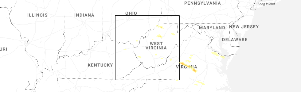
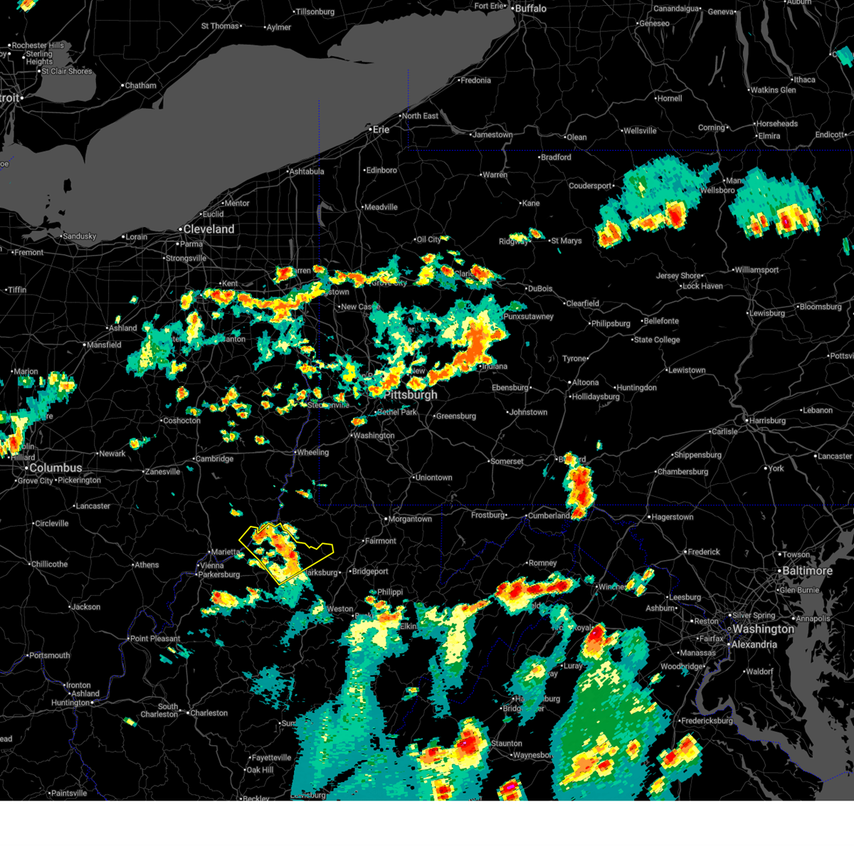
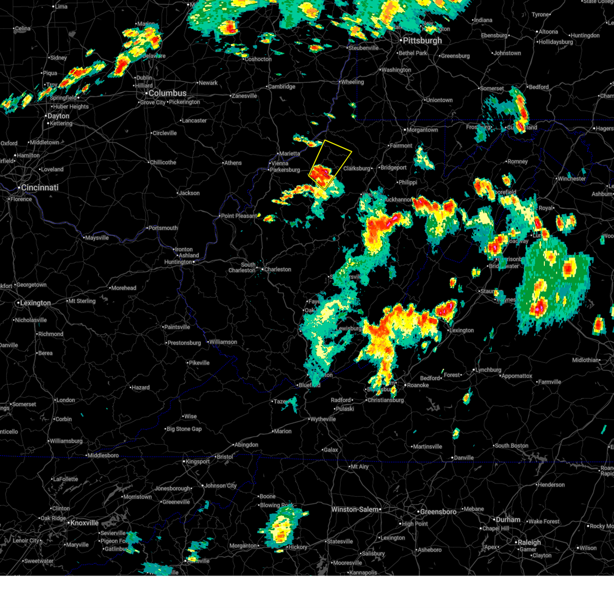
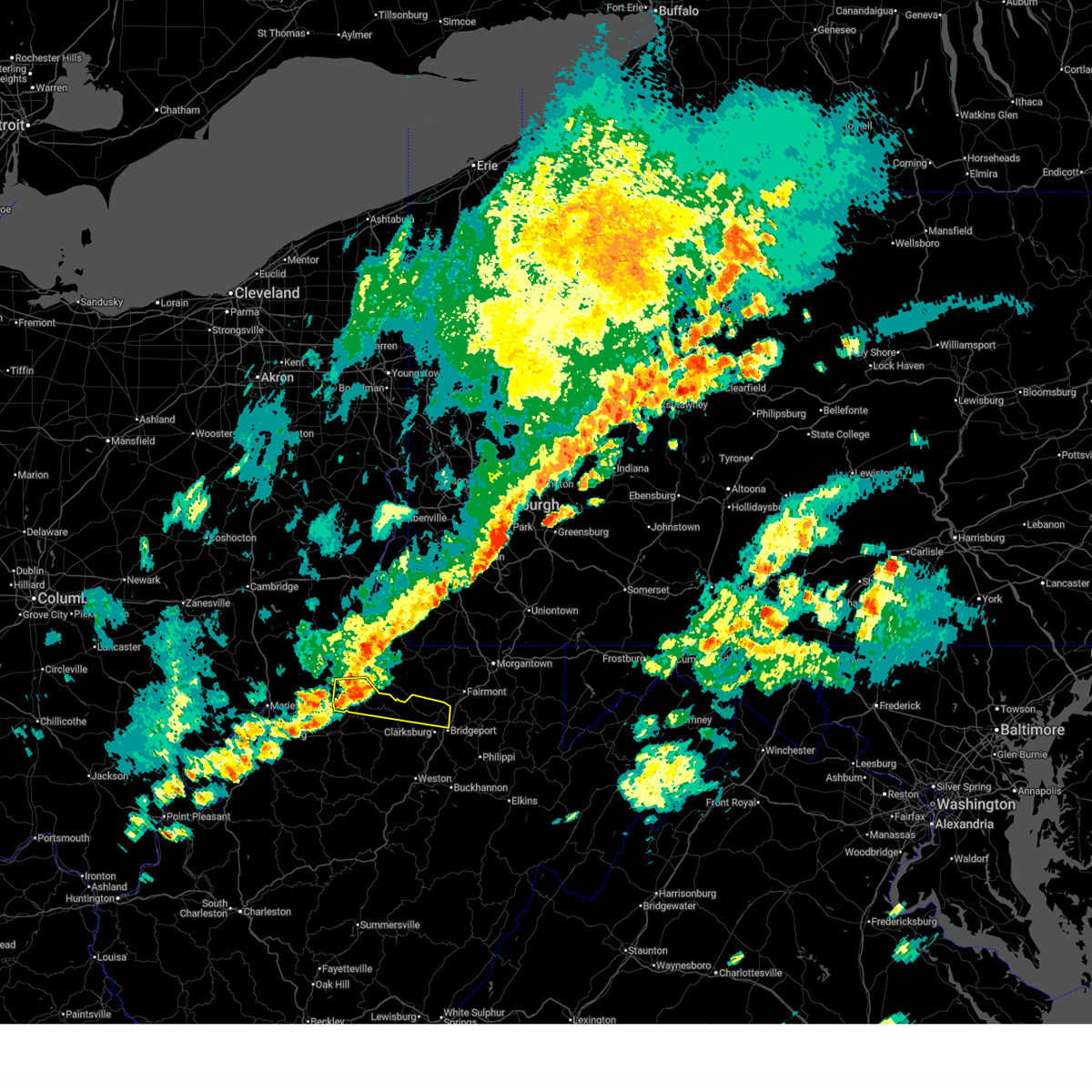
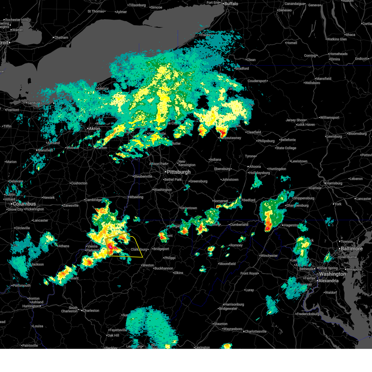
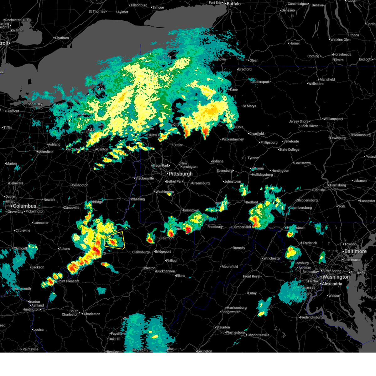
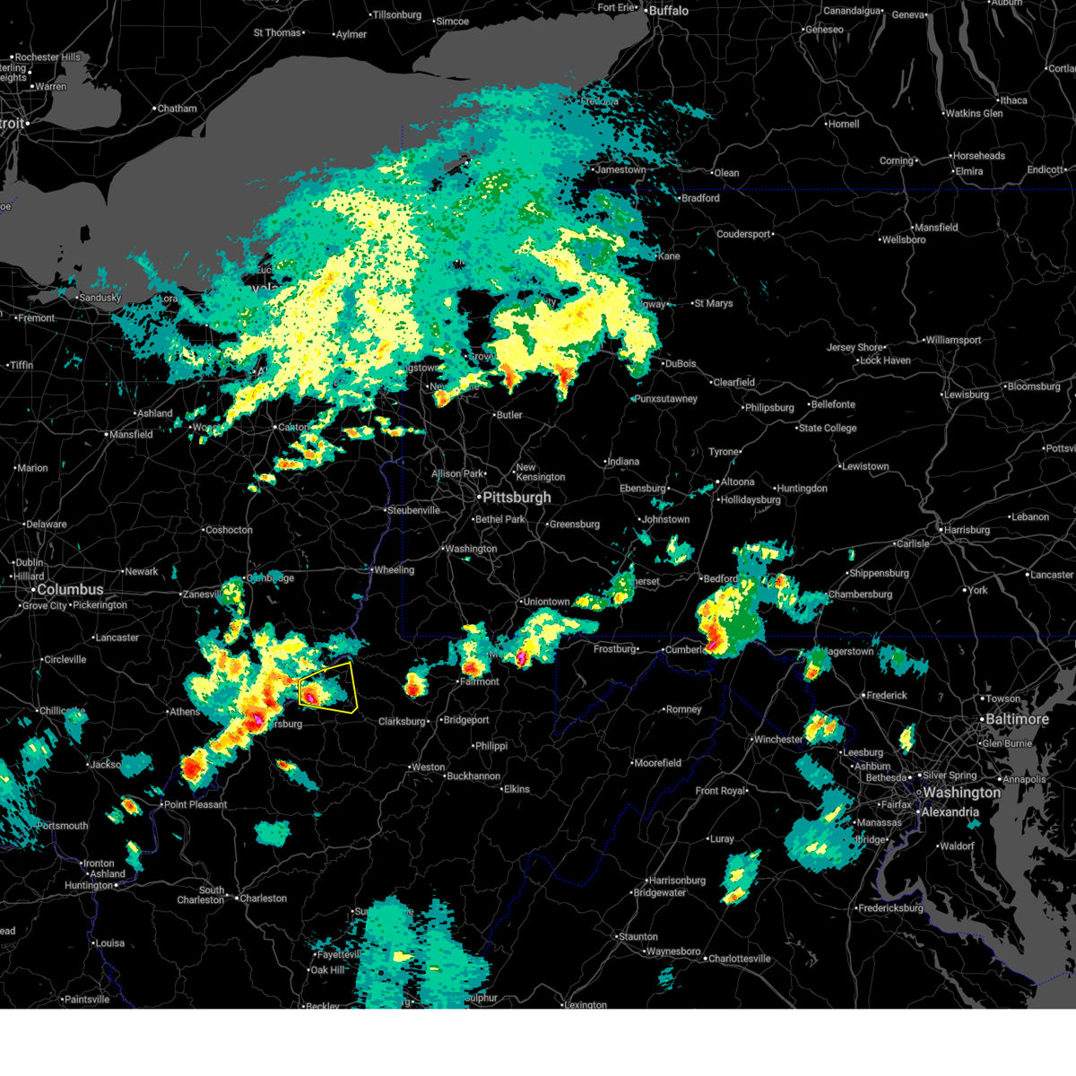
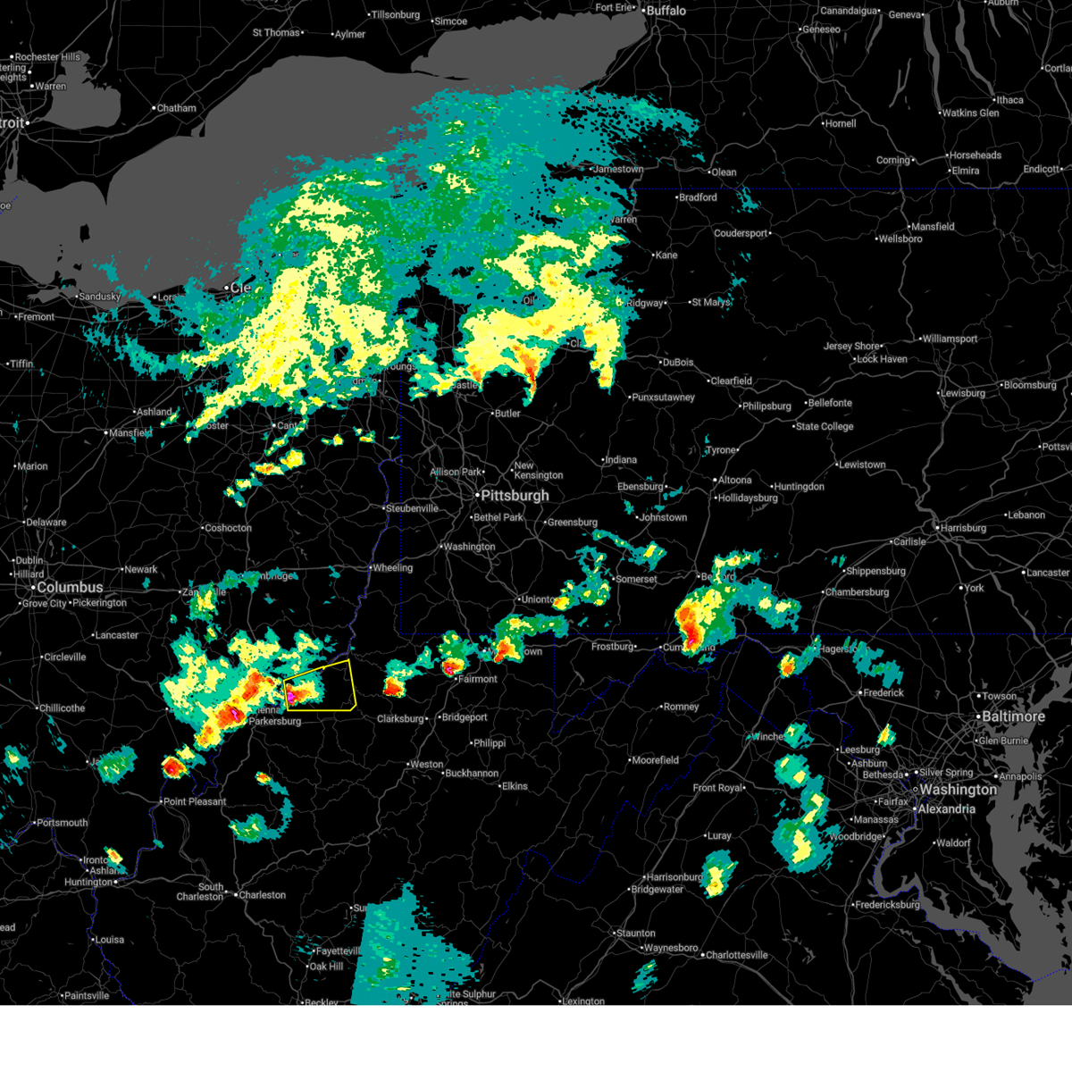
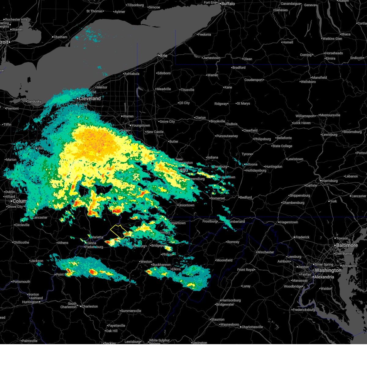
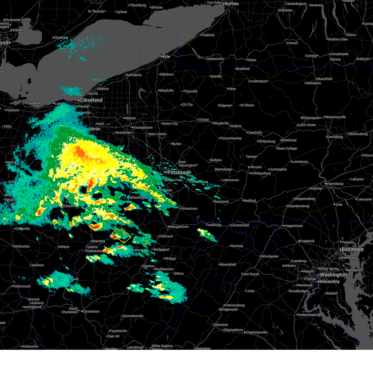
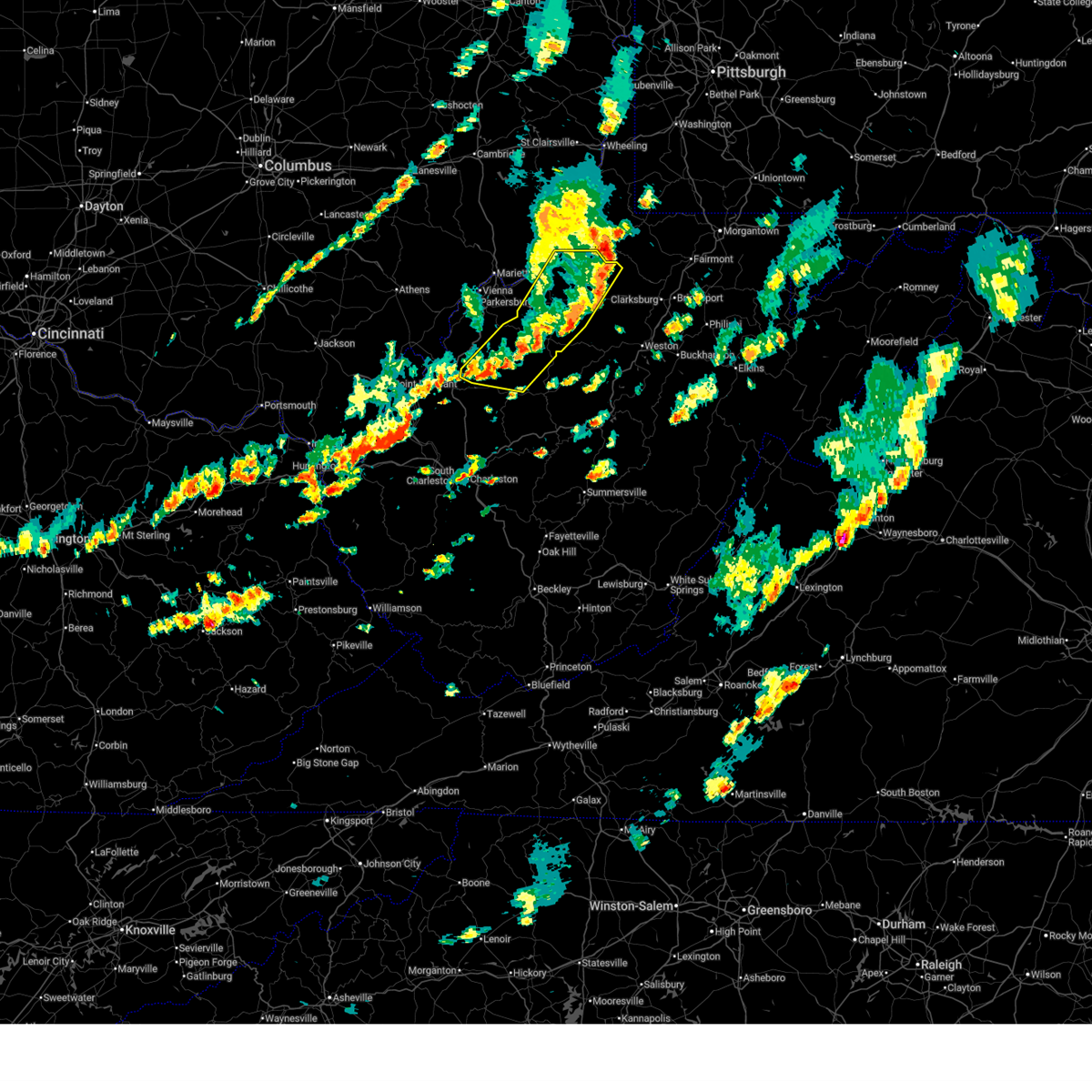
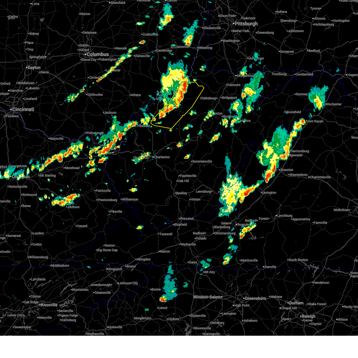
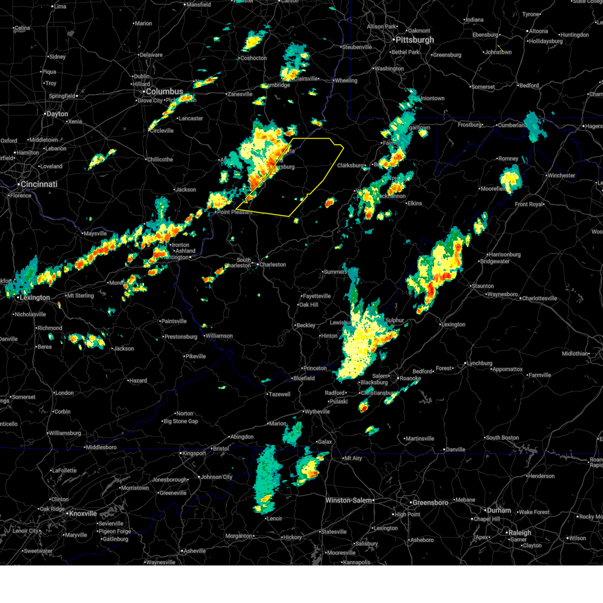
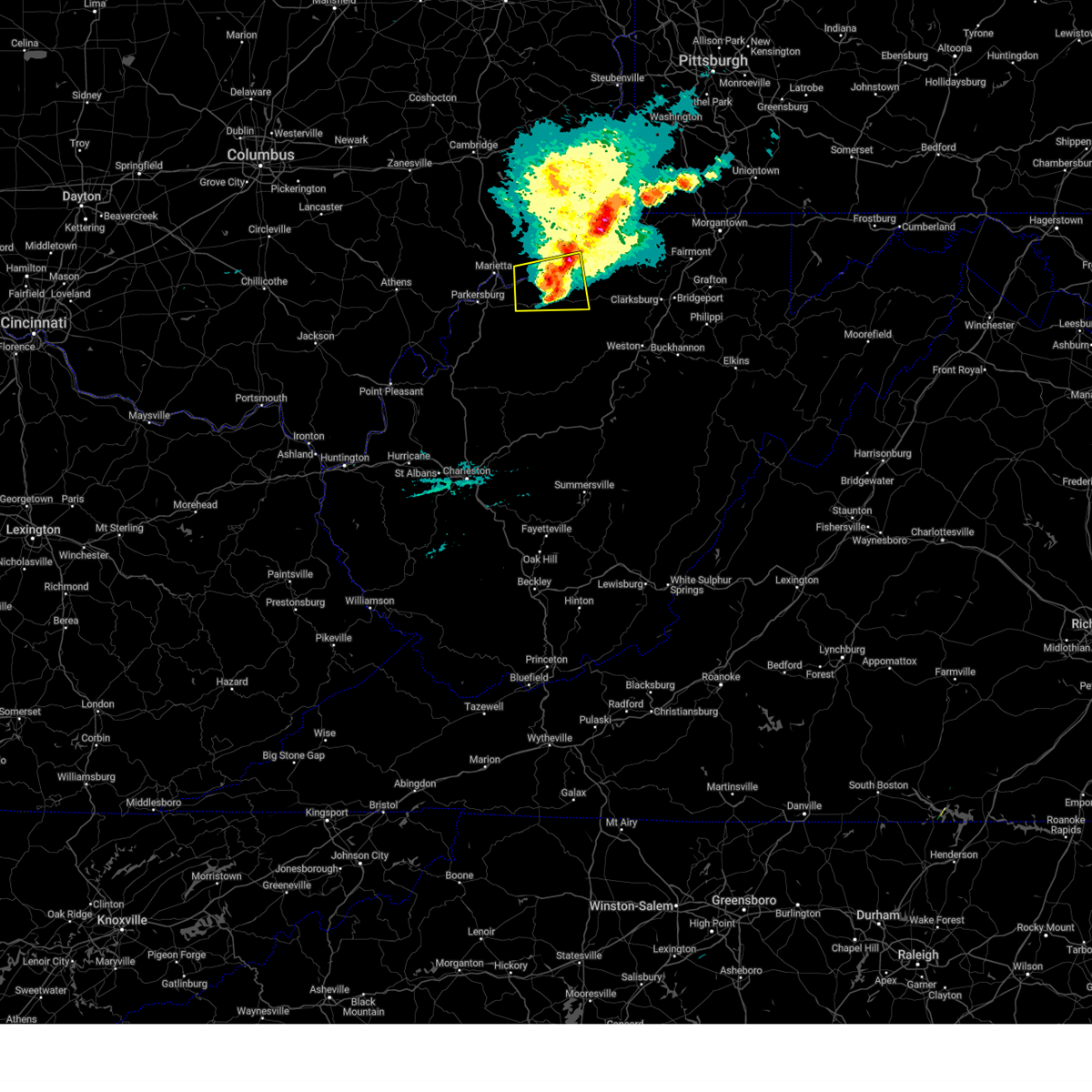
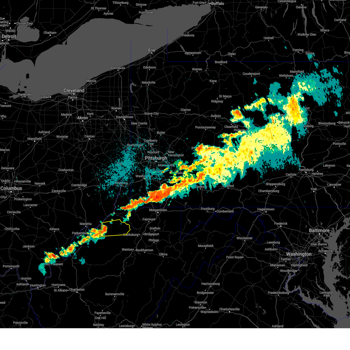
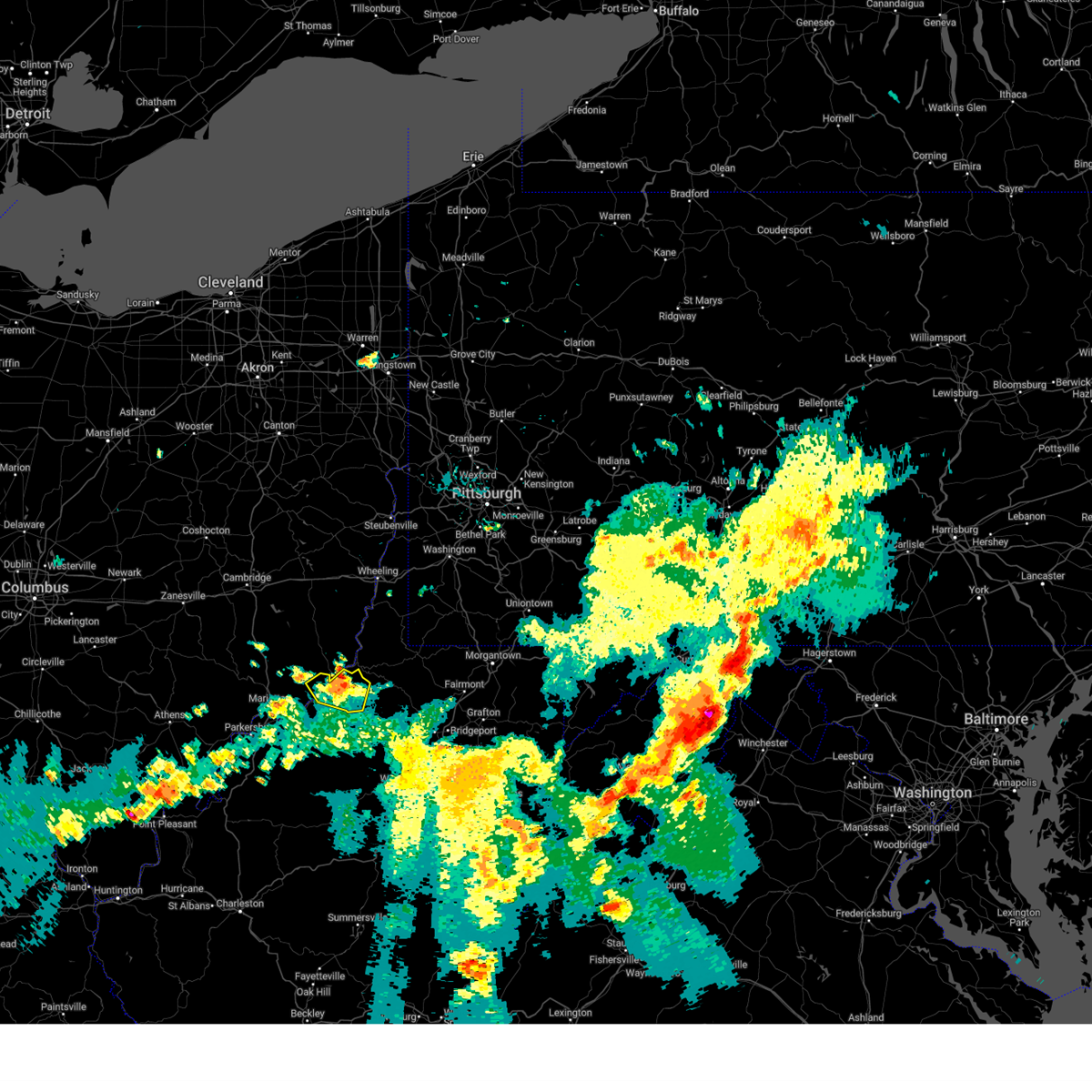
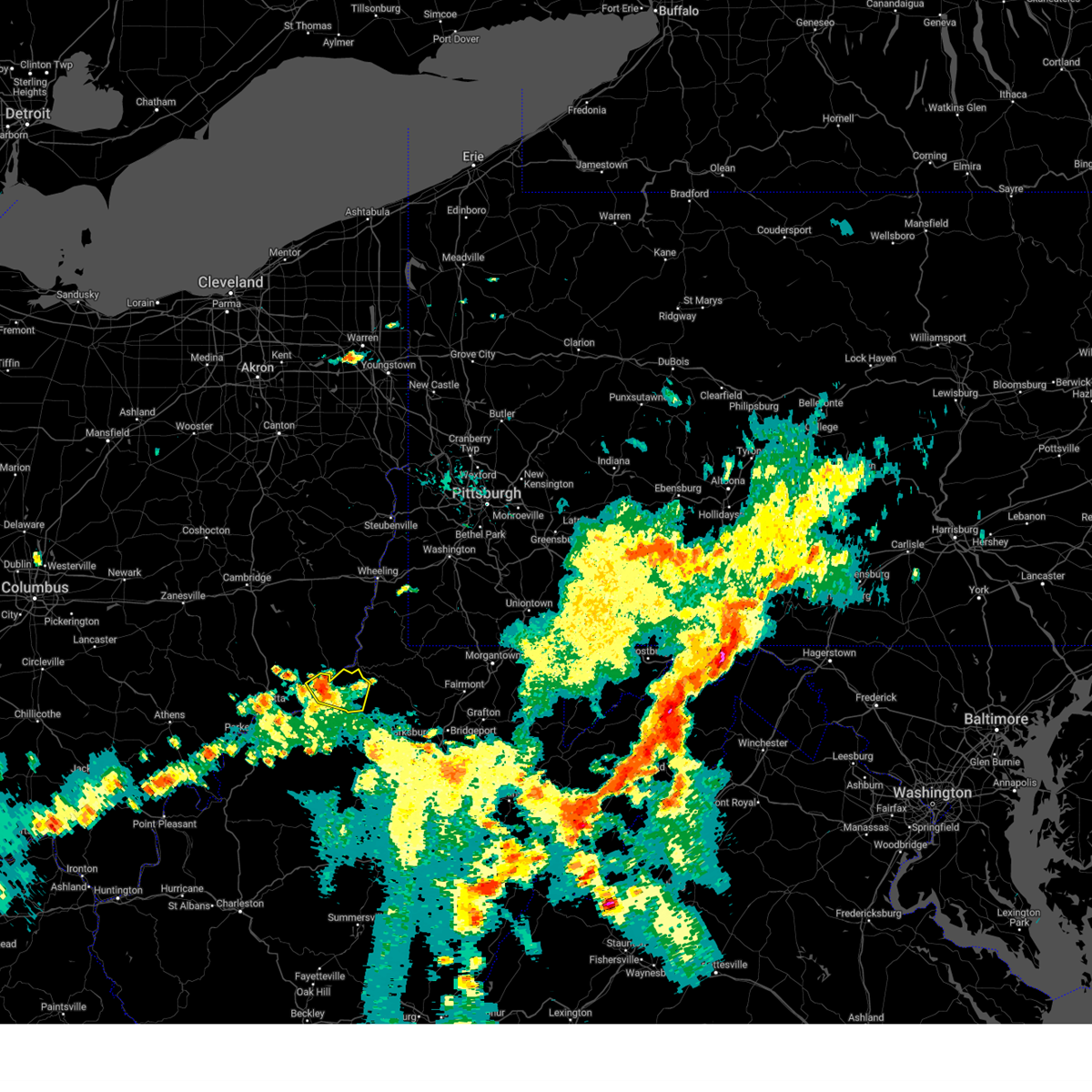
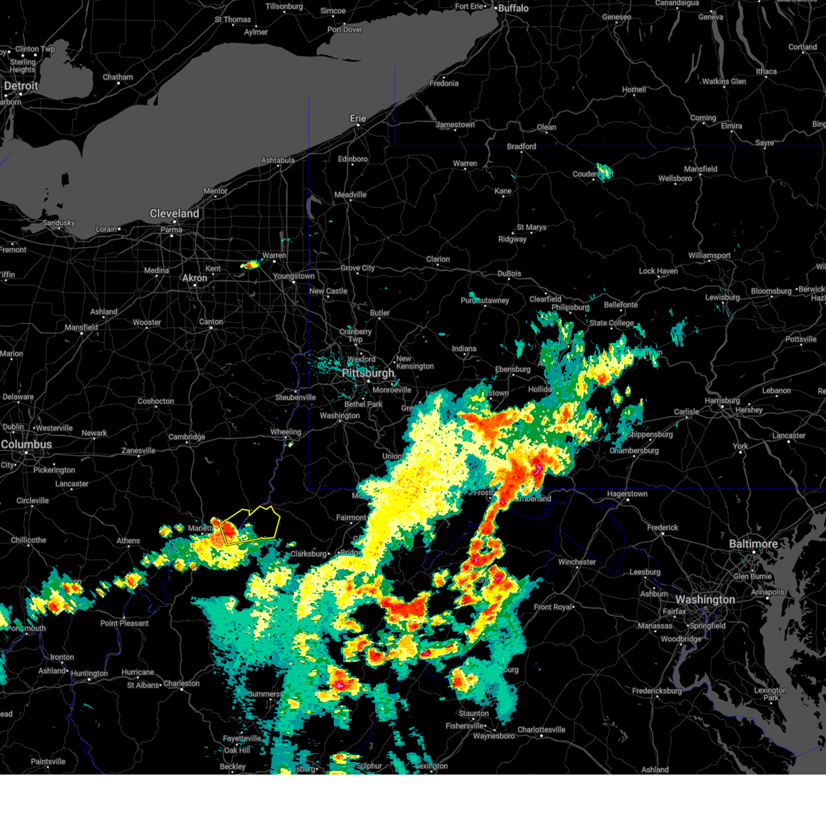
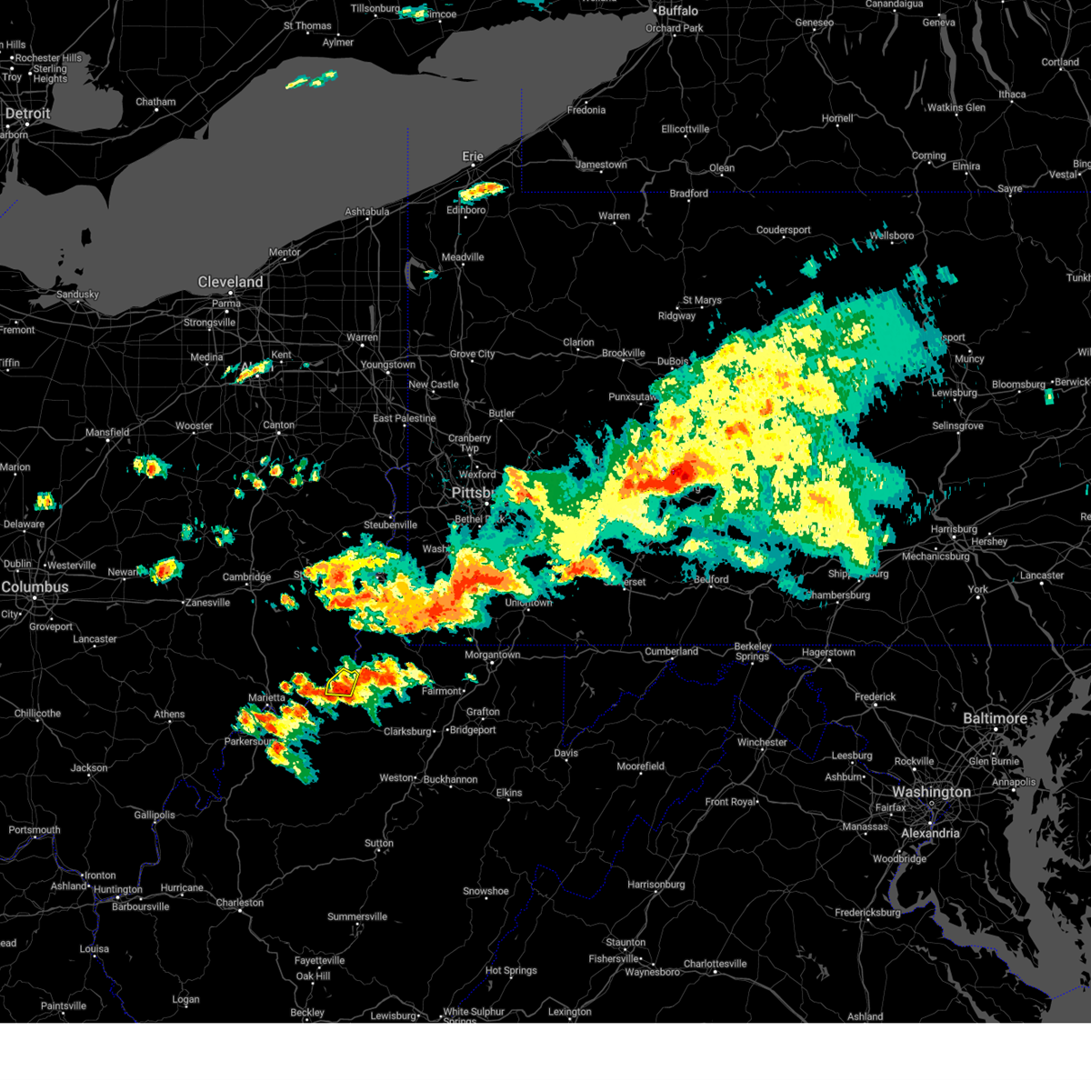
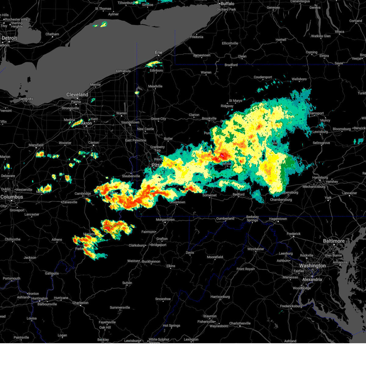
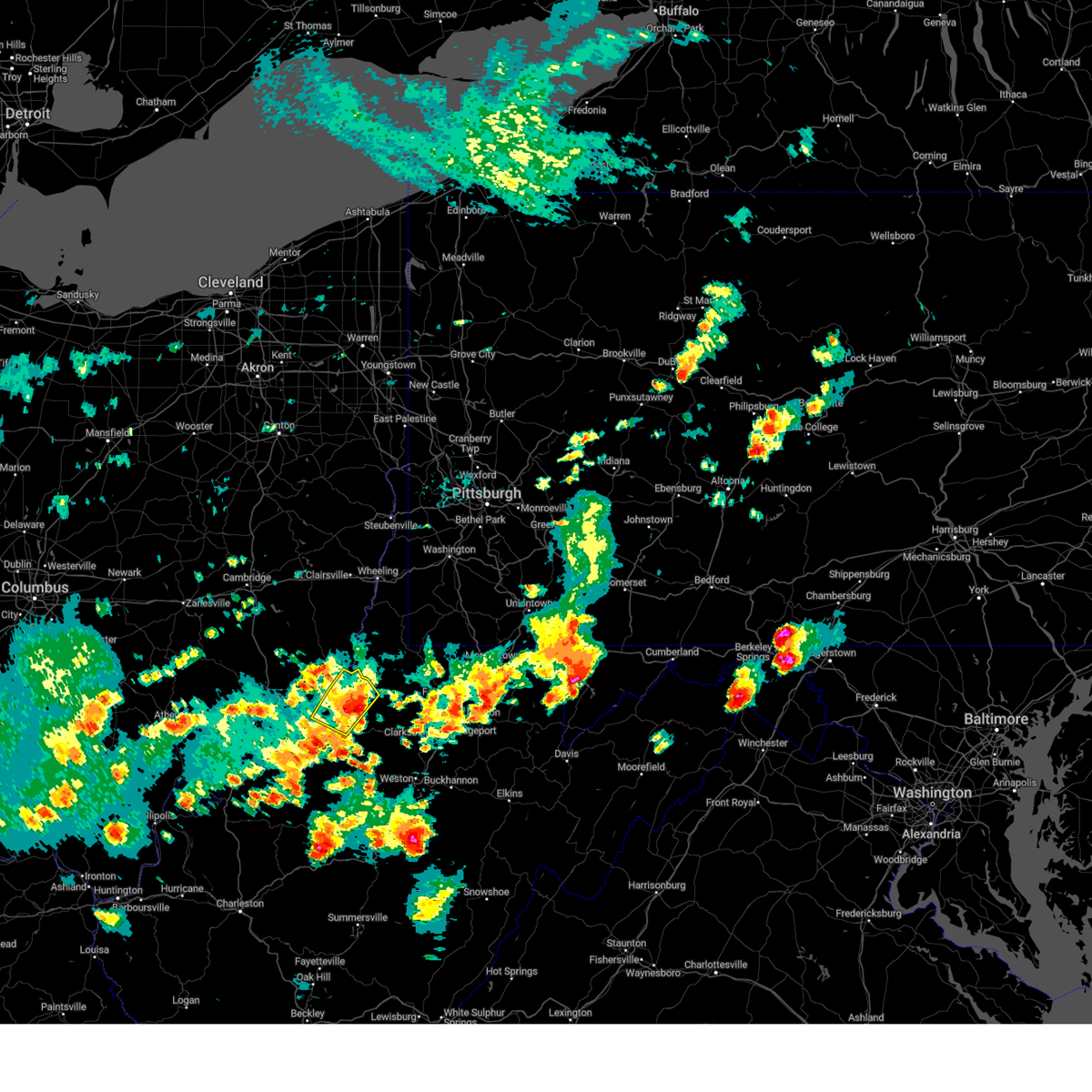
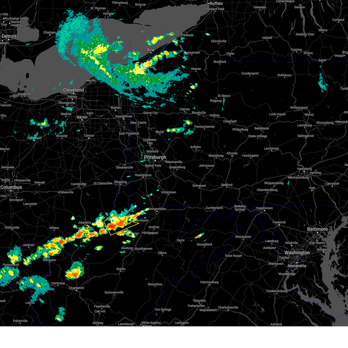
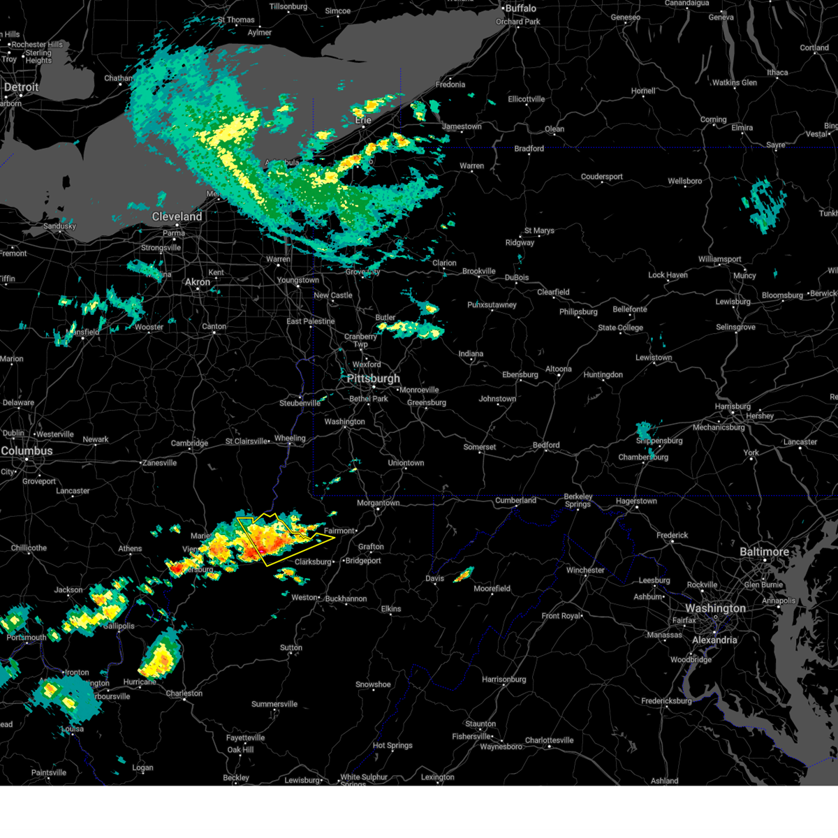
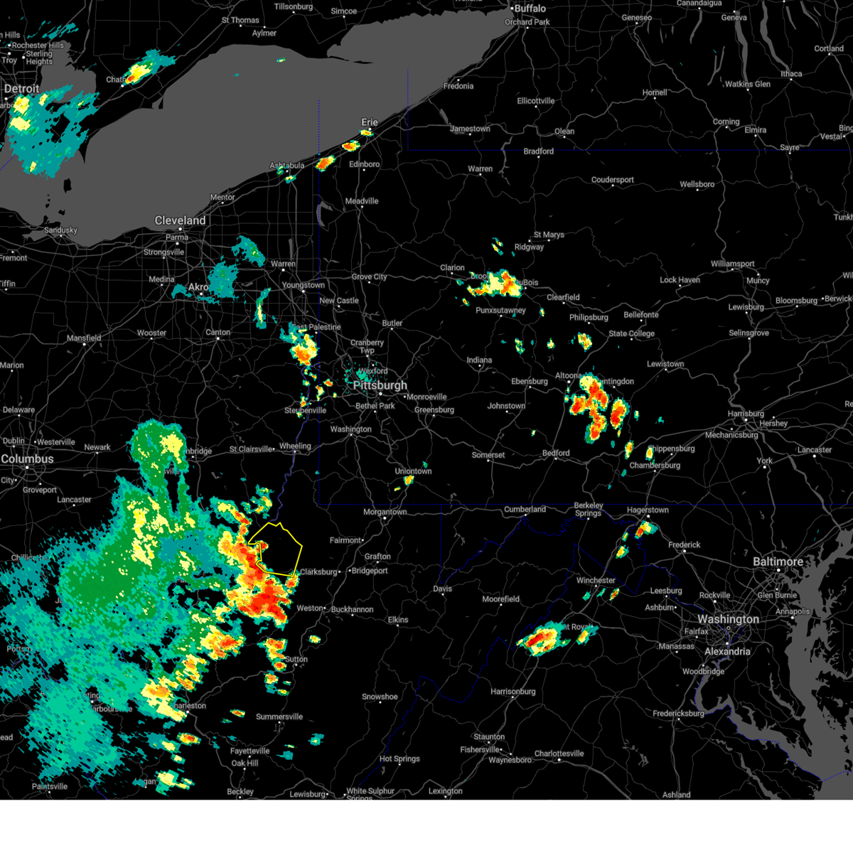
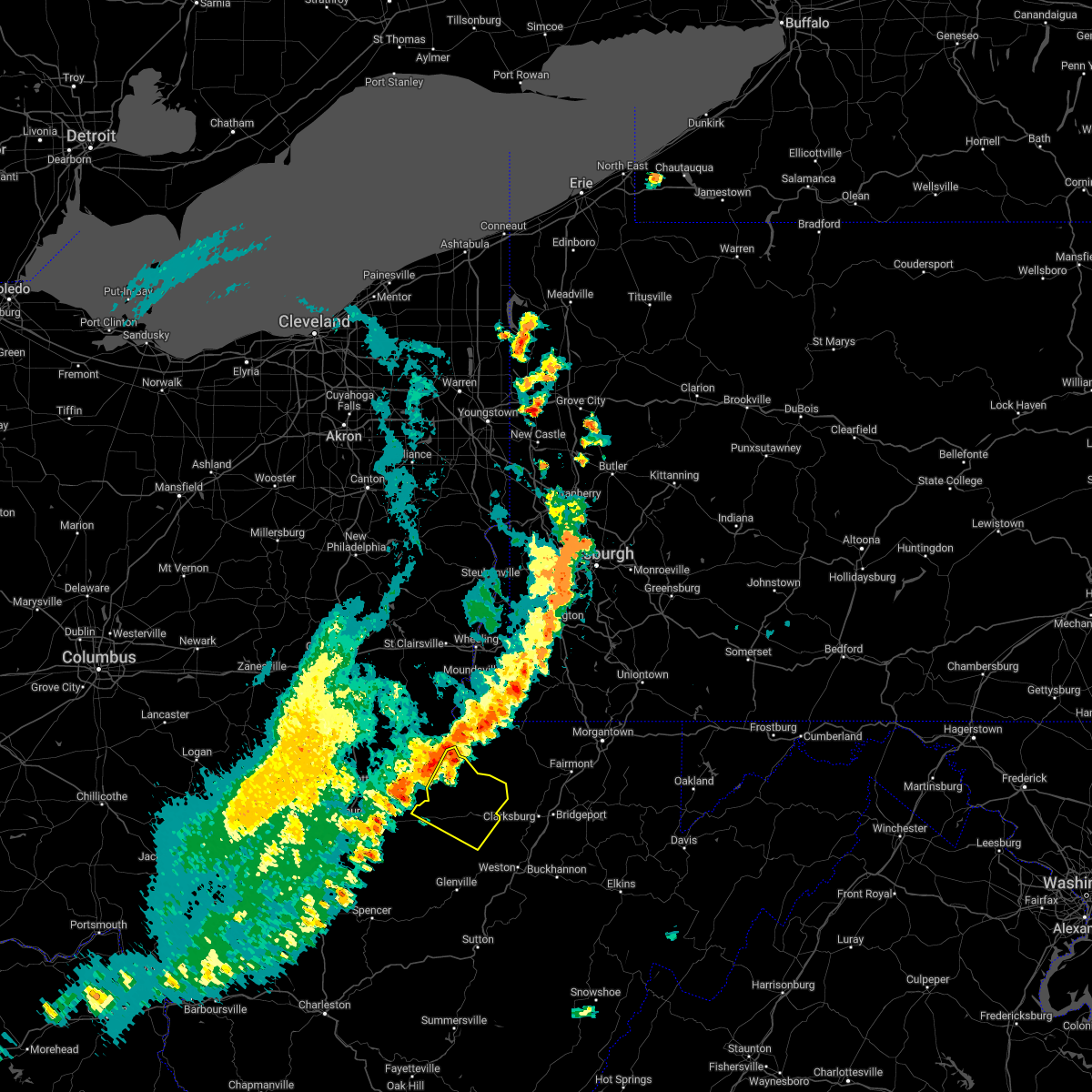
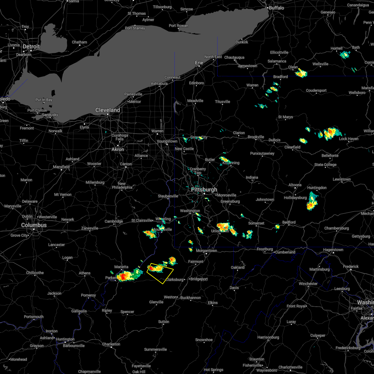
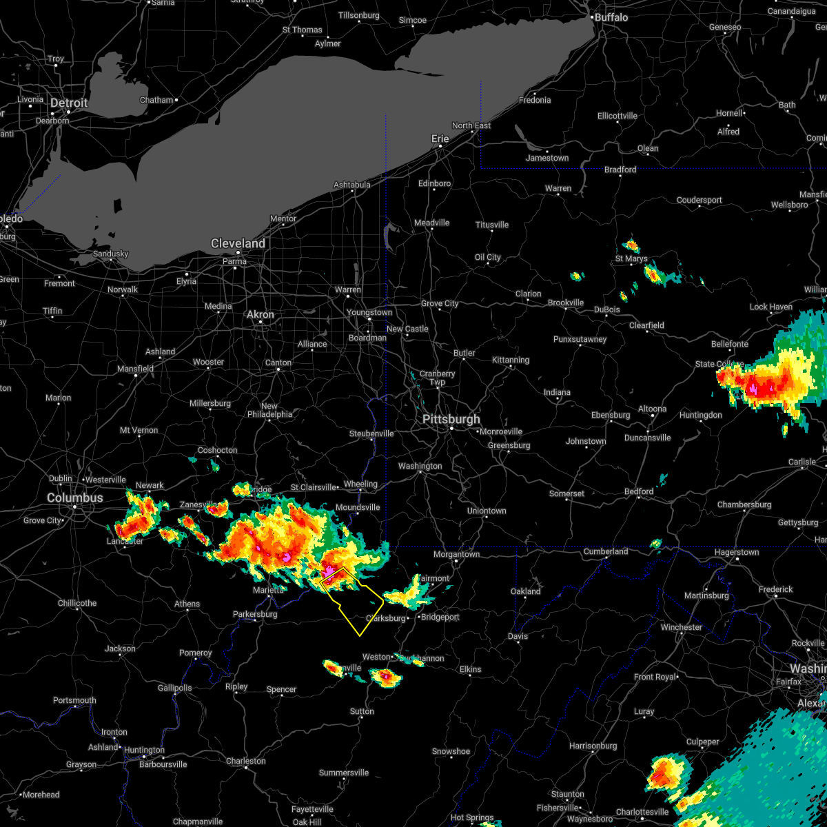
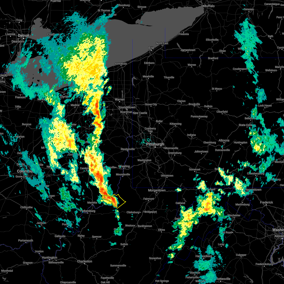
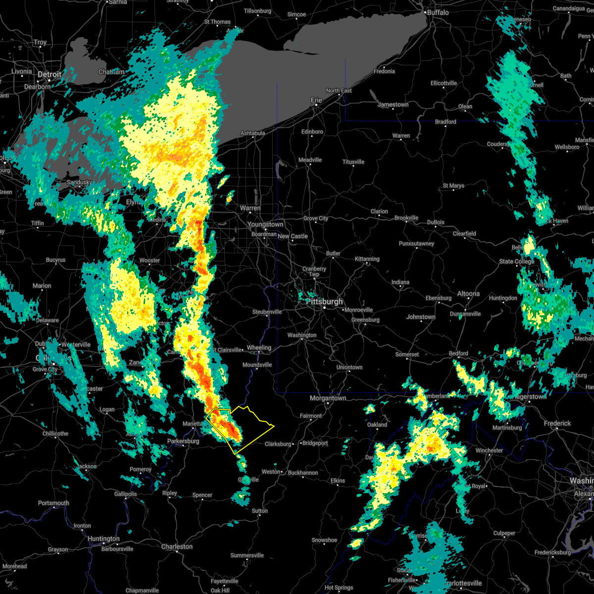
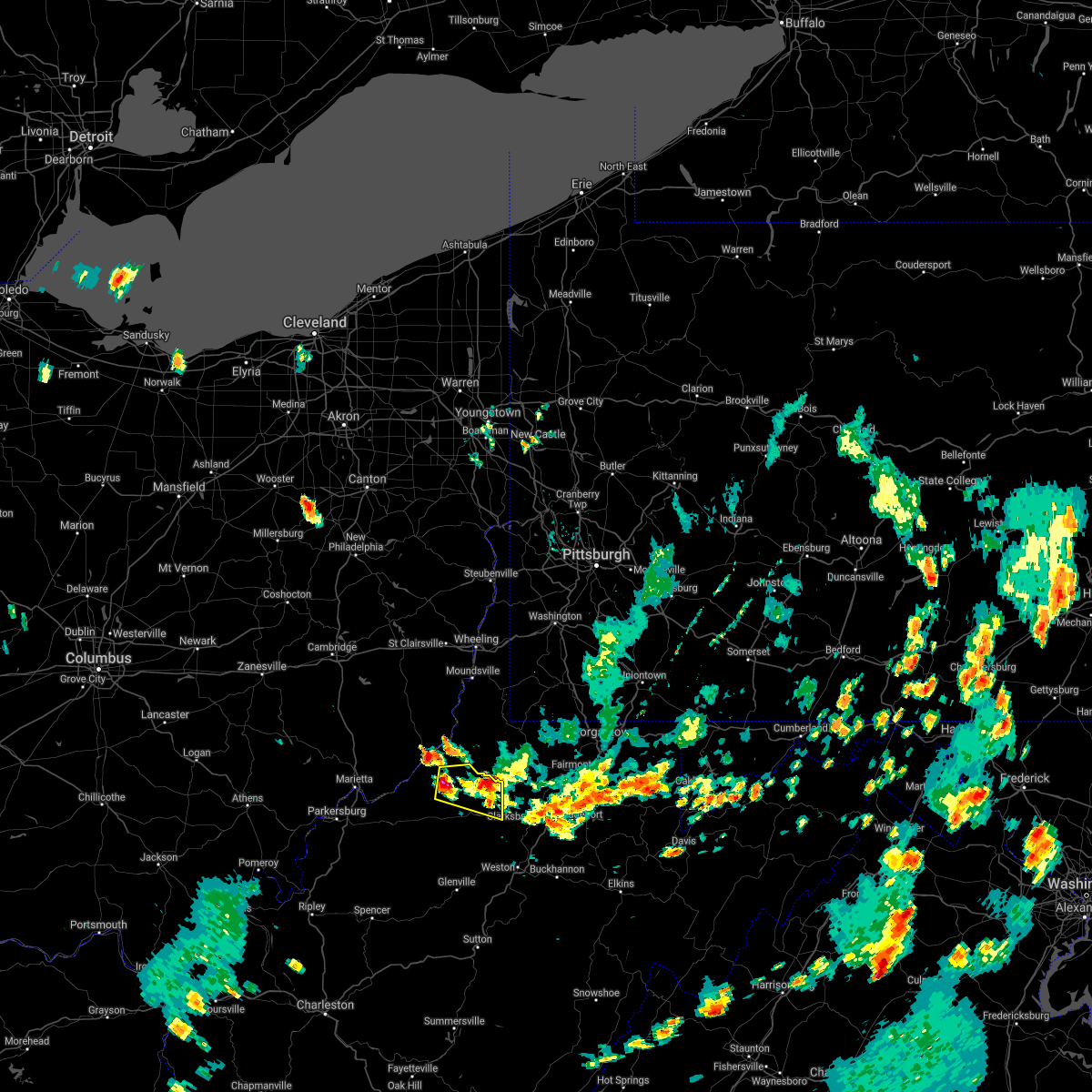
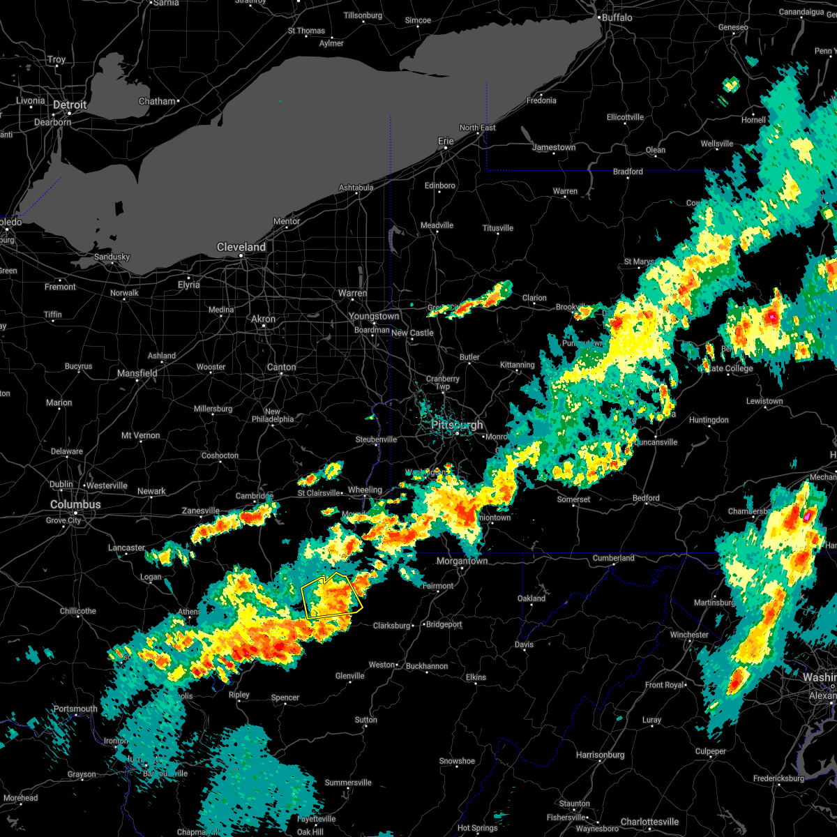
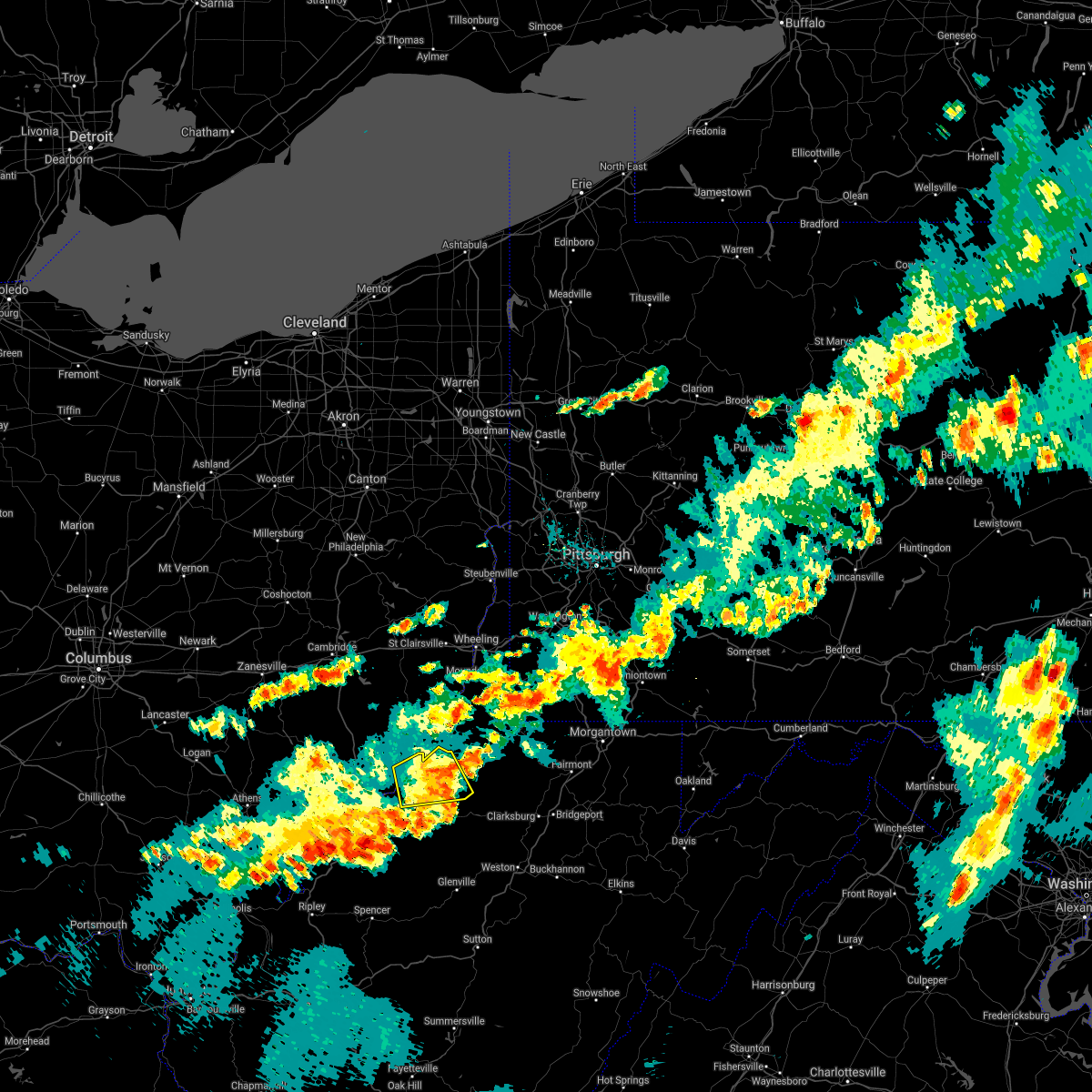
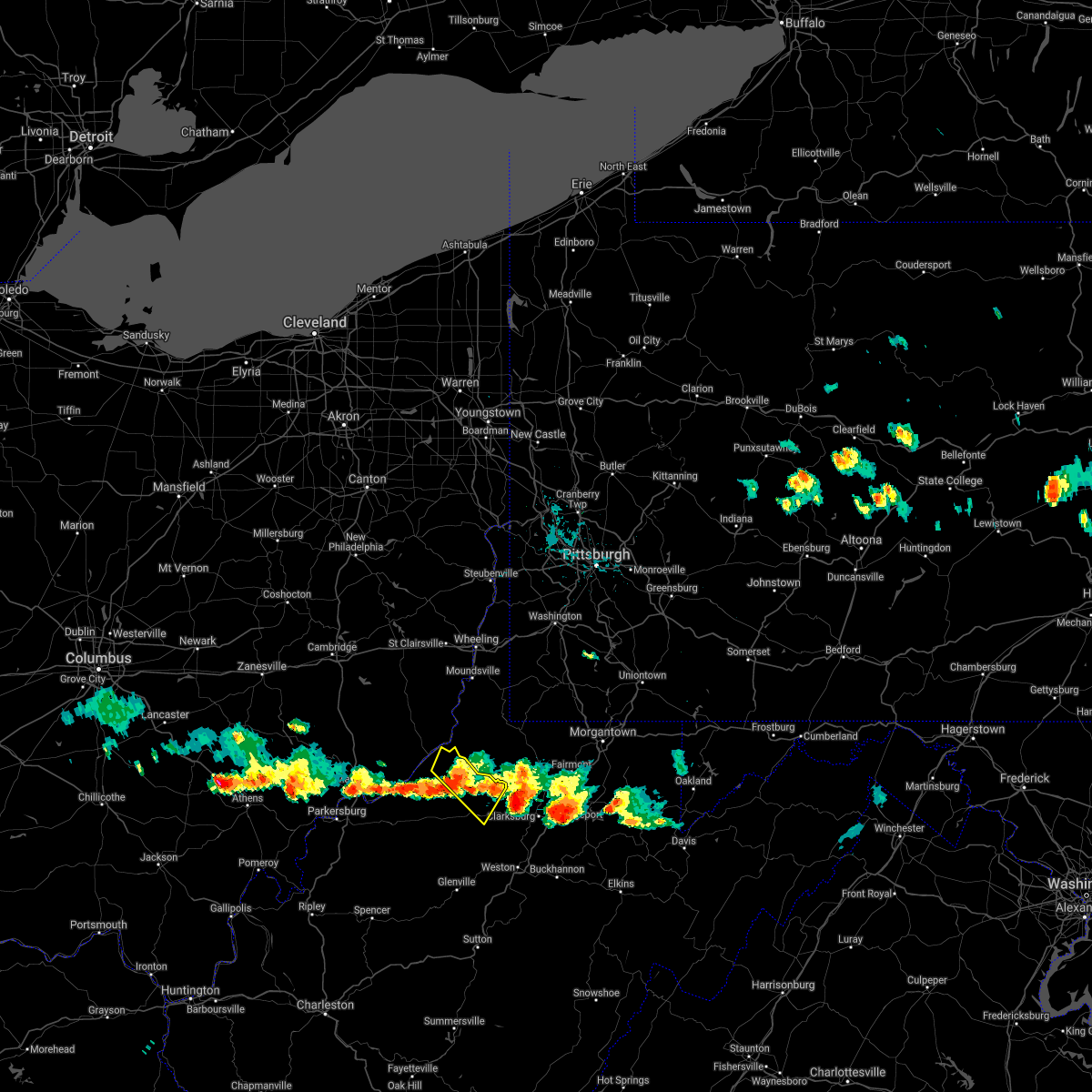
Hail Map for Middlebourne, WV
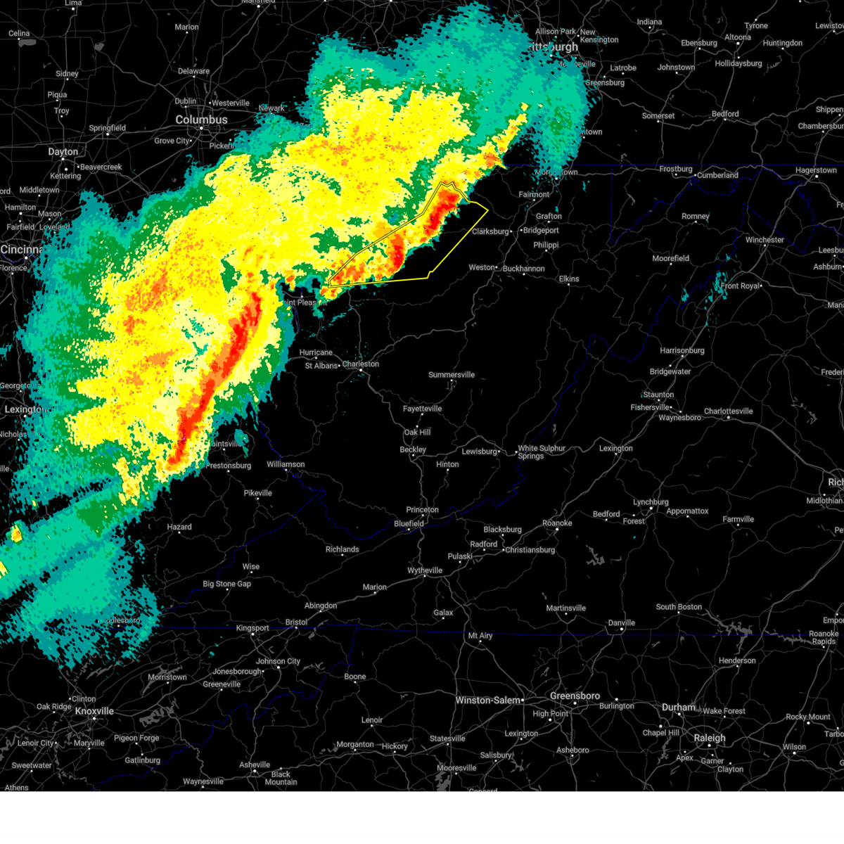
The Middlebourne, WV area has had 4 reports of on-the-ground hail by trained spotters, and has been under severe weather warnings 13 times during the past 12 months. Doppler radar has detected hail at or near Middlebourne, WV on 33 occasions, including 1 occasion during the past year.
| Name: | Middlebourne, WV |
| Where Located: | 69.3 miles NW of Elkins, WV |
| Map: | Google Map for Middlebourne, WV |
| Population: | 815 |
| Housing Units: | 405 |
| More Info: | Search Google for Middlebourne, WV |
0
The Top Recent Hail Date for Middlebourne, WV is Wednesday, May 27, 2026 (19th out of 33)
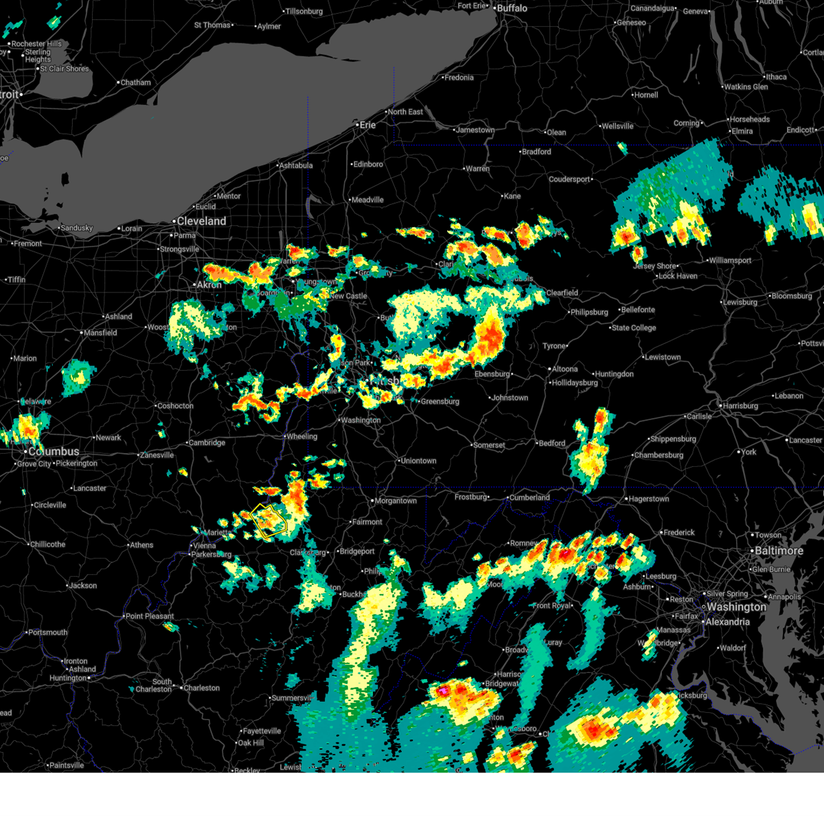
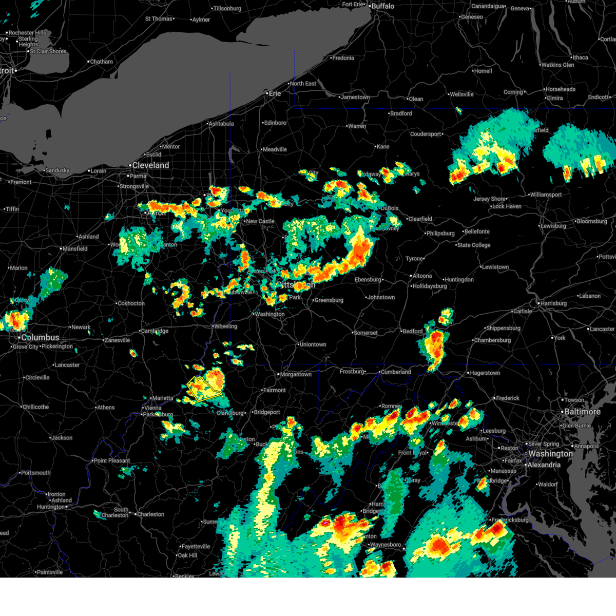
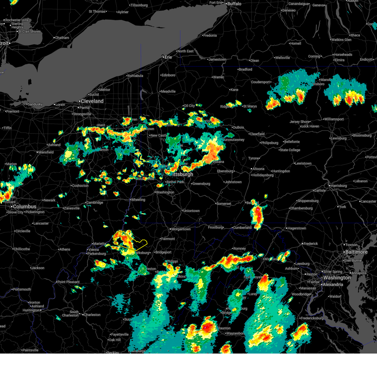
Hail and Wind Damage Spotted near Middlebourne, WV
| Date / Time | Report Details |
|---|---|
| 7/4/2026 5:30 PM EDT | Tree on power lin in tyler county WV, 4.6 miles W of Middlebourne, WV |
| 7/4/2026 5:25 PM EDT |
 At 525 pm edt, a severe thunderstorm was located near middlebourne, moving east at 15 mph (radar indicated). Hazards include 60 mph wind gusts and penny size hail. Expect damage to roofs, siding, and trees. Locations impacted include, middlebourne, paden city, sistersville, alma, and lima. At 525 pm edt, a severe thunderstorm was located near middlebourne, moving east at 15 mph (radar indicated). Hazards include 60 mph wind gusts and penny size hail. Expect damage to roofs, siding, and trees. Locations impacted include, middlebourne, paden city, sistersville, alma, and lima.
|
| 7/4/2026 5:12 PM EDT |
 Svrrlx the national weather service in charleston west virginia has issued a * severe thunderstorm warning for, tyler county in northern west virginia, * until 545 pm edt. * at 512 pm edt, a severe thunderstorm was located over middlebourne, moving northeast at 20 mph (radar indicated). Hazards include 60 mph wind gusts and nickel size hail. expect damage to roofs, siding, and trees Svrrlx the national weather service in charleston west virginia has issued a * severe thunderstorm warning for, tyler county in northern west virginia, * until 545 pm edt. * at 512 pm edt, a severe thunderstorm was located over middlebourne, moving northeast at 20 mph (radar indicated). Hazards include 60 mph wind gusts and nickel size hail. expect damage to roofs, siding, and trees
|
| 7/4/2026 5:05 PM EDT | At least 100 customers out of power due to tree damag in tyler county WV, 6 miles N of Middlebourne, WV |
| 7/4/2026 5:04 PM EDT |
 At 504 pm edt, severe thunderstorms were located along a line extending from paden city to near pine grove to near salem, moving northeast at 30 mph (radar indicated). Hazards include 60 mph wind gusts and quarter size hail. Hail damage to vehicles is expected. expect wind damage to roofs, siding, and trees. Locations impacted include, middlebourne, sistersville, alma, wallace, wick, lima, center point, sedalia, and canton. At 504 pm edt, severe thunderstorms were located along a line extending from paden city to near pine grove to near salem, moving northeast at 30 mph (radar indicated). Hazards include 60 mph wind gusts and quarter size hail. Hail damage to vehicles is expected. expect wind damage to roofs, siding, and trees. Locations impacted include, middlebourne, sistersville, alma, wallace, wick, lima, center point, sedalia, and canton.
|
| 7/4/2026 4:53 PM EDT |
 At 453 pm edt, severe thunderstorms were located along a line extending from sistersville to 6 miles southwest of pine grove to near west union, moving northeast at 30 mph (radar indicated). Hazards include 60 mph wind gusts and quarter size hail. Hail damage to vehicles is expected. expect wind damage to roofs, siding, and trees. Locations impacted include, middlebourne, sistersville, west union, matamoras, friendly, alma, greenwood, arvilla, wallace, point lookout, new matamoras, smithburg, wick, mountain, lima, hebron, center point, sedalia, and canton. At 453 pm edt, severe thunderstorms were located along a line extending from sistersville to 6 miles southwest of pine grove to near west union, moving northeast at 30 mph (radar indicated). Hazards include 60 mph wind gusts and quarter size hail. Hail damage to vehicles is expected. expect wind damage to roofs, siding, and trees. Locations impacted include, middlebourne, sistersville, west union, matamoras, friendly, alma, greenwood, arvilla, wallace, point lookout, new matamoras, smithburg, wick, mountain, lima, hebron, center point, sedalia, and canton.
|
| 7/4/2026 4:36 PM EDT | At 434 pm edt, a severe thunderstorm was located 8 miles south of audra state park, and is nearly stationary (radar indicated). Hazards include 60 mph wind gusts and quarter size hail. Hail damage to vehicles is expected. expect wind damage to roofs, siding, and trees. Locations impacted include, harrisville, middlebourne, pennsboro, west union, ellenboro, pullman, alma, greenwood, smithburg, mountain, lima, center point, berea, canton, and wick. |
| 7/4/2026 4:20 PM EDT |
 Svrrlx the national weather service in charleston west virginia has issued a * severe thunderstorm warning for, northeastern ritchie county in northwestern west virginia, central doddridge county in northern west virginia, central tyler county in northern west virginia, * until 445 pm edt. * at 419 pm edt, a severe thunderstorm was located near pennsboro, or 9 miles east of harrisville, moving northeast at 20 mph (radar indicated). Hazards include 60 mph wind gusts and quarter size hail. Hail damage to vehicles is expected. Expect wind damage to roofs, siding, and trees. Svrrlx the national weather service in charleston west virginia has issued a * severe thunderstorm warning for, northeastern ritchie county in northwestern west virginia, central doddridge county in northern west virginia, central tyler county in northern west virginia, * until 445 pm edt. * at 419 pm edt, a severe thunderstorm was located near pennsboro, or 9 miles east of harrisville, moving northeast at 20 mph (radar indicated). Hazards include 60 mph wind gusts and quarter size hail. Hail damage to vehicles is expected. Expect wind damage to roofs, siding, and trees.
|
| 6/14/2026 6:57 PM EDT | Tree down on indian creek rd near wv 18 in blu in tyler county WV, 5.6 miles NW of Middlebourne, WV |
| 6/14/2026 6:55 PM EDT | Tree down along wv 18 north of middlebourn in tyler county WV, 0.4 miles WSW of Middlebourne, WV |
| 6/14/2026 6:47 PM EDT |
 Svrrlx the national weather service in charleston west virginia has issued a * severe thunderstorm warning for, northeastern doddridge county in northern west virginia, tyler county in northern west virginia, northern harrison county in northern west virginia, * until 730 pm edt. * at 647 pm edt, a severe thunderstorm was located over middlebourne, moving east at 40 mph (radar indicated). Hazards include 60 mph wind gusts. expect damage to roofs, siding, and trees Svrrlx the national weather service in charleston west virginia has issued a * severe thunderstorm warning for, northeastern doddridge county in northern west virginia, tyler county in northern west virginia, northern harrison county in northern west virginia, * until 730 pm edt. * at 647 pm edt, a severe thunderstorm was located over middlebourne, moving east at 40 mph (radar indicated). Hazards include 60 mph wind gusts. expect damage to roofs, siding, and trees
|
| 4/1/2026 6:37 PM EDT |
 Svrrlx the national weather service in charleston west virginia has issued a * severe thunderstorm warning for, eastern pleasants county in northwestern west virginia, northeastern ritchie county in northwestern west virginia, doddridge county in northern west virginia, tyler county in northern west virginia, southwestern harrison county in northern west virginia, * until 715 pm edt. * at 637 pm edt, a severe thunderstorm was located over pennsboro, or near harrisville, moving east at 35 mph (radar indicated). Hazards include 70 mph wind gusts and half dollar size hail. Hail damage to vehicles is expected. expect considerable tree damage. Wind damage is also likely to mobile homes, roofs, and outbuildings. Svrrlx the national weather service in charleston west virginia has issued a * severe thunderstorm warning for, eastern pleasants county in northwestern west virginia, northeastern ritchie county in northwestern west virginia, doddridge county in northern west virginia, tyler county in northern west virginia, southwestern harrison county in northern west virginia, * until 715 pm edt. * at 637 pm edt, a severe thunderstorm was located over pennsboro, or near harrisville, moving east at 35 mph (radar indicated). Hazards include 70 mph wind gusts and half dollar size hail. Hail damage to vehicles is expected. expect considerable tree damage. Wind damage is also likely to mobile homes, roofs, and outbuildings.
|
| 4/1/2026 6:09 PM EDT |
 The storm which prompted the warning has weakened below severe limits, and no longer poses an immediate threat to life or property. therefore, the warning will be allowed to expire. however, small hail, gusty winds and heavy rain are still possible with this thunderstorm. a severe thunderstorm watch remains in effect until 800 pm edt for southeastern ohio, and northern and northwestern west virginia. The storm which prompted the warning has weakened below severe limits, and no longer poses an immediate threat to life or property. therefore, the warning will be allowed to expire. however, small hail, gusty winds and heavy rain are still possible with this thunderstorm. a severe thunderstorm watch remains in effect until 800 pm edt for southeastern ohio, and northern and northwestern west virginia.
|
| 4/1/2026 5:56 PM EDT |
 At 556 pm edt, a severe thunderstorm was located near st. marys, moving east at 30 mph (radar indicated). Hazards include 60 mph wind gusts and quarter size hail. Hail damage to vehicles is expected. expect wind damage to roofs, siding, and trees. locations impacted include, st. Marys, middlebourne, sistersville, matamoras, friendly, arvilla, point lookout, new matamoras, wick, mountain, and hebron. At 556 pm edt, a severe thunderstorm was located near st. marys, moving east at 30 mph (radar indicated). Hazards include 60 mph wind gusts and quarter size hail. Hail damage to vehicles is expected. expect wind damage to roofs, siding, and trees. locations impacted include, st. Marys, middlebourne, sistersville, matamoras, friendly, arvilla, point lookout, new matamoras, wick, mountain, and hebron.
|
| 4/1/2026 5:42 PM EDT |
 Svrrlx the national weather service in charleston west virginia has issued a * severe thunderstorm warning for, east central washington county in southeastern ohio, pleasants county in northwestern west virginia, northeastern ritchie county in northwestern west virginia, tyler county in northern west virginia, * until 615 pm edt. * at 542 pm edt, a severe thunderstorm was located over st. marys, moving east at 30 mph (radar indicated). Hazards include ping pong ball size hail and 60 mph wind gusts. People and animals outdoors will be injured. expect hail damage to roofs, siding, windows, and vehicles. Expect wind damage to roofs, siding, and trees. Svrrlx the national weather service in charleston west virginia has issued a * severe thunderstorm warning for, east central washington county in southeastern ohio, pleasants county in northwestern west virginia, northeastern ritchie county in northwestern west virginia, tyler county in northern west virginia, * until 615 pm edt. * at 542 pm edt, a severe thunderstorm was located over st. marys, moving east at 30 mph (radar indicated). Hazards include ping pong ball size hail and 60 mph wind gusts. People and animals outdoors will be injured. expect hail damage to roofs, siding, windows, and vehicles. Expect wind damage to roofs, siding, and trees.
|
| 2/20/2026 12:37 AM EST |
 The storm which prompted the warning has weakened below severe limits, and no longer poses an immediate threat to life or property. therefore, the warning will be allowed to expire. however, small hail and heavy rain are still possible with this thunderstorm. The storm which prompted the warning has weakened below severe limits, and no longer poses an immediate threat to life or property. therefore, the warning will be allowed to expire. however, small hail and heavy rain are still possible with this thunderstorm.
|
| 2/20/2026 12:08 AM EST |
 Svrrlx the national weather service in charleston west virginia has issued a * severe thunderstorm warning for, northern tyler county in northern west virginia, * until 1245 am est. * at 1208 am est, a severe thunderstorm was located over middlebourne, moving northeast at 50 mph (radar indicated). Hazards include quarter size hail. damage to vehicles is expected Svrrlx the national weather service in charleston west virginia has issued a * severe thunderstorm warning for, northern tyler county in northern west virginia, * until 1245 am est. * at 1208 am est, a severe thunderstorm was located over middlebourne, moving northeast at 50 mph (radar indicated). Hazards include quarter size hail. damage to vehicles is expected
|
| 6/19/2025 2:27 PM EDT |
 The storms which prompted the warning have weakened below severe limits, and have exited the warned area. therefore, the warning will be allowed to expire. however, gusty winds are still possible with these thunderstorms. The storms which prompted the warning have weakened below severe limits, and have exited the warned area. therefore, the warning will be allowed to expire. however, gusty winds are still possible with these thunderstorms.
|
| 6/19/2025 2:09 PM EDT |
 At 209 pm edt, severe thunderstorms were located along a line extending from near middlebourne to near north bend state park to 8 miles east of sandyville, moving east at 40 mph (radar indicated). Hazards include 60 mph wind gusts. Expect damage to roofs, siding, and trees. Locations impacted include, harrisville, elizabeth, middlebourne, pennsboro, west union, sandyville, north bend state park, ellenboro, cairo, reedy, pullman, friendly, alma, cherry, smithville, maxwell, lucille, mountain, lima, and hebron. At 209 pm edt, severe thunderstorms were located along a line extending from near middlebourne to near north bend state park to 8 miles east of sandyville, moving east at 40 mph (radar indicated). Hazards include 60 mph wind gusts. Expect damage to roofs, siding, and trees. Locations impacted include, harrisville, elizabeth, middlebourne, pennsboro, west union, sandyville, north bend state park, ellenboro, cairo, reedy, pullman, friendly, alma, cherry, smithville, maxwell, lucille, mountain, lima, and hebron.
|
| 6/19/2025 2:09 PM EDT |
 the severe thunderstorm warning has been cancelled and is no longer in effect the severe thunderstorm warning has been cancelled and is no longer in effect
|
| 6/19/2025 1:47 PM EDT |
 Svrrlx the national weather service in charleston west virginia has issued a * severe thunderstorm warning for, east central washington county in southeastern ohio, pleasants county in northwestern west virginia, northwestern calhoun county in north central west virginia, ritchie county in northwestern west virginia, western doddridge county in northern west virginia, wirt county in northwestern west virginia, tyler county in northern west virginia, northwestern roane county in central west virginia, northern jackson county in northwestern west virginia, central wood county in northwestern west virginia, * until 230 pm edt. * at 147 pm edt, severe thunderstorms were located along a line extending from near st. marys to near mineralwells to near ravenswood, moving east at 40 mph (radar indicated). Hazards include 60 mph wind gusts. expect damage to roofs, siding, and trees Svrrlx the national weather service in charleston west virginia has issued a * severe thunderstorm warning for, east central washington county in southeastern ohio, pleasants county in northwestern west virginia, northwestern calhoun county in north central west virginia, ritchie county in northwestern west virginia, western doddridge county in northern west virginia, wirt county in northwestern west virginia, tyler county in northern west virginia, northwestern roane county in central west virginia, northern jackson county in northwestern west virginia, central wood county in northwestern west virginia, * until 230 pm edt. * at 147 pm edt, severe thunderstorms were located along a line extending from near st. marys to near mineralwells to near ravenswood, moving east at 40 mph (radar indicated). Hazards include 60 mph wind gusts. expect damage to roofs, siding, and trees
|
| 4/19/2025 7:45 PM EDT |
 The storm which prompted the warning has weakened below severe limits, and no longer poses an immediate threat to life or property. therefore, the warning has been allowed to expire. however, gusty winds are still possible with this thunderstorm. to report severe weather, contact your nearest law enforcement agency. they will relay your report to the national weather service charleston west virginia. The storm which prompted the warning has weakened below severe limits, and no longer poses an immediate threat to life or property. therefore, the warning has been allowed to expire. however, gusty winds are still possible with this thunderstorm. to report severe weather, contact your nearest law enforcement agency. they will relay your report to the national weather service charleston west virginia.
|
| 4/19/2025 7:36 PM EDT |
 At 735 pm edt, a severe thunderstorm was located near st. marys, moving east at 65 mph (radar indicated). Hazards include 60 mph wind gusts and penny size hail. Expect damage to roofs, siding, and trees. locations impacted include, newport, greenwood, willow island, belmont, nutter farm, maxwell, schultz, arvilla, point lookout, wick, mountain, pennsboro, hebron, pike, st. Marys, highland, middlebourne, ellenboro, and north bend state park. At 735 pm edt, a severe thunderstorm was located near st. marys, moving east at 65 mph (radar indicated). Hazards include 60 mph wind gusts and penny size hail. Expect damage to roofs, siding, and trees. locations impacted include, newport, greenwood, willow island, belmont, nutter farm, maxwell, schultz, arvilla, point lookout, wick, mountain, pennsboro, hebron, pike, st. Marys, highland, middlebourne, ellenboro, and north bend state park.
|
| 4/19/2025 7:25 PM EDT |
 At 725 pm edt, a severe thunderstorm was located near boaz, or 7 miles south of marietta, moving east at 65 mph (radar indicated). Hazards include 60 mph wind gusts and penny size hail. Expect damage to roofs, siding, and trees. locations impacted include, newport, belmont, maxwell, schultz, north bend state park, mountain, pennsboro, hebron, pike, st. Marys, davisville, highland, middlebourne, ellenboro, north hills, greenwood, williamstown, willow island, nutter farm, and harrisville. At 725 pm edt, a severe thunderstorm was located near boaz, or 7 miles south of marietta, moving east at 65 mph (radar indicated). Hazards include 60 mph wind gusts and penny size hail. Expect damage to roofs, siding, and trees. locations impacted include, newport, belmont, maxwell, schultz, north bend state park, mountain, pennsboro, hebron, pike, st. Marys, davisville, highland, middlebourne, ellenboro, north hills, greenwood, williamstown, willow island, nutter farm, and harrisville.
|
| 4/19/2025 7:12 PM EDT |
 Svrrlx the national weather service in charleston west virginia has issued a * severe thunderstorm warning for, central washington county in southeastern ohio, pleasants county in northwestern west virginia, northern ritchie county in northwestern west virginia, northwestern doddridge county in northern west virginia, tyler county in northern west virginia, wood county in northwestern west virginia, * until 745 pm edt. * at 711 pm edt, a severe thunderstorm was located over belpre, moving east at 65 mph (radar indicated). Hazards include 60 mph wind gusts and quarter size hail. Hail damage to vehicles is expected. Expect wind damage to roofs, siding, and trees. Svrrlx the national weather service in charleston west virginia has issued a * severe thunderstorm warning for, central washington county in southeastern ohio, pleasants county in northwestern west virginia, northern ritchie county in northwestern west virginia, northwestern doddridge county in northern west virginia, tyler county in northern west virginia, wood county in northwestern west virginia, * until 745 pm edt. * at 711 pm edt, a severe thunderstorm was located over belpre, moving east at 65 mph (radar indicated). Hazards include 60 mph wind gusts and quarter size hail. Hail damage to vehicles is expected. Expect wind damage to roofs, siding, and trees.
|
| 4/3/2025 4:32 AM EDT |
 the severe thunderstorm warning has been cancelled and is no longer in effect the severe thunderstorm warning has been cancelled and is no longer in effect
|
| 4/3/2025 4:32 AM EDT |
 At 432 am edt, severe thunderstorms were located along a line extending from near pine grove to near elizabeth, moving east at 55 mph (radar indicated). Hazards include 60 mph wind gusts. Expect damage to roofs, siding, and trees. Locations impacted include, alma, portland, cherry, smithville, maxwell, mineralwells, schultz, north bend state park, mountain, lima, pennsboro, hebron, pike, center point, davisville, big springs, berea, brohard, macfarlan, and highland. At 432 am edt, severe thunderstorms were located along a line extending from near pine grove to near elizabeth, moving east at 55 mph (radar indicated). Hazards include 60 mph wind gusts. Expect damage to roofs, siding, and trees. Locations impacted include, alma, portland, cherry, smithville, maxwell, mineralwells, schultz, north bend state park, mountain, lima, pennsboro, hebron, pike, center point, davisville, big springs, berea, brohard, macfarlan, and highland.
|
| 4/3/2025 4:02 AM EDT |
 Svrrlx the national weather service in charleston west virginia has issued a * severe thunderstorm warning for, southeastern meigs county in southeastern ohio, east central washington county in southeastern ohio, pleasants county in northwestern west virginia, northwestern calhoun county in north central west virginia, ritchie county in northwestern west virginia, central doddridge county in northern west virginia, wirt county in northwestern west virginia, tyler county in northern west virginia, northern jackson county in northwestern west virginia, wood county in northwestern west virginia, * until 445 am edt. * at 401 am edt, severe thunderstorms were located along a line extending from near sistersville to near ravenswood, moving east at 110 mph (radar indicated). Hazards include 60 mph wind gusts. expect damage to roofs, siding, and trees Svrrlx the national weather service in charleston west virginia has issued a * severe thunderstorm warning for, southeastern meigs county in southeastern ohio, east central washington county in southeastern ohio, pleasants county in northwestern west virginia, northwestern calhoun county in north central west virginia, ritchie county in northwestern west virginia, central doddridge county in northern west virginia, wirt county in northwestern west virginia, tyler county in northern west virginia, northern jackson county in northwestern west virginia, wood county in northwestern west virginia, * until 445 am edt. * at 401 am edt, severe thunderstorms were located along a line extending from near sistersville to near ravenswood, moving east at 110 mph (radar indicated). Hazards include 60 mph wind gusts. expect damage to roofs, siding, and trees
|
| 4/3/2025 3:56 AM EDT |
 Svrrlx the national weather service in charleston west virginia has issued a * severe thunderstorm warning for, northeastern washington county in southeastern ohio, northeastern pleasants county in northwestern west virginia, northern tyler county in northern west virginia, * until 415 am edt. * at 356 am edt, a severe thunderstorm was located 8 miles northwest of st. marys, moving east at 65 mph (radar indicated). Hazards include 60 mph wind gusts and penny size hail. expect damage to roofs, siding, and trees Svrrlx the national weather service in charleston west virginia has issued a * severe thunderstorm warning for, northeastern washington county in southeastern ohio, northeastern pleasants county in northwestern west virginia, northern tyler county in northern west virginia, * until 415 am edt. * at 356 am edt, a severe thunderstorm was located 8 miles northwest of st. marys, moving east at 65 mph (radar indicated). Hazards include 60 mph wind gusts and penny size hail. expect damage to roofs, siding, and trees
|
| 3/16/2025 11:44 AM EDT |
 The storm which prompted the warning has moved out of the area. therefore, the warning will be allowed to expire. however, gusty winds and heavy rain are still possible with this thunderstorm. a tornado watch remains in effect until 400 pm edt for northern west virginia. The storm which prompted the warning has moved out of the area. therefore, the warning will be allowed to expire. however, gusty winds and heavy rain are still possible with this thunderstorm. a tornado watch remains in effect until 400 pm edt for northern west virginia.
|
| 3/16/2025 11:21 AM EDT |
 Svrrlx the national weather service in charleston west virginia has issued a * severe thunderstorm warning for, northwestern tyler county in northern west virginia, * until 1145 am edt. * at 1121 am edt, a severe thunderstorm was located over middlebourne, moving northeast at 30 mph (radar indicated). Hazards include 60 mph wind gusts and nickel size hail. expect damage to roofs, siding, and trees Svrrlx the national weather service in charleston west virginia has issued a * severe thunderstorm warning for, northwestern tyler county in northern west virginia, * until 1145 am edt. * at 1121 am edt, a severe thunderstorm was located over middlebourne, moving northeast at 30 mph (radar indicated). Hazards include 60 mph wind gusts and nickel size hail. expect damage to roofs, siding, and trees
|
| 10/6/2024 10:19 PM EDT |
 Svrrlx the national weather service in charleston west virginia has issued a * severe thunderstorm warning for, eastern pleasants county in northwestern west virginia, northeastern ritchie county in northwestern west virginia, northern doddridge county in northern west virginia, tyler county in northern west virginia, * until 1045 pm edt. * at 1018 pm edt, a severe thunderstorm was located 7 miles north of pennsboro, or 8 miles south of middlebourne, moving east at 50 mph (radar indicated). Hazards include 60 mph wind gusts and quarter size hail. Hail damage to vehicles is expected. Expect wind damage to roofs, siding, and trees. Svrrlx the national weather service in charleston west virginia has issued a * severe thunderstorm warning for, eastern pleasants county in northwestern west virginia, northeastern ritchie county in northwestern west virginia, northern doddridge county in northern west virginia, tyler county in northern west virginia, * until 1045 pm edt. * at 1018 pm edt, a severe thunderstorm was located 7 miles north of pennsboro, or 8 miles south of middlebourne, moving east at 50 mph (radar indicated). Hazards include 60 mph wind gusts and quarter size hail. Hail damage to vehicles is expected. Expect wind damage to roofs, siding, and trees.
|
| 8/31/2024 4:45 PM EDT |
 The storm which prompted the warning has moved out of the area. therefore, the warning has been allowed to expire. a severe thunderstorm watch remains in effect until 700 pm edt for northern and northwestern west virginia. The storm which prompted the warning has moved out of the area. therefore, the warning has been allowed to expire. a severe thunderstorm watch remains in effect until 700 pm edt for northern and northwestern west virginia.
|
| 8/31/2024 4:24 PM EDT |
 At 423 pm edt, a severe thunderstorm was located 7 miles west of middlebourne, moving east at 20 mph (radar indicated). Hazards include 60 mph wind gusts and penny size hail. Expect damage to roofs, siding, and trees. Locations impacted include, middlebourne, sistersville, matamoras, friendly, arvilla, alma, point lookout, new matamoras, and wick. At 423 pm edt, a severe thunderstorm was located 7 miles west of middlebourne, moving east at 20 mph (radar indicated). Hazards include 60 mph wind gusts and penny size hail. Expect damage to roofs, siding, and trees. Locations impacted include, middlebourne, sistersville, matamoras, friendly, arvilla, alma, point lookout, new matamoras, and wick.
|
| 8/31/2024 4:02 PM EDT |
 Svrrlx the national weather service in charleston west virginia has issued a * severe thunderstorm warning for, east central washington county in southeastern ohio, northeastern pleasants county in northwestern west virginia, tyler county in northern west virginia, * until 445 pm edt. * at 401 pm edt, a severe thunderstorm was located over st. marys, moving east at 20 mph (radar indicated). Hazards include 60 mph wind gusts and penny size hail. expect damage to roofs, siding, and trees Svrrlx the national weather service in charleston west virginia has issued a * severe thunderstorm warning for, east central washington county in southeastern ohio, northeastern pleasants county in northwestern west virginia, tyler county in northern west virginia, * until 445 pm edt. * at 401 pm edt, a severe thunderstorm was located over st. marys, moving east at 20 mph (radar indicated). Hazards include 60 mph wind gusts and penny size hail. expect damage to roofs, siding, and trees
|
| 8/25/2023 3:45 AM EDT |
 At 345 am edt, severe thunderstorms were located along a line extending from near winfield to 7 miles north of belmont, moving southeast at 45 mph (radar indicated). Hazards include 60 mph wind gusts and penny size hail. Expect damage to roofs, siding, and trees. locations impacted include, clarksburg, grafton, st. marys, middlebourne, bridgeport, shinnston, stonewood, nutter fort, salem, sistersville, lumberport, west union, anmoore, enterprise, matamoras, flemington, friendly, alma, knottsville, and wolf summit. hail threat, radar indicated max hail size, 0. 75 in wind threat, radar indicated max wind gust, 60 mph. At 345 am edt, severe thunderstorms were located along a line extending from near winfield to 7 miles north of belmont, moving southeast at 45 mph (radar indicated). Hazards include 60 mph wind gusts and penny size hail. Expect damage to roofs, siding, and trees. locations impacted include, clarksburg, grafton, st. marys, middlebourne, bridgeport, shinnston, stonewood, nutter fort, salem, sistersville, lumberport, west union, anmoore, enterprise, matamoras, flemington, friendly, alma, knottsville, and wolf summit. hail threat, radar indicated max hail size, 0. 75 in wind threat, radar indicated max wind gust, 60 mph.
|
| 8/25/2023 3:23 AM EDT |
 At 323 am edt, severe thunderstorms were located along a line extending from near mannington to near beverly, moving southeast at 60 mph (radar indicated). Hazards include 60 mph wind gusts and penny size hail. expect damage to roofs, siding, and trees At 323 am edt, severe thunderstorms were located along a line extending from near mannington to near beverly, moving southeast at 60 mph (radar indicated). Hazards include 60 mph wind gusts and penny size hail. expect damage to roofs, siding, and trees
|
| 8/12/2023 9:15 PM EDT | County 911 reports trees down near alma along route 1 in tyler county WV, 5.8 miles NW of Middlebourne, WV |
| 8/12/2023 9:02 PM EDT |
 At 901 pm edt, a severe thunderstorm was located near middlebourne, moving east at 30 mph (radar indicated). Hazards include 60 mph wind gusts and quarter size hail. Hail damage to vehicles is expected. expect wind damage to roofs, siding, and trees. Locations impacted include, middlebourne and sistersville. At 901 pm edt, a severe thunderstorm was located near middlebourne, moving east at 30 mph (radar indicated). Hazards include 60 mph wind gusts and quarter size hail. Hail damage to vehicles is expected. expect wind damage to roofs, siding, and trees. Locations impacted include, middlebourne and sistersville.
|
| 8/12/2023 8:45 PM EDT |
 At 845 pm edt, a severe thunderstorm was located near sistersville, or 9 miles west of middlebourne, moving east at 30 mph (radar indicated). Hazards include 60 mph wind gusts and quarter size hail. Hail damage to vehicles is expected. Expect wind damage to roofs, siding, and trees. At 845 pm edt, a severe thunderstorm was located near sistersville, or 9 miles west of middlebourne, moving east at 30 mph (radar indicated). Hazards include 60 mph wind gusts and quarter size hail. Hail damage to vehicles is expected. Expect wind damage to roofs, siding, and trees.
|
| 8/7/2023 1:40 PM EDT | Several trees down with biggest concentration around centerville are in tyler county WV, 2.9 miles WSW of Middlebourne, WV |
| 8/7/2023 1:38 PM EDT |
 At 138 pm edt, a severe thunderstorm was located 7 miles southwest of middlebourne, moving northeast at 30 mph (radar indicated). Hazards include 60 mph wind gusts and quarter size hail. Hail damage to vehicles is expected. expect wind damage to roofs, siding, and trees. Locations impacted include, middlebourne, pennsboro, arvilla, alma, wick, mountain, lima, hebron, and maxwell. At 138 pm edt, a severe thunderstorm was located 7 miles southwest of middlebourne, moving northeast at 30 mph (radar indicated). Hazards include 60 mph wind gusts and quarter size hail. Hail damage to vehicles is expected. expect wind damage to roofs, siding, and trees. Locations impacted include, middlebourne, pennsboro, arvilla, alma, wick, mountain, lima, hebron, and maxwell.
|
| 8/7/2023 1:18 PM EDT |
 At 118 pm edt, a severe thunderstorm was located near st. marys, moving northeast at 30 mph (radar indicated). Hazards include 60 mph wind gusts and quarter size hail. Hail damage to vehicles is expected. Expect wind damage to roofs, siding, and trees. At 118 pm edt, a severe thunderstorm was located near st. marys, moving northeast at 30 mph (radar indicated). Hazards include 60 mph wind gusts and quarter size hail. Hail damage to vehicles is expected. Expect wind damage to roofs, siding, and trees.
|
| 8/7/2023 12:22 PM EDT |
 The severe thunderstorm warning for northeastern pleasants, northeastern ritchie, northern doddridge, tyler and northwestern harrison counties will expire at 1230 pm edt, the storm which prompted the warning has moved out of the area. therefore, the warning will be allowed to expire. however gusty winds are still possible with this thunderstorm. a tornado watch remains in effect until 600 pm edt for northern and northwestern west virginia. The severe thunderstorm warning for northeastern pleasants, northeastern ritchie, northern doddridge, tyler and northwestern harrison counties will expire at 1230 pm edt, the storm which prompted the warning has moved out of the area. therefore, the warning will be allowed to expire. however gusty winds are still possible with this thunderstorm. a tornado watch remains in effect until 600 pm edt for northern and northwestern west virginia.
|
| 8/7/2023 12:11 PM EDT |
 At 1210 pm edt, a severe thunderstorm was located near middlebourne, moving east at 25 mph (radar indicated). Hazards include 60 mph wind gusts and quarter size hail. Hail damage to vehicles is expected. expect wind damage to roofs, siding, and trees. Locations impacted include, middlebourne, west union, alma, wallace, wick, mountain, lima, greenwood, center point, sedalia, and canton. At 1210 pm edt, a severe thunderstorm was located near middlebourne, moving east at 25 mph (radar indicated). Hazards include 60 mph wind gusts and quarter size hail. Hail damage to vehicles is expected. expect wind damage to roofs, siding, and trees. Locations impacted include, middlebourne, west union, alma, wallace, wick, mountain, lima, greenwood, center point, sedalia, and canton.
|
| 8/7/2023 11:53 AM EDT |
 At 1153 am edt, a severe thunderstorm was located 7 miles southwest of middlebourne, moving east at 25 mph (radar indicated). Hazards include 60 mph wind gusts and quarter size hail. Hail damage to vehicles is expected. Expect wind damage to roofs, siding, and trees. At 1153 am edt, a severe thunderstorm was located 7 miles southwest of middlebourne, moving east at 25 mph (radar indicated). Hazards include 60 mph wind gusts and quarter size hail. Hail damage to vehicles is expected. Expect wind damage to roofs, siding, and trees.
|
| 7/28/2023 3:40 PM EDT |
 At 340 pm edt, a severe thunderstorm was located 7 miles southeast of middlebourne, moving east at 40 mph (radar indicated). Hazards include 60 mph wind gusts and quarter size hail. Hail damage to vehicles is expected. expect wind damage to roofs, siding, and trees. locations impacted include, middlebourne, sistersville, pennsboro, west union, matamoras, friendly, alma, smithburg, wick, mountain, lima, and canton. hail threat, radar indicated max hail size, 1. 00 in wind threat, radar indicated max wind gust, 60 mph. At 340 pm edt, a severe thunderstorm was located 7 miles southeast of middlebourne, moving east at 40 mph (radar indicated). Hazards include 60 mph wind gusts and quarter size hail. Hail damage to vehicles is expected. expect wind damage to roofs, siding, and trees. locations impacted include, middlebourne, sistersville, pennsboro, west union, matamoras, friendly, alma, smithburg, wick, mountain, lima, and canton. hail threat, radar indicated max hail size, 1. 00 in wind threat, radar indicated max wind gust, 60 mph.
|
| 7/28/2023 3:13 PM EDT |
 At 312 pm edt, a severe thunderstorm was located over st. marys, moving east at 40 mph (radar indicated). Hazards include 60 mph wind gusts and quarter size hail. Hail damage to vehicles is expected. Expect wind damage to roofs, siding, and trees. At 312 pm edt, a severe thunderstorm was located over st. marys, moving east at 40 mph (radar indicated). Hazards include 60 mph wind gusts and quarter size hail. Hail damage to vehicles is expected. Expect wind damage to roofs, siding, and trees.
|
| 6/3/2023 6:34 PM EDT |
 At 633 pm edt, a severe thunderstorm was located over middlebourne, moving southwest at 20 mph (radar indicated). Hazards include 60 mph wind gusts and quarter size hail. Hail damage to vehicles is expected. Expect wind damage to roofs, siding, and trees. At 633 pm edt, a severe thunderstorm was located over middlebourne, moving southwest at 20 mph (radar indicated). Hazards include 60 mph wind gusts and quarter size hail. Hail damage to vehicles is expected. Expect wind damage to roofs, siding, and trees.
|
| 7/23/2022 2:55 PM EDT |
 At 255 pm edt, a severe thunderstorm was located near middlebourne, moving southeast at 25 mph (radar indicated). Hazards include 60 mph wind gusts and quarter size hail. Hail damage to vehicles is expected. Expect wind damage to roofs, siding, and trees. At 255 pm edt, a severe thunderstorm was located near middlebourne, moving southeast at 25 mph (radar indicated). Hazards include 60 mph wind gusts and quarter size hail. Hail damage to vehicles is expected. Expect wind damage to roofs, siding, and trees.
|
| 7/22/2022 4:04 PM EDT |
 At 404 pm edt, a severe thunderstorm was located near middlebourne, moving southeast at 25 mph (radar indicated). Hazards include 60 mph wind gusts. expect damage to roofs, siding, and trees At 404 pm edt, a severe thunderstorm was located near middlebourne, moving southeast at 25 mph (radar indicated). Hazards include 60 mph wind gusts. expect damage to roofs, siding, and trees
|
| 6/16/2022 8:45 PM EDT | Quarter sized hail reported 0.3 miles SE of Middlebourne, WV, 1 inch hail reported. photo included with report on social media. |
| 6/16/2022 8:15 PM EDT | Quarter sized hail reported 0.3 miles SE of Middlebourne, WV, corrects previous hail report from middlebourne. 1 inch hail reported. photo included with report on social media. |
| 6/16/2022 8:01 PM EDT |
 At 801 pm edt, a severe thunderstorm was located over middlebourne, moving southeast at 25 mph (radar indicated). Hazards include 60 mph wind gusts and quarter size hail. Hail damage to vehicles is expected. Expect wind damage to roofs, siding, and trees. At 801 pm edt, a severe thunderstorm was located over middlebourne, moving southeast at 25 mph (radar indicated). Hazards include 60 mph wind gusts and quarter size hail. Hail damage to vehicles is expected. Expect wind damage to roofs, siding, and trees.
|
| 6/16/2022 8:00 PM EDT | Reports of multiple trees dow in tyler county WV, 0.4 miles WSW of Middlebourne, WV |
| 6/16/2022 7:46 PM EDT |
 At 746 pm edt, a severe thunderstorm was located near caldwell, and is nearly stationary (radar indicated). Hazards include 60 mph wind gusts and half dollar size hail. Hail damage to vehicles is expected. expect wind damage to roofs, siding, and trees. locations impacted include, middlebourne, sistersville, matamoras, friendly, arvilla, alma, point lookout, new matamoras, wick and hebron. hail threat, radar indicated max hail size, 1. 25 in wind threat, radar indicated max wind gust, 60 mph. At 746 pm edt, a severe thunderstorm was located near caldwell, and is nearly stationary (radar indicated). Hazards include 60 mph wind gusts and half dollar size hail. Hail damage to vehicles is expected. expect wind damage to roofs, siding, and trees. locations impacted include, middlebourne, sistersville, matamoras, friendly, arvilla, alma, point lookout, new matamoras, wick and hebron. hail threat, radar indicated max hail size, 1. 25 in wind threat, radar indicated max wind gust, 60 mph.
|
| 6/16/2022 7:33 PM EDT |
 At 733 pm edt, a severe thunderstorm was located 8 miles northwest of sistersville, or 10 miles south of woodsfield, moving southeast at 30 mph (radar indicated). Hazards include 60 mph wind gusts and half dollar size hail. Hail damage to vehicles is expected. Expect wind damage to roofs, siding, and trees. At 733 pm edt, a severe thunderstorm was located 8 miles northwest of sistersville, or 10 miles south of woodsfield, moving southeast at 30 mph (radar indicated). Hazards include 60 mph wind gusts and half dollar size hail. Hail damage to vehicles is expected. Expect wind damage to roofs, siding, and trees.
|
| 9/22/2021 3:13 PM EDT |
 The severe thunderstorm warning for northeastern washington and tyler counties will expire at 315 pm edt, the storms which prompted the warning have moved out of the area. therefore, the warning will be allowed to expire. The severe thunderstorm warning for northeastern washington and tyler counties will expire at 315 pm edt, the storms which prompted the warning have moved out of the area. therefore, the warning will be allowed to expire.
|
| 9/22/2021 3:00 PM EDT | Tree down along route 1 in tyler county WV, 1.5 miles NW of Middlebourne, WV |
| 9/22/2021 2:58 PM EDT |
 At 257 pm edt, severe thunderstorms were located along a line extending from 7 miles west of paden city to near sistersville to 6 miles south of middlebourne, moving northeast at 40 mph (radar indicated). Hazards include 60 mph wind gusts. Expect damage to roofs, siding, and trees. locations impacted include, middlebourne, sistersville, matamoras, friendly, alma, new matamoras and lima. hail threat, radar indicated max hail size, <. 75 in wind threat, radar indicated max wind gust, 60 mph. At 257 pm edt, severe thunderstorms were located along a line extending from 7 miles west of paden city to near sistersville to 6 miles south of middlebourne, moving northeast at 40 mph (radar indicated). Hazards include 60 mph wind gusts. Expect damage to roofs, siding, and trees. locations impacted include, middlebourne, sistersville, matamoras, friendly, alma, new matamoras and lima. hail threat, radar indicated max hail size, <. 75 in wind threat, radar indicated max wind gust, 60 mph.
|
| 9/22/2021 2:42 PM EDT |
 At 242 pm edt, severe thunderstorms were located along a line extending from near st. marys to pennsboro, moving northeast at 35 mph (radar indicated). Hazards include 60 mph wind gusts. expect damage to roofs, siding, and trees At 242 pm edt, severe thunderstorms were located along a line extending from near st. marys to pennsboro, moving northeast at 35 mph (radar indicated). Hazards include 60 mph wind gusts. expect damage to roofs, siding, and trees
|
| 8/10/2021 6:30 PM EDT | Tree down at route 18 and frew circle in tyler county WV, 4 miles WNW of Middlebourne, WV |
| 8/10/2021 5:30 PM EDT | Tree down at route 18 and frew circle in tyler county WV, 4 miles WNW of Middlebourne, WV |
| 8/10/2021 4:54 PM EDT |
 At 453 pm edt, a severe thunderstorm was located near middlebourne, moving east at 25 mph (radar indicated). Hazards include 60 mph wind gusts and half inch size hail. expect damage to roofs, siding, and trees At 453 pm edt, a severe thunderstorm was located near middlebourne, moving east at 25 mph (radar indicated). Hazards include 60 mph wind gusts and half inch size hail. expect damage to roofs, siding, and trees
|
| 6/21/2021 5:08 PM EDT |
 At 506 pm edt, a severe thunderstorm was located near sistersville, or near middlebourne, moving east at 20 mph (radar indicated). Hazards include 60 mph wind gusts and penny size hail. Expect damage to roofs, siding, and trees. locations impacted include, st. Marys, middlebourne, sistersville, matamoras, friendly, alma, maxwell, arvilla, point lookout, new matamoras, wick, mountain and hebron. At 506 pm edt, a severe thunderstorm was located near sistersville, or near middlebourne, moving east at 20 mph (radar indicated). Hazards include 60 mph wind gusts and penny size hail. Expect damage to roofs, siding, and trees. locations impacted include, st. Marys, middlebourne, sistersville, matamoras, friendly, alma, maxwell, arvilla, point lookout, new matamoras, wick, mountain and hebron.
|
| 6/21/2021 4:41 PM EDT |
 At 440 pm edt, a severe thunderstorm was located near st. marys, moving east at 20 mph (radar indicated). Hazards include 60 mph wind gusts and penny size hail. expect damage to roofs, siding, and trees At 440 pm edt, a severe thunderstorm was located near st. marys, moving east at 20 mph (radar indicated). Hazards include 60 mph wind gusts and penny size hail. expect damage to roofs, siding, and trees
|
| 6/21/2021 4:05 PM EDT |
 At 404 pm edt, a severe thunderstorm was located near belmont, or near marietta, moving east at 40 mph (radar indicated). Hazards include 70 mph wind gusts and penny size hail. Expect considerable tree damage. Damage is likely to mobile homes, roofs, and outbuildings. At 404 pm edt, a severe thunderstorm was located near belmont, or near marietta, moving east at 40 mph (radar indicated). Hazards include 70 mph wind gusts and penny size hail. Expect considerable tree damage. Damage is likely to mobile homes, roofs, and outbuildings.
|
| 6/3/2020 5:27 PM EDT |
 The severe thunderstorm warning for northeastern doddridge and tyler counties will expire at 530 pm edt, the storm which prompted the warning has moved out of the area. therefore, the warning will be allowed to expire. The severe thunderstorm warning for northeastern doddridge and tyler counties will expire at 530 pm edt, the storm which prompted the warning has moved out of the area. therefore, the warning will be allowed to expire.
|
| 6/3/2020 4:59 PM EDT | Multiple trees down along gorrels run rd in tyler county WV, 3 miles W of Middlebourne, WV |
| 6/3/2020 4:42 PM EDT | Quarter sized hail reported 0.4 miles WSW of Middlebourne, WV, quarter sized hail observed near tyler outdoor supply. time estimated via radar. |
| 6/3/2020 4:40 PM EDT |
 At 439 pm edt, a severe thunderstorm was located over middlebourne, moving southeast at 25 mph (radar indicated). Hazards include 60 mph wind gusts and quarter size hail. Hail damage to vehicles is expected. Expect wind damage to roofs, siding, and trees. At 439 pm edt, a severe thunderstorm was located over middlebourne, moving southeast at 25 mph (radar indicated). Hazards include 60 mph wind gusts and quarter size hail. Hail damage to vehicles is expected. Expect wind damage to roofs, siding, and trees.
|
| 6/3/2020 4:01 PM EDT |
 At 400 pm edt, a severe thunderstorm was located over paden city, or near middlebourne, moving east at 25 mph (radar indicated). Hazards include 60 mph wind gusts and quarter size hail. Hail damage to vehicles is expected. Expect wind damage to roofs, siding, and trees. At 400 pm edt, a severe thunderstorm was located over paden city, or near middlebourne, moving east at 25 mph (radar indicated). Hazards include 60 mph wind gusts and quarter size hail. Hail damage to vehicles is expected. Expect wind damage to roofs, siding, and trees.
|
| 1/11/2020 5:05 PM EST | Trees down in the alma area in tyler county WV, 6.7 miles NW of Middlebourne, WV |
| 1/11/2020 5:00 PM EST |
 At 500 pm est, severe thunderstorms were located along a line extending from near paden city to 7 miles southeast of middlebourne to 8 miles southeast of harrisville to 6 miles northwest of glenville to near grantsville, moving east at 55 mph (radar indicated). Hazards include 70 mph wind gusts. Expect considerable tree damage. Damage is likely to mobile homes, roofs, and outbuildings. At 500 pm est, severe thunderstorms were located along a line extending from near paden city to 7 miles southeast of middlebourne to 8 miles southeast of harrisville to 6 miles northwest of glenville to near grantsville, moving east at 55 mph (radar indicated). Hazards include 70 mph wind gusts. Expect considerable tree damage. Damage is likely to mobile homes, roofs, and outbuildings.
|
| 1/11/2020 4:52 PM EST |
 At 452 pm est, severe thunderstorms were located along a line extending from near woodsfield to near pennsboro to 10 miles east of elizabeth, moving northeast at 55 mph (radar indicated). Hazards include 60 mph wind gusts. Expect damage to roofs, siding, and trees. Locations impacted include, harrisville, middlebourne, sistersville, pennsboro, west union, north bend state park, matamoras, ellenboro, pullman, friendly, alma, greenwood, arvilla, point lookout, new matamoras, smithburg, wick, mountain, lima and hebron. At 452 pm est, severe thunderstorms were located along a line extending from near woodsfield to near pennsboro to 10 miles east of elizabeth, moving northeast at 55 mph (radar indicated). Hazards include 60 mph wind gusts. Expect damage to roofs, siding, and trees. Locations impacted include, harrisville, middlebourne, sistersville, pennsboro, west union, north bend state park, matamoras, ellenboro, pullman, friendly, alma, greenwood, arvilla, point lookout, new matamoras, smithburg, wick, mountain, lima and hebron.
|
| 1/11/2020 4:39 PM EST |
 At 438 pm est, severe thunderstorms were located along a line extending from 13 miles southeast of caldwell to near north bend state park to near elizabeth, moving northeast at 55 mph (radar indicated. a wind gust of 57 mph was reported with this line near parkersburg). Hazards include 60 mph wind gusts. expect damage to roofs, siding, and trees At 438 pm est, severe thunderstorms were located along a line extending from 13 miles southeast of caldwell to near north bend state park to near elizabeth, moving northeast at 55 mph (radar indicated. a wind gust of 57 mph was reported with this line near parkersburg). Hazards include 60 mph wind gusts. expect damage to roofs, siding, and trees
|
| 8/20/2019 9:20 PM EDT | Tree down blocking road on stateridge r in tyler county WV, 0.4 miles WSW of Middlebourne, WV |
| 8/20/2019 9:20 PM EDT | 1 tree down on wick r in tyler county WV, 5.6 miles NNE of Middlebourne, WV |
| 8/20/2019 9:18 PM EDT |
 At 918 pm edt, a severe thunderstorm was located over middlebourne, moving east at 25 mph (radar indicated). Hazards include 60 mph wind gusts and quarter size hail. Hail damage to vehicles is expected. expect wind damage to roofs, siding, and trees. Locations impacted include, middlebourne, sistersville, matamoras, friendly, alma, wick, mountain, lima, center point, sedalia, canton and new matamoras. At 918 pm edt, a severe thunderstorm was located over middlebourne, moving east at 25 mph (radar indicated). Hazards include 60 mph wind gusts and quarter size hail. Hail damage to vehicles is expected. expect wind damage to roofs, siding, and trees. Locations impacted include, middlebourne, sistersville, matamoras, friendly, alma, wick, mountain, lima, center point, sedalia, canton and new matamoras.
|
| 8/20/2019 8:59 PM EDT |
 At 859 pm edt, a severe thunderstorm was located 7 miles southwest of middlebourne, moving east at 30 mph (radar indicated). Hazards include 60 mph wind gusts and quarter size hail. Hail damage to vehicles is expected. Expect wind damage to roofs, siding, and trees. At 859 pm edt, a severe thunderstorm was located 7 miles southwest of middlebourne, moving east at 30 mph (radar indicated). Hazards include 60 mph wind gusts and quarter size hail. Hail damage to vehicles is expected. Expect wind damage to roofs, siding, and trees.
|
| 8/20/2019 8:59 PM EDT |
 The national weather service in charleston west virginia has issued a * severe thunderstorm warning for. east central washington county in southeastern ohio. northeastern pleasants county in northwestern west virginia. northeastern ritchie county in northwestern west virginia. Northern doddridge county in northern west virginia. The national weather service in charleston west virginia has issued a * severe thunderstorm warning for. east central washington county in southeastern ohio. northeastern pleasants county in northwestern west virginia. northeastern ritchie county in northwestern west virginia. Northern doddridge county in northern west virginia.
|
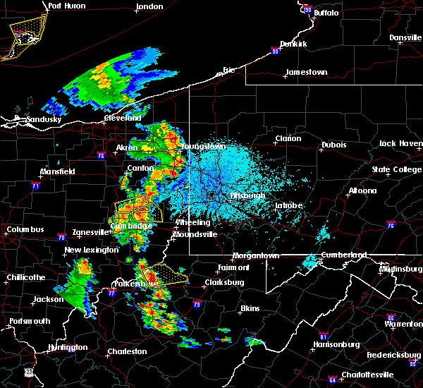
| 8/18/2019 3:23 PM EDT |
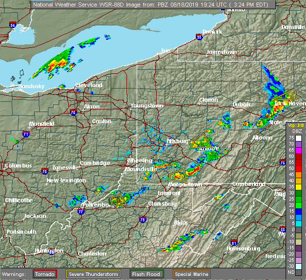 The severe thunderstorm warning for northeastern ritchie, northwestern doddridge and central tyler counties will expire at 330 pm edt, the storm which prompted the warning has weakened below severe limits, and no longer poses an immediate threat to life or property. therefore, the warning will be allowed to expire. The severe thunderstorm warning for northeastern ritchie, northwestern doddridge and central tyler counties will expire at 330 pm edt, the storm which prompted the warning has weakened below severe limits, and no longer poses an immediate threat to life or property. therefore, the warning will be allowed to expire.
|
| 8/18/2019 3:21 PM EDT | Several reports of trees down. time estimated from rada in tyler county WV, 1.2 miles N of Middlebourne, WV |
| 8/18/2019 3:17 PM EDT |
 At 316 pm edt, a severe thunderstorm was located near pennsboro, or 9 miles southwest of middlebourne, and is nearly stationary (radar indicated). Hazards include 60 mph wind gusts and quarter size hail. Hail damage to vehicles is expected. expect wind damage to roofs, siding, and trees. Locations impacted include, middlebourne, alma, wick and mountain. At 316 pm edt, a severe thunderstorm was located near pennsboro, or 9 miles southwest of middlebourne, and is nearly stationary (radar indicated). Hazards include 60 mph wind gusts and quarter size hail. Hail damage to vehicles is expected. expect wind damage to roofs, siding, and trees. Locations impacted include, middlebourne, alma, wick and mountain.
|
| 8/18/2019 3:07 PM EDT | Several reports of trees down. time estimated from rada in tyler county WV, 5.8 miles NW of Middlebourne, WV |
| 8/18/2019 2:58 PM EDT |
 The national weather service in charleston west virginia has issued a * severe thunderstorm warning for. northeastern pleasants county in northwestern west virginia. northeastern ritchie county in northwestern west virginia. northwestern doddridge county in northern west virginia. Central tyler county in northern west virginia. The national weather service in charleston west virginia has issued a * severe thunderstorm warning for. northeastern pleasants county in northwestern west virginia. northeastern ritchie county in northwestern west virginia. northwestern doddridge county in northern west virginia. Central tyler county in northern west virginia.
|
| 8/18/2019 2:43 PM EDT |
 At 242 pm edt, a severe thunderstorm was located near middlebourne, moving northeast at 10 mph (radar indicated). Hazards include 60 mph wind gusts and quarter size hail. Hail damage to vehicles is expected. expect wind damage to roofs, siding, and trees. Locations impacted include, middlebourne, arvilla, alma, point lookout, wick, mountain, hebron, canton and highland. At 242 pm edt, a severe thunderstorm was located near middlebourne, moving northeast at 10 mph (radar indicated). Hazards include 60 mph wind gusts and quarter size hail. Hail damage to vehicles is expected. expect wind damage to roofs, siding, and trees. Locations impacted include, middlebourne, arvilla, alma, point lookout, wick, mountain, hebron, canton and highland.
|
| 8/18/2019 2:40 PM EDT | Multiple trees down along wick road. time estimated from rada in tyler county WV, 6.9 miles NNE of Middlebourne, WV |
| 8/18/2019 2:27 PM EDT |
 At 227 pm edt, a severe thunderstorm was located 8 miles north of pennsboro, or 8 miles southwest of middlebourne, moving northeast at 10 mph (radar indicated). Hazards include 60 mph wind gusts and quarter size hail. Hail damage to vehicles is expected. Expect wind damage to roofs, siding, and trees. At 227 pm edt, a severe thunderstorm was located 8 miles north of pennsboro, or 8 miles southwest of middlebourne, moving northeast at 10 mph (radar indicated). Hazards include 60 mph wind gusts and quarter size hail. Hail damage to vehicles is expected. Expect wind damage to roofs, siding, and trees.
|
| 5/25/2019 6:17 PM EDT | Trees down in the middlebourne are in tyler county WV, 0.5 miles NNE of Middlebourne, WV |
| 5/25/2019 6:05 PM EDT |
 At 605 pm edt, a severe thunderstorm was located near middlebourne, moving east at 35 mph (radar indicated). Hazards include 60 mph wind gusts and quarter size hail. Hail damage to vehicles is expected. Expect wind damage to roofs, siding, and trees. At 605 pm edt, a severe thunderstorm was located near middlebourne, moving east at 35 mph (radar indicated). Hazards include 60 mph wind gusts and quarter size hail. Hail damage to vehicles is expected. Expect wind damage to roofs, siding, and trees.
|
| 5/25/2019 1:10 PM EDT | Tree down along route 18 at the intersection with south frew circl in tyler county WV, 4 miles WNW of Middlebourne, WV |
| 5/25/2019 12:49 PM EDT | Multiple trees down in the middlebourne are in tyler county WV, 0.5 miles NNE of Middlebourne, WV |
| 5/15/2018 7:25 PM EDT |
 The severe thunderstorm warning for north central tyler county will expire at 730 pm edt, the storms which prompted the warning have moved out of the area. therefore the warning will be allowed to expire. The severe thunderstorm warning for north central tyler county will expire at 730 pm edt, the storms which prompted the warning have moved out of the area. therefore the warning will be allowed to expire.
|
| 5/15/2018 7:12 PM EDT |
 At 711 pm edt, severe thunderstorms were located along a line extending from near paden city to near middlebourne, moving east at 35 mph (radar indicated). Hazards include 60 mph wind gusts and quarter size hail. Hail damage to vehicles is expected. expect wind damage to roofs, siding, and trees. locations impacted include, middlebourne, paden city and alma. At 711 pm edt, severe thunderstorms were located along a line extending from near paden city to near middlebourne, moving east at 35 mph (radar indicated). Hazards include 60 mph wind gusts and quarter size hail. Hail damage to vehicles is expected. expect wind damage to roofs, siding, and trees. locations impacted include, middlebourne, paden city and alma.
|
| 5/15/2018 7:10 PM EDT | Trees and power lines down. reports of road closures along route 1 in tyler county WV, 5.8 miles NW of Middlebourne, WV |
| 5/15/2018 6:47 PM EDT |
 At 646 pm edt, severe thunderstorms were located along a line extending from 11 miles west of paden city to 7 miles west of sistersville to near st. marys, moving east at 25 mph (radar indicated). Hazards include 60 mph wind gusts and quarter size hail. Hail damage to vehicles is expected. Expect wind damage to roofs, siding, and trees. At 646 pm edt, severe thunderstorms were located along a line extending from 11 miles west of paden city to 7 miles west of sistersville to near st. marys, moving east at 25 mph (radar indicated). Hazards include 60 mph wind gusts and quarter size hail. Hail damage to vehicles is expected. Expect wind damage to roofs, siding, and trees.
|
| 7/4/2016 6:20 PM EDT |
 At 619 pm edt, severe thunderstorms were located along a line extending from near st. marys to near belmont to near mineralwells, moving east at 35 mph (radar indicated). Hazards include 60 mph wind gusts. Expect damage to roofs. siding. And trees. At 619 pm edt, severe thunderstorms were located along a line extending from near st. marys to near belmont to near mineralwells, moving east at 35 mph (radar indicated). Hazards include 60 mph wind gusts. Expect damage to roofs. siding. And trees.
|
| 6/23/2016 3:01 AM EDT |
 At 301 am edt, a severe thunderstorm was located 7 miles southwest of middlebourne, moving east at 40 mph (radar indicated). Hazards include 70 mph wind gusts and quarter size hail. Hail damage to vehicles is expected. expect considerable tree damage. wind damage is also likely to mobile homes, roofs, and outbuildings. locations impacted include, st. Marys, middlebourne, pennsboro, belmont, west union, newport, ellenboro, hebron, wick, greenwood, alma, schultz, smithburg, waverly, highland, arvilla, willow island, lima, sedalia and point lookout. At 301 am edt, a severe thunderstorm was located 7 miles southwest of middlebourne, moving east at 40 mph (radar indicated). Hazards include 70 mph wind gusts and quarter size hail. Hail damage to vehicles is expected. expect considerable tree damage. wind damage is also likely to mobile homes, roofs, and outbuildings. locations impacted include, st. Marys, middlebourne, pennsboro, belmont, west union, newport, ellenboro, hebron, wick, greenwood, alma, schultz, smithburg, waverly, highland, arvilla, willow island, lima, sedalia and point lookout.
|
| 6/23/2016 2:33 AM EDT |
 At 233 am edt, a severe thunderstorm was located 7 miles north of belmont, or 7 miles northwest of st. marys, moving east at 40 mph (radar indicated). Hazards include 70 mph wind gusts and quarter size hail. Hail damage to vehicles is expected. expect considerable tree damage. Wind damage is also likely to mobile homes, roofs, and outbuildings. At 233 am edt, a severe thunderstorm was located 7 miles north of belmont, or 7 miles northwest of st. marys, moving east at 40 mph (radar indicated). Hazards include 70 mph wind gusts and quarter size hail. Hail damage to vehicles is expected. expect considerable tree damage. Wind damage is also likely to mobile homes, roofs, and outbuildings.
|
| 6/23/2016 2:33 AM EDT |
 The national weather service in charleston west virginia has issued a * severe thunderstorm warning for. northeastern washington county in southeastern ohio. northern ritchie county in northwestern west virginia. northeastern wood county in northwestern west virginia. Pleasants county in northwestern west virginia. The national weather service in charleston west virginia has issued a * severe thunderstorm warning for. northeastern washington county in southeastern ohio. northern ritchie county in northwestern west virginia. northeastern wood county in northwestern west virginia. Pleasants county in northwestern west virginia.
|
| 6/30/2015 5:15 PM EDT |
 At 514 pm edt, doppler radar indicated a severe thunderstorm capable of producing quarter size hail and damaging winds in excess of 60 mph. this storm was located near sistersville, or 7 miles west of middlebourne, moving northeast at 35 mph. locations impacted include, middlebourne, paden city, sistersville and friendly. At 514 pm edt, doppler radar indicated a severe thunderstorm capable of producing quarter size hail and damaging winds in excess of 60 mph. this storm was located near sistersville, or 7 miles west of middlebourne, moving northeast at 35 mph. locations impacted include, middlebourne, paden city, sistersville and friendly.
|
| 6/30/2015 4:50 PM EDT |
 At 449 pm edt, doppler radar indicated a severe thunderstorm capable of producing quarter size hail and damaging winds in excess of 60 mph. this storm was located over belmont, or near st. marys, and moving northeast, near the ohio river, at 35 mph. At 449 pm edt, doppler radar indicated a severe thunderstorm capable of producing quarter size hail and damaging winds in excess of 60 mph. this storm was located over belmont, or near st. marys, and moving northeast, near the ohio river, at 35 mph.
|
| 5/11/2015 7:45 PM EDT | At 742 pm edt, national weather service doppler radar indicated a severe thunderstorm capable of producing damaging winds in excess of 60 mph. this storm was located near harrisville, moving northeast at 40 mph. * other locations in the warning include but are not limited to pennsboro, north bend state park and west union. very heavy rain will also fall from this severe thunderstorm, and will cause water to pond on roads and quickly fill roadside ditches and small streams. a severe thunderstorm watch remains in effect until 1000 pm edt monday evening for central kentucky and southeast ohio and central west virginia. a severe thunderstorm watch also remains in effect until 100 am edt tuesday morning for central west virginia. please report hail or strong wind to the national weather service by calling toll free, 800-401-9535, when you can do so safely. you may also report severe weather by posting your report to the charleston west virginia national weather service facebook page, or by using the twitter hashtag, nwsrlx. |
| 4/9/2015 6:36 PM EDT | A severe thunderstorm warning remains in effect until 715 pm edt for tyler county. at 634 pm edt. national weather service doppler radar continued to indicate a severe thunderstorm capable of producing quarter size hail. and damaging winds in excess of 60 mph. this storm was located near alma. or near middlebourne. Moving east at 55 mph. |
| 4/9/2015 6:15 PM EDT | The national weather service in charleston has issued a * severe thunderstorm warning for. northern doddridge county in west virginia. northwestern harrison county in west virginia. pleasants county in west virginia. this includes the city of st. Marys. |
| 4/9/2015 4:41 PM EDT | The severe thunderstorm warning for northeastern washington. tyler and pleasants counties will expire at 445 pm edt. the storm which prompted the warning has moved out of the warned area. A severe thunderstorm watch remains in effect until 1000 pm edt thursday evening for central kentucky and southeast ohio and central. |
| 4/9/2015 4:41 PM EDT | The severe thunderstorm warning for northeastern washington. tyler and pleasants counties will expire at 445 pm edt. the storm which prompted the warning has moved out of the warned area. A severe thunderstorm watch remains in effect until 1000 pm edt thursday evening for central kentucky and southeast ohio and central. |
| 4/9/2015 4:10 PM EDT | A severe thunderstorm warning remains in effect until 445 pm edt for northeastern washington. tyler and pleasants counties. at 405 pm edt. doppler radar indicated a severe thunderstorm capable of producing quarter size hail. and damaging winds in excess of 60 mph. this storm was located near st. marys. Moving northeast at 45 mph. |
| 4/9/2015 4:10 PM EDT | A severe thunderstorm warning remains in effect until 445 pm edt for northeastern washington. tyler and pleasants counties. at 405 pm edt. doppler radar indicated a severe thunderstorm capable of producing quarter size hail. and damaging winds in excess of 60 mph. this storm was located near st. marys. Moving northeast at 45 mph. |
| 4/9/2015 3:42 PM EDT | The national weather service in charleston has issued a * severe thunderstorm warning for. pleasants county in west virginia. this includes the city of st. marys. tyler county in west virginia. This includes the city of middlebourne. |
| 4/9/2015 3:42 PM EDT | The national weather service in charleston has issued a * severe thunderstorm warning for. pleasants county in west virginia. this includes the city of st. marys. tyler county in west virginia. This includes the city of middlebourne. |
| 6/12/2013 11:10 PM EDT | 1 tree down in tyler county WV, 2.4 miles SSW of Middlebourne, WV |
| 7/26/2012 5:36 PM EDT | Two trees down in the town of middlebourne. time estimated from rada in tyler county WV, 0.5 miles NNE of Middlebourne, WV |
| 1/1/0001 12:00 AM | Trees down. siding blown off hous in tyler county WV, 1.2 miles NNW of Middlebourne, WV |
| 1/1/0001 12:00 AM | Quarter sized hail reported 1.2 miles NNW of Middlebourne, WV |
Hail Maps for Middlebourne, WV


Connect with Interactive Hail Maps