

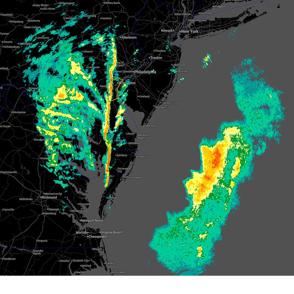
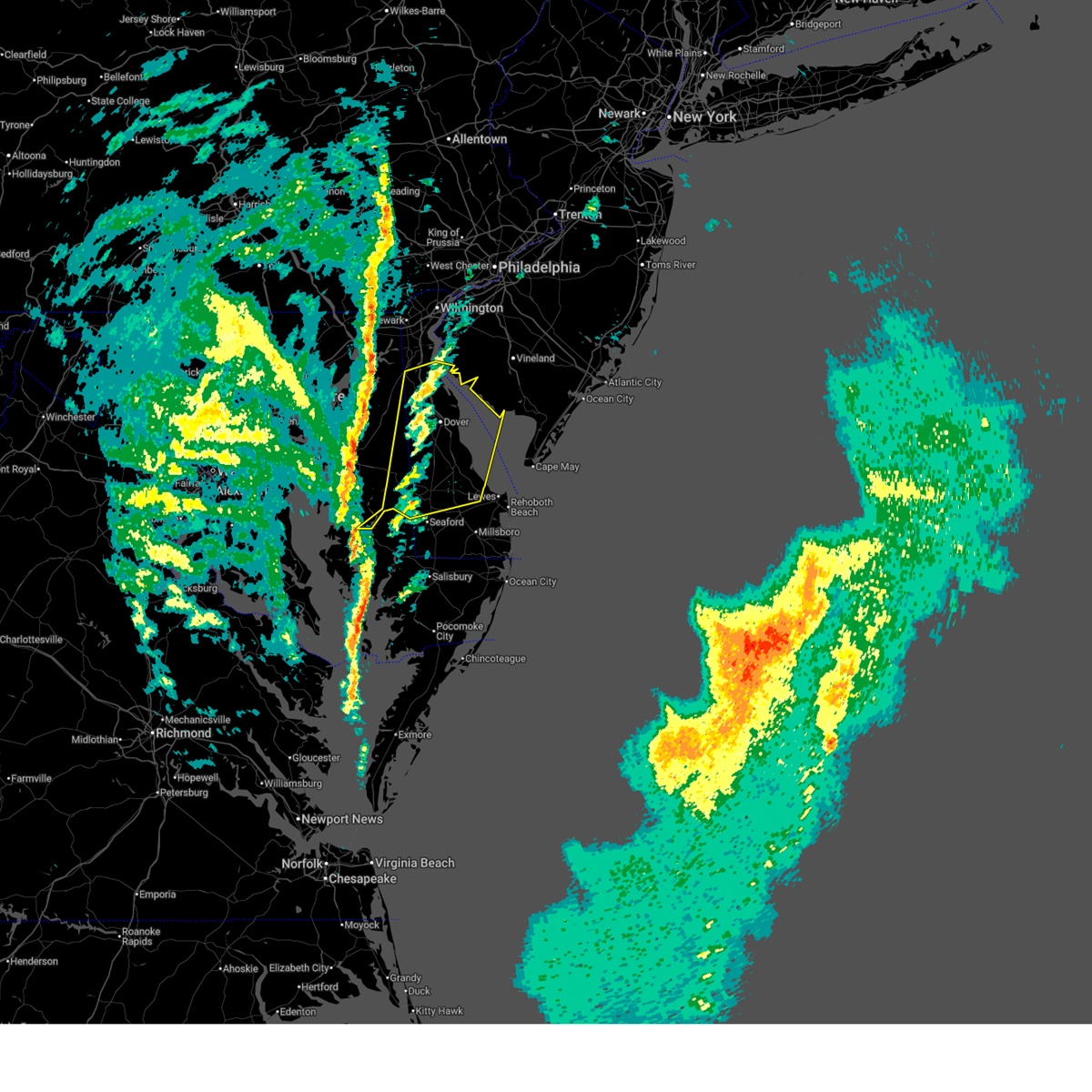
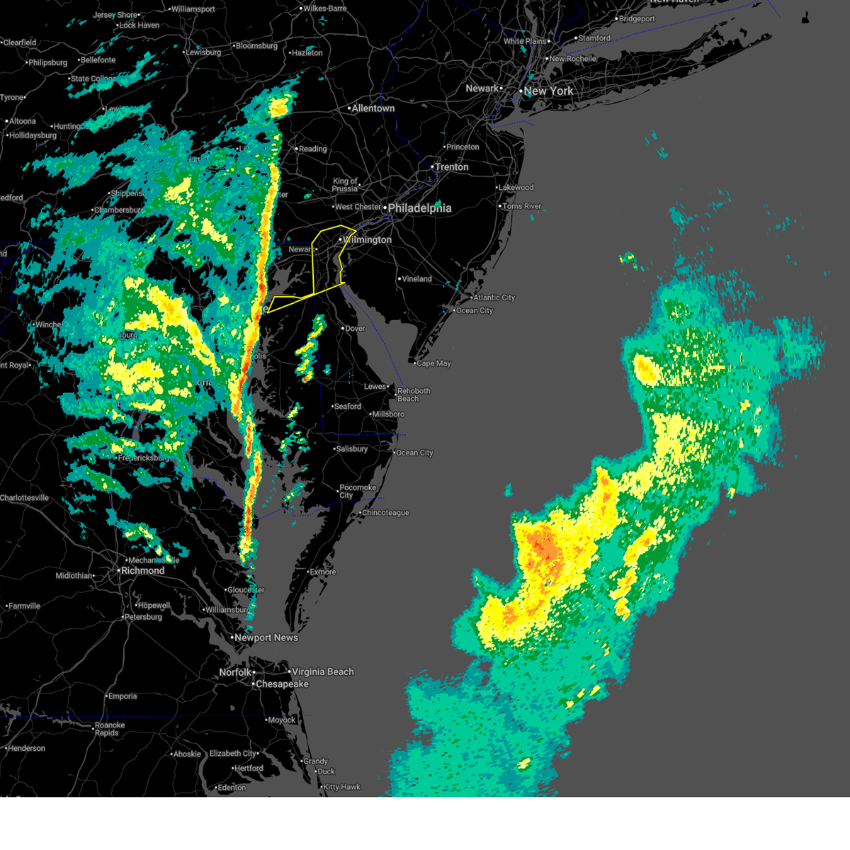
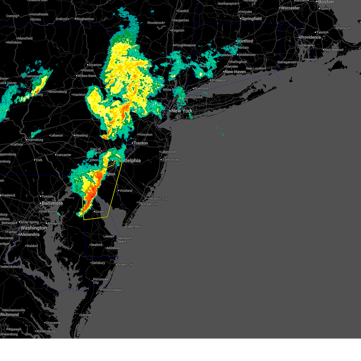
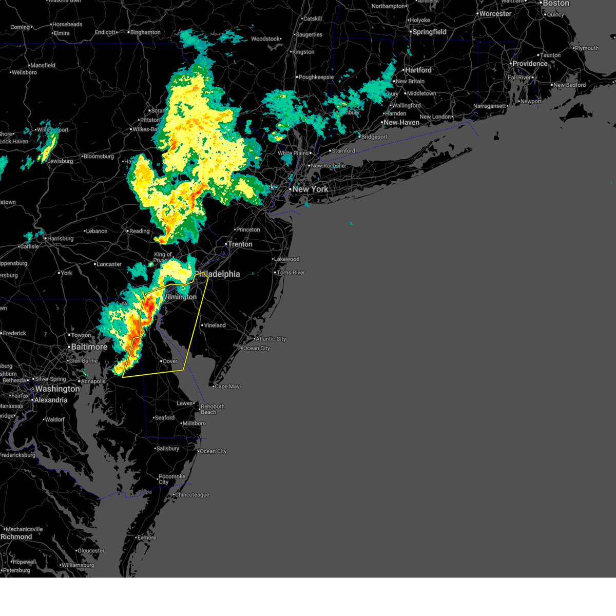
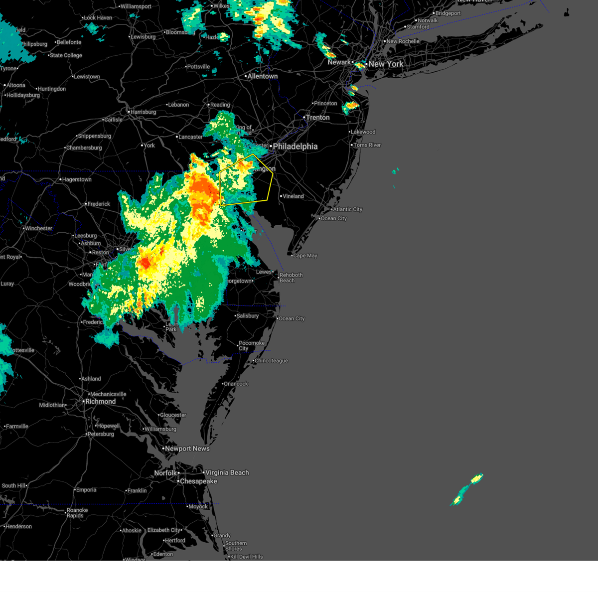
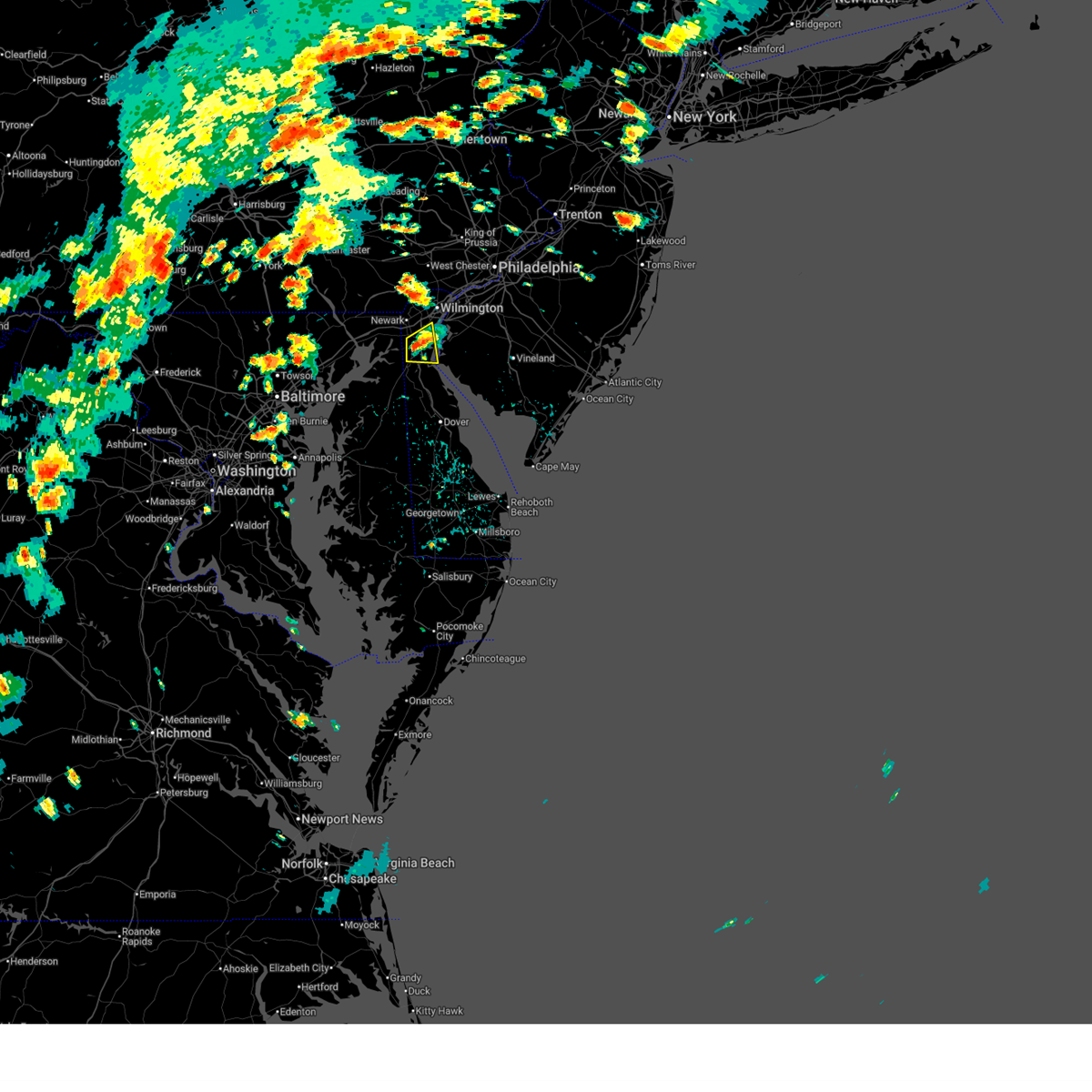
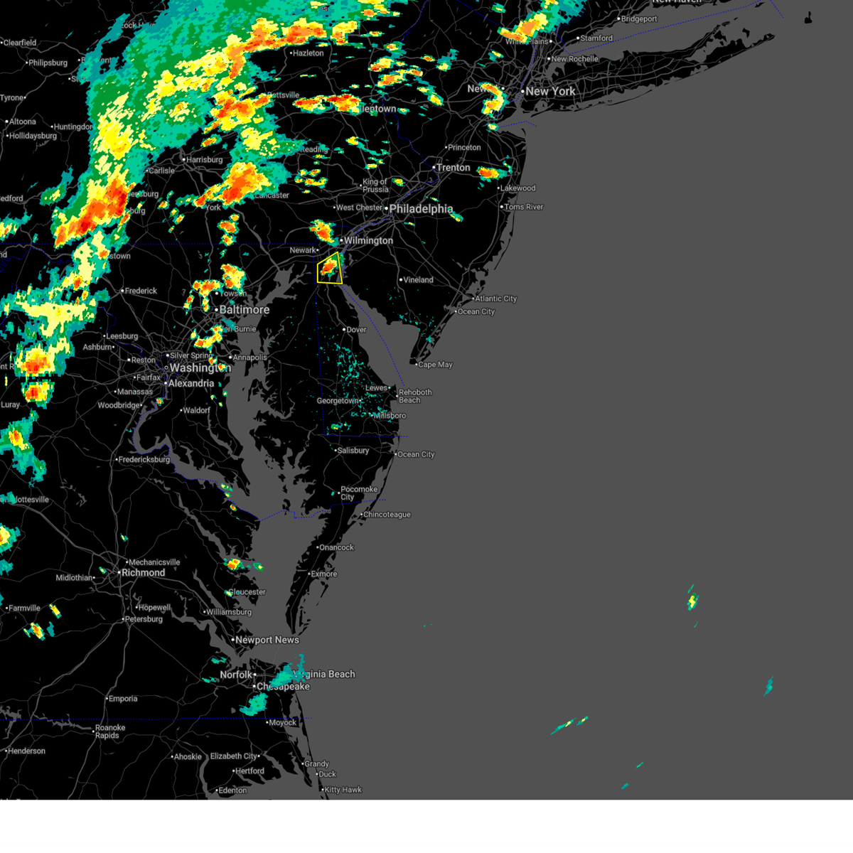
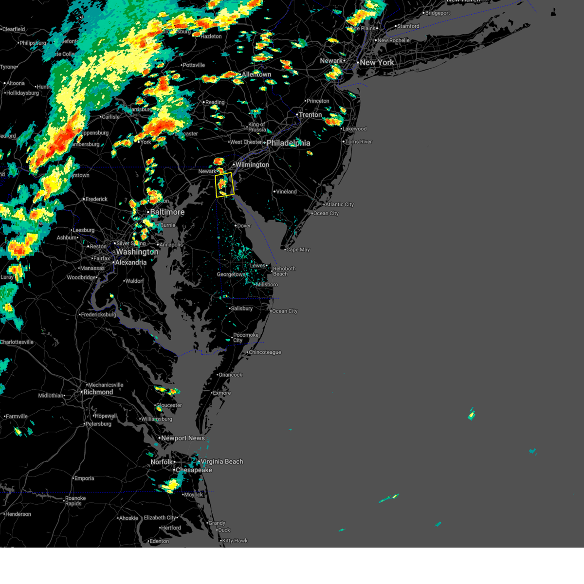
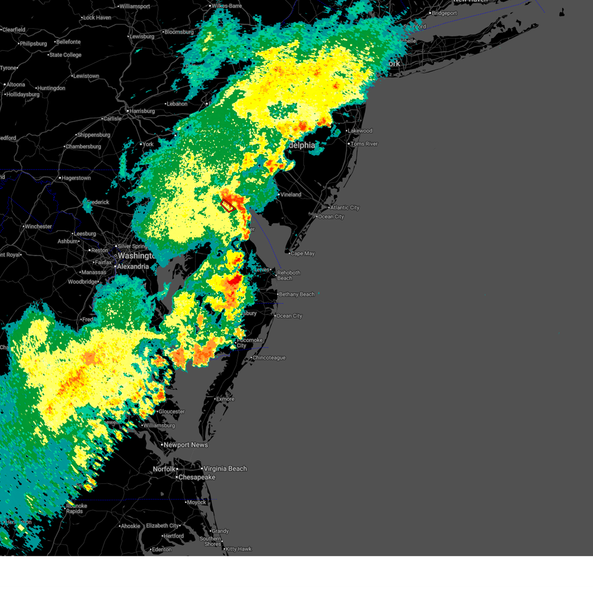
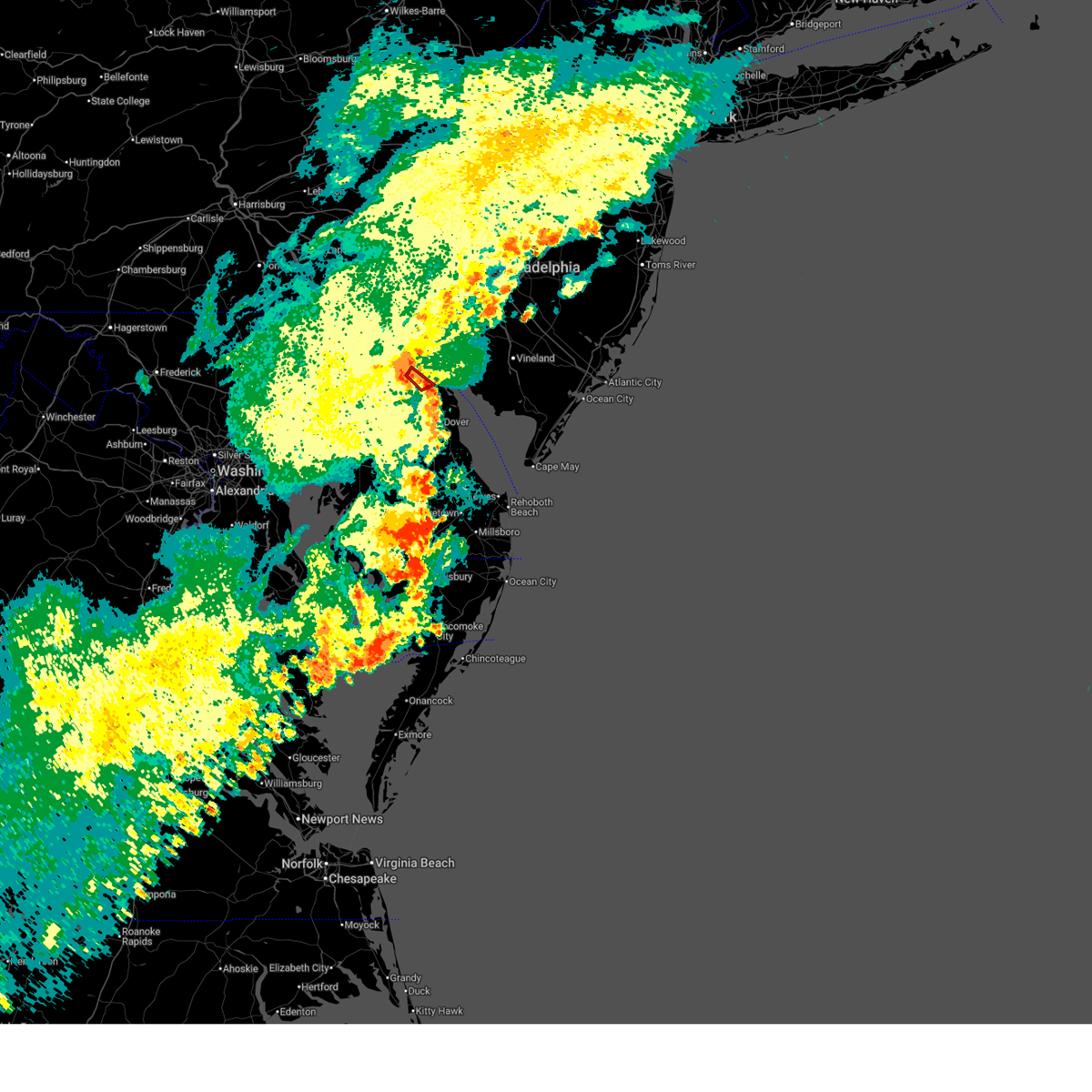
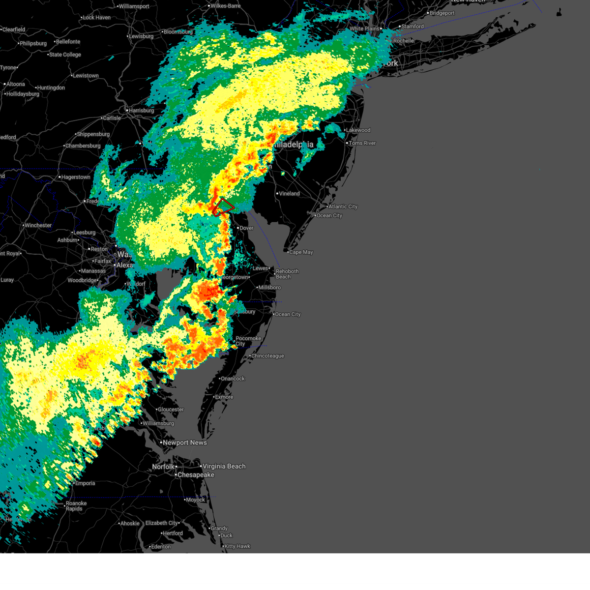
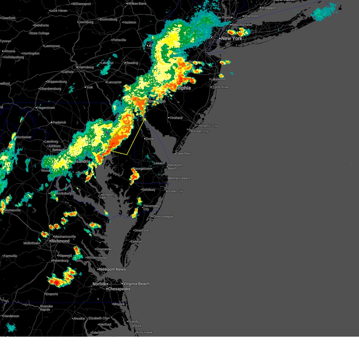
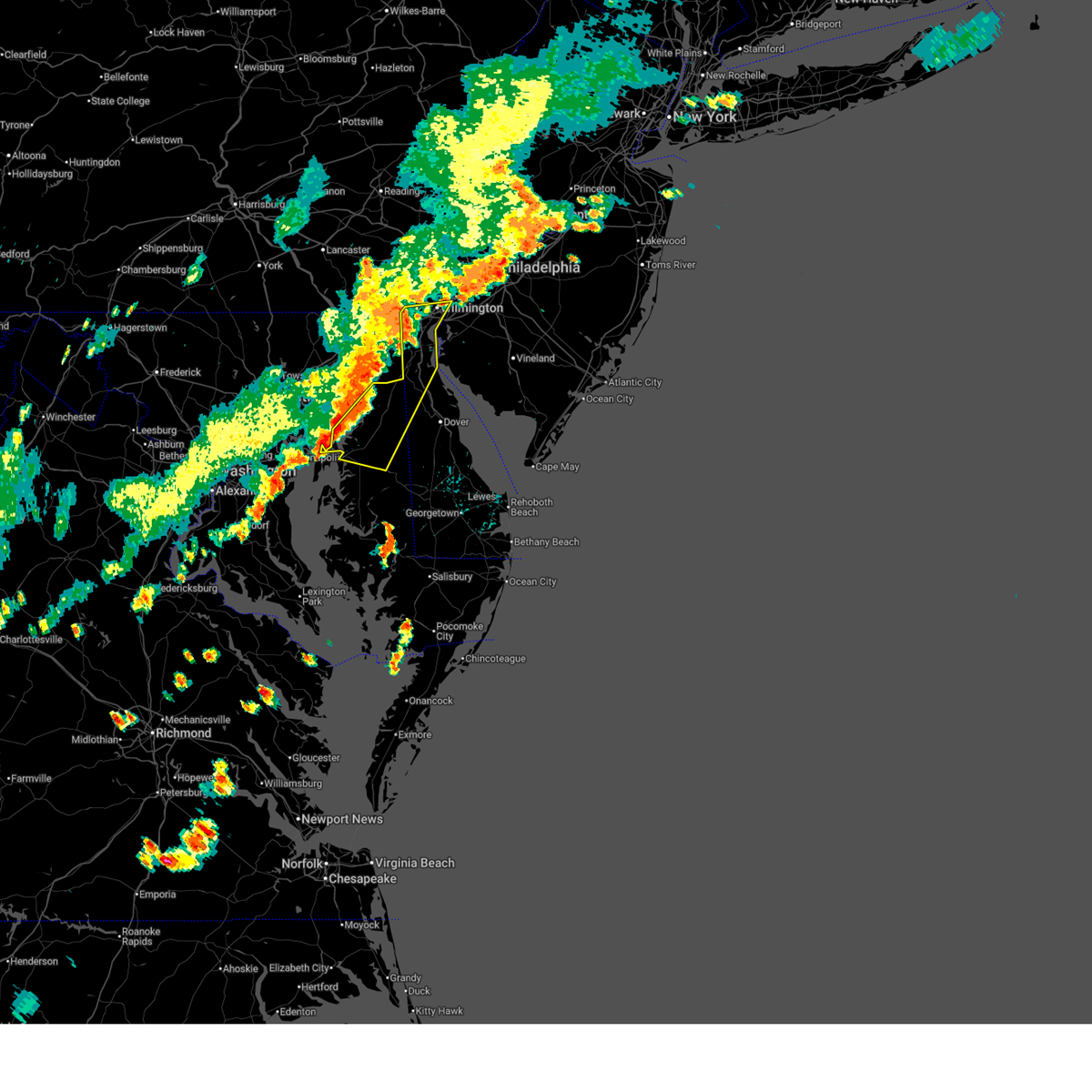
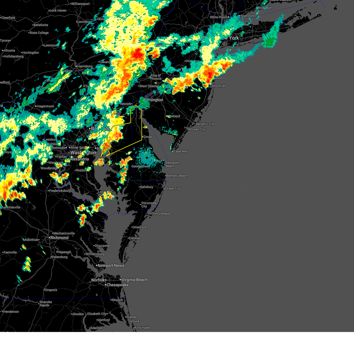
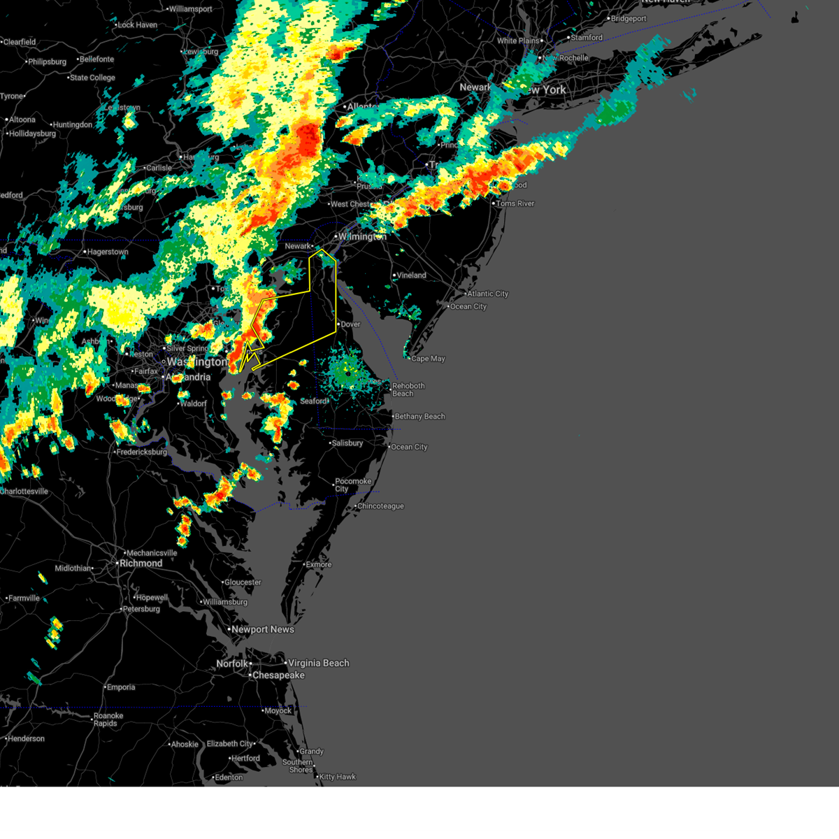
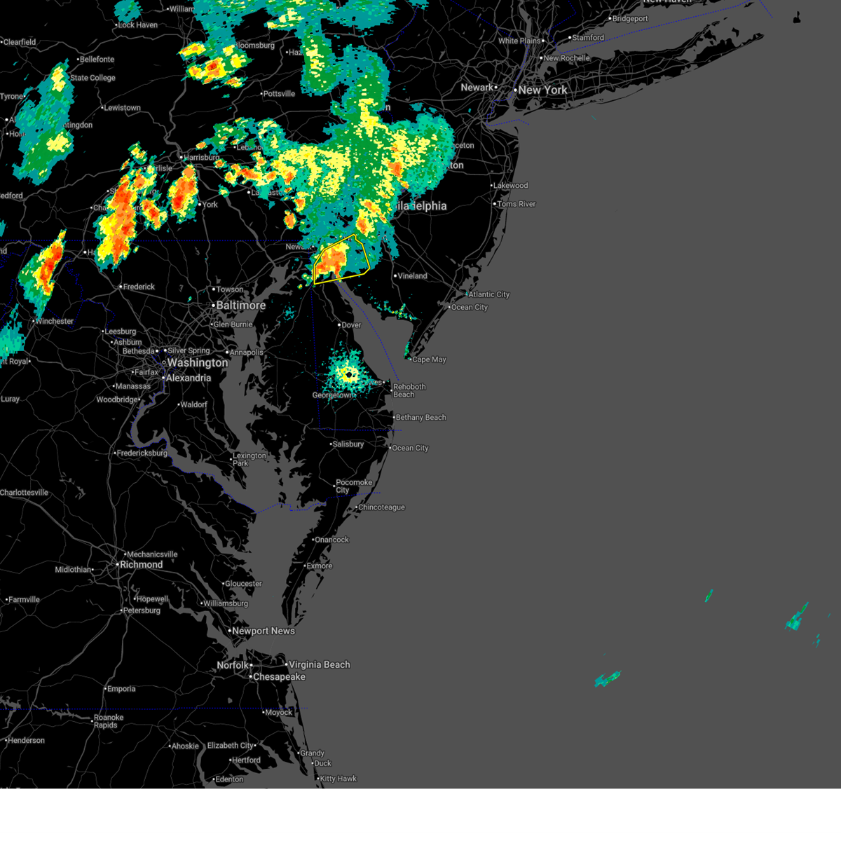
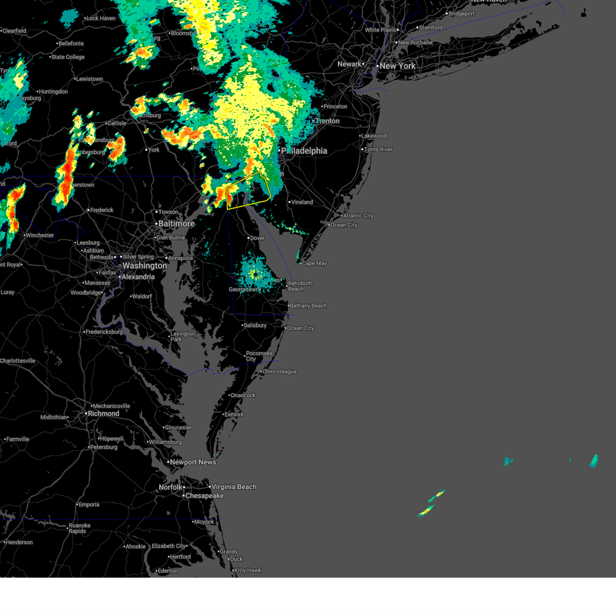
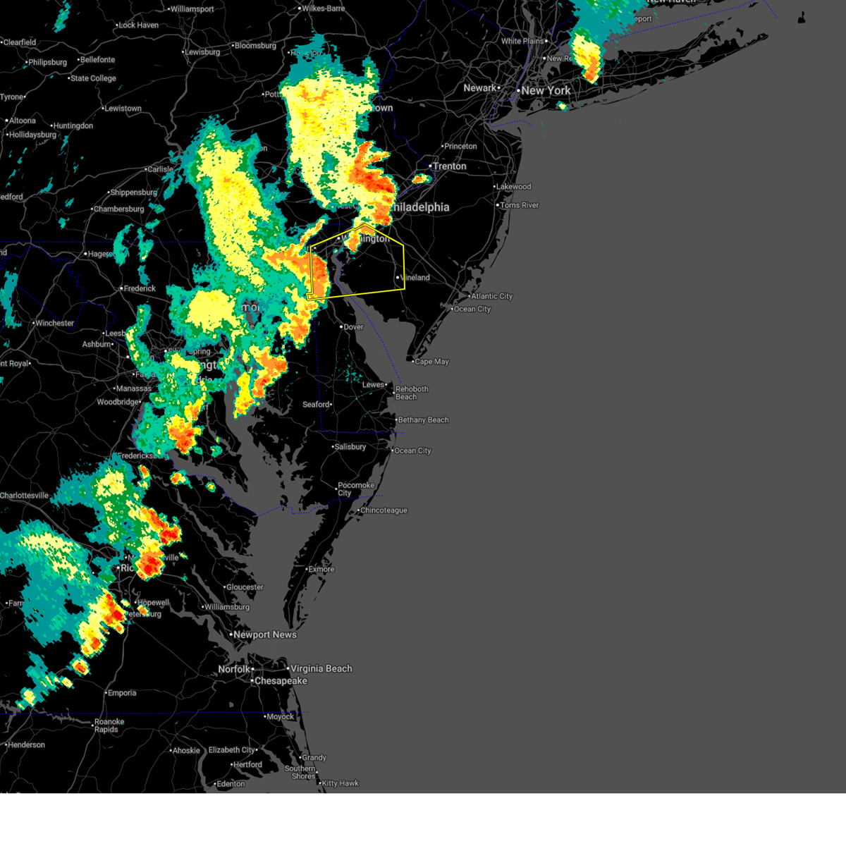
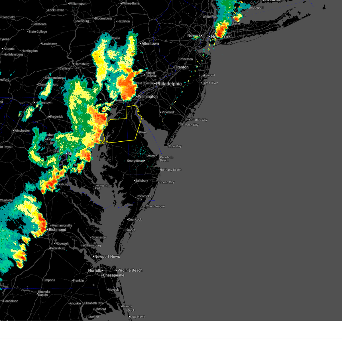
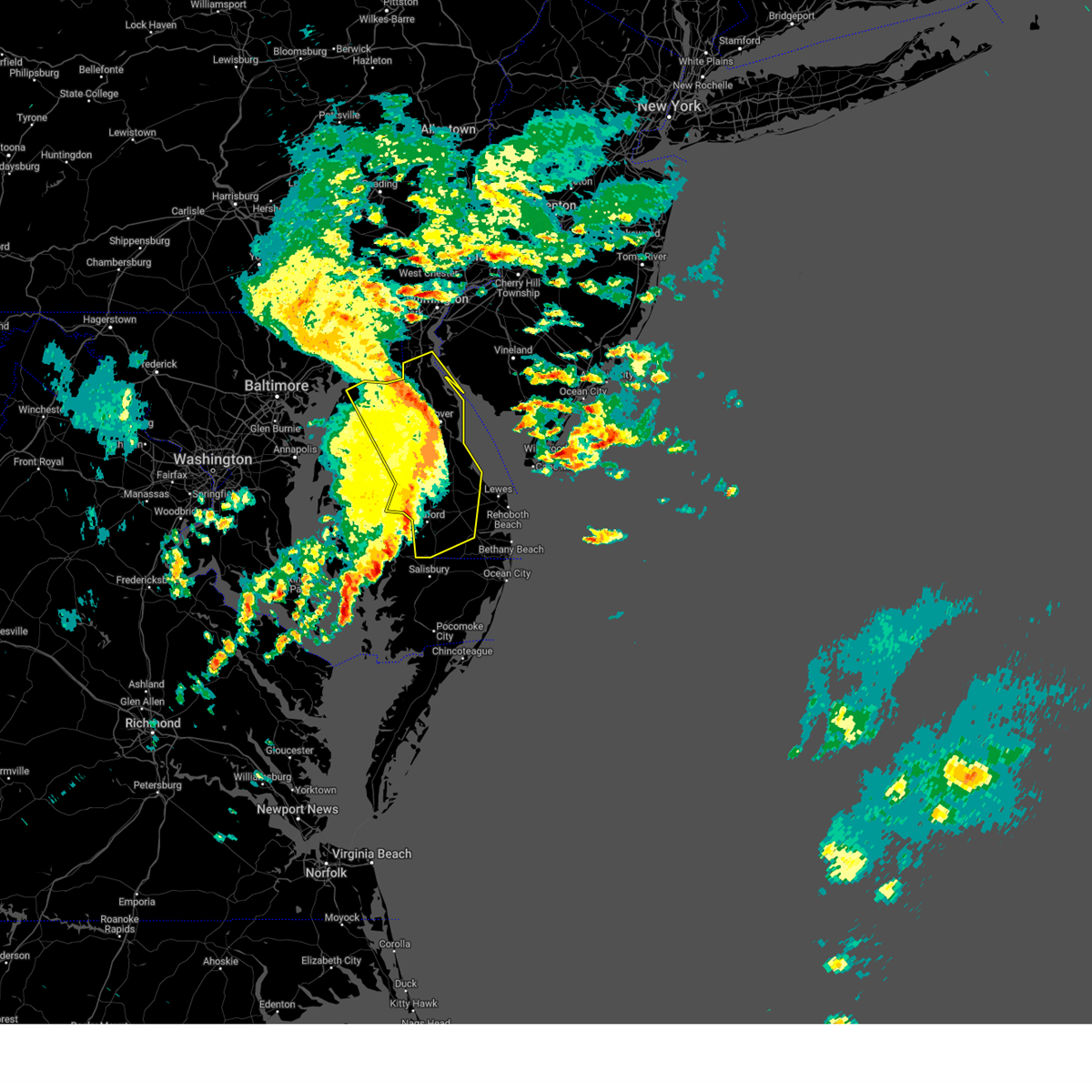
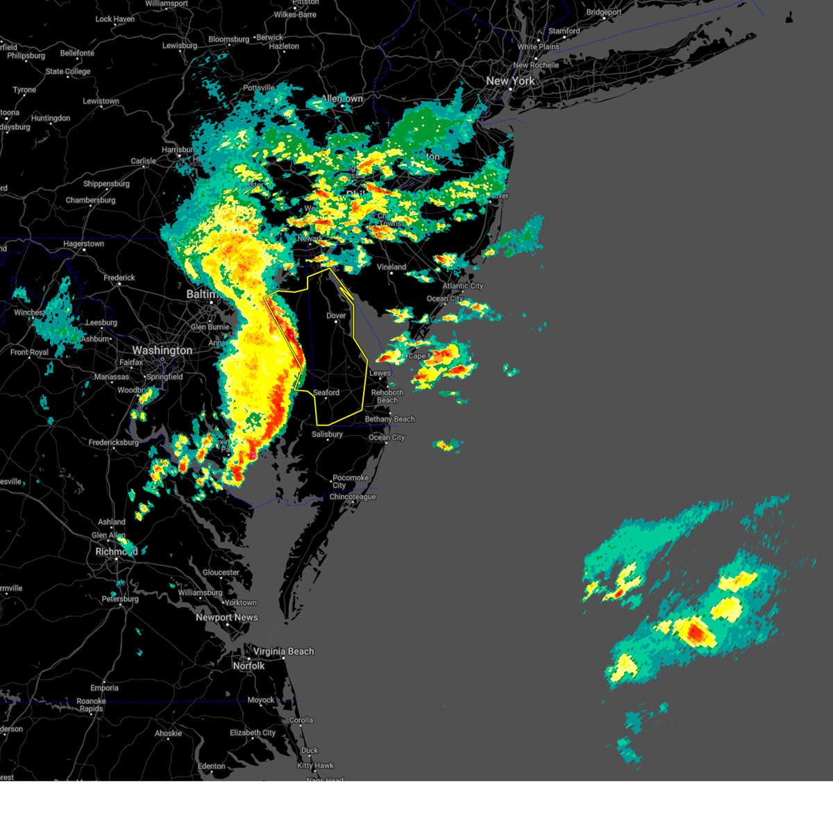
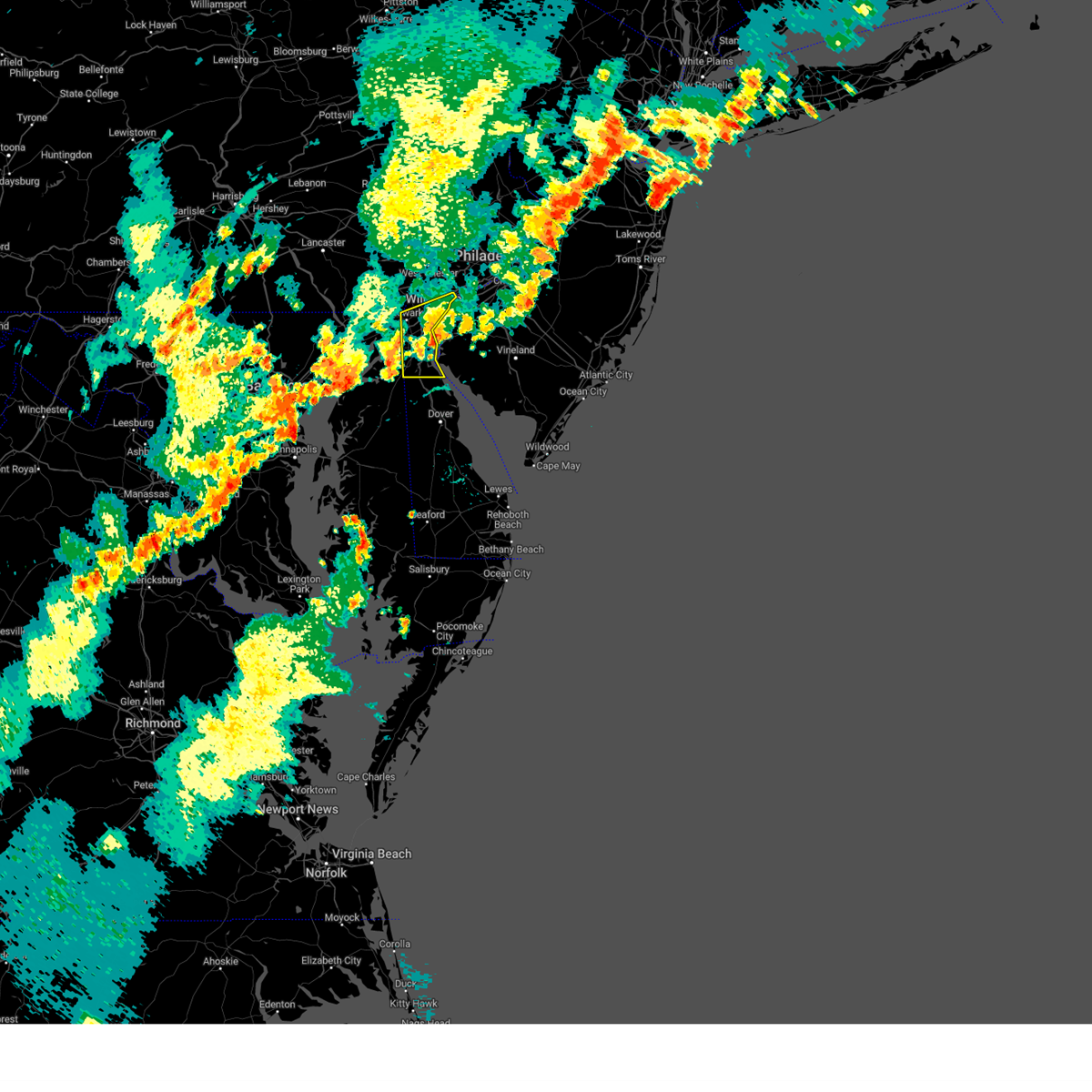
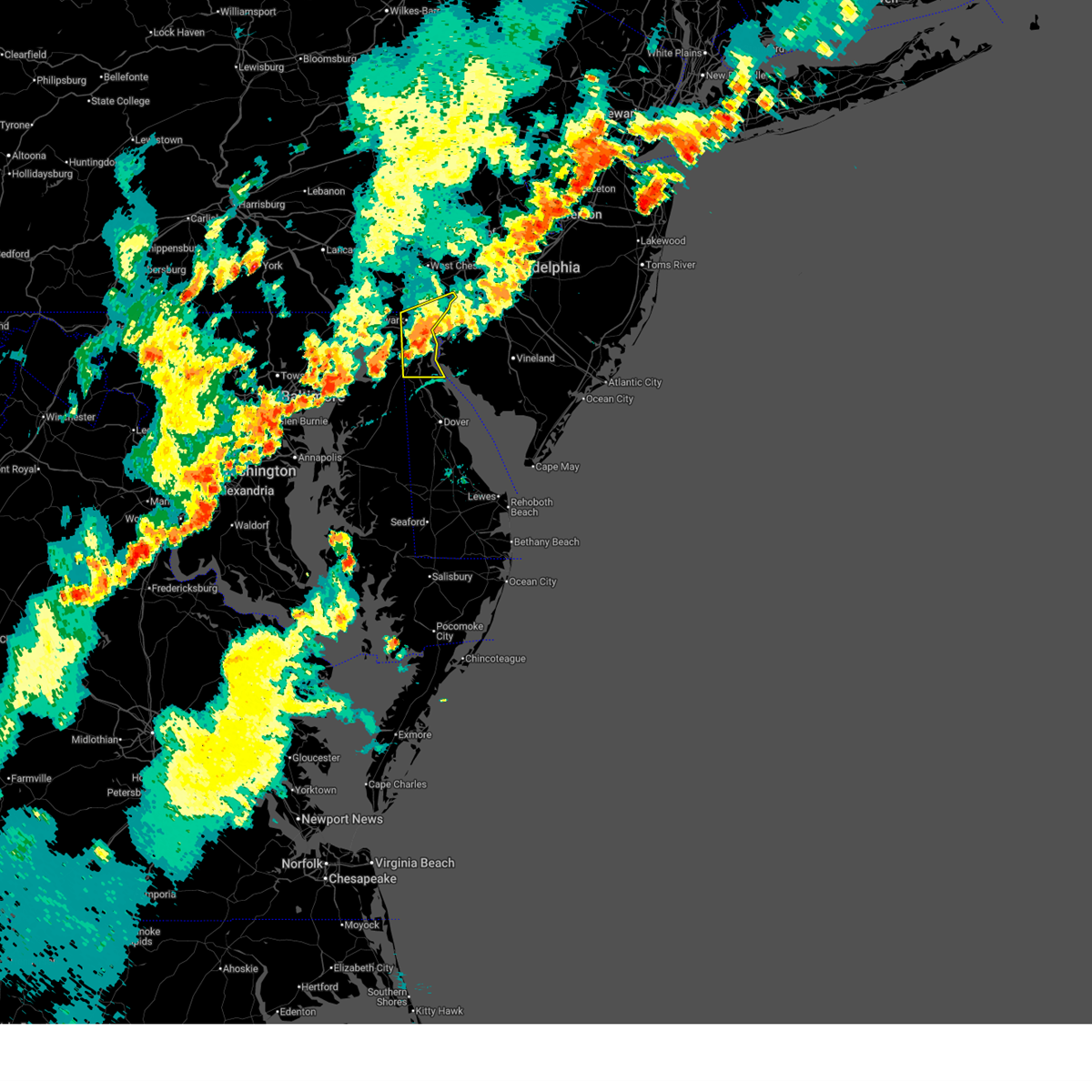
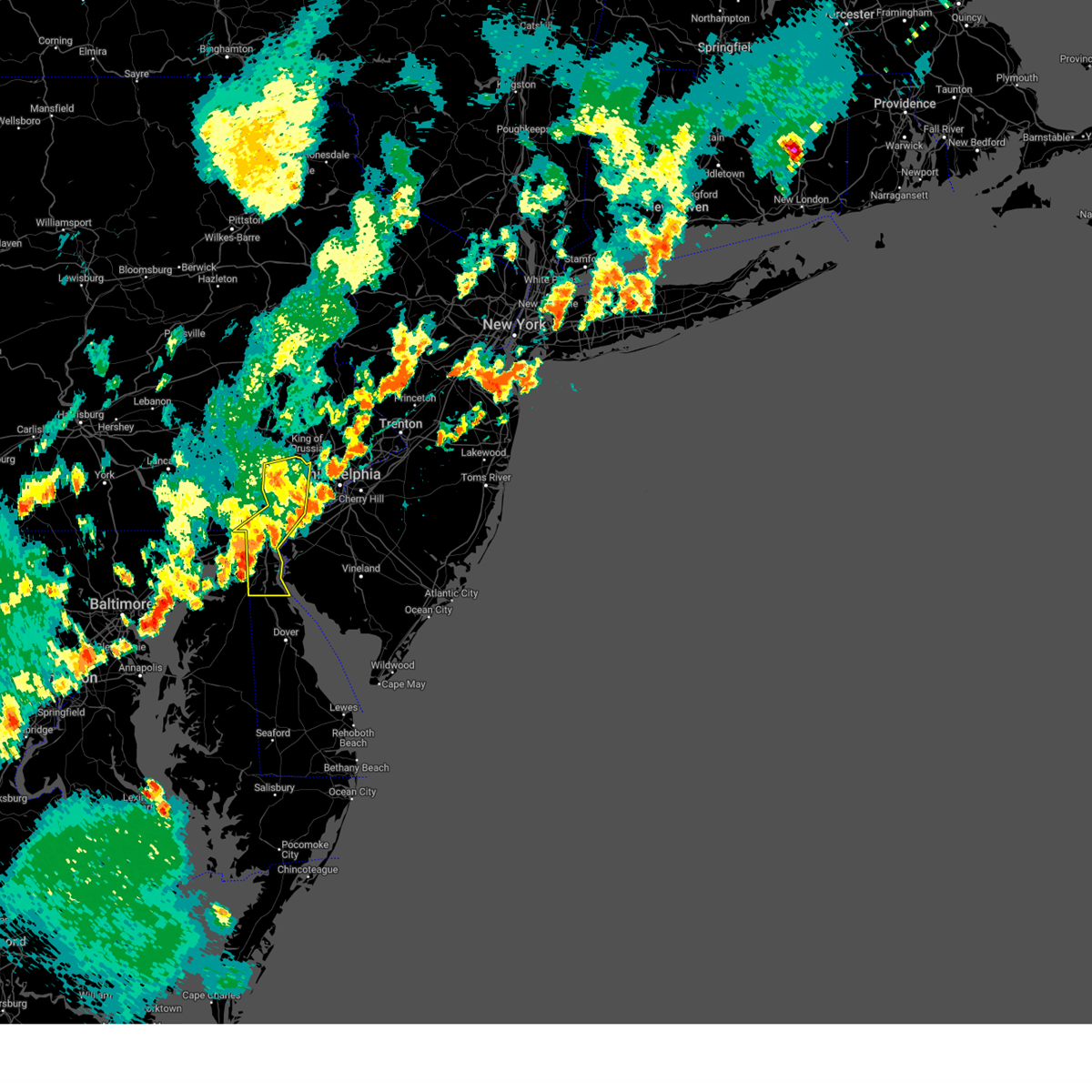
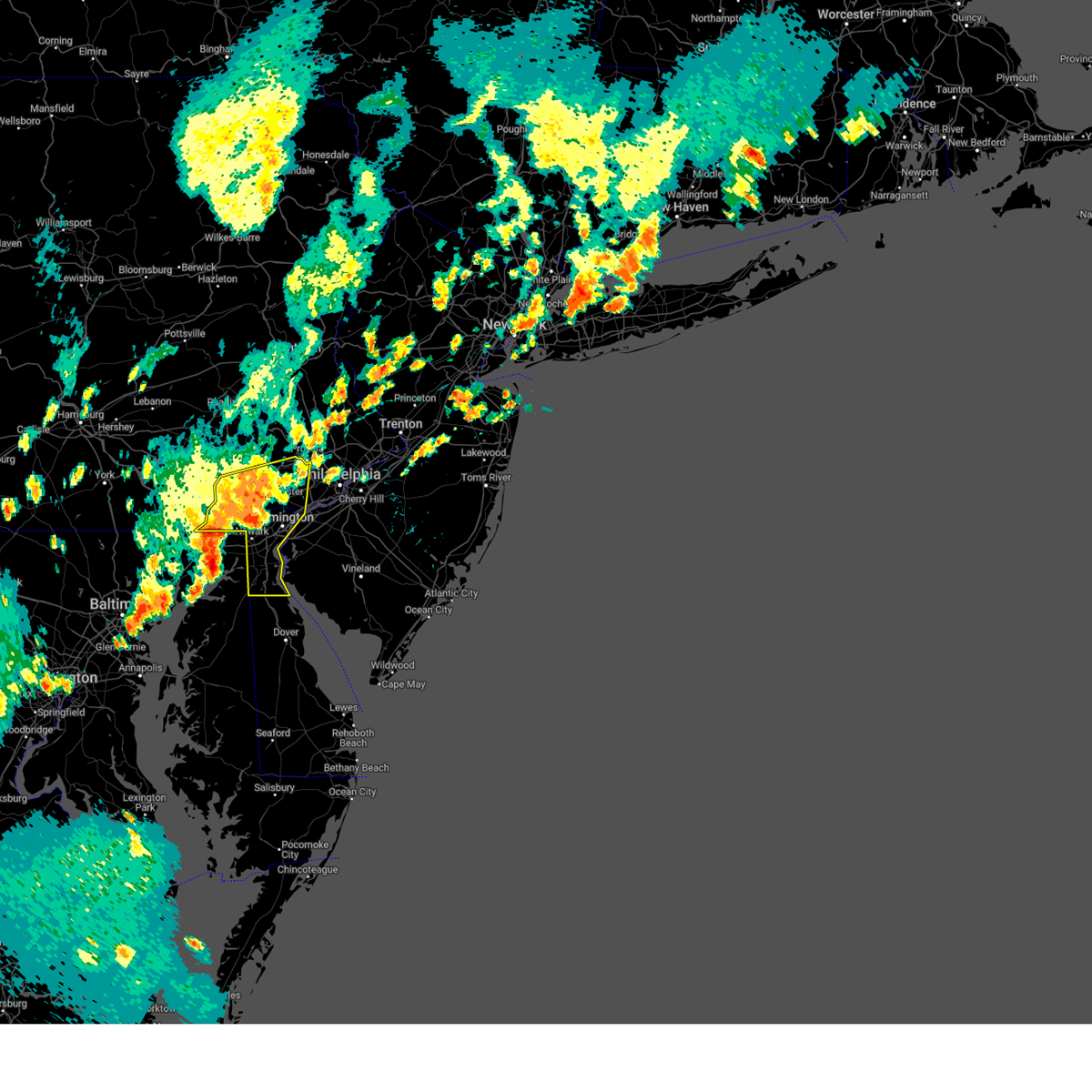
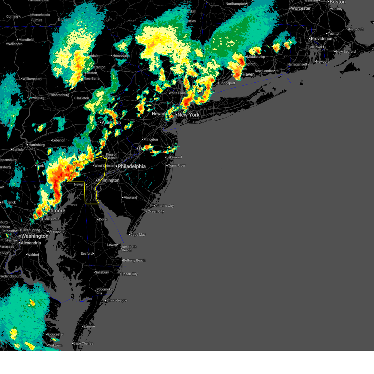
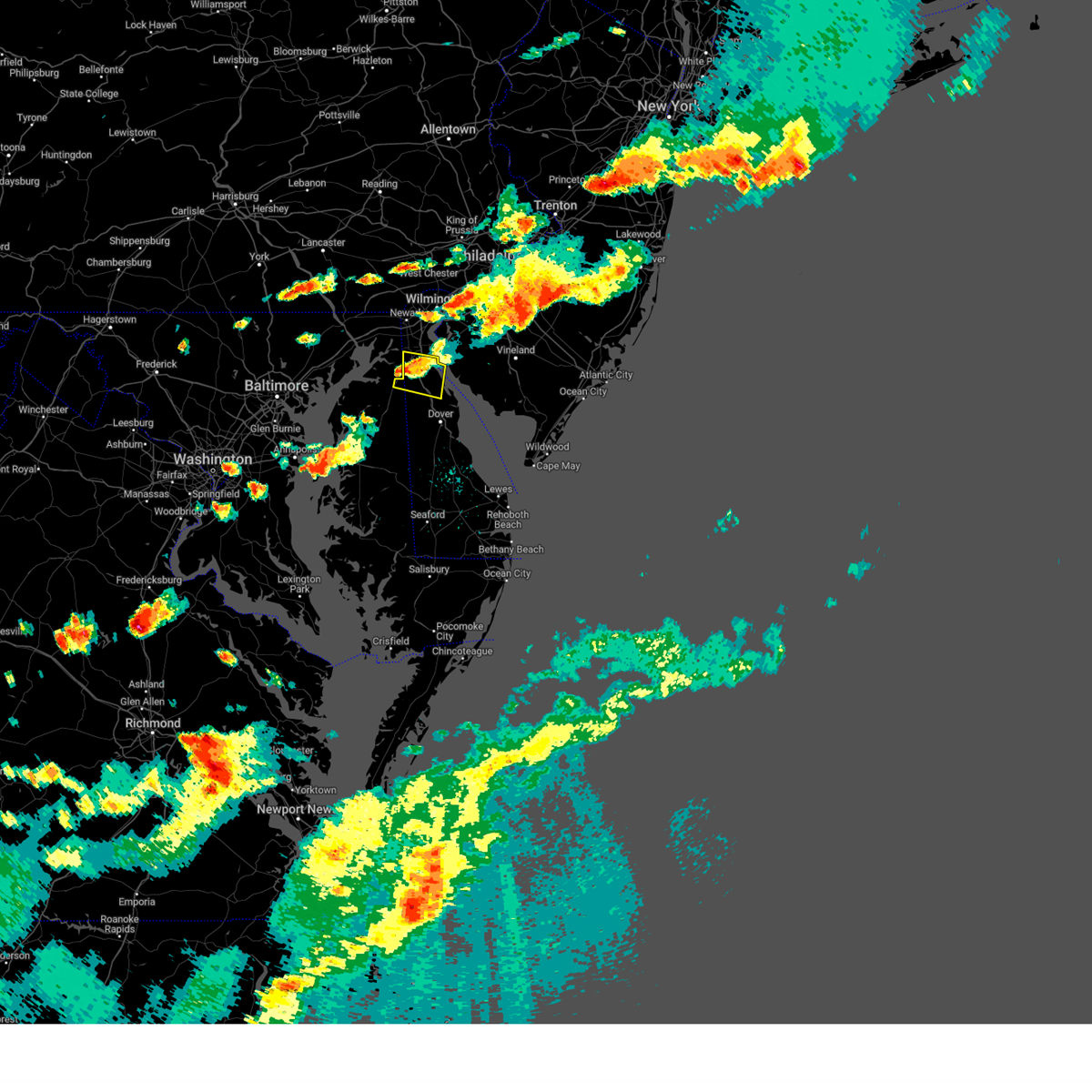
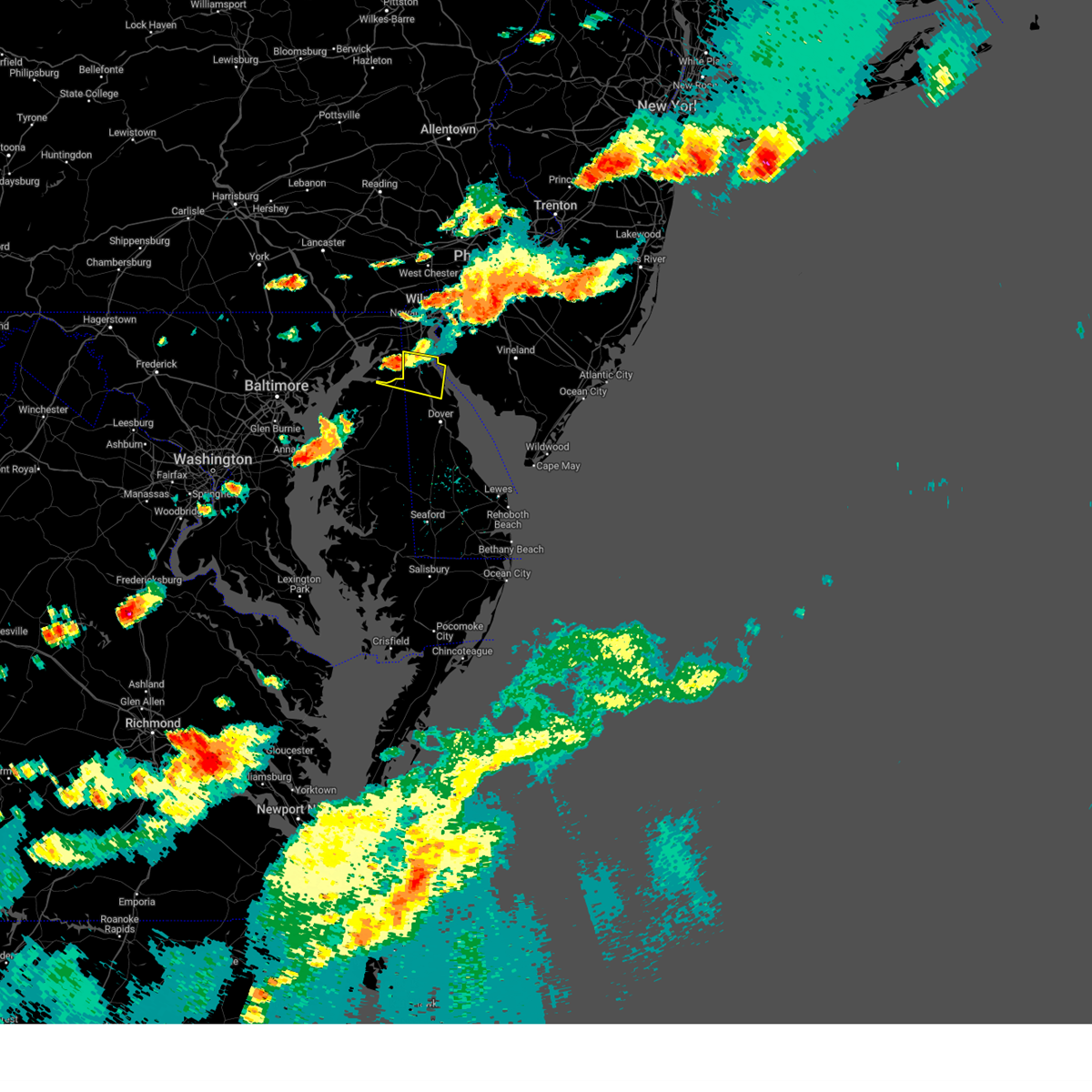
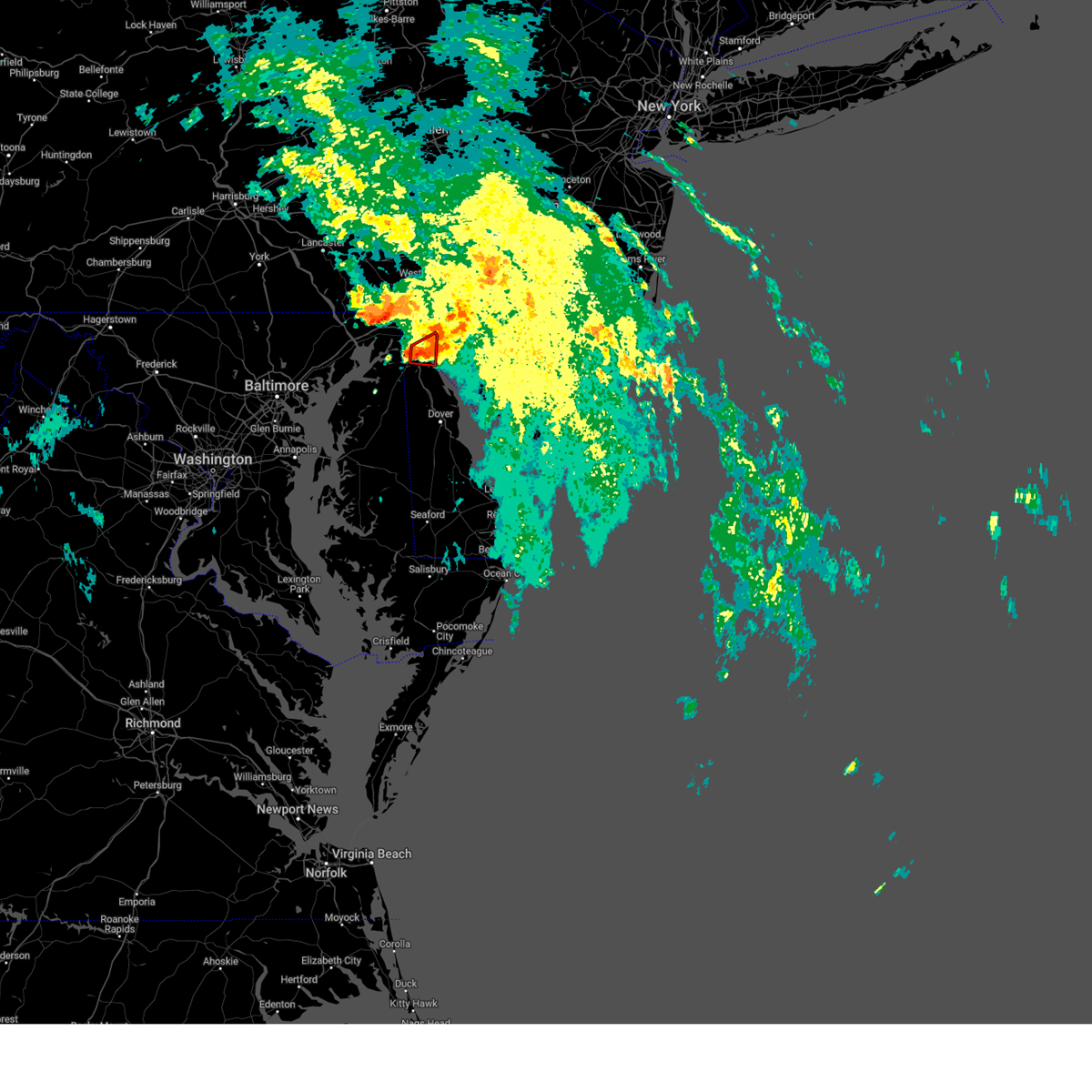
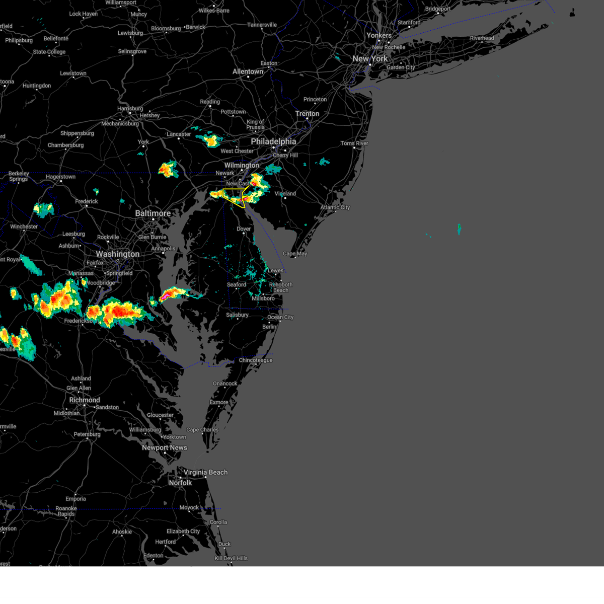
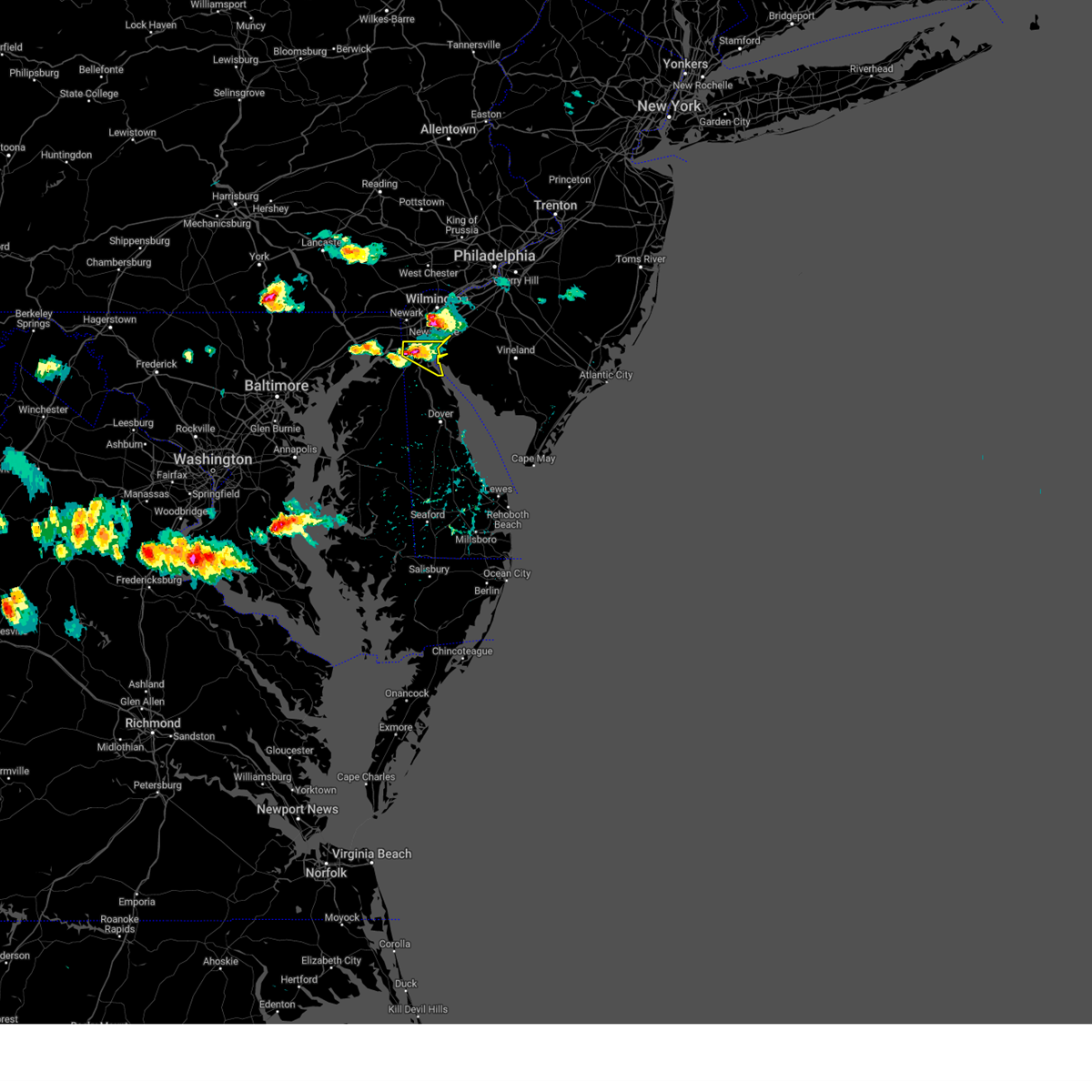
Hail Map for Middletown, DE
The Middletown, DE area has had 1 report of on-the-ground hail by trained spotters, and has been under severe weather warnings 28 times during the past 12 months. Doppler radar has detected hail at or near Middletown, DE on 28 occasions.
| Name: | Middletown, DE |
| Where Located: | 49.6 miles ENE of Baltimore, MD |
| Map: | Google Map for Middletown, DE |
| Population: | 18871 |
| Housing Units: | 6821 |
| More Info: | Search Google for Middletown, DE |
0
The Top Recent Hail Date for Middletown, DE is Thursday, June 19, 2025 (27th out of 28)

Hail and Wind Damage Spotted near Middletown, DE
| Date / Time | Report Details |
|---|---|
| 5/20/2026 5:53 PM EDT |
 The storm which prompted the warning has weakened below severe limits, and has exited the warned area. therefore, the warning will be allowed to expire. a severe thunderstorm watch remains in effect until 900 pm edt for central and northern delaware, and northeastern maryland. to report severe weather, contact your nearest law enforcement agency. they will relay your report to the national weather service mount holly nj. The storm which prompted the warning has weakened below severe limits, and has exited the warned area. therefore, the warning will be allowed to expire. a severe thunderstorm watch remains in effect until 900 pm edt for central and northern delaware, and northeastern maryland. to report severe weather, contact your nearest law enforcement agency. they will relay your report to the national weather service mount holly nj.
|
| 5/20/2026 5:18 PM EDT |
 Svrphi the national weather service in mount holly nj has issued a * severe thunderstorm warning for, southwestern new castle county in northern delaware, northwestern kent county in central delaware, northeastern queen anne's county in northeastern maryland, kent county in northeastern maryland, * until 600 pm edt. * at 518 pm edt, a severe thunderstorm was located near bowleys quarters, or 8 miles east of middle river, moving east at 30 mph (radar indicated). Hazards include 60 mph wind gusts and quarter size hail. Minor damage to vehicles is possible. Wind damage to roofs, siding, trees, and power lines is possible. Svrphi the national weather service in mount holly nj has issued a * severe thunderstorm warning for, southwestern new castle county in northern delaware, northwestern kent county in central delaware, northeastern queen anne's county in northeastern maryland, kent county in northeastern maryland, * until 600 pm edt. * at 518 pm edt, a severe thunderstorm was located near bowleys quarters, or 8 miles east of middle river, moving east at 30 mph (radar indicated). Hazards include 60 mph wind gusts and quarter size hail. Minor damage to vehicles is possible. Wind damage to roofs, siding, trees, and power lines is possible.
|
| 3/16/2026 10:55 PM EDT |
 The storms which prompted the warning have moved out of the area. therefore, the warning will be allowed to expire. a severe thunderstorm watch remains in effect until midnight edt for northern delaware, and southern new jersey. to report severe weather, contact your nearest law enforcement agency. they will relay your report to the national weather service mount holly nj. The storms which prompted the warning have moved out of the area. therefore, the warning will be allowed to expire. a severe thunderstorm watch remains in effect until midnight edt for northern delaware, and southern new jersey. to report severe weather, contact your nearest law enforcement agency. they will relay your report to the national weather service mount holly nj.
|
| 3/16/2026 10:44 PM EDT |
 the severe thunderstorm warning has been cancelled and is no longer in effect the severe thunderstorm warning has been cancelled and is no longer in effect
|
| 3/16/2026 10:44 PM EDT |
 At 1043 pm edt, severe thunderstorms were located along a line extending from 6 miles southwest of hope creek to near smithville, moving east at 50 mph (radar indicated). Hazards include 70 mph wind gusts. Expect considerable tree damage. damage is likely to mobile homes, roofs, and outbuildings. Locations impacted include, dover, smyrna, milford, harrington, camden, clayton, milton, bridgeville, cheswold, ellendale, bowers, woodside, viola, rising sun-lebanon, woodland beach, hazlettville, dover base housing, dover speedway, sandtown, and andrewsville. At 1043 pm edt, severe thunderstorms were located along a line extending from 6 miles southwest of hope creek to near smithville, moving east at 50 mph (radar indicated). Hazards include 70 mph wind gusts. Expect considerable tree damage. damage is likely to mobile homes, roofs, and outbuildings. Locations impacted include, dover, smyrna, milford, harrington, camden, clayton, milton, bridgeville, cheswold, ellendale, bowers, woodside, viola, rising sun-lebanon, woodland beach, hazlettville, dover base housing, dover speedway, sandtown, and andrewsville.
|
| 3/16/2026 10:32 PM EDT |
 the severe thunderstorm warning has been cancelled and is no longer in effect the severe thunderstorm warning has been cancelled and is no longer in effect
|
| 3/16/2026 10:32 PM EDT |
 At 1032 pm edt, severe thunderstorms were located along a line extending from hockessin to bear to middletown, moving east at 50 mph (radar indicated). Hazards include 60 mph wind gusts. Damage to roofs, siding, trees, and power lines is possible. Locations impacted include, wilmington, newark, middletown, elsmere, new castle, delaware city, newport, arden, stanton, north star, glasgow, bear, talleyville, port penn, wilmington manor, pike creek, ashland, saint georges, greenville, and mount pleasant. At 1032 pm edt, severe thunderstorms were located along a line extending from hockessin to bear to middletown, moving east at 50 mph (radar indicated). Hazards include 60 mph wind gusts. Damage to roofs, siding, trees, and power lines is possible. Locations impacted include, wilmington, newark, middletown, elsmere, new castle, delaware city, newport, arden, stanton, north star, glasgow, bear, talleyville, port penn, wilmington manor, pike creek, ashland, saint georges, greenville, and mount pleasant.
|
| 3/16/2026 10:13 PM EDT |
 Svrphi the national weather service in mount holly nj has issued a * severe thunderstorm warning for, northwestern sussex county in southern delaware, southwestern new castle county in northern delaware, kent county in central delaware, southeastern talbot county in eastern maryland, northeastern queen anne's county in northeastern maryland, caroline county in eastern maryland, east central kent county in northeastern maryland, * until 1115 pm edt. * at 1013 pm edt, a line of gusty showers were located along a line extending from near kennedyville to near oxford, moving east at 50 mph (radar indicated). Hazards include 60 mph wind gusts. damage to roofs, siding, trees, and power lines is possible Svrphi the national weather service in mount holly nj has issued a * severe thunderstorm warning for, northwestern sussex county in southern delaware, southwestern new castle county in northern delaware, kent county in central delaware, southeastern talbot county in eastern maryland, northeastern queen anne's county in northeastern maryland, caroline county in eastern maryland, east central kent county in northeastern maryland, * until 1115 pm edt. * at 1013 pm edt, a line of gusty showers were located along a line extending from near kennedyville to near oxford, moving east at 50 mph (radar indicated). Hazards include 60 mph wind gusts. damage to roofs, siding, trees, and power lines is possible
|
| 3/16/2026 10:07 PM EDT |
 Svrphi the national weather service in mount holly nj has issued a * severe thunderstorm warning for, new castle county in northern delaware, north central kent county in northeastern maryland, * until 1100 pm edt. * at 1007 pm edt, a line of gusty showers were located along a line extending from glen roy to betterton, moving northeast at 45 mph (radar indicated). Hazards include 60 mph wind gusts. damage to roofs, siding, trees, and power lines is possible Svrphi the national weather service in mount holly nj has issued a * severe thunderstorm warning for, new castle county in northern delaware, north central kent county in northeastern maryland, * until 1100 pm edt. * at 1007 pm edt, a line of gusty showers were located along a line extending from glen roy to betterton, moving northeast at 45 mph (radar indicated). Hazards include 60 mph wind gusts. damage to roofs, siding, trees, and power lines is possible
|
| 3/11/2026 8:43 PM EDT |
 At 843 pm edt, severe thunderstorms were located along a line extending from wilmington to near hartly, moving east at 35 mph (radar indicated). Hazards include 60 mph wind gusts. Damage to roofs, siding, trees, and power lines is possible. Locations impacted include, camden, wilmington, dover, bridgeton, middletown, gloucester city, cherry hill, deptford, west deptford, glassboro, lindenwold, pennsville, bellmawr, woodbury, smyrna, pitman, carneys point, paulsboro, new castle, and penns grove. At 843 pm edt, severe thunderstorms were located along a line extending from wilmington to near hartly, moving east at 35 mph (radar indicated). Hazards include 60 mph wind gusts. Damage to roofs, siding, trees, and power lines is possible. Locations impacted include, camden, wilmington, dover, bridgeton, middletown, gloucester city, cherry hill, deptford, west deptford, glassboro, lindenwold, pennsville, bellmawr, woodbury, smyrna, pitman, carneys point, paulsboro, new castle, and penns grove.
|
| 3/11/2026 8:43 PM EDT |
 the severe thunderstorm warning has been cancelled and is no longer in effect the severe thunderstorm warning has been cancelled and is no longer in effect
|
| 3/11/2026 8:28 PM EDT |
 Svrphi the national weather service in mount holly nj has issued a * severe thunderstorm warning for, new castle county in northern delaware, northern kent county in central delaware, northeastern queen anne's county in northeastern maryland, northeastern caroline county in eastern maryland, northeastern kent county in northeastern maryland, western cumberland county in southern new jersey, salem county in southern new jersey, northwestern camden county in southern new jersey, gloucester county in southern new jersey, south central delaware county in southeastern pennsylvania, * until 915 pm edt. * at 828 pm edt, severe thunderstorms were located along a line extending from stanton to 6 miles northeast of hope, moving east at 35 mph (radar indicated). Hazards include 60 mph wind gusts. damage to roofs, siding, trees, and power lines is possible Svrphi the national weather service in mount holly nj has issued a * severe thunderstorm warning for, new castle county in northern delaware, northern kent county in central delaware, northeastern queen anne's county in northeastern maryland, northeastern caroline county in eastern maryland, northeastern kent county in northeastern maryland, western cumberland county in southern new jersey, salem county in southern new jersey, northwestern camden county in southern new jersey, gloucester county in southern new jersey, south central delaware county in southeastern pennsylvania, * until 915 pm edt. * at 828 pm edt, severe thunderstorms were located along a line extending from stanton to 6 miles northeast of hope, moving east at 35 mph (radar indicated). Hazards include 60 mph wind gusts. damage to roofs, siding, trees, and power lines is possible
|
| 3/11/2026 8:11 PM EDT |
 At 810 pm edt, severe thunderstorms were located along a line extending from near woodlawn to near betterton to near chestertown, moving east at 55 mph (radar indicated). Hazards include 60 mph wind gusts and penny size hail. Damage to roofs, siding, trees, and power lines is possible. Locations impacted include, newark, middletown, smyrna, chestertown, clayton, cheswold, rock hall, millington, sudlersville, betterton, glasgow, bear, newtown, morgnec, delaney corner, crumpton, saint georges, sassafras, mount pleasant, and green spring. At 810 pm edt, severe thunderstorms were located along a line extending from near woodlawn to near betterton to near chestertown, moving east at 55 mph (radar indicated). Hazards include 60 mph wind gusts and penny size hail. Damage to roofs, siding, trees, and power lines is possible. Locations impacted include, newark, middletown, smyrna, chestertown, clayton, cheswold, rock hall, millington, sudlersville, betterton, glasgow, bear, newtown, morgnec, delaney corner, crumpton, saint georges, sassafras, mount pleasant, and green spring.
|
| 3/11/2026 7:48 PM EDT |
 Svrphi the national weather service in mount holly nj has issued a * severe thunderstorm warning for, southwestern new castle county in northern delaware, northwestern kent county in central delaware, northeastern queen anne's county in northeastern maryland, kent county in northeastern maryland, * until 830 pm edt. * at 748 pm edt, severe thunderstorms were located along a line extending from near bel air south to near bowleys quarters to millers island, moving east at 60 mph (radar indicated). Hazards include 60 mph wind gusts and penny size hail. damage to roofs, siding, trees, and power lines is possible Svrphi the national weather service in mount holly nj has issued a * severe thunderstorm warning for, southwestern new castle county in northern delaware, northwestern kent county in central delaware, northeastern queen anne's county in northeastern maryland, kent county in northeastern maryland, * until 830 pm edt. * at 748 pm edt, severe thunderstorms were located along a line extending from near bel air south to near bowleys quarters to millers island, moving east at 60 mph (radar indicated). Hazards include 60 mph wind gusts and penny size hail. damage to roofs, siding, trees, and power lines is possible
|
| 9/6/2025 6:00 PM EDT |
 Svrphi the national weather service in mount holly nj has issued a * severe thunderstorm warning for, southwestern new castle county in northern delaware, kent county in central delaware, northeastern queen anne's county in northeastern maryland, northeastern caroline county in eastern maryland, northeastern kent county in northeastern maryland, * until 645 pm edt. * at 559 pm edt, severe thunderstorms were located along a line extending from near green spring to near cheswold to near sandtown, moving northeast at 35 mph (radar indicated). Hazards include 60 mph wind gusts. damage to roofs, siding, trees, and power lines is possible Svrphi the national weather service in mount holly nj has issued a * severe thunderstorm warning for, southwestern new castle county in northern delaware, kent county in central delaware, northeastern queen anne's county in northeastern maryland, northeastern caroline county in eastern maryland, northeastern kent county in northeastern maryland, * until 645 pm edt. * at 559 pm edt, severe thunderstorms were located along a line extending from near green spring to near cheswold to near sandtown, moving northeast at 35 mph (radar indicated). Hazards include 60 mph wind gusts. damage to roofs, siding, trees, and power lines is possible
|
| 7/16/2025 10:44 PM EDT |
 Svrphi the national weather service in mount holly nj has issued a * severe thunderstorm warning for, new castle county in northern delaware, northwestern cumberland county in southern new jersey, salem county in southern new jersey, northwestern gloucester county in southern new jersey, south central delaware county in southeastern pennsylvania, * until 1130 pm edt. * at 1043 pm edt, severe thunderstorms were located along a line extending from cherry hill to near brantwood to warwick, moving east at 45 mph (radar indicated). Hazards include 60 mph wind gusts. damage to roofs, siding, trees, and power lines is possible Svrphi the national weather service in mount holly nj has issued a * severe thunderstorm warning for, new castle county in northern delaware, northwestern cumberland county in southern new jersey, salem county in southern new jersey, northwestern gloucester county in southern new jersey, south central delaware county in southeastern pennsylvania, * until 1130 pm edt. * at 1043 pm edt, severe thunderstorms were located along a line extending from cherry hill to near brantwood to warwick, moving east at 45 mph (radar indicated). Hazards include 60 mph wind gusts. damage to roofs, siding, trees, and power lines is possible
|
| 7/14/2025 3:46 PM EDT |
 The storm which prompted the warning has weakened below severe limits, and no longer poses an immediate threat to life or property. therefore, the warning has been allowed to expire. however gusty winds are still possible with this thunderstorm. The storm which prompted the warning has weakened below severe limits, and no longer poses an immediate threat to life or property. therefore, the warning has been allowed to expire. however gusty winds are still possible with this thunderstorm.
|
| 7/14/2025 3:34 PM EDT |
 At 334 pm edt, a severe thunderstorm was located over saint georges, or near middletown, moving east at 5 mph (radar indicated). Hazards include 60 mph wind gusts and penny size hail. Damage to roofs, siding, trees, and power lines is possible. Locations impacted include, middletown, new castle, delaware city, saint georges, port penn, mount pleasant, bear, and glasgow. At 334 pm edt, a severe thunderstorm was located over saint georges, or near middletown, moving east at 5 mph (radar indicated). Hazards include 60 mph wind gusts and penny size hail. Damage to roofs, siding, trees, and power lines is possible. Locations impacted include, middletown, new castle, delaware city, saint georges, port penn, mount pleasant, bear, and glasgow.
|
| 7/14/2025 3:14 PM EDT |
 Svrphi the national weather service in mount holly nj has issued a * severe thunderstorm warning for, west central new castle county in northern delaware, * until 345 pm edt. * at 314 pm edt, a severe thunderstorm was located over mount pleasant, or near middletown, moving east at 5 mph (radar indicated). Hazards include 60 mph wind gusts. damage to roofs, siding, trees, and power lines is possible Svrphi the national weather service in mount holly nj has issued a * severe thunderstorm warning for, west central new castle county in northern delaware, * until 345 pm edt. * at 314 pm edt, a severe thunderstorm was located over mount pleasant, or near middletown, moving east at 5 mph (radar indicated). Hazards include 60 mph wind gusts. damage to roofs, siding, trees, and power lines is possible
|
| 7/9/2025 9:09 PM EDT |
 The storm which prompted the warning has weakened below severe limits, and has exited the warned area. therefore, the warning will be allowed to expire. however gusty winds and heavy rain are still possible with this thunderstorm. a severe thunderstorm watch remains in effect until midnight edt for northern delaware. to report severe weather, contact your nearest law enforcement agency. they will relay your report to the national weather service mount holly nj. The storm which prompted the warning has weakened below severe limits, and has exited the warned area. therefore, the warning will be allowed to expire. however gusty winds and heavy rain are still possible with this thunderstorm. a severe thunderstorm watch remains in effect until midnight edt for northern delaware. to report severe weather, contact your nearest law enforcement agency. they will relay your report to the national weather service mount holly nj.
|
| 7/9/2025 9:05 PM EDT |
 At 905 pm edt, a severe thunderstorm capable of producing a tornado was located near green spring, or near middletown, moving northeast at 20 mph (radar indicated rotation). Hazards include tornado. Flying debris will be dangerous to those caught without shelter. mobile homes will be damaged or destroyed. damage to roofs, windows, and vehicles will occur. tree damage is likely. Locations impacted include, middletown and townsend. At 905 pm edt, a severe thunderstorm capable of producing a tornado was located near green spring, or near middletown, moving northeast at 20 mph (radar indicated rotation). Hazards include tornado. Flying debris will be dangerous to those caught without shelter. mobile homes will be damaged or destroyed. damage to roofs, windows, and vehicles will occur. tree damage is likely. Locations impacted include, middletown and townsend.
|
| 7/9/2025 8:56 PM EDT |
 At 856 pm edt, a severe thunderstorm capable of producing a tornado was located near delaney corner, or 7 miles south of middletown, moving northeast at 35 mph (radar indicated rotation). Hazards include tornado. Flying debris will be dangerous to those caught without shelter. mobile homes will be damaged or destroyed. damage to roofs, windows, and vehicles will occur. tree damage is likely. Locations impacted include, middletown, delaney corner, and townsend. At 856 pm edt, a severe thunderstorm capable of producing a tornado was located near delaney corner, or 7 miles south of middletown, moving northeast at 35 mph (radar indicated rotation). Hazards include tornado. Flying debris will be dangerous to those caught without shelter. mobile homes will be damaged or destroyed. damage to roofs, windows, and vehicles will occur. tree damage is likely. Locations impacted include, middletown, delaney corner, and townsend.
|
| 7/9/2025 8:56 PM EDT |
 the tornado warning has been cancelled and is no longer in effect the tornado warning has been cancelled and is no longer in effect
|
| 7/9/2025 8:46 PM EDT |
 Torphi the national weather service in mount holly nj has issued a * tornado warning for, southwestern new castle county in northern delaware, northeastern kent county in northeastern maryland, * until 915 pm edt. * at 845 pm edt, a severe thunderstorm capable of producing a tornado was located over delaney corner, or 10 miles south of middletown, moving northeast at 20 mph (radar indicated rotation). Hazards include tornado. Flying debris will be dangerous to those caught without shelter. mobile homes will be damaged or destroyed. damage to roofs, windows, and vehicles will occur. Tree damage is likely. Torphi the national weather service in mount holly nj has issued a * tornado warning for, southwestern new castle county in northern delaware, northeastern kent county in northeastern maryland, * until 915 pm edt. * at 845 pm edt, a severe thunderstorm capable of producing a tornado was located over delaney corner, or 10 miles south of middletown, moving northeast at 20 mph (radar indicated rotation). Hazards include tornado. Flying debris will be dangerous to those caught without shelter. mobile homes will be damaged or destroyed. damage to roofs, windows, and vehicles will occur. Tree damage is likely.
|
| 7/8/2025 6:44 PM EDT |
 The storms which prompted the warning have moved out of the area. therefore, the warning will be allowed to expire. a severe thunderstorm watch remains in effect until 900 pm edt for central and northern delaware, eastern and northeastern maryland, southern new jersey, and southeastern pennsylvania. to report severe weather, contact your nearest law enforcement agency. they will relay your report to the national weather service mount holly nj. remember, a severe thunderstorm warning still remains in effect for portions of queen annes county and caroline county until 700 pm edt. The storms which prompted the warning have moved out of the area. therefore, the warning will be allowed to expire. a severe thunderstorm watch remains in effect until 900 pm edt for central and northern delaware, eastern and northeastern maryland, southern new jersey, and southeastern pennsylvania. to report severe weather, contact your nearest law enforcement agency. they will relay your report to the national weather service mount holly nj. remember, a severe thunderstorm warning still remains in effect for portions of queen annes county and caroline county until 700 pm edt.
|
| 7/8/2025 6:30 PM EDT |
 At 630 pm edt, severe thunderstorms were located along a line extending from pennsville to delaney corner to centreville, moving east at 45 mph (radar indicated). Hazards include 70 mph wind gusts and quarter size hail. Minor damage to vehicles is possible. expect considerable tree damage. wind damage is also likely to mobile homes, roofs, and outbuildings. Locations impacted include, wilmington, newark, middletown, centerville, elsmere, new castle, chestertown, centreville, clayton, oakland, delaware city, ridgely, newport, church hill, millington, sudlersville, old town, starr, stanton, and glasgow. At 630 pm edt, severe thunderstorms were located along a line extending from pennsville to delaney corner to centreville, moving east at 45 mph (radar indicated). Hazards include 70 mph wind gusts and quarter size hail. Minor damage to vehicles is possible. expect considerable tree damage. wind damage is also likely to mobile homes, roofs, and outbuildings. Locations impacted include, wilmington, newark, middletown, centerville, elsmere, new castle, chestertown, centreville, clayton, oakland, delaware city, ridgely, newport, church hill, millington, sudlersville, old town, starr, stanton, and glasgow.
|
| 7/8/2025 5:58 PM EDT |
 At 558 pm edt, severe thunderstorms were located along a line extending from near elkton to newtown to near rock hall, moving east at 35 mph (radar indicated). Hazards include 70 mph wind gusts and quarter size hail. Minor damage to vehicles is possible. expect considerable tree damage. wind damage is also likely to mobile homes, roofs, and outbuildings. Locations impacted include, wilmington, newark, middletown, centerville, elsmere, new castle, chestertown, centreville, clayton, oakland, delaware city, ridgely, rock hall, newport, church hill, millington, sudlersville, betterton, old town, and starr. At 558 pm edt, severe thunderstorms were located along a line extending from near elkton to newtown to near rock hall, moving east at 35 mph (radar indicated). Hazards include 70 mph wind gusts and quarter size hail. Minor damage to vehicles is possible. expect considerable tree damage. wind damage is also likely to mobile homes, roofs, and outbuildings. Locations impacted include, wilmington, newark, middletown, centerville, elsmere, new castle, chestertown, centreville, clayton, oakland, delaware city, ridgely, rock hall, newport, church hill, millington, sudlersville, betterton, old town, and starr.
|
| 7/8/2025 5:45 PM EDT |
 Svrphi the national weather service in mount holly nj has issued a * severe thunderstorm warning for, new castle county in northern delaware, northwestern kent county in central delaware, queen anne's county in northeastern maryland, northwestern caroline county in eastern maryland, kent county in northeastern maryland, * until 645 pm edt. * at 545 pm edt, severe thunderstorms were located along a line extending from near charlestown to 6 miles west of newtown to near gibson island, moving east at 35 mph (radar indicated). Hazards include 60 mph wind gusts. damage to roofs, siding, trees, and power lines is possible Svrphi the national weather service in mount holly nj has issued a * severe thunderstorm warning for, new castle county in northern delaware, northwestern kent county in central delaware, queen anne's county in northeastern maryland, northwestern caroline county in eastern maryland, kent county in northeastern maryland, * until 645 pm edt. * at 545 pm edt, severe thunderstorms were located along a line extending from near charlestown to 6 miles west of newtown to near gibson island, moving east at 35 mph (radar indicated). Hazards include 60 mph wind gusts. damage to roofs, siding, trees, and power lines is possible
|
| 7/1/2025 5:32 PM EDT |
 At 532 pm edt, severe thunderstorms were located along a line extending from near mount pleasant to near sudlersville to near grasonville, moving east at 25 mph (radar indicated). Hazards include 60 mph wind gusts. Damage to roofs, siding, trees, and power lines is possible. Locations impacted include, dover, middletown, centerville, smyrna, centreville, camden, clayton, delaware city, cheswold, church hill, millington, sudlersville, goldsboro, hartly, grasonville, starr, glasgow, bear, hazlettville, and port penn. At 532 pm edt, severe thunderstorms were located along a line extending from near mount pleasant to near sudlersville to near grasonville, moving east at 25 mph (radar indicated). Hazards include 60 mph wind gusts. Damage to roofs, siding, trees, and power lines is possible. Locations impacted include, dover, middletown, centerville, smyrna, centreville, camden, clayton, delaware city, cheswold, church hill, millington, sudlersville, goldsboro, hartly, grasonville, starr, glasgow, bear, hazlettville, and port penn.
|
| 7/1/2025 5:09 PM EDT |
 At 509 pm edt, severe thunderstorms were located along a line extending from near cecilton to church hill to chester, moving east at 30 mph (radar indicated). Hazards include 60 mph wind gusts. Damage to roofs, siding, trees, and power lines is possible. Locations impacted include, dover, middletown, centerville, smyrna, chestertown, centreville, camden, clayton, delaware city, cheswold, rock hall, church hill, millington, sudlersville, goldsboro, hartly, old town, starr, glasgow, and hazlettville. At 509 pm edt, severe thunderstorms were located along a line extending from near cecilton to church hill to chester, moving east at 30 mph (radar indicated). Hazards include 60 mph wind gusts. Damage to roofs, siding, trees, and power lines is possible. Locations impacted include, dover, middletown, centerville, smyrna, chestertown, centreville, camden, clayton, delaware city, cheswold, rock hall, church hill, millington, sudlersville, goldsboro, hartly, old town, starr, glasgow, and hazlettville.
|
| 7/1/2025 4:50 PM EDT |
 Svrphi the national weather service in mount holly nj has issued a * severe thunderstorm warning for, southwestern new castle county in northern delaware, northwestern kent county in central delaware, north central talbot county in eastern maryland, queen anne's county in northeastern maryland, northeastern caroline county in eastern maryland, kent county in northeastern maryland, * until 545 pm edt. * at 450 pm edt, severe thunderstorms were located along a line extending from near newtown to near romancoke, moving east at 25 mph (radar indicated). Hazards include 60 mph wind gusts. damage to roofs, siding, trees, and power lines is possible Svrphi the national weather service in mount holly nj has issued a * severe thunderstorm warning for, southwestern new castle county in northern delaware, northwestern kent county in central delaware, north central talbot county in eastern maryland, queen anne's county in northeastern maryland, northeastern caroline county in eastern maryland, kent county in northeastern maryland, * until 545 pm edt. * at 450 pm edt, severe thunderstorms were located along a line extending from near newtown to near romancoke, moving east at 25 mph (radar indicated). Hazards include 60 mph wind gusts. damage to roofs, siding, trees, and power lines is possible
|
| 6/30/2025 10:09 PM EDT |
 At 1009 pm edt, a severe thunderstorm was located over salem, or 12 miles south of wilmington, moving east at 25 mph (radar indicated). Hazards include 60 mph wind gusts and quarter size hail. Minor damage to vehicles is possible. wind damage to roofs, siding, trees, and power lines is possible. Locations impacted include, wilmington, middletown, pennsville, carneys point, new castle, penns grove, salem, woodstown, alloway, quinton, delaware city, saint georges, mount pleasant, bear, delaware memorial bridge, hancocks bridge, port penn, wilmington manor, hope creek, and glasgow. At 1009 pm edt, a severe thunderstorm was located over salem, or 12 miles south of wilmington, moving east at 25 mph (radar indicated). Hazards include 60 mph wind gusts and quarter size hail. Minor damage to vehicles is possible. wind damage to roofs, siding, trees, and power lines is possible. Locations impacted include, wilmington, middletown, pennsville, carneys point, new castle, penns grove, salem, woodstown, alloway, quinton, delaware city, saint georges, mount pleasant, bear, delaware memorial bridge, hancocks bridge, port penn, wilmington manor, hope creek, and glasgow.
|
| 6/30/2025 9:41 PM EDT |
 Svrphi the national weather service in mount holly nj has issued a * severe thunderstorm warning for, northern new castle county in northern delaware, salem county in southern new jersey, * until 1045 pm edt. * at 940 pm edt, a severe thunderstorm was located over mount pleasant, or near middletown, moving east at 25 mph (radar indicated). Hazards include 60 mph wind gusts. damage to roofs, siding, trees, and power lines is possible Svrphi the national weather service in mount holly nj has issued a * severe thunderstorm warning for, northern new castle county in northern delaware, salem county in southern new jersey, * until 1045 pm edt. * at 940 pm edt, a severe thunderstorm was located over mount pleasant, or near middletown, moving east at 25 mph (radar indicated). Hazards include 60 mph wind gusts. damage to roofs, siding, trees, and power lines is possible
|
| 6/19/2025 5:41 PM EDT |
 Svrphi the national weather service in mount holly nj has issued a * severe thunderstorm warning for, new castle county in northern delaware, northeastern kent county in northeastern maryland, northern cumberland county in southern new jersey, salem county in southern new jersey, gloucester county in southern new jersey, * until 630 pm edt. * at 541 pm edt, severe thunderstorms were located along a line extending from zion to saint georges to near green spring, moving east at 55 mph (radar indicated). Hazards include 70 mph wind gusts and penny size hail. Expect considerable tree damage. Damage is likely to mobile homes, roofs, and outbuildings. Svrphi the national weather service in mount holly nj has issued a * severe thunderstorm warning for, new castle county in northern delaware, northeastern kent county in northeastern maryland, northern cumberland county in southern new jersey, salem county in southern new jersey, gloucester county in southern new jersey, * until 630 pm edt. * at 541 pm edt, severe thunderstorms were located along a line extending from zion to saint georges to near green spring, moving east at 55 mph (radar indicated). Hazards include 70 mph wind gusts and penny size hail. Expect considerable tree damage. Damage is likely to mobile homes, roofs, and outbuildings.
|
| 6/19/2025 5:08 PM EDT |
 Svrphi the national weather service in mount holly nj has issued a * severe thunderstorm warning for, southwestern new castle county in northern delaware, northwestern kent county in central delaware, queen anne's county in northeastern maryland, northeastern caroline county in eastern maryland, kent county in northeastern maryland, * until 600 pm edt. * at 508 pm edt, severe thunderstorms were located along a line extending from bel air south to near newtown to near stevensville, moving east at 55 mph (radar indicated). Hazards include 70 mph wind gusts and penny size hail. Expect considerable tree damage. Damage is likely to mobile homes, roofs, and outbuildings. Svrphi the national weather service in mount holly nj has issued a * severe thunderstorm warning for, southwestern new castle county in northern delaware, northwestern kent county in central delaware, queen anne's county in northeastern maryland, northeastern caroline county in eastern maryland, kent county in northeastern maryland, * until 600 pm edt. * at 508 pm edt, severe thunderstorms were located along a line extending from bel air south to near newtown to near stevensville, moving east at 55 mph (radar indicated). Hazards include 70 mph wind gusts and penny size hail. Expect considerable tree damage. Damage is likely to mobile homes, roofs, and outbuildings.
|
| 5/30/2025 11:15 PM EDT |
 The storm which prompted the warning has weakened below severe limits, and no longer poses an immediate threat to life or property. therefore, the warning will be allowed to expire. a tornado watch remains in effect until midnight edt for northern delaware, and northeastern maryland. remember, a tornado warning still remains in effect for parts of new castle county until 1130 pm. The storm which prompted the warning has weakened below severe limits, and no longer poses an immediate threat to life or property. therefore, the warning will be allowed to expire. a tornado watch remains in effect until midnight edt for northern delaware, and northeastern maryland. remember, a tornado warning still remains in effect for parts of new castle county until 1130 pm.
|
| 5/30/2025 10:43 PM EDT |
 the severe thunderstorm warning has been cancelled and is no longer in effect the severe thunderstorm warning has been cancelled and is no longer in effect
|
| 5/30/2025 10:43 PM EDT |
 At 1043 pm edt, a severe thunderstorm was located over warwick, or near middletown, moving north at 35 mph (radar indicated). Hazards include 60 mph wind gusts. Damage to roofs, siding, trees, and power lines is possible. Locations impacted include, newark, middletown, delaware city, saint georges, mount pleasant, glasgow, bear, townsend, odessa, and brookside. At 1043 pm edt, a severe thunderstorm was located over warwick, or near middletown, moving north at 35 mph (radar indicated). Hazards include 60 mph wind gusts. Damage to roofs, siding, trees, and power lines is possible. Locations impacted include, newark, middletown, delaware city, saint georges, mount pleasant, glasgow, bear, townsend, odessa, and brookside.
|
| 5/30/2025 10:26 PM EDT |
 Svrphi the national weather service in mount holly nj has issued a * severe thunderstorm warning for, southwestern new castle county in northern delaware, northeastern queen anne's county in northeastern maryland, northeastern kent county in northeastern maryland, * until 1115 pm edt. * at 1026 pm edt, a severe thunderstorm was located over massey, or 12 miles southwest of middletown, moving north at 35 mph (radar indicated). Hazards include 60 mph wind gusts. damage to roofs, siding, trees, and power lines is possible Svrphi the national weather service in mount holly nj has issued a * severe thunderstorm warning for, southwestern new castle county in northern delaware, northeastern queen anne's county in northeastern maryland, northeastern kent county in northeastern maryland, * until 1115 pm edt. * at 1026 pm edt, a severe thunderstorm was located over massey, or 12 miles southwest of middletown, moving north at 35 mph (radar indicated). Hazards include 60 mph wind gusts. damage to roofs, siding, trees, and power lines is possible
|
| 5/16/2025 6:59 PM EDT |
 At 658 pm edt, severe thunderstorms were located along a line extending from saint georges to near woodland beach to near greensboro to sharptown, moving east at 50 mph. these storms have a history of producing damaging winds across a eastern maryland (trained weather spotters). Hazards include 70 mph wind gusts and ping pong ball size hail. People and animals outdoors will be injured. expect hail damage to roofs, siding, windows, and vehicles. expect considerable tree damage. wind damage is also likely to mobile homes, roofs, and outbuildings. Locations impacted include, wilmington, vineland, dover, newark, millville, bridgeton, middletown, georgetown, cumberland, glassboro, pennsville, smyrna, milford, pitman, carneys point, seaford, elsmere, new castle, penns grove, and salem. At 658 pm edt, severe thunderstorms were located along a line extending from saint georges to near woodland beach to near greensboro to sharptown, moving east at 50 mph. these storms have a history of producing damaging winds across a eastern maryland (trained weather spotters). Hazards include 70 mph wind gusts and ping pong ball size hail. People and animals outdoors will be injured. expect hail damage to roofs, siding, windows, and vehicles. expect considerable tree damage. wind damage is also likely to mobile homes, roofs, and outbuildings. Locations impacted include, wilmington, vineland, dover, newark, millville, bridgeton, middletown, georgetown, cumberland, glassboro, pennsville, smyrna, milford, pitman, carneys point, seaford, elsmere, new castle, penns grove, and salem.
|
| 5/16/2025 6:35 PM EDT |
 Svrphi the national weather service in mount holly nj has issued a * severe thunderstorm warning for, sussex county in southern delaware, new castle county in northern delaware, kent county in central delaware, cumberland county in southern new jersey, salem county in southern new jersey, gloucester county in southern new jersey, northwestern cape may county in southern new jersey, * until 745 pm edt. * at 635 pm edt, severe thunderstorms were located along a line extending from north east to cecilton to near starr to near cambridge, moving east at 45 mph (radar indicated). Hazards include 70 mph wind gusts and ping pong ball size hail. People and animals outdoors will be injured. expect hail damage to roofs, siding, windows, and vehicles. expect considerable tree damage. Wind damage is also likely to mobile homes, roofs, and outbuildings. Svrphi the national weather service in mount holly nj has issued a * severe thunderstorm warning for, sussex county in southern delaware, new castle county in northern delaware, kent county in central delaware, cumberland county in southern new jersey, salem county in southern new jersey, gloucester county in southern new jersey, northwestern cape may county in southern new jersey, * until 745 pm edt. * at 635 pm edt, severe thunderstorms were located along a line extending from north east to cecilton to near starr to near cambridge, moving east at 45 mph (radar indicated). Hazards include 70 mph wind gusts and ping pong ball size hail. People and animals outdoors will be injured. expect hail damage to roofs, siding, windows, and vehicles. expect considerable tree damage. Wind damage is also likely to mobile homes, roofs, and outbuildings.
|
| 3/31/2025 9:14 PM EDT |
 At 914 pm edt, severe thunderstorms were located along a line extending from saint georges to near hazlettville, moving east at 45 mph (radar indicated). Hazards include 60 mph wind gusts and penny size hail. Damage to roofs, siding, trees, and power lines is possible. Locations impacted include, hartly, wyoming, odessa, bowers, hazlettville, newport meadows, highland acres, delaney corner, dover speedway, viola, cheswold, camden, kenton, saint georges, rodney village, mount pleasant, green spring, magnolia, riverview, and malaga. At 914 pm edt, severe thunderstorms were located along a line extending from saint georges to near hazlettville, moving east at 45 mph (radar indicated). Hazards include 60 mph wind gusts and penny size hail. Damage to roofs, siding, trees, and power lines is possible. Locations impacted include, hartly, wyoming, odessa, bowers, hazlettville, newport meadows, highland acres, delaney corner, dover speedway, viola, cheswold, camden, kenton, saint georges, rodney village, mount pleasant, green spring, magnolia, riverview, and malaga.
|
| 3/31/2025 8:56 PM EDT |
 Svrphi the national weather service in mount holly nj has issued a * severe thunderstorm warning for, north central sussex county in southern delaware, southwestern new castle county in northern delaware, kent county in central delaware, queen anne's county in northeastern maryland, northeastern caroline county in eastern maryland, northeastern kent county in northeastern maryland, western cumberland county in southern new jersey, salem county in southern new jersey, southeastern gloucester county in southern new jersey, * until 945 pm edt. * at 856 pm edt, severe thunderstorms were located along a line extending from hollywood beach to near centreville, moving east at 40 mph (radar indicated). Hazards include 60 mph wind gusts and penny size hail. damage to roofs, siding, trees, and power lines is possible Svrphi the national weather service in mount holly nj has issued a * severe thunderstorm warning for, north central sussex county in southern delaware, southwestern new castle county in northern delaware, kent county in central delaware, queen anne's county in northeastern maryland, northeastern caroline county in eastern maryland, northeastern kent county in northeastern maryland, western cumberland county in southern new jersey, salem county in southern new jersey, southeastern gloucester county in southern new jersey, * until 945 pm edt. * at 856 pm edt, severe thunderstorms were located along a line extending from hollywood beach to near centreville, moving east at 40 mph (radar indicated). Hazards include 60 mph wind gusts and penny size hail. damage to roofs, siding, trees, and power lines is possible
|
| 12/31/2024 7:37 PM EST |
 the severe thunderstorm warning has been cancelled and is no longer in effect the severe thunderstorm warning has been cancelled and is no longer in effect
|
| 12/31/2024 7:15 PM EST |
 Svrphi the national weather service in mount holly nj has issued a * severe thunderstorm warning for, sussex county in southern delaware, southwestern new castle county in northern delaware, kent county in central delaware, northeastern queen anne's county in northeastern maryland, caroline county in eastern maryland, northeastern kent county in northeastern maryland, * until 800 pm est. * at 715 pm est, severe thunderstorms were located along a line extending from near church hill to near denton to 13 miles south of cambridge, moving northeast at 50 mph (radar indicated). Hazards include 60 mph wind gusts and nickel size hail. damage to roofs, siding, trees, and power lines is possible Svrphi the national weather service in mount holly nj has issued a * severe thunderstorm warning for, sussex county in southern delaware, southwestern new castle county in northern delaware, kent county in central delaware, northeastern queen anne's county in northeastern maryland, caroline county in eastern maryland, northeastern kent county in northeastern maryland, * until 800 pm est. * at 715 pm est, severe thunderstorms were located along a line extending from near church hill to near denton to 13 miles south of cambridge, moving northeast at 50 mph (radar indicated). Hazards include 60 mph wind gusts and nickel size hail. damage to roofs, siding, trees, and power lines is possible
|
| 8/3/2024 7:06 PM EDT |
 The storms which prompted the warning have weakened below severe limits, and have exited the warned area. therefore, the warning will be allowed to expire. however gusty winds and heavy rain are still possible with these thunderstorms. a severe thunderstorm watch remains in effect until 900 pm edt for northern delaware, southern new jersey, and southeastern pennsylvania. to report severe weather, contact your nearest law enforcement agency. they will relay your report to the national weather service mount holly nj. The storms which prompted the warning have weakened below severe limits, and have exited the warned area. therefore, the warning will be allowed to expire. however gusty winds and heavy rain are still possible with these thunderstorms. a severe thunderstorm watch remains in effect until 900 pm edt for northern delaware, southern new jersey, and southeastern pennsylvania. to report severe weather, contact your nearest law enforcement agency. they will relay your report to the national weather service mount holly nj.
|
| 8/3/2024 6:59 PM EDT |
 the severe thunderstorm warning has been cancelled and is no longer in effect the severe thunderstorm warning has been cancelled and is no longer in effect
|
| 8/3/2024 6:59 PM EDT |
 At 658 pm edt, severe thunderstorms were located along a line extending from voorhees to carneys point to near saint georges, moving east at 30 mph (radar indicated). Hazards include 60 mph wind gusts and quarter size hail. Minor damage to vehicles is possible. wind damage to roofs, siding, trees, and power lines is possible. locations impacted include, wilmington, newark, middletown, elsmere, new castle, delaware city, newport, arden, stanton, glasgow, bear, port penn, wilmington manor, pike creek, saint georges, mount pleasant, greenville, north star, marcus hook, and townsend. this includes the following highways, interstate 95 in pennsylvania near mile marker 0. Interstate 95 in delaware between mile markers 1 and 23. At 658 pm edt, severe thunderstorms were located along a line extending from voorhees to carneys point to near saint georges, moving east at 30 mph (radar indicated). Hazards include 60 mph wind gusts and quarter size hail. Minor damage to vehicles is possible. wind damage to roofs, siding, trees, and power lines is possible. locations impacted include, wilmington, newark, middletown, elsmere, new castle, delaware city, newport, arden, stanton, glasgow, bear, port penn, wilmington manor, pike creek, saint georges, mount pleasant, greenville, north star, marcus hook, and townsend. this includes the following highways, interstate 95 in pennsylvania near mile marker 0. Interstate 95 in delaware between mile markers 1 and 23.
|
| 8/3/2024 6:42 PM EDT |
 the severe thunderstorm warning has been cancelled and is no longer in effect the severe thunderstorm warning has been cancelled and is no longer in effect
|
| 8/3/2024 6:42 PM EDT |
 At 641 pm edt, severe thunderstorms were located along a line extending from philadelphia international airport to wilmington manor to near bohemias mills, moving east at 30 mph (radar indicated). Hazards include 70 mph wind gusts and quarter size hail. Minor damage to vehicles is possible. expect considerable tree damage. wind damage is also likely to mobile homes, roofs, and outbuildings. locations impacted include, wilmington, newark, middletown, chester, elsmere, new castle, delaware city, newport, arden, stanton, glasgow, bear, talleyville, port penn, wilmington manor, pike creek, saint georges, greenville, mount pleasant, and chester township. this includes the following highways, interstate 95 in pennsylvania between mile markers 0 and 3. Interstate 95 in delaware between mile markers 1 and 23. At 641 pm edt, severe thunderstorms were located along a line extending from philadelphia international airport to wilmington manor to near bohemias mills, moving east at 30 mph (radar indicated). Hazards include 70 mph wind gusts and quarter size hail. Minor damage to vehicles is possible. expect considerable tree damage. wind damage is also likely to mobile homes, roofs, and outbuildings. locations impacted include, wilmington, newark, middletown, chester, elsmere, new castle, delaware city, newport, arden, stanton, glasgow, bear, talleyville, port penn, wilmington manor, pike creek, saint georges, greenville, mount pleasant, and chester township. this includes the following highways, interstate 95 in pennsylvania between mile markers 0 and 3. Interstate 95 in delaware between mile markers 1 and 23.
|
| 8/3/2024 6:32 PM EDT |
 At 632 pm edt, severe thunderstorms were located along a line extending from chester to near stanton to cayots, moving east at 55 mph. this storm has a history of producing wind damage across northeastern maryland (radar indicated). Hazards include 70 mph wind gusts and quarter size hail. Minor damage to vehicles is possible. expect considerable tree damage. wind damage is also likely to mobile homes, roofs, and outbuildings. locations impacted include, wilmington, newark, middletown, west chester, chester, westtown, carneys point, elsmere, new castle, delaware city, newport, arden, stanton, cheyney, glasgow, talleyville, elam, chelsea, radnor township, and saint georges. this includes the following highways, pennsylvania turnpike between mile markers 314 and 325. interstate 95 in pennsylvania between mile markers 0 and 3. Interstate 95 in delaware between mile markers 1 and 23. At 632 pm edt, severe thunderstorms were located along a line extending from chester to near stanton to cayots, moving east at 55 mph. this storm has a history of producing wind damage across northeastern maryland (radar indicated). Hazards include 70 mph wind gusts and quarter size hail. Minor damage to vehicles is possible. expect considerable tree damage. wind damage is also likely to mobile homes, roofs, and outbuildings. locations impacted include, wilmington, newark, middletown, west chester, chester, westtown, carneys point, elsmere, new castle, delaware city, newport, arden, stanton, cheyney, glasgow, talleyville, elam, chelsea, radnor township, and saint georges. this includes the following highways, pennsylvania turnpike between mile markers 314 and 325. interstate 95 in pennsylvania between mile markers 0 and 3. Interstate 95 in delaware between mile markers 1 and 23.
|
| 8/3/2024 6:08 PM EDT |
 At 607 pm edt, severe thunderstorms were located along a line extending from near kennett square to calvert to near hollywood beach, moving east at 30 mph. this line of storms has a history of producing wind damage in northeastern maryland (radar indicated). Hazards include 70 mph wind gusts and quarter size hail. Minor damage to vehicles is possible. expect considerable tree damage. wind damage is also likely to mobile homes, roofs, and outbuildings. locations impacted include, wilmington, newark, middletown, west chester, chester, coatesville, westtown, carneys point, downingtown, elsmere, kennett square, new castle, oxford, parkesburg, west grove, delaware city, newport, arden, glen roy, and stanton. this includes the following highways, pennsylvania turnpike between mile markers 314 and 325. interstate 95 in pennsylvania between mile markers 0 and 3. Interstate 95 in delaware between mile markers 1 and 23. At 607 pm edt, severe thunderstorms were located along a line extending from near kennett square to calvert to near hollywood beach, moving east at 30 mph. this line of storms has a history of producing wind damage in northeastern maryland (radar indicated). Hazards include 70 mph wind gusts and quarter size hail. Minor damage to vehicles is possible. expect considerable tree damage. wind damage is also likely to mobile homes, roofs, and outbuildings. locations impacted include, wilmington, newark, middletown, west chester, chester, coatesville, westtown, carneys point, downingtown, elsmere, kennett square, new castle, oxford, parkesburg, west grove, delaware city, newport, arden, glen roy, and stanton. this includes the following highways, pennsylvania turnpike between mile markers 314 and 325. interstate 95 in pennsylvania between mile markers 0 and 3. Interstate 95 in delaware between mile markers 1 and 23.
|
| 8/3/2024 5:38 PM EDT |
 Svrphi the national weather service in mount holly nj has issued a * severe thunderstorm warning for, new castle county in northern delaware, chester county in southeastern pennsylvania, western delaware county in southeastern pennsylvania, * until 715 pm edt. * at 537 pm edt, severe thunderstorms were located along a line extending from near quarryville to 6 miles southeast of delta to perryman, moving east at 30 mph (radar indicated). Hazards include 70 mph wind gusts and quarter size hail. Minor damage to vehicles is possible. expect considerable tree damage. Wind damage is also likely to mobile homes, roofs, and outbuildings. Svrphi the national weather service in mount holly nj has issued a * severe thunderstorm warning for, new castle county in northern delaware, chester county in southeastern pennsylvania, western delaware county in southeastern pennsylvania, * until 715 pm edt. * at 537 pm edt, severe thunderstorms were located along a line extending from near quarryville to 6 miles southeast of delta to perryman, moving east at 30 mph (radar indicated). Hazards include 70 mph wind gusts and quarter size hail. Minor damage to vehicles is possible. expect considerable tree damage. Wind damage is also likely to mobile homes, roofs, and outbuildings.
|
| 7/31/2024 4:15 PM EDT | Reports of tree damage with debris blocking portions of dutch neck road and thorntown road northwest of port penn. power outages also reported in the area. time estimat in new castle county DE, 8.1 miles SW of Middletown, DE |
| 7/17/2024 8:16 PM EDT |
 At 816 pm edt, a severe thunderstorm was located near cecilton, or 12 miles southwest of middletown, moving east at 25 mph (radar indicated). Hazards include 60 mph wind gusts and quarter size hail. Minor damage to vehicles is possible. wind damage to roofs, siding, trees, and power lines is possible. Locations impacted include, middletown, smyrna, clayton, saint georges, sassafras, mount pleasant, woodland beach, green spring, delaney corner, massey, kennedyville, townsend, galena, odessa, and chambersville. At 816 pm edt, a severe thunderstorm was located near cecilton, or 12 miles southwest of middletown, moving east at 25 mph (radar indicated). Hazards include 60 mph wind gusts and quarter size hail. Minor damage to vehicles is possible. wind damage to roofs, siding, trees, and power lines is possible. Locations impacted include, middletown, smyrna, clayton, saint georges, sassafras, mount pleasant, woodland beach, green spring, delaney corner, massey, kennedyville, townsend, galena, odessa, and chambersville.
|
| 7/17/2024 7:56 PM EDT |
 Svrphi the national weather service in mount holly nj has issued a * severe thunderstorm warning for, southwestern new castle county in northern delaware, northwestern kent county in central delaware, northeastern kent county in northeastern maryland, * until 900 pm edt. * at 756 pm edt, a severe thunderstorm was located over betterton, or 9 miles southeast of aberdeen proving ground, moving east at 25 mph (radar indicated). Hazards include 60 mph wind gusts and quarter size hail. Minor damage to vehicles is possible. Wind damage to roofs, siding, trees, and power lines is possible. Svrphi the national weather service in mount holly nj has issued a * severe thunderstorm warning for, southwestern new castle county in northern delaware, northwestern kent county in central delaware, northeastern kent county in northeastern maryland, * until 900 pm edt. * at 756 pm edt, a severe thunderstorm was located over betterton, or 9 miles southeast of aberdeen proving ground, moving east at 25 mph (radar indicated). Hazards include 60 mph wind gusts and quarter size hail. Minor damage to vehicles is possible. Wind damage to roofs, siding, trees, and power lines is possible.
|
| 7/16/2024 10:46 PM EDT |
 At 1045 pm edt, severe thunderstorms were located along a line extending from near port penn to near millington to overton, moving east at 30 mph (radar indicated). Hazards include 60 mph wind gusts. Damage to roofs, siding, trees, and power lines is possible. locations impacted include, dover, newark, middletown, easton, centerville, talbot, smyrna, chestertown, centreville, clayton, oakland, delaware city, ridgely, cheswold, rock hall, church hill, millington, sudlersville, goldsboro, and queen anne. This includes interstate 95 in delaware between mile markers 0 and 2. At 1045 pm edt, severe thunderstorms were located along a line extending from near port penn to near millington to overton, moving east at 30 mph (radar indicated). Hazards include 60 mph wind gusts. Damage to roofs, siding, trees, and power lines is possible. locations impacted include, dover, newark, middletown, easton, centerville, talbot, smyrna, chestertown, centreville, clayton, oakland, delaware city, ridgely, cheswold, rock hall, church hill, millington, sudlersville, goldsboro, and queen anne. This includes interstate 95 in delaware between mile markers 0 and 2.
|
| 7/16/2024 10:17 PM EDT |
 Svrphi the national weather service in mount holly nj has issued a * severe thunderstorm warning for, southwestern new castle county in northern delaware, northwestern kent county in central delaware, northern talbot county in eastern maryland, queen anne's county in northeastern maryland, northern caroline county in eastern maryland, kent county in northeastern maryland, * until 1115 pm edt. * at 1017 pm edt, severe thunderstorms were located along a line extending from brantwood to near betterton to dobbins island, moving east at 30 mph (radar indicated). Hazards include 60 mph wind gusts. damage to roofs, siding, trees, and power lines is possible Svrphi the national weather service in mount holly nj has issued a * severe thunderstorm warning for, southwestern new castle county in northern delaware, northwestern kent county in central delaware, northern talbot county in eastern maryland, queen anne's county in northeastern maryland, northern caroline county in eastern maryland, kent county in northeastern maryland, * until 1115 pm edt. * at 1017 pm edt, severe thunderstorms were located along a line extending from brantwood to near betterton to dobbins island, moving east at 30 mph (radar indicated). Hazards include 60 mph wind gusts. damage to roofs, siding, trees, and power lines is possible
|
| 7/16/2024 9:31 PM EDT |
 the severe thunderstorm warning has been cancelled and is no longer in effect the severe thunderstorm warning has been cancelled and is no longer in effect
|
| 7/16/2024 9:31 PM EDT |
 At 931 pm edt, severe thunderstorms were located along a line extending from mullica hill to new castle to brantwood, moving southeast at 25 mph (radar indicated). Hazards include 60 mph wind gusts and quarter size hail. Minor damage to vehicles is possible. wind damage to roofs, siding, trees, and power lines is possible. locations impacted include, wilmington, vineland, newark, middletown, glassboro, hammonton, pennsville, pitman, clayton, carneys point, elsmere, new castle, penns grove, salem, woodstown, alloway, quinton, swedesboro, delaware city, and newfield. this includes the following highways, new jersey turnpike between exits 1 and 2. interstate 95 in delaware between mile markers 1 and 22. interstate 295 in new jersey between mile markers 0 and 18. Atlantic city expressway between mile markers 29 and 42. At 931 pm edt, severe thunderstorms were located along a line extending from mullica hill to new castle to brantwood, moving southeast at 25 mph (radar indicated). Hazards include 60 mph wind gusts and quarter size hail. Minor damage to vehicles is possible. wind damage to roofs, siding, trees, and power lines is possible. locations impacted include, wilmington, vineland, newark, middletown, glassboro, hammonton, pennsville, pitman, clayton, carneys point, elsmere, new castle, penns grove, salem, woodstown, alloway, quinton, swedesboro, delaware city, and newfield. this includes the following highways, new jersey turnpike between exits 1 and 2. interstate 95 in delaware between mile markers 1 and 22. interstate 295 in new jersey between mile markers 0 and 18. Atlantic city expressway between mile markers 29 and 42.
|
| 7/16/2024 9:04 PM EDT |
 Svrphi the national weather service in mount holly nj has issued a * severe thunderstorm warning for, new castle county in northern delaware, northwestern atlantic county in southern new jersey, northwestern cumberland county in southern new jersey, salem county in southern new jersey, southeastern camden county in southern new jersey, gloucester county in southern new jersey, south central delaware county in southeastern pennsylvania, * until 1000 pm edt. * at 904 pm edt, severe thunderstorms were located along a line extending from near chester township to north star to near woodlawn, moving southeast at 25 mph. this line of storms has a history of producing extensive wind damage in chester county (emergency management). Hazards include 60 mph wind gusts and quarter size hail. Minor damage to vehicles is possible. Wind damage to roofs, siding, trees, and power lines is possible. Svrphi the national weather service in mount holly nj has issued a * severe thunderstorm warning for, new castle county in northern delaware, northwestern atlantic county in southern new jersey, northwestern cumberland county in southern new jersey, salem county in southern new jersey, southeastern camden county in southern new jersey, gloucester county in southern new jersey, south central delaware county in southeastern pennsylvania, * until 1000 pm edt. * at 904 pm edt, severe thunderstorms were located along a line extending from near chester township to north star to near woodlawn, moving southeast at 25 mph. this line of storms has a history of producing extensive wind damage in chester county (emergency management). Hazards include 60 mph wind gusts and quarter size hail. Minor damage to vehicles is possible. Wind damage to roofs, siding, trees, and power lines is possible.
|
| 6/30/2024 8:53 PM EDT |
 The storms which prompted the warning have weakened below severe limits, and no longer pose an immediate threat to life or property. therefore, the warning will be allowed to expire. however gusty winds are still possible with these thunderstorms. a severe thunderstorm watch remains in effect until 1100 pm edt for central delaware, and southern new jersey. to report severe weather, contact your nearest law enforcement agency. they will relay your report to the national weather service mount holly nj. The storms which prompted the warning have weakened below severe limits, and no longer pose an immediate threat to life or property. therefore, the warning will be allowed to expire. however gusty winds are still possible with these thunderstorms. a severe thunderstorm watch remains in effect until 1100 pm edt for central delaware, and southern new jersey. to report severe weather, contact your nearest law enforcement agency. they will relay your report to the national weather service mount holly nj.
|
| 6/30/2024 8:15 PM EDT |
 Svrphi the national weather service in mount holly nj has issued a * severe thunderstorm warning for, southwestern new castle county in northern delaware, northeastern kent county in central delaware, central cumberland county in southern new jersey, salem county in southern new jersey, * until 900 pm edt. * at 815 pm edt, severe thunderstorms were located along a line extending from near woodstown to middletown, moving southeast at 35 mph (radar indicated). Hazards include 60 mph wind gusts and penny size hail. damage to roofs, siding, trees, and power lines is possible Svrphi the national weather service in mount holly nj has issued a * severe thunderstorm warning for, southwestern new castle county in northern delaware, northeastern kent county in central delaware, central cumberland county in southern new jersey, salem county in southern new jersey, * until 900 pm edt. * at 815 pm edt, severe thunderstorms were located along a line extending from near woodstown to middletown, moving southeast at 35 mph (radar indicated). Hazards include 60 mph wind gusts and penny size hail. damage to roofs, siding, trees, and power lines is possible
|
| 6/30/2024 6:28 PM EDT |
 At 628 pm edt, a severe thunderstorm was located over middletown, moving east at 25 mph (radar indicated). Hazards include 60 mph wind gusts and quarter size hail. Minor damage to vehicles is possible. wind damage to roofs, siding, trees, and power lines is possible. Locations impacted include, middletown, smyrna, sassafras, mount pleasant, green spring, townsend, odessa, and chambersville. At 628 pm edt, a severe thunderstorm was located over middletown, moving east at 25 mph (radar indicated). Hazards include 60 mph wind gusts and quarter size hail. Minor damage to vehicles is possible. wind damage to roofs, siding, trees, and power lines is possible. Locations impacted include, middletown, smyrna, sassafras, mount pleasant, green spring, townsend, odessa, and chambersville.
|
| 6/30/2024 6:11 PM EDT | Trained spotter reported numerous trees down on middleneck road toward the delaware state lin in cecil county MD, 5.1 miles E of Middletown, DE |
| 6/30/2024 6:08 PM EDT |
 Svrphi the national weather service in mount holly nj has issued a * severe thunderstorm warning for, southwestern new castle county in northern delaware, north central kent county in central delaware, northeastern kent county in northeastern maryland, * until 700 pm edt. * at 608 pm edt, a severe thunderstorm was located over cayots, or 7 miles west of middletown, moving east at 20 mph (radar indicated). Hazards include 60 mph wind gusts and penny size hail. damage to roofs, siding, trees, and power lines is possible Svrphi the national weather service in mount holly nj has issued a * severe thunderstorm warning for, southwestern new castle county in northern delaware, north central kent county in central delaware, northeastern kent county in northeastern maryland, * until 700 pm edt. * at 608 pm edt, a severe thunderstorm was located over cayots, or 7 miles west of middletown, moving east at 20 mph (radar indicated). Hazards include 60 mph wind gusts and penny size hail. damage to roofs, siding, trees, and power lines is possible
|
| 6/23/2024 9:22 PM EDT |
 The storm which prompted the warning has weakened below severe limits, and is exiting the warned area. therefore, the warning will be allowed to expire. however gusty winds and heavy rain are still possible with this thunderstorm. a severe thunderstorm watch remains in effect until 1000 pm edt for southern new jersey, and southeastern pennsylvania. to report severe weather, contact your nearest law enforcement agency. they will relay your report to the national weather service mount holly nj. The storm which prompted the warning has weakened below severe limits, and is exiting the warned area. therefore, the warning will be allowed to expire. however gusty winds and heavy rain are still possible with this thunderstorm. a severe thunderstorm watch remains in effect until 1000 pm edt for southern new jersey, and southeastern pennsylvania. to report severe weather, contact your nearest law enforcement agency. they will relay your report to the national weather service mount holly nj.
|
| 6/23/2024 9:14 PM EDT |
 At 914 pm edt, a severe thunderstorm was located near alloway, or 11 miles southeast of wilmington, moving northeast at 45 mph (radar indicated). Hazards include 60 mph wind gusts. Damage to roofs, siding, trees, and power lines is possible. locations impacted include, wilmington, chester, pennsville, carneys point, elsmere, new castle, penns grove, salem, woodstown, alloway, quinton, swedesboro, delaware city, elmer, newport, shiloh, arden, stanton, hancocks bridge, and port penn. this includes the following highways, new jersey turnpike near exit 1. interstate 95 in pennsylvania between mile markers 0 and 6. interstate 95 in delaware between mile markers 7 and 23. Interstate 295 in new jersey between mile markers 0 and 14. At 914 pm edt, a severe thunderstorm was located near alloway, or 11 miles southeast of wilmington, moving northeast at 45 mph (radar indicated). Hazards include 60 mph wind gusts. Damage to roofs, siding, trees, and power lines is possible. locations impacted include, wilmington, chester, pennsville, carneys point, elsmere, new castle, penns grove, salem, woodstown, alloway, quinton, swedesboro, delaware city, elmer, newport, shiloh, arden, stanton, hancocks bridge, and port penn. this includes the following highways, new jersey turnpike near exit 1. interstate 95 in pennsylvania between mile markers 0 and 6. interstate 95 in delaware between mile markers 7 and 23. Interstate 295 in new jersey between mile markers 0 and 14.
|
| 6/23/2024 9:01 PM EDT |
 At 901 pm edt, a severe thunderstorm was located over port penn, or 9 miles northeast of middletown, moving east at 45 mph (radar indicated). Hazards include 60 mph wind gusts. Damage to roofs, siding, trees, and power lines is possible. locations impacted include, wilmington, newark, middletown, chester, pennsville, carneys point, elsmere, new castle, penns grove, salem, woodstown, alloway, quinton, swedesboro, delaware city, elmer, newport, shiloh, arden, and stanton. this includes the following highways, new jersey turnpike near exit 1. interstate 95 in pennsylvania between mile markers 0 and 6. interstate 95 in delaware between mile markers 0 and 23. Interstate 295 in new jersey between mile markers 0 and 14. At 901 pm edt, a severe thunderstorm was located over port penn, or 9 miles northeast of middletown, moving east at 45 mph (radar indicated). Hazards include 60 mph wind gusts. Damage to roofs, siding, trees, and power lines is possible. locations impacted include, wilmington, newark, middletown, chester, pennsville, carneys point, elsmere, new castle, penns grove, salem, woodstown, alloway, quinton, swedesboro, delaware city, elmer, newport, shiloh, arden, and stanton. this includes the following highways, new jersey turnpike near exit 1. interstate 95 in pennsylvania between mile markers 0 and 6. interstate 95 in delaware between mile markers 0 and 23. Interstate 295 in new jersey between mile markers 0 and 14.
|
| 6/23/2024 8:42 PM EDT |
 Svrphi the national weather service in mount holly nj has issued a * severe thunderstorm warning for, new castle county in northern delaware, northwestern cumberland county in southern new jersey, salem county in southern new jersey, northwestern gloucester county in southern new jersey, south central delaware county in southeastern pennsylvania, * until 930 pm edt. * at 842 pm edt, a severe thunderstorm was located over cayots, or near middletown, moving northeast at 45 mph (radar indicated). Hazards include 60 mph wind gusts. damage to roofs, siding, trees, and power lines is possible Svrphi the national weather service in mount holly nj has issued a * severe thunderstorm warning for, new castle county in northern delaware, northwestern cumberland county in southern new jersey, salem county in southern new jersey, northwestern gloucester county in southern new jersey, south central delaware county in southeastern pennsylvania, * until 930 pm edt. * at 842 pm edt, a severe thunderstorm was located over cayots, or near middletown, moving northeast at 45 mph (radar indicated). Hazards include 60 mph wind gusts. damage to roofs, siding, trees, and power lines is possible
|
| 6/5/2024 11:15 PM EDT |
 At 1115 pm edt, a severe thunderstorm capable of producing a tornado was located over mount pleasant, or near middletown, moving east at 20 mph (radar indicated rotation). Hazards include tornado. Flying debris will be dangerous to those caught without shelter. mobile homes will be damaged or destroyed. damage to roofs, windows, and vehicles will occur. tree damage is likely. Locations impacted include, middletown, delaware city, saint georges, port penn, mount pleasant, and odessa. At 1115 pm edt, a severe thunderstorm capable of producing a tornado was located over mount pleasant, or near middletown, moving east at 20 mph (radar indicated rotation). Hazards include tornado. Flying debris will be dangerous to those caught without shelter. mobile homes will be damaged or destroyed. damage to roofs, windows, and vehicles will occur. tree damage is likely. Locations impacted include, middletown, delaware city, saint georges, port penn, mount pleasant, and odessa.
|
| 4/15/2024 4:36 PM EDT |
 the severe thunderstorm warning has been cancelled and is no longer in effect the severe thunderstorm warning has been cancelled and is no longer in effect
|
| 4/15/2024 4:22 PM EDT |
 At 422 pm edt, a severe thunderstorm was located over mount pleasant, or near middletown, moving east at 35 mph (trained weather spotters). Hazards include 60 mph wind gusts and quarter size hail. Minor damage to vehicles is possible. wind damage to roofs, siding, trees, and power lines is possible. Locations impacted include, salem, delaware city, saint georges, port penn, mount pleasant, and odessa. At 422 pm edt, a severe thunderstorm was located over mount pleasant, or near middletown, moving east at 35 mph (trained weather spotters). Hazards include 60 mph wind gusts and quarter size hail. Minor damage to vehicles is possible. wind damage to roofs, siding, trees, and power lines is possible. Locations impacted include, salem, delaware city, saint georges, port penn, mount pleasant, and odessa.
|
| 4/15/2024 3:53 PM EDT |
 Svrphi the national weather service in mount holly nj has issued a * severe thunderstorm warning for, southwestern new castle county in northern delaware, * until 500 pm edt. * at 353 pm edt, a severe thunderstorm was located near charlestown, or near havre de grace, moving east at 35 mph (radar indicated). Hazards include 60 mph wind gusts and quarter size hail. Minor damage to vehicles is possible. Wind damage to roofs, siding, trees, and power lines is possible. Svrphi the national weather service in mount holly nj has issued a * severe thunderstorm warning for, southwestern new castle county in northern delaware, * until 500 pm edt. * at 353 pm edt, a severe thunderstorm was located near charlestown, or near havre de grace, moving east at 35 mph (radar indicated). Hazards include 60 mph wind gusts and quarter size hail. Minor damage to vehicles is possible. Wind damage to roofs, siding, trees, and power lines is possible.
|
| 9/13/2023 1:08 AM EDT |
 The severe thunderstorm warning for new castle, northwestern kent, northeastern queen anne`s and northeastern kent counties will expire at 115 am edt, the storms which prompted the warning have weakened below severe limits, and no longer pose an immediate threat to life or property. therefore, the warning will be allowed to expire. however, heavy rain is still possible with these thunderstorms. to report severe weather, contact your nearest law enforcement agency. they will relay your report to the national weather service mount holly nj. The severe thunderstorm warning for new castle, northwestern kent, northeastern queen anne`s and northeastern kent counties will expire at 115 am edt, the storms which prompted the warning have weakened below severe limits, and no longer pose an immediate threat to life or property. therefore, the warning will be allowed to expire. however, heavy rain is still possible with these thunderstorms. to report severe weather, contact your nearest law enforcement agency. they will relay your report to the national weather service mount holly nj.
|
| 9/13/2023 12:49 AM EDT |
 At 1249 am edt, severe thunderstorms were located along a line extending from near hollywood beach to cecilton to near millington, moving northeast at 45 mph (radar indicated). Hazards include 60 mph wind gusts and penny size hail. damage to roofs, siding, trees, and power lines is possible At 1249 am edt, severe thunderstorms were located along a line extending from near hollywood beach to cecilton to near millington, moving northeast at 45 mph (radar indicated). Hazards include 60 mph wind gusts and penny size hail. damage to roofs, siding, trees, and power lines is possible
|
| 8/7/2023 6:52 PM EDT |
 At 651 pm edt, severe thunderstorms were located along a line extending from spring mount to germantown to alloway, moving northeast at 55 mph (emergency management). Hazards include 70 mph wind gusts and nickel size hail. Expect considerable tree damage. damage is likely to mobile homes, roofs, and outbuildings. locations impacted include, philadelphia, trenton, camden, middletown, gloucester city, cherry hill, bensalem, evesham, mount laurel, ewing, norristown, chester, willingboro, deptford, voorhees, medford, pottstown, west deptford, glassboro and lindenwold. this includes the following highways, new jersey turnpike between exits 1 and 8. pennsylvania turnpike between mile markers 321 and 359. northeast extension between mile markers 21 and 39. interstate 95 in pennsylvania between mile markers 5 and 40. interstate 76 in pennsylvania between mile markers 327 and 351. interstate 76 in new jersey between mile markers 0 and 3. interstate 195 in new jersey between mile markers 0 and 7. interstate 295 in new jersey between mile markers 6 and 76. interstate 676 in pennsylvania between mile markers 0 and 1. interstate 676 in new jersey between mile markers 0 and 4. interstate 476 in pennsylvania between mile markers 0 and 4, and between mile markers 6 and 19. interstate 176 in pennsylvania near mile marker 3. atlantic city expressway between mile markers 32 and 44. thunderstorm damage threat, considerable hail threat, radar indicated max hail size, 0. 88 in wind threat, observed max wind gust, 70 mph. At 651 pm edt, severe thunderstorms were located along a line extending from spring mount to germantown to alloway, moving northeast at 55 mph (emergency management). Hazards include 70 mph wind gusts and nickel size hail. Expect considerable tree damage. damage is likely to mobile homes, roofs, and outbuildings. locations impacted include, philadelphia, trenton, camden, middletown, gloucester city, cherry hill, bensalem, evesham, mount laurel, ewing, norristown, chester, willingboro, deptford, voorhees, medford, pottstown, west deptford, glassboro and lindenwold. this includes the following highways, new jersey turnpike between exits 1 and 8. pennsylvania turnpike between mile markers 321 and 359. northeast extension between mile markers 21 and 39. interstate 95 in pennsylvania between mile markers 5 and 40. interstate 76 in pennsylvania between mile markers 327 and 351. interstate 76 in new jersey between mile markers 0 and 3. interstate 195 in new jersey between mile markers 0 and 7. interstate 295 in new jersey between mile markers 6 and 76. interstate 676 in pennsylvania between mile markers 0 and 1. interstate 676 in new jersey between mile markers 0 and 4. interstate 476 in pennsylvania between mile markers 0 and 4, and between mile markers 6 and 19. interstate 176 in pennsylvania near mile marker 3. atlantic city expressway between mile markers 32 and 44. thunderstorm damage threat, considerable hail threat, radar indicated max hail size, 0. 88 in wind threat, observed max wind gust, 70 mph.
|
| 8/7/2023 6:21 PM EDT |
 At 620 pm edt, severe thunderstorms were located along a line extending from near honey brook to near kennett square to near cecilton, moving northeast at 55 mph (emergency management). Hazards include 70 mph wind gusts and nickel size hail. Expect considerable tree damage. Damage is likely to mobile homes, roofs, and outbuildings. At 620 pm edt, severe thunderstorms were located along a line extending from near honey brook to near kennett square to near cecilton, moving northeast at 55 mph (emergency management). Hazards include 70 mph wind gusts and nickel size hail. Expect considerable tree damage. Damage is likely to mobile homes, roofs, and outbuildings.
|
| 8/7/2023 5:59 PM EDT |
 At 559 pm edt, severe thunderstorms were located along a line extending from near oxford to near newtown, moving east at 55 mph (radar indicated). Hazards include 70 mph wind gusts and nickel size hail. Expect considerable tree damage. damage is likely to mobile homes, roofs, and outbuildings. locations impacted include, wilmington, newark, middletown, chester, pennsville, yeadon, carneys point, folcroft, swarthmore, elsmere, new castle, penns grove, salem, alloway, quinton, delaware city, newport, arden, betterton and stanton. this includes the following highways, new jersey turnpike near exit 1. interstate 95 in pennsylvania between mile markers 0 and 9. interstate 95 in delaware between mile markers 1 and 23. interstate 295 in new jersey between mile markers 0 and 8. interstate 476 in pennsylvania between mile markers 0 and 14. thunderstorm damage threat, considerable hail threat, radar indicated max hail size, 0. 88 in wind threat, radar indicated max wind gust, 70 mph. At 559 pm edt, severe thunderstorms were located along a line extending from near oxford to near newtown, moving east at 55 mph (radar indicated). Hazards include 70 mph wind gusts and nickel size hail. Expect considerable tree damage. damage is likely to mobile homes, roofs, and outbuildings. locations impacted include, wilmington, newark, middletown, chester, pennsville, yeadon, carneys point, folcroft, swarthmore, elsmere, new castle, penns grove, salem, alloway, quinton, delaware city, newport, arden, betterton and stanton. this includes the following highways, new jersey turnpike near exit 1. interstate 95 in pennsylvania between mile markers 0 and 9. interstate 95 in delaware between mile markers 1 and 23. interstate 295 in new jersey between mile markers 0 and 8. interstate 476 in pennsylvania between mile markers 0 and 14. thunderstorm damage threat, considerable hail threat, radar indicated max hail size, 0. 88 in wind threat, radar indicated max wind gust, 70 mph.
|
| 8/7/2023 5:37 PM EDT |
 At 537 pm edt, severe thunderstorms were located along a line extending from near delta to essex, moving east at 55 mph (radar indicated). Hazards include 70 mph wind gusts and nickel size hail. Expect considerable tree damage. Damage is likely to mobile homes, roofs, and outbuildings. At 537 pm edt, severe thunderstorms were located along a line extending from near delta to essex, moving east at 55 mph (radar indicated). Hazards include 70 mph wind gusts and nickel size hail. Expect considerable tree damage. Damage is likely to mobile homes, roofs, and outbuildings.
|
| 7/29/2023 6:02 PM EDT |
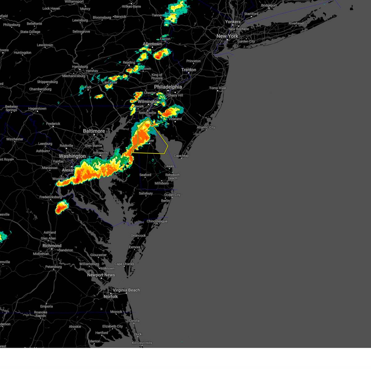 At 602 pm edt, severe thunderstorms were located along a line extending from near shiloh to near dover to near sandtown, moving east at 45 mph (radar indicated). Hazards include 70 mph wind gusts and penny size hail. Expect considerable tree damage. damage is likely to mobile homes, roofs, and outbuildings. locations impacted include, dover, smyrna, camden, clayton, cheswold, bowers, goldsboro, woodside, viola, hartly, rising sun-lebanon, woodland beach, hazlettville, port penn, delaney corner, dover base housing, dover speedway, sandtown, green spring and rising sun. thunderstorm damage threat, considerable hail threat, radar indicated max hail size, 0. 75 in wind threat, radar indicated max wind gust, 70 mph. At 602 pm edt, severe thunderstorms were located along a line extending from near shiloh to near dover to near sandtown, moving east at 45 mph (radar indicated). Hazards include 70 mph wind gusts and penny size hail. Expect considerable tree damage. damage is likely to mobile homes, roofs, and outbuildings. locations impacted include, dover, smyrna, camden, clayton, cheswold, bowers, goldsboro, woodside, viola, hartly, rising sun-lebanon, woodland beach, hazlettville, port penn, delaney corner, dover base housing, dover speedway, sandtown, green spring and rising sun. thunderstorm damage threat, considerable hail threat, radar indicated max hail size, 0. 75 in wind threat, radar indicated max wind gust, 70 mph.
|
| 7/29/2023 5:44 PM EDT |
 At 543 pm edt, severe thunderstorms were located along a line extending from near port penn to near hartly to near hope, moving east at 45 mph (radar indicated). Hazards include 70 mph wind gusts and nickel size hail. Expect considerable tree damage. Damage is likely to mobile homes, roofs, and outbuildings. At 543 pm edt, severe thunderstorms were located along a line extending from near port penn to near hartly to near hope, moving east at 45 mph (radar indicated). Hazards include 70 mph wind gusts and nickel size hail. Expect considerable tree damage. Damage is likely to mobile homes, roofs, and outbuildings.
|
| 7/29/2023 5:22 PM EDT |
 At 522 pm edt, severe thunderstorms were located along a line extending from near bohemias mills to near cecilton to langford, moving east at 45 mph (radar indicated). Hazards include 70 mph wind gusts and quarter size hail. Minor damage to vehicles is possible. expect considerable tree damage. wind damage is also likely to mobile homes, roofs, and outbuildings. locations impacted include, dover, middletown, smyrna, chestertown, clayton, delaware city, cheswold, millington, sudlersville, hartly, woodland beach, glasgow, newtown, port penn, morgnec, delaney corner, crumpton, dover speedway, saint georges and sassafras. thunderstorm damage threat, considerable hail threat, radar indicated max hail size, 1. 00 in wind threat, radar indicated max wind gust, 70 mph. At 522 pm edt, severe thunderstorms were located along a line extending from near bohemias mills to near cecilton to langford, moving east at 45 mph (radar indicated). Hazards include 70 mph wind gusts and quarter size hail. Minor damage to vehicles is possible. expect considerable tree damage. wind damage is also likely to mobile homes, roofs, and outbuildings. locations impacted include, dover, middletown, smyrna, chestertown, clayton, delaware city, cheswold, millington, sudlersville, hartly, woodland beach, glasgow, newtown, port penn, morgnec, delaney corner, crumpton, dover speedway, saint georges and sassafras. thunderstorm damage threat, considerable hail threat, radar indicated max hail size, 1. 00 in wind threat, radar indicated max wind gust, 70 mph.
|
| 7/29/2023 5:00 PM EDT |
 At 500 pm edt, severe thunderstorms were located along a line extending from near havre de grace to near betterton to north point state park, moving east at 40 mph (radar indicated). Hazards include 70 mph wind gusts and quarter size hail. Minor damage to vehicles is possible. expect considerable tree damage. Wind damage is also likely to mobile homes, roofs, and outbuildings. At 500 pm edt, severe thunderstorms were located along a line extending from near havre de grace to near betterton to north point state park, moving east at 40 mph (radar indicated). Hazards include 70 mph wind gusts and quarter size hail. Minor damage to vehicles is possible. expect considerable tree damage. Wind damage is also likely to mobile homes, roofs, and outbuildings.
|
| 7/9/2023 6:00 PM EDT | Damage in neighborhood on the north side of middletown... de. large neighborhood entrance sign knocked down... trees down... and parts of roofs torn off. report via soc in new castle county DE, 0.9 miles ESE of Middletown, DE |
| 7/9/2023 5:03 PM EDT |
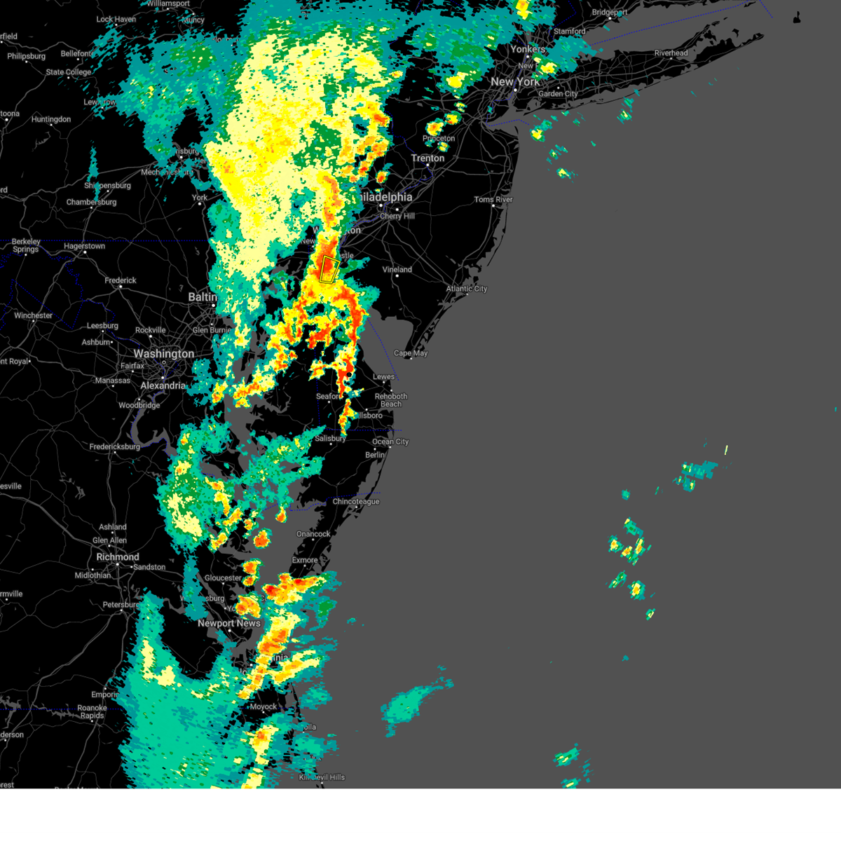 At 502 pm edt, a severe thunderstorm was located over saint georges, or 7 miles northeast of middletown, moving north at 20 mph (radar indicated). Hazards include 60 mph wind gusts. Damage to roofs, siding, trees, and power lines is possible. Locations impacted include, middletown, delaware city, saint georges, port penn, bear and odessa. At 502 pm edt, a severe thunderstorm was located over saint georges, or 7 miles northeast of middletown, moving north at 20 mph (radar indicated). Hazards include 60 mph wind gusts. Damage to roofs, siding, trees, and power lines is possible. Locations impacted include, middletown, delaware city, saint georges, port penn, bear and odessa.
|
| 7/9/2023 4:55 PM EDT |
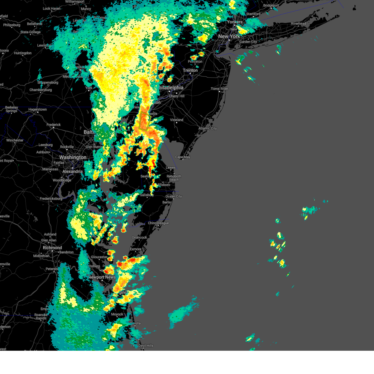 At 454 pm edt, a severe thunderstorm was located near mount pleasant, or near middletown, moving north at 20 mph (radar indicated). Hazards include 60 mph wind gusts. Damage to roofs, siding, trees, and power lines is possible. Locations impacted include, middletown, delaware city, saint georges, port penn, mount pleasant, bear, glasgow, townsend and odessa. At 454 pm edt, a severe thunderstorm was located near mount pleasant, or near middletown, moving north at 20 mph (radar indicated). Hazards include 60 mph wind gusts. Damage to roofs, siding, trees, and power lines is possible. Locations impacted include, middletown, delaware city, saint georges, port penn, mount pleasant, bear, glasgow, townsend and odessa.
|
| 7/9/2023 4:51 PM EDT | Delayed report of an over-turned tractor trailer on route 1 sb that occurred when storms passed earlie in new castle county DE, 7.1 miles SSW of Middletown, DE |
| 7/9/2023 4:51 PM EDT | Received several photos of large trees... tree limbs down and partial roofs ripped off of houses along hyetts corner road. tornado possible. time estimated via rada in new castle county DE, 5.7 miles SSW of Middletown, DE |
| 7/9/2023 4:50 PM EDT | Emergency manager coordinator relays report of roof damage at bayberry south on rte 896. time estimated via rada in new castle county DE, 4.2 miles SSW of Middletown, DE |
| 7/9/2023 4:49 PM EDT |
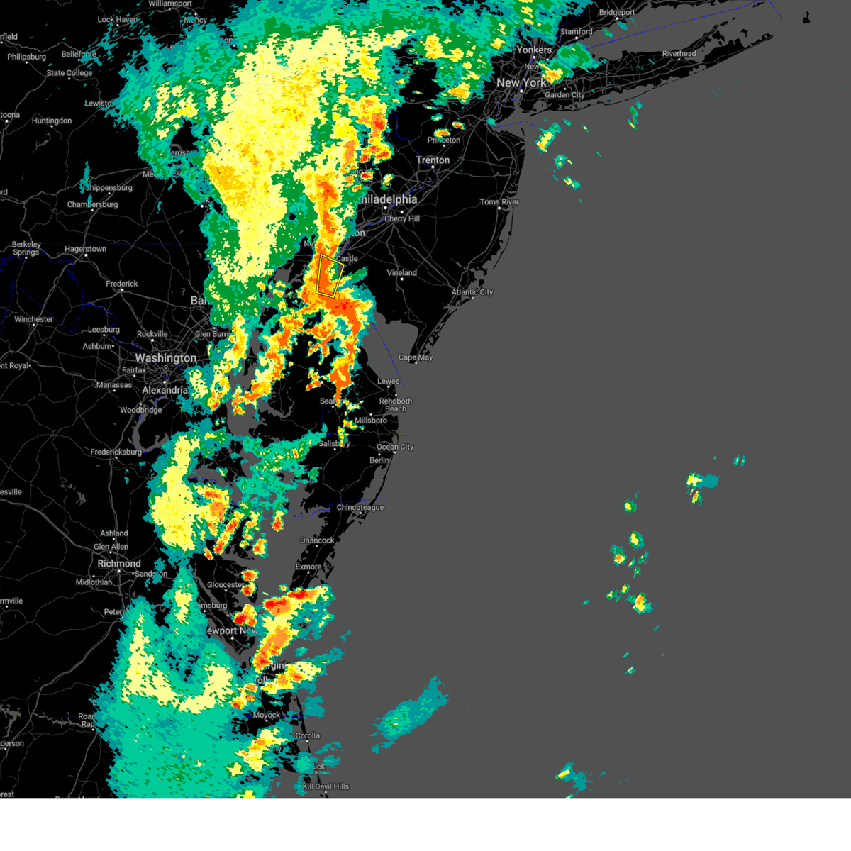 At 448 pm edt, a severe thunderstorm was located near middletown, moving north at 20 mph (radar indicated). Hazards include 60 mph wind gusts. damage to roofs, siding, trees, and power lines is possible At 448 pm edt, a severe thunderstorm was located near middletown, moving north at 20 mph (radar indicated). Hazards include 60 mph wind gusts. damage to roofs, siding, trees, and power lines is possible
|
| 7/9/2023 4:48 PM EDT | Emergency manager coordinator relays report of a roof blown off a house on choppin drive in middletown. time estimated via rada in new castle county DE, 4.2 miles SSW of Middletown, DE |
| 6/27/2023 3:42 PM EDT |
 The severe thunderstorm warning for southwestern new castle, western cumberland and southwestern salem counties will expire at 345 pm edt, the storms which prompted the warning have moved out of the area. therefore, the warning will be allowed to expire. however small hail, gusty winds and heavy rain are still possible with these thunderstorms. to report severe weather, contact your nearest law enforcement agency. they will relay your report to the national weather service mount holly nj. remember, severe thunderstorm warnings are still in effect for new castle and salem counties until 4:30 pm. The severe thunderstorm warning for southwestern new castle, western cumberland and southwestern salem counties will expire at 345 pm edt, the storms which prompted the warning have moved out of the area. therefore, the warning will be allowed to expire. however small hail, gusty winds and heavy rain are still possible with these thunderstorms. to report severe weather, contact your nearest law enforcement agency. they will relay your report to the national weather service mount holly nj. remember, severe thunderstorm warnings are still in effect for new castle and salem counties until 4:30 pm.
|
| 6/27/2023 3:42 PM EDT |
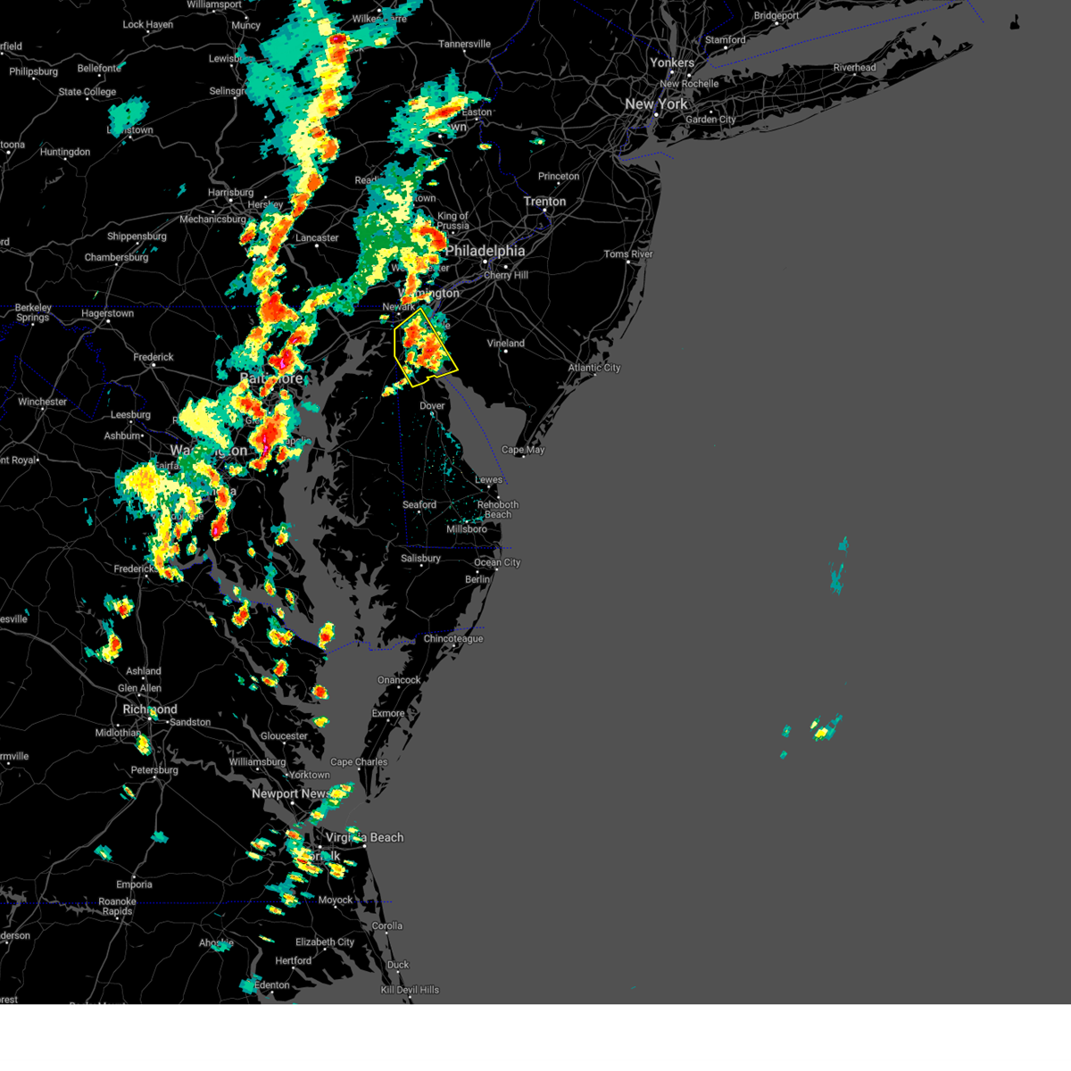 The severe thunderstorm warning for southwestern new castle, western cumberland and southwestern salem counties will expire at 345 pm edt, the storms which prompted the warning have moved out of the area. therefore, the warning will be allowed to expire. however small hail, gusty winds and heavy rain are still possible with these thunderstorms. to report severe weather, contact your nearest law enforcement agency. they will relay your report to the national weather service mount holly nj. remember, severe thunderstorm warnings are still in effect for new castle and salem counties until 4:30 pm. The severe thunderstorm warning for southwestern new castle, western cumberland and southwestern salem counties will expire at 345 pm edt, the storms which prompted the warning have moved out of the area. therefore, the warning will be allowed to expire. however small hail, gusty winds and heavy rain are still possible with these thunderstorms. to report severe weather, contact your nearest law enforcement agency. they will relay your report to the national weather service mount holly nj. remember, severe thunderstorm warnings are still in effect for new castle and salem counties until 4:30 pm.
|
| 6/27/2023 3:05 PM EDT |
 At 305 pm edt, severe thunderstorms were located along a line extending from near mount pleasant to near middletown, moving northeast at 15 mph (radar indicated). Hazards include 60 mph wind gusts and quarter size hail. Minor damage to vehicles is possible. Wind damage to roofs, siding, trees, and power lines is possible. At 305 pm edt, severe thunderstorms were located along a line extending from near mount pleasant to near middletown, moving northeast at 15 mph (radar indicated). Hazards include 60 mph wind gusts and quarter size hail. Minor damage to vehicles is possible. Wind damage to roofs, siding, trees, and power lines is possible.
|
| 6/27/2023 3:05 PM EDT |
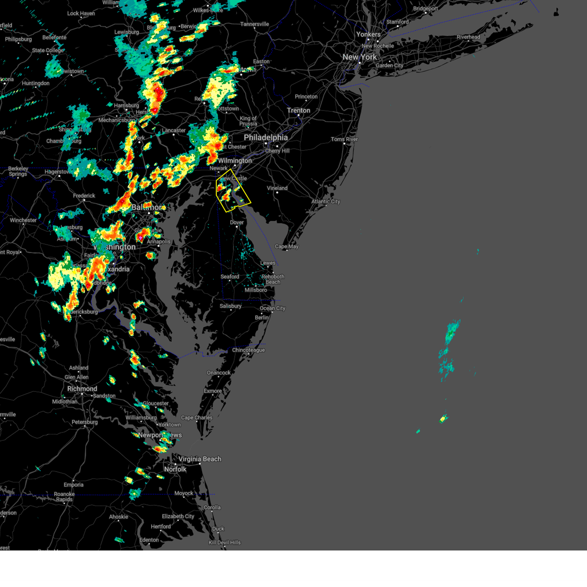 At 305 pm edt, severe thunderstorms were located along a line extending from near mount pleasant to near middletown, moving northeast at 15 mph (radar indicated). Hazards include 60 mph wind gusts and quarter size hail. Minor damage to vehicles is possible. Wind damage to roofs, siding, trees, and power lines is possible. At 305 pm edt, severe thunderstorms were located along a line extending from near mount pleasant to near middletown, moving northeast at 15 mph (radar indicated). Hazards include 60 mph wind gusts and quarter size hail. Minor damage to vehicles is possible. Wind damage to roofs, siding, trees, and power lines is possible.
|
| 4/1/2023 7:30 PM EDT |
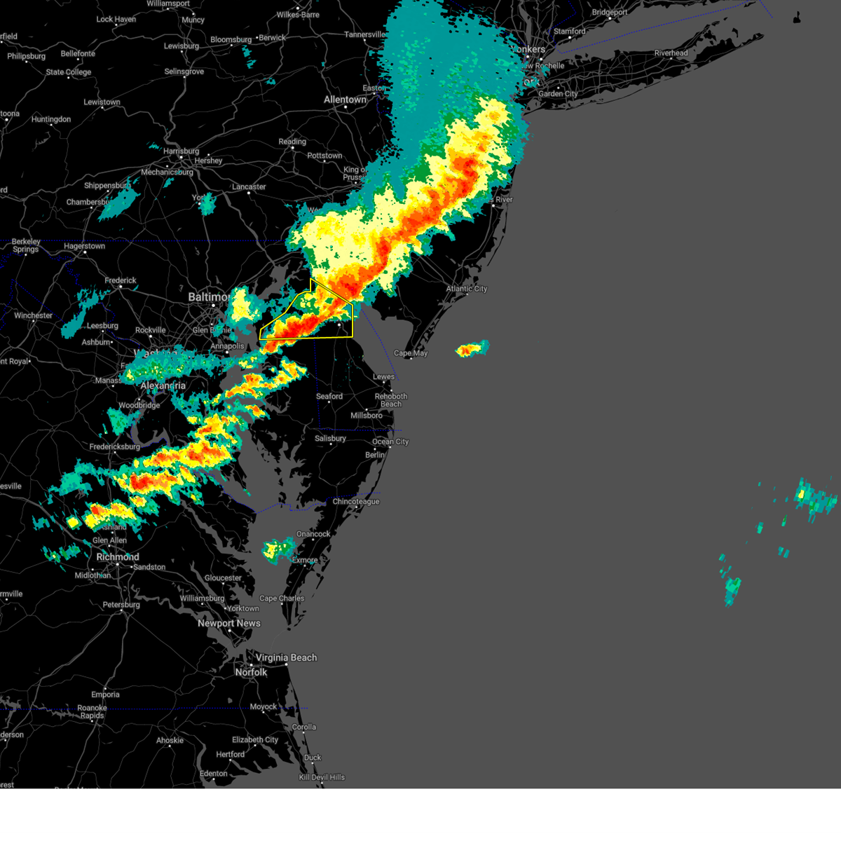 At 730 pm edt, severe thunderstorms were located along a line extending from near elmer to near woodland beach to near hazlettville, moving east at 70 mph (radar indicated). Hazards include 70 mph wind gusts and half dollar size hail. Minor damage to vehicles is possible. expect considerable tree damage. wind damage is also likely to mobile homes, roofs, and outbuildings. Locations impacted include, dover, middletown, smyrna, camden, clayton, cheswold, church hill, millington, sudlersville, hartly, old town, rising sun-lebanon, hazlettville, delaney corner, dover base housing, crumpton, dover speedway, sassafras, green spring and rising sun. At 730 pm edt, severe thunderstorms were located along a line extending from near elmer to near woodland beach to near hazlettville, moving east at 70 mph (radar indicated). Hazards include 70 mph wind gusts and half dollar size hail. Minor damage to vehicles is possible. expect considerable tree damage. wind damage is also likely to mobile homes, roofs, and outbuildings. Locations impacted include, dover, middletown, smyrna, camden, clayton, cheswold, church hill, millington, sudlersville, hartly, old town, rising sun-lebanon, hazlettville, delaney corner, dover base housing, crumpton, dover speedway, sassafras, green spring and rising sun.
|
| 4/1/2023 7:13 PM EDT |
 At 712 pm edt, severe thunderstorms were located along a line extending from mullica hill to near middletown, moving east at 45 mph (radar indicated). Hazards include 70 mph wind gusts and penny size hail. Expect considerable tree damage. damage is likely to mobile homes, roofs, and outbuildings. locations impacted include, wilmington, dover, bridgeton, middletown, chester, glassboro, pennsville, smyrna, pitman, carneys point, new castle, penns grove, salem, woodstown, alloway, clayton, quinton, swedesboro, delaware city and elmer. this includes the following highways, new jersey turnpike between exits 1 and 2. Interstate 295 in new jersey between mile markers 0 and 16. At 712 pm edt, severe thunderstorms were located along a line extending from mullica hill to near middletown, moving east at 45 mph (radar indicated). Hazards include 70 mph wind gusts and penny size hail. Expect considerable tree damage. damage is likely to mobile homes, roofs, and outbuildings. locations impacted include, wilmington, dover, bridgeton, middletown, chester, glassboro, pennsville, smyrna, pitman, carneys point, new castle, penns grove, salem, woodstown, alloway, clayton, quinton, swedesboro, delaware city and elmer. this includes the following highways, new jersey turnpike between exits 1 and 2. Interstate 295 in new jersey between mile markers 0 and 16.
|
| 4/1/2023 7:08 PM EDT |
 At 707 pm edt, severe thunderstorms were located along a line extending from port penn to millington to near old town, moving east at 70 mph (radar indicated). Hazards include 70 mph wind gusts and half dollar size hail. Minor damage to vehicles is possible. expect considerable tree damage. wind damage is also likely to mobile homes, roofs, and outbuildings. Locations impacted include, dover, middletown, smyrna, chestertown, centreville, camden, clayton, cheswold, church hill, millington, sudlersville, hartly, old town, rising sun-lebanon, hazlettville, morgnec, delaney corner, dover base housing, crumpton and dover speedway. At 707 pm edt, severe thunderstorms were located along a line extending from port penn to millington to near old town, moving east at 70 mph (radar indicated). Hazards include 70 mph wind gusts and half dollar size hail. Minor damage to vehicles is possible. expect considerable tree damage. wind damage is also likely to mobile homes, roofs, and outbuildings. Locations impacted include, dover, middletown, smyrna, chestertown, centreville, camden, clayton, cheswold, church hill, millington, sudlersville, hartly, old town, rising sun-lebanon, hazlettville, morgnec, delaney corner, dover base housing, crumpton and dover speedway.
|
| 4/1/2023 6:58 PM EDT |
 At 658 pm edt, severe thunderstorms were located along a line extending from mount pleasant to morgnec to near rock hall, moving east at 65 mph (radar indicated). Hazards include 60 mph wind gusts and quarter size hail. Minor damage to vehicles is possible. Wind damage to roofs, siding, trees, and power lines is possible. At 658 pm edt, severe thunderstorms were located along a line extending from mount pleasant to morgnec to near rock hall, moving east at 65 mph (radar indicated). Hazards include 60 mph wind gusts and quarter size hail. Minor damage to vehicles is possible. Wind damage to roofs, siding, trees, and power lines is possible.
|
| 4/1/2023 6:39 PM EDT |
 At 639 pm edt, severe thunderstorms were located along a line extending from near marshallton to charlestown, moving southeast at 45 mph (radar indicated). Hazards include 70 mph wind gusts and penny size hail. Expect considerable tree damage. Damage is likely to mobile homes, roofs, and outbuildings. At 639 pm edt, severe thunderstorms were located along a line extending from near marshallton to charlestown, moving southeast at 45 mph (radar indicated). Hazards include 70 mph wind gusts and penny size hail. Expect considerable tree damage. Damage is likely to mobile homes, roofs, and outbuildings.
|
| 8/4/2022 8:08 PM EDT |
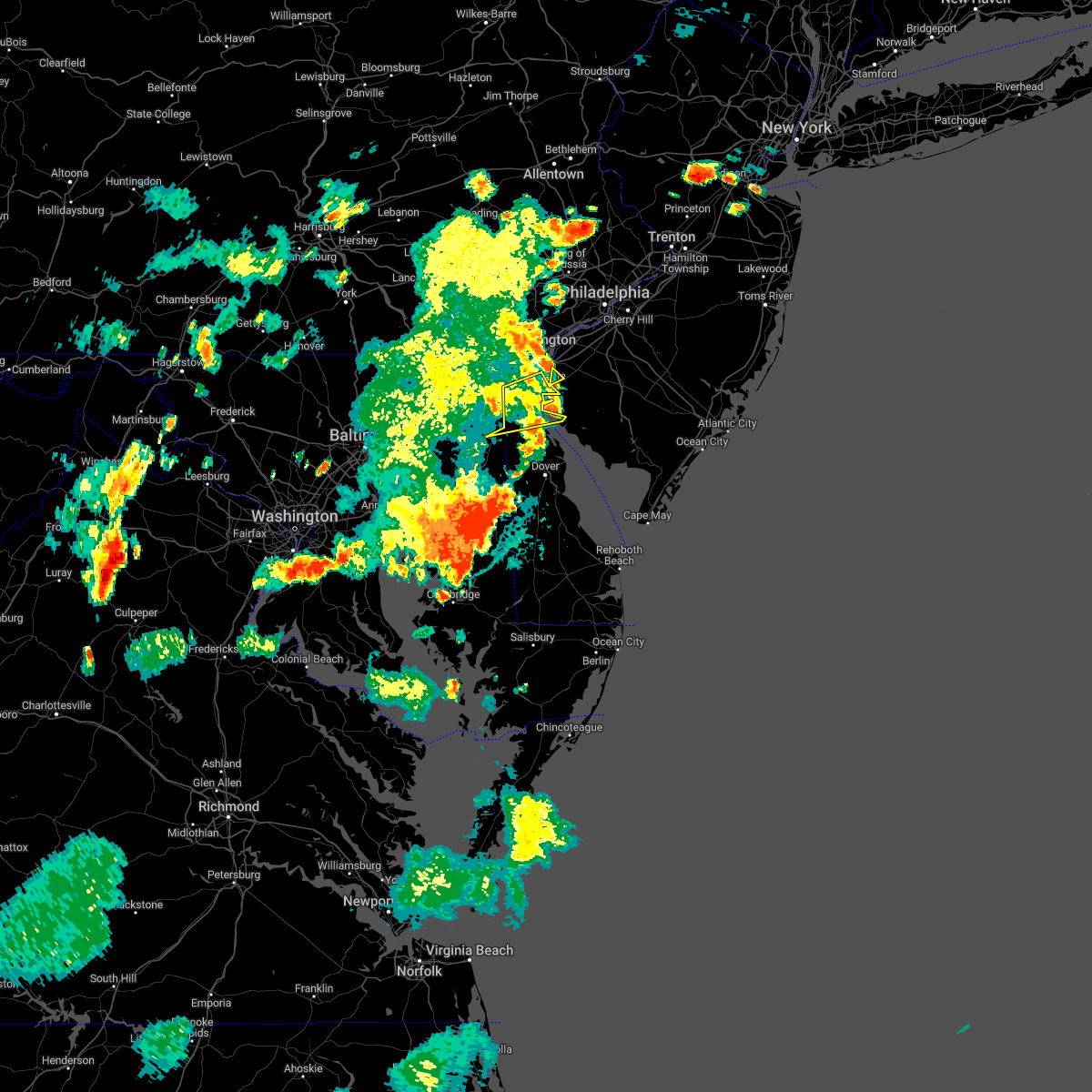 The severe thunderstorm warning for southwestern new castle and northeastern kent counties will expire at 815 pm edt, the storm which prompted the warning has moved out of the area. therefore, the warning will be allowed to expire. to report severe weather, contact your nearest law enforcement agency. they will relay your report to the national weather service mount holly nj. The severe thunderstorm warning for southwestern new castle and northeastern kent counties will expire at 815 pm edt, the storm which prompted the warning has moved out of the area. therefore, the warning will be allowed to expire. to report severe weather, contact your nearest law enforcement agency. they will relay your report to the national weather service mount holly nj.
|
| 8/4/2022 7:41 PM EDT |
 At 740 pm edt, a severe thunderstorm was located over cayots, or near middletown, moving east at 35 mph (radar indicated). Hazards include 60 mph wind gusts and penny size hail. damage to roofs, siding, trees, and power lines is possible At 740 pm edt, a severe thunderstorm was located over cayots, or near middletown, moving east at 35 mph (radar indicated). Hazards include 60 mph wind gusts and penny size hail. damage to roofs, siding, trees, and power lines is possible
|
| 8/4/2022 7:41 PM EDT |
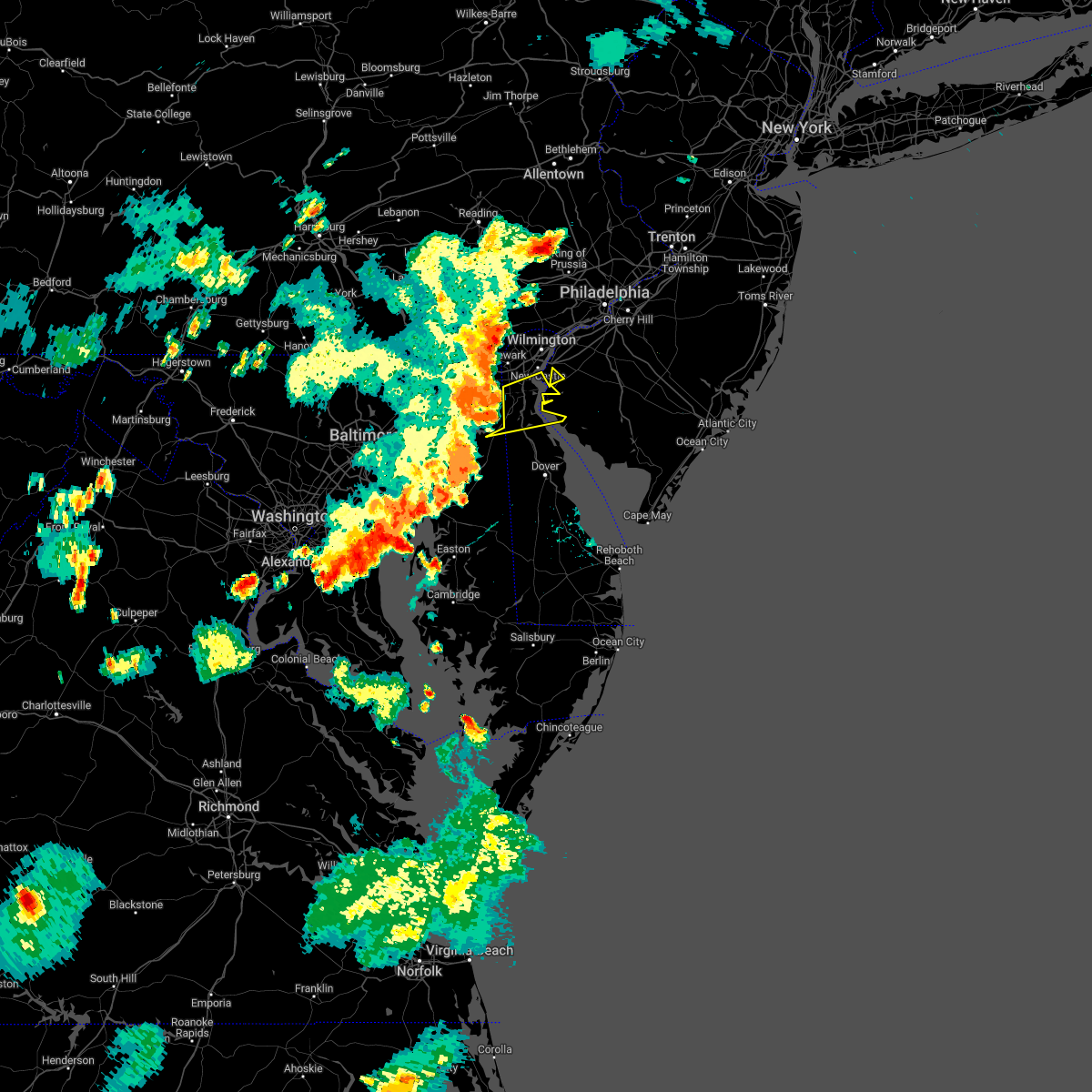 At 740 pm edt, a severe thunderstorm was located over cayots, or near middletown, moving east at 35 mph (radar indicated). Hazards include 60 mph wind gusts and penny size hail. damage to roofs, siding, trees, and power lines is possible At 740 pm edt, a severe thunderstorm was located over cayots, or near middletown, moving east at 35 mph (radar indicated). Hazards include 60 mph wind gusts and penny size hail. damage to roofs, siding, trees, and power lines is possible
|
| 7/12/2022 5:56 PM EDT |
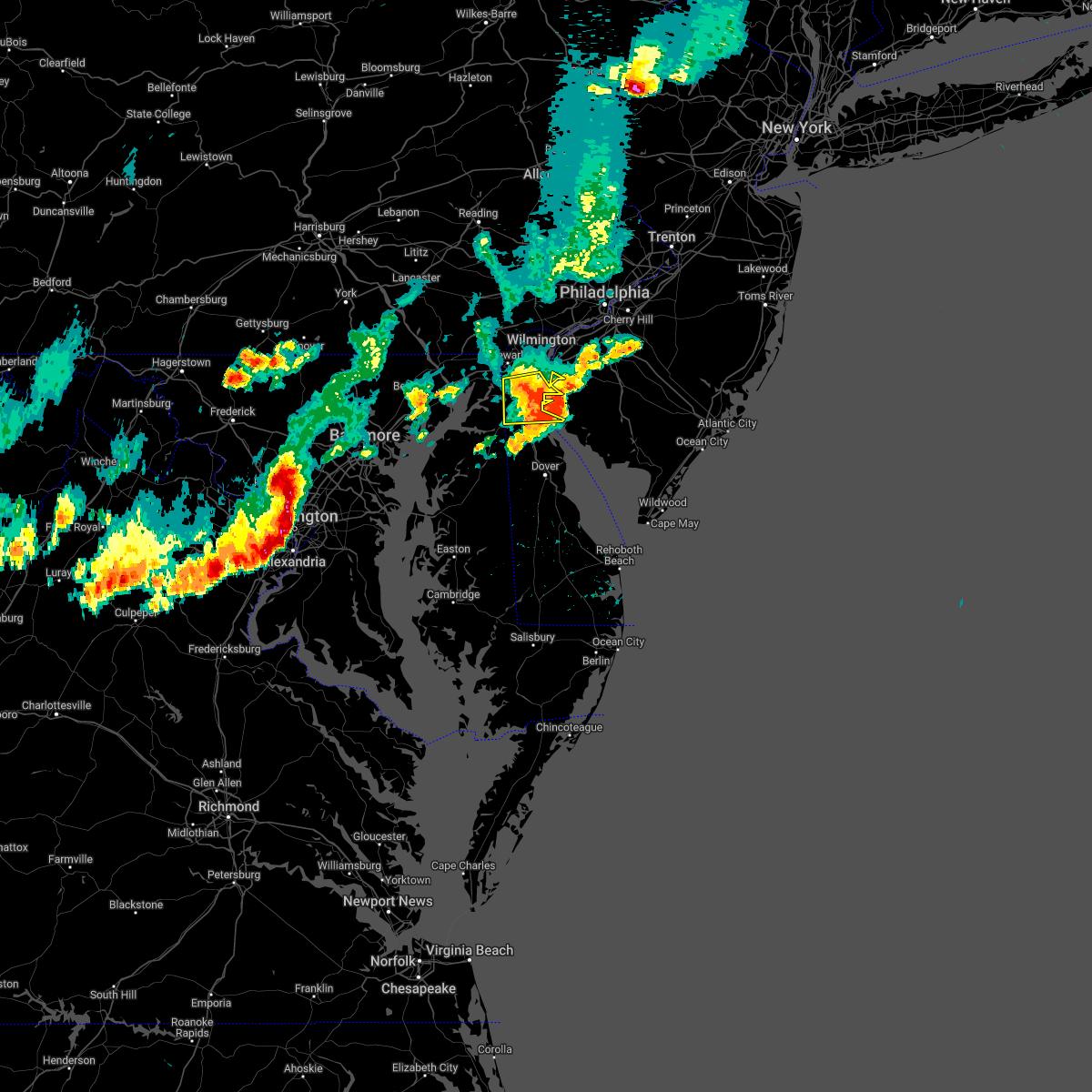 The severe thunderstorm warning for southwestern new castle county will expire at 600 pm edt, the storm which prompted the warning has moved out of the area. therefore, the warning will be allowed to expire. a severe thunderstorm watch remains in effect until 1000 pm edt for northern delaware, and southern new jersey. to report severe weather, contact your nearest law enforcement agency. they will relay your report to the national weather service mount holly nj. The severe thunderstorm warning for southwestern new castle county will expire at 600 pm edt, the storm which prompted the warning has moved out of the area. therefore, the warning will be allowed to expire. a severe thunderstorm watch remains in effect until 1000 pm edt for northern delaware, and southern new jersey. to report severe weather, contact your nearest law enforcement agency. they will relay your report to the national weather service mount holly nj.
|
| 7/12/2022 5:40 PM EDT | Mesonet station fw7093 middletown reported a thunderstorm wind gust of 87 mp in new castle county DE, 5.7 miles SE of Middletown, DE |
| 7/12/2022 5:40 PM EDT | Quarter sized hail reported 2.1 miles SW of Middletown, DE, report of quarter size hail. time estimated via radar. |
| 7/12/2022 5:37 PM EDT | Small tree downed onto power lines... numerous large branches down in the area. time estimated via rada in new castle county DE, 4.8 miles SSE of Middletown, DE |
| 7/12/2022 5:37 PM EDT | Amateur radio operator reports multiple trees down on cazier drive. pictures provided. time estimated via rada in new castle county DE, 5.7 miles SE of Middletown, DE |
| 7/12/2022 5:29 PM EDT |
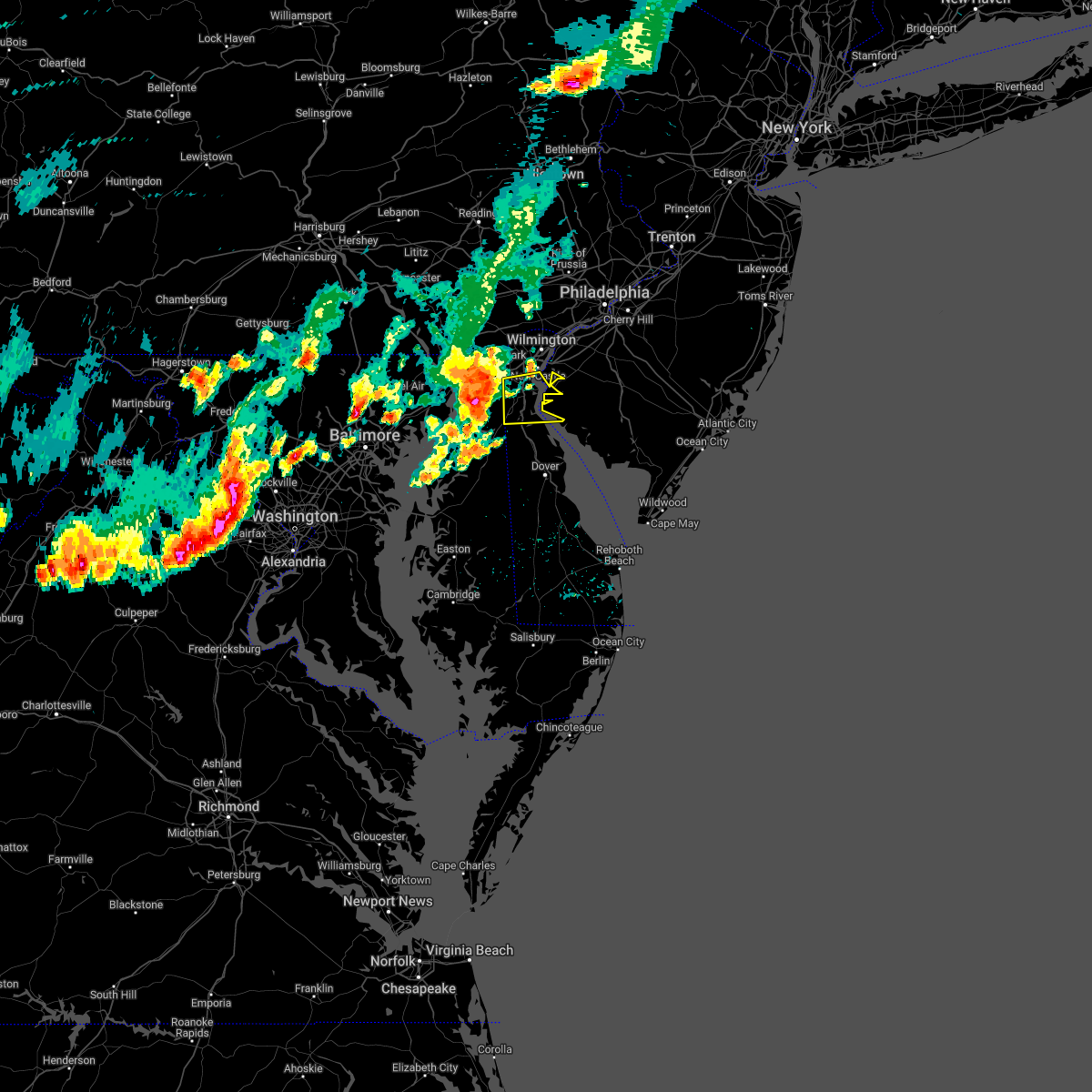 At 529 pm edt, a severe thunderstorm was located over hollywood beach, or 8 miles southwest of elkton, moving east at 45 mph (radar indicated). Hazards include 60 mph wind gusts and quarter size hail. Minor damage to vehicles is possible. Wind damage to roofs, siding, trees, and power lines is possible. At 529 pm edt, a severe thunderstorm was located over hollywood beach, or 8 miles southwest of elkton, moving east at 45 mph (radar indicated). Hazards include 60 mph wind gusts and quarter size hail. Minor damage to vehicles is possible. Wind damage to roofs, siding, trees, and power lines is possible.
|
| 2/18/2022 6:37 AM EST |
 At 635 am est, severe thunderstorms were located along a line extending from robertsville to near shiloh, moving east at 55 mph (public and trained spotter reported). Hazards include 60 mph wind gusts. Damage to roofs, siding, trees, and power lines is possible. numerous reports of trees down with this line. locations impacted include, philadelphia, toms river, trenton, camden, vineland, dover, millville, bridgeton, middletown, gloucester city, cumberland, lakewood, cherry hill, bensalem, jackson, howell, evesham, mount laurel, manalapan and ewing. this includes the following highways, new jersey turnpike between exits 1 and 8a. pennsylvania turnpike between mile markers 352 and 359. interstate 95 in pennsylvania between mile markers 14 and 40. interstate 76 in pennsylvania between mile markers 347 and 351. interstate 76 in new jersey between mile markers 0 and 3. interstate 195 in new jersey between mile markers 0 and 34. interstate 295 in new jersey between mile markers 6 and 72. interstate 676 in new jersey between mile markers 0 and 4. garden state parkway between mile markers 79 and 98. atlantic city expressway between mile markers 17 and 44. hail threat, radar indicated max hail size, <. 75 in wind threat, radar indicated max wind gust, 60 mph. At 635 am est, severe thunderstorms were located along a line extending from robertsville to near shiloh, moving east at 55 mph (public and trained spotter reported). Hazards include 60 mph wind gusts. Damage to roofs, siding, trees, and power lines is possible. numerous reports of trees down with this line. locations impacted include, philadelphia, toms river, trenton, camden, vineland, dover, millville, bridgeton, middletown, gloucester city, cumberland, lakewood, cherry hill, bensalem, jackson, howell, evesham, mount laurel, manalapan and ewing. this includes the following highways, new jersey turnpike between exits 1 and 8a. pennsylvania turnpike between mile markers 352 and 359. interstate 95 in pennsylvania between mile markers 14 and 40. interstate 76 in pennsylvania between mile markers 347 and 351. interstate 76 in new jersey between mile markers 0 and 3. interstate 195 in new jersey between mile markers 0 and 34. interstate 295 in new jersey between mile markers 6 and 72. interstate 676 in new jersey between mile markers 0 and 4. garden state parkway between mile markers 79 and 98. atlantic city expressway between mile markers 17 and 44. hail threat, radar indicated max hail size, <. 75 in wind threat, radar indicated max wind gust, 60 mph.
|
| 2/18/2022 6:17 AM EST |
 At 616 am est, severe thunderstorms were located along a line extending from kingston to near port penn, moving east at 55 mph (radar indicated. a few measured wind gusts near 60 mph). Hazards include 60 mph wind gusts. damage to roofs, siding, trees, and power lines is possible At 616 am est, severe thunderstorms were located along a line extending from kingston to near port penn, moving east at 55 mph (radar indicated. a few measured wind gusts near 60 mph). Hazards include 60 mph wind gusts. damage to roofs, siding, trees, and power lines is possible
|
| 10/25/2021 7:12 PM EDT |
 The severe thunderstorm warning for new castle, northwestern salem, south central chester and southwestern delaware counties will expire at 715 pm edt, the storm which prompted the warning has moved out of the area. therefore, the warning will be allowed to expire. The severe thunderstorm warning for new castle, northwestern salem, south central chester and southwestern delaware counties will expire at 715 pm edt, the storm which prompted the warning has moved out of the area. therefore, the warning will be allowed to expire.
|
| 10/25/2021 6:47 PM EDT |
 At 647 pm edt, a severe thunderstorm was located over saint georges, or 7 miles north of middletown, moving north at 40 mph (radar indicated). Hazards include 60 mph wind gusts. Damage to roofs, siding, trees, and power lines is possible. locations impacted include, wilmington, newark, chester, pennsville, carneys point, elsmere, kennett square, new castle, penns grove, salem, delaware city, newport, arden, stanton, north star, glasgow, bear, talleyville, port penn and wilmington manor. this includes the following highways, interstate 95 in pennsylvania between mile markers 0 and 1. interstate 95 in delaware between mile markers 0 and 23. interstate 295 in new jersey between mile markers 0 and 6. hail threat, radar indicated max hail size, <. 75 in wind threat, radar indicated max wind gust, 60 mph. At 647 pm edt, a severe thunderstorm was located over saint georges, or 7 miles north of middletown, moving north at 40 mph (radar indicated). Hazards include 60 mph wind gusts. Damage to roofs, siding, trees, and power lines is possible. locations impacted include, wilmington, newark, chester, pennsville, carneys point, elsmere, kennett square, new castle, penns grove, salem, delaware city, newport, arden, stanton, north star, glasgow, bear, talleyville, port penn and wilmington manor. this includes the following highways, interstate 95 in pennsylvania between mile markers 0 and 1. interstate 95 in delaware between mile markers 0 and 23. interstate 295 in new jersey between mile markers 0 and 6. hail threat, radar indicated max hail size, <. 75 in wind threat, radar indicated max wind gust, 60 mph.
|
| 10/25/2021 6:33 PM EDT |
 At 633 pm edt, a severe thunderstorm was located over warwick, or near middletown, moving north at 40 mph (radar indicated). Hazards include 60 mph wind gusts. damage to roofs, siding, trees, and power lines is possible At 633 pm edt, a severe thunderstorm was located over warwick, or near middletown, moving north at 40 mph (radar indicated). Hazards include 60 mph wind gusts. damage to roofs, siding, trees, and power lines is possible
|
| 8/23/2021 7:14 PM EDT |
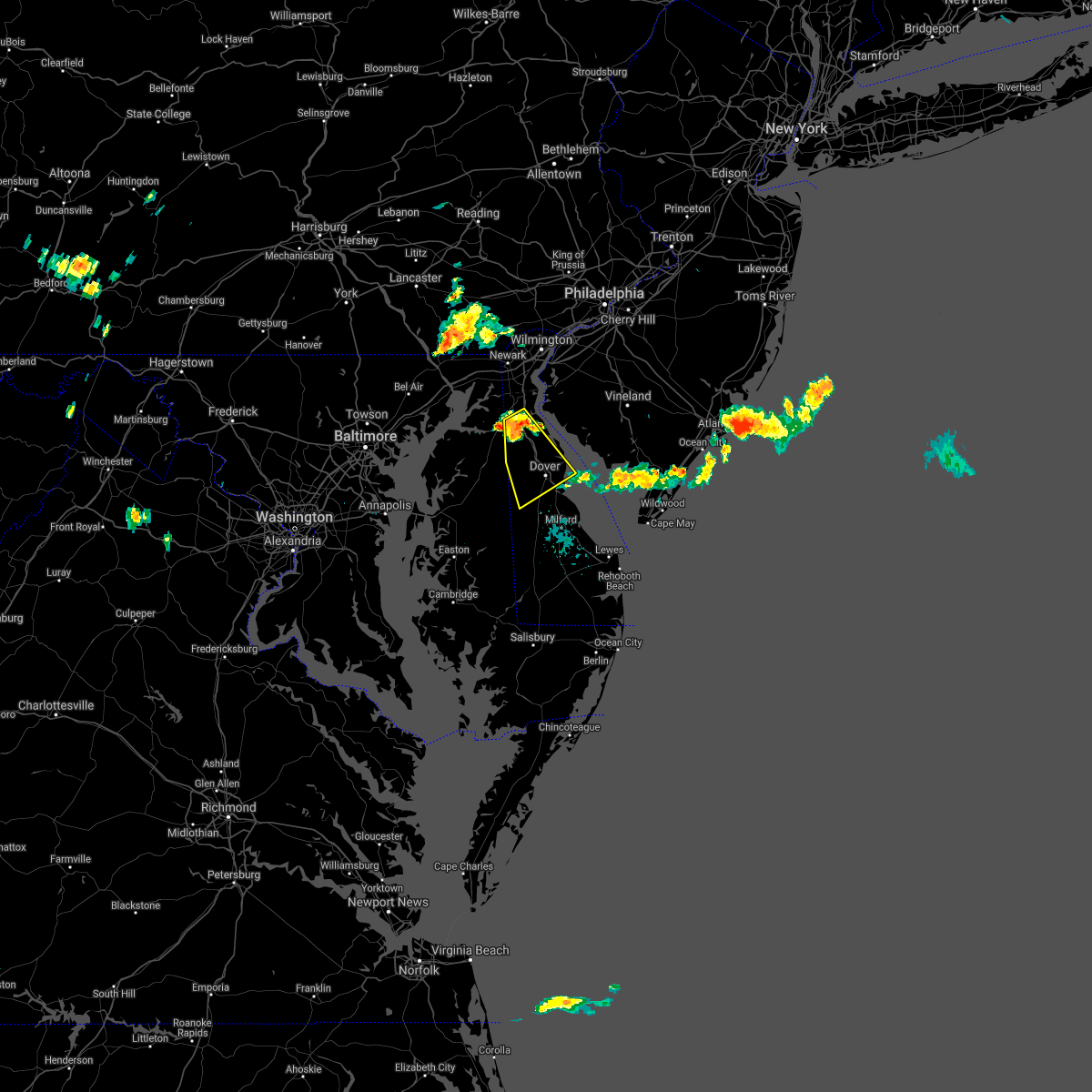 At 714 pm edt, a severe thunderstorm was located over green spring, or 8 miles south of middletown, moving southeast at 25 mph (radar indicated). Hazards include 60 mph wind gusts. damage to roofs, siding, trees, and power lines is possible At 714 pm edt, a severe thunderstorm was located over green spring, or 8 miles south of middletown, moving southeast at 25 mph (radar indicated). Hazards include 60 mph wind gusts. damage to roofs, siding, trees, and power lines is possible
|
| 6/21/2021 7:28 PM EDT |
 At 728 pm edt, severe thunderstorms were located along a line extending from glasgow to near talbot, moving east at 40 mph (radar indicated). Hazards include 60 mph wind gusts. Damage to roofs, siding, trees, and power lines is possible. locations impacted include, dover, newark, middletown, centerville, talbot, smyrna, new castle, chestertown, denton, centreville, harrington, camden, clayton, greensboro, oakland, delaware city, ridgely, cheswold, church hill and millington. This includes interstate 95 in delaware between mile markers 0 and 6. At 728 pm edt, severe thunderstorms were located along a line extending from glasgow to near talbot, moving east at 40 mph (radar indicated). Hazards include 60 mph wind gusts. Damage to roofs, siding, trees, and power lines is possible. locations impacted include, dover, newark, middletown, centerville, talbot, smyrna, new castle, chestertown, denton, centreville, harrington, camden, clayton, greensboro, oakland, delaware city, ridgely, cheswold, church hill and millington. This includes interstate 95 in delaware between mile markers 0 and 6.
|
| 6/21/2021 7:20 PM EDT | Some large limbs blown down in the middletown de area. time estimated from rada in new castle county DE, 0.9 miles ESE of Middletown, DE |
| 6/21/2021 6:47 PM EDT |
 At 647 pm edt, severe thunderstorms were located along a line extending from near octoraro to kettering, moving east at 25 mph (radar indicated). Hazards include 60 mph wind gusts. damage to roofs, siding, trees, and power lines is possible At 647 pm edt, severe thunderstorms were located along a line extending from near octoraro to kettering, moving east at 25 mph (radar indicated). Hazards include 60 mph wind gusts. damage to roofs, siding, trees, and power lines is possible
|
| 6/14/2021 11:42 PM EDT |
 At 1142 pm edt, severe thunderstorms were located along a line extending from near rosenhayn to newport meadows to green spring, moving east at 20 mph (radar indicated). Hazards include 60 mph wind gusts and quarter size hail. Minor damage to vehicles is possible. Wind damage to roofs, siding, trees, and power lines is possible. At 1142 pm edt, severe thunderstorms were located along a line extending from near rosenhayn to newport meadows to green spring, moving east at 20 mph (radar indicated). Hazards include 60 mph wind gusts and quarter size hail. Minor damage to vehicles is possible. Wind damage to roofs, siding, trees, and power lines is possible.
|
| 3/28/2021 6:12 PM EDT |
 At 612 pm edt, severe thunderstorms were located along a line extending from honey brook to rising sun, moving east at 45 mph (radar indicated). Hazards include 60 mph wind gusts. damage to roofs, siding, trees, and power lines is possible At 612 pm edt, severe thunderstorms were located along a line extending from honey brook to rising sun, moving east at 45 mph (radar indicated). Hazards include 60 mph wind gusts. damage to roofs, siding, trees, and power lines is possible
|
| 11/30/2020 3:39 PM EST |
 The severe thunderstorm warning for northern new castle, northwestern salem, northwestern gloucester, southeastern montgomery, southeastern chester, philadelphia and delaware counties will expire at 345 pm est, the storm which prompted the warning has weakened below severe limits, and no longer poses an immediate threat to life or property. therefore, the warning will be allowed to expire. however gusty winds are still possible with this thunderstorm. a tornado watch remains in effect until 700 pm est for northern delaware, southern new jersey, and southeastern pennsylvania. The severe thunderstorm warning for northern new castle, northwestern salem, northwestern gloucester, southeastern montgomery, southeastern chester, philadelphia and delaware counties will expire at 345 pm est, the storm which prompted the warning has weakened below severe limits, and no longer poses an immediate threat to life or property. therefore, the warning will be allowed to expire. however gusty winds are still possible with this thunderstorm. a tornado watch remains in effect until 700 pm est for northern delaware, southern new jersey, and southeastern pennsylvania.
|
| 11/30/2020 3:28 PM EST |
 At 327 pm est, a severe thunderstorm was located over lima, or 10 miles east of west chester, moving northeast at 70 mph (radar indicated). Hazards include 60 mph wind gusts. Damage to roofs, siding, trees, and power lines is possible. locations impacted include, philadelphia, camden, wilmington, newark, middletown, west chester, norristown, chester, west norriton, east norriton, pennsville, yeadon, westtown, carneys point, conshohocken, folcroft, ambler, swarthmore, elsmere and paulsboro. this includes the following highways, pennsylvania turnpike between mile markers 320 and 340. northeast extension between mile markers 21 and 26. interstate 95 in pennsylvania between mile markers 0 and 15, and between mile markers 20 and 29. interstate 95 in delaware between mile markers 1 and 23. interstate 76 in pennsylvania between mile markers 327 and 349. interstate 295 in new jersey between mile markers 0 and 14. interstate 676 in pennsylvania between mile markers 0 and 1. Interstate 476 in pennsylvania between mile markers 0 and 19. At 327 pm est, a severe thunderstorm was located over lima, or 10 miles east of west chester, moving northeast at 70 mph (radar indicated). Hazards include 60 mph wind gusts. Damage to roofs, siding, trees, and power lines is possible. locations impacted include, philadelphia, camden, wilmington, newark, middletown, west chester, norristown, chester, west norriton, east norriton, pennsville, yeadon, westtown, carneys point, conshohocken, folcroft, ambler, swarthmore, elsmere and paulsboro. this includes the following highways, pennsylvania turnpike between mile markers 320 and 340. northeast extension between mile markers 21 and 26. interstate 95 in pennsylvania between mile markers 0 and 15, and between mile markers 20 and 29. interstate 95 in delaware between mile markers 1 and 23. interstate 76 in pennsylvania between mile markers 327 and 349. interstate 295 in new jersey between mile markers 0 and 14. interstate 676 in pennsylvania between mile markers 0 and 1. Interstate 476 in pennsylvania between mile markers 0 and 19.
|
| 11/30/2020 3:26 PM EST |
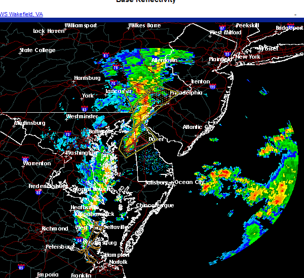 At 326 pm est, a severe thunderstorm was located over hartly, or 12 miles west of dover, moving northeast at 35 mph (radar indicated). Hazards include 60 mph wind gusts. Damage to roofs, siding, trees, and power lines is possible. Locations impacted include, dover, middletown, smyrna, camden, clayton, cheswold, hartly, woodland beach, green spring, hazlettville, delaney corner, dover speedway, sandtown, townsend, wyoming, odessa, kenton, little creek, leipsic and marydel. At 326 pm est, a severe thunderstorm was located over hartly, or 12 miles west of dover, moving northeast at 35 mph (radar indicated). Hazards include 60 mph wind gusts. Damage to roofs, siding, trees, and power lines is possible. Locations impacted include, dover, middletown, smyrna, camden, clayton, cheswold, hartly, woodland beach, green spring, hazlettville, delaney corner, dover speedway, sandtown, townsend, wyoming, odessa, kenton, little creek, leipsic and marydel.
|
| 11/30/2020 3:04 PM EST |
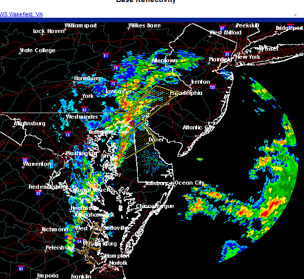 At 303 pm est, a severe thunderstorm was located over hope, or near centerville, moving northeast at 35 mph (radar indicated). Hazards include 60 mph wind gusts. damage to roofs, siding, trees, and power lines is possible At 303 pm est, a severe thunderstorm was located over hope, or near centerville, moving northeast at 35 mph (radar indicated). Hazards include 60 mph wind gusts. damage to roofs, siding, trees, and power lines is possible
|
| 11/30/2020 3:04 PM EST |
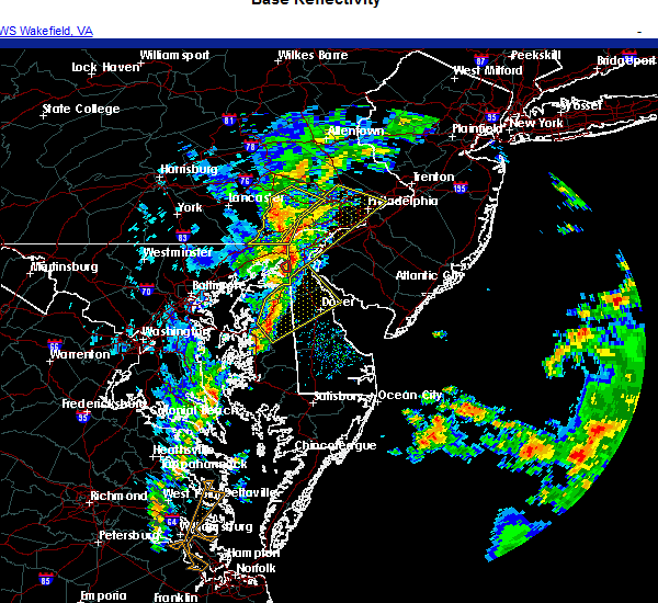 At 303 pm est, a severe thunderstorm was located over hope, or near centerville, moving northeast at 35 mph (radar indicated). Hazards include 60 mph wind gusts. damage to roofs, siding, trees, and power lines is possible At 303 pm est, a severe thunderstorm was located over hope, or near centerville, moving northeast at 35 mph (radar indicated). Hazards include 60 mph wind gusts. damage to roofs, siding, trees, and power lines is possible
|
| 11/30/2020 3:01 PM EST |
 At 301 pm est, a severe thunderstorm was located over elkton, moving northeast at 70 mph (radar indicated). Hazards include 60 mph wind gusts. damage to roofs, siding, trees, and power lines is possible At 301 pm est, a severe thunderstorm was located over elkton, moving northeast at 70 mph (radar indicated). Hazards include 60 mph wind gusts. damage to roofs, siding, trees, and power lines is possible
|
| 11/15/2020 8:33 PM EST |
 At 832 pm est, severe thunderstorms were located along a line extending from 29 miles southeast of diamond beach to 10 miles south of tangier, moving southeast at 65 mph (radar indicated). Hazards include 60 mph wind gusts. Damage to roofs, siding, trees, and power lines is possible. Locations impacted include, dover, middletown, easton, georgetown, centerville, talbot, smyrna, milford, seaford, chestertown, denton, centreville, millsboro, laurel, harrington, camden, clayton, lewes, federalsburg and milton. At 832 pm est, severe thunderstorms were located along a line extending from 29 miles southeast of diamond beach to 10 miles south of tangier, moving southeast at 65 mph (radar indicated). Hazards include 60 mph wind gusts. Damage to roofs, siding, trees, and power lines is possible. Locations impacted include, dover, middletown, easton, georgetown, centerville, talbot, smyrna, milford, seaford, chestertown, denton, centreville, millsboro, laurel, harrington, camden, clayton, lewes, federalsburg and milton.
|
| 11/15/2020 7:40 PM EST |
 At 738 pm est, severe thunderstorms were located along a line extending from near salem to near la plata, moving southeast at 95 mph (radar indicated). Hazards include 60 mph wind gusts. damage to roofs, siding, trees, and power lines is possible At 738 pm est, severe thunderstorms were located along a line extending from near salem to near la plata, moving southeast at 95 mph (radar indicated). Hazards include 60 mph wind gusts. damage to roofs, siding, trees, and power lines is possible
|
| 11/15/2020 7:25 PM EST |
 At 724 pm est, intense showers and some embedded severe thunderstorms were located along a line extending from near schwenksville to west nottingham, moving east at 55 mph. this line may contain little or no lightning. do not wait until you hear thunder before taking cover (trained weather spotters). Hazards include 60 mph wind gusts. Damage to roofs, siding, trees, and power lines is possible. locations impacted include, philadelphia, camden, wilmington, newark, middletown, west chester, gloucester city, norristown, chester, deptford, pottstown, west deptford, phoenixville, west norriton, east norriton, pennsville, coatesville, bellmawr, yeadon and westtown. this includes the following highways, new jersey turnpike between exits 1 and 2. pennsylvania turnpike between mile markers 304 and 346. northeast extension between mile markers 21 and 23. interstate 95 in pennsylvania between mile markers 0 and 33. interstate 95 in delaware between mile markers 1 and 23. interstate 76 in pennsylvania between mile markers 327 and 351. interstate 76 in new jersey between mile markers 1 and 3. interstate 295 in new jersey between mile markers 0 and 27. interstate 676 in pennsylvania between mile markers 0 and 1. interstate 676 in new jersey between mile markers 0 and 4. Interstate 476 in pennsylvania between mile markers 0 and 19. At 724 pm est, intense showers and some embedded severe thunderstorms were located along a line extending from near schwenksville to west nottingham, moving east at 55 mph. this line may contain little or no lightning. do not wait until you hear thunder before taking cover (trained weather spotters). Hazards include 60 mph wind gusts. Damage to roofs, siding, trees, and power lines is possible. locations impacted include, philadelphia, camden, wilmington, newark, middletown, west chester, gloucester city, norristown, chester, deptford, pottstown, west deptford, phoenixville, west norriton, east norriton, pennsville, coatesville, bellmawr, yeadon and westtown. this includes the following highways, new jersey turnpike between exits 1 and 2. pennsylvania turnpike between mile markers 304 and 346. northeast extension between mile markers 21 and 23. interstate 95 in pennsylvania between mile markers 0 and 33. interstate 95 in delaware between mile markers 1 and 23. interstate 76 in pennsylvania between mile markers 327 and 351. interstate 76 in new jersey between mile markers 1 and 3. interstate 295 in new jersey between mile markers 0 and 27. interstate 676 in pennsylvania between mile markers 0 and 1. interstate 676 in new jersey between mile markers 0 and 4. Interstate 476 in pennsylvania between mile markers 0 and 19.
|
| 11/15/2020 6:53 PM EST |
 At 652 pm est, intense showers and some embedded severe thunderstorms were located along a line extending from near bechtelsville to near randallstown, moving east at 50 mph. this line may contain little or no lightning. do not wait until you hear thunder before taking cover (radar indicated). Hazards include 60 mph wind gusts. damage to roofs, siding, trees, and power lines is possible At 652 pm est, intense showers and some embedded severe thunderstorms were located along a line extending from near bechtelsville to near randallstown, moving east at 50 mph. this line may contain little or no lightning. do not wait until you hear thunder before taking cover (radar indicated). Hazards include 60 mph wind gusts. damage to roofs, siding, trees, and power lines is possible
|
| 8/28/2020 5:10 PM EDT |
 At 509 pm edt, severe thunderstorms were located along a line extending from near woodbury heights to near alloway to near newport meadows to near delaney corner, moving southeast at 35 mph (radar indicated). Hazards include 60 mph wind gusts and penny size hail. Damage to roofs, siding, trees, and power lines is possible. locations impacted include, philadelphia, camden, vineland, dover, bridgeton, middletown, gloucester city, deptford, voorhees, west deptford, glassboro, lindenwold, pennsville, bellmawr, woodbury, smyrna, pitman, carneys point, berlin and folcroft. this includes the following highways, new jersey turnpike between exits 1 and 3. interstate 95 in pennsylvania near mile marker 11. interstate 76 in new jersey between mile markers 0 and 3. interstate 295 in new jersey between mile markers 1 and 33. interstate 676 in new jersey between mile markers 0 and 4. Atlantic city expressway between mile markers 32 and 44. At 509 pm edt, severe thunderstorms were located along a line extending from near woodbury heights to near alloway to near newport meadows to near delaney corner, moving southeast at 35 mph (radar indicated). Hazards include 60 mph wind gusts and penny size hail. Damage to roofs, siding, trees, and power lines is possible. locations impacted include, philadelphia, camden, vineland, dover, bridgeton, middletown, gloucester city, deptford, voorhees, west deptford, glassboro, lindenwold, pennsville, bellmawr, woodbury, smyrna, pitman, carneys point, berlin and folcroft. this includes the following highways, new jersey turnpike between exits 1 and 3. interstate 95 in pennsylvania near mile marker 11. interstate 76 in new jersey between mile markers 0 and 3. interstate 295 in new jersey between mile markers 1 and 33. interstate 676 in new jersey between mile markers 0 and 4. Atlantic city expressway between mile markers 32 and 44.
|
| 8/28/2020 4:39 PM EDT |
 At 437 pm edt, severe thunderstorms were located along a line extending from broomall to near ashland to newark to near hollywood beach, moving southeast at 35 mph (radar indicated). Hazards include 60 mph wind gusts and penny size hail. damage to roofs, siding, trees, and power lines is possible At 437 pm edt, severe thunderstorms were located along a line extending from broomall to near ashland to newark to near hollywood beach, moving southeast at 35 mph (radar indicated). Hazards include 60 mph wind gusts and penny size hail. damage to roofs, siding, trees, and power lines is possible
|
| 8/28/2020 3:01 PM EDT |
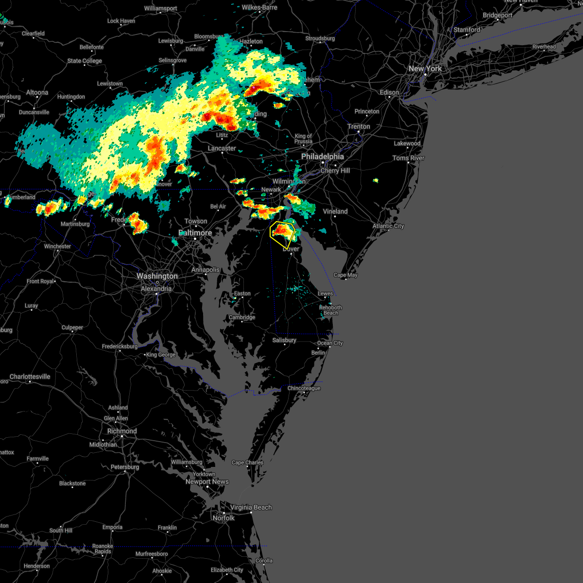 At 301 pm edt, a severe thunderstorm was located near green spring, or near middletown, moving east at 30 mph (radar indicated). Hazards include two inch hail and 60 mph wind gusts. People and animals outdoors will be injured. expect hail damage to roofs, siding, windows, and vehicles. wind damage to roofs, siding, trees, and power lines is possible. Locations impacted include, smyrna, clayton, cheswold, green spring, townsend and chambersville. At 301 pm edt, a severe thunderstorm was located near green spring, or near middletown, moving east at 30 mph (radar indicated). Hazards include two inch hail and 60 mph wind gusts. People and animals outdoors will be injured. expect hail damage to roofs, siding, windows, and vehicles. wind damage to roofs, siding, trees, and power lines is possible. Locations impacted include, smyrna, clayton, cheswold, green spring, townsend and chambersville.
|
| 8/28/2020 2:51 PM EDT |
 At 250 pm edt, a severe thunderstorm was located over warwick, or near middletown, moving east at 25 mph (radar indicated). Hazards include two inch hail and 60 mph wind gusts. People and animals outdoors will be injured. expect hail damage to roofs, siding, windows, and vehicles. wind damage to roofs, siding, trees, and power lines is possible. Locations impacted include, middletown, smyrna, clayton, cheswold, warwick, sassafras, delaney corner, green spring, townsend, odessa and chambersville. At 250 pm edt, a severe thunderstorm was located over warwick, or near middletown, moving east at 25 mph (radar indicated). Hazards include two inch hail and 60 mph wind gusts. People and animals outdoors will be injured. expect hail damage to roofs, siding, windows, and vehicles. wind damage to roofs, siding, trees, and power lines is possible. Locations impacted include, middletown, smyrna, clayton, cheswold, warwick, sassafras, delaney corner, green spring, townsend, odessa and chambersville.
|
| 8/28/2020 2:51 PM EDT |
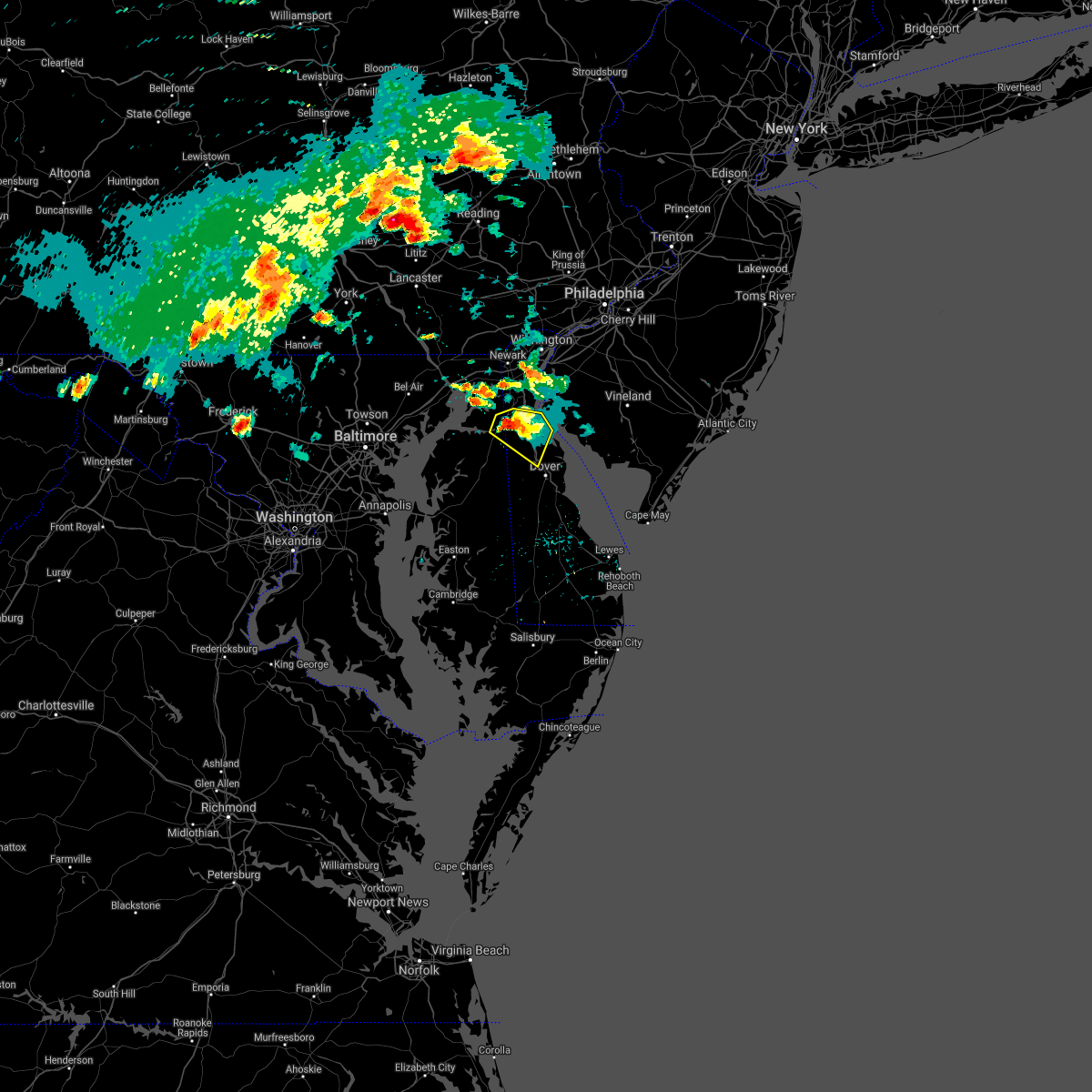 At 250 pm edt, a severe thunderstorm was located over warwick, or near middletown, moving east at 25 mph (radar indicated). Hazards include two inch hail and 60 mph wind gusts. People and animals outdoors will be injured. expect hail damage to roofs, siding, windows, and vehicles. wind damage to roofs, siding, trees, and power lines is possible. Locations impacted include, middletown, smyrna, clayton, cheswold, warwick, sassafras, delaney corner, green spring, townsend, odessa and chambersville. At 250 pm edt, a severe thunderstorm was located over warwick, or near middletown, moving east at 25 mph (radar indicated). Hazards include two inch hail and 60 mph wind gusts. People and animals outdoors will be injured. expect hail damage to roofs, siding, windows, and vehicles. wind damage to roofs, siding, trees, and power lines is possible. Locations impacted include, middletown, smyrna, clayton, cheswold, warwick, sassafras, delaney corner, green spring, townsend, odessa and chambersville.
|
| 8/28/2020 2:45 PM EDT | Several reports of downed trees and wires in the warwick area. time estimated from rada in cecil county MD, 4.4 miles ENE of Middletown, DE |
| 8/28/2020 2:40 PM EDT |
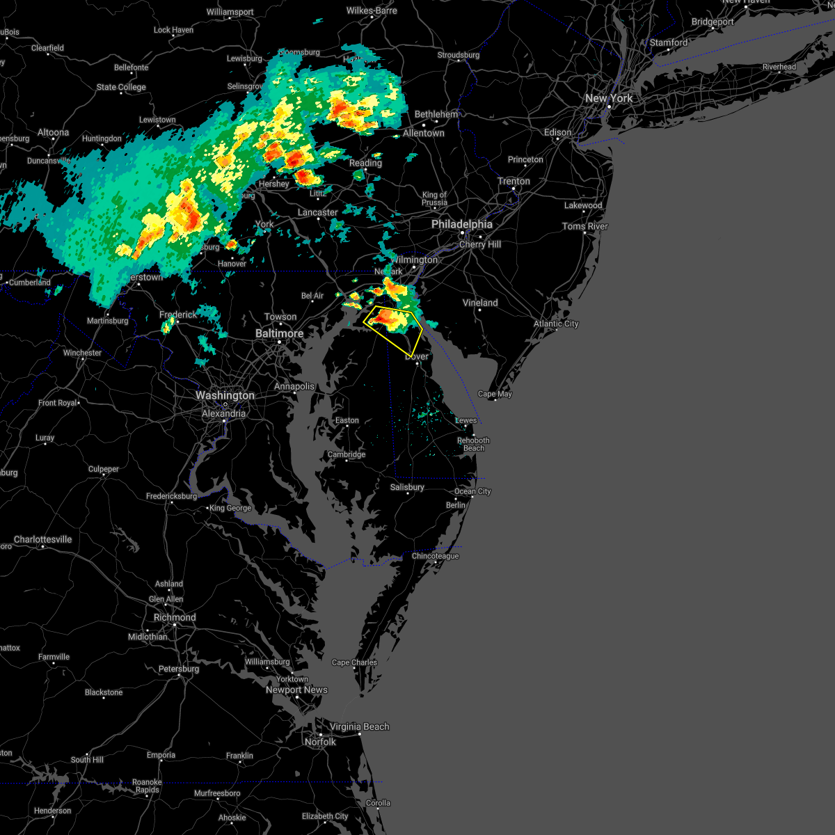 At 240 pm edt, a severe thunderstorm was located over warwick, or near middletown, moving east at 25 mph (radar indicated). Hazards include ping pong ball size hail and 60 mph wind gusts. People and animals outdoors will be injured. expect hail damage to roofs, siding, windows, and vehicles. Wind damage to roofs, siding, trees, and power lines is possible. At 240 pm edt, a severe thunderstorm was located over warwick, or near middletown, moving east at 25 mph (radar indicated). Hazards include ping pong ball size hail and 60 mph wind gusts. People and animals outdoors will be injured. expect hail damage to roofs, siding, windows, and vehicles. Wind damage to roofs, siding, trees, and power lines is possible.
|
| 8/28/2020 2:26 PM EDT |
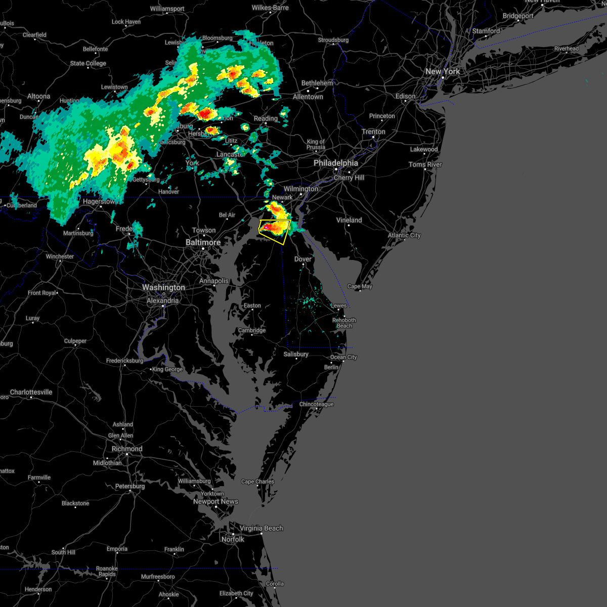 At 226 pm edt, a severe thunderstorm was located over hollywood beach, or 10 miles southwest of elkton, moving east at 25 mph (radar indicated). Hazards include ping pong ball size hail and 60 mph wind gusts. People and animals outdoors will be injured. expect hail damage to roofs, siding, windows, and vehicles. wind damage to roofs, siding, trees, and power lines is possible. Locations impacted include, middletown, cecilton, warwick, sassafras, mount pleasant, cayots, hollywood beach, bohemias mills and chesapeake city. At 226 pm edt, a severe thunderstorm was located over hollywood beach, or 10 miles southwest of elkton, moving east at 25 mph (radar indicated). Hazards include ping pong ball size hail and 60 mph wind gusts. People and animals outdoors will be injured. expect hail damage to roofs, siding, windows, and vehicles. wind damage to roofs, siding, trees, and power lines is possible. Locations impacted include, middletown, cecilton, warwick, sassafras, mount pleasant, cayots, hollywood beach, bohemias mills and chesapeake city.
|
| 8/28/2020 2:17 PM EDT |
 At 217 pm edt, a severe thunderstorm was located over hollywood beach, or 9 miles southeast of havre de grace, moving southeast at 25 mph (radar indicated). Hazards include ping pong ball size hail and 60 mph wind gusts. People and animals outdoors will be injured. expect hail damage to roofs, siding, windows, and vehicles. wind damage to roofs, siding, trees, and power lines is possible. locations impacted include, middletown, elkton, north east, charlestown, cecilton, warwick, saint georges, sassafras, mount pleasant, bohemias mills, brantwood, cayots, hollywood beach, glasgow and chesapeake city. This includes interstate 95 in maryland between mile markers 95 and 97. At 217 pm edt, a severe thunderstorm was located over hollywood beach, or 9 miles southeast of havre de grace, moving southeast at 25 mph (radar indicated). Hazards include ping pong ball size hail and 60 mph wind gusts. People and animals outdoors will be injured. expect hail damage to roofs, siding, windows, and vehicles. wind damage to roofs, siding, trees, and power lines is possible. locations impacted include, middletown, elkton, north east, charlestown, cecilton, warwick, saint georges, sassafras, mount pleasant, bohemias mills, brantwood, cayots, hollywood beach, glasgow and chesapeake city. This includes interstate 95 in maryland between mile markers 95 and 97.
|
| 8/28/2020 2:10 PM EDT |
 At 210 pm edt, a severe thunderstorm was located near hollywood beach, or 7 miles east of havre de grace, moving east at 25 mph (radar indicated). Hazards include 60 mph wind gusts and quarter size hail. Minor damage to vehicles is possible. wind damage to roofs, siding, trees, and power lines is possible. locations impacted include, middletown, elkton, north east, charlestown, cecilton, warwick, saint georges, sassafras, mount pleasant, bohemias mills, brantwood, cayots, hollywood beach, glasgow and chesapeake city. This includes interstate 95 in maryland between mile markers 95 and 97. At 210 pm edt, a severe thunderstorm was located near hollywood beach, or 7 miles east of havre de grace, moving east at 25 mph (radar indicated). Hazards include 60 mph wind gusts and quarter size hail. Minor damage to vehicles is possible. wind damage to roofs, siding, trees, and power lines is possible. locations impacted include, middletown, elkton, north east, charlestown, cecilton, warwick, saint georges, sassafras, mount pleasant, bohemias mills, brantwood, cayots, hollywood beach, glasgow and chesapeake city. This includes interstate 95 in maryland between mile markers 95 and 97.
|
| 8/28/2020 1:53 PM EDT |
 At 153 pm edt, a severe thunderstorm was located over havre de grace, moving east at 25 mph (radar indicated). Hazards include 60 mph wind gusts and penny size hail. damage to roofs, siding, trees, and power lines is possible At 153 pm edt, a severe thunderstorm was located over havre de grace, moving east at 25 mph (radar indicated). Hazards include 60 mph wind gusts and penny size hail. damage to roofs, siding, trees, and power lines is possible
|
| 8/25/2020 6:31 PM EDT |
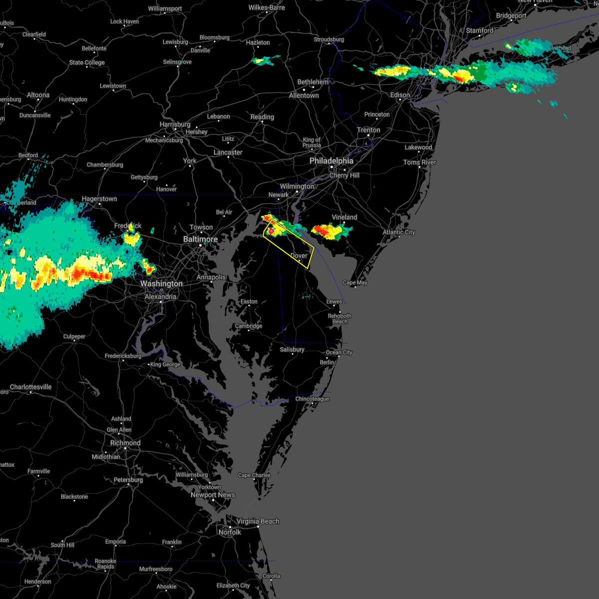 At 631 pm edt, a severe thunderstorm was located over sassafras, or near middletown, moving southeast at 45 mph (radar indicated). Hazards include 60 mph wind gusts and quarter size hail. Minor damage to vehicles is possible. Wind damage to roofs, siding, trees, and power lines is possible. At 631 pm edt, a severe thunderstorm was located over sassafras, or near middletown, moving southeast at 45 mph (radar indicated). Hazards include 60 mph wind gusts and quarter size hail. Minor damage to vehicles is possible. Wind damage to roofs, siding, trees, and power lines is possible.
|
| 8/25/2020 6:15 PM EDT |
 At 615 pm edt, a severe thunderstorm was located over bohemias mills, or near middletown, moving southeast at 30 mph (law enforcement. trees and wires have been reported down in and around north east). Hazards include 70 mph wind gusts and quarter size hail. Minor damage to vehicles is possible. expect considerable tree damage. wind damage is also likely to mobile homes, roofs, and outbuildings. Locations impacted include, middletown, elkton, north east, charlestown, warwick, mount pleasant, bohemias mills, brantwood, cayots, hollywood beach, townsend, chesapeake city and odessa. At 615 pm edt, a severe thunderstorm was located over bohemias mills, or near middletown, moving southeast at 30 mph (law enforcement. trees and wires have been reported down in and around north east). Hazards include 70 mph wind gusts and quarter size hail. Minor damage to vehicles is possible. expect considerable tree damage. wind damage is also likely to mobile homes, roofs, and outbuildings. Locations impacted include, middletown, elkton, north east, charlestown, warwick, mount pleasant, bohemias mills, brantwood, cayots, hollywood beach, townsend, chesapeake city and odessa.
|
| 8/25/2020 6:07 PM EDT |
 At 607 pm edt, a severe thunderstorm was located over brantwood, or near elkton, moving southeast at 30 mph (radar indicated). Hazards include 60 mph wind gusts and quarter size hail. Minor damage to vehicles is possible. wind damage to roofs, siding, trees, and power lines is possible. locations impacted include, middletown, elkton, north east, charlestown, warwick, mount pleasant, bohemias mills, brantwood, cayots, bay view, hollywood beach, glasgow, perryville, townsend, chesapeake city and odessa. This includes interstate 95 in maryland between mile markers 96 and 102. At 607 pm edt, a severe thunderstorm was located over brantwood, or near elkton, moving southeast at 30 mph (radar indicated). Hazards include 60 mph wind gusts and quarter size hail. Minor damage to vehicles is possible. wind damage to roofs, siding, trees, and power lines is possible. locations impacted include, middletown, elkton, north east, charlestown, warwick, mount pleasant, bohemias mills, brantwood, cayots, bay view, hollywood beach, glasgow, perryville, townsend, chesapeake city and odessa. This includes interstate 95 in maryland between mile markers 96 and 102.
|
| 8/25/2020 5:50 PM EDT |
 At 550 pm edt, a severe thunderstorm was located over bay view, or 8 miles northeast of havre de grace, moving southeast at 30 mph (radar indicated). Hazards include 60 mph wind gusts and quarter size hail. Minor damage to vehicles is possible. Wind damage to roofs, siding, trees, and power lines is possible. At 550 pm edt, a severe thunderstorm was located over bay view, or 8 miles northeast of havre de grace, moving southeast at 30 mph (radar indicated). Hazards include 60 mph wind gusts and quarter size hail. Minor damage to vehicles is possible. Wind damage to roofs, siding, trees, and power lines is possible.
|
| 8/7/2020 7:06 PM EDT |
 The severe thunderstorm warning for southwestern new castle, northern kent, northeastern queen anne`s, northeastern kent and cecil counties will expire at 715 pm edt, the storm which prompted the warning has moved out of the area. therefore, the warning will be allowed to expire. remember, a severe thunderstorm warning #218 still remains in effect. The severe thunderstorm warning for southwestern new castle, northern kent, northeastern queen anne`s, northeastern kent and cecil counties will expire at 715 pm edt, the storm which prompted the warning has moved out of the area. therefore, the warning will be allowed to expire. remember, a severe thunderstorm warning #218 still remains in effect.
|
| 8/7/2020 7:04 PM EDT |
 At 704 pm edt, a severe thunderstorm was located near warwick, or near middletown, moving east at 30 mph (radar indicated). Hazards include 60 mph wind gusts. damage to roofs, siding, trees, and power lines is possible At 704 pm edt, a severe thunderstorm was located near warwick, or near middletown, moving east at 30 mph (radar indicated). Hazards include 60 mph wind gusts. damage to roofs, siding, trees, and power lines is possible
|
| 8/7/2020 6:31 PM EDT |
 At 631 pm edt, a severe thunderstorm was located near aberdeen proving ground, moving east at 25 mph (radar indicated). Hazards include 60 mph wind gusts. Damage to roofs, siding, trees, and power lines is possible. locations impacted include, dover, middletown, elkton, smyrna, north east, clayton, delaware city, cheswold, charlestown, cecilton, millington, betterton, hartly, warwick, woodland beach, bohemias mills, port penn, brantwood, delaney corner and crumpton. This includes interstate 95 in maryland between mile markers 91 and 99. At 631 pm edt, a severe thunderstorm was located near aberdeen proving ground, moving east at 25 mph (radar indicated). Hazards include 60 mph wind gusts. Damage to roofs, siding, trees, and power lines is possible. locations impacted include, dover, middletown, elkton, smyrna, north east, clayton, delaware city, cheswold, charlestown, cecilton, millington, betterton, hartly, warwick, woodland beach, bohemias mills, port penn, brantwood, delaney corner and crumpton. This includes interstate 95 in maryland between mile markers 91 and 99.
|
| 8/7/2020 6:12 PM EDT |
 At 611 pm edt, a severe thunderstorm was located over aberdeen, moving east at 30 mph (radar indicated). Hazards include 60 mph wind gusts. damage to roofs, siding, trees, and power lines is possible At 611 pm edt, a severe thunderstorm was located over aberdeen, moving east at 30 mph (radar indicated). Hazards include 60 mph wind gusts. damage to roofs, siding, trees, and power lines is possible
|
| 8/6/2020 7:25 AM EDT |
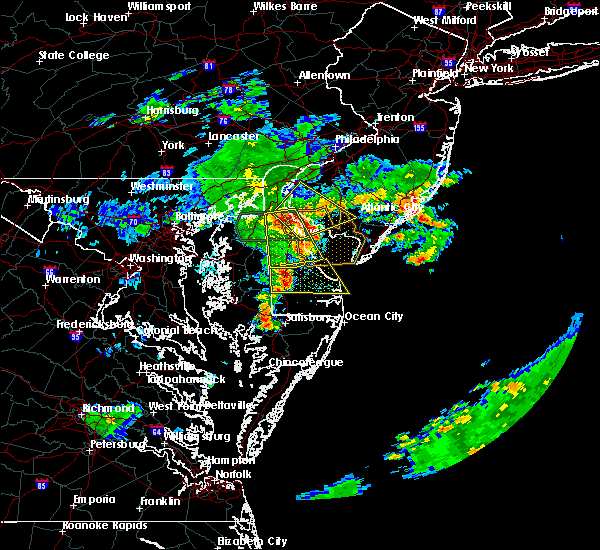 The severe thunderstorm warning for southwestern new castle and kent counties will expire at 730 am edt, the storms which prompted the warning have moved out of the area. therefore, the warning will be allowed to expire. however, gusty winds and heavy rain are still possible with these thunderstorms. The severe thunderstorm warning for southwestern new castle and kent counties will expire at 730 am edt, the storms which prompted the warning have moved out of the area. therefore, the warning will be allowed to expire. however, gusty winds and heavy rain are still possible with these thunderstorms.
|
| 8/6/2020 7:18 AM EDT |
 At 717 am edt, a severe thunderstorm was located over woodland beach, or 11 miles north of dover, moving northeast at 25 mph (radar indicated). Hazards include 70 mph wind gusts. Expect considerable tree damage. Damage is likely to mobile homes, roofs, and outbuildings. At 717 am edt, a severe thunderstorm was located over woodland beach, or 11 miles north of dover, moving northeast at 25 mph (radar indicated). Hazards include 70 mph wind gusts. Expect considerable tree damage. Damage is likely to mobile homes, roofs, and outbuildings.
|
| 8/6/2020 7:06 AM EDT |
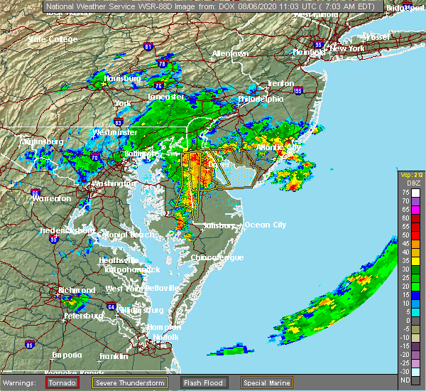 At 705 am edt, severe thunderstorms were located along a line extending from near green spring to near viola, moving east at 25 mph (law enforcement. reports of wires down have been received near and south of townsend). Hazards include 70 mph wind gusts and quarter size hail. Minor damage to vehicles is possible. expect considerable tree damage. wind damage is also likely to mobile homes, roofs, and outbuildings. Locations impacted include, dover, smyrna, milford, harrington, camden, clayton, cheswold, bowers, woodside, viola, hartly, rising sun-lebanon, woodland beach, hazlettville, delaney corner, dover base housing, dover speedway, sandtown, green spring and rising sun. At 705 am edt, severe thunderstorms were located along a line extending from near green spring to near viola, moving east at 25 mph (law enforcement. reports of wires down have been received near and south of townsend). Hazards include 70 mph wind gusts and quarter size hail. Minor damage to vehicles is possible. expect considerable tree damage. wind damage is also likely to mobile homes, roofs, and outbuildings. Locations impacted include, dover, smyrna, milford, harrington, camden, clayton, cheswold, bowers, woodside, viola, hartly, rising sun-lebanon, woodland beach, hazlettville, delaney corner, dover base housing, dover speedway, sandtown, green spring and rising sun.
|
| 8/6/2020 6:49 AM EDT |
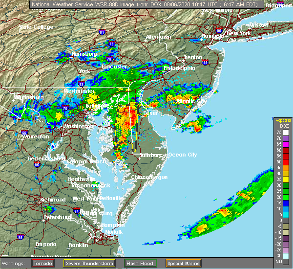 At 648 am edt, severe thunderstorms were located along a line extending from near green spring to near sandtown, moving east at 25 mph (law enforcement). Hazards include 70 mph wind gusts and quarter size hail. Minor damage to vehicles is possible. expect considerable tree damage. Wind damage is also likely to mobile homes, roofs, and outbuildings. At 648 am edt, severe thunderstorms were located along a line extending from near green spring to near sandtown, moving east at 25 mph (law enforcement). Hazards include 70 mph wind gusts and quarter size hail. Minor damage to vehicles is possible. expect considerable tree damage. Wind damage is also likely to mobile homes, roofs, and outbuildings.
|
| 8/4/2020 9:23 AM EDT |
 At 923 am edt, a tornado producing storm was located over middletown, moving north at 50 mph (radar confirmed tornado). Hazards include damaging tornado. Flying debris will be dangerous to those caught without shelter. mobile homes will be damaged or destroyed. damage to roofs, windows, and vehicles will occur. Tree damage is likely. At 923 am edt, a tornado producing storm was located over middletown, moving north at 50 mph (radar confirmed tornado). Hazards include damaging tornado. Flying debris will be dangerous to those caught without shelter. mobile homes will be damaged or destroyed. damage to roofs, windows, and vehicles will occur. Tree damage is likely.
|
| 8/4/2020 9:18 AM EDT |
 At 918 am edt, a confirmed tornado was located near green spring, or near middletown, moving northwest at 50 mph (radar confirmed tornado). Hazards include damaging tornado. Flying debris will be dangerous to those caught without shelter. mobile homes will be damaged or destroyed. damage to roofs, windows, and vehicles will occur. tree damage is likely. Locations impacted include, middletown, smyrna, clayton, warwick, green spring, townsend, odessa and chambersville. At 918 am edt, a confirmed tornado was located near green spring, or near middletown, moving northwest at 50 mph (radar confirmed tornado). Hazards include damaging tornado. Flying debris will be dangerous to those caught without shelter. mobile homes will be damaged or destroyed. damage to roofs, windows, and vehicles will occur. tree damage is likely. Locations impacted include, middletown, smyrna, clayton, warwick, green spring, townsend, odessa and chambersville.
|
| 8/4/2020 9:18 AM EDT |
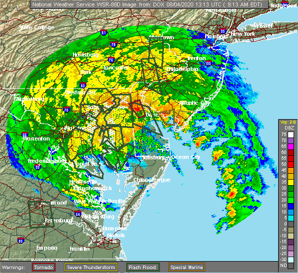 At 918 am edt, a confirmed tornado was located near green spring, or near middletown, moving northwest at 50 mph (radar confirmed tornado). Hazards include damaging tornado. Flying debris will be dangerous to those caught without shelter. mobile homes will be damaged or destroyed. damage to roofs, windows, and vehicles will occur. tree damage is likely. Locations impacted include, middletown, smyrna, clayton, warwick, green spring, townsend, odessa and chambersville. At 918 am edt, a confirmed tornado was located near green spring, or near middletown, moving northwest at 50 mph (radar confirmed tornado). Hazards include damaging tornado. Flying debris will be dangerous to those caught without shelter. mobile homes will be damaged or destroyed. damage to roofs, windows, and vehicles will occur. tree damage is likely. Locations impacted include, middletown, smyrna, clayton, warwick, green spring, townsend, odessa and chambersville.
|
| 8/4/2020 9:08 AM EDT |
 At 908 am edt, a confirmed tornado was located over smyrna, or 8 miles northwest of dover, moving north at 50 mph (radar confirmed tornado). Hazards include damaging tornado. Flying debris will be dangerous to those caught without shelter. mobile homes will be damaged or destroyed. damage to roofs, windows, and vehicles will occur. tree damage is likely. Locations impacted include, middletown, smyrna, clayton, cheswold, warwick, green spring, townsend, odessa, kenton, leipsic and chambersville. At 908 am edt, a confirmed tornado was located over smyrna, or 8 miles northwest of dover, moving north at 50 mph (radar confirmed tornado). Hazards include damaging tornado. Flying debris will be dangerous to those caught without shelter. mobile homes will be damaged or destroyed. damage to roofs, windows, and vehicles will occur. tree damage is likely. Locations impacted include, middletown, smyrna, clayton, cheswold, warwick, green spring, townsend, odessa, kenton, leipsic and chambersville.
|
| 8/4/2020 9:08 AM EDT |
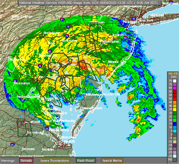 At 908 am edt, a confirmed tornado was located over smyrna, or 8 miles northwest of dover, moving north at 50 mph (radar confirmed tornado). Hazards include damaging tornado. Flying debris will be dangerous to those caught without shelter. mobile homes will be damaged or destroyed. damage to roofs, windows, and vehicles will occur. tree damage is likely. Locations impacted include, middletown, smyrna, clayton, cheswold, warwick, green spring, townsend, odessa, kenton, leipsic and chambersville. At 908 am edt, a confirmed tornado was located over smyrna, or 8 miles northwest of dover, moving north at 50 mph (radar confirmed tornado). Hazards include damaging tornado. Flying debris will be dangerous to those caught without shelter. mobile homes will be damaged or destroyed. damage to roofs, windows, and vehicles will occur. tree damage is likely. Locations impacted include, middletown, smyrna, clayton, cheswold, warwick, green spring, townsend, odessa, kenton, leipsic and chambersville.
|
| 8/4/2020 9:03 AM EDT |
 At 903 am edt, a severe thunderstorm capable of producing a tornado was located over cheswold, or near dover, moving northwest at 40 mph (radar indicated rotation). Hazards include tornado. Flying debris will be dangerous to those caught without shelter. mobile homes will be damaged or destroyed. damage to roofs, windows, and vehicles will occur. tree damage is likely. Locations impacted include, dover, middletown, smyrna, clayton, cheswold, warwick, green spring, dover speedway, townsend, odessa, kenton, leipsic and chambersville. At 903 am edt, a severe thunderstorm capable of producing a tornado was located over cheswold, or near dover, moving northwest at 40 mph (radar indicated rotation). Hazards include tornado. Flying debris will be dangerous to those caught without shelter. mobile homes will be damaged or destroyed. damage to roofs, windows, and vehicles will occur. tree damage is likely. Locations impacted include, dover, middletown, smyrna, clayton, cheswold, warwick, green spring, dover speedway, townsend, odessa, kenton, leipsic and chambersville.
|
| 8/4/2020 9:03 AM EDT |
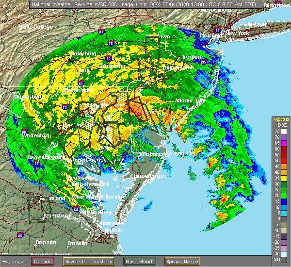 At 903 am edt, a severe thunderstorm capable of producing a tornado was located over cheswold, or near dover, moving northwest at 40 mph (radar indicated rotation). Hazards include tornado. Flying debris will be dangerous to those caught without shelter. mobile homes will be damaged or destroyed. damage to roofs, windows, and vehicles will occur. tree damage is likely. Locations impacted include, dover, middletown, smyrna, clayton, cheswold, warwick, green spring, dover speedway, townsend, odessa, kenton, leipsic and chambersville. At 903 am edt, a severe thunderstorm capable of producing a tornado was located over cheswold, or near dover, moving northwest at 40 mph (radar indicated rotation). Hazards include tornado. Flying debris will be dangerous to those caught without shelter. mobile homes will be damaged or destroyed. damage to roofs, windows, and vehicles will occur. tree damage is likely. Locations impacted include, dover, middletown, smyrna, clayton, cheswold, warwick, green spring, dover speedway, townsend, odessa, kenton, leipsic and chambersville.
|
| 8/4/2020 8:56 AM EDT |
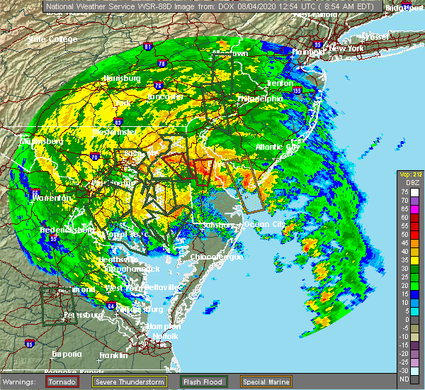 At 856 am edt, a severe thunderstorm capable of producing a tornado was located over dover base housing, or over dover, moving northwest at 50 mph (radar indicated rotation). Hazards include tornado. Flying debris will be dangerous to those caught without shelter. mobile homes will be damaged or destroyed. damage to roofs, windows, and vehicles will occur. Tree damage is likely. At 856 am edt, a severe thunderstorm capable of producing a tornado was located over dover base housing, or over dover, moving northwest at 50 mph (radar indicated rotation). Hazards include tornado. Flying debris will be dangerous to those caught without shelter. mobile homes will be damaged or destroyed. damage to roofs, windows, and vehicles will occur. Tree damage is likely.
|
| 7/23/2020 11:21 PM EDT |
 At 1121 pm edt, severe thunderstorms were located along a line extending from elkton to hollywood beach, moving northeast at 20 mph (radar indicated). Hazards include 60 mph wind gusts and penny size hail. Damage to roofs, siding, trees, and power lines is possible. locations impacted include, newark, middletown, elkton, saint georges, barksdale, mount pleasant, glasgow, bear, bohemias mills, brantwood, cayots, hollywood beach, pike creek, chesapeake city and brookside. this includes the following highways, interstate 95 in delaware between mile markers 0 and 7. Interstate 95 in maryland between mile markers 105 and 109. At 1121 pm edt, severe thunderstorms were located along a line extending from elkton to hollywood beach, moving northeast at 20 mph (radar indicated). Hazards include 60 mph wind gusts and penny size hail. Damage to roofs, siding, trees, and power lines is possible. locations impacted include, newark, middletown, elkton, saint georges, barksdale, mount pleasant, glasgow, bear, bohemias mills, brantwood, cayots, hollywood beach, pike creek, chesapeake city and brookside. this includes the following highways, interstate 95 in delaware between mile markers 0 and 7. Interstate 95 in maryland between mile markers 105 and 109.
|
| 7/23/2020 11:06 PM EDT |
 At 1106 pm edt, severe thunderstorms were located along a line extending from near elkton to near hollywood beach to betterton, moving northeast at 25 mph (radar indicated). Hazards include 60 mph wind gusts and penny size hail. Damage to roofs, siding, trees, and power lines is possible. locations impacted include, newark, middletown, elkton, north east, cecilton, betterton, saint georges, barksdale, mount pleasant, glasgow, bear, bohemias mills, brantwood, cayots, hollywood beach, pike creek, chesapeake city and brookside. this includes the following highways, interstate 95 in delaware between mile markers 0 and 7. Interstate 95 in maryland between mile markers 105 and 109. At 1106 pm edt, severe thunderstorms were located along a line extending from near elkton to near hollywood beach to betterton, moving northeast at 25 mph (radar indicated). Hazards include 60 mph wind gusts and penny size hail. Damage to roofs, siding, trees, and power lines is possible. locations impacted include, newark, middletown, elkton, north east, cecilton, betterton, saint georges, barksdale, mount pleasant, glasgow, bear, bohemias mills, brantwood, cayots, hollywood beach, pike creek, chesapeake city and brookside. this includes the following highways, interstate 95 in delaware between mile markers 0 and 7. Interstate 95 in maryland between mile markers 105 and 109.
|
| 7/23/2020 11:00 PM EDT |
 At 1059 pm edt, a severe thunderstorm was located over betterton, or 8 miles southeast of aberdeen proving ground, moving northeast at 20 mph (radar indicated). Hazards include 60 mph wind gusts and penny size hail. damage to roofs, siding, trees, and power lines is possible At 1059 pm edt, a severe thunderstorm was located over betterton, or 8 miles southeast of aberdeen proving ground, moving northeast at 20 mph (radar indicated). Hazards include 60 mph wind gusts and penny size hail. damage to roofs, siding, trees, and power lines is possible
|
| 7/22/2020 5:54 PM EDT |
 At 553 pm edt, severe thunderstorms were located along a line extending from near newark to massey to near centerville, moving east at 25 mph (radar indicated). Hazards include 60 mph wind gusts and penny size hail. damage to roofs, siding, trees, and power lines is possible At 553 pm edt, severe thunderstorms were located along a line extending from near newark to massey to near centerville, moving east at 25 mph (radar indicated). Hazards include 60 mph wind gusts and penny size hail. damage to roofs, siding, trees, and power lines is possible
|
| 7/6/2020 6:37 PM EDT |
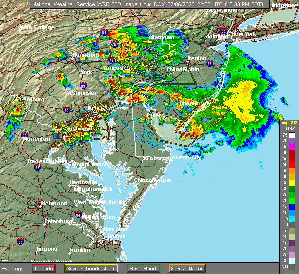 At 637 pm edt, a severe thunderstorm was located over mount pleasant, or near middletown, moving southeast at 10 mph (radar indicated). Hazards include 60 mph wind gusts and quarter size hail. Minor damage to vehicles is possible. Wind damage to roofs, siding, trees, and power lines is possible. At 637 pm edt, a severe thunderstorm was located over mount pleasant, or near middletown, moving southeast at 10 mph (radar indicated). Hazards include 60 mph wind gusts and quarter size hail. Minor damage to vehicles is possible. Wind damage to roofs, siding, trees, and power lines is possible.
|
| 6/4/2020 10:12 PM EDT |
 At 1012 pm edt, a severe thunderstorm was located over middletown, moving east at 35 mph (radar indicated). Hazards include 60 mph wind gusts and penny size hail. damage to roofs, siding, trees, and power lines is possible At 1012 pm edt, a severe thunderstorm was located over middletown, moving east at 35 mph (radar indicated). Hazards include 60 mph wind gusts and penny size hail. damage to roofs, siding, trees, and power lines is possible
|
| 6/4/2020 10:10 PM EDT | Storm damage reported in new castle county DE, 0.9 miles ESE of Middletown, DE |
| 4/21/2020 2:29 PM EDT |
 At 229 pm edt, severe thunderstorms were located along a line extending from saint georges to wye mills, moving east at 50 mph (radar indicated). Hazards include 60 mph wind gusts and penny size hail. Damage to roofs, siding, trees, and power lines is possible. locations impacted include, dover, middletown, easton, centerville, smyrna, milford, denton, centreville, harrington, camden, clayton, bridgeville, greensboro, oakland, ridgely, cheswold, church hill, cecilton, millington and sudlersville. People attending covid-19 drive through testing should seek safe shelter immediately!. At 229 pm edt, severe thunderstorms were located along a line extending from saint georges to wye mills, moving east at 50 mph (radar indicated). Hazards include 60 mph wind gusts and penny size hail. Damage to roofs, siding, trees, and power lines is possible. locations impacted include, dover, middletown, easton, centerville, smyrna, milford, denton, centreville, harrington, camden, clayton, bridgeville, greensboro, oakland, ridgely, cheswold, church hill, cecilton, millington and sudlersville. People attending covid-19 drive through testing should seek safe shelter immediately!.
|
| 4/21/2020 2:29 PM EDT |
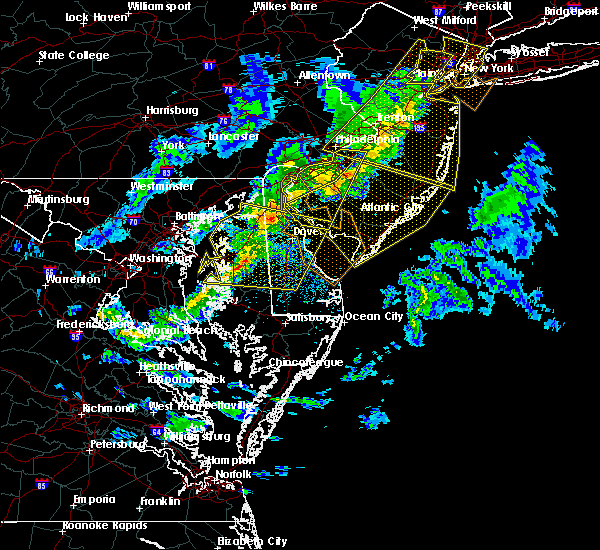 At 229 pm edt, severe thunderstorms were located along a line extending from saint georges to wye mills, moving east at 50 mph (radar indicated). Hazards include 60 mph wind gusts and penny size hail. Damage to roofs, siding, trees, and power lines is possible. locations impacted include, dover, middletown, easton, centerville, smyrna, milford, denton, centreville, harrington, camden, clayton, bridgeville, greensboro, oakland, ridgely, cheswold, church hill, cecilton, millington and sudlersville. People attending covid-19 drive through testing should seek safe shelter immediately!. At 229 pm edt, severe thunderstorms were located along a line extending from saint georges to wye mills, moving east at 50 mph (radar indicated). Hazards include 60 mph wind gusts and penny size hail. Damage to roofs, siding, trees, and power lines is possible. locations impacted include, dover, middletown, easton, centerville, smyrna, milford, denton, centreville, harrington, camden, clayton, bridgeville, greensboro, oakland, ridgely, cheswold, church hill, cecilton, millington and sudlersville. People attending covid-19 drive through testing should seek safe shelter immediately!.
|
| 4/21/2020 2:12 PM EDT |
 At 210 pm edt, a severe thunderstorm was located over glasgow, or near newark, moving east at 55 mph (radar indicated). Hazards include 60 mph wind gusts and penny size hail. Damage to roofs, siding, trees, and power lines is possible. locations impacted include, philadelphia, camden, wilmington, vineland, newark, millville, bridgeton, middletown, elkton, gloucester city, cumberland, cherry hill, evesham, mount laurel, chester, deptford, voorhees, west deptford, glassboro and lindenwold. people attending covid-19 drive through testing should seek safe shelter immediately! this includes the following highways, atlantic city expressway between mile markers 33 and 44. interstate 295 in new jersey between mile markers 0 and 41. interstate 95 in pennsylvania between mile markers 0 and 25. interstate 95 in maryland between mile markers 107 and 109. new jersey turnpike between exits 1 and 4. interstate 95 in delaware between mile markers 0 and 23. interstate 476 in pennsylvania between mile markers 0 and 7. interstate 676 in new jersey between mile markers 0 and 4. interstate 676 in pennsylvania between mile markers 0 and 1. interstate 76 in new jersey between mile markers 0 and 3. Interstate 76 in pennsylvania between mile markers 341 and 351. At 210 pm edt, a severe thunderstorm was located over glasgow, or near newark, moving east at 55 mph (radar indicated). Hazards include 60 mph wind gusts and penny size hail. Damage to roofs, siding, trees, and power lines is possible. locations impacted include, philadelphia, camden, wilmington, vineland, newark, millville, bridgeton, middletown, elkton, gloucester city, cumberland, cherry hill, evesham, mount laurel, chester, deptford, voorhees, west deptford, glassboro and lindenwold. people attending covid-19 drive through testing should seek safe shelter immediately! this includes the following highways, atlantic city expressway between mile markers 33 and 44. interstate 295 in new jersey between mile markers 0 and 41. interstate 95 in pennsylvania between mile markers 0 and 25. interstate 95 in maryland between mile markers 107 and 109. new jersey turnpike between exits 1 and 4. interstate 95 in delaware between mile markers 0 and 23. interstate 476 in pennsylvania between mile markers 0 and 7. interstate 676 in new jersey between mile markers 0 and 4. interstate 676 in pennsylvania between mile markers 0 and 1. interstate 76 in new jersey between mile markers 0 and 3. Interstate 76 in pennsylvania between mile markers 341 and 351.
|
| 4/21/2020 2:04 PM EDT |
 At 204 pm edt, severe thunderstorms were located along a line extending from near aberdeen proving ground to near kent point, moving east at 50 mph (radar indicated). Hazards include 60 mph wind gusts and penny size hail. damage to roofs, siding, trees, and power lines is possible At 204 pm edt, severe thunderstorms were located along a line extending from near aberdeen proving ground to near kent point, moving east at 50 mph (radar indicated). Hazards include 60 mph wind gusts and penny size hail. damage to roofs, siding, trees, and power lines is possible
|
| 4/21/2020 1:49 PM EDT |
 At 149 pm edt, a severe thunderstorm was located over talleyville, or near wilmington, moving east at 55 mph (radar indicated). Hazards include 60 mph wind gusts and penny size hail. damage to roofs, siding, trees, and power lines is possible At 149 pm edt, a severe thunderstorm was located over talleyville, or near wilmington, moving east at 55 mph (radar indicated). Hazards include 60 mph wind gusts and penny size hail. damage to roofs, siding, trees, and power lines is possible
|
| 4/13/2020 3:43 PM EDT |
 The severe thunderstorm warning for new castle, cecil, western salem, northwestern gloucester, southeastern chester and delaware counties will expire at 345 pm edt, the storms which prompted the warning have exited the warned area. therefore, the warning will be allowed to expire. however, gusty winds and heavy rain are still possible with these thunderstorms. a tornado watch remains in effect until 600 pm edt for central and northern delaware, northeastern maryland, southern new jersey, and southeastern pennsylvania. The severe thunderstorm warning for new castle, cecil, western salem, northwestern gloucester, southeastern chester and delaware counties will expire at 345 pm edt, the storms which prompted the warning have exited the warned area. therefore, the warning will be allowed to expire. however, gusty winds and heavy rain are still possible with these thunderstorms. a tornado watch remains in effect until 600 pm edt for central and northern delaware, northeastern maryland, southern new jersey, and southeastern pennsylvania.
|
| 4/13/2020 3:19 PM EDT |
 At 318 pm edt, severe thunderstorms were located along a line extending from near paoli to overton, moving east at 40 mph (radar indicated). Hazards include 60 mph wind gusts. Damage to roofs, siding, trees, and power lines is possible. locations impacted include, wilmington, newark, middletown, west chester, elkton, chester, pennsville, westtown, smyrna, carneys point, folcroft, swarthmore, elsmere, paulsboro, kennett square, new castle, penns grove, salem, north east and woodstown. people attending covid-19 drive through testing should seek safe shelter immediately! this includes the following highways, interstate 295 in new jersey between mile markers 0 and 17. interstate 95 in pennsylvania between mile markers 0 and 11. interstate 95 in maryland between mile markers 101 and 109. new jersey turnpike near exit 1. interstate 95 in delaware between mile markers 0 and 23. Interstate 476 in pennsylvania between mile markers 0 and 7. At 318 pm edt, severe thunderstorms were located along a line extending from near paoli to overton, moving east at 40 mph (radar indicated). Hazards include 60 mph wind gusts. Damage to roofs, siding, trees, and power lines is possible. locations impacted include, wilmington, newark, middletown, west chester, elkton, chester, pennsville, westtown, smyrna, carneys point, folcroft, swarthmore, elsmere, paulsboro, kennett square, new castle, penns grove, salem, north east and woodstown. people attending covid-19 drive through testing should seek safe shelter immediately! this includes the following highways, interstate 295 in new jersey between mile markers 0 and 17. interstate 95 in pennsylvania between mile markers 0 and 11. interstate 95 in maryland between mile markers 101 and 109. new jersey turnpike near exit 1. interstate 95 in delaware between mile markers 0 and 23. Interstate 476 in pennsylvania between mile markers 0 and 7.
|
| 4/13/2020 2:41 PM EDT |
 At 239 pm edt, severe thunderstorms were located along a line extending from churchtown to severn, moving east at 40 mph (radar indicated). Hazards include 60 mph wind gusts. damage to roofs, siding, trees, and power lines is possible At 239 pm edt, severe thunderstorms were located along a line extending from churchtown to severn, moving east at 40 mph (radar indicated). Hazards include 60 mph wind gusts. damage to roofs, siding, trees, and power lines is possible
|
| 4/10/2020 12:10 AM EDT |
 At 1209 am edt, severe thunderstorms were located along a line extending from chester township to delaware city to near hollywood beach, moving east at 60 mph (radar indicated). Hazards include 70 mph wind gusts. Expect considerable tree damage. damage is likely to mobile homes, roofs, and outbuildings. locations impacted include, philadelphia, wilmington, vineland, millville, bridgeton, middletown, chester, deptford, west deptford, glassboro, lindenwold, pennsville, bellmawr, woodbury, smyrna, pitman, carneys point, berlin, folcroft and swarthmore. this includes the following highways, atlantic city expressway between mile markers 38 and 44. interstate 295 in new jersey between mile markers 0 and 26. interstate 95 in pennsylvania between mile markers 0 and 13. new jersey turnpike between exits 1 and 2. interstate 95 in delaware between mile markers 11 and 23. Interstate 476 in pennsylvania between mile markers 0 and 3. At 1209 am edt, severe thunderstorms were located along a line extending from chester township to delaware city to near hollywood beach, moving east at 60 mph (radar indicated). Hazards include 70 mph wind gusts. Expect considerable tree damage. damage is likely to mobile homes, roofs, and outbuildings. locations impacted include, philadelphia, wilmington, vineland, millville, bridgeton, middletown, chester, deptford, west deptford, glassboro, lindenwold, pennsville, bellmawr, woodbury, smyrna, pitman, carneys point, berlin, folcroft and swarthmore. this includes the following highways, atlantic city expressway between mile markers 38 and 44. interstate 295 in new jersey between mile markers 0 and 26. interstate 95 in pennsylvania between mile markers 0 and 13. new jersey turnpike between exits 1 and 2. interstate 95 in delaware between mile markers 11 and 23. Interstate 476 in pennsylvania between mile markers 0 and 3.
|
| 4/9/2020 11:49 PM EDT |
 At 1148 pm edt, severe thunderstorms were located along a line extending from near coatesville to pleasant hill to near bel air south, moving east at 60 mph (radar indicated). Hazards include 60 mph wind gusts and small hail. damage to roofs, siding, trees, and power lines is possible At 1148 pm edt, severe thunderstorms were located along a line extending from near coatesville to pleasant hill to near bel air south, moving east at 60 mph (radar indicated). Hazards include 60 mph wind gusts and small hail. damage to roofs, siding, trees, and power lines is possible
|
| 4/9/2020 1:50 PM EDT |
 The severe thunderstorm warning for southwestern new castle, western salem, west central camden, northwestern gloucester, southwestern philadelphia and southeastern delaware counties will expire at 200 pm edt, the storms which prompted the warning have weakened below severe limits, and have exited the warned area. therefore, the warning will be allowed to expire. a severe thunderstorm watch remains in effect until 400 pm edt for northern delaware, southern new jersey, and southeastern pennsylvania. to report severe weather, contact your nearest law enforcement agency. they will relay your report to the national weather service mount holly nj. The severe thunderstorm warning for southwestern new castle, western salem, west central camden, northwestern gloucester, southwestern philadelphia and southeastern delaware counties will expire at 200 pm edt, the storms which prompted the warning have weakened below severe limits, and have exited the warned area. therefore, the warning will be allowed to expire. a severe thunderstorm watch remains in effect until 400 pm edt for northern delaware, southern new jersey, and southeastern pennsylvania. to report severe weather, contact your nearest law enforcement agency. they will relay your report to the national weather service mount holly nj.
|
| 4/9/2020 1:39 PM EDT |
 At 138 pm edt, severe thunderstorms were located along a line extending from south philadelphia to near swedesboro to near port penn, moving east at 45 mph (radar indicated). Hazards include 60 mph wind gusts and penny size hail. Damage to roofs, siding, trees, and power lines is possible. locations impacted include, philadelphia, middletown, gloucester city, deptford, west deptford, glassboro, lindenwold, pennsville, bellmawr, woodbury, pitman, folcroft, paulsboro, salem, magnolia, westville, woodstown, alloway, woodbury heights and national park. this includes the following highways, interstate 295 in new jersey between mile markers 9 and 32. interstate 95 in pennsylvania between mile markers 11 and 14. new jersey turnpike between exits 1 and 3. Interstate 76 in new jersey between mile markers 0 and 1. At 138 pm edt, severe thunderstorms were located along a line extending from south philadelphia to near swedesboro to near port penn, moving east at 45 mph (radar indicated). Hazards include 60 mph wind gusts and penny size hail. Damage to roofs, siding, trees, and power lines is possible. locations impacted include, philadelphia, middletown, gloucester city, deptford, west deptford, glassboro, lindenwold, pennsville, bellmawr, woodbury, pitman, folcroft, paulsboro, salem, magnolia, westville, woodstown, alloway, woodbury heights and national park. this includes the following highways, interstate 295 in new jersey between mile markers 9 and 32. interstate 95 in pennsylvania between mile markers 11 and 14. new jersey turnpike between exits 1 and 3. Interstate 76 in new jersey between mile markers 0 and 1.
|
| 4/9/2020 1:12 PM EDT |
 At 111 pm edt, severe thunderstorms were located along a line extending from westtown to pike creek to near charlestown, moving east at 45 mph (radar indicated). Hazards include 60 mph wind gusts and penny size hail. damage to roofs, siding, trees, and power lines is possible At 111 pm edt, severe thunderstorms were located along a line extending from westtown to pike creek to near charlestown, moving east at 45 mph (radar indicated). Hazards include 60 mph wind gusts and penny size hail. damage to roofs, siding, trees, and power lines is possible
|
| 2/7/2020 10:24 AM EST |
 The severe thunderstorm warning for sussex, southwestern new castle, kent and east central caroline counties will expire at 1030 am est, the storms which prompted the warning have moved out of the area. therefore, the warning will be allowed to expire. however gusty winds are still possible behind these thunderstorms. to report severe weather, contact your nearest law enforcement agency. they will relay your report to the national weather service mount holly nj. The severe thunderstorm warning for sussex, southwestern new castle, kent and east central caroline counties will expire at 1030 am est, the storms which prompted the warning have moved out of the area. therefore, the warning will be allowed to expire. however gusty winds are still possible behind these thunderstorms. to report severe weather, contact your nearest law enforcement agency. they will relay your report to the national weather service mount holly nj.
|
| 2/7/2020 10:02 AM EST |
 At 1001 am est, severe thunderstorms were located along a line extending from king of prussia to penns grove to near middletown, moving northeast at 50 mph (radar indicated). Hazards include 70 mph wind gusts and penny size hail. Expect considerable tree damage. damage is likely to mobile homes, roofs, and outbuildings. locations impacted include, philadelphia, camden, wilmington, middletown, west chester, norristown, chester, west deptford, west norriton, east norriton, pennsville, yeadon, westtown, woodbury, carneys point, conshohocken, hatboro, folcroft, ambler and swarthmore. this includes the following highways, interstate 295 in new jersey between mile markers 0 and 23. interstate 95 in pennsylvania between mile markers 0 and 23. new jersey turnpike between exits 1 and 2. interstate 95 in delaware between mile markers 9 and 23. interstate 476 in pennsylvania between mile markers 0 and 19. pennsylvania turnpike between exits 326 and 343. northeast extension near exit a20. interstate 676 in pennsylvania between mile markers 0 and 1. Interstate 76 in pennsylvania between mile markers 327 and 351. At 1001 am est, severe thunderstorms were located along a line extending from king of prussia to penns grove to near middletown, moving northeast at 50 mph (radar indicated). Hazards include 70 mph wind gusts and penny size hail. Expect considerable tree damage. damage is likely to mobile homes, roofs, and outbuildings. locations impacted include, philadelphia, camden, wilmington, middletown, west chester, norristown, chester, west deptford, west norriton, east norriton, pennsville, yeadon, westtown, woodbury, carneys point, conshohocken, hatboro, folcroft, ambler and swarthmore. this includes the following highways, interstate 295 in new jersey between mile markers 0 and 23. interstate 95 in pennsylvania between mile markers 0 and 23. new jersey turnpike between exits 1 and 2. interstate 95 in delaware between mile markers 9 and 23. interstate 476 in pennsylvania between mile markers 0 and 19. pennsylvania turnpike between exits 326 and 343. northeast extension near exit a20. interstate 676 in pennsylvania between mile markers 0 and 1. Interstate 76 in pennsylvania between mile markers 327 and 351.
|
| 2/7/2020 9:52 AM EST | Storm damage reported in new castle county DE, 4.3 miles SE of Middletown, DE |
| 2/7/2020 9:36 AM EST |
 At 936 am est, severe thunderstorms were located along a line extending from marshallton to elkton to kennedyville, moving northeast at 50 mph (radar indicated). Hazards include 70 mph wind gusts and penny size hail. Expect considerable tree damage. Damage is likely to mobile homes, roofs, and outbuildings. At 936 am est, severe thunderstorms were located along a line extending from marshallton to elkton to kennedyville, moving northeast at 50 mph (radar indicated). Hazards include 70 mph wind gusts and penny size hail. Expect considerable tree damage. Damage is likely to mobile homes, roofs, and outbuildings.
|
| 2/7/2020 9:24 AM EST |
 At 924 am est, severe thunderstorms were located along a line extending from near goldsboro to near tanyard to 6 miles south of cambridge, moving northeast at 70 mph (radar indicated). Hazards include 60 mph wind gusts and penny size hail. damage to roofs, siding, trees, and power lines is possible At 924 am est, severe thunderstorms were located along a line extending from near goldsboro to near tanyard to 6 miles south of cambridge, moving northeast at 70 mph (radar indicated). Hazards include 60 mph wind gusts and penny size hail. damage to roofs, siding, trees, and power lines is possible
|
| 2/7/2020 9:22 AM EST |
 At 920 am est, severe thunderstorms were located along a line extending from reading to near parkesburg to near aberdeen proving ground, moving northeast at 65 mph. numerous trees have been reported down along with numerous power outages due to high winds along and ahead of this line of storms (radar indicated). Hazards include 70 mph wind gusts and penny size hail. Expect considerable tree damage. damage is likely to mobile homes, roofs, and outbuildings. locations impacted include, reading, wilmington, newark, middletown, west chester, elkton, calvert, pottstown, phoenixville, coatesville, westtown, wyomissing, downingtown, elsmere, kennett square, birdsboro, collegeville, oxford, kutztown and royersford. this includes the following highways, interstate 78 in pennsylvania between mile markers 43 and 44. interstate 95 in maryland between mile markers 91 and 109. interstate 95 in delaware between mile markers 0 and 11. pennsylvania turnpike between exits 298 and 320. Interstate 176 in pennsylvania between mile markers 1 and 11. At 920 am est, severe thunderstorms were located along a line extending from reading to near parkesburg to near aberdeen proving ground, moving northeast at 65 mph. numerous trees have been reported down along with numerous power outages due to high winds along and ahead of this line of storms (radar indicated). Hazards include 70 mph wind gusts and penny size hail. Expect considerable tree damage. damage is likely to mobile homes, roofs, and outbuildings. locations impacted include, reading, wilmington, newark, middletown, west chester, elkton, calvert, pottstown, phoenixville, coatesville, westtown, wyomissing, downingtown, elsmere, kennett square, birdsboro, collegeville, oxford, kutztown and royersford. this includes the following highways, interstate 78 in pennsylvania between mile markers 43 and 44. interstate 95 in maryland between mile markers 91 and 109. interstate 95 in delaware between mile markers 0 and 11. pennsylvania turnpike between exits 298 and 320. Interstate 176 in pennsylvania between mile markers 1 and 11.
|
| 2/7/2020 8:52 AM EST |
 At 851 am est, severe thunderstorms were located along a line extending from mountville to delta to essex, moving northeast at 60 mph. this storm has a history of producing wind damage across portions of maryland (radar indicated). Hazards include 70 mph wind gusts and penny size hail. Expect considerable tree damage. Damage is likely to mobile homes, roofs, and outbuildings. At 851 am est, severe thunderstorms were located along a line extending from mountville to delta to essex, moving northeast at 60 mph. this storm has a history of producing wind damage across portions of maryland (radar indicated). Hazards include 70 mph wind gusts and penny size hail. Expect considerable tree damage. Damage is likely to mobile homes, roofs, and outbuildings.
|
| 10/31/2019 11:28 PM EDT |
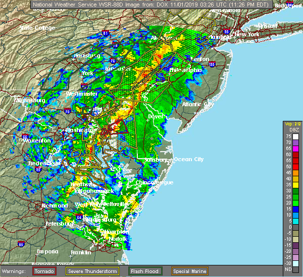 At 1128 pm edt, severe thunderstorms were located along a line extending from near saint georges to near st. michaels, moving northeast at 65 mph (radar indicated). Hazards include 60 mph wind gusts. damage to roofs, siding, trees, and power lines is possible At 1128 pm edt, severe thunderstorms were located along a line extending from near saint georges to near st. michaels, moving northeast at 65 mph (radar indicated). Hazards include 60 mph wind gusts. damage to roofs, siding, trees, and power lines is possible
|
| 9/4/2019 8:42 PM EDT |
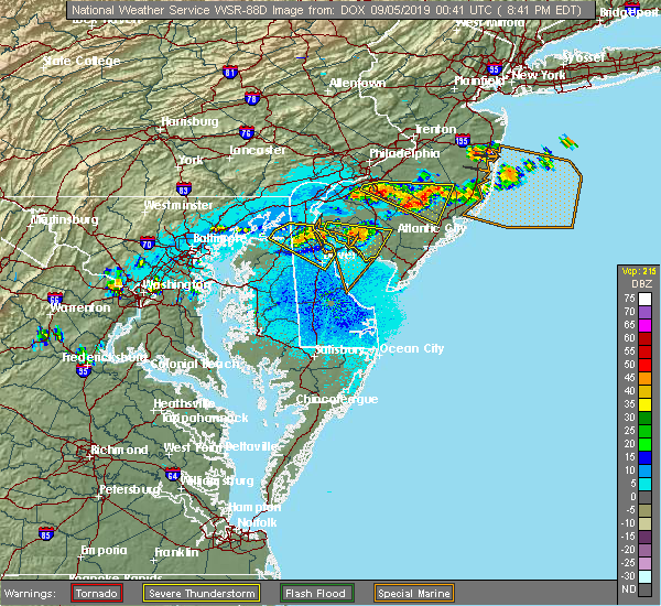 At 842 pm edt, a severe thunderstorm was located near hope creek, or 9 miles east of middletown, moving east at 25 mph (radar indicated). Hazards include 60 mph wind gusts and penny size hail. Damage to roofs, siding, trees, and power lines is possible. Locations impacted include, dover, middletown, smyrna, clayton, cheswold, woodland beach, green spring, delaney corner, dover speedway, dover base housing, townsend, odessa, kenton, little creek, leipsic, chambersville and kent acres. At 842 pm edt, a severe thunderstorm was located near hope creek, or 9 miles east of middletown, moving east at 25 mph (radar indicated). Hazards include 60 mph wind gusts and penny size hail. Damage to roofs, siding, trees, and power lines is possible. Locations impacted include, dover, middletown, smyrna, clayton, cheswold, woodland beach, green spring, delaney corner, dover speedway, dover base housing, townsend, odessa, kenton, little creek, leipsic, chambersville and kent acres.
|
| 9/4/2019 8:13 PM EDT |
 At 813 pm edt, a severe thunderstorm was located over warwick, or near middletown, moving east at 20 mph (radar indicated). Hazards include 60 mph wind gusts and penny size hail. damage to roofs, siding, trees, and power lines is possible At 813 pm edt, a severe thunderstorm was located over warwick, or near middletown, moving east at 20 mph (radar indicated). Hazards include 60 mph wind gusts and penny size hail. damage to roofs, siding, trees, and power lines is possible
|
| 9/4/2019 8:13 PM EDT |
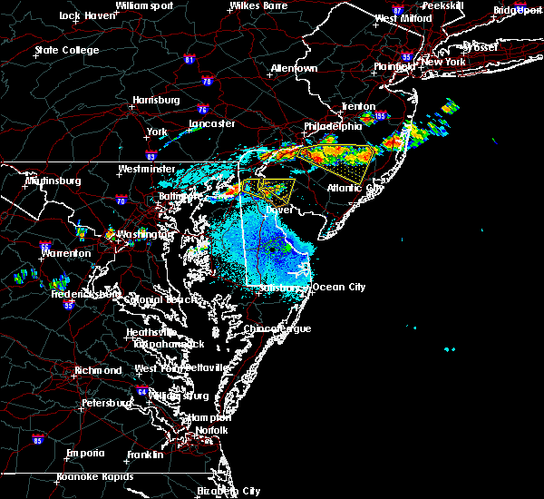 At 813 pm edt, a severe thunderstorm was located over warwick, or near middletown, moving east at 20 mph (radar indicated). Hazards include 60 mph wind gusts and penny size hail. damage to roofs, siding, trees, and power lines is possible At 813 pm edt, a severe thunderstorm was located over warwick, or near middletown, moving east at 20 mph (radar indicated). Hazards include 60 mph wind gusts and penny size hail. damage to roofs, siding, trees, and power lines is possible
|
| 9/4/2019 8:07 PM EDT |
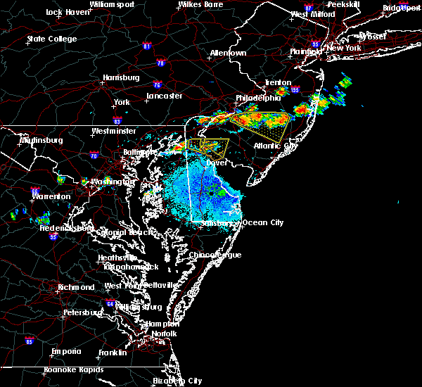 The severe thunderstorm warning for southwestern new castle, northwestern cumberland and southwestern salem counties will expire at 815 pm edt, the storm which prompted the warning has weakened below severe limits, and no longer poses an immediate threat to life or property. therefore, the warning will be allowed to expire. however gusty winds and heavy rain are still possible with this thunderstorm. The severe thunderstorm warning for southwestern new castle, northwestern cumberland and southwestern salem counties will expire at 815 pm edt, the storm which prompted the warning has weakened below severe limits, and no longer poses an immediate threat to life or property. therefore, the warning will be allowed to expire. however gusty winds and heavy rain are still possible with this thunderstorm.
|
| 9/4/2019 8:07 PM EDT |
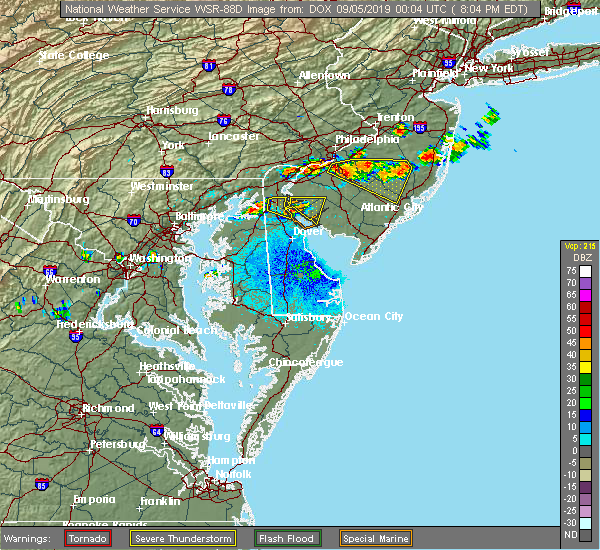 The severe thunderstorm warning for southwestern new castle, northwestern cumberland and southwestern salem counties will expire at 815 pm edt, the storm which prompted the warning has weakened below severe limits, and no longer poses an immediate threat to life or property. therefore, the warning will be allowed to expire. however gusty winds and heavy rain are still possible with this thunderstorm. The severe thunderstorm warning for southwestern new castle, northwestern cumberland and southwestern salem counties will expire at 815 pm edt, the storm which prompted the warning has weakened below severe limits, and no longer poses an immediate threat to life or property. therefore, the warning will be allowed to expire. however gusty winds and heavy rain are still possible with this thunderstorm.
|
| 9/4/2019 7:45 PM EDT |
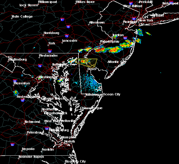 At 745 pm edt, a severe thunderstorm was located over middletown, moving east at 20 mph (radar indicated). Hazards include 60 mph wind gusts and quarter size hail. Minor damage to vehicles is possible. wind damage to roofs, siding, trees, and power lines is possible. Locations impacted include, bridgeton, middletown, alloway, quinton, greenwich, shiloh, hancocks bridge, newport meadows, hope creek, mount pleasant, seabrook farms and odessa. At 745 pm edt, a severe thunderstorm was located over middletown, moving east at 20 mph (radar indicated). Hazards include 60 mph wind gusts and quarter size hail. Minor damage to vehicles is possible. wind damage to roofs, siding, trees, and power lines is possible. Locations impacted include, bridgeton, middletown, alloway, quinton, greenwich, shiloh, hancocks bridge, newport meadows, hope creek, mount pleasant, seabrook farms and odessa.
|
| 9/4/2019 7:24 PM EDT |
 At 724 pm edt, a severe thunderstorm was located over mount pleasant, or over middletown, moving east at 25 mph (radar indicated). Hazards include 60 mph wind gusts and quarter size hail. Minor damage to vehicles is possible. Wind damage to roofs, siding, trees, and power lines is possible. At 724 pm edt, a severe thunderstorm was located over mount pleasant, or over middletown, moving east at 25 mph (radar indicated). Hazards include 60 mph wind gusts and quarter size hail. Minor damage to vehicles is possible. Wind damage to roofs, siding, trees, and power lines is possible.
|
| 9/4/2019 7:24 PM EDT |
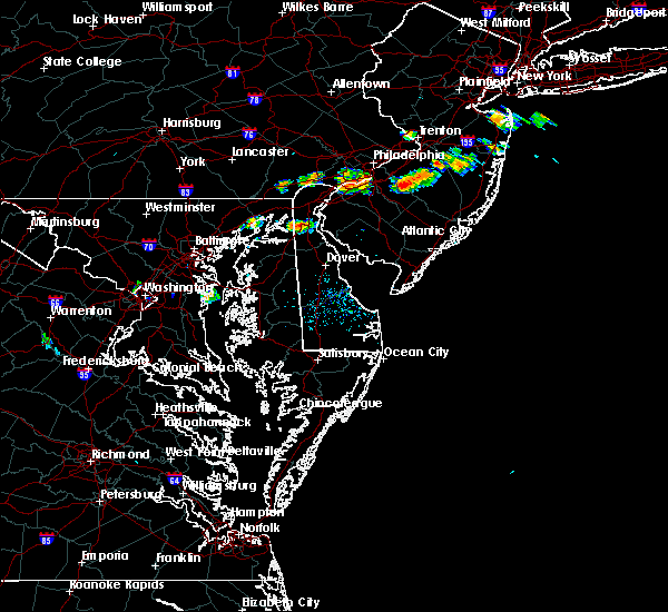 At 724 pm edt, a severe thunderstorm was located over mount pleasant, or over middletown, moving east at 25 mph (radar indicated). Hazards include 60 mph wind gusts and quarter size hail. Minor damage to vehicles is possible. Wind damage to roofs, siding, trees, and power lines is possible. At 724 pm edt, a severe thunderstorm was located over mount pleasant, or over middletown, moving east at 25 mph (radar indicated). Hazards include 60 mph wind gusts and quarter size hail. Minor damage to vehicles is possible. Wind damage to roofs, siding, trees, and power lines is possible.
|
| 8/22/2019 9:51 PM EDT |
 At 945 pm edt, severe thunderstorms were located along a line extending from glasgow to bohemias mills to near sassafras, moving east at 25 mph (radar indicated). Hazards include 60 mph wind gusts and penny size hail. Damage to roofs, siding, trees, and power lines is possible. locations impacted include, middletown, elkton, new castle, delaware city, cecilton, millington, betterton, warwick, glasgow, bear, bohemias mills, newtown, port penn, brantwood, wilmington manor, delaney corner, saint georges, sassafras, mount pleasant and cayots. This includes interstate 95 in delaware between mile markers 3 and 5. At 945 pm edt, severe thunderstorms were located along a line extending from glasgow to bohemias mills to near sassafras, moving east at 25 mph (radar indicated). Hazards include 60 mph wind gusts and penny size hail. Damage to roofs, siding, trees, and power lines is possible. locations impacted include, middletown, elkton, new castle, delaware city, cecilton, millington, betterton, warwick, glasgow, bear, bohemias mills, newtown, port penn, brantwood, wilmington manor, delaney corner, saint georges, sassafras, mount pleasant and cayots. This includes interstate 95 in delaware between mile markers 3 and 5.
|
| 8/22/2019 9:51 PM EDT |
 The severe thunderstorm warning for southwestern new castle, northern kent and southeastern cecil counties will expire at 1000 pm edt, the storms which prompted the warning have weakened below severe limits, and no longer pose an immediate threat to life or property. therefore, the warning will be allowed to expire. however gusty winds and heavy rain are still possible with these thunderstorms. remember, a severe thunderstorm warning still remains in effect for kent county md until 1015 pm edt. The severe thunderstorm warning for southwestern new castle, northern kent and southeastern cecil counties will expire at 1000 pm edt, the storms which prompted the warning have weakened below severe limits, and no longer pose an immediate threat to life or property. therefore, the warning will be allowed to expire. however gusty winds and heavy rain are still possible with these thunderstorms. remember, a severe thunderstorm warning still remains in effect for kent county md until 1015 pm edt.
|
| 8/22/2019 9:45 PM EDT |
 At 945 pm edt, severe thunderstorms were located along a line extending from glasgow to bohemias mills to near sassafras, moving east at 25 mph (radar indicated). Hazards include 60 mph wind gusts and penny size hail. Damage to roofs, siding, trees, and power lines is possible. locations impacted include, middletown, elkton, new castle, delaware city, cecilton, millington, betterton, warwick, glasgow, bear, bohemias mills, newtown, port penn, brantwood, wilmington manor, delaney corner, saint georges, sassafras, mount pleasant and cayots. This includes interstate 95 in delaware between mile markers 3 and 5. At 945 pm edt, severe thunderstorms were located along a line extending from glasgow to bohemias mills to near sassafras, moving east at 25 mph (radar indicated). Hazards include 60 mph wind gusts and penny size hail. Damage to roofs, siding, trees, and power lines is possible. locations impacted include, middletown, elkton, new castle, delaware city, cecilton, millington, betterton, warwick, glasgow, bear, bohemias mills, newtown, port penn, brantwood, wilmington manor, delaney corner, saint georges, sassafras, mount pleasant and cayots. This includes interstate 95 in delaware between mile markers 3 and 5.
|
| 8/22/2019 9:27 PM EDT |
 At 926 pm edt, severe thunderstorms were located along a line extending from near north east to near cayots to near kennedyville, moving east at 25 mph (radar indicated). Hazards include 60 mph wind gusts and penny size hail. Damage to roofs, siding, trees, and power lines is possible. locations impacted include, newark, middletown, elkton, new castle, north east, delaware city, charlestown, cecilton, millington, betterton, warwick, glasgow, bear, bohemias mills, newtown, port penn, brantwood, wilmington manor, delaney corner and saint georges. this includes the following highways, interstate 95 in maryland between mile markers 92 and 96, and between mile markers 105 and 109. Interstate 95 in delaware between mile markers 0 and 10. At 926 pm edt, severe thunderstorms were located along a line extending from near north east to near cayots to near kennedyville, moving east at 25 mph (radar indicated). Hazards include 60 mph wind gusts and penny size hail. Damage to roofs, siding, trees, and power lines is possible. locations impacted include, newark, middletown, elkton, new castle, north east, delaware city, charlestown, cecilton, millington, betterton, warwick, glasgow, bear, bohemias mills, newtown, port penn, brantwood, wilmington manor, delaney corner and saint georges. this includes the following highways, interstate 95 in maryland between mile markers 92 and 96, and between mile markers 105 and 109. Interstate 95 in delaware between mile markers 0 and 10.
|
| 8/22/2019 8:54 PM EDT |
 At 854 pm edt, severe thunderstorms were located along a line extending from near havre de grace to near aberdeen proving ground to near newtown, moving east at 30 mph (radar indicated). Hazards include 60 mph wind gusts and penny size hail. damage to roofs, siding, trees, and power lines is possible At 854 pm edt, severe thunderstorms were located along a line extending from near havre de grace to near aberdeen proving ground to near newtown, moving east at 30 mph (radar indicated). Hazards include 60 mph wind gusts and penny size hail. damage to roofs, siding, trees, and power lines is possible
|
| 8/7/2019 6:06 PM EDT |
 The severe thunderstorm warning for southwestern new castle, kent, northeastern talbot, eastern queen anne`s, northern caroline, northeastern kent and southeastern cecil counties will expire at 615 pm edt, the storms which prompted the warning have weakened below severe limits, and no longer pose an immediate threat to life or property. therefore, the warning will be allowed to expire. however gusty winds and heavy rain are still possible with these thunderstorms. a severe thunderstorm watch remains in effect until 900 pm edt for central, northern and southern delaware, and eastern and northeastern maryland. to report severe weather, contact your nearest law enforcement agency. they will relay your report to the national weather service mount holly nj. The severe thunderstorm warning for southwestern new castle, kent, northeastern talbot, eastern queen anne`s, northern caroline, northeastern kent and southeastern cecil counties will expire at 615 pm edt, the storms which prompted the warning have weakened below severe limits, and no longer pose an immediate threat to life or property. therefore, the warning will be allowed to expire. however gusty winds and heavy rain are still possible with these thunderstorms. a severe thunderstorm watch remains in effect until 900 pm edt for central, northern and southern delaware, and eastern and northeastern maryland. to report severe weather, contact your nearest law enforcement agency. they will relay your report to the national weather service mount holly nj.
|
| 8/7/2019 5:54 PM EDT |
 The severe thunderstorm warning for southwestern new castle, northwestern kent, talbot, eastern queen anne`s, northern caroline, northeastern kent and southeastern cecil counties will expire at 600 pm edt, the storms which prompted the warning have moved out of the area. therefore, the warning will be allowed to expire. however gusty winds and heavy rain are still possible with these thunderstorms. a severe thunderstorm watch remains in effect until 900 pm edt for central and northern delaware, and eastern and northeastern maryland. to report severe weather, contact your nearest law enforcement agency. they will relay your report to the national weather service mount holly nj. new severe thunderstorm warnings are in effect. The severe thunderstorm warning for southwestern new castle, northwestern kent, talbot, eastern queen anne`s, northern caroline, northeastern kent and southeastern cecil counties will expire at 600 pm edt, the storms which prompted the warning have moved out of the area. therefore, the warning will be allowed to expire. however gusty winds and heavy rain are still possible with these thunderstorms. a severe thunderstorm watch remains in effect until 900 pm edt for central and northern delaware, and eastern and northeastern maryland. to report severe weather, contact your nearest law enforcement agency. they will relay your report to the national weather service mount holly nj. new severe thunderstorm warnings are in effect.
|
| 8/7/2019 5:54 PM EDT |
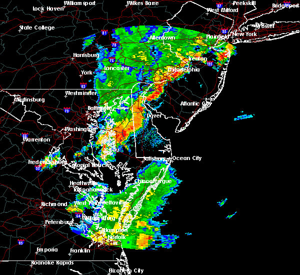 The severe thunderstorm warning for southwestern new castle, northwestern kent, talbot, eastern queen anne`s, northern caroline, northeastern kent and southeastern cecil counties will expire at 600 pm edt, the storms which prompted the warning have moved out of the area. therefore, the warning will be allowed to expire. however gusty winds and heavy rain are still possible with these thunderstorms. a severe thunderstorm watch remains in effect until 900 pm edt for central and northern delaware, and eastern and northeastern maryland. to report severe weather, contact your nearest law enforcement agency. they will relay your report to the national weather service mount holly nj. new severe thunderstorm warnings are in effect. The severe thunderstorm warning for southwestern new castle, northwestern kent, talbot, eastern queen anne`s, northern caroline, northeastern kent and southeastern cecil counties will expire at 600 pm edt, the storms which prompted the warning have moved out of the area. therefore, the warning will be allowed to expire. however gusty winds and heavy rain are still possible with these thunderstorms. a severe thunderstorm watch remains in effect until 900 pm edt for central and northern delaware, and eastern and northeastern maryland. to report severe weather, contact your nearest law enforcement agency. they will relay your report to the national weather service mount holly nj. new severe thunderstorm warnings are in effect.
|
| 8/7/2019 5:42 PM EDT |
 At 542 pm edt, severe thunderstorms were located along a line extending from cecilton to near goldsboro to wye mills to near st. michaels, moving east at 30 mph (radar indicated). Hazards include 60 mph wind gusts and penny size hail. Damage to roofs, siding, trees, and power lines is possible. locations impacted include, middletown, easton, greensboro, oakland, ridgely, trappe, st. Michaels, millington, sudlersville, goldsboro, queen anne, hartly, warwick, starr, copperville, bohemias mills, jumptown, delaney corner, sassafras and tanyard. At 542 pm edt, severe thunderstorms were located along a line extending from cecilton to near goldsboro to wye mills to near st. michaels, moving east at 30 mph (radar indicated). Hazards include 60 mph wind gusts and penny size hail. Damage to roofs, siding, trees, and power lines is possible. locations impacted include, middletown, easton, greensboro, oakland, ridgely, trappe, st. Michaels, millington, sudlersville, goldsboro, queen anne, hartly, warwick, starr, copperville, bohemias mills, jumptown, delaney corner, sassafras and tanyard.
|
| 8/7/2019 5:42 PM EDT |
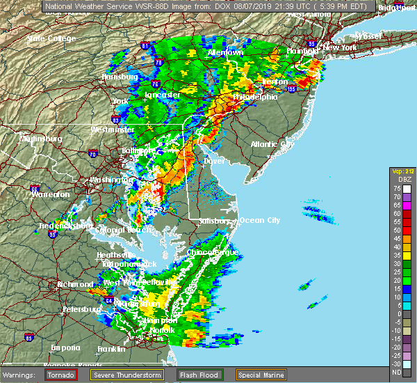 At 542 pm edt, severe thunderstorms were located along a line extending from cecilton to near goldsboro to wye mills to near st. michaels, moving east at 30 mph (radar indicated). Hazards include 60 mph wind gusts and penny size hail. Damage to roofs, siding, trees, and power lines is possible. locations impacted include, middletown, easton, greensboro, oakland, ridgely, trappe, st. Michaels, millington, sudlersville, goldsboro, queen anne, hartly, warwick, starr, copperville, bohemias mills, jumptown, delaney corner, sassafras and tanyard. At 542 pm edt, severe thunderstorms were located along a line extending from cecilton to near goldsboro to wye mills to near st. michaels, moving east at 30 mph (radar indicated). Hazards include 60 mph wind gusts and penny size hail. Damage to roofs, siding, trees, and power lines is possible. locations impacted include, middletown, easton, greensboro, oakland, ridgely, trappe, st. Michaels, millington, sudlersville, goldsboro, queen anne, hartly, warwick, starr, copperville, bohemias mills, jumptown, delaney corner, sassafras and tanyard.
|
| 8/7/2019 5:33 PM EDT |
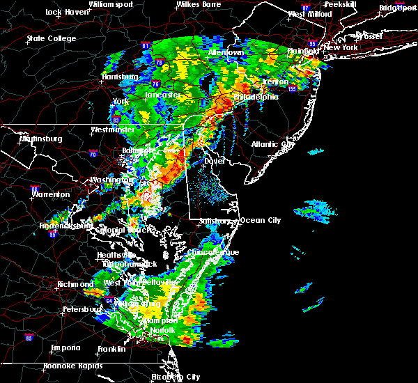 At 533 pm edt, severe thunderstorms were located along a line extending from near warwick to near goldsboro to near skipton, moving east at 40 mph (radar indicated). Hazards include 60 mph wind gusts and nickel size hail. damage to roofs, siding, trees, and power lines is possible At 533 pm edt, severe thunderstorms were located along a line extending from near warwick to near goldsboro to near skipton, moving east at 40 mph (radar indicated). Hazards include 60 mph wind gusts and nickel size hail. damage to roofs, siding, trees, and power lines is possible
|
| 8/7/2019 5:26 PM EDT |
 At 526 pm edt, severe thunderstorms were located along a line extending from near cecilton to near hope to near grasonville to tilghman island, moving east at 35 mph (radar indicated). Hazards include 60 mph wind gusts and nickel size hail. Damage to roofs, siding, trees, and power lines is possible. locations impacted include, middletown, easton, centerville, talbot, centreville, greensboro, oakland, ridgely, trappe, st. Michaels, church hill, cecilton, millington, sudlersville, goldsboro, queen anne, hartly, starr, copperville and bohemias mills. At 526 pm edt, severe thunderstorms were located along a line extending from near cecilton to near hope to near grasonville to tilghman island, moving east at 35 mph (radar indicated). Hazards include 60 mph wind gusts and nickel size hail. Damage to roofs, siding, trees, and power lines is possible. locations impacted include, middletown, easton, centerville, talbot, centreville, greensboro, oakland, ridgely, trappe, st. Michaels, church hill, cecilton, millington, sudlersville, goldsboro, queen anne, hartly, starr, copperville and bohemias mills.
|
| 8/7/2019 4:57 PM EDT |
 At 456 pm edt, severe thunderstorms were located along a line extending from near perryman to near overton to near deale, moving east at 25 mph (radar indicated). Hazards include 60 mph wind gusts and nickel size hail. damage to roofs, siding, trees, and power lines is possible At 456 pm edt, severe thunderstorms were located along a line extending from near perryman to near overton to near deale, moving east at 25 mph (radar indicated). Hazards include 60 mph wind gusts and nickel size hail. damage to roofs, siding, trees, and power lines is possible
|
| 8/1/2019 4:06 PM EDT |
 At 405 pm edt, severe thunderstorms were located along a line extending from near green spring to near delaney corner to sudlersville, moving southeast at 10 mph (radar indicated). Hazards include 60 mph wind gusts and quarter size hail. Minor damage to vehicles is possible. Wind damage to roofs, siding, trees, and power lines is possible. At 405 pm edt, severe thunderstorms were located along a line extending from near green spring to near delaney corner to sudlersville, moving southeast at 10 mph (radar indicated). Hazards include 60 mph wind gusts and quarter size hail. Minor damage to vehicles is possible. Wind damage to roofs, siding, trees, and power lines is possible.
|
| 8/1/2019 4:06 PM EDT |
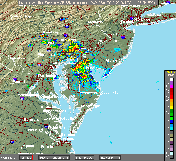 At 405 pm edt, severe thunderstorms were located along a line extending from near green spring to near delaney corner to sudlersville, moving southeast at 10 mph (radar indicated). Hazards include 60 mph wind gusts and quarter size hail. Minor damage to vehicles is possible. Wind damage to roofs, siding, trees, and power lines is possible. At 405 pm edt, severe thunderstorms were located along a line extending from near green spring to near delaney corner to sudlersville, moving southeast at 10 mph (radar indicated). Hazards include 60 mph wind gusts and quarter size hail. Minor damage to vehicles is possible. Wind damage to roofs, siding, trees, and power lines is possible.
|
| 7/22/2019 5:14 PM EDT |
 At 512 pm edt, severe thunderstorms were located along a line extending from gradyville to carneys point to near green spring, moving east at 45 mph. these are very dangerous storms (at 504 pm edt, a wind gust of 78 mph was reported at the new castle county airport near wilmington, delaware). Hazards include 80 mph wind gusts. Flying debris will be dangerous to those caught without shelter. mobile homes will be heavily damaged. expect considerable damage to roofs, windows, and vehicles. Extensive tree damage and power outages are likely. At 512 pm edt, severe thunderstorms were located along a line extending from gradyville to carneys point to near green spring, moving east at 45 mph. these are very dangerous storms (at 504 pm edt, a wind gust of 78 mph was reported at the new castle county airport near wilmington, delaware). Hazards include 80 mph wind gusts. Flying debris will be dangerous to those caught without shelter. mobile homes will be heavily damaged. expect considerable damage to roofs, windows, and vehicles. Extensive tree damage and power outages are likely.
|
| 7/22/2019 4:16 PM EDT |
 At 416 pm edt, severe thunderstorms were located along a line extending from near jarrettsville to near bowleys quarters, moving east at 55 mph (radar indicated). Hazards include 60 mph wind gusts. damage to roofs, siding, trees, and power lines is possible At 416 pm edt, severe thunderstorms were located along a line extending from near jarrettsville to near bowleys quarters, moving east at 55 mph (radar indicated). Hazards include 60 mph wind gusts. damage to roofs, siding, trees, and power lines is possible
|
| 7/21/2019 10:24 PM EDT |
 At 1022 pm edt, severe thunderstorms were located along a line extending from newark to saint georges to middletown, moving east at 30 mph. law enforcement relayed several reports of wind damage across cecil county, especially near elkton (law enforcement). Hazards include 60 mph wind gusts and quarter size hail. Minor damage to vehicles is possible. wind damage to roofs, siding, trees, and power lines is possible. Locations impacted include, wilmington, newark, middletown, elkton, pennsville, carneys point, elsmere, new castle, penns grove, salem, north east, woodstown, alloway, quinton, delaware city, newport, arden, barksdale, stanton and glasgow. At 1022 pm edt, severe thunderstorms were located along a line extending from newark to saint georges to middletown, moving east at 30 mph. law enforcement relayed several reports of wind damage across cecil county, especially near elkton (law enforcement). Hazards include 60 mph wind gusts and quarter size hail. Minor damage to vehicles is possible. wind damage to roofs, siding, trees, and power lines is possible. Locations impacted include, wilmington, newark, middletown, elkton, pennsville, carneys point, elsmere, new castle, penns grove, salem, north east, woodstown, alloway, quinton, delaware city, newport, arden, barksdale, stanton and glasgow.
|
| 7/21/2019 10:13 PM EDT |
 At 1013 pm edt, severe thunderstorms were located along a line extending from barksdale to near glasgow to bohemias mills, moving east at 30 mph (radar indicated). Hazards include 60 mph wind gusts and quarter size hail. Minor damage to vehicles is possible. Wind damage to roofs, siding, trees, and power lines is possible. At 1013 pm edt, severe thunderstorms were located along a line extending from barksdale to near glasgow to bohemias mills, moving east at 30 mph (radar indicated). Hazards include 60 mph wind gusts and quarter size hail. Minor damage to vehicles is possible. Wind damage to roofs, siding, trees, and power lines is possible.
|
| 7/21/2019 10:03 PM EDT |
 At 944 pm edt, a severe thunderstorm was located near cecilton, or 10 miles east of aberdeen proving ground, moving east at 30 mph (radar indicated). Hazards include 60 mph wind gusts and quarter size hail. Minor damage to vehicles is possible. Wind damage to roofs, siding, trees, and power lines is possible. At 944 pm edt, a severe thunderstorm was located near cecilton, or 10 miles east of aberdeen proving ground, moving east at 30 mph (radar indicated). Hazards include 60 mph wind gusts and quarter size hail. Minor damage to vehicles is possible. Wind damage to roofs, siding, trees, and power lines is possible.
|
| 7/21/2019 10:03 PM EDT |
 A severe thunderstorm warning remains in effect until 1030 pm edt for southwestern new castle and southeastern cecil counties. at 1003 pm edt, a severe thunderstorm was located over cecilton, or 8 miles west of middletown, moving northeast at 15 mph. hazard. 60 mph wind gusts and quarter size hail. source. Radar indicated. A severe thunderstorm warning remains in effect until 1030 pm edt for southwestern new castle and southeastern cecil counties. at 1003 pm edt, a severe thunderstorm was located over cecilton, or 8 miles west of middletown, moving northeast at 15 mph. hazard. 60 mph wind gusts and quarter size hail. source. Radar indicated.
|
| 7/21/2019 10:00 PM EDT |
 At 1000 pm edt, a severe thunderstorm was located over north east, or near elkton, moving east at 30 mph (radar indicated). Hazards include 60 mph wind gusts and quarter size hail. Minor damage to vehicles is possible. wind damage to roofs, siding, trees, and power lines is possible. Locations impacted include, wilmington, newark, middletown, elkton, calvert, elsmere, new castle, oxford, north east, rising sun, delaware city, charlestown, newport, arden, blake, stanton, glasgow, talleyville, bohemias mills and west nottingham. At 1000 pm edt, a severe thunderstorm was located over north east, or near elkton, moving east at 30 mph (radar indicated). Hazards include 60 mph wind gusts and quarter size hail. Minor damage to vehicles is possible. wind damage to roofs, siding, trees, and power lines is possible. Locations impacted include, wilmington, newark, middletown, elkton, calvert, elsmere, new castle, oxford, north east, rising sun, delaware city, charlestown, newport, arden, blake, stanton, glasgow, talleyville, bohemias mills and west nottingham.
|
| 7/21/2019 9:44 PM EDT |
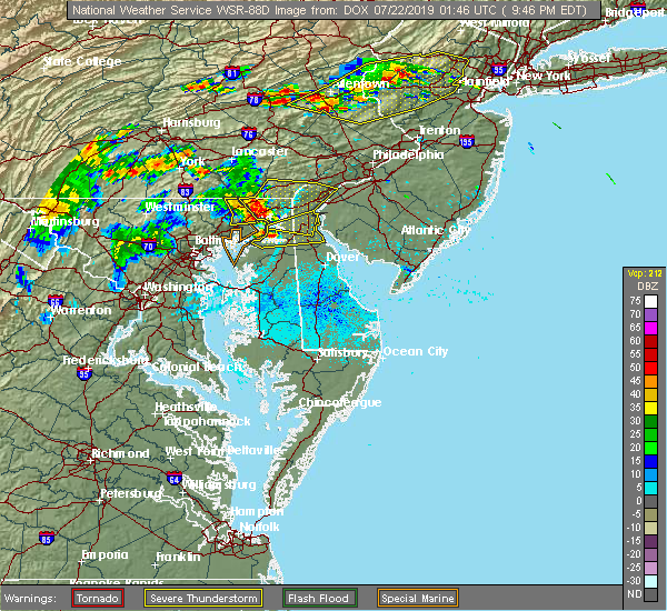 The national weather service in mount holly nj has issued a * severe thunderstorm warning for. southwestern new castle county in northern delaware. northeastern kent county in northeastern maryland. southeastern cecil county in northeastern maryland. Until 1030 pm edt. The national weather service in mount holly nj has issued a * severe thunderstorm warning for. southwestern new castle county in northern delaware. northeastern kent county in northeastern maryland. southeastern cecil county in northeastern maryland. Until 1030 pm edt.
|
| 7/21/2019 9:44 PM EDT |
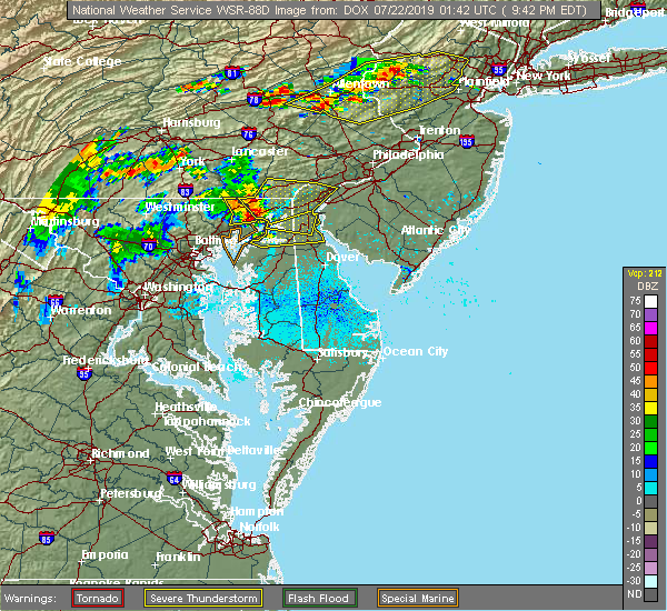 The national weather service in mount holly nj has issued a * severe thunderstorm warning for. southwestern new castle county in northern delaware. northeastern kent county in northeastern maryland. southeastern cecil county in northeastern maryland. Until 1030 pm edt. The national weather service in mount holly nj has issued a * severe thunderstorm warning for. southwestern new castle county in northern delaware. northeastern kent county in northeastern maryland. southeastern cecil county in northeastern maryland. Until 1030 pm edt.
|
| 7/21/2019 9:30 PM EDT |
 At 930 pm edt, severe thunderstorms were located along a line extending from near homeville to near conowingo to aberdeen, moving east at 40 mph (radar indicated). Hazards include 60 mph wind gusts and quarter size hail. Minor damage to vehicles is possible. Wind damage to roofs, siding, trees, and power lines is possible. At 930 pm edt, severe thunderstorms were located along a line extending from near homeville to near conowingo to aberdeen, moving east at 40 mph (radar indicated). Hazards include 60 mph wind gusts and quarter size hail. Minor damage to vehicles is possible. Wind damage to roofs, siding, trees, and power lines is possible.
|
| 7/17/2019 7:10 PM EDT |
 At 709 pm edt, severe thunderstorms were located along a line extending from near hollywood beach to near sudlersville, moving east at 40 mph (radar indicated). Hazards include 60 mph wind gusts. Damage to roofs, siding, trees, and power lines is possible. Locations impacted include, dover, middletown, centerville, smyrna, chestertown, centreville, clayton, delaware city, cheswold, church hill, cecilton, millington, sudlersville, betterton, hartly, warwick, old town, bohemias mills, newtown and port penn. At 709 pm edt, severe thunderstorms were located along a line extending from near hollywood beach to near sudlersville, moving east at 40 mph (radar indicated). Hazards include 60 mph wind gusts. Damage to roofs, siding, trees, and power lines is possible. Locations impacted include, dover, middletown, centerville, smyrna, chestertown, centreville, clayton, delaware city, cheswold, church hill, cecilton, millington, sudlersville, betterton, hartly, warwick, old town, bohemias mills, newtown and port penn.
|
| 7/17/2019 6:44 PM EDT |
 At 644 pm edt, severe thunderstorms were located along a line extending from near perryman to near centreville, moving east at 40 mph (radar indicated). Hazards include 60 mph wind gusts. damage to roofs, siding, trees, and power lines is possible At 644 pm edt, severe thunderstorms were located along a line extending from near perryman to near centreville, moving east at 40 mph (radar indicated). Hazards include 60 mph wind gusts. damage to roofs, siding, trees, and power lines is possible
|
| 7/11/2019 6:18 PM EDT |
 A severe thunderstorm warning remains in effect until 645 pm edt for southwestern new castle. western kent. northeastern talbot. queen anne`s. northern caroline. northeastern kent and southeastern cecil counties. At 617 pm edt, severe thunderstorms were located along a line extending from middletown to near goldsboro, moving east at 30 mph. A severe thunderstorm warning remains in effect until 645 pm edt for southwestern new castle. western kent. northeastern talbot. queen anne`s. northern caroline. northeastern kent and southeastern cecil counties. At 617 pm edt, severe thunderstorms were located along a line extending from middletown to near goldsboro, moving east at 30 mph.
|
| 7/11/2019 5:44 PM EDT |
 The national weather service in mount holly nj has issued a * severe thunderstorm warning for. southwestern new castle county in northern delaware. western kent county in central delaware. northeastern talbot county in eastern maryland. Queen anne`s county in northeastern maryland. The national weather service in mount holly nj has issued a * severe thunderstorm warning for. southwestern new castle county in northern delaware. western kent county in central delaware. northeastern talbot county in eastern maryland. Queen anne`s county in northeastern maryland.
|
| 7/2/2019 7:57 PM EDT |
 At 755 pm edt, severe thunderstorms were located along a line extending from near paoli to glasgow, moving east at 35 mph (radar indicated). Hazards include 70 mph wind gusts and quarter size hail. Damage to vehicles is possible. expect considerable tree damage. wind damage is also likely to mobile homes, roofs, and outbuildings. Locations impacted include, wilmington, newark, middletown, west chester, elkton, calvert, chester, pennsville, coatesville, westtown, carneys point, downingtown, swarthmore, elsmere, kennett square, new castle, penns grove, salem, north east and west grove. At 755 pm edt, severe thunderstorms were located along a line extending from near paoli to glasgow, moving east at 35 mph (radar indicated). Hazards include 70 mph wind gusts and quarter size hail. Damage to vehicles is possible. expect considerable tree damage. wind damage is also likely to mobile homes, roofs, and outbuildings. Locations impacted include, wilmington, newark, middletown, west chester, elkton, calvert, chester, pennsville, coatesville, westtown, carneys point, downingtown, swarthmore, elsmere, kennett square, new castle, penns grove, salem, north east and west grove.
|
| 7/2/2019 7:27 PM EDT |
 At 726 pm edt, severe thunderstorms were located along a line extending from near glenmoore to near farmington, moving east at 35 mph (radar indicated). Hazards include 60 mph wind gusts and penny size hail. damage to roofs, siding, trees, and power lines is possible At 726 pm edt, severe thunderstorms were located along a line extending from near glenmoore to near farmington, moving east at 35 mph (radar indicated). Hazards include 60 mph wind gusts and penny size hail. damage to roofs, siding, trees, and power lines is possible
|
| 6/29/2019 4:40 PM EDT | Several reports of tree damage in the middletown area. time estimated from rada in new castle county DE, 1.4 miles ESE of Middletown, DE |
| 6/29/2019 4:38 PM EDT |
 At 437 pm edt, severe thunderstorms were located along a line extending from port penn to warwick, moving southeast at 30 mph (radar indicated). Hazards include 60 mph wind gusts and quarter size hail. Minor damage to vehicles is possible. Wind damage to roofs, siding, trees, and power lines is possible. At 437 pm edt, severe thunderstorms were located along a line extending from port penn to warwick, moving southeast at 30 mph (radar indicated). Hazards include 60 mph wind gusts and quarter size hail. Minor damage to vehicles is possible. Wind damage to roofs, siding, trees, and power lines is possible.
|
| 6/29/2019 4:19 PM EDT |
 At 359 pm edt, severe thunderstorms were located along a line extending from near kennett square to glen westover to farmington, moving southeast at 35 mph (radar indicated). Hazards include 70 mph wind gusts and quarter size hail. Minor damage to vehicles is possible. expect considerable tree damage. Wind damage is also likely to mobile homes, roofs, and outbuildings. At 359 pm edt, severe thunderstorms were located along a line extending from near kennett square to glen westover to farmington, moving southeast at 35 mph (radar indicated). Hazards include 70 mph wind gusts and quarter size hail. Minor damage to vehicles is possible. expect considerable tree damage. Wind damage is also likely to mobile homes, roofs, and outbuildings.
|
| 6/29/2019 4:19 PM EDT |
 At 418 pm edt, severe thunderstorms were located along a line extending from near penns grove to near bear to near hollywood beach, moving southeast at 35 mph (radar indicated). Hazards include 70 mph wind gusts and quarter size hail. Minor damage to vehicles is possible. expect considerable tree damage. wind damage is also likely to mobile homes, roofs, and outbuildings. Locations impacted include, wilmington, newark, middletown, elkton, chester, pennsville, carneys point, elsmere, new castle, penns grove, salem, north east, woodstown, alloway, quinton, swedesboro, delaware city, charlestown, newport and cecilton. At 418 pm edt, severe thunderstorms were located along a line extending from near penns grove to near bear to near hollywood beach, moving southeast at 35 mph (radar indicated). Hazards include 70 mph wind gusts and quarter size hail. Minor damage to vehicles is possible. expect considerable tree damage. wind damage is also likely to mobile homes, roofs, and outbuildings. Locations impacted include, wilmington, newark, middletown, elkton, chester, pennsville, carneys point, elsmere, new castle, penns grove, salem, north east, woodstown, alloway, quinton, swedesboro, delaware city, charlestown, newport and cecilton.
|
| 6/29/2019 3:59 PM EDT |
 At 359 pm edt, severe thunderstorms were located along a line extending from near kennett square to glen westover to farmington, moving southeast at 35 mph (radar indicated). Hazards include 70 mph wind gusts and quarter size hail. Minor damage to vehicles is possible. expect considerable tree damage. Wind damage is also likely to mobile homes, roofs, and outbuildings. At 359 pm edt, severe thunderstorms were located along a line extending from near kennett square to glen westover to farmington, moving southeast at 35 mph (radar indicated). Hazards include 70 mph wind gusts and quarter size hail. Minor damage to vehicles is possible. expect considerable tree damage. Wind damage is also likely to mobile homes, roofs, and outbuildings.
|
| 6/29/2019 3:13 PM EDT |
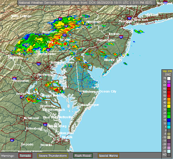 At 313 pm edt, a severe thunderstorm was located over mount pleasant, or near middletown, moving east at 10 mph (radar indicated). Hazards include 60 mph wind gusts and quarter size hail. Minor damage to vehicles is possible. Wind damage to roofs, siding, trees, and power lines is possible. At 313 pm edt, a severe thunderstorm was located over mount pleasant, or near middletown, moving east at 10 mph (radar indicated). Hazards include 60 mph wind gusts and quarter size hail. Minor damage to vehicles is possible. Wind damage to roofs, siding, trees, and power lines is possible.
|
| 6/29/2019 2:59 PM EDT |
 At 246 pm edt, a severe thunderstorm was located over cayots, or near elkton, and moving east at 5 mph (radar indicated). Hazards include 60 mph wind gusts and quarter size hail. Minor damage to vehicles is possible. Wind damage to roofs, siding, trees, and power lines is possible. At 246 pm edt, a severe thunderstorm was located over cayots, or near elkton, and moving east at 5 mph (radar indicated). Hazards include 60 mph wind gusts and quarter size hail. Minor damage to vehicles is possible. Wind damage to roofs, siding, trees, and power lines is possible.
|
| 6/29/2019 2:47 PM EDT |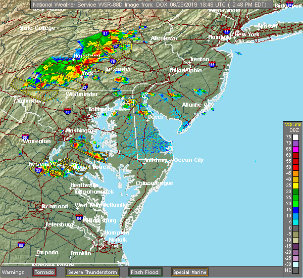
 At 246 pm edt, a severe thunderstorm was located over cayots, or near elkton, and moving east at 5 mph (radar indicated). Hazards include 60 mph wind gusts and quarter size hail. Minor damage to vehicles is possible. Wind damage to roofs, siding, trees, and power lines is possible. At 246 pm edt, a severe thunderstorm was located over cayots, or near elkton, and moving east at 5 mph (radar indicated). Hazards include 60 mph wind gusts and quarter size hail. Minor damage to vehicles is possible. Wind damage to roofs, siding, trees, and power lines is possible.
|
| 6/13/2019 7:33 PM EDT | Downed trees and partial roof damage near the intersection of port penn road and dutch neck road. time estimated from rada in new castle county DE, 6.5 miles SW of Middletown, DE |
| 6/13/2019 7:28 PM EDT | Wind gusts blew over a tractor trailer near the intersection of cedar lane road and boyds corner road. time estimated from rada in new castle county DE, 4 miles SSW of Middletown, DE |
| 6/2/2019 6:22 PM EDT |
 The severe thunderstorm warning for new castle, northeastern kent, cecil and western chester counties will expire at 630 pm edt, the storms which prompted the warning have weakened below severe limits, and no longer pose an immediate threat to life or property. therefore, the warning will be allowed to expire. however small hail and heavy rain are still possible with these thunderstorms. a severe thunderstorm watch remains in effect until 1000 pm edt for northern delaware, northeastern maryland, and southeastern pennsylvania. The severe thunderstorm warning for new castle, northeastern kent, cecil and western chester counties will expire at 630 pm edt, the storms which prompted the warning have weakened below severe limits, and no longer pose an immediate threat to life or property. therefore, the warning will be allowed to expire. however small hail and heavy rain are still possible with these thunderstorms. a severe thunderstorm watch remains in effect until 1000 pm edt for northern delaware, northeastern maryland, and southeastern pennsylvania.
|
| 6/2/2019 6:04 PM EDT |
 At 604 pm edt, severe thunderstorms were located along a line extending from richardsmere to massey, moving northeast at 40 mph (radar indicated). Hazards include 60 mph wind gusts and quarter size hail. Minor damage to vehicles is possible. wind damage to roofs, siding, trees, and power lines is possible. Locations impacted include, newark, middletown, elkton, calvert, coatesville, kennett square, chestertown, oxford, parkesburg, north east, west grove, rising sun, honey brook, delaware city, elverson, charlestown, cecilton, betterton, glen roy and blake. At 604 pm edt, severe thunderstorms were located along a line extending from richardsmere to massey, moving northeast at 40 mph (radar indicated). Hazards include 60 mph wind gusts and quarter size hail. Minor damage to vehicles is possible. wind damage to roofs, siding, trees, and power lines is possible. Locations impacted include, newark, middletown, elkton, calvert, coatesville, kennett square, chestertown, oxford, parkesburg, north east, west grove, rising sun, honey brook, delaware city, elverson, charlestown, cecilton, betterton, glen roy and blake.
|
| 6/2/2019 5:46 PM EDT |
 At 546 pm edt, severe thunderstorms were located along a line extending from near delta to near betterton, moving northeast at 45 mph (radar indicated). Hazards include 60 mph wind gusts and quarter size hail. Minor damage to vehicles is possible. Wind damage to roofs, siding, trees, and power lines is possible. At 546 pm edt, severe thunderstorms were located along a line extending from near delta to near betterton, moving northeast at 45 mph (radar indicated). Hazards include 60 mph wind gusts and quarter size hail. Minor damage to vehicles is possible. Wind damage to roofs, siding, trees, and power lines is possible.
|
| 5/29/2019 6:40 PM EDT |
 The severe thunderstorm warning for southwestern new castle. northwestern kent. northeastern kent and southeastern cecil counties will expire at 645 pm edt. the storm which prompted the warning has weakened below severe limits, and no longer poses an immediate threat to life or property. therefore, the warning will be allowed to expire. However gusty. The severe thunderstorm warning for southwestern new castle. northwestern kent. northeastern kent and southeastern cecil counties will expire at 645 pm edt. the storm which prompted the warning has weakened below severe limits, and no longer poses an immediate threat to life or property. therefore, the warning will be allowed to expire. However gusty.
|
| 5/29/2019 6:40 PM EDT |
 The severe thunderstorm warning for southwestern new castle, northwestern kent, northeastern kent and southeastern cecil counties will expire at 645 pm edt, the storm which prompted the warning has weakened below severe limits, and no longer poses an immediate threat to life or property. therefore, the warning will be allowed to expire. however gusty winds and heavy rain are still possible with this thunderstorm. a tornado watch remains in effect until 800 pm edt for northern delaware, and northeastern maryland. to report severe weather, contact your nearest law enforcement agency. they will relay your report to the national weather service mount holly nj. The severe thunderstorm warning for southwestern new castle, northwestern kent, northeastern kent and southeastern cecil counties will expire at 645 pm edt, the storm which prompted the warning has weakened below severe limits, and no longer poses an immediate threat to life or property. therefore, the warning will be allowed to expire. however gusty winds and heavy rain are still possible with this thunderstorm. a tornado watch remains in effect until 800 pm edt for northern delaware, and northeastern maryland. to report severe weather, contact your nearest law enforcement agency. they will relay your report to the national weather service mount holly nj.
|
| 5/29/2019 6:36 PM EDT |
 At 636 pm edt, a severe thunderstorm was located over sassafras, or 8 miles southwest of middletown, moving east at 50 mph (radar indicated). Hazards include 60 mph wind gusts and quarter size hail. Minor damage to vehicles is possible. wind damage to roofs, siding, trees, and power lines is possible. Locations impacted include, middletown, smyrna, clayton, cecilton, millington, betterton, warwick, sassafras, mount pleasant, green spring, bohemias mills, port penn, morgnec, delaney corner, cayots, massey, hollywood beach, kennedyville, townsend and chesapeake city. At 636 pm edt, a severe thunderstorm was located over sassafras, or 8 miles southwest of middletown, moving east at 50 mph (radar indicated). Hazards include 60 mph wind gusts and quarter size hail. Minor damage to vehicles is possible. wind damage to roofs, siding, trees, and power lines is possible. Locations impacted include, middletown, smyrna, clayton, cecilton, millington, betterton, warwick, sassafras, mount pleasant, green spring, bohemias mills, port penn, morgnec, delaney corner, cayots, massey, hollywood beach, kennedyville, townsend and chesapeake city.
|
| 5/29/2019 6:11 PM EDT |
 At 610 pm edt, a severe thunderstorm was located near newtown, or 9 miles east of middle river, moving east at 50 mph (radar indicated). Hazards include 60 mph wind gusts and quarter size hail. Minor damage to vehicles is possible. Wind damage to roofs, siding, trees, and power lines is possible. At 610 pm edt, a severe thunderstorm was located near newtown, or 9 miles east of middle river, moving east at 50 mph (radar indicated). Hazards include 60 mph wind gusts and quarter size hail. Minor damage to vehicles is possible. Wind damage to roofs, siding, trees, and power lines is possible.
|
| 5/28/2019 6:36 PM EDT |
 At 635 pm edt, a severe thunderstorm was located over delaware city, or 10 miles southeast of newark, moving east at 35 mph (radar indicated). Hazards include 60 mph wind gusts and quarter size hail. Minor damage to vehicles is possible. wind damage to roofs, siding, trees, and power lines is possible. Locations impacted include, newark, middletown, pennsville, carneys point, new castle, salem, woodstown, alloway, quinton, delaware city, newport, greenwich, shiloh, stanton, glasgow, bear, hancocks bridge, newport meadows, port penn and wilmington manor. At 635 pm edt, a severe thunderstorm was located over delaware city, or 10 miles southeast of newark, moving east at 35 mph (radar indicated). Hazards include 60 mph wind gusts and quarter size hail. Minor damage to vehicles is possible. wind damage to roofs, siding, trees, and power lines is possible. Locations impacted include, newark, middletown, pennsville, carneys point, new castle, salem, woodstown, alloway, quinton, delaware city, newport, greenwich, shiloh, stanton, glasgow, bear, hancocks bridge, newport meadows, port penn and wilmington manor.
|
| 5/28/2019 6:11 PM EDT |
 At 610 pm edt, a severe thunderstorm was located over pleasant hill, or near elkton, moving east at 35 mph (radar indicated). Hazards include 60 mph wind gusts and half dollar size hail. Minor damage to vehicles is possible. Wind damage to roofs, siding, trees, and power lines is possible. At 610 pm edt, a severe thunderstorm was located over pleasant hill, or near elkton, moving east at 35 mph (radar indicated). Hazards include 60 mph wind gusts and half dollar size hail. Minor damage to vehicles is possible. Wind damage to roofs, siding, trees, and power lines is possible.
|
| 4/26/2019 5:08 PM EDT |
 The severe thunderstorm warning for western sussex, new castle, kent, northeastern queen anne`s, caroline, northeastern kent, southeastern cecil, west central cumberland, western salem and west central gloucester counties will expire at 515 pm edt, the storms which prompted the warning have moved out of the area. therefore, the warning will be allowed to expire. however gusty winds and heavy rain are still possible with these thunderstorms. a tornado watch remains in effect until 900 pm edt for central, northern and southern delaware, eastern and northeastern maryland, southern new jersey, and southeastern pennsylvania. to report severe weather, contact your nearest law enforcement agency. they will relay your report to the national weather service in mount holly nj. a new severe thunderstorm warning is now in effect until 5:45 pm. The severe thunderstorm warning for western sussex, new castle, kent, northeastern queen anne`s, caroline, northeastern kent, southeastern cecil, west central cumberland, western salem and west central gloucester counties will expire at 515 pm edt, the storms which prompted the warning have moved out of the area. therefore, the warning will be allowed to expire. however gusty winds and heavy rain are still possible with these thunderstorms. a tornado watch remains in effect until 900 pm edt for central, northern and southern delaware, eastern and northeastern maryland, southern new jersey, and southeastern pennsylvania. to report severe weather, contact your nearest law enforcement agency. they will relay your report to the national weather service in mount holly nj. a new severe thunderstorm warning is now in effect until 5:45 pm.
|
| 4/26/2019 4:56 PM EDT |
 At 455 pm edt, severe thunderstorms were located along a line extending from stanton to near goldsboro to near hurlock, moving east at 40 mph (radar indicated). Hazards include 60 mph wind gusts and penny size hail. Damage to roofs, siding, trees, and power lines is possible. locations impacted include, wilmington, dover, newark, middletown, elkton, pennsville, smyrna, carneys point, seaford, elsmere, new castle, penns grove, salem, denton, laurel, harrington, woodstown, alloway, camden and clayton. A tornado watch remains in effect until 900 pm edt for central, northern and southern delaware, eastern and northeastern maryland, southern new jersey, and southeastern pennsylvania. At 455 pm edt, severe thunderstorms were located along a line extending from stanton to near goldsboro to near hurlock, moving east at 40 mph (radar indicated). Hazards include 60 mph wind gusts and penny size hail. Damage to roofs, siding, trees, and power lines is possible. locations impacted include, wilmington, dover, newark, middletown, elkton, pennsville, smyrna, carneys point, seaford, elsmere, new castle, penns grove, salem, denton, laurel, harrington, woodstown, alloway, camden and clayton. A tornado watch remains in effect until 900 pm edt for central, northern and southern delaware, eastern and northeastern maryland, southern new jersey, and southeastern pennsylvania.
|
| 4/26/2019 4:28 PM EDT |
 At 428 pm edt, severe thunderstorms were located along a line extending from lombard to near starkey corner to near university of maryland center for environmental studies, moving east at 40 mph (radar indicated). Hazards include 60 mph wind gusts and penny size hail. damage to roofs, siding, trees, and power lines is possible At 428 pm edt, severe thunderstorms were located along a line extending from lombard to near starkey corner to near university of maryland center for environmental studies, moving east at 40 mph (radar indicated). Hazards include 60 mph wind gusts and penny size hail. damage to roofs, siding, trees, and power lines is possible
|
| 4/26/2019 4:24 PM EDT |
 At 423 pm edt, a severe thunderstorm capable of producing a tornado was located over betterton, or near aberdeen proving ground, moving northeast at 45 mph (radar indicated rotation). Hazards include tornado. Flying debris will be dangerous to those caught without shelter. mobile homes will be damaged or destroyed. damage to roofs, windows, and vehicles will occur. Tree damage is likely. At 423 pm edt, a severe thunderstorm capable of producing a tornado was located over betterton, or near aberdeen proving ground, moving northeast at 45 mph (radar indicated rotation). Hazards include tornado. Flying debris will be dangerous to those caught without shelter. mobile homes will be damaged or destroyed. damage to roofs, windows, and vehicles will occur. Tree damage is likely.
|
| 4/15/2019 3:25 AM EDT |
 The severe thunderstorm warning for central new castle, southeastern cecil, northwestern salem, west central gloucester and south central delaware counties will expire at 330 am edt, the storm which prompted the warning has moved out of the area. therefore, the warning will be allowed to expire. however gusty winds and heavy rain are still possible with this thunderstorm. a tornado watch remains in effect until 700 am edt for northern delaware, northeastern maryland, southern new jersey, and southeastern pennsylvania. to report severe weather, contact your nearest law enforcement agency. they will relay your report to the national weather service in mount holly nj. remember, a severe thunderstorm warning still remains in effect for portions of new castle, cecil, salem, gloucester, and delaware counties until 3:45 am. remember, a tornado warning still remains in effect for portions of new castle, salem and gloucester counties until 3:45 am. The severe thunderstorm warning for central new castle, southeastern cecil, northwestern salem, west central gloucester and south central delaware counties will expire at 330 am edt, the storm which prompted the warning has moved out of the area. therefore, the warning will be allowed to expire. however gusty winds and heavy rain are still possible with this thunderstorm. a tornado watch remains in effect until 700 am edt for northern delaware, northeastern maryland, southern new jersey, and southeastern pennsylvania. to report severe weather, contact your nearest law enforcement agency. they will relay your report to the national weather service in mount holly nj. remember, a severe thunderstorm warning still remains in effect for portions of new castle, cecil, salem, gloucester, and delaware counties until 3:45 am. remember, a tornado warning still remains in effect for portions of new castle, salem and gloucester counties until 3:45 am.
|
| 4/15/2019 3:07 AM EDT |
 At 306 am edt, severe thunderstorms were located along a line extending from elkton to sudlersville to near windyhill, moving northeast at 60 mph (radar indicated). Hazards include 60 mph wind gusts. damage to roofs, siding, trees, and power lines is possible At 306 am edt, severe thunderstorms were located along a line extending from elkton to sudlersville to near windyhill, moving northeast at 60 mph (radar indicated). Hazards include 60 mph wind gusts. damage to roofs, siding, trees, and power lines is possible
|
| 4/15/2019 2:46 AM EDT |
 At 246 am edt, a severe thunderstorm was located over brantwood, or over elkton, moving northeast at 45 mph (radar indicated). Hazards include 60 mph wind gusts. damage to roofs, siding, trees, and power lines is possible At 246 am edt, a severe thunderstorm was located over brantwood, or over elkton, moving northeast at 45 mph (radar indicated). Hazards include 60 mph wind gusts. damage to roofs, siding, trees, and power lines is possible
|
| 8/11/2018 6:08 PM EDT |
 At 607 pm edt, severe thunderstorms were located along a line extending from near hope creek to green spring to near millington to near bodkin point, moving east at 15 mph (radar indicated). Hazards include 60 mph wind gusts and quarter size hail. Minor damage to vehicles is possible. wind damage to roofs, siding, trees, and power lines is possible. severe thunderstorms will be near, clayton, green spring, massey and crumpton around 615 pm edt. millington around 620 pm edt. smyrna and sudlersville around 625 pm edt. delaney corner around 635 pm edt. dover and woodland beach around 650 pm edt. langford around 655 pm edt. centreville, cheswold, hartly, overton and old town around 700 pm edt. Other locations impacted by these severe thunderstorms include templeville, kenton, townsend, barclay, leipsic, chambersville, kingstown and odessa. At 607 pm edt, severe thunderstorms were located along a line extending from near hope creek to green spring to near millington to near bodkin point, moving east at 15 mph (radar indicated). Hazards include 60 mph wind gusts and quarter size hail. Minor damage to vehicles is possible. wind damage to roofs, siding, trees, and power lines is possible. severe thunderstorms will be near, clayton, green spring, massey and crumpton around 615 pm edt. millington around 620 pm edt. smyrna and sudlersville around 625 pm edt. delaney corner around 635 pm edt. dover and woodland beach around 650 pm edt. langford around 655 pm edt. centreville, cheswold, hartly, overton and old town around 700 pm edt. Other locations impacted by these severe thunderstorms include templeville, kenton, townsend, barclay, leipsic, chambersville, kingstown and odessa.
|
| 7/27/2018 6:33 PM EDT |
 At 633 pm edt, severe thunderstorms were located along a line extending from west nottingham to north east to middletown, moving northeast at 20 mph (radar indicated). Hazards include 60 mph wind gusts. Damage to roofs, siding, trees, and power lines is possible. Locations impacted include, newark, middletown, elkton, calvert, oxford, north east, west grove, rising sun, charlestown, cecilton, warwick, glen roy, zion, blake, barksdale, glasgow, bohemias mills, west nottingham, octoraro and brantwood. At 633 pm edt, severe thunderstorms were located along a line extending from west nottingham to north east to middletown, moving northeast at 20 mph (radar indicated). Hazards include 60 mph wind gusts. Damage to roofs, siding, trees, and power lines is possible. Locations impacted include, newark, middletown, elkton, calvert, oxford, north east, west grove, rising sun, charlestown, cecilton, warwick, glen roy, zion, blake, barksdale, glasgow, bohemias mills, west nottingham, octoraro and brantwood.
|
| 7/27/2018 6:03 PM EDT |
 At 602 pm edt, severe thunderstorms were located along a line extending from near octoraro to havre de grace to near cecilton, moving northeast at 25 mph (radar indicated). Hazards include 60 mph wind gusts and quarter size hail. Minor damage to vehicles is possible. Wind damage to roofs, siding, trees, and power lines is possible. At 602 pm edt, severe thunderstorms were located along a line extending from near octoraro to havre de grace to near cecilton, moving northeast at 25 mph (radar indicated). Hazards include 60 mph wind gusts and quarter size hail. Minor damage to vehicles is possible. Wind damage to roofs, siding, trees, and power lines is possible.
|
| 7/27/2018 6:03 PM EDT |
 The national weather service in mount holly nj has issued a * severe thunderstorm warning for. west central new castle county in northern delaware. cecil county in northeastern maryland. southwestern chester county in southeastern pennsylvania. Until 645 pm edt. The national weather service in mount holly nj has issued a * severe thunderstorm warning for. west central new castle county in northern delaware. cecil county in northeastern maryland. southwestern chester county in southeastern pennsylvania. Until 645 pm edt.
|
| 6/9/2018 3:53 PM EDT |
 At 351 pm edt, a severe thunderstorm was located over green spring, or 10 miles southeast of middletown, moving southeast at 15 mph (radar indicated). Hazards include 60 mph wind gusts and penny size hail. damage to roofs, siding, trees, and power lines is possible At 351 pm edt, a severe thunderstorm was located over green spring, or 10 miles southeast of middletown, moving southeast at 15 mph (radar indicated). Hazards include 60 mph wind gusts and penny size hail. damage to roofs, siding, trees, and power lines is possible
|
| 5/15/2018 8:01 PM EDT |
 At 800 pm edt, severe thunderstorms were located across cecil and northern new castle counties, near middletown, moving southeast at 20 mph (radar indicated). Hazards include 60 mph wind gusts and nickel size hail. Damage to roofs, siding, trees, and power lines is possible. Locations impacted include, middletown, salem, quinton, delaware city, charlestown, cecilton, warwick, saint georges, mount pleasant, woodland beach, bohemias mills, hancocks bridge, port penn, brantwood, hope creek, cayots, hollywood beach, glasgow, townsend and chesapeake city. At 800 pm edt, severe thunderstorms were located across cecil and northern new castle counties, near middletown, moving southeast at 20 mph (radar indicated). Hazards include 60 mph wind gusts and nickel size hail. Damage to roofs, siding, trees, and power lines is possible. Locations impacted include, middletown, salem, quinton, delaware city, charlestown, cecilton, warwick, saint georges, mount pleasant, woodland beach, bohemias mills, hancocks bridge, port penn, brantwood, hope creek, cayots, hollywood beach, glasgow, townsend and chesapeake city.
|
| 5/15/2018 7:18 PM EDT |
 At 718 pm edt, a severe thunderstorm was located over charlestown, or near havre de grace, moving southeast at 40 mph (radar indicated). Hazards include 60 mph wind gusts and nickel size hail. damage to roofs, siding, trees, and power lines is possible At 718 pm edt, a severe thunderstorm was located over charlestown, or near havre de grace, moving southeast at 40 mph (radar indicated). Hazards include 60 mph wind gusts and nickel size hail. damage to roofs, siding, trees, and power lines is possible
|
| 5/15/2018 6:35 PM EDT |
 At 634 pm edt, a severe thunderstorm was located over farmington, or 9 miles northeast of havre de grace, moving southeast at 45 mph (radar indicated). Hazards include 70 mph wind gusts and quarter size hail. Minor damage to vehicles is possible. expect considerable tree damage. Wind damage is also likely to mobile homes, roofs, and outbuildings. At 634 pm edt, a severe thunderstorm was located over farmington, or 9 miles northeast of havre de grace, moving southeast at 45 mph (radar indicated). Hazards include 70 mph wind gusts and quarter size hail. Minor damage to vehicles is possible. expect considerable tree damage. Wind damage is also likely to mobile homes, roofs, and outbuildings.
|
| 5/12/2018 8:19 PM EDT |
 At 818 pm edt, severe thunderstorms were located along a line extending from echelon to elmer to newport meadows, moving southeast at 40 mph (trained weather spotters). Hazards include 60 mph wind gusts and quarter size hail. Minor damage to vehicles is possible. wind damage to roofs, siding, trees, and power lines is possible. locations impacted include, vineland, millville, bridgeton, cumberland, glassboro, clayton, buena, laurel lake, woodstown, alloway, weymouth, quinton, newfield, elmer, greenwich, shiloh, newport, franklinville, woodland beach and hancocks bridge. A tornado watch remains in effect until 100 am edt for central and northern delaware, and southern new jersey. At 818 pm edt, severe thunderstorms were located along a line extending from echelon to elmer to newport meadows, moving southeast at 40 mph (trained weather spotters). Hazards include 60 mph wind gusts and quarter size hail. Minor damage to vehicles is possible. wind damage to roofs, siding, trees, and power lines is possible. locations impacted include, vineland, millville, bridgeton, cumberland, glassboro, clayton, buena, laurel lake, woodstown, alloway, weymouth, quinton, newfield, elmer, greenwich, shiloh, newport, franklinville, woodland beach and hancocks bridge. A tornado watch remains in effect until 100 am edt for central and northern delaware, and southern new jersey.
|
| 5/12/2018 7:45 PM EDT |
 At 744 pm edt, severe thunderstorms were located along a line extending from broomall to wilmington to brantwood, moving southeast at 40 mph (trained weather spotters). Hazards include 60 mph wind gusts and quarter size hail. Minor damage to vehicles is possible. Wind damage to roofs, siding, trees, and power lines is possible. At 744 pm edt, severe thunderstorms were located along a line extending from broomall to wilmington to brantwood, moving southeast at 40 mph (trained weather spotters). Hazards include 60 mph wind gusts and quarter size hail. Minor damage to vehicles is possible. Wind damage to roofs, siding, trees, and power lines is possible.
|
| 5/12/2018 7:25 PM EDT |
 At 724 pm edt, a severe thunderstorm was located over newtown, or 11 miles south of aberdeen proving ground, moving east at 40 mph (radar indicated). Hazards include 60 mph wind gusts and quarter size hail. Minor damage to vehicles is possible. Wind damage to roofs, siding, trees, and power lines is possible. At 724 pm edt, a severe thunderstorm was located over newtown, or 11 miles south of aberdeen proving ground, moving east at 40 mph (radar indicated). Hazards include 60 mph wind gusts and quarter size hail. Minor damage to vehicles is possible. Wind damage to roofs, siding, trees, and power lines is possible.
|
| 8/22/2017 11:16 PM EDT |
 At 1115 pm edt, severe thunderstorms were located along a line extending from newtown to near mullica hill to near mount pleasant, moving east at 45 mph. a trained weather spotter reported several large tree branches in wilmington as these storms passed (trained weather spotters). Hazards include 60 mph wind gusts and nickel size hail. Expect damage to trees and power lines. Locations impacted include, philadelphia, trenton, camden, wilmington, vineland, millville, bridgeton, middletown, gloucester city, cherry hill, bensalem, evesham, mount laurel, ewing, norristown, chester, willingboro, deptford, voorhees and medford. At 1115 pm edt, severe thunderstorms were located along a line extending from newtown to near mullica hill to near mount pleasant, moving east at 45 mph. a trained weather spotter reported several large tree branches in wilmington as these storms passed (trained weather spotters). Hazards include 60 mph wind gusts and nickel size hail. Expect damage to trees and power lines. Locations impacted include, philadelphia, trenton, camden, wilmington, vineland, millville, bridgeton, middletown, gloucester city, cherry hill, bensalem, evesham, mount laurel, ewing, norristown, chester, willingboro, deptford, voorhees and medford.
|
| 8/22/2017 10:58 PM EDT |
 At 1058 pm edt, severe thunderstorms were located along a line extending from pipersville to hollywood beach, moving east at 40 mph (radar indicated). Hazards include 60 mph wind gusts and quarter size hail. Minor damage to vehicles is possible. Expect damage to trees and power lines. At 1058 pm edt, severe thunderstorms were located along a line extending from pipersville to hollywood beach, moving east at 40 mph (radar indicated). Hazards include 60 mph wind gusts and quarter size hail. Minor damage to vehicles is possible. Expect damage to trees and power lines.
|
| 8/22/2017 10:42 PM EDT |
 At 1042 pm edt, severe thunderstorms were located along a line extending from near schwenksville to charlestown, moving east at 45 mph (radar indicated). Hazards include 60 mph wind gusts and quarter size hail. Minor damage to vehicles is possible. expect damage to trees and power lines. Locations impacted include, philadelphia, camden, wilmington, newark, middletown, west chester, elkton, gloucester city, calvert, bensalem, ewing, norristown, chester, deptford, pottstown, west deptford, phoenixville, lansdale, west norriton and east norriton. At 1042 pm edt, severe thunderstorms were located along a line extending from near schwenksville to charlestown, moving east at 45 mph (radar indicated). Hazards include 60 mph wind gusts and quarter size hail. Minor damage to vehicles is possible. expect damage to trees and power lines. Locations impacted include, philadelphia, camden, wilmington, newark, middletown, west chester, elkton, gloucester city, calvert, bensalem, ewing, norristown, chester, deptford, pottstown, west deptford, phoenixville, lansdale, west norriton and east norriton.
|
| 8/22/2017 10:07 PM EDT |
 At 1007 pm edt, severe thunderstorms were located along a line extending from near elverson to near pleasant hills, moving east at 55 mph (radar indicated). Hazards include 60 mph wind gusts and quarter size hail. Minor damage to vehicles is possible. Expect damage to trees and power lines. At 1007 pm edt, severe thunderstorms were located along a line extending from near elverson to near pleasant hills, moving east at 55 mph (radar indicated). Hazards include 60 mph wind gusts and quarter size hail. Minor damage to vehicles is possible. Expect damage to trees and power lines.
|
| 8/18/2017 6:39 PM EDT |
 The severe thunderstorm warning for new castle, kent, cecil, northwestern salem, northwestern camden, northwestern gloucester, northwestern burlington, southeastern chester, philadelphia and delaware counties will expire at 645 pm edt, the storms which prompted the warning have weakened below severe limits, and no longer pose an immediate threat to life or property. therefore the warning will be allowed to expire. however gusty winds and heavy rain are still possible with these thunderstorms. a severe thunderstorm watch remains in effect until 900 pm edt for central and northern delaware, northeastern maryland, southern new jersey, and southeastern pennsylvania. The severe thunderstorm warning for new castle, kent, cecil, northwestern salem, northwestern camden, northwestern gloucester, northwestern burlington, southeastern chester, philadelphia and delaware counties will expire at 645 pm edt, the storms which prompted the warning have weakened below severe limits, and no longer pose an immediate threat to life or property. therefore the warning will be allowed to expire. however gusty winds and heavy rain are still possible with these thunderstorms. a severe thunderstorm watch remains in effect until 900 pm edt for central and northern delaware, northeastern maryland, southern new jersey, and southeastern pennsylvania.
|
| 8/18/2017 6:39 PM EDT |
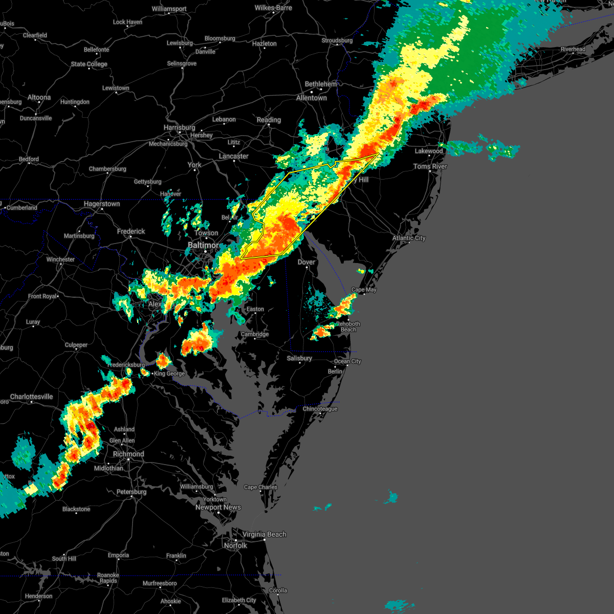 The severe thunderstorm warning for new castle, kent, cecil, northwestern salem, northwestern camden, northwestern gloucester, northwestern burlington, southeastern chester, philadelphia and delaware counties will expire at 645 pm edt, the storms which prompted the warning have weakened below severe limits, and no longer pose an immediate threat to life or property. therefore the warning will be allowed to expire. however gusty winds and heavy rain are still possible with these thunderstorms. a severe thunderstorm watch remains in effect until 900 pm edt for central and northern delaware, northeastern maryland, southern new jersey, and southeastern pennsylvania. The severe thunderstorm warning for new castle, kent, cecil, northwestern salem, northwestern camden, northwestern gloucester, northwestern burlington, southeastern chester, philadelphia and delaware counties will expire at 645 pm edt, the storms which prompted the warning have weakened below severe limits, and no longer pose an immediate threat to life or property. therefore the warning will be allowed to expire. however gusty winds and heavy rain are still possible with these thunderstorms. a severe thunderstorm watch remains in effect until 900 pm edt for central and northern delaware, northeastern maryland, southern new jersey, and southeastern pennsylvania.
|
| 8/18/2017 6:05 PM EDT |
 At 605 pm edt, severe thunderstorms were located along a line extending from near lima to near newtown, moving east at 30 mph (radar indicated). Hazards include 60 mph wind gusts and quarter size hail. Minor damage to vehicles is possible. expect damage to trees and power lines. Locations impacted include, philadelphia, camden, wilmington, newark, middletown, west chester, elkton, gloucester city, calvert, chester, willingboro, deptford, west deptford, pennsville, bellmawr, yeadon, westtown, woodbury, burlington and riverside. At 605 pm edt, severe thunderstorms were located along a line extending from near lima to near newtown, moving east at 30 mph (radar indicated). Hazards include 60 mph wind gusts and quarter size hail. Minor damage to vehicles is possible. expect damage to trees and power lines. Locations impacted include, philadelphia, camden, wilmington, newark, middletown, west chester, elkton, gloucester city, calvert, chester, willingboro, deptford, west deptford, pennsville, bellmawr, yeadon, westtown, woodbury, burlington and riverside.
|
| 8/18/2017 5:39 PM EDT |
 At 539 pm edt, severe thunderstorms were located along a line extending from near kennett square to back river, moving east at 30 mph (radar indicated). Hazards include 60 mph wind gusts and quarter size hail. Minor damage to vehicles is possible. Expect damage to trees and power lines. At 539 pm edt, severe thunderstorms were located along a line extending from near kennett square to back river, moving east at 30 mph (radar indicated). Hazards include 60 mph wind gusts and quarter size hail. Minor damage to vehicles is possible. Expect damage to trees and power lines.
|
| 7/24/2017 10:38 PM EDT |
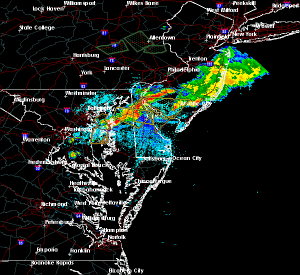 At 1038 pm edt, severe thunderstorms were located along a line extending from hope creek to near green spring to near cheswold to near hartly, moving east at 35 mph (radar indicated). Hazards include 60 mph wind gusts. expect damage to trees and power lines At 1038 pm edt, severe thunderstorms were located along a line extending from hope creek to near green spring to near cheswold to near hartly, moving east at 35 mph (radar indicated). Hazards include 60 mph wind gusts. expect damage to trees and power lines
|
| 7/24/2017 8:42 PM EDT |
 At 842 pm edt, severe thunderstorms were located along a line extending from near jenkintown to cecilton, moving east at 35 mph (radar indicated). Hazards include 60 mph wind gusts. Expect damage to trees and power lines. Locations impacted include, wilmington, newark, middletown, elkton, chester, pennsville, yeadon, westtown, folcroft, swarthmore, elsmere, kennett square, new castle, north east, east lansdowne, delaware city, charlestown, newport, cecilton and arden. At 842 pm edt, severe thunderstorms were located along a line extending from near jenkintown to cecilton, moving east at 35 mph (radar indicated). Hazards include 60 mph wind gusts. Expect damage to trees and power lines. Locations impacted include, wilmington, newark, middletown, elkton, chester, pennsville, yeadon, westtown, folcroft, swarthmore, elsmere, kennett square, new castle, north east, east lansdowne, delaware city, charlestown, newport, cecilton and arden.
|
| 7/24/2017 8:08 PM EDT |
 At 807 pm edt, severe thunderstorms were located along a line extending from near phoenixville to near riverside, moving east at 35 mph (radar indicated). Hazards include 60 mph wind gusts. expect damage to trees and power lines At 807 pm edt, severe thunderstorms were located along a line extending from near phoenixville to near riverside, moving east at 35 mph (radar indicated). Hazards include 60 mph wind gusts. expect damage to trees and power lines
|
| 7/24/2017 2:34 AM EDT |
 At 233 am edt, severe thunderstorms were located along a line extending from arden to green spring, moving east at 35 mph (radar indicated). Hazards include 60 mph wind gusts. expect damage to trees and power lines At 233 am edt, severe thunderstorms were located along a line extending from arden to green spring, moving east at 35 mph (radar indicated). Hazards include 60 mph wind gusts. expect damage to trees and power lines
|
| 7/24/2017 2:23 AM EDT |
 At 223 am edt, severe thunderstorms were located along a line extending from wilmington manor to near middletown, moving east at 30 mph (radar indicated). Hazards include 60 mph wind gusts. Expect damage to trees and power lines. Locations impacted include, wilmington, newark, middletown, pennsville, carneys point, elsmere, new castle, penns grove, salem, woodstown, alloway, quinton, swedesboro, delaware city, newport, shiloh, stanton, glasgow, bear and hancocks bridge. At 223 am edt, severe thunderstorms were located along a line extending from wilmington manor to near middletown, moving east at 30 mph (radar indicated). Hazards include 60 mph wind gusts. Expect damage to trees and power lines. Locations impacted include, wilmington, newark, middletown, pennsville, carneys point, elsmere, new castle, penns grove, salem, woodstown, alloway, quinton, swedesboro, delaware city, newport, shiloh, stanton, glasgow, bear and hancocks bridge.
|
| 7/24/2017 2:02 AM EDT |
 At 201 am edt, severe thunderstorms were located along a line extending from newark to near warwick, moving east at 30 mph (radar indicated). Hazards include 60 mph wind gusts. expect damage to trees and power lines At 201 am edt, severe thunderstorms were located along a line extending from newark to near warwick, moving east at 30 mph (radar indicated). Hazards include 60 mph wind gusts. expect damage to trees and power lines
|
| 7/14/2017 3:54 PM EDT |
 At 353 pm edt, severe thunderstorms were located along a line extending from near alloway to near hope creek to near green spring, moving southeast at 25 mph (radar indicated). Hazards include 60 mph wind gusts and quarter size hail. Minor damage to vehicles is possible. expect damage to trees and power lines. severe thunderstorms will be near, bridgeton, seabrook farms, newport meadows and olivet around 405 pm edt. shiloh around 410 pm edt. vineland, greenwich and rosenhayn around 415 pm edt. millville and newfield around 420 pm edt. cedarville, south vineland and fairton around 430 pm edt. newport around 435 pm edt. cumberland and dividing creek around 445 pm edt. laurel lake, fortesque and port norris around 450 pm edt. Other locations impacted by these severe thunderstorms include centerton, odessa and chambersville. At 353 pm edt, severe thunderstorms were located along a line extending from near alloway to near hope creek to near green spring, moving southeast at 25 mph (radar indicated). Hazards include 60 mph wind gusts and quarter size hail. Minor damage to vehicles is possible. expect damage to trees and power lines. severe thunderstorms will be near, bridgeton, seabrook farms, newport meadows and olivet around 405 pm edt. shiloh around 410 pm edt. vineland, greenwich and rosenhayn around 415 pm edt. millville and newfield around 420 pm edt. cedarville, south vineland and fairton around 430 pm edt. newport around 435 pm edt. cumberland and dividing creek around 445 pm edt. laurel lake, fortesque and port norris around 450 pm edt. Other locations impacted by these severe thunderstorms include centerton, odessa and chambersville.
|
| 7/14/2017 3:46 PM EDT |
 At 346 pm edt, severe thunderstorms were located along a line extending from swedesboro to near salem to brantwood, moving southeast at 30 mph (radar indicated). Hazards include golf ball size hail and 60 mph wind gusts. People and animals outdoors will be injured. expect hail damage to roofs, siding, windows, and vehicles. expect damage to trees and power lines. Locations impacted include, wilmington, newark, elkton, glassboro, pennsville, pitman, carneys point, paulsboro, new castle, penns grove, salem, north east, woodstown, alloway, quinton, swedesboro, delaware city, charlestown, newport and barksdale. At 346 pm edt, severe thunderstorms were located along a line extending from swedesboro to near salem to brantwood, moving southeast at 30 mph (radar indicated). Hazards include golf ball size hail and 60 mph wind gusts. People and animals outdoors will be injured. expect hail damage to roofs, siding, windows, and vehicles. expect damage to trees and power lines. Locations impacted include, wilmington, newark, elkton, glassboro, pennsville, pitman, carneys point, paulsboro, new castle, penns grove, salem, north east, woodstown, alloway, quinton, swedesboro, delaware city, charlestown, newport and barksdale.
|
| 7/14/2017 3:23 PM EDT |
 At 322 pm edt, severe thunderstorms were located along a line extending from arden to bear to near bay view, moving southeast at 30 mph (radar indicated). Hazards include 60 mph wind gusts and quarter size hail. Minor damage to vehicles is possible. Expect damage to trees and power lines. At 322 pm edt, severe thunderstorms were located along a line extending from arden to bear to near bay view, moving southeast at 30 mph (radar indicated). Hazards include 60 mph wind gusts and quarter size hail. Minor damage to vehicles is possible. Expect damage to trees and power lines.
|
| 7/14/2017 3:18 PM EDT |
 At 316 pm edt, severe thunderstorms were located along a line extending from elam to near newark to woodlawn, moving southeast at 30 mph (radar indicated). Hazards include 60 mph wind gusts and quarter size hail. Minor damage to vehicles is possible. expect damage to trees and power lines. severe thunderstorms will be near, wilmington, arden, bear, glasgow, chelsea, elam, talleyville, concordville, stanton and greenville around 320 pm edt. newport around 325 pm edt. chester, new castle, penns grove, swedesboro, delaware city, beckett, saint georges, chester township, wilmington manor and cherry hill around 330 pm edt. Other locations impacted by these severe thunderstorms include perryville, chesapeake city, edgemoor, marcus hook, boothwyn, trainer, chester heights, village green-green ridge, bellefonte and upland. At 316 pm edt, severe thunderstorms were located along a line extending from elam to near newark to woodlawn, moving southeast at 30 mph (radar indicated). Hazards include 60 mph wind gusts and quarter size hail. Minor damage to vehicles is possible. expect damage to trees and power lines. severe thunderstorms will be near, wilmington, arden, bear, glasgow, chelsea, elam, talleyville, concordville, stanton and greenville around 320 pm edt. newport around 325 pm edt. chester, new castle, penns grove, swedesboro, delaware city, beckett, saint georges, chester township, wilmington manor and cherry hill around 330 pm edt. Other locations impacted by these severe thunderstorms include perryville, chesapeake city, edgemoor, marcus hook, boothwyn, trainer, chester heights, village green-green ridge, bellefonte and upland.
|
| 6/21/2017 7:19 PM EDT |
 At 719 pm edt, severe thunderstorms were located along a line extending from near greenwich to near hartly to near rock hall, moving to the east-southeast at 40 mph (radar indicated). Hazards include 60 mph wind gusts. Expect damage to trees and power lines. Locations impacted include, dover, middletown, smyrna, chestertown, camden, clayton, cheswold, rock hall, greenwich, church hill, cecilton, millington, sudlersville, betterton, bowers, woodside, hartly, old town, bohemias mills and hazlettville. At 719 pm edt, severe thunderstorms were located along a line extending from near greenwich to near hartly to near rock hall, moving to the east-southeast at 40 mph (radar indicated). Hazards include 60 mph wind gusts. Expect damage to trees and power lines. Locations impacted include, dover, middletown, smyrna, chestertown, camden, clayton, cheswold, rock hall, greenwich, church hill, cecilton, millington, sudlersville, betterton, bowers, woodside, hartly, old town, bohemias mills and hazlettville.
|
| 6/21/2017 7:19 PM EDT |
 At 656 pm edt, severe thunderstorms were located along a line extending from near hope creek to near kennedyville to near millers island, moving southeast at 35 mph (radar indicated). Hazards include 60 mph wind gusts. expect damage to trees and power lines At 656 pm edt, severe thunderstorms were located along a line extending from near hope creek to near kennedyville to near millers island, moving southeast at 35 mph (radar indicated). Hazards include 60 mph wind gusts. expect damage to trees and power lines
|
| 6/21/2017 7:19 PM EDT |
 At 721 pm edt, severe thunderstorms were located along a line extending from near greenwich to near hartly to near langford, moving to the east-southeast at 45 mph (radar indicated). Hazards include 60 mph wind gusts. Expect damage to trees and power lines. Locations impacted include, dover, smyrna, chestertown, camden, clayton, cheswold, rock hall, greenwich, millington, bowers, woodside, hartly, newport, old town, rising sun-lebanon, woodland beach, hazlettville, morgnec, delaney corner and dover base housing. At 721 pm edt, severe thunderstorms were located along a line extending from near greenwich to near hartly to near langford, moving to the east-southeast at 45 mph (radar indicated). Hazards include 60 mph wind gusts. Expect damage to trees and power lines. Locations impacted include, dover, smyrna, chestertown, camden, clayton, cheswold, rock hall, greenwich, millington, bowers, woodside, hartly, newport, old town, rising sun-lebanon, woodland beach, hazlettville, morgnec, delaney corner and dover base housing.
|
| 6/21/2017 6:57 PM EDT |
 At 656 pm edt, severe thunderstorms were located along a line extending from near hope creek to near kennedyville to near millers island, moving southeast at 35 mph (radar indicated). Hazards include 60 mph wind gusts. expect damage to trees and power lines At 656 pm edt, severe thunderstorms were located along a line extending from near hope creek to near kennedyville to near millers island, moving southeast at 35 mph (radar indicated). Hazards include 60 mph wind gusts. expect damage to trees and power lines
|
| 6/21/2017 6:57 PM EDT |
 The national weather service in mount holly nj has issued a * severe thunderstorm warning for. southwestern new castle county in northern delaware. northern kent county in central delaware. northeastern queen anne`s county in northeastern maryland. Northeastern caroline county in eastern maryland. The national weather service in mount holly nj has issued a * severe thunderstorm warning for. southwestern new castle county in northern delaware. northern kent county in central delaware. northeastern queen anne`s county in northeastern maryland. Northeastern caroline county in eastern maryland.
|
| 6/19/2017 4:38 PM EDT |
 At 437 pm edt, severe thunderstorms were located along a line extending from near rock hall to romancoke, moving east at 45 mph (radar indicated). Hazards include 60 mph wind gusts. expect damage to trees and power lines At 437 pm edt, severe thunderstorms were located along a line extending from near rock hall to romancoke, moving east at 45 mph (radar indicated). Hazards include 60 mph wind gusts. expect damage to trees and power lines
|
| 5/25/2017 7:56 PM EDT |
 At 756 pm edt, severe thunderstorms were located along a line extending from sassafras to smyrna to near dover speedway, moving northeast at 25 mph (radar indicated). Hazards include 60 mph wind gusts and penny size hail. expect damage to trees and power lines At 756 pm edt, severe thunderstorms were located along a line extending from sassafras to smyrna to near dover speedway, moving northeast at 25 mph (radar indicated). Hazards include 60 mph wind gusts and penny size hail. expect damage to trees and power lines
|
| 5/5/2017 10:26 AM EDT |
 At 958 am edt, severe thunderstorms were located along a line extending from near betterton to oakland to near vienna, moving northeast at 55 mph (radar indicated). Hazards include 60 mph wind gusts. expect damage to roofs, siding, and trees At 958 am edt, severe thunderstorms were located along a line extending from near betterton to oakland to near vienna, moving northeast at 55 mph (radar indicated). Hazards include 60 mph wind gusts. expect damage to roofs, siding, and trees
|
| 5/5/2017 10:00 AM EDT |
 The national weather service in mount holly nj has issued a * severe thunderstorm warning for. western sussex county in southern delaware. new castle county in northern delaware. kent county in central delaware. Northeastern queen anne`s county in northeastern maryland. The national weather service in mount holly nj has issued a * severe thunderstorm warning for. western sussex county in southern delaware. new castle county in northern delaware. kent county in central delaware. Northeastern queen anne`s county in northeastern maryland.
|
| 4/6/2017 12:17 PM EDT |
 At 1216 pm edt, a severe thunderstorm was located near griffin, or 11 miles northeast of easton, moving northeast at 65 mph (radar indicated). Hazards include 60 mph wind gusts and nickel size hail. Expect damage to roofs, siding, and trees. this severe thunderstorm will be near, denton and jumptown around 1220 pm edt. greensboro, oakland and ridgely around 1225 pm edt. goldsboro and sandtown around 1230 pm edt. woodside, viola, hartly and hazlettville around 1235 pm edt. dover, camden, cheswold and dover speedway around 1240 pm edt. smyrna, clayton and green spring around 1245 pm edt. Other locations impacted by this severe thunderstorm include kenton, leipsic, chambersville, rodney village, wyoming, kent acres, odessa, templeville, townsend and highland acres. At 1216 pm edt, a severe thunderstorm was located near griffin, or 11 miles northeast of easton, moving northeast at 65 mph (radar indicated). Hazards include 60 mph wind gusts and nickel size hail. Expect damage to roofs, siding, and trees. this severe thunderstorm will be near, denton and jumptown around 1220 pm edt. greensboro, oakland and ridgely around 1225 pm edt. goldsboro and sandtown around 1230 pm edt. woodside, viola, hartly and hazlettville around 1235 pm edt. dover, camden, cheswold and dover speedway around 1240 pm edt. smyrna, clayton and green spring around 1245 pm edt. Other locations impacted by this severe thunderstorm include kenton, leipsic, chambersville, rodney village, wyoming, kent acres, odessa, templeville, townsend and highland acres.
|
| 4/6/2017 12:17 PM EDT |
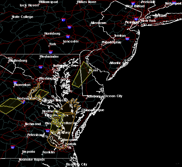 At 1216 pm edt, a severe thunderstorm was located near griffin, or 11 miles northeast of easton, moving northeast at 65 mph (radar indicated). Hazards include 60 mph wind gusts and nickel size hail. Expect damage to roofs, siding, and trees. this severe thunderstorm will be near, denton and jumptown around 1220 pm edt. greensboro, oakland and ridgely around 1225 pm edt. goldsboro and sandtown around 1230 pm edt. woodside, viola, hartly and hazlettville around 1235 pm edt. dover, camden, cheswold and dover speedway around 1240 pm edt. smyrna, clayton and green spring around 1245 pm edt. Other locations impacted by this severe thunderstorm include kenton, leipsic, chambersville, rodney village, wyoming, kent acres, odessa, templeville, townsend and highland acres. At 1216 pm edt, a severe thunderstorm was located near griffin, or 11 miles northeast of easton, moving northeast at 65 mph (radar indicated). Hazards include 60 mph wind gusts and nickel size hail. Expect damage to roofs, siding, and trees. this severe thunderstorm will be near, denton and jumptown around 1220 pm edt. greensboro, oakland and ridgely around 1225 pm edt. goldsboro and sandtown around 1230 pm edt. woodside, viola, hartly and hazlettville around 1235 pm edt. dover, camden, cheswold and dover speedway around 1240 pm edt. smyrna, clayton and green spring around 1245 pm edt. Other locations impacted by this severe thunderstorm include kenton, leipsic, chambersville, rodney village, wyoming, kent acres, odessa, templeville, townsend and highland acres.
|
| 3/1/2017 2:29 PM EST |
 At 228 pm est, severe thunderstorms were located along a line extending from ladenberg to near north east to near betterton, moving east at 60 mph (trained weather spotters). Hazards include 60 mph wind gusts and penny size hail. Expect damage to roofs, siding, and trees. these severe storms will be near, newark, elsmere, newport, ashland, greenville, pike creek, hockessin, north star and stanton around 235 pm est. wilmington, new castle, arden, saint georges, talleyville, glasgow, mount pleasant, bear, wilmington manor and delaware memorial bridge around 240 pm est. middletown, pennsville, carneys point, penns grove, salem, delaware city and port penn around 245 pm est. Other locations impacted by these severe thunderstorms include townsend, brookside, perryville, chesapeake city, ardencroft, port deposit, edgemoor, claymont, bellefonte and ardentown. At 228 pm est, severe thunderstorms were located along a line extending from ladenberg to near north east to near betterton, moving east at 60 mph (trained weather spotters). Hazards include 60 mph wind gusts and penny size hail. Expect damage to roofs, siding, and trees. these severe storms will be near, newark, elsmere, newport, ashland, greenville, pike creek, hockessin, north star and stanton around 235 pm est. wilmington, new castle, arden, saint georges, talleyville, glasgow, mount pleasant, bear, wilmington manor and delaware memorial bridge around 240 pm est. middletown, pennsville, carneys point, penns grove, salem, delaware city and port penn around 245 pm est. Other locations impacted by these severe thunderstorms include townsend, brookside, perryville, chesapeake city, ardencroft, port deposit, edgemoor, claymont, bellefonte and ardentown.
|
| 3/1/2017 2:00 PM EST |
 At 159 pm est, severe thunderstorms were located along a line extending from delta to fallston to towson, moving east at 60 mph (trained weather spotters). Hazards include 60 mph wind gusts and penny size hail. Expect damage to roofs, siding, and trees. severe thunderstorms will be near, rock springs, richardsmere, conowingo, west nottingham and octoraro around 210 pm est. calvert, rising sun, glen roy and farmington around 215 pm est. havre de grace, oxford, lombard, blake, woodlawn, zion and pleasant hill around 220 pm est. north east, charlestown, betterton, kemblesville, glen westover, fair hill, bay view, appleton and andora around 225 pm est. newark, north star, ladenberg, pike creek and cherry hill around 230 pm est. elkton, elsmere, newport, cecilton, ashland, greenville, brantwood, hockessin, hollywood beach and stanton around 235 pm est. wilmington, penns grove, arden, talleyville, bohemias mills, saint georges, cayots, glasgow, warwick and bear around 240 pm est. middletown, pennsville, carneys point, new castle, salem, delaware city, mount pleasant, port penn, wilmington manor and delaware memorial bridge around 245 pm est. Other locations impacted by these severe thunderstorms include townsend, brookside, perryville, chesapeake city, ardencroft, port deposit, edgemoor, claymont, bellefonte and ardentown. At 159 pm est, severe thunderstorms were located along a line extending from delta to fallston to towson, moving east at 60 mph (trained weather spotters). Hazards include 60 mph wind gusts and penny size hail. Expect damage to roofs, siding, and trees. severe thunderstorms will be near, rock springs, richardsmere, conowingo, west nottingham and octoraro around 210 pm est. calvert, rising sun, glen roy and farmington around 215 pm est. havre de grace, oxford, lombard, blake, woodlawn, zion and pleasant hill around 220 pm est. north east, charlestown, betterton, kemblesville, glen westover, fair hill, bay view, appleton and andora around 225 pm est. newark, north star, ladenberg, pike creek and cherry hill around 230 pm est. elkton, elsmere, newport, cecilton, ashland, greenville, brantwood, hockessin, hollywood beach and stanton around 235 pm est. wilmington, penns grove, arden, talleyville, bohemias mills, saint georges, cayots, glasgow, warwick and bear around 240 pm est. middletown, pennsville, carneys point, new castle, salem, delaware city, mount pleasant, port penn, wilmington manor and delaware memorial bridge around 245 pm est. Other locations impacted by these severe thunderstorms include townsend, brookside, perryville, chesapeake city, ardencroft, port deposit, edgemoor, claymont, bellefonte and ardentown.
|
| 2/25/2017 4:40 PM EST |
 At 439 pm est, severe thunderstorms were located along a line extending from concordville to near warwick to near hartly, moving northeast at 45 mph (radar indicated). Hazards include 60 mph wind gusts and nickel size hail. Expect damage to roofs, siding, and trees. severe thunderstorms will be near, chester, lima, chelsea, concordville, chester township and elam around 445 pm est. swarthmore, nether providence township, broomall and philadelphia international arpt around 450 pm est. yeadon, folcroft, east lansdowne, hope creek, drexel hill, port penn, darby township, tinicum township and philadelphia international airport around 455 pm est. narberth, roxborough, morris park, hancocks bridge and south philadelphia around 500 pm est. salem, quinton, kensington, center city, newport meadows and ben franklin bridge around 505 pm est. camden, alloway, shiloh, wissinoming and golden triangle around 510 pm est. bridgeton, palmyra and tacony around 515 pm est. philadelphia, newport, olivet, fortesque, seabrook farms, cedarville and rosenhayn around 520 pm est. Other locations impacted by these severe thunderstorms include oak valley, clifton heights, collingdale, wyoming, merchantville, marcus hook, trainer, eddystone, village green-green ridge and odessa. At 439 pm est, severe thunderstorms were located along a line extending from concordville to near warwick to near hartly, moving northeast at 45 mph (radar indicated). Hazards include 60 mph wind gusts and nickel size hail. Expect damage to roofs, siding, and trees. severe thunderstorms will be near, chester, lima, chelsea, concordville, chester township and elam around 445 pm est. swarthmore, nether providence township, broomall and philadelphia international arpt around 450 pm est. yeadon, folcroft, east lansdowne, hope creek, drexel hill, port penn, darby township, tinicum township and philadelphia international airport around 455 pm est. narberth, roxborough, morris park, hancocks bridge and south philadelphia around 500 pm est. salem, quinton, kensington, center city, newport meadows and ben franklin bridge around 505 pm est. camden, alloway, shiloh, wissinoming and golden triangle around 510 pm est. bridgeton, palmyra and tacony around 515 pm est. philadelphia, newport, olivet, fortesque, seabrook farms, cedarville and rosenhayn around 520 pm est. Other locations impacted by these severe thunderstorms include oak valley, clifton heights, collingdale, wyoming, merchantville, marcus hook, trainer, eddystone, village green-green ridge and odessa.
|
| 2/25/2017 4:04 PM EST |
 At 403 pm est, severe thunderstorms were located along a line extending from calvert to near stevensville, moving east at 40 mph (radar indicated). Hazards include 60 mph wind gusts and quarter size hail. Hail damage to vehicles is expected. Expect wind damage to roofs, siding, and trees. At 403 pm est, severe thunderstorms were located along a line extending from calvert to near stevensville, moving east at 40 mph (radar indicated). Hazards include 60 mph wind gusts and quarter size hail. Hail damage to vehicles is expected. Expect wind damage to roofs, siding, and trees.
|
| 2/12/2017 11:38 PM EST |
 At 1135 pm est, severe thunderstorms were located along a line extending from cherry hill mall to alloway to warwick, moving east at 70 mph (radar indicated. this line has also had a history of producing wind damage and gusts near 60 mph across southern pennsylvania, central maryland and northern virginia). Hazards include 60 mph wind gusts. Expect damage to roofs, siding, and trees. Locations impacted include, philadelphia, camden, wilmington, vineland, newark, millville, bridgeton, middletown, elkton, gloucester city, cumberland, cherry hill, evesham, mount laurel, chester, willingboro, deptford, voorhees, medford and west deptford. At 1135 pm est, severe thunderstorms were located along a line extending from cherry hill mall to alloway to warwick, moving east at 70 mph (radar indicated. this line has also had a history of producing wind damage and gusts near 60 mph across southern pennsylvania, central maryland and northern virginia). Hazards include 60 mph wind gusts. Expect damage to roofs, siding, and trees. Locations impacted include, philadelphia, camden, wilmington, vineland, newark, millville, bridgeton, middletown, elkton, gloucester city, cumberland, cherry hill, evesham, mount laurel, chester, willingboro, deptford, voorhees, medford and west deptford.
|
| 2/12/2017 11:10 PM EST |
 At 1108 pm est, severe thunderstorms were located along a line extending from near plymouth meeting to near bel air north, moving east at 60 mph (radar indicated). Hazards include 60 mph wind gusts. expect damage to roofs, siding, and trees At 1108 pm est, severe thunderstorms were located along a line extending from near plymouth meeting to near bel air north, moving east at 60 mph (radar indicated). Hazards include 60 mph wind gusts. expect damage to roofs, siding, and trees
|
| 8/17/2016 10:42 PM EDT |
 At 1040 pm edt, severe thunderstorms were located along a line extending from near kennedyville to near millington to near goldsboro to oakland, moving east at 45 mph (radar indicated). Hazards include 60 mph wind gusts. Expect damage to roofs. siding. and trees. the strongest winds should occur along the leading edge of the line. Locations impacted include, dover, middletown, smyrna, camden, clayton, greensboro, oakland, cheswold, church hill, cecilton, millington, sudlersville, betterton, bowers, goldsboro, woodside, viola, hartly, delaney corner and warwick. At 1040 pm edt, severe thunderstorms were located along a line extending from near kennedyville to near millington to near goldsboro to oakland, moving east at 45 mph (radar indicated). Hazards include 60 mph wind gusts. Expect damage to roofs. siding. and trees. the strongest winds should occur along the leading edge of the line. Locations impacted include, dover, middletown, smyrna, camden, clayton, greensboro, oakland, cheswold, church hill, cecilton, millington, sudlersville, betterton, bowers, goldsboro, woodside, viola, hartly, delaney corner and warwick.
|
| 8/17/2016 10:25 PM EDT |
 At 1023 pm edt, severe thunderstorms were located along a line extending from near newtown to starkey corner to starr to skipton, moving east at 45 mph (radar indicated. areas of damaging winds have occurred with this line). Hazards include 60 mph wind gusts. Expect damage to roofs. siding. And trees. At 1023 pm edt, severe thunderstorms were located along a line extending from near newtown to starkey corner to starr to skipton, moving east at 45 mph (radar indicated. areas of damaging winds have occurred with this line). Hazards include 60 mph wind gusts. Expect damage to roofs. siding. And trees.
|
| 8/14/2016 10:22 PM EDT |
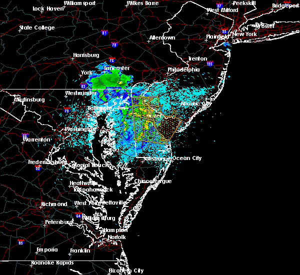 The severe thunderstorm warning for southwestern new castle and northern kent counties will expire at 1030 pm edt, the storm which prompted the warning has weakened below severe limits, and no longer pose an immediate threat to life or property. therefore the warning will be allowed to expire. however gusty winds to 40 mph are still possible with this thunderstorm. The severe thunderstorm warning for southwestern new castle and northern kent counties will expire at 1030 pm edt, the storm which prompted the warning has weakened below severe limits, and no longer pose an immediate threat to life or property. therefore the warning will be allowed to expire. however gusty winds to 40 mph are still possible with this thunderstorm.
|
| 8/14/2016 10:21 PM EDT |
 The severe thunderstorm warning for west central new castle, southwestern salem and northwestern cumberland counties will expire at 1030 pm edt, the storm which prompted the warning has weakened below severe limits, and no longer pose an immediate threat to life or property. therefore the warning will be allowed to expire. however gusty winds to 40 mph are still possible with this thunderstorm. The severe thunderstorm warning for west central new castle, southwestern salem and northwestern cumberland counties will expire at 1030 pm edt, the storm which prompted the warning has weakened below severe limits, and no longer pose an immediate threat to life or property. therefore the warning will be allowed to expire. however gusty winds to 40 mph are still possible with this thunderstorm.
|
| 8/14/2016 10:15 PM EDT |
 At 956 pm edt, a severe thunderstorm was located over green spring, or 9 miles south of middletown, moving east at 40 mph (wind gusts between 50 and 70 mph have been measured throughout the history of this line of thunderstorms). Hazards include 70 mph wind gusts. Expect considerable tree damage. damage is likely to mobile homes, roofs, and outbuildings. Locations impacted include, dover, middletown, smyrna, clayton, cheswold, cecilton, dover speedway, woodland beach, sassafras, green spring, delaney corner, warwick, massey, townsend, galena, kenton, little creek, leipsic and chambersville. At 956 pm edt, a severe thunderstorm was located over green spring, or 9 miles south of middletown, moving east at 40 mph (wind gusts between 50 and 70 mph have been measured throughout the history of this line of thunderstorms). Hazards include 70 mph wind gusts. Expect considerable tree damage. damage is likely to mobile homes, roofs, and outbuildings. Locations impacted include, dover, middletown, smyrna, clayton, cheswold, cecilton, dover speedway, woodland beach, sassafras, green spring, delaney corner, warwick, massey, townsend, galena, kenton, little creek, leipsic and chambersville.
|
| 8/14/2016 10:12 PM EDT |
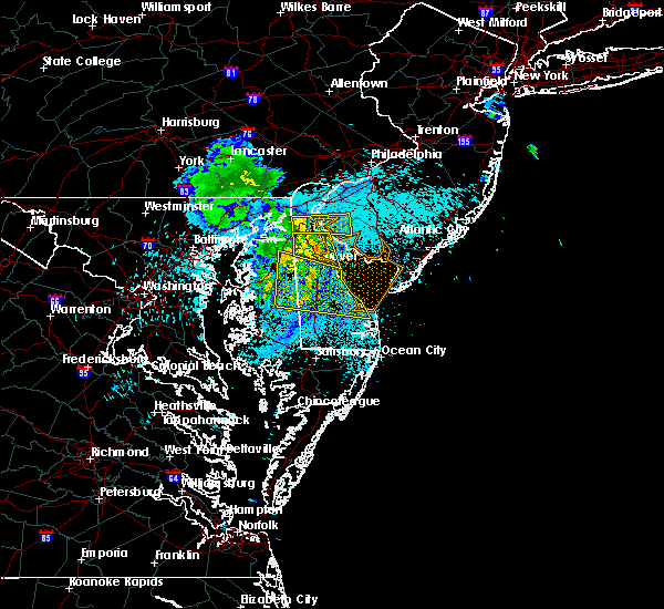 At 1012 pm edt, a severe thunderstorm was located near mount pleasant, or near middletown, moving east at 30 mph (radar indicated). Hazards include 60 mph wind gusts. Expect damage to roofs. siding. and trees. Locations impacted include, middletown, salem, alloway, quinton, delaware city, shiloh, hancocks bridge, mount pleasant, newport meadows, saint georges, hope creek, port penn and odessa. At 1012 pm edt, a severe thunderstorm was located near mount pleasant, or near middletown, moving east at 30 mph (radar indicated). Hazards include 60 mph wind gusts. Expect damage to roofs. siding. and trees. Locations impacted include, middletown, salem, alloway, quinton, delaware city, shiloh, hancocks bridge, mount pleasant, newport meadows, saint georges, hope creek, port penn and odessa.
|
| 8/14/2016 9:59 PM EDT |
 At 956 pm edt, a severe thunderstorm was located over green spring, or 9 miles south of middletown, moving east at 40 mph (wind gusts between 50 and 70 mph have been measured throughout the history of this line of thunderstorms). Hazards include 70 mph wind gusts. Expect considerable tree damage. damage is likely to mobile homes, roofs, and outbuildings. Locations impacted include, dover, middletown, smyrna, clayton, cheswold, cecilton, dover speedway, woodland beach, sassafras, green spring, delaney corner, warwick, massey, townsend, galena, kenton, little creek, leipsic and chambersville. At 956 pm edt, a severe thunderstorm was located over green spring, or 9 miles south of middletown, moving east at 40 mph (wind gusts between 50 and 70 mph have been measured throughout the history of this line of thunderstorms). Hazards include 70 mph wind gusts. Expect considerable tree damage. damage is likely to mobile homes, roofs, and outbuildings. Locations impacted include, dover, middletown, smyrna, clayton, cheswold, cecilton, dover speedway, woodland beach, sassafras, green spring, delaney corner, warwick, massey, townsend, galena, kenton, little creek, leipsic and chambersville.
|
| 8/14/2016 9:59 PM EDT |
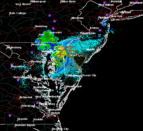 At 956 pm edt, a severe thunderstorm was located over green spring, or 9 miles south of middletown, moving east at 40 mph (wind gusts between 50 and 70 mph have been measured throughout the history of this line of thunderstorms). Hazards include 70 mph wind gusts. Expect considerable tree damage. damage is likely to mobile homes, roofs, and outbuildings. Locations impacted include, dover, middletown, smyrna, clayton, cheswold, cecilton, dover speedway, woodland beach, sassafras, green spring, delaney corner, warwick, massey, townsend, galena, kenton, little creek, leipsic and chambersville. At 956 pm edt, a severe thunderstorm was located over green spring, or 9 miles south of middletown, moving east at 40 mph (wind gusts between 50 and 70 mph have been measured throughout the history of this line of thunderstorms). Hazards include 70 mph wind gusts. Expect considerable tree damage. damage is likely to mobile homes, roofs, and outbuildings. Locations impacted include, dover, middletown, smyrna, clayton, cheswold, cecilton, dover speedway, woodland beach, sassafras, green spring, delaney corner, warwick, massey, townsend, galena, kenton, little creek, leipsic and chambersville.
|
| 8/14/2016 9:49 PM EDT |
 At 948 pm edt, a severe thunderstorm was located over cayots, or 7 miles west of middletown, moving east at 35 mph (radar indicated. wind gusts between 50 and 60 mph were recorded along this line of storms). Hazards include 60 mph wind gusts. Expect damage to roofs. siding. And trees. At 948 pm edt, a severe thunderstorm was located over cayots, or 7 miles west of middletown, moving east at 35 mph (radar indicated. wind gusts between 50 and 60 mph were recorded along this line of storms). Hazards include 60 mph wind gusts. Expect damage to roofs. siding. And trees.
|
| 8/14/2016 9:34 PM EDT |
 At 933 pm edt, a severe thunderstorm was located near kennedyville, or 11 miles southeast of aberdeen proving ground, moving east at 40 mph. wind gusts from 50-60 mph have been reported with this line of storms over chesapeake bay (radar indicated). Hazards include 60 mph wind gusts. Expect damage to roofs. siding. And trees. At 933 pm edt, a severe thunderstorm was located near kennedyville, or 11 miles southeast of aberdeen proving ground, moving east at 40 mph. wind gusts from 50-60 mph have been reported with this line of storms over chesapeake bay (radar indicated). Hazards include 60 mph wind gusts. Expect damage to roofs. siding. And trees.
|
| 7/23/2016 6:32 PM EDT |
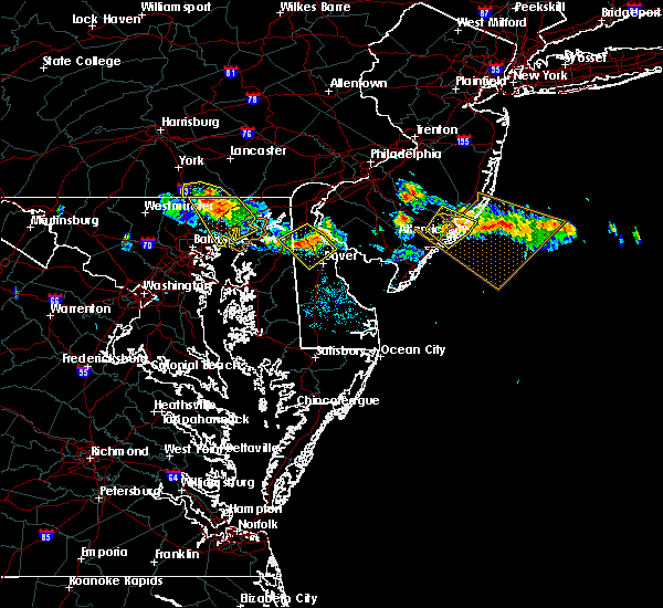 At 630 pm edt, a severe thunderstorm was located near smyrna, or 11 miles southeast of middletown, moving southeast at 35 mph (trained weather spotters. at 625 pm downed trees and wires were reported in middletown delaware). Hazards include 60 mph wind gusts and quarter size hail. Hail damage to vehicles is expected. expect wind damage to roofs, siding, and trees. Locations impacted include, dover, middletown, smyrna, clayton, cheswold, woodland beach, sassafras, green spring, delaney corner, warwick, massey, townsend, odessa, kenton, leipsic and chambersville. At 630 pm edt, a severe thunderstorm was located near smyrna, or 11 miles southeast of middletown, moving southeast at 35 mph (trained weather spotters. at 625 pm downed trees and wires were reported in middletown delaware). Hazards include 60 mph wind gusts and quarter size hail. Hail damage to vehicles is expected. expect wind damage to roofs, siding, and trees. Locations impacted include, dover, middletown, smyrna, clayton, cheswold, woodland beach, sassafras, green spring, delaney corner, warwick, massey, townsend, odessa, kenton, leipsic and chambersville.
|
| 7/23/2016 6:11 PM EDT | Trees and wires down on bunker hill roa in new castle county DE, 0.4 miles SE of Middletown, DE |
| 7/23/2016 6:10 PM EDT |
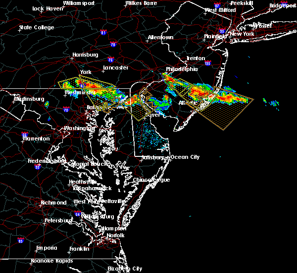 At 610 pm edt, a severe thunderstorm was located over middletown, moving southeast at 40 mph (radar indicated). Hazards include 60 mph wind gusts and quarter size hail. Hail damage to vehicles is expected. expect wind damage to roofs, siding, and trees. Locations impacted include, dover, middletown, smyrna, clayton, cheswold, cecilton, cayots, woodland beach, sassafras, mount pleasant, bohemias mills, green spring, delaney corner, warwick, massey, townsend, chesapeake city, odessa, kenton and leipsic. At 610 pm edt, a severe thunderstorm was located over middletown, moving southeast at 40 mph (radar indicated). Hazards include 60 mph wind gusts and quarter size hail. Hail damage to vehicles is expected. expect wind damage to roofs, siding, and trees. Locations impacted include, dover, middletown, smyrna, clayton, cheswold, cecilton, cayots, woodland beach, sassafras, mount pleasant, bohemias mills, green spring, delaney corner, warwick, massey, townsend, chesapeake city, odessa, kenton and leipsic.
|
| 7/23/2016 6:03 PM EDT | Trees down. time estimated from rada in cecil county MD, 4.4 miles ESE of Middletown, DE |
| 7/23/2016 5:55 PM EDT |
 At 554 pm edt, a severe thunderstorm was located over hollywood beach, or near elkton, moving southeast at 30 mph (radar indicated). Hazards include 60 mph wind gusts and quarter size hail. Hail damage to vehicles is expected. Expect wind damage to roofs, siding, and trees. At 554 pm edt, a severe thunderstorm was located over hollywood beach, or near elkton, moving southeast at 30 mph (radar indicated). Hazards include 60 mph wind gusts and quarter size hail. Hail damage to vehicles is expected. Expect wind damage to roofs, siding, and trees.
|
| 7/23/2016 5:24 PM EDT |
 At 522 pm edt, a cluster of severe thunderstorms were located from southern chester county into new castle county, moving southeast at 40 mph. the storms are weakening some, however locally damaging winds and hail are still possible (radar indicated). Hazards include 60 mph wind gusts and penny size hail. Expect damage to roofs. siding. and trees. Locations impacted include, wilmington, newark, middletown, elkton, calvert, pennsville, carneys point, elsmere, kennett square, new castle, penns grove, salem, oxford, north east, west grove, rising sun, delaware city, charlestown, newport and bohemias mills. At 522 pm edt, a cluster of severe thunderstorms were located from southern chester county into new castle county, moving southeast at 40 mph. the storms are weakening some, however locally damaging winds and hail are still possible (radar indicated). Hazards include 60 mph wind gusts and penny size hail. Expect damage to roofs. siding. and trees. Locations impacted include, wilmington, newark, middletown, elkton, calvert, pennsville, carneys point, elsmere, kennett square, new castle, penns grove, salem, oxford, north east, west grove, rising sun, delaware city, charlestown, newport and bohemias mills.
|
| 7/23/2016 5:03 PM EDT |
 At 501 pm edt, a cluster of severe thunderstorms was located from southern chester county to cecil county, moving southeast at 40 mph (radar indicated). Hazards include 60 mph wind gusts and quarter size hail. Hail damage to vehicles is expected. Expect wind damage to roofs, siding, and trees. At 501 pm edt, a cluster of severe thunderstorms was located from southern chester county to cecil county, moving southeast at 40 mph (radar indicated). Hazards include 60 mph wind gusts and quarter size hail. Hail damage to vehicles is expected. Expect wind damage to roofs, siding, and trees.
|
| 7/18/2016 5:04 PM EDT |
 At 504 pm edt, a severe thunderstorm was located over bohemias mills, or near middletown, moving east at 30 mph (radar indicated). Hazards include 60 mph wind gusts and nickel size hail. Expect damage to roofs. siding. and trees. Locations impacted include, dover, middletown, smyrna, chestertown, camden, clayton, delaware city, cheswold, church hill, cecilton, millington, sudlersville, hartly, old town, cayots, kennedyville, bohemias mills, delaney corner, warwick and hollywood beach. At 504 pm edt, a severe thunderstorm was located over bohemias mills, or near middletown, moving east at 30 mph (radar indicated). Hazards include 60 mph wind gusts and nickel size hail. Expect damage to roofs. siding. and trees. Locations impacted include, dover, middletown, smyrna, chestertown, camden, clayton, delaware city, cheswold, church hill, cecilton, millington, sudlersville, hartly, old town, cayots, kennedyville, bohemias mills, delaney corner, warwick and hollywood beach.
|
| 7/18/2016 4:37 PM EDT |
 At 436 pm edt, a severe thunderstorm was located over chestertown, or 14 miles south of aberdeen proving ground, moving east at 40 mph (radar indicated). Hazards include 60 mph wind gusts and nickel size hail. Expect damage to roofs. siding. And trees. At 436 pm edt, a severe thunderstorm was located over chestertown, or 14 miles south of aberdeen proving ground, moving east at 40 mph (radar indicated). Hazards include 60 mph wind gusts and nickel size hail. Expect damage to roofs. siding. And trees.
|
| 6/21/2016 2:44 PM EDT |
 At 244 pm edt, severe thunderstorms were located along a line extending from greenwich to near cheswold to near hartly, moving east at 35 mph (radar indicated). Hazards include ping pong ball size hail and 60 mph wind gusts. People and animals outdoors will be injured. expect hail damage to roofs, siding, windows, and vehicles. expect wind damage to roofs, siding, and trees. these severe storms will be near, dover and greenwich around 250 pm edt. fairton and woodland beach around 255 pm edt. millville and cedarville around 300 pm edt. woodside, viola, newport and fortesque around 305 pm edt. rising sun, rising sun-lebanon and dover base housing around 310 pm edt. laurel lake around 315 pm edt. Other locations impacted by these severe thunderstorms include little creek, magnolia, townsend, kenton, henderson, chambersville, wy oming, kingstown, marydel and leipsic. At 244 pm edt, severe thunderstorms were located along a line extending from greenwich to near cheswold to near hartly, moving east at 35 mph (radar indicated). Hazards include ping pong ball size hail and 60 mph wind gusts. People and animals outdoors will be injured. expect hail damage to roofs, siding, windows, and vehicles. expect wind damage to roofs, siding, and trees. these severe storms will be near, dover and greenwich around 250 pm edt. fairton and woodland beach around 255 pm edt. millville and cedarville around 300 pm edt. woodside, viola, newport and fortesque around 305 pm edt. rising sun, rising sun-lebanon and dover base housing around 310 pm edt. laurel lake around 315 pm edt. Other locations impacted by these severe thunderstorms include little creek, magnolia, townsend, kenton, henderson, chambersville, wy oming, kingstown, marydel and leipsic.
|
| 6/21/2016 2:44 PM EDT |
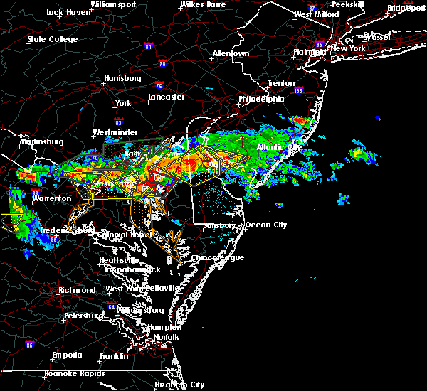 At 244 pm edt, severe thunderstorms were located along a line extending from greenwich to near cheswold to near hartly, moving east at 35 mph (radar indicated). Hazards include ping pong ball size hail and 60 mph wind gusts. People and animals outdoors will be injured. expect hail damage to roofs, siding, windows, and vehicles. expect wind damage to roofs, siding, and trees. these severe storms will be near, dover and greenwich around 250 pm edt. fairton and woodland beach around 255 pm edt. millville and cedarville around 300 pm edt. woodside, viola, newport and fortesque around 305 pm edt. rising sun, rising sun-lebanon and dover base housing around 310 pm edt. laurel lake around 315 pm edt. Other locations impacted by these severe thunderstorms include little creek, magnolia, townsend, kenton, henderson, chambersville, wy oming, kingstown, marydel and leipsic. At 244 pm edt, severe thunderstorms were located along a line extending from greenwich to near cheswold to near hartly, moving east at 35 mph (radar indicated). Hazards include ping pong ball size hail and 60 mph wind gusts. People and animals outdoors will be injured. expect hail damage to roofs, siding, windows, and vehicles. expect wind damage to roofs, siding, and trees. these severe storms will be near, dover and greenwich around 250 pm edt. fairton and woodland beach around 255 pm edt. millville and cedarville around 300 pm edt. woodside, viola, newport and fortesque around 305 pm edt. rising sun, rising sun-lebanon and dover base housing around 310 pm edt. laurel lake around 315 pm edt. Other locations impacted by these severe thunderstorms include little creek, magnolia, townsend, kenton, henderson, chambersville, wy oming, kingstown, marydel and leipsic.
|
| 6/21/2016 2:21 PM EDT |
 At 220 pm edt, severe thunderstorms were located along a line extending from near bohemias mills to kennedyville to near langford, moving east at 15 mph (law enforcement). Hazards include ping pong ball size hail and 60 mph wind gusts. People and animals outdoors will be injured. expect hail damage to roofs, siding, windows, and vehicles. expect wind damage to roofs, siding, and trees. Locations impacted include, middletown, chestertown, church hill, cecilton, millington, betterton, old town, sassafras, mount pleasant, kennedyville, bohemias mills, newtown, delaney corner, crumpton, port penn, langford, warwick, massey, morgnec and townsend. At 220 pm edt, severe thunderstorms were located along a line extending from near bohemias mills to kennedyville to near langford, moving east at 15 mph (law enforcement). Hazards include ping pong ball size hail and 60 mph wind gusts. People and animals outdoors will be injured. expect hail damage to roofs, siding, windows, and vehicles. expect wind damage to roofs, siding, and trees. Locations impacted include, middletown, chestertown, church hill, cecilton, millington, betterton, old town, sassafras, mount pleasant, kennedyville, bohemias mills, newtown, delaney corner, crumpton, port penn, langford, warwick, massey, morgnec and townsend.
|
| 6/21/2016 2:17 PM EDT |
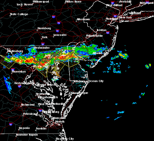 At 215 pm edt, severe thunderstorms were located along a line extending from near hope creek to near massey to chestertown, moving east at 35 mph (radar indicated and law enforcement reported large hail). Hazards include up to ping pong ball size hail and 60 mph wind gusts. People and animals outdoors will be injured. expect hail damage to roofs, siding, windows, and vehicles. expect wind damage to roofs, siding, and trees. severe thunderstorms will be near, middletown around 220 pm edt. delaney corner around 230 pm edt. green spring and woodland beach around 235 pm edt. smyrna and clayton around 240 pm edt. cheswold and greenwich around 245 pm edt. dover and hartly around 250 pm edt. hazlettville, fairton, dover speedway and sandtown around 255 pm edt. millville and cedarville around 300 pm edt. Other locations impacted by these severe thunderstorms include little creek, magnolia, townsend, kenton, henderson, chambersville, wyoming, kingstown, marydel and leipsic. At 215 pm edt, severe thunderstorms were located along a line extending from near hope creek to near massey to chestertown, moving east at 35 mph (radar indicated and law enforcement reported large hail). Hazards include up to ping pong ball size hail and 60 mph wind gusts. People and animals outdoors will be injured. expect hail damage to roofs, siding, windows, and vehicles. expect wind damage to roofs, siding, and trees. severe thunderstorms will be near, middletown around 220 pm edt. delaney corner around 230 pm edt. green spring and woodland beach around 235 pm edt. smyrna and clayton around 240 pm edt. cheswold and greenwich around 245 pm edt. dover and hartly around 250 pm edt. hazlettville, fairton, dover speedway and sandtown around 255 pm edt. millville and cedarville around 300 pm edt. Other locations impacted by these severe thunderstorms include little creek, magnolia, townsend, kenton, henderson, chambersville, wyoming, kingstown, marydel and leipsic.
|
| 6/21/2016 1:52 PM EDT |
 At 151 pm edt, severe thunderstorms were located along a line extending from near hollywood beach to near betterton to 7 miles southeast of bowleys quarters, moving east at 15 mph (radar indicated). Hazards include 60 mph wind gusts and quarter size hail. Hail damage to vehicles is expected. Expect wind damage to roofs, siding, and trees. At 151 pm edt, severe thunderstorms were located along a line extending from near hollywood beach to near betterton to 7 miles southeast of bowleys quarters, moving east at 15 mph (radar indicated). Hazards include 60 mph wind gusts and quarter size hail. Hail damage to vehicles is expected. Expect wind damage to roofs, siding, and trees.
|
| 6/8/2016 12:06 PM EDT | Numerous trees and wires in new castle county DE, 0.4 miles SE of Middletown, DE |
| 6/8/2016 11:38 AM EDT | Large tree down north broad street at 500 block. multiple power outage in new castle county DE, 0.4 miles SE of Middletown, DE |
| 6/8/2016 11:30 AM EDT | Choptank road closed due to tree down in new castle county DE, 0.4 miles SE of Middletown, DE |
| 6/5/2016 4:37 PM EDT |
 At 436 pm edt, severe thunderstorms were located along a line extending from rothsville to near delta to hampton, moving east at 45 mph (public). Hazards include 60 mph wind gusts. Expect damage to roofs. siding. And trees. At 436 pm edt, severe thunderstorms were located along a line extending from rothsville to near delta to hampton, moving east at 45 mph (public). Hazards include 60 mph wind gusts. Expect damage to roofs. siding. And trees.
|
| 4/2/2016 11:16 PM EDT |
 At 1114 pm edt, doppler radar indicated a line of severe thunderstorms capable of producing damaging winds in excess of 60 mph. these storms were located along a line extending from elsmere to near morgnec, moving east at 60 to 70 mph. 1 inch diameter hail was just reported from wilmington delaware. these severe storms will be near, wilmington, pennsville, carneys point, elsmere, new castle, penns grove, newport, wilmington manor and greenville around 1120 pm edt. other locations impacted by these severe thunderstorms include marcus hook, townsend, chesapeake city, brookside, kenton, chambersville, edgemoor, odessa, galena and claymont. At 1114 pm edt, doppler radar indicated a line of severe thunderstorms capable of producing damaging winds in excess of 60 mph. these storms were located along a line extending from elsmere to near morgnec, moving east at 60 to 70 mph. 1 inch diameter hail was just reported from wilmington delaware. these severe storms will be near, wilmington, pennsville, carneys point, elsmere, new castle, penns grove, newport, wilmington manor and greenville around 1120 pm edt. other locations impacted by these severe thunderstorms include marcus hook, townsend, chesapeake city, brookside, kenton, chambersville, edgemoor, odessa, galena and claymont.
|
| 4/2/2016 10:51 PM EDT |
 At 1050 pm edt, doppler radar indicated a line of severe thunderstorms capable of producing damaging winds in excess of 60 mph. these storms were located along a line extending from near lombard to near middle river, and moving east at 40 mph. * severe thunderstorms will be near, calvert, oxford, blake, lombard, fair hill, pleasant hill, zion and bay view around 1055 pm edt. kemblesville, appleton, andora, barksdale and cherry hill around 1100 pm edt. chestertown, ladenberg and glen westover around 1105 pm edt. newark, betterton and north star around 1110 pm edt. ashland, kennedyville, hockessin, pike creek, morgnec and stanton around 1115 pm edt. elsmere, newport, greenville, crumpton and wilmington manor around 1120 pm edt. wilmington, pennsville, millington and talleyville around 1125 pm edt. carneys point, penns grove, cecilton, arden, massey, delaney corner, sassafras and warwick around 1130 pm edt. other locations impacted by these severe thunderstorms include marcus hook, townsend, chesapeake city, brookside, kenton, chambersville, ardencroft, edgemoor, kingstown and odessa. At 1050 pm edt, doppler radar indicated a line of severe thunderstorms capable of producing damaging winds in excess of 60 mph. these storms were located along a line extending from near lombard to near middle river, and moving east at 40 mph. * severe thunderstorms will be near, calvert, oxford, blake, lombard, fair hill, pleasant hill, zion and bay view around 1055 pm edt. kemblesville, appleton, andora, barksdale and cherry hill around 1100 pm edt. chestertown, ladenberg and glen westover around 1105 pm edt. newark, betterton and north star around 1110 pm edt. ashland, kennedyville, hockessin, pike creek, morgnec and stanton around 1115 pm edt. elsmere, newport, greenville, crumpton and wilmington manor around 1120 pm edt. wilmington, pennsville, millington and talleyville around 1125 pm edt. carneys point, penns grove, cecilton, arden, massey, delaney corner, sassafras and warwick around 1130 pm edt. other locations impacted by these severe thunderstorms include marcus hook, townsend, chesapeake city, brookside, kenton, chambersville, ardencroft, edgemoor, kingstown and odessa.
|
| 2/24/2016 9:08 PM EST |
 At 907 pm est, doppler radar indicated a line of severe thunderstorms capable of producing damaging winds in excess of 60 mph. these storms were located along a line extending from new castle to andrewsville, moving east at 40 mph. locations impacted include, wilmington, dover, newark, middletown, west chester, elkton, pennsville, westtown, smyrna, carneys point, elsmere, kennett square, new castle, penns grove, salem, denton, north east, camden, clayton and west grove. a tornado watch remains in effect until 1100 pm est for northern delaware, northeastern maryland, southern new jersey and southeastern pennsylvania. At 907 pm est, doppler radar indicated a line of severe thunderstorms capable of producing damaging winds in excess of 60 mph. these storms were located along a line extending from new castle to andrewsville, moving east at 40 mph. locations impacted include, wilmington, dover, newark, middletown, west chester, elkton, pennsville, westtown, smyrna, carneys point, elsmere, kennett square, new castle, penns grove, salem, denton, north east, camden, clayton and west grove. a tornado watch remains in effect until 1100 pm est for northern delaware, northeastern maryland, southern new jersey and southeastern pennsylvania.
|
| 2/24/2016 8:47 PM EST |
 At 847 pm est, doppler radar indicated a line of severe thunderstorms capable of producing damaging winds in excess of 60 mph. these storms were located along a line extending from near elkton to near griffin, and moving east at 40 mph. At 847 pm est, doppler radar indicated a line of severe thunderstorms capable of producing damaging winds in excess of 60 mph. these storms were located along a line extending from near elkton to near griffin, and moving east at 40 mph.
|
| 8/4/2015 5:37 AM EDT |
 At 536 am edt, doppler radar indicated a severe thunderstorm capable of producing quarter size hail and damaging winds in excess of 60 mph. this storm was located over middle river, and moving east at 50 mph. At 536 am edt, doppler radar indicated a severe thunderstorm capable of producing quarter size hail and damaging winds in excess of 60 mph. this storm was located over middle river, and moving east at 50 mph.
|
| 7/9/2015 8:01 PM EDT |
 At 800 pm edt, doppler radar indicated a line of severe thunderstorms capable of producing damaging winds in excess of 60 mph. these storms were located along a line extending from palmyra to vineland to 7 miles northwest of green creek, moving east at 60 mph. locations impacted include, wilmington, middletown, pennsville, smyrna, carneys point, elsmere, new castle, penns grove, salem, clayton, delaware city, newport, cecilton, arden, wilmington manor, bohemias mills, chelsea, hope creek, port penn and elam. At 800 pm edt, doppler radar indicated a line of severe thunderstorms capable of producing damaging winds in excess of 60 mph. these storms were located along a line extending from palmyra to vineland to 7 miles northwest of green creek, moving east at 60 mph. locations impacted include, wilmington, middletown, pennsville, smyrna, carneys point, elsmere, new castle, penns grove, salem, clayton, delaware city, newport, cecilton, arden, wilmington manor, bohemias mills, chelsea, hope creek, port penn and elam.
|
| 7/9/2015 7:29 PM EDT |
 At 728 pm edt, doppler radar indicated a line of severe thunderstorms capable of producing damaging winds in excess of 60 mph. these storms were located along a line extending from near west chester to near port penn to near hazlettville, and moving east at 50 mph. At 728 pm edt, doppler radar indicated a line of severe thunderstorms capable of producing damaging winds in excess of 60 mph. these storms were located along a line extending from near west chester to near port penn to near hazlettville, and moving east at 50 mph.
|
| 7/9/2015 6:50 PM EDT |
 At 648 pm edt, doppler radar indicated a line of severe thunderstorms capable of producing damaging winds in excess of 60 mph. these storms were located near delta, or 7 miles north of bel air, and moving east at 50 mph. At 648 pm edt, doppler radar indicated a line of severe thunderstorms capable of producing damaging winds in excess of 60 mph. these storms were located near delta, or 7 miles north of bel air, and moving east at 50 mph.
|
| 7/1/2015 1:13 AM EDT |
 At 112 am edt, doppler radar indicated a severe thunderstorm capable of producing quarter size hail and damaging winds in excess of 60 mph. this storm was located over old town, or near centerville, and moving northeast at 40 mph. At 112 am edt, doppler radar indicated a severe thunderstorm capable of producing quarter size hail and damaging winds in excess of 60 mph. this storm was located over old town, or near centerville, and moving northeast at 40 mph.
|
| 6/27/2015 7:26 PM EDT | The severe thunderstorm warning for southwestern new castle, northwestern kent, northeastern queen anne`s, northeastern kent and southeastern cecil counties will expire at 730 pm edt, the storms which prompted the warning have weakened below severe limits, and no longer poses an immediate threat to life or property. therefore the warning will be allowed to expire. however gusty winds and heavy rain are still possible with these thunderstorms. |
| 6/27/2015 7:26 PM EDT | The severe thunderstorm warning for southwestern new castle, northwestern kent, northeastern queen anne`s, northeastern kent and southeastern cecil counties will expire at 730 pm edt, the storms which prompted the warning have weakened below severe limits, and no longer poses an immediate threat to life or property. therefore the warning will be allowed to expire. however gusty winds and heavy rain are still possible with these thunderstorms. |
| 6/27/2015 7:22 PM EDT | Downed trees and wires in new castle county DE, 2.4 miles S of Middletown, DE |
| 6/27/2015 7:16 PM EDT |
 At 715 pm edt, doppler radar indicated a line of severe thunderstorms capable of producing damaging winds in excess of 60 mph. these storms were located along a line extending from warwick to near delaney corner to near hartly, moving east at 25 mph. locations impacted include, middletown, smyrna, clayton, sassafras, bohemias mills, green spring, delaney corner, warwick, townsend, odessa, kenton, leipsic and chambersville. a tornado watch remains in effect until 800 pm edt for central delaware and eastern maryland. At 715 pm edt, doppler radar indicated a line of severe thunderstorms capable of producing damaging winds in excess of 60 mph. these storms were located along a line extending from warwick to near delaney corner to near hartly, moving east at 25 mph. locations impacted include, middletown, smyrna, clayton, sassafras, bohemias mills, green spring, delaney corner, warwick, townsend, odessa, kenton, leipsic and chambersville. a tornado watch remains in effect until 800 pm edt for central delaware and eastern maryland.
|
| 6/27/2015 6:56 PM EDT |
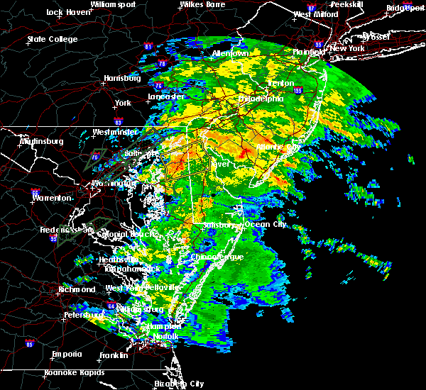 At 655 pm edt, doppler radar indicated a line of severe thunderstorms capable of producing damaging winds in excess of 60 mph. these storms were located along a line extending from near cecilton to millington to sudlersville, moving northeast at 25 mph. locations impacted include, dover, middletown, smyrna, clayton, cheswold, cecilton, millington, sudlersville, hartly, sassafras, bohemias mills, green spring, delaney corner, crumpton, warwick, massey, townsend, galena, odessa and kenton. a tornado watch remains in effect until 800 pm edt for central delaware and eastern maryland. At 655 pm edt, doppler radar indicated a line of severe thunderstorms capable of producing damaging winds in excess of 60 mph. these storms were located along a line extending from near cecilton to millington to sudlersville, moving northeast at 25 mph. locations impacted include, dover, middletown, smyrna, clayton, cheswold, cecilton, millington, sudlersville, hartly, sassafras, bohemias mills, green spring, delaney corner, crumpton, warwick, massey, townsend, galena, odessa and kenton. a tornado watch remains in effect until 800 pm edt for central delaware and eastern maryland.
|
| 6/27/2015 6:43 PM EDT |
 At 642 pm edt, doppler radar indicated a line of severe thunderstorms capable of producing damaging winds in excess of 60 mph. these storms were located along a line extending from near massey to near sudlersville to near hope, and moving northeast at 30 mph. At 642 pm edt, doppler radar indicated a line of severe thunderstorms capable of producing damaging winds in excess of 60 mph. these storms were located along a line extending from near massey to near sudlersville to near hope, and moving northeast at 30 mph.
|
| 6/23/2015 6:08 PM EDT |
 At 607 pm edt, doppler radar indicated a line of severe thunderstorms capable of producing destructive winds in excess of 70 mph. these storms were located along a line extending from feasterville-trevose to near south philadelphia to hollywood beach, moving east at 45 mph. a wind gust of 71 mph occurred at the philadelphia international airport. locations impacted include, philadelphia, camden, wilmington, newark, bridgeton, middletown, elkton, gloucester city, cherry hill, bensalem, evesham, mount laurel, chester, willingboro, deptford, voorhees, medford, west deptford, glassboro and lindenwold. At 607 pm edt, doppler radar indicated a line of severe thunderstorms capable of producing destructive winds in excess of 70 mph. these storms were located along a line extending from feasterville-trevose to near south philadelphia to hollywood beach, moving east at 45 mph. a wind gust of 71 mph occurred at the philadelphia international airport. locations impacted include, philadelphia, camden, wilmington, newark, bridgeton, middletown, elkton, gloucester city, cherry hill, bensalem, evesham, mount laurel, chester, willingboro, deptford, voorhees, medford, west deptford, glassboro and lindenwold.
|
| 6/23/2015 5:57 PM EDT | Trees and wires down in new castle county DE, 0.4 miles SE of Middletown, DE |
| 6/23/2015 5:38 PM EDT |
 At 537 pm edt, doppler radar indicated a line of severe thunderstorms capable of producing destructive winds in excess of 70 mph. these storms were located along a line extending from near east norriton to near westtown to near aberdeen, and moving east at 45 mph. this line has had a history of damaging winds. please take this warning seriously. At 537 pm edt, doppler radar indicated a line of severe thunderstorms capable of producing destructive winds in excess of 70 mph. these storms were located along a line extending from near east norriton to near westtown to near aberdeen, and moving east at 45 mph. this line has had a history of damaging winds. please take this warning seriously.
|
| 5/16/2015 7:08 PM EDT | At 707 pm edt, doppler radar indicated a line of severe thunderstorms capable of producing quarter size hail and damaging winds in excess of 60 mph. these storms were located along a line extending from aberdeen to near betterton to near rock hall, moving east at 30 mph. these severe storms will be near, betterton and kennedyville around 715 pm edt. crumpton around 720 pm edt. church hill, cecilton, millington, sassafras, hollywood beach, morgnec, massey, warwick, cayots and starkey corner around 730 pm edt. other locations impacted by these severe thunderstorms include chesapeake city, galena and kingstown. |
| 5/16/2015 7:08 PM EDT | At 707 pm edt, doppler radar indicated a line of severe thunderstorms capable of producing quarter size hail and damaging winds in excess of 60 mph. these storms were located along a line extending from aberdeen to near betterton to near rock hall, moving east at 30 mph. these severe storms will be near, betterton and kennedyville around 715 pm edt. crumpton around 720 pm edt. church hill, cecilton, millington, sassafras, hollywood beach, morgnec, massey, warwick, cayots and starkey corner around 730 pm edt. other locations impacted by these severe thunderstorms include chesapeake city, galena and kingstown. |
| 5/16/2015 6:45 PM EDT | At 644 pm edt, doppler radar indicated a line of severe thunderstorms capable of producing quarter size hail and damaging winds in excess of 60 mph. these storms were located along a line extending from near rock springs to near middle river to fort smallwood state park, and moving east at 30 mph. * severe thunderstorms will be near, rock springs, richardsmere, conowingo and octoraro around 650 pm edt. newtown, west nottingham and woodlawn around 655 pm edt. rising sun and farmington around 700 pm edt. calvert, betterton, zion and bay view around 705 pm edt. lombard, blake, kennedyville and pleasant hill around 710 pm edt. langford, fair hill, andora and cherry hill around 715 pm edt. elkton, chestertown, kemblesville, appleton, old town and barksdale around 720 pm edt. cecilton, millington, glen westover and starkey corner around 725 pm edt. other locations impacted by these severe thunderstorms include kingstown, brookside, chesapeake city, galena and perryville. the strongest part of the storms is moving toward kent conty maryland. |
| 5/16/2015 6:45 PM EDT | At 644 pm edt, doppler radar indicated a line of severe thunderstorms capable of producing quarter size hail and damaging winds in excess of 60 mph. these storms were located along a line extending from near rock springs to near middle river to fort smallwood state park, and moving east at 30 mph. * severe thunderstorms will be near, rock springs, richardsmere, conowingo and octoraro around 650 pm edt. newtown, west nottingham and woodlawn around 655 pm edt. rising sun and farmington around 700 pm edt. calvert, betterton, zion and bay view around 705 pm edt. lombard, blake, kennedyville and pleasant hill around 710 pm edt. langford, fair hill, andora and cherry hill around 715 pm edt. elkton, chestertown, kemblesville, appleton, old town and barksdale around 720 pm edt. cecilton, millington, glen westover and starkey corner around 725 pm edt. other locations impacted by these severe thunderstorms include kingstown, brookside, chesapeake city, galena and perryville. the strongest part of the storms is moving toward kent conty maryland. |
| 5/16/2015 6:45 PM EDT | At 644 pm edt, doppler radar indicated a line of severe thunderstorms capable of producing quarter size hail and damaging winds in excess of 60 mph. these storms were located along a line extending from near rock springs to near middle river to fort smallwood state park, and moving east at 30 mph. * severe thunderstorms will be near, rock springs, richardsmere, conowingo and octoraro around 650 pm edt. newtown, west nottingham and woodlawn around 655 pm edt. rising sun and farmington around 700 pm edt. calvert, betterton, zion and bay view around 705 pm edt. lombard, blake, kennedyville and pleasant hill around 710 pm edt. langford, fair hill, andora and cherry hill around 715 pm edt. elkton, chestertown, kemblesville, appleton, old town and barksdale around 720 pm edt. cecilton, millington, glen westover and starkey corner around 725 pm edt. other locations impacted by these severe thunderstorms include kingstown, brookside, chesapeake city, galena and perryville. the strongest part of the storms is moving toward kent conty maryland. |
| 8/31/2014 7:18 PM EDT | Trees down on powerline in new castle county DE, 0.4 miles SE of Middletown, DE |
| 6/30/2012 12:25 AM EDT | Poles snapped. wind gusts estimated in excess of 70 mp in new castle county DE, 0.4 miles SE of Middletown, DE |
| 6/30/2012 12:15 AM EDT | Multiple trees reported down in middletow in new castle county DE, 0.4 miles SE of Middletown, DE |
| 6/30/2012 12:06 AM EDT | Trees and wires reported down in the warwick area. also... damage to buildings reporte in cecil county MD, 4.4 miles ENE of Middletown, DE |
| 1/1/0001 12:00 AM | Wires down and power outages in new castle county DE, 0.4 miles SE of Middletown, DE |
Hail Maps for Middletown, DE


Connect with Interactive Hail Maps