

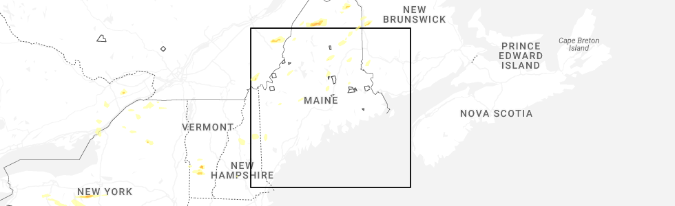
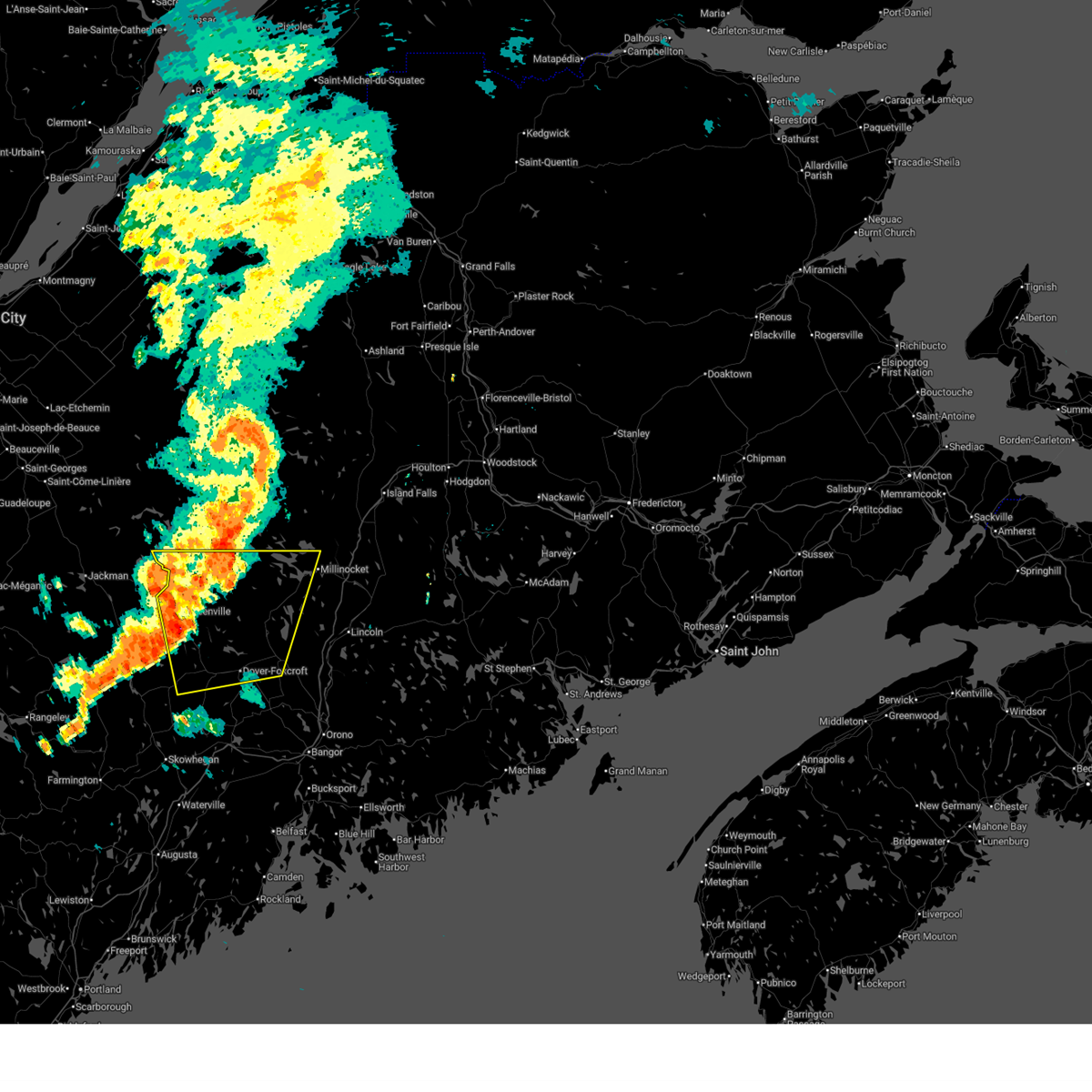
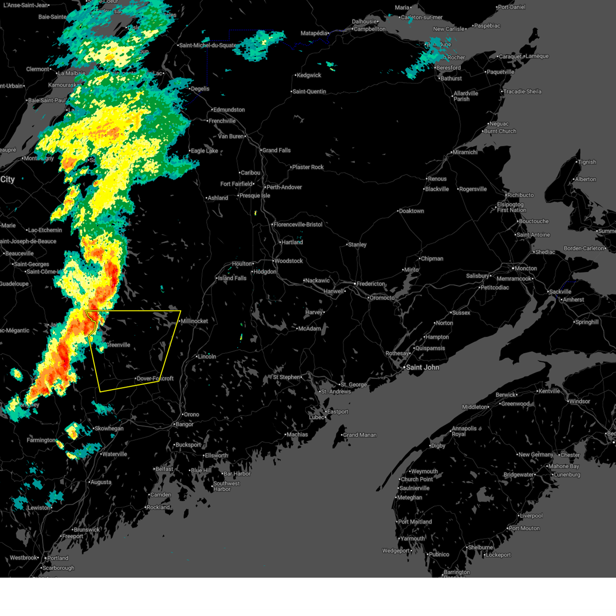
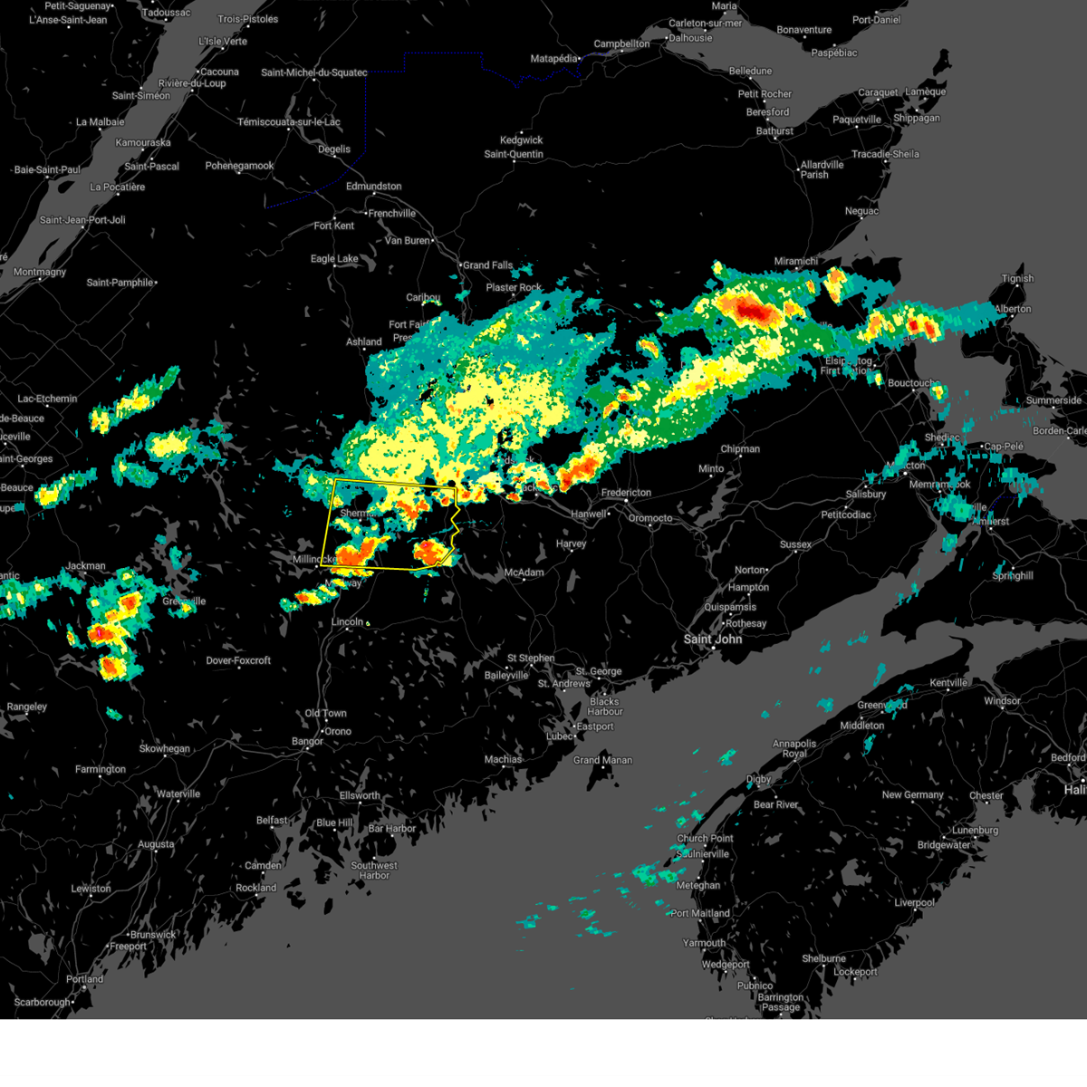
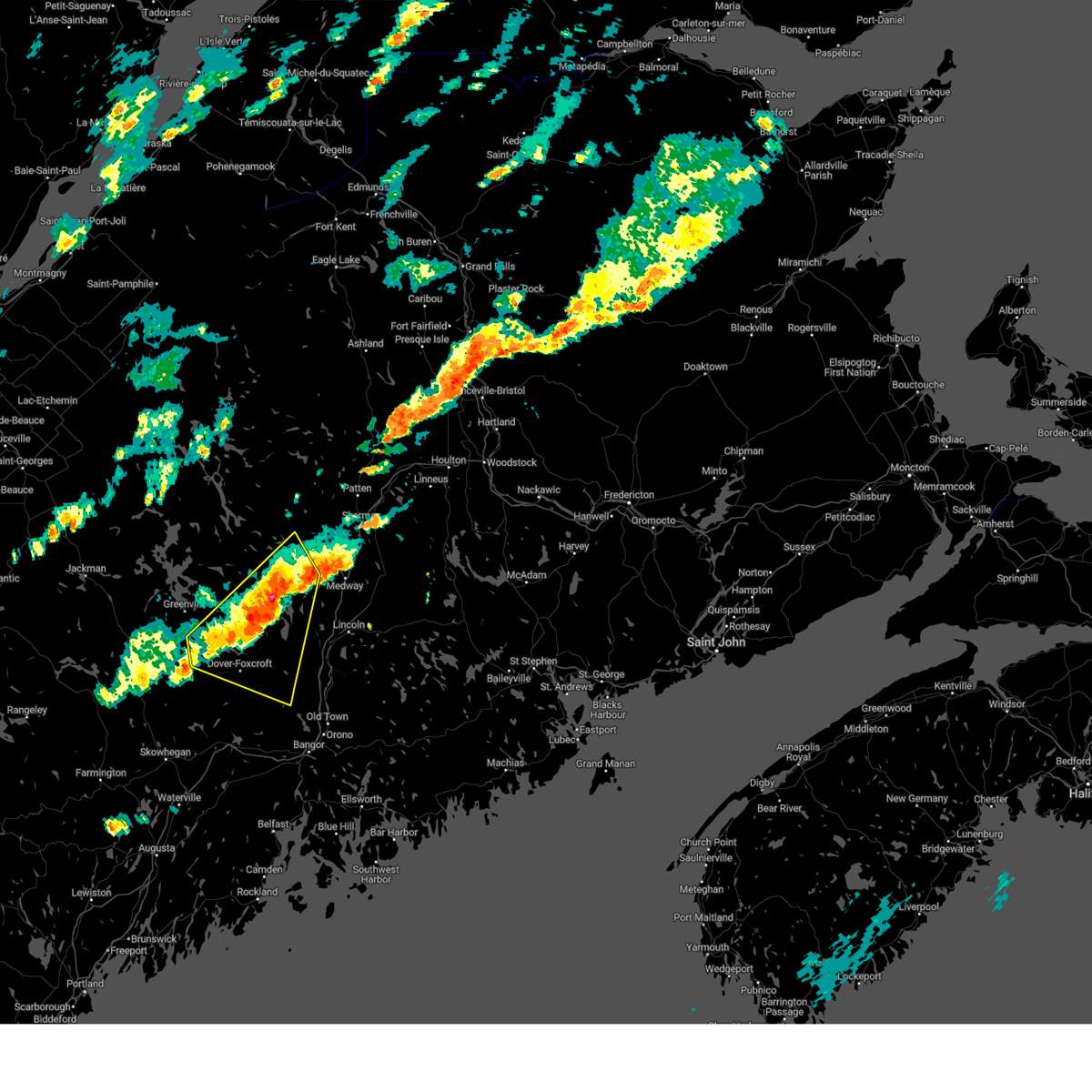
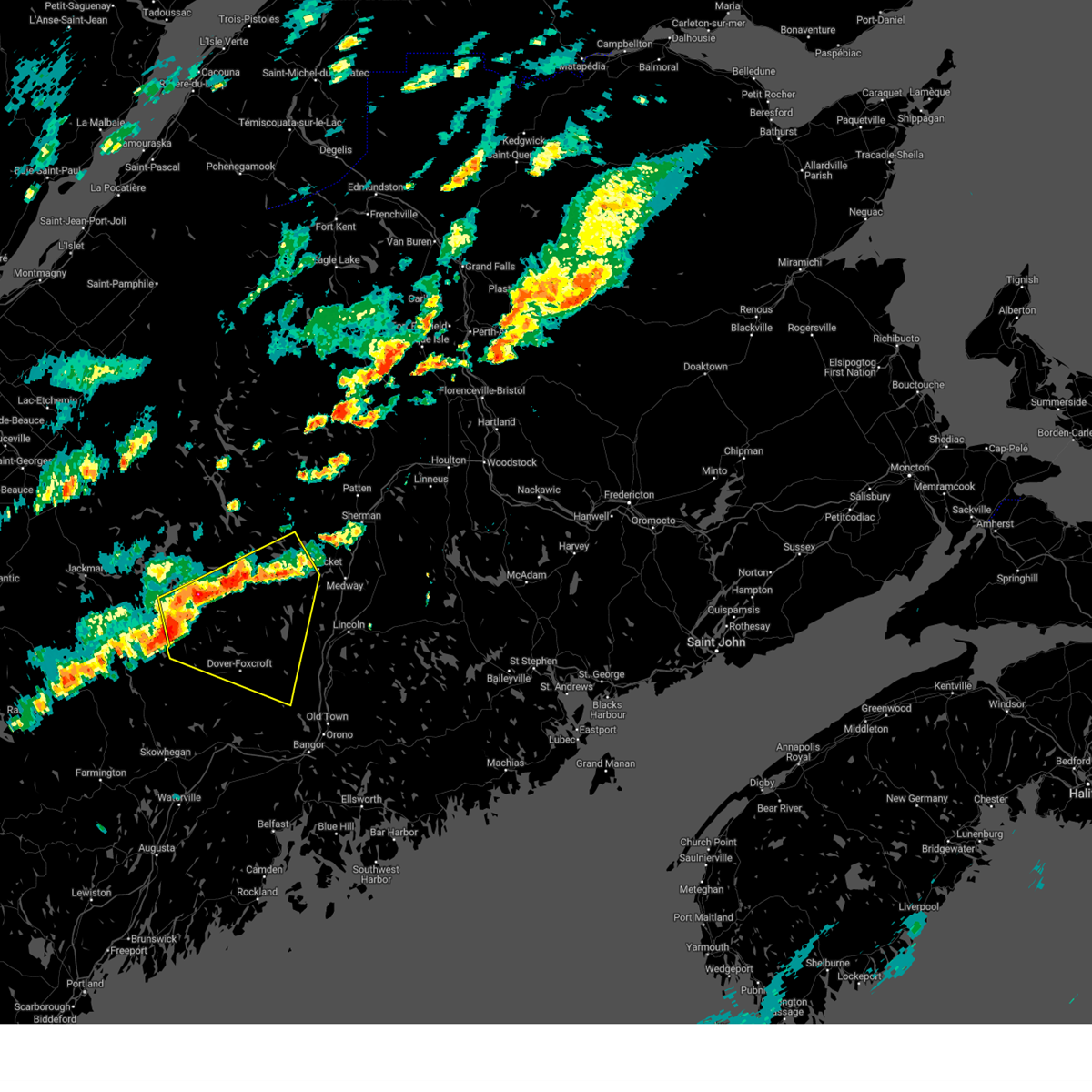
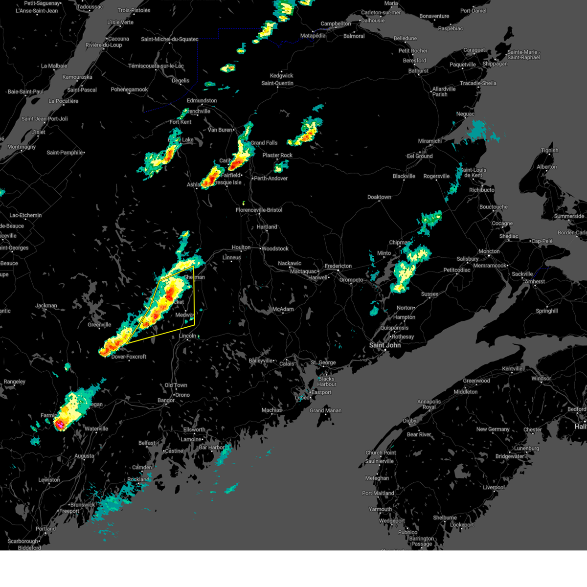
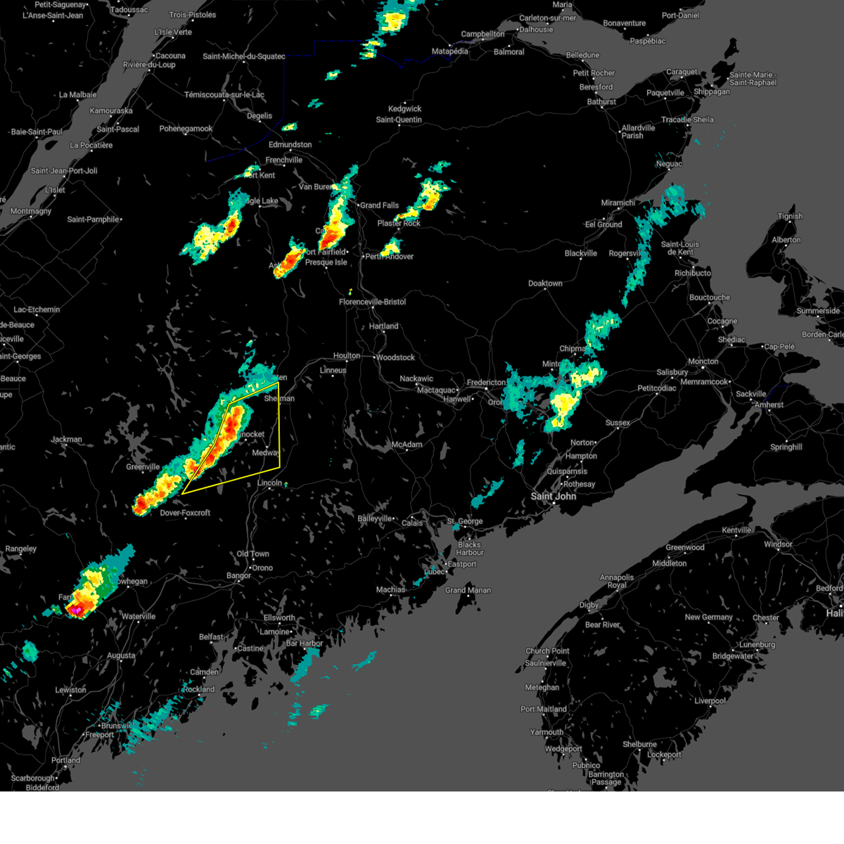
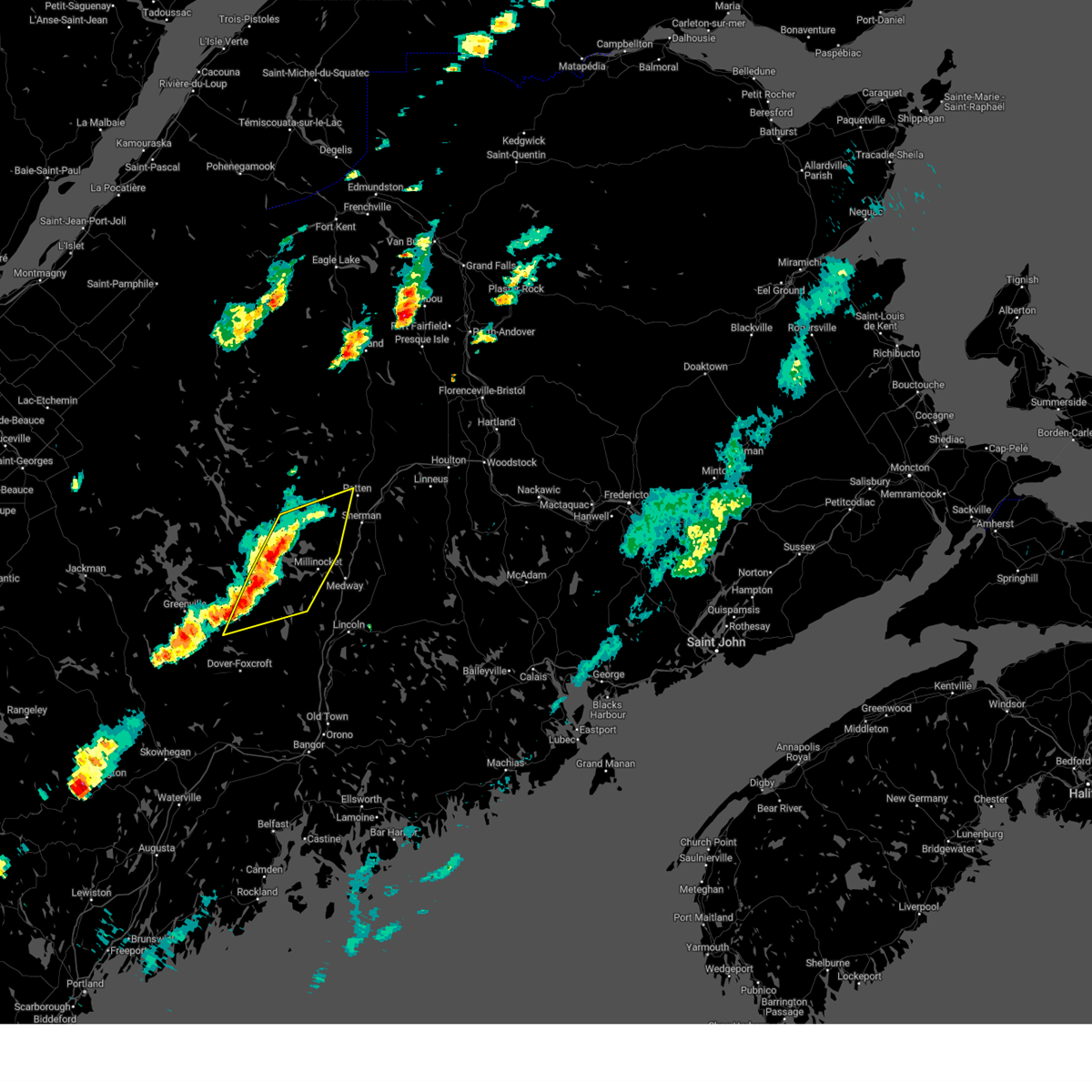
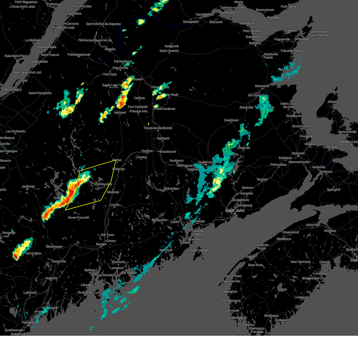
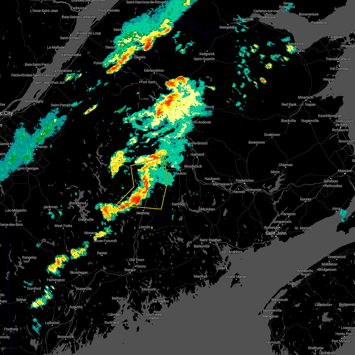
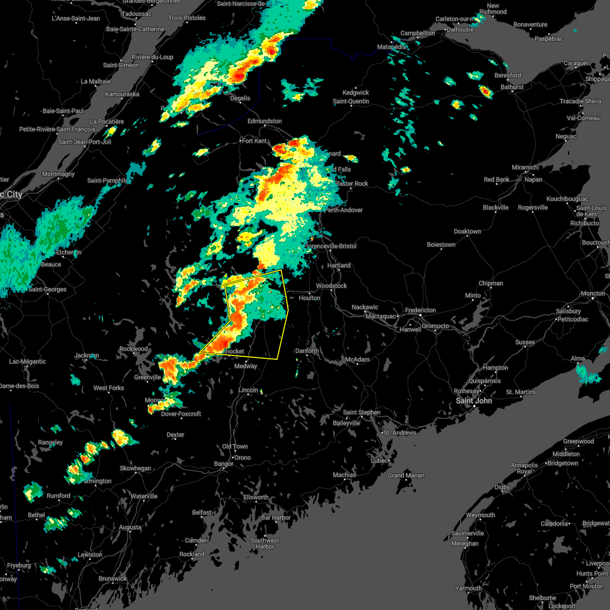
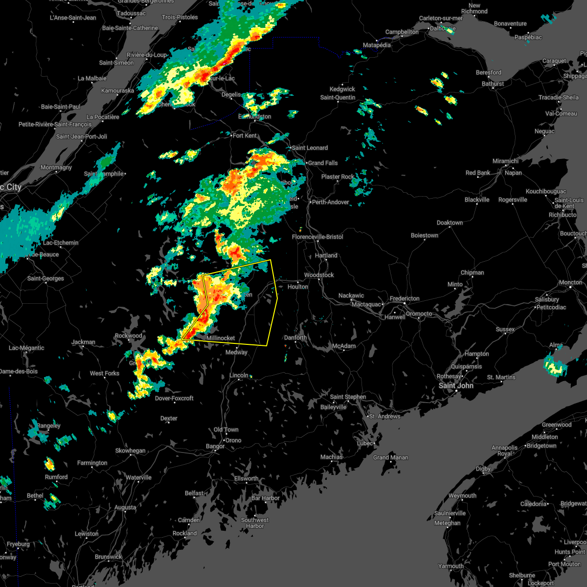
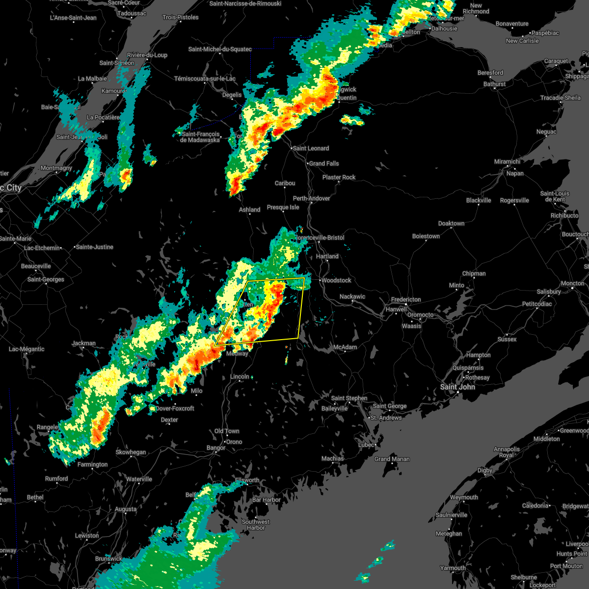
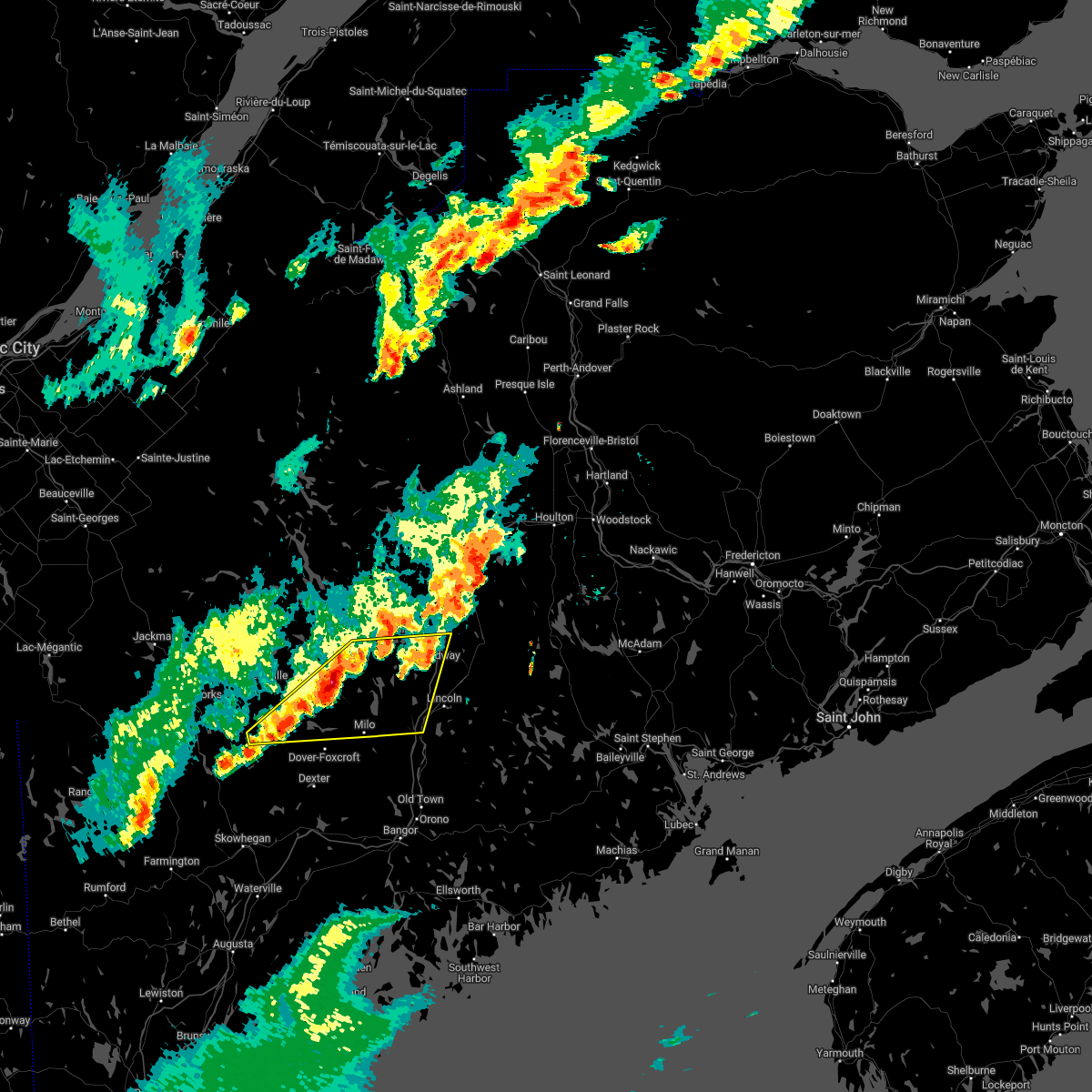
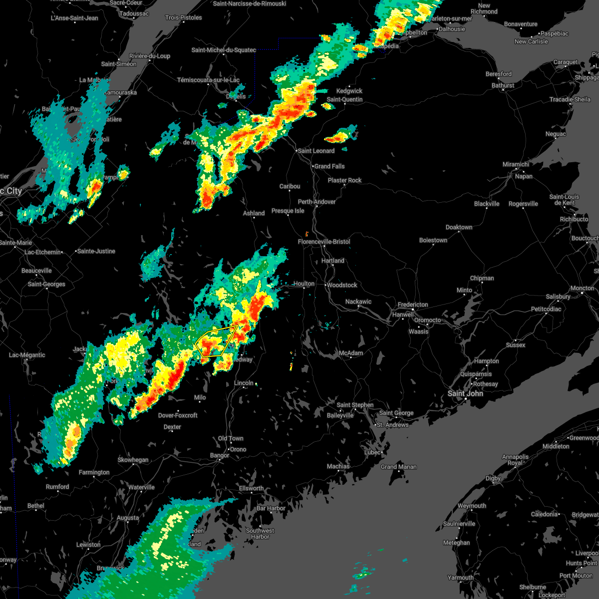
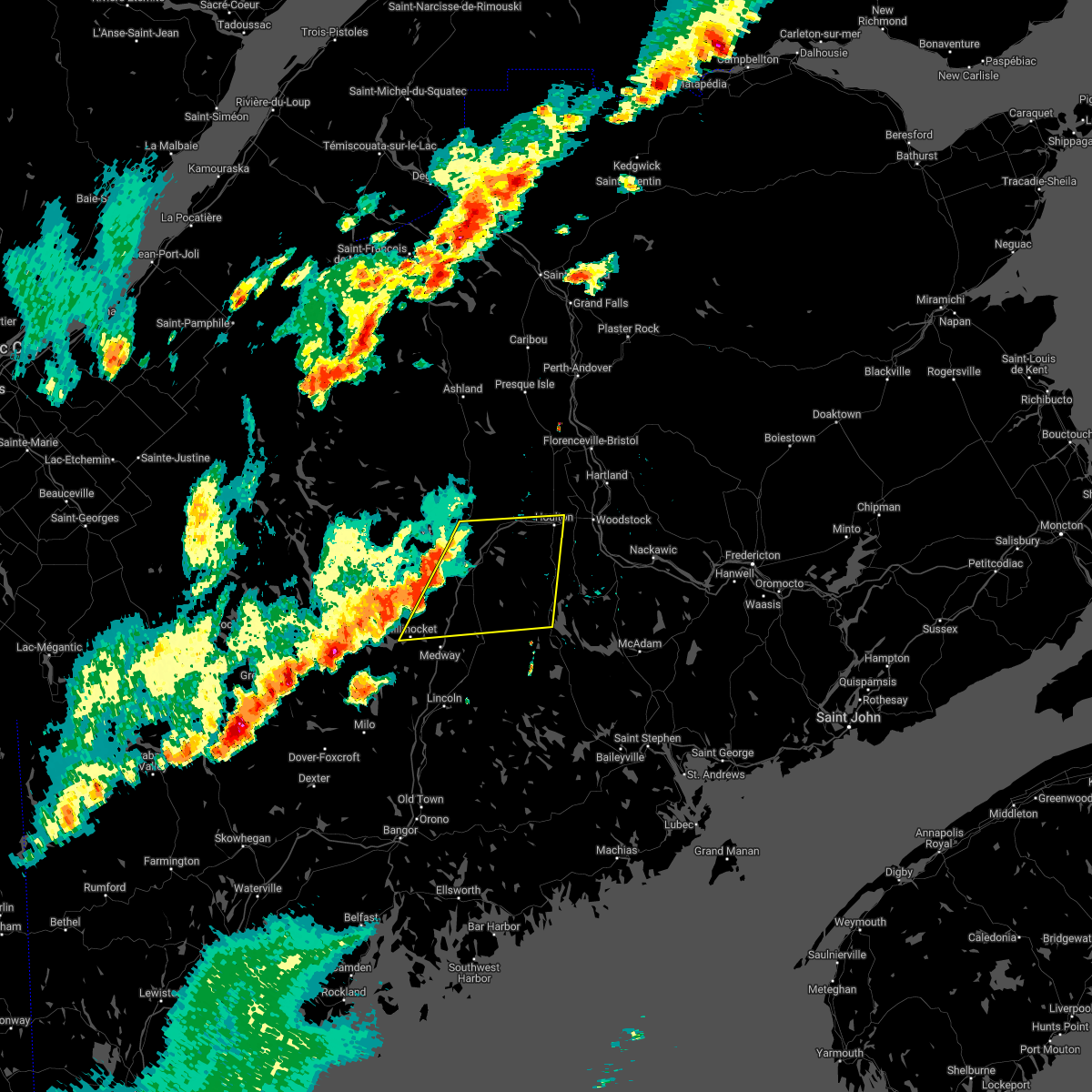
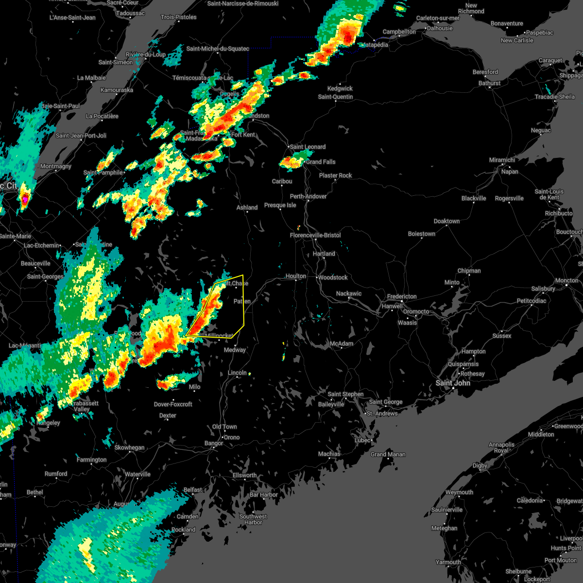
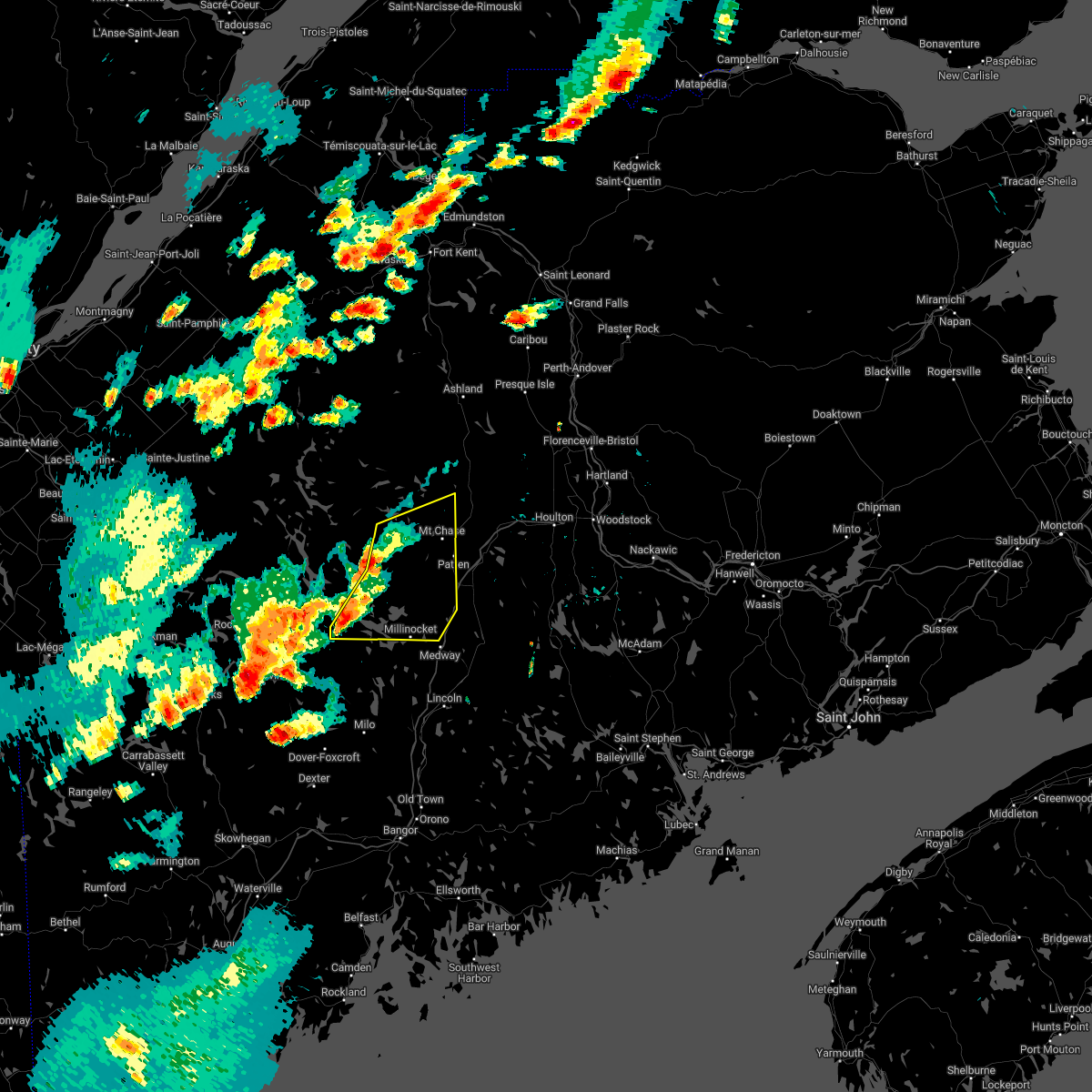
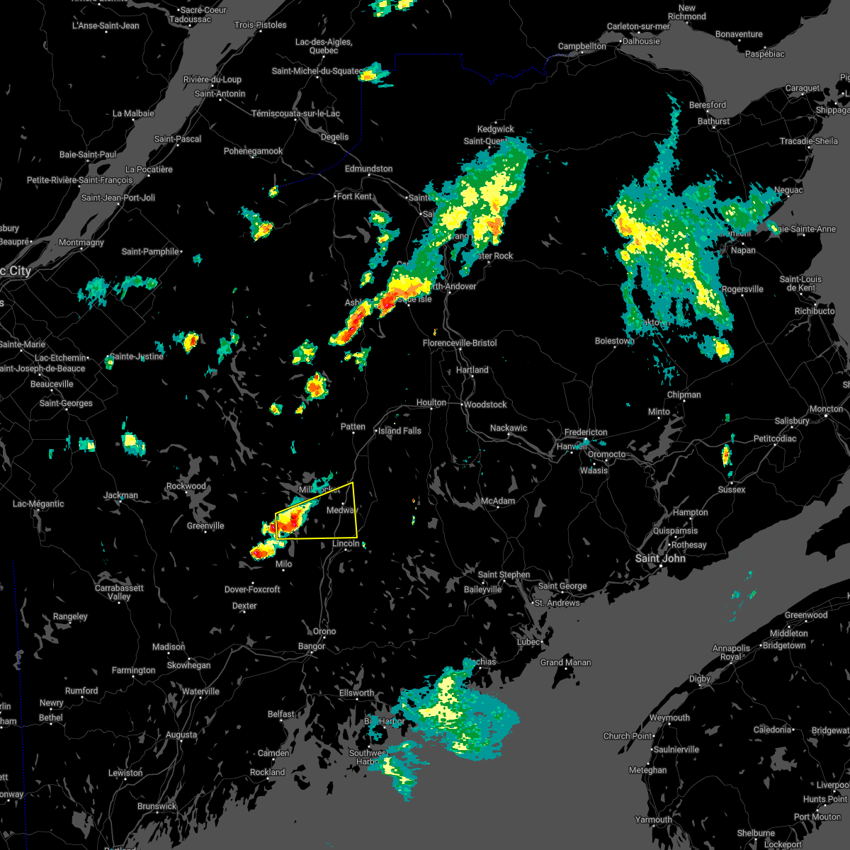
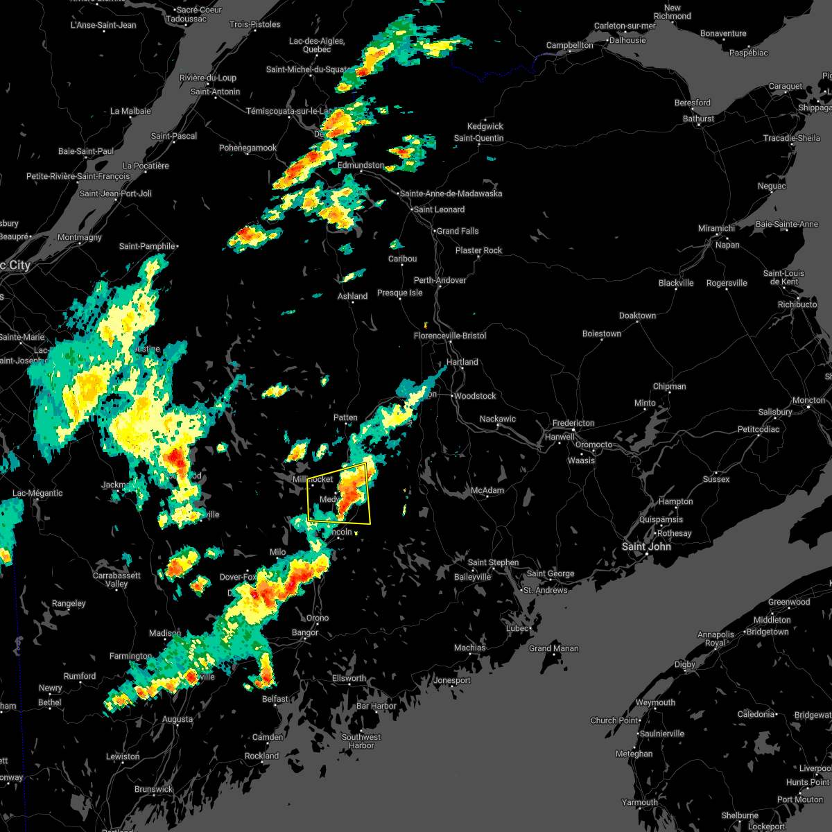
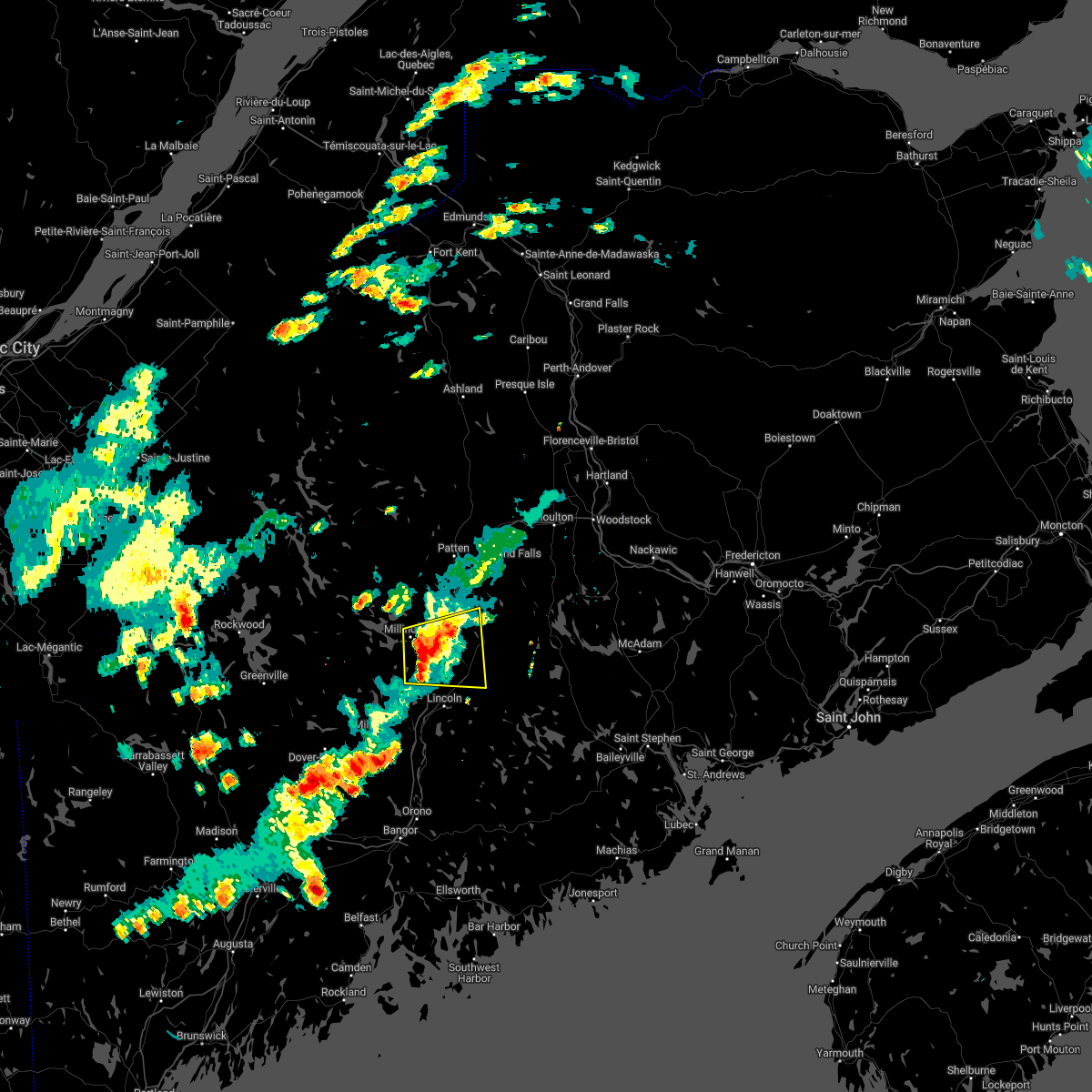
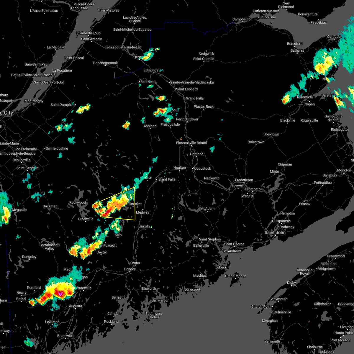
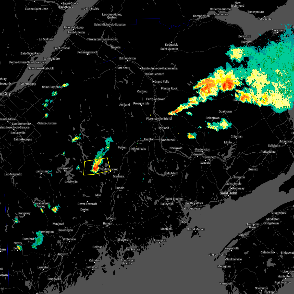
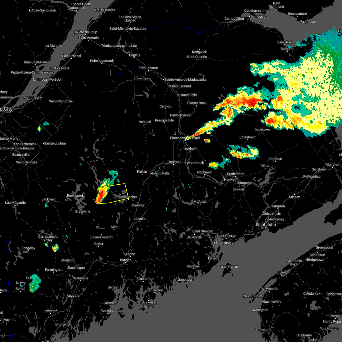
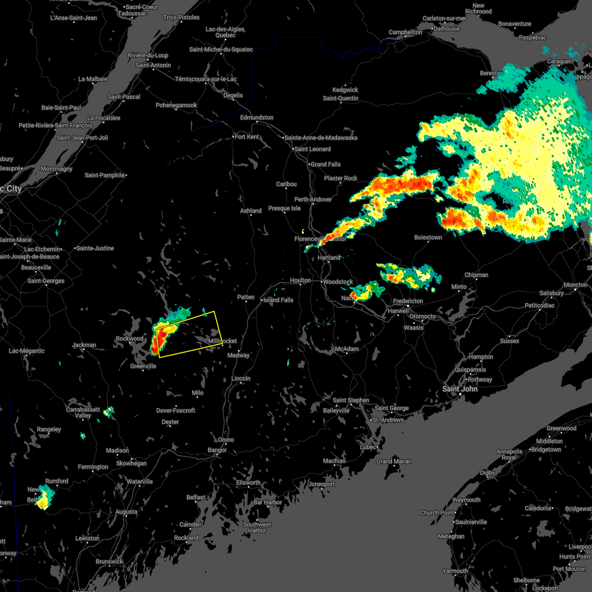
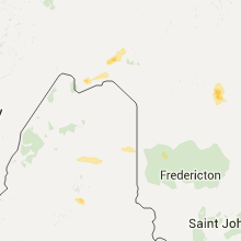
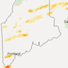
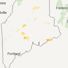
Hail Map for Millinocket, ME
The Millinocket, ME area has had 5 reports of on-the-ground hail by trained spotters, and has been under severe weather warnings 5 times during the past 12 months. Doppler radar has detected hail at or near Millinocket, ME on 9 occasions, including 1 occasion during the past year.
| Name: | Millinocket, ME |
| Where Located: | 59 miles N of Bangor, ME |
| Map: | Google Map for Millinocket, ME |
| Population: | 4466 |
| Housing Units: | 2570 |
| More Info: | Search Google for Millinocket, ME |
0
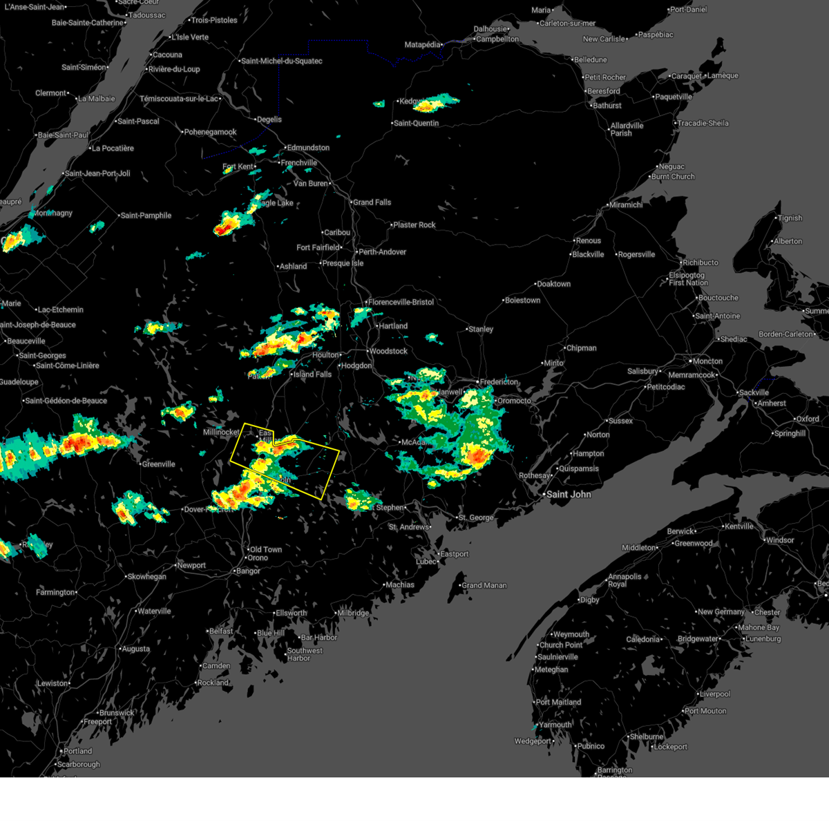
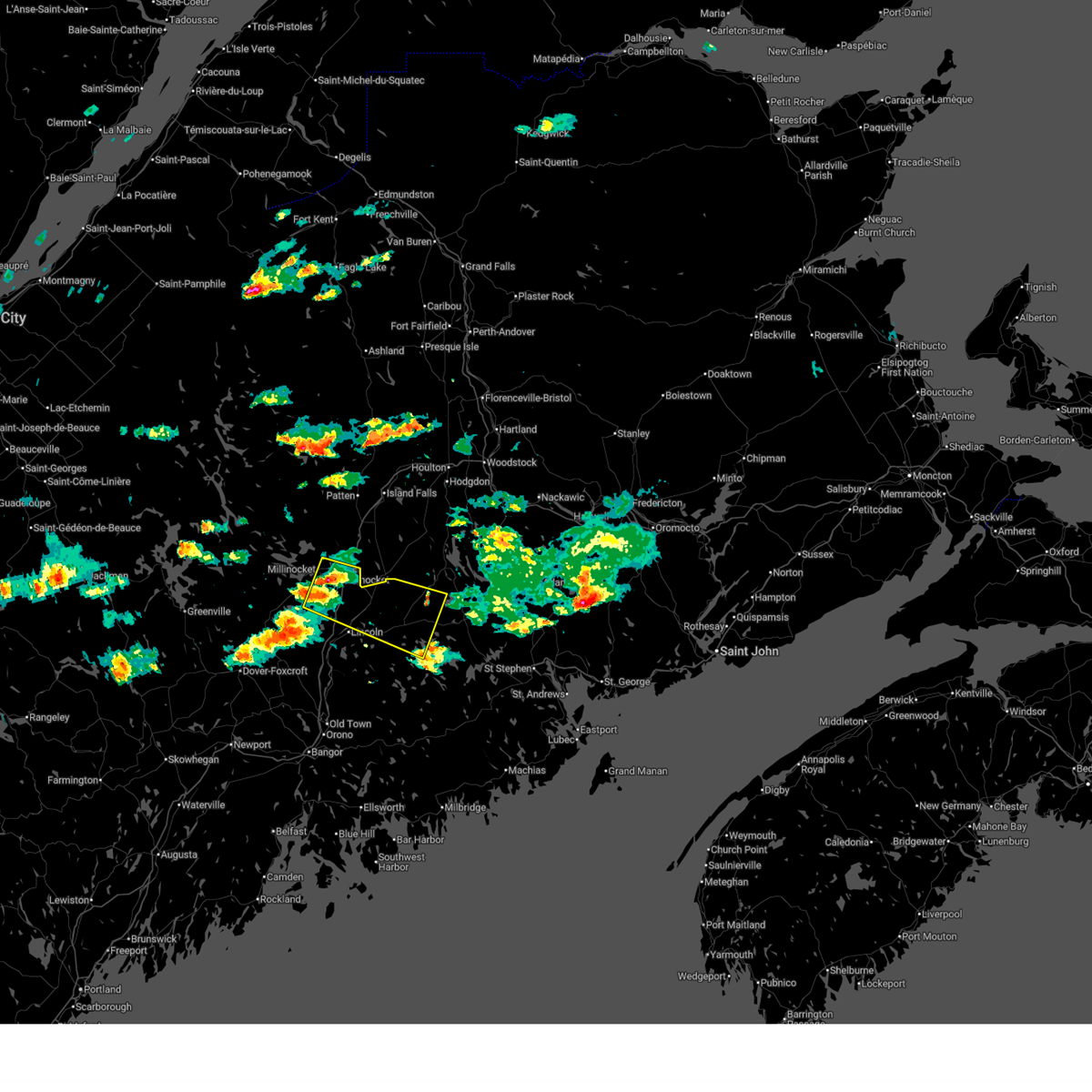
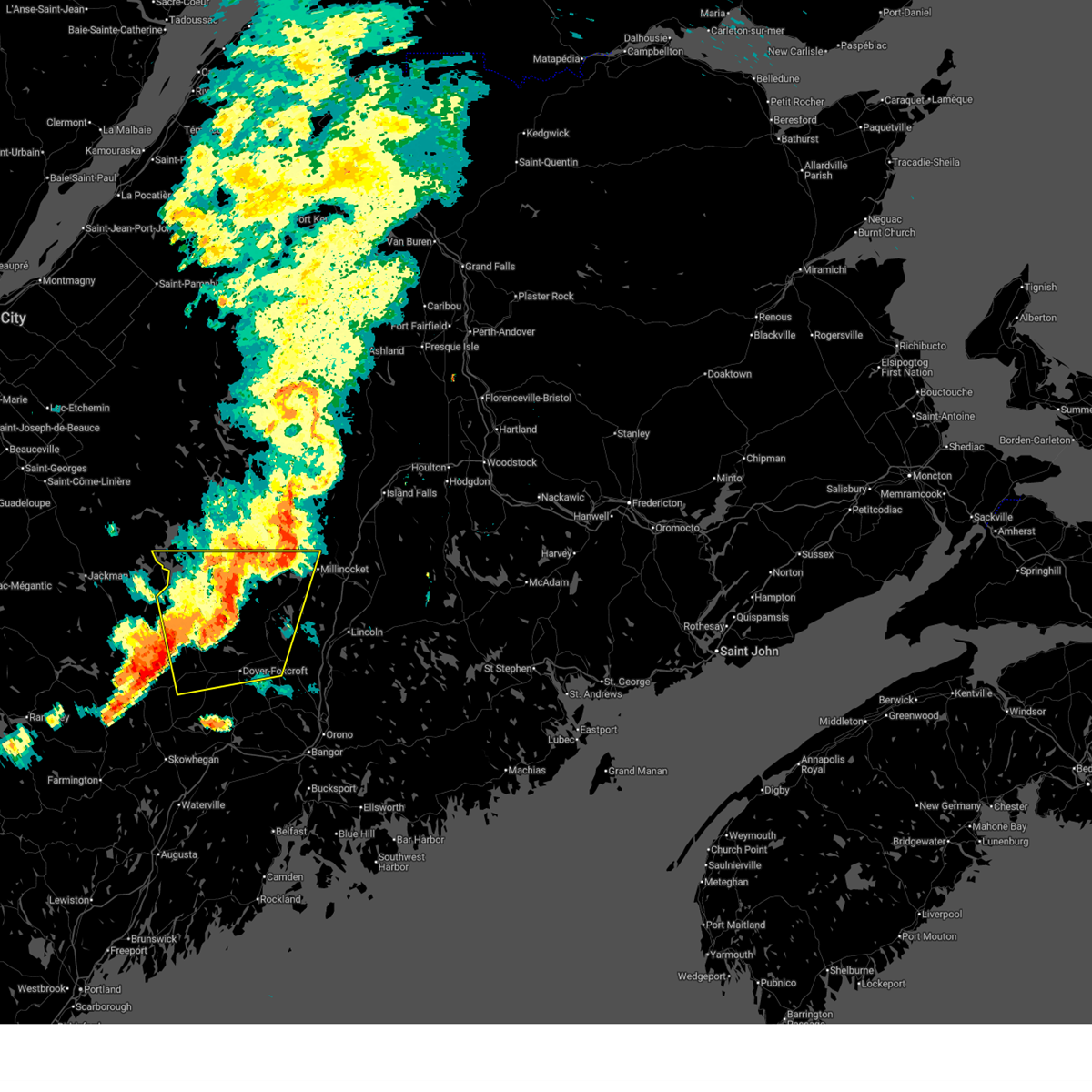
The Top Recent Hail Date for Millinocket, ME is Thursday, July 3, 2025 (5th out of 9)
Hail and Wind Damage Spotted near Millinocket, ME
| Date / Time | Report Details |
|---|---|
| 7/30/2025 3:56 PM EDT |
 the severe thunderstorm warning has been cancelled and is no longer in effect the severe thunderstorm warning has been cancelled and is no longer in effect
|
| 7/30/2025 3:26 PM EDT |
 Svrcar the national weather service in caribou maine has issued a * severe thunderstorm warning for, northwestern washington county in southeastern maine, east central penobscot county in east central maine, * until 430 pm edt. * at 325 pm edt, a severe thunderstorm was located near east millinocket, or near millinocket, moving east at 30 mph (radar indicated). Hazards include 60 mph wind gusts and quarter size hail. Minor hail damage to vehicles is possible. Expect wind damage to trees and power lines. Svrcar the national weather service in caribou maine has issued a * severe thunderstorm warning for, northwestern washington county in southeastern maine, east central penobscot county in east central maine, * until 430 pm edt. * at 325 pm edt, a severe thunderstorm was located near east millinocket, or near millinocket, moving east at 30 mph (radar indicated). Hazards include 60 mph wind gusts and quarter size hail. Minor hail damage to vehicles is possible. Expect wind damage to trees and power lines.
|
| 6/19/2025 8:29 PM EDT |
 The storm which prompted the warning has weakened below severe limits, and no longer poses an immediate threat to life or property. therefore, the warning will be allowed to expire. however, gusty winds and heavy rain are still possible with this thunderstorm. a severe thunderstorm watch remains in effect until 1100 pm edt for north central and west central maine. to report severe weather, contact your nearest law enforcement agency. they will relay your report to the national weather service caribou maine. The storm which prompted the warning has weakened below severe limits, and no longer poses an immediate threat to life or property. therefore, the warning will be allowed to expire. however, gusty winds and heavy rain are still possible with this thunderstorm. a severe thunderstorm watch remains in effect until 1100 pm edt for north central and west central maine. to report severe weather, contact your nearest law enforcement agency. they will relay your report to the national weather service caribou maine.
|
| 6/19/2025 7:54 PM EDT |
 At 753 pm edt, a severe thunderstorm was located near frenchtown, or 9 miles northeast of greenville, moving east at 40 mph (radar indicated). Hazards include 70 mph wind gusts and half dollar size hail. Minor hail damage to vehicles is possible. expect considerable tree damage. wind damage is also likely to mobile homes, roofs, and outbuildings. locations impacted include, millinocket, dover-foxcroft, greenville, guilford, brownville junction, milo, monson, blanchard, rockwood, white cap mountain, ebeemee, kingsbury plantation, kokadjo, elliottsville, lake view plantation, frenchtown, orneville, sangerville, brownville, and parkman. This includes state highway 11 between milo and norcross. At 753 pm edt, a severe thunderstorm was located near frenchtown, or 9 miles northeast of greenville, moving east at 40 mph (radar indicated). Hazards include 70 mph wind gusts and half dollar size hail. Minor hail damage to vehicles is possible. expect considerable tree damage. wind damage is also likely to mobile homes, roofs, and outbuildings. locations impacted include, millinocket, dover-foxcroft, greenville, guilford, brownville junction, milo, monson, blanchard, rockwood, white cap mountain, ebeemee, kingsbury plantation, kokadjo, elliottsville, lake view plantation, frenchtown, orneville, sangerville, brownville, and parkman. This includes state highway 11 between milo and norcross.
|
| 6/19/2025 7:23 PM EDT |
 Svrcar the national weather service in caribou maine has issued a * severe thunderstorm warning for, southern piscataquis county in north central maine, central penobscot county in east central maine, * until 830 pm edt. * at 722 pm edt, a severe thunderstorm was located 8 miles south of rockwood, or 10 miles northwest of greenville, moving east at 35 mph (radar indicated). Hazards include 70 mph wind gusts and half dollar size hail. Minor hail damage to vehicles is possible. expect considerable tree damage. Wind damage is also likely to mobile homes, roofs, and outbuildings. Svrcar the national weather service in caribou maine has issued a * severe thunderstorm warning for, southern piscataquis county in north central maine, central penobscot county in east central maine, * until 830 pm edt. * at 722 pm edt, a severe thunderstorm was located 8 miles south of rockwood, or 10 miles northwest of greenville, moving east at 35 mph (radar indicated). Hazards include 70 mph wind gusts and half dollar size hail. Minor hail damage to vehicles is possible. expect considerable tree damage. Wind damage is also likely to mobile homes, roofs, and outbuildings.
|
| 7/5/2024 3:19 PM EDT |
 Svrcar the national weather service in caribou maine has issued a * severe thunderstorm warning for, southeastern aroostook county in northern maine, north central penobscot county in east central maine, * until 415 pm edt. * at 318 pm edt, severe thunderstorms were located along a line extending from near haynesville to 6 miles northeast of east millinocket, moving northeast at 20 mph (radar indicated). Hazards include 60 mph wind gusts and quarter size hail. Minor hail damage to vehicles is possible. Expect wind damage to trees and power lines. Svrcar the national weather service in caribou maine has issued a * severe thunderstorm warning for, southeastern aroostook county in northern maine, north central penobscot county in east central maine, * until 415 pm edt. * at 318 pm edt, severe thunderstorms were located along a line extending from near haynesville to 6 miles northeast of east millinocket, moving northeast at 20 mph (radar indicated). Hazards include 60 mph wind gusts and quarter size hail. Minor hail damage to vehicles is possible. Expect wind damage to trees and power lines.
|
| 6/30/2024 2:13 PM EDT | Trees and wires down blocking the west seboeis roa in penobscot county ME, 12.3 miles NE of Millinocket, ME |
| 6/30/2024 2:12 PM EDT | Piscataquis county dispatch advising route 11 is shut down between brownville to millinocket. widespread tree damage with powerlines involved. emergency crews cannot ac in piscataquis county ME, 15.8 miles NE of Millinocket, ME |
| 6/30/2024 2:07 PM EDT |
 Svrcar the national weather service in caribou maine has issued a * severe thunderstorm warning for, southeastern piscataquis county in north central maine, southeastern aroostook county in northern maine, central penobscot county in east central maine, * until 300 pm edt. * at 207 pm edt, severe thunderstorms were located along a line extending from near millinocket to 6 miles southeast of elliottsville, moving east at 30 mph (radar indicated). Hazards include 70 mph wind gusts and half dollar size hail. Minor hail damage to vehicles is possible. expect considerable tree damage. Wind damage is also likely to mobile homes, roofs, and outbuildings. Svrcar the national weather service in caribou maine has issued a * severe thunderstorm warning for, southeastern piscataquis county in north central maine, southeastern aroostook county in northern maine, central penobscot county in east central maine, * until 300 pm edt. * at 207 pm edt, severe thunderstorms were located along a line extending from near millinocket to 6 miles southeast of elliottsville, moving east at 30 mph (radar indicated). Hazards include 70 mph wind gusts and half dollar size hail. Minor hail damage to vehicles is possible. expect considerable tree damage. Wind damage is also likely to mobile homes, roofs, and outbuildings.
|
| 6/30/2024 2:04 PM EDT | Numerous trees down cutting access off to residence on the seboeis lake roa in piscataquis county ME, 14.1 miles NE of Millinocket, ME |
| 6/30/2024 2:04 PM EDT |
 At 204 pm edt, a severe thunderstorm was located near dover-foxcroft, moving east at 45 mph (radar indicated). Hazards include 70 mph wind gusts and half dollar size hail. Minor hail damage to vehicles is possible. expect considerable tree damage. wind damage is also likely to mobile homes, roofs, and outbuildings. Locations impacted include, millinocket, dover-foxcroft, guilford, brownville junction, milo, monson, blanchard, orneville, white cap mountain, ebeemee, elliottsville, lake view plantation, hudson, charleston, sangerville, bradford, brownville, garland, abbot, and lagrange. At 204 pm edt, a severe thunderstorm was located near dover-foxcroft, moving east at 45 mph (radar indicated). Hazards include 70 mph wind gusts and half dollar size hail. Minor hail damage to vehicles is possible. expect considerable tree damage. wind damage is also likely to mobile homes, roofs, and outbuildings. Locations impacted include, millinocket, dover-foxcroft, guilford, brownville junction, milo, monson, blanchard, orneville, white cap mountain, ebeemee, elliottsville, lake view plantation, hudson, charleston, sangerville, bradford, brownville, garland, abbot, and lagrange.
|
| 6/30/2024 1:34 PM EDT |
 Svrcar the national weather service in caribou maine has issued a * severe thunderstorm warning for, southern piscataquis county in north central maine, southwestern penobscot county in east central maine, * until 215 pm edt. * at 133 pm edt, a severe thunderstorm was located near blanchard, or 9 miles southwest of greenville, moving east at 45 mph (radar indicated). Hazards include 70 mph wind gusts and half dollar size hail. Minor hail damage to vehicles is possible. expect considerable tree damage. Wind damage is also likely to mobile homes, roofs, and outbuildings. Svrcar the national weather service in caribou maine has issued a * severe thunderstorm warning for, southern piscataquis county in north central maine, southwestern penobscot county in east central maine, * until 215 pm edt. * at 133 pm edt, a severe thunderstorm was located near blanchard, or 9 miles southwest of greenville, moving east at 45 mph (radar indicated). Hazards include 70 mph wind gusts and half dollar size hail. Minor hail damage to vehicles is possible. expect considerable tree damage. Wind damage is also likely to mobile homes, roofs, and outbuildings.
|
| 6/14/2024 2:40 PM EDT |
 the severe thunderstorm warning has been cancelled and is no longer in effect the severe thunderstorm warning has been cancelled and is no longer in effect
|
| 6/14/2024 2:28 PM EDT |
 The storms which prompted the warning have moved out of the area. therefore, the warning will be allowed to expire. however, gusty winds and heavy rain are still possible with these thunderstorms. remember, a severe thunderstorm warning still remains in effect for central penobscot county until 300 pm. The storms which prompted the warning have moved out of the area. therefore, the warning will be allowed to expire. however, gusty winds and heavy rain are still possible with these thunderstorms. remember, a severe thunderstorm warning still remains in effect for central penobscot county until 300 pm.
|
| 6/14/2024 2:25 PM EDT |
 Svrcar the national weather service in caribou maine has issued a * severe thunderstorm warning for, southeastern piscataquis county in north central maine, central penobscot county in east central maine, * until 300 pm edt. * at 225 pm edt, severe thunderstorms were located along a line extending from 9 miles southeast of mount katahdin to 8 miles west of millinocket to near ebeemee, moving east at 35 mph (radar indicated). Hazards include 60 mph wind gusts and quarter size hail. Minor hail damage to vehicles is possible. Expect wind damage to trees and power lines. Svrcar the national weather service in caribou maine has issued a * severe thunderstorm warning for, southeastern piscataquis county in north central maine, central penobscot county in east central maine, * until 300 pm edt. * at 225 pm edt, severe thunderstorms were located along a line extending from 9 miles southeast of mount katahdin to 8 miles west of millinocket to near ebeemee, moving east at 35 mph (radar indicated). Hazards include 60 mph wind gusts and quarter size hail. Minor hail damage to vehicles is possible. Expect wind damage to trees and power lines.
|
| 6/14/2024 2:14 PM EDT |
 At 214 pm edt, severe thunderstorms were located along a line extending from near mount katahdin to 15 miles north of ebeemee to near white cap mountain, moving east at 50 mph (radar indicated). Hazards include 60 mph wind gusts and quarter size hail. Minor hail damage to vehicles is possible. expect wind damage to trees and power lines. Locations impacted include, millinocket, patten, mount katahdin, ebeemee, southern katahdin woods and waters national monument, baxter state park, brownville, stacyville, bowerbank, grindstone, ebeemee lake, cedar lake, west seboeis, norcross, katahdin iron works, katahdin lake, williamsburg, and barnard. At 214 pm edt, severe thunderstorms were located along a line extending from near mount katahdin to 15 miles north of ebeemee to near white cap mountain, moving east at 50 mph (radar indicated). Hazards include 60 mph wind gusts and quarter size hail. Minor hail damage to vehicles is possible. expect wind damage to trees and power lines. Locations impacted include, millinocket, patten, mount katahdin, ebeemee, southern katahdin woods and waters national monument, baxter state park, brownville, stacyville, bowerbank, grindstone, ebeemee lake, cedar lake, west seboeis, norcross, katahdin iron works, katahdin lake, williamsburg, and barnard.
|
| 6/14/2024 2:00 PM EDT |
 Svrcar the national weather service in caribou maine has issued a * severe thunderstorm warning for, southeastern piscataquis county in north central maine, central penobscot county in east central maine, * until 230 pm edt. * at 200 pm edt, severe thunderstorms were located along a line extending from 7 miles southeast of ripogenus to near white cap mountain to near elliottsville, moving northeast at 50 mph (radar indicated). Hazards include 60 mph wind gusts and quarter size hail. Minor hail damage to vehicles is possible. Expect wind damage to trees and power lines. Svrcar the national weather service in caribou maine has issued a * severe thunderstorm warning for, southeastern piscataquis county in north central maine, central penobscot county in east central maine, * until 230 pm edt. * at 200 pm edt, severe thunderstorms were located along a line extending from 7 miles southeast of ripogenus to near white cap mountain to near elliottsville, moving northeast at 50 mph (radar indicated). Hazards include 60 mph wind gusts and quarter size hail. Minor hail damage to vehicles is possible. Expect wind damage to trees and power lines.
|
| 8/2/2022 4:11 PM EDT |
 The severe thunderstorm warning for east central piscataquis, southeastern aroostook and north central penobscot counties will expire at 415 pm edt, the storms which prompted the warning have weakened below severe limits, but frequent cloud to ground lightning and heavy downpours are still likely. therefore, the warning will be allowed to expire. however gusty winds are still possible with these thunderstorms. The severe thunderstorm warning for east central piscataquis, southeastern aroostook and north central penobscot counties will expire at 415 pm edt, the storms which prompted the warning have weakened below severe limits, but frequent cloud to ground lightning and heavy downpours are still likely. therefore, the warning will be allowed to expire. however gusty winds are still possible with these thunderstorms.
|
| 8/2/2022 3:55 PM EDT |
 At 355 pm edt, severe thunderstorms were located along a line extending from near shin pond to patten to 8 miles north of east millinocket, moving east at 30 mph (radar indicated). Hazards include 60 mph wind gusts and nickel size hail. Expect damage to trees and power lines. locations impacted include, millinocket, patten, east millinocket, medway, sherman, island falls, smyrna, mount chase, sherman station, shin pond, smyrna mills, katahdin woods and waters national monument, dudley township, reed plantation, oakfield, stacyville, merrill, crystal, dyer brook and hersey. hail threat, radar indicated max hail size, 0. 88 in wind threat, radar indicated max wind gust, 60 mph. At 355 pm edt, severe thunderstorms were located along a line extending from near shin pond to patten to 8 miles north of east millinocket, moving east at 30 mph (radar indicated). Hazards include 60 mph wind gusts and nickel size hail. Expect damage to trees and power lines. locations impacted include, millinocket, patten, east millinocket, medway, sherman, island falls, smyrna, mount chase, sherman station, shin pond, smyrna mills, katahdin woods and waters national monument, dudley township, reed plantation, oakfield, stacyville, merrill, crystal, dyer brook and hersey. hail threat, radar indicated max hail size, 0. 88 in wind threat, radar indicated max wind gust, 60 mph.
|
| 8/2/2022 3:30 PM EDT |
 At 330 pm edt, severe thunderstorms were located along a line extending from katahdin woods and waters national monument to 8 miles northeast of mount katahdin to 9 miles northwest of millinocket, moving east at 30 mph (radar indicated). Hazards include 60 mph wind gusts and nickel size hail. expect damage to trees and power lines At 330 pm edt, severe thunderstorms were located along a line extending from katahdin woods and waters national monument to 8 miles northeast of mount katahdin to 9 miles northwest of millinocket, moving east at 30 mph (radar indicated). Hazards include 60 mph wind gusts and nickel size hail. expect damage to trees and power lines
|
| 7/12/2022 8:07 PM EDT |
 At 807 pm edt, severe thunderstorms were located along a line extending from 7 miles east of sherman to near lake view plantation, moving northeast at 45 mph (radar indicated). Hazards include 60 mph wind gusts and quarter size hail. Minor hail damage to vehicles is possible. expect wind damage to trees and power lines. locations impacted include, millinocket, dover-foxcroft, howland, brownville junction, milo, east millinocket, medway, sherman, ebeemee, lake view plantation, licoln township, southeastern katahdin woods and waters national monument, enfield, brownville, lagrange, sebec, chester, stacyville, medford and woodville. hail threat, radar indicated max hail size, 1. 00 in wind threat, radar indicated max wind gust, 60 mph. At 807 pm edt, severe thunderstorms were located along a line extending from 7 miles east of sherman to near lake view plantation, moving northeast at 45 mph (radar indicated). Hazards include 60 mph wind gusts and quarter size hail. Minor hail damage to vehicles is possible. expect wind damage to trees and power lines. locations impacted include, millinocket, dover-foxcroft, howland, brownville junction, milo, east millinocket, medway, sherman, ebeemee, lake view plantation, licoln township, southeastern katahdin woods and waters national monument, enfield, brownville, lagrange, sebec, chester, stacyville, medford and woodville. hail threat, radar indicated max hail size, 1. 00 in wind threat, radar indicated max wind gust, 60 mph.
|
| 7/12/2022 7:45 PM EDT |
 At 744 pm edt, severe thunderstorms were located along a line extending from 8 miles northeast of east millinocket to 6 miles southwest of brownville junction, moving northeast at 45 mph (radar indicated). Hazards include 60 mph wind gusts and quarter size hail. Minor hail damage to vehicles is possible. Expect wind damage to trees and power lines. At 744 pm edt, severe thunderstorms were located along a line extending from 8 miles northeast of east millinocket to 6 miles southwest of brownville junction, moving northeast at 45 mph (radar indicated). Hazards include 60 mph wind gusts and quarter size hail. Minor hail damage to vehicles is possible. Expect wind damage to trees and power lines.
|
| 7/12/2022 7:42 PM EDT |
 The severe thunderstorm warning for southeastern aroostook and north central penobscot counties will expire at 745 pm edt, the storms which prompted the warning have moved out of the area. therefore, the warning will be allowed to expire. remember, a severe thunderstorm warning still remains in effect for southeastern aroostook county to the canadian border. The severe thunderstorm warning for southeastern aroostook and north central penobscot counties will expire at 745 pm edt, the storms which prompted the warning have moved out of the area. therefore, the warning will be allowed to expire. remember, a severe thunderstorm warning still remains in effect for southeastern aroostook county to the canadian border.
|
| 7/12/2022 7:30 PM EDT |
 At 730 pm edt, severe thunderstorms were located along a line extending from near smyrna to 9 miles south of sherman, moving east at 35 mph (radar indicated). Hazards include 60 mph wind gusts and quarter size hail. Minor hail damage to vehicles is possible. expect wind damage to trees and power lines. locations impacted include, houlton, millinocket, patten, east millinocket, medway, hodgdon, sherman, island falls, smyrna, amity, mount chase, haynesville, sherman station, cary plantation, smyrna mills, reed plantation, southeastern katahdin woods and waters national monument, linneus, oakfield and new limerick. hail threat, radar indicated max hail size, 1. 00 in wind threat, radar indicated max wind gust, 60 mph. At 730 pm edt, severe thunderstorms were located along a line extending from near smyrna to 9 miles south of sherman, moving east at 35 mph (radar indicated). Hazards include 60 mph wind gusts and quarter size hail. Minor hail damage to vehicles is possible. expect wind damage to trees and power lines. locations impacted include, houlton, millinocket, patten, east millinocket, medway, hodgdon, sherman, island falls, smyrna, amity, mount chase, haynesville, sherman station, cary plantation, smyrna mills, reed plantation, southeastern katahdin woods and waters national monument, linneus, oakfield and new limerick. hail threat, radar indicated max hail size, 1. 00 in wind threat, radar indicated max wind gust, 60 mph.
|
| 7/12/2022 7:29 PM EDT |
 At 729 pm edt, severe thunderstorms were located along a line extending from near millinocket to 6 miles southeast of elliottsville, moving east at 30 mph (radar indicated). Hazards include 70 mph wind gusts and ping pong ball size hail. People and animals outdoors will be injured. expect hail damage to roofs, siding, windows, and vehicles. expect considerable tree damage. wind damage is also likely to mobile homes, roofs, and outbuildings. locations impacted include, millinocket, dover-foxcroft, guilford, howland, brownville junction, milo, east millinocket, medway, monson, blanchard, ebeemee, elliottsville, lake view plantation, kingsbury plantation, enfield, brownville, abbot, sebec, chester and medford. thunderstorm damage threat, considerable hail threat, radar indicated max hail size, 1. 50 in wind threat, radar indicated max wind gust, 70 mph. At 729 pm edt, severe thunderstorms were located along a line extending from near millinocket to 6 miles southeast of elliottsville, moving east at 30 mph (radar indicated). Hazards include 70 mph wind gusts and ping pong ball size hail. People and animals outdoors will be injured. expect hail damage to roofs, siding, windows, and vehicles. expect considerable tree damage. wind damage is also likely to mobile homes, roofs, and outbuildings. locations impacted include, millinocket, dover-foxcroft, guilford, howland, brownville junction, milo, east millinocket, medway, monson, blanchard, ebeemee, elliottsville, lake view plantation, kingsbury plantation, enfield, brownville, abbot, sebec, chester and medford. thunderstorm damage threat, considerable hail threat, radar indicated max hail size, 1. 50 in wind threat, radar indicated max wind gust, 70 mph.
|
| 7/12/2022 7:21 PM EDT |
 At 721 pm edt, severe thunderstorms were located along a line extending from 10 miles north of millinocket to 12 miles northeast of white cap mountain, moving northeast at 30 mph (radar indicated). Hazards include 60 mph wind gusts and quarter size hail. Minor hail damage to vehicles is possible. expect wind damage to trees and power lines. locations impacted include, millinocket, norcross and grindstone. hail threat, radar indicated max hail size, 1. 00 in wind threat, radar indicated max wind gust, 60 mph. At 721 pm edt, severe thunderstorms were located along a line extending from 10 miles north of millinocket to 12 miles northeast of white cap mountain, moving northeast at 30 mph (radar indicated). Hazards include 60 mph wind gusts and quarter size hail. Minor hail damage to vehicles is possible. expect wind damage to trees and power lines. locations impacted include, millinocket, norcross and grindstone. hail threat, radar indicated max hail size, 1. 00 in wind threat, radar indicated max wind gust, 60 mph.
|
| 7/12/2022 7:07 PM EDT |
 At 707 pm edt, severe thunderstorms were located along a line extending from 10 miles northwest of millinocket to 7 miles northeast of white cap mountain, moving northeast at 25 mph (radar indicated). Hazards include 70 mph wind gusts and ping pong ball size hail. People and animals outdoors will be injured. expect hail damage to roofs, siding, windows, and vehicles. expect considerable tree damage. Wind damage is also likely to mobile homes, roofs, and outbuildings. At 707 pm edt, severe thunderstorms were located along a line extending from 10 miles northwest of millinocket to 7 miles northeast of white cap mountain, moving northeast at 25 mph (radar indicated). Hazards include 70 mph wind gusts and ping pong ball size hail. People and animals outdoors will be injured. expect hail damage to roofs, siding, windows, and vehicles. expect considerable tree damage. Wind damage is also likely to mobile homes, roofs, and outbuildings.
|
| 7/12/2022 7:01 PM EDT |
 At 700 pm edt, severe thunderstorms were located along a line extending from 10 miles northeast of white cap mountain to blanchard, moving east at 30 mph (radar indicated). Hazards include 70 mph wind gusts and ping pong ball size hail. People and animals outdoors will be injured. expect hail damage to roofs, siding, windows, and vehicles. expect considerable tree damage. Wind damage is also likely to mobile homes, roofs, and outbuildings. At 700 pm edt, severe thunderstorms were located along a line extending from 10 miles northeast of white cap mountain to blanchard, moving east at 30 mph (radar indicated). Hazards include 70 mph wind gusts and ping pong ball size hail. People and animals outdoors will be injured. expect hail damage to roofs, siding, windows, and vehicles. expect considerable tree damage. Wind damage is also likely to mobile homes, roofs, and outbuildings.
|
| 7/12/2022 6:59 PM EDT |
 At 658 pm edt, severe thunderstorms were located along a line extending from near mount chase to near millinocket, moving east at 35 mph (radar indicated). Hazards include 60 mph wind gusts and quarter size hail. Minor hail damage to vehicles is possible. Expect wind damage to trees and power lines. At 658 pm edt, severe thunderstorms were located along a line extending from near mount chase to near millinocket, moving east at 35 mph (radar indicated). Hazards include 60 mph wind gusts and quarter size hail. Minor hail damage to vehicles is possible. Expect wind damage to trees and power lines.
|
| 7/12/2022 6:31 PM EDT |
 At 630 pm edt, severe thunderstorms were located along a line extending from 8 miles west of shin pond to katahdin woods and waters national monument to 12 miles south of mount katahdin to 10 miles northeast of white cap mountain, moving east at 30 mph (radar indicated). Hazards include 60 mph wind gusts and quarter size hail. Minor hail damage to vehicles is possible. expect wind damage to trees and power lines. locations impacted include, millinocket, patten, mount chase, katahdin woods and waters national monument, shin pond, baxter state park, stacyville, grindstone and katahdin lake. hail threat, radar indicated max hail size, 1. 00 in wind threat, radar indicated max wind gust, 60 mph. At 630 pm edt, severe thunderstorms were located along a line extending from 8 miles west of shin pond to katahdin woods and waters national monument to 12 miles south of mount katahdin to 10 miles northeast of white cap mountain, moving east at 30 mph (radar indicated). Hazards include 60 mph wind gusts and quarter size hail. Minor hail damage to vehicles is possible. expect wind damage to trees and power lines. locations impacted include, millinocket, patten, mount chase, katahdin woods and waters national monument, shin pond, baxter state park, stacyville, grindstone and katahdin lake. hail threat, radar indicated max hail size, 1. 00 in wind threat, radar indicated max wind gust, 60 mph.
|
| 7/12/2022 6:16 PM EDT |
 At 616 pm edt, severe thunderstorms were located along a line extending from near south branch pond to near mount katahdin to 12 miles south of ripogenus to near white cap mountain, moving east at 30 mph (radar indicated). Hazards include 60 mph wind gusts and quarter size hail. Minor hail damage to vehicles is possible. Expect wind damage to trees and power lines. At 616 pm edt, severe thunderstorms were located along a line extending from near south branch pond to near mount katahdin to 12 miles south of ripogenus to near white cap mountain, moving east at 30 mph (radar indicated). Hazards include 60 mph wind gusts and quarter size hail. Minor hail damage to vehicles is possible. Expect wind damage to trees and power lines.
|
| 6/17/2022 4:06 PM EDT |
 At 406 pm edt, a severe thunderstorm was located 9 miles north of lake view plantation, or 12 miles southwest of millinocket, moving east at 25 mph (radar indicated). Hazards include 60 mph wind gusts and quarter size hail. Minor hail damage to vehicles is possible. Expect wind damage to trees and power lines. At 406 pm edt, a severe thunderstorm was located 9 miles north of lake view plantation, or 12 miles southwest of millinocket, moving east at 25 mph (radar indicated). Hazards include 60 mph wind gusts and quarter size hail. Minor hail damage to vehicles is possible. Expect wind damage to trees and power lines.
|
| 5/22/2022 6:12 PM EDT |
 The severe thunderstorm warning for southern aroostook and central penobscot counties will expire at 615 pm edt, the storms which prompted the warning have weakened below severe limits, but frequent cloud to ground lightning and heavy downpours are still likely. therefore, the warning will be allowed to expire. however heavy rain is still possible with this thunderstorm. a severe thunderstorm watch remains in effect until 1000 pm edt for northern and east central maine. The severe thunderstorm warning for southern aroostook and central penobscot counties will expire at 615 pm edt, the storms which prompted the warning have weakened below severe limits, but frequent cloud to ground lightning and heavy downpours are still likely. therefore, the warning will be allowed to expire. however heavy rain is still possible with this thunderstorm. a severe thunderstorm watch remains in effect until 1000 pm edt for northern and east central maine.
|
| 5/22/2022 5:53 PM EDT |
 At 552 pm edt, a severe thunderstorm was located near medway, or near millinocket, moving east at 30 mph (radar indicated). Hazards include 60 mph wind gusts and quarter size hail. Minor hail damage to vehicles is possible. expect wind damage to trees and power lines. locations impacted include, millinocket, east millinocket, medway, mattawamkeag, chester, winn, woodville, macwahoc, molunkus, grindstone, cedar lake, silver ridge and benedicta. hail threat, radar indicated max hail size, 1. 00 in wind threat, radar indicated max wind gust, 60 mph. At 552 pm edt, a severe thunderstorm was located near medway, or near millinocket, moving east at 30 mph (radar indicated). Hazards include 60 mph wind gusts and quarter size hail. Minor hail damage to vehicles is possible. expect wind damage to trees and power lines. locations impacted include, millinocket, east millinocket, medway, mattawamkeag, chester, winn, woodville, macwahoc, molunkus, grindstone, cedar lake, silver ridge and benedicta. hail threat, radar indicated max hail size, 1. 00 in wind threat, radar indicated max wind gust, 60 mph.
|
| 5/22/2022 5:38 PM EDT |
 The severe thunderstorm warning for east central piscataquis and northwestern penobscot counties will expire at 545 pm edt, the storm which prompted the warning has moved out of the area. therefore, the warning will be allowed to expire. a severe thunderstorm watch remains in effect until 1000 pm edt for north central and east central maine. remember, a severe thunderstorm warning still remains in effect for portions of northern penobscot. The severe thunderstorm warning for east central piscataquis and northwestern penobscot counties will expire at 545 pm edt, the storm which prompted the warning has moved out of the area. therefore, the warning will be allowed to expire. a severe thunderstorm watch remains in effect until 1000 pm edt for north central and east central maine. remember, a severe thunderstorm warning still remains in effect for portions of northern penobscot.
|
| 5/22/2022 5:33 PM EDT |
 At 533 pm edt, a severe thunderstorm was located near millinocket, moving east at 35 mph (radar indicated). Hazards include 60 mph wind gusts and quarter size hail. Minor hail damage to vehicles is possible. Expect wind damage to trees and power lines. At 533 pm edt, a severe thunderstorm was located near millinocket, moving east at 35 mph (radar indicated). Hazards include 60 mph wind gusts and quarter size hail. Minor hail damage to vehicles is possible. Expect wind damage to trees and power lines.
|
| 5/22/2022 5:18 PM EDT |
 At 517 pm edt, a severe thunderstorm was located 8 miles north of ebeemee, or 15 miles west of millinocket, moving east at 35 mph (radar indicated). Hazards include 60 mph wind gusts and quarter size hail. Minor hail damage to vehicles is possible. expect wind damage to trees and power lines. Locations impacted include, millinocket, ebeemee, west seboeis, norcross, cedar lake and grindstone. At 517 pm edt, a severe thunderstorm was located 8 miles north of ebeemee, or 15 miles west of millinocket, moving east at 35 mph (radar indicated). Hazards include 60 mph wind gusts and quarter size hail. Minor hail damage to vehicles is possible. expect wind damage to trees and power lines. Locations impacted include, millinocket, ebeemee, west seboeis, norcross, cedar lake and grindstone.
|
| 5/22/2022 5:04 PM EDT |
 At 504 pm edt, a severe thunderstorm was located near white cap mountain, or 15 miles north of brownville junction, moving east at 25 mph (radar indicated). Hazards include 60 mph wind gusts and quarter size hail. Minor hail damage to vehicles is possible. Expect wind damage to trees and power lines. At 504 pm edt, a severe thunderstorm was located near white cap mountain, or 15 miles north of brownville junction, moving east at 25 mph (radar indicated). Hazards include 60 mph wind gusts and quarter size hail. Minor hail damage to vehicles is possible. Expect wind damage to trees and power lines.
|
| 5/22/2022 2:55 PM EDT |
 The severe thunderstorm warning for east central piscataquis and northwestern penobscot counties will expire at 300 pm edt, the storms which prompted the warning have weakened below severe limits, but frequent cloud to ground lightning and heavy downpours are still likely. therefore, the warning will be allowed to expire. however small hail, gusty winds and heavy rain are still possible with this thunderstorm. a severe thunderstorm watch remains in effect until 1000 pm edt for north central and east central maine. The severe thunderstorm warning for east central piscataquis and northwestern penobscot counties will expire at 300 pm edt, the storms which prompted the warning have weakened below severe limits, but frequent cloud to ground lightning and heavy downpours are still likely. therefore, the warning will be allowed to expire. however small hail, gusty winds and heavy rain are still possible with this thunderstorm. a severe thunderstorm watch remains in effect until 1000 pm edt for north central and east central maine.
|
| 5/22/2022 2:37 PM EDT |
 At 236 pm edt, a severe thunderstorm was located 10 miles south of ripogenus, moving east at 35 mph (radar indicated). Hazards include 60 mph wind gusts and quarter size hail. Minor hail damage to vehicles is possible. expect wind damage to trees and power lines. locations impacted include, millinocket and southwestern katahdin woods and waters national monument. hail threat, radar indicated max hail size, 1. 00 in wind threat, radar indicated max wind gust, 60 mph. At 236 pm edt, a severe thunderstorm was located 10 miles south of ripogenus, moving east at 35 mph (radar indicated). Hazards include 60 mph wind gusts and quarter size hail. Minor hail damage to vehicles is possible. expect wind damage to trees and power lines. locations impacted include, millinocket and southwestern katahdin woods and waters national monument. hail threat, radar indicated max hail size, 1. 00 in wind threat, radar indicated max wind gust, 60 mph.
|
| 5/22/2022 2:21 PM EDT |
 At 221 pm edt, a severe thunderstorm was located 7 miles northeast of kokadjo, or 12 miles southwest of ripogenus, moving east at 35 mph (radar indicated). Hazards include 60 mph wind gusts and quarter size hail. Minor hail damage to vehicles is possible. Expect wind damage to trees and power lines. At 221 pm edt, a severe thunderstorm was located 7 miles northeast of kokadjo, or 12 miles southwest of ripogenus, moving east at 35 mph (radar indicated). Hazards include 60 mph wind gusts and quarter size hail. Minor hail damage to vehicles is possible. Expect wind damage to trees and power lines.
|
| 6/19/2021 3:41 PM EDT |
 At 341 pm edt, severe thunderstorms were located along a line extending from 6 miles west of millinocket to lake view plantation, moving east at 40 mph (radar indicated). Hazards include 60 mph wind gusts and quarter size hail. Minor hail damage to vehicles is possible. Expect wind damage to trees and power lines. At 341 pm edt, severe thunderstorms were located along a line extending from 6 miles west of millinocket to lake view plantation, moving east at 40 mph (radar indicated). Hazards include 60 mph wind gusts and quarter size hail. Minor hail damage to vehicles is possible. Expect wind damage to trees and power lines.
|
| 7/21/2019 8:45 AM EDT | Docks flipped/damaged on cedar lak in penobscot county ME, 9.3 miles NNE of Millinocket, ME |
| 7/21/2019 8:30 AM EDT | Ping Pong Ball sized hail reported 13.8 miles ENE of Millinocket, ME |
| 7/21/2019 8:30 AM EDT | Tree down on rt 1 in penobscot county ME, 11.4 miles NE of Millinocket, ME |
| 7/6/2019 2:06 PM EDT | Wires and trees down in millinocket. reported by penobscot county sherif in penobscot county ME, 0.6 miles SE of Millinocket, ME |
| 7/6/2019 1:55 PM EDT | Wires down on cottage r in penobscot county ME, 1.1 miles SSW of Millinocket, ME |
| 9/27/2017 8:44 PM EDT |
 At 843 pm edt, severe thunderstorms were located along a line extending from near shin pond to white cap mountain, moving east at 55 mph (radar indicated). Hazards include 60 mph wind gusts. Expect damage to trees and power lines. locations impacted include, millinocket, greenville, patten, ripogenus, mount katahdin, east millinocket, medway, sherman, island falls, mount chase, south branch pond, white cap mountain, sherman station, telos lake, kokadjo, shin pond, baxter state park, katahdin woods and waters national monument, frenchtown and ebeemee. this includes the following highways, interstate 95 between mile makers 231 and 284. State highway 11 between west seboeis and patten. At 843 pm edt, severe thunderstorms were located along a line extending from near shin pond to white cap mountain, moving east at 55 mph (radar indicated). Hazards include 60 mph wind gusts. Expect damage to trees and power lines. locations impacted include, millinocket, greenville, patten, ripogenus, mount katahdin, east millinocket, medway, sherman, island falls, mount chase, south branch pond, white cap mountain, sherman station, telos lake, kokadjo, shin pond, baxter state park, katahdin woods and waters national monument, frenchtown and ebeemee. this includes the following highways, interstate 95 between mile makers 231 and 284. State highway 11 between west seboeis and patten.
|
| 9/27/2017 8:12 PM EDT |
 At 811 pm edt, severe thunderstorms were located along a line extending from near telos lake to near rockwood, moving east at 50 mph (radar indicated). Hazards include 60 mph wind gusts. expect damage to trees and power lines At 811 pm edt, severe thunderstorms were located along a line extending from near telos lake to near rockwood, moving east at 50 mph (radar indicated). Hazards include 60 mph wind gusts. expect damage to trees and power lines
|
| 6/12/2017 5:55 PM EDT |
 The severe thunderstorm warning for central piscataquis, southern aroostook and central penobscot counties will expire at 600 pm edt, the severe thunderstorm which prompted the warning has moved out of the warned area. therefore, the warning will be allowed to expire. The severe thunderstorm warning for central piscataquis, southern aroostook and central penobscot counties will expire at 600 pm edt, the severe thunderstorm which prompted the warning has moved out of the warned area. therefore, the warning will be allowed to expire.
|
| 6/12/2017 5:48 PM EDT | Several trees down near millinocket in penobscot county ME, 0.6 miles SE of Millinocket, ME |
| 6/12/2017 5:45 PM EDT | Around 3000 homes and businesses without power in the millinocket and medway are in penobscot county ME, 0.6 miles SE of Millinocket, ME |
| 6/12/2017 5:45 PM EDT | Smith pond. trees down across driveway in penobscot county ME, 4.7 miles ESE of Millinocket, ME |
| 6/12/2017 5:44 PM EDT | Tree down lake r in penobscot county ME, 3.1 miles S of Millinocket, ME |
| 6/12/2017 5:43 PM EDT |
 At 542 pm edt, a severe thunderstorm was located over east millinocket, or near millinocket, moving east at 45 mph (radar indicated). Hazards include 60 mph wind gusts and quarter size hail. Minor hail damage to vehicles is possible. Expect wind damage to trees and power lines. At 542 pm edt, a severe thunderstorm was located over east millinocket, or near millinocket, moving east at 45 mph (radar indicated). Hazards include 60 mph wind gusts and quarter size hail. Minor hail damage to vehicles is possible. Expect wind damage to trees and power lines.
|
| 6/12/2017 5:35 PM EDT |
 At 535 pm edt, a severe thunderstorm was located near millinocket, moving southeast at 40 mph (radar indicated). Hazards include 60 mph wind gusts and quarter size hail. Minor hail damage to vehicles is possible. expect wind damage to trees and power lines. locations impacted include, millinocket, patten, ripogenus, baxter st park, mount katahdin, east millinocket, sherman, lobster lake, white cap mountain, ebeemee, kokadjo, northeast carry, baxter state park, chesuncook, lake view plantation, lobster township, frenchtown, seboomook, brownville and stacyville. This includes state highway 11 between west seboeis and millinocket, and between grindstone and stacyville. At 535 pm edt, a severe thunderstorm was located near millinocket, moving southeast at 40 mph (radar indicated). Hazards include 60 mph wind gusts and quarter size hail. Minor hail damage to vehicles is possible. expect wind damage to trees and power lines. locations impacted include, millinocket, patten, ripogenus, baxter st park, mount katahdin, east millinocket, sherman, lobster lake, white cap mountain, ebeemee, kokadjo, northeast carry, baxter state park, chesuncook, lake view plantation, lobster township, frenchtown, seboomook, brownville and stacyville. This includes state highway 11 between west seboeis and millinocket, and between grindstone and stacyville.
|
| 6/12/2017 4:57 PM EDT |
 At 456 pm edt, a severe thunderstorm was located near ripogenus, moving southeast at 40 mph (radar indicated). Hazards include 60 mph wind gusts and quarter size hail. Minor hail damage to vehicles is possible. Expect wind damage to trees and power lines. At 456 pm edt, a severe thunderstorm was located near ripogenus, moving southeast at 40 mph (radar indicated). Hazards include 60 mph wind gusts and quarter size hail. Minor hail damage to vehicles is possible. Expect wind damage to trees and power lines.
|
| 7/28/2016 1:38 PM EDT |
 At 138 pm edt, a severe thunderstorm was located 8 miles southwest of millinocket, moving east at 35 mph (radar indicated). Hazards include 60 mph wind gusts and half dollar size hail. Hail damage to vehicles is expected. expect wind damage to roofs, siding, and trees. Locations impacted include, millinocket, east millinocket, medway, ebeemee, woodville, west seboeis, cedar lake, norcross, katahdin iron works and grindstone. At 138 pm edt, a severe thunderstorm was located 8 miles southwest of millinocket, moving east at 35 mph (radar indicated). Hazards include 60 mph wind gusts and half dollar size hail. Hail damage to vehicles is expected. expect wind damage to roofs, siding, and trees. Locations impacted include, millinocket, east millinocket, medway, ebeemee, woodville, west seboeis, cedar lake, norcross, katahdin iron works and grindstone.
|
| 7/28/2016 1:17 PM EDT |
 At 116 pm edt, a severe thunderstorm was located 8 miles north of katadin iron works, or 16 miles north of brownville junction, moving east at 35 mph (radar indicated). Hazards include 60 mph wind gusts and half dollar size hail. Hail damage to vehicles is expected. Expect wind damage to roofs, siding, and trees. At 116 pm edt, a severe thunderstorm was located 8 miles north of katadin iron works, or 16 miles north of brownville junction, moving east at 35 mph (radar indicated). Hazards include 60 mph wind gusts and half dollar size hail. Hail damage to vehicles is expected. Expect wind damage to roofs, siding, and trees.
|
| 10/29/2015 5:08 PM EDT |
 At 508 pm edt, a severe thunderstorm was located 7 miles northwest of east corinth, or 8 miles northeast of dexter, moving northeast at 35 mph (radar indicated). Hazards include 60 mph wind gusts. Expect damage to roofs. Siding and trees. At 508 pm edt, a severe thunderstorm was located 7 miles northwest of east corinth, or 8 miles northeast of dexter, moving northeast at 35 mph (radar indicated). Hazards include 60 mph wind gusts. Expect damage to roofs. Siding and trees.
|
| 8/4/2015 4:45 PM EDT |
 At 442 pm edt, a severe thunderstorm was located 8 miles east of medway, or 17 miles east of millinocket, moving east at 45 mph (radar indicated). Hazards include 60 mph wind gusts and quarter size hail. Hail damage to vehicles is expected. expect wind damage to roofs, siding and trees. Locations impacted include, lincoln, millinocket, howland, danforth, east millinocket, medway, sherman, island falls, springfield, haynesville, lake view plantation, licoln township, reed plantation, wytopitlock, ebeemee, enfield, brownville, lee, mattawamkeag and chester. At 442 pm edt, a severe thunderstorm was located 8 miles east of medway, or 17 miles east of millinocket, moving east at 45 mph (radar indicated). Hazards include 60 mph wind gusts and quarter size hail. Hail damage to vehicles is expected. expect wind damage to roofs, siding and trees. Locations impacted include, lincoln, millinocket, howland, danforth, east millinocket, medway, sherman, island falls, springfield, haynesville, lake view plantation, licoln township, reed plantation, wytopitlock, ebeemee, enfield, brownville, lee, mattawamkeag and chester.
|
| 8/4/2015 4:12 PM EDT |
 At 411 pm edt, a severe thunderstorm was located 10 miles northeast of lake view plantation, or 11 miles south of millinocket, moving east at 45 mph (radar indicated). Hazards include 60 mph wind gusts and quarter size hail. Hail damage to vehicles is expected. Expect wind damage to roofs, siding and trees. At 411 pm edt, a severe thunderstorm was located 10 miles northeast of lake view plantation, or 11 miles south of millinocket, moving east at 45 mph (radar indicated). Hazards include 60 mph wind gusts and quarter size hail. Hail damage to vehicles is expected. Expect wind damage to roofs, siding and trees.
|
| 8/4/2015 3:48 PM EDT |
 At 343 pm edt, a severe thunderstorm was located near katahdin iron works moving northeast at 50 mph (radar indicated). Hazards include 60 mph wind gusts and quarter size hail. Hail damage to vehicles is expected. expect wind damage to roofs, siding and trees. Locations impacted include, millinocket, dover-foxcroft, greenville, guilford, patten, brownville junction, milo, east millinocket, medway, sherman, island falls, lake view plantation, elliottsville, white cap mountain, ebeemee, sherman station, reed plantation, frenchtown, brownville and sebec. At 343 pm edt, a severe thunderstorm was located near katahdin iron works moving northeast at 50 mph (radar indicated). Hazards include 60 mph wind gusts and quarter size hail. Hail damage to vehicles is expected. expect wind damage to roofs, siding and trees. Locations impacted include, millinocket, dover-foxcroft, greenville, guilford, patten, brownville junction, milo, east millinocket, medway, sherman, island falls, lake view plantation, elliottsville, white cap mountain, ebeemee, sherman station, reed plantation, frenchtown, brownville and sebec.
|
| 8/4/2015 3:20 PM EDT |
 At 319 pm edt, a severe thunderstorm was located near white cap mountain, or 15 miles northwest of brownville junction, moving northeast at 50 mph (radar indicated). Hazards include 60 mph wind gusts and quarter size hail. Hail damage to vehicles is expected. Expect wind damage to roofs, siding and trees. At 319 pm edt, a severe thunderstorm was located near white cap mountain, or 15 miles northwest of brownville junction, moving northeast at 50 mph (radar indicated). Hazards include 60 mph wind gusts and quarter size hail. Hail damage to vehicles is expected. Expect wind damage to roofs, siding and trees.
|
| 8/3/2015 8:56 PM EDT |
 The severe thunderstorm warning for southern aroostook, east central piscataquis and north central penobscot counties will expire at 900 pm edt, the severe thunderstorm which prompted the warning has weakened. therefore the warning will be allowed to expire. a severe thunderstorm watch remains in effect until 900 pm edt for northeastern maine. The severe thunderstorm warning for southern aroostook, east central piscataquis and north central penobscot counties will expire at 900 pm edt, the severe thunderstorm which prompted the warning has weakened. therefore the warning will be allowed to expire. a severe thunderstorm watch remains in effect until 900 pm edt for northeastern maine.
|
| 8/3/2015 8:43 PM EDT |
 At 842 pm edt, a severe thunderstorm was located 10 miles west of sherman station, or 12 miles southwest of patten (radar indicated). Hazards include 60 mph wind gusts and quarter size hail. Hail damage to vehicles is expected. expect wind damage to roofs, siding and trees. Locations impacted include, millinocket, patten, mount katahdin, east millinocket, medway, white cap mountain, frenchtown, baxter state park, stacyville, norcross, benedicta, grindstone, katahdin lake and katahdin iron works. At 842 pm edt, a severe thunderstorm was located 10 miles west of sherman station, or 12 miles southwest of patten (radar indicated). Hazards include 60 mph wind gusts and quarter size hail. Hail damage to vehicles is expected. expect wind damage to roofs, siding and trees. Locations impacted include, millinocket, patten, mount katahdin, east millinocket, medway, white cap mountain, frenchtown, baxter state park, stacyville, norcross, benedicta, grindstone, katahdin lake and katahdin iron works.
|
| 8/3/2015 8:12 PM EDT |
 At 812 pm edt, a severe thunderstorm was located 9 miles northeast of white cap mountain, or 14 miles south of ripogenus, moving northeast at 40 mph (radar indicated). Hazards include 60 mph wind gusts and quarter size hail. Hail damage to vehicles is expected. Expect wind damage to roofs, siding and trees. At 812 pm edt, a severe thunderstorm was located 9 miles northeast of white cap mountain, or 14 miles south of ripogenus, moving northeast at 40 mph (radar indicated). Hazards include 60 mph wind gusts and quarter size hail. Hail damage to vehicles is expected. Expect wind damage to roofs, siding and trees.
|
| 8/1/2015 3:32 PM EDT |
 At 330 pm edt, a severe thunderstorm was located 7 miles northwest of codyville plantation, or 10 miles southeast of danforth, moving east at 50 mph (radar indicated). Hazards include ping pong ball size hail and 60 mph wind gusts. People and animals outdoors will be injured. expect hail damage to roofs, siding, windows and vehicles. expect wind damage to roofs, siding and trees. Locations impacted include, lincoln, millinocket, dover-foxcroft, howland, danforth, vanceboro, brownville junction, corinth, milo, east millinocket, medway, princeton, springfield, topsfield, haynesville, grand lake stream, lakeville, east corinth, lake view plantation and ebeemee. At 330 pm edt, a severe thunderstorm was located 7 miles northwest of codyville plantation, or 10 miles southeast of danforth, moving east at 50 mph (radar indicated). Hazards include ping pong ball size hail and 60 mph wind gusts. People and animals outdoors will be injured. expect hail damage to roofs, siding, windows and vehicles. expect wind damage to roofs, siding and trees. Locations impacted include, lincoln, millinocket, dover-foxcroft, howland, danforth, vanceboro, brownville junction, corinth, milo, east millinocket, medway, princeton, springfield, topsfield, haynesville, grand lake stream, lakeville, east corinth, lake view plantation and ebeemee.
|
| 8/1/2015 3:01 PM EDT |
 At 300 pm edt, a severe thunderstorm was located near lake view plantation, or 10 miles northwest of howland, moving east at 50 mph (radar indicated). Hazards include 60 mph wind gusts and quarter size hail. Hail damage to vehicles is expected. Expect wind damage to roofs, siding and trees. At 300 pm edt, a severe thunderstorm was located near lake view plantation, or 10 miles northwest of howland, moving east at 50 mph (radar indicated). Hazards include 60 mph wind gusts and quarter size hail. Hail damage to vehicles is expected. Expect wind damage to roofs, siding and trees.
|
| 8/1/2015 2:39 PM EDT |
 At 238 pm edt, a severe thunderstorm was located over lake view plantation, or 7 miles east of brownville junction, moving east at 50 mph (radar indicated). Hazards include 60 mph wind gusts and quarter size hail. Hail damage to vehicles is expected. expect wind damage to roofs, siding and trees. Locations impacted include, millinocket, dover-foxcroft, dexter, greenville, guilford, howland, brownville junction, milo, east millinocket, monson, blanchard, lake view plantation, ebeemee, kingsbury plantation, frenchtown, elliottsville, white cap mountain, orneville, licoln township and enfield. At 238 pm edt, a severe thunderstorm was located over lake view plantation, or 7 miles east of brownville junction, moving east at 50 mph (radar indicated). Hazards include 60 mph wind gusts and quarter size hail. Hail damage to vehicles is expected. expect wind damage to roofs, siding and trees. Locations impacted include, millinocket, dover-foxcroft, dexter, greenville, guilford, howland, brownville junction, milo, east millinocket, monson, blanchard, lake view plantation, ebeemee, kingsbury plantation, frenchtown, elliottsville, white cap mountain, orneville, licoln township and enfield.
|
| 8/1/2015 2:06 PM EDT |
 At 204 pm edt, a severe thunderstorm was located over monson, or 8 miles northwest of guilford, moving east at 50 mph (radar indicated). Hazards include 60 mph wind gusts and quarter size hail. Hail damage to vehicles is expected. Expect wind damage to roofs, siding and trees. At 204 pm edt, a severe thunderstorm was located over monson, or 8 miles northwest of guilford, moving east at 50 mph (radar indicated). Hazards include 60 mph wind gusts and quarter size hail. Hail damage to vehicles is expected. Expect wind damage to roofs, siding and trees.
|
| 8/1/2015 1:51 PM EDT |
 At 151 pm edt, a severe thunderstorm was located 7 miles north of millinocket, moving east at 30 mph (radar indicated). Hazards include 60 mph wind gusts. Expect damage to roofs. Siding and trees. At 151 pm edt, a severe thunderstorm was located 7 miles north of millinocket, moving east at 30 mph (radar indicated). Hazards include 60 mph wind gusts. Expect damage to roofs. Siding and trees.
|
| 5/28/2015 2:05 PM EDT | At 204 pm edt, a severe thunderstorm was located near millinocket, moving east at 30 mph (radar indicated). Hazards include 60 mph wind gusts and quarter size hail. Hail damage to vehicles is expected. expect wind damage to roofs, siding and trees. Locations impacted include, millinocket, east millinocket, medway, lake view plantation, chester, woodville, seboeis, west seboeis, cedar lake, norcross, grindstone and molunkus. |
| 5/28/2015 1:27 PM EDT | At 125 pm edt, a severe thunderstorm was located near white cap mountain, or 13 miles northwest of brownville junction, moving east at 30 mph (radar indicated). Hazards include 60 mph wind gusts and quarter size hail. Hail damage to vehicles is expected. expect wind damage to roofs, siding and trees. Rotation has been indicated by radar with this storm. |
| 5/27/2015 7:44 PM EDT | At 741 pm edt, a severe thunderstorm was located near east millinocket, or near millinocket, moving east at 15 mph (radar indicated). Hazards include 60 mph wind gusts. Possible damage to siding and trees. torrential rainfall expected. Locations impacted include, millinocket, east millinocket, medway, woodville, grindstone and molunkus. |
| 5/27/2015 7:25 PM EDT | At 721 pm edt, a severe thunderstorm was located 7 miles southwest of millinocket, moving east at 25 mph (radar indicated). Hazards include 60 mph wind gusts. Possible damage to siding and trees. Torrential rainfall expected. |
| 9/3/2013 6:05 PM EDT | Golf Ball sized hail reported 10.7 miles E of Millinocket, ME, golf ball size hail reported at jo-mary campground. |
| 7/19/2013 3:35 PM EDT | Trees and powerlines down along route 11 in grindstone in penobscot county ME, 7.9 miles SW of Millinocket, ME |
| 6/2/2013 4:00 PM EDT | Trees down along route 1 in penobscot county ME, 7.9 miles SW of Millinocket, ME |
| 6/30/2012 8:56 PM EDT | Tree down on brownsville rd. wind gust reported at mlt asos at 54 mph at this time well after termination of lightning with a weakening line of shower in penobscot county ME, 0.6 miles SE of Millinocket, ME |
| 1/1/0001 12:00 AM | Trees down on power lines in penobscot county ME, 0.6 miles SE of Millinocket, ME |
| 1/1/0001 12:00 AM | Quarter sized hail reported 36.9 miles SSE of Millinocket, ME, 1 inch hail covering the ground at indian pond |
| 1/1/0001 12:00 AM | Quarter sized hail reported 50.5 miles SE of Millinocket, ME, 1 inch hail covering the ground at indian pond |
| 1/1/0001 12:00 AM | Quarter sized hail reported 25.9 miles SE of Millinocket, ME, quarter sized hail along the golden road just east of ripogenus dam. hail size and time are estimated. |
Hail Maps for Millinocket, ME


Connect with Interactive Hail Maps