

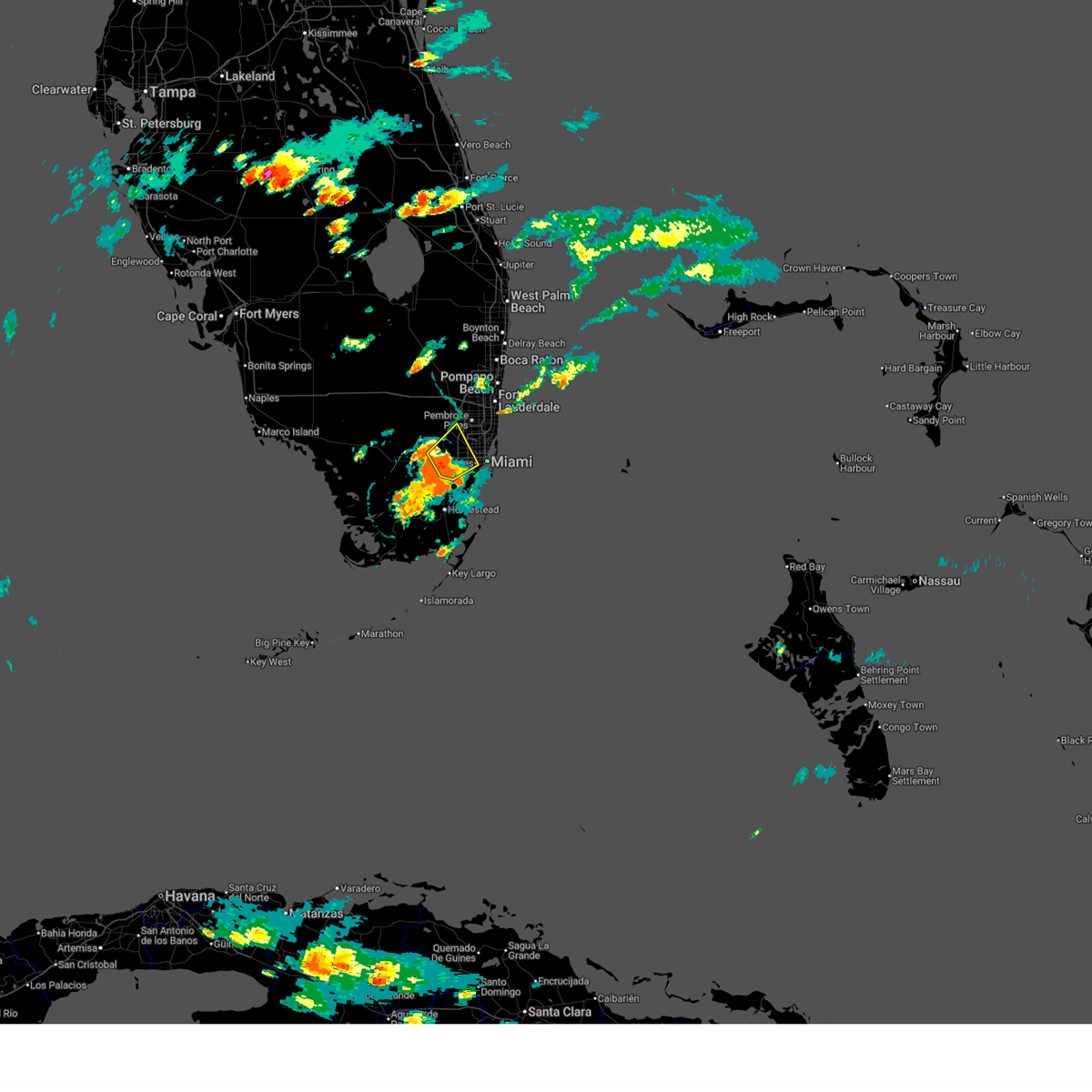
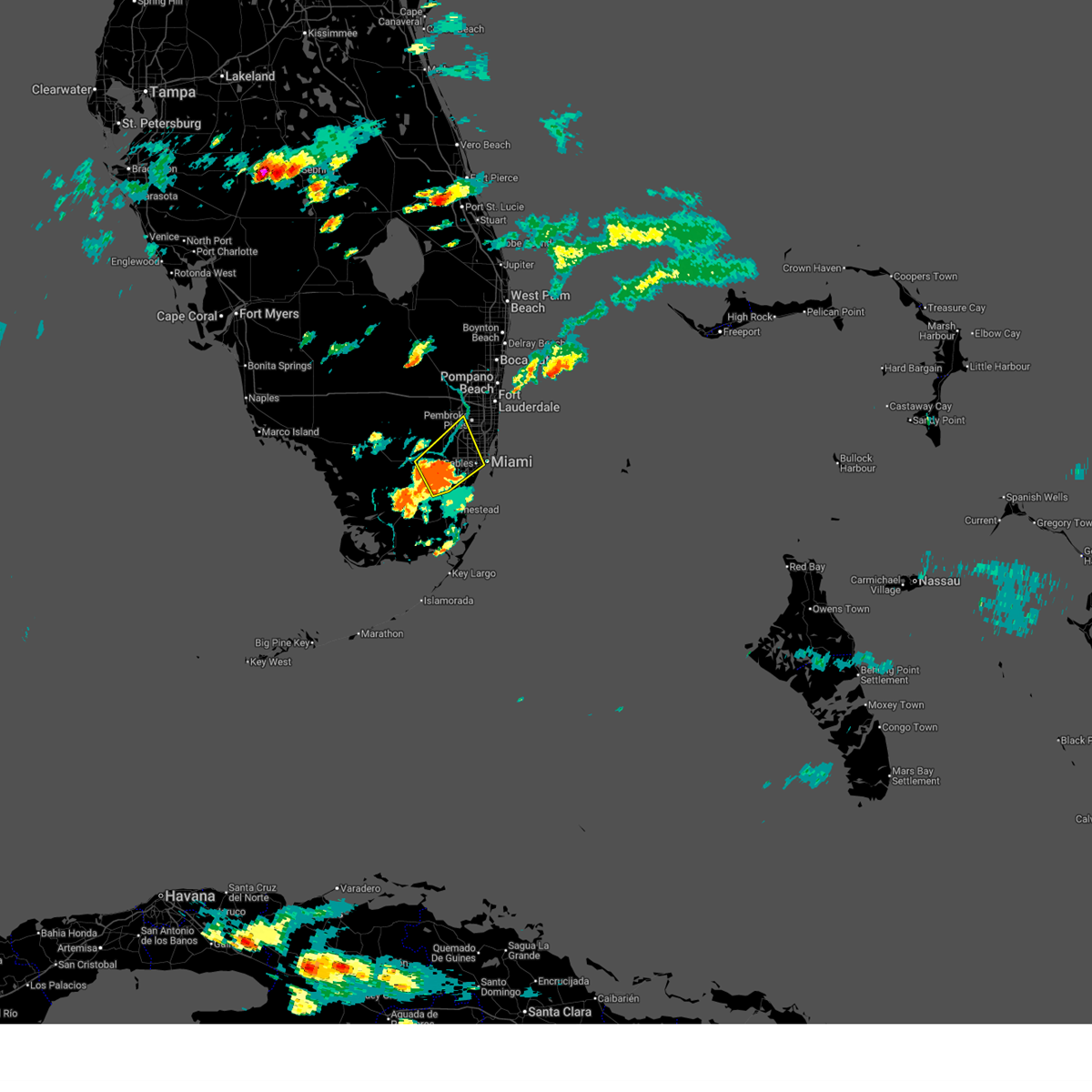
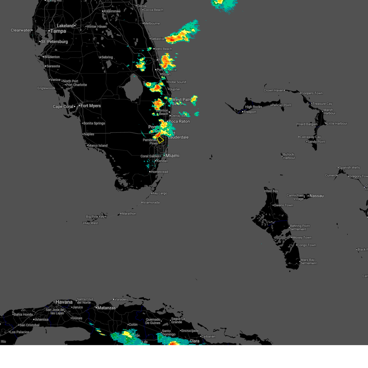
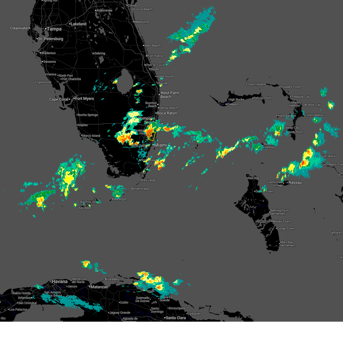
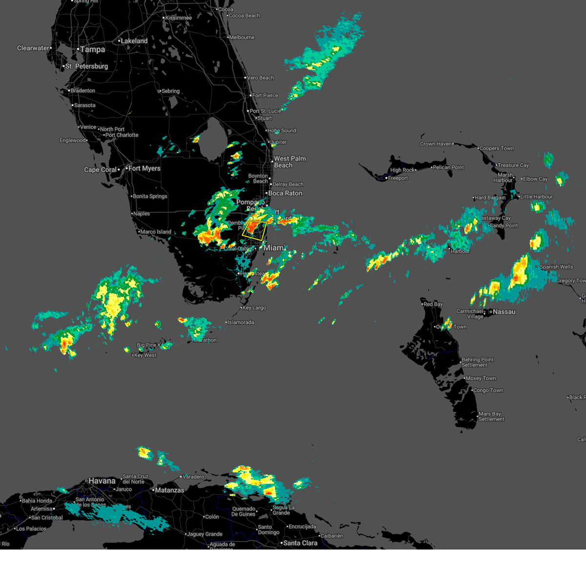
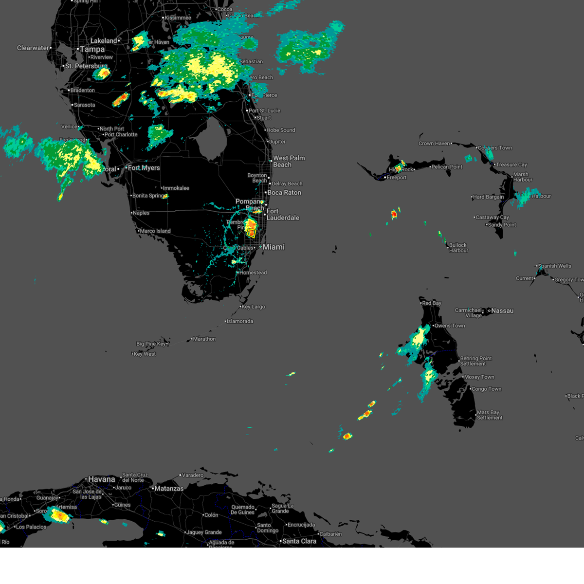
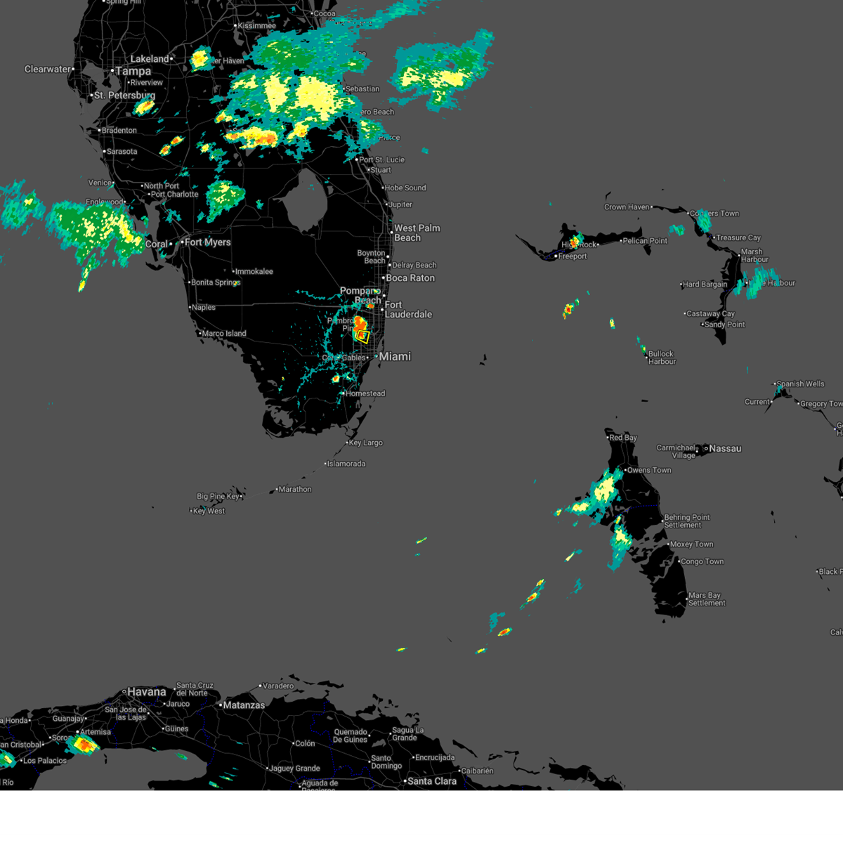
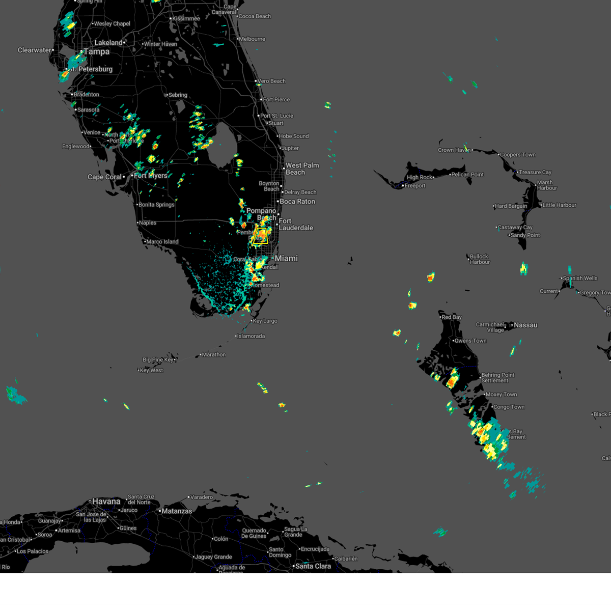
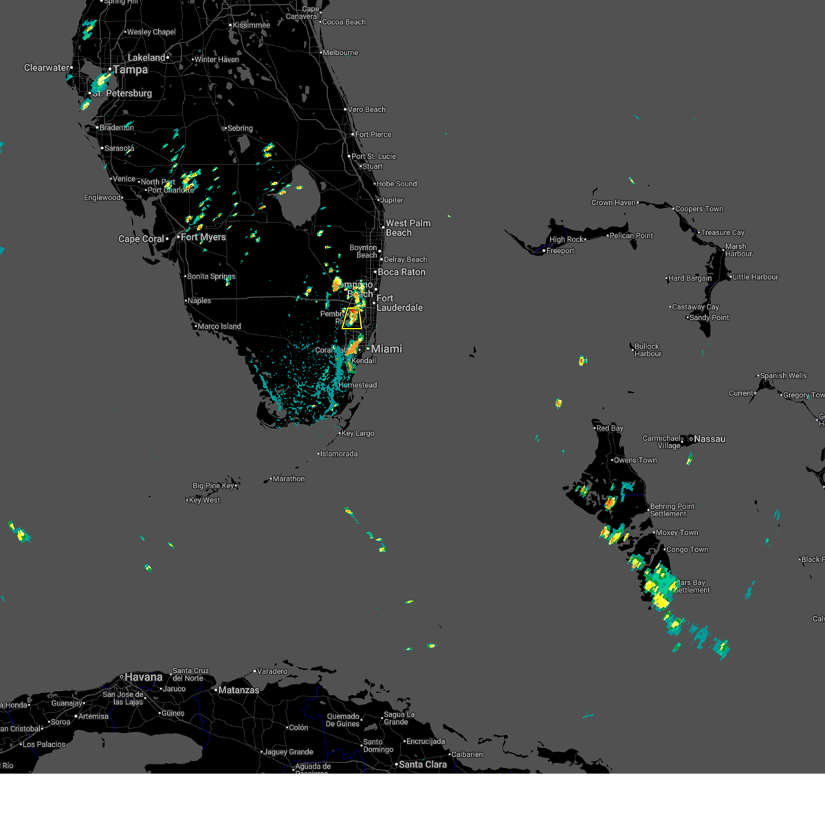
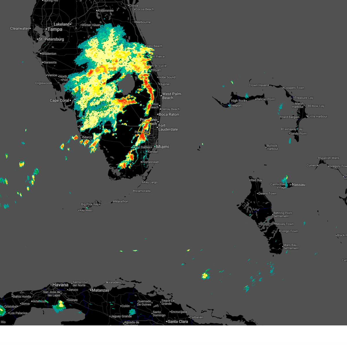
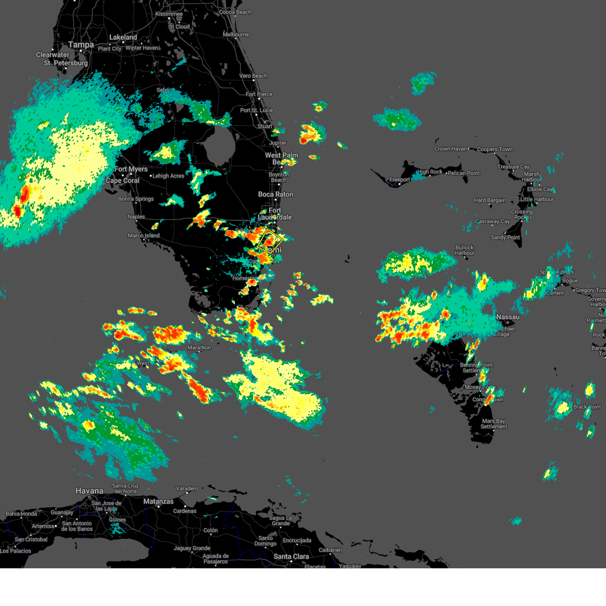
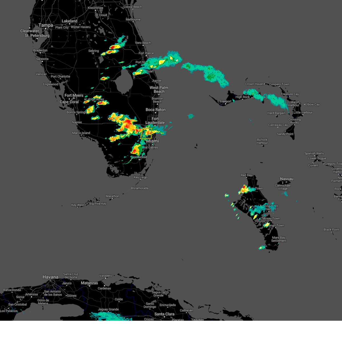
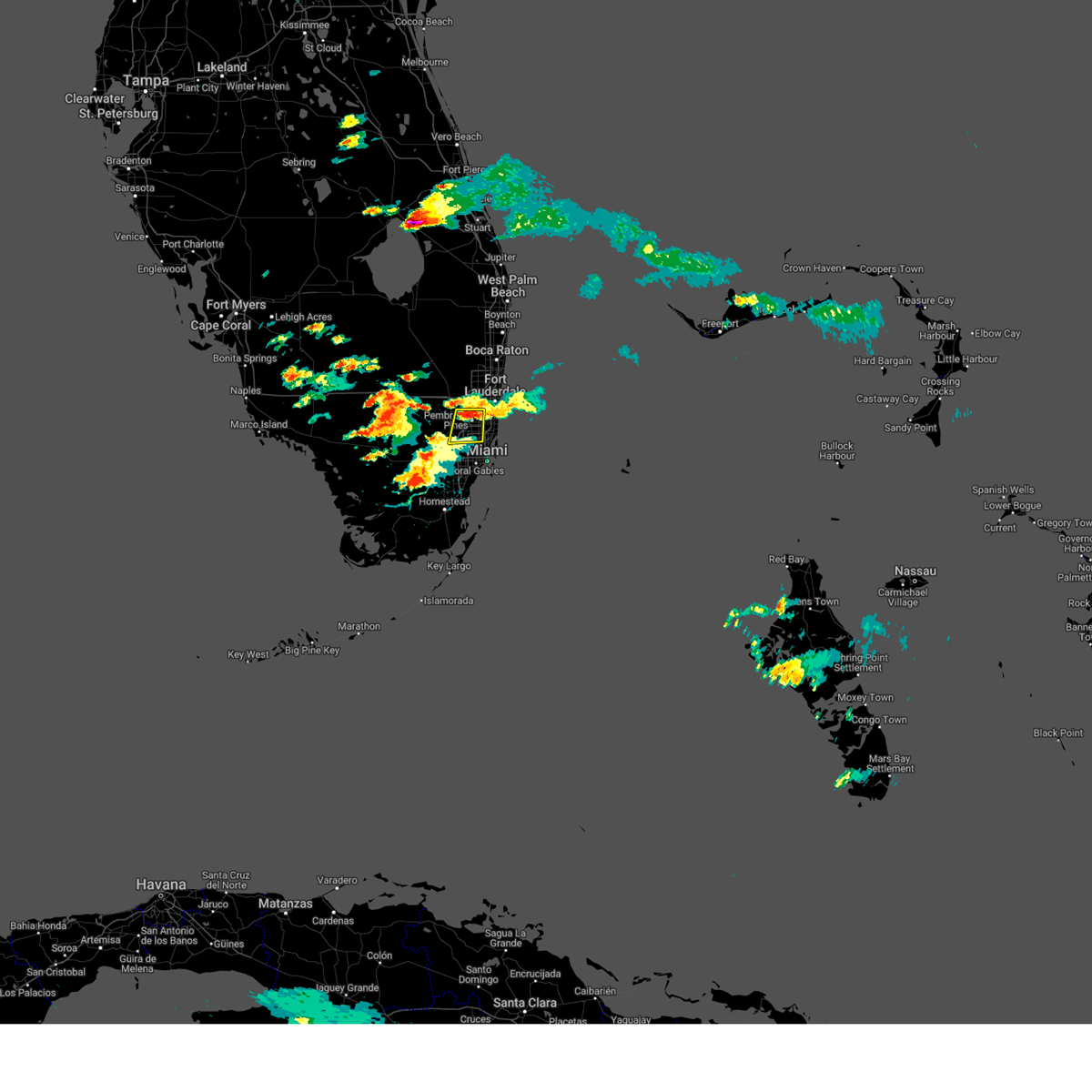
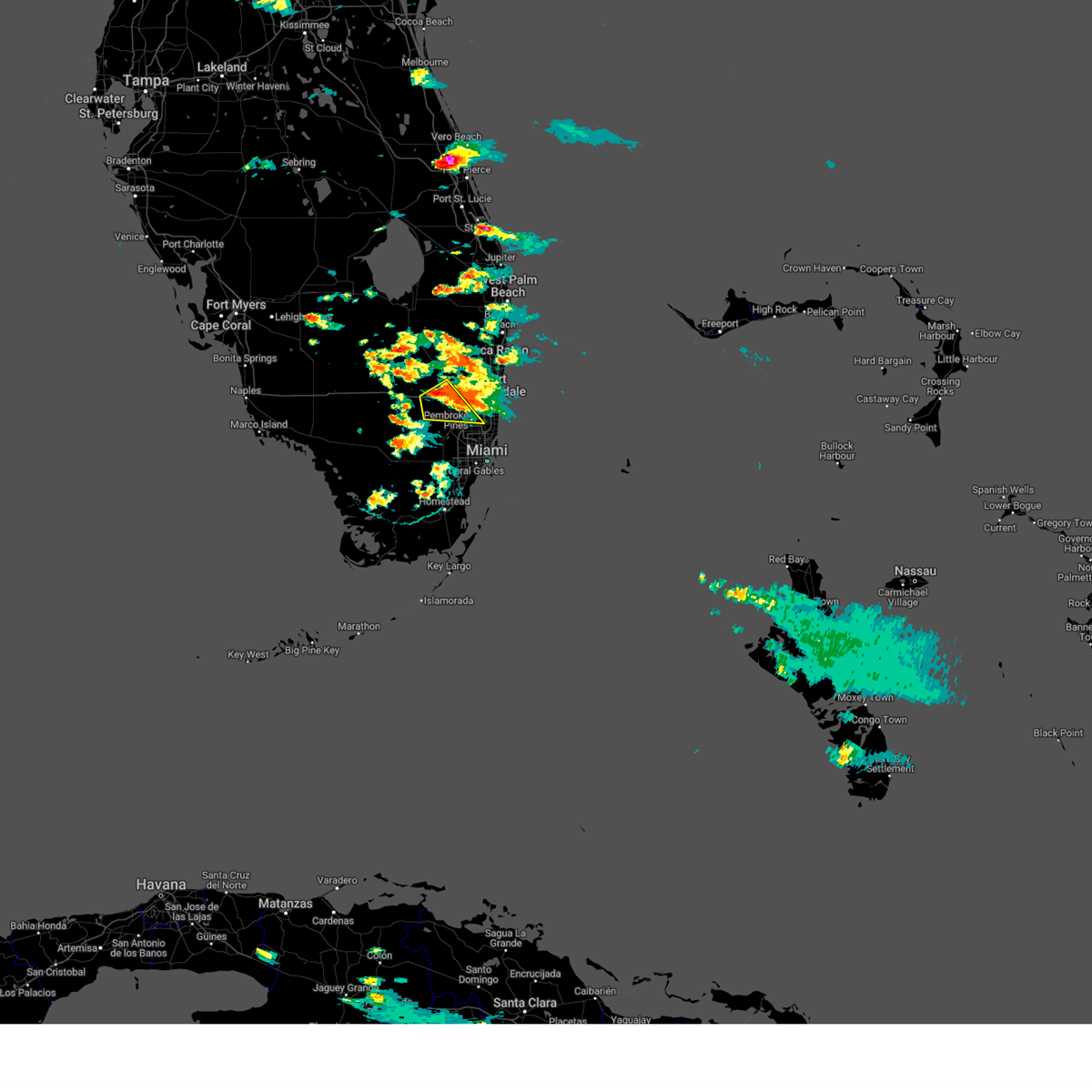
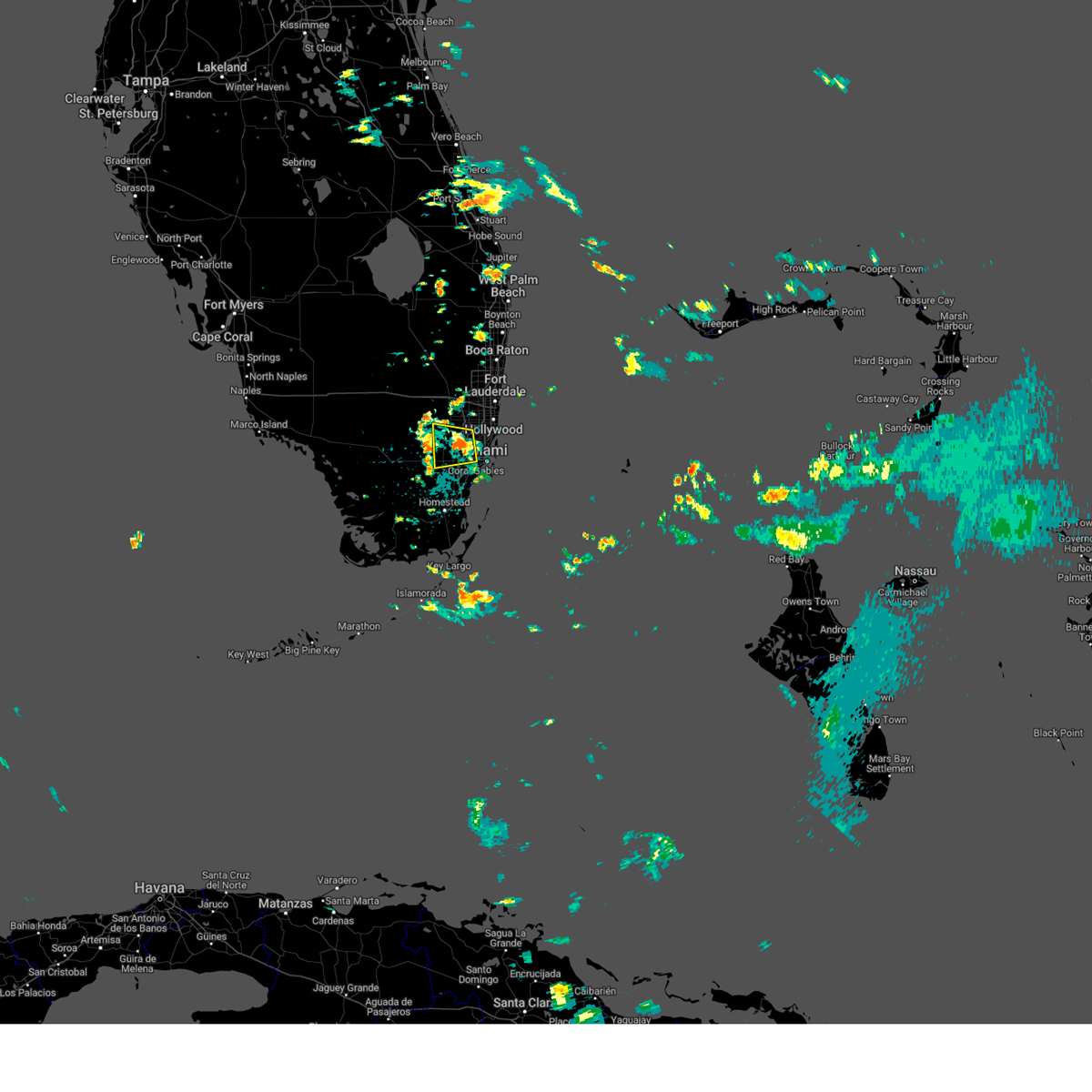
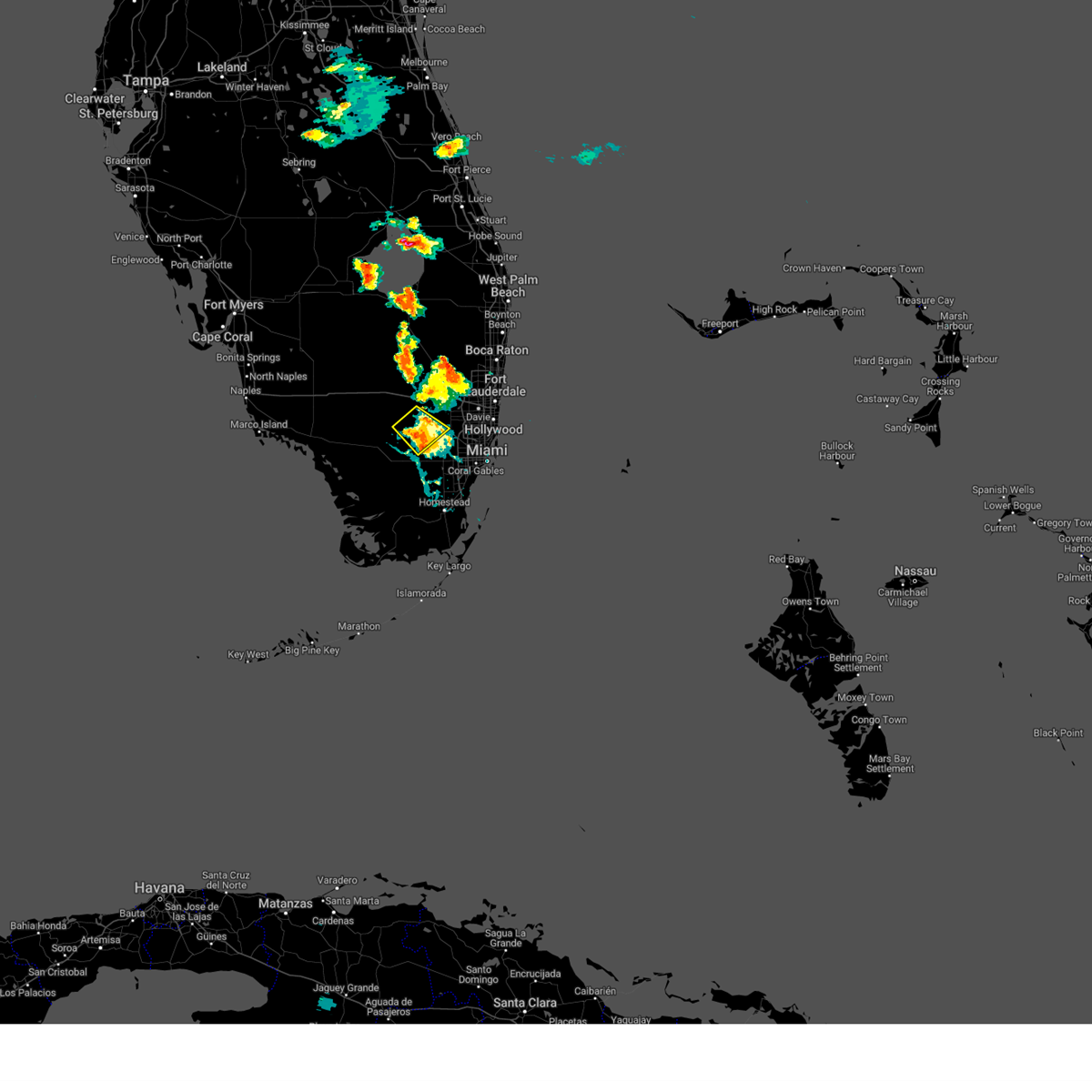
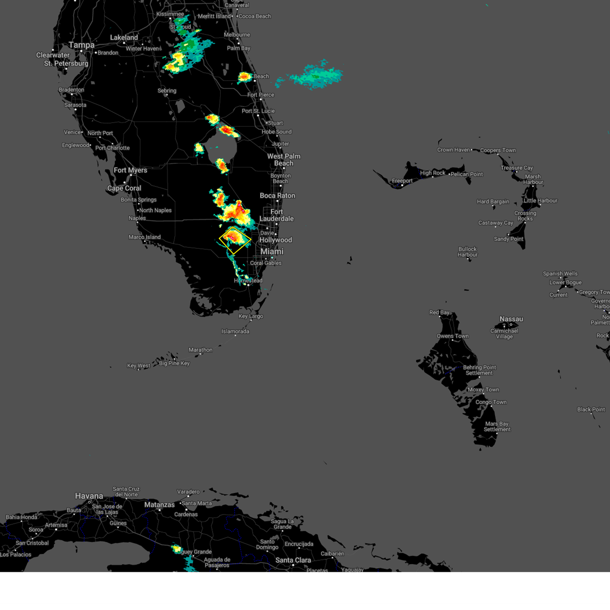
Hail Map for Miramar, FL
The Miramar, FL area has had 1 report of on-the-ground hail by trained spotters, and has been under severe weather warnings 12 times during the past 12 months. Doppler radar has detected hail at or near Miramar, FL on 80 occasions, including 5 occasions during the past year.
| Name: | Miramar, FL |
| Where Located: | 17.9 miles NNW of Miami, FL |
| Map: | Google Map for Miramar, FL |
| Population: | 122041 |
| Housing Units: | 40294 |
| More Info: | Search Google for Miramar, FL |
3
The Top Recent Hail Date for Miramar, FL is Tuesday, April 7, 2026 (4th out of 80)

Hail and Wind Damage Spotted near Miramar, FL
| Date / Time | Report Details |
|---|---|
| 6/2/2026 6:00 PM EDT |
 At 600 pm edt, a severe thunderstorm was located over doral, or near hialeah, moving northeast at 20 mph (radar indicated). Hazards include 60 mph wind gusts and quarter size hail. Hail damage to vehicles is expected. expect wind damage to roofs, siding, and trees. locations impacted include, miami, hialeah, miramar, coral gables, south miami, kendall, doral, miami lakes, hialeah gardens, miami springs, sweetwater, west miami, medley, westchester, glenvar heights, fountainbleau, kendale lakes, pennsuco, intersection krome and u. s. 27, and the hammocks. At 600 pm edt, a severe thunderstorm was located over doral, or near hialeah, moving northeast at 20 mph (radar indicated). Hazards include 60 mph wind gusts and quarter size hail. Hail damage to vehicles is expected. expect wind damage to roofs, siding, and trees. locations impacted include, miami, hialeah, miramar, coral gables, south miami, kendall, doral, miami lakes, hialeah gardens, miami springs, sweetwater, west miami, medley, westchester, glenvar heights, fountainbleau, kendale lakes, pennsuco, intersection krome and u. s. 27, and the hammocks.
|
| 6/2/2026 5:39 PM EDT |
 Svrmfl the national weather service in miami has issued a * severe thunderstorm warning for, northern miami-dade county in southeastern florida, southern broward county in southeastern florida, * until 630 pm edt. * at 539 pm edt, a severe thunderstorm was located over miccosukee resort, or 8 miles northwest of kendall, moving northeast at 20 mph (radar indicated). Hazards include 60 mph wind gusts and quarter size hail. Hail damage to vehicles is expected. Expect wind damage to roofs, siding, and trees. Svrmfl the national weather service in miami has issued a * severe thunderstorm warning for, northern miami-dade county in southeastern florida, southern broward county in southeastern florida, * until 630 pm edt. * at 539 pm edt, a severe thunderstorm was located over miccosukee resort, or 8 miles northwest of kendall, moving northeast at 20 mph (radar indicated). Hazards include 60 mph wind gusts and quarter size hail. Hail damage to vehicles is expected. Expect wind damage to roofs, siding, and trees.
|
| 4/26/2026 7:27 PM EDT |
 Svrmfl the national weather service in miami has issued a * severe thunderstorm warning for, southern broward county in southeastern florida, * until 800 pm edt. * at 727 pm edt, a severe thunderstorm was located over sunshine acres, or over davie, moving southeast at 10 mph (radar indicated). Hazards include 60 mph wind gusts. expect damage to roofs, siding, and trees Svrmfl the national weather service in miami has issued a * severe thunderstorm warning for, southern broward county in southeastern florida, * until 800 pm edt. * at 727 pm edt, a severe thunderstorm was located over sunshine acres, or over davie, moving southeast at 10 mph (radar indicated). Hazards include 60 mph wind gusts. expect damage to roofs, siding, and trees
|
| 4/7/2026 5:05 PM EDT |
 At 505 pm edt, a severe thunderstorm was located over hard rock stadium, or over miami gardens, moving east at 20 mph (radar indicated). Hazards include 60 mph wind gusts and quarter size hail. Hail damage to vehicles is expected. expect wind damage to roofs, siding, and trees. Locations impacted include, miami, hialeah, pembroke pines, hollywood, miramar, miami gardens, hallandale, north miami, north miami beach, opa-locka, west park, miami shores, el portal, west little river, westview, hard rock stadium, miramar parkway and university drive, golden glades, pinewood, and ojus. At 505 pm edt, a severe thunderstorm was located over hard rock stadium, or over miami gardens, moving east at 20 mph (radar indicated). Hazards include 60 mph wind gusts and quarter size hail. Hail damage to vehicles is expected. expect wind damage to roofs, siding, and trees. Locations impacted include, miami, hialeah, pembroke pines, hollywood, miramar, miami gardens, hallandale, north miami, north miami beach, opa-locka, west park, miami shores, el portal, west little river, westview, hard rock stadium, miramar parkway and university drive, golden glades, pinewood, and ojus.
|
| 4/7/2026 4:47 PM EDT |
 Svrmfl the national weather service in miami has issued a * severe thunderstorm warning for, northern miami-dade county in southeastern florida, southern broward county in southeastern florida, * until 515 pm edt. * at 447 pm edt, a severe thunderstorm was located over miramar, moving east at 20 mph (radar indicated). Hazards include 60 mph wind gusts and quarter size hail. Hail damage to vehicles is expected. Expect wind damage to roofs, siding, and trees. Svrmfl the national weather service in miami has issued a * severe thunderstorm warning for, northern miami-dade county in southeastern florida, southern broward county in southeastern florida, * until 515 pm edt. * at 447 pm edt, a severe thunderstorm was located over miramar, moving east at 20 mph (radar indicated). Hazards include 60 mph wind gusts and quarter size hail. Hail damage to vehicles is expected. Expect wind damage to roofs, siding, and trees.
|
| 9/16/2025 2:58 PM EDT | Svrmfl the national weather service in miami has issued a * severe thunderstorm warning for, northern miami-dade county in southeastern florida, southern broward county in southeastern florida, * until 315 pm edt. * at 258 pm edt, a severe thunderstorm was located over intersection i-75 and griffin road, or near pembroke pines, and is nearly stationary (radar indicated). Hazards include 60 mph wind gusts and quarter size hail. Hail damage to vehicles is expected. Expect wind damage to roofs, siding, and trees. |
| 9/16/2025 2:49 PM EDT | Svrmfl the national weather service in miami has issued a * severe thunderstorm warning for, northern miami-dade county in southeastern florida, southern broward county in southeastern florida, * until 315 pm edt. * at 249 pm edt, a severe thunderstorm was located over hard rock stadium, or over miami gardens, moving southeast at 10 mph (radar indicated). Hazards include 60 mph wind gusts and nickel size hail. expect damage to roofs, siding, and trees |
| 8/26/2025 5:21 PM EDT |
 The storm which prompted the warning has weakened below severe limits, and no longer poses an immediate threat to life or property. therefore, the warning will be allowed to expire. to report severe weather, contact your nearest law enforcement agency. they will relay your report to the national weather service miami. you can also share your report with nws miami on facebook and twitter. The storm which prompted the warning has weakened below severe limits, and no longer poses an immediate threat to life or property. therefore, the warning will be allowed to expire. to report severe weather, contact your nearest law enforcement agency. they will relay your report to the national weather service miami. you can also share your report with nws miami on facebook and twitter.
|
| 8/26/2025 5:05 PM EDT |
 Svrmfl the national weather service in miami has issued a * severe thunderstorm warning for, northern miami-dade county in southeastern florida, * until 530 pm edt. * at 505 pm edt, a severe thunderstorm was located over miami lakes, or near miramar, moving east at 5 mph (radar indicated). Hazards include 60 mph wind gusts and quarter size hail. Hail damage to vehicles is expected. Expect wind damage to roofs, siding, and trees. Svrmfl the national weather service in miami has issued a * severe thunderstorm warning for, northern miami-dade county in southeastern florida, * until 530 pm edt. * at 505 pm edt, a severe thunderstorm was located over miami lakes, or near miramar, moving east at 5 mph (radar indicated). Hazards include 60 mph wind gusts and quarter size hail. Hail damage to vehicles is expected. Expect wind damage to roofs, siding, and trees.
|
| 8/19/2025 2:47 PM EDT |
 the severe thunderstorm warning has been cancelled and is no longer in effect the severe thunderstorm warning has been cancelled and is no longer in effect
|
| 8/19/2025 2:29 PM EDT |
 Svrmfl the national weather service in miami has issued a * severe thunderstorm warning for, north central miami-dade county in southeastern florida, south central broward county in southeastern florida, * until 300 pm edt. * at 228 pm edt, a severe thunderstorm was located over intersection i-75 and griffin road, or over pembroke pines, moving south at 10 mph (radar indicated). Hazards include 60 mph wind gusts. expect damage to roofs, siding, and trees Svrmfl the national weather service in miami has issued a * severe thunderstorm warning for, north central miami-dade county in southeastern florida, south central broward county in southeastern florida, * until 300 pm edt. * at 228 pm edt, a severe thunderstorm was located over intersection i-75 and griffin road, or over pembroke pines, moving south at 10 mph (radar indicated). Hazards include 60 mph wind gusts. expect damage to roofs, siding, and trees
|
| 7/22/2025 4:42 PM EDT |
 Svrmfl the national weather service in miami has issued a * severe thunderstorm warning for, central broward county in southeastern florida, * until 500 pm edt. * at 442 pm edt, a severe thunderstorm was located over weston, or near sunrise, moving south at 10 mph (radar indicated). Hazards include 60 mph wind gusts and quarter size hail. Hail damage to vehicles is expected. Expect wind damage to roofs, siding, and trees. Svrmfl the national weather service in miami has issued a * severe thunderstorm warning for, central broward county in southeastern florida, * until 500 pm edt. * at 442 pm edt, a severe thunderstorm was located over weston, or near sunrise, moving south at 10 mph (radar indicated). Hazards include 60 mph wind gusts and quarter size hail. Hail damage to vehicles is expected. Expect wind damage to roofs, siding, and trees.
|
| 6/2/2025 1:33 PM EDT |
 Svrmfl the national weather service in miami has issued a * severe thunderstorm warning for, northern miami-dade county in southeastern florida, southern broward county in southeastern florida, * until 200 pm edt. * at 133 pm edt, a severe thunderstorm was located over golden glades, or near miami gardens, and is nearly stationary (radar indicated). Hazards include 60 mph wind gusts and quarter size hail. Hail damage to vehicles is expected. Expect wind damage to roofs, siding, and trees. Svrmfl the national weather service in miami has issued a * severe thunderstorm warning for, northern miami-dade county in southeastern florida, southern broward county in southeastern florida, * until 200 pm edt. * at 133 pm edt, a severe thunderstorm was located over golden glades, or near miami gardens, and is nearly stationary (radar indicated). Hazards include 60 mph wind gusts and quarter size hail. Hail damage to vehicles is expected. Expect wind damage to roofs, siding, and trees.
|
| 5/23/2025 6:00 PM EDT |
 the severe thunderstorm warning has been cancelled and is no longer in effect the severe thunderstorm warning has been cancelled and is no longer in effect
|
| 5/23/2025 5:30 PM EDT |
 Svrmfl the national weather service in miami has issued a * severe thunderstorm warning for, north central miami-dade county in southeastern florida, southern broward county in southeastern florida, * until 615 pm edt. * at 529 pm edt, a severe thunderstorm was located over pembroke pines, moving south at 10 mph (radar indicated). Hazards include 60 mph wind gusts and quarter size hail. Hail damage to vehicles is expected. Expect wind damage to roofs, siding, and trees. Svrmfl the national weather service in miami has issued a * severe thunderstorm warning for, north central miami-dade county in southeastern florida, southern broward county in southeastern florida, * until 615 pm edt. * at 529 pm edt, a severe thunderstorm was located over pembroke pines, moving south at 10 mph (radar indicated). Hazards include 60 mph wind gusts and quarter size hail. Hail damage to vehicles is expected. Expect wind damage to roofs, siding, and trees.
|
| 5/5/2025 4:14 PM EDT |
 Svrmfl the national weather service in miami has issued a * severe thunderstorm warning for, south central broward county in southeastern florida, * until 445 pm edt. * at 413 pm edt, a severe thunderstorm was located over mile marker 30 on alligator alley, or 13 miles west of sunrise, moving southeast at 15 mph (radar indicated). Hazards include 60 mph wind gusts and quarter size hail. Hail damage to vehicles is expected. Expect wind damage to roofs, siding, and trees. Svrmfl the national weather service in miami has issued a * severe thunderstorm warning for, south central broward county in southeastern florida, * until 445 pm edt. * at 413 pm edt, a severe thunderstorm was located over mile marker 30 on alligator alley, or 13 miles west of sunrise, moving southeast at 15 mph (radar indicated). Hazards include 60 mph wind gusts and quarter size hail. Hail damage to vehicles is expected. Expect wind damage to roofs, siding, and trees.
|
| 10/9/2024 9:52 AM EDT |
 Tormfl the national weather service in miami has issued a * tornado warning for, central broward county in southeastern florida, south central palm beach county in southeastern florida, * until 1015 am edt. * at 952 am edt, a severe thunderstorm capable of producing a tornado was located near east toll gate on alligator alley, or 11 miles west of pembroke pines, moving north at 25 mph (video confirmed rotation). Hazards include tornado. Flying debris will be dangerous to those caught without shelter. mobile homes will be damaged or destroyed. damage to roofs, windows, and vehicles will occur. Tree damage is likely. Tormfl the national weather service in miami has issued a * tornado warning for, central broward county in southeastern florida, south central palm beach county in southeastern florida, * until 1015 am edt. * at 952 am edt, a severe thunderstorm capable of producing a tornado was located near east toll gate on alligator alley, or 11 miles west of pembroke pines, moving north at 25 mph (video confirmed rotation). Hazards include tornado. Flying debris will be dangerous to those caught without shelter. mobile homes will be damaged or destroyed. damage to roofs, windows, and vehicles will occur. Tree damage is likely.
|
| 9/18/2024 5:38 PM EDT |
 The storm which prompted the warning has weakened below severe limits, and no longer poses an immediate threat to life or property. therefore, the warning will be allowed to expire. however, small hail, gusty winds and heavy rain are still possible with this thunderstorm. to report severe weather, contact your nearest law enforcement agency. they will relay your report to the national weather service miami. you can also share your report with nws miami on facebook and twitter. The storm which prompted the warning has weakened below severe limits, and no longer poses an immediate threat to life or property. therefore, the warning will be allowed to expire. however, small hail, gusty winds and heavy rain are still possible with this thunderstorm. to report severe weather, contact your nearest law enforcement agency. they will relay your report to the national weather service miami. you can also share your report with nws miami on facebook and twitter.
|
| 9/18/2024 5:21 PM EDT |
 At 521 pm edt, a severe thunderstorm was located over golden glades, or over miami gardens, and is nearly stationary (radar indicated). Hazards include 60 mph wind gusts and half dollar size hail. Hail damage to vehicles is expected. expect wind damage to roofs, siding, and trees. Locations impacted include, pembroke pines, hollywood, miramar, miami beach, surfside, hallandale, miami gardens, north miami, north miami beach, aventura, dania beach, miami lakes, cooper city, sunny isles beach, opa-locka, west park, miami shores, royal palm ranches, country club, and miramar parkway and university drive. At 521 pm edt, a severe thunderstorm was located over golden glades, or over miami gardens, and is nearly stationary (radar indicated). Hazards include 60 mph wind gusts and half dollar size hail. Hail damage to vehicles is expected. expect wind damage to roofs, siding, and trees. Locations impacted include, pembroke pines, hollywood, miramar, miami beach, surfside, hallandale, miami gardens, north miami, north miami beach, aventura, dania beach, miami lakes, cooper city, sunny isles beach, opa-locka, west park, miami shores, royal palm ranches, country club, and miramar parkway and university drive.
|
| 9/18/2024 5:07 PM EDT |
 Svrmfl the national weather service in miami has issued a * severe thunderstorm warning for, northeast miami-dade county in southeastern florida, southeast broward county in southeastern florida, * until 545 pm edt. * at 507 pm edt, a severe thunderstorm was located over golden glades, or over miami gardens, and is nearly stationary (radar indicated). Hazards include 60 mph wind gusts and quarter size hail. Hail damage to vehicles is expected. Expect wind damage to roofs, siding, and trees. Svrmfl the national weather service in miami has issued a * severe thunderstorm warning for, northeast miami-dade county in southeastern florida, southeast broward county in southeastern florida, * until 545 pm edt. * at 507 pm edt, a severe thunderstorm was located over golden glades, or over miami gardens, and is nearly stationary (radar indicated). Hazards include 60 mph wind gusts and quarter size hail. Hail damage to vehicles is expected. Expect wind damage to roofs, siding, and trees.
|
| 8/30/2024 11:11 AM EDT |
 Svrmfl the national weather service in miami has issued a * severe thunderstorm warning for, northern miami-dade county in southeastern florida, south central broward county in southeastern florida, * until 1130 am edt. * at 1111 am edt, a severe thunderstorm was located over medley, or near hialeah, moving west at 20 mph (radar indicated). Hazards include 60 mph wind gusts. expect damage to roofs, siding, and trees Svrmfl the national weather service in miami has issued a * severe thunderstorm warning for, northern miami-dade county in southeastern florida, south central broward county in southeastern florida, * until 1130 am edt. * at 1111 am edt, a severe thunderstorm was located over medley, or near hialeah, moving west at 20 mph (radar indicated). Hazards include 60 mph wind gusts. expect damage to roofs, siding, and trees
|
| 6/12/2024 4:59 PM EDT |
 The storm which prompted the warning has weakened below severe limits, and no longer poses an immediate threat to life or property. therefore, the warning will be allowed to expire. The storm which prompted the warning has weakened below severe limits, and no longer poses an immediate threat to life or property. therefore, the warning will be allowed to expire.
|
| 6/12/2024 4:49 PM EDT |
 At 449 pm edt, a severe thunderstorm was located over liberty city, or over miami, moving east at 25 mph (radar indicated). Hazards include 60 mph wind gusts. Expect damage to roofs, siding, and trees. Locations impacted include, miami, hialeah, miramar, miami beach, coral gables, key biscayne, south miami, surfside, miami gardens, virginia key, kendall, north miami, doral, north miami beach, aventura, miami lakes, hialeah gardens, sunny isles beach, pinecrest, and opa-locka. At 449 pm edt, a severe thunderstorm was located over liberty city, or over miami, moving east at 25 mph (radar indicated). Hazards include 60 mph wind gusts. Expect damage to roofs, siding, and trees. Locations impacted include, miami, hialeah, miramar, miami beach, coral gables, key biscayne, south miami, surfside, miami gardens, virginia key, kendall, north miami, doral, north miami beach, aventura, miami lakes, hialeah gardens, sunny isles beach, pinecrest, and opa-locka.
|
| 6/12/2024 4:13 PM EDT |
 Svrmfl the national weather service in miami has issued a * severe thunderstorm warning for, northern miami-dade county in southeastern florida, * until 500 pm edt. * at 413 pm edt, a severe thunderstorm was located over miccosukee resort, or 11 miles northwest of kendall, moving east at 20 mph (radar indicated). Hazards include 60 mph wind gusts. expect damage to roofs, siding, and trees Svrmfl the national weather service in miami has issued a * severe thunderstorm warning for, northern miami-dade county in southeastern florida, * until 500 pm edt. * at 413 pm edt, a severe thunderstorm was located over miccosukee resort, or 11 miles northwest of kendall, moving east at 20 mph (radar indicated). Hazards include 60 mph wind gusts. expect damage to roofs, siding, and trees
|
| 5/25/2024 7:48 PM EDT |
 the severe thunderstorm warning has been cancelled and is no longer in effect the severe thunderstorm warning has been cancelled and is no longer in effect
|
| 5/25/2024 7:26 PM EDT |
 Svrmfl the national weather service in miami has issued a * severe thunderstorm warning for, north central miami-dade county in southeastern florida, southern broward county in southeastern florida, * until 800 pm edt. * at 725 pm edt, a severe thunderstorm was located 10 miles southwest of intersection alligator alley and miami canal, or 24 miles west of pembroke pines, moving southeast at 20 mph (radar indicated). Hazards include 60 mph wind gusts and quarter size hail. Hail damage to vehicles is expected. expect wind damage to roofs, siding, and trees. This severe thunderstorm will remain over mainly rural areas of north central miami-dade and southern broward counties. Svrmfl the national weather service in miami has issued a * severe thunderstorm warning for, north central miami-dade county in southeastern florida, southern broward county in southeastern florida, * until 800 pm edt. * at 725 pm edt, a severe thunderstorm was located 10 miles southwest of intersection alligator alley and miami canal, or 24 miles west of pembroke pines, moving southeast at 20 mph (radar indicated). Hazards include 60 mph wind gusts and quarter size hail. Hail damage to vehicles is expected. expect wind damage to roofs, siding, and trees. This severe thunderstorm will remain over mainly rural areas of north central miami-dade and southern broward counties.
|
| 5/20/2024 5:06 PM EDT |
 The storm which prompted the warning has weakened below severe limits, and no longer poses an immediate threat to life or property. therefore, the warning will be allowed to expire. however, small hail, gusty winds and heavy rain are still possible with this thunderstorm. to report severe weather, contact your nearest law enforcement agency. they will relay your report to the national weather service miami. you can also share your report with nws miami on facebook and twitter. The storm which prompted the warning has weakened below severe limits, and no longer poses an immediate threat to life or property. therefore, the warning will be allowed to expire. however, small hail, gusty winds and heavy rain are still possible with this thunderstorm. to report severe weather, contact your nearest law enforcement agency. they will relay your report to the national weather service miami. you can also share your report with nws miami on facebook and twitter.
|
| 5/20/2024 4:48 PM EDT |
 At 448 pm edt, a severe thunderstorm was located over intersection i-75 and griffin road, or over pembroke pines, moving east at 15 mph (radar indicated). Hazards include 60 mph wind gusts and quarter size hail. Hail damage to vehicles is expected. expect wind damage to roofs, siding, and trees. Locations impacted include, fort lauderdale, pembroke pines, hollywood, miramar, davie, plantation, sunrise, hallandale, weston, dania beach, cooper city, west park, royal palm ranches, ravenswood estates, sunshine acres, estates of fort lauderdale, fort lauderdale - hollywood international airport, chambers estates, miramar parkway and university drive, and pine island ridge. At 448 pm edt, a severe thunderstorm was located over intersection i-75 and griffin road, or over pembroke pines, moving east at 15 mph (radar indicated). Hazards include 60 mph wind gusts and quarter size hail. Hail damage to vehicles is expected. expect wind damage to roofs, siding, and trees. Locations impacted include, fort lauderdale, pembroke pines, hollywood, miramar, davie, plantation, sunrise, hallandale, weston, dania beach, cooper city, west park, royal palm ranches, ravenswood estates, sunshine acres, estates of fort lauderdale, fort lauderdale - hollywood international airport, chambers estates, miramar parkway and university drive, and pine island ridge.
|
| 5/20/2024 4:30 PM EDT |
 Svrmfl the national weather service in miami has issued a * severe thunderstorm warning for, southern broward county in southeastern florida, * until 515 pm edt. * at 430 pm edt, severe thunderstorms were located along a line extending from near pompano beach to sunrise to near intersection i-75 and griffin road, moving east at 20 mph (radar indicated). Hazards include 60 mph wind gusts and quarter size hail. Hail damage to vehicles is expected. Expect wind damage to roofs, siding, and trees. Svrmfl the national weather service in miami has issued a * severe thunderstorm warning for, southern broward county in southeastern florida, * until 515 pm edt. * at 430 pm edt, severe thunderstorms were located along a line extending from near pompano beach to sunrise to near intersection i-75 and griffin road, moving east at 20 mph (radar indicated). Hazards include 60 mph wind gusts and quarter size hail. Hail damage to vehicles is expected. Expect wind damage to roofs, siding, and trees.
|
| 3/6/2024 5:52 AM EST |
 The storm which prompted the warning has weakened below severe limits, and no longer poses an immediate threat to life or property. therefore, the warning will be allowed to expire. however, gusty winds and heavy rain are still possible with this thunderstorm. to report severe weather, contact your nearest law enforcement agency. they will relay your report to the national weather service miami. you can also share your report with nws miami on facebook and twitter. The storm which prompted the warning has weakened below severe limits, and no longer poses an immediate threat to life or property. therefore, the warning will be allowed to expire. however, gusty winds and heavy rain are still possible with this thunderstorm. to report severe weather, contact your nearest law enforcement agency. they will relay your report to the national weather service miami. you can also share your report with nws miami on facebook and twitter.
|
| 3/6/2024 5:34 AM EST |
 Svrmfl the national weather service in miami has issued a * severe thunderstorm warning for, northern miami-dade county in southeastern florida, southern broward county in southeastern florida, * until 600 am est. * at 534 am est, a severe thunderstorm was located over west miami, or over south miami, moving northeast at 30 mph (radar indicated). Hazards include 60 mph wind gusts and penny size hail. expect damage to roofs, siding, and trees Svrmfl the national weather service in miami has issued a * severe thunderstorm warning for, northern miami-dade county in southeastern florida, southern broward county in southeastern florida, * until 600 am est. * at 534 am est, a severe thunderstorm was located over west miami, or over south miami, moving northeast at 30 mph (radar indicated). Hazards include 60 mph wind gusts and penny size hail. expect damage to roofs, siding, and trees
|
| 3/3/2024 4:56 PM EST |
 The storm which prompted the warning has weakened below severe limits, and no longer poses an immediate threat to life or property. therefore, the warning will be allowed to expire. The storm which prompted the warning has weakened below severe limits, and no longer poses an immediate threat to life or property. therefore, the warning will be allowed to expire.
|
| 3/3/2024 4:39 PM EST |
 At 439 pm est, a severe thunderstorm was located over oak point, or over hollywood, moving southeast at 15 mph (radar indicated). Hazards include 60 mph wind gusts and quarter size hail. Hail damage to vehicles is expected. expect wind damage to roofs, siding, and trees. Locations impacted include, fort lauderdale, pembroke pines, hollywood, miramar, davie, plantation, hallandale, miami gardens, aventura, dania beach, cooper city, west park, royal palm ranches, ravenswood estates, sunshine acres, estates of fort lauderdale, fort lauderdale - hollywood international airport, chambers estates, miramar parkway and university drive, and pine island ridge. At 439 pm est, a severe thunderstorm was located over oak point, or over hollywood, moving southeast at 15 mph (radar indicated). Hazards include 60 mph wind gusts and quarter size hail. Hail damage to vehicles is expected. expect wind damage to roofs, siding, and trees. Locations impacted include, fort lauderdale, pembroke pines, hollywood, miramar, davie, plantation, hallandale, miami gardens, aventura, dania beach, cooper city, west park, royal palm ranches, ravenswood estates, sunshine acres, estates of fort lauderdale, fort lauderdale - hollywood international airport, chambers estates, miramar parkway and university drive, and pine island ridge.
|
| 3/3/2024 4:28 PM EST |
 Svrmfl the national weather service in miami has issued a * severe thunderstorm warning for, northern miami-dade county in southeastern florida, southern broward county in southeastern florida, * until 500 pm est. * at 428 pm est, a severe thunderstorm was located over nova southeastern university, or near davie, moving southeast at 15 mph (radar indicated). Hazards include 60 mph wind gusts and quarter size hail. Hail damage to vehicles is expected. Expect wind damage to roofs, siding, and trees. Svrmfl the national weather service in miami has issued a * severe thunderstorm warning for, northern miami-dade county in southeastern florida, southern broward county in southeastern florida, * until 500 pm est. * at 428 pm est, a severe thunderstorm was located over nova southeastern university, or near davie, moving southeast at 15 mph (radar indicated). Hazards include 60 mph wind gusts and quarter size hail. Hail damage to vehicles is expected. Expect wind damage to roofs, siding, and trees.
|
| 2/4/2024 11:42 AM EST |
 The severe thunderstorm warning for northern miami-dade and southern broward counties will expire at 1145 am est, the storm which prompted the warning has moved out of the area. therefore, the warning will be allowed to expire. a tornado watch remains in effect until 200 pm est for southeastern florida. The severe thunderstorm warning for northern miami-dade and southern broward counties will expire at 1145 am est, the storm which prompted the warning has moved out of the area. therefore, the warning will be allowed to expire. a tornado watch remains in effect until 200 pm est for southeastern florida.
|
| 2/4/2024 11:33 AM EST |
 At 1132 am est, a severe thunderstorm was located near miami beach, moving northeast at 40 mph (radar indicated). Hazards include 60 mph wind gusts. Expect damage to roofs, siding, and trees. Locations impacted include, miami, pembroke pines, hollywood, miramar, miami beach, surfside, hallandale, miami gardens, north miami, north miami beach, aventura, dania beach, sunny isles beach, opa-locka, west park, miami shores, north bay village, el portal, estates of fort lauderdale, and miramar parkway and university drive. At 1132 am est, a severe thunderstorm was located near miami beach, moving northeast at 40 mph (radar indicated). Hazards include 60 mph wind gusts. Expect damage to roofs, siding, and trees. Locations impacted include, miami, pembroke pines, hollywood, miramar, miami beach, surfside, hallandale, miami gardens, north miami, north miami beach, aventura, dania beach, sunny isles beach, opa-locka, west park, miami shores, north bay village, el portal, estates of fort lauderdale, and miramar parkway and university drive.
|
| 2/4/2024 11:21 AM EST |
 At 1120 am est, a severe thunderstorm was located over virginia key, moving northeast at 40 mph (radar indicated). Hazards include 60 mph wind gusts. expect damage to roofs, siding, and trees At 1120 am est, a severe thunderstorm was located over virginia key, moving northeast at 40 mph (radar indicated). Hazards include 60 mph wind gusts. expect damage to roofs, siding, and trees
|
| 2/4/2024 11:18 AM EST |
 At 1117 am est, severe thunderstorms were located along a line extending from miramar to near coconut grove to near black point, moving east at 40 mph (radar indicated). Hazards include 60 mph wind gusts and penny size hail. Expect damage to roofs, siding, and trees. Locations impacted include, miami, hialeah, miramar, miami beach, homestead, coral gables, south miami, surfside, hallandale, homestead miami speedway, black point, miami gardens, turkey point, kendall, north miami, doral, north miami beach, aventura, miami lakes, and hialeah gardens. At 1117 am est, severe thunderstorms were located along a line extending from miramar to near coconut grove to near black point, moving east at 40 mph (radar indicated). Hazards include 60 mph wind gusts and penny size hail. Expect damage to roofs, siding, and trees. Locations impacted include, miami, hialeah, miramar, miami beach, homestead, coral gables, south miami, surfside, hallandale, homestead miami speedway, black point, miami gardens, turkey point, kendall, north miami, doral, north miami beach, aventura, miami lakes, and hialeah gardens.
|
| 2/4/2024 10:50 AM EST |
 At 1049 am est, severe thunderstorms were located along a line extending from 10 miles northwest of miccosukee resort to near country walk to near royal palm ranger, moving east at 40 mph (radar indicated). Hazards include 60 mph wind gusts and penny size hail. expect damage to roofs, siding, and trees At 1049 am est, severe thunderstorms were located along a line extending from 10 miles northwest of miccosukee resort to near country walk to near royal palm ranger, moving east at 40 mph (radar indicated). Hazards include 60 mph wind gusts and penny size hail. expect damage to roofs, siding, and trees
|
| 9/21/2023 5:46 PM EDT |
 At 546 pm edt, a severe thunderstorm was located near intersection krome and u.s. 27, or near pembroke pines, moving east at 20 mph (radar indicated). Hazards include 60 mph wind gusts and quarter size hail. Hail damage to vehicles is expected. Expect wind damage to roofs, siding, and trees. At 546 pm edt, a severe thunderstorm was located near intersection krome and u.s. 27, or near pembroke pines, moving east at 20 mph (radar indicated). Hazards include 60 mph wind gusts and quarter size hail. Hail damage to vehicles is expected. Expect wind damage to roofs, siding, and trees.
|
| 9/19/2023 8:11 PM EDT |
 The severe thunderstorm warning for north central miami-dade and southern broward counties will expire at 815 pm edt, the storm which prompted the warning has weakened below severe limits, and no longer poses an immediate threat to life or property. therefore, the warning will be allowed to expire. The severe thunderstorm warning for north central miami-dade and southern broward counties will expire at 815 pm edt, the storm which prompted the warning has weakened below severe limits, and no longer poses an immediate threat to life or property. therefore, the warning will be allowed to expire.
|
| 9/19/2023 7:44 PM EDT |
 At 744 pm edt, a severe thunderstorm was located near miccosukee resort, or 13 miles west of hialeah, moving east at 15 mph (radar indicated). Hazards include 60 mph wind gusts. expect damage to roofs, siding, and trees At 744 pm edt, a severe thunderstorm was located near miccosukee resort, or 13 miles west of hialeah, moving east at 15 mph (radar indicated). Hazards include 60 mph wind gusts. expect damage to roofs, siding, and trees
|
| 9/19/2023 7:13 PM EDT |
 At 713 pm edt, severe thunderstorms were located along a line extending from near east toll gate on alligator alley to 8 miles west of intersection krome and u.s. 27 to 6 miles east of shark valley obs tower, moving east at 15 mph (radar indicated). Hazards include 70 mph wind gusts. Expect considerable tree damage. Damage is likely to mobile homes, roofs, and outbuildings. At 713 pm edt, severe thunderstorms were located along a line extending from near east toll gate on alligator alley to 8 miles west of intersection krome and u.s. 27 to 6 miles east of shark valley obs tower, moving east at 15 mph (radar indicated). Hazards include 70 mph wind gusts. Expect considerable tree damage. Damage is likely to mobile homes, roofs, and outbuildings.
|
| 9/19/2023 7:07 PM EDT |
 At 707 pm edt, severe thunderstorms were located along a line extending from near east toll gate on alligator alley to 9 miles west of intersection krome and u.s. 27 to near shark valley obs tower, moving east at 15 mph (radar indicated). Hazards include 60 mph wind gusts. expect damage to roofs, siding, and trees At 707 pm edt, severe thunderstorms were located along a line extending from near east toll gate on alligator alley to 9 miles west of intersection krome and u.s. 27 to near shark valley obs tower, moving east at 15 mph (radar indicated). Hazards include 60 mph wind gusts. expect damage to roofs, siding, and trees
|
| 8/29/2023 6:12 PM EDT |
 The severe thunderstorm warning for northern miami-dade and broward counties will expire at 615 pm edt, the storms which prompted the warning have moved out of the area. therefore, the warning will be allowed to expire. however gusty winds are still possible with these thunderstorms. The severe thunderstorm warning for northern miami-dade and broward counties will expire at 615 pm edt, the storms which prompted the warning have moved out of the area. therefore, the warning will be allowed to expire. however gusty winds are still possible with these thunderstorms.
|
| 8/29/2023 5:38 PM EDT |
 At 538 pm edt, severe thunderstorms were located along a line extending from 6 miles north of intersection alligator alley and miami canal to intersection i-75 and griffin road to near fisher island, moving north at 40 mph (radar indicated). Hazards include 60 mph wind gusts. expect damage to roofs, siding, and trees At 538 pm edt, severe thunderstorms were located along a line extending from 6 miles north of intersection alligator alley and miami canal to intersection i-75 and griffin road to near fisher island, moving north at 40 mph (radar indicated). Hazards include 60 mph wind gusts. expect damage to roofs, siding, and trees
|
| 8/29/2023 5:22 PM EDT |
 The severe thunderstorm warning for northern miami-dade county will expire at 530 pm edt, the storms which prompted the warning have weakened below severe limits, and no longer pose an immediate threat to life or property. therefore, the warning will be allowed to expire. however gusty winds are still possible with these thunderstorms. to report severe weather, contact your nearest law enforcement agency. they will relay your report to the national weather service miami. you can also share your report with nws miami on facebook and twitter. The severe thunderstorm warning for northern miami-dade county will expire at 530 pm edt, the storms which prompted the warning have weakened below severe limits, and no longer pose an immediate threat to life or property. therefore, the warning will be allowed to expire. however gusty winds are still possible with these thunderstorms. to report severe weather, contact your nearest law enforcement agency. they will relay your report to the national weather service miami. you can also share your report with nws miami on facebook and twitter.
|
| 8/29/2023 5:10 PM EDT |
 At 510 pm edt, severe thunderstorms were located along a line extending from 10 miles west of intersection krome and u.s. 27 to near black point, moving north at 35 to 40 mph (radar indicated). Hazards include 60 mph wind gusts. Expect damage to roofs, siding, and trees. Locations impacted include, miami, hialeah, miramar, miami beach and coral gables. At 510 pm edt, severe thunderstorms were located along a line extending from 10 miles west of intersection krome and u.s. 27 to near black point, moving north at 35 to 40 mph (radar indicated). Hazards include 60 mph wind gusts. Expect damage to roofs, siding, and trees. Locations impacted include, miami, hialeah, miramar, miami beach and coral gables.
|
| 8/29/2023 5:03 PM EDT |
 At 502 pm edt, severe thunderstorms were located along a line extending from 9 miles northwest of miccosukee resort to near black point, moving north at 40 mph (radar indicated). Hazards include 60 mph wind gusts. Expect damage to roofs, siding, and trees. Locations impacted include, miami, hialeah, miramar, miami beach and coral gables. At 502 pm edt, severe thunderstorms were located along a line extending from 9 miles northwest of miccosukee resort to near black point, moving north at 40 mph (radar indicated). Hazards include 60 mph wind gusts. Expect damage to roofs, siding, and trees. Locations impacted include, miami, hialeah, miramar, miami beach and coral gables.
|
| 8/29/2023 4:55 PM EDT |
 At 454 pm edt, severe thunderstorms were located along a line extending from 10 miles west of miccosukee resort to homestead bayfront park, moving north at 40 mph (radar indicated). Hazards include 70 mph wind gusts. Expect considerable tree damage. damage is likely to mobile homes, roofs, and outbuildings. Locations impacted include, miami, hialeah, miramar, miami beach and homestead. At 454 pm edt, severe thunderstorms were located along a line extending from 10 miles west of miccosukee resort to homestead bayfront park, moving north at 40 mph (radar indicated). Hazards include 70 mph wind gusts. Expect considerable tree damage. damage is likely to mobile homes, roofs, and outbuildings. Locations impacted include, miami, hialeah, miramar, miami beach and homestead.
|
| 8/29/2023 4:42 PM EDT |
 At 442 pm edt, severe thunderstorms were located along a line extending from near shark valley obs tower to near ocean reef, moving north at 35 mph (radar indicated). Hazards include 70 mph wind gusts. Expect considerable tree damage. Damage is likely to mobile homes, roofs, and outbuildings. At 442 pm edt, severe thunderstorms were located along a line extending from near shark valley obs tower to near ocean reef, moving north at 35 mph (radar indicated). Hazards include 70 mph wind gusts. Expect considerable tree damage. Damage is likely to mobile homes, roofs, and outbuildings.
|
| 7/21/2023 2:48 PM EDT |
 At 247 pm edt, a severe thunderstorm was located over nova southeastern university, or over davie, moving north at 10 mph (radar indicated). Hazards include 60 mph wind gusts and quarter size hail. Hail damage to vehicles is expected. Expect wind damage to roofs, siding, and trees. At 247 pm edt, a severe thunderstorm was located over nova southeastern university, or over davie, moving north at 10 mph (radar indicated). Hazards include 60 mph wind gusts and quarter size hail. Hail damage to vehicles is expected. Expect wind damage to roofs, siding, and trees.
|
| 7/16/2023 5:35 PM EDT |
 At 535 pm edt, a severe thunderstorm was located near sawgrass mills mall, or near sunrise, moving northeast at 20 mph (radar indicated). Hazards include 60 mph wind gusts. expect damage to roofs, siding, and trees At 535 pm edt, a severe thunderstorm was located near sawgrass mills mall, or near sunrise, moving northeast at 20 mph (radar indicated). Hazards include 60 mph wind gusts. expect damage to roofs, siding, and trees
|
| 6/17/2023 5:40 PM EDT |
 At 540 pm edt, a severe thunderstorm was located over intersection i-75 and griffin road, or near davie, moving east at 15 mph (radar indicated). Hazards include 60 mph wind gusts and nickel size hail. expect damage to roofs, siding, and trees At 540 pm edt, a severe thunderstorm was located over intersection i-75 and griffin road, or near davie, moving east at 15 mph (radar indicated). Hazards include 60 mph wind gusts and nickel size hail. expect damage to roofs, siding, and trees
|
| 6/13/2023 5:07 PM EDT |
 The severe thunderstorm warning for southern broward county will expire at 515 pm edt, the storm which prompted the warning has weakened below severe limits, and no longer poses an immediate threat to life or property. therefore, the warning will be allowed to expire. however gusty winds are still possible with this thunderstorm. The severe thunderstorm warning for southern broward county will expire at 515 pm edt, the storm which prompted the warning has weakened below severe limits, and no longer poses an immediate threat to life or property. therefore, the warning will be allowed to expire. however gusty winds are still possible with this thunderstorm.
|
| 6/13/2023 4:48 PM EDT |
 At 448 pm edt, a severe thunderstorm was located over intersection i-75 and griffin road, or near pembroke pines, moving southwest at 15 mph (radar indicated). Hazards include 60 mph wind gusts and penny size hail. expect damage to roofs, siding, and trees At 448 pm edt, a severe thunderstorm was located over intersection i-75 and griffin road, or near pembroke pines, moving southwest at 15 mph (radar indicated). Hazards include 60 mph wind gusts and penny size hail. expect damage to roofs, siding, and trees
|
| 6/8/2023 4:15 PM EDT |
 At 415 pm edt, a severe thunderstorm was located over hialeah, moving northeast at 25 mph (radar indicated). Hazards include 60 mph wind gusts and penny size hail. expect damage to roofs, siding, and trees At 415 pm edt, a severe thunderstorm was located over hialeah, moving northeast at 25 mph (radar indicated). Hazards include 60 mph wind gusts and penny size hail. expect damage to roofs, siding, and trees
|
| 6/3/2023 1:27 PM EDT |
 The severe thunderstorm warning for northern miami-dade and southern broward counties will expire at 130 pm edt, the storm which prompted the warning has moved out of the area. therefore, the warning will be allowed to expire. however gusty winds are still possible with this thunderstorm. remember, a severe thunderstorm warning still remains in effect for central broward county. The severe thunderstorm warning for northern miami-dade and southern broward counties will expire at 130 pm edt, the storm which prompted the warning has moved out of the area. therefore, the warning will be allowed to expire. however gusty winds are still possible with this thunderstorm. remember, a severe thunderstorm warning still remains in effect for central broward county.
|
| 6/3/2023 1:22 PM EDT |
 The severe thunderstorm warning for northern miami-dade and south central broward counties will expire at 130 pm edt, the storm which prompted the warning has moved out of the area. therefore, the warning will be allowed to expire. The severe thunderstorm warning for northern miami-dade and south central broward counties will expire at 130 pm edt, the storm which prompted the warning has moved out of the area. therefore, the warning will be allowed to expire.
|
| 6/3/2023 1:14 PM EDT |
 At 113 pm edt, a severe thunderstorm was located over dania beach, or over hollywood, moving north at 10 mph (radar indicated). Hazards include ping pong ball size hail and 60 mph wind gusts. People and animals outdoors will be injured. expect hail damage to roofs, siding, windows, and vehicles. expect wind damage to roofs, siding, and trees. locations impacted include, fort lauderdale, pembroke pines, hollywood, davie and plantation. hail threat, radar indicated max hail size, 1. 50 in wind threat, radar indicated max wind gust, 60 mph. At 113 pm edt, a severe thunderstorm was located over dania beach, or over hollywood, moving north at 10 mph (radar indicated). Hazards include ping pong ball size hail and 60 mph wind gusts. People and animals outdoors will be injured. expect hail damage to roofs, siding, windows, and vehicles. expect wind damage to roofs, siding, and trees. locations impacted include, fort lauderdale, pembroke pines, hollywood, davie and plantation. hail threat, radar indicated max hail size, 1. 50 in wind threat, radar indicated max wind gust, 60 mph.
|
| 6/3/2023 1:06 PM EDT |
 At 106 pm edt, a severe thunderstorm was located over dania beach, or over hollywood, moving northeast at 15 mph (radar indicated). Hazards include 60 mph wind gusts and quarter size hail. Hail damage to vehicles is expected. expect wind damage to roofs, siding, and trees. locations impacted include, fort lauderdale, pembroke pines, hollywood, davie and plantation. hail threat, radar indicated max hail size, 1. 00 in wind threat, radar indicated max wind gust, 60 mph. At 106 pm edt, a severe thunderstorm was located over dania beach, or over hollywood, moving northeast at 15 mph (radar indicated). Hazards include 60 mph wind gusts and quarter size hail. Hail damage to vehicles is expected. expect wind damage to roofs, siding, and trees. locations impacted include, fort lauderdale, pembroke pines, hollywood, davie and plantation. hail threat, radar indicated max hail size, 1. 00 in wind threat, radar indicated max wind gust, 60 mph.
|
| 6/3/2023 12:59 PM EDT |
 At 1259 pm edt, a severe thunderstorm was located over hollywood, moving northeast at 15 mph (radar indicated). Hazards include 60 mph wind gusts and nickel size hail. expect damage to roofs, siding, and trees At 1259 pm edt, a severe thunderstorm was located over hollywood, moving northeast at 15 mph (radar indicated). Hazards include 60 mph wind gusts and nickel size hail. expect damage to roofs, siding, and trees
|
| 6/3/2023 12:43 PM EDT |
 At 1243 pm edt, a severe thunderstorm was located over hialeah, moving north at 10 mph (radar indicated). Hazards include 60 mph wind gusts and quarter size hail. Hail damage to vehicles is expected. expect wind damage to roofs, siding, and trees. locations impacted include, miami, hialeah, pembroke pines, miramar and miami gardens. hail threat, radar indicated max hail size, 1. 00 in wind threat, radar indicated max wind gust, 60 mph. At 1243 pm edt, a severe thunderstorm was located over hialeah, moving north at 10 mph (radar indicated). Hazards include 60 mph wind gusts and quarter size hail. Hail damage to vehicles is expected. expect wind damage to roofs, siding, and trees. locations impacted include, miami, hialeah, pembroke pines, miramar and miami gardens. hail threat, radar indicated max hail size, 1. 00 in wind threat, radar indicated max wind gust, 60 mph.
|
| 6/3/2023 12:39 PM EDT |
 At 1239 pm edt, a severe thunderstorm was located over hialeah, moving north at 10 mph (radar indicated). Hazards include 60 mph wind gusts and quarter size hail. Hail damage to vehicles is expected. Expect wind damage to roofs, siding, and trees. At 1239 pm edt, a severe thunderstorm was located over hialeah, moving north at 10 mph (radar indicated). Hazards include 60 mph wind gusts and quarter size hail. Hail damage to vehicles is expected. Expect wind damage to roofs, siding, and trees.
|
| 5/25/2023 2:21 PM EDT |
 The severe thunderstorm warning for northern miami-dade and broward counties will expire at 230 pm edt. the storm which prompted the warning has weakened below severe limits, and no longer poses an immediate threat to life or property. therefore, the warning will be allowed to expire. However gusty winds and heavy rain are still possible with this thunderstorm. The severe thunderstorm warning for northern miami-dade and broward counties will expire at 230 pm edt. the storm which prompted the warning has weakened below severe limits, and no longer poses an immediate threat to life or property. therefore, the warning will be allowed to expire. However gusty winds and heavy rain are still possible with this thunderstorm.
|
| 5/25/2023 1:56 PM EDT |
 At 156 pm edt, a severe thunderstorm was located over royal palm ranches, or over davie, moving northeast at 5 mph (radar indicated). Hazards include 60 mph wind gusts and quarter size hail. Hail damage to vehicles is expected. Expect wind damage to roofs, siding, and trees. At 156 pm edt, a severe thunderstorm was located over royal palm ranches, or over davie, moving northeast at 5 mph (radar indicated). Hazards include 60 mph wind gusts and quarter size hail. Hail damage to vehicles is expected. Expect wind damage to roofs, siding, and trees.
|
| 5/18/2023 2:43 PM EDT |
 The severe thunderstorm warning for northern miami-dade county will expire at 245 pm edt, the storm which prompted the warning has weakened below severe limits, and has exited the warned area. therefore, the warning will be allowed to expire. however gusty winds and heavy rain are still possible with this thunderstorm. to report severe weather, contact your nearest law enforcement agency. they will relay your report to the national weather service miami. you can also share your report with nws miami on facebook and twitter. remember, a severe thunderstorm warning still remains in effect for southern miami-dade county. The severe thunderstorm warning for northern miami-dade county will expire at 245 pm edt, the storm which prompted the warning has weakened below severe limits, and has exited the warned area. therefore, the warning will be allowed to expire. however gusty winds and heavy rain are still possible with this thunderstorm. to report severe weather, contact your nearest law enforcement agency. they will relay your report to the national weather service miami. you can also share your report with nws miami on facebook and twitter. remember, a severe thunderstorm warning still remains in effect for southern miami-dade county.
|
| 5/18/2023 2:18 PM EDT |
 At 218 pm edt, a severe thunderstorm was located over sweetwater, or near south miami, moving northeast at 10 mph (radar indicated). Hazards include 60 mph wind gusts and quarter size hail. Hail damage to vehicles is expected. Expect wind damage to roofs, siding, and trees. At 218 pm edt, a severe thunderstorm was located over sweetwater, or near south miami, moving northeast at 10 mph (radar indicated). Hazards include 60 mph wind gusts and quarter size hail. Hail damage to vehicles is expected. Expect wind damage to roofs, siding, and trees.
|
| 4/30/2023 10:38 AM EDT |
 The severe thunderstorm warning for central broward county will expire at 1045 am edt, the storm which prompted the warning has moved out of the area. therefore, the warning will be allowed to expire. a tornado watch remains in effect until 200 pm edt for southeastern florida. The severe thunderstorm warning for central broward county will expire at 1045 am edt, the storm which prompted the warning has moved out of the area. therefore, the warning will be allowed to expire. a tornado watch remains in effect until 200 pm edt for southeastern florida.
|
| 4/30/2023 10:19 AM EDT |
 At 1019 am edt, a severe thunderstorm was located near east toll gate on alligator alley, or 10 miles west of pembroke pines, moving northeast at 50 mph (radar indicated). Hazards include 60 mph wind gusts and penny size hail. expect damage to roofs, siding, and trees At 1019 am edt, a severe thunderstorm was located near east toll gate on alligator alley, or 10 miles west of pembroke pines, moving northeast at 50 mph (radar indicated). Hazards include 60 mph wind gusts and penny size hail. expect damage to roofs, siding, and trees
|
| 4/17/2023 1:42 PM EDT |
 The severe thunderstorm warning for north central miami-dade and southern broward counties will expire at 145 pm edt, the storm which prompted the warning has weakened below severe limits, and no longer poses an immediate threat to life or property. therefore, the warning will be allowed to expire. however small hail, gusty winds and heavy rain are still possible with this thunderstorm. to report severe weather, contact your nearest law enforcement agency. they will relay your report to the national weather service miami. you can also share your report with nws miami on facebook and twitter. The severe thunderstorm warning for north central miami-dade and southern broward counties will expire at 145 pm edt, the storm which prompted the warning has weakened below severe limits, and no longer poses an immediate threat to life or property. therefore, the warning will be allowed to expire. however small hail, gusty winds and heavy rain are still possible with this thunderstorm. to report severe weather, contact your nearest law enforcement agency. they will relay your report to the national weather service miami. you can also share your report with nws miami on facebook and twitter.
|
| 4/17/2023 1:33 PM EDT |
 At 132 pm edt, a severe thunderstorm was located over royal palm ranches, or over davie, moving northeast at 40 mph (public). Hazards include ping pong ball size hail and 60 mph wind gusts. People and animals outdoors will be injured. expect hail damage to roofs, siding, windows, and vehicles. expect wind damage to roofs, siding, and trees. locations impacted include, hialeah, fort lauderdale, pembroke pines, hollywood and miramar. hail threat, observed max hail size, 1. 50 in wind threat, radar indicated max wind gust, 60 mph. At 132 pm edt, a severe thunderstorm was located over royal palm ranches, or over davie, moving northeast at 40 mph (public). Hazards include ping pong ball size hail and 60 mph wind gusts. People and animals outdoors will be injured. expect hail damage to roofs, siding, windows, and vehicles. expect wind damage to roofs, siding, and trees. locations impacted include, hialeah, fort lauderdale, pembroke pines, hollywood and miramar. hail threat, observed max hail size, 1. 50 in wind threat, radar indicated max wind gust, 60 mph.
|
| 4/17/2023 1:19 PM EDT |
 At 119 pm edt, a severe thunderstorm was located near intersection krome and u.s. 27, or near miramar, moving northeast at 40 mph (radar indicated). Hazards include 60 mph wind gusts and quarter size hail. Hail damage to vehicles is expected. Expect wind damage to roofs, siding, and trees. At 119 pm edt, a severe thunderstorm was located near intersection krome and u.s. 27, or near miramar, moving northeast at 40 mph (radar indicated). Hazards include 60 mph wind gusts and quarter size hail. Hail damage to vehicles is expected. Expect wind damage to roofs, siding, and trees.
|
| 4/13/2023 5:10 PM EDT |
 The severe thunderstorm warning for northern miami-dade and southern broward counties will expire at 515 pm edt, the storm which prompted the warning has weakened below severe limits, and no longer poses an immediate threat to life or property. therefore, the warning will be allowed to expire. however small hail, gusty winds and heavy rain are still possible with this thunderstorm. The severe thunderstorm warning for northern miami-dade and southern broward counties will expire at 515 pm edt, the storm which prompted the warning has weakened below severe limits, and no longer poses an immediate threat to life or property. therefore, the warning will be allowed to expire. however small hail, gusty winds and heavy rain are still possible with this thunderstorm.
|
| 4/13/2023 4:45 PM EDT |
 At 444 pm edt, a severe thunderstorm was located over chula vista, or near hollywood, moving east at 20 mph (radar indicated). Hazards include 60 mph wind gusts and nickel size hail. expect damage to roofs, siding, and trees At 444 pm edt, a severe thunderstorm was located over chula vista, or near hollywood, moving east at 20 mph (radar indicated). Hazards include 60 mph wind gusts and nickel size hail. expect damage to roofs, siding, and trees
|
| 4/13/2023 4:36 PM EDT |
 At 436 pm edt, a severe thunderstorm was located over nova southeastern university, or near davie, moving east at 20 mph (radar indicated). Hazards include 60 mph wind gusts and penny size hail. expect damage to roofs, siding, and trees At 436 pm edt, a severe thunderstorm was located over nova southeastern university, or near davie, moving east at 20 mph (radar indicated). Hazards include 60 mph wind gusts and penny size hail. expect damage to roofs, siding, and trees
|
| 4/13/2023 4:23 PM EDT |
 At 422 pm edt, a severe thunderstorm was located over sawgrass mills mall, or over sunrise, moving northeast at 30 mph (radar indicated). Hazards include 60 mph wind gusts and penny size hail. Expect damage to roofs, siding, and trees. locations impacted include, fort lauderdale, pembroke pines, hollywood, miramar and coral springs. hail threat, radar indicated max hail size, 0. 75 in wind threat, radar indicated max wind gust, 60 mph. At 422 pm edt, a severe thunderstorm was located over sawgrass mills mall, or over sunrise, moving northeast at 30 mph (radar indicated). Hazards include 60 mph wind gusts and penny size hail. Expect damage to roofs, siding, and trees. locations impacted include, fort lauderdale, pembroke pines, hollywood, miramar and coral springs. hail threat, radar indicated max hail size, 0. 75 in wind threat, radar indicated max wind gust, 60 mph.
|
| 4/13/2023 4:15 PM EDT |
 At 415 pm edt, a severe thunderstorm was located over weston, or near sunrise, moving northeast at 25 mph (radar indicated). Hazards include 60 mph wind gusts and penny size hail. expect damage to roofs, siding, and trees At 415 pm edt, a severe thunderstorm was located over weston, or near sunrise, moving northeast at 25 mph (radar indicated). Hazards include 60 mph wind gusts and penny size hail. expect damage to roofs, siding, and trees
|
| 4/12/2023 3:14 PM EDT |
 At 313 pm edt, a severe thunderstorm capable of producing a tornado was located over west park, or near hollywood, moving northwest at 15 mph (radar indicated rotation). Hazards include tornado. Flying debris will be dangerous to those caught without shelter. mobile homes will be damaged or destroyed. damage to roofs, windows, and vehicles will occur. tree damage is likely. Locations impacted include, fort lauderdale, pembroke pines, hollywood, miramar and davie. At 313 pm edt, a severe thunderstorm capable of producing a tornado was located over west park, or near hollywood, moving northwest at 15 mph (radar indicated rotation). Hazards include tornado. Flying debris will be dangerous to those caught without shelter. mobile homes will be damaged or destroyed. damage to roofs, windows, and vehicles will occur. tree damage is likely. Locations impacted include, fort lauderdale, pembroke pines, hollywood, miramar and davie.
|
| 4/12/2023 3:04 PM EDT |
 At 304 pm edt, a severe thunderstorm capable of producing a tornado was located over west park, or near hallandale, moving northwest at 15 mph (radar indicated rotation). Hazards include tornado. Flying debris will be dangerous to those caught without shelter. mobile homes will be damaged or destroyed. damage to roofs, windows, and vehicles will occur. Tree damage is likely. At 304 pm edt, a severe thunderstorm capable of producing a tornado was located over west park, or near hallandale, moving northwest at 15 mph (radar indicated rotation). Hazards include tornado. Flying debris will be dangerous to those caught without shelter. mobile homes will be damaged or destroyed. damage to roofs, windows, and vehicles will occur. Tree damage is likely.
|
| 4/12/2023 2:56 PM EDT |
 At 255 pm edt, a severe thunderstorm was located over ojus, or near hallandale, moving northwest at 15 mph (radar indicated). Hazards include 60 mph wind gusts and penny size hail. expect damage to roofs, siding, and trees At 255 pm edt, a severe thunderstorm was located over ojus, or near hallandale, moving northwest at 15 mph (radar indicated). Hazards include 60 mph wind gusts and penny size hail. expect damage to roofs, siding, and trees
|
| 9/27/2022 11:35 PM EDT |
 At 1135 pm edt, a severe thunderstorm capable of producing a tornado was located near weston, or 7 miles west of pembroke pines, moving northwest at 20 mph (radar indicated rotation). Hazards include tornado. Flying debris will be dangerous to those caught without shelter. mobile homes will be damaged or destroyed. damage to roofs, windows, and vehicles will occur. Tree damage is likely. At 1135 pm edt, a severe thunderstorm capable of producing a tornado was located near weston, or 7 miles west of pembroke pines, moving northwest at 20 mph (radar indicated rotation). Hazards include tornado. Flying debris will be dangerous to those caught without shelter. mobile homes will be damaged or destroyed. damage to roofs, windows, and vehicles will occur. Tree damage is likely.
|
| 9/27/2022 7:54 PM EDT |
 At 754 pm edt, a confirmed tornado was located over chambers estates, or near hollywood, moving northwest at 25 mph (radar confirmed tornado). Hazards include damaging tornado. Flying debris will be dangerous to those caught without shelter. mobile homes will be damaged or destroyed. damage to roofs, windows, and vehicles will occur. tree damage is likely. Locations impacted include, fort lauderdale, pembroke pines, hollywood, davie and plantation. At 754 pm edt, a confirmed tornado was located over chambers estates, or near hollywood, moving northwest at 25 mph (radar confirmed tornado). Hazards include damaging tornado. Flying debris will be dangerous to those caught without shelter. mobile homes will be damaged or destroyed. damage to roofs, windows, and vehicles will occur. tree damage is likely. Locations impacted include, fort lauderdale, pembroke pines, hollywood, davie and plantation.
|
| 9/27/2022 7:52 PM EDT |
 At 751 pm edt, a severe thunderstorm capable of producing a tornado was located over west park, or over hollywood, moving northwest at 25 mph (radar indicated rotation). Hazards include tornado. Flying debris will be dangerous to those caught without shelter. mobile homes will be damaged or destroyed. damage to roofs, windows, and vehicles will occur. tree damage is likely. Locations impacted include, fort lauderdale, pembroke pines, hollywood, miramar and davie. At 751 pm edt, a severe thunderstorm capable of producing a tornado was located over west park, or over hollywood, moving northwest at 25 mph (radar indicated rotation). Hazards include tornado. Flying debris will be dangerous to those caught without shelter. mobile homes will be damaged or destroyed. damage to roofs, windows, and vehicles will occur. tree damage is likely. Locations impacted include, fort lauderdale, pembroke pines, hollywood, miramar and davie.
|
| 9/27/2022 7:46 PM EDT |
 At 746 pm edt, a severe thunderstorm capable of producing a tornado was located over west park, or over hallandale, moving northwest at 25 mph (radar indicated rotation). Hazards include tornado. Flying debris will be dangerous to those caught without shelter. mobile homes will be damaged or destroyed. damage to roofs, windows, and vehicles will occur. Tree damage is likely. At 746 pm edt, a severe thunderstorm capable of producing a tornado was located over west park, or over hallandale, moving northwest at 25 mph (radar indicated rotation). Hazards include tornado. Flying debris will be dangerous to those caught without shelter. mobile homes will be damaged or destroyed. damage to roofs, windows, and vehicles will occur. Tree damage is likely.
|
| 9/27/2022 7:18 PM EDT |
 At 718 pm edt, a severe thunderstorm capable of producing a tornado was located over miramar parkway and university drive, or near miami gardens, moving north at 25 mph (radar indicated rotation). Hazards include tornado. Flying debris will be dangerous to those caught without shelter. mobile homes will be damaged or destroyed. damage to roofs, windows, and vehicles will occur. Tree damage is likely. At 718 pm edt, a severe thunderstorm capable of producing a tornado was located over miramar parkway and university drive, or near miami gardens, moving north at 25 mph (radar indicated rotation). Hazards include tornado. Flying debris will be dangerous to those caught without shelter. mobile homes will be damaged or destroyed. damage to roofs, windows, and vehicles will occur. Tree damage is likely.
|
| 7/15/2022 12:35 PM EDT |
 At 1234 pm edt, a severe thunderstorm was located 7 miles southeast of port everglades, or 7 miles northeast of hallandale, moving west at 30 mph (radar indicated). Hazards include 60 mph wind gusts and penny size hail. expect damage to roofs, siding, and trees At 1234 pm edt, a severe thunderstorm was located 7 miles southeast of port everglades, or 7 miles northeast of hallandale, moving west at 30 mph (radar indicated). Hazards include 60 mph wind gusts and penny size hail. expect damage to roofs, siding, and trees
|
| 6/19/2022 4:04 PM EDT |
 At 404 pm edt, a severe thunderstorm was located over miramar, moving southwest at 5 mph (radar indicated). Hazards include 60 mph wind gusts and quarter size hail. Hail damage to vehicles is expected. Expect wind damage to roofs, siding, and trees. At 404 pm edt, a severe thunderstorm was located over miramar, moving southwest at 5 mph (radar indicated). Hazards include 60 mph wind gusts and quarter size hail. Hail damage to vehicles is expected. Expect wind damage to roofs, siding, and trees.
|
| 5/29/2022 3:26 PM EDT |
 The severe thunderstorm warning for northern miami-dade and south central broward counties will expire at 330 pm edt, the storm which prompted the warning has weakened below severe limits, and no longer poses an immediate threat to life or property. therefore, the warning will be allowed to expire. however small hail is still possible with this thunderstorm. The severe thunderstorm warning for northern miami-dade and south central broward counties will expire at 330 pm edt, the storm which prompted the warning has weakened below severe limits, and no longer poses an immediate threat to life or property. therefore, the warning will be allowed to expire. however small hail is still possible with this thunderstorm.
|
| 5/29/2022 3:20 PM EDT |
 At 319 pm edt, a severe thunderstorm was located over pennsuco, or near miramar, moving west at 5 mph (radar indicated). Hazards include 60 mph wind gusts and quarter size hail. Hail damage to vehicles is expected. expect wind damage to roofs, siding, and trees. Locations impacted include, hialeah, pembroke pines, miramar, miami lakes and hialeah gardens. At 319 pm edt, a severe thunderstorm was located over pennsuco, or near miramar, moving west at 5 mph (radar indicated). Hazards include 60 mph wind gusts and quarter size hail. Hail damage to vehicles is expected. expect wind damage to roofs, siding, and trees. Locations impacted include, hialeah, pembroke pines, miramar, miami lakes and hialeah gardens.
|
| 5/29/2022 3:03 PM EDT |
 At 303 pm edt, a severe thunderstorm was located over palm springs north, or near miramar, moving west at 5 mph (radar indicated). Hazards include 60 mph wind gusts and quarter size hail. Hail damage to vehicles is expected. Expect wind damage to roofs, siding, and trees. At 303 pm edt, a severe thunderstorm was located over palm springs north, or near miramar, moving west at 5 mph (radar indicated). Hazards include 60 mph wind gusts and quarter size hail. Hail damage to vehicles is expected. Expect wind damage to roofs, siding, and trees.
|
| 5/4/2022 6:37 PM EDT |
 At 636 pm edt, a severe thunderstorm was located near intersection krome and u.s. 27, or 8 miles west of pembroke pines, moving east at 15 mph (radar indicated). Hazards include 60 mph wind gusts and quarter size hail. Hail damage to vehicles is expected. Expect wind damage to roofs, siding, and trees. At 636 pm edt, a severe thunderstorm was located near intersection krome and u.s. 27, or 8 miles west of pembroke pines, moving east at 15 mph (radar indicated). Hazards include 60 mph wind gusts and quarter size hail. Hail damage to vehicles is expected. Expect wind damage to roofs, siding, and trees.
|
| 1/16/2022 12:26 PM EST |
 At 1226 pm est, severe thunderstorms were located along a line extending from 11 miles west of intersection krome and u.s. 27 to near leisure city to 7 miles northwest of plantation, moving east at 50 mph (radar indicated). Hazards include 60 mph wind gusts. expect damage to roofs, siding, and trees At 1226 pm est, severe thunderstorms were located along a line extending from 11 miles west of intersection krome and u.s. 27 to near leisure city to 7 miles northwest of plantation, moving east at 50 mph (radar indicated). Hazards include 60 mph wind gusts. expect damage to roofs, siding, and trees
|
| 1/16/2022 11:56 AM EST |
 At 1156 am est, severe thunderstorms were located along a line extending from near big cypress national preserve to near everglades national park to 6 miles northeast of east cape sable, moving east at 50 mph (radar indicated). Hazards include 60 mph wind gusts. expect damage to roofs, siding, and trees At 1156 am est, severe thunderstorms were located along a line extending from near big cypress national preserve to near everglades national park to 6 miles northeast of east cape sable, moving east at 50 mph (radar indicated). Hazards include 60 mph wind gusts. expect damage to roofs, siding, and trees
|
| 1/16/2022 11:53 AM EST |
 At 1152 am est, severe thunderstorms were located along a line extending from near lake harbor to near miccosukee service plaza, moving northeast at 60 mph (radar indicated). Hazards include 60 mph wind gusts. expect damage to roofs, siding, and trees At 1152 am est, severe thunderstorms were located along a line extending from near lake harbor to near miccosukee service plaza, moving northeast at 60 mph (radar indicated). Hazards include 60 mph wind gusts. expect damage to roofs, siding, and trees
|
| 8/12/2021 5:05 PM EDT |
 The severe thunderstorm warning for northern miami-dade and southern broward counties will expire at 515 pm edt, the storms which prompted the warning have weakened below severe limits, and no longer pose an immediate threat to life or property. therefore, the warning will be allowed to expire. however gusty winds and heavy rain are still possible with these thunderstorms. to report severe weather, contact your nearest law enforcement agency. they will relay your report to the national weather service miami. you can also share your report with nws miami on facebook and twitter. The severe thunderstorm warning for northern miami-dade and southern broward counties will expire at 515 pm edt, the storms which prompted the warning have weakened below severe limits, and no longer pose an immediate threat to life or property. therefore, the warning will be allowed to expire. however gusty winds and heavy rain are still possible with these thunderstorms. to report severe weather, contact your nearest law enforcement agency. they will relay your report to the national weather service miami. you can also share your report with nws miami on facebook and twitter.
|
| 8/3/2021 8:06 PM EDT |
 The severe thunderstorm warning for northern miami-dade and broward counties will expire at 815 pm edt, the storms which prompted the warning have weakened below severe limits, and no longer pose an immediate threat to life or property. therefore, the warning will be allowed to expire. however gusty winds and heavy rain are still possible with these thunderstorms. The severe thunderstorm warning for northern miami-dade and broward counties will expire at 815 pm edt, the storms which prompted the warning have weakened below severe limits, and no longer pose an immediate threat to life or property. therefore, the warning will be allowed to expire. however gusty winds and heavy rain are still possible with these thunderstorms.
|
| 8/3/2021 7:43 PM EDT |
 At 743 pm edt, severe thunderstorms were located along a line extending from coconut creek to miami springs, moving east at 20 mph (radar indicated). Hazards include 60 mph wind gusts. expect damage to roofs, siding, and trees At 743 pm edt, severe thunderstorms were located along a line extending from coconut creek to miami springs, moving east at 20 mph (radar indicated). Hazards include 60 mph wind gusts. expect damage to roofs, siding, and trees
|
| 8/3/2021 7:36 PM EDT |
 At 736 pm edt, severe thunderstorms were located along a line extending from margate to doral, moving east at 30 mph (radar indicated). Hazards include 60 mph wind gusts and penny size hail. Expect damage to roofs, siding, and trees. Locations impacted include, miami, hialeah, fort lauderdale, pembroke pines and hollywood. At 736 pm edt, severe thunderstorms were located along a line extending from margate to doral, moving east at 30 mph (radar indicated). Hazards include 60 mph wind gusts and penny size hail. Expect damage to roofs, siding, and trees. Locations impacted include, miami, hialeah, fort lauderdale, pembroke pines and hollywood.
|
| 8/3/2021 7:05 PM EDT |
 At 705 pm edt, severe thunderstorms were located along a line extending from 6 miles north of intersection i-75 and u.s. 27 to near miccosukee resort, moving east at 30 mph (radar indicated). Hazards include 60 mph wind gusts and penny size hail. expect damage to roofs, siding, and trees At 705 pm edt, severe thunderstorms were located along a line extending from 6 miles north of intersection i-75 and u.s. 27 to near miccosukee resort, moving east at 30 mph (radar indicated). Hazards include 60 mph wind gusts and penny size hail. expect damage to roofs, siding, and trees
|
| 8/3/2021 12:22 PM EDT |
 At 1222 pm edt, a severe thunderstorm was located near weston, or near pembroke pines, moving northeast at 20 mph (radar indicated). Hazards include 60 mph wind gusts. expect damage to roofs, siding, and trees At 1222 pm edt, a severe thunderstorm was located near weston, or near pembroke pines, moving northeast at 20 mph (radar indicated). Hazards include 60 mph wind gusts. expect damage to roofs, siding, and trees
|
| 7/23/2021 6:33 PM EDT |
 At 633 pm edt, a severe thunderstorm was located over hallandale, moving southeast at 15 mph (radar indicated). Hazards include 60 mph wind gusts and nickel size hail. Expect damage to roofs, siding, and trees. Locations impacted include, fort lauderdale, pembroke pines, hollywood, miramar and pompano beach. At 633 pm edt, a severe thunderstorm was located over hallandale, moving southeast at 15 mph (radar indicated). Hazards include 60 mph wind gusts and nickel size hail. Expect damage to roofs, siding, and trees. Locations impacted include, fort lauderdale, pembroke pines, hollywood, miramar and pompano beach.
|
| 7/23/2021 6:22 PM EDT |
 At 622 pm edt, a severe thunderstorm was located over dania beach, or over hollywood, moving southeast at 15 mph (radar indicated). Hazards include 60 mph wind gusts and quarter size hail. Hail damage to vehicles is expected. Expect wind damage to roofs, siding, and trees. At 622 pm edt, a severe thunderstorm was located over dania beach, or over hollywood, moving southeast at 15 mph (radar indicated). Hazards include 60 mph wind gusts and quarter size hail. Hail damage to vehicles is expected. Expect wind damage to roofs, siding, and trees.
|
| 7/12/2021 8:56 PM EDT |
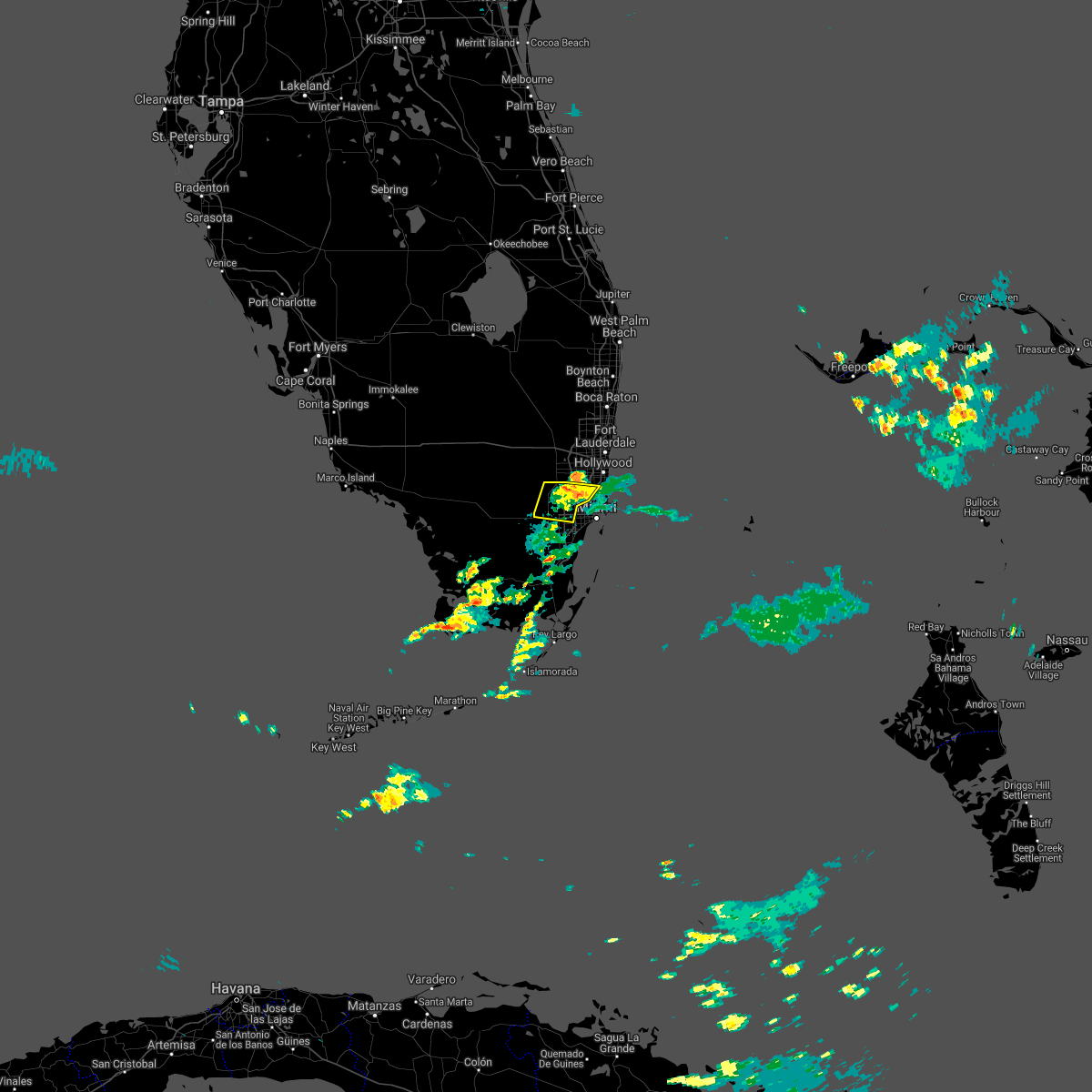 At 850 pm edt, severe thunderstorms were located along a line extending from miami lakes to tamiami to princeton, moving west at 25 mph (radar indicated). Hazards include 60 mph wind gusts. Expect damage to roofs, siding, and trees. Locations impacted include, hialeah, miramar, miami gardens, north miami and doral. At 850 pm edt, severe thunderstorms were located along a line extending from miami lakes to tamiami to princeton, moving west at 25 mph (radar indicated). Hazards include 60 mph wind gusts. Expect damage to roofs, siding, and trees. Locations impacted include, hialeah, miramar, miami gardens, north miami and doral.
|
| 7/12/2021 8:50 PM EDT |
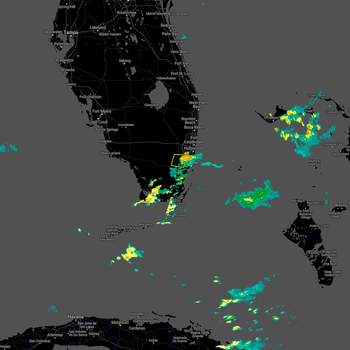 At 850 pm edt, severe thunderstorms were located along a line extending from miami lakes to tamiami to princeton, moving west at 25 mph (radar indicated). Hazards include 60 mph wind gusts. Expect damage to roofs, siding, and trees. Locations impacted include, hialeah, miramar, miami gardens, north miami and doral. At 850 pm edt, severe thunderstorms were located along a line extending from miami lakes to tamiami to princeton, moving west at 25 mph (radar indicated). Hazards include 60 mph wind gusts. Expect damage to roofs, siding, and trees. Locations impacted include, hialeah, miramar, miami gardens, north miami and doral.
|
| 7/12/2021 8:42 PM EDT |
 At 842 pm edt, severe thunderstorms were located along a line extending from opa-locka to sweetwater to princeton, moving west at 30 mph (radar indicated). Hazards include 60 mph wind gusts. Expect damage to roofs, siding, and trees. Locations impacted include, miami, hialeah, miramar, south miami and miami gardens. At 842 pm edt, severe thunderstorms were located along a line extending from opa-locka to sweetwater to princeton, moving west at 30 mph (radar indicated). Hazards include 60 mph wind gusts. Expect damage to roofs, siding, and trees. Locations impacted include, miami, hialeah, miramar, south miami and miami gardens.
|
| 7/12/2021 8:35 PM EDT |
 At 835 pm edt, severe thunderstorms were located along a line extending from golden glades to near black point, moving west at 25 mph (radar indicated). Hazards include 60 mph wind gusts. expect damage to roofs, siding, and trees At 835 pm edt, severe thunderstorms were located along a line extending from golden glades to near black point, moving west at 25 mph (radar indicated). Hazards include 60 mph wind gusts. expect damage to roofs, siding, and trees
|
| 7/12/2021 1:20 PM EDT |
 At 120 pm edt, a severe thunderstorm was located over surfside, moving north at 15 mph (radar indicated). Hazards include 60 mph wind gusts. expect damage to roofs, siding, and trees At 120 pm edt, a severe thunderstorm was located over surfside, moving north at 15 mph (radar indicated). Hazards include 60 mph wind gusts. expect damage to roofs, siding, and trees
|
| 7/12/2021 11:44 AM EDT |
 At 1143 am edt, a severe thunderstorm was located over miami beach, moving northwest at 15 mph (radar indicated). Hazards include 60 mph wind gusts. expect damage to roofs, siding, and trees At 1143 am edt, a severe thunderstorm was located over miami beach, moving northwest at 15 mph (radar indicated). Hazards include 60 mph wind gusts. expect damage to roofs, siding, and trees
|
| 6/20/2021 4:57 PM EDT |
 At 445 pm edt, severe thunderstorms were located along a line extending from 6 miles north of intersection i-75 and u.s. 27 to near sawgrass mills mall to palm springs north, moving northeast at 10 mph (radar indicated). Hazards include 60 mph wind gusts and quarter size hail. Hail damage to vehicles is expected. expect wind damage to roofs, siding, and trees. Locations impacted include, pembroke pines, miramar, davie, plantation and sunrise. At 445 pm edt, severe thunderstorms were located along a line extending from 6 miles north of intersection i-75 and u.s. 27 to near sawgrass mills mall to palm springs north, moving northeast at 10 mph (radar indicated). Hazards include 60 mph wind gusts and quarter size hail. Hail damage to vehicles is expected. expect wind damage to roofs, siding, and trees. Locations impacted include, pembroke pines, miramar, davie, plantation and sunrise.
|
| 6/20/2021 4:46 PM EDT |
 At 445 pm edt, severe thunderstorms were located along a line extending from 6 miles north of intersection i-75 and u.s. 27 to near sawgrass mills mall to palm springs north, moving northeast at 10 mph (radar indicated). Hazards include 60 mph wind gusts and quarter size hail. Hail damage to vehicles is expected. expect wind damage to roofs, siding, and trees. Locations impacted include, pembroke pines, miramar, davie, plantation and sunrise. At 445 pm edt, severe thunderstorms were located along a line extending from 6 miles north of intersection i-75 and u.s. 27 to near sawgrass mills mall to palm springs north, moving northeast at 10 mph (radar indicated). Hazards include 60 mph wind gusts and quarter size hail. Hail damage to vehicles is expected. expect wind damage to roofs, siding, and trees. Locations impacted include, pembroke pines, miramar, davie, plantation and sunrise.
|
| 6/20/2021 4:11 PM EDT |
 At 410 pm edt, severe thunderstorms were located along a line extending from near east toll gate on alligator alley to near intersection krome and u.s. 27, moving northeast at 5 mph (radar indicated). Hazards include 60 mph wind gusts and quarter size hail. Hail damage to vehicles is expected. Expect wind damage to roofs, siding, and trees. At 410 pm edt, severe thunderstorms were located along a line extending from near east toll gate on alligator alley to near intersection krome and u.s. 27, moving northeast at 5 mph (radar indicated). Hazards include 60 mph wind gusts and quarter size hail. Hail damage to vehicles is expected. Expect wind damage to roofs, siding, and trees.
|
| 4/11/2021 5:24 PM EDT |
 At 524 pm edt, a severe thunderstorm was located over miami gardens, moving east at 25 mph (radar indicated). Hazards include 60 mph wind gusts and quarter size hail. Hail damage to vehicles is expected. Expect wind damage to roofs, siding, and trees. At 524 pm edt, a severe thunderstorm was located over miami gardens, moving east at 25 mph (radar indicated). Hazards include 60 mph wind gusts and quarter size hail. Hail damage to vehicles is expected. Expect wind damage to roofs, siding, and trees.
|
| 3/6/2021 4:27 PM EST |
 At 426 pm est, severe thunderstorms were located along a line extending from near hard rock stadium to doral, moving east at 15 mph (radar indicated). Hazards include 60 mph wind gusts and penny size hail. expect damage to roofs, siding, and trees At 426 pm est, severe thunderstorms were located along a line extending from near hard rock stadium to doral, moving east at 15 mph (radar indicated). Hazards include 60 mph wind gusts and penny size hail. expect damage to roofs, siding, and trees
|
| 12/7/2020 4:12 AM EST |
 At 412 am est, severe thunderstorms were located along a line extending from oakland park to davie, moving northeast at 45 mph (radar indicated). Hazards include 60 mph wind gusts. Expect damage to roofs, siding, and trees. Locations impacted include, fort lauderdale, pembroke pines, hollywood, miramar and pompano beach. At 412 am est, severe thunderstorms were located along a line extending from oakland park to davie, moving northeast at 45 mph (radar indicated). Hazards include 60 mph wind gusts. Expect damage to roofs, siding, and trees. Locations impacted include, fort lauderdale, pembroke pines, hollywood, miramar and pompano beach.
|
| 12/7/2020 4:04 AM EST |
 At 404 am est, severe thunderstorms were located along a line extending from lauderhill to cooper city, moving northeast at 40 mph (radar indicated). Hazards include 60 mph wind gusts. expect damage to roofs, siding, and trees At 404 am est, severe thunderstorms were located along a line extending from lauderhill to cooper city, moving northeast at 40 mph (radar indicated). Hazards include 60 mph wind gusts. expect damage to roofs, siding, and trees
|
| 8/24/2020 2:26 PM EDT |
 The severe thunderstorm warning for northern miami-dade county will expire at 230 pm edt, the storms which prompted the warning have weakened below severe limits, and no longer pose an immediate threat to life or property. therefore, the warning will be allowed to expire. however gusty winds are still possible with these thunderstorms. The severe thunderstorm warning for northern miami-dade county will expire at 230 pm edt, the storms which prompted the warning have weakened below severe limits, and no longer pose an immediate threat to life or property. therefore, the warning will be allowed to expire. however gusty winds are still possible with these thunderstorms.
|
| 8/24/2020 2:14 PM EDT |
 At 213 pm edt, severe thunderstorms were located along a line extending from 13 miles east of miami beach to tamiami, moving northwest at 45 mph (radar indicated). Hazards include 60 mph wind gusts. Expect damage to roofs, siding, and trees. Locations impacted include, miami, hialeah, miramar, miami beach and coral gables. At 213 pm edt, severe thunderstorms were located along a line extending from 13 miles east of miami beach to tamiami, moving northwest at 45 mph (radar indicated). Hazards include 60 mph wind gusts. Expect damage to roofs, siding, and trees. Locations impacted include, miami, hialeah, miramar, miami beach and coral gables.
|
| 8/24/2020 1:50 PM EDT |
 At 149 pm edt, severe thunderstorms were located along a line extending from 25 miles southeast of key biscayne to near black point, moving northwest at 55 mph (radar indicated). Hazards include 60 mph wind gusts. expect damage to roofs, siding, and trees At 149 pm edt, severe thunderstorms were located along a line extending from 25 miles southeast of key biscayne to near black point, moving northwest at 55 mph (radar indicated). Hazards include 60 mph wind gusts. expect damage to roofs, siding, and trees
|
| 7/15/2020 4:11 PM EDT |
 The severe thunderstorm warning for south central broward county will expire at 415 pm edt, the storm which prompted the warning has weakened below severe limits, and no longer poses an immediate threat to life or property. therefore, the warning will be allowed to expire. however gusty winds and heavy rain are still possible with this thunderstorm. The severe thunderstorm warning for south central broward county will expire at 415 pm edt, the storm which prompted the warning has weakened below severe limits, and no longer poses an immediate threat to life or property. therefore, the warning will be allowed to expire. however gusty winds and heavy rain are still possible with this thunderstorm.
|
| 7/15/2020 3:47 PM EDT |
 The national weather service in miami has issued a * severe thunderstorm warning for. south central broward county in southeastern florida. until 415 pm edt. At 347 pm edt, a severe thunderstorm was located over weston, or near pembroke pines, moving east at 5 mph. The national weather service in miami has issued a * severe thunderstorm warning for. south central broward county in southeastern florida. until 415 pm edt. At 347 pm edt, a severe thunderstorm was located over weston, or near pembroke pines, moving east at 5 mph.
|
| 7/5/2020 6:09 PM EDT |
 At 609 pm edt, severe thunderstorms were located along a line extending from near intersection krome and u.s. 27 to country club, moving northwest at 5 mph (radar indicated). Hazards include 60 mph wind gusts and penny size hail. Expect damage to roofs, siding, and trees. Locations impacted include, hialeah, pembroke pines, miramar, davie and miami gardens. At 609 pm edt, severe thunderstorms were located along a line extending from near intersection krome and u.s. 27 to country club, moving northwest at 5 mph (radar indicated). Hazards include 60 mph wind gusts and penny size hail. Expect damage to roofs, siding, and trees. Locations impacted include, hialeah, pembroke pines, miramar, davie and miami gardens.
|
| 7/5/2020 5:52 PM EDT |
 At 552 pm edt, severe thunderstorms were located along a line extending from near intersection krome and u.s. 27 to ojus, moving northeast at 15 mph (radar indicated). Hazards include 60 mph wind gusts and quarter size hail. Hail damage to vehicles is expected. Expect wind damage to roofs, siding, and trees. At 552 pm edt, severe thunderstorms were located along a line extending from near intersection krome and u.s. 27 to ojus, moving northeast at 15 mph (radar indicated). Hazards include 60 mph wind gusts and quarter size hail. Hail damage to vehicles is expected. Expect wind damage to roofs, siding, and trees.
|
| 5/25/2020 8:53 PM EDT |
 At 853 pm edt, a severe thunderstorm capable of producing a tornado was located over royal palm ranches, or near pembroke pines, moving northeast at 15 mph (radar indicated rotation). Hazards include tornado. Expect damage to mobile homes, roofs, and vehicles. tree damage is likely. Locations impacted include, pembroke pines, hollywood, miramar, davie and hallandale. At 853 pm edt, a severe thunderstorm capable of producing a tornado was located over royal palm ranches, or near pembroke pines, moving northeast at 15 mph (radar indicated rotation). Hazards include tornado. Expect damage to mobile homes, roofs, and vehicles. tree damage is likely. Locations impacted include, pembroke pines, hollywood, miramar, davie and hallandale.
|
| 5/25/2020 8:47 PM EDT |
 At 846 pm edt, a severe thunderstorm capable of producing a tornado was located over royal palm ranches, or near pembroke pines, moving east at 15 mph (radar indicated rotation). Hazards include tornado. Expect damage to mobile homes, roofs, and vehicles. Tree damage is likely. At 846 pm edt, a severe thunderstorm capable of producing a tornado was located over royal palm ranches, or near pembroke pines, moving east at 15 mph (radar indicated rotation). Hazards include tornado. Expect damage to mobile homes, roofs, and vehicles. Tree damage is likely.
|
| 5/21/2020 1:28 PM EDT |
 At 128 pm edt, a severe thunderstorm was located over pennsuco, or near miramar, moving southwest at 10 mph (radar indicated). Hazards include 60 mph wind gusts and quarter size hail. Hail damage to vehicles is expected. Expect wind damage to roofs, siding, and trees. At 128 pm edt, a severe thunderstorm was located over pennsuco, or near miramar, moving southwest at 10 mph (radar indicated). Hazards include 60 mph wind gusts and quarter size hail. Hail damage to vehicles is expected. Expect wind damage to roofs, siding, and trees.
|
| 5/18/2020 3:17 PM EDT |
 At 316 pm edt, severe thunderstorms were located along a line extending from 8 miles west of coral springs to near intersection i-75 and u.s. 27 to 14 miles west of intersection krome and u.s. 27, moving east at 30 mph (radar indicated). Hazards include 60 mph wind gusts and penny size hail. expect damage to roofs, siding, and trees At 316 pm edt, severe thunderstorms were located along a line extending from 8 miles west of coral springs to near intersection i-75 and u.s. 27 to 14 miles west of intersection krome and u.s. 27, moving east at 30 mph (radar indicated). Hazards include 60 mph wind gusts and penny size hail. expect damage to roofs, siding, and trees
|
| 5/17/2020 3:28 PM EDT |
 At 328 pm edt, severe thunderstorms were located along a line extending from hard rock stadium to golden glades to port of miami, moving east at 25 mph (radar indicated). Hazards include 60 mph wind gusts and half dollar size hail. Hail damage to vehicles is expected. expect wind damage to roofs, siding, and trees. Locations impacted include, miami, hialeah, fort lauderdale, pembroke pines and hollywood. At 328 pm edt, severe thunderstorms were located along a line extending from hard rock stadium to golden glades to port of miami, moving east at 25 mph (radar indicated). Hazards include 60 mph wind gusts and half dollar size hail. Hail damage to vehicles is expected. expect wind damage to roofs, siding, and trees. Locations impacted include, miami, hialeah, fort lauderdale, pembroke pines and hollywood.
|
| 5/17/2020 3:21 PM EDT |
 At 321 pm edt, severe thunderstorms were located along a line extending from west park to near opa-locka to port of miami, moving east at 25 mph (radar indicated). Hazards include 60 mph wind gusts and half dollar size hail. Hail damage to vehicles is expected. Expect wind damage to roofs, siding, and trees. At 321 pm edt, severe thunderstorms were located along a line extending from west park to near opa-locka to port of miami, moving east at 25 mph (radar indicated). Hazards include 60 mph wind gusts and half dollar size hail. Hail damage to vehicles is expected. Expect wind damage to roofs, siding, and trees.
|
| 4/30/2020 2:15 PM EDT |
 At 215 pm edt, severe thunderstorms were located along a line extending from pompano beach to fort lauderdale to near hollywood, moving east at 25 mph (radar indicated). Hazards include 60 mph wind gusts and nickel size hail. Expect damage to roofs, siding, and trees. Locations impacted include, fort lauderdale, pembroke pines, hollywood, miramar and pompano beach. At 215 pm edt, severe thunderstorms were located along a line extending from pompano beach to fort lauderdale to near hollywood, moving east at 25 mph (radar indicated). Hazards include 60 mph wind gusts and nickel size hail. Expect damage to roofs, siding, and trees. Locations impacted include, fort lauderdale, pembroke pines, hollywood, miramar and pompano beach.
|
| 4/30/2020 2:07 PM EDT |
 At 207 pm edt, severe thunderstorms were located along a line extending from miramar parkway and university drive to coconut grove to near black point, moving east at 20 mph. winds in excess of 60 mph are ongoing (national weather service employee). Hazards include 70 mph wind gusts and penny size hail. Expect considerable tree damage. damage is likely to mobile homes, roofs, and outbuildings. Locations impacted include, miami, hialeah, pembroke pines, hollywood and miramar. At 207 pm edt, severe thunderstorms were located along a line extending from miramar parkway and university drive to coconut grove to near black point, moving east at 20 mph. winds in excess of 60 mph are ongoing (national weather service employee). Hazards include 70 mph wind gusts and penny size hail. Expect considerable tree damage. damage is likely to mobile homes, roofs, and outbuildings. Locations impacted include, miami, hialeah, pembroke pines, hollywood and miramar.
|
| 4/30/2020 2:00 PM EDT |
 At 200 pm edt, severe thunderstorms were located along a line extending from near coconut creek to st. george to near chambers estates, moving northeast at 30 mph (radar indicated). Hazards include 60 mph wind gusts and nickel size hail. expect damage to roofs, siding, and trees At 200 pm edt, severe thunderstorms were located along a line extending from near coconut creek to st. george to near chambers estates, moving northeast at 30 mph (radar indicated). Hazards include 60 mph wind gusts and nickel size hail. expect damage to roofs, siding, and trees
|
| 4/30/2020 1:50 PM EDT |
 At 150 pm edt, severe thunderstorms were located along a line extending from near pembroke pines to doral to country walk, moving east at 35 mph (radar indicated). Hazards include 60 mph wind gusts and penny size hail. Expect damage to roofs, siding, and trees. Locations impacted include, miami, hialeah, miramar, coral gables and south miami. At 150 pm edt, severe thunderstorms were located along a line extending from near pembroke pines to doral to country walk, moving east at 35 mph (radar indicated). Hazards include 60 mph wind gusts and penny size hail. Expect damage to roofs, siding, and trees. Locations impacted include, miami, hialeah, miramar, coral gables and south miami.
|
| 4/30/2020 1:42 PM EDT |
 At 142 pm edt, severe thunderstorms were located along a line extending from near intersection krome and u.s. 27 to near tamiami to the redland, moving east at 35 mph (radar indicated). Hazards include 70 mph wind gusts and penny size hail. Expect considerable tree damage. Damage is likely to mobile homes, roofs, and outbuildings. At 142 pm edt, severe thunderstorms were located along a line extending from near intersection krome and u.s. 27 to near tamiami to the redland, moving east at 35 mph (radar indicated). Hazards include 70 mph wind gusts and penny size hail. Expect considerable tree damage. Damage is likely to mobile homes, roofs, and outbuildings.
|
| 4/30/2020 1:31 PM EDT |
 At 131 pm edt, severe thunderstorms were located along a line extending from 7 miles west of intersection krome and u.s. 27 to miccosukee resort to 6 miles northwest of homestead general airport, moving east at 35 mph (radar indicated). Hazards include 70 mph wind gusts and penny size hail. Expect considerable tree damage. damage is likely to mobile homes, roofs, and outbuildings. Locations impacted include, miami, hialeah, miramar, coral gables and south miami. At 131 pm edt, severe thunderstorms were located along a line extending from 7 miles west of intersection krome and u.s. 27 to miccosukee resort to 6 miles northwest of homestead general airport, moving east at 35 mph (radar indicated). Hazards include 70 mph wind gusts and penny size hail. Expect considerable tree damage. damage is likely to mobile homes, roofs, and outbuildings. Locations impacted include, miami, hialeah, miramar, coral gables and south miami.
|
| 4/30/2020 1:20 PM EDT |
 At 120 pm edt, severe thunderstorms were located along a line extending from 13 miles west of intersection krome and u.s. 27 to 8 miles west of miccosukee resort to 8 miles southeast of shark valley obs tower, moving east at 35 mph (radar indicated). Hazards include 60 mph wind gusts and penny size hail. expect damage to roofs, siding, and trees At 120 pm edt, severe thunderstorms were located along a line extending from 13 miles west of intersection krome and u.s. 27 to 8 miles west of miccosukee resort to 8 miles southeast of shark valley obs tower, moving east at 35 mph (radar indicated). Hazards include 60 mph wind gusts and penny size hail. expect damage to roofs, siding, and trees
|
| 4/26/2020 3:21 PM EDT |
 At 321 pm edt, a severe thunderstorm was located over ravenswood estates, or near hollywood, moving east at 30 mph (radar indicated). Hazards include 60 mph wind gusts and quarter size hail. Hail damage to vehicles is expected. expect wind damage to roofs, siding, and trees. Locations impacted include, fort lauderdale, pembroke pines, hollywood, miramar and davie. At 321 pm edt, a severe thunderstorm was located over ravenswood estates, or near hollywood, moving east at 30 mph (radar indicated). Hazards include 60 mph wind gusts and quarter size hail. Hail damage to vehicles is expected. expect wind damage to roofs, siding, and trees. Locations impacted include, fort lauderdale, pembroke pines, hollywood, miramar and davie.
|
| 4/26/2020 2:57 PM EDT |
 At 257 pm edt, a severe thunderstorm was located over pembroke pines, moving east at 30 mph (radar indicated). Hazards include 60 mph wind gusts and quarter size hail. Hail damage to vehicles is expected. Expect wind damage to roofs, siding, and trees. At 257 pm edt, a severe thunderstorm was located over pembroke pines, moving east at 30 mph (radar indicated). Hazards include 60 mph wind gusts and quarter size hail. Hail damage to vehicles is expected. Expect wind damage to roofs, siding, and trees.
|
| 4/18/2020 3:49 PM EDT |
 At 347 pm edt, thunderstorms were located along a line extending from 13 miles northwest of miccosukee resort to 12 miles east of hallandale, moving south at 20 mph. this activity has weakened during the past 15 to 20 minutes. however, radar and satellite imagery indicate potential thunderstorms redeveloping over northern miami-dade county, and this activity could intensify to severe levels during the duration of the severe thunderstorm warning. as a result, the warning remains in effect (radar indicated). Hazards include 60 mph wind gusts and quarter size hail. Hail damage to vehicles is expected. expect wind damage to roofs, siding, and trees. Locations impacted include, miami, hialeah, miramar, miami beach and coral gables. At 347 pm edt, thunderstorms were located along a line extending from 13 miles northwest of miccosukee resort to 12 miles east of hallandale, moving south at 20 mph. this activity has weakened during the past 15 to 20 minutes. however, radar and satellite imagery indicate potential thunderstorms redeveloping over northern miami-dade county, and this activity could intensify to severe levels during the duration of the severe thunderstorm warning. as a result, the warning remains in effect (radar indicated). Hazards include 60 mph wind gusts and quarter size hail. Hail damage to vehicles is expected. expect wind damage to roofs, siding, and trees. Locations impacted include, miami, hialeah, miramar, miami beach and coral gables.
|
| 4/18/2020 3:38 PM EDT |
 At 338 pm edt, severe thunderstorms were located along a line extending from near intersection krome and u.s. 27 to 11 miles east of hallandale, moving southeast at 30 mph (radar indicated). Hazards include 60 mph wind gusts and quarter size hail. Hail damage to vehicles is expected. expect wind damage to roofs, siding, and trees. Locations impacted include, miami, hialeah, miramar, miami beach and coral gables. At 338 pm edt, severe thunderstorms were located along a line extending from near intersection krome and u.s. 27 to 11 miles east of hallandale, moving southeast at 30 mph (radar indicated). Hazards include 60 mph wind gusts and quarter size hail. Hail damage to vehicles is expected. expect wind damage to roofs, siding, and trees. Locations impacted include, miami, hialeah, miramar, miami beach and coral gables.
|
| 4/18/2020 3:23 PM EDT |
 At 323 pm edt, severe thunderstorms were located along a line extending from 13 miles northwest of miccosukee resort to 8 miles east of hollywood, moving southeast at 25 mph (radar indicated). Hazards include 60 mph wind gusts and quarter size hail. Hail damage to vehicles is expected. expect wind damage to roofs, siding, and trees. Locations impacted include, miami, hialeah, pembroke pines, hollywood and miramar. At 323 pm edt, severe thunderstorms were located along a line extending from 13 miles northwest of miccosukee resort to 8 miles east of hollywood, moving southeast at 25 mph (radar indicated). Hazards include 60 mph wind gusts and quarter size hail. Hail damage to vehicles is expected. expect wind damage to roofs, siding, and trees. Locations impacted include, miami, hialeah, pembroke pines, hollywood and miramar.
|
| 4/18/2020 3:08 PM EDT |
 At 308 pm edt, severe thunderstorms were located along a line extending from 13 miles south of intersection alligator alley and miami canal to near lauderdale-by-the-sea, moving southeast at 25 mph (radar indicated). Hazards include 60 mph wind gusts and quarter size hail. Hail damage to vehicles is expected. Expect wind damage to roofs, siding, and trees. At 308 pm edt, severe thunderstorms were located along a line extending from 13 miles south of intersection alligator alley and miami canal to near lauderdale-by-the-sea, moving southeast at 25 mph (radar indicated). Hazards include 60 mph wind gusts and quarter size hail. Hail damage to vehicles is expected. Expect wind damage to roofs, siding, and trees.
|
| 7/25/2019 2:50 PM EDT |
 The severe thunderstorm warning for northern miami-dade and southern broward counties will expire at 300 pm edt, the storm which prompted the warning has weakened below severe limits, and no longer poses an immediate threat to life or property. therefore, the warning will be allowed to expire. however small hail, gusty winds and heavy rain are still possible with this thunderstorm. The severe thunderstorm warning for northern miami-dade and southern broward counties will expire at 300 pm edt, the storm which prompted the warning has weakened below severe limits, and no longer poses an immediate threat to life or property. therefore, the warning will be allowed to expire. however small hail, gusty winds and heavy rain are still possible with this thunderstorm.
|
| 7/25/2019 2:30 PM EDT |
 At 229 pm edt, a severe thunderstorm was located over miami gardens, moving southeast at 10 mph (radar indicated). Hazards include 60 mph wind gusts and nickel size hail. Expect damage to roofs, siding, and trees. Locations impacted include, miami, hollywood, miramar, miami beach and surfside. At 229 pm edt, a severe thunderstorm was located over miami gardens, moving southeast at 10 mph (radar indicated). Hazards include 60 mph wind gusts and nickel size hail. Expect damage to roofs, siding, and trees. Locations impacted include, miami, hollywood, miramar, miami beach and surfside.
|
| 7/25/2019 2:15 PM EDT |
 At 214 pm edt, a severe thunderstorm was located over west park, or over miami gardens, moving southeast at 10 mph (radar indicated). Hazards include 60 mph wind gusts and quarter size hail. Hail damage to vehicles is expected. Expect wind damage to roofs, siding, and trees. At 214 pm edt, a severe thunderstorm was located over west park, or over miami gardens, moving southeast at 10 mph (radar indicated). Hazards include 60 mph wind gusts and quarter size hail. Hail damage to vehicles is expected. Expect wind damage to roofs, siding, and trees.
|
| 6/26/2019 5:30 PM EDT |
 At 530 pm edt, a severe thunderstorm was located 9 miles west of intersection krome and u.s. 27, or 14 miles west of miramar, moving southwest at 25 mph (radar indicated). Hazards include 60 mph wind gusts and nickel size hail. Expect damage to roofs, siding, and trees. locations impacted include, pembroke pines, miramar, doral, intersection krome and u. s. 27 and pennsuco. At 530 pm edt, a severe thunderstorm was located 9 miles west of intersection krome and u.s. 27, or 14 miles west of miramar, moving southwest at 25 mph (radar indicated). Hazards include 60 mph wind gusts and nickel size hail. Expect damage to roofs, siding, and trees. locations impacted include, pembroke pines, miramar, doral, intersection krome and u. s. 27 and pennsuco.
|
| 6/26/2019 5:12 PM EDT |
 At 512 pm edt, a severe thunderstorm was located 7 miles south of mile marker 30 on alligator alley, or 12 miles west of miramar, moving southwest at 25 mph (radar indicated). Hazards include 60 mph wind gusts and nickel size hail. expect damage to roofs, siding, and trees At 512 pm edt, a severe thunderstorm was located 7 miles south of mile marker 30 on alligator alley, or 12 miles west of miramar, moving southwest at 25 mph (radar indicated). Hazards include 60 mph wind gusts and nickel size hail. expect damage to roofs, siding, and trees
|
| 6/24/2019 3:22 PM EDT |
 At 302 pm edt, a severe thunderstorm was located over aventura, or over hallandale, moving south at 5 mph (radar indicated). Hazards include 60 mph wind gusts and quarter size hail. Hail damage to vehicles is expected. Expect wind damage to roofs, siding, and trees. At 302 pm edt, a severe thunderstorm was located over aventura, or over hallandale, moving south at 5 mph (radar indicated). Hazards include 60 mph wind gusts and quarter size hail. Hail damage to vehicles is expected. Expect wind damage to roofs, siding, and trees.
|
| 6/24/2019 3:03 PM EDT |
 At 302 pm edt, a severe thunderstorm was located over aventura, or over hallandale, moving south at 5 mph (radar indicated). Hazards include 60 mph wind gusts and quarter size hail. Hail damage to vehicles is expected. Expect wind damage to roofs, siding, and trees. At 302 pm edt, a severe thunderstorm was located over aventura, or over hallandale, moving south at 5 mph (radar indicated). Hazards include 60 mph wind gusts and quarter size hail. Hail damage to vehicles is expected. Expect wind damage to roofs, siding, and trees.
|
| 5/15/2019 7:02 PM EDT |
 At 702 pm edt, a severe thunderstorm was located over royal palm ranches, or over pembroke pines, moving southeast at 30 mph (radar indicated). Hazards include 60 mph wind gusts and quarter size hail. Hail damage to vehicles is expected. expect wind damage to roofs, siding, and trees. Locations impacted include, hialeah, fort lauderdale, pembroke pines, hollywood and miramar. At 702 pm edt, a severe thunderstorm was located over royal palm ranches, or over pembroke pines, moving southeast at 30 mph (radar indicated). Hazards include 60 mph wind gusts and quarter size hail. Hail damage to vehicles is expected. expect wind damage to roofs, siding, and trees. Locations impacted include, hialeah, fort lauderdale, pembroke pines, hollywood and miramar.
|
| 5/15/2019 6:47 PM EDT |
 At 647 pm edt, a severe thunderstorm was located over weston, or near davie, moving southeast at 30 mph (radar indicated). Hazards include 60 mph wind gusts and quarter size hail. Hail damage to vehicles is expected. expect wind damage to roofs, siding, and trees. Locations impacted include, hialeah, fort lauderdale, pembroke pines, hollywood and miramar. At 647 pm edt, a severe thunderstorm was located over weston, or near davie, moving southeast at 30 mph (radar indicated). Hazards include 60 mph wind gusts and quarter size hail. Hail damage to vehicles is expected. expect wind damage to roofs, siding, and trees. Locations impacted include, hialeah, fort lauderdale, pembroke pines, hollywood and miramar.
|
| 5/15/2019 6:34 PM EDT |
 The national weather service in miami has issued a * severe thunderstorm warning for. north central miami-dade county in southeastern florida. southern broward county in southeastern florida. until 715 pm edt. At 633 pm edt, a severe thunderstorm was located over east toll. The national weather service in miami has issued a * severe thunderstorm warning for. north central miami-dade county in southeastern florida. southern broward county in southeastern florida. until 715 pm edt. At 633 pm edt, a severe thunderstorm was located over east toll.
|
| 1/27/2019 7:53 PM EST |
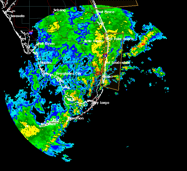 At 753 pm est, a severe thunderstorm capable of producing a tornado was located over miami lakes, or near hialeah, moving east at 20 mph (radar indicated rotation). Hazards include tornado. Flying debris will be dangerous to those caught without shelter. mobile homes will be damaged or destroyed. damage to roofs, windows, and vehicles will occur. Tree damage is likely. At 753 pm est, a severe thunderstorm capable of producing a tornado was located over miami lakes, or near hialeah, moving east at 20 mph (radar indicated rotation). Hazards include tornado. Flying debris will be dangerous to those caught without shelter. mobile homes will be damaged or destroyed. damage to roofs, windows, and vehicles will occur. Tree damage is likely.
|
| 6/7/2018 2:22 PM EDT |
 At 221 pm edt, severe thunderstorms were located along a line extending from near pompano beach to oak point, moving northeast at 20 mph (radar indicated). Hazards include 60 mph wind gusts and quarter size hail. Hail damage to vehicles is expected. Expect wind damage to roofs, siding, and trees. At 221 pm edt, severe thunderstorms were located along a line extending from near pompano beach to oak point, moving northeast at 20 mph (radar indicated). Hazards include 60 mph wind gusts and quarter size hail. Hail damage to vehicles is expected. Expect wind damage to roofs, siding, and trees.
|
| 5/16/2018 4:02 PM EDT |
 At 401 pm edt, severe thunderstorms were located along a line extending from 9 miles northwest of coral springs to near doral, moving east at 15 mph (radar indicated). Hazards include 60 mph wind gusts and quarter size hail. Hail damage to vehicles is expected. expect wind damage to roofs, siding, and trees. Locations impacted include, miami, hialeah, pembroke pines, miramar and coral springs. At 401 pm edt, severe thunderstorms were located along a line extending from 9 miles northwest of coral springs to near doral, moving east at 15 mph (radar indicated). Hazards include 60 mph wind gusts and quarter size hail. Hail damage to vehicles is expected. expect wind damage to roofs, siding, and trees. Locations impacted include, miami, hialeah, pembroke pines, miramar and coral springs.
|
| 5/16/2018 3:37 PM EDT |
 At 335 pm edt, severe thunderstorms were located along a line extending from 13 miles northwest of coral springs to near miccosukee resort, moving east at 15 mph (radar indicated). Hazards include 60 mph wind gusts and quarter size hail. Hail damage to vehicles is expected. Expect wind damage to roofs, siding, and trees. At 335 pm edt, severe thunderstorms were located along a line extending from 13 miles northwest of coral springs to near miccosukee resort, moving east at 15 mph (radar indicated). Hazards include 60 mph wind gusts and quarter size hail. Hail damage to vehicles is expected. Expect wind damage to roofs, siding, and trees.
|
| 5/15/2018 6:18 PM EDT |
 At 617 pm edt, a severe thunderstorm was located near intersection krome and u.s. 27, or near miramar, moving northeast at 10 mph (radar indicated). Hazards include 60 mph wind gusts and quarter size hail. Hail damage to vehicles is expected. expect wind damage to roofs, siding, and trees. Locations impacted include, hialeah, pembroke pines, miramar, weston and miami lakes. At 617 pm edt, a severe thunderstorm was located near intersection krome and u.s. 27, or near miramar, moving northeast at 10 mph (radar indicated). Hazards include 60 mph wind gusts and quarter size hail. Hail damage to vehicles is expected. expect wind damage to roofs, siding, and trees. Locations impacted include, hialeah, pembroke pines, miramar, weston and miami lakes.
|
| 5/15/2018 6:00 PM EDT |
 At 600 pm edt, a severe thunderstorm was located over intersection krome and u.s. 27, or near miramar, moving northeast at 10 mph (radar indicated). Hazards include 60 mph wind gusts and quarter size hail. Hail damage to vehicles is expected. Expect wind damage to roofs, siding, and trees. At 600 pm edt, a severe thunderstorm was located over intersection krome and u.s. 27, or near miramar, moving northeast at 10 mph (radar indicated). Hazards include 60 mph wind gusts and quarter size hail. Hail damage to vehicles is expected. Expect wind damage to roofs, siding, and trees.
|
| 5/14/2018 5:46 PM EDT |
 At 544 pm edt, a severe thunderstorm was located over miramar, moving northeast at 15 mph (radar indicated). Hazards include quarter size hail or greater. damage to vehicles is possible At 544 pm edt, a severe thunderstorm was located over miramar, moving northeast at 15 mph (radar indicated). Hazards include quarter size hail or greater. damage to vehicles is possible
|
| 9/10/2017 7:52 AM EDT |
 The tornado warning for northeastern miami-dade and eastern broward counties will expire at 800 am edt, the storm which prompted the warning has weakened below severe limits, and no longer appears capable of producing a tornado. therefore the warning will be allowed to expire. however gusty winds are still possible with this thunderstorm. a tornado watch remains in effect until noon edt for southeastern florida. The tornado warning for northeastern miami-dade and eastern broward counties will expire at 800 am edt, the storm which prompted the warning has weakened below severe limits, and no longer appears capable of producing a tornado. therefore the warning will be allowed to expire. however gusty winds are still possible with this thunderstorm. a tornado watch remains in effect until noon edt for southeastern florida.
|
| 9/10/2017 7:36 AM EDT |
 At 735 am edt, a severe thunderstorm capable of producing a tornado was located 8 miles southeast of miami beach, moving northwest at 80 mph (radar indicated rotation). Hazards include tornado. Flying debris will be dangerous to those caught without shelter. mobile homes will be damaged or destroyed. damage to roofs, windows, and vehicles will occur. tree damage is likely. this dangerous storm will be near, virginia key, fisher island and port of miami around 740 am edt. miami, miami beach, surfside, north miami beach, miami shores, north bay village, el portal, little haiti, gladeview and liberty city around 745 am edt. miramar, miami gardens, hallandale, north miami, aventura, sunny isles beach, opa-locka, west park, golden glades and sun life stadium around 750 am edt. miami lakes, cooper city, royal palm ranches, miramar parkway and university drive, sunshine acres, nova southeastern university, palm springs north, chambers estates, oak point and estates of fort lauderdale around 755 am edt. pembroke pines, davie, plantation, weston, intersection i-75 and griffin road, sawgrass mills mall, pine island ridge and intersection i-75 and u. s. 27 around 800 am edt. Other locations impacted by this tornadic thunderstorm include markham park, saint thomas university, fiu north campus, ives estates, downtown davie, bay harbor islands, allapattah, biscayne park, pembroke park and bal harbour. At 735 am edt, a severe thunderstorm capable of producing a tornado was located 8 miles southeast of miami beach, moving northwest at 80 mph (radar indicated rotation). Hazards include tornado. Flying debris will be dangerous to those caught without shelter. mobile homes will be damaged or destroyed. damage to roofs, windows, and vehicles will occur. tree damage is likely. this dangerous storm will be near, virginia key, fisher island and port of miami around 740 am edt. miami, miami beach, surfside, north miami beach, miami shores, north bay village, el portal, little haiti, gladeview and liberty city around 745 am edt. miramar, miami gardens, hallandale, north miami, aventura, sunny isles beach, opa-locka, west park, golden glades and sun life stadium around 750 am edt. miami lakes, cooper city, royal palm ranches, miramar parkway and university drive, sunshine acres, nova southeastern university, palm springs north, chambers estates, oak point and estates of fort lauderdale around 755 am edt. pembroke pines, davie, plantation, weston, intersection i-75 and griffin road, sawgrass mills mall, pine island ridge and intersection i-75 and u. s. 27 around 800 am edt. Other locations impacted by this tornadic thunderstorm include markham park, saint thomas university, fiu north campus, ives estates, downtown davie, bay harbor islands, allapattah, biscayne park, pembroke park and bal harbour.
|
| 9/9/2017 8:11 PM EDT |
 The tornado warning for northeastern miami-dade and southeastern broward counties will expire at 815 pm edt. the storm which prompted the warning has weakened below severe limits, and no longer appears capable of producing a tornado. therefore the warning will be allowed to expire. However gusty winds and heavy rain are still possible with this thunderstorm. The tornado warning for northeastern miami-dade and southeastern broward counties will expire at 815 pm edt. the storm which prompted the warning has weakened below severe limits, and no longer appears capable of producing a tornado. therefore the warning will be allowed to expire. However gusty winds and heavy rain are still possible with this thunderstorm.
|
| 9/9/2017 7:52 PM EDT |
 At 751 pm edt, a severe thunderstorm capable of producing a tornado was located over hallandale, moving west at 30 mph (radar indicated rotation). Hazards include tornado. Flying debris will be dangerous to those caught without shelter. mobile homes will be damaged or destroyed. damage to roofs, windows, and vehicles will occur. tree damage is likely. this dangerous storm will be near, north miami beach and sunny isles beach around 755 pm edt. hollywood, hallandale, aventura, dania beach and ojus around 800 pm edt. north miami, west park, ravenswood estates and fort lauderdale - hollywood international airport around 805 pm edt. fort lauderdale, miramar, miami gardens, miramar parkway and university drive, oak point, chambers estates, estates of fort lauderdale, sun life stadium and broadview park around 810 pm edt. davie, cooper city, royal palm ranches, sunshine acres, nova southeastern university, pine island ridge and intersection i-75 and griffin road around 815 pm edt. Other locations impacted by this tornadic thunderstorm include markham park, pembroke park, ives estates, hollywood downtown, golden beach, downtown davie, intersection i-595 and i-95 and riverland village. At 751 pm edt, a severe thunderstorm capable of producing a tornado was located over hallandale, moving west at 30 mph (radar indicated rotation). Hazards include tornado. Flying debris will be dangerous to those caught without shelter. mobile homes will be damaged or destroyed. damage to roofs, windows, and vehicles will occur. tree damage is likely. this dangerous storm will be near, north miami beach and sunny isles beach around 755 pm edt. hollywood, hallandale, aventura, dania beach and ojus around 800 pm edt. north miami, west park, ravenswood estates and fort lauderdale - hollywood international airport around 805 pm edt. fort lauderdale, miramar, miami gardens, miramar parkway and university drive, oak point, chambers estates, estates of fort lauderdale, sun life stadium and broadview park around 810 pm edt. davie, cooper city, royal palm ranches, sunshine acres, nova southeastern university, pine island ridge and intersection i-75 and griffin road around 815 pm edt. Other locations impacted by this tornadic thunderstorm include markham park, pembroke park, ives estates, hollywood downtown, golden beach, downtown davie, intersection i-595 and i-95 and riverland village.
|
| 6/5/2017 7:29 PM EDT |
 At 729 pm edt, a severe thunderstorm was located over nova southeastern university, or over plantation, moving northeast at 15 mph (radar indicated). Hazards include 60 mph wind gusts and quarter size hail. Hail damage to vehicles is expected. Expect wind damage to roofs, siding, and trees. At 729 pm edt, a severe thunderstorm was located over nova southeastern university, or over plantation, moving northeast at 15 mph (radar indicated). Hazards include 60 mph wind gusts and quarter size hail. Hail damage to vehicles is expected. Expect wind damage to roofs, siding, and trees.
|
| 6/5/2017 7:15 PM EDT |
 At 715 pm edt, a severe thunderstorm capable of producing a tornado was located over sunshine acres, or over davie, moving northeast at 15 mph (radar indicated rotation). Hazards include tornado. Flying debris will be dangerous to those caught without shelter. mobile homes will be damaged or destroyed. damage to roofs, windows, and vehicles will occur. tree damage is likely. this dangerous storm will be near, sawgrass mills mall around 720 pm edt. plantation, nova southeastern university and pine island ridge around 725 pm edt. fort lauderdale, hollywood, sunrise, lauderhill, dania beach, broadview park, chambers estates, chula vista, melrose park and estates of fort lauderdale around 730 pm edt. Other locations impacted by this tornadic thunderstorm include riverland village, intersection i-595 and i-95, downtown davie and broward estates. At 715 pm edt, a severe thunderstorm capable of producing a tornado was located over sunshine acres, or over davie, moving northeast at 15 mph (radar indicated rotation). Hazards include tornado. Flying debris will be dangerous to those caught without shelter. mobile homes will be damaged or destroyed. damage to roofs, windows, and vehicles will occur. tree damage is likely. this dangerous storm will be near, sawgrass mills mall around 720 pm edt. plantation, nova southeastern university and pine island ridge around 725 pm edt. fort lauderdale, hollywood, sunrise, lauderhill, dania beach, broadview park, chambers estates, chula vista, melrose park and estates of fort lauderdale around 730 pm edt. Other locations impacted by this tornadic thunderstorm include riverland village, intersection i-595 and i-95, downtown davie and broward estates.
|
| 6/5/2017 7:01 PM EDT |
 At 701 pm edt, a severe thunderstorm capable of producing a tornado was located over pembroke pines, moving northeast at 15 mph (radar indicated rotation). Hazards include tornado. Flying debris will be dangerous to those caught without shelter. mobile homes will be damaged or destroyed. damage to roofs, windows, and vehicles will occur. tree damage is likely. this dangerous storm will be near, sunshine acres and royal palm ranches around 715 pm edt. cooper city and sawgrass mills mall around 720 pm edt. davie, plantation, nova southeastern university and pine island ridge around 725 pm edt. fort lauderdale, hollywood, sunrise, lauderhill, dania beach, broadview park, chambers estates, chula vista, melrose park and estates of fort lauderdale around 730 pm edt. Other locations impacted by this tornadic thunderstorm include riverland village, intersection i-595 and i-95, downtown davie, markham park and broward estates. At 701 pm edt, a severe thunderstorm capable of producing a tornado was located over pembroke pines, moving northeast at 15 mph (radar indicated rotation). Hazards include tornado. Flying debris will be dangerous to those caught without shelter. mobile homes will be damaged or destroyed. damage to roofs, windows, and vehicles will occur. tree damage is likely. this dangerous storm will be near, sunshine acres and royal palm ranches around 715 pm edt. cooper city and sawgrass mills mall around 720 pm edt. davie, plantation, nova southeastern university and pine island ridge around 725 pm edt. fort lauderdale, hollywood, sunrise, lauderhill, dania beach, broadview park, chambers estates, chula vista, melrose park and estates of fort lauderdale around 730 pm edt. Other locations impacted by this tornadic thunderstorm include riverland village, intersection i-595 and i-95, downtown davie, markham park and broward estates.
|
| 5/24/2017 8:10 PM EDT |
 The severe thunderstorm warning for northeastern miami-dade and eastern broward counties will expire at 815 pm edt, the storm which prompted the warning has weakened below severe limits, and no longer poses an immediate threat to life or property. therefore the warning will be allowed to expire. however gusty winds are still possible with this thunderstorm. additional strong thunderstorms are in the area and additional warnings may be required. a severe thunderstorm watch remains in effect until 1100 pm edt for southeastern florida. to report severe weather, contact your nearest law enforcement agency. they will relay your report to the national weather service miami. The severe thunderstorm warning for northeastern miami-dade and eastern broward counties will expire at 815 pm edt, the storm which prompted the warning has weakened below severe limits, and no longer poses an immediate threat to life or property. therefore the warning will be allowed to expire. however gusty winds are still possible with this thunderstorm. additional strong thunderstorms are in the area and additional warnings may be required. a severe thunderstorm watch remains in effect until 1100 pm edt for southeastern florida. to report severe weather, contact your nearest law enforcement agency. they will relay your report to the national weather service miami.
|
| 5/24/2017 7:52 PM EDT |
 At 751 pm edt, a severe thunderstorm was located near intersection krome and u.s. 27, or near miramar, moving northeast at 30 mph (radar indicated). Hazards include 60 mph wind gusts. expect damage to roofs, siding, and trees At 751 pm edt, a severe thunderstorm was located near intersection krome and u.s. 27, or near miramar, moving northeast at 30 mph (radar indicated). Hazards include 60 mph wind gusts. expect damage to roofs, siding, and trees
|
| 1/23/2017 3:35 AM EST |
 At 335 am est, severe thunderstorms were located along a line extending from west park to 8 miles northeast of pa-hay-okee overlook to near flamingo, moving east at 45 mph (radar indicated). Hazards include 60 mph wind gusts. expect damage to roofs, siding, and trees At 335 am est, severe thunderstorms were located along a line extending from west park to 8 miles northeast of pa-hay-okee overlook to near flamingo, moving east at 45 mph (radar indicated). Hazards include 60 mph wind gusts. expect damage to roofs, siding, and trees
|
| 9/30/2016 2:14 PM EDT |
 At 214 pm edt, severe thunderstorms were located along a line extending from sunrise to miramar, moving north at 15 mph (radar indicated). Hazards include 60 mph wind gusts and quarter size hail. Hail damage to vehicles is expected. Expect wind damage to roofs, siding, and trees. At 214 pm edt, severe thunderstorms were located along a line extending from sunrise to miramar, moving north at 15 mph (radar indicated). Hazards include 60 mph wind gusts and quarter size hail. Hail damage to vehicles is expected. Expect wind damage to roofs, siding, and trees.
|
| 9/5/2016 1:43 PM EDT |
 At 143 pm edt, a severe thunderstorm was located near intersection i-75 and griffin road, or near pembroke pines, and is nearly stationary (radar indicated). Hazards include 60 mph wind gusts and quarter size hail. Hail damage to vehicles is expected. expect wind damage to roofs, siding, and trees. Locations impacted include, pembroke pines, miramar, davie, sunrise and weston. At 143 pm edt, a severe thunderstorm was located near intersection i-75 and griffin road, or near pembroke pines, and is nearly stationary (radar indicated). Hazards include 60 mph wind gusts and quarter size hail. Hail damage to vehicles is expected. expect wind damage to roofs, siding, and trees. Locations impacted include, pembroke pines, miramar, davie, sunrise and weston.
|
| 9/5/2016 1:28 PM EDT |
 At 128 pm edt, a severe thunderstorm was located over intersection i-75 and griffin road, or near pembroke pines, and is nearly stationary (radar indicated). Hazards include 60 mph wind gusts and quarter size hail. Hail damage to vehicles is expected. Expect wind damage to roofs, siding, and trees. At 128 pm edt, a severe thunderstorm was located over intersection i-75 and griffin road, or near pembroke pines, and is nearly stationary (radar indicated). Hazards include 60 mph wind gusts and quarter size hail. Hail damage to vehicles is expected. Expect wind damage to roofs, siding, and trees.
|
| 8/9/2016 4:54 PM EDT |
 At 454 pm edt, a severe thunderstorm was located over sawgrass mills mall, or near sunrise, moving northeast at 5 mph (radar indicated). Hazards include 60 mph wind gusts and nickel size hail. Expect damage to roofs. siding. And trees. At 454 pm edt, a severe thunderstorm was located over sawgrass mills mall, or near sunrise, moving northeast at 5 mph (radar indicated). Hazards include 60 mph wind gusts and nickel size hail. Expect damage to roofs. siding. And trees.
|
| 7/8/2016 3:38 PM EDT |
 At 337 pm edt, a severe thunderstorm was located over miramar, moving east at 10 mph (radar indicated). Hazards include 60 mph wind gusts and quarter size hail. Hail damage to vehicles is expected. Expect wind damage to roofs, siding, and trees. At 337 pm edt, a severe thunderstorm was located over miramar, moving east at 10 mph (radar indicated). Hazards include 60 mph wind gusts and quarter size hail. Hail damage to vehicles is expected. Expect wind damage to roofs, siding, and trees.
|
| 5/4/2016 12:44 PM EDT |
 At 1242 pm edt, a severe thunderstorm was located near near intersection of us 27 and griffin, moving northeast at 30 mph (radar indicated). Hazards include 60 mph wind gusts. Expect damage to roofs. siding. and trees. Locations impacted include, pembroke pines, hollywood, miramar, davie and sunrise. At 1242 pm edt, a severe thunderstorm was located near near intersection of us 27 and griffin, moving northeast at 30 mph (radar indicated). Hazards include 60 mph wind gusts. Expect damage to roofs. siding. and trees. Locations impacted include, pembroke pines, hollywood, miramar, davie and sunrise.
|
| 5/4/2016 12:35 PM EDT |
 At 1234 pm edt, a severe thunderstorm was located over intersection krome and u.s. 27, or 7 miles southwest of miramar, moving northeast at 30 mph (radar indicated). Hazards include 60 mph wind gusts. Expect damage to roofs. siding. And trees. At 1234 pm edt, a severe thunderstorm was located over intersection krome and u.s. 27, or 7 miles southwest of miramar, moving northeast at 30 mph (radar indicated). Hazards include 60 mph wind gusts. Expect damage to roofs. siding. And trees.
|
| 4/15/2016 7:59 PM EDT |
 At 759 pm edt, severe thunderstorms were located along a line extending from , moving southeast at 20 mph (radar indicated). Hazards include 60 mph wind gusts and half dollar size hail. Hail damage to vehicles is expected. Expect wind damage to roofs, siding, and trees. At 759 pm edt, severe thunderstorms were located along a line extending from , moving southeast at 20 mph (radar indicated). Hazards include 60 mph wind gusts and half dollar size hail. Hail damage to vehicles is expected. Expect wind damage to roofs, siding, and trees.
|
| 4/15/2016 7:32 PM EDT |
 At 731 pm edt, severe thunderstorms were located along a line extending from , moving east at 25 mph (public). Hazards include golf ball size hail and 60 mph wind gusts. People and animals outdoors will be injured. expect wind and hail damage to roofs, siding, windows, and vehicles. Locations impacted include, miami, hialeah, fort lauderdale, pembroke pines and hollywood. At 731 pm edt, severe thunderstorms were located along a line extending from , moving east at 25 mph (public). Hazards include golf ball size hail and 60 mph wind gusts. People and animals outdoors will be injured. expect wind and hail damage to roofs, siding, windows, and vehicles. Locations impacted include, miami, hialeah, fort lauderdale, pembroke pines and hollywood.
|
| 4/15/2016 6:56 PM EDT |
 At 655 pm edt, severe thunderstorms were located along a line extending from , and are nearly stationary (radar indicated). Hazards include golf ball size hail and 60 mph wind gusts. People and animals outdoors will be injured. Expect wind and hail damage to roofs, siding, windows, and vehicles. At 655 pm edt, severe thunderstorms were located along a line extending from , and are nearly stationary (radar indicated). Hazards include golf ball size hail and 60 mph wind gusts. People and animals outdoors will be injured. Expect wind and hail damage to roofs, siding, windows, and vehicles.
|
| 2/16/2016 7:53 AM EST |
 At 752 am est, a severe thunderstorm capable of producing a tornado was located over ojus, or over miami gardens, moving east at 55 mph (radar indicated rotation). Hazards include tornado. Flying debris will be dangerous to those caught without shelter. mobile homes will be damaged or destroyed. damage to roofs, windows, and vehicles will occur. Tree damage is likely. At 752 am est, a severe thunderstorm capable of producing a tornado was located over ojus, or over miami gardens, moving east at 55 mph (radar indicated rotation). Hazards include tornado. Flying debris will be dangerous to those caught without shelter. mobile homes will be damaged or destroyed. damage to roofs, windows, and vehicles will occur. Tree damage is likely.
|
| 2/16/2016 7:50 AM EST |
 At 750 am est, severe thunderstorms were located along a line extending from hollywood to royal palm ranches, moving east at 25 mph (radar indicated). Hazards include 60 mph wind gusts and penny size hail. Expect damage to roofs. siding. And trees. At 750 am est, severe thunderstorms were located along a line extending from hollywood to royal palm ranches, moving east at 25 mph (radar indicated). Hazards include 60 mph wind gusts and penny size hail. Expect damage to roofs. siding. And trees.
|
| 2/16/2016 7:36 AM EST |
 At 735 am est, a severe thunderstorm was located over pembroke pines, moving east at 30 mph (radar indicated). Hazards include 60 mph wind gusts and penny size hail. Expect damage to roofs. siding. And trees. At 735 am est, a severe thunderstorm was located over pembroke pines, moving east at 30 mph (radar indicated). Hazards include 60 mph wind gusts and penny size hail. Expect damage to roofs. siding. And trees.
|
| 9/16/2015 7:13 PM EDT |
 At 713 pm edt, doppler radar indicated a severe thunderstorm capable of producing a tornado. this dangerous storm was located over pembroke pines, moving west at 5 mph. radar continued to show circulation near i75 just north of pines blvd moving west. locations impacted include, pembroke pines and miramar. At 713 pm edt, doppler radar indicated a severe thunderstorm capable of producing a tornado. this dangerous storm was located over pembroke pines, moving west at 5 mph. radar continued to show circulation near i75 just north of pines blvd moving west. locations impacted include, pembroke pines and miramar.
|
| 9/16/2015 7:03 PM EDT |
 At 703 pm edt, doppler radar indicated a severe thunderstorm capable of producing a tornado. this dangerous storm was located over pembroke pines, and moving west at 5 mph. At 703 pm edt, doppler radar indicated a severe thunderstorm capable of producing a tornado. this dangerous storm was located over pembroke pines, and moving west at 5 mph.
|
| 8/2/2015 1:39 PM EDT |
 At 139 pm edt, doppler radar indicated a severe thunderstorm capable of producing damaging winds in excess of 60 mph. this storm was located over pembroke pines, and moving north at 10 to 15 mph. At 139 pm edt, doppler radar indicated a severe thunderstorm capable of producing damaging winds in excess of 60 mph. this storm was located over pembroke pines, and moving north at 10 to 15 mph.
|
| 6/29/2015 5:00 PM EDT |
 At 500 pm edt, doppler radar indicated a severe thunderstorm capable of producing damaging winds in excess of 60 mph. this storm was located over hialeah, and moving east at 15 mph. penny size hail may also accompany the damaging winds. At 500 pm edt, doppler radar indicated a severe thunderstorm capable of producing damaging winds in excess of 60 mph. this storm was located over hialeah, and moving east at 15 mph. penny size hail may also accompany the damaging winds.
|
| 5/22/2015 3:32 PM EDT | At 332 pm edt, doppler radar indicated a severe thunderstorm capable of producing quarter size hail and damaging winds in excess of 60 mph. this storm was located over intersection i-75 and griffin road, or over pembroke pines, and moving southwest at 5 mph. |
| 4/27/2015 6:44 PM EDT | A severe thunderstorm warning remains in effect until 700 pm edt for southeastern broward and northeastern miami-dade counties. at 644 pm edt. doppler radar indicated a severe thunderstorm capable of producing quarter size hail and damaging winds in excess of 60 mph. this storm was located over ojus. or near hallandale. Moving east at 25 mph. |
| 4/27/2015 6:44 PM EDT | At 644 pm edt, doppler radar indicated a severe thunderstorm capable of producing quarter size hail and damaging winds in excess of 60 mph. this storm was located over ojus, or near hallandale, moving east at 25 mph. locations impacted include, pembroke pines, hollywood, miramar, miami gardens and hallandale. |
| 4/27/2015 6:27 PM EDT | At 627 pm edt, doppler radar indicated a severe thunderstorm capable of producing quarter size hail and damaging winds in excess of 60 mph. this storm was located over west park, or near miami gardens, and moving east at 20 mph. |
| 4/27/2015 6:27 PM EDT | The national weather service in miami has issued a * severe thunderstorm warning for. southeastern broward county in southeastern florida. northeastern miami-dade county in southeastern florida. until 700 pm edt * at 627 pm edt. Doppler radar indicated a severe thunderstorm. |
| 4/27/2015 6:21 PM EDT | At 620 pm edt, doppler radar indicated a severe thunderstorm capable of producing quarter size hail and damaging winds in excess of 60 mph. this storm was located over miramar, moving east at 20 mph. locations impacted include, pembroke pines, hollywood, miramar, davie and hallandale. |
| 4/27/2015 6:06 PM EDT | At 606 pm edt, doppler radar continued to indicate a severe thunderstorm capable of producing quarter size hail and damaging winds in excess of 60 mph. this storm was located over intersection krome and u.s. 27, or near miramar, moving east at 10 mph. locations impacted include, pembroke pines, hollywood, miramar, davie and plantation. |
| 4/27/2015 5:58 PM EDT | At 556 pm edt, the public reported a severe thunderstorm producinghail up quarter size at the intersection of pines blvd and 180th to 186th avenue. hail up to golf ball size and damagaging winds in excess of 60 mph is expected with this storm. this storm was located over intersection u.s. 27 pines blvd, or near pembroke pines, and moving northeast at 15 mph. |
| 4/27/2015 5:52 PM EDT | At 552 pm edt, doppler radar indicated a severe thunderstorm capable of producing large damaging hail up to golf ball size and damaging winds in excess of 60 mph. this storm was located over intersection u.s. 27 pines blvd, or near pembroke pines, moving northeast at 10 mph. locations impacted include, pembroke pines, hollywood, miramar, davie and plantation. |
| 4/27/2015 5:42 PM EDT | At 542 pm edt, doppler radar indicated a severe thunderstorm capable of producing quarter size hail and damaging winds in excess of 60 mph. this storm was located over intersection u.s. 27 pines blvd, or near miramar, and moving northeast at 10 mph. |
| 1/1/0001 12:00 AM | Quarter sized hail reported 3 miles E of Miramar, FL, an off-duty national weather service employee reported quarter-sized hail in miramar near sw 18th street. |
Hail Maps for Miramar, FL
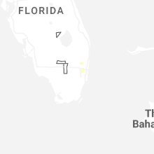
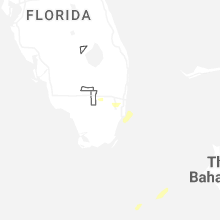
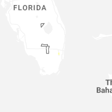
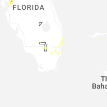
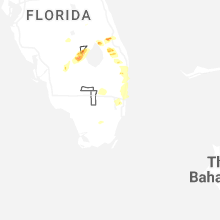
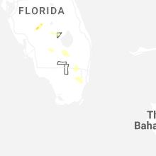
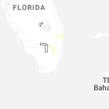


Connect with Interactive Hail Maps