

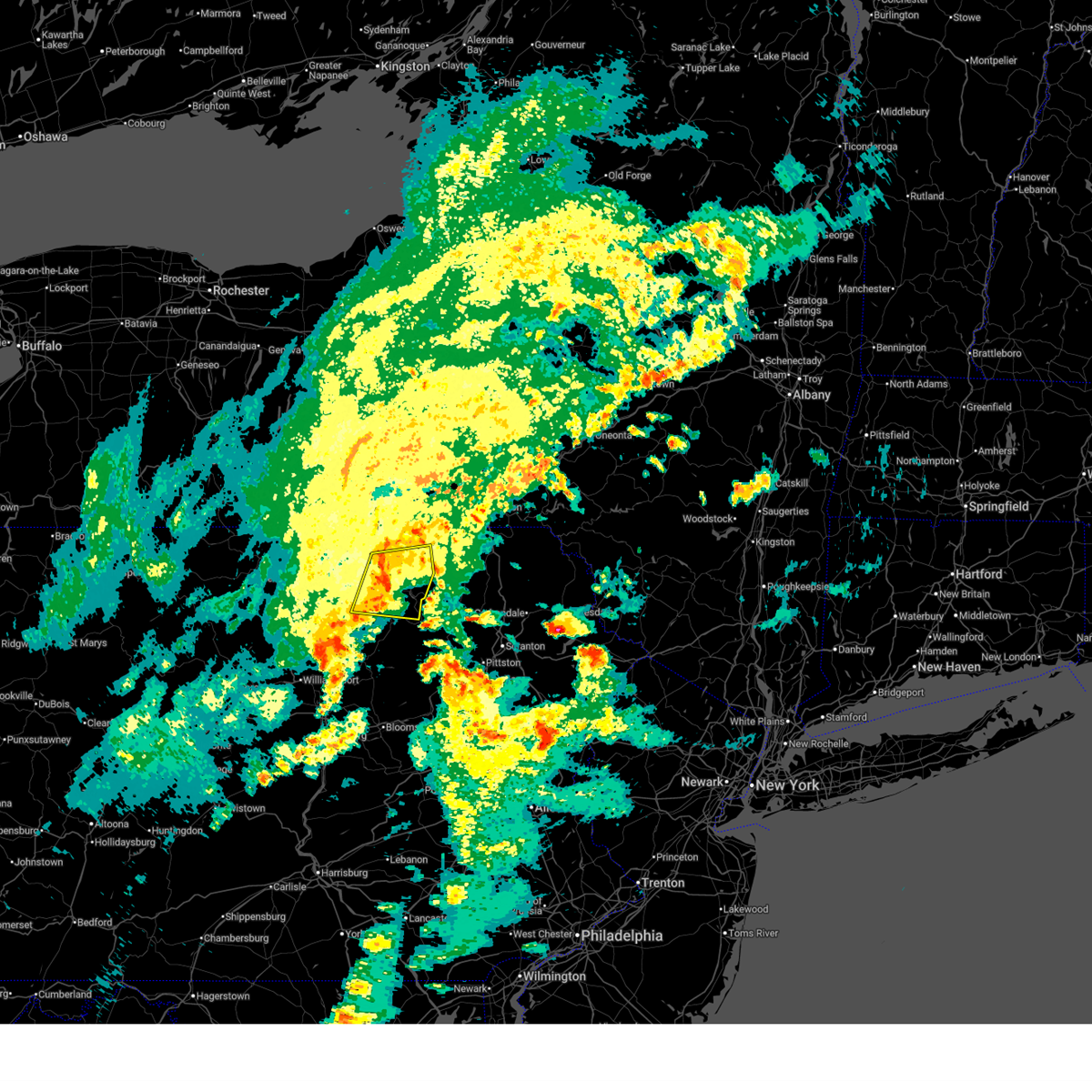
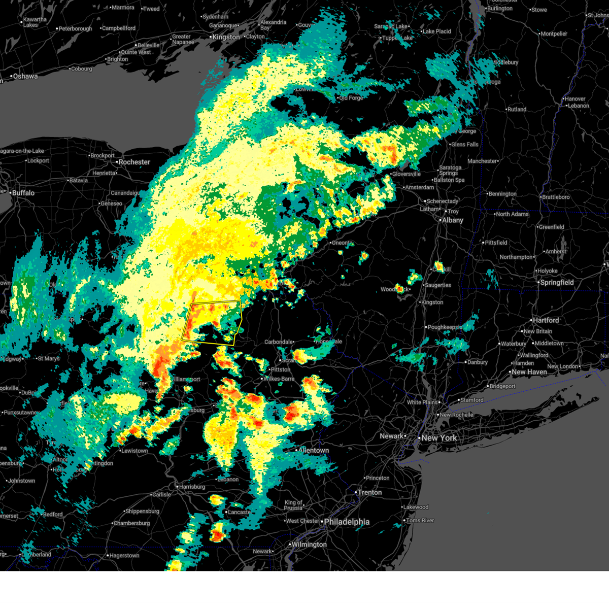
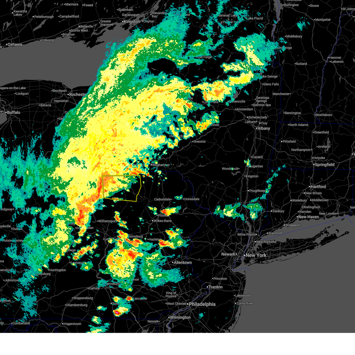
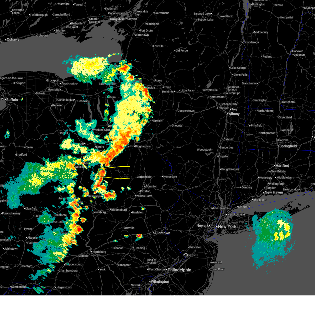
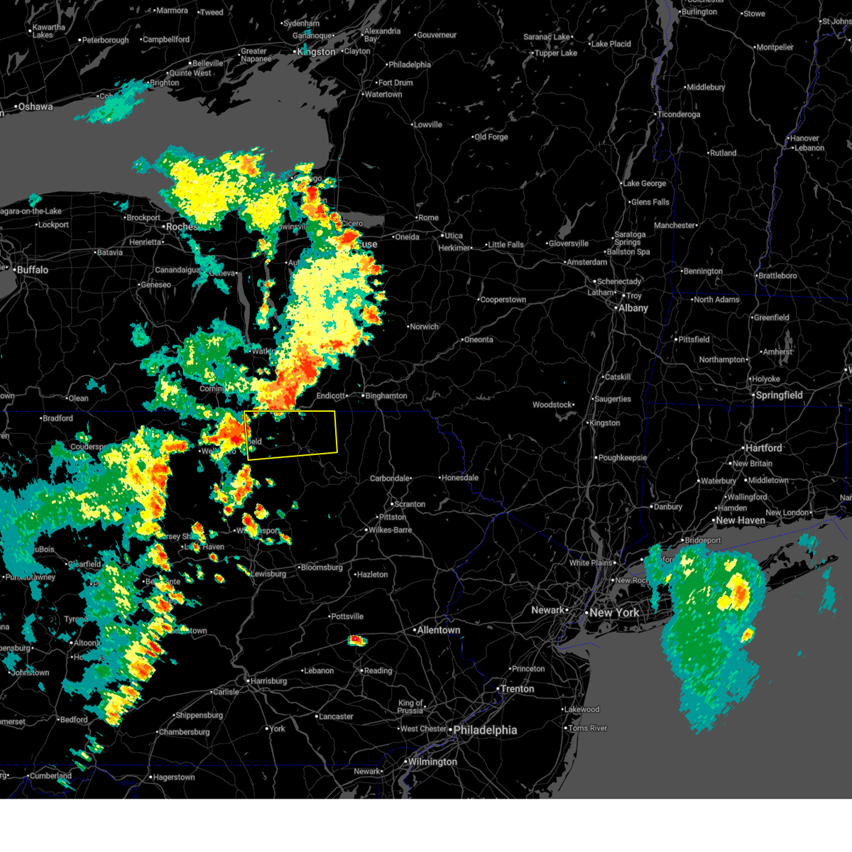
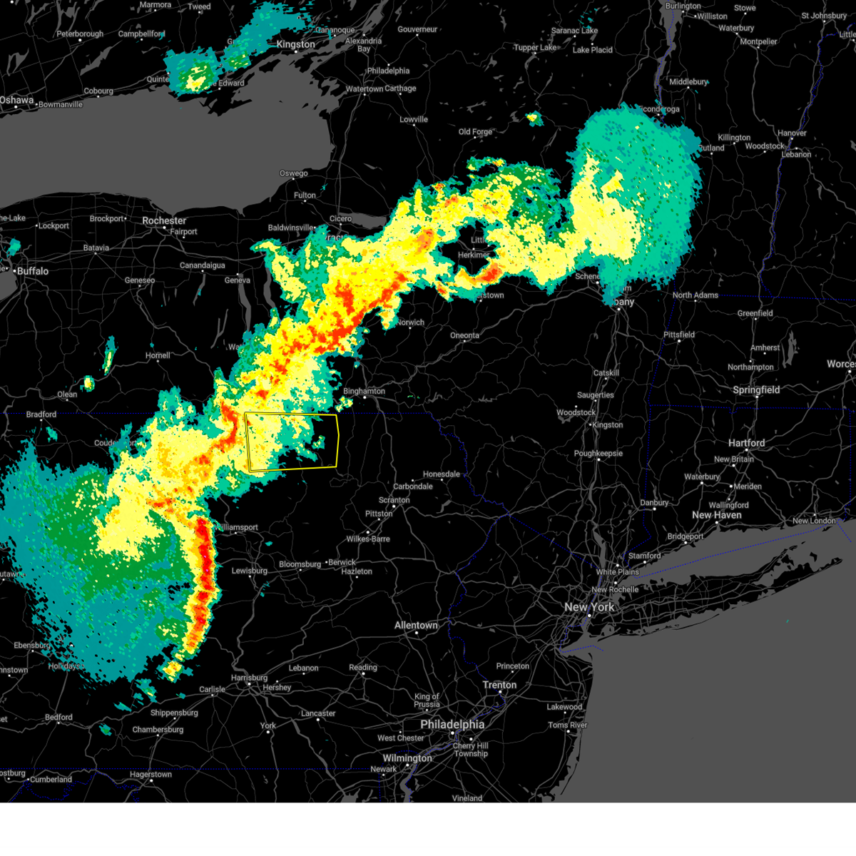
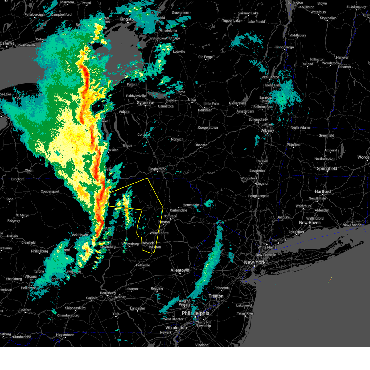
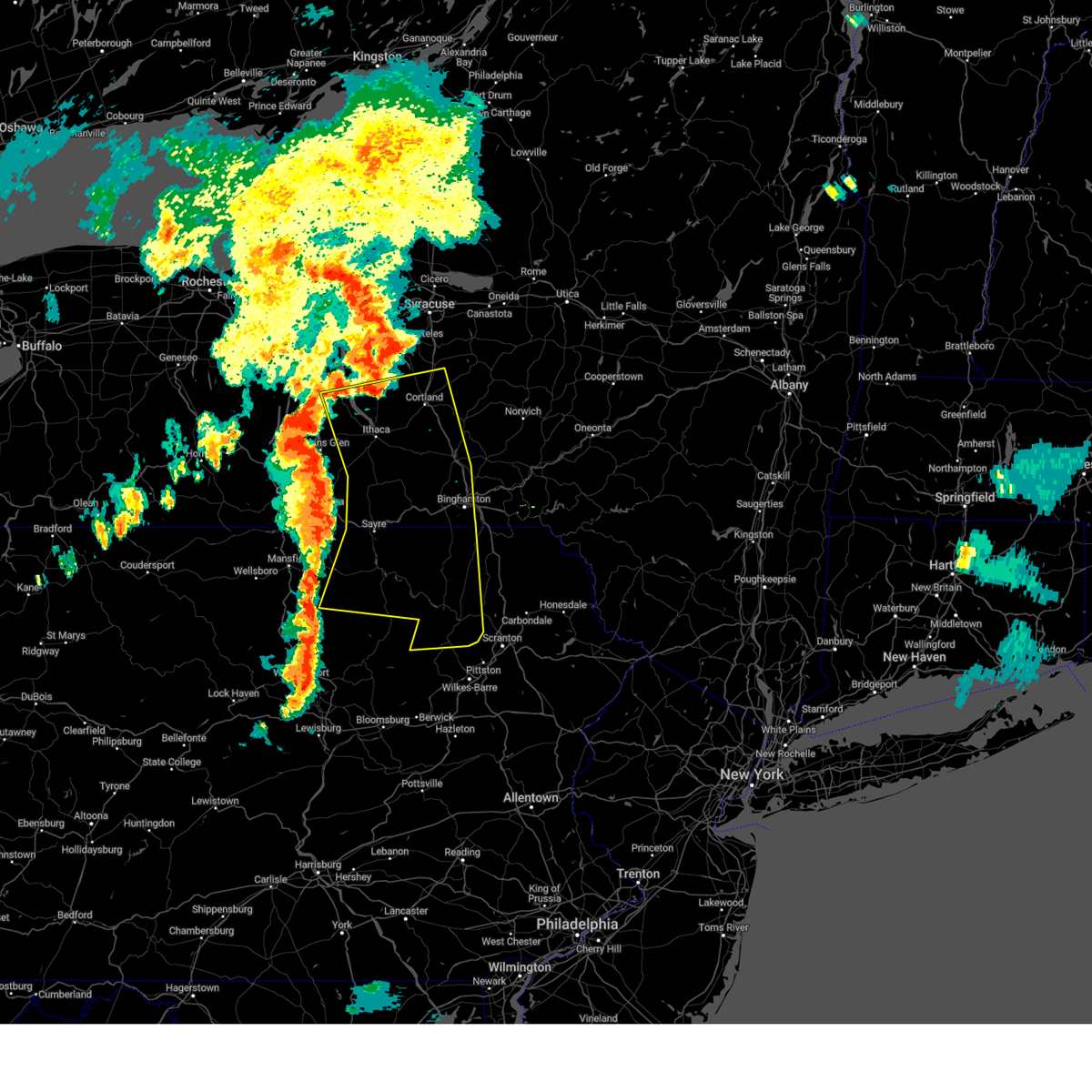
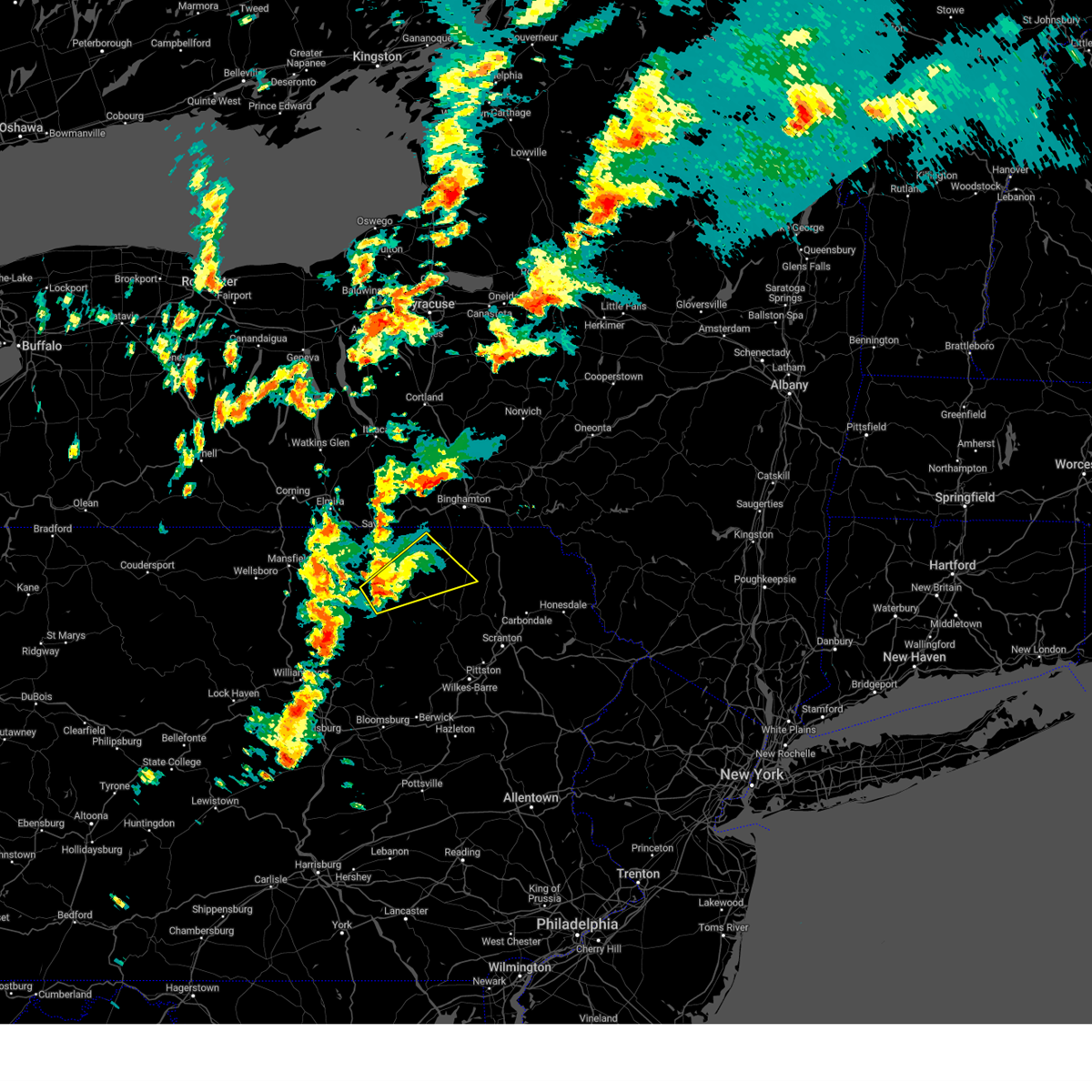
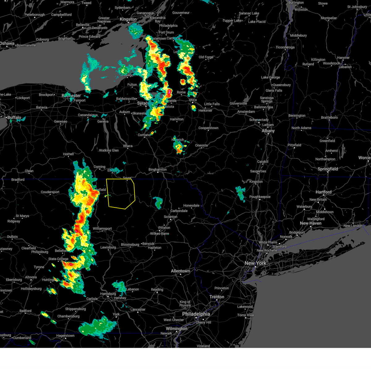
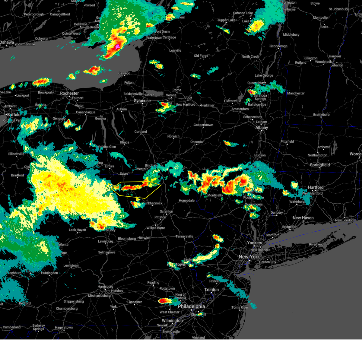
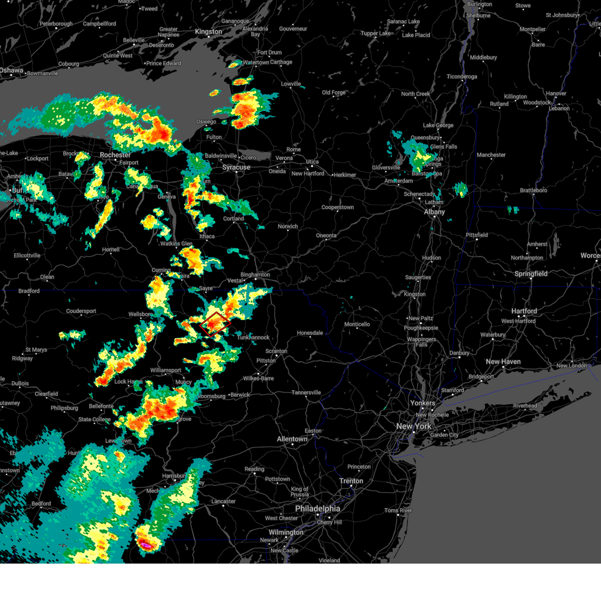
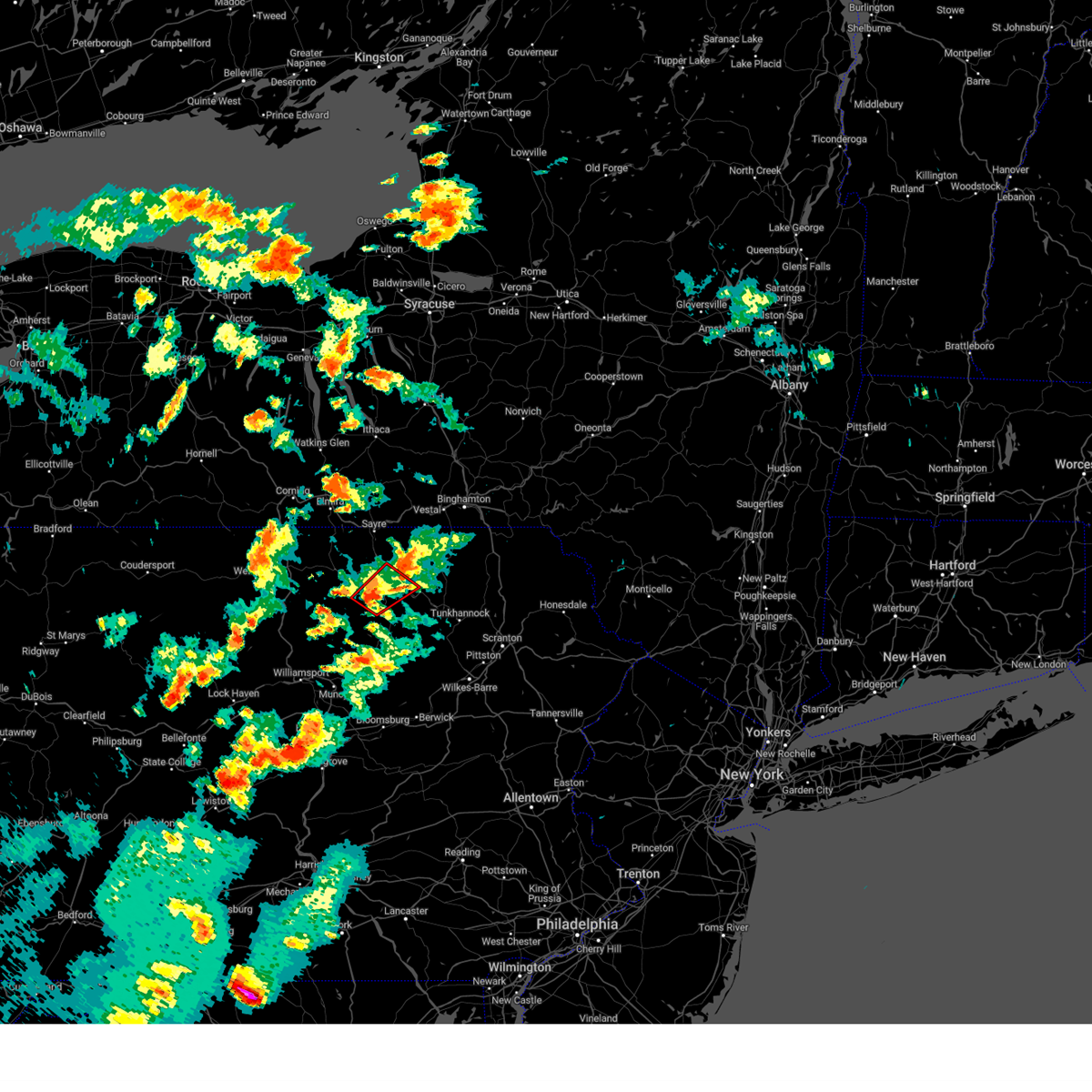
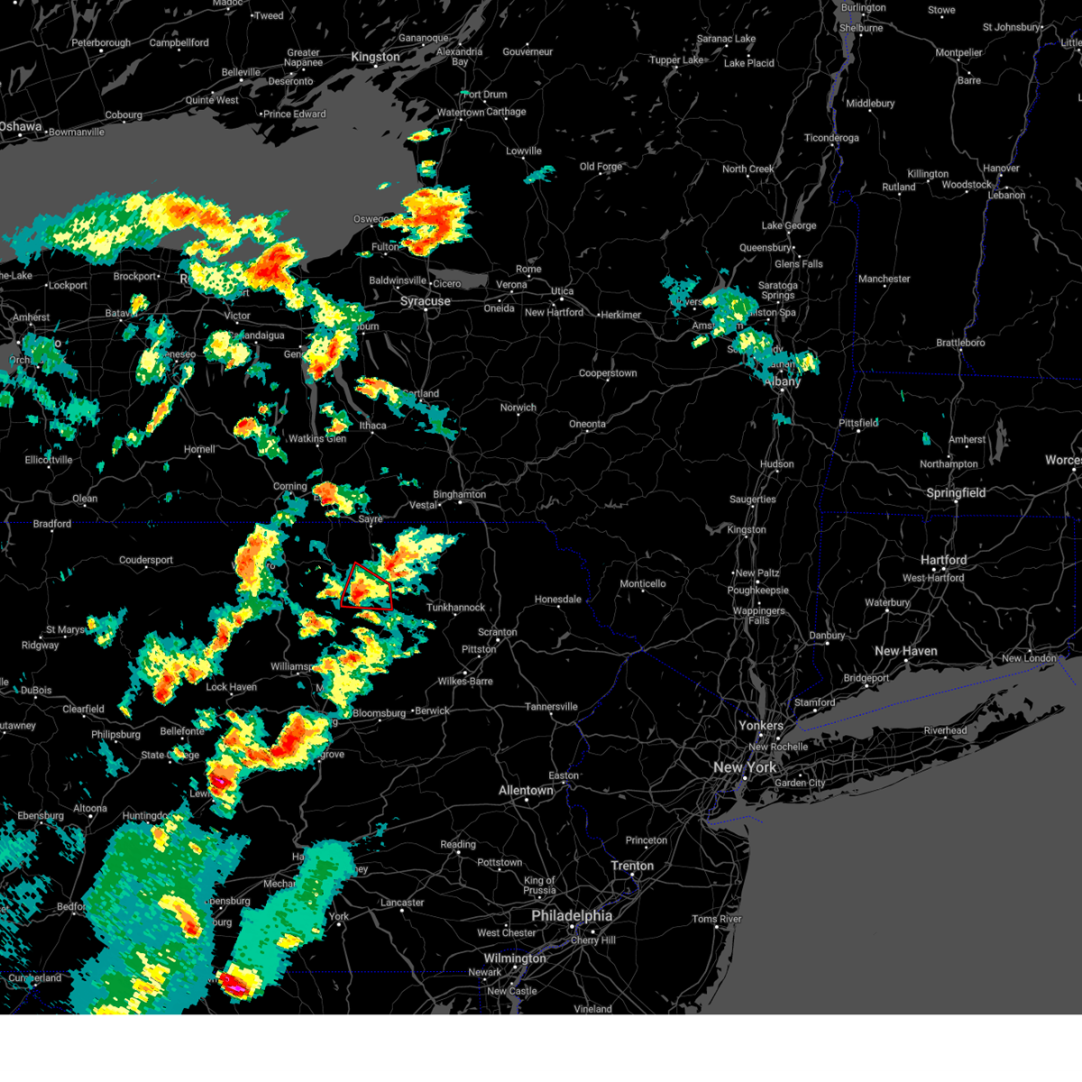
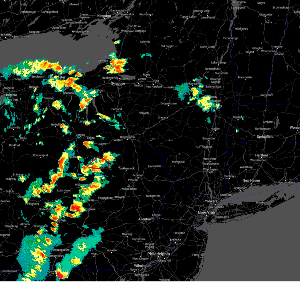
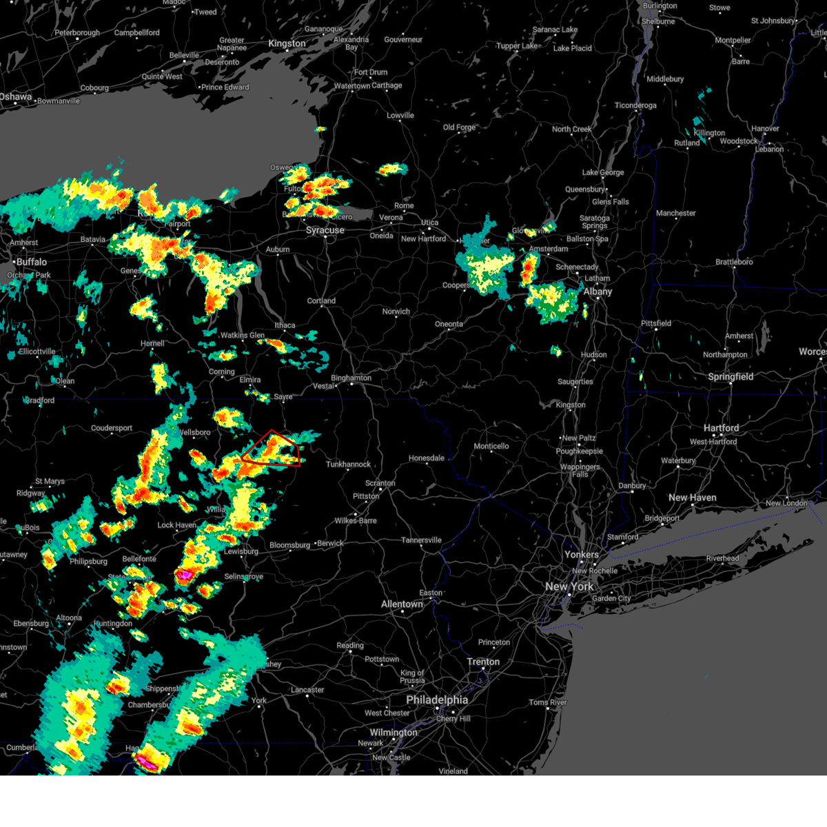
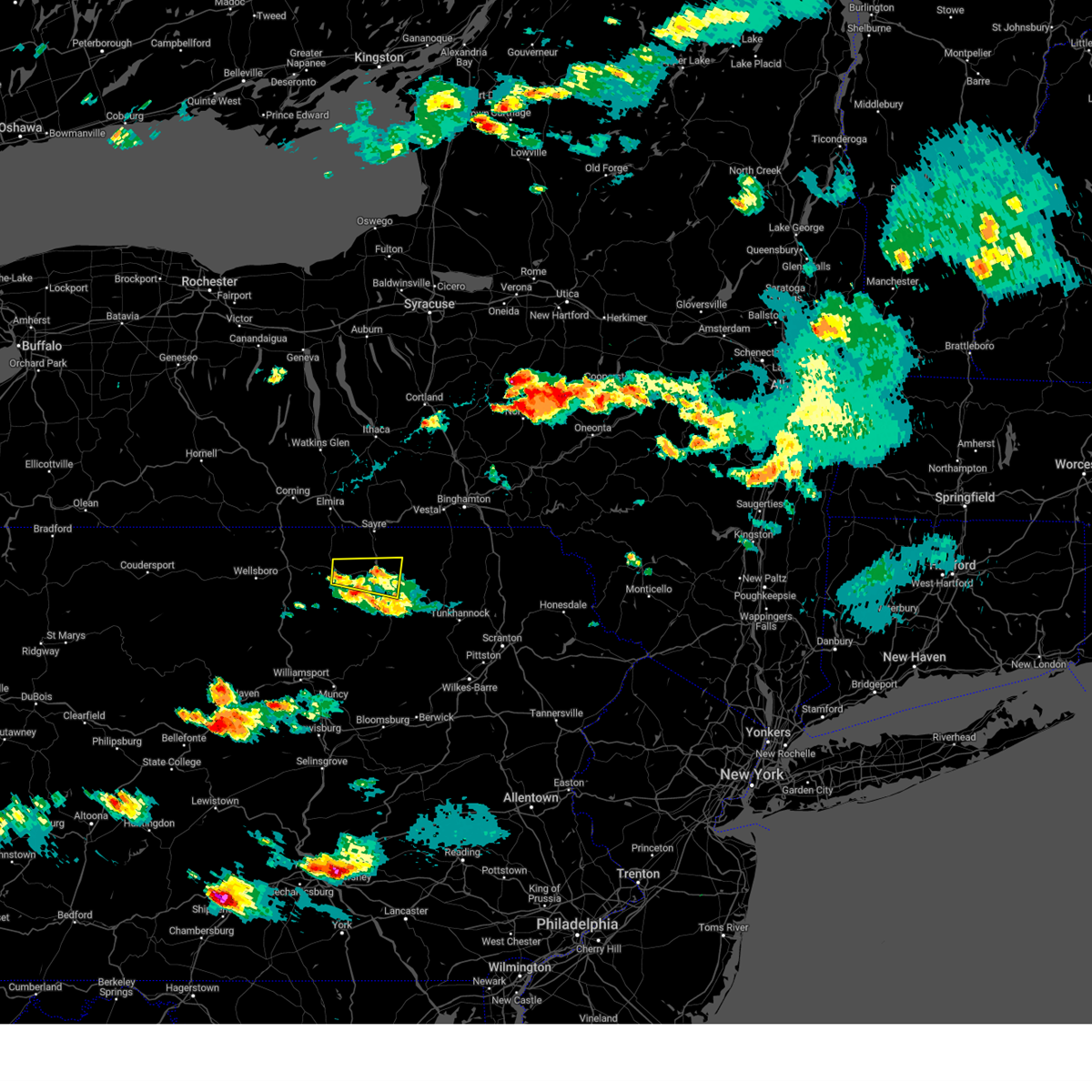
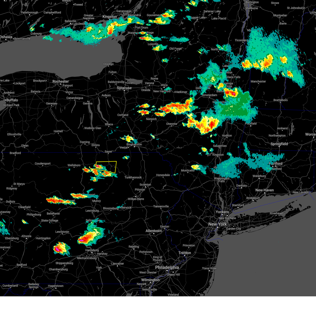
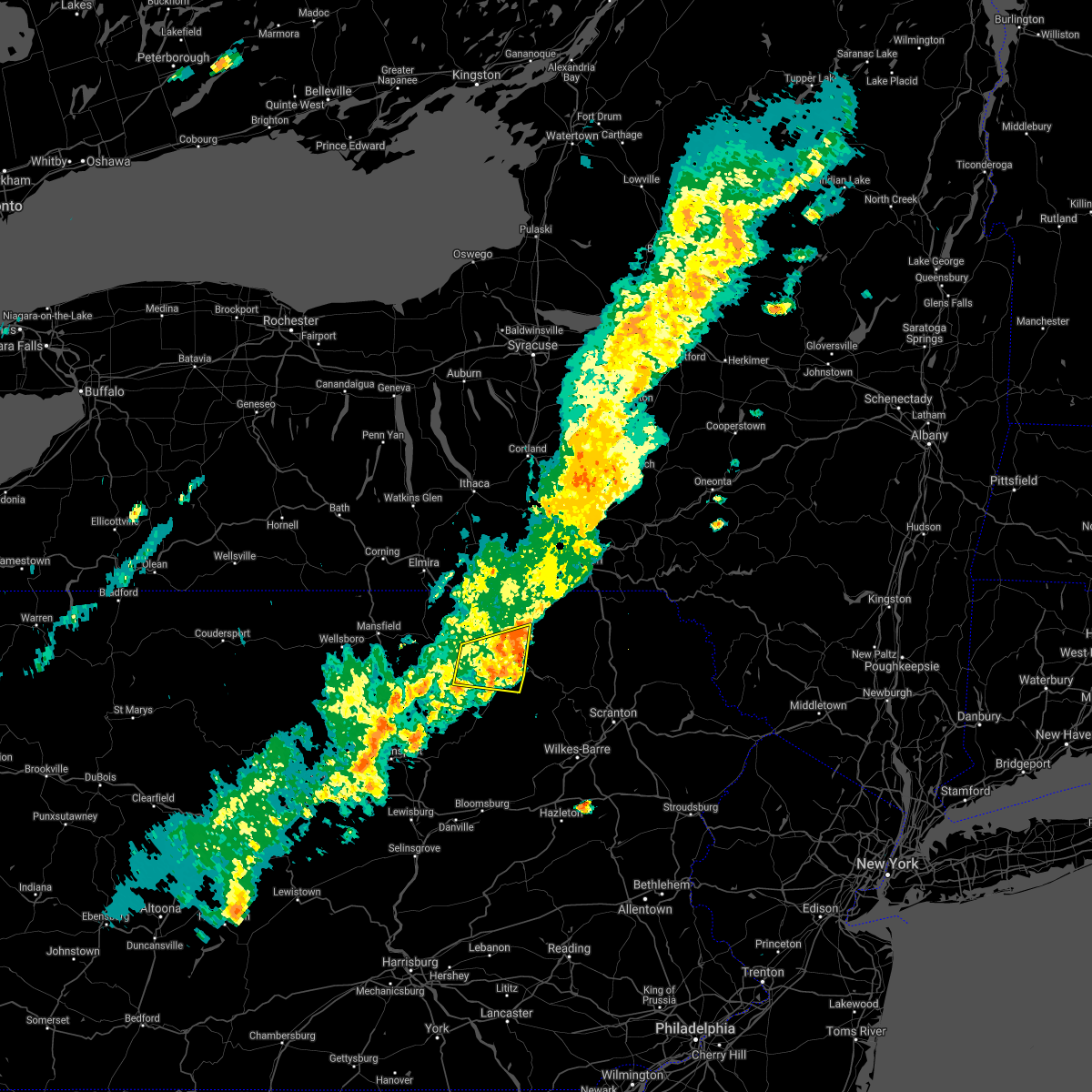
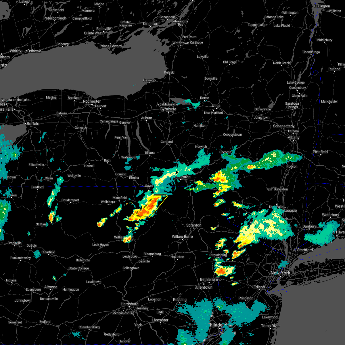
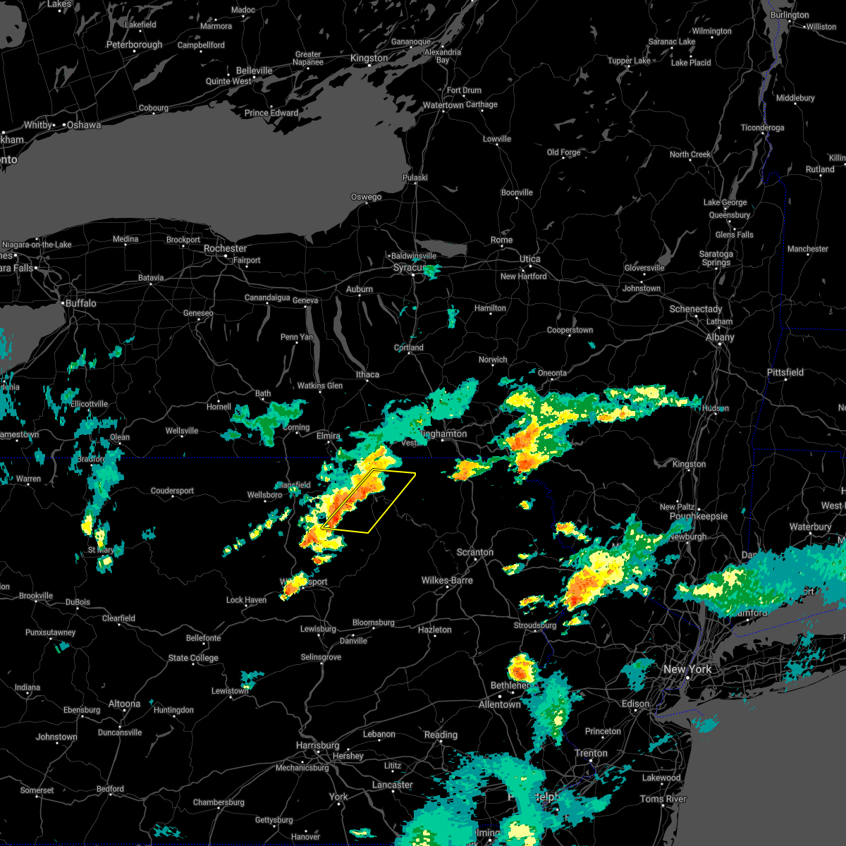
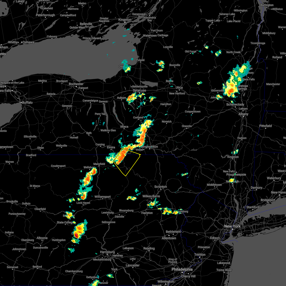
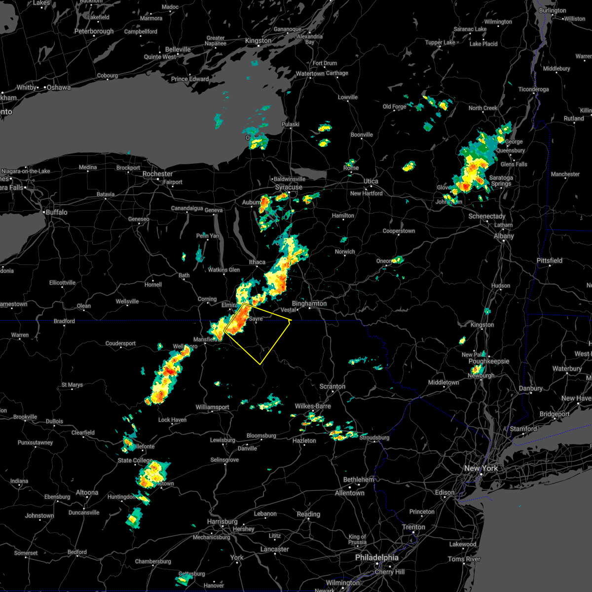
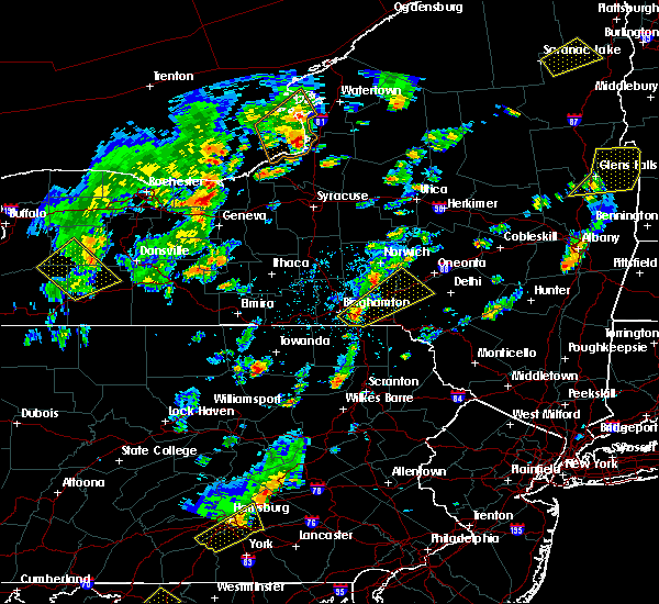
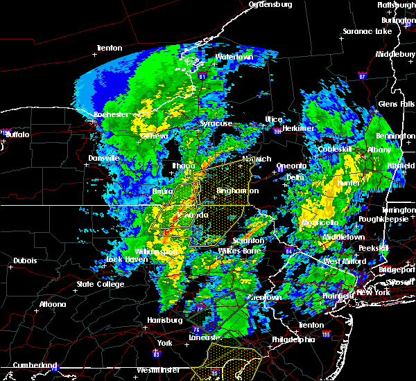
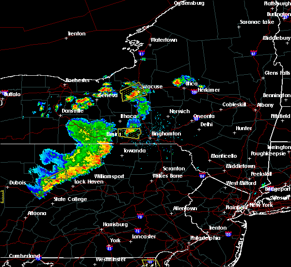
Hail Map for Monroe, PA
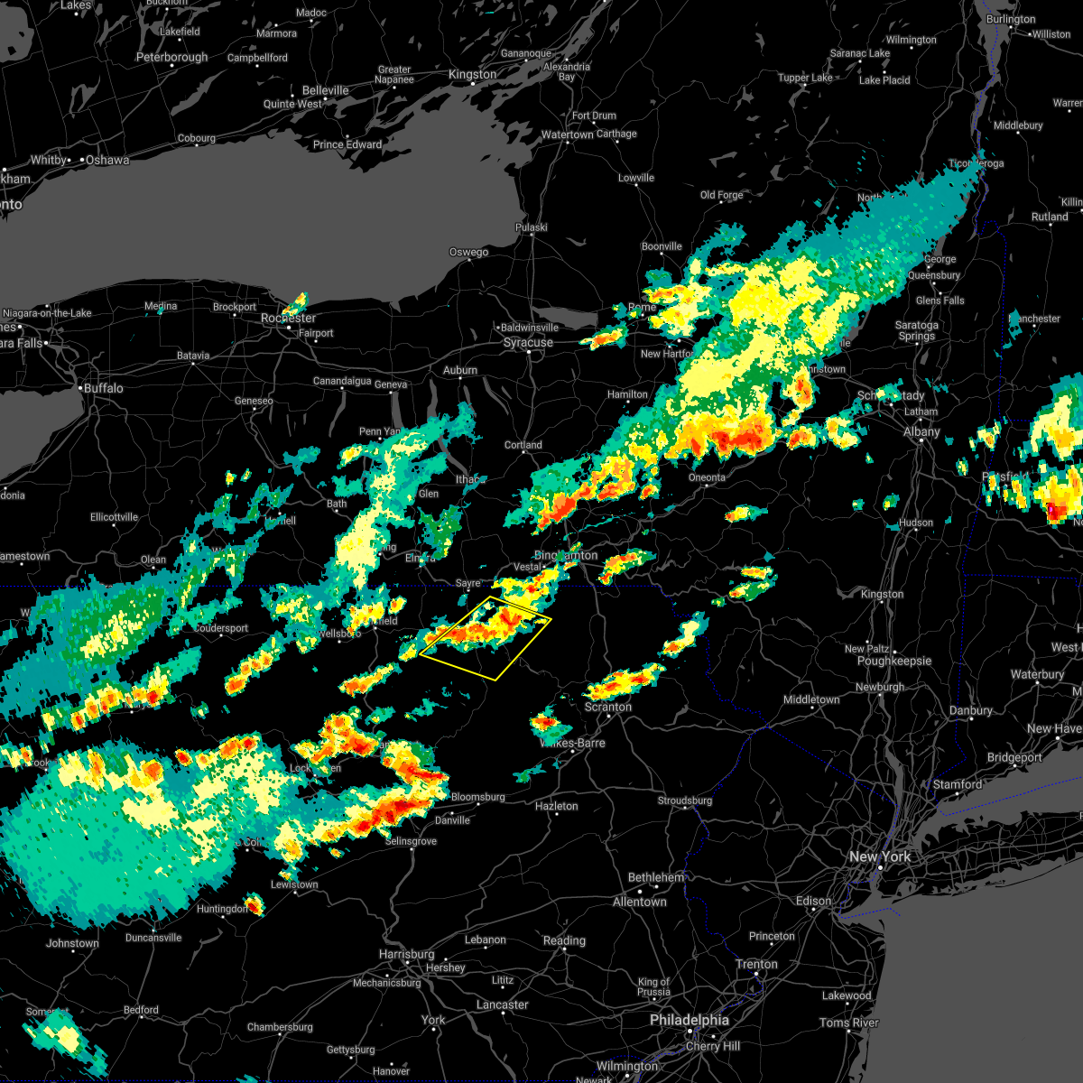
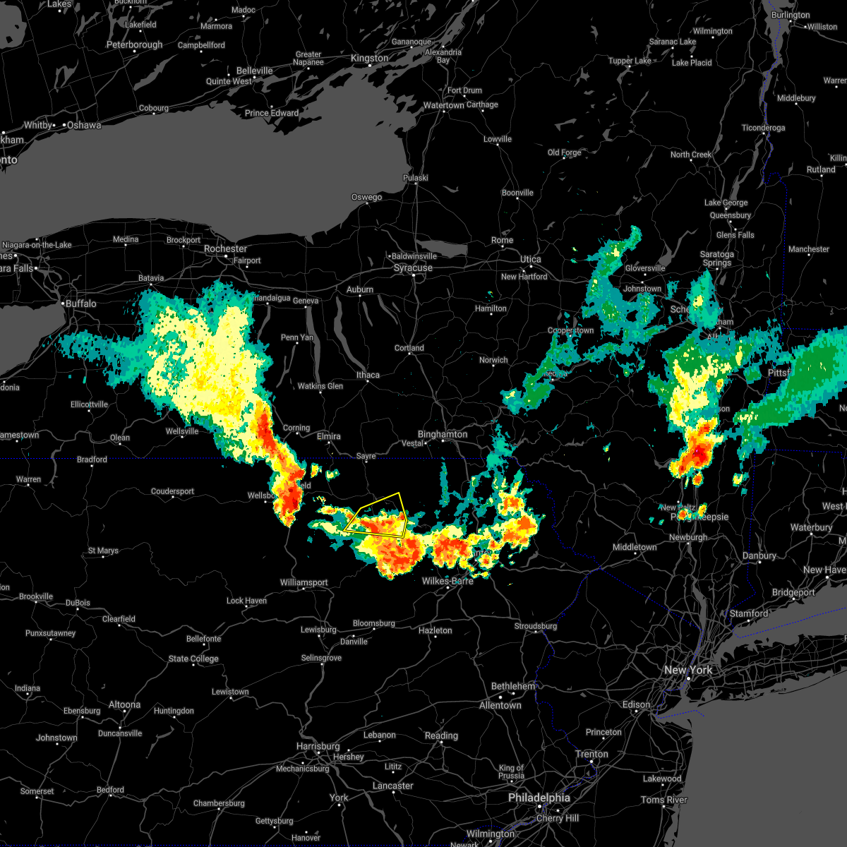
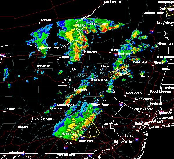
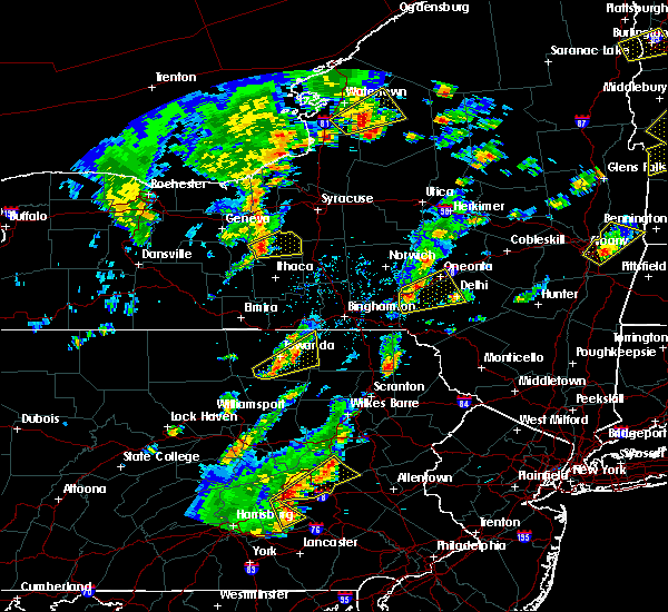
The Monroe, PA area has had 3 reports of on-the-ground hail by trained spotters, and has been under severe weather warnings 6 times during the past 12 months. Doppler radar has detected hail at or near Monroe, PA on 23 occasions.
| Name: | Monroe, PA |
| Where Located: | 47.1 miles WNW of Scranton, PA |
| Map: | Google Map for Monroe, PA |
| Population: | 554 |
| Housing Units: | 232 |
| More Info: | Search Google for Monroe, PA |
0
The Top Recent Hail Date for Monroe, PA is Monday, July 15, 2024 (22nd out of 23)

Hail and Wind Damage Spotted near Monroe, PA
| Date / Time | Report Details |
|---|---|
| 6/14/2026 9:11 PM EDT |
 At 911 pm edt, severe thunderstorms were located along a line extending from milan to near lincoln falls, moving east at 30 mph (radar indicated). Hazards include 60 mph wind gusts and penny size hail. Expect damage to roofs, siding, and trees. Locations impacted include, towanda, wysox, sheshequin, ulster, wilmot, hollenback, orwell, north towanda, herrick, and wyalusing. At 911 pm edt, severe thunderstorms were located along a line extending from milan to near lincoln falls, moving east at 30 mph (radar indicated). Hazards include 60 mph wind gusts and penny size hail. Expect damage to roofs, siding, and trees. Locations impacted include, towanda, wysox, sheshequin, ulster, wilmot, hollenback, orwell, north towanda, herrick, and wyalusing.
|
| 6/14/2026 8:56 PM EDT |
 At 856 pm edt, severe thunderstorms were located along a line extending from near east smithfield to shunk, moving east at 35 mph (radar indicated). Hazards include 60 mph wind gusts and penny size hail. Expect damage to roofs, siding, and trees. Locations impacted include, towanda, west franklin, wysox, sheshequin, ulster, wilmot, hollenback, orwell, north towanda, and springfield. At 856 pm edt, severe thunderstorms were located along a line extending from near east smithfield to shunk, moving east at 35 mph (radar indicated). Hazards include 60 mph wind gusts and penny size hail. Expect damage to roofs, siding, and trees. Locations impacted include, towanda, west franklin, wysox, sheshequin, ulster, wilmot, hollenback, orwell, north towanda, and springfield.
|
| 6/14/2026 8:34 PM EDT |
 Svrbgm the national weather service in binghamton has issued a * severe thunderstorm warning for, bradford county in northeastern pennsylvania, * until 945 pm edt. * at 834 pm edt, severe thunderstorms were located along a line extending from near gillett to near ralston, moving east at 25 mph (radar indicated). Hazards include 60 mph wind gusts and penny size hail. expect damage to roofs, siding, and trees Svrbgm the national weather service in binghamton has issued a * severe thunderstorm warning for, bradford county in northeastern pennsylvania, * until 945 pm edt. * at 834 pm edt, severe thunderstorms were located along a line extending from near gillett to near ralston, moving east at 25 mph (radar indicated). Hazards include 60 mph wind gusts and penny size hail. expect damage to roofs, siding, and trees
|
| 6/11/2026 6:50 PM EDT |
 Svrbgm the national weather service in binghamton has issued a * severe thunderstorm warning for, southwestern susquehanna county in northeastern pennsylvania, southeastern bradford county in northeastern pennsylvania, northwestern wyoming county in northeastern pennsylvania, * until 745 pm edt. * at 649 pm edt, a severe thunderstorm was located near le roy, or 11 miles east of canton, moving east at 25 mph (radar indicated). Hazards include 60 mph wind gusts and quarter size hail. Hail damage to vehicles is expected. Expect wind damage to roofs, siding, and trees. Svrbgm the national weather service in binghamton has issued a * severe thunderstorm warning for, southwestern susquehanna county in northeastern pennsylvania, southeastern bradford county in northeastern pennsylvania, northwestern wyoming county in northeastern pennsylvania, * until 745 pm edt. * at 649 pm edt, a severe thunderstorm was located near le roy, or 11 miles east of canton, moving east at 25 mph (radar indicated). Hazards include 60 mph wind gusts and quarter size hail. Hail damage to vehicles is expected. Expect wind damage to roofs, siding, and trees.
|
| 6/11/2026 6:19 PM EDT |
 Svrbgm the national weather service in binghamton has issued a * severe thunderstorm warning for, bradford county in northeastern pennsylvania, * until 715 pm edt. * at 619 pm edt, a severe thunderstorm was located near sylvania, or near mansfield, moving east at 30 mph (radar indicated). Hazards include 60 mph wind gusts and penny size hail. expect damage to roofs, siding, and trees Svrbgm the national weather service in binghamton has issued a * severe thunderstorm warning for, bradford county in northeastern pennsylvania, * until 715 pm edt. * at 619 pm edt, a severe thunderstorm was located near sylvania, or near mansfield, moving east at 30 mph (radar indicated). Hazards include 60 mph wind gusts and penny size hail. expect damage to roofs, siding, and trees
|
| 4/15/2026 10:49 PM EDT |
 Svrbgm the national weather service in binghamton has issued a * severe thunderstorm warning for, southern broome county in central new york, southern tioga county in central new york, susquehanna county in northeastern pennsylvania, northern lackawanna county in northeastern pennsylvania, bradford county in northeastern pennsylvania, northern wyoming county in northeastern pennsylvania, * until 1145 pm edt. * at 1049 pm edt, severe thunderstorms were located along a line extending from near chemung to near overton, moving east at 65 mph (radar indicated). Hazards include 60 mph wind gusts. expect damage to roofs, siding, and trees Svrbgm the national weather service in binghamton has issued a * severe thunderstorm warning for, southern broome county in central new york, southern tioga county in central new york, susquehanna county in northeastern pennsylvania, northern lackawanna county in northeastern pennsylvania, bradford county in northeastern pennsylvania, northern wyoming county in northeastern pennsylvania, * until 1145 pm edt. * at 1049 pm edt, severe thunderstorms were located along a line extending from near chemung to near overton, moving east at 65 mph (radar indicated). Hazards include 60 mph wind gusts. expect damage to roofs, siding, and trees
|
| 5/6/2025 2:28 PM EDT |
 Svrbgm the national weather service in binghamton has issued a * severe thunderstorm warning for, west central broome county in central new york, southern tioga county in central new york, northeastern bradford county in northeastern pennsylvania, * until 315 pm edt. * at 228 pm edt, a severe thunderstorm was located over wysox, or near towanda, moving north at 35 mph (radar indicated). Hazards include 60 mph wind gusts and quarter size hail. Hail damage to vehicles is expected. Expect wind damage to roofs, siding, and trees. Svrbgm the national weather service in binghamton has issued a * severe thunderstorm warning for, west central broome county in central new york, southern tioga county in central new york, northeastern bradford county in northeastern pennsylvania, * until 315 pm edt. * at 228 pm edt, a severe thunderstorm was located over wysox, or near towanda, moving north at 35 mph (radar indicated). Hazards include 60 mph wind gusts and quarter size hail. Hail damage to vehicles is expected. Expect wind damage to roofs, siding, and trees.
|
| 4/29/2025 8:04 PM EDT | Tree down on brocktown road. time estimated from rada in bradford county PA, 0.3 miles NE of Monroe, PA |
| 4/29/2025 8:03 PM EDT |
 At 803 pm edt, severe thunderstorms were located along a line extending from near newark valley to near warren center to near towanda, moving east at 65 mph (radar indicated). Hazards include 60 mph wind gusts. Expect damage to roofs, siding, and trees. Locations impacted include, cherrytown, herrick, windham, west warren, liberty corners, durell, monroeton, rome, towanda, and burlington. At 803 pm edt, severe thunderstorms were located along a line extending from near newark valley to near warren center to near towanda, moving east at 65 mph (radar indicated). Hazards include 60 mph wind gusts. Expect damage to roofs, siding, and trees. Locations impacted include, cherrytown, herrick, windham, west warren, liberty corners, durell, monroeton, rome, towanda, and burlington.
|
| 4/29/2025 7:25 PM EDT |
 Svrbgm the national weather service in binghamton has issued a * severe thunderstorm warning for, bradford county in northeastern pennsylvania, * until 815 pm edt. * at 724 pm edt, severe thunderstorms were located along a line extending from caton to near mansfield to morris, moving east at 65 mph (radar indicated). Hazards include 60 mph wind gusts. expect damage to roofs, siding, and trees Svrbgm the national weather service in binghamton has issued a * severe thunderstorm warning for, bradford county in northeastern pennsylvania, * until 815 pm edt. * at 724 pm edt, severe thunderstorms were located along a line extending from caton to near mansfield to morris, moving east at 65 mph (radar indicated). Hazards include 60 mph wind gusts. expect damage to roofs, siding, and trees
|
| 3/16/2025 5:29 PM EDT | Tree down on cook roa in bradford county PA, 4 miles ENE of Monroe, PA |
| 3/16/2025 4:30 PM EDT | Corrects previous tstm wnd dmg report from franklindale. tree down on cook roa in bradford county PA, 4 miles ENE of Monroe, PA |
| 3/16/2025 3:59 PM EDT |
 Svrbgm the national weather service in binghamton has issued a * severe thunderstorm warning for, western susquehanna county in northeastern pennsylvania, luzerne county in northeastern pennsylvania, bradford county in northeastern pennsylvania, wyoming county in northeastern pennsylvania, * until 500 pm edt. * at 358 pm edt, severe thunderstorms were located along a line extending from near sylvania to near elimsport, moving east at 50 mph (radar indicated). Hazards include 60 mph wind gusts. expect damage to roofs, siding, and trees Svrbgm the national weather service in binghamton has issued a * severe thunderstorm warning for, western susquehanna county in northeastern pennsylvania, luzerne county in northeastern pennsylvania, bradford county in northeastern pennsylvania, wyoming county in northeastern pennsylvania, * until 500 pm edt. * at 358 pm edt, severe thunderstorms were located along a line extending from near sylvania to near elimsport, moving east at 50 mph (radar indicated). Hazards include 60 mph wind gusts. expect damage to roofs, siding, and trees
|
| 7/15/2024 6:23 PM EDT |
 the severe thunderstorm warning has been cancelled and is no longer in effect the severe thunderstorm warning has been cancelled and is no longer in effect
|
| 7/15/2024 6:23 PM EDT |
 At 622 pm edt, severe thunderstorms were located along a line extending from montville to near candor to litchfield to overton, moving east at 45 mph (radar indicated). Hazards include 70 mph wind gusts and penny size hail. Expect considerable tree damage. damage is likely to mobile homes, roofs, and outbuildings. Locations impacted include, chemung, binghamton, falls, ithaca, vestal, cortland, johnson city, endicott, barton, and vernon. At 622 pm edt, severe thunderstorms were located along a line extending from montville to near candor to litchfield to overton, moving east at 45 mph (radar indicated). Hazards include 70 mph wind gusts and penny size hail. Expect considerable tree damage. damage is likely to mobile homes, roofs, and outbuildings. Locations impacted include, chemung, binghamton, falls, ithaca, vestal, cortland, johnson city, endicott, barton, and vernon.
|
| 7/15/2024 5:53 PM EDT |
 Svrbgm the national weather service in binghamton has issued a * severe thunderstorm warning for, southern seneca county in central new york, schuyler county in central new york, southeastern yates county in central new york, western broome county in central new york, southern cayuga county in central new york, cortland county in central new york, chemung county in central new york, tioga county in central new york, tompkins county in central new york, western susquehanna county in northeastern pennsylvania, bradford county in northeastern pennsylvania, wyoming county in northeastern pennsylvania, * until 645 pm edt. * at 551 pm edt, severe thunderstorms were located along a line extending from near lodi station to near elmira to near shunk, moving east at 50 mph (radar indicated. at 545 pm a 61 mph wind gust was reported at the elmira airport). Hazards include 70 mph wind gusts and penny size hail. Expect considerable tree damage. Damage is likely to mobile homes, roofs, and outbuildings. Svrbgm the national weather service in binghamton has issued a * severe thunderstorm warning for, southern seneca county in central new york, schuyler county in central new york, southeastern yates county in central new york, western broome county in central new york, southern cayuga county in central new york, cortland county in central new york, chemung county in central new york, tioga county in central new york, tompkins county in central new york, western susquehanna county in northeastern pennsylvania, bradford county in northeastern pennsylvania, wyoming county in northeastern pennsylvania, * until 645 pm edt. * at 551 pm edt, severe thunderstorms were located along a line extending from near lodi station to near elmira to near shunk, moving east at 50 mph (radar indicated. at 545 pm a 61 mph wind gust was reported at the elmira airport). Hazards include 70 mph wind gusts and penny size hail. Expect considerable tree damage. Damage is likely to mobile homes, roofs, and outbuildings.
|
| 7/10/2024 6:14 PM EDT |
 Svrbgm the national weather service in binghamton has issued a * severe thunderstorm warning for, southwestern susquehanna county in northeastern pennsylvania, southeastern bradford county in northeastern pennsylvania, * until 700 pm edt. * at 614 pm edt, a severe thunderstorm was located over south branch, or 8 miles south of towanda, moving northeast at 30 mph (radar indicated). Hazards include 60 mph wind gusts and quarter size hail. Hail damage to vehicles is expected. Expect wind damage to roofs, siding, and trees. Svrbgm the national weather service in binghamton has issued a * severe thunderstorm warning for, southwestern susquehanna county in northeastern pennsylvania, southeastern bradford county in northeastern pennsylvania, * until 700 pm edt. * at 614 pm edt, a severe thunderstorm was located over south branch, or 8 miles south of towanda, moving northeast at 30 mph (radar indicated). Hazards include 60 mph wind gusts and quarter size hail. Hail damage to vehicles is expected. Expect wind damage to roofs, siding, and trees.
|
| 7/10/2024 5:28 PM EDT |
 Svrbgm the national weather service in binghamton has issued a * severe thunderstorm warning for, southern bradford county in northeastern pennsylvania, * until 615 pm edt. * at 528 pm edt, a severe thunderstorm was located over shunk, or 8 miles southeast of canton, moving northeast at 55 mph (radar indicated). Hazards include 60 mph wind gusts and quarter size hail. Hail damage to vehicles is expected. Expect wind damage to roofs, siding, and trees. Svrbgm the national weather service in binghamton has issued a * severe thunderstorm warning for, southern bradford county in northeastern pennsylvania, * until 615 pm edt. * at 528 pm edt, a severe thunderstorm was located over shunk, or 8 miles southeast of canton, moving northeast at 55 mph (radar indicated). Hazards include 60 mph wind gusts and quarter size hail. Hail damage to vehicles is expected. Expect wind damage to roofs, siding, and trees.
|
| 6/26/2024 5:51 PM EDT |
 The storm which prompted the warning has weakened below severe limits, and no longer poses an immediate threat to life or property. therefore, the warning will be allowed to expire. a severe thunderstorm watch remains in effect until 900 pm edt for northeastern pennsylvania. to report severe weather, contact your nearest law enforcement agency. they will relay your report to the national weather service binghamton. The storm which prompted the warning has weakened below severe limits, and no longer poses an immediate threat to life or property. therefore, the warning will be allowed to expire. a severe thunderstorm watch remains in effect until 900 pm edt for northeastern pennsylvania. to report severe weather, contact your nearest law enforcement agency. they will relay your report to the national weather service binghamton.
|
| 6/26/2024 5:44 PM EDT |
 At 544 pm edt, a severe thunderstorm was located over east smithfield, or 8 miles northeast of troy, moving northeast at 40 mph (radar indicated). Hazards include 60 mph wind gusts and quarter size hail. Hail damage to vehicles is expected. expect wind damage to roofs, siding, and trees. Locations impacted include, towanda, canton, west franklin, troy, ulster, north towanda, springfield, west burlington, monroe, and sylvania. At 544 pm edt, a severe thunderstorm was located over east smithfield, or 8 miles northeast of troy, moving northeast at 40 mph (radar indicated). Hazards include 60 mph wind gusts and quarter size hail. Hail damage to vehicles is expected. expect wind damage to roofs, siding, and trees. Locations impacted include, towanda, canton, west franklin, troy, ulster, north towanda, springfield, west burlington, monroe, and sylvania.
|
| 6/26/2024 5:24 PM EDT | At 524 pm edt, a severe thunderstorm was located over sylvania, or near troy, moving northeast at 40 mph (radar indicated). Hazards include ping pong ball size hail and 60 mph wind gusts. People and animals outdoors will be injured. expect hail damage to roofs, siding, windows, and vehicles. expect wind damage to roofs, siding, and trees. Locations impacted include, towanda, canton, west franklin, troy, ulster, north towanda, springfield, west burlington, monroe, and sylvania. |
| 6/26/2024 5:19 PM EDT | Svrbgm the national weather service in binghamton has issued a * severe thunderstorm warning for, northwestern bradford county in northeastern pennsylvania, * until 600 pm edt. * at 518 pm edt, a severe thunderstorm was located near covington, or 7 miles southeast of mansfield, moving northeast at 40 mph (radar indicated). Hazards include 60 mph wind gusts and quarter size hail. Hail damage to vehicles is expected. Expect wind damage to roofs, siding, and trees. |
| 5/22/2024 6:32 PM EDT |
 At 632 pm edt, severe thunderstorms were located along a line extending from east smithfield to near burlington to near grover, moving east at 40 mph (radar indicated). Hazards include 60 mph wind gusts and penny size hail. Expect damage to roofs, siding, and trees. Locations impacted include, towanda, canton, west franklin, wysox, troy, sheshequin, ulster, north towanda, west burlington, and monroe. At 632 pm edt, severe thunderstorms were located along a line extending from east smithfield to near burlington to near grover, moving east at 40 mph (radar indicated). Hazards include 60 mph wind gusts and penny size hail. Expect damage to roofs, siding, and trees. Locations impacted include, towanda, canton, west franklin, wysox, troy, sheshequin, ulster, north towanda, west burlington, and monroe.
|
| 5/22/2024 5:54 PM EDT |
 Svrbgm the national weather service in binghamton has issued a * severe thunderstorm warning for, bradford county in northeastern pennsylvania, * until 645 pm edt. * at 553 pm edt, severe thunderstorms were located along a line extending from lawrenceville to mansfield to near buttonwood, moving east at 30 mph (radar indicated). Hazards include 60 mph wind gusts and quarter size hail. Hail damage to vehicles is expected. Expect wind damage to roofs, siding, and trees. Svrbgm the national weather service in binghamton has issued a * severe thunderstorm warning for, bradford county in northeastern pennsylvania, * until 645 pm edt. * at 553 pm edt, severe thunderstorms were located along a line extending from lawrenceville to mansfield to near buttonwood, moving east at 30 mph (radar indicated). Hazards include 60 mph wind gusts and quarter size hail. Hail damage to vehicles is expected. Expect wind damage to roofs, siding, and trees.
|
| 4/14/2024 6:15 PM EDT |
 the severe thunderstorm warning has been cancelled and is no longer in effect the severe thunderstorm warning has been cancelled and is no longer in effect
|
| 4/14/2024 6:05 PM EDT |
 At 605 pm edt, a severe thunderstorm was located near franklindale, or 10 miles southwest of towanda, moving east at 55 mph (radar indicated). Hazards include 60 mph wind gusts and penny size hail. Expect damage to roofs, siding, and trees. Locations impacted include, west franklin, wilmot, hollenback, wyalusing, meshoppen, monroe, forkston, laceyville, new albany, and overton. At 605 pm edt, a severe thunderstorm was located near franklindale, or 10 miles southwest of towanda, moving east at 55 mph (radar indicated). Hazards include 60 mph wind gusts and penny size hail. Expect damage to roofs, siding, and trees. Locations impacted include, west franklin, wilmot, hollenback, wyalusing, meshoppen, monroe, forkston, laceyville, new albany, and overton.
|
| 4/14/2024 5:47 PM EDT |
 Svrbgm the national weather service in binghamton has issued a * severe thunderstorm warning for, southwestern susquehanna county in northeastern pennsylvania, southern bradford county in northeastern pennsylvania, western wyoming county in northeastern pennsylvania, * until 630 pm edt. * at 547 pm edt, a severe thunderstorm was located near canton, moving east at 55 mph (radar indicated). Hazards include 60 mph wind gusts and quarter size hail. Hail damage to vehicles is expected. Expect wind damage to roofs, siding, and trees. Svrbgm the national weather service in binghamton has issued a * severe thunderstorm warning for, southwestern susquehanna county in northeastern pennsylvania, southern bradford county in northeastern pennsylvania, western wyoming county in northeastern pennsylvania, * until 630 pm edt. * at 547 pm edt, a severe thunderstorm was located near canton, moving east at 55 mph (radar indicated). Hazards include 60 mph wind gusts and quarter size hail. Hail damage to vehicles is expected. Expect wind damage to roofs, siding, and trees.
|
| 8/12/2023 6:45 PM EDT |
 At 645 pm edt, a severe thunderstorm was located near wysox, or near towanda, moving east at 55 mph (radar indicated). Hazards include 60 mph wind gusts and quarter size hail. Hail damage to vehicles is expected. Expect wind damage to roofs, siding, and trees. At 645 pm edt, a severe thunderstorm was located near wysox, or near towanda, moving east at 55 mph (radar indicated). Hazards include 60 mph wind gusts and quarter size hail. Hail damage to vehicles is expected. Expect wind damage to roofs, siding, and trees.
|
| 8/7/2023 4:06 PM EDT |
 At 406 pm edt, a severe thunderstorm capable of producing a tornado was located over south branch, or 8 miles south of towanda, moving northeast at 25 mph (radar indicated rotation). Hazards include tornado and half dollar size hail. Flying debris will be dangerous to those caught without shelter. mobile homes will be damaged or destroyed. damage to roofs, windows, and vehicles will occur. tree damage is likely. this dangerous storm will be near, towanda around 415 pm edt. wysox around 420 pm edt. Wyalusing around 425 pm edt. At 406 pm edt, a severe thunderstorm capable of producing a tornado was located over south branch, or 8 miles south of towanda, moving northeast at 25 mph (radar indicated rotation). Hazards include tornado and half dollar size hail. Flying debris will be dangerous to those caught without shelter. mobile homes will be damaged or destroyed. damage to roofs, windows, and vehicles will occur. tree damage is likely. this dangerous storm will be near, towanda around 415 pm edt. wysox around 420 pm edt. Wyalusing around 425 pm edt.
|
| 8/7/2023 3:55 PM EDT |
 At 354 pm edt, a severe thunderstorm capable of producing a tornado was located near south branch, or 9 miles south of towanda, moving northeast at 25 mph (radar indicated rotation). Hazards include tornado. Flying debris will be dangerous to those caught without shelter. mobile homes will be damaged or destroyed. damage to roofs, windows, and vehicles will occur. tree damage is likely. this dangerous storm will be near, south branch and monroeton around 405 pm edt. towanda around 410 pm edt. north towanda around 415 pm edt. Wyalusing and wysox around 420 pm edt. At 354 pm edt, a severe thunderstorm capable of producing a tornado was located near south branch, or 9 miles south of towanda, moving northeast at 25 mph (radar indicated rotation). Hazards include tornado. Flying debris will be dangerous to those caught without shelter. mobile homes will be damaged or destroyed. damage to roofs, windows, and vehicles will occur. tree damage is likely. this dangerous storm will be near, south branch and monroeton around 405 pm edt. towanda around 410 pm edt. north towanda around 415 pm edt. Wyalusing and wysox around 420 pm edt.
|
| 8/7/2023 3:48 PM EDT |
 At 348 pm edt, a severe thunderstorm capable of producing a tornado was located near overton, or 12 miles southwest of towanda, moving northeast at 25 mph (radar indicated rotation). Hazards include tornado. Flying debris will be dangerous to those caught without shelter. mobile homes will be damaged or destroyed. damage to roofs, windows, and vehicles will occur. tree damage is likely. This dangerous storm will be near, new albany and franklindale around 400 pm edt. At 348 pm edt, a severe thunderstorm capable of producing a tornado was located near overton, or 12 miles southwest of towanda, moving northeast at 25 mph (radar indicated rotation). Hazards include tornado. Flying debris will be dangerous to those caught without shelter. mobile homes will be damaged or destroyed. damage to roofs, windows, and vehicles will occur. tree damage is likely. This dangerous storm will be near, new albany and franklindale around 400 pm edt.
|
| 8/7/2023 3:35 PM EDT |
 At 335 pm edt, a severe thunderstorm capable of producing a tornado was located near shunk, or 9 miles southeast of canton, moving northeast at 25 mph (radar indicated rotation). Hazards include tornado. Flying debris will be dangerous to those caught without shelter. mobile homes will be damaged or destroyed. damage to roofs, windows, and vehicles will occur. tree damage is likely. this dangerous storm will be near, le roy around 340 pm edt. burlington and franklindale around 400 pm edt. Monroeton and south branch around 405 pm edt. At 335 pm edt, a severe thunderstorm capable of producing a tornado was located near shunk, or 9 miles southeast of canton, moving northeast at 25 mph (radar indicated rotation). Hazards include tornado. Flying debris will be dangerous to those caught without shelter. mobile homes will be damaged or destroyed. damage to roofs, windows, and vehicles will occur. tree damage is likely. this dangerous storm will be near, le roy around 340 pm edt. burlington and franklindale around 400 pm edt. Monroeton and south branch around 405 pm edt.
|
| 8/7/2023 3:17 PM EDT |
 At 317 pm edt, a severe thunderstorm capable of producing a tornado was located near shunk, or 9 miles south of canton, moving northeast at 25 mph (radar indicated rotation). Hazards include tornado. Flying debris will be dangerous to those caught without shelter. mobile homes will be damaged or destroyed. damage to roofs, windows, and vehicles will occur. tree damage is likely. this dangerous storm will be near, grover around 320 pm edt. le roy around 345 pm edt. Burlington, franklindale and monroeton around 400 pm edt. At 317 pm edt, a severe thunderstorm capable of producing a tornado was located near shunk, or 9 miles south of canton, moving northeast at 25 mph (radar indicated rotation). Hazards include tornado. Flying debris will be dangerous to those caught without shelter. mobile homes will be damaged or destroyed. damage to roofs, windows, and vehicles will occur. tree damage is likely. this dangerous storm will be near, grover around 320 pm edt. le roy around 345 pm edt. Burlington, franklindale and monroeton around 400 pm edt.
|
| 8/4/2023 5:38 PM EDT |
 The severe thunderstorm warning for central bradford county will expire at 545 pm edt, the storm which prompted the warning has weakened below severe limits, and no longer poses an immediate threat to life or property. therefore, the warning will be allowed to expire. The severe thunderstorm warning for central bradford county will expire at 545 pm edt, the storm which prompted the warning has weakened below severe limits, and no longer poses an immediate threat to life or property. therefore, the warning will be allowed to expire.
|
| 8/4/2023 4:56 PM EDT |
 At 455 pm edt, a severe thunderstorm was located over troy, moving east at 30 mph (radar indicated). Hazards include 60 mph wind gusts and quarter size hail. Hail damage to vehicles is expected. Expect wind damage to roofs, siding, and trees. At 455 pm edt, a severe thunderstorm was located over troy, moving east at 30 mph (radar indicated). Hazards include 60 mph wind gusts and quarter size hail. Hail damage to vehicles is expected. Expect wind damage to roofs, siding, and trees.
|
| 8/4/2023 2:29 PM EDT |
 At 228 pm edt, a severe thunderstorm was located over east smithfield, or near athens, moving southeast at 40 mph (radar indicated). Hazards include 60 mph wind gusts and quarter size hail. Hail damage to vehicles is expected. Expect wind damage to roofs, siding, and trees. At 228 pm edt, a severe thunderstorm was located over east smithfield, or near athens, moving southeast at 40 mph (radar indicated). Hazards include 60 mph wind gusts and quarter size hail. Hail damage to vehicles is expected. Expect wind damage to roofs, siding, and trees.
|
| 7/14/2023 5:41 PM EDT |
 At 541 pm edt, severe thunderstorms were located along a line extending from near shunk to near muncy valley to iola, and are nearly stationary (radar indicated). Hazards include 60 mph wind gusts. expect damage to roofs, siding, and trees At 541 pm edt, severe thunderstorms were located along a line extending from near shunk to near muncy valley to iola, and are nearly stationary (radar indicated). Hazards include 60 mph wind gusts. expect damage to roofs, siding, and trees
|
| 4/1/2023 4:50 PM EDT |
 At 450 pm edt, severe thunderstorms were located along a line extending from near van etten to near south branch, moving east at 50 mph (radar indicated). Hazards include 60 mph wind gusts and penny size hail. Expect damage to roofs, siding, and trees. locations impacted include, chemung, elmira, southport, barton, big flats, horseheads, sayre, waverly, elmira heights and athens. hail threat, radar indicated max hail size, 0. 75 in wind threat, observed max wind gust, 60 mph. At 450 pm edt, severe thunderstorms were located along a line extending from near van etten to near south branch, moving east at 50 mph (radar indicated). Hazards include 60 mph wind gusts and penny size hail. Expect damage to roofs, siding, and trees. locations impacted include, chemung, elmira, southport, barton, big flats, horseheads, sayre, waverly, elmira heights and athens. hail threat, radar indicated max hail size, 0. 75 in wind threat, observed max wind gust, 60 mph.
|
| 4/1/2023 4:31 PM EDT |
 At 431 pm edt, severe thunderstorms were located along a line extending from near millport to le roy, moving east at 50 mph (radar indicated). Hazards include 60 mph wind gusts and penny size hail. Expect damage to roofs, siding, and trees. locations impacted include, chemung, elmira, corning, southport, barton, big flats, horseheads, sayre, waverly and elmira heights. hail threat, radar indicated max hail size, 0. 75 in wind threat, observed max wind gust, 60 mph. At 431 pm edt, severe thunderstorms were located along a line extending from near millport to le roy, moving east at 50 mph (radar indicated). Hazards include 60 mph wind gusts and penny size hail. Expect damage to roofs, siding, and trees. locations impacted include, chemung, elmira, corning, southport, barton, big flats, horseheads, sayre, waverly and elmira heights. hail threat, radar indicated max hail size, 0. 75 in wind threat, observed max wind gust, 60 mph.
|
| 4/1/2023 4:01 PM EDT |
 At 400 pm edt, severe thunderstorms were located along a line extending from thurston to near arnot, moving east at 50 mph (radar indicated). Hazards include 60 mph wind gusts and penny size hail. expect damage to roofs, siding, and trees At 400 pm edt, severe thunderstorms were located along a line extending from thurston to near arnot, moving east at 50 mph (radar indicated). Hazards include 60 mph wind gusts and penny size hail. expect damage to roofs, siding, and trees
|
| 4/1/2023 4:01 PM EDT |
 The national weather service in binghamton has issued a * severe thunderstorm warning for. southeastern schuyler county in central new york. chemung county in central new york. southwestern tioga county in central new york. Southeastern steuben county in central new york. The national weather service in binghamton has issued a * severe thunderstorm warning for. southeastern schuyler county in central new york. chemung county in central new york. southwestern tioga county in central new york. Southeastern steuben county in central new york.
|
| 7/24/2022 5:14 PM EDT | Tree down blocking rte 22 in bradford county PA, 0.3 miles NE of Monroe, PA |
| 7/24/2022 5:12 PM EDT |
 At 511 pm edt, severe thunderstorms were located along a line extending from sayre to near new albany to near hughesville, moving east at 40 mph (radar indicated). Hazards include 60 mph wind gusts. Expect damage to roofs, siding, and trees. severe thunderstorms will be near, litchfield, new albany and south branch around 515 pm edt. wyalusing around 520 pm edt. windham and sugar run around 525 pm edt. laceyville and lovelton around 530 pm edt. forkston, little meadows and warren center around 535 pm edt. mehoopany, meshoppen and auburn center around 540 pm edt. tunkhannock, springville and friendsville around 545 pm edt. muhlenberg, shickshinny and sweet valley around 550 pm edt. hail threat, radar indicated max hail size, <. 75 in wind threat, radar indicated max wind gust, 60 mph. At 511 pm edt, severe thunderstorms were located along a line extending from sayre to near new albany to near hughesville, moving east at 40 mph (radar indicated). Hazards include 60 mph wind gusts. Expect damage to roofs, siding, and trees. severe thunderstorms will be near, litchfield, new albany and south branch around 515 pm edt. wyalusing around 520 pm edt. windham and sugar run around 525 pm edt. laceyville and lovelton around 530 pm edt. forkston, little meadows and warren center around 535 pm edt. mehoopany, meshoppen and auburn center around 540 pm edt. tunkhannock, springville and friendsville around 545 pm edt. muhlenberg, shickshinny and sweet valley around 550 pm edt. hail threat, radar indicated max hail size, <. 75 in wind threat, radar indicated max wind gust, 60 mph.
|
| 7/24/2022 5:06 PM EDT | Trees down rte 41 in bradford county PA, 4 miles ENE of Monroe, PA |
| 7/24/2022 4:56 PM EDT |
 At 456 pm edt, severe thunderstorms were located along a line extending from ridgebury to near franklindale to near shunk, moving east at 40 mph (radar indicated). Hazards include 60 mph wind gusts. Expect damage to roofs, siding, and trees. these severe storms will be near, franklindale around 500 pm edt. towanda and monroeton around 505 pm edt. sayre, athens and wysox around 510 pm edt. litchfield and new albany around 515 pm edt. wyalusing, herrick and herrickville around 520 pm edt. windham, camptown and brushville around 525 pm edt. laceyville, sugar run and rushville around 530 pm edt. hail threat, radar indicated max hail size, <. 75 in wind threat, radar indicated max wind gust, 60 mph. At 456 pm edt, severe thunderstorms were located along a line extending from ridgebury to near franklindale to near shunk, moving east at 40 mph (radar indicated). Hazards include 60 mph wind gusts. Expect damage to roofs, siding, and trees. these severe storms will be near, franklindale around 500 pm edt. towanda and monroeton around 505 pm edt. sayre, athens and wysox around 510 pm edt. litchfield and new albany around 515 pm edt. wyalusing, herrick and herrickville around 520 pm edt. windham, camptown and brushville around 525 pm edt. laceyville, sugar run and rushville around 530 pm edt. hail threat, radar indicated max hail size, <. 75 in wind threat, radar indicated max wind gust, 60 mph.
|
| 7/24/2022 4:42 PM EDT |
 At 442 pm edt, severe thunderstorms were located along a line extending from near gillett to near le roy to near shunk, moving east at 55 mph (radar indicated). Hazards include 60 mph wind gusts. Expect damage to roofs, siding, and trees. severe thunderstorms will be near, ridgebury around 445 pm edt. chemung, burlington and franklindale around 450 pm edt. athens, towanda and south waverly around 455 pm edt. sayre, wysox and litchfield around 500 pm edt. rome, new albany and south branch around 505 pm edt. windham, herrick and camptown around 510 pm edt. wyalusing, laceyville and le raysville around 515 pm edt. hail threat, radar indicated max hail size, <. 75 in wind threat, radar indicated max wind gust, 60 mph. At 442 pm edt, severe thunderstorms were located along a line extending from near gillett to near le roy to near shunk, moving east at 55 mph (radar indicated). Hazards include 60 mph wind gusts. Expect damage to roofs, siding, and trees. severe thunderstorms will be near, ridgebury around 445 pm edt. chemung, burlington and franklindale around 450 pm edt. athens, towanda and south waverly around 455 pm edt. sayre, wysox and litchfield around 500 pm edt. rome, new albany and south branch around 505 pm edt. windham, herrick and camptown around 510 pm edt. wyalusing, laceyville and le raysville around 515 pm edt. hail threat, radar indicated max hail size, <. 75 in wind threat, radar indicated max wind gust, 60 mph.
|
| 7/24/2022 4:15 PM EDT |
 At 415 pm edt, severe thunderstorms were located along a line extending from sonora to near lawrenceville to near arnot, moving northeast at 55 mph (radar indicated). Hazards include 60 mph wind gusts. Expect damage to roofs, siding, and trees. severe thunderstorms will be near, sonora and monterey around 420 pm edt. caton, tyrone and grover around 425 pm edt. canton, southport and pine city around 430 pm edt. elmira, west elmira and big flats around 435 pm edt. troy, horseheads and breesport around 440 pm edt. erin, springfield and burlington around 445 pm edt. hail threat, radar indicated max hail size, <. 75 in wind threat, radar indicated max wind gust, 60 mph. At 415 pm edt, severe thunderstorms were located along a line extending from sonora to near lawrenceville to near arnot, moving northeast at 55 mph (radar indicated). Hazards include 60 mph wind gusts. Expect damage to roofs, siding, and trees. severe thunderstorms will be near, sonora and monterey around 420 pm edt. caton, tyrone and grover around 425 pm edt. canton, southport and pine city around 430 pm edt. elmira, west elmira and big flats around 435 pm edt. troy, horseheads and breesport around 440 pm edt. erin, springfield and burlington around 445 pm edt. hail threat, radar indicated max hail size, <. 75 in wind threat, radar indicated max wind gust, 60 mph.
|
| 7/1/2022 9:30 PM EDT |
 At 929 pm edt, a severe thunderstorm was located over new albany, or 10 miles south of towanda, moving east at 15 mph (radar indicated). Hazards include 60 mph wind gusts and quarter size hail. Hail damage to vehicles is expected. expect wind damage to roofs, siding, and trees. locations impacted include, canton, west franklin, wilmot, hollenback, wyalusing, monroe, new albany, overton, monroeton and sugar run. hail threat, radar indicated max hail size, 1. 00 in wind threat, radar indicated max wind gust, 60 mph. At 929 pm edt, a severe thunderstorm was located over new albany, or 10 miles south of towanda, moving east at 15 mph (radar indicated). Hazards include 60 mph wind gusts and quarter size hail. Hail damage to vehicles is expected. expect wind damage to roofs, siding, and trees. locations impacted include, canton, west franklin, wilmot, hollenback, wyalusing, monroe, new albany, overton, monroeton and sugar run. hail threat, radar indicated max hail size, 1. 00 in wind threat, radar indicated max wind gust, 60 mph.
|
| 7/1/2022 9:07 PM EDT |
 At 906 pm edt, a severe thunderstorm was located near overton, or 13 miles southwest of towanda, moving east at 15 mph (radar indicated). Hazards include 60 mph wind gusts and quarter size hail. Hail damage to vehicles is expected. expect wind damage to roofs, siding, and trees. Locations impacted include, canton, west franklin, wilmot, hollenback, wyalusing, monroe, new albany, overton, monroeton and sugar run. At 906 pm edt, a severe thunderstorm was located near overton, or 13 miles southwest of towanda, moving east at 15 mph (radar indicated). Hazards include 60 mph wind gusts and quarter size hail. Hail damage to vehicles is expected. expect wind damage to roofs, siding, and trees. Locations impacted include, canton, west franklin, wilmot, hollenback, wyalusing, monroe, new albany, overton, monroeton and sugar run.
|
| 7/1/2022 8:48 PM EDT |
 At 848 pm edt, a severe thunderstorm was located near shunk, or 9 miles southeast of canton, moving east at 15 mph (radar indicated). Hazards include 60 mph wind gusts and quarter size hail. Hail damage to vehicles is expected. Expect wind damage to roofs, siding, and trees. At 848 pm edt, a severe thunderstorm was located near shunk, or 9 miles southeast of canton, moving east at 15 mph (radar indicated). Hazards include 60 mph wind gusts and quarter size hail. Hail damage to vehicles is expected. Expect wind damage to roofs, siding, and trees.
|
| 3/31/2022 4:16 PM EDT |
 At 415 pm edt, a severe thunderstorm was located near south branch, or near wyalusing, moving northeast at 50 mph (radar indicated). Hazards include 60 mph wind gusts and nickel size hail. Expect damage to roofs, siding, and trees. Locations impacted include, towanda, wysox, wilmot, hollenback, herrick, wyalusing, monroe, new albany, overton and monroeton. At 415 pm edt, a severe thunderstorm was located near south branch, or near wyalusing, moving northeast at 50 mph (radar indicated). Hazards include 60 mph wind gusts and nickel size hail. Expect damage to roofs, siding, and trees. Locations impacted include, towanda, wysox, wilmot, hollenback, herrick, wyalusing, monroe, new albany, overton and monroeton.
|
| 3/31/2022 3:52 PM EDT |
 At 352 pm edt, a severe thunderstorm was located over lincoln falls, or 13 miles southeast of canton, moving northeast at 50 mph (radar indicated). Hazards include 60 mph wind gusts and penny size hail. expect damage to roofs, siding, and trees At 352 pm edt, a severe thunderstorm was located over lincoln falls, or 13 miles southeast of canton, moving northeast at 50 mph (radar indicated). Hazards include 60 mph wind gusts and penny size hail. expect damage to roofs, siding, and trees
|
| 3/7/2022 6:53 PM EST |
 At 652 pm est, severe thunderstorms were located along a line extending from near willet to new albany, moving east at 70 mph (radar indicated). Hazards include 60 mph wind gusts. expect damage to roofs, siding, and trees At 652 pm est, severe thunderstorms were located along a line extending from near willet to new albany, moving east at 70 mph (radar indicated). Hazards include 60 mph wind gusts. expect damage to roofs, siding, and trees
|
| 3/7/2022 6:38 PM EST |
 At 637 pm est, severe thunderstorms were located along a line extending from de ruyter to near le roy, moving east at 50 mph (law enforcement has reported trees down along line of storms). Hazards include 60 mph wind gusts. Expect damage to roofs, siding, and trees. locations impacted include, chemung, vestal, cortland, endicott, barton, sayre, maine, waverly, owego and athens. hail threat, radar indicated max hail size, <. 75 in wind threat, radar indicated max wind gust, 60 mph. At 637 pm est, severe thunderstorms were located along a line extending from de ruyter to near le roy, moving east at 50 mph (law enforcement has reported trees down along line of storms). Hazards include 60 mph wind gusts. Expect damage to roofs, siding, and trees. locations impacted include, chemung, vestal, cortland, endicott, barton, sayre, maine, waverly, owego and athens. hail threat, radar indicated max hail size, <. 75 in wind threat, radar indicated max wind gust, 60 mph.
|
| 3/7/2022 6:13 PM EST |
 At 612 pm est, severe thunderstorms were located along a line extending from near scott to arnot, moving east at 50 mph (radar indicated). Hazards include 60 mph wind gusts. expect damage to roofs, siding, and trees At 612 pm est, severe thunderstorms were located along a line extending from near scott to arnot, moving east at 50 mph (radar indicated). Hazards include 60 mph wind gusts. expect damage to roofs, siding, and trees
|
| 9/8/2021 4:08 PM EDT |
 The severe thunderstorm warning for southeastern bradford county will expire at 415 pm edt, the storms which prompted the warning have weakened below severe limits. therefore, the warning will be allowed to expire. however gusty winds of 45 to 50 mph are still possible with these thunderstorms, and they could reintensify again. The severe thunderstorm warning for southeastern bradford county will expire at 415 pm edt, the storms which prompted the warning have weakened below severe limits. therefore, the warning will be allowed to expire. however gusty winds of 45 to 50 mph are still possible with these thunderstorms, and they could reintensify again.
|
| 9/8/2021 3:53 PM EDT |
 At 351 pm edt, severe thunderstorms were located along a line extending from towanda to south branch to near overton, moving northeast at 40 mph (radar indicated). Hazards include 60 mph wind gusts. Expect damage to roofs, siding, and trees. locations impacted include, towanda, wysox, wilmot, hollenback, north towanda, herrick, wyalusing, monroe, new albany and le raysville. the strongest portion of the storm has just crossed us-220 near south branch and will cross us-6 between towanda and wyalusiung shortly. hail threat, radar indicated max hail size, <. 75 in wind threat, radar indicated max wind gust, 60 mph. At 351 pm edt, severe thunderstorms were located along a line extending from towanda to south branch to near overton, moving northeast at 40 mph (radar indicated). Hazards include 60 mph wind gusts. Expect damage to roofs, siding, and trees. locations impacted include, towanda, wysox, wilmot, hollenback, north towanda, herrick, wyalusing, monroe, new albany and le raysville. the strongest portion of the storm has just crossed us-220 near south branch and will cross us-6 between towanda and wyalusiung shortly. hail threat, radar indicated max hail size, <. 75 in wind threat, radar indicated max wind gust, 60 mph.
|
| 9/8/2021 3:37 PM EDT |
 At 336 pm edt, severe thunderstorms were located along a line extending from near franklindale to near lincoln falls to barbours, moving east at 40 mph (radar indicated). Hazards include 60 mph wind gusts. expect damage to roofs, siding, and trees At 336 pm edt, severe thunderstorms were located along a line extending from near franklindale to near lincoln falls to barbours, moving east at 40 mph (radar indicated). Hazards include 60 mph wind gusts. expect damage to roofs, siding, and trees
|
| 7/27/2021 4:03 PM EDT |
 At 403 pm edt, severe thunderstorms were located along a line extending from wysox to canton, moving southeast at 25 mph (radar indicated). Hazards include 60 mph wind gusts. expect damage to roofs, siding, and trees At 403 pm edt, severe thunderstorms were located along a line extending from wysox to canton, moving southeast at 25 mph (radar indicated). Hazards include 60 mph wind gusts. expect damage to roofs, siding, and trees
|
| 7/13/2021 9:21 PM EDT |
 At 921 pm edt, a severe thunderstorm was located over milan, or over athens, moving northeast at 40 mph (radar indicated). Hazards include 60 mph wind gusts and quarter size hail. Hail damage to vehicles is expected. expect wind damage to roofs, siding, and trees. Locations impacted include, sayre, athens, towanda, west franklin, wysox, sheshequin, ulster, litchfield, north towanda and monroe. At 921 pm edt, a severe thunderstorm was located over milan, or over athens, moving northeast at 40 mph (radar indicated). Hazards include 60 mph wind gusts and quarter size hail. Hail damage to vehicles is expected. expect wind damage to roofs, siding, and trees. Locations impacted include, sayre, athens, towanda, west franklin, wysox, sheshequin, ulster, litchfield, north towanda and monroe.
|
| 7/13/2021 8:49 PM EDT |
 At 848 pm edt, a severe thunderstorm was located near canton, moving northeast at 40 mph (radar indicated). Hazards include 60 mph wind gusts and quarter size hail. Hail damage to vehicles is expected. Expect wind damage to roofs, siding, and trees. At 848 pm edt, a severe thunderstorm was located near canton, moving northeast at 40 mph (radar indicated). Hazards include 60 mph wind gusts and quarter size hail. Hail damage to vehicles is expected. Expect wind damage to roofs, siding, and trees.
|
| 7/12/2021 8:59 PM EDT |
 At 858 pm edt, severe thunderstorms were located along a line extending from near le raysville to near overton, moving east at 25 mph (radar indicated). Hazards include 60 mph wind gusts and penny size hail. expect damage to roofs, siding, and trees At 858 pm edt, severe thunderstorms were located along a line extending from near le raysville to near overton, moving east at 25 mph (radar indicated). Hazards include 60 mph wind gusts and penny size hail. expect damage to roofs, siding, and trees
|
| 7/12/2021 8:49 PM EDT |
 At 849 pm edt, severe thunderstorms were located along a line extending from near windham to near lincoln falls, moving east at 15 mph (radar indicated). Hazards include 60 mph wind gusts and penny size hail. Expect damage to roofs, siding, and trees. Locations impacted include, towanda, west franklin, wysox, north towanda, monroe, rome, new albany, overton, monroeton and herrickville. At 849 pm edt, severe thunderstorms were located along a line extending from near windham to near lincoln falls, moving east at 15 mph (radar indicated). Hazards include 60 mph wind gusts and penny size hail. Expect damage to roofs, siding, and trees. Locations impacted include, towanda, west franklin, wysox, north towanda, monroe, rome, new albany, overton, monroeton and herrickville.
|
| 7/12/2021 8:29 PM EDT |
 At 829 pm edt, severe thunderstorms were located along a line extending from near rome to near shunk, moving east at 15 mph (radar indicated). Hazards include 60 mph wind gusts and penny size hail. Expect damage to roofs, siding, and trees. Locations impacted include, towanda, west franklin, wysox, sheshequin, ulster, orwell, north towanda, monroe, rome and overton. At 829 pm edt, severe thunderstorms were located along a line extending from near rome to near shunk, moving east at 15 mph (radar indicated). Hazards include 60 mph wind gusts and penny size hail. Expect damage to roofs, siding, and trees. Locations impacted include, towanda, west franklin, wysox, sheshequin, ulster, orwell, north towanda, monroe, rome and overton.
|
| 7/12/2021 8:17 PM EDT |
 At 817 pm edt, severe thunderstorms were located along a line extending from near litchfield to near shunk, moving east at 15 mph (radar indicated). Hazards include 60 mph wind gusts. expect damage to roofs, siding, and trees At 817 pm edt, severe thunderstorms were located along a line extending from near litchfield to near shunk, moving east at 15 mph (radar indicated). Hazards include 60 mph wind gusts. expect damage to roofs, siding, and trees
|
| 7/9/2021 3:27 PM EDT |
 At 327 pm edt, a severe thunderstorm was located over ulster, or near athens, moving southeast at 30 mph (radar indicated). Hazards include 60 mph wind gusts and penny size hail. Expect damage to roofs, siding, and trees. Locations impacted include, chemung, barton, sayre, waverly, athens, towanda, wysox, litchfield, sheshequin and ulster. At 327 pm edt, a severe thunderstorm was located over ulster, or near athens, moving southeast at 30 mph (radar indicated). Hazards include 60 mph wind gusts and penny size hail. Expect damage to roofs, siding, and trees. Locations impacted include, chemung, barton, sayre, waverly, athens, towanda, wysox, litchfield, sheshequin and ulster.
|
| 7/9/2021 3:12 PM EDT |
 At 312 pm edt, a severe thunderstorm was located near chemung, moving southeast at 30 mph (radar indicated). Hazards include 60 mph wind gusts and penny size hail. expect damage to roofs, siding, and trees At 312 pm edt, a severe thunderstorm was located near chemung, moving southeast at 30 mph (radar indicated). Hazards include 60 mph wind gusts and penny size hail. expect damage to roofs, siding, and trees
|
| 7/7/2021 8:50 PM EDT |
 At 850 pm edt, severe thunderstorms were located along a line extending from near mansfield to rohrsburg, moving east at 50 mph (radar indicated). Hazards include 60 mph wind gusts and quarter size hail. Hail damage to vehicles is expected. Expect wind damage to roofs, siding, and trees. At 850 pm edt, severe thunderstorms were located along a line extending from near mansfield to rohrsburg, moving east at 50 mph (radar indicated). Hazards include 60 mph wind gusts and quarter size hail. Hail damage to vehicles is expected. Expect wind damage to roofs, siding, and trees.
|
| 6/30/2021 4:22 PM EDT |
 At 422 pm edt, severe thunderstorms were located along a line extending from near warren center to near monroeton, moving east at 30 mph (law enforcement has reported several areas of downed trees and wires). Hazards include 60 mph wind gusts and penny size hail. Expect damage to roofs, siding, and trees. Locations impacted include, towanda, west franklin, wysox, sheshequin, ulster, wilmot, orwell, north towanda, herrick and west burlington. At 422 pm edt, severe thunderstorms were located along a line extending from near warren center to near monroeton, moving east at 30 mph (law enforcement has reported several areas of downed trees and wires). Hazards include 60 mph wind gusts and penny size hail. Expect damage to roofs, siding, and trees. Locations impacted include, towanda, west franklin, wysox, sheshequin, ulster, wilmot, orwell, north towanda, herrick and west burlington.
|
| 6/30/2021 3:54 PM EDT |
 At 354 pm edt, severe thunderstorms were located along a line extending from near litchfield to near le roy, moving east at 30 mph (radar indicated). Hazards include 60 mph wind gusts and quarter size hail. Hail damage to vehicles is expected. Expect wind damage to roofs, siding, and trees. At 354 pm edt, severe thunderstorms were located along a line extending from near litchfield to near le roy, moving east at 30 mph (radar indicated). Hazards include 60 mph wind gusts and quarter size hail. Hail damage to vehicles is expected. Expect wind damage to roofs, siding, and trees.
|
| 6/30/2021 12:11 AM EDT |
 At 1211 am edt, a severe thunderstorm was located over new albany, or 11 miles southwest of wyalusing, moving east at 35 mph (radar indicated). Hazards include 60 mph wind gusts. expect damage to roofs, siding, and trees At 1211 am edt, a severe thunderstorm was located over new albany, or 11 miles southwest of wyalusing, moving east at 35 mph (radar indicated). Hazards include 60 mph wind gusts. expect damage to roofs, siding, and trees
|
| 6/21/2021 5:42 PM EDT |
 At 540 pm edt, severe thunderstorms were located along a line extending from homer to south branch, moving east at 40 mph (radar indicated). Hazards include 70 mph wind gusts and quarter size hail. a dangerous microburst has been detected by radar near bosemer moving northeast toward slaterville and dryden. Hail damage to vehicles is expected. expect considerable tree damage. wind damage is also likely to mobile homes, roofs, and outbuildings. Locations impacted include, chemung, ithaca, cortland, barton, sayre, newfield, waverly, owego, cayuga heights and lansing. At 540 pm edt, severe thunderstorms were located along a line extending from homer to south branch, moving east at 40 mph (radar indicated). Hazards include 70 mph wind gusts and quarter size hail. a dangerous microburst has been detected by radar near bosemer moving northeast toward slaterville and dryden. Hail damage to vehicles is expected. expect considerable tree damage. wind damage is also likely to mobile homes, roofs, and outbuildings. Locations impacted include, chemung, ithaca, cortland, barton, sayre, newfield, waverly, owego, cayuga heights and lansing.
|
| 6/21/2021 5:18 PM EDT |
 At 518 pm edt, severe thunderstorms were located along a line extending from near locke to near le roy, moving east at 40 mph (radar indicated). Hazards include 60 mph wind gusts and quarter size hail. Hail damage to vehicles is expected. Expect wind damage to roofs, siding, and trees. At 518 pm edt, severe thunderstorms were located along a line extending from near locke to near le roy, moving east at 40 mph (radar indicated). Hazards include 60 mph wind gusts and quarter size hail. Hail damage to vehicles is expected. Expect wind damage to roofs, siding, and trees.
|
| 5/29/2020 4:17 PM EDT |
 At 417 pm edt, severe thunderstorms were located along a line extending from near friendsville to kettle creek gorge, moving northeast at 40 mph (radar indicated). Hazards include 60 mph wind gusts and quarter size hail. Hail damage to vehicles is expected. Expect wind damage to roofs, siding, and trees. At 417 pm edt, severe thunderstorms were located along a line extending from near friendsville to kettle creek gorge, moving northeast at 40 mph (radar indicated). Hazards include 60 mph wind gusts and quarter size hail. Hail damage to vehicles is expected. Expect wind damage to roofs, siding, and trees.
|
| 5/29/2020 3:48 PM EDT |
 At 348 pm edt, a severe thunderstorm was located over herrick, or near wyalusing, moving northeast at 30 mph (radar indicated). Hazards include 60 mph wind gusts and small hail. Expect damage to roofs, siding, and trees. Locations impacted include, towanda, wysox, orwell, north towanda, herrick, wyalusing, monroe, rome, new albany and le raysville. At 348 pm edt, a severe thunderstorm was located over herrick, or near wyalusing, moving northeast at 30 mph (radar indicated). Hazards include 60 mph wind gusts and small hail. Expect damage to roofs, siding, and trees. Locations impacted include, towanda, wysox, orwell, north towanda, herrick, wyalusing, monroe, rome, new albany and le raysville.
|
| 5/29/2020 3:32 PM EDT |
 At 332 pm edt, a severe thunderstorm was located near monroeton, or near towanda, moving northeast at 30 mph (radar indicated). Hazards include 60 mph wind gusts and penny size hail. Expect damage to roofs, siding, and trees. Locations impacted include, towanda, west franklin, wysox, orwell, north towanda, herrick, wyalusing, monroe, rome and new albany. At 332 pm edt, a severe thunderstorm was located near monroeton, or near towanda, moving northeast at 30 mph (radar indicated). Hazards include 60 mph wind gusts and penny size hail. Expect damage to roofs, siding, and trees. Locations impacted include, towanda, west franklin, wysox, orwell, north towanda, herrick, wyalusing, monroe, rome and new albany.
|
| 5/29/2020 3:08 PM EDT |
 At 308 pm edt, a severe thunderstorm was located near overton, or 13 miles southwest of towanda, moving northeast at 30 mph (radar indicated). Hazards include 60 mph wind gusts and quarter size hail. Hail damage to vehicles is expected. Expect wind damage to roofs, siding, and trees. At 308 pm edt, a severe thunderstorm was located near overton, or 13 miles southwest of towanda, moving northeast at 30 mph (radar indicated). Hazards include 60 mph wind gusts and quarter size hail. Hail damage to vehicles is expected. Expect wind damage to roofs, siding, and trees.
|
| 4/13/2020 3:27 PM EDT |
 The severe thunderstorm warning for eastern tioga and northeastern bradford counties will expire at 330 pm edt, the storms which prompted the warning have moved out of the area. therefore, the warning will be allowed to expire. remember, a severe thunderstorm warning still remains in effect for 415 pm for eastern bradford county. The severe thunderstorm warning for eastern tioga and northeastern bradford counties will expire at 330 pm edt, the storms which prompted the warning have moved out of the area. therefore, the warning will be allowed to expire. remember, a severe thunderstorm warning still remains in effect for 415 pm for eastern bradford county.
|
| 4/13/2020 3:14 PM EDT |
 At 312 pm edt, severe thunderstorms were located along a line extending from newark valley to owego to near monroeton, moving east at 40 mph (law enforcement. several downed trees and wires were reported in bradford county during the past 30 minutes). Hazards include 60 mph wind gusts. Expect damage to roofs, siding, and trees. Locations impacted include, owego, towanda, wysox, berkshire, sheshequin, orwell, north towanda, newark valley, windham and herrick. At 312 pm edt, severe thunderstorms were located along a line extending from newark valley to owego to near monroeton, moving east at 40 mph (law enforcement. several downed trees and wires were reported in bradford county during the past 30 minutes). Hazards include 60 mph wind gusts. Expect damage to roofs, siding, and trees. Locations impacted include, owego, towanda, wysox, berkshire, sheshequin, orwell, north towanda, newark valley, windham and herrick.
|
| 4/13/2020 3:10 PM EDT |
 At 309 pm edt, severe thunderstorms were located along a line extending from milan to near lincoln falls, moving east-northeast at 40 mph (radar indicated). Hazards include 60 mph wind gusts. expect damage to roofs, siding, and trees At 309 pm edt, severe thunderstorms were located along a line extending from milan to near lincoln falls, moving east-northeast at 40 mph (radar indicated). Hazards include 60 mph wind gusts. expect damage to roofs, siding, and trees
|
| 4/13/2020 2:54 PM EDT |
 At 254 pm edt, severe thunderstorms were located along a line extending from near candor to barton to le roy, moving east at 45 mph (radar indicated). Hazards include 60 mph wind gusts. Expect damage to roofs, siding, and trees. Locations impacted include, barton, sayre, waverly, owego, athens, towanda, west franklin, wysox, berkshire and sheshequin. At 254 pm edt, severe thunderstorms were located along a line extending from near candor to barton to le roy, moving east at 45 mph (radar indicated). Hazards include 60 mph wind gusts. Expect damage to roofs, siding, and trees. Locations impacted include, barton, sayre, waverly, owego, athens, towanda, west franklin, wysox, berkshire and sheshequin.
|
| 4/13/2020 2:41 PM EDT |
 At 240 pm edt, severe thunderstorms were located along a line extending from near lockwood to near ridgebury to near canton, moving east at 40 mph (radar indicated). Hazards include 60 mph wind gusts. expect damage to roofs, siding, and trees At 240 pm edt, severe thunderstorms were located along a line extending from near lockwood to near ridgebury to near canton, moving east at 40 mph (radar indicated). Hazards include 60 mph wind gusts. expect damage to roofs, siding, and trees
|
| 10/31/2019 7:29 PM EDT |
 At 728 pm edt, a gusty shower was located near le roy, or 8 miles southeast of canton, moving northeast at 60 mph. seek shelter if trick or treating (radar indicated). Hazards include 60 mph wind gusts. expect damage to roofs, siding, and trees At 728 pm edt, a gusty shower was located near le roy, or 8 miles southeast of canton, moving northeast at 60 mph. seek shelter if trick or treating (radar indicated). Hazards include 60 mph wind gusts. expect damage to roofs, siding, and trees
|
| 8/18/2019 3:33 PM EDT |
 At 333 pm edt, severe thunderstorms were located along a line extending from chemung to burlington, moving east at 35 mph (radar indicated). Hazards include 60 mph wind gusts. Expect damage to roofs, siding, and trees. Locations impacted include, chemung, endicott, sayre, athens, towanda, west franklin, wysox, troy, sheshequin and ulster. At 333 pm edt, severe thunderstorms were located along a line extending from chemung to burlington, moving east at 35 mph (radar indicated). Hazards include 60 mph wind gusts. Expect damage to roofs, siding, and trees. Locations impacted include, chemung, endicott, sayre, athens, towanda, west franklin, wysox, troy, sheshequin and ulster.
|
| 8/18/2019 3:33 PM EDT |
 At 315 pm edt, severe thunderstorms were located along a line extending from near wellsburg to troy, moving east at 35 mph (radar indicated). Hazards include 60 mph wind gusts. expect damage to roofs, siding, and trees At 315 pm edt, severe thunderstorms were located along a line extending from near wellsburg to troy, moving east at 35 mph (radar indicated). Hazards include 60 mph wind gusts. expect damage to roofs, siding, and trees
|
| 8/18/2019 3:16 PM EDT |
 At 315 pm edt, severe thunderstorms were located along a line extending from near wellsburg to troy, moving east at 35 mph (radar indicated). Hazards include 60 mph wind gusts. expect damage to roofs, siding, and trees At 315 pm edt, severe thunderstorms were located along a line extending from near wellsburg to troy, moving east at 35 mph (radar indicated). Hazards include 60 mph wind gusts. expect damage to roofs, siding, and trees
|
| 8/8/2019 4:35 PM EDT |
 At 434 pm edt, severe thunderstorms were located along a line extending from stamford to near corbett to montrose, moving east at 50 mph (law enforcement has reported multiple trees and wires down in the area). Hazards include 60 mph wind gusts and penny size hail. Expect damage to roofs, siding, and trees. Locations impacted include, rush, jackson, delhi, colchester, susquehanna, west franklin, deposit, susquehanna depot, springville and montrose. At 434 pm edt, severe thunderstorms were located along a line extending from stamford to near corbett to montrose, moving east at 50 mph (law enforcement has reported multiple trees and wires down in the area). Hazards include 60 mph wind gusts and penny size hail. Expect damage to roofs, siding, and trees. Locations impacted include, rush, jackson, delhi, colchester, susquehanna, west franklin, deposit, susquehanna depot, springville and montrose.
|
| 8/8/2019 3:42 PM EDT |
 At 342 pm edt, severe thunderstorms were located along a line extending from bainbridge to near brackney to near le roy, moving east at 45 mph (radar indicated). Hazards include 60 mph wind gusts and penny size hail. expect damage to roofs, siding, and trees At 342 pm edt, severe thunderstorms were located along a line extending from bainbridge to near brackney to near le roy, moving east at 45 mph (radar indicated). Hazards include 60 mph wind gusts and penny size hail. expect damage to roofs, siding, and trees
|
| 7/30/2019 4:47 PM EDT |
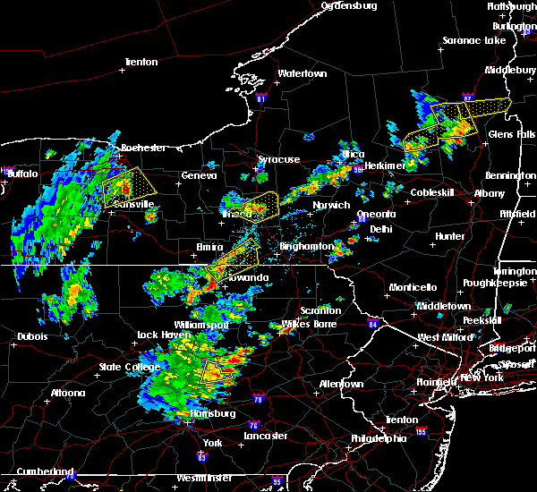 At 447 pm edt, a severe thunderstorm was located over burlington, or 8 miles west of towanda, moving northeast at 20 mph (radar indicated). Hazards include 60 mph wind gusts and quarter size hail. Hail damage to vehicles is expected. Expect wind damage to roofs, siding, and trees. At 447 pm edt, a severe thunderstorm was located over burlington, or 8 miles west of towanda, moving northeast at 20 mph (radar indicated). Hazards include 60 mph wind gusts and quarter size hail. Hail damage to vehicles is expected. Expect wind damage to roofs, siding, and trees.
|
| 7/19/2019 5:56 PM EDT |
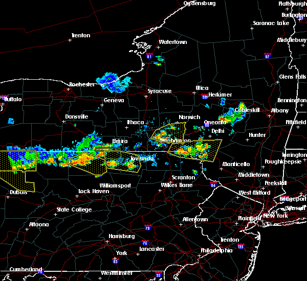 At 556 pm edt, severe thunderstorms were located along a line extending from near millerton to near troy to near wysox, moving east at 20 mph (radar indicated). Hazards include 60 mph wind gusts. Expect damage to roofs, siding, and trees. Locations impacted include, athens, towanda, ridgebury, west franklin, wysox, troy, sheshequin, ulster, wilmot and north towanda. At 556 pm edt, severe thunderstorms were located along a line extending from near millerton to near troy to near wysox, moving east at 20 mph (radar indicated). Hazards include 60 mph wind gusts. Expect damage to roofs, siding, and trees. Locations impacted include, athens, towanda, ridgebury, west franklin, wysox, troy, sheshequin, ulster, wilmot and north towanda.
|
| 7/19/2019 5:33 PM EDT |
 At 533 pm edt, a severe thunderstorm was located near sylvania, or near troy, moving east at 30 mph (radar indicated). Hazards include 60 mph wind gusts and quarter size hail. Hail damage to vehicles is expected. Expect wind damage to roofs, siding, and trees. At 533 pm edt, a severe thunderstorm was located near sylvania, or near troy, moving east at 30 mph (radar indicated). Hazards include 60 mph wind gusts and quarter size hail. Hail damage to vehicles is expected. Expect wind damage to roofs, siding, and trees.
|
| 5/28/2019 5:56 PM EDT |
 At 555 pm edt, severe thunderstorms were located along a line extending from canton to franklindale, moving southeast at 40 mph (radar indicated). Hazards include 60 mph wind gusts and nickel size hail. expect damage to roofs, siding, and trees At 555 pm edt, severe thunderstorms were located along a line extending from canton to franklindale, moving southeast at 40 mph (radar indicated). Hazards include 60 mph wind gusts and nickel size hail. expect damage to roofs, siding, and trees
|
| 5/19/2019 5:02 PM EDT |
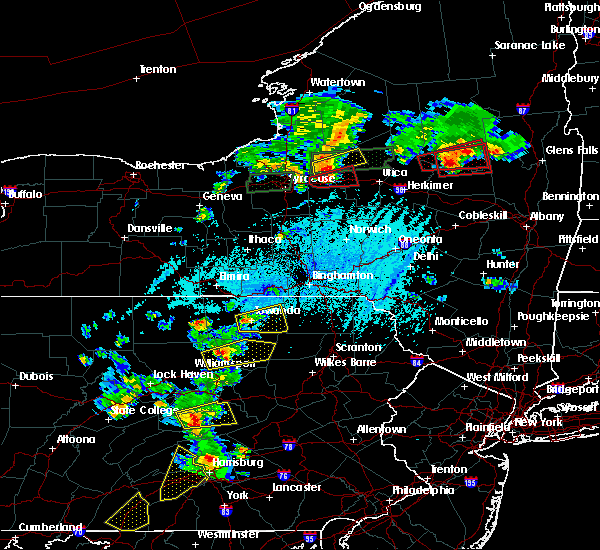 At 501 pm edt, a severe thunderstorm was located over franklindale, or just west of towanda, moving east at 30 mph (radar indicated). Hazards include 60 mph wind gusts and half dollar size hail. Hail damage to vehicles is expected. expect wind damage to roofs, siding, and trees. Locations impacted include, towanda, wysox, orwell, north towanda, herrick, wyalusing, monroe, rome, laceyville and le raysville. At 501 pm edt, a severe thunderstorm was located over franklindale, or just west of towanda, moving east at 30 mph (radar indicated). Hazards include 60 mph wind gusts and half dollar size hail. Hail damage to vehicles is expected. expect wind damage to roofs, siding, and trees. Locations impacted include, towanda, wysox, orwell, north towanda, herrick, wyalusing, monroe, rome, laceyville and le raysville.
|
| 5/19/2019 4:46 PM EDT |
 At 445 pm edt, a severe thunderstorm was located over le roy, or 7 miles southeast of troy, moving east at 25 mph (radar indicated). Hazards include 70 mph wind gusts and ping pong ball size hail. People and animals outdoors will be injured. expect hail damage to roofs, siding, windows, and vehicles. expect considerable tree damage. Wind damage is also likely to mobile homes, roofs, and outbuildings. At 445 pm edt, a severe thunderstorm was located over le roy, or 7 miles southeast of troy, moving east at 25 mph (radar indicated). Hazards include 70 mph wind gusts and ping pong ball size hail. People and animals outdoors will be injured. expect hail damage to roofs, siding, windows, and vehicles. expect considerable tree damage. Wind damage is also likely to mobile homes, roofs, and outbuildings.
|
| 5/19/2019 4:36 PM EDT |
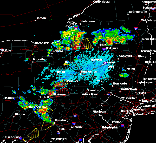 At 435 pm edt, a severe thunderstorm was located over le roy, or near canton, moving northeast at 35 mph (radar indicated). Hazards include 60 mph wind gusts and quarter size hail. Hail damage to vehicles is expected. expect wind damage to roofs, siding, and trees. Locations impacted include, towanda, canton, west franklin, wysox, sheshequin, ulster, north towanda, west burlington, monroe and alba. At 435 pm edt, a severe thunderstorm was located over le roy, or near canton, moving northeast at 35 mph (radar indicated). Hazards include 60 mph wind gusts and quarter size hail. Hail damage to vehicles is expected. expect wind damage to roofs, siding, and trees. Locations impacted include, towanda, canton, west franklin, wysox, sheshequin, ulster, north towanda, west burlington, monroe and alba.
|
| 5/19/2019 4:14 PM EDT |
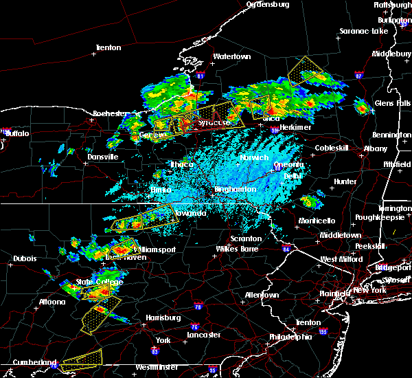 At 413 pm edt, a severe thunderstorm was located near canton, moving east at 25 mph (radar indicated). Hazards include 60 mph wind gusts and quarter size hail. Hail damage to vehicles is expected. expect wind damage to roofs, siding, and trees. Locations impacted include, sayre, athens, towanda, canton, west franklin, wysox, troy, sheshequin, ulster and north towanda. At 413 pm edt, a severe thunderstorm was located near canton, moving east at 25 mph (radar indicated). Hazards include 60 mph wind gusts and quarter size hail. Hail damage to vehicles is expected. expect wind damage to roofs, siding, and trees. Locations impacted include, sayre, athens, towanda, canton, west franklin, wysox, troy, sheshequin, ulster and north towanda.
|
| 5/19/2019 3:45 PM EDT |
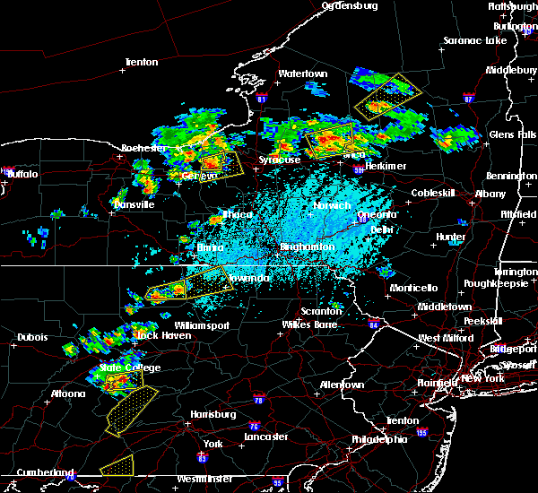 At 343 pm edt, a severe thunderstorm was located 7 miles southeast of mansfield, moving east at 25 mph (radar indicated). Hazards include 60 mph wind gusts and quarter size hail. Hail damage to vehicles is expected. Expect wind damage to roofs, siding, and trees. At 343 pm edt, a severe thunderstorm was located 7 miles southeast of mansfield, moving east at 25 mph (radar indicated). Hazards include 60 mph wind gusts and quarter size hail. Hail damage to vehicles is expected. Expect wind damage to roofs, siding, and trees.
|
| 4/15/2019 1:10 AM EDT |
 At 110 am edt, severe thunderstorms were located along a line extending from near nanticoke to near le raysville to near new albany, moving east at 45 mph (radar indicated). Hazards include 70 mph wind gusts. Expect considerable tree damage. Damage is likely to mobile homes, roofs, and outbuildings. At 110 am edt, severe thunderstorms were located along a line extending from near nanticoke to near le raysville to near new albany, moving east at 45 mph (radar indicated). Hazards include 70 mph wind gusts. Expect considerable tree damage. Damage is likely to mobile homes, roofs, and outbuildings.
|
| 4/15/2019 12:54 AM EDT |
 At 1254 am edt, severe thunderstorms were located along a line extending from near newark valley to near north towanda to near lincoln falls, moving northeast at 60 mph (radar indicated). Hazards include 60 mph wind gusts. Expect damage to roofs, siding, and trees. Locations impacted include, binghamton, vestal, johnson city, endicott, barton, sayre, maine, owego, athens and towanda. At 1254 am edt, severe thunderstorms were located along a line extending from near newark valley to near north towanda to near lincoln falls, moving northeast at 60 mph (radar indicated). Hazards include 60 mph wind gusts. Expect damage to roofs, siding, and trees. Locations impacted include, binghamton, vestal, johnson city, endicott, barton, sayre, maine, owego, athens and towanda.
|
| 4/15/2019 12:40 AM EDT |
 At 1240 am edt, severe thunderstorms were located along a line extending from near lockwood to near shunk, moving northeast at 55 mph (radar indicated). Hazards include 60 mph wind gusts. Expect damage to roofs, siding, and trees. Locations impacted include, chemung, binghamton, vestal, johnson city, endicott, barton, sayre, maine, waverly and owego. At 1240 am edt, severe thunderstorms were located along a line extending from near lockwood to near shunk, moving northeast at 55 mph (radar indicated). Hazards include 60 mph wind gusts. Expect damage to roofs, siding, and trees. Locations impacted include, chemung, binghamton, vestal, johnson city, endicott, barton, sayre, maine, waverly and owego.
|
| 4/15/2019 12:16 AM EDT |
 At 1216 am edt, severe thunderstorms were located along a line extending from near west elmira to near arnot, moving northeast at 55 mph (radar indicated). Hazards include 60 mph wind gusts. expect damage to roofs, siding, and trees At 1216 am edt, severe thunderstorms were located along a line extending from near west elmira to near arnot, moving northeast at 55 mph (radar indicated). Hazards include 60 mph wind gusts. expect damage to roofs, siding, and trees
|
| 10/2/2018 4:10 PM EDT | Trees and wires dow in bradford county PA, 0.3 miles NE of Monroe, PA |
| 10/2/2018 4:06 PM EDT |
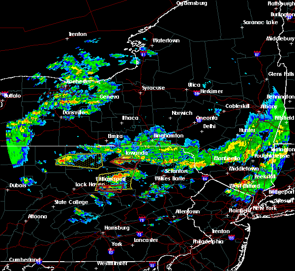 At 404 pm edt, a severe thunderstorm was located over monroeton, or near towanda, moving east at 30 mph (radar and emergency management indicated. at, 306 pm, emergency management reported significant tree damage when the storm moved through mansfield). Hazards include 60 mph wind gusts and nickel size hail. Expect damage to roofs, siding, and trees. this severe storm will be near, wysox around 415 pm edt. A tornado watch remains in effect until 1100 pm edt for northeastern pennsylvania. At 404 pm edt, a severe thunderstorm was located over monroeton, or near towanda, moving east at 30 mph (radar and emergency management indicated. at, 306 pm, emergency management reported significant tree damage when the storm moved through mansfield). Hazards include 60 mph wind gusts and nickel size hail. Expect damage to roofs, siding, and trees. this severe storm will be near, wysox around 415 pm edt. A tornado watch remains in effect until 1100 pm edt for northeastern pennsylvania.
|
| 10/2/2018 4:05 PM EDT | Several reports of trees and wires dow in bradford county PA, 4 miles ENE of Monroe, PA |
| 10/2/2018 3:53 PM EDT |
 At 353 pm edt, a severe thunderstorm capable of producing a tornado was located near franklindale, or 9 miles southwest of towanda, moving east at 35 mph (radar indicated rotation). Hazards include tornado. Flying debris will be dangerous to those caught without shelter. mobile homes will be damaged or destroyed. damage to roofs, windows, and vehicles will occur. tree damage is likely. this dangerous storm will be near, monroeton around 405 pm edt. new albany and south branch around 410 pm edt. wyalusing around 425 pm edt. Sugar run around 430 pm edt. At 353 pm edt, a severe thunderstorm capable of producing a tornado was located near franklindale, or 9 miles southwest of towanda, moving east at 35 mph (radar indicated rotation). Hazards include tornado. Flying debris will be dangerous to those caught without shelter. mobile homes will be damaged or destroyed. damage to roofs, windows, and vehicles will occur. tree damage is likely. this dangerous storm will be near, monroeton around 405 pm edt. new albany and south branch around 410 pm edt. wyalusing around 425 pm edt. Sugar run around 430 pm edt.
|
| 10/2/2018 3:41 PM EDT |
 At 341 pm edt, a severe thunderstorm was located near troy, moving east at 40 mph (radar indicated). Hazards include 60 mph wind gusts and penny size hail. Expect damage to roofs, siding, and trees. this severe storm will be near, springfield around 345 pm edt. burlington around 350 pm edt. ulster around 355 pm edt. towanda, north towanda and monroeton around 400 pm edt. wysox around 405 pm edt. A tornado watch remains in effect until 1100 pm edt for northeastern pennsylvania. At 341 pm edt, a severe thunderstorm was located near troy, moving east at 40 mph (radar indicated). Hazards include 60 mph wind gusts and penny size hail. Expect damage to roofs, siding, and trees. this severe storm will be near, springfield around 345 pm edt. burlington around 350 pm edt. ulster around 355 pm edt. towanda, north towanda and monroeton around 400 pm edt. wysox around 405 pm edt. A tornado watch remains in effect until 1100 pm edt for northeastern pennsylvania.
|
| 10/2/2018 3:21 PM EDT |
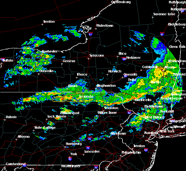 At 320 pm edt, a severe thunderstorm was located over sylvania, or near troy, moving east at 35 mph (radar indicated). Hazards include 60 mph wind gusts and nickel size hail. Expect damage to roofs, siding, and trees. this severe storm will be near, sylvania around 325 pm edt. troy around 330 pm edt. springfield around 335 pm edt. wetona around 340 pm edt. burlington and east smithfield around 345 pm edt. ulster and milan around 355 pm edt. towanda, north towanda and monroeton around 400 pm edt. wysox around 405 pm edt. A tornado watch remains in effect until 1100 pm edt for northeastern pennsylvania. At 320 pm edt, a severe thunderstorm was located over sylvania, or near troy, moving east at 35 mph (radar indicated). Hazards include 60 mph wind gusts and nickel size hail. Expect damage to roofs, siding, and trees. this severe storm will be near, sylvania around 325 pm edt. troy around 330 pm edt. springfield around 335 pm edt. wetona around 340 pm edt. burlington and east smithfield around 345 pm edt. ulster and milan around 355 pm edt. towanda, north towanda and monroeton around 400 pm edt. wysox around 405 pm edt. A tornado watch remains in effect until 1100 pm edt for northeastern pennsylvania.
|
| 10/2/2018 3:10 PM EDT |
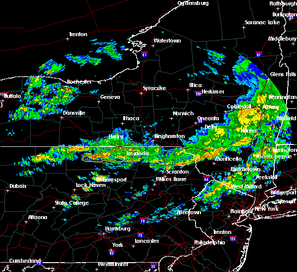 At 309 pm edt, a severe thunderstorm was located over mansfield, moving east at 40 mph (radar indicated). Hazards include 60 mph wind gusts. expect damage to roofs, siding, and trees At 309 pm edt, a severe thunderstorm was located over mansfield, moving east at 40 mph (radar indicated). Hazards include 60 mph wind gusts. expect damage to roofs, siding, and trees
|
| 7/16/2018 10:23 PM EDT |
 At 1022 pm edt, a severe thunderstorm was located over sylvania, or near troy, moving east at 35 mph (radar indicated). Hazards include 60 mph wind gusts and penny size hail. Expect damage to roofs, siding, and trees. this severe thunderstorm will be near, troy around 1030 pm edt. springfield and gillett around 1035 pm edt. wetona around 1040 pm edt. burlington and east smithfield around 1045 pm edt. ulster and milan around 1055 pm edt. towanda and north towanda around 1100 pm edt. wysox around 1105 pm edt. Rome around 1110 pm edt. At 1022 pm edt, a severe thunderstorm was located over sylvania, or near troy, moving east at 35 mph (radar indicated). Hazards include 60 mph wind gusts and penny size hail. Expect damage to roofs, siding, and trees. this severe thunderstorm will be near, troy around 1030 pm edt. springfield and gillett around 1035 pm edt. wetona around 1040 pm edt. burlington and east smithfield around 1045 pm edt. ulster and milan around 1055 pm edt. towanda and north towanda around 1100 pm edt. wysox around 1105 pm edt. Rome around 1110 pm edt.
|
| 7/16/2018 10:23 PM EDT |
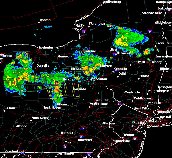 At 1022 pm edt, a severe thunderstorm was located over sylvania, or near troy, moving east at 35 mph (radar indicated). Hazards include 60 mph wind gusts and penny size hail. Expect damage to roofs, siding, and trees. this severe thunderstorm will be near, troy around 1030 pm edt. springfield and gillett around 1035 pm edt. wetona around 1040 pm edt. burlington and east smithfield around 1045 pm edt. ulster and milan around 1055 pm edt. towanda and north towanda around 1100 pm edt. wysox around 1105 pm edt. Rome around 1110 pm edt. At 1022 pm edt, a severe thunderstorm was located over sylvania, or near troy, moving east at 35 mph (radar indicated). Hazards include 60 mph wind gusts and penny size hail. Expect damage to roofs, siding, and trees. this severe thunderstorm will be near, troy around 1030 pm edt. springfield and gillett around 1035 pm edt. wetona around 1040 pm edt. burlington and east smithfield around 1045 pm edt. ulster and milan around 1055 pm edt. towanda and north towanda around 1100 pm edt. wysox around 1105 pm edt. Rome around 1110 pm edt.
|
| 6/13/2018 8:31 PM EDT |
 At 831 pm edt, a severe thunderstorm capable of producing a tornado was located over franklindale, or 7 miles southwest of towanda, moving southeast at 30 mph (radar indicated rotation). Hazards include tornado and quarter size hail. Flying debris will be dangerous to those caught without shelter. mobile homes will be damaged or destroyed. damage to roofs, windows, and vehicles will occur. tree damage is likely. this dangerous storm will be near, towanda and monroeton around 835 pm edt. new albany, overton and south branch around 845 pm edt. Wyalusing around 855 pm edt. At 831 pm edt, a severe thunderstorm capable of producing a tornado was located over franklindale, or 7 miles southwest of towanda, moving southeast at 30 mph (radar indicated rotation). Hazards include tornado and quarter size hail. Flying debris will be dangerous to those caught without shelter. mobile homes will be damaged or destroyed. damage to roofs, windows, and vehicles will occur. tree damage is likely. this dangerous storm will be near, towanda and monroeton around 835 pm edt. new albany, overton and south branch around 845 pm edt. Wyalusing around 855 pm edt.
|
| 6/13/2018 8:15 PM EDT |
 At 815 pm edt, a severe thunderstorm capable of producing a tornado was located near le roy, or near troy, moving southeast at 30 mph (radar indicated rotation). Hazards include tornado and quarter size hail. Flying debris will be dangerous to those caught without shelter. mobile homes will be damaged or destroyed. damage to roofs, windows, and vehicles will occur. tree damage is likely. this dangerous storm will be near, burlington around 820 pm edt. franklindale around 830 pm edt. towanda and monroeton around 835 pm edt. new albany, overton and south branch around 845 pm edt. Wyalusing around 855 pm edt. At 815 pm edt, a severe thunderstorm capable of producing a tornado was located near le roy, or near troy, moving southeast at 30 mph (radar indicated rotation). Hazards include tornado and quarter size hail. Flying debris will be dangerous to those caught without shelter. mobile homes will be damaged or destroyed. damage to roofs, windows, and vehicles will occur. tree damage is likely. this dangerous storm will be near, burlington around 820 pm edt. franklindale around 830 pm edt. towanda and monroeton around 835 pm edt. new albany, overton and south branch around 845 pm edt. Wyalusing around 855 pm edt.
|
| 6/13/2018 8:10 PM EDT |
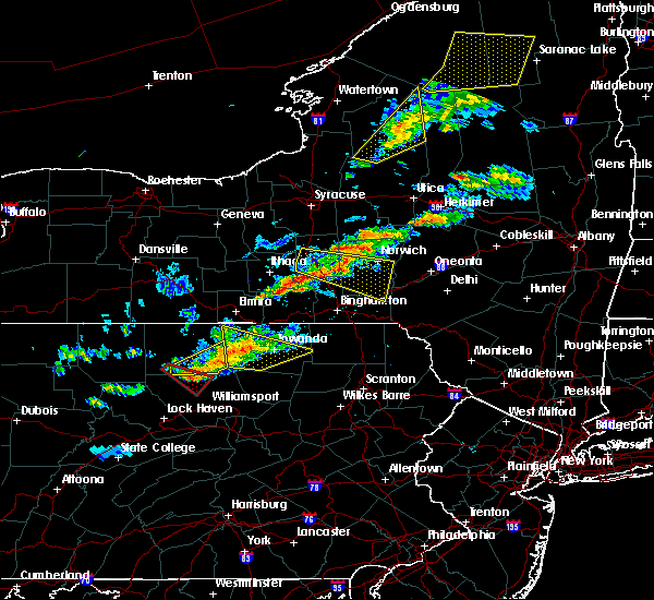 At 810 pm edt, a severe thunderstorm was located near le roy, or near troy, moving east at 45 mph (radar indicated). Hazards include 60 mph wind gusts and quarter size hail. Hail damage to vehicles is possible. expect wind damage to roofs, siding, and trees. this severe storm will be near, burlington around 815 pm edt. franklindale around 825 pm edt. Towanda, wysox and north towanda around 830 pm edt. At 810 pm edt, a severe thunderstorm was located near le roy, or near troy, moving east at 45 mph (radar indicated). Hazards include 60 mph wind gusts and quarter size hail. Hail damage to vehicles is possible. expect wind damage to roofs, siding, and trees. this severe storm will be near, burlington around 815 pm edt. franklindale around 825 pm edt. Towanda, wysox and north towanda around 830 pm edt.
|
| 6/13/2018 7:41 PM EDT |
 At 741 pm edt, severe thunderstorms were located along a line extending from near gillett to near wellsboro to 6 miles west of leetonia, moving east at 45 mph (radar indicated). Hazards include 60 mph wind gusts and quarter size hail. Hail damage to vehicles is expected. expect wind damage to roofs, siding, and trees. severe thunderstorms will be near, springfield around 745 pm edt. wetona around 750 pm edt. burlington and east smithfield around 755 pm edt. ulster around 805 pm edt. towanda, canton and north towanda around 810 pm edt. wysox around 815 pm edt. herrick and le roy around 820 pm edt. Camptown around 825 pm edt. At 741 pm edt, severe thunderstorms were located along a line extending from near gillett to near wellsboro to 6 miles west of leetonia, moving east at 45 mph (radar indicated). Hazards include 60 mph wind gusts and quarter size hail. Hail damage to vehicles is expected. expect wind damage to roofs, siding, and trees. severe thunderstorms will be near, springfield around 745 pm edt. wetona around 750 pm edt. burlington and east smithfield around 755 pm edt. ulster around 805 pm edt. towanda, canton and north towanda around 810 pm edt. wysox around 815 pm edt. herrick and le roy around 820 pm edt. Camptown around 825 pm edt.
|
| 5/22/2018 6:39 PM EDT |
 The national weather service in binghamton has issued a * severe thunderstorm warning for. southern chemung county in central new york. southeastern steuben county in central new york. northern bradford county in northeastern pennsylvania. Until 745 pm edt. The national weather service in binghamton has issued a * severe thunderstorm warning for. southern chemung county in central new york. southeastern steuben county in central new york. northern bradford county in northeastern pennsylvania. Until 745 pm edt.
|
| 5/22/2018 6:39 PM EDT |
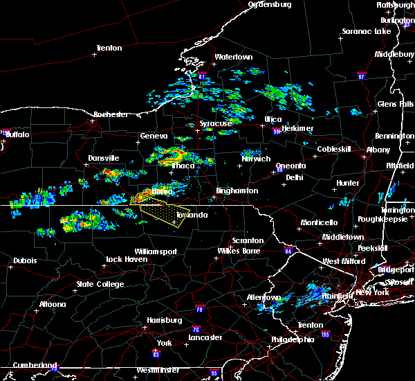 At 638 pm edt, a severe thunderstorm was located near pine city, or near west elmira, moving southeast at 30 mph (radar indicated). Hazards include 60 mph wind gusts and penny size hail. Expect damage to roofs, siding, and trees. this severe thunderstorm will be near, elmira, southport and pine city around 645 pm edt. wellsburg, gillett and lowman around 700 pm edt. ridgebury around 705 pm edt. chemung and springfield around 710 pm edt. wetona around 715 pm edt. sayre, waverly and athens around 720 pm edt. milan around 725 pm edt. Ulster and litchfield around 730 pm edt. At 638 pm edt, a severe thunderstorm was located near pine city, or near west elmira, moving southeast at 30 mph (radar indicated). Hazards include 60 mph wind gusts and penny size hail. Expect damage to roofs, siding, and trees. this severe thunderstorm will be near, elmira, southport and pine city around 645 pm edt. wellsburg, gillett and lowman around 700 pm edt. ridgebury around 705 pm edt. chemung and springfield around 710 pm edt. wetona around 715 pm edt. sayre, waverly and athens around 720 pm edt. milan around 725 pm edt. Ulster and litchfield around 730 pm edt.
|
| 5/15/2018 2:13 PM EDT |
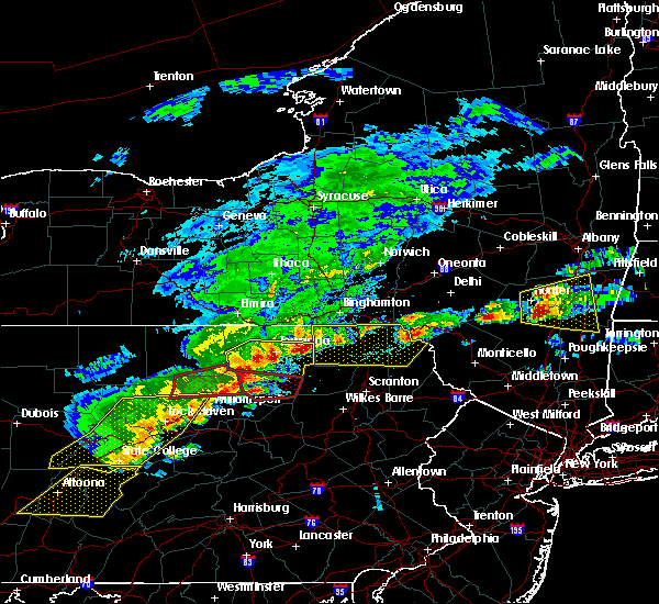 At 213 pm edt, severe thunderstorms were located along a line extending from near ulster to monroeton to near shunk, moving east at 55 mph (radar indicated). Hazards include 70 mph wind gusts and half dollar size hail. Hail damage to vehicles is expected. expect considerable tree damage. wind damage is also likely to mobile homes, roofs, and outbuildings. these severe storms will be near, towanda, wysox and rome around 220 pm edt. wyalusing, herrick and camptown around 225 pm edt. Laceyville, le raysville and overton around 230 pm edt. At 213 pm edt, severe thunderstorms were located along a line extending from near ulster to monroeton to near shunk, moving east at 55 mph (radar indicated). Hazards include 70 mph wind gusts and half dollar size hail. Hail damage to vehicles is expected. expect considerable tree damage. wind damage is also likely to mobile homes, roofs, and outbuildings. these severe storms will be near, towanda, wysox and rome around 220 pm edt. wyalusing, herrick and camptown around 225 pm edt. Laceyville, le raysville and overton around 230 pm edt.
|
| 5/15/2018 1:52 PM EDT |
 At 151 pm edt, a severe thunderstorm was located near troy, moving east at 50 mph (radar indicated). Hazards include 60 mph wind gusts and quarter size hail. Hail damage to vehicles is expected. expect wind damage to roofs, siding, and trees. this severe thunderstorm will be near, springfield around 155 pm edt. burlington, le roy and wetona around 200 pm edt. franklindale around 205 pm edt. north towanda and monroeton around 210 pm edt. towanda, wysox and new albany around 215 pm edt. wyalusing, herrick and camptown around 225 pm edt. Laceyville, rushville and brushville around 230 pm edt. At 151 pm edt, a severe thunderstorm was located near troy, moving east at 50 mph (radar indicated). Hazards include 60 mph wind gusts and quarter size hail. Hail damage to vehicles is expected. expect wind damage to roofs, siding, and trees. this severe thunderstorm will be near, springfield around 155 pm edt. burlington, le roy and wetona around 200 pm edt. franklindale around 205 pm edt. north towanda and monroeton around 210 pm edt. towanda, wysox and new albany around 215 pm edt. wyalusing, herrick and camptown around 225 pm edt. Laceyville, rushville and brushville around 230 pm edt.
|
| 5/4/2018 7:13 PM EDT |
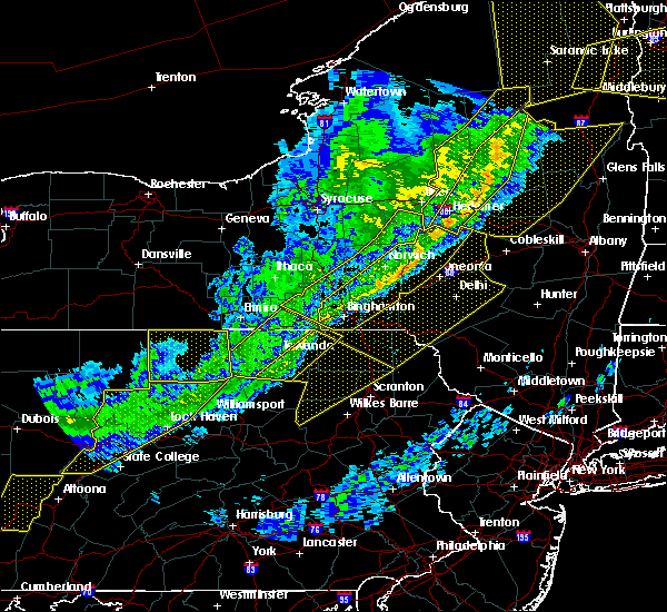 At 712 pm edt, severe thunderstorms were located along a line extending from little meadows to near lincoln falls, moving southeast at 55 mph (radar indicated). Hazards include 60 mph wind gusts. Expect damage to trees, and power lines. severe thunderstorms will be near, little meadows, friendsville and warren center around 720 pm edt. montrose around 730 pm edt. lovelton around 735 pm edt. forkston and kasson brook around 740 pm edt. noxen around 745 pm edt. harveys lake, beaumont and evans falls around 750 pm edt. falls around 755 pm edt. Forest city around 800 pm edt. At 712 pm edt, severe thunderstorms were located along a line extending from little meadows to near lincoln falls, moving southeast at 55 mph (radar indicated). Hazards include 60 mph wind gusts. Expect damage to trees, and power lines. severe thunderstorms will be near, little meadows, friendsville and warren center around 720 pm edt. montrose around 730 pm edt. lovelton around 735 pm edt. forkston and kasson brook around 740 pm edt. noxen around 745 pm edt. harveys lake, beaumont and evans falls around 750 pm edt. falls around 755 pm edt. Forest city around 800 pm edt.
|
| 5/4/2018 6:52 PM EDT |
 At 651 pm edt, severe thunderstorms were located along a line extending from near candor to ogdensburg, moving east at 40 mph (radar indicated). Hazards include 60 mph wind gusts. Expect damage to trees, and power lines. these severe storms will be near, owego, lounsberry and tioga center around 655 pm edt. apalachin around 705 pm edt. little meadows around 710 pm edt. Overton around 725 pm edt. At 651 pm edt, severe thunderstorms were located along a line extending from near candor to ogdensburg, moving east at 40 mph (radar indicated). Hazards include 60 mph wind gusts. Expect damage to trees, and power lines. these severe storms will be near, owego, lounsberry and tioga center around 655 pm edt. apalachin around 705 pm edt. little meadows around 710 pm edt. Overton around 725 pm edt.
|
| 5/4/2018 6:52 PM EDT |
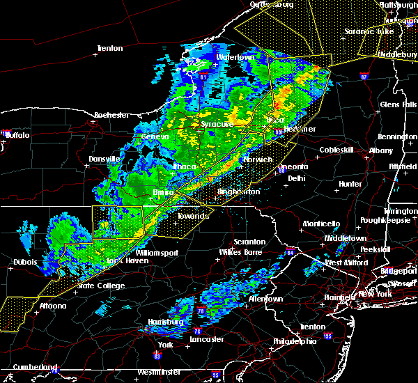 At 651 pm edt, severe thunderstorms were located along a line extending from near candor to ogdensburg, moving east at 40 mph (radar indicated). Hazards include 60 mph wind gusts. Expect damage to trees, and power lines. these severe storms will be near, owego, lounsberry and tioga center around 655 pm edt. apalachin around 705 pm edt. little meadows around 710 pm edt. Overton around 725 pm edt. At 651 pm edt, severe thunderstorms were located along a line extending from near candor to ogdensburg, moving east at 40 mph (radar indicated). Hazards include 60 mph wind gusts. Expect damage to trees, and power lines. these severe storms will be near, owego, lounsberry and tioga center around 655 pm edt. apalachin around 705 pm edt. little meadows around 710 pm edt. Overton around 725 pm edt.
|
| 5/4/2018 6:34 PM EDT |
 At 633 pm edt, severe thunderstorms were located along a line extending from near spencer to near morris, moving southeast at 40 mph (radar indicated). Hazards include 60 mph wind gusts. Expect damage to trees, and power lines. severe thunderstorms will be near, spencer and van etten around 640 pm edt. owego, lounsberry and tioga center around 655 pm edt. canton and grover around 700 pm edt. apalachin around 705 pm edt. Little meadows around 710 pm edt. At 633 pm edt, severe thunderstorms were located along a line extending from near spencer to near morris, moving southeast at 40 mph (radar indicated). Hazards include 60 mph wind gusts. Expect damage to trees, and power lines. severe thunderstorms will be near, spencer and van etten around 640 pm edt. owego, lounsberry and tioga center around 655 pm edt. canton and grover around 700 pm edt. apalachin around 705 pm edt. Little meadows around 710 pm edt.
|
| 5/4/2018 6:34 PM EDT |
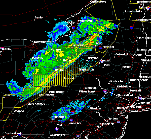 At 633 pm edt, severe thunderstorms were located along a line extending from near spencer to near morris, moving southeast at 40 mph (radar indicated). Hazards include 60 mph wind gusts. Expect damage to trees, and power lines. severe thunderstorms will be near, spencer and van etten around 640 pm edt. owego, lounsberry and tioga center around 655 pm edt. canton and grover around 700 pm edt. apalachin around 705 pm edt. Little meadows around 710 pm edt. At 633 pm edt, severe thunderstorms were located along a line extending from near spencer to near morris, moving southeast at 40 mph (radar indicated). Hazards include 60 mph wind gusts. Expect damage to trees, and power lines. severe thunderstorms will be near, spencer and van etten around 640 pm edt. owego, lounsberry and tioga center around 655 pm edt. canton and grover around 700 pm edt. apalachin around 705 pm edt. Little meadows around 710 pm edt.
|
| 8/19/2017 7:09 PM EDT |
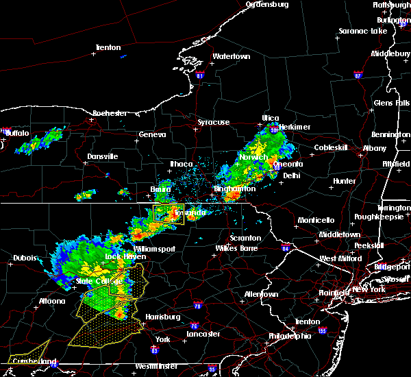 The severe thunderstorm warning for northeastern bradford county will expire at 715 pm edt, the storm which prompted the warning has weakened below severe limits, and has exited the warned area. therefore, the warning will be allowed to expire. however gusty winds are still possible with this thunderstorm. The severe thunderstorm warning for northeastern bradford county will expire at 715 pm edt, the storm which prompted the warning has weakened below severe limits, and has exited the warned area. therefore, the warning will be allowed to expire. however gusty winds are still possible with this thunderstorm.
|
| 8/19/2017 6:54 PM EDT |
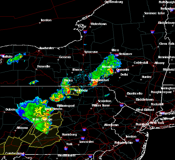 At 653 pm edt, a severe thunderstorm was located over east smithfield, or 7 miles southwest of athens, moving east at 35 mph (radar indicated). Hazards include 60 mph wind gusts and penny size hail. Expect damage to trees, and power lines. this severe storm will be near, ulster and milan around 700 pm edt. towanda, litchfield and north towanda around 705 pm edt. wysox around 710 pm edt. Rome around 715 pm edt. At 653 pm edt, a severe thunderstorm was located over east smithfield, or 7 miles southwest of athens, moving east at 35 mph (radar indicated). Hazards include 60 mph wind gusts and penny size hail. Expect damage to trees, and power lines. this severe storm will be near, ulster and milan around 700 pm edt. towanda, litchfield and north towanda around 705 pm edt. wysox around 710 pm edt. Rome around 715 pm edt.
|
| 8/19/2017 6:41 PM EDT |
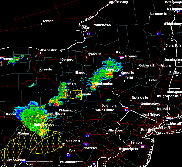 At 641 pm edt, a severe thunderstorm was located near wetona, or near troy, moving east at 35 mph (radar indicated). Hazards include 60 mph wind gusts and penny size hail. Expect damage to trees, and power lines. this severe thunderstorm will be near, springfield and wetona around 645 pm edt. east smithfield around 650 pm edt. burlington around 655 pm edt. milan around 700 pm edt. ulster and north towanda around 705 pm edt. towanda and wysox around 710 pm edt. Rome around 715 pm edt. At 641 pm edt, a severe thunderstorm was located near wetona, or near troy, moving east at 35 mph (radar indicated). Hazards include 60 mph wind gusts and penny size hail. Expect damage to trees, and power lines. this severe thunderstorm will be near, springfield and wetona around 645 pm edt. east smithfield around 650 pm edt. burlington around 655 pm edt. milan around 700 pm edt. ulster and north towanda around 705 pm edt. towanda and wysox around 710 pm edt. Rome around 715 pm edt.
|
| 8/12/2017 3:49 PM EDT |
 At 348 pm edt, a severe thunderstorm was located near burlington, or near troy, moving east at 20 mph (radar indicated). Hazards include quarter size hail. Minor damage to vehicles is possible. this severe thunderstorm will be near, burlington around 400 pm edt. franklindale and east smithfield around 405 pm edt. ulster and monroeton around 420 pm edt. towanda and north towanda around 425 pm edt. Wysox and rome around 430 pm edt. At 348 pm edt, a severe thunderstorm was located near burlington, or near troy, moving east at 20 mph (radar indicated). Hazards include quarter size hail. Minor damage to vehicles is possible. this severe thunderstorm will be near, burlington around 400 pm edt. franklindale and east smithfield around 405 pm edt. ulster and monroeton around 420 pm edt. towanda and north towanda around 425 pm edt. Wysox and rome around 430 pm edt.
|
| 8/4/2017 7:51 PM EDT |
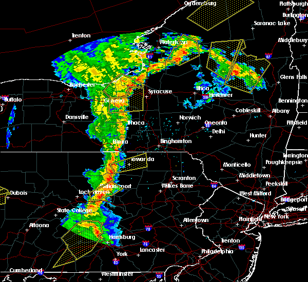 At 751 pm edt, a severe thunderstorm was located over le roy, or 7 miles southeast of troy, moving east at 35 mph (radar indicated). Hazards include 60 mph wind gusts and quarter size hail. Minor hail damage to vehicles is possible. expect wind to cause damage to trees, and power lines. this severe thunderstorm will be near, burlington around 800 pm edt. franklindale around 805 pm edt. ulster, monroeton and south branch around 810 pm edt. towanda, wysox and north towanda around 815 pm edt. rome around 825 pm edt. herrick, herrickville and camptown around 830 pm edt. brushville around 835 pm edt. Le raysville and rushville around 840 pm edt. At 751 pm edt, a severe thunderstorm was located over le roy, or 7 miles southeast of troy, moving east at 35 mph (radar indicated). Hazards include 60 mph wind gusts and quarter size hail. Minor hail damage to vehicles is possible. expect wind to cause damage to trees, and power lines. this severe thunderstorm will be near, burlington around 800 pm edt. franklindale around 805 pm edt. ulster, monroeton and south branch around 810 pm edt. towanda, wysox and north towanda around 815 pm edt. rome around 825 pm edt. herrick, herrickville and camptown around 830 pm edt. brushville around 835 pm edt. Le raysville and rushville around 840 pm edt.
|
| 7/20/2017 3:57 PM EDT |
 At 356 pm edt, a severe thunderstorm was located near troy, moving southeast at 35 mph (radar indicated). Hazards include 60 mph wind gusts and quarter size hail. Minor hail damage to vehicles is possible. expect wind to cause damage to trees, and power lines. this severe storm will be near, springfield and burlington around 400 pm edt. le roy around 405 pm edt. Franklindale around 415 pm edt. At 356 pm edt, a severe thunderstorm was located near troy, moving southeast at 35 mph (radar indicated). Hazards include 60 mph wind gusts and quarter size hail. Minor hail damage to vehicles is possible. expect wind to cause damage to trees, and power lines. this severe storm will be near, springfield and burlington around 400 pm edt. le roy around 405 pm edt. Franklindale around 415 pm edt.
|
| 7/20/2017 3:29 PM EDT |
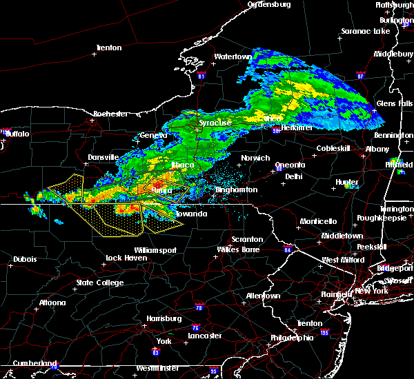 At 329 pm edt, a severe thunderstorm was located near millerton, or 10 miles northeast of mansfield, moving southeast at 40 mph (radar indicated). Hazards include 60 mph wind gusts and quarter size hail. Minor hail damage to vehicles is possible. expect wind to cause damage to trees, and power lines. this severe thunderstorm will be near, sylvania around 345 pm edt. troy and springfield around 350 pm edt. wetona around 355 pm edt. burlington around 400 pm edt. le roy around 405 pm edt. franklindale around 410 pm edt. Towanda and monroeton around 415 pm edt. At 329 pm edt, a severe thunderstorm was located near millerton, or 10 miles northeast of mansfield, moving southeast at 40 mph (radar indicated). Hazards include 60 mph wind gusts and quarter size hail. Minor hail damage to vehicles is possible. expect wind to cause damage to trees, and power lines. this severe thunderstorm will be near, sylvania around 345 pm edt. troy and springfield around 350 pm edt. wetona around 355 pm edt. burlington around 400 pm edt. le roy around 405 pm edt. franklindale around 410 pm edt. Towanda and monroeton around 415 pm edt.
|
| 5/1/2017 7:02 PM EDT |
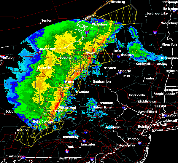 At 701 pm edt, severe thunderstorms were located along a line extending from near sylvania to near canton to near ralston, moving northeast at 50 to 60 mph (radar indicated). Hazards include 60 mph wind gusts and penny size hail. Expect damage to roofs, siding, and trees. severe thunderstorms will be near, le roy around 705 pm edt. burlington and grover around 710 pm edt. towanda around 715 pm edt. north towanda, overton and franklindale around 720 pm edt. rome, new albany and south branch around 725 pm edt. wyalusing, wysox and sugar run around 730 pm edt. herrick, camptown and herrickville around 735 pm edt. le raysville and rushville around 740 pm edt. A tornado watch remains in effect until 1000 pm edt for northeastern pennsylvania. At 701 pm edt, severe thunderstorms were located along a line extending from near sylvania to near canton to near ralston, moving northeast at 50 to 60 mph (radar indicated). Hazards include 60 mph wind gusts and penny size hail. Expect damage to roofs, siding, and trees. severe thunderstorms will be near, le roy around 705 pm edt. burlington and grover around 710 pm edt. towanda around 715 pm edt. north towanda, overton and franklindale around 720 pm edt. rome, new albany and south branch around 725 pm edt. wyalusing, wysox and sugar run around 730 pm edt. herrick, camptown and herrickville around 735 pm edt. le raysville and rushville around 740 pm edt. A tornado watch remains in effect until 1000 pm edt for northeastern pennsylvania.
|
| 5/1/2017 6:24 PM EDT |
 At 623 pm edt, severe thunderstorms were located along a line extending from enfield to alpine to near horseheads north to east corning to near caton to 6 miles southeast of lawrenceville to mansfield to arnot, moving east at 35 mph (radar indicated). Hazards include 60 mph wind gusts and penny size hail. Expect damage to roofs, siding, and trees. severe thunderstorms will be near, odessa, enfield and catharine around 630 pm edt. horseheads, cayuta and horseheads north around 635 pm edt. ithaca, southport and newfield around 640 pm edt. canton, west elmira and breesport around 645 pm edt. elmira, elmira heights and erin around 650 pm edt. danby, ridgebury and springfield around 655 pm edt. troy, dryden and south danby around 700 pm edt. chemung and east smithfield around 705 pm edt. A tornado watch remains in effect until 1000 pm edt for central new york, and northeastern pennsylvania. At 623 pm edt, severe thunderstorms were located along a line extending from enfield to alpine to near horseheads north to east corning to near caton to 6 miles southeast of lawrenceville to mansfield to arnot, moving east at 35 mph (radar indicated). Hazards include 60 mph wind gusts and penny size hail. Expect damage to roofs, siding, and trees. severe thunderstorms will be near, odessa, enfield and catharine around 630 pm edt. horseheads, cayuta and horseheads north around 635 pm edt. ithaca, southport and newfield around 640 pm edt. canton, west elmira and breesport around 645 pm edt. elmira, elmira heights and erin around 650 pm edt. danby, ridgebury and springfield around 655 pm edt. troy, dryden and south danby around 700 pm edt. chemung and east smithfield around 705 pm edt. A tornado watch remains in effect until 1000 pm edt for central new york, and northeastern pennsylvania.
|
| 10/20/2016 10:48 PM EDT |
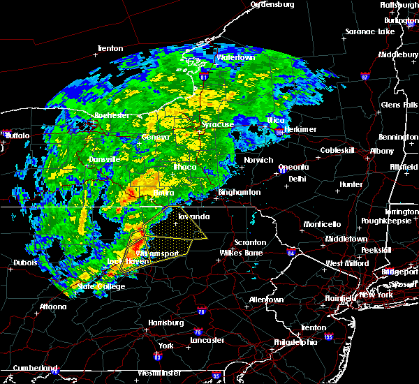 At 1047 pm edt, a severe thunderstorm was located over grover, or over canton, moving northeast at 40 mph (radar indicated). Hazards include 60 mph wind gusts. Expect damage to roofs. siding. and trees. this severe thunderstorm will be near, le roy around 1055 pm edt. troy around 1100 pm edt. burlington, franklindale and wetona around 1105 pm edt. monroeton around 1110 pm edt. Towanda, wysox and ulster around 1115 pm edt. At 1047 pm edt, a severe thunderstorm was located over grover, or over canton, moving northeast at 40 mph (radar indicated). Hazards include 60 mph wind gusts. Expect damage to roofs. siding. and trees. this severe thunderstorm will be near, le roy around 1055 pm edt. troy around 1100 pm edt. burlington, franklindale and wetona around 1105 pm edt. monroeton around 1110 pm edt. Towanda, wysox and ulster around 1115 pm edt.
|
| 7/25/2016 3:13 PM EDT | Trees dow in bradford county PA, 0.3 miles NE of Monroe, PA |
| 7/25/2016 3:07 PM EDT |
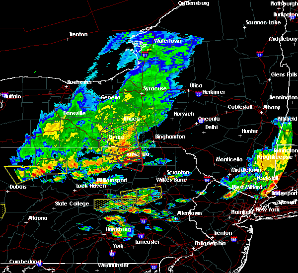 At 306 pm edt, a severe thunderstorm capable of producing a tornado was located near south branch, or near towanda, moving southeast at 40 mph (radar indicated rotation). Hazards include tornado. Flying debris will be dangerous to those caught without shelter. mobile homes will be damaged or destroyed. damage to roofs, windows, and vehicles will occur. tree damage is likely. this dangerous storm will be near, wyalusing and camptown around 315 pm edt. sugar run around 320 pm edt. laceyville and lovelton around 325 pm edt. Forkston around 330 pm edt. At 306 pm edt, a severe thunderstorm capable of producing a tornado was located near south branch, or near towanda, moving southeast at 40 mph (radar indicated rotation). Hazards include tornado. Flying debris will be dangerous to those caught without shelter. mobile homes will be damaged or destroyed. damage to roofs, windows, and vehicles will occur. tree damage is likely. this dangerous storm will be near, wyalusing and camptown around 315 pm edt. sugar run around 320 pm edt. laceyville and lovelton around 325 pm edt. Forkston around 330 pm edt.
|
| 7/25/2016 2:55 PM EDT |
 At 255 pm edt, a severe thunderstorm capable of producing a tornado was located near monroeton, or near towanda, moving east at 40 mph (radar indicated rotation). Hazards include tornado. Flying debris will be dangerous to those caught without shelter. mobile homes will be damaged or destroyed. damage to roofs, windows, and vehicles will occur. tree damage is likely. this dangerous storm will be near, towanda and north towanda around 300 pm edt. wysox around 305 pm edt. rome around 310 pm edt. herrick, herrickville and camptown around 315 pm edt. le raysville and brushville around 320 pm edt. Warren center around 325 pm edt. At 255 pm edt, a severe thunderstorm capable of producing a tornado was located near monroeton, or near towanda, moving east at 40 mph (radar indicated rotation). Hazards include tornado. Flying debris will be dangerous to those caught without shelter. mobile homes will be damaged or destroyed. damage to roofs, windows, and vehicles will occur. tree damage is likely. this dangerous storm will be near, towanda and north towanda around 300 pm edt. wysox around 305 pm edt. rome around 310 pm edt. herrick, herrickville and camptown around 315 pm edt. le raysville and brushville around 320 pm edt. Warren center around 325 pm edt.
|
| 6/28/2016 2:51 PM EDT |
 At 251 pm edt, a severe thunderstorm was located over north towanda, or over towanda, moving northeast at 30 mph (radar indicated). Hazards include 60 mph wind gusts and quarter size hail. Hail damage to vehicles is expected. expect wind damage to roofs, siding, and trees. this severe thunderstorm will be near, herrick and rome around 305 pm edt. herrickville around 310 pm edt. Windham, le raysville and warren center around 315 pm edt. At 251 pm edt, a severe thunderstorm was located over north towanda, or over towanda, moving northeast at 30 mph (radar indicated). Hazards include 60 mph wind gusts and quarter size hail. Hail damage to vehicles is expected. expect wind damage to roofs, siding, and trees. this severe thunderstorm will be near, herrick and rome around 305 pm edt. herrickville around 310 pm edt. Windham, le raysville and warren center around 315 pm edt.
|
| 8/4/2015 3:59 AM EDT |
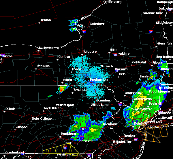 At 359 am edt, a severe thunderstorm was located over troy, moving east at 35 mph (radar indicated). Hazards include 60 mph wind gusts and quarter size hail. Hail damage to vehicles is expected. expect wind damage to roofs, siding and trees. this severe thunderstorm will be near, springfield around 405 am edt. wetona around 410 am edt. burlington and east smithfield around 415 am edt. ulster and milan around 425 am edt. Towanda, wysox and north towanda around 430 am edt. At 359 am edt, a severe thunderstorm was located over troy, moving east at 35 mph (radar indicated). Hazards include 60 mph wind gusts and quarter size hail. Hail damage to vehicles is expected. expect wind damage to roofs, siding and trees. this severe thunderstorm will be near, springfield around 405 am edt. wetona around 410 am edt. burlington and east smithfield around 415 am edt. ulster and milan around 425 am edt. Towanda, wysox and north towanda around 430 am edt.
|
| 6/12/2015 8:01 PM EDT |
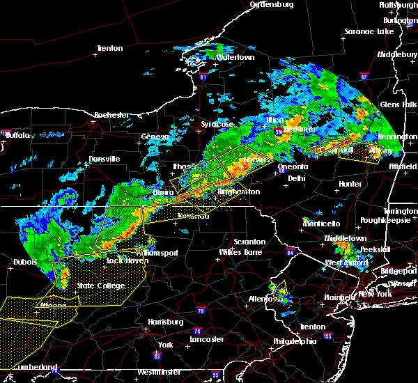 At 800 pm edt, a severe thunderstorm was located over grover, or near canton, moving east at 50 mph (radar indicated). Hazards include 60 mph wind gusts. Expect damage to roofs. siding and trees. this severe thunderstorm will be near, le roy around 815 pm edt. overton and franklindale around 825 pm edt. towanda, north towanda and new albany around 830 pm edt. wysox around 835 pm edt. wyalusing and sugar run around 840 pm edt. herrick, laceyville and camptown around 845 pm edt. Rushville and brushville around 850 pm edt. At 800 pm edt, a severe thunderstorm was located over grover, or near canton, moving east at 50 mph (radar indicated). Hazards include 60 mph wind gusts. Expect damage to roofs. siding and trees. this severe thunderstorm will be near, le roy around 815 pm edt. overton and franklindale around 825 pm edt. towanda, north towanda and new albany around 830 pm edt. wysox around 835 pm edt. wyalusing and sugar run around 840 pm edt. herrick, laceyville and camptown around 845 pm edt. Rushville and brushville around 850 pm edt.
|
| 8/5/2014 5:34 PM EDT | Quarter sized hail reported 0.3 miles NE of Monroe, PA |
| 9/12/2013 4:00 PM EDT | Trees reported dow in bradford county PA, 4 miles ENE of Monroe, PA |
| 7/4/2012 8:00 PM EDT | Minor damage to house and power outage in bradford county PA, 0.6 miles SSW of Monroe, PA |
| 1/1/0001 12:00 AM | Quarter sized hail reported 3 miles WNW of Monroe, PA |
| 1/1/0001 12:00 AM | Quarter sized hail reported 3 miles WNW of Monroe, PA |
Hail Maps for Monroe, PA


Connect with Interactive Hail Maps