

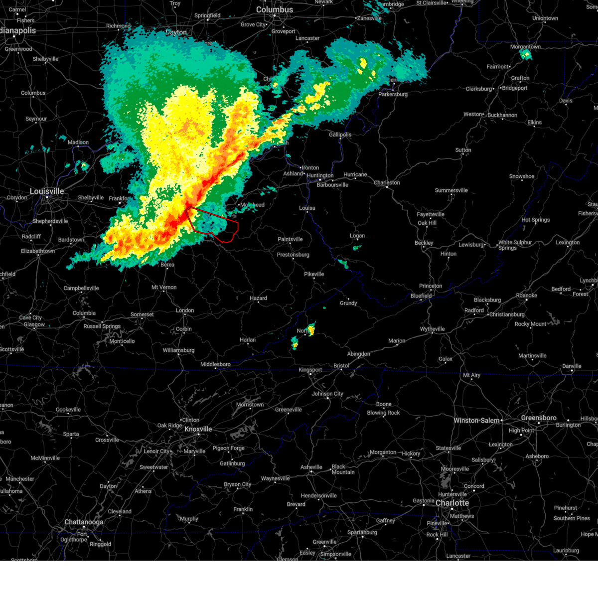
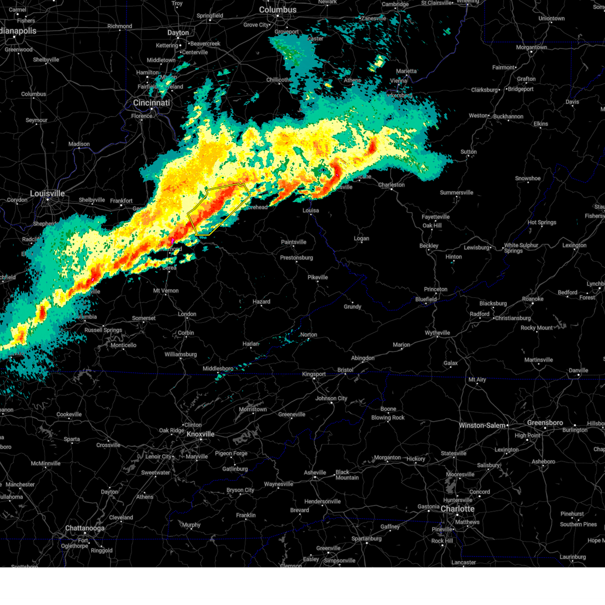
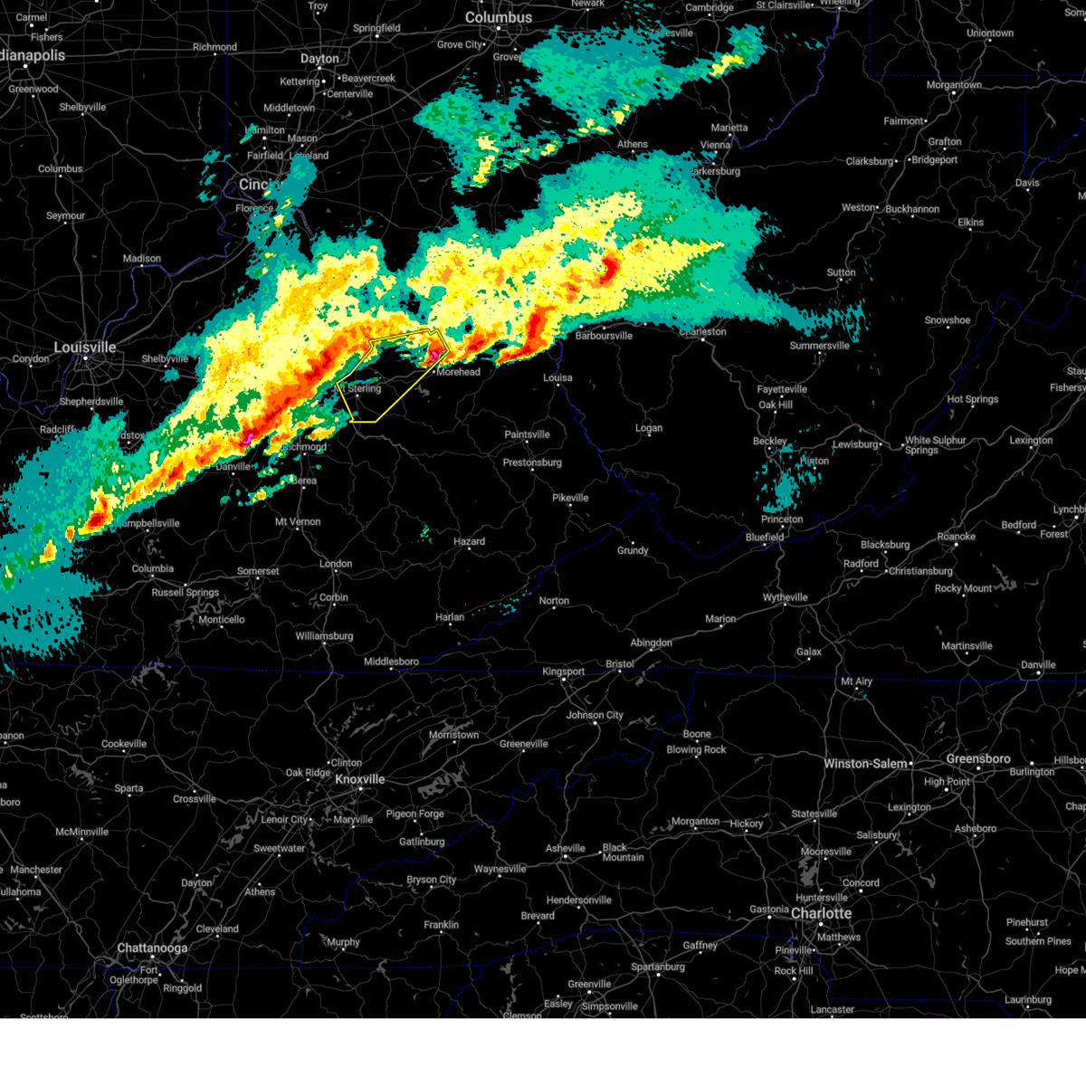
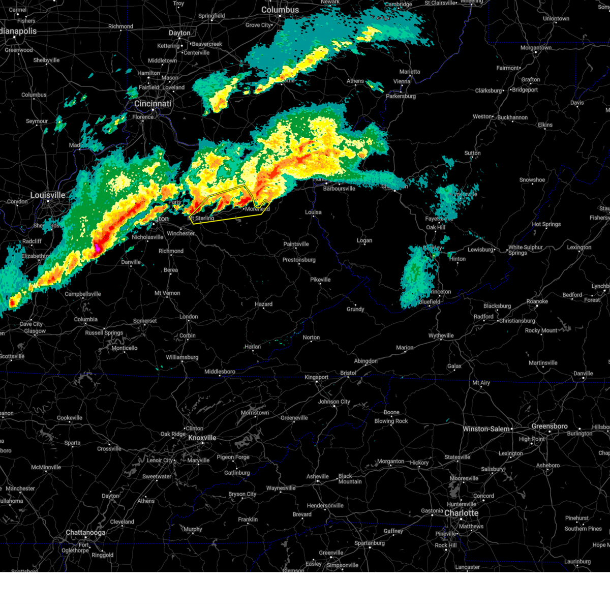
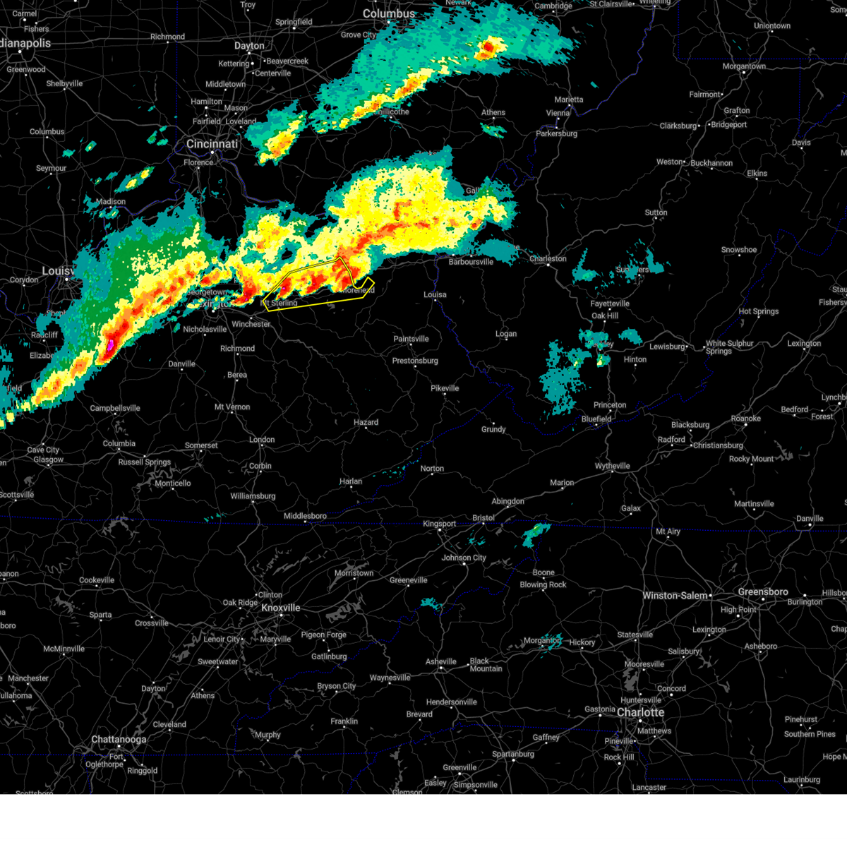
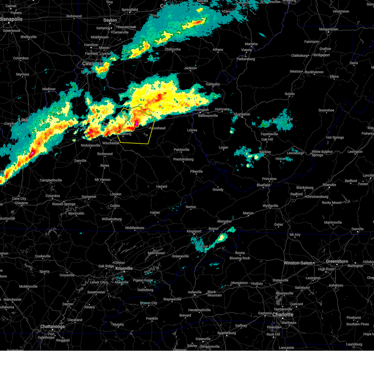
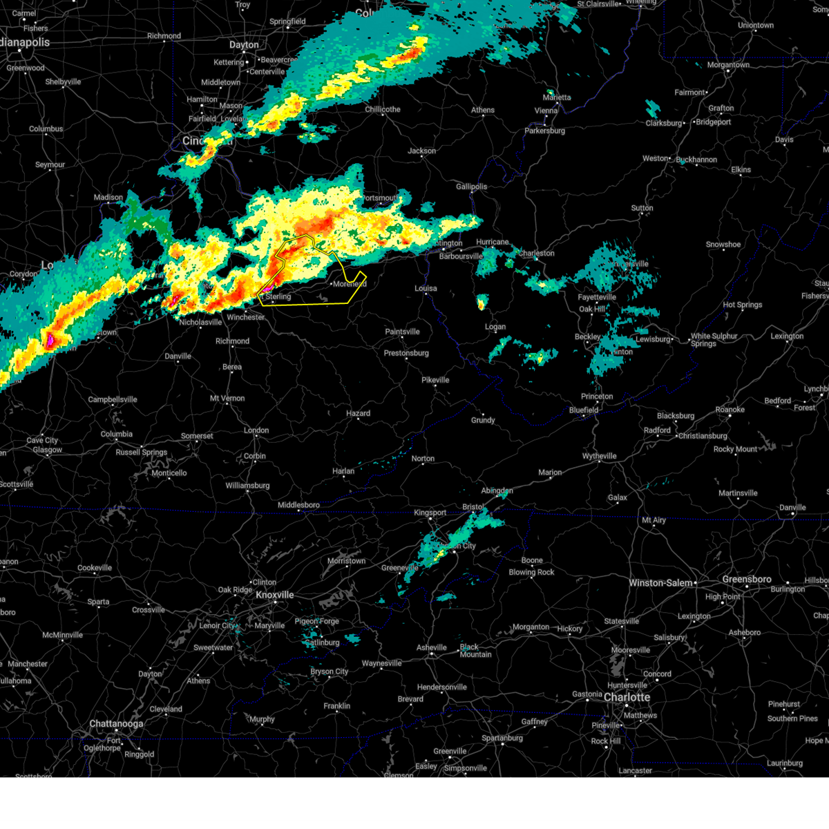
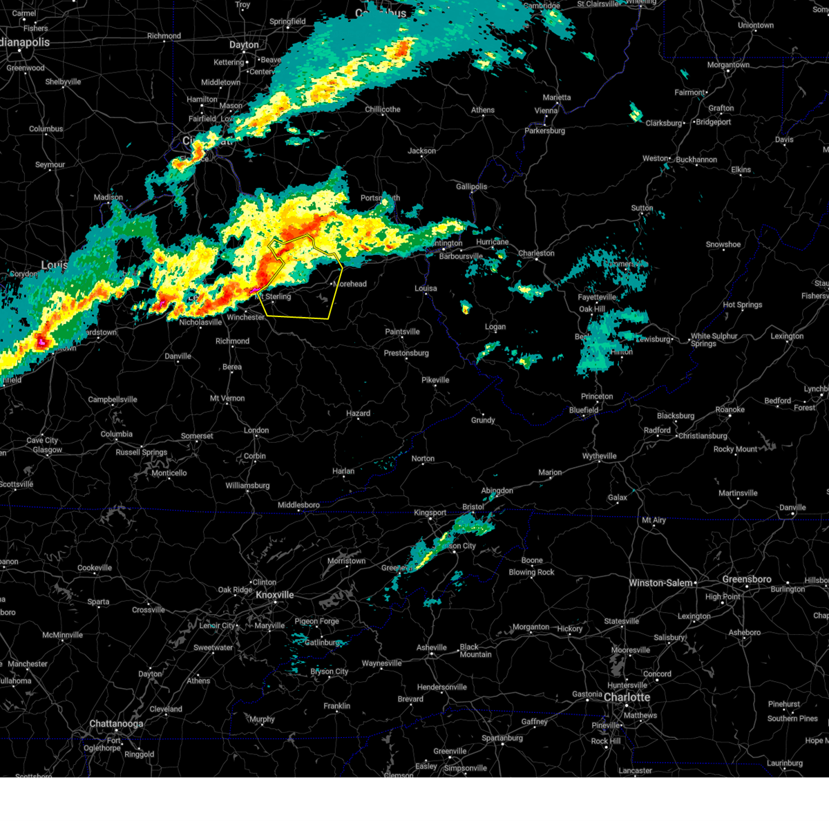
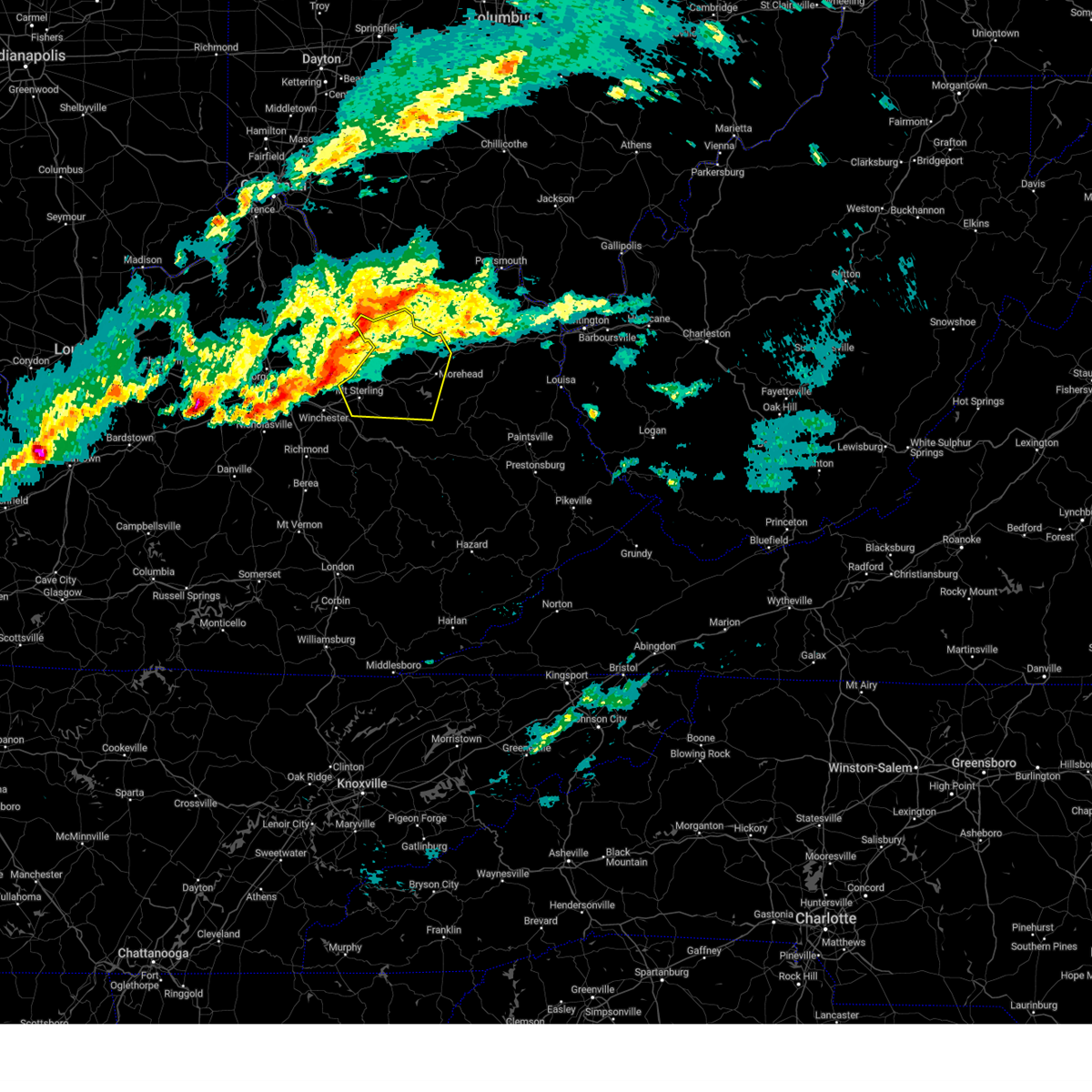
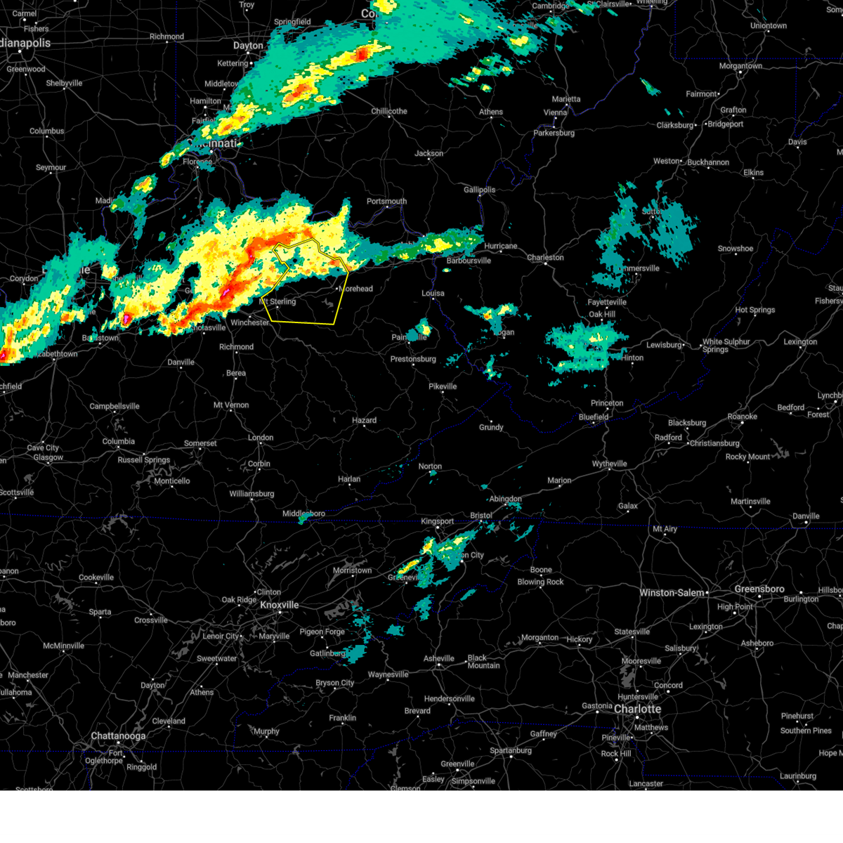
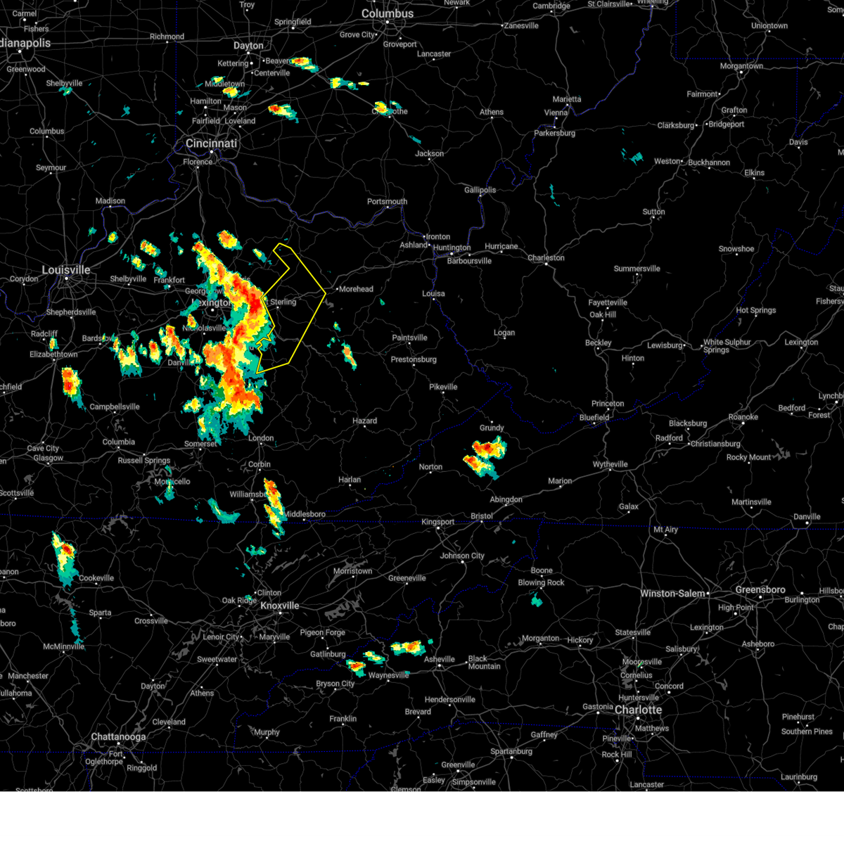
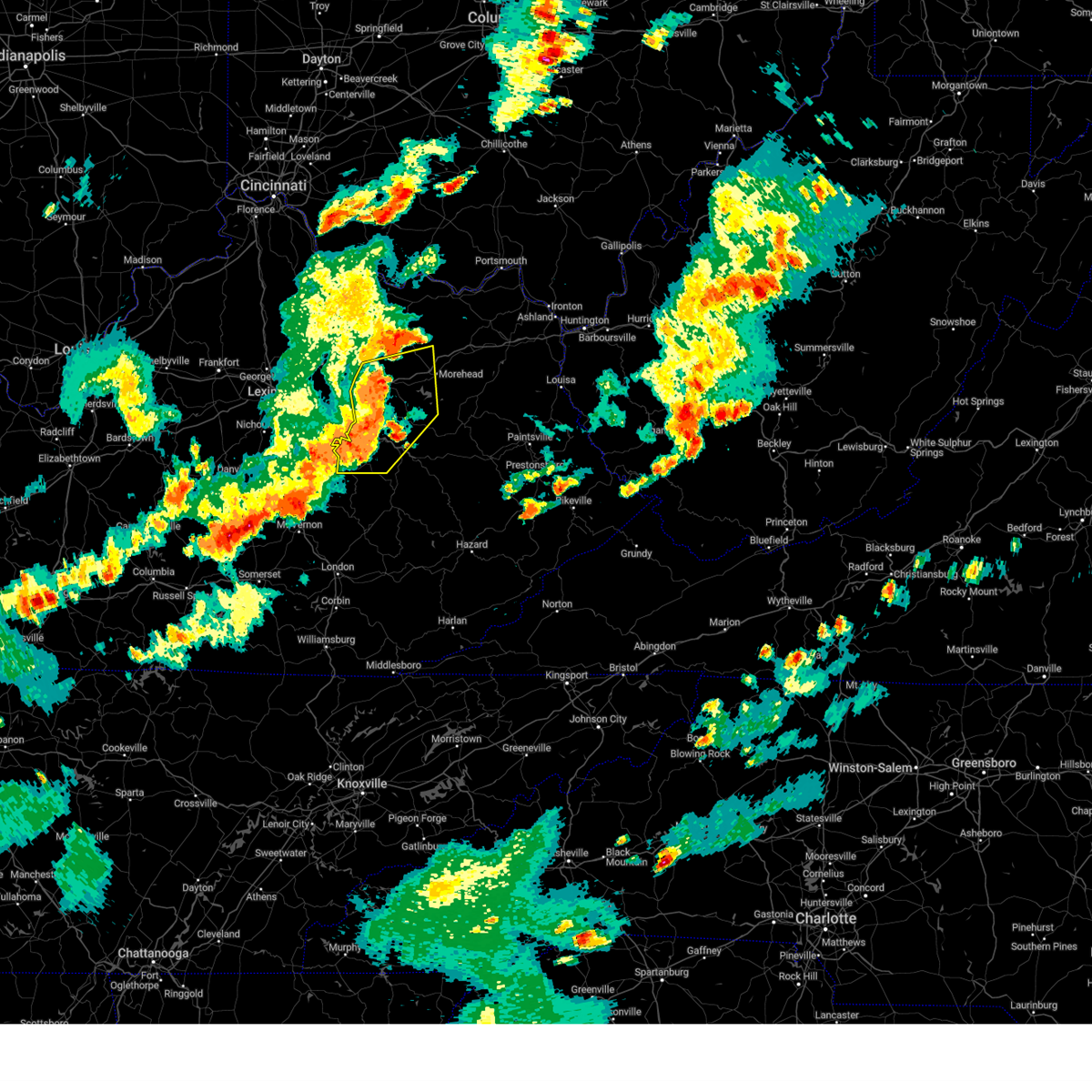
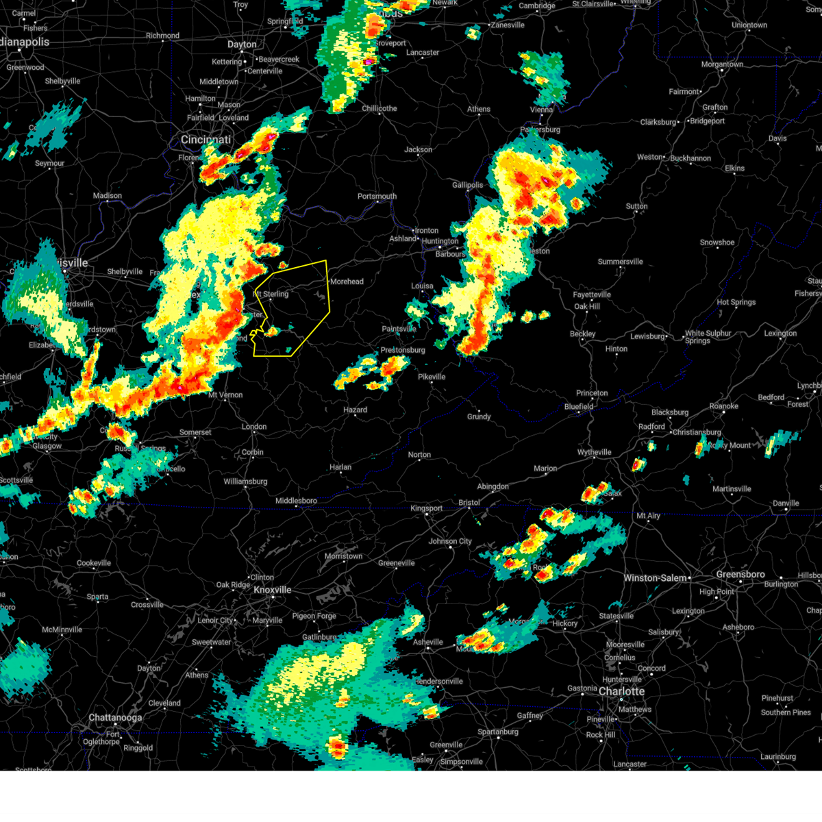
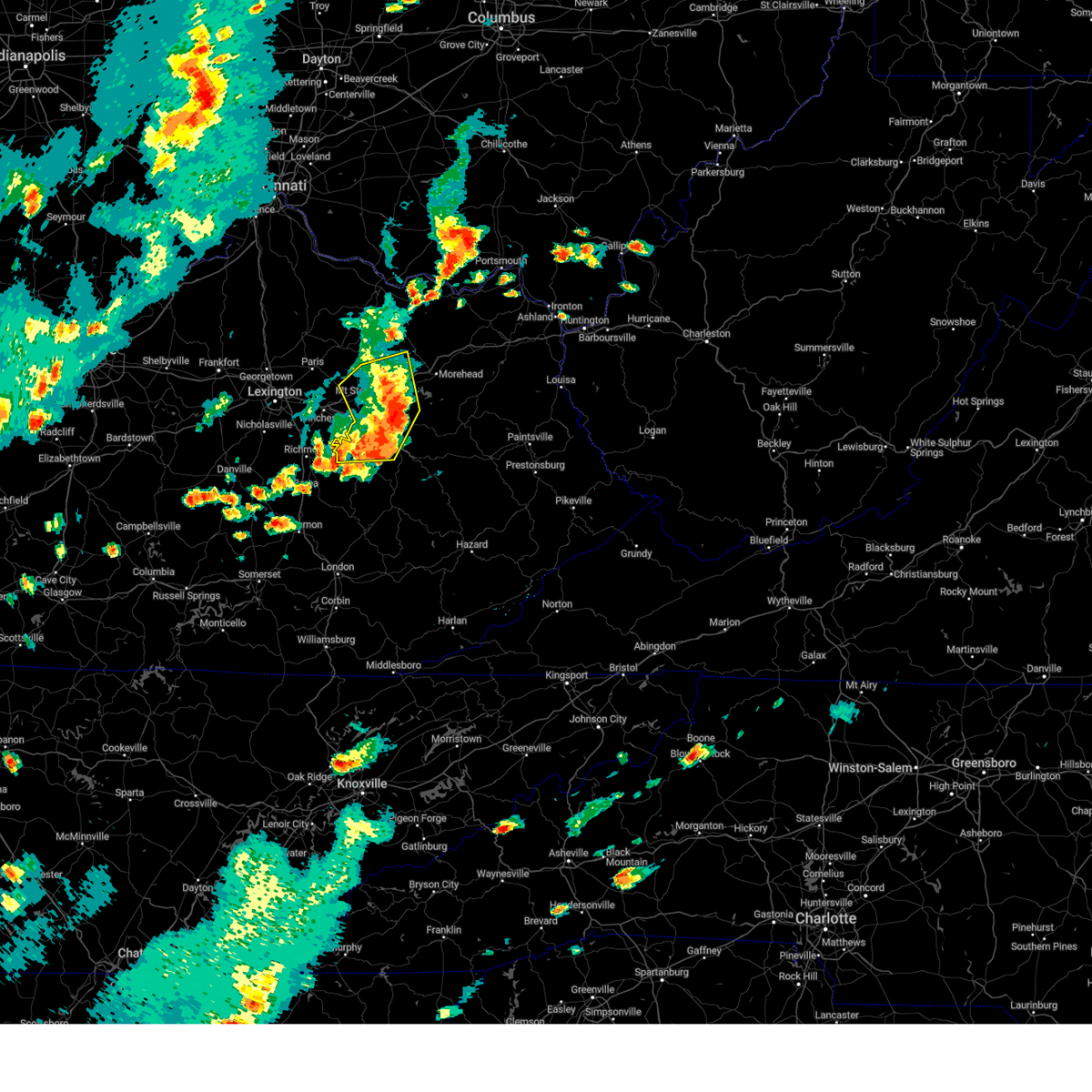
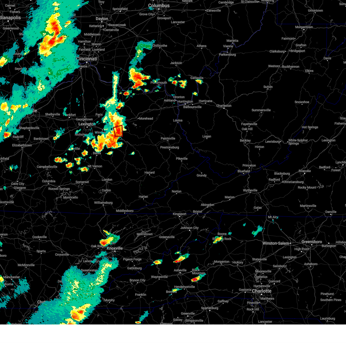
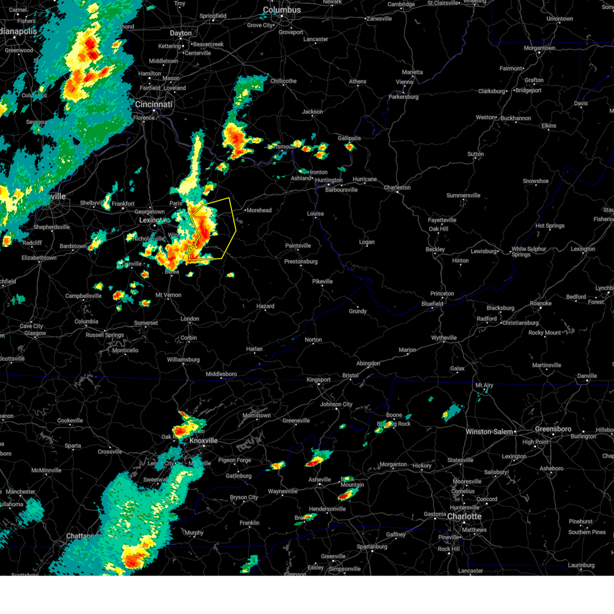
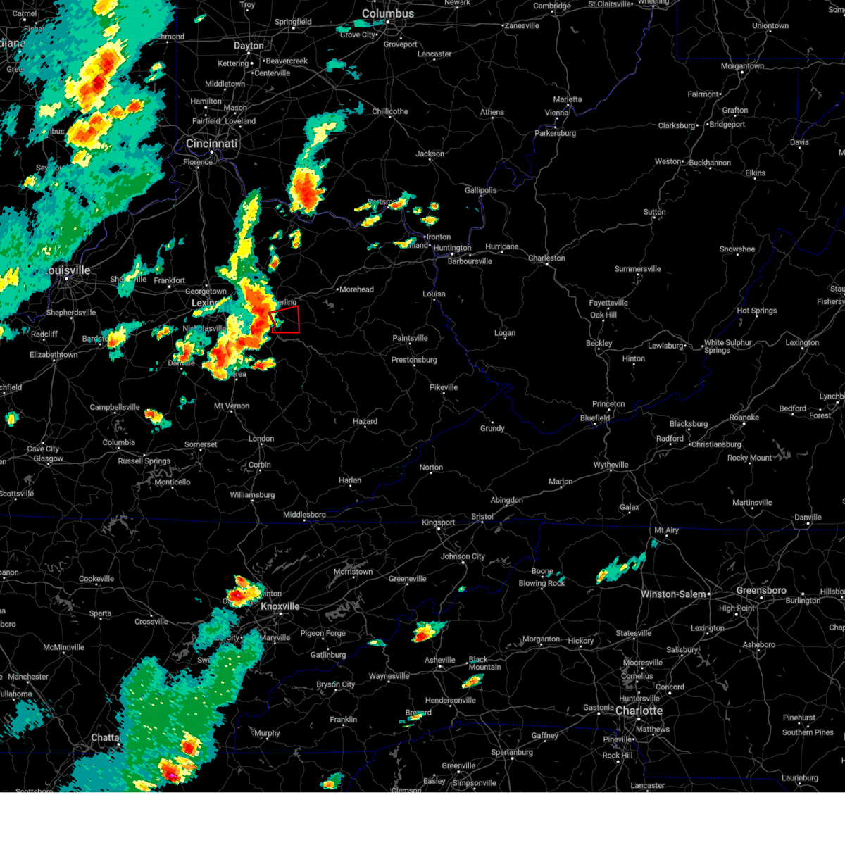
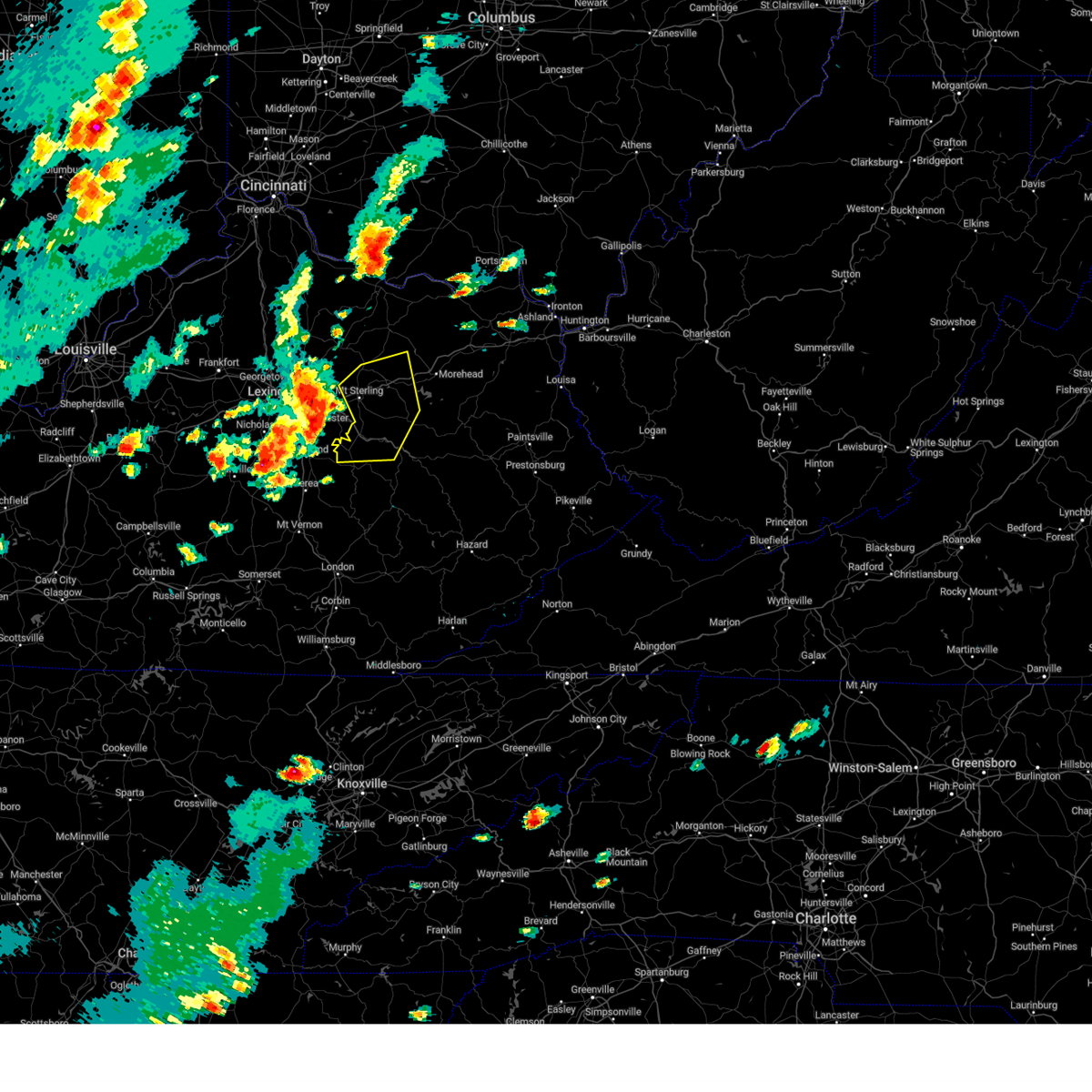
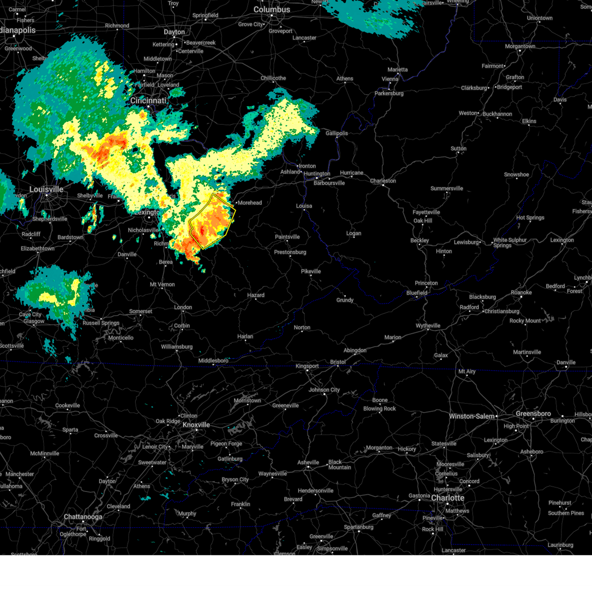
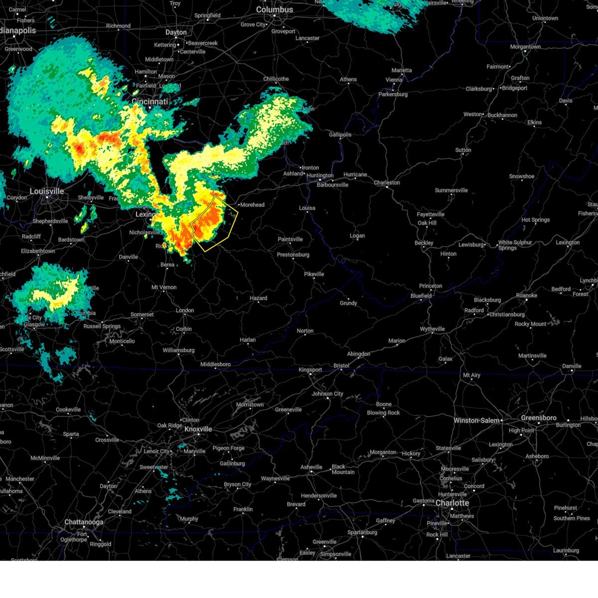
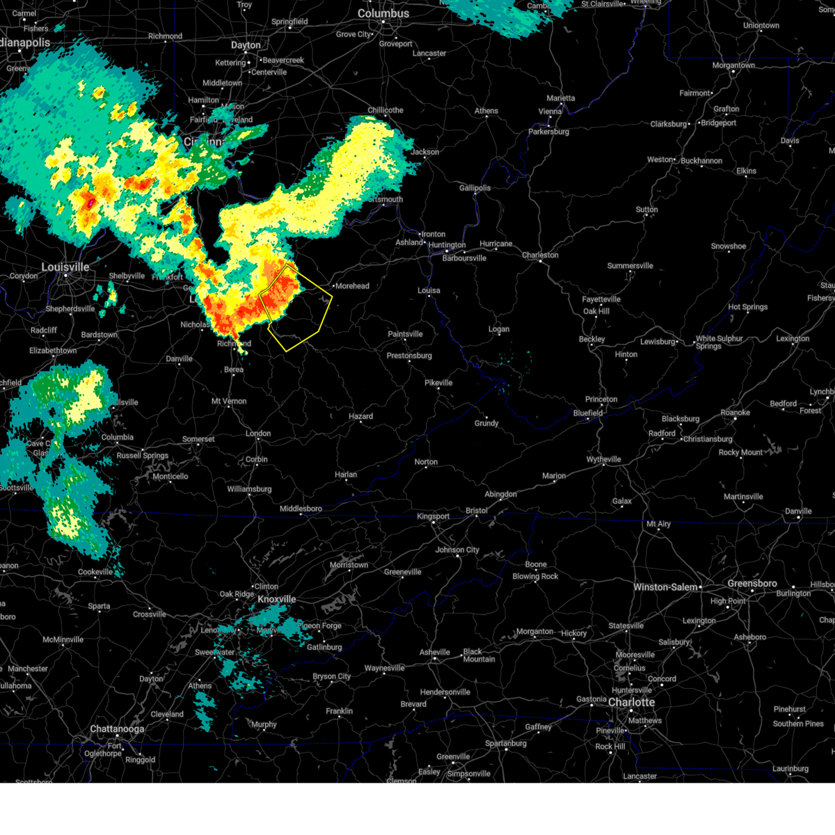
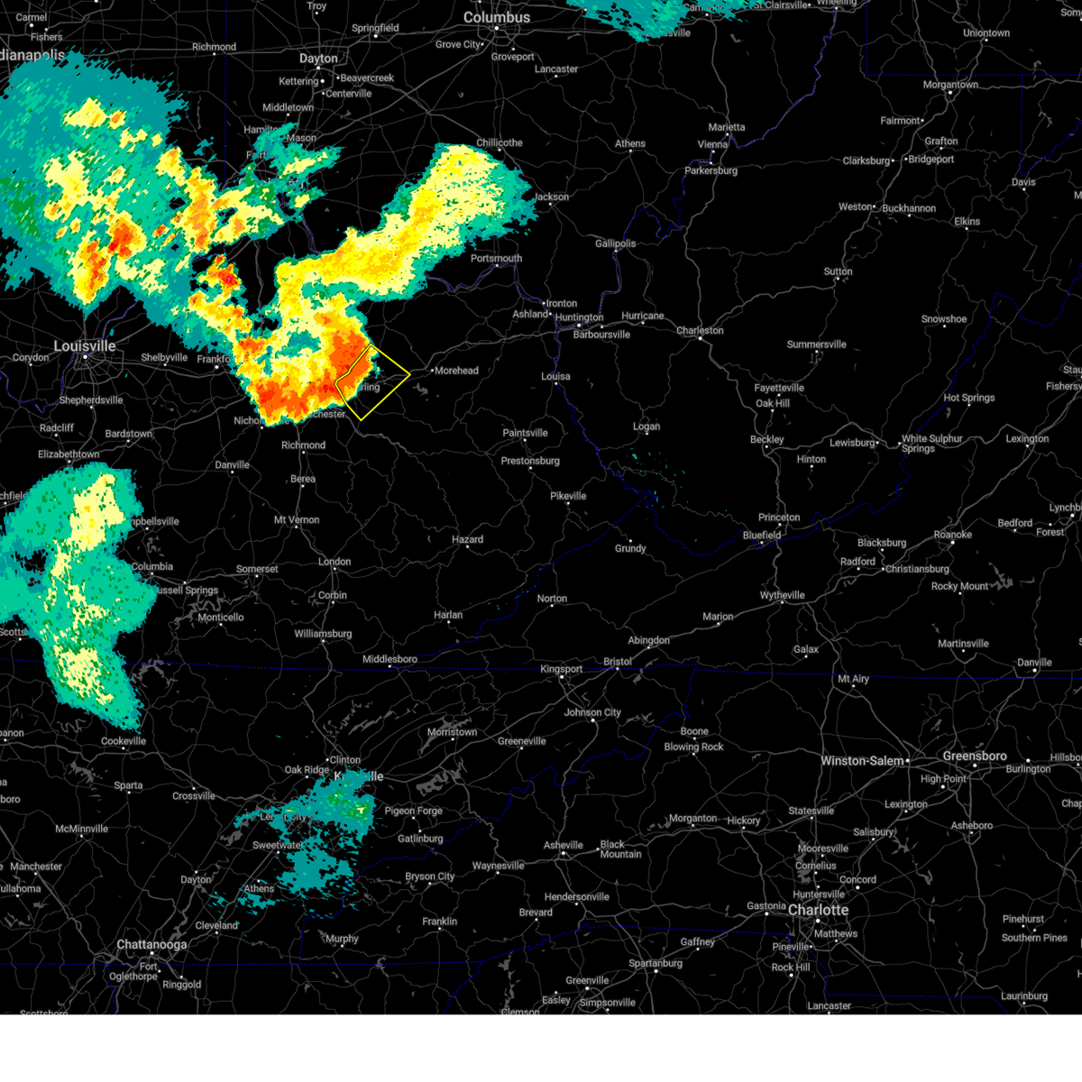
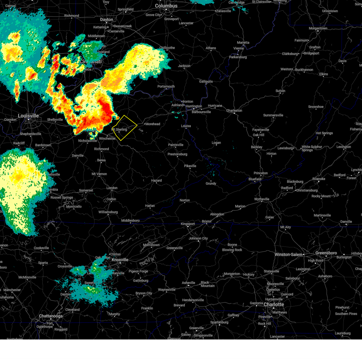
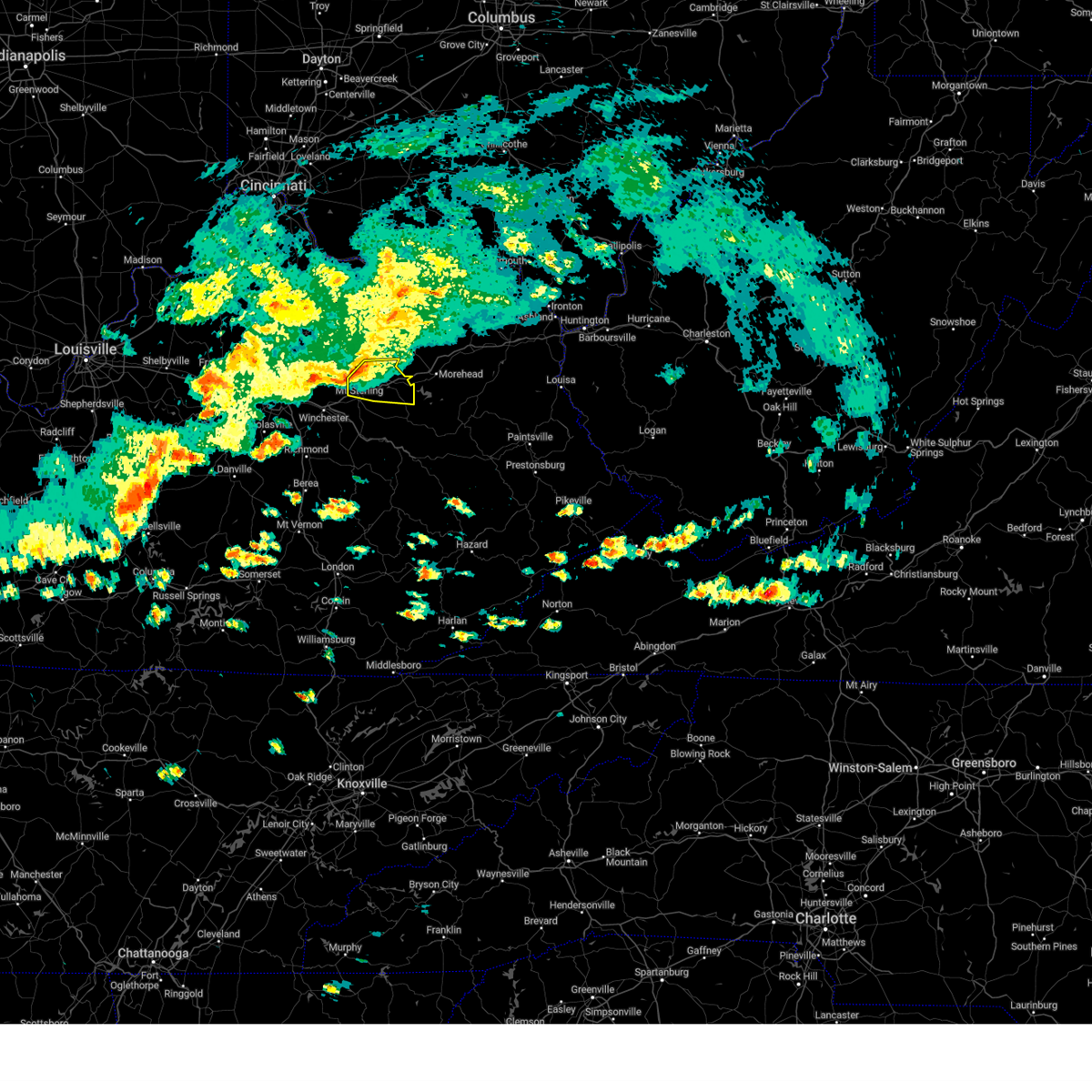
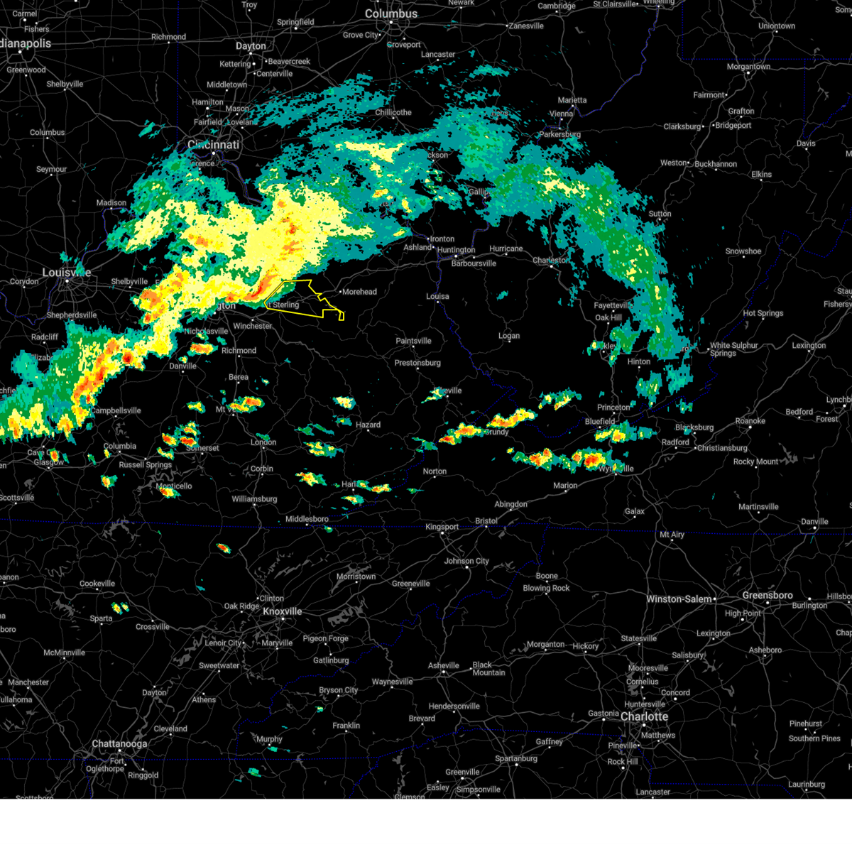
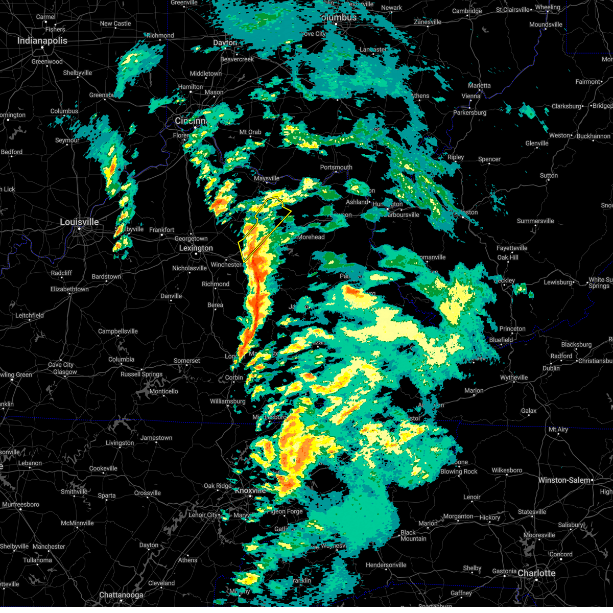
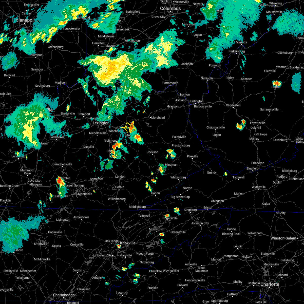
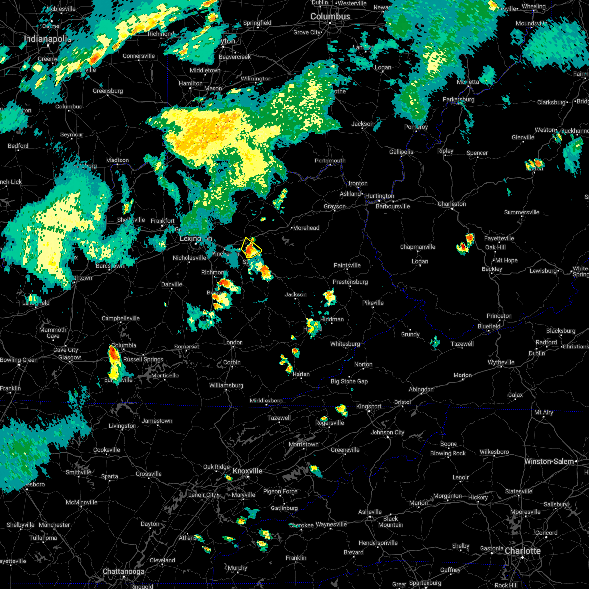
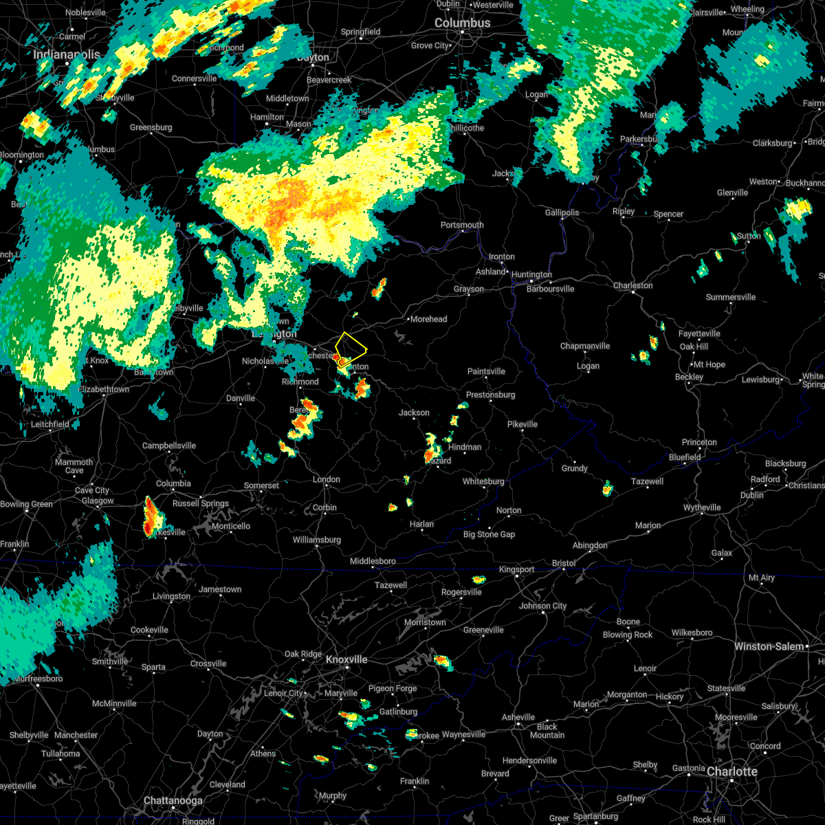
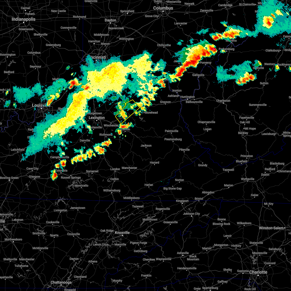
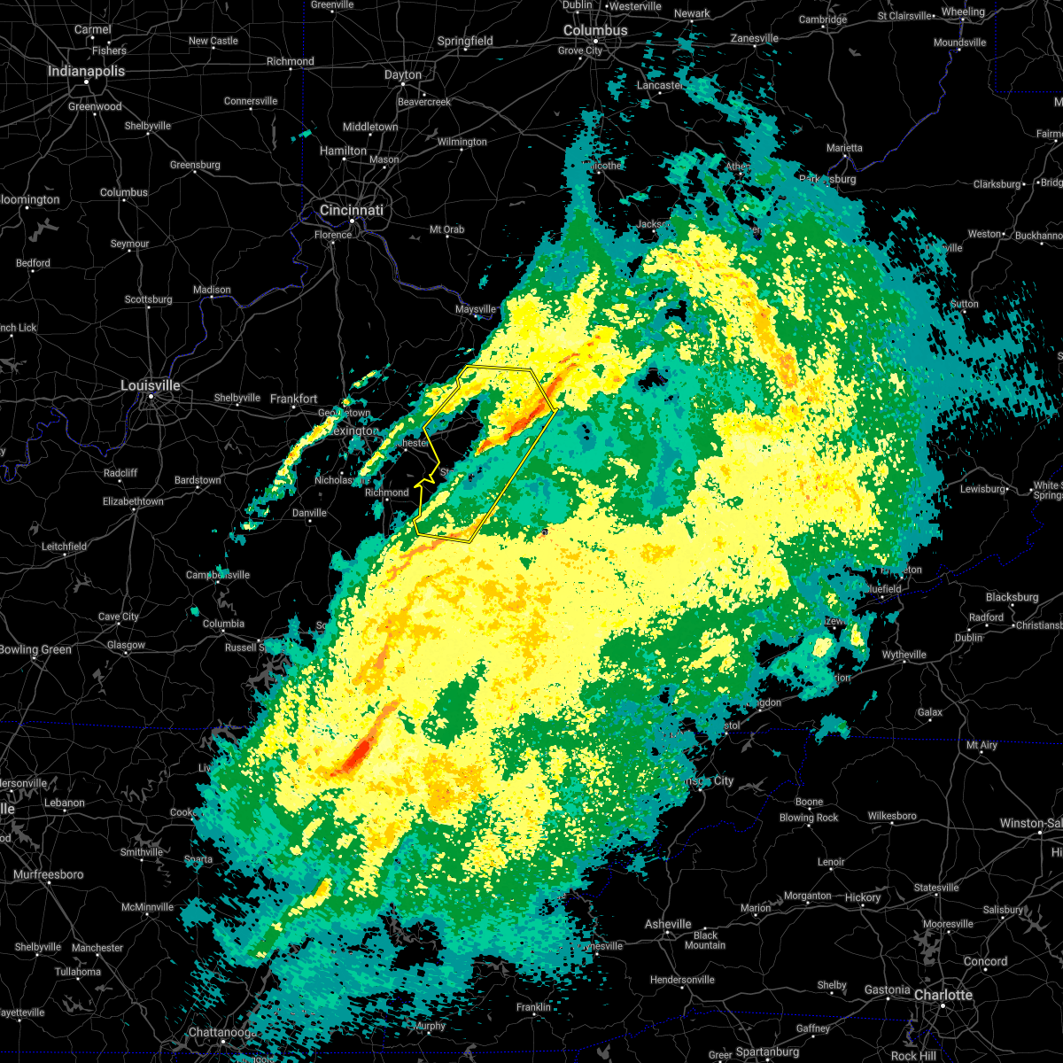
Hail Map for Mount Sterling, KY
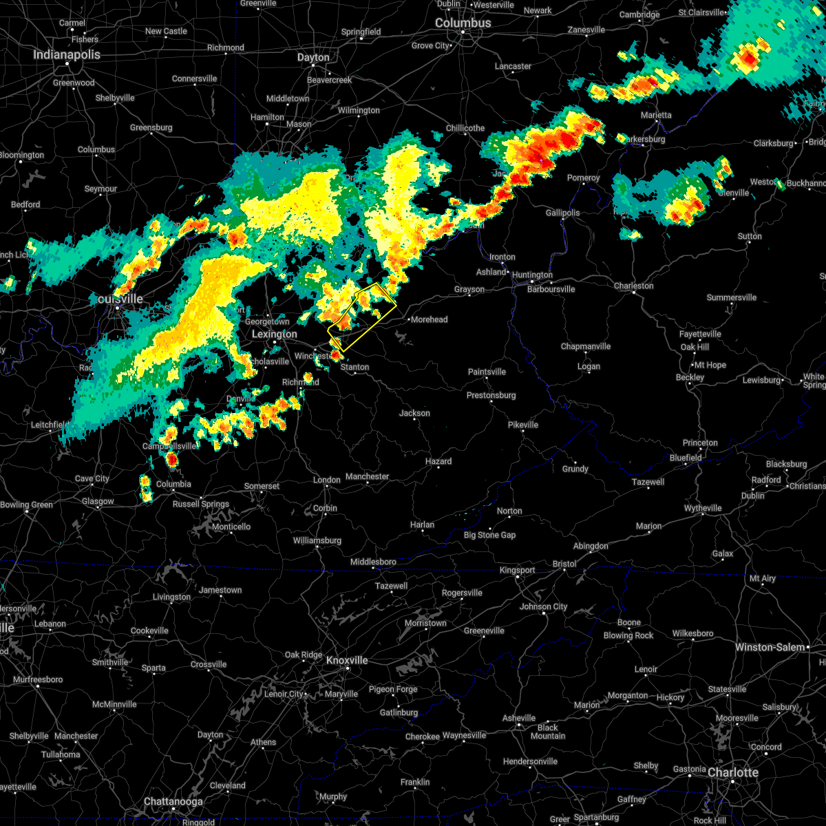
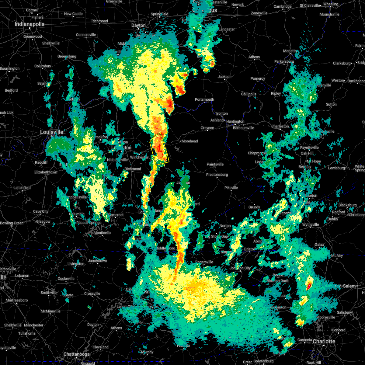
The Mount Sterling, KY area has had 8 reports of on-the-ground hail by trained spotters, and has been under severe weather warnings 40 times during the past 12 months. Doppler radar has detected hail at or near Mount Sterling, KY on 49 occasions, including 5 occasions during the past year.
| Name: | Mount Sterling, KY |
| Where Located: | 24.6 miles N of Irvine, KY |
| Map: | Google Map for Mount Sterling, KY |
| Population: | 6895 |
| Housing Units: | 3376 |
| More Info: | Search Google for Mount Sterling, KY |
0
The Top Recent Hail Date for Mount Sterling, KY is Wednesday, February 28, 2024 (43rd out of 49)

Hail and Wind Damage Spotted near Mount Sterling, KY
| Date / Time | Report Details |
|---|---|
| 4/2/2024 10:12 AM EDT |
 The storms which prompted the warning are continuing to affect southeastern portions of the originally warned area and a downstream warning has been issued. please refer to that bulletin for further details. a tornado watch remains in effect until noon edt for southeastern and east central kentucky. remember, a severe thunderstorm warning still remains in effect for eastern powell county in east central kentucky, morgan county in southeastern kentucky, southeastern bath county in east central kentucky, east central estill county in east central kentucky, menifee county in east central kentucky, north central breathitt county in southeastern kentucky, northwestern magoffin county in southeastern kentucky, north central lee county in southeastern kentucky, southeastern rowan county in east central kentucky, wolfe county in southeastern kentucky, and elliott county in east central kentucky until 1045 am. The storms which prompted the warning are continuing to affect southeastern portions of the originally warned area and a downstream warning has been issued. please refer to that bulletin for further details. a tornado watch remains in effect until noon edt for southeastern and east central kentucky. remember, a severe thunderstorm warning still remains in effect for eastern powell county in east central kentucky, morgan county in southeastern kentucky, southeastern bath county in east central kentucky, east central estill county in east central kentucky, menifee county in east central kentucky, north central breathitt county in southeastern kentucky, northwestern magoffin county in southeastern kentucky, north central lee county in southeastern kentucky, southeastern rowan county in east central kentucky, wolfe county in southeastern kentucky, and elliott county in east central kentucky until 1045 am.
|
| 4/2/2024 9:56 AM EDT |
 At 956 am edt, severe thunderstorms were located along a line extending from near head of grassy to willow tree, moving east at 65 mph (radar indicated). Hazards include 70 mph wind gusts and penny size hail. Expect considerable tree damage. damage is likely to mobile homes, roofs, and outbuildings. these severe storms will be near, morehead around 1000 am edt. beattyville around 1005 am edt. airedale around 1010 am edt. Other locations impacted by these severe thunderstorms include fainville. At 956 am edt, severe thunderstorms were located along a line extending from near head of grassy to willow tree, moving east at 65 mph (radar indicated). Hazards include 70 mph wind gusts and penny size hail. Expect considerable tree damage. damage is likely to mobile homes, roofs, and outbuildings. these severe storms will be near, morehead around 1000 am edt. beattyville around 1005 am edt. airedale around 1010 am edt. Other locations impacted by these severe thunderstorms include fainville.
|
| 4/2/2024 9:50 AM EDT |
 At 950 am edt, severe thunderstorms were located along a line extending from near camp dix to kimbrell, moving east at 75 mph (radar indicated). Hazards include 70 mph wind gusts and penny size hail. Expect considerable tree damage. damage is likely to mobile homes, roofs, and outbuildings. these severe storms will be near, morehead around 955 am edt. wellington around 1000 am edt. campton around 1005 am edt. Other locations impacted by these severe thunderstorms include noland. At 950 am edt, severe thunderstorms were located along a line extending from near camp dix to kimbrell, moving east at 75 mph (radar indicated). Hazards include 70 mph wind gusts and penny size hail. Expect considerable tree damage. damage is likely to mobile homes, roofs, and outbuildings. these severe storms will be near, morehead around 955 am edt. wellington around 1000 am edt. campton around 1005 am edt. Other locations impacted by these severe thunderstorms include noland.
|
| 4/2/2024 9:43 AM EDT |
 At 942 am edt, severe thunderstorms were located along a line extending from near muses mills to near harris ferry, moving east at 60 mph (radar indicated). Hazards include 60 mph wind gusts and quarter size hail. Hail damage to vehicles is expected. expect wind damage to roofs, siding, and trees. these severe storms will be near, morehead around 950 am edt. campsites in the indian creek area of the daniel boone national forrest around 955 am edt. wellington around 1000 am edt. beattyville around 1005 am edt. airedale around 1010 am edt. Other locations impacted by these severe thunderstorms include noland. At 942 am edt, severe thunderstorms were located along a line extending from near muses mills to near harris ferry, moving east at 60 mph (radar indicated). Hazards include 60 mph wind gusts and quarter size hail. Hail damage to vehicles is expected. expect wind damage to roofs, siding, and trees. these severe storms will be near, morehead around 950 am edt. campsites in the indian creek area of the daniel boone national forrest around 955 am edt. wellington around 1000 am edt. beattyville around 1005 am edt. airedale around 1010 am edt. Other locations impacted by these severe thunderstorms include noland.
|
| 4/2/2024 9:34 AM EDT |
 Torjkl the national weather service in jackson ky has issued a * tornado warning for, montgomery county in east central kentucky, southwestern bath county in east central kentucky, menifee county in east central kentucky, * until 1000 am edt. * at 934 am edt, a severe thunderstorm capable of producing a tornado was located near sideview, or 8 miles west of mount sterling, moving east at 70 mph (radar indicated rotation). Hazards include tornado. Flying debris will be dangerous to those caught without shelter. mobile homes will be damaged or destroyed. damage to roofs, windows, and vehicles will occur. tree damage is likely. this dangerous storm will be near, mount sterling around 940 am edt. jeffersonville around 945 am edt. cedar groves around 950 am edt. Other locations in the path of this tornadic thunderstorm include frenchburg. Torjkl the national weather service in jackson ky has issued a * tornado warning for, montgomery county in east central kentucky, southwestern bath county in east central kentucky, menifee county in east central kentucky, * until 1000 am edt. * at 934 am edt, a severe thunderstorm capable of producing a tornado was located near sideview, or 8 miles west of mount sterling, moving east at 70 mph (radar indicated rotation). Hazards include tornado. Flying debris will be dangerous to those caught without shelter. mobile homes will be damaged or destroyed. damage to roofs, windows, and vehicles will occur. tree damage is likely. this dangerous storm will be near, mount sterling around 940 am edt. jeffersonville around 945 am edt. cedar groves around 950 am edt. Other locations in the path of this tornadic thunderstorm include frenchburg.
|
| 4/2/2024 9:31 AM EDT |
 Svrjkl the national weather service in jackson ky has issued a * severe thunderstorm warning for, powell county in east central kentucky, montgomery county in east central kentucky, northwestern morgan county in southeastern kentucky, bath county in east central kentucky, estill county in east central kentucky, menifee county in east central kentucky, northern lee county in southeastern kentucky, fleming county in east central kentucky, rowan county in east central kentucky, western wolfe county in southeastern kentucky, northwestern elliott county in east central kentucky, * until 1015 am edt. * at 930 am edt, severe thunderstorms were located along a line extending from cowan to 8 miles south of nicholasville, moving east at 85 mph (radar indicated). Hazards include 60 mph wind gusts and quarter size hail. Hail damage to vehicles is expected. expect wind damage to roofs, siding, and trees. severe thunderstorms will be near, mount sterling around 935 am edt. odessa around 940 am edt. owingsville around 945 am edt. marshall around 950 am edt. Other locations in the path of these severe thunderstorms include morehead and frenchburg. Svrjkl the national weather service in jackson ky has issued a * severe thunderstorm warning for, powell county in east central kentucky, montgomery county in east central kentucky, northwestern morgan county in southeastern kentucky, bath county in east central kentucky, estill county in east central kentucky, menifee county in east central kentucky, northern lee county in southeastern kentucky, fleming county in east central kentucky, rowan county in east central kentucky, western wolfe county in southeastern kentucky, northwestern elliott county in east central kentucky, * until 1015 am edt. * at 930 am edt, severe thunderstorms were located along a line extending from cowan to 8 miles south of nicholasville, moving east at 85 mph (radar indicated). Hazards include 60 mph wind gusts and quarter size hail. Hail damage to vehicles is expected. expect wind damage to roofs, siding, and trees. severe thunderstorms will be near, mount sterling around 935 am edt. odessa around 940 am edt. owingsville around 945 am edt. marshall around 950 am edt. Other locations in the path of these severe thunderstorms include morehead and frenchburg.
|
| 3/15/2024 1:22 AM EDT |
 Svrjkl the national weather service in jackson ky has issued a * severe thunderstorm warning for, montgomery county in east central kentucky, northwestern morgan county in southeastern kentucky, bath county in east central kentucky, northern menifee county in east central kentucky, southwestern rowan county in east central kentucky, * until 200 am edt. * at 122 am edt, a severe thunderstorm was located over judy, or over mount sterling, moving east at 70 mph (radar indicated). Hazards include 60 mph wind gusts and quarter size hail. Hail damage to vehicles is expected. expect wind damage to roofs, siding, and trees. this severe thunderstorm will be near, owingsville around 130 am edt. marshall around 135 am edt. zilpo around 140 am edt. Other locations in the path of this severe thunderstorm include craney. Svrjkl the national weather service in jackson ky has issued a * severe thunderstorm warning for, montgomery county in east central kentucky, northwestern morgan county in southeastern kentucky, bath county in east central kentucky, northern menifee county in east central kentucky, southwestern rowan county in east central kentucky, * until 200 am edt. * at 122 am edt, a severe thunderstorm was located over judy, or over mount sterling, moving east at 70 mph (radar indicated). Hazards include 60 mph wind gusts and quarter size hail. Hail damage to vehicles is expected. expect wind damage to roofs, siding, and trees. this severe thunderstorm will be near, owingsville around 130 am edt. marshall around 135 am edt. zilpo around 140 am edt. Other locations in the path of this severe thunderstorm include craney.
|
| 3/6/2024 10:07 AM EST |
 Torjkl the national weather service in jackson ky has issued a * this is a test message. tornado warning for, montgomery county in east central kentucky, mccreary county in south central kentucky, rowan county in east central kentucky, morgan county in southeastern kentucky, bath county in east central kentucky, leslie county in southeastern kentucky, estill county in east central kentucky, pulaski county in south central kentucky, rockcastle county in south central kentucky, clay county in southeastern kentucky, elliott county in east central kentucky, wayne county in south central kentucky, harlan county in southeastern kentucky, knox county in southeastern kentucky, owsley county in southeastern kentucky, jackson county in southeastern kentucky, knott county in southeastern kentucky, floyd county in southeastern kentucky, whitley county in south central kentucky, menifee county in east central kentucky, lee county in southeastern kentucky, fleming county in east central kentucky, wolfe county in southeastern kentucky, powell county in east central kentucky, laurel county in south central kentucky, martin county in northeastern kentucky, bell county in southeastern kentucky, johnson county in northeastern kentucky, letcher county in southeastern kentucky, perry county in southeastern kentucky, breathitt county in southeastern kentucky, pike county in southeastern kentucky, magoffin county in southeastern kentucky, * this is a test message. until 1030 am est. * this is a test message. repeat, this is a test tornado warning message. there is no severe weather occuring at this time. this test warning message is part of the annual kentucky tornado drill. if this were an actual severe weather event, you would be given information about the hazard. the national weather service, kentucky emergency management angency, and the kentucky weather preparedness committee, encourges the use of this time to activate and review your severe weather safety plans. repeating, this has been a test tornado warning message for the 2024 kentucky tornado drill. this concludes the test. * this is a test message. Torjkl the national weather service in jackson ky has issued a * this is a test message. tornado warning for, montgomery county in east central kentucky, mccreary county in south central kentucky, rowan county in east central kentucky, morgan county in southeastern kentucky, bath county in east central kentucky, leslie county in southeastern kentucky, estill county in east central kentucky, pulaski county in south central kentucky, rockcastle county in south central kentucky, clay county in southeastern kentucky, elliott county in east central kentucky, wayne county in south central kentucky, harlan county in southeastern kentucky, knox county in southeastern kentucky, owsley county in southeastern kentucky, jackson county in southeastern kentucky, knott county in southeastern kentucky, floyd county in southeastern kentucky, whitley county in south central kentucky, menifee county in east central kentucky, lee county in southeastern kentucky, fleming county in east central kentucky, wolfe county in southeastern kentucky, powell county in east central kentucky, laurel county in south central kentucky, martin county in northeastern kentucky, bell county in southeastern kentucky, johnson county in northeastern kentucky, letcher county in southeastern kentucky, perry county in southeastern kentucky, breathitt county in southeastern kentucky, pike county in southeastern kentucky, magoffin county in southeastern kentucky, * this is a test message. until 1030 am est. * this is a test message. repeat, this is a test tornado warning message. there is no severe weather occuring at this time. this test warning message is part of the annual kentucky tornado drill. if this were an actual severe weather event, you would be given information about the hazard. the national weather service, kentucky emergency management angency, and the kentucky weather preparedness committee, encourges the use of this time to activate and review your severe weather safety plans. repeating, this has been a test tornado warning message for the 2024 kentucky tornado drill. this concludes the test. * this is a test message.
|
| 2/28/2024 7:52 AM EST |
 The storm which prompted the warning has moved out of the area. therefore, the warning will be allowed to expire. a tornado watch remains in effect until 900 am est for east central kentucky. The storm which prompted the warning has moved out of the area. therefore, the warning will be allowed to expire. a tornado watch remains in effect until 900 am est for east central kentucky.
|
| 2/28/2024 7:46 AM EST |
 At 745 am est, a severe thunderstorm was located over camargo, or near mount sterling, moving east at 40 mph (radar indicated). Hazards include 60 mph wind gusts and penny size hail. Expect damage to roofs, siding, and trees. Locations impacted include, mount sterling, jeffersonville, camargo, peeled oak, clay lick, levee, howards mill, wades mill, walkers crossing, olympia springs, upper spencer, and coons station. At 745 am est, a severe thunderstorm was located over camargo, or near mount sterling, moving east at 40 mph (radar indicated). Hazards include 60 mph wind gusts and penny size hail. Expect damage to roofs, siding, and trees. Locations impacted include, mount sterling, jeffersonville, camargo, peeled oak, clay lick, levee, howards mill, wades mill, walkers crossing, olympia springs, upper spencer, and coons station.
|
| 2/28/2024 7:37 AM EST |
 At 737 am est, severe thunderstorms were located along a line extending from near plummers landing to near klondike, moving east at 50 mph (radar indicated). Hazards include 60 mph wind gusts and penny size hail. Expect damage to roofs, siding, and trees. Locations impacted include, mount sterling, morehead and freestone. At 737 am est, severe thunderstorms were located along a line extending from near plummers landing to near klondike, moving east at 50 mph (radar indicated). Hazards include 60 mph wind gusts and penny size hail. Expect damage to roofs, siding, and trees. Locations impacted include, mount sterling, morehead and freestone.
|
| 2/28/2024 7:18 AM EST | Barn down at route 11/van thompson roa in montgomery county KY, 5.2 miles S of Mount Sterling, KY |
| 2/28/2024 7:13 AM EST |
 Svrjkl the national weather service in jackson ky has issued a * severe thunderstorm warning for, northern powell county in east central kentucky, montgomery county in east central kentucky, bath county in east central kentucky, northwestern menifee county in east central kentucky, southeastern fleming county in east central kentucky, central rowan county in east central kentucky, * until 800 am est. * at 713 am est, severe thunderstorms were located along a line extending from near bethel to near cadentown, moving east at 50 mph (radar indicated). Hazards include 60 mph wind gusts and penny size hail. Expect damage to roofs, siding, and trees. severe thunderstorms will be near, mount sterling around 720 am est. owingsville around 725 am est. camargo around 730 am est. Other locations in the path of these severe thunderstorms include marshall, salt lick and morehead. Svrjkl the national weather service in jackson ky has issued a * severe thunderstorm warning for, northern powell county in east central kentucky, montgomery county in east central kentucky, bath county in east central kentucky, northwestern menifee county in east central kentucky, southeastern fleming county in east central kentucky, central rowan county in east central kentucky, * until 800 am est. * at 713 am est, severe thunderstorms were located along a line extending from near bethel to near cadentown, moving east at 50 mph (radar indicated). Hazards include 60 mph wind gusts and penny size hail. Expect damage to roofs, siding, and trees. severe thunderstorms will be near, mount sterling around 720 am est. owingsville around 725 am est. camargo around 730 am est. Other locations in the path of these severe thunderstorms include marshall, salt lick and morehead.
|
| 2/28/2024 6:39 AM EST |
 The storms which prompted the warning have moved out of the area. therefore, the warning will be allowed to expire. a new warning has been issued for the same locations. a tornado watch remains in effect until 900 am est for east central kentucky. The storms which prompted the warning have moved out of the area. therefore, the warning will be allowed to expire. a new warning has been issued for the same locations. a tornado watch remains in effect until 900 am est for east central kentucky.
|
| 2/28/2024 6:38 AM EST |
 Svrjkl the national weather service in jackson ky has issued a * severe thunderstorm warning for, northern montgomery county in east central kentucky, bath county in east central kentucky, southeastern fleming county in east central kentucky, rowan county in east central kentucky, northwestern elliott county in east central kentucky, * until 715 am est. * at 637 am est, a severe thunderstorm was located near judy, or 8 miles northwest of mount sterling, moving west at 45 mph (radar indicated). Hazards include 60 mph wind gusts and penny size hail. Expect damage to roofs, siding, and trees. This severe thunderstorm will remain over mainly rural areas of northern montgomery, bath, southeastern fleming, rowan and northwestern elliott counties, including the following locations, lakeview heights. Svrjkl the national weather service in jackson ky has issued a * severe thunderstorm warning for, northern montgomery county in east central kentucky, bath county in east central kentucky, southeastern fleming county in east central kentucky, rowan county in east central kentucky, northwestern elliott county in east central kentucky, * until 715 am est. * at 637 am est, a severe thunderstorm was located near judy, or 8 miles northwest of mount sterling, moving west at 45 mph (radar indicated). Hazards include 60 mph wind gusts and penny size hail. Expect damage to roofs, siding, and trees. This severe thunderstorm will remain over mainly rural areas of northern montgomery, bath, southeastern fleming, rowan and northwestern elliott counties, including the following locations, lakeview heights.
|
| 2/28/2024 6:31 AM EST |
 At 630 am est, severe thunderstorms were located along a line extending from near load to scranton, moving east at 65 mph (radar indicated). Hazards include 70 mph wind gusts and penny size hail. Expect considerable tree damage. damage is likely to mobile homes, roofs, and outbuildings. Locations impacted include, farley. At 630 am est, severe thunderstorms were located along a line extending from near load to scranton, moving east at 65 mph (radar indicated). Hazards include 70 mph wind gusts and penny size hail. Expect considerable tree damage. damage is likely to mobile homes, roofs, and outbuildings. Locations impacted include, farley.
|
| 2/28/2024 6:09 AM EST |
 The storms which prompted the warning have moved out of the area. therefore, the warning will be allowed to expire. a new warning has been issued. a tornado watch remains in effect until 900 am est for southeastern and east central kentucky. The storms which prompted the warning have moved out of the area. therefore, the warning will be allowed to expire. a new warning has been issued. a tornado watch remains in effect until 900 am est for southeastern and east central kentucky.
|
| 2/28/2024 6:08 AM EST |
 Svrjkl the national weather service in jackson ky has issued a * severe thunderstorm warning for, northern montgomery county in east central kentucky, northwestern morgan county in southeastern kentucky, bath county in east central kentucky, north central menifee county in east central kentucky, fleming county in east central kentucky, rowan county in east central kentucky, northwestern elliott county in east central kentucky, * until 645 am est. * at 608 am est, severe thunderstorms were located along a line extending from 7 miles southwest of vanceburg to levee, moving east at 65 mph (radar indicated). Hazards include 70 mph wind gusts and penny size hail. Expect considerable tree damage. damage is likely to mobile homes, roofs, and outbuildings. severe thunderstorms will be near, morehead around 615 am est. haldeman around 620 am est. craney around 625 am est. Other locations in the path of these severe thunderstorms include farley. Svrjkl the national weather service in jackson ky has issued a * severe thunderstorm warning for, northern montgomery county in east central kentucky, northwestern morgan county in southeastern kentucky, bath county in east central kentucky, north central menifee county in east central kentucky, fleming county in east central kentucky, rowan county in east central kentucky, northwestern elliott county in east central kentucky, * until 645 am est. * at 608 am est, severe thunderstorms were located along a line extending from 7 miles southwest of vanceburg to levee, moving east at 65 mph (radar indicated). Hazards include 70 mph wind gusts and penny size hail. Expect considerable tree damage. damage is likely to mobile homes, roofs, and outbuildings. severe thunderstorms will be near, morehead around 615 am est. haldeman around 620 am est. craney around 625 am est. Other locations in the path of these severe thunderstorms include farley.
|
| 2/28/2024 5:54 AM EST |
 At 554 am est, severe thunderstorms were located along a line extending from near tollesboro to near winchester, moving east at 75 mph (radar indicated). Hazards include 70 mph wind gusts and penny size hail. Expect considerable tree damage. damage is likely to mobile homes, roofs, and outbuildings. these severe storms will be near, mount sterling around 600 am est. owingsville around 605 am est. Other locations in the path of these severe thunderstorms include marshall, hilda and morehead. At 554 am est, severe thunderstorms were located along a line extending from near tollesboro to near winchester, moving east at 75 mph (radar indicated). Hazards include 70 mph wind gusts and penny size hail. Expect considerable tree damage. damage is likely to mobile homes, roofs, and outbuildings. these severe storms will be near, mount sterling around 600 am est. owingsville around 605 am est. Other locations in the path of these severe thunderstorms include marshall, hilda and morehead.
|
| 2/28/2024 5:49 AM EST |
 At 548 am est, severe thunderstorms were located along a line extending from near lewisburg to near winchester, moving east at 75 mph (radar indicated). Hazards include 70 mph wind gusts and penny size hail. Expect considerable tree damage. damage is likely to mobile homes, roofs, and outbuildings. these severe storms will be near, mount sterling around 555 am est. Other locations in the path of these severe thunderstorms include odessa, owingsville, marshall, salt lick and morehead. At 548 am est, severe thunderstorms were located along a line extending from near lewisburg to near winchester, moving east at 75 mph (radar indicated). Hazards include 70 mph wind gusts and penny size hail. Expect considerable tree damage. damage is likely to mobile homes, roofs, and outbuildings. these severe storms will be near, mount sterling around 555 am est. Other locations in the path of these severe thunderstorms include odessa, owingsville, marshall, salt lick and morehead.
|
| 2/28/2024 5:38 AM EST |
 Svrjkl the national weather service in jackson ky has issued a * severe thunderstorm warning for, montgomery county in east central kentucky, bath county in east central kentucky, northern menifee county in east central kentucky, fleming county in east central kentucky, rowan county in east central kentucky, * until 615 am est. * at 537 am est, severe thunderstorms were located along a line extending from near fairview to near veterans park, moving east at 75 mph (radar indicated). Hazards include 60 mph wind gusts and penny size hail. Expect damage to roofs, siding, and trees. severe thunderstorms will be near, fairview around 545 am est. flemingsburg around 550 am est. mount sterling around 555 am est. Other locations in the path of these severe thunderstorms include owingsville and slate valley. Svrjkl the national weather service in jackson ky has issued a * severe thunderstorm warning for, montgomery county in east central kentucky, bath county in east central kentucky, northern menifee county in east central kentucky, fleming county in east central kentucky, rowan county in east central kentucky, * until 615 am est. * at 537 am est, severe thunderstorms were located along a line extending from near fairview to near veterans park, moving east at 75 mph (radar indicated). Hazards include 60 mph wind gusts and penny size hail. Expect damage to roofs, siding, and trees. severe thunderstorms will be near, fairview around 545 am est. flemingsburg around 550 am est. mount sterling around 555 am est. Other locations in the path of these severe thunderstorms include owingsville and slate valley.
|
| 8/7/2023 1:56 PM EDT |
 At 156 pm edt, severe thunderstorms were located along a line extending from near triplett to olympia springs to near klondike, moving east at 35 mph (radar indicated). Hazards include 60 mph wind gusts and quarter size hail. Hail damage to vehicles is expected. expect wind damage to roofs, siding, and trees. severe thunderstorms will be near, young springs around 200 pm edt. ratlitt around 205 pm edt. yale around 210 pm edt. jeffersonville around 215 pm edt. Other locations in the path of these severe thunderstorms include clay lick and cornwell. At 156 pm edt, severe thunderstorms were located along a line extending from near triplett to olympia springs to near klondike, moving east at 35 mph (radar indicated). Hazards include 60 mph wind gusts and quarter size hail. Hail damage to vehicles is expected. expect wind damage to roofs, siding, and trees. severe thunderstorms will be near, young springs around 200 pm edt. ratlitt around 205 pm edt. yale around 210 pm edt. jeffersonville around 215 pm edt. Other locations in the path of these severe thunderstorms include clay lick and cornwell.
|
| 7/27/2023 9:36 PM EDT |
 At 935 pm edt, a severe thunderstorm was located over ewington, or near mount sterling, moving southeast at 25 mph (radar indicated). Hazards include 60 mph wind gusts. Expect damage to roofs, siding, and trees. this severe storm will be near, howards mill around 945 pm edt. hail threat, radar indicated max hail size, <. 75 in wind threat, radar indicated max wind gust, 60 mph. At 935 pm edt, a severe thunderstorm was located over ewington, or near mount sterling, moving southeast at 25 mph (radar indicated). Hazards include 60 mph wind gusts. Expect damage to roofs, siding, and trees. this severe storm will be near, howards mill around 945 pm edt. hail threat, radar indicated max hail size, <. 75 in wind threat, radar indicated max wind gust, 60 mph.
|
| 7/27/2023 9:28 PM EDT | Montgomery county dispatch reported a power line blown down in the 7000 block of maysville rd. time estimated from rada in montgomery county KY, 6.5 miles S of Mount Sterling, KY |
| 7/27/2023 9:27 PM EDT | Montgomery county dispatch reported several trees blown down onto cecil rd. time estimated from rada in montgomery county KY, 7.4 miles SSE of Mount Sterling, KY |
| 7/27/2023 9:26 PM EDT |
 At 926 pm edt, a severe thunderstorm was located over judy, or near mount sterling, moving southeast at 20 mph (radar indicated). Hazards include 60 mph wind gusts. Expect damage to roofs, siding, and trees. this severe thunderstorm will be near, judy around 935 pm edt. mount sterling around 940 pm edt. ewington around 945 pm edt. howards mill around 955 pm edt. hail threat, radar indicated max hail size, <. 75 in wind threat, radar indicated max wind gust, 60 mph. At 926 pm edt, a severe thunderstorm was located over judy, or near mount sterling, moving southeast at 20 mph (radar indicated). Hazards include 60 mph wind gusts. Expect damage to roofs, siding, and trees. this severe thunderstorm will be near, judy around 935 pm edt. mount sterling around 940 pm edt. ewington around 945 pm edt. howards mill around 955 pm edt. hail threat, radar indicated max hail size, <. 75 in wind threat, radar indicated max wind gust, 60 mph.
|
| 7/18/2023 3:45 PM EDT | Trees down along white turley pike and wades mill roads. time estimated by rada in clark county KY, 7 miles ESE of Mount Sterling, KY |
| 7/18/2023 3:41 PM EDT |
 At 341 pm edt, severe thunderstorms were located along a line extending from near cynthiana to klondike to richmond, moving east at 40 mph (radar indicated). Hazards include 60 mph wind gusts and quarter size hail. Hail damage to vehicles is expected. expect wind damage to roofs, siding, and trees. severe thunderstorms will be near, mount sterling around 345 pm edt. gatewoods station around 350 pm edt. howards mill around 355 pm edt. kendall springs around 400 pm edt. other locations in the path of these severe thunderstorms include owingsville and marshall. hail threat, radar indicated max hail size, 1. 00 in wind threat, radar indicated max wind gust, 60 mph. At 341 pm edt, severe thunderstorms were located along a line extending from near cynthiana to klondike to richmond, moving east at 40 mph (radar indicated). Hazards include 60 mph wind gusts and quarter size hail. Hail damage to vehicles is expected. expect wind damage to roofs, siding, and trees. severe thunderstorms will be near, mount sterling around 345 pm edt. gatewoods station around 350 pm edt. howards mill around 355 pm edt. kendall springs around 400 pm edt. other locations in the path of these severe thunderstorms include owingsville and marshall. hail threat, radar indicated max hail size, 1. 00 in wind threat, radar indicated max wind gust, 60 mph.
|
| 7/2/2023 8:21 PM EDT |
 At 821 pm edt, severe thunderstorms were located along a line extending from craigs to near means to furnace to doe creek, moving southeast at 55 mph (radar indicated). Hazards include 60 mph wind gusts and nickel size hail. Expect damage to roofs, siding, and trees. locations impacted include, pilot, salt lick, cogswell and zilpo. hail threat, radar indicated max hail size, 0. 88 in wind threat, radar indicated max wind gust, 60 mph. At 821 pm edt, severe thunderstorms were located along a line extending from craigs to near means to furnace to doe creek, moving southeast at 55 mph (radar indicated). Hazards include 60 mph wind gusts and nickel size hail. Expect damage to roofs, siding, and trees. locations impacted include, pilot, salt lick, cogswell and zilpo. hail threat, radar indicated max hail size, 0. 88 in wind threat, radar indicated max wind gust, 60 mph.
|
| 7/2/2023 7:56 PM EDT |
 At 756 pm edt, severe thunderstorms were located along a line extending from 6 miles west of sideview to 6 miles north of harris ferry to near richmond, moving east at 50 mph (radar indicated). Hazards include 60 mph wind gusts and quarter size hail. Hail damage to vehicles is expected. expect wind damage to roofs, siding, and trees. severe thunderstorms will be near, westbend around 805 pm edt. sharpsburg around 810 pm edt. hargett around 815 pm edt. other locations in the path of these severe thunderstorms include owingsville, stanton and frenchburg. hail threat, radar indicated max hail size, 1. 00 in wind threat, radar indicated max wind gust, 60 mph. At 756 pm edt, severe thunderstorms were located along a line extending from 6 miles west of sideview to 6 miles north of harris ferry to near richmond, moving east at 50 mph (radar indicated). Hazards include 60 mph wind gusts and quarter size hail. Hail damage to vehicles is expected. expect wind damage to roofs, siding, and trees. severe thunderstorms will be near, westbend around 805 pm edt. sharpsburg around 810 pm edt. hargett around 815 pm edt. other locations in the path of these severe thunderstorms include owingsville, stanton and frenchburg. hail threat, radar indicated max hail size, 1. 00 in wind threat, radar indicated max wind gust, 60 mph.
|
| 7/2/2023 5:36 PM EDT |
 The severe thunderstorm warning for powell, montgomery, bath, northern estill, western menifee, south central fleming and western rowan counties will expire at 545 pm edt, the storms which prompted the warning have moved out of the area. therefore, the warning will be allowed to expire. a severe thunderstorm watch remains in effect until midnight edt for east central kentucky. remember, a tornado warning still remains in effect. The severe thunderstorm warning for powell, montgomery, bath, northern estill, western menifee, south central fleming and western rowan counties will expire at 545 pm edt, the storms which prompted the warning have moved out of the area. therefore, the warning will be allowed to expire. a severe thunderstorm watch remains in effect until midnight edt for east central kentucky. remember, a tornado warning still remains in effect.
|
| 7/2/2023 5:23 PM EDT |
 The tornado warning for north central powell, southeastern montgomery, southwestern bath and west central menifee counties will expire at 530 pm edt, the tornado warning that was previously in effect has been reissued. please refer to that bulletin for the latest severe weather information. a severe thunderstorm watch remains in effect until midnight edt for east central kentucky. The tornado warning for north central powell, southeastern montgomery, southwestern bath and west central menifee counties will expire at 530 pm edt, the tornado warning that was previously in effect has been reissued. please refer to that bulletin for the latest severe weather information. a severe thunderstorm watch remains in effect until midnight edt for east central kentucky.
|
| 7/2/2023 5:20 PM EDT |
 At 519 pm edt, severe thunderstorms were located along a line extending from flat creek to bean to stanton to north irvine, moving east at 55 mph (radar indicated). Hazards include 70 mph wind gusts and quarter size hail. Hail damage to vehicles is expected. expect considerable tree damage. wind damage is also likely to mobile homes, roofs, and outbuildings. locations impacted include, owingsville, frenchburg and natural bridge s. P At 519 pm edt, severe thunderstorms were located along a line extending from flat creek to bean to stanton to north irvine, moving east at 55 mph (radar indicated). Hazards include 70 mph wind gusts and quarter size hail. Hail damage to vehicles is expected. expect considerable tree damage. wind damage is also likely to mobile homes, roofs, and outbuildings. locations impacted include, owingsville, frenchburg and natural bridge s. P
|
| 7/2/2023 5:16 PM EDT |
 At 516 pm edt, a severe thunderstorm capable of producing a tornado was located over jeffersonville, or 8 miles north of stanton, moving east at 45 mph (radar indicated rotation). Hazards include tornado and quarter size hail. Flying debris will be dangerous to those caught without shelter. mobile homes will be damaged or destroyed. damage to roofs, windows, and vehicles will occur. tree damage is likely. This dangerous storm will be near, clay lick around 520 pm edt. At 516 pm edt, a severe thunderstorm capable of producing a tornado was located over jeffersonville, or 8 miles north of stanton, moving east at 45 mph (radar indicated rotation). Hazards include tornado and quarter size hail. Flying debris will be dangerous to those caught without shelter. mobile homes will be damaged or destroyed. damage to roofs, windows, and vehicles will occur. tree damage is likely. This dangerous storm will be near, clay lick around 520 pm edt.
|
| 7/2/2023 5:06 PM EDT |
 At 506 pm edt, a severe thunderstorm capable of producing a tornado was located over levee, or near mount sterling, moving east at 40 mph (radar indicated rotation). Hazards include tornado and quarter size hail. Flying debris will be dangerous to those caught without shelter. mobile homes will be damaged or destroyed. damage to roofs, windows, and vehicles will occur. tree damage is likely. this dangerous storm will be near, levee around 510 pm edt. camargo around 515 pm edt. jeffersonville around 520 pm edt. Clay lick around 525 pm edt. At 506 pm edt, a severe thunderstorm capable of producing a tornado was located over levee, or near mount sterling, moving east at 40 mph (radar indicated rotation). Hazards include tornado and quarter size hail. Flying debris will be dangerous to those caught without shelter. mobile homes will be damaged or destroyed. damage to roofs, windows, and vehicles will occur. tree damage is likely. this dangerous storm will be near, levee around 510 pm edt. camargo around 515 pm edt. jeffersonville around 520 pm edt. Clay lick around 525 pm edt.
|
| 7/2/2023 4:58 PM EDT |
 At 458 pm edt, severe thunderstorms were located along a line extending from 7 miles west of sideview to 7 miles northwest of cressy to near harris ferry, moving east at 40 mph (radar indicated). Hazards include 70 mph wind gusts and quarter size hail. Hail damage to vehicles is expected. expect considerable tree damage. wind damage is also likely to mobile homes, roofs, and outbuildings. severe thunderstorms will be near, iron mound around 510 pm edt. camargo around 515 pm edt. Other locations in the path of these severe thunderstorms include jeffersonville, stanton, owingsville and wyoming. At 458 pm edt, severe thunderstorms were located along a line extending from 7 miles west of sideview to 7 miles northwest of cressy to near harris ferry, moving east at 40 mph (radar indicated). Hazards include 70 mph wind gusts and quarter size hail. Hail damage to vehicles is expected. expect considerable tree damage. wind damage is also likely to mobile homes, roofs, and outbuildings. severe thunderstorms will be near, iron mound around 510 pm edt. camargo around 515 pm edt. Other locations in the path of these severe thunderstorms include jeffersonville, stanton, owingsville and wyoming.
|
| 7/1/2023 3:56 AM EDT |
 The severe thunderstorm warning for powell, montgomery, bath, east central estill, menifee, south central fleming and southwestern rowan counties will expire at 400 am edt, the storms which prompted the warning have weakened below severe limits, and no longer pose an immediate threat to life or property. therefore, the warning will be allowed to expire. however gusty winds are still possible with these thunderstorms. The severe thunderstorm warning for powell, montgomery, bath, east central estill, menifee, south central fleming and southwestern rowan counties will expire at 400 am edt, the storms which prompted the warning have weakened below severe limits, and no longer pose an immediate threat to life or property. therefore, the warning will be allowed to expire. however gusty winds are still possible with these thunderstorms.
|
| 7/1/2023 3:46 AM EDT |
 At 346 am edt, severe thunderstorms were located along a line extending from salt lick to rothwell to stanton, moving southeast at 40 mph (radar indicated). Hazards include 60 mph wind gusts and nickel size hail. Expect damage to roofs, siding, and trees. locations impacted include, frenchburg, rogers chapel and scranton. hail threat, radar indicated max hail size, 0. 88 in wind threat, radar indicated max wind gust, 60 mph. At 346 am edt, severe thunderstorms were located along a line extending from salt lick to rothwell to stanton, moving southeast at 40 mph (radar indicated). Hazards include 60 mph wind gusts and nickel size hail. Expect damage to roofs, siding, and trees. locations impacted include, frenchburg, rogers chapel and scranton. hail threat, radar indicated max hail size, 0. 88 in wind threat, radar indicated max wind gust, 60 mph.
|
| 7/1/2023 3:28 AM EDT |
 At 327 am edt, severe thunderstorms were located along a line extending from odessa to howards mill to near westbend, moving southeast at 40 mph (radar indicated). Hazards include 60 mph wind gusts and nickel size hail. Expect damage to roofs, siding, and trees. severe thunderstorms will be near, owingsville around 330 am edt. jeffersonville around 335 am edt. marshall around 340 am edt. stanton around 345 am edt. other locations in the path of these severe thunderstorms include campsites in the indian creek area of the daniel boone national forrest and rogers chapel. hail threat, radar indicated max hail size, 0. 88 in wind threat, radar indicated max wind gust, 60 mph. At 327 am edt, severe thunderstorms were located along a line extending from odessa to howards mill to near westbend, moving southeast at 40 mph (radar indicated). Hazards include 60 mph wind gusts and nickel size hail. Expect damage to roofs, siding, and trees. severe thunderstorms will be near, owingsville around 330 am edt. jeffersonville around 335 am edt. marshall around 340 am edt. stanton around 345 am edt. other locations in the path of these severe thunderstorms include campsites in the indian creek area of the daniel boone national forrest and rogers chapel. hail threat, radar indicated max hail size, 0. 88 in wind threat, radar indicated max wind gust, 60 mph.
|
| 7/1/2023 3:17 AM EDT |
 At 317 am edt, a severe thunderstorm was located over howards mill, or near owingsville, moving southeast at 40 mph (radar indicated). Hazards include 60 mph wind gusts and quarter size hail. Hail damage to vehicles is expected. expect wind damage to roofs, siding, and trees. locations impacted include, jeffersonville. hail threat, radar indicated max hail size, 1. 00 in wind threat, radar indicated max wind gust, 60 mph. At 317 am edt, a severe thunderstorm was located over howards mill, or near owingsville, moving southeast at 40 mph (radar indicated). Hazards include 60 mph wind gusts and quarter size hail. Hail damage to vehicles is expected. expect wind damage to roofs, siding, and trees. locations impacted include, jeffersonville. hail threat, radar indicated max hail size, 1. 00 in wind threat, radar indicated max wind gust, 60 mph.
|
| 7/1/2023 2:57 AM EDT |
 At 257 am edt, a severe thunderstorm was located near sideview, or 9 miles northwest of mount sterling, moving southeast at 40 mph (radar indicated). Hazards include 60 mph wind gusts and quarter size hail. Hail damage to vehicles is expected. expect wind damage to roofs, siding, and trees. this severe thunderstorm will be near, judy around 305 am edt. mount sterling around 310 am edt. howards mill around 315 am edt. other locations in the path of this severe thunderstorm include jeffersonville. hail threat, radar indicated max hail size, 1. 00 in wind threat, radar indicated max wind gust, 60 mph. At 257 am edt, a severe thunderstorm was located near sideview, or 9 miles northwest of mount sterling, moving southeast at 40 mph (radar indicated). Hazards include 60 mph wind gusts and quarter size hail. Hail damage to vehicles is expected. expect wind damage to roofs, siding, and trees. this severe thunderstorm will be near, judy around 305 am edt. mount sterling around 310 am edt. howards mill around 315 am edt. other locations in the path of this severe thunderstorm include jeffersonville. hail threat, radar indicated max hail size, 1. 00 in wind threat, radar indicated max wind gust, 60 mph.
|
| 5/16/2023 2:13 PM EDT |
 At 213 pm edt, a severe thunderstorm was located over stoops, or near mount sterling, moving east at 40 mph (radar indicated). Hazards include 60 mph wind gusts and quarter size hail. Hail damage to vehicles is expected. expect wind damage to roofs, siding, and trees. this severe storm will be near, reynoldsville around 220 pm edt. owingsville around 225 pm edt. Other locations in the path of this severe thunderstorm include marshall. At 213 pm edt, a severe thunderstorm was located over stoops, or near mount sterling, moving east at 40 mph (radar indicated). Hazards include 60 mph wind gusts and quarter size hail. Hail damage to vehicles is expected. expect wind damage to roofs, siding, and trees. this severe storm will be near, reynoldsville around 220 pm edt. owingsville around 225 pm edt. Other locations in the path of this severe thunderstorm include marshall.
|
| 5/16/2023 2:06 PM EDT |
 At 206 pm edt, a severe thunderstorm was located near judy, or 7 miles northwest of mount sterling, moving east at 40 mph (radar indicated). Hazards include 60 mph wind gusts and quarter size hail. Hail damage to vehicles is expected. expect wind damage to roofs, siding, and trees. this severe thunderstorm will be near, judy around 210 pm edt. sharpsburg around 215 pm edt. flat creek around 220 pm edt. owingsville around 225 pm edt. Other locations in the path of this severe thunderstorm include marshall. At 206 pm edt, a severe thunderstorm was located near judy, or 7 miles northwest of mount sterling, moving east at 40 mph (radar indicated). Hazards include 60 mph wind gusts and quarter size hail. Hail damage to vehicles is expected. expect wind damage to roofs, siding, and trees. this severe thunderstorm will be near, judy around 210 pm edt. sharpsburg around 215 pm edt. flat creek around 220 pm edt. owingsville around 225 pm edt. Other locations in the path of this severe thunderstorm include marshall.
|
| 3/3/2023 3:42 PM EST |
 At 341 pm est, a severe thunderstorm was located over flat creek, or 7 miles west of owingsville, moving northeast at 95 mph (radar indicated). Hazards include 70 mph wind gusts. Expect considerable tree damage. damage is likely to mobile homes, roofs, and outbuildings. this severe thunderstorm will be near, tilton around 350 pm est. wallingford around 355 pm est. foxport around 400 pm est. thunderstorm damage threat, considerable hail threat, radar indicated max hail size, <. 75 in wind threat, radar indicated max wind gust, 70 mph. At 341 pm est, a severe thunderstorm was located over flat creek, or 7 miles west of owingsville, moving northeast at 95 mph (radar indicated). Hazards include 70 mph wind gusts. Expect considerable tree damage. damage is likely to mobile homes, roofs, and outbuildings. this severe thunderstorm will be near, tilton around 350 pm est. wallingford around 355 pm est. foxport around 400 pm est. thunderstorm damage threat, considerable hail threat, radar indicated max hail size, <. 75 in wind threat, radar indicated max wind gust, 70 mph.
|
| 8/29/2022 7:09 PM EDT |
 The severe thunderstorm warning for southeastern montgomery county will expire at 715 pm edt, the storm which prompted the warning has weakened below severe limits, and no longer poses an immediate threat to life or property. therefore, the warning will be allowed to expire. The severe thunderstorm warning for southeastern montgomery county will expire at 715 pm edt, the storm which prompted the warning has weakened below severe limits, and no longer poses an immediate threat to life or property. therefore, the warning will be allowed to expire.
|
| 8/29/2022 7:00 PM EDT | 911 call center reported a couple of trees down... as well as power outages in the camargo are in montgomery county KY, 4.6 miles NNW of Mount Sterling, KY |
| 8/29/2022 7:00 PM EDT |
 At 659 pm edt, a severe thunderstorm was located over camargo, or near mount sterling, moving northeast at 15 mph (radar indicated). Hazards include 60 mph wind gusts and quarter size hail. Hail damage to vehicles is expected. expect wind damage to roofs, siding, and trees. locations impacted include, jeffersonville and upper spencer. hail threat, radar indicated max hail size, 1. 00 in wind threat, radar indicated max wind gust, 60 mph. At 659 pm edt, a severe thunderstorm was located over camargo, or near mount sterling, moving northeast at 15 mph (radar indicated). Hazards include 60 mph wind gusts and quarter size hail. Hail damage to vehicles is expected. expect wind damage to roofs, siding, and trees. locations impacted include, jeffersonville and upper spencer. hail threat, radar indicated max hail size, 1. 00 in wind threat, radar indicated max wind gust, 60 mph.
|
| 8/29/2022 6:50 PM EDT | Report of a tree down along ky-11 in levee... ky. power outages were also reporte in montgomery county KY, 5.9 miles N of Mount Sterling, KY |
| 8/29/2022 6:41 PM EDT |
 At 641 pm edt, a severe thunderstorm was located over levee, or 8 miles south of mount sterling, moving northeast at 15 mph (radar indicated). Hazards include 60 mph wind gusts and quarter size hail. Hail damage to vehicles is expected. expect wind damage to roofs, siding, and trees. this severe thunderstorm will be near, levee around 650 pm edt. camargo around 700 pm edt. other locations in the path of this severe thunderstorm include jeffersonville. hail threat, radar indicated max hail size, 1. 00 in wind threat, radar indicated max wind gust, 60 mph. At 641 pm edt, a severe thunderstorm was located over levee, or 8 miles south of mount sterling, moving northeast at 15 mph (radar indicated). Hazards include 60 mph wind gusts and quarter size hail. Hail damage to vehicles is expected. expect wind damage to roofs, siding, and trees. this severe thunderstorm will be near, levee around 650 pm edt. camargo around 700 pm edt. other locations in the path of this severe thunderstorm include jeffersonville. hail threat, radar indicated max hail size, 1. 00 in wind threat, radar indicated max wind gust, 60 mph.
|
| 7/6/2022 5:31 PM EDT |
 At 530 pm edt, a severe thunderstorm was located over gatewoods station, or near mount sterling, moving east at 25 mph (radar indicated). Hazards include 60 mph wind gusts and nickel size hail. Expect damage to roofs, siding, and trees. locations impacted include, ewington, upper spencer, jeffersonville, peeled oak and crooks. hail threat, radar indicated max hail size, 0. 88 in wind threat, radar indicated max wind gust, 60 mph. At 530 pm edt, a severe thunderstorm was located over gatewoods station, or near mount sterling, moving east at 25 mph (radar indicated). Hazards include 60 mph wind gusts and nickel size hail. Expect damage to roofs, siding, and trees. locations impacted include, ewington, upper spencer, jeffersonville, peeled oak and crooks. hail threat, radar indicated max hail size, 0. 88 in wind threat, radar indicated max wind gust, 60 mph.
|
| 7/6/2022 5:10 PM EDT |
 At 509 pm edt, a severe thunderstorm was located near wades mill, or 7 miles southwest of mount sterling, moving east at 25 mph (radar indicated). Hazards include 60 mph wind gusts and nickel size hail. Expect damage to roofs, siding, and trees. this severe thunderstorm will be near, klondike around 520 pm edt. levee around 525 pm edt. other locations in the path of this severe thunderstorm include mount sterling, gatewoods station, upper spencer and jeffersonville. hail threat, radar indicated max hail size, 0. 88 in wind threat, radar indicated max wind gust, 60 mph. At 509 pm edt, a severe thunderstorm was located near wades mill, or 7 miles southwest of mount sterling, moving east at 25 mph (radar indicated). Hazards include 60 mph wind gusts and nickel size hail. Expect damage to roofs, siding, and trees. this severe thunderstorm will be near, klondike around 520 pm edt. levee around 525 pm edt. other locations in the path of this severe thunderstorm include mount sterling, gatewoods station, upper spencer and jeffersonville. hail threat, radar indicated max hail size, 0. 88 in wind threat, radar indicated max wind gust, 60 mph.
|
| 7/6/2022 12:38 PM EDT |
 At 1238 pm edt, a severe thunderstorm was located over westbend, or 7 miles northwest of stanton, moving southeast at 20 mph (radar indicated). Hazards include 60 mph wind gusts and penny size hail. Expect damage to roofs, siding, and trees. this severe thunderstorm will be near, virden around 1245 pm edt. clay city around 1250 pm edt. spout springs around 1255 pm edt. other locations in the path of this severe thunderstorm include stanton, rosslyn and cottage furnace. hail threat, radar indicated max hail size, 0. 75 in wind threat, radar indicated max wind gust, 60 mph. At 1238 pm edt, a severe thunderstorm was located over westbend, or 7 miles northwest of stanton, moving southeast at 20 mph (radar indicated). Hazards include 60 mph wind gusts and penny size hail. Expect damage to roofs, siding, and trees. this severe thunderstorm will be near, virden around 1245 pm edt. clay city around 1250 pm edt. spout springs around 1255 pm edt. other locations in the path of this severe thunderstorm include stanton, rosslyn and cottage furnace. hail threat, radar indicated max hail size, 0. 75 in wind threat, radar indicated max wind gust, 60 mph.
|
| 6/22/2022 6:54 PM EDT |
 The severe thunderstorm warning for central montgomery, northwestern bath and southeastern fleming counties will expire at 700 pm edt, the storm which prompted the warning has moved out of the area. therefore, the warning will be allowed to expire. however gusty winds are still possible with this thunderstorm. a severe thunderstorm watch remains in effect until midnight edt for east central kentucky. The severe thunderstorm warning for central montgomery, northwestern bath and southeastern fleming counties will expire at 700 pm edt, the storm which prompted the warning has moved out of the area. therefore, the warning will be allowed to expire. however gusty winds are still possible with this thunderstorm. a severe thunderstorm watch remains in effect until midnight edt for east central kentucky.
|
| 6/22/2022 6:38 PM EDT |
 At 638 pm edt, a severe thunderstorm was located over ewington, or near mount sterling, moving southeast at 35 mph (radar indicated). Hazards include 60 mph wind gusts. Expect damage to roofs, siding, and trees. this severe thunderstorm will remain over mainly rural areas of central montgomery, northwestern bath and southeastern fleming counties. hail threat, radar indicated max hail size, <. 75 in wind threat, radar indicated max wind gust, 60 mph. At 638 pm edt, a severe thunderstorm was located over ewington, or near mount sterling, moving southeast at 35 mph (radar indicated). Hazards include 60 mph wind gusts. Expect damage to roofs, siding, and trees. this severe thunderstorm will remain over mainly rural areas of central montgomery, northwestern bath and southeastern fleming counties. hail threat, radar indicated max hail size, <. 75 in wind threat, radar indicated max wind gust, 60 mph.
|
| 6/22/2022 6:35 PM EDT | Tree reported down at the intersection of stepstone and turley roa in montgomery county KY, 4.7 miles WSW of Mount Sterling, KY |
| 6/22/2022 6:35 PM EDT | A tree was reported down at 1342 indian mound drive. the tree fell on an electric line... but power was not out. time estimated from radar and observation in mount ster in montgomery county KY, 0.9 miles ENE of Mount Sterling, KY |
| 6/22/2022 6:35 PM EDT | Tree reported down on 1675 fogg pik in montgomery county KY, 2.2 miles NE of Mount Sterling, KY |
| 6/22/2022 6:30 PM EDT | 911 center reported a tree was down on levee road bypass. the tree was on an electric line but power did not go out. time estimated from radar and observation in mount in montgomery county KY, 1.1 miles NNE of Mount Sterling, KY |
| 6/22/2022 6:30 PM EDT | Tree reported down at the intersection of howards mill road and stepstone mill roa in montgomery county KY, 3 miles SW of Mount Sterling, KY |
| 6/22/2022 6:30 PM EDT | Tree reported down on 210 rogers avenu in montgomery county KY, 0.4 miles SE of Mount Sterling, KY |
| 6/22/2022 6:25 PM EDT | Multiple trees reported down at 3298 prewitt-grassy lick roa in montgomery county KY, 4.7 miles ESE of Mount Sterling, KY |
| 6/22/2022 6:25 PM EDT | Tree reported down at the intersection of midland trail and hinkston pik in montgomery county KY, 1.9 miles SSW of Mount Sterling, KY |
| 6/22/2022 6:25 PM EDT | Multiple trees reported down at 3991 grassy lick roa in montgomery county KY, 3.9 miles ESE of Mount Sterling, KY |
| 6/22/2022 6:21 PM EDT |
 At 620 pm edt, a severe thunderstorm was located over carlisle, or 16 miles north of mount sterling, moving southeast at 20 mph (radar indicated). Hazards include 60 mph wind gusts. Expect damage to roofs, siding, and trees. this severe thunderstorm will be near, sharpsburg around 640 pm edt. other locations in the path of this severe thunderstorm include stoops and flat creek. hail threat, radar indicated max hail size, <. 75 in wind threat, radar indicated max wind gust, 60 mph. At 620 pm edt, a severe thunderstorm was located over carlisle, or 16 miles north of mount sterling, moving southeast at 20 mph (radar indicated). Hazards include 60 mph wind gusts. Expect damage to roofs, siding, and trees. this severe thunderstorm will be near, sharpsburg around 640 pm edt. other locations in the path of this severe thunderstorm include stoops and flat creek. hail threat, radar indicated max hail size, <. 75 in wind threat, radar indicated max wind gust, 60 mph.
|
| 6/17/2022 12:51 PM EDT |
 The severe thunderstorm warning for powell, montgomery, bath, northern estill, western menifee, fleming and western rowan counties will expire at 100 pm edt, the storms which prompted the warning have moved out of the area. therefore, the warning will be allowed to expire. a severe thunderstorm watch remains in effect until 300 pm edt for east central kentucky. remember, a severe thunderstorm warning still remains in effect for menifee county. The severe thunderstorm warning for powell, montgomery, bath, northern estill, western menifee, fleming and western rowan counties will expire at 100 pm edt, the storms which prompted the warning have moved out of the area. therefore, the warning will be allowed to expire. a severe thunderstorm watch remains in effect until 300 pm edt for east central kentucky. remember, a severe thunderstorm warning still remains in effect for menifee county.
|
| 6/17/2022 12:36 PM EDT |
 The severe thunderstorm warning for northwestern powell, montgomery, south central bath and west central menifee counties will expire at 1245 pm edt, the storm which prompted the warning has moved out of the area. therefore, the warning will be allowed to expire. however small hail and gusty winds are still possible with this thunderstorm. a severe thunderstorm watch remains in effect until 300 pm edt for east central kentucky. remember, a severe thunderstorm warning still remains in effect. The severe thunderstorm warning for northwestern powell, montgomery, south central bath and west central menifee counties will expire at 1245 pm edt, the storm which prompted the warning has moved out of the area. therefore, the warning will be allowed to expire. however small hail and gusty winds are still possible with this thunderstorm. a severe thunderstorm watch remains in effect until 300 pm edt for east central kentucky. remember, a severe thunderstorm warning still remains in effect.
|
| 6/17/2022 12:30 PM EDT | Tree down across the kroger bypas in montgomery county KY, 0.8 miles ESE of Mount Sterling, KY |
| 6/17/2022 12:16 PM EDT |
 At 1215 pm edt, severe thunderstorms were located along a line extending from 11 miles west of fairview to near sideview to near winchester, moving east at 40 mph (radar indicated). Hazards include 60 mph wind gusts and penny size hail. Expect damage to roofs, siding, and trees. severe thunderstorms will be near, sharpsburg around 1225 pm edt. flat creek around 1230 pm edt. fairview around 1235 pm edt. other locations in the path of these severe thunderstorms include owingsville, stanton and flemingsburg. hail threat, radar indicated max hail size, 0. 75 in wind threat, radar indicated max wind gust, 60 mph. At 1215 pm edt, severe thunderstorms were located along a line extending from 11 miles west of fairview to near sideview to near winchester, moving east at 40 mph (radar indicated). Hazards include 60 mph wind gusts and penny size hail. Expect damage to roofs, siding, and trees. severe thunderstorms will be near, sharpsburg around 1225 pm edt. flat creek around 1230 pm edt. fairview around 1235 pm edt. other locations in the path of these severe thunderstorms include owingsville, stanton and flemingsburg. hail threat, radar indicated max hail size, 0. 75 in wind threat, radar indicated max wind gust, 60 mph.
|
| 6/17/2022 12:10 PM EDT |
 At 1210 pm edt, a severe thunderstorm was located near klondike, or 8 miles southwest of mount sterling, moving east at 40 mph (radar indicated). Hazards include 60 mph wind gusts and penny size hail. Expect damage to roofs, siding, and trees. this severe thunderstorm will be near, klondike around 1215 pm edt. prewitt around 1220 pm edt. camargo around 1225 pm edt. jeffersonville around 1230 pm edt. other locations in the path of this severe thunderstorm include lucky stop and cedar groves. hail threat, radar indicated max hail size, 0. 75 in wind threat, radar indicated max wind gust, 60 mph. At 1210 pm edt, a severe thunderstorm was located near klondike, or 8 miles southwest of mount sterling, moving east at 40 mph (radar indicated). Hazards include 60 mph wind gusts and penny size hail. Expect damage to roofs, siding, and trees. this severe thunderstorm will be near, klondike around 1215 pm edt. prewitt around 1220 pm edt. camargo around 1225 pm edt. jeffersonville around 1230 pm edt. other locations in the path of this severe thunderstorm include lucky stop and cedar groves. hail threat, radar indicated max hail size, 0. 75 in wind threat, radar indicated max wind gust, 60 mph.
|
| 5/26/2022 6:25 PM EDT |
 The severe thunderstorm warning for northeastern powell, montgomery, western bath and northwestern menifee counties will expire at 630 pm edt, the storms which prompted the warning have weakened below severe limits, and no longer pose an immediate threat to life or property. therefore, the warning will be allowed to expire. The severe thunderstorm warning for northeastern powell, montgomery, western bath and northwestern menifee counties will expire at 630 pm edt, the storms which prompted the warning have weakened below severe limits, and no longer pose an immediate threat to life or property. therefore, the warning will be allowed to expire.
|
| 5/26/2022 6:15 PM EDT |
 At 615 pm edt, severe thunderstorms were located along a line extending from near reynoldsville to clay lick to leeco, moving east at 30 mph (radar indicated). Hazards include 60 mph wind gusts. Expect damage to roofs, siding, and trees. Locations impacted include, cornwell, owingsville and tabor. At 615 pm edt, severe thunderstorms were located along a line extending from near reynoldsville to clay lick to leeco, moving east at 30 mph (radar indicated). Hazards include 60 mph wind gusts. Expect damage to roofs, siding, and trees. Locations impacted include, cornwell, owingsville and tabor.
|
| 5/26/2022 5:57 PM EDT | Tree limbs were reported to have been blown down onto kidville road and the highway department was called to removed them from the roadwa in montgomery county KY, 5.8 miles NNE of Mount Sterling, KY |
| 5/26/2022 5:56 PM EDT |
 At 556 pm edt, severe thunderstorms were located along a line extending from sideview to near westbend to shade, moving east at 30 mph (radar indicated). Hazards include 60 mph wind gusts. Expect damage to roofs, siding, and trees. severe thunderstorms will be near, camargo around 605 pm edt. jeffersonville around 610 pm edt. zachariah around 615 pm edt. Other locations in the path of these severe thunderstorms include reynoldsville and pine ridge. At 556 pm edt, severe thunderstorms were located along a line extending from sideview to near westbend to shade, moving east at 30 mph (radar indicated). Hazards include 60 mph wind gusts. Expect damage to roofs, siding, and trees. severe thunderstorms will be near, camargo around 605 pm edt. jeffersonville around 610 pm edt. zachariah around 615 pm edt. Other locations in the path of these severe thunderstorms include reynoldsville and pine ridge.
|
| 5/19/2022 10:59 PM EDT |
 At 1058 pm edt, a severe thunderstorm was located over judy, or near mount sterling, moving northeast at 35 mph (radar indicated). Hazards include 60 mph wind gusts and quarter size hail. Hail damage to vehicles is expected. expect wind damage to roofs, siding, and trees. locations impacted include, mount sterling, ewington, judy, prewitt, sideview, grassy lick, wades mill, stoops and klondike. hail threat, radar indicated max hail size, 1. 00 in wind threat, radar indicated max wind gust, 60 mph. At 1058 pm edt, a severe thunderstorm was located over judy, or near mount sterling, moving northeast at 35 mph (radar indicated). Hazards include 60 mph wind gusts and quarter size hail. Hail damage to vehicles is expected. expect wind damage to roofs, siding, and trees. locations impacted include, mount sterling, ewington, judy, prewitt, sideview, grassy lick, wades mill, stoops and klondike. hail threat, radar indicated max hail size, 1. 00 in wind threat, radar indicated max wind gust, 60 mph.
|
| 5/19/2022 10:47 PM EDT |
 At 1046 pm edt, a severe thunderstorm was located near wades mill, or near mount sterling, moving east at 25 mph (radar indicated). Hazards include golf ball size hail and 60 mph wind gusts. People and animals outdoors will be injured. expect hail damage to roofs, siding, windows, and vehicles. expect wind damage to roofs, siding, and trees. locations impacted include, mount sterling, jeffersonville, camargo, ewington, levee, judy, sideview, grassy lick, howards mill, wades mill, upper spencer and coons station. thunderstorm damage threat, considerable hail threat, radar indicated max hail size, 1. 75 in wind threat, radar indicated max wind gust, 60 mph. At 1046 pm edt, a severe thunderstorm was located near wades mill, or near mount sterling, moving east at 25 mph (radar indicated). Hazards include golf ball size hail and 60 mph wind gusts. People and animals outdoors will be injured. expect hail damage to roofs, siding, windows, and vehicles. expect wind damage to roofs, siding, and trees. locations impacted include, mount sterling, jeffersonville, camargo, ewington, levee, judy, sideview, grassy lick, howards mill, wades mill, upper spencer and coons station. thunderstorm damage threat, considerable hail threat, radar indicated max hail size, 1. 75 in wind threat, radar indicated max wind gust, 60 mph.
|
| 5/19/2022 10:34 PM EDT |
 At 1033 pm edt, a severe thunderstorm was located over winchester, or 12 miles west of mount sterling, moving east at 25 mph (radar indicated). Hazards include golf ball size hail and 60 mph wind gusts. People and animals outdoors will be injured. expect hail damage to roofs, siding, windows, and vehicles. Expect wind damage to roofs, siding, and trees. At 1033 pm edt, a severe thunderstorm was located over winchester, or 12 miles west of mount sterling, moving east at 25 mph (radar indicated). Hazards include golf ball size hail and 60 mph wind gusts. People and animals outdoors will be injured. expect hail damage to roofs, siding, windows, and vehicles. Expect wind damage to roofs, siding, and trees.
|
| 4/13/2022 9:54 PM EDT |
 At 953 pm edt, severe thunderstorms were located along a line extending from 9 miles south of brooksville to 6 miles north of sideview to near harris ferry, moving east at 55 mph (radar indicated). Hazards include 60 mph wind gusts and penny size hail. Expect damage to roofs, siding, and trees. Locations impacted include, sharpsburg, clay city and stanton. At 953 pm edt, severe thunderstorms were located along a line extending from 9 miles south of brooksville to 6 miles north of sideview to near harris ferry, moving east at 55 mph (radar indicated). Hazards include 60 mph wind gusts and penny size hail. Expect damage to roofs, siding, and trees. Locations impacted include, sharpsburg, clay city and stanton.
|
| 4/13/2022 9:40 PM EDT |
 At 940 pm edt, severe thunderstorms were located along a line extending from 9 miles south of falmouth to paris to 8 miles east of nicholasville, moving east at 55 mph (radar indicated). Hazards include 60 mph wind gusts and penny size hail. Expect damage to roofs, siding, and trees. severe thunderstorms will be near, sharpsburg around 1000 pm edt. Other locations in the path of these severe thunderstorms include cressy, clay city and stanton. At 940 pm edt, severe thunderstorms were located along a line extending from 9 miles south of falmouth to paris to 8 miles east of nicholasville, moving east at 55 mph (radar indicated). Hazards include 60 mph wind gusts and penny size hail. Expect damage to roofs, siding, and trees. severe thunderstorms will be near, sharpsburg around 1000 pm edt. Other locations in the path of these severe thunderstorms include cressy, clay city and stanton.
|
| 2/17/2022 7:55 PM EST |
 The severe thunderstorm warning for powell, montgomery, northwestern morgan, bath, estill, north central jackson, menifee, western lee, central fleming, rowan and northwestern wolfe counties will expire at 800 pm est, the storms which prompted the warning have weakened below severe limits, and no longer pose an immediate threat to life or property. therefore, the warning will be allowed to expire. however gusty winds are still possible with these thunderstorms. The severe thunderstorm warning for powell, montgomery, northwestern morgan, bath, estill, north central jackson, menifee, western lee, central fleming, rowan and northwestern wolfe counties will expire at 800 pm est, the storms which prompted the warning have weakened below severe limits, and no longer pose an immediate threat to life or property. therefore, the warning will be allowed to expire. however gusty winds are still possible with these thunderstorms.
|
| 2/17/2022 7:28 PM EST |
 At 727 pm est, severe thunderstorms were located along a line extending from cranston to near blackburn, moving east at 35 mph (radar indicated). Hazards include 60 mph wind gusts. Expect damage to roofs, siding, and trees. locations impacted include, triplett, haldeman, irvine, ravenna, pryse and crystal. hail threat, radar indicated max hail size, <. 75 in wind threat, radar indicated max wind gust, 60 mph. At 727 pm est, severe thunderstorms were located along a line extending from cranston to near blackburn, moving east at 35 mph (radar indicated). Hazards include 60 mph wind gusts. Expect damage to roofs, siding, and trees. locations impacted include, triplett, haldeman, irvine, ravenna, pryse and crystal. hail threat, radar indicated max hail size, <. 75 in wind threat, radar indicated max wind gust, 60 mph.
|
| 2/17/2022 7:09 PM EST |
 At 708 pm est, severe thunderstorms were located along a line extending from hillsboro to 6 miles southwest of richmond, moving east at 45 mph (radar indicated). Hazards include 60 mph wind gusts. Expect damage to roofs, siding, and trees. severe thunderstorms will be near, ringos mills around 715 pm est. hilda around 720 pm est. hays crossing around 725 pm est. other locations in the path of these severe thunderstorms include morehead, jinks and alumbaugh. hail threat, radar indicated max hail size, <. 75 in wind threat, radar indicated max wind gust, 60 mph. At 708 pm est, severe thunderstorms were located along a line extending from hillsboro to 6 miles southwest of richmond, moving east at 45 mph (radar indicated). Hazards include 60 mph wind gusts. Expect damage to roofs, siding, and trees. severe thunderstorms will be near, ringos mills around 715 pm est. hilda around 720 pm est. hays crossing around 725 pm est. other locations in the path of these severe thunderstorms include morehead, jinks and alumbaugh. hail threat, radar indicated max hail size, <. 75 in wind threat, radar indicated max wind gust, 60 mph.
|
| 12/11/2021 4:45 AM EST |
 At 444 am est, severe thunderstorms were located along a line extending from camargo to winston, moving northeast at 45 mph (radar indicated). Hazards include 60 mph wind gusts. Expect damage to roofs, siding, and trees. severe thunderstorms will be near, jeffersonville around 450 am est. hardwick around 455 am est. olympia springs around 500 am est. other locations in the path of these severe thunderstorms include salt lick, bowen and campsites in the indian creek area of the daniel boone national forrest. hail threat, radar indicated max hail size, <. 75 in wind threat, radar indicated max wind gust, 60 mph. At 444 am est, severe thunderstorms were located along a line extending from camargo to winston, moving northeast at 45 mph (radar indicated). Hazards include 60 mph wind gusts. Expect damage to roofs, siding, and trees. severe thunderstorms will be near, jeffersonville around 450 am est. hardwick around 455 am est. olympia springs around 500 am est. other locations in the path of these severe thunderstorms include salt lick, bowen and campsites in the indian creek area of the daniel boone national forrest. hail threat, radar indicated max hail size, <. 75 in wind threat, radar indicated max wind gust, 60 mph.
|
| 6/21/2021 1:48 PM EDT |
 At 147 pm edt, a severe thunderstorm was located over means, or 7 miles west of frenchburg, moving east at 25 mph (radar indicated). Hazards include 60 mph wind gusts and penny size hail. Expect damage to roofs, siding, and trees. Locations impacted include, rothwell, tabor and frenchburg. At 147 pm edt, a severe thunderstorm was located over means, or 7 miles west of frenchburg, moving east at 25 mph (radar indicated). Hazards include 60 mph wind gusts and penny size hail. Expect damage to roofs, siding, and trees. Locations impacted include, rothwell, tabor and frenchburg.
|
| 6/21/2021 1:26 PM EDT |
 At 126 pm edt, a severe thunderstorm was located over levee, or 7 miles northwest of stanton, moving east at 30 mph (radar indicated). Hazards include 60 mph wind gusts and penny size hail. Expect damage to roofs, siding, and trees. this severe thunderstorm will be near, camargo around 130 pm edt. bean around 135 pm edt. jeffersonville around 140 pm edt. clay lick around 145 pm edt. Other locations in the path of this severe thunderstorm include cornwell and rothwell. At 126 pm edt, a severe thunderstorm was located over levee, or 7 miles northwest of stanton, moving east at 30 mph (radar indicated). Hazards include 60 mph wind gusts and penny size hail. Expect damage to roofs, siding, and trees. this severe thunderstorm will be near, camargo around 130 pm edt. bean around 135 pm edt. jeffersonville around 140 pm edt. clay lick around 145 pm edt. Other locations in the path of this severe thunderstorm include cornwell and rothwell.
|
| 6/12/2021 3:08 PM EDT |
 The severe thunderstorm warning for eastern montgomery, southwestern bath and northwestern menifee counties will expire at 315 pm edt, the storm which prompted the warning has weakened below severe limits, and no longer poses an immediate threat to life or property. therefore, the warning will be allowed to expire. however heavy rain is still possible with this thunderstorm. The severe thunderstorm warning for eastern montgomery, southwestern bath and northwestern menifee counties will expire at 315 pm edt, the storm which prompted the warning has weakened below severe limits, and no longer poses an immediate threat to life or property. therefore, the warning will be allowed to expire. however heavy rain is still possible with this thunderstorm.
|
| 6/12/2021 2:52 PM EDT |
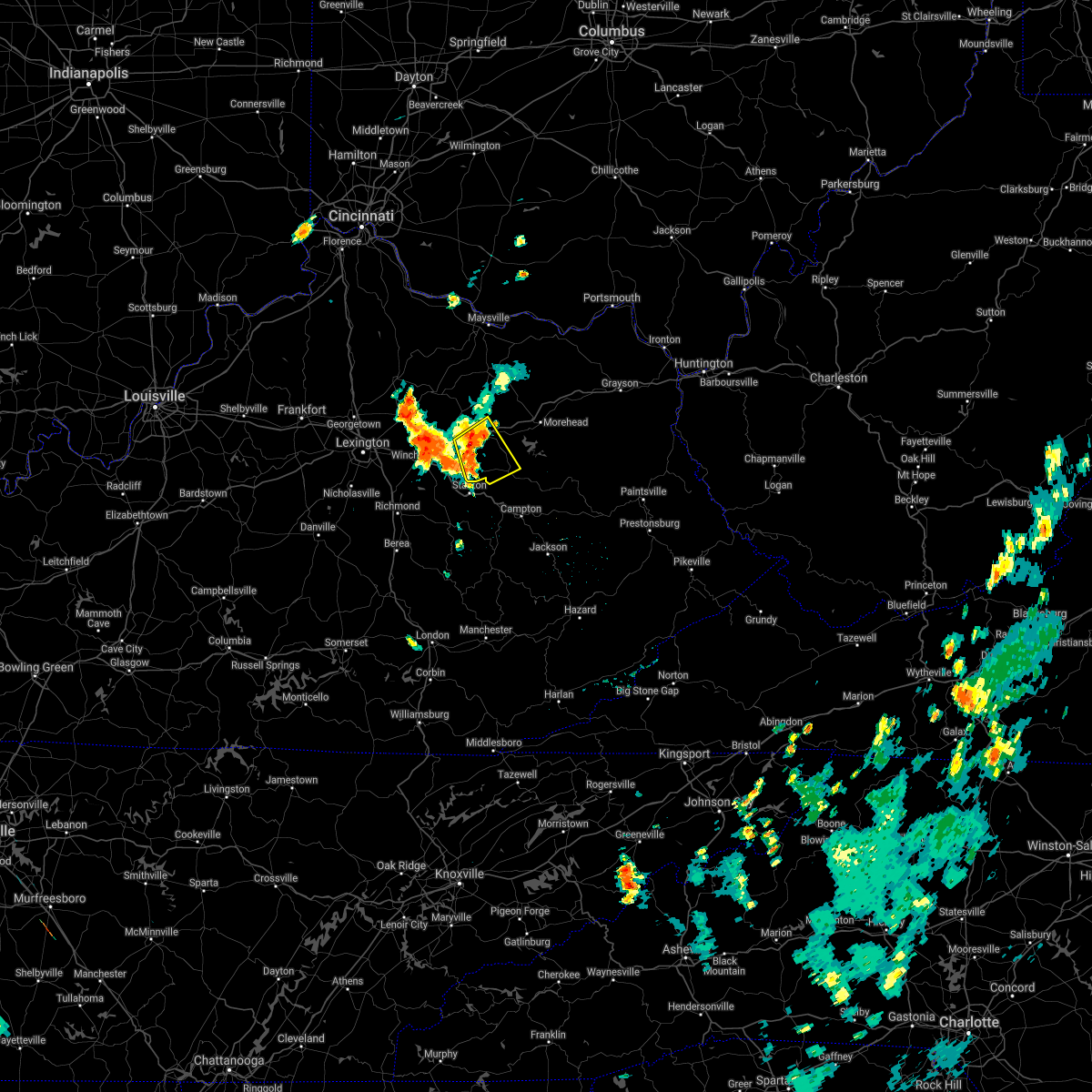 At 252 pm edt, a severe thunderstorm was located over kendall springs, or near owingsville, moving southeast at 25 mph (radar indicated). Hazards include 60 mph wind gusts and nickel size hail. Expect damage to roofs, siding, and trees. this severe storm will be near, peeled oak around 255 pm edt. Other locations in the path of this severe thunderstorm include walkers crossing, jeffersonville, clay lick, cedar groves and cornwell. At 252 pm edt, a severe thunderstorm was located over kendall springs, or near owingsville, moving southeast at 25 mph (radar indicated). Hazards include 60 mph wind gusts and nickel size hail. Expect damage to roofs, siding, and trees. this severe storm will be near, peeled oak around 255 pm edt. Other locations in the path of this severe thunderstorm include walkers crossing, jeffersonville, clay lick, cedar groves and cornwell.
|
| 6/12/2021 2:39 PM EDT |
 At 239 pm edt, a severe thunderstorm was located over flat creek, or near owingsville, moving southeast at 25 mph (radar indicated). Hazards include 60 mph wind gusts and quarter size hail. Hail damage to vehicles is expected. expect wind damage to roofs, siding, and trees. this severe thunderstorm will be near, owingsville around 245 pm edt. stepstone around 250 pm edt. peeled oak around 255 pm edt. Other locations in the path of this severe thunderstorm include walkers crossing, jeffersonville and clay lick. At 239 pm edt, a severe thunderstorm was located over flat creek, or near owingsville, moving southeast at 25 mph (radar indicated). Hazards include 60 mph wind gusts and quarter size hail. Hail damage to vehicles is expected. expect wind damage to roofs, siding, and trees. this severe thunderstorm will be near, owingsville around 245 pm edt. stepstone around 250 pm edt. peeled oak around 255 pm edt. Other locations in the path of this severe thunderstorm include walkers crossing, jeffersonville and clay lick.
|
| 8/18/2020 4:28 PM EDT |
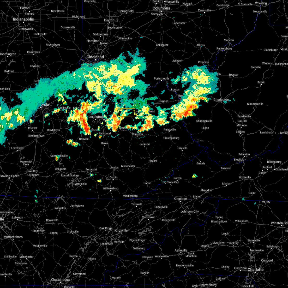 The severe thunderstorm warning for north central montgomery, central bath and southern fleming counties will expire at 430 pm edt, the storm which prompted the warning has weakened below severe limits, and no longer poses an immediate threat to life or property. therefore, the warning will be allowed to expire. however heavy rain is still possible with this thunderstorm. The severe thunderstorm warning for north central montgomery, central bath and southern fleming counties will expire at 430 pm edt, the storm which prompted the warning has weakened below severe limits, and no longer poses an immediate threat to life or property. therefore, the warning will be allowed to expire. however heavy rain is still possible with this thunderstorm.
|
| 8/18/2020 4:16 PM EDT |
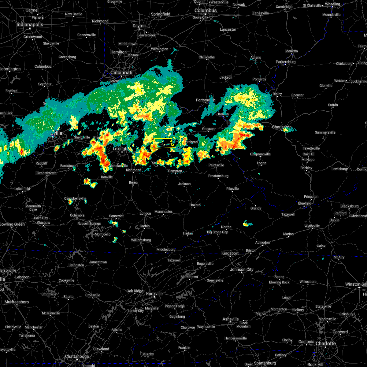 At 415 pm edt, a severe thunderstorm was located over stoops, or near mount sterling, moving east at 25 mph (radar indicated). Hazards include 60 mph wind gusts and nickel size hail. Expect damage to roofs, siding, and trees. Locations impacted include, owingsville, marshall, sharpsburg, salt lick, judy, olympia, reynoldsville, wyoming, peasticks, kendall springs, moore`s ferry and craigs. At 415 pm edt, a severe thunderstorm was located over stoops, or near mount sterling, moving east at 25 mph (radar indicated). Hazards include 60 mph wind gusts and nickel size hail. Expect damage to roofs, siding, and trees. Locations impacted include, owingsville, marshall, sharpsburg, salt lick, judy, olympia, reynoldsville, wyoming, peasticks, kendall springs, moore`s ferry and craigs.
|
| 7/20/2020 3:08 PM EDT |
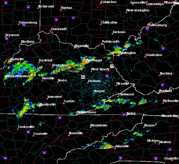 At 307 pm edt, a severe thunderstorm was located over camargo, or near mount sterling, moving southeast at 25 mph (radar indicated). Hazards include 60 mph wind gusts. expect damage to roofs, siding, and trees At 307 pm edt, a severe thunderstorm was located over camargo, or near mount sterling, moving southeast at 25 mph (radar indicated). Hazards include 60 mph wind gusts. expect damage to roofs, siding, and trees
|
| 6/14/2020 4:08 PM EDT |
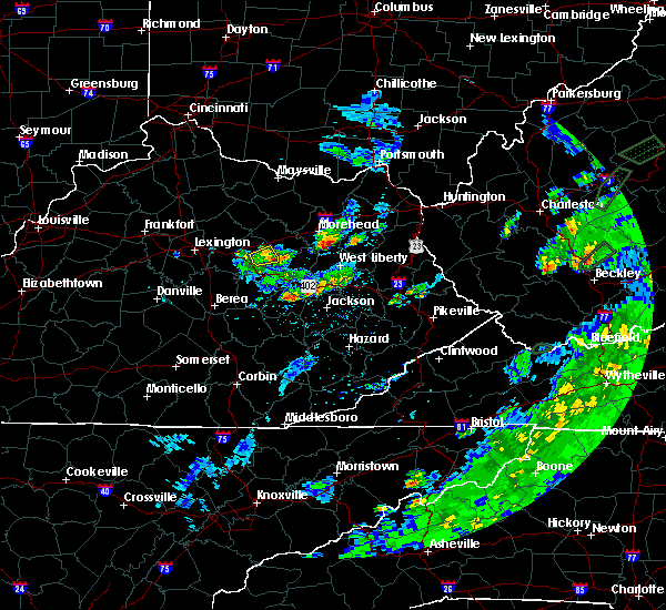 The severe thunderstorm warning for southeastern montgomery county will expire at 415 pm edt, the storm which prompted the warning has weakened below severe limits, and no longer poses an immediate threat to life or property. therefore, the warning will be allowed to expire. however small hail and gusty winds are still possible with this thunderstorm. The severe thunderstorm warning for southeastern montgomery county will expire at 415 pm edt, the storm which prompted the warning has weakened below severe limits, and no longer poses an immediate threat to life or property. therefore, the warning will be allowed to expire. however small hail and gusty winds are still possible with this thunderstorm.
|
| 6/14/2020 3:48 PM EDT |
 At 348 pm edt, a severe thunderstorm was located over levee, or near mount sterling, moving east at 15 mph (radar indicated). Hazards include 60 mph wind gusts and quarter size hail. Hail damage to vehicles is expected. Expect wind damage to roofs, siding, and trees. At 348 pm edt, a severe thunderstorm was located over levee, or near mount sterling, moving east at 15 mph (radar indicated). Hazards include 60 mph wind gusts and quarter size hail. Hail damage to vehicles is expected. Expect wind damage to roofs, siding, and trees.
|
| 6/10/2020 6:47 PM EDT |
 At 646 pm edt, severe thunderstorms were located along a line extending from owingsville to near stanton, moving northeast at 60 mph (radar indicated). Hazards include 60 mph wind gusts and penny size hail. expect damage to roofs, siding, and trees At 646 pm edt, severe thunderstorms were located along a line extending from owingsville to near stanton, moving northeast at 60 mph (radar indicated). Hazards include 60 mph wind gusts and penny size hail. expect damage to roofs, siding, and trees
|
| 6/10/2020 6:03 PM EDT |
 At 603 pm edt, severe thunderstorms were located along a line extending from near tollesboro to camargo, moving east at 35 mph (radar indicated). Hazards include 70 mph wind gusts. Expect considerable tree damage. damage is likely to mobile homes, roofs, and outbuildings. Locations impacted include, mount sterling, flemingsburg, owingsville, marshall, sharpsburg, salt lick, fairview, ramey, pecks ridge, wyoming, peasticks and flat creek. At 603 pm edt, severe thunderstorms were located along a line extending from near tollesboro to camargo, moving east at 35 mph (radar indicated). Hazards include 70 mph wind gusts. Expect considerable tree damage. damage is likely to mobile homes, roofs, and outbuildings. Locations impacted include, mount sterling, flemingsburg, owingsville, marshall, sharpsburg, salt lick, fairview, ramey, pecks ridge, wyoming, peasticks and flat creek.
|
| 6/10/2020 5:59 PM EDT |
 At 559 pm edt, severe thunderstorms were located along a line extending from near lewisburg to camargo, moving east at 35 mph (radar indicated). Hazards include 60 mph wind gusts and penny size hail. expect damage to roofs, siding, and trees At 559 pm edt, severe thunderstorms were located along a line extending from near lewisburg to camargo, moving east at 35 mph (radar indicated). Hazards include 60 mph wind gusts and penny size hail. expect damage to roofs, siding, and trees
|
| 6/10/2020 5:50 PM EDT |
 At 550 pm edt, severe thunderstorms were located along a line extending from lewisburg to klondike, moving northeast at 50 mph (radar indicated). Hazards include 60 mph wind gusts. Expect damage to roofs, siding, and trees. Locations impacted include, mount sterling, flemingsburg, owingsville, frenchburg, marshall, jeffersonville, camargo, sharpsburg, salt lick, fairview, clay lick and ramey. At 550 pm edt, severe thunderstorms were located along a line extending from lewisburg to klondike, moving northeast at 50 mph (radar indicated). Hazards include 60 mph wind gusts. Expect damage to roofs, siding, and trees. Locations impacted include, mount sterling, flemingsburg, owingsville, frenchburg, marshall, jeffersonville, camargo, sharpsburg, salt lick, fairview, clay lick and ramey.
|
| 6/10/2020 5:44 PM EDT | Trees down on power lines along howell drennen roa in montgomery county KY, 3.7 miles ESE of Mount Sterling, KY |
| 6/10/2020 5:32 PM EDT |
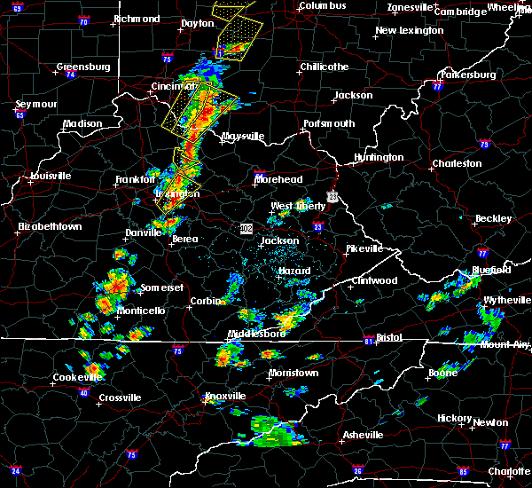 At 532 pm edt, severe thunderstorms were located along a line extending from near nepton to fox, moving east at 35 mph (radar indicated). Hazards include 60 mph wind gusts and penny size hail. expect damage to roofs, siding, and trees At 532 pm edt, severe thunderstorms were located along a line extending from near nepton to fox, moving east at 35 mph (radar indicated). Hazards include 60 mph wind gusts and penny size hail. expect damage to roofs, siding, and trees
|
| 5/3/2020 6:30 PM EDT |
 At 630 pm edt, a severe thunderstorm was located near hope, or near frenchburg, moving east at 45 mph (radar indicated). Hazards include 60 mph wind gusts and penny size hail. Expect damage to roofs, siding, and trees. Locations impacted include, mount sterling, west liberty, frenchburg, henry, jeffersonville, camargo, wellington, zag, clay lick, cornwell, rothwell and olympia springs. At 630 pm edt, a severe thunderstorm was located near hope, or near frenchburg, moving east at 45 mph (radar indicated). Hazards include 60 mph wind gusts and penny size hail. Expect damage to roofs, siding, and trees. Locations impacted include, mount sterling, west liberty, frenchburg, henry, jeffersonville, camargo, wellington, zag, clay lick, cornwell, rothwell and olympia springs.
|
| 5/3/2020 6:20 PM EDT |
 At 620 pm edt, a severe thunderstorm was located over lower spencer, or near mount sterling, moving east at 45 mph (radar indicated). Hazards include 60 mph wind gusts and penny size hail. Expect damage to roofs, siding, and trees. Locations impacted include, mount sterling, west liberty, owingsville, frenchburg, marshall, henry, jeffersonville, camargo, wellington, salt lick, zag and clay lick. At 620 pm edt, a severe thunderstorm was located over lower spencer, or near mount sterling, moving east at 45 mph (radar indicated). Hazards include 60 mph wind gusts and penny size hail. Expect damage to roofs, siding, and trees. Locations impacted include, mount sterling, west liberty, owingsville, frenchburg, marshall, henry, jeffersonville, camargo, wellington, salt lick, zag and clay lick.
|
| 5/3/2020 6:15 PM EDT | Reports of multiple tree and limbs down and utility lines down in and near mount sterlin in montgomery county KY, 0.9 miles WSW of Mount Sterling, KY |
| 5/3/2020 6:13 PM EDT | Large tree limbs down reported via social media with pictur in montgomery county KY, 0.4 miles SE of Mount Sterling, KY |
| 5/3/2020 6:11 PM EDT |
 At 611 pm edt, a severe thunderstorm was located over prewitt, or over mount sterling, moving east at 40 mph (radar indicated). Hazards include 60 mph wind gusts and penny size hail. expect damage to roofs, siding, and trees At 611 pm edt, a severe thunderstorm was located over prewitt, or over mount sterling, moving east at 40 mph (radar indicated). Hazards include 60 mph wind gusts and penny size hail. expect damage to roofs, siding, and trees
|
| 4/9/2020 12:10 AM EDT |
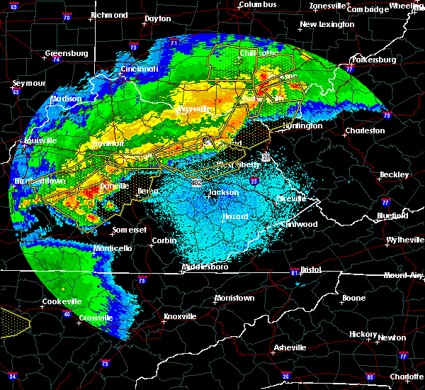 The severe thunderstorm warning for montgomery, bath, northwestern morgan, menifee, southeastern fleming, rowan and elliott counties will expire at 1215 am edt, the storm which prompted the warning is still ongoing and capable of producing damaging winds. the warning will be allowed to expire at its designated time, but has been replaced with a new severe thunderstorm warning for much of the same area, in effect through 1245 am edt. a tornado watch remains in effect until 400 am edt for southeastern and east central kentucky. The severe thunderstorm warning for montgomery, bath, northwestern morgan, menifee, southeastern fleming, rowan and elliott counties will expire at 1215 am edt, the storm which prompted the warning is still ongoing and capable of producing damaging winds. the warning will be allowed to expire at its designated time, but has been replaced with a new severe thunderstorm warning for much of the same area, in effect through 1245 am edt. a tornado watch remains in effect until 400 am edt for southeastern and east central kentucky.
|
| 4/9/2020 12:06 AM EDT |
 At 1206 am edt, severe thunderstorms were located along a line extending from 8 miles west of load to haldeman to mount sterling, moving southeast at 40 mph (radar indicated). Hazards include 60 mph wind gusts and nickel size hail. expect damage to roofs, siding, and trees At 1206 am edt, severe thunderstorms were located along a line extending from 8 miles west of load to haldeman to mount sterling, moving southeast at 40 mph (radar indicated). Hazards include 60 mph wind gusts and nickel size hail. expect damage to roofs, siding, and trees
|
| 4/9/2020 12:05 AM EDT | 911 call center indicated fallen tree over one lane of us-60 near the montgomery/bath county lin in bath county KY, 6.2 miles SW of Mount Sterling, KY |
| 4/9/2020 12:02 AM EDT |
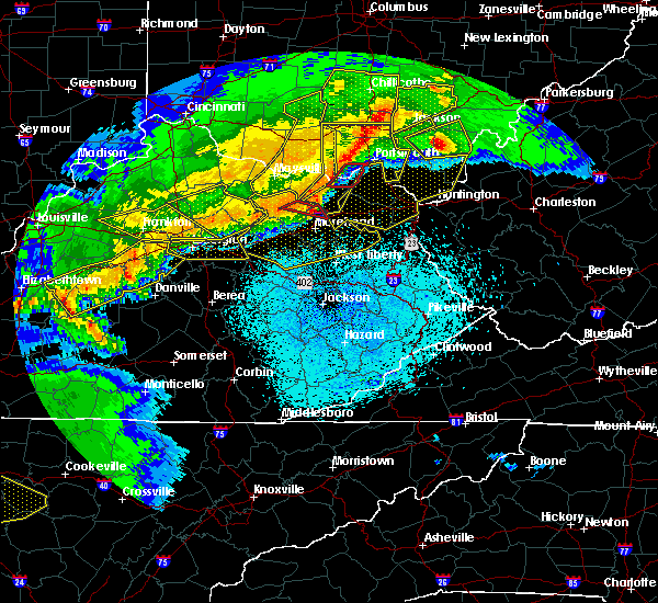 At 1201 am edt, severe thunderstorms were located along a line extending from near load to farley to coons station, moving southeast at 65 mph (radar indicated). Hazards include 60 mph wind gusts and nickel size hail. Expect damage to roofs, siding, and trees. Locations impacted include, mount sterling, morehead, owingsville, sandy hook, frenchburg, marshall, jeffersonville, camargo, wellington, salt lick, campsites in the indian creek area of the daniel boone national forrest and zag. At 1201 am edt, severe thunderstorms were located along a line extending from near load to farley to coons station, moving southeast at 65 mph (radar indicated). Hazards include 60 mph wind gusts and nickel size hail. Expect damage to roofs, siding, and trees. Locations impacted include, mount sterling, morehead, owingsville, sandy hook, frenchburg, marshall, jeffersonville, camargo, wellington, salt lick, campsites in the indian creek area of the daniel boone national forrest and zag.
|
| 4/8/2020 11:40 PM EDT |
 At 1138 pm edt, severe thunderstorms were located along a line extending from near rome to goddard to near paris, moving southeast at 65 mph (radar indicated). Hazards include 60 mph wind gusts and nickel size hail. Expect damage to roofs, siding, and trees. Locations impacted include, mount sterling, morehead, flemingsburg, owingsville, sandy hook, frenchburg, marshall, jeffersonville, camargo, wellington, sharpsburg and salt lick. At 1138 pm edt, severe thunderstorms were located along a line extending from near rome to goddard to near paris, moving southeast at 65 mph (radar indicated). Hazards include 60 mph wind gusts and nickel size hail. Expect damage to roofs, siding, and trees. Locations impacted include, mount sterling, morehead, flemingsburg, owingsville, sandy hook, frenchburg, marshall, jeffersonville, camargo, wellington, sharpsburg and salt lick.
|
| 4/8/2020 11:18 PM EDT |
 At 1117 pm edt, severe thunderstorms were located along a line extending from near ripley to near fairview to 10 miles northwest of georgetown, moving southeast at 65 mph (radar indicated). Hazards include 60 mph wind gusts and nickel size hail. expect damage to roofs, siding, and trees At 1117 pm edt, severe thunderstorms were located along a line extending from near ripley to near fairview to 10 miles northwest of georgetown, moving southeast at 65 mph (radar indicated). Hazards include 60 mph wind gusts and nickel size hail. expect damage to roofs, siding, and trees
|
| 4/8/2020 3:43 PM EDT |
 At 343 pm edt, a severe thunderstorm was located over fagan, or near frenchburg, moving southeast at 30 mph (radar indicated). Hazards include 60 mph wind gusts and quarter size hail. Hail damage to vehicles is expected. expect wind damage to roofs, siding, and trees. Locations impacted include, mount sterling, frenchburg, jeffersonville, camargo, clay lick, means, preston, cornwell, rothwell, walkers crossing, olympia springs and yale. At 343 pm edt, a severe thunderstorm was located over fagan, or near frenchburg, moving southeast at 30 mph (radar indicated). Hazards include 60 mph wind gusts and quarter size hail. Hail damage to vehicles is expected. expect wind damage to roofs, siding, and trees. Locations impacted include, mount sterling, frenchburg, jeffersonville, camargo, clay lick, means, preston, cornwell, rothwell, walkers crossing, olympia springs and yale.
|
| 4/8/2020 3:18 PM EDT |
 At 317 pm edt, a severe thunderstorm was located over flat creek, or near mount sterling, moving southeast at 30 mph (radar indicated). Hazards include 60 mph wind gusts and quarter size hail. Hail damage to vehicles is expected. Expect wind damage to roofs, siding, and trees. At 317 pm edt, a severe thunderstorm was located over flat creek, or near mount sterling, moving southeast at 30 mph (radar indicated). Hazards include 60 mph wind gusts and quarter size hail. Hail damage to vehicles is expected. Expect wind damage to roofs, siding, and trees.
|
| 1/11/2020 1:59 PM EST |
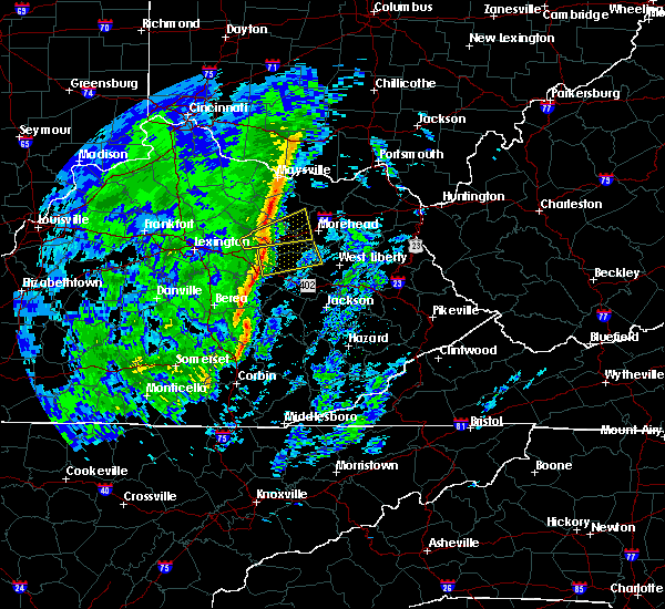 At 158 pm est, a severe thunderstorm was located over lucky stop, or 7 miles north of stanton, moving northeast at 60 mph (radar indicated). Hazards include 60 mph wind gusts. expect damage to roofs, siding, and trees At 158 pm est, a severe thunderstorm was located over lucky stop, or 7 miles north of stanton, moving northeast at 60 mph (radar indicated). Hazards include 60 mph wind gusts. expect damage to roofs, siding, and trees
|
| 1/11/2020 1:52 PM EST |
 At 152 pm est, severe thunderstorms were located along a line extending from near stoops to near blackburn, moving east at 50 mph (radar indicated). Hazards include 60 mph wind gusts. Expect damage to roofs, siding, and trees. Locations impacted include, mount sterling, stanton, irvine, jeffersonville, camargo, clay city, ravenna, clay lick, levee, kimbrell, rice station and kings station. At 152 pm est, severe thunderstorms were located along a line extending from near stoops to near blackburn, moving east at 50 mph (radar indicated). Hazards include 60 mph wind gusts. Expect damage to roofs, siding, and trees. Locations impacted include, mount sterling, stanton, irvine, jeffersonville, camargo, clay city, ravenna, clay lick, levee, kimbrell, rice station and kings station.
|
| 1/11/2020 1:48 PM EST |
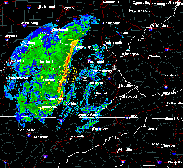 At 147 pm est, a severe thunderstorm was located over grassy lick, or over mount sterling, moving northeast at 60 mph (radar indicated). Hazards include 60 mph wind gusts. expect damage to roofs, siding, and trees At 147 pm est, a severe thunderstorm was located over grassy lick, or over mount sterling, moving northeast at 60 mph (radar indicated). Hazards include 60 mph wind gusts. expect damage to roofs, siding, and trees
|
| 1/11/2020 1:37 PM EST |
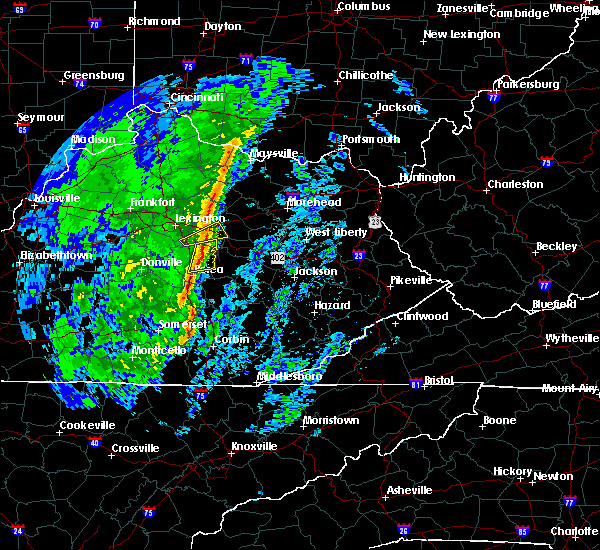 At 137 pm est, severe thunderstorms were located along a line extending from near sideview to 6 miles north of morrill, moving east at 50 mph (radar indicated). Hazards include 60 mph wind gusts. expect damage to roofs, siding, and trees At 137 pm est, severe thunderstorms were located along a line extending from near sideview to 6 miles north of morrill, moving east at 50 mph (radar indicated). Hazards include 60 mph wind gusts. expect damage to roofs, siding, and trees
|
| 7/11/2019 5:30 PM EDT | Multiple electrical transformers downed by lightnin in montgomery county KY, 0.4 miles SW of Mount Sterling, KY |
| 7/11/2019 2:53 PM EDT |
 At 253 pm edt, a severe thunderstorm was located over flat creek, or near owingsville, moving east at 25 mph (radar indicated). Hazards include 60 mph wind gusts and nickel size hail. Expect damage to roofs, siding, and trees. Locations impacted include, mount sterling, owingsville, marshall, salt lick, preston, reynoldsville, wyoming, peasticks, walkers crossing, olympia springs, moore`s ferry and flat creek. At 253 pm edt, a severe thunderstorm was located over flat creek, or near owingsville, moving east at 25 mph (radar indicated). Hazards include 60 mph wind gusts and nickel size hail. Expect damage to roofs, siding, and trees. Locations impacted include, mount sterling, owingsville, marshall, salt lick, preston, reynoldsville, wyoming, peasticks, walkers crossing, olympia springs, moore`s ferry and flat creek.
|
| 7/11/2019 2:44 PM EDT |
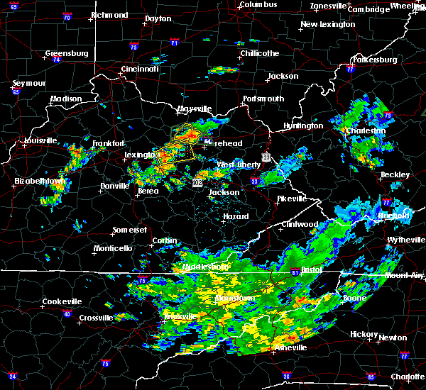 At 243 pm edt, a severe thunderstorm was located over judy, or over mount sterling, moving east at 25 mph (radar indicated). Hazards include 60 mph wind gusts and quarter size hail. Hail damage to vehicles is expected. Expect wind damage to roofs, siding, and trees. At 243 pm edt, a severe thunderstorm was located over judy, or over mount sterling, moving east at 25 mph (radar indicated). Hazards include 60 mph wind gusts and quarter size hail. Hail damage to vehicles is expected. Expect wind damage to roofs, siding, and trees.
|
| 7/3/2019 2:45 PM EDT | A tree was blown dow in montgomery county KY, 1.4 miles NW of Mount Sterling, KY |
| 6/23/2019 7:31 PM EDT | A tree was blown down on sidney driv in montgomery county KY, 0.4 miles SE of Mount Sterling, KY |
| 6/23/2019 7:27 PM EDT | Powerlines were blown dow in montgomery county KY, 4.1 miles E of Mount Sterling, KY |
| 6/23/2019 7:21 PM EDT |
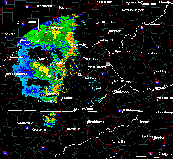 At 720 pm edt, a severe thunderstorm was located over westbend, or 9 miles south of mount sterling, moving east at 30 mph (radar indicated). Hazards include 60 mph wind gusts. expect damage to roofs, siding, and trees At 720 pm edt, a severe thunderstorm was located over westbend, or 9 miles south of mount sterling, moving east at 30 mph (radar indicated). Hazards include 60 mph wind gusts. expect damage to roofs, siding, and trees
|
| 6/16/2019 7:10 PM EDT |
 At 708 pm edt, a severe thunderstorm was located over camargo, or near mount sterling, moving east at 30 mph (radar indicated. at 700 pm edt montgomery county dispatch reported a tree down on a power line in hope, kentucky). Hazards include 60 mph wind gusts and quarter size hail. Hail damage to vehicles is expected. expect wind damage to roofs, siding, and trees. Locations impacted include, mount sterling, owingsville, frenchburg, marshall, jeffersonville, camargo, salt lick, clay lick, levee, cornwell, peasticks and rothwell. At 708 pm edt, a severe thunderstorm was located over camargo, or near mount sterling, moving east at 30 mph (radar indicated. at 700 pm edt montgomery county dispatch reported a tree down on a power line in hope, kentucky). Hazards include 60 mph wind gusts and quarter size hail. Hail damage to vehicles is expected. expect wind damage to roofs, siding, and trees. Locations impacted include, mount sterling, owingsville, frenchburg, marshall, jeffersonville, camargo, salt lick, clay lick, levee, cornwell, peasticks and rothwell.
|
| 6/16/2019 6:56 PM EDT |
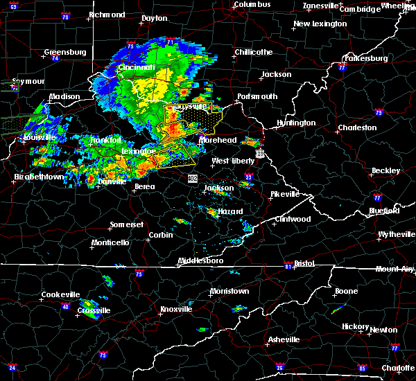 At 655 pm edt, a severe thunderstorm was located near levee, or 7 miles south of mount sterling, moving east at 30 mph (radar indicated). Hazards include 60 mph wind gusts and quarter size hail. Hail damage to vehicles is expected. Expect wind damage to roofs, siding, and trees. At 655 pm edt, a severe thunderstorm was located near levee, or 7 miles south of mount sterling, moving east at 30 mph (radar indicated). Hazards include 60 mph wind gusts and quarter size hail. Hail damage to vehicles is expected. Expect wind damage to roofs, siding, and trees.
|
| 6/5/2019 9:42 PM EDT |
 The severe thunderstorm warning for montgomery and southwestern bath counties will expire at 945 pm edt, the storm which prompted the warning has moved out of the area. therefore, the warning will be allowed to expire. a severe thunderstorm watch remains in effect until 100 am edt for east central kentucky. to report severe weather, contact your nearest law enforcement agency. they will relay your report to the national weather service jackson ky. The severe thunderstorm warning for montgomery and southwestern bath counties will expire at 945 pm edt, the storm which prompted the warning has moved out of the area. therefore, the warning will be allowed to expire. a severe thunderstorm watch remains in effect until 100 am edt for east central kentucky. to report severe weather, contact your nearest law enforcement agency. they will relay your report to the national weather service jackson ky.
|
| 6/5/2019 9:24 PM EDT |
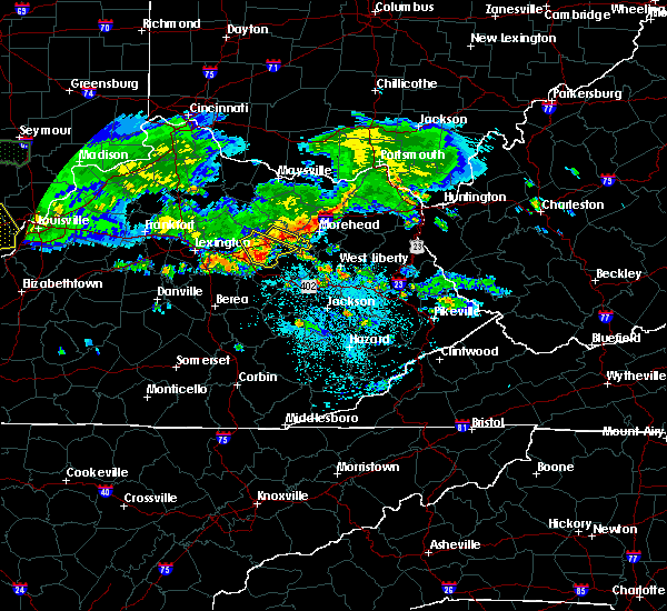 At 924 pm edt, a severe thunderstorm was located over ewington, or over mount sterling, moving southeast at 30 mph (radar indicated). Hazards include 60 mph wind gusts and nickel size hail. Expect damage to roofs, siding, and trees. Locations impacted include, mount sterling, jeffersonville, camargo, levee, preston, sideview, walkers crossing, olympia springs, flat creek, coons station, stepstone and bean. At 924 pm edt, a severe thunderstorm was located over ewington, or over mount sterling, moving southeast at 30 mph (radar indicated). Hazards include 60 mph wind gusts and nickel size hail. Expect damage to roofs, siding, and trees. Locations impacted include, mount sterling, jeffersonville, camargo, levee, preston, sideview, walkers crossing, olympia springs, flat creek, coons station, stepstone and bean.
|
| 6/5/2019 9:13 PM EDT |
 The severe thunderstorm warning for central montgomery, bath, south central fleming and west central rowan counties will expire at 915 pm edt, a portion of the storms which prompted the warning have weakened below severe limits, and no longer pose an immediate threat to life or property. therefore, the warning will be allowed to expire. however, a new warning has been issued for a stronger portion of the line of storms across montgomery and southwestern bath county. a severe thunderstorm watch remains in effect until 100 am edt for east central kentucky. The severe thunderstorm warning for central montgomery, bath, south central fleming and west central rowan counties will expire at 915 pm edt, a portion of the storms which prompted the warning have weakened below severe limits, and no longer pose an immediate threat to life or property. therefore, the warning will be allowed to expire. however, a new warning has been issued for a stronger portion of the line of storms across montgomery and southwestern bath county. a severe thunderstorm watch remains in effect until 100 am edt for east central kentucky.
|
| 6/5/2019 9:07 PM EDT |
 At 907 pm edt, a severe thunderstorm was located over sideview, or near mount sterling, moving southeast at 30 mph (radar indicated). Hazards include 60 mph wind gusts and nickel size hail. expect damage to roofs, siding, and trees At 907 pm edt, a severe thunderstorm was located over sideview, or near mount sterling, moving southeast at 30 mph (radar indicated). Hazards include 60 mph wind gusts and nickel size hail. expect damage to roofs, siding, and trees
|
| 6/5/2019 8:50 PM EDT |
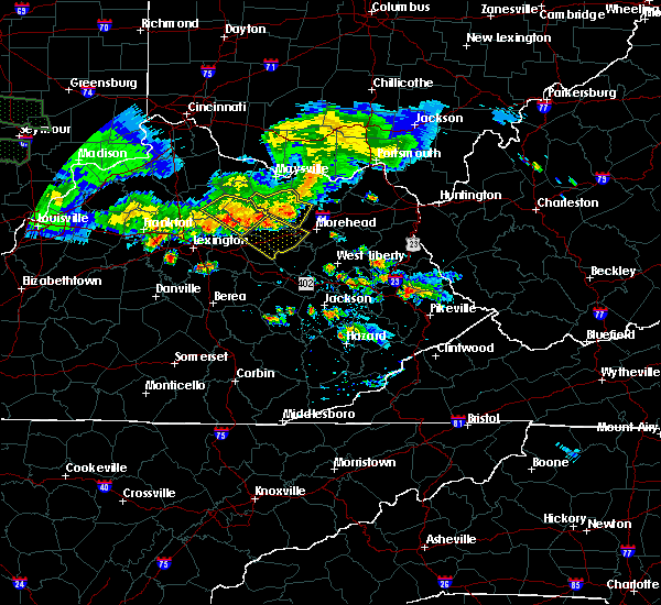 At 850 pm edt, severe thunderstorms were located along a line extending from near cowan to near carlisle to 6 miles east of paris, moving southeast at 40 mph (radar indicated). Hazards include 60 mph wind gusts and penny size hail. Expect damage to roofs, siding, and trees. Locations impacted include, mount sterling, owingsville, marshall, jeffersonville, camargo, sharpsburg, salt lick, ramey, wyoming, peasticks, olympia springs and flat creek. At 850 pm edt, severe thunderstorms were located along a line extending from near cowan to near carlisle to 6 miles east of paris, moving southeast at 40 mph (radar indicated). Hazards include 60 mph wind gusts and penny size hail. Expect damage to roofs, siding, and trees. Locations impacted include, mount sterling, owingsville, marshall, jeffersonville, camargo, sharpsburg, salt lick, ramey, wyoming, peasticks, olympia springs and flat creek.
|
| 6/5/2019 8:41 PM EDT |
 At 841 pm edt, severe thunderstorms were located along a line extending from near fairview to near carlisle to near paris, moving southeast at 40 mph (radar indicated). Hazards include 60 mph wind gusts and penny size hail. expect damage to roofs, siding, and trees At 841 pm edt, severe thunderstorms were located along a line extending from near fairview to near carlisle to near paris, moving southeast at 40 mph (radar indicated). Hazards include 60 mph wind gusts and penny size hail. expect damage to roofs, siding, and trees
|
| 3/14/2019 11:40 PM EDT |
 At 1139 pm edt, a severe thunderstorm was located over reynoldsville, or near owingsville, moving northeast at 70 mph (radar indicated). Hazards include 60 mph wind gusts. expect damage to roofs, siding, and trees At 1139 pm edt, a severe thunderstorm was located over reynoldsville, or near owingsville, moving northeast at 70 mph (radar indicated). Hazards include 60 mph wind gusts. expect damage to roofs, siding, and trees
|
| 7/20/2018 4:31 PM EDT | Multiple trees downed. damage to a barn as well as roofs of other outbuildings near the intersection of highway 460 and chiles highwa in montgomery county KY, 6.4 miles SE of Mount Sterling, KY |
| 7/20/2018 4:31 PM EDT |
 At 431 pm edt, a severe thunderstorm capable of producing a tornado was located over sideview, or near mount sterling, moving east at 75 mph (radar indicated rotation). Hazards include tornado. Flying debris will be dangerous to those caught without shelter. mobile homes will be damaged or destroyed. damage to roofs, windows, and vehicles will occur. tree damage is likely. this dangerous storm will be near, sharpsburg around 435 pm edt. reynoldsville around 440 pm edt. slate valley around 445 pm edt. moore`s ferry around 450 pm edt. Other locations impacted by this tornadic thunderstorm include sewell shop. At 431 pm edt, a severe thunderstorm capable of producing a tornado was located over sideview, or near mount sterling, moving east at 75 mph (radar indicated rotation). Hazards include tornado. Flying debris will be dangerous to those caught without shelter. mobile homes will be damaged or destroyed. damage to roofs, windows, and vehicles will occur. tree damage is likely. this dangerous storm will be near, sharpsburg around 435 pm edt. reynoldsville around 440 pm edt. slate valley around 445 pm edt. moore`s ferry around 450 pm edt. Other locations impacted by this tornadic thunderstorm include sewell shop.
|
| 7/20/2018 4:25 PM EDT |
 At 424 pm edt, severe thunderstorms were located along a line extending from near paris to near winchester, moving east at 55 mph (radar indicated). Hazards include 70 mph wind gusts and quarter size hail. Hail damage to vehicles is expected. expect considerable tree damage. Wind damage is also likely to mobile homes, roofs, and outbuildings. At 424 pm edt, severe thunderstorms were located along a line extending from near paris to near winchester, moving east at 55 mph (radar indicated). Hazards include 70 mph wind gusts and quarter size hail. Hail damage to vehicles is expected. expect considerable tree damage. Wind damage is also likely to mobile homes, roofs, and outbuildings.
|
| 5/31/2018 4:37 PM EDT |
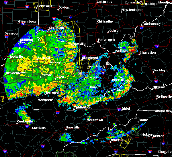 At 437 pm edt, severe thunderstorms were located along a line extending from near nepton to reynoldsville to bean to spout springs, moving east at 35 mph (radar indicated). Hazards include 60 mph wind gusts and penny size hail. Expect damage to roofs, siding, and trees. Locations impacted include, mount sterling, stanton, irvine, flemingsburg, owingsville, frenchburg, marshall, jeffersonville, camargo, clay city, sharpsburg, salt lick, campsites in the indian creek area of the daniel boone national forrest, fairview, pilot, pecks ridge, levee, bowen, cornwell and kimbrell. At 437 pm edt, severe thunderstorms were located along a line extending from near nepton to reynoldsville to bean to spout springs, moving east at 35 mph (radar indicated). Hazards include 60 mph wind gusts and penny size hail. Expect damage to roofs, siding, and trees. Locations impacted include, mount sterling, stanton, irvine, flemingsburg, owingsville, frenchburg, marshall, jeffersonville, camargo, clay city, sharpsburg, salt lick, campsites in the indian creek area of the daniel boone national forrest, fairview, pilot, pecks ridge, levee, bowen, cornwell and kimbrell.
|
| 5/31/2018 4:17 PM EDT |
 The national weather service in jackson ky has issued a * severe thunderstorm warning for. powell county in east central kentucky. montgomery county in east central kentucky. bath county in east central kentucky. Northern estill county in east central kentucky. The national weather service in jackson ky has issued a * severe thunderstorm warning for. powell county in east central kentucky. montgomery county in east central kentucky. bath county in east central kentucky. Northern estill county in east central kentucky.
|
| 1/22/2018 10:10 PM EST |
 At 1010 pm est, a severe thunderstorm was located over prewitt, or near mount sterling, moving northeast at 55 mph (radar indicated). Hazards include 60 mph wind gusts and quarter size hail. Hail damage to vehicles is expected. expect wind damage to roofs, siding, and trees. Locations impacted include, mount sterling, owingsville, marshall, camargo, sharpsburg, levee, preston, reynoldsville, sideview, peasticks, flat creek, coons station, stepstone, bourbon furnace, gatewoods station, slate valley, prewitt, crooks, polksville and stoops. At 1010 pm est, a severe thunderstorm was located over prewitt, or near mount sterling, moving northeast at 55 mph (radar indicated). Hazards include 60 mph wind gusts and quarter size hail. Hail damage to vehicles is expected. expect wind damage to roofs, siding, and trees. Locations impacted include, mount sterling, owingsville, marshall, camargo, sharpsburg, levee, preston, reynoldsville, sideview, peasticks, flat creek, coons station, stepstone, bourbon furnace, gatewoods station, slate valley, prewitt, crooks, polksville and stoops.
|
| 1/22/2018 9:59 PM EST |
 At 958 pm est, a severe thunderstorm was located near richmond, moving northeast at 65 mph (radar indicated). Hazards include 60 mph wind gusts and quarter size hail. Hail damage to vehicles is expected. Expect wind damage to roofs, siding, and trees. At 958 pm est, a severe thunderstorm was located near richmond, moving northeast at 65 mph (radar indicated). Hazards include 60 mph wind gusts and quarter size hail. Hail damage to vehicles is expected. Expect wind damage to roofs, siding, and trees.
|
| 8/22/2017 6:57 PM EDT |
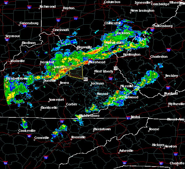 At 656 pm edt, a severe thunderstorm was located over winchester, or 12 miles southwest of mount sterling, moving east at 50 mph (radar indicated). Hazards include 60 mph wind gusts. expect damage to roofs, siding, and trees At 656 pm edt, a severe thunderstorm was located over winchester, or 12 miles southwest of mount sterling, moving east at 50 mph (radar indicated). Hazards include 60 mph wind gusts. expect damage to roofs, siding, and trees
|
| 8/22/2017 6:57 PM EDT |
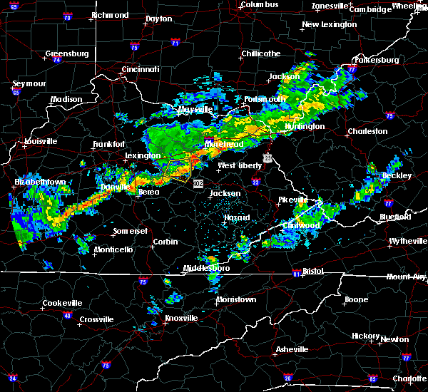 At 656 pm edt, a severe thunderstorm was located over winchester, or 12 miles southwest of mount sterling, moving east at 50 mph (radar indicated). Hazards include 60 mph wind gusts. expect damage to roofs, siding, and trees At 656 pm edt, a severe thunderstorm was located over winchester, or 12 miles southwest of mount sterling, moving east at 50 mph (radar indicated). Hazards include 60 mph wind gusts. expect damage to roofs, siding, and trees
|
| 8/22/2017 2:20 PM EDT |
 At 220 pm edt, a severe thunderstorm was located over polksville, or near owingsville, moving east at 35 mph (radar indicated). Hazards include 60 mph wind gusts and penny size hail. Expect damage to roofs, siding, and trees. Locations impacted include, mount sterling, morehead, owingsville, marshall, sharpsburg, salt lick, ramey, wyoming, peasticks, olympia springs, triplett, flat creek, odessa, hilda, bourbon furnace, pebble, sharkey, crooks, zilpo and pelfrey. At 220 pm edt, a severe thunderstorm was located over polksville, or near owingsville, moving east at 35 mph (radar indicated). Hazards include 60 mph wind gusts and penny size hail. Expect damage to roofs, siding, and trees. Locations impacted include, mount sterling, morehead, owingsville, marshall, sharpsburg, salt lick, ramey, wyoming, peasticks, olympia springs, triplett, flat creek, odessa, hilda, bourbon furnace, pebble, sharkey, crooks, zilpo and pelfrey.
|
| 8/22/2017 2:12 PM EDT | Large tree down on route 11 inside city limits. time estimated from rada in montgomery county KY, 0.4 miles SE of Mount Sterling, KY |
| 8/22/2017 1:56 PM EDT |
 At 156 pm edt, a severe thunderstorm was located over stoops, or near mount sterling, moving east at 35 mph (radar indicated). Hazards include 60 mph wind gusts and penny size hail. expect damage to roofs, siding, and trees At 156 pm edt, a severe thunderstorm was located over stoops, or near mount sterling, moving east at 35 mph (radar indicated). Hazards include 60 mph wind gusts and penny size hail. expect damage to roofs, siding, and trees
|
| 4/5/2017 8:52 PM EDT |
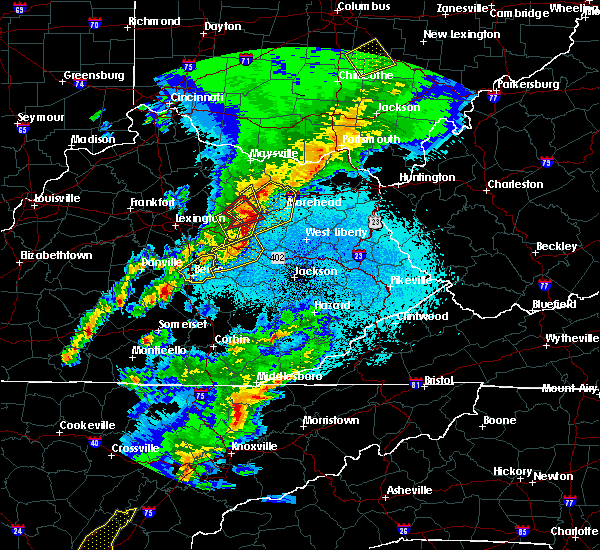 At 851 pm edt, a severe thunderstorm capable of producing a tornado was located over craigs, or over owingsville, moving northeast at 50 mph (dispatch reported a funnel cloud). Hazards include tornado. Flying debris will be dangerous to those caught without shelter. mobile homes will be damaged or destroyed. damage to roofs, windows, and vehicles will occur. tree damage is likely. This tornadic thunderstorm will remain over mainly rural areas of northeastern montgomery and western bath counties. At 851 pm edt, a severe thunderstorm capable of producing a tornado was located over craigs, or over owingsville, moving northeast at 50 mph (dispatch reported a funnel cloud). Hazards include tornado. Flying debris will be dangerous to those caught without shelter. mobile homes will be damaged or destroyed. damage to roofs, windows, and vehicles will occur. tree damage is likely. This tornadic thunderstorm will remain over mainly rural areas of northeastern montgomery and western bath counties.
|
| 4/5/2017 8:46 PM EDT |
 At 845 pm edt, severe thunderstorms were located along a line extending from flat creek to lower spencer to waltersville, moving northeast at 50 mph (radar indicated). Hazards include 70 mph wind gusts and half dollar size hail. Hail damage to vehicles is expected. expect considerable tree damage. wind damage is also likely to mobile homes, roofs, and outbuildings. locations impacted include, mount sterling, owingsville, jeffersonville, camargo, sharpsburg, clay lick, pecks ridge, levee, wyoming, peasticks, flat creek, odessa, bourbon furnace, pebble, virden, prewitt, crooks, bethel, oakley and westbend. A tornado watch remains in effect until 1000 pm edt for east central kentucky. At 845 pm edt, severe thunderstorms were located along a line extending from flat creek to lower spencer to waltersville, moving northeast at 50 mph (radar indicated). Hazards include 70 mph wind gusts and half dollar size hail. Hail damage to vehicles is expected. expect considerable tree damage. wind damage is also likely to mobile homes, roofs, and outbuildings. locations impacted include, mount sterling, owingsville, jeffersonville, camargo, sharpsburg, clay lick, pecks ridge, levee, wyoming, peasticks, flat creek, odessa, bourbon furnace, pebble, virden, prewitt, crooks, bethel, oakley and westbend. A tornado watch remains in effect until 1000 pm edt for east central kentucky.
|
| 4/5/2017 8:33 PM EDT |
 At 833 pm edt, a severe thunderstorm capable of producing a tornado was located over grassy lick, or near mount sterling, moving northeast at 45 mph (radar indicated rotation). Hazards include tornado. Flying debris will be dangerous to those caught without shelter. mobile homes will be damaged or destroyed. damage to roofs, windows, and vehicles will occur. tree damage is likely. this dangerous storm will be near, judy, ewington and gatewoods station around 840 pm edt. sharpsburg, stoops, flat creek, stepstone, howards mill and peeled oak around 845 pm edt. kendall springs and preston around 850 pm edt. owingsville, reynoldsville, bethel and bourbon furnace around 855 pm edt. marshall, odessa, slate valley, craigs and peasticks around 900 pm edt. Other locations impacted by this tornadic thunderstorm include sewell shop. At 833 pm edt, a severe thunderstorm capable of producing a tornado was located over grassy lick, or near mount sterling, moving northeast at 45 mph (radar indicated rotation). Hazards include tornado. Flying debris will be dangerous to those caught without shelter. mobile homes will be damaged or destroyed. damage to roofs, windows, and vehicles will occur. tree damage is likely. this dangerous storm will be near, judy, ewington and gatewoods station around 840 pm edt. sharpsburg, stoops, flat creek, stepstone, howards mill and peeled oak around 845 pm edt. kendall springs and preston around 850 pm edt. owingsville, reynoldsville, bethel and bourbon furnace around 855 pm edt. marshall, odessa, slate valley, craigs and peasticks around 900 pm edt. Other locations impacted by this tornadic thunderstorm include sewell shop.
|
| 4/5/2017 8:29 PM EDT |
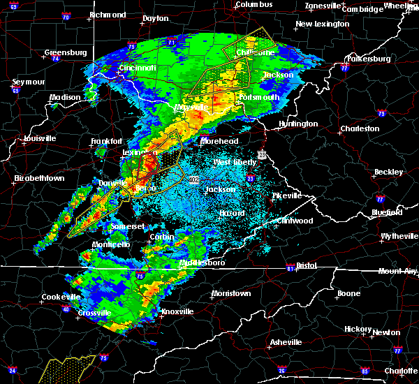 At 829 pm edt, severe thunderstorms were located along a line extending from near winchester to 8 miles northwest of cressy to near harris ferry, moving northeast at 45 mph (radar indicated). Hazards include 70 mph wind gusts and half dollar size hail. Hail damage to vehicles is expected. expect considerable tree damage. Wind damage is also likely to mobile homes, roofs, and outbuildings. At 829 pm edt, severe thunderstorms were located along a line extending from near winchester to 8 miles northwest of cressy to near harris ferry, moving northeast at 45 mph (radar indicated). Hazards include 70 mph wind gusts and half dollar size hail. Hail damage to vehicles is expected. expect considerable tree damage. Wind damage is also likely to mobile homes, roofs, and outbuildings.
|
| 3/27/2017 8:15 PM EDT |
 At 814 pm edt, severe thunderstorms were located along a line extending from mount sterling to ravenna to hurley, moving east at 45 mph (radar indicated). Hazards include 60 mph wind gusts and penny size hail. Expect damage to roofs, siding, and trees. Locations impacted include, mount sterling, stanton, irvine, mckee, jeffersonville, camargo, clay city, ravenna, pilot, levee, bowen, kimbrell, wiseman crossing station, virden, winston, patsey, vaughns mill, shirley, alumbaugh and evelyn. At 814 pm edt, severe thunderstorms were located along a line extending from mount sterling to ravenna to hurley, moving east at 45 mph (radar indicated). Hazards include 60 mph wind gusts and penny size hail. Expect damage to roofs, siding, and trees. Locations impacted include, mount sterling, stanton, irvine, mckee, jeffersonville, camargo, clay city, ravenna, pilot, levee, bowen, kimbrell, wiseman crossing station, virden, winston, patsey, vaughns mill, shirley, alumbaugh and evelyn.
|
| 3/27/2017 7:49 PM EDT |
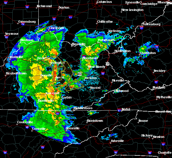 At 748 pm edt, severe thunderstorms were located along a line extending from near cadentown to near boone to ottowa, moving northeast at 40 mph (radar indicated). Hazards include 60 mph wind gusts and penny size hail. expect damage to roofs, siding, and trees At 748 pm edt, severe thunderstorms were located along a line extending from near cadentown to near boone to ottowa, moving northeast at 40 mph (radar indicated). Hazards include 60 mph wind gusts and penny size hail. expect damage to roofs, siding, and trees
|
| 3/1/2017 8:35 AM EST | Large tree limbs and branches down greater than 2 inches in diameter.penny size hai in montgomery county KY, 0.4 miles SE of Mount Sterling, KY |
| 3/1/2017 8:35 AM EST |
 At 835 am est, severe thunderstorms were located along a line extending from oggs station to cressy to near blackburn to indian lakes park, moving east at 65 mph (radar indicated). Hazards include 70 mph wind gusts. Expect considerable tree damage. damage is likely to mobile homes, roofs, and outbuildings. Locations impacted include, mount sterling, stanton, irvine, mount vernon, beattyville, mckee, frenchburg, boone, jeffersonville, camargo, clay city, ravenna, wellington, campsites in the indian creek area of the daniel boone national forrest, pilot, donaro, bummer, bowen, cornwell and kimbrell. At 835 am est, severe thunderstorms were located along a line extending from oggs station to cressy to near blackburn to indian lakes park, moving east at 65 mph (radar indicated). Hazards include 70 mph wind gusts. Expect considerable tree damage. damage is likely to mobile homes, roofs, and outbuildings. Locations impacted include, mount sterling, stanton, irvine, mount vernon, beattyville, mckee, frenchburg, boone, jeffersonville, camargo, clay city, ravenna, wellington, campsites in the indian creek area of the daniel boone national forrest, pilot, donaro, bummer, bowen, cornwell and kimbrell.
|
| 3/1/2017 8:30 AM EST |
 At 830 am est, severe thunderstorms were located along a line extending from near waltz to cranston to midland, moving east at 60 mph (radar indicated). Hazards include 70 mph wind gusts. Expect considerable tree damage. damage is likely to mobile homes, roofs, and outbuildings. Locations impacted include, mount sterling, morehead, owingsville, marshall, salt lick, cranston, ramey, preston, sideview, peasticks, olympia springs, moore`s ferry, triplett, flat creek, stepstone, hilda, bourbon furnace, crooks, polksville and stoops. At 830 am est, severe thunderstorms were located along a line extending from near waltz to cranston to midland, moving east at 60 mph (radar indicated). Hazards include 70 mph wind gusts. Expect considerable tree damage. damage is likely to mobile homes, roofs, and outbuildings. Locations impacted include, mount sterling, morehead, owingsville, marshall, salt lick, cranston, ramey, preston, sideview, peasticks, olympia springs, moore`s ferry, triplett, flat creek, stepstone, hilda, bourbon furnace, crooks, polksville and stoops.
|
| 3/1/2017 8:23 AM EST |
 At 823 am est, severe thunderstorms were located along a line extending from near muses mills to near plummers landing to polksville, moving east at 60 mph (radar indicated). Hazards include 70 mph wind gusts. Expect considerable tree damage. damage is likely to mobile homes, roofs, and outbuildings. Locations impacted include, mount sterling, morehead, owingsville, marshall, sharpsburg, salt lick, ramey, wyoming, peasticks, olympia springs, triplett, flat creek, odessa, hilda, bourbon furnace, sharkey, muses mills, crooks, oakley and ewington. At 823 am est, severe thunderstorms were located along a line extending from near muses mills to near plummers landing to polksville, moving east at 60 mph (radar indicated). Hazards include 70 mph wind gusts. Expect considerable tree damage. damage is likely to mobile homes, roofs, and outbuildings. Locations impacted include, mount sterling, morehead, owingsville, marshall, sharpsburg, salt lick, ramey, wyoming, peasticks, olympia springs, triplett, flat creek, odessa, hilda, bourbon furnace, sharkey, muses mills, crooks, oakley and ewington.
|
| 3/1/2017 8:23 AM EST |
 At 823 am est, severe thunderstorms were located along a line extending from prewitt to 6 miles northwest of harris ferry to 6 miles south of richmond to 6 miles south of stanford, moving east at 65 mph (radar indicated). Hazards include 70 mph wind gusts. Expect considerable tree damage. Damage is likely to mobile homes, roofs, and outbuildings. At 823 am est, severe thunderstorms were located along a line extending from prewitt to 6 miles northwest of harris ferry to 6 miles south of richmond to 6 miles south of stanford, moving east at 65 mph (radar indicated). Hazards include 70 mph wind gusts. Expect considerable tree damage. Damage is likely to mobile homes, roofs, and outbuildings.
|
| 3/1/2017 8:14 AM EST |
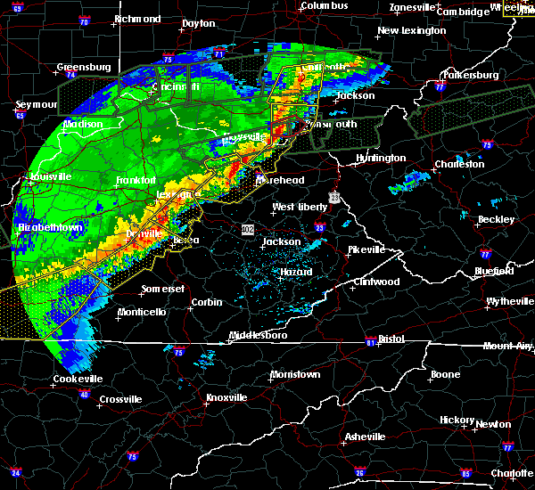 At 814 am est, severe thunderstorms were located along a line extending from 6 miles west of camp dix to near ringos mills to kendall springs, moving east at 60 mph (radar indicated). Hazards include 70 mph wind gusts. Expect considerable tree damage. Damage is likely to mobile homes, roofs, and outbuildings. At 814 am est, severe thunderstorms were located along a line extending from 6 miles west of camp dix to near ringos mills to kendall springs, moving east at 60 mph (radar indicated). Hazards include 70 mph wind gusts. Expect considerable tree damage. Damage is likely to mobile homes, roofs, and outbuildings.
|
| 3/1/2017 8:02 AM EST |
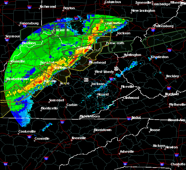 At 801 am est, severe thunderstorms were located along a line extending from near foxport to near tilton to judy, moving east at 60 mph (radar indicated). Hazards include 70 mph wind gusts. Expect considerable tree damage. damage is likely to mobile homes, roofs, and outbuildings. Locations impacted include, mount sterling, morehead, flemingsburg, owingsville, marshall, sharpsburg, salt lick, fairview, ramey, pecks ridge, wyoming, peasticks, olympia springs, triplett, flat creek, odessa, hilda, bourbon furnace, pebble and sharkey. At 801 am est, severe thunderstorms were located along a line extending from near foxport to near tilton to judy, moving east at 60 mph (radar indicated). Hazards include 70 mph wind gusts. Expect considerable tree damage. damage is likely to mobile homes, roofs, and outbuildings. Locations impacted include, mount sterling, morehead, flemingsburg, owingsville, marshall, sharpsburg, salt lick, fairview, ramey, pecks ridge, wyoming, peasticks, olympia springs, triplett, flat creek, odessa, hilda, bourbon furnace, pebble and sharkey.
|
| 3/1/2017 7:56 AM EST |
 At 755 am est, severe thunderstorms were located along a line extending from near mount carmel to near cowan to near sideview, moving east at 60 mph (radar indicated). Hazards include 60 mph wind gusts. Expect damage to roofs, siding, and trees. Locations impacted include, mount sterling, morehead, flemingsburg, owingsville, marshall, sharpsburg, salt lick, fairview, ramey, pecks ridge, wyoming, peasticks, olympia springs, triplett, flat creek, odessa, hilda, bourbon furnace, pebble and sharkey. At 755 am est, severe thunderstorms were located along a line extending from near mount carmel to near cowan to near sideview, moving east at 60 mph (radar indicated). Hazards include 60 mph wind gusts. Expect damage to roofs, siding, and trees. Locations impacted include, mount sterling, morehead, flemingsburg, owingsville, marshall, sharpsburg, salt lick, fairview, ramey, pecks ridge, wyoming, peasticks, olympia springs, triplett, flat creek, odessa, hilda, bourbon furnace, pebble and sharkey.
|
| 3/1/2017 7:33 AM EST |
 At 733 am est, severe thunderstorms were located along a line extending from near augusta to 7 miles west of fairview to 6 miles northwest of paris, moving east at 60 mph (radar indicated). Hazards include 60 mph wind gusts. expect damage to roofs, siding, and trees At 733 am est, severe thunderstorms were located along a line extending from near augusta to 7 miles west of fairview to 6 miles northwest of paris, moving east at 60 mph (radar indicated). Hazards include 60 mph wind gusts. expect damage to roofs, siding, and trees
|
| 7/14/2016 1:10 AM EDT |
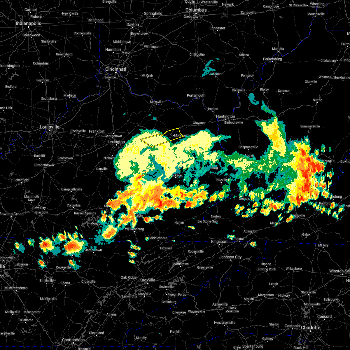 The severe thunderstorm warning for central montgomery, central rowan and central bath counties will expire at 115 am edt, the storm which prompted the warning has weakened below severe limits and exited the warned area. therefore the warning will be allowed to expire. however gusty winds are still possible with this thunderstorm. The severe thunderstorm warning for central montgomery, central rowan and central bath counties will expire at 115 am edt, the storm which prompted the warning has weakened below severe limits and exited the warned area. therefore the warning will be allowed to expire. however gusty winds are still possible with this thunderstorm.
|
| 7/14/2016 12:56 AM EDT |
 At 1255 am edt, a severe thunderstorm was located over stepstone, or near owingsville, moving east at 40 mph (radar indicated). Hazards include 60 mph wind gusts and nickel size hail. Expect damage to roofs. siding. and trees. locations impacted include, mount sterling, morehead, owingsville, marshall, salt lick, lower spencer, hays crossing, wagner store, flat creek, bourbon furnace, preston, ewington, ramey, walkers crossing, vale, stepstone, coons station, gates, haldeman and peeled oak. This includes interstate 64 in eastern kentucky between mile markers 110 and 148. At 1255 am edt, a severe thunderstorm was located over stepstone, or near owingsville, moving east at 40 mph (radar indicated). Hazards include 60 mph wind gusts and nickel size hail. Expect damage to roofs. siding. and trees. locations impacted include, mount sterling, morehead, owingsville, marshall, salt lick, lower spencer, hays crossing, wagner store, flat creek, bourbon furnace, preston, ewington, ramey, walkers crossing, vale, stepstone, coons station, gates, haldeman and peeled oak. This includes interstate 64 in eastern kentucky between mile markers 110 and 148.
|
| 7/14/2016 12:40 AM EDT | Large limb down on camargo levee road. highway department called out to clear i in montgomery county KY, 4.9 miles NW of Mount Sterling, KY |
| 7/14/2016 12:29 AM EDT |
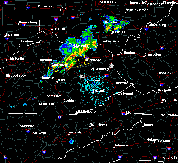 At 1228 am edt, a severe thunderstorm was located over sharpsburg, or 9 miles north of mount sterling, moving east at 55 mph (radar indicated). Hazards include 60 mph wind gusts and nickel size hail. Expect damage to roofs. siding. And trees. At 1228 am edt, a severe thunderstorm was located over sharpsburg, or 9 miles north of mount sterling, moving east at 55 mph (radar indicated). Hazards include 60 mph wind gusts and nickel size hail. Expect damage to roofs. siding. And trees.
|
| 7/8/2016 12:46 PM EDT |
 At 1245 pm edt, a severe thunderstorm was located over means, or 8 miles northeast of stanton, moving east at 55 mph (radar indicated). Hazards include 60 mph wind gusts. Expect damage to roofs. siding. and trees. this severe storm will be near, rothwell and fagan around 1250 pm edt. frenchburg, campsites in the indian creek area of the daniel boone national forest, tabor, ratlitt and sudith around 1255 pm edt. this includes the following highways, bert t. combs mountain parkway between mile markers 12 and 18. Interstate 64 in eastern kentucky between mile markers 107 and 121. At 1245 pm edt, a severe thunderstorm was located over means, or 8 miles northeast of stanton, moving east at 55 mph (radar indicated). Hazards include 60 mph wind gusts. Expect damage to roofs. siding. and trees. this severe storm will be near, rothwell and fagan around 1250 pm edt. frenchburg, campsites in the indian creek area of the daniel boone national forest, tabor, ratlitt and sudith around 1255 pm edt. this includes the following highways, bert t. combs mountain parkway between mile markers 12 and 18. Interstate 64 in eastern kentucky between mile markers 107 and 121.
|
| 7/8/2016 12:45 PM EDT | Tree down on camargo levee r in montgomery county KY, 3.9 miles N of Mount Sterling, KY |
| 7/8/2016 12:29 PM EDT |
 At 1226 pm edt, a severe thunderstorm was located near wades mill, or 8 miles west of mount sterling, moving east at 55 mph (radar indicated). Hazards include 60 mph wind gusts. Expect damage to roofs. siding. and trees. this severe thunderstorm will be near, grassy lick around 1230 pm edt. mount sterling and camargo around 1235 pm edt. jeffersonville and howards mill around 1240 pm edt. owingsville and cedar groves around 1245 pm edt. olympia springs and olympia around 1250 pm edt. frenchburg and moore`s ferry around 1255 pm edt and zilpo and farmers around 100 pm edt. other locations impacted by this severe thunderstorm include lakeview heights, sewell shop and bunker hill. this includes the following highways, bert t. combs mountain parkway between mile markers 12 and 18. Interstate 64 in eastern kentucky between mile markers 105 and 138. At 1226 pm edt, a severe thunderstorm was located near wades mill, or 8 miles west of mount sterling, moving east at 55 mph (radar indicated). Hazards include 60 mph wind gusts. Expect damage to roofs. siding. and trees. this severe thunderstorm will be near, grassy lick around 1230 pm edt. mount sterling and camargo around 1235 pm edt. jeffersonville and howards mill around 1240 pm edt. owingsville and cedar groves around 1245 pm edt. olympia springs and olympia around 1250 pm edt. frenchburg and moore`s ferry around 1255 pm edt and zilpo and farmers around 100 pm edt. other locations impacted by this severe thunderstorm include lakeview heights, sewell shop and bunker hill. this includes the following highways, bert t. combs mountain parkway between mile markers 12 and 18. Interstate 64 in eastern kentucky between mile markers 105 and 138.
|
| 6/23/2016 6:15 PM EDT |
 At 614 pm edt, a severe thunderstorm was located over hope, or 7 miles south of owingsville, moving east at 55 mph (radar indicated). Hazards include 70 mph wind gusts. Expect considerable tree damage. damage is likely to mobile homes, roofs, and outbuildings. locations impacted include, mount sterling, frenchburg, jeffersonville, camargo, wellington, campsites in the indian creek area of the daniel boone national forest, lower spencer, stoll, tabor, preston, ewington, walkers crossing, hope, murphyfork, stepstone, denniston, prewitt, ezel, cedar groves and coons station. this includes interstate 64 in eastern kentucky between mile markers 107 and 117. A tornado watch remains in effect until 1000 pm edt for southeastern and east central kentucky. At 614 pm edt, a severe thunderstorm was located over hope, or 7 miles south of owingsville, moving east at 55 mph (radar indicated). Hazards include 70 mph wind gusts. Expect considerable tree damage. damage is likely to mobile homes, roofs, and outbuildings. locations impacted include, mount sterling, frenchburg, jeffersonville, camargo, wellington, campsites in the indian creek area of the daniel boone national forest, lower spencer, stoll, tabor, preston, ewington, walkers crossing, hope, murphyfork, stepstone, denniston, prewitt, ezel, cedar groves and coons station. this includes interstate 64 in eastern kentucky between mile markers 107 and 117. A tornado watch remains in effect until 1000 pm edt for southeastern and east central kentucky.
|
| 6/23/2016 6:02 PM EDT |
 At 602 pm edt, a severe thunderstorm was located over mount sterling, moving east at 55 mph (radar indicated). Hazards include 70 mph wind gusts. Expect considerable tree damage. Damage is likely to mobile homes, roofs, and outbuildings. At 602 pm edt, a severe thunderstorm was located over mount sterling, moving east at 55 mph (radar indicated). Hazards include 70 mph wind gusts. Expect considerable tree damage. Damage is likely to mobile homes, roofs, and outbuildings.
|
| 6/23/2016 5:41 PM EDT | Trees down on the 4600 block of van thompson road near hwy 53 in montgomery county KY, 5.2 miles S of Mount Sterling, KY |
| 6/23/2016 5:37 PM EDT | Trees down on donaldson road near the clark county lin in montgomery county KY, 5.4 miles ESE of Mount Sterling, KY |
| 6/23/2016 5:23 PM EDT |
 At 522 pm edt, a severe thunderstorm was located over young springs, or 8 miles southeast of owingsville, moving east at 45 mph (radar indicated). Hazards include 60 mph wind gusts. Expect damage to roofs. siding. and trees. locations impacted include, mount sterling, morehead, owingsville, frenchburg, marshall, jeffersonville, camargo, salt lick, lower spencer, flat creek, bourbon furnace, preston, ewington, ramey, walkers crossing, hope, stepstone, prewitt, coons station and yale. this includes interstate 64 in eastern kentucky between mile markers 106 and 133. A tornado watch remains in effect until 1000 pm edt for east central kentucky. At 522 pm edt, a severe thunderstorm was located over young springs, or 8 miles southeast of owingsville, moving east at 45 mph (radar indicated). Hazards include 60 mph wind gusts. Expect damage to roofs. siding. and trees. locations impacted include, mount sterling, morehead, owingsville, frenchburg, marshall, jeffersonville, camargo, salt lick, lower spencer, flat creek, bourbon furnace, preston, ewington, ramey, walkers crossing, hope, stepstone, prewitt, coons station and yale. this includes interstate 64 in eastern kentucky between mile markers 106 and 133. A tornado watch remains in effect until 1000 pm edt for east central kentucky.
|
| 6/23/2016 5:15 PM EDT | Trees down on donaldson road near the clark county lin in montgomery county KY, 5.4 miles ESE of Mount Sterling, KY |
| 6/23/2016 5:08 PM EDT | Trees down on the 4600 block of van thompson road near hwy 53 in montgomery county KY, 5.2 miles S of Mount Sterling, KY |
| 6/23/2016 5:03 PM EDT |
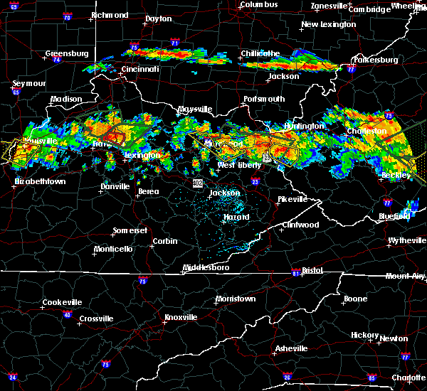 At 502 pm edt, a severe thunderstorm was located over judy, or near mount sterling, moving east at 40 mph (radar indicated). Hazards include 60 mph wind gusts. Expect damage to roofs. siding. And trees. At 502 pm edt, a severe thunderstorm was located over judy, or near mount sterling, moving east at 40 mph (radar indicated). Hazards include 60 mph wind gusts. Expect damage to roofs. siding. And trees.
|
| 5/1/2016 5:37 PM EDT |
 The severe thunderstorm warning for southern montgomery, western menifee, northern powell and south central bath counties will expire at 545 pm edt, the storm which prompted the warning has weakened below severe limits, and no longer pose an immediate threat to life or property. therefore the warning will be allowed to expire. however small hail and heavy rain are still possible with this thunderstorm. a severe thunderstorm watch remains in effect until 1100 pm edt for east central kentucky. to report severe weather, contact your nearest law enforcement agency. they will relay your report to the national weather service jackson ky. The severe thunderstorm warning for southern montgomery, western menifee, northern powell and south central bath counties will expire at 545 pm edt, the storm which prompted the warning has weakened below severe limits, and no longer pose an immediate threat to life or property. therefore the warning will be allowed to expire. however small hail and heavy rain are still possible with this thunderstorm. a severe thunderstorm watch remains in effect until 1100 pm edt for east central kentucky. to report severe weather, contact your nearest law enforcement agency. they will relay your report to the national weather service jackson ky.
|
| 5/1/2016 5:17 PM EDT |
 At 517 pm edt, a severe thunderstorm was located near westbend, or 10 miles west of stanton, moving east at 35 mph (radar indicated). Hazards include 60 mph wind gusts and quarter size hail. Hail damage to vehicles is expected. Expect wind damage to roofs, siding, and trees. At 517 pm edt, a severe thunderstorm was located near westbend, or 10 miles west of stanton, moving east at 35 mph (radar indicated). Hazards include 60 mph wind gusts and quarter size hail. Hail damage to vehicles is expected. Expect wind damage to roofs, siding, and trees.
|
| 4/26/2016 11:38 PM EDT | A large tree limb was blown onto 2000 winchester road mount sterlin in montgomery county KY, 1.9 miles E of Mount Sterling, KY |
| 4/26/2016 11:32 PM EDT |
 At 1132 pm edt, severe thunderstorms were located along a line extending from upper spencer to alcorn, moving east at 40 mph (radar indicated). Hazards include 60 mph wind gusts. Expect damage to roofs. siding. And trees. At 1132 pm edt, severe thunderstorms were located along a line extending from upper spencer to alcorn, moving east at 40 mph (radar indicated). Hazards include 60 mph wind gusts. Expect damage to roofs. siding. And trees.
|
| 8/3/2015 9:44 PM EDT |
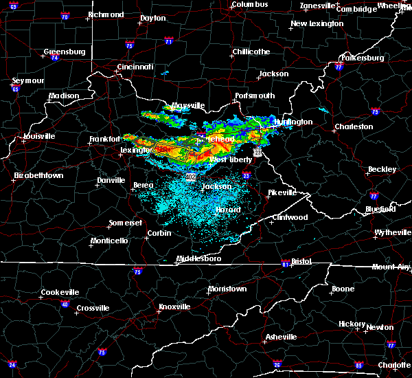 At 944 pm edt, a severe thunderstorm was located over stepstone, or near owingsville, moving east at 30 mph (radar indicated). Hazards include 60 mph wind gusts and penny size hail. Expect damage to roofs. Siding and trees. At 944 pm edt, a severe thunderstorm was located over stepstone, or near owingsville, moving east at 30 mph (radar indicated). Hazards include 60 mph wind gusts and penny size hail. Expect damage to roofs. Siding and trees.
|
| 8/3/2015 9:21 PM EDT |
 At 920 pm edt, a severe thunderstorm was located over flat creek, or near owingsville, moving east at 40 mph (radar indicated). Hazards include quarter size hail and 60 mph wind gusts. Hail damage to vehicles is expected. expect wind damage to roofs, siding and trees. locations impacted include, mount sterling, owingsville, frenchburg, marshall, jeffersonville, camargo, sharpsburg, salt lick, lower spencer, peasticks, rothwell, flat creek, bourbon furnace, preston, crooks, moore`s ferry, ewington, sideview, ramey and walkers crossing. This includes interstate 64 in eastern kentucky between mile markers 105 and 133. At 920 pm edt, a severe thunderstorm was located over flat creek, or near owingsville, moving east at 40 mph (radar indicated). Hazards include quarter size hail and 60 mph wind gusts. Hail damage to vehicles is expected. expect wind damage to roofs, siding and trees. locations impacted include, mount sterling, owingsville, frenchburg, marshall, jeffersonville, camargo, sharpsburg, salt lick, lower spencer, peasticks, rothwell, flat creek, bourbon furnace, preston, crooks, moore`s ferry, ewington, sideview, ramey and walkers crossing. This includes interstate 64 in eastern kentucky between mile markers 105 and 133.
|
| 8/3/2015 9:18 PM EDT | Trees were blown down throughout mount sterling and the northern part of the county in genera in montgomery county KY, 0.4 miles SE of Mount Sterling, KY |
| 8/3/2015 9:06 PM EDT |
 At 904 pm edt, a severe thunderstorm was located near sideview, or 8 miles northwest of mount sterling, moving east at 40 mph (radar indicated). Hazards include quarter size hail and 60 mph wind gusts. Hail damage to vehicles is expected. Expect wind damage to roofs, siding and trees. At 904 pm edt, a severe thunderstorm was located near sideview, or 8 miles northwest of mount sterling, moving east at 40 mph (radar indicated). Hazards include quarter size hail and 60 mph wind gusts. Hail damage to vehicles is expected. Expect wind damage to roofs, siding and trees.
|
| 7/14/2015 6:12 PM EDT |
 The national weather service in jackson ky has issued a * severe thunderstorm warning for. menifee county in east central kentucky. central montgomery county in east central kentucky. southwestern morgan county in southeastern kentucky. Western bath county in east central kentucky. The national weather service in jackson ky has issued a * severe thunderstorm warning for. menifee county in east central kentucky. central montgomery county in east central kentucky. southwestern morgan county in southeastern kentucky. Western bath county in east central kentucky.
|
| 7/14/2015 6:12 PM EDT |
 At 612 pm edt, a severe thunderstorm was located over flat creek, or near owingsville, moving southeast at 35 mph (radar indicated). Hazards include quarter size hail and 60 mph wind gusts. Hail damage to vehicles is expected. Expect wind damage to roofs, siding and trees. At 612 pm edt, a severe thunderstorm was located over flat creek, or near owingsville, moving southeast at 35 mph (radar indicated). Hazards include quarter size hail and 60 mph wind gusts. Hail damage to vehicles is expected. Expect wind damage to roofs, siding and trees.
|
| 7/14/2015 5:45 PM EDT |
 At 545 pm edt, a severe thunderstorm was located over bethel, or 9 miles northwest of owingsville, moving southeast at 55 mph (radar indicated). Hazards include 60 mph wind gusts and nickel size hail. Expect damage to roofs. Siding and trees. At 545 pm edt, a severe thunderstorm was located over bethel, or 9 miles northwest of owingsville, moving southeast at 55 mph (radar indicated). Hazards include 60 mph wind gusts and nickel size hail. Expect damage to roofs. Siding and trees.
|
| 7/13/2015 3:34 PM EDT |
 At 334 pm edt, severe thunderstorms were located along a line extending from near webbville to lytten to dan to clay city to near westbend, moving southeast at 55 mph (radar indicated). Hazards include 70 mph wind gusts and penny size hail. Expect considerable tree damage. damage is likely to mobile homes, roofs and outbuildings. locations impacted include, mount sterling, morehead, paintsville, west liberty, stanton, salyersville, owingsville, sandy hook, frenchburg, campton, marshall, mason, henry, lewis, jeffersonville, camargo, wellington, sharpsburg, salt lick and brownlow. this includes the following highways, bert t. combs mountain parkway between mile markers 24 and 76. interstate 64 in eastern kentucky between mile markers 105 and 148. u. s. Highway 23 in johnson county between mile markers 6 and 16. At 334 pm edt, severe thunderstorms were located along a line extending from near webbville to lytten to dan to clay city to near westbend, moving southeast at 55 mph (radar indicated). Hazards include 70 mph wind gusts and penny size hail. Expect considerable tree damage. damage is likely to mobile homes, roofs and outbuildings. locations impacted include, mount sterling, morehead, paintsville, west liberty, stanton, salyersville, owingsville, sandy hook, frenchburg, campton, marshall, mason, henry, lewis, jeffersonville, camargo, wellington, sharpsburg, salt lick and brownlow. this includes the following highways, bert t. combs mountain parkway between mile markers 24 and 76. interstate 64 in eastern kentucky between mile markers 105 and 148. u. s. Highway 23 in johnson county between mile markers 6 and 16.
|
| 7/13/2015 3:26 PM EDT | Trees down county wide including the following roads- tabor road... science ridge... bunker hill... twin oaks... nest egg... cunningham lane... howards mill... camargo in montgomery county KY, 0.4 miles SE of Mount Sterling, KY |
| 7/13/2015 3:15 PM EDT |
 At 314 pm edt, severe thunderstorms were located along a line extending from olive hill to young springs to near mount sterling to grassy lick, moving southeast at 60 mph (radar indicated). Hazards include 60 mph wind gusts and penny size hail. Expect damage to roofs. Siding and trees. At 314 pm edt, severe thunderstorms were located along a line extending from olive hill to young springs to near mount sterling to grassy lick, moving southeast at 60 mph (radar indicated). Hazards include 60 mph wind gusts and penny size hail. Expect damage to roofs. Siding and trees.
|
| 7/10/2015 12:47 PM EDT | Tree and power line down in backyard of residence located on devonne drive in montgomery county KY, 0.4 miles SE of Mount Sterling, KY |
| 7/10/2015 12:47 PM EDT |
 At 1246 pm edt, severe thunderstorms were located along a line extending from 8 miles southwest of cynthiana to near paris to judy to near klondike to near harris ferry, moving east at 50 mph (radar indicated). Hazards include 70 mph wind gusts. Expect considerable tree damage. damage is likely to mobile homes, roofs and outbuildings. locations impacted include, mount sterling, morehead, stanton, flemingsburg, owingsville, frenchburg, marshall, jeffersonville, camargo, clay city, wellington, sharpsburg, salt lick, grange city, vaughns mill, elizaville, pecks ridge, lower spencer, stoll and bethel. this includes the following highways, bert t. combs mountain parkway between mile markers 13 and 32. Interstate 64 in eastern kentucky between mile markers 105 and 148. At 1246 pm edt, severe thunderstorms were located along a line extending from 8 miles southwest of cynthiana to near paris to judy to near klondike to near harris ferry, moving east at 50 mph (radar indicated). Hazards include 70 mph wind gusts. Expect considerable tree damage. damage is likely to mobile homes, roofs and outbuildings. locations impacted include, mount sterling, morehead, stanton, flemingsburg, owingsville, frenchburg, marshall, jeffersonville, camargo, clay city, wellington, sharpsburg, salt lick, grange city, vaughns mill, elizaville, pecks ridge, lower spencer, stoll and bethel. this includes the following highways, bert t. combs mountain parkway between mile markers 13 and 32. Interstate 64 in eastern kentucky between mile markers 105 and 148.
|
| 7/10/2015 12:24 PM EDT |
 At 1223 pm edt, severe thunderstorms were located along a line extending from 13 miles northwest of georgetown to near paris to 6 miles west of winchester to near nicholasville, moving east at 45 mph (radar indicated). Hazards include 70 mph wind gusts. Expect considerable tree damage. Damage is likely to mobile homes, roofs and outbuildings. At 1223 pm edt, severe thunderstorms were located along a line extending from 13 miles northwest of georgetown to near paris to 6 miles west of winchester to near nicholasville, moving east at 45 mph (radar indicated). Hazards include 70 mph wind gusts. Expect considerable tree damage. Damage is likely to mobile homes, roofs and outbuildings.
|
| 7/7/2015 8:40 PM EDT |
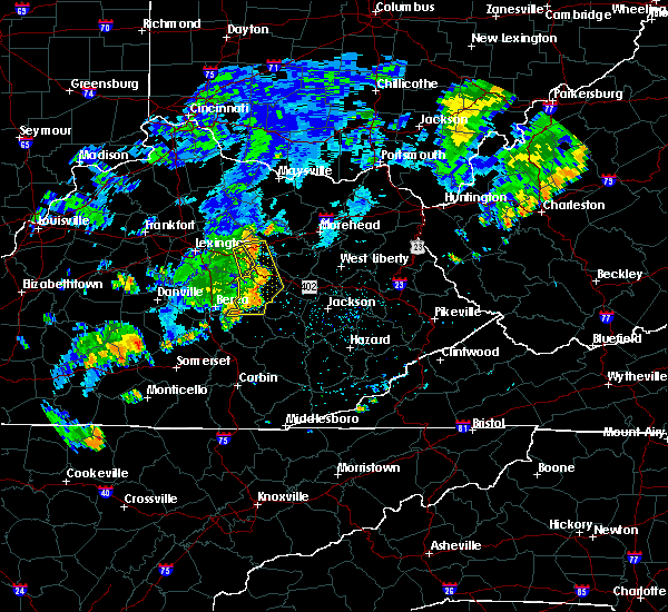 The severe thunderstorm warning for powell, northwestern jackson, montgomery and estill counties will expire at 845 pm edt, the line of storms which prompted the warning have weakened below severe limits, and no longer pose an immediate threat to life or property. therefore the warning will be allowed to expire. however gusty winds in excess of 30 mph are still possible with these thunderstorms. The severe thunderstorm warning for powell, northwestern jackson, montgomery and estill counties will expire at 845 pm edt, the line of storms which prompted the warning have weakened below severe limits, and no longer pose an immediate threat to life or property. therefore the warning will be allowed to expire. however gusty winds in excess of 30 mph are still possible with these thunderstorms.
|
| 7/7/2015 8:26 PM EDT |
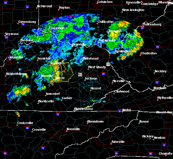 At 826 pm edt, severe thunderstorms were located along a line extending from wades mill to spout springs to drip rock, moving east at 40 mph (radar indicated). Hazards include 60 mph wind gusts. Expect damage to roofs. siding and trees. locations impacted include, mount sterling, stanton, irvine, jeffersonville, camargo, clay city, ravenna, vaughns mill, lower spencer, north irvine, pitts, patsey, cressy, spout springs, south irvine, rice station, wagersville, fitchburg, drip rock and ewington. this includes the following highways, bert t. combs mountain parkway between mile markers 13 and 27. Interstate 64 in eastern kentucky between mile markers 105 and 114. At 826 pm edt, severe thunderstorms were located along a line extending from wades mill to spout springs to drip rock, moving east at 40 mph (radar indicated). Hazards include 60 mph wind gusts. Expect damage to roofs. siding and trees. locations impacted include, mount sterling, stanton, irvine, jeffersonville, camargo, clay city, ravenna, vaughns mill, lower spencer, north irvine, pitts, patsey, cressy, spout springs, south irvine, rice station, wagersville, fitchburg, drip rock and ewington. this includes the following highways, bert t. combs mountain parkway between mile markers 13 and 27. Interstate 64 in eastern kentucky between mile markers 105 and 114.
|
| 7/7/2015 8:07 PM EDT |
 At 807 pm edt, severe thunderstorms were located along a line extending from near winchester to near harris ferry to morrill, moving east at 40 mph (radar indicated). Hazards include 60 mph wind gusts. Expect damage to roofs. Siding and trees. At 807 pm edt, severe thunderstorms were located along a line extending from near winchester to near harris ferry to morrill, moving east at 40 mph (radar indicated). Hazards include 60 mph wind gusts. Expect damage to roofs. Siding and trees.
|
| 6/30/2015 5:38 PM EDT |
 At 537 pm edt, a severe thunderstorm was located over stoops, or 7 miles north of mount sterling, moving east at 35 mph (radar indicated). Hazards include quarter size hail and 60 mph wind gusts. Hail damage to vehicles is expected. Expect wind damage to roofs, siding and trees. At 537 pm edt, a severe thunderstorm was located over stoops, or 7 miles north of mount sterling, moving east at 35 mph (radar indicated). Hazards include quarter size hail and 60 mph wind gusts. Hail damage to vehicles is expected. Expect wind damage to roofs, siding and trees.
|
| 6/8/2015 5:04 PM EDT | At 503 pm edt, a severe thunderstorm was located over spout springs, or 7 miles west of stanton, moving east at 55 mph (radar indicated). Hazards include 60 mph wind gusts and penny size hail. Expect damage to roofs. Siding and trees. |
| 6/8/2015 4:54 PM EDT | Tree down along howell drennon road west of mount sterlin in montgomery county KY, 5.2 miles E of Mount Sterling, KY |
| 5/11/2015 4:13 PM EDT | A tree was blown down and across tipton roa in montgomery county KY, 0.4 miles SE of Mount Sterling, KY |
| 5/11/2015 4:07 PM EDT | At 407 pm edt, a severe thunderstorm was located over wades mill, or near mount sterling, moving northeast at 40 mph (radar indicated). Hazards include 60 mph wind gusts and penny size hail. Expect damage to roofs. Siding and trees. |
| 4/7/2015 7:53 PM EDT | A severe thunderstorm warning remains in effect until 815 pm edt for northeastern lee. menifee. powell. montgomery. northwestern morgan. southern bath. western wolfe. central estill and southern rowan counties. at 752 pm edt. Severe thunderstorms were located along a line extending from near owingsville to olympia to near camargo to near. |
| 4/7/2015 7:23 PM EDT | The national weather service in jackson ky has issued a * severe thunderstorm warning for. northeastern lee county in southeastern kentucky. menifee county in east central kentucky. powell county in east central kentucky. Montgomery county in east central kentucky. |
| 4/3/2015 5:33 PM EDT | A severe thunderstorm warning remains in effect until 545 pm edt for menifee. montgomery. northwestern morgan. southeastern bath and southeastern rowan counties. at 533 pm edt. a severe thunderstorm was located over hope. or near frenchburg. moving east at 60 mph. hazard. Quarter size hail and 60 mph wind gusts. |
| 4/3/2015 5:33 PM EDT | A severe thunderstorm warning remains in effect until 545 pm edt for menifee. montgomery. northwestern morgan. southeastern bath and southeastern rowan counties. at 533 pm edt. a severe thunderstorm was located over hope. or near frenchburg. moving east at 60 mph. hazard. Quarter size hail and 60 mph wind gusts. |
| 4/3/2015 5:33 PM EDT | A severe thunderstorm warning remains in effect until 545 pm edt for menifee. montgomery. northwestern morgan. southeastern bath and southeastern rowan counties. at 533 pm edt. a severe thunderstorm was located over hope. or near frenchburg. moving east at 60 mph. hazard. Quarter size hail and 60 mph wind gusts. |
| 4/3/2015 5:22 PM EDT | The national weather service in jackson ky has issued a * severe thunderstorm warning for. menifee county in east central kentucky. montgomery county in east central kentucky. northwestern morgan county in southeastern kentucky. Southern bath county in east central kentucky. |
| 4/2/2015 6:34 PM EDT | A severe thunderstorm warning remains in effect until 645 pm edt for south central fleming. northwestern menifee. montgomery and bath counties. at 633 pm edt. a severe thunderstorm was located over marshall. or near owingsville. moving east at 55 mph. hazard. 60 mph wind gusts. |
| 4/2/2015 6:18 PM EDT | The national weather service in jackson ky has issued a * severe thunderstorm warning for. south central fleming county in east central kentucky. northwestern menifee county in east central kentucky. montgomery county in east central kentucky. Bath county in east central kentucky. |
| 10/7/2014 8:50 PM EDT | Quarter sized hail reported 0.4 miles SE of Mount Sterling, KY |
| 10/7/2014 8:08 PM EDT | Golf Ball sized hail reported 0.4 miles SE of Mount Sterling, KY |
| 10/7/2014 8:05 PM EDT | Quarter sized hail reported 0.4 miles SE of Mount Sterling, KY |
| 10/7/2014 7:08 PM EDT | Golf Ball sized hail reported 6.4 miles SE of Mount Sterling, KY |
| 7/27/2014 1:40 PM EDT | Tree down near tenny av in montgomery county KY, 0.4 miles SE of Mount Sterling, KY |
| 12/22/2013 12:27 AM EST | Reports of several power outages across the northern and eastern extent of montgomery count in montgomery county KY, 0.4 miles SE of Mount Sterling, KY |
| 11/1/2013 12:45 AM EDT | Rt. 11 maysville road closed due to downed trees and powerline in montgomery county KY, 2.4 miles S of Mount Sterling, KY |
| 6/13/2013 11:05 AM EDT | Large tree on maysville ave hit a hous in montgomery county KY, 0.4 miles SE of Mount Sterling, KY |
| 6/13/2013 11:05 AM EDT | Trees down at sycamore and wynn streets and queen street and ocean av in montgomery county KY, 0.4 miles SE of Mount Sterling, KY |
| 6/13/2013 11:00 AM EDT | Trees down at paris pike and highway 1 in montgomery county KY, 2.4 miles S of Mount Sterling, KY |
| 7/26/2012 6:53 PM EDT | Tree down near the intersection of prewitt grassy lick road and winchester roa in montgomery county KY, 3.7 miles ENE of Mount Sterling, KY |
| 7/26/2012 6:53 PM EDT | Tree down near the intersection of prewitt grassy lick road and winchester roa in clark county KY, 5 miles ENE of Mount Sterling, KY |
| 7/26/2012 6:50 PM EDT | Large limb across the entrance to 911 center on 200 oak grove driv in montgomery county KY, 0.4 miles SE of Mount Sterling, KY |
| 7/26/2012 6:50 PM EDT | Billboard damaged on us 60 east near the 133 exi in montgomery county KY, 3.1 miles S of Mount Sterling, KY |
| 7/19/2012 2:30 PM EDT | Trees down on winchester road outside of mount sterlin in montgomery county KY, 0.4 miles SE of Mount Sterling, KY |
| 7/5/2012 2:50 PM EDT | Trees down in mount sterling and countywid in montgomery county KY, 0.4 miles SE of Mount Sterling, KY |
| 7/5/2012 2:45 PM EDT | Trees down on us 60 in montgomery county KY, 3.8 miles SW of Mount Sterling, KY |
| 7/5/2012 2:40 PM EDT | Trees down on van thompson roa in montgomery county KY, 5.5 miles SSW of Mount Sterling, KY |
| 6/29/2012 6:50 PM EDT | Trees and power lines down on us 46 in montgomery county KY, 4.3 miles SE of Mount Sterling, KY |
| 3/28/2012 5:08 PM EDT | Quarter sized hail reported 0.5 miles NNE of Mount Sterling, KY, the hail ranged from dime to quarter size. |
| 3/15/2012 6:46 PM EDT | Quarter sized hail reported 5.5 miles SSE of Mount Sterling, KY |
| 1/1/0001 12:00 AM | Storm damage reported in montgomery county KY, 5.1 miles S of Mount Sterling, KY |
| 1/1/0001 12:00 AM | Quarter sized hail reported 5.1 miles S of Mount Sterling, KY |
| 1/1/0001 12:00 AM | Significant damage in the judy are in montgomery county KY, 5.2 miles S of Mount Sterling, KY |
| 1/1/0001 12:00 AM | Quarter sized hail reported 1.8 miles NW of Mount Sterling, KY |
| 1/1/0001 12:00 AM | Widespread power outages reported through the northern parts of the county. powerlines down in downtown mount sterlin in montgomery county KY, 0.4 miles SE of Mount Sterling, KY |
| 1/1/0001 12:00 AM | Several trees and power lines down. tree blown on house. roofs and barns heavily damaged. all damage confined to a two mile radius of jud in montgomery county KY, 5.2 miles S of Mount Sterling, KY |
Hail Maps for Mount Sterling, KY


Connect with Interactive Hail Maps