

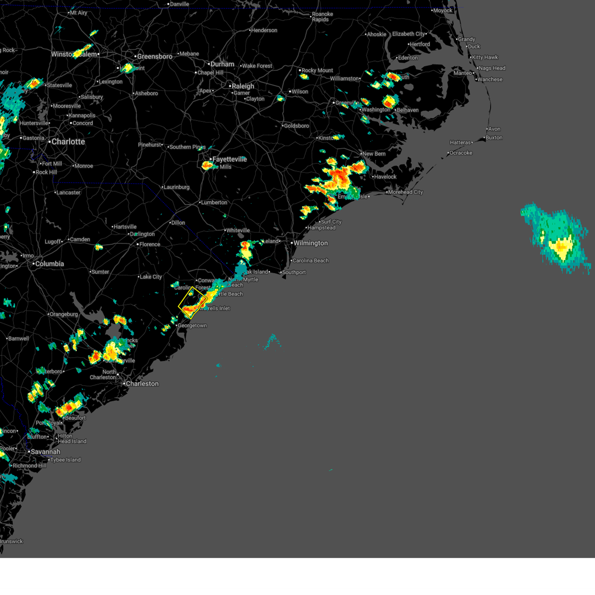
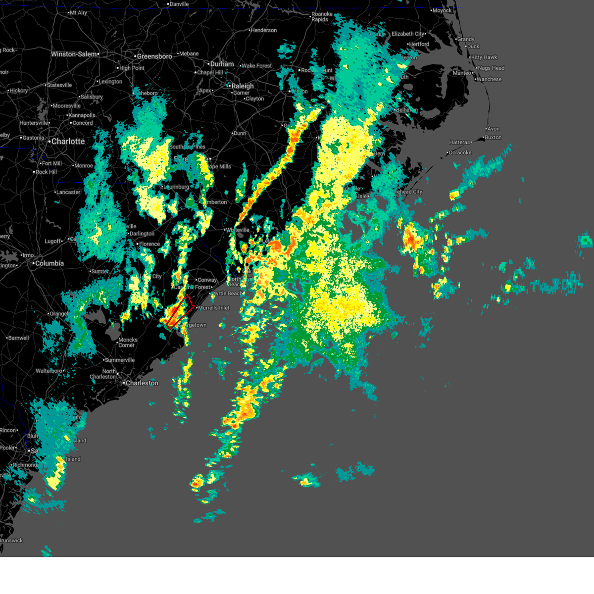
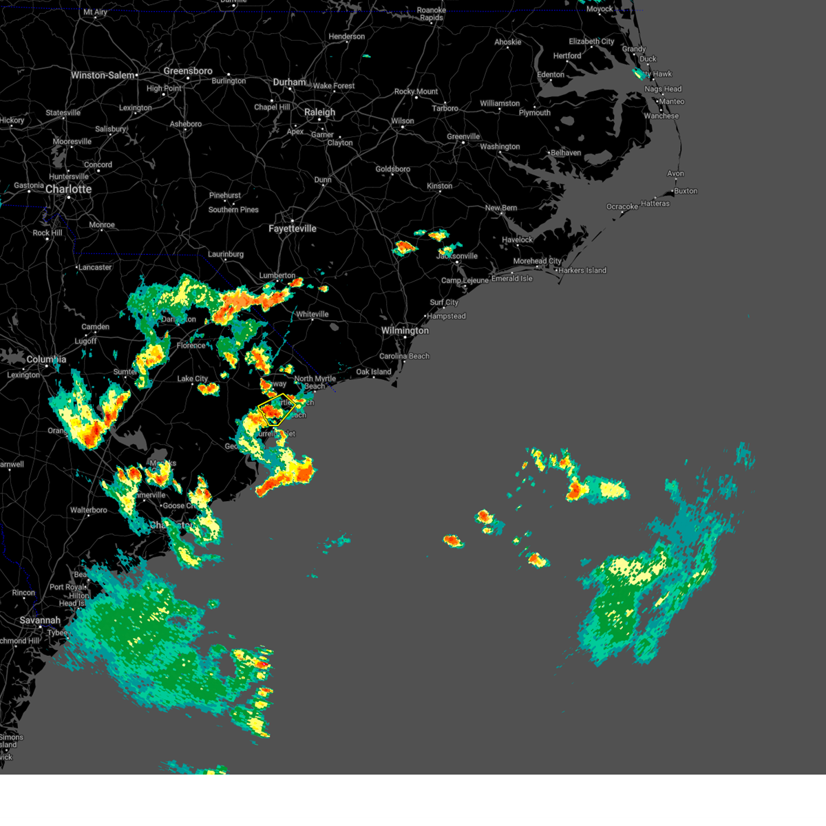
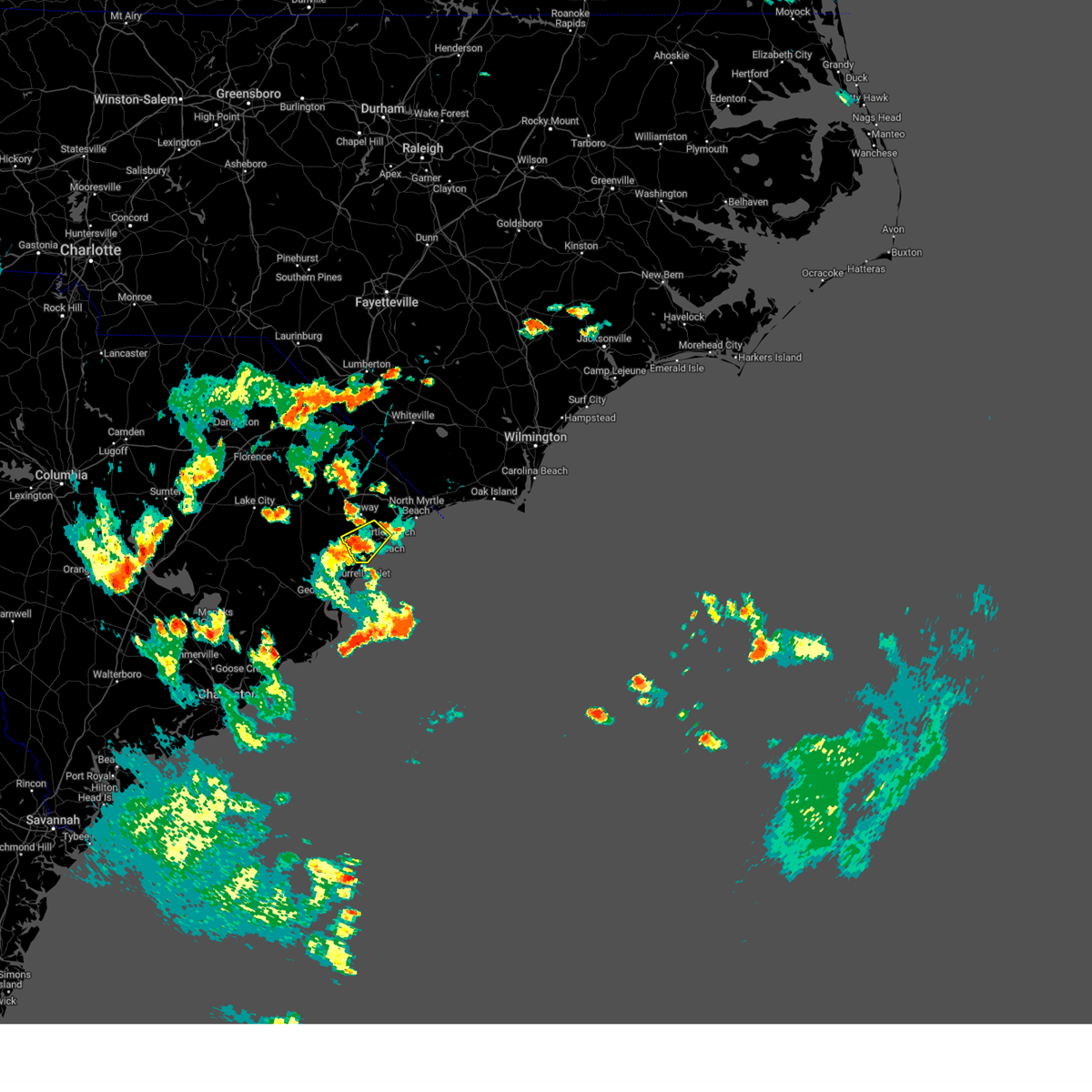
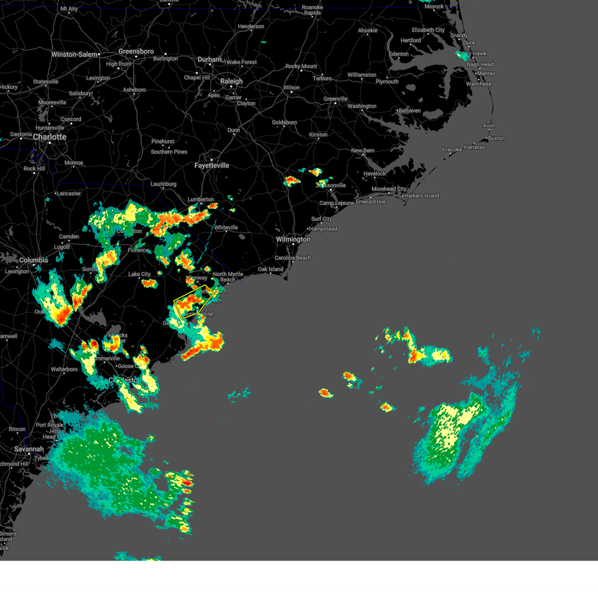
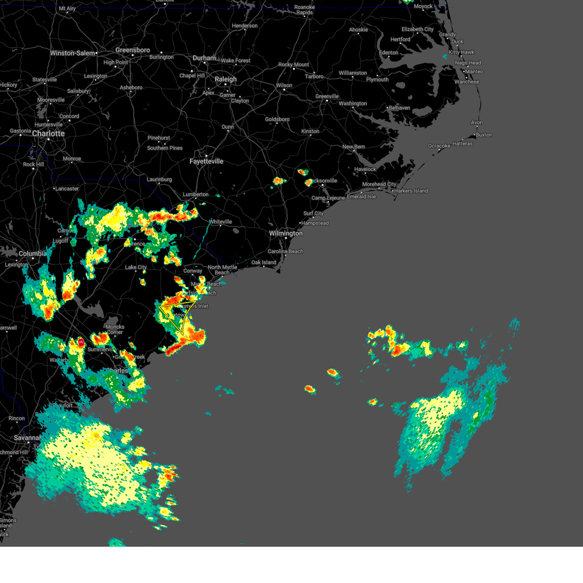
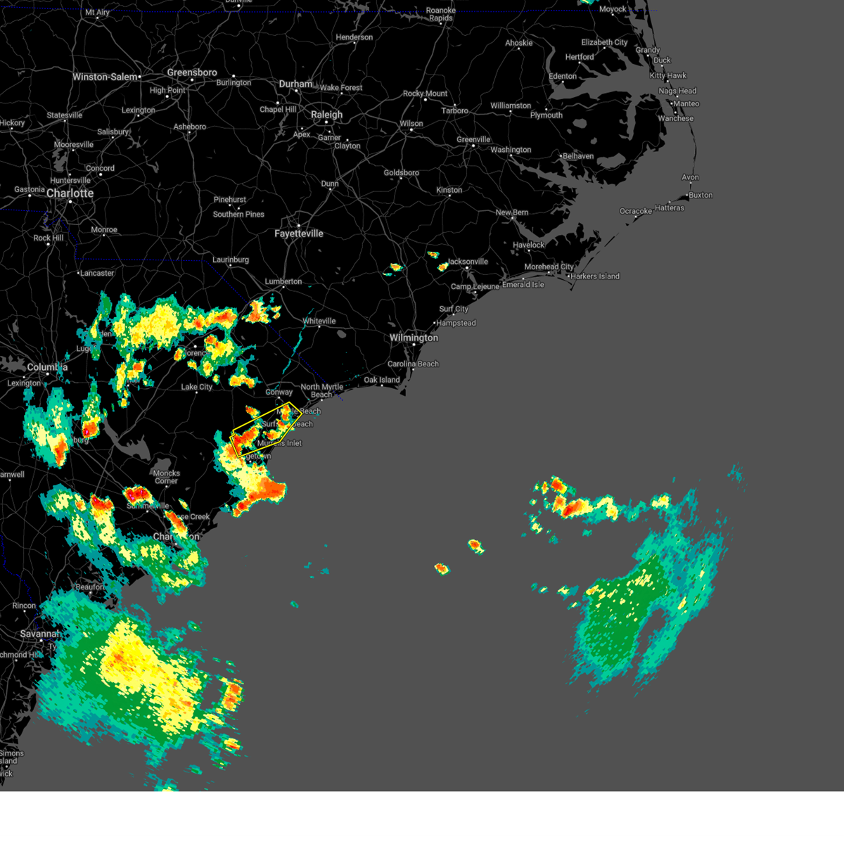
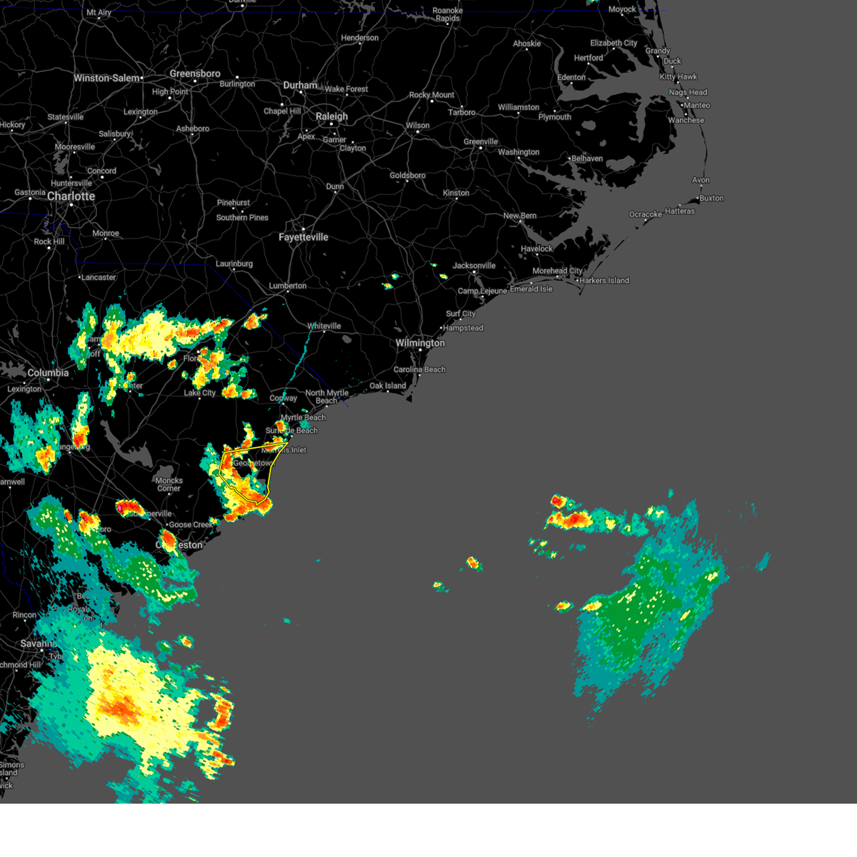
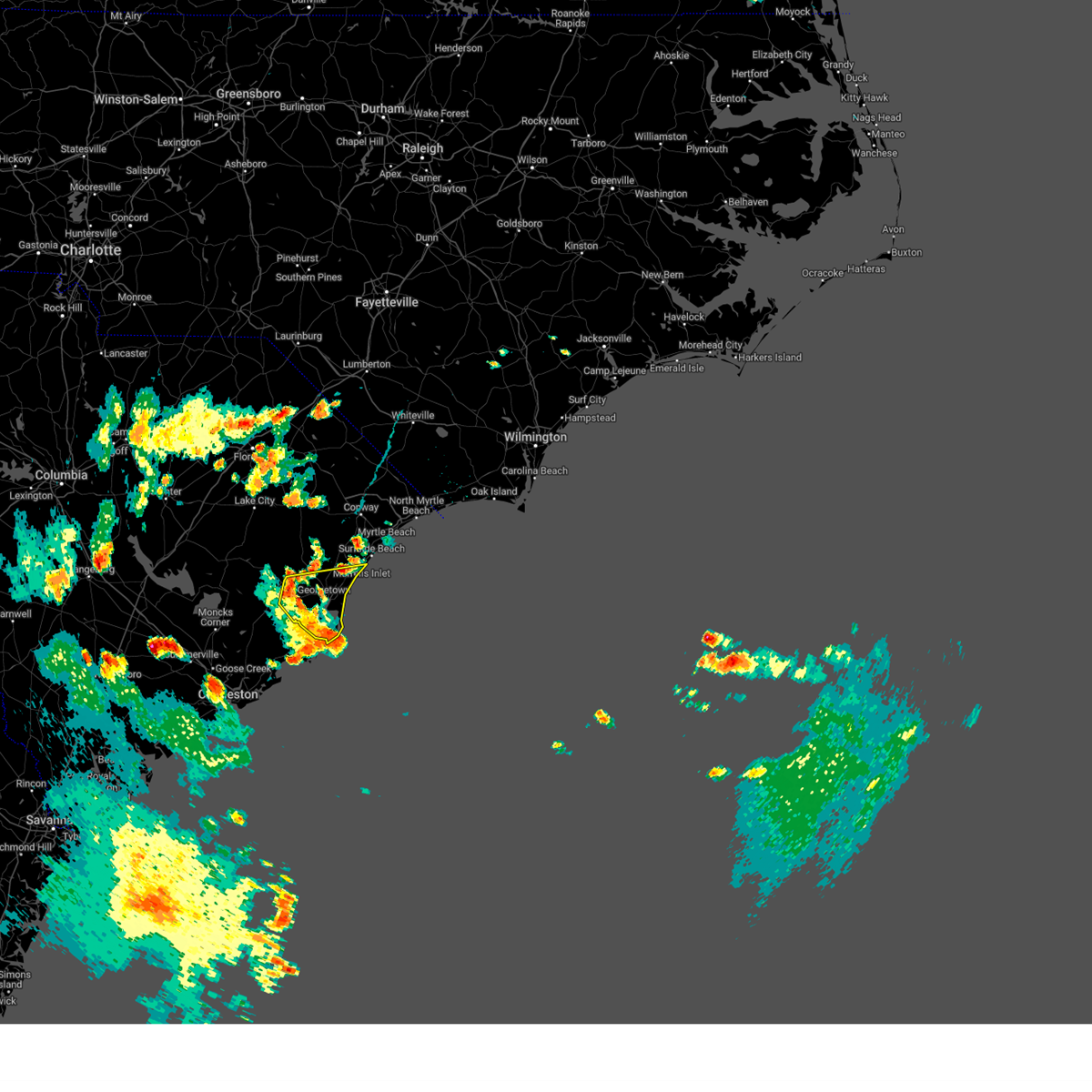
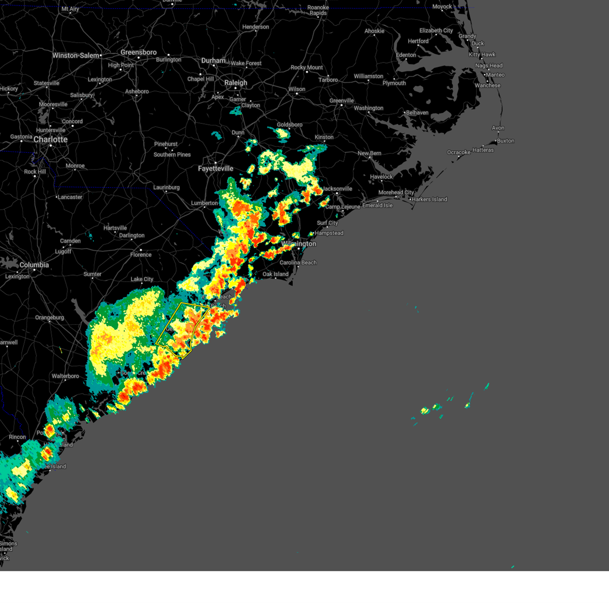
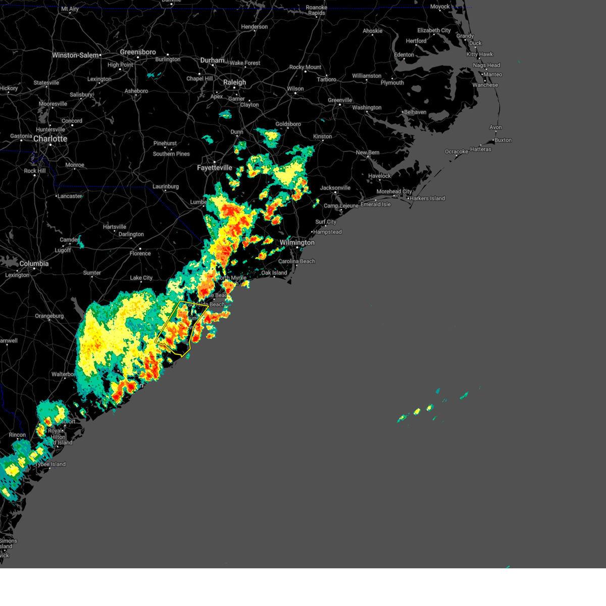
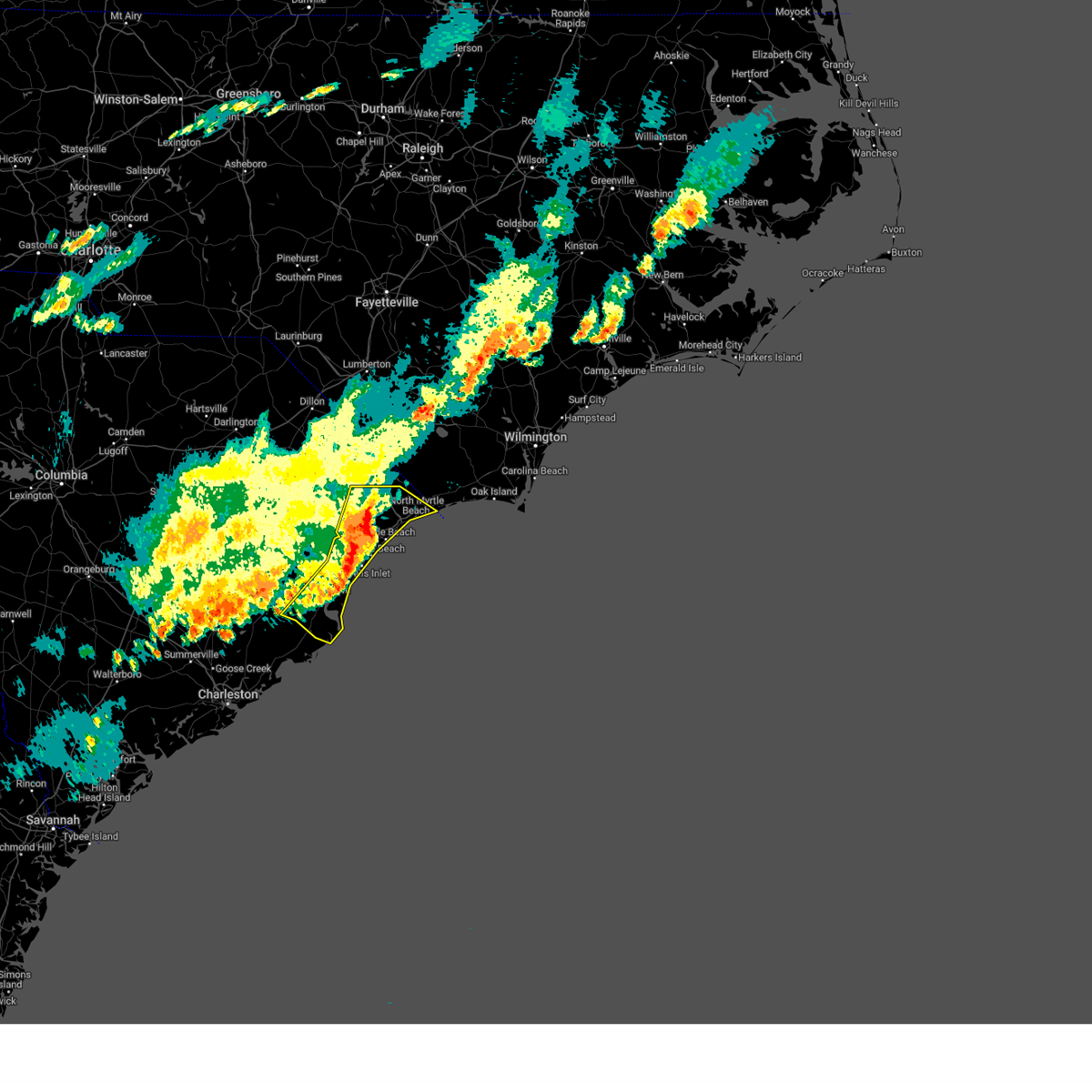
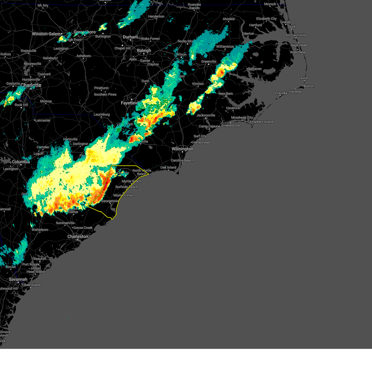
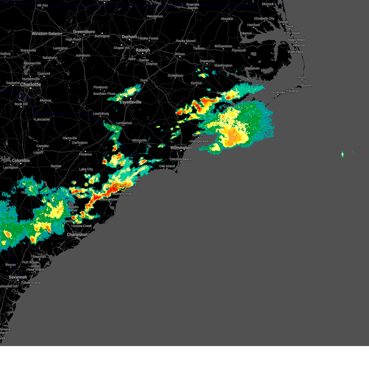
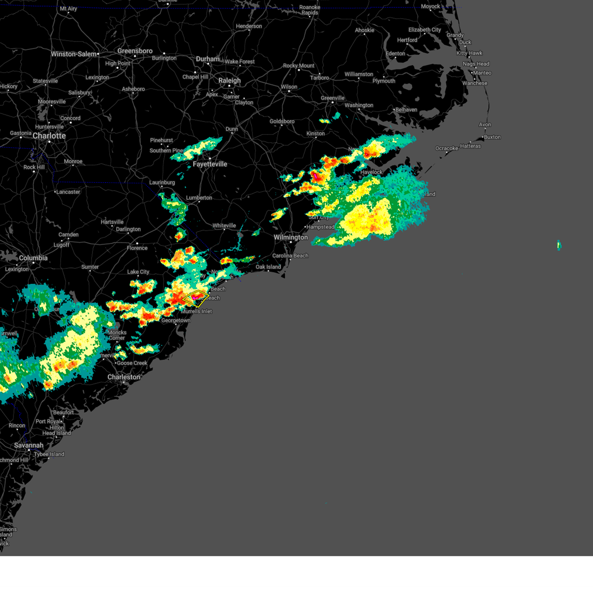
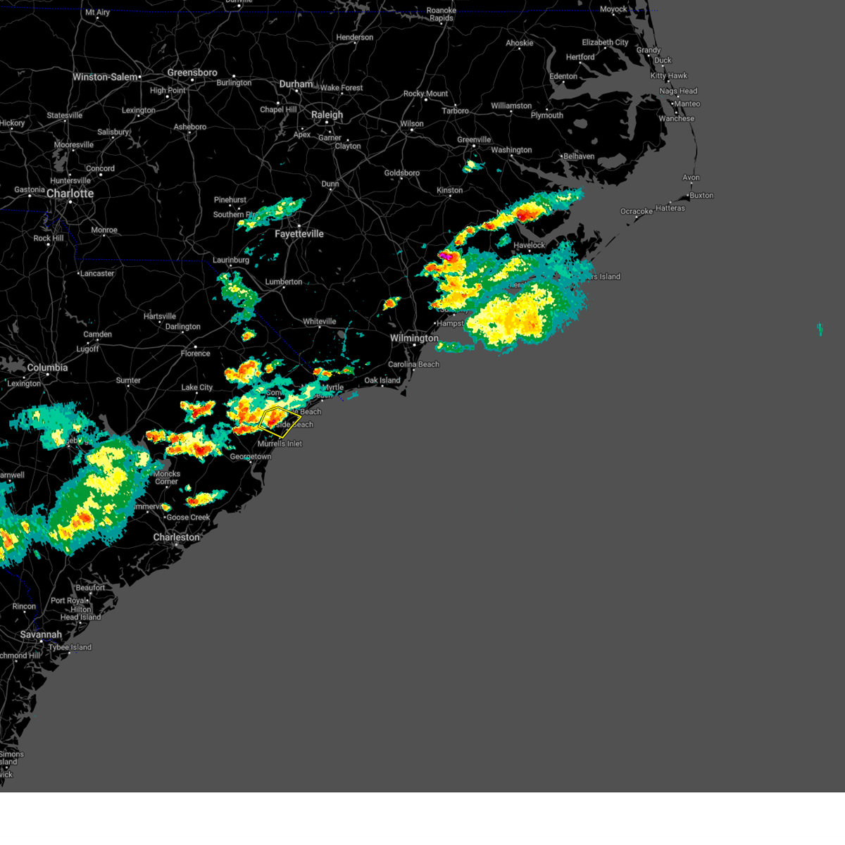
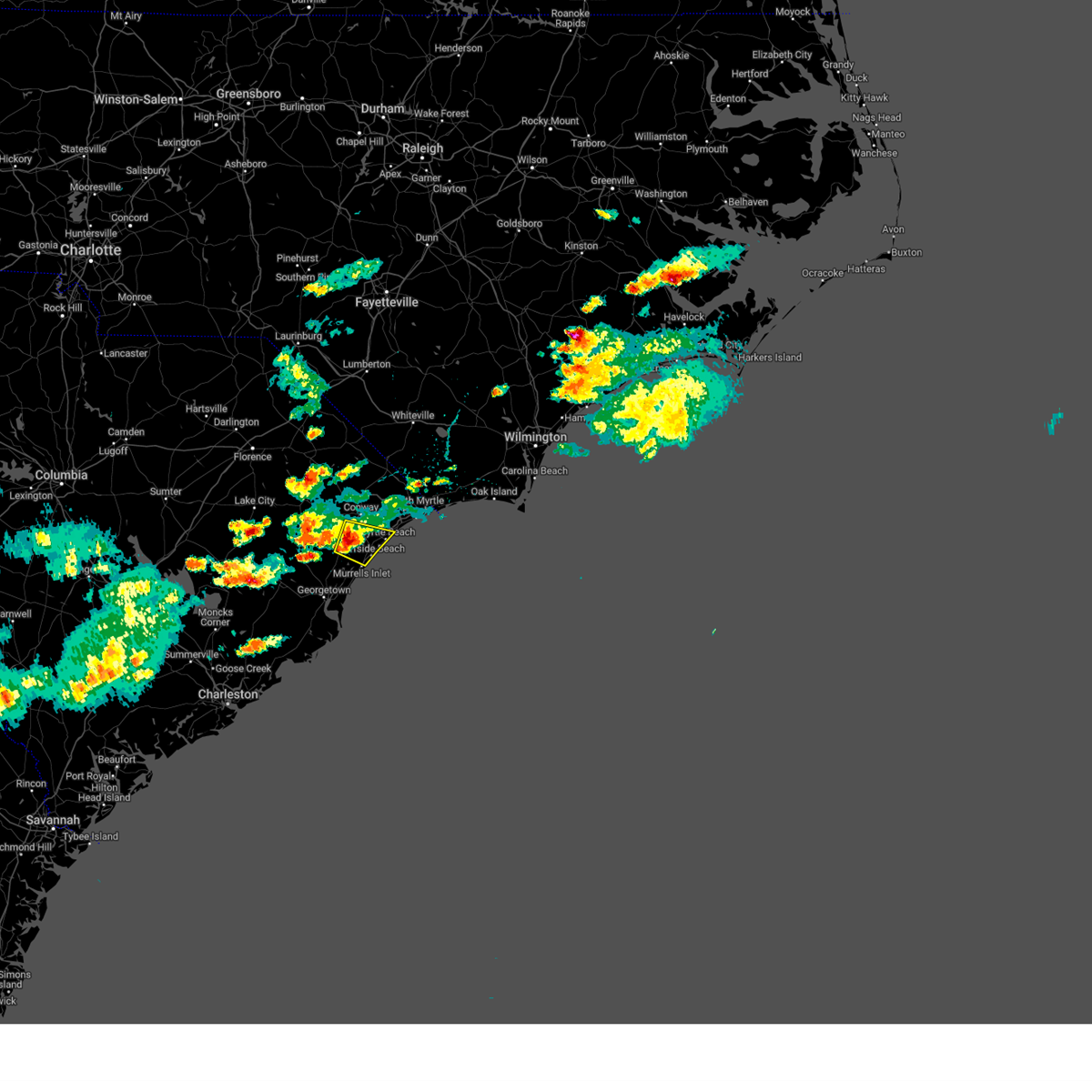
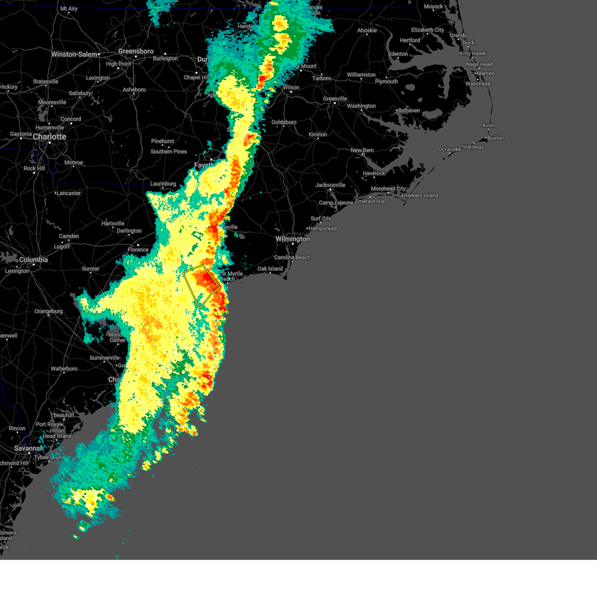
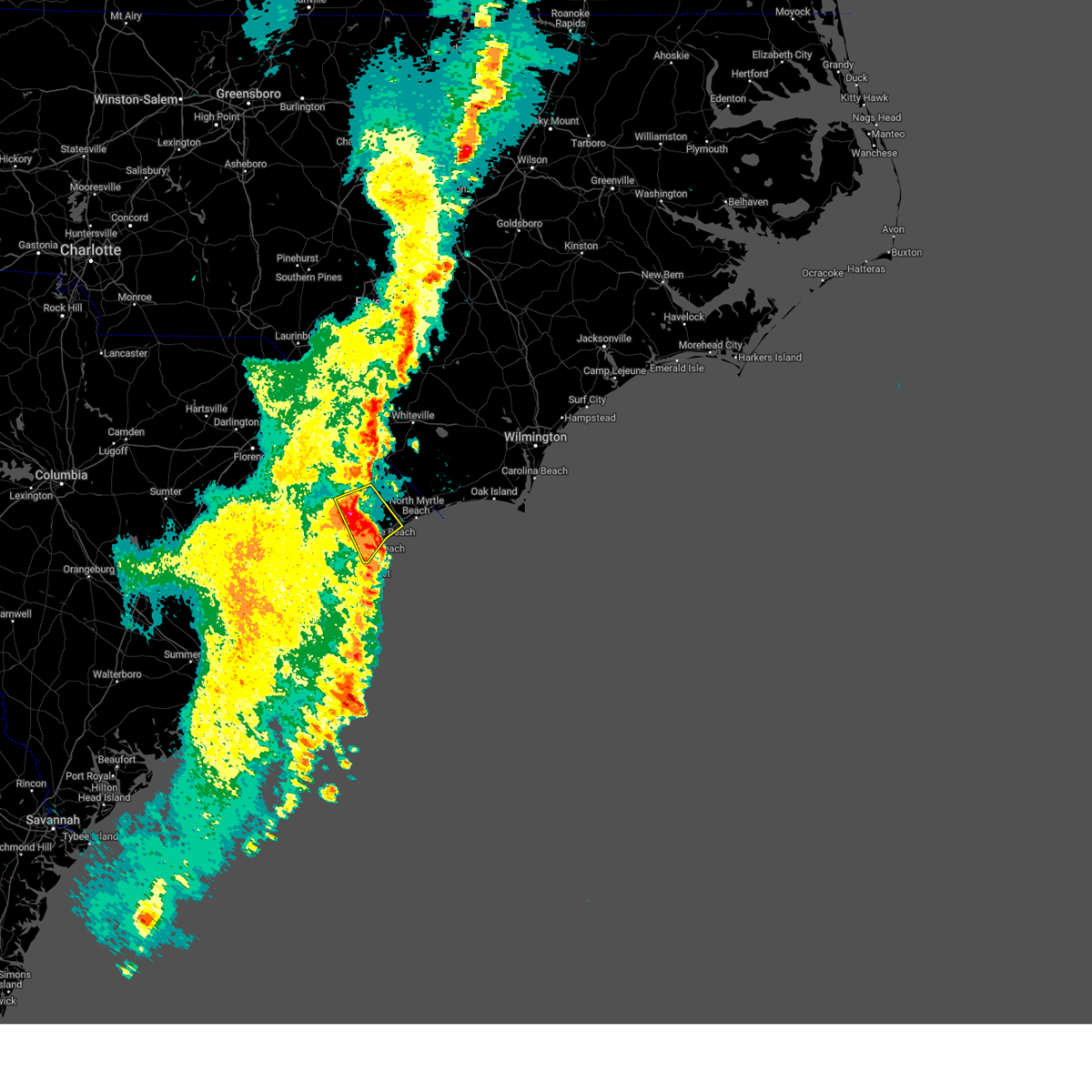
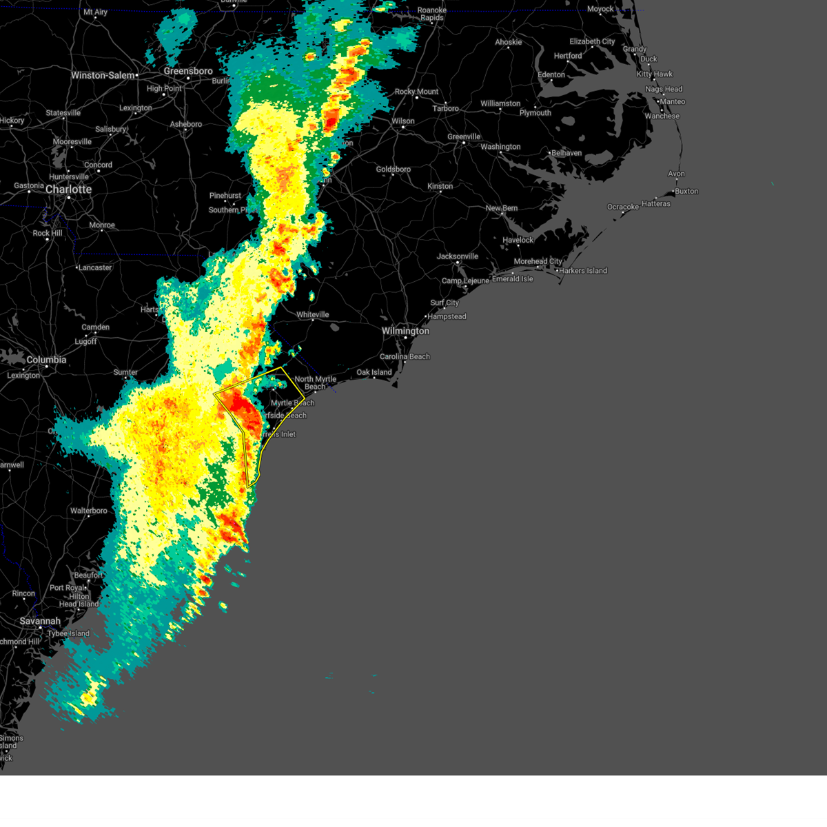
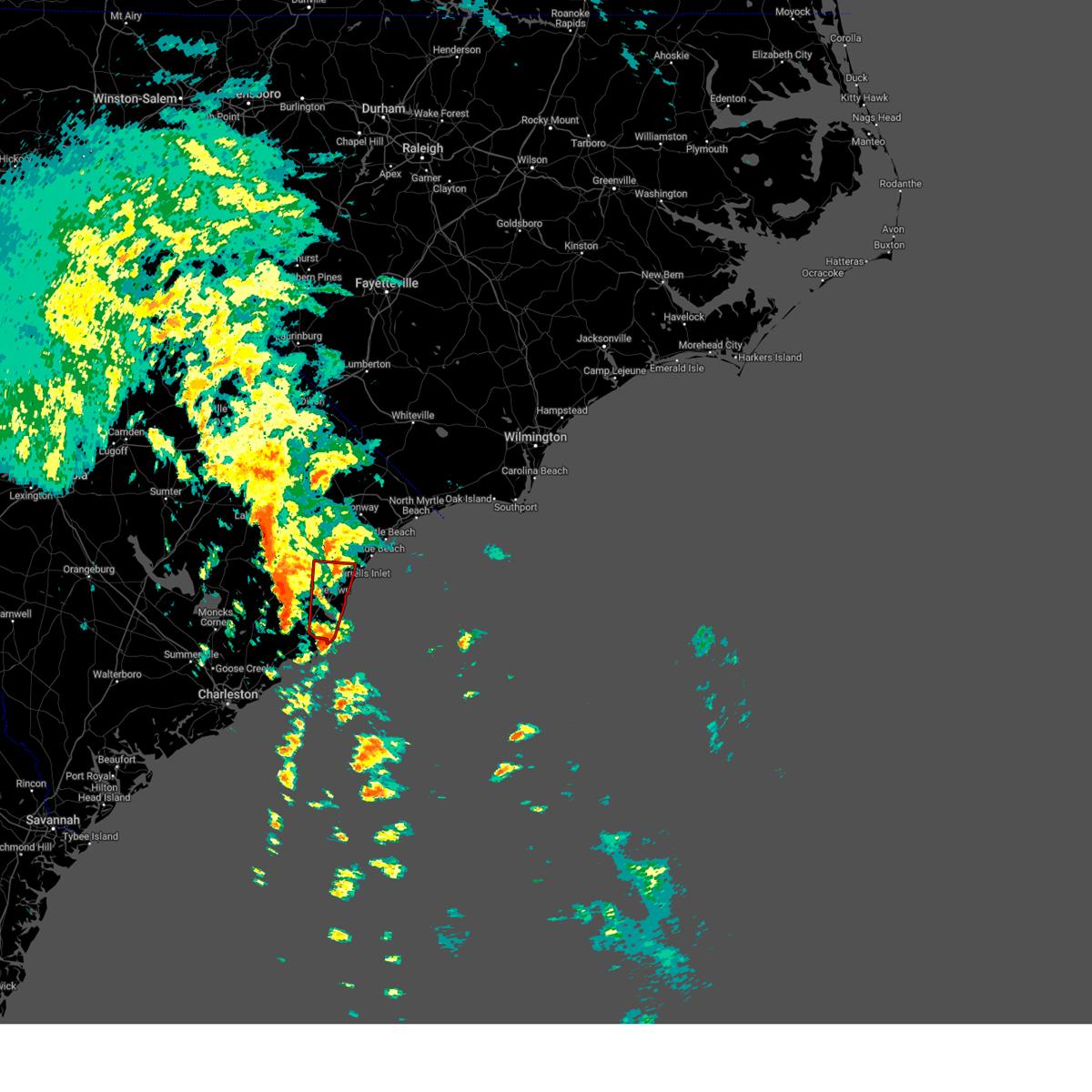
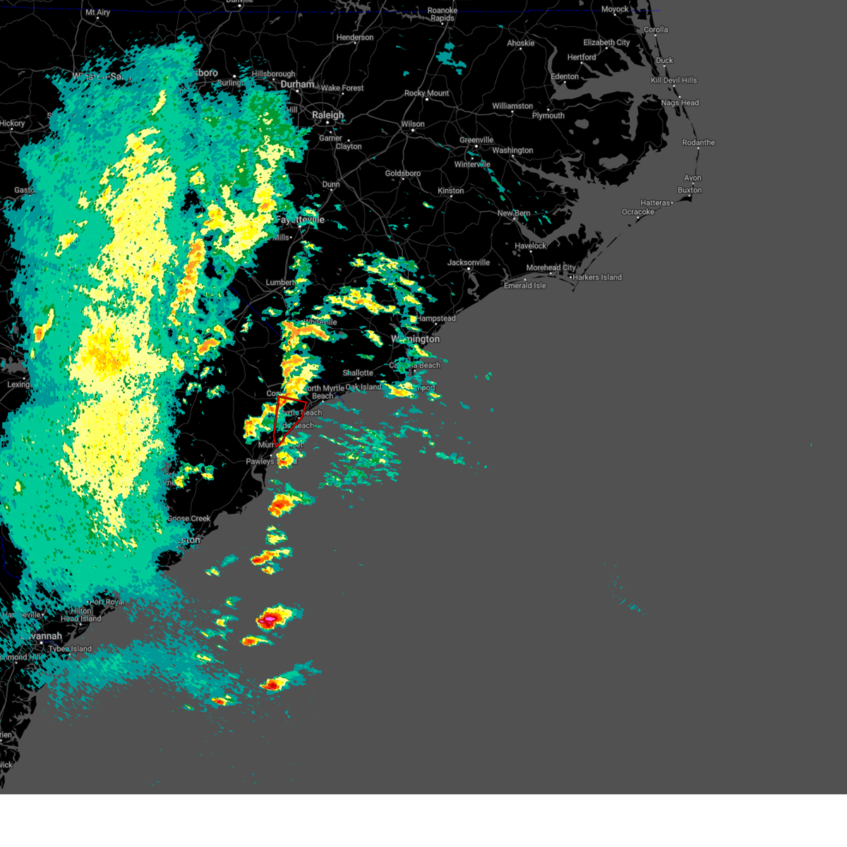
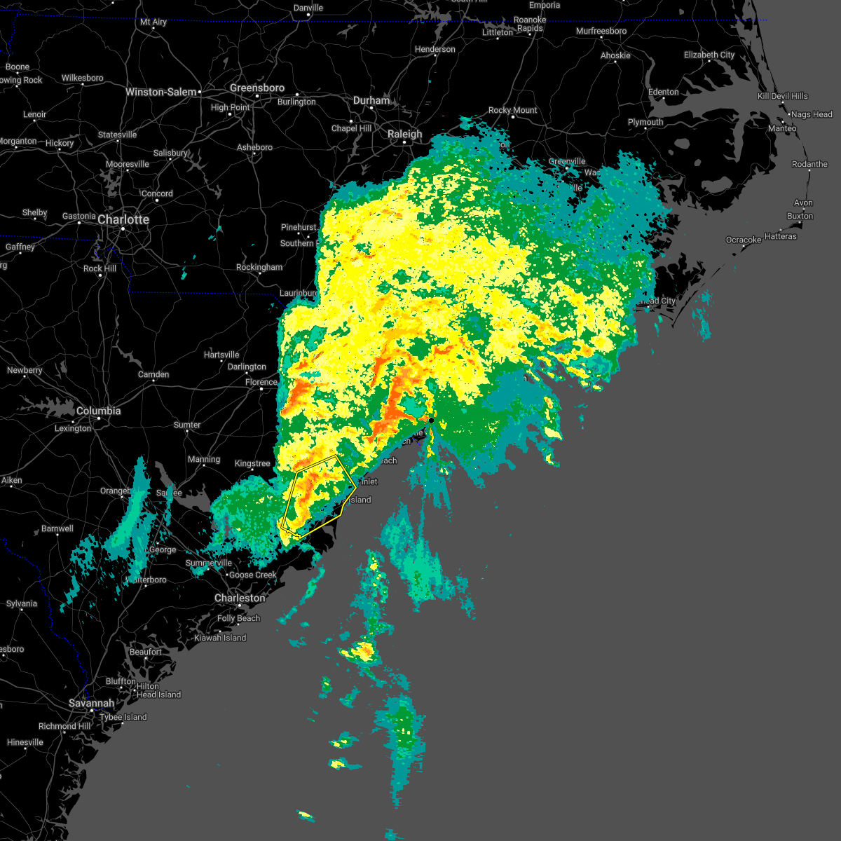
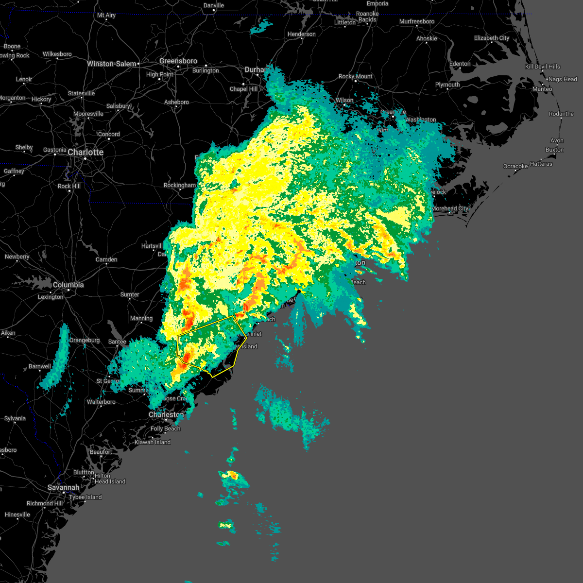
Hail Map for Murrells Inlet, SC
The Murrells Inlet, SC area has had 14 reports of on-the-ground hail by trained spotters, and has been under severe weather warnings 8 times during the past 12 months. Doppler radar has detected hail at or near Murrells Inlet, SC on 41 occasions, including 1 occasion during the past year.
| Name: | Murrells Inlet, SC |
| Where Located: | 60.8 miles ENE of Charleston, SC |
| Map: | Google Map for Murrells Inlet, SC |
| Population: | 7547 |
| Housing Units: | 4843 |
| More Info: | Search Google for Murrells Inlet, SC |
0
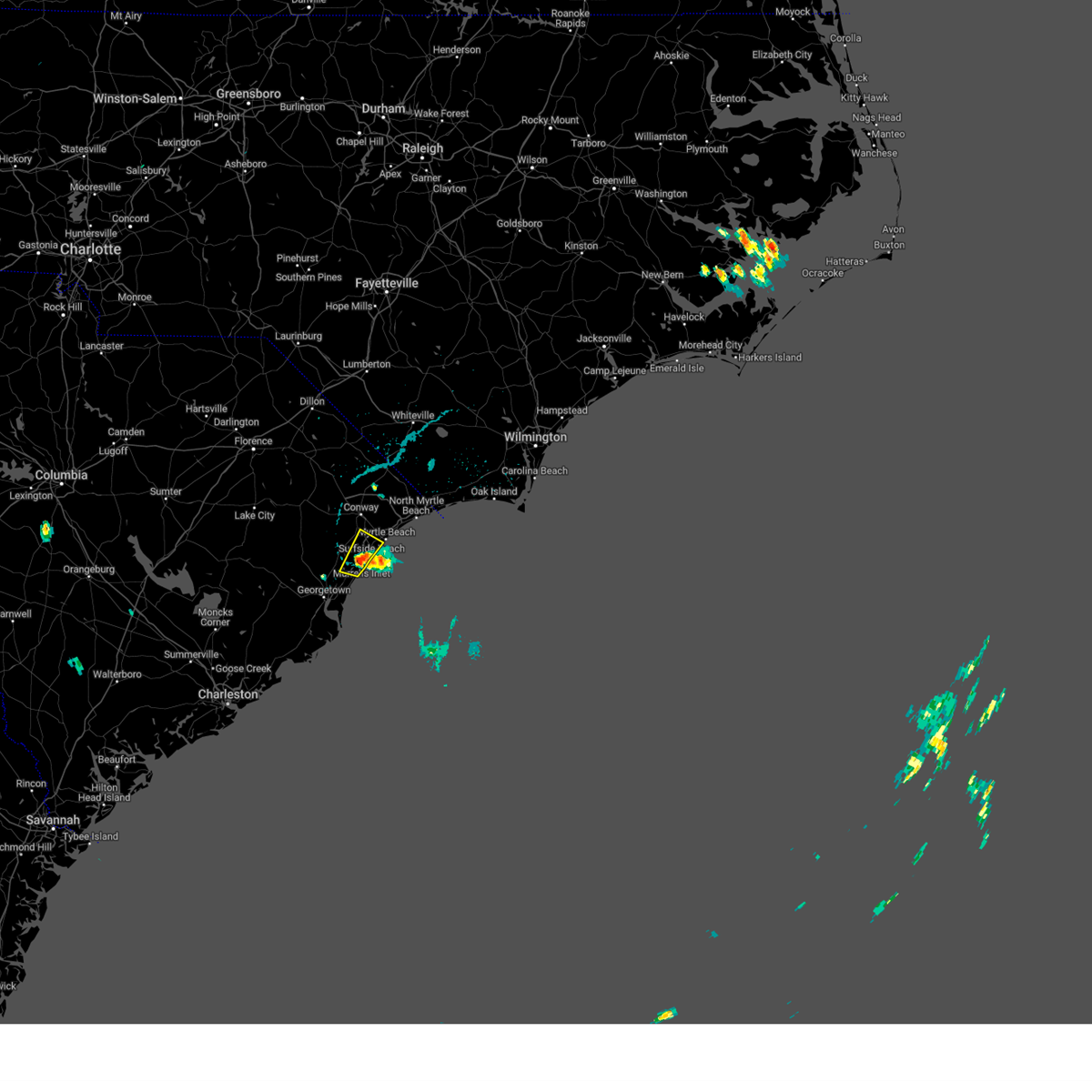
The Top Recent Hail Date for Murrells Inlet, SC is Monday, May 11, 2026 (29th out of 41)

Hail and Wind Damage Spotted near Murrells Inlet, SC
| Date / Time | Report Details |
|---|---|
| 6/14/2026 3:00 PM EDT |
 Svrilm the national weather service in wilmington has issued a * severe thunderstorm warning for, northeastern georgetown county in northeastern south carolina, south central horry county in northeastern south carolina, * until 330 pm edt. * at 300 pm edt, a severe thunderstorm was located near murrells inlet, moving northeast at 20 mph (radar indicated). Hazards include 60 mph wind gusts and quarter size hail. Minor hail damage to vehicles is possible. Expect wind damage to trees and power lines. Svrilm the national weather service in wilmington has issued a * severe thunderstorm warning for, northeastern georgetown county in northeastern south carolina, south central horry county in northeastern south carolina, * until 330 pm edt. * at 300 pm edt, a severe thunderstorm was located near murrells inlet, moving northeast at 20 mph (radar indicated). Hazards include 60 mph wind gusts and quarter size hail. Minor hail damage to vehicles is possible. Expect wind damage to trees and power lines.
|
| 4/30/2026 8:23 AM EDT |
 Svrilm the national weather service in wilmington has issued a * severe thunderstorm warning for, southeastern georgetown county in northeastern south carolina, * until 930 am edt. * at 823 am edt, a severe thunderstorm was located over hampton plantation state park, or near mcclellanville, moving northeast at 40 mph (radar indicated). Hazards include 60 mph wind gusts and penny size hail. expect wind damage to trees and power lines Svrilm the national weather service in wilmington has issued a * severe thunderstorm warning for, southeastern georgetown county in northeastern south carolina, * until 930 am edt. * at 823 am edt, a severe thunderstorm was located over hampton plantation state park, or near mcclellanville, moving northeast at 40 mph (radar indicated). Hazards include 60 mph wind gusts and penny size hail. expect wind damage to trees and power lines
|
| 3/16/2026 3:04 PM EDT |
 the tornado warning has been cancelled and is no longer in effect the tornado warning has been cancelled and is no longer in effect
|
| 3/16/2026 3:02 PM EDT |
 Svrilm the national weather service in wilmington has issued a * severe thunderstorm warning for, horry county in northeastern south carolina, * until 345 pm edt. * at 301 pm edt, a severe thunderstorm was located near yauhannah, or just inland from murrells inlet, moving northeast at 55 mph (radar indicated). Hazards include 60 mph wind gusts. expect wind damage to trees and power lines Svrilm the national weather service in wilmington has issued a * severe thunderstorm warning for, horry county in northeastern south carolina, * until 345 pm edt. * at 301 pm edt, a severe thunderstorm was located near yauhannah, or just inland from murrells inlet, moving northeast at 55 mph (radar indicated). Hazards include 60 mph wind gusts. expect wind damage to trees and power lines
|
| 3/16/2026 2:53 PM EDT |
 At 253 pm edt, a severe thunderstorm capable of producing a tornado was located near oatland, or 8 miles north of georgetown, moving northeast at 50 mph (radar indicated rotation). Hazards include tornado. Flying debris will be dangerous to those caught without shelter. mobile homes will be damaged or destroyed. damage to roofs, windows, and vehicles will occur. tree damage is likely. This dangerous storm will be near, plantersville and yauhannah around 300 pm edt. At 253 pm edt, a severe thunderstorm capable of producing a tornado was located near oatland, or 8 miles north of georgetown, moving northeast at 50 mph (radar indicated rotation). Hazards include tornado. Flying debris will be dangerous to those caught without shelter. mobile homes will be damaged or destroyed. damage to roofs, windows, and vehicles will occur. tree damage is likely. This dangerous storm will be near, plantersville and yauhannah around 300 pm edt.
|
| 3/16/2026 2:45 PM EDT |
 Torilm the national weather service in wilmington has issued a * tornado warning for, northeastern georgetown county in northeastern south carolina, * until 315 pm edt. * at 245 pm edt, a severe thunderstorm capable of producing a tornado was located over graves, or just west of georgetown, moving northeast at 55 mph (radar indicated rotation). Hazards include tornado. Flying debris will be dangerous to those caught without shelter. mobile homes will be damaged or destroyed. damage to roofs, windows, and vehicles will occur. tree damage is likely. this dangerous storm will be near, plantersville around 255 pm edt. Yauhannah around 300 pm edt. Torilm the national weather service in wilmington has issued a * tornado warning for, northeastern georgetown county in northeastern south carolina, * until 315 pm edt. * at 245 pm edt, a severe thunderstorm capable of producing a tornado was located over graves, or just west of georgetown, moving northeast at 55 mph (radar indicated rotation). Hazards include tornado. Flying debris will be dangerous to those caught without shelter. mobile homes will be damaged or destroyed. damage to roofs, windows, and vehicles will occur. tree damage is likely. this dangerous storm will be near, plantersville around 255 pm edt. Yauhannah around 300 pm edt.
|
| 11/9/2025 11:34 PM EST | the severe thunderstorm warning has been cancelled and is no longer in effect |
| 11/9/2025 11:13 PM EST | Svrilm the national weather service in wilmington has issued a * severe thunderstorm warning for, southeastern georgetown county in northeastern south carolina, * until 1145 pm est. * at 1113 pm est, a severe thunderstorm was located near georgetown, moving northeast at 50 mph (radar indicated). Hazards include 60 mph wind gusts and quarter size hail. Minor hail damage to vehicles is possible. Expect wind damage to trees and power lines. |
| 6/25/2025 7:47 PM EDT |
 the severe thunderstorm warning has been cancelled and is no longer in effect the severe thunderstorm warning has been cancelled and is no longer in effect
|
| 6/25/2025 7:47 PM EDT |
 At 747 pm edt, severe thunderstorms were located along a line extending from near salters to pawleys island, moving southwest at 40 mph (law enforcement). Hazards include 60 mph wind gusts and nickel size hail. Expect wind damage to trees and power lines. Locations impacted include, georgetown, debordieu colony, kingstree, pawleys island, yawkey south island, winyah bay entrance, murrells inlet, andrews, north santee, rhems, cades, oatland, nesmith, plantersville, sampit, earle, hebron, morrisville, henry, and salters. At 747 pm edt, severe thunderstorms were located along a line extending from near salters to pawleys island, moving southwest at 40 mph (law enforcement). Hazards include 60 mph wind gusts and nickel size hail. Expect wind damage to trees and power lines. Locations impacted include, georgetown, debordieu colony, kingstree, pawleys island, yawkey south island, winyah bay entrance, murrells inlet, andrews, north santee, rhems, cades, oatland, nesmith, plantersville, sampit, earle, hebron, morrisville, henry, and salters.
|
| 6/25/2025 7:15 PM EDT |
 Svrilm the national weather service in wilmington has issued a * severe thunderstorm warning for, southern florence county in northeastern south carolina, georgetown county in northeastern south carolina, williamsburg county in northeastern south carolina, * until 845 pm edt. * at 714 pm edt, severe thunderstorms were located along a line extending from new hope to johnsonville, to dongola and socastee, to near the myrtle beach airport, moving south at 30 mph (radar indicated). Hazards include 60 mph wind gusts and quarter size hail. Minor hail damage to vehicles is possible. Expect wind damage to trees and power lines. Svrilm the national weather service in wilmington has issued a * severe thunderstorm warning for, southern florence county in northeastern south carolina, georgetown county in northeastern south carolina, williamsburg county in northeastern south carolina, * until 845 pm edt. * at 714 pm edt, severe thunderstorms were located along a line extending from new hope to johnsonville, to dongola and socastee, to near the myrtle beach airport, moving south at 30 mph (radar indicated). Hazards include 60 mph wind gusts and quarter size hail. Minor hail damage to vehicles is possible. Expect wind damage to trees and power lines.
|
| 6/25/2025 6:47 PM EDT |
 Svrilm the national weather service in wilmington has issued a * severe thunderstorm warning for, northern georgetown county in northeastern south carolina, southern horry county in northeastern south carolina, southern marion county in northeastern south carolina, * until 730 pm edt. * at 646 pm edt, severe thunderstorms were located along a line extending from pee dee crossroads to near barefoot landing area of north myrtle beach, moving south at 30 mph (law enforcement). Hazards include 60 mph wind gusts and quarter size hail. Minor hail damage to vehicles is possible. Expect wind damage to trees and power lines. Svrilm the national weather service in wilmington has issued a * severe thunderstorm warning for, northern georgetown county in northeastern south carolina, southern horry county in northeastern south carolina, southern marion county in northeastern south carolina, * until 730 pm edt. * at 646 pm edt, severe thunderstorms were located along a line extending from pee dee crossroads to near barefoot landing area of north myrtle beach, moving south at 30 mph (law enforcement). Hazards include 60 mph wind gusts and quarter size hail. Minor hail damage to vehicles is possible. Expect wind damage to trees and power lines.
|
| 6/9/2025 7:17 PM EDT |
 the severe thunderstorm warning has been cancelled and is no longer in effect the severe thunderstorm warning has been cancelled and is no longer in effect
|
| 6/9/2025 6:49 PM EDT |
 At 649 pm edt, a severe thunderstorm was located over bucksport, or near socastee, moving northeast at 45 mph (radar indicated). Hazards include 60 mph wind gusts. Expect wind damage to trees and power lines. Locations impacted include, myrtle beach, surfside beach, myrtle beach airport, springmaid pier, socastee, garden city, red hill, murrells inlet, burgess, forestbrook, bucksville, and bucksport. At 649 pm edt, a severe thunderstorm was located over bucksport, or near socastee, moving northeast at 45 mph (radar indicated). Hazards include 60 mph wind gusts. Expect wind damage to trees and power lines. Locations impacted include, myrtle beach, surfside beach, myrtle beach airport, springmaid pier, socastee, garden city, red hill, murrells inlet, burgess, forestbrook, bucksville, and bucksport.
|
| 6/9/2025 6:49 PM EDT |
 the severe thunderstorm warning has been cancelled and is no longer in effect the severe thunderstorm warning has been cancelled and is no longer in effect
|
| 6/9/2025 6:43 PM EDT |
 At 643 pm edt, a severe thunderstorm was located over plantersville, or 11 miles west of murrells inlet, moving northeast at 15 mph (radar indicated). Hazards include 60 mph wind gusts. Expect wind damage to trees and power lines. Locations impacted include, myrtle beach, surfside beach, myrtle beach airport, springmaid pier, socastee, garden city, murrells inlet, red hill, burgess, bucksville, bucksport, plantersville, forestbrook, yauhannah, and waccamaw community hospital. At 643 pm edt, a severe thunderstorm was located over plantersville, or 11 miles west of murrells inlet, moving northeast at 15 mph (radar indicated). Hazards include 60 mph wind gusts. Expect wind damage to trees and power lines. Locations impacted include, myrtle beach, surfside beach, myrtle beach airport, springmaid pier, socastee, garden city, murrells inlet, red hill, burgess, bucksville, bucksport, plantersville, forestbrook, yauhannah, and waccamaw community hospital.
|
| 6/9/2025 6:33 PM EDT |
 At 633 pm edt, severe thunderstorms were located along a line extending from graves to 9 miles southeast of winyah bay entrance, moving east at 40 mph (radar indicated). Hazards include 60 mph wind gusts. Expect wind damage to trees and power lines. Locations impacted include, georgetown, debordieu colony, pawleys island, murrells inlet, litchfield beach, oatland, and georgetown memorial hospital. At 633 pm edt, severe thunderstorms were located along a line extending from graves to 9 miles southeast of winyah bay entrance, moving east at 40 mph (radar indicated). Hazards include 60 mph wind gusts. Expect wind damage to trees and power lines. Locations impacted include, georgetown, debordieu colony, pawleys island, murrells inlet, litchfield beach, oatland, and georgetown memorial hospital.
|
| 6/9/2025 6:25 PM EDT |
 Svrilm the national weather service in wilmington has issued a * severe thunderstorm warning for, northeastern georgetown county in northeastern south carolina, southern horry county in northeastern south carolina, * until 730 pm edt. * at 625 pm edt, a severe thunderstorm was located over oatland, or 12 miles north of georgetown, moving northeast at 15 mph (radar indicated). Hazards include 60 mph wind gusts. expect wind damage to trees and power lines Svrilm the national weather service in wilmington has issued a * severe thunderstorm warning for, northeastern georgetown county in northeastern south carolina, southern horry county in northeastern south carolina, * until 730 pm edt. * at 625 pm edt, a severe thunderstorm was located over oatland, or 12 miles north of georgetown, moving northeast at 15 mph (radar indicated). Hazards include 60 mph wind gusts. expect wind damage to trees and power lines
|
| 6/9/2025 6:13 PM EDT |
 the severe thunderstorm warning has been cancelled and is no longer in effect the severe thunderstorm warning has been cancelled and is no longer in effect
|
| 6/9/2025 6:13 PM EDT |
 At 613 pm edt, severe thunderstorms were located along a line extending from near lambert to 6 miles south of yawkey south island, moving east at 40 mph (radar indicated). Hazards include 60 mph wind gusts. Expect wind damage to trees and power lines. Locations impacted include, georgetown, debordieu colony, pawleys island, yawkey south island, winyah bay entrance, murrells inlet, andrews, north santee, oatland, sampit, lambert, graves, litchfield beach, and georgetown memorial hospital. At 613 pm edt, severe thunderstorms were located along a line extending from near lambert to 6 miles south of yawkey south island, moving east at 40 mph (radar indicated). Hazards include 60 mph wind gusts. Expect wind damage to trees and power lines. Locations impacted include, georgetown, debordieu colony, pawleys island, yawkey south island, winyah bay entrance, murrells inlet, andrews, north santee, oatland, sampit, lambert, graves, litchfield beach, and georgetown memorial hospital.
|
| 6/9/2025 6:01 PM EDT |
 Svrilm the national weather service in wilmington has issued a * severe thunderstorm warning for, georgetown county in northeastern south carolina, southeastern williamsburg county in northeastern south carolina, * until 645 pm edt. * at 601 pm edt, severe thunderstorms were located along a line extending from near lambert to near santee coastal reserve, moving east at 40 mph (radar indicated). Hazards include 60 mph wind gusts. expect wind damage to trees and power lines Svrilm the national weather service in wilmington has issued a * severe thunderstorm warning for, georgetown county in northeastern south carolina, southeastern williamsburg county in northeastern south carolina, * until 645 pm edt. * at 601 pm edt, severe thunderstorms were located along a line extending from near lambert to near santee coastal reserve, moving east at 40 mph (radar indicated). Hazards include 60 mph wind gusts. expect wind damage to trees and power lines
|
| 6/8/2025 2:05 PM EDT |
 The storms which prompted the warning have moved out of the area. therefore, the warning will be allowed to expire. a severe thunderstorm watch remains in effect until 500 pm edt for northeastern south carolina. please send your reports of hail and/or wind damage, including trees or large limbs downed, by calling the national weather service office in wilmington at 1-800-697-3901. The storms which prompted the warning have moved out of the area. therefore, the warning will be allowed to expire. a severe thunderstorm watch remains in effect until 500 pm edt for northeastern south carolina. please send your reports of hail and/or wind damage, including trees or large limbs downed, by calling the national weather service office in wilmington at 1-800-697-3901.
|
| 6/8/2025 1:45 PM EDT |
 the severe thunderstorm warning has been cancelled and is no longer in effect the severe thunderstorm warning has been cancelled and is no longer in effect
|
| 6/8/2025 1:45 PM EDT |
 At 145 pm edt, severe thunderstorms were located along a line extending from yauhannah to near debordieu colony to north santee, moving east at 35 mph (radar indicated). Hazards include 60 mph wind gusts. Expect wind damage to trees and power lines. Locations impacted include, georgetown, debordieu colony, surfside beach, pawleys island, garden city, murrells inlet, yawkey south island, winyah bay entrance, north santee, burgess, oatland, sampit, plantersville, graves, yauhannah, litchfield beach, waccamaw community hospital, and georgetown memorial hospital. At 145 pm edt, severe thunderstorms were located along a line extending from yauhannah to near debordieu colony to north santee, moving east at 35 mph (radar indicated). Hazards include 60 mph wind gusts. Expect wind damage to trees and power lines. Locations impacted include, georgetown, debordieu colony, surfside beach, pawleys island, garden city, murrells inlet, yawkey south island, winyah bay entrance, north santee, burgess, oatland, sampit, plantersville, graves, yauhannah, litchfield beach, waccamaw community hospital, and georgetown memorial hospital.
|
| 6/8/2025 1:00 PM EDT |
 Svrilm the national weather service in wilmington has issued a * severe thunderstorm warning for, georgetown county in northeastern south carolina, south central horry county in northeastern south carolina, central williamsburg county in northeastern south carolina, * until 215 pm edt. * at 1259 pm edt, severe thunderstorms were located along a line extending from near indiantown to near earle to 6 miles southeast of gourdin, moving east at 35 mph (radar indicated). Hazards include 60 mph wind gusts and quarter size hail. Minor hail damage to vehicles is possible. Expect wind damage to trees and power lines. Svrilm the national weather service in wilmington has issued a * severe thunderstorm warning for, georgetown county in northeastern south carolina, south central horry county in northeastern south carolina, central williamsburg county in northeastern south carolina, * until 215 pm edt. * at 1259 pm edt, severe thunderstorms were located along a line extending from near indiantown to near earle to 6 miles southeast of gourdin, moving east at 35 mph (radar indicated). Hazards include 60 mph wind gusts and quarter size hail. Minor hail damage to vehicles is possible. Expect wind damage to trees and power lines.
|
| 5/30/2025 7:10 PM EDT |
 The storms which prompted the warning have moved out of the area. therefore, the warning will be allowed to expire. a severe thunderstorm watch remains in effect until 1100 pm edt for northeastern south carolina. please send your reports of hail and/or wind damage, including trees or large limbs downed, by calling the national weather service office in wilmington at 1-800-697-3901. The storms which prompted the warning have moved out of the area. therefore, the warning will be allowed to expire. a severe thunderstorm watch remains in effect until 1100 pm edt for northeastern south carolina. please send your reports of hail and/or wind damage, including trees or large limbs downed, by calling the national weather service office in wilmington at 1-800-697-3901.
|
| 5/30/2025 7:02 PM EDT |
 At 702 pm edt, severe thunderstorms were located along a line extending from near cherry grove beach to 18 miles east of litchfield beach to near winyah bay entrance, moving east at 45 mph (radar indicated). Hazards include 60 mph wind gusts. Expect wind damage to trees and power lines. Locations impacted include, myrtle beach, north myrtle beach, georgetown, debordieu colony, surfside beach, pawleys island, myrtle beach airport, little river, yawkey south island, springmaid pier, garden city, north myrtle beach airport, murrells inlet, cherry grove inlet, little river entrance, winyah bay entrance, socastee, north santee, barefoot landing area of north myrtle beach, and wampee. At 702 pm edt, severe thunderstorms were located along a line extending from near cherry grove beach to 18 miles east of litchfield beach to near winyah bay entrance, moving east at 45 mph (radar indicated). Hazards include 60 mph wind gusts. Expect wind damage to trees and power lines. Locations impacted include, myrtle beach, north myrtle beach, georgetown, debordieu colony, surfside beach, pawleys island, myrtle beach airport, little river, yawkey south island, springmaid pier, garden city, north myrtle beach airport, murrells inlet, cherry grove inlet, little river entrance, winyah bay entrance, socastee, north santee, barefoot landing area of north myrtle beach, and wampee.
|
| 5/30/2025 6:29 PM EDT |
 the severe thunderstorm warning has been cancelled and is no longer in effect the severe thunderstorm warning has been cancelled and is no longer in effect
|
| 5/30/2025 6:29 PM EDT |
 At 628 pm edt, severe thunderstorms were located along a line extending from conway to near plantersville to near hampton plantation state park, moving east at 45 mph (radar indicated). Hazards include 60 mph wind gusts and quarter size hail. Minor hail damage to vehicles is possible. expect wind damage to trees and power lines. Locations impacted include, myrtle beach, conway, north myrtle beach, georgetown, debordieu colony, surfside beach, pawleys island, myrtle beach airport, little river, yawkey south island, murrells inlet, little river entrance, winyah bay entrance, socastee, red hill, springmaid pier, garden city, north myrtle beach airport, cherry grove inlet, and horry. At 628 pm edt, severe thunderstorms were located along a line extending from conway to near plantersville to near hampton plantation state park, moving east at 45 mph (radar indicated). Hazards include 60 mph wind gusts and quarter size hail. Minor hail damage to vehicles is possible. expect wind damage to trees and power lines. Locations impacted include, myrtle beach, conway, north myrtle beach, georgetown, debordieu colony, surfside beach, pawleys island, myrtle beach airport, little river, yawkey south island, murrells inlet, little river entrance, winyah bay entrance, socastee, red hill, springmaid pier, garden city, north myrtle beach airport, cherry grove inlet, and horry.
|
| 5/30/2025 6:11 PM EDT |
 Svrilm the national weather service in wilmington has issued a * severe thunderstorm warning for, georgetown county in northeastern south carolina, horry county in northeastern south carolina, south central marion county in northeastern south carolina, southeastern williamsburg county in northeastern south carolina, * until 715 pm edt. * at 611 pm edt, severe thunderstorms were located along a line extending from near pee dee crossroads to near oatland to jamestown, moving east at 45 mph (radar indicated). Hazards include 60 mph wind gusts and quarter size hail. Minor hail damage to vehicles is possible. Expect wind damage to trees and power lines. Svrilm the national weather service in wilmington has issued a * severe thunderstorm warning for, georgetown county in northeastern south carolina, horry county in northeastern south carolina, south central marion county in northeastern south carolina, southeastern williamsburg county in northeastern south carolina, * until 715 pm edt. * at 611 pm edt, severe thunderstorms were located along a line extending from near pee dee crossroads to near oatland to jamestown, moving east at 45 mph (radar indicated). Hazards include 60 mph wind gusts and quarter size hail. Minor hail damage to vehicles is possible. Expect wind damage to trees and power lines.
|
| 4/23/2025 4:29 PM EDT |
 the severe thunderstorm warning has been cancelled and is no longer in effect the severe thunderstorm warning has been cancelled and is no longer in effect
|
| 4/23/2025 4:23 PM EDT |
 At 423 pm edt, a severe thunderstorm was located over surfside beach, moving southeast at 15 mph (radar indicated). Hazards include quarter size hail. Minor damage to vehicles is possible. Locations impacted include, burgess, yauhannah, waccamaw community hospital, garden city, surfside beach, murrells inlet, and bucksport. At 423 pm edt, a severe thunderstorm was located over surfside beach, moving southeast at 15 mph (radar indicated). Hazards include quarter size hail. Minor damage to vehicles is possible. Locations impacted include, burgess, yauhannah, waccamaw community hospital, garden city, surfside beach, murrells inlet, and bucksport.
|
| 4/23/2025 4:09 PM EDT |
 At 409 pm edt, a severe thunderstorm was located over burgess, or near garden city, moving southeast at 15 mph (radar indicated). Hazards include ping pong ball size hail and 60 mph wind gusts. People and animals outdoors will be injured. expect hail damage to roofs, siding, windows, and vehicles. expect wind damage to trees and power lines. Locations impacted include, myrtle beach airport, burgess, yauhannah, springmaid pier, socastee, waccamaw community hospital, garden city, surfside beach, bucksport, murrells inlet, and myrtle beach. At 409 pm edt, a severe thunderstorm was located over burgess, or near garden city, moving southeast at 15 mph (radar indicated). Hazards include ping pong ball size hail and 60 mph wind gusts. People and animals outdoors will be injured. expect hail damage to roofs, siding, windows, and vehicles. expect wind damage to trees and power lines. Locations impacted include, myrtle beach airport, burgess, yauhannah, springmaid pier, socastee, waccamaw community hospital, garden city, surfside beach, bucksport, murrells inlet, and myrtle beach.
|
| 4/23/2025 3:59 PM EDT |
 At 359 pm edt, a severe thunderstorm was located over bucksport, or near socastee, moving southeast at 10 mph (radar indicated). Hazards include 60 mph wind gusts and half dollar size hail. Minor hail damage to vehicles is possible. expect wind damage to trees and power lines. Locations impacted include, burgess, bucksville, springmaid pier, socastee, waccamaw community hospital, garden city, bucksport, forestbrook, yauhannah, surfside beach, myrtle beach, murrells inlet, and red hill. At 359 pm edt, a severe thunderstorm was located over bucksport, or near socastee, moving southeast at 10 mph (radar indicated). Hazards include 60 mph wind gusts and half dollar size hail. Minor hail damage to vehicles is possible. expect wind damage to trees and power lines. Locations impacted include, burgess, bucksville, springmaid pier, socastee, waccamaw community hospital, garden city, bucksport, forestbrook, yauhannah, surfside beach, myrtle beach, murrells inlet, and red hill.
|
| 4/23/2025 3:47 PM EDT |
 Svrilm the national weather service in wilmington has issued a * severe thunderstorm warning for, northeastern georgetown county in northeastern south carolina, southwestern horry county in northeastern south carolina, * until 445 pm edt. * at 347 pm edt, a severe thunderstorm was located over bucksport, or near socastee, moving southeast at 15 mph (radar indicated). Hazards include 60 mph wind gusts and quarter size hail. Minor hail damage to vehicles is possible. Expect wind damage to trees and power lines. Svrilm the national weather service in wilmington has issued a * severe thunderstorm warning for, northeastern georgetown county in northeastern south carolina, southwestern horry county in northeastern south carolina, * until 445 pm edt. * at 347 pm edt, a severe thunderstorm was located over bucksport, or near socastee, moving southeast at 15 mph (radar indicated). Hazards include 60 mph wind gusts and quarter size hail. Minor hail damage to vehicles is possible. Expect wind damage to trees and power lines.
|
| 3/31/2025 7:59 PM EDT |
 The storms which prompted the warning have moved out of the area. therefore, the warning will be allowed to expire. a severe thunderstorm watch remains in effect until 1000 pm edt for northeastern south carolina. please send your reports of hail and/or wind damage, including trees or large limbs downed, by calling the national weather service office in wilmington at 1-800-697-3901. remember, a severe thunderstorm warning still remains in effect for portions of horry county. The storms which prompted the warning have moved out of the area. therefore, the warning will be allowed to expire. a severe thunderstorm watch remains in effect until 1000 pm edt for northeastern south carolina. please send your reports of hail and/or wind damage, including trees or large limbs downed, by calling the national weather service office in wilmington at 1-800-697-3901. remember, a severe thunderstorm warning still remains in effect for portions of horry county.
|
| 3/31/2025 7:46 PM EDT |
 the severe thunderstorm warning has been cancelled and is no longer in effect the severe thunderstorm warning has been cancelled and is no longer in effect
|
| 3/31/2025 7:46 PM EDT |
 At 746 pm edt, severe thunderstorms were located along a line extending from homewood to near forestbrook to near springmaid pier to near surfside beach to 12 miles east of winyah bay entrance, moving east at 40 mph (radar indicated). Hazards include 60 mph wind gusts. Expect wind damage to trees and power lines. Locations impacted include, myrtle beach airport, homewood, horry georgetown technical college conway campus, adrian, bucksville, conway, socastee, garden city, nixonville, red hill, lighthouse care center of conway, forestbrook, myrtle beach, conway medical center, grand strand regional medical center, coastal carolina university, hickory grove, horry, and surfside beach. At 746 pm edt, severe thunderstorms were located along a line extending from homewood to near forestbrook to near springmaid pier to near surfside beach to 12 miles east of winyah bay entrance, moving east at 40 mph (radar indicated). Hazards include 60 mph wind gusts. Expect wind damage to trees and power lines. Locations impacted include, myrtle beach airport, homewood, horry georgetown technical college conway campus, adrian, bucksville, conway, socastee, garden city, nixonville, red hill, lighthouse care center of conway, forestbrook, myrtle beach, conway medical center, grand strand regional medical center, coastal carolina university, hickory grove, horry, and surfside beach.
|
| 3/31/2025 7:29 PM EDT |
 At 728 pm edt, severe thunderstorms were located along a line extending from near pee dee crossroads to near dongola to near burgess to near murrells inlet to near yawkey south island, moving east at 45 mph (radar indicated). Hazards include 60 mph wind gusts and penny size hail. Expect wind damage to trees and power lines. Locations impacted include, myrtle beach airport, pawleys island, homewood, horry georgetown technical college conway campus, adrian, johnsonville, pee dee crossroads, socastee, nixonville, bucksport, red hill, dongola, plantersville, outland, myrtle beach, grand strand regional medical center, horry, yawkey south island, burgess, and bucksville. At 728 pm edt, severe thunderstorms were located along a line extending from near pee dee crossroads to near dongola to near burgess to near murrells inlet to near yawkey south island, moving east at 45 mph (radar indicated). Hazards include 60 mph wind gusts and penny size hail. Expect wind damage to trees and power lines. Locations impacted include, myrtle beach airport, pawleys island, homewood, horry georgetown technical college conway campus, adrian, johnsonville, pee dee crossroads, socastee, nixonville, bucksport, red hill, dongola, plantersville, outland, myrtle beach, grand strand regional medical center, horry, yawkey south island, burgess, and bucksville.
|
| 3/31/2025 7:11 PM EDT |
 Svrilm the national weather service in wilmington has issued a * severe thunderstorm warning for, southeastern florence county in northeastern south carolina, georgetown county in northeastern south carolina, southwestern horry county in northeastern south carolina, south central marion county in northeastern south carolina, northeastern williamsburg county in northeastern south carolina, * until 800 pm edt. * at 711 pm edt, severe thunderstorms were located along a line extending from near johnsonville to near outland to near rhems to oatland to near mcclellanville, moving east at 45 mph (radar indicated). Hazards include 60 mph wind gusts and penny size hail. expect wind damage to trees and power lines Svrilm the national weather service in wilmington has issued a * severe thunderstorm warning for, southeastern florence county in northeastern south carolina, georgetown county in northeastern south carolina, southwestern horry county in northeastern south carolina, south central marion county in northeastern south carolina, northeastern williamsburg county in northeastern south carolina, * until 800 pm edt. * at 711 pm edt, severe thunderstorms were located along a line extending from near johnsonville to near outland to near rhems to oatland to near mcclellanville, moving east at 45 mph (radar indicated). Hazards include 60 mph wind gusts and penny size hail. expect wind damage to trees and power lines
|
| 9/27/2024 8:32 AM EDT |
 the tornado warning has been cancelled and is no longer in effect the tornado warning has been cancelled and is no longer in effect
|
| 9/27/2024 8:15 AM EDT |
 Torilm the national weather service in wilmington has issued a * tornado warning for, northeastern georgetown county in northeastern south carolina, south central horry county in northeastern south carolina, * until 845 am edt. * at 814 am edt, a severe thunderstorm capable of producing a tornado was located near debordieu colony, moving north at 55 mph (radar indicated rotation). Hazards include tornado. Flying debris will be dangerous to those caught without shelter. mobile homes will be damaged or destroyed. damage to roofs, windows, and vehicles will occur. tree damage is likely. this dangerous storm will be near, litchfield beach around 820 am edt. murrells inlet around 825 am edt. garden city and burgess around 830 am edt. socastee and bucksport around 835 am edt. red hill and bucksville around 840 am edt. Other locations impacted by this tornadic thunderstorm include waccamaw community hospital. Torilm the national weather service in wilmington has issued a * tornado warning for, northeastern georgetown county in northeastern south carolina, south central horry county in northeastern south carolina, * until 845 am edt. * at 814 am edt, a severe thunderstorm capable of producing a tornado was located near debordieu colony, moving north at 55 mph (radar indicated rotation). Hazards include tornado. Flying debris will be dangerous to those caught without shelter. mobile homes will be damaged or destroyed. damage to roofs, windows, and vehicles will occur. tree damage is likely. this dangerous storm will be near, litchfield beach around 820 am edt. murrells inlet around 825 am edt. garden city and burgess around 830 am edt. socastee and bucksport around 835 am edt. red hill and bucksville around 840 am edt. Other locations impacted by this tornadic thunderstorm include waccamaw community hospital.
|
| 9/27/2024 7:37 AM EDT |
 Torilm the national weather service in wilmington has issued a * tornado warning for, central georgetown county in northeastern south carolina, * until 815 am edt. * at 737 am edt, a severe thunderstorm capable of producing a tornado was located near santee coastal reserve, or near yawkey south island, moving north at 60 mph (radar indicated rotation). Hazards include tornado. Flying debris will be dangerous to those caught without shelter. mobile homes will be damaged or destroyed. damage to roofs, windows, and vehicles will occur. tree damage is likely. this dangerous storm will be near, georgetown around 745 am edt. oatland and plantersville around 800 am edt. Other locations impacted by this tornadic thunderstorm include georgetown memorial hospital. Torilm the national weather service in wilmington has issued a * tornado warning for, central georgetown county in northeastern south carolina, * until 815 am edt. * at 737 am edt, a severe thunderstorm capable of producing a tornado was located near santee coastal reserve, or near yawkey south island, moving north at 60 mph (radar indicated rotation). Hazards include tornado. Flying debris will be dangerous to those caught without shelter. mobile homes will be damaged or destroyed. damage to roofs, windows, and vehicles will occur. tree damage is likely. this dangerous storm will be near, georgetown around 745 am edt. oatland and plantersville around 800 am edt. Other locations impacted by this tornadic thunderstorm include georgetown memorial hospital.
|
| 8/1/2024 4:58 PM EDT |
 the severe thunderstorm warning has been cancelled and is no longer in effect the severe thunderstorm warning has been cancelled and is no longer in effect
|
| 8/1/2024 4:28 PM EDT |
 Svrilm the national weather service in wilmington has issued a * severe thunderstorm warning for, east central georgetown county in northeastern south carolina, south central horry county in northeastern south carolina, * until 515 pm edt. * at 427 pm edt, a severe thunderstorm was located over surfside beach, moving southwest at 15 mph (radar indicated). Hazards include 60 mph wind gusts and quarter size or larger hail. Minor hail damage to vehicles is possible. Expect wind damage to trees and power lines. Svrilm the national weather service in wilmington has issued a * severe thunderstorm warning for, east central georgetown county in northeastern south carolina, south central horry county in northeastern south carolina, * until 515 pm edt. * at 427 pm edt, a severe thunderstorm was located over surfside beach, moving southwest at 15 mph (radar indicated). Hazards include 60 mph wind gusts and quarter size or larger hail. Minor hail damage to vehicles is possible. Expect wind damage to trees and power lines.
|
| 5/15/2024 6:07 PM EDT |
 Svrilm the national weather service in wilmington has issued a * severe thunderstorm warning for, central georgetown county in northeastern south carolina, east central williamsburg county in northeastern south carolina, * until 700 pm edt. * at 606 pm edt, a severe thunderstorm was located near rhems, or 13 miles northwest of georgetown, moving east at 30 mph (radar indicated). Hazards include 60 mph wind gusts and quarter size hail. Minor hail damage to vehicles is possible. Expect wind damage to trees and power lines. Svrilm the national weather service in wilmington has issued a * severe thunderstorm warning for, central georgetown county in northeastern south carolina, east central williamsburg county in northeastern south carolina, * until 700 pm edt. * at 606 pm edt, a severe thunderstorm was located near rhems, or 13 miles northwest of georgetown, moving east at 30 mph (radar indicated). Hazards include 60 mph wind gusts and quarter size hail. Minor hail damage to vehicles is possible. Expect wind damage to trees and power lines.
|
| 1/9/2024 6:21 PM EST |
 At 618 pm est, severe thunderstorms were located along a line extending from 6 miles northeast of jerome to near winyah bay entrance, moving east at 65 mph (radar indicated). Hazards include 60 mph wind gusts. Expect wind damage to trees and power lines. Locations impacted include, myrtle beach, conway, north myrtle beach, georgetown, whiteville, debordieu colony, surfside beach, elizabethtown, pawleys island, myrtle beach airport, yawkey south island, murrells inlet, winyah bay entrance, socastee, red hill, springmaid pier, garden city, north myrtle beach airport, little river, and tabor city. At 618 pm est, severe thunderstorms were located along a line extending from 6 miles northeast of jerome to near winyah bay entrance, moving east at 65 mph (radar indicated). Hazards include 60 mph wind gusts. Expect wind damage to trees and power lines. Locations impacted include, myrtle beach, conway, north myrtle beach, georgetown, whiteville, debordieu colony, surfside beach, elizabethtown, pawleys island, myrtle beach airport, yawkey south island, murrells inlet, winyah bay entrance, socastee, red hill, springmaid pier, garden city, north myrtle beach airport, little river, and tabor city.
|
| 1/9/2024 5:45 PM EST |
 At 544 pm est, severe thunderstorms were located along a line extending from 9 miles north of rex to near hampton plantation state park, moving east at 45 mph (radar indicated). Hazards include 60 mph wind gusts. expect wind damage to trees and power lines At 544 pm est, severe thunderstorms were located along a line extending from 9 miles north of rex to near hampton plantation state park, moving east at 45 mph (radar indicated). Hazards include 60 mph wind gusts. expect wind damage to trees and power lines
|
| 1/9/2024 2:38 PM EST |
 The severe thunderstorm warning for southwestern columbus and horry counties will expire at 245 pm est, the storm which prompted the warning has weakened below severe limits, and has exited the warned area. therefore, the warning will be allowed to expire. a tornado watch remains in effect until 600 pm est for northeastern south carolina. a tornado watch also remains in effect until 900 pm est for southeastern north carolina. remember, a tornado warning still remains in effect for portions of southern horry county. The severe thunderstorm warning for southwestern columbus and horry counties will expire at 245 pm est, the storm which prompted the warning has weakened below severe limits, and has exited the warned area. therefore, the warning will be allowed to expire. a tornado watch remains in effect until 600 pm est for northeastern south carolina. a tornado watch also remains in effect until 900 pm est for southeastern north carolina. remember, a tornado warning still remains in effect for portions of southern horry county.
|
| 1/9/2024 2:19 PM EST |
 At 219 pm est, a severe thunderstorm capable of producing a tornado was located over garden city, moving north at 75 mph (radar indicated rotation). Hazards include tornado. Flying debris will be dangerous to those caught without shelter. mobile homes will be damaged or destroyed. damage to roofs, windows, and vehicles will occur. tree damage is likely. this dangerous storm will be near, myrtle beach, socastee, myrtle beach airport, red hill, springmaid pier, and forestbrook around 225 pm est. coastal carolina university and horry georgetown technical college conway campus around 230 pm est. Other locations impacted by this tornadic thunderstorm include conway medical center, waccamaw community hospital, and lighthouse care center of conway. At 219 pm est, a severe thunderstorm capable of producing a tornado was located over garden city, moving north at 75 mph (radar indicated rotation). Hazards include tornado. Flying debris will be dangerous to those caught without shelter. mobile homes will be damaged or destroyed. damage to roofs, windows, and vehicles will occur. tree damage is likely. this dangerous storm will be near, myrtle beach, socastee, myrtle beach airport, red hill, springmaid pier, and forestbrook around 225 pm est. coastal carolina university and horry georgetown technical college conway campus around 230 pm est. Other locations impacted by this tornadic thunderstorm include conway medical center, waccamaw community hospital, and lighthouse care center of conway.
|
| 1/9/2024 2:08 PM EST |
 At 207 pm est, a severe thunderstorm was located over bucksville, or near socastee, moving north at 55 mph (radar indicated). Hazards include 60 mph wind gusts. Expect wind damage to trees and power lines. locations impacted include, myrtle beach, conway, surfside beach, myrtle beach airport, socastee, red hill, garden city, murrells inlet, tabor city, loris, bethel, hickory grove, homewood, horry georgetown technical college conway campus, adrian, bughill, nixonville, bucksport, goretown, and burgess. hail threat, radar indicated max hail size, <. 75 in wind threat, radar indicated max wind gust, 60 mph. At 207 pm est, a severe thunderstorm was located over bucksville, or near socastee, moving north at 55 mph (radar indicated). Hazards include 60 mph wind gusts. Expect wind damage to trees and power lines. locations impacted include, myrtle beach, conway, surfside beach, myrtle beach airport, socastee, red hill, garden city, murrells inlet, tabor city, loris, bethel, hickory grove, homewood, horry georgetown technical college conway campus, adrian, bughill, nixonville, bucksport, goretown, and burgess. hail threat, radar indicated max hail size, <. 75 in wind threat, radar indicated max wind gust, 60 mph.
|
| 1/9/2024 1:55 PM EST |
 At 155 pm est, a severe thunderstorm was located near plantersville, or near murrells inlet, moving north at 55 mph (radar indicated). Hazards include 60 mph wind gusts. expect wind damage to trees and power lines At 155 pm est, a severe thunderstorm was located near plantersville, or near murrells inlet, moving north at 55 mph (radar indicated). Hazards include 60 mph wind gusts. expect wind damage to trees and power lines
|
| 12/17/2023 1:19 PM EST |
 At 119 pm est, a severe thunderstorm was located over forestbrook, or over socastee, moving northeast at 55 mph (radar indicated). Hazards include 60 mph wind gusts. expect wind damage to trees and power lines At 119 pm est, a severe thunderstorm was located over forestbrook, or over socastee, moving northeast at 55 mph (radar indicated). Hazards include 60 mph wind gusts. expect wind damage to trees and power lines
|
| 12/17/2023 12:00 PM EST | Tree uprooted in murrells inlet in georgetown county SC, 0.1 miles N of Murrells Inlet, SC |
| 8/30/2023 5:19 PM EDT |
 At 519 pm edt, a severe thunderstorm capable of producing a tornado was located near plantersville, or near murrells inlet, moving north at 40 mph (radar indicated rotation). Hazards include tornado. Flying debris will be dangerous to those caught without shelter. mobile homes will be damaged or destroyed. damage to roofs, windows, and vehicles will occur. tree damage is likely. this dangerous storm will be near, murrells inlet, yauhannah, and plantersville around 525 pm edt. bucksport around 530 pm edt. Dongola around 540 pm edt. At 519 pm edt, a severe thunderstorm capable of producing a tornado was located near plantersville, or near murrells inlet, moving north at 40 mph (radar indicated rotation). Hazards include tornado. Flying debris will be dangerous to those caught without shelter. mobile homes will be damaged or destroyed. damage to roofs, windows, and vehicles will occur. tree damage is likely. this dangerous storm will be near, murrells inlet, yauhannah, and plantersville around 525 pm edt. bucksport around 530 pm edt. Dongola around 540 pm edt.
|
| 8/11/2023 3:47 PM EDT |
 At 346 pm edt, a severe thunderstorm was located over debordieu colony, moving east at 35 mph (radar indicated). Hazards include 60 mph wind gusts. Expect wind damage to trees and power lines. locations impacted include, myrtle beach, conway, north myrtle beach, georgetown, debordieu colony, surfside beach, pawleys island, myrtle beach airport, little river, yawkey south island, murrells inlet, little river entrance, winyah bay entrance, socastee, red hill, springmaid pier, garden city, north myrtle beach airport, cherry grove inlet, and horry. hail threat, radar indicated max hail size, <. 75 in wind threat, radar indicated max wind gust, 60 mph. At 346 pm edt, a severe thunderstorm was located over debordieu colony, moving east at 35 mph (radar indicated). Hazards include 60 mph wind gusts. Expect wind damage to trees and power lines. locations impacted include, myrtle beach, conway, north myrtle beach, georgetown, debordieu colony, surfside beach, pawleys island, myrtle beach airport, little river, yawkey south island, murrells inlet, little river entrance, winyah bay entrance, socastee, red hill, springmaid pier, garden city, north myrtle beach airport, cherry grove inlet, and horry. hail threat, radar indicated max hail size, <. 75 in wind threat, radar indicated max wind gust, 60 mph.
|
| 8/11/2023 3:36 PM EDT |
 At 336 pm edt, a severe thunderstorm was located over georgetown, moving east at 35 mph (radar indicated). Hazards include 60 mph wind gusts. Expect wind damage to trees and power lines. locations impacted include, myrtle beach, conway, north myrtle beach, georgetown, marion, debordieu colony, mullins, surfside beach, pawleys island, myrtle beach airport, little river, yawkey south island, murrells inlet, little river entrance, winyah bay entrance, socastee, red hill, springmaid pier, garden city, and north myrtle beach airport. hail threat, radar indicated max hail size, <. 75 in wind threat, radar indicated max wind gust, 60 mph. At 336 pm edt, a severe thunderstorm was located over georgetown, moving east at 35 mph (radar indicated). Hazards include 60 mph wind gusts. Expect wind damage to trees and power lines. locations impacted include, myrtle beach, conway, north myrtle beach, georgetown, marion, debordieu colony, mullins, surfside beach, pawleys island, myrtle beach airport, little river, yawkey south island, murrells inlet, little river entrance, winyah bay entrance, socastee, red hill, springmaid pier, garden city, and north myrtle beach airport. hail threat, radar indicated max hail size, <. 75 in wind threat, radar indicated max wind gust, 60 mph.
|
| 8/11/2023 3:22 PM EDT |
 At 322 pm edt, a severe thunderstorm was located over sampit, or 9 miles west of georgetown, moving east at 35 mph (radar indicated). Hazards include 60 mph wind gusts. expect wind damage to trees and power lines At 322 pm edt, a severe thunderstorm was located over sampit, or 9 miles west of georgetown, moving east at 35 mph (radar indicated). Hazards include 60 mph wind gusts. expect wind damage to trees and power lines
|
| 8/7/2023 9:04 PM EDT |
 At 904 pm edt, a severe thunderstorm was located near shallotte, moving east at 75 mph (radar indicated). Hazards include 60 mph wind gusts and penny size hail. Expect wind damage to trees and power lines. locations impacted include, myrtle beach, conway, north myrtle beach, georgetown, debordieu colony, surfside beach, shallotte, sunset beach, ocean isle beach, pawleys island, myrtle beach airport, little river, yawkey south island, murrells inlet, little river entrance, winyah bay entrance, socastee, red hill, springmaid pier, and garden city. hail threat, radar indicated max hail size, 0. 75 in wind threat, observed max wind gust, 60 mph. At 904 pm edt, a severe thunderstorm was located near shallotte, moving east at 75 mph (radar indicated). Hazards include 60 mph wind gusts and penny size hail. Expect wind damage to trees and power lines. locations impacted include, myrtle beach, conway, north myrtle beach, georgetown, debordieu colony, surfside beach, shallotte, sunset beach, ocean isle beach, pawleys island, myrtle beach airport, little river, yawkey south island, murrells inlet, little river entrance, winyah bay entrance, socastee, red hill, springmaid pier, and garden city. hail threat, radar indicated max hail size, 0. 75 in wind threat, observed max wind gust, 60 mph.
|
| 8/7/2023 8:46 PM EDT |
 At 846 pm edt, a severe thunderstorm was located over goretown, or 16 miles northwest of little river, moving east at 75 mph (radar indicated). Hazards include 70 mph wind gusts and penny size hail. Expect considerable tree damage. damage is likely to mobile homes, roofs, and outbuildings. locations impacted include, myrtle beach, conway, north myrtle beach, georgetown, debordieu colony, surfside beach, shallotte, sunset beach, ocean isle beach, pawleys island, myrtle beach airport, little river, yawkey south island, murrells inlet, little river entrance, winyah bay entrance, socastee, red hill, springmaid pier, and garden city. thunderstorm damage threat, considerable hail threat, radar indicated max hail size, 0. 75 in wind threat, observed max wind gust, 70 mph. At 846 pm edt, a severe thunderstorm was located over goretown, or 16 miles northwest of little river, moving east at 75 mph (radar indicated). Hazards include 70 mph wind gusts and penny size hail. Expect considerable tree damage. damage is likely to mobile homes, roofs, and outbuildings. locations impacted include, myrtle beach, conway, north myrtle beach, georgetown, debordieu colony, surfside beach, shallotte, sunset beach, ocean isle beach, pawleys island, myrtle beach airport, little river, yawkey south island, murrells inlet, little river entrance, winyah bay entrance, socastee, red hill, springmaid pier, and garden city. thunderstorm damage threat, considerable hail threat, radar indicated max hail size, 0. 75 in wind threat, observed max wind gust, 70 mph.
|
| 8/7/2023 8:17 PM EDT |
 At 817 pm edt, a severe thunderstorm was located near marion, moving east at 75 mph (radar indicated). Hazards include 70 mph wind gusts and penny size hail. Expect considerable tree damage. Damage is likely to mobile homes, roofs, and outbuildings. At 817 pm edt, a severe thunderstorm was located near marion, moving east at 75 mph (radar indicated). Hazards include 70 mph wind gusts and penny size hail. Expect considerable tree damage. Damage is likely to mobile homes, roofs, and outbuildings.
|
| 7/20/2023 9:55 PM EDT |
 The severe thunderstorm warning for northeastern georgetown, south central horry and northeastern williamsburg counties will expire at 1000 pm edt, the severe thunderstorm which prompted the warning has moved out of the warned area. therefore, the warning will be allowed to expire. however, gusty winds are still possible with this thunderstorm. The severe thunderstorm warning for northeastern georgetown, south central horry and northeastern williamsburg counties will expire at 1000 pm edt, the severe thunderstorm which prompted the warning has moved out of the warned area. therefore, the warning will be allowed to expire. however, gusty winds are still possible with this thunderstorm.
|
| 7/20/2023 8:57 PM EDT |
 At 856 pm edt, a severe thunderstorm was located over outland, or 22 miles southwest of conway, moving east at 35 mph (radar indicated). Hazards include 60 mph wind gusts. expect wind damage to trees and power lines At 856 pm edt, a severe thunderstorm was located over outland, or 22 miles southwest of conway, moving east at 35 mph (radar indicated). Hazards include 60 mph wind gusts. expect wind damage to trees and power lines
|
| 4/30/2023 2:20 PM EDT | Structural damage to roof and sunroom from thunderstorm winds. south marlin circle in murrells inlet. time estimated via rada in georgetown county SC, 1 miles NE of Murrells Inlet, SC |
| 4/30/2023 2:20 PM EDT | Tree uprooted and leaning on house in garden city area. time estimated via rada in horry county SC, 3.5 miles SW of Murrells Inlet, SC |
| 6/17/2022 9:30 PM EDT | Storm damage reported in amz256 county SC, 2.5 miles NNW of Murrells Inlet, SC |
| 6/3/2022 4:25 PM EDT |
 The severe thunderstorm warning for east central georgetown and south central horry counties will expire at 430 pm edt, the severe thunderstorm which prompted the warning has weakened. therefore, the warning will be allowed to expire. however small hail, gusty winds and torrential rain are still possible with this thunderstorm. The severe thunderstorm warning for east central georgetown and south central horry counties will expire at 430 pm edt, the severe thunderstorm which prompted the warning has weakened. therefore, the warning will be allowed to expire. however small hail, gusty winds and torrential rain are still possible with this thunderstorm.
|
| 6/3/2022 4:01 PM EDT |
 At 400 pm edt, a severe thunderstorm was located over murrells inlet, moving southeast at 10 mph (radar indicated). Hazards include 60 mph wind gusts and penny size hail. expect wind damage to trees and power lines At 400 pm edt, a severe thunderstorm was located over murrells inlet, moving southeast at 10 mph (radar indicated). Hazards include 60 mph wind gusts and penny size hail. expect wind damage to trees and power lines
|
| 5/6/2022 6:53 PM EDT |
 At 653 pm edt, severe thunderstorms were located along a line extending from brittons neck to near dongola to oatland, moving east at 60 mph (radar indicated). Hazards include 60 mph wind gusts and penny size hail. expect wind damage to trees and power lines At 653 pm edt, severe thunderstorms were located along a line extending from brittons neck to near dongola to oatland, moving east at 60 mph (radar indicated). Hazards include 60 mph wind gusts and penny size hail. expect wind damage to trees and power lines
|
| 4/7/2022 4:03 PM EDT |
 At 403 pm edt, a severe thunderstorm was located over conway, moving northeast at 45 mph (trained weather spotters). Hazards include 60 mph wind gusts and quarter size hail. Minor hail damage to vehicles is possible. expect wind damage to trees and power lines. locations impacted include, myrtle beach, conway, north myrtle beach, surfside beach, myrtle beach airport, socastee, red hill, springmaid pier, garden city, north myrtle beach airport, murrells inlet, horry, loris, hickory grove, homewood, horry georgetown technical college conway campus, adrian, pee dee crossroads, nixonville and barefoot landing area of north myrtle beach. hail threat, observed max hail size, 1. 00 in wind threat, radar indicated max wind gust, 60 mph. At 403 pm edt, a severe thunderstorm was located over conway, moving northeast at 45 mph (trained weather spotters). Hazards include 60 mph wind gusts and quarter size hail. Minor hail damage to vehicles is possible. expect wind damage to trees and power lines. locations impacted include, myrtle beach, conway, north myrtle beach, surfside beach, myrtle beach airport, socastee, red hill, springmaid pier, garden city, north myrtle beach airport, murrells inlet, horry, loris, hickory grove, homewood, horry georgetown technical college conway campus, adrian, pee dee crossroads, nixonville and barefoot landing area of north myrtle beach. hail threat, observed max hail size, 1. 00 in wind threat, radar indicated max wind gust, 60 mph.
|
| 4/7/2022 3:46 PM EDT |
 At 345 pm edt, a severe thunderstorm was located near outland, or 16 miles southwest of conway, moving northeast at 45 mph (radar indicated). Hazards include 60 mph wind gusts and quarter size hail. Minor hail damage to vehicles is possible. Expect wind damage to trees and power lines. At 345 pm edt, a severe thunderstorm was located near outland, or 16 miles southwest of conway, moving northeast at 45 mph (radar indicated). Hazards include 60 mph wind gusts and quarter size hail. Minor hail damage to vehicles is possible. Expect wind damage to trees and power lines.
|
| 4/5/2022 8:56 PM EDT |
 The severe thunderstorm warning for south central robeson, eastern florence, northeastern georgetown, dillon, horry, marion and northeastern williamsburg counties will expire at 900 pm edt, the storm which prompted the warning has moved out of the area. therefore, the warning will be allowed to expire. a tornado watch remains in effect until midnight edt for southeastern north carolina, and northeastern south carolina. The severe thunderstorm warning for south central robeson, eastern florence, northeastern georgetown, dillon, horry, marion and northeastern williamsburg counties will expire at 900 pm edt, the storm which prompted the warning has moved out of the area. therefore, the warning will be allowed to expire. a tornado watch remains in effect until midnight edt for southeastern north carolina, and northeastern south carolina.
|
| 4/5/2022 8:33 PM EDT |
 At 833 pm edt, a severe thunderstorm was located near plantersville, or 12 miles west of murrells inlet, moving northeast at 70 mph (radar indicated). Hazards include 60 mph wind gusts. Expect wind damage to trees and power lines. Locations impacted include, georgetown, debordieu colony, pawleys island, murrells inlet, rhems, burgess, oatland, lambert, sampit, plantersville, graves, yauhannah, litchfield beach, dongola, bucksport, waccamaw community hospital and georgetown memorial hospital. At 833 pm edt, a severe thunderstorm was located near plantersville, or 12 miles west of murrells inlet, moving northeast at 70 mph (radar indicated). Hazards include 60 mph wind gusts. Expect wind damage to trees and power lines. Locations impacted include, georgetown, debordieu colony, pawleys island, murrells inlet, rhems, burgess, oatland, lambert, sampit, plantersville, graves, yauhannah, litchfield beach, dongola, bucksport, waccamaw community hospital and georgetown memorial hospital.
|
| 4/5/2022 8:29 PM EDT |
 At 829 pm edt, a severe thunderstorm was located over outland, or 20 miles west of conway, moving east at 55 mph (radar indicated). Hazards include 60 mph wind gusts. expect wind damage to trees and power lines At 829 pm edt, a severe thunderstorm was located over outland, or 20 miles west of conway, moving east at 55 mph (radar indicated). Hazards include 60 mph wind gusts. expect wind damage to trees and power lines
|
| 4/5/2022 8:15 PM EDT |
 At 815 pm edt, a severe thunderstorm was located near andrews, or 18 miles west of georgetown, moving northeast at 70 mph (radar indicated). Hazards include 60 mph wind gusts. expect wind damage to trees and power lines At 815 pm edt, a severe thunderstorm was located near andrews, or 18 miles west of georgetown, moving northeast at 70 mph (radar indicated). Hazards include 60 mph wind gusts. expect wind damage to trees and power lines
|
| 1/3/2022 7:07 AM EST |
 The severe thunderstorm warning for robeson, western bladen, western columbus, eastern georgetown, southeastern dillon, horry and eastern marion counties will expire at 715 am est, the storms which prompted the warning have moved out of the area. therefore, the warning will be allowed to expire. however gusty winds are still possible with these thunderstorms. a tornado watch remains in effect until 1100 am est for southeastern north carolina, and northeastern south carolina. remember, a severe thunderstorm warning still remains in effect for portions of central and eastern bladen, eastern columbus, and extreme northeastern horry county. The severe thunderstorm warning for robeson, western bladen, western columbus, eastern georgetown, southeastern dillon, horry and eastern marion counties will expire at 715 am est, the storms which prompted the warning have moved out of the area. therefore, the warning will be allowed to expire. however gusty winds are still possible with these thunderstorms. a tornado watch remains in effect until 1100 am est for southeastern north carolina, and northeastern south carolina. remember, a severe thunderstorm warning still remains in effect for portions of central and eastern bladen, eastern columbus, and extreme northeastern horry county.
|
| 1/3/2022 6:41 AM EST |
 At 640 am est, severe thunderstorms were located along a line extending from near rowland to near plantersville, moving east at 40 mph (radar indicated). Hazards include 60 mph wind gusts. Expect wind damage to trees and power lines. locations impacted include, myrtle beach, lumberton, conway, georgetown, debordieu colony, mullins, surfside beach, red springs, pawleys island, murrells inlet, garden city, north myrtle beach airport, myrtle beach airport, yawkey south island, winyah bay entrance, socastee, red hill, horry, pembroke and fairmont. hail threat, radar indicated max hail size, <. 75 in wind threat, observed max wind gust, 60 mph. At 640 am est, severe thunderstorms were located along a line extending from near rowland to near plantersville, moving east at 40 mph (radar indicated). Hazards include 60 mph wind gusts. Expect wind damage to trees and power lines. locations impacted include, myrtle beach, lumberton, conway, georgetown, debordieu colony, mullins, surfside beach, red springs, pawleys island, murrells inlet, garden city, north myrtle beach airport, myrtle beach airport, yawkey south island, winyah bay entrance, socastee, red hill, horry, pembroke and fairmont. hail threat, radar indicated max hail size, <. 75 in wind threat, observed max wind gust, 60 mph.
|
| 1/3/2022 6:16 AM EST |
 At 615 am est, severe thunderstorms were located along a line extending from near minturn to near warsaw, moving east at 40 mph (radar indicated). Hazards include 60 mph wind gusts. Expect wind damage to trees and power lines. locations impacted include, myrtle beach, lumberton, conway, georgetown, marion, dillon, debordieu colony, mullins, surfside beach, red springs, pawleys island, murrells inlet, garden city, north myrtle beach airport, myrtle beach airport, yawkey south island, winyah bay entrance, socastee, red hill and horry. hail threat, radar indicated max hail size, <. 75 in wind threat, radar indicated max wind gust, 60 mph. At 615 am est, severe thunderstorms were located along a line extending from near minturn to near warsaw, moving east at 40 mph (radar indicated). Hazards include 60 mph wind gusts. Expect wind damage to trees and power lines. locations impacted include, myrtle beach, lumberton, conway, georgetown, marion, dillon, debordieu colony, mullins, surfside beach, red springs, pawleys island, murrells inlet, garden city, north myrtle beach airport, myrtle beach airport, yawkey south island, winyah bay entrance, socastee, red hill and horry. hail threat, radar indicated max hail size, <. 75 in wind threat, radar indicated max wind gust, 60 mph.
|
| 1/3/2022 5:48 AM EST |
 At 548 am est, severe thunderstorms were located along a line extending from near mont clare to near trio, moving east at 40 mph (radar indicated). Hazards include 60 mph wind gusts. expect wind damage to trees and power lines At 548 am est, severe thunderstorms were located along a line extending from near mont clare to near trio, moving east at 40 mph (radar indicated). Hazards include 60 mph wind gusts. expect wind damage to trees and power lines
|
| 7/8/2021 7:46 AM EDT |
 At 746 am edt, a severe thunderstorm capable of producing a tornado was located over garden city, moving northeast at 50 mph (radar indicated rotation). Hazards include tornado. Flying debris will be dangerous to those caught without shelter. mobile homes will be damaged or destroyed. damage to roofs, windows, and vehicles will occur. tree damage is likely. this dangerous storm will be near, myrtle beach airport, springmaid pier, socastee and bucksville around 755 am edt. myrtle beach, red hill and forestbrook around 800 am edt. horry georgetown technical college conway campus and coastal carolina university around 805 am edt. hickory grove and nixonville around 810 am edt. north myrtle beach airport, hand, hammond and barefoot landing area of north myrtle beach around 815 am edt. other locations impacted by this tornadic thunderstorm include briarcliffe acres, waccamaw community hospital, lighthouse care center of conway, grand strand regional medical center, conway medical center and atlantic beach. this includes the following highways, sc highway 31 between mile markers 5 and 21. Sc highway 22 between mile markers 13 and 17, and between mile markers 19 and 26. At 746 am edt, a severe thunderstorm capable of producing a tornado was located over garden city, moving northeast at 50 mph (radar indicated rotation). Hazards include tornado. Flying debris will be dangerous to those caught without shelter. mobile homes will be damaged or destroyed. damage to roofs, windows, and vehicles will occur. tree damage is likely. this dangerous storm will be near, myrtle beach airport, springmaid pier, socastee and bucksville around 755 am edt. myrtle beach, red hill and forestbrook around 800 am edt. horry georgetown technical college conway campus and coastal carolina university around 805 am edt. hickory grove and nixonville around 810 am edt. north myrtle beach airport, hand, hammond and barefoot landing area of north myrtle beach around 815 am edt. other locations impacted by this tornadic thunderstorm include briarcliffe acres, waccamaw community hospital, lighthouse care center of conway, grand strand regional medical center, conway medical center and atlantic beach. this includes the following highways, sc highway 31 between mile markers 5 and 21. Sc highway 22 between mile markers 13 and 17, and between mile markers 19 and 26.
|
| 7/8/2021 5:35 AM EDT |
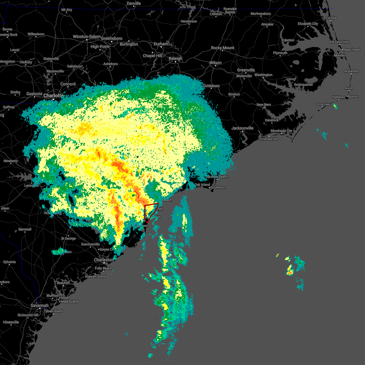 At 534 am edt, a severe thunderstorm capable of producing a tornado was located over pawleys island, moving north at 40 mph (radar indicated rotation). Hazards include tornado. Flying debris will be dangerous to those caught without shelter. mobile homes will be damaged or destroyed. damage to roofs, windows, and vehicles will occur. tree damage is likely. this dangerous storm will be near, murrells inlet around 550 am edt. surfside beach, garden city, burgess and yauhannah around 555 am edt. socastee around 605 am edt. Other locations impacted by this tornadic thunderstorm include waccamaw community hospital. At 534 am edt, a severe thunderstorm capable of producing a tornado was located over pawleys island, moving north at 40 mph (radar indicated rotation). Hazards include tornado. Flying debris will be dangerous to those caught without shelter. mobile homes will be damaged or destroyed. damage to roofs, windows, and vehicles will occur. tree damage is likely. this dangerous storm will be near, murrells inlet around 550 am edt. surfside beach, garden city, burgess and yauhannah around 555 am edt. socastee around 605 am edt. Other locations impacted by this tornadic thunderstorm include waccamaw community hospital.
|
| 7/8/2021 5:25 AM EDT |
 At 525 am edt, a severe thunderstorm capable of producing a tornado was located near debordieu colony, moving north at 50 mph (radar indicated rotation). Hazards include tornado. Expect damage to mobile homes, roofs, and vehicles. this dangerous storm will be near, litchfield beach around 535 am edt. murrells inlet, garden city and burgess around 545 am edt. surfside beach around 550 am edt. socastee around 555 am edt. Other locations impacted by this tornadic thunderstorm include waccamaw community hospital. At 525 am edt, a severe thunderstorm capable of producing a tornado was located near debordieu colony, moving north at 50 mph (radar indicated rotation). Hazards include tornado. Expect damage to mobile homes, roofs, and vehicles. this dangerous storm will be near, litchfield beach around 535 am edt. murrells inlet, garden city and burgess around 545 am edt. surfside beach around 550 am edt. socastee around 555 am edt. Other locations impacted by this tornadic thunderstorm include waccamaw community hospital.
|
| 5/3/2021 7:34 PM EDT | Ping Pong Ball sized hail reported 0.1 miles N of Murrells Inlet, SC, ping pong sized hail reported in murrells inlet... sc. several videos provided by various media partners from the public. |
| 6/20/2020 8:35 PM EDT |
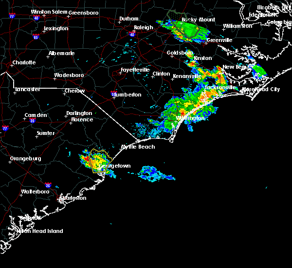 The severe thunderstorm warning for central georgetown county will expire at 845 pm edt, the storm which prompted the warning has weakened below severe limits, and has exited the warned area. therefore, the warning will be allowed to expire. however heavy rain is still possible with this thunderstorm. The severe thunderstorm warning for central georgetown county will expire at 845 pm edt, the storm which prompted the warning has weakened below severe limits, and has exited the warned area. therefore, the warning will be allowed to expire. however heavy rain is still possible with this thunderstorm.
|
| 6/20/2020 8:08 PM EDT |
 At 808 pm edt, a severe thunderstorm was located near rhems, or 18 miles north of georgetown, moving south at 5 mph (radar indicated). Hazards include 60 mph wind gusts and quarter size hail. Minor hail damage to vehicles is possible. expect wind damage to trees and power lines. Locations impacted include, georgetown, debordieu colony, pawleys island, murrells inlet, plantersville, outland, graves, yauhannah, oatland, litchfield beach and georgetown memorial hospital. At 808 pm edt, a severe thunderstorm was located near rhems, or 18 miles north of georgetown, moving south at 5 mph (radar indicated). Hazards include 60 mph wind gusts and quarter size hail. Minor hail damage to vehicles is possible. expect wind damage to trees and power lines. Locations impacted include, georgetown, debordieu colony, pawleys island, murrells inlet, plantersville, outland, graves, yauhannah, oatland, litchfield beach and georgetown memorial hospital.
|
| 6/20/2020 7:44 PM EDT |
 At 743 pm edt, a severe thunderstorm was located near plantersville, or 7 miles northwest of pawleys island, moving south at 15 mph (radar indicated). Hazards include 60 mph wind gusts and quarter size hail. Minor hail damage to vehicles is possible. Expect wind damage to trees and power lines. At 743 pm edt, a severe thunderstorm was located near plantersville, or 7 miles northwest of pawleys island, moving south at 15 mph (radar indicated). Hazards include 60 mph wind gusts and quarter size hail. Minor hail damage to vehicles is possible. Expect wind damage to trees and power lines.
|
| 6/20/2020 7:23 PM EDT |
 At 723 pm edt, a severe thunderstorm was located near murrells inlet, moving southeast at 10 mph (radar indicated). Hazards include 60 mph wind gusts and quarter size hail. Minor hail damage to vehicles is possible. expect wind damage to trees and power lines. Locations impacted include, debordieu colony, pawleys island, murrells inlet, garden city, plantersville, burgess, yauhannah, litchfield beach, bucksport and waccamaw community hospital. At 723 pm edt, a severe thunderstorm was located near murrells inlet, moving southeast at 10 mph (radar indicated). Hazards include 60 mph wind gusts and quarter size hail. Minor hail damage to vehicles is possible. expect wind damage to trees and power lines. Locations impacted include, debordieu colony, pawleys island, murrells inlet, garden city, plantersville, burgess, yauhannah, litchfield beach, bucksport and waccamaw community hospital.
|
| 6/20/2020 7:05 PM EDT |
 At 705 pm edt, a severe thunderstorm was located over yauhannah, or 7 miles northwest of murrells inlet, moving southeast at 10 mph (radar indicated). Hazards include 60 mph wind gusts and quarter size hail. Minor hail damage to vehicles is possible. Expect wind damage to trees and power lines. At 705 pm edt, a severe thunderstorm was located over yauhannah, or 7 miles northwest of murrells inlet, moving southeast at 10 mph (radar indicated). Hazards include 60 mph wind gusts and quarter size hail. Minor hail damage to vehicles is possible. Expect wind damage to trees and power lines.
|
| 4/13/2020 8:38 AM EDT |
 At 838 am edt, a severe thunderstorm capable of producing a tornado was located near murrells inlet, moving northeast at 65 mph (radar indicated rotation). Hazards include tornado. Flying debris will be dangerous to those caught without shelter. mobile homes will be damaged or destroyed. damage to roofs, windows, and vehicles will occur. tree damage is likely. this dangerous storm will be near, surfside beach, springmaid pier and myrtle beach airport around 850 am edt. myrtle beach around 855 am edt. north myrtle beach, north myrtle beach airport and barefoot landing area of north myrtle beach around 905 am edt. other locations impacted by this tornadic thunderstorm include briarcliffe acres, atlantic beach, waccamaw community hospital and grand strand regional medical center. people attending grand strand health outdoor tent facilities should seek safe shelter immediately! this includes the following highways, sc highway 31 between mile markers 6 and 20. Sc highway 22 between mile markers 25 and 26. At 838 am edt, a severe thunderstorm capable of producing a tornado was located near murrells inlet, moving northeast at 65 mph (radar indicated rotation). Hazards include tornado. Flying debris will be dangerous to those caught without shelter. mobile homes will be damaged or destroyed. damage to roofs, windows, and vehicles will occur. tree damage is likely. this dangerous storm will be near, surfside beach, springmaid pier and myrtle beach airport around 850 am edt. myrtle beach around 855 am edt. north myrtle beach, north myrtle beach airport and barefoot landing area of north myrtle beach around 905 am edt. other locations impacted by this tornadic thunderstorm include briarcliffe acres, atlantic beach, waccamaw community hospital and grand strand regional medical center. people attending grand strand health outdoor tent facilities should seek safe shelter immediately! this includes the following highways, sc highway 31 between mile markers 6 and 20. Sc highway 22 between mile markers 25 and 26.
|
| 4/13/2020 8:15 AM EDT |
 At 815 am edt, a severe thunderstorm was located over green sea, or 16 miles southeast of mullins, moving northeast at 65 mph (radar indicated). Hazards include 60 mph wind gusts. expect wind damage to trees and power lines At 815 am edt, a severe thunderstorm was located over green sea, or 16 miles southeast of mullins, moving northeast at 65 mph (radar indicated). Hazards include 60 mph wind gusts. expect wind damage to trees and power lines
|
| 4/13/2020 7:41 AM EDT |
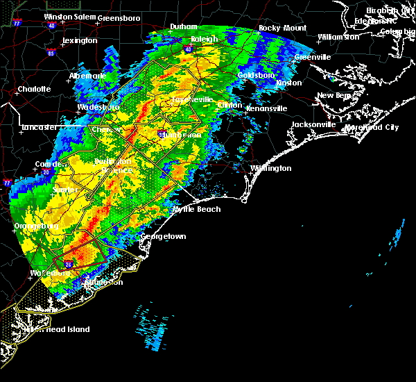 At 740 am edt, a severe thunderstorm was located near bonneau, or 7 miles northeast of moncks corner, moving northeast at 60 mph (radar indicated). Hazards include 60 mph wind gusts. expect wind damage to trees and power lines At 740 am edt, a severe thunderstorm was located near bonneau, or 7 miles northeast of moncks corner, moving northeast at 60 mph (radar indicated). Hazards include 60 mph wind gusts. expect wind damage to trees and power lines
|
| 9/5/2019 5:39 AM EDT |
 The tornado warning for south central horry county will expire at 545 am edt, the storm which prompted the warning has weakened below severe limits, and no longer appears capable of producing a tornado. therefore, the warning will be allowed to expire. however heavy rain is still possible with this thunderstorm. a tornado watch remains in effect until 400 pm edt for northeastern south carolina. The tornado warning for south central horry county will expire at 545 am edt, the storm which prompted the warning has weakened below severe limits, and no longer appears capable of producing a tornado. therefore, the warning will be allowed to expire. however heavy rain is still possible with this thunderstorm. a tornado watch remains in effect until 400 pm edt for northeastern south carolina.
|
| 9/5/2019 5:18 AM EDT |
 At 518 am edt, a severe thunderstorm capable of producing a tornado was located near springmaid pier, moving west at 40 mph (radar indicated rotation). Hazards include tornado. Flying debris will be dangerous to those caught without shelter. mobile homes will be damaged or destroyed. damage to roofs, windows, and vehicles will occur. tree damage is likely. this dangerous storm will be near, springmaid pier and myrtle beach airport around 525 am edt. surfside beach, garden city and forestbrook around 530 am edt. socastee, red hill and burgess around 535 am edt. bucksport and bucksville around 540 am edt. This includes sc highway 31 between mile markers 5 and 6. At 518 am edt, a severe thunderstorm capable of producing a tornado was located near springmaid pier, moving west at 40 mph (radar indicated rotation). Hazards include tornado. Flying debris will be dangerous to those caught without shelter. mobile homes will be damaged or destroyed. damage to roofs, windows, and vehicles will occur. tree damage is likely. this dangerous storm will be near, springmaid pier and myrtle beach airport around 525 am edt. surfside beach, garden city and forestbrook around 530 am edt. socastee, red hill and burgess around 535 am edt. bucksport and bucksville around 540 am edt. This includes sc highway 31 between mile markers 5 and 6.
|
| 7/17/2019 5:27 PM EDT |
 The severe thunderstorm warning for northeastern georgetown and southwestern horry counties will expire at 530 pm edt, the storm which prompted the warning has weakened below severe limits, and no longer poses an immediate threat to life or property. therefore, the warning will be allowed to expire. The severe thunderstorm warning for northeastern georgetown and southwestern horry counties will expire at 530 pm edt, the storm which prompted the warning has weakened below severe limits, and no longer poses an immediate threat to life or property. therefore, the warning will be allowed to expire.
|
| 7/17/2019 4:56 PM EDT |
 At 455 pm edt, a severe thunderstorm was located over bucksville, or near red hill, moving east at 10 mph (radar indicated). Hazards include 60 mph wind gusts and quarter size hail. Minor hail damage to vehicles is possible. Expect wind damage to trees and power lines. At 455 pm edt, a severe thunderstorm was located over bucksville, or near red hill, moving east at 10 mph (radar indicated). Hazards include 60 mph wind gusts and quarter size hail. Minor hail damage to vehicles is possible. Expect wind damage to trees and power lines.
|
| 6/22/2019 6:23 AM EDT |
 At 623 am edt, severe thunderstorms were located along a line extending from bucksport to near georgetown, moving southeast at 50 mph (radar indicated). Hazards include 60 mph wind gusts and penny size hail. Expect wind damage to trees and power lines. Locations impacted include, myrtle beach, georgetown, debordieu colony, surfside beach, pawleys island, myrtle beach airport, socastee, springmaid pier, garden city, murrells inlet, johnsonville, hemingway, rhems, oatland, nesmith, bucksport, sampit, dongola, plantersville and outland. At 623 am edt, severe thunderstorms were located along a line extending from bucksport to near georgetown, moving southeast at 50 mph (radar indicated). Hazards include 60 mph wind gusts and penny size hail. Expect wind damage to trees and power lines. Locations impacted include, myrtle beach, georgetown, debordieu colony, surfside beach, pawleys island, myrtle beach airport, socastee, springmaid pier, garden city, murrells inlet, johnsonville, hemingway, rhems, oatland, nesmith, bucksport, sampit, dongola, plantersville and outland.
|
| 6/22/2019 6:14 AM EDT |
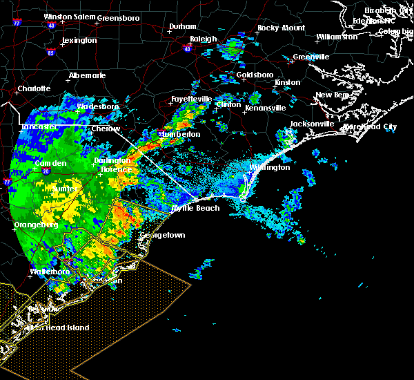 At 614 am edt, severe thunderstorms were located along a line extending from near surfside beach to near yawkey south island, moving east at 85 mph (radar indicated). Hazards include 60 mph wind gusts and penny size hail. Expect wind damage to trees and power lines. Locations impacted include, myrtle beach, georgetown, debordieu colony, surfside beach, pawleys island, myrtle beach airport, socastee, yawkey south island, springmaid pier, garden city, murrells inlet, winyah bay entrance, andrews, johnsonville, hemingway, north santee, rhems, oatland, nesmith and indiantown. At 614 am edt, severe thunderstorms were located along a line extending from near surfside beach to near yawkey south island, moving east at 85 mph (radar indicated). Hazards include 60 mph wind gusts and penny size hail. Expect wind damage to trees and power lines. Locations impacted include, myrtle beach, georgetown, debordieu colony, surfside beach, pawleys island, myrtle beach airport, socastee, yawkey south island, springmaid pier, garden city, murrells inlet, winyah bay entrance, andrews, johnsonville, hemingway, north santee, rhems, oatland, nesmith and indiantown.
|
| 6/22/2019 5:44 AM EDT |
 At 543 am edt, severe thunderstorms were located along a line extending from near hannah to near saint stephen, moving southeast at 85 mph (radar indicated). Hazards include 60 mph wind gusts and nickel size hail. expect wind damage to trees and power lines At 543 am edt, severe thunderstorms were located along a line extending from near hannah to near saint stephen, moving southeast at 85 mph (radar indicated). Hazards include 60 mph wind gusts and nickel size hail. expect wind damage to trees and power lines
|
| 6/5/2019 3:02 PM EDT |
 At 301 pm edt, a severe thunderstorm was located over oatland, or 9 miles north of georgetown, moving northeast at 30 mph (radar indicated). Hazards include 60 mph wind gusts and quarter size hail. Minor hail damage to vehicles is possible. expect wind damage to trees and power lines. Locations impacted include, murrells inlet, jackson, plantersville, oatland, litchfield beach and yauhannah. At 301 pm edt, a severe thunderstorm was located over oatland, or 9 miles north of georgetown, moving northeast at 30 mph (radar indicated). Hazards include 60 mph wind gusts and quarter size hail. Minor hail damage to vehicles is possible. expect wind damage to trees and power lines. Locations impacted include, murrells inlet, jackson, plantersville, oatland, litchfield beach and yauhannah.
|
| 6/5/2019 2:39 PM EDT |
 At 239 pm edt, a severe thunderstorm was located near sampit, or 11 miles west of georgetown, moving northeast at 30 mph (radar indicated). Hazards include 60 mph wind gusts and quarter size hail. Minor hail damage to vehicles is possible. Expect wind damage to trees and power lines. At 239 pm edt, a severe thunderstorm was located near sampit, or 11 miles west of georgetown, moving northeast at 30 mph (radar indicated). Hazards include 60 mph wind gusts and quarter size hail. Minor hail damage to vehicles is possible. Expect wind damage to trees and power lines.
|
| 4/19/2019 4:27 PM EDT |
 At 427 pm edt, severe thunderstorms were located along a line extending from near boardman to near nixonville, moving northeast at 80 mph (radar indicated). Hazards include 60 mph wind gusts. expect wind damage to trees and power lines At 427 pm edt, severe thunderstorms were located along a line extending from near boardman to near nixonville, moving northeast at 80 mph (radar indicated). Hazards include 60 mph wind gusts. expect wind damage to trees and power lines
|
| 4/19/2019 4:02 PM EDT |
 At 402 pm edt, severe thunderstorms were located along a line extending from 6 miles east of mullins to pawleys island, moving northeast at 55 mph (radar indicated). Hazards include 70 mph wind gusts. Expect considerable tree damage. damage is likely to mobile homes, roofs, and outbuildings. Locations impacted include, myrtle beach, conway, georgetown, debordieu colony, surfside beach, pawleys island, myrtle beach airport, murrells inlet, socastee, red hill, garden city, horry, tabor city, loris, chadbourn, jackson, johnsonville, fair bluff, hemingway and hickory grove. At 402 pm edt, severe thunderstorms were located along a line extending from 6 miles east of mullins to pawleys island, moving northeast at 55 mph (radar indicated). Hazards include 70 mph wind gusts. Expect considerable tree damage. damage is likely to mobile homes, roofs, and outbuildings. Locations impacted include, myrtle beach, conway, georgetown, debordieu colony, surfside beach, pawleys island, myrtle beach airport, murrells inlet, socastee, red hill, garden city, horry, tabor city, loris, chadbourn, jackson, johnsonville, fair bluff, hemingway and hickory grove.
|
| 4/19/2019 3:41 PM EDT |
 At 341 pm edt, severe thunderstorms were located along a line extending from gresham to near santee coastal reserve, moving northeast at 75 mph (radar indicated). Hazards include 70 mph wind gusts. Expect considerable tree damage. Damage is likely to mobile homes, roofs, and outbuildings. At 341 pm edt, severe thunderstorms were located along a line extending from gresham to near santee coastal reserve, moving northeast at 75 mph (radar indicated). Hazards include 70 mph wind gusts. Expect considerable tree damage. Damage is likely to mobile homes, roofs, and outbuildings.
|
| 9/16/2018 11:51 AM EDT |
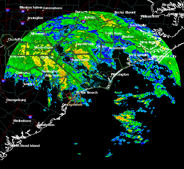 At 1151 am edt, a possible waterspout was located just offshore over murrells inlet, moving north at 35 mph (doppler weather radar). Hazards include tornado. Expect damage to mobile homes, roofs, and vehicles. Locations impacted include, garden city, socastee, murrells inlet, bucksville, burgess and bucksport. At 1151 am edt, a possible waterspout was located just offshore over murrells inlet, moving north at 35 mph (doppler weather radar). Hazards include tornado. Expect damage to mobile homes, roofs, and vehicles. Locations impacted include, garden city, socastee, murrells inlet, bucksville, burgess and bucksport.
|
| 9/16/2018 11:50 AM EDT |
 At 1150 am edt, a waterspout was located just offshore over murrells inlet, moving north at 35 mph (weather spotters confirmed waterspout moving onshore). Hazards include tornado. expect damage to mobile homes, roofs, and vehicles At 1150 am edt, a waterspout was located just offshore over murrells inlet, moving north at 35 mph (weather spotters confirmed waterspout moving onshore). Hazards include tornado. expect damage to mobile homes, roofs, and vehicles
|
| 6/25/2018 5:43 PM EDT |
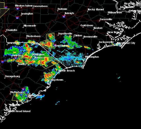 At 542 pm edt, severe thunderstorms were located along a line extending from near yauhannah to 6 miles east of rhems, moving southwest at 10 mph (radar indicated). Hazards include 60 mph wind gusts and penny size hail. Expect damage trees and power lines. Locations impacted include, jackson, plantersville and yauhannah. At 542 pm edt, severe thunderstorms were located along a line extending from near yauhannah to 6 miles east of rhems, moving southwest at 10 mph (radar indicated). Hazards include 60 mph wind gusts and penny size hail. Expect damage trees and power lines. Locations impacted include, jackson, plantersville and yauhannah.
|
| 6/25/2018 5:30 PM EDT |
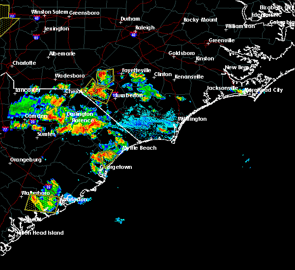 At 530 pm edt, severe thunderstorms were located along a line extending from near bucksport to near yauhannah, moving southeast at 15 mph (radar indicated). Hazards include 60 mph wind gusts and penny size hail. Expect damage trees and power lines. Locations impacted include, surfside beach, garden city, murrells inlet, socastee, jackson, plantersville, burgess, yauhannah, bucksport and waccamaw community hospital. At 530 pm edt, severe thunderstorms were located along a line extending from near bucksport to near yauhannah, moving southeast at 15 mph (radar indicated). Hazards include 60 mph wind gusts and penny size hail. Expect damage trees and power lines. Locations impacted include, surfside beach, garden city, murrells inlet, socastee, jackson, plantersville, burgess, yauhannah, bucksport and waccamaw community hospital.
|
| 6/25/2018 5:19 PM EDT |
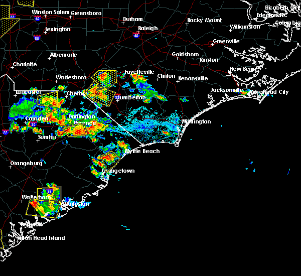 At 518 pm edt, severe thunderstorms were located along a line extending from bucksport to near yauhannah, moving southeast at 15 mph (radar indicated). Hazards include 60 mph wind gusts and quarter size hail. Minor hail damage to vehicles is possible. expect wind damage to trees and power lines. Locations impacted include, surfside beach, garden city, murrells inlet, socastee, jackson, plantersville, burgess, yauhannah, bucksville, bucksport and waccamaw community hospital. At 518 pm edt, severe thunderstorms were located along a line extending from bucksport to near yauhannah, moving southeast at 15 mph (radar indicated). Hazards include 60 mph wind gusts and quarter size hail. Minor hail damage to vehicles is possible. expect wind damage to trees and power lines. Locations impacted include, surfside beach, garden city, murrells inlet, socastee, jackson, plantersville, burgess, yauhannah, bucksville, bucksport and waccamaw community hospital.
|
| 6/25/2018 5:09 PM EDT |
 At 509 pm edt, a severe thunderstorm was located near yauhannah, or 11 miles west of socastee, moving southeast at 15 mph (radar indicated). Hazards include 60 mph wind gusts and quarter size hail. Minor hail damage to vehicles is possible. Expect wind damage to trees and power lines. At 509 pm edt, a severe thunderstorm was located near yauhannah, or 11 miles west of socastee, moving southeast at 15 mph (radar indicated). Hazards include 60 mph wind gusts and quarter size hail. Minor hail damage to vehicles is possible. Expect wind damage to trees and power lines.
|
| 6/15/2018 3:51 PM EDT |
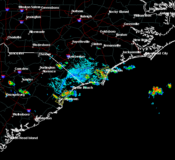 At 350 pm edt, a severe thunderstorm was located over burgess, or over garden city, moving southwest at 20 mph (radar indicated). Hazards include 60 mph wind gusts and quarter size hail. Minor hail damage to vehicles is possible. Expect wind damage to trees and power lines. At 350 pm edt, a severe thunderstorm was located over burgess, or over garden city, moving southwest at 20 mph (radar indicated). Hazards include 60 mph wind gusts and quarter size hail. Minor hail damage to vehicles is possible. Expect wind damage to trees and power lines.
|
| 6/15/2018 3:50 PM EDT | Quarter sized hail reported 3.5 miles SW of Murrells Inlet, SC, quarter size hail reported in garden city |
| 6/14/2018 6:03 PM EDT |
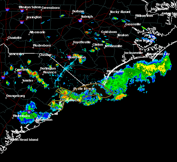 At 603 pm edt, a severe thunderstorm was located over litchfield beach, or near murrells inlet, moving southeast at 10 mph (radar indicated). Hazards include 60 mph wind gusts and quarter size hail. Minor hail damage to vehicles is possible. Expect wind damage to trees and power lines. At 603 pm edt, a severe thunderstorm was located over litchfield beach, or near murrells inlet, moving southeast at 10 mph (radar indicated). Hazards include 60 mph wind gusts and quarter size hail. Minor hail damage to vehicles is possible. Expect wind damage to trees and power lines.
|
| 6/14/2018 5:37 PM EDT |
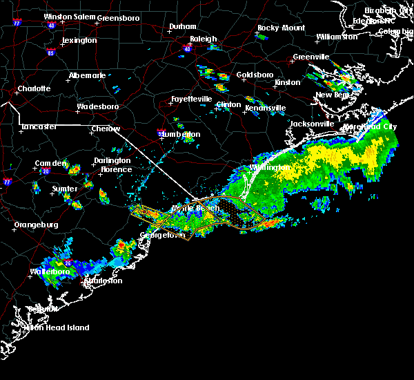 At 536 pm edt, a severe thunderstorm was located over garden city, moving southeast at 15 mph. other possible severe thunderstorms were near dongola (radar indicated). Hazards include 60 mph wind gusts and quarter size hail. Minor hail damage to vehicles is possible. Expect wind damage to trees and power lines. At 536 pm edt, a severe thunderstorm was located over garden city, moving southeast at 15 mph. other possible severe thunderstorms were near dongola (radar indicated). Hazards include 60 mph wind gusts and quarter size hail. Minor hail damage to vehicles is possible. Expect wind damage to trees and power lines.
|
| 6/2/2018 9:31 PM EDT |
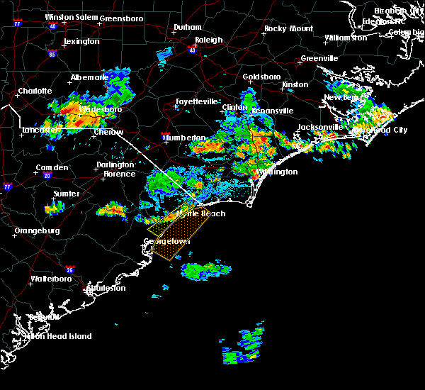 At 931 pm edt, a severe thunderstorm was located over myrtle beach airport, moving southeast at 15 mph (radar indicated). Hazards include 60 mph wind gusts. Expect wind damage to trees and power lines. locations impacted include, myrtle beach, north myrtle beach, surfside beach, myrtle beach airport, socastee, garden city, north myrtle beach airport, murrells inlet, burgess, hand, barefoot landing area of north myrtle beach, wampee, forestbrook, briarcliffe acres, atlantic beach, waccamaw community hospital and grand strand regional medical center. this includes the following highways, sc highway 31 between mile markers 5 and 22. Sc highway 22 between mile markers 24 and 26. At 931 pm edt, a severe thunderstorm was located over myrtle beach airport, moving southeast at 15 mph (radar indicated). Hazards include 60 mph wind gusts. Expect wind damage to trees and power lines. locations impacted include, myrtle beach, north myrtle beach, surfside beach, myrtle beach airport, socastee, garden city, north myrtle beach airport, murrells inlet, burgess, hand, barefoot landing area of north myrtle beach, wampee, forestbrook, briarcliffe acres, atlantic beach, waccamaw community hospital and grand strand regional medical center. this includes the following highways, sc highway 31 between mile markers 5 and 22. Sc highway 22 between mile markers 24 and 26.
|
| 6/2/2018 9:20 PM EDT |
 At 919 pm edt, a severe thunderstorm was located over forestbrook, or over myrtle beach airport, moving southeast at 15 mph (radar indicated). Hazards include 60 mph wind gusts and quarter size hail. expect wind damage to trees and power lines At 919 pm edt, a severe thunderstorm was located over forestbrook, or over myrtle beach airport, moving southeast at 15 mph (radar indicated). Hazards include 60 mph wind gusts and quarter size hail. expect wind damage to trees and power lines
|
| 9/11/2017 10:18 PM EDT |
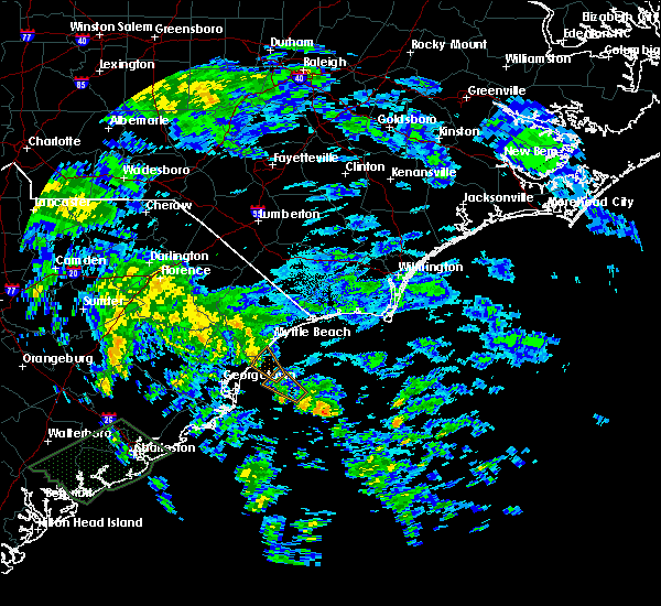 At 1017 pm edt, a severe thunderstorm capable of producing a tornado was located near murrells inlet, moving northwest at 30 mph (radar indicated rotation). Hazards include tornado. expect damage to mobile homes, roofs, and vehicles At 1017 pm edt, a severe thunderstorm capable of producing a tornado was located near murrells inlet, moving northwest at 30 mph (radar indicated rotation). Hazards include tornado. expect damage to mobile homes, roofs, and vehicles
|
| 8/17/2017 4:48 PM EDT |
 At 448 pm edt, a severe thunderstorm was located over bucksport, or near socastee, moving east at 30 mph (radar indicated). Hazards include 60 mph wind gusts and quarter size hail. Minor hail damage to vehicles is possible. Expect wind damage to trees and power lines. At 448 pm edt, a severe thunderstorm was located over bucksport, or near socastee, moving east at 30 mph (radar indicated). Hazards include 60 mph wind gusts and quarter size hail. Minor hail damage to vehicles is possible. Expect wind damage to trees and power lines.
|
| 5/28/2017 9:50 PM EDT | Tree down on tournament blv in horry county SC, 2.9 miles SSW of Murrells Inlet, SC |
| 4/5/2017 5:53 PM EDT |
 At 553 pm edt, a severe thunderstorm capable of producing a tornado was located over bucksport, or 8 miles west of socastee, moving northeast at 50 mph (radar indicated rotation). Hazards include tornado. Flying debris will be dangerous to those caught without shelter. mobile homes will be damaged or destroyed. damage to roofs, windows, and vehicles will occur. Tree damage is likely. At 553 pm edt, a severe thunderstorm capable of producing a tornado was located over bucksport, or 8 miles west of socastee, moving northeast at 50 mph (radar indicated rotation). Hazards include tornado. Flying debris will be dangerous to those caught without shelter. mobile homes will be damaged or destroyed. damage to roofs, windows, and vehicles will occur. Tree damage is likely.
|
| 4/3/2017 7:44 PM EDT |
 At 744 pm edt, a severe thunderstorm was located near hickory grove, or near red hill, moving east at 40 mph (radar indicated). Hazards include 60 mph wind gusts. expect damage to roofs, siding, and trees At 744 pm edt, a severe thunderstorm was located near hickory grove, or near red hill, moving east at 40 mph (radar indicated). Hazards include 60 mph wind gusts. expect damage to roofs, siding, and trees
|
| 4/3/2017 7:15 PM EDT |
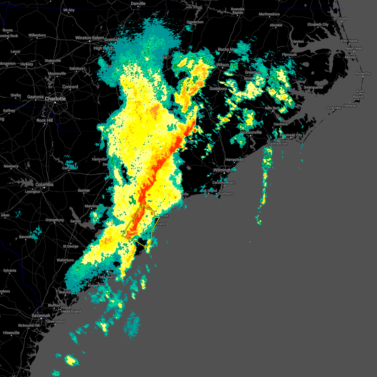 At 715 pm edt, a severe thunderstorm was located near oatland, or 13 miles northwest of georgetown, moving northeast at 50 mph (radar indicated). Hazards include 60 mph wind gusts and quarter size hail. Hail damage to vehicles is expected. expect wind damage to roofs, siding, and trees. Locations impacted include, georgetown, debordieu colony, pawleys island, murrells inlet, yawkey south island, winyah bay entrance, andrews, jackson, north santee, oatland, sampit, lambert, plantersville, graves, yauhannah, litchfield beach, waccamaw community hospital and georgetown memorial hospital. At 715 pm edt, a severe thunderstorm was located near oatland, or 13 miles northwest of georgetown, moving northeast at 50 mph (radar indicated). Hazards include 60 mph wind gusts and quarter size hail. Hail damage to vehicles is expected. expect wind damage to roofs, siding, and trees. Locations impacted include, georgetown, debordieu colony, pawleys island, murrells inlet, yawkey south island, winyah bay entrance, andrews, jackson, north santee, oatland, sampit, lambert, plantersville, graves, yauhannah, litchfield beach, waccamaw community hospital and georgetown memorial hospital.
|
| 4/3/2017 6:42 PM EDT |
 At 642 pm edt, a severe thunderstorm was located near bonneau, or 12 miles northeast of moncks corner, moving northeast at 50 mph (radar indicated). Hazards include 60 mph wind gusts and quarter size hail. Hail damage to vehicles is expected. Expect wind damage to roofs, siding, and trees. At 642 pm edt, a severe thunderstorm was located near bonneau, or 12 miles northeast of moncks corner, moving northeast at 50 mph (radar indicated). Hazards include 60 mph wind gusts and quarter size hail. Hail damage to vehicles is expected. Expect wind damage to roofs, siding, and trees.
|
| 2/15/2017 12:35 PM EST |
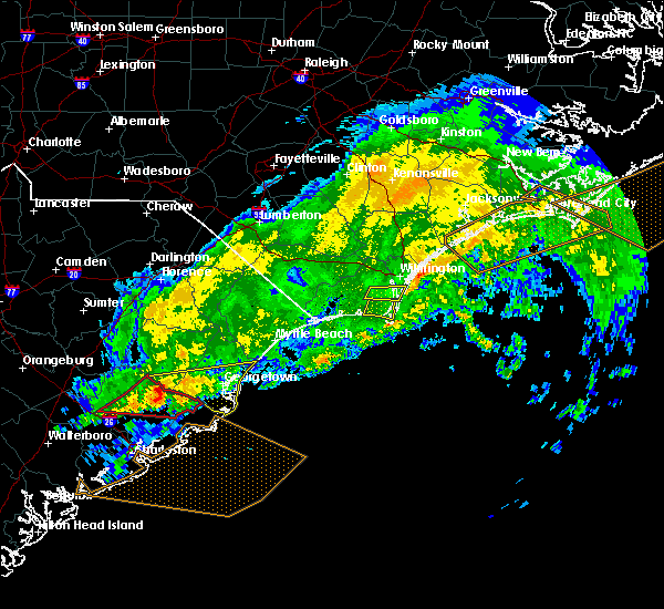 At 1235 pm est, a severe thunderstorm was located near jamestown, or 17 miles northeast of moncks corner, moving east at 70 mph (radar indicated). Hazards include 60 mph wind gusts. expect damage to roofs, siding, and trees At 1235 pm est, a severe thunderstorm was located near jamestown, or 17 miles northeast of moncks corner, moving east at 70 mph (radar indicated). Hazards include 60 mph wind gusts. expect damage to roofs, siding, and trees
|
| 8/18/2016 6:15 PM EDT |
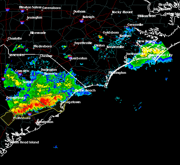 At 615 pm edt, a severe thunderstorm was located near sampit, or 12 miles west of georgetown, moving southeast at 25 mph (radar indicated). Hazards include 60 mph wind gusts and quarter size hail. Hail damage to vehicles is expected. expect wind damage to roofs, siding, and trees. Locations impacted include, georgetown, debordieu colony, pawleys island, winyah bay entrance, yawkey south island, andrews, jackson, warsaw, north santee, gourdin, earle, graves, plantersville, trio, oatland, lambert, litchfield beach, sampit, rhems and lane. At 615 pm edt, a severe thunderstorm was located near sampit, or 12 miles west of georgetown, moving southeast at 25 mph (radar indicated). Hazards include 60 mph wind gusts and quarter size hail. Hail damage to vehicles is expected. expect wind damage to roofs, siding, and trees. Locations impacted include, georgetown, debordieu colony, pawleys island, winyah bay entrance, yawkey south island, andrews, jackson, warsaw, north santee, gourdin, earle, graves, plantersville, trio, oatland, lambert, litchfield beach, sampit, rhems and lane.
|
| 8/18/2016 5:58 PM EDT |
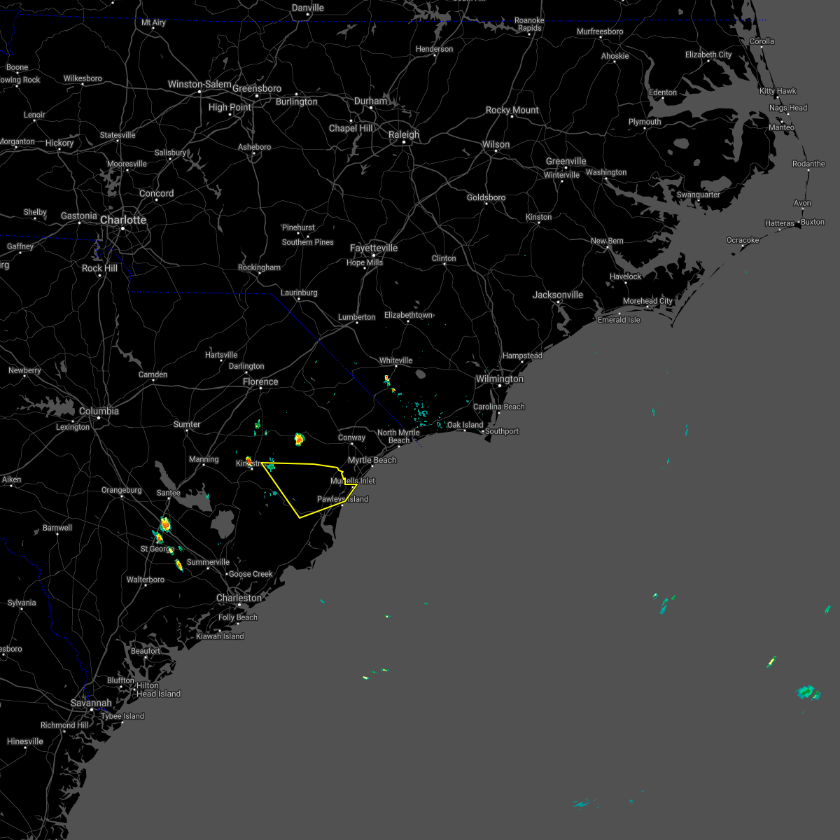 The severe thunderstorm warning for central georgetown and east central williamsburg counties will expire at 600 pm edt. the severe thunderstorm which prompted the warning has moved out of the warned area. therefore the warning will be allowed to expire. remember. A severe thunderstorm warning still remains in effect for portions of georgetown and williamsburg counties until 700 pm. The severe thunderstorm warning for central georgetown and east central williamsburg counties will expire at 600 pm edt. the severe thunderstorm which prompted the warning has moved out of the warned area. therefore the warning will be allowed to expire. remember. A severe thunderstorm warning still remains in effect for portions of georgetown and williamsburg counties until 700 pm.
|
| 8/18/2016 5:55 PM EDT |
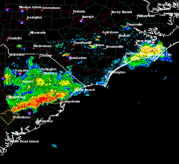 At 555 pm edt, a severe thunderstorm was located near andrews, or 16 miles west of georgetown, moving southeast at 25 mph (radar indicated). Hazards include 60 mph wind gusts and quarter size hail. Hail damage to vehicles is expected. Expect wind damage to roofs, siding, and trees. At 555 pm edt, a severe thunderstorm was located near andrews, or 16 miles west of georgetown, moving southeast at 25 mph (radar indicated). Hazards include 60 mph wind gusts and quarter size hail. Hail damage to vehicles is expected. Expect wind damage to roofs, siding, and trees.
|
| 8/18/2016 5:40 PM EDT |
 At 539 pm edt, a severe thunderstorm was located over yauhannah, or 7 miles northwest of murrells inlet, moving southeast at 25 mph (radar indicated). Hazards include 60 mph wind gusts and quarter size hail. Hail damage to vehicles is expected. expect wind damage to roofs, siding, and trees. Locations impacted include, murrells inlet, jackson, warsaw, graves, plantersville, henry, oatland, litchfield beach, sampit, nesmith, rhems, morrisville, yauhannah and waccamaw community hospital. At 539 pm edt, a severe thunderstorm was located over yauhannah, or 7 miles northwest of murrells inlet, moving southeast at 25 mph (radar indicated). Hazards include 60 mph wind gusts and quarter size hail. Hail damage to vehicles is expected. expect wind damage to roofs, siding, and trees. Locations impacted include, murrells inlet, jackson, warsaw, graves, plantersville, henry, oatland, litchfield beach, sampit, nesmith, rhems, morrisville, yauhannah and waccamaw community hospital.
|
| 8/18/2016 5:21 PM EDT |
 At 521 pm edt, a severe thunderstorm was located near outland, or 15 miles northwest of murrells inlet, moving southeast at 25 mph (radar indicated). Hazards include 60 mph wind gusts and quarter size hail. Hail damage to vehicles is expected. expect wind damage to roofs, siding, and trees. Locations impacted include, myrtle beach, conway, surfside beach, red hill, socastee, garden city, myrtle beach airport, murrells inlet, jackson, johnsonville, hemingway, warsaw, dongola, bucksport, henry, litchfield beach, sampit, bucksville, rhems and pee dee crossroads. At 521 pm edt, a severe thunderstorm was located near outland, or 15 miles northwest of murrells inlet, moving southeast at 25 mph (radar indicated). Hazards include 60 mph wind gusts and quarter size hail. Hail damage to vehicles is expected. expect wind damage to roofs, siding, and trees. Locations impacted include, myrtle beach, conway, surfside beach, red hill, socastee, garden city, myrtle beach airport, murrells inlet, jackson, johnsonville, hemingway, warsaw, dongola, bucksport, henry, litchfield beach, sampit, bucksville, rhems and pee dee crossroads.
|
| 8/18/2016 5:03 PM EDT |
 At 503 pm edt, a severe thunderstorm was located over outland, or 21 miles west of conway, moving southeast at 25 mph (radar indicated). Hazards include 60 mph wind gusts and quarter size hail. Hail damage to vehicles is expected. Expect wind damage to roofs, siding, and trees. At 503 pm edt, a severe thunderstorm was located over outland, or 21 miles west of conway, moving southeast at 25 mph (radar indicated). Hazards include 60 mph wind gusts and quarter size hail. Hail damage to vehicles is expected. Expect wind damage to roofs, siding, and trees.
|
| 7/31/2016 3:21 PM EDT |
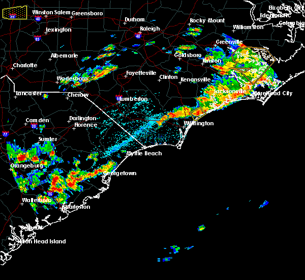 At 321 pm edt, a severe thunderstorm was located over oatland, or 7 miles northwest of georgetown, moving northeast at 20 mph (radar indicated). Hazards include 60 mph wind gusts and quarter size hail. Hail damage to vehicles is expected. Expect wind damage to roofs, siding, and trees. At 321 pm edt, a severe thunderstorm was located over oatland, or 7 miles northwest of georgetown, moving northeast at 20 mph (radar indicated). Hazards include 60 mph wind gusts and quarter size hail. Hail damage to vehicles is expected. Expect wind damage to roofs, siding, and trees.
|
| 7/9/2016 7:50 PM EDT |
 At 749 pm edt, a severe thunderstorm was located over surfside beach, moving east at 30 mph (radar indicated). Hazards include 60 mph wind gusts and quarter size hail. Hail damage to vehicles is expected. expect wind damage to roofs, siding, and trees. Locations impacted include, myrtle beach, surfside beach, socastee, myrtle beach airport, garden city and burgess. At 749 pm edt, a severe thunderstorm was located over surfside beach, moving east at 30 mph (radar indicated). Hazards include 60 mph wind gusts and quarter size hail. Hail damage to vehicles is expected. expect wind damage to roofs, siding, and trees. Locations impacted include, myrtle beach, surfside beach, socastee, myrtle beach airport, garden city and burgess.
|
| 7/9/2016 7:40 PM EDT |
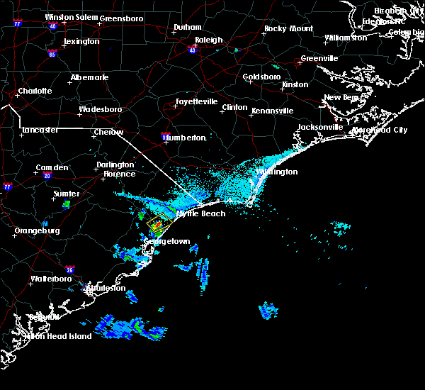 At 740 pm edt, a severe thunderstorm was located over bucksport, or near murrells inlet, moving northeast at 20 mph (radar indicated). Hazards include 60 mph wind gusts and quarter size hail. Hail damage to vehicles is expected. Expect wind damage to roofs, siding, and trees. At 740 pm edt, a severe thunderstorm was located over bucksport, or near murrells inlet, moving northeast at 20 mph (radar indicated). Hazards include 60 mph wind gusts and quarter size hail. Hail damage to vehicles is expected. Expect wind damage to roofs, siding, and trees.
|
| 7/9/2016 2:24 AM EDT |
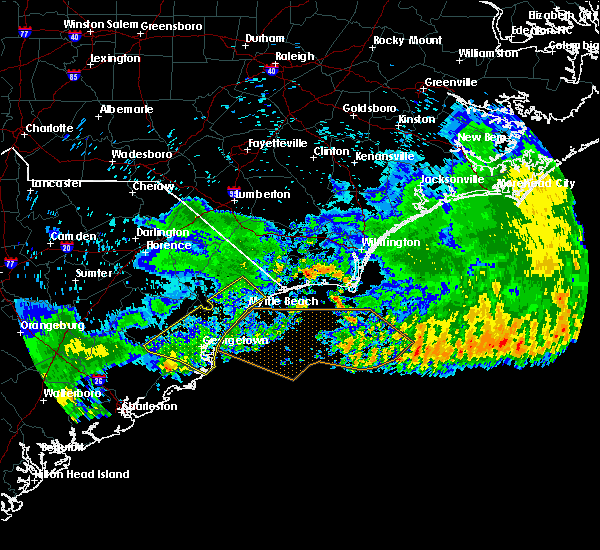 The severe thunderstorm warning for georgetown, southwestern horry and southeastern williamsburg counties will expire at 230 am edt, the storms which prompted the warning have moved out of the warned area, therefore the warning will be allowed to expire. The severe thunderstorm warning for georgetown, southwestern horry and southeastern williamsburg counties will expire at 230 am edt, the storms which prompted the warning have moved out of the warned area, therefore the warning will be allowed to expire.
|
| 7/9/2016 1:59 AM EDT |
 At 158 am edt, severe thunderstorms were located along a line extending from hand to near jamestown, moving southeast at 45 mph (radar indicated). Hazards include 60 mph wind gusts and penny size hail. Expect damage to roofs. siding. and trees. Locations impacted include, myrtle beach, conway, georgetown, debordieu colony, surfside beach, pawleys island, red hill, socastee, winyah bay entrance, yawkey south island, garden city, myrtle beach airport, murrells inlet, andrews, jackson, hickory grove, warsaw, homewood, dongola and north santee. At 158 am edt, severe thunderstorms were located along a line extending from hand to near jamestown, moving southeast at 45 mph (radar indicated). Hazards include 60 mph wind gusts and penny size hail. Expect damage to roofs. siding. and trees. Locations impacted include, myrtle beach, conway, georgetown, debordieu colony, surfside beach, pawleys island, red hill, socastee, winyah bay entrance, yawkey south island, garden city, myrtle beach airport, murrells inlet, andrews, jackson, hickory grove, warsaw, homewood, dongola and north santee.
|
| 7/9/2016 1:27 AM EDT |
 At 126 am edt, severe thunderstorms were located along a line extending from green sea to near trio, moving southeast at 45 mph (radar indicated). Hazards include 60 mph wind gusts and penny size hail. Expect damage to roofs. siding. And trees. At 126 am edt, severe thunderstorms were located along a line extending from green sea to near trio, moving southeast at 45 mph (radar indicated). Hazards include 60 mph wind gusts and penny size hail. Expect damage to roofs. siding. And trees.
|
| 7/9/2016 12:56 AM EDT |
 The severe thunderstorm warning for northeastern georgetown and southern horry counties will expire at 100 am edt, the severe thunderstorm which prompted the warning has moved out of the warned area and allowed to expire. a severe thunderstorm watch remains in effect until 200 am edt for southeastern north carolina. The severe thunderstorm warning for northeastern georgetown and southern horry counties will expire at 100 am edt, the severe thunderstorm which prompted the warning has moved out of the warned area and allowed to expire. a severe thunderstorm watch remains in effect until 200 am edt for southeastern north carolina.
|
| 7/9/2016 12:31 AM EDT |
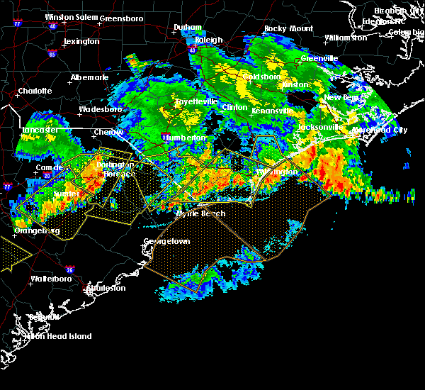 At 1230 am edt, a severe thunderstorm was located over hickory grove, or near conway, moving east, southeast at 40 mph (radar indicated). Hazards include 60 mph wind gusts and quarter size hail. Hail damage to vehicles is expected. Expect wind damage to roofs, siding, and trees. At 1230 am edt, a severe thunderstorm was located over hickory grove, or near conway, moving east, southeast at 40 mph (radar indicated). Hazards include 60 mph wind gusts and quarter size hail. Hail damage to vehicles is expected. Expect wind damage to roofs, siding, and trees.
|
| 7/7/2016 9:56 PM EDT |
 At 956 pm edt, severe thunderstorms were located along a line extending from 6 miles west of green sea to near horry to near brittons neck to near hannah to near hebron to 7 miles north of manning, moving east at 55 mph (radar indicated). Hazards include 60 mph wind gusts. Expect damage to roofs. siding. and trees. Locations impacted include, myrtle beach, conway, north myrtle beach, georgetown, marion, lake city, debordieu colony, mullins, surfside beach, sunset beach, kingstree, pawleys island, north myrtle beach airport, springmaid pier, socastee, little river, yawkey south island, myrtle beach airport, red hill and murrells inlet. At 956 pm edt, severe thunderstorms were located along a line extending from 6 miles west of green sea to near horry to near brittons neck to near hannah to near hebron to 7 miles north of manning, moving east at 55 mph (radar indicated). Hazards include 60 mph wind gusts. Expect damage to roofs. siding. and trees. Locations impacted include, myrtle beach, conway, north myrtle beach, georgetown, marion, lake city, debordieu colony, mullins, surfside beach, sunset beach, kingstree, pawleys island, north myrtle beach airport, springmaid pier, socastee, little river, yawkey south island, myrtle beach airport, red hill and murrells inlet.
|
| 7/7/2016 9:37 PM EDT |
 At 937 pm edt, severe thunderstorms were located along a line extending from near marion to 6 miles west of rains to near hyman to near sardis, moving east at 45 mph (radar indicated). Hazards include 60 mph wind gusts and penny size hail. Expect damage to roofs. siding. And trees. At 937 pm edt, severe thunderstorms were located along a line extending from near marion to 6 miles west of rains to near hyman to near sardis, moving east at 45 mph (radar indicated). Hazards include 60 mph wind gusts and penny size hail. Expect damage to roofs. siding. And trees.
|
| 6/24/2016 7:25 PM EDT |
 The severe thunderstorm warning for georgetown and south central williamsburg counties will expire at 730 pm edt, the storm which prompted the warning has weakened below severe limits, and no longer pose an immediate threat to life or property. therefore the warning will be allowed to expire. The severe thunderstorm warning for georgetown and south central williamsburg counties will expire at 730 pm edt, the storm which prompted the warning has weakened below severe limits, and no longer pose an immediate threat to life or property. therefore the warning will be allowed to expire.
|
| 6/24/2016 7:14 PM EDT |
 At 713 pm edt, a severe thunderstorm was located over debordieu colony, moving southeast at 25 mph (radar indicated). Hazards include 60 mph wind gusts. Expect damage to roofs. siding. and trees. Locations impacted include, georgetown, debordieu colony, pawleys island, winyah bay entrance, yawkey south island, murrells inlet, andrews, jackson, warsaw, north santee, earle, graves, plantersville, trio, oatland, lambert, litchfield beach, sampit, georgetown memorial hospital and waccamaw community hospital. At 713 pm edt, a severe thunderstorm was located over debordieu colony, moving southeast at 25 mph (radar indicated). Hazards include 60 mph wind gusts. Expect damage to roofs. siding. and trees. Locations impacted include, georgetown, debordieu colony, pawleys island, winyah bay entrance, yawkey south island, murrells inlet, andrews, jackson, warsaw, north santee, earle, graves, plantersville, trio, oatland, lambert, litchfield beach, sampit, georgetown memorial hospital and waccamaw community hospital.
|
| 6/24/2016 6:25 PM EDT |
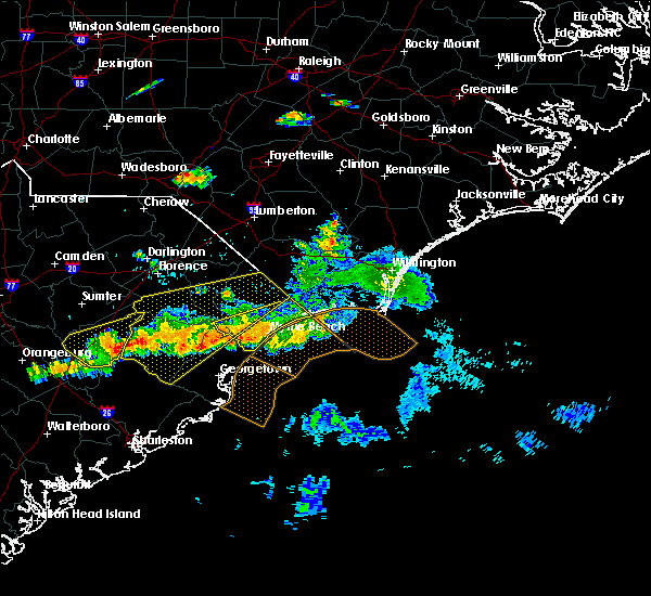 At 624 pm edt, a severe thunderstorm was located over rhems, or 15 miles northwest of georgetown, moving southeast at 25 mph (radar indicated). Hazards include 60 mph wind gusts. Expect damage to roofs. siding. And trees. At 624 pm edt, a severe thunderstorm was located over rhems, or 15 miles northwest of georgetown, moving southeast at 25 mph (radar indicated). Hazards include 60 mph wind gusts. Expect damage to roofs. siding. And trees.
|
| 6/24/2016 6:04 PM EDT |
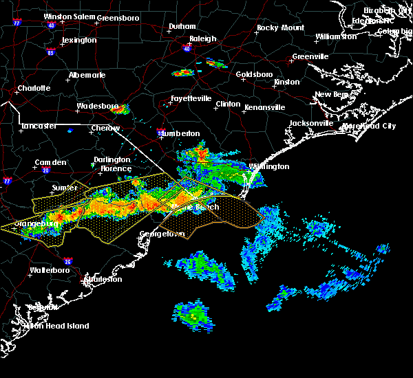 At 604 pm edt, a severe thunderstorm was located over red hill, moving southeast at 30 mph (radar indicated). Hazards include 60 mph wind gusts. Expect damage to roofs. siding. And trees. At 604 pm edt, a severe thunderstorm was located over red hill, moving southeast at 30 mph (radar indicated). Hazards include 60 mph wind gusts. Expect damage to roofs. siding. And trees.
|
| 6/17/2016 4:21 PM EDT |
 The severe thunderstorm warning for georgetown county will expire at 430 pm edt, the severe thunderstorm which prompted the warning has moved out of the warned area. therefore the warning will be allowed to expire. a severe thunderstorm watch remains in effect until 1000 pm edt for northeastern south carolina. The severe thunderstorm warning for georgetown county will expire at 430 pm edt, the severe thunderstorm which prompted the warning has moved out of the warned area. therefore the warning will be allowed to expire. a severe thunderstorm watch remains in effect until 1000 pm edt for northeastern south carolina.
|
| 6/17/2016 3:57 PM EDT |
 At 357 pm edt, a severe thunderstorm was located near oatland, or 11 miles northwest of georgetown, moving southeast at 25 mph (radar indicated). Hazards include 60 mph wind gusts and quarter size hail. Hail damage to vehicles is expected. expect wind damage to roofs, siding, and trees. Locations impacted include, georgetown, debordieu colony, pawleys island, winyah bay entrance, yawkey south island, murrells inlet, andrews, jackson, north santee, graves, plantersville, oatland, litchfield beach, sampit and georgetown memorial hospital. At 357 pm edt, a severe thunderstorm was located near oatland, or 11 miles northwest of georgetown, moving southeast at 25 mph (radar indicated). Hazards include 60 mph wind gusts and quarter size hail. Hail damage to vehicles is expected. expect wind damage to roofs, siding, and trees. Locations impacted include, georgetown, debordieu colony, pawleys island, winyah bay entrance, yawkey south island, murrells inlet, andrews, jackson, north santee, graves, plantersville, oatland, litchfield beach, sampit and georgetown memorial hospital.
|
| 6/17/2016 3:44 PM EDT |
 At 344 pm edt, a severe thunderstorm was located near morrisville, or 18 miles northwest of georgetown, moving southeast at 25 mph (radar indicated). Hazards include 60 mph wind gusts and quarter size hail. Hail damage to vehicles is expected. expect wind damage to roofs, siding, and trees. Locations impacted include, georgetown, debordieu colony, pawleys island, winyah bay entrance, yawkey south island, murrells inlet, andrews, jackson, warsaw, north santee, graves, plantersville, oatland, litchfield beach, sampit, nesmith, rhems, morrisville, earle and georgetown memorial hospital. At 344 pm edt, a severe thunderstorm was located near morrisville, or 18 miles northwest of georgetown, moving southeast at 25 mph (radar indicated). Hazards include 60 mph wind gusts and quarter size hail. Hail damage to vehicles is expected. expect wind damage to roofs, siding, and trees. Locations impacted include, georgetown, debordieu colony, pawleys island, winyah bay entrance, yawkey south island, murrells inlet, andrews, jackson, warsaw, north santee, graves, plantersville, oatland, litchfield beach, sampit, nesmith, rhems, morrisville, earle and georgetown memorial hospital.
|
| 6/17/2016 3:25 PM EDT |
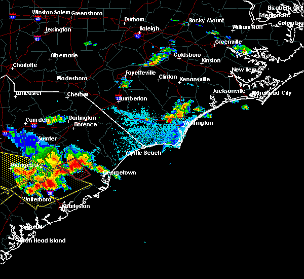 At 324 pm edt, a severe thunderstorm was located 8 miles southwest of indiantown, or 8 miles east of kingstree, moving southeast at 25 mph (radar indicated). Hazards include 60 mph wind gusts and quarter size hail. Hail damage to vehicles is expected. Expect wind damage to roofs, siding, and trees. At 324 pm edt, a severe thunderstorm was located 8 miles southwest of indiantown, or 8 miles east of kingstree, moving southeast at 25 mph (radar indicated). Hazards include 60 mph wind gusts and quarter size hail. Hail damage to vehicles is expected. Expect wind damage to roofs, siding, and trees.
|
| 6/15/2016 4:41 PM EDT |
 At 441 pm edt, a severe thunderstorm was located near plantersville, or near murrells inlet, moving northeast at 35 mph (radar indicated). Hazards include 60 mph wind gusts. Expect damage to roofs. siding. and trees. Locations impacted include, murrells inlet, jackson, oatland, yauhannah, plantersville and waccamaw community hospital. At 441 pm edt, a severe thunderstorm was located near plantersville, or near murrells inlet, moving northeast at 35 mph (radar indicated). Hazards include 60 mph wind gusts. Expect damage to roofs. siding. and trees. Locations impacted include, murrells inlet, jackson, oatland, yauhannah, plantersville and waccamaw community hospital.
|
| 6/15/2016 4:20 PM EDT |
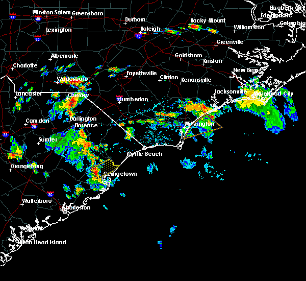 At 420 pm edt, a severe thunderstorm was located over oatland, or 8 miles north of georgetown, moving northeast at 35 mph (radar indicated). Hazards include 60 mph wind gusts. Expect damage to roofs. siding. And trees. At 420 pm edt, a severe thunderstorm was located over oatland, or 8 miles north of georgetown, moving northeast at 35 mph (radar indicated). Hazards include 60 mph wind gusts. Expect damage to roofs. siding. And trees.
|
| 6/2/2016 3:11 PM EDT |
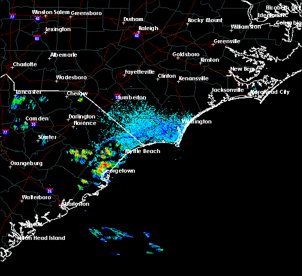 At 311 pm edt, a severe thunderstorm was located over plantersville, or 7 miles west of murrells inlet, moving northeast at 10 mph (radar indicated). Hazards include 60 mph wind gusts and quarter size hail. Hail damage to vehicles is expected. Expect wind damage to roofs, siding, and trees. At 311 pm edt, a severe thunderstorm was located over plantersville, or 7 miles west of murrells inlet, moving northeast at 10 mph (radar indicated). Hazards include 60 mph wind gusts and quarter size hail. Hail damage to vehicles is expected. Expect wind damage to roofs, siding, and trees.
|
| 9/10/2015 9:40 PM EDT | The severe thunderstorm warning for georgetown county will expire at 945 pm edt, the storm which prompted the warning has weakened below severe limits, and no longer poses an immediate threat to life or property. therefore the warning will be allowed to expire. however gusty winds are still possible with this thunderstorm. |
| 9/10/2015 9:28 PM EDT |
 At 928 pm edt, doppler radar indicated a severe thunderstorm capable of producing damaging winds in excess of 60 mph. this storm was located near litchfield beach, or near murrells inlet, moving east at 45 mph. locations impacted include, georgetown, debordieu colony, pawleys island, winyah bay entrance, yawkey south island, murrells inlet, jackson, north santee, graves, plantersville, oatland, litchfield beach, sampit, yauhannah, georgetown memorial hospital and waccamaw community hospital. At 928 pm edt, doppler radar indicated a severe thunderstorm capable of producing damaging winds in excess of 60 mph. this storm was located near litchfield beach, or near murrells inlet, moving east at 45 mph. locations impacted include, georgetown, debordieu colony, pawleys island, winyah bay entrance, yawkey south island, murrells inlet, jackson, north santee, graves, plantersville, oatland, litchfield beach, sampit, yauhannah, georgetown memorial hospital and waccamaw community hospital.
|
| 9/10/2015 9:13 PM EDT |
 At 912 pm edt, doppler radar indicated a severe thunderstorm capable of producing damaging winds in excess of 60 mph. this storm was located near georgetown, moving east at 45 mph. locations impacted include, georgetown, debordieu colony, pawleys island, winyah bay entrance, yawkey south island, murrells inlet, andrews, jackson, warsaw, north santee, earle, graves, plantersville, oatland, lambert, litchfield beach, sampit, rhems, yauhannah and georgetown memorial hospital. At 912 pm edt, doppler radar indicated a severe thunderstorm capable of producing damaging winds in excess of 60 mph. this storm was located near georgetown, moving east at 45 mph. locations impacted include, georgetown, debordieu colony, pawleys island, winyah bay entrance, yawkey south island, murrells inlet, andrews, jackson, warsaw, north santee, earle, graves, plantersville, oatland, lambert, litchfield beach, sampit, rhems, yauhannah and georgetown memorial hospital.
|
| 9/10/2015 8:48 PM EDT |
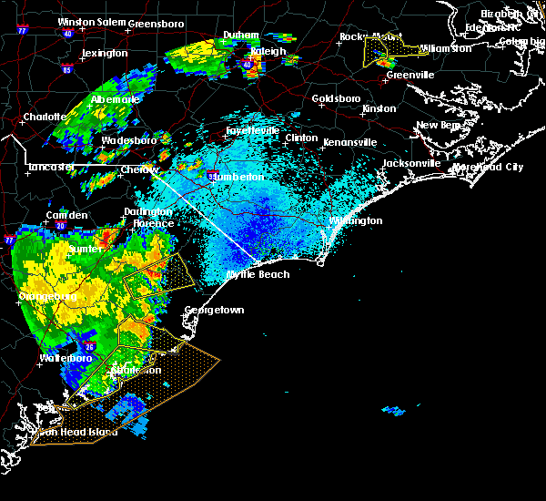 At 847 pm edt, doppler radar indicated a severe thunderstorm capable of producing damaging winds in excess of 60 mph. this storm was located over jamestown, or 19 miles northwest of mcclellanville, and moving east at 45 mph. At 847 pm edt, doppler radar indicated a severe thunderstorm capable of producing damaging winds in excess of 60 mph. this storm was located over jamestown, or 19 miles northwest of mcclellanville, and moving east at 45 mph.
|
| 7/2/2015 7:59 PM EDT |
 At 759 pm edt, doppler radar indicated a line of severe thunderstorms capable of producing damaging winds in excess of 60 mph. these storms were located along a line extending from dongola to near henry to warsaw to near jamestown, and moving southeast at 25 mph. At 759 pm edt, doppler radar indicated a line of severe thunderstorms capable of producing damaging winds in excess of 60 mph. these storms were located along a line extending from dongola to near henry to warsaw to near jamestown, and moving southeast at 25 mph.
|
| 7/2/2015 7:42 PM EDT |
 At 742 pm edt, doppler radar indicated a line of severe thunderstorms capable of producing damaging winds in excess of 60 mph. these storms were located along a line extending from near honey island to near dulah to allsbrook to pee dee crossroads, and moving southeast at 40 mph. At 742 pm edt, doppler radar indicated a line of severe thunderstorms capable of producing damaging winds in excess of 60 mph. these storms were located along a line extending from near honey island to near dulah to allsbrook to pee dee crossroads, and moving southeast at 40 mph.
|
| 6/30/2015 7:05 PM EDT |
 At 705 pm edt, doppler radar indicated a line of severe thunderstorms capable of producing quarter size hail and damaging winds in excess of 60 mph. these storms were located along a line extending from brownsville to near pamplico to 7 miles southeast of kingstree, and moving northeast at 65 mph. At 705 pm edt, doppler radar indicated a line of severe thunderstorms capable of producing quarter size hail and damaging winds in excess of 60 mph. these storms were located along a line extending from brownsville to near pamplico to 7 miles southeast of kingstree, and moving northeast at 65 mph.
|
| 6/4/2015 6:17 PM EDT | At 616 pm edt, doppler radar indicated a severe thunderstorm capable of producing damaging winds in excess of 60 mph. this storm was located over plantersville, or 11 miles west of murrells inlet, moving northeast at 20 mph. penny size hail may also accompany the damaging winds. locations impacted include, socastee, murrells inlet, jackson, bucksport, yauhannah, burgess and plantersville. |
| 6/4/2015 6:00 PM EDT | At 600 pm edt, doppler radar indicated a severe thunderstorm capable of producing quarter size hail and damaging winds in excess of 60 mph. this storm was located over oatland, or 10 miles north of georgetown, and moving northeast at 15 mph. |
| 5/11/2015 3:02 PM EDT | At 302 pm edt, doppler radar indicated a severe thunderstorm capable of producing quarter size hail and damaging winds in excess of 60 mph. this storm was located near plantersville, or near murrells inlet, moving northeast at 5 mph. locations impacted include, murrells inlet, garden city, litchfield beach, burgess, plantersville and waccamaw community hospital. |
| 5/11/2015 2:46 PM EDT | At 246 pm edt, doppler radar indicated a severe thunderstorm capable of producing quarter size hail and damaging winds in excess of 60 mph. this storm was located near murrells inlet, and moving northeast at 10 mph. |
| 4/19/2015 8:02 PM EDT | A severe thunderstorm warning remains in effect until 830 pm edt for south central marion. southeastern florence. eastern georgetown and horry counties. at 801 pm edt. doppler radar indicated a line of severe thunderstorms capable of producing quarter size hail and damaging winds in excess of 60 mph. These storms were located along a line. |
| 4/19/2015 7:29 PM EDT | At 727 pm edt, doppler radar indicated a line of severe thunderstorms capable of producing quarter size hail and damaging winds in excess of 60 mph. these storms were located along a line extending from near indiantown to santee coastal reserve, and moving northeast at 40 mph. |
| 11/4/2012 6:55 PM EDT | Golf Ball sized hail reported 0.1 miles N of Murrells Inlet, SC, highway 17 in murrells inlet |
| 11/4/2012 6:55 PM EDT | Quarter sized hail reported 3.5 miles SW of Murrells Inlet, SC, south business 17th and salters cove |
| 11/4/2012 6:55 PM EDT | Quarter sized hail reported 1.8 miles ESE of Murrells Inlet, SC, about 3 miles north of brookgreen gardens |
| 11/4/2012 6:55 PM EDT | Golf Ball sized hail reported 1.7 miles E of Murrells Inlet, SC, new river rd and old river rd off ocean highway |
| 11/4/2012 6:52 PM EDT | Quarter sized hail reported 0.1 miles N of Murrells Inlet, SC, covered ground about 2 inches thick on wachesaw rd near prince creek |
| 11/4/2012 6:50 PM EDT | Quarter sized hail reported 1 miles NE of Murrells Inlet, SC |
| 7/11/2012 2:51 PM EDT | Several trees reported down a few miles west of plantersville. time estimated by rada in georgetown county SC, 11.5 miles E of Murrells Inlet, SC |
| 5/16/2012 1:15 PM EDT | Hail up to the size of quarters was reported on hyhet avenue. the hail fell on and off for a half hou in georgetown county SC, 1.4 miles NE of Murrells Inlet, SC |
| 5/16/2012 1:15 PM EDT | Quarter sized hail reported 1.4 miles NE of Murrells Inlet, SC, hail up to the size of quarters was reported on hyhet avenue. the hail fell on and off for a half hour. |
| 5/16/2012 1:15 PM EDT | Winds estimated to 50 to 60 mph brought down tree limbs 3 to 4 inches in diameter on hyhet avenu in georgetown county SC, 1.4 miles NE of Murrells Inlet, SC |
| 4/5/2012 3:30 PM EDT | Quarter sized hail reported 2.6 miles S of Murrells Inlet, SC, mainly nickel size with some quarter-size hailstones observed |
| 1/1/0001 12:00 AM | Quarter sized hail reported 4.2 miles SSE of Murrells Inlet, SC, blackmoor golf course reported quarter inch hail. |
| 1/1/0001 12:00 AM | Quarter sized hail reported 0.6 miles ENE of Murrells Inlet, SC, time estimated based off radar |
| 1/1/0001 12:00 AM | Quarter sized hail reported 0.1 miles N of Murrells Inlet, SC |
Hail Maps for Murrells Inlet, SC
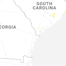


Connect with Interactive Hail Maps