

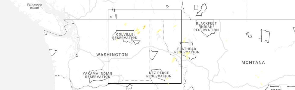
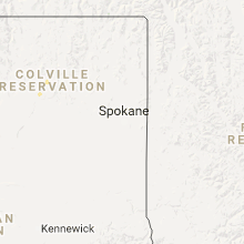
Hail Map for Nespelem Community, WA
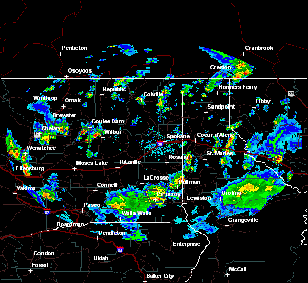
The Nespelem Community, WA area has had 0 reports of on-the-ground hail by trained spotters, and has been under severe weather warnings 0 times during the past 12 months. Doppler radar has detected hail at or near Nespelem Community, WA on 5 occasions, including 1 occasion during the past year.
| Name: | Nespelem Community, WA |
| Where Located: | 27.6 miles SE of Omak, WA |
| Map: | Google Map for Nespelem Community, WA |
| Population: | 253 |
| Housing Units: | 94 |
| More Info: | Search Google for Nespelem Community, WA |
0
The Top Recent Hail Date for Nespelem Community, WA is Sunday, May 21, 2023 (3rd out of 5)
Hail and Wind Damage Spotted near Nespelem Community, WA
| Date / Time | Report Details |
|---|---|
| 8/10/2019 4:57 PM PDT |
 The severe thunderstorm warning for north central douglas and southeastern okanogan counties will expire at 500 pm pdt. the severe thunderstorm which prompted the warning has weakened. moved out of the warned area. Therefore, the warning will be allowed to expire. The severe thunderstorm warning for north central douglas and southeastern okanogan counties will expire at 500 pm pdt. the severe thunderstorm which prompted the warning has weakened. moved out of the warned area. Therefore, the warning will be allowed to expire.
|
| 8/10/2019 4:16 PM PDT |
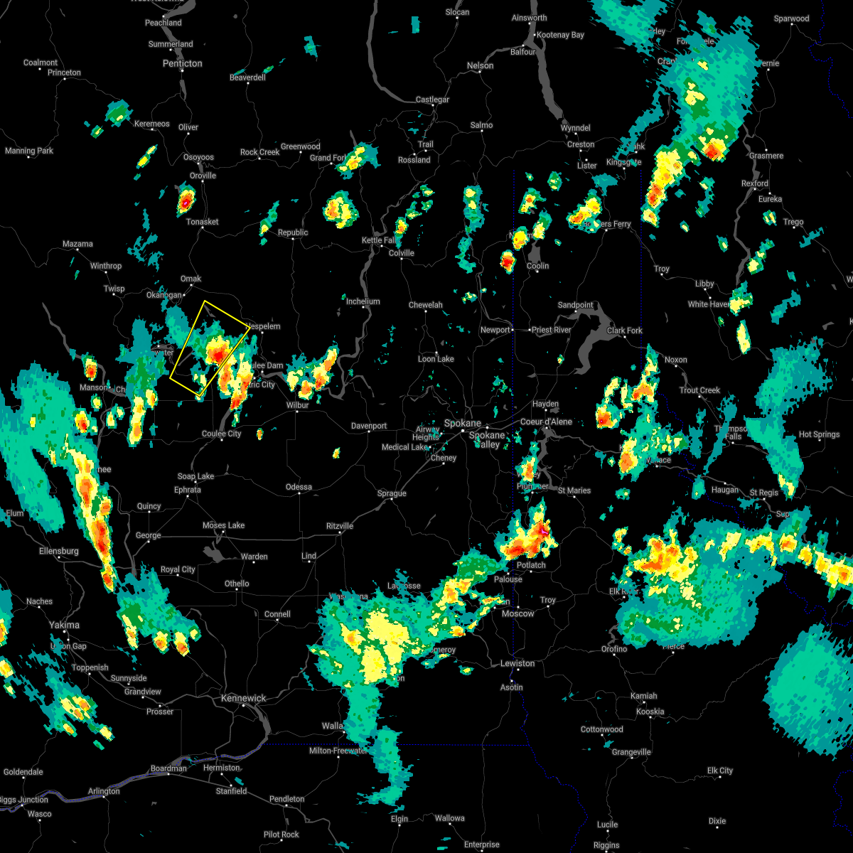
 At 415 pm pdt, a severe thunderstorm was located 7 miles southeast of bridgeport, or 31 miles south of omak, moving northeast at 25 mph (radar indicated). Hazards include 60 mph wind gusts and quarter size hail. Hail damage to vehicles is expected. Expect wind damage to roofs, siding, and trees. At 415 pm pdt, a severe thunderstorm was located 7 miles southeast of bridgeport, or 31 miles south of omak, moving northeast at 25 mph (radar indicated). Hazards include 60 mph wind gusts and quarter size hail. Hail damage to vehicles is expected. Expect wind damage to roofs, siding, and trees.
|
| 5/11/2017 3:18 PM PDT |
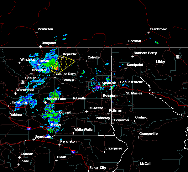 At 318 pm pdt, a severe thunderstorm was located near nespelem community, or 31 miles southeast of omak, moving northeast at 45 mph (trained weather spotters). Hazards include quarter size hail. damage to vehicles is expected At 318 pm pdt, a severe thunderstorm was located near nespelem community, or 31 miles southeast of omak, moving northeast at 45 mph (trained weather spotters). Hazards include quarter size hail. damage to vehicles is expected
|
| 7/20/2012 3:46 PM PDT | Trees and power lines down on cache creek road in ferry county WA, 10 miles W of Nespelem Community, WA |
Hail Maps for Nespelem Community, WA


Connect with Interactive Hail Maps