

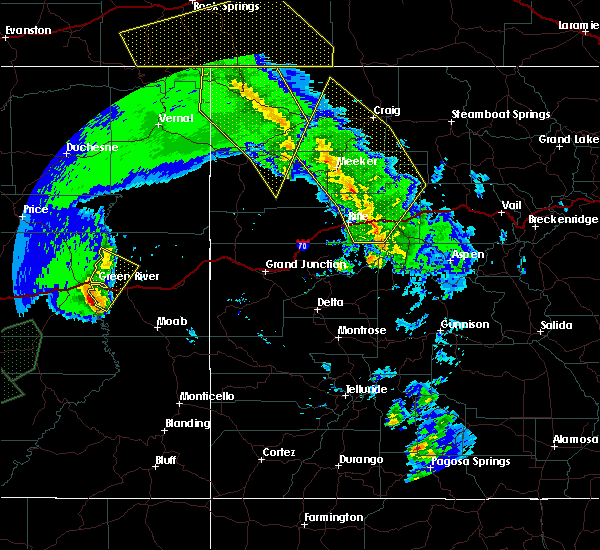
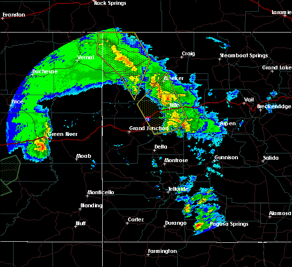
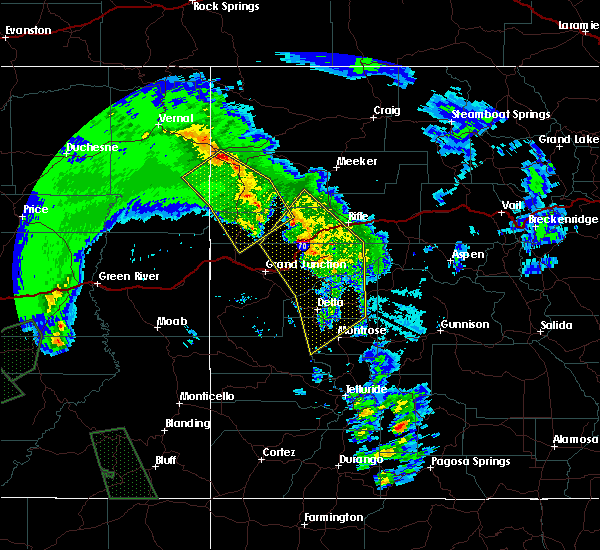
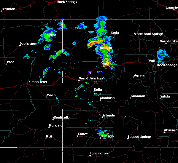
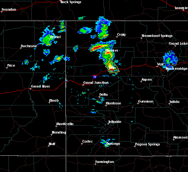
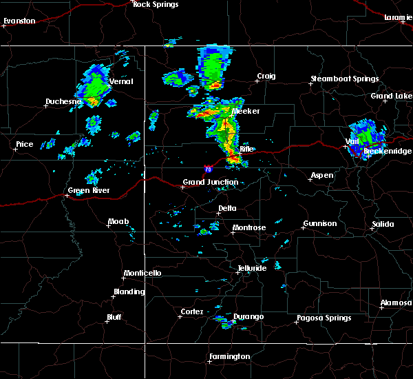
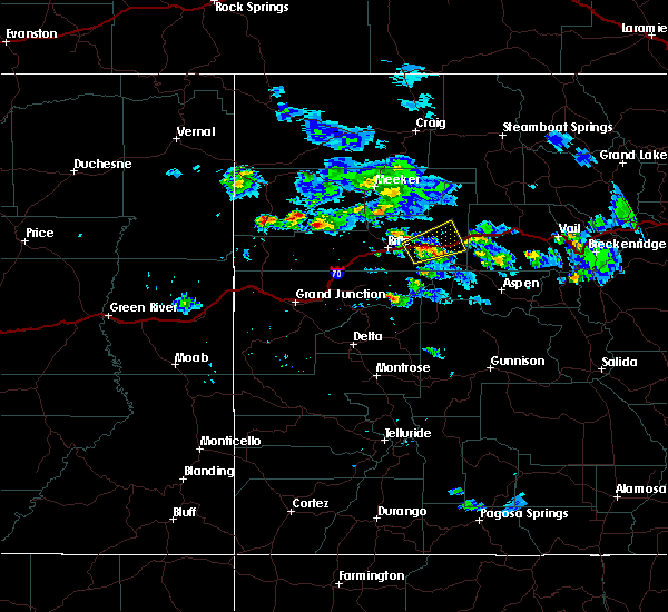
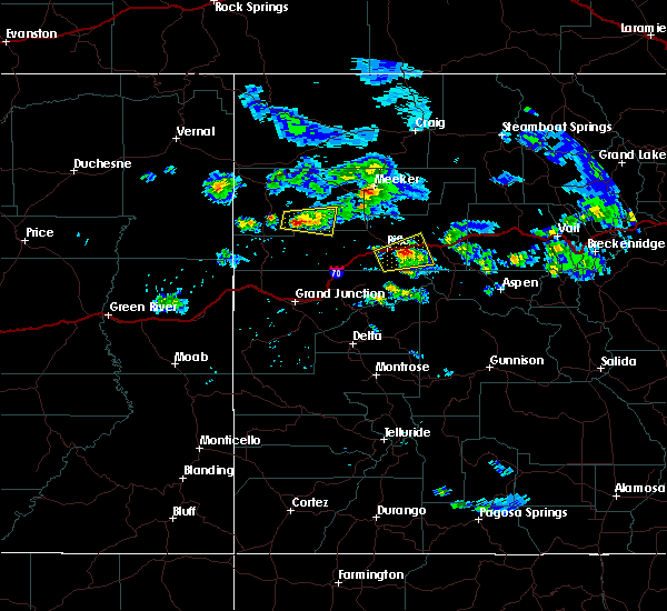
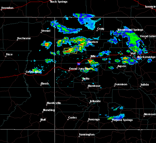
Hail Map for New Castle, CO
The New Castle, CO area has had 0 reports of on-the-ground hail by trained spotters, and has been under severe weather warnings 0 times during the past 12 months. Doppler radar has detected hail at or near New Castle, CO on 2 occasions.
| Name: | New Castle, CO |
| Where Located: | 65 miles S of Craig, CO |
| Map: | Google Map for New Castle, CO |
| Population: | 4518 |
| Housing Units: | 1718 |
| More Info: | Search Google for New Castle, CO |
0
The Top Recent Hail Date for New Castle, CO is Sunday, June 12, 2016 (2nd out of 2)

Hail and Wind Damage Spotted near New Castle, CO
| Date / Time | Report Details |
|---|---|
| 6/6/2020 12:59 PM MDT |
 At 1258 pm mdt, severe thunderstorms were located along a line extending from 14 miles northwest of meeker to 21 miles northwest of new castle to 7 miles southeast of silt, moving northeast at 75 mph (radar indicated). Hazards include 70 mph wind gusts. Expect considerable tree damage. Damage is likely to mobile homes, roofs, and outbuildings. At 1258 pm mdt, severe thunderstorms were located along a line extending from 14 miles northwest of meeker to 21 miles northwest of new castle to 7 miles southeast of silt, moving northeast at 75 mph (radar indicated). Hazards include 70 mph wind gusts. Expect considerable tree damage. Damage is likely to mobile homes, roofs, and outbuildings.
|
| 6/6/2020 12:49 PM MDT |
 At 1248 pm mdt, severe thunderstorms were located along a line extending from 7 miles southwest of meeker to 6 miles southeast of rifle, moving northeast at 75 mph (radar indicated). Hazards include 70 mph wind gusts. Expect considerable tree damage. damage is likely to mobile homes, roofs, and outbuildings. locations impacted include, rifle, new castle, silt, meeker, rio blanco and battlement mesa. this includes the following highways, interstate 70 in colorado between mile markers 77 and 104. colorado 13 between mile markers 1 and 56. Colorado 64 between mile markers 71 and 73. At 1248 pm mdt, severe thunderstorms were located along a line extending from 7 miles southwest of meeker to 6 miles southeast of rifle, moving northeast at 75 mph (radar indicated). Hazards include 70 mph wind gusts. Expect considerable tree damage. damage is likely to mobile homes, roofs, and outbuildings. locations impacted include, rifle, new castle, silt, meeker, rio blanco and battlement mesa. this includes the following highways, interstate 70 in colorado between mile markers 77 and 104. colorado 13 between mile markers 1 and 56. Colorado 64 between mile markers 71 and 73.
|
| 6/6/2020 12:28 PM MDT |
 At 1228 pm mdt, severe thunderstorms were located along a line extending from 19 miles northwest of parachute to 6 miles south of collbran, moving northeast at 80 mph (radar indicated). Hazards include 70 mph wind gusts. Expect considerable tree damage. Damage is likely to mobile homes, roofs, and outbuildings. At 1228 pm mdt, severe thunderstorms were located along a line extending from 19 miles northwest of parachute to 6 miles south of collbran, moving northeast at 80 mph (radar indicated). Hazards include 70 mph wind gusts. Expect considerable tree damage. Damage is likely to mobile homes, roofs, and outbuildings.
|
| 9/8/2019 5:58 PM MDT |
 At 557 pm mdt, a severe thunderstorm was located over new castle, or 13 miles west of glenwood springs, moving northeast at 35 mph (a 76 mph wind gust was recorded at rifle airport). Hazards include 70 mph wind gusts and penny size hail. Expect considerable tree damage. Damage is likely to mobile homes, roofs, and outbuildings. At 557 pm mdt, a severe thunderstorm was located over new castle, or 13 miles west of glenwood springs, moving northeast at 35 mph (a 76 mph wind gust was recorded at rifle airport). Hazards include 70 mph wind gusts and penny size hail. Expect considerable tree damage. Damage is likely to mobile homes, roofs, and outbuildings.
|
| 9/8/2019 5:50 PM MDT |
 At 549 pm mdt, severe thunderstorms were located along a line extending from 10 miles north of rifle to near silt, moving northeast at 35 mph (a 76 mph wind gust was recorded at rifle airport). Hazards include 70 mph wind gusts. Expect considerable tree damage. damage is likely to mobile homes, roofs, and outbuildings. locations impacted include, rifle, new castle and silt. This includes interstate 70 in colorado between mile markers 94 and 106. At 549 pm mdt, severe thunderstorms were located along a line extending from 10 miles north of rifle to near silt, moving northeast at 35 mph (a 76 mph wind gust was recorded at rifle airport). Hazards include 70 mph wind gusts. Expect considerable tree damage. damage is likely to mobile homes, roofs, and outbuildings. locations impacted include, rifle, new castle and silt. This includes interstate 70 in colorado between mile markers 94 and 106.
|
| 9/8/2019 5:45 PM MDT |
 At 544 pm mdt, severe thunderstorms were located along a line extending from 16 miles west of new castle to near rifle to near silt, moving northeast at 35 mph (radar indicated). Hazards include 60 mph wind gusts. Expect damage to roofs, siding, and trees. locations impacted include, rifle, new castle and silt. this includes the following highways, interstate 70 in colorado between mile markers 91 and 106. Colorado 13 between mile markers 3 and 11. At 544 pm mdt, severe thunderstorms were located along a line extending from 16 miles west of new castle to near rifle to near silt, moving northeast at 35 mph (radar indicated). Hazards include 60 mph wind gusts. Expect damage to roofs, siding, and trees. locations impacted include, rifle, new castle and silt. this includes the following highways, interstate 70 in colorado between mile markers 91 and 106. Colorado 13 between mile markers 3 and 11.
|
| 9/8/2019 5:32 PM MDT |
 At 531 pm mdt, severe thunderstorms were located along a line extending from 13 miles northeast of parachute to near rifle to 10 miles southwest of silt, moving northeast at 35 mph (radar indicated). Hazards include 60 mph wind gusts. expect damage to roofs, siding, and trees At 531 pm mdt, severe thunderstorms were located along a line extending from 13 miles northeast of parachute to near rifle to 10 miles southwest of silt, moving northeast at 35 mph (radar indicated). Hazards include 60 mph wind gusts. expect damage to roofs, siding, and trees
|
| 10/4/2018 11:06 AM MDT |
 At 1105 am mdt, severe thunderstorms were located along a line extending from 9 miles east of meeker to 21 miles northwest of glenwood springs to near new castle to 13 miles southeast of silt, moving northeast at 45 mph (numerous observations of 60-70 mph winds have been reported with these storms). Hazards include 60 mph wind gusts. expect damage to roofs, siding, and trees At 1105 am mdt, severe thunderstorms were located along a line extending from 9 miles east of meeker to 21 miles northwest of glenwood springs to near new castle to 13 miles southeast of silt, moving northeast at 45 mph (numerous observations of 60-70 mph winds have been reported with these storms). Hazards include 60 mph wind gusts. expect damage to roofs, siding, and trees
|
| 6/16/2015 7:12 PM MDT | The severe thunderstorm warning for southeastern garfield county will expire at 715 pm mdt, the storm which prompted the warning has weakened below severe limits and exited the warned area. therefore the warning will be allowed to expire. however small hail, .gusty winds and heavy rain are still possible with this thunderstorm. |
| 6/16/2015 6:55 PM MDT |
 At 655 pm mdt, a severe thunderstorm was located near glenwood springs, moving northeast at 30 mph (radar indicated). Hazards include 60 mph wind gusts and quarter size hail. Hail damage to vehicles is expected. expect wind damage to roofs, siding and trees. Locations impacted include, glenwood springs and shoshone. At 655 pm mdt, a severe thunderstorm was located near glenwood springs, moving northeast at 30 mph (radar indicated). Hazards include 60 mph wind gusts and quarter size hail. Hail damage to vehicles is expected. expect wind damage to roofs, siding and trees. Locations impacted include, glenwood springs and shoshone.
|
| 6/16/2015 6:38 PM MDT |
 At 638 pm mdt, a severe thunderstorm was located near new castle, or 9 miles west of glenwood springs, moving northeast at 25 mph (radar indicated). Hazards include 60 mph wind gusts and quarter size hail. Hail damage to vehicles is expected. Expect wind damage to roofs, siding and trees. At 638 pm mdt, a severe thunderstorm was located near new castle, or 9 miles west of glenwood springs, moving northeast at 25 mph (radar indicated). Hazards include 60 mph wind gusts and quarter size hail. Hail damage to vehicles is expected. Expect wind damage to roofs, siding and trees.
|
| 6/16/2015 6:27 PM MDT |
 At 627 pm mdt, a severe thunderstorm was located near silt, or 16 miles west of glenwood springs, moving east at 30 mph (radar indicated). Hazards include 60 mph wind gusts and quarter size hail. Hail damage to vehicles is expected. expect wind damage to roofs, siding and trees. Locations impacted include, rifle, new castle and silt. At 627 pm mdt, a severe thunderstorm was located near silt, or 16 miles west of glenwood springs, moving east at 30 mph (radar indicated). Hazards include 60 mph wind gusts and quarter size hail. Hail damage to vehicles is expected. expect wind damage to roofs, siding and trees. Locations impacted include, rifle, new castle and silt.
|
| 6/16/2015 6:13 PM MDT |
 At 613 pm mdt, a severe thunderstorm was located near rifle, or 22 miles west of glenwood springs, moving east at 20 mph (radar indicated). Hazards include 60 mph wind gusts and quarter size hail. Hail damage to vehicles is expected. Expect wind damage to roofs, siding and trees. At 613 pm mdt, a severe thunderstorm was located near rifle, or 22 miles west of glenwood springs, moving east at 20 mph (radar indicated). Hazards include 60 mph wind gusts and quarter size hail. Hail damage to vehicles is expected. Expect wind damage to roofs, siding and trees.
|
| 6/8/2014 5:28 PM MDT | Dead tree limbs down estimated 4 inch in diameter in garfield county CO, 1.2 miles S of New Castle, CO |
Hail Maps for New Castle, CO


Connect with Interactive Hail Maps