

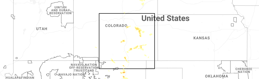
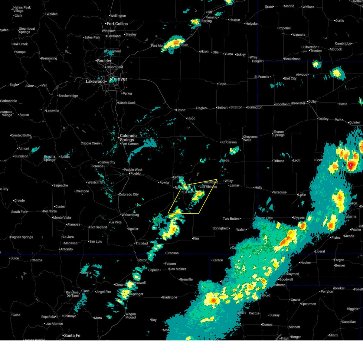
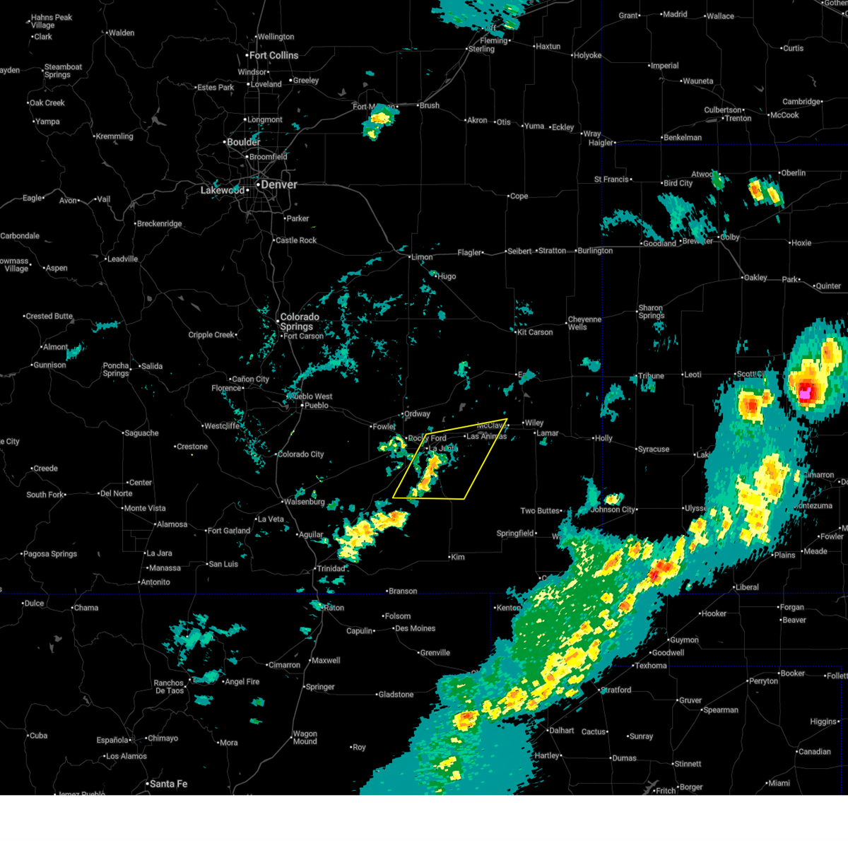
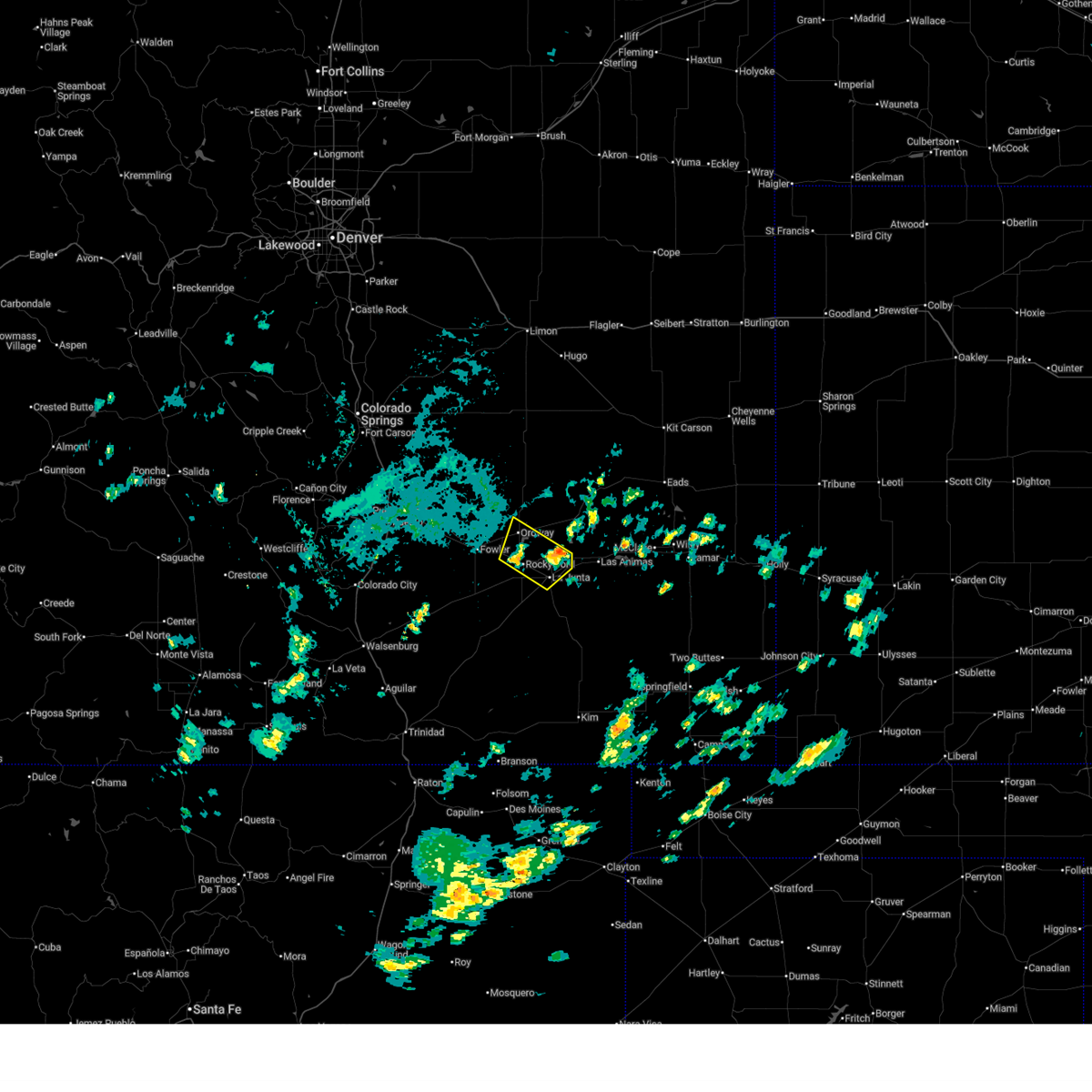
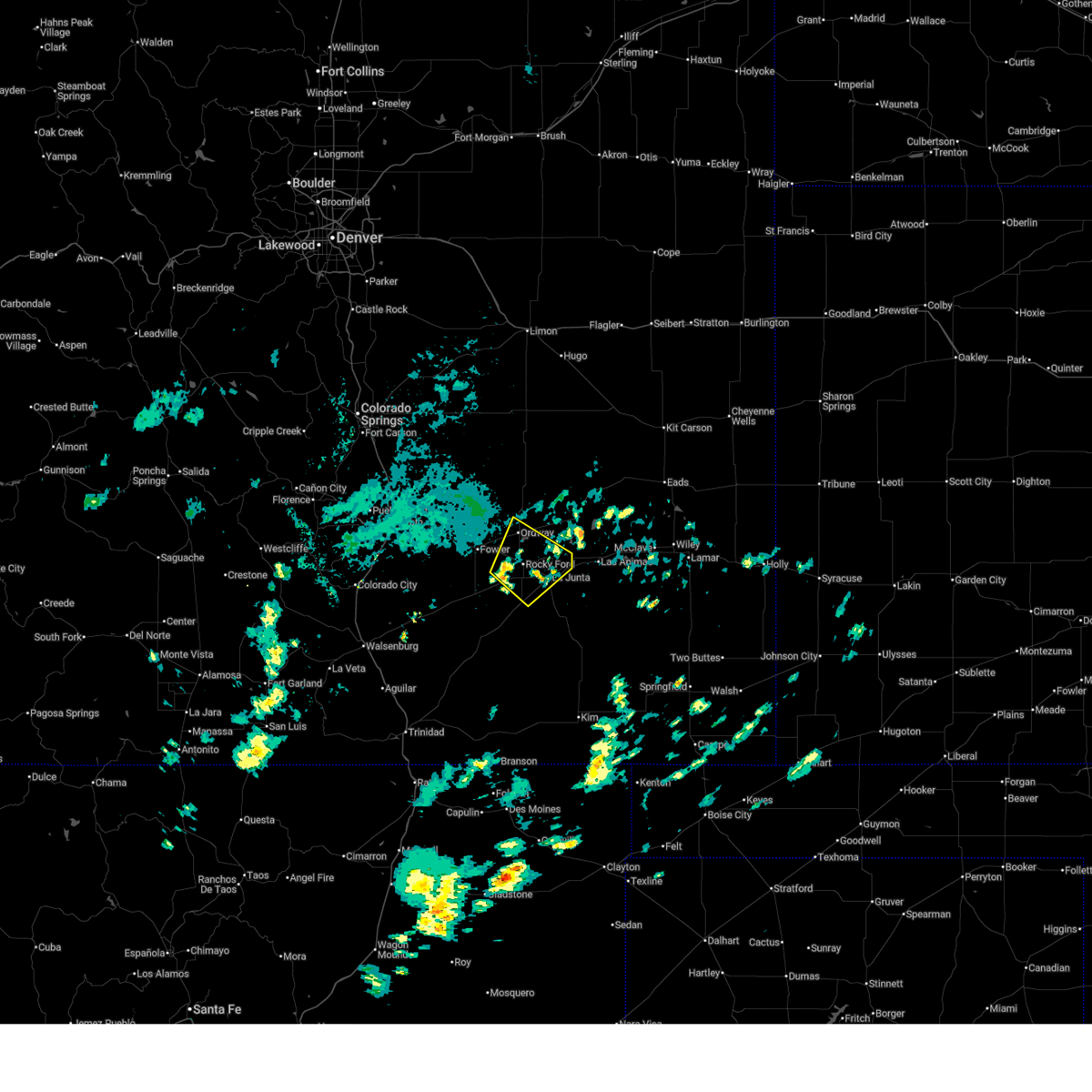
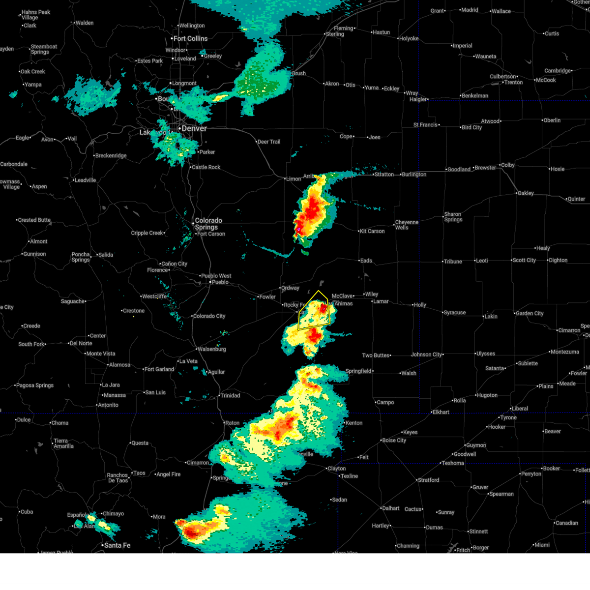
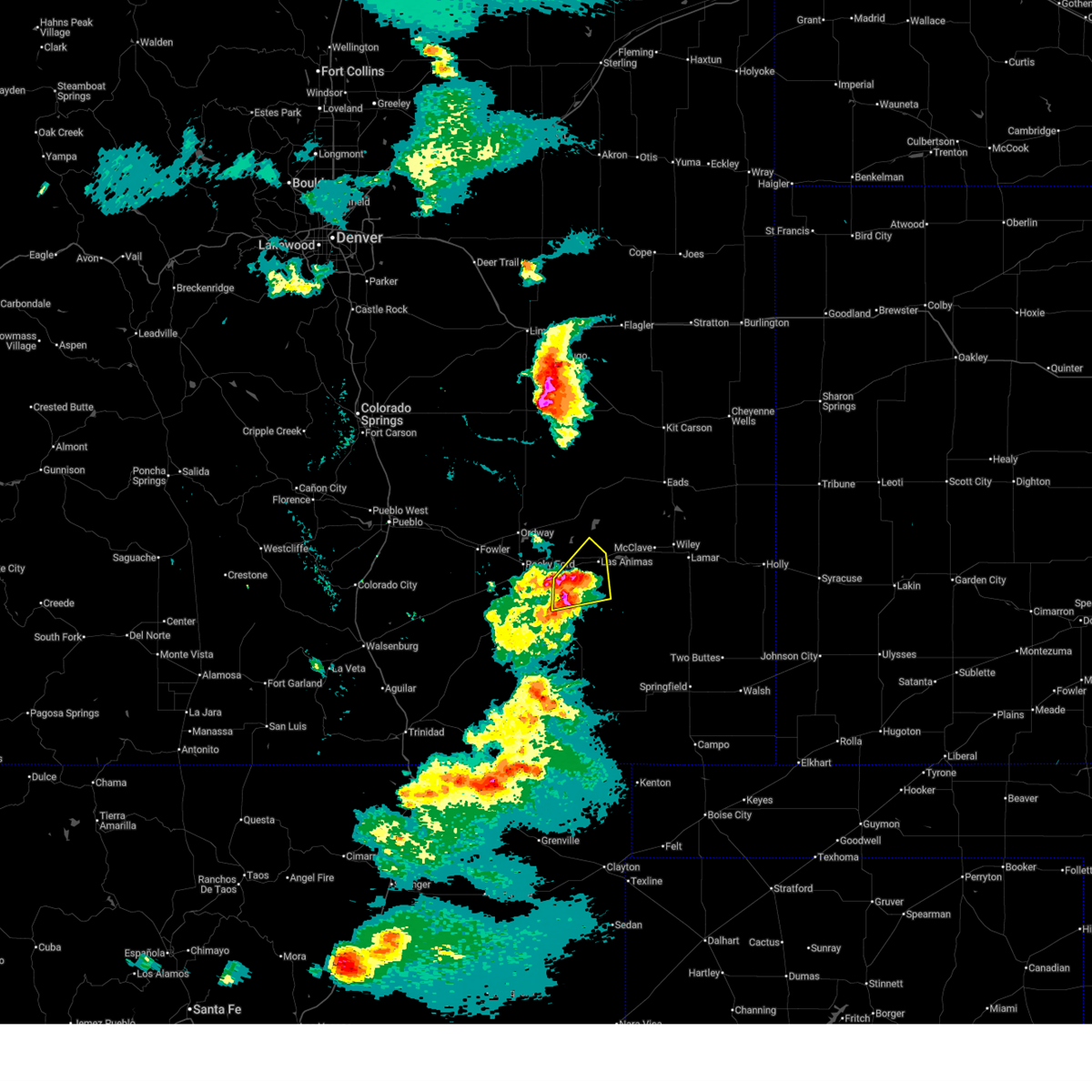
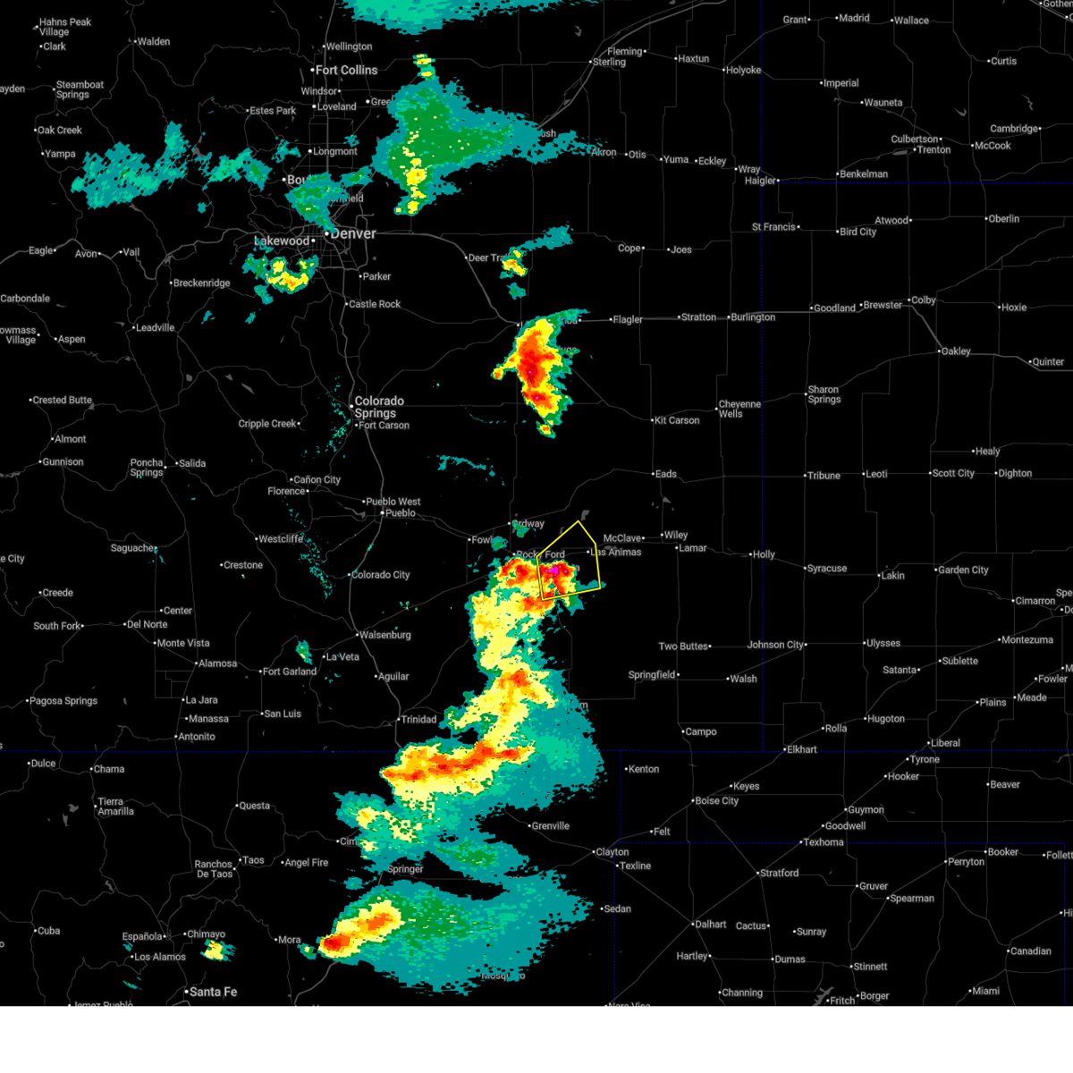
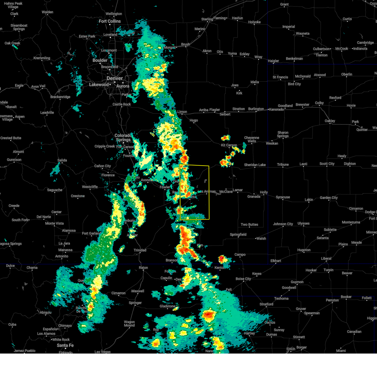
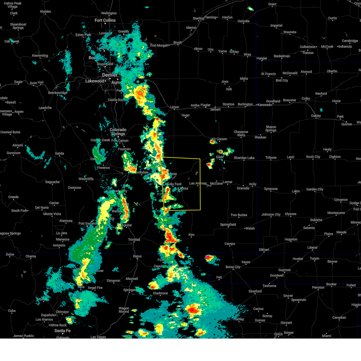
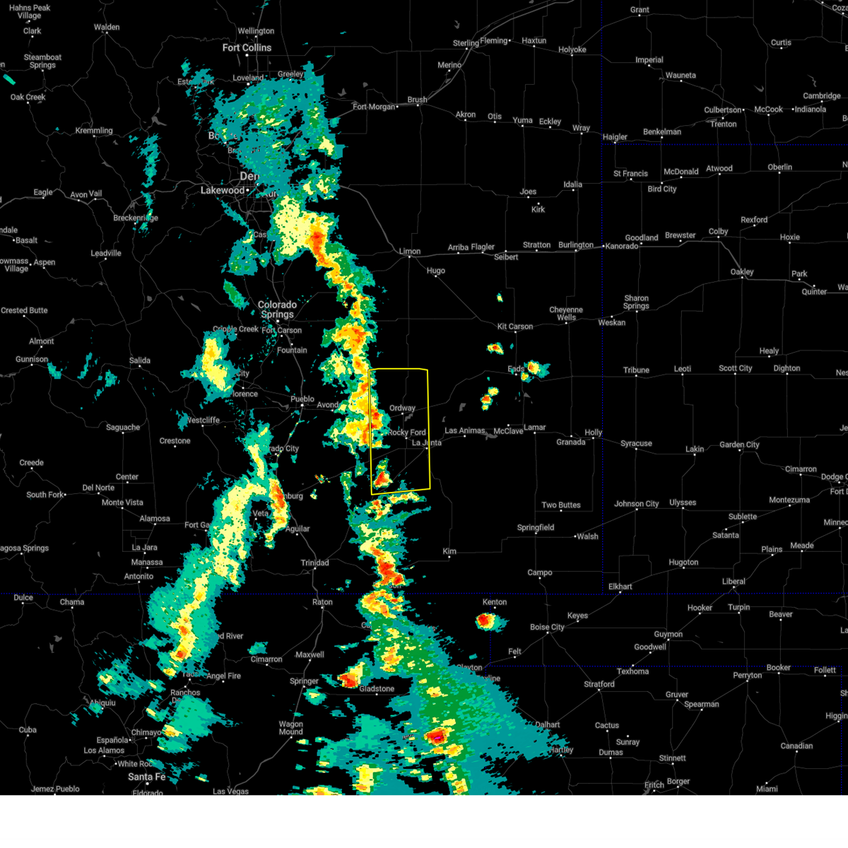
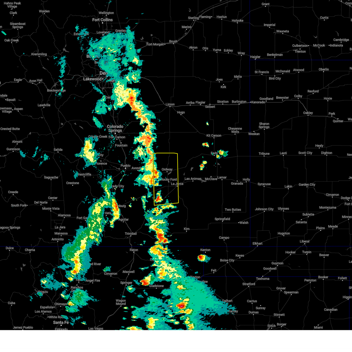
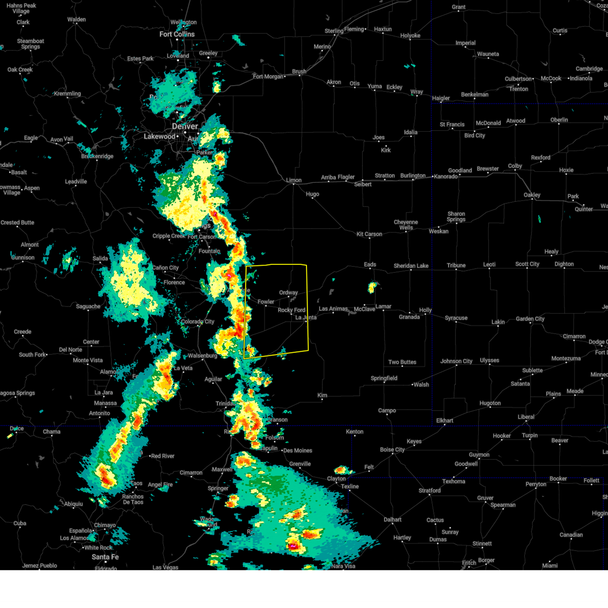
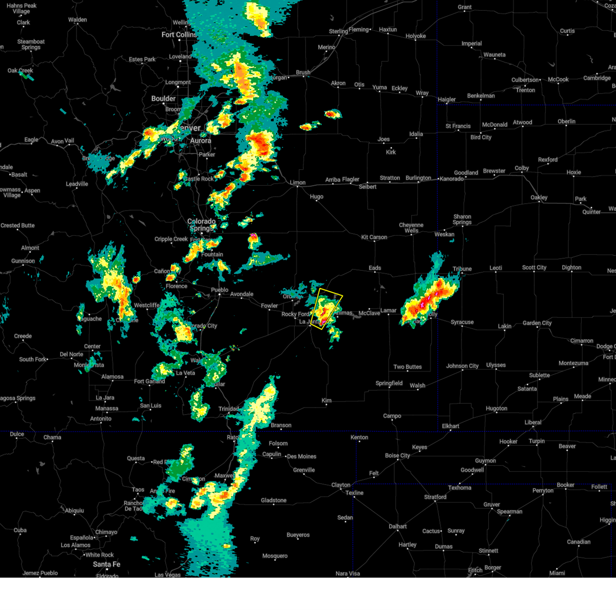
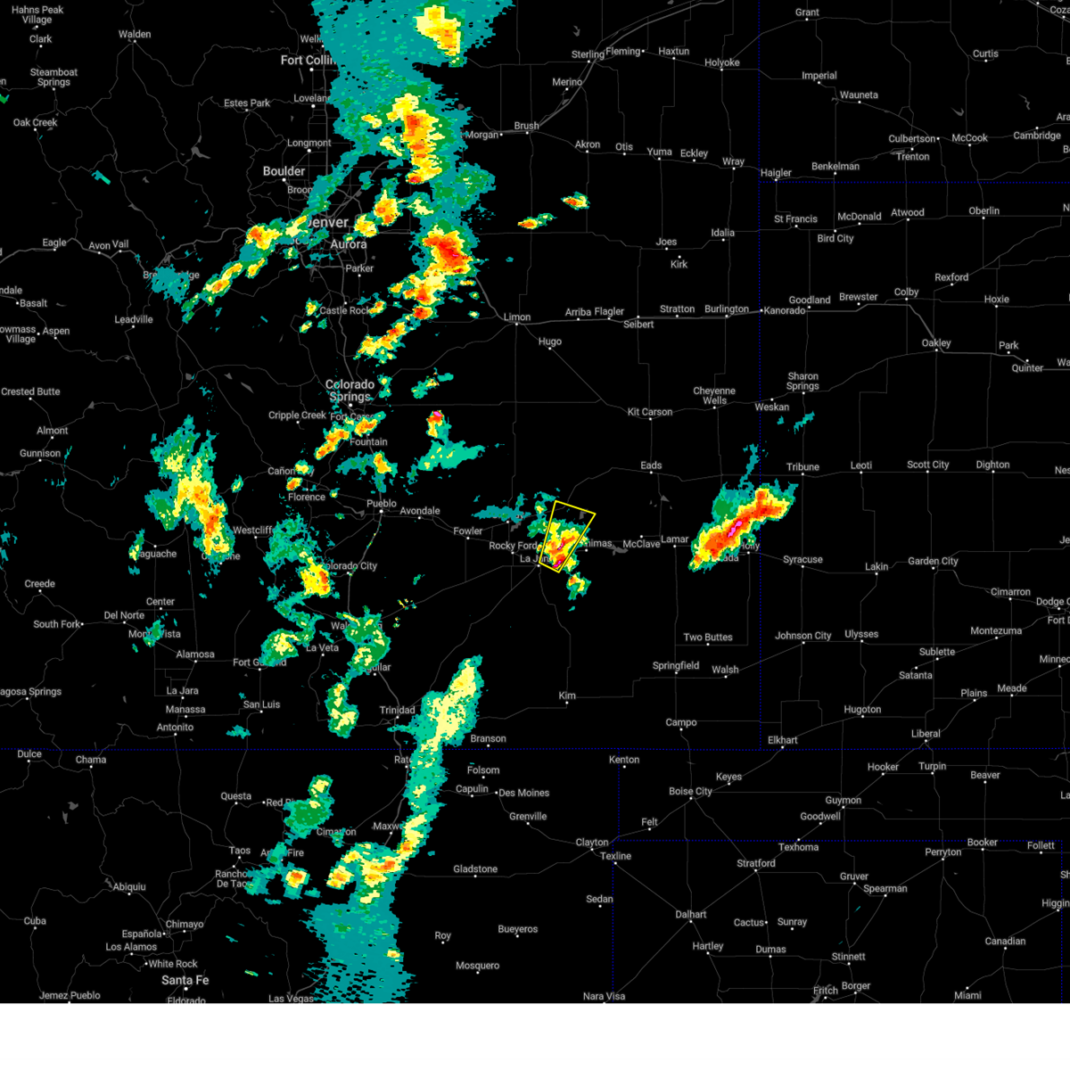
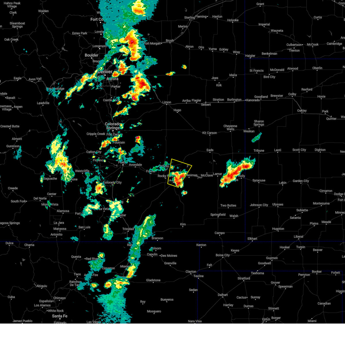
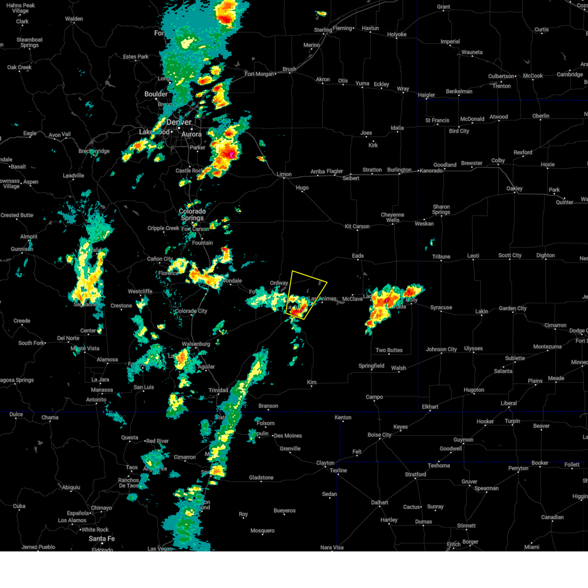
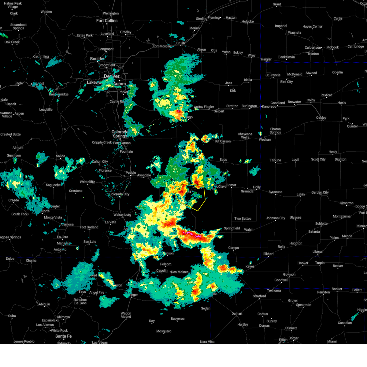
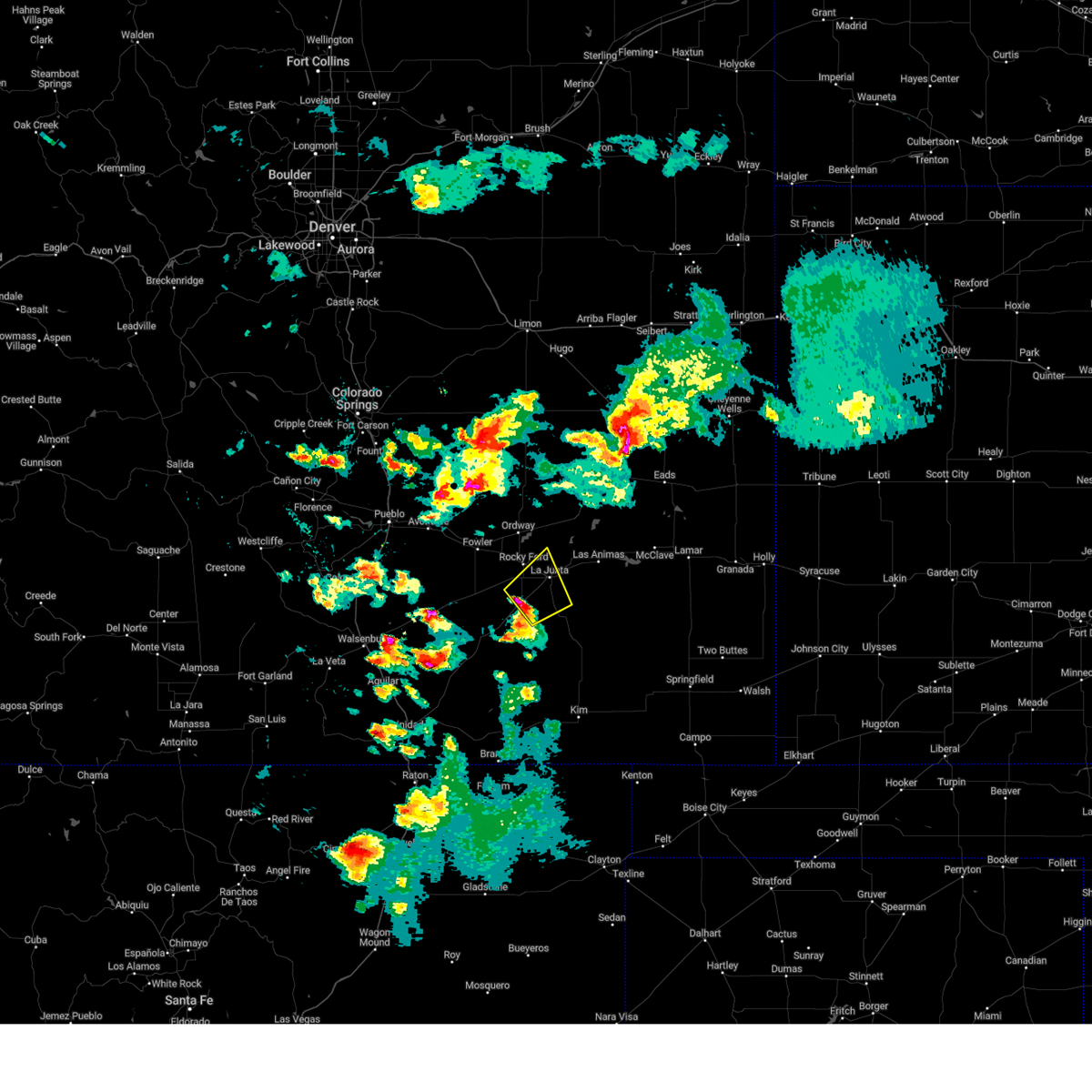
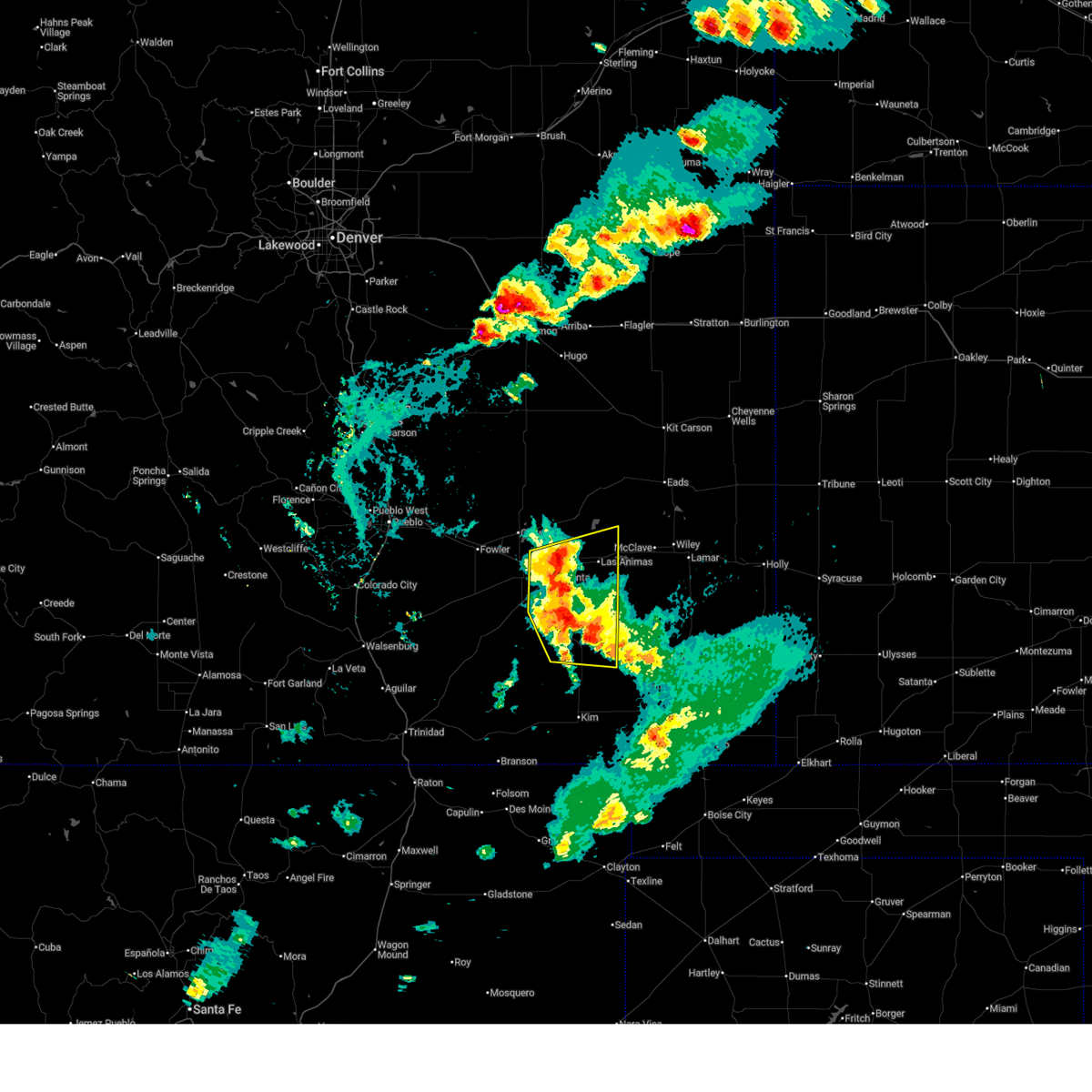
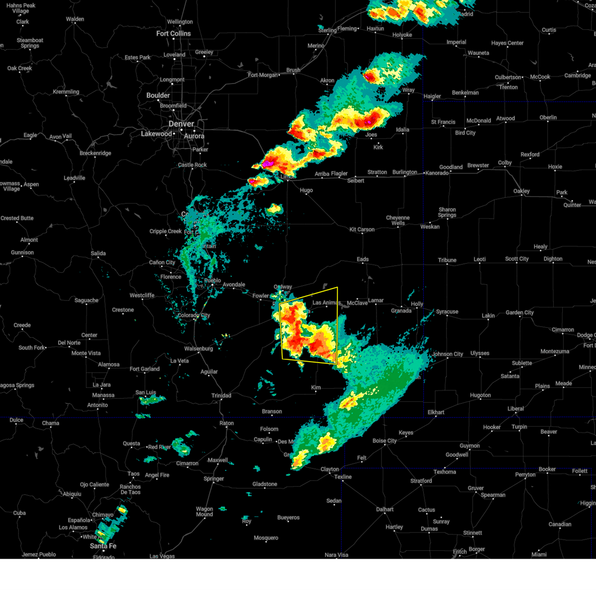
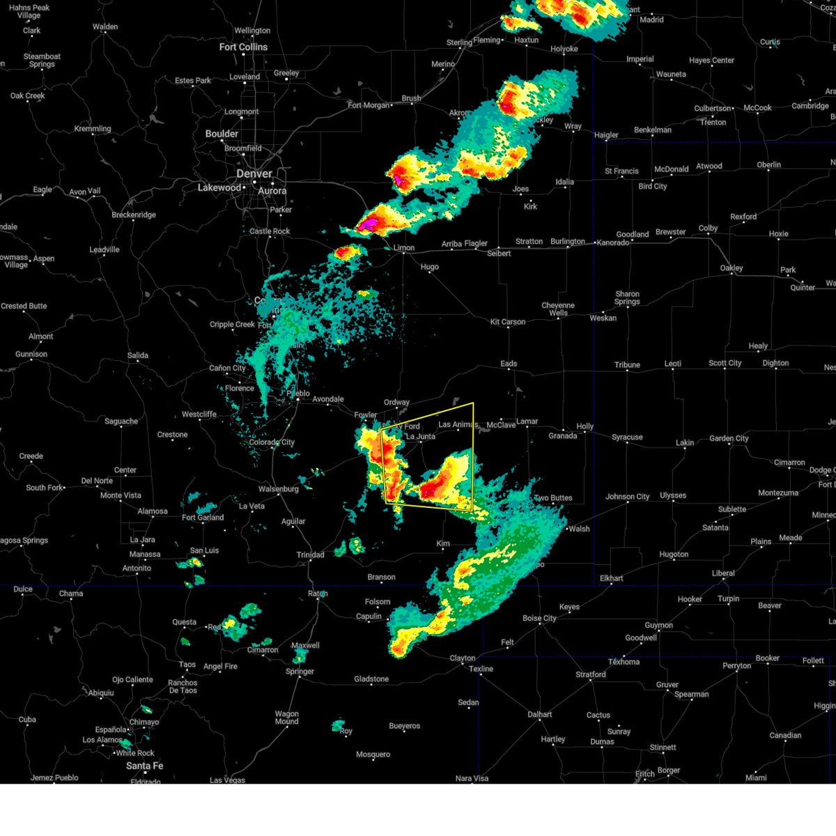
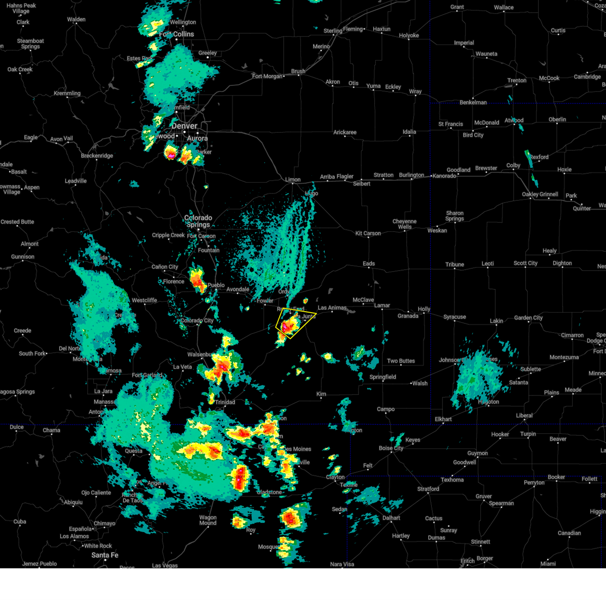
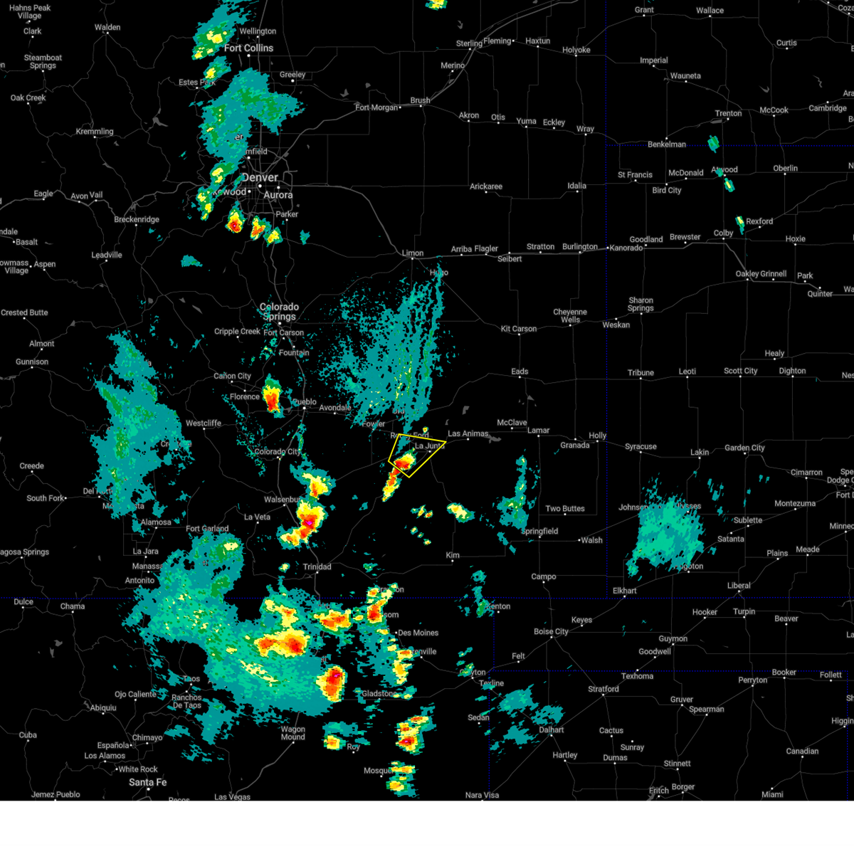
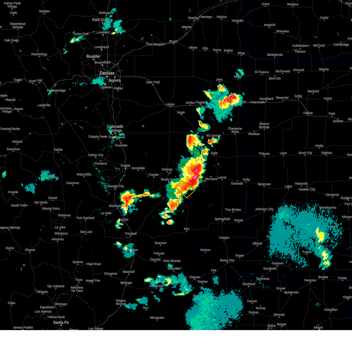
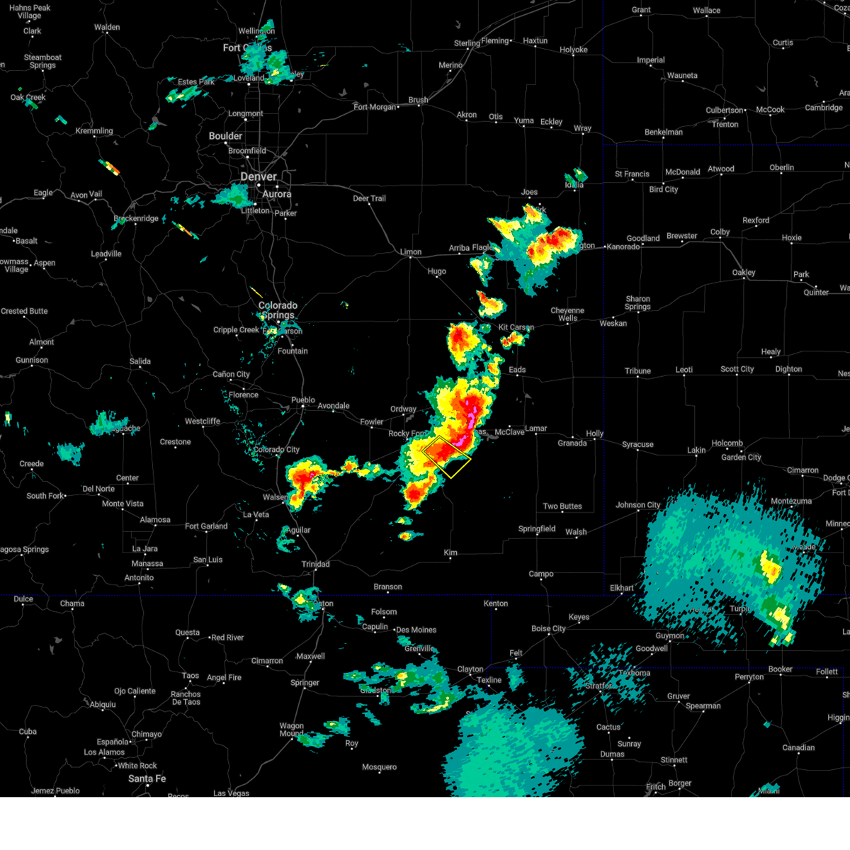
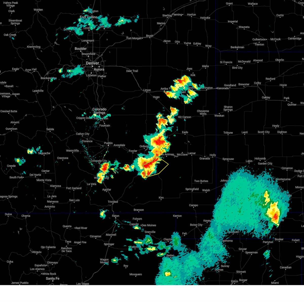
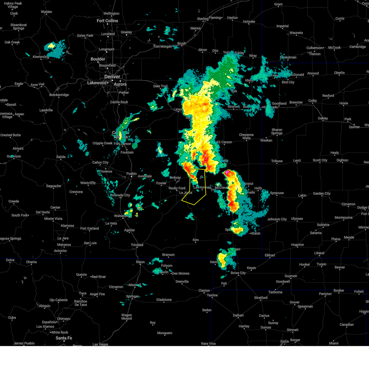
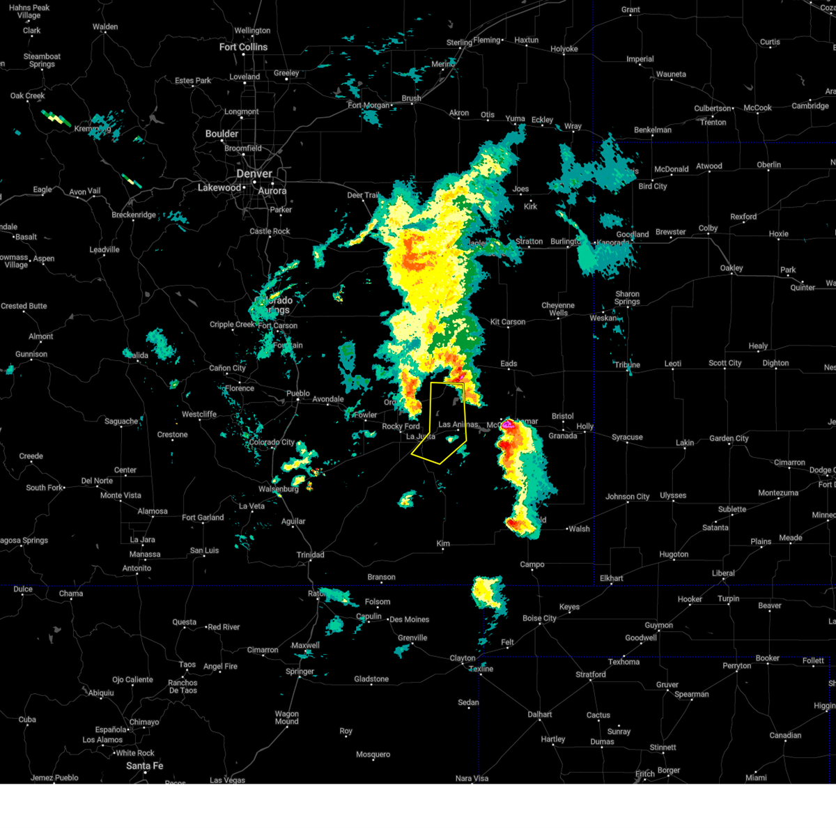
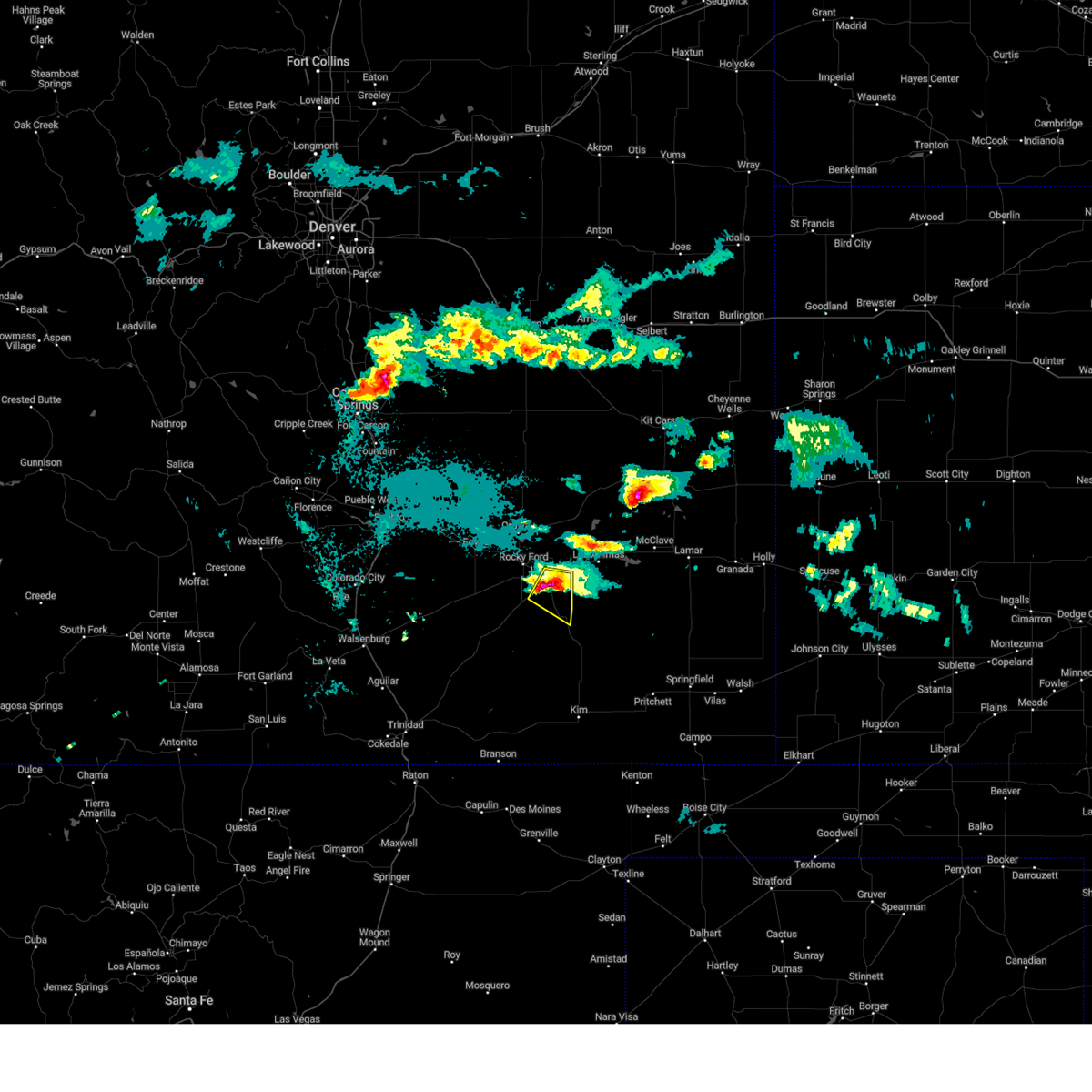
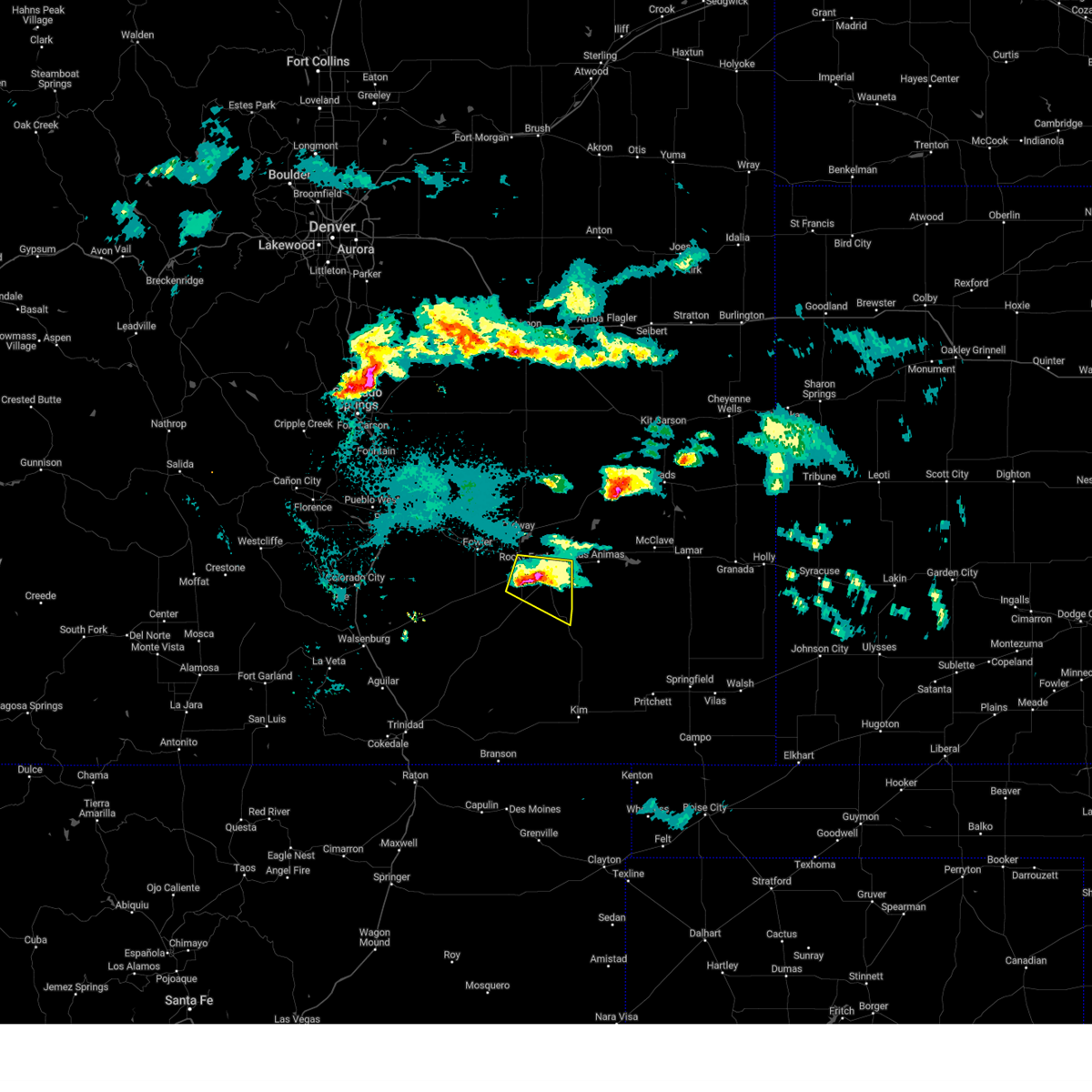
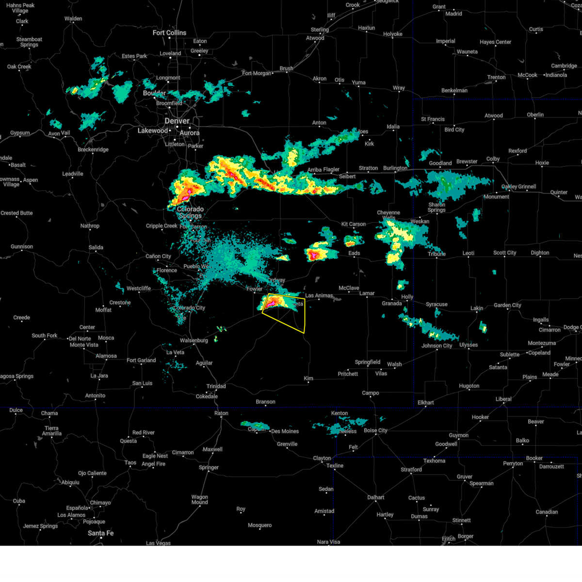
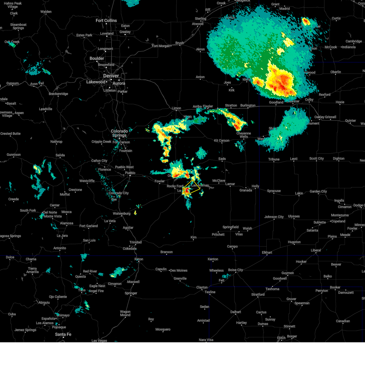
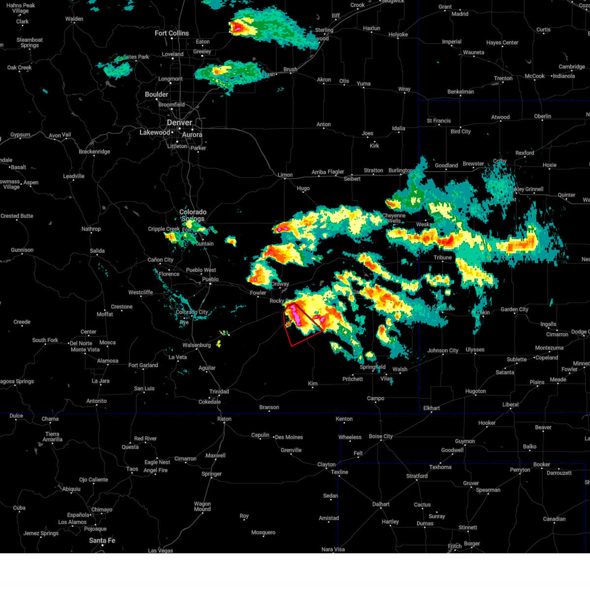
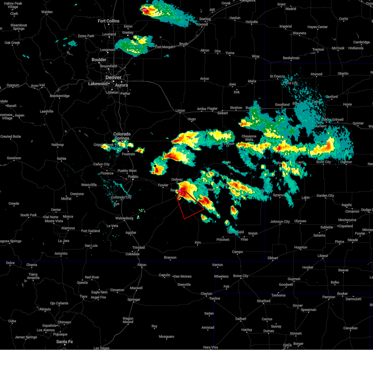
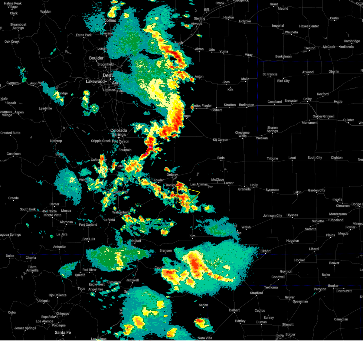
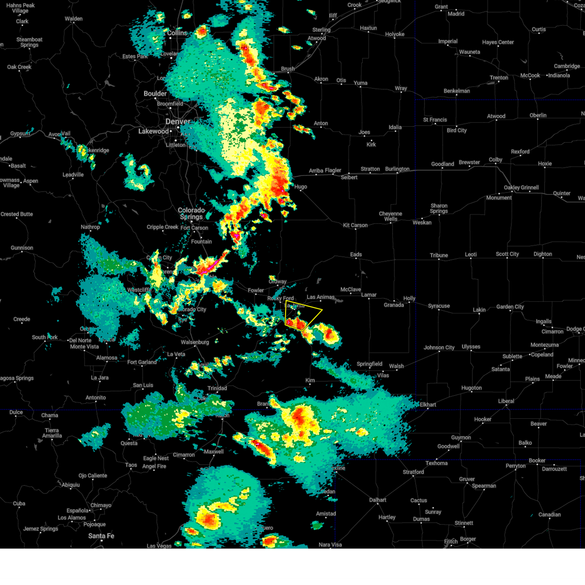
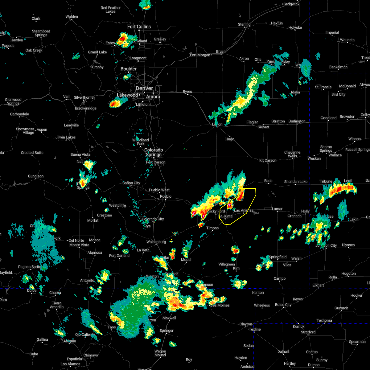
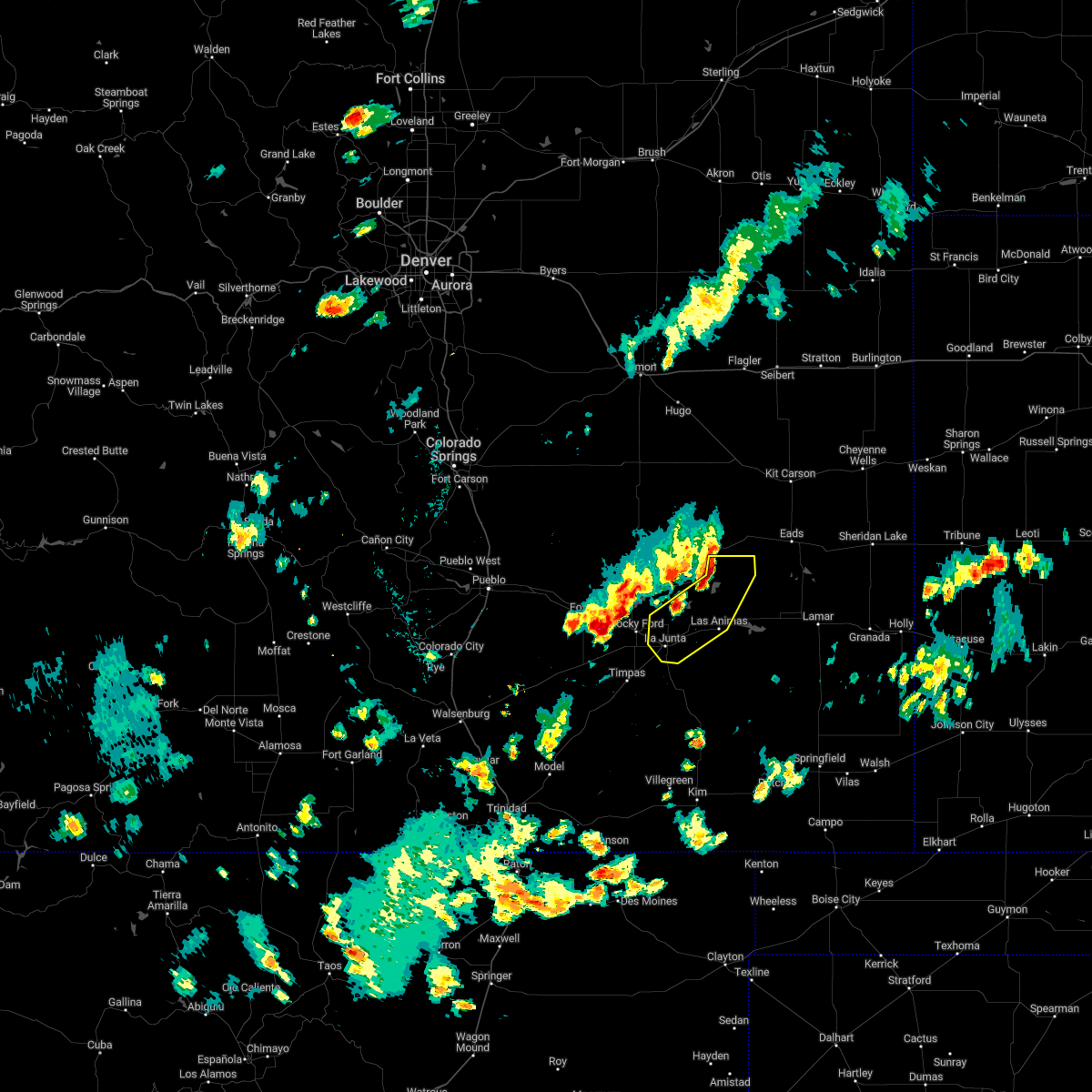
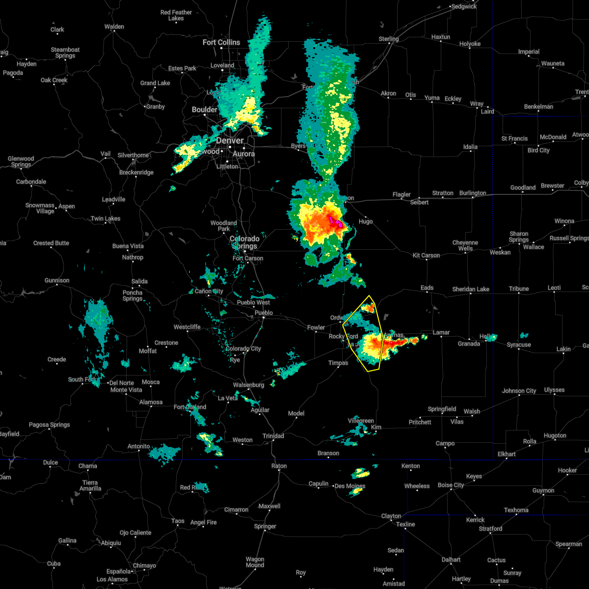
Hail Map for North La Junta, CO
The North La Junta, CO area has had 1 report of on-the-ground hail by trained spotters, and has been under severe weather warnings 11 times during the past 12 months. Doppler radar has detected hail at or near North La Junta, CO on 75 occasions, including 5 occasions during the past year.
| Name: | North La Junta, CO |
| Where Located: | 62.4 miles ESE of Pueblo, CO |
| Map: | Google Map for North La Junta, CO |
| Population: | 512 |
| Housing Units: | 251 |
| More Info: | Search Google for North La Junta, CO |
1
The Top Recent Hail Date for North La Junta, CO is Friday, August 1, 2025 (24th out of 75)
Hail and Wind Damage Spotted near North La Junta, CO
| Date / Time | Report Details |
|---|---|
| 6/9/2026 4:28 PM MDT |
 At 428 pm mdt, severe thunderstorms were located along a line extending from 6 miles south of las animas to 9 miles northeast of higbee, moving northeast at 40 mph (radar indicated). Hazards include 60 mph wind gusts. Expect damage to roofs, siding, and trees. Locations impacted include, la junta, north la junta, las animas, higbee, hasty, john martin reservoir, and fort lyon. At 428 pm mdt, severe thunderstorms were located along a line extending from 6 miles south of las animas to 9 miles northeast of higbee, moving northeast at 40 mph (radar indicated). Hazards include 60 mph wind gusts. Expect damage to roofs, siding, and trees. Locations impacted include, la junta, north la junta, las animas, higbee, hasty, john martin reservoir, and fort lyon.
|
| 6/9/2026 4:08 PM MDT |
 Svrpub the national weather service in pueblo has issued a * severe thunderstorm warning for, southeastern otero county in southeastern colorado, western bent county in southeastern colorado, * until 445 pm mdt. * at 408 pm mdt, severe thunderstorms were located along a line extending from 7 miles southeast of north la junta to near higbee, moving northeast at 40 mph (radar indicated). Hazards include 60 mph wind gusts. expect damage to roofs, siding, and trees Svrpub the national weather service in pueblo has issued a * severe thunderstorm warning for, southeastern otero county in southeastern colorado, western bent county in southeastern colorado, * until 445 pm mdt. * at 408 pm mdt, severe thunderstorms were located along a line extending from 7 miles southeast of north la junta to near higbee, moving northeast at 40 mph (radar indicated). Hazards include 60 mph wind gusts. expect damage to roofs, siding, and trees
|
| 6/9/2026 1:22 PM MDT |
 At 122 pm mdt, a severe thunderstorm was located over rocky ford, or 13 miles northwest of la junta, moving northeast at 25 mph (radar indicated). Hazards include 60 mph wind gusts. Expect damage to roofs, siding, and trees. Locations impacted include, la junta, north la junta, rocky ford, ordway, swink, manzanola, sugar city, and cheraw. At 122 pm mdt, a severe thunderstorm was located over rocky ford, or 13 miles northwest of la junta, moving northeast at 25 mph (radar indicated). Hazards include 60 mph wind gusts. Expect damage to roofs, siding, and trees. Locations impacted include, la junta, north la junta, rocky ford, ordway, swink, manzanola, sugar city, and cheraw.
|
| 6/9/2026 1:10 PM MDT |
 Svrpub the national weather service in pueblo has issued a * severe thunderstorm warning for, central otero county in southeastern colorado, southeastern crowley county in southeastern colorado, * until 145 pm mdt. * at 109 pm mdt, a severe thunderstorm was located near rocky ford, or 15 miles west of la junta, moving northeast at 25 mph (radar indicated). Hazards include 60 mph wind gusts. expect damage to roofs, siding, and trees Svrpub the national weather service in pueblo has issued a * severe thunderstorm warning for, central otero county in southeastern colorado, southeastern crowley county in southeastern colorado, * until 145 pm mdt. * at 109 pm mdt, a severe thunderstorm was located near rocky ford, or 15 miles west of la junta, moving northeast at 25 mph (radar indicated). Hazards include 60 mph wind gusts. expect damage to roofs, siding, and trees
|
| 9/17/2025 9:22 PM MDT | The storm which prompted the warning has weakened below severe limits, and no longer poses an immediate threat to life or property. therefore, the warning will be allowed to expire. however, small hail, gusty winds and heavy rain are still possible with this thunderstorm. a severe thunderstorm watch remains in effect until 1000 pm mdt for southeastern colorado. |
| 9/17/2025 9:06 PM MDT | the severe thunderstorm warning has been cancelled and is no longer in effect |
| 9/17/2025 9:06 PM MDT | At 906 pm mdt, a severe thunderstorm was located over la junta, moving southeast at 20 mph (radar indicated). Hazards include 60 mph wind gusts and quarter size hail. Hail damage to vehicles is expected. expect wind damage to roofs, siding, and trees. Locations impacted include, la junta, north la junta, and swink. |
| 9/17/2025 8:42 PM MDT | Svrpub the national weather service in pueblo has issued a * severe thunderstorm warning for, northeastern otero county in southeastern colorado, south central crowley county in southeastern colorado, * until 930 pm mdt. * at 842 pm mdt, a severe thunderstorm was located near rocky ford, or 9 miles northwest of la junta, moving southeast at 20 mph (radar indicated). Hazards include 60 mph wind gusts and quarter size hail. Hail damage to vehicles is expected. Expect wind damage to roofs, siding, and trees. |
| 8/1/2025 6:21 PM MDT |
 The severe thunderstorm which prompted the warning has weakened. therefore, the warning has been allowed to expire. this storm is still in a favorable environment to once again become severe, and a new warning may be necessary as this storm moves east. The severe thunderstorm which prompted the warning has weakened. therefore, the warning has been allowed to expire. this storm is still in a favorable environment to once again become severe, and a new warning may be necessary as this storm moves east.
|
| 8/1/2025 6:06 PM MDT |
 At 606 pm mdt, a severe thunderstorm was located 8 miles north of higbee, or 9 miles southeast of north la junta, moving northeast at 25 mph (radar indicated). Hazards include 60 mph wind gusts and quarter size hail. Hail damage to vehicles is expected. expect wind damage to roofs, siding, and trees. Locations impacted include, las animas and john martin reservoir. At 606 pm mdt, a severe thunderstorm was located 8 miles north of higbee, or 9 miles southeast of north la junta, moving northeast at 25 mph (radar indicated). Hazards include 60 mph wind gusts and quarter size hail. Hail damage to vehicles is expected. expect wind damage to roofs, siding, and trees. Locations impacted include, las animas and john martin reservoir.
|
| 8/1/2025 5:49 PM MDT |
 Svrpub the national weather service in pueblo has issued a * severe thunderstorm warning for, east central otero county in southeastern colorado, northwestern bent county in southeastern colorado, * until 615 pm mdt. * at 549 pm mdt, a severe thunderstorm was located near north la junta, moving northeast at 20 mph (radar indicated). Hazards include 60 mph wind gusts and quarter size hail. Hail damage to vehicles is expected. Expect wind damage to roofs, siding, and trees. Svrpub the national weather service in pueblo has issued a * severe thunderstorm warning for, east central otero county in southeastern colorado, northwestern bent county in southeastern colorado, * until 615 pm mdt. * at 549 pm mdt, a severe thunderstorm was located near north la junta, moving northeast at 20 mph (radar indicated). Hazards include 60 mph wind gusts and quarter size hail. Hail damage to vehicles is expected. Expect wind damage to roofs, siding, and trees.
|
| 9/17/2024 4:15 PM MDT |
 At 415 pm mdt, a severe thunderstorm was located over cheraw, or 9 miles north of la junta, moving northeast at 45 mph (radar indicated). Hazards include 60 mph wind gusts and nickel size hail. Expect damage to roofs, siding, and trees. Locations impacted include, la junta, north la junta, rocky ford, las animas, swink, sugar city, cheraw, higbee, blue lake, arlington, and john martin reservoir. At 415 pm mdt, a severe thunderstorm was located over cheraw, or 9 miles north of la junta, moving northeast at 45 mph (radar indicated). Hazards include 60 mph wind gusts and nickel size hail. Expect damage to roofs, siding, and trees. Locations impacted include, la junta, north la junta, rocky ford, las animas, swink, sugar city, cheraw, higbee, blue lake, arlington, and john martin reservoir.
|
| 9/17/2024 3:54 PM MDT |
 Svrpub the national weather service in pueblo has issued a * severe thunderstorm warning for, otero county in southeastern colorado, southwestern kiowa county in southeastern colorado, crowley county in southeastern colorado, western bent county in southeastern colorado, * until 445 pm mdt. * at 354 pm mdt, a severe thunderstorm was located near rocky ford, or 13 miles west of la junta, moving northeast at 45 mph (radar indicated). Hazards include 60 mph wind gusts and nickel size hail. expect damage to roofs, siding, and trees Svrpub the national weather service in pueblo has issued a * severe thunderstorm warning for, otero county in southeastern colorado, southwestern kiowa county in southeastern colorado, crowley county in southeastern colorado, western bent county in southeastern colorado, * until 445 pm mdt. * at 354 pm mdt, a severe thunderstorm was located near rocky ford, or 13 miles west of la junta, moving northeast at 45 mph (radar indicated). Hazards include 60 mph wind gusts and nickel size hail. expect damage to roofs, siding, and trees
|
| 9/17/2024 3:45 PM MDT |
 the severe thunderstorm warning has been cancelled and is no longer in effect the severe thunderstorm warning has been cancelled and is no longer in effect
|
| 9/17/2024 3:45 PM MDT |
 At 344 pm mdt, a severe thunderstorm was located near fowler, or 27 miles west of la junta, moving northeast at 30 mph (radar indicated). Hazards include 70 mph wind gusts and nickel size hail. Expect considerable tree damage. damage is likely to mobile homes, roofs, and outbuildings. Locations impacted include, la junta, north la junta, rocky ford, fowler, ordway, swink, manzanola, olney springs, sugar city, crowley, and timpas. At 344 pm mdt, a severe thunderstorm was located near fowler, or 27 miles west of la junta, moving northeast at 30 mph (radar indicated). Hazards include 70 mph wind gusts and nickel size hail. Expect considerable tree damage. damage is likely to mobile homes, roofs, and outbuildings. Locations impacted include, la junta, north la junta, rocky ford, fowler, ordway, swink, manzanola, olney springs, sugar city, crowley, and timpas.
|
| 9/17/2024 3:17 PM MDT |
 Svrpub the national weather service in pueblo has issued a * severe thunderstorm warning for, otero county in southeastern colorado, north central las animas county in southeastern colorado, crowley county in southeastern colorado, eastern pueblo county in southeastern colorado, * until 400 pm mdt. * at 315 pm mdt, a severe thunderstorm was located 20 miles southwest of fowler, or 28 miles southeast of pueblo airport, moving northeast at 30 mph. this storm has a history of producing damaging winds. a wind gust to 72 mph was measured with this storm at 306 pm (radar indicated). Hazards include 70 mph wind gusts and nickel size hail. Expect considerable tree damage. Damage is likely to mobile homes, roofs, and outbuildings. Svrpub the national weather service in pueblo has issued a * severe thunderstorm warning for, otero county in southeastern colorado, north central las animas county in southeastern colorado, crowley county in southeastern colorado, eastern pueblo county in southeastern colorado, * until 400 pm mdt. * at 315 pm mdt, a severe thunderstorm was located 20 miles southwest of fowler, or 28 miles southeast of pueblo airport, moving northeast at 30 mph. this storm has a history of producing damaging winds. a wind gust to 72 mph was measured with this storm at 306 pm (radar indicated). Hazards include 70 mph wind gusts and nickel size hail. Expect considerable tree damage. Damage is likely to mobile homes, roofs, and outbuildings.
|
| 8/13/2024 4:52 PM MDT |
 The storm which prompted the warning has weakened below severe limits, and no longer poses an immediate threat to life or property. therefore, the warning will be allowed to expire. however, gusty winds and heavy rain are still possible with this thunderstorm. The storm which prompted the warning has weakened below severe limits, and no longer poses an immediate threat to life or property. therefore, the warning will be allowed to expire. however, gusty winds and heavy rain are still possible with this thunderstorm.
|
| 8/13/2024 4:47 PM MDT |
 the severe thunderstorm warning has been cancelled and is no longer in effect the severe thunderstorm warning has been cancelled and is no longer in effect
|
| 8/13/2024 4:47 PM MDT |
 At 447 pm mdt, a severe thunderstorm was located 9 miles east of cheraw, or 15 miles northeast of north la junta, moving north at 35 mph (radar indicated). Hazards include 60 mph wind gusts. Expect damage to roofs, siding, and trees. Locations impacted include, north la junta and blue lake. At 447 pm mdt, a severe thunderstorm was located 9 miles east of cheraw, or 15 miles northeast of north la junta, moving north at 35 mph (radar indicated). Hazards include 60 mph wind gusts. Expect damage to roofs, siding, and trees. Locations impacted include, north la junta and blue lake.
|
| 8/13/2024 4:39 PM MDT |
 At 439 pm mdt, a severe thunderstorm was located 7 miles east of cheraw, or 11 miles northeast of north la junta, moving northeast at 25 mph (radar indicated). Hazards include 60 mph wind gusts and nickel size hail. Expect damage to roofs, siding, and trees. Locations impacted include, la junta, north la junta, swink, cheraw, and blue lake. At 439 pm mdt, a severe thunderstorm was located 7 miles east of cheraw, or 11 miles northeast of north la junta, moving northeast at 25 mph (radar indicated). Hazards include 60 mph wind gusts and nickel size hail. Expect damage to roofs, siding, and trees. Locations impacted include, la junta, north la junta, swink, cheraw, and blue lake.
|
| 8/13/2024 4:17 PM MDT |
 Svrpub the national weather service in pueblo has issued a * severe thunderstorm warning for, northeastern otero county in southeastern colorado, western kiowa county in southeastern colorado, southeastern crowley county in southeastern colorado, northwestern bent county in southeastern colorado, * until 500 pm mdt. * at 416 pm mdt, a severe thunderstorm was located over la junta, moving north at 35 mph (radar indicated). Hazards include 60 mph wind gusts and quarter size hail. Hail damage to vehicles is expected. Expect wind damage to roofs, siding, and trees. Svrpub the national weather service in pueblo has issued a * severe thunderstorm warning for, northeastern otero county in southeastern colorado, western kiowa county in southeastern colorado, southeastern crowley county in southeastern colorado, northwestern bent county in southeastern colorado, * until 500 pm mdt. * at 416 pm mdt, a severe thunderstorm was located over la junta, moving north at 35 mph (radar indicated). Hazards include 60 mph wind gusts and quarter size hail. Hail damage to vehicles is expected. Expect wind damage to roofs, siding, and trees.
|
| 7/16/2024 4:46 PM MDT |
 Svrpub the national weather service in pueblo has issued a * severe thunderstorm warning for, northeastern otero county in southeastern colorado, southwestern bent county in southeastern colorado, * until 515 pm mdt. * at 445 pm mdt, severe thunderstorms were located along a line extending from near cheraw to near north la junta to 7 miles south of la junta, moving east at 25 mph (radar indicated). Hazards include 60 mph wind gusts. expect damage to roofs, siding, and trees Svrpub the national weather service in pueblo has issued a * severe thunderstorm warning for, northeastern otero county in southeastern colorado, southwestern bent county in southeastern colorado, * until 515 pm mdt. * at 445 pm mdt, severe thunderstorms were located along a line extending from near cheraw to near north la junta to 7 miles south of la junta, moving east at 25 mph (radar indicated). Hazards include 60 mph wind gusts. expect damage to roofs, siding, and trees
|
| 7/16/2024 4:28 PM MDT |
 The storms which prompted the warning have weakened below severe limits, and no longer pose an immediate threat to life or property. therefore, the warning will be allowed to expire. however, gusty winds and heavy rain are still possible with these thunderstorms. The storms which prompted the warning have weakened below severe limits, and no longer pose an immediate threat to life or property. therefore, the warning will be allowed to expire. however, gusty winds and heavy rain are still possible with these thunderstorms.
|
| 7/16/2024 4:21 PM MDT |
 At 420 pm mdt, severe thunderstorms were located along a line extending from 6 miles north of cheraw to near rocky ford to 7 miles southwest of swink to near delhi, moving southeast at 35 mph (radar indicated). Hazards include 60 mph wind gusts and quarter size hail. Hail damage to vehicles is expected. expect wind damage to roofs, siding, and trees. Locations impacted include, la junta, north la junta, rocky ford, fowler, ordway, swink, manzanola, olney springs, sugar city, cheraw, crowley, delhi, and timpas. At 420 pm mdt, severe thunderstorms were located along a line extending from 6 miles north of cheraw to near rocky ford to 7 miles southwest of swink to near delhi, moving southeast at 35 mph (radar indicated). Hazards include 60 mph wind gusts and quarter size hail. Hail damage to vehicles is expected. expect wind damage to roofs, siding, and trees. Locations impacted include, la junta, north la junta, rocky ford, fowler, ordway, swink, manzanola, olney springs, sugar city, cheraw, crowley, delhi, and timpas.
|
| 7/16/2024 4:21 PM MDT |
 the severe thunderstorm warning has been cancelled and is no longer in effect the severe thunderstorm warning has been cancelled and is no longer in effect
|
| 7/16/2024 3:39 PM MDT |
 Svrpub the national weather service in pueblo has issued a * severe thunderstorm warning for, otero county in southeastern colorado, northeastern huerfano county in southeastern colorado, western kiowa county in southeastern colorado, north central las animas county in southeastern colorado, crowley county in southeastern colorado, southeastern pueblo county in southeastern colorado, northwestern bent county in southeastern colorado, * until 430 pm mdt. * at 339 pm mdt, severe thunderstorms were located along a line extending from 13 miles north of crowley to 9 miles north of olney springs to near fowler to 25 miles south of avondale, moving southeast at 35 mph (radar indicated). Hazards include 70 mph wind gusts and quarter size hail. Hail damage to vehicles is expected. expect considerable tree damage. Wind damage is also likely to mobile homes, roofs, and outbuildings. Svrpub the national weather service in pueblo has issued a * severe thunderstorm warning for, otero county in southeastern colorado, northeastern huerfano county in southeastern colorado, western kiowa county in southeastern colorado, north central las animas county in southeastern colorado, crowley county in southeastern colorado, southeastern pueblo county in southeastern colorado, northwestern bent county in southeastern colorado, * until 430 pm mdt. * at 339 pm mdt, severe thunderstorms were located along a line extending from 13 miles north of crowley to 9 miles north of olney springs to near fowler to 25 miles south of avondale, moving southeast at 35 mph (radar indicated). Hazards include 70 mph wind gusts and quarter size hail. Hail damage to vehicles is expected. expect considerable tree damage. Wind damage is also likely to mobile homes, roofs, and outbuildings.
|
| 7/7/2024 7:16 PM MDT |
 Svrpub the national weather service in pueblo has issued a * severe thunderstorm warning for, eastern otero county in southeastern colorado, * until 745 pm mdt. * at 716 pm mdt, a severe thunderstorm was located near timpas, or 11 miles southwest of la junta, moving northeast at 20 mph (radar indicated). Hazards include 60 mph wind gusts and half dollar size hail. Hail damage to vehicles is expected. Expect wind damage to roofs, siding, and trees. Svrpub the national weather service in pueblo has issued a * severe thunderstorm warning for, eastern otero county in southeastern colorado, * until 745 pm mdt. * at 716 pm mdt, a severe thunderstorm was located near timpas, or 11 miles southwest of la junta, moving northeast at 20 mph (radar indicated). Hazards include 60 mph wind gusts and half dollar size hail. Hail damage to vehicles is expected. Expect wind damage to roofs, siding, and trees.
|
| 7/3/2024 5:00 PM MDT |
 At 457 pm mdt, severe thunderstorms were located along a line extending from near cheraw to 9 miles south of higbee, moving east at 35 mph. these are destructive storms for la junta, cheraw, and las animas (la junta asos reported around 90 mph wind gusts). Hazards include 80 mph wind gusts and quarter size hail. Flying debris will be dangerous to those caught without shelter. mobile homes will be heavily damaged. expect considerable damage to roofs, windows, and vehicles. extensive tree damage and power outages are likely. Locations impacted include, la junta, north la junta, las animas, swink, cheraw, higbee, john martin reservoir, and fort lyon. At 457 pm mdt, severe thunderstorms were located along a line extending from near cheraw to 9 miles south of higbee, moving east at 35 mph. these are destructive storms for la junta, cheraw, and las animas (la junta asos reported around 90 mph wind gusts). Hazards include 80 mph wind gusts and quarter size hail. Flying debris will be dangerous to those caught without shelter. mobile homes will be heavily damaged. expect considerable damage to roofs, windows, and vehicles. extensive tree damage and power outages are likely. Locations impacted include, la junta, north la junta, las animas, swink, cheraw, higbee, john martin reservoir, and fort lyon.
|
| 7/3/2024 4:46 PM MDT |
 At 445 pm mdt, severe thunderstorms were located along a line extending from near cheraw to 10 miles southwest of higbee, moving east at 40 mph (radar indicated). Hazards include 70 mph wind gusts and half dollar size hail. Hail damage to vehicles is expected. expect considerable tree damage. wind damage is also likely to mobile homes, roofs, and outbuildings. Locations impacted include, la junta, north la junta, rocky ford, las animas, swink, cheraw, higbee, timpas, john martin reservoir, and fort lyon. At 445 pm mdt, severe thunderstorms were located along a line extending from near cheraw to 10 miles southwest of higbee, moving east at 40 mph (radar indicated). Hazards include 70 mph wind gusts and half dollar size hail. Hail damage to vehicles is expected. expect considerable tree damage. wind damage is also likely to mobile homes, roofs, and outbuildings. Locations impacted include, la junta, north la junta, rocky ford, las animas, swink, cheraw, higbee, timpas, john martin reservoir, and fort lyon.
|
| 7/3/2024 4:31 PM MDT |
 Svrpub the national weather service in pueblo has issued a * severe thunderstorm warning for, otero county in southeastern colorado, northeastern las animas county in southeastern colorado, southeastern crowley county in southeastern colorado, western bent county in southeastern colorado, * until 515 pm mdt. * at 431 pm mdt, severe thunderstorms were located along a line extending from near swink to 14 miles south of timpas, moving east at 35 mph (radar indicated). Hazards include 70 mph wind gusts and nickel size hail. Expect considerable tree damage. Damage is likely to mobile homes, roofs, and outbuildings. Svrpub the national weather service in pueblo has issued a * severe thunderstorm warning for, otero county in southeastern colorado, northeastern las animas county in southeastern colorado, southeastern crowley county in southeastern colorado, western bent county in southeastern colorado, * until 515 pm mdt. * at 431 pm mdt, severe thunderstorms were located along a line extending from near swink to 14 miles south of timpas, moving east at 35 mph (radar indicated). Hazards include 70 mph wind gusts and nickel size hail. Expect considerable tree damage. Damage is likely to mobile homes, roofs, and outbuildings.
|
| 6/14/2024 4:16 PM MDT |
 The storms which prompted the warning have moved out of the area. therefore, the warning has been allowed to expire. however, small hail, gusty winds and heavy rain are still possible with these thunderstorms. a severe thunderstorm watch remains in effect until 900 pm mdt for southeastern colorado. remember, a severe thunderstorm warning still remains in effect for southwestern kiowa and northern bent counties until 430 pm mdt. The storms which prompted the warning have moved out of the area. therefore, the warning has been allowed to expire. however, small hail, gusty winds and heavy rain are still possible with these thunderstorms. a severe thunderstorm watch remains in effect until 900 pm mdt for southeastern colorado. remember, a severe thunderstorm warning still remains in effect for southwestern kiowa and northern bent counties until 430 pm mdt.
|
| 6/14/2024 3:52 PM MDT |
 At 350 pm mdt, severe thunderstorms were located along a line extending from near wild horse point to near higbee, moving east at 30 mph. at 345 pm mdt, a wind sensor at the la junta airport reported a wind gust to 73 mph (trained weather spotters). Hazards include 70 mph wind gusts and ping pong ball size hail. People and animals outdoors will be injured. expect hail damage to roofs, siding, windows, and vehicles. expect considerable tree damage. wind damage is also likely to mobile homes, roofs, and outbuildings. Locations impacted include, la junta, north la junta, rocky ford, las animas, ordway, swink, manzanola, sugar city, cheraw, crowley, higbee, blue lake, timpas, arlington, and john martin reservoir. At 350 pm mdt, severe thunderstorms were located along a line extending from near wild horse point to near higbee, moving east at 30 mph. at 345 pm mdt, a wind sensor at the la junta airport reported a wind gust to 73 mph (trained weather spotters). Hazards include 70 mph wind gusts and ping pong ball size hail. People and animals outdoors will be injured. expect hail damage to roofs, siding, windows, and vehicles. expect considerable tree damage. wind damage is also likely to mobile homes, roofs, and outbuildings. Locations impacted include, la junta, north la junta, rocky ford, las animas, ordway, swink, manzanola, sugar city, cheraw, crowley, higbee, blue lake, timpas, arlington, and john martin reservoir.
|
| 6/14/2024 3:42 PM MDT |
 At 340 pm mdt, severe thunderstorms were located along a line extending from 10 miles southwest of wild horse point to near higbee, moving northeast at 35 mph. the strongest portion of the line, with the potential for large hail, was near rocky ford and just south of la junta (radar indicated). Hazards include ping pong ball size hail and 60 mph wind gusts. People and animals outdoors will be injured. expect hail damage to roofs, siding, windows, and vehicles. expect wind damage to roofs, siding, and trees. Locations impacted include, la junta, north la junta, rocky ford, las animas, ordway, swink, manzanola, sugar city, cheraw, crowley, higbee, blue lake, timpas, arlington, and john martin reservoir. At 340 pm mdt, severe thunderstorms were located along a line extending from 10 miles southwest of wild horse point to near higbee, moving northeast at 35 mph. the strongest portion of the line, with the potential for large hail, was near rocky ford and just south of la junta (radar indicated). Hazards include ping pong ball size hail and 60 mph wind gusts. People and animals outdoors will be injured. expect hail damage to roofs, siding, windows, and vehicles. expect wind damage to roofs, siding, and trees. Locations impacted include, la junta, north la junta, rocky ford, las animas, ordway, swink, manzanola, sugar city, cheraw, crowley, higbee, blue lake, timpas, arlington, and john martin reservoir.
|
| 6/14/2024 3:29 PM MDT |
 Svrpub the national weather service in pueblo has issued a * severe thunderstorm warning for, otero county in southeastern colorado, southwestern kiowa county in southeastern colorado, crowley county in southeastern colorado, western bent county in southeastern colorado, * until 415 pm mdt. * at 328 pm mdt, severe thunderstorms were located along a line extending from 14 miles north of ordway to 9 miles southeast of timpas, moving east at 30 mph (radar indicated). Hazards include 60 mph wind gusts and quarter size hail. Hail damage to vehicles is expected. Expect wind damage to roofs, siding, and trees. Svrpub the national weather service in pueblo has issued a * severe thunderstorm warning for, otero county in southeastern colorado, southwestern kiowa county in southeastern colorado, crowley county in southeastern colorado, western bent county in southeastern colorado, * until 415 pm mdt. * at 328 pm mdt, severe thunderstorms were located along a line extending from 14 miles north of ordway to 9 miles southeast of timpas, moving east at 30 mph (radar indicated). Hazards include 60 mph wind gusts and quarter size hail. Hail damage to vehicles is expected. Expect wind damage to roofs, siding, and trees.
|
| 6/14/2024 3:07 PM MDT |
 Svrpub the national weather service in pueblo has issued a * severe thunderstorm warning for, otero county in southeastern colorado, southern crowley county in southeastern colorado, * until 330 pm mdt. * at 306 pm mdt, severe thunderstorms were located along a line extending from 15 miles northwest of crowley to 8 miles east of delhi, moving east at 40 mph (radar indicated). Hazards include 60 mph wind gusts and quarter size hail. Hail damage to vehicles is expected. Expect wind damage to roofs, siding, and trees. Svrpub the national weather service in pueblo has issued a * severe thunderstorm warning for, otero county in southeastern colorado, southern crowley county in southeastern colorado, * until 330 pm mdt. * at 306 pm mdt, severe thunderstorms were located along a line extending from 15 miles northwest of crowley to 8 miles east of delhi, moving east at 40 mph (radar indicated). Hazards include 60 mph wind gusts and quarter size hail. Hail damage to vehicles is expected. Expect wind damage to roofs, siding, and trees.
|
| 6/14/2024 2:02 PM MDT |
 At 201 pm mdt, a severe thunderstorm was located south of rocky ford, or 9 miles west of la junta, moving northeast at 25 mph (radar indicated). Hazards include ping pong ball size hail and 60 mph wind gusts. People and animals outdoors will be injured. expect hail damage to roofs, siding, windows, and vehicles. expect wind damage to roofs, siding, and trees. Locations impacted include, la junta, north la junta, rocky ford, and swink. At 201 pm mdt, a severe thunderstorm was located south of rocky ford, or 9 miles west of la junta, moving northeast at 25 mph (radar indicated). Hazards include ping pong ball size hail and 60 mph wind gusts. People and animals outdoors will be injured. expect hail damage to roofs, siding, windows, and vehicles. expect wind damage to roofs, siding, and trees. Locations impacted include, la junta, north la junta, rocky ford, and swink.
|
| 6/14/2024 1:51 PM MDT |
 Svrpub the national weather service in pueblo has issued a * severe thunderstorm warning for, central otero county in southeastern colorado, * until 215 pm mdt. * at 150 pm mdt, a severe thunderstorm was located 7 miles north of timpas, or 12 miles west-southwest of la junta, moving northeast at 25 mph (radar indicated). Hazards include 60 mph wind gusts and half dollar size hail. Hail damage to vehicles is expected. Expect wind damage to roofs, siding, and trees. Svrpub the national weather service in pueblo has issued a * severe thunderstorm warning for, central otero county in southeastern colorado, * until 215 pm mdt. * at 150 pm mdt, a severe thunderstorm was located 7 miles north of timpas, or 12 miles west-southwest of la junta, moving northeast at 25 mph (radar indicated). Hazards include 60 mph wind gusts and half dollar size hail. Hail damage to vehicles is expected. Expect wind damage to roofs, siding, and trees.
|
| 6/8/2024 5:18 PM MDT |
 At 518 pm mdt, severe thunderstorms were located along a line extending from haswell to 8 miles southeast of cheraw, moving northeast at 50 mph. these are destructive storms for the las animas area! (radar indicated). Hazards include 80 mph wind gusts and golf ball size hail. Flying debris will be dangerous to those caught without shelter. mobile homes will be heavily damaged. expect considerable damage to roofs, windows, and vehicles. extensive tree damage and power outages are likely. Locations impacted include, la junta, north la junta, las animas, eads, cheraw, haswell, mcclave, blue lake, sweetwater reservoir, hasty, neegronda reservoir, arlington, john martin reservoir, caddoa, and fort lyon. At 518 pm mdt, severe thunderstorms were located along a line extending from haswell to 8 miles southeast of cheraw, moving northeast at 50 mph. these are destructive storms for the las animas area! (radar indicated). Hazards include 80 mph wind gusts and golf ball size hail. Flying debris will be dangerous to those caught without shelter. mobile homes will be heavily damaged. expect considerable damage to roofs, windows, and vehicles. extensive tree damage and power outages are likely. Locations impacted include, la junta, north la junta, las animas, eads, cheraw, haswell, mcclave, blue lake, sweetwater reservoir, hasty, neegronda reservoir, arlington, john martin reservoir, caddoa, and fort lyon.
|
| 6/8/2024 5:12 PM MDT |
 At 511 pm mdt, severe thunderstorms were located along a line extending from near haswell to near north la junta, moving northeast at 50 mph. these are destructive storms for the las animas area! (radar indicated). Hazards include 80 mph wind gusts and ping pong ball size hail. Flying debris will be dangerous to those caught without shelter. mobile homes will be heavily damaged. expect considerable damage to roofs, windows, and vehicles. extensive tree damage and power outages are likely. Locations impacted include, la junta, north la junta, las animas, swink, eads, sugar city, cheraw, haswell, mcclave, higbee, blue lake, sweetwater reservoir, hasty, neegronda reservoir, arlington, john martin reservoir, caddoa, and fort lyon. At 511 pm mdt, severe thunderstorms were located along a line extending from near haswell to near north la junta, moving northeast at 50 mph. these are destructive storms for the las animas area! (radar indicated). Hazards include 80 mph wind gusts and ping pong ball size hail. Flying debris will be dangerous to those caught without shelter. mobile homes will be heavily damaged. expect considerable damage to roofs, windows, and vehicles. extensive tree damage and power outages are likely. Locations impacted include, la junta, north la junta, las animas, swink, eads, sugar city, cheraw, haswell, mcclave, higbee, blue lake, sweetwater reservoir, hasty, neegronda reservoir, arlington, john martin reservoir, caddoa, and fort lyon.
|
| 6/8/2024 4:57 PM MDT |
 Svrpub the national weather service in pueblo has issued a * severe thunderstorm warning for, eastern otero county in southeastern colorado, western kiowa county in southeastern colorado, southeastern crowley county in southeastern colorado, bent county in southeastern colorado, * until 545 pm mdt. * at 456 pm mdt, severe thunderstorms were located along a line extending from near arlington to 6 miles south of swink, moving northeast at 50 mph. these are destructive storms for the la junta area!! (radar indicated). Hazards include 80 mph wind gusts and ping pong ball size hail. Flying debris will be dangerous to those caught without shelter. mobile homes will be heavily damaged. expect considerable damage to roofs, windows, and vehicles. Extensive tree damage and power outages are likely. Svrpub the national weather service in pueblo has issued a * severe thunderstorm warning for, eastern otero county in southeastern colorado, western kiowa county in southeastern colorado, southeastern crowley county in southeastern colorado, bent county in southeastern colorado, * until 545 pm mdt. * at 456 pm mdt, severe thunderstorms were located along a line extending from near arlington to 6 miles south of swink, moving northeast at 50 mph. these are destructive storms for the la junta area!! (radar indicated). Hazards include 80 mph wind gusts and ping pong ball size hail. Flying debris will be dangerous to those caught without shelter. mobile homes will be heavily damaged. expect considerable damage to roofs, windows, and vehicles. Extensive tree damage and power outages are likely.
|
| 6/8/2024 4:46 PM MDT |
 At 445 pm mdt, severe thunderstorms were located along a line extending from 10 miles northeast of ordway to near sugar city to near swink, moving east at 40 mph. these are destructive storms for the la junta area! (radar indicated). Hazards include 80 mph wind gusts and ping pong ball size hail. Flying debris will be dangerous to those caught without shelter. mobile homes will be heavily damaged. expect considerable damage to roofs, windows, and vehicles. extensive tree damage and power outages are likely. Locations impacted include, la junta, north la junta, rocky ford, ordway, swink, manzanola, olney springs, sugar city, cheraw, crowley, higbee, and timpas. At 445 pm mdt, severe thunderstorms were located along a line extending from 10 miles northeast of ordway to near sugar city to near swink, moving east at 40 mph. these are destructive storms for the la junta area! (radar indicated). Hazards include 80 mph wind gusts and ping pong ball size hail. Flying debris will be dangerous to those caught without shelter. mobile homes will be heavily damaged. expect considerable damage to roofs, windows, and vehicles. extensive tree damage and power outages are likely. Locations impacted include, la junta, north la junta, rocky ford, ordway, swink, manzanola, olney springs, sugar city, cheraw, crowley, higbee, and timpas.
|
| 6/8/2024 4:41 PM MDT |
 At 440 pm mdt, severe thunderstorms were located along a line extending from 9 miles north of ordway to near sugar city to near rocky ford, moving east at 40 mph (radar indicated). Hazards include 70 mph wind gusts and ping pong ball size hail. People and animals outdoors will be injured. expect hail damage to roofs, siding, windows, and vehicles. expect considerable tree damage. wind damage is also likely to mobile homes, roofs, and outbuildings. Locations impacted include, la junta, north la junta, rocky ford, ordway, swink, manzanola, olney springs, sugar city, cheraw, crowley, higbee, and timpas. At 440 pm mdt, severe thunderstorms were located along a line extending from 9 miles north of ordway to near sugar city to near rocky ford, moving east at 40 mph (radar indicated). Hazards include 70 mph wind gusts and ping pong ball size hail. People and animals outdoors will be injured. expect hail damage to roofs, siding, windows, and vehicles. expect considerable tree damage. wind damage is also likely to mobile homes, roofs, and outbuildings. Locations impacted include, la junta, north la junta, rocky ford, ordway, swink, manzanola, olney springs, sugar city, cheraw, crowley, higbee, and timpas.
|
| 6/8/2024 4:28 PM MDT |
 Svrpub the national weather service in pueblo has issued a * severe thunderstorm warning for, otero county in southeastern colorado, southwestern kiowa county in southeastern colorado, crowley county in southeastern colorado, * until 515 pm mdt. * at 428 pm mdt, severe thunderstorms were located along a line extending from 10 miles northwest of sugar city to near ordway to 8 miles south of manzanola, moving east at 40 mph (radar indicated). Hazards include 70 mph wind gusts and half dollar size hail. Hail damage to vehicles is expected. expect considerable tree damage. Wind damage is also likely to mobile homes, roofs, and outbuildings. Svrpub the national weather service in pueblo has issued a * severe thunderstorm warning for, otero county in southeastern colorado, southwestern kiowa county in southeastern colorado, crowley county in southeastern colorado, * until 515 pm mdt. * at 428 pm mdt, severe thunderstorms were located along a line extending from 10 miles northwest of sugar city to near ordway to 8 miles south of manzanola, moving east at 40 mph (radar indicated). Hazards include 70 mph wind gusts and half dollar size hail. Hail damage to vehicles is expected. expect considerable tree damage. Wind damage is also likely to mobile homes, roofs, and outbuildings.
|
| 5/30/2024 6:41 PM MDT |
 The storms which prompted the warning have moved out of the area. therefore, the warning will be allowed to expire. however, small hail and gusty winds are still possible with these thunderstorms. The storms which prompted the warning have moved out of the area. therefore, the warning will be allowed to expire. however, small hail and gusty winds are still possible with these thunderstorms.
|
| 5/30/2024 6:33 PM MDT |
 At 633 pm mdt, severe thunderstorms were located along a line extending from 7 miles east of north la junta to 6 miles north of higbee to 6 miles east of timpas, moving southeast at 20 mph (radar indicated). Hazards include 60 mph wind gusts and quarter size hail. Hail damage to vehicles is expected. expect wind damage to roofs, siding, and trees. Locations impacted include, la junta and north la junta. At 633 pm mdt, severe thunderstorms were located along a line extending from 7 miles east of north la junta to 6 miles north of higbee to 6 miles east of timpas, moving southeast at 20 mph (radar indicated). Hazards include 60 mph wind gusts and quarter size hail. Hail damage to vehicles is expected. expect wind damage to roofs, siding, and trees. Locations impacted include, la junta and north la junta.
|
| 5/30/2024 6:13 PM MDT |
 Svrpub the national weather service in pueblo has issued a * severe thunderstorm warning for, southeastern otero county in southeastern colorado, west central bent county in southeastern colorado, * until 645 pm mdt. * at 613 pm mdt, severe thunderstorms were located along a line extending from near la junta to near north la junta to near timpas, moving southeast at 20 mph (radar indicated). Hazards include 60 mph wind gusts and quarter size hail. Hail damage to vehicles is expected. Expect wind damage to roofs, siding, and trees. Svrpub the national weather service in pueblo has issued a * severe thunderstorm warning for, southeastern otero county in southeastern colorado, west central bent county in southeastern colorado, * until 645 pm mdt. * at 613 pm mdt, severe thunderstorms were located along a line extending from near la junta to near north la junta to near timpas, moving southeast at 20 mph (radar indicated). Hazards include 60 mph wind gusts and quarter size hail. Hail damage to vehicles is expected. Expect wind damage to roofs, siding, and trees.
|
| 5/18/2024 8:12 PM MDT |
 The storms which prompted the warning have weakened below severe limits, and no longer pose an immediate threat to life or property. therefore, the warning will be allowed to expire. however, gusty winds are still possible with these thunderstorms. The storms which prompted the warning have weakened below severe limits, and no longer pose an immediate threat to life or property. therefore, the warning will be allowed to expire. however, gusty winds are still possible with these thunderstorms.
|
| 5/18/2024 7:49 PM MDT |
 Svrpub the national weather service in pueblo has issued a * severe thunderstorm warning for, northeastern otero county in southeastern colorado, southwestern kiowa county in southeastern colorado, northwestern bent county in southeastern colorado, * until 815 pm mdt. * at 749 pm mdt, severe thunderstorm outflow winds were located along a line extending from near arlington to 8 miles west of las animas to 7 miles northeast of timpas, moving east at 35 mph (radar indicated). Hazards include 70 mph wind gusts. Expect considerable tree damage. Damage is likely to mobile homes, roofs, and outbuildings. Svrpub the national weather service in pueblo has issued a * severe thunderstorm warning for, northeastern otero county in southeastern colorado, southwestern kiowa county in southeastern colorado, northwestern bent county in southeastern colorado, * until 815 pm mdt. * at 749 pm mdt, severe thunderstorm outflow winds were located along a line extending from near arlington to 8 miles west of las animas to 7 miles northeast of timpas, moving east at 35 mph (radar indicated). Hazards include 70 mph wind gusts. Expect considerable tree damage. Damage is likely to mobile homes, roofs, and outbuildings.
|
| 8/27/2023 10:11 PM MDT |
 The severe thunderstorm warning for central otero and southeastern crowley counties will expire at 1015 pm mdt, the storms which prompted the warning have weakened below severe limits, and no longer pose an immediate threat to life or property. therefore, the warning will be allowed to expire. however gusty winds and heavy rain are still possible with these thunderstorms. The severe thunderstorm warning for central otero and southeastern crowley counties will expire at 1015 pm mdt, the storms which prompted the warning have weakened below severe limits, and no longer pose an immediate threat to life or property. therefore, the warning will be allowed to expire. however gusty winds and heavy rain are still possible with these thunderstorms.
|
| 8/27/2023 10:02 PM MDT |
 At 1002 pm mdt, severe thunderstorms were located along a line extending from near sugar city to near la junta to timpas, moving southeast at 20 mph (radar indicated). Hazards include 60 mph wind gusts and quarter size hail. Hail damage to vehicles is expected. expect wind damage to roofs, siding, and trees. locations impacted include, la junta, north la junta, rocky ford, ordway, swink, sugar city, cheraw and timpas. hail threat, radar indicated max hail size, 1. 00 in wind threat, radar indicated max wind gust, 60 mph. At 1002 pm mdt, severe thunderstorms were located along a line extending from near sugar city to near la junta to timpas, moving southeast at 20 mph (radar indicated). Hazards include 60 mph wind gusts and quarter size hail. Hail damage to vehicles is expected. expect wind damage to roofs, siding, and trees. locations impacted include, la junta, north la junta, rocky ford, ordway, swink, sugar city, cheraw and timpas. hail threat, radar indicated max hail size, 1. 00 in wind threat, radar indicated max wind gust, 60 mph.
|
| 8/27/2023 9:54 PM MDT |
 At 954 pm mdt, severe thunderstorms were located along a line extending from near sugar city to swink to timpas, moving east at 25 mph (radar indicated). Hazards include 60 mph wind gusts and quarter size hail. Hail damage to vehicles is expected. expect wind damage to roofs, siding, and trees. locations impacted include, la junta, north la junta, rocky ford, ordway, swink, manzanola, sugar city, cheraw, crowley and timpas. hail threat, radar indicated max hail size, 1. 00 in wind threat, radar indicated max wind gust, 60 mph. At 954 pm mdt, severe thunderstorms were located along a line extending from near sugar city to swink to timpas, moving east at 25 mph (radar indicated). Hazards include 60 mph wind gusts and quarter size hail. Hail damage to vehicles is expected. expect wind damage to roofs, siding, and trees. locations impacted include, la junta, north la junta, rocky ford, ordway, swink, manzanola, sugar city, cheraw, crowley and timpas. hail threat, radar indicated max hail size, 1. 00 in wind threat, radar indicated max wind gust, 60 mph.
|
| 8/27/2023 9:42 PM MDT |
 At 942 pm mdt, severe thunderstorms were located along a line extending from near ordway to near rocky ford to 7 miles west of timpas, moving east at 20 mph (radar indicated). Hazards include 60 mph wind gusts and quarter size hail. Hail damage to vehicles is expected. Expect wind damage to roofs, siding, and trees. At 942 pm mdt, severe thunderstorms were located along a line extending from near ordway to near rocky ford to 7 miles west of timpas, moving east at 20 mph (radar indicated). Hazards include 60 mph wind gusts and quarter size hail. Hail damage to vehicles is expected. Expect wind damage to roofs, siding, and trees.
|
| 8/6/2023 10:29 PM MDT |
 At 1029 pm mdt, a severe thunderstorm was located near la junta, moving east at 35 mph (radar indicated). Hazards include 60 mph wind gusts and quarter size hail. Hail damage to vehicles is expected. expect wind damage to roofs, siding, and trees. locations impacted include, la junta, north la junta and higbee. hail threat, radar indicated max hail size, 1. 00 in wind threat, radar indicated max wind gust, 60 mph. At 1029 pm mdt, a severe thunderstorm was located near la junta, moving east at 35 mph (radar indicated). Hazards include 60 mph wind gusts and quarter size hail. Hail damage to vehicles is expected. expect wind damage to roofs, siding, and trees. locations impacted include, la junta, north la junta and higbee. hail threat, radar indicated max hail size, 1. 00 in wind threat, radar indicated max wind gust, 60 mph.
|
| 8/6/2023 10:22 PM MDT |
 At 1022 pm mdt, a severe thunderstorm was located near swink, or near la junta, moving east at 35 mph (radar indicated). Hazards include 60 mph wind gusts and half dollar size hail. Hail damage to vehicles is expected. expect wind damage to roofs, siding, and trees. locations impacted include, la junta, rocky ford, swink and higbee. hail threat, radar indicated max hail size, 1. 25 in wind threat, radar indicated max wind gust, 60 mph. At 1022 pm mdt, a severe thunderstorm was located near swink, or near la junta, moving east at 35 mph (radar indicated). Hazards include 60 mph wind gusts and half dollar size hail. Hail damage to vehicles is expected. expect wind damage to roofs, siding, and trees. locations impacted include, la junta, rocky ford, swink and higbee. hail threat, radar indicated max hail size, 1. 25 in wind threat, radar indicated max wind gust, 60 mph.
|
| 8/6/2023 10:08 PM MDT |
 At 1008 pm mdt, a severe thunderstorm was located near rocky ford, or 13 miles west of la junta, moving east at 35 mph (radar indicated). Hazards include 60 mph wind gusts and quarter size hail. Hail damage to vehicles is expected. Expect wind damage to roofs, siding, and trees. At 1008 pm mdt, a severe thunderstorm was located near rocky ford, or 13 miles west of la junta, moving east at 35 mph (radar indicated). Hazards include 60 mph wind gusts and quarter size hail. Hail damage to vehicles is expected. Expect wind damage to roofs, siding, and trees.
|
| 8/5/2023 5:38 PM MDT |
 At 537 pm mdt, a severe thunderstorm was located near las animas, or 11 miles east of north la junta, moving east at 45 mph (radar indicated). Hazards include 60 mph wind gusts and quarter size hail. Hail damage to vehicles is expected. expect wind damage to roofs, siding, and trees. this severe thunderstorm will be near, las animas around 545 pm mdt. john martin reservoir around 550 pm mdt. hail threat, radar indicated max hail size, 1. 00 in wind threat, radar indicated max wind gust, 60 mph. At 537 pm mdt, a severe thunderstorm was located near las animas, or 11 miles east of north la junta, moving east at 45 mph (radar indicated). Hazards include 60 mph wind gusts and quarter size hail. Hail damage to vehicles is expected. expect wind damage to roofs, siding, and trees. this severe thunderstorm will be near, las animas around 545 pm mdt. john martin reservoir around 550 pm mdt. hail threat, radar indicated max hail size, 1. 00 in wind threat, radar indicated max wind gust, 60 mph.
|
| 8/5/2023 5:27 PM MDT |
 At 526 pm mdt, a severe thunderstorm was located near cheraw, or 8 miles northeast of north la junta, moving east at 55 mph (radar indicated). Hazards include 70 mph wind gusts and ping pong ball size hail. People and animals outdoors will be injured. expect hail damage to roofs, siding, windows, and vehicles. expect considerable tree damage. wind damage is also likely to mobile homes, roofs, and outbuildings. locations impacted include, la junta, north la junta, rocky ford, ordway, swink, sugar city and cheraw. thunderstorm damage threat, considerable hail threat, radar indicated max hail size, 1. 50 in wind threat, radar indicated max wind gust, 70 mph. At 526 pm mdt, a severe thunderstorm was located near cheraw, or 8 miles northeast of north la junta, moving east at 55 mph (radar indicated). Hazards include 70 mph wind gusts and ping pong ball size hail. People and animals outdoors will be injured. expect hail damage to roofs, siding, windows, and vehicles. expect considerable tree damage. wind damage is also likely to mobile homes, roofs, and outbuildings. locations impacted include, la junta, north la junta, rocky ford, ordway, swink, sugar city and cheraw. thunderstorm damage threat, considerable hail threat, radar indicated max hail size, 1. 50 in wind threat, radar indicated max wind gust, 70 mph.
|
| 8/5/2023 5:12 PM MDT |
 At 512 pm mdt, a severe thunderstorm was located near sugar city, or 12 miles northwest of la junta, moving east at 80 mph (radar indicated). Hazards include 70 mph wind gusts and ping pong ball size hail. People and animals outdoors will be injured. expect hail damage to roofs, siding, windows, and vehicles. expect considerable tree damage. wind damage is also likely to mobile homes, roofs, and outbuildings. this severe thunderstorm will remain over mainly rural areas of northern otero, southern crowley and northwestern bent counties. thunderstorm damage threat, considerable hail threat, radar indicated max hail size, 1. 50 in wind threat, radar indicated max wind gust, 70 mph. At 512 pm mdt, a severe thunderstorm was located near sugar city, or 12 miles northwest of la junta, moving east at 80 mph (radar indicated). Hazards include 70 mph wind gusts and ping pong ball size hail. People and animals outdoors will be injured. expect hail damage to roofs, siding, windows, and vehicles. expect considerable tree damage. wind damage is also likely to mobile homes, roofs, and outbuildings. this severe thunderstorm will remain over mainly rural areas of northern otero, southern crowley and northwestern bent counties. thunderstorm damage threat, considerable hail threat, radar indicated max hail size, 1. 50 in wind threat, radar indicated max wind gust, 70 mph.
|
| 7/26/2023 8:12 PM MDT |
 At 812 pm mdt, a severe thunderstorm was located near cheraw, or near north la junta, moving northeast at 15 mph (radar indicated). Hazards include 60 mph wind gusts and quarter size hail. Hail damage to vehicles is expected. Expect wind damage to roofs, siding, and trees. At 812 pm mdt, a severe thunderstorm was located near cheraw, or near north la junta, moving northeast at 15 mph (radar indicated). Hazards include 60 mph wind gusts and quarter size hail. Hail damage to vehicles is expected. Expect wind damage to roofs, siding, and trees.
|
| 7/8/2023 8:25 PM MDT |
 At 824 pm mdt, a severe thunderstorm was located over sugar city, or 18 miles north of la junta, moving southeast at 20 mph (radar indicated). Hazards include 60 mph wind gusts and half dollar size hail. Hail damage to vehicles is expected. Expect wind damage to roofs, siding, and trees. At 824 pm mdt, a severe thunderstorm was located over sugar city, or 18 miles north of la junta, moving southeast at 20 mph (radar indicated). Hazards include 60 mph wind gusts and half dollar size hail. Hail damage to vehicles is expected. Expect wind damage to roofs, siding, and trees.
|
| 7/8/2023 7:26 PM MDT |
 At 726 pm mdt, a severe thunderstorm capable of producing a tornado was located 7 miles northwest of higbee, or 9 miles south of north la junta, moving southeast at 45 mph (radar indicated rotation). Hazards include tornado and baseball size hail. Flying debris will be dangerous to those caught without shelter. mobile homes will be damaged or destroyed. damage to roofs, windows, and vehicles will occur. tree damage is likely. Locations impacted include, la junta, north la junta, swink and higbee. At 726 pm mdt, a severe thunderstorm capable of producing a tornado was located 7 miles northwest of higbee, or 9 miles south of north la junta, moving southeast at 45 mph (radar indicated rotation). Hazards include tornado and baseball size hail. Flying debris will be dangerous to those caught without shelter. mobile homes will be damaged or destroyed. damage to roofs, windows, and vehicles will occur. tree damage is likely. Locations impacted include, la junta, north la junta, swink and higbee.
|
| 7/8/2023 7:13 PM MDT |
 At 713 pm mdt, a severe thunderstorm capable of producing a tornado was located near swink, or near la junta, moving southeast at 45 mph (radar indicated rotation). Hazards include tornado and baseball size hail. Flying debris will be dangerous to those caught without shelter. mobile homes will be damaged or destroyed. damage to roofs, windows, and vehicles will occur. Tree damage is likely. At 713 pm mdt, a severe thunderstorm capable of producing a tornado was located near swink, or near la junta, moving southeast at 45 mph (radar indicated rotation). Hazards include tornado and baseball size hail. Flying debris will be dangerous to those caught without shelter. mobile homes will be damaged or destroyed. damage to roofs, windows, and vehicles will occur. Tree damage is likely.
|
| 7/8/2023 7:04 PM MDT |
 At 703 pm mdt, a severe thunderstorm was located over north la junta, moving southeast at 40 mph (radar indicated). Hazards include two inch hail and 70 mph wind gusts. People and animals outdoors will be injured. expect hail damage to roofs, siding, windows, and vehicles. expect considerable tree damage. wind damage is also likely to mobile homes, roofs, and outbuildings. Locations impacted include, la junta, north la junta, rocky ford, las animas, ordway, swink, sugar city and cheraw. At 703 pm mdt, a severe thunderstorm was located over north la junta, moving southeast at 40 mph (radar indicated). Hazards include two inch hail and 70 mph wind gusts. People and animals outdoors will be injured. expect hail damage to roofs, siding, windows, and vehicles. expect considerable tree damage. wind damage is also likely to mobile homes, roofs, and outbuildings. Locations impacted include, la junta, north la junta, rocky ford, las animas, ordway, swink, sugar city and cheraw.
|
| 7/8/2023 6:47 PM MDT |
 At 646 pm mdt, a severe thunderstorm was located near rocky ford, or 10 miles northwest of la junta, moving southeast at 40 mph (radar indicated). Hazards include 70 mph wind gusts and ping pong ball size hail. People and animals outdoors will be injured. expect hail damage to roofs, siding, windows, and vehicles. expect considerable tree damage. wind damage is also likely to mobile homes, roofs, and outbuildings. Locations impacted include, la junta, north la junta, rocky ford, las animas, ordway, swink, sugar city, cheraw, crowley and fort lyon. At 646 pm mdt, a severe thunderstorm was located near rocky ford, or 10 miles northwest of la junta, moving southeast at 40 mph (radar indicated). Hazards include 70 mph wind gusts and ping pong ball size hail. People and animals outdoors will be injured. expect hail damage to roofs, siding, windows, and vehicles. expect considerable tree damage. wind damage is also likely to mobile homes, roofs, and outbuildings. Locations impacted include, la junta, north la junta, rocky ford, las animas, ordway, swink, sugar city, cheraw, crowley and fort lyon.
|
| 7/8/2023 6:27 PM MDT |
 At 627 pm mdt, a severe thunderstorm was located over ordway, or 23 miles northwest of la junta, moving southeast at 40 mph (radar indicated). Hazards include 70 mph wind gusts and ping pong ball size hail. very heavy rain is possible. People and animals outdoors will be injured. expect hail damage to roofs, siding, windows, and vehicles. expect considerable tree damage. wind damage is also likely to mobile homes, roofs, and outbuildings. this severe thunderstorm will be near, ordway around 630 pm mdt. sugar city around 635 pm mdt. rocky ford around 645 pm mdt. Other locations in the path of this severe thunderstorm include la junta, swink, cheraw and north la junta. At 627 pm mdt, a severe thunderstorm was located over ordway, or 23 miles northwest of la junta, moving southeast at 40 mph (radar indicated). Hazards include 70 mph wind gusts and ping pong ball size hail. very heavy rain is possible. People and animals outdoors will be injured. expect hail damage to roofs, siding, windows, and vehicles. expect considerable tree damage. wind damage is also likely to mobile homes, roofs, and outbuildings. this severe thunderstorm will be near, ordway around 630 pm mdt. sugar city around 635 pm mdt. rocky ford around 645 pm mdt. Other locations in the path of this severe thunderstorm include la junta, swink, cheraw and north la junta.
|
| 7/5/2023 9:52 PM MDT |
 At 950 pm mdt, dangerous severe thunderstorms were located along a line extending from 7 miles north of timpas to near wiley, moving southeast at 30 mph. these are destructive storms. 3 inch hail has been measured in manzanola. winds have gusted to 80 mph in la junta. tornadic circulations were occurring in the vicinity of las animas (trained weather spotters and airport weather sensors). Hazards include 80 mph wind gusts and 3 inch hail. embedded tornadoes along this line are also possible. Flying debris will be dangerous to those caught without shelter. mobile homes will be heavily damaged. expect considerable damage to roofs, windows, and vehicles. extensive tree damage and power outages are likely. these severe storms will be near, wiley around 955 pm mdt. other locations in the path of these severe thunderstorms include lamar. thunderstorm damage threat, destructive hail threat, radar indicated max hail size, <. 75 in wind threat, radar indicated max wind gust, 80 mph. At 950 pm mdt, dangerous severe thunderstorms were located along a line extending from 7 miles north of timpas to near wiley, moving southeast at 30 mph. these are destructive storms. 3 inch hail has been measured in manzanola. winds have gusted to 80 mph in la junta. tornadic circulations were occurring in the vicinity of las animas (trained weather spotters and airport weather sensors). Hazards include 80 mph wind gusts and 3 inch hail. embedded tornadoes along this line are also possible. Flying debris will be dangerous to those caught without shelter. mobile homes will be heavily damaged. expect considerable damage to roofs, windows, and vehicles. extensive tree damage and power outages are likely. these severe storms will be near, wiley around 955 pm mdt. other locations in the path of these severe thunderstorms include lamar. thunderstorm damage threat, destructive hail threat, radar indicated max hail size, <. 75 in wind threat, radar indicated max wind gust, 80 mph.
|
| 7/5/2023 9:39 PM MDT |
 At 937 pm mdt, severe thunderstorms were located along a line extending from 8 miles southwest of rocky ford to near neegronda reservoir, moving southeast at 30 mph. these are destructive storms. 3 inch diameter hail was observed by trained spotters 3 miles southeast of manzanola (trained weather spotters). Hazards include three inch hail confirmed by weather spotters. People and animals outdoors will be severely injured. expect shattered windows, extensive damage to roofs, siding, and vehicles. severe thunderstorms will be near, neegronda reservoir around 940 pm mdt. mcclave around 950 pm mdt. wiley around 955 pm mdt. other locations in the path of these severe thunderstorms include timpas and lamar. thunderstorm damage threat, destructive hail threat, radar indicated max hail size, 3. 00 in wind threat, radar indicated max wind gust, <50 mph. At 937 pm mdt, severe thunderstorms were located along a line extending from 8 miles southwest of rocky ford to near neegronda reservoir, moving southeast at 30 mph. these are destructive storms. 3 inch diameter hail was observed by trained spotters 3 miles southeast of manzanola (trained weather spotters). Hazards include three inch hail confirmed by weather spotters. People and animals outdoors will be severely injured. expect shattered windows, extensive damage to roofs, siding, and vehicles. severe thunderstorms will be near, neegronda reservoir around 940 pm mdt. mcclave around 950 pm mdt. wiley around 955 pm mdt. other locations in the path of these severe thunderstorms include timpas and lamar. thunderstorm damage threat, destructive hail threat, radar indicated max hail size, 3. 00 in wind threat, radar indicated max wind gust, <50 mph.
|
| 7/5/2023 9:06 PM MDT |
 At 904 pm mdt, severe thunderstorms were located along a line extending from near sweetwater reservoir to near fowler, moving southeast at 25 mph. the most intense storm along this line were over western crowley and otero counties (radar indicated). Hazards include 70 mph wind gusts and ping pong ball size hail. People and animals outdoors will be injured. expect hail damage to roofs, siding, windows, and vehicles. expect considerable tree damage. wind damage is also likely to mobile homes, roofs, and outbuildings. severe thunderstorms will be near, sweetwater reservoir around 910 pm mdt. neegronda reservoir around 915 pm mdt. neeoshe reservoir around 920 pm mdt. other locations in the path of these severe thunderstorms include queens reservoir, rocky ford and swink. thunderstorm damage threat, considerable hail threat, radar indicated max hail size, 1. 50 in wind threat, radar indicated max wind gust, 70 mph. At 904 pm mdt, severe thunderstorms were located along a line extending from near sweetwater reservoir to near fowler, moving southeast at 25 mph. the most intense storm along this line were over western crowley and otero counties (radar indicated). Hazards include 70 mph wind gusts and ping pong ball size hail. People and animals outdoors will be injured. expect hail damage to roofs, siding, windows, and vehicles. expect considerable tree damage. wind damage is also likely to mobile homes, roofs, and outbuildings. severe thunderstorms will be near, sweetwater reservoir around 910 pm mdt. neegronda reservoir around 915 pm mdt. neeoshe reservoir around 920 pm mdt. other locations in the path of these severe thunderstorms include queens reservoir, rocky ford and swink. thunderstorm damage threat, considerable hail threat, radar indicated max hail size, 1. 50 in wind threat, radar indicated max wind gust, 70 mph.
|
| 5/24/2023 4:56 PM MDT |
 The severe thunderstorm warning for east central otero and west central bent counties will expire at 500 pm mdt, the storm which prompted the warning has weakened below severe limits, and has exited the warned area. therefore, the warning will be allowed to expire. however small hail and gusty winds are still possible with this thunderstorm. remember, a severe thunderstorm warning still remains in effect for portions of southern crowley county and northern otero county. The severe thunderstorm warning for east central otero and west central bent counties will expire at 500 pm mdt, the storm which prompted the warning has weakened below severe limits, and has exited the warned area. therefore, the warning will be allowed to expire. however small hail and gusty winds are still possible with this thunderstorm. remember, a severe thunderstorm warning still remains in effect for portions of southern crowley county and northern otero county.
|
| 5/24/2023 4:31 PM MDT |
 At 431 pm mdt, a cluster of severe thunderstorms was located near higbee, or 8 miles south of north la junta, moving northeast at 20 mph (radar indicated). Hazards include 60 mph wind gusts and quarter size hail. Hail damage to vehicles is expected. Expect wind damage to roofs, siding, and trees. At 431 pm mdt, a cluster of severe thunderstorms was located near higbee, or 8 miles south of north la junta, moving northeast at 20 mph (radar indicated). Hazards include 60 mph wind gusts and quarter size hail. Hail damage to vehicles is expected. Expect wind damage to roofs, siding, and trees.
|
| 5/10/2023 9:55 PM MDT |
 The severe thunderstorm warning for east central otero county will expire at 1000 pm mdt, the storm which prompted the warning has weakened below severe limits, and no longer poses an immediate threat to life or property. therefore, the warning will be allowed to expire. gusty winds will still be possible via outflow from storms to the east, with localized gusts approaching 50 mph. a severe thunderstorm watch remains in effect until 1000 pm mdt for southeastern colorado. The severe thunderstorm warning for east central otero county will expire at 1000 pm mdt, the storm which prompted the warning has weakened below severe limits, and no longer poses an immediate threat to life or property. therefore, the warning will be allowed to expire. gusty winds will still be possible via outflow from storms to the east, with localized gusts approaching 50 mph. a severe thunderstorm watch remains in effect until 1000 pm mdt for southeastern colorado.
|
| 5/10/2023 9:27 PM MDT |
 At 926 pm mdt, a severe thunderstorm was located near las animas, or 11 miles east of north la junta, moving north at 55 mph (radar indicated). Hazards include 70 mph wind gusts. Expect considerable tree damage. Damage is likely to mobile homes, roofs, and outbuildings. At 926 pm mdt, a severe thunderstorm was located near las animas, or 11 miles east of north la junta, moving north at 55 mph (radar indicated). Hazards include 70 mph wind gusts. Expect considerable tree damage. Damage is likely to mobile homes, roofs, and outbuildings.
|
| 8/7/2022 3:48 PM MDT |
 At 348 pm mdt, severe thunderstorms were located along a line extending from near blue lake to 7 miles west of las animas, moving southeast at 10 mph (public). Hazards include 60 mph wind gusts and quarter size hail. Hail damage to vehicles is expected. expect wind damage to roofs, siding, and trees. Locations impacted include, la junta, north la junta, las animas, swink, cheraw, blue lake, john martin reservoir and fort lyon. At 348 pm mdt, severe thunderstorms were located along a line extending from near blue lake to 7 miles west of las animas, moving southeast at 10 mph (public). Hazards include 60 mph wind gusts and quarter size hail. Hail damage to vehicles is expected. expect wind damage to roofs, siding, and trees. Locations impacted include, la junta, north la junta, las animas, swink, cheraw, blue lake, john martin reservoir and fort lyon.
|
| 8/7/2022 3:34 PM MDT |
 At 333 pm mdt, severe thunderstorms were located along a line extending from near blue lake to 7 miles west of las animas, moving southeast at 15 mph (public reported quarter-size hail east of cheraw). Hazards include 60 mph wind gusts and quarter size hail. Hail damage to vehicles is expected. expect wind damage to roofs, siding, and trees. Locations impacted include, la junta, north la junta, las animas, swink, cheraw, blue lake, john martin reservoir and fort lyon. At 333 pm mdt, severe thunderstorms were located along a line extending from near blue lake to 7 miles west of las animas, moving southeast at 15 mph (public reported quarter-size hail east of cheraw). Hazards include 60 mph wind gusts and quarter size hail. Hail damage to vehicles is expected. expect wind damage to roofs, siding, and trees. Locations impacted include, la junta, north la junta, las animas, swink, cheraw, blue lake, john martin reservoir and fort lyon.
|
| 8/7/2022 3:27 PM MDT |
 At 327 pm mdt, severe thunderstorms were located along a line extending from near arlington to near cheraw, moving southeast at 10 mph (radar indicated). Hazards include 60 mph wind gusts and quarter size hail. Hail damage to vehicles is expected. expect wind damage to roofs, siding, and trees. Locations impacted include, la junta, north la junta, las animas, swink, cheraw, blue lake, john martin reservoir and fort lyon. At 327 pm mdt, severe thunderstorms were located along a line extending from near arlington to near cheraw, moving southeast at 10 mph (radar indicated). Hazards include 60 mph wind gusts and quarter size hail. Hail damage to vehicles is expected. expect wind damage to roofs, siding, and trees. Locations impacted include, la junta, north la junta, las animas, swink, cheraw, blue lake, john martin reservoir and fort lyon.
|
| 8/7/2022 3:17 PM MDT |
 At 316 pm mdt, severe thunderstorms were located along a line extending from near arlington to cheraw, moving east at 10 mph (radar indicated). Hazards include 60 mph wind gusts and quarter size hail. Hail damage to vehicles is expected. expect wind damage to roofs, siding, and trees. severe thunderstorms will be near, blue lake around 330 pm mdt. other locations in the path of these severe thunderstorms include las animas and john martin reservoir. hail threat, radar indicated max hail size, 1. 00 in wind threat, radar indicated max wind gust, 60 mph. At 316 pm mdt, severe thunderstorms were located along a line extending from near arlington to cheraw, moving east at 10 mph (radar indicated). Hazards include 60 mph wind gusts and quarter size hail. Hail damage to vehicles is expected. expect wind damage to roofs, siding, and trees. severe thunderstorms will be near, blue lake around 330 pm mdt. other locations in the path of these severe thunderstorms include las animas and john martin reservoir. hail threat, radar indicated max hail size, 1. 00 in wind threat, radar indicated max wind gust, 60 mph.
|
| 8/6/2022 6:55 PM MDT |
 The severe thunderstorm warning for northeastern otero, southwestern kiowa, southeastern crowley and northwestern bent counties will expire at 700 pm mdt, the storms which prompted the warning have moved east of the warning area. therefore, the warning will be allowed to expire. remember, a severe thunderstorm warning still remains in effect for southwestern kiowa county and central bent until 745 pm mdt. The severe thunderstorm warning for northeastern otero, southwestern kiowa, southeastern crowley and northwestern bent counties will expire at 700 pm mdt, the storms which prompted the warning have moved east of the warning area. therefore, the warning will be allowed to expire. remember, a severe thunderstorm warning still remains in effect for southwestern kiowa county and central bent until 745 pm mdt.
|
| 8/6/2022 6:34 PM MDT |
 At 633 pm mdt, severe thunderstorms were located along a line extending from near wild horse point to near cheraw to 6 miles north of higbee, moving northeast at 15 mph (radar indicated). Hazards include 70 mph wind gusts and quarter size hail. Hail damage to vehicles is expected. expect considerable tree damage. wind damage is also likely to mobile homes, roofs, and outbuildings. locations impacted include, la junta, north la junta, swink, sugar city and cheraw. thunderstorm damage threat, considerable hail threat, radar indicated max hail size, 1. 00 in wind threat, observed max wind gust, 70 mph. At 633 pm mdt, severe thunderstorms were located along a line extending from near wild horse point to near cheraw to 6 miles north of higbee, moving northeast at 15 mph (radar indicated). Hazards include 70 mph wind gusts and quarter size hail. Hail damage to vehicles is expected. expect considerable tree damage. wind damage is also likely to mobile homes, roofs, and outbuildings. locations impacted include, la junta, north la junta, swink, sugar city and cheraw. thunderstorm damage threat, considerable hail threat, radar indicated max hail size, 1. 00 in wind threat, observed max wind gust, 70 mph.
|
| 8/6/2022 6:12 PM MDT |
 At 609 pm mdt, pueblo doppler radar indicated strong thunderstorms located along a line extending from 9 miles southwest of wild horse point to swink to near higbee, moving northeast at 15 mph. these are destructive storms for eastern otero county (la junta asos measured an 87 mph wind gust). Hazards include 90 mph wind gusts and quarter size hail. You are in a life-threatening situation. flying debris may be deadly to those caught without shelter. mobile homes will be heavily damaged or destroyed. homes and businesses will have substantial roof and window damage. expect extensive tree damage and power outages. locations impacted include, la junta, north la junta, rocky ford, ordway, swink, sugar city, cheraw and higbee. thunderstorm damage threat, destructive hail threat, radar indicated max hail size, 1. 00 in wind threat, observed max wind gust, 90 mph. At 609 pm mdt, pueblo doppler radar indicated strong thunderstorms located along a line extending from 9 miles southwest of wild horse point to swink to near higbee, moving northeast at 15 mph. these are destructive storms for eastern otero county (la junta asos measured an 87 mph wind gust). Hazards include 90 mph wind gusts and quarter size hail. You are in a life-threatening situation. flying debris may be deadly to those caught without shelter. mobile homes will be heavily damaged or destroyed. homes and businesses will have substantial roof and window damage. expect extensive tree damage and power outages. locations impacted include, la junta, north la junta, rocky ford, ordway, swink, sugar city, cheraw and higbee. thunderstorm damage threat, destructive hail threat, radar indicated max hail size, 1. 00 in wind threat, observed max wind gust, 90 mph.
|
| 8/6/2022 5:57 PM MDT |
 At 555 pm mdt, severe thunderstorms were located along a line extending from 12 miles southwest of wild horse point to near swink to near higbee, moving northeast at 15 mph (la junta automated weather system measured a 63 mph wind gust at 555 mph). Hazards include 70 mph wind gusts and quarter size hail. Hail damage to vehicles is expected. expect considerable tree damage. wind damage is also likely to mobile homes, roofs, and outbuildings. locations impacted include, la junta, north la junta, rocky ford, ordway, swink, sugar city, cheraw and higbee. thunderstorm damage threat, considerable hail threat, radar indicated max hail size, 1. 00 in wind threat, observed max wind gust, 70 mph. At 555 pm mdt, severe thunderstorms were located along a line extending from 12 miles southwest of wild horse point to near swink to near higbee, moving northeast at 15 mph (la junta automated weather system measured a 63 mph wind gust at 555 mph). Hazards include 70 mph wind gusts and quarter size hail. Hail damage to vehicles is expected. expect considerable tree damage. wind damage is also likely to mobile homes, roofs, and outbuildings. locations impacted include, la junta, north la junta, rocky ford, ordway, swink, sugar city, cheraw and higbee. thunderstorm damage threat, considerable hail threat, radar indicated max hail size, 1. 00 in wind threat, observed max wind gust, 70 mph.
|
| 8/6/2022 5:40 PM MDT |
 At 539 pm mdt, severe thunderstorms were located along a line extending from 12 miles southwest of wild horse point to near rocky ford to 7 miles south of north la junta, moving northeast at 15 mph (radar indicated). Hazards include 60 mph wind gusts and quarter size hail. Hail damage to vehicles is expected. Expect wind damage to roofs, siding, and trees. At 539 pm mdt, severe thunderstorms were located along a line extending from 12 miles southwest of wild horse point to near rocky ford to 7 miles south of north la junta, moving northeast at 15 mph (radar indicated). Hazards include 60 mph wind gusts and quarter size hail. Hail damage to vehicles is expected. Expect wind damage to roofs, siding, and trees.
|
| 7/26/2022 9:48 PM MDT |
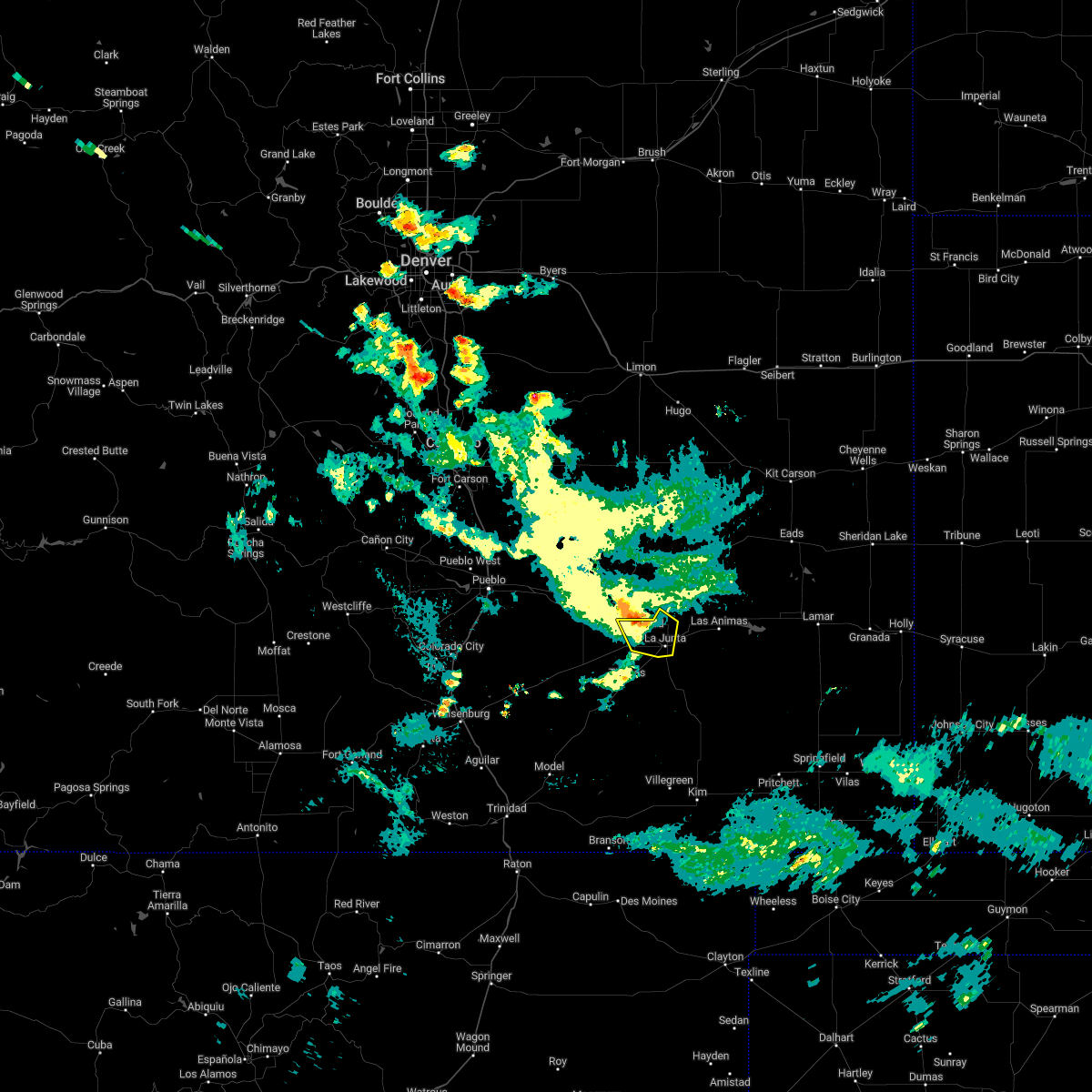 At 947 pm mdt, a severe thunderstorm was located over swink, or near la junta, moving southeast at 20 mph (radar indicated). Hazards include 60 mph wind gusts and penny size hail. Expect damage to roofs, siding, and trees. locations impacted include, la junta, north la junta, rocky ford, swink and cheraw. hail threat, radar indicated max hail size, 0. 75 in wind threat, radar indicated max wind gust, 60 mph. At 947 pm mdt, a severe thunderstorm was located over swink, or near la junta, moving southeast at 20 mph (radar indicated). Hazards include 60 mph wind gusts and penny size hail. Expect damage to roofs, siding, and trees. locations impacted include, la junta, north la junta, rocky ford, swink and cheraw. hail threat, radar indicated max hail size, 0. 75 in wind threat, radar indicated max wind gust, 60 mph.
|
| 7/26/2022 9:24 PM MDT |
 At 924 pm mdt, a severe thunderstorm was located near rocky ford, or 11 miles northwest of la junta, moving southeast at 20 mph (radar indicated). Hazards include 60 mph wind gusts and penny size hail. expect damage to roofs, siding, and trees At 924 pm mdt, a severe thunderstorm was located near rocky ford, or 11 miles northwest of la junta, moving southeast at 20 mph (radar indicated). Hazards include 60 mph wind gusts and penny size hail. expect damage to roofs, siding, and trees
|
| 7/24/2022 7:02 PM MDT |
 At 702 pm mdt, severe thunderstorms were located along a line extending from near sugar city to 8 miles northeast of higbee, moving northeast at 35 mph (radar indicated). Hazards include 60 mph wind gusts and penny size hail. Expect damage to roofs, siding, and trees. Locations impacted include, la junta, north la junta, las animas, sugar city, cheraw, hasty, john martin reservoir, blue lake, fort lyon and caddoa. At 702 pm mdt, severe thunderstorms were located along a line extending from near sugar city to 8 miles northeast of higbee, moving northeast at 35 mph (radar indicated). Hazards include 60 mph wind gusts and penny size hail. Expect damage to roofs, siding, and trees. Locations impacted include, la junta, north la junta, las animas, sugar city, cheraw, hasty, john martin reservoir, blue lake, fort lyon and caddoa.
|
| 7/24/2022 6:53 PM MDT |
 At 653 pm mdt, severe thunderstorms were located along a line extending from near sugar city to near higbee, moving northeast at 35 mph (radar indicated). Hazards include 60 mph wind gusts and penny size hail. expect damage to roofs, siding, and trees At 653 pm mdt, severe thunderstorms were located along a line extending from near sugar city to near higbee, moving northeast at 35 mph (radar indicated). Hazards include 60 mph wind gusts and penny size hail. expect damage to roofs, siding, and trees
|
| 7/20/2022 5:01 PM MDT |
 At 500 pm mdt, severe thunderstorms were located along a line extending from near cheraw to near north la junta to near la junta, moving southeast at 20 mph (radar indicated). Hazards include 60 mph wind gusts and quarter size hail. Hail damage to vehicles is expected. expect wind damage to roofs, siding, and trees. locations impacted include, la junta, north la junta, rocky ford, ordway, swink, manzanola, sugar city and cheraw. hail threat, radar indicated max hail size, 1. 00 in wind threat, radar indicated max wind gust, 60 mph. At 500 pm mdt, severe thunderstorms were located along a line extending from near cheraw to near north la junta to near la junta, moving southeast at 20 mph (radar indicated). Hazards include 60 mph wind gusts and quarter size hail. Hail damage to vehicles is expected. expect wind damage to roofs, siding, and trees. locations impacted include, la junta, north la junta, rocky ford, ordway, swink, manzanola, sugar city and cheraw. hail threat, radar indicated max hail size, 1. 00 in wind threat, radar indicated max wind gust, 60 mph.
|
| 7/20/2022 4:43 PM MDT |
 At 443 pm mdt, severe thunderstorms were located along a line extending from cheraw to near la junta to near swink, moving southeast at 30 mph (radar indicated). Hazards include 60 mph wind gusts and quarter size hail. Hail damage to vehicles is expected. expect wind damage to roofs, siding, and trees. locations impacted include, la junta, north la junta, rocky ford, ordway, swink, manzanola, sugar city, cheraw and crowley. hail threat, radar indicated max hail size, 1. 00 in wind threat, radar indicated max wind gust, 60 mph. At 443 pm mdt, severe thunderstorms were located along a line extending from cheraw to near la junta to near swink, moving southeast at 30 mph (radar indicated). Hazards include 60 mph wind gusts and quarter size hail. Hail damage to vehicles is expected. expect wind damage to roofs, siding, and trees. locations impacted include, la junta, north la junta, rocky ford, ordway, swink, manzanola, sugar city, cheraw and crowley. hail threat, radar indicated max hail size, 1. 00 in wind threat, radar indicated max wind gust, 60 mph.
|
| 7/20/2022 4:32 PM MDT |
 At 432 pm mdt, severe thunderstorms were located along a line extending from near sugar city to 6 miles north of swink to near rocky ford, moving southeast at 35 mph (radar indicated). Hazards include 60 mph wind gusts and quarter size hail. Hail damage to vehicles is expected. expect wind damage to roofs, siding, and trees. these severe storms will be near, swink and cheraw around 440 pm mdt. la junta and north la junta around 445 pm mdt. hail threat, radar indicated max hail size, 1. 00 in wind threat, radar indicated max wind gust, 60 mph. At 432 pm mdt, severe thunderstorms were located along a line extending from near sugar city to 6 miles north of swink to near rocky ford, moving southeast at 35 mph (radar indicated). Hazards include 60 mph wind gusts and quarter size hail. Hail damage to vehicles is expected. expect wind damage to roofs, siding, and trees. these severe storms will be near, swink and cheraw around 440 pm mdt. la junta and north la junta around 445 pm mdt. hail threat, radar indicated max hail size, 1. 00 in wind threat, radar indicated max wind gust, 60 mph.
|
| 7/20/2022 4:09 PM MDT |
 At 408 pm mdt, severe thunderstorms were located along a line extending from 13 miles north of ordway to near crowley to near manzanola, moving east at 35 mph (radar indicated). Hazards include 60 mph wind gusts and quarter size hail. Hail damage to vehicles is expected. expect wind damage to roofs, siding, and trees. these severe storms will be near, ordway around 415 pm mdt. rocky ford and sugar city around 425 pm mdt. swink around 435 pm mdt. la junta and cheraw around 440 pm mdt. north la junta around 445 pm mdt. hail threat, radar indicated max hail size, 1. 00 in wind threat, radar indicated max wind gust, 60 mph. At 408 pm mdt, severe thunderstorms were located along a line extending from 13 miles north of ordway to near crowley to near manzanola, moving east at 35 mph (radar indicated). Hazards include 60 mph wind gusts and quarter size hail. Hail damage to vehicles is expected. expect wind damage to roofs, siding, and trees. these severe storms will be near, ordway around 415 pm mdt. rocky ford and sugar city around 425 pm mdt. swink around 435 pm mdt. la junta and cheraw around 440 pm mdt. north la junta around 445 pm mdt. hail threat, radar indicated max hail size, 1. 00 in wind threat, radar indicated max wind gust, 60 mph.
|
| 7/20/2022 3:40 PM MDT |
 At 340 pm mdt, severe thunderstorms were located along a line extending from 18 miles southeast of truckton to 10 miles east of boone to 7 miles west of fowler, moving southeast at 30 mph (radar indicated). Hazards include 60 mph wind gusts. Expect damage to roofs, siding, and trees. severe thunderstorms will be near, fowler around 350 pm mdt. olney springs around 405 pm mdt. manzanola around 415 pm mdt. ordway and crowley around 425 pm mdt. sugar city around 430 pm mdt. rocky ford around 445 pm mdt. swink and cheraw around 455 pm mdt. la junta around 500 pm mdt. hail threat, radar indicated max hail size, <. 75 in wind threat, radar indicated max wind gust, 60 mph. At 340 pm mdt, severe thunderstorms were located along a line extending from 18 miles southeast of truckton to 10 miles east of boone to 7 miles west of fowler, moving southeast at 30 mph (radar indicated). Hazards include 60 mph wind gusts. Expect damage to roofs, siding, and trees. severe thunderstorms will be near, fowler around 350 pm mdt. olney springs around 405 pm mdt. manzanola around 415 pm mdt. ordway and crowley around 425 pm mdt. sugar city around 430 pm mdt. rocky ford around 445 pm mdt. swink and cheraw around 455 pm mdt. la junta around 500 pm mdt. hail threat, radar indicated max hail size, <. 75 in wind threat, radar indicated max wind gust, 60 mph.
|
| 7/6/2022 8:56 PM MDT |
 At 855 pm mdt, severe thunderstorms were located along a line extending from near cheraw to near higbee, moving east at 35 mph (trained weather spotters. at 839 pm, a wind gust to 76 mph was reported at the la junta airport). Hazards include 70 mph wind gusts and ping pong ball size hail. People and animals outdoors will be injured. expect hail damage to roofs, siding, windows, and vehicles. expect considerable tree damage. wind damage is also likely to mobile homes, roofs, and outbuildings. Locations impacted include, la junta, north la junta, las animas, swink, sugar city, cheraw, higbee, blue lake, arlington, john martin reservoir and fort lyon. At 855 pm mdt, severe thunderstorms were located along a line extending from near cheraw to near higbee, moving east at 35 mph (trained weather spotters. at 839 pm, a wind gust to 76 mph was reported at the la junta airport). Hazards include 70 mph wind gusts and ping pong ball size hail. People and animals outdoors will be injured. expect hail damage to roofs, siding, windows, and vehicles. expect considerable tree damage. wind damage is also likely to mobile homes, roofs, and outbuildings. Locations impacted include, la junta, north la junta, las animas, swink, sugar city, cheraw, higbee, blue lake, arlington, john martin reservoir and fort lyon.
|
| 7/6/2022 8:42 PM MDT |
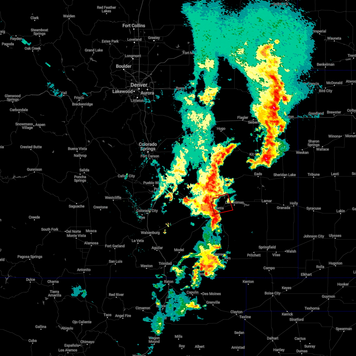 At 842 pm mdt, severe thunderstorms capable of producing both tornadoes and extensive straight line wind damage were located over cheraw, or 8 miles north of la junta, moving east at 15 mph (radar indicated rotation). Hazards include tornado and ping pong ball size hail. Flying debris will be dangerous to those caught without shelter. mobile homes will be damaged or destroyed. damage to roofs, windows, and vehicles will occur. Tree damage is likely. At 842 pm mdt, severe thunderstorms capable of producing both tornadoes and extensive straight line wind damage were located over cheraw, or 8 miles north of la junta, moving east at 15 mph (radar indicated rotation). Hazards include tornado and ping pong ball size hail. Flying debris will be dangerous to those caught without shelter. mobile homes will be damaged or destroyed. damage to roofs, windows, and vehicles will occur. Tree damage is likely.
|
| 7/6/2022 8:34 PM MDT |
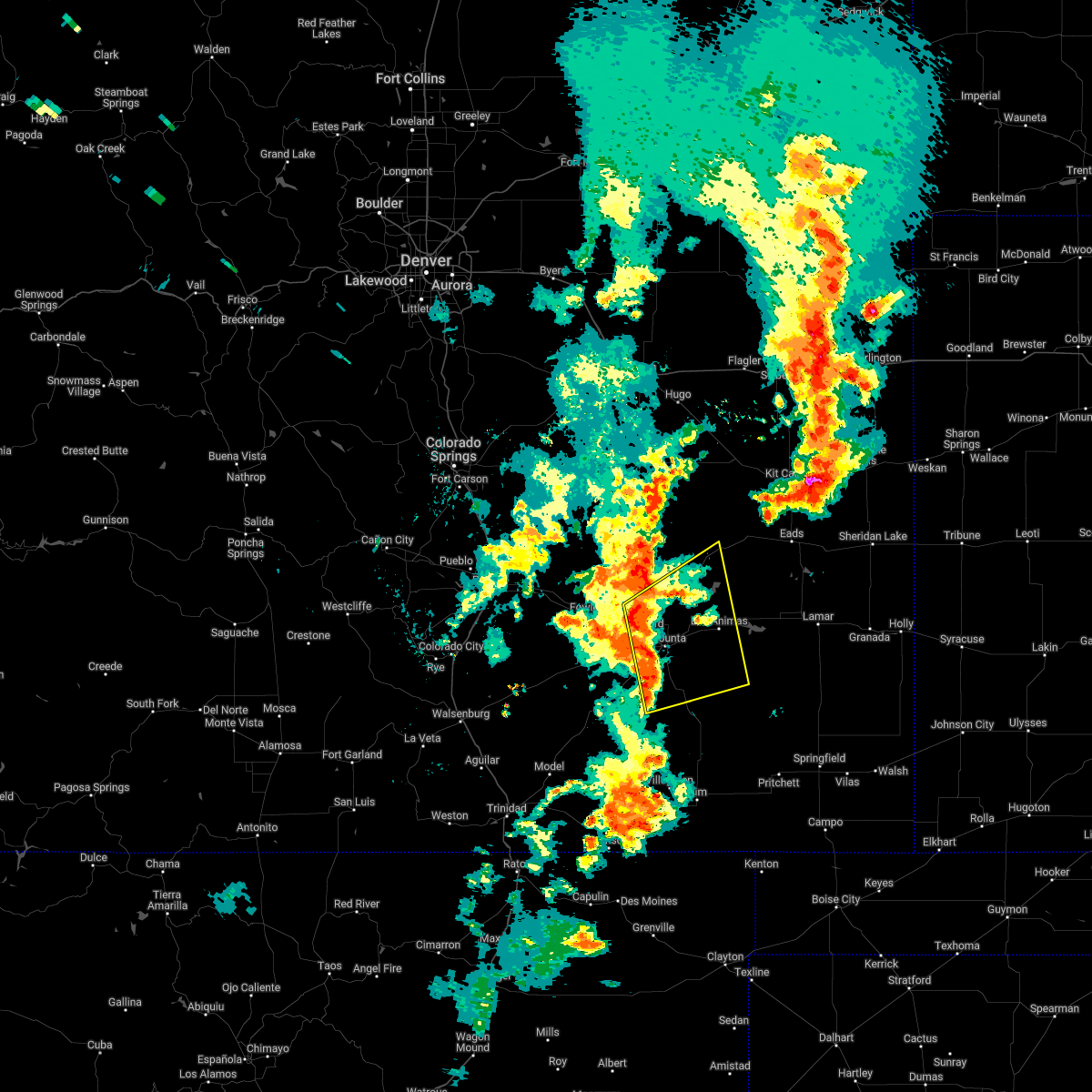 At 833 pm mdt, severe thunderstorms were located along a line extending from near rocky ford to 8 miles west of higbee, moving northeast at 30 mph (radar indicated). Hazards include ping pong ball size hail and 60 mph wind gusts. People and animals outdoors will be injured. expect hail damage to roofs, siding, windows, and vehicles. Expect wind damage to roofs, siding, and trees. At 833 pm mdt, severe thunderstorms were located along a line extending from near rocky ford to 8 miles west of higbee, moving northeast at 30 mph (radar indicated). Hazards include ping pong ball size hail and 60 mph wind gusts. People and animals outdoors will be injured. expect hail damage to roofs, siding, windows, and vehicles. Expect wind damage to roofs, siding, and trees.
|
| 6/30/2022 5:17 PM MDT |
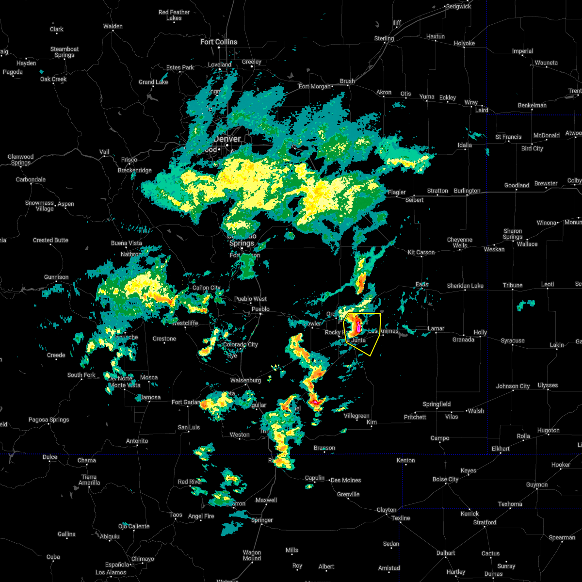 At 515 pm mdt, a severe thunderstorm was located over cheraw, or 8 miles north of north la junta, moving east at 25 mph (la junta automated weather sensor measured a 62 mph wind gust at 512 pm). Hazards include 60 mph wind gusts and quarter size hail. Hail damage to vehicles is expected. expect wind damage to roofs, siding, and trees. locations impacted include, la junta, north la junta, swink, cheraw and blue lake. hail threat, radar indicated max hail size, 1. 00 in wind threat, radar indicated max wind gust, 60 mph. At 515 pm mdt, a severe thunderstorm was located over cheraw, or 8 miles north of north la junta, moving east at 25 mph (la junta automated weather sensor measured a 62 mph wind gust at 512 pm). Hazards include 60 mph wind gusts and quarter size hail. Hail damage to vehicles is expected. expect wind damage to roofs, siding, and trees. locations impacted include, la junta, north la junta, swink, cheraw and blue lake. hail threat, radar indicated max hail size, 1. 00 in wind threat, radar indicated max wind gust, 60 mph.
|
| 6/30/2022 5:07 PM MDT |
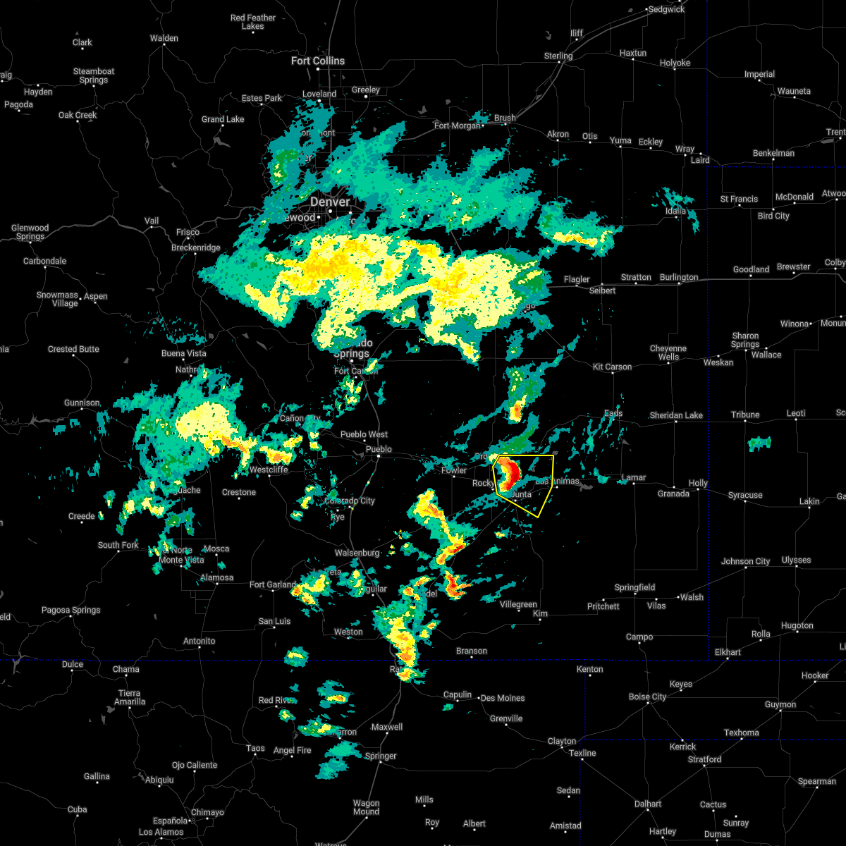 At 506 pm mdt, a severe thunderstorm was located over cheraw, or 7 miles north of la junta, moving east at 25 mph (radar indicated). Hazards include 60 mph wind gusts and quarter size hail. copious amounts of hail could accumulate on roadways creating slippery conditions. Hail damage to vehicles is expected. expect wind damage to roofs, siding, and trees. locations impacted include, la junta, north la junta, swink, sugar city, cheraw and blue lake. hail threat, radar indicated max hail size, 1. 00 in wind threat, radar indicated max wind gust, 60 mph. At 506 pm mdt, a severe thunderstorm was located over cheraw, or 7 miles north of la junta, moving east at 25 mph (radar indicated). Hazards include 60 mph wind gusts and quarter size hail. copious amounts of hail could accumulate on roadways creating slippery conditions. Hail damage to vehicles is expected. expect wind damage to roofs, siding, and trees. locations impacted include, la junta, north la junta, swink, sugar city, cheraw and blue lake. hail threat, radar indicated max hail size, 1. 00 in wind threat, radar indicated max wind gust, 60 mph.
|
| 6/30/2022 4:58 PM MDT |
 At 457 pm mdt, a severe thunderstorm was located near cheraw, or 9 miles northwest of la junta, moving east at 25 mph (radar indicated). Hazards include 60 mph wind gusts and penny size hail. Expect damage to roofs, siding, and trees. locations impacted include, la junta, north la junta, rocky ford, ordway, swink, sugar city, cheraw and blue lake. hail threat, radar indicated max hail size, 0. 75 in wind threat, radar indicated max wind gust, 60 mph. At 457 pm mdt, a severe thunderstorm was located near cheraw, or 9 miles northwest of la junta, moving east at 25 mph (radar indicated). Hazards include 60 mph wind gusts and penny size hail. Expect damage to roofs, siding, and trees. locations impacted include, la junta, north la junta, rocky ford, ordway, swink, sugar city, cheraw and blue lake. hail threat, radar indicated max hail size, 0. 75 in wind threat, radar indicated max wind gust, 60 mph.
|
| 6/30/2022 4:40 PM MDT |
 At 436 pm mdt, a severe thunderstorm was located near ordway, or 15 miles northwest of la junta, moving east at 25 mph (radar indicated). Hazards include 60 mph wind gusts and penny size hail. expect damage to roofs, siding, and trees At 436 pm mdt, a severe thunderstorm was located near ordway, or 15 miles northwest of la junta, moving east at 25 mph (radar indicated). Hazards include 60 mph wind gusts and penny size hail. expect damage to roofs, siding, and trees
|
| 6/12/2022 4:06 PM MDT |
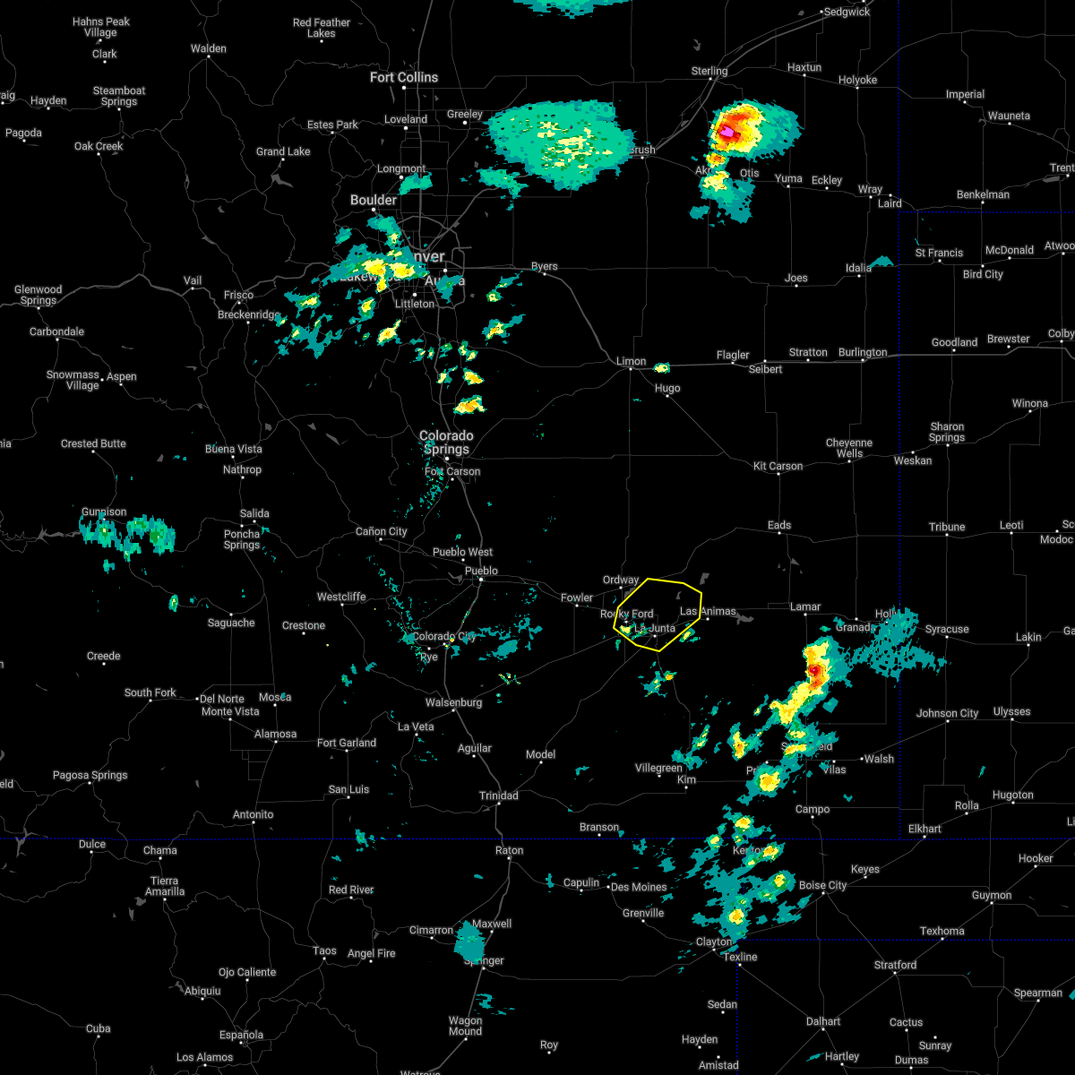 At 406 pm mdt, a severe thunderstorm was located over north la junta, moving northeast at 30 mph (radar indicated). Hazards include 60 mph wind gusts. expect damage to roofs, siding, and trees At 406 pm mdt, a severe thunderstorm was located over north la junta, moving northeast at 30 mph (radar indicated). Hazards include 60 mph wind gusts. expect damage to roofs, siding, and trees
|
| 6/7/2022 4:30 PM MDT |
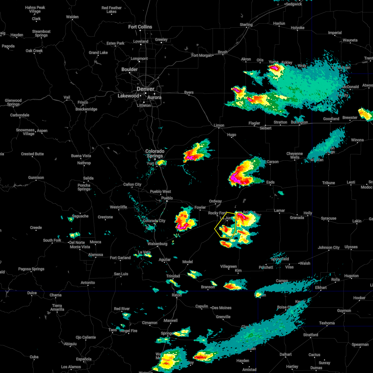 At 429 pm mdt, a severe thunderstorm was located near la junta, moving northeast at 30 mph. an additional severe thunderstorm could enter otero county after 5pm mdt (radar indicated). Hazards include 60 mph wind gusts and half dollar size hail. Hail damage to vehicles is expected. expect wind damage to roofs, siding, and trees. locations impacted include, la junta and north la junta. hail threat, radar indicated max hail size, 1. 25 in wind threat, radar indicated max wind gust, 60 mph. At 429 pm mdt, a severe thunderstorm was located near la junta, moving northeast at 30 mph. an additional severe thunderstorm could enter otero county after 5pm mdt (radar indicated). Hazards include 60 mph wind gusts and half dollar size hail. Hail damage to vehicles is expected. expect wind damage to roofs, siding, and trees. locations impacted include, la junta and north la junta. hail threat, radar indicated max hail size, 1. 25 in wind threat, radar indicated max wind gust, 60 mph.
|
| 6/7/2022 3:48 PM MDT |
 At 348 pm mdt, a severe thunderstorm was located 9 miles northeast of delhi, or 26 miles southwest of la junta, moving northeast at 35 mph (radar indicated). Hazards include 60 mph wind gusts and half dollar size hail. Hail damage to vehicles is expected. expect wind damage to roofs, siding, and trees. this severe thunderstorm will be near, timpas around 405 pm mdt. other locations in the path of this severe thunderstorm include la junta and north la junta. hail threat, radar indicated max hail size, 1. 25 in wind threat, radar indicated max wind gust, 60 mph. At 348 pm mdt, a severe thunderstorm was located 9 miles northeast of delhi, or 26 miles southwest of la junta, moving northeast at 35 mph (radar indicated). Hazards include 60 mph wind gusts and half dollar size hail. Hail damage to vehicles is expected. expect wind damage to roofs, siding, and trees. this severe thunderstorm will be near, timpas around 405 pm mdt. other locations in the path of this severe thunderstorm include la junta and north la junta. hail threat, radar indicated max hail size, 1. 25 in wind threat, radar indicated max wind gust, 60 mph.
|
| 6/6/2022 4:49 PM MDT |
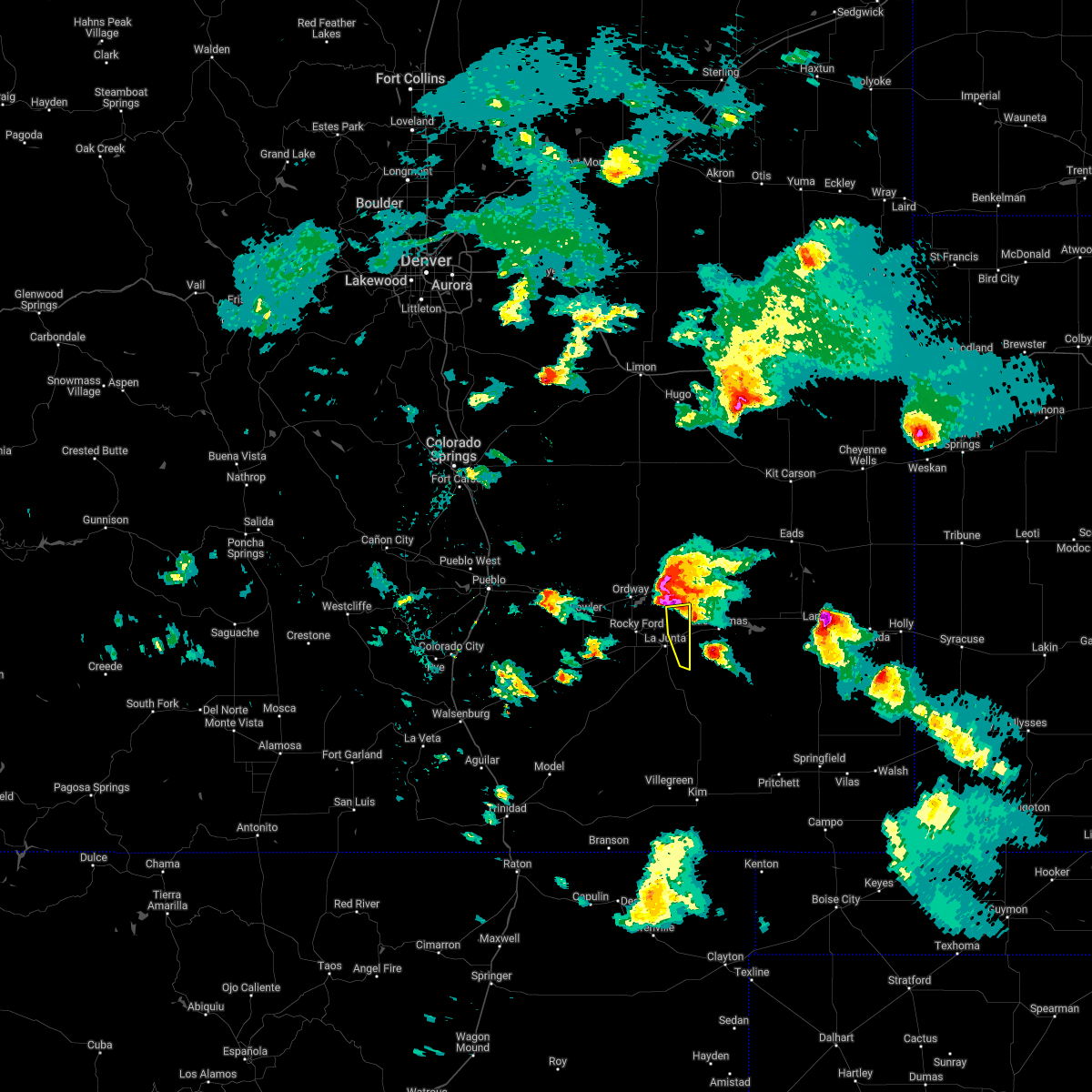 At 449 pm mdt, a severe thunderstorm was located 7 miles south of las animas, or 13 miles east of north la junta, moving east at 25 mph (radar indicated). Hazards include 60 mph wind gusts and quarter size hail. Hail damage to vehicles is expected. expect wind damage to roofs, siding, and trees. locations impacted include, cheraw. hail threat, radar indicated max hail size, 1. 00 in wind threat, radar indicated max wind gust, 60 mph. At 449 pm mdt, a severe thunderstorm was located 7 miles south of las animas, or 13 miles east of north la junta, moving east at 25 mph (radar indicated). Hazards include 60 mph wind gusts and quarter size hail. Hail damage to vehicles is expected. expect wind damage to roofs, siding, and trees. locations impacted include, cheraw. hail threat, radar indicated max hail size, 1. 00 in wind threat, radar indicated max wind gust, 60 mph.
|
| 6/6/2022 4:30 PM MDT |
 At 429 pm mdt, severe thunderstorms were developing along a line extending from 6 miles north of sugar city to 10 miles southwest of arlington to 8 miles southeast of north la junta. another severe thunderstorm will enter the warning area from crowley county after 445 pm mdt, tracking southeastward north of the la junta area. movement of this activity is east at 25 mph (radar indicated). Hazards include two inch hail and 70 mph wind gusts. People and animals outdoors will be injured. expect hail damage to roofs, siding, windows, and vehicles. expect considerable tree damage. Wind damage is also likely to mobile homes, roofs, and outbuildings. At 429 pm mdt, severe thunderstorms were developing along a line extending from 6 miles north of sugar city to 10 miles southwest of arlington to 8 miles southeast of north la junta. another severe thunderstorm will enter the warning area from crowley county after 445 pm mdt, tracking southeastward north of the la junta area. movement of this activity is east at 25 mph (radar indicated). Hazards include two inch hail and 70 mph wind gusts. People and animals outdoors will be injured. expect hail damage to roofs, siding, windows, and vehicles. expect considerable tree damage. Wind damage is also likely to mobile homes, roofs, and outbuildings.
|
| 6/6/2022 4:10 PM MDT |
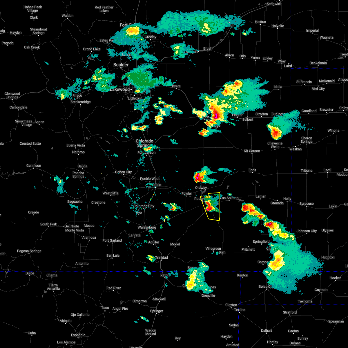 At 408 pm mdt, a severe thunderstorm was located over la junta, moving east at 25 mph. another severe thunderstorm is expected to enter the warning area from crowley county after 430pm mdt (radar indicated). Hazards include 60 mph wind gusts and quarter size hail. Hail damage to vehicles is expected. expect wind damage to roofs, siding, and trees. locations impacted include, la junta, north la junta, rocky ford, swink, cheraw and higbee. hail threat, radar indicated max hail size, 1. 00 in wind threat, radar indicated max wind gust, 60 mph. At 408 pm mdt, a severe thunderstorm was located over la junta, moving east at 25 mph. another severe thunderstorm is expected to enter the warning area from crowley county after 430pm mdt (radar indicated). Hazards include 60 mph wind gusts and quarter size hail. Hail damage to vehicles is expected. expect wind damage to roofs, siding, and trees. locations impacted include, la junta, north la junta, rocky ford, swink, cheraw and higbee. hail threat, radar indicated max hail size, 1. 00 in wind threat, radar indicated max wind gust, 60 mph.
|
| 6/6/2022 3:33 PM MDT |
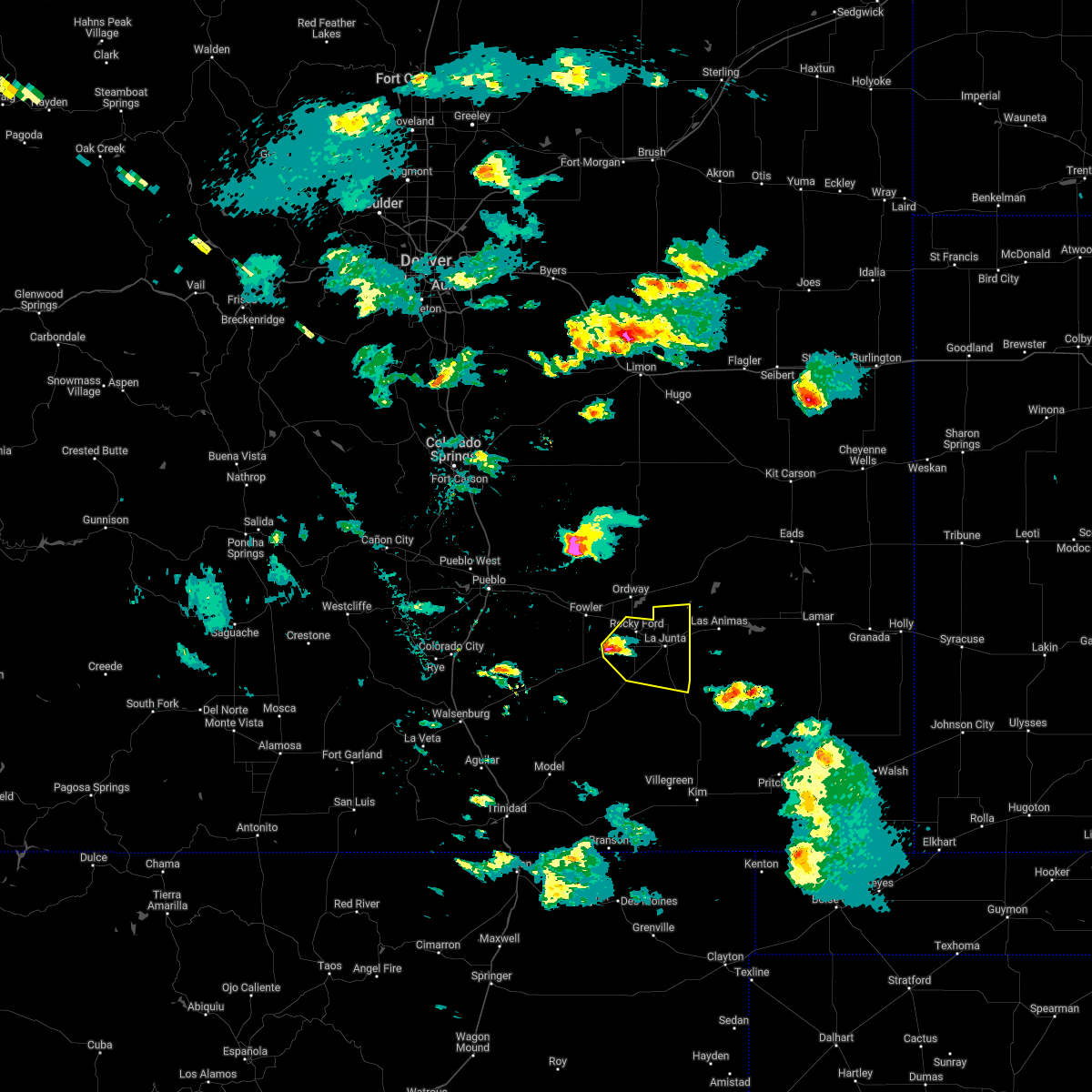 At 333 pm mdt, a rapidly developing severe thunderstorm was located 9 miles southwest of rocky ford, or 16 miles west of la junta, moving east at 25 mph (radar indicated). Hazards include ping pong ball size hail and 60 mph wind gusts. People and animals outdoors will be injured. expect hail damage to roofs, siding, windows, and vehicles. Expect wind damage to roofs, siding, and trees. At 333 pm mdt, a rapidly developing severe thunderstorm was located 9 miles southwest of rocky ford, or 16 miles west of la junta, moving east at 25 mph (radar indicated). Hazards include ping pong ball size hail and 60 mph wind gusts. People and animals outdoors will be injured. expect hail damage to roofs, siding, windows, and vehicles. Expect wind damage to roofs, siding, and trees.
|
| 6/3/2022 4:25 PM MDT |
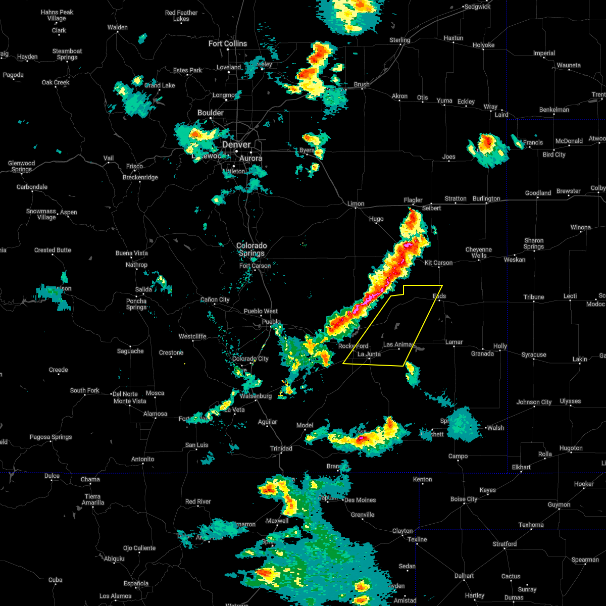 At 425 pm mdt, severe thunderstorms were located along a line extending from 8 miles southeast of wild horse point to near crowley, moving east at 35 mph (radar indicated). Hazards include two inch hail and 70 mph wind gusts. People and animals outdoors will be injured. expect hail damage to roofs, siding, windows, and vehicles. expect considerable tree damage. Wind damage is also likely to mobile homes, roofs, and outbuildings. At 425 pm mdt, severe thunderstorms were located along a line extending from 8 miles southeast of wild horse point to near crowley, moving east at 35 mph (radar indicated). Hazards include two inch hail and 70 mph wind gusts. People and animals outdoors will be injured. expect hail damage to roofs, siding, windows, and vehicles. expect considerable tree damage. Wind damage is also likely to mobile homes, roofs, and outbuildings.
|
| 4/27/2022 1:46 PM MDT |
 At 144 pm mdt, the leading edge of strong winds from dissipating showers were located along a line extending from 12 miles southwest of wild horse point to 8 miles southeast of higbee, moving northeast at 25 mph (radar indicated). Hazards include 60 mph wind gusts. Expect damage to roofs, siding, and trees. locations impacted include, la junta, north la junta, rocky ford, ordway, swink, sugar city, cheraw and higbee. hail threat, radar indicated max hail size, <. 75 in wind threat, observed max wind gust, 60 mph. At 144 pm mdt, the leading edge of strong winds from dissipating showers were located along a line extending from 12 miles southwest of wild horse point to 8 miles southeast of higbee, moving northeast at 25 mph (radar indicated). Hazards include 60 mph wind gusts. Expect damage to roofs, siding, and trees. locations impacted include, la junta, north la junta, rocky ford, ordway, swink, sugar city, cheraw and higbee. hail threat, radar indicated max hail size, <. 75 in wind threat, observed max wind gust, 60 mph.
|
| 4/27/2022 1:27 PM MDT |
 At 124 pm mdt, the leading edge of an area of strong winds from dissipating showers was located along a line extending from 18 miles northeast of boone to near higbee, moving east at 40 mph (radar indicated. earlier automated weather sensor at pueblo indicated a wind gust of 64 mph). Hazards include 60 mph wind gusts. Expect damage to roofs, siding, and trees. locations impacted include, la junta, north la junta, rocky ford, fowler, ordway, swink, manzanola, olney springs, sugar city, cheraw, crowley, higbee and timpas. hail threat, radar indicated max hail size, <. 75 in wind threat, observed max wind gust, 60 mph. At 124 pm mdt, the leading edge of an area of strong winds from dissipating showers was located along a line extending from 18 miles northeast of boone to near higbee, moving east at 40 mph (radar indicated. earlier automated weather sensor at pueblo indicated a wind gust of 64 mph). Hazards include 60 mph wind gusts. Expect damage to roofs, siding, and trees. locations impacted include, la junta, north la junta, rocky ford, fowler, ordway, swink, manzanola, olney springs, sugar city, cheraw, crowley, higbee and timpas. hail threat, radar indicated max hail size, <. 75 in wind threat, observed max wind gust, 60 mph.
|
| 4/27/2022 1:05 PM MDT |
 At 103 pm mdt, very strong winds from dissipating showers were spreading across the warning area, moving northeast at 20 mph (automated weather observation at pueblo reporting winds gusting over 60 mph). Hazards include 60 mph wind gusts. Expect damage to roofs, siding, and trees. severe thunderstorms will be near, pueblo depot around 110 pm mdt. other locations in the path of these severe thunderstorms include higbee. hail threat, radar indicated max hail size, <. 75 in wind threat, observed max wind gust, 60 mph. At 103 pm mdt, very strong winds from dissipating showers were spreading across the warning area, moving northeast at 20 mph (automated weather observation at pueblo reporting winds gusting over 60 mph). Hazards include 60 mph wind gusts. Expect damage to roofs, siding, and trees. severe thunderstorms will be near, pueblo depot around 110 pm mdt. other locations in the path of these severe thunderstorms include higbee. hail threat, radar indicated max hail size, <. 75 in wind threat, observed max wind gust, 60 mph.
|
| 9/14/2021 6:50 PM MDT |
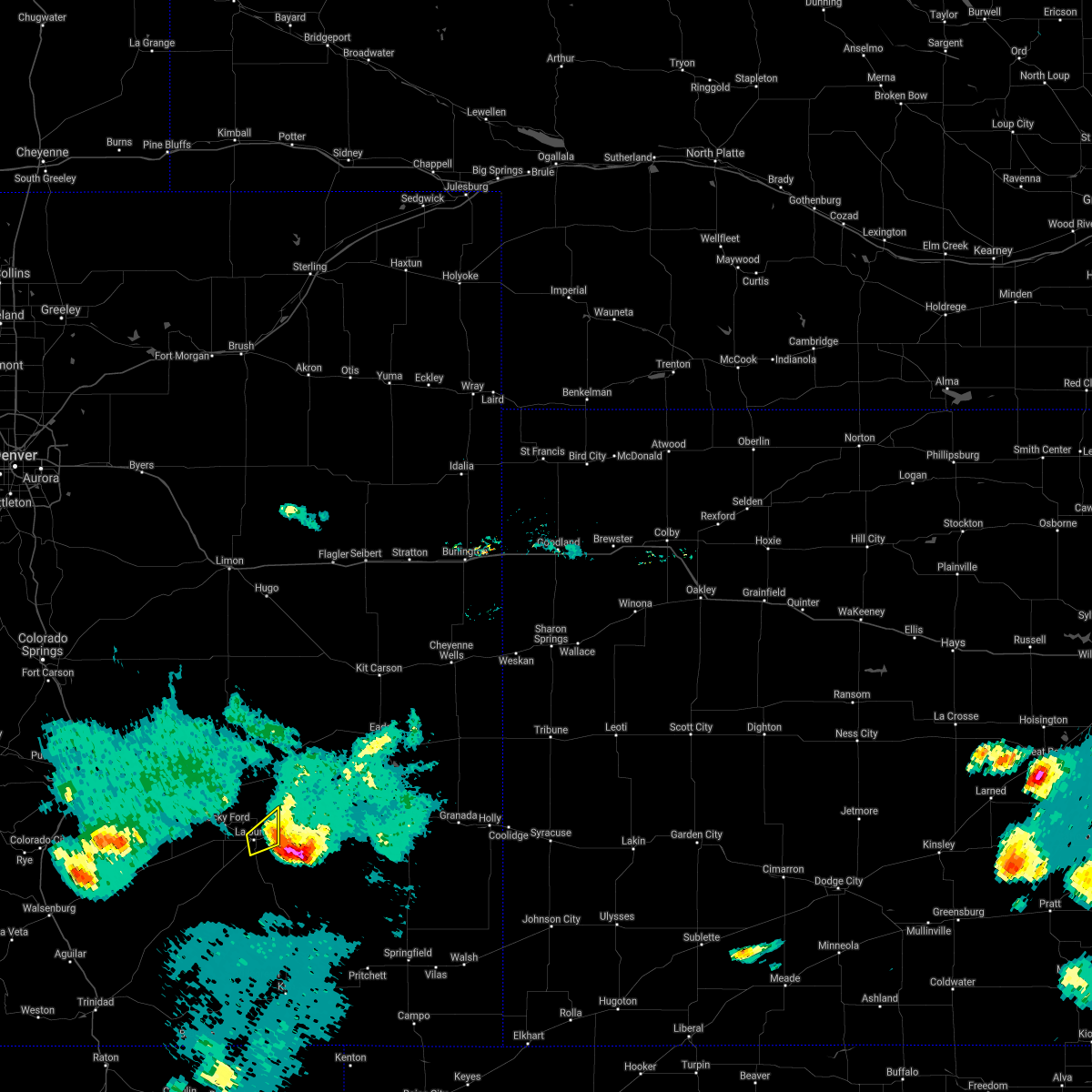 The severe thunderstorm warning for east central otero county will expire at 700 pm mdt, the storm which prompted the warning has moved out of the area. therefore, the warning will be allowed to expire. a severe thunderstorm watch remains in effect until 900 pm mdt for southeastern colorado. The severe thunderstorm warning for east central otero county will expire at 700 pm mdt, the storm which prompted the warning has moved out of the area. therefore, the warning will be allowed to expire. a severe thunderstorm watch remains in effect until 900 pm mdt for southeastern colorado.
|
| 9/14/2021 6:41 PM MDT |
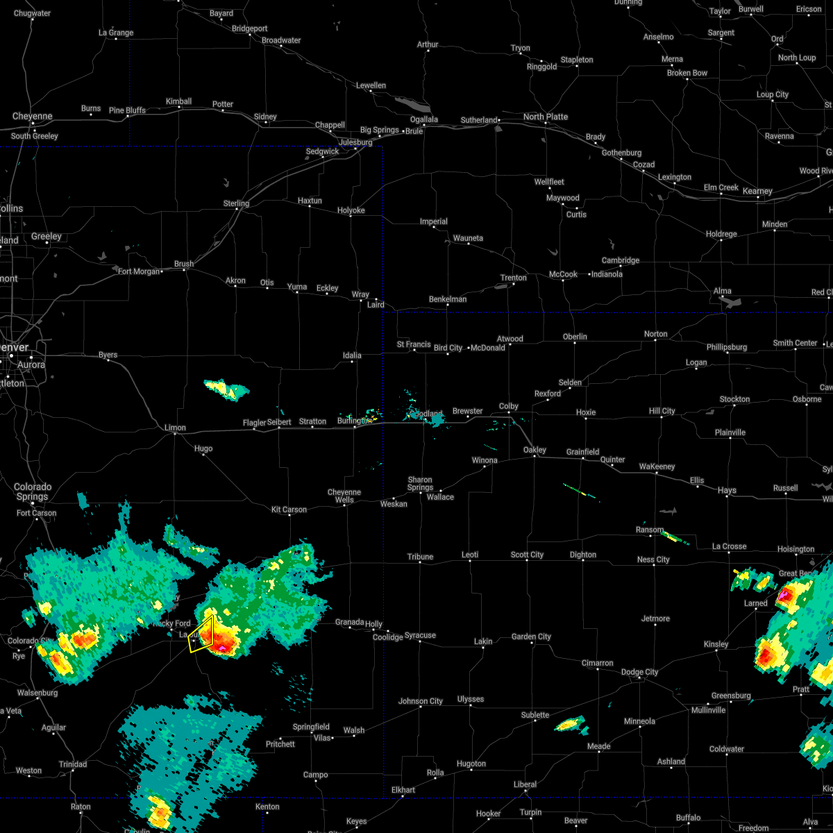 At 641 pm mdt, a severe thunderstorm was located near north la junta, moving southeast at 10 mph (radar indicated). Hazards include 60 mph wind gusts and quarter size hail. Hail damage to vehicles is expected. expect wind damage to roofs, siding, and trees. locations impacted include, la junta and north la junta. hail threat, radar indicated max hail size, 1. 00 in wind threat, radar indicated max wind gust, 60 mph. At 641 pm mdt, a severe thunderstorm was located near north la junta, moving southeast at 10 mph (radar indicated). Hazards include 60 mph wind gusts and quarter size hail. Hail damage to vehicles is expected. expect wind damage to roofs, siding, and trees. locations impacted include, la junta and north la junta. hail threat, radar indicated max hail size, 1. 00 in wind threat, radar indicated max wind gust, 60 mph.
|
| 9/14/2021 6:40 PM MDT |
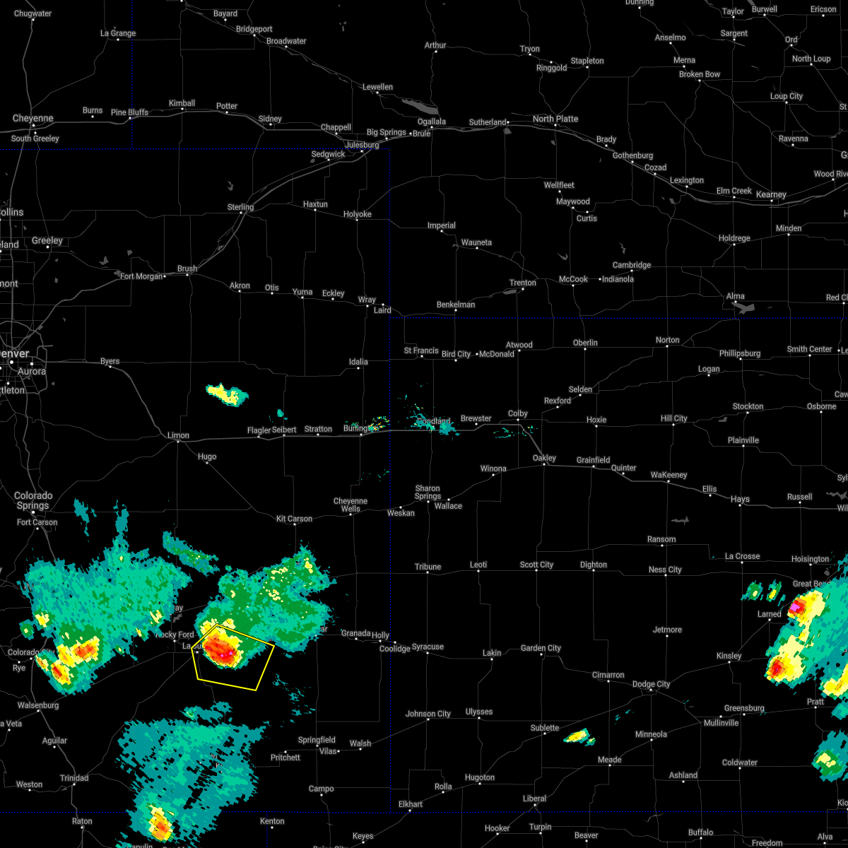 At 640 pm mdt, a severe thunderstorm was located near las animas, or 15 miles east of north la junta, moving southeast at 35 mph (radar indicated). Hazards include 60 mph wind gusts and quarter size hail. Hail damage to vehicles is expected. expect wind damage to roofs, siding, and trees. locations impacted include, john martin reservoir. hail threat, radar indicated max hail size, 1. 00 in wind threat, radar indicated max wind gust, 60 mph. At 640 pm mdt, a severe thunderstorm was located near las animas, or 15 miles east of north la junta, moving southeast at 35 mph (radar indicated). Hazards include 60 mph wind gusts and quarter size hail. Hail damage to vehicles is expected. expect wind damage to roofs, siding, and trees. locations impacted include, john martin reservoir. hail threat, radar indicated max hail size, 1. 00 in wind threat, radar indicated max wind gust, 60 mph.
|
| 9/14/2021 6:20 PM MDT |
 At 620 pm mdt, a severe thunderstorm was located near cheraw, or near north la junta, moving southeast at 20 mph (la junta automated weather sensor measured 70 mph winds). Hazards include 70 mph wind gusts and quarter size hail. Hail damage to vehicles is expected. expect considerable tree damage. wind damage is also likely to mobile homes, roofs, and outbuildings. locations impacted include, la junta, north la junta, rocky ford, swink and cheraw. thunderstorm damage threat, considerable hail threat, radar indicated max hail size, 1. 00 in wind threat, radar indicated max wind gust, 70 mph. At 620 pm mdt, a severe thunderstorm was located near cheraw, or near north la junta, moving southeast at 20 mph (la junta automated weather sensor measured 70 mph winds). Hazards include 70 mph wind gusts and quarter size hail. Hail damage to vehicles is expected. expect considerable tree damage. wind damage is also likely to mobile homes, roofs, and outbuildings. locations impacted include, la junta, north la junta, rocky ford, swink and cheraw. thunderstorm damage threat, considerable hail threat, radar indicated max hail size, 1. 00 in wind threat, radar indicated max wind gust, 70 mph.
|
| 9/14/2021 6:20 PM MDT |
 At 618 pm mdt, severe thunderstorms were located along a line extending from near north la junta to near blue lake, moving east at 30 mph (la junta automated weather sensor measured 70 mph winds). Hazards include 70 mph wind gusts and quarter size hail. Hail damage to vehicles is expected. expect considerable tree damage. wind damage is also likely to mobile homes, roofs, and outbuildings. severe thunderstorms will be near, blue lake around 625 pm mdt. other locations in the path of these severe thunderstorms include hasty. thunderstorm damage threat, considerable hail threat, radar indicated max hail size, 1. 00 in wind threat, radar indicated max wind gust, 70 mph. At 618 pm mdt, severe thunderstorms were located along a line extending from near north la junta to near blue lake, moving east at 30 mph (la junta automated weather sensor measured 70 mph winds). Hazards include 70 mph wind gusts and quarter size hail. Hail damage to vehicles is expected. expect considerable tree damage. wind damage is also likely to mobile homes, roofs, and outbuildings. severe thunderstorms will be near, blue lake around 625 pm mdt. other locations in the path of these severe thunderstorms include hasty. thunderstorm damage threat, considerable hail threat, radar indicated max hail size, 1. 00 in wind threat, radar indicated max wind gust, 70 mph.
|
| 9/14/2021 6:03 PM MDT |
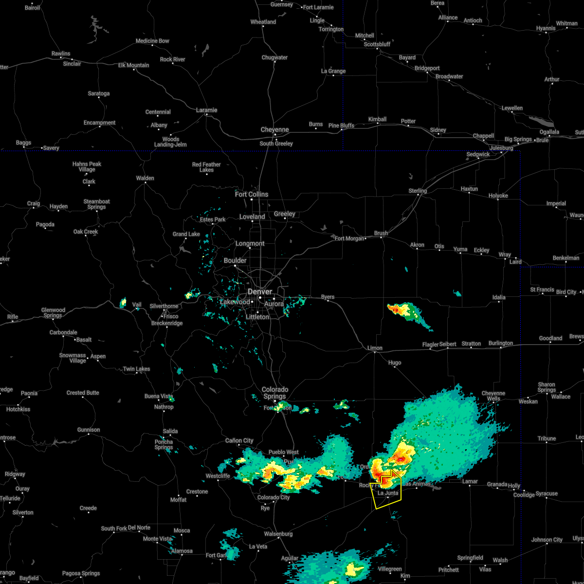 At 603 pm mdt, a severe thunderstorm was located near cheraw, or 9 miles north of la junta, moving southeast at 30 mph (public reported wind damage in the ordway area). Hazards include 60 mph wind gusts and quarter size hail. Hail damage to vehicles is expected. expect wind damage to roofs, siding, and trees. locations impacted include, la junta, north la junta, rocky ford, swink and cheraw. hail threat, radar indicated max hail size, 1. 00 in wind threat, radar indicated max wind gust, 60 mph. At 603 pm mdt, a severe thunderstorm was located near cheraw, or 9 miles north of la junta, moving southeast at 30 mph (public reported wind damage in the ordway area). Hazards include 60 mph wind gusts and quarter size hail. Hail damage to vehicles is expected. expect wind damage to roofs, siding, and trees. locations impacted include, la junta, north la junta, rocky ford, swink and cheraw. hail threat, radar indicated max hail size, 1. 00 in wind threat, radar indicated max wind gust, 60 mph.
|
| 9/14/2021 5:45 PM MDT |
 At 544 pm mdt, a severe thunderstorm was located over sugar city, or 18 miles northwest of la junta, moving southeast at 20 mph (radar indicated). Hazards include two inch hail and 60 mph wind gusts. People and animals outdoors will be injured. expect hail damage to roofs, siding, windows, and vehicles. Expect wind damage to roofs, siding, and trees. At 544 pm mdt, a severe thunderstorm was located over sugar city, or 18 miles northwest of la junta, moving southeast at 20 mph (radar indicated). Hazards include two inch hail and 60 mph wind gusts. People and animals outdoors will be injured. expect hail damage to roofs, siding, windows, and vehicles. Expect wind damage to roofs, siding, and trees.
|
| 7/15/2021 5:05 PM MDT |
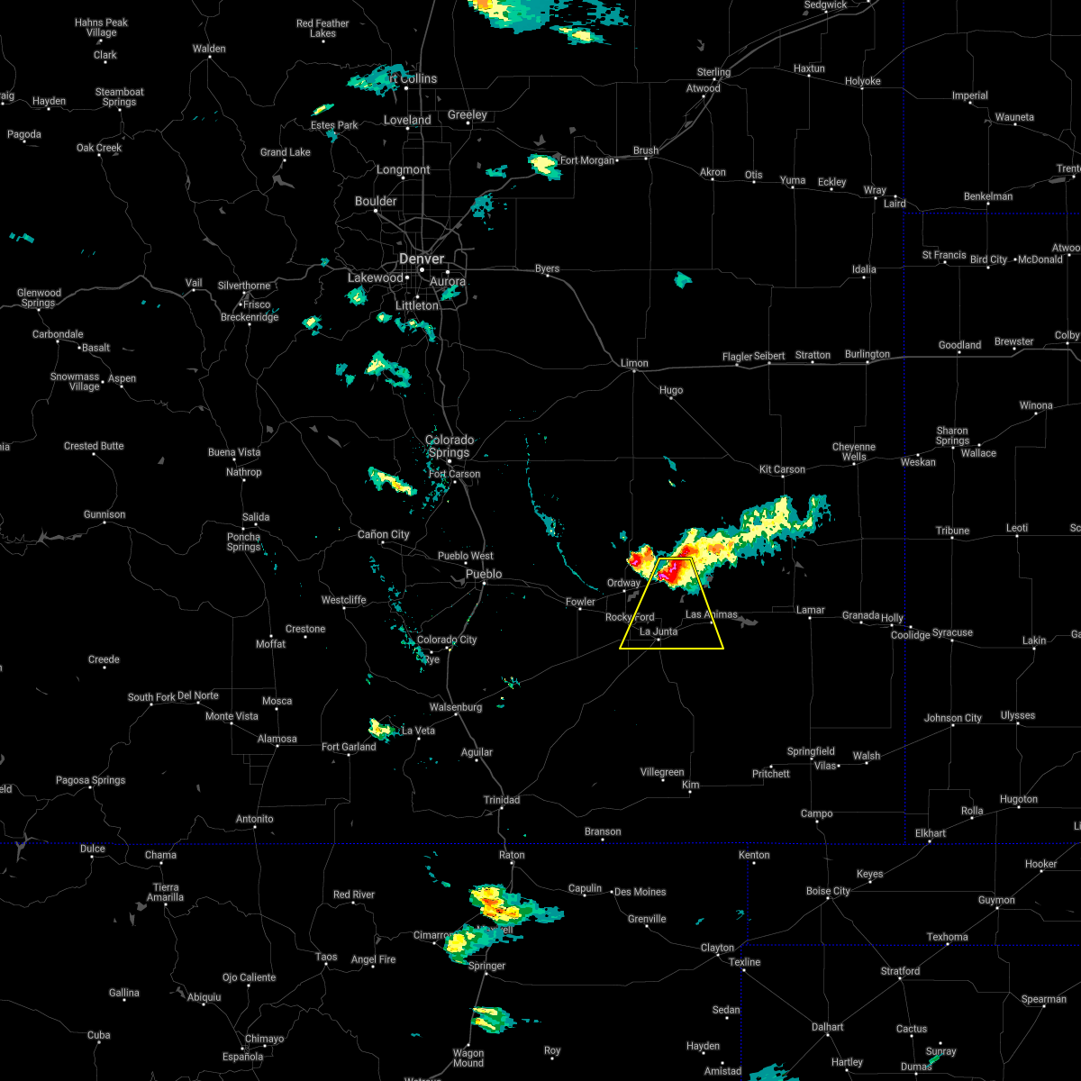 At 504 pm mdt, a severe thunderstorm was located 9 miles southwest of arlington, or 19 miles north of la junta, moving south at 15 mph (radar indicated). Hazards include 60 mph wind gusts and quarter size hail. Hail damage to vehicles is expected. expect wind damage to roofs, siding, and trees. Locations impacted include, la junta, north la junta, rocky ford, las animas, swink and cheraw. At 504 pm mdt, a severe thunderstorm was located 9 miles southwest of arlington, or 19 miles north of la junta, moving south at 15 mph (radar indicated). Hazards include 60 mph wind gusts and quarter size hail. Hail damage to vehicles is expected. expect wind damage to roofs, siding, and trees. Locations impacted include, la junta, north la junta, rocky ford, las animas, swink and cheraw.
|
| 7/15/2021 4:11 PM MDT |
 At 411 pm mdt, a severe thunderstorm was located 10 miles south of wild horse point, or 29 miles north of la junta, moving south at 35 mph (radar indicated). Hazards include two inch hail and 70 mph wind gusts. People and animals outdoors will be injured. expect hail damage to roofs, siding, windows, and vehicles. expect considerable tree damage. Wind damage is also likely to mobile homes, roofs, and outbuildings. At 411 pm mdt, a severe thunderstorm was located 10 miles south of wild horse point, or 29 miles north of la junta, moving south at 35 mph (radar indicated). Hazards include two inch hail and 70 mph wind gusts. People and animals outdoors will be injured. expect hail damage to roofs, siding, windows, and vehicles. expect considerable tree damage. Wind damage is also likely to mobile homes, roofs, and outbuildings.
|
| 6/19/2021 5:56 PM MDT |
 The severe thunderstorm warning for central otero county will expire at 600 pm mdt, the storms which prompted the warning have weakened below severe limits, and no longer pose an immediate threat to life or property. therefore, the warning will be allowed to expire. however small hail and gusty winds are still possible with these thunderstorms. a severe thunderstorm watch remains in effect until 900 pm mdt for southeastern colorado. The severe thunderstorm warning for central otero county will expire at 600 pm mdt, the storms which prompted the warning have weakened below severe limits, and no longer pose an immediate threat to life or property. therefore, the warning will be allowed to expire. however small hail and gusty winds are still possible with these thunderstorms. a severe thunderstorm watch remains in effect until 900 pm mdt for southeastern colorado.
|
| 6/19/2021 5:24 PM MDT |
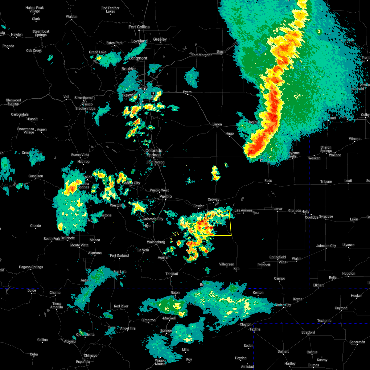 At 524 pm mdt, severe thunderstorms were located along a line extending from 8 miles southwest of rocky ford to near timpas, moving east at 15 mph (radar indicated). Hazards include 60 mph wind gusts and quarter size hail. Hail damage to vehicles is expected. expect wind damage to roofs, siding, and trees. Locations impacted include, la junta, north la junta, swink, higbee and timpas. At 524 pm mdt, severe thunderstorms were located along a line extending from 8 miles southwest of rocky ford to near timpas, moving east at 15 mph (radar indicated). Hazards include 60 mph wind gusts and quarter size hail. Hail damage to vehicles is expected. expect wind damage to roofs, siding, and trees. Locations impacted include, la junta, north la junta, swink, higbee and timpas.
|
| 6/19/2021 4:51 PM MDT |
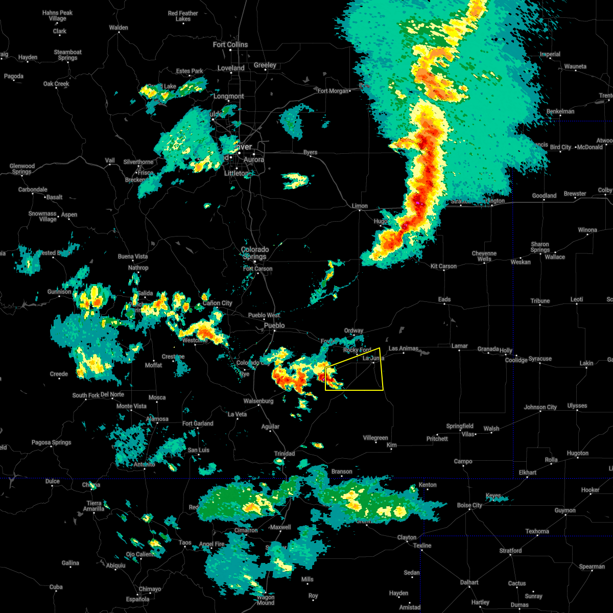 At 450 pm mdt, a severe thunderstorm was located 15 miles west of timpas, or 29 miles west of la junta, moving northeast at 15 mph (radar indicated). Hazards include 60 mph wind gusts and quarter size hail. Hail damage to vehicles is expected. Expect wind damage to roofs, siding, and trees. At 450 pm mdt, a severe thunderstorm was located 15 miles west of timpas, or 29 miles west of la junta, moving northeast at 15 mph (radar indicated). Hazards include 60 mph wind gusts and quarter size hail. Hail damage to vehicles is expected. Expect wind damage to roofs, siding, and trees.
|
| 5/29/2021 10:46 PM MDT |
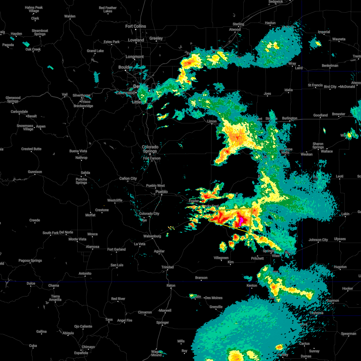 At 1045 pm mdt, a severe thunderstorm was located over north la junta, moving east at 25 mph. other severe storms were noted 10 to 15 miles south of las animas, and they were also moving east at 25 mph (radar indicated). Hazards include 60 mph wind gusts and half dollar size hail. Hail damage to vehicles is expected. expect wind damage to roofs, siding, and trees. locations impacted include, la junta, north la junta and john martin reservoir. Torrential rainfall was occurring with these storms. At 1045 pm mdt, a severe thunderstorm was located over north la junta, moving east at 25 mph. other severe storms were noted 10 to 15 miles south of las animas, and they were also moving east at 25 mph (radar indicated). Hazards include 60 mph wind gusts and half dollar size hail. Hail damage to vehicles is expected. expect wind damage to roofs, siding, and trees. locations impacted include, la junta, north la junta and john martin reservoir. Torrential rainfall was occurring with these storms.
|
| 5/29/2021 10:28 PM MDT |
 At 1025 pm mdt, a severe thunderstorm was located over la junta, moving east at 30 mph. other strong to severe thunderstorms were noted along and south of highway 50 in otero and bent counties (radar indicated). Hazards include 60 mph wind gusts and half dollar size hail. Hail damage to vehicles is expected. expect wind damage to roofs, siding, and trees. Very intense rainfall was occuring with these storms. At 1025 pm mdt, a severe thunderstorm was located over la junta, moving east at 30 mph. other strong to severe thunderstorms were noted along and south of highway 50 in otero and bent counties (radar indicated). Hazards include 60 mph wind gusts and half dollar size hail. Hail damage to vehicles is expected. expect wind damage to roofs, siding, and trees. Very intense rainfall was occuring with these storms.
|
| 5/29/2021 10:12 PM MDT |
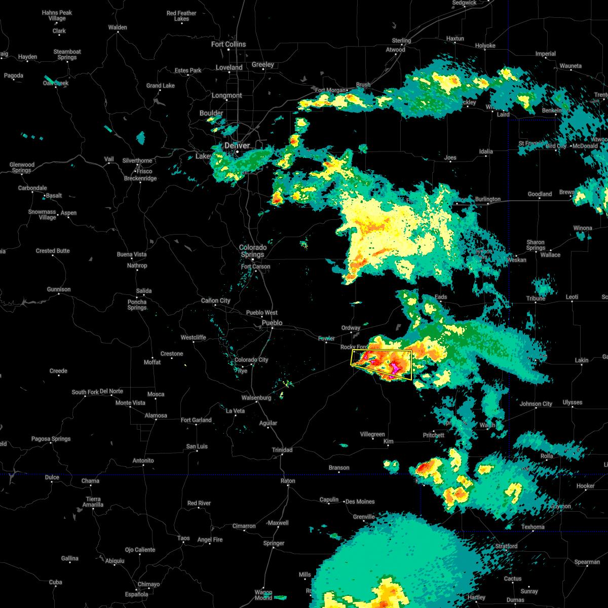 At 1010 pm mdt, a severe thunderstorm was located 10 miles southwest of las animas, or 12 miles east of north la junta, moving east at 15 mph. other strong to severe storms were noted extending along highway 50 from just east of rocky ford to la junta (radar indicated). Hazards include ping pong ball size hail and 60 mph wind gusts. People and animals outdoors will be injured. expect hail damage to roofs, siding, windows, and vehicles. expect wind damage to roofs, siding, and trees. torrential rain is also occurring with these storms, and flash flooding was occurring along the highway 50 corridor. Locations impacted include, la junta, north la junta, rocky ford, las animas, swink and john martin reservoir. At 1010 pm mdt, a severe thunderstorm was located 10 miles southwest of las animas, or 12 miles east of north la junta, moving east at 15 mph. other strong to severe storms were noted extending along highway 50 from just east of rocky ford to la junta (radar indicated). Hazards include ping pong ball size hail and 60 mph wind gusts. People and animals outdoors will be injured. expect hail damage to roofs, siding, windows, and vehicles. expect wind damage to roofs, siding, and trees. torrential rain is also occurring with these storms, and flash flooding was occurring along the highway 50 corridor. Locations impacted include, la junta, north la junta, rocky ford, las animas, swink and john martin reservoir.
|
| 5/29/2021 9:55 PM MDT |
 The national weather service in pueblo has issued a * severe thunderstorm warning for. east central otero county in southeastern colorado. west central bent county in southeastern colorado. until 1030 pm mdt. At 954 pm mdt, a severe thunderstorm was located 8 miles east of. The national weather service in pueblo has issued a * severe thunderstorm warning for. east central otero county in southeastern colorado. west central bent county in southeastern colorado. until 1030 pm mdt. At 954 pm mdt, a severe thunderstorm was located 8 miles east of.
|
| 5/29/2021 9:50 PM MDT |
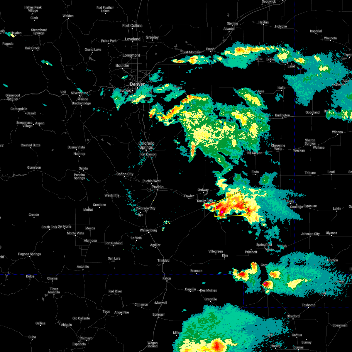 At 950 pm mdt, a severe thunderstorm was located 9 miles east of north la junta, moving east at 20 mph (radar indicated). Hazards include 60 mph wind gusts and quarter size hail. Hail damage to vehicles is expected. expect wind damage to roofs, siding, and trees. very heavy rainfall is also occurring with this storm. Locations impacted include, la junta, north la junta, las animas, john martin reservoir and fort lyon. At 950 pm mdt, a severe thunderstorm was located 9 miles east of north la junta, moving east at 20 mph (radar indicated). Hazards include 60 mph wind gusts and quarter size hail. Hail damage to vehicles is expected. expect wind damage to roofs, siding, and trees. very heavy rainfall is also occurring with this storm. Locations impacted include, la junta, north la junta, las animas, john martin reservoir and fort lyon.
|
| 5/29/2021 9:28 PM MDT |
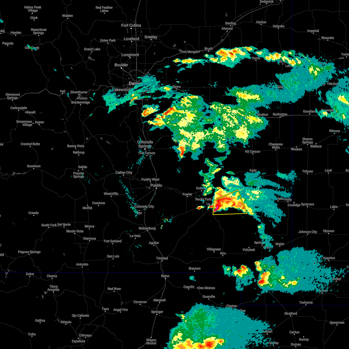 At 928 pm mdt, a severe thunderstorm was located near north la junta, moving east at 35 mph (radar indicated). Hazards include 60 mph wind gusts and quarter size hail. Hail damage to vehicles is expected. Expect wind damage to roofs, siding, and trees. At 928 pm mdt, a severe thunderstorm was located near north la junta, moving east at 35 mph (radar indicated). Hazards include 60 mph wind gusts and quarter size hail. Hail damage to vehicles is expected. Expect wind damage to roofs, siding, and trees.
|
| 5/22/2021 8:39 PM MDT |
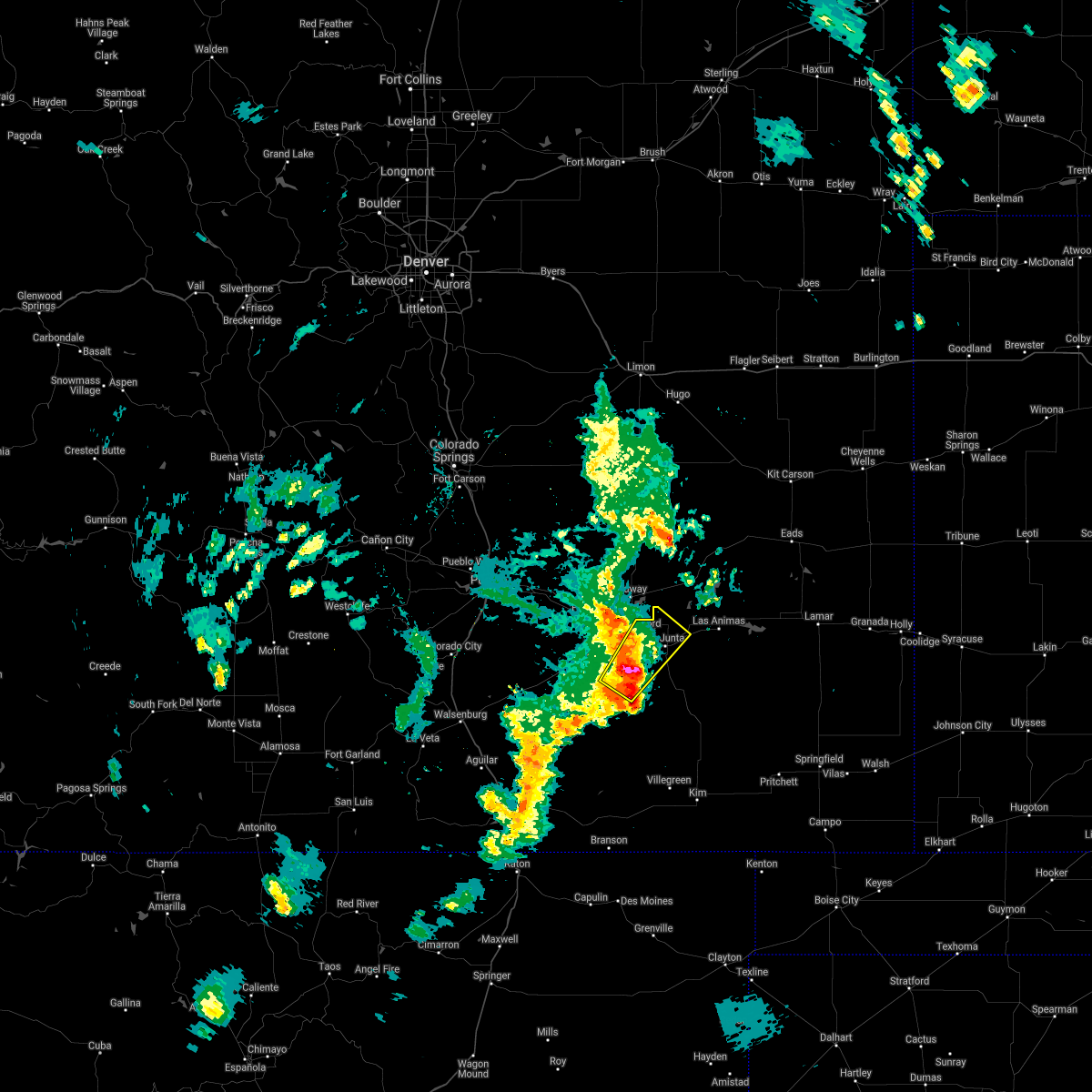 At 839 pm mdt, a severe thunderstorm was located near timpas, or 12 miles southwest of la junta, moving northeast at 35 mph (radar indicated). Hazards include golf ball size hail and 60 mph wind gusts. People and animals outdoors will be injured. expect hail damage to roofs, siding, windows, and vehicles. expect wind damage to roofs, siding, and trees. Locations impacted include, la junta, north la junta, rocky ford, swink, cheraw and timpas. At 839 pm mdt, a severe thunderstorm was located near timpas, or 12 miles southwest of la junta, moving northeast at 35 mph (radar indicated). Hazards include golf ball size hail and 60 mph wind gusts. People and animals outdoors will be injured. expect hail damage to roofs, siding, windows, and vehicles. expect wind damage to roofs, siding, and trees. Locations impacted include, la junta, north la junta, rocky ford, swink, cheraw and timpas.
|
| 5/22/2021 8:28 PM MDT |
 At 828 pm mdt, a severe thunderstorm was located over timpas, or 16 miles southwest of la junta, moving northeast at 40 mph (radar indicated). Hazards include 60 mph wind gusts and half dollar size hail. Hail damage to vehicles is expected. Expect wind damage to roofs, siding, and trees. At 828 pm mdt, a severe thunderstorm was located over timpas, or 16 miles southwest of la junta, moving northeast at 40 mph (radar indicated). Hazards include 60 mph wind gusts and half dollar size hail. Hail damage to vehicles is expected. Expect wind damage to roofs, siding, and trees.
|
| 5/16/2021 6:59 PM MDT |
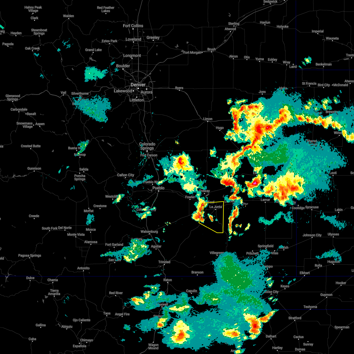 The national weather service in pueblo has issued a * severe thunderstorm warning for. southeastern otero county in southeastern colorado. until 800 pm mdt. At 659 pm mdt, severe thunderstorms were located along a line extending from rocky ford to timpas, moving southeast at 25 mph. The national weather service in pueblo has issued a * severe thunderstorm warning for. southeastern otero county in southeastern colorado. until 800 pm mdt. At 659 pm mdt, severe thunderstorms were located along a line extending from rocky ford to timpas, moving southeast at 25 mph.
|
| 5/15/2021 6:06 PM MDT |
 At 606 pm mdt, severe thunderstorms were located along a line extending from near timpas to 9 miles southwest of las animas, moving northeast at 25 mph (radar indicated). Hazards include 60 mph wind gusts and quarter size hail. Hail damage to vehicles is expected. expect wind damage to roofs, siding, and trees. Locations impacted include, la junta, north la junta, rocky ford, las animas, fowler, swink, manzanola, cheraw, john martin reservoir and fort lyon. At 606 pm mdt, severe thunderstorms were located along a line extending from near timpas to 9 miles southwest of las animas, moving northeast at 25 mph (radar indicated). Hazards include 60 mph wind gusts and quarter size hail. Hail damage to vehicles is expected. expect wind damage to roofs, siding, and trees. Locations impacted include, la junta, north la junta, rocky ford, las animas, fowler, swink, manzanola, cheraw, john martin reservoir and fort lyon.
|
| 5/15/2021 5:46 PM MDT |
 At 546 pm mdt, severe thunderstorms were located along a line extending from 8 miles west of timpas to near higbee, moving northeast at 20 mph (radar indicated). Hazards include 60 mph wind gusts and quarter size hail. Hail damage to vehicles is expected. Expect wind damage to roofs, siding, and trees. At 546 pm mdt, severe thunderstorms were located along a line extending from 8 miles west of timpas to near higbee, moving northeast at 20 mph (radar indicated). Hazards include 60 mph wind gusts and quarter size hail. Hail damage to vehicles is expected. Expect wind damage to roofs, siding, and trees.
|
| 5/2/2021 3:53 PM MDT |
 At 351 pm mdt, the leading edge of a line of severe wind gusts associated with thunderstorm activity was located along a line extending from near eads to 12 miles northeast of higbee, moving east at 50 mph (a measured severe wind gust of 61 mph has been reported from the la junta automated observing system). Hazards include 70 mph wind gusts and quarter size hail. brief, weak circulations could accompany the leading edge of this activity, producing locally higher wind gusts. also, blowing dust reducing visibilities to one-quarter mile is expected in some locations, producing very hazardous travel. Hail damage to vehicles is expected. expect considerable tree damage. Wind damage is also likely to mobile homes, roofs, and outbuildings. At 351 pm mdt, the leading edge of a line of severe wind gusts associated with thunderstorm activity was located along a line extending from near eads to 12 miles northeast of higbee, moving east at 50 mph (a measured severe wind gust of 61 mph has been reported from the la junta automated observing system). Hazards include 70 mph wind gusts and quarter size hail. brief, weak circulations could accompany the leading edge of this activity, producing locally higher wind gusts. also, blowing dust reducing visibilities to one-quarter mile is expected in some locations, producing very hazardous travel. Hail damage to vehicles is expected. expect considerable tree damage. Wind damage is also likely to mobile homes, roofs, and outbuildings.
|
| 5/2/2021 3:42 PM MDT |
 At 341 pm mdt, severe thunderstorms were located along a line extending from 7 miles northwest of higbee to 8 miles north of hasty, moving southeast at 45 mph (a measured severe wind gust of 61 mph has been reported from the la junta automated observing system). Hazards include 70 mph wind gusts and ping pong ball size hail. brief, weak circulations could accompany the leading edge of this activity, producing locally higher wind gusts. also, blowing dust reducing visibilities to one-quarter mile is expected in some locations, producing very hazardous travel. Expect considerable tree damage. damage is likely to mobile homes, roofs, and outbuildings. Locations impacted include, la junta, north la junta, rocky ford, swink, cheraw and john martin reservoir. At 341 pm mdt, severe thunderstorms were located along a line extending from 7 miles northwest of higbee to 8 miles north of hasty, moving southeast at 45 mph (a measured severe wind gust of 61 mph has been reported from the la junta automated observing system). Hazards include 70 mph wind gusts and ping pong ball size hail. brief, weak circulations could accompany the leading edge of this activity, producing locally higher wind gusts. also, blowing dust reducing visibilities to one-quarter mile is expected in some locations, producing very hazardous travel. Expect considerable tree damage. damage is likely to mobile homes, roofs, and outbuildings. Locations impacted include, la junta, north la junta, rocky ford, swink, cheraw and john martin reservoir.
|
| 5/2/2021 3:28 PM MDT |
 At 325 pm mdt, the leading edge of a line of severe wind gusts associated with thunderstorm activity was located along a line extending from near swink to near cheraw, moving southeast at 45 mph (radar indicated). Hazards include 70 mph wind gusts. brief, weak circulations could accompany the leading edge of this activity, producing locally higher wind gusts. also, blowing dust reducing visibilities to one-quarter mile is expected in some locations, producing very hazardous travel. Expect considerable tree damage. Damage is likely to mobile homes, roofs, and outbuildings. At 325 pm mdt, the leading edge of a line of severe wind gusts associated with thunderstorm activity was located along a line extending from near swink to near cheraw, moving southeast at 45 mph (radar indicated). Hazards include 70 mph wind gusts. brief, weak circulations could accompany the leading edge of this activity, producing locally higher wind gusts. also, blowing dust reducing visibilities to one-quarter mile is expected in some locations, producing very hazardous travel. Expect considerable tree damage. Damage is likely to mobile homes, roofs, and outbuildings.
|
| 5/2/2021 2:39 PM MDT |
 At 236 pm mdt, the leading edge of a line of severe wind gusts associated with thunderstorm activity was located along a line extending from 16 miles southwest of forder to 10 miles north of olney springs to near boone, moving east at 40 mph (radar indicated). Hazards include 70 mph wind gusts and quarter size hail. Hail damage to vehicles is expected. expect considerable tree damage. Wind damage is also likely to mobile homes, roofs, and outbuildings. At 236 pm mdt, the leading edge of a line of severe wind gusts associated with thunderstorm activity was located along a line extending from 16 miles southwest of forder to 10 miles north of olney springs to near boone, moving east at 40 mph (radar indicated). Hazards include 70 mph wind gusts and quarter size hail. Hail damage to vehicles is expected. expect considerable tree damage. Wind damage is also likely to mobile homes, roofs, and outbuildings.
|
| 7/16/2020 6:09 PM MDT |
 The severe thunderstorm warning for east central otero and west central bent counties will expire at 615 pm mdt, the storm which prompted the warning has weakened below severe limits, and no longer poses an immediate threat to life or property. therefore, the warning will be allowed to expire. however gusty winds are still possible with this thunderstorm. The severe thunderstorm warning for east central otero and west central bent counties will expire at 615 pm mdt, the storm which prompted the warning has weakened below severe limits, and no longer poses an immediate threat to life or property. therefore, the warning will be allowed to expire. however gusty winds are still possible with this thunderstorm.
|
| 7/16/2020 5:39 PM MDT |
 The national weather service in pueblo has issued a * severe thunderstorm warning for. east central otero county in southeastern colorado. west central bent county in southeastern colorado. until 615 pm mdt. At 538 pm mdt, a severe thunderstorm was located near north la. The national weather service in pueblo has issued a * severe thunderstorm warning for. east central otero county in southeastern colorado. west central bent county in southeastern colorado. until 615 pm mdt. At 538 pm mdt, a severe thunderstorm was located near north la.
|
| 7/15/2020 6:58 PM MDT |
 At 657 pm mdt, severe thunderstorms were located along a line extending from near cheraw to 10 miles south of las animas, moving east at 20 mph (radar indicated). Hazards include 60 mph wind gusts and nickel size hail. Expect damage to roofs, siding, and trees. Locations impacted include, la junta, north la junta, las animas, swink, cheraw, blue lake, hasty, arlington, john martin reservoir, fort lyon and caddoa. At 657 pm mdt, severe thunderstorms were located along a line extending from near cheraw to 10 miles south of las animas, moving east at 20 mph (radar indicated). Hazards include 60 mph wind gusts and nickel size hail. Expect damage to roofs, siding, and trees. Locations impacted include, la junta, north la junta, las animas, swink, cheraw, blue lake, hasty, arlington, john martin reservoir, fort lyon and caddoa.
|
| 7/15/2020 6:42 PM MDT |
 At 642 pm mdt, severe thunderstorms were located along a line extending from near cheraw to 10 miles southeast of north la junta, moving east at 25 mph (radar indicated). Hazards include 60 mph wind gusts and nickel size hail. expect damage to roofs, siding, and trees At 642 pm mdt, severe thunderstorms were located along a line extending from near cheraw to 10 miles southeast of north la junta, moving east at 25 mph (radar indicated). Hazards include 60 mph wind gusts and nickel size hail. expect damage to roofs, siding, and trees
|
| 7/15/2020 6:29 PM MDT |
 At 629 pm mdt, severe thunderstorms were located along a line extending from sugar city to near swink to near higbee, moving east at 30 mph (radar indicated). Hazards include 60 mph wind gusts and nickel size hail. Expect damage to roofs, siding, and trees. Locations impacted include, la junta, north la junta, rocky ford, las animas, ordway, swink, manzanola, olney springs, sugar city, cheraw, crowley, higbee and timpas. At 629 pm mdt, severe thunderstorms were located along a line extending from sugar city to near swink to near higbee, moving east at 30 mph (radar indicated). Hazards include 60 mph wind gusts and nickel size hail. Expect damage to roofs, siding, and trees. Locations impacted include, la junta, north la junta, rocky ford, las animas, ordway, swink, manzanola, olney springs, sugar city, cheraw, crowley, higbee and timpas.
|
| 7/15/2020 6:14 PM MDT |
 At 613 pm mdt, severe thunderstorms were located along a line extending from ordway to near rocky ford to near higbee, moving east at 30 mph (radar indicated). Hazards include 60 mph wind gusts and nickel size hail. Expect damage to roofs, siding, and trees. Locations impacted include, la junta, north la junta, rocky ford, las animas, fowler, ordway, swink, manzanola, olney springs, sugar city, cheraw, crowley, higbee and timpas. At 613 pm mdt, severe thunderstorms were located along a line extending from ordway to near rocky ford to near higbee, moving east at 30 mph (radar indicated). Hazards include 60 mph wind gusts and nickel size hail. Expect damage to roofs, siding, and trees. Locations impacted include, la junta, north la junta, rocky ford, las animas, fowler, ordway, swink, manzanola, olney springs, sugar city, cheraw, crowley, higbee and timpas.
|
| 7/15/2020 5:58 PM MDT |
 At 557 pm mdt, severe thunderstorms were located along a line extending from near olney springs to 7 miles southwest of rocky ford to near timpas, moving east at 30 mph (radar indicated). Hazards include 60 mph wind gusts and nickel size hail. expect damage to roofs, siding, and trees At 557 pm mdt, severe thunderstorms were located along a line extending from near olney springs to 7 miles southwest of rocky ford to near timpas, moving east at 30 mph (radar indicated). Hazards include 60 mph wind gusts and nickel size hail. expect damage to roofs, siding, and trees
|
| 7/14/2020 6:56 PM MDT |
 At 655 pm mdt, a severe thunderstorm was located near las animas, or 13 miles northeast of north la junta, moving east at 40 mph. other strong to severe storms were located in southern bent county (radar indicated). Hazards include two inch hail and 70 mph wind gusts. People and animals outdoors will be injured. expect hail damage to roofs, siding, windows, and vehicles. expect considerable tree damage. Wind damage is also likely to mobile homes, roofs, and outbuildings. At 655 pm mdt, a severe thunderstorm was located near las animas, or 13 miles northeast of north la junta, moving east at 40 mph. other strong to severe storms were located in southern bent county (radar indicated). Hazards include two inch hail and 70 mph wind gusts. People and animals outdoors will be injured. expect hail damage to roofs, siding, windows, and vehicles. expect considerable tree damage. Wind damage is also likely to mobile homes, roofs, and outbuildings.
|
| 7/14/2020 6:37 PM MDT |
 At 637 pm mdt, a severe thunderstorm capable of producing a tornado was located near cheraw, or 13 miles north of north la junta, moving southeast at 25 mph (radar indicated rotation). Hazards include tornado and hail up to two inches in diameter. Flying debris will be dangerous to those caught without shelter. mobile homes will be damaged or destroyed. damage to roofs, windows, and vehicles will occur. tree damage is likely. this dangerous storm will be near, las animas and john martin reservoir around 700 pm mdt. Other locations impacted by this tornadic thunderstorm include fort lyon. At 637 pm mdt, a severe thunderstorm capable of producing a tornado was located near cheraw, or 13 miles north of north la junta, moving southeast at 25 mph (radar indicated rotation). Hazards include tornado and hail up to two inches in diameter. Flying debris will be dangerous to those caught without shelter. mobile homes will be damaged or destroyed. damage to roofs, windows, and vehicles will occur. tree damage is likely. this dangerous storm will be near, las animas and john martin reservoir around 700 pm mdt. Other locations impacted by this tornadic thunderstorm include fort lyon.
|
| 7/4/2020 7:13 PM MDT |
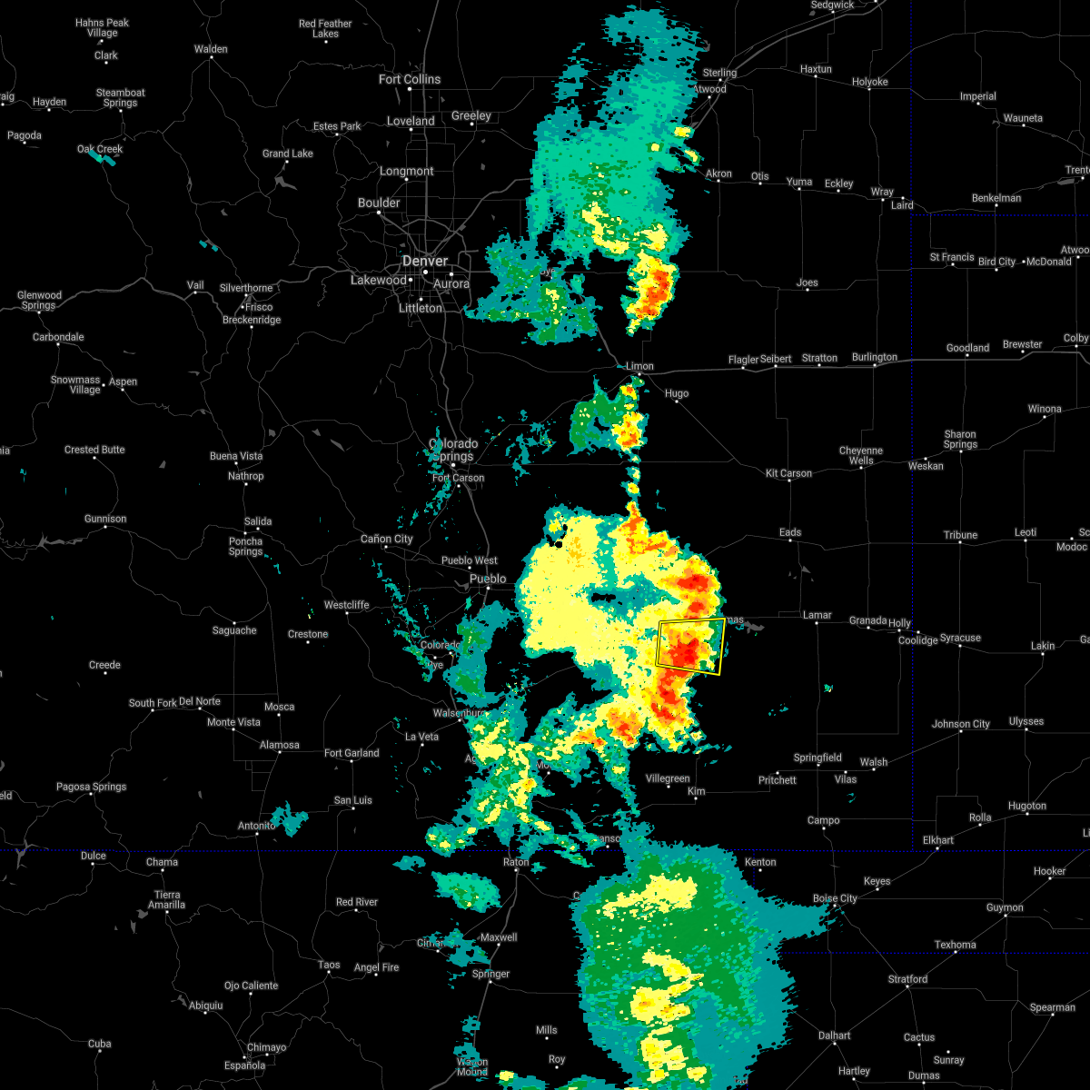 The severe thunderstorm warning for east central otero and west central bent counties will expire at 715 pm mdt, the storm which prompted the warning has weakened below severe limits, and no longer poses an immediate threat to life or property. therefore, the warning will be allowed to expire. however gusty winds are still possible with this thunderstorm. The severe thunderstorm warning for east central otero and west central bent counties will expire at 715 pm mdt, the storm which prompted the warning has weakened below severe limits, and no longer poses an immediate threat to life or property. therefore, the warning will be allowed to expire. however gusty winds are still possible with this thunderstorm.
|
| 7/4/2020 6:55 PM MDT |
 At 655 pm mdt, a severe thunderstorm was located near north la junta, moving east at 25 mph (radar indicated). Hazards include 60 mph wind gusts and quarter size hail. Hail damage to vehicles is expected. expect wind damage to roofs, siding, and trees. Locations impacted include, la junta, north la junta and las animas. At 655 pm mdt, a severe thunderstorm was located near north la junta, moving east at 25 mph (radar indicated). Hazards include 60 mph wind gusts and quarter size hail. Hail damage to vehicles is expected. expect wind damage to roofs, siding, and trees. Locations impacted include, la junta, north la junta and las animas.
|
| 7/4/2020 6:43 PM MDT |
 At 643 pm mdt, a severe thunderstorm was located over la junta, moving east at 25 mph (radar indicated). Hazards include 60 mph wind gusts and quarter size hail. Hail damage to vehicles is expected. Expect wind damage to roofs, siding, and trees. At 643 pm mdt, a severe thunderstorm was located over la junta, moving east at 25 mph (radar indicated). Hazards include 60 mph wind gusts and quarter size hail. Hail damage to vehicles is expected. Expect wind damage to roofs, siding, and trees.
|
| 5/14/2020 10:37 PM MDT |
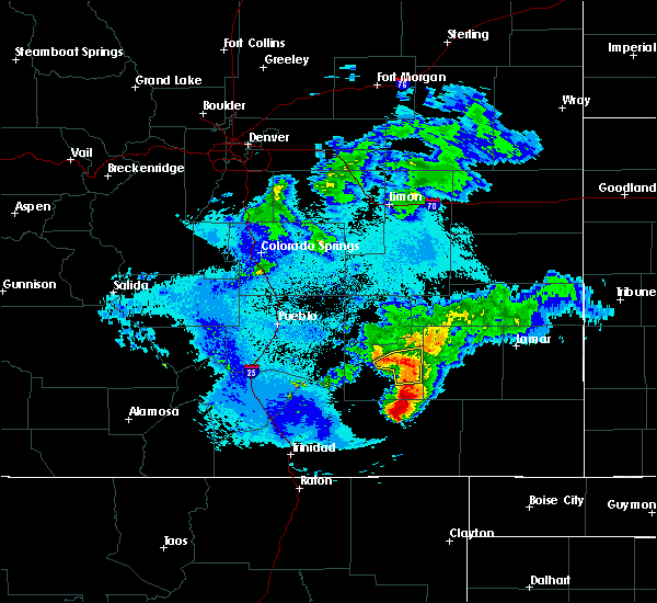 At 1035 pm mdt, a severe thunderstorm was located 5 miles south of la junta, moving east at 15 mph (radar indicated). Hazards include 60 mph wind gusts and quarter size hail. Hail damage to vehicles is possible. wind damage to roofs, siding, and trees is also possible. Locations impacted include, la junta, swink and open country of southeastern otero county. At 1035 pm mdt, a severe thunderstorm was located 5 miles south of la junta, moving east at 15 mph (radar indicated). Hazards include 60 mph wind gusts and quarter size hail. Hail damage to vehicles is possible. wind damage to roofs, siding, and trees is also possible. Locations impacted include, la junta, swink and open country of southeastern otero county.
|
| 5/14/2020 10:20 PM MDT |
 At 1017 pm mdt, a severe thunderstorm was located 5 miles southwest of la junta, moving east-northeast at 20 mph (radar indicated). Hazards include 60 mph wind gusts and half dollar size hail. Hail damage to vehicles will be possible. wind damage to roofs, siding, and trees will also be possible. Locations impacted include, la junta, swink and open country of southeastern otero county. At 1017 pm mdt, a severe thunderstorm was located 5 miles southwest of la junta, moving east-northeast at 20 mph (radar indicated). Hazards include 60 mph wind gusts and half dollar size hail. Hail damage to vehicles will be possible. wind damage to roofs, siding, and trees will also be possible. Locations impacted include, la junta, swink and open country of southeastern otero county.
|
| 5/14/2020 10:02 PM MDT |
 At 1000 pm mdt, a severe thunderstorm was located near timpas, or 13 miles southwest of la junta, moving east at 10 mph (radar indicated). Hazards include ping pong ball size hail and 60 mph wind gusts. People and animals outdoors have the potential of being injured. expect hail damage to roofs, siding, windows, and vehicles. Expect wind damage to roofs, siding, and trees. At 1000 pm mdt, a severe thunderstorm was located near timpas, or 13 miles southwest of la junta, moving east at 10 mph (radar indicated). Hazards include ping pong ball size hail and 60 mph wind gusts. People and animals outdoors have the potential of being injured. expect hail damage to roofs, siding, windows, and vehicles. Expect wind damage to roofs, siding, and trees.
|
| 7/27/2019 7:41 PM MDT |
 The severe thunderstorm warning for northeastern otero, southwestern kiowa, southeastern crowley and bent counties will expire at 745 pm mdt, the storms which prompted the warning have weakened below severe limits, and no longer pose an immediate threat to life or property. therefore, the warning will be allowed to expire. however gusty winds are still possible with these thunderstorms. The severe thunderstorm warning for northeastern otero, southwestern kiowa, southeastern crowley and bent counties will expire at 745 pm mdt, the storms which prompted the warning have weakened below severe limits, and no longer pose an immediate threat to life or property. therefore, the warning will be allowed to expire. however gusty winds are still possible with these thunderstorms.
|
| 7/27/2019 7:15 PM MDT |
 At 714 pm mdt, severe thunderstorms were located along and behind a line extending from 7 miles southwest of blue lake to 9 miles northeast of higbee, moving east at 45 mph (radar indicated and asos reported). Hazards include 60 mph wind gusts and quarter size hail. Hail damage to vehicles is expected. expect wind damage to roofs, siding, and trees. Locations impacted include, la junta, north la junta, rocky ford, las animas, ordway, swink, sugar city, cheraw, mcclave, blue lake, hasty, neegronda reservoir, john martin reservoir, sweetwater reservoir, caddoa and fort lyon. At 714 pm mdt, severe thunderstorms were located along and behind a line extending from 7 miles southwest of blue lake to 9 miles northeast of higbee, moving east at 45 mph (radar indicated and asos reported). Hazards include 60 mph wind gusts and quarter size hail. Hail damage to vehicles is expected. expect wind damage to roofs, siding, and trees. Locations impacted include, la junta, north la junta, rocky ford, las animas, ordway, swink, sugar city, cheraw, mcclave, blue lake, hasty, neegronda reservoir, john martin reservoir, sweetwater reservoir, caddoa and fort lyon.
|
| 7/27/2019 7:01 PM MDT |
 At 656 pm mdt, severe thunderstorms were located along a line extending from near sugar city to 6 miles southwest of la junta, moving east at 45 mph (radar indicated). Hazards include 60 mph wind gusts and penny size hail. expect damage to roofs, siding, and trees At 656 pm mdt, severe thunderstorms were located along a line extending from near sugar city to 6 miles southwest of la junta, moving east at 45 mph (radar indicated). Hazards include 60 mph wind gusts and penny size hail. expect damage to roofs, siding, and trees
|
| 7/27/2019 6:57 PM MDT |
 At 656 pm mdt, severe thunderstorms were located along a line extending from near sugar city to 6 miles southwest of la junta, moving east at 45 mph (radar indicated). Hazards include 60 mph wind gusts and penny size hail. expect damage to roofs, siding, and trees At 656 pm mdt, severe thunderstorms were located along a line extending from near sugar city to 6 miles southwest of la junta, moving east at 45 mph (radar indicated). Hazards include 60 mph wind gusts and penny size hail. expect damage to roofs, siding, and trees
|
| 7/20/2019 7:07 PM MDT |
 At 705 pm mdt, a severe thunderstorms extended from crowley county into otero and were moving east at 40 mph. strong rotation was noted with the storms in east central crowley county while strong straight lines winds were noted across southern crowley and otero counties (radar indicated). Hazards include 70 mph wind gusts and ping pong ball size hail. People and animals outdoors will be injured. expect hail damage to roofs, siding, windows, and vehicles. expect considerable tree damage. wind damage is also likely to mobile homes, roofs, and outbuildings. a new severe thunderstorm warning will be issued shortly for this region. Locations impacted include, la junta, north la junta, las animas, ordway, swink, sugar city, cheraw, crowley, higbee, blue lake, arlington, john martin reservoir and fort lyon. At 705 pm mdt, a severe thunderstorms extended from crowley county into otero and were moving east at 40 mph. strong rotation was noted with the storms in east central crowley county while strong straight lines winds were noted across southern crowley and otero counties (radar indicated). Hazards include 70 mph wind gusts and ping pong ball size hail. People and animals outdoors will be injured. expect hail damage to roofs, siding, windows, and vehicles. expect considerable tree damage. wind damage is also likely to mobile homes, roofs, and outbuildings. a new severe thunderstorm warning will be issued shortly for this region. Locations impacted include, la junta, north la junta, las animas, ordway, swink, sugar city, cheraw, crowley, higbee, blue lake, arlington, john martin reservoir and fort lyon.
|
| 7/20/2019 6:58 PM MDT |
 At 657 pm mdt, a severe thunderstorm was located near blue lake, or 22 miles northeast of north la junta, moving east at 50 mph (la junta airport weather station). Hazards include 60 to 70 mph winds. at 6:45 pm, the weather station at la junta airport measured a wind of 67 mph. Expect considerable tree damage. damage is likely to mobile homes, roofs, and outbuildings. Locations impacted include, la junta, north la junta, rocky ford, las animas, fowler, ordway, swink, manzanola, olney springs, sugar city, cheraw, crowley, higbee, blue lake, timpas, arlington, john martin reservoir and fort lyon. At 657 pm mdt, a severe thunderstorm was located near blue lake, or 22 miles northeast of north la junta, moving east at 50 mph (la junta airport weather station). Hazards include 60 to 70 mph winds. at 6:45 pm, the weather station at la junta airport measured a wind of 67 mph. Expect considerable tree damage. damage is likely to mobile homes, roofs, and outbuildings. Locations impacted include, la junta, north la junta, rocky ford, las animas, fowler, ordway, swink, manzanola, olney springs, sugar city, cheraw, crowley, higbee, blue lake, timpas, arlington, john martin reservoir and fort lyon.
|
| 7/20/2019 6:51 PM MDT |
 At 648 pm mdt, a severe thunderstorms were located over crowley and otero counties. a tornadic storm was noted over central crowley county while other severe storms were noted just west of la junta. the dangerous severe storms were moving east at 50 mph. residents in crowley and otero counties should seek shelter from these storms. locations impacted include, la junta, north la junta, rocky ford, las animas, fowler, ordway, swink, manzanola, olney springs, sugar city, cheraw, crowley, higbee, blue lake, timpas, arlington, john martin reservoir and fort lyon. At 648 pm mdt, a severe thunderstorms were located over crowley and otero counties. a tornadic storm was noted over central crowley county while other severe storms were noted just west of la junta. the dangerous severe storms were moving east at 50 mph. residents in crowley and otero counties should seek shelter from these storms. locations impacted include, la junta, north la junta, rocky ford, las animas, fowler, ordway, swink, manzanola, olney springs, sugar city, cheraw, crowley, higbee, blue lake, timpas, arlington, john martin reservoir and fort lyon.
|
| 7/20/2019 6:31 PM MDT |
 At 630 pm mdt, a severe thunderstorm was located over sugar city, or 20 miles north of la junta, moving east at 40 mph. other strong to severe storms were noted near swink and rocky ford (radar indicated). Hazards include 70 mph wind gusts and half dollar size hail. Hail damage to vehicles is expected. expect considerable tree damage. wind damage is also likely to mobile homes, roofs, and outbuildings. Locations impacted include, la junta, north la junta, rocky ford, las animas, fowler, ordway, swink, manzanola, olney springs, sugar city, cheraw, crowley, higbee, blue lake, timpas, arlington, john martin reservoir and fort lyon. At 630 pm mdt, a severe thunderstorm was located over sugar city, or 20 miles north of la junta, moving east at 40 mph. other strong to severe storms were noted near swink and rocky ford (radar indicated). Hazards include 70 mph wind gusts and half dollar size hail. Hail damage to vehicles is expected. expect considerable tree damage. wind damage is also likely to mobile homes, roofs, and outbuildings. Locations impacted include, la junta, north la junta, rocky ford, las animas, fowler, ordway, swink, manzanola, olney springs, sugar city, cheraw, crowley, higbee, blue lake, timpas, arlington, john martin reservoir and fort lyon.
|
| 7/20/2019 6:21 PM MDT |
 At 621 pm mdt, a severe thunderstorm was located near ordway, or 22 miles northwest of la junta, moving east at 50 mph (radar indicated). Hazards include 60 mph wind gusts and quarter size hail. Hail damage to vehicles is expected. expect wind damage to roofs, siding, and trees. Locations impacted include, la junta, north la junta, rocky ford, las animas, fowler, ordway, swink, manzanola, olney springs, sugar city, cheraw, crowley, higbee, blue lake, timpas, arlington, john martin reservoir and fort lyon. At 621 pm mdt, a severe thunderstorm was located near ordway, or 22 miles northwest of la junta, moving east at 50 mph (radar indicated). Hazards include 60 mph wind gusts and quarter size hail. Hail damage to vehicles is expected. expect wind damage to roofs, siding, and trees. Locations impacted include, la junta, north la junta, rocky ford, las animas, fowler, ordway, swink, manzanola, olney springs, sugar city, cheraw, crowley, higbee, blue lake, timpas, arlington, john martin reservoir and fort lyon.
|
| 7/20/2019 6:10 PM MDT |
 At 610 pm mdt, a severe thunderstorm was located 8 miles north of crowley, or 29 miles northwest of la junta, moving east at 50 mph (radar indicated). Hazards include 60 mph wind gusts and quarter size hail. Hail damage to vehicles is expected. Expect wind damage to roofs, siding, and trees. At 610 pm mdt, a severe thunderstorm was located 8 miles north of crowley, or 29 miles northwest of la junta, moving east at 50 mph (radar indicated). Hazards include 60 mph wind gusts and quarter size hail. Hail damage to vehicles is expected. Expect wind damage to roofs, siding, and trees.
|
| 6/15/2019 5:10 PM MDT |
 At 456 pm mdt, a severe thunderstorm was located 7 miles northwest of las animas, or 14 miles northeast of north la junta, moving east at 25 mph. 6 inch in diameter tree branches broken with gust front in cheraw, colorado (trained weather spotters). Hazards include 60 mph wind gusts and penny size hail. Expect damage to roofs, siding, and trees. Locations impacted include, la junta, north la junta, las animas, sugar city, cheraw, blue lake and arlington. At 456 pm mdt, a severe thunderstorm was located 7 miles northwest of las animas, or 14 miles northeast of north la junta, moving east at 25 mph. 6 inch in diameter tree branches broken with gust front in cheraw, colorado (trained weather spotters). Hazards include 60 mph wind gusts and penny size hail. Expect damage to roofs, siding, and trees. Locations impacted include, la junta, north la junta, las animas, sugar city, cheraw, blue lake and arlington.
|
| 6/15/2019 4:56 PM MDT |
 At 456 pm mdt, a severe thunderstorm was located 7 miles northwest of las animas, or 14 miles northeast of north la junta, moving east at 25 mph. 6 inch in diameter tree branches broken with gust front in cheraw, colorado (trained weather spotters). Hazards include 60 mph wind gusts and penny size hail. Expect damage to roofs, siding, and trees. Locations impacted include, la junta, north la junta, las animas, sugar city, cheraw, blue lake and arlington. At 456 pm mdt, a severe thunderstorm was located 7 miles northwest of las animas, or 14 miles northeast of north la junta, moving east at 25 mph. 6 inch in diameter tree branches broken with gust front in cheraw, colorado (trained weather spotters). Hazards include 60 mph wind gusts and penny size hail. Expect damage to roofs, siding, and trees. Locations impacted include, la junta, north la junta, las animas, sugar city, cheraw, blue lake and arlington.
|
| 6/15/2019 4:47 PM MDT |
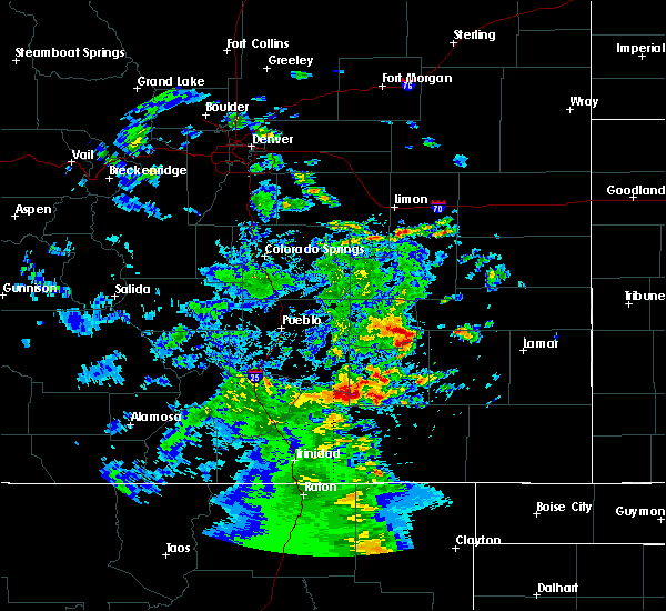 At 447 pm mdt, a severe thunderstorm was located near cheraw, or 11 miles northeast of north la junta, moving east at 25 mph. 6 inch in diameter tree branches broken with gust front in cheraw, colorado (trained weather spotters). Hazards include 60 mph wind gusts and quarter size hail. Hail damage to vehicles is expected. Expect wind damage to roofs, siding, and trees. At 447 pm mdt, a severe thunderstorm was located near cheraw, or 11 miles northeast of north la junta, moving east at 25 mph. 6 inch in diameter tree branches broken with gust front in cheraw, colorado (trained weather spotters). Hazards include 60 mph wind gusts and quarter size hail. Hail damage to vehicles is expected. Expect wind damage to roofs, siding, and trees.
|
| 8/6/2018 7:52 PM MDT |
 The severe thunderstorm warning for northeastern otero and southeastern crowley counties will expire at 800 pm mdt, the storm which prompted the warning has weakened below severe limits, and no longer poses an immediate threat to life or property. therefore, the warning will be allowed to expire. however gusty winds and heavy rain are still possible with this thunderstorm. a severe thunderstorm watch remains in effect until 900 pm mdt for southeastern colorado. The severe thunderstorm warning for northeastern otero and southeastern crowley counties will expire at 800 pm mdt, the storm which prompted the warning has weakened below severe limits, and no longer poses an immediate threat to life or property. therefore, the warning will be allowed to expire. however gusty winds and heavy rain are still possible with this thunderstorm. a severe thunderstorm watch remains in effect until 900 pm mdt for southeastern colorado.
|
| 8/6/2018 7:32 PM MDT |
 At 732 pm mdt, a severe thunderstorm was located near rocky ford, or 13 miles west of la junta, moving northeast at 45 mph (radar indicated). Hazards include 70 mph wind gusts and ping pong ball size hail. People and animals outdoors will be injured. expect hail damage to roofs, siding, windows, and vehicles. expect considerable tree damage. Wind damage is also likely to mobile homes, roofs, and outbuildings. At 732 pm mdt, a severe thunderstorm was located near rocky ford, or 13 miles west of la junta, moving northeast at 45 mph (radar indicated). Hazards include 70 mph wind gusts and ping pong ball size hail. People and animals outdoors will be injured. expect hail damage to roofs, siding, windows, and vehicles. expect considerable tree damage. Wind damage is also likely to mobile homes, roofs, and outbuildings.
|
| 8/6/2018 5:29 PM MDT |
 At 529 pm mdt, a severe thunderstorm was located near ordway, or 16 miles northwest of la junta, moving east at 40 mph (radar indicated). Hazards include 60 mph wind gusts and half dollar size hail. Hail damage to vehicles is expected. expect wind damage to roofs, siding, and trees. Locations impacted include, la junta, north la junta, ordway, sugar city, cheraw and crowley. At 529 pm mdt, a severe thunderstorm was located near ordway, or 16 miles northwest of la junta, moving east at 40 mph (radar indicated). Hazards include 60 mph wind gusts and half dollar size hail. Hail damage to vehicles is expected. expect wind damage to roofs, siding, and trees. Locations impacted include, la junta, north la junta, ordway, sugar city, cheraw and crowley.
|
| 8/6/2018 5:14 PM MDT |
 At 514 pm mdt, a severe thunderstorm was located over crowley, or 24 miles northwest of la junta, moving east at 25 mph (radar indicated). Hazards include two inch hail and 60 mph wind gusts. People and animals outdoors will be injured. expect hail damage to roofs, siding, windows, and vehicles. Expect wind damage to roofs, siding, and trees. At 514 pm mdt, a severe thunderstorm was located over crowley, or 24 miles northwest of la junta, moving east at 25 mph (radar indicated). Hazards include two inch hail and 60 mph wind gusts. People and animals outdoors will be injured. expect hail damage to roofs, siding, windows, and vehicles. Expect wind damage to roofs, siding, and trees.
|
| 7/29/2018 10:31 PM MDT |
 At 1030 pm mdt, a severe thunderstorm was located near fowler, or 28 miles northwest of la junta, moving south at 45 mph (radar indicated). Hazards include golf ball size hail and 60 mph wind gusts. People and animals outdoors will be injured. expect hail damage to roofs, siding, windows, and vehicles. expect wind damage to roofs, siding, and trees. Locations impacted include, fowler, manzanola, olney springs, and crowley. At 1030 pm mdt, a severe thunderstorm was located near fowler, or 28 miles northwest of la junta, moving south at 45 mph (radar indicated). Hazards include golf ball size hail and 60 mph wind gusts. People and animals outdoors will be injured. expect hail damage to roofs, siding, windows, and vehicles. expect wind damage to roofs, siding, and trees. Locations impacted include, fowler, manzanola, olney springs, and crowley.
|
| 7/29/2018 10:19 PM MDT |
 At 1018 pm mdt, a severe thunderstorm was located 10 miles east of boone, or 29 miles east of pueblo, moving south at 30 mph (radar indicated). Hazards include tennis ball size hail and 60 mph wind gusts. People and animals outdoors will be injured. expect hail damage to roofs, siding, windows, and vehicles. expect wind damage to roofs, siding, and trees. Locations impacted include, rocky ford, fowler, manzanola, olney springs, boone, and crowley. At 1018 pm mdt, a severe thunderstorm was located 10 miles east of boone, or 29 miles east of pueblo, moving south at 30 mph (radar indicated). Hazards include tennis ball size hail and 60 mph wind gusts. People and animals outdoors will be injured. expect hail damage to roofs, siding, windows, and vehicles. expect wind damage to roofs, siding, and trees. Locations impacted include, rocky ford, fowler, manzanola, olney springs, boone, and crowley.
|
| 7/29/2018 10:11 PM MDT |
 At 1009 pm mdt, a severe thunderstorm was located 12 miles northeast of boone, or 29 miles east of pueblo, moving south at 45 mph (radar indicated). Hazards include golf ball size hail and 60 mph wind gusts. People and animals outdoors will be injured. expect hail damage to roofs, siding, windows, and vehicles. Expect wind damage to roofs, siding, and trees. At 1009 pm mdt, a severe thunderstorm was located 12 miles northeast of boone, or 29 miles east of pueblo, moving south at 45 mph (radar indicated). Hazards include golf ball size hail and 60 mph wind gusts. People and animals outdoors will be injured. expect hail damage to roofs, siding, windows, and vehicles. Expect wind damage to roofs, siding, and trees.
|
| 6/19/2018 6:29 PM MDT |
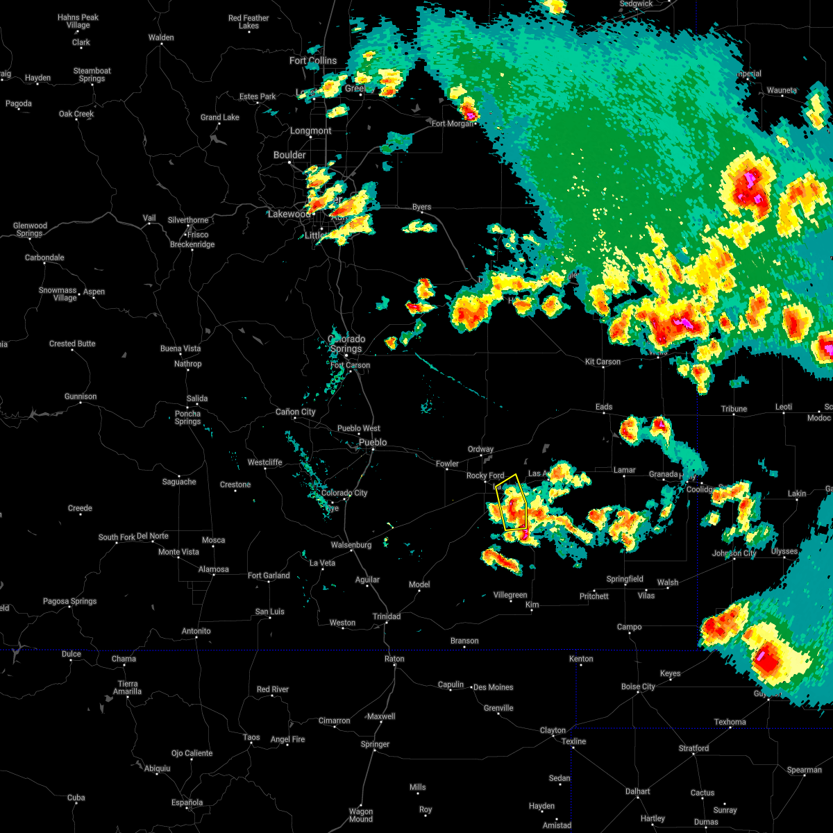 At 628 pm mdt, a severe thunderstorm was located near north la junta, moving east at 20 mph (radar indicated). Hazards include 70 mph wind gusts and quarter size hail. Hail damage to vehicles is expected. expect considerable tree damage. wind damage is also likely to mobile homes, roofs, and outbuildings. locations impacted include, la junta, north la junta, swink and higbee. A tornado watch remains in effect until 700 pm mdt for southeastern colorado. At 628 pm mdt, a severe thunderstorm was located near north la junta, moving east at 20 mph (radar indicated). Hazards include 70 mph wind gusts and quarter size hail. Hail damage to vehicles is expected. expect considerable tree damage. wind damage is also likely to mobile homes, roofs, and outbuildings. locations impacted include, la junta, north la junta, swink and higbee. A tornado watch remains in effect until 700 pm mdt for southeastern colorado.
|
| 6/19/2018 6:13 PM MDT |
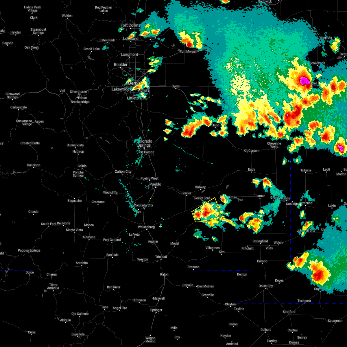 At 613 pm mdt, a severe thunderstorm was located near timpas, or 10 miles southwest of la junta, moving east at 20 mph (radar indicated). Hazards include 70 mph wind gusts and quarter size hail. Hail damage to vehicles is expected. expect considerable tree damage. Wind damage is also likely to mobile homes, roofs, and outbuildings. At 613 pm mdt, a severe thunderstorm was located near timpas, or 10 miles southwest of la junta, moving east at 20 mph (radar indicated). Hazards include 70 mph wind gusts and quarter size hail. Hail damage to vehicles is expected. expect considerable tree damage. Wind damage is also likely to mobile homes, roofs, and outbuildings.
|
| 9/30/2017 4:08 PM MDT |
 At 407 pm mdt, a severe thunderstorm was located 7 miles southeast of cheraw, or 9 miles northeast of north la junta, moving northeast at 25 mph (radar indicated). Hazards include 60 mph wind gusts and quarter size hail. Hail damage to vehicles is expected. Expect wind damage to roofs, siding, and trees. At 407 pm mdt, a severe thunderstorm was located 7 miles southeast of cheraw, or 9 miles northeast of north la junta, moving northeast at 25 mph (radar indicated). Hazards include 60 mph wind gusts and quarter size hail. Hail damage to vehicles is expected. Expect wind damage to roofs, siding, and trees.
|
| 8/13/2017 7:24 PM MDT |
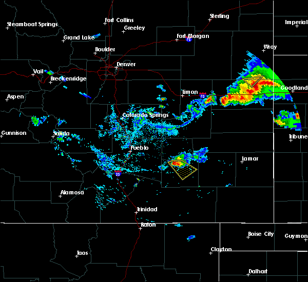 At 724 pm mdt, a severe thunderstorm was located near rocky ford, or 14 miles west of la junta, moving southeast at 15 mph (radar indicated). Hazards include 60 mph wind gusts and quarter size hail. Hail damage to vehicles is expected. expect wind damage to roofs, siding, and trees. Locations impacted include, rocky ford and swink. At 724 pm mdt, a severe thunderstorm was located near rocky ford, or 14 miles west of la junta, moving southeast at 15 mph (radar indicated). Hazards include 60 mph wind gusts and quarter size hail. Hail damage to vehicles is expected. expect wind damage to roofs, siding, and trees. Locations impacted include, rocky ford and swink.
|
| 8/13/2017 7:14 PM MDT |
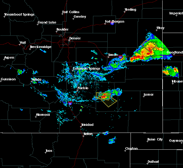 At 714 pm mdt, a severe thunderstorm was located over manzanola, or 16 miles northwest of la junta, moving southeast at 15 mph (radar indicated). Hazards include 60 mph wind gusts and quarter size hail. Hail damage to vehicles is expected. Expect wind damage to roofs, siding, and trees. At 714 pm mdt, a severe thunderstorm was located over manzanola, or 16 miles northwest of la junta, moving southeast at 15 mph (radar indicated). Hazards include 60 mph wind gusts and quarter size hail. Hail damage to vehicles is expected. Expect wind damage to roofs, siding, and trees.
|
| 8/10/2017 6:59 PM MDT |
 At 659 pm mdt, a severe thunderstorm was located over la junta, moving southeast at 45 mph (trained weather spotters). Hazards include golf ball size hail and 60 mph wind gusts. People and animals outdoors will be injured. expect hail damage to roofs, siding, windows, and vehicles. expect wind damage to roofs, siding, and trees. Locations impacted include, la junta, north la junta, swink and higbee. At 659 pm mdt, a severe thunderstorm was located over la junta, moving southeast at 45 mph (trained weather spotters). Hazards include golf ball size hail and 60 mph wind gusts. People and animals outdoors will be injured. expect hail damage to roofs, siding, windows, and vehicles. expect wind damage to roofs, siding, and trees. Locations impacted include, la junta, north la junta, swink and higbee.
|
| 8/10/2017 6:57 PM MDT |
 At 656 pm mdt, a severe thunderstorm was located over la junta, moving southeast at 45 mph (radar indicated). Hazards include 60 mph wind gusts and half dollar size hail. Hail damage to vehicles is expected. Expect wind damage to roofs, siding, and trees. At 656 pm mdt, a severe thunderstorm was located over la junta, moving southeast at 45 mph (radar indicated). Hazards include 60 mph wind gusts and half dollar size hail. Hail damage to vehicles is expected. Expect wind damage to roofs, siding, and trees.
|
| 8/5/2017 9:44 PM MDT |
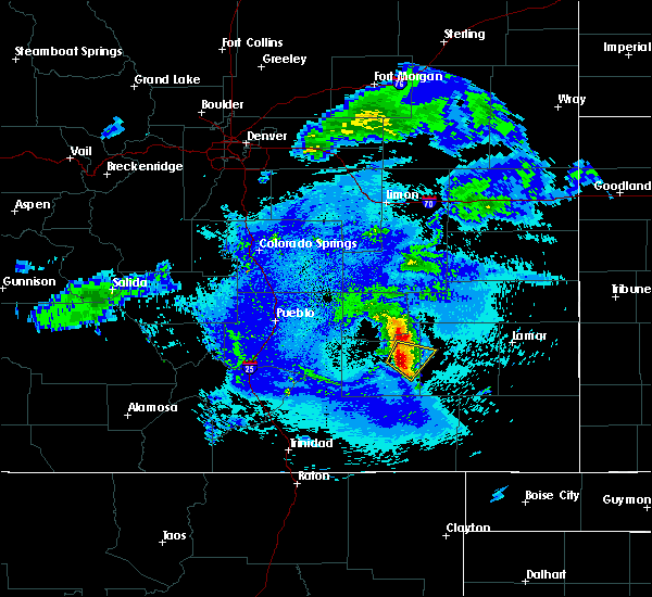 At 943 pm mdt, a severe thunderstorm was located near north la junta, moving southeast at 25 mph (radar indicated). Hazards include 60 mph wind gusts and quarter size hail. Hail damage to vehicles is expected. expect wind damage to roofs, siding, and trees. Locations impacted include, la junta, north la junta and swink. At 943 pm mdt, a severe thunderstorm was located near north la junta, moving southeast at 25 mph (radar indicated). Hazards include 60 mph wind gusts and quarter size hail. Hail damage to vehicles is expected. expect wind damage to roofs, siding, and trees. Locations impacted include, la junta, north la junta and swink.
|
| 8/5/2017 9:28 PM MDT |
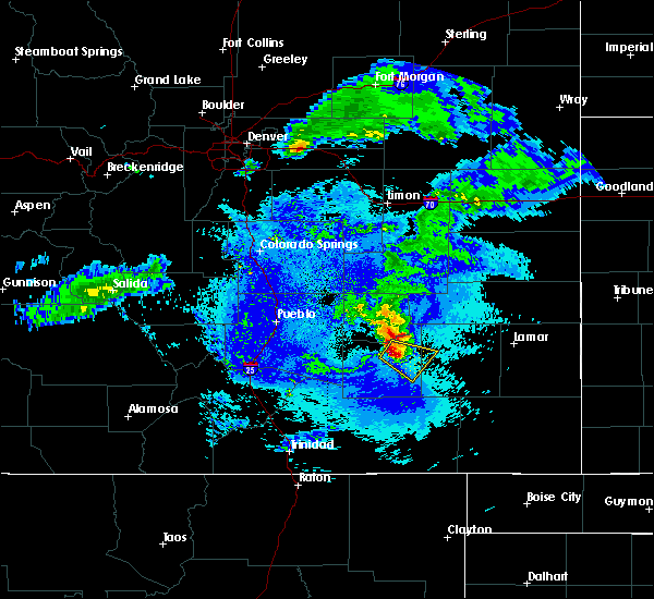 At 927 pm mdt, a severe thunderstorm was located over swink, or near la junta, moving southeast at 15 mph (radar indicated). Hazards include 60 mph wind gusts and quarter size hail. Hail damage to vehicles is expected. Expect wind damage to roofs, siding, and trees. At 927 pm mdt, a severe thunderstorm was located over swink, or near la junta, moving southeast at 15 mph (radar indicated). Hazards include 60 mph wind gusts and quarter size hail. Hail damage to vehicles is expected. Expect wind damage to roofs, siding, and trees.
|
| 7/26/2017 7:21 PM MDT |
 At 720 pm mdt, a severe thunderstorm was located near manzanola, or 16 miles northwest of la junta, moving east at 20 mph (radar indicated). Hazards include 60 mph wind gusts and quarter size hail. Hail damage to vehicles is expected. Expect wind damage to roofs, siding, and trees. At 720 pm mdt, a severe thunderstorm was located near manzanola, or 16 miles northwest of la junta, moving east at 20 mph (radar indicated). Hazards include 60 mph wind gusts and quarter size hail. Hail damage to vehicles is expected. Expect wind damage to roofs, siding, and trees.
|
| 7/4/2017 4:35 PM MDT |
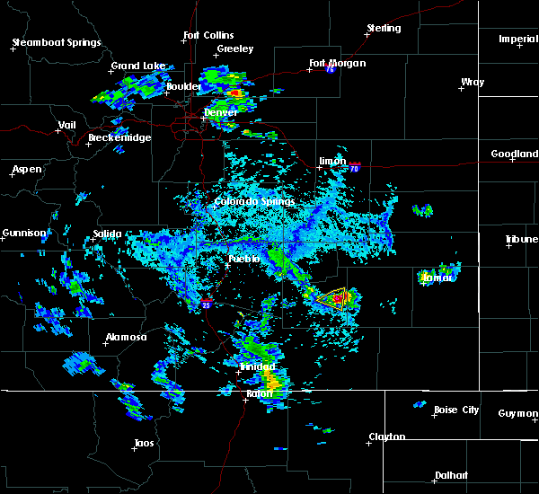 At 434 pm mdt, a severe thunderstorm was located over north la junta, moving south at 25 mph (radar indicated). Hazards include 70 mph wind gusts and quarter size hail. Hail damage to vehicles is expected. expect considerable tree damage. wind damage is also likely to mobile homes, roofs, and outbuildings. Locations impacted include, la junta and north la junta. At 434 pm mdt, a severe thunderstorm was located over north la junta, moving south at 25 mph (radar indicated). Hazards include 70 mph wind gusts and quarter size hail. Hail damage to vehicles is expected. expect considerable tree damage. wind damage is also likely to mobile homes, roofs, and outbuildings. Locations impacted include, la junta and north la junta.
|
| 7/4/2017 4:25 PM MDT |
 At 425 pm mdt, a severe thunderstorm was located over north la junta, moving southwest at 25 mph (radar indicated). Hazards include 70 mph wind gusts and nickel size hail. Expect considerable tree damage. damage is likely to mobile homes, roofs, and outbuildings. Locations impacted include, la junta and north la junta. At 425 pm mdt, a severe thunderstorm was located over north la junta, moving southwest at 25 mph (radar indicated). Hazards include 70 mph wind gusts and nickel size hail. Expect considerable tree damage. damage is likely to mobile homes, roofs, and outbuildings. Locations impacted include, la junta and north la junta.
|
| 7/4/2017 4:18 PM MDT |
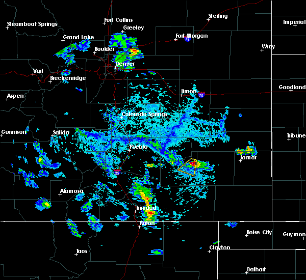 At 417 pm mdt, a severe thunderstorm was located near cheraw, or near la junta, moving southwest at 25 mph (radar indicated). Hazards include 70 mph wind gusts and half dollar size hail. several reports of dime sized hail have been reported by the public with this storm. Hail damage to vehicles is expected. expect considerable tree damage. wind damage is also likely to mobile homes, roofs, and outbuildings. Locations impacted include, la junta, north la junta, swink and cheraw. At 417 pm mdt, a severe thunderstorm was located near cheraw, or near la junta, moving southwest at 25 mph (radar indicated). Hazards include 70 mph wind gusts and half dollar size hail. several reports of dime sized hail have been reported by the public with this storm. Hail damage to vehicles is expected. expect considerable tree damage. wind damage is also likely to mobile homes, roofs, and outbuildings. Locations impacted include, la junta, north la junta, swink and cheraw.
|
| 7/4/2017 4:10 PM MDT |
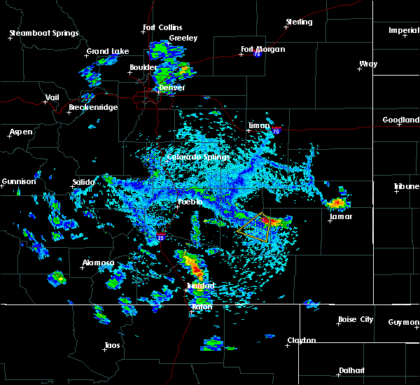 At 410 pm mdt, a severe thunderstorm was located over cheraw, or 7 miles north of north la junta, moving southwest at 25 mph (radar indicated). Hazards include 70 mph wind gusts and half dollar size hail. Hail damage to vehicles is expected. expect considerable tree damage. Wind damage is also likely to mobile homes, roofs, and outbuildings. At 410 pm mdt, a severe thunderstorm was located over cheraw, or 7 miles north of north la junta, moving southwest at 25 mph (radar indicated). Hazards include 70 mph wind gusts and half dollar size hail. Hail damage to vehicles is expected. expect considerable tree damage. Wind damage is also likely to mobile homes, roofs, and outbuildings.
|
| 6/25/2017 3:58 PM MDT |
 At 358 pm mdt, a severe thunderstorm was located near sugar city, or 14 miles north of la junta, moving south at 20 mph (radar indicated). Hazards include 60 mph wind gusts and quarter size hail. Hail damage to vehicles is expected. expect wind damage to roofs, siding, and trees. Locations impacted include, north la junta, rocky ford, ordway, swink, sugar city and cheraw. At 358 pm mdt, a severe thunderstorm was located near sugar city, or 14 miles north of la junta, moving south at 20 mph (radar indicated). Hazards include 60 mph wind gusts and quarter size hail. Hail damage to vehicles is expected. expect wind damage to roofs, siding, and trees. Locations impacted include, north la junta, rocky ford, ordway, swink, sugar city and cheraw.
|
| 6/25/2017 3:44 PM MDT |
 At 344 pm mdt, a severe thunderstorm was located over sugar city, or 19 miles north of la junta, moving south at 20 mph (radar indicated). Hazards include 60 mph wind gusts and half dollar size hail. Hail damage to vehicles is expected. Expect wind damage to roofs, siding, and trees. At 344 pm mdt, a severe thunderstorm was located over sugar city, or 19 miles north of la junta, moving south at 20 mph (radar indicated). Hazards include 60 mph wind gusts and half dollar size hail. Hail damage to vehicles is expected. Expect wind damage to roofs, siding, and trees.
|
| 5/18/2017 4:07 PM MDT |
 At 406 pm mdt, a severe thunderstorm was located near north la junta, moving northeast at 25 mph (radar indicated). Hazards include ping pong ball size hail and 60 mph wind gusts. People and animals outdoors will be injured. expect hail damage to roofs, siding, windows, and vehicles. expect wind damage to roofs, siding, and trees. Locations impacted include, la junta, north la junta and las animas. At 406 pm mdt, a severe thunderstorm was located near north la junta, moving northeast at 25 mph (radar indicated). Hazards include ping pong ball size hail and 60 mph wind gusts. People and animals outdoors will be injured. expect hail damage to roofs, siding, windows, and vehicles. expect wind damage to roofs, siding, and trees. Locations impacted include, la junta, north la junta and las animas.
|
| 5/18/2017 3:53 PM MDT |
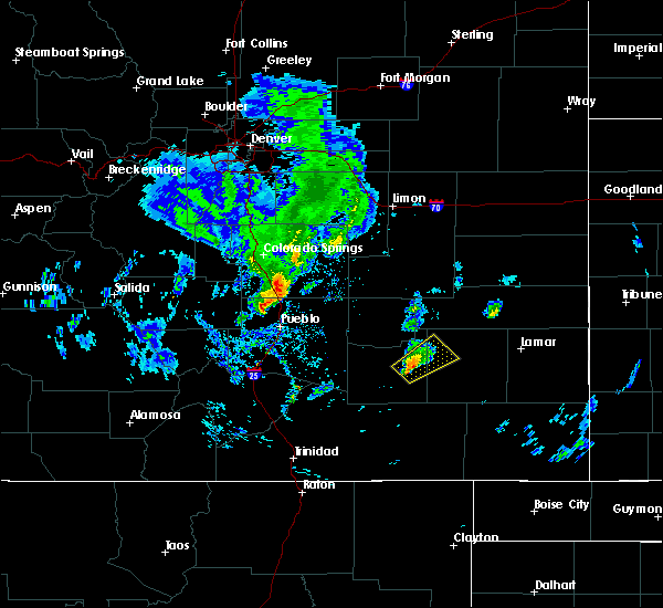 At 353 pm mdt, a severe thunderstorm was located near north la junta, moving northeast at 25 mph (radar indicated). Hazards include golf ball size hail and 60 mph wind gusts. People and animals outdoors will be injured. expect hail damage to roofs, siding, windows, and vehicles. expect wind damage to roofs, siding, and trees. Locations impacted include, la junta, north la junta and las animas. At 353 pm mdt, a severe thunderstorm was located near north la junta, moving northeast at 25 mph (radar indicated). Hazards include golf ball size hail and 60 mph wind gusts. People and animals outdoors will be injured. expect hail damage to roofs, siding, windows, and vehicles. expect wind damage to roofs, siding, and trees. Locations impacted include, la junta, north la junta and las animas.
|
| 5/18/2017 3:45 PM MDT |
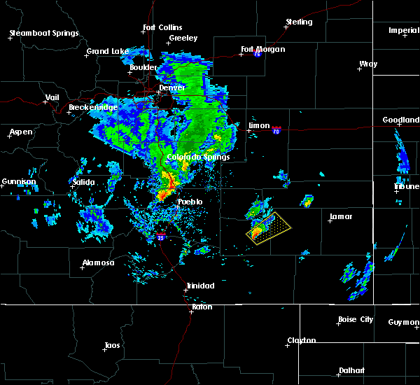 At 344 pm mdt, a severe thunderstorm was located near la junta, moving northeast at 25 mph (radar indicated). Hazards include quarter size hail. damage to vehicles is expected At 344 pm mdt, a severe thunderstorm was located near la junta, moving northeast at 25 mph (radar indicated). Hazards include quarter size hail. damage to vehicles is expected
|
| 5/18/2017 3:22 PM MDT |
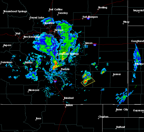 At 321 pm mdt, a severe thunderstorm was located near timpas, or 10 miles southwest of la junta, moving northeast at 30 mph (radar indicated). Hazards include quarter size hail. Damage to vehicles is expected. Locations impacted include, la junta, north la junta and timpas. At 321 pm mdt, a severe thunderstorm was located near timpas, or 10 miles southwest of la junta, moving northeast at 30 mph (radar indicated). Hazards include quarter size hail. Damage to vehicles is expected. Locations impacted include, la junta, north la junta and timpas.
|
| 5/18/2017 3:05 PM MDT |
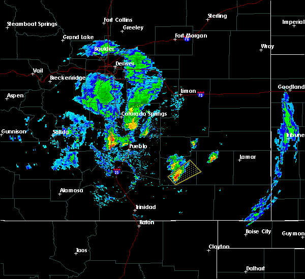 At 304 pm mdt, a severe thunderstorm was located near timpas, or 18 miles southwest of la junta, moving northeast at 35 mph (radar indicated). Hazards include ping pong ball size hail. People and animals outdoors will be injured. Expect damage to roofs, siding, windows, and vehicles. At 304 pm mdt, a severe thunderstorm was located near timpas, or 18 miles southwest of la junta, moving northeast at 35 mph (radar indicated). Hazards include ping pong ball size hail. People and animals outdoors will be injured. Expect damage to roofs, siding, windows, and vehicles.
|
| 5/18/2017 1:42 PM MDT |
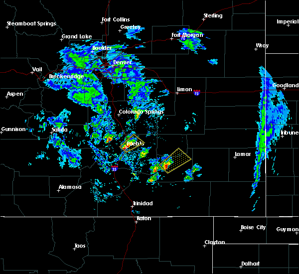 At 142 pm mdt, a severe thunderstorm was located 8 miles northwest of timpas, or 17 miles west of la junta, moving northeast at 35 mph (radar indicated). Hazards include quarter size hail. damage to vehicles is expected At 142 pm mdt, a severe thunderstorm was located 8 miles northwest of timpas, or 17 miles west of la junta, moving northeast at 35 mph (radar indicated). Hazards include quarter size hail. damage to vehicles is expected
|
| 5/9/2017 3:55 PM MDT |
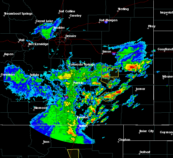 At 353 pm mdt, a severe thunderstorm was located near higbee, or 11 miles south of north la junta, moving north at 40 mph (radar indicated). Hazards include 60 mph wind gusts and quarter size hail. Hail damage to vehicles is expected. expect wind damage to roofs, siding, and trees. Locations impacted include, la junta and north la junta. At 353 pm mdt, a severe thunderstorm was located near higbee, or 11 miles south of north la junta, moving north at 40 mph (radar indicated). Hazards include 60 mph wind gusts and quarter size hail. Hail damage to vehicles is expected. expect wind damage to roofs, siding, and trees. Locations impacted include, la junta and north la junta.
|
| 5/9/2017 3:39 PM MDT |
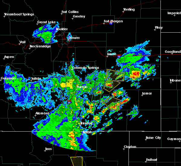 At 338 pm mdt, a severe thunderstorm was located 7 miles south of higbee, or 21 miles south of north la junta, moving north at 40 mph (radar indicated). Hazards include 60 mph wind gusts and quarter size hail. Hail damage to vehicles is expected. expect wind damage to roofs, siding, and trees. Locations impacted include, la junta, north la junta and higbee. At 338 pm mdt, a severe thunderstorm was located 7 miles south of higbee, or 21 miles south of north la junta, moving north at 40 mph (radar indicated). Hazards include 60 mph wind gusts and quarter size hail. Hail damage to vehicles is expected. expect wind damage to roofs, siding, and trees. Locations impacted include, la junta, north la junta and higbee.
|
| 5/9/2017 3:23 PM MDT |
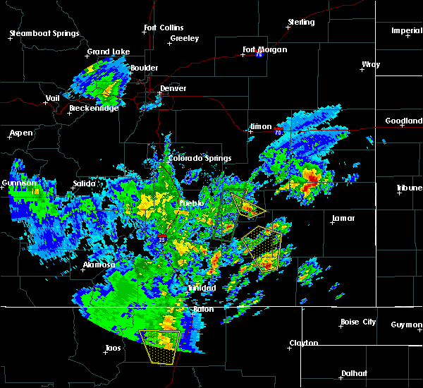 At 322 pm mdt, a severe thunderstorm was located 17 miles south of higbee, or 31 miles south of north la junta, moving north at 40 mph (radar indicated). Hazards include 60 mph wind gusts and quarter size hail. Hail damage to vehicles is expected. Expect wind damage to roofs, siding, and trees. At 322 pm mdt, a severe thunderstorm was located 17 miles south of higbee, or 31 miles south of north la junta, moving north at 40 mph (radar indicated). Hazards include 60 mph wind gusts and quarter size hail. Hail damage to vehicles is expected. Expect wind damage to roofs, siding, and trees.
|
| 5/8/2017 8:04 PM MDT |
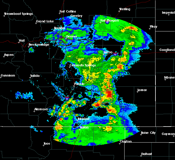 At 804 pm mdt, a severe thunderstorm was located near north la junta, moving northeast at 40 mph (radar indicated). Hazards include 60 mph wind gusts and quarter size hail. Hail damage to vehicles is expected. expect wind damage to roofs, siding, and trees. Locations impacted include, la junta, north la junta, swink and cheraw. At 804 pm mdt, a severe thunderstorm was located near north la junta, moving northeast at 40 mph (radar indicated). Hazards include 60 mph wind gusts and quarter size hail. Hail damage to vehicles is expected. expect wind damage to roofs, siding, and trees. Locations impacted include, la junta, north la junta, swink and cheraw.
|
| 5/8/2017 7:52 PM MDT |
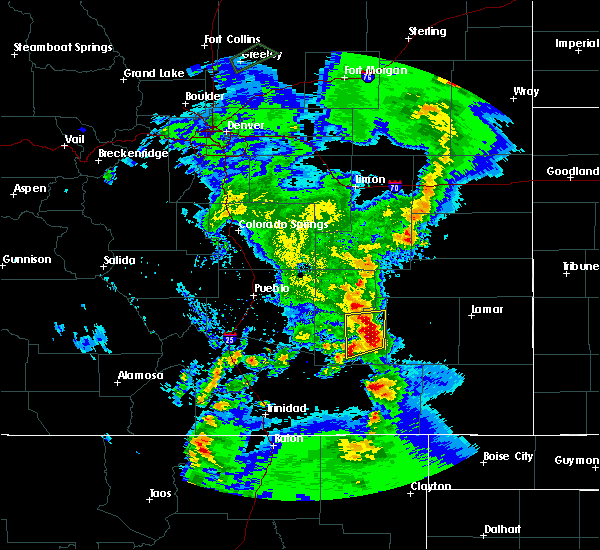 At 751 pm mdt, a severe thunderstorm was located near la junta, moving north at 40 mph (radar indicated). Hazards include 60 mph wind gusts and half dollar size hail. Hail damage to vehicles is expected. expect wind damage to roofs, siding, and trees. Locations impacted include, la junta, north la junta, swink and cheraw. At 751 pm mdt, a severe thunderstorm was located near la junta, moving north at 40 mph (radar indicated). Hazards include 60 mph wind gusts and half dollar size hail. Hail damage to vehicles is expected. expect wind damage to roofs, siding, and trees. Locations impacted include, la junta, north la junta, swink and cheraw.
|
| 5/8/2017 7:42 PM MDT |
 At 741 pm mdt, a severe thunderstorm was located near higbee, or 15 miles south of north la junta, moving north at 40 mph (radar indicated). Hazards include 60 mph wind gusts and half dollar size hail. Hail damage to vehicles is expected. Expect wind damage to roofs, siding, and trees. At 741 pm mdt, a severe thunderstorm was located near higbee, or 15 miles south of north la junta, moving north at 40 mph (radar indicated). Hazards include 60 mph wind gusts and half dollar size hail. Hail damage to vehicles is expected. Expect wind damage to roofs, siding, and trees.
|
| 9/6/2016 5:27 PM MDT |
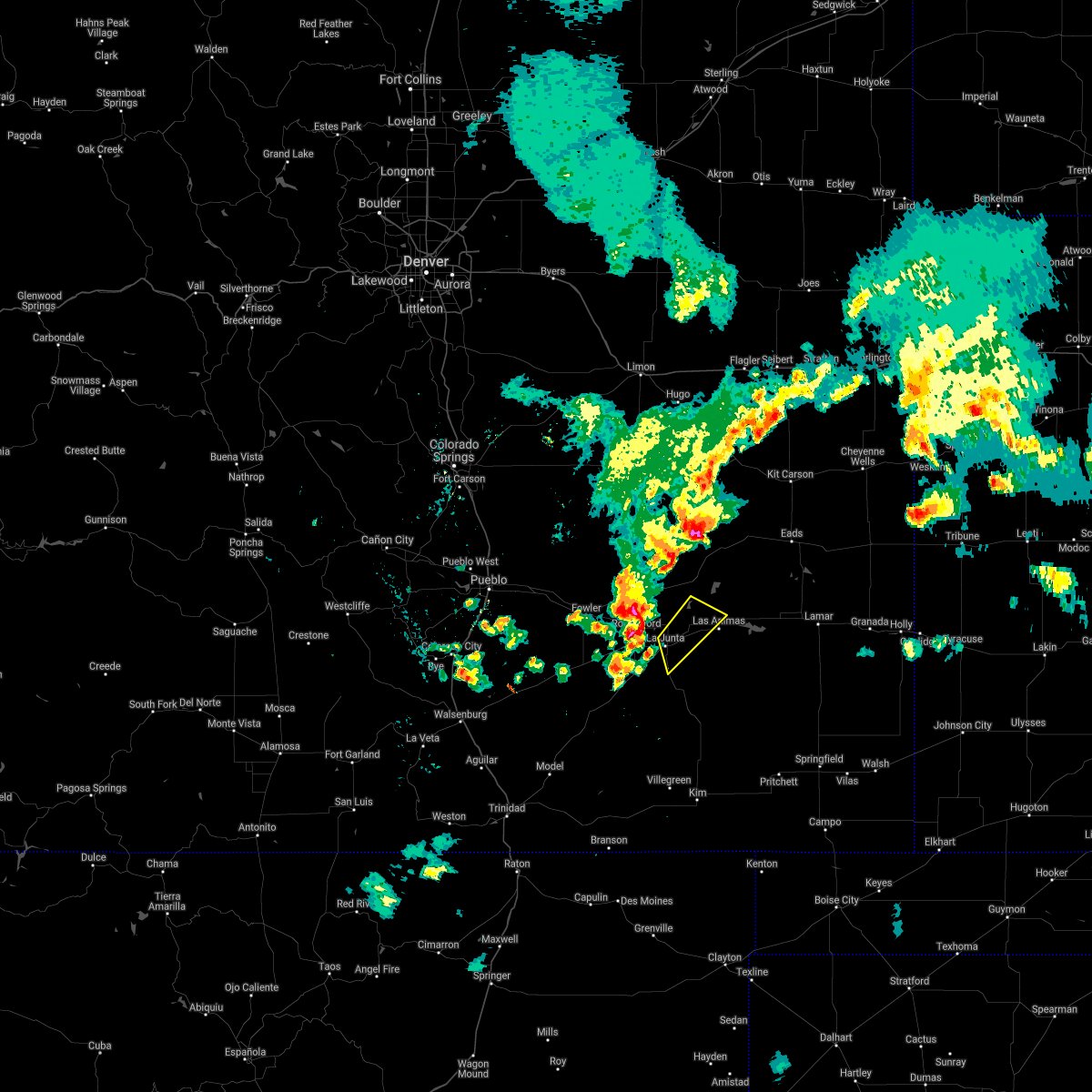 The severe thunderstorm warning for east central otero and northwestern bent counties will expire at 530 pm mdt, the storm which prompted the warning has weakened below severe limits, and no longer pose an immediate threat to life or property. therefore the warning will be allowed to expire. however small hail, gusty winds and heavy rain are still possible with this thunderstorm. The severe thunderstorm warning for east central otero and northwestern bent counties will expire at 530 pm mdt, the storm which prompted the warning has weakened below severe limits, and no longer pose an immediate threat to life or property. therefore the warning will be allowed to expire. however small hail, gusty winds and heavy rain are still possible with this thunderstorm.
|
| 9/6/2016 5:21 PM MDT |
 At 520 pm mdt, a severe thunderstorm was located near north la junta, moving northeast at 35 mph (radar indicated). Hazards include 60 mph wind gusts and quarter size hail. Hail damage to vehicles is expected. expect wind damage to roofs, siding, and trees. Locations impacted include, la junta and north la junta. At 520 pm mdt, a severe thunderstorm was located near north la junta, moving northeast at 35 mph (radar indicated). Hazards include 60 mph wind gusts and quarter size hail. Hail damage to vehicles is expected. expect wind damage to roofs, siding, and trees. Locations impacted include, la junta and north la junta.
|
| 9/6/2016 5:08 PM MDT |
 At 508 pm mdt, a severe thunderstorm was located over north la junta, moving northeast at 30 mph (radar indicated). Hazards include 70 mph wind gusts and quarter size hail. Hail damage to vehicles is expected. expect considerable tree damage. wind damage is also likely to mobile homes, roofs, and outbuildings. Locations impacted include, la junta, north la junta, rocky ford, swink and cheraw. At 508 pm mdt, a severe thunderstorm was located over north la junta, moving northeast at 30 mph (radar indicated). Hazards include 70 mph wind gusts and quarter size hail. Hail damage to vehicles is expected. expect considerable tree damage. wind damage is also likely to mobile homes, roofs, and outbuildings. Locations impacted include, la junta, north la junta, rocky ford, swink and cheraw.
|
| 9/6/2016 4:58 PM MDT |
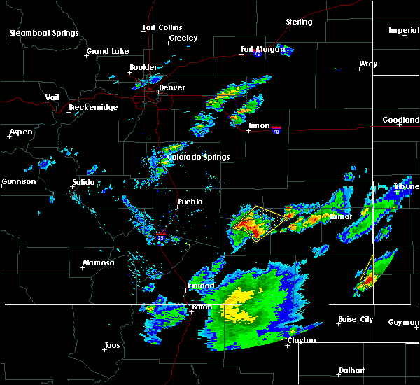 At 457 pm mdt, a severe thunderstorm was located near swink, or near la junta, moving northeast at 25 mph (radar indicated). Hazards include 70 mph wind gusts and half dollar size hail. Hail damage to vehicles is expected. expect considerable tree damage. wind damage is also likely to mobile homes, roofs, and outbuildings. Locations impacted include, la junta, north la junta, rocky ford, swink and cheraw. At 457 pm mdt, a severe thunderstorm was located near swink, or near la junta, moving northeast at 25 mph (radar indicated). Hazards include 70 mph wind gusts and half dollar size hail. Hail damage to vehicles is expected. expect considerable tree damage. wind damage is also likely to mobile homes, roofs, and outbuildings. Locations impacted include, la junta, north la junta, rocky ford, swink and cheraw.
|
| 9/6/2016 4:49 PM MDT |
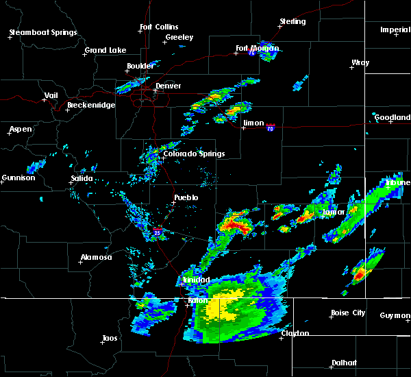 At 448 pm mdt, a severe thunderstorm was located near rocky ford, or 9 miles west of la junta, moving northeast at 35 mph (radar indicated). Hazards include 70 mph wind gusts and half dollar size hail. Hail damage to vehicles is expected. expect considerable tree damage. Wind damage is also likely to mobile homes, roofs, and outbuildings. At 448 pm mdt, a severe thunderstorm was located near rocky ford, or 9 miles west of la junta, moving northeast at 35 mph (radar indicated). Hazards include 70 mph wind gusts and half dollar size hail. Hail damage to vehicles is expected. expect considerable tree damage. Wind damage is also likely to mobile homes, roofs, and outbuildings.
|
| 7/27/2016 7:22 PM MDT |
 The severe thunderstorm warning for southwestern kiowa, northeastern otero, southeastern crowley and northwestern bent counties will expire at 730 pm mdt, the storm which prompted the warning has weakened below severe limits, and no longer pose an immediate threat to life or property. therefore the warning will be allowed to expire. however heavy rain is still possible with this thunderstorm. The severe thunderstorm warning for southwestern kiowa, northeastern otero, southeastern crowley and northwestern bent counties will expire at 730 pm mdt, the storm which prompted the warning has weakened below severe limits, and no longer pose an immediate threat to life or property. therefore the warning will be allowed to expire. however heavy rain is still possible with this thunderstorm.
|
| 7/27/2016 7:10 PM MDT |
 At 710 pm mdt, a severe thunderstorm was located 8 miles east of sugar city, or 20 miles north of la junta, moving south at 20 mph (radar indicated). Hazards include 60 mph wind gusts and quarter size hail. Hail damage to vehicles is expected. expect wind damage to roofs, siding, and trees. Locations impacted include, la junta, north la junta, rocky ford, swink, sugar city and cheraw. At 710 pm mdt, a severe thunderstorm was located 8 miles east of sugar city, or 20 miles north of la junta, moving south at 20 mph (radar indicated). Hazards include 60 mph wind gusts and quarter size hail. Hail damage to vehicles is expected. expect wind damage to roofs, siding, and trees. Locations impacted include, la junta, north la junta, rocky ford, swink, sugar city and cheraw.
|
| 7/27/2016 6:52 PM MDT |
 At 652 pm mdt, a severe thunderstorm was located 9 miles west of arlington, or 24 miles north of la junta, moving southwest at 30 mph (radar indicated). Hazards include ping pong ball size hail and 60 mph wind gusts. People and animals outdoors will be injured. expect hail damage to roofs, siding, windows, and vehicles. expect wind damage to roofs, siding, and trees. Locations impacted include, la junta, north la junta, rocky ford, las animas, swink, sugar city, cheraw, blue lake, arlington, john martin reservoir and fort lyon. At 652 pm mdt, a severe thunderstorm was located 9 miles west of arlington, or 24 miles north of la junta, moving southwest at 30 mph (radar indicated). Hazards include ping pong ball size hail and 60 mph wind gusts. People and animals outdoors will be injured. expect hail damage to roofs, siding, windows, and vehicles. expect wind damage to roofs, siding, and trees. Locations impacted include, la junta, north la junta, rocky ford, las animas, swink, sugar city, cheraw, blue lake, arlington, john martin reservoir and fort lyon.
|
| 7/27/2016 6:39 PM MDT |
 At 639 pm mdt, a severe thunderstorm was located 7 miles northwest of arlington, or 28 miles north of la junta, moving south at 25 mph (radar indicated). Hazards include ping pong ball size hail and 60 mph wind gusts. People and animals outdoors will be injured. expect hail damage to roofs, siding, windows, and vehicles. expect wind damage to roofs, siding, and trees. Locations impacted include, la junta, north la junta, rocky ford, las animas, swink, sugar city, cheraw, blue lake, arlington, john martin reservoir and fort lyon. At 639 pm mdt, a severe thunderstorm was located 7 miles northwest of arlington, or 28 miles north of la junta, moving south at 25 mph (radar indicated). Hazards include ping pong ball size hail and 60 mph wind gusts. People and animals outdoors will be injured. expect hail damage to roofs, siding, windows, and vehicles. expect wind damage to roofs, siding, and trees. Locations impacted include, la junta, north la junta, rocky ford, las animas, swink, sugar city, cheraw, blue lake, arlington, john martin reservoir and fort lyon.
|
| 7/27/2016 6:29 PM MDT |
 At 628 pm mdt, a severe thunderstorm was located 8 miles northwest of arlington, or 32 miles north of la junta, moving south at 30 mph (radar indicated). Hazards include 60 mph wind gusts and half dollar size hail. Hail damage to vehicles is expected. Expect wind damage to roofs, siding, and trees. At 628 pm mdt, a severe thunderstorm was located 8 miles northwest of arlington, or 32 miles north of la junta, moving south at 30 mph (radar indicated). Hazards include 60 mph wind gusts and half dollar size hail. Hail damage to vehicles is expected. Expect wind damage to roofs, siding, and trees.
|
| 7/25/2016 8:05 PM MDT |
 At 804 pm mdt, severe thunderstorms were located along a line extending from 8 miles east of sugar city to near rocky ford, moving east at 25 mph (radar indicated). Hazards include 70 mph wind gusts and quarter size hail. Hail damage to vehicles is expected. expect considerable tree damage. wind damage is also likely to mobile homes, roofs, and outbuildings. Locations impacted include, la junta, north la junta, rocky ford, las animas, ordway, swink, sugar city, cheraw, blue lake, john martin reservoir and fort lyon. At 804 pm mdt, severe thunderstorms were located along a line extending from 8 miles east of sugar city to near rocky ford, moving east at 25 mph (radar indicated). Hazards include 70 mph wind gusts and quarter size hail. Hail damage to vehicles is expected. expect considerable tree damage. wind damage is also likely to mobile homes, roofs, and outbuildings. Locations impacted include, la junta, north la junta, rocky ford, las animas, ordway, swink, sugar city, cheraw, blue lake, john martin reservoir and fort lyon.
|
| 7/25/2016 7:53 PM MDT |
 At 750 pm mdt, severe thunderstorms were located along a line extending from sugar city to near ordway, moving southeast at 15 mph (radar indicated). Hazards include 70 mph wind gusts and quarter size hail. Hail damage to vehicles is expected. expect considerable tree damage. wind damage is also likely to mobile homes, roofs, and outbuildings. Locations impacted include, la junta, north la junta, rocky ford, las animas, ordway, swink, sugar city, cheraw, higbee, blue lake, john martin reservoir and fort lyon. At 750 pm mdt, severe thunderstorms were located along a line extending from sugar city to near ordway, moving southeast at 15 mph (radar indicated). Hazards include 70 mph wind gusts and quarter size hail. Hail damage to vehicles is expected. expect considerable tree damage. wind damage is also likely to mobile homes, roofs, and outbuildings. Locations impacted include, la junta, north la junta, rocky ford, las animas, ordway, swink, sugar city, cheraw, higbee, blue lake, john martin reservoir and fort lyon.
|
| 7/25/2016 7:35 PM MDT |
 At 733 pm mdt, severe thunderstorms were located along a line extending from near sugar city to near crowley, moving southeast at 5 mph (radar indicated). Hazards include tennis ball size hail...70 mph winds...very heavy rain and lightning. People and animals outdoors will be injured. expect hail damage to roofs, siding, windows, and vehicles. expect considerable tree damage. wind damage is also likely to mobile homes, roofs, and outbuildings. Locations impacted include, la junta, north la junta, rocky ford, las animas, ordway, swink, sugar city, cheraw, higbee, blue lake, john martin reservoir and fort lyon. At 733 pm mdt, severe thunderstorms were located along a line extending from near sugar city to near crowley, moving southeast at 5 mph (radar indicated). Hazards include tennis ball size hail...70 mph winds...very heavy rain and lightning. People and animals outdoors will be injured. expect hail damage to roofs, siding, windows, and vehicles. expect considerable tree damage. wind damage is also likely to mobile homes, roofs, and outbuildings. Locations impacted include, la junta, north la junta, rocky ford, las animas, ordway, swink, sugar city, cheraw, higbee, blue lake, john martin reservoir and fort lyon.
|
| 7/25/2016 7:10 PM MDT |
 At 709 pm mdt, severe thunderstorms were located along a line extending from sugar city to near crowley, moving east at 20 mph (radar indicated). Hazards include 70 mph wind gusts...quarter size hail...torrential rainfall, lightning. Hail damage to vehicles is expected. expect considerable tree damage. Wind damage is also likely to mobile homes, roofs, and outbuildings. At 709 pm mdt, severe thunderstorms were located along a line extending from sugar city to near crowley, moving east at 20 mph (radar indicated). Hazards include 70 mph wind gusts...quarter size hail...torrential rainfall, lightning. Hail damage to vehicles is expected. expect considerable tree damage. Wind damage is also likely to mobile homes, roofs, and outbuildings.
|
| 7/23/2016 8:25 PM MDT |
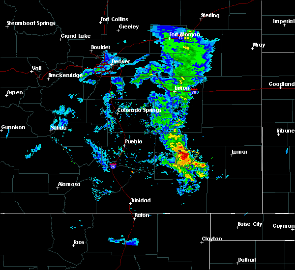 At 822 pm mdt, a severe thunderstorm was located over cheraw, or 7 miles north of north la junta, moving north at 30 mph (radar indicated. at 8:14 pm mdt...59 mph winds were recorded at the la junta airport). Hazards include 70 mph wind gusts and quarter size hail. Hail damage to vehicles is expected. expect considerable tree damage. wind damage is also likely to mobile homes, roofs, and outbuildings. Locations impacted include, la junta, north la junta and cheraw. At 822 pm mdt, a severe thunderstorm was located over cheraw, or 7 miles north of north la junta, moving north at 30 mph (radar indicated. at 8:14 pm mdt...59 mph winds were recorded at the la junta airport). Hazards include 70 mph wind gusts and quarter size hail. Hail damage to vehicles is expected. expect considerable tree damage. wind damage is also likely to mobile homes, roofs, and outbuildings. Locations impacted include, la junta, north la junta and cheraw.
|
| 7/23/2016 8:07 PM MDT |
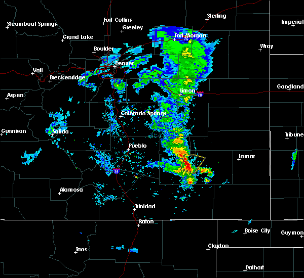 At 806 pm mdt, a severe thunderstorm was located over la junta, moving northeast at 25 mph (radar indicated). Hazards include 70 mph wind gusts and quarter size hail. Hail damage to vehicles is expected. expect considerable tree damage. Wind damage is also likely to mobile homes, roofs, and outbuildings. At 806 pm mdt, a severe thunderstorm was located over la junta, moving northeast at 25 mph (radar indicated). Hazards include 70 mph wind gusts and quarter size hail. Hail damage to vehicles is expected. expect considerable tree damage. Wind damage is also likely to mobile homes, roofs, and outbuildings.
|
| 7/12/2016 2:23 AM MDT |
 At 223 am mdt, a severe thunderstorm was located near blue lake, or 29 miles northeast of north la junta, moving east at 25 mph (radar indicated). Hazards include 60 mph wind gusts and half dollar size hail. Hail damage to vehicles is expected. expect wind damage to roofs, siding, and trees. Locations impacted include, la junta, north la junta, las animas, haswell, john martin reservoir, sweetwater reservoir, neegronda reservoir, blue lake, mcclave, hasty, arlington, queens reservoir, neeoshe reservoir and fort lyon. At 223 am mdt, a severe thunderstorm was located near blue lake, or 29 miles northeast of north la junta, moving east at 25 mph (radar indicated). Hazards include 60 mph wind gusts and half dollar size hail. Hail damage to vehicles is expected. expect wind damage to roofs, siding, and trees. Locations impacted include, la junta, north la junta, las animas, haswell, john martin reservoir, sweetwater reservoir, neegronda reservoir, blue lake, mcclave, hasty, arlington, queens reservoir, neeoshe reservoir and fort lyon.
|
| 7/12/2016 2:10 AM MDT |
 At 210 am mdt, a severe thunderstorm was located over blue lake, or 24 miles northeast of north la junta, moving east at 25 mph (radar indicated). Hazards include half dollar size hail. damage to vehicles is expected At 210 am mdt, a severe thunderstorm was located over blue lake, or 24 miles northeast of north la junta, moving east at 25 mph (radar indicated). Hazards include half dollar size hail. damage to vehicles is expected
|
| 7/1/2016 4:44 PM MDT |
 At 443 pm mdt, a severe thunderstorm was located 7 miles northwest of las animas, or 13 miles northeast of north la junta, moving north at 20 mph (radar indicated). Hazards include 60 mph wind gusts and quarter size hail. Hail damage to vehicles is expected. expect wind damage to roofs, siding, and trees. locations impacted include, la junta, north la junta, las animas, john martin reservoir, higbee, hasty, blue lake and fort lyon. other strong storms were noted south of highway 50 across southwestern bent county. These storms could become severe. At 443 pm mdt, a severe thunderstorm was located 7 miles northwest of las animas, or 13 miles northeast of north la junta, moving north at 20 mph (radar indicated). Hazards include 60 mph wind gusts and quarter size hail. Hail damage to vehicles is expected. expect wind damage to roofs, siding, and trees. locations impacted include, la junta, north la junta, las animas, john martin reservoir, higbee, hasty, blue lake and fort lyon. other strong storms were noted south of highway 50 across southwestern bent county. These storms could become severe.
|
| 7/1/2016 4:31 PM MDT |
 At 431 pm mdt, a severe thunderstorm was located 7 miles west of las animas, or 10 miles northeast of north la junta, moving north at 25 mph (radar indicated). Hazards include golf ball size hail and 70 mph wind gusts. People and animals outdoors will be injured. expect hail damage to roofs, siding, windows, and vehicles. expect considerable tree damage. wind damage is also likely to mobile homes, roofs, and outbuildings. Locations impacted include, la junta, north la junta, las animas, john martin reservoir, higbee, hasty, blue lake and fort lyon. At 431 pm mdt, a severe thunderstorm was located 7 miles west of las animas, or 10 miles northeast of north la junta, moving north at 25 mph (radar indicated). Hazards include golf ball size hail and 70 mph wind gusts. People and animals outdoors will be injured. expect hail damage to roofs, siding, windows, and vehicles. expect considerable tree damage. wind damage is also likely to mobile homes, roofs, and outbuildings. Locations impacted include, la junta, north la junta, las animas, john martin reservoir, higbee, hasty, blue lake and fort lyon.
|
| 7/1/2016 4:13 PM MDT |
 At 413 pm mdt, a severe thunderstorm was located 10 miles east of higbee, or 22 miles southeast of north la junta, moving north at 20 mph (radar indicated). Hazards include 60 mph wind gusts and quarter size hail. Hail damage to vehicles is expected. Expect wind damage to roofs, siding, and trees. At 413 pm mdt, a severe thunderstorm was located 10 miles east of higbee, or 22 miles southeast of north la junta, moving north at 20 mph (radar indicated). Hazards include 60 mph wind gusts and quarter size hail. Hail damage to vehicles is expected. Expect wind damage to roofs, siding, and trees.
|
| 6/25/2016 6:09 PM MDT |
 At 609 pm mdt, a severe thunderstorm was located near cheraw, or 10 miles northeast of north la junta, moving east at 25 mph (trained weather spotters). Hazards include 70 mph wind gusts and quarter size hail. Hail damage to vehicles is expected. expect considerable tree damage. wind damage is also likely to mobile homes, roofs, and outbuildings. Locations impacted include, la junta, north la junta, las animas, swink, cheraw, blue lake, arlington, john martin reservoir and fort lyon. At 609 pm mdt, a severe thunderstorm was located near cheraw, or 10 miles northeast of north la junta, moving east at 25 mph (trained weather spotters). Hazards include 70 mph wind gusts and quarter size hail. Hail damage to vehicles is expected. expect considerable tree damage. wind damage is also likely to mobile homes, roofs, and outbuildings. Locations impacted include, la junta, north la junta, las animas, swink, cheraw, blue lake, arlington, john martin reservoir and fort lyon.
|
| 6/25/2016 6:00 PM MDT |
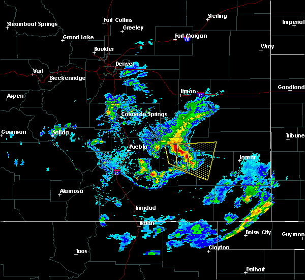 At 559 pm mdt, a severe thunderstorm was located near cheraw, or 12 miles north of la junta, moving southeast at 20 mph (trained weather spotters). Hazards include 70 mph wind gusts and quarter size hail. Hail damage to vehicles is expected. expect considerable tree damage. wind damage is also likely to mobile homes, roofs, and outbuildings. this storm has a history of producing 70 mph winds. Locations impacted include, la junta, north la junta, rocky ford, las animas, swink, sugar city, cheraw, blue lake, arlington, john martin reservoir and fort lyon. At 559 pm mdt, a severe thunderstorm was located near cheraw, or 12 miles north of la junta, moving southeast at 20 mph (trained weather spotters). Hazards include 70 mph wind gusts and quarter size hail. Hail damage to vehicles is expected. expect considerable tree damage. wind damage is also likely to mobile homes, roofs, and outbuildings. this storm has a history of producing 70 mph winds. Locations impacted include, la junta, north la junta, rocky ford, las animas, swink, sugar city, cheraw, blue lake, arlington, john martin reservoir and fort lyon.
|
| 6/25/2016 5:49 PM MDT |
 At 548 pm mdt, a severe thunderstorm was located over sugar city, or 16 miles northwest of la junta, moving east at 20 mph (trained weather spotters). Hazards include 70 mph wind gusts. winds of 70 mph were measured in swink at 545 pm. Expect considerable tree damage. Damage is likely to mobile homes, roofs, and outbuildings. At 548 pm mdt, a severe thunderstorm was located over sugar city, or 16 miles northwest of la junta, moving east at 20 mph (trained weather spotters). Hazards include 70 mph wind gusts. winds of 70 mph were measured in swink at 545 pm. Expect considerable tree damage. Damage is likely to mobile homes, roofs, and outbuildings.
|
| 6/23/2016 6:18 PM MDT |
 At 618 pm mdt, a severe thunderstorm was located 8 miles west of higbee, or 16 miles south of north la junta, moving east at 40 mph (radar indicated). Hazards include 60 mph wind gusts and quarter size hail. Hail damage to vehicles is expected. expect wind damage to roofs, siding, and trees. Locations impacted include, la junta, north la junta, las animas, swink, cheraw, higbee, john martin reservoir and fort lyon. At 618 pm mdt, a severe thunderstorm was located 8 miles west of higbee, or 16 miles south of north la junta, moving east at 40 mph (radar indicated). Hazards include 60 mph wind gusts and quarter size hail. Hail damage to vehicles is expected. expect wind damage to roofs, siding, and trees. Locations impacted include, la junta, north la junta, las animas, swink, cheraw, higbee, john martin reservoir and fort lyon.
|
| 6/23/2016 6:10 PM MDT |
 At 609 pm mdt, a severe thunderstorm was located near timpas, or 19 miles southwest of la junta, moving east at 20 mph (radar indicated). Hazards include ping pong ball size hail and 60 mph wind gusts. People and animals outdoors will be injured. expect hail damage to roofs, siding, windows, and vehicles. expect wind damage to roofs, siding, and trees. Locations impacted include, la junta, north la junta, rocky ford, las animas, swink, cheraw, higbee, john martin reservoir and fort lyon. At 609 pm mdt, a severe thunderstorm was located near timpas, or 19 miles southwest of la junta, moving east at 20 mph (radar indicated). Hazards include ping pong ball size hail and 60 mph wind gusts. People and animals outdoors will be injured. expect hail damage to roofs, siding, windows, and vehicles. expect wind damage to roofs, siding, and trees. Locations impacted include, la junta, north la junta, rocky ford, las animas, swink, cheraw, higbee, john martin reservoir and fort lyon.
|
| 6/23/2016 6:02 PM MDT |
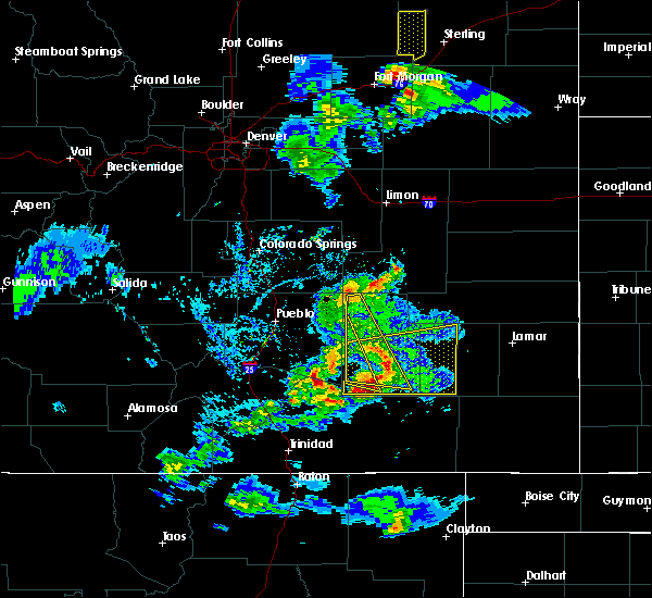 At 601 pm mdt, a severe thunderstorm was located 7 miles southeast of timpas, or 17 miles south of la junta, moving east at 40 mph (radar indicated). Hazards include ping pong ball size hail and 60 mph wind gusts. People and animals outdoors will be injured. expect hail damage to roofs, siding, windows, and vehicles. expect wind damage to roofs, siding, and trees. Locations impacted include, la junta, north la junta, rocky ford, las animas, swink, cheraw, timpas, higbee, john martin reservoir and fort lyon. At 601 pm mdt, a severe thunderstorm was located 7 miles southeast of timpas, or 17 miles south of la junta, moving east at 40 mph (radar indicated). Hazards include ping pong ball size hail and 60 mph wind gusts. People and animals outdoors will be injured. expect hail damage to roofs, siding, windows, and vehicles. expect wind damage to roofs, siding, and trees. Locations impacted include, la junta, north la junta, rocky ford, las animas, swink, cheraw, timpas, higbee, john martin reservoir and fort lyon.
|
| 6/23/2016 5:52 PM MDT |
 At 552 pm mdt, a severe thunderstorm was located near timpas, or 20 miles southwest of la junta, moving east at 30 mph (radar indicated). Hazards include ping pong ball size hail and 60 mph wind gusts. People and animals outdoors will be injured. expect hail damage to roofs, siding, windows, and vehicles. expect wind damage to roofs, siding, and trees. Locations impacted include, la junta, north la junta, rocky ford, las animas, swink, manzanola, cheraw, timpas, higbee, john martin reservoir and fort lyon. At 552 pm mdt, a severe thunderstorm was located near timpas, or 20 miles southwest of la junta, moving east at 30 mph (radar indicated). Hazards include ping pong ball size hail and 60 mph wind gusts. People and animals outdoors will be injured. expect hail damage to roofs, siding, windows, and vehicles. expect wind damage to roofs, siding, and trees. Locations impacted include, la junta, north la junta, rocky ford, las animas, swink, manzanola, cheraw, timpas, higbee, john martin reservoir and fort lyon.
|
| 6/23/2016 5:42 PM MDT |
 At 542 pm mdt, a severe thunderstorm was located near swink, or 8 miles west of la junta, moving east at 40 mph (radar indicated). Hazards include 60 mph wind gusts and quarter size hail. Hail damage to vehicles is expected. expect wind damage to roofs, siding, and trees. Locations impacted include, la junta, north la junta, rocky ford, las animas, swink, manzanola, cheraw, timpas, higbee, john martin reservoir and fort lyon. At 542 pm mdt, a severe thunderstorm was located near swink, or 8 miles west of la junta, moving east at 40 mph (radar indicated). Hazards include 60 mph wind gusts and quarter size hail. Hail damage to vehicles is expected. expect wind damage to roofs, siding, and trees. Locations impacted include, la junta, north la junta, rocky ford, las animas, swink, manzanola, cheraw, timpas, higbee, john martin reservoir and fort lyon.
|
| 6/23/2016 5:36 PM MDT |
 At 535 pm mdt, a severe thunderstorm was located 8 miles southwest of rocky ford, or 13 miles west of la junta, moving east at 40 mph (radar indicated). Hazards include 60 mph wind gusts and quarter size hail. Hail damage to vehicles is expected. Expect wind damage to roofs, siding, and trees. At 535 pm mdt, a severe thunderstorm was located 8 miles southwest of rocky ford, or 13 miles west of la junta, moving east at 40 mph (radar indicated). Hazards include 60 mph wind gusts and quarter size hail. Hail damage to vehicles is expected. Expect wind damage to roofs, siding, and trees.
|
| 6/12/2016 8:50 PM MDT |
 At 849 pm mdt, a severe thunderstorm was located 9 miles southwest of las animas, or 10 miles east of north la junta, moving east at 40 mph (radar indicated). Hazards include golf ball size hail and 70 mph wind gusts. People and animals outdoors will be injured. expect hail damage to roofs, siding, windows, and vehicles. expect considerable tree damage. wind damage is also likely to mobile homes, roofs, and outbuildings. Locations impacted include, la junta, north la junta, las animas, cheraw, john martin reservoir and fort lyon. At 849 pm mdt, a severe thunderstorm was located 9 miles southwest of las animas, or 10 miles east of north la junta, moving east at 40 mph (radar indicated). Hazards include golf ball size hail and 70 mph wind gusts. People and animals outdoors will be injured. expect hail damage to roofs, siding, windows, and vehicles. expect considerable tree damage. wind damage is also likely to mobile homes, roofs, and outbuildings. Locations impacted include, la junta, north la junta, las animas, cheraw, john martin reservoir and fort lyon.
|
| 6/12/2016 8:42 PM MDT |
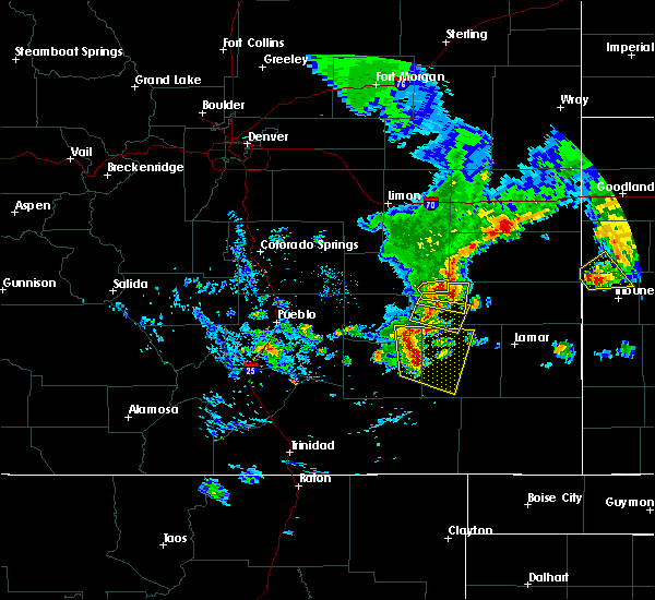 At 841 pm mdt, a severe thunderstorm was located 7 miles east of north la junta, moving east at 40 mph (trained weather spotters). Hazards include golf ball size hail and 70 mph wind gusts. People and animals outdoors will be injured. expect hail damage to roofs, siding, windows, and vehicles. expect considerable tree damage. wind damage is also likely to mobile homes, roofs, and outbuildings. Locations impacted include, la junta, north la junta, las animas, cheraw, john martin reservoir and fort lyon. At 841 pm mdt, a severe thunderstorm was located 7 miles east of north la junta, moving east at 40 mph (trained weather spotters). Hazards include golf ball size hail and 70 mph wind gusts. People and animals outdoors will be injured. expect hail damage to roofs, siding, windows, and vehicles. expect considerable tree damage. wind damage is also likely to mobile homes, roofs, and outbuildings. Locations impacted include, la junta, north la junta, las animas, cheraw, john martin reservoir and fort lyon.
|
| 6/12/2016 8:33 PM MDT |
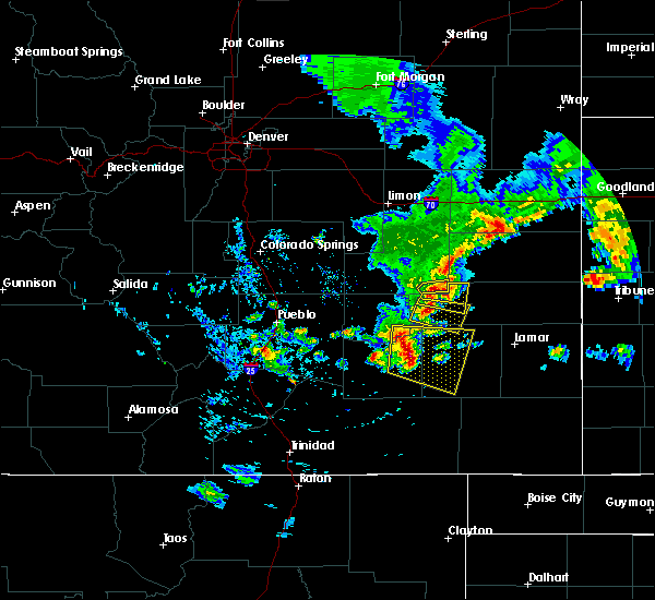 At 833 pm mdt, a severe thunderstorm was located near north la junta, moving east at 35 mph (trained weather spotters). Hazards include 70 mph wind gusts and half dollar size hail. Hail damage to vehicles is expected. expect considerable tree damage. wind damage is also likely to mobile homes, roofs, and outbuildings. Locations impacted include, la junta, north la junta, las animas, swink, cheraw, john martin reservoir and fort lyon. At 833 pm mdt, a severe thunderstorm was located near north la junta, moving east at 35 mph (trained weather spotters). Hazards include 70 mph wind gusts and half dollar size hail. Hail damage to vehicles is expected. expect considerable tree damage. wind damage is also likely to mobile homes, roofs, and outbuildings. Locations impacted include, la junta, north la junta, las animas, swink, cheraw, john martin reservoir and fort lyon.
|
| 6/12/2016 8:25 PM MDT |
 At 825 pm mdt, a severe thunderstorm was located near la junta, moving east at 45 mph (radar indicated). Hazards include 70 mph wind gusts and quarter size hail. Hail damage to vehicles is expected. expect considerable tree damage. Wind damage is also likely to mobile homes, roofs, and outbuildings. At 825 pm mdt, a severe thunderstorm was located near la junta, moving east at 45 mph (radar indicated). Hazards include 70 mph wind gusts and quarter size hail. Hail damage to vehicles is expected. expect considerable tree damage. Wind damage is also likely to mobile homes, roofs, and outbuildings.
|
| 6/12/2016 8:16 PM MDT |
 At 816 pm mdt, a severe thunderstorm was located over swink, or near la junta, moving east at 40 mph (radar indicated). Hazards include 70 mph wind gusts and quarter size hail. Hail damage to vehicles is expected. expect considerable tree damage. wind damage is also likely to mobile homes, roofs, and outbuildings. Locations impacted include, la junta, north la junta, rocky ford, ordway, swink and cheraw. At 816 pm mdt, a severe thunderstorm was located over swink, or near la junta, moving east at 40 mph (radar indicated). Hazards include 70 mph wind gusts and quarter size hail. Hail damage to vehicles is expected. expect considerable tree damage. wind damage is also likely to mobile homes, roofs, and outbuildings. Locations impacted include, la junta, north la junta, rocky ford, ordway, swink and cheraw.
|
| 6/12/2016 8:09 PM MDT |
 At 809 pm mdt, a severe thunderstorm was located over rocky ford, or 10 miles northwest of la junta, moving southeast at 50 mph (trained weather spotters). Hazards include golf ball size hail and 70 mph wind gusts. People and animals outdoors will be injured. expect hail damage to roofs, siding, windows, and vehicles. expect considerable tree damage. wind damage is also likely to mobile homes, roofs, and outbuildings. Locations impacted include, la junta, north la junta, rocky ford, ordway, swink, manzanola, cheraw and crowley. At 809 pm mdt, a severe thunderstorm was located over rocky ford, or 10 miles northwest of la junta, moving southeast at 50 mph (trained weather spotters). Hazards include golf ball size hail and 70 mph wind gusts. People and animals outdoors will be injured. expect hail damage to roofs, siding, windows, and vehicles. expect considerable tree damage. wind damage is also likely to mobile homes, roofs, and outbuildings. Locations impacted include, la junta, north la junta, rocky ford, ordway, swink, manzanola, cheraw and crowley.
|
| 6/12/2016 7:59 PM MDT |
 At 758 pm mdt, a severe thunderstorm was located near rocky ford, or 14 miles northwest of la junta, moving southeast at 55 mph (radar indicated). Hazards include golf ball size hail and 70 mph wind gusts. People and animals outdoors will be injured. expect hail damage to roofs, siding, windows, and vehicles. expect considerable tree damage. wind damage is also likely to mobile homes, roofs, and outbuildings. Locations impacted include, la junta, north la junta, rocky ford, ordway, swink, manzanola, olney springs, sugar city, cheraw and crowley. At 758 pm mdt, a severe thunderstorm was located near rocky ford, or 14 miles northwest of la junta, moving southeast at 55 mph (radar indicated). Hazards include golf ball size hail and 70 mph wind gusts. People and animals outdoors will be injured. expect hail damage to roofs, siding, windows, and vehicles. expect considerable tree damage. wind damage is also likely to mobile homes, roofs, and outbuildings. Locations impacted include, la junta, north la junta, rocky ford, ordway, swink, manzanola, olney springs, sugar city, cheraw and crowley.
|
| 6/12/2016 7:49 PM MDT |
 At 749 pm mdt, a severe thunderstorm was located over manzanola, or 22 miles northwest of la junta, moving southeast at 50 mph (trained weather spotters). Hazards include golf ball size hail and 70 mph wind gusts. People and animals outdoors will be injured. expect hail damage to roofs, siding, windows, and vehicles. expect considerable tree damage. wind damage is also likely to mobile homes, roofs, and outbuildings. Locations impacted include, la junta, north la junta, rocky ford, fowler, ordway, swink, manzanola, olney springs, sugar city, cheraw and crowley. At 749 pm mdt, a severe thunderstorm was located over manzanola, or 22 miles northwest of la junta, moving southeast at 50 mph (trained weather spotters). Hazards include golf ball size hail and 70 mph wind gusts. People and animals outdoors will be injured. expect hail damage to roofs, siding, windows, and vehicles. expect considerable tree damage. wind damage is also likely to mobile homes, roofs, and outbuildings. Locations impacted include, la junta, north la junta, rocky ford, fowler, ordway, swink, manzanola, olney springs, sugar city, cheraw and crowley.
|
| 6/12/2016 7:44 PM MDT |
 At 744 pm mdt, a severe thunderstorm was located over olney springs, or 23 miles northwest of la junta, moving southeast at 55 mph (trained weather spotters). Hazards include 70 mph wind gusts and ping pong ball size hail. People and animals outdoors will be injured. expect hail damage to roofs, siding, windows, and vehicles. expect considerable tree damage. Wind damage is also likely to mobile homes, roofs, and outbuildings. At 744 pm mdt, a severe thunderstorm was located over olney springs, or 23 miles northwest of la junta, moving southeast at 55 mph (trained weather spotters). Hazards include 70 mph wind gusts and ping pong ball size hail. People and animals outdoors will be injured. expect hail damage to roofs, siding, windows, and vehicles. expect considerable tree damage. Wind damage is also likely to mobile homes, roofs, and outbuildings.
|
| 5/31/2016 10:43 PM MDT |
 At 1043 pm mdt, a severe thunderstorm was located near las animas, or 15 miles northeast of north la junta, moving east at 35 mph (radar indicated). Hazards include 60 mph wind gusts and quarter size hail. Hail damage to vehicles is expected. Expect wind damage to roofs, siding, and trees. At 1043 pm mdt, a severe thunderstorm was located near las animas, or 15 miles northeast of north la junta, moving east at 35 mph (radar indicated). Hazards include 60 mph wind gusts and quarter size hail. Hail damage to vehicles is expected. Expect wind damage to roofs, siding, and trees.
|
| 5/26/2016 3:34 PM MDT |
 At 334 pm mdt, a severe thunderstorm was located near rocky ford, or 12 miles northwest of la junta, moving northeast at 40 mph (radar indicated). Hazards include 60 mph wind gusts and quarter size hail. Hail damage to vehicles is expected. expect wind damage to roofs, siding, and trees. locations impacted include, la junta, north la junta, rocky ford, fowler, swink, manzanola and olney springs. A tornado watch remains in effect until 700 pm mdt for southeastern colorado. At 334 pm mdt, a severe thunderstorm was located near rocky ford, or 12 miles northwest of la junta, moving northeast at 40 mph (radar indicated). Hazards include 60 mph wind gusts and quarter size hail. Hail damage to vehicles is expected. expect wind damage to roofs, siding, and trees. locations impacted include, la junta, north la junta, rocky ford, fowler, swink, manzanola and olney springs. A tornado watch remains in effect until 700 pm mdt for southeastern colorado.
|
| 5/26/2016 3:17 PM MDT |
 At 317 pm mdt, a severe thunderstorm was located near manzanola, or 17 miles west of la junta, moving northeast at 40 mph (radar indicated). Hazards include 70 mph wind gusts and half dollar size hail. Hail damage to vehicles is expected. expect considerable tree damage. wind damage is also likely to mobile homes, roofs, and outbuildings. locations impacted include, la junta, north la junta, rocky ford, fowler, swink, manzanola and olney springs. A tornado watch remains in effect until 700 pm mdt for southeastern colorado. At 317 pm mdt, a severe thunderstorm was located near manzanola, or 17 miles west of la junta, moving northeast at 40 mph (radar indicated). Hazards include 70 mph wind gusts and half dollar size hail. Hail damage to vehicles is expected. expect considerable tree damage. wind damage is also likely to mobile homes, roofs, and outbuildings. locations impacted include, la junta, north la junta, rocky ford, fowler, swink, manzanola and olney springs. A tornado watch remains in effect until 700 pm mdt for southeastern colorado.
|
| 5/26/2016 3:09 PM MDT |
 At 309 pm mdt, a severe thunderstorm was located 9 miles southwest of manzanola, or 21 miles west of la junta, moving northeast at 30 mph (radar indicated). Hazards include 70 mph wind gusts and half dollar size hail. Hail damage to vehicles is expected. expect considerable tree damage. wind damage is also likely to mobile homes, roofs, and outbuildings. locations impacted include, la junta, north la junta, rocky ford, fowler, swink, manzanola and olney springs. A tornado watch remains in effect until 700 pm mdt for southeastern colorado. At 309 pm mdt, a severe thunderstorm was located 9 miles southwest of manzanola, or 21 miles west of la junta, moving northeast at 30 mph (radar indicated). Hazards include 70 mph wind gusts and half dollar size hail. Hail damage to vehicles is expected. expect considerable tree damage. wind damage is also likely to mobile homes, roofs, and outbuildings. locations impacted include, la junta, north la junta, rocky ford, fowler, swink, manzanola and olney springs. A tornado watch remains in effect until 700 pm mdt for southeastern colorado.
|
| 5/26/2016 2:57 PM MDT |
 At 256 pm mdt, a severe thunderstorm was located 13 miles south of fowler, or 28 miles west of la junta, moving northeast at 35 mph (radar indicated). Hazards include 70 mph wind gusts and half dollar size hail. Hail damage to vehicles is expected. expect considerable tree damage. wind damage is also likely to mobile homes, roofs, and outbuildings. locations impacted include, la junta, north la junta, rocky ford, fowler, swink, manzanola and olney springs. A tornado watch remains in effect until 700 pm mdt for southeastern colorado. At 256 pm mdt, a severe thunderstorm was located 13 miles south of fowler, or 28 miles west of la junta, moving northeast at 35 mph (radar indicated). Hazards include 70 mph wind gusts and half dollar size hail. Hail damage to vehicles is expected. expect considerable tree damage. wind damage is also likely to mobile homes, roofs, and outbuildings. locations impacted include, la junta, north la junta, rocky ford, fowler, swink, manzanola and olney springs. A tornado watch remains in effect until 700 pm mdt for southeastern colorado.
|
| 5/26/2016 2:47 PM MDT |
 At 247 pm mdt, a severe thunderstorm was located 16 miles south of fowler, or 31 miles west of la junta, moving northeast at 40 mph (radar indicated). Hazards include 70 mph wind gusts and half dollar size hail. Hail damage to vehicles is expected. expect considerable tree damage. Wind damage is also likely to mobile homes, roofs, and outbuildings. At 247 pm mdt, a severe thunderstorm was located 16 miles south of fowler, or 31 miles west of la junta, moving northeast at 40 mph (radar indicated). Hazards include 70 mph wind gusts and half dollar size hail. Hail damage to vehicles is expected. expect considerable tree damage. Wind damage is also likely to mobile homes, roofs, and outbuildings.
|
| 8/17/2015 6:37 PM MDT |
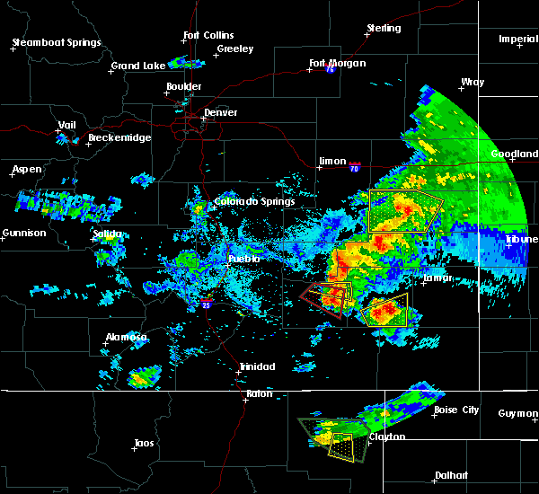 The severe thunderstorm warning for east central otero and west central bent counties will expire at 645 pm mdt, the storm which prompted the warning has weakened below severe limits and exited the warned area. therefore the warning will be allowed to expire. however small hail, .gusty winds and heavy rain are still possible with this thunderstorm. a tornado watch remains in effect until 1100 pm mdt for southeastern colorado. The severe thunderstorm warning for east central otero and west central bent counties will expire at 645 pm mdt, the storm which prompted the warning has weakened below severe limits and exited the warned area. therefore the warning will be allowed to expire. however small hail, .gusty winds and heavy rain are still possible with this thunderstorm. a tornado watch remains in effect until 1100 pm mdt for southeastern colorado.
|
| 8/17/2015 6:28 PM MDT |
 At 628 pm mdt, a severe thunderstorm was located near swink, or 7 miles west of la junta, moving east at 30 mph (radar indicated). Hazards include 70 mph wind gusts and ping pong ball size hail. People and animals outdoors will be injured. expect hail damage to roofs, siding, windows and vehicles. expect considerable tree damage. wind damage is also likely to mobile homes, roofs and outbuildings. locations impacted include, la junta, north la junta, rocky ford and swink. A tornado watch remains in effect until 1100 pm mdt for southeastern colorado. At 628 pm mdt, a severe thunderstorm was located near swink, or 7 miles west of la junta, moving east at 30 mph (radar indicated). Hazards include 70 mph wind gusts and ping pong ball size hail. People and animals outdoors will be injured. expect hail damage to roofs, siding, windows and vehicles. expect considerable tree damage. wind damage is also likely to mobile homes, roofs and outbuildings. locations impacted include, la junta, north la junta, rocky ford and swink. A tornado watch remains in effect until 1100 pm mdt for southeastern colorado.
|
| 8/17/2015 6:27 PM MDT |
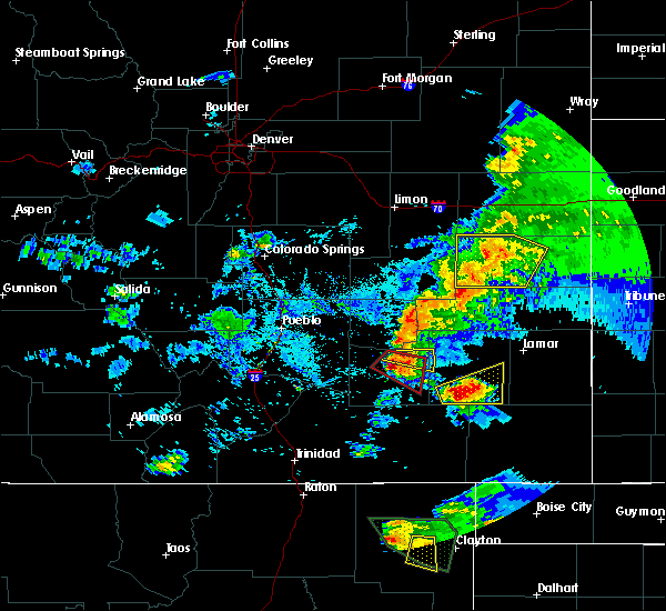 At 626 pm mdt, a severe thunderstorm capable of producing a tornado was located near rocky ford, or 9 miles west of la junta, moving southeast at 25 mph (radar indicated rotation). Hazards include tornado and ping pong ball size hail. Flying debris will be dangerous to those caught without shelter. mobile homes will be damaged or destroyed. damage to roofs, windows and vehicles will occur. tree damage is likely. this dangerous storm will be near, swink around 635 pm mdt. la junta around 640 pm mdt. North la junta around 645 pm mdt. At 626 pm mdt, a severe thunderstorm capable of producing a tornado was located near rocky ford, or 9 miles west of la junta, moving southeast at 25 mph (radar indicated rotation). Hazards include tornado and ping pong ball size hail. Flying debris will be dangerous to those caught without shelter. mobile homes will be damaged or destroyed. damage to roofs, windows and vehicles will occur. tree damage is likely. this dangerous storm will be near, swink around 635 pm mdt. la junta around 640 pm mdt. North la junta around 645 pm mdt.
|
| 8/17/2015 6:20 PM MDT |
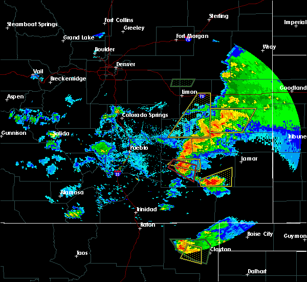 At 619 pm mdt, a severe thunderstorm was located over rocky ford, or 9 miles west of la junta, moving east at 30 mph (radar indicated). Hazards include 70 mph wind gusts and ping pong ball size hail. People and animals outdoors will be injured. expect hail damage to roofs, siding, windows and vehicles. expect considerable tree damage. wind damage is also likely to mobile homes, roofs and outbuildings. locations impacted include, la junta, north la junta, rocky ford, swink and cheraw. A tornado watch remains in effect until 1100 pm mdt for southeastern colorado. At 619 pm mdt, a severe thunderstorm was located over rocky ford, or 9 miles west of la junta, moving east at 30 mph (radar indicated). Hazards include 70 mph wind gusts and ping pong ball size hail. People and animals outdoors will be injured. expect hail damage to roofs, siding, windows and vehicles. expect considerable tree damage. wind damage is also likely to mobile homes, roofs and outbuildings. locations impacted include, la junta, north la junta, rocky ford, swink and cheraw. A tornado watch remains in effect until 1100 pm mdt for southeastern colorado.
|
| 8/17/2015 6:15 PM MDT |
 At 615 pm mdt, a severe thunderstorm capable of producing a tornado was located near rocky ford, or 14 miles west of la junta, moving southeast at 25 mph (radar indicated rotation). Hazards include tornado and ping pong ball size hail. Flying debris will be dangerous to those caught without shelter. mobile homes will be damaged or destroyed. damage to roofs, windows and vehicles will occur. tree damage is likely. this dangerous storm will be near, rocky ford around 620 pm mdt. swink around 635 pm mdt. La junta and north la junta around 645 pm mdt. At 615 pm mdt, a severe thunderstorm capable of producing a tornado was located near rocky ford, or 14 miles west of la junta, moving southeast at 25 mph (radar indicated rotation). Hazards include tornado and ping pong ball size hail. Flying debris will be dangerous to those caught without shelter. mobile homes will be damaged or destroyed. damage to roofs, windows and vehicles will occur. tree damage is likely. this dangerous storm will be near, rocky ford around 620 pm mdt. swink around 635 pm mdt. La junta and north la junta around 645 pm mdt.
|
| 8/17/2015 6:09 PM MDT |
 At 609 pm mdt, a severe thunderstorm was located near crowley, or 18 miles northwest of la junta, moving east at 30 mph (radar indicated). Hazards include 70 mph wind gusts and ping pong ball size hail. People and animals outdoors will be injured. expect hail damage to roofs, siding, windows and vehicles. expect considerable tree damage. wind damage is also likely to mobile homes, roofs and outbuildings. locations impacted include, la junta, north la junta, rocky ford, swink, manzanola, cheraw and crowley. A tornado watch remains in effect until 1100 pm mdt for southeastern colorado. At 609 pm mdt, a severe thunderstorm was located near crowley, or 18 miles northwest of la junta, moving east at 30 mph (radar indicated). Hazards include 70 mph wind gusts and ping pong ball size hail. People and animals outdoors will be injured. expect hail damage to roofs, siding, windows and vehicles. expect considerable tree damage. wind damage is also likely to mobile homes, roofs and outbuildings. locations impacted include, la junta, north la junta, rocky ford, swink, manzanola, cheraw and crowley. A tornado watch remains in effect until 1100 pm mdt for southeastern colorado.
|
| 8/17/2015 5:57 PM MDT |
 At 556 pm mdt, a severe thunderstorm was located over olney springs, or 23 miles northwest of la junta, moving east at 30 mph (trained weather spotters). Hazards include 60 mph wind gusts and quarter size hail. Hail damage to vehicles is expected. Expect wind damage to roofs, siding and trees. At 556 pm mdt, a severe thunderstorm was located over olney springs, or 23 miles northwest of la junta, moving east at 30 mph (trained weather spotters). Hazards include 60 mph wind gusts and quarter size hail. Hail damage to vehicles is expected. Expect wind damage to roofs, siding and trees.
|
| 8/7/2015 4:13 PM MDT |
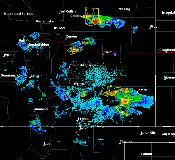 At 413 pm mdt, doppler radar indicated a severe thunderstorm capable of producing quarter size hail and damaging winds in excess of 60 mph. this storm was located 8 miles northwest of las animas, or 15 miles northeast of north la junta, moving north at 30 mph. locations impacted include, la junta, north la junta, las animas, john martin reservoir and fort lyon. At 413 pm mdt, doppler radar indicated a severe thunderstorm capable of producing quarter size hail and damaging winds in excess of 60 mph. this storm was located 8 miles northwest of las animas, or 15 miles northeast of north la junta, moving north at 30 mph. locations impacted include, la junta, north la junta, las animas, john martin reservoir and fort lyon.
|
| 8/7/2015 4:08 PM MDT |
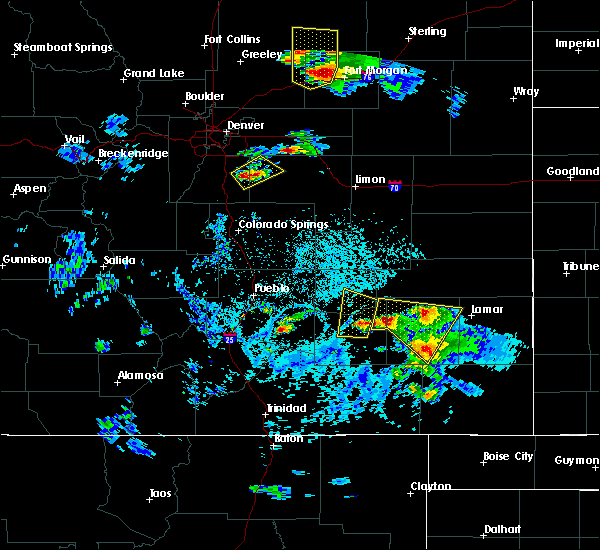 At 359 pm mdt, doppler radar indicated a severe thunderstorm capable of producing quarter size hail and damaging winds in excess of 60 mph. this storm was located near swink, or 7 miles west of la junta, moving north at 30 mph. quarter size hail was reported in la junta at 353 pm. locations impacted include, la junta, north la junta, rocky ford, ordway, swink, sugar city and cheraw. At 359 pm mdt, doppler radar indicated a severe thunderstorm capable of producing quarter size hail and damaging winds in excess of 60 mph. this storm was located near swink, or 7 miles west of la junta, moving north at 30 mph. quarter size hail was reported in la junta at 353 pm. locations impacted include, la junta, north la junta, rocky ford, ordway, swink, sugar city and cheraw.
|
| 8/7/2015 4:07 PM MDT |
 At 407 pm mdt, doppler radar indicated a severe thunderstorm capable of producing quarter size hail and damaging winds in excess of 60 mph. this storm was located 7 miles west of las animas, or 12 miles northeast of north la junta, moving northeast at 25 mph. locations impacted include, la junta, north la junta, las animas, wiley, mcclave, hasty, john martin reservoir, fort lyon and caddoa. At 407 pm mdt, doppler radar indicated a severe thunderstorm capable of producing quarter size hail and damaging winds in excess of 60 mph. this storm was located 7 miles west of las animas, or 12 miles northeast of north la junta, moving northeast at 25 mph. locations impacted include, la junta, north la junta, las animas, wiley, mcclave, hasty, john martin reservoir, fort lyon and caddoa.
|
| 8/7/2015 4:00 PM MDT |
 At 359 pm mdt, doppler radar indicated a severe thunderstorm capable of producing quarter size hail and damaging winds in excess of 60 mph. this storm was located near swink, or 7 miles west of la junta, moving north at 30 mph. quarter size hail was reported in la junta at 353 pm. locations impacted include, la junta, north la junta, rocky ford, ordway, swink, sugar city and cheraw. At 359 pm mdt, doppler radar indicated a severe thunderstorm capable of producing quarter size hail and damaging winds in excess of 60 mph. this storm was located near swink, or 7 miles west of la junta, moving north at 30 mph. quarter size hail was reported in la junta at 353 pm. locations impacted include, la junta, north la junta, rocky ford, ordway, swink, sugar city and cheraw.
|
| 8/7/2015 3:58 PM MDT |
 At 357 pm mdt, doppler radar indicated a severe thunderstorm capable of producing large damaging hail up to golf ball size and destructive winds in excess of 70 mph. this storm was located 8 miles west of las animas, or 10 miles northeast of north la junta, moving north at 30 mph. quarter size hail was reported in la junta at 353 pm. locations impacted include, la junta, north la junta, las animas, wiley, mcclave, hasty, john martin reservoir, fort lyon and caddoa. At 357 pm mdt, doppler radar indicated a severe thunderstorm capable of producing large damaging hail up to golf ball size and destructive winds in excess of 70 mph. this storm was located 8 miles west of las animas, or 10 miles northeast of north la junta, moving north at 30 mph. quarter size hail was reported in la junta at 353 pm. locations impacted include, la junta, north la junta, las animas, wiley, mcclave, hasty, john martin reservoir, fort lyon and caddoa.
|
| 8/7/2015 3:51 PM MDT |
 At 351 pm mdt, doppler radar indicated a severe thunderstorm capable of producing half dollar size hail and damaging winds in excess of 60 mph. this storm was located near swink, or 9 miles west of la junta, and moving north at 30 mph. At 351 pm mdt, doppler radar indicated a severe thunderstorm capable of producing half dollar size hail and damaging winds in excess of 60 mph. this storm was located near swink, or 9 miles west of la junta, and moving north at 30 mph.
|
| 8/7/2015 3:46 PM MDT |
 At 345 pm mdt, doppler radar indicated a severe thunderstorm capable of producing large damaging hail up to golf ball size and destructive winds in excess of 70 mph. this storm was located near north la junta, and moving north at 30 mph. At 345 pm mdt, doppler radar indicated a severe thunderstorm capable of producing large damaging hail up to golf ball size and destructive winds in excess of 70 mph. this storm was located near north la junta, and moving north at 30 mph.
|
| 8/7/2015 3:29 PM MDT |
 At 329 pm mdt, the public reported a severe thunderstorm producing large damaging hail up to golf ball size and destructive winds in excess of 70 mph. this storm was located 7 miles north of higbee, or 8 miles southeast of north la junta, moving northeast at 30 mph. locations impacted include, la junta, north la junta, las animas, hasty, higbee, john martin reservoir, blue lake, fort lyon and caddoa. At 329 pm mdt, the public reported a severe thunderstorm producing large damaging hail up to golf ball size and destructive winds in excess of 70 mph. this storm was located 7 miles north of higbee, or 8 miles southeast of north la junta, moving northeast at 30 mph. locations impacted include, la junta, north la junta, las animas, hasty, higbee, john martin reservoir, blue lake, fort lyon and caddoa.
|
| 8/7/2015 3:16 PM MDT |
 At 316 pm mdt, the public reported a severe thunderstorm producing half dollar size hail and damaging winds in excess of 60 mph. this storm was located 8 miles east of higbee, or 18 miles southeast of north la junta, and moving north at 35 mph. At 316 pm mdt, the public reported a severe thunderstorm producing half dollar size hail and damaging winds in excess of 60 mph. this storm was located 8 miles east of higbee, or 18 miles southeast of north la junta, and moving north at 35 mph.
|
| 8/3/2015 11:03 PM MDT |
 At 1102 pm mdt, doppler radar indicated a severe thunderstorm capable of producing quarter size hail and damaging winds in excess of 60 mph. this storm was located near cheraw, or near north la junta, and moving east at 35 mph. a wind gusts to 58 mph was measured at the la junta airport at 11:00 pm. At 1102 pm mdt, doppler radar indicated a severe thunderstorm capable of producing quarter size hail and damaging winds in excess of 60 mph. this storm was located near cheraw, or near north la junta, and moving east at 35 mph. a wind gusts to 58 mph was measured at the la junta airport at 11:00 pm.
|
| 6/6/2015 5:10 PM MDT | At 510 pm mdt, a severe thunderstorm was located near cheraw, or 11 miles northeast of north la junta, moving northeast at 55 mph (radar indicated). Hazards include 70 mph wind gusts. Expect considerable tree damage. Damage is likely to mobile homes, roofs and outbuildings. |
| 6/5/2015 4:07 PM MDT | The severe thunderstorm warning for eastern las animas, east central otero and southwestern bent counties will expire at 415 pm mdt, the storm which prompted the warning has weakened below severe limits, and no longer pose an immediate threat to life or property. therefore the warning will be allowed to expire. however small hail and heavy rain are still possible with this thunderstorm. a tornado watch remains in effect until 700 pm mdt for southeastern colorado. |
| 6/5/2015 3:51 PM MDT | At 350 pm mdt, a severe thunderstorm was located 13 miles east of higbee, or 23 miles southeast of north la junta, moving north at 30 mph (radar indicated). Hazards include 60 mph wind gusts and quarter size hail. Hail damage to vehicles is expected. Expect wind damage to roofs, siding and trees. |
| 5/26/2015 9:11 PM MDT | The severe thunderstorm warning for southeastern crowley and northeastern otero counties will expire at 915 pm mdt, the severe thunderstorm which prompted the warning has weakened. therefore the warning will be allowed to expire. this storm will continue to produce heavy rain and hail up to the size of dimes. dangerous cloud to ground lightning will also occur. |
| 5/26/2015 9:00 PM MDT | At 859 pm mdt, a severe thunderstorm was located near swink, or 7 miles northwest of la junta, moving northeast at 20 mph (radar indicated). Hazards include 60 mph wind gusts and quarter size hail. Hail damage to vehicles is expected. expect wind damage to roofs, siding and trees. several reports of dime to penny size hail were occurring with this storm. Locations impacted include, la junta, north la junta, swink and cheraw. |
| 5/26/2015 8:51 PM MDT | At 851 pm mdt, a severe thunderstorm was located over swink, or near la junta, moving northeast at 25 mph (radar indicated). Hazards include 60 mph wind gusts and quarter size hail. Hail damage to vehicles is expected. expect wind damage to roofs, siding and trees. Locations impacted include, la junta, north la junta, rocky ford, swink, sugar city and cheraw. |
| 5/26/2015 8:41 PM MDT | At 841 pm mdt, a severe thunderstorm was located over swink, or 7 miles west of la junta, moving northeast at 25 mph (radar indicated). Hazards include 60 mph wind gusts and quarter size hail. Hail damage to vehicles is expected. Expect wind damage to roofs, siding and trees. |
| 5/26/2015 8:35 PM MDT | At 835 pm mdt, a severe thunderstorm was located near swink, or 8 miles west of la junta, moving northeast at 25 mph (radar indicated). Hazards include 60 mph wind gusts and quarter size hail. Hail damage to vehicles is expected. expect wind damage to roofs, siding and trees. Locations impacted include, la junta, north la junta, rocky ford and swink. |
| 5/26/2015 8:26 PM MDT | At 826 pm mdt, a severe thunderstorm was located 7 miles south of rocky ford, or 11 miles west of la junta, moving northeast at 25 mph (radar indicated). Hazards include ping pong ball size hail and 60 mph wind gusts. People and animals outdoors will be injured. expect hail damage to roofs, siding, windows and vehicles. expect wind damage to roofs, siding and trees. Locations impacted include, la junta, north la junta, rocky ford and swink. |
| 5/26/2015 8:14 PM MDT | At 814 pm mdt, a severe thunderstorm was located near timpas, or 15 miles southwest of la junta, moving northeast at 25 mph (radar indicated). Hazards include 60 mph wind gusts and quarter size hail. Hail damage to vehicles is expected. Expect wind damage to roofs, siding and trees. |
| 5/23/2015 1:51 PM MDT | The tornado warning for northeastern otero and west central bent counties will expire at 200 pm mdt, the tornado threat has diminished, therefore the tornado warning has been cancelled. however, large hail and damaging winds remain likely and a severe thunderstorm warning remains in effect for the area. however small hail is still possible with this thunderstorm. a tornado watch remains in effect until 700 pm mdt for southeastern colorado. remember, a severe thunderstorm warning still remains in effect for northeastern otero and west central bent counties. |
| 5/23/2015 1:48 PM MDT | At 148 pm mdt, a severe thunderstorm capable of producing a tornado was located over la junta, moving northeast at 25 mph (radar indicated rotation). Hazards include tornado and quarter size hail. Flying debris will be dangerous to those caught without shelter. mobile homes will be damaged or destroyed. damage to roofs, windows and vehicles will occur. tree damage is likely. This dangerous storm will be near, cheraw around 200 pm mdt. |
| 5/23/2015 1:41 PM MDT | At 140 pm mdt, a severe thunderstorm capable of producing a tornado was located near la junta, moving northeast at 25 mph. spotters have reported a brief rope tornado with this storm (radar indicated rotation). Hazards include tornado and quarter size hail. Flying debris will be dangerous to those caught without shelter. mobile homes will be damaged or destroyed. damage to roofs, windows and vehicles will occur. tree damage is likely. this dangerous storm will be near, la junta around 145 pm mdt. north la junta around 150 pm mdt. Cheraw around 200 pm mdt. |
| 5/23/2015 1:35 PM MDT | At 135 pm mdt, a severe thunderstorm capable of producing a tornado was located near swink, or near la junta, moving northeast at 25 mph (radar indicated rotation). Hazards include tornado and quarter size hail. Flying debris will be dangerous to those caught without shelter. mobile homes will be damaged or destroyed. damage to roofs, windows and vehicles will occur. tree damage is likely. this dangerous storm will be near, la junta, north la junta and swink around 145 pm mdt. Cheraw around 200 pm mdt. |
| 5/23/2015 1:22 PM MDT | At 121 pm mdt, a severe thunderstorm was located 7 miles northeast of timpas, or 9 miles southwest of la junta, moving northeast at 40 mph. a second severe thunderstorm was located 10 miles west of timpas, and is also moving northeast at 40 mph (radar indicated). Hazards include 60 mph wind gusts and quarter size hail. Hail damage to vehicles is expected. Expect wind damage to roofs, siding and trees. |
| 5/9/2015 3:38 PM MDT | At 338 pm mdt, a severe thunderstorm was located over swink, or 7 miles northwest of la junta, moving north at 35 mph (radar indicated). Hazards include ping pong ball size hail and 60 mph wind gusts. People and animals outdoors will be injured. expect hail damage to roofs, siding, windows and vehicles. expect wind damage to roofs, siding and trees. locations impacted include, la junta, north la junta, rocky ford, swink and cheraw. a tornado watch remains in effect until 900 pm mdt for southeastern colorado. 1. 50in. |
| 5/9/2015 3:32 PM MDT | At 332 pm mdt, a severe thunderstorm was located over swink, or near la junta, moving north at 35 mph (radar indicated). Hazards include ping pong ball size hail and 60 mph wind gusts. People and animals outdoors will be injured. expect hail damage to roofs, siding, windows and vehicles. Expect wind damage to roofs, siding and trees. |
| 5/8/2015 8:02 PM MDT | At 802 pm mdt, a severe thunderstorm was located near north la junta, moving northeast at 25 mph (radar indicated). Hazards include ping pong ball size hail and 60 mph wind gusts. People and animals outdoors will be injured. expect hail damage to roofs, siding, windows and vehicles. expect wind damage to roofs, siding and trees. locations impacted include, la junta and north la junta. a tornado watch remains in effect until 900 pm mdt for southeastern colorado. Possible. |
| 5/8/2015 7:51 PM MDT | At 751 pm mdt, a severe thunderstorm was located near north la junta, moving northeast at 20 mph (radar indicated). Hazards include ping pong ball size hail and 60 mph wind gusts. People and animals outdoors will be injured. expect hail damage to roofs, siding, windows and vehicles. Expect wind damage to roofs, siding and trees. |
| 5/8/2015 6:48 PM MDT | At 647 pm mdt, a severe thunderstorm was located 7 miles northeast of la junta, moving northeast at 25 mph (radar indicated). Hazards include 60 mph wind gusts and half dollar size hail. Hail damage to vehicles is expected. expect wind damage to roofs, siding and trees. locations impacted include, las animas, john martin reservoir and fort lyon. a tornado watch remains in effect until 900 pm mdt for southeastern colorado. 1. 25in. |
| 5/8/2015 6:41 PM MDT | The tornado warning for east central otero county will expire at 645 pm mdt, the tornado threat has diminished, therefore the tornado warning has been cancelled. however, large hail and damaging winds remain likely and a severe thunderstorm warning remains in effect for the area. a tornado watch remains in effect until 900 pm mdt for southeastern colorado. remember, a severe thunderstorm warning still remains in effect for east central otero and northwest bent county until 7 pm mdt. |
| 5/8/2015 6:37 PM MDT | At 637 pm mdt, a severe thunderstorm was located near north la junta, moving northeast at 25 mph (radar indicated). Hazards include ping pong ball size hail and 60 mph wind gusts. People and animals outdoors will be injured. expect hail damage to roofs, siding, windows and vehicles. Expect wind damage to roofs, siding and trees. |
| 5/8/2015 6:35 PM MDT | At 634 pm mdt, a severe thunderstorm capable of producing a tornado was located just southeast of la junta, moving northeast at 25 mph (radar indicated rotation). Hazards include tornado and golf ball size hail. Flying debris will be dangerous to those caught without shelter. mobile homes will be damaged or destroyed. damage to roofs, windows and vehicles will occur. tree damage is likely. locations impacted include, la junta. Radar indicated. |
| 5/8/2015 6:28 PM MDT | At 625 pm mdt, a severe thunderstorm capable of producing a tornado was located near la junta, moving northeast at 20 mph. the strongest portion of the storm with the radar indicated rotation was passing just southeast of la junta (radar indicated rotation). Hazards include tornado and golf ball size hail. Flying debris will be dangerous to those caught without shelter. mobile homes will be damaged or destroyed. damage to roofs, windows and vehicles will occur. tree damage is likely. locations impacted include, la junta, north la junta. Radar indicated. |
| 5/8/2015 6:24 PM MDT | Ping Pong Ball sized hail reported 3 miles S of North La Junta, CO |
| 5/8/2015 6:18 PM MDT | At 616 pm mdt, a severe thunderstorm capable of producing a tornado was located near la junta, moving northeast at 25 mph. the strongest portion of the storm with the radar indicated rotation will pass over or just south of la junta (radar indicated rotation). Hazards include tornado and two inch hail. Flying debris will be dangerous to those caught without shelter. mobile homes will be damaged or destroyed. damage to roofs, windows and vehicles will occur. tree damage is likely. this tornadic thunderstorm will remain over mainly rural areas of east central otero county. Radar indicated. |
| 5/8/2015 6:09 PM MDT | The national weather service in pueblo has issued a * tornado warning for. east central otero county in southeastern colorado. until 645 pm mdt * at 608 pm mdt. a severe thunderstorm capable of producing a tornado was located near la junta. Moving northeast at 25 mph. |
| 5/8/2015 5:56 PM MDT | At 555 pm mdt, a severe thunderstorm was located just south of swink, or near la junta, moving northeast at 20 mph (radar indicated). Hazards include golf ball size hail. People and animals outdoors will be injured. expect damage to roofs, siding, windows and vehicles. locations impacted include, la junta, north la junta and swink. a tornado watch remains in effect until 900 pm mdt for southeastern colorado. Possible. |
| 5/8/2015 5:42 PM MDT | At 542 pm mdt, a severe thunderstorm was located near swink, or 9 miles west of la junta, and is nearly stationary (radar indicated). Hazards include golf ball size hail. People and animals outdoors will be injured. expect damage to roofs, siding, windows and vehicles. locations impacted include, la junta, north la junta and swink. a tornado watch remains in effect until 900 pm mdt for southeastern colorado. Possible. |
| 5/8/2015 5:28 PM MDT | At 528 pm mdt, a severe thunderstorm was located 7 miles south of rocky ford, or 11 miles west of la junta, moving northeast at 25 mph (radar indicated). Hazards include two inch hail. People and animals outdoors will be injured. Expect damage to roofs, siding, windows and vehicles. |
| 6/11/2014 3:35 PM MDT | Storm damage reported in otero county CO, 3.7 miles S of North La Junta, CO |
| 10/10/2013 4:22 PM MDT | Storm damage reported in otero county CO, 3.7 miles S of North La Junta, CO |
| 6/17/2013 5:35 PM MDT | Damage to storm doors. tree limbs down. 1.04 precipitatio in otero county CO, 0.8 miles NE of North La Junta, CO |
| 6/14/2013 4:08 PM MDT | Klhx asos in otero county CO, 3.7 miles S of North La Junta, CO |
| 6/13/2013 3:30 PM MDT | Klhx asos in otero county CO, 3.7 miles S of North La Junta, CO |
Hail Maps for North La Junta, CO
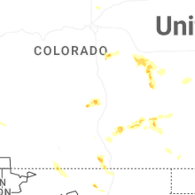
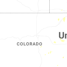
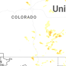
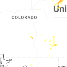
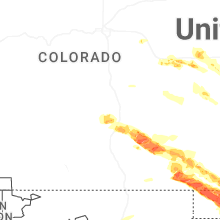
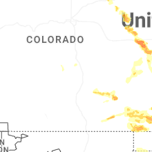
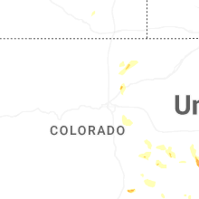


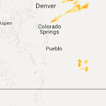


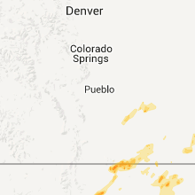
Connect with Interactive Hail Maps