

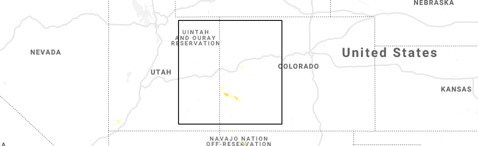
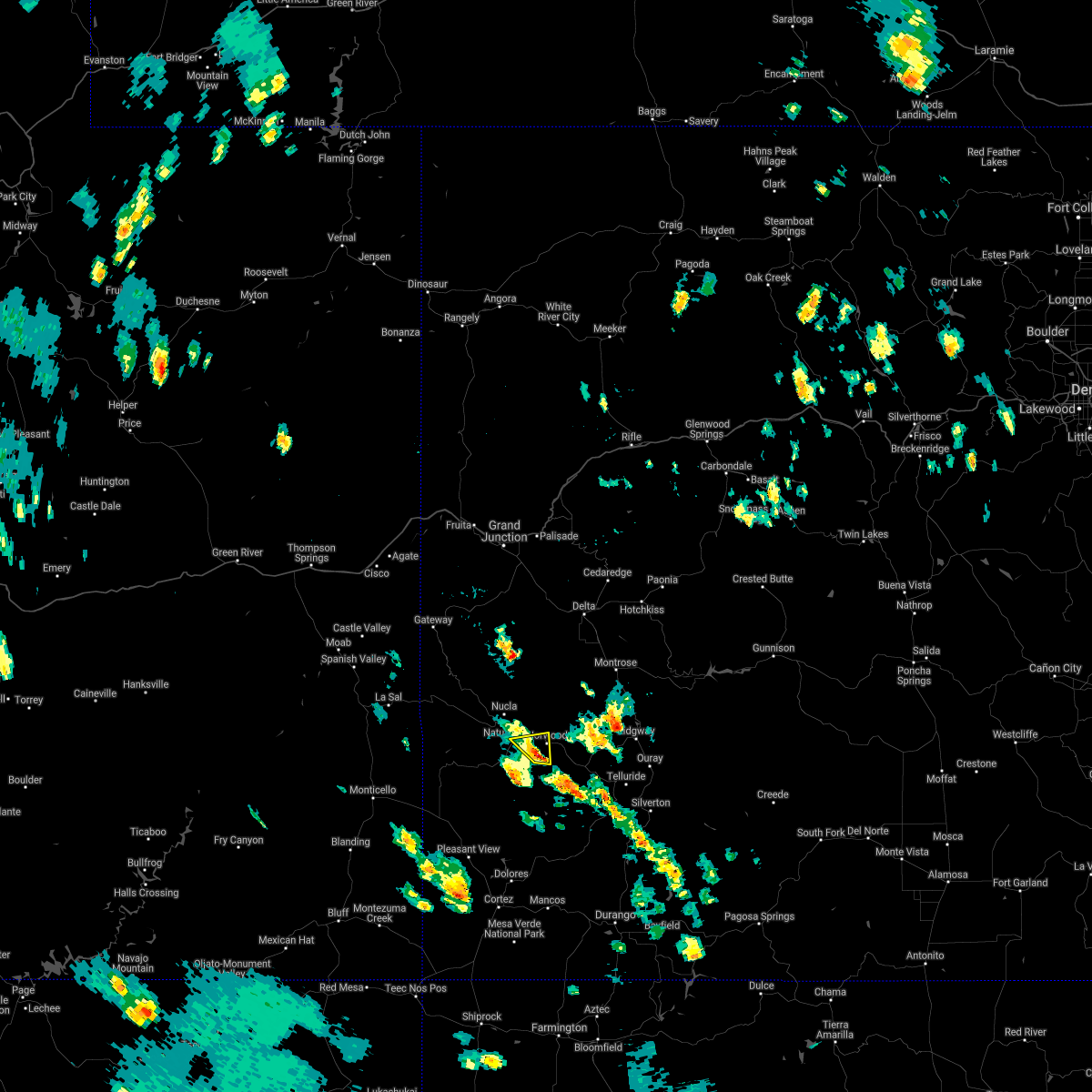
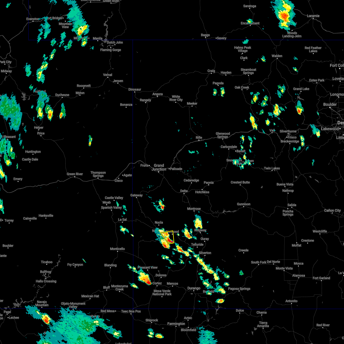
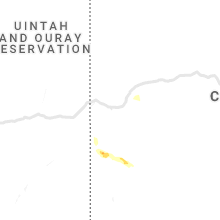
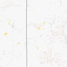
Hail Map for Norwood, CO
The Norwood, CO area has had 1 report of on-the-ground hail by trained spotters, and has been under severe weather warnings 0 times during the past 12 months. Doppler radar has detected hail at or near Norwood, CO on 3 occasions.
| Name: | Norwood, CO |
| Where Located: | 66.4 miles SSE of Grand Junction, CO |
| Map: | Google Map for Norwood, CO |
| Population: | 518 |
| Housing Units: | 249 |
| More Info: | Search Google for Norwood, CO |
5
The Top Recent Hail Date for Norwood, CO is Saturday, July 24, 2021 (1st out of 3)
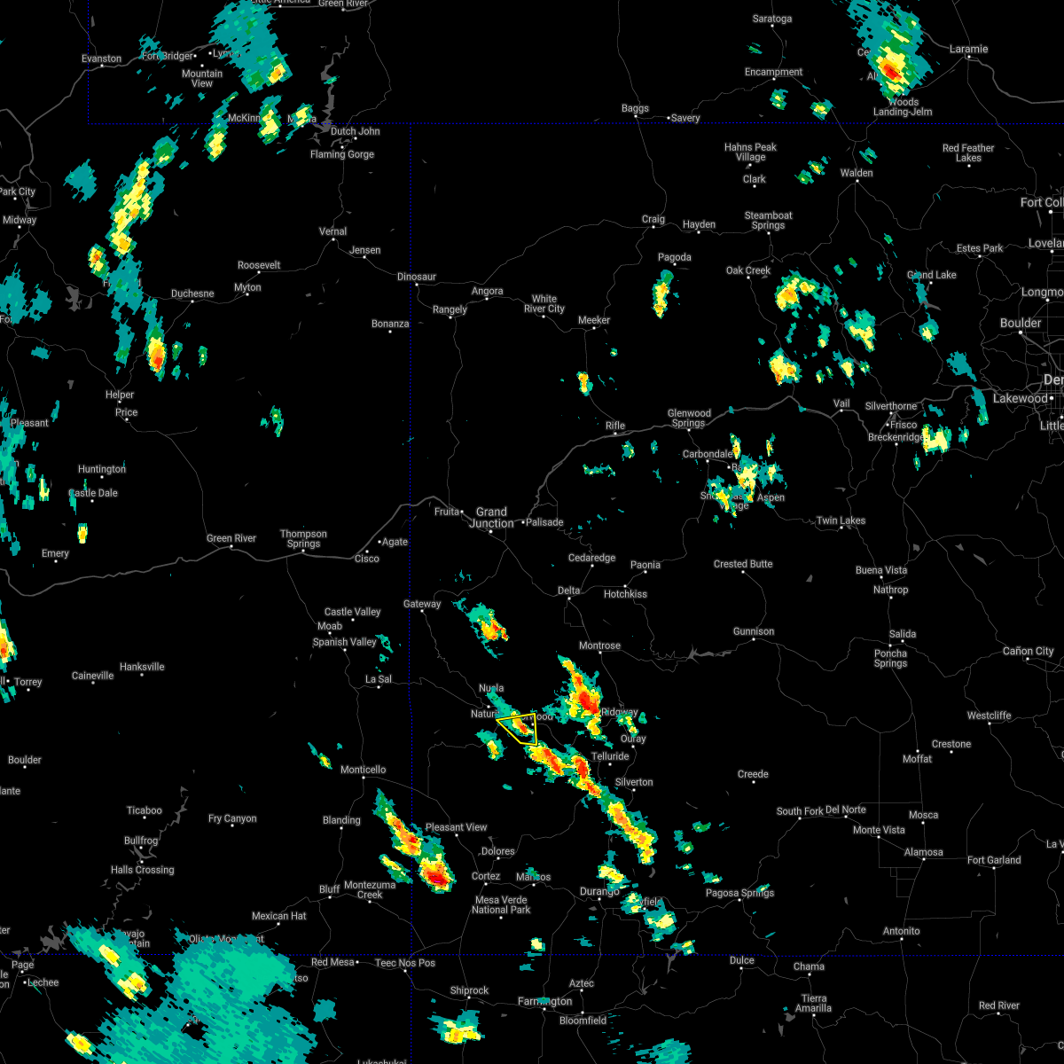
Hail and Wind Damage Spotted near Norwood, CO
| Date / Time | Report Details |
|---|---|
| 7/6/2022 3:05 PM MDT |
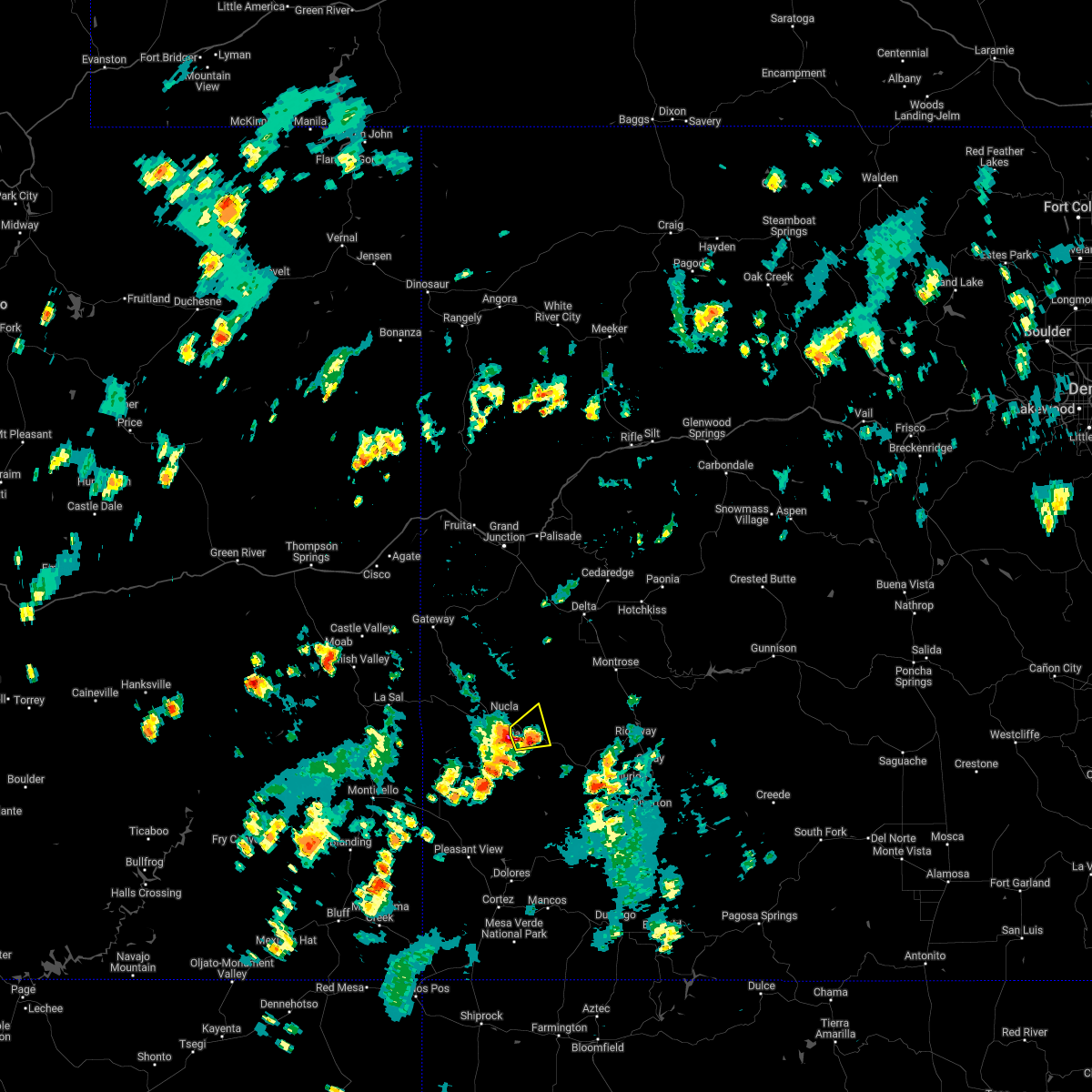 At 305 pm mdt, a severe thunderstorm was located near naturita, or 38 miles southwest of montrose, moving east at 25 mph (radar indicated). Hazards include 60 mph wind gusts and quarter size hail. Hail damage to vehicles is expected. expect wind damage to roofs, siding, and trees. locations impacted include, norwood and redvale. this includes the following highways, colorado 141 between mile markers 51 and 55. colorado 145 between mile markers 101 and 116. hail threat, radar indicated max hail size, 1. 00 in wind threat, radar indicated max wind gust, 60 mph. At 305 pm mdt, a severe thunderstorm was located near naturita, or 38 miles southwest of montrose, moving east at 25 mph (radar indicated). Hazards include 60 mph wind gusts and quarter size hail. Hail damage to vehicles is expected. expect wind damage to roofs, siding, and trees. locations impacted include, norwood and redvale. this includes the following highways, colorado 141 between mile markers 51 and 55. colorado 145 between mile markers 101 and 116. hail threat, radar indicated max hail size, 1. 00 in wind threat, radar indicated max wind gust, 60 mph.
|
| 7/6/2022 2:54 PM MDT |
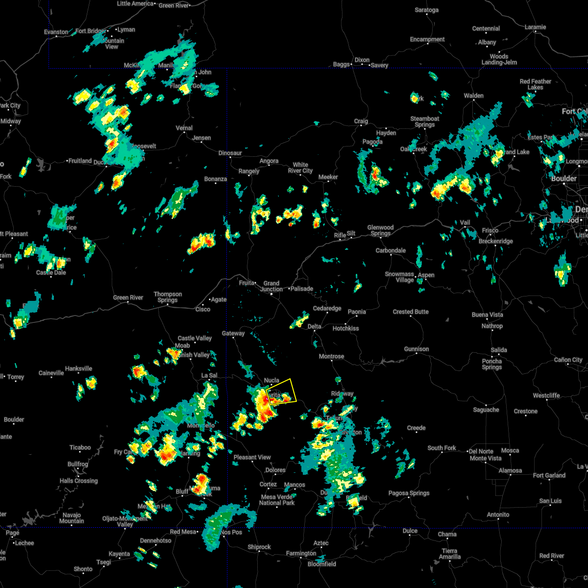 At 254 pm mdt, a severe thunderstorm was located near naturita, or 40 miles east of la sal, moving east at 25 mph (radar indicated). Hazards include 60 mph wind gusts and quarter size hail. Hail damage to vehicles is expected. Expect wind damage to roofs, siding, and trees. At 254 pm mdt, a severe thunderstorm was located near naturita, or 40 miles east of la sal, moving east at 25 mph (radar indicated). Hazards include 60 mph wind gusts and quarter size hail. Hail damage to vehicles is expected. Expect wind damage to roofs, siding, and trees.
|
| 7/29/2021 3:42 PM MDT |
 The severe thunderstorm warning for north central san miguel and southern montrose counties will expire at 345 pm mdt, the storm which prompted the warning has weakened below severe limits, and no longer poses an immediate threat to life or property. therefore, the warning will be allowed to expire. The severe thunderstorm warning for north central san miguel and southern montrose counties will expire at 345 pm mdt, the storm which prompted the warning has weakened below severe limits, and no longer poses an immediate threat to life or property. therefore, the warning will be allowed to expire.
|
| 7/29/2021 3:27 PM MDT |
 At 326 pm mdt, a severe thunderstorm was located near norwood, moving north at 15 mph (radar indicated). Hazards include 60 mph wind gusts and quarter size hail. Hail damage to vehicles is expected. expect wind damage to roofs, siding, and trees. locations impacted include, norwood. this includes the following highways, colorado 141 between mile markers 50 and 51. Colorado 145 between mile markers 101 and 108. At 326 pm mdt, a severe thunderstorm was located near norwood, moving north at 15 mph (radar indicated). Hazards include 60 mph wind gusts and quarter size hail. Hail damage to vehicles is expected. expect wind damage to roofs, siding, and trees. locations impacted include, norwood. this includes the following highways, colorado 141 between mile markers 50 and 51. Colorado 145 between mile markers 101 and 108.
|
| 7/29/2021 3:18 PM MDT |
 At 317 pm mdt, a severe thunderstorm was located near norwood, or 38 miles southwest of montrose, moving north at 15 mph (radar indicated). Hazards include 60 mph wind gusts, quarter size hail and heavy hail. Hail damage to vehicles is expected. Expect wind damage to roofs, siding, and trees. At 317 pm mdt, a severe thunderstorm was located near norwood, or 38 miles southwest of montrose, moving north at 15 mph (radar indicated). Hazards include 60 mph wind gusts, quarter size hail and heavy hail. Hail damage to vehicles is expected. Expect wind damage to roofs, siding, and trees.
|
| 7/24/2021 7:46 PM MDT | Quarter sized hail reported 0.5 miles E of Norwood, CO, dime to quarter-sized hail accumulated in the yard on the east side of norwood. report via facebook. |
Hail Maps for Norwood, CO

Connect with Interactive Hail Maps