

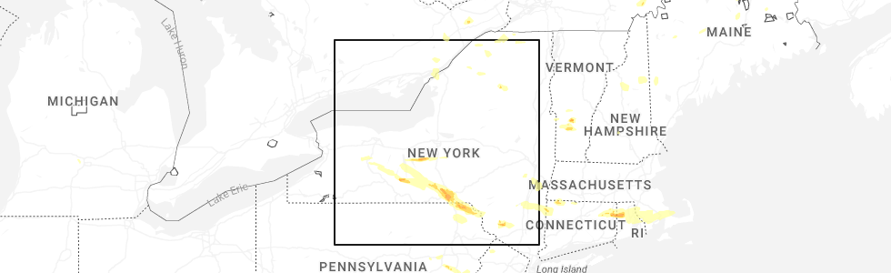
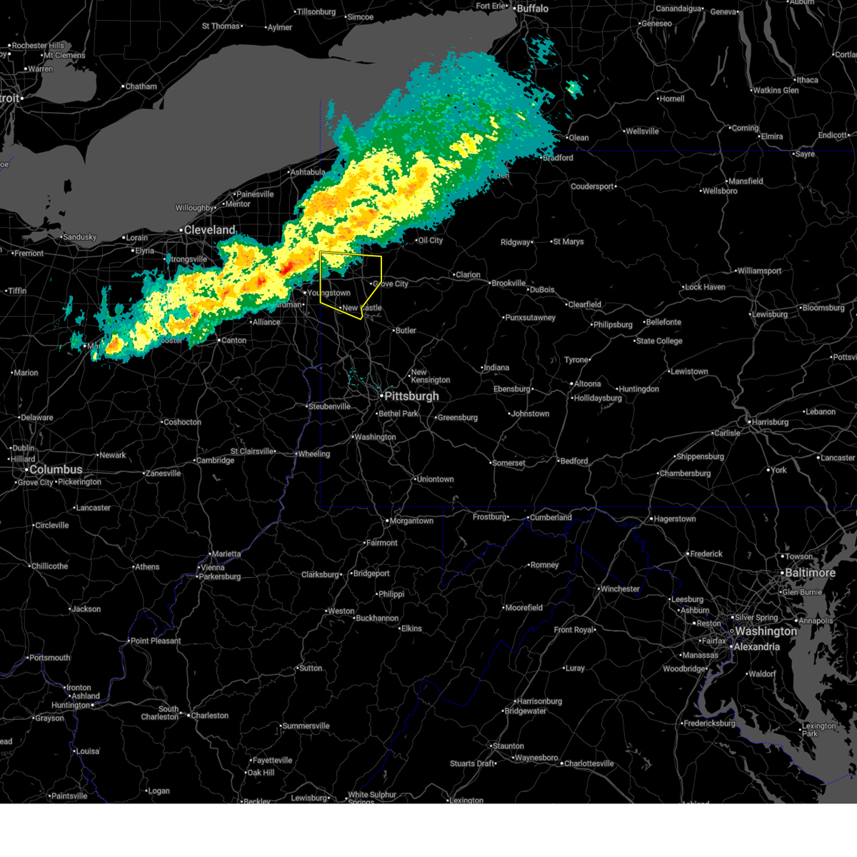
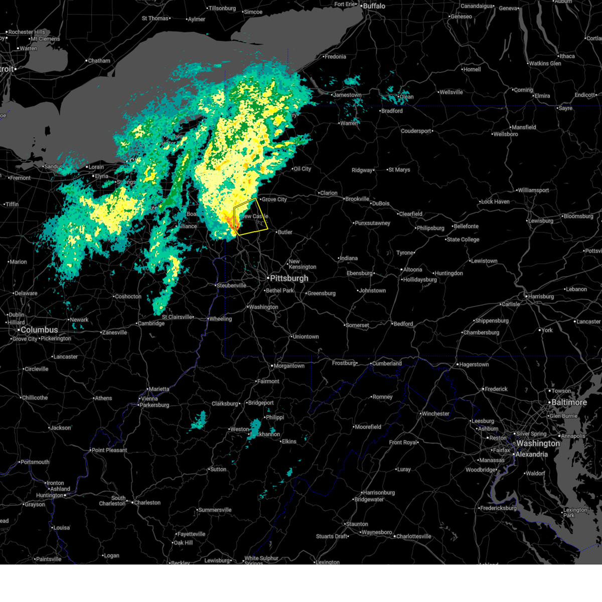
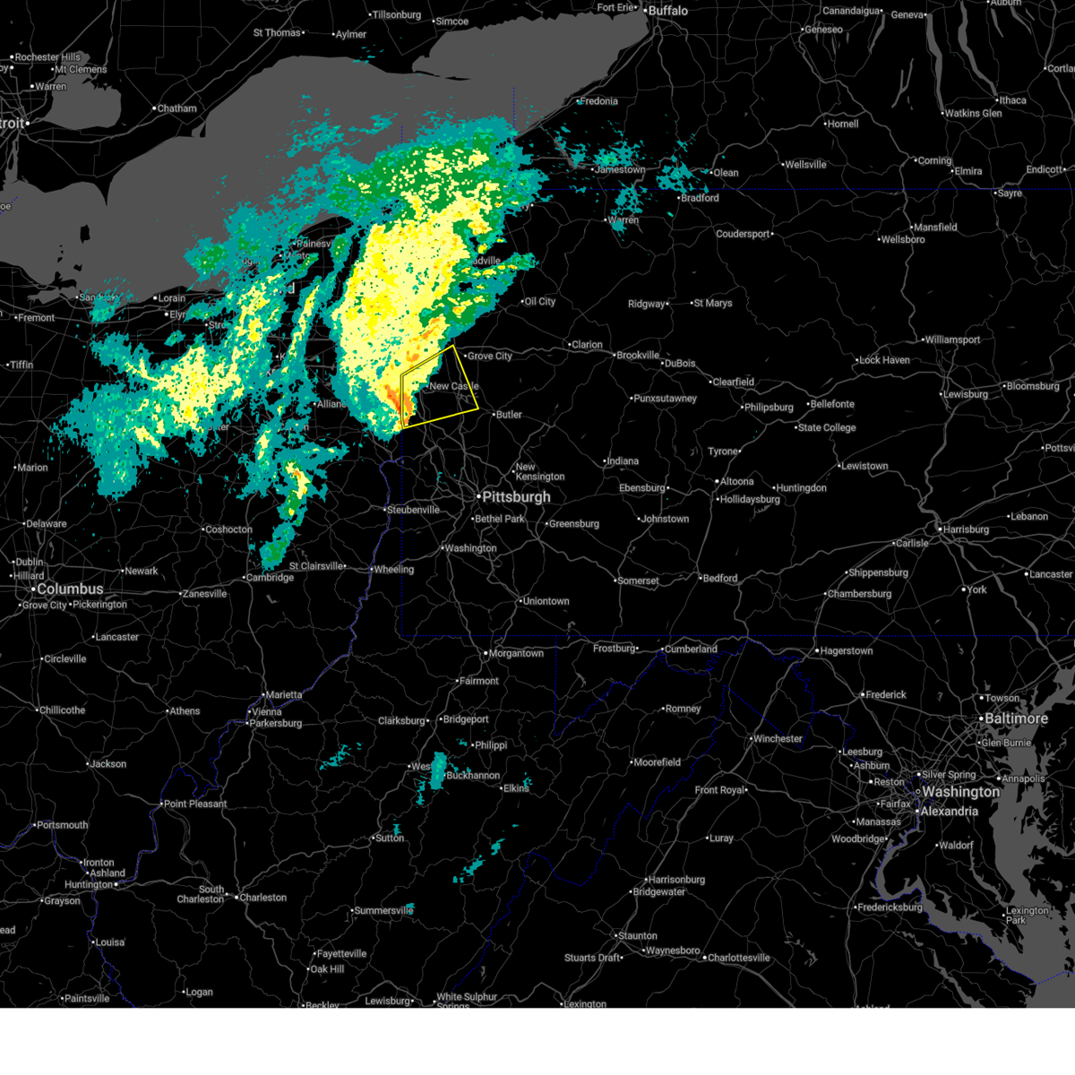
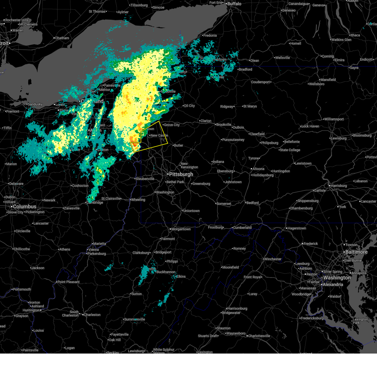
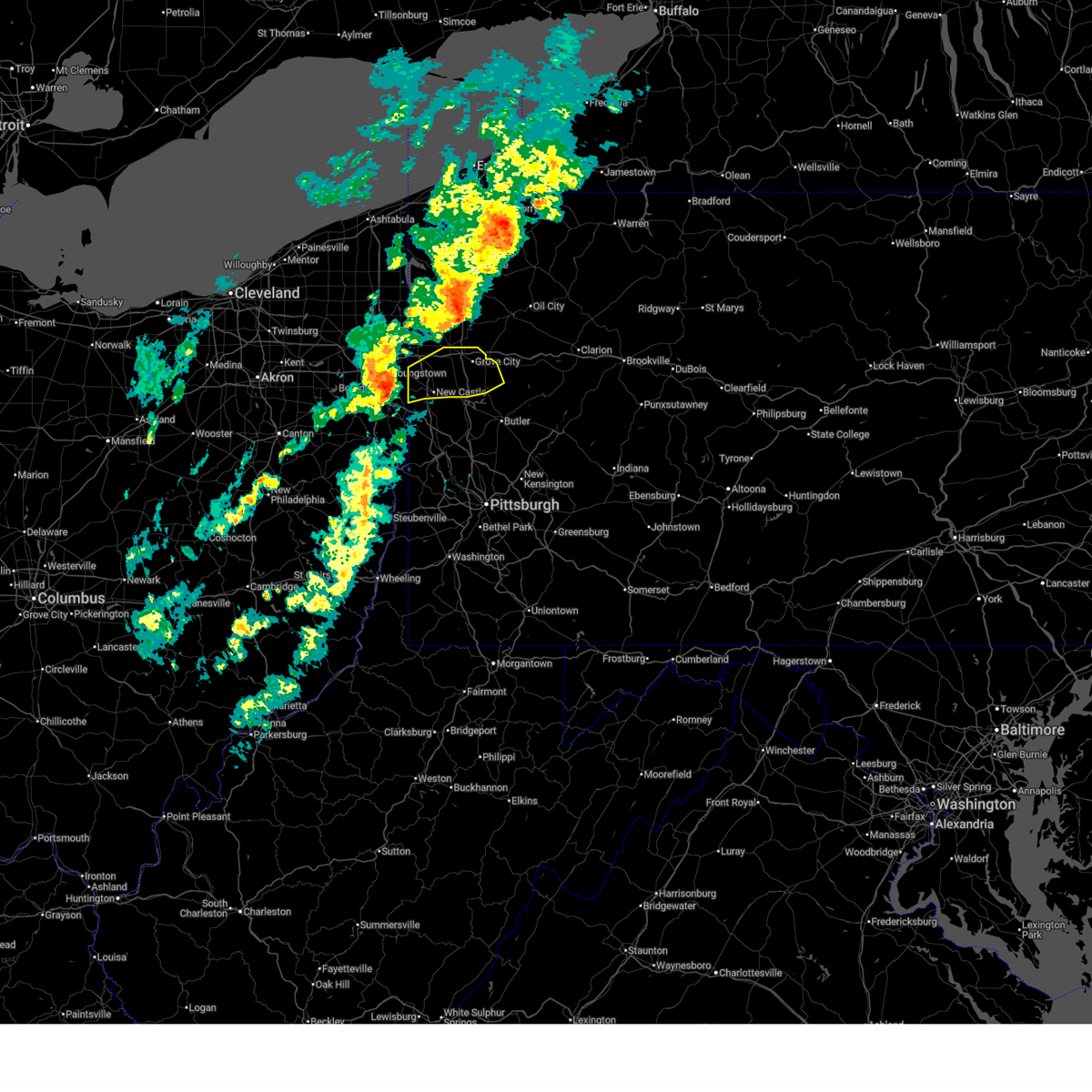
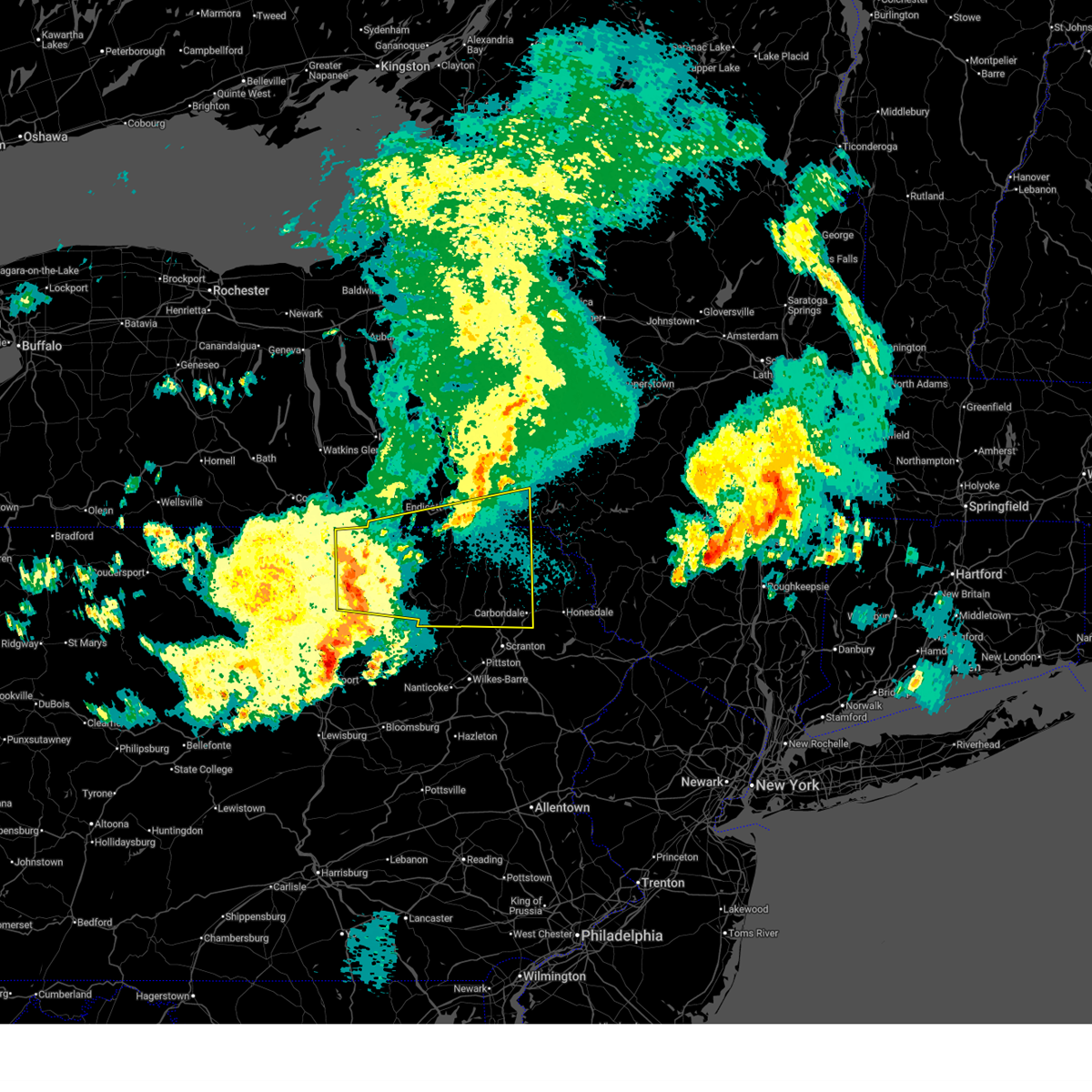
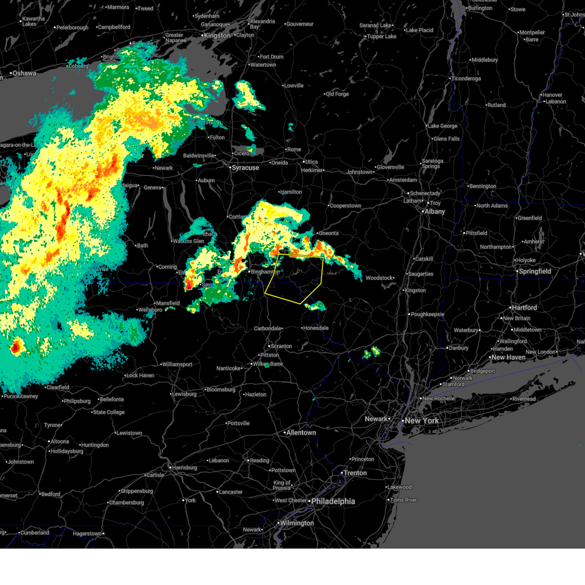
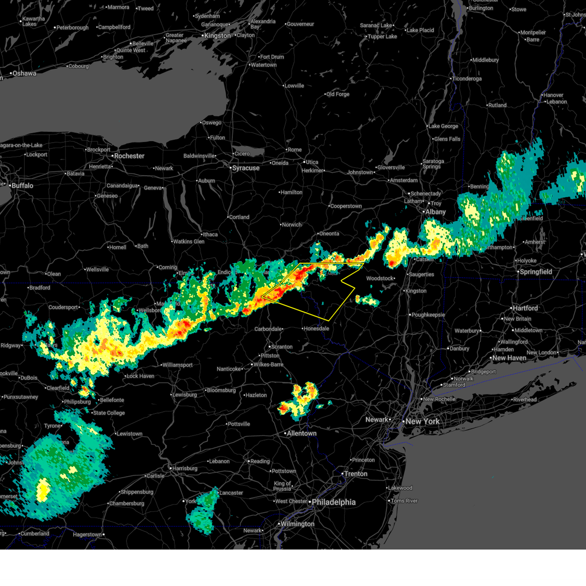
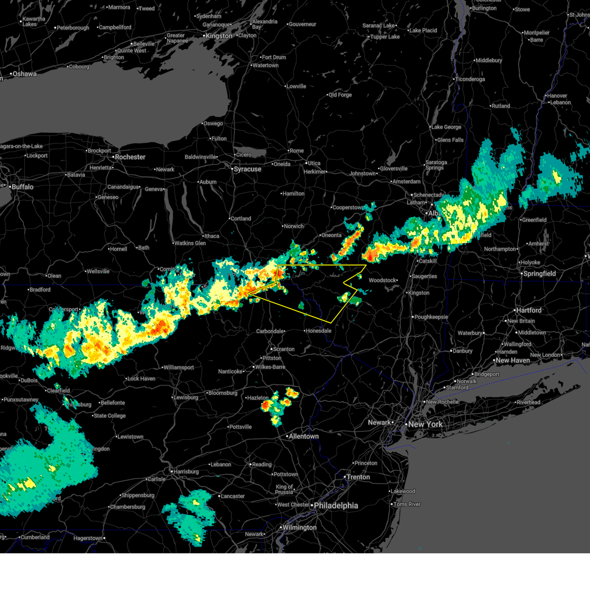
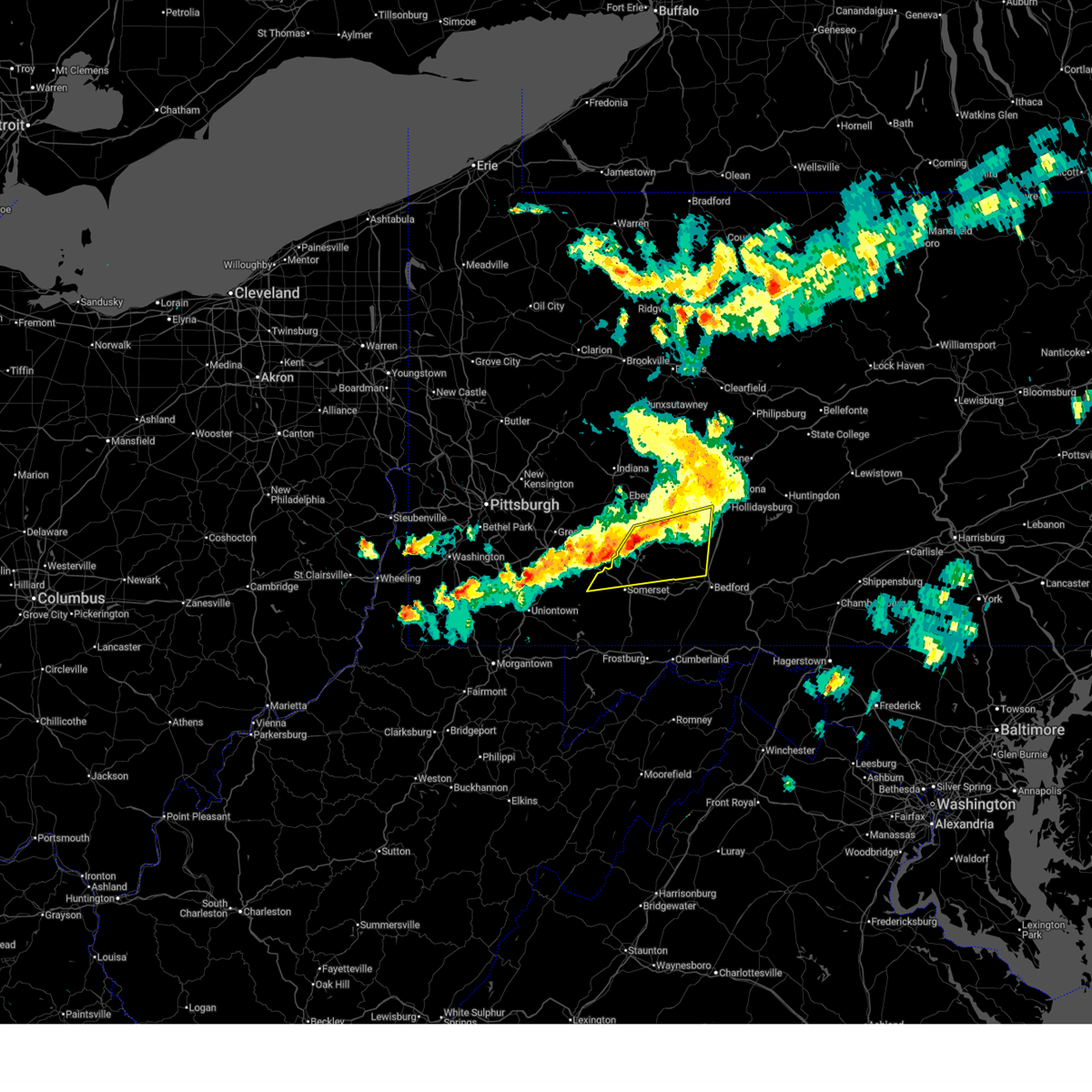
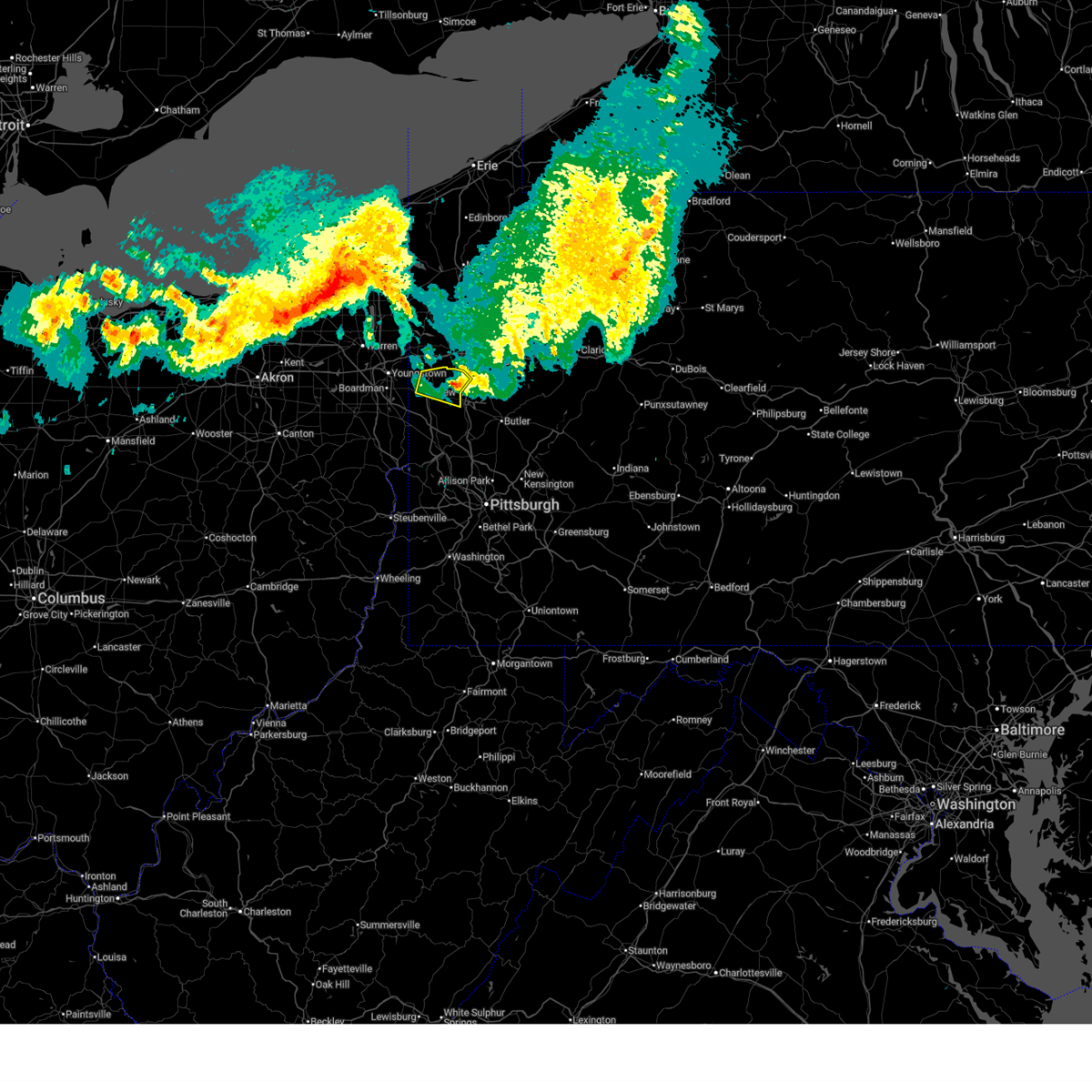
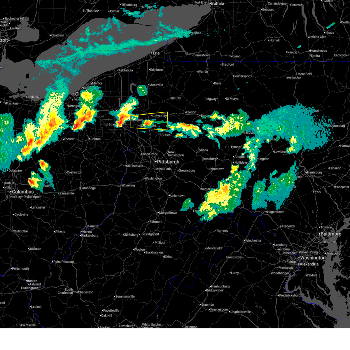
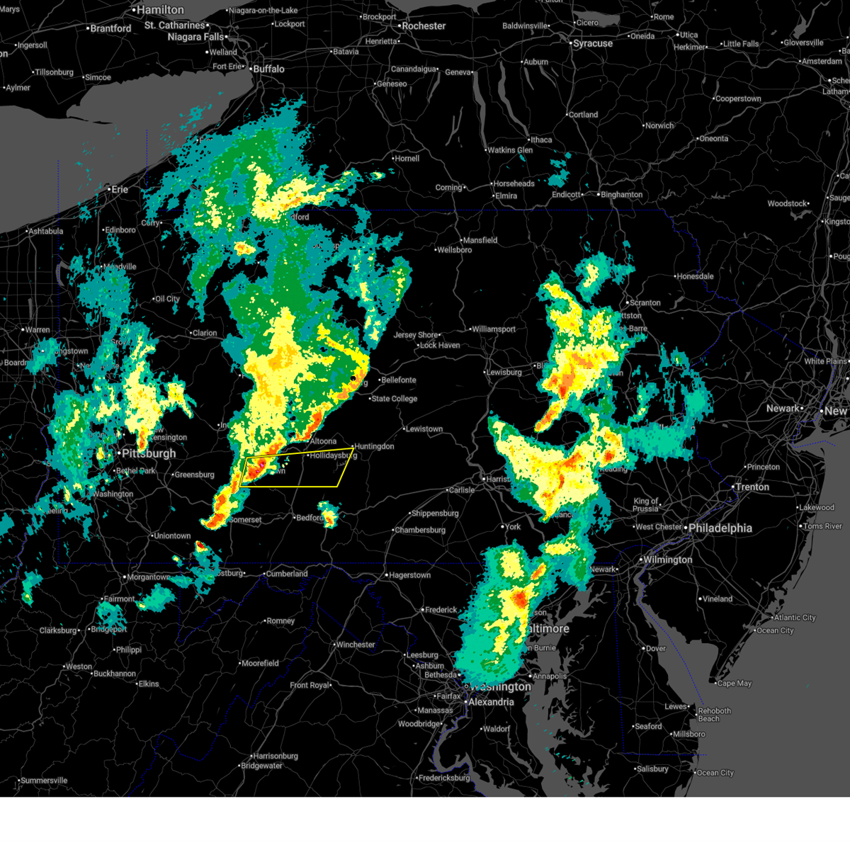
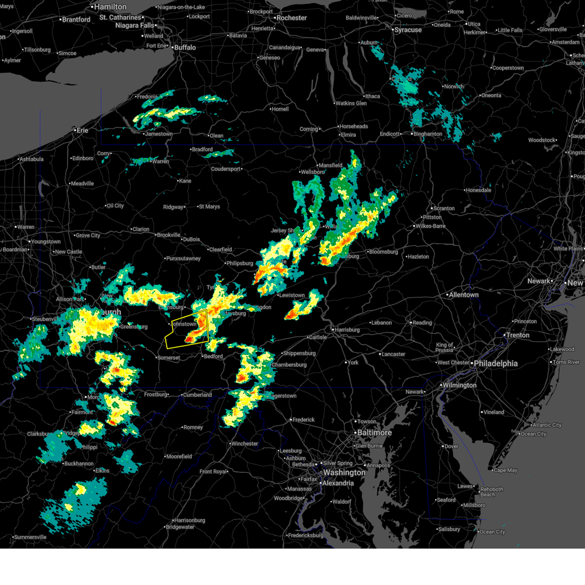
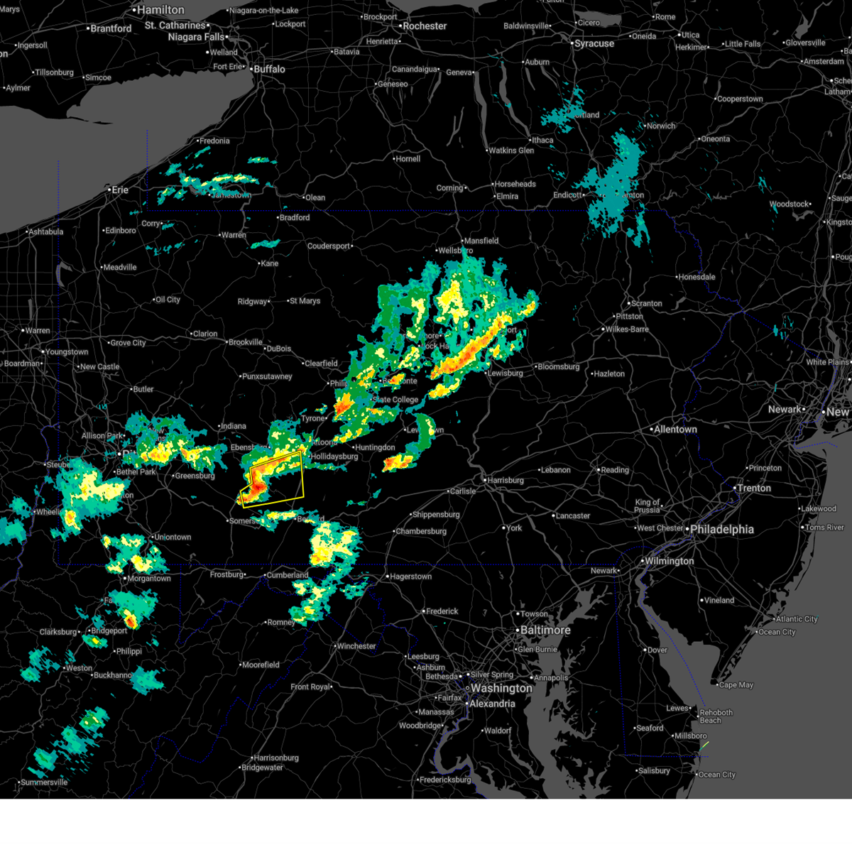
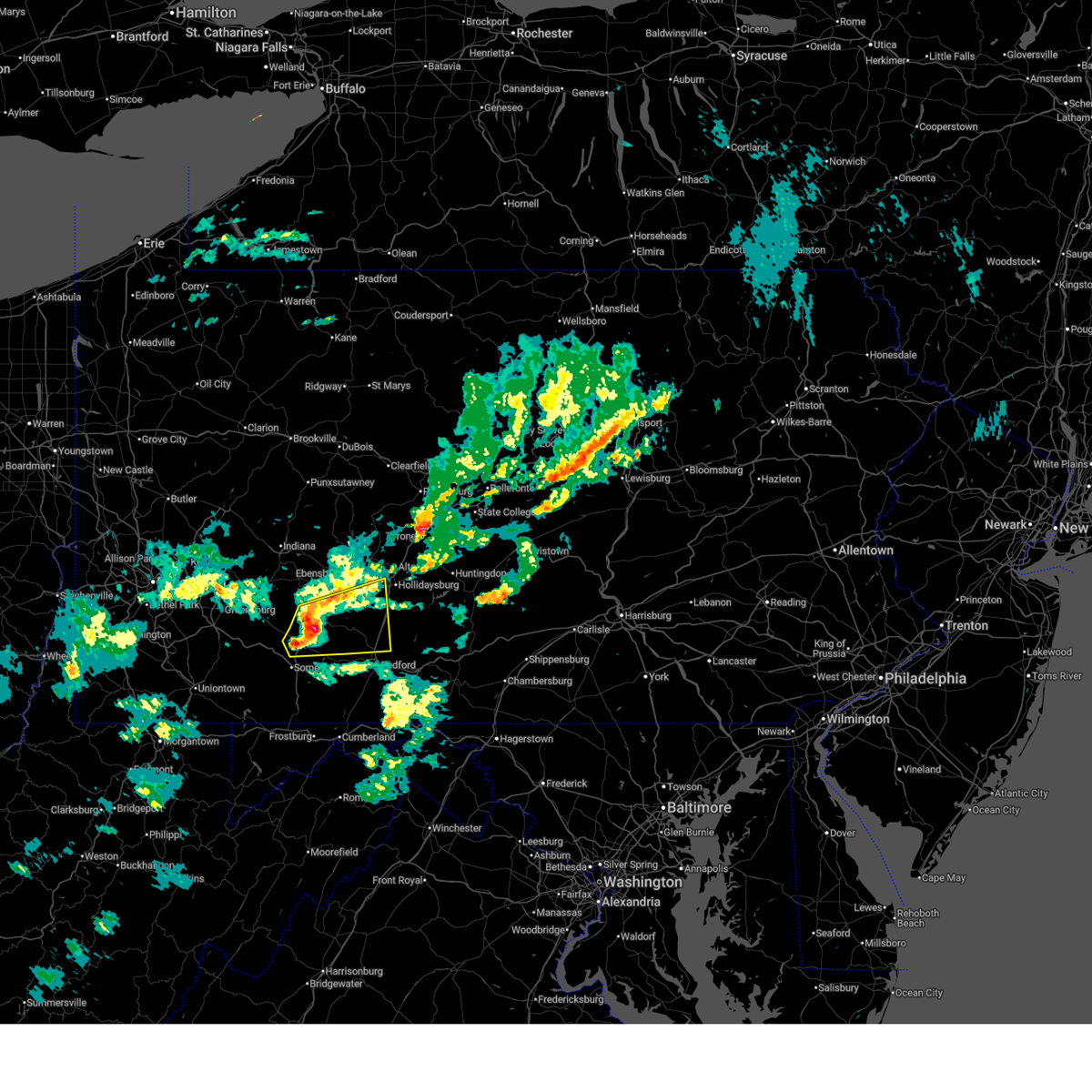
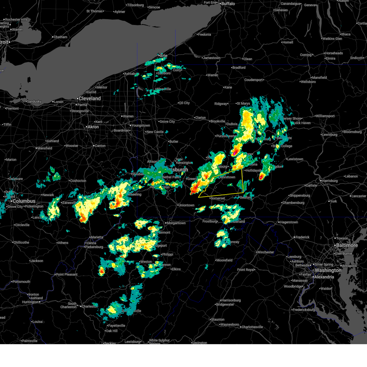
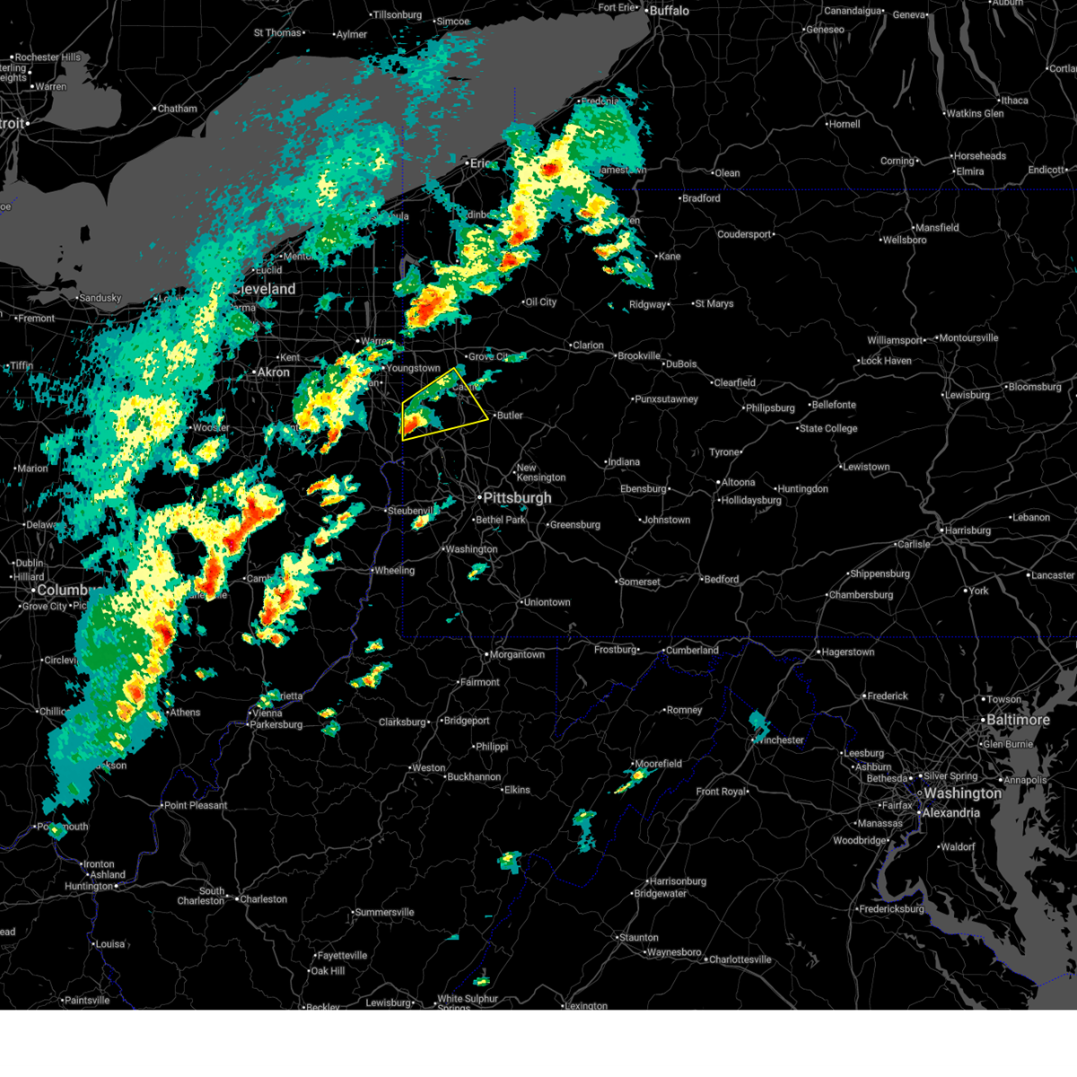
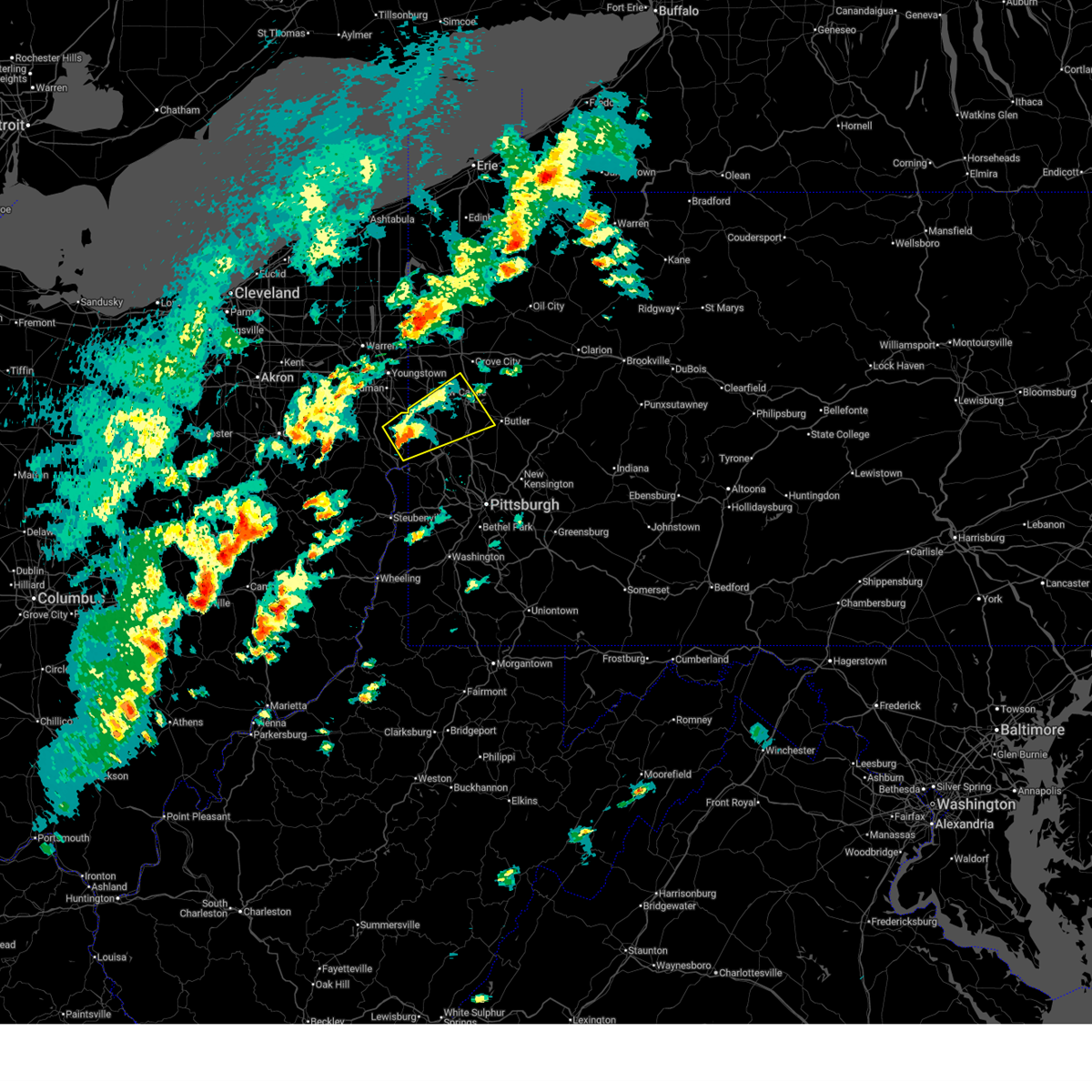
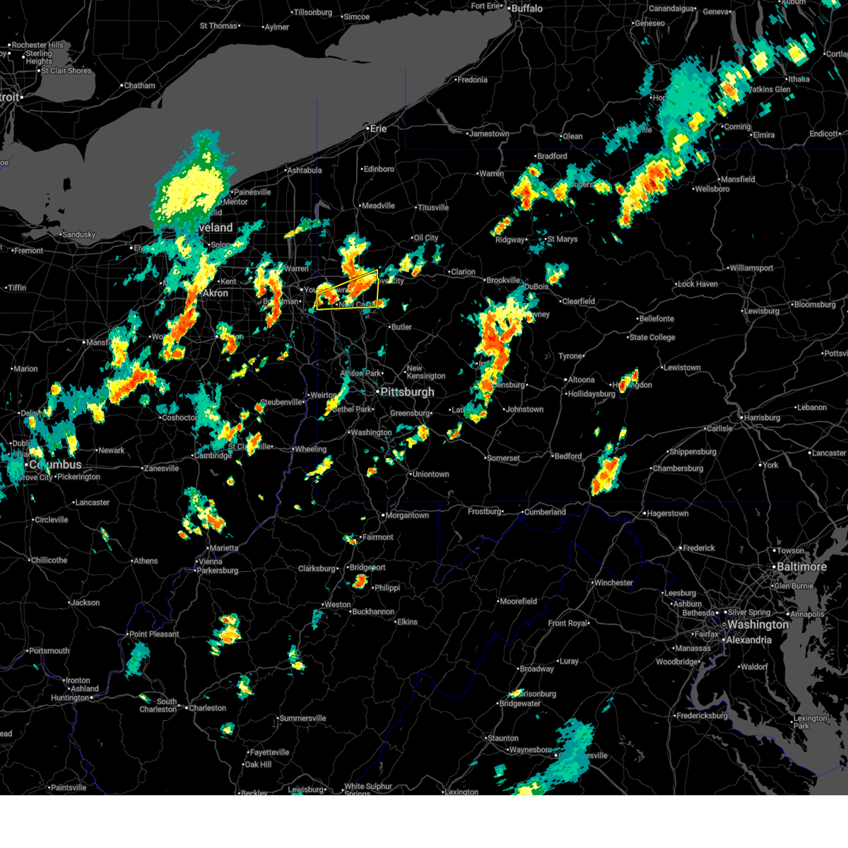
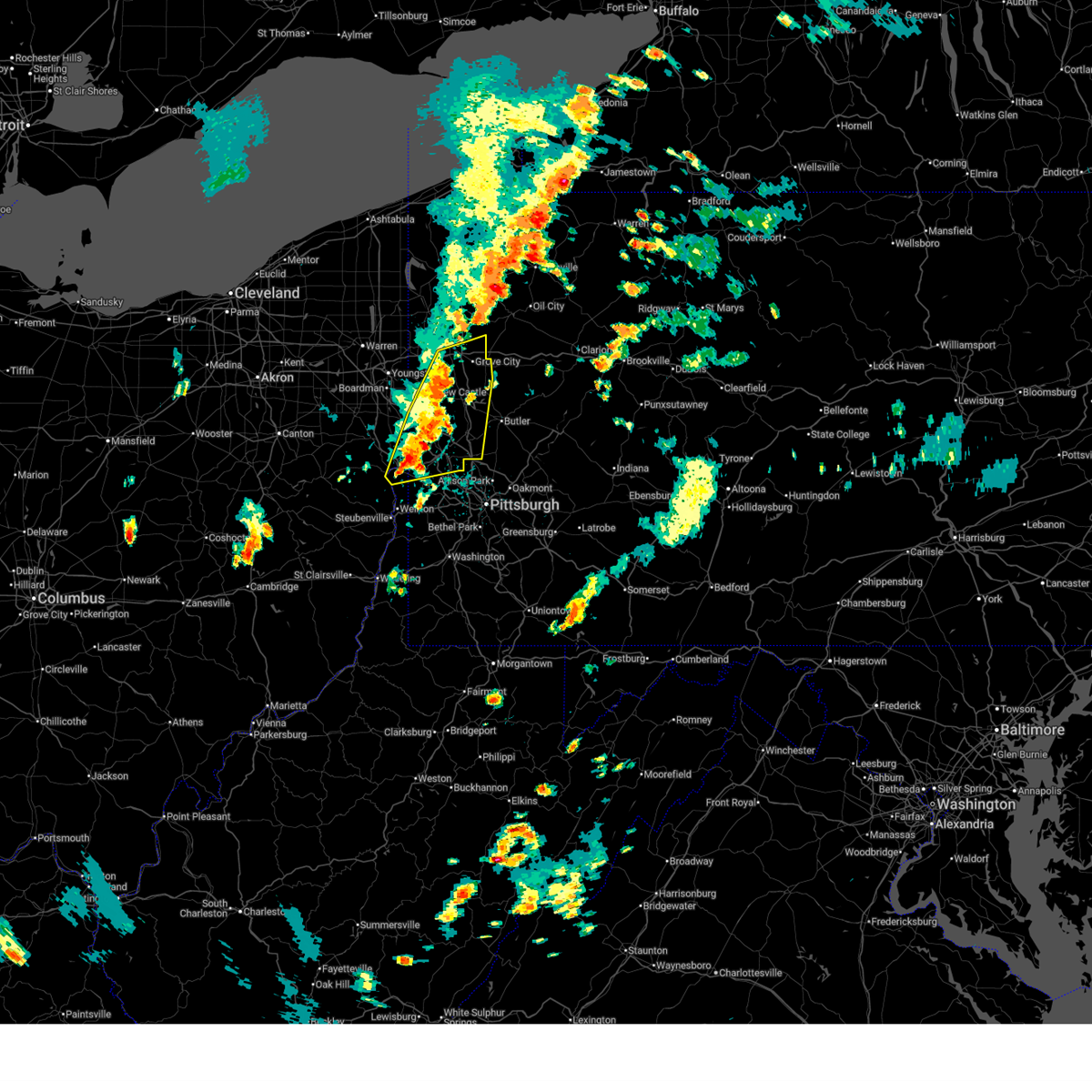
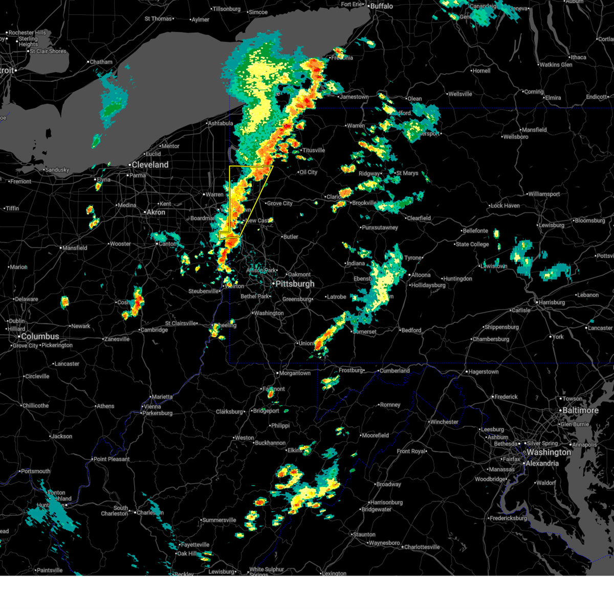
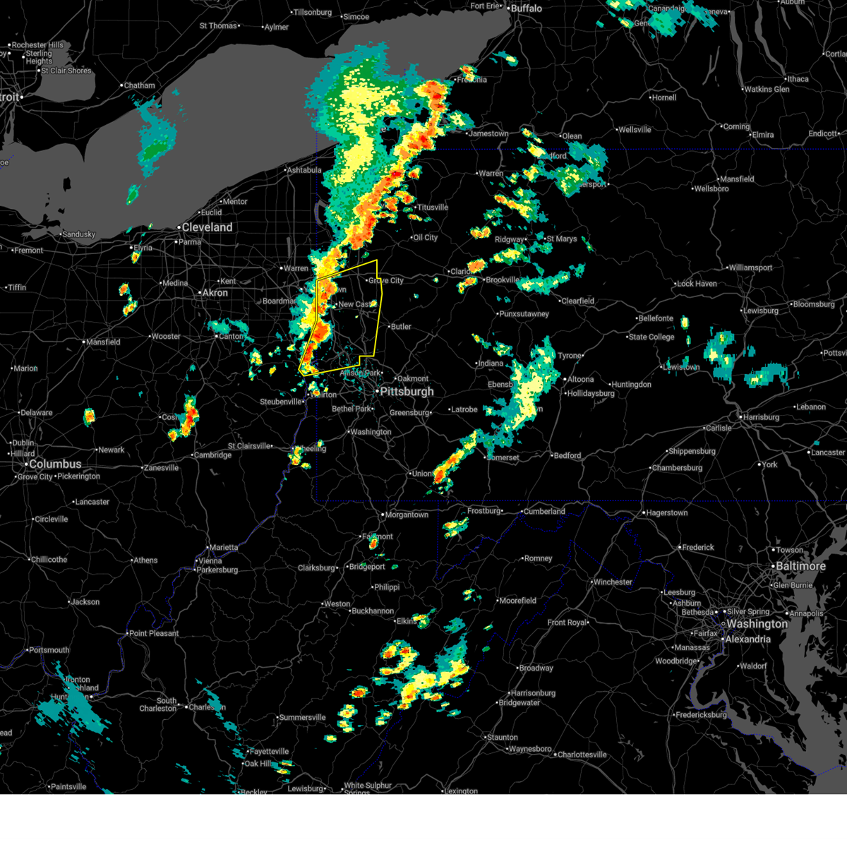
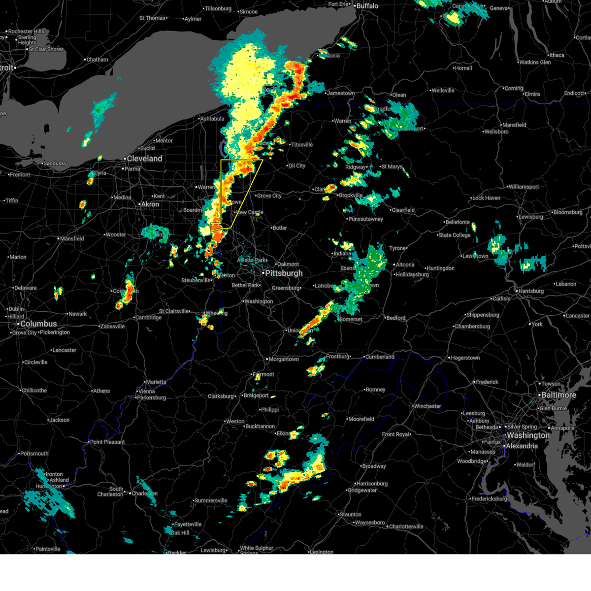
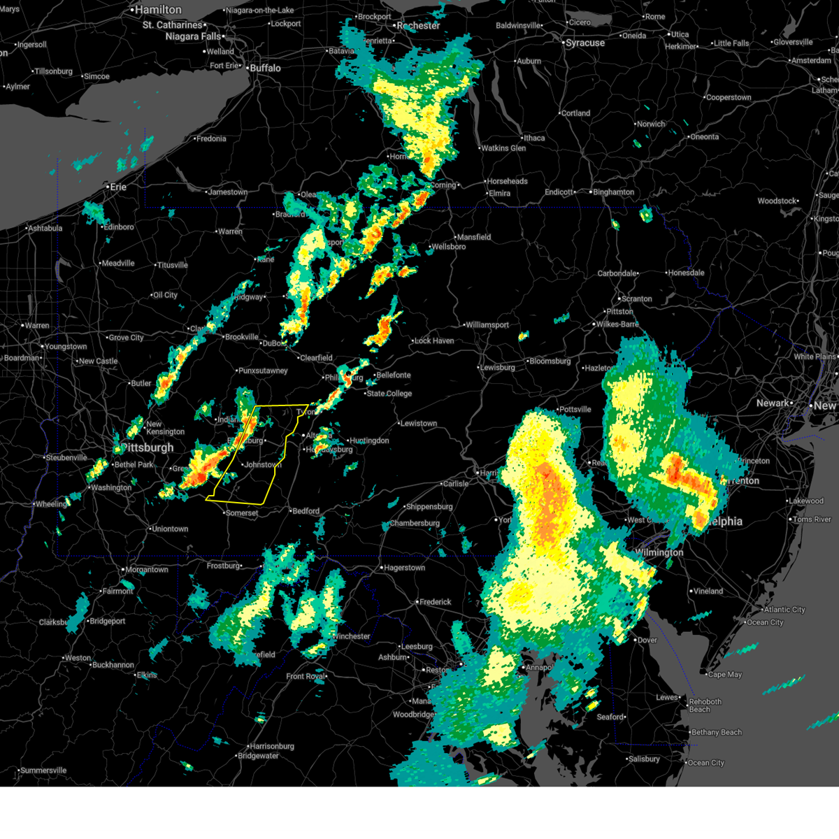
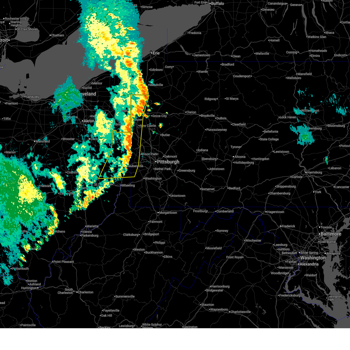
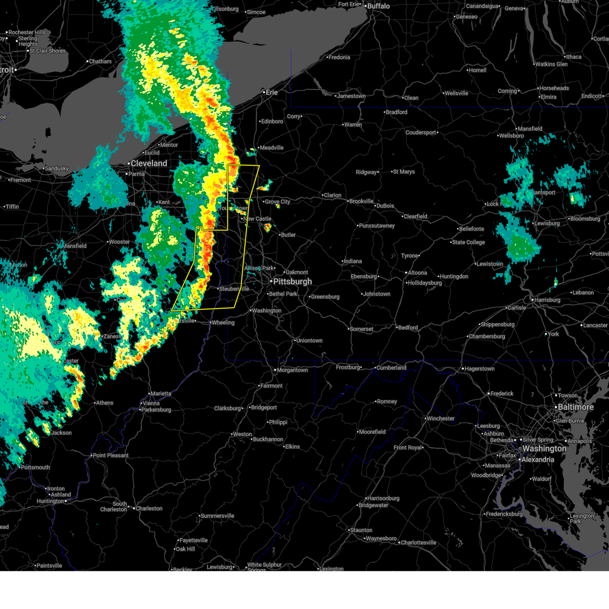
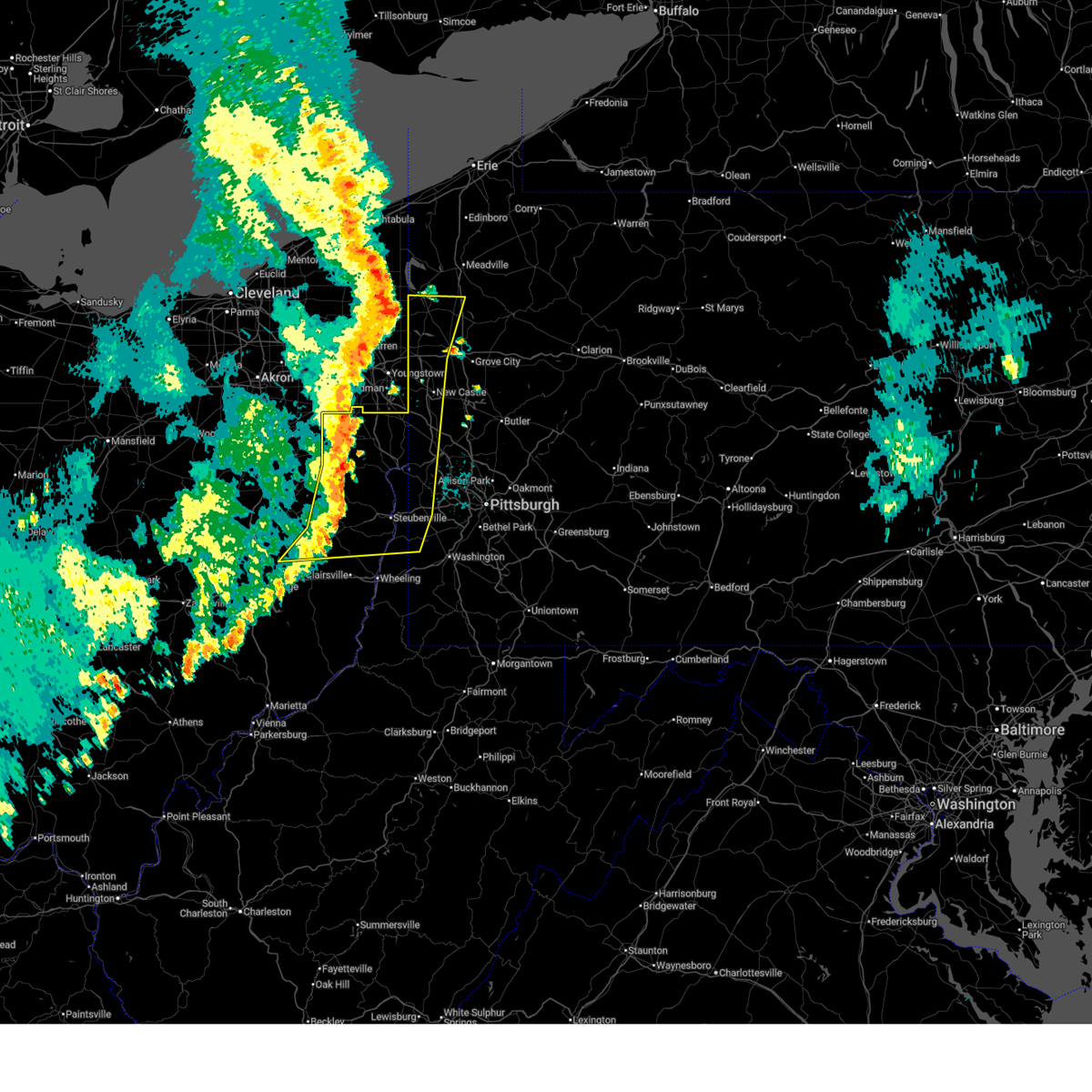
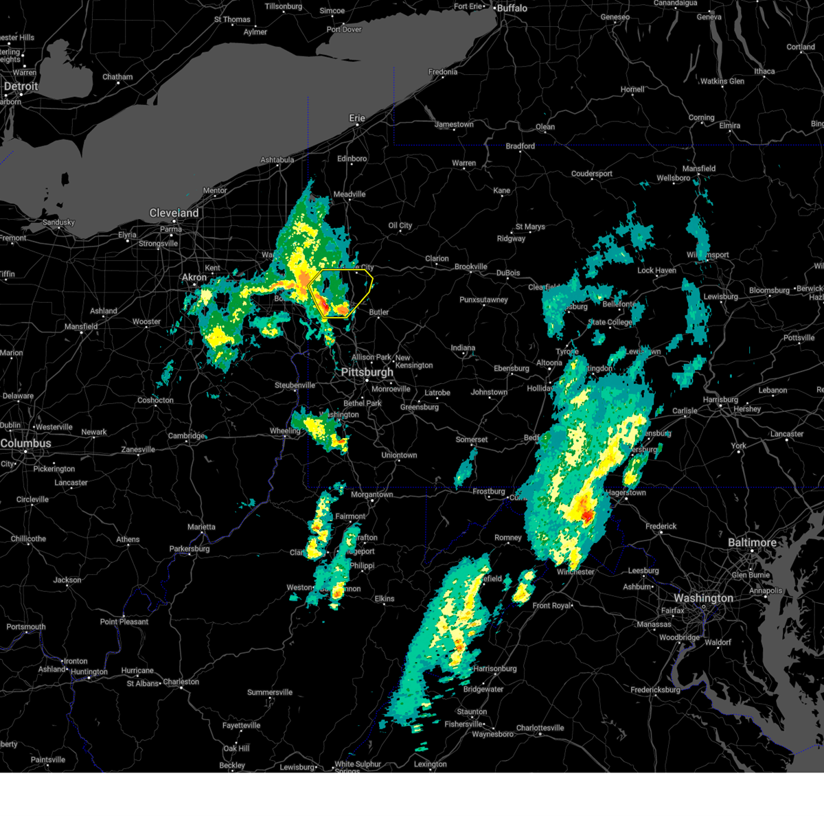
Hail Map for Oakland, PA
The Oakland, PA area has had 0 reports of on-the-ground hail by trained spotters, and has been under severe weather warnings 63 times during the past 12 months. Doppler radar has detected hail at or near Oakland, PA on 84 occasions, including 3 occasions during the past year.
| Name: | Oakland, PA |
| Where Located: | 59.4 miles E of Pittsburgh, PA |
| Map: | Google Map for Oakland, PA |
| Population: | 1578 |
| Housing Units: | 806 |
| More Info: | Search Google for Oakland, PA |
3
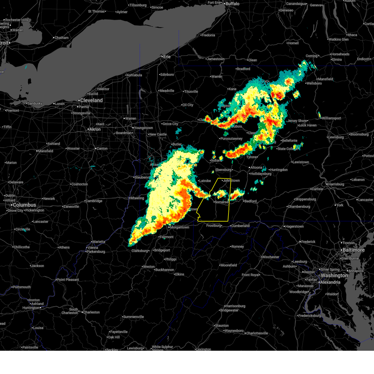
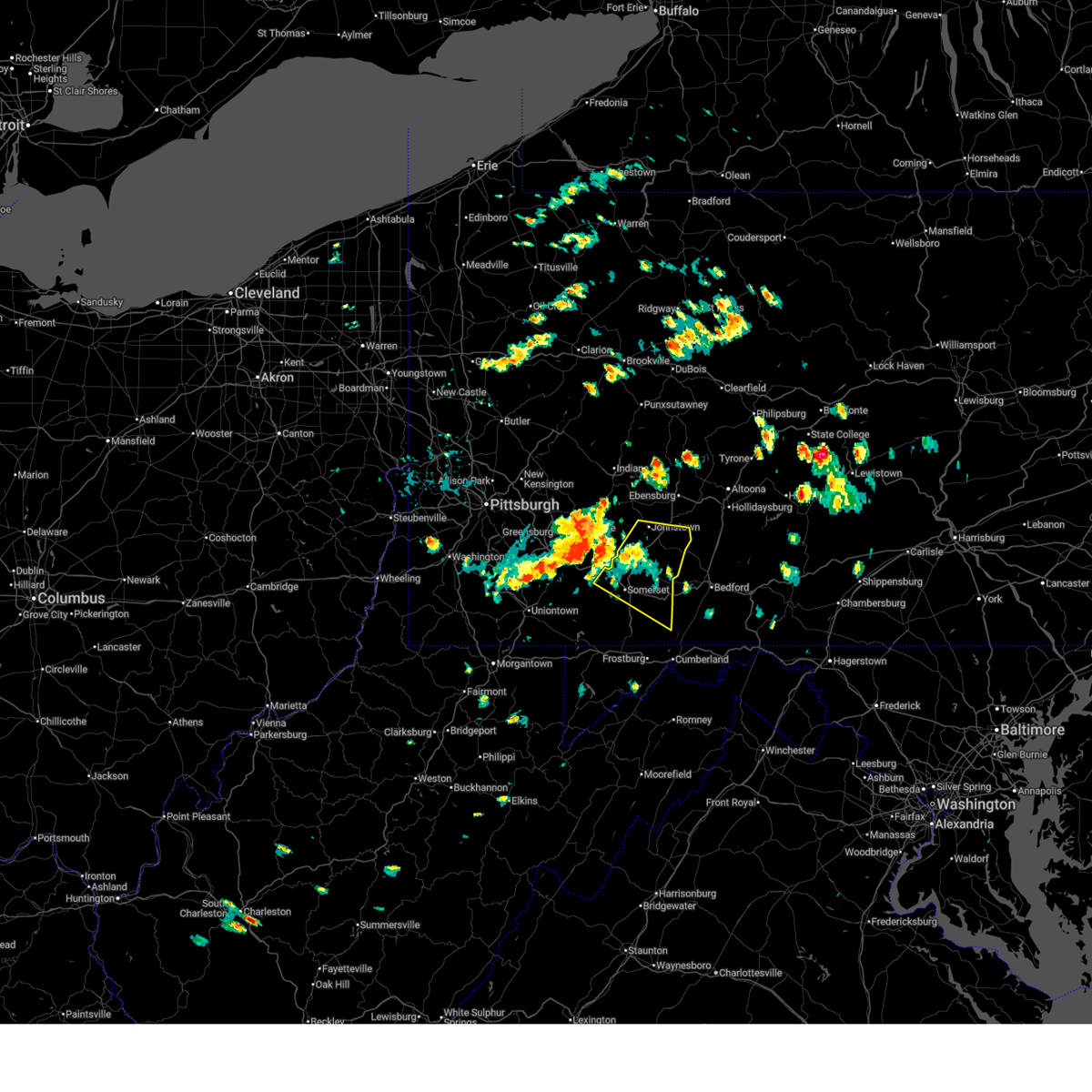
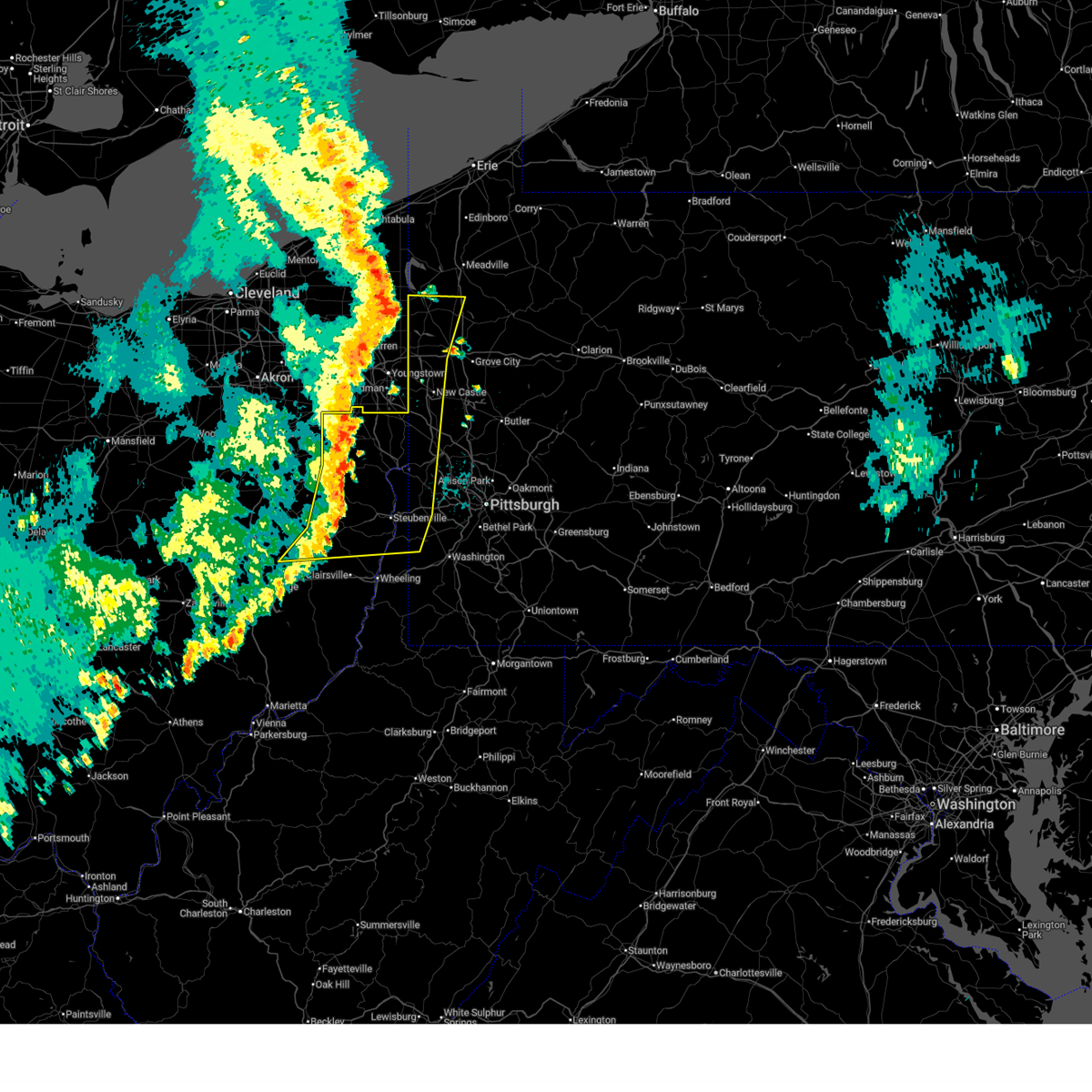
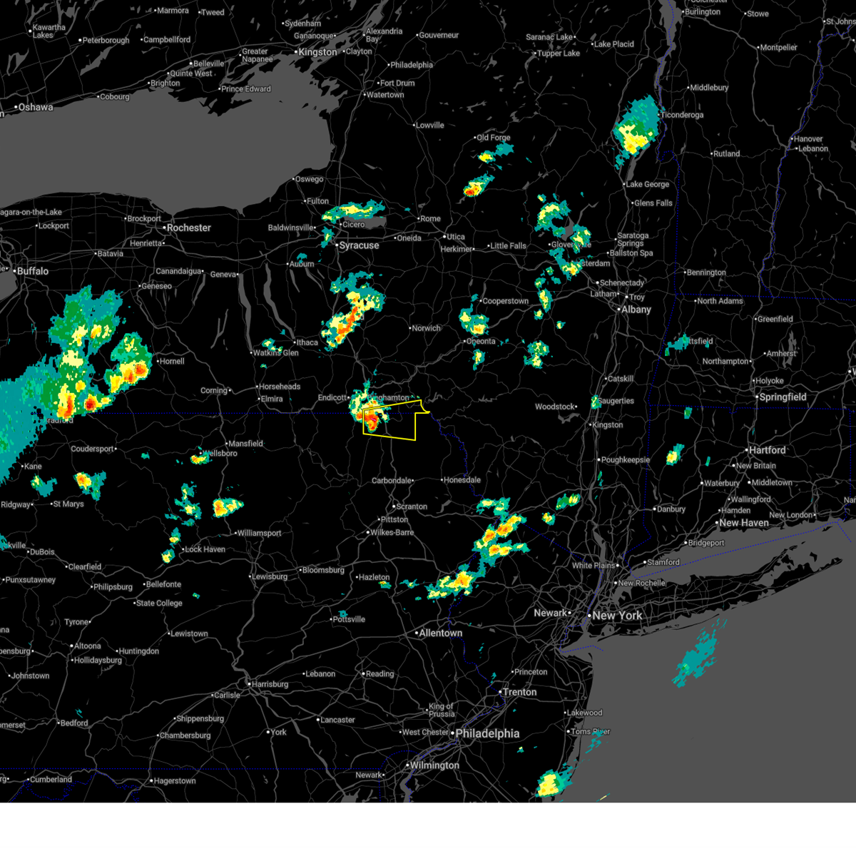
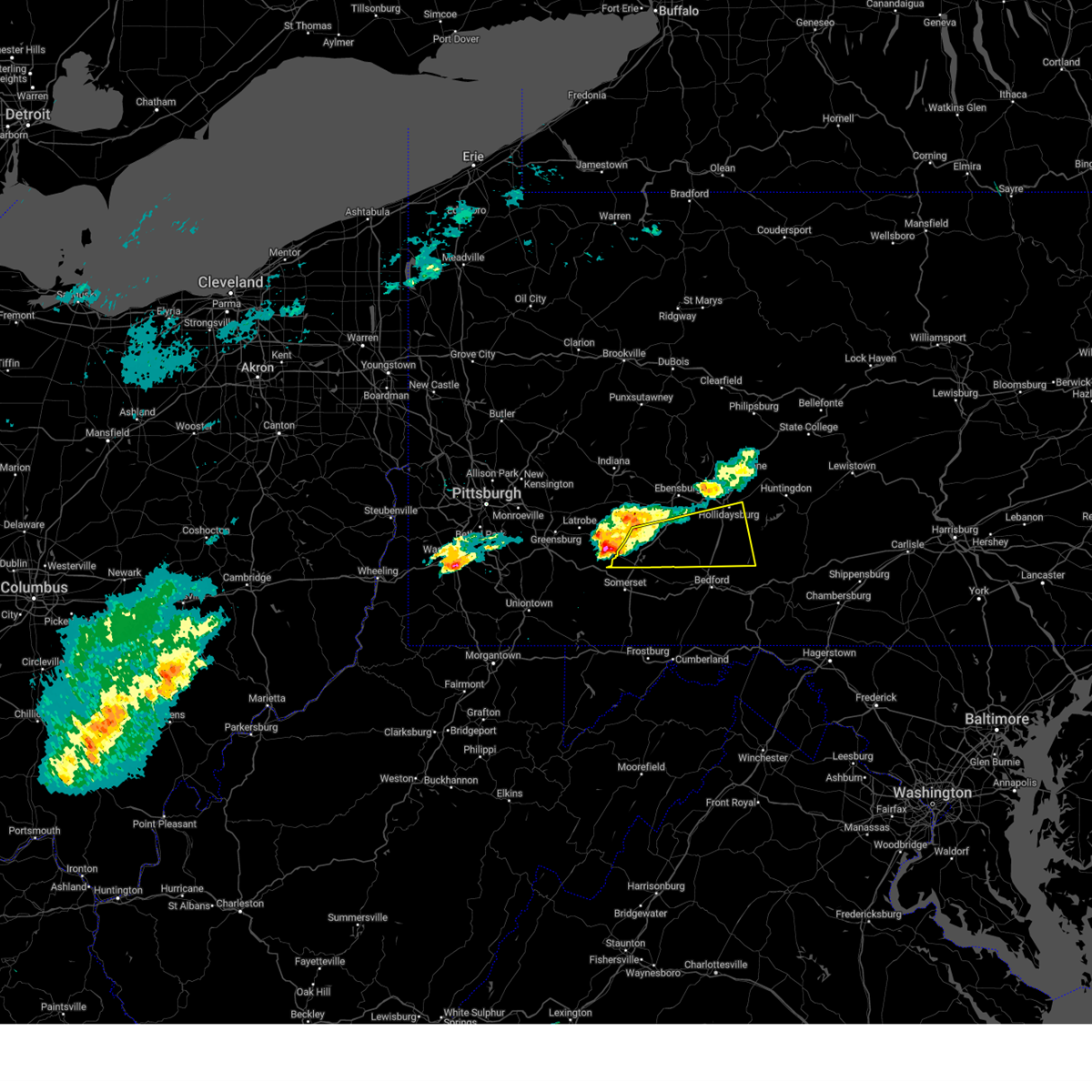
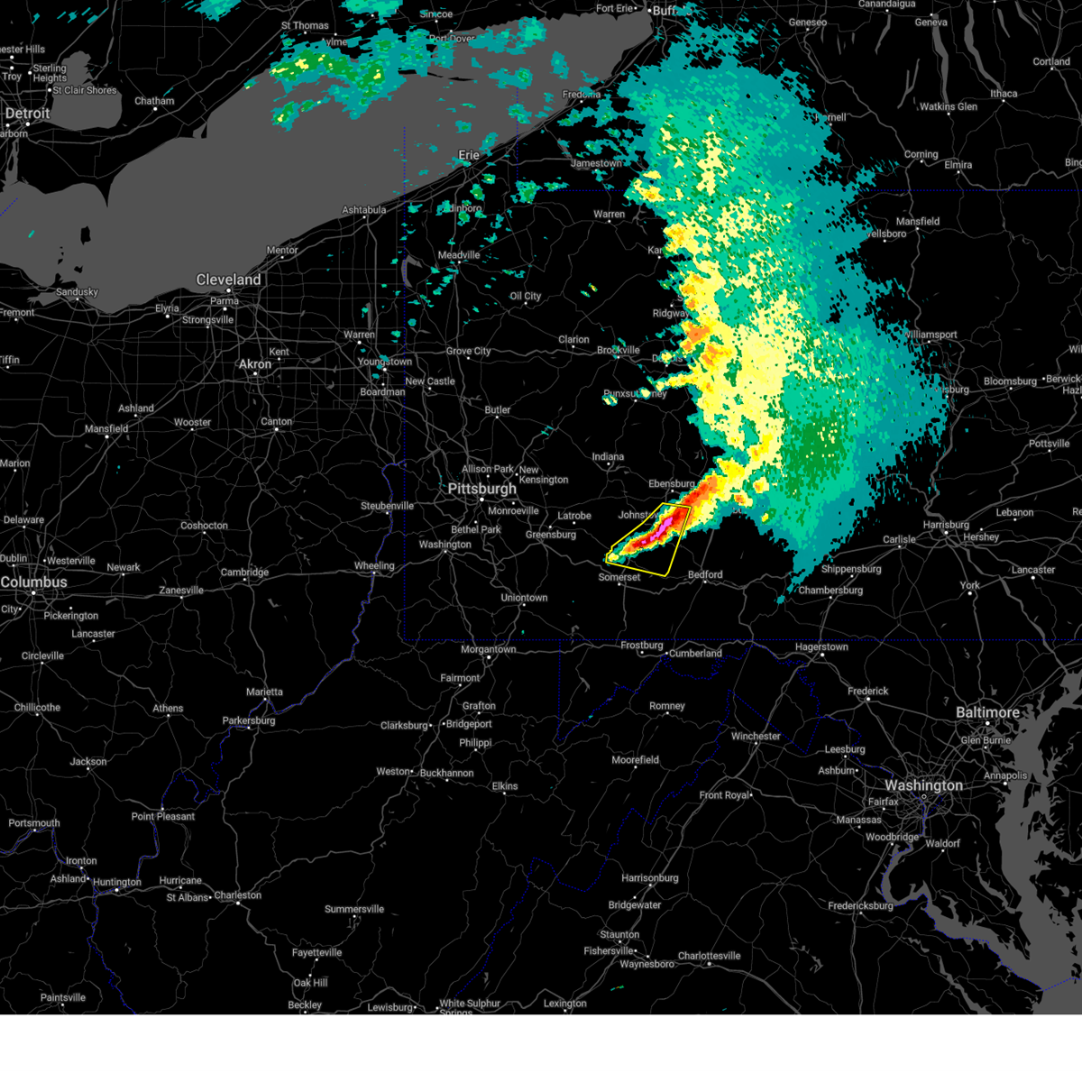
The Top Recent Hail Date for Oakland, PA is Thursday, July 3, 2025 (3rd out of 84)
Hail and Wind Damage Spotted near Oakland, PA
| Date / Time | Report Details |
|---|---|
| 6/6/2026 3:14 PM EDT |
 Svrctp the national weather service in state college pa has issued a * severe thunderstorm warning for, southwestern cambria county in central pennsylvania, somerset county in south central pennsylvania, * until 415 pm edt. * at 312 pm edt, severe thunderstorms were located along a line extending from jeannette to near south connellsville to near farmington, moving east at 45 mph (radar indicated). Hazards include 60 mph wind gusts and quarter size hail. Hail damage to vehicles is expected. Expect wind damage to roofs, siding, and trees. Svrctp the national weather service in state college pa has issued a * severe thunderstorm warning for, southwestern cambria county in central pennsylvania, somerset county in south central pennsylvania, * until 415 pm edt. * at 312 pm edt, severe thunderstorms were located along a line extending from jeannette to near south connellsville to near farmington, moving east at 45 mph (radar indicated). Hazards include 60 mph wind gusts and quarter size hail. Hail damage to vehicles is expected. Expect wind damage to roofs, siding, and trees.
|
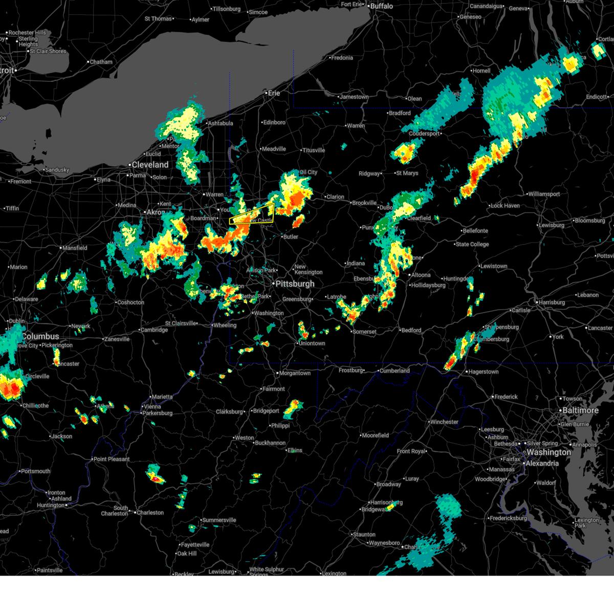
| 5/9/2026 8:31 PM EDT |
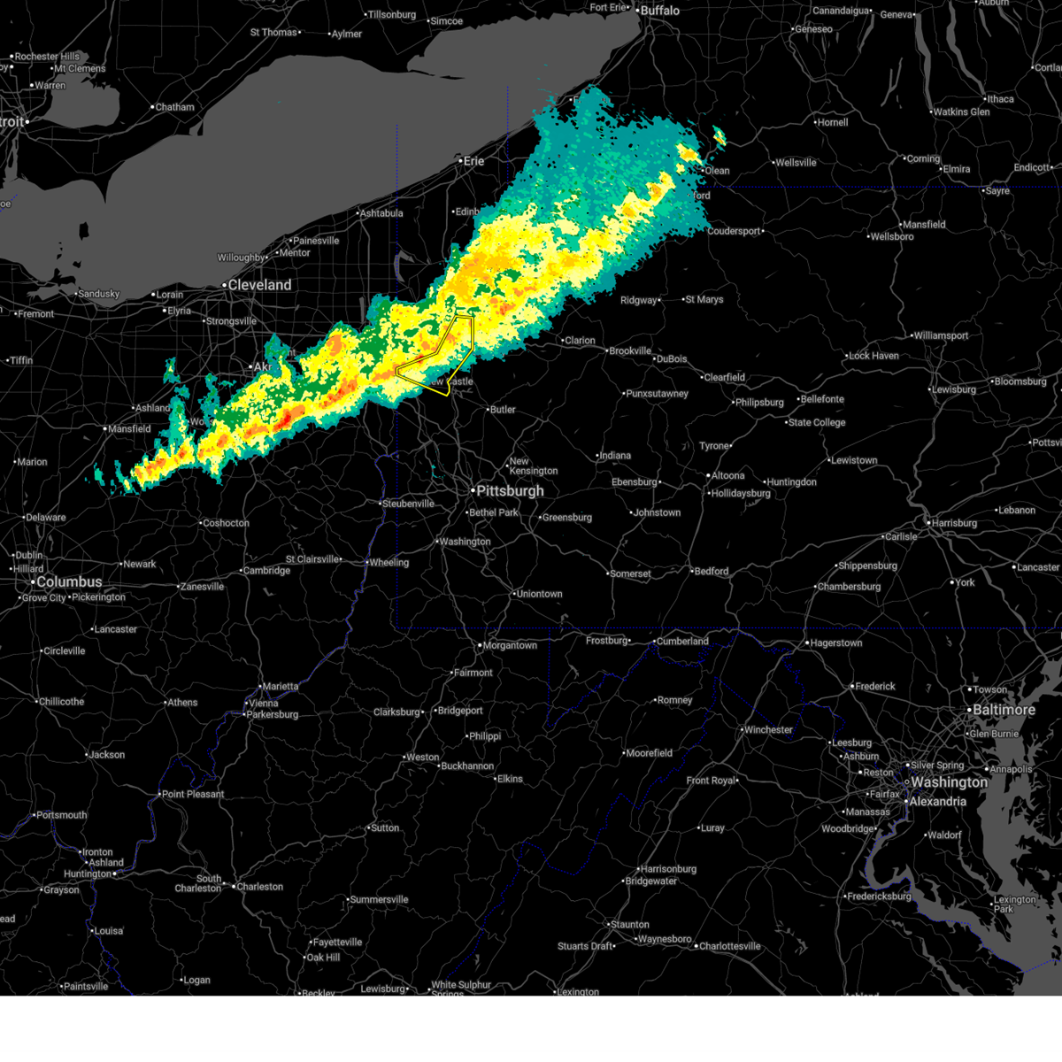 At 831 pm edt, a severe thunderstorm was located over new wilmington, or 8 miles north of new castle, moving east at 35 mph (radar indicated). Hazards include 60 mph wind gusts. Expect damage to roofs, siding, and trees. Locations impacted include, new castle, grove city, new wilmington, oakwood, new castle northwest, stoneboro, plain grove township, harlansburg, jackson center, volant, rose point park and mcconnells mill. At 831 pm edt, a severe thunderstorm was located over new wilmington, or 8 miles north of new castle, moving east at 35 mph (radar indicated). Hazards include 60 mph wind gusts. Expect damage to roofs, siding, and trees. Locations impacted include, new castle, grove city, new wilmington, oakwood, new castle northwest, stoneboro, plain grove township, harlansburg, jackson center, volant, rose point park and mcconnells mill.
|
| 5/9/2026 8:19 PM EDT |
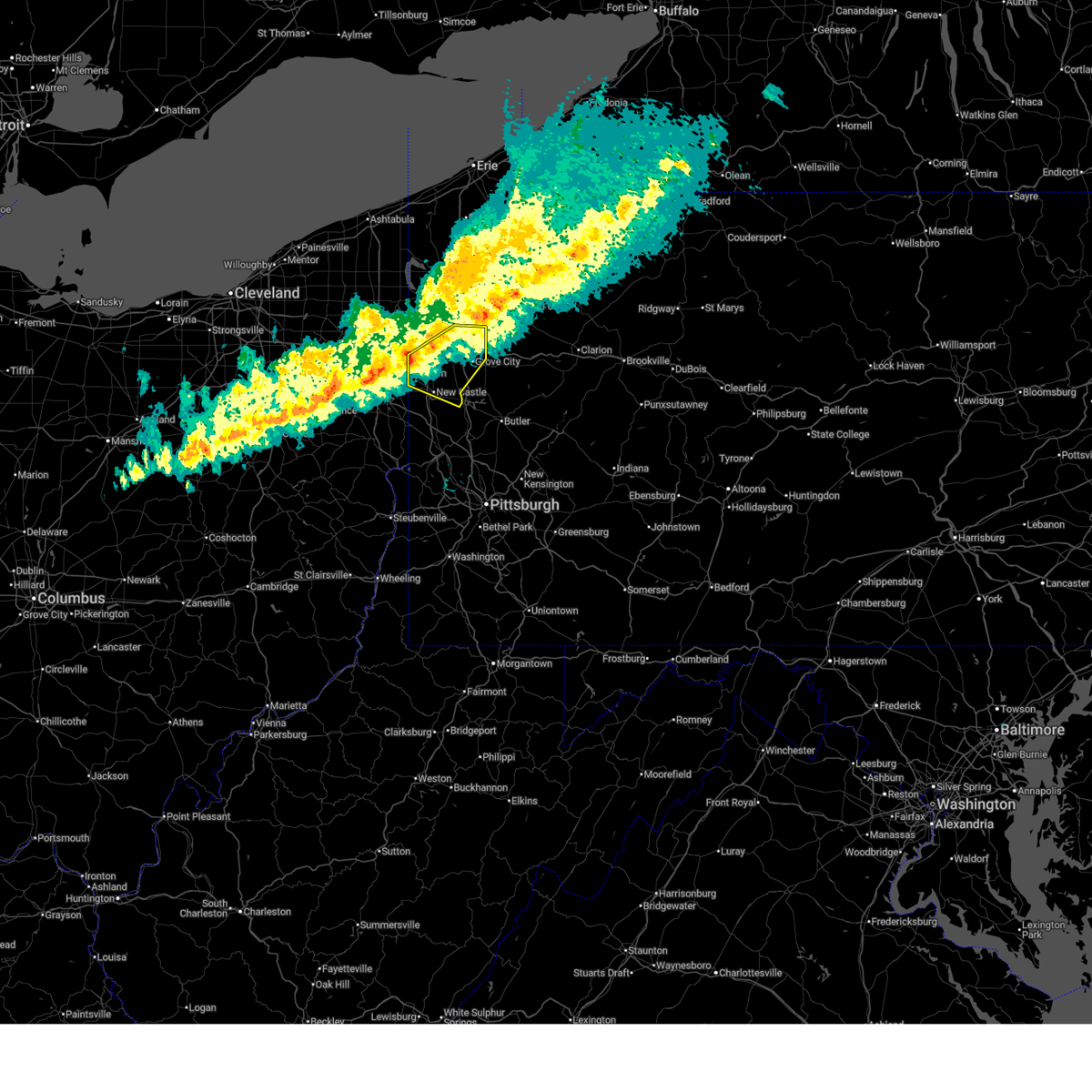 At 819 pm edt, a severe thunderstorm was located near farrell, or 6 miles south of sharon, moving east at 35 mph (radar indicated). Hazards include 60 mph wind gusts. Expect damage to roofs, siding, and trees. Locations impacted include, new castle, hermitage, grove city, new wilmington, oakwood, new castle northwest, mercer, pulaski, stoneboro, new bedford, west middlesex, plain grove township, wheatland, harlansburg, jackson center, volant, rose point park and mcconnells mill. At 819 pm edt, a severe thunderstorm was located near farrell, or 6 miles south of sharon, moving east at 35 mph (radar indicated). Hazards include 60 mph wind gusts. Expect damage to roofs, siding, and trees. Locations impacted include, new castle, hermitage, grove city, new wilmington, oakwood, new castle northwest, mercer, pulaski, stoneboro, new bedford, west middlesex, plain grove township, wheatland, harlansburg, jackson center, volant, rose point park and mcconnells mill.
|
| 5/9/2026 7:52 PM EDT |
 Svrpbz the national weather service in pittsburgh has issued a * severe thunderstorm warning for, mercer county in northwestern pennsylvania, northern lawrence county in western pennsylvania, * until 845 pm edt. * at 752 pm edt, a severe thunderstorm was located 13 miles west of sharon, moving east at 35 mph (radar indicated). Hazards include 60 mph wind gusts and small hail. expect damage to roofs, siding, and trees Svrpbz the national weather service in pittsburgh has issued a * severe thunderstorm warning for, mercer county in northwestern pennsylvania, northern lawrence county in western pennsylvania, * until 845 pm edt. * at 752 pm edt, a severe thunderstorm was located 13 miles west of sharon, moving east at 35 mph (radar indicated). Hazards include 60 mph wind gusts and small hail. expect damage to roofs, siding, and trees
|
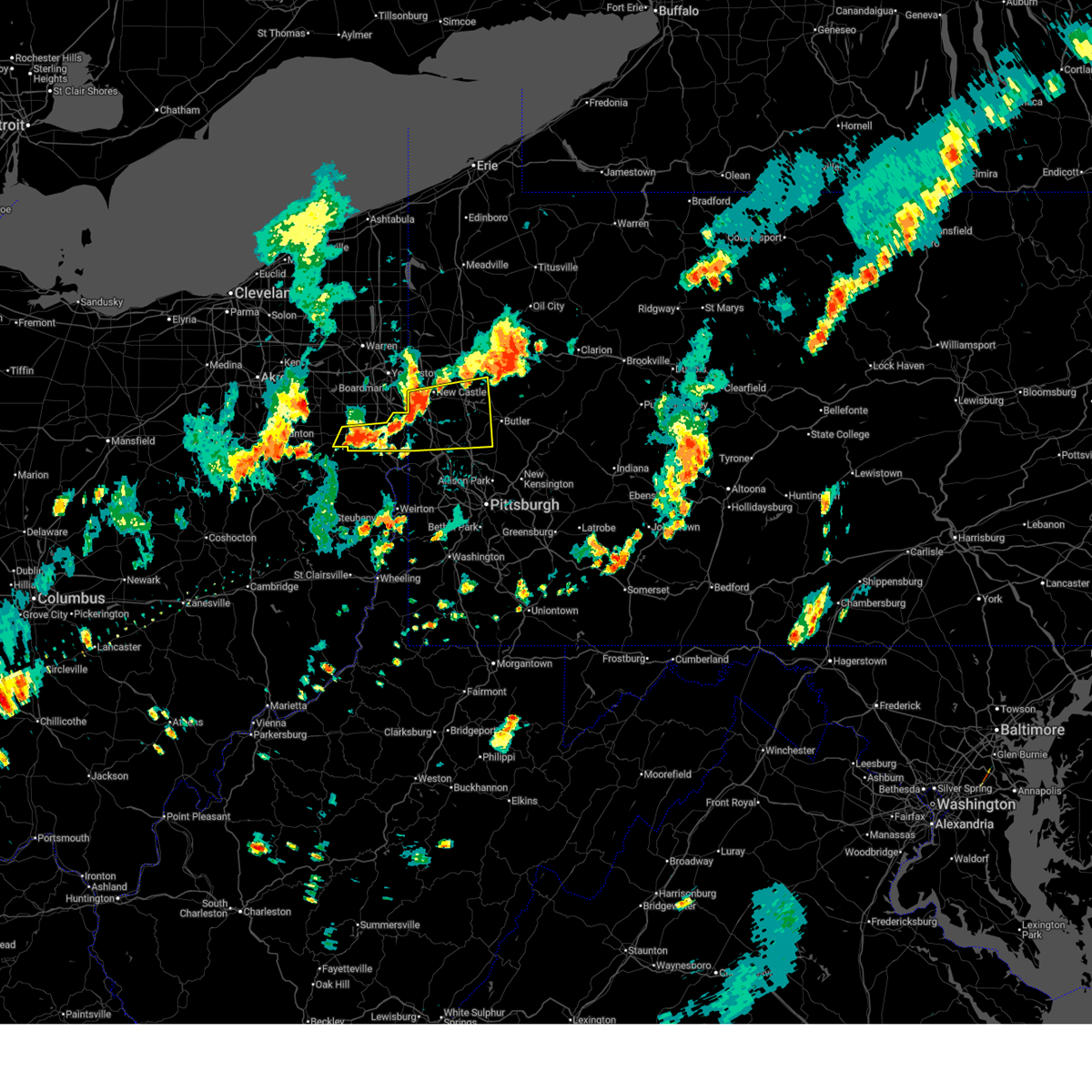
| 5/5/2026 9:05 PM EDT |
 At 905 pm edt, a severe thunderstorm was located near ellwood city, or 6 miles south of new castle, moving east at 35 mph (radar indicated). Hazards include 60 mph wind gusts. Expect damage to roofs, siding, and trees. Locations impacted include, new castle, ellwood city, oakwood, new castle northwest, big beaver, new beaver, ellport, prospect, plain grove township, koppel, wampum, south new castle, west liberty, harlansburg, portersville, volant, rose point park, mcconnells mill and cooper's lake campground. At 905 pm edt, a severe thunderstorm was located near ellwood city, or 6 miles south of new castle, moving east at 35 mph (radar indicated). Hazards include 60 mph wind gusts. Expect damage to roofs, siding, and trees. Locations impacted include, new castle, ellwood city, oakwood, new castle northwest, big beaver, new beaver, ellport, prospect, plain grove township, koppel, wampum, south new castle, west liberty, harlansburg, portersville, volant, rose point park, mcconnells mill and cooper's lake campground.
|
| 5/5/2026 8:52 PM EDT |
 the severe thunderstorm warning has been cancelled and is no longer in effect the severe thunderstorm warning has been cancelled and is no longer in effect
|
| 5/5/2026 8:52 PM EDT |
 At 852 pm edt, a severe thunderstorm was located 6 miles northeast of east palestine, moving east at 40 mph (radar indicated). Hazards include 60 mph wind gusts. Expect damage to roofs, siding, and trees. Locations impacted include, new castle, ellwood city, new wilmington, oakwood, new castle northwest, big beaver, new beaver, ellport, prospect, bessemer, plain grove township, koppel, wampum, south new castle, new galilee, west liberty, enon valley, harlansburg, darlington and portersville. At 852 pm edt, a severe thunderstorm was located 6 miles northeast of east palestine, moving east at 40 mph (radar indicated). Hazards include 60 mph wind gusts. Expect damage to roofs, siding, and trees. Locations impacted include, new castle, ellwood city, new wilmington, oakwood, new castle northwest, big beaver, new beaver, ellport, prospect, bessemer, plain grove township, koppel, wampum, south new castle, new galilee, west liberty, enon valley, harlansburg, darlington and portersville.
|
| 5/5/2026 8:40 PM EDT |
 Svrpbz the national weather service in pittsburgh has issued a * severe thunderstorm warning for, northeastern columbiana county in east central ohio, south central mercer county in northwestern pennsylvania, west central butler county in west central pennsylvania, northwestern beaver county in western pennsylvania, lawrence county in western pennsylvania, * until 930 pm edt. * at 840 pm edt, a severe thunderstorm was located over new waterford, or over east palestine, moving east at 40 mph (radar indicated). Hazards include 60 mph wind gusts. expect damage to roofs, siding, and trees Svrpbz the national weather service in pittsburgh has issued a * severe thunderstorm warning for, northeastern columbiana county in east central ohio, south central mercer county in northwestern pennsylvania, west central butler county in west central pennsylvania, northwestern beaver county in western pennsylvania, lawrence county in western pennsylvania, * until 930 pm edt. * at 840 pm edt, a severe thunderstorm was located over new waterford, or over east palestine, moving east at 40 mph (radar indicated). Hazards include 60 mph wind gusts. expect damage to roofs, siding, and trees
|
| 4/16/2026 4:08 PM EDT |
 Svrpbz the national weather service in pittsburgh has issued a * severe thunderstorm warning for, southern mercer county in northwestern pennsylvania, northwestern butler county in west central pennsylvania, northern lawrence county in western pennsylvania, * until 500 pm edt. * at 408 pm edt, a severe thunderstorm was located 10 miles north of columbiana, moving east at 50 mph (radar indicated). Hazards include 60 mph wind gusts. expect damage to roofs, siding, and trees Svrpbz the national weather service in pittsburgh has issued a * severe thunderstorm warning for, southern mercer county in northwestern pennsylvania, northwestern butler county in west central pennsylvania, northern lawrence county in western pennsylvania, * until 500 pm edt. * at 408 pm edt, a severe thunderstorm was located 10 miles north of columbiana, moving east at 50 mph (radar indicated). Hazards include 60 mph wind gusts. expect damage to roofs, siding, and trees
|
| 4/15/2026 11:32 PM EDT |
 the severe thunderstorm warning has been cancelled and is no longer in effect the severe thunderstorm warning has been cancelled and is no longer in effect
|
| 4/15/2026 11:23 PM EDT |
 At 1122 pm edt, severe thunderstorms were located along a line extending from brackney to lake carey, moving east at 55 mph (radar indicated). Hazards include 60 mph wind gusts. Expect damage to roofs, siding, and trees. Locations impacted include, carbondale, kirkwood, conklin, rush, jackson, clifford, sanford, susquehanna, forest city, and tunkhannock. At 1122 pm edt, severe thunderstorms were located along a line extending from brackney to lake carey, moving east at 55 mph (radar indicated). Hazards include 60 mph wind gusts. Expect damage to roofs, siding, and trees. Locations impacted include, carbondale, kirkwood, conklin, rush, jackson, clifford, sanford, susquehanna, forest city, and tunkhannock.
|
| 4/15/2026 11:23 PM EDT |
 the severe thunderstorm warning has been cancelled and is no longer in effect the severe thunderstorm warning has been cancelled and is no longer in effect
|
| 4/15/2026 11:06 PM EDT |
 At 1106 pm edt, severe thunderstorms were located along a line extending from near windham to near sugar run, moving east at 55 mph (radar indicated). Hazards include 60 mph wind gusts. Expect damage to roofs, siding, and trees. Locations impacted include, carbondale, archbald, kirkwood, conklin, rush, jackson, towanda, clifford, sanford, and jermyn. At 1106 pm edt, severe thunderstorms were located along a line extending from near windham to near sugar run, moving east at 55 mph (radar indicated). Hazards include 60 mph wind gusts. Expect damage to roofs, siding, and trees. Locations impacted include, carbondale, archbald, kirkwood, conklin, rush, jackson, towanda, clifford, sanford, and jermyn.
|
| 4/15/2026 10:49 PM EDT |
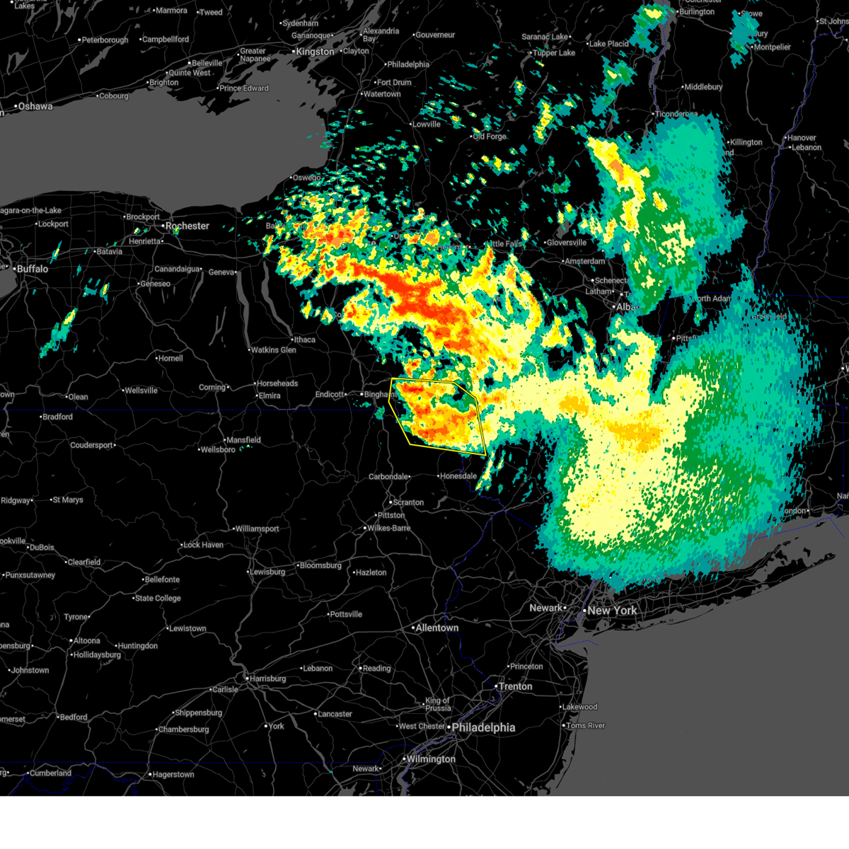
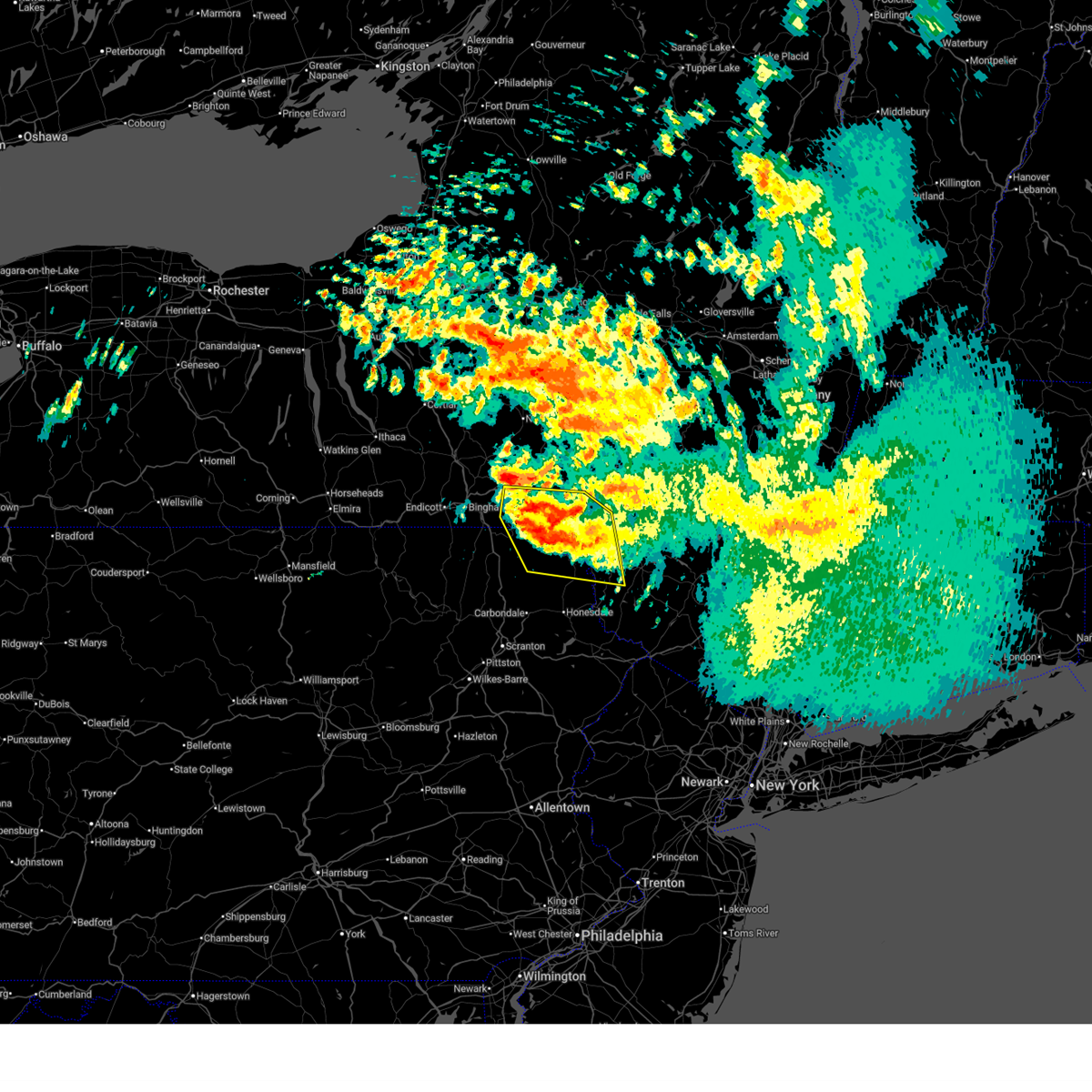
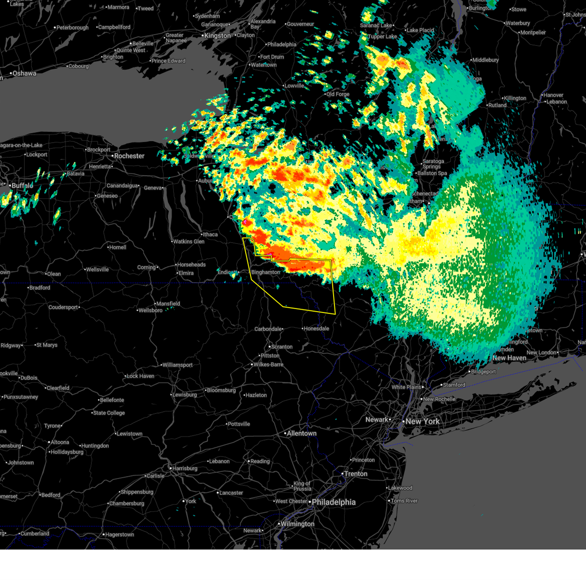
 Svrbgm the national weather service in binghamton has issued a * severe thunderstorm warning for, southern broome county in central new york, southern tioga county in central new york, susquehanna county in northeastern pennsylvania, northern lackawanna county in northeastern pennsylvania, bradford county in northeastern pennsylvania, northern wyoming county in northeastern pennsylvania, * until 1145 pm edt. * at 1049 pm edt, severe thunderstorms were located along a line extending from near chemung to near overton, moving east at 65 mph (radar indicated). Hazards include 60 mph wind gusts. expect damage to roofs, siding, and trees Svrbgm the national weather service in binghamton has issued a * severe thunderstorm warning for, southern broome county in central new york, southern tioga county in central new york, susquehanna county in northeastern pennsylvania, northern lackawanna county in northeastern pennsylvania, bradford county in northeastern pennsylvania, northern wyoming county in northeastern pennsylvania, * until 1145 pm edt. * at 1049 pm edt, severe thunderstorms were located along a line extending from near chemung to near overton, moving east at 65 mph (radar indicated). Hazards include 60 mph wind gusts. expect damage to roofs, siding, and trees
|
| 4/15/2026 9:04 PM EDT |
 Svrbgm the national weather service in binghamton has issued a * severe thunderstorm warning for, southeastern broome county in central new york, southwestern delaware county in central new york, south central chenango county in central new york, northeastern susquehanna county in northeastern pennsylvania, northwestern wayne county in northeastern pennsylvania, * until 945 pm edt. * at 903 pm edt, severe thunderstorms were located along a line extending from near afton to near sanford to lanesboro, moving east at 50 mph (radar indicated). Hazards include 60 mph wind gusts and penny size hail. expect damage to roofs, siding, and trees Svrbgm the national weather service in binghamton has issued a * severe thunderstorm warning for, southeastern broome county in central new york, southwestern delaware county in central new york, south central chenango county in central new york, northeastern susquehanna county in northeastern pennsylvania, northwestern wayne county in northeastern pennsylvania, * until 945 pm edt. * at 903 pm edt, severe thunderstorms were located along a line extending from near afton to near sanford to lanesboro, moving east at 50 mph (radar indicated). Hazards include 60 mph wind gusts and penny size hail. expect damage to roofs, siding, and trees
|
| 4/14/2026 7:25 PM EDT |
 At 725 pm edt, a severe thunderstorm was located near harvard, or near walton, moving east at 50 mph (radar indicated). Hazards include 60 mph wind gusts. Expect damage to roofs, siding, and trees. Locations impacted include, rockland, liberty, damascus, jackson, walton, callicoon, colchester, susquehanna, deposit, and susquehanna depot. At 725 pm edt, a severe thunderstorm was located near harvard, or near walton, moving east at 50 mph (radar indicated). Hazards include 60 mph wind gusts. Expect damage to roofs, siding, and trees. Locations impacted include, rockland, liberty, damascus, jackson, walton, callicoon, colchester, susquehanna, deposit, and susquehanna depot.
|
| 4/14/2026 7:07 PM EDT |
 Svrbgm the national weather service in binghamton has issued a * severe thunderstorm warning for, southeastern broome county in central new york, southern delaware county in central new york, northwestern sullivan county in central new york, northeastern susquehanna county in northeastern pennsylvania, northern wayne county in northeastern pennsylvania, * until 800 pm edt. * at 706 pm edt, a severe thunderstorm was located over deposit, moving east at 45 mph (radar indicated). Hazards include 60 mph wind gusts. expect damage to roofs, siding, and trees Svrbgm the national weather service in binghamton has issued a * severe thunderstorm warning for, southeastern broome county in central new york, southern delaware county in central new york, northwestern sullivan county in central new york, northeastern susquehanna county in northeastern pennsylvania, northern wayne county in northeastern pennsylvania, * until 800 pm edt. * at 706 pm edt, a severe thunderstorm was located over deposit, moving east at 45 mph (radar indicated). Hazards include 60 mph wind gusts. expect damage to roofs, siding, and trees
|
| 4/14/2026 6:29 PM EDT |
 Svrctp the national weather service in state college pa has issued a * severe thunderstorm warning for, northwestern bedford county in south central pennsylvania, southwestern blair county in central pennsylvania, southwestern cambria county in central pennsylvania, northern somerset county in south central pennsylvania, * until 715 pm edt. * at 628 pm edt, a severe thunderstorm was located over jerome, moving southeast at 30 mph. this storm was part of a cluster of storms (radar indicated). Hazards include 60 mph wind gusts and quarter size hail. Hail damage to vehicles is expected. Expect wind damage to roofs, siding, and trees. Svrctp the national weather service in state college pa has issued a * severe thunderstorm warning for, northwestern bedford county in south central pennsylvania, southwestern blair county in central pennsylvania, southwestern cambria county in central pennsylvania, northern somerset county in south central pennsylvania, * until 715 pm edt. * at 628 pm edt, a severe thunderstorm was located over jerome, moving southeast at 30 mph. this storm was part of a cluster of storms (radar indicated). Hazards include 60 mph wind gusts and quarter size hail. Hail damage to vehicles is expected. Expect wind damage to roofs, siding, and trees.
|
| 3/31/2026 9:37 PM EDT |
 the severe thunderstorm warning has been cancelled and is no longer in effect the severe thunderstorm warning has been cancelled and is no longer in effect
|
| 3/31/2026 9:03 PM EDT |
 Svrpbz the national weather service in pittsburgh has issued a * severe thunderstorm warning for, southern mercer county in northwestern pennsylvania, western butler county in west central pennsylvania, lawrence county in western pennsylvania, * until 945 pm edt. * at 903 pm edt, a severe thunderstorm was located 11 miles southwest of farrell, or 12 miles southwest of sharon, moving east at 60 mph (radar indicated). Hazards include 60 mph wind gusts and quarter size hail. Hail damage to vehicles is expected. Expect wind damage to roofs, siding, and trees. Svrpbz the national weather service in pittsburgh has issued a * severe thunderstorm warning for, southern mercer county in northwestern pennsylvania, western butler county in west central pennsylvania, lawrence county in western pennsylvania, * until 945 pm edt. * at 903 pm edt, a severe thunderstorm was located 11 miles southwest of farrell, or 12 miles southwest of sharon, moving east at 60 mph (radar indicated). Hazards include 60 mph wind gusts and quarter size hail. Hail damage to vehicles is expected. Expect wind damage to roofs, siding, and trees.
|
| 3/31/2026 8:18 PM EDT |
 Svrpbz the national weather service in pittsburgh has issued a * severe thunderstorm warning for, mercer county in northwestern pennsylvania, venango county in northwestern pennsylvania, northern lawrence county in western pennsylvania, * until 900 pm edt. * at 818 pm edt, severe thunderstorms were located along a line from 18 miles north of greenville to 21 miles north of salem, or along a line from 27 miles north of sharpsville to 21 miles north of salem, moving east at 60 mph (radar indicated). Hazards include 60 mph wind gusts. expect damage to roofs, siding, and trees Svrpbz the national weather service in pittsburgh has issued a * severe thunderstorm warning for, mercer county in northwestern pennsylvania, venango county in northwestern pennsylvania, northern lawrence county in western pennsylvania, * until 900 pm edt. * at 818 pm edt, severe thunderstorms were located along a line from 18 miles north of greenville to 21 miles north of salem, or along a line from 27 miles north of sharpsville to 21 miles north of salem, moving east at 60 mph (radar indicated). Hazards include 60 mph wind gusts. expect damage to roofs, siding, and trees
|
| 3/31/2026 7:59 PM EDT |
 the severe thunderstorm warning has been cancelled and is no longer in effect the severe thunderstorm warning has been cancelled and is no longer in effect
|
| 3/31/2026 7:46 PM EDT |
 At 746 pm edt, a severe thunderstorm was located over new castle northwest, or over new castle, moving east at 45 mph (radar indicated). Hazards include 60 mph wind gusts and small hail. Expect damage to roofs, siding, and trees. Locations impacted include, new castle, new wilmington, oakwood, new castle northwest, plain grove township, south new castle, harlansburg, volant, rose point park and mcconnells mill. At 746 pm edt, a severe thunderstorm was located over new castle northwest, or over new castle, moving east at 45 mph (radar indicated). Hazards include 60 mph wind gusts and small hail. Expect damage to roofs, siding, and trees. Locations impacted include, new castle, new wilmington, oakwood, new castle northwest, plain grove township, south new castle, harlansburg, volant, rose point park and mcconnells mill.
|
| 3/31/2026 7:27 PM EDT |
 Svrpbz the national weather service in pittsburgh has issued a * severe thunderstorm warning for, lawrence county in western pennsylvania, * until 815 pm edt. * at 727 pm edt, a severe thunderstorm was located 13 miles north of columbiana, moving east at 45 mph (radar indicated). Hazards include 60 mph wind gusts and quarter size hail. Hail damage to vehicles is expected. Expect wind damage to roofs, siding, and trees. Svrpbz the national weather service in pittsburgh has issued a * severe thunderstorm warning for, lawrence county in western pennsylvania, * until 815 pm edt. * at 727 pm edt, a severe thunderstorm was located 13 miles north of columbiana, moving east at 45 mph (radar indicated). Hazards include 60 mph wind gusts and quarter size hail. Hail damage to vehicles is expected. Expect wind damage to roofs, siding, and trees.
|
| 3/31/2026 6:49 PM EDT |
 Svrbgm the national weather service in binghamton has issued a * severe thunderstorm warning for, broome county in central new york, west central delaware county in central new york, east central tioga county in central new york, northeastern susquehanna county in northeastern pennsylvania, northwestern wayne county in northeastern pennsylvania, * until 745 pm edt. * at 649 pm edt, a severe thunderstorm was located over union center, or near endicott, moving east at 50 mph (radar indicated). Hazards include 60 mph wind gusts and quarter size hail. Hail damage to vehicles is expected. Expect wind damage to roofs, siding, and trees. Svrbgm the national weather service in binghamton has issued a * severe thunderstorm warning for, broome county in central new york, west central delaware county in central new york, east central tioga county in central new york, northeastern susquehanna county in northeastern pennsylvania, northwestern wayne county in northeastern pennsylvania, * until 745 pm edt. * at 649 pm edt, a severe thunderstorm was located over union center, or near endicott, moving east at 50 mph (radar indicated). Hazards include 60 mph wind gusts and quarter size hail. Hail damage to vehicles is expected. Expect wind damage to roofs, siding, and trees.
|
| 3/22/2026 8:46 PM EDT |
 Svrpbz the national weather service in pittsburgh has issued a * severe thunderstorm warning for, southern mercer county in northwestern pennsylvania, southwestern venango county in northwestern pennsylvania, northern butler county in west central pennsylvania, lawrence county in western pennsylvania, * until 930 pm edt. * at 846 pm edt, a severe thunderstorm was located 12 miles north of columbiana, moving east at 60 mph (radar indicated). Hazards include quarter size hail. damage to vehicles is expected Svrpbz the national weather service in pittsburgh has issued a * severe thunderstorm warning for, southern mercer county in northwestern pennsylvania, southwestern venango county in northwestern pennsylvania, northern butler county in west central pennsylvania, lawrence county in western pennsylvania, * until 930 pm edt. * at 846 pm edt, a severe thunderstorm was located 12 miles north of columbiana, moving east at 60 mph (radar indicated). Hazards include quarter size hail. damage to vehicles is expected
|
| 3/11/2026 7:36 PM EDT |
 Svrctp the national weather service in state college pa has issued a * severe thunderstorm warning for, northeastern bedford county in south central pennsylvania, southern blair county in central pennsylvania, southwestern cambria county in central pennsylvania, west central huntingdon county in central pennsylvania, northeastern somerset county in south central pennsylvania, * until 815 pm edt. * at 734 pm edt, a severe thunderstorm was located over sidman, moving east at 55 mph. other storms were to the north and south of this storm (radar indicated). Hazards include 60 mph wind gusts and penny size hail. expect damage to roofs, siding, and trees Svrctp the national weather service in state college pa has issued a * severe thunderstorm warning for, northeastern bedford county in south central pennsylvania, southern blair county in central pennsylvania, southwestern cambria county in central pennsylvania, west central huntingdon county in central pennsylvania, northeastern somerset county in south central pennsylvania, * until 815 pm edt. * at 734 pm edt, a severe thunderstorm was located over sidman, moving east at 55 mph. other storms were to the north and south of this storm (radar indicated). Hazards include 60 mph wind gusts and penny size hail. expect damage to roofs, siding, and trees
|
| 3/11/2026 4:15 PM EDT |
 The storm which prompted the warning has weakened below severe limits, and no longer poses an immediate threat to life or property. therefore, the warning will be allowed to expire. however, gusty winds are still possible with this thunderstorm. a tornado watch remains in effect until 800 pm edt for south central and central pennsylvania. The storm which prompted the warning has weakened below severe limits, and no longer poses an immediate threat to life or property. therefore, the warning will be allowed to expire. however, gusty winds are still possible with this thunderstorm. a tornado watch remains in effect until 800 pm edt for south central and central pennsylvania.
|
| 3/11/2026 3:57 PM EDT |
 At 357 pm edt, a severe thunderstorm was located over windber, moving east at 55 mph (radar indicated). Hazards include 60 mph wind gusts and quarter size hail. Hail damage to vehicles is expected. expect wind damage to roofs, siding, and trees. locations impacted include, windber, belmont, portage, geistown, claysburg, east conemaugh, osterburg, salix-beauty line park, central city, beaverdale-lloydell, paint, and lilly. This includes interstate 99 from mile markers 7 to 17. At 357 pm edt, a severe thunderstorm was located over windber, moving east at 55 mph (radar indicated). Hazards include 60 mph wind gusts and quarter size hail. Hail damage to vehicles is expected. expect wind damage to roofs, siding, and trees. locations impacted include, windber, belmont, portage, geistown, claysburg, east conemaugh, osterburg, salix-beauty line park, central city, beaverdale-lloydell, paint, and lilly. This includes interstate 99 from mile markers 7 to 17.
|
| 3/11/2026 3:48 PM EDT |
 At 347 pm edt, a severe thunderstorm was located over jerome, moving east at 55 mph (radar indicated). Hazards include 60 mph wind gusts and quarter size hail. Hail damage to vehicles is expected. expect wind damage to roofs, siding, and trees. locations impacted include, johnstown, westmont, windber, belmont, portage, geistown, southmont, claysburg, boswell, dale, east conemaugh, and osterburg. This includes interstate 99 from mile markers 3 to 17. At 347 pm edt, a severe thunderstorm was located over jerome, moving east at 55 mph (radar indicated). Hazards include 60 mph wind gusts and quarter size hail. Hail damage to vehicles is expected. expect wind damage to roofs, siding, and trees. locations impacted include, johnstown, westmont, windber, belmont, portage, geistown, southmont, claysburg, boswell, dale, east conemaugh, and osterburg. This includes interstate 99 from mile markers 3 to 17.
|
| 3/11/2026 3:27 PM EDT |
 Svrctp the national weather service in state college pa has issued a * severe thunderstorm warning for, northwestern bedford county in south central pennsylvania, southwestern blair county in central pennsylvania, southwestern cambria county in central pennsylvania, northern somerset county in south central pennsylvania, * until 415 pm edt. * at 327 pm edt, a severe thunderstorm was located near seven springs, moving east at 55 mph (radar indicated). Hazards include 60 mph wind gusts and quarter size hail. Hail damage to vehicles is expected. Expect wind damage to roofs, siding, and trees. Svrctp the national weather service in state college pa has issued a * severe thunderstorm warning for, northwestern bedford county in south central pennsylvania, southwestern blair county in central pennsylvania, southwestern cambria county in central pennsylvania, northern somerset county in south central pennsylvania, * until 415 pm edt. * at 327 pm edt, a severe thunderstorm was located near seven springs, moving east at 55 mph (radar indicated). Hazards include 60 mph wind gusts and quarter size hail. Hail damage to vehicles is expected. Expect wind damage to roofs, siding, and trees.
|
| 3/7/2026 2:40 PM EST |
 the severe thunderstorm warning has been cancelled and is no longer in effect the severe thunderstorm warning has been cancelled and is no longer in effect
|
| 3/7/2026 2:40 PM EST |
 At 240 pm est, a severe thunderstorm was located 6 miles northwest of beaver falls, moving northeast at 50 mph (radar indicated). Hazards include 60 mph wind gusts and small hail. Expect damage to roofs, siding, and trees. Locations impacted include, new castle, beaver falls, ellwood city, meridian, big beaver, new beaver, west mayfield, ellport, prospect, harmony, plain grove township, koppel, wampum, south new castle and new galilee. At 240 pm est, a severe thunderstorm was located 6 miles northwest of beaver falls, moving northeast at 50 mph (radar indicated). Hazards include 60 mph wind gusts and small hail. Expect damage to roofs, siding, and trees. Locations impacted include, new castle, beaver falls, ellwood city, meridian, big beaver, new beaver, west mayfield, ellport, prospect, harmony, plain grove township, koppel, wampum, south new castle and new galilee.
|
| 3/7/2026 2:33 PM EST |
 Svrpbz the national weather service in pittsburgh has issued a * severe thunderstorm warning for, east central columbiana county in east central ohio, west central butler county in west central pennsylvania, northern beaver county in western pennsylvania, southeastern lawrence county in western pennsylvania, * until 315 pm est. * at 233 pm est, a severe thunderstorm was located near east palestine, moving northeast at 45 mph (radar indicated). Hazards include 60 mph wind gusts and small hail. expect damage to roofs, siding, and trees Svrpbz the national weather service in pittsburgh has issued a * severe thunderstorm warning for, east central columbiana county in east central ohio, west central butler county in west central pennsylvania, northern beaver county in western pennsylvania, southeastern lawrence county in western pennsylvania, * until 315 pm est. * at 233 pm est, a severe thunderstorm was located near east palestine, moving northeast at 45 mph (radar indicated). Hazards include 60 mph wind gusts and small hail. expect damage to roofs, siding, and trees
|
| 8/17/2025 2:00 PM EDT |
 Svrctp the national weather service in state college pa has issued a * severe thunderstorm warning for, southwestern cambria county in central pennsylvania, central somerset county in south central pennsylvania, * until 300 pm edt. * at 200 pm edt, severe thunderstorms were located along a line extending from derry to ligonier to near seven springs, moving east at 35 mph (radar indicated). Hazards include 60 mph wind gusts. expect damage to roofs, siding, and trees Svrctp the national weather service in state college pa has issued a * severe thunderstorm warning for, southwestern cambria county in central pennsylvania, central somerset county in south central pennsylvania, * until 300 pm edt. * at 200 pm edt, severe thunderstorms were located along a line extending from derry to ligonier to near seven springs, moving east at 35 mph (radar indicated). Hazards include 60 mph wind gusts. expect damage to roofs, siding, and trees
|
| 7/7/2025 5:46 PM EDT |
 The storm which prompted the warning has moved out of the area. therefore, the warning has been allowed to expire. however, gusty winds are still possible with this thunderstorm. The storm which prompted the warning has moved out of the area. therefore, the warning has been allowed to expire. however, gusty winds are still possible with this thunderstorm.
|
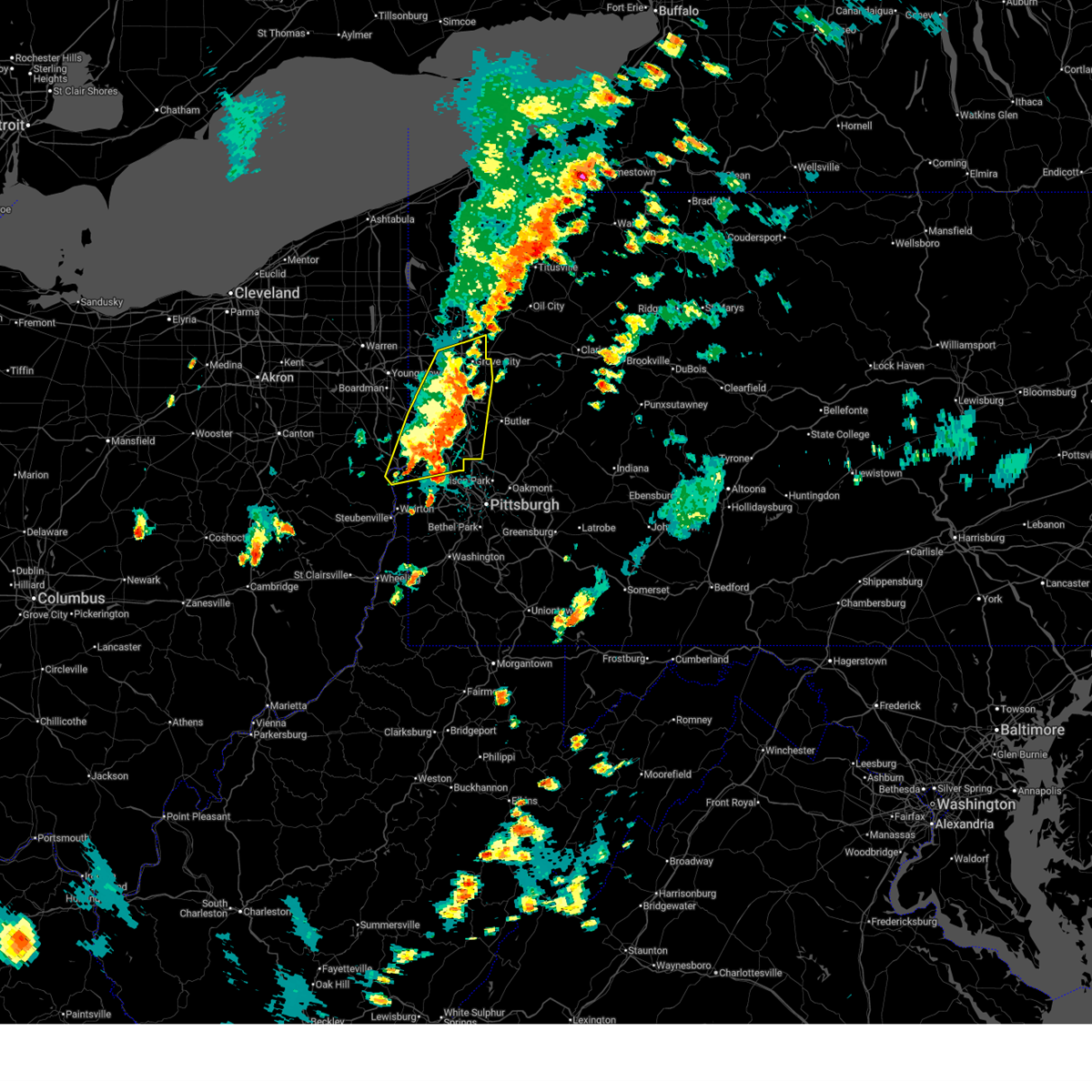
| 7/7/2025 5:34 PM EDT |
 At 534 pm edt, a severe thunderstorm was located near grove city, moving east at 20 mph (law enforcement reported trees down). Hazards include 60 mph wind gusts. Expect damage to trees and power lines, resulting in some power outages. Locations impacted include, new castle, slippery rock, oakwood, new castle northwest, bessemer, harrisville, plain grove township, south new castle, west liberty, and harlansburg. At 534 pm edt, a severe thunderstorm was located near grove city, moving east at 20 mph (law enforcement reported trees down). Hazards include 60 mph wind gusts. Expect damage to trees and power lines, resulting in some power outages. Locations impacted include, new castle, slippery rock, oakwood, new castle northwest, bessemer, harrisville, plain grove township, south new castle, west liberty, and harlansburg.
|
| 7/7/2025 5:31 PM EDT |
 Svrpbz the national weather service in pittsburgh has issued a * severe thunderstorm warning for, central columbiana county in east central ohio, northern beaver county in western pennsylvania, lawrence county in western pennsylvania, western butler county in west central pennsylvania, * until 615 pm edt. * at 531 pm edt, severe thunderstorms were located along a line extending from oakwood to near east palestine to 8 miles southwest of lisbon, moving east at 30 mph (radar indicated). Hazards include 60 mph wind gusts. expect damage to trees and power lines, resulting in some power outages Svrpbz the national weather service in pittsburgh has issued a * severe thunderstorm warning for, central columbiana county in east central ohio, northern beaver county in western pennsylvania, lawrence county in western pennsylvania, western butler county in west central pennsylvania, * until 615 pm edt. * at 531 pm edt, severe thunderstorms were located along a line extending from oakwood to near east palestine to 8 miles southwest of lisbon, moving east at 30 mph (radar indicated). Hazards include 60 mph wind gusts. expect damage to trees and power lines, resulting in some power outages
|
| 7/7/2025 4:50 PM EDT |
 Svrpbz the national weather service in pittsburgh has issued a * severe thunderstorm warning for, southeastern mercer county in northwestern pennsylvania, northern lawrence county in western pennsylvania, northwestern butler county in west central pennsylvania, * until 545 pm edt. * at 450 pm edt, a severe thunderstorm was located over new castle northwest, or near new castle, moving east at 20 mph (radar indicated). Hazards include 60 mph wind gusts. expect damage to trees and power lines, resulting in some power outages Svrpbz the national weather service in pittsburgh has issued a * severe thunderstorm warning for, southeastern mercer county in northwestern pennsylvania, northern lawrence county in western pennsylvania, northwestern butler county in west central pennsylvania, * until 545 pm edt. * at 450 pm edt, a severe thunderstorm was located over new castle northwest, or near new castle, moving east at 20 mph (radar indicated). Hazards include 60 mph wind gusts. expect damage to trees and power lines, resulting in some power outages
|
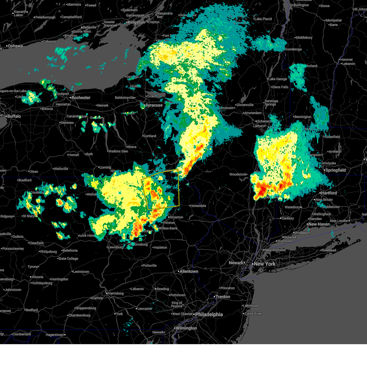
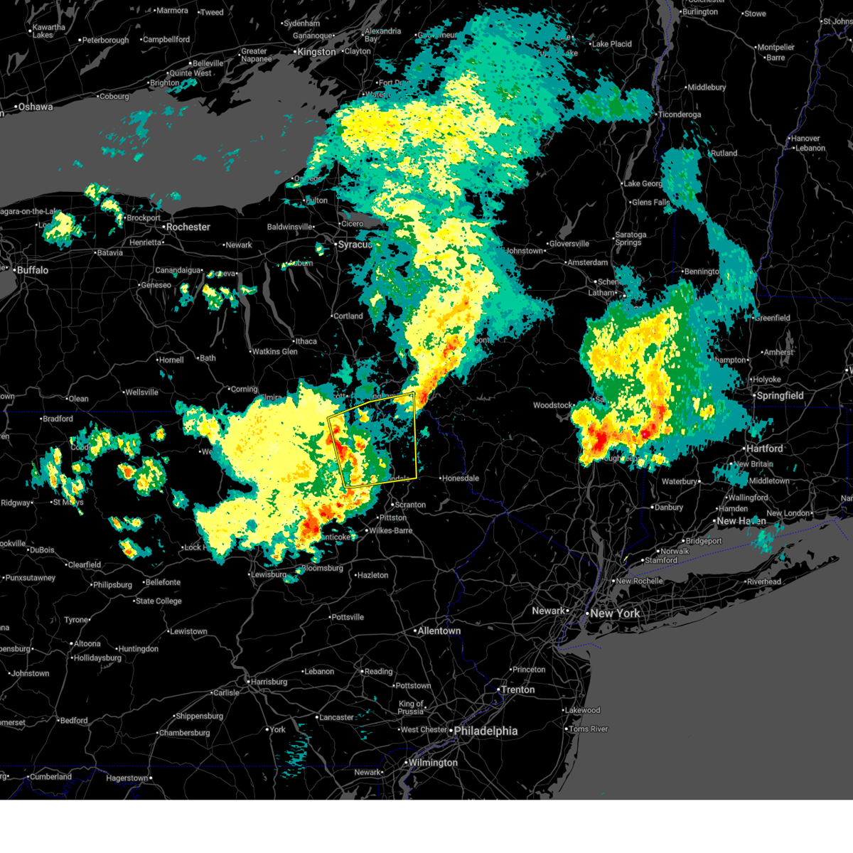
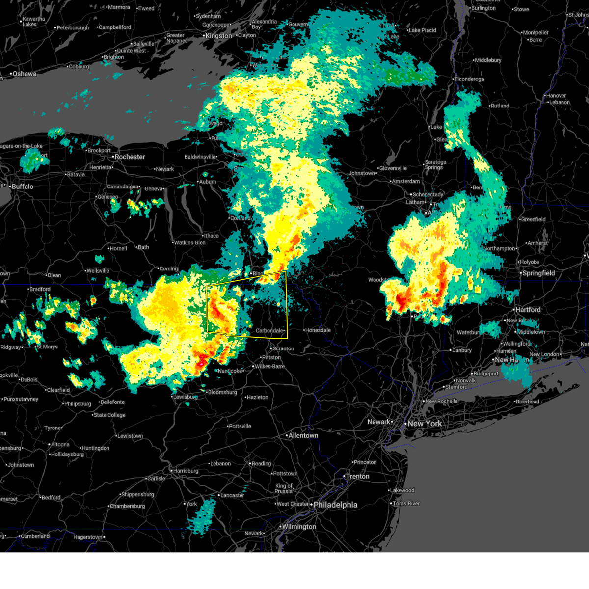
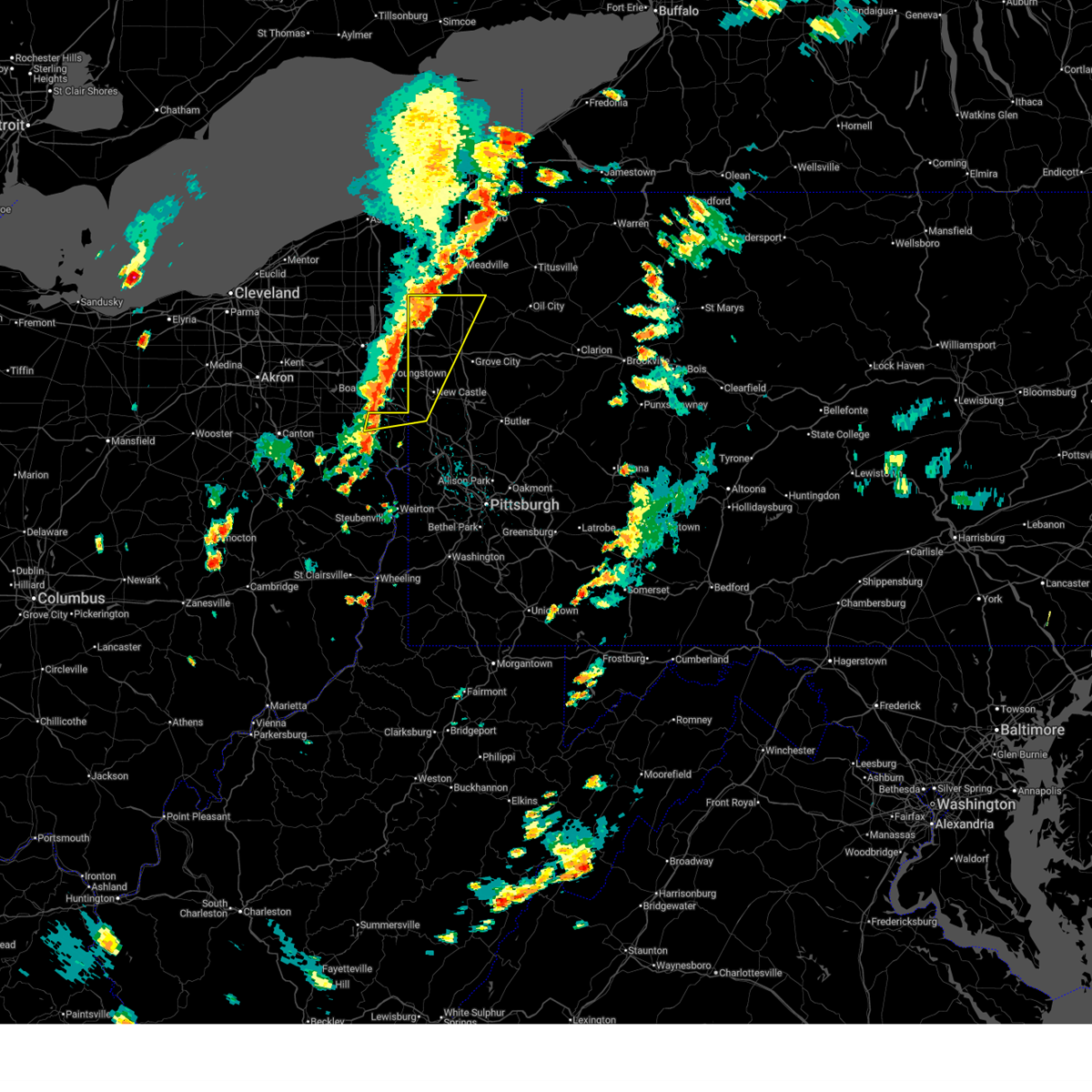
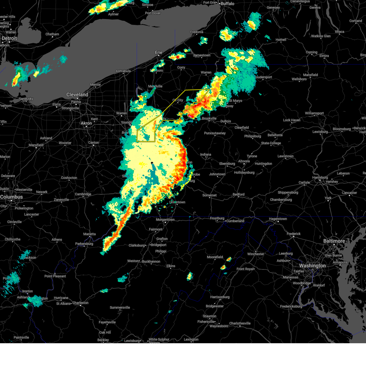
| 7/3/2025 3:28 PM EDT |
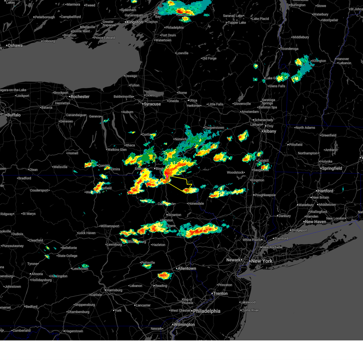 Svrbgm the national weather service in binghamton has issued a * severe thunderstorm warning for, northeastern susquehanna county in northeastern pennsylvania, northwestern wayne county in northeastern pennsylvania, * until 400 pm edt. * at 327 pm edt, a severe thunderstorm was located over susquehanna, or 11 miles southwest of deposit, moving southeast at 50 mph. this is a destructive storm! (radar indicated). Hazards include 80 mph wind gusts and golf ball size hail. Flying debris will be dangerous to those caught without shelter. mobile homes will be heavily damaged. expect considerable damage to roofs, windows, and vehicles. Extensive tree damage and power outages are likely. Svrbgm the national weather service in binghamton has issued a * severe thunderstorm warning for, northeastern susquehanna county in northeastern pennsylvania, northwestern wayne county in northeastern pennsylvania, * until 400 pm edt. * at 327 pm edt, a severe thunderstorm was located over susquehanna, or 11 miles southwest of deposit, moving southeast at 50 mph. this is a destructive storm! (radar indicated). Hazards include 80 mph wind gusts and golf ball size hail. Flying debris will be dangerous to those caught without shelter. mobile homes will be heavily damaged. expect considerable damage to roofs, windows, and vehicles. Extensive tree damage and power outages are likely.
|
| 7/3/2025 3:14 PM EDT |
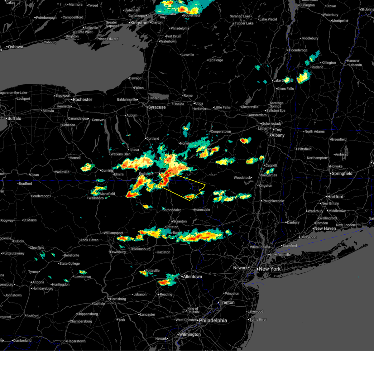 Svrbgm the national weather service in binghamton has issued a * severe thunderstorm warning for, southeastern broome county in central new york, southwestern delaware county in central new york, northeastern susquehanna county in northeastern pennsylvania, northern wayne county in northeastern pennsylvania, * until 400 pm edt. * at 314 pm edt, severe thunderstorms were located along a line extending from near harpursville to near kirkwood to near brackney, moving southeast at 60 mph (radar indicated). Hazards include golf ball size hail and 70 mph wind gusts. People and animals outdoors will be injured. expect hail damage to roofs, siding, windows, and vehicles. expect considerable tree damage. Wind damage is also likely to mobile homes, roofs, and outbuildings. Svrbgm the national weather service in binghamton has issued a * severe thunderstorm warning for, southeastern broome county in central new york, southwestern delaware county in central new york, northeastern susquehanna county in northeastern pennsylvania, northern wayne county in northeastern pennsylvania, * until 400 pm edt. * at 314 pm edt, severe thunderstorms were located along a line extending from near harpursville to near kirkwood to near brackney, moving southeast at 60 mph (radar indicated). Hazards include golf ball size hail and 70 mph wind gusts. People and animals outdoors will be injured. expect hail damage to roofs, siding, windows, and vehicles. expect considerable tree damage. Wind damage is also likely to mobile homes, roofs, and outbuildings.
|
| 6/27/2025 4:24 PM EDT |
 The storms which prompted the warning have weakened below severe limits, and no longer pose an immediate threat to life or property. therefore, the warning will be allowed to expire. however, gusty winds and heavy rain are still possible with these thunderstorms. The storms which prompted the warning have weakened below severe limits, and no longer pose an immediate threat to life or property. therefore, the warning will be allowed to expire. however, gusty winds and heavy rain are still possible with these thunderstorms.
|
| 6/27/2025 4:10 PM EDT |
 At 410 pm edt, severe thunderstorms were located along a line from 6 miles west of slippery rock to near industry, or along a line from 8 miles southwest of grove city to 6 miles southwest of monaca, moving northeast at 30 mph (radar indicated). Hazards include 60 mph wind gusts. Expect damage to roofs, siding, and trees. Locations impacted include, cranberry, new castle, franklin park, east liverpool, aliquippa, beaver falls, grove city, monaca, east palestine, wellsville, economy, ellwood city, ambridge, new brighton, beaver, calcutta, baden, zelienople, rochester and slippery rock. At 410 pm edt, severe thunderstorms were located along a line from 6 miles west of slippery rock to near industry, or along a line from 8 miles southwest of grove city to 6 miles southwest of monaca, moving northeast at 30 mph (radar indicated). Hazards include 60 mph wind gusts. Expect damage to roofs, siding, and trees. Locations impacted include, cranberry, new castle, franklin park, east liverpool, aliquippa, beaver falls, grove city, monaca, east palestine, wellsville, economy, ellwood city, ambridge, new brighton, beaver, calcutta, baden, zelienople, rochester and slippery rock.
|
| 6/27/2025 3:53 PM EDT |
 The severe thunderstorm warning that was previously in effect has been reissued for columbiana, lawrence, and mercer counties and is in effect until 430 pm edt. please refer to that bulletin for the latest severe weather information. however, gusty winds are still possible with these thunderstorms. The severe thunderstorm warning that was previously in effect has been reissued for columbiana, lawrence, and mercer counties and is in effect until 430 pm edt. please refer to that bulletin for the latest severe weather information. however, gusty winds are still possible with these thunderstorms.
|
| 6/27/2025 3:52 PM EDT |
 Svrpbz the national weather service in pittsburgh has issued a * severe thunderstorm warning for, southeastern columbiana county in east central ohio, southern mercer county in northwestern pennsylvania, western butler county in west central pennsylvania, beaver county in western pennsylvania, lawrence county in western pennsylvania, hancock county in northern west virginia, * until 430 pm edt. * at 352 pm edt, severe thunderstorms were located along a line from over oakwood to over east liverpool, or along a line from over new castle to over east liverpool, moving northeast at 30 mph (radar indicated). Hazards include 60 mph wind gusts. expect damage to roofs, siding, and trees Svrpbz the national weather service in pittsburgh has issued a * severe thunderstorm warning for, southeastern columbiana county in east central ohio, southern mercer county in northwestern pennsylvania, western butler county in west central pennsylvania, beaver county in western pennsylvania, lawrence county in western pennsylvania, hancock county in northern west virginia, * until 430 pm edt. * at 352 pm edt, severe thunderstorms were located along a line from over oakwood to over east liverpool, or along a line from over new castle to over east liverpool, moving northeast at 30 mph (radar indicated). Hazards include 60 mph wind gusts. expect damage to roofs, siding, and trees
|
| 6/27/2025 3:38 PM EDT |
 At 338 pm edt, severe thunderstorms were located along a line from 13 miles east of greenville to 5 miles north of east palestine, or along a line from 15 miles west of franklin to 5 miles north of east palestine, moving east at 20 mph (radar indicated). Hazards include 60 mph wind gusts. Expect damage to roofs, siding, and trees. Locations impacted include, new castle, hermitage, sharon, columbiana, east palestine, sharpsville, greenville, farrell, new wilmington, oakwood, new castle northwest, new waterford, mercer, new beaver, pulaski, bessemer, stoneboro, new bedford, west middlesex and south new castle. At 338 pm edt, severe thunderstorms were located along a line from 13 miles east of greenville to 5 miles north of east palestine, or along a line from 15 miles west of franklin to 5 miles north of east palestine, moving east at 20 mph (radar indicated). Hazards include 60 mph wind gusts. Expect damage to roofs, siding, and trees. Locations impacted include, new castle, hermitage, sharon, columbiana, east palestine, sharpsville, greenville, farrell, new wilmington, oakwood, new castle northwest, new waterford, mercer, new beaver, pulaski, bessemer, stoneboro, new bedford, west middlesex and south new castle.
|
| 6/27/2025 3:12 PM EDT |
 Svrpbz the national weather service in pittsburgh has issued a * severe thunderstorm warning for, northeastern columbiana county in east central ohio, mercer county in northwestern pennsylvania, western lawrence county in western pennsylvania, * until 400 pm edt. * at 312 pm edt, severe thunderstorms were located along a line from near greenville to over columbiana, or along a line from 15 miles northeast of sharpsville to over columbiana, moving east at 15 mph (radar indicated). Hazards include 60 mph wind gusts. expect damage to roofs, siding, and trees Svrpbz the national weather service in pittsburgh has issued a * severe thunderstorm warning for, northeastern columbiana county in east central ohio, mercer county in northwestern pennsylvania, western lawrence county in western pennsylvania, * until 400 pm edt. * at 312 pm edt, severe thunderstorms were located along a line from near greenville to over columbiana, or along a line from 15 miles northeast of sharpsville to over columbiana, moving east at 15 mph (radar indicated). Hazards include 60 mph wind gusts. expect damage to roofs, siding, and trees
|
| 6/22/2025 6:40 AM EDT |
 The storms which prompted the warning have weakened below severe limits, and no longer pose an immediate threat to life or property. therefore, the warning will be allowed to expire. The storms which prompted the warning have weakened below severe limits, and no longer pose an immediate threat to life or property. therefore, the warning will be allowed to expire.
|
| 6/22/2025 6:31 AM EDT |
 At 631 am edt, severe thunderstorms were located along a line extending from near windsor to near starruca to near peabrook, moving south at 35 mph (radar indicated). Hazards include 60 mph wind gusts. Expect damage to roofs, siding, and trees. Locations impacted include, rockland, walton, callicoon, sanford, susquehanna, deposit, susquehanna depot, hancock, fremont, and windsor. At 631 am edt, severe thunderstorms were located along a line extending from near windsor to near starruca to near peabrook, moving south at 35 mph (radar indicated). Hazards include 60 mph wind gusts. Expect damage to roofs, siding, and trees. Locations impacted include, rockland, walton, callicoon, sanford, susquehanna, deposit, susquehanna depot, hancock, fremont, and windsor.
|
| 6/22/2025 5:58 AM EDT |
 Svrbgm the national weather service in binghamton has issued a * severe thunderstorm warning for, broome county in central new york, southwestern delaware county in central new york, northwestern sullivan county in central new york, northeastern susquehanna county in northeastern pennsylvania, northern wayne county in northeastern pennsylvania, * until 645 am edt. * at 557 am edt, severe thunderstorms were located along a line extending from near greene to near sanford to walton, moving south at 35 mph (radar indicated). Hazards include 60 mph wind gusts. expect damage to roofs, siding, and trees Svrbgm the national weather service in binghamton has issued a * severe thunderstorm warning for, broome county in central new york, southwestern delaware county in central new york, northwestern sullivan county in central new york, northeastern susquehanna county in northeastern pennsylvania, northern wayne county in northeastern pennsylvania, * until 645 am edt. * at 557 am edt, severe thunderstorms were located along a line extending from near greene to near sanford to walton, moving south at 35 mph (radar indicated). Hazards include 60 mph wind gusts. expect damage to roofs, siding, and trees
|
| 6/19/2025 6:04 PM EDT |
 Svrctp the national weather service in state college pa has issued a * severe thunderstorm warning for, cambria county in central pennsylvania, northeastern somerset county in south central pennsylvania, * until 645 pm edt. * at 604 pm edt, severe thunderstorms were located along a line extending from northern cambria to near ligonier, moving east at 45 mph (radar indicated). Hazards include 60 mph wind gusts. expect damage to roofs, siding, and trees Svrctp the national weather service in state college pa has issued a * severe thunderstorm warning for, cambria county in central pennsylvania, northeastern somerset county in south central pennsylvania, * until 645 pm edt. * at 604 pm edt, severe thunderstorms were located along a line extending from northern cambria to near ligonier, moving east at 45 mph (radar indicated). Hazards include 60 mph wind gusts. expect damage to roofs, siding, and trees
|
| 6/18/2025 11:29 PM EDT |
 the severe thunderstorm warning has been cancelled and is no longer in effect the severe thunderstorm warning has been cancelled and is no longer in effect
|
| 6/18/2025 11:29 PM EDT |
 At 1129 pm edt, severe thunderstorms were located along a line from near oil city to near canonsburg, moving east at 45 mph (law enforcement reported trees down with this line of storms). Hazards include 60 mph wind gusts. Expect damage to roofs, siding, and trees. Locations impacted include, pittsburgh, penn hills, mount lebanon, bethel park, ross township, mccandless township, monroeville, cranberry, moon township, new castle, mcmurray, mckeesport, butler, washington, franklin park, oil city, jeannette, aliquippa, canonsburg and grove city. At 1129 pm edt, severe thunderstorms were located along a line from near oil city to near canonsburg, moving east at 45 mph (law enforcement reported trees down with this line of storms). Hazards include 60 mph wind gusts. Expect damage to roofs, siding, and trees. Locations impacted include, pittsburgh, penn hills, mount lebanon, bethel park, ross township, mccandless township, monroeville, cranberry, moon township, new castle, mcmurray, mckeesport, butler, washington, franklin park, oil city, jeannette, aliquippa, canonsburg and grove city.
|
| 6/18/2025 11:16 PM EDT |
 the severe thunderstorm warning has been cancelled and is no longer in effect the severe thunderstorm warning has been cancelled and is no longer in effect
|
| 6/18/2025 11:16 PM EDT |
 At 1116 pm edt, severe thunderstorms were located along a line from near sugarcreek to over wolfdale, or along a line from 6 miles north of franklin to near washington, moving east at 45 mph (law enforcement reported trees down with this line of storms). Hazards include 60 mph wind gusts. Expect damage to roofs, siding, and trees. Locations impacted include, pittsburgh, penn hills, mount lebanon, bethel park, ross township, mccandless township, monroeville, cranberry, moon township, new castle, mcmurray, weirton, mckeesport, steubenville, butler, franklin park, oil city, jeannette, aliquippa and canonsburg. At 1116 pm edt, severe thunderstorms were located along a line from near sugarcreek to over wolfdale, or along a line from 6 miles north of franklin to near washington, moving east at 45 mph (law enforcement reported trees down with this line of storms). Hazards include 60 mph wind gusts. Expect damage to roofs, siding, and trees. Locations impacted include, pittsburgh, penn hills, mount lebanon, bethel park, ross township, mccandless township, monroeville, cranberry, moon township, new castle, mcmurray, weirton, mckeesport, steubenville, butler, franklin park, oil city, jeannette, aliquippa and canonsburg.
|
| 6/18/2025 11:00 PM EDT |
 The storms which prompted the warning have moved out of the area. a new severe thunderstorm warning has been issued for a portion of the area to the east. a severe thunderstorm watch remains in effect until 300 am edt for portions of east central ohio, pennsylvania, and the northern panhandle of west virginia. The storms which prompted the warning have moved out of the area. a new severe thunderstorm warning has been issued for a portion of the area to the east. a severe thunderstorm watch remains in effect until 300 am edt for portions of east central ohio, pennsylvania, and the northern panhandle of west virginia.
|
| 6/18/2025 10:54 PM EDT |
 Svrpbz the national weather service in pittsburgh has issued a * severe thunderstorm warning for, eastern columbiana county in east central ohio, eastern jefferson oh county in east central ohio, western forest county in northwestern pennsylvania, mercer county in northwestern pennsylvania, venango county in northwestern pennsylvania, allegheny county in southwestern pennsylvania, northern washington county in southwestern pennsylvania, northwestern westmoreland county in southwestern pennsylvania, western armstrong county in west central pennsylvania, butler county in west central pennsylvania, clarion county in west central pennsylvania, beaver county in western pennsylvania, lawrence county in western pennsylvania, brooke county in northern west virginia, hancock county in northern west virginia, * until midnight edt. * at 1054 pm edt, severe thunderstorms were located along a line from 11 miles northeast of greenville to near west liberty, or along a line from 18 miles west of franklin to near west liberty, moving east at 45 mph (law enforcement reported trees were reported down with this line of storms). Hazards include 60 mph wind gusts. expect damage to roofs, siding, and trees Svrpbz the national weather service in pittsburgh has issued a * severe thunderstorm warning for, eastern columbiana county in east central ohio, eastern jefferson oh county in east central ohio, western forest county in northwestern pennsylvania, mercer county in northwestern pennsylvania, venango county in northwestern pennsylvania, allegheny county in southwestern pennsylvania, northern washington county in southwestern pennsylvania, northwestern westmoreland county in southwestern pennsylvania, western armstrong county in west central pennsylvania, butler county in west central pennsylvania, clarion county in west central pennsylvania, beaver county in western pennsylvania, lawrence county in western pennsylvania, brooke county in northern west virginia, hancock county in northern west virginia, * until midnight edt. * at 1054 pm edt, severe thunderstorms were located along a line from 11 miles northeast of greenville to near west liberty, or along a line from 18 miles west of franklin to near west liberty, moving east at 45 mph (law enforcement reported trees were reported down with this line of storms). Hazards include 60 mph wind gusts. expect damage to roofs, siding, and trees
|
| 6/18/2025 10:42 PM EDT |
 At 1042 pm edt, severe thunderstorms were located along a line from 12 miles north of greenville to 8 miles east of cadiz, or along a line from 23 miles north of sharpsville to 8 miles east of cadiz, moving east at 45 mph (law enforcement reported). Hazards include 70 mph wind gusts. Expect considerable tree damage. damage is likely to mobile homes, roofs, and outbuildings. locations impacted include, new castle, weirton, steubenville, hermitage, sharon, salem, east liverpool, beaver falls, columbiana, east palestine, sharpsville, wellsville, cadiz, wellsburg, avella, ellwood city, new brighton, greenville, farrell and toronto. Trees and power lines have been reported down with this line of storms. At 1042 pm edt, severe thunderstorms were located along a line from 12 miles north of greenville to 8 miles east of cadiz, or along a line from 23 miles north of sharpsville to 8 miles east of cadiz, moving east at 45 mph (law enforcement reported). Hazards include 70 mph wind gusts. Expect considerable tree damage. damage is likely to mobile homes, roofs, and outbuildings. locations impacted include, new castle, weirton, steubenville, hermitage, sharon, salem, east liverpool, beaver falls, columbiana, east palestine, sharpsville, wellsville, cadiz, wellsburg, avella, ellwood city, new brighton, greenville, farrell and toronto. Trees and power lines have been reported down with this line of storms.
|
| 6/18/2025 10:42 PM EDT |
 the severe thunderstorm warning has been cancelled and is no longer in effect the severe thunderstorm warning has been cancelled and is no longer in effect
|
| 6/18/2025 10:28 PM EDT |
 the severe thunderstorm warning has been cancelled and is no longer in effect the severe thunderstorm warning has been cancelled and is no longer in effect
|
| 6/18/2025 10:28 PM EDT |
 At 1028 pm edt, severe thunderstorms were located along a line from 14 miles northwest of greenville to over cadiz, or along a line from 21 miles north of sharpsville to over cadiz, moving east at 45 mph (radar indicated). Hazards include 70 mph wind gusts. Expect considerable tree damage. damage is likely to mobile homes, roofs, and outbuildings. locations impacted include, new castle, weirton, steubenville, hermitage, sharon, salem, east liverpool, beaver falls, columbiana, east palestine, sharpsville, wellsville, cadiz, carrollton, wellsburg, avella, freeport, ellwood city, new brighton and greenville. Trees were reported down throughout tuscarawas county in ohio. At 1028 pm edt, severe thunderstorms were located along a line from 14 miles northwest of greenville to over cadiz, or along a line from 21 miles north of sharpsville to over cadiz, moving east at 45 mph (radar indicated). Hazards include 70 mph wind gusts. Expect considerable tree damage. damage is likely to mobile homes, roofs, and outbuildings. locations impacted include, new castle, weirton, steubenville, hermitage, sharon, salem, east liverpool, beaver falls, columbiana, east palestine, sharpsville, wellsville, cadiz, carrollton, wellsburg, avella, freeport, ellwood city, new brighton and greenville. Trees were reported down throughout tuscarawas county in ohio.
|
| 6/18/2025 10:15 PM EDT |
 At 1015 pm edt, severe thunderstorms were located along a line from 23 miles northwest of sharpsville to near freeport, moving east at 45 mph (radar indicated). Hazards include 70 mph wind gusts. Expect considerable tree damage. damage is likely to mobile homes, roofs, and outbuildings. Locations impacted include, new castle, weirton, steubenville, hermitage, sharon, salem, east liverpool, beaver falls, columbiana, east palestine, sharpsville, wellsville, cadiz, carrollton, wellsburg, avella, freeport, ellwood city, new brighton and greenville. At 1015 pm edt, severe thunderstorms were located along a line from 23 miles northwest of sharpsville to near freeport, moving east at 45 mph (radar indicated). Hazards include 70 mph wind gusts. Expect considerable tree damage. damage is likely to mobile homes, roofs, and outbuildings. Locations impacted include, new castle, weirton, steubenville, hermitage, sharon, salem, east liverpool, beaver falls, columbiana, east palestine, sharpsville, wellsville, cadiz, carrollton, wellsburg, avella, freeport, ellwood city, new brighton and greenville.
|
| 6/18/2025 10:01 PM EDT |
 Svrpbz the national weather service in pittsburgh has issued a * severe thunderstorm warning for, northwestern belmont county in east central ohio, carroll county in east central ohio, columbiana county in east central ohio, northeastern guernsey county in east central ohio, harrison county in east central ohio, jefferson oh county in east central ohio, eastern tuscarawas county in east central ohio, western mercer county in northwestern pennsylvania, northwestern washington county in southwestern pennsylvania, western beaver county in western pennsylvania, lawrence county in western pennsylvania, brooke county in northern west virginia, hancock county in northern west virginia, * until 1100 pm edt. * at 1001 pm edt, severe thunderstorms were located along a line from 30 miles northwest of sharon to 8 miles west of freeport, or along a line from 29 miles northwest of sharpsville to 8 miles west of freeport, moving east at 45 mph (radar indicated). Hazards include 70 mph wind gusts. Expect considerable tree damage. Damage is likely to mobile homes, roofs, and outbuildings. Svrpbz the national weather service in pittsburgh has issued a * severe thunderstorm warning for, northwestern belmont county in east central ohio, carroll county in east central ohio, columbiana county in east central ohio, northeastern guernsey county in east central ohio, harrison county in east central ohio, jefferson oh county in east central ohio, eastern tuscarawas county in east central ohio, western mercer county in northwestern pennsylvania, northwestern washington county in southwestern pennsylvania, western beaver county in western pennsylvania, lawrence county in western pennsylvania, brooke county in northern west virginia, hancock county in northern west virginia, * until 1100 pm edt. * at 1001 pm edt, severe thunderstorms were located along a line from 30 miles northwest of sharon to 8 miles west of freeport, or along a line from 29 miles northwest of sharpsville to 8 miles west of freeport, moving east at 45 mph (radar indicated). Hazards include 70 mph wind gusts. Expect considerable tree damage. Damage is likely to mobile homes, roofs, and outbuildings.
|
| 6/6/2025 9:49 AM EDT |
 Svrctp the national weather service in state college pa has issued a * severe thunderstorm warning for, cambria county in central pennsylvania, * until 1045 am edt. * at 948 am edt, severe thunderstorms were located along a line extending from near indiana to near black lick to near westmont, moving east at 35 mph (radar indicated). Hazards include 60 mph wind gusts and penny size hail. Expect damage to roofs, siding, and trees. severe thunderstorms will be near, westmont and johnstown around 950 am edt. belmont, nanty-glo, and belsano around 1000 am edt. ebensburg, salix-beauty line park, and ehrenfeld around 1010 am edt. portage, loretto, and dunlo around 1020 am edt. gallitzin around 1030 am edt. Other locations impacted by these severe thunderstorms include colver, spring hill, mundys corner, cassandra, and elim. Svrctp the national weather service in state college pa has issued a * severe thunderstorm warning for, cambria county in central pennsylvania, * until 1045 am edt. * at 948 am edt, severe thunderstorms were located along a line extending from near indiana to near black lick to near westmont, moving east at 35 mph (radar indicated). Hazards include 60 mph wind gusts and penny size hail. Expect damage to roofs, siding, and trees. severe thunderstorms will be near, westmont and johnstown around 950 am edt. belmont, nanty-glo, and belsano around 1000 am edt. ebensburg, salix-beauty line park, and ehrenfeld around 1010 am edt. portage, loretto, and dunlo around 1020 am edt. gallitzin around 1030 am edt. Other locations impacted by these severe thunderstorms include colver, spring hill, mundys corner, cassandra, and elim.
|
| 5/2/2025 5:43 PM EDT |
 the severe thunderstorm warning has been cancelled and is no longer in effect the severe thunderstorm warning has been cancelled and is no longer in effect
|
| 5/2/2025 5:31 PM EDT |
 At 531 pm edt, a severe thunderstorm was located over lanesboro, or 10 miles southwest of deposit, moving east at 35 mph (radar indicated). Hazards include 60 mph wind gusts. Expect damage to roofs, siding, and trees. Locations impacted include, lakeside, susquehanna depot, susquehanna, lanesboro, thompson, lakeview, and deposit. At 531 pm edt, a severe thunderstorm was located over lanesboro, or 10 miles southwest of deposit, moving east at 35 mph (radar indicated). Hazards include 60 mph wind gusts. Expect damage to roofs, siding, and trees. Locations impacted include, lakeside, susquehanna depot, susquehanna, lanesboro, thompson, lakeview, and deposit.
|
| 5/2/2025 5:15 PM EDT |
 Svrbgm the national weather service in binghamton has issued a * severe thunderstorm warning for, southeastern broome county in central new york, northeastern susquehanna county in northeastern pennsylvania, * until 600 pm edt. * at 515 pm edt, a severe thunderstorm was located over hallstead, or 10 miles northeast of montrose, moving east at 40 mph (radar indicated). Hazards include 60 mph wind gusts. expect damage to roofs, siding, and trees Svrbgm the national weather service in binghamton has issued a * severe thunderstorm warning for, southeastern broome county in central new york, northeastern susquehanna county in northeastern pennsylvania, * until 600 pm edt. * at 515 pm edt, a severe thunderstorm was located over hallstead, or 10 miles northeast of montrose, moving east at 40 mph (radar indicated). Hazards include 60 mph wind gusts. expect damage to roofs, siding, and trees
|
| 5/1/2025 7:12 PM EDT |
 Svrctp the national weather service in state college pa has issued a * severe thunderstorm warning for, cambria county in central pennsylvania, northeastern somerset county in south central pennsylvania, * until 800 pm edt. * at 711 pm edt, a severe thunderstorm was located over geistown, moving northeast at 45 mph (radar indicated). Hazards include 60 mph wind gusts and quarter size hail. Hail damage to vehicles is expected. Expect wind damage to roofs, siding, and trees. Svrctp the national weather service in state college pa has issued a * severe thunderstorm warning for, cambria county in central pennsylvania, northeastern somerset county in south central pennsylvania, * until 800 pm edt. * at 711 pm edt, a severe thunderstorm was located over geistown, moving northeast at 45 mph (radar indicated). Hazards include 60 mph wind gusts and quarter size hail. Hail damage to vehicles is expected. Expect wind damage to roofs, siding, and trees.
|
| 5/1/2025 6:42 PM EDT |
 Svrctp the national weather service in state college pa has issued a * severe thunderstorm warning for, southwestern cambria county in central pennsylvania, northwestern somerset county in south central pennsylvania, * until 715 pm edt. * at 641 pm edt, severe thunderstorms were located along a line extending from near seven springs to near acosta to friedens, moving northeast at 40 mph (radar indicated). Hazards include 60 mph wind gusts and quarter size hail. Hail damage to vehicles is expected. Expect wind damage to roofs, siding, and trees. Svrctp the national weather service in state college pa has issued a * severe thunderstorm warning for, southwestern cambria county in central pennsylvania, northwestern somerset county in south central pennsylvania, * until 715 pm edt. * at 641 pm edt, severe thunderstorms were located along a line extending from near seven springs to near acosta to friedens, moving northeast at 40 mph (radar indicated). Hazards include 60 mph wind gusts and quarter size hail. Hail damage to vehicles is expected. Expect wind damage to roofs, siding, and trees.
|
| 4/29/2025 5:37 PM EDT |
 Svrctp the national weather service in state college pa has issued a * severe thunderstorm warning for, cambria county in central pennsylvania, clearfield county in central pennsylvania, * until 645 pm edt. * at 535 pm edt, severe thunderstorms were located along a line extending from 11 miles east of shanor-northvue to near leechburg to jeannette to clairton, moving east northeast at 65 mph (radar indicated). Hazards include 70 mph wind gusts and quarter size hail. Hail damage to vehicles is expected. expect considerable tree damage. Wind damage is also likely to mobile homes, roofs, and outbuildings. Svrctp the national weather service in state college pa has issued a * severe thunderstorm warning for, cambria county in central pennsylvania, clearfield county in central pennsylvania, * until 645 pm edt. * at 535 pm edt, severe thunderstorms were located along a line extending from 11 miles east of shanor-northvue to near leechburg to jeannette to clairton, moving east northeast at 65 mph (radar indicated). Hazards include 70 mph wind gusts and quarter size hail. Hail damage to vehicles is expected. expect considerable tree damage. Wind damage is also likely to mobile homes, roofs, and outbuildings.
|
| 4/29/2025 5:31 PM EDT |
 The storms which prompted the warning have moved out of the area. therefore, the warning has been allowed to expire. however, gusty winds are still possible with these thunderstorms. a severe thunderstorm watch remains in effect until 1000 pm edt for western, northwestern and west central pennsylvania. remember, a severe thunderstorm warning still remains in effect for venango, clarion, and forest counties. The storms which prompted the warning have moved out of the area. therefore, the warning has been allowed to expire. however, gusty winds are still possible with these thunderstorms. a severe thunderstorm watch remains in effect until 1000 pm edt for western, northwestern and west central pennsylvania. remember, a severe thunderstorm warning still remains in effect for venango, clarion, and forest counties.
|
| 4/29/2025 5:05 PM EDT |
 At 505 pm edt, severe thunderstorms were located along a line extending from 7 miles southeast of grand valley to 7 miles northeast of grove city, moving east at 45 mph (radar indicated). Hazards include 60 mph wind gusts. Expect damage to trees and power lines, resulting in some power outages. Locations impacted include, new castle, oil city, grove city, franklin, ellwood city, sugarcreek, new wilmington, oakwood, new castle northwest, tionesta, big beaver, new beaver, hasson heights, ellport, bessemer, seneca, plain grove township, wampum, south new castle, and emlenton. At 505 pm edt, severe thunderstorms were located along a line extending from 7 miles southeast of grand valley to 7 miles northeast of grove city, moving east at 45 mph (radar indicated). Hazards include 60 mph wind gusts. Expect damage to trees and power lines, resulting in some power outages. Locations impacted include, new castle, oil city, grove city, franklin, ellwood city, sugarcreek, new wilmington, oakwood, new castle northwest, tionesta, big beaver, new beaver, hasson heights, ellport, bessemer, seneca, plain grove township, wampum, south new castle, and emlenton.
|
| 4/29/2025 4:34 PM EDT |
 Svrpbz the national weather service in pittsburgh has issued a * severe thunderstorm warning for, southeastern mercer county in northwestern pennsylvania, venango county in northwestern pennsylvania, lawrence county in western pennsylvania, northwestern armstrong county in west central pennsylvania, western forest county in northwestern pennsylvania, * until 530 pm edt. * at 434 pm edt, severe thunderstorms were located along a line extending from 8 miles north of sugarcreek to near new wilmington, moving east at 45 mph (radar indicated). Hazards include 60 mph wind gusts. expect damage to trees and power lines, resulting in some power outages Svrpbz the national weather service in pittsburgh has issued a * severe thunderstorm warning for, southeastern mercer county in northwestern pennsylvania, venango county in northwestern pennsylvania, lawrence county in western pennsylvania, northwestern armstrong county in west central pennsylvania, western forest county in northwestern pennsylvania, * until 530 pm edt. * at 434 pm edt, severe thunderstorms were located along a line extending from 8 miles north of sugarcreek to near new wilmington, moving east at 45 mph (radar indicated). Hazards include 60 mph wind gusts. expect damage to trees and power lines, resulting in some power outages
|
| 4/19/2025 6:44 PM EDT |
 At 644 pm edt, a severe thunderstorm was located over ogletown, moving east at 70 mph (radar indicated). Hazards include 60 mph wind gusts and penny size hail. Expect damage to roofs, siding, and trees. locations impacted include, blue knob state park, salix-beauty line park, osterburg, martinsburg, spring hill, new enterprise, windber, roaring spring, scalp level, ski gap, woodbury, and dunlo. This includes interstate 99 from mile markers 6 to 27. At 644 pm edt, a severe thunderstorm was located over ogletown, moving east at 70 mph (radar indicated). Hazards include 60 mph wind gusts and penny size hail. Expect damage to roofs, siding, and trees. locations impacted include, blue knob state park, salix-beauty line park, osterburg, martinsburg, spring hill, new enterprise, windber, roaring spring, scalp level, ski gap, woodbury, and dunlo. This includes interstate 99 from mile markers 6 to 27.
|
| 4/19/2025 6:27 PM EDT |
 Svrctp the national weather service in state college pa has issued a * severe thunderstorm warning for, northern bedford county in south central pennsylvania, southwestern blair county in central pennsylvania, southwestern cambria county in central pennsylvania, northeastern somerset county in south central pennsylvania, * until 715 pm edt. * at 627 pm edt, a severe thunderstorm was located over boswell, moving east at 70 mph (radar indicated). Hazards include 60 mph wind gusts and penny size hail. expect damage to roofs, siding, and trees Svrctp the national weather service in state college pa has issued a * severe thunderstorm warning for, northern bedford county in south central pennsylvania, southwestern blair county in central pennsylvania, southwestern cambria county in central pennsylvania, northeastern somerset county in south central pennsylvania, * until 715 pm edt. * at 627 pm edt, a severe thunderstorm was located over boswell, moving east at 70 mph (radar indicated). Hazards include 60 mph wind gusts and penny size hail. expect damage to roofs, siding, and trees
|
| 4/2/2025 3:47 PM EDT |
 At 347 pm edt, a severe thunderstorm was located over dunlo, moving east at 50 mph (radar indicated). Hazards include quarter size hail. Damage to vehicles is expected. locations impacted include, acosta, salix-beauty line park, davidsville, spring hill, belmont, elim, central city, windber, scalp level, dunlo, john murtha johnstown-cambria county airport, and jennerstown. this includes the following highways, route 30 from the westmoreland county line to indian lake. route 219 from north of somerset to near south fork. The johnstown expressway. At 347 pm edt, a severe thunderstorm was located over dunlo, moving east at 50 mph (radar indicated). Hazards include quarter size hail. Damage to vehicles is expected. locations impacted include, acosta, salix-beauty line park, davidsville, spring hill, belmont, elim, central city, windber, scalp level, dunlo, john murtha johnstown-cambria county airport, and jennerstown. this includes the following highways, route 30 from the westmoreland county line to indian lake. route 219 from north of somerset to near south fork. The johnstown expressway.
|
| 4/2/2025 3:25 PM EDT |
 Svrctp the national weather service in state college pa has issued a * severe thunderstorm warning for, southwestern cambria county in central pennsylvania, northeastern somerset county in south central pennsylvania, * until 400 pm edt. * at 322 pm edt, a severe thunderstorm was located near ligonier, moving east at 50 mph (radar indicated). Hazards include quarter size hail. Damage to vehicles is expected. this severe thunderstorm will be near, westmont, davidsville, and dale around 330 pm edt. dunlo, scalp level, and salix-beauty line park around 340 pm edt. other locations impacted by this severe thunderstorm include benson, spring hill, university of pittsburgh - johnstown, elim, and stoystown. this includes the following highways, route 30 from the westmoreland county line to indian lake. route 219 from north of somerset to near south fork. state road 56 from the westmoreland county line to johnstown. The johnstown expressway. Svrctp the national weather service in state college pa has issued a * severe thunderstorm warning for, southwestern cambria county in central pennsylvania, northeastern somerset county in south central pennsylvania, * until 400 pm edt. * at 322 pm edt, a severe thunderstorm was located near ligonier, moving east at 50 mph (radar indicated). Hazards include quarter size hail. Damage to vehicles is expected. this severe thunderstorm will be near, westmont, davidsville, and dale around 330 pm edt. dunlo, scalp level, and salix-beauty line park around 340 pm edt. other locations impacted by this severe thunderstorm include benson, spring hill, university of pittsburgh - johnstown, elim, and stoystown. this includes the following highways, route 30 from the westmoreland county line to indian lake. route 219 from north of somerset to near south fork. state road 56 from the westmoreland county line to johnstown. The johnstown expressway.
|
| 3/16/2025 7:06 PM EDT |
 The storm which prompted the warning has weakened below severe limits, and no longer poses an immediate threat to life or property. therefore, the warning will be allowed to expire. however, small hail and gusty winds are still possible with this thunderstorm. The storm which prompted the warning has weakened below severe limits, and no longer poses an immediate threat to life or property. therefore, the warning will be allowed to expire. however, small hail and gusty winds are still possible with this thunderstorm.
|
| 3/16/2025 6:57 PM EDT |
 At 657 pm edt, a severe thunderstorm was located over new castle, moving northeast at 50 mph (radar indicated). Hazards include 60 mph wind gusts. Expect damage to roofs, siding, and trees. Locations impacted include, new castle, grove city, ellwood city, slippery rock, new wilmington, oakwood, new castle northwest, new beaver, pulaski, ellport, new bedford, harrisville, plain grove township, wampum, south new castle, west liberty, harlansburg, portersville, volant and rose point park. At 657 pm edt, a severe thunderstorm was located over new castle, moving northeast at 50 mph (radar indicated). Hazards include 60 mph wind gusts. Expect damage to roofs, siding, and trees. Locations impacted include, new castle, grove city, ellwood city, slippery rock, new wilmington, oakwood, new castle northwest, new beaver, pulaski, ellport, new bedford, harrisville, plain grove township, wampum, south new castle, west liberty, harlansburg, portersville, volant and rose point park.
|
| 3/16/2025 6:57 PM EDT |
 the severe thunderstorm warning has been cancelled and is no longer in effect the severe thunderstorm warning has been cancelled and is no longer in effect
|
| 3/16/2025 6:51 PM EDT |
 At 651 pm edt, a severe thunderstorm was located 5 miles southwest of new castle, moving northeast at 50 mph (radar indicated). Hazards include 60 mph wind gusts. Expect damage to roofs, siding, and trees. Locations impacted include, new castle, beaver falls, grove city, ellwood city, slippery rock, ohioville, new wilmington, oakwood, new castle northwest, big beaver, new beaver, pulaski, west mayfield, ellport, bessemer, new bedford, harrisville, plain grove township, koppel and wampum. At 651 pm edt, a severe thunderstorm was located 5 miles southwest of new castle, moving northeast at 50 mph (radar indicated). Hazards include 60 mph wind gusts. Expect damage to roofs, siding, and trees. Locations impacted include, new castle, beaver falls, grove city, ellwood city, slippery rock, ohioville, new wilmington, oakwood, new castle northwest, big beaver, new beaver, pulaski, west mayfield, ellport, bessemer, new bedford, harrisville, plain grove township, koppel and wampum.
|
| 3/16/2025 6:51 PM EDT |
 the severe thunderstorm warning has been cancelled and is no longer in effect the severe thunderstorm warning has been cancelled and is no longer in effect
|
| 3/16/2025 6:32 PM EDT |
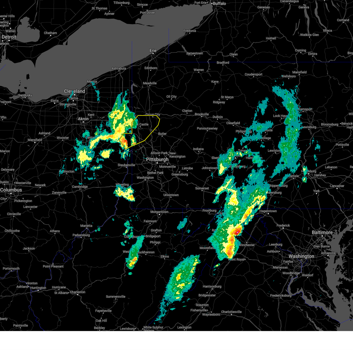 Svrpbz the national weather service in pittsburgh has issued a * severe thunderstorm warning for, eastern columbiana county in east central ohio, southern mercer county in northwestern pennsylvania, northwestern butler county in west central pennsylvania, northwestern beaver county in western pennsylvania, lawrence county in western pennsylvania, * until 715 pm edt. * at 632 pm edt, a severe thunderstorm was located near new waterford, or near east palestine, moving northeast at 55 mph (radar indicated). Hazards include 60 mph wind gusts. expect damage to roofs, siding, and trees Svrpbz the national weather service in pittsburgh has issued a * severe thunderstorm warning for, eastern columbiana county in east central ohio, southern mercer county in northwestern pennsylvania, northwestern butler county in west central pennsylvania, northwestern beaver county in western pennsylvania, lawrence county in western pennsylvania, * until 715 pm edt. * at 632 pm edt, a severe thunderstorm was located near new waterford, or near east palestine, moving northeast at 55 mph (radar indicated). Hazards include 60 mph wind gusts. expect damage to roofs, siding, and trees
|
| 3/16/2025 1:53 PM EDT |
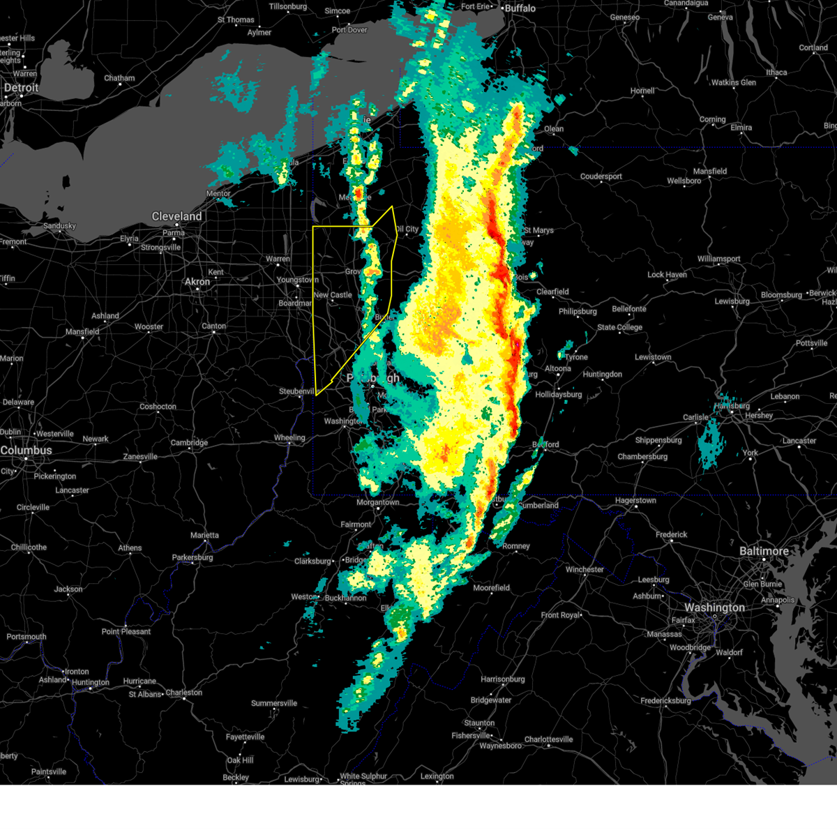 The severe thunderstorm warning that was previously in effect has been reissued for butler, mercer, and venango counties and is in effect until 245 pm edt. please refer to that bulletin for the latest severe weather information. The severe thunderstorm warning that was previously in effect has been reissued for butler, mercer, and venango counties and is in effect until 245 pm edt. please refer to that bulletin for the latest severe weather information.
|
| 3/16/2025 1:47 PM EDT |
 Svrctp the national weather service in state college pa has issued a * severe thunderstorm warning for, bedford county in south central pennsylvania, blair county in central pennsylvania, cambria county in central pennsylvania, southwestern centre county in central pennsylvania, clearfield county in central pennsylvania, eastern elk county in north central pennsylvania, eastern somerset county in south central pennsylvania, * until 230 pm edt. * at 147 pm edt, severe thunderstorms were located along a line extending from near portland mills to near punxsutawney to near friedens, moving northeast at 80 mph (trained weather spotters). Hazards include 60 mph wind gusts and penny size hail. expect damage to roofs, siding, and trees Svrctp the national weather service in state college pa has issued a * severe thunderstorm warning for, bedford county in south central pennsylvania, blair county in central pennsylvania, cambria county in central pennsylvania, southwestern centre county in central pennsylvania, clearfield county in central pennsylvania, eastern elk county in north central pennsylvania, eastern somerset county in south central pennsylvania, * until 230 pm edt. * at 147 pm edt, severe thunderstorms were located along a line extending from near portland mills to near punxsutawney to near friedens, moving northeast at 80 mph (trained weather spotters). Hazards include 60 mph wind gusts and penny size hail. expect damage to roofs, siding, and trees
|
| 3/16/2025 1:31 PM EDT |
 At 130 pm edt, severe thunderstorms were located along a line extending from blairsville to somerset to near grantsville, moving northeast at 55 mph (trained weather spotters). Hazards include 60 mph wind gusts and penny size hail. Expect damage to roofs, siding, and trees. locations impacted include, acosta, salix-beauty line park, mundys corner, northern cambria, belmont, johnstown, elim, central city, buffalo mills, friedens, salisbury, and casselman. This includes the pennsylvania turnpike from mile markers 100 to 138. At 130 pm edt, severe thunderstorms were located along a line extending from blairsville to somerset to near grantsville, moving northeast at 55 mph (trained weather spotters). Hazards include 60 mph wind gusts and penny size hail. Expect damage to roofs, siding, and trees. locations impacted include, acosta, salix-beauty line park, mundys corner, northern cambria, belmont, johnstown, elim, central city, buffalo mills, friedens, salisbury, and casselman. This includes the pennsylvania turnpike from mile markers 100 to 138.
|
| 3/16/2025 1:30 PM EDT |
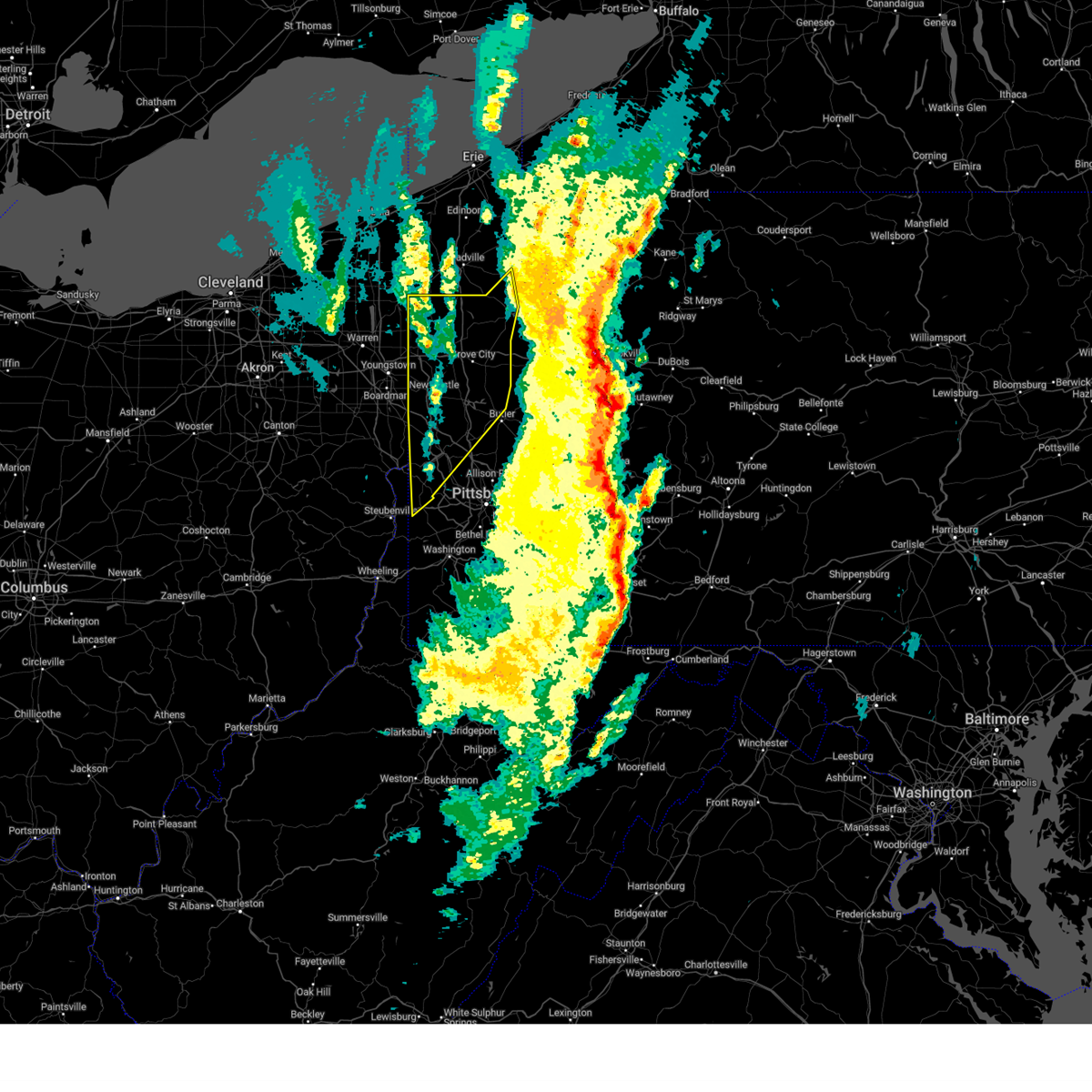 At 130 pm edt, severe thunderstorms were located along a line from 33 miles north of greenville to near beaver falls, or along a line from 41 miles northwest of franklin to near beaver falls, moving northeast at 65 mph (radar indicated). Hazards include 70 mph wind gusts. Expect considerable tree damage. damage is likely to mobile homes, roofs, and outbuildings. Locations impacted include, cranberry, new castle, hermitage, sharon, aliquippa, beaver falls, grove city, franklin, monaca, sharpsville, economy, ellwood city, ambridge, homeacre-lyndora, new brighton, greenville, sugarcreek, farrell, shanor-northvue and beaver. At 130 pm edt, severe thunderstorms were located along a line from 33 miles north of greenville to near beaver falls, or along a line from 41 miles northwest of franklin to near beaver falls, moving northeast at 65 mph (radar indicated). Hazards include 70 mph wind gusts. Expect considerable tree damage. damage is likely to mobile homes, roofs, and outbuildings. Locations impacted include, cranberry, new castle, hermitage, sharon, aliquippa, beaver falls, grove city, franklin, monaca, sharpsville, economy, ellwood city, ambridge, homeacre-lyndora, new brighton, greenville, sugarcreek, farrell, shanor-northvue and beaver.
|
| 3/16/2025 1:30 PM EDT |
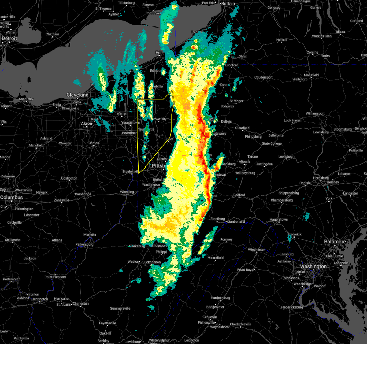 the severe thunderstorm warning has been cancelled and is no longer in effect the severe thunderstorm warning has been cancelled and is no longer in effect
|
| 3/16/2025 1:22 PM EDT |
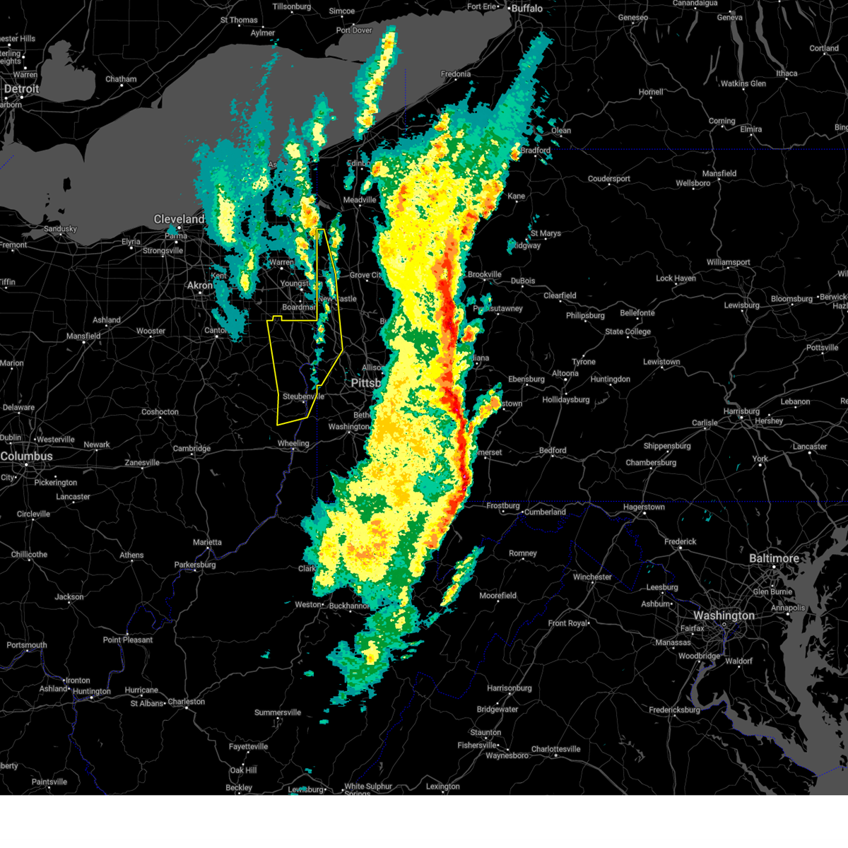 The severe thunderstorm warning that was previously in effect has been reissued for hancock, lawrence, brooke, beaver, mercer, columbiana, and jefferson oh counties and is in effect until 200 pm edt. please refer to that bulletin for the latest severe weather information. a tornado watch remains in effect until 400 pm edt for portions of east central ohio, pennsylvania, and the northern panhandle of west virginia. The severe thunderstorm warning that was previously in effect has been reissued for hancock, lawrence, brooke, beaver, mercer, columbiana, and jefferson oh counties and is in effect until 200 pm edt. please refer to that bulletin for the latest severe weather information. a tornado watch remains in effect until 400 pm edt for portions of east central ohio, pennsylvania, and the northern panhandle of west virginia.
|
| 3/16/2025 1:14 PM EDT |
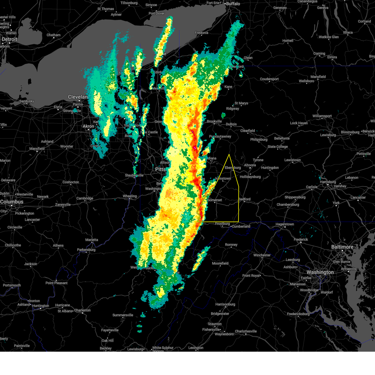 At 113 pm edt, severe thunderstorms were located along a line extending from greensburg to near seven springs to friendsville, moving northeast at 55 mph (radar indicated). Hazards include 60 mph wind gusts. Expect damage to roofs, siding, and trees. locations impacted include, acosta, salix-beauty line park, mundys corner, northern cambria, belmont, johnstown, elim, central city, buffalo mills, seven springs, friedens, and salisbury. This includes the pennsylvania turnpike from mile markers 100 to 138. At 113 pm edt, severe thunderstorms were located along a line extending from greensburg to near seven springs to friendsville, moving northeast at 55 mph (radar indicated). Hazards include 60 mph wind gusts. Expect damage to roofs, siding, and trees. locations impacted include, acosta, salix-beauty line park, mundys corner, northern cambria, belmont, johnstown, elim, central city, buffalo mills, seven springs, friedens, and salisbury. This includes the pennsylvania turnpike from mile markers 100 to 138.
|
| 3/16/2025 1:13 PM EDT |
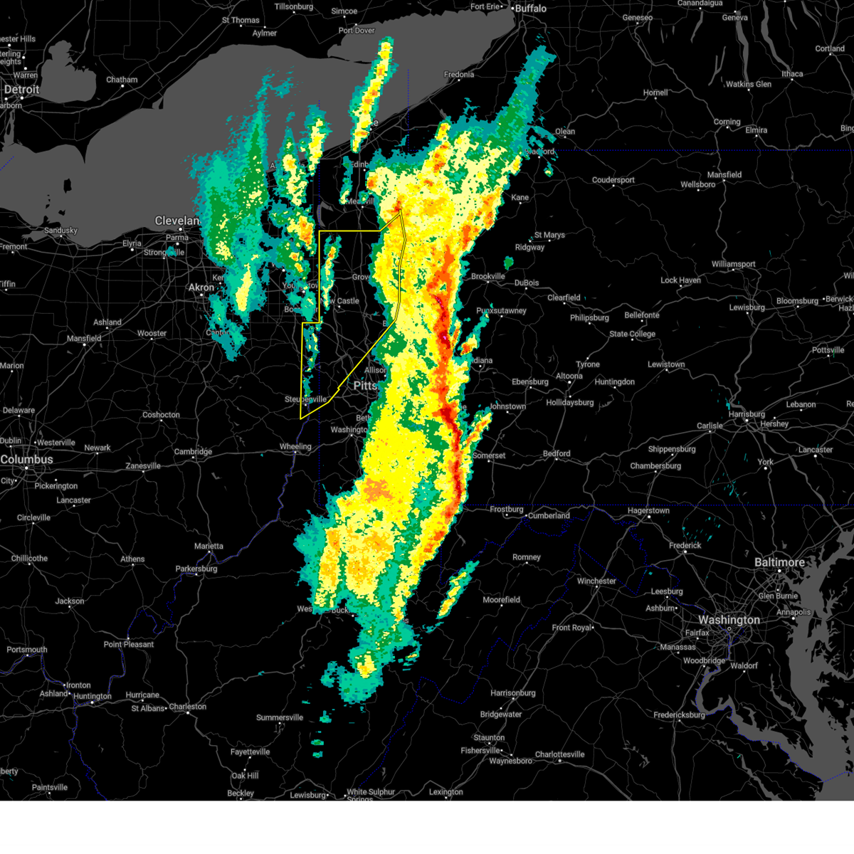 Svrpbz the national weather service in pittsburgh has issued a * severe thunderstorm warning for, eastern columbiana county in east central ohio, northeastern jefferson oh county in east central ohio, mercer county in northwestern pennsylvania, western venango county in northwestern pennsylvania, northwestern washington county in southwestern pennsylvania, western butler county in west central pennsylvania, beaver county in western pennsylvania, lawrence county in western pennsylvania, brooke county in northern west virginia, hancock county in northern west virginia, * until 200 pm edt. * at 113 pm edt, severe thunderstorms were located along a line from 21 miles north of greenville to over east liverpool, or along a line from 30 miles north of sharpsville to over east liverpool, moving northeast at 65 mph (radar indicated). Hazards include 70 mph wind gusts. Expect considerable tree damage. Damage is likely to mobile homes, roofs, and outbuildings. Svrpbz the national weather service in pittsburgh has issued a * severe thunderstorm warning for, eastern columbiana county in east central ohio, northeastern jefferson oh county in east central ohio, mercer county in northwestern pennsylvania, western venango county in northwestern pennsylvania, northwestern washington county in southwestern pennsylvania, western butler county in west central pennsylvania, beaver county in western pennsylvania, lawrence county in western pennsylvania, brooke county in northern west virginia, hancock county in northern west virginia, * until 200 pm edt. * at 113 pm edt, severe thunderstorms were located along a line from 21 miles north of greenville to over east liverpool, or along a line from 30 miles north of sharpsville to over east liverpool, moving northeast at 65 mph (radar indicated). Hazards include 70 mph wind gusts. Expect considerable tree damage. Damage is likely to mobile homes, roofs, and outbuildings.
|
| 3/16/2025 1:06 PM EDT |
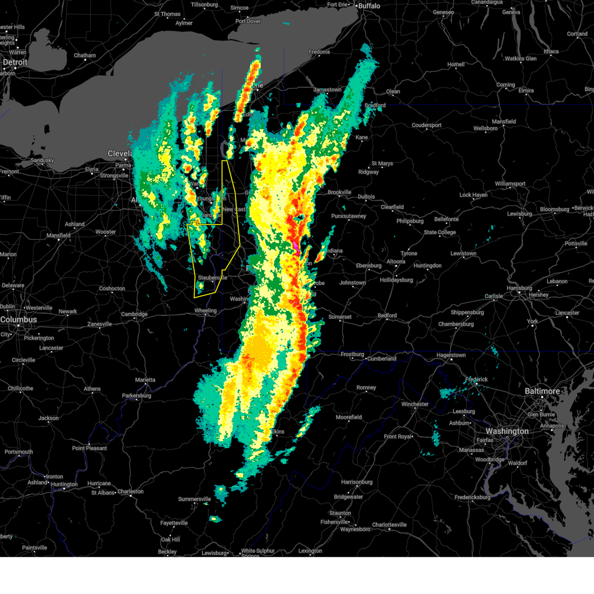 the severe thunderstorm warning has been cancelled and is no longer in effect the severe thunderstorm warning has been cancelled and is no longer in effect
|
| 3/16/2025 1:06 PM EDT |
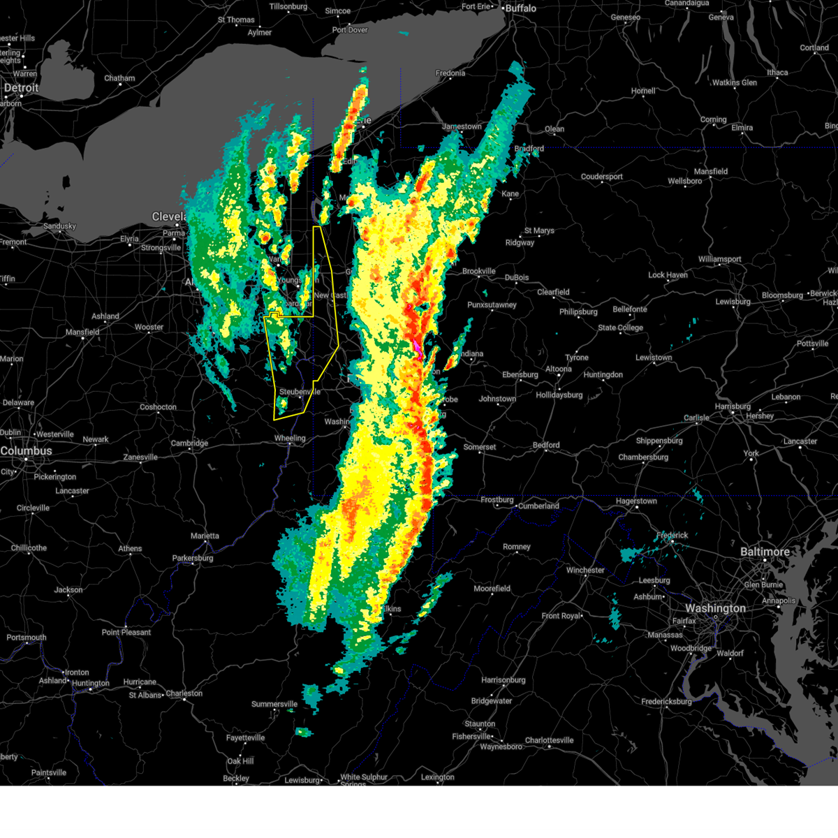 At 106 pm edt, severe thunderstorms were located along a line from 24 miles northwest of sharon to over wintersville, or along a line from 24 miles northwest of sharpsville to 6 miles west of steubenville, moving northeast at 65 mph (radar indicated). Hazards include 70 mph wind gusts. Expect considerable tree damage. damage is likely to mobile homes, roofs, and outbuildings. Locations impacted include, new castle, weirton, steubenville, hermitage, sharon, salem, east liverpool, beaver falls, columbiana, east palestine, sharpsville, wellsville, wellsburg, new brighton, farrell, toronto, beaver, calcutta, wintersville and ohioville. At 106 pm edt, severe thunderstorms were located along a line from 24 miles northwest of sharon to over wintersville, or along a line from 24 miles northwest of sharpsville to 6 miles west of steubenville, moving northeast at 65 mph (radar indicated). Hazards include 70 mph wind gusts. Expect considerable tree damage. damage is likely to mobile homes, roofs, and outbuildings. Locations impacted include, new castle, weirton, steubenville, hermitage, sharon, salem, east liverpool, beaver falls, columbiana, east palestine, sharpsville, wellsville, wellsburg, new brighton, farrell, toronto, beaver, calcutta, wintersville and ohioville.
|
| 3/16/2025 12:59 PM EDT |
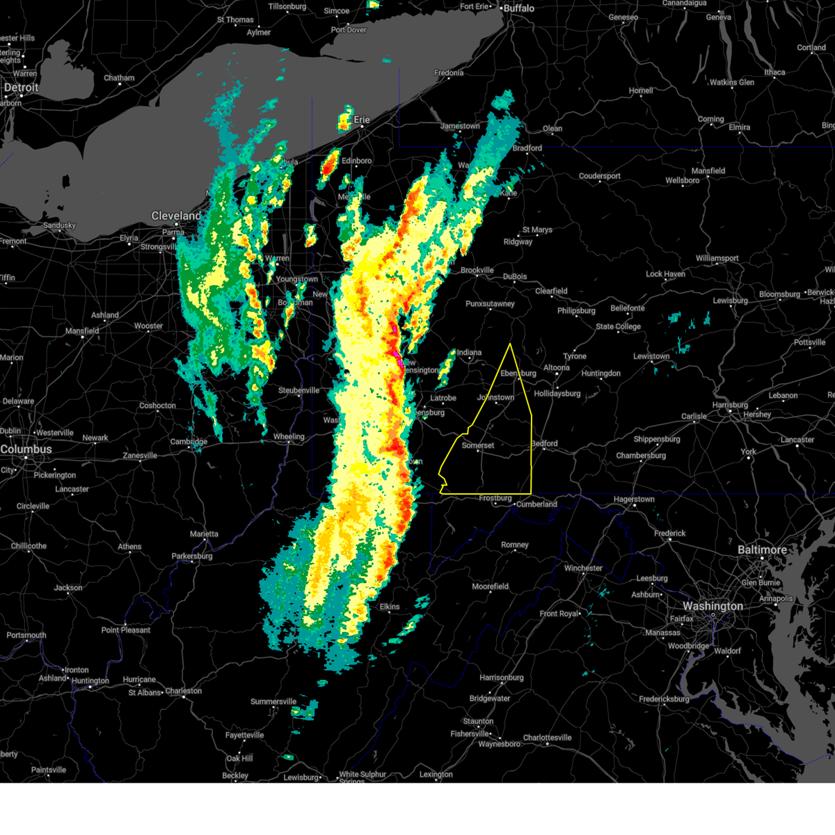 Svrctp the national weather service in state college pa has issued a * severe thunderstorm warning for, western bedford county in south central pennsylvania, western cambria county in central pennsylvania, somerset county in south central pennsylvania, * until 200 pm edt. * at 1257 pm edt, severe thunderstorms were located along a line extending from west newton to uniontown to kingwood, moving northeast at 55 mph (radar indicated). Hazards include 60 mph wind gusts. expect damage to roofs, siding, and trees Svrctp the national weather service in state college pa has issued a * severe thunderstorm warning for, western bedford county in south central pennsylvania, western cambria county in central pennsylvania, somerset county in south central pennsylvania, * until 200 pm edt. * at 1257 pm edt, severe thunderstorms were located along a line extending from west newton to uniontown to kingwood, moving northeast at 55 mph (radar indicated). Hazards include 60 mph wind gusts. expect damage to roofs, siding, and trees
|
| 3/16/2025 12:51 PM EDT |
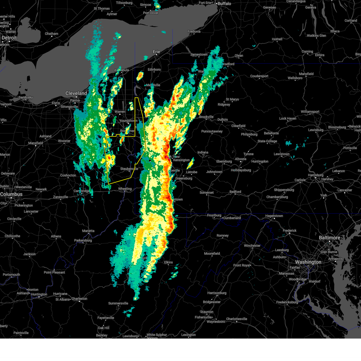 Svrpbz the national weather service in pittsburgh has issued a * severe thunderstorm warning for, eastern carroll county in east central ohio, columbiana county in east central ohio, eastern harrison county in east central ohio, jefferson oh county in east central ohio, western mercer county in northwestern pennsylvania, western beaver county in western pennsylvania, western lawrence county in western pennsylvania, brooke county in northern west virginia, hancock county in northern west virginia, * until 130 pm edt. * at 1251 pm edt, severe thunderstorms were located along a line from 28 miles northwest of salem to near cadiz, moving northeast at 65 mph (radar indicated). Hazards include 60 mph wind gusts. expect damage to roofs, siding, and trees Svrpbz the national weather service in pittsburgh has issued a * severe thunderstorm warning for, eastern carroll county in east central ohio, columbiana county in east central ohio, eastern harrison county in east central ohio, jefferson oh county in east central ohio, western mercer county in northwestern pennsylvania, western beaver county in western pennsylvania, western lawrence county in western pennsylvania, brooke county in northern west virginia, hancock county in northern west virginia, * until 130 pm edt. * at 1251 pm edt, severe thunderstorms were located along a line from 28 miles northwest of salem to near cadiz, moving northeast at 65 mph (radar indicated). Hazards include 60 mph wind gusts. expect damage to roofs, siding, and trees
|
| 3/5/2025 5:12 PM EST |
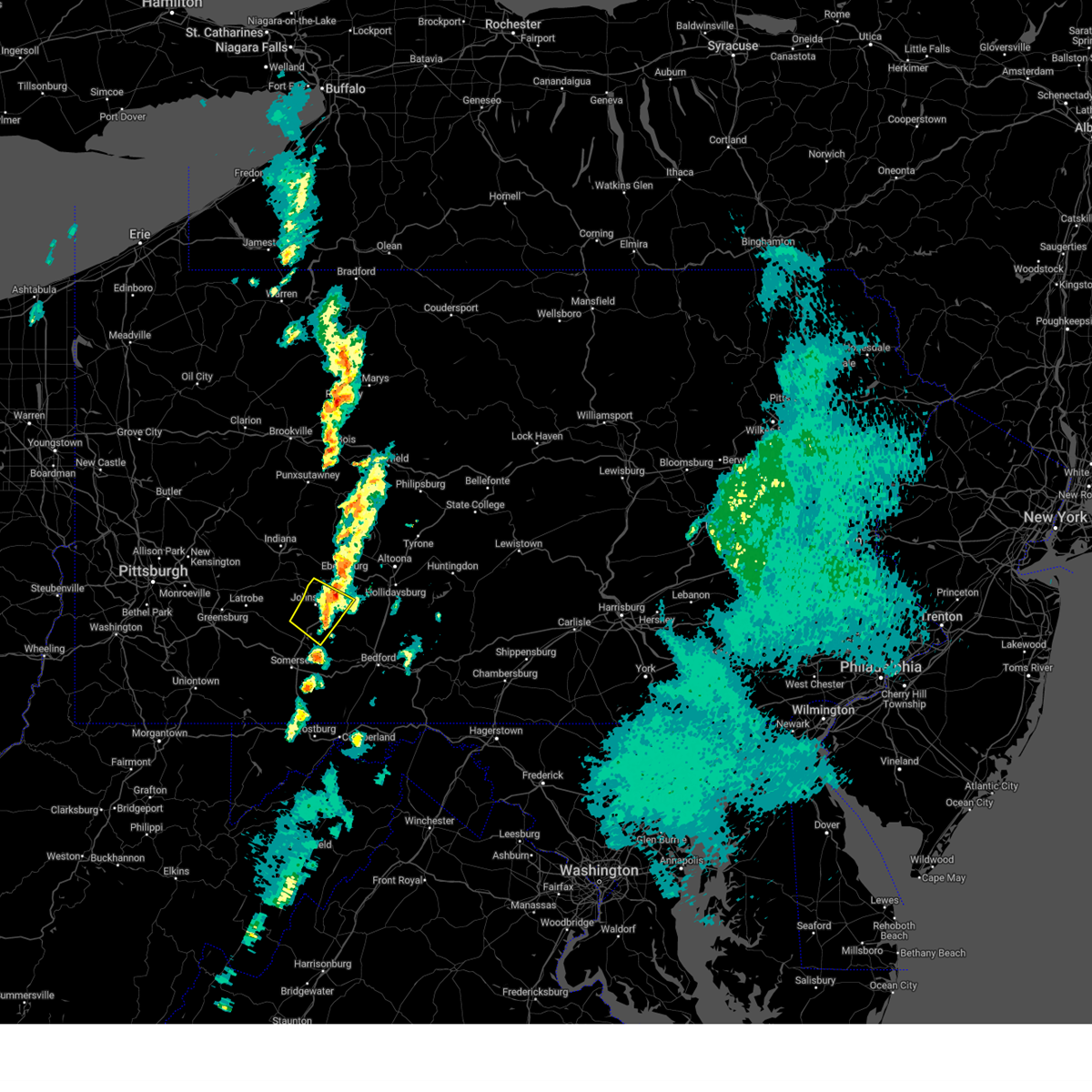 The storm which prompted the warning has weakened below severe limits, and no longer poses an immediate threat to life or property. therefore, the warning will be allowed to expire. however, gusty winds are still possible with this thunderstorm. to report severe weather, contact your nearest law enforcement agency. they will relay your report to the national weather service state college pa. The storm which prompted the warning has weakened below severe limits, and no longer poses an immediate threat to life or property. therefore, the warning will be allowed to expire. however, gusty winds are still possible with this thunderstorm. to report severe weather, contact your nearest law enforcement agency. they will relay your report to the national weather service state college pa.
|
| 3/5/2025 4:56 PM EST |
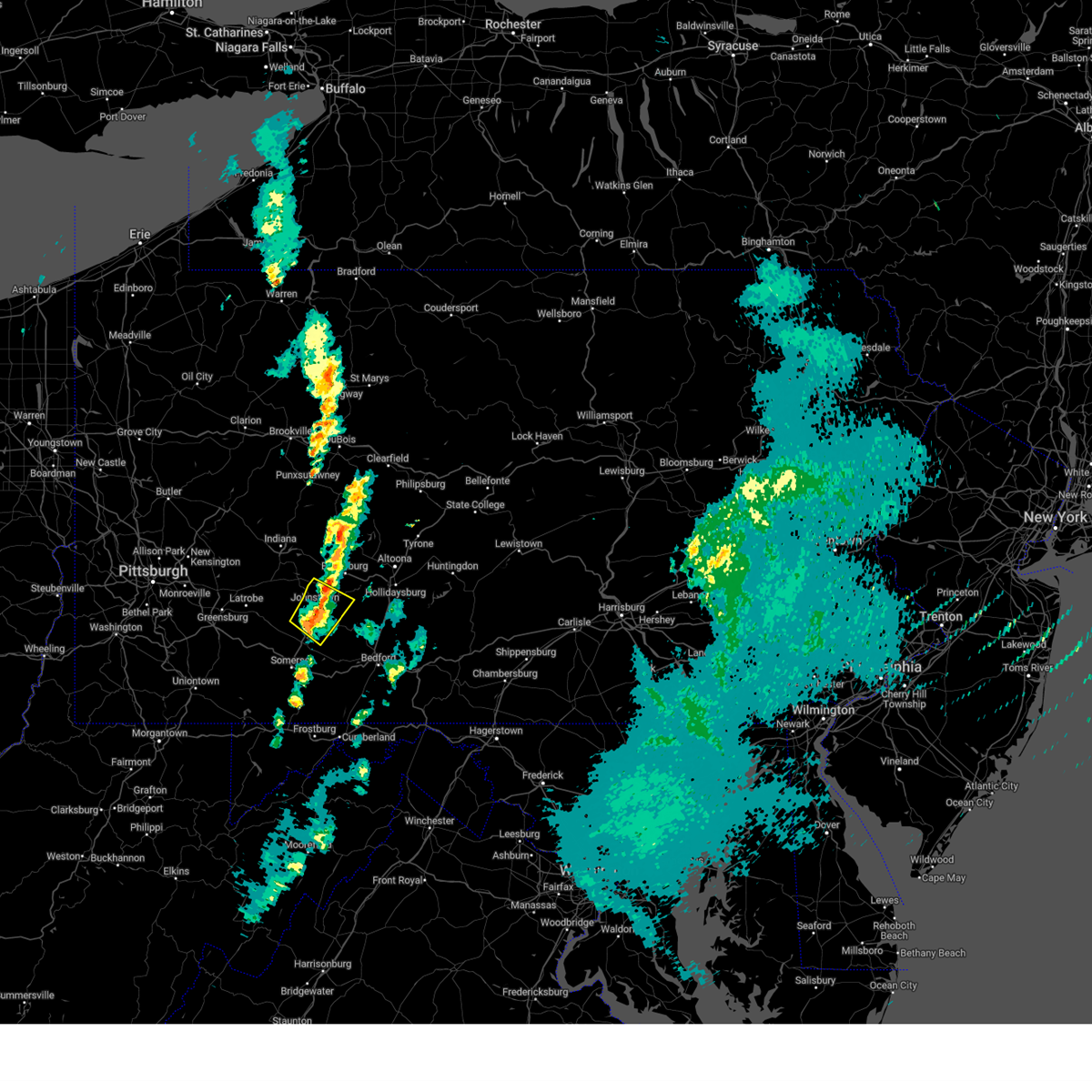 At 455 pm est, a severe thunderstorm was located over davidsville, moving northeast at 40 mph (radar indicated). Hazards include 60 mph wind gusts and quarter size hail. Hail damage to vehicles is expected. expect wind damage to roofs, siding, and trees. Locations impacted include, salix-beauty line park, davidsville, belmont, johnstown, vinco, elim, windber, scalp level, dunlo, east conemaugh, johnstown flood national memorial historic site, and john murtha johnstown-cambria county airport. At 455 pm est, a severe thunderstorm was located over davidsville, moving northeast at 40 mph (radar indicated). Hazards include 60 mph wind gusts and quarter size hail. Hail damage to vehicles is expected. expect wind damage to roofs, siding, and trees. Locations impacted include, salix-beauty line park, davidsville, belmont, johnstown, vinco, elim, windber, scalp level, dunlo, east conemaugh, johnstown flood national memorial historic site, and john murtha johnstown-cambria county airport.
|
| 3/5/2025 4:41 PM EST |
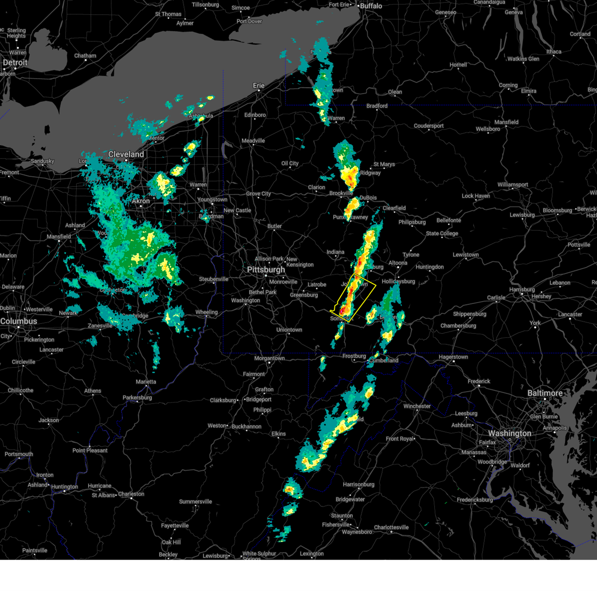 Svrctp the national weather service in state college pa has issued a * severe thunderstorm warning for, southwestern cambria county in central pennsylvania, north central somerset county in south central pennsylvania, * until 515 pm est. * at 441 pm est, a severe thunderstorm was located over acosta, moving northeast at 40 mph (radar indicated). Hazards include 60 mph wind gusts and quarter size hail. Hail damage to vehicles is expected. Expect wind damage to roofs, siding, and trees. Svrctp the national weather service in state college pa has issued a * severe thunderstorm warning for, southwestern cambria county in central pennsylvania, north central somerset county in south central pennsylvania, * until 515 pm est. * at 441 pm est, a severe thunderstorm was located over acosta, moving northeast at 40 mph (radar indicated). Hazards include 60 mph wind gusts and quarter size hail. Hail damage to vehicles is expected. Expect wind damage to roofs, siding, and trees.
|
| 11/20/2024 5:33 PM EST |
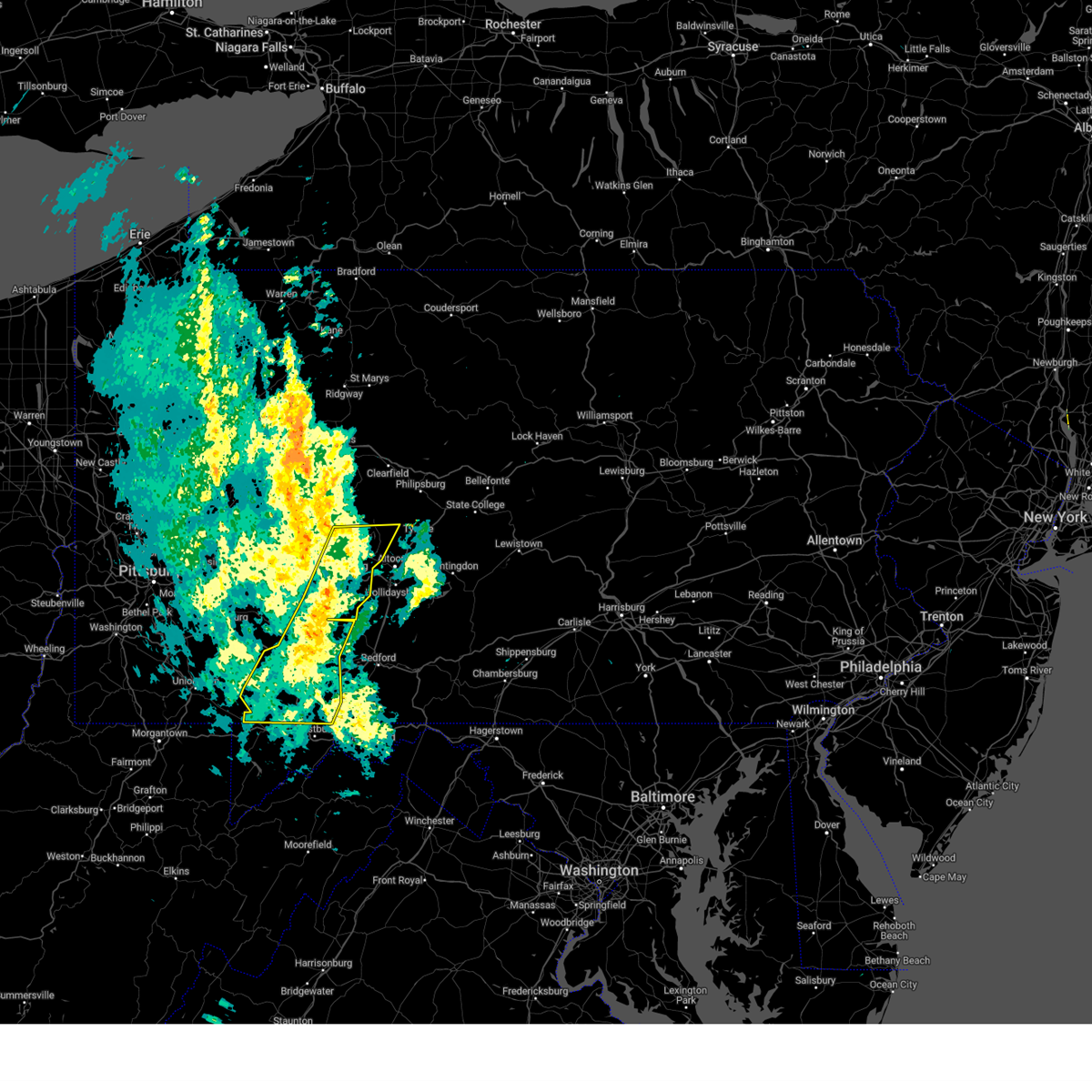 Svrctp the national weather service in state college pa has issued a * severe thunderstorm warning for, cambria county in central pennsylvania, somerset county in south central pennsylvania, * until 645 pm est. * at 532 pm est, severe thunderstorms were located along a line extending from near ford city to near mount pleasant to near friendsville, moving east at 35 mph (radar indicated). Hazards include 60 mph wind gusts. Expect damage to roofs, siding, and trees. severe thunderstorms will be near, seven springs and ursina around 540 pm est. somerset, mount davis, and new centerville around 550 pm est. acosta, boswell, and meyersdale around 600 pm est. westmont, belmont, and johnstown around 610 pm est. windber, nanty-glo, and scalp level around 620 pm est. other locations impacted by these severe thunderstorms include addison, spring hill, mundys corner, cassandra, and elim. This includes the pennsylvania turnpike from mile markers 101 to 130. Svrctp the national weather service in state college pa has issued a * severe thunderstorm warning for, cambria county in central pennsylvania, somerset county in south central pennsylvania, * until 645 pm est. * at 532 pm est, severe thunderstorms were located along a line extending from near ford city to near mount pleasant to near friendsville, moving east at 35 mph (radar indicated). Hazards include 60 mph wind gusts. Expect damage to roofs, siding, and trees. severe thunderstorms will be near, seven springs and ursina around 540 pm est. somerset, mount davis, and new centerville around 550 pm est. acosta, boswell, and meyersdale around 600 pm est. westmont, belmont, and johnstown around 610 pm est. windber, nanty-glo, and scalp level around 620 pm est. other locations impacted by these severe thunderstorms include addison, spring hill, mundys corner, cassandra, and elim. This includes the pennsylvania turnpike from mile markers 101 to 130.
|
| 8/6/2024 6:15 PM EDT |
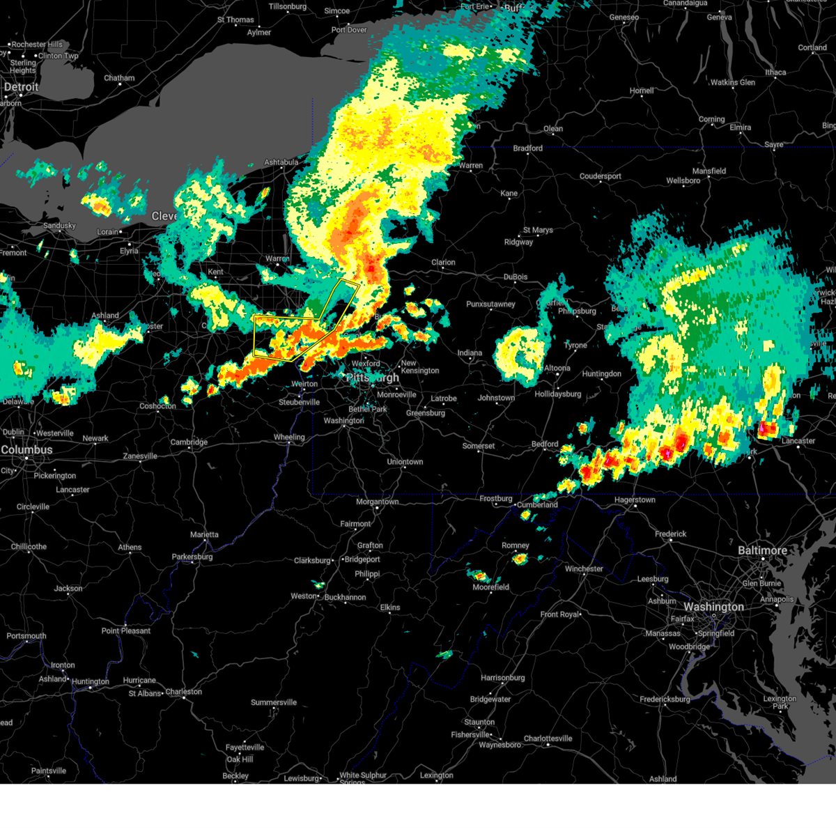 The storms which prompted the warning have moved out of the area. therefore, the warning will be allowed to expire. a severe thunderstorm watch remains in effect until 700 pm edt for east central ohio, and western and northwestern pennsylvania. to report severe weather, contact your nearest law enforcement agency. they will relay your report to the national weather service pittsburgh. The storms which prompted the warning have moved out of the area. therefore, the warning will be allowed to expire. a severe thunderstorm watch remains in effect until 700 pm edt for east central ohio, and western and northwestern pennsylvania. to report severe weather, contact your nearest law enforcement agency. they will relay your report to the national weather service pittsburgh.
|
| 8/6/2024 6:02 PM EDT |
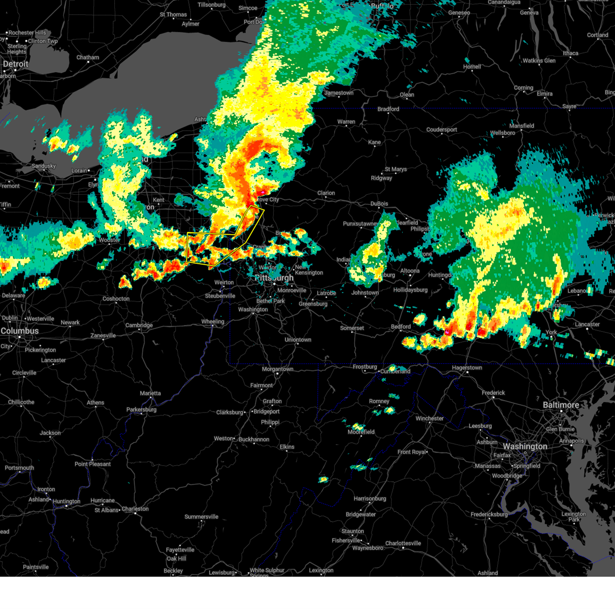 At 602 pm edt, severe thunderstorms were located along a line extending from near new castle northwest to near calcutta, moving east at 40 mph (radar indicated). Hazards include 60 mph wind gusts and penny size hail. Expect damage to trees and power lines, resulting in some power outages. Locations impacted include, new castle, salem, columbiana, east palestine, ellwood city, calcutta, ohioville, lisbon, oakwood, leetonia, new castle northwest, new waterford, big beaver, augusta, new beaver, salineville, plain grove township, koppel, wampum, and south new castle. At 602 pm edt, severe thunderstorms were located along a line extending from near new castle northwest to near calcutta, moving east at 40 mph (radar indicated). Hazards include 60 mph wind gusts and penny size hail. Expect damage to trees and power lines, resulting in some power outages. Locations impacted include, new castle, salem, columbiana, east palestine, ellwood city, calcutta, ohioville, lisbon, oakwood, leetonia, new castle northwest, new waterford, big beaver, augusta, new beaver, salineville, plain grove township, koppel, wampum, and south new castle.
|
| 8/6/2024 5:46 PM EDT |
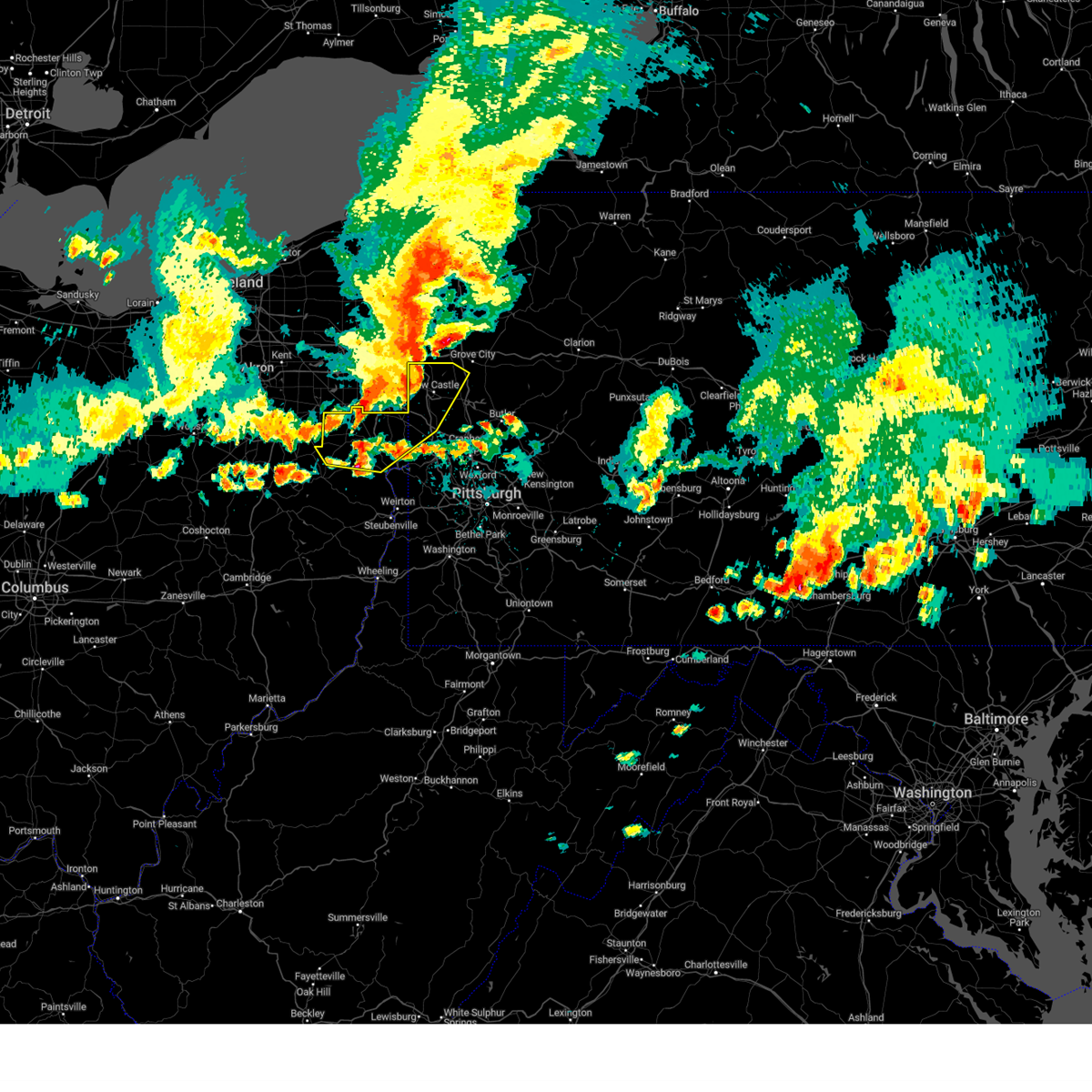 At 545 pm edt, severe thunderstorms were located along a line extending from near campbell to near lisbon, moving southeast at 40 mph (radar indicated). Hazards include 60 mph wind gusts and nickel size hail. Expect damage to trees and power lines, resulting in some power outages. Locations impacted include, new castle, salem, columbiana, east palestine, ellwood city, calcutta, minerva, ohioville, lisbon, new wilmington, oakwood, leetonia, new castle northwest, new waterford, big beaver, augusta, new beaver, pulaski, salineville, and bessemer. At 545 pm edt, severe thunderstorms were located along a line extending from near campbell to near lisbon, moving southeast at 40 mph (radar indicated). Hazards include 60 mph wind gusts and nickel size hail. Expect damage to trees and power lines, resulting in some power outages. Locations impacted include, new castle, salem, columbiana, east palestine, ellwood city, calcutta, minerva, ohioville, lisbon, new wilmington, oakwood, leetonia, new castle northwest, new waterford, big beaver, augusta, new beaver, pulaski, salineville, and bessemer.
|
| 8/6/2024 5:26 PM EDT |
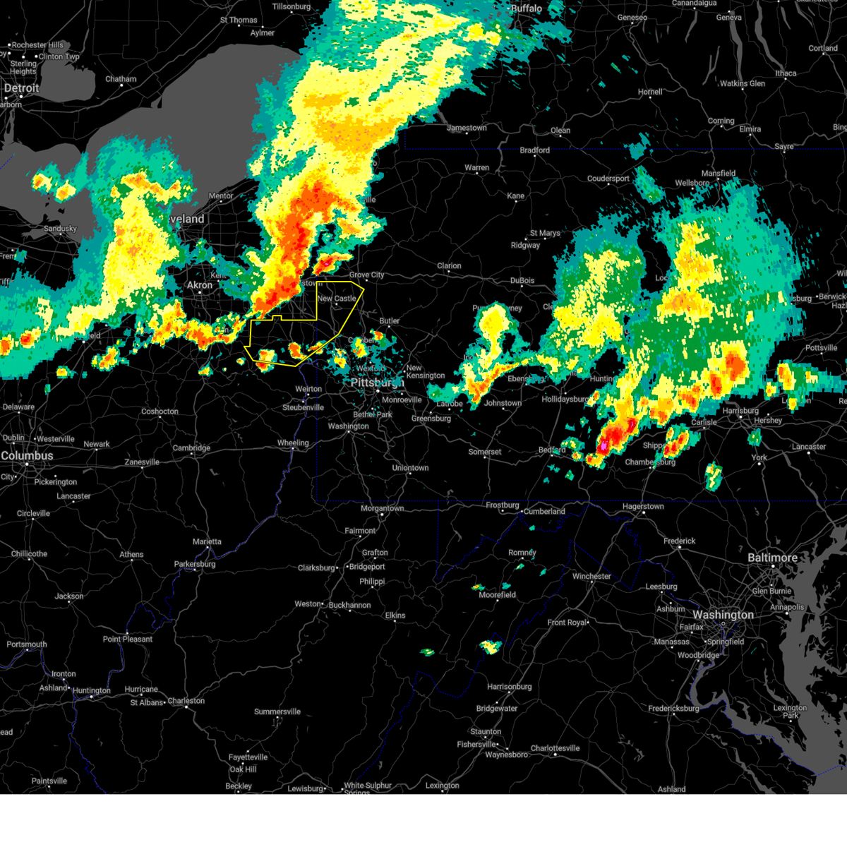 Svrpbz the national weather service in pittsburgh has issued a * severe thunderstorm warning for, columbiana county in east central ohio, northeastern carroll county in east central ohio, southwestern mercer county in northwestern pennsylvania, northwestern beaver county in western pennsylvania, lawrence county in western pennsylvania, * until 615 pm edt. * at 526 pm edt, severe thunderstorms were located along a line extending from near hilltop to 7 miles northeast of minerva, moving southeast at 40 mph (radar indicated). Hazards include 60 mph wind gusts and nickel size hail. expect damage to trees and power lines, resulting in some power outages Svrpbz the national weather service in pittsburgh has issued a * severe thunderstorm warning for, columbiana county in east central ohio, northeastern carroll county in east central ohio, southwestern mercer county in northwestern pennsylvania, northwestern beaver county in western pennsylvania, lawrence county in western pennsylvania, * until 615 pm edt. * at 526 pm edt, severe thunderstorms were located along a line extending from near hilltop to 7 miles northeast of minerva, moving southeast at 40 mph (radar indicated). Hazards include 60 mph wind gusts and nickel size hail. expect damage to trees and power lines, resulting in some power outages
|
| 8/6/2024 12:53 PM EDT |
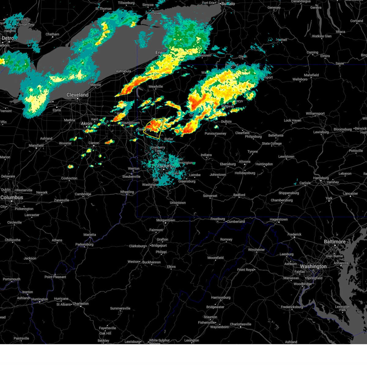 At 1253 pm edt, a severe thunderstorm was located near slippery rock, or near grove city, moving east at 30 mph (radar indicated). Hazards include 60 mph wind gusts and quarter size hail. Minor hail damage to vehicles is possible. expect wind damage to trees and power lines, resulting in some power outages. Locations impacted include, new castle, grove city, slippery rock, new wilmington, oakwood, new castle northwest, harrisville, plain grove township, south new castle, west liberty, harlansburg, portersville, barkeyville, volant, moraine state park, mcconnells mill, rose point park, and cooper's lake campground. At 1253 pm edt, a severe thunderstorm was located near slippery rock, or near grove city, moving east at 30 mph (radar indicated). Hazards include 60 mph wind gusts and quarter size hail. Minor hail damage to vehicles is possible. expect wind damage to trees and power lines, resulting in some power outages. Locations impacted include, new castle, grove city, slippery rock, new wilmington, oakwood, new castle northwest, harrisville, plain grove township, south new castle, west liberty, harlansburg, portersville, barkeyville, volant, moraine state park, mcconnells mill, rose point park, and cooper's lake campground.
|
| 8/6/2024 12:46 PM EDT |
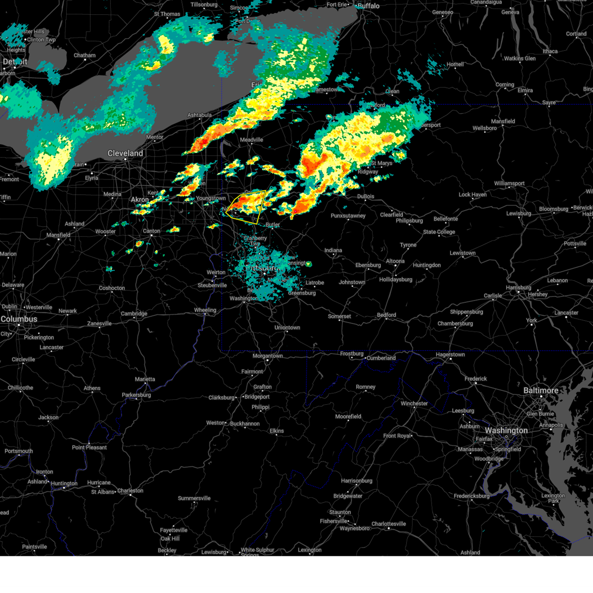 At 1246 pm edt, a severe thunderstorm was located near new wilmington, or 7 miles northeast of new castle, moving east at 30 mph (radar indicated). Hazards include 60 mph wind gusts and quarter size hail. Minor hail damage to vehicles is possible. expect wind damage to trees and power lines, resulting in some power outages. Locations impacted include, new castle, grove city, slippery rock, new wilmington, oakwood, new castle northwest, harrisville, plain grove township, south new castle, west liberty, harlansburg, portersville, barkeyville, volant, moraine state park, mcconnells mill, rose point park, and cooper's lake campground. At 1246 pm edt, a severe thunderstorm was located near new wilmington, or 7 miles northeast of new castle, moving east at 30 mph (radar indicated). Hazards include 60 mph wind gusts and quarter size hail. Minor hail damage to vehicles is possible. expect wind damage to trees and power lines, resulting in some power outages. Locations impacted include, new castle, grove city, slippery rock, new wilmington, oakwood, new castle northwest, harrisville, plain grove township, south new castle, west liberty, harlansburg, portersville, barkeyville, volant, moraine state park, mcconnells mill, rose point park, and cooper's lake campground.
|
| 8/6/2024 12:35 PM EDT |
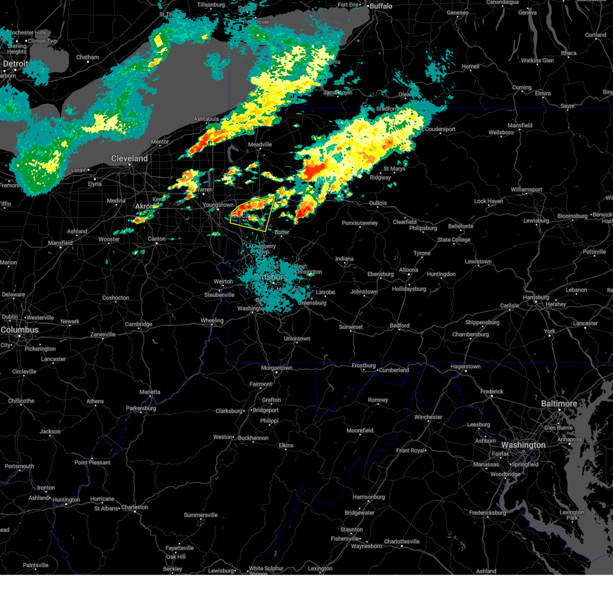 At 1235 pm edt, a severe thunderstorm was located over new wilmington, or near new castle, moving east at 30 mph (radar indicated). Hazards include 60 mph wind gusts and quarter size hail. Minor hail damage to vehicles is possible. expect wind damage to trees and power lines, resulting in some power outages. Locations impacted include, new castle, grove city, slippery rock, new wilmington, oakwood, new castle northwest, pulaski, bessemer, harrisville, plain grove township, south new castle, west liberty, harlansburg, portersville, barkeyville, volant, moraine state park, mcconnells mill, rose point park, and cooper's lake campground. At 1235 pm edt, a severe thunderstorm was located over new wilmington, or near new castle, moving east at 30 mph (radar indicated). Hazards include 60 mph wind gusts and quarter size hail. Minor hail damage to vehicles is possible. expect wind damage to trees and power lines, resulting in some power outages. Locations impacted include, new castle, grove city, slippery rock, new wilmington, oakwood, new castle northwest, pulaski, bessemer, harrisville, plain grove township, south new castle, west liberty, harlansburg, portersville, barkeyville, volant, moraine state park, mcconnells mill, rose point park, and cooper's lake campground.
|
| 8/6/2024 12:30 PM EDT |
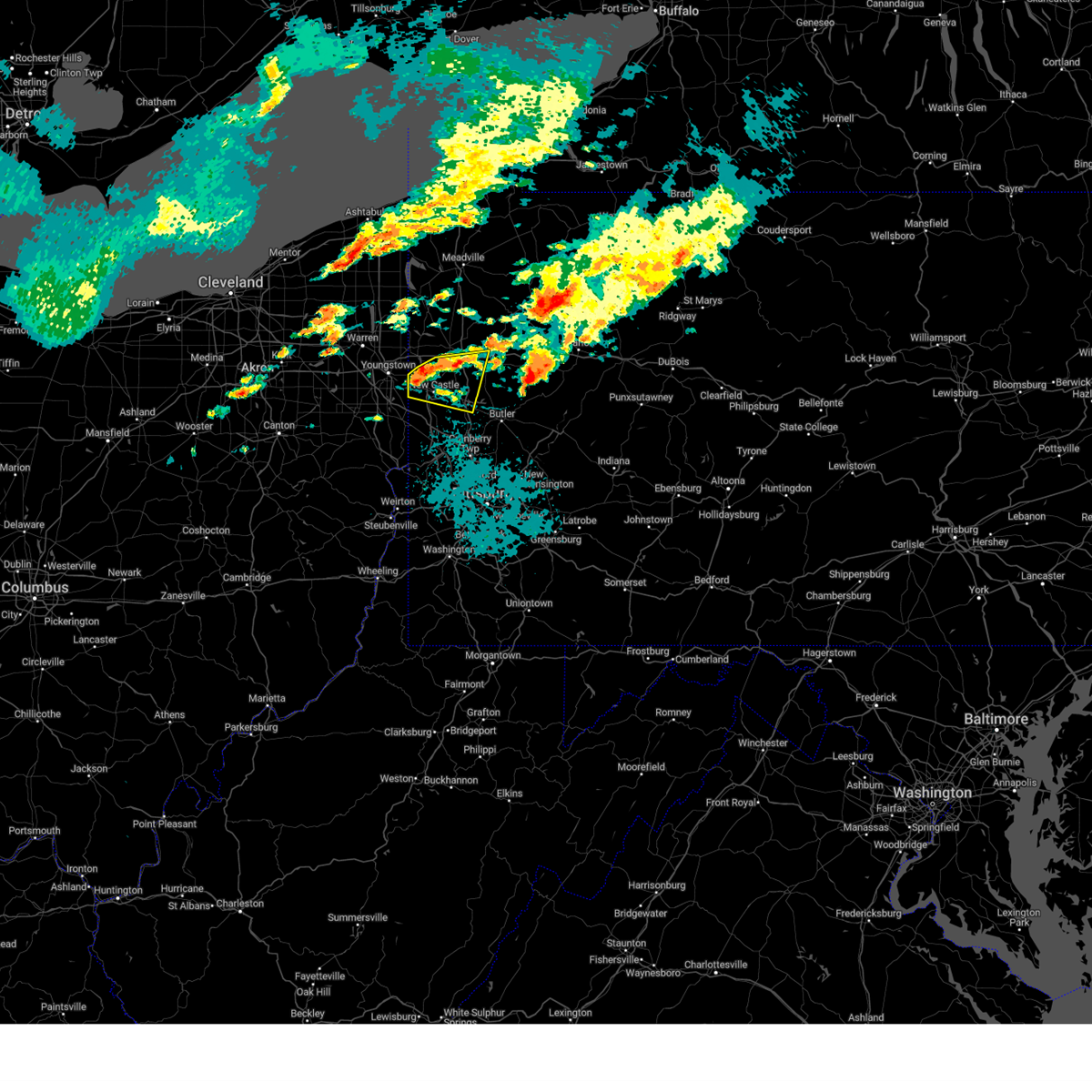 Svrpbz the national weather service in pittsburgh has issued a * severe thunderstorm warning for, southern mercer county in northwestern pennsylvania, southwestern venango county in northwestern pennsylvania, lawrence county in western pennsylvania, northwestern butler county in west central pennsylvania, * until 115 pm edt. * at 1230 pm edt, a severe thunderstorm was located near new wilmington, or 7 miles northwest of new castle, moving east at 30 mph (radar indicated). Hazards include 60 mph wind gusts and penny size hail. expect damage to trees and power lines, resulting in some power outages Svrpbz the national weather service in pittsburgh has issued a * severe thunderstorm warning for, southern mercer county in northwestern pennsylvania, southwestern venango county in northwestern pennsylvania, lawrence county in western pennsylvania, northwestern butler county in west central pennsylvania, * until 115 pm edt. * at 1230 pm edt, a severe thunderstorm was located near new wilmington, or 7 miles northwest of new castle, moving east at 30 mph (radar indicated). Hazards include 60 mph wind gusts and penny size hail. expect damage to trees and power lines, resulting in some power outages
|
| 7/24/2024 3:25 PM EDT |
 the severe thunderstorm warning has been cancelled and is no longer in effect the severe thunderstorm warning has been cancelled and is no longer in effect
|
| 7/24/2024 3:10 PM EDT |
 At 310 pm edt, a severe thunderstorm was located near oakwood, or near new castle, moving east at 25 mph (radar indicated). Hazards include 60 mph wind gusts. Expect damage to trees and power lines, resulting in some power outages. locations impacted include, new castle, columbiana, ellwood city, oakwood, new castle northwest, new beaver, ellport, bessemer, plain grove township, wampum, south new castle, harlansburg, s. n. p. j. And rose point park. At 310 pm edt, a severe thunderstorm was located near oakwood, or near new castle, moving east at 25 mph (radar indicated). Hazards include 60 mph wind gusts. Expect damage to trees and power lines, resulting in some power outages. locations impacted include, new castle, columbiana, ellwood city, oakwood, new castle northwest, new beaver, ellport, bessemer, plain grove township, wampum, south new castle, harlansburg, s. n. p. j. And rose point park.
|
| 7/24/2024 2:53 PM EDT |
 Svrpbz the national weather service in pittsburgh has issued a * severe thunderstorm warning for, northeastern columbiana county in east central ohio, lawrence county in western pennsylvania, west central butler county in west central pennsylvania, * until 345 pm edt. * at 253 pm edt, a severe thunderstorm was located near boardman, or 8 miles northeast of columbiana, moving east at 25 mph (radar indicated). Hazards include 60 mph wind gusts. expect damage to trees and power lines, resulting in some power outages Svrpbz the national weather service in pittsburgh has issued a * severe thunderstorm warning for, northeastern columbiana county in east central ohio, lawrence county in western pennsylvania, west central butler county in west central pennsylvania, * until 345 pm edt. * at 253 pm edt, a severe thunderstorm was located near boardman, or 8 miles northeast of columbiana, moving east at 25 mph (radar indicated). Hazards include 60 mph wind gusts. expect damage to trees and power lines, resulting in some power outages
|
| 7/15/2024 7:30 PM EDT |
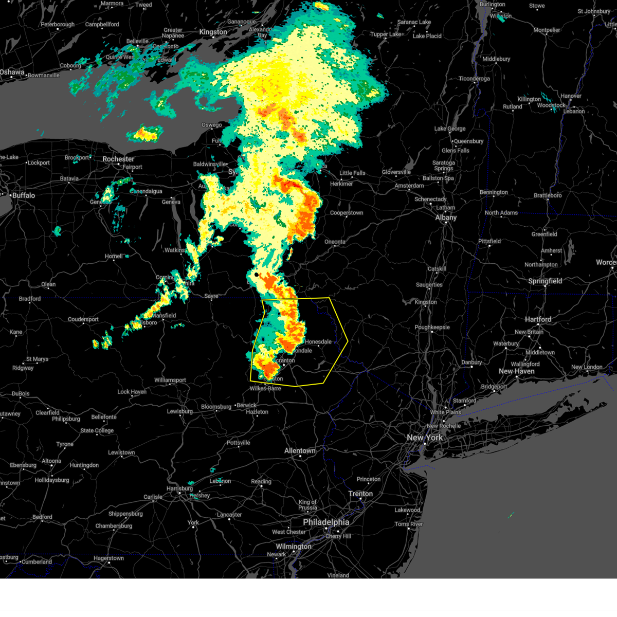 At 730 pm edt, severe thunderstorms were located along a line extending from lanesboro to waymart to near pittston, moving east at 45 mph (radar indicated). Hazards include 70 mph wind gusts and penny size hail. Expect considerable tree damage. damage is likely to mobile homes, roofs, and outbuildings. Locations impacted include, scranton, wilkes-barre, falls, dunmore, kingston, plains, carbondale, old forge, pittston, and archbald. At 730 pm edt, severe thunderstorms were located along a line extending from lanesboro to waymart to near pittston, moving east at 45 mph (radar indicated). Hazards include 70 mph wind gusts and penny size hail. Expect considerable tree damage. damage is likely to mobile homes, roofs, and outbuildings. Locations impacted include, scranton, wilkes-barre, falls, dunmore, kingston, plains, carbondale, old forge, pittston, and archbald.
|
| 7/15/2024 7:30 PM EDT |
 the severe thunderstorm warning has been cancelled and is no longer in effect the severe thunderstorm warning has been cancelled and is no longer in effect
|
| 7/15/2024 7:11 PM EDT |
 At 711 pm edt, severe thunderstorms were located along a line extending from near hallstead to east benton to near edwardsville, moving east at 50 mph (radar indicated). Hazards include 70 mph wind gusts and penny size hail. Expect considerable tree damage. damage is likely to mobile homes, roofs, and outbuildings. Locations impacted include, scranton, wilkes-barre, falls, muhlenberg, dunmore, kingston, nanticoke, plains, carbondale, and old forge. At 711 pm edt, severe thunderstorms were located along a line extending from near hallstead to east benton to near edwardsville, moving east at 50 mph (radar indicated). Hazards include 70 mph wind gusts and penny size hail. Expect considerable tree damage. damage is likely to mobile homes, roofs, and outbuildings. Locations impacted include, scranton, wilkes-barre, falls, muhlenberg, dunmore, kingston, nanticoke, plains, carbondale, and old forge.
|
| 7/15/2024 6:44 PM EDT |
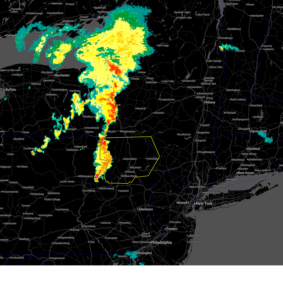 Svrbgm the national weather service in binghamton has issued a * severe thunderstorm warning for, southwestern delaware county in central new york, southwestern sullivan county in central new york, susquehanna county in northeastern pennsylvania, lackawanna county in northeastern pennsylvania, wayne county in northeastern pennsylvania, luzerne county in northeastern pennsylvania, eastern bradford county in northeastern pennsylvania, northwestern pike county in northeastern pennsylvania, wyoming county in northeastern pennsylvania, * until 745 pm edt. * at 644 pm edt, severe thunderstorms were located along a line extending from near windham to mehoopany to near rohrsburg, moving east at 50 mph (radar indicated). Hazards include 70 mph wind gusts and penny size hail. Expect considerable tree damage. Damage is likely to mobile homes, roofs, and outbuildings. Svrbgm the national weather service in binghamton has issued a * severe thunderstorm warning for, southwestern delaware county in central new york, southwestern sullivan county in central new york, susquehanna county in northeastern pennsylvania, lackawanna county in northeastern pennsylvania, wayne county in northeastern pennsylvania, luzerne county in northeastern pennsylvania, eastern bradford county in northeastern pennsylvania, northwestern pike county in northeastern pennsylvania, wyoming county in northeastern pennsylvania, * until 745 pm edt. * at 644 pm edt, severe thunderstorms were located along a line extending from near windham to mehoopany to near rohrsburg, moving east at 50 mph (radar indicated). Hazards include 70 mph wind gusts and penny size hail. Expect considerable tree damage. Damage is likely to mobile homes, roofs, and outbuildings.
|
| 7/10/2024 8:13 PM EDT |
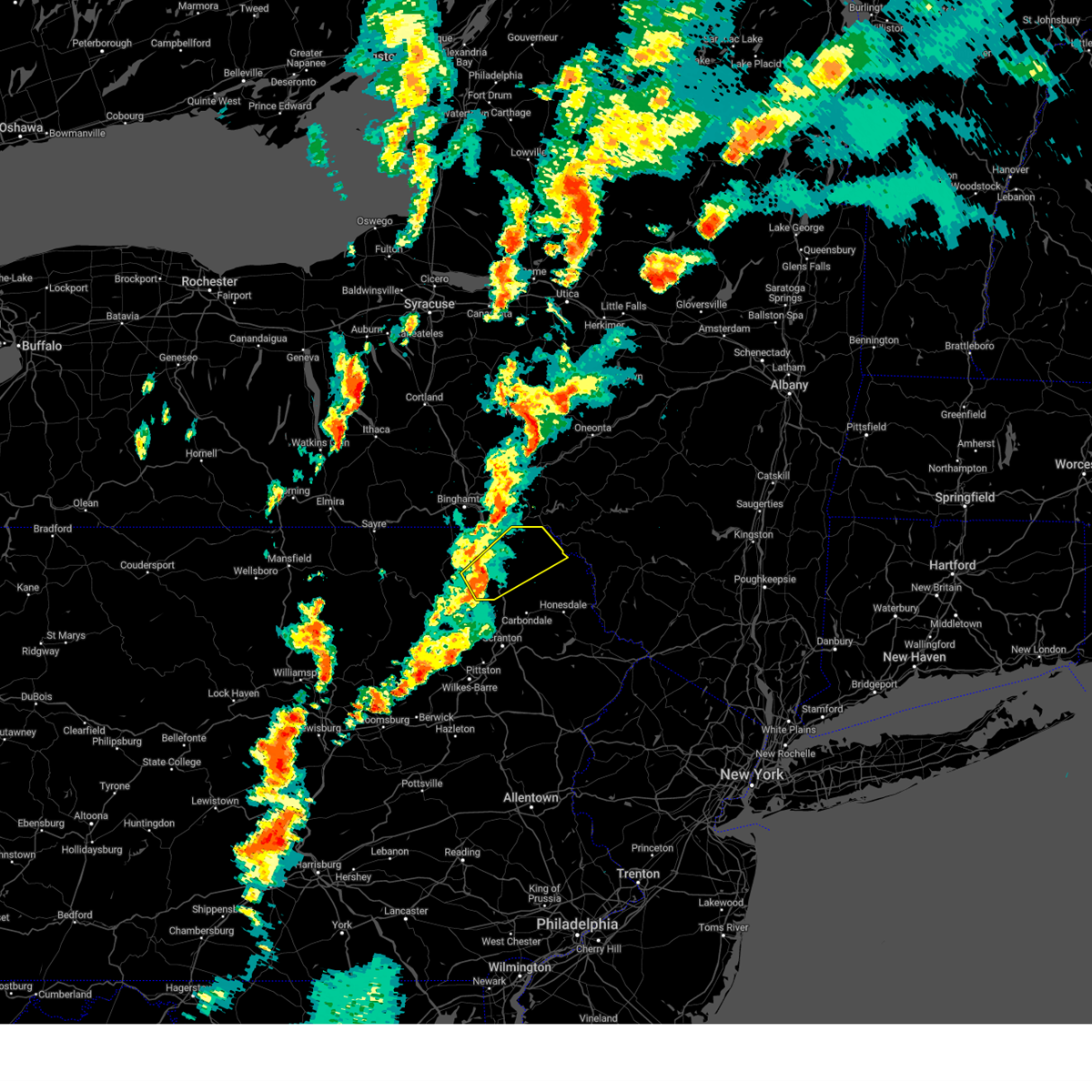 Svrbgm the national weather service in binghamton has issued a * severe thunderstorm warning for, eastern susquehanna county in northeastern pennsylvania, northwestern wayne county in northeastern pennsylvania, * until 900 pm edt. * at 812 pm edt, a severe thunderstorm was located over hop bottom, or 7 miles southeast of montrose, moving northeast at 40 mph (radar indicated). Hazards include 60 mph wind gusts and penny size hail. expect damage to roofs, siding, and trees Svrbgm the national weather service in binghamton has issued a * severe thunderstorm warning for, eastern susquehanna county in northeastern pennsylvania, northwestern wayne county in northeastern pennsylvania, * until 900 pm edt. * at 812 pm edt, a severe thunderstorm was located over hop bottom, or 7 miles southeast of montrose, moving northeast at 40 mph (radar indicated). Hazards include 60 mph wind gusts and penny size hail. expect damage to roofs, siding, and trees
|
| 6/30/2024 10:19 AM EDT |
 At 1019 am edt, severe thunderstorms were located along a line extending from downsville to hiawatha to near harford, moving east at 35 mph (radar indicated). Hazards include 60 mph wind gusts. Expect damage to roofs, siding, and trees. Locations impacted include, jackson, colchester, susquehanna, susquehanna depot, montrose, harford, hancock, new milford, margaretville, and ararat. At 1019 am edt, severe thunderstorms were located along a line extending from downsville to hiawatha to near harford, moving east at 35 mph (radar indicated). Hazards include 60 mph wind gusts. Expect damage to roofs, siding, and trees. Locations impacted include, jackson, colchester, susquehanna, susquehanna depot, montrose, harford, hancock, new milford, margaretville, and ararat.
|
| 6/30/2024 10:06 AM EDT |
 Svrbgm the national weather service in binghamton has issued a * severe thunderstorm warning for, southern delaware county in central new york, northern susquehanna county in northeastern pennsylvania, northern wayne county in northeastern pennsylvania, * until 1100 am edt. * at 1005 am edt, severe thunderstorms were located along a line extending from near walton to near thompson to montrose, moving east at 35 mph (radar indicated). Hazards include 60 mph wind gusts. expect damage to roofs, siding, and trees Svrbgm the national weather service in binghamton has issued a * severe thunderstorm warning for, southern delaware county in central new york, northern susquehanna county in northeastern pennsylvania, northern wayne county in northeastern pennsylvania, * until 1100 am edt. * at 1005 am edt, severe thunderstorms were located along a line extending from near walton to near thompson to montrose, moving east at 35 mph (radar indicated). Hazards include 60 mph wind gusts. expect damage to roofs, siding, and trees
|
| 6/26/2024 9:29 PM EDT |
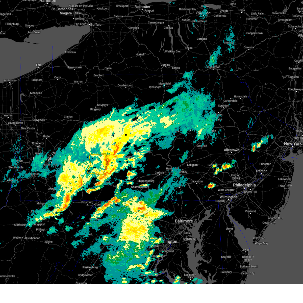 The storms which prompted the warning have moved out of the area. therefore, the warning will be allowed to expire. remember, a severe thunderstorm warning still remains in effect for northeastern bedford, and blair counties. The storms which prompted the warning have moved out of the area. therefore, the warning will be allowed to expire. remember, a severe thunderstorm warning still remains in effect for northeastern bedford, and blair counties.
|
| 6/26/2024 9:09 PM EDT |
 At 908 pm edt, severe thunderstorms were located along a line extending from belsano to ehrenfeld to belmont, moving east at 40 mph (radar indicated). Hazards include 60 mph wind gusts. Expect damage to roofs, siding, and trees. Locations impacted include, windber, ebensburg, belmont, nanty-glo, portage, geistown, cresson, gallitzin, vinco, loretto, salix-beauty line park, and davidsville. At 908 pm edt, severe thunderstorms were located along a line extending from belsano to ehrenfeld to belmont, moving east at 40 mph (radar indicated). Hazards include 60 mph wind gusts. Expect damage to roofs, siding, and trees. Locations impacted include, windber, ebensburg, belmont, nanty-glo, portage, geistown, cresson, gallitzin, vinco, loretto, salix-beauty line park, and davidsville.
|
| 6/26/2024 8:44 PM EDT |
 Svrctp the national weather service in state college pa has issued a * severe thunderstorm warning for, north central bedford county in south central pennsylvania, southwestern blair county in central pennsylvania, cambria county in central pennsylvania, northeastern somerset county in south central pennsylvania, * until 930 pm edt. * at 843 pm edt, severe thunderstorms were located along a line extending from homer city to near black lick to ligonier, moving east at 40 mph (radar indicated). Hazards include 60 mph wind gusts. expect damage to roofs, siding, and trees Svrctp the national weather service in state college pa has issued a * severe thunderstorm warning for, north central bedford county in south central pennsylvania, southwestern blair county in central pennsylvania, cambria county in central pennsylvania, northeastern somerset county in south central pennsylvania, * until 930 pm edt. * at 843 pm edt, severe thunderstorms were located along a line extending from homer city to near black lick to ligonier, moving east at 40 mph (radar indicated). Hazards include 60 mph wind gusts. expect damage to roofs, siding, and trees
|
| 6/23/2024 5:56 PM EDT |
 The storm which prompted the warning has weakened below severe limits, and has exited the warned area. therefore, the warning will be allowed to expire. a severe thunderstorm watch remains in effect until 1000 pm edt for south central and central pennsylvania. The storm which prompted the warning has weakened below severe limits, and has exited the warned area. therefore, the warning will be allowed to expire. a severe thunderstorm watch remains in effect until 1000 pm edt for south central and central pennsylvania.
|
| 6/23/2024 5:17 PM EDT |
 Svrctp the national weather service in state college pa has issued a * severe thunderstorm warning for, north central bedford county in south central pennsylvania, southwestern blair county in central pennsylvania, southwestern cambria county in central pennsylvania, northeastern somerset county in south central pennsylvania, * until 600 pm edt. * at 517 pm edt, a severe thunderstorm was located over westmont, moving east at 45 mph (radar indicated). Hazards include 60 mph wind gusts. expect damage to roofs, siding, and trees Svrctp the national weather service in state college pa has issued a * severe thunderstorm warning for, north central bedford county in south central pennsylvania, southwestern blair county in central pennsylvania, southwestern cambria county in central pennsylvania, northeastern somerset county in south central pennsylvania, * until 600 pm edt. * at 517 pm edt, a severe thunderstorm was located over westmont, moving east at 45 mph (radar indicated). Hazards include 60 mph wind gusts. expect damage to roofs, siding, and trees
|
| 6/22/2024 8:39 PM EDT |
 The storm which prompted the warning has weakened below severe limits, and has exited the warned area. therefore, the warning will be allowed to expire. The storm which prompted the warning has weakened below severe limits, and has exited the warned area. therefore, the warning will be allowed to expire.
|
| 6/22/2024 8:14 PM EDT |
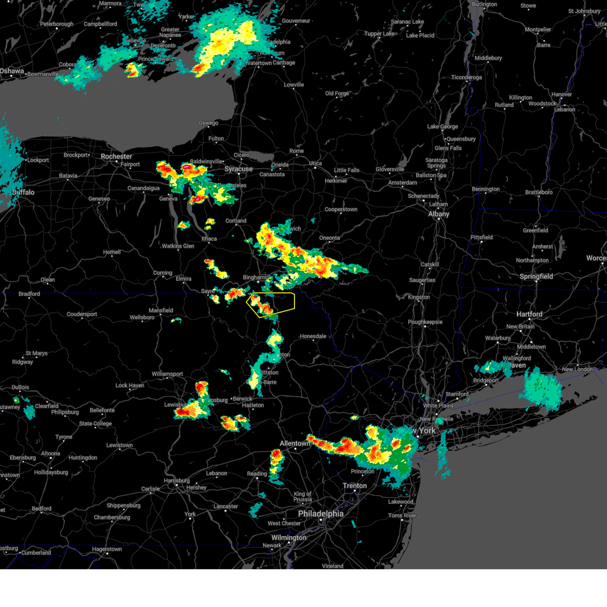 At 814 pm edt, a severe thunderstorm was located near new milford, or near montrose, moving northeast at 35 mph (radar indicated). Hazards include 60 mph wind gusts. Expect damage to roofs, siding, and trees. Locations impacted include, susquehanna, susquehanna depot, montrose, hallstead, new milford, great bend, lanesboro, thompson, friendsville, and brackney. At 814 pm edt, a severe thunderstorm was located near new milford, or near montrose, moving northeast at 35 mph (radar indicated). Hazards include 60 mph wind gusts. Expect damage to roofs, siding, and trees. Locations impacted include, susquehanna, susquehanna depot, montrose, hallstead, new milford, great bend, lanesboro, thompson, friendsville, and brackney.
|
| 6/22/2024 8:02 PM EDT |
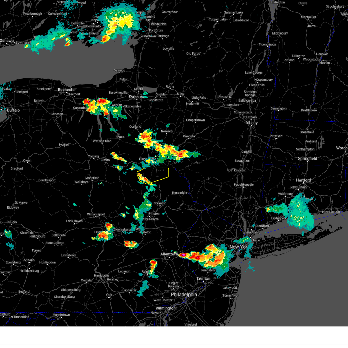 Svrbgm the national weather service in binghamton has issued a * severe thunderstorm warning for, northern susquehanna county in northeastern pennsylvania, * until 845 pm edt. * at 802 pm edt, a severe thunderstorm was located over montrose, moving northeast at 35 mph (radar indicated). Hazards include 60 mph wind gusts and nickel size hail. expect damage to roofs, siding, and trees Svrbgm the national weather service in binghamton has issued a * severe thunderstorm warning for, northern susquehanna county in northeastern pennsylvania, * until 845 pm edt. * at 802 pm edt, a severe thunderstorm was located over montrose, moving northeast at 35 mph (radar indicated). Hazards include 60 mph wind gusts and nickel size hail. expect damage to roofs, siding, and trees
|
| 6/18/2024 6:57 PM EDT |
 the severe thunderstorm warning has been cancelled and is no longer in effect the severe thunderstorm warning has been cancelled and is no longer in effect
|
| 6/18/2024 6:44 PM EDT |
 At 644 pm edt, a severe thunderstorm was located near new wilmington, or 7 miles northeast of new castle, moving north at 20 mph (radar indicated). Hazards include 60 mph wind gusts and quarter size hail. Minor hail damage to vehicles is possible. expect wind damage to trees and power lines, resulting in some power outages. Locations impacted include, new castle, hermitage, sharpsville, new wilmington, oakwood, new castle northwest, mercer, new beaver, pulaski, west middlesex, plain grove township, wampum, south new castle, harlansburg, portersville, jackson center, volant, mcconnells mill, rose point park, and cooper's lake campground. At 644 pm edt, a severe thunderstorm was located near new wilmington, or 7 miles northeast of new castle, moving north at 20 mph (radar indicated). Hazards include 60 mph wind gusts and quarter size hail. Minor hail damage to vehicles is possible. expect wind damage to trees and power lines, resulting in some power outages. Locations impacted include, new castle, hermitage, sharpsville, new wilmington, oakwood, new castle northwest, mercer, new beaver, pulaski, west middlesex, plain grove township, wampum, south new castle, harlansburg, portersville, jackson center, volant, mcconnells mill, rose point park, and cooper's lake campground.
|
| 6/18/2024 6:29 PM EDT |
 Svrpbz the national weather service in pittsburgh has issued a * severe thunderstorm warning for, southern mercer county in northwestern pennsylvania, lawrence county in western pennsylvania, west central butler county in west central pennsylvania, * until 715 pm edt. * at 629 pm edt, a severe thunderstorm was located over new castle, moving north at 20 mph (radar indicated). Hazards include 70 mph wind gusts and half dollar size hail. Minor hail damage to vehicles is possible. trees snapped and uprooted. Power outages can be expected. Svrpbz the national weather service in pittsburgh has issued a * severe thunderstorm warning for, southern mercer county in northwestern pennsylvania, lawrence county in western pennsylvania, west central butler county in west central pennsylvania, * until 715 pm edt. * at 629 pm edt, a severe thunderstorm was located over new castle, moving north at 20 mph (radar indicated). Hazards include 70 mph wind gusts and half dollar size hail. Minor hail damage to vehicles is possible. trees snapped and uprooted. Power outages can be expected.
|
| 6/18/2024 6:21 PM EDT |
 the severe thunderstorm warning has been cancelled and is no longer in effect the severe thunderstorm warning has been cancelled and is no longer in effect
|
| 6/18/2024 6:21 PM EDT |
 At 620 pm edt, a severe thunderstorm was located over ellwood city, or 7 miles southeast of new castle, moving north at 10 mph (radar indicated). Hazards include 70 mph wind gusts and half dollar size hail. Minor hail damage to vehicles is possible. trees snapped and uprooted. power outages can be expected. Locations impacted include, new castle, beaver falls, ellwood city, oakwood, new castle northwest, patterson township, big beaver, new beaver, west mayfield, ellport, bessemer, koppel, wampum, south new castle, new galilee, eastvale, and homewood. At 620 pm edt, a severe thunderstorm was located over ellwood city, or 7 miles southeast of new castle, moving north at 10 mph (radar indicated). Hazards include 70 mph wind gusts and half dollar size hail. Minor hail damage to vehicles is possible. trees snapped and uprooted. power outages can be expected. Locations impacted include, new castle, beaver falls, ellwood city, oakwood, new castle northwest, patterson township, big beaver, new beaver, west mayfield, ellport, bessemer, koppel, wampum, south new castle, new galilee, eastvale, and homewood.
|
| 6/18/2024 6:05 PM EDT |
 Svrpbz the national weather service in pittsburgh has issued a * severe thunderstorm warning for, northeastern beaver county in western pennsylvania, lawrence county in western pennsylvania, southwestern butler county in west central pennsylvania, * until 645 pm edt. * at 604 pm edt, a severe thunderstorm was located over ellwood city, or near beaver falls, moving northwest at 10 mph (radar indicated). Hazards include 60 mph wind gusts. expect damage to trees and power lines, resulting in some power outages Svrpbz the national weather service in pittsburgh has issued a * severe thunderstorm warning for, northeastern beaver county in western pennsylvania, lawrence county in western pennsylvania, southwestern butler county in west central pennsylvania, * until 645 pm edt. * at 604 pm edt, a severe thunderstorm was located over ellwood city, or near beaver falls, moving northwest at 10 mph (radar indicated). Hazards include 60 mph wind gusts. expect damage to trees and power lines, resulting in some power outages
|
| 5/26/2024 8:54 PM EDT |
 Svrctp the national weather service in state college pa has issued a * severe thunderstorm warning for, bedford county in south central pennsylvania, southwestern blair county in central pennsylvania, cambria county in central pennsylvania, western fulton county in south central pennsylvania, eastern somerset county in south central pennsylvania, * until 945 pm edt. * at 850 pm edt, severe thunderstorms were located along a line extending from near ligonier to somerset to frostburg to near meyersdale to lonaconing to near keyser, moving northeast at 50 mph (radar indicated). Hazards include 60 mph wind gusts. expect damage to roofs, siding, and trees Svrctp the national weather service in state college pa has issued a * severe thunderstorm warning for, bedford county in south central pennsylvania, southwestern blair county in central pennsylvania, cambria county in central pennsylvania, western fulton county in south central pennsylvania, eastern somerset county in south central pennsylvania, * until 945 pm edt. * at 850 pm edt, severe thunderstorms were located along a line extending from near ligonier to somerset to frostburg to near meyersdale to lonaconing to near keyser, moving northeast at 50 mph (radar indicated). Hazards include 60 mph wind gusts. expect damage to roofs, siding, and trees
|
| 5/26/2024 8:03 PM EDT |
 Svrpbz the national weather service in pittsburgh has issued a * severe thunderstorm warning for, northeastern beaver county in western pennsylvania, central lawrence county in western pennsylvania, butler county in west central pennsylvania, northeastern allegheny county in southwestern pennsylvania, northwestern westmoreland county in southwestern pennsylvania, western armstrong county in west central pennsylvania, * until 845 pm edt. * at 803 pm edt, severe thunderstorms were located along a line extending from near ellwood city to west mifflin, moving east at 30 mph (radar indicated). Hazards include 60 mph wind gusts. expect damage to trees and power lines, resulting in some power outages Svrpbz the national weather service in pittsburgh has issued a * severe thunderstorm warning for, northeastern beaver county in western pennsylvania, central lawrence county in western pennsylvania, butler county in west central pennsylvania, northeastern allegheny county in southwestern pennsylvania, northwestern westmoreland county in southwestern pennsylvania, western armstrong county in west central pennsylvania, * until 845 pm edt. * at 803 pm edt, severe thunderstorms were located along a line extending from near ellwood city to west mifflin, moving east at 30 mph (radar indicated). Hazards include 60 mph wind gusts. expect damage to trees and power lines, resulting in some power outages
|
| 5/8/2024 3:51 AM EDT |
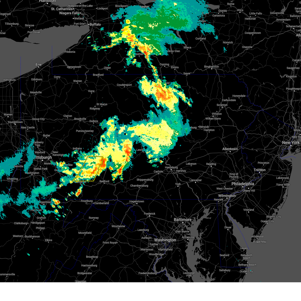 The storm which prompted the warning is moving out of the area. therefore, the warning will be allowed to expire. The storm which prompted the warning is moving out of the area. therefore, the warning will be allowed to expire.
|
| 5/8/2024 3:17 AM EDT |
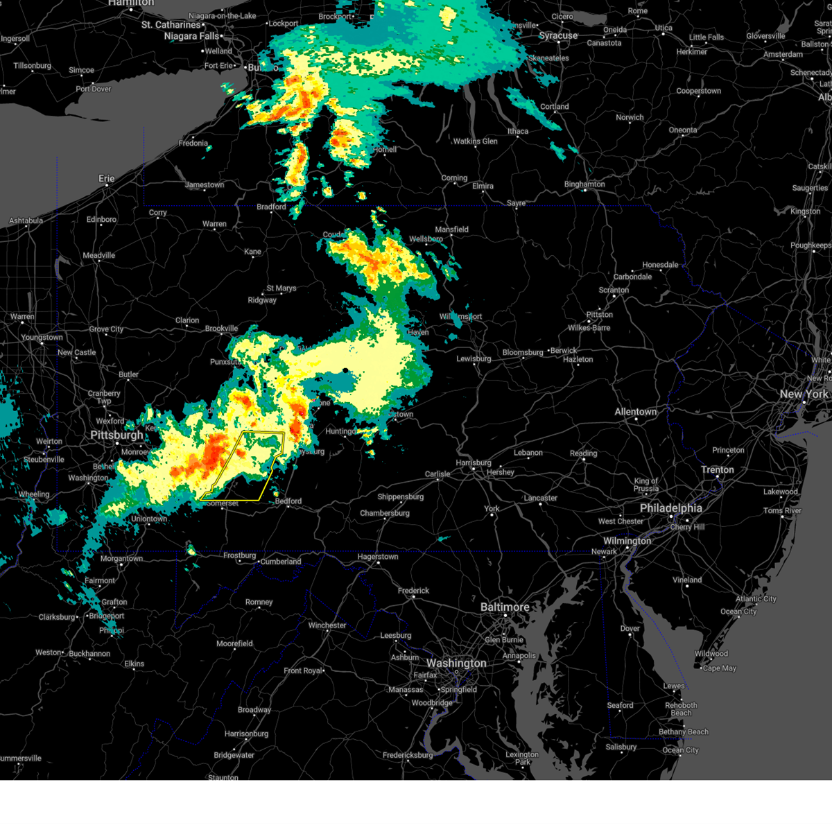 Svrctp the national weather service in state college pa has issued a * severe thunderstorm warning for, southwestern cambria county in central pennsylvania, northern somerset county in south central pennsylvania, * until 400 am edt. * at 317 am edt, a severe thunderstorm was located over westmont, moving east at 60 mph (radar indicated). Hazards include 60 mph wind gusts. expect damage to roofs, siding, and trees Svrctp the national weather service in state college pa has issued a * severe thunderstorm warning for, southwestern cambria county in central pennsylvania, northern somerset county in south central pennsylvania, * until 400 am edt. * at 317 am edt, a severe thunderstorm was located over westmont, moving east at 60 mph (radar indicated). Hazards include 60 mph wind gusts. expect damage to roofs, siding, and trees
|
| 4/30/2024 2:40 PM EDT |
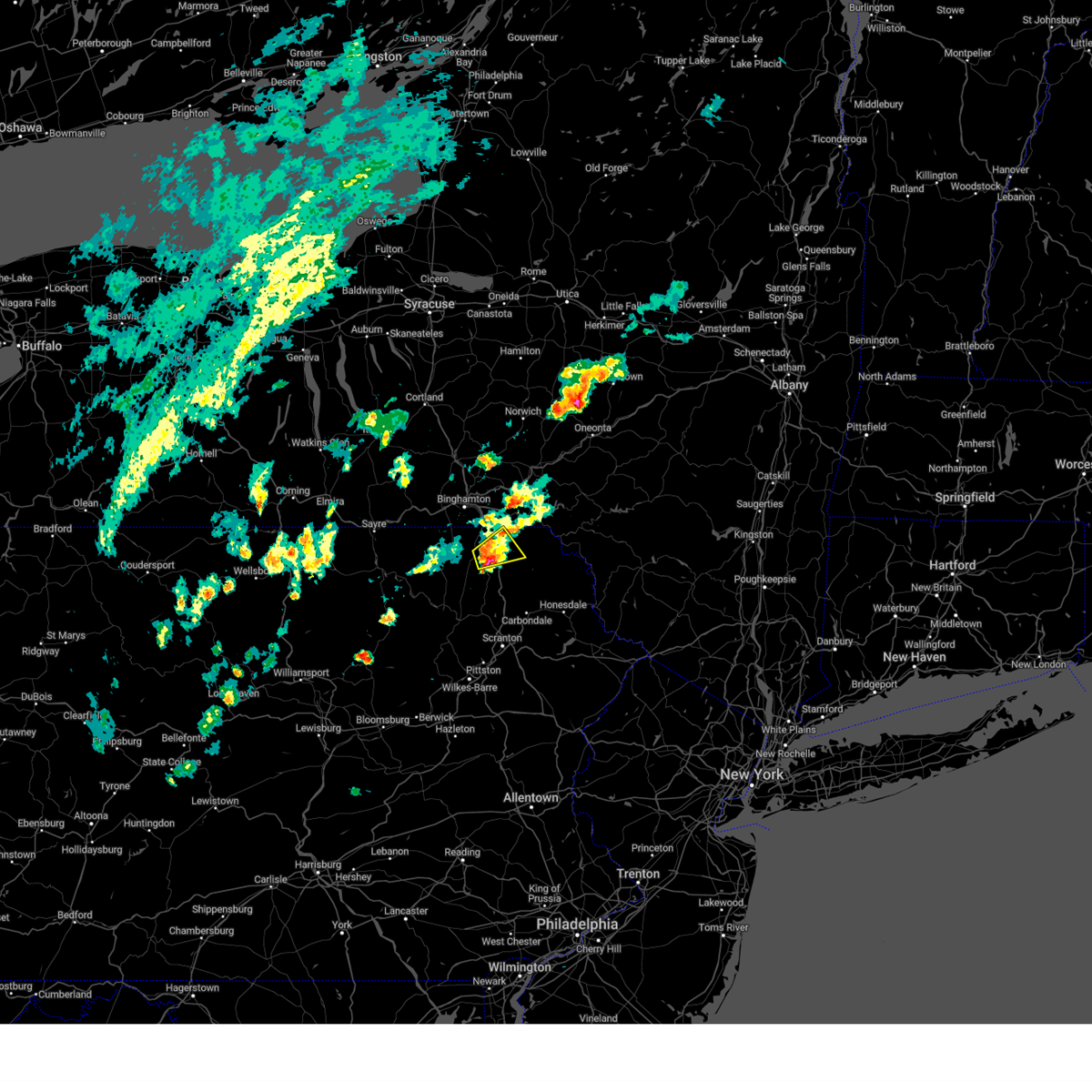 At 239 pm edt, a severe thunderstorm was located over new milford, or 8 miles east of montrose, moving east at 30 mph (radar indicated). Hazards include 60 mph wind gusts and quarter size hail. Hail damage to vehicles is expected. expect wind damage to roofs, siding, and trees. Locations impacted include, jackson, susquehanna, susquehanna depot, new milford, lakeview, lakeside, hickory grove, and alford. At 239 pm edt, a severe thunderstorm was located over new milford, or 8 miles east of montrose, moving east at 30 mph (radar indicated). Hazards include 60 mph wind gusts and quarter size hail. Hail damage to vehicles is expected. expect wind damage to roofs, siding, and trees. Locations impacted include, jackson, susquehanna, susquehanna depot, new milford, lakeview, lakeside, hickory grove, and alford.
|
| 4/30/2024 2:28 PM EDT |
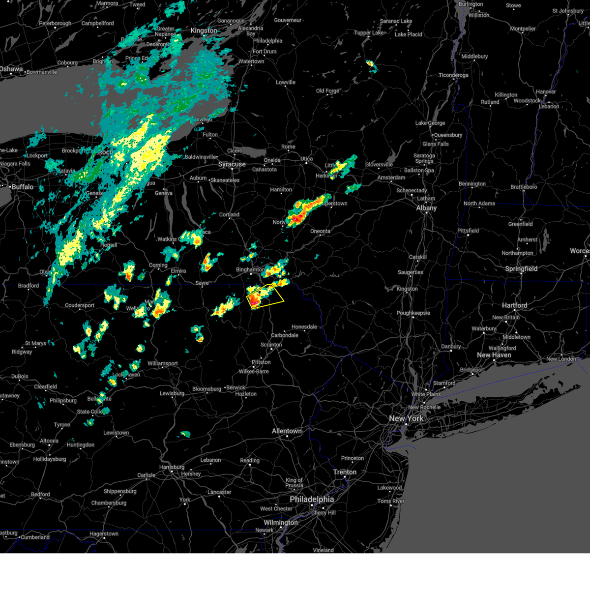 At 227 pm edt, a severe thunderstorm was located near montrose, moving northeast at 35 mph (radar indicated). Hazards include 60 mph wind gusts and quarter size hail. Hail damage to vehicles is expected. expect wind damage to roofs, siding, and trees. Locations impacted include, jackson, susquehanna, susquehanna depot, montrose, hallstead, new milford, great bend, south montrose, lakeview, and salt springs state park. At 227 pm edt, a severe thunderstorm was located near montrose, moving northeast at 35 mph (radar indicated). Hazards include 60 mph wind gusts and quarter size hail. Hail damage to vehicles is expected. expect wind damage to roofs, siding, and trees. Locations impacted include, jackson, susquehanna, susquehanna depot, montrose, hallstead, new milford, great bend, south montrose, lakeview, and salt springs state park.
|
| 4/30/2024 2:13 PM EDT |
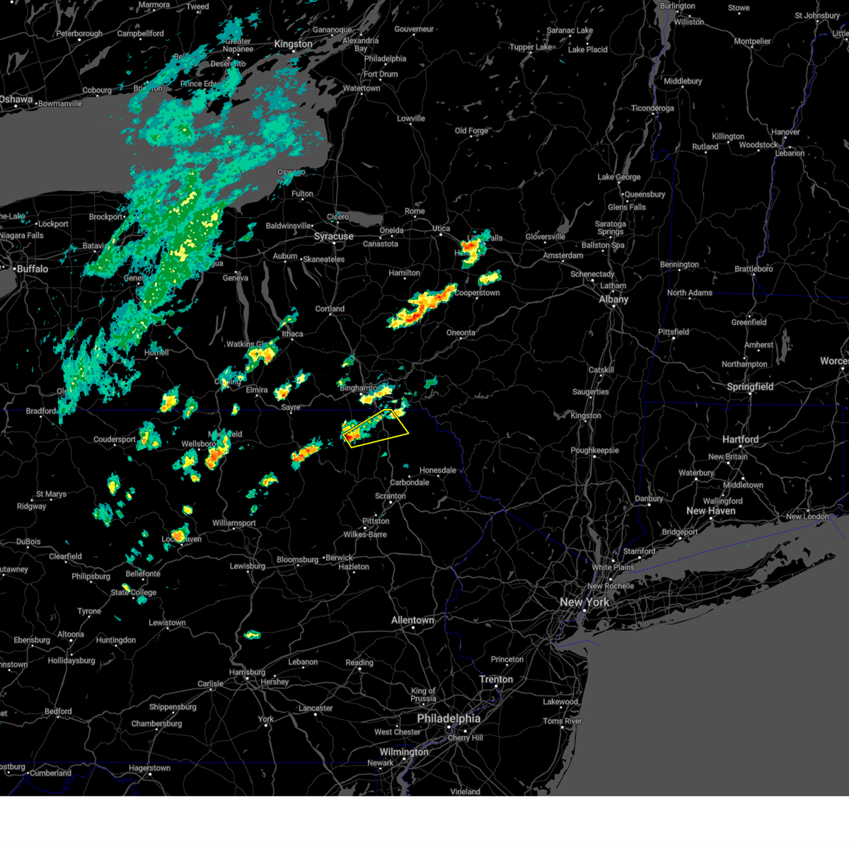 Svrbgm the national weather service in binghamton has issued a * severe thunderstorm warning for, central susquehanna county in northeastern pennsylvania, * until 315 pm edt. * at 213 pm edt, a severe thunderstorm was located near montrose, moving northeast at 35 mph (radar indicated). Hazards include 60 mph wind gusts and quarter size hail. Hail damage to vehicles is expected. Expect wind damage to roofs, siding, and trees. Svrbgm the national weather service in binghamton has issued a * severe thunderstorm warning for, central susquehanna county in northeastern pennsylvania, * until 315 pm edt. * at 213 pm edt, a severe thunderstorm was located near montrose, moving northeast at 35 mph (radar indicated). Hazards include 60 mph wind gusts and quarter size hail. Hail damage to vehicles is expected. Expect wind damage to roofs, siding, and trees.
|
| 4/17/2024 7:14 PM EDT |
 At 713 pm edt, severe thunderstorms were located along a line extending from 6 miles southwest of new castle to near chester to near wintersville, moving east at 45 mph (law enforcement). Hazards include 70 mph wind gusts. Trees snapped and uprooted. power outages can be expected. locations impacted include, pittsburgh, penn hills, mount lebanon, bethel park, ross township, mccandless township, monroeville, cranberry, moon township, new castle, mcmurray, weirton, mckeesport, steubenville, butler, franklin park, east liverpool, aliquippa, canonsburg, and beaver falls. These storms have a history of damaging wind with trees down. At 713 pm edt, severe thunderstorms were located along a line extending from 6 miles southwest of new castle to near chester to near wintersville, moving east at 45 mph (law enforcement). Hazards include 70 mph wind gusts. Trees snapped and uprooted. power outages can be expected. locations impacted include, pittsburgh, penn hills, mount lebanon, bethel park, ross township, mccandless township, monroeville, cranberry, moon township, new castle, mcmurray, weirton, mckeesport, steubenville, butler, franklin park, east liverpool, aliquippa, canonsburg, and beaver falls. These storms have a history of damaging wind with trees down.
|
| 4/17/2024 7:10 PM EDT |
 At 710 pm edt, severe thunderstorms were located along a line extending from 7 miles northeast of east palestine to near chester to near wintersville, moving east at 45 mph (radar indicated). Hazards include 70 mph wind gusts. Trees snapped and uprooted. power outages can be expected. Locations impacted include, pittsburgh, penn hills, mount lebanon, bethel park, ross township, mccandless township, monroeville, cranberry, moon township, new castle, mcmurray, weirton, mckeesport, steubenville, butler, franklin park, east liverpool, aliquippa, canonsburg, and beaver falls. At 710 pm edt, severe thunderstorms were located along a line extending from 7 miles northeast of east palestine to near chester to near wintersville, moving east at 45 mph (radar indicated). Hazards include 70 mph wind gusts. Trees snapped and uprooted. power outages can be expected. Locations impacted include, pittsburgh, penn hills, mount lebanon, bethel park, ross township, mccandless township, monroeville, cranberry, moon township, new castle, mcmurray, weirton, mckeesport, steubenville, butler, franklin park, east liverpool, aliquippa, canonsburg, and beaver falls.
|
| 4/17/2024 6:53 PM EDT |
 Svrpbz the national weather service in pittsburgh has issued a * severe thunderstorm warning for, northeastern harrison county in east central ohio, jefferson county in east central ohio, eastern columbiana county in east central ohio, beaver county in western pennsylvania, butler county in west central pennsylvania, allegheny county in southwestern pennsylvania, west central armstrong county in west central pennsylvania, southwestern clarion county in west central pennsylvania, northern washington county in southwestern pennsylvania, southern lawrence county in western pennsylvania, northwestern westmoreland county in southwestern pennsylvania, brooke county in northern west virginia, hancock county in northern west virginia, * until 800 pm edt. * at 653 pm edt, severe thunderstorms were located along a line extending from columbiana to near wellsville to near cadiz, moving east at 50 mph (radar indicated). Hazards include 70 mph wind gusts. Trees snapped and uprooted. Power outages can be expected. Svrpbz the national weather service in pittsburgh has issued a * severe thunderstorm warning for, northeastern harrison county in east central ohio, jefferson county in east central ohio, eastern columbiana county in east central ohio, beaver county in western pennsylvania, butler county in west central pennsylvania, allegheny county in southwestern pennsylvania, west central armstrong county in west central pennsylvania, southwestern clarion county in west central pennsylvania, northern washington county in southwestern pennsylvania, southern lawrence county in western pennsylvania, northwestern westmoreland county in southwestern pennsylvania, brooke county in northern west virginia, hancock county in northern west virginia, * until 800 pm edt. * at 653 pm edt, severe thunderstorms were located along a line extending from columbiana to near wellsville to near cadiz, moving east at 50 mph (radar indicated). Hazards include 70 mph wind gusts. Trees snapped and uprooted. Power outages can be expected.
|
| 4/14/2024 9:00 PM EDT |
 The storm which prompted the warning has been covered with a new severe thunderstorm warning. a severe thunderstorm watch remains in effect until 1100 pm edt for western, southwestern and west central pennsylvania. The storm which prompted the warning has been covered with a new severe thunderstorm warning. a severe thunderstorm watch remains in effect until 1100 pm edt for western, southwestern and west central pennsylvania.
|
| 4/14/2024 8:42 PM EDT |
 At 842 pm edt, a severe thunderstorm was located near new castle, moving east at 50 mph (radar indicated). Hazards include golf ball size hail and 60 mph wind gusts. People and animals outdoors will be injured. expect hail damage to roofs, siding, windows, and vehicles. expect wind damage to trees and power lines, resulting in some power outages. Locations impacted include, cranberry, new castle, butler, beaver falls, ellwood city, homeacre-lyndora, shanor-northvue, meridian, zelienople, slippery rock, meadowood, oak hills, oakwood, sarver, evans city, mars, new castle northwest, big beaver, saxonburg, and new beaver. At 842 pm edt, a severe thunderstorm was located near new castle, moving east at 50 mph (radar indicated). Hazards include golf ball size hail and 60 mph wind gusts. People and animals outdoors will be injured. expect hail damage to roofs, siding, windows, and vehicles. expect wind damage to trees and power lines, resulting in some power outages. Locations impacted include, cranberry, new castle, butler, beaver falls, ellwood city, homeacre-lyndora, shanor-northvue, meridian, zelienople, slippery rock, meadowood, oak hills, oakwood, sarver, evans city, mars, new castle northwest, big beaver, saxonburg, and new beaver.
|
| 4/14/2024 8:33 PM EDT |
 At 832 pm edt, a severe thunderstorm was located over new castle, moving east at 45 mph (radar indicated). Hazards include 60 mph wind gusts and quarter size hail. Minor hail damage to vehicles is possible. expect wind damage to trees and power lines, resulting in some power outages. Locations impacted include, cranberry, new castle, butler, beaver falls, ellwood city, homeacre-lyndora, shanor-northvue, meridian, zelienople, slippery rock, meadowood, oak hills, oakwood, sarver, evans city, mars, new castle northwest, big beaver, saxonburg, and new beaver. At 832 pm edt, a severe thunderstorm was located over new castle, moving east at 45 mph (radar indicated). Hazards include 60 mph wind gusts and quarter size hail. Minor hail damage to vehicles is possible. expect wind damage to trees and power lines, resulting in some power outages. Locations impacted include, cranberry, new castle, butler, beaver falls, ellwood city, homeacre-lyndora, shanor-northvue, meridian, zelienople, slippery rock, meadowood, oak hills, oakwood, sarver, evans city, mars, new castle northwest, big beaver, saxonburg, and new beaver.
|
| 4/14/2024 8:17 PM EDT |
 Svrpbz the national weather service in pittsburgh has issued a * severe thunderstorm warning for, southern mercer county in northwestern pennsylvania, northern beaver county in western pennsylvania, lawrence county in western pennsylvania, butler county in west central pennsylvania, west central armstrong county in west central pennsylvania, southwestern clarion county in west central pennsylvania, * until 900 pm edt. * at 817 pm edt, a severe thunderstorm was located over new castle northwest, or near new castle, moving east at 60 mph (radar indicated). Hazards include 60 mph wind gusts and quarter size hail. Minor hail damage to vehicles is possible. Expect wind damage to trees and power lines, resulting in some power outages. Svrpbz the national weather service in pittsburgh has issued a * severe thunderstorm warning for, southern mercer county in northwestern pennsylvania, northern beaver county in western pennsylvania, lawrence county in western pennsylvania, butler county in west central pennsylvania, west central armstrong county in west central pennsylvania, southwestern clarion county in west central pennsylvania, * until 900 pm edt. * at 817 pm edt, a severe thunderstorm was located over new castle northwest, or near new castle, moving east at 60 mph (radar indicated). Hazards include 60 mph wind gusts and quarter size hail. Minor hail damage to vehicles is possible. Expect wind damage to trees and power lines, resulting in some power outages.
|
| 4/14/2024 7:57 PM EDT |
 the severe thunderstorm warning has been cancelled and is no longer in effect the severe thunderstorm warning has been cancelled and is no longer in effect
|
| 4/14/2024 7:57 PM EDT |
 At 757 pm edt, a severe thunderstorm was located near new castle, moving east at 50 mph (radar indicated). Hazards include ping pong ball size hail and 60 mph wind gusts. People and animals outdoors will be injured. expect hail damage to roofs, siding, windows, and vehicles. expect wind damage to trees and power lines, resulting in some power outages. Locations impacted include, new castle, butler, grove city, ellwood city, homeacre-lyndora, shanor-northvue, meridian, slippery rock, meadowood, new wilmington, oak hills, oakwood, new castle northwest, new beaver, nixon, ellport, prospect, chicora, harrisville, and parker. At 757 pm edt, a severe thunderstorm was located near new castle, moving east at 50 mph (radar indicated). Hazards include ping pong ball size hail and 60 mph wind gusts. People and animals outdoors will be injured. expect hail damage to roofs, siding, windows, and vehicles. expect wind damage to trees and power lines, resulting in some power outages. Locations impacted include, new castle, butler, grove city, ellwood city, homeacre-lyndora, shanor-northvue, meridian, slippery rock, meadowood, new wilmington, oak hills, oakwood, new castle northwest, new beaver, nixon, ellport, prospect, chicora, harrisville, and parker.
|
| 4/14/2024 7:41 PM EDT |
 At 740 pm edt, a severe thunderstorm was located over new castle, moving east at 45 mph (radar indicated). Hazards include ping pong ball size hail and 60 mph wind gusts. People and animals outdoors will be injured. expect hail damage to roofs, siding, windows, and vehicles. expect wind damage to trees and power lines, resulting in some power outages. Locations impacted include, new castle, hermitage, butler, grove city, ellwood city, homeacre-lyndora, shanor-northvue, meridian, slippery rock, meadowood, new wilmington, oak hills, oakwood, new castle northwest, new beaver, pulaski, nixon, ellport, prospect, and bessemer. At 740 pm edt, a severe thunderstorm was located over new castle, moving east at 45 mph (radar indicated). Hazards include ping pong ball size hail and 60 mph wind gusts. People and animals outdoors will be injured. expect hail damage to roofs, siding, windows, and vehicles. expect wind damage to trees and power lines, resulting in some power outages. Locations impacted include, new castle, hermitage, butler, grove city, ellwood city, homeacre-lyndora, shanor-northvue, meridian, slippery rock, meadowood, new wilmington, oak hills, oakwood, new castle northwest, new beaver, pulaski, nixon, ellport, prospect, and bessemer.
|
| 4/14/2024 7:28 PM EDT |
 Svrpbz the national weather service in pittsburgh has issued a * severe thunderstorm warning for, northeastern columbiana county in east central ohio, southern mercer county in northwestern pennsylvania, southwestern venango county in northwestern pennsylvania, lawrence county in western pennsylvania, butler county in west central pennsylvania, northwestern armstrong county in west central pennsylvania, western clarion county in west central pennsylvania, * until 815 pm edt. * at 728 pm edt, a severe thunderstorm was located near oakwood, or 7 miles west of new castle, moving east at 50 mph (radar indicated). Hazards include 60 mph wind gusts and quarter size hail. Minor hail damage to vehicles is possible. Expect wind damage to trees and power lines, resulting in some power outages. Svrpbz the national weather service in pittsburgh has issued a * severe thunderstorm warning for, northeastern columbiana county in east central ohio, southern mercer county in northwestern pennsylvania, southwestern venango county in northwestern pennsylvania, lawrence county in western pennsylvania, butler county in west central pennsylvania, northwestern armstrong county in west central pennsylvania, western clarion county in west central pennsylvania, * until 815 pm edt. * at 728 pm edt, a severe thunderstorm was located near oakwood, or 7 miles west of new castle, moving east at 50 mph (radar indicated). Hazards include 60 mph wind gusts and quarter size hail. Minor hail damage to vehicles is possible. Expect wind damage to trees and power lines, resulting in some power outages.
|
| 4/14/2024 6:27 PM EDT |
 New severe thunderstorm warnings have been issued for portions of this warning area, so this originial warning is being allowed to expire. large hail, damaging wind, and frequent lightning are still expected with the ongoing storms. a severe thunderstorm watch remains in effect until 1100 pm edt for western, northwestern and west central pennsylvania. New severe thunderstorm warnings have been issued for portions of this warning area, so this originial warning is being allowed to expire. large hail, damaging wind, and frequent lightning are still expected with the ongoing storms. a severe thunderstorm watch remains in effect until 1100 pm edt for western, northwestern and west central pennsylvania.
|
| 4/14/2024 6:09 PM EDT |
 At 608 pm edt, severe thunderstorms were located along a line extending from penfield to near rimersburg to 7 miles east of new wilmington, moving east at 65 mph (radar indicated). Hazards include 65 mph wind gusts and half dollar size hail. Minor hail damage to vehicles is possible. expect wind damage to trees and power lines, resulting in some power outages. Locations impacted include, new castle, hermitage, sharon, grove city, clarion, brookville, knox, rimersburg, farrell, slippery rock, reynoldsville, new wilmington, oakwood, brockway, new bethlehem, new castle northwest, mercer, pulaski, sykesville, and falls creek. At 608 pm edt, severe thunderstorms were located along a line extending from penfield to near rimersburg to 7 miles east of new wilmington, moving east at 65 mph (radar indicated). Hazards include 65 mph wind gusts and half dollar size hail. Minor hail damage to vehicles is possible. expect wind damage to trees and power lines, resulting in some power outages. Locations impacted include, new castle, hermitage, sharon, grove city, clarion, brookville, knox, rimersburg, farrell, slippery rock, reynoldsville, new wilmington, oakwood, brockway, new bethlehem, new castle northwest, mercer, pulaski, sykesville, and falls creek.
|
| 4/14/2024 6:09 PM EDT |
 the severe thunderstorm warning has been cancelled and is no longer in effect the severe thunderstorm warning has been cancelled and is no longer in effect
|
| 4/14/2024 5:54 PM EDT |
 At 554 pm edt, severe thunderstorms were located along a line extending from near brockway to 13 miles southwest of knox to near new wilmington, moving east at 45 mph (radar indicated). Hazards include 65 mph wind gusts and half dollar size hail. Minor hail damage to vehicles is possible. expect wind damage to trees and power lines, resulting in some power outages. Locations impacted include, new castle, hermitage, sharon, grove city, clarion, sharpsville, brookville, knox, rimersburg, farrell, slippery rock, reynoldsville, new wilmington, oakwood, brockway, new bethlehem, new castle northwest, mercer, pulaski, and sykesville. At 554 pm edt, severe thunderstorms were located along a line extending from near brockway to 13 miles southwest of knox to near new wilmington, moving east at 45 mph (radar indicated). Hazards include 65 mph wind gusts and half dollar size hail. Minor hail damage to vehicles is possible. expect wind damage to trees and power lines, resulting in some power outages. Locations impacted include, new castle, hermitage, sharon, grove city, clarion, sharpsville, brookville, knox, rimersburg, farrell, slippery rock, reynoldsville, new wilmington, oakwood, brockway, new bethlehem, new castle northwest, mercer, pulaski, and sykesville.
|
| 4/14/2024 5:39 PM EDT |
 Svrpbz the national weather service in pittsburgh has issued a * severe thunderstorm warning for, southern mercer county in northwestern pennsylvania, southern venango county in northwestern pennsylvania, northern lawrence county in western pennsylvania, northern butler county in west central pennsylvania, jefferson county in west central pennsylvania, northern armstrong county in west central pennsylvania, clarion county in west central pennsylvania, south central forest county in northwestern pennsylvania, * until 630 pm edt. * at 539 pm edt, severe thunderstorms were located along a line extending from 8 miles west of portland mills to 12 miles south of franklin to hermitage, moving east at 65 mph (radar indicated). Hazards include 60 mph wind gusts and half dollar size hail. Minor hail damage to vehicles is possible. Expect wind damage to trees and power lines, resulting in some power outages. Svrpbz the national weather service in pittsburgh has issued a * severe thunderstorm warning for, southern mercer county in northwestern pennsylvania, southern venango county in northwestern pennsylvania, northern lawrence county in western pennsylvania, northern butler county in west central pennsylvania, jefferson county in west central pennsylvania, northern armstrong county in west central pennsylvania, clarion county in west central pennsylvania, south central forest county in northwestern pennsylvania, * until 630 pm edt. * at 539 pm edt, severe thunderstorms were located along a line extending from 8 miles west of portland mills to 12 miles south of franklin to hermitage, moving east at 65 mph (radar indicated). Hazards include 60 mph wind gusts and half dollar size hail. Minor hail damage to vehicles is possible. Expect wind damage to trees and power lines, resulting in some power outages.
|
| 4/14/2024 1:56 PM EDT |
 the severe thunderstorm warning has been cancelled and is no longer in effect the severe thunderstorm warning has been cancelled and is no longer in effect
|
| 4/14/2024 1:45 PM EDT |
 the severe thunderstorm warning has been cancelled and is no longer in effect the severe thunderstorm warning has been cancelled and is no longer in effect
|
| 4/14/2024 1:45 PM EDT |
 At 144 pm edt, severe thunderstorms were located along a line extending from near bainbridge to brackney, moving east at 65 mph (radar indicated). Hazards include 60 mph wind gusts and penny size hail. Expect damage to roofs, siding, and trees. Locations impacted include, rockland, binghamton, kirkwood, conklin, honesdale, damascus, jackson, walton, callicoon, and sanford. At 144 pm edt, severe thunderstorms were located along a line extending from near bainbridge to brackney, moving east at 65 mph (radar indicated). Hazards include 60 mph wind gusts and penny size hail. Expect damage to roofs, siding, and trees. Locations impacted include, rockland, binghamton, kirkwood, conklin, honesdale, damascus, jackson, walton, callicoon, and sanford.
|
| 4/14/2024 1:31 PM EDT |
 Svrbgm the national weather service in binghamton has issued a * severe thunderstorm warning for, broome county in central new york, southern delaware county in central new york, southeastern tioga county in central new york, southern chenango county in central new york, northwestern sullivan county in central new york, northeastern susquehanna county in northeastern pennsylvania, wayne county in northeastern pennsylvania, * until 230 pm edt. * at 130 pm edt, severe thunderstorms were located along a line extending from near smithville flats to near owego, moving southeast at 65 mph (radar indicated). Hazards include 60 mph wind gusts and quarter size hail. Hail damage to vehicles is expected. Expect wind damage to roofs, siding, and trees. Svrbgm the national weather service in binghamton has issued a * severe thunderstorm warning for, broome county in central new york, southern delaware county in central new york, southeastern tioga county in central new york, southern chenango county in central new york, northwestern sullivan county in central new york, northeastern susquehanna county in northeastern pennsylvania, wayne county in northeastern pennsylvania, * until 230 pm edt. * at 130 pm edt, severe thunderstorms were located along a line extending from near smithville flats to near owego, moving southeast at 65 mph (radar indicated). Hazards include 60 mph wind gusts and quarter size hail. Hail damage to vehicles is expected. Expect wind damage to roofs, siding, and trees.
|
| 9/7/2023 5:14 PM EDT |
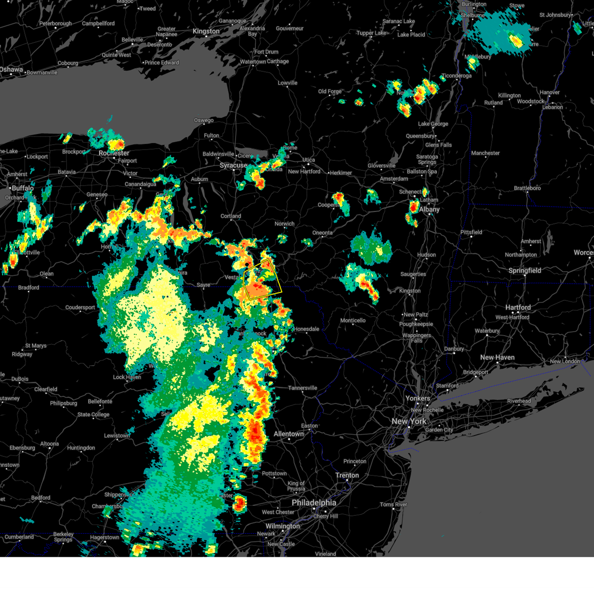 At 514 pm edt, a severe thunderstorm was located over conklin, or near binghamton town, moving northeast at 35 mph (law enforcement). Hazards include 60 mph wind gusts. Expect damage to roofs, siding, and trees. locations impacted include, binghamton, johnson city, kirkwood, conklin, susquehanna depot, port dickinson, hallstead, windsor, great bend, and lanesboro. hail threat, radar indicated max hail size, <. 75 in wind threat, observed max wind gust, 60 mph. At 514 pm edt, a severe thunderstorm was located over conklin, or near binghamton town, moving northeast at 35 mph (law enforcement). Hazards include 60 mph wind gusts. Expect damage to roofs, siding, and trees. locations impacted include, binghamton, johnson city, kirkwood, conklin, susquehanna depot, port dickinson, hallstead, windsor, great bend, and lanesboro. hail threat, radar indicated max hail size, <. 75 in wind threat, observed max wind gust, 60 mph.
|
| 9/7/2023 5:14 PM EDT |
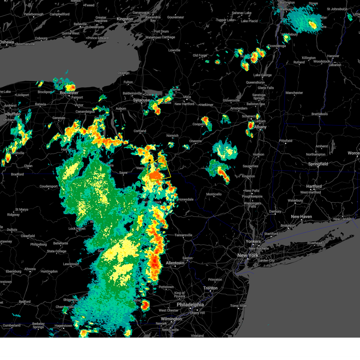 At 514 pm edt, a severe thunderstorm was located over conklin, or near binghamton town, moving northeast at 35 mph (law enforcement). Hazards include 60 mph wind gusts. Expect damage to roofs, siding, and trees. locations impacted include, binghamton, johnson city, kirkwood, conklin, susquehanna depot, port dickinson, hallstead, windsor, great bend, and lanesboro. hail threat, radar indicated max hail size, <. 75 in wind threat, observed max wind gust, 60 mph. At 514 pm edt, a severe thunderstorm was located over conklin, or near binghamton town, moving northeast at 35 mph (law enforcement). Hazards include 60 mph wind gusts. Expect damage to roofs, siding, and trees. locations impacted include, binghamton, johnson city, kirkwood, conklin, susquehanna depot, port dickinson, hallstead, windsor, great bend, and lanesboro. hail threat, radar indicated max hail size, <. 75 in wind threat, observed max wind gust, 60 mph.
|
| 9/7/2023 5:12 PM EDT |
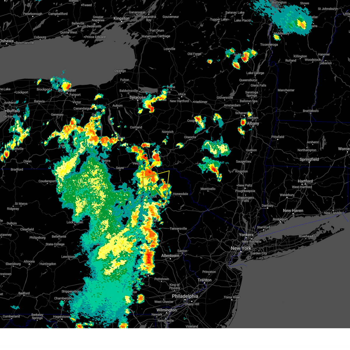 At 512 pm edt, a severe thunderstorm was located near montrose, moving northeast at 30 mph (radar indicated). Hazards include 60 mph wind gusts. Expect damage to roofs, siding, and trees. locations impacted include, jackson, clifford, susquehanna, susquehanna depot, montrose, dimock, harford, new milford, ararat, and lanesboro. hail threat, radar indicated max hail size, <. 75 in wind threat, radar indicated max wind gust, 60 mph. At 512 pm edt, a severe thunderstorm was located near montrose, moving northeast at 30 mph (radar indicated). Hazards include 60 mph wind gusts. Expect damage to roofs, siding, and trees. locations impacted include, jackson, clifford, susquehanna, susquehanna depot, montrose, dimock, harford, new milford, ararat, and lanesboro. hail threat, radar indicated max hail size, <. 75 in wind threat, radar indicated max wind gust, 60 mph.
|
| 9/7/2023 4:58 PM EDT |
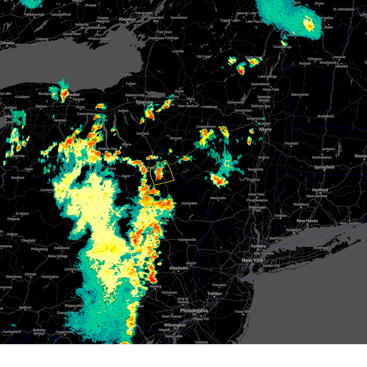 At 457 pm edt, a severe thunderstorm was located over brackney, or 8 miles south of binghamton, moving northeast at 20 mph (law enforcement has reported tree damage in areas south and southeast of binghamton). Hazards include 60 mph wind gusts and quarter size hail. Hail damage to vehicles is expected. expect wind damage to roofs, siding, and trees. locations impacted include, binghamton, johnson city, kirkwood, conklin, susquehanna depot, port dickinson, hallstead, windsor, great bend, and lanesboro. hail threat, radar indicated max hail size, 1. 00 in wind threat, observed max wind gust, 60 mph. At 457 pm edt, a severe thunderstorm was located over brackney, or 8 miles south of binghamton, moving northeast at 20 mph (law enforcement has reported tree damage in areas south and southeast of binghamton). Hazards include 60 mph wind gusts and quarter size hail. Hail damage to vehicles is expected. expect wind damage to roofs, siding, and trees. locations impacted include, binghamton, johnson city, kirkwood, conklin, susquehanna depot, port dickinson, hallstead, windsor, great bend, and lanesboro. hail threat, radar indicated max hail size, 1. 00 in wind threat, observed max wind gust, 60 mph.
|
| 9/7/2023 4:48 PM EDT |
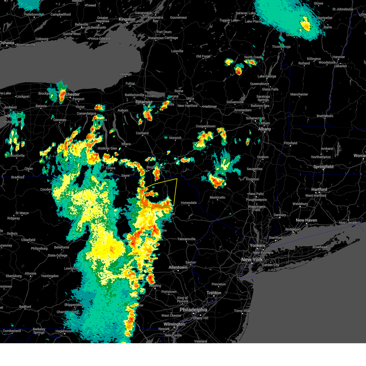 At 448 pm edt, a severe thunderstorm was located over rush, or 9 miles southwest of montrose, moving northeast at 30 mph (radar indicated). Hazards include 60 mph wind gusts and penny size hail. expect damage to roofs, siding, and trees At 448 pm edt, a severe thunderstorm was located over rush, or 9 miles southwest of montrose, moving northeast at 30 mph (radar indicated). Hazards include 60 mph wind gusts and penny size hail. expect damage to roofs, siding, and trees
|
| 9/7/2023 4:43 PM EDT |
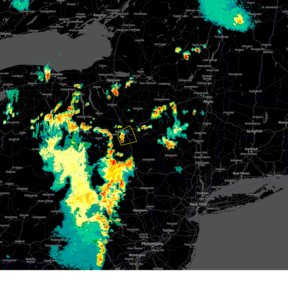 At 443 pm edt, a severe thunderstorm was located near brackney, or 7 miles northwest of montrose, moving northeast at 20 mph (radar indicated). Hazards include 60 mph wind gusts and quarter size hail. Hail damage to vehicles is expected. Expect wind damage to roofs, siding, and trees. At 443 pm edt, a severe thunderstorm was located near brackney, or 7 miles northwest of montrose, moving northeast at 20 mph (radar indicated). Hazards include 60 mph wind gusts and quarter size hail. Hail damage to vehicles is expected. Expect wind damage to roofs, siding, and trees.
|
| 9/7/2023 4:43 PM EDT |
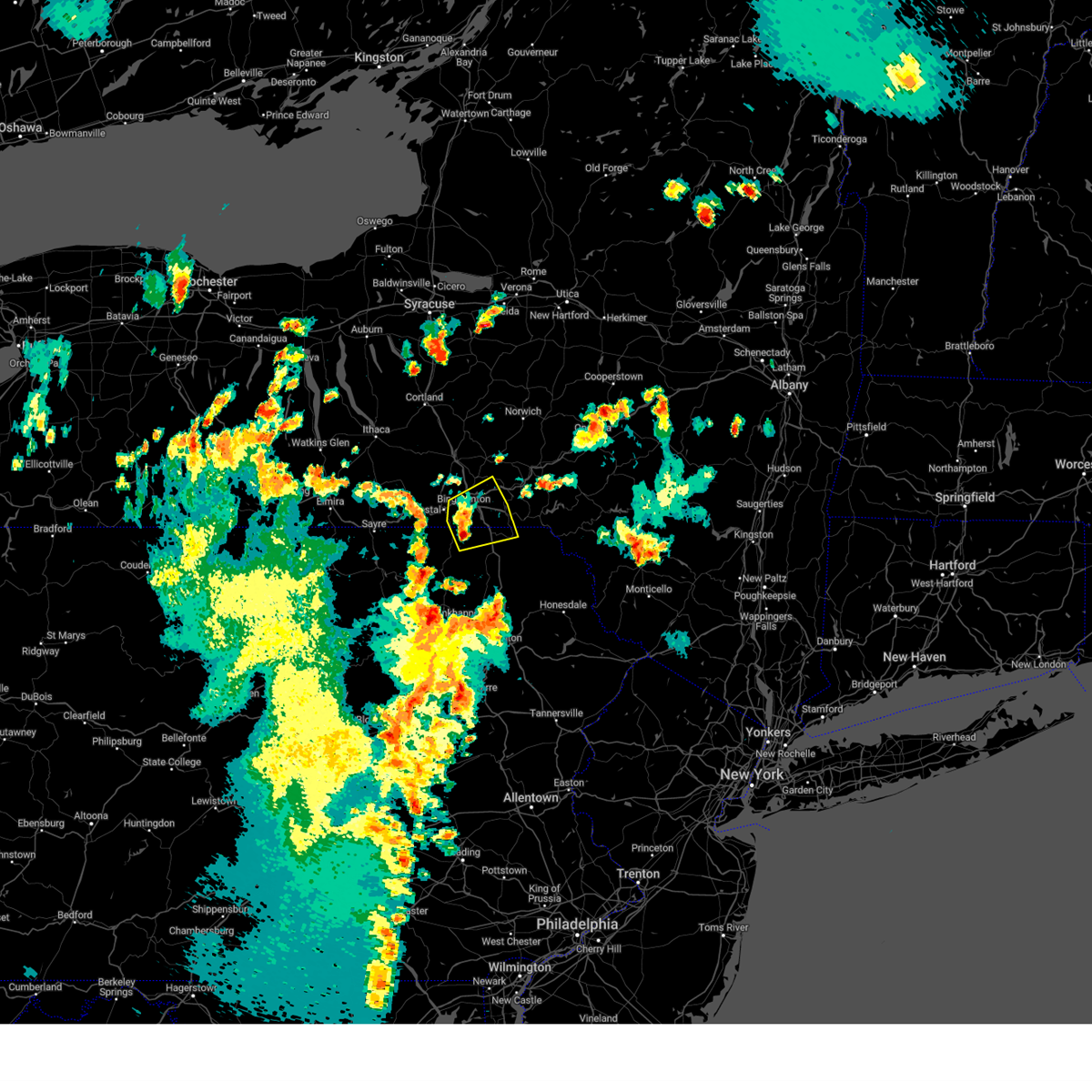 At 443 pm edt, a severe thunderstorm was located near brackney, or 7 miles northwest of montrose, moving northeast at 20 mph (radar indicated). Hazards include 60 mph wind gusts and quarter size hail. Hail damage to vehicles is expected. Expect wind damage to roofs, siding, and trees. At 443 pm edt, a severe thunderstorm was located near brackney, or 7 miles northwest of montrose, moving northeast at 20 mph (radar indicated). Hazards include 60 mph wind gusts and quarter size hail. Hail damage to vehicles is expected. Expect wind damage to roofs, siding, and trees.
|
| 8/25/2023 1:28 AM EDT |
 The severe thunderstorm warning for mercer, northwestern venango, northern lawrence and west central butler counties will expire at 130 am edt, the storms which prompted the warning have moved out of the area. therefore, the warning will be allowed to expire. however, gusty winds are still possible with these thunderstorms. a severe thunderstorm watch remains in effect until 300 am edt for western and northwestern pennsylvania. The severe thunderstorm warning for mercer, northwestern venango, northern lawrence and west central butler counties will expire at 130 am edt, the storms which prompted the warning have moved out of the area. therefore, the warning will be allowed to expire. however, gusty winds are still possible with these thunderstorms. a severe thunderstorm watch remains in effect until 300 am edt for western and northwestern pennsylvania.
|
| 8/25/2023 1:00 AM EDT |
 At 1259 am edt, severe thunderstorms were located along a line extending from 8 miles southeast of atlantic to near hermitage to near campbell, moving east at 55 mph (radar indicated). Hazards include 60 mph wind gusts. Expect damage to trees and power lines, resulting in some power outages. locations impacted include, new castle, hermitage, sharon, grove city, franklin, sharpsville, greenville, sugarcreek, farrell, new wilmington, oakwood, new castle northwest, mercer, pulaski, bessemer, stoneboro, new bedford, west middlesex, polk, and plain grove township. hail threat, radar indicated max hail size, <. 75 in wind threat, radar indicated max wind gust, 60 mph. At 1259 am edt, severe thunderstorms were located along a line extending from 8 miles southeast of atlantic to near hermitage to near campbell, moving east at 55 mph (radar indicated). Hazards include 60 mph wind gusts. Expect damage to trees and power lines, resulting in some power outages. locations impacted include, new castle, hermitage, sharon, grove city, franklin, sharpsville, greenville, sugarcreek, farrell, new wilmington, oakwood, new castle northwest, mercer, pulaski, bessemer, stoneboro, new bedford, west middlesex, polk, and plain grove township. hail threat, radar indicated max hail size, <. 75 in wind threat, radar indicated max wind gust, 60 mph.
|
| 8/25/2023 12:45 AM EDT |
 At 1243 am edt, severe thunderstorms were located along a line extending from near kinsman to warren to 6 miles north of sebring, moving east at 55 mph (radar indicated). Hazards include 60 mph wind gusts. expect damage to trees and power lines, resulting in some power outages At 1243 am edt, severe thunderstorms were located along a line extending from near kinsman to warren to 6 miles north of sebring, moving east at 55 mph (radar indicated). Hazards include 60 mph wind gusts. expect damage to trees and power lines, resulting in some power outages
|
| 8/12/2023 5:17 PM EDT |
 At 517 pm edt, a severe thunderstorm was located near oakwood, or near new castle, moving east at 30 mph (radar indicated). Hazards include ping pong ball size hail and 60 mph wind gusts. People and animals outdoors will be injured. expect hail damage to roofs, siding, windows, and vehicles. expect wind damage to trees and power lines, resulting in some power outages. locations impacted include, new castle, ellwood city, oakwood, new castle northwest, new beaver, pulaski, ellport, bessemer, new bedford, plain grove township, wampum, south new castle, harlansburg, s. n. p. j. Mcconnells mill, and rose point park. At 517 pm edt, a severe thunderstorm was located near oakwood, or near new castle, moving east at 30 mph (radar indicated). Hazards include ping pong ball size hail and 60 mph wind gusts. People and animals outdoors will be injured. expect hail damage to roofs, siding, windows, and vehicles. expect wind damage to trees and power lines, resulting in some power outages. locations impacted include, new castle, ellwood city, oakwood, new castle northwest, new beaver, pulaski, ellport, bessemer, new bedford, plain grove township, wampum, south new castle, harlansburg, s. n. p. j. Mcconnells mill, and rose point park.
|
| 8/12/2023 5:09 PM EDT |
 At 508 pm edt, a severe thunderstorm was located over campbell, or near youngstown, moving east at 35 mph (radar indicated). Hazards include ping pong ball size hail and 60 mph wind gusts. People and animals outdoors will be injured. expect hail damage to roofs, siding, windows, and vehicles. expect wind damage to trees and power lines, resulting in some power outages. locations impacted include, new castle, ellwood city, oakwood, new castle northwest, new beaver, pulaski, ellport, bessemer, new bedford, plain grove township, wampum, south new castle, harlansburg, s. n. p. j. Mcconnells mill, and rose point park. At 508 pm edt, a severe thunderstorm was located over campbell, or near youngstown, moving east at 35 mph (radar indicated). Hazards include ping pong ball size hail and 60 mph wind gusts. People and animals outdoors will be injured. expect hail damage to roofs, siding, windows, and vehicles. expect wind damage to trees and power lines, resulting in some power outages. locations impacted include, new castle, ellwood city, oakwood, new castle northwest, new beaver, pulaski, ellport, bessemer, new bedford, plain grove township, wampum, south new castle, harlansburg, s. n. p. j. Mcconnells mill, and rose point park.
|
| 8/12/2023 5:03 PM EDT |
 At 503 pm edt, a severe thunderstorm was located over boardman, or near youngstown, moving east at 30 mph (radar indicated). Hazards include ping pong ball size hail and 60 mph wind gusts. People and animals outdoors will be injured. expect hail damage to roofs, siding, windows, and vehicles. Expect wind damage to trees and power lines, resulting in some power outages. At 503 pm edt, a severe thunderstorm was located over boardman, or near youngstown, moving east at 30 mph (radar indicated). Hazards include ping pong ball size hail and 60 mph wind gusts. People and animals outdoors will be injured. expect hail damage to roofs, siding, windows, and vehicles. Expect wind damage to trees and power lines, resulting in some power outages.
|
| 8/7/2023 6:11 PM EDT |
 At 610 pm edt, a confirmed tornado was located over susquehanna, or 11 miles southwest of deposit, moving east at 20 mph (radar confirmed tornado). Hazards include damaging tornado. Flying debris will be dangerous to those caught without shelter. mobile homes will be damaged or destroyed. damage to roofs, windows, and vehicles will occur. tree damage is likely. this tornado will be near, starrucca and starruca around 620 pm edt. sherman around 630 pm edt. Hiawatha around 635 pm edt. At 610 pm edt, a confirmed tornado was located over susquehanna, or 11 miles southwest of deposit, moving east at 20 mph (radar confirmed tornado). Hazards include damaging tornado. Flying debris will be dangerous to those caught without shelter. mobile homes will be damaged or destroyed. damage to roofs, windows, and vehicles will occur. tree damage is likely. this tornado will be near, starrucca and starruca around 620 pm edt. sherman around 630 pm edt. Hiawatha around 635 pm edt.
|
| 8/7/2023 5:54 PM EDT |
 At 554 pm edt, a severe thunderstorm capable of producing a tornado was located near new milford, or 11 miles east of montrose, moving east at 25 mph (radar indicated rotation). Hazards include tornado. Flying debris will be dangerous to those caught without shelter. mobile homes will be damaged or destroyed. damage to roofs, windows, and vehicles will occur. tree damage is likely. this dangerous storm will be near, susquehanna, susquehanna depot and lanesboro around 605 pm edt. thompson around 615 pm edt. starrucca and starruca around 620 pm edt. Hiawatha, sherman and shehawken around 630 pm edt. At 554 pm edt, a severe thunderstorm capable of producing a tornado was located near new milford, or 11 miles east of montrose, moving east at 25 mph (radar indicated rotation). Hazards include tornado. Flying debris will be dangerous to those caught without shelter. mobile homes will be damaged or destroyed. damage to roofs, windows, and vehicles will occur. tree damage is likely. this dangerous storm will be near, susquehanna, susquehanna depot and lanesboro around 605 pm edt. thompson around 615 pm edt. starrucca and starruca around 620 pm edt. Hiawatha, sherman and shehawken around 630 pm edt.
|
| 8/7/2023 5:43 PM EDT |
 At 542 pm edt, a severe thunderstorm was located over susquehanna, or 13 miles northeast of montrose, moving northeast at 20 mph (radar indicated). Hazards include 60 mph wind gusts and quarter size hail. Hail damage to vehicles is expected. Expect wind damage to roofs, siding, and trees. At 542 pm edt, a severe thunderstorm was located over susquehanna, or 13 miles northeast of montrose, moving northeast at 20 mph (radar indicated). Hazards include 60 mph wind gusts and quarter size hail. Hail damage to vehicles is expected. Expect wind damage to roofs, siding, and trees.
|
| 8/4/2023 8:36 PM EDT |
 At 836 pm edt, a severe thunderstorm was located over starruca, or 9 miles south of deposit, moving southeast at 30 mph (radar indicated). Hazards include 60 mph wind gusts and quarter size hail. Hail damage to vehicles is expected. expect wind damage to roofs, siding, and trees. locations impacted include, susquehanna, deposit, susquehanna depot, hallstead, hancock, ararat, lanesboro, thompson, starrucca and hiawatha. hail threat, radar indicated max hail size, 1. 00 in wind threat, radar indicated max wind gust, 60 mph. At 836 pm edt, a severe thunderstorm was located over starruca, or 9 miles south of deposit, moving southeast at 30 mph (radar indicated). Hazards include 60 mph wind gusts and quarter size hail. Hail damage to vehicles is expected. expect wind damage to roofs, siding, and trees. locations impacted include, susquehanna, deposit, susquehanna depot, hallstead, hancock, ararat, lanesboro, thompson, starrucca and hiawatha. hail threat, radar indicated max hail size, 1. 00 in wind threat, radar indicated max wind gust, 60 mph.
|
| 8/4/2023 8:17 PM EDT |
 At 816 pm edt, a severe thunderstorm was located near great bend, or 12 miles southeast of binghamton, moving southeast at 30 mph (radar indicated). Hazards include 60 mph wind gusts and quarter size hail. Hail damage to vehicles is expected. Expect wind damage to roofs, siding, and trees. At 816 pm edt, a severe thunderstorm was located near great bend, or 12 miles southeast of binghamton, moving southeast at 30 mph (radar indicated). Hazards include 60 mph wind gusts and quarter size hail. Hail damage to vehicles is expected. Expect wind damage to roofs, siding, and trees.
|
| 8/4/2023 2:47 PM EDT |
 At 247 pm edt, a severe thunderstorm was located over lanesboro, or 8 miles southwest of deposit, moving southeast at 20 mph (radar indicated). Hazards include 60 mph wind gusts and quarter size hail. Hail damage to vehicles is expected. expect wind damage to roofs, siding, and trees. locations impacted include, deposit, susquehanna depot, lanesboro, thompson, starrucca and sherman. hail threat, radar indicated max hail size, 1. 00 in wind threat, radar indicated max wind gust, 60 mph. At 247 pm edt, a severe thunderstorm was located over lanesboro, or 8 miles southwest of deposit, moving southeast at 20 mph (radar indicated). Hazards include 60 mph wind gusts and quarter size hail. Hail damage to vehicles is expected. expect wind damage to roofs, siding, and trees. locations impacted include, deposit, susquehanna depot, lanesboro, thompson, starrucca and sherman. hail threat, radar indicated max hail size, 1. 00 in wind threat, radar indicated max wind gust, 60 mph.
|
| 8/4/2023 2:33 PM EDT |
 At 233 pm edt, a severe thunderstorm was located near windsor, or 11 miles west of deposit, moving southeast at 10 mph (radar indicated). Hazards include 60 mph wind gusts and quarter size hail. Hail damage to vehicles is expected. Expect wind damage to roofs, siding, and trees. At 233 pm edt, a severe thunderstorm was located near windsor, or 11 miles west of deposit, moving southeast at 10 mph (radar indicated). Hazards include 60 mph wind gusts and quarter size hail. Hail damage to vehicles is expected. Expect wind damage to roofs, siding, and trees.
|
| 7/27/2023 2:20 PM EDT |
 The severe thunderstorm warning for southern broome, southwestern delaware, susquehanna, northwestern wayne and northeastern bradford counties will expire at 230 pm edt, the storms which prompted the warning have weakened below severe limits, and no longer pose an immediate threat to life or property. therefore, the warning will be allowed to expire. a severe thunderstorm watch remains in effect until 800 pm edt for central new york, and northeastern pennsylvania. to report severe weather, contact your nearest law enforcement agency. they will relay your report to the national weather service binghamton. The severe thunderstorm warning for southern broome, southwestern delaware, susquehanna, northwestern wayne and northeastern bradford counties will expire at 230 pm edt, the storms which prompted the warning have weakened below severe limits, and no longer pose an immediate threat to life or property. therefore, the warning will be allowed to expire. a severe thunderstorm watch remains in effect until 800 pm edt for central new york, and northeastern pennsylvania. to report severe weather, contact your nearest law enforcement agency. they will relay your report to the national weather service binghamton.
|
| 7/27/2023 1:35 PM EDT |
 At 134 pm edt, severe thunderstorms were located along a line extending from 6 miles southeast of afton to near north towanda, moving southeast at 25 mph (radar indicated). Hazards include 60 mph wind gusts. expect damage to roofs, siding, and trees At 134 pm edt, severe thunderstorms were located along a line extending from 6 miles southeast of afton to near north towanda, moving southeast at 25 mph (radar indicated). Hazards include 60 mph wind gusts. expect damage to roofs, siding, and trees
|
| 7/24/2023 11:11 PM EDT |
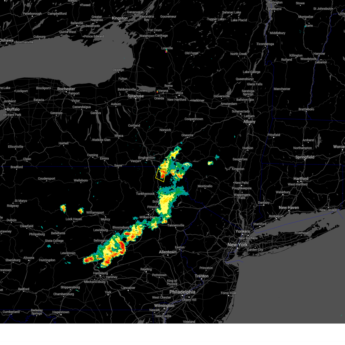 The severe thunderstorm warning for northeastern susquehanna county will expire at 1115 pm edt, the storm which prompted the warning has weakened below severe limits, and no longer poses an immediate threat to life or property. therefore, the warning will be allowed to expire. The severe thunderstorm warning for northeastern susquehanna county will expire at 1115 pm edt, the storm which prompted the warning has weakened below severe limits, and no longer poses an immediate threat to life or property. therefore, the warning will be allowed to expire.
|
| 7/24/2023 11:05 PM EDT |
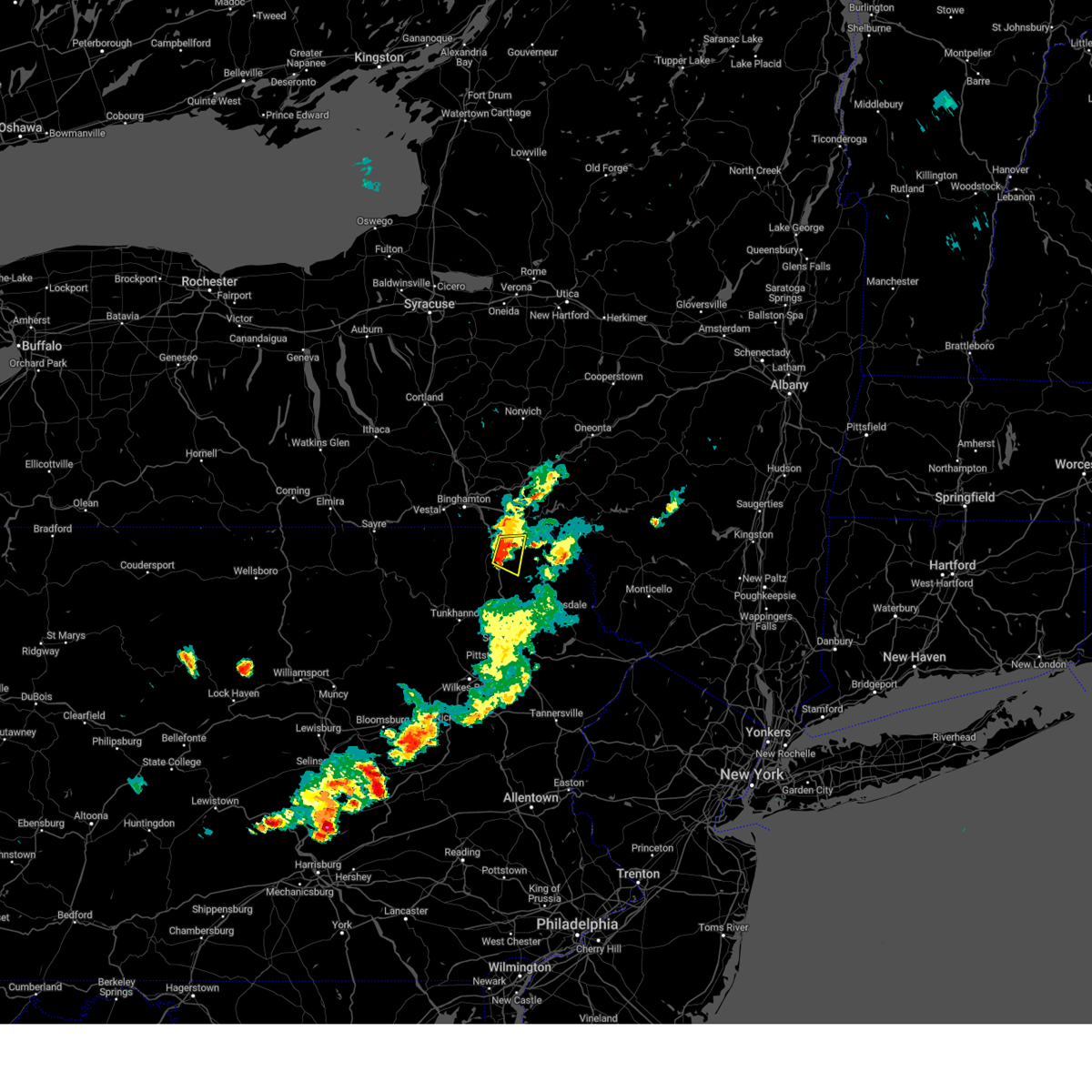 At 1104 pm edt, a severe thunderstorm was located over new milford, or 10 miles east of montrose, moving east at 5 mph (radar indicated). Hazards include 60 mph wind gusts and penny size hail. Expect damage to roofs, siding, and trees. locations impacted include, jackson, susquehanna, susquehanna depot, lanesboro, gibson, lakeview and lakeside. hail threat, radar indicated max hail size, 0. 75 in wind threat, radar indicated max wind gust, 60 mph. At 1104 pm edt, a severe thunderstorm was located over new milford, or 10 miles east of montrose, moving east at 5 mph (radar indicated). Hazards include 60 mph wind gusts and penny size hail. Expect damage to roofs, siding, and trees. locations impacted include, jackson, susquehanna, susquehanna depot, lanesboro, gibson, lakeview and lakeside. hail threat, radar indicated max hail size, 0. 75 in wind threat, radar indicated max wind gust, 60 mph.
|
| 7/24/2023 10:30 PM EDT |
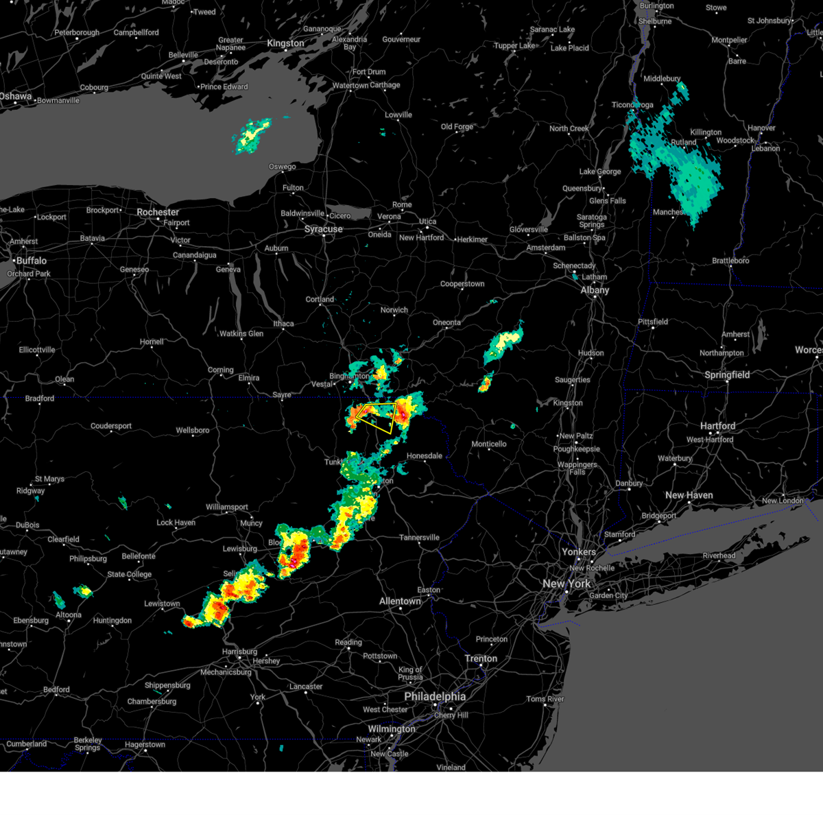 At 1030 pm edt, a severe thunderstorm was located over new milford, or 7 miles northeast of montrose, moving east at 5 mph (radar indicated). Hazards include 60 mph wind gusts and nickel size hail. expect damage to roofs, siding, and trees At 1030 pm edt, a severe thunderstorm was located over new milford, or 7 miles northeast of montrose, moving east at 5 mph (radar indicated). Hazards include 60 mph wind gusts and nickel size hail. expect damage to roofs, siding, and trees
|
| 7/24/2023 10:00 PM EDT |
 At 1000 pm edt, a severe thunderstorm was located near thompson, or 15 miles east of montrose, moving east at 20 mph (radar indicated). Hazards include 60 mph wind gusts and penny size hail. expect damage to roofs, siding, and trees At 1000 pm edt, a severe thunderstorm was located near thompson, or 15 miles east of montrose, moving east at 20 mph (radar indicated). Hazards include 60 mph wind gusts and penny size hail. expect damage to roofs, siding, and trees
|
| 7/24/2023 11:24 AM EDT |
 At 1122 am edt, multiple severe thunderstorms were located in susquehanna county near susquehanna depot, or 13 miles southwest of deposit, moving northeast at 40 mph (law enforcement. at 1020 am downed trees and wires were reported in jackson township and also near montrose). Hazards include 60 mph wind gusts and nickel size hail. expect damage to roofs, siding, and trees At 1122 am edt, multiple severe thunderstorms were located in susquehanna county near susquehanna depot, or 13 miles southwest of deposit, moving northeast at 40 mph (law enforcement. at 1020 am downed trees and wires were reported in jackson township and also near montrose). Hazards include 60 mph wind gusts and nickel size hail. expect damage to roofs, siding, and trees
|
| 7/20/2023 9:30 PM EDT |
 At 929 pm edt, severe thunderstorms were located along a line extending from kittanning to zelienople to beaver, moving southeast at 30 mph (radar indicated). Hazards include 60 mph wind gusts. Expect damage to trees and power lines, resulting in some power outages. locations impacted include, pittsburgh, penn hills, mount lebanon, ross township, mccandless township, monroeville, cranberry, moon township, new castle, butler, franklin park, aliquippa, beaver falls, monaca, vandergrift, east palestine, kittanning, apollo, shaler township, and plum. hail threat, radar indicated max hail size, <. 75 in wind threat, observed max wind gust, 60 mph. At 929 pm edt, severe thunderstorms were located along a line extending from kittanning to zelienople to beaver, moving southeast at 30 mph (radar indicated). Hazards include 60 mph wind gusts. Expect damage to trees and power lines, resulting in some power outages. locations impacted include, pittsburgh, penn hills, mount lebanon, ross township, mccandless township, monroeville, cranberry, moon township, new castle, butler, franklin park, aliquippa, beaver falls, monaca, vandergrift, east palestine, kittanning, apollo, shaler township, and plum. hail threat, radar indicated max hail size, <. 75 in wind threat, observed max wind gust, 60 mph.
|
| 7/20/2023 9:12 PM EDT |
 At 911 pm edt, severe thunderstorms were located along a line extending from 8 miles northwest of kittanning to near ellwood city to near beaver falls, moving southeast at 30 mph (radar indicated). Hazards include 60 mph wind gusts. expect damage to trees and power lines, resulting in some power outages At 911 pm edt, severe thunderstorms were located along a line extending from 8 miles northwest of kittanning to near ellwood city to near beaver falls, moving southeast at 30 mph (radar indicated). Hazards include 60 mph wind gusts. expect damage to trees and power lines, resulting in some power outages
|
| 7/20/2023 9:01 PM EDT |
 At 858 pm edt, severe thunderstorms were located along a line extending from 8 miles west of rimersburg to meadowood to ellwood city, moving southeast at 35 mph (law enforcement reported widespread trees down and power outages). Hazards include 70 mph wind gusts. Trees snapped and uprooted. power outages can be expected. locations impacted include, cranberry, new castle, hermitage, butler, beaver falls, grove city, monaca, east palestine, rimersburg, ellwood city, homeacre-lyndora, new brighton, shanor-northvue, beaver, meridian, zelienople, rochester, slippery rock, seven fields, and meadowood. thunderstorm damage threat, considerable hail threat, radar indicated max hail size, <. 75 in wind threat, observed max wind gust, 70 mph. At 858 pm edt, severe thunderstorms were located along a line extending from 8 miles west of rimersburg to meadowood to ellwood city, moving southeast at 35 mph (law enforcement reported widespread trees down and power outages). Hazards include 70 mph wind gusts. Trees snapped and uprooted. power outages can be expected. locations impacted include, cranberry, new castle, hermitage, butler, beaver falls, grove city, monaca, east palestine, rimersburg, ellwood city, homeacre-lyndora, new brighton, shanor-northvue, beaver, meridian, zelienople, rochester, slippery rock, seven fields, and meadowood. thunderstorm damage threat, considerable hail threat, radar indicated max hail size, <. 75 in wind threat, observed max wind gust, 70 mph.
|
| 7/20/2023 8:42 PM EDT |
 At 841 pm edt, severe thunderstorms were located along a line extending from 14 miles northeast of slippery rock to near shanor-northvue to near oakwood, moving southeast at 35 mph (radar indicated). Hazards include 70 mph wind gusts and penny size hail. Trees snapped and uprooted. power outages can be expected. locations impacted include, cranberry, new castle, hermitage, butler, beaver falls, grove city, monaca, east palestine, rimersburg, ellwood city, homeacre-lyndora, new brighton, shanor-northvue, beaver, meridian, zelienople, rochester, slippery rock, seven fields, and meadowood. thunderstorm damage threat, considerable hail threat, radar indicated max hail size, 0. 75 in wind threat, observed max wind gust, 70 mph. At 841 pm edt, severe thunderstorms were located along a line extending from 14 miles northeast of slippery rock to near shanor-northvue to near oakwood, moving southeast at 35 mph (radar indicated). Hazards include 70 mph wind gusts and penny size hail. Trees snapped and uprooted. power outages can be expected. locations impacted include, cranberry, new castle, hermitage, butler, beaver falls, grove city, monaca, east palestine, rimersburg, ellwood city, homeacre-lyndora, new brighton, shanor-northvue, beaver, meridian, zelienople, rochester, slippery rock, seven fields, and meadowood. thunderstorm damage threat, considerable hail threat, radar indicated max hail size, 0. 75 in wind threat, observed max wind gust, 70 mph.
|
| 7/20/2023 8:27 PM EDT |
 The severe thunderstorm warning for mercer, venango, lawrence, northern butler, northern jefferson, northwestern armstrong, clarion and forest counties will expire at 830 pm edt, the storms which prompted the warning have moved out of portions of the area. therefore, the warning will be allowed to expire. a new warning covers the new threat. a severe thunderstorm watch remains in effect until 300 am edt for east central ohio, and western, northwestern and west central pennsylvania. The severe thunderstorm warning for mercer, venango, lawrence, northern butler, northern jefferson, northwestern armstrong, clarion and forest counties will expire at 830 pm edt, the storms which prompted the warning have moved out of portions of the area. therefore, the warning will be allowed to expire. a new warning covers the new threat. a severe thunderstorm watch remains in effect until 300 am edt for east central ohio, and western, northwestern and west central pennsylvania.
|
| 7/20/2023 8:22 PM EDT |
 At 820 pm edt, severe thunderstorms were located along a line extending from 10 miles northeast of grove city to 6 miles west of slippery rock to campbell, moving southeast at 35 mph (radar indicated). Hazards include 70 mph wind gusts and quarter size hail. Minor hail damage to vehicles is possible. trees snapped and uprooted. Power outages can be expected. At 820 pm edt, severe thunderstorms were located along a line extending from 10 miles northeast of grove city to 6 miles west of slippery rock to campbell, moving southeast at 35 mph (radar indicated). Hazards include 70 mph wind gusts and quarter size hail. Minor hail damage to vehicles is possible. trees snapped and uprooted. Power outages can be expected.
|
| 7/20/2023 8:02 PM EDT |
 At 801 pm edt, severe thunderstorms were located along a line extending from near james city to 8 miles north of knox to near new wilmington, moving east at 60 mph (law enforcement reported trees down in mercer county). Hazards include 70 mph wind gusts and quarter size hail. Minor hail damage to vehicles is possible. trees snapped and uprooted. power outages can be expected. locations impacted include, new castle, hermitage, sharon, butler, oil city, grove city, franklin, clarion, sharpsville, brookville, marienville, knox, rimersburg, ellwood city, homeacre-lyndora, greenville, sugarcreek, farrell, shanor-northvue, and meridian. thunderstorm damage threat, considerable hail threat, radar indicated max hail size, 1. 00 in wind threat, radar indicated max wind gust, 70 mph. At 801 pm edt, severe thunderstorms were located along a line extending from near james city to 8 miles north of knox to near new wilmington, moving east at 60 mph (law enforcement reported trees down in mercer county). Hazards include 70 mph wind gusts and quarter size hail. Minor hail damage to vehicles is possible. trees snapped and uprooted. power outages can be expected. locations impacted include, new castle, hermitage, sharon, butler, oil city, grove city, franklin, clarion, sharpsville, brookville, marienville, knox, rimersburg, ellwood city, homeacre-lyndora, greenville, sugarcreek, farrell, shanor-northvue, and meridian. thunderstorm damage threat, considerable hail threat, radar indicated max hail size, 1. 00 in wind threat, radar indicated max wind gust, 70 mph.
|
| 7/20/2023 7:56 PM EDT |
 At 755 pm edt, severe thunderstorms were located along a line extending from near sheffield to 6 miles southeast of oil city to near farrell, moving east at 60 mph (radar indicated). Hazards include 70 mph wind gusts and quarter size hail. Minor hail damage to vehicles is possible. trees snapped and uprooted. power outages can be expected. locations impacted include, new castle, hermitage, sharon, butler, oil city, grove city, franklin, clarion, sharpsville, brookville, marienville, knox, rimersburg, ellwood city, homeacre-lyndora, greenville, sugarcreek, farrell, shanor-northvue, and meridian. thunderstorm damage threat, considerable hail threat, radar indicated max hail size, 1. 00 in wind threat, radar indicated max wind gust, 70 mph. At 755 pm edt, severe thunderstorms were located along a line extending from near sheffield to 6 miles southeast of oil city to near farrell, moving east at 60 mph (radar indicated). Hazards include 70 mph wind gusts and quarter size hail. Minor hail damage to vehicles is possible. trees snapped and uprooted. power outages can be expected. locations impacted include, new castle, hermitage, sharon, butler, oil city, grove city, franklin, clarion, sharpsville, brookville, marienville, knox, rimersburg, ellwood city, homeacre-lyndora, greenville, sugarcreek, farrell, shanor-northvue, and meridian. thunderstorm damage threat, considerable hail threat, radar indicated max hail size, 1. 00 in wind threat, radar indicated max wind gust, 70 mph.
|
| 7/20/2023 7:42 PM EDT |
 The severe thunderstorm warning for mercer, venango, lawrence, northwestern butler and western forest counties will expire at 745 pm edt, the warning will be allowed to expire, however a new warning is in effect. gusty winds and large hail are still possible with these thunderstorms. a severe thunderstorm watch remains in effect until 300 am edt for east central ohio, and western, northwestern and west central pennsylvania. remember, a severe thunderstorm warning still remains in effect for northwest pennsylvania. The severe thunderstorm warning for mercer, venango, lawrence, northwestern butler and western forest counties will expire at 745 pm edt, the warning will be allowed to expire, however a new warning is in effect. gusty winds and large hail are still possible with these thunderstorms. a severe thunderstorm watch remains in effect until 300 am edt for east central ohio, and western, northwestern and west central pennsylvania. remember, a severe thunderstorm warning still remains in effect for northwest pennsylvania.
|
| 7/20/2023 7:40 PM EDT |
 At 740 pm edt, severe thunderstorms were located along a line extending from near chapman state park to sugarcreek to vienna center, moving east at 60 mph (radar indicated). Hazards include 60 mph wind gusts and quarter size hail. Minor hail damage to vehicles is possible. Expect wind damage to trees and power lines, resulting in some power outages. At 740 pm edt, severe thunderstorms were located along a line extending from near chapman state park to sugarcreek to vienna center, moving east at 60 mph (radar indicated). Hazards include 60 mph wind gusts and quarter size hail. Minor hail damage to vehicles is possible. Expect wind damage to trees and power lines, resulting in some power outages.
|
| 7/20/2023 7:27 PM EDT |
 At 726 pm edt, severe thunderstorms were located along a line extending from near riceville to 10 miles south of guys mills to near canfield, moving east at 45 mph (radar indicated). Hazards include 60 mph wind gusts and half dollar size hail. Minor hail damage to vehicles is possible. expect wind damage to trees and power lines, resulting in some power outages. locations impacted include, new castle, hermitage, sharon, oil city, grove city, franklin, sharpsville, greenville, sugarcreek, farrell, slippery rock, new wilmington, oakwood, new castle northwest, tionesta, mercer, new beaver, pulaski, hasson heights, and bessemer. hail threat, radar indicated max hail size, 1. 25 in wind threat, radar indicated max wind gust, 60 mph. At 726 pm edt, severe thunderstorms were located along a line extending from near riceville to 10 miles south of guys mills to near canfield, moving east at 45 mph (radar indicated). Hazards include 60 mph wind gusts and half dollar size hail. Minor hail damage to vehicles is possible. expect wind damage to trees and power lines, resulting in some power outages. locations impacted include, new castle, hermitage, sharon, oil city, grove city, franklin, sharpsville, greenville, sugarcreek, farrell, slippery rock, new wilmington, oakwood, new castle northwest, tionesta, mercer, new beaver, pulaski, hasson heights, and bessemer. hail threat, radar indicated max hail size, 1. 25 in wind threat, radar indicated max wind gust, 60 mph.
|
| 7/20/2023 7:25 PM EDT |
 At 725 pm edt, severe thunderstorms were located along a line extending from near riceville to 10 miles south of guys mills to near canfield, moving southeast at 45 mph (radar indicated). Hazards include 60 mph wind gusts and penny size hail. Expect damage to trees and power lines, resulting in some power outages. locations impacted include, new castle, hermitage, sharon, oil city, grove city, franklin, sharpsville, greenville, sugarcreek, farrell, slippery rock, new wilmington, oakwood, new castle northwest, tionesta, mercer, new beaver, pulaski, hasson heights, and bessemer. hail threat, radar indicated max hail size, 0. 75 in wind threat, radar indicated max wind gust, 60 mph. At 725 pm edt, severe thunderstorms were located along a line extending from near riceville to 10 miles south of guys mills to near canfield, moving southeast at 45 mph (radar indicated). Hazards include 60 mph wind gusts and penny size hail. Expect damage to trees and power lines, resulting in some power outages. locations impacted include, new castle, hermitage, sharon, oil city, grove city, franklin, sharpsville, greenville, sugarcreek, farrell, slippery rock, new wilmington, oakwood, new castle northwest, tionesta, mercer, new beaver, pulaski, hasson heights, and bessemer. hail threat, radar indicated max hail size, 0. 75 in wind threat, radar indicated max wind gust, 60 mph.
|
| 7/20/2023 7:04 PM EDT |
 At 704 pm edt, severe thunderstorms were located along a line extending from near waterford to near harmonsburg to near garrettsville, moving southeast at 45 mph (radar indicated). Hazards include 60 mph wind gusts and quarter size hail. Minor hail damage to vehicles is possible. expect wind damage to trees and power lines, resulting in some power outages. locations impacted include, new castle, hermitage, sharon, oil city, grove city, franklin, sharpsville, greenville, sugarcreek, farrell, slippery rock, new wilmington, oakwood, new castle northwest, tionesta, mercer, new beaver, pulaski, hasson heights, and bessemer. hail threat, radar indicated max hail size, 1. 00 in wind threat, radar indicated max wind gust, 60 mph. At 704 pm edt, severe thunderstorms were located along a line extending from near waterford to near harmonsburg to near garrettsville, moving southeast at 45 mph (radar indicated). Hazards include 60 mph wind gusts and quarter size hail. Minor hail damage to vehicles is possible. expect wind damage to trees and power lines, resulting in some power outages. locations impacted include, new castle, hermitage, sharon, oil city, grove city, franklin, sharpsville, greenville, sugarcreek, farrell, slippery rock, new wilmington, oakwood, new castle northwest, tionesta, mercer, new beaver, pulaski, hasson heights, and bessemer. hail threat, radar indicated max hail size, 1. 00 in wind threat, radar indicated max wind gust, 60 mph.
|
| 7/20/2023 6:51 PM EDT |
 At 650 pm edt, severe thunderstorms were located along a line extending from near erie to 7 miles north of harmonsburg to near garrettsville, moving southeast at 45 mph (radar indicated). Hazards include 60 mph wind gusts and penny size hail. expect damage to trees and power lines, resulting in some power outages At 650 pm edt, severe thunderstorms were located along a line extending from near erie to 7 miles north of harmonsburg to near garrettsville, moving southeast at 45 mph (radar indicated). Hazards include 60 mph wind gusts and penny size hail. expect damage to trees and power lines, resulting in some power outages
|
| 7/12/2023 4:32 PM EDT |
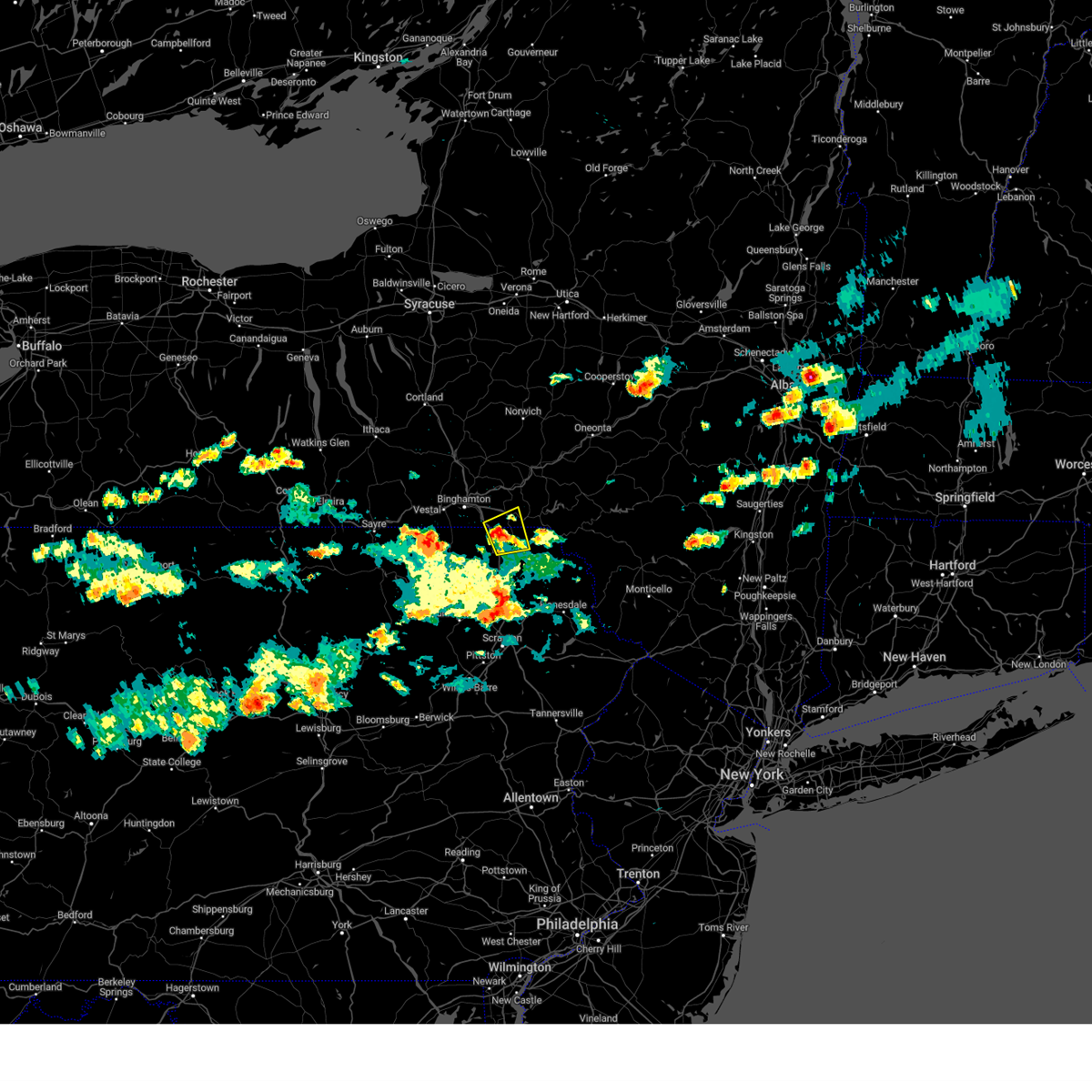 At 432 pm edt, a severe thunderstorm was located over lanesboro, or 11 miles southwest of deposit, moving east at 30 mph (radar indicated). Hazards include 60 mph wind gusts and quarter size hail. Hail damage to vehicles is expected. expect wind damage to roofs, siding, and trees. locations impacted include, susquehanna, susquehanna depot, hallstead, windsor, great bend, lanesboro, lakeside and hickory grove. hail threat, radar indicated max hail size, 1. 00 in wind threat, radar indicated max wind gust, 60 mph. At 432 pm edt, a severe thunderstorm was located over lanesboro, or 11 miles southwest of deposit, moving east at 30 mph (radar indicated). Hazards include 60 mph wind gusts and quarter size hail. Hail damage to vehicles is expected. expect wind damage to roofs, siding, and trees. locations impacted include, susquehanna, susquehanna depot, hallstead, windsor, great bend, lanesboro, lakeside and hickory grove. hail threat, radar indicated max hail size, 1. 00 in wind threat, radar indicated max wind gust, 60 mph.
|
| 7/12/2023 4:32 PM EDT |
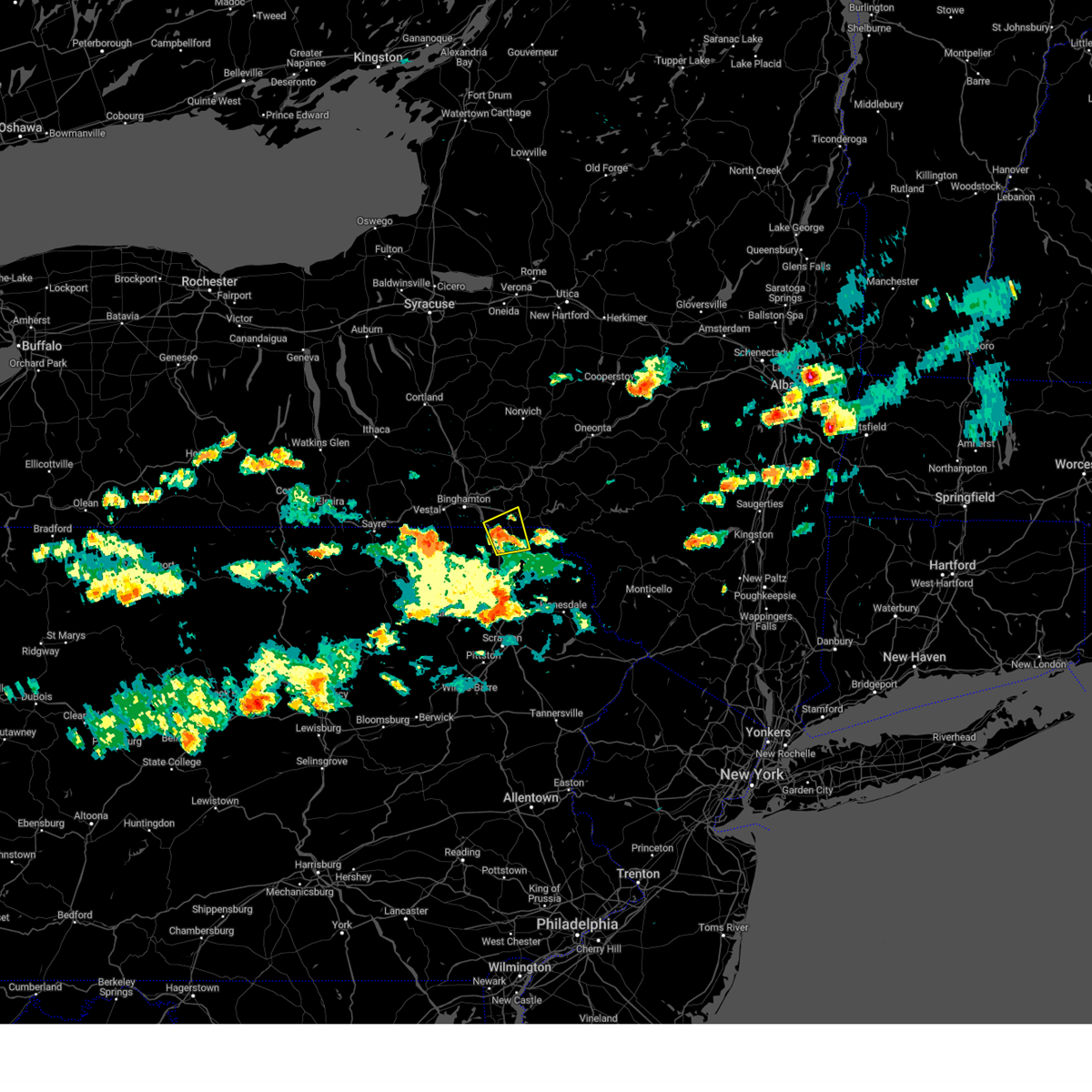 At 432 pm edt, a severe thunderstorm was located over lanesboro, or 11 miles southwest of deposit, moving east at 30 mph (radar indicated). Hazards include 60 mph wind gusts and quarter size hail. Hail damage to vehicles is expected. expect wind damage to roofs, siding, and trees. locations impacted include, susquehanna, susquehanna depot, hallstead, windsor, great bend, lanesboro, lakeside and hickory grove. hail threat, radar indicated max hail size, 1. 00 in wind threat, radar indicated max wind gust, 60 mph. At 432 pm edt, a severe thunderstorm was located over lanesboro, or 11 miles southwest of deposit, moving east at 30 mph (radar indicated). Hazards include 60 mph wind gusts and quarter size hail. Hail damage to vehicles is expected. expect wind damage to roofs, siding, and trees. locations impacted include, susquehanna, susquehanna depot, hallstead, windsor, great bend, lanesboro, lakeside and hickory grove. hail threat, radar indicated max hail size, 1. 00 in wind threat, radar indicated max wind gust, 60 mph.
|
| 7/12/2023 4:15 PM EDT |
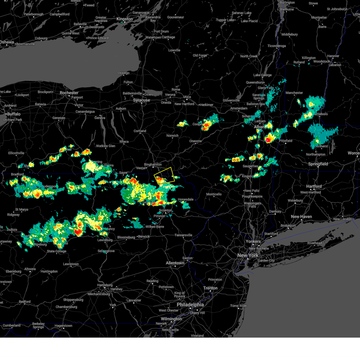 At 415 pm edt, a severe thunderstorm was located over hallstead, or 9 miles northeast of montrose, moving northeast at 30 mph (radar indicated). Hazards include 60 mph wind gusts and quarter size hail. Hail damage to vehicles is expected. expect wind damage to roofs, siding, and trees. locations impacted include, susquehanna, susquehanna depot, hallstead, windsor, new milford, great bend, lanesboro, lakeside and hickory grove. hail threat, radar indicated max hail size, 1. 00 in wind threat, radar indicated max wind gust, 60 mph. At 415 pm edt, a severe thunderstorm was located over hallstead, or 9 miles northeast of montrose, moving northeast at 30 mph (radar indicated). Hazards include 60 mph wind gusts and quarter size hail. Hail damage to vehicles is expected. expect wind damage to roofs, siding, and trees. locations impacted include, susquehanna, susquehanna depot, hallstead, windsor, new milford, great bend, lanesboro, lakeside and hickory grove. hail threat, radar indicated max hail size, 1. 00 in wind threat, radar indicated max wind gust, 60 mph.
|
| 7/12/2023 4:02 PM EDT |
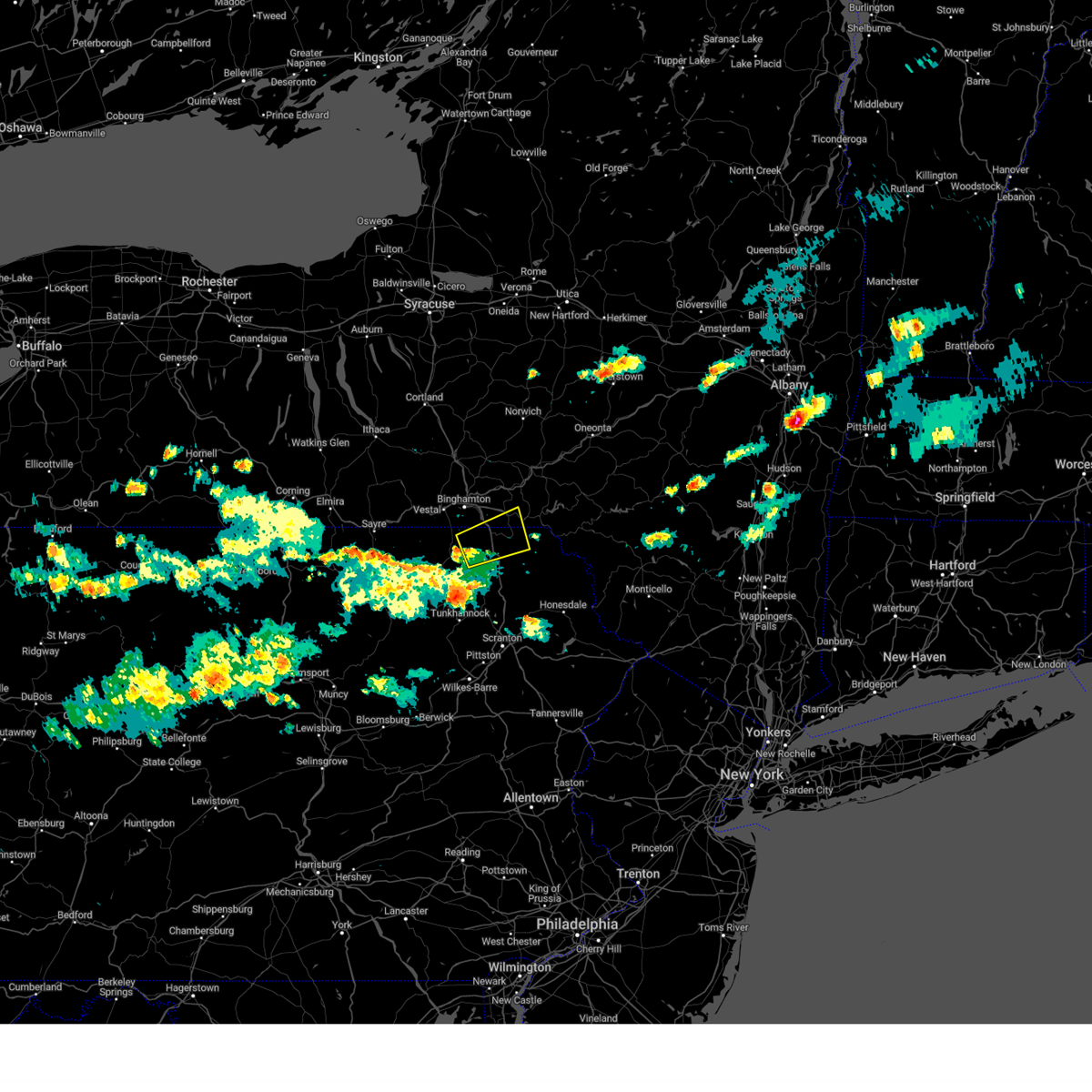 At 402 pm edt, a severe thunderstorm was located near montrose, moving east at 30 mph (radar indicated). Hazards include 60 mph wind gusts and quarter size hail. Hail damage to vehicles is expected. Expect wind damage to roofs, siding, and trees. At 402 pm edt, a severe thunderstorm was located near montrose, moving east at 30 mph (radar indicated). Hazards include 60 mph wind gusts and quarter size hail. Hail damage to vehicles is expected. Expect wind damage to roofs, siding, and trees.
|
| 7/12/2023 4:02 PM EDT |
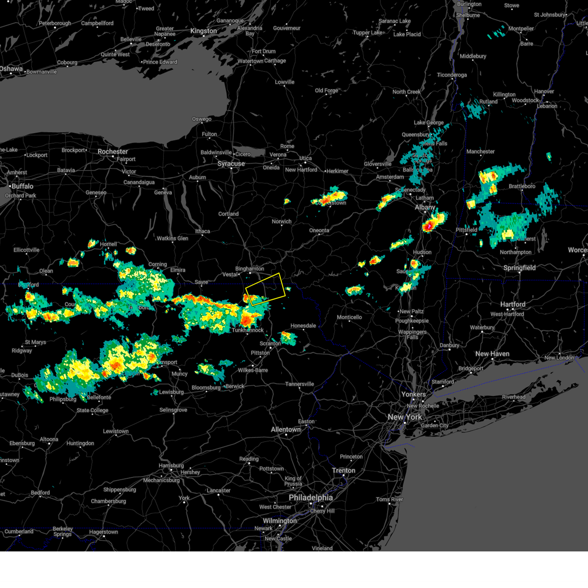 At 402 pm edt, a severe thunderstorm was located near montrose, moving east at 30 mph (radar indicated). Hazards include 60 mph wind gusts and quarter size hail. Hail damage to vehicles is expected. Expect wind damage to roofs, siding, and trees. At 402 pm edt, a severe thunderstorm was located near montrose, moving east at 30 mph (radar indicated). Hazards include 60 mph wind gusts and quarter size hail. Hail damage to vehicles is expected. Expect wind damage to roofs, siding, and trees.
|
| 4/5/2023 10:09 PM EDT |
 At 1009 pm edt, severe thunderstorms were located along a line extending from portage to central city to near meyersdale, moving east at 55 mph (radar indicated). Hazards include 60 mph wind gusts. Expect damage to roofs, siding, and trees. locations impacted include, johnstown, windber, bedford, belmont, portage, geistown, meyersdale, berlin, claysburg, friedens, vinco and osterburg. this includes the following interstates, the pennsylvania turnpike from mile markers 114 to 151. interstate 99 from mile markers 0 to 15. hail threat, radar indicated max hail size, <. 75 in wind threat, radar indicated max wind gust, 60 mph. At 1009 pm edt, severe thunderstorms were located along a line extending from portage to central city to near meyersdale, moving east at 55 mph (radar indicated). Hazards include 60 mph wind gusts. Expect damage to roofs, siding, and trees. locations impacted include, johnstown, windber, bedford, belmont, portage, geistown, meyersdale, berlin, claysburg, friedens, vinco and osterburg. this includes the following interstates, the pennsylvania turnpike from mile markers 114 to 151. interstate 99 from mile markers 0 to 15. hail threat, radar indicated max hail size, <. 75 in wind threat, radar indicated max wind gust, 60 mph.
|
| 4/5/2023 9:57 PM EDT |
 At 957 pm edt, a severe thunderstorm was located over friedens, moving east at 45 mph (radar indicated). Hazards include 60 mph wind gusts. expect damage to roofs, siding, and trees At 957 pm edt, a severe thunderstorm was located over friedens, moving east at 45 mph (radar indicated). Hazards include 60 mph wind gusts. expect damage to roofs, siding, and trees
|
| 4/5/2023 8:35 PM EDT |
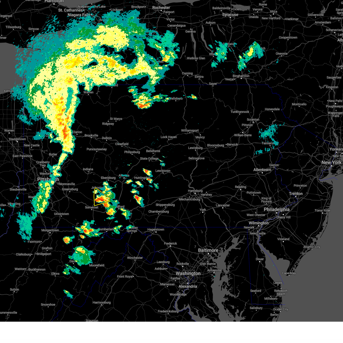 At 835 pm edt, a severe thunderstorm was located over windber, moving northeast at 45 mph (radar indicated). Hazards include 60 mph wind gusts. Expect damage to roofs, siding, and trees. this severe thunderstorm will remain over mainly rural areas of southwestern cambria and northeastern somerset counties, including the following locations, benson, lorain, hooversville, elim and stoystown. hail threat, radar indicated max hail size, <. 75 in wind threat, radar indicated max wind gust, 60 mph. At 835 pm edt, a severe thunderstorm was located over windber, moving northeast at 45 mph (radar indicated). Hazards include 60 mph wind gusts. Expect damage to roofs, siding, and trees. this severe thunderstorm will remain over mainly rural areas of southwestern cambria and northeastern somerset counties, including the following locations, benson, lorain, hooversville, elim and stoystown. hail threat, radar indicated max hail size, <. 75 in wind threat, radar indicated max wind gust, 60 mph.
|
| 4/5/2023 8:19 PM EDT |
 At 819 pm edt, a severe thunderstorm was located over acosta, moving northeast at 45 mph (radar indicated). Hazards include 60 mph wind gusts. Expect damage to roofs, siding, and trees. this severe thunderstorm will be near, acosta around 820 pm edt. boswell and jerome around 830 pm edt. windber around 840 pm edt. other locations impacted by this severe thunderstorm include benson, lorain, hooversville, jennerstown and elim. this includes the pennsylvania turnpike from mile markers 100 to 108. this includes the following highways, route 30 from the westmoreland county line to east of stoystown. route 219 from north of somerset to geistown. the johnstown expressway. hail threat, radar indicated max hail size, <. 75 in wind threat, radar indicated max wind gust, 60 mph. At 819 pm edt, a severe thunderstorm was located over acosta, moving northeast at 45 mph (radar indicated). Hazards include 60 mph wind gusts. Expect damage to roofs, siding, and trees. this severe thunderstorm will be near, acosta around 820 pm edt. boswell and jerome around 830 pm edt. windber around 840 pm edt. other locations impacted by this severe thunderstorm include benson, lorain, hooversville, jennerstown and elim. this includes the pennsylvania turnpike from mile markers 100 to 108. this includes the following highways, route 30 from the westmoreland county line to east of stoystown. route 219 from north of somerset to geistown. the johnstown expressway. hail threat, radar indicated max hail size, <. 75 in wind threat, radar indicated max wind gust, 60 mph.
|
| 4/1/2023 4:24 PM EDT |
 At 423 pm edt, severe thunderstorms were located along a line extending from near richford to meshoppen, moving east at 40 mph (radar indicated). Hazards include 60 mph wind gusts and penny size hail. expect damage to roofs, siding, and trees At 423 pm edt, severe thunderstorms were located along a line extending from near richford to meshoppen, moving east at 40 mph (radar indicated). Hazards include 60 mph wind gusts and penny size hail. expect damage to roofs, siding, and trees
|
| 4/1/2023 2:57 PM EDT |
 The severe thunderstorm warning for cambria and somerset counties will expire at 300 pm edt, the line of storms which prompted the warning have moved out of the area and weakened. therefore, the warning will be allowed to expire. however, a high wind warning remains in effect though the first half of the night. additional thunderstorms to the west near pittsburgh may also move into the area shortly. gusty winds are still possible with those thunderstorms. a severe thunderstorm watch remains in effect until 600 pm edt for central and south central pennsylvania. a severe thunderstorm watch also remains in effect until 800 pm edt for south central and central pennsylvania. The severe thunderstorm warning for cambria and somerset counties will expire at 300 pm edt, the line of storms which prompted the warning have moved out of the area and weakened. therefore, the warning will be allowed to expire. however, a high wind warning remains in effect though the first half of the night. additional thunderstorms to the west near pittsburgh may also move into the area shortly. gusty winds are still possible with those thunderstorms. a severe thunderstorm watch remains in effect until 600 pm edt for central and south central pennsylvania. a severe thunderstorm watch also remains in effect until 800 pm edt for south central and central pennsylvania.
|
| 4/1/2023 2:33 PM EDT |
 At 231 pm edt, severe thunderstorms were located along a line extending from hastings to geistown to new centerville, moving east at 60 mph (automatic observing system. wind gust to 58 mph at westmoreland county airport). Hazards include 70 mph wind gusts. Expect considerable tree damage. damage is likely to mobile homes, roofs, and outbuildings. locations impacted include, johnstown, somerset, westmont, windber, ebensburg, belmont, nanty-glo, portage, northern cambria, geistown, southmont and meyersdale. this includes the pennsylvania turnpike from mile markers 101 to 130. this includes the following highways, route 22 from near nanty-glo to near gallitzin. route 30 from west of jennerstown to east of indian lake. route 40 from near somerfield to addison. route 219 from the maryland border to near cherry tree. route 422 from near the indiana county line to ebensburg. state road 56 near johnstown. the johnstown expressway. thunderstorm damage threat, considerable hail threat, radar indicated max hail size, <. 75 in wind threat, observed max wind gust, 70 mph. At 231 pm edt, severe thunderstorms were located along a line extending from hastings to geistown to new centerville, moving east at 60 mph (automatic observing system. wind gust to 58 mph at westmoreland county airport). Hazards include 70 mph wind gusts. Expect considerable tree damage. damage is likely to mobile homes, roofs, and outbuildings. locations impacted include, johnstown, somerset, westmont, windber, ebensburg, belmont, nanty-glo, portage, northern cambria, geistown, southmont and meyersdale. this includes the pennsylvania turnpike from mile markers 101 to 130. this includes the following highways, route 22 from near nanty-glo to near gallitzin. route 30 from west of jennerstown to east of indian lake. route 40 from near somerfield to addison. route 219 from the maryland border to near cherry tree. route 422 from near the indiana county line to ebensburg. state road 56 near johnstown. the johnstown expressway. thunderstorm damage threat, considerable hail threat, radar indicated max hail size, <. 75 in wind threat, observed max wind gust, 70 mph.
|
| 4/1/2023 2:07 PM EDT |
 At 206 pm edt, severe thunderstorms were located along a line extending from indiana to ligonier to uniontown, moving east at 75 mph (automatic observing system. wind gust to 68 mph at allegheny county airport). Hazards include 70 mph wind gusts. Expect considerable tree damage. Damage is likely to mobile homes, roofs, and outbuildings. At 206 pm edt, severe thunderstorms were located along a line extending from indiana to ligonier to uniontown, moving east at 75 mph (automatic observing system. wind gust to 68 mph at allegheny county airport). Hazards include 70 mph wind gusts. Expect considerable tree damage. Damage is likely to mobile homes, roofs, and outbuildings.
|
| 4/1/2023 1:42 PM EDT |
 The severe thunderstorm warning for mercer, beaver, lawrence and brooke counties will expire at 145 pm edt, the storms which prompted the warning have moved out of the area. therefore, the warning will be allowed to expire. however very strong winds will continue this afternoon. to report severe weather, contact your nearest law enforcement agency. they will relay your report to the national weather service pittsburgh. The severe thunderstorm warning for mercer, beaver, lawrence and brooke counties will expire at 145 pm edt, the storms which prompted the warning have moved out of the area. therefore, the warning will be allowed to expire. however very strong winds will continue this afternoon. to report severe weather, contact your nearest law enforcement agency. they will relay your report to the national weather service pittsburgh.
|
| 4/1/2023 1:31 PM EDT |
 At 131 pm edt, severe thunderstorms were located along a line extending from andover to near new cumberland, moving northeast at 65 mph (radar indicated). Hazards include 60 mph wind gusts. Expect damage to trees and power lines, resulting in some power outages. locations impacted include, new castle, weirton, steubenville, hermitage, sharon, aliquippa, beaver falls, monaca, sharpsville, economy, ellwood city, and ambridge. hail threat, radar indicated max hail size, <. 75 in wind threat, radar indicated max wind gust, 60 mph. At 131 pm edt, severe thunderstorms were located along a line extending from andover to near new cumberland, moving northeast at 65 mph (radar indicated). Hazards include 60 mph wind gusts. Expect damage to trees and power lines, resulting in some power outages. locations impacted include, new castle, weirton, steubenville, hermitage, sharon, aliquippa, beaver falls, monaca, sharpsville, economy, ellwood city, and ambridge. hail threat, radar indicated max hail size, <. 75 in wind threat, radar indicated max wind gust, 60 mph.
|
| 4/1/2023 1:20 PM EDT |
 At 119 pm edt, severe thunderstorms were located along a line extending from near orwell to near wintersville, moving northeast at 65 mph (radar indicated). Hazards include 60 mph wind gusts. Expect damage to trees and power lines, resulting in some power outages. locations impacted include, cranberry, new castle, weirton, steubenville, hermitage, sharon, salem, east liverpool, aliquippa, beaver falls, columbiana, and monaca. hail threat, radar indicated max hail size, <. 75 in wind threat, radar indicated max wind gust, 60 mph. At 119 pm edt, severe thunderstorms were located along a line extending from near orwell to near wintersville, moving northeast at 65 mph (radar indicated). Hazards include 60 mph wind gusts. Expect damage to trees and power lines, resulting in some power outages. locations impacted include, cranberry, new castle, weirton, steubenville, hermitage, sharon, salem, east liverpool, aliquippa, beaver falls, columbiana, and monaca. hail threat, radar indicated max hail size, <. 75 in wind threat, radar indicated max wind gust, 60 mph.
|
| 4/1/2023 12:57 PM EDT |
 At 1256 pm edt, severe thunderstorms were located along a line extending from 6 miles south of burton to 6 miles west of cadiz, moving northeast at 65 mph (radar indicated). Hazards include 60 mph wind gusts. expect damage to trees and power lines, resulting in some power outages At 1256 pm edt, severe thunderstorms were located along a line extending from 6 miles south of burton to 6 miles west of cadiz, moving northeast at 65 mph (radar indicated). Hazards include 60 mph wind gusts. expect damage to trees and power lines, resulting in some power outages
|
| 2/21/2023 3:38 PM EST |
 At 338 pm est, severe thunderstorms were located along a line extending from near sanford to near hallstead, moving east at 45 mph (radar indicated). Hazards include 60 mph wind gusts and penny size hail. expect damage to roofs, siding, and trees At 338 pm est, severe thunderstorms were located along a line extending from near sanford to near hallstead, moving east at 45 mph (radar indicated). Hazards include 60 mph wind gusts and penny size hail. expect damage to roofs, siding, and trees
|
| 2/21/2023 3:33 PM EST |
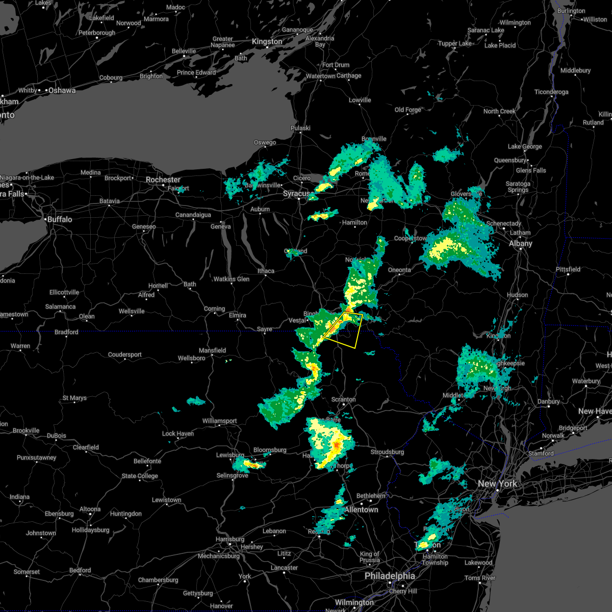 At 333 pm est, a severe thunderstorm was located near windsor, or 11 miles southeast of binghamton, moving east at 40 mph (radar indicated). Hazards include 60 mph wind gusts and penny size hail. Expect damage to roofs, siding, and trees. locations impacted include, sanford, susquehanna, susquehanna depot, hallstead, windsor, great bend, lanesboro, hickory grove and east windsor. hail threat, radar indicated max hail size, 0. 75 in wind threat, radar indicated max wind gust, 60 mph. At 333 pm est, a severe thunderstorm was located near windsor, or 11 miles southeast of binghamton, moving east at 40 mph (radar indicated). Hazards include 60 mph wind gusts and penny size hail. Expect damage to roofs, siding, and trees. locations impacted include, sanford, susquehanna, susquehanna depot, hallstead, windsor, great bend, lanesboro, hickory grove and east windsor. hail threat, radar indicated max hail size, 0. 75 in wind threat, radar indicated max wind gust, 60 mph.
|
| 2/21/2023 3:21 PM EST |
 At 321 pm est, a severe thunderstorm was located near conklin, or near binghamton, moving east at 40 mph (radar indicated). Hazards include 60 mph wind gusts and nickel size hail. Expect damage to roofs, siding, and trees. locations impacted include, binghamton, kirkwood, conklin, sanford, susquehanna, susquehanna depot, hallstead, windsor, great bend and lanesboro. hail threat, radar indicated max hail size, 0. 88 in wind threat, radar indicated max wind gust, 60 mph. At 321 pm est, a severe thunderstorm was located near conklin, or near binghamton, moving east at 40 mph (radar indicated). Hazards include 60 mph wind gusts and nickel size hail. Expect damage to roofs, siding, and trees. locations impacted include, binghamton, kirkwood, conklin, sanford, susquehanna, susquehanna depot, hallstead, windsor, great bend and lanesboro. hail threat, radar indicated max hail size, 0. 88 in wind threat, radar indicated max wind gust, 60 mph.
|
| 2/21/2023 3:21 PM EST |
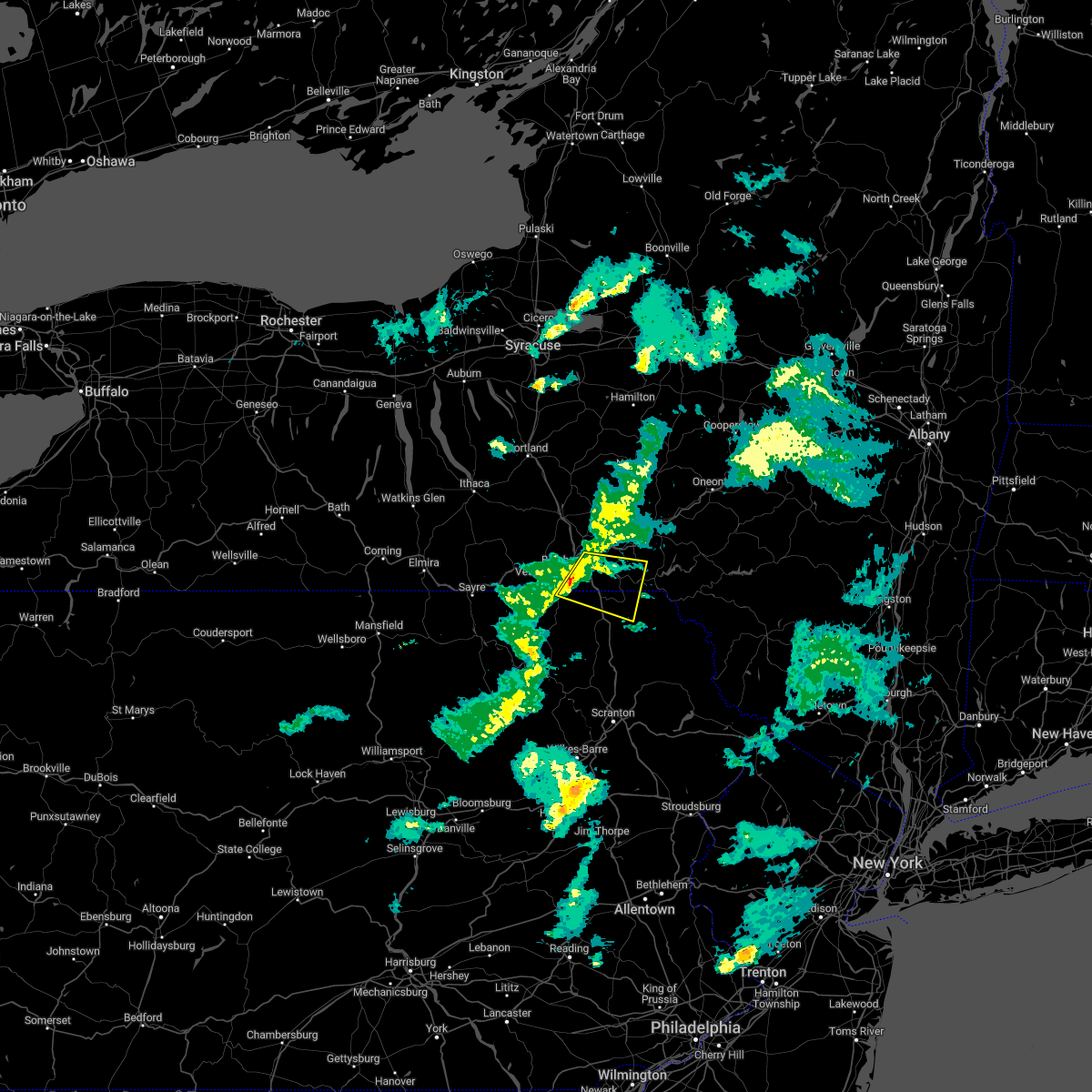 At 321 pm est, a severe thunderstorm was located near conklin, or near binghamton, moving east at 40 mph (radar indicated). Hazards include 60 mph wind gusts and nickel size hail. Expect damage to roofs, siding, and trees. locations impacted include, binghamton, kirkwood, conklin, sanford, susquehanna, susquehanna depot, hallstead, windsor, great bend and lanesboro. hail threat, radar indicated max hail size, 0. 88 in wind threat, radar indicated max wind gust, 60 mph. At 321 pm est, a severe thunderstorm was located near conklin, or near binghamton, moving east at 40 mph (radar indicated). Hazards include 60 mph wind gusts and nickel size hail. Expect damage to roofs, siding, and trees. locations impacted include, binghamton, kirkwood, conklin, sanford, susquehanna, susquehanna depot, hallstead, windsor, great bend and lanesboro. hail threat, radar indicated max hail size, 0. 88 in wind threat, radar indicated max wind gust, 60 mph.
|
| 2/21/2023 3:08 PM EST |
 At 307 pm est, a severe thunderstorm was located over vestal, or over endicott, moving east at 40 mph (radar indicated). Hazards include 60 mph wind gusts and nickel size hail. expect damage to roofs, siding, and trees At 307 pm est, a severe thunderstorm was located over vestal, or over endicott, moving east at 40 mph (radar indicated). Hazards include 60 mph wind gusts and nickel size hail. expect damage to roofs, siding, and trees
|
| 11/27/2022 3:39 PM EST |
 At 339 pm est, a severe thunderstorm was located over vinco, moving northeast at 55 mph (radar indicated). Hazards include 60 mph wind gusts and penny size hail. Expect damage to roofs, siding, and trees. Locations impacted include, johnstown, westmont, windber, ebensburg, belmont, nanty-glo, portage, northern cambria, geistown, southmont, patton and cresson. At 339 pm est, a severe thunderstorm was located over vinco, moving northeast at 55 mph (radar indicated). Hazards include 60 mph wind gusts and penny size hail. Expect damage to roofs, siding, and trees. Locations impacted include, johnstown, westmont, windber, ebensburg, belmont, nanty-glo, portage, northern cambria, geistown, southmont, patton and cresson.
|
| 11/27/2022 3:18 PM EST |
 At 318 pm est, a severe thunderstorm was located over ligonier, moving northeast at 55 mph (radar indicated). Hazards include 60 mph wind gusts and penny size hail. expect damage to roofs, siding, and trees At 318 pm est, a severe thunderstorm was located over ligonier, moving northeast at 55 mph (radar indicated). Hazards include 60 mph wind gusts and penny size hail. expect damage to roofs, siding, and trees
|
| 11/12/2022 2:50 AM EST |
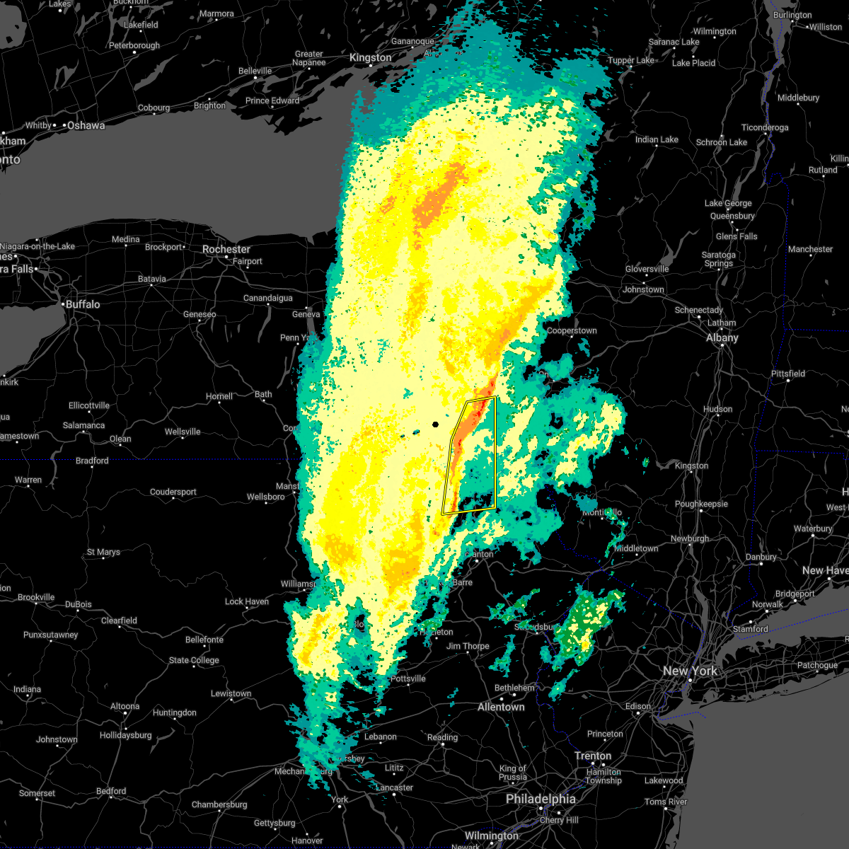 At 250 am est, severe thunderstorms were located along a line extending from near sanitaria springs to near hop bottom, moving east at 30 mph (radar indicated). Hazards include 60 mph wind gusts. Expect damage to roofs, siding, and trees. locations impacted include, kirkwood, conklin, jackson, susquehanna, coventry, susquehanna depot, montrose, dimock, harford and hallstead. hail threat, radar indicated max hail size, <. 75 in wind threat, radar indicated max wind gust, 60 mph. At 250 am est, severe thunderstorms were located along a line extending from near sanitaria springs to near hop bottom, moving east at 30 mph (radar indicated). Hazards include 60 mph wind gusts. Expect damage to roofs, siding, and trees. locations impacted include, kirkwood, conklin, jackson, susquehanna, coventry, susquehanna depot, montrose, dimock, harford and hallstead. hail threat, radar indicated max hail size, <. 75 in wind threat, radar indicated max wind gust, 60 mph.
|
| 11/12/2022 2:29 AM EST |
 At 228 am est, severe thunderstorms were located along a line extending from near greater binghamton airport to springville, moving east at 30 mph (radar indicated). Hazards include 60 mph wind gusts. Expect damage to roofs, siding, and trees. locations impacted include, binghamton, vestal, johnson city, endicott, kirkwood, conklin, rush, jackson, susquehanna and coventry. hail threat, radar indicated max hail size, <. 75 in wind threat, radar indicated max wind gust, 60 mph. At 228 am est, severe thunderstorms were located along a line extending from near greater binghamton airport to springville, moving east at 30 mph (radar indicated). Hazards include 60 mph wind gusts. Expect damage to roofs, siding, and trees. locations impacted include, binghamton, vestal, johnson city, endicott, kirkwood, conklin, rush, jackson, susquehanna and coventry. hail threat, radar indicated max hail size, <. 75 in wind threat, radar indicated max wind gust, 60 mph.
|
| 11/12/2022 2:11 AM EST |
 At 211 am est, severe thunderstorms were located along a line extending from near union center to near auburn center, moving east at 30 mph (radar indicated). Hazards include 60 mph wind gusts. expect damage to roofs, siding, and trees At 211 am est, severe thunderstorms were located along a line extending from near union center to near auburn center, moving east at 30 mph (radar indicated). Hazards include 60 mph wind gusts. expect damage to roofs, siding, and trees
|
| 11/12/2022 2:11 AM EST |
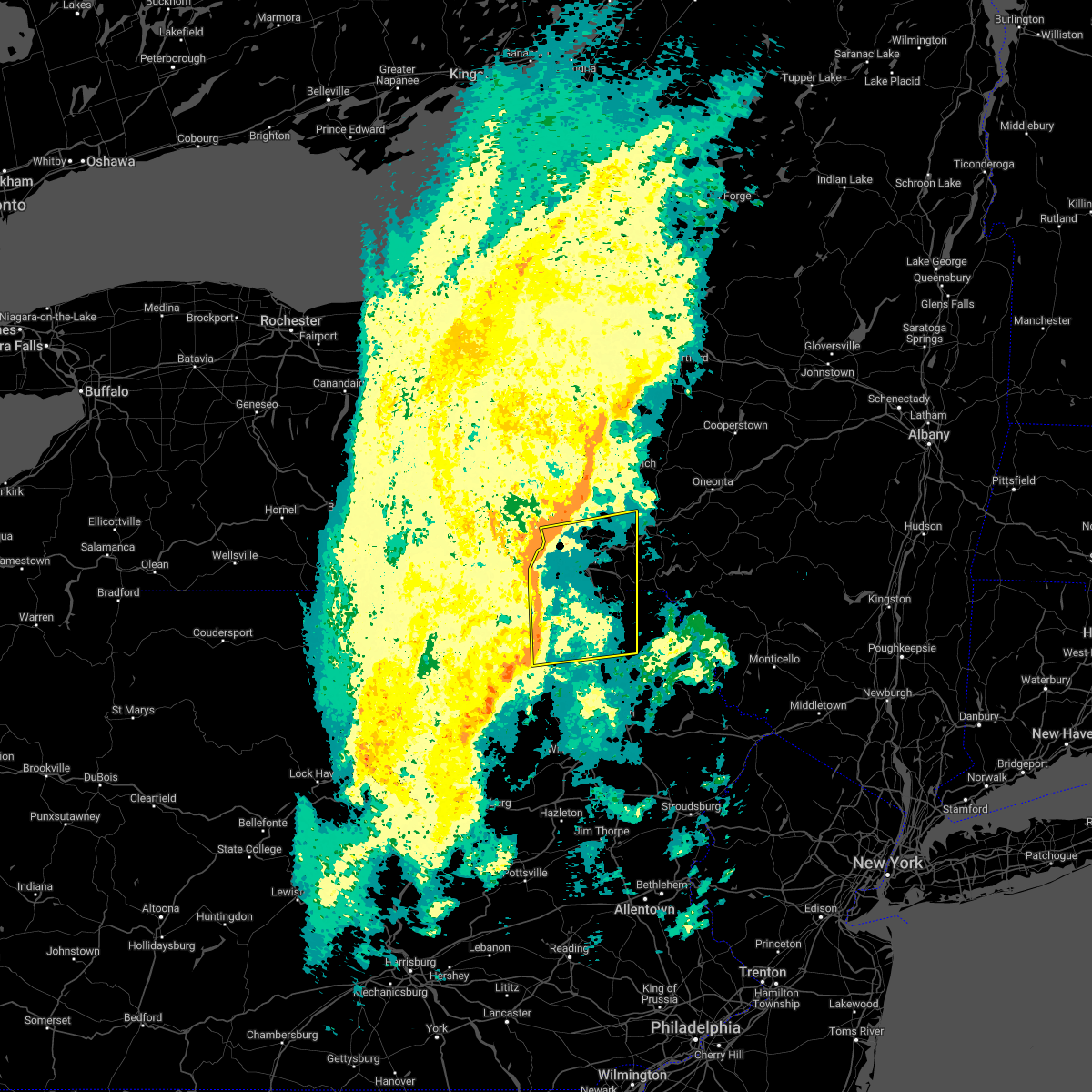 At 211 am est, severe thunderstorms were located along a line extending from near union center to near auburn center, moving east at 30 mph (radar indicated). Hazards include 60 mph wind gusts. expect damage to roofs, siding, and trees At 211 am est, severe thunderstorms were located along a line extending from near union center to near auburn center, moving east at 30 mph (radar indicated). Hazards include 60 mph wind gusts. expect damage to roofs, siding, and trees
|
| 9/22/2022 1:45 AM EDT |
 At 145 am edt, a severe thunderstorm was located near ellwood city, or near new castle, moving east at 45 mph (radar indicated). Hazards include 60 mph wind gusts and quarter size hail. Minor hail damage to vehicles is possible. expect wind damage to trees and power lines, resulting in some power outages. locations impacted include, new castle, butler, ellwood city, homeacre-lyndora, shanor-northvue, meridian, zelienople, meadowood, oak hills, oakwood, new castle northwest, and big beaver. hail threat, radar indicated max hail size, 1. 00 in wind threat, radar indicated max wind gust, 60 mph. At 145 am edt, a severe thunderstorm was located near ellwood city, or near new castle, moving east at 45 mph (radar indicated). Hazards include 60 mph wind gusts and quarter size hail. Minor hail damage to vehicles is possible. expect wind damage to trees and power lines, resulting in some power outages. locations impacted include, new castle, butler, ellwood city, homeacre-lyndora, shanor-northvue, meridian, zelienople, meadowood, oak hills, oakwood, new castle northwest, and big beaver. hail threat, radar indicated max hail size, 1. 00 in wind threat, radar indicated max wind gust, 60 mph.
|
| 9/22/2022 1:37 AM EDT |
 At 137 am edt, a severe thunderstorm was located near oakwood, or near new castle, moving east at 40 mph (radar indicated). Hazards include 60 mph wind gusts and quarter size hail. Minor hail damage to vehicles is possible. expect wind damage to trees and power lines, resulting in some power outages. locations impacted include, new castle, butler, ellwood city, homeacre-lyndora, shanor-northvue, meridian, zelienople, meadowood, oak hills, oakwood, new castle northwest, and big beaver. hail threat, radar indicated max hail size, 1. 00 in wind threat, radar indicated max wind gust, 60 mph. At 137 am edt, a severe thunderstorm was located near oakwood, or near new castle, moving east at 40 mph (radar indicated). Hazards include 60 mph wind gusts and quarter size hail. Minor hail damage to vehicles is possible. expect wind damage to trees and power lines, resulting in some power outages. locations impacted include, new castle, butler, ellwood city, homeacre-lyndora, shanor-northvue, meridian, zelienople, meadowood, oak hills, oakwood, new castle northwest, and big beaver. hail threat, radar indicated max hail size, 1. 00 in wind threat, radar indicated max wind gust, 60 mph.
|
| 9/22/2022 1:31 AM EDT |
 At 130 am edt, a severe thunderstorm was located near east palestine, moving east at 45 mph (radar indicated). Hazards include 60 mph wind gusts and quarter size hail. Minor hail damage to vehicles is possible. Expect wind damage to trees and power lines, resulting in some power outages. At 130 am edt, a severe thunderstorm was located near east palestine, moving east at 45 mph (radar indicated). Hazards include 60 mph wind gusts and quarter size hail. Minor hail damage to vehicles is possible. Expect wind damage to trees and power lines, resulting in some power outages.
|
| 8/29/2022 1:42 PM EDT | At 141 pm edt, a severe thunderstorm was located near east palestine, moving east at 30 mph (radar indicated). Hazards include 60 mph wind gusts and quarter size hail. Minor hail damage to vehicles is possible. expect wind damage to trees and power lines, resulting in some power outages. locations impacted include, cranberry, new castle, beaver falls, monaca, east palestine, economy, ellwood city, new brighton, beaver, calcutta, zelienople, and rochester. hail threat, radar indicated max hail size, 1. 00 in wind threat, radar indicated max wind gust, 60 mph. |
| 8/29/2022 1:42 PM EDT | At 141 pm edt, a severe thunderstorm was located near east palestine, moving east at 30 mph (radar indicated). Hazards include 60 mph wind gusts and quarter size hail. Minor hail damage to vehicles is possible. expect wind damage to trees and power lines, resulting in some power outages. locations impacted include, cranberry, new castle, beaver falls, monaca, east palestine, economy, ellwood city, new brighton, beaver, calcutta, zelienople, and rochester. hail threat, radar indicated max hail size, 1. 00 in wind threat, radar indicated max wind gust, 60 mph. |
| 8/29/2022 1:36 PM EDT | At 136 pm edt, a severe thunderstorm was located over east palestine, moving east at 30 mph (radar indicated). Hazards include 60 mph wind gusts and quarter size hail. Minor hail damage to vehicles is possible. Expect wind damage to trees and power lines, resulting in some power outages. |
| 8/29/2022 1:36 PM EDT | At 136 pm edt, a severe thunderstorm was located over east palestine, moving east at 30 mph (radar indicated). Hazards include 60 mph wind gusts and quarter size hail. Minor hail damage to vehicles is possible. Expect wind damage to trees and power lines, resulting in some power outages. |
| 8/4/2022 1:43 PM EDT |
 At 142 pm edt, a severe thunderstorm was located near new castle, moving east at 20 mph (radar indicated). Hazards include 60 mph wind gusts and nickel size hail. Expect damage to trees and power lines, resulting in some power outages. locations impacted include, new castle, ellwood city, oakwood, new castle northwest, big beaver, new beaver, ellport, bessemer, koppel, wampum, south new castle, and new galilee. hail threat, radar indicated max hail size, 0. 88 in wind threat, radar indicated max wind gust, 60 mph. At 142 pm edt, a severe thunderstorm was located near new castle, moving east at 20 mph (radar indicated). Hazards include 60 mph wind gusts and nickel size hail. Expect damage to trees and power lines, resulting in some power outages. locations impacted include, new castle, ellwood city, oakwood, new castle northwest, big beaver, new beaver, ellport, bessemer, koppel, wampum, south new castle, and new galilee. hail threat, radar indicated max hail size, 0. 88 in wind threat, radar indicated max wind gust, 60 mph.
|
| 8/4/2022 1:24 PM EDT |
 At 124 pm edt, a severe thunderstorm was located near east palestine, moving east at 20 mph (radar indicated). Hazards include 60 mph wind gusts and nickel size hail. expect damage to trees and power lines, resulting in some power outages At 124 pm edt, a severe thunderstorm was located near east palestine, moving east at 20 mph (radar indicated). Hazards include 60 mph wind gusts and nickel size hail. expect damage to trees and power lines, resulting in some power outages
|
| 8/4/2022 1:22 PM EDT |
 At 122 pm edt, a severe thunderstorm was located over new castle northwest, or over new castle, moving east at 15 mph (radar indicated). Hazards include 60 mph wind gusts and quarter size hail. Minor hail damage to vehicles is possible. expect wind damage to trees and power lines, resulting in some power outages. locations impacted include, new castle, oakwood, new castle northwest, plain grove township, south new castle, harlansburg, volant, and rose point park. hail threat, radar indicated max hail size, 1. 00 in wind threat, radar indicated max wind gust, 60 mph. At 122 pm edt, a severe thunderstorm was located over new castle northwest, or over new castle, moving east at 15 mph (radar indicated). Hazards include 60 mph wind gusts and quarter size hail. Minor hail damage to vehicles is possible. expect wind damage to trees and power lines, resulting in some power outages. locations impacted include, new castle, oakwood, new castle northwest, plain grove township, south new castle, harlansburg, volant, and rose point park. hail threat, radar indicated max hail size, 1. 00 in wind threat, radar indicated max wind gust, 60 mph.
|
| 8/4/2022 1:00 PM EDT |
 At 1259 pm edt, a severe thunderstorm was located over oakwood, or near new castle, moving east at 15 mph (radar indicated). Hazards include 60 mph wind gusts and quarter size hail. Minor hail damage to vehicles is possible. Expect wind damage to trees and power lines, resulting in some power outages. At 1259 pm edt, a severe thunderstorm was located over oakwood, or near new castle, moving east at 15 mph (radar indicated). Hazards include 60 mph wind gusts and quarter size hail. Minor hail damage to vehicles is possible. Expect wind damage to trees and power lines, resulting in some power outages.
|
| 7/25/2022 3:22 AM EDT |
 The severe thunderstorm warning for northeastern columbiana, southern mercer, southwestern venango, lawrence, northern butler, northwestern armstrong and southwestern clarion counties will expire at 330 am edt, the storm which prompted the warning has weakened below severe limits, and has exited the warned area. therefore, the warning will be allowed to expire. however heavy rain is still possible with this thunderstorm. a tornado watch remains in effect until 700 am edt for east central ohio, and western, northwestern and west central pennsylvania. remember, a tornado warning still remains in effect. The severe thunderstorm warning for northeastern columbiana, southern mercer, southwestern venango, lawrence, northern butler, northwestern armstrong and southwestern clarion counties will expire at 330 am edt, the storm which prompted the warning has weakened below severe limits, and has exited the warned area. therefore, the warning will be allowed to expire. however heavy rain is still possible with this thunderstorm. a tornado watch remains in effect until 700 am edt for east central ohio, and western, northwestern and west central pennsylvania. remember, a tornado warning still remains in effect.
|
| 7/25/2022 2:57 AM EDT |
 The severe thunderstorm warning for columbiana, northeastern carroll, southwestern mercer, western beaver, western lawrence and hancock counties will expire at 300 am edt, the storm which prompted the warning has weakened below severe limits, and no longer poses an immediate threat to life or property. therefore, the warning will be allowed to expire. however heavy rain is still possible with this thunderstorm. a tornado watch remains in effect until 700 am edt for east central ohio, and western and northwestern pennsylvania. The severe thunderstorm warning for columbiana, northeastern carroll, southwestern mercer, western beaver, western lawrence and hancock counties will expire at 300 am edt, the storm which prompted the warning has weakened below severe limits, and no longer poses an immediate threat to life or property. therefore, the warning will be allowed to expire. however heavy rain is still possible with this thunderstorm. a tornado watch remains in effect until 700 am edt for east central ohio, and western and northwestern pennsylvania.
|
| 7/25/2022 2:23 AM EDT |
 At 223 am edt, a severe thunderstorm was located over boardman, or near youngstown, moving east at 45 mph (radar indicated). Hazards include 60 mph wind gusts. expect damage to trees and power lines, resulting in some power outages At 223 am edt, a severe thunderstorm was located over boardman, or near youngstown, moving east at 45 mph (radar indicated). Hazards include 60 mph wind gusts. expect damage to trees and power lines, resulting in some power outages
|
| 7/25/2022 1:58 AM EDT |
 At 157 am edt, a severe thunderstorm was located over alliance, or 12 miles west of salem, moving east at 50 mph (radar indicated). Hazards include 60 mph wind gusts. expect damage to trees and power lines, resulting in some power outages At 157 am edt, a severe thunderstorm was located over alliance, or 12 miles west of salem, moving east at 50 mph (radar indicated). Hazards include 60 mph wind gusts. expect damage to trees and power lines, resulting in some power outages
|
| 7/24/2022 7:27 PM EDT |
 The severe thunderstorm warning for south central mercer, north central beaver, lawrence and northwestern butler counties will expire at 730 pm edt, the storm which prompted the warning has weakened below severe limits, and no longer poses an immediate threat to life or property. therefore, the warning will be allowed to expire. however gusty winds are still possible with this thunderstorm. The severe thunderstorm warning for south central mercer, north central beaver, lawrence and northwestern butler counties will expire at 730 pm edt, the storm which prompted the warning has weakened below severe limits, and no longer poses an immediate threat to life or property. therefore, the warning will be allowed to expire. however gusty winds are still possible with this thunderstorm.
|
| 7/24/2022 7:15 PM EDT |
 At 715 pm edt, a severe thunderstorm was located over new castle northwest, or over new castle, moving northeast at 30 mph (radar indicated). Hazards include 60 mph wind gusts and quarter size hail. Minor hail damage to vehicles is possible. expect wind damage to trees and power lines, resulting in some power outages. locations impacted include, new castle, ellwood city, slippery rock, new wilmington, oakwood, new castle northwest, big beaver, new beaver, bessemer, plain grove township, koppel, and wampum. hail threat, radar indicated max hail size, 1. 00 in wind threat, radar indicated max wind gust, 60 mph. At 715 pm edt, a severe thunderstorm was located over new castle northwest, or over new castle, moving northeast at 30 mph (radar indicated). Hazards include 60 mph wind gusts and quarter size hail. Minor hail damage to vehicles is possible. expect wind damage to trees and power lines, resulting in some power outages. locations impacted include, new castle, ellwood city, slippery rock, new wilmington, oakwood, new castle northwest, big beaver, new beaver, bessemer, plain grove township, koppel, and wampum. hail threat, radar indicated max hail size, 1. 00 in wind threat, radar indicated max wind gust, 60 mph.
|
| 7/24/2022 6:58 PM EDT |
 At 658 pm edt, a severe thunderstorm was located near east palestine, moving northeast at 30 mph (radar indicated). Hazards include 60 mph wind gusts and quarter size hail. Minor hail damage to vehicles is possible. Expect wind damage to trees and power lines, resulting in some power outages. At 658 pm edt, a severe thunderstorm was located near east palestine, moving northeast at 30 mph (radar indicated). Hazards include 60 mph wind gusts and quarter size hail. Minor hail damage to vehicles is possible. Expect wind damage to trees and power lines, resulting in some power outages.
|
| 7/24/2022 5:48 PM EDT |
 At 548 pm edt, severe thunderstorms were located along a line extending from near brackney to near mehoopany to near danville, moving east at 30 mph (radar indicated). Hazards include 60 mph wind gusts. Expect damage to roofs, siding, and trees. severe thunderstorms will be near, tunkhannock, montrose and mehoopany around 555 pm edt. great bend and osterhout around 600 pm edt. falls, hallstead and new milford around 605 pm edt. factoryville, la plume and wallsville around 615 pm edt. waverly, clarks summit and susquehanna around 620 pm edt. scranton, nescopeck and east benton around 625 pm edt. dunmore, dickson city and nuremburg around 630 pm edt. archbald, olyphant and mayfield around 635 pm edt. hail threat, radar indicated max hail size, <. 75 in wind threat, radar indicated max wind gust, 60 mph. At 548 pm edt, severe thunderstorms were located along a line extending from near brackney to near mehoopany to near danville, moving east at 30 mph (radar indicated). Hazards include 60 mph wind gusts. Expect damage to roofs, siding, and trees. severe thunderstorms will be near, tunkhannock, montrose and mehoopany around 555 pm edt. great bend and osterhout around 600 pm edt. falls, hallstead and new milford around 605 pm edt. factoryville, la plume and wallsville around 615 pm edt. waverly, clarks summit and susquehanna around 620 pm edt. scranton, nescopeck and east benton around 625 pm edt. dunmore, dickson city and nuremburg around 630 pm edt. archbald, olyphant and mayfield around 635 pm edt. hail threat, radar indicated max hail size, <. 75 in wind threat, radar indicated max wind gust, 60 mph.
|
| 7/23/2022 4:10 PM EDT |
 At 409 pm edt, severe thunderstorms were located along a line extending from near indiana to near westmont to acosta to near friendsville, moving east at 40 mph (radar indicated). Hazards include 60 mph wind gusts and penny size hail. expect damage to roofs, siding, and trees At 409 pm edt, severe thunderstorms were located along a line extending from near indiana to near westmont to acosta to near friendsville, moving east at 40 mph (radar indicated). Hazards include 60 mph wind gusts and penny size hail. expect damage to roofs, siding, and trees
|
| 7/1/2022 10:08 PM EDT |
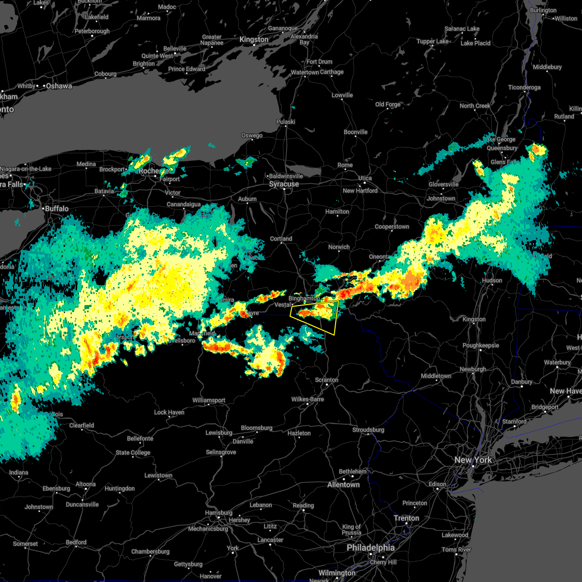 The severe thunderstorm warning for southern broome and northeastern susquehanna counties will expire at 1015 pm edt, the storm which prompted the warning has moved out of the area. therefore, the warning will be allowed to expire but has been reissued. however gusty winds are still possible with this thunderstorm. remember, a severe thunderstorm warning still remains in effect for southern broome county and northern susquehanna county. The severe thunderstorm warning for southern broome and northeastern susquehanna counties will expire at 1015 pm edt, the storm which prompted the warning has moved out of the area. therefore, the warning will be allowed to expire but has been reissued. however gusty winds are still possible with this thunderstorm. remember, a severe thunderstorm warning still remains in effect for southern broome county and northern susquehanna county.
|
| 7/1/2022 9:27 PM EDT |
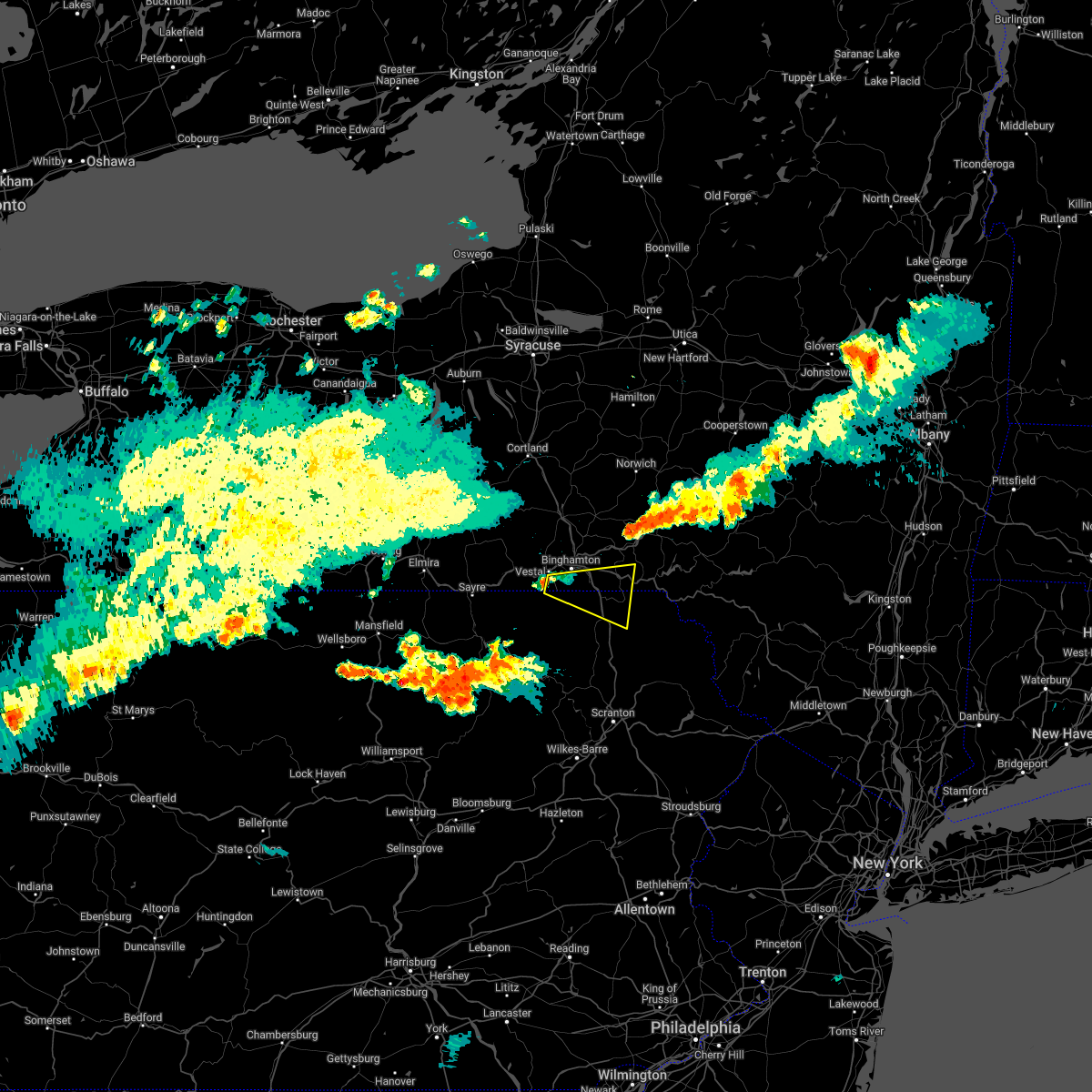 At 927 pm edt, a severe thunderstorm was located over vestal center, or near binghamton, moving east at 30 mph (radar indicated). Hazards include 60 mph wind gusts and quarter size hail. Hail damage to vehicles is expected. Expect wind damage to roofs, siding, and trees. At 927 pm edt, a severe thunderstorm was located over vestal center, or near binghamton, moving east at 30 mph (radar indicated). Hazards include 60 mph wind gusts and quarter size hail. Hail damage to vehicles is expected. Expect wind damage to roofs, siding, and trees.
|
| 6/22/2022 6:31 PM EDT |
 At 630 pm edt, severe thunderstorms were located along a line extending from northern cambria to westmont, moving east at 15 mph (radar indicated). Hazards include 60 mph wind gusts and quarter size hail. Hail damage to vehicles is expected. expect wind damage to roofs, siding, and trees. locations impacted include, johnstown, westmont, windber, ebensburg, belmont, nanty-glo, portage, northern cambria, geistown, southmont, patton and cresson. hail threat, radar indicated max hail size, 1. 00 in wind threat, radar indicated max wind gust, 60 mph. At 630 pm edt, severe thunderstorms were located along a line extending from northern cambria to westmont, moving east at 15 mph (radar indicated). Hazards include 60 mph wind gusts and quarter size hail. Hail damage to vehicles is expected. expect wind damage to roofs, siding, and trees. locations impacted include, johnstown, westmont, windber, ebensburg, belmont, nanty-glo, portage, northern cambria, geistown, southmont, patton and cresson. hail threat, radar indicated max hail size, 1. 00 in wind threat, radar indicated max wind gust, 60 mph.
|
| 6/22/2022 6:26 PM EDT |
 At 625 pm edt, severe thunderstorms were located along a line extending from northern cambria to westmont, moving east at 20 mph (radar indicated). Hazards include 60 mph wind gusts and penny size hail. expect damage to roofs, siding, and trees At 625 pm edt, severe thunderstorms were located along a line extending from northern cambria to westmont, moving east at 20 mph (radar indicated). Hazards include 60 mph wind gusts and penny size hail. expect damage to roofs, siding, and trees
|
| 6/1/2022 7:34 PM EDT |
 At 734 pm edt, severe thunderstorms were located along a line extending from near slippery rock to new cumberland, moving east at 40 mph (radar indicated). Hazards include 60 mph wind gusts and quarter size hail. Minor hail damage to vehicles is possible. expect wind damage to trees and power lines, resulting in some power outages. locations impacted include, cranberry, new castle, east liverpool, aliquippa, beaver falls, grove city, columbiana, monaca, east palestine, wellsville, economy, and ellwood city. hail threat, radar indicated max hail size, 1. 00 in wind threat, radar indicated max wind gust, 60 mph. At 734 pm edt, severe thunderstorms were located along a line extending from near slippery rock to new cumberland, moving east at 40 mph (radar indicated). Hazards include 60 mph wind gusts and quarter size hail. Minor hail damage to vehicles is possible. expect wind damage to trees and power lines, resulting in some power outages. locations impacted include, cranberry, new castle, east liverpool, aliquippa, beaver falls, grove city, columbiana, monaca, east palestine, wellsville, economy, and ellwood city. hail threat, radar indicated max hail size, 1. 00 in wind threat, radar indicated max wind gust, 60 mph.
|
| 6/1/2022 7:21 PM EDT |
 At 720 pm edt, severe thunderstorms were located along a line extending from near grove city to 6 miles west of new cumberland, moving east at 40 mph (radar indicated). Hazards include 60 mph wind gusts and quarter size hail. Minor hail damage to vehicles is possible. Expect wind damage to trees and power lines, resulting in some power outages. At 720 pm edt, severe thunderstorms were located along a line extending from near grove city to 6 miles west of new cumberland, moving east at 40 mph (radar indicated). Hazards include 60 mph wind gusts and quarter size hail. Minor hail damage to vehicles is possible. Expect wind damage to trees and power lines, resulting in some power outages.
|
| 6/1/2022 7:04 PM EDT |
 At 704 pm edt, severe thunderstorms were located along a line extending from near new wilmington to near minerva, moving southeast at 35 mph (radar indicated). Hazards include 60 mph wind gusts and quarter size hail. Minor hail damage to vehicles is possible. expect wind damage to trees and power lines, resulting in some power outages. locations impacted include, new castle, hermitage, sharon, salem, east liverpool, beaver falls, columbiana, east palestine, wellsville, carrollton, ellwood city, and farrell. hail threat, radar indicated max hail size, 1. 00 in wind threat, radar indicated max wind gust, 60 mph. At 704 pm edt, severe thunderstorms were located along a line extending from near new wilmington to near minerva, moving southeast at 35 mph (radar indicated). Hazards include 60 mph wind gusts and quarter size hail. Minor hail damage to vehicles is possible. expect wind damage to trees and power lines, resulting in some power outages. locations impacted include, new castle, hermitage, sharon, salem, east liverpool, beaver falls, columbiana, east palestine, wellsville, carrollton, ellwood city, and farrell. hail threat, radar indicated max hail size, 1. 00 in wind threat, radar indicated max wind gust, 60 mph.
|
| 6/1/2022 6:43 PM EDT |
 At 642 pm edt, severe thunderstorms were located along a line extending from near hubbard to near waynesburg, moving southeast at 35 mph (radar indicated). Hazards include 60 mph wind gusts and quarter size hail. Minor hail damage to vehicles is possible. Expect wind damage to trees and power lines, resulting in some power outages. At 642 pm edt, severe thunderstorms were located along a line extending from near hubbard to near waynesburg, moving southeast at 35 mph (radar indicated). Hazards include 60 mph wind gusts and quarter size hail. Minor hail damage to vehicles is possible. Expect wind damage to trees and power lines, resulting in some power outages.
|
| 5/16/2022 2:24 PM EDT |
 At 224 pm edt, severe thunderstorms were located along a line extending from near sidney to near deposit to near stalker to prompton, moving northeast at 35 mph (radar indicated). Hazards include 60 mph wind gusts. expect damage to roofs, siding, and trees At 224 pm edt, severe thunderstorms were located along a line extending from near sidney to near deposit to near stalker to prompton, moving northeast at 35 mph (radar indicated). Hazards include 60 mph wind gusts. expect damage to roofs, siding, and trees
|
| 3/31/2022 5:26 PM EDT |
 At 526 pm edt, severe thunderstorms were located along a line extending from near franklin to near afton to near sherman to gibson, moving northeast at 65 mph (radar indicated). Hazards include 60 mph wind gusts and nickel size hail. Expect damage to roofs, siding, and trees. Locations impacted include, jackson, walton, sanford, colchester, susquehanna, deposit, susquehanna depot, springville, montrose and dimock. At 526 pm edt, severe thunderstorms were located along a line extending from near franklin to near afton to near sherman to gibson, moving northeast at 65 mph (radar indicated). Hazards include 60 mph wind gusts and nickel size hail. Expect damage to roofs, siding, and trees. Locations impacted include, jackson, walton, sanford, colchester, susquehanna, deposit, susquehanna depot, springville, montrose and dimock.
|
| 3/31/2022 4:56 PM EDT |
 At 456 pm edt, severe thunderstorms were located along a line extending from windsor to near brackney to near montrose to springville, moving northeast at 60 mph (radar indicated). Hazards include 60 mph wind gusts and nickel size hail. expect damage to roofs, siding, and trees At 456 pm edt, severe thunderstorms were located along a line extending from windsor to near brackney to near montrose to springville, moving northeast at 60 mph (radar indicated). Hazards include 60 mph wind gusts and nickel size hail. expect damage to roofs, siding, and trees
|
| 3/7/2022 7:26 PM EST |
 At 726 pm est, severe thunderstorms were located along a line extending from near west end to wallsville, moving east at 70 mph (radar indicated). Hazards include 60 mph wind gusts. Expect damage to roofs, siding, and trees. locations impacted include, scranton, binghamton, wilkes-barre, falls, muhlenberg, kingston, nanticoke, plains, old forge and pittston. hail threat, radar indicated max hail size, <. 75 in wind threat, radar indicated max wind gust, 60 mph. At 726 pm est, severe thunderstorms were located along a line extending from near west end to wallsville, moving east at 70 mph (radar indicated). Hazards include 60 mph wind gusts. Expect damage to roofs, siding, and trees. locations impacted include, scranton, binghamton, wilkes-barre, falls, muhlenberg, kingston, nanticoke, plains, old forge and pittston. hail threat, radar indicated max hail size, <. 75 in wind threat, radar indicated max wind gust, 60 mph.
|
| 3/7/2022 6:53 PM EST |
 At 652 pm est, severe thunderstorms were located along a line extending from near willet to new albany, moving east at 70 mph (radar indicated). Hazards include 60 mph wind gusts. expect damage to roofs, siding, and trees At 652 pm est, severe thunderstorms were located along a line extending from near willet to new albany, moving east at 70 mph (radar indicated). Hazards include 60 mph wind gusts. expect damage to roofs, siding, and trees
|
| 3/7/2022 4:52 PM EST |
 At 451 pm est, severe thunderstorms were located along a line extending from near indiana to ligonier to near uniontown, moving east at 50 mph (radar indicated). Hazards include 60 mph wind gusts. expect damage to roofs, siding, and trees At 451 pm est, severe thunderstorms were located along a line extending from near indiana to ligonier to near uniontown, moving east at 50 mph (radar indicated). Hazards include 60 mph wind gusts. expect damage to roofs, siding, and trees
|
| 11/12/2021 7:16 AM EST |
 At 716 am est, a severe thunderstorm capable of producing a tornado was located near windsor, or 9 miles west of deposit, moving northeast at 45 mph (radar indicated rotation). Hazards include tornado. Flying debris will be dangerous to those caught without shelter. mobile homes will be damaged or destroyed. damage to roofs, windows, and vehicles will occur. tree damage is likely. this dangerous storm will be near, deposit, sanford and harpursville around 725 am est. nineveh around 730 am est. afton around 735 am est. Bainbridge around 740 am est. At 716 am est, a severe thunderstorm capable of producing a tornado was located near windsor, or 9 miles west of deposit, moving northeast at 45 mph (radar indicated rotation). Hazards include tornado. Flying debris will be dangerous to those caught without shelter. mobile homes will be damaged or destroyed. damage to roofs, windows, and vehicles will occur. tree damage is likely. this dangerous storm will be near, deposit, sanford and harpursville around 725 am est. nineveh around 730 am est. afton around 735 am est. Bainbridge around 740 am est.
|
| 10/21/2021 2:18 PM EDT |
 At 218 pm edt, severe thunderstorms were located along a line extending from near greenville to near oakwood, moving northeast at 55 mph (radar indicated). Hazards include 60 mph wind gusts. Expect damage to trees and power lines, resulting in some power outages. locations impacted include, new castle, hermitage, sharon, grove city, franklin, sharpsville, greenville, sugarcreek, farrell, slippery rock, new wilmington, and oakwood. hail threat, radar indicated max hail size, <. 75 in wind threat, radar indicated max wind gust, 60 mph. At 218 pm edt, severe thunderstorms were located along a line extending from near greenville to near oakwood, moving northeast at 55 mph (radar indicated). Hazards include 60 mph wind gusts. Expect damage to trees and power lines, resulting in some power outages. locations impacted include, new castle, hermitage, sharon, grove city, franklin, sharpsville, greenville, sugarcreek, farrell, slippery rock, new wilmington, and oakwood. hail threat, radar indicated max hail size, <. 75 in wind threat, radar indicated max wind gust, 60 mph.
|
| 10/21/2021 2:03 PM EDT |
 At 203 pm edt, severe thunderstorms were located along a line extending from near vienna center to leetonia, moving northeast at 60 mph (radar indicated). Hazards include 60 mph wind gusts. expect damage to trees and power lines, resulting in some power outages At 203 pm edt, severe thunderstorms were located along a line extending from near vienna center to leetonia, moving northeast at 60 mph (radar indicated). Hazards include 60 mph wind gusts. expect damage to trees and power lines, resulting in some power outages
|
| 8/13/2021 7:45 PM EDT |
 At 745 pm edt, severe thunderstorms were located along a line extending from near beaver falls to near zelienople to mccandless township, moving north at 40 mph (radar indicated). Hazards include 60 mph wind gusts. damage to trees and power lines At 745 pm edt, severe thunderstorms were located along a line extending from near beaver falls to near zelienople to mccandless township, moving north at 40 mph (radar indicated). Hazards include 60 mph wind gusts. damage to trees and power lines
|
| 8/12/2021 5:03 PM EDT |
 At 503 pm edt, a severe thunderstorm was located near new wilmington, or 7 miles north of new castle, moving east at 35 mph (radar indicated). Hazards include 60 mph wind gusts. expect damage to trees and power lines, resulting in some power outages At 503 pm edt, a severe thunderstorm was located near new wilmington, or 7 miles north of new castle, moving east at 35 mph (radar indicated). Hazards include 60 mph wind gusts. expect damage to trees and power lines, resulting in some power outages
|
| 8/12/2021 11:59 AM EDT |
 At 1159 am edt, a severe thunderstorm was located near new castle, moving southeast at 40 mph (radar indicated). Hazards include 60 mph wind gusts. expect damage to trees and power lines, resulting in some power outages At 1159 am edt, a severe thunderstorm was located near new castle, moving southeast at 40 mph (radar indicated). Hazards include 60 mph wind gusts. expect damage to trees and power lines, resulting in some power outages
|
| 7/28/2021 3:17 PM EDT |
 At 316 pm edt, a severe thunderstorm was located near ellwood city, or near new castle, moving southeast at 20 mph (radar). Hazards include wind gusts to 60 mph and quarter-size hail. Minor hail damage to vehicles is possible. expect wind damage to trees and power lines, resulting in some power outages. locations impacted include, new castle, beaver falls, ellwood city, new brighton, zelienople, patterson township, big beaver, new beaver, west mayfield, ellport, harmony, koppel, this includes the following highways, pennsylvania turnpike between mile markers 6 and 24. interstate 79 in pennsylvania between mile markers 85 and 89, and between mile markers 91 and 94. Interstate 376 in pennsylvania near mile marker 31. At 316 pm edt, a severe thunderstorm was located near ellwood city, or near new castle, moving southeast at 20 mph (radar). Hazards include wind gusts to 60 mph and quarter-size hail. Minor hail damage to vehicles is possible. expect wind damage to trees and power lines, resulting in some power outages. locations impacted include, new castle, beaver falls, ellwood city, new brighton, zelienople, patterson township, big beaver, new beaver, west mayfield, ellport, harmony, koppel, this includes the following highways, pennsylvania turnpike between mile markers 6 and 24. interstate 79 in pennsylvania between mile markers 85 and 89, and between mile markers 91 and 94. Interstate 376 in pennsylvania near mile marker 31.
|
| 7/28/2021 3:09 PM EDT |
 At 309 pm edt, a severe thunderstorm was located near new castle, moving southeast at 20 mph (radar). Hazards include wind gusts to 60 mph. expect damage to trees and power lines, resulting in some power outages At 309 pm edt, a severe thunderstorm was located near new castle, moving southeast at 20 mph (radar). Hazards include wind gusts to 60 mph. expect damage to trees and power lines, resulting in some power outages
|
| 7/27/2021 4:16 PM EDT |
 At 416 pm edt, severe thunderstorms were located along a line extending from near sherman to near rushville, moving southeast at 55 mph (law enforcement). Hazards include 60 mph wind gusts. Expect damage to roofs, siding, and trees. Locations impacted include, rush, jackson, clifford, susquehanna, susquehanna depot, springville, montrose, dimock, harford and hancock. At 416 pm edt, severe thunderstorms were located along a line extending from near sherman to near rushville, moving southeast at 55 mph (law enforcement). Hazards include 60 mph wind gusts. Expect damage to roofs, siding, and trees. Locations impacted include, rush, jackson, clifford, susquehanna, susquehanna depot, springville, montrose, dimock, harford and hancock.
|
| 7/27/2021 3:51 PM EDT |
 At 349 pm edt, severe thunderstorms were located along a line extending from near harpursville to near rome, moving southeast at 35 mph (law enforcement). Hazards include 60 mph wind gusts. expect damage to roofs, siding, and trees At 349 pm edt, severe thunderstorms were located along a line extending from near harpursville to near rome, moving southeast at 35 mph (law enforcement). Hazards include 60 mph wind gusts. expect damage to roofs, siding, and trees
|
| 7/20/2021 10:22 PM EDT |
 The severe thunderstorm warning for southeastern broome, southwestern delaware, northern susquehanna and northwestern wayne counties will expire at 1030 pm edt, the storms which prompted the warning have weakened below severe limits, and no longer pose an immediate threat to life or property. therefore, the warning will be allowed to expire. however gusty winds and heavy rain are still possible with these thunderstorms. a severe thunderstorm watch remains in effect until 1100 pm edt for central new york. The severe thunderstorm warning for southeastern broome, southwestern delaware, northern susquehanna and northwestern wayne counties will expire at 1030 pm edt, the storms which prompted the warning have weakened below severe limits, and no longer pose an immediate threat to life or property. therefore, the warning will be allowed to expire. however gusty winds and heavy rain are still possible with these thunderstorms. a severe thunderstorm watch remains in effect until 1100 pm edt for central new york.
|
| 7/20/2021 10:04 PM EDT |
 At 1003 pm edt, severe thunderstorms were located along a line extending from 8 miles southwest of sidney center to sanford to great bend, moving east at 45 mph (radar indicated). Hazards include 60 mph wind gusts. Expect damage to roofs, siding, and trees. Locations impacted include, jackson, susquehanna, deposit, susquehanna depot, montrose, harford, hallstead, hancock, windsor and new milford. At 1003 pm edt, severe thunderstorms were located along a line extending from 8 miles southwest of sidney center to sanford to great bend, moving east at 45 mph (radar indicated). Hazards include 60 mph wind gusts. Expect damage to roofs, siding, and trees. Locations impacted include, jackson, susquehanna, deposit, susquehanna depot, montrose, harford, hallstead, hancock, windsor and new milford.
|
| 7/20/2021 9:28 PM EDT |
 At 927 pm edt, severe thunderstorms were located along a line extending from near chenango bridge to near endwell to near windham, moving east at 45 mph (radar indicated). Hazards include 60 mph wind gusts and quarter size hail. Hail damage to vehicles is expected. Expect wind damage to roofs, siding, and trees. At 927 pm edt, severe thunderstorms were located along a line extending from near chenango bridge to near endwell to near windham, moving east at 45 mph (radar indicated). Hazards include 60 mph wind gusts and quarter size hail. Hail damage to vehicles is expected. Expect wind damage to roofs, siding, and trees.
|
| 7/17/2021 6:39 PM EDT |
 At 639 pm edt, severe thunderstorms were located along a line extending from near little meadows to near montrose, moving northeast at 40 mph (radar indicated). Hazards include 60 mph wind gusts and quarter size hail. Hail damage to vehicles is expected. Expect wind damage to roofs, siding, and trees. At 639 pm edt, severe thunderstorms were located along a line extending from near little meadows to near montrose, moving northeast at 40 mph (radar indicated). Hazards include 60 mph wind gusts and quarter size hail. Hail damage to vehicles is expected. Expect wind damage to roofs, siding, and trees.
|
| 7/17/2021 6:11 PM EDT |
 At 611 pm edt, a severe thunderstorm was located near gibson, or 12 miles north of carbondale, moving northeast at 30 mph (radar indicated). Hazards include 60 mph wind gusts and quarter size hail. Hail damage to vehicles is expected. expect wind damage to roofs, siding, and trees. Locations impacted include, scranton, falls, archbald, blakely, taylor, dickson city, clarks summit, throop, jackson and clifford. At 611 pm edt, a severe thunderstorm was located near gibson, or 12 miles north of carbondale, moving northeast at 30 mph (radar indicated). Hazards include 60 mph wind gusts and quarter size hail. Hail damage to vehicles is expected. expect wind damage to roofs, siding, and trees. Locations impacted include, scranton, falls, archbald, blakely, taylor, dickson city, clarks summit, throop, jackson and clifford.
|
| 7/17/2021 5:28 PM EDT |
 At 527 pm edt, a severe thunderstorm was located over clarks summit, or over waverly, moving northeast at 30 mph (radar indicated). Hazards include 60 mph wind gusts and quarter size hail. Hail damage to vehicles is expected. Expect wind damage to roofs, siding, and trees. At 527 pm edt, a severe thunderstorm was located over clarks summit, or over waverly, moving northeast at 30 mph (radar indicated). Hazards include 60 mph wind gusts and quarter size hail. Hail damage to vehicles is expected. Expect wind damage to roofs, siding, and trees.
|
| 7/17/2021 3:04 PM EDT |
 At 304 pm edt, severe thunderstorms were located along a line extending from near punxsutawney to near homer city to near westmont to acosta, moving northeast at 35 mph (radar indicated). Hazards include 60 mph wind gusts. expect damage to roofs, siding, and trees At 304 pm edt, severe thunderstorms were located along a line extending from near punxsutawney to near homer city to near westmont to acosta, moving northeast at 35 mph (radar indicated). Hazards include 60 mph wind gusts. expect damage to roofs, siding, and trees
|
| 7/13/2021 3:28 PM EDT |
 At 327 pm edt, a severe thunderstorm was located near new wilmington, or 9 miles west of grove city, moving north at 40 mph (radar). Hazards include wind gusts to 60 mph. Expect damage to trees and power lines, resulting in some power outages. locations impacted include, new castle, hermitage, grove city, new wilmington, oakwood, new castle northwest, mercer, pulaski, west middlesex, plain grove township, south new castle, harlansburg, this includes the following highways, interstate 79 in pennsylvania between mile markers 105 and 122. interstate 80 in pennsylvania between mile markers 4 and 23. Interstate 376 in pennsylvania between mile markers 4 and 14. At 327 pm edt, a severe thunderstorm was located near new wilmington, or 9 miles west of grove city, moving north at 40 mph (radar). Hazards include wind gusts to 60 mph. Expect damage to trees and power lines, resulting in some power outages. locations impacted include, new castle, hermitage, grove city, new wilmington, oakwood, new castle northwest, mercer, pulaski, west middlesex, plain grove township, south new castle, harlansburg, this includes the following highways, interstate 79 in pennsylvania between mile markers 105 and 122. interstate 80 in pennsylvania between mile markers 4 and 23. Interstate 376 in pennsylvania between mile markers 4 and 14.
|
| 7/13/2021 3:14 PM EDT |
 At 314 pm edt, a severe thunderstorm was located over new castle, moving north at 40 mph (radar). Hazards include wind gusts to 60 mph. expect damage to trees and power lines, resulting in some power outages At 314 pm edt, a severe thunderstorm was located over new castle, moving north at 40 mph (radar). Hazards include wind gusts to 60 mph. expect damage to trees and power lines, resulting in some power outages
|
| 7/12/2021 10:59 PM EDT |
 At 1035 pm edt, a severe thunderstorm was located over springville, or 8 miles south of montrose, moving northeast at 45 mph (radar indicated). Hazards include 60 mph wind gusts and quarter size hail. Hail damage to vehicles is expected. Expect wind damage to roofs, siding, and trees. At 1035 pm edt, a severe thunderstorm was located over springville, or 8 miles south of montrose, moving northeast at 45 mph (radar indicated). Hazards include 60 mph wind gusts and quarter size hail. Hail damage to vehicles is expected. Expect wind damage to roofs, siding, and trees.
|
| 7/12/2021 10:35 PM EDT |
 At 1035 pm edt, a severe thunderstorm was located over springville, or 8 miles south of montrose, moving northeast at 45 mph (radar indicated). Hazards include 60 mph wind gusts and quarter size hail. Hail damage to vehicles is expected. Expect wind damage to roofs, siding, and trees. At 1035 pm edt, a severe thunderstorm was located over springville, or 8 miles south of montrose, moving northeast at 45 mph (radar indicated). Hazards include 60 mph wind gusts and quarter size hail. Hail damage to vehicles is expected. Expect wind damage to roofs, siding, and trees.
|
| 7/12/2021 7:25 PM EDT |
 At 725 pm edt, a severe thunderstorm capable of producing a tornado was located over lanesboro, or 9 miles southwest of deposit, moving east at 20 mph (radar indicated rotation). Hazards include tornado. Flying debris will be dangerous to those caught without shelter. mobile homes will be damaged or destroyed. damage to roofs, windows, and vehicles will occur. tree damage is likely. this dangerous storm will be near, starrucca and starruca around 735 pm edt. Sherman around 740 pm edt. At 725 pm edt, a severe thunderstorm capable of producing a tornado was located over lanesboro, or 9 miles southwest of deposit, moving east at 20 mph (radar indicated rotation). Hazards include tornado. Flying debris will be dangerous to those caught without shelter. mobile homes will be damaged or destroyed. damage to roofs, windows, and vehicles will occur. tree damage is likely. this dangerous storm will be near, starrucca and starruca around 735 pm edt. Sherman around 740 pm edt.
|
| 7/12/2021 7:08 PM EDT |
 At 708 pm edt, a severe thunderstorm capable of producing a tornado was located over susquehanna depot, or 13 miles southwest of deposit, moving east at 20 mph (radar indicated rotation). Hazards include tornado. Flying debris will be dangerous to those caught without shelter. mobile homes will be damaged or destroyed. damage to roofs, windows, and vehicles will occur. tree damage is likely. this dangerous storm will be near, susquehanna and lanesboro around 715 pm edt. starrucca and starruca around 735 pm edt. Sherman around 740 pm edt. At 708 pm edt, a severe thunderstorm capable of producing a tornado was located over susquehanna depot, or 13 miles southwest of deposit, moving east at 20 mph (radar indicated rotation). Hazards include tornado. Flying debris will be dangerous to those caught without shelter. mobile homes will be damaged or destroyed. damage to roofs, windows, and vehicles will occur. tree damage is likely. this dangerous storm will be near, susquehanna and lanesboro around 715 pm edt. starrucca and starruca around 735 pm edt. Sherman around 740 pm edt.
|
| 7/11/2021 6:06 PM EDT |
 At 606 pm edt, severe thunderstorms were located along a line extending from 12 miles southwest of curwensville to near carrolltown to windber to near somerset, moving northeast at 35 mph (radar indicated). Hazards include 60 mph wind gusts. Expect damage to roofs, siding, and trees. locations impacted include, windber, ebensburg, belmont, portage, geistown, berlin, patton, cresson, gallitzin, friedens, loretto, hastings, salix-beauty line park, central city, beaverdale-lloydell, paint, lilly, south fork, carrolltown and scalp level. This includes the pennsylvania turnpike from mile markers 115 to 129. At 606 pm edt, severe thunderstorms were located along a line extending from 12 miles southwest of curwensville to near carrolltown to windber to near somerset, moving northeast at 35 mph (radar indicated). Hazards include 60 mph wind gusts. Expect damage to roofs, siding, and trees. locations impacted include, windber, ebensburg, belmont, portage, geistown, berlin, patton, cresson, gallitzin, friedens, loretto, hastings, salix-beauty line park, central city, beaverdale-lloydell, paint, lilly, south fork, carrolltown and scalp level. This includes the pennsylvania turnpike from mile markers 115 to 129.
|
| 7/11/2021 5:25 PM EDT |
 At 524 pm edt, severe thunderstorms were located along a line extending from 7 miles northeast of indiana to near westmont to 6 miles west of somerset to near ursina, moving northeast at 35 mph (radar indicated). Hazards include 60 mph wind gusts. expect damage to roofs, siding, and trees At 524 pm edt, severe thunderstorms were located along a line extending from 7 miles northeast of indiana to near westmont to 6 miles west of somerset to near ursina, moving northeast at 35 mph (radar indicated). Hazards include 60 mph wind gusts. expect damage to roofs, siding, and trees
|
| 7/9/2021 5:16 PM EDT |
 At 515 pm edt, severe thunderstorms were located along a line extending from near walton to royal, moving east at 35 mph (radar indicated). Hazards include 60 mph wind gusts. Expect damage to roofs, siding, and trees. Locations impacted include, jackson, walton, clifford, sanford, colchester, susquehanna, forest city, deposit, susquehanna depot and harford. At 515 pm edt, severe thunderstorms were located along a line extending from near walton to royal, moving east at 35 mph (radar indicated). Hazards include 60 mph wind gusts. Expect damage to roofs, siding, and trees. Locations impacted include, jackson, walton, clifford, sanford, colchester, susquehanna, forest city, deposit, susquehanna depot and harford.
|
| 7/9/2021 5:05 PM EDT |
 At 505 pm edt, severe thunderstorms were located along a line extending from near walton to near lenoxville, moving southeast at 35 mph (radar indicated). Hazards include 60 mph wind gusts. Expect damage to roofs, siding, and trees. Locations impacted include, sidney, jackson, walton, clifford, sanford, colchester, susquehanna, forest city, deposit and susquehanna depot. At 505 pm edt, severe thunderstorms were located along a line extending from near walton to near lenoxville, moving southeast at 35 mph (radar indicated). Hazards include 60 mph wind gusts. Expect damage to roofs, siding, and trees. Locations impacted include, sidney, jackson, walton, clifford, sanford, colchester, susquehanna, forest city, deposit and susquehanna depot.
|
| 7/9/2021 4:46 PM EDT |
 At 446 pm edt, severe thunderstorms were located along a line extending from near sidney to near montrose, moving southeast at 35 mph (radar indicated). Hazards include 60 mph wind gusts. expect damage to roofs, siding, and trees At 446 pm edt, severe thunderstorms were located along a line extending from near sidney to near montrose, moving southeast at 35 mph (radar indicated). Hazards include 60 mph wind gusts. expect damage to roofs, siding, and trees
|
| 7/9/2021 4:26 PM EDT |
 At 426 pm edt, a severe thunderstorm was located near montrose, moving southeast at 40 mph (radar indicated). Hazards include 60 mph wind gusts. Expect damage to roofs, siding, and trees. Locations impacted include, rush, susquehanna, susquehanna depot, springville, montrose, dimock, hallstead, new milford, herrick and great bend. At 426 pm edt, a severe thunderstorm was located near montrose, moving southeast at 40 mph (radar indicated). Hazards include 60 mph wind gusts. Expect damage to roofs, siding, and trees. Locations impacted include, rush, susquehanna, susquehanna depot, springville, montrose, dimock, hallstead, new milford, herrick and great bend.
|
| 7/9/2021 4:14 PM EDT |
 At 414 pm edt, a severe thunderstorm was located near rush, or 7 miles west of montrose, moving southeast at 40 mph (radar indicated). Hazards include 60 mph wind gusts and penny size hail. Expect damage to roofs, siding, and trees. Locations impacted include, rush, susquehanna, susquehanna depot, springville, montrose, dimock, hallstead, orwell, new milford and herrick. At 414 pm edt, a severe thunderstorm was located near rush, or 7 miles west of montrose, moving southeast at 40 mph (radar indicated). Hazards include 60 mph wind gusts and penny size hail. Expect damage to roofs, siding, and trees. Locations impacted include, rush, susquehanna, susquehanna depot, springville, montrose, dimock, hallstead, orwell, new milford and herrick.
|
| 7/9/2021 3:57 PM EDT |
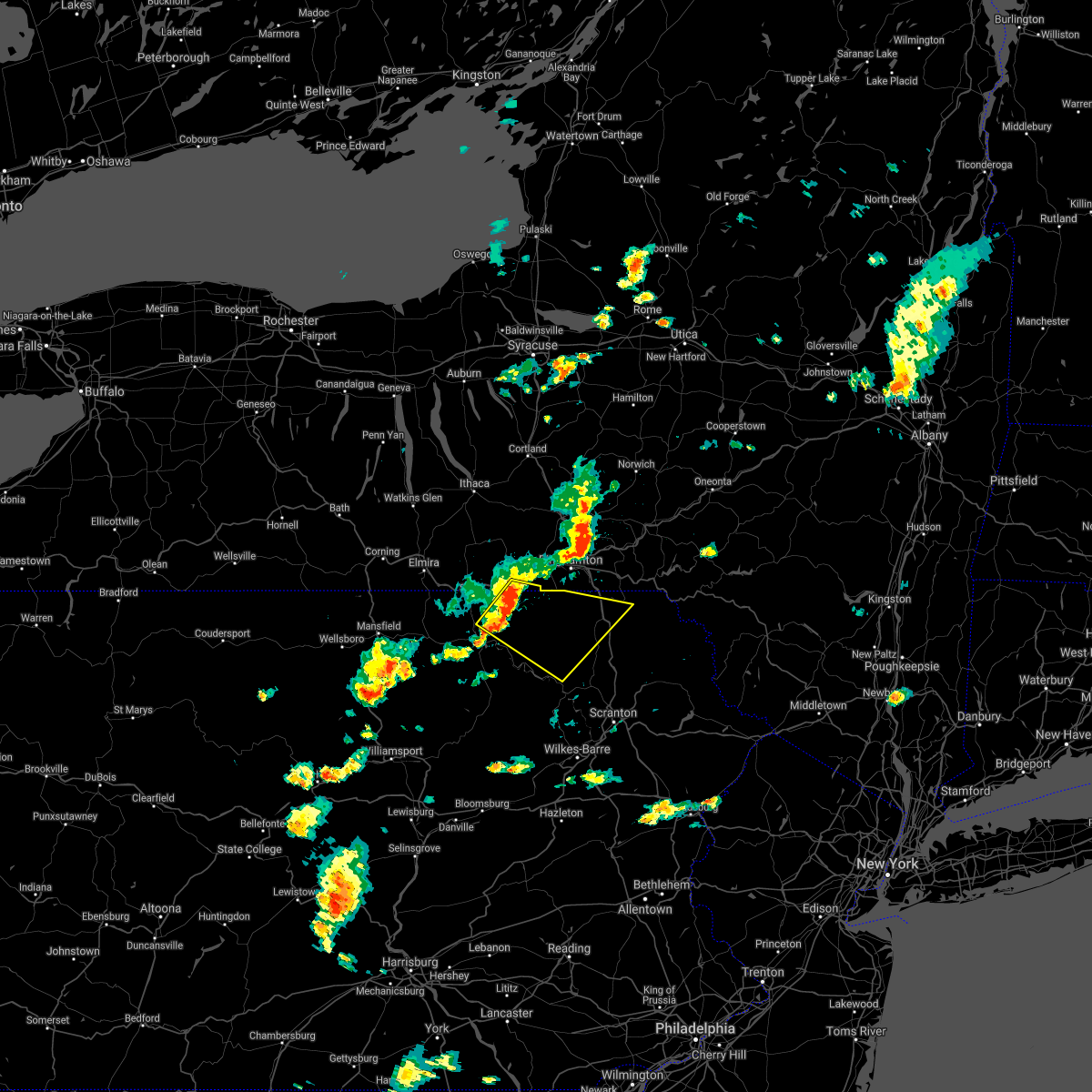 At 357 pm edt, a severe thunderstorm was located over warren center, or 13 miles south of owego, moving southeast at 40 mph (radar indicated). Hazards include 60 mph wind gusts and penny size hail. expect damage to roofs, siding, and trees At 357 pm edt, a severe thunderstorm was located over warren center, or 13 miles south of owego, moving southeast at 40 mph (radar indicated). Hazards include 60 mph wind gusts and penny size hail. expect damage to roofs, siding, and trees
|
| 7/7/2021 10:25 PM EDT |
 At 1023 pm edt, severe thunderstorms were located along a line extending from near whitney point to pleasant mount, moving northeast at 45 mph (law enforcement has reported numerous trees and wires down. widespread power outages in broome county from the microburst). Hazards include 70 mph wind gusts and quarter size hail. the highest winds will be with a dangerous microburst across northeastern broome and southern chenango counties. Hail damage to vehicles is expected. expect considerable tree damage. wind damage is also likely to mobile homes, roofs, and outbuildings. Locations impacted include, norwich, sidney, walton, guilford, sanford, colchester, susquehanna, deposit, coventry and susquehanna depot. At 1023 pm edt, severe thunderstorms were located along a line extending from near whitney point to pleasant mount, moving northeast at 45 mph (law enforcement has reported numerous trees and wires down. widespread power outages in broome county from the microburst). Hazards include 70 mph wind gusts and quarter size hail. the highest winds will be with a dangerous microburst across northeastern broome and southern chenango counties. Hail damage to vehicles is expected. expect considerable tree damage. wind damage is also likely to mobile homes, roofs, and outbuildings. Locations impacted include, norwich, sidney, walton, guilford, sanford, colchester, susquehanna, deposit, coventry and susquehanna depot.
|
| 7/7/2021 10:12 PM EDT | Tree down over road. via dispatch scanne in susquehanna county PA, 3.5 miles ESE of Oakland, PA |
| 7/7/2021 10:06 PM EDT |
 At 1004 pm edt, severe thunderstorms were located along a line extending from near berkshire to near royal, moving northeast at 45 mph (radar indicated). Hazards include 70 mph wind gusts and quarter size hail. 70 mph gusts with a danergrous microburst near binghamton airport moving northeast toward chenango forks and whitney point. elsewhere with 60 mph gusts, hail damage to vehicles is expected. expect considerable tree damage. Wind damage is also likely to mobile homes,roofs, and outbuildings. At 1004 pm edt, severe thunderstorms were located along a line extending from near berkshire to near royal, moving northeast at 45 mph (radar indicated). Hazards include 70 mph wind gusts and quarter size hail. 70 mph gusts with a danergrous microburst near binghamton airport moving northeast toward chenango forks and whitney point. elsewhere with 60 mph gusts, hail damage to vehicles is expected. expect considerable tree damage. Wind damage is also likely to mobile homes,roofs, and outbuildings.
|
| 7/7/2021 9:37 PM EDT |
 The severe thunderstorm warning for cambria county will expire at 945 pm edt, the storms which prompted the warning have weakened below severe limits, and have exited the warned area. therefore, the warning will be allowed to expire. however heavy rain is still possible with these thunderstorms. a severe thunderstorm watch remains in effect until 1100 pm edt for central pennsylvania. remember, a severe thunderstorm warning still remains in effect for northeast cambria and northern blair counties until 1000 pm edt. The severe thunderstorm warning for cambria county will expire at 945 pm edt, the storms which prompted the warning have weakened below severe limits, and have exited the warned area. therefore, the warning will be allowed to expire. however heavy rain is still possible with these thunderstorms. a severe thunderstorm watch remains in effect until 1100 pm edt for central pennsylvania. remember, a severe thunderstorm warning still remains in effect for northeast cambria and northern blair counties until 1000 pm edt.
|
| 7/7/2021 9:21 PM EDT |
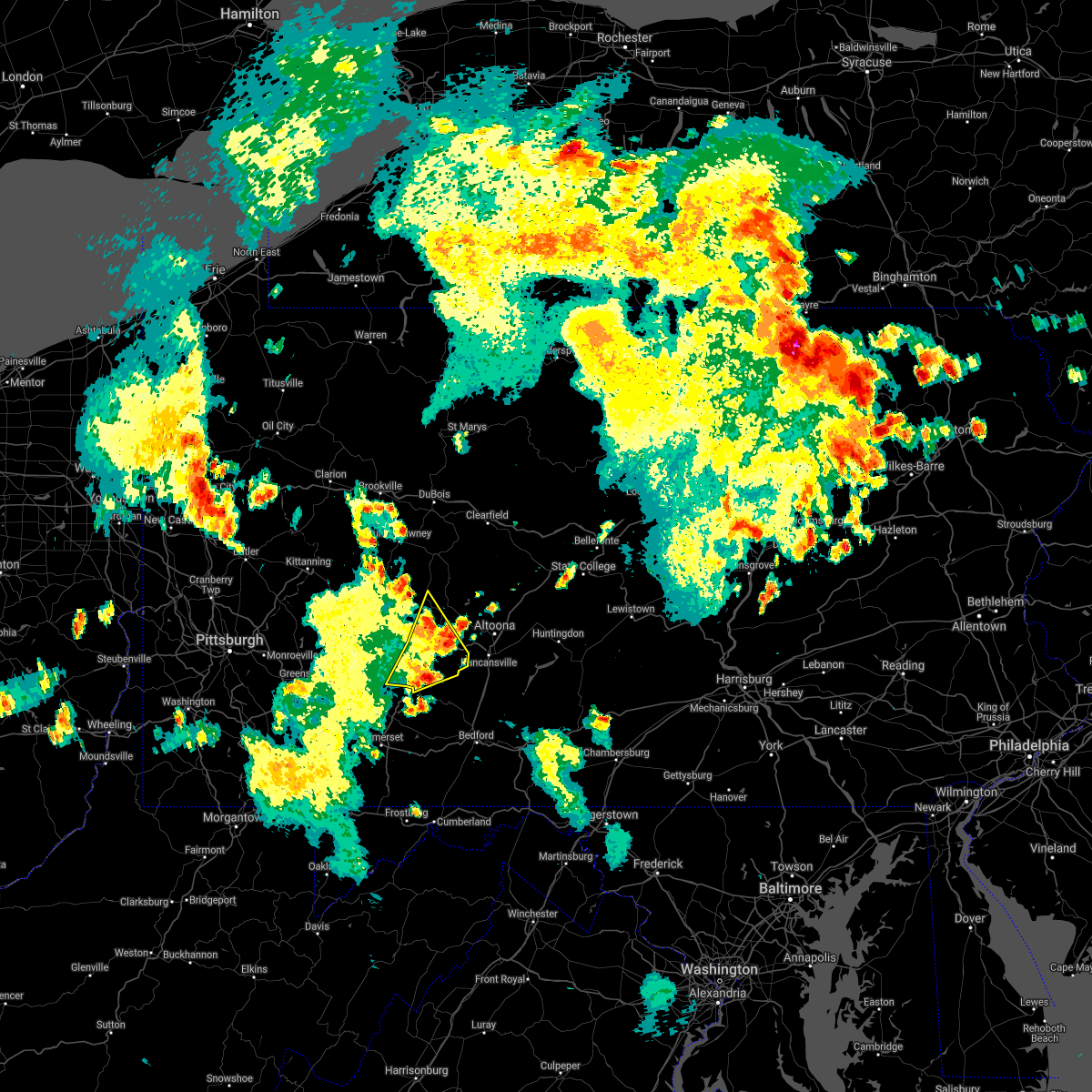 At 920 pm edt, severe thunderstorms were located along a line extending from near belsano to south fork, moving northeast at 30 mph (law enforcement reported numerous downed trees in the warned area). Hazards include 60 mph wind gusts and nickel size hail. Expect damage to roofs, siding, and trees. Locations impacted include, johnstown, westmont, ebensburg, belmont, nanty-glo, portage, northern cambria, geistown, southmont, cresson, vinco, loretto, dale, east conemaugh, salix-beauty line park, beaverdale-lloydell, lilly, south fork, carrolltown and sankertown. At 920 pm edt, severe thunderstorms were located along a line extending from near belsano to south fork, moving northeast at 30 mph (law enforcement reported numerous downed trees in the warned area). Hazards include 60 mph wind gusts and nickel size hail. Expect damage to roofs, siding, and trees. Locations impacted include, johnstown, westmont, ebensburg, belmont, nanty-glo, portage, northern cambria, geistown, southmont, cresson, vinco, loretto, dale, east conemaugh, salix-beauty line park, beaverdale-lloydell, lilly, south fork, carrolltown and sankertown.
|
| 7/7/2021 8:40 PM EDT |
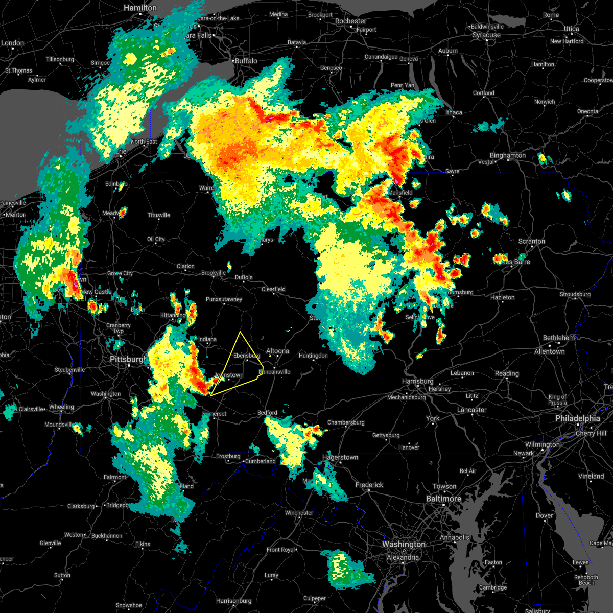 At 839 pm edt, severe thunderstorms were located along a line extending from near blairsville to near ligonier, moving northeast at 30 mph (radar indicated). Hazards include 60 mph wind gusts. expect damage to roofs, siding, and trees At 839 pm edt, severe thunderstorms were located along a line extending from near blairsville to near ligonier, moving northeast at 30 mph (radar indicated). Hazards include 60 mph wind gusts. expect damage to roofs, siding, and trees
|
| 7/7/2021 4:53 PM EDT |
 At 453 pm edt, a severe thunderstorm was located near oakwood, or near new castle, moving northeast at 10 mph (radar). Hazards include wind gusts to 60 mph. Expect damage to trees and power lines, resulting in some power outages. locations impacted include, new castle, oakwood, new castle northwest, bessemer, plain grove township, south new castle, harlansburg, s. n. p. j,. Rose point park, mcconnells mill, this includes interstate 376 in pennsylvania between mile markers 6 and 14. At 453 pm edt, a severe thunderstorm was located near oakwood, or near new castle, moving northeast at 10 mph (radar). Hazards include wind gusts to 60 mph. Expect damage to trees and power lines, resulting in some power outages. locations impacted include, new castle, oakwood, new castle northwest, bessemer, plain grove township, south new castle, harlansburg, s. n. p. j,. Rose point park, mcconnells mill, this includes interstate 376 in pennsylvania between mile markers 6 and 14.
|
| 7/7/2021 4:40 PM EDT |
 At 440 pm edt, a severe thunderstorm was located near east palestine, moving northeast at 10 mph (radar). Hazards include wind gusts to 60 mph. Expect damage to trees and power lines, resulting in some power outages. locations impacted include, new castle, columbiana, east palestine, ellwood city, oakwood, new castle northwest, new waterford, big beaver, new beaver, ellport, bessemer, plain grove township, this includes the following highways, pennsylvania turnpike between mile markers 1 and 12. Interstate 376 in pennsylvania between mile markers 6 and 14. At 440 pm edt, a severe thunderstorm was located near east palestine, moving northeast at 10 mph (radar). Hazards include wind gusts to 60 mph. Expect damage to trees and power lines, resulting in some power outages. locations impacted include, new castle, columbiana, east palestine, ellwood city, oakwood, new castle northwest, new waterford, big beaver, new beaver, ellport, bessemer, plain grove township, this includes the following highways, pennsylvania turnpike between mile markers 1 and 12. Interstate 376 in pennsylvania between mile markers 6 and 14.
|
| 7/7/2021 4:33 PM EDT |
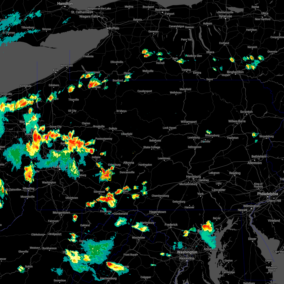 At 432 pm edt, a severe thunderstorm was located over southmont, moving northeast at 15 mph (radar indicated). Hazards include 60 mph wind gusts and quarter size hail. Hail damage to vehicles is expected. expect wind damage to roofs, siding, and trees. Locations impacted include, johnstown, westmont, windber, belmont, geistown, southmont, dale, east conemaugh, paint, scalp level, daisytown, elim, lorain, brownstown, university of pittsburgh - johnstown, johnstown flood national memorial historic site and john murtha johnstown-cambria county airport. At 432 pm edt, a severe thunderstorm was located over southmont, moving northeast at 15 mph (radar indicated). Hazards include 60 mph wind gusts and quarter size hail. Hail damage to vehicles is expected. expect wind damage to roofs, siding, and trees. Locations impacted include, johnstown, westmont, windber, belmont, geistown, southmont, dale, east conemaugh, paint, scalp level, daisytown, elim, lorain, brownstown, university of pittsburgh - johnstown, johnstown flood national memorial historic site and john murtha johnstown-cambria county airport.
|
| 7/7/2021 4:29 PM EDT |
 At 429 pm edt, a severe thunderstorm was located near east palestine, moving northeast at 10 mph (radar). Hazards include wind gusts to 60 mph. Expect damage to trees and power lines, resulting in some power outages. locations impacted include, new castle, columbiana, east palestine, ellwood city, oakwood, new castle northwest, new waterford, big beaver, new beaver, ellport, bessemer, plain grove township, this includes the following highways, pennsylvania turnpike between mile markers 1 and 12. Interstate 376 in pennsylvania between mile markers 6 and 14. At 429 pm edt, a severe thunderstorm was located near east palestine, moving northeast at 10 mph (radar). Hazards include wind gusts to 60 mph. Expect damage to trees and power lines, resulting in some power outages. locations impacted include, new castle, columbiana, east palestine, ellwood city, oakwood, new castle northwest, new waterford, big beaver, new beaver, ellport, bessemer, plain grove township, this includes the following highways, pennsylvania turnpike between mile markers 1 and 12. Interstate 376 in pennsylvania between mile markers 6 and 14.
|
| 7/7/2021 4:21 PM EDT |
 At 420 pm edt, a severe thunderstorm was located near east palestine, moving northeast at 10 mph (radar). Hazards include wind gusts to 60 mph. expect damage to trees and power lines, resulting in some power outages At 420 pm edt, a severe thunderstorm was located near east palestine, moving northeast at 10 mph (radar). Hazards include wind gusts to 60 mph. expect damage to trees and power lines, resulting in some power outages
|
| 7/7/2021 4:12 PM EDT |
 At 411 pm edt, a severe thunderstorm was located near jerome, moving east at 10 mph (radar indicated). Hazards include 60 mph wind gusts and quarter size hail. Hail damage to vehicles is expected. Expect wind damage to roofs, siding, and trees. At 411 pm edt, a severe thunderstorm was located near jerome, moving east at 10 mph (radar indicated). Hazards include 60 mph wind gusts and quarter size hail. Hail damage to vehicles is expected. Expect wind damage to roofs, siding, and trees.
|
| 7/6/2021 3:42 PM EDT |
 At 342 pm edt, severe thunderstorms were located along a line extending from near sanitaria springs to near susquehanna to near montrose, moving east at 50 mph (radar indicated). Hazards include 60 mph wind gusts and quarter size hail. Hail damage to vehicles is expected. Expect wind damage to roofs, siding, and trees. At 342 pm edt, severe thunderstorms were located along a line extending from near sanitaria springs to near susquehanna to near montrose, moving east at 50 mph (radar indicated). Hazards include 60 mph wind gusts and quarter size hail. Hail damage to vehicles is expected. Expect wind damage to roofs, siding, and trees.
|
| 7/6/2021 3:33 PM EDT |
 At 333 pm edt, severe thunderstorms were located along a line extending from jefferson to near delhi to near new milford, moving east at 60 mph (radar indicated). Hazards include 60 mph wind gusts and quarter size hail. Hail damage to vehicles is expected. expect wind damage to roofs, siding, and trees. Locations impacted include, binghamton, oneonta, kirkwood, conklin, sidney, walton, delhi, davenport, sanford and colchester. At 333 pm edt, severe thunderstorms were located along a line extending from jefferson to near delhi to near new milford, moving east at 60 mph (radar indicated). Hazards include 60 mph wind gusts and quarter size hail. Hail damage to vehicles is expected. expect wind damage to roofs, siding, and trees. Locations impacted include, binghamton, oneonta, kirkwood, conklin, sidney, walton, delhi, davenport, sanford and colchester.
|
| 7/6/2021 3:08 PM EDT |
 At 308 pm edt, severe thunderstorms were located along a line extending from laurens to bainbridge to near warren center, moving east at 60 mph (radar indicated). Hazards include 60 mph wind gusts and quarter size hail. Hail damage to vehicles is expected. Expect wind damage to roofs, siding, and trees. At 308 pm edt, severe thunderstorms were located along a line extending from laurens to bainbridge to near warren center, moving east at 60 mph (radar indicated). Hazards include 60 mph wind gusts and quarter size hail. Hail damage to vehicles is expected. Expect wind damage to roofs, siding, and trees.
|
| 6/30/2021 5:15 PM EDT |
 At 515 pm edt, severe thunderstorms were located along a line extending from meredith to brackney to near rome to near burlington, moving southeast at 15 mph (radar indicated). Hazards include 60 mph wind gusts and quarter size hail. Hail damage to vehicles is expected. expect wind damage to roofs, siding, and trees. Locations impacted include, binghamton, vestal, johnson city, endicott, kirkwood, conklin, sidney, athens, walton and towanda. At 515 pm edt, severe thunderstorms were located along a line extending from meredith to brackney to near rome to near burlington, moving southeast at 15 mph (radar indicated). Hazards include 60 mph wind gusts and quarter size hail. Hail damage to vehicles is expected. expect wind damage to roofs, siding, and trees. Locations impacted include, binghamton, vestal, johnson city, endicott, kirkwood, conklin, sidney, athens, walton and towanda.
|
| 6/30/2021 4:50 PM EDT |
 At 448 pm edt, severe thunderstorms were located along a line extending from near guilford to near brackney to near litchfield to wetona, moving southeast at 20 mph (radar indicated). Hazards include 60 mph wind gusts and quarter size hail. Hail damage to vehicles is expected. Expect wind damage to roofs, siding, and trees. At 448 pm edt, severe thunderstorms were located along a line extending from near guilford to near brackney to near litchfield to wetona, moving southeast at 20 mph (radar indicated). Hazards include 60 mph wind gusts and quarter size hail. Hail damage to vehicles is expected. Expect wind damage to roofs, siding, and trees.
|
| 6/21/2021 4:39 PM EDT |
 At 439 pm edt, severe thunderstorms were located along a line extending from 8 miles west of vinco to 7 miles south of lawson heights, moving east at 60 mph (radar indicated). Hazards include 60 mph wind gusts. expect damage to roofs, siding, and trees At 439 pm edt, severe thunderstorms were located along a line extending from 8 miles west of vinco to 7 miles south of lawson heights, moving east at 60 mph (radar indicated). Hazards include 60 mph wind gusts. expect damage to roofs, siding, and trees
|
| 6/13/2021 4:23 PM EDT |
 At 422 pm edt, a severe thunderstorm was located over new castle, moving southeast at 20 mph (radar). Hazards include wind gusts to 60 mph and quarter-size hail. Minor hail damage to vehicles is possible. Expect wind damage to trees and power lines, resulting in some power outages. At 422 pm edt, a severe thunderstorm was located over new castle, moving southeast at 20 mph (radar). Hazards include wind gusts to 60 mph and quarter-size hail. Minor hail damage to vehicles is possible. Expect wind damage to trees and power lines, resulting in some power outages.
|
| 6/13/2021 4:11 PM EDT |
 At 411 pm edt, a severe thunderstorm was located near new castle northwest, or near new castle, moving southeast at 25 mph (radar). Hazards include wind gusts to 60 mph and quarter-size hail. Minor hail damage to vehicles is possible. expect wind damage to trees and power lines, resulting in some power outages. locations impacted include, new castle, new wilmington, oakwood, new castle northwest, new beaver, pulaski, bessemer, new bedford, plain grove township, south new castle, west liberty, harlansburg, this includes the following highways, pennsylvania turnpike between mile markers 1 and 4. interstate 79 in pennsylvania between mile markers 100 and 107. Interstate 376 in pennsylvania between mile markers 4 and 14. At 411 pm edt, a severe thunderstorm was located near new castle northwest, or near new castle, moving southeast at 25 mph (radar). Hazards include wind gusts to 60 mph and quarter-size hail. Minor hail damage to vehicles is possible. expect wind damage to trees and power lines, resulting in some power outages. locations impacted include, new castle, new wilmington, oakwood, new castle northwest, new beaver, pulaski, bessemer, new bedford, plain grove township, south new castle, west liberty, harlansburg, this includes the following highways, pennsylvania turnpike between mile markers 1 and 4. interstate 79 in pennsylvania between mile markers 100 and 107. Interstate 376 in pennsylvania between mile markers 4 and 14.
|
| 6/13/2021 3:55 PM EDT |
 At 355 pm edt, a severe thunderstorm was located over new wilmington, or 8 miles north of new castle, moving southeast at 25 mph (radar). Hazards include wind gusts to 60 mph and quarter-size hail. Minor hail damage to vehicles is possible. Expect wind damage to trees and power lines, resulting in some power outages. At 355 pm edt, a severe thunderstorm was located over new wilmington, or 8 miles north of new castle, moving southeast at 25 mph (radar). Hazards include wind gusts to 60 mph and quarter-size hail. Minor hail damage to vehicles is possible. Expect wind damage to trees and power lines, resulting in some power outages.
|
| 6/13/2021 10:11 AM EDT |
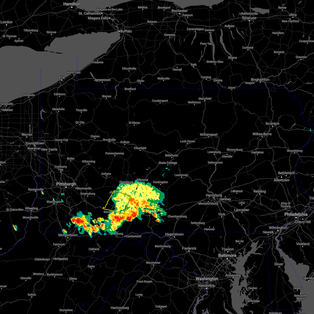 The severe thunderstorm warning for northeastern somerset and southwestern cambria counties will expire at 1015 am edt, the storm which prompted the warning has weakened below severe limits, and has exited the warned area. therefore, the warning will be allowed to expire. The severe thunderstorm warning for northeastern somerset and southwestern cambria counties will expire at 1015 am edt, the storm which prompted the warning has weakened below severe limits, and has exited the warned area. therefore, the warning will be allowed to expire.
|
| 6/13/2021 9:08 AM EDT |
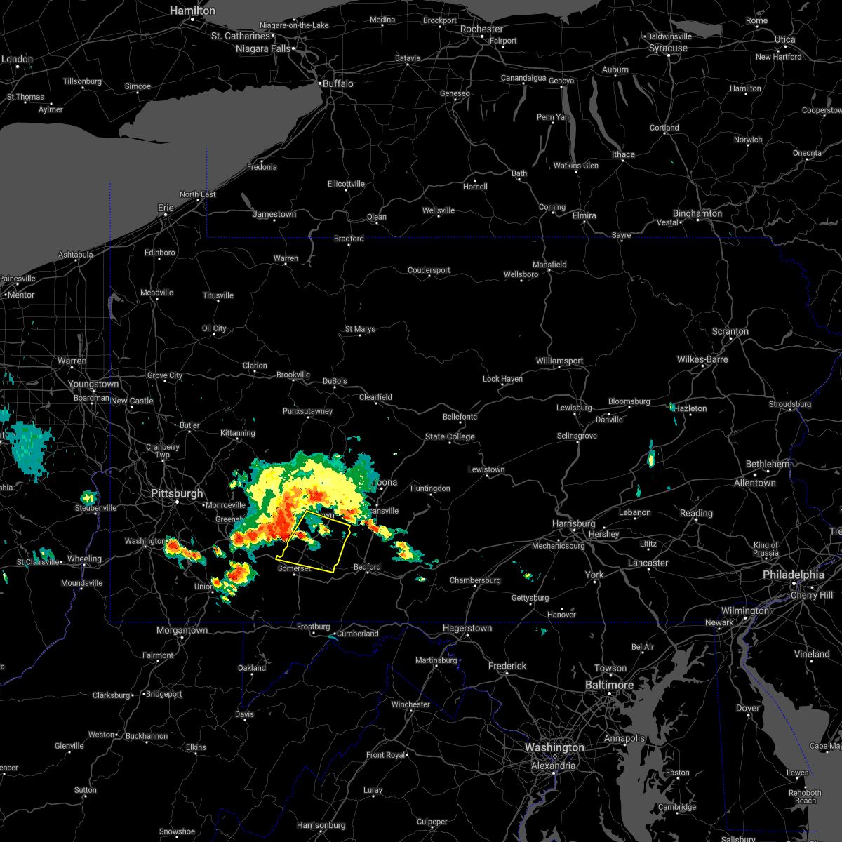 At 907 am edt, a severe thunderstorm was located near jerome, moving southeast at 30 mph (radar indicated). Hazards include 60 mph wind gusts. expect damage to roofs, siding, and trees At 907 am edt, a severe thunderstorm was located near jerome, moving southeast at 30 mph (radar indicated). Hazards include 60 mph wind gusts. expect damage to roofs, siding, and trees
|
| 5/26/2021 7:27 PM EDT |
 The severe thunderstorm warning for southwestern delaware, northeastern susquehanna and northern wayne counties will expire at 730 pm edt, the storm which prompted the warning has weakened below severe limits, and has exited the warned area. therefore, the warning will be allowed to expire. however gusty winds are still possible with this thunderstorm. a severe thunderstorm watch remains in effect until 800 pm edt for central new york, and northeastern pennsylvania. The severe thunderstorm warning for southwestern delaware, northeastern susquehanna and northern wayne counties will expire at 730 pm edt, the storm which prompted the warning has weakened below severe limits, and has exited the warned area. therefore, the warning will be allowed to expire. however gusty winds are still possible with this thunderstorm. a severe thunderstorm watch remains in effect until 800 pm edt for central new york, and northeastern pennsylvania.
|
| 5/26/2021 7:13 PM EDT |
 At 713 pm edt, a severe thunderstorm was located over hiawatha, or 9 miles south of deposit, moving east at 50 mph (radar indicated). Hazards include 60 mph wind gusts and penny size hail. Expect damage to roofs, siding, and trees. Locations impacted include, susquehanna, susquehanna depot, hancock, lanesboro, starrucca, hiawatha, shehawken, starlight, starruca and fishs eddy. At 713 pm edt, a severe thunderstorm was located over hiawatha, or 9 miles south of deposit, moving east at 50 mph (radar indicated). Hazards include 60 mph wind gusts and penny size hail. Expect damage to roofs, siding, and trees. Locations impacted include, susquehanna, susquehanna depot, hancock, lanesboro, starrucca, hiawatha, shehawken, starlight, starruca and fishs eddy.
|
| 5/26/2021 7:03 PM EDT |
 At 703 pm edt, a severe thunderstorm was located over lanesboro, or 10 miles southwest of deposit, moving east at 50 mph (radar indicated). Hazards include 60 mph wind gusts and nickel size hail. Expect damage to roofs, siding, and trees. Locations impacted include, susquehanna, susquehanna depot, hancock, new milford, ararat, lanesboro, thompson, starrucca, hiawatha and shehawken. At 703 pm edt, a severe thunderstorm was located over lanesboro, or 10 miles southwest of deposit, moving east at 50 mph (radar indicated). Hazards include 60 mph wind gusts and nickel size hail. Expect damage to roofs, siding, and trees. Locations impacted include, susquehanna, susquehanna depot, hancock, new milford, ararat, lanesboro, thompson, starrucca, hiawatha and shehawken.
|
| 5/26/2021 6:53 PM EDT |
 At 653 pm edt, a severe thunderstorm was located near hallstead, or 11 miles northeast of montrose, moving east at 45 mph (radar indicated). Hazards include 60 mph wind gusts and nickel size hail. expect damage to roofs, siding, and trees At 653 pm edt, a severe thunderstorm was located near hallstead, or 11 miles northeast of montrose, moving east at 45 mph (radar indicated). Hazards include 60 mph wind gusts and nickel size hail. expect damage to roofs, siding, and trees
|
| 5/3/2021 9:17 PM EDT |
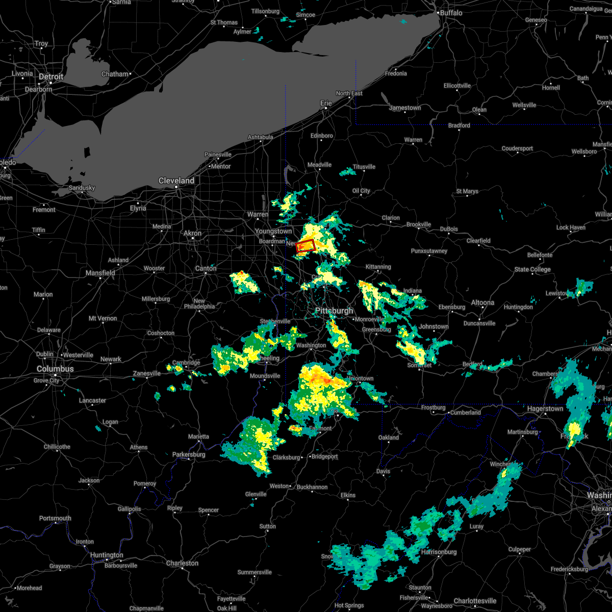 At 916 pm edt, a severe thunderstorm capable of producing a tornado was located over new castle, moving east at 20 mph (radar indicated rotation). Hazards include tornado. Flying debris will be dangerous to those caught without shelter. mobile homes will be damaged or destroyed. damage to roofs, windows, and vehicles will occur. tree damage is likely. this tornadic thunderstorm will remain over mainly rural areas of central lawrence county, including the following locations, south new castle. This includes interstate 376 in pennsylvania between mile markers 12 and 14. At 916 pm edt, a severe thunderstorm capable of producing a tornado was located over new castle, moving east at 20 mph (radar indicated rotation). Hazards include tornado. Flying debris will be dangerous to those caught without shelter. mobile homes will be damaged or destroyed. damage to roofs, windows, and vehicles will occur. tree damage is likely. this tornadic thunderstorm will remain over mainly rural areas of central lawrence county, including the following locations, south new castle. This includes interstate 376 in pennsylvania between mile markers 12 and 14.
|
| 5/3/2021 9:05 PM EDT |
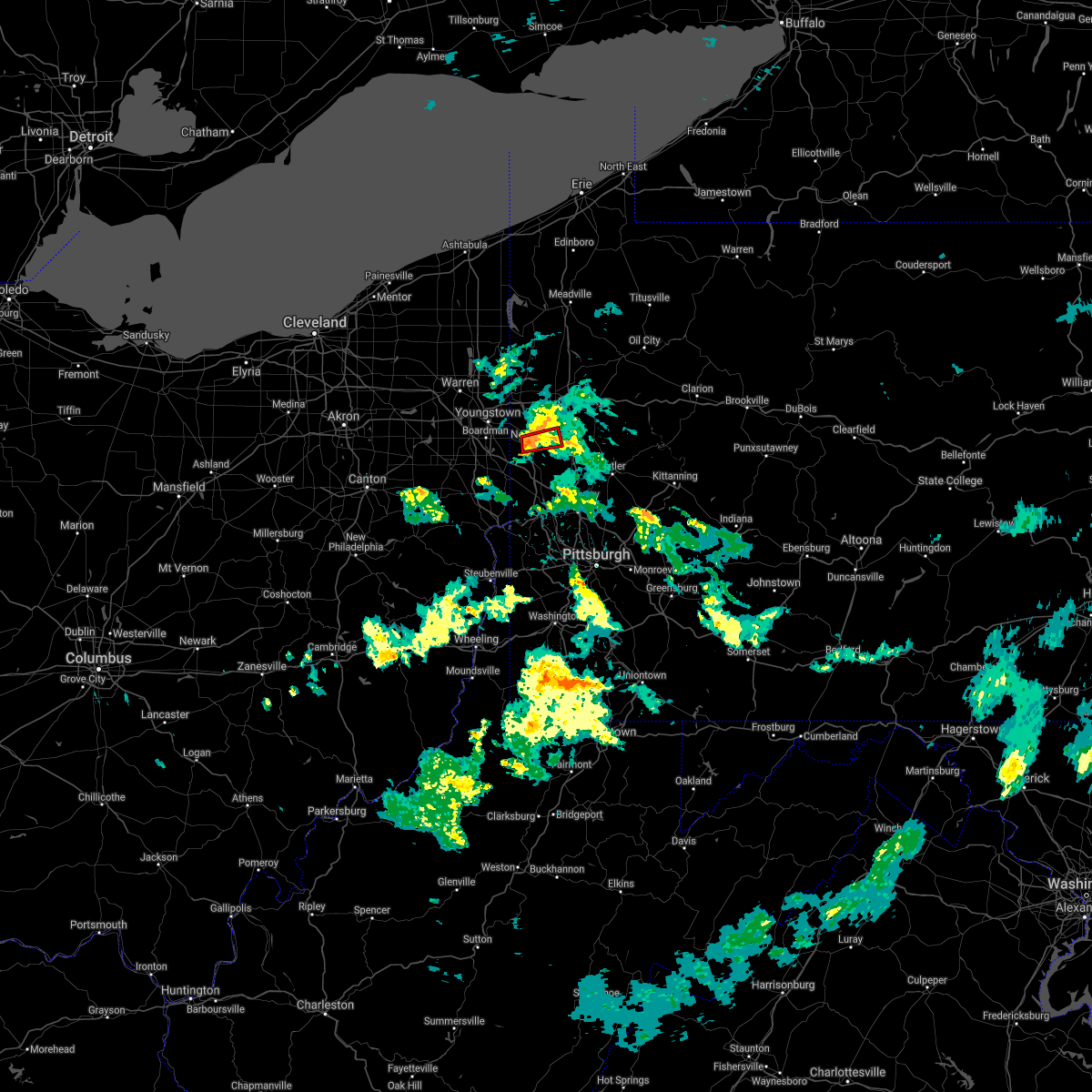 At 905 pm edt, a severe thunderstorm capable of producing a tornado was located over oakwood, or over new castle, moving east at 20 mph (radar indicated rotation). Hazards include tornado. Flying debris will be dangerous to those caught without shelter. mobile homes will be damaged or destroyed. damage to roofs, windows, and vehicles will occur. tree damage is likely. this dangerous storm will be near, new castle northwest around 910 pm edt. new castle around 915 pm edt. other locations impacted by this tornadic thunderstorm include south new castle. This includes interstate 376 in pennsylvania between mile markers 12 and 14. At 905 pm edt, a severe thunderstorm capable of producing a tornado was located over oakwood, or over new castle, moving east at 20 mph (radar indicated rotation). Hazards include tornado. Flying debris will be dangerous to those caught without shelter. mobile homes will be damaged or destroyed. damage to roofs, windows, and vehicles will occur. tree damage is likely. this dangerous storm will be near, new castle northwest around 910 pm edt. new castle around 915 pm edt. other locations impacted by this tornadic thunderstorm include south new castle. This includes interstate 376 in pennsylvania between mile markers 12 and 14.
|
| 5/3/2021 8:54 PM EDT |
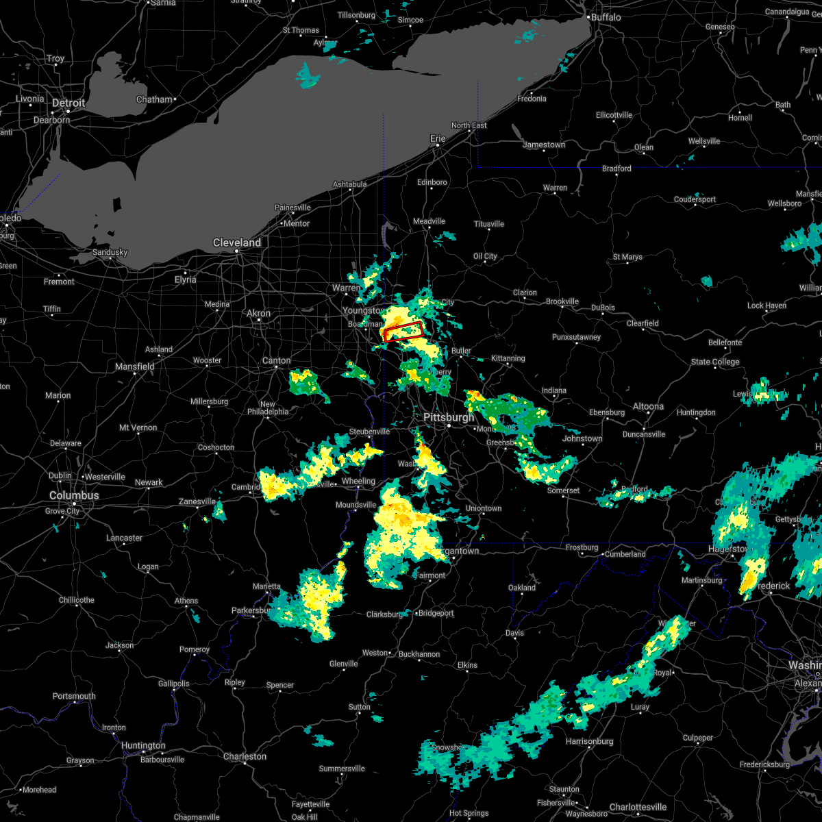 At 853 pm edt, a severe thunderstorm capable of producing a tornado was located near oakwood, or near new castle, moving east at 30 mph (radar indicated rotation). Hazards include tornado. Flying debris will be dangerous to those caught without shelter. mobile homes will be damaged or destroyed. damage to roofs, windows, and vehicles will occur. tree damage is likely. this dangerous storm will be near, oakwood and new castle northwest around 905 pm edt. new castle around 910 pm edt. Other locations impacted by this tornadic thunderstorm include bessemer and south new castle. At 853 pm edt, a severe thunderstorm capable of producing a tornado was located near oakwood, or near new castle, moving east at 30 mph (radar indicated rotation). Hazards include tornado. Flying debris will be dangerous to those caught without shelter. mobile homes will be damaged or destroyed. damage to roofs, windows, and vehicles will occur. tree damage is likely. this dangerous storm will be near, oakwood and new castle northwest around 905 pm edt. new castle around 910 pm edt. Other locations impacted by this tornadic thunderstorm include bessemer and south new castle.
|
| 11/15/2020 3:46 PM EST |
 At 345 pm est, severe thunderstorms were located along a line extending from near black lick to 7 miles south of farmington, moving east at 60 mph (radar indicated). Hazards include 60 mph wind gusts. expect damage to trees, roofs, and siding At 345 pm est, severe thunderstorms were located along a line extending from near black lick to 7 miles south of farmington, moving east at 60 mph (radar indicated). Hazards include 60 mph wind gusts. expect damage to trees, roofs, and siding
|
| 11/15/2020 2:43 PM EST |
 The severe thunderstorm warning for mercer, northern beaver, western venango, lawrence and western butler counties will expire at 245 pm est, the storms which prompted the warning have moved out of the area. therefore, the warning will be allowed to expire. however gusty winds are still possible with these thunderstorms. a severe thunderstorm watch remains in effect until 400 pm est for east central ohio, and western, northwestern and west central pennsylvania. remember, a severe thunderstorm warning still remains in effect for eastern mercer, lawrence until 330 pm est. The severe thunderstorm warning for mercer, northern beaver, western venango, lawrence and western butler counties will expire at 245 pm est, the storms which prompted the warning have moved out of the area. therefore, the warning will be allowed to expire. however gusty winds are still possible with these thunderstorms. a severe thunderstorm watch remains in effect until 400 pm est for east central ohio, and western, northwestern and west central pennsylvania. remember, a severe thunderstorm warning still remains in effect for eastern mercer, lawrence until 330 pm est.
|
| 11/15/2020 2:27 PM EST |
 At 227 pm est, severe thunderstorms were located along a line extending from near meadville to near ellwood city, moving east at 45 mph (radar). Hazards include wind gusts to 60 mph. Expect damage to trees and power lines, resulting in some power outages. locations impacted include, cranberry, new castle, hermitage, sharon, beaver falls, grove city, franklin, sharpsville, ellwood city, new brighton, greenville, sugarcreek, this includes the following highways, pennsylvania turnpike between mile markers 1 and 26. interstate 79 in pennsylvania between mile markers 81 and 138. interstate 80 in pennsylvania between mile markers 0 and 32. Interstate 376 in pennsylvania between mile markers 4 and 35. At 227 pm est, severe thunderstorms were located along a line extending from near meadville to near ellwood city, moving east at 45 mph (radar). Hazards include wind gusts to 60 mph. Expect damage to trees and power lines, resulting in some power outages. locations impacted include, cranberry, new castle, hermitage, sharon, beaver falls, grove city, franklin, sharpsville, ellwood city, new brighton, greenville, sugarcreek, this includes the following highways, pennsylvania turnpike between mile markers 1 and 26. interstate 79 in pennsylvania between mile markers 81 and 138. interstate 80 in pennsylvania between mile markers 0 and 32. Interstate 376 in pennsylvania between mile markers 4 and 35.
|
| 11/15/2020 2:01 PM EST |
 At 200 pm est, severe thunderstorms were located along a line extending from pymatuning north to near new waterford, moving east at 45 mph (radar). Hazards include wind gusts to 70 mph. Trees snapped and uprooted. Power outages can be expected. At 200 pm est, severe thunderstorms were located along a line extending from pymatuning north to near new waterford, moving east at 45 mph (radar). Hazards include wind gusts to 70 mph. Trees snapped and uprooted. Power outages can be expected.
|
| 10/7/2020 5:29 PM EDT |
 At 529 pm edt, severe thunderstorms were located along a line extending from near great bend to near deposit, moving southeast at 40 mph (radar indicated). Hazards include 60 mph wind gusts. Expect damage to roofs, siding, and trees. Locations impacted include, jackson, susquehanna, susquehanna depot, hallstead, hancock, new milford, great bend, lanesboro, thompson and starrucca. At 529 pm edt, severe thunderstorms were located along a line extending from near great bend to near deposit, moving southeast at 40 mph (radar indicated). Hazards include 60 mph wind gusts. Expect damage to roofs, siding, and trees. Locations impacted include, jackson, susquehanna, susquehanna depot, hallstead, hancock, new milford, great bend, lanesboro, thompson and starrucca.
|
| 10/7/2020 5:14 PM EDT |
 At 514 pm edt, severe thunderstorms were located along a line extending from near binghamton to near sanford, moving southeast at 40 mph (radar indicated). Hazards include 60 mph wind gusts. expect damage to roofs, siding, and trees At 514 pm edt, severe thunderstorms were located along a line extending from near binghamton to near sanford, moving southeast at 40 mph (radar indicated). Hazards include 60 mph wind gusts. expect damage to roofs, siding, and trees
|
| 8/28/2020 12:46 PM EDT |
 At 1244 pm edt, severe thunderstorms were located along a line extending from near prince gallitzin state park to cresson to near st. michael to near westmont, moving east at 15 mph (radar indicated). Hazards include 60 mph wind gusts and penny size hail. expect damage to trees, roofs, and siding At 1244 pm edt, severe thunderstorms were located along a line extending from near prince gallitzin state park to cresson to near st. michael to near westmont, moving east at 15 mph (radar indicated). Hazards include 60 mph wind gusts and penny size hail. expect damage to trees, roofs, and siding
|
| 8/27/2020 7:03 PM EDT |
 At 702 pm edt, severe thunderstorms were located along a line extending from near mcclure to strodes mills to near duncansville, moving east at 45 mph (radar indicated). Hazards include 60 mph wind gusts and quarter size hail. Hail damage to vehicles is expected. expect wind damage to trees, roofs, and siding. locations impacted include, johnstown, huntingdon, hollidaysburg, westmont, windber, belmont, portage, roaring spring, geistown, southmont, martinsburg, lakemont, claysburg, williamsburg, dale, duncansville, east conemaugh, salix-beauty line park, beaverdale-lloydell and paint. This includes interstate 99 from mile markers 15 to 30. At 702 pm edt, severe thunderstorms were located along a line extending from near mcclure to strodes mills to near duncansville, moving east at 45 mph (radar indicated). Hazards include 60 mph wind gusts and quarter size hail. Hail damage to vehicles is expected. expect wind damage to trees, roofs, and siding. locations impacted include, johnstown, huntingdon, hollidaysburg, westmont, windber, belmont, portage, roaring spring, geistown, southmont, martinsburg, lakemont, claysburg, williamsburg, dale, duncansville, east conemaugh, salix-beauty line park, beaverdale-lloydell and paint. This includes interstate 99 from mile markers 15 to 30.
|
| 8/27/2020 6:15 PM EDT |
 At 614 pm edt, severe thunderstorms were located along a line extending from near black moshannon state park to near houtzdale to near indiana, moving east at 45 mph (radar indicated). Hazards include 60 mph wind gusts and quarter size hail. Hail damage to vehicles is expected. Expect wind damage to trees, roofs, and siding. At 614 pm edt, severe thunderstorms were located along a line extending from near black moshannon state park to near houtzdale to near indiana, moving east at 45 mph (radar indicated). Hazards include 60 mph wind gusts and quarter size hail. Hail damage to vehicles is expected. Expect wind damage to trees, roofs, and siding.
|
| 8/27/2020 5:23 PM EDT |
 At 522 pm edt, a severe thunderstorm was located near hallstead, or 8 miles northeast of montrose, moving southeast at 55 mph (law enforcement). Hazards include 70 mph wind gusts and quarter size hail. Hail damage to vehicles is expected. expect considerable tree damage. Wind damage is also likely to mobile homes, roofs, and outbuildings. At 522 pm edt, a severe thunderstorm was located near hallstead, or 8 miles northeast of montrose, moving southeast at 55 mph (law enforcement). Hazards include 70 mph wind gusts and quarter size hail. Hail damage to vehicles is expected. expect considerable tree damage. Wind damage is also likely to mobile homes, roofs, and outbuildings.
|
| 8/27/2020 5:19 PM EDT |
 At 518 pm edt, severe thunderstorms were located along a line extending from sanitaria springs to near kirkwood to brackney, moving east at 50 mph (law enforcement. trees and powerlines have been blown down in the binghamton area with this line of thunderstorms). Hazards include 70 mph wind gusts and quarter size hail. Hail damage to vehicles is expected. expect considerable tree damage. wind damage is also likely to mobile homes, roofs, and outbuildings. Locations impacted include, binghamton, vestal, johnson city, endicott, kirkwood, conklin, maine, sanford, susquehanna and deposit. At 518 pm edt, severe thunderstorms were located along a line extending from sanitaria springs to near kirkwood to brackney, moving east at 50 mph (law enforcement. trees and powerlines have been blown down in the binghamton area with this line of thunderstorms). Hazards include 70 mph wind gusts and quarter size hail. Hail damage to vehicles is expected. expect considerable tree damage. wind damage is also likely to mobile homes, roofs, and outbuildings. Locations impacted include, binghamton, vestal, johnson city, endicott, kirkwood, conklin, maine, sanford, susquehanna and deposit.
|
| 8/27/2020 5:10 PM EDT |
 At 509 pm edt, severe thunderstorms were located along a line extending from castle creek to near binghamton to near tioga terrace, moving east at 45 mph (radar indicated). Hazards include 70 mph wind gusts and half dollar size hail. Hail damage to vehicles is expected. expect considerable tree damage. wind damage is also likely to mobile homes, roofs, and outbuildings. Locations impacted include, binghamton, vestal, johnson city, endicott, kirkwood, conklin, maine, sanford, susquehanna and deposit. At 509 pm edt, severe thunderstorms were located along a line extending from castle creek to near binghamton to near tioga terrace, moving east at 45 mph (radar indicated). Hazards include 70 mph wind gusts and half dollar size hail. Hail damage to vehicles is expected. expect considerable tree damage. wind damage is also likely to mobile homes, roofs, and outbuildings. Locations impacted include, binghamton, vestal, johnson city, endicott, kirkwood, conklin, maine, sanford, susquehanna and deposit.
|
| 8/27/2020 5:05 PM EDT |
 At 504 pm edt, severe thunderstorms were located along a line extending from 6 miles west of slippery rock to 6 miles southeast of campbell, moving southeast at 35 mph. wind damage with these storms may occur before any rain or lightning. do not wait for the sound of thunder before taking cover (radar). Hazards include wind gusts to 60 mph. Expect damage to trees and power lines, resulting in some power outages. locations impacted include, new castle, beaver falls, ellwood city, homeacre-lyndora, shanor-northvue, meridian, slippery rock, new wilmington, oakwood, new castle northwest, big beaver, new beaver, this includes the following highways, pennsylvania turnpike between mile markers 2 and 16. interstate 79 in pennsylvania between mile markers 91 and 112. interstate 80 in pennsylvania near mile marker 2, and between mile markers 6 and 14. Interstate 376 in pennsylvania between mile markers 4 and 14. At 504 pm edt, severe thunderstorms were located along a line extending from 6 miles west of slippery rock to 6 miles southeast of campbell, moving southeast at 35 mph. wind damage with these storms may occur before any rain or lightning. do not wait for the sound of thunder before taking cover (radar). Hazards include wind gusts to 60 mph. Expect damage to trees and power lines, resulting in some power outages. locations impacted include, new castle, beaver falls, ellwood city, homeacre-lyndora, shanor-northvue, meridian, slippery rock, new wilmington, oakwood, new castle northwest, big beaver, new beaver, this includes the following highways, pennsylvania turnpike between mile markers 2 and 16. interstate 79 in pennsylvania between mile markers 91 and 112. interstate 80 in pennsylvania near mile marker 2, and between mile markers 6 and 14. Interstate 376 in pennsylvania between mile markers 4 and 14.
|
| 8/27/2020 4:52 PM EDT |
 At 451 pm edt, clusters of a severe thunderstorm were located near newark valley, or 7 miles west of greater binghamton airport, moving southeast at 45 mph (radar indicated). Hazards include 70 mph wind gusts and half dollar size hail. Hail damage to vehicles is expected. expect considerable tree damage. Wind damage is also likely to mobile homes, roofs, and outbuildings. At 451 pm edt, clusters of a severe thunderstorm were located near newark valley, or 7 miles west of greater binghamton airport, moving southeast at 45 mph (radar indicated). Hazards include 70 mph wind gusts and half dollar size hail. Hail damage to vehicles is expected. expect considerable tree damage. Wind damage is also likely to mobile homes, roofs, and outbuildings.
|
| 8/27/2020 4:44 PM EDT |
 At 443 pm edt, a severe thunderstorm was located over maplewood park, or near youngstown, moving southeast at 35 mph (radar). Hazards include wind gusts to 60 mph. expect damage to trees and power lines, resulting in some power outages At 443 pm edt, a severe thunderstorm was located over maplewood park, or near youngstown, moving southeast at 35 mph (radar). Hazards include wind gusts to 60 mph. expect damage to trees and power lines, resulting in some power outages
|
| 8/25/2020 3:24 PM EDT |
 The severe thunderstorm warning for southwestern delaware, northeastern susquehanna and northwestern wayne counties will expire at 330 pm edt, the storm which prompted the warning has weakened below severe limits, and no longer poses an immediate threat to life or property. therefore, the warning will be allowed to expire. a severe thunderstorm watch remains in effect until 900 pm edt for central new york, and northeastern pennsylvania. to report severe weather, contact your nearest law enforcement agency. they will relay your report to the national weather service binghamton. The severe thunderstorm warning for southwestern delaware, northeastern susquehanna and northwestern wayne counties will expire at 330 pm edt, the storm which prompted the warning has weakened below severe limits, and no longer poses an immediate threat to life or property. therefore, the warning will be allowed to expire. a severe thunderstorm watch remains in effect until 900 pm edt for central new york, and northeastern pennsylvania. to report severe weather, contact your nearest law enforcement agency. they will relay your report to the national weather service binghamton.
|
| 8/25/2020 3:04 PM EDT |
 At 304 pm edt, a severe thunderstorm was located over starruca, or 9 miles south of deposit, moving southeast at 40 mph (radar indicated). Hazards include 60 mph wind gusts and quarter size hail. Hail damage to vehicles is expected. expect wind damage to roofs, siding, and trees. Locations impacted include, susquehanna, susquehanna depot, hancock, ararat, lanesboro, thompson, starrucca, hiawatha, shehawken and starlight. At 304 pm edt, a severe thunderstorm was located over starruca, or 9 miles south of deposit, moving southeast at 40 mph (radar indicated). Hazards include 60 mph wind gusts and quarter size hail. Hail damage to vehicles is expected. expect wind damage to roofs, siding, and trees. Locations impacted include, susquehanna, susquehanna depot, hancock, ararat, lanesboro, thompson, starrucca, hiawatha, shehawken and starlight.
|
| 8/25/2020 3:00 PM EDT |
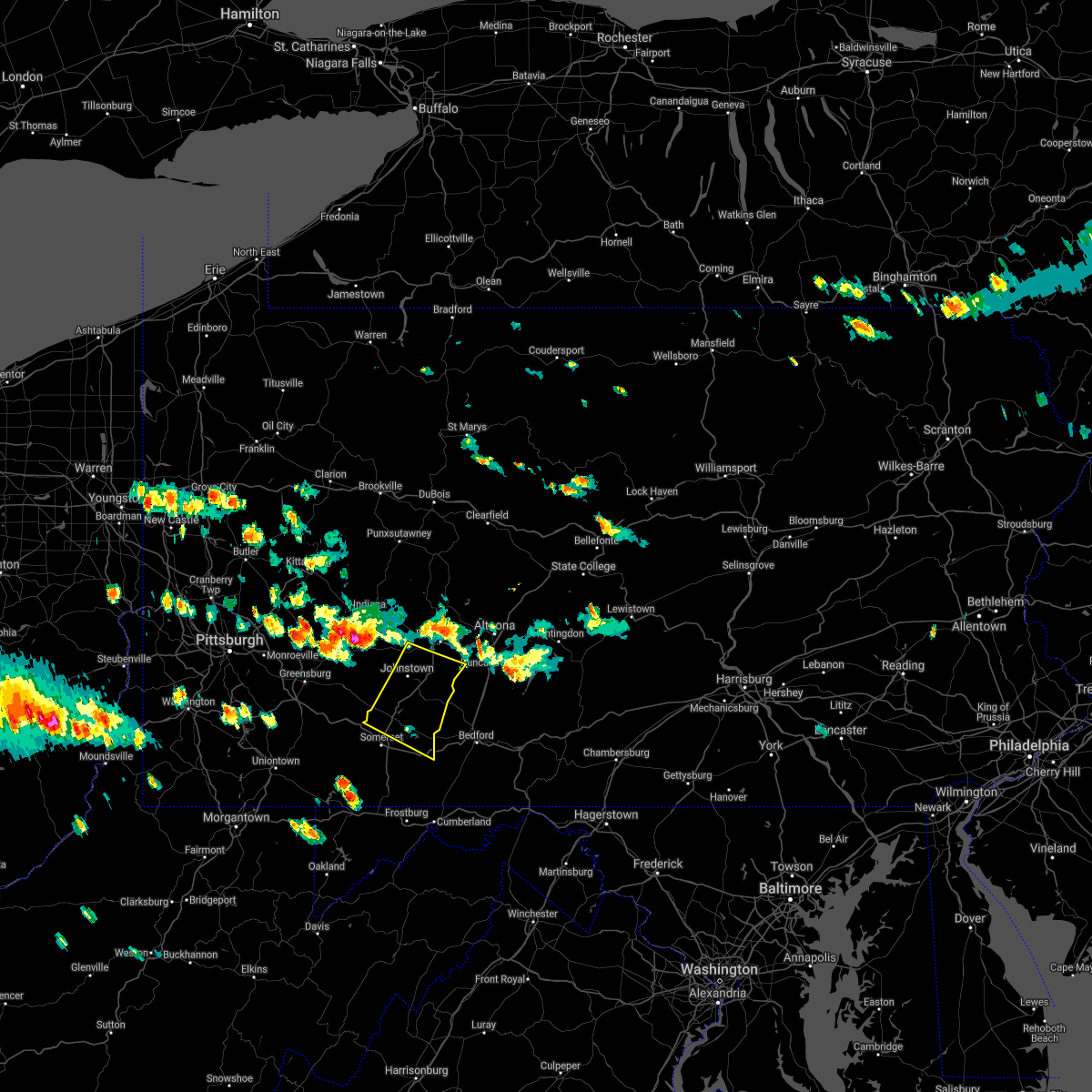 At 259 pm edt, a severe thunderstorm was located near black lick, moving southeast at 40 mph (radar indicated). Hazards include 60 mph wind gusts and quarter size hail. Hail damage to vehicles is expected. Expect wind damage to trees, roofs, and siding. At 259 pm edt, a severe thunderstorm was located near black lick, moving southeast at 40 mph (radar indicated). Hazards include 60 mph wind gusts and quarter size hail. Hail damage to vehicles is expected. Expect wind damage to trees, roofs, and siding.
|
| 8/25/2020 2:29 PM EDT |
 At 229 pm edt, a severe thunderstorm was located over sanitaria springs, or 7 miles northeast of binghamton, moving southeast at 40 mph (radar indicated). Hazards include 60 mph wind gusts and quarter size hail. Hail damage to vehicles is expected. Expect wind damage to roofs, siding, and trees. At 229 pm edt, a severe thunderstorm was located over sanitaria springs, or 7 miles northeast of binghamton, moving southeast at 40 mph (radar indicated). Hazards include 60 mph wind gusts and quarter size hail. Hail damage to vehicles is expected. Expect wind damage to roofs, siding, and trees.
|
| 7/23/2020 4:43 PM EDT |
 At 441 pm edt, severe thunderstorms were located along a line extending from near lanesboro, to thompson, to near gibson, to near harford, to near springville, moving southeast at 25 mph (law enforcement. trees and power lines have been blown down by this line of thunderstorms). Hazards include 60 mph wind gusts and quarter size hail. Hail damage to vehicles is expected. expect wind damage to roofs, siding, and trees. Locations impacted include, clarks summit, rush, jackson, clifford, susquehanna, forest city, susquehanna depot, springville, montrose, and dimock. At 441 pm edt, severe thunderstorms were located along a line extending from near lanesboro, to thompson, to near gibson, to near harford, to near springville, moving southeast at 25 mph (law enforcement. trees and power lines have been blown down by this line of thunderstorms). Hazards include 60 mph wind gusts and quarter size hail. Hail damage to vehicles is expected. expect wind damage to roofs, siding, and trees. Locations impacted include, clarks summit, rush, jackson, clifford, susquehanna, forest city, susquehanna depot, springville, montrose, and dimock.
|
| 7/23/2020 4:31 PM EDT |
 At 428 pm edt, severe thunderstorms were located along a line extending from near windsor, to near susquehanna, to near new milford, to montrose, to near rush, moving southeast at 30 mph (law enforcement. trees and power lines have been blown down by this line of thunderstorms). Hazards include 60 mph wind gusts and quarter size hail. Hail damage to vehicles is expected. expect wind damage to roofs, siding, and trees. Locations impacted include, clarks summit, rush, jackson, clifford, susquehanna, forest city, susquehanna depot, springville, montrose, and dimock. At 428 pm edt, severe thunderstorms were located along a line extending from near windsor, to near susquehanna, to near new milford, to montrose, to near rush, moving southeast at 30 mph (law enforcement. trees and power lines have been blown down by this line of thunderstorms). Hazards include 60 mph wind gusts and quarter size hail. Hail damage to vehicles is expected. expect wind damage to roofs, siding, and trees. Locations impacted include, clarks summit, rush, jackson, clifford, susquehanna, forest city, susquehanna depot, springville, montrose, and dimock.
|
| 7/23/2020 4:15 PM EDT |
 At 414 pm edt, severe thunderstorms were located along a line extending from near windsor, to near hallstead, to near great bend, to near friendsville to near rush, moving southeast at 30 mph (law enforcement. trees and power lines have been blown down by this line of thunderstorms). Hazards include 60 mph wind gusts and half dollar size hail. Hail damage to vehicles is expected. expect wind damage to roofs, siding, and trees. Locations impacted include, kirkwood, conklin, clarks summit, rush, jackson, clifford, susquehanna, forest city, deposit and susquehanna depot. At 414 pm edt, severe thunderstorms were located along a line extending from near windsor, to near hallstead, to near great bend, to near friendsville to near rush, moving southeast at 30 mph (law enforcement. trees and power lines have been blown down by this line of thunderstorms). Hazards include 60 mph wind gusts and half dollar size hail. Hail damage to vehicles is expected. expect wind damage to roofs, siding, and trees. Locations impacted include, kirkwood, conklin, clarks summit, rush, jackson, clifford, susquehanna, forest city, deposit and susquehanna depot.
|
| 7/23/2020 3:56 PM EDT |
 At 355 pm edt, severe thunderstorms were located along a line extending from near chenango bridge, to near conklin, to near brackney, to near little meadows, to near le raysville, moving southeast at 30 mph (law enforcement. trees and power lines have been blown down by this line of thunderstorms). Hazards include 60 mph wind gusts and nickel size hail. expect damage to roofs, siding, and trees At 355 pm edt, severe thunderstorms were located along a line extending from near chenango bridge, to near conklin, to near brackney, to near little meadows, to near le raysville, moving southeast at 30 mph (law enforcement. trees and power lines have been blown down by this line of thunderstorms). Hazards include 60 mph wind gusts and nickel size hail. expect damage to roofs, siding, and trees
|
| 7/19/2020 7:19 PM EDT |
 At 718 pm edt, a severe thunderstorm was located near slippery rock, or 8 miles south of grove city, moving east at 45 mph (radar). Hazards include wind gusts to 60 mph. expect damage to trees and power lines, resulting in some power outages At 718 pm edt, a severe thunderstorm was located near slippery rock, or 8 miles south of grove city, moving east at 45 mph (radar). Hazards include wind gusts to 60 mph. expect damage to trees and power lines, resulting in some power outages
|
| 7/19/2020 7:12 PM EDT |
 At 712 pm edt, a severe thunderstorm was located near new wilmington, or near grove city, moving east at 45 mph (radar). Hazards include wind gusts to 60 mph. Expect damage to trees and power lines, resulting in some power outages. locations impacted include, new castle, grove city, slippery rock, new wilmington, oakwood, new castle northwest, mercer, pulaski, bessemer, harrisville, plain grove township, south new castle, this includes the following highways, interstate 79 in pennsylvania between mile markers 104 and 121. interstate 80 in pennsylvania between mile markers 8 and 26. Interstate 376 in pennsylvania between mile markers 4 and 14. At 712 pm edt, a severe thunderstorm was located near new wilmington, or near grove city, moving east at 45 mph (radar). Hazards include wind gusts to 60 mph. Expect damage to trees and power lines, resulting in some power outages. locations impacted include, new castle, grove city, slippery rock, new wilmington, oakwood, new castle northwest, mercer, pulaski, bessemer, harrisville, plain grove township, south new castle, this includes the following highways, interstate 79 in pennsylvania between mile markers 104 and 121. interstate 80 in pennsylvania between mile markers 8 and 26. Interstate 376 in pennsylvania between mile markers 4 and 14.
|
| 7/19/2020 6:44 PM EDT |
 At 644 pm edt, a severe thunderstorm was located near hubbard, or near youngstown, moving east at 45 mph (radar). Hazards include wind gusts to 70 mph. Trees snapped and uprooted. Power outages can be expected. At 644 pm edt, a severe thunderstorm was located near hubbard, or near youngstown, moving east at 45 mph (radar). Hazards include wind gusts to 70 mph. Trees snapped and uprooted. Power outages can be expected.
|
| 7/16/2020 3:35 PM EDT |
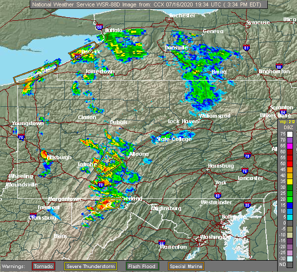 At 335 pm edt, a severe thunderstorm was located over loretto, moving northeast at 40 mph (radar indicated). Hazards include 60 mph wind gusts and penny size hail. Expect damage to trees, roofs, and siding. Locations impacted include, johnstown, westmont, ebensburg, belmont, nanty-glo, portage, geistown, southmont, cresson, vinco, loretto, dale, east conemaugh, salix-beauty line park, beaverdale-lloydell, lilly, south fork, scalp level, sankertown and sidman. At 335 pm edt, a severe thunderstorm was located over loretto, moving northeast at 40 mph (radar indicated). Hazards include 60 mph wind gusts and penny size hail. Expect damage to trees, roofs, and siding. Locations impacted include, johnstown, westmont, ebensburg, belmont, nanty-glo, portage, geistown, southmont, cresson, vinco, loretto, dale, east conemaugh, salix-beauty line park, beaverdale-lloydell, lilly, south fork, scalp level, sankertown and sidman.
|
| 7/16/2020 3:02 PM EDT |
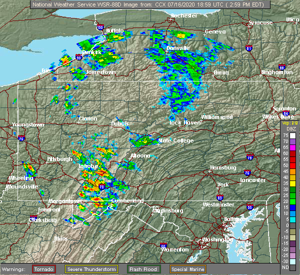 At 302 pm edt, a severe thunderstorm was located over belmont, moving northeast at 40 mph (radar indicated). Hazards include 60 mph wind gusts and quarter size hail. Hail damage to vehicles is expected. Expect wind damage to trees, roofs, and siding. At 302 pm edt, a severe thunderstorm was located over belmont, moving northeast at 40 mph (radar indicated). Hazards include 60 mph wind gusts and quarter size hail. Hail damage to vehicles is expected. Expect wind damage to trees, roofs, and siding.
|
| 7/10/2020 3:50 PM EDT |
 At 350 pm edt, a severe thunderstorm was located over grove city, moving northeast at 30 mph (radar). Hazards include wind gusts to 60 mph. Expect damage to trees and power lines, resulting in some power outages. locations impacted include, new castle, grove city, slippery rock, new wilmington, oakwood, new castle northwest, plain grove township, south new castle, west liberty, harlansburg, volant, rose point park, this includes the following highways, interstate 79 in pennsylvania between mile markers 102 and 121. interstate 80 in pennsylvania between mile markers 13 and 22. Interstate 376 in pennsylvania between mile markers 7 and 12. At 350 pm edt, a severe thunderstorm was located over grove city, moving northeast at 30 mph (radar). Hazards include wind gusts to 60 mph. Expect damage to trees and power lines, resulting in some power outages. locations impacted include, new castle, grove city, slippery rock, new wilmington, oakwood, new castle northwest, plain grove township, south new castle, west liberty, harlansburg, volant, rose point park, this includes the following highways, interstate 79 in pennsylvania between mile markers 102 and 121. interstate 80 in pennsylvania between mile markers 13 and 22. Interstate 376 in pennsylvania between mile markers 7 and 12.
|
| 7/10/2020 3:41 PM EDT |
 At 341 pm edt, a severe thunderstorm was located 7 miles southwest of grove city, moving northeast at 30 mph (radar). Hazards include wind gusts to 60 mph. expect damage to trees and power lines, resulting in some power outages At 341 pm edt, a severe thunderstorm was located 7 miles southwest of grove city, moving northeast at 30 mph (radar). Hazards include wind gusts to 60 mph. expect damage to trees and power lines, resulting in some power outages
|
| 6/10/2020 9:52 PM EDT |
 At 951 pm edt, severe thunderstorms were located along a line extending from near maplewood park to near ellwood city to near robinson township to near cecil-bishop, moving northeast at 35 mph (radar). Hazards include wind gusts to 60 mph and quarter-size hail. Minor hail damage to vehicles is possible. Expect wind damage to trees and power lines, resulting in some power outages. At 951 pm edt, severe thunderstorms were located along a line extending from near maplewood park to near ellwood city to near robinson township to near cecil-bishop, moving northeast at 35 mph (radar). Hazards include wind gusts to 60 mph and quarter-size hail. Minor hail damage to vehicles is possible. Expect wind damage to trees and power lines, resulting in some power outages.
|
| 6/10/2020 9:48 PM EDT |
 At 948 pm edt, severe thunderstorms were located along a line extending from near youngstown to near new castle to near leetsdale, moving northeast at 55 mph (radar). Hazards include wind gusts to 60 mph and quarter-size hail. Minor hail damage to vehicles is possible. expect wind damage to trees and power lines, resulting in some power outages. locations impacted include, new castle, hermitage, sharon, aliquippa, beaver falls, monaca, sharpsville, economy, ellwood city, ambridge, new brighton, farrell, this includes the following highways, pennsylvania turnpike between mile markers 1 and 24. interstate 80 in pennsylvania between mile markers 0 and 11. Interstate 376 in pennsylvania between mile markers 4 and 34, and between mile markers 36 and 47. At 948 pm edt, severe thunderstorms were located along a line extending from near youngstown to near new castle to near leetsdale, moving northeast at 55 mph (radar). Hazards include wind gusts to 60 mph and quarter-size hail. Minor hail damage to vehicles is possible. expect wind damage to trees and power lines, resulting in some power outages. locations impacted include, new castle, hermitage, sharon, aliquippa, beaver falls, monaca, sharpsville, economy, ellwood city, ambridge, new brighton, farrell, this includes the following highways, pennsylvania turnpike between mile markers 1 and 24. interstate 80 in pennsylvania between mile markers 0 and 11. Interstate 376 in pennsylvania between mile markers 4 and 34, and between mile markers 36 and 47.
|
| 6/10/2020 9:23 PM EDT |
 At 923 pm edt, severe thunderstorms were located along a line extending from near salem to near calcutta to hooverson heights, moving northeast at 55 mph (radar). Hazards include wind gusts to 60 mph and quarter-size hail. Minor hail damage to vehicles is possible. Expect wind damage to trees and power lines, resulting in some power outages. At 923 pm edt, severe thunderstorms were located along a line extending from near salem to near calcutta to hooverson heights, moving northeast at 55 mph (radar). Hazards include wind gusts to 60 mph and quarter-size hail. Minor hail damage to vehicles is possible. Expect wind damage to trees and power lines, resulting in some power outages.
|
| 6/4/2020 4:28 PM EDT |
 At 427 pm edt, a severe thunderstorm was located near oakwood, or near new castle, moving east at 15 mph (radar). Hazards include wind gusts to 60 mph. Expect damage to trees and power lines, resulting in some power outages. locations impacted include, new castle, grove city, slippery rock, new wilmington, oakwood, new castle northwest, mercer, pulaski, harrisville, plain grove township, clintonville, west liberty, this includes the following highways, interstate 79 in pennsylvania between mile markers 104 and 122. interstate 80 in pennsylvania between mile markers 6 and 37. Interstate 376 in pennsylvania between mile markers 4 and 14. At 427 pm edt, a severe thunderstorm was located near oakwood, or near new castle, moving east at 15 mph (radar). Hazards include wind gusts to 60 mph. Expect damage to trees and power lines, resulting in some power outages. locations impacted include, new castle, grove city, slippery rock, new wilmington, oakwood, new castle northwest, mercer, pulaski, harrisville, plain grove township, clintonville, west liberty, this includes the following highways, interstate 79 in pennsylvania between mile markers 104 and 122. interstate 80 in pennsylvania between mile markers 6 and 37. Interstate 376 in pennsylvania between mile markers 4 and 14.
|
| 6/4/2020 4:19 PM EDT |
 At 417 pm edt, severe thunderstorms were located along a line extending from near campbell to near east palestine to near shippingport to near wellsburg, moving east at 25 mph (radar). Hazards include wind gusts to 60 mph. Expect damage to trees and power lines, resulting in some power outages. locations impacted include, pittsburgh, penn hills, mount lebanon, bethel park, ross township, mccandless township, monroeville, cranberry, moon township, new castle, mcmurray, weirton, this includes the following highways, interstate 70 in pennsylvania between mile markers 14 and 33. pennsylvania turnpike between mile markers 1 and 56. interstate 79 in pennsylvania between mile markers 32 and 103. Interstate 376 in pennsylvania between mile markers 31 and 84. At 417 pm edt, severe thunderstorms were located along a line extending from near campbell to near east palestine to near shippingport to near wellsburg, moving east at 25 mph (radar). Hazards include wind gusts to 60 mph. Expect damage to trees and power lines, resulting in some power outages. locations impacted include, pittsburgh, penn hills, mount lebanon, bethel park, ross township, mccandless township, monroeville, cranberry, moon township, new castle, mcmurray, weirton, this includes the following highways, interstate 70 in pennsylvania between mile markers 14 and 33. pennsylvania turnpike between mile markers 1 and 56. interstate 79 in pennsylvania between mile markers 32 and 103. Interstate 376 in pennsylvania between mile markers 31 and 84.
|
| 6/4/2020 4:16 PM EDT |
 At 415 pm edt, a severe thunderstorm was located near campbell, or 8 miles west of new castle, moving east at 15 mph (radar). Hazards include wind gusts to 60 mph. expect damage to trees and power lines, resulting in some power outages At 415 pm edt, a severe thunderstorm was located near campbell, or 8 miles west of new castle, moving east at 15 mph (radar). Hazards include wind gusts to 60 mph. expect damage to trees and power lines, resulting in some power outages
|
| 6/4/2020 4:03 PM EDT |
 At 402 pm edt, severe thunderstorms were located along a line extending from near boardman to near east palestine to near midland to 6 miles north of tiltonsville, moving east at 45 mph (radar). Hazards include wind gusts to 60 mph. expect damage to trees and power lines, resulting in some power outages At 402 pm edt, severe thunderstorms were located along a line extending from near boardman to near east palestine to near midland to 6 miles north of tiltonsville, moving east at 45 mph (radar). Hazards include wind gusts to 60 mph. expect damage to trees and power lines, resulting in some power outages
|
| 4/13/2020 3:36 PM EDT |
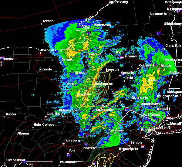 At 336 pm edt, severe thunderstorms were located along a line extending from near friendsville to lovelton, moving east at 50 mph (radar indicated). Hazards include 60 mph wind gusts. Expect damage to roofs, siding, and trees. Locations impacted include, rush, jackson, susquehanna, tunkhannock, susquehanna depot, springville, montrose, dimock, harford and hallstead. At 336 pm edt, severe thunderstorms were located along a line extending from near friendsville to lovelton, moving east at 50 mph (radar indicated). Hazards include 60 mph wind gusts. Expect damage to roofs, siding, and trees. Locations impacted include, rush, jackson, susquehanna, tunkhannock, susquehanna depot, springville, montrose, dimock, harford and hallstead.
|
| 4/13/2020 3:10 PM EDT |
 At 309 pm edt, severe thunderstorms were located along a line extending from milan to near lincoln falls, moving east-northeast at 40 mph (radar indicated). Hazards include 60 mph wind gusts. expect damage to roofs, siding, and trees At 309 pm edt, severe thunderstorms were located along a line extending from milan to near lincoln falls, moving east-northeast at 40 mph (radar indicated). Hazards include 60 mph wind gusts. expect damage to roofs, siding, and trees
|
| 4/13/2020 12:45 PM EDT |
 At 1244 pm edt, severe thunderstorms were located along a line extending from 6 miles southwest of pine glen to blue knob state park, moving northeast at 60 mph (radar indicated). Hazards include 60 mph wind gusts and penny size hail. Expect damage to trees, roofs, and siding. Locations impacted include, johnstown, clearfield, westmont, ebensburg, belmont, nanty-glo, portage, northern cambria, curwensville, geistown, southmont, patton, cresson, gallitzin, hyde, vinco, loretto, hastings, dale and east conemaugh. At 1244 pm edt, severe thunderstorms were located along a line extending from 6 miles southwest of pine glen to blue knob state park, moving northeast at 60 mph (radar indicated). Hazards include 60 mph wind gusts and penny size hail. Expect damage to trees, roofs, and siding. Locations impacted include, johnstown, clearfield, westmont, ebensburg, belmont, nanty-glo, portage, northern cambria, curwensville, geistown, southmont, patton, cresson, gallitzin, hyde, vinco, loretto, hastings, dale and east conemaugh.
|
| 4/13/2020 11:48 AM EDT |
 At 1146 am edt, severe thunderstorms were located along a line extending from 7 miles northeast of indiana to near south connellsville, moving northeast at 60 mph (radar indicated). Hazards include 60 mph wind gusts and penny size hail. expect damage to trees, roofs, and siding At 1146 am edt, severe thunderstorms were located along a line extending from 7 miles northeast of indiana to near south connellsville, moving northeast at 60 mph (radar indicated). Hazards include 60 mph wind gusts and penny size hail. expect damage to trees, roofs, and siding
|
| 4/8/2020 2:38 AM EDT |
 The severe thunderstorm warning for somerset and southwestern cambria counties will expire at 245 am edt, the storms which prompted the warning have moved out of the area. therefore, the warning will be allowed to expire. a severe thunderstorm watch remains in effect until 600 am edt for south central pennsylvania. to report severe weather, contact your nearest law enforcement agency. they will relay your report to the national weather service state college pa. The severe thunderstorm warning for somerset and southwestern cambria counties will expire at 245 am edt, the storms which prompted the warning have moved out of the area. therefore, the warning will be allowed to expire. a severe thunderstorm watch remains in effect until 600 am edt for south central pennsylvania. to report severe weather, contact your nearest law enforcement agency. they will relay your report to the national weather service state college pa.
|
| 4/8/2020 1:59 AM EDT |
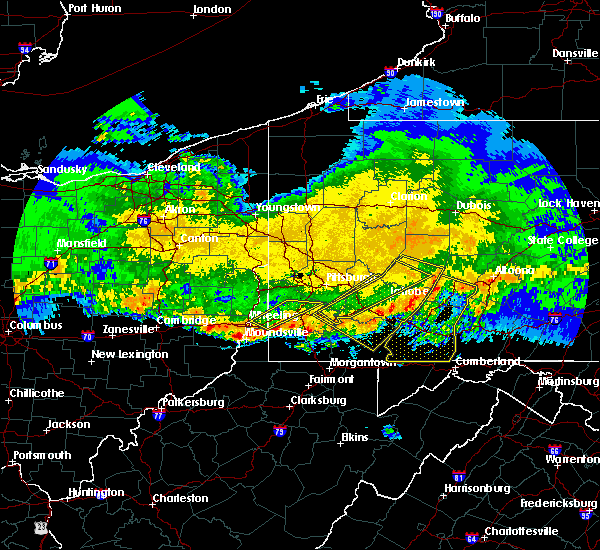 At 158 am edt, severe thunderstorms were located along a line extending from near vinco to near connellsville, moving southeast at 60 mph (radar indicated). Hazards include 70 mph wind gusts. Expect considerable tree damage. damage is likely to mobile homes, roofs, and outbuildings. locations impacted include, johnstown, somerset, westmont, windber, ebensburg, belmont, nanty-glo, portage, geistown, southmont, meyersdale, berlin, friedens, vinco, boswell, dale, east conemaugh, salix-beauty line park, davidsville and central city. This includes the pennsylvania turnpike from mile markers 100 to 130. At 158 am edt, severe thunderstorms were located along a line extending from near vinco to near connellsville, moving southeast at 60 mph (radar indicated). Hazards include 70 mph wind gusts. Expect considerable tree damage. damage is likely to mobile homes, roofs, and outbuildings. locations impacted include, johnstown, somerset, westmont, windber, ebensburg, belmont, nanty-glo, portage, geistown, southmont, meyersdale, berlin, friedens, vinco, boswell, dale, east conemaugh, salix-beauty line park, davidsville and central city. This includes the pennsylvania turnpike from mile markers 100 to 130.
|
| 4/8/2020 1:44 AM EDT |
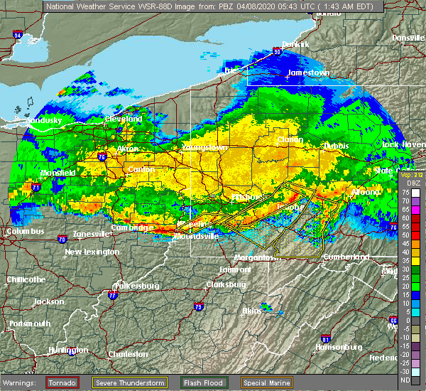 At 143 am edt, severe thunderstorms were located along a line extending from near black lick to youngwood, moving southeast at 60 mph (radar indicated). Hazards include 60 mph wind gusts. expect damage to trees, roofs, and siding At 143 am edt, severe thunderstorms were located along a line extending from near black lick to youngwood, moving southeast at 60 mph (radar indicated). Hazards include 60 mph wind gusts. expect damage to trees, roofs, and siding
|
| 4/8/2020 12:30 AM EDT |
 At 1230 am edt, severe thunderstorms were located along a line extending from near slippery rock to near new wilmington, moving east at 60 mph (radar). Hazards include wind gusts to 60 mph and half dollar-size hail. Minor hail damage to vehicles is possible. Expect wind damage to trees and power lines, resulting in some power outages. At 1230 am edt, severe thunderstorms were located along a line extending from near slippery rock to near new wilmington, moving east at 60 mph (radar). Hazards include wind gusts to 60 mph and half dollar-size hail. Minor hail damage to vehicles is possible. Expect wind damage to trees and power lines, resulting in some power outages.
|
| 3/28/2020 2:34 PM EDT |
 At 234 pm edt, a severe thunderstorm was located over new castle, moving east at 55 mph (radar). Hazards include quarter-size hail. Minor damage to vehicles is possible. locations impacted include, new castle, slippery rock, oakwood, new castle northwest, new beaver, prospect, plain grove township, wampum, south new castle, west liberty, harlansburg, portersville, this includes the following highways, interstate 79 in pennsylvania between mile markers 92 and 111. Interstate 376 in pennsylvania between mile markers 8 and 14. At 234 pm edt, a severe thunderstorm was located over new castle, moving east at 55 mph (radar). Hazards include quarter-size hail. Minor damage to vehicles is possible. locations impacted include, new castle, slippery rock, oakwood, new castle northwest, new beaver, prospect, plain grove township, wampum, south new castle, west liberty, harlansburg, portersville, this includes the following highways, interstate 79 in pennsylvania between mile markers 92 and 111. Interstate 376 in pennsylvania between mile markers 8 and 14.
|
| 3/28/2020 2:25 PM EDT |
 At 225 pm edt, a severe thunderstorm was located 7 miles southwest of oakwood, or 8 miles west of new castle, moving east at 55 mph (radar). Hazards include quarter-size hail. minor damage to vehicles is possible At 225 pm edt, a severe thunderstorm was located 7 miles southwest of oakwood, or 8 miles west of new castle, moving east at 55 mph (radar). Hazards include quarter-size hail. minor damage to vehicles is possible
|
| 12/1/2019 4:25 PM EST |
 At 425 pm est, a severe thunderstorm was located 7 miles north of east palestine, moving northeast at 30 mph (radar). Hazards include wind gusts to 60 mph and quarter-size hail. Minor hail damage to vehicles is possible. Expect wind damage to trees and power lines, resulting in some power outages. At 425 pm est, a severe thunderstorm was located 7 miles north of east palestine, moving northeast at 30 mph (radar). Hazards include wind gusts to 60 mph and quarter-size hail. Minor hail damage to vehicles is possible. Expect wind damage to trees and power lines, resulting in some power outages.
|
| 10/31/2019 9:14 PM EDT |
 At 914 pm edt, severe thunderstorms were located along a line extending from lanesboro to wallsville, moving northeast at 60 mph (radar indicated). Hazards include 60 mph wind gusts. expect damage to roofs, siding, and trees At 914 pm edt, severe thunderstorms were located along a line extending from lanesboro to wallsville, moving northeast at 60 mph (radar indicated). Hazards include 60 mph wind gusts. expect damage to roofs, siding, and trees
|
| 10/31/2019 8:33 PM EDT |
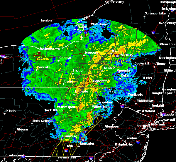 At 832 pm edt, severe thunderstorms were located along a line extending from near sugar run to near fairmount spgs, moving northeast at 50 mph (radar indicated). Hazards include 60 mph wind gusts. Expect damage to roofs, siding, and trees. Locations impacted include, falls, vernon, rush, jackson, lehman, harveys lake, susquehanna, tunkhannock, susquehanna depot and springville. At 832 pm edt, severe thunderstorms were located along a line extending from near sugar run to near fairmount spgs, moving northeast at 50 mph (radar indicated). Hazards include 60 mph wind gusts. Expect damage to roofs, siding, and trees. Locations impacted include, falls, vernon, rush, jackson, lehman, harveys lake, susquehanna, tunkhannock, susquehanna depot and springville.
|
| 10/31/2019 8:10 PM EDT |
 At 809 pm edt, severe thunderstorms were located along a line extending from near overton to biggertown, moving northeast at 65 mph (radar indicated). Hazards include 60 mph wind gusts. expect damage to roofs, siding, and trees At 809 pm edt, severe thunderstorms were located along a line extending from near overton to biggertown, moving northeast at 65 mph (radar indicated). Hazards include 60 mph wind gusts. expect damage to roofs, siding, and trees
|
| 9/11/2019 7:50 PM EDT |
 The severe thunderstorm warning for cambria county will expire at 800 pm edt, the storms which prompted the warning have moved out of the area. therefore, the warning will be allowed to expire. The severe thunderstorm warning for cambria county will expire at 800 pm edt, the storms which prompted the warning have moved out of the area. therefore, the warning will be allowed to expire.
|
| 9/11/2019 6:59 PM EDT |
 At 658 pm edt, severe thunderstorms were located along a line extending from near northern cambria to near westmont, moving southeast at 35 mph (radar indicated). Hazards include 60 mph wind gusts. expect damage to trees, roofs, and siding At 658 pm edt, severe thunderstorms were located along a line extending from near northern cambria to near westmont, moving southeast at 35 mph (radar indicated). Hazards include 60 mph wind gusts. expect damage to trees, roofs, and siding
|
| 9/4/2019 1:26 PM EDT |
 The severe thunderstorm warning for southeastern broome and northeastern susquehanna counties will expire at 130 pm edt, the storms which prompted the warning have weakened below severe limits, and no longer pose an immediate threat to life or property. therefore, the warning will be allowed to expire. however gusty winds are still possible with these thunderstorms. a severe thunderstorm watch remains in effect until 900 pm edt for northeastern pennsylvania. to report severe weather, contact your nearest law enforcement agency. they will relay your report to the national weather service binghamton. The severe thunderstorm warning for southeastern broome and northeastern susquehanna counties will expire at 130 pm edt, the storms which prompted the warning have weakened below severe limits, and no longer pose an immediate threat to life or property. therefore, the warning will be allowed to expire. however gusty winds are still possible with these thunderstorms. a severe thunderstorm watch remains in effect until 900 pm edt for northeastern pennsylvania. to report severe weather, contact your nearest law enforcement agency. they will relay your report to the national weather service binghamton.
|
| 9/4/2019 1:10 PM EDT |
 At 110 pm edt, severe thunderstorms were located along a line extending from near sanford to near kirkwood to near vestal center, moving east at 25 mph (radar indicated). Hazards include 60 mph wind gusts. Expect damage to roofs, siding, and trees. Locations impacted include, binghamton, kirkwood, conklin, sanford, susquehanna, deposit, susquehanna depot, hallstead, windsor and great bend. At 110 pm edt, severe thunderstorms were located along a line extending from near sanford to near kirkwood to near vestal center, moving east at 25 mph (radar indicated). Hazards include 60 mph wind gusts. Expect damage to roofs, siding, and trees. Locations impacted include, binghamton, kirkwood, conklin, sanford, susquehanna, deposit, susquehanna depot, hallstead, windsor and great bend.
|
| 9/4/2019 1:01 PM EDT |
 At 101 pm edt, severe thunderstorms were located along a line extending from near afton to near binghamton to vestal center, moving east at 50 mph (radar indicated). Hazards include 60 mph wind gusts. Expect damage to roofs, siding, and trees. Locations impacted include, binghamton, vestal, johnson city, endicott, kirkwood, conklin, sanford, susquehanna, deposit and susquehanna depot. At 101 pm edt, severe thunderstorms were located along a line extending from near afton to near binghamton to vestal center, moving east at 50 mph (radar indicated). Hazards include 60 mph wind gusts. Expect damage to roofs, siding, and trees. Locations impacted include, binghamton, vestal, johnson city, endicott, kirkwood, conklin, sanford, susquehanna, deposit and susquehanna depot.
|
| 9/4/2019 12:37 PM EDT |
 At 1237 pm edt, a severe thunderstorm was located over johnson city, moving east at 35 mph (radar indicated). Hazards include 60 mph wind gusts and penny size hail. expect damage to roofs, siding, and trees At 1237 pm edt, a severe thunderstorm was located over johnson city, moving east at 35 mph (radar indicated). Hazards include 60 mph wind gusts and penny size hail. expect damage to roofs, siding, and trees
|
| 8/18/2019 4:57 PM EDT |
 A severe thunderstorm warning remains in effect until 515 pm edt for northeastern susquehanna and northwestern wayne counties. at 456 pm edt, a severe thunderstorm was located over starlight, or 13 miles south of deposit, moving east at 50 mph. hazard. 60 mph wind gusts. source. Radar indicated. A severe thunderstorm warning remains in effect until 515 pm edt for northeastern susquehanna and northwestern wayne counties. at 456 pm edt, a severe thunderstorm was located over starlight, or 13 miles south of deposit, moving east at 50 mph. hazard. 60 mph wind gusts. source. Radar indicated.
|
| 8/18/2019 4:43 PM EDT |
 At 443 pm edt, a severe thunderstorm was located near thompson, or 13 miles southwest of deposit, moving east at 50 mph (radar indicated). Hazards include 60 mph wind gusts. Expect damage to roofs, siding, and trees. Locations impacted include, jackson, susquehanna, susquehanna depot, hallstead, new milford, great bend, ararat, lanesboro, thompson and starrucca. At 443 pm edt, a severe thunderstorm was located near thompson, or 13 miles southwest of deposit, moving east at 50 mph (radar indicated). Hazards include 60 mph wind gusts. Expect damage to roofs, siding, and trees. Locations impacted include, jackson, susquehanna, susquehanna depot, hallstead, new milford, great bend, ararat, lanesboro, thompson and starrucca.
|
| 8/18/2019 4:34 PM EDT |
 At 433 pm edt, a severe thunderstorm was located over new milford, or 9 miles northeast of montrose, moving east at 50 mph (radar indicated). Hazards include 60 mph wind gusts. expect damage to roofs, siding, and trees At 433 pm edt, a severe thunderstorm was located over new milford, or 9 miles northeast of montrose, moving east at 50 mph (radar indicated). Hazards include 60 mph wind gusts. expect damage to roofs, siding, and trees
|
| 8/17/2019 6:57 PM EDT |
 A severe thunderstorm warning remains in effect until 715 pm edt for susquehanna county. at 656 pm edt, a severe thunderstorm was located near montrose, moving east at 35 mph. hazard. 60 mph wind gusts and quarter size hail. source. Radar indicated. A severe thunderstorm warning remains in effect until 715 pm edt for susquehanna county. at 656 pm edt, a severe thunderstorm was located near montrose, moving east at 35 mph. hazard. 60 mph wind gusts and quarter size hail. source. Radar indicated.
|
| 8/17/2019 6:33 PM EDT |
 At 632 pm edt, a severe thunderstorm was located near le raysville, or 15 miles north of wyalusing, moving east at 35 mph (radar indicated). Hazards include 60 mph wind gusts and quarter size hail. Hail damage to vehicles is expected. Expect wind damage to roofs, siding, and trees. At 632 pm edt, a severe thunderstorm was located near le raysville, or 15 miles north of wyalusing, moving east at 35 mph (radar indicated). Hazards include 60 mph wind gusts and quarter size hail. Hail damage to vehicles is expected. Expect wind damage to roofs, siding, and trees.
|
| 8/15/2019 5:00 PM EDT |
 At 500 pm edt, a severe thunderstorm was located near new castle, moving northeast at 30 mph (radar). Hazards include wind gusts to 60 mph and quarter-size hail. Minor hail damage to vehicles is possible. Expect wind damage to trees and power lines, resulting in some power outages. At 500 pm edt, a severe thunderstorm was located near new castle, moving northeast at 30 mph (radar). Hazards include wind gusts to 60 mph and quarter-size hail. Minor hail damage to vehicles is possible. Expect wind damage to trees and power lines, resulting in some power outages.
|
| 8/8/2019 4:35 PM EDT |
 At 434 pm edt, severe thunderstorms were located along a line extending from stamford to near corbett to montrose, moving east at 50 mph (law enforcement has reported multiple trees and wires down in the area). Hazards include 60 mph wind gusts and penny size hail. Expect damage to roofs, siding, and trees. Locations impacted include, rush, jackson, delhi, colchester, susquehanna, west franklin, deposit, susquehanna depot, springville and montrose. At 434 pm edt, severe thunderstorms were located along a line extending from stamford to near corbett to montrose, moving east at 50 mph (law enforcement has reported multiple trees and wires down in the area). Hazards include 60 mph wind gusts and penny size hail. Expect damage to roofs, siding, and trees. Locations impacted include, rush, jackson, delhi, colchester, susquehanna, west franklin, deposit, susquehanna depot, springville and montrose.
|
| 8/8/2019 3:42 PM EDT |
 At 342 pm edt, severe thunderstorms were located along a line extending from bainbridge to near brackney to near le roy, moving east at 45 mph (radar indicated). Hazards include 60 mph wind gusts and penny size hail. expect damage to roofs, siding, and trees At 342 pm edt, severe thunderstorms were located along a line extending from bainbridge to near brackney to near le roy, moving east at 45 mph (radar indicated). Hazards include 60 mph wind gusts and penny size hail. expect damage to roofs, siding, and trees
|
| 8/8/2019 2:56 PM EDT |
 At 255 pm edt, severe thunderstorms were located along a line extending from near candor to tioga center to near wetona, moving east at 60 mph (radar indicated). Hazards include 60 mph wind gusts and penny size hail. expect damage to roofs, siding, and trees At 255 pm edt, severe thunderstorms were located along a line extending from near candor to tioga center to near wetona, moving east at 60 mph (radar indicated). Hazards include 60 mph wind gusts and penny size hail. expect damage to roofs, siding, and trees
|
| 7/20/2019 8:50 AM EDT |
 The severe thunderstorm warning for northeastern beaver, eastern lawrence and west central butler counties will expire at 900 am edt, the storm that prompted the warning has weakened below severe limits and no longer pose an immediate threat to life and property. therefore, the warning will be allowed to expire. however gusty winds are still possible with this thunderstorm. The severe thunderstorm warning for northeastern beaver, eastern lawrence and west central butler counties will expire at 900 am edt, the storm that prompted the warning has weakened below severe limits and no longer pose an immediate threat to life and property. therefore, the warning will be allowed to expire. however gusty winds are still possible with this thunderstorm.
|
| 7/20/2019 8:42 AM EDT |
 At 842 am edt, a severe thunderstorm was located 8 miles southwest of slippery rock, or 9 miles east of new castle, moving east at 35 mph (emergency management). Hazards include wind gusts to 60 mph. Expect damage to trees and power lines, resulting in some power outages. Locations impacted include, new castle, ellwood city, oakwood, new castle northwest, ellport, prospect, plain grove township, south new castle, west liberty, harlansburg, portersville, moraine state park, this includes interstate 79 in pennsylvania between mile markers 92 and 107. At 842 am edt, a severe thunderstorm was located 8 miles southwest of slippery rock, or 9 miles east of new castle, moving east at 35 mph (emergency management). Hazards include wind gusts to 60 mph. Expect damage to trees and power lines, resulting in some power outages. Locations impacted include, new castle, ellwood city, oakwood, new castle northwest, ellport, prospect, plain grove township, south new castle, west liberty, harlansburg, portersville, moraine state park, this includes interstate 79 in pennsylvania between mile markers 92 and 107.
|
| 7/20/2019 8:23 AM EDT |
 The national weather service in pittsburgh has issued a * severe thunderstorm warning for. northeastern beaver county in western pennsylvania. lawrence county in western pennsylvania. west central butler county in west central pennsylvania. Until 900 am edt. The national weather service in pittsburgh has issued a * severe thunderstorm warning for. northeastern beaver county in western pennsylvania. lawrence county in western pennsylvania. west central butler county in west central pennsylvania. Until 900 am edt.
|
| 7/20/2019 8:15 AM EDT |
 At 814 am edt, a severe thunderstorm was located near new wilmington, or 7 miles south of hermitage, moving east at 40 mph (emergency management). Hazards include wind gusts to 70 mph. Trees snapped and uprooted. power outages can be expected. locations impacted include, new castle, hermitage, sharon, grove city, sharpsville, farrell, new wilmington, oakwood, new castle northwest, pulaski, west middlesex, plain grove township, this includes the following highways, interstate 79 in pennsylvania between mile markers 109 and 115. interstate 80 in pennsylvania between mile markers 0 and 15. Interstate 376 in pennsylvania between mile markers 4 and 13. At 814 am edt, a severe thunderstorm was located near new wilmington, or 7 miles south of hermitage, moving east at 40 mph (emergency management). Hazards include wind gusts to 70 mph. Trees snapped and uprooted. power outages can be expected. locations impacted include, new castle, hermitage, sharon, grove city, sharpsville, farrell, new wilmington, oakwood, new castle northwest, pulaski, west middlesex, plain grove township, this includes the following highways, interstate 79 in pennsylvania between mile markers 109 and 115. interstate 80 in pennsylvania between mile markers 0 and 15. Interstate 376 in pennsylvania between mile markers 4 and 13.
|
| 7/20/2019 7:58 AM EDT |
 At 757 am edt, a severe thunderstorm was located over farrell, or over sharon, moving southeast at 30 mph (radar). Hazards include wind gusts to 60 mph. expect damage to trees and power lines, resulting in some power outages At 757 am edt, a severe thunderstorm was located over farrell, or over sharon, moving southeast at 30 mph (radar). Hazards include wind gusts to 60 mph. expect damage to trees and power lines, resulting in some power outages
|
| 7/19/2019 5:39 PM EDT |
 At 539 pm edt, a severe thunderstorm was located near sanford, or near deposit, moving east at 30 mph (radar indicated). Hazards include 60 mph wind gusts and nickel size hail. expect damage to roofs, siding, and trees At 539 pm edt, a severe thunderstorm was located near sanford, or near deposit, moving east at 30 mph (radar indicated). Hazards include 60 mph wind gusts and nickel size hail. expect damage to roofs, siding, and trees
|
| 7/16/2019 11:24 PM EDT |
 The severe thunderstorm warning for southeastern mercer, northern lawrence and northwestern butler counties will expire at 1130 pm edt, the storm that prompted the warning has weakened below severe limits and no longer pose an immediate threat to life and property. therefore, the warning will be allowed to expire. however gusty winds are still possible with this thunderstorm. The severe thunderstorm warning for southeastern mercer, northern lawrence and northwestern butler counties will expire at 1130 pm edt, the storm that prompted the warning has weakened below severe limits and no longer pose an immediate threat to life and property. therefore, the warning will be allowed to expire. however gusty winds are still possible with this thunderstorm.
|
| 7/16/2019 11:05 PM EDT |
 At 1105 pm edt, a severe thunderstorm was located near new castle northwest, or near new castle, moving east at 30 mph (radar). Hazards include wind gusts to 60 mph. Expect damage to trees and power lines, resulting in some power outages. locations impacted include, new castle, grove city, slippery rock, new wilmington, oakwood, new castle northwest, pulaski, plain grove township, south new castle, west liberty, harlansburg, volant, this includes the following highways, interstate 79 in pennsylvania between mile markers 103 and 117. interstate 80 in pennsylvania between mile markers 20 and 22. Interstate 376 in pennsylvania between mile markers 4 and 14. At 1105 pm edt, a severe thunderstorm was located near new castle northwest, or near new castle, moving east at 30 mph (radar). Hazards include wind gusts to 60 mph. Expect damage to trees and power lines, resulting in some power outages. locations impacted include, new castle, grove city, slippery rock, new wilmington, oakwood, new castle northwest, pulaski, plain grove township, south new castle, west liberty, harlansburg, volant, this includes the following highways, interstate 79 in pennsylvania between mile markers 103 and 117. interstate 80 in pennsylvania between mile markers 20 and 22. Interstate 376 in pennsylvania between mile markers 4 and 14.
|
| 7/16/2019 10:47 PM EDT |
 At 1047 pm edt, a severe thunderstorm was located near oakwood, or 7 miles west of new castle, moving east at 30 mph (radar). Hazards include wind gusts to 60 mph. expect damage to trees and power lines, resulting in some power outages At 1047 pm edt, a severe thunderstorm was located near oakwood, or 7 miles west of new castle, moving east at 30 mph (radar). Hazards include wind gusts to 60 mph. expect damage to trees and power lines, resulting in some power outages
|
| 7/6/2019 4:42 PM EDT |
 At 442 pm edt, severe thunderstorms were located along a line extending from near east conemaugh to south park township, moving east at 40 mph (radar indicated). Hazards include 60 mph wind gusts and quarter size hail. Hail damage to vehicles is expected. Expect wind damage to trees, roofs, and siding. At 442 pm edt, severe thunderstorms were located along a line extending from near east conemaugh to south park township, moving east at 40 mph (radar indicated). Hazards include 60 mph wind gusts and quarter size hail. Hail damage to vehicles is expected. Expect wind damage to trees, roofs, and siding.
|
| 7/2/2019 4:18 PM EDT |
 At 418 pm edt, severe thunderstorms were located along a line extending from east conemaugh to westmont, moving southeast at 25 mph (radar indicated). Hazards include 60 mph wind gusts. expect damage to trees, roofs, and siding At 418 pm edt, severe thunderstorms were located along a line extending from east conemaugh to westmont, moving southeast at 25 mph (radar indicated). Hazards include 60 mph wind gusts. expect damage to trees, roofs, and siding
|
| 6/29/2019 9:03 PM EDT |
 At 902 pm edt, a severe thunderstorm was located over sherman, or near deposit, moving east at 30 mph (radar indicated). Hazards include quarter size hail. Damage to vehicles is expected. Locations impacted include, susquehanna, deposit, susquehanna depot, hancock, lanesboro, starrucca, hiawatha, shehawken, starlight and starruca. At 902 pm edt, a severe thunderstorm was located over sherman, or near deposit, moving east at 30 mph (radar indicated). Hazards include quarter size hail. Damage to vehicles is expected. Locations impacted include, susquehanna, deposit, susquehanna depot, hancock, lanesboro, starrucca, hiawatha, shehawken, starlight and starruca.
|
| 6/29/2019 8:43 PM EDT |
 At 843 pm edt, a severe thunderstorm was located over lanesboro, or 10 miles southwest of deposit, moving east at 30 mph (radar indicated). Hazards include half dollar size hail. damage to vehicles is expected At 843 pm edt, a severe thunderstorm was located over lanesboro, or 10 miles southwest of deposit, moving east at 30 mph (radar indicated). Hazards include half dollar size hail. damage to vehicles is expected
|
| 6/29/2019 8:30 PM EDT |
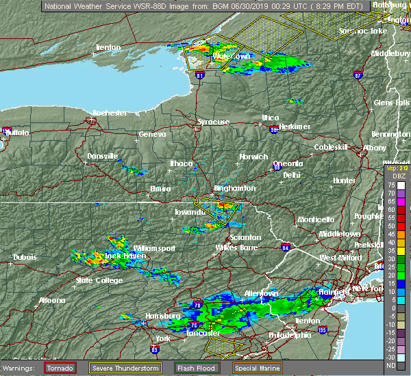 At 755 pm edt, a severe thunderstorm was located over little meadows, or 7 miles south of endicott, moving east at 25 mph (radar indicated). Hazards include quarter size hail. damage to vehicles is expected At 755 pm edt, a severe thunderstorm was located over little meadows, or 7 miles south of endicott, moving east at 25 mph (radar indicated). Hazards include quarter size hail. damage to vehicles is expected
|
| 6/29/2019 8:30 PM EDT |
 At 829 pm edt, a severe thunderstorm was located over hallstead, or 11 miles northeast of montrose, moving east at 30 mph (radar indicated). Hazards include quarter size hail. Damage to vehicles is expected. Locations impacted include, endicott, susquehanna, susquehanna depot, montrose, harford, hallstead, new milford, great bend, lanesboro and little meadows. At 829 pm edt, a severe thunderstorm was located over hallstead, or 11 miles northeast of montrose, moving east at 30 mph (radar indicated). Hazards include quarter size hail. Damage to vehicles is expected. Locations impacted include, endicott, susquehanna, susquehanna depot, montrose, harford, hallstead, new milford, great bend, lanesboro and little meadows.
|
| 6/29/2019 7:55 PM EDT |
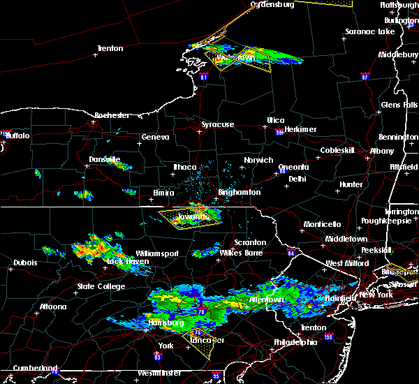 At 755 pm edt, a severe thunderstorm was located over little meadows, or 7 miles south of endicott, moving east at 25 mph (radar indicated). Hazards include quarter size hail. damage to vehicles is expected At 755 pm edt, a severe thunderstorm was located over little meadows, or 7 miles south of endicott, moving east at 25 mph (radar indicated). Hazards include quarter size hail. damage to vehicles is expected
|
| 6/28/2019 7:58 PM EDT |
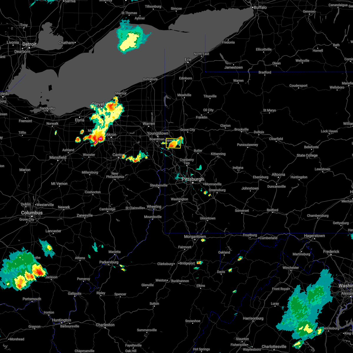 The severe thunderstorm warning for central lawrence county will expire at 800 pm edt, the storm that prompted the warning has weakened and will be allowed to expire. heavy rain is still occurring with this thunderstorm. a flash flood warning remains in effect. The severe thunderstorm warning for central lawrence county will expire at 800 pm edt, the storm that prompted the warning has weakened and will be allowed to expire. heavy rain is still occurring with this thunderstorm. a flash flood warning remains in effect.
|
| 6/28/2019 7:46 PM EDT |
 At 746 pm edt, a severe thunderstorm was located near oakwood, or near new castle, moving southeast at 10 mph. wind damage has been reported with this storm (radar). Hazards include wind gusts to 60 mph and quarter-size hail. Minor hail damage to vehicles is possible. expect wind damage to trees and power lines, resulting in some power outages. Locations impacted include, new castle, oakwood, new castle northwest, bessemer, south new castle,. At 746 pm edt, a severe thunderstorm was located near oakwood, or near new castle, moving southeast at 10 mph. wind damage has been reported with this storm (radar). Hazards include wind gusts to 60 mph and quarter-size hail. Minor hail damage to vehicles is possible. expect wind damage to trees and power lines, resulting in some power outages. Locations impacted include, new castle, oakwood, new castle northwest, bessemer, south new castle,.
|
| 6/28/2019 7:35 PM EDT |
 At 734 pm edt, a severe thunderstorm was located over oakwood, or near new castle, moving east at 10 mph (radar). Hazards include wind gusts to 60 mph and quarter-size hail. Minor hail damage to vehicles is possible. expect wind damage to trees and power lines, resulting in some power outages. Locations impacted include, new castle, oakwood, new castle northwest, bessemer, south new castle, rose point park,. At 734 pm edt, a severe thunderstorm was located over oakwood, or near new castle, moving east at 10 mph (radar). Hazards include wind gusts to 60 mph and quarter-size hail. Minor hail damage to vehicles is possible. expect wind damage to trees and power lines, resulting in some power outages. Locations impacted include, new castle, oakwood, new castle northwest, bessemer, south new castle, rose point park,.
|
| 6/28/2019 7:26 PM EDT |
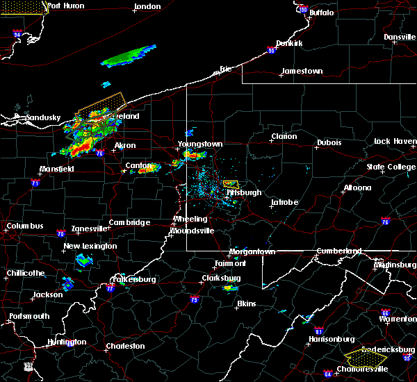 At 726 pm edt, a severe thunderstorm was located over oakwood, or over new castle, moving east at 10 mph (radar). Hazards include wind gusts to 60 mph and quarter-size hail. Minor hail damage to vehicles is possible. Expect wind damage to trees and power lines, resulting in some power outages. At 726 pm edt, a severe thunderstorm was located over oakwood, or over new castle, moving east at 10 mph (radar). Hazards include wind gusts to 60 mph and quarter-size hail. Minor hail damage to vehicles is possible. Expect wind damage to trees and power lines, resulting in some power outages.
|
| 6/27/2019 6:51 PM EDT |
 The severe thunderstorm warning for lawrence county will expire at 700 pm edt, the storm that prompted the warning has weakened below severe limits and no longer pose an immediate threat to life and property. therefore, the warning will be allowed to expire. however heavy rain is still occuring with this thunderstorm. The severe thunderstorm warning for lawrence county will expire at 700 pm edt, the storm that prompted the warning has weakened below severe limits and no longer pose an immediate threat to life and property. therefore, the warning will be allowed to expire. however heavy rain is still occuring with this thunderstorm.
|
| 6/27/2019 6:42 PM EDT |
 At 642 pm edt, a severe thunderstorm was located near ellwood city, or near new castle, moving east at 15 mph (radar). Hazards include wind gusts to 60 mph. Expect damage to trees and power lines, resulting in some power outages. locations impacted include, new castle, ellwood city, oakwood, new castle northwest, new beaver, bessemer, wampum, south new castle, s. n. p. J,. At 642 pm edt, a severe thunderstorm was located near ellwood city, or near new castle, moving east at 15 mph (radar). Hazards include wind gusts to 60 mph. Expect damage to trees and power lines, resulting in some power outages. locations impacted include, new castle, ellwood city, oakwood, new castle northwest, new beaver, bessemer, wampum, south new castle, s. n. p. J,.
|
| 6/27/2019 6:24 PM EDT |
 At 624 pm edt, a severe thunderstorm was located near oakwood, or near new castle, moving east at 15 mph (radar). Hazards include wind gusts to 60 mph and quarter-size hail. Minor hail damage to vehicles is possible. expect wind damage to trees and power lines, resulting in some power outages. locations impacted include, new castle, ellwood city, oakwood, new castle northwest, new beaver, bessemer, wampum, south new castle, s. n. p. J,. At 624 pm edt, a severe thunderstorm was located near oakwood, or near new castle, moving east at 15 mph (radar). Hazards include wind gusts to 60 mph and quarter-size hail. Minor hail damage to vehicles is possible. expect wind damage to trees and power lines, resulting in some power outages. locations impacted include, new castle, ellwood city, oakwood, new castle northwest, new beaver, bessemer, wampum, south new castle, s. n. p. J,.
|
| 6/27/2019 6:17 PM EDT |
 At 616 pm edt, a cluster of severe thunderstorms centered near oakwood, or near new castle, moving east at 15 mph (radar). Hazards include wind gusts to 60 mph and quarter-size hail. Minor hail damage to vehicles is possible. Expect wind damage to trees and power lines, resulting in some power outages. At 616 pm edt, a cluster of severe thunderstorms centered near oakwood, or near new castle, moving east at 15 mph (radar). Hazards include wind gusts to 60 mph and quarter-size hail. Minor hail damage to vehicles is possible. Expect wind damage to trees and power lines, resulting in some power outages.
|
| 6/26/2019 6:45 PM EDT |
 At 645 pm edt, severe thunderstorms were located along a line extending from near hankins to near thompson to near susquehanna, moving east-southeast at 25 mph (radar indicated). Hazards include 60 mph wind gusts and penny size hail. expect damage to roofs, siding, and trees At 645 pm edt, severe thunderstorms were located along a line extending from near hankins to near thompson to near susquehanna, moving east-southeast at 25 mph (radar indicated). Hazards include 60 mph wind gusts and penny size hail. expect damage to roofs, siding, and trees
|
| 5/29/2019 3:41 PM EDT |
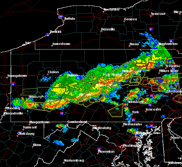 At 340 pm edt, severe thunderstorms were located along a line extending from near ebensburg to near st. michael to jerome to 6 miles north of seven springs, moving east at 35 mph (radar indicated). Hazards include 60 mph wind gusts and quarter size hail. Hail damage to vehicles is expected. Expect wind damage to trees, roofs, and siding. At 340 pm edt, severe thunderstorms were located along a line extending from near ebensburg to near st. michael to jerome to 6 miles north of seven springs, moving east at 35 mph (radar indicated). Hazards include 60 mph wind gusts and quarter size hail. Hail damage to vehicles is expected. Expect wind damage to trees, roofs, and siding.
|
| 5/28/2019 10:37 PM EDT |
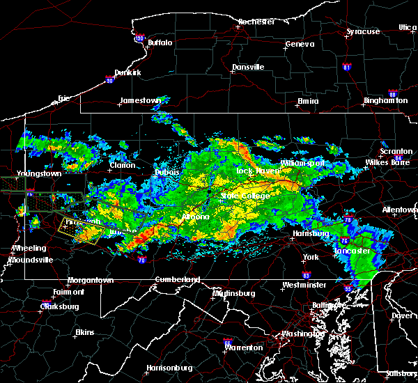 At 1037 pm edt, a severe thunderstorm was located over tire hill, moving east at 50 mph (radar indicated). Hazards include 60 mph wind gusts. expect damage to trees, roofs, and siding At 1037 pm edt, a severe thunderstorm was located over tire hill, moving east at 50 mph (radar indicated). Hazards include 60 mph wind gusts. expect damage to trees, roofs, and siding
|
| 5/28/2019 5:49 PM EDT |
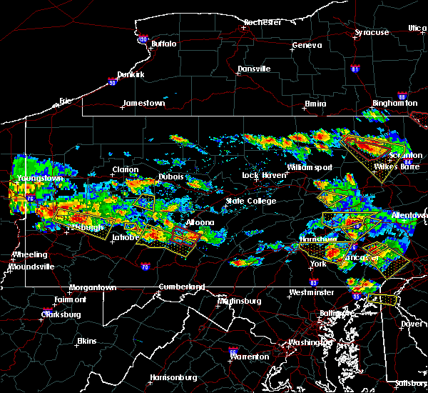 At 548 pm edt, a severe thunderstorm was located over south fork, moving southeast at 40 mph (radar indicated). Hazards include 60 mph wind gusts and quarter size hail. Hail damage to vehicles is expected. Expect wind damage to trees, roofs, and siding. At 548 pm edt, a severe thunderstorm was located over south fork, moving southeast at 40 mph (radar indicated). Hazards include 60 mph wind gusts and quarter size hail. Hail damage to vehicles is expected. Expect wind damage to trees, roofs, and siding.
|
| 5/28/2019 4:48 PM EDT |
 At 448 pm edt, a severe thunderstorm was located over new castle northwest, or over new castle, moving east at 40 mph (radar). Hazards include wind gusts to 60 mph and quarter-size hail. Minor hail damage to vehicles is possible. expect wind damage to trees and power lines, resulting in some power outages. locations impacted include, new castle, butler, homeacre-lyndora, shanor-northvue, meridian, slippery rock, meadowood, new wilmington, oak hills, oakwood, new castle northwest, pulaski, this includes the following highways, interstate 79 in pennsylvania between mile markers 94 and 112. interstate 376 in pennsylvania between mile markers 4 and 14. A tornado watch remains in effect until 1000 pm edt for western, northwestern and west central pennsylvania. At 448 pm edt, a severe thunderstorm was located over new castle northwest, or over new castle, moving east at 40 mph (radar). Hazards include wind gusts to 60 mph and quarter-size hail. Minor hail damage to vehicles is possible. expect wind damage to trees and power lines, resulting in some power outages. locations impacted include, new castle, butler, homeacre-lyndora, shanor-northvue, meridian, slippery rock, meadowood, new wilmington, oak hills, oakwood, new castle northwest, pulaski, this includes the following highways, interstate 79 in pennsylvania between mile markers 94 and 112. interstate 376 in pennsylvania between mile markers 4 and 14. A tornado watch remains in effect until 1000 pm edt for western, northwestern and west central pennsylvania.
|
| 5/28/2019 4:32 PM EDT |
 At 432 pm edt, a severe thunderstorm was located near campbell, or 7 miles east of youngstown, moving east at 40 mph (radar). Hazards include wind gusts to 60 mph and quarter-size hail. Minor hail damage to vehicles is possible. Expect wind damage to trees and power lines, resulting in some power outages. At 432 pm edt, a severe thunderstorm was located near campbell, or 7 miles east of youngstown, moving east at 40 mph (radar). Hazards include wind gusts to 60 mph and quarter-size hail. Minor hail damage to vehicles is possible. Expect wind damage to trees and power lines, resulting in some power outages.
|
| 5/28/2019 2:56 PM EDT |
 At 256 pm edt, a severe thunderstorm was located near slippery rock, or 11 miles south of grove city, moving east at 25 mph. another severe storm was near worthington (radar). Hazards include golf ball size-hail and wind gusts to 70 mph. People and animals outdoors will be injured. expect hail damage to roofs, siding, windows, and vehicles. trees snapped and uprooted. power outages can be expected. locations impacted include, new castle, butler, kittanning, homeacre-lyndora, shanor-northvue, meridian, slippery rock, ford city, meadowood, oakwood, new castle northwest, west kittanning, this includes the following highways, interstate 79 in pennsylvania between mile markers 96 and 107. interstate 376 in pennsylvania between mile markers 8 and 14. A tornado watch remains in effect until 1000 pm edt for western and west central pennsylvania. At 256 pm edt, a severe thunderstorm was located near slippery rock, or 11 miles south of grove city, moving east at 25 mph. another severe storm was near worthington (radar). Hazards include golf ball size-hail and wind gusts to 70 mph. People and animals outdoors will be injured. expect hail damage to roofs, siding, windows, and vehicles. trees snapped and uprooted. power outages can be expected. locations impacted include, new castle, butler, kittanning, homeacre-lyndora, shanor-northvue, meridian, slippery rock, ford city, meadowood, oakwood, new castle northwest, west kittanning, this includes the following highways, interstate 79 in pennsylvania between mile markers 96 and 107. interstate 376 in pennsylvania between mile markers 8 and 14. A tornado watch remains in effect until 1000 pm edt for western and west central pennsylvania.
|
| 5/28/2019 2:45 PM EDT |
 At 245 pm edt, a severe thunderstorm was located 7 miles east of new castle, moving east at 25 mph. another severe storm was near east butler (radar). Hazards include golf ball size-hail and wind gusts to 60 mph. People and animals outdoors will be injured. expect hail damage to roofs, siding, windows, and vehicles. expect wind damage to trees and power lines, resulting in some power outages. locations impacted include, new castle, butler, kittanning, homeacre-lyndora, shanor-northvue, meridian, slippery rock, ford city, meadowood, oakwood, new castle northwest, west kittanning, this includes the following highways, interstate 79 in pennsylvania between mile markers 96 and 107. interstate 376 in pennsylvania between mile markers 8 and 14. A tornado watch remains in effect until 1000 pm edt for western and west central pennsylvania. At 245 pm edt, a severe thunderstorm was located 7 miles east of new castle, moving east at 25 mph. another severe storm was near east butler (radar). Hazards include golf ball size-hail and wind gusts to 60 mph. People and animals outdoors will be injured. expect hail damage to roofs, siding, windows, and vehicles. expect wind damage to trees and power lines, resulting in some power outages. locations impacted include, new castle, butler, kittanning, homeacre-lyndora, shanor-northvue, meridian, slippery rock, ford city, meadowood, oakwood, new castle northwest, west kittanning, this includes the following highways, interstate 79 in pennsylvania between mile markers 96 and 107. interstate 376 in pennsylvania between mile markers 8 and 14. A tornado watch remains in effect until 1000 pm edt for western and west central pennsylvania.
|
| 5/28/2019 2:38 PM EDT |
 At 238 pm edt, a severe thunderstorm was located near new castle, moving east at 25 mph. another severe storm was located near east butler (radar). Hazards include wind gusts to 60 mph and quarter-size hail. Minor hail damage to vehicles is possible. expect wind damage to trees and power lines, resulting in some power outages. locations impacted include, new castle, butler, kittanning, homeacre-lyndora, shanor-northvue, meridian, slippery rock, ford city, meadowood, oakwood, new castle northwest, west kittanning, this includes the following highways, interstate 79 in pennsylvania between mile markers 96 and 107. interstate 376 in pennsylvania between mile markers 8 and 14. A tornado watch remains in effect until 1000 pm edt for western and west central pennsylvania. At 238 pm edt, a severe thunderstorm was located near new castle, moving east at 25 mph. another severe storm was located near east butler (radar). Hazards include wind gusts to 60 mph and quarter-size hail. Minor hail damage to vehicles is possible. expect wind damage to trees and power lines, resulting in some power outages. locations impacted include, new castle, butler, kittanning, homeacre-lyndora, shanor-northvue, meridian, slippery rock, ford city, meadowood, oakwood, new castle northwest, west kittanning, this includes the following highways, interstate 79 in pennsylvania between mile markers 96 and 107. interstate 376 in pennsylvania between mile markers 8 and 14. A tornado watch remains in effect until 1000 pm edt for western and west central pennsylvania.
|
| 5/28/2019 2:28 PM EDT |
 At 227 pm edt, a severe thunderstorm was located over new castle northwest, or over new castle, moving east at 25 mph (radar). Hazards include wind gusts to 60 mph and quarter-size hail. Minor hail damage to vehicles is possible. Expect wind damage to trees and power lines, resulting in some power outages. At 227 pm edt, a severe thunderstorm was located over new castle northwest, or over new castle, moving east at 25 mph (radar). Hazards include wind gusts to 60 mph and quarter-size hail. Minor hail damage to vehicles is possible. Expect wind damage to trees and power lines, resulting in some power outages.
|
| 5/23/2019 9:09 PM EDT |
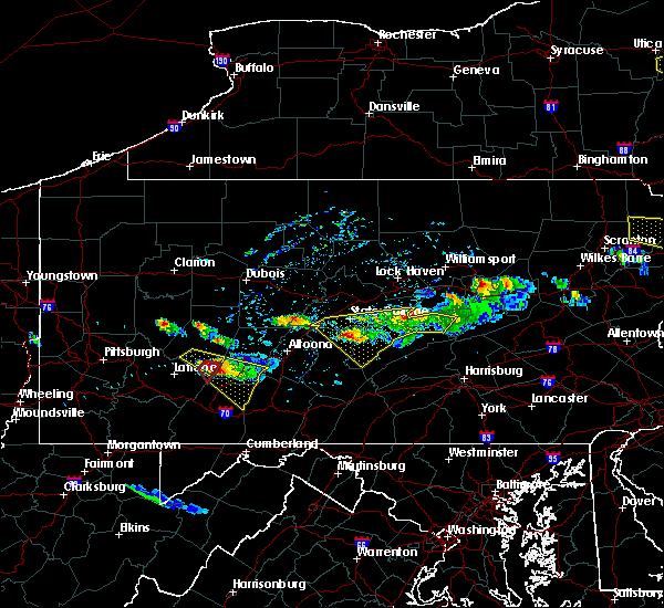 At 909 pm edt, a severe thunderstorm capable of producing a tornado was located over westmont, moving southeast at 45 mph (radar indicated rotation). Hazards include tornado and quarter size hail. Tree damage will occur. damage to roofs, windows, and vehicles is likely. flying debris will be dangerous to those caught without shelter. mobile homes will be damaged or destroyed. this dangerous storm will be near, johnstown, westmont, southmont, tire hill, dale, daisytown, jerome and east conemaugh around 910 pm edt. windber, belmont, scalp level, paint, geistown, davidsville and salix-beauty line park around 920 pm edt. ogletown, central city and dunlo around 930 pm edt. Other locations impacted by this tornadic thunderstorm include benson, lorain, elim, brownstown, johnstown flood national memorial historic site, john murtha johnstown-cambria county airport, university of pittsburgh - johnstown and hooversville. At 909 pm edt, a severe thunderstorm capable of producing a tornado was located over westmont, moving southeast at 45 mph (radar indicated rotation). Hazards include tornado and quarter size hail. Tree damage will occur. damage to roofs, windows, and vehicles is likely. flying debris will be dangerous to those caught without shelter. mobile homes will be damaged or destroyed. this dangerous storm will be near, johnstown, westmont, southmont, tire hill, dale, daisytown, jerome and east conemaugh around 910 pm edt. windber, belmont, scalp level, paint, geistown, davidsville and salix-beauty line park around 920 pm edt. ogletown, central city and dunlo around 930 pm edt. Other locations impacted by this tornadic thunderstorm include benson, lorain, elim, brownstown, johnstown flood national memorial historic site, john murtha johnstown-cambria county airport, university of pittsburgh - johnstown and hooversville.
|
| 5/23/2019 8:58 PM EDT |
 At 856 pm edt, a severe thunderstorm was located over westmont, moving southeast at 45 mph (radar indicated). Hazards include 60 mph wind gusts and ping pong ball size hail. People and animals outdoors will be injured. expect hail damage to roofs, siding, windows, and vehicles. Expect wind damage to trees, roofs, and siding. At 856 pm edt, a severe thunderstorm was located over westmont, moving southeast at 45 mph (radar indicated). Hazards include 60 mph wind gusts and ping pong ball size hail. People and animals outdoors will be injured. expect hail damage to roofs, siding, windows, and vehicles. Expect wind damage to trees, roofs, and siding.
|
| 4/15/2019 1:59 AM EDT |
 At 158 am edt, severe thunderstorms were located along a line extending from 7 miles east of afton to near gibson to royal, moving east at 45 mph (radar indicated). Hazards include 60 mph wind gusts. expect damage to roofs, siding, and trees At 158 am edt, severe thunderstorms were located along a line extending from 7 miles east of afton to near gibson to royal, moving east at 45 mph (radar indicated). Hazards include 60 mph wind gusts. expect damage to roofs, siding, and trees
|
| 4/15/2019 1:47 AM EDT |
 At 147 am edt, severe thunderstorms were located along a line extending from near bainbridge to hallstead to near hop bottom, moving east at 50 mph (radar indicated). Hazards include 70 mph wind gusts. Expect considerable tree damage. damage is likely to mobile homes, roofs, and outbuildings. Locations impacted include, kirkwood, conklin, sidney, jackson, guilford, clifford, sanford, susquehanna, forest city and deposit. At 147 am edt, severe thunderstorms were located along a line extending from near bainbridge to hallstead to near hop bottom, moving east at 50 mph (radar indicated). Hazards include 70 mph wind gusts. Expect considerable tree damage. damage is likely to mobile homes, roofs, and outbuildings. Locations impacted include, kirkwood, conklin, sidney, jackson, guilford, clifford, sanford, susquehanna, forest city and deposit.
|
| 4/15/2019 1:27 AM EDT |
 At 127 am edt, severe thunderstorms were located along a line extending from chenango forks to near friendsville to near auburn center, moving east at 45 mph (radar indicated). Hazards include 70 mph wind gusts. Expect considerable tree damage. damage is likely to mobile homes, roofs, and outbuildings. Locations impacted include, binghamton, vestal, johnson city, endicott, kirkwood, conklin, rush, sidney, jackson and guilford. At 127 am edt, severe thunderstorms were located along a line extending from chenango forks to near friendsville to near auburn center, moving east at 45 mph (radar indicated). Hazards include 70 mph wind gusts. Expect considerable tree damage. damage is likely to mobile homes, roofs, and outbuildings. Locations impacted include, binghamton, vestal, johnson city, endicott, kirkwood, conklin, rush, sidney, jackson and guilford.
|
| 4/15/2019 1:10 AM EDT |
 At 110 am edt, severe thunderstorms were located along a line extending from near nanticoke to near le raysville to near new albany, moving east at 45 mph (radar indicated). Hazards include 70 mph wind gusts. Expect considerable tree damage. Damage is likely to mobile homes, roofs, and outbuildings. At 110 am edt, severe thunderstorms were located along a line extending from near nanticoke to near le raysville to near new albany, moving east at 45 mph (radar indicated). Hazards include 70 mph wind gusts. Expect considerable tree damage. Damage is likely to mobile homes, roofs, and outbuildings.
|
| 4/14/2019 10:17 PM EDT |
 At 1017 pm edt, severe thunderstorms were located along a line extending from belsano to friedens to near frostburg, moving northeast at 60 mph (radar indicated). Hazards include 60 mph wind gusts and penny size hail. expect damage to roofs, siding, and trees At 1017 pm edt, severe thunderstorms were located along a line extending from belsano to friedens to near frostburg, moving northeast at 60 mph (radar indicated). Hazards include 60 mph wind gusts and penny size hail. expect damage to roofs, siding, and trees
|
| 4/14/2019 7:19 PM EDT |
 At 719 pm edt, severe thunderstorms were located along a line extending from 6 miles north of east palestine to near ohioville to new cumberland, moving northeast at 55 mph (radar). Hazards include wind gusts to 60 mph. Expect damage to trees and power lines, resulting in some power outages. locations impacted include, new castle, east liverpool, aliquippa, beaver falls, monaca, east palestine, wellsville, economy, ellwood city, ambridge, new brighton, beaver, this includes the following highways, pennsylvania turnpike between mile markers 1 and 24. interstate 79 in pennsylvania near mile marker 112. interstate 376 in pennsylvania between mile markers 6 and 47. a tornado watch remains in effect until 900 pm edt for east central ohio. A tornado watch also remains in effect until 300 am edt for western, southwestern, northwestern and west central pennsylvania, and northern west virginia. At 719 pm edt, severe thunderstorms were located along a line extending from 6 miles north of east palestine to near ohioville to new cumberland, moving northeast at 55 mph (radar). Hazards include wind gusts to 60 mph. Expect damage to trees and power lines, resulting in some power outages. locations impacted include, new castle, east liverpool, aliquippa, beaver falls, monaca, east palestine, wellsville, economy, ellwood city, ambridge, new brighton, beaver, this includes the following highways, pennsylvania turnpike between mile markers 1 and 24. interstate 79 in pennsylvania near mile marker 112. interstate 376 in pennsylvania between mile markers 6 and 47. a tornado watch remains in effect until 900 pm edt for east central ohio. A tornado watch also remains in effect until 300 am edt for western, southwestern, northwestern and west central pennsylvania, and northern west virginia.
|
| 4/14/2019 6:43 PM EDT |
 At 643 pm edt, severe thunderstorms were located along a line extending from near canfield to near lisbon to 9 miles east of carrollton, moving east at 40 mph (radar). Hazards include wind gusts to 60 mph and quarter-size hail. Minor hail damage to vehicles is possible. Expect wind damage to trees and power lines, resulting in some power outages. At 643 pm edt, severe thunderstorms were located along a line extending from near canfield to near lisbon to 9 miles east of carrollton, moving east at 40 mph (radar). Hazards include wind gusts to 60 mph and quarter-size hail. Minor hail damage to vehicles is possible. Expect wind damage to trees and power lines, resulting in some power outages.
|
| 3/14/2019 9:27 PM EDT |
 At 927 pm edt, a severe thunderstorm was located over new castle northwest, or near new castle, moving northeast at 60 mph (radar). Hazards include wind gusts to 60 mph and quarter-size hail. Minor hail damage to vehicles is possible. expect wind damage to trees and power lines, resulting in some power outages. locations impacted include, new castle, hermitage, sharon, grove city, sharpsville, farrell, new wilmington, oakwood, new castle northwest, mercer, new beaver, pulaski, this includes the following highways, pennsylvania turnpike between mile markers 1 and 5. interstate 79 in pennsylvania between mile markers 106 and 132. interstate 80 in pennsylvania between mile markers 0 and 27. Interstate 376 in pennsylvania between mile markers 4 and 14. At 927 pm edt, a severe thunderstorm was located over new castle northwest, or near new castle, moving northeast at 60 mph (radar). Hazards include wind gusts to 60 mph and quarter-size hail. Minor hail damage to vehicles is possible. expect wind damage to trees and power lines, resulting in some power outages. locations impacted include, new castle, hermitage, sharon, grove city, sharpsville, farrell, new wilmington, oakwood, new castle northwest, mercer, new beaver, pulaski, this includes the following highways, pennsylvania turnpike between mile markers 1 and 5. interstate 79 in pennsylvania between mile markers 106 and 132. interstate 80 in pennsylvania between mile markers 0 and 27. Interstate 376 in pennsylvania between mile markers 4 and 14.
|
| 3/14/2019 9:13 PM EDT |
 At 913 pm edt, a severe thunderstorm was located 7 miles south of campbell, or 9 miles southeast of youngstown, moving northeast at 65 mph (radar). Hazards include wind gusts to 60 mph and quarter-size hail. Minor hail damage to vehicles is possible. expect wind damage to trees and power lines, resulting in some power outages. locations impacted include, new castle, hermitage, sharon, grove city, sharpsville, farrell, new wilmington, oakwood, new castle northwest, mercer, new beaver, pulaski, this includes the following highways, pennsylvania turnpike between mile markers 1 and 5. interstate 79 in pennsylvania between mile markers 106 and 132. interstate 80 in pennsylvania between mile markers 0 and 27. Interstate 376 in pennsylvania between mile markers 4 and 14. At 913 pm edt, a severe thunderstorm was located 7 miles south of campbell, or 9 miles southeast of youngstown, moving northeast at 65 mph (radar). Hazards include wind gusts to 60 mph and quarter-size hail. Minor hail damage to vehicles is possible. expect wind damage to trees and power lines, resulting in some power outages. locations impacted include, new castle, hermitage, sharon, grove city, sharpsville, farrell, new wilmington, oakwood, new castle northwest, mercer, new beaver, pulaski, this includes the following highways, pennsylvania turnpike between mile markers 1 and 5. interstate 79 in pennsylvania between mile markers 106 and 132. interstate 80 in pennsylvania between mile markers 0 and 27. Interstate 376 in pennsylvania between mile markers 4 and 14.
|
| 3/14/2019 8:58 PM EDT |
 At 857 pm edt, a severe thunderstorm was located near salem, moving northeast at 60 mph (radar). Hazards include wind gusts to 60 mph and quarter-size hail. Minor hail damage to vehicles is possible. Expect wind damage to trees and power lines, resulting in some power outages. At 857 pm edt, a severe thunderstorm was located near salem, moving northeast at 60 mph (radar). Hazards include wind gusts to 60 mph and quarter-size hail. Minor hail damage to vehicles is possible. Expect wind damage to trees and power lines, resulting in some power outages.
|
| 8/29/2018 6:08 PM EDT |
 At 607 pm edt, a severe thunderstorm was located over oakwood, or over new castle, moving east at 30 mph (radar). Hazards include wind gusts to 60 mph. Expect damage to trees and power lines, resulting in some power outages. Locations impacted include, new castle, oakwood, new castle northwest, plain grove township, south new castle, harlansburg, rose point park,. At 607 pm edt, a severe thunderstorm was located over oakwood, or over new castle, moving east at 30 mph (radar). Hazards include wind gusts to 60 mph. Expect damage to trees and power lines, resulting in some power outages. Locations impacted include, new castle, oakwood, new castle northwest, plain grove township, south new castle, harlansburg, rose point park,.
|
| 8/29/2018 5:51 PM EDT |
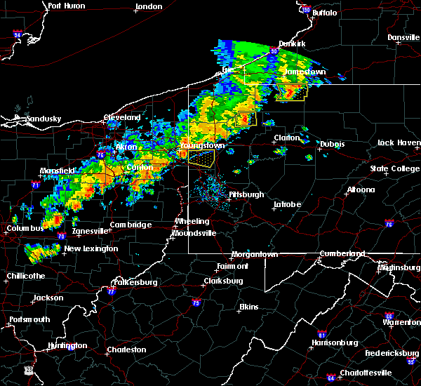 At 550 pm edt, a severe thunderstorm was located near campbell, or 7 miles southeast of youngstown, moving east at 40 mph (radar). Hazards include wind gusts to 60 mph. expect damage to trees and power lines, resulting in some power outages At 550 pm edt, a severe thunderstorm was located near campbell, or 7 miles southeast of youngstown, moving east at 40 mph (radar). Hazards include wind gusts to 60 mph. expect damage to trees and power lines, resulting in some power outages
|
| 8/21/2018 2:45 PM EDT |
 At 245 pm edt, a severe thunderstorm was located over nanty-glo, moving northeast at 30 mph (radar indicated). Hazards include 70 mph wind gusts. Expect considerable tree damage. damage is likely to mobile homes, roofs, and outbuildings. this severe storm will be near, ebensburg and loretto around 300 pm edt. patton, carrolltown, hastings and prince gallitzin state park around 310 pm edt. Other locations impacted by this severe thunderstorm include colver, benson, spring hill, mundys corner, cassandra, elim, vintondale, lorain, chest springs and ashville. At 245 pm edt, a severe thunderstorm was located over nanty-glo, moving northeast at 30 mph (radar indicated). Hazards include 70 mph wind gusts. Expect considerable tree damage. damage is likely to mobile homes, roofs, and outbuildings. this severe storm will be near, ebensburg and loretto around 300 pm edt. patton, carrolltown, hastings and prince gallitzin state park around 310 pm edt. Other locations impacted by this severe thunderstorm include colver, benson, spring hill, mundys corner, cassandra, elim, vintondale, lorain, chest springs and ashville.
|
| 8/21/2018 2:22 PM EDT |
 The national weather service in state college pa has issued a * severe thunderstorm warning for. northeastern somerset county in south central pennsylvania. cambria county in central pennsylvania. until 315 pm edt. At 221 pm edt, a severe thunderstorm was located near westmont,. The national weather service in state college pa has issued a * severe thunderstorm warning for. northeastern somerset county in south central pennsylvania. cambria county in central pennsylvania. until 315 pm edt. At 221 pm edt, a severe thunderstorm was located near westmont,.
|
| 8/17/2018 4:03 PM EDT |
 At 402 pm edt, a severe thunderstorm was located near susquehanna, or 12 miles east of montrose, moving northeast at 25 mph (radar indicated). Hazards include quarter size hail. Damage to vehicles is expected. this severe storm will be near, susquehanna around 410 pm edt. lanesboro and thompson around 415 pm edt. starrucca and starruca around 420 pm edt. Deposit, sanford and sherman around 430 pm edt. At 402 pm edt, a severe thunderstorm was located near susquehanna, or 12 miles east of montrose, moving northeast at 25 mph (radar indicated). Hazards include quarter size hail. Damage to vehicles is expected. this severe storm will be near, susquehanna around 410 pm edt. lanesboro and thompson around 415 pm edt. starrucca and starruca around 420 pm edt. Deposit, sanford and sherman around 430 pm edt.
|
| 8/17/2018 3:49 PM EDT |
 At 349 pm edt, a severe thunderstorm was located over new milford, or 7 miles east of montrose, moving northeast at 25 mph (radar indicated). Hazards include quarter size hail. Damage to vehicles is expected. this severe thunderstorm will be near, gibson around 355 pm edt. hallstead and great bend around 400 pm edt. susquehanna and susquehanna depot around 410 pm edt. lanesboro and thompson around 415 pm edt. starrucca and starruca around 425 pm edt. Deposit, sanford and sherman around 430 pm edt. At 349 pm edt, a severe thunderstorm was located over new milford, or 7 miles east of montrose, moving northeast at 25 mph (radar indicated). Hazards include quarter size hail. Damage to vehicles is expected. this severe thunderstorm will be near, gibson around 355 pm edt. hallstead and great bend around 400 pm edt. susquehanna and susquehanna depot around 410 pm edt. lanesboro and thompson around 415 pm edt. starrucca and starruca around 425 pm edt. Deposit, sanford and sherman around 430 pm edt.
|
| 7/22/2018 6:41 PM EDT |
 At 641 pm edt, a severe thunderstorm was located over thompson, or 13 miles southwest of deposit, moving north at 30 mph (radar indicated). Hazards include 60 mph wind gusts. Expect damage to roofs, siding, and trees. this severe storm will be near, susquehanna around 650 pm edt. Susquehanna depot and lanesboro around 655 pm edt. At 641 pm edt, a severe thunderstorm was located over thompson, or 13 miles southwest of deposit, moving north at 30 mph (radar indicated). Hazards include 60 mph wind gusts. Expect damage to roofs, siding, and trees. this severe storm will be near, susquehanna around 650 pm edt. Susquehanna depot and lanesboro around 655 pm edt.
|
| 7/22/2018 6:19 PM EDT |
 At 618 pm edt, a severe thunderstorm was located over union dale, or 10 miles north of carbondale, moving north at 30 mph (radar indicated). Hazards include 60 mph wind gusts. Expect damage to roofs, siding, and trees. this severe thunderstorm will be near, gibson around 635 pm edt. thompson around 640 pm edt. susquehanna around 650 pm edt. Susquehanna depot and lanesboro around 655 pm edt. At 618 pm edt, a severe thunderstorm was located over union dale, or 10 miles north of carbondale, moving north at 30 mph (radar indicated). Hazards include 60 mph wind gusts. Expect damage to roofs, siding, and trees. this severe thunderstorm will be near, gibson around 635 pm edt. thompson around 640 pm edt. susquehanna around 650 pm edt. Susquehanna depot and lanesboro around 655 pm edt.
|
| 6/18/2018 4:44 PM EDT |
 At 444 pm edt, severe thunderstorms were located along a line extending from near susquehanna depot to near lenoxville to near factoryville to evans falls, moving southeast at 35 mph (radar indicated). Hazards include 60 mph wind gusts. Expect damage to roofs, siding, and trees. severe thunderstorms will be near, dalton, royal and lenoxville around 450 pm edt. waverly, clarks summit and clarks green around 455 pm edt. scranton, wilkes-barre and carbondale around 500 pm edt. moosic, waymart and union dale around 505 pm edt. moscow, elmhurst and prompton around 510 pm edt. honesdale, lake ariel and arlington around 515 pm edt. sterling, lehigh and rutledgedale around 520 pm edt. Damascus and greentown around 525 pm edt. At 444 pm edt, severe thunderstorms were located along a line extending from near susquehanna depot to near lenoxville to near factoryville to evans falls, moving southeast at 35 mph (radar indicated). Hazards include 60 mph wind gusts. Expect damage to roofs, siding, and trees. severe thunderstorms will be near, dalton, royal and lenoxville around 450 pm edt. waverly, clarks summit and clarks green around 455 pm edt. scranton, wilkes-barre and carbondale around 500 pm edt. moosic, waymart and union dale around 505 pm edt. moscow, elmhurst and prompton around 510 pm edt. honesdale, lake ariel and arlington around 515 pm edt. sterling, lehigh and rutledgedale around 520 pm edt. Damascus and greentown around 525 pm edt.
|
| 6/3/2018 4:35 PM EDT |
 The severe thunderstorm warning for southern mercer, northern beaver and lawrence counties will expire at 445 pm edt, the storms that prompted the warning have weakened below severe limits and no longer pose an immediate threat to life and property. therefore, the warning will be allowed to expire. however heavy rain is still possible with these thunderstorms. The severe thunderstorm warning for southern mercer, northern beaver and lawrence counties will expire at 445 pm edt, the storms that prompted the warning have weakened below severe limits and no longer pose an immediate threat to life and property. therefore, the warning will be allowed to expire. however heavy rain is still possible with these thunderstorms.
|
| 6/3/2018 4:16 PM EDT |
 At 415 pm edt, severe thunderstorms were located along a line extending from 6 miles northwest of oakwood to 7 miles southwest of new castle to near east palestine, moving east at 30 mph (radar). Hazards include wind gusts to 60 mph. Expect damage to trees and power lines, resulting in some power outages. locations impacted include, new castle, hermitage, beaver falls, grove city, ellwood city, new brighton, zelienople, new wilmington, oakwood, new castle northwest, patterson township, big beaver, this includes the following highways, pennsylvania turnpike between mile markers 1 and 21. interstate 79 in pennsylvania between mile markers 77 and 89. Interstate 80 in pennsylvania between mile markers 0 and 23. At 415 pm edt, severe thunderstorms were located along a line extending from 6 miles northwest of oakwood to 7 miles southwest of new castle to near east palestine, moving east at 30 mph (radar). Hazards include wind gusts to 60 mph. Expect damage to trees and power lines, resulting in some power outages. locations impacted include, new castle, hermitage, beaver falls, grove city, ellwood city, new brighton, zelienople, new wilmington, oakwood, new castle northwest, patterson township, big beaver, this includes the following highways, pennsylvania turnpike between mile markers 1 and 21. interstate 79 in pennsylvania between mile markers 77 and 89. Interstate 80 in pennsylvania between mile markers 0 and 23.
|
| 6/3/2018 3:57 PM EDT |
 At 356 pm edt, severe thunderstorms were located along a line extending from near campbell to near new waterford to near lisbon, moving east at 30 mph (radar). Hazards include wind gusts to 60 mph. expect damage to trees and power lines, resulting in some power outages At 356 pm edt, severe thunderstorms were located along a line extending from near campbell to near new waterford to near lisbon, moving east at 30 mph (radar). Hazards include wind gusts to 60 mph. expect damage to trees and power lines, resulting in some power outages
|
| 5/15/2018 2:43 PM EDT |
 At 243 pm edt, severe thunderstorms were located along a line extending from sherman to near harford to near lake carey, moving east at 55 mph (radar indicated). Hazards include 60 mph wind gusts and half dollar size hail. Hail damage to vehicles is expected. expect wind damage to roofs, siding, and trees. these severe storms will be near, starlight, hiawatha and sherman around 250 pm edt. thompson around 255 pm edt. union dale around 300 pm edt. pleasant mount around 305 pm edt. forest city around 310 pm edt. equinunk around 315 pm edt. A tornado watch remains in effect until 800 pm edt for central new york, and northeastern pennsylvania. At 243 pm edt, severe thunderstorms were located along a line extending from sherman to near harford to near lake carey, moving east at 55 mph (radar indicated). Hazards include 60 mph wind gusts and half dollar size hail. Hail damage to vehicles is expected. expect wind damage to roofs, siding, and trees. these severe storms will be near, starlight, hiawatha and sherman around 250 pm edt. thompson around 255 pm edt. union dale around 300 pm edt. pleasant mount around 305 pm edt. forest city around 310 pm edt. equinunk around 315 pm edt. A tornado watch remains in effect until 800 pm edt for central new york, and northeastern pennsylvania.
|
| 5/15/2018 2:31 PM EDT |
 At 231 pm edt, severe thunderstorms were located along a line extending from near montrose to near springville to near rush, moving east at 45 mph. these are very dangerous storms (radar indicated). Hazards include 80 mph wind gusts and two inch hail. Flying debris will be dangerous to those caught without shelter. mobile homes will be heavily damaged. expect considerable damage to roofs, windows, and vehicles. extensive tree damage and power outages are likely. locations impacted include, rush, jackson, clifford, susquehanna, forest city, susquehanna depot, springville, montrose, dimock and harford. A tornado watch remains in effect until 800 pm edt for central new york, and northeastern pennsylvania. At 231 pm edt, severe thunderstorms were located along a line extending from near montrose to near springville to near rush, moving east at 45 mph. these are very dangerous storms (radar indicated). Hazards include 80 mph wind gusts and two inch hail. Flying debris will be dangerous to those caught without shelter. mobile homes will be heavily damaged. expect considerable damage to roofs, windows, and vehicles. extensive tree damage and power outages are likely. locations impacted include, rush, jackson, clifford, susquehanna, forest city, susquehanna depot, springville, montrose, dimock and harford. A tornado watch remains in effect until 800 pm edt for central new york, and northeastern pennsylvania.
|
| 5/15/2018 2:21 PM EDT |
 At 209 pm edt, severe thunderstorms were located along a line extending from near warren center to near herrick, moving east at 50 mph (radar indicated). Hazards include 60 mph wind gusts and half dollar size hail. Hail damage to vehicles is expected. Expect wind damage to roofs, siding, and trees. At 209 pm edt, severe thunderstorms were located along a line extending from near warren center to near herrick, moving east at 50 mph (radar indicated). Hazards include 60 mph wind gusts and half dollar size hail. Hail damage to vehicles is expected. Expect wind damage to roofs, siding, and trees.
|
| 5/15/2018 2:10 PM EDT |
 At 209 pm edt, severe thunderstorms were located along a line extending from near warren center to near herrick, moving east at 50 mph (radar indicated). Hazards include 60 mph wind gusts and half dollar size hail. Hail damage to vehicles is expected. Expect wind damage to roofs, siding, and trees. At 209 pm edt, severe thunderstorms were located along a line extending from near warren center to near herrick, moving east at 50 mph (radar indicated). Hazards include 60 mph wind gusts and half dollar size hail. Hail damage to vehicles is expected. Expect wind damage to roofs, siding, and trees.
|
| 5/13/2018 5:44 PM EDT |
 At 543 pm edt, severe thunderstorms were located along a line extending from davidsville to boswell to 7 miles northeast of seven springs, moving southeast at 30 mph (radar indicated). Hazards include 60 mph wind gusts and quarter size hail. Hail damage to vehicles is possible. expect wind damage to trees and power lines. These storms have a history of causing wind damage. At 543 pm edt, severe thunderstorms were located along a line extending from davidsville to boswell to 7 miles northeast of seven springs, moving southeast at 30 mph (radar indicated). Hazards include 60 mph wind gusts and quarter size hail. Hail damage to vehicles is possible. expect wind damage to trees and power lines. These storms have a history of causing wind damage.
|
| 5/13/2018 5:25 PM EDT |
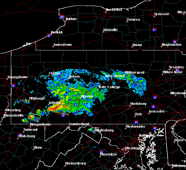 At 524 pm edt, severe thunderstorms were located along a line extending from 7 miles southwest of ligonier to near acosta to jerome to daisytown, moving southeast at 35 mph (radar indicated). Hazards include 60 mph wind gusts. Expect damage to trees and power lines. Locations impacted include, belmont, johnstown, windber, westmont, acosta, salix-beauty line park, davidsville, central city, scalp level and dunlo. At 524 pm edt, severe thunderstorms were located along a line extending from 7 miles southwest of ligonier to near acosta to jerome to daisytown, moving southeast at 35 mph (radar indicated). Hazards include 60 mph wind gusts. Expect damage to trees and power lines. Locations impacted include, belmont, johnstown, windber, westmont, acosta, salix-beauty line park, davidsville, central city, scalp level and dunlo.
|
| 5/13/2018 4:36 PM EDT |
 At 435 pm edt, a severe thunderstorm was located over ligonier, moving east at 30 mph (radar indicated). Hazards include 60 mph wind gusts. expect damage to trees and power lines At 435 pm edt, a severe thunderstorm was located over ligonier, moving east at 30 mph (radar indicated). Hazards include 60 mph wind gusts. expect damage to trees and power lines
|
| 5/12/2018 6:21 PM EDT |
 At 621 pm edt, a severe thunderstorm was located near jerome, moving east at 50 mph (radar indicated). Hazards include 60 mph wind gusts and quarter size hail. Hail damage to vehicles is possible. Expect wind damage to trees and power lines. At 621 pm edt, a severe thunderstorm was located near jerome, moving east at 50 mph (radar indicated). Hazards include 60 mph wind gusts and quarter size hail. Hail damage to vehicles is possible. Expect wind damage to trees and power lines.
|
| 5/12/2018 4:19 PM EDT |
 At 419 pm edt, a severe thunderstorm was located near ligonier, moving east at 45 mph (radar indicated). Hazards include 60 mph wind gusts and quarter size hail. Expect wind damage to trees and power lines. Hail damage to vehicles is possible. At 419 pm edt, a severe thunderstorm was located near ligonier, moving east at 45 mph (radar indicated). Hazards include 60 mph wind gusts and quarter size hail. Expect wind damage to trees and power lines. Hail damage to vehicles is possible.
|
| 5/12/2018 3:57 PM EDT |
 At 356 pm edt, a severe thunderstorm was located near blue knob state park, moving east at 45 mph. another strong storm was located west of belmont, also moving east at 45 mph (radar indicated). Hazards include 60 mph wind gusts and quarter size hail. Hail damage to vehicles is possible. expect wind damage to trees and power lines. Locations impacted include, belmont, johnstown, westmont, windber, portage, salix-beauty line park, osterburg, roaring spring, scalp level and ski gap. At 356 pm edt, a severe thunderstorm was located near blue knob state park, moving east at 45 mph. another strong storm was located west of belmont, also moving east at 45 mph (radar indicated). Hazards include 60 mph wind gusts and quarter size hail. Hail damage to vehicles is possible. expect wind damage to trees and power lines. Locations impacted include, belmont, johnstown, westmont, windber, portage, salix-beauty line park, osterburg, roaring spring, scalp level and ski gap.
|
| 5/12/2018 3:23 PM EDT |
 At 323 pm edt, a severe thunderstorm was located 8 miles west of westmont, moving east at 40 mph (radar indicated). Hazards include 60 mph wind gusts and quarter size hail. Hail damage to vehicles is possible. Expect wind damage to trees and power lines. At 323 pm edt, a severe thunderstorm was located 8 miles west of westmont, moving east at 40 mph (radar indicated). Hazards include 60 mph wind gusts and quarter size hail. Hail damage to vehicles is possible. Expect wind damage to trees and power lines.
|
| 5/4/2018 7:32 PM EDT |
 At 731 pm edt, severe thunderstorms were located along a line extending from near springfield to near bowerstown to near west end to near montrose, moving east at 45 mph (radar indicated). Hazards include 70 mph wind gusts. Expect considerable tree damage. damage is likely to mobile homes, roofs, and outbuildings. these severe storms will be near, cooperstown, otego and cherry valley around 735 pm edt. oneonta, middlefield and maryland around 740 pm edt. worcester, colliersville and cooperstown junction around 745 pm edt. davenport, susquehanna and susquehanna depot around 750 pm edt. gibson around 755 pm edt. Stamford, hobart and thompson around 800 pm edt. At 731 pm edt, severe thunderstorms were located along a line extending from near springfield to near bowerstown to near west end to near montrose, moving east at 45 mph (radar indicated). Hazards include 70 mph wind gusts. Expect considerable tree damage. damage is likely to mobile homes, roofs, and outbuildings. these severe storms will be near, cooperstown, otego and cherry valley around 735 pm edt. oneonta, middlefield and maryland around 740 pm edt. worcester, colliersville and cooperstown junction around 745 pm edt. davenport, susquehanna and susquehanna depot around 750 pm edt. gibson around 755 pm edt. Stamford, hobart and thompson around 800 pm edt.
|
| 5/4/2018 7:06 PM EDT |
 At 703 pm edt, severe thunderstorms were located along a line extending from bridgewater to columbus to near oxford to near apalachin, moving southeast at 40 mph (radar indicated). Hazards include 70 mph wind gusts. Expect considerable tree damage. damage is likely to mobile homes, roofs, and outbuildings. severe thunderstorms will be near, norwich, oxford and new berlin around 710 pm edt. guilford, edmeston and pittsfield around 715 pm edt. richfield springs, morris and exeter center around 720 pm edt. sidney, gilbertsville and brackney around 725 pm edt. cooperstown, conklin and hartwick around 730 pm edt. oneonta, kirkwood and otego around 735 pm edt. middlefield, hallstead and great bend around 740 pm edt. maryland, new milford and elk creek around 745 pm edt. A severe thunderstorm watch remains in effect until 900 pm edt for central new york. At 703 pm edt, severe thunderstorms were located along a line extending from bridgewater to columbus to near oxford to near apalachin, moving southeast at 40 mph (radar indicated). Hazards include 70 mph wind gusts. Expect considerable tree damage. damage is likely to mobile homes, roofs, and outbuildings. severe thunderstorms will be near, norwich, oxford and new berlin around 710 pm edt. guilford, edmeston and pittsfield around 715 pm edt. richfield springs, morris and exeter center around 720 pm edt. sidney, gilbertsville and brackney around 725 pm edt. cooperstown, conklin and hartwick around 730 pm edt. oneonta, kirkwood and otego around 735 pm edt. middlefield, hallstead and great bend around 740 pm edt. maryland, new milford and elk creek around 745 pm edt. A severe thunderstorm watch remains in effect until 900 pm edt for central new york.
|
| 5/4/2018 6:33 PM EDT |
 At 632 pm edt, severe thunderstorms were located along a line extending from 10 miles north of northern cambria to near indiana to murrysville, moving east at 60 mph (radar indicated). Hazards include 60 mph wind gusts. expect damage to trees and power lines At 632 pm edt, severe thunderstorms were located along a line extending from 10 miles north of northern cambria to near indiana to murrysville, moving east at 60 mph (radar indicated). Hazards include 60 mph wind gusts. expect damage to trees and power lines
|
| 5/4/2018 4:02 PM EDT |
 At 402 pm edt, severe thunderstorms were located along a line extending from farrell to youngstown to near salem, moving east at 45 mph (radar). Hazards include wind gusts to 60 mph. Expect damage to trees and power lines, resulting in some power outages. locations impacted include, new castle, hermitage, sharon, grove city, farrell, slippery rock, new wilmington, oakwood, new castle northwest, mercer, pulaski, bessemer, this includes the following highways, interstate 79 in pennsylvania between mile markers 70 and 92. Interstate 80 in pennsylvania between mile markers 0 and 27. At 402 pm edt, severe thunderstorms were located along a line extending from farrell to youngstown to near salem, moving east at 45 mph (radar). Hazards include wind gusts to 60 mph. Expect damage to trees and power lines, resulting in some power outages. locations impacted include, new castle, hermitage, sharon, grove city, farrell, slippery rock, new wilmington, oakwood, new castle northwest, mercer, pulaski, bessemer, this includes the following highways, interstate 79 in pennsylvania between mile markers 70 and 92. Interstate 80 in pennsylvania between mile markers 0 and 27.
|
| 5/4/2018 3:45 PM EDT |
 At 345 pm edt, severe thunderstorms were located along a line extending from warren to 9 miles northeast of sebring to near hartville, moving east at 70 mph (radar). Hazards include wind gusts to 70 mph. Trees snapped and uprooted. Power outages can be expected. At 345 pm edt, severe thunderstorms were located along a line extending from warren to 9 miles northeast of sebring to near hartville, moving east at 70 mph (radar). Hazards include wind gusts to 70 mph. Trees snapped and uprooted. Power outages can be expected.
|
| 11/5/2017 7:19 PM EST |
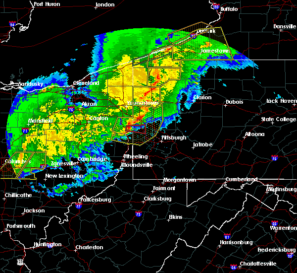 At 719 pm est, severe thunderstorms were located along a line extending from new castle northwest to near east palestine to wellsville, moving east at 50 mph (radar). Hazards include 60 mph wind gusts. Expect damage to trees and power lines, resulting in some power outages. locations impacted include, mccandless township, cranberry, moon township, new castle, weirton, franklin park, east liverpool, aliquippa, beaver falls, monaca, east palestine, wellsville, this includes the following highways, pennsylvania turnpike between mile markers 1 and 32. interstate 79 in pennsylvania between mile markers 39 and 81. Parkway north between mile markers 12 and 13. At 719 pm est, severe thunderstorms were located along a line extending from new castle northwest to near east palestine to wellsville, moving east at 50 mph (radar). Hazards include 60 mph wind gusts. Expect damage to trees and power lines, resulting in some power outages. locations impacted include, mccandless township, cranberry, moon township, new castle, weirton, franklin park, east liverpool, aliquippa, beaver falls, monaca, east palestine, wellsville, this includes the following highways, pennsylvania turnpike between mile markers 1 and 32. interstate 79 in pennsylvania between mile markers 39 and 81. Parkway north between mile markers 12 and 13.
|
| 11/5/2017 7:55 PM EDT |
 At 654 pm est, severe thunderstorms were located along a line extending from near boardman to near lisbon to near carrollton, moving east at 50 mph (radar). Hazards include 60 mph wind gusts. expect damage to trees and power lines, resulting in some power outages At 654 pm est, severe thunderstorms were located along a line extending from near boardman to near lisbon to near carrollton, moving east at 50 mph (radar). Hazards include 60 mph wind gusts. expect damage to trees and power lines, resulting in some power outages
|
| 8/22/2017 5:33 PM EDT |
 At 532 pm edt, severe thunderstorms were located along a line extending from 9 miles north of hastings to davidsville, moving east at 45 mph (radar indicated). Hazards include 60 mph wind gusts. expect damage to trees and power lines At 532 pm edt, severe thunderstorms were located along a line extending from 9 miles north of hastings to davidsville, moving east at 45 mph (radar indicated). Hazards include 60 mph wind gusts. expect damage to trees and power lines
|
| 8/22/2017 3:26 PM EDT |
 At 325 pm edt, a severe thunderstorm was located near westmont, moving east at 45 mph (radar indicated). Hazards include 60 mph wind gusts and quarter size hail. Hail damage to vehicles is possible. Expect wind damage to trees and power lines. At 325 pm edt, a severe thunderstorm was located near westmont, moving east at 45 mph (radar indicated). Hazards include 60 mph wind gusts and quarter size hail. Hail damage to vehicles is possible. Expect wind damage to trees and power lines.
|
| 8/19/2017 6:02 PM EDT |
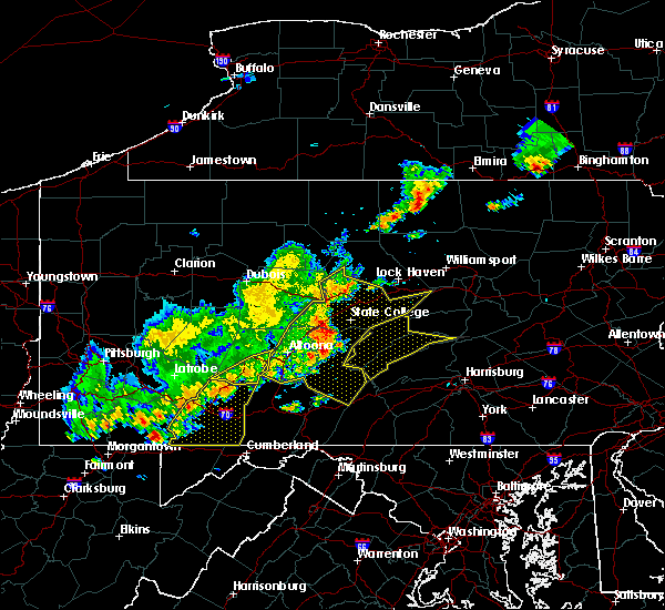 At 601 pm edt, severe thunderstorms were located along a line extending from near altoona to near blue knob state park to near jerome, moving east at 35 mph (radar indicated). Hazards include 60 mph wind gusts and penny size hail. Expect damage to trees and power lines. These severe thunderstorms will remain over mainly rural areas of southwestern cambria county, including the following locations: spring hill, cassandra, elim, lorain, summerhill, brownstown, wilmore, allegheny portage railroad national historic site, university of pittsburgh - johnstown and johnstown flood national memorial historic site. At 601 pm edt, severe thunderstorms were located along a line extending from near altoona to near blue knob state park to near jerome, moving east at 35 mph (radar indicated). Hazards include 60 mph wind gusts and penny size hail. Expect damage to trees and power lines. These severe thunderstorms will remain over mainly rural areas of southwestern cambria county, including the following locations: spring hill, cassandra, elim, lorain, summerhill, brownstown, wilmore, allegheny portage railroad national historic site, university of pittsburgh - johnstown and johnstown flood national memorial historic site.
|
| 8/19/2017 5:06 PM EDT |
 At 505 pm edt, severe thunderstorms were located along a line extending from near curwensville to near hastings to 6 miles west of belsano, moving east at 55 mph (radar indicated). Hazards include 60 mph wind gusts and penny size hail. Expect damage to trees and power lines. severe thunderstorms will be near, clearfield, plymptonville, hyde, curwensville and patton around 510 pm edt. ebensburg, lecontes mills, woodland, carrolltown and blandburg around 520 pm edt. karthaus, gallitzin, houtzdale, loretto, prince gallitzin state park, cresson and sankertown around 530 pm edt. other locations impacted by these severe thunderstorms include west decatur, ramey, spring hill, mundys corner, cassandra, elim, brisbin, westover, mahaffey and burnside. For those driving on interstate 80, this includes areas between the penfield and snow shoe exits, specifically from mile markers 111 to 138. At 505 pm edt, severe thunderstorms were located along a line extending from near curwensville to near hastings to 6 miles west of belsano, moving east at 55 mph (radar indicated). Hazards include 60 mph wind gusts and penny size hail. Expect damage to trees and power lines. severe thunderstorms will be near, clearfield, plymptonville, hyde, curwensville and patton around 510 pm edt. ebensburg, lecontes mills, woodland, carrolltown and blandburg around 520 pm edt. karthaus, gallitzin, houtzdale, loretto, prince gallitzin state park, cresson and sankertown around 530 pm edt. other locations impacted by these severe thunderstorms include west decatur, ramey, spring hill, mundys corner, cassandra, elim, brisbin, westover, mahaffey and burnside. For those driving on interstate 80, this includes areas between the penfield and snow shoe exits, specifically from mile markers 111 to 138.
|
| 8/19/2017 3:54 PM EDT |
 The severe thunderstorm warning for northern beaver, southern lawrence and west central butler counties will expire at 400 pm edt, the storm that prompted the warning has moved out of the area. therefore, the warning will be allowed to expire. a severe thunderstorm watch remains in effect until 900 pm edt for east central ohio, and western and west central pennsylvania. The severe thunderstorm warning for northern beaver, southern lawrence and west central butler counties will expire at 400 pm edt, the storm that prompted the warning has moved out of the area. therefore, the warning will be allowed to expire. a severe thunderstorm watch remains in effect until 900 pm edt for east central ohio, and western and west central pennsylvania.
|
| 8/19/2017 3:32 PM EDT |
 At 332 pm edt, a severe thunderstorm was located over ellwood city, or 8 miles south of new castle, moving east at 20 mph (radar). Hazards include 60 mph wind gusts and quarter-size hail. Minor hail damage to vehicles is possible. expect wind damage to trees and power lines, resulting in some power outages. locations impacted include, new castle, beaver falls, ellwood city, zelienople, big beaver, new beaver, west mayfield, ellport, bessemer, harmony, koppel, wampum, this includes the following highways, pennsylvania turnpike between mile markers 1 and 18. Interstate 79 in pennsylvania between mile markers 55 and 74. At 332 pm edt, a severe thunderstorm was located over ellwood city, or 8 miles south of new castle, moving east at 20 mph (radar). Hazards include 60 mph wind gusts and quarter-size hail. Minor hail damage to vehicles is possible. expect wind damage to trees and power lines, resulting in some power outages. locations impacted include, new castle, beaver falls, ellwood city, zelienople, big beaver, new beaver, west mayfield, ellport, bessemer, harmony, koppel, wampum, this includes the following highways, pennsylvania turnpike between mile markers 1 and 18. Interstate 79 in pennsylvania between mile markers 55 and 74.
|
| 8/19/2017 3:14 PM EDT |
 At 314 pm edt, a severe thunderstorm was located near east palestine, moving east at 20 mph (radar). Hazards include 60 mph wind gusts and quarter-size hail. Minor hail damage to vehicles is possible. Expect wind damage to trees and power lines, resulting in some power outages. At 314 pm edt, a severe thunderstorm was located near east palestine, moving east at 20 mph (radar). Hazards include 60 mph wind gusts and quarter-size hail. Minor hail damage to vehicles is possible. Expect wind damage to trees and power lines, resulting in some power outages.
|
| 7/17/2017 4:38 PM EDT |
 At 437 pm edt, a severe thunderstorm was located over montrose, moving east at 25 mph (radar indicated). Hazards include 60 mph wind gusts and quarter size hail. Minor hail damage to vehicles is possible. expect wind to cause damage to trees, and power lines. this severe thunderstorm will be near, great bend around 500 pm edt. harford, hallstead and new milford around 505 pm edt. gibson around 510 pm edt. susquehanna, susquehanna depot and lanesboro around 520 pm edt. Thompson and starrucca around 530 pm edt. At 437 pm edt, a severe thunderstorm was located over montrose, moving east at 25 mph (radar indicated). Hazards include 60 mph wind gusts and quarter size hail. Minor hail damage to vehicles is possible. expect wind to cause damage to trees, and power lines. this severe thunderstorm will be near, great bend around 500 pm edt. harford, hallstead and new milford around 505 pm edt. gibson around 510 pm edt. susquehanna, susquehanna depot and lanesboro around 520 pm edt. Thompson and starrucca around 530 pm edt.
|
| 7/17/2017 1:56 PM EDT |
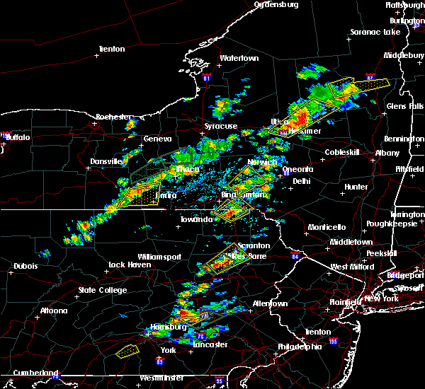 At 155 pm edt, a severe thunderstorm was located over hallstead, or 9 miles northeast of montrose, moving northeast at 15 mph (radar indicated). Hazards include 60 mph wind gusts and quarter size hail. Minor hail damage to vehicles is possible. expect wind to cause damage to trees, and power lines. this severe thunderstorm will be near, conklin, hallstead and great bend around 205 pm edt. kirkwood around 210 pm edt. susquehanna around 220 pm edt. susquehanna depot and lanesboro around 225 pm edt. Windsor around 245 pm edt. At 155 pm edt, a severe thunderstorm was located over hallstead, or 9 miles northeast of montrose, moving northeast at 15 mph (radar indicated). Hazards include 60 mph wind gusts and quarter size hail. Minor hail damage to vehicles is possible. expect wind to cause damage to trees, and power lines. this severe thunderstorm will be near, conklin, hallstead and great bend around 205 pm edt. kirkwood around 210 pm edt. susquehanna around 220 pm edt. susquehanna depot and lanesboro around 225 pm edt. Windsor around 245 pm edt.
|
| 7/17/2017 1:36 PM EDT |
 At 135 pm edt, a severe thunderstorm was located near hallstead, or near montrose, moving northeast at 15 mph (radar indicated). Hazards include quarter size hail. Minor damage to vehicles is possible. this severe storm will be near, new milford around 145 pm edt. Kirkwood, conklin and hallstead around 200 pm edt. At 135 pm edt, a severe thunderstorm was located near hallstead, or near montrose, moving northeast at 15 mph (radar indicated). Hazards include quarter size hail. Minor damage to vehicles is possible. this severe storm will be near, new milford around 145 pm edt. Kirkwood, conklin and hallstead around 200 pm edt.
|
| 7/17/2017 1:36 PM EDT |
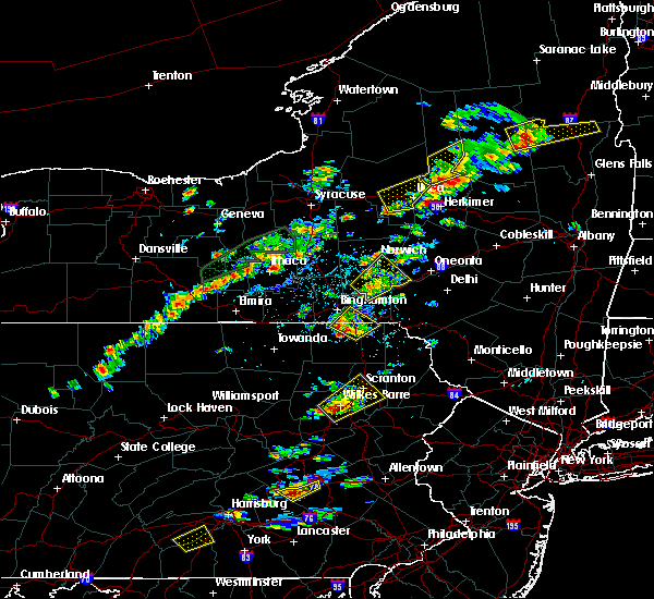 At 135 pm edt, a severe thunderstorm was located near hallstead, or near montrose, moving northeast at 15 mph (radar indicated). Hazards include quarter size hail. Minor damage to vehicles is possible. this severe storm will be near, new milford around 145 pm edt. Kirkwood, conklin and hallstead around 200 pm edt. At 135 pm edt, a severe thunderstorm was located near hallstead, or near montrose, moving northeast at 15 mph (radar indicated). Hazards include quarter size hail. Minor damage to vehicles is possible. this severe storm will be near, new milford around 145 pm edt. Kirkwood, conklin and hallstead around 200 pm edt.
|
| 7/17/2017 1:07 PM EDT |
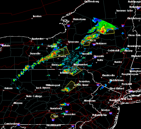 At 106 pm edt, a severe thunderstorm was located over montrose, moving northeast at 15 mph (radar indicated). Hazards include quarter size hail. Minor damage to vehicles is possible. this severe thunderstorm will be near, brackney around 135 pm edt. new milford around 145 pm edt. Kirkwood, conklin and susquehanna depot around 200 pm edt. At 106 pm edt, a severe thunderstorm was located over montrose, moving northeast at 15 mph (radar indicated). Hazards include quarter size hail. Minor damage to vehicles is possible. this severe thunderstorm will be near, brackney around 135 pm edt. new milford around 145 pm edt. Kirkwood, conklin and susquehanna depot around 200 pm edt.
|
| 7/10/2017 3:44 PM EDT |
 At 343 pm edt, severe thunderstorms were located along a line extending from near new castle northwest to near ellwood city to near calcutta, moving east at 45 mph (radar). Hazards include 60 mph wind gusts. expect damage to trees and power lines, resulting in some power outages At 343 pm edt, severe thunderstorms were located along a line extending from near new castle northwest to near ellwood city to near calcutta, moving east at 45 mph (radar). Hazards include 60 mph wind gusts. expect damage to trees and power lines, resulting in some power outages
|
| 6/29/2017 6:22 PM EDT |
 At 1022 pm edt, a severe thunderstorm was located near new castle, moving east at 25 mph (radar). Hazards include 60 mph wind gusts and quarter-size hail. Minor hail damage to vehicles is possible. expect wind damage to trees and power lines, resulting in some power outages. Locations impacted include, new castle, grove city, slippery rock, new wilmington, oakwood, new castle northwest, pulaski, harrisville, plain grove township, south new castle, west liberty, harlansburg, this includes interstate 79 in pennsylvania between mile markers 72 and 85. At 1022 pm edt, a severe thunderstorm was located near new castle, moving east at 25 mph (radar). Hazards include 60 mph wind gusts and quarter-size hail. Minor hail damage to vehicles is possible. expect wind damage to trees and power lines, resulting in some power outages. Locations impacted include, new castle, grove city, slippery rock, new wilmington, oakwood, new castle northwest, pulaski, harrisville, plain grove township, south new castle, west liberty, harlansburg, this includes interstate 79 in pennsylvania between mile markers 72 and 85.
|
| 6/29/2017 5:56 PM EDT |
 At 956 pm edt, a severe thunderstorm was located near oakwood, or near new castle, moving east at 40 mph (radar). Hazards include 60 mph wind gusts and quarter-size hail. Minor hail damage to vehicles is possible. Expect wind damage to trees and power lines, resulting in some power outages. At 956 pm edt, a severe thunderstorm was located near oakwood, or near new castle, moving east at 40 mph (radar). Hazards include 60 mph wind gusts and quarter-size hail. Minor hail damage to vehicles is possible. Expect wind damage to trees and power lines, resulting in some power outages.
|
| 6/15/2017 6:54 PM EDT |
 At 654 pm edt, severe thunderstorms were located along a line extending from 6 miles southeast of medix run to near houtzdale to sankertown, moving southeast at 20 mph (radar indicated). Hazards include 60 mph wind gusts. Expect damage to trees and power lines. Locations impacted include, portage, ebensburg, clearfield, salix-beauty line park, prince gallitzin state park, houtzdale, loretto, blandburg, sankertown and beaverdale-lloydell. At 654 pm edt, severe thunderstorms were located along a line extending from 6 miles southeast of medix run to near houtzdale to sankertown, moving southeast at 20 mph (radar indicated). Hazards include 60 mph wind gusts. Expect damage to trees and power lines. Locations impacted include, portage, ebensburg, clearfield, salix-beauty line park, prince gallitzin state park, houtzdale, loretto, blandburg, sankertown and beaverdale-lloydell.
|
| 6/15/2017 5:47 PM EDT |
 At 546 pm edt, severe thunderstorms were located along a line extending from near reynoldsville to 9 miles south of punxsutawney to 8 miles northwest of westmont, moving east at 30 mph (radar indicated). Hazards include 60 mph wind gusts. expect damage to trees and power lines At 546 pm edt, severe thunderstorms were located along a line extending from near reynoldsville to 9 miles south of punxsutawney to 8 miles northwest of westmont, moving east at 30 mph (radar indicated). Hazards include 60 mph wind gusts. expect damage to trees and power lines
|
| 5/31/2017 7:59 PM EDT |
 At 758 pm edt, severe thunderstorms were located along a line extending from near windsor to near lenoxville, moving east at 45 mph (radar indicated. this line of storms has a history of downed trees). Hazards include 60 mph wind gusts and quarter size hail. Hail damage to vehicles is expected. expect wind damage to roofs, siding, and trees. severe thunderstorms will be near, sanford around 805 pm edt. deposit and sherman around 810 pm edt. forest city and union dale around 815 pm edt. pleasant mount around 820 pm edt. harvard around 830 pm edt. walton, rutledgedale and equinunk around 835 pm edt. Hankins and stalker around 840 pm edt. At 758 pm edt, severe thunderstorms were located along a line extending from near windsor to near lenoxville, moving east at 45 mph (radar indicated. this line of storms has a history of downed trees). Hazards include 60 mph wind gusts and quarter size hail. Hail damage to vehicles is expected. expect wind damage to roofs, siding, and trees. severe thunderstorms will be near, sanford around 805 pm edt. deposit and sherman around 810 pm edt. forest city and union dale around 815 pm edt. pleasant mount around 820 pm edt. harvard around 830 pm edt. walton, rutledgedale and equinunk around 835 pm edt. Hankins and stalker around 840 pm edt.
|
| 5/31/2017 7:44 PM EDT |
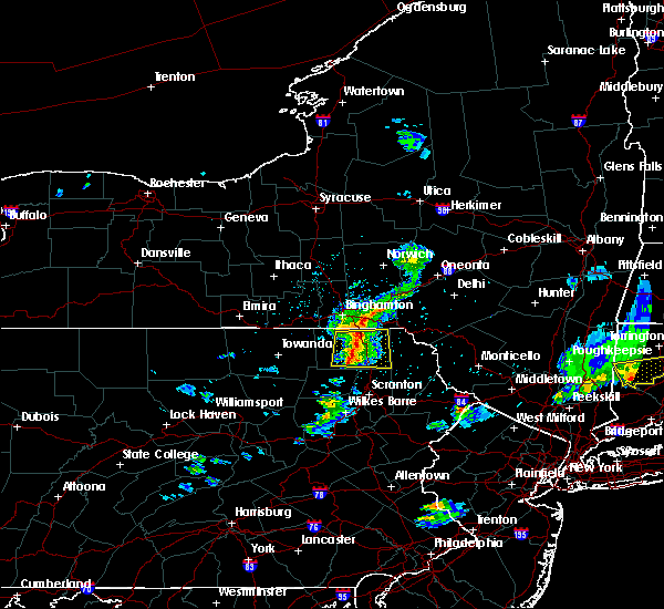 At 743 pm edt, a severe thunderstorm was located near hop bottom, or near montrose, moving east at 45 mph (radar indicated. large tree also reported down across road in auburn township). Hazards include 60 mph wind gusts and quarter size hail. Hail damage to vehicles is expected. expect wind damage to roofs, siding, and trees. Locations impacted include, jackson, clifford, susquehanna, forest city, susquehanna depot, springville, montrose, dimock, harford and hallstead. At 743 pm edt, a severe thunderstorm was located near hop bottom, or near montrose, moving east at 45 mph (radar indicated. large tree also reported down across road in auburn township). Hazards include 60 mph wind gusts and quarter size hail. Hail damage to vehicles is expected. expect wind damage to roofs, siding, and trees. Locations impacted include, jackson, clifford, susquehanna, forest city, susquehanna depot, springville, montrose, dimock, harford and hallstead.
|
| 5/31/2017 7:19 PM EDT |
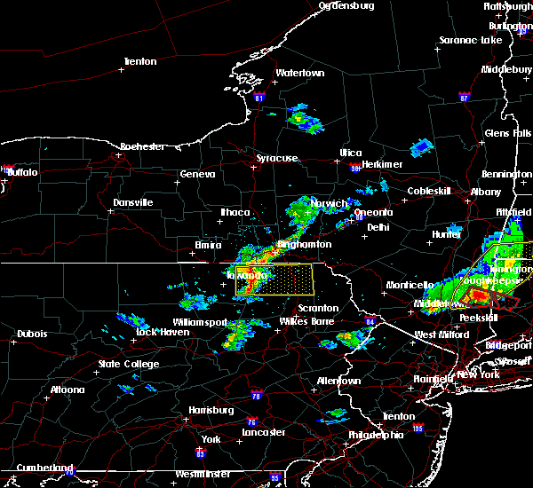 At 719 pm edt, a severe thunderstorm was located over rushville, or 9 miles northeast of wyalusing, moving east at 40 mph (radar indicated). Hazards include 60 mph wind gusts and quarter size hail. Hail damage to vehicles is expected. expect wind damage to roofs, siding, and trees. this severe thunderstorm will be near, rush and auburn center around 725 pm edt. springville around 735 pm edt. montrose around 740 pm edt. hop bottom around 745 pm edt. harford around 750 pm edt. gibson, lenoxville and royal around 755 pm edt. Thompson and union dale around 800 pm edt. At 719 pm edt, a severe thunderstorm was located over rushville, or 9 miles northeast of wyalusing, moving east at 40 mph (radar indicated). Hazards include 60 mph wind gusts and quarter size hail. Hail damage to vehicles is expected. expect wind damage to roofs, siding, and trees. this severe thunderstorm will be near, rush and auburn center around 725 pm edt. springville around 735 pm edt. montrose around 740 pm edt. hop bottom around 745 pm edt. harford around 750 pm edt. gibson, lenoxville and royal around 755 pm edt. Thompson and union dale around 800 pm edt.
|
| 5/18/2017 5:28 PM EDT |
 At 528 pm edt, a severe thunderstorm was located near ellwood city, or 7 miles southwest of new castle, moving northeast at 40 mph (radar). Hazards include 60 mph wind gusts and quarter-size hail. Minor hail damage to vehicles is possible. expect wind damage to trees and power lines, resulting in some power outages. Locations impacted include, new castle, ellwood city, oakwood, new castle northwest, big beaver, new beaver, ellport, bessemer, koppel, wampum, south new castle, new galilee, this includes pennsylvania turnpike between mile markers 1 and 14. At 528 pm edt, a severe thunderstorm was located near ellwood city, or 7 miles southwest of new castle, moving northeast at 40 mph (radar). Hazards include 60 mph wind gusts and quarter-size hail. Minor hail damage to vehicles is possible. expect wind damage to trees and power lines, resulting in some power outages. Locations impacted include, new castle, ellwood city, oakwood, new castle northwest, big beaver, new beaver, ellport, bessemer, koppel, wampum, south new castle, new galilee, this includes pennsylvania turnpike between mile markers 1 and 14.
|
| 5/18/2017 5:07 PM EDT |
 At 506 pm edt, a severe thunderstorm was located near new waterford, or near columbiana, moving northeast at 40 mph (radar). Hazards include 60 mph wind gusts and quarter-size hail. Minor hail damage to vehicles is possible. Expect wind damage to trees and power lines, resulting in some power outages. At 506 pm edt, a severe thunderstorm was located near new waterford, or near columbiana, moving northeast at 40 mph (radar). Hazards include 60 mph wind gusts and quarter-size hail. Minor hail damage to vehicles is possible. Expect wind damage to trees and power lines, resulting in some power outages.
|
| 5/1/2017 7:49 PM EDT |
 At 748 pm edt, severe thunderstorms were located along a line extending from near vestal center to near rushville to lovelton to iola, moving east at 40 to 50 mph (radar indicated). Hazards include 60 mph wind gusts and penny size hail. Expect damage to roofs, siding, and trees. severe thunderstorms will be near, rush, noxen and mehoopany around 755 pm edt. springville, meshoppen and evans falls around 800 pm edt. tunkhannock, montrose and osterhout around 805 pm edt. falls, nescopeck and hallstead around 810 pm edt. muhlenberg, factoryville and shickshinny around 815 pm edt. waverly, clarks summit and susquehanna around 820 pm edt. scranton, dunmore and dickson city around 825 pm edt. carbondale, archbald and olyphant around 830 pm edt. A tornado watch remains in effect until 1000 pm edt for central new york, and northeastern pennsylvania. At 748 pm edt, severe thunderstorms were located along a line extending from near vestal center to near rushville to lovelton to iola, moving east at 40 to 50 mph (radar indicated). Hazards include 60 mph wind gusts and penny size hail. Expect damage to roofs, siding, and trees. severe thunderstorms will be near, rush, noxen and mehoopany around 755 pm edt. springville, meshoppen and evans falls around 800 pm edt. tunkhannock, montrose and osterhout around 805 pm edt. falls, nescopeck and hallstead around 810 pm edt. muhlenberg, factoryville and shickshinny around 815 pm edt. waverly, clarks summit and susquehanna around 820 pm edt. scranton, dunmore and dickson city around 825 pm edt. carbondale, archbald and olyphant around 830 pm edt. A tornado watch remains in effect until 1000 pm edt for central new york, and northeastern pennsylvania.
|
| 5/1/2017 5:12 PM EDT |
 At 511 pm edt, severe thunderstorms were located along a line extending from near karthaus to glen hope to ebensburg to johnstown, moving east at 40 mph (radar indicated). Hazards include 70 mph wind gusts. Expect considerable tree damage. damage is likely to mobile homes, roofs, and outbuildings. locations impacted include, belmont, johnstown, westmont, nanty-glo, portage, ebensburg, windber, salix-beauty line park, scalp level and prince gallitzin state park. A tornado watch remains in effect until 1000 pm edt for south central, central and north central pennsylvania. At 511 pm edt, severe thunderstorms were located along a line extending from near karthaus to glen hope to ebensburg to johnstown, moving east at 40 mph (radar indicated). Hazards include 70 mph wind gusts. Expect considerable tree damage. damage is likely to mobile homes, roofs, and outbuildings. locations impacted include, belmont, johnstown, westmont, nanty-glo, portage, ebensburg, windber, salix-beauty line park, scalp level and prince gallitzin state park. A tornado watch remains in effect until 1000 pm edt for south central, central and north central pennsylvania.
|
| 5/1/2017 4:28 PM EDT |
 At 427 pm edt, severe thunderstorms were located along a line extending from penfield to curwensville to northern cambria to southmont, moving east at 35 mph (radar indicated). Hazards include 70 mph wind gusts. Expect considerable tree damage. damage is likely to mobile homes, roofs, and outbuildings. locations impacted include, belmont, johnstown, dubois, westmont, nanty-glo, portage, ebensburg, clearfield, windber and salix-beauty line park. A tornado watch remains in effect until 1000 pm edt for south central, central and north central pennsylvania. At 427 pm edt, severe thunderstorms were located along a line extending from penfield to curwensville to northern cambria to southmont, moving east at 35 mph (radar indicated). Hazards include 70 mph wind gusts. Expect considerable tree damage. damage is likely to mobile homes, roofs, and outbuildings. locations impacted include, belmont, johnstown, dubois, westmont, nanty-glo, portage, ebensburg, clearfield, windber and salix-beauty line park. A tornado watch remains in effect until 1000 pm edt for south central, central and north central pennsylvania.
|
| 5/1/2017 3:56 PM EDT |
 At 355 pm edt, severe thunderstorms were located along a line from just west of dubois to latrobe, moving east at 40 mph (radar indicated). Hazards include 70 mph wind gusts. Expect considerable tree damage. damage is likely to mobile homes, roofs, and outbuildings. severe thunderstorms will be near, dubois and sandy around 410 pm edt. westmont, southmont, rockton and belsano around 420 pm edt. belmont, johnstown, windber, ebensburg, carrolltown, s. b. elliot state park, geistown, daisytown, dale and east conemaugh around 430 pm edt. portage, clearfield, beaverdale-lloydell, dunlo, salix-beauty line park, sidman, st. michael, prince gallitzin state park, patton and ehrenfeld around 440 pm edt. for those driving on interstate 80, this includes areas between the dubois and snow shoe exits, specifically from mile markers 97 to 138. A tornado watch remains in effect until 1000 pm edt for south central, central and north central pennsylvania. At 355 pm edt, severe thunderstorms were located along a line from just west of dubois to latrobe, moving east at 40 mph (radar indicated). Hazards include 70 mph wind gusts. Expect considerable tree damage. damage is likely to mobile homes, roofs, and outbuildings. severe thunderstorms will be near, dubois and sandy around 410 pm edt. westmont, southmont, rockton and belsano around 420 pm edt. belmont, johnstown, windber, ebensburg, carrolltown, s. b. elliot state park, geistown, daisytown, dale and east conemaugh around 430 pm edt. portage, clearfield, beaverdale-lloydell, dunlo, salix-beauty line park, sidman, st. michael, prince gallitzin state park, patton and ehrenfeld around 440 pm edt. for those driving on interstate 80, this includes areas between the dubois and snow shoe exits, specifically from mile markers 97 to 138. A tornado watch remains in effect until 1000 pm edt for south central, central and north central pennsylvania.
|
| 5/1/2017 2:13 PM EDT |
 At 212 pm edt, severe thunderstorms were located along a line extending from near new wilmington to industry, moving east at 50 mph (radar). Hazards include 70 mph wind gusts. Trees snapped and uprooted. power outages can be expected. locations impacted include, new castle, aliquippa, beaver falls, monaca, economy, ellwood city, new brighton, beaver, baden, rochester, ohioville, midland, this includes the following highways, pennsylvania turnpike between mile markers 1 and 20. interstate 80 in pennsylvania between mile markers 5 and 15. A tornado watch remains in effect until 700 pm edt for western, southwestern and northwestern pennsylvania. At 212 pm edt, severe thunderstorms were located along a line extending from near new wilmington to industry, moving east at 50 mph (radar). Hazards include 70 mph wind gusts. Trees snapped and uprooted. power outages can be expected. locations impacted include, new castle, aliquippa, beaver falls, monaca, economy, ellwood city, new brighton, beaver, baden, rochester, ohioville, midland, this includes the following highways, pennsylvania turnpike between mile markers 1 and 20. interstate 80 in pennsylvania between mile markers 5 and 15. A tornado watch remains in effect until 700 pm edt for western, southwestern and northwestern pennsylvania.
|
| 5/1/2017 2:08 PM EDT |
 At 208 pm edt, severe thunderstorms were located along a line extending from 6 miles northwest of oakwood to shippingport, moving east at 50 mph (radar). Hazards include 70 mph wind gusts. Trees snapped and uprooted. power outages can be expected. locations impacted include, new castle, aliquippa, beaver falls, monaca, east palestine, economy, ellwood city, new brighton, beaver, baden, rochester, ohioville, this includes the following highways, pennsylvania turnpike between mile markers 1 and 20. interstate 80 in pennsylvania between mile markers 5 and 15. A tornado watch remains in effect until 700 pm edt for east central ohio, western, southwestern and northwestern pennsylvania, and northern west virginia. At 208 pm edt, severe thunderstorms were located along a line extending from 6 miles northwest of oakwood to shippingport, moving east at 50 mph (radar). Hazards include 70 mph wind gusts. Trees snapped and uprooted. power outages can be expected. locations impacted include, new castle, aliquippa, beaver falls, monaca, east palestine, economy, ellwood city, new brighton, beaver, baden, rochester, ohioville, this includes the following highways, pennsylvania turnpike between mile markers 1 and 20. interstate 80 in pennsylvania between mile markers 5 and 15. A tornado watch remains in effect until 700 pm edt for east central ohio, western, southwestern and northwestern pennsylvania, and northern west virginia.
|
| 5/1/2017 1:52 PM EDT |
 At 152 pm edt, severe thunderstorms were located along a line extending from near boardman to near wellsville, moving east at 50 mph (radar). Hazards include 70 mph wind gusts. Trees snapped and uprooted. power outages can be expected. locations impacted include, new castle, east liverpool, aliquippa, beaver falls, columbiana, monaca, east palestine, wellsville, economy, ellwood city, new brighton, beaver, this includes the following highways, pennsylvania turnpike between mile markers 1 and 20. interstate 80 in pennsylvania between mile markers 5 and 15. A tornado watch remains in effect until 700 pm edt for east central ohio, western, southwestern and northwestern pennsylvania, and northern west virginia. At 152 pm edt, severe thunderstorms were located along a line extending from near boardman to near wellsville, moving east at 50 mph (radar). Hazards include 70 mph wind gusts. Trees snapped and uprooted. power outages can be expected. locations impacted include, new castle, east liverpool, aliquippa, beaver falls, columbiana, monaca, east palestine, wellsville, economy, ellwood city, new brighton, beaver, this includes the following highways, pennsylvania turnpike between mile markers 1 and 20. interstate 80 in pennsylvania between mile markers 5 and 15. A tornado watch remains in effect until 700 pm edt for east central ohio, western, southwestern and northwestern pennsylvania, and northern west virginia.
|
| 5/1/2017 1:35 PM EDT |
 At 134 pm edt, severe thunderstorms were located along a line extending from near sebring to 10 miles southeast of carrollton, moving east at 50 mph (radar). Hazards include 70 mph wind gusts. Trees snapped and uprooted. Power outages can be expected. At 134 pm edt, severe thunderstorms were located along a line extending from near sebring to 10 miles southeast of carrollton, moving east at 50 mph (radar). Hazards include 70 mph wind gusts. Trees snapped and uprooted. Power outages can be expected.
|
| 4/16/2017 5:12 PM EDT |
 At 511 pm edt, severe thunderstorms were located along a line extending from near sherman to near susquehanna to auburn center, moving east at 70 mph (radar indicated). Hazards include 60 mph wind gusts. Expect damage to trees. these severe storms will be near, susquehanna, susquehanna depot and lanesboro around 515 pm edt. hiawatha, starlight and shehawken around 520 pm edt. harford, hop bottom and glenwood around 525 pm edt. Gibson around 530 pm edt. At 511 pm edt, severe thunderstorms were located along a line extending from near sherman to near susquehanna to auburn center, moving east at 70 mph (radar indicated). Hazards include 60 mph wind gusts. Expect damage to trees. these severe storms will be near, susquehanna, susquehanna depot and lanesboro around 515 pm edt. hiawatha, starlight and shehawken around 520 pm edt. harford, hop bottom and glenwood around 525 pm edt. Gibson around 530 pm edt.
|
| 4/16/2017 4:54 PM EDT |
 At 454 pm edt, severe thunderstorms were located along a line extending from near conklin to near friendsville to wysox, moving east at 45 mph (radar indicated). Hazards include 60 mph wind gusts. Expect damage to trees. severe thunderstorms will be near, kirkwood, conklin and rush around 500 pm edt. hallstead, great bend and brushville around 505 pm edt. montrose and rushville around 510 pm edt. susquehanna, susquehanna depot and new milford around 515 pm edt. harford and auburn center around 520 pm edt. springville, starrucca and gibson around 525 pm edt. hiawatha and shehawken around 530 pm edt. Thompson and starlight around 535 pm edt. At 454 pm edt, severe thunderstorms were located along a line extending from near conklin to near friendsville to wysox, moving east at 45 mph (radar indicated). Hazards include 60 mph wind gusts. Expect damage to trees. severe thunderstorms will be near, kirkwood, conklin and rush around 500 pm edt. hallstead, great bend and brushville around 505 pm edt. montrose and rushville around 510 pm edt. susquehanna, susquehanna depot and new milford around 515 pm edt. harford and auburn center around 520 pm edt. springville, starrucca and gibson around 525 pm edt. hiawatha and shehawken around 530 pm edt. Thompson and starlight around 535 pm edt.
|
| 2/12/2017 8:11 PM EST |
 At 810 pm est, severe thunderstorms were located along a line extending from near belsano to near cameron, moving east-southeast at 45 mph (radar indicated). Hazards include 60 mph wind gusts. expect damage to roofs, siding, and trees At 810 pm est, severe thunderstorms were located along a line extending from near belsano to near cameron, moving east-southeast at 45 mph (radar indicated). Hazards include 60 mph wind gusts. expect damage to roofs, siding, and trees
|
| 1/12/2017 2:15 PM EST |
 At 215 pm est, a severe thunderstorm was located near east palestine, moving east at 65 mph (radar indicated). Hazards include 60 mph wind gusts. expect damage to trees and power lines, resulting in some power outages At 215 pm est, a severe thunderstorm was located near east palestine, moving east at 65 mph (radar indicated). Hazards include 60 mph wind gusts. expect damage to trees and power lines, resulting in some power outages
|
| 10/20/2016 7:35 PM EDT |
 At 734 pm edt, a severe thunderstorm was located over daisytown, moving northeast at 30 mph (radar indicated). Hazards include 60 mph wind gusts and nickel size hail. Expect damage to roofs. siding. and trees. locations impacted include, johnstown, portage, belmont, windber, elim, westmont, ehrenfeld, beaverdale-lloydell, tire hill, cresson, geistown, south fork, st. Michael, sidman, dale, salix-beauty line park, southmont, lilly, sankertown and davidsville. At 734 pm edt, a severe thunderstorm was located over daisytown, moving northeast at 30 mph (radar indicated). Hazards include 60 mph wind gusts and nickel size hail. Expect damage to roofs. siding. and trees. locations impacted include, johnstown, portage, belmont, windber, elim, westmont, ehrenfeld, beaverdale-lloydell, tire hill, cresson, geistown, south fork, st. Michael, sidman, dale, salix-beauty line park, southmont, lilly, sankertown and davidsville.
|
| 10/20/2016 7:04 PM EDT |
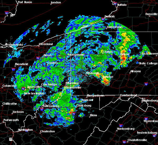 At 703 pm edt, a severe thunderstorm was located near acosta, moving east at 50 mph (radar indicated). Hazards include 60 mph wind gusts and nickel size hail. Expect damage to roofs. siding. And trees. At 703 pm edt, a severe thunderstorm was located near acosta, moving east at 50 mph (radar indicated). Hazards include 60 mph wind gusts and nickel size hail. Expect damage to roofs. siding. And trees.
|
| 9/8/2016 6:07 PM EDT |
 At 607 pm edt, severe thunderstorms were located along a line extending from 8 miles south of oil city to 11 miles southwest of knox to 6 miles northwest of shanor-northvue, moving east at 50 mph (radar indicated). Hazards include 60 mph wind gusts. Expect damage to trees and power lines. resulting in some power outages. locations impacted include, new castle, franklin, clarion, kittanning, knox, rimersburg, shanor-northvue, slippery rock, oakwood, prospect, chicora, seneca, east brady, harrisville, parker, polk, plain grove township, sligo, south new castle and emlenton. this includes the following highways, interstate 79 in pennsylvania between mile markers 97 and 109. interstate 80 in pennsylvania between mile markers 28 and 72. Please report severe weather by calling 4 1 2, 2 6 2, 1 9 8 8, posting to the nws pittsburgh facebook page, or using twitter @nwspittsburgh. At 607 pm edt, severe thunderstorms were located along a line extending from 8 miles south of oil city to 11 miles southwest of knox to 6 miles northwest of shanor-northvue, moving east at 50 mph (radar indicated). Hazards include 60 mph wind gusts. Expect damage to trees and power lines. resulting in some power outages. locations impacted include, new castle, franklin, clarion, kittanning, knox, rimersburg, shanor-northvue, slippery rock, oakwood, prospect, chicora, seneca, east brady, harrisville, parker, polk, plain grove township, sligo, south new castle and emlenton. this includes the following highways, interstate 79 in pennsylvania between mile markers 97 and 109. interstate 80 in pennsylvania between mile markers 28 and 72. Please report severe weather by calling 4 1 2, 2 6 2, 1 9 8 8, posting to the nws pittsburgh facebook page, or using twitter @nwspittsburgh.
|
| 9/8/2016 5:48 PM EDT |
 At 548 pm edt, severe thunderstorms were located along a line extending from 7 miles southwest of franklin to near grove city to near new castle, moving east at 50 mph (radar indicated). Hazards include 60 mph wind gusts. Expect damage to trees and power lines. Resulting in some power outages. At 548 pm edt, severe thunderstorms were located along a line extending from 7 miles southwest of franklin to near grove city to near new castle, moving east at 50 mph (radar indicated). Hazards include 60 mph wind gusts. Expect damage to trees and power lines. Resulting in some power outages.
|
| 8/16/2016 7:52 PM EDT |
 The severe thunderstorm warning for western clearfield and cambria counties will expire at 800 pm edt, the storms which prompted the warning have weakened below severe limits, and no longer pose an immediate threat to life or property. therefore, the warning will be allowed to expire. however gusty winds are still possible with these thunderstorms. The severe thunderstorm warning for western clearfield and cambria counties will expire at 800 pm edt, the storms which prompted the warning have weakened below severe limits, and no longer pose an immediate threat to life or property. therefore, the warning will be allowed to expire. however gusty winds are still possible with these thunderstorms.
|
| 8/16/2016 7:34 PM EDT |
 At 734 pm edt, severe thunderstorms were located along a line extending from near jeffries to windber, moving southeast at 40 mph (radar indicated). Hazards include 60 mph wind gusts. Expect damage to roofs. siding. And trees. At 734 pm edt, severe thunderstorms were located along a line extending from near jeffries to windber, moving southeast at 40 mph (radar indicated). Hazards include 60 mph wind gusts. Expect damage to roofs. siding. And trees.
|
| 8/16/2016 6:37 PM EDT |
 At 637 pm edt, severe thunderstorms were located along a line extending from near new bethlehem to 14 miles east of ford city to near indiana to near homer city to near greensburg, moving east at 40 mph (radar indicated). Hazards include 60 mph wind gusts. Expect damage to roofs. siding. And trees. At 637 pm edt, severe thunderstorms were located along a line extending from near new bethlehem to 14 miles east of ford city to near indiana to near homer city to near greensburg, moving east at 40 mph (radar indicated). Hazards include 60 mph wind gusts. Expect damage to roofs. siding. And trees.
|
| 7/25/2016 4:12 PM EDT |
 At 411 pm edt, a severe thunderstorm was located near lanesboro, or 8 miles southwest of deposit, moving east at 60 mph (radar indicated). Hazards include 60 mph wind gusts. Expect damage to roofs. siding. and trees. this severe storm will be near, starrucca around 415 pm edt. deposit, sherman and hiawatha around 420 pm edt. hancock and starlight around 425 pm edt. These storms have downed numerous trees and caused power outages around the binghamton metro area. At 411 pm edt, a severe thunderstorm was located near lanesboro, or 8 miles southwest of deposit, moving east at 60 mph (radar indicated). Hazards include 60 mph wind gusts. Expect damage to roofs. siding. and trees. this severe storm will be near, starrucca around 415 pm edt. deposit, sherman and hiawatha around 420 pm edt. hancock and starlight around 425 pm edt. These storms have downed numerous trees and caused power outages around the binghamton metro area.
|
| 7/25/2016 3:54 PM EDT |
 At 354 pm edt, severe thunderstorms were located along a line extending from near northern cambria to near blairsville, moving east at 35 mph (radar indicated). Hazards include 60 mph wind gusts and penny size hail. Expect damage to roofs. siding. And trees. At 354 pm edt, severe thunderstorms were located along a line extending from near northern cambria to near blairsville, moving east at 35 mph (radar indicated). Hazards include 60 mph wind gusts and penny size hail. Expect damage to roofs. siding. And trees.
|
| 7/25/2016 3:50 PM EDT |
 At 349 pm edt, a severe thunderstorm was located over conklin, or near binghamton, moving east at 55 mph (radar indicated). Hazards include 60 mph wind gusts. Expect damage to roofs. siding. and trees. this severe thunderstorm will be near, hallstead and great bend around 355 pm edt. windsor around 400 pm edt. sanford, susquehanna and susquehanna depot around 405 pm edt. deposit, starrucca and sherman around 410 pm edt. hiawatha and shehawken around 415 pm edt. Hancock and starlight around 420 pm edt. At 349 pm edt, a severe thunderstorm was located over conklin, or near binghamton, moving east at 55 mph (radar indicated). Hazards include 60 mph wind gusts. Expect damage to roofs. siding. and trees. this severe thunderstorm will be near, hallstead and great bend around 355 pm edt. windsor around 400 pm edt. sanford, susquehanna and susquehanna depot around 405 pm edt. deposit, starrucca and sherman around 410 pm edt. hiawatha and shehawken around 415 pm edt. Hancock and starlight around 420 pm edt.
|
| 7/24/2016 3:14 PM EDT |
 At 314 pm edt, severe thunderstorms were located along a line extending from near new wilmington to near new castle to ellwood city, moving east at 60 mph (radar indicated). Hazards include 60 mph wind gusts. Expect damage to trees and power lines. Resulting in some power outages. At 314 pm edt, severe thunderstorms were located along a line extending from near new wilmington to near new castle to ellwood city, moving east at 60 mph (radar indicated). Hazards include 60 mph wind gusts. Expect damage to trees and power lines. Resulting in some power outages.
|
| 7/24/2016 2:47 PM EDT |
 At 247 pm edt, a severe thunderstorm was located near new waterford, or near east palestine, moving east at 35 mph (radar indicated). Hazards include 60 mph wind gusts. Expect damage to trees and power lines. Resulting in some power outages. At 247 pm edt, a severe thunderstorm was located near new waterford, or near east palestine, moving east at 35 mph (radar indicated). Hazards include 60 mph wind gusts. Expect damage to trees and power lines. Resulting in some power outages.
|
| 7/22/2016 9:46 AM EDT |
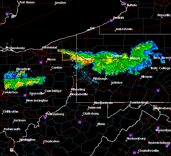 At 946 am edt, a severe thunderstorm was located near farrell, or near hermitage, moving southeast at 30 mph. another severe thunderstorm was near new wilmington and volant (radar indicated). Hazards include 60 mph wind gusts. Expect damage to trees and power lines. resulting in some power outages. locations impacted include, new castle, hermitage, sharon, sharpsville, farrell, new wilmington, oakwood, new castle northwest, new beaver, pulaski, west middlesex, plain grove township, wampum, south new castle, clark, wheatland, harlansburg and volant. this includes the following highways, interstate 79 in pennsylvania near mile marker 107. interstate 80 in pennsylvania between mile markers 0 and 12. interstate 376 in pennsylvania between mile markers 4 and 14. Please report severe weather by calling 4 1 2, 2 6 2, 1 9 8 8, posting to the nws pittsburgh facebook page, or using twitter @nwspittsburgh. At 946 am edt, a severe thunderstorm was located near farrell, or near hermitage, moving southeast at 30 mph. another severe thunderstorm was near new wilmington and volant (radar indicated). Hazards include 60 mph wind gusts. Expect damage to trees and power lines. resulting in some power outages. locations impacted include, new castle, hermitage, sharon, sharpsville, farrell, new wilmington, oakwood, new castle northwest, new beaver, pulaski, west middlesex, plain grove township, wampum, south new castle, clark, wheatland, harlansburg and volant. this includes the following highways, interstate 79 in pennsylvania near mile marker 107. interstate 80 in pennsylvania between mile markers 0 and 12. interstate 376 in pennsylvania between mile markers 4 and 14. Please report severe weather by calling 4 1 2, 2 6 2, 1 9 8 8, posting to the nws pittsburgh facebook page, or using twitter @nwspittsburgh.
|
| 7/22/2016 9:33 AM EDT |
 At 933 am edt, a severe thunderstorm was located over farrell, or over sharon, moving southeast at 30 mph (radar indicated). Hazards include 60 mph wind gusts. Expect damage to trees and power lines. Resulting in some power outages. At 933 am edt, a severe thunderstorm was located over farrell, or over sharon, moving southeast at 30 mph (radar indicated). Hazards include 60 mph wind gusts. Expect damage to trees and power lines. Resulting in some power outages.
|
| 7/18/2016 7:38 AM EDT |
 At 738 am edt, a severe thunderstorm was located near lisbon, or near columbiana, moving east at 45 mph (radar indicated). Hazards include 60 mph wind gusts and quarter size hail. Hail damage to vehicles is expected. Expect wind damage to trees and power lines, resulting in some power outages. At 738 am edt, a severe thunderstorm was located near lisbon, or near columbiana, moving east at 45 mph (radar indicated). Hazards include 60 mph wind gusts and quarter size hail. Hail damage to vehicles is expected. Expect wind damage to trees and power lines, resulting in some power outages.
|
| 6/16/2016 11:12 AM EDT |
 At 1111 am edt, severe thunderstorms were located along a line extending from near northern cambria to near ligonier, moving east at 30 mph (radar indicated). Hazards include 60 mph wind gusts. Expect damage to roofs. siding. And trees. At 1111 am edt, severe thunderstorms were located along a line extending from near northern cambria to near ligonier, moving east at 30 mph (radar indicated). Hazards include 60 mph wind gusts. Expect damage to roofs. siding. And trees.
|
| 8/15/2015 4:52 PM EDT |
 The severe thunderstorm warning for southwestern lawrence county will expire at 500 pm edt, the storm that prompted the warning is weakening below severe limits, and no longer poses an immediate threat to life or property. therefore the warning will be allowed to expire. to report severe weather, contact your nearest law enforcement agency or contact the national weather service in pittsburgh. The severe thunderstorm warning for southwestern lawrence county will expire at 500 pm edt, the storm that prompted the warning is weakening below severe limits, and no longer poses an immediate threat to life or property. therefore the warning will be allowed to expire. to report severe weather, contact your nearest law enforcement agency or contact the national weather service in pittsburgh.
|
| 8/15/2015 4:45 PM EDT |
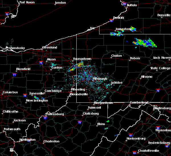 At 444 pm edt, a severe thunderstorm was located over oakwood, or over new castle, moving northeast at 5 mph (radar indicated). Hazards include 60 mph wind gusts. Expect damage to trees and some power outages. Locations impacted include, new castle, oakwood, new castle northwest, bessemer and south new castle. At 444 pm edt, a severe thunderstorm was located over oakwood, or over new castle, moving northeast at 5 mph (radar indicated). Hazards include 60 mph wind gusts. Expect damage to trees and some power outages. Locations impacted include, new castle, oakwood, new castle northwest, bessemer and south new castle.
|
| 8/15/2015 4:30 PM EDT |
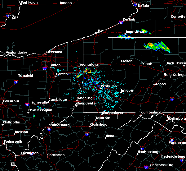 At 430 pm edt, a severe thunderstorm was located near oakwood, or near new castle, moving northeast at 5 mph (radar indicated). Hazards include 60 mph wind gusts. expect damage to trees and some power outages At 430 pm edt, a severe thunderstorm was located near oakwood, or near new castle, moving northeast at 5 mph (radar indicated). Hazards include 60 mph wind gusts. expect damage to trees and some power outages
|
| 8/3/2015 9:43 PM EDT |
 At 943 pm edt, a severe thunderstorm was located over east palestine, moving northeast at 25 mph (radar indicated). Hazards include 60 mph wind gusts and quarter size hail. Hail damage to vehicles is expected. expect wind damage to trees and some power outages. locations impacted include, new castle, beaver falls, ellwood city, ohioville, oakwood, patterson township, big beaver, new beaver, west mayfield, ellport, koppel, wampum, south new castle, new galilee, enon valley, darlington, eastvale, homewood and s. n. p. J At 943 pm edt, a severe thunderstorm was located over east palestine, moving northeast at 25 mph (radar indicated). Hazards include 60 mph wind gusts and quarter size hail. Hail damage to vehicles is expected. expect wind damage to trees and some power outages. locations impacted include, new castle, beaver falls, ellwood city, ohioville, oakwood, patterson township, big beaver, new beaver, west mayfield, ellport, koppel, wampum, south new castle, new galilee, enon valley, darlington, eastvale, homewood and s. n. p. J
|
| 8/3/2015 9:22 PM EDT |
 At 922 pm edt, a severe thunderstorm was located near lisbon, or 8 miles southwest of east palestine, moving northeast at 25 mph (radar indicated). Hazards include 60 mph wind gusts and quarter size hail. Hail damage to vehicles is expected. Expect wind damage to trees and some power outages. At 922 pm edt, a severe thunderstorm was located near lisbon, or 8 miles southwest of east palestine, moving northeast at 25 mph (radar indicated). Hazards include 60 mph wind gusts and quarter size hail. Hail damage to vehicles is expected. Expect wind damage to trees and some power outages.
|
| 7/9/2015 3:01 PM EDT |
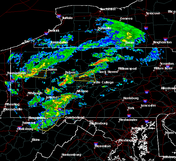 At 301 pm edt, doppler radar indicated a line of severe thunderstorms capable of producing damaging winds in excess of 60 mph. these storms were located along a line extending from near jerome to near berlin to near bittinger, moving east at 65 mph. locations impacted include, belmont, elim, johnstown, portage, somerset, westmont, windber, acosta, beaverdale-lloydell, berlin, boswell, central city, cresson, daisytown, dale, davidsville, dunlo, east conemaugh, ehrenfeld and ferndale. At 301 pm edt, doppler radar indicated a line of severe thunderstorms capable of producing damaging winds in excess of 60 mph. these storms were located along a line extending from near jerome to near berlin to near bittinger, moving east at 65 mph. locations impacted include, belmont, elim, johnstown, portage, somerset, westmont, windber, acosta, beaverdale-lloydell, berlin, boswell, central city, cresson, daisytown, dale, davidsville, dunlo, east conemaugh, ehrenfeld and ferndale.
|
| 7/9/2015 2:21 PM EDT |
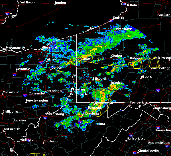 At 219 pm edt, doppler radar indicated a line of severe thunderstorms capable of producing damaging winds around 60 mph. these storms were located along a line extending from near west newton to near farmington to near winfield, and moving east at 40 mph. At 219 pm edt, doppler radar indicated a line of severe thunderstorms capable of producing damaging winds around 60 mph. these storms were located along a line extending from near west newton to near farmington to near winfield, and moving east at 40 mph.
|
| 7/7/2015 9:02 PM EDT |
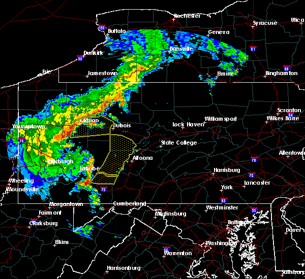 At 901 pm edt, doppler radar indicated a severe thunderstorm capable of producing damaging winds around 60 mph. this storm was located near jerome, and moving northeast at 40 mph. At 901 pm edt, doppler radar indicated a severe thunderstorm capable of producing damaging winds around 60 mph. this storm was located near jerome, and moving northeast at 40 mph.
|
| 7/7/2015 8:47 PM EDT |
 At 847 pm edt, doppler radar indicated a line of severe thunderstorms capable of producing damaging winds around 60 mph. these storms were located along a line extending from near vandergrift to 14 miles north of homer city to near indiana to near belsano to near westmont to near ligonier, and moving east at 55 mph. At 847 pm edt, doppler radar indicated a line of severe thunderstorms capable of producing damaging winds around 60 mph. these storms were located along a line extending from near vandergrift to 14 miles north of homer city to near indiana to near belsano to near westmont to near ligonier, and moving east at 55 mph.
|
| 6/23/2015 2:22 PM EDT |
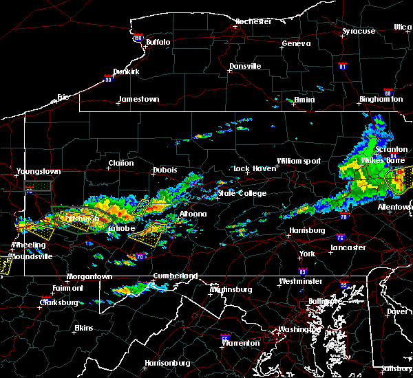 At 221 pm edt, doppler radar indicated a severe thunderstorm capable of producing quarter size hail and damaging winds in excess of 60 mph. this storm was located over east conemaugh, moving east at 35 mph. locations impacted include, belmont, elim, johnstown, portage, westmont, windber, beaverdale-lloydell, daisytown, dale, davidsville, dunlo, ehrenfeld, ferndale, geistown, lilly, ogletown, paint, salix-beauty line park, scalp level and sidman. At 221 pm edt, doppler radar indicated a severe thunderstorm capable of producing quarter size hail and damaging winds in excess of 60 mph. this storm was located over east conemaugh, moving east at 35 mph. locations impacted include, belmont, elim, johnstown, portage, westmont, windber, beaverdale-lloydell, daisytown, dale, davidsville, dunlo, ehrenfeld, ferndale, geistown, lilly, ogletown, paint, salix-beauty line park, scalp level and sidman.
|
| 6/23/2015 1:55 PM EDT |
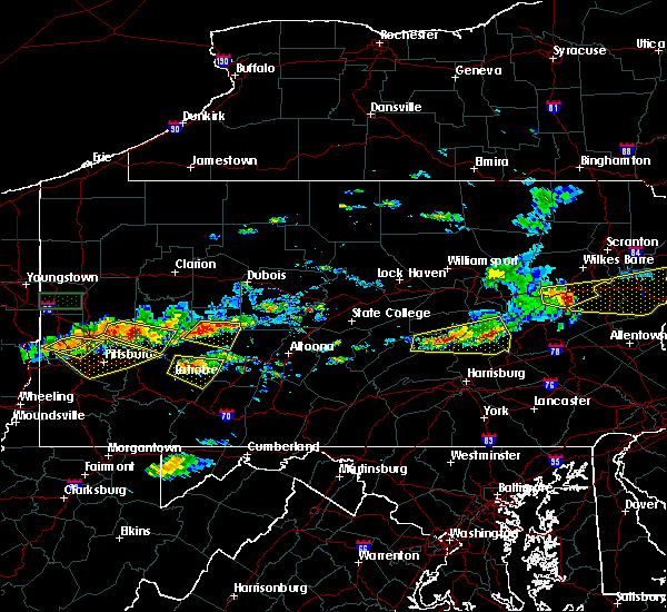 At 155 pm edt, doppler radar indicated a severe thunderstorm capable of producing quarter size hail and damaging winds around 60 mph. this storm was located near black lick, and moving east at 35 mph. At 155 pm edt, doppler radar indicated a severe thunderstorm capable of producing quarter size hail and damaging winds around 60 mph. this storm was located near black lick, and moving east at 35 mph.
|
| 6/23/2015 11:52 AM EDT |
 At 1152 am edt, a severe thunderstorm was located near new wilmington, or 7 miles northeast of new castle, moving east at 35 mph (radar indicated). Hazards include 60 mph wind gusts and quarter size hail. Hail damage to vehicles is expected. expect wind damage to roofs, siding and trees. Locations impacted include, new castle, grove city, slippery rock, oakwood, new castle northwest, harrisville, plain grove township, south new castle, west liberty, harlansburg, portersville, volant, rose point park, moraine state park, cooper`s lake campground and mcconnells mill. At 1152 am edt, a severe thunderstorm was located near new wilmington, or 7 miles northeast of new castle, moving east at 35 mph (radar indicated). Hazards include 60 mph wind gusts and quarter size hail. Hail damage to vehicles is expected. expect wind damage to roofs, siding and trees. Locations impacted include, new castle, grove city, slippery rock, oakwood, new castle northwest, harrisville, plain grove township, south new castle, west liberty, harlansburg, portersville, volant, rose point park, moraine state park, cooper`s lake campground and mcconnells mill.
|
| 6/23/2015 11:32 AM EDT |
 At 1131 am edt, a severe thunderstorm was located near maplewood park, or 8 miles east of youngstown, moving east at 35 mph (radar indicated). Hazards include 60 mph wind gusts and quarter size hail. Hail damage to vehicles is expected. Expect wind damage to trees. At 1131 am edt, a severe thunderstorm was located near maplewood park, or 8 miles east of youngstown, moving east at 35 mph (radar indicated). Hazards include 60 mph wind gusts and quarter size hail. Hail damage to vehicles is expected. Expect wind damage to trees.
|
| 6/23/2015 10:16 AM EDT |
 At 1016 am edt, a severe thunderstorm was located near ellwood city, or near new castle, moving east at 45 mph (radar indicated). Hazards include 60 mph wind gusts and quarter size hail. Hail damage to vehicles is expected. expect tree damage. Locations impacted include, new castle, ellwood city, oakwood, new castle northwest, big beaver, new beaver, ellport, prospect, wampum, south new castle, west liberty, harlansburg, portersville, rose point park, moraine state park, cooper`s lake campground and mcconnells mill. At 1016 am edt, a severe thunderstorm was located near ellwood city, or near new castle, moving east at 45 mph (radar indicated). Hazards include 60 mph wind gusts and quarter size hail. Hail damage to vehicles is expected. expect tree damage. Locations impacted include, new castle, ellwood city, oakwood, new castle northwest, big beaver, new beaver, ellport, prospect, wampum, south new castle, west liberty, harlansburg, portersville, rose point park, moraine state park, cooper`s lake campground and mcconnells mill.
|
| 6/23/2015 9:57 AM EDT |
 At 956 am edt, a severe thunderstorm was located 7 miles southeast of boardman, or 9 miles northeast of columbiana, moving east at 45 mph (radar indicated). Hazards include 60 mph wind gusts and quarter size hail. Hail damage to vehicles is expected. Expect tree damage. At 956 am edt, a severe thunderstorm was located 7 miles southeast of boardman, or 9 miles northeast of columbiana, moving east at 45 mph (radar indicated). Hazards include 60 mph wind gusts and quarter size hail. Hail damage to vehicles is expected. Expect tree damage.
|
| 6/20/2015 5:59 PM EDT |
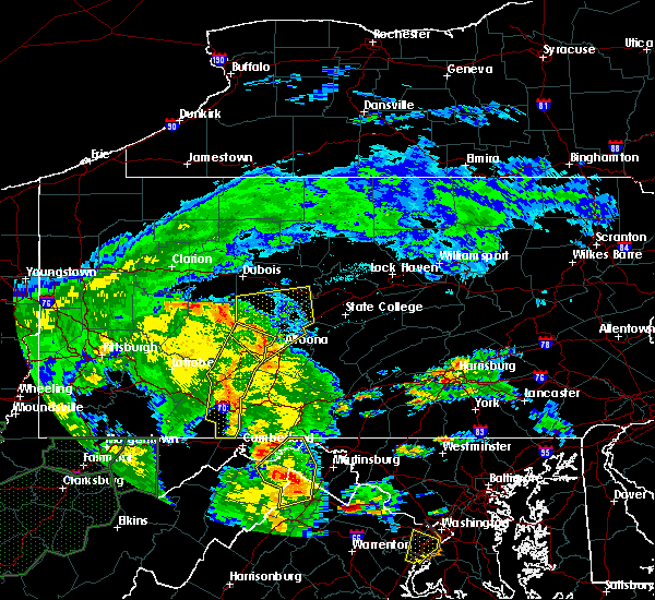 At 557 pm edt, doppler radar indicated a line of severe thunderstorms capable of producing damaging winds in excess of 60 mph. these storms were located along a line extending from near cherry tree to near patton to near windber, moving northeast at 50 mph. locations impacted include, ebensburg, johnstown, nanty- glo, portage, somerset, westmont, windber, beaverdale- lloydell, berlin, boswell, carrolltown, central city, cresson, dale, and davidsville. At 557 pm edt, doppler radar indicated a line of severe thunderstorms capable of producing damaging winds in excess of 60 mph. these storms were located along a line extending from near cherry tree to near patton to near windber, moving northeast at 50 mph. locations impacted include, ebensburg, johnstown, nanty- glo, portage, somerset, westmont, windber, beaverdale- lloydell, berlin, boswell, carrolltown, central city, cresson, dale, and davidsville.
|
| 6/20/2015 5:40 PM EDT | Trees down along fulmer road in conemaugh twp in cambria county PA, 1.8 miles SW of Oakland, PA |
| 6/12/2015 7:52 PM EDT |
 At 752 pm edt, doppler radar indicated a line of severe thunderstorms capable of producing damaging winds around 60 mph. these storms were located along a line extending from near ligonier to near seven springs to near chalkhill, and moving east at 40 mph. At 752 pm edt, doppler radar indicated a line of severe thunderstorms capable of producing damaging winds around 60 mph. these storms were located along a line extending from near ligonier to near seven springs to near chalkhill, and moving east at 40 mph.
|
| 6/12/2015 5:31 PM EDT |
 At 531 pm edt, a severe thunderstorm was located near slippery rock, or near grove city, moving east at 40 mph (radar indicated). Hazards include 60 mph wind gusts and penny size hail. Expect damage to roofs. siding and trees. Locations impacted include, new castle, grove city, slippery rock, new wilmington, oakwood, new castle northwest, mercer, bessemer, seneca, harrisville, plain grove township, clintonville, west liberty, eau claire, harlansburg, kennerdell, jackson center, barkeyville, west sunbury and volant. At 531 pm edt, a severe thunderstorm was located near slippery rock, or near grove city, moving east at 40 mph (radar indicated). Hazards include 60 mph wind gusts and penny size hail. Expect damage to roofs. siding and trees. Locations impacted include, new castle, grove city, slippery rock, new wilmington, oakwood, new castle northwest, mercer, bessemer, seneca, harrisville, plain grove township, clintonville, west liberty, eau claire, harlansburg, kennerdell, jackson center, barkeyville, west sunbury and volant.
|
| 6/12/2015 5:22 PM EDT |
 At 521 pm edt, a severe thunderstorm was located over grove city, moving east at 45 mph (radar indicated). Hazards include 60 mph wind gusts and penny size hail. Expect damage to roofs. Siding and trees. At 521 pm edt, a severe thunderstorm was located over grove city, moving east at 45 mph (radar indicated). Hazards include 60 mph wind gusts and penny size hail. Expect damage to roofs. Siding and trees.
|
| 6/11/2015 6:27 PM EDT | The severe thunderstorm warning for northwestern lawrence county will expire at 630 pm edt, the storm which prompted the warning has weakened below severe limits, and no longer poses an immediate threat to life or property. therefore the warning will be allowed to expire. |
| 6/11/2015 6:20 PM EDT |
 At 620 pm edt, a severe thunderstorm was located near oakwood, or near new castle, moving east at 25 mph (trained weather spotters). Hazards include 60 mph wind gusts and quarter size hail. Hail damage to vehicles is expected. expect wind damage to roofs, siding and trees. Locations impacted include, new castle, oakwood, new castle northwest and south new castle. At 620 pm edt, a severe thunderstorm was located near oakwood, or near new castle, moving east at 25 mph (trained weather spotters). Hazards include 60 mph wind gusts and quarter size hail. Hail damage to vehicles is expected. expect wind damage to roofs, siding and trees. Locations impacted include, new castle, oakwood, new castle northwest and south new castle.
|
| 6/11/2015 6:00 PM EDT |
 At 559 pm edt, a severe thunderstorm was located near boardman, or near youngstown, moving east at 25 mph (trained weather spotters). Hazards include 60 mph wind gusts and quarter size hail. Hail damage to vehicles is expected. Expect wind damage to roofs, siding and trees. At 559 pm edt, a severe thunderstorm was located near boardman, or near youngstown, moving east at 25 mph (trained weather spotters). Hazards include 60 mph wind gusts and quarter size hail. Hail damage to vehicles is expected. Expect wind damage to roofs, siding and trees.
|
| 6/11/2015 4:49 PM EDT |
 At 449 pm edt, a severe thunderstorm was located over new castle, moving east at 20 mph (radar indicated). Hazards include 60 mph wind gusts and quarter size hail. Hail damage to vehicles is expected. Expect wind damage to roofs, siding and trees. At 449 pm edt, a severe thunderstorm was located over new castle, moving east at 20 mph (radar indicated). Hazards include 60 mph wind gusts and quarter size hail. Hail damage to vehicles is expected. Expect wind damage to roofs, siding and trees.
|
| 6/8/2015 3:20 PM EDT |
 At 318 pm edt, doppler radar indicated a severe thunderstorm capable of producing destructive winds in excess of 70 mph. this storm was located near royer, moving east northeast at 45 mph. penny size hail may also accompany the damaging winds. additional thunderstorms will likely strengthen to near severe levels and move into the western part of the warned area, near windber around 330 pm. locations impacted include, belmont, hollidaysburg, huntingdon, johnstown, portage, windber, beaverdale-lloydell, blue knob state park, canoe creek state park, claysburg, davidsville, duncansville, dunlo, entriken, ferndale, geistown, lakemont, martinsburg, mount union and ogletown. At 318 pm edt, doppler radar indicated a severe thunderstorm capable of producing destructive winds in excess of 70 mph. this storm was located near royer, moving east northeast at 45 mph. penny size hail may also accompany the damaging winds. additional thunderstorms will likely strengthen to near severe levels and move into the western part of the warned area, near windber around 330 pm. locations impacted include, belmont, hollidaysburg, huntingdon, johnstown, portage, windber, beaverdale-lloydell, blue knob state park, canoe creek state park, claysburg, davidsville, duncansville, dunlo, entriken, ferndale, geistown, lakemont, martinsburg, mount union and ogletown.
|
| 6/8/2015 2:44 PM EDT |
 At 244 pm edt, doppler radar indicated a severe thunderstorm capable of producing damaging winds of 60 to 70 mph. this storm was located near ski gap, and moving east northeast at 55 mph. penny size hail may also accompany the damaging winds. At 244 pm edt, doppler radar indicated a severe thunderstorm capable of producing damaging winds of 60 to 70 mph. this storm was located near ski gap, and moving east northeast at 55 mph. penny size hail may also accompany the damaging winds.
|
| 5/11/2015 8:29 PM EDT | At 829 pm edt, severe thunderstorms were located along a line extending from near new wilmington to 14 miles east of slippery rock, moving northeast at 35 mph (radar indicated). Hazards include 60 mph wind gusts. Expect damage to roofs. siding and trees. locations impacted include, new castle, grove city, ellwood city, slippery rock, new wilmington, oakwood, new castle northwest, seneca, harrisville, plain grove township, south new castle, emlenton, bruin, clintonville, west liberty, eau claire, harlansburg, kennerdell, portersville and petrolia. 75in. |
| 5/11/2015 8:17 PM EDT | At 816 pm edt, severe thunderstorms were located along a line extending from near new wilmington to near ellwood city, moving northeast at 45 mph (radar indicated). Hazards include 60 mph wind gusts. Expect damage to roofs. Siding and trees. |
| 5/11/2015 7:57 PM EDT | At 755 pm edt, a severe thunderstorm was located over new waterford, or near columbiana, moving northeast at 45 mph (radar indicated). Hazards include 60 mph wind gusts. this storm has produced wind damage across carroll and columbiana counties. Expect damage to roofs. siding and trees. locations impacted include, new castle, columbiana, east palestine, ellwood city, oakwood, leetonia, new castle northwest, new waterford, big beaver, new beaver, bessemer, wampum, south new castle, new galilee, enon valley, rogers, s. n. p. j. and negley. 75in. |
| 5/11/2015 7:57 PM EDT | At 755 pm edt, a severe thunderstorm was located over new waterford, or near columbiana, moving northeast at 45 mph (radar indicated). Hazards include 60 mph wind gusts. this storm has produced wind damage across carroll and columbiana counties. Expect damage to roofs. siding and trees. locations impacted include, new castle, columbiana, east palestine, ellwood city, oakwood, leetonia, new castle northwest, new waterford, big beaver, new beaver, bessemer, wampum, south new castle, new galilee, enon valley, rogers, s. n. p. j. and negley. 75in. |
| 5/11/2015 7:46 PM EDT | At 745 pm edt, a severe thunderstorm was located over lisbon, or 8 miles southwest of columbiana, moving northeast at 45 mph (radar indicated). Hazards include 60 mph wind gusts. Expect damage to roofs. Siding and trees. |
| 5/11/2015 7:46 PM EDT | At 745 pm edt, a severe thunderstorm was located over lisbon, or 8 miles southwest of columbiana, moving northeast at 45 mph (radar indicated). Hazards include 60 mph wind gusts. Expect damage to roofs. Siding and trees. |
| 1/1/0001 12:00 AM | Kjst - john murtha cambria county airport in cambria county PA, 3.2 miles WSW of Oakland, PA |
| 1/1/0001 12:00 AM | Storm damage reported in cambria county PA, 3.2 miles WSW of Oakland, PA |
Hail Maps for Oakland, PA
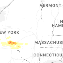
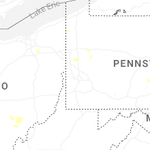

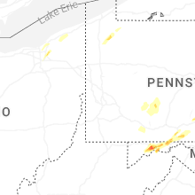


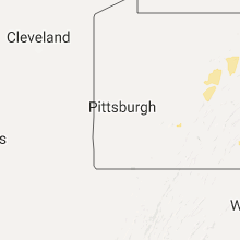


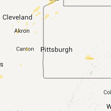

Connect with Interactive Hail Maps