

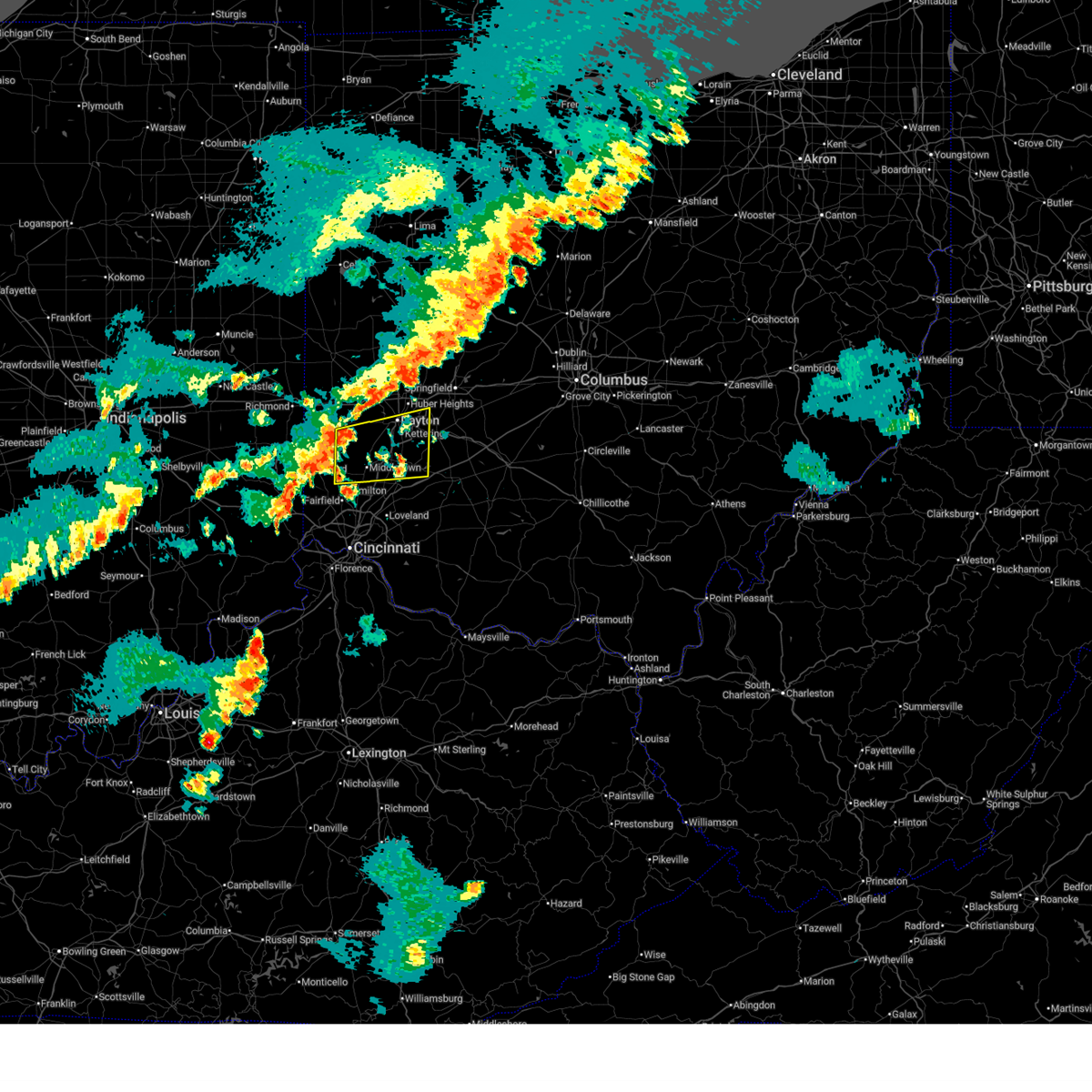
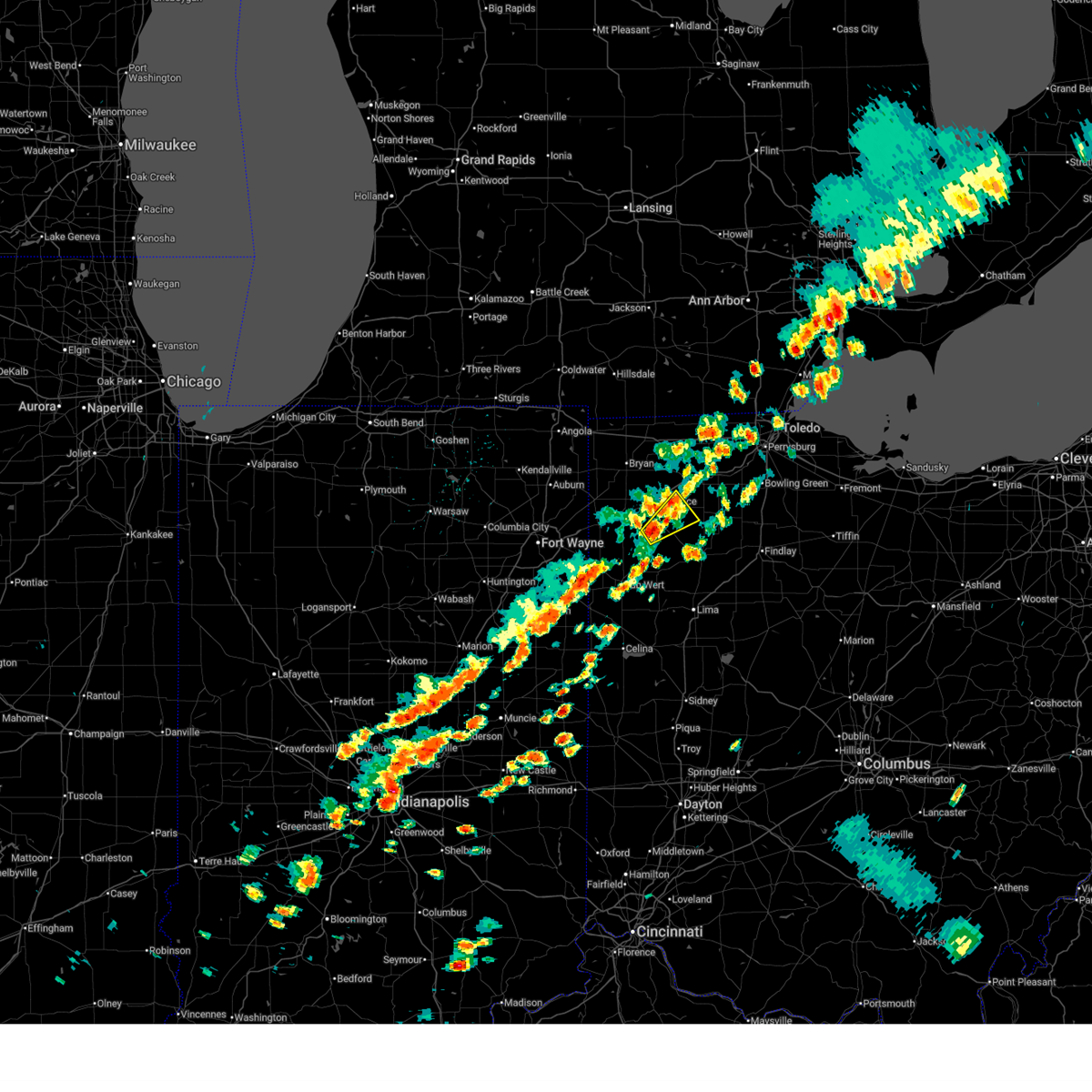
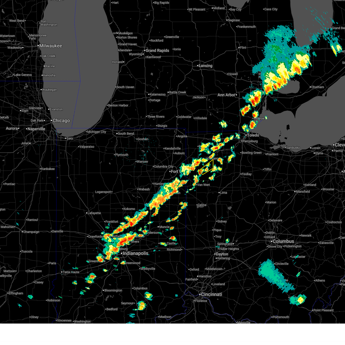
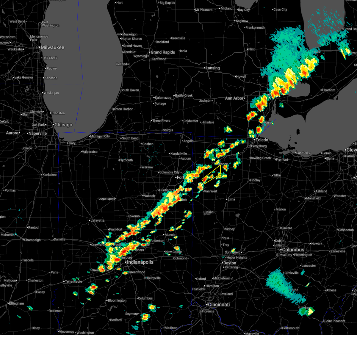
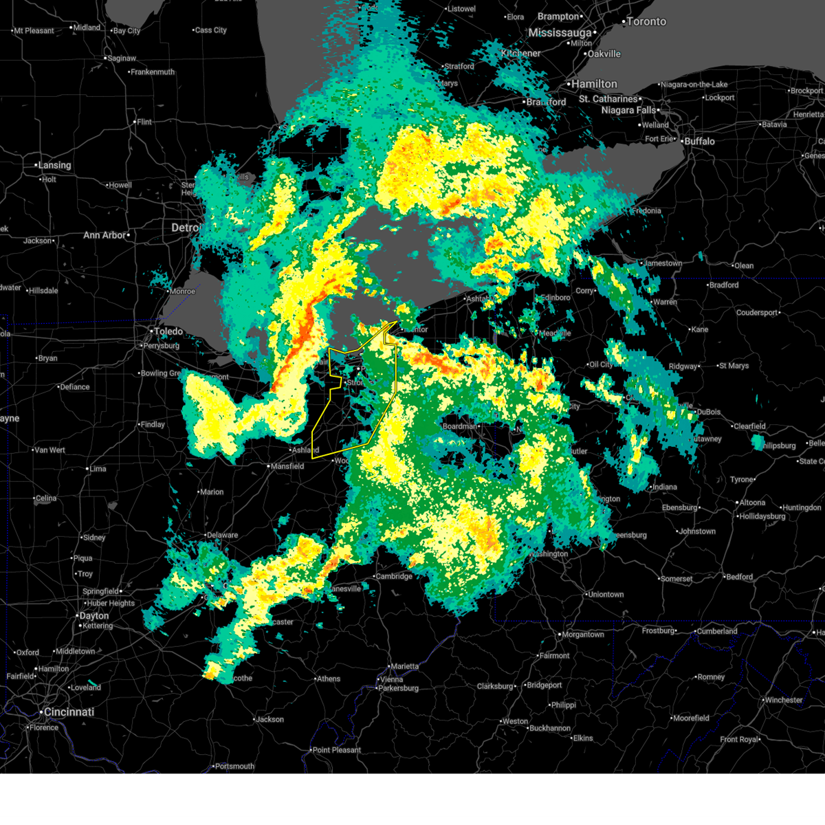
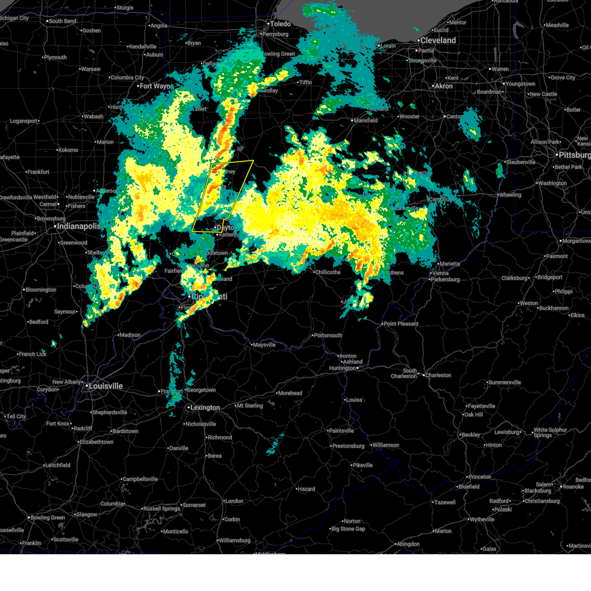
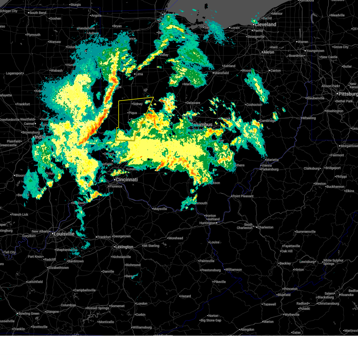
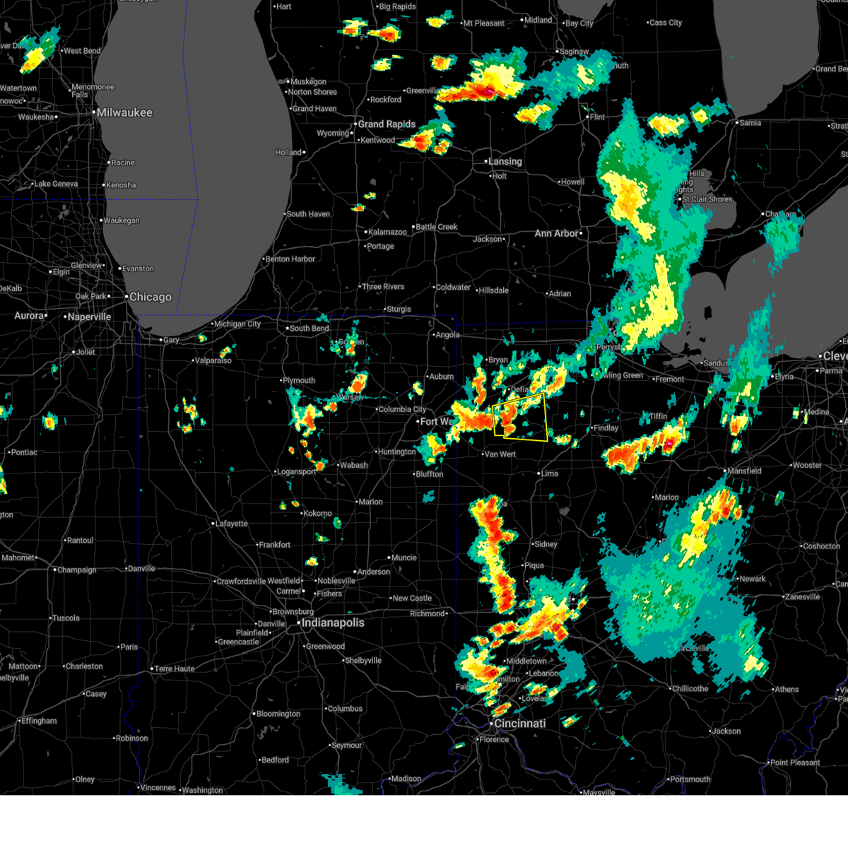
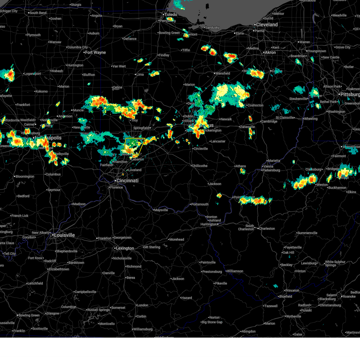
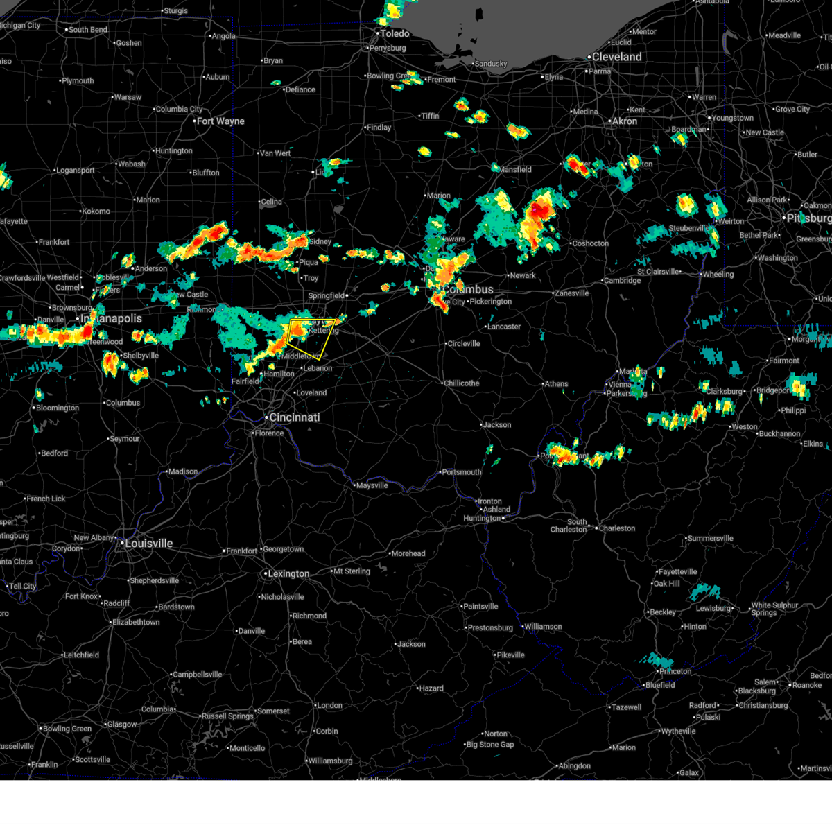
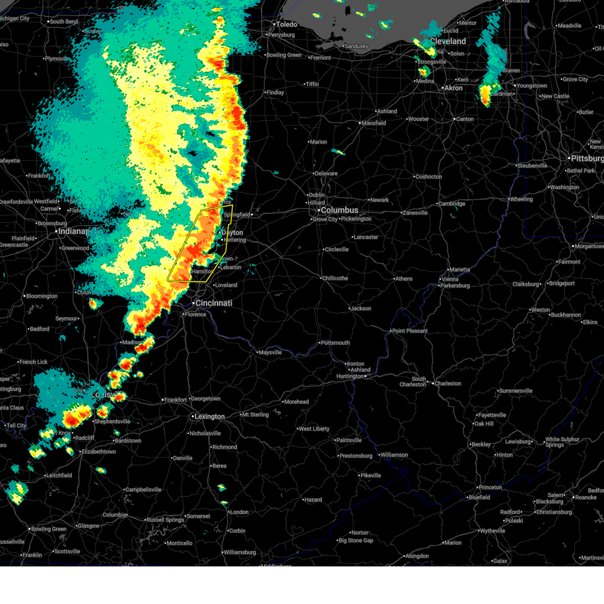
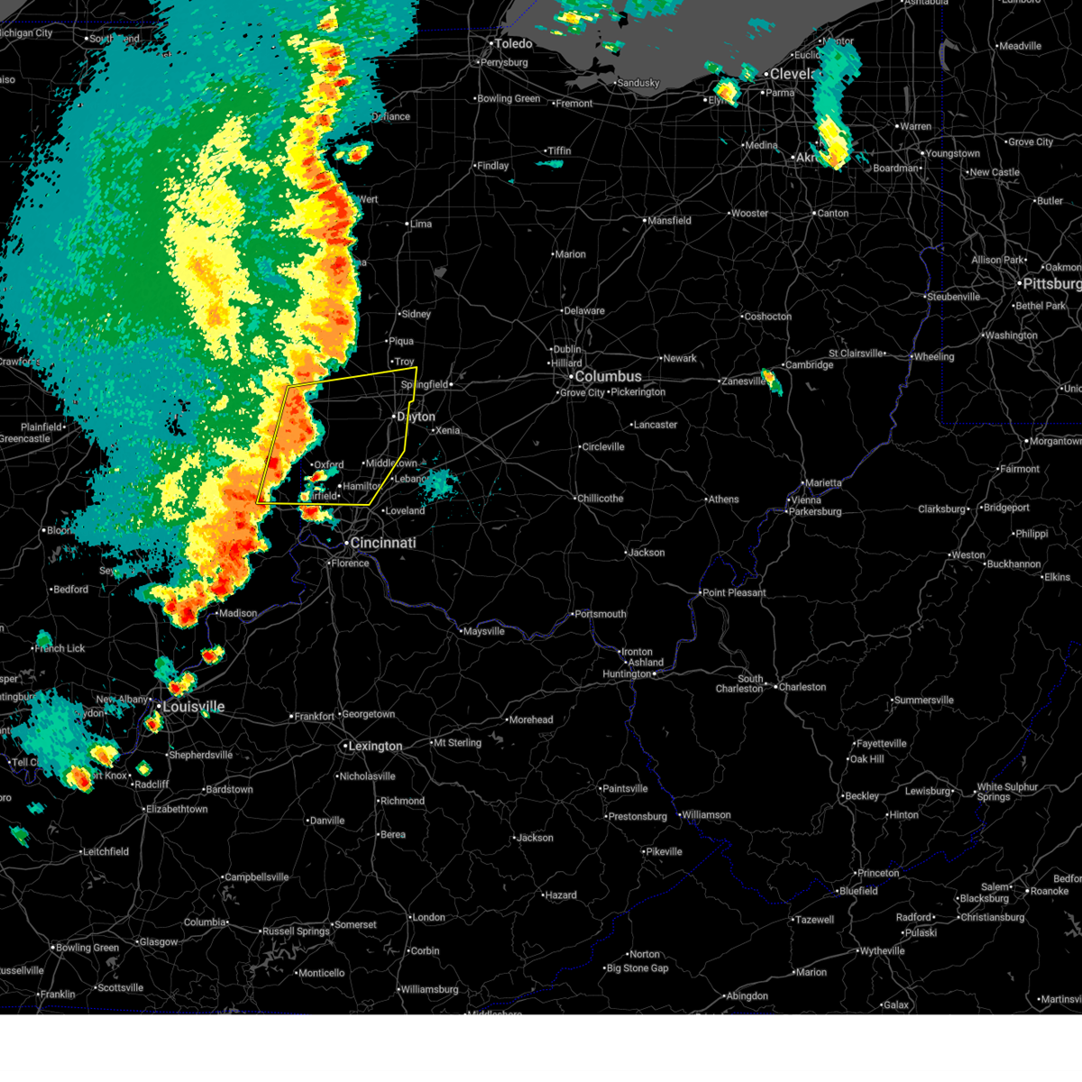
Hail Map for Oakwood, OH
The Oakwood, OH area has had 0 reports of on-the-ground hail by trained spotters, and has been under severe weather warnings 54 times during the past 12 months. Doppler radar has detected hail at or near Oakwood, OH on 130 occasions, including 5 occasions during the past year.
| Name: | Oakwood, OH |
| Where Located: | 45.7 miles NNE of Cincinnati, OH |
| Map: | Google Map for Oakwood, OH |
| Population: | 9202 |
| Housing Units: | 3772 |
| More Info: | Search Google for Oakwood, OH |
3
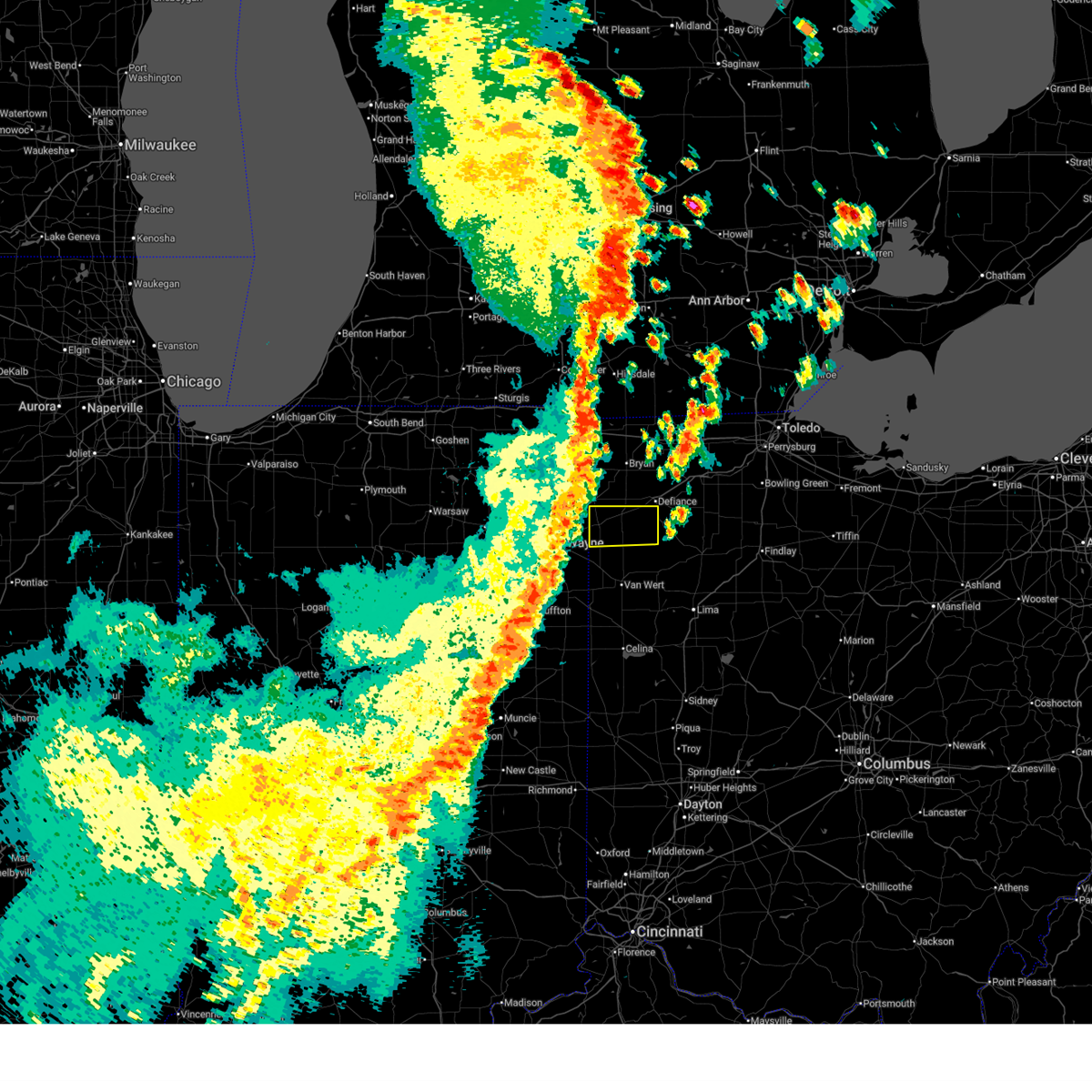
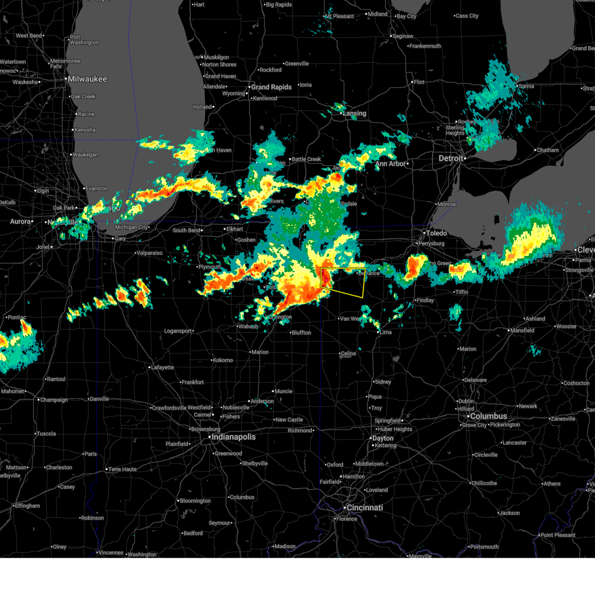
The Top Recent Hail Date for Oakwood, OH is Sunday, March 22, 2026 (9th out of 130)

Hail and Wind Damage Spotted near Oakwood, OH
| Date / Time | Report Details |
|---|---|
| 6/25/2026 6:06 PM EDT |
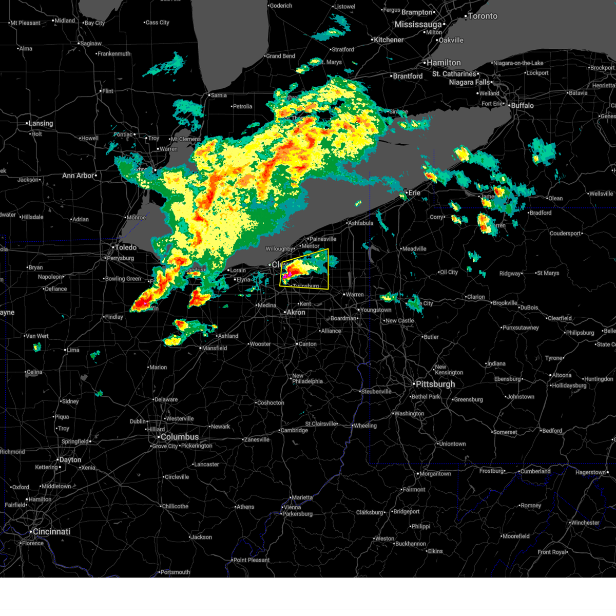
 The storm which prompted the warning has weakened below severe limits, and has exited the warned area. therefore, the warning will be allowed to expire. however, small hail and gusty winds are still possible with this thunderstorm. a severe thunderstorm watch remains in effect until 100 am edt for northeastern ohio. The storm which prompted the warning has weakened below severe limits, and has exited the warned area. therefore, the warning will be allowed to expire. however, small hail and gusty winds are still possible with this thunderstorm. a severe thunderstorm watch remains in effect until 100 am edt for northeastern ohio.
|
| 6/25/2026 5:52 PM EDT |
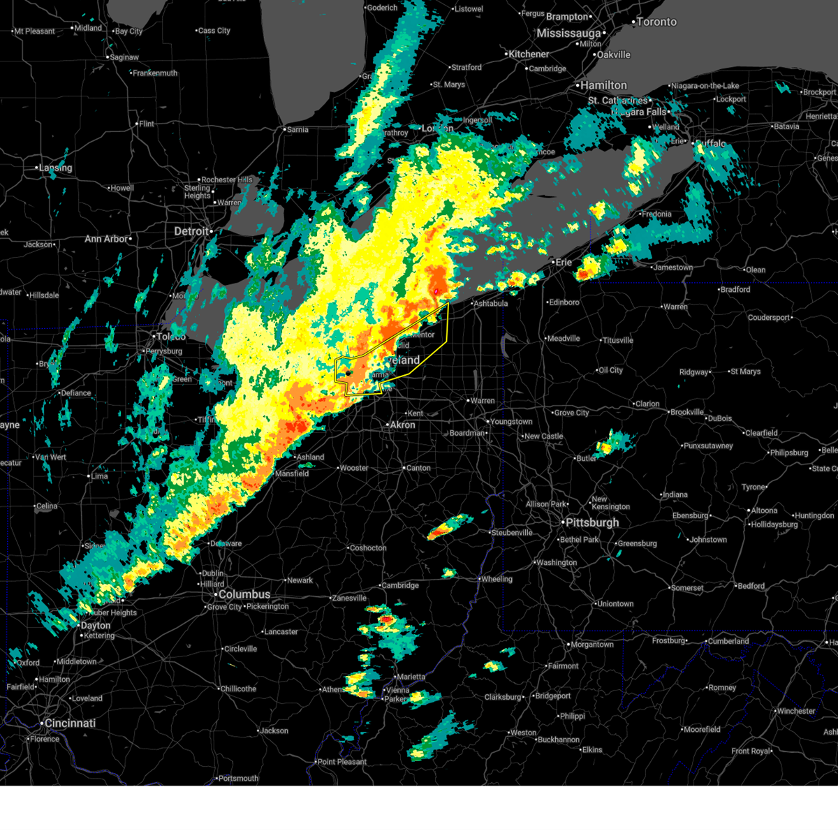
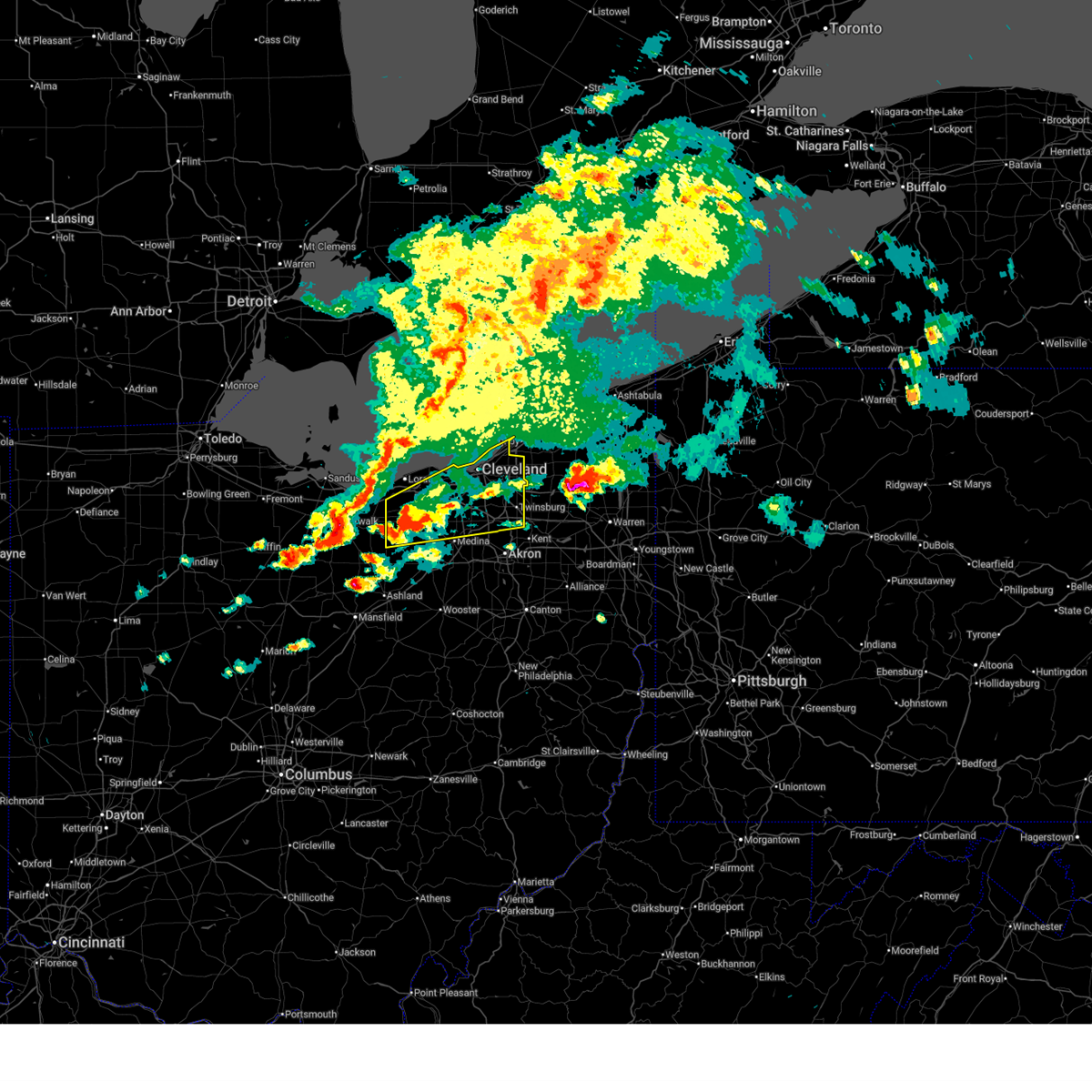
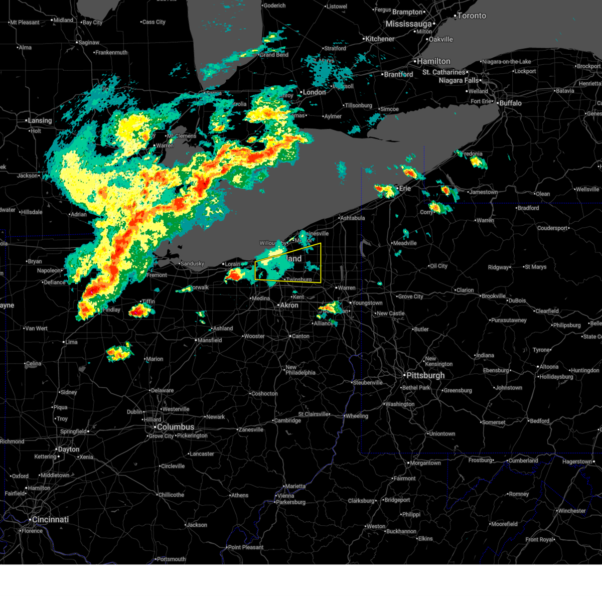
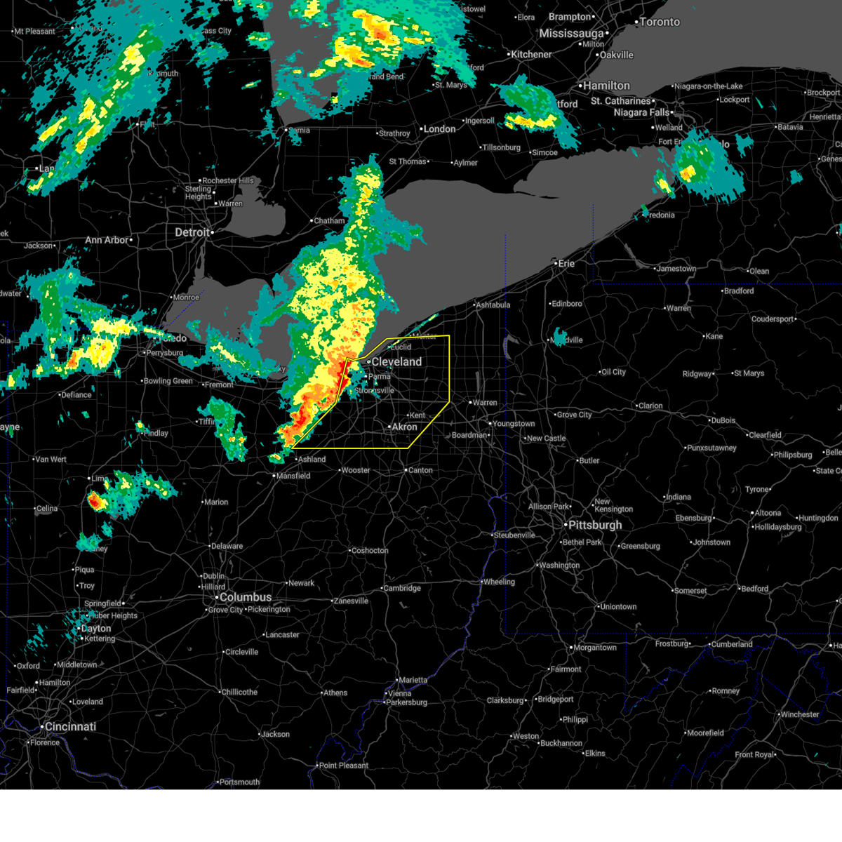
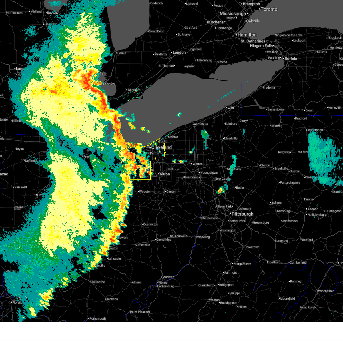
 At 551 pm edt, a severe thunderstorm was located over warrensville heights, or 9 miles southeast of cleveland, moving east at 25 mph (radar indicated). Hazards include 60 mph wind gusts and half dollar size hail. People and animals outdoors will be injured. expect hail damage to roofs, siding, windows, and vehicles. expect damage to trees and power lines. Locations impacted include, solon, warrensville heights, south russell, highland hills, garfield heights, shaker heights, maple heights, bedford, beachwood, bedford heights, chagrin falls, orange, moreland hills, walton hills, north randall, glenwillow, bentleyville, bainbridge, and warrensville heigh. At 551 pm edt, a severe thunderstorm was located over warrensville heights, or 9 miles southeast of cleveland, moving east at 25 mph (radar indicated). Hazards include 60 mph wind gusts and half dollar size hail. People and animals outdoors will be injured. expect hail damage to roofs, siding, windows, and vehicles. expect damage to trees and power lines. Locations impacted include, solon, warrensville heights, south russell, highland hills, garfield heights, shaker heights, maple heights, bedford, beachwood, bedford heights, chagrin falls, orange, moreland hills, walton hills, north randall, glenwillow, bentleyville, bainbridge, and warrensville heigh.
|
| 6/25/2026 5:39 PM EDT |
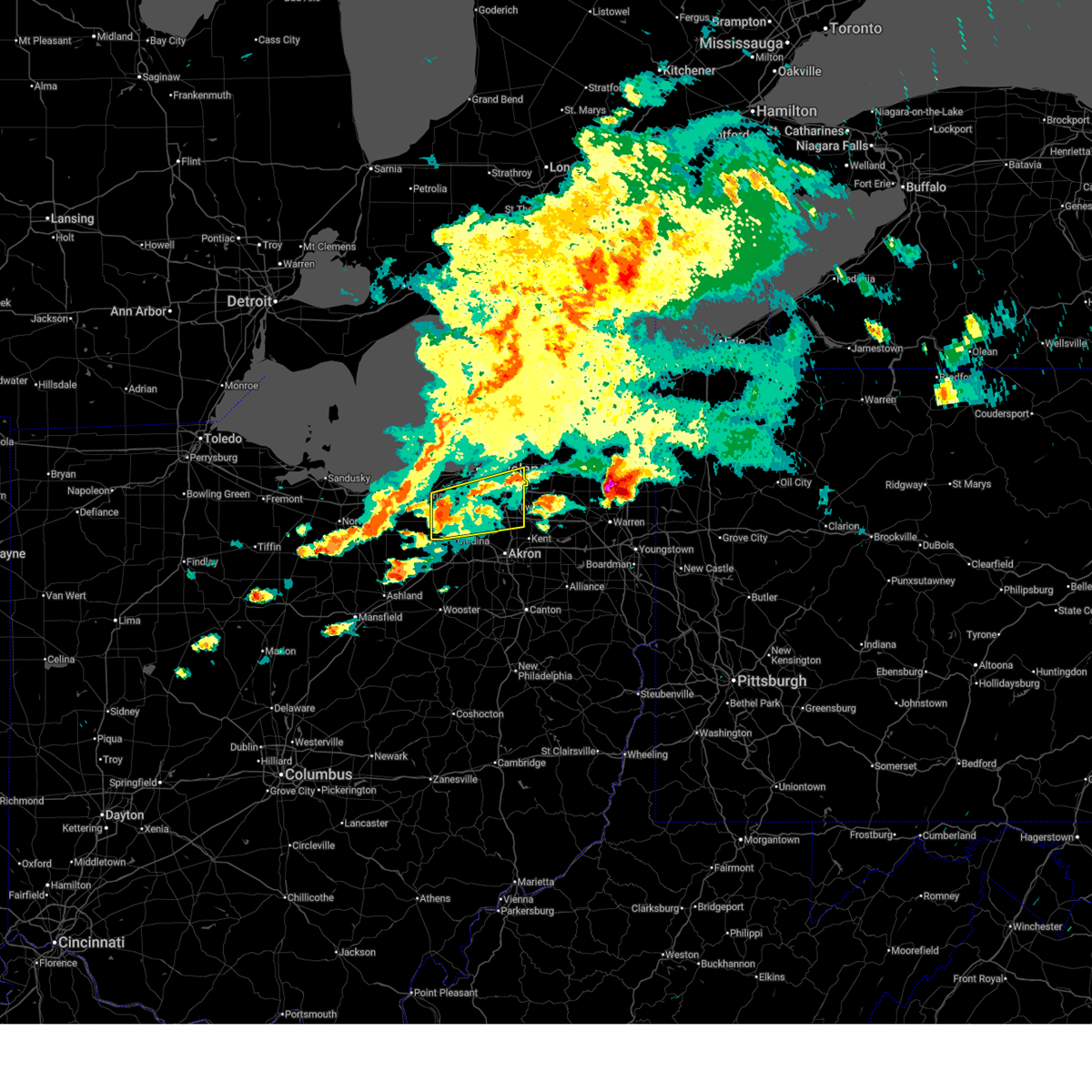
 At 538 pm edt, a severe thunderstorm was located near cleveland, moving east at 25 mph (radar indicated). Hazards include 60 mph wind gusts and half dollar size hail. People and animals outdoors will be injured. expect hail damage to roofs, siding, windows, and vehicles. expect damage to trees and power lines. Locations impacted include, cleveland, solon, warrensville heights, south russell, highland hills, garfield heights, shaker heights, maple heights, bedford, beachwood, bedford heights, independence, chagrin falls, orange, moreland hills, walton hills, newburgh heights, valley view, brooklyn heights, and north randall. At 538 pm edt, a severe thunderstorm was located near cleveland, moving east at 25 mph (radar indicated). Hazards include 60 mph wind gusts and half dollar size hail. People and animals outdoors will be injured. expect hail damage to roofs, siding, windows, and vehicles. expect damage to trees and power lines. Locations impacted include, cleveland, solon, warrensville heights, south russell, highland hills, garfield heights, shaker heights, maple heights, bedford, beachwood, bedford heights, independence, chagrin falls, orange, moreland hills, walton hills, newburgh heights, valley view, brooklyn heights, and north randall.
|
| 6/25/2026 5:31 PM EDT |
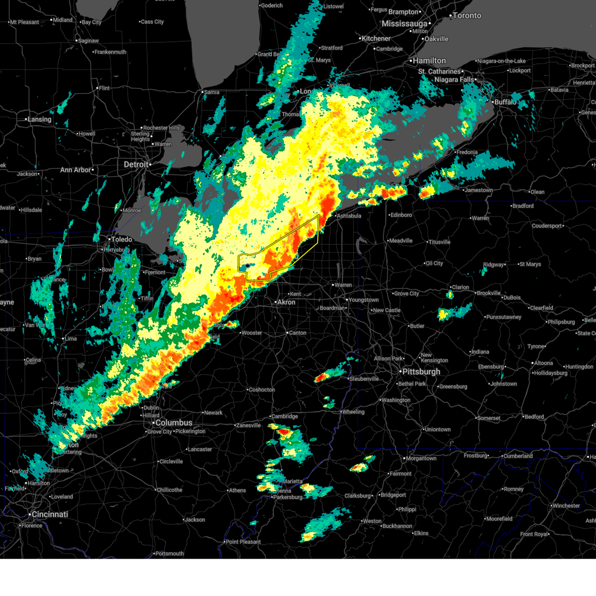
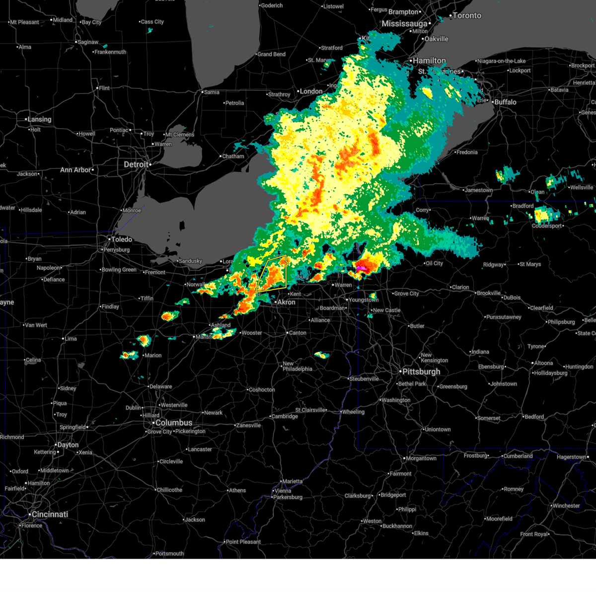
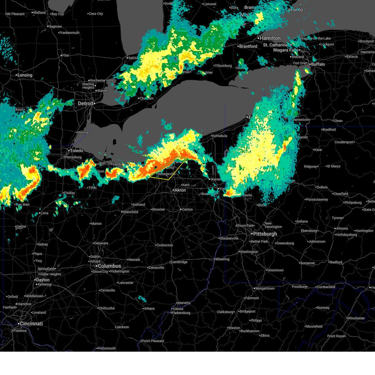
 Svrcle the national weather service in cleveland has issued a * severe thunderstorm warning for, southwestern geauga county in northeastern ohio, east central cuyahoga county in northeastern ohio, northeastern summit county in northeastern ohio, * until 615 pm edt. * at 531 pm edt, a severe thunderstorm was located over cleveland, moving east at 25 mph (radar indicated). Hazards include 60 mph wind gusts and quarter size hail. Minor damage to vehicles is possible. Expect damage to trees and power lines. Svrcle the national weather service in cleveland has issued a * severe thunderstorm warning for, southwestern geauga county in northeastern ohio, east central cuyahoga county in northeastern ohio, northeastern summit county in northeastern ohio, * until 615 pm edt. * at 531 pm edt, a severe thunderstorm was located over cleveland, moving east at 25 mph (radar indicated). Hazards include 60 mph wind gusts and quarter size hail. Minor damage to vehicles is possible. Expect damage to trees and power lines.
|
| 6/14/2026 3:58 PM EDT |
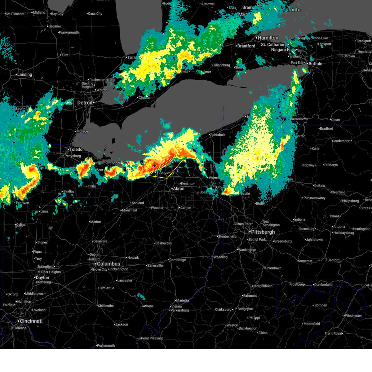
 At 357 pm edt, severe thunderstorms were located along a line extending from 7 miles north of orwell to ravenna to near shreve, moving southeast at 45 mph (radar indicated). Hazards include 60 mph wind gusts and penny size hail. Expect damage to trees and power lines. Locations impacted include, akron, medina, ravenna, chardon, parma, cuyahoga falls, strongsville, brunswick, north royalton, kent, barberton, solon, hudson, wadsworth, twinsburg, tallmadge, streetsboro, macedonia, rittman, and mogadore. At 357 pm edt, severe thunderstorms were located along a line extending from 7 miles north of orwell to ravenna to near shreve, moving southeast at 45 mph (radar indicated). Hazards include 60 mph wind gusts and penny size hail. Expect damage to trees and power lines. Locations impacted include, akron, medina, ravenna, chardon, parma, cuyahoga falls, strongsville, brunswick, north royalton, kent, barberton, solon, hudson, wadsworth, twinsburg, tallmadge, streetsboro, macedonia, rittman, and mogadore.
|
| 6/14/2026 3:58 PM EDT |
 the severe thunderstorm warning has been cancelled and is no longer in effect the severe thunderstorm warning has been cancelled and is no longer in effect
|
| 6/14/2026 3:34 PM EDT |
 At 334 pm edt, severe thunderstorms were located along a line extending from near painesville to 6 miles northwest of cuyahoga falls to near bellville, moving southeast at 45 mph (radar indicated). Hazards include 70 mph wind gusts. Expect considerable tree damage. damage is likely to mobile homes, roofs, and outbuildings. Locations impacted include, cleveland, painesville, willowick, chardon, fairport harbor, parma, lakewood, euclid, mentor, cleveland heights, strongsville, brunswick, westlake, north royalton, solon, willoughby, eastlake, warrensville heights, south russell, and madison. At 334 pm edt, severe thunderstorms were located along a line extending from near painesville to 6 miles northwest of cuyahoga falls to near bellville, moving southeast at 45 mph (radar indicated). Hazards include 70 mph wind gusts. Expect considerable tree damage. damage is likely to mobile homes, roofs, and outbuildings. Locations impacted include, cleveland, painesville, willowick, chardon, fairport harbor, parma, lakewood, euclid, mentor, cleveland heights, strongsville, brunswick, westlake, north royalton, solon, willoughby, eastlake, warrensville heights, south russell, and madison.
|
| 6/14/2026 3:24 PM EDT |
 At 324 pm edt, severe thunderstorms were located along a line extending from painesville to near north royalton to near mansfield, moving east at 45 mph (radar indicated). Hazards include 70 mph wind gusts. Expect considerable tree damage. damage is likely to mobile homes, roofs, and outbuildings. Locations impacted include, cleveland, painesville, willowick, chardon, fairport harbor, parma, lakewood, euclid, mentor, cleveland heights, strongsville, brunswick, westlake, north royalton, solon, willoughby, eastlake, warrensville heights, south russell, and madison. At 324 pm edt, severe thunderstorms were located along a line extending from painesville to near north royalton to near mansfield, moving east at 45 mph (radar indicated). Hazards include 70 mph wind gusts. Expect considerable tree damage. damage is likely to mobile homes, roofs, and outbuildings. Locations impacted include, cleveland, painesville, willowick, chardon, fairport harbor, parma, lakewood, euclid, mentor, cleveland heights, strongsville, brunswick, westlake, north royalton, solon, willoughby, eastlake, warrensville heights, south russell, and madison.
|
| 6/14/2026 3:16 PM EDT |
 Svrcle the national weather service in cleveland has issued a * severe thunderstorm warning for, portage county in northeastern ohio, geauga county in northeastern ohio, southern cuyahoga county in northeastern ohio, medina county in northeastern ohio, summit county in northeastern ohio, southeastern lorain county in north central ohio, * until 430 pm edt. * at 315 pm edt, severe thunderstorms were located along a line extending from 13 miles north of fairport harbor to cleveland to near savannah, moving southeast at 35 mph (radar indicated). Hazards include 60 mph wind gusts and penny size hail. expect damage to trees and power lines Svrcle the national weather service in cleveland has issued a * severe thunderstorm warning for, portage county in northeastern ohio, geauga county in northeastern ohio, southern cuyahoga county in northeastern ohio, medina county in northeastern ohio, summit county in northeastern ohio, southeastern lorain county in north central ohio, * until 430 pm edt. * at 315 pm edt, severe thunderstorms were located along a line extending from 13 miles north of fairport harbor to cleveland to near savannah, moving southeast at 35 mph (radar indicated). Hazards include 60 mph wind gusts and penny size hail. expect damage to trees and power lines
|
| 6/14/2026 2:49 PM EDT |
 Svrcle the national weather service in cleveland has issued a * severe thunderstorm warning for, central geauga county in northeastern ohio, cuyahoga county in northeastern ohio, lake county in northeastern ohio, * until 345 pm edt. * at 249 pm edt, severe thunderstorms were located along a line extending from 22 miles northwest of fairport harbor to 6 miles northeast of avon lake to near willard, moving southeast at 45 mph (radar indicated). Hazards include 70 mph wind gusts and penny size hail. Expect considerable tree damage. Damage is likely to mobile homes, roofs, and outbuildings. Svrcle the national weather service in cleveland has issued a * severe thunderstorm warning for, central geauga county in northeastern ohio, cuyahoga county in northeastern ohio, lake county in northeastern ohio, * until 345 pm edt. * at 249 pm edt, severe thunderstorms were located along a line extending from 22 miles northwest of fairport harbor to 6 miles northeast of avon lake to near willard, moving southeast at 45 mph (radar indicated). Hazards include 70 mph wind gusts and penny size hail. Expect considerable tree damage. Damage is likely to mobile homes, roofs, and outbuildings.
|
| 6/11/2026 11:34 PM EDT |
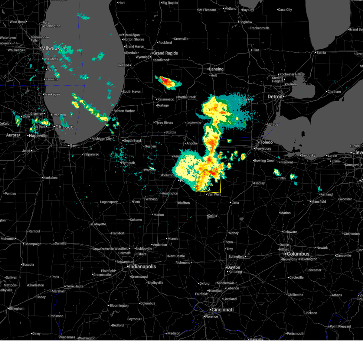
 At 1133 pm edt, severe thunderstorms were located along a line extending from antwerp to 6 miles southeast of payne to near ohio city to 6 miles southwest of fort recovery, moving east at 60 mph (trained weather spotters). Hazards include 70 mph wind gusts. Expect considerable tree damage. damage is likely to mobile homes, roofs, and outbuildings. Locations impacted include, lima, defiance, van wert, delphos, fort shawnee, paulding, spencerville, elida, antwerp, kalida, payne, continental, convoy, ottoville, ohio city, spencerville in allen county, middlebury, middle point, fort jennings, and grover hill. At 1133 pm edt, severe thunderstorms were located along a line extending from antwerp to 6 miles southeast of payne to near ohio city to 6 miles southwest of fort recovery, moving east at 60 mph (trained weather spotters). Hazards include 70 mph wind gusts. Expect considerable tree damage. damage is likely to mobile homes, roofs, and outbuildings. Locations impacted include, lima, defiance, van wert, delphos, fort shawnee, paulding, spencerville, elida, antwerp, kalida, payne, continental, convoy, ottoville, ohio city, spencerville in allen county, middlebury, middle point, fort jennings, and grover hill.
|
| 6/11/2026 11:19 PM EDT |
 Svriwx the national weather service in northern indiana has issued a * severe thunderstorm warning for, southeastern allen county in northeastern indiana, adams county in northeastern indiana, jay county in east central indiana, southeastern defiance county in northwestern ohio, western putnam county in west central ohio, paulding county in west central ohio, van wert county in west central ohio, southwestern allen county in west central ohio, * until midnight edt. * at 1119 pm edt, severe thunderstorms were located along a line extending from near grabill to monroeville to near monroe to near redkey, moving east at 60 mph (surface observations). Hazards include 70 mph wind gusts. Expect considerable tree damage. Damage is likely to mobile homes, roofs, and outbuildings. Svriwx the national weather service in northern indiana has issued a * severe thunderstorm warning for, southeastern allen county in northeastern indiana, adams county in northeastern indiana, jay county in east central indiana, southeastern defiance county in northwestern ohio, western putnam county in west central ohio, paulding county in west central ohio, van wert county in west central ohio, southwestern allen county in west central ohio, * until midnight edt. * at 1119 pm edt, severe thunderstorms were located along a line extending from near grabill to monroeville to near monroe to near redkey, moving east at 60 mph (surface observations). Hazards include 70 mph wind gusts. Expect considerable tree damage. Damage is likely to mobile homes, roofs, and outbuildings.
|
| 6/6/2026 6:29 PM EDT |
 At 629 pm edt, a severe thunderstorm was located over gratis, moving southeast at 25 mph (radar indicated). Hazards include 60 mph wind gusts and penny size hail. Expect damage to roofs, siding, and trees. Locations impacted include, gratis. At 629 pm edt, a severe thunderstorm was located over gratis, moving southeast at 25 mph (radar indicated). Hazards include 60 mph wind gusts and penny size hail. Expect damage to roofs, siding, and trees. Locations impacted include, gratis.
|
| 6/6/2026 6:14 PM EDT |
 Svriln the national weather service in wilmington has issued a * severe thunderstorm warning for, preble county in west central ohio, northwestern butler county in southwestern ohio, southwestern montgomery county in west central ohio, * until 645 pm edt. * at 613 pm edt, a severe thunderstorm was located over west alexandria, moving southeast at 30 mph (radar indicated). Hazards include 60 mph wind gusts and nickel size hail. Expect damage to roofs, siding, and trees. this severe thunderstorm will be near, camden, west alexandria, and gratis around 620 pm edt. Trotwood around 625 pm edt. Svriln the national weather service in wilmington has issued a * severe thunderstorm warning for, preble county in west central ohio, northwestern butler county in southwestern ohio, southwestern montgomery county in west central ohio, * until 645 pm edt. * at 613 pm edt, a severe thunderstorm was located over west alexandria, moving southeast at 30 mph (radar indicated). Hazards include 60 mph wind gusts and nickel size hail. Expect damage to roofs, siding, and trees. this severe thunderstorm will be near, camden, west alexandria, and gratis around 620 pm edt. Trotwood around 625 pm edt.
|
| 5/19/2026 8:00 PM EDT |
 At 800 pm edt, a severe thunderstorm was located over west carrollton, moving east at 40 mph (radar indicated). Hazards include 60 mph wind gusts. Expect damage to trees and power lines. locations impacted include, dayton, kettering, middletown, beavercreek, fairborn, xenia, trotwood, miamisburg, lebanon, springboro, monroe, trenton, franklin, bellbrook, moraine, carlisle, oakwood, south middletown, wright-patterson afb, and west carrollton. This includes i-75 in ohio between mile markers 30 and 55. At 800 pm edt, a severe thunderstorm was located over west carrollton, moving east at 40 mph (radar indicated). Hazards include 60 mph wind gusts. Expect damage to trees and power lines. locations impacted include, dayton, kettering, middletown, beavercreek, fairborn, xenia, trotwood, miamisburg, lebanon, springboro, monroe, trenton, franklin, bellbrook, moraine, carlisle, oakwood, south middletown, wright-patterson afb, and west carrollton. This includes i-75 in ohio between mile markers 30 and 55.
|
| 5/19/2026 7:39 PM EDT |
 Svriln the national weather service in wilmington has issued a * severe thunderstorm warning for, southeastern preble county in west central ohio, northeastern butler county in southwestern ohio, northern warren county in southwestern ohio, western greene county in west central ohio, southern montgomery county in west central ohio, * until 830 pm edt. * at 738 pm edt, a severe thunderstorm was located near gratis, moving east at 35 mph (radar indicated). Hazards include 60 mph wind gusts. expect damage to trees and power lines Svriln the national weather service in wilmington has issued a * severe thunderstorm warning for, southeastern preble county in west central ohio, northeastern butler county in southwestern ohio, northern warren county in southwestern ohio, western greene county in west central ohio, southern montgomery county in west central ohio, * until 830 pm edt. * at 738 pm edt, a severe thunderstorm was located near gratis, moving east at 35 mph (radar indicated). Hazards include 60 mph wind gusts. expect damage to trees and power lines
|
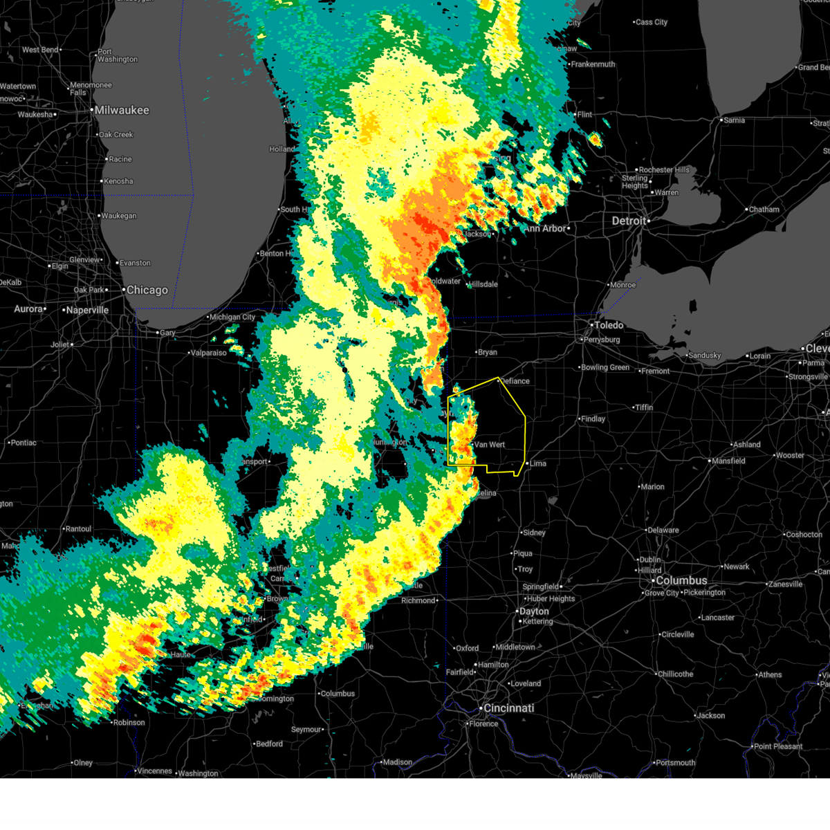
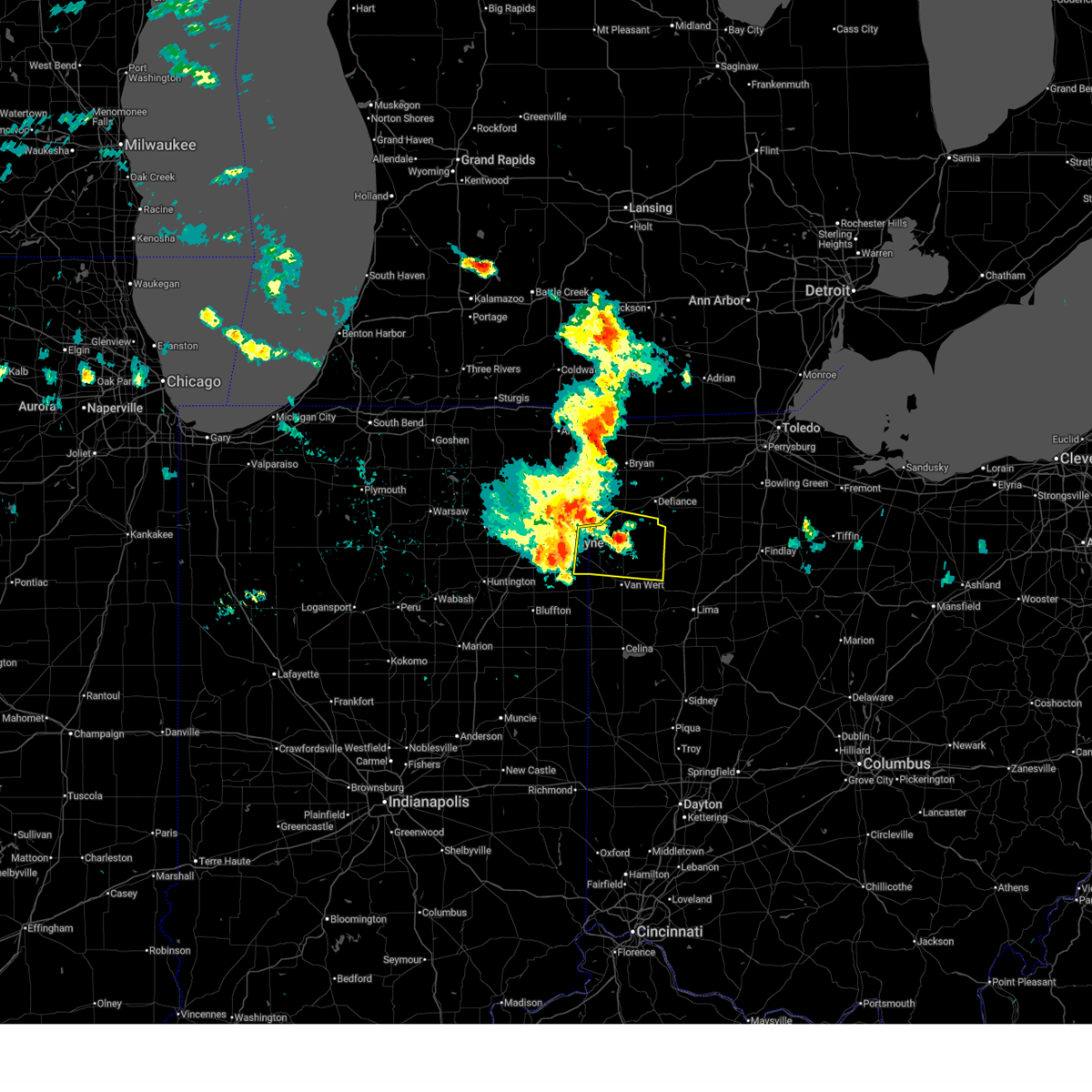
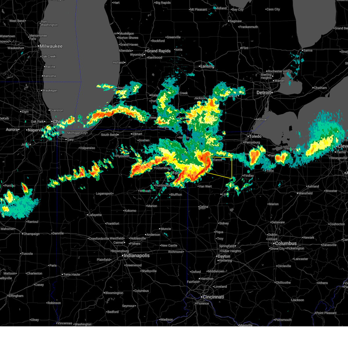
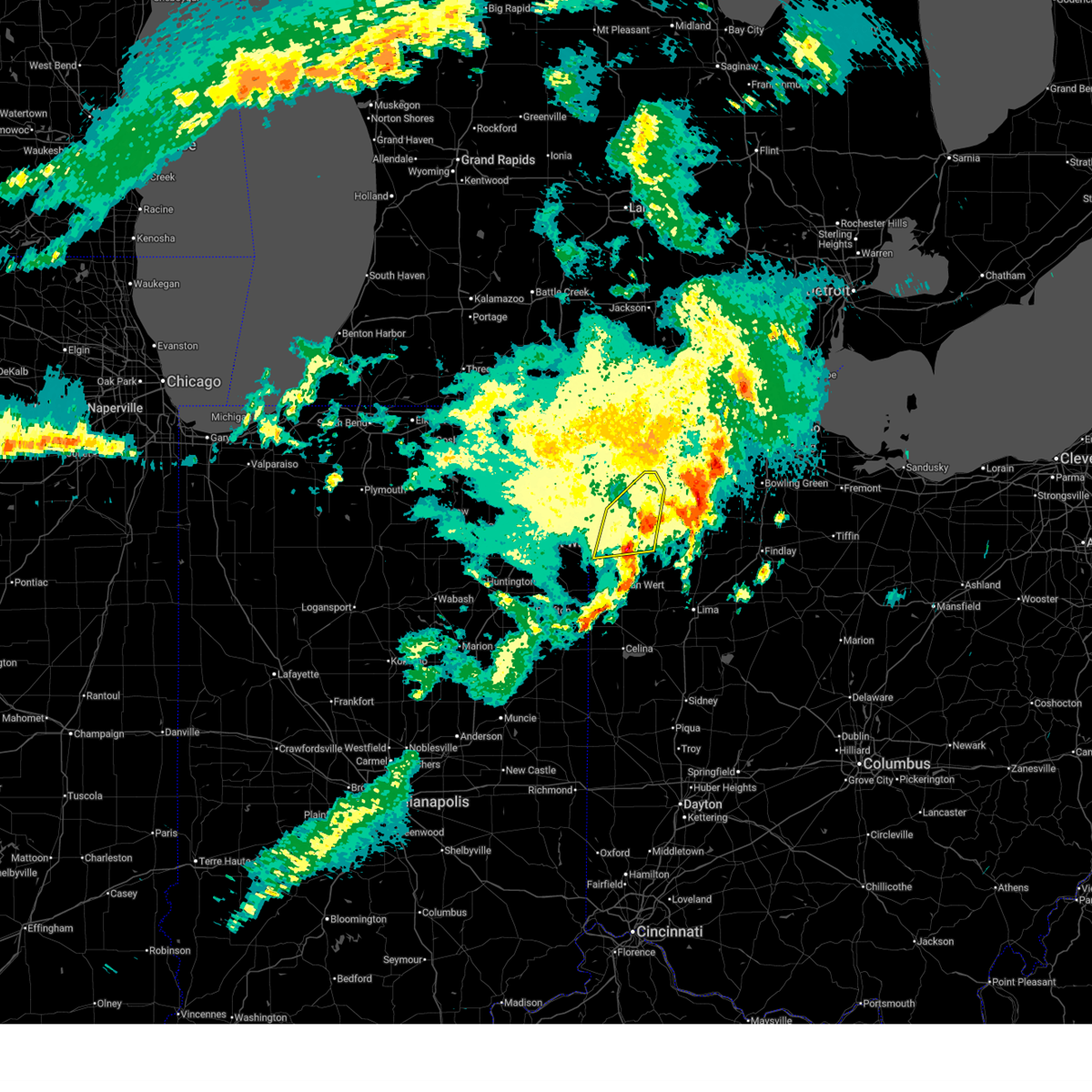
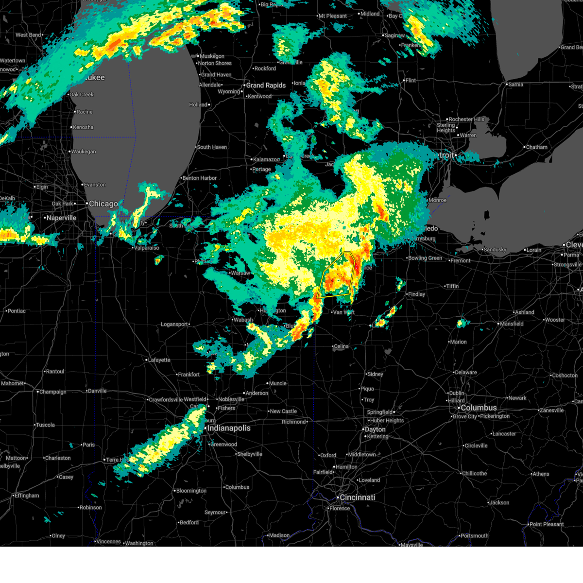
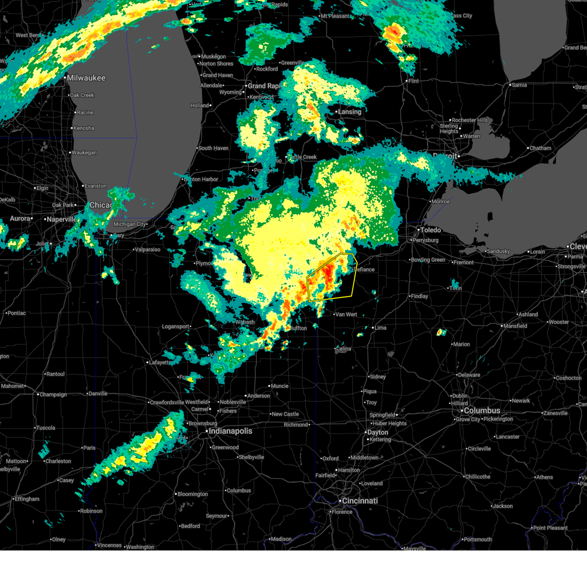
| 5/19/2026 5:10 PM EDT | Damage to aluminum roofing at a manufacturing building. time estimated from rada in paulding county OH, 4.1 miles SSW of Oakwood, OH |
| 5/19/2026 5:10 PM EDT |
 Svriwx the national weather service in northern indiana has issued a * severe thunderstorm warning for, southeastern defiance county in northwestern ohio, northwestern putnam county in west central ohio, east central paulding county in west central ohio, south central henry county in northwestern ohio, * until 545 pm edt. * at 510 pm edt, a severe thunderstorm was located near continental, or 9 miles south of defiance, moving northeast at 30 mph. at 457 pm edt, emergency management reported a tree was down on state route 613, west of melrose (radar indicated). Hazards include 60 mph wind gusts and nickel size hail. expect damage to roofs, siding, and trees Svriwx the national weather service in northern indiana has issued a * severe thunderstorm warning for, southeastern defiance county in northwestern ohio, northwestern putnam county in west central ohio, east central paulding county in west central ohio, south central henry county in northwestern ohio, * until 545 pm edt. * at 510 pm edt, a severe thunderstorm was located near continental, or 9 miles south of defiance, moving northeast at 30 mph. at 457 pm edt, emergency management reported a tree was down on state route 613, west of melrose (radar indicated). Hazards include 60 mph wind gusts and nickel size hail. expect damage to roofs, siding, and trees
|
| 5/19/2026 5:00 PM EDT |
 At 459 pm edt, a severe thunderstorm was located 7 miles southeast of paulding, or 12 miles south of defiance, moving northeast at 30 mph (radar indicated). Hazards include 60 mph wind gusts and nickel size hail. Expect damage to roofs, siding, and trees. Locations impacted include, melrose and charloe. At 459 pm edt, a severe thunderstorm was located 7 miles southeast of paulding, or 12 miles south of defiance, moving northeast at 30 mph (radar indicated). Hazards include 60 mph wind gusts and nickel size hail. Expect damage to roofs, siding, and trees. Locations impacted include, melrose and charloe.
|
| 5/19/2026 4:52 PM EDT |
 Svriwx the national weather service in northern indiana has issued a * severe thunderstorm warning for, southeastern defiance county in northwestern ohio, northwestern putnam county in west central ohio, southeastern paulding county in west central ohio, * until 515 pm edt. * at 452 pm edt, a severe thunderstorm was located near paulding, or 14 miles north of van wert, moving northeast at 30 mph (radar indicated). Hazards include 60 mph wind gusts and nickel size hail. expect damage to roofs, siding, and trees Svriwx the national weather service in northern indiana has issued a * severe thunderstorm warning for, southeastern defiance county in northwestern ohio, northwestern putnam county in west central ohio, southeastern paulding county in west central ohio, * until 515 pm edt. * at 452 pm edt, a severe thunderstorm was located near paulding, or 14 miles north of van wert, moving northeast at 30 mph (radar indicated). Hazards include 60 mph wind gusts and nickel size hail. expect damage to roofs, siding, and trees
|
| 5/18/2026 3:34 PM EDT |
 Svriwx the national weather service in northern indiana has issued a * severe thunderstorm warning for, southern defiance county in northwestern ohio, paulding county in west central ohio, * until 430 pm edt. * at 334 pm edt, a severe thunderstorm was located near woodburn, or 10 miles northeast of new haven, moving east at 40 mph (radar indicated). Hazards include 60 mph wind gusts. expect damage to roofs, siding, and trees Svriwx the national weather service in northern indiana has issued a * severe thunderstorm warning for, southern defiance county in northwestern ohio, paulding county in west central ohio, * until 430 pm edt. * at 334 pm edt, a severe thunderstorm was located near woodburn, or 10 miles northeast of new haven, moving east at 40 mph (radar indicated). Hazards include 60 mph wind gusts. expect damage to roofs, siding, and trees
|
| 5/9/2026 6:39 PM EDT |
 At 639 pm edt, severe thunderstorms were located along a line extending from near madison to near chesterland to north ridgeville, moving east at 50 mph (radar indicated). Hazards include 60 mph wind gusts. Expect damage to trees and power lines. Locations impacted include, cleveland, elyria, painesville, willowick, chardon, fairport harbor, parma, lakewood, euclid, mentor, cleveland heights, strongsville, westlake, north royalton, north ridgeville, solon, willoughby, eastlake, warrensville heights, and grafton. At 639 pm edt, severe thunderstorms were located along a line extending from near madison to near chesterland to north ridgeville, moving east at 50 mph (radar indicated). Hazards include 60 mph wind gusts. Expect damage to trees and power lines. Locations impacted include, cleveland, elyria, painesville, willowick, chardon, fairport harbor, parma, lakewood, euclid, mentor, cleveland heights, strongsville, westlake, north royalton, north ridgeville, solon, willoughby, eastlake, warrensville heights, and grafton.
|
| 5/9/2026 6:08 PM EDT |
 Svrcle the national weather service in cleveland has issued a * severe thunderstorm warning for, erie county in north central ohio, central geauga county in northeastern ohio, cuyahoga county in northeastern ohio, lake county in northeastern ohio, northern lorain county in north central ohio, * until 700 pm edt. * at 607 pm edt, severe thunderstorms were located along a line extending from 18 miles northwest of fairport harbor to 14 miles north of lakewood to 6 miles west of western vermilion, moving east at 40 mph (radar indicated). Hazards include 60 mph wind gusts and penny size hail. expect damage to trees and power lines Svrcle the national weather service in cleveland has issued a * severe thunderstorm warning for, erie county in north central ohio, central geauga county in northeastern ohio, cuyahoga county in northeastern ohio, lake county in northeastern ohio, northern lorain county in north central ohio, * until 700 pm edt. * at 607 pm edt, severe thunderstorms were located along a line extending from 18 miles northwest of fairport harbor to 14 miles north of lakewood to 6 miles west of western vermilion, moving east at 40 mph (radar indicated). Hazards include 60 mph wind gusts and penny size hail. expect damage to trees and power lines
|
| 4/15/2026 6:24 PM EDT |
 Svrcle the national weather service in cleveland has issued a * severe thunderstorm warning for, portage county in northeastern ohio, southern geauga county in northeastern ohio, southeastern cuyahoga county in northeastern ohio, east central medina county in northeastern ohio, summit county in northeastern ohio, * until 715 pm edt. * at 624 pm edt, a severe thunderstorm was located over hudson, or 12 miles north of akron, moving east at 50 mph (radar indicated). Hazards include 60 mph wind gusts and quarter size hail. Minor damage to vehicles is possible. Expect damage to trees and power lines. Svrcle the national weather service in cleveland has issued a * severe thunderstorm warning for, portage county in northeastern ohio, southern geauga county in northeastern ohio, southeastern cuyahoga county in northeastern ohio, east central medina county in northeastern ohio, summit county in northeastern ohio, * until 715 pm edt. * at 624 pm edt, a severe thunderstorm was located over hudson, or 12 miles north of akron, moving east at 50 mph (radar indicated). Hazards include 60 mph wind gusts and quarter size hail. Minor damage to vehicles is possible. Expect damage to trees and power lines.
|
| 4/15/2026 6:18 PM EDT |
 At 617 pm edt, a severe thunderstorm was located over macedonia, or 14 miles southeast of cleveland, moving east at 45 mph (radar indicated). Hazards include 60 mph wind gusts and penny size hail. Expect damage to trees and power lines. Locations impacted include, cleveland, cuyahoga falls, north royalton, solon, hudson, twinsburg, streetsboro, warrensville heights, macedonia, south russell, highland hills, stow, garfield heights, shaker heights, maple heights, broadview heights, aurora, brecksville, bedford, and beachwood. At 617 pm edt, a severe thunderstorm was located over macedonia, or 14 miles southeast of cleveland, moving east at 45 mph (radar indicated). Hazards include 60 mph wind gusts and penny size hail. Expect damage to trees and power lines. Locations impacted include, cleveland, cuyahoga falls, north royalton, solon, hudson, twinsburg, streetsboro, warrensville heights, macedonia, south russell, highland hills, stow, garfield heights, shaker heights, maple heights, broadview heights, aurora, brecksville, bedford, and beachwood.
|
| 4/15/2026 5:55 PM EDT |
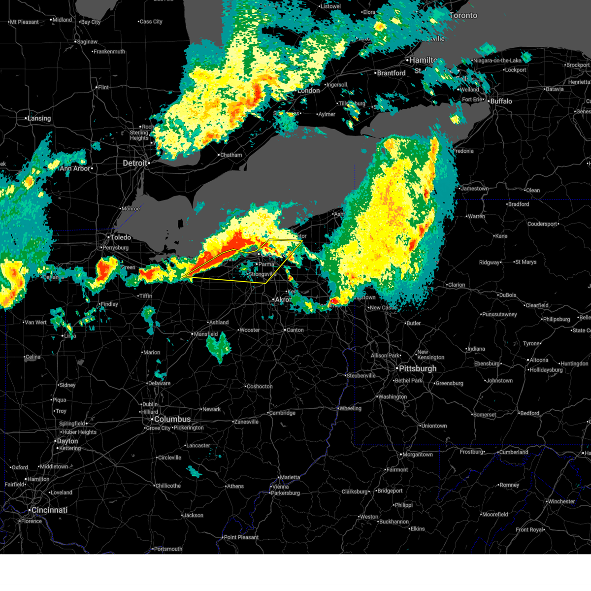
 At 555 pm edt, a severe thunderstorm was located near strongsville, or 10 miles north of medina, moving east at 50 mph (radar indicated). Hazards include ping pong ball size hail and 60 mph wind gusts. People and animals outdoors will be injured. expect hail damage to roofs, siding, windows, and vehicles. expect damage to trees and power lines. Locations impacted include, cleveland, medina, parma, cuyahoga falls, strongsville, brunswick, north royalton, north ridgeville, solon, hudson, twinsburg, streetsboro, warrensville heights, macedonia, grafton, south russell, highland hills, stow, north olmsted, and garfield heights. At 555 pm edt, a severe thunderstorm was located near strongsville, or 10 miles north of medina, moving east at 50 mph (radar indicated). Hazards include ping pong ball size hail and 60 mph wind gusts. People and animals outdoors will be injured. expect hail damage to roofs, siding, windows, and vehicles. expect damage to trees and power lines. Locations impacted include, cleveland, medina, parma, cuyahoga falls, strongsville, brunswick, north royalton, north ridgeville, solon, hudson, twinsburg, streetsboro, warrensville heights, macedonia, grafton, south russell, highland hills, stow, north olmsted, and garfield heights.
|
| 4/15/2026 5:42 PM EDT |
 Svrcle the national weather service in cleveland has issued a * severe thunderstorm warning for, cuyahoga county in northeastern ohio, northern medina county in northeastern ohio, northern summit county in northeastern ohio, lorain county in north central ohio, * until 630 pm edt. * at 541 pm edt, a severe thunderstorm was located near grafton, or 8 miles south of elyria, moving east at 45 mph (radar indicated). Hazards include golf ball size hail and 60 mph wind gusts. People and animals outdoors will be injured. expect hail damage to roofs, siding, windows, and vehicles. Expect damage to trees and power lines. Svrcle the national weather service in cleveland has issued a * severe thunderstorm warning for, cuyahoga county in northeastern ohio, northern medina county in northeastern ohio, northern summit county in northeastern ohio, lorain county in north central ohio, * until 630 pm edt. * at 541 pm edt, a severe thunderstorm was located near grafton, or 8 miles south of elyria, moving east at 45 mph (radar indicated). Hazards include golf ball size hail and 60 mph wind gusts. People and animals outdoors will be injured. expect hail damage to roofs, siding, windows, and vehicles. Expect damage to trees and power lines.
|
| 4/15/2026 5:07 PM EDT |
 At 507 pm edt, a severe thunderstorm was located over warrensville heights, or 10 miles southeast of cleveland, moving east at 50 mph (radar indicated). Hazards include tennis ball size hail and 60 mph wind gusts. People and animals outdoors will be injured. expect hail damage to roofs, siding, windows, and vehicles. expect damage to trees and power lines. Locations impacted include, cleveland, chardon, cleveland heights, solon, twinsburg, warrensville heights, macedonia, south russell, middlefield, garrettsville, burton, highland hills, chesterland, shaker heights, maple heights, south euclid, mayfield heights, aurora, lyndhurst, and university heights. At 507 pm edt, a severe thunderstorm was located over warrensville heights, or 10 miles southeast of cleveland, moving east at 50 mph (radar indicated). Hazards include tennis ball size hail and 60 mph wind gusts. People and animals outdoors will be injured. expect hail damage to roofs, siding, windows, and vehicles. expect damage to trees and power lines. Locations impacted include, cleveland, chardon, cleveland heights, solon, twinsburg, warrensville heights, macedonia, south russell, middlefield, garrettsville, burton, highland hills, chesterland, shaker heights, maple heights, south euclid, mayfield heights, aurora, lyndhurst, and university heights.
|
| 4/15/2026 4:51 PM EDT |
 Svrcle the national weather service in cleveland has issued a * severe thunderstorm warning for, northern portage county in northeastern ohio, geauga county in northeastern ohio, cuyahoga county in northeastern ohio, northeastern summit county in northeastern ohio, * until 530 pm edt. * at 451 pm edt, a severe thunderstorm was located near parma, or near cleveland, moving east at 50 mph (radar indicated). Hazards include 60 mph wind gusts and quarter size hail. Minor damage to vehicles is possible. Expect damage to trees and power lines. Svrcle the national weather service in cleveland has issued a * severe thunderstorm warning for, northern portage county in northeastern ohio, geauga county in northeastern ohio, cuyahoga county in northeastern ohio, northeastern summit county in northeastern ohio, * until 530 pm edt. * at 451 pm edt, a severe thunderstorm was located near parma, or near cleveland, moving east at 50 mph (radar indicated). Hazards include 60 mph wind gusts and quarter size hail. Minor damage to vehicles is possible. Expect damage to trees and power lines.
|
| 4/13/2026 7:32 PM EDT |
 At 732 pm edt, a severe thunderstorm was located 9 miles southeast of paulding, or 15 miles northeast of van wert, moving east at 50 mph (radar indicated). Hazards include 60 mph wind gusts and quarter size hail. Hail damage to vehicles is expected. expect wind damage to roofs, siding, and trees. Locations impacted include, paulding, payne, convoy, ottoville, grover hill, dupont, scott, melrose, haviland, latty, cecil, cloverdale, broughton, wetzel, worstville, arthur, charloe, tipton, roselms, and cavett. At 732 pm edt, a severe thunderstorm was located 9 miles southeast of paulding, or 15 miles northeast of van wert, moving east at 50 mph (radar indicated). Hazards include 60 mph wind gusts and quarter size hail. Hail damage to vehicles is expected. expect wind damage to roofs, siding, and trees. Locations impacted include, paulding, payne, convoy, ottoville, grover hill, dupont, scott, melrose, haviland, latty, cecil, cloverdale, broughton, wetzel, worstville, arthur, charloe, tipton, roselms, and cavett.
|
| 4/13/2026 7:12 PM EDT |
 Svriwx the national weather service in northern indiana has issued a * severe thunderstorm warning for, southeastern allen county in northeastern indiana, western putnam county in west central ohio, paulding county in west central ohio, northern van wert county in west central ohio, * until 745 pm edt. * at 711 pm edt, a severe thunderstorm was located near payne, or 12 miles east of new haven, moving east at 50 mph (radar indicated). Hazards include 60 mph wind gusts and quarter size hail. Hail damage to vehicles is expected. Expect wind damage to roofs, siding, and trees. Svriwx the national weather service in northern indiana has issued a * severe thunderstorm warning for, southeastern allen county in northeastern indiana, western putnam county in west central ohio, paulding county in west central ohio, northern van wert county in west central ohio, * until 745 pm edt. * at 711 pm edt, a severe thunderstorm was located near payne, or 12 miles east of new haven, moving east at 50 mph (radar indicated). Hazards include 60 mph wind gusts and quarter size hail. Hail damage to vehicles is expected. Expect wind damage to roofs, siding, and trees.
|
| 3/31/2026 7:41 PM EDT |
 At 741 pm edt, severe thunderstorms were located along a line extending from near chesterland to near grafton, moving east at 60 mph (radar indicated). Hazards include 60 mph wind gusts. Expect damage to trees and power lines. Locations impacted include, cleveland, parma, cleveland heights, strongsville, brunswick, north royalton, solon, twinsburg, warrensville heights, macedonia, highland hills, chesterland, garfield heights, shaker heights, maple heights, south euclid, parma heights, broadview heights, mayfield heights, and middleburg heights. At 741 pm edt, severe thunderstorms were located along a line extending from near chesterland to near grafton, moving east at 60 mph (radar indicated). Hazards include 60 mph wind gusts. Expect damage to trees and power lines. Locations impacted include, cleveland, parma, cleveland heights, strongsville, brunswick, north royalton, solon, twinsburg, warrensville heights, macedonia, highland hills, chesterland, garfield heights, shaker heights, maple heights, south euclid, parma heights, broadview heights, mayfield heights, and middleburg heights.
|
| 3/31/2026 7:41 PM EDT |
 the severe thunderstorm warning has been cancelled and is no longer in effect the severe thunderstorm warning has been cancelled and is no longer in effect
|
| 3/31/2026 7:27 PM EDT |
 Svriwx the national weather service in northern indiana has issued a * severe thunderstorm warning for, northern putnam county in west central ohio, southeastern defiance county in northwestern ohio, northeastern paulding county in west central ohio, southeastern henry county in northwestern ohio, * until 800 pm edt. * at 727 pm edt, a severe thunderstorm was located near defiance, moving east at 65 mph (radar indicated). Hazards include 60 mph wind gusts and penny size hail. expect damage to roofs, siding, and trees Svriwx the national weather service in northern indiana has issued a * severe thunderstorm warning for, northern putnam county in west central ohio, southeastern defiance county in northwestern ohio, northeastern paulding county in west central ohio, southeastern henry county in northwestern ohio, * until 800 pm edt. * at 727 pm edt, a severe thunderstorm was located near defiance, moving east at 65 mph (radar indicated). Hazards include 60 mph wind gusts and penny size hail. expect damage to roofs, siding, and trees
|
| 3/31/2026 7:20 PM EDT |
 At 720 pm edt, a severe thunderstorm was located 7 miles northeast of paulding, or 7 miles southwest of defiance, moving east at 60 mph (radar indicated). Hazards include 60 mph wind gusts and penny size hail. Expect damage to roofs, siding, and trees. Locations impacted include, defiance, paulding, dupont, melrose, cecil, jewell, arthur, brunersburg, charloe, mark center, ayersville, and the bend. At 720 pm edt, a severe thunderstorm was located 7 miles northeast of paulding, or 7 miles southwest of defiance, moving east at 60 mph (radar indicated). Hazards include 60 mph wind gusts and penny size hail. Expect damage to roofs, siding, and trees. Locations impacted include, defiance, paulding, dupont, melrose, cecil, jewell, arthur, brunersburg, charloe, mark center, ayersville, and the bend.
|
| 3/31/2026 7:15 PM EDT |
 Svrcle the national weather service in cleveland has issued a * severe thunderstorm warning for, erie county in north central ohio, west central geauga county in northeastern ohio, cuyahoga county in northeastern ohio, northeastern medina county in northeastern ohio, southwestern lake county in northeastern ohio, northwestern summit county in northeastern ohio, lorain county in north central ohio, * until 800 pm edt. * at 715 pm edt, severe thunderstorms were located along a line extending from 6 miles northwest of lakewood to near wakeman, moving east at 55 mph (radar indicated). Hazards include 60 mph wind gusts. expect damage to trees and power lines Svrcle the national weather service in cleveland has issued a * severe thunderstorm warning for, erie county in north central ohio, west central geauga county in northeastern ohio, cuyahoga county in northeastern ohio, northeastern medina county in northeastern ohio, southwestern lake county in northeastern ohio, northwestern summit county in northeastern ohio, lorain county in north central ohio, * until 800 pm edt. * at 715 pm edt, severe thunderstorms were located along a line extending from 6 miles northwest of lakewood to near wakeman, moving east at 55 mph (radar indicated). Hazards include 60 mph wind gusts. expect damage to trees and power lines
|
| 3/31/2026 7:13 PM EDT |
 At 713 pm edt, a severe thunderstorm was located near antwerp, or 7 miles southeast of hicksville, moving east at 60 mph (radar indicated). Hazards include 60 mph wind gusts and penny size hail. Expect damage to roofs, siding, and trees. Locations impacted include, defiance, hicksville, paulding, antwerp, dupont, melrose, cecil, jewell, arthur, charloe, ayersville, the bend, brunersburg, and mark center. At 713 pm edt, a severe thunderstorm was located near antwerp, or 7 miles southeast of hicksville, moving east at 60 mph (radar indicated). Hazards include 60 mph wind gusts and penny size hail. Expect damage to roofs, siding, and trees. Locations impacted include, defiance, hicksville, paulding, antwerp, dupont, melrose, cecil, jewell, arthur, charloe, ayersville, the bend, brunersburg, and mark center.
|
| 3/31/2026 7:13 PM EDT |
 the severe thunderstorm warning has been cancelled and is no longer in effect the severe thunderstorm warning has been cancelled and is no longer in effect
|
| 3/31/2026 7:03 PM EDT |
 Svriwx the national weather service in northern indiana has issued a * severe thunderstorm warning for, northeastern allen county in northeastern indiana, southeastern de kalb county in northeastern indiana, northwestern putnam county in west central ohio, central defiance county in northwestern ohio, northern paulding county in west central ohio, * until 730 pm edt. * at 703 pm edt, a severe thunderstorm was located near hicksville, moving east at 60 mph (radar indicated). Hazards include 60 mph wind gusts and penny size hail. expect damage to roofs, siding, and trees Svriwx the national weather service in northern indiana has issued a * severe thunderstorm warning for, northeastern allen county in northeastern indiana, southeastern de kalb county in northeastern indiana, northwestern putnam county in west central ohio, central defiance county in northwestern ohio, northern paulding county in west central ohio, * until 730 pm edt. * at 703 pm edt, a severe thunderstorm was located near hicksville, moving east at 60 mph (radar indicated). Hazards include 60 mph wind gusts and penny size hail. expect damage to roofs, siding, and trees
|
| 3/31/2026 5:58 PM EDT |
 Svrcle the national weather service in cleveland has issued a * severe thunderstorm warning for, trumbull county in northeastern ohio, northern portage county in northeastern ohio, geauga county in northeastern ohio, east central cuyahoga county in northeastern ohio, eastern lake county in northeastern ohio, northeastern summit county in northeastern ohio, ashtabula county in northeastern ohio, southwestern erie county in northwestern pennsylvania, western crawford county in northwestern pennsylvania, * until 700 pm edt. * at 558 pm edt, severe thunderstorms were located along a line extending from near geneva-on-the-lake to near burton to near hudson, moving east at 45 mph (radar indicated). Hazards include 70 mph wind gusts and penny size hail. Expect considerable tree damage. Damage is likely to mobile homes, roofs, and outbuildings. Svrcle the national weather service in cleveland has issued a * severe thunderstorm warning for, trumbull county in northeastern ohio, northern portage county in northeastern ohio, geauga county in northeastern ohio, east central cuyahoga county in northeastern ohio, eastern lake county in northeastern ohio, northeastern summit county in northeastern ohio, ashtabula county in northeastern ohio, southwestern erie county in northwestern pennsylvania, western crawford county in northwestern pennsylvania, * until 700 pm edt. * at 558 pm edt, severe thunderstorms were located along a line extending from near geneva-on-the-lake to near burton to near hudson, moving east at 45 mph (radar indicated). Hazards include 70 mph wind gusts and penny size hail. Expect considerable tree damage. Damage is likely to mobile homes, roofs, and outbuildings.
|
| 3/31/2026 5:49 PM EDT |
 At 548 pm edt, severe thunderstorms were located along a line extending from near chesterland to hudson to rittman, moving east at 65 mph (radar indicated). Hazards include 70 mph wind gusts and penny size hail. Expect considerable tree damage. damage is likely to mobile homes, roofs, and outbuildings. Locations impacted include, akron, medina, willowick, ravenna, chardon, cuyahoga falls, euclid, mentor, north royalton, kent, barberton, solon, willoughby, hudson, wadsworth, twinsburg, eastlake, tallmadge, streetsboro, and warrensville heights. At 548 pm edt, severe thunderstorms were located along a line extending from near chesterland to hudson to rittman, moving east at 65 mph (radar indicated). Hazards include 70 mph wind gusts and penny size hail. Expect considerable tree damage. damage is likely to mobile homes, roofs, and outbuildings. Locations impacted include, akron, medina, willowick, ravenna, chardon, cuyahoga falls, euclid, mentor, north royalton, kent, barberton, solon, willoughby, hudson, wadsworth, twinsburg, eastlake, tallmadge, streetsboro, and warrensville heights.
|
| 3/31/2026 5:49 PM EDT |
 the severe thunderstorm warning has been cancelled and is no longer in effect the severe thunderstorm warning has been cancelled and is no longer in effect
|
| 3/31/2026 5:25 PM EDT |
 Svrcle the national weather service in cleveland has issued a * severe thunderstorm warning for, portage county in northeastern ohio, geauga county in northeastern ohio, cuyahoga county in northeastern ohio, medina county in northeastern ohio, southern lake county in northeastern ohio, northeastern ashland county in north central ohio, north central stark county in northeastern ohio, summit county in northeastern ohio, northern wayne county in northeastern ohio, southeastern lorain county in north central ohio, * until 615 pm edt. * at 524 pm edt, severe thunderstorms were located along a line extending from near lakewood to near brunswick to near polk, moving east at 65 mph (radar indicated). Hazards include 70 mph wind gusts and penny size hail. Expect considerable tree damage. Damage is likely to mobile homes, roofs, and outbuildings. Svrcle the national weather service in cleveland has issued a * severe thunderstorm warning for, portage county in northeastern ohio, geauga county in northeastern ohio, cuyahoga county in northeastern ohio, medina county in northeastern ohio, southern lake county in northeastern ohio, northeastern ashland county in north central ohio, north central stark county in northeastern ohio, summit county in northeastern ohio, northern wayne county in northeastern ohio, southeastern lorain county in north central ohio, * until 615 pm edt. * at 524 pm edt, severe thunderstorms were located along a line extending from near lakewood to near brunswick to near polk, moving east at 65 mph (radar indicated). Hazards include 70 mph wind gusts and penny size hail. Expect considerable tree damage. Damage is likely to mobile homes, roofs, and outbuildings.
|
| 3/31/2026 3:27 PM EDT |
 The storms which prompted the warning have weakened below severe limits, and have exited the warned area. therefore, the warning will be allowed to expire. however, gusty winds are still possible with these thunderstorms. a severe thunderstorm watch remains in effect until 600 pm edt for northwestern and west central ohio. to report severe weather, contact your nearest law enforcement agency. they will relay your report to the national weather service northern indiana. The storms which prompted the warning have weakened below severe limits, and have exited the warned area. therefore, the warning will be allowed to expire. however, gusty winds are still possible with these thunderstorms. a severe thunderstorm watch remains in effect until 600 pm edt for northwestern and west central ohio. to report severe weather, contact your nearest law enforcement agency. they will relay your report to the national weather service northern indiana.
|
| 3/31/2026 3:15 PM EDT |
 the severe thunderstorm warning has been cancelled and is no longer in effect the severe thunderstorm warning has been cancelled and is no longer in effect
|
| 3/31/2026 3:15 PM EDT |
 At 314 pm edt, severe thunderstorms were located along a line extending from near paulding to 6 miles northeast of convoy, moving east at 45 mph (radar indicated). Hazards include 60 mph wind gusts. Expect damage to roofs, siding, and trees. Locations impacted include, defiance, paulding, payne, melrose, haviland, latty, cecil, broughton, evansport, worstville, arthur, charloe, tipton, the bend, brunersburg, and briceton. At 314 pm edt, severe thunderstorms were located along a line extending from near paulding to 6 miles northeast of convoy, moving east at 45 mph (radar indicated). Hazards include 60 mph wind gusts. Expect damage to roofs, siding, and trees. Locations impacted include, defiance, paulding, payne, melrose, haviland, latty, cecil, broughton, evansport, worstville, arthur, charloe, tipton, the bend, brunersburg, and briceton.
|
| 3/31/2026 2:59 PM EDT |
 At 258 pm edt, severe thunderstorms were located along a line extending from 8 miles south of bryan to near paulding, moving east at 50 mph (radar indicated). Hazards include 60 mph wind gusts. Expect damage to roofs, siding, and trees. Locations impacted include, defiance, hicksville, paulding, antwerp, woodburn, payne, ney, melrose, haviland, latty, cecil, broughton, evansport, arthur, charloe, edgerton in allen county, zulu, mcgill, brunersburg, and townley. At 258 pm edt, severe thunderstorms were located along a line extending from 8 miles south of bryan to near paulding, moving east at 50 mph (radar indicated). Hazards include 60 mph wind gusts. Expect damage to roofs, siding, and trees. Locations impacted include, defiance, hicksville, paulding, antwerp, woodburn, payne, ney, melrose, haviland, latty, cecil, broughton, evansport, arthur, charloe, edgerton in allen county, zulu, mcgill, brunersburg, and townley.
|
| 3/31/2026 2:59 PM EDT |
 the severe thunderstorm warning has been cancelled and is no longer in effect the severe thunderstorm warning has been cancelled and is no longer in effect
|
| 3/31/2026 2:43 PM EDT |
 Svriwx the national weather service in northern indiana has issued a * severe thunderstorm warning for, northeastern allen county in northeastern indiana, southeastern de kalb county in northeastern indiana, defiance county in northwestern ohio, paulding county in west central ohio, southeastern williams county in northwestern ohio, * until 330 pm edt. * at 242 pm edt, severe thunderstorms were located along a line extending from near st. joe to near antwerp to near monroeville, moving east at 45 mph (radar indicated). Hazards include 60 mph wind gusts. expect damage to roofs, siding, and trees Svriwx the national weather service in northern indiana has issued a * severe thunderstorm warning for, northeastern allen county in northeastern indiana, southeastern de kalb county in northeastern indiana, defiance county in northwestern ohio, paulding county in west central ohio, southeastern williams county in northwestern ohio, * until 330 pm edt. * at 242 pm edt, severe thunderstorms were located along a line extending from near st. joe to near antwerp to near monroeville, moving east at 45 mph (radar indicated). Hazards include 60 mph wind gusts. expect damage to roofs, siding, and trees
|
| 3/11/2026 12:45 PM EDT |
 The storms which prompted the warning have weakened below severe limits, and have exited the warned area. therefore, the warning will be allowed to expire. a tornado watch remains in effect until 500 pm edt for north central and northeastern ohio. The storms which prompted the warning have weakened below severe limits, and have exited the warned area. therefore, the warning will be allowed to expire. a tornado watch remains in effect until 500 pm edt for north central and northeastern ohio.
|
| 3/11/2026 12:38 PM EDT |
 the severe thunderstorm warning has been cancelled and is no longer in effect the severe thunderstorm warning has been cancelled and is no longer in effect
|
| 3/11/2026 12:38 PM EDT |
 At 1238 pm edt, severe thunderstorms were located along a line extending from 6 miles south of perry to 6 miles northwest of garrettsville to near mogadore, moving east at 70 mph (radar indicated). Hazards include 60 mph wind gusts. Expect damage to trees and power lines. Locations impacted include, cleveland, parma, lakewood, euclid, cleveland heights, strongsville, brunswick, westlake, north royalton, solon, avon lake, hudson, twinsburg, warrensville heights, macedonia, highland hills, north olmsted, garfield heights, shaker heights, and maple heights. At 1238 pm edt, severe thunderstorms were located along a line extending from 6 miles south of perry to 6 miles northwest of garrettsville to near mogadore, moving east at 70 mph (radar indicated). Hazards include 60 mph wind gusts. Expect damage to trees and power lines. Locations impacted include, cleveland, parma, lakewood, euclid, cleveland heights, strongsville, brunswick, westlake, north royalton, solon, avon lake, hudson, twinsburg, warrensville heights, macedonia, highland hills, north olmsted, garfield heights, shaker heights, and maple heights.
|
| 3/11/2026 11:57 AM EDT |
 Svrcle the national weather service in cleveland has issued a * severe thunderstorm warning for, cuyahoga county in northeastern ohio, medina county in northeastern ohio, summit county in northeastern ohio, northern wayne county in northeastern ohio, * until 1245 pm edt. * at 1157 am edt, severe thunderstorms were located along a line extending from near avon lake to near grafton to near west salem, moving east at 70 mph (radar indicated). Hazards include 70 mph wind gusts and quarter size hail. Minor damage to vehicles is possible. expect considerable tree damage. Wind damage is also likely to mobile homes, roofs, and outbuildings. Svrcle the national weather service in cleveland has issued a * severe thunderstorm warning for, cuyahoga county in northeastern ohio, medina county in northeastern ohio, summit county in northeastern ohio, northern wayne county in northeastern ohio, * until 1245 pm edt. * at 1157 am edt, severe thunderstorms were located along a line extending from near avon lake to near grafton to near west salem, moving east at 70 mph (radar indicated). Hazards include 70 mph wind gusts and quarter size hail. Minor damage to vehicles is possible. expect considerable tree damage. Wind damage is also likely to mobile homes, roofs, and outbuildings.
|
| 3/11/2026 10:22 AM EDT |
 At 1022 am edt, severe thunderstorms were located along a line extending from 6 miles south of jackson center to near englewood, moving east at 70 mph (radar indicated). Hazards include 60 mph wind gusts. Expect damage to trees and power lines. locations impacted include, dayton, kettering, huber heights, troy, trotwood, sidney, piqua, vandalia, englewood, bellefontaine, tipp city, moraine, new carlisle, west milton, oakwood, st. paris, de graff, pleasant hill, brown, and hardin. this includes the following interstates, i-70 in ohio between mile markers 22 and 42. I-75 in ohio between mile markers 50 and 97. At 1022 am edt, severe thunderstorms were located along a line extending from 6 miles south of jackson center to near englewood, moving east at 70 mph (radar indicated). Hazards include 60 mph wind gusts. Expect damage to trees and power lines. locations impacted include, dayton, kettering, huber heights, troy, trotwood, sidney, piqua, vandalia, englewood, bellefontaine, tipp city, moraine, new carlisle, west milton, oakwood, st. paris, de graff, pleasant hill, brown, and hardin. this includes the following interstates, i-70 in ohio between mile markers 22 and 42. I-75 in ohio between mile markers 50 and 97.
|
| 3/11/2026 9:53 AM EDT |
 Svriln the national weather service in wilmington has issued a * severe thunderstorm warning for, southern shelby county in west central ohio, western champaign county in west central ohio, southwestern logan county in west central ohio, northwestern clark county in west central ohio, montgomery county in west central ohio, miami county in west central ohio, * until 1045 am edt. * at 953 am edt, severe thunderstorms were located along a line extending from near versailles to near connersville, moving east at 70 mph (radar indicated). Hazards include 60 mph wind gusts. expect damage to trees and power lines Svriln the national weather service in wilmington has issued a * severe thunderstorm warning for, southern shelby county in west central ohio, western champaign county in west central ohio, southwestern logan county in west central ohio, northwestern clark county in west central ohio, montgomery county in west central ohio, miami county in west central ohio, * until 1045 am edt. * at 953 am edt, severe thunderstorms were located along a line extending from near versailles to near connersville, moving east at 70 mph (radar indicated). Hazards include 60 mph wind gusts. expect damage to trees and power lines
|
| 6/26/2025 4:10 PM EDT |
 Svriwx the national weather service in northern indiana has issued a * severe thunderstorm warning for, central putnam county in west central ohio, southeastern defiance county in northwestern ohio, southeastern paulding county in west central ohio, south central henry county in northwestern ohio, * until 500 pm edt. * at 410 pm edt, a severe thunderstorm was located near paulding, or 15 miles southwest of defiance, moving east at 30 mph (radar indicated). Hazards include 60 mph wind gusts. expect damage to roofs, siding, and trees Svriwx the national weather service in northern indiana has issued a * severe thunderstorm warning for, central putnam county in west central ohio, southeastern defiance county in northwestern ohio, southeastern paulding county in west central ohio, south central henry county in northwestern ohio, * until 500 pm edt. * at 410 pm edt, a severe thunderstorm was located near paulding, or 15 miles southwest of defiance, moving east at 30 mph (radar indicated). Hazards include 60 mph wind gusts. expect damage to roofs, siding, and trees
|
| 6/25/2025 4:12 PM EDT |
 The storm which prompted the warning has weakened below severe limits and no longer poses an immediate threat to life or property. therefore, the warning will be allowed to expire. however, gusty winds are still possible with this thunderstorm. please report previous wind damage or hail to the national weather service by going to our website at weather.gov/iln and submitting your report via social media. The storm which prompted the warning has weakened below severe limits and no longer poses an immediate threat to life or property. therefore, the warning will be allowed to expire. however, gusty winds are still possible with this thunderstorm. please report previous wind damage or hail to the national weather service by going to our website at weather.gov/iln and submitting your report via social media.
|
| 6/25/2025 3:46 PM EDT |
 Svriln the national weather service in wilmington has issued a * severe thunderstorm warning for, northeastern warren county in southwestern ohio, southwestern greene county in west central ohio, southeastern montgomery county in west central ohio, * until 415 pm edt. * at 346 pm edt, a severe thunderstorm was located over west carrollton, moving east at 20 mph (radar indicated). Hazards include 60 mph wind gusts. expect damage to trees and power lines Svriln the national weather service in wilmington has issued a * severe thunderstorm warning for, northeastern warren county in southwestern ohio, southwestern greene county in west central ohio, southeastern montgomery county in west central ohio, * until 415 pm edt. * at 346 pm edt, a severe thunderstorm was located over west carrollton, moving east at 20 mph (radar indicated). Hazards include 60 mph wind gusts. expect damage to trees and power lines
|
| 6/24/2025 10:34 PM EDT |
 Svrcle the national weather service in cleveland has issued a * severe thunderstorm warning for, northwestern portage county in northeastern ohio, southwestern geauga county in northeastern ohio, east central cuyahoga county in northeastern ohio, northeastern summit county in northeastern ohio, * until 1115 pm edt. * at 1034 pm edt, a severe thunderstorm was located over solon, or 11 miles east of cleveland, moving east at 20 mph (radar indicated). Hazards include 60 mph wind gusts. expect damage to trees and power lines Svrcle the national weather service in cleveland has issued a * severe thunderstorm warning for, northwestern portage county in northeastern ohio, southwestern geauga county in northeastern ohio, east central cuyahoga county in northeastern ohio, northeastern summit county in northeastern ohio, * until 1115 pm edt. * at 1034 pm edt, a severe thunderstorm was located over solon, or 11 miles east of cleveland, moving east at 20 mph (radar indicated). Hazards include 60 mph wind gusts. expect damage to trees and power lines
|
| 6/18/2025 9:20 PM EDT |
 the severe thunderstorm warning has been cancelled and is no longer in effect the severe thunderstorm warning has been cancelled and is no longer in effect
|
| 6/18/2025 9:20 PM EDT |
 At 920 pm edt, severe thunderstorms were located along a line extending from 8 miles north of lakewood to near macedonia, moving northeast at 65 mph (radar indicated). Hazards include 70 mph wind gusts. Expect considerable tree damage. damage is likely to mobile homes, roofs, and outbuildings. Locations impacted include, cleveland, parma, lakewood, euclid, cleveland heights, north royalton, solon, warrensville heights, highland hills, garfield heights, shaker heights, maple heights, south euclid, parma heights, rocky river, broadview heights, brook park, mayfield heights, east cleveland, and fairview park. At 920 pm edt, severe thunderstorms were located along a line extending from 8 miles north of lakewood to near macedonia, moving northeast at 65 mph (radar indicated). Hazards include 70 mph wind gusts. Expect considerable tree damage. damage is likely to mobile homes, roofs, and outbuildings. Locations impacted include, cleveland, parma, lakewood, euclid, cleveland heights, north royalton, solon, warrensville heights, highland hills, garfield heights, shaker heights, maple heights, south euclid, parma heights, rocky river, broadview heights, brook park, mayfield heights, east cleveland, and fairview park.
|
| 6/18/2025 8:54 PM EDT |
 Svrcle the national weather service in cleveland has issued a * severe thunderstorm warning for, portage county in northeastern ohio, stark county in northeastern ohio, summit county in northeastern ohio, southeastern wayne county in northeastern ohio, * until 1015 pm edt. * at 854 pm edt, severe thunderstorms were located along a line extending from 6 miles southeast of west salem to near shreve to near glenmont, moving east at 60 mph (radar indicated). Hazards include 70 mph wind gusts. Expect considerable tree damage. Damage is likely to mobile homes, roofs, and outbuildings. Svrcle the national weather service in cleveland has issued a * severe thunderstorm warning for, portage county in northeastern ohio, stark county in northeastern ohio, summit county in northeastern ohio, southeastern wayne county in northeastern ohio, * until 1015 pm edt. * at 854 pm edt, severe thunderstorms were located along a line extending from 6 miles southeast of west salem to near shreve to near glenmont, moving east at 60 mph (radar indicated). Hazards include 70 mph wind gusts. Expect considerable tree damage. Damage is likely to mobile homes, roofs, and outbuildings.
|
| 6/18/2025 8:54 PM EDT |
 At 854 pm edt, severe thunderstorms were located along a line extending from near lorain to 6 miles west of medina, moving northeast at 45 mph. an 81 mph wind gust was measured in the city of lorain at 8:47 pm (radar indicated). Hazards include 70 mph wind gusts. Expect considerable tree damage. damage is likely to mobile homes, roofs, and outbuildings. Locations impacted include, cleveland, lorain, elyria, medina, vermilion, parma, lakewood, euclid, cleveland heights, strongsville, brunswick, westlake, north royalton, north ridgeville, solon, avon lake, wadsworth, warrensville heights, amherst, and grafton. At 854 pm edt, severe thunderstorms were located along a line extending from near lorain to 6 miles west of medina, moving northeast at 45 mph. an 81 mph wind gust was measured in the city of lorain at 8:47 pm (radar indicated). Hazards include 70 mph wind gusts. Expect considerable tree damage. damage is likely to mobile homes, roofs, and outbuildings. Locations impacted include, cleveland, lorain, elyria, medina, vermilion, parma, lakewood, euclid, cleveland heights, strongsville, brunswick, westlake, north royalton, north ridgeville, solon, avon lake, wadsworth, warrensville heights, amherst, and grafton.
|
| 6/18/2025 8:52 PM EDT |
 At 851 pm edt, severe thunderstorms were located along a line extending from near lorain to 7 miles north of lodi, moving northeast at 45 mph. an 81 mph wind gust was measured in the city of lorain at 7:47 pm (radar indicated). Hazards include 70 mph wind gusts. Expect considerable tree damage. damage is likely to mobile homes, roofs, and outbuildings. Locations impacted include, cleveland, lorain, elyria, medina, vermilion, parma, lakewood, euclid, cleveland heights, strongsville, brunswick, westlake, north royalton, north ridgeville, solon, avon lake, wadsworth, warrensville heights, amherst, and grafton. At 851 pm edt, severe thunderstorms were located along a line extending from near lorain to 7 miles north of lodi, moving northeast at 45 mph. an 81 mph wind gust was measured in the city of lorain at 7:47 pm (radar indicated). Hazards include 70 mph wind gusts. Expect considerable tree damage. damage is likely to mobile homes, roofs, and outbuildings. Locations impacted include, cleveland, lorain, elyria, medina, vermilion, parma, lakewood, euclid, cleveland heights, strongsville, brunswick, westlake, north royalton, north ridgeville, solon, avon lake, wadsworth, warrensville heights, amherst, and grafton.
|
| 6/18/2025 8:18 PM EDT |
 Svrcle the national weather service in cleveland has issued a * severe thunderstorm warning for, cuyahoga county in northeastern ohio, medina county in northeastern ohio, lorain county in north central ohio, * until 930 pm edt. * at 818 pm edt, severe thunderstorms were located along a line extending from near kelleys island to near plymouth, moving east at 55 mph (radar indicated). Hazards include 70 mph wind gusts. Expect considerable tree damage. Damage is likely to mobile homes, roofs, and outbuildings. Svrcle the national weather service in cleveland has issued a * severe thunderstorm warning for, cuyahoga county in northeastern ohio, medina county in northeastern ohio, lorain county in north central ohio, * until 930 pm edt. * at 818 pm edt, severe thunderstorms were located along a line extending from near kelleys island to near plymouth, moving east at 55 mph (radar indicated). Hazards include 70 mph wind gusts. Expect considerable tree damage. Damage is likely to mobile homes, roofs, and outbuildings.
|
| 6/18/2025 7:27 PM EDT |
 Svrcle the national weather service in cleveland has issued a * severe thunderstorm warning for, northern portage county in northeastern ohio, southern geauga county in northeastern ohio, east central cuyahoga county in northeastern ohio, northeastern summit county in northeastern ohio, * until 815 pm edt. * at 727 pm edt, severe thunderstorms were located along a line extending from near solon to near hudson, moving east at 30 mph (radar indicated). Hazards include 60 mph wind gusts and penny size hail. expect damage to trees and power lines Svrcle the national weather service in cleveland has issued a * severe thunderstorm warning for, northern portage county in northeastern ohio, southern geauga county in northeastern ohio, east central cuyahoga county in northeastern ohio, northeastern summit county in northeastern ohio, * until 815 pm edt. * at 727 pm edt, severe thunderstorms were located along a line extending from near solon to near hudson, moving east at 30 mph (radar indicated). Hazards include 60 mph wind gusts and penny size hail. expect damage to trees and power lines
|
| 6/18/2025 7:22 PM EDT |
 At 721 pm edt, severe thunderstorms were located along a line extending from st. paris to near bellbrook, moving northeast at 45 mph (a 69 mph wind gust was reported at dayton airport at 654 pm). Hazards include 70 mph wind gusts. Expect considerable tree damage. damage is likely to mobile homes, roofs, and outbuildings. locations impacted include, dayton, springfield, kettering, beavercreek, huber heights, fairborn, xenia, miamisburg, springboro, vandalia, bellbrook, moraine, new carlisle, carlisle, oakwood, yellow springs, wright-patterson afb, northridge, west carrollton, and cedarville. this includes the following interstates, i-70 in ohio between mile markers 35 and 69. i-71 in ohio between mile markers 58 and 61. I-75 in ohio between mile markers 41 and 60. At 721 pm edt, severe thunderstorms were located along a line extending from st. paris to near bellbrook, moving northeast at 45 mph (a 69 mph wind gust was reported at dayton airport at 654 pm). Hazards include 70 mph wind gusts. Expect considerable tree damage. damage is likely to mobile homes, roofs, and outbuildings. locations impacted include, dayton, springfield, kettering, beavercreek, huber heights, fairborn, xenia, miamisburg, springboro, vandalia, bellbrook, moraine, new carlisle, carlisle, oakwood, yellow springs, wright-patterson afb, northridge, west carrollton, and cedarville. this includes the following interstates, i-70 in ohio between mile markers 35 and 69. i-71 in ohio between mile markers 58 and 61. I-75 in ohio between mile markers 41 and 60.
|
| 6/18/2025 6:59 PM EDT |
 At 659 pm edt, severe thunderstorms were located along a line extending from 6 miles east of piqua to near middletown, moving northeast at 70 mph (radar indicated). Hazards include 70 mph wind gusts and quarter size hail. Minor hail damage to vehicles is possible. expect considerable tree damage. wind damage is also likely to mobile homes, roofs, and outbuildings. locations impacted include, dayton, hamilton, kettering, middletown, beavercreek, fairfield, huber heights, mason, trotwood, oxford, miamisburg, lebanon, springboro, vandalia, englewood, monroe, trenton, franklin, springdale, and tipp city. this includes the following interstates, i-70 in ohio between mile markers 17 and 40. I-75 in ohio between mile markers 18 and 70. At 659 pm edt, severe thunderstorms were located along a line extending from 6 miles east of piqua to near middletown, moving northeast at 70 mph (radar indicated). Hazards include 70 mph wind gusts and quarter size hail. Minor hail damage to vehicles is possible. expect considerable tree damage. wind damage is also likely to mobile homes, roofs, and outbuildings. locations impacted include, dayton, hamilton, kettering, middletown, beavercreek, fairfield, huber heights, mason, trotwood, oxford, miamisburg, lebanon, springboro, vandalia, englewood, monroe, trenton, franklin, springdale, and tipp city. this includes the following interstates, i-70 in ohio between mile markers 17 and 40. I-75 in ohio between mile markers 18 and 70.
|
| 6/18/2025 6:59 PM EDT |
 the severe thunderstorm warning has been cancelled and is no longer in effect the severe thunderstorm warning has been cancelled and is no longer in effect
|
| 6/18/2025 6:53 PM EDT |
 Svriln the national weather service in wilmington has issued a * severe thunderstorm warning for, southern champaign county in west central ohio, northern warren county in southwestern ohio, greene county in west central ohio, clark county in west central ohio, montgomery county in west central ohio, southeastern miami county in west central ohio, * until 800 pm edt. * at 652 pm edt, severe thunderstorms were located along a line extending from near pleasant hill to trenton, moving northeast at 45 mph (radar indicated). Hazards include 70 mph wind gusts. Expect considerable tree damage. Damage is likely to mobile homes, roofs, and outbuildings. Svriln the national weather service in wilmington has issued a * severe thunderstorm warning for, southern champaign county in west central ohio, northern warren county in southwestern ohio, greene county in west central ohio, clark county in west central ohio, montgomery county in west central ohio, southeastern miami county in west central ohio, * until 800 pm edt. * at 652 pm edt, severe thunderstorms were located along a line extending from near pleasant hill to trenton, moving northeast at 45 mph (radar indicated). Hazards include 70 mph wind gusts. Expect considerable tree damage. Damage is likely to mobile homes, roofs, and outbuildings.
|
| 6/18/2025 6:47 PM EDT |
 the severe thunderstorm warning has been cancelled and is no longer in effect the severe thunderstorm warning has been cancelled and is no longer in effect
|
| 6/18/2025 6:47 PM EDT |
 At 646 pm edt, severe thunderstorms were located along a line extending from pleasant hill to near darrtown, moving northeast at 60 mph (radar indicated). Hazards include 70 mph wind gusts and quarter size hail. Minor hail damage to vehicles is possible. expect considerable tree damage. wind damage is also likely to mobile homes, roofs, and outbuildings. locations impacted include, dayton, hamilton, kettering, middletown, beavercreek, fairfield, huber heights, mason, trotwood, oxford, miamisburg, lebanon, forest park, springboro, vandalia, englewood, monroe, trenton, franklin, and springdale. this includes the following interstates, i-70 in ohio between mile markers 4 and 40. I-75 in ohio between mile markers 18 and 70. At 646 pm edt, severe thunderstorms were located along a line extending from pleasant hill to near darrtown, moving northeast at 60 mph (radar indicated). Hazards include 70 mph wind gusts and quarter size hail. Minor hail damage to vehicles is possible. expect considerable tree damage. wind damage is also likely to mobile homes, roofs, and outbuildings. locations impacted include, dayton, hamilton, kettering, middletown, beavercreek, fairfield, huber heights, mason, trotwood, oxford, miamisburg, lebanon, forest park, springboro, vandalia, englewood, monroe, trenton, franklin, and springdale. this includes the following interstates, i-70 in ohio between mile markers 4 and 40. I-75 in ohio between mile markers 18 and 70.
|
| 6/18/2025 6:22 PM EDT |
 Svriwx the national weather service in northern indiana has issued a * severe thunderstorm warning for, putnam county in west central ohio, southeastern defiance county in northwestern ohio, southeastern paulding county in west central ohio, south central henry county in northwestern ohio, eastern van wert county in west central ohio, allen county in west central ohio, * until 700 pm edt. * at 621 pm edt, severe thunderstorms were located along a line extending from near payne to van wert to near rockford, moving northeast at 70 mph (radar indicated). Hazards include 60 mph wind gusts. expect damage to roofs, siding, and trees Svriwx the national weather service in northern indiana has issued a * severe thunderstorm warning for, putnam county in west central ohio, southeastern defiance county in northwestern ohio, southeastern paulding county in west central ohio, south central henry county in northwestern ohio, eastern van wert county in west central ohio, allen county in west central ohio, * until 700 pm edt. * at 621 pm edt, severe thunderstorms were located along a line extending from near payne to van wert to near rockford, moving northeast at 70 mph (radar indicated). Hazards include 60 mph wind gusts. expect damage to roofs, siding, and trees
|
| 6/18/2025 6:21 PM EDT |
 Svriln the national weather service in wilmington has issued a * severe thunderstorm warning for, eastern franklin county in southeastern indiana, southeastern wayne county in east central indiana, union county in east central indiana, preble county in west central ohio, butler county in southwestern ohio, northwestern warren county in southwestern ohio, southern darke county in west central ohio, montgomery county in west central ohio, southern miami county in west central ohio, * until 715 pm edt. * at 620 pm edt, severe thunderstorms were located along a line extending from near new madison to near brookville, moving northeast at 60 mph (radar indicated). Hazards include 70 mph wind gusts and quarter size hail. Minor hail damage to vehicles is possible. expect considerable tree damage. Wind damage is also likely to mobile homes, roofs, and outbuildings. Svriln the national weather service in wilmington has issued a * severe thunderstorm warning for, eastern franklin county in southeastern indiana, southeastern wayne county in east central indiana, union county in east central indiana, preble county in west central ohio, butler county in southwestern ohio, northwestern warren county in southwestern ohio, southern darke county in west central ohio, montgomery county in west central ohio, southern miami county in west central ohio, * until 715 pm edt. * at 620 pm edt, severe thunderstorms were located along a line extending from near new madison to near brookville, moving northeast at 60 mph (radar indicated). Hazards include 70 mph wind gusts and quarter size hail. Minor hail damage to vehicles is possible. expect considerable tree damage. Wind damage is also likely to mobile homes, roofs, and outbuildings.
|
| 6/18/2025 5:26 PM EDT |
 Svrcle the national weather service in cleveland has issued a * severe thunderstorm warning for, southeastern cuyahoga county in northeastern ohio, northeastern medina county in northeastern ohio, northwestern summit county in northeastern ohio, * until 615 pm edt. * at 526 pm edt, a severe thunderstorm was located over brunswick, or 10 miles northeast of medina, moving east at 30 mph (radar indicated). Hazards include 60 mph wind gusts. expect damage to trees and power lines Svrcle the national weather service in cleveland has issued a * severe thunderstorm warning for, southeastern cuyahoga county in northeastern ohio, northeastern medina county in northeastern ohio, northwestern summit county in northeastern ohio, * until 615 pm edt. * at 526 pm edt, a severe thunderstorm was located over brunswick, or 10 miles northeast of medina, moving east at 30 mph (radar indicated). Hazards include 60 mph wind gusts. expect damage to trees and power lines
|
| 6/18/2025 5:08 PM EDT |
 Svrcle the national weather service in cleveland has issued a * severe thunderstorm warning for, southern cuyahoga county in northeastern ohio, northeastern medina county in northeastern ohio, northwestern summit county in northeastern ohio, east central lorain county in north central ohio, * until 600 pm edt. * at 508 pm edt, a severe thunderstorm was located near grafton, or 10 miles southeast of elyria, moving east at 25 mph (radar indicated). Hazards include 60 mph wind gusts and quarter size hail. Minor damage to vehicles is possible. Expect damage to trees and power lines. Svrcle the national weather service in cleveland has issued a * severe thunderstorm warning for, southern cuyahoga county in northeastern ohio, northeastern medina county in northeastern ohio, northwestern summit county in northeastern ohio, east central lorain county in north central ohio, * until 600 pm edt. * at 508 pm edt, a severe thunderstorm was located near grafton, or 10 miles southeast of elyria, moving east at 25 mph (radar indicated). Hazards include 60 mph wind gusts and quarter size hail. Minor damage to vehicles is possible. Expect damage to trees and power lines.
|
| 5/16/2025 9:22 PM EDT |
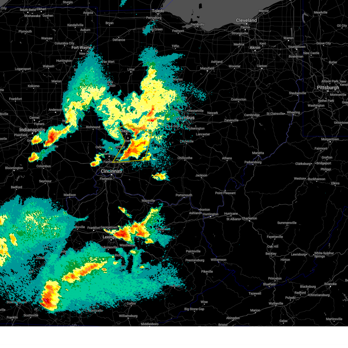 The severe thunderstorm which prompted the warning has been replaced with a new severe thunderstorm warning. a tornado watch remains in effect until 300 am edt for southwestern and west central ohio. please report previous wind damage or hail to the national weather service by going to our website at weather.gov/iln and submitting your report via social media. remember, a severe thunderstorm warning still remains in effect. The severe thunderstorm which prompted the warning has been replaced with a new severe thunderstorm warning. a tornado watch remains in effect until 300 am edt for southwestern and west central ohio. please report previous wind damage or hail to the national weather service by going to our website at weather.gov/iln and submitting your report via social media. remember, a severe thunderstorm warning still remains in effect.
|
| 5/16/2025 9:11 PM EDT |
 At 911 pm edt, a severe thunderstorm was located near springboro, moving northeast at 60 mph (radar indicated). Hazards include 60 mph wind gusts and half dollar size hail. Minor hail damage to vehicles is possible. expect wind damage to trees and power lines. locations impacted include, paintersville, vandalia, hughes, clarksville, englewood, state route 63 at state route 741, fort ancient, beckett ridge, lumberton, oakland, pekin, corwin, genntown, pisgah, wright-patterson afb, oldtown, gladstone, caesar creek state park, yellow springs, and dayton international airport. this includes the following interstates, i-70 in ohio between mile markers 25 and 41. i-71 in ohio between mile markers 22 and 56. I-75 in ohio between mile markers 18 and 33, between mile markers 37 and 44, and between mile markers 46 and 64. At 911 pm edt, a severe thunderstorm was located near springboro, moving northeast at 60 mph (radar indicated). Hazards include 60 mph wind gusts and half dollar size hail. Minor hail damage to vehicles is possible. expect wind damage to trees and power lines. locations impacted include, paintersville, vandalia, hughes, clarksville, englewood, state route 63 at state route 741, fort ancient, beckett ridge, lumberton, oakland, pekin, corwin, genntown, pisgah, wright-patterson afb, oldtown, gladstone, caesar creek state park, yellow springs, and dayton international airport. this includes the following interstates, i-70 in ohio between mile markers 25 and 41. i-71 in ohio between mile markers 22 and 56. I-75 in ohio between mile markers 18 and 33, between mile markers 37 and 44, and between mile markers 46 and 64.
|
| 5/16/2025 9:04 PM EDT |
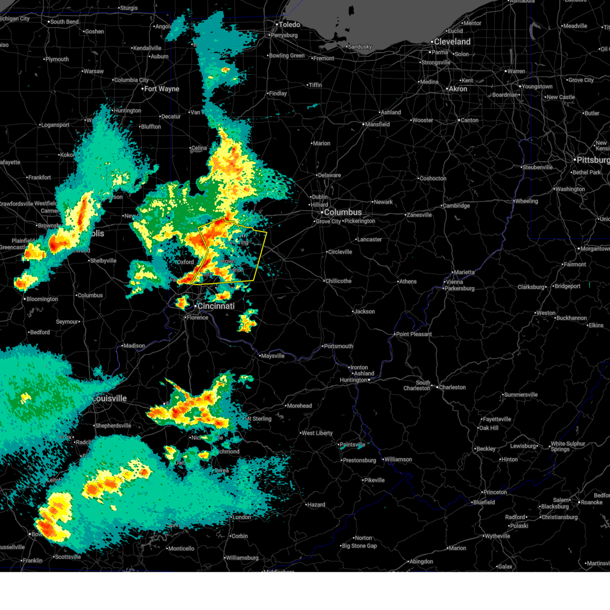 At 903 pm edt, a severe thunderstorm was located over hunter, moving east at 40 mph (radar indicated). Hazards include 60 mph wind gusts and half dollar size hail. Minor hail damage to vehicles is possible. expect wind damage to trees and power lines. locations impacted include, paintersville, franklin, clarksville, englewood, state route 63 at state route 741, fort ancient, beckett ridge, lumberton, pekin, corwin, south middletown, wright-patterson afb, oldtown, gladstone, caesar creek state park, yellow springs, cowan lake state park, hunter, roxanna, and brookville. this includes the following interstates, i-70 in ohio between mile markers 25 and 41. i-71 in ohio between mile markers 22 and 56. I-75 in ohio between mile markers 18 and 64. At 903 pm edt, a severe thunderstorm was located over hunter, moving east at 40 mph (radar indicated). Hazards include 60 mph wind gusts and half dollar size hail. Minor hail damage to vehicles is possible. expect wind damage to trees and power lines. locations impacted include, paintersville, franklin, clarksville, englewood, state route 63 at state route 741, fort ancient, beckett ridge, lumberton, pekin, corwin, south middletown, wright-patterson afb, oldtown, gladstone, caesar creek state park, yellow springs, cowan lake state park, hunter, roxanna, and brookville. this includes the following interstates, i-70 in ohio between mile markers 25 and 41. i-71 in ohio between mile markers 22 and 56. I-75 in ohio between mile markers 18 and 64.
|
| 5/16/2025 8:59 PM EDT |
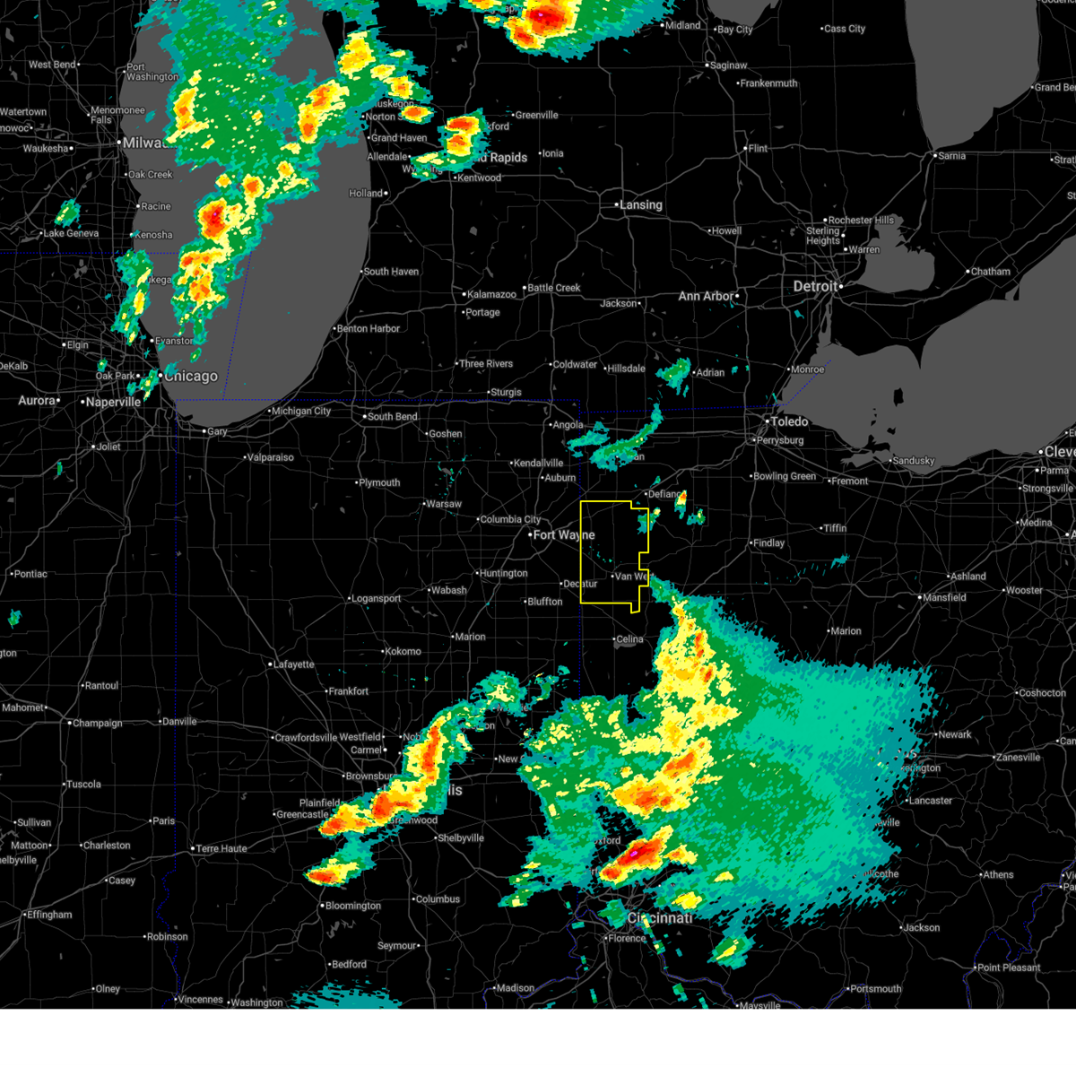 the severe thunderstorm warning has been cancelled and is no longer in effect the severe thunderstorm warning has been cancelled and is no longer in effect
|
| 5/16/2025 8:58 PM EDT |
 At 858 pm edt, a severe thunderstorm was located over hunter, moving northeast at 60 mph (radar indicated). Hazards include 60 mph wind gusts and half dollar size hail. Minor hail damage to vehicles is possible. expect wind damage to trees and power lines. locations impacted include, paintersville, franklin, clarksville, englewood, state route 63 at state route 741, fort ancient, beckett ridge, lumberton, pekin, corwin, south middletown, wright-patterson afb, oldtown, gladstone, caesar creek state park, yellow springs, cowan lake state park, hunter, roxanna, and brookville. this includes the following interstates, i-70 in ohio between mile markers 25 and 41. i-71 in ohio between mile markers 22 and 56. I-75 in ohio between mile markers 18 and 64. At 858 pm edt, a severe thunderstorm was located over hunter, moving northeast at 60 mph (radar indicated). Hazards include 60 mph wind gusts and half dollar size hail. Minor hail damage to vehicles is possible. expect wind damage to trees and power lines. locations impacted include, paintersville, franklin, clarksville, englewood, state route 63 at state route 741, fort ancient, beckett ridge, lumberton, pekin, corwin, south middletown, wright-patterson afb, oldtown, gladstone, caesar creek state park, yellow springs, cowan lake state park, hunter, roxanna, and brookville. this includes the following interstates, i-70 in ohio between mile markers 25 and 41. i-71 in ohio between mile markers 22 and 56. I-75 in ohio between mile markers 18 and 64.
|
| 5/16/2025 8:46 PM EDT |
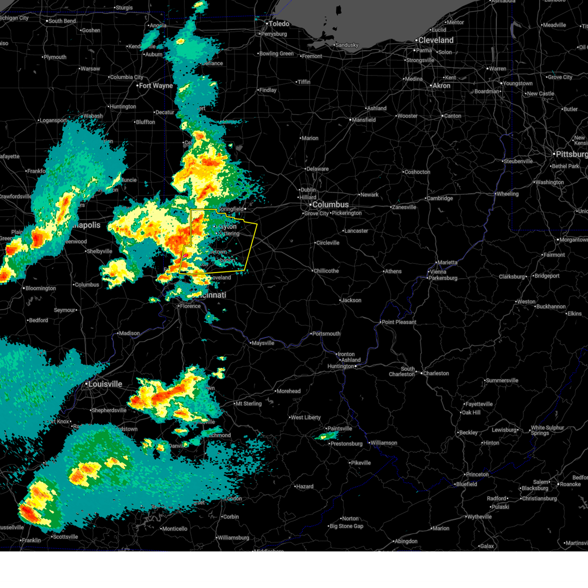 Svriln the national weather service in wilmington has issued a * severe thunderstorm warning for, eastern butler county in southwestern ohio, warren county in southwestern ohio, northwestern clinton county in southwestern ohio, greene county in west central ohio, montgomery county in west central ohio, * until 930 pm edt. * at 846 pm edt, a severe thunderstorm was located over williamsdale, moving northeast at 60 mph (radar indicated). Hazards include 60 mph wind gusts and quarter size hail. Minor hail damage to vehicles is possible. Expect wind damage to trees and power lines. Svriln the national weather service in wilmington has issued a * severe thunderstorm warning for, eastern butler county in southwestern ohio, warren county in southwestern ohio, northwestern clinton county in southwestern ohio, greene county in west central ohio, montgomery county in west central ohio, * until 930 pm edt. * at 846 pm edt, a severe thunderstorm was located over williamsdale, moving northeast at 60 mph (radar indicated). Hazards include 60 mph wind gusts and quarter size hail. Minor hail damage to vehicles is possible. Expect wind damage to trees and power lines.
|
| 5/16/2025 8:41 PM EDT |
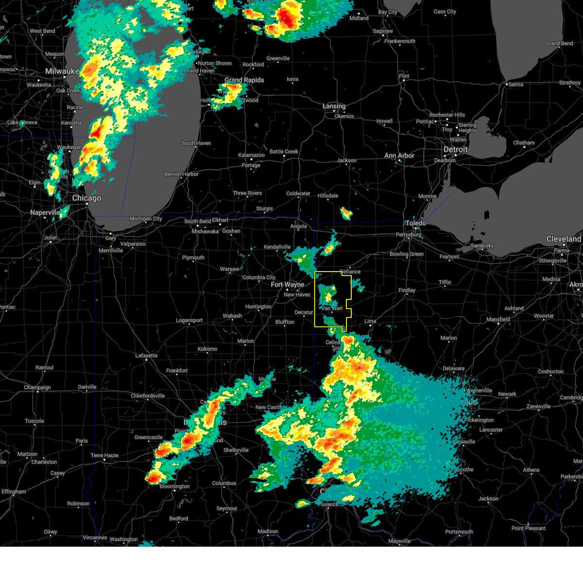 At 840 pm edt, showers and embedded thunderstorms producing strong wind gusts were located along a line extending from near payne to fort loramie, moving east at 55 mph (radar indicated). Hazards include 70 mph wind gusts. Expect considerable tree damage. damage is likely to mobile homes, roofs, and outbuildings. Locations impacted include, van wert, delphos, paulding, antwerp, payne, convoy, ohio city, middlebury, middle point, grover hill, willshire, scott, melrose, haviland, wren, latty, cecil, venedocia, broughton, and elgin. At 840 pm edt, showers and embedded thunderstorms producing strong wind gusts were located along a line extending from near payne to fort loramie, moving east at 55 mph (radar indicated). Hazards include 70 mph wind gusts. Expect considerable tree damage. damage is likely to mobile homes, roofs, and outbuildings. Locations impacted include, van wert, delphos, paulding, antwerp, payne, convoy, ohio city, middlebury, middle point, grover hill, willshire, scott, melrose, haviland, wren, latty, cecil, venedocia, broughton, and elgin.
|
| 5/16/2025 8:19 PM EDT |
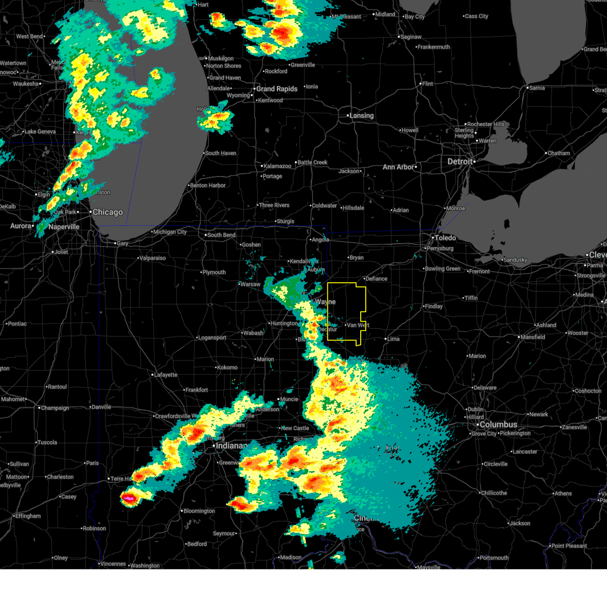 Svriwx the national weather service in northern indiana has issued a * severe thunderstorm warning for, paulding county in west central ohio, van wert county in west central ohio, * until 915 pm edt. * at 818 pm edt, severe thunderstorms were located along a line extending from new haven to near st. henry, moving east at 55 mph (radar indicated). Hazards include 60 mph wind gusts. expect damage to roofs, siding, and trees Svriwx the national weather service in northern indiana has issued a * severe thunderstorm warning for, paulding county in west central ohio, van wert county in west central ohio, * until 915 pm edt. * at 818 pm edt, severe thunderstorms were located along a line extending from new haven to near st. henry, moving east at 55 mph (radar indicated). Hazards include 60 mph wind gusts. expect damage to roofs, siding, and trees
|
| 5/2/2025 3:08 PM EDT |
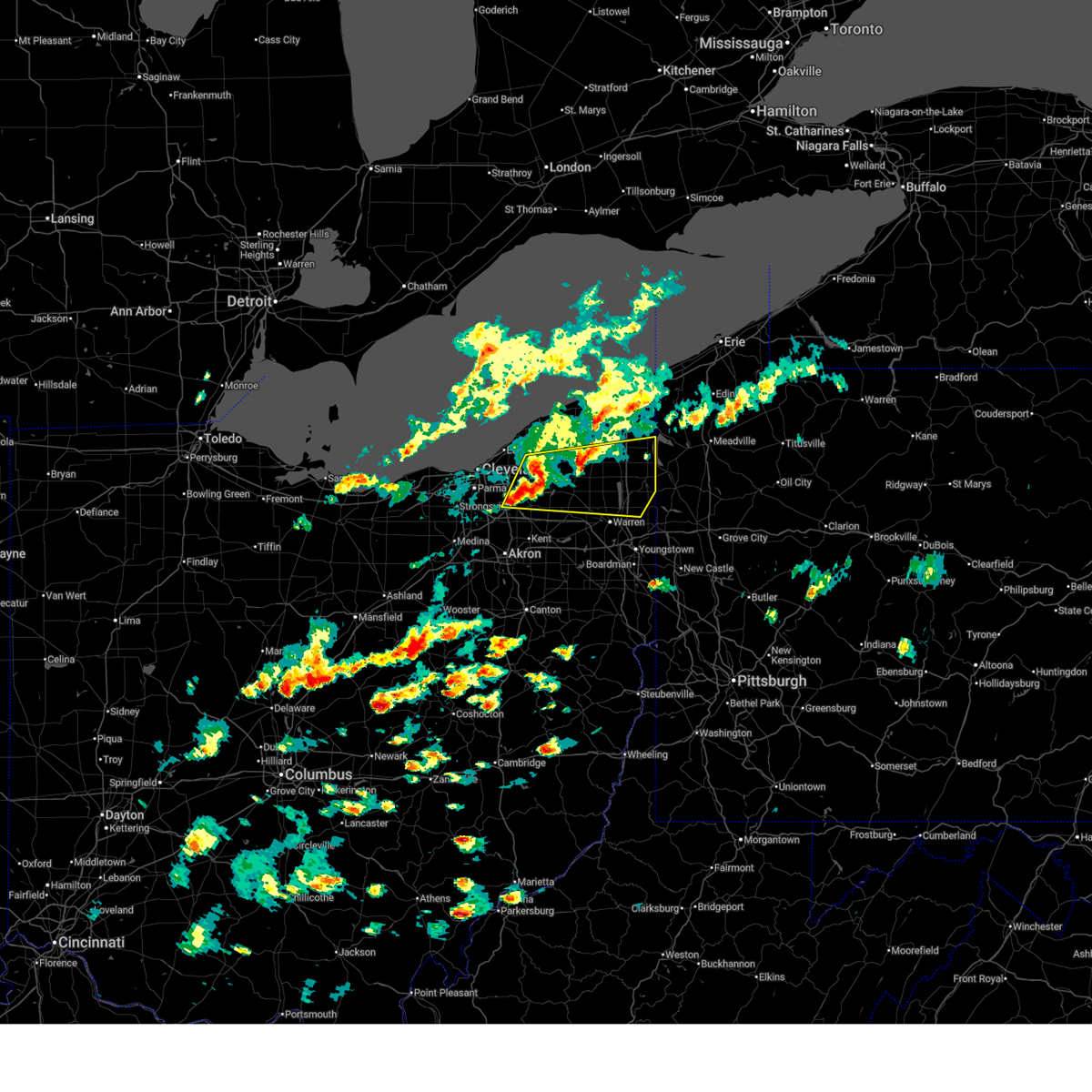 Svrcle the national weather service in cleveland has issued a * severe thunderstorm warning for, northern trumbull county in northeastern ohio, northern portage county in northeastern ohio, geauga county in northeastern ohio, east central cuyahoga county in northeastern ohio, northeastern summit county in northeastern ohio, southern ashtabula county in northeastern ohio, * until 400 pm edt. * at 308 pm edt, severe thunderstorms were located along a line extending from near chardon to near burton to macedonia, moving east at 40 mph (radar indicated). Hazards include 60 mph wind gusts and quarter size hail. Minor damage to vehicles is possible. Expect damage to trees and power lines. Svrcle the national weather service in cleveland has issued a * severe thunderstorm warning for, northern trumbull county in northeastern ohio, northern portage county in northeastern ohio, geauga county in northeastern ohio, east central cuyahoga county in northeastern ohio, northeastern summit county in northeastern ohio, southern ashtabula county in northeastern ohio, * until 400 pm edt. * at 308 pm edt, severe thunderstorms were located along a line extending from near chardon to near burton to macedonia, moving east at 40 mph (radar indicated). Hazards include 60 mph wind gusts and quarter size hail. Minor damage to vehicles is possible. Expect damage to trees and power lines.
|
| 5/2/2025 2:44 PM EDT |
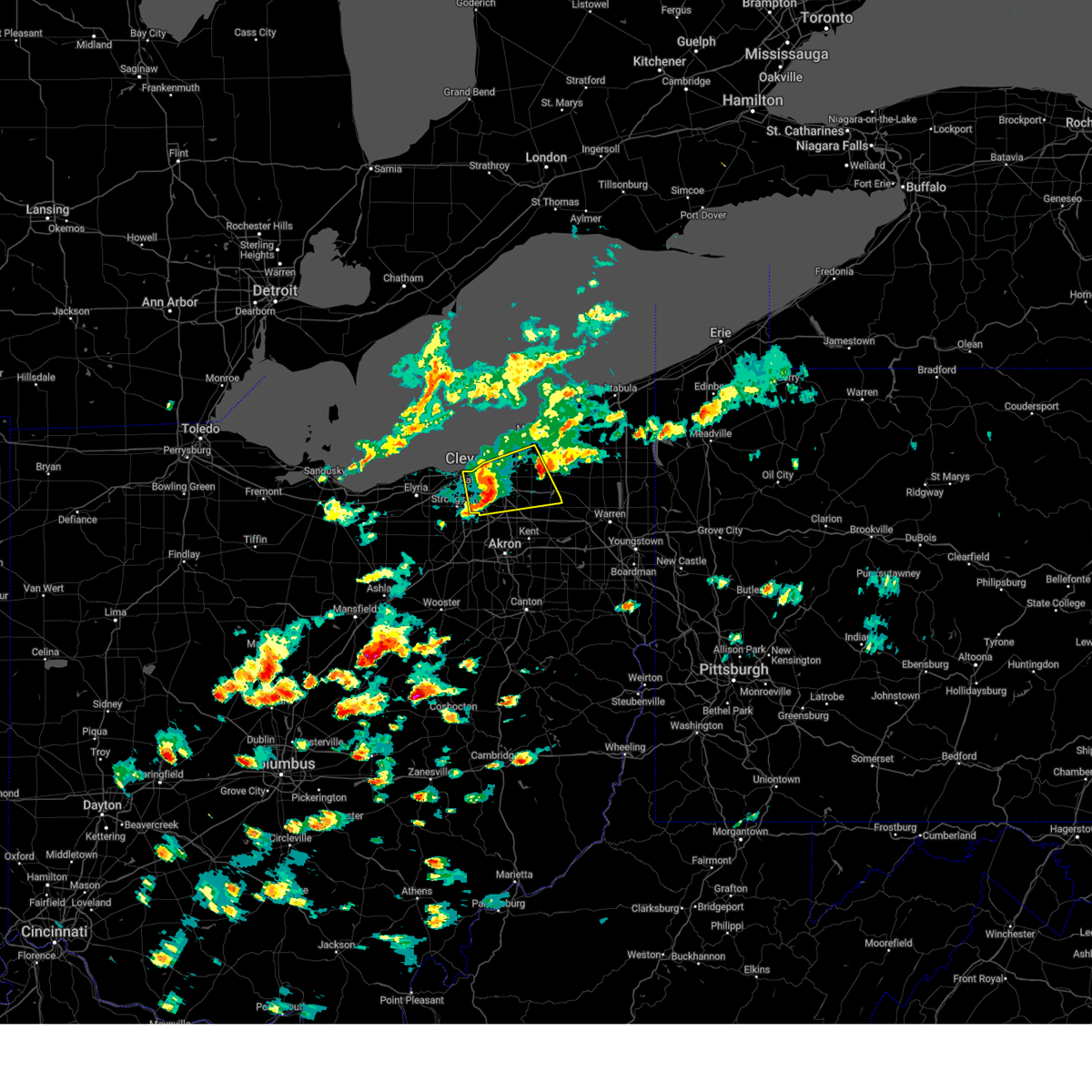 At 243 pm edt, a severe thunderstorm was located near warrensville heights, or 8 miles southeast of cleveland, moving east at 40 mph (radar indicated). Hazards include 60 mph wind gusts and quarter size hail. Minor damage to vehicles is possible. expect damage to trees and power lines. Locations impacted include, cleveland, parma, lakewood, euclid, cleveland heights, north royalton, solon, twinsburg, warrensville heights, macedonia, south russell, highland hills, chesterland, garfield heights, shaker heights, maple heights, south euclid, parma heights, broadview heights, and mayfield heights. At 243 pm edt, a severe thunderstorm was located near warrensville heights, or 8 miles southeast of cleveland, moving east at 40 mph (radar indicated). Hazards include 60 mph wind gusts and quarter size hail. Minor damage to vehicles is possible. expect damage to trees and power lines. Locations impacted include, cleveland, parma, lakewood, euclid, cleveland heights, north royalton, solon, twinsburg, warrensville heights, macedonia, south russell, highland hills, chesterland, garfield heights, shaker heights, maple heights, south euclid, parma heights, broadview heights, and mayfield heights.
|
| 5/2/2025 2:44 PM EDT |
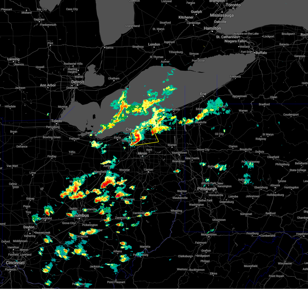 the severe thunderstorm warning has been cancelled and is no longer in effect the severe thunderstorm warning has been cancelled and is no longer in effect
|
| 5/2/2025 2:29 PM EDT |
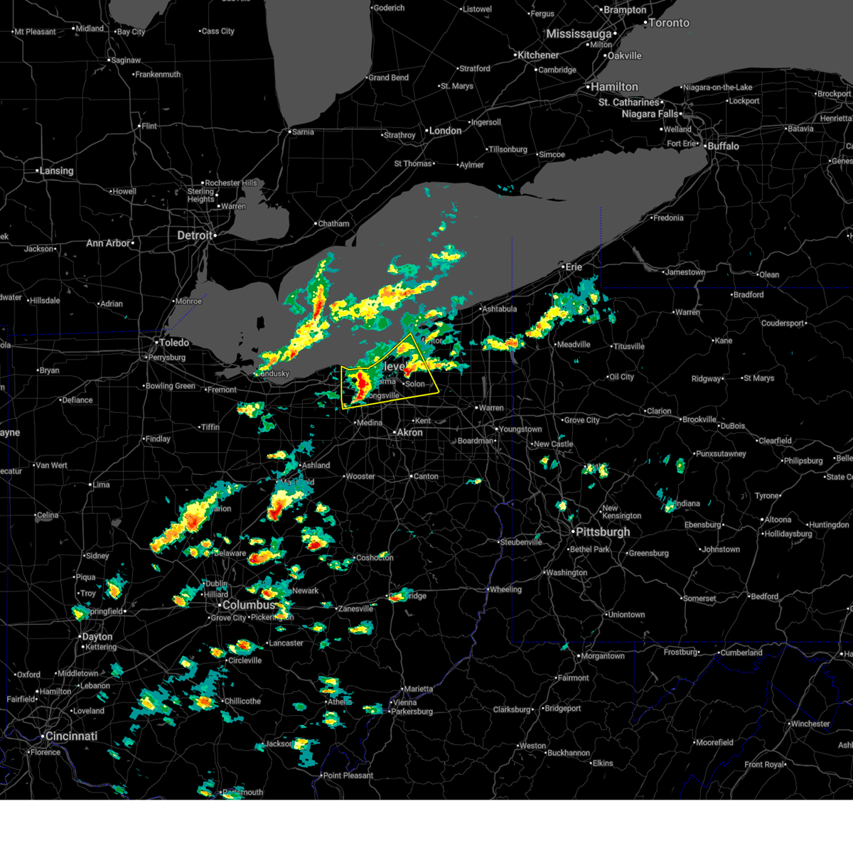 At 228 pm edt, a severe thunderstorm was located near parma, or 8 miles southwest of cleveland, moving east at 50 mph (radar indicated). Hazards include 60 mph wind gusts and quarter size hail. Minor damage to vehicles is possible. expect damage to trees and power lines. Locations impacted include, cleveland, willowick, parma, lakewood, euclid, mentor, cleveland heights, strongsville, brunswick, westlake, north royalton, solon, willoughby, twinsburg, eastlake, warrensville heights, macedonia, south russell, highland hills, and timberlake. At 228 pm edt, a severe thunderstorm was located near parma, or 8 miles southwest of cleveland, moving east at 50 mph (radar indicated). Hazards include 60 mph wind gusts and quarter size hail. Minor damage to vehicles is possible. expect damage to trees and power lines. Locations impacted include, cleveland, willowick, parma, lakewood, euclid, mentor, cleveland heights, strongsville, brunswick, westlake, north royalton, solon, willoughby, twinsburg, eastlake, warrensville heights, macedonia, south russell, highland hills, and timberlake.
|
| 5/2/2025 2:10 PM EDT |
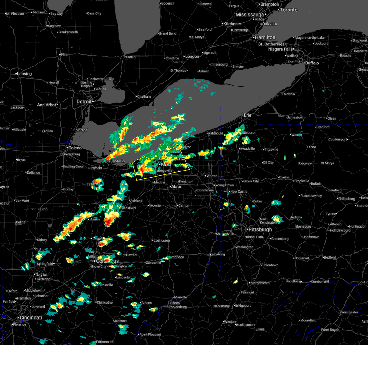 Svrcle the national weather service in cleveland has issued a * severe thunderstorm warning for, northwestern portage county in northeastern ohio, southwestern geauga county in northeastern ohio, cuyahoga county in northeastern ohio, northern medina county in northeastern ohio, southwestern lake county in northeastern ohio, northern summit county in northeastern ohio, lorain county in north central ohio, * until 300 pm edt. * at 210 pm edt, a severe thunderstorm was located near elyria, moving east at 50 mph (public). Hazards include 60 mph wind gusts and quarter size hail. Minor damage to vehicles is possible. Expect damage to trees and power lines. Svrcle the national weather service in cleveland has issued a * severe thunderstorm warning for, northwestern portage county in northeastern ohio, southwestern geauga county in northeastern ohio, cuyahoga county in northeastern ohio, northern medina county in northeastern ohio, southwestern lake county in northeastern ohio, northern summit county in northeastern ohio, lorain county in north central ohio, * until 300 pm edt. * at 210 pm edt, a severe thunderstorm was located near elyria, moving east at 50 mph (public). Hazards include 60 mph wind gusts and quarter size hail. Minor damage to vehicles is possible. Expect damage to trees and power lines.
|
| 5/1/2025 3:41 PM EDT |
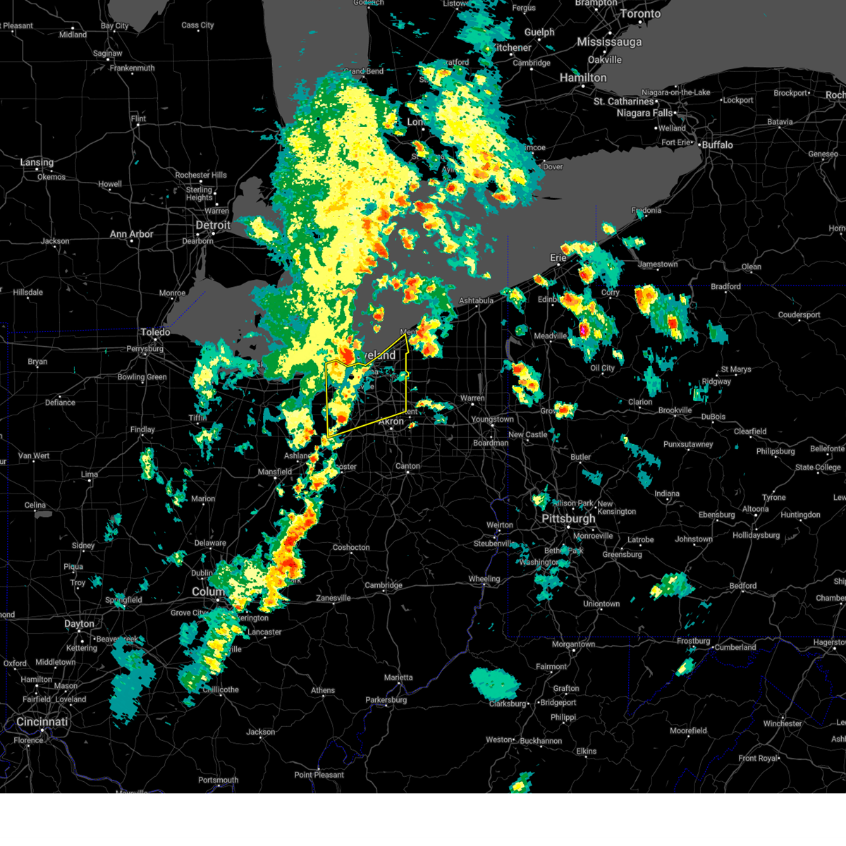 Svrcle the national weather service in cleveland has issued a * severe thunderstorm warning for, cuyahoga county in northeastern ohio, medina county in northeastern ohio, southwestern lake county in northeastern ohio, northern summit county in northeastern ohio, northeastern lorain county in north central ohio, * until 415 pm edt. * at 340 pm edt, severe thunderstorms were located along a line extending from westlake to near strongsville to near lodi, moving northeast at 55 mph (radar indicated). Hazards include 60 mph wind gusts. expect damage to trees and power lines Svrcle the national weather service in cleveland has issued a * severe thunderstorm warning for, cuyahoga county in northeastern ohio, medina county in northeastern ohio, southwestern lake county in northeastern ohio, northern summit county in northeastern ohio, northeastern lorain county in north central ohio, * until 415 pm edt. * at 340 pm edt, severe thunderstorms were located along a line extending from westlake to near strongsville to near lodi, moving northeast at 55 mph (radar indicated). Hazards include 60 mph wind gusts. expect damage to trees and power lines
|
| 5/1/2025 3:22 PM EDT |
 the severe thunderstorm warning has been cancelled and is no longer in effect the severe thunderstorm warning has been cancelled and is no longer in effect
|
| 5/1/2025 3:22 PM EDT |
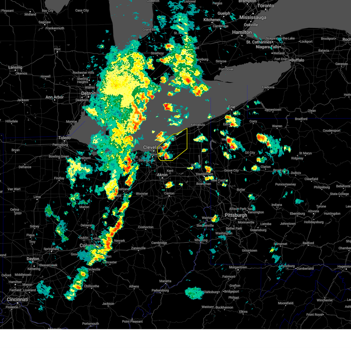 At 321 pm edt, a severe thunderstorm was located near euclid and another severe storm was located near solon, moving northeast at 45 mph (radar indicated, although quarter size hail was reported in the bedford heights area recently). Hazards include 60 mph wind gusts and quarter size hail. Minor damage to vehicles is possible. expect damage to trees and power lines. Locations impacted include, cleveland, painesville, willowick, chardon, fairport harbor, euclid, mentor, cleveland heights, solon, willoughby, eastlake, warrensville heights, south russell, madison, perry, burton, highland hills, timberlake, lakeline, and chesterland. At 321 pm edt, a severe thunderstorm was located near euclid and another severe storm was located near solon, moving northeast at 45 mph (radar indicated, although quarter size hail was reported in the bedford heights area recently). Hazards include 60 mph wind gusts and quarter size hail. Minor damage to vehicles is possible. expect damage to trees and power lines. Locations impacted include, cleveland, painesville, willowick, chardon, fairport harbor, euclid, mentor, cleveland heights, solon, willoughby, eastlake, warrensville heights, south russell, madison, perry, burton, highland hills, timberlake, lakeline, and chesterland.
|
| 5/1/2025 3:13 PM EDT |
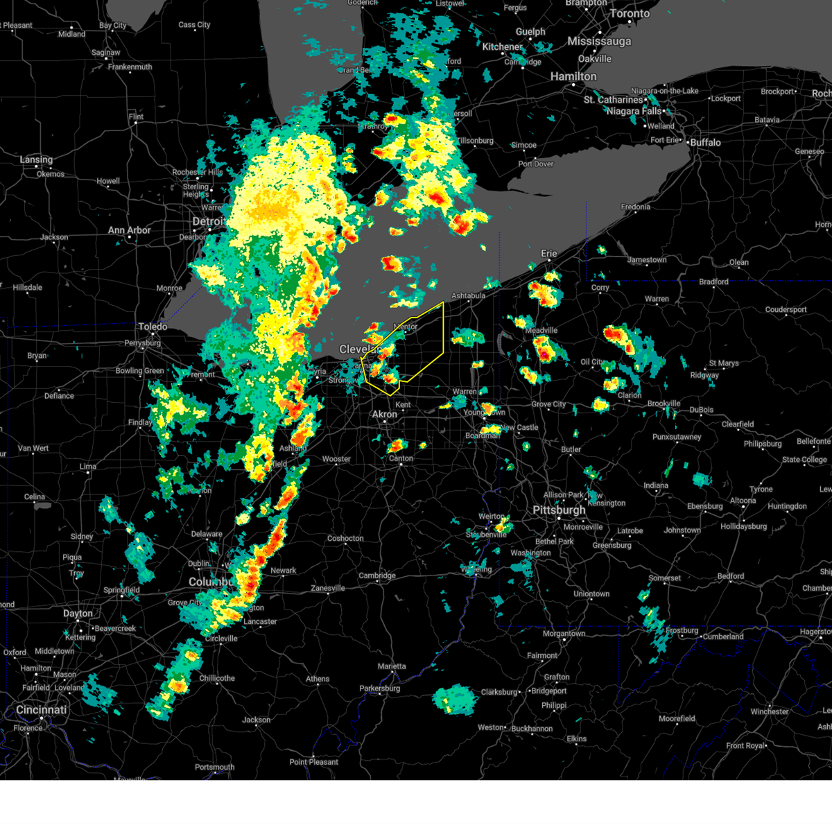 Svrcle the national weather service in cleveland has issued a * severe thunderstorm warning for, geauga county in northeastern ohio, eastern cuyahoga county in northeastern ohio, lake county in northeastern ohio, northeastern summit county in northeastern ohio, * until 400 pm edt. * at 313 pm edt, a severe thunderstorm was located over cleveland heights, or 8 miles east of cleveland, moving northeast at 45 mph (radar indicated). Hazards include 60 mph wind gusts and quarter size hail. Minor damage to vehicles is possible. Expect damage to trees and power lines. Svrcle the national weather service in cleveland has issued a * severe thunderstorm warning for, geauga county in northeastern ohio, eastern cuyahoga county in northeastern ohio, lake county in northeastern ohio, northeastern summit county in northeastern ohio, * until 400 pm edt. * at 313 pm edt, a severe thunderstorm was located over cleveland heights, or 8 miles east of cleveland, moving northeast at 45 mph (radar indicated). Hazards include 60 mph wind gusts and quarter size hail. Minor damage to vehicles is possible. Expect damage to trees and power lines.
|
| 4/29/2025 6:27 PM EDT |
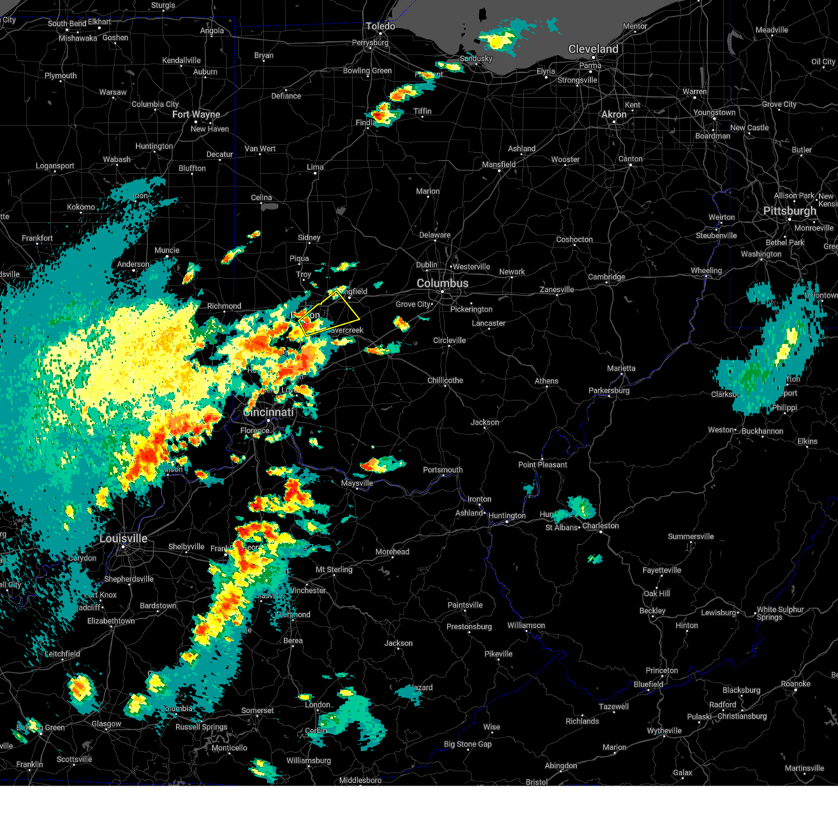 Svriln the national weather service in wilmington has issued a * severe thunderstorm warning for, northern greene county in west central ohio, southwestern clark county in west central ohio, east central montgomery county in west central ohio, * until 715 pm edt. * at 626 pm edt, a severe thunderstorm was located over oakwood, moving northeast at 30 mph (radar indicated). Hazards include 60 mph wind gusts and quarter size hail. Minor hail damage to vehicles is possible. Expect wind damage to trees and power lines. Svriln the national weather service in wilmington has issued a * severe thunderstorm warning for, northern greene county in west central ohio, southwestern clark county in west central ohio, east central montgomery county in west central ohio, * until 715 pm edt. * at 626 pm edt, a severe thunderstorm was located over oakwood, moving northeast at 30 mph (radar indicated). Hazards include 60 mph wind gusts and quarter size hail. Minor hail damage to vehicles is possible. Expect wind damage to trees and power lines.
|
| 4/29/2025 4:29 PM EDT |
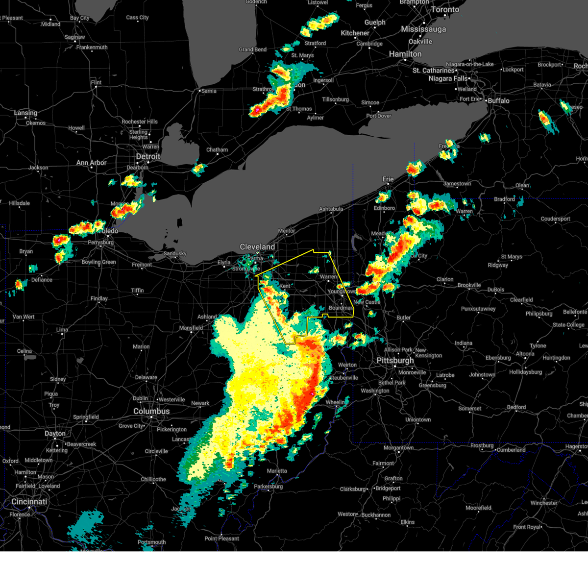 Svrcle the national weather service in cleveland has issued a * severe thunderstorm warning for, trumbull county in northeastern ohio, mahoning county in northeastern ohio, portage county in northeastern ohio, southern geauga county in northeastern ohio, southeastern cuyahoga county in northeastern ohio, stark county in northeastern ohio, summit county in northeastern ohio, * until 515 pm edt. * at 429 pm edt, severe thunderstorms were located along a line extending from 6 miles northwest of cuyahoga falls to near waynesburg, moving northeast at 50 mph (radar indicated). Hazards include 60 mph wind gusts and penny size hail. expect damage to trees and power lines Svrcle the national weather service in cleveland has issued a * severe thunderstorm warning for, trumbull county in northeastern ohio, mahoning county in northeastern ohio, portage county in northeastern ohio, southern geauga county in northeastern ohio, southeastern cuyahoga county in northeastern ohio, stark county in northeastern ohio, summit county in northeastern ohio, * until 515 pm edt. * at 429 pm edt, severe thunderstorms were located along a line extending from 6 miles northwest of cuyahoga falls to near waynesburg, moving northeast at 50 mph (radar indicated). Hazards include 60 mph wind gusts and penny size hail. expect damage to trees and power lines
|
| 4/29/2025 1:56 PM EDT |
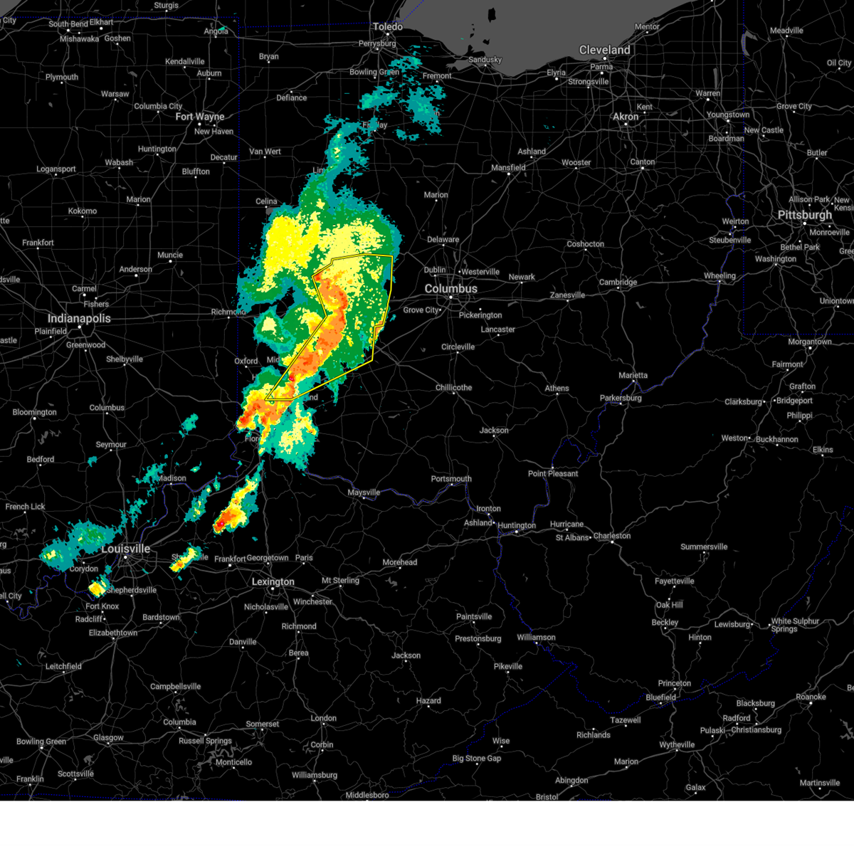 At 156 pm edt, a severe thunderstorm was located over springfield, moving east at 60 mph (radar indicated). Hazards include 60 mph wind gusts and penny size hail. Expect damage to trees and power lines. locations impacted include, paintersville, franklin, casstown, state route 63 at state route 741, fort ancient, rosemoor, beckett ridge, lumberton, south vienna, pekin, corwin, kiser lake state park, wright-patterson afb, oldtown, gladstone, caesar creek state park, yellow springs, new carlisle, dialton, and hunter. this includes the following interstates, i-70 in ohio between mile markers 41 and 70. i-71 in ohio between mile markers 22 and 61. I-75 in ohio between mile markers 17 and 45. At 156 pm edt, a severe thunderstorm was located over springfield, moving east at 60 mph (radar indicated). Hazards include 60 mph wind gusts and penny size hail. Expect damage to trees and power lines. locations impacted include, paintersville, franklin, casstown, state route 63 at state route 741, fort ancient, rosemoor, beckett ridge, lumberton, south vienna, pekin, corwin, kiser lake state park, wright-patterson afb, oldtown, gladstone, caesar creek state park, yellow springs, new carlisle, dialton, and hunter. this includes the following interstates, i-70 in ohio between mile markers 41 and 70. i-71 in ohio between mile markers 22 and 61. I-75 in ohio between mile markers 17 and 45.
|
| 4/29/2025 1:44 PM EDT |
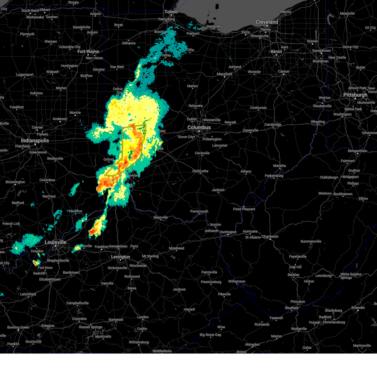 The severe thunderstorm which prompted the warning has moved out of the warned area. therefore, the warning will be allowed to expire. however, gusty winds and heavy rain are still possible with this thunderstorm. a severe thunderstorm watch remains in effect until 700 pm edt for southeastern indiana, and southwestern and west central ohio. please report previous wind damage or hail to the national weather service by going to our website at weather.gov/iln and submitting your report via social media. remember, a severe thunderstorm warning still remains in effect for portions of miami, montgomery, butler, and warren counties. The severe thunderstorm which prompted the warning has moved out of the warned area. therefore, the warning will be allowed to expire. however, gusty winds and heavy rain are still possible with this thunderstorm. a severe thunderstorm watch remains in effect until 700 pm edt for southeastern indiana, and southwestern and west central ohio. please report previous wind damage or hail to the national weather service by going to our website at weather.gov/iln and submitting your report via social media. remember, a severe thunderstorm warning still remains in effect for portions of miami, montgomery, butler, and warren counties.
|
| 4/29/2025 1:37 PM EDT |
 the severe thunderstorm warning has been cancelled and is no longer in effect the severe thunderstorm warning has been cancelled and is no longer in effect
|
| 4/29/2025 1:37 PM EDT |
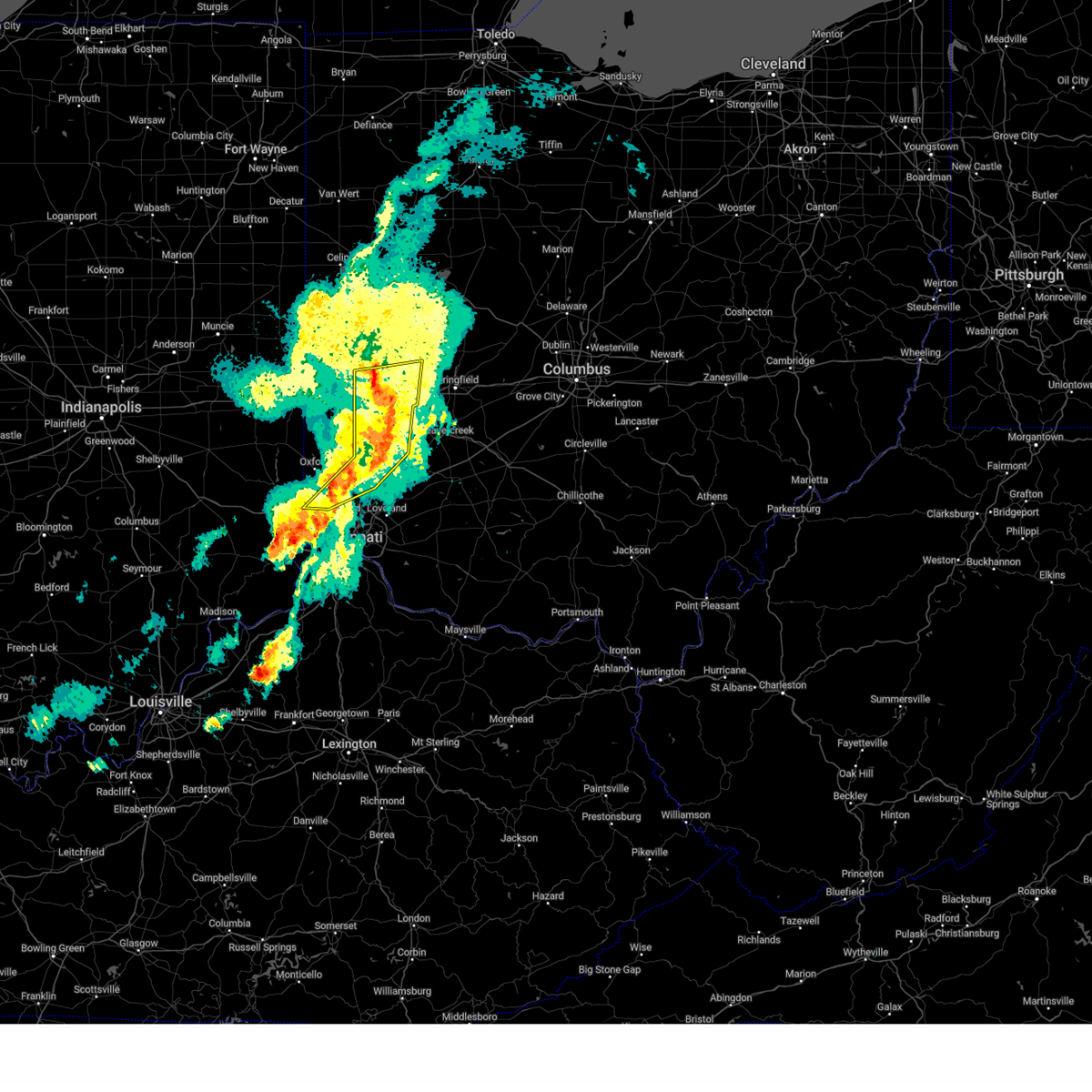 At 136 pm edt, a severe thunderstorm was located over trotwood, moving east at 55 mph (radar indicated). Hazards include 70 mph wind gusts and quarter size hail. Minor hail damage to vehicles is possible. expect considerable tree damage. wind damage is also likely to mobile homes, roofs, and outbuildings. locations impacted include, franklin, ginghamsburg, vandalia, hughes, englewood, seven mile, potsdam, west milton, carlisle, south middletown, dayton international airport, millville, overlook-page mano, layhigh, hunter, okeana, clayton, centerville, poast town heights, and brookville. this includes the following interstates, i-70 in ohio between mile markers 18 and 40. I-75 in ohio between mile markers 27 and 74. At 136 pm edt, a severe thunderstorm was located over trotwood, moving east at 55 mph (radar indicated). Hazards include 70 mph wind gusts and quarter size hail. Minor hail damage to vehicles is possible. expect considerable tree damage. wind damage is also likely to mobile homes, roofs, and outbuildings. locations impacted include, franklin, ginghamsburg, vandalia, hughes, englewood, seven mile, potsdam, west milton, carlisle, south middletown, dayton international airport, millville, overlook-page mano, layhigh, hunter, okeana, clayton, centerville, poast town heights, and brookville. this includes the following interstates, i-70 in ohio between mile markers 18 and 40. I-75 in ohio between mile markers 27 and 74.
|
| 4/29/2025 1:33 PM EDT |
 Svriln the national weather service in wilmington has issued a * severe thunderstorm warning for, north central hamilton county in southwestern ohio, champaign county in west central ohio, eastern butler county in southwestern ohio, warren county in southwestern ohio, northwestern clinton county in southwestern ohio, greene county in west central ohio, clark county in west central ohio, eastern montgomery county in west central ohio, eastern miami county in west central ohio, * until 230 pm edt. * at 133 pm edt, a severe thunderstorm was located near trotwood, moving east at 60 mph (radar indicated). Hazards include 60 mph wind gusts and nickel size hail. expect damage to trees and power lines Svriln the national weather service in wilmington has issued a * severe thunderstorm warning for, north central hamilton county in southwestern ohio, champaign county in west central ohio, eastern butler county in southwestern ohio, warren county in southwestern ohio, northwestern clinton county in southwestern ohio, greene county in west central ohio, clark county in west central ohio, eastern montgomery county in west central ohio, eastern miami county in west central ohio, * until 230 pm edt. * at 133 pm edt, a severe thunderstorm was located near trotwood, moving east at 60 mph (radar indicated). Hazards include 60 mph wind gusts and nickel size hail. expect damage to trees and power lines
|
| 4/29/2025 1:25 PM EDT |
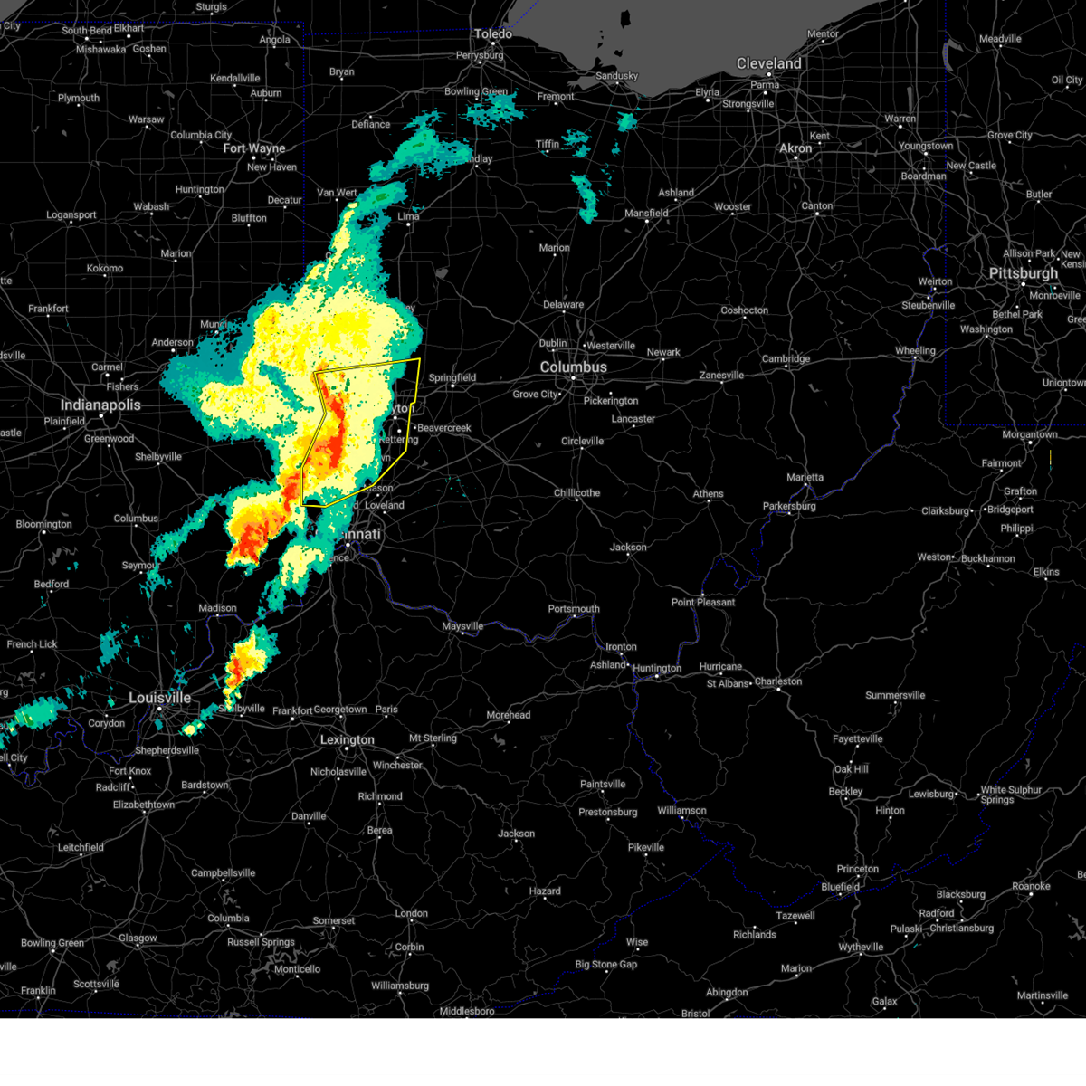 At 125 pm edt, a severe thunderstorm was located near west alexandria, moving east at 55 mph (radar indicated). Hazards include 70 mph wind gusts and quarter size hail. Minor hail damage to vehicles is possible. expect considerable tree damage. wind damage is also likely to mobile homes, roofs, and outbuildings. locations impacted include, franklin, ginghamsburg, vandalia, hughes, englewood, seven mile, potsdam, collinsville, morning sun, west milton, carlisle, new madison, west alexandria, south middletown, wheatville, interstate 70 at us route 127, muttonville, dayton international airport, millville, and overlook-page mano. this includes the following interstates, i-70 in ohio between mile markers 8 and 40. I-75 in ohio between mile markers 27 and 74. At 125 pm edt, a severe thunderstorm was located near west alexandria, moving east at 55 mph (radar indicated). Hazards include 70 mph wind gusts and quarter size hail. Minor hail damage to vehicles is possible. expect considerable tree damage. wind damage is also likely to mobile homes, roofs, and outbuildings. locations impacted include, franklin, ginghamsburg, vandalia, hughes, englewood, seven mile, potsdam, collinsville, morning sun, west milton, carlisle, new madison, west alexandria, south middletown, wheatville, interstate 70 at us route 127, muttonville, dayton international airport, millville, and overlook-page mano. this includes the following interstates, i-70 in ohio between mile markers 8 and 40. I-75 in ohio between mile markers 27 and 74.
|
| 4/29/2025 1:08 PM EDT |
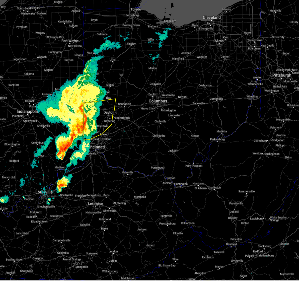 At 107 pm edt, a severe thunderstorm was located near camden, moving east at 55 mph (radar indicated). Hazards include 70 mph wind gusts and quarter size hail. Minor hail damage to vehicles is possible. expect considerable tree damage. wind damage is also likely to mobile homes, roofs, and outbuildings. locations impacted include, franklin, englewood, potsdam, west florence, morning sun, west milton, new madison, south middletown, interstate 70 at us route 127, muttonville, camden, hunter, arcanum, new paris, clayton, reily, college corner, brookville, kettering, and drexel. this includes the following interstates, i-70 in ohio between mile markers 1 and 40. I-75 in ohio between mile markers 27 and 74. At 107 pm edt, a severe thunderstorm was located near camden, moving east at 55 mph (radar indicated). Hazards include 70 mph wind gusts and quarter size hail. Minor hail damage to vehicles is possible. expect considerable tree damage. wind damage is also likely to mobile homes, roofs, and outbuildings. locations impacted include, franklin, englewood, potsdam, west florence, morning sun, west milton, new madison, south middletown, interstate 70 at us route 127, muttonville, camden, hunter, arcanum, new paris, clayton, reily, college corner, brookville, kettering, and drexel. this includes the following interstates, i-70 in ohio between mile markers 1 and 40. I-75 in ohio between mile markers 27 and 74.
|
| 4/29/2025 12:50 PM EDT |
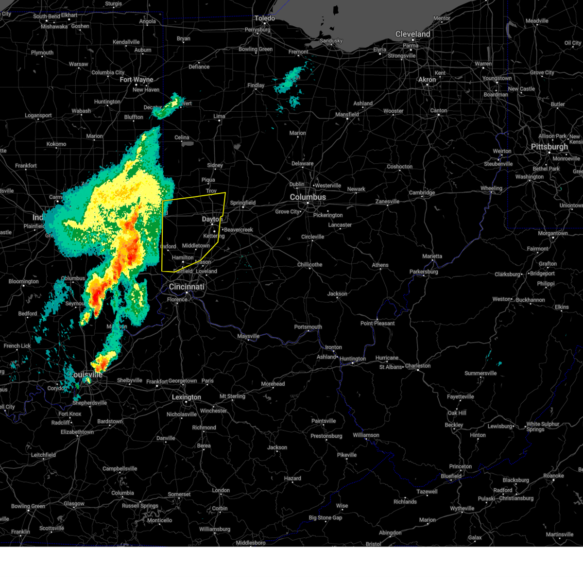 Svriln the national weather service in wilmington has issued a * severe thunderstorm warning for, butler county in southwestern ohio, preble county in west central ohio, northwestern warren county in southwestern ohio, southern darke county in west central ohio, montgomery county in west central ohio, southern miami county in west central ohio, * until 145 pm edt. * at 1249 pm edt, a severe thunderstorm was located near connersville, moving east at 55 mph (radar indicated). Hazards include 70 mph wind gusts and quarter size hail. Minor hail damage to vehicles is possible. expect considerable tree damage. Wind damage is also likely to mobile homes, roofs, and outbuildings. Svriln the national weather service in wilmington has issued a * severe thunderstorm warning for, butler county in southwestern ohio, preble county in west central ohio, northwestern warren county in southwestern ohio, southern darke county in west central ohio, montgomery county in west central ohio, southern miami county in west central ohio, * until 145 pm edt. * at 1249 pm edt, a severe thunderstorm was located near connersville, moving east at 55 mph (radar indicated). Hazards include 70 mph wind gusts and quarter size hail. Minor hail damage to vehicles is possible. expect considerable tree damage. Wind damage is also likely to mobile homes, roofs, and outbuildings.
|
| 4/3/2025 3:00 AM EDT |
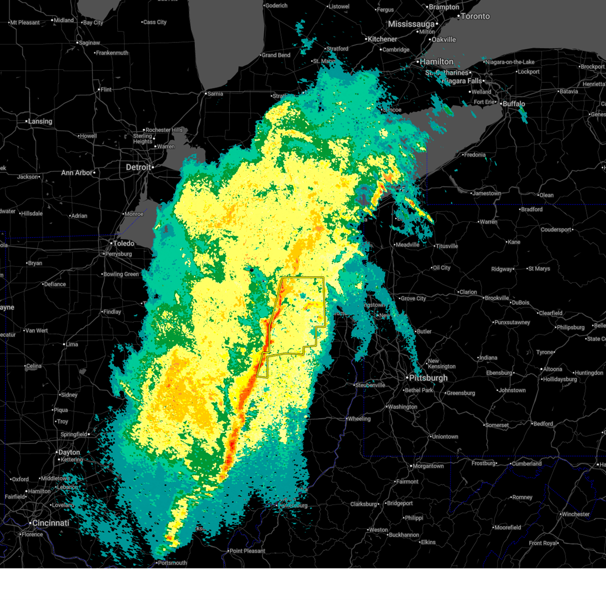 the severe thunderstorm warning has been cancelled and is no longer in effect the severe thunderstorm warning has been cancelled and is no longer in effect
|
| 4/3/2025 3:00 AM EDT |
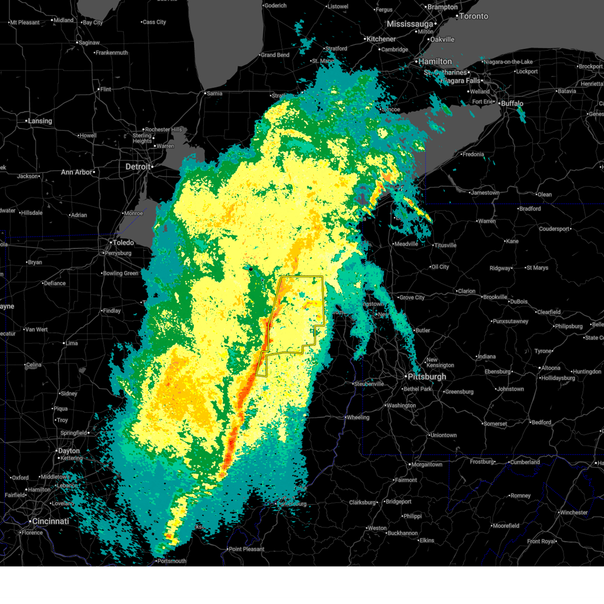 At 259 am edt, severe thunderstorms were located along a line extending from kent to near wilmot, moving east at 70 mph (radar indicated). Hazards include 60 mph wind gusts. Expect damage to trees and power lines. Locations impacted include, akron, canton, ravenna, cuyahoga falls, massillon, kent, barberton, green, solon, alliance, hudson, twinsburg, tallmadge, north canton, streetsboro, macedonia, louisville, sebring, mogadore, and walnut creek. At 259 am edt, severe thunderstorms were located along a line extending from kent to near wilmot, moving east at 70 mph (radar indicated). Hazards include 60 mph wind gusts. Expect damage to trees and power lines. Locations impacted include, akron, canton, ravenna, cuyahoga falls, massillon, kent, barberton, green, solon, alliance, hudson, twinsburg, tallmadge, north canton, streetsboro, macedonia, louisville, sebring, mogadore, and walnut creek.
|
| 4/3/2025 2:42 AM EDT |
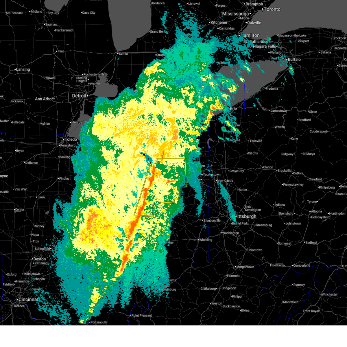 Svrcle the national weather service in cleveland has issued a * severe thunderstorm warning for, western mahoning county in northeastern ohio, portage county in northeastern ohio, eastern medina county in northeastern ohio, stark county in northeastern ohio, summit county in northeastern ohio, eastern wayne county in northeastern ohio, holmes county in northeastern ohio, * until 330 am edt. * at 242 am edt, severe thunderstorms were located along a line extending from 7 miles northeast of wadsworth to near millersburg, moving east at 70 mph (radar indicated). Hazards include 60 mph wind gusts. expect damage to trees and power lines Svrcle the national weather service in cleveland has issued a * severe thunderstorm warning for, western mahoning county in northeastern ohio, portage county in northeastern ohio, eastern medina county in northeastern ohio, stark county in northeastern ohio, summit county in northeastern ohio, eastern wayne county in northeastern ohio, holmes county in northeastern ohio, * until 330 am edt. * at 242 am edt, severe thunderstorms were located along a line extending from 7 miles northeast of wadsworth to near millersburg, moving east at 70 mph (radar indicated). Hazards include 60 mph wind gusts. expect damage to trees and power lines
|
| 4/3/2025 1:00 AM EDT |
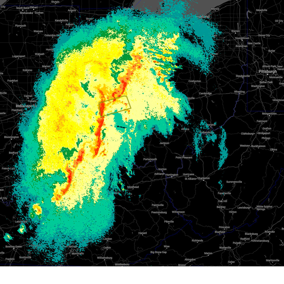 Svriln the national weather service in wilmington has issued a * severe thunderstorm warning for, northern greene county in west central ohio, clark county in west central ohio, eastern montgomery county in west central ohio, southwestern madison county in central ohio, southeastern miami county in west central ohio, * until 145 am edt. * at 100 am edt, a severe thunderstorm was located over kettering, moving northeast at 60 mph (radar indicated). Hazards include 60 mph wind gusts. expect damage to trees and power lines Svriln the national weather service in wilmington has issued a * severe thunderstorm warning for, northern greene county in west central ohio, clark county in west central ohio, eastern montgomery county in west central ohio, southwestern madison county in central ohio, southeastern miami county in west central ohio, * until 145 am edt. * at 100 am edt, a severe thunderstorm was located over kettering, moving northeast at 60 mph (radar indicated). Hazards include 60 mph wind gusts. expect damage to trees and power lines
|
| 4/2/2025 11:57 PM EDT |
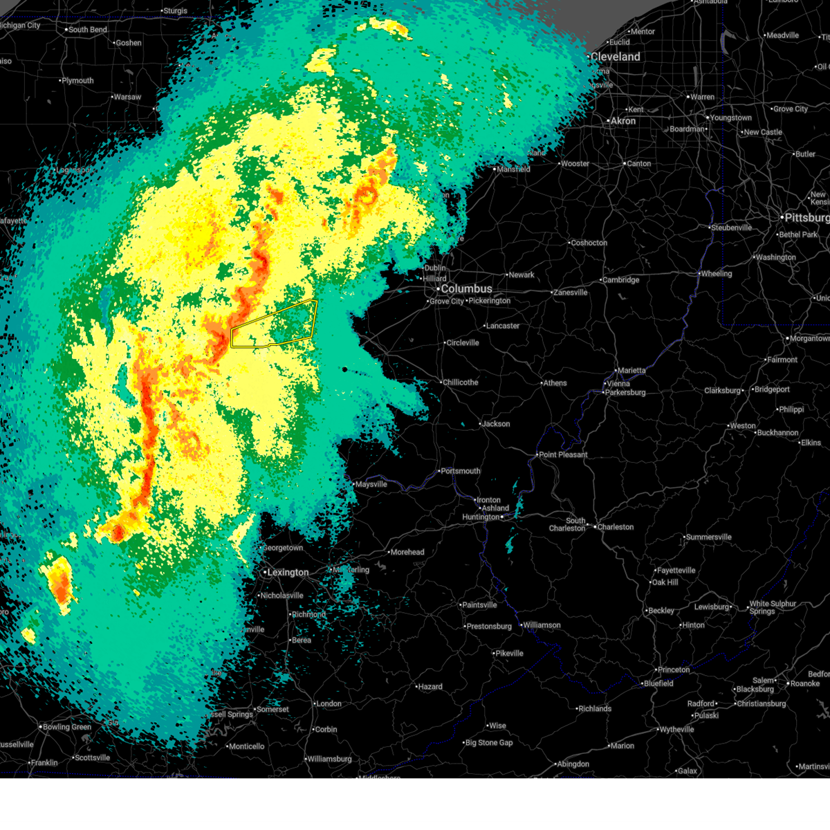 Svriln the national weather service in wilmington has issued a * severe thunderstorm warning for, southern preble county in west central ohio, northwestern greene county in west central ohio, montgomery county in west central ohio, * until 1230 am edt. * at 1157 pm edt, a severe thunderstorm was located near camden, moving northeast at 75 mph (radar indicated). Hazards include 60 mph wind gusts and penny size hail. expect damage to trees and power lines Svriln the national weather service in wilmington has issued a * severe thunderstorm warning for, southern preble county in west central ohio, northwestern greene county in west central ohio, montgomery county in west central ohio, * until 1230 am edt. * at 1157 pm edt, a severe thunderstorm was located near camden, moving northeast at 75 mph (radar indicated). Hazards include 60 mph wind gusts and penny size hail. expect damage to trees and power lines
|
| 4/2/2025 11:44 PM EDT |
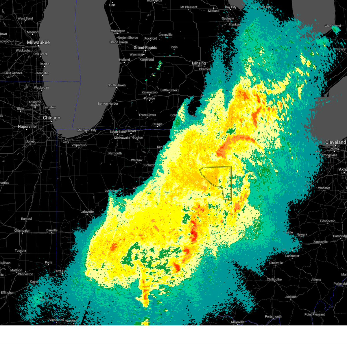 the severe thunderstorm warning has been cancelled and is no longer in effect the severe thunderstorm warning has been cancelled and is no longer in effect
|
| 4/2/2025 11:26 PM EDT |
 At 1125 pm edt, severe thunderstorms were located along a line extending from near defiance to near glandorf to 6 miles south of kalida, moving northeast at 65 mph (radar indicated). Hazards include 60 mph wind gusts. Expect damage to roofs, siding, and trees. locations impacted include, ottoville, westminster, columbus grove, pandora, melrose, harrod, charloe, bluffton, west leipsic, rimer, dupont, wisterman, ottawa, vaughnsville, prentiss, leipsic, kieferville, miller city, glandorf, and belmore. This includes interstate 75 between mile markers 130 and 141. At 1125 pm edt, severe thunderstorms were located along a line extending from near defiance to near glandorf to 6 miles south of kalida, moving northeast at 65 mph (radar indicated). Hazards include 60 mph wind gusts. Expect damage to roofs, siding, and trees. locations impacted include, ottoville, westminster, columbus grove, pandora, melrose, harrod, charloe, bluffton, west leipsic, rimer, dupont, wisterman, ottawa, vaughnsville, prentiss, leipsic, kieferville, miller city, glandorf, and belmore. This includes interstate 75 between mile markers 130 and 141.
|
| 4/2/2025 11:26 PM EDT |
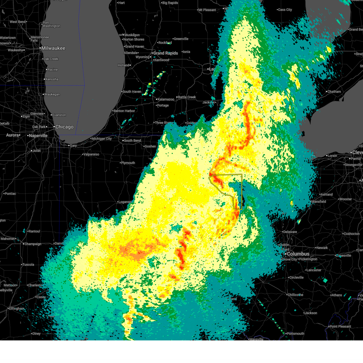 the severe thunderstorm warning has been cancelled and is no longer in effect the severe thunderstorm warning has been cancelled and is no longer in effect
|
| 4/2/2025 11:16 PM EDT |
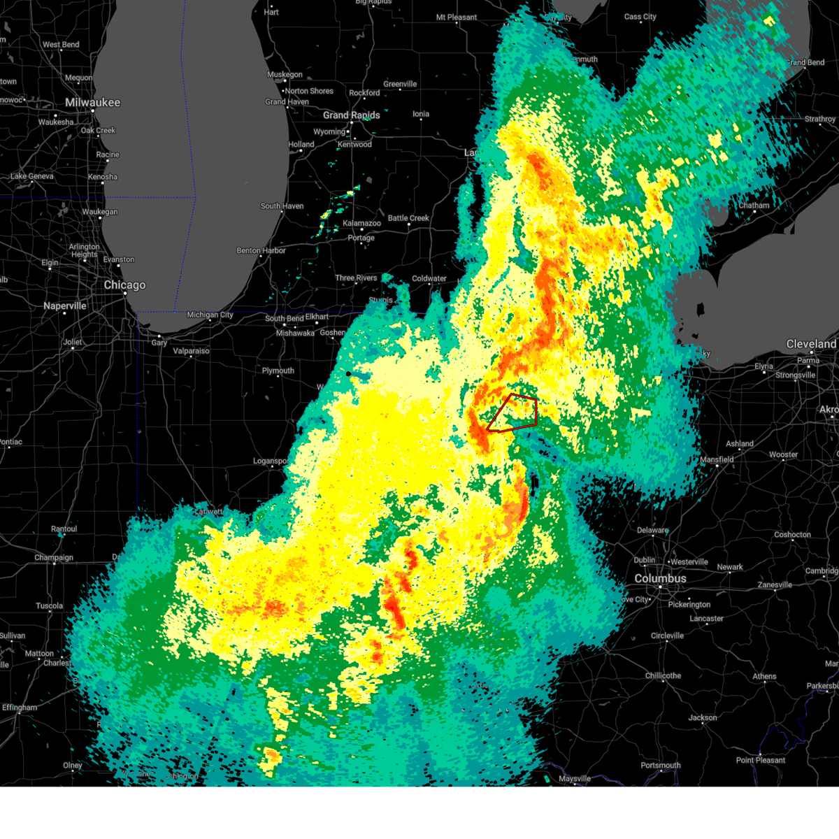 Toriwx the national weather service in northern indiana has issued a * tornado warning for, northwestern putnam county in west central ohio, southeastern defiance county in northwestern ohio, southeastern paulding county in west central ohio, south central henry county in northwestern ohio, * until 1145 pm edt. * at 1115 pm edt, a severe thunderstorm capable of producing a tornado was located near ottoville, or 12 miles north of delphos, moving northeast at 65 mph (radar indicated rotation). Hazards include tornado. Flying debris will be dangerous to those caught without shelter. mobile homes will be damaged or destroyed. damage to roofs, windows, and vehicles will occur. Tree damage is likely. Toriwx the national weather service in northern indiana has issued a * tornado warning for, northwestern putnam county in west central ohio, southeastern defiance county in northwestern ohio, southeastern paulding county in west central ohio, south central henry county in northwestern ohio, * until 1145 pm edt. * at 1115 pm edt, a severe thunderstorm capable of producing a tornado was located near ottoville, or 12 miles north of delphos, moving northeast at 65 mph (radar indicated rotation). Hazards include tornado. Flying debris will be dangerous to those caught without shelter. mobile homes will be damaged or destroyed. damage to roofs, windows, and vehicles will occur. Tree damage is likely.
|
| 4/2/2025 11:02 PM EDT |
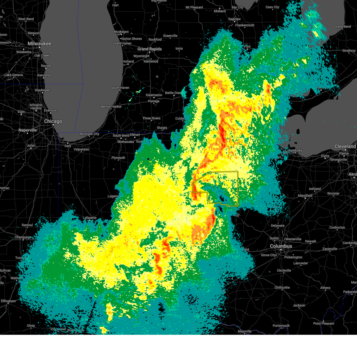 At 1102 pm edt, severe thunderstorms were located along a line extending from near payne to near van wert to near rockford, moving northeast at 60 mph (radar indicated). Hazards include 70 mph wind gusts. Expect considerable tree damage. damage is likely to mobile homes, roofs, and outbuildings. locations impacted include, elida, ottoville, yoder, westminster, columbus grove, bluffton, cavett, haviland, west leipsic, rimer, latty, dupont, venedocia, convoy, ottawa, wetzel, vaughnsville, kieferville, glandorf, and spencerville in allen county. This includes interstate 75 between mile markers 119 and 141. At 1102 pm edt, severe thunderstorms were located along a line extending from near payne to near van wert to near rockford, moving northeast at 60 mph (radar indicated). Hazards include 70 mph wind gusts. Expect considerable tree damage. damage is likely to mobile homes, roofs, and outbuildings. locations impacted include, elida, ottoville, yoder, westminster, columbus grove, bluffton, cavett, haviland, west leipsic, rimer, latty, dupont, venedocia, convoy, ottawa, wetzel, vaughnsville, kieferville, glandorf, and spencerville in allen county. This includes interstate 75 between mile markers 119 and 141.
|
| 4/2/2025 11:02 PM EDT |
 the severe thunderstorm warning has been cancelled and is no longer in effect the severe thunderstorm warning has been cancelled and is no longer in effect
|
| 4/2/2025 10:43 PM EDT |
 Svriwx the national weather service in northern indiana has issued a * severe thunderstorm warning for, southeastern allen county in northeastern indiana, northern adams county in northeastern indiana, putnam county in west central ohio, southeastern paulding county in west central ohio, van wert county in west central ohio, allen county in west central ohio, * until midnight edt. * at 1042 pm edt, severe thunderstorms were located along a line extending from near decatur to 6 miles west of rockford to st. henry, moving northeast at 65 mph (radar indicated). Hazards include 70 mph wind gusts. Expect considerable tree damage. Damage is likely to mobile homes, roofs, and outbuildings. Svriwx the national weather service in northern indiana has issued a * severe thunderstorm warning for, southeastern allen county in northeastern indiana, northern adams county in northeastern indiana, putnam county in west central ohio, southeastern paulding county in west central ohio, van wert county in west central ohio, allen county in west central ohio, * until midnight edt. * at 1042 pm edt, severe thunderstorms were located along a line extending from near decatur to 6 miles west of rockford to st. henry, moving northeast at 65 mph (radar indicated). Hazards include 70 mph wind gusts. Expect considerable tree damage. Damage is likely to mobile homes, roofs, and outbuildings.
|
| 3/30/2025 9:11 PM EDT |
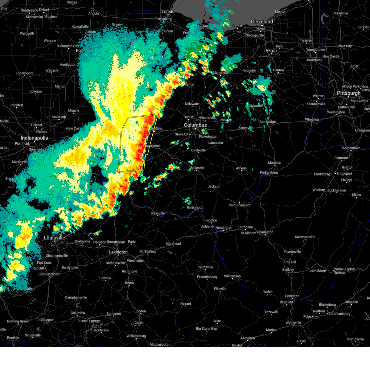 The storms which prompted the warning have moved out of the area. therefore, the warning will be allowed to expire. a tornado watch remains in effect until 100 am edt for southwestern and west central ohio. a severe thunderstorm watch remains in effect until 1000 pm edt for west central ohio. please report previous wind damage or hail to the national weather service by going to our website at weather.gov/iln and submitting your report via social media. remember, a severe thunderstorm warning still remains in effect for southern champaign county, clark county, montgomery county, eastern warren county, and greene county! remember, a tornado warning still remains in effect for eastern warren county!. The storms which prompted the warning have moved out of the area. therefore, the warning will be allowed to expire. a tornado watch remains in effect until 100 am edt for southwestern and west central ohio. a severe thunderstorm watch remains in effect until 1000 pm edt for west central ohio. please report previous wind damage or hail to the national weather service by going to our website at weather.gov/iln and submitting your report via social media. remember, a severe thunderstorm warning still remains in effect for southern champaign county, clark county, montgomery county, eastern warren county, and greene county! remember, a tornado warning still remains in effect for eastern warren county!.
|
| 3/30/2025 8:45 PM EDT |
 the severe thunderstorm warning has been cancelled and is no longer in effect the severe thunderstorm warning has been cancelled and is no longer in effect
|
| 3/30/2025 8:45 PM EDT |
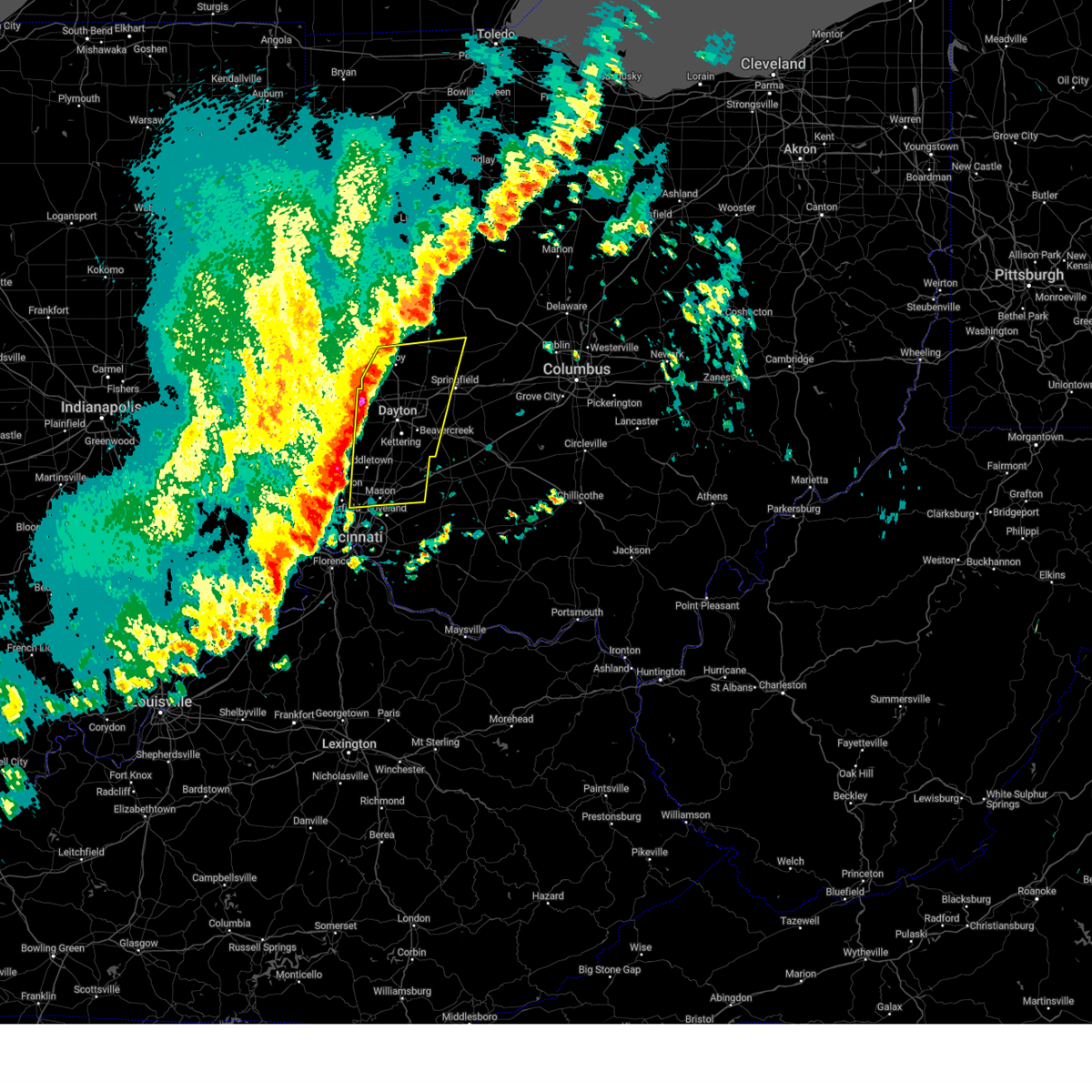 At 844 pm edt, severe thunderstorms were located along a line extending from near piqua to near williamsdale, moving northeast at 70 mph (radar indicated). Hazards include 60 mph wind gusts and nickel size hail. Expect damage to trees and power lines. locations impacted include, franklin, englewood, casstown, state route 63 at state route 741, fort ancient, potsdam, beckett ridge, west milton, pekin, corwin, south middletown, wright-patterson afb, oldtown, caesar creek state park, yellow springs, new carlisle, dialton, hunter, roxanna, and clayton. this includes the following interstates, i-70 in ohio between mile markers 19 and 53. i-71 in ohio between mile markers 23 and 41. I-75 in ohio between mile markers 19 and 81. At 844 pm edt, severe thunderstorms were located along a line extending from near piqua to near williamsdale, moving northeast at 70 mph (radar indicated). Hazards include 60 mph wind gusts and nickel size hail. Expect damage to trees and power lines. locations impacted include, franklin, englewood, casstown, state route 63 at state route 741, fort ancient, potsdam, beckett ridge, west milton, pekin, corwin, south middletown, wright-patterson afb, oldtown, caesar creek state park, yellow springs, new carlisle, dialton, hunter, roxanna, and clayton. this includes the following interstates, i-70 in ohio between mile markers 19 and 53. i-71 in ohio between mile markers 23 and 41. I-75 in ohio between mile markers 19 and 81.
|
| 3/30/2025 8:22 PM EDT |
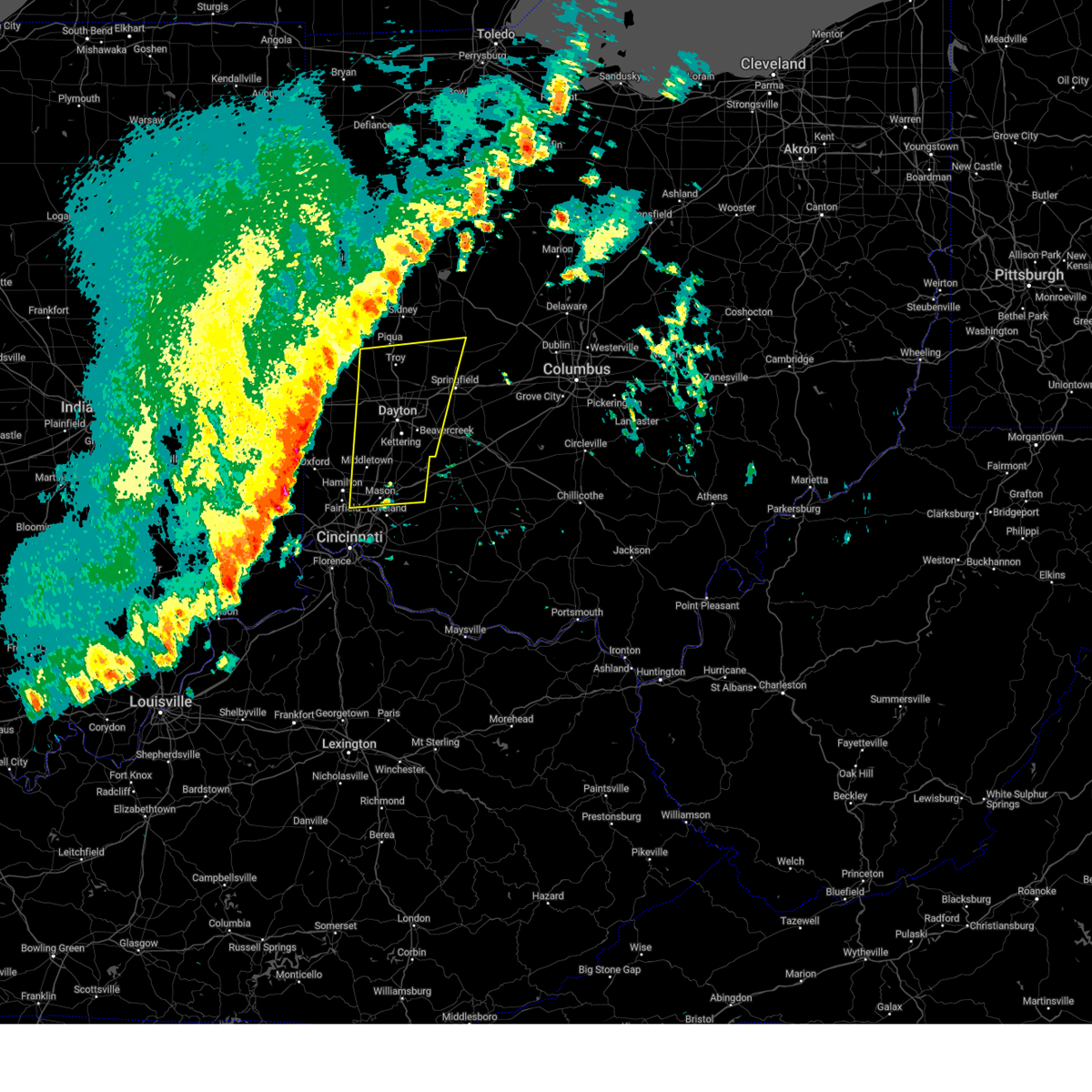 Svriln the national weather service in wilmington has issued a * severe thunderstorm warning for, southwestern champaign county in west central ohio, eastern butler county in southwestern ohio, warren county in southwestern ohio, southeastern darke county in west central ohio, western greene county in west central ohio, western clark county in west central ohio, montgomery county in west central ohio, miami county in west central ohio, * until 915 pm edt. * at 821 pm edt, severe thunderstorms were located along a line extending from arcanum to near bright, moving northeast at 70 mph (radar indicated). Hazards include 60 mph wind gusts and quarter size hail. Minor hail damage to vehicles is possible. Expect wind damage to trees and power lines. Svriln the national weather service in wilmington has issued a * severe thunderstorm warning for, southwestern champaign county in west central ohio, eastern butler county in southwestern ohio, warren county in southwestern ohio, southeastern darke county in west central ohio, western greene county in west central ohio, western clark county in west central ohio, montgomery county in west central ohio, miami county in west central ohio, * until 915 pm edt. * at 821 pm edt, severe thunderstorms were located along a line extending from arcanum to near bright, moving northeast at 70 mph (radar indicated). Hazards include 60 mph wind gusts and quarter size hail. Minor hail damage to vehicles is possible. Expect wind damage to trees and power lines.
|
| 3/30/2025 5:57 PM EDT |
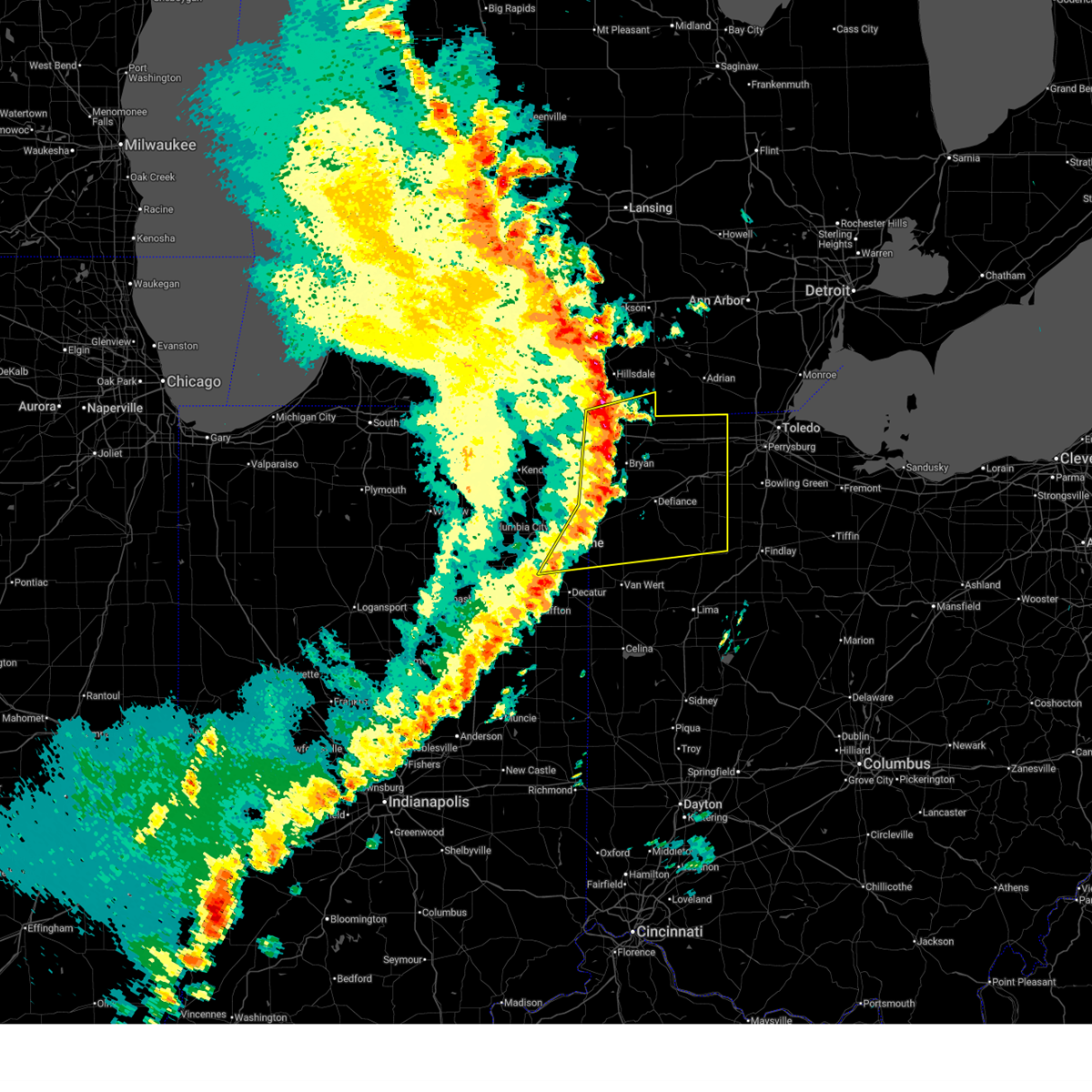 At 557 pm edt, severe thunderstorms were located along a line extending from 8 miles west of pioneer to woodburn, moving northeast at 45 mph (radar indicated). Hazards include 70 mph wind gusts and nickel size hail. Expect considerable tree damage. damage is likely to mobile homes, roofs, and outbuildings. locations impacted include, paulding, grelton, ridgeville corners, gerald, liberty center, fayette, lake seneca, zulu, tedrow, antwerp, latty, okolona, mark center, kunkle, worstville, bryan, poe, hessen cassel, florida, and winameg. this includes the following highways, interstate 469 between mile markers 12 and 22. interstate 80 in indiana near mile marker 156. Interstate 80 in ohio between mile markers 0 and 48. At 557 pm edt, severe thunderstorms were located along a line extending from 8 miles west of pioneer to woodburn, moving northeast at 45 mph (radar indicated). Hazards include 70 mph wind gusts and nickel size hail. Expect considerable tree damage. damage is likely to mobile homes, roofs, and outbuildings. locations impacted include, paulding, grelton, ridgeville corners, gerald, liberty center, fayette, lake seneca, zulu, tedrow, antwerp, latty, okolona, mark center, kunkle, worstville, bryan, poe, hessen cassel, florida, and winameg. this includes the following highways, interstate 469 between mile markers 12 and 22. interstate 80 in indiana near mile marker 156. Interstate 80 in ohio between mile markers 0 and 48.
|
| 3/30/2025 5:34 PM EDT |
 Svriwx the national weather service in northern indiana has issued a * severe thunderstorm warning for, steuben county in northeastern indiana, allen county in northeastern indiana, de kalb county in northeastern indiana, southern hillsdale county in southeastern michigan, northern putnam county in west central ohio, defiance county in northwestern ohio, paulding county in west central ohio, henry county in northwestern ohio, northwestern van wert county in west central ohio, williams county in northwestern ohio, fulton county in northwestern ohio, * until 630 pm edt. * at 533 pm edt, severe thunderstorms were located along a line extending from angola to near ossian, moving east at 70 mph (radar indicated). Hazards include 70 mph wind gusts and nickel size hail. Expect considerable tree damage. Damage is likely to mobile homes, roofs, and outbuildings. Svriwx the national weather service in northern indiana has issued a * severe thunderstorm warning for, steuben county in northeastern indiana, allen county in northeastern indiana, de kalb county in northeastern indiana, southern hillsdale county in southeastern michigan, northern putnam county in west central ohio, defiance county in northwestern ohio, paulding county in west central ohio, henry county in northwestern ohio, northwestern van wert county in west central ohio, williams county in northwestern ohio, fulton county in northwestern ohio, * until 630 pm edt. * at 533 pm edt, severe thunderstorms were located along a line extending from angola to near ossian, moving east at 70 mph (radar indicated). Hazards include 70 mph wind gusts and nickel size hail. Expect considerable tree damage. Damage is likely to mobile homes, roofs, and outbuildings.
|
| 3/16/2025 12:24 PM EDT |
 At 1224 pm edt, severe thunderstorms were located along a line extending from near timberlake to near chesterland to near cuyahoga falls to near green, moving northeast at 75 mph (radar indicated). Hazards include 60 mph wind gusts. Expect damage to trees and power lines. Locations impacted include, akron, painesville, willowick, ravenna, chardon, fairport harbor, cuyahoga falls, mentor, kent, barberton, green, solon, willoughby, hudson, twinsburg, eastlake, tallmadge, streetsboro, warrensville heights, and macedonia. At 1224 pm edt, severe thunderstorms were located along a line extending from near timberlake to near chesterland to near cuyahoga falls to near green, moving northeast at 75 mph (radar indicated). Hazards include 60 mph wind gusts. Expect damage to trees and power lines. Locations impacted include, akron, painesville, willowick, ravenna, chardon, fairport harbor, cuyahoga falls, mentor, kent, barberton, green, solon, willoughby, hudson, twinsburg, eastlake, tallmadge, streetsboro, warrensville heights, and macedonia.
|
| 3/16/2025 12:24 PM EDT |
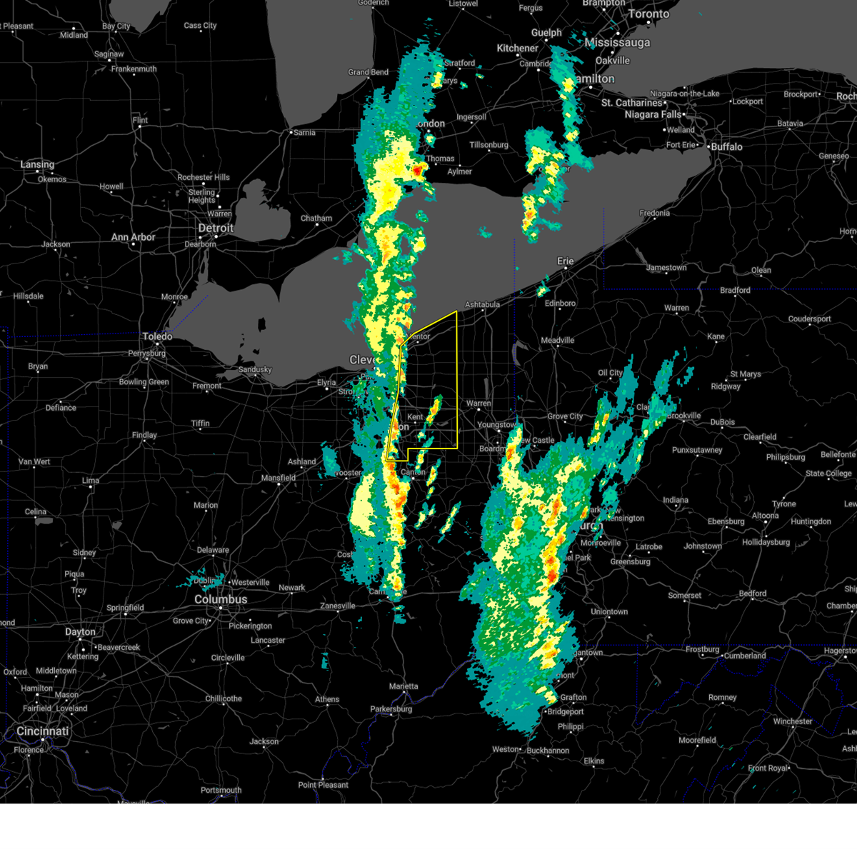 the severe thunderstorm warning has been cancelled and is no longer in effect the severe thunderstorm warning has been cancelled and is no longer in effect
|
| 3/16/2025 12:01 PM EDT |
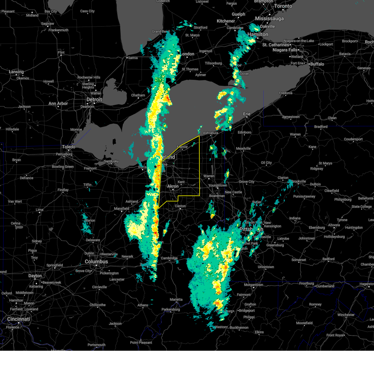 Svrcle the national weather service in cleveland has issued a * severe thunderstorm warning for, portage county in northeastern ohio, geauga county in northeastern ohio, cuyahoga county in northeastern ohio, eastern medina county in northeastern ohio, lake county in northeastern ohio, summit county in northeastern ohio, northeastern wayne county in northeastern ohio, * until 100 pm edt. * at 1201 pm edt, severe thunderstorms were located along a line extending from 6 miles north of cleveland to parma to 6 miles southeast of brunswick, moving northeast at 70 mph (radar indicated). Hazards include 60 mph wind gusts. expect damage to trees and power lines Svrcle the national weather service in cleveland has issued a * severe thunderstorm warning for, portage county in northeastern ohio, geauga county in northeastern ohio, cuyahoga county in northeastern ohio, eastern medina county in northeastern ohio, lake county in northeastern ohio, summit county in northeastern ohio, northeastern wayne county in northeastern ohio, * until 100 pm edt. * at 1201 pm edt, severe thunderstorms were located along a line extending from 6 miles north of cleveland to parma to 6 miles southeast of brunswick, moving northeast at 70 mph (radar indicated). Hazards include 60 mph wind gusts. expect damage to trees and power lines
|
| 9/24/2024 6:16 PM EDT |
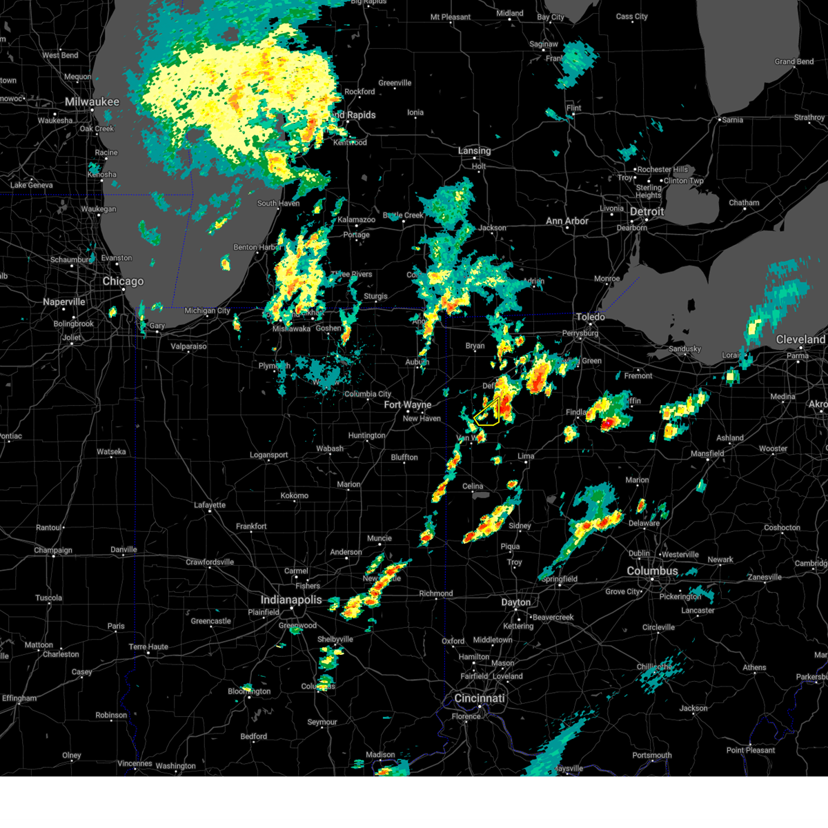 the severe thunderstorm warning has been cancelled and is no longer in effect the severe thunderstorm warning has been cancelled and is no longer in effect
|
| 9/24/2024 6:05 PM EDT |
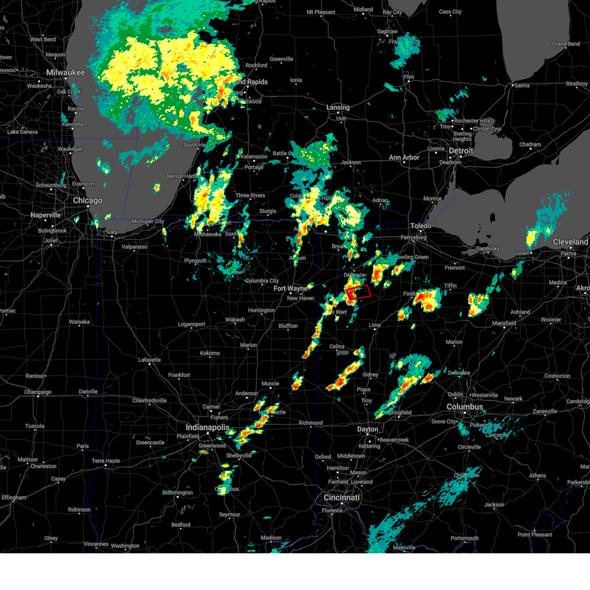 Toriwx the national weather service in northern indiana has issued a * tornado warning for, northwestern putnam county in west central ohio, southeastern paulding county in west central ohio, * until 645 pm edt. * at 605 pm edt, a severe thunderstorm capable of producing a tornado was located near continental, or 14 miles south of defiance, moving east at 20 mph (radar indicated rotation). Hazards include tornado and half dollar size hail. Flying debris will be dangerous to those caught without shelter. mobile homes will be damaged or destroyed. damage to roofs, windows, and vehicles will occur. tree damage is likely. this dangerous storm will be near, continental around 610 pm edt. Other locations impacted by this tornadic thunderstorm include dupont, north creek, wisterman, kieferville, and melrose. Toriwx the national weather service in northern indiana has issued a * tornado warning for, northwestern putnam county in west central ohio, southeastern paulding county in west central ohio, * until 645 pm edt. * at 605 pm edt, a severe thunderstorm capable of producing a tornado was located near continental, or 14 miles south of defiance, moving east at 20 mph (radar indicated rotation). Hazards include tornado and half dollar size hail. Flying debris will be dangerous to those caught without shelter. mobile homes will be damaged or destroyed. damage to roofs, windows, and vehicles will occur. tree damage is likely. this dangerous storm will be near, continental around 610 pm edt. Other locations impacted by this tornadic thunderstorm include dupont, north creek, wisterman, kieferville, and melrose.
|
| 9/24/2024 5:51 PM EDT |
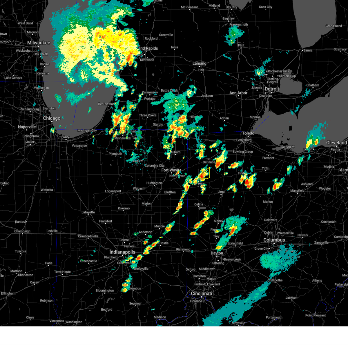 Svriwx the national weather service in northern indiana has issued a * severe thunderstorm warning for, southeastern paulding county in west central ohio, * until 630 pm edt. * at 550 pm edt, a severe thunderstorm was located 9 miles northwest of ottoville, or 11 miles northeast of van wert, moving northeast at 20 mph (radar indicated). Hazards include 60 mph wind gusts and half dollar size hail. Hail damage to vehicles is expected. Expect wind damage to roofs, siding, and trees. Svriwx the national weather service in northern indiana has issued a * severe thunderstorm warning for, southeastern paulding county in west central ohio, * until 630 pm edt. * at 550 pm edt, a severe thunderstorm was located 9 miles northwest of ottoville, or 11 miles northeast of van wert, moving northeast at 20 mph (radar indicated). Hazards include 60 mph wind gusts and half dollar size hail. Hail damage to vehicles is expected. Expect wind damage to roofs, siding, and trees.
|
| 9/24/2024 5:28 PM EDT |
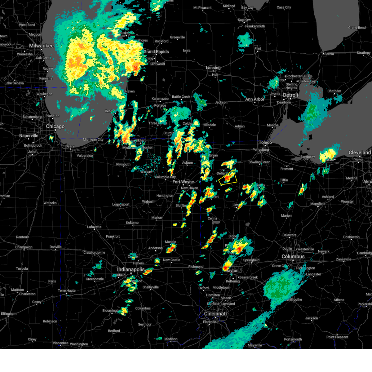 The storm which prompted the warning has weakened below severe limits, and no longer poses an immediate threat to life or property. therefore, the warning will be allowed to expire. however, wind gusts to 40 to 50 mph are still possible with this storm. the storm may reintensify, so stay weather aware. The storm which prompted the warning has weakened below severe limits, and no longer poses an immediate threat to life or property. therefore, the warning will be allowed to expire. however, wind gusts to 40 to 50 mph are still possible with this storm. the storm may reintensify, so stay weather aware.
|
| 9/24/2024 5:14 PM EDT |
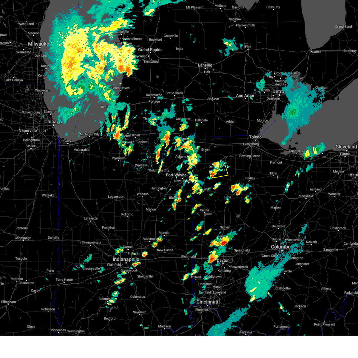 At 514 pm edt, a severe thunderstorm was located near continental, or 10 miles south of defiance, moving northeast at 15 mph (radar indicated). Hazards include 60 mph wind gusts. Expect damage to roofs, siding, and trees. Locations impacted include, continental, holgate, melrose, new bavaria, north creek, arthur, charloe, pleasant bend, and wisterman. At 514 pm edt, a severe thunderstorm was located near continental, or 10 miles south of defiance, moving northeast at 15 mph (radar indicated). Hazards include 60 mph wind gusts. Expect damage to roofs, siding, and trees. Locations impacted include, continental, holgate, melrose, new bavaria, north creek, arthur, charloe, pleasant bend, and wisterman.
|
| 9/24/2024 5:11 PM EDT |
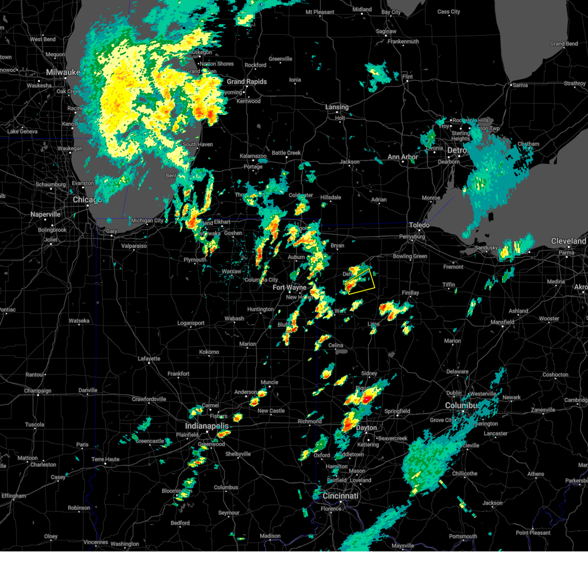 At 511 pm edt, a severe thunderstorm was located near continental, or 10 miles southeast of defiance, moving northeast at 35 mph (radar indicated). Hazards include 60 mph wind gusts. Expect damage to roofs, siding, and trees. Locations impacted include, continental, holgate, melrose, new bavaria, north creek, kieferville, arthur, charloe, pleasant bend, wisterman, ayersville, and standley. At 511 pm edt, a severe thunderstorm was located near continental, or 10 miles southeast of defiance, moving northeast at 35 mph (radar indicated). Hazards include 60 mph wind gusts. Expect damage to roofs, siding, and trees. Locations impacted include, continental, holgate, melrose, new bavaria, north creek, kieferville, arthur, charloe, pleasant bend, wisterman, ayersville, and standley.
|
| 9/24/2024 4:54 PM EDT |
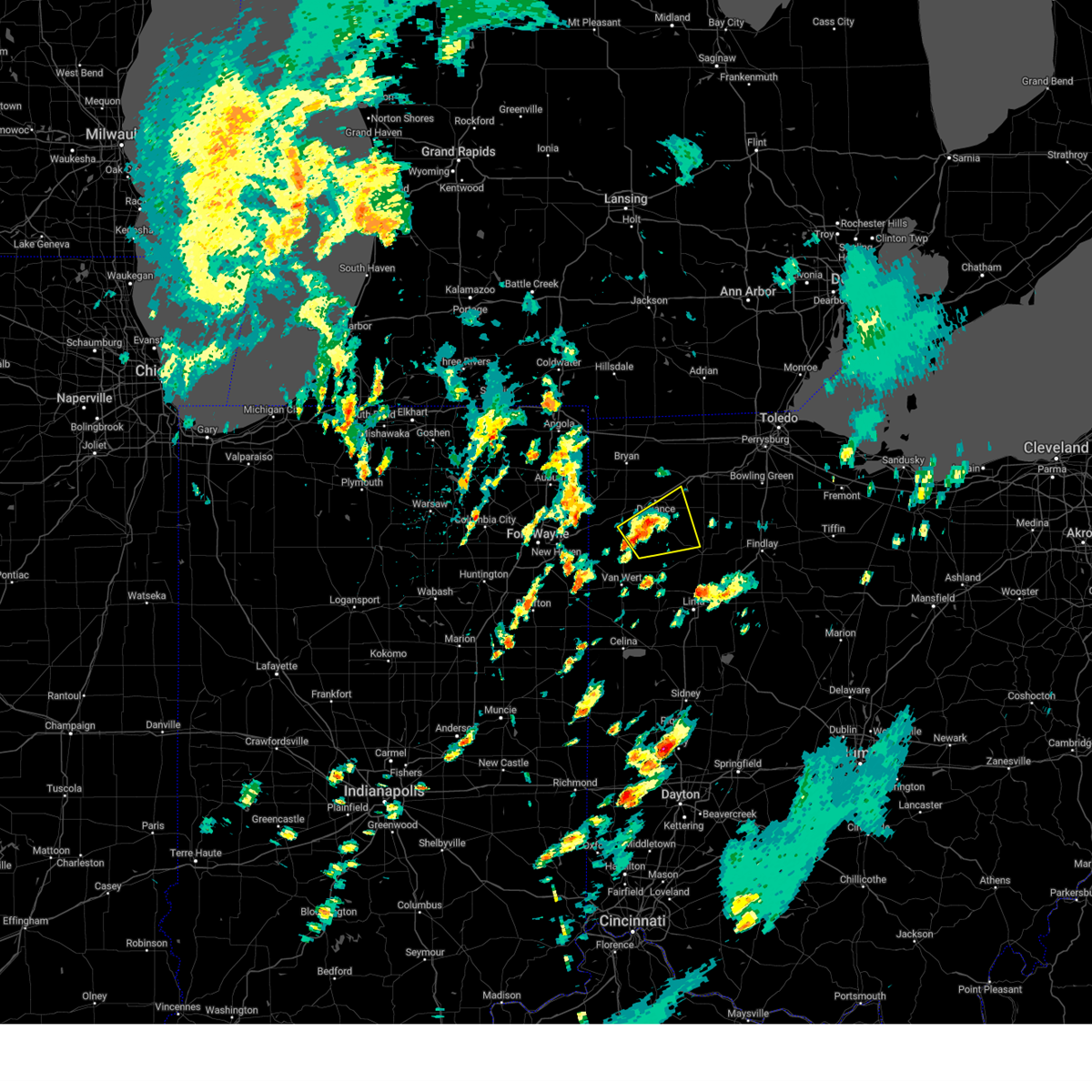 At 454 pm edt, a severe thunderstorm was located near continental, or 11 miles south of defiance, moving northeast at 35 mph (radar indicated). Hazards include 60 mph wind gusts and quarter size hail. Hail damage to vehicles is expected. expect wind damage to roofs, siding, and trees. Locations impacted include, defiance, paulding, continental, holgate, grover hill, dupont, melrose, florida, cloverdale, miller city, broughton, new bavaria, kieferville, arthur, charloe, pleasant bend, ayersville, roselms, north creek, and mandale. At 454 pm edt, a severe thunderstorm was located near continental, or 11 miles south of defiance, moving northeast at 35 mph (radar indicated). Hazards include 60 mph wind gusts and quarter size hail. Hail damage to vehicles is expected. expect wind damage to roofs, siding, and trees. Locations impacted include, defiance, paulding, continental, holgate, grover hill, dupont, melrose, florida, cloverdale, miller city, broughton, new bavaria, kieferville, arthur, charloe, pleasant bend, ayersville, roselms, north creek, and mandale.
|
| 9/24/2024 4:36 PM EDT |
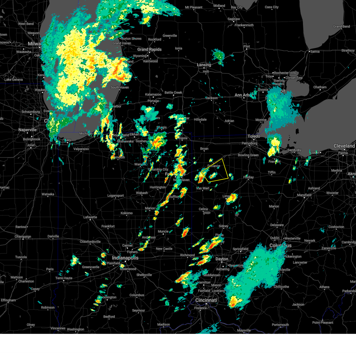 Svriwx the national weather service in northern indiana has issued a * severe thunderstorm warning for, southeastern defiance county in northwestern ohio, northwestern putnam county in west central ohio, eastern paulding county in west central ohio, south central henry county in northwestern ohio, * until 530 pm edt. * at 436 pm edt, a severe thunderstorm was located near paulding, or 13 miles north of van wert, moving northeast at 35 mph (radar indicated). Hazards include quarter size hail. damage to vehicles is expected Svriwx the national weather service in northern indiana has issued a * severe thunderstorm warning for, southeastern defiance county in northwestern ohio, northwestern putnam county in west central ohio, eastern paulding county in west central ohio, south central henry county in northwestern ohio, * until 530 pm edt. * at 436 pm edt, a severe thunderstorm was located near paulding, or 13 miles north of van wert, moving northeast at 35 mph (radar indicated). Hazards include quarter size hail. damage to vehicles is expected
|
| 8/27/2024 7:52 PM EDT |
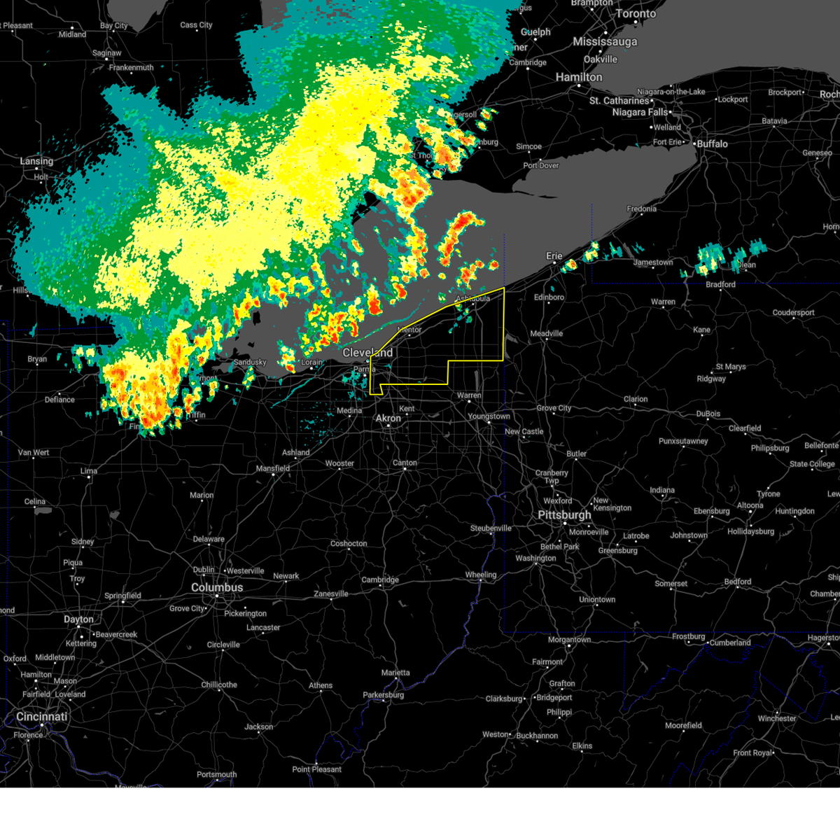 Svrcle the national weather service in cleveland has issued a * severe thunderstorm warning for, geauga county in northeastern ohio, eastern cuyahoga county in northeastern ohio, lake county in northeastern ohio, ashtabula county in northeastern ohio, * until 845 pm edt. * at 752 pm edt, severe thunderstorms were located along a line extending from 19 miles northwest of geneva-on-the-lake to near fairport harbor to 10 miles north of lakewood, moving east at 50 mph (radar indicated). Hazards include 60 mph wind gusts. expect damage to trees and power lines Svrcle the national weather service in cleveland has issued a * severe thunderstorm warning for, geauga county in northeastern ohio, eastern cuyahoga county in northeastern ohio, lake county in northeastern ohio, ashtabula county in northeastern ohio, * until 845 pm edt. * at 752 pm edt, severe thunderstorms were located along a line extending from 19 miles northwest of geneva-on-the-lake to near fairport harbor to 10 miles north of lakewood, moving east at 50 mph (radar indicated). Hazards include 60 mph wind gusts. expect damage to trees and power lines
|
| 8/6/2024 5:07 PM EDT |
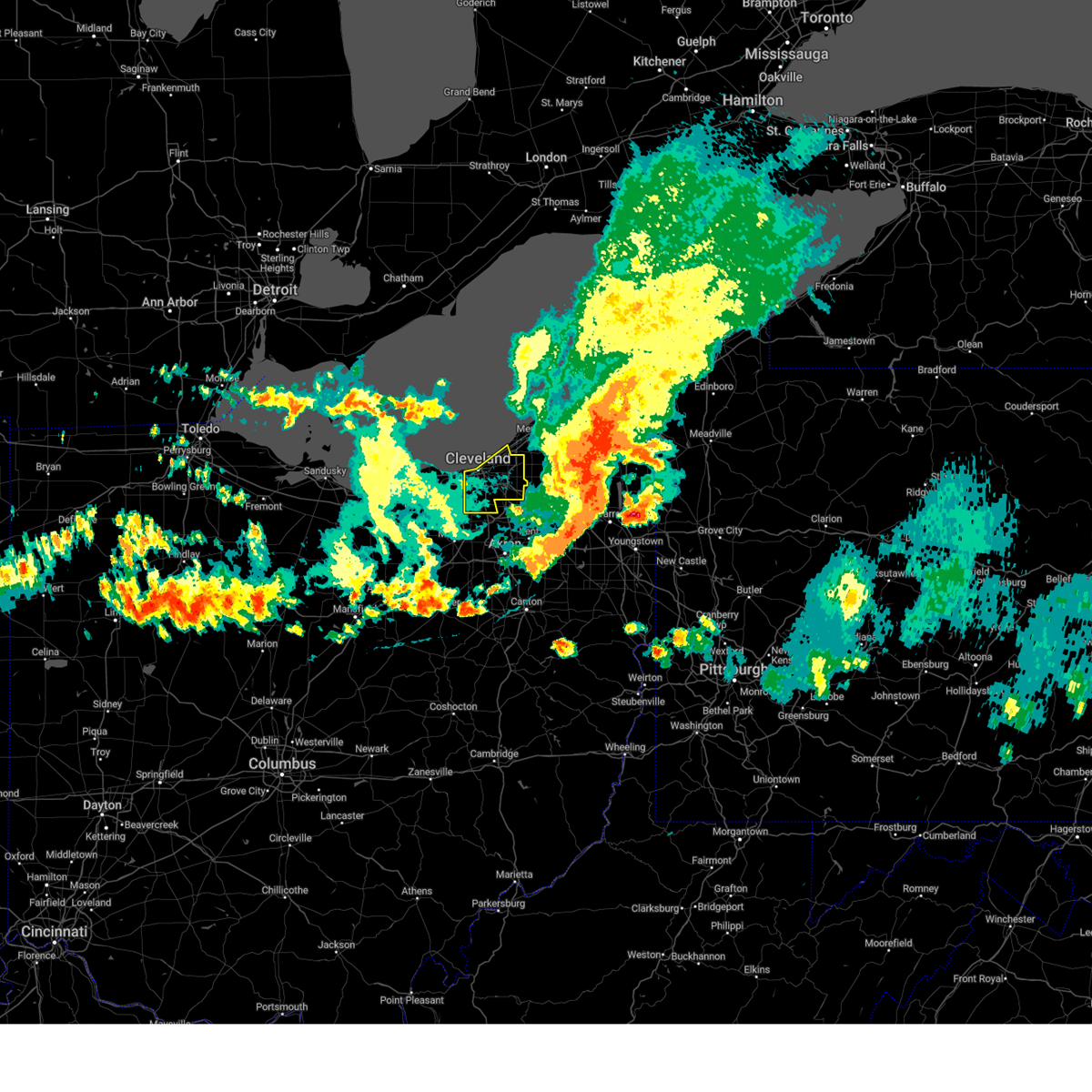 The storm which prompted the warning has moved out of the area. therefore, the warning will be allowed to expire. a severe thunderstorm watch remains in effect until 700 pm edt for northeastern ohio. The storm which prompted the warning has moved out of the area. therefore, the warning will be allowed to expire. a severe thunderstorm watch remains in effect until 700 pm edt for northeastern ohio.
|
| 8/6/2024 4:40 PM EDT |
 The storm which prompted the warning has moved out of the area. therefore, the warning will be allowed to expire. however, gusty winds and heavy rain are still possible with this thunderstorm. a severe thunderstorm watch remains in effect until 700 pm edt for northeastern ohio. The storm which prompted the warning has moved out of the area. therefore, the warning will be allowed to expire. however, gusty winds and heavy rain are still possible with this thunderstorm. a severe thunderstorm watch remains in effect until 700 pm edt for northeastern ohio.
|
| 8/6/2024 4:35 PM EDT |
 Svrcle the national weather service in cleveland has issued a * severe thunderstorm warning for, cuyahoga county in northeastern ohio, * until 515 pm edt. * at 435 pm edt, a severe thunderstorm was located over warrensville heights, or near cleveland, moving east at 45 mph (trained weather spotters. damaging winds are continuing behind the main line of thunderstorms). Hazards include 60 mph wind gusts. expect damage to trees and power lines Svrcle the national weather service in cleveland has issued a * severe thunderstorm warning for, cuyahoga county in northeastern ohio, * until 515 pm edt. * at 435 pm edt, a severe thunderstorm was located over warrensville heights, or near cleveland, moving east at 45 mph (trained weather spotters. damaging winds are continuing behind the main line of thunderstorms). Hazards include 60 mph wind gusts. expect damage to trees and power lines
|
| 8/6/2024 4:34 PM EDT |
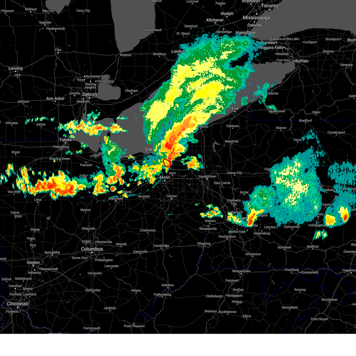 At 434 pm edt, a severe squall line capable of producing both tornadoes and extensive straight line wind damage was located over streetsboro, or 10 miles northwest of ravenna, moving southeast at 40 mph (radar indicated rotation). Hazards include tornado. Flying debris will be dangerous to those caught without shelter. mobile homes will be damaged or destroyed. damage to roofs, windows, and vehicles will occur. tree damage is likely. This tornadic thunderstorm will remain over mainly rural areas of east central cuyahoga and northeastern summit counties, including the following locations, bedford heights, glenwillow, northfield, reminderville, bedford, walton hills, and aurora. At 434 pm edt, a severe squall line capable of producing both tornadoes and extensive straight line wind damage was located over streetsboro, or 10 miles northwest of ravenna, moving southeast at 40 mph (radar indicated rotation). Hazards include tornado. Flying debris will be dangerous to those caught without shelter. mobile homes will be damaged or destroyed. damage to roofs, windows, and vehicles will occur. tree damage is likely. This tornadic thunderstorm will remain over mainly rural areas of east central cuyahoga and northeastern summit counties, including the following locations, bedford heights, glenwillow, northfield, reminderville, bedford, walton hills, and aurora.
|
| 8/6/2024 4:33 PM EDT |
 At 433 pm edt, a severe squall line capable of producing both tornadoes and extensive straight line wind damage was located over euclid, or near willowick, moving southeast at 25 mph (radar indicated rotation). Hazards include tornado. Flying debris will be dangerous to those caught without shelter. mobile homes will be damaged or destroyed. damage to roofs, windows, and vehicles will occur. tree damage is likely. these dangerous storms will be near, chesterland around 440 pm edt. south russell around 500 pm edt. Other locations impacted by this tornadic thunderstorm include woodmere, waite hill, mayfield, moreland hills, chagrin falls, bentleyville, orange, gates mills, kirtland, and bedford heights. At 433 pm edt, a severe squall line capable of producing both tornadoes and extensive straight line wind damage was located over euclid, or near willowick, moving southeast at 25 mph (radar indicated rotation). Hazards include tornado. Flying debris will be dangerous to those caught without shelter. mobile homes will be damaged or destroyed. damage to roofs, windows, and vehicles will occur. tree damage is likely. these dangerous storms will be near, chesterland around 440 pm edt. south russell around 500 pm edt. Other locations impacted by this tornadic thunderstorm include woodmere, waite hill, mayfield, moreland hills, chagrin falls, bentleyville, orange, gates mills, kirtland, and bedford heights.
|
| 8/6/2024 4:18 PM EDT |
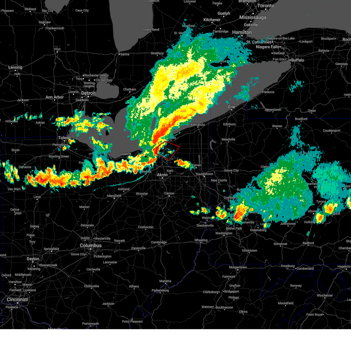 Torcle the national weather service in cleveland has issued a * tornado warning for, southwestern geauga county in northeastern ohio, northeastern cuyahoga county in northeastern ohio, southwestern lake county in northeastern ohio, * until 500 pm edt. * at 418 pm edt, severe thunderstorms capable of producing both tornadoes and extensive straight line wind damage were located near euclid, or 8 miles west of willowick, moving southeast at 25 mph (radar indicated rotation). Hazards include tornado. Flying debris will be dangerous to those caught without shelter. mobile homes will be damaged or destroyed. damage to roofs, windows, and vehicles will occur. tree damage is likely. these dangerous storms will be near, cleveland, euclid, and cleveland heights around 425 pm edt. chesterland around 440 pm edt. Other locations impacted by this tornadic thunderstorm include waite hill, bratenahl, richmond heights, north randall, moreland hills, warrensville heigh, shaker heights, bentleyville, orange, and highland heights. Torcle the national weather service in cleveland has issued a * tornado warning for, southwestern geauga county in northeastern ohio, northeastern cuyahoga county in northeastern ohio, southwestern lake county in northeastern ohio, * until 500 pm edt. * at 418 pm edt, severe thunderstorms capable of producing both tornadoes and extensive straight line wind damage were located near euclid, or 8 miles west of willowick, moving southeast at 25 mph (radar indicated rotation). Hazards include tornado. Flying debris will be dangerous to those caught without shelter. mobile homes will be damaged or destroyed. damage to roofs, windows, and vehicles will occur. tree damage is likely. these dangerous storms will be near, cleveland, euclid, and cleveland heights around 425 pm edt. chesterland around 440 pm edt. Other locations impacted by this tornadic thunderstorm include waite hill, bratenahl, richmond heights, north randall, moreland hills, warrensville heigh, shaker heights, bentleyville, orange, and highland heights.
|
| 8/6/2024 4:09 PM EDT |
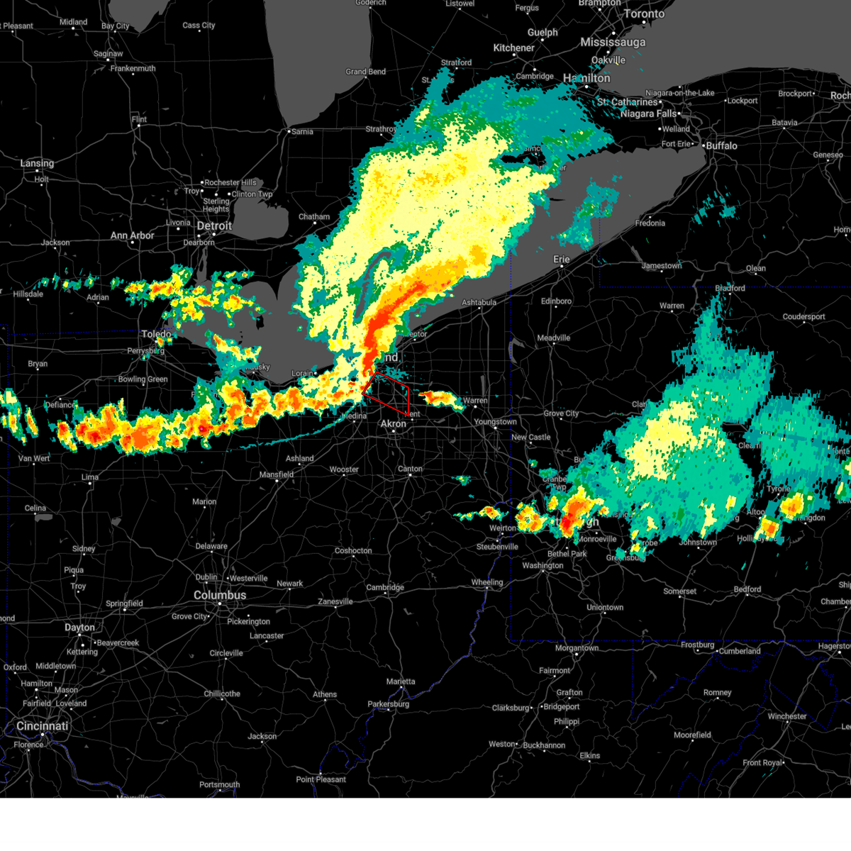 Torcle the national weather service in cleveland has issued a * tornado warning for, southeastern cuyahoga county in northeastern ohio, northern summit county in northeastern ohio, * until 445 pm edt. * at 409 pm edt, a tornado producing storm was located over parma, or 7 miles south of cleveland, moving southeast at 40 mph (radar confirmed tornado). Hazards include damaging tornado. Flying debris will be dangerous to those caught without shelter. mobile homes will be damaged or destroyed. damage to roofs, windows, and vehicles will occur. tree damage is likely. this tornadic storm will be near, macedonia around 415 pm edt. hudson and twinsburg around 420 pm edt. streetsboro around 430 pm edt. Other locations impacted by this tornadic thunderstorm include glenwillow, independence, valley view, brooklyn heights, seven hills, newburgh heights, cuyahoga heights, walton hills, broadview heights, and garfield heights. Torcle the national weather service in cleveland has issued a * tornado warning for, southeastern cuyahoga county in northeastern ohio, northern summit county in northeastern ohio, * until 445 pm edt. * at 409 pm edt, a tornado producing storm was located over parma, or 7 miles south of cleveland, moving southeast at 40 mph (radar confirmed tornado). Hazards include damaging tornado. Flying debris will be dangerous to those caught without shelter. mobile homes will be damaged or destroyed. damage to roofs, windows, and vehicles will occur. tree damage is likely. this tornadic storm will be near, macedonia around 415 pm edt. hudson and twinsburg around 420 pm edt. streetsboro around 430 pm edt. Other locations impacted by this tornadic thunderstorm include glenwillow, independence, valley view, brooklyn heights, seven hills, newburgh heights, cuyahoga heights, walton hills, broadview heights, and garfield heights.
|
| 8/6/2024 4:06 PM EDT |
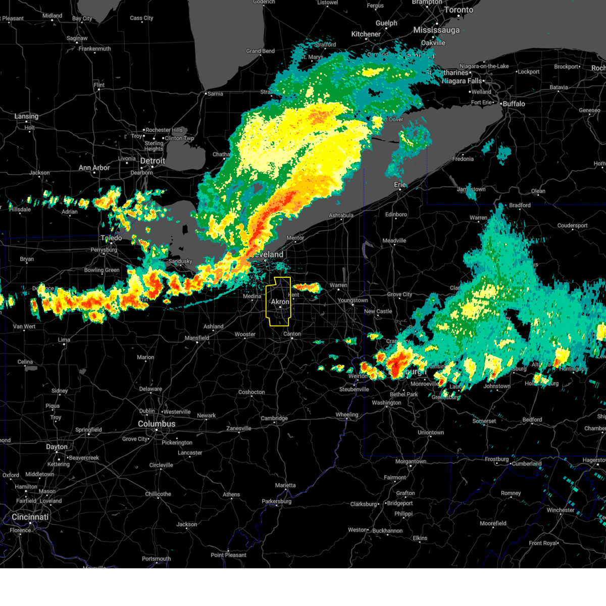 Svrcle the national weather service in cleveland has issued a * severe thunderstorm warning for, summit county in northeastern ohio, * until 500 pm edt. * at 405 pm edt, severe thunderstorms were located along a line extending from near strongsville to 7 miles north of lodi to new london, moving east at 55 mph (trained weather spotters). Hazards include 60 mph wind gusts. expect damage to trees and power lines Svrcle the national weather service in cleveland has issued a * severe thunderstorm warning for, summit county in northeastern ohio, * until 500 pm edt. * at 405 pm edt, severe thunderstorms were located along a line extending from near strongsville to 7 miles north of lodi to new london, moving east at 55 mph (trained weather spotters). Hazards include 60 mph wind gusts. expect damage to trees and power lines
|
| 8/6/2024 3:28 PM EDT |
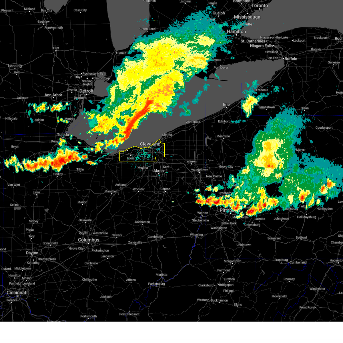 Svrcle the national weather service in cleveland has issued a * severe thunderstorm warning for, cuyahoga county in northeastern ohio, northern lorain county in north central ohio, * until 430 pm edt. * at 328 pm edt, severe thunderstorms were located along a line extending from 32 miles northwest of lakeline to 12 miles north of avon lake to western vermilion, moving southeast at 60 mph (radar indicated). Hazards include 70 mph wind gusts. Expect considerable tree damage. Damage is likely to mobile homes, roofs, and outbuildings. Svrcle the national weather service in cleveland has issued a * severe thunderstorm warning for, cuyahoga county in northeastern ohio, northern lorain county in north central ohio, * until 430 pm edt. * at 328 pm edt, severe thunderstorms were located along a line extending from 32 miles northwest of lakeline to 12 miles north of avon lake to western vermilion, moving southeast at 60 mph (radar indicated). Hazards include 70 mph wind gusts. Expect considerable tree damage. Damage is likely to mobile homes, roofs, and outbuildings.
|
| 7/14/2024 3:15 PM EDT |
 At 315 pm edt, severe thunderstorms were located along a line extending from near enon to near west carrollton, moving east at 35 mph (radar indicated). Hazards include 60 mph wind gusts. Expect damage to trees and power lines. locations impacted include, dayton, kettering, beavercreek, huber heights, fairborn, xenia, trotwood, miamisburg, springboro, bellbrook, moraine, oakwood, yellow springs, wright-patterson afb, west carrollton, wilberforce, riverside, germantown, clifton, and centerville. this includes the following interstates, i-70 in ohio between mile markers 39 and 41. I-75 in ohio between mile markers 41 and 58. At 315 pm edt, severe thunderstorms were located along a line extending from near enon to near west carrollton, moving east at 35 mph (radar indicated). Hazards include 60 mph wind gusts. Expect damage to trees and power lines. locations impacted include, dayton, kettering, beavercreek, huber heights, fairborn, xenia, trotwood, miamisburg, springboro, bellbrook, moraine, oakwood, yellow springs, wright-patterson afb, west carrollton, wilberforce, riverside, germantown, clifton, and centerville. this includes the following interstates, i-70 in ohio between mile markers 39 and 41. I-75 in ohio between mile markers 41 and 58.
|
| 7/14/2024 3:02 PM EDT |
 Svriln the national weather service in wilmington has issued a * severe thunderstorm warning for, northwestern greene county in west central ohio, montgomery county in west central ohio, * until 345 pm edt. * at 301 pm edt, severe thunderstorms were located along a line extending from near tipp city to near west alexandria, moving southeast at 35 mph (radar indicated). Hazards include 60 mph wind gusts. expect damage to trees and power lines Svriln the national weather service in wilmington has issued a * severe thunderstorm warning for, northwestern greene county in west central ohio, montgomery county in west central ohio, * until 345 pm edt. * at 301 pm edt, severe thunderstorms were located along a line extending from near tipp city to near west alexandria, moving southeast at 35 mph (radar indicated). Hazards include 60 mph wind gusts. expect damage to trees and power lines
|
| 6/29/2024 12:09 PM EDT |
 the severe thunderstorm warning has been cancelled and is no longer in effect the severe thunderstorm warning has been cancelled and is no longer in effect
|
| 6/29/2024 12:09 PM EDT |
 At 1209 pm edt, a severe thunderstorm was located over macedonia, or 12 miles southeast of cleveland, moving east at 45 mph (radar indicated). Hazards include 60 mph wind gusts. Expect damage to trees and power lines. Locations impacted include, cleveland, ravenna, cuyahoga falls, kent, solon, hudson, twinsburg, streetsboro, warrensville heights, macedonia, south russell, middlefield, garrettsville, burton, highland hills, mantua, stow, garfield heights, shaker heights, and maple heights. At 1209 pm edt, a severe thunderstorm was located over macedonia, or 12 miles southeast of cleveland, moving east at 45 mph (radar indicated). Hazards include 60 mph wind gusts. Expect damage to trees and power lines. Locations impacted include, cleveland, ravenna, cuyahoga falls, kent, solon, hudson, twinsburg, streetsboro, warrensville heights, macedonia, south russell, middlefield, garrettsville, burton, highland hills, mantua, stow, garfield heights, shaker heights, and maple heights.
|
| 6/29/2024 11:59 AM EDT |
 Svrcle the national weather service in cleveland has issued a * severe thunderstorm warning for, northern portage county in northeastern ohio, southern geauga county in northeastern ohio, southeastern cuyahoga county in northeastern ohio, northeastern medina county in northeastern ohio, northern summit county in northeastern ohio, * until 100 pm edt. * at 1159 am edt, a severe thunderstorm was located near north royalton, or 10 miles south of cleveland, moving east at 45 mph (radar indicated). Hazards include 60 mph wind gusts. expect damage to trees and power lines Svrcle the national weather service in cleveland has issued a * severe thunderstorm warning for, northern portage county in northeastern ohio, southern geauga county in northeastern ohio, southeastern cuyahoga county in northeastern ohio, northeastern medina county in northeastern ohio, northern summit county in northeastern ohio, * until 100 pm edt. * at 1159 am edt, a severe thunderstorm was located near north royalton, or 10 miles south of cleveland, moving east at 45 mph (radar indicated). Hazards include 60 mph wind gusts. expect damage to trees and power lines
|
| 6/23/2024 3:27 PM EDT |
 Svrcle the national weather service in cleveland has issued a * severe thunderstorm warning for, northern portage county in northeastern ohio, southern geauga county in northeastern ohio, southeastern cuyahoga county in northeastern ohio, northern summit county in northeastern ohio, * until 415 pm edt. * at 327 pm edt, severe thunderstorms were located along a line extending from near highland hills to near solon to near macedonia, moving east at 35 mph (radar indicated). Hazards include 60 mph wind gusts. expect damage to trees and power lines Svrcle the national weather service in cleveland has issued a * severe thunderstorm warning for, northern portage county in northeastern ohio, southern geauga county in northeastern ohio, southeastern cuyahoga county in northeastern ohio, northern summit county in northeastern ohio, * until 415 pm edt. * at 327 pm edt, severe thunderstorms were located along a line extending from near highland hills to near solon to near macedonia, moving east at 35 mph (radar indicated). Hazards include 60 mph wind gusts. expect damage to trees and power lines
|
| 6/17/2024 4:16 PM EDT |
 The severe thunderstorm which prompted the warning has weakened. therefore, the warning has been allowed to expire. please report previous wind damage or hail to the national weather service by going to our website at weather.gov/iln and submitting your report via social media. The severe thunderstorm which prompted the warning has weakened. therefore, the warning has been allowed to expire. please report previous wind damage or hail to the national weather service by going to our website at weather.gov/iln and submitting your report via social media.
|
| 6/17/2024 4:05 PM EDT |
 At 405 pm edt, a severe thunderstorm was located over oakwood, moving east at 15 mph (radar indicated). Hazards include 60 mph wind gusts. Expect damage to trees and power lines. locations impacted include, dayton, kettering, huber heights, trotwood, miamisburg, moraine, oakwood, west carrollton, riverside, drexel, and overlook-page mano. This includes i-75 in ohio between mile markers 46 and 57. At 405 pm edt, a severe thunderstorm was located over oakwood, moving east at 15 mph (radar indicated). Hazards include 60 mph wind gusts. Expect damage to trees and power lines. locations impacted include, dayton, kettering, huber heights, trotwood, miamisburg, moraine, oakwood, west carrollton, riverside, drexel, and overlook-page mano. This includes i-75 in ohio between mile markers 46 and 57.
|
| 6/17/2024 3:43 PM EDT |
 Svriln the national weather service in wilmington has issued a * severe thunderstorm warning for, central montgomery county in west central ohio, * until 415 pm edt. * at 343 pm edt, a severe thunderstorm was located over moraine, moving east at 15 mph (radar indicated). Hazards include 60 mph wind gusts. expect damage to trees and power lines Svriln the national weather service in wilmington has issued a * severe thunderstorm warning for, central montgomery county in west central ohio, * until 415 pm edt. * at 343 pm edt, a severe thunderstorm was located over moraine, moving east at 15 mph (radar indicated). Hazards include 60 mph wind gusts. expect damage to trees and power lines
|
| 6/17/2024 3:02 PM EDT |
 Svriln the national weather service in wilmington has issued a * severe thunderstorm warning for, northwestern greene county in west central ohio, eastern montgomery county in west central ohio, * until 345 pm edt. * at 302 pm edt, a severe thunderstorm was located over oakwood, moving northeast at 15 mph (radar indicated). Hazards include 60 mph wind gusts and penny size hail. expect damage to trees and power lines Svriln the national weather service in wilmington has issued a * severe thunderstorm warning for, northwestern greene county in west central ohio, eastern montgomery county in west central ohio, * until 345 pm edt. * at 302 pm edt, a severe thunderstorm was located over oakwood, moving northeast at 15 mph (radar indicated). Hazards include 60 mph wind gusts and penny size hail. expect damage to trees and power lines
|
| 5/26/2024 7:26 PM EDT |
 Svrcle the national weather service in cleveland has issued a * severe thunderstorm warning for, northwestern portage county in northeastern ohio, geauga county in northeastern ohio, cuyahoga county in northeastern ohio, southwestern lake county in northeastern ohio, northeastern summit county in northeastern ohio, northeastern lorain county in north central ohio, * until 815 pm edt. * at 725 pm edt, severe thunderstorms were located along a line extending from near hudson to avon lake, moving northeast at 40 mph (radar indicated). Hazards include 60 mph wind gusts. expect damage to trees and power lines Svrcle the national weather service in cleveland has issued a * severe thunderstorm warning for, northwestern portage county in northeastern ohio, geauga county in northeastern ohio, cuyahoga county in northeastern ohio, southwestern lake county in northeastern ohio, northeastern summit county in northeastern ohio, northeastern lorain county in north central ohio, * until 815 pm edt. * at 725 pm edt, severe thunderstorms were located along a line extending from near hudson to avon lake, moving northeast at 40 mph (radar indicated). Hazards include 60 mph wind gusts. expect damage to trees and power lines
|
| 5/26/2024 3:22 PM EDT |
 Svriln the national weather service in wilmington has issued a * severe thunderstorm warning for, east central preble county in west central ohio, southwestern champaign county in west central ohio, southeastern darke county in west central ohio, northwestern clark county in west central ohio, northwestern greene county in west central ohio, montgomery county in west central ohio, miami county in west central ohio, * until 400 pm edt. * at 322 pm edt, a severe thunderstorm was located over moraine, moving north at 45 mph (radar indicated). Hazards include 60 mph wind gusts. expect damage to trees and power lines Svriln the national weather service in wilmington has issued a * severe thunderstorm warning for, east central preble county in west central ohio, southwestern champaign county in west central ohio, southeastern darke county in west central ohio, northwestern clark county in west central ohio, northwestern greene county in west central ohio, montgomery county in west central ohio, miami county in west central ohio, * until 400 pm edt. * at 322 pm edt, a severe thunderstorm was located over moraine, moving north at 45 mph (radar indicated). Hazards include 60 mph wind gusts. expect damage to trees and power lines
|
| 5/22/2024 10:28 PM EDT |
 The storms which prompted the warning have weakened below severe limits, and have exited the warned area. therefore, the warning will be allowed to expire. however, gusty winds are still possible with these thunderstorms. The storms which prompted the warning have weakened below severe limits, and have exited the warned area. therefore, the warning will be allowed to expire. however, gusty winds are still possible with these thunderstorms.
|
| 5/22/2024 10:08 PM EDT |
 the severe thunderstorm warning has been cancelled and is no longer in effect the severe thunderstorm warning has been cancelled and is no longer in effect
|
| 5/22/2024 10:08 PM EDT |
 At 1008 pm edt, severe thunderstorms were located along a line extending from near cleveland heights to hudson, moving east at 40 mph (radar indicated). Hazards include 60 mph wind gusts. Expect damage to trees and power lines. Locations impacted include, cleveland, chardon, cuyahoga falls, cleveland heights, solon, hudson, twinsburg, streetsboro, warrensville heights, macedonia, south russell, middlefield, garrettsville, burton, highland hills, mantua, chesterland, stow, garfield heights, and shaker heights. At 1008 pm edt, severe thunderstorms were located along a line extending from near cleveland heights to hudson, moving east at 40 mph (radar indicated). Hazards include 60 mph wind gusts. Expect damage to trees and power lines. Locations impacted include, cleveland, chardon, cuyahoga falls, cleveland heights, solon, hudson, twinsburg, streetsboro, warrensville heights, macedonia, south russell, middlefield, garrettsville, burton, highland hills, mantua, chesterland, stow, garfield heights, and shaker heights.
|
| 5/22/2024 9:47 PM EDT |
 Svrcle the national weather service in cleveland has issued a * severe thunderstorm warning for, northern portage county in northeastern ohio, geauga county in northeastern ohio, cuyahoga county in northeastern ohio, northeastern medina county in northeastern ohio, southeastern lake county in northeastern ohio, northern summit county in northeastern ohio, * until 1030 pm edt. * at 947 pm edt, a severe thunderstorm was located over north royalton, or 10 miles south of cleveland, moving east at 55 mph (radar indicated). Hazards include 60 mph wind gusts and penny size hail. expect damage to trees and power lines Svrcle the national weather service in cleveland has issued a * severe thunderstorm warning for, northern portage county in northeastern ohio, geauga county in northeastern ohio, cuyahoga county in northeastern ohio, northeastern medina county in northeastern ohio, southeastern lake county in northeastern ohio, northern summit county in northeastern ohio, * until 1030 pm edt. * at 947 pm edt, a severe thunderstorm was located over north royalton, or 10 miles south of cleveland, moving east at 55 mph (radar indicated). Hazards include 60 mph wind gusts and penny size hail. expect damage to trees and power lines
|
| 5/22/2024 8:55 PM EDT |
 Svrcle the national weather service in cleveland has issued a * severe thunderstorm warning for, cuyahoga county in northeastern ohio, northeastern lorain county in north central ohio, * until 945 pm edt. * at 855 pm edt, a severe thunderstorm was located over north ridgeville, or near elyria, moving northeast at 40 mph (radar indicated). Hazards include 60 mph wind gusts and quarter size hail. Minor damage to vehicles is possible. Expect damage to trees and power lines. Svrcle the national weather service in cleveland has issued a * severe thunderstorm warning for, cuyahoga county in northeastern ohio, northeastern lorain county in north central ohio, * until 945 pm edt. * at 855 pm edt, a severe thunderstorm was located over north ridgeville, or near elyria, moving northeast at 40 mph (radar indicated). Hazards include 60 mph wind gusts and quarter size hail. Minor damage to vehicles is possible. Expect damage to trees and power lines.
|
| 5/7/2024 8:22 PM EDT |
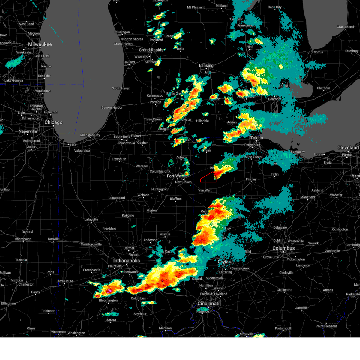 The storm which prompted the warning has moved out of the area. therefore, the warning will be allowed to expire. a tornado watch remains in effect until 1100 pm edt for west central ohio. The storm which prompted the warning has moved out of the area. therefore, the warning will be allowed to expire. a tornado watch remains in effect until 1100 pm edt for west central ohio.
|
| 5/7/2024 8:15 PM EDT |
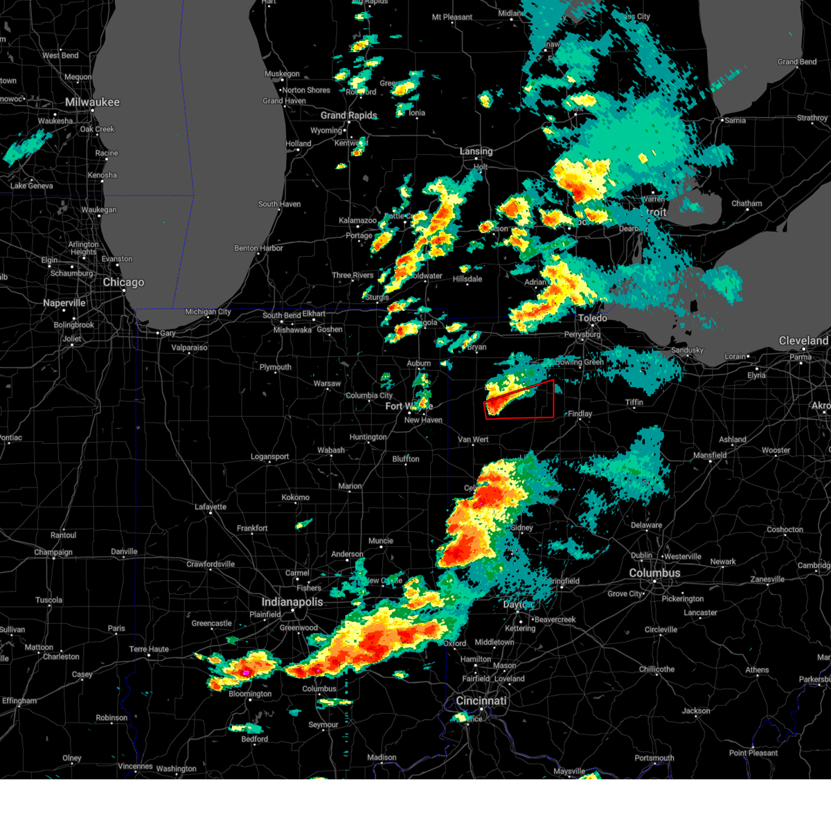 Toriwx the national weather service in northern indiana has issued a * tornado warning for, southeastern defiance county in northwestern ohio, northern putnam county in west central ohio, southeastern paulding county in west central ohio, southeastern henry county in northwestern ohio, * until 845 pm edt. * at 814 pm edt, a confirmed tornado was located near continental, or 12 miles south of defiance, moving east at 55 mph (emergency management confirmed tornado). Hazards include damaging tornado. Flying debris will be dangerous to those caught without shelter. mobile homes will be damaged or destroyed. damage to roofs, windows, and vehicles will occur. tree damage is likely. the tornado will be near, continental around 820 pm edt. leipsic around 835 pm edt. deshler around 840 pm edt. Other locations impacted by this tornadic thunderstorm include prentiss, hamler, kieferville, melrose, gallup, miller city, belmore, charloe, pleasant bend, and new bavaria. Toriwx the national weather service in northern indiana has issued a * tornado warning for, southeastern defiance county in northwestern ohio, northern putnam county in west central ohio, southeastern paulding county in west central ohio, southeastern henry county in northwestern ohio, * until 845 pm edt. * at 814 pm edt, a confirmed tornado was located near continental, or 12 miles south of defiance, moving east at 55 mph (emergency management confirmed tornado). Hazards include damaging tornado. Flying debris will be dangerous to those caught without shelter. mobile homes will be damaged or destroyed. damage to roofs, windows, and vehicles will occur. tree damage is likely. the tornado will be near, continental around 820 pm edt. leipsic around 835 pm edt. deshler around 840 pm edt. Other locations impacted by this tornadic thunderstorm include prentiss, hamler, kieferville, melrose, gallup, miller city, belmore, charloe, pleasant bend, and new bavaria.
|
| 5/7/2024 7:55 PM EDT |
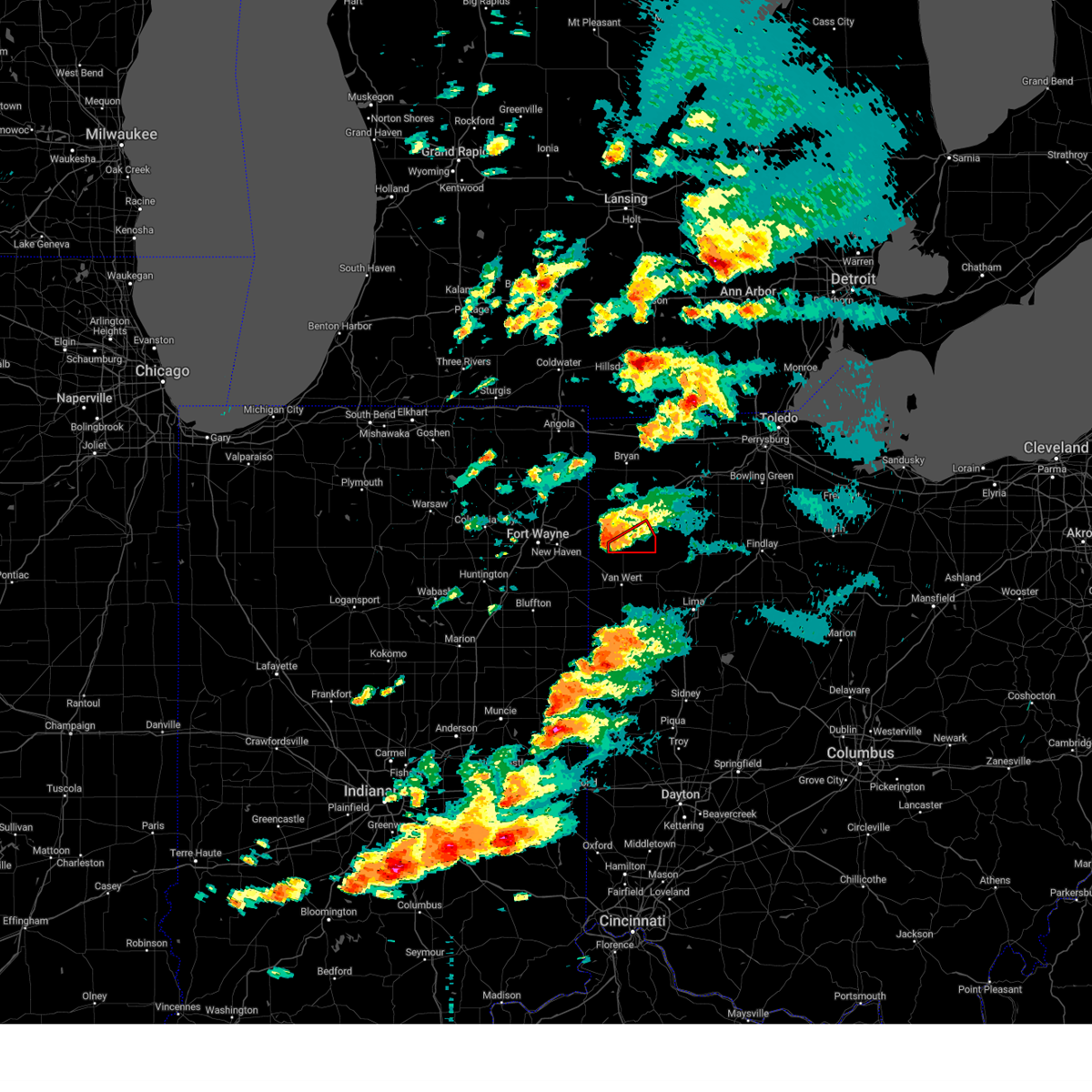 Toriwx the national weather service in northern indiana has issued a * tornado warning for, southeastern paulding county in west central ohio, * until 830 pm edt. * at 755 pm edt, a severe thunderstorm capable of producing a tornado was located near payne, or 13 miles north of van wert, moving east at 40 mph (radar indicated rotation). Hazards include tornado. Flying debris will be dangerous to those caught without shelter. mobile homes will be damaged or destroyed. damage to roofs, windows, and vehicles will occur. tree damage is likely. This tornadic thunderstorm will remain over mainly rural areas of southeastern paulding county, including the following locations, latty, charloe, briceton, melrose, and broughton. Toriwx the national weather service in northern indiana has issued a * tornado warning for, southeastern paulding county in west central ohio, * until 830 pm edt. * at 755 pm edt, a severe thunderstorm capable of producing a tornado was located near payne, or 13 miles north of van wert, moving east at 40 mph (radar indicated rotation). Hazards include tornado. Flying debris will be dangerous to those caught without shelter. mobile homes will be damaged or destroyed. damage to roofs, windows, and vehicles will occur. tree damage is likely. This tornadic thunderstorm will remain over mainly rural areas of southeastern paulding county, including the following locations, latty, charloe, briceton, melrose, and broughton.
|
| 4/17/2024 6:20 PM EDT |
 Svrcle the national weather service in cleveland has issued a * severe thunderstorm warning for, northern portage county in northeastern ohio, southern geauga county in northeastern ohio, east central cuyahoga county in northeastern ohio, northeastern summit county in northeastern ohio, * until 700 pm edt. * at 620 pm edt, a severe thunderstorm was located over solon, or 13 miles southeast of cleveland, moving east at 40 mph (radar indicated). Hazards include 60 mph wind gusts and quarter size hail. Minor damage to vehicles is possible. Expect damage to trees and power lines. Svrcle the national weather service in cleveland has issued a * severe thunderstorm warning for, northern portage county in northeastern ohio, southern geauga county in northeastern ohio, east central cuyahoga county in northeastern ohio, northeastern summit county in northeastern ohio, * until 700 pm edt. * at 620 pm edt, a severe thunderstorm was located over solon, or 13 miles southeast of cleveland, moving east at 40 mph (radar indicated). Hazards include 60 mph wind gusts and quarter size hail. Minor damage to vehicles is possible. Expect damage to trees and power lines.
|
| 4/17/2024 1:59 PM EDT |
 At 158 pm edt, severe thunderstorms were located along a line extending from 6 miles east of paulding to near continental to near delphos to near spencerville in allen county, moving east at 35 mph (radar indicated). Hazards include 60 mph wind gusts and quarter size hail. Hail damage to vehicles is expected. expect wind damage to roofs, siding, and trees. Locations impacted include, lima, delphos, ottawa, spencerville, columbus grove, leipsic, elida, kalida, continental, holgate, glandorf, ottoville, spencerville in allen county, middle point, cairo, fort jennings, grover hill, dupont, melrose, and florida. At 158 pm edt, severe thunderstorms were located along a line extending from 6 miles east of paulding to near continental to near delphos to near spencerville in allen county, moving east at 35 mph (radar indicated). Hazards include 60 mph wind gusts and quarter size hail. Hail damage to vehicles is expected. expect wind damage to roofs, siding, and trees. Locations impacted include, lima, delphos, ottawa, spencerville, columbus grove, leipsic, elida, kalida, continental, holgate, glandorf, ottoville, spencerville in allen county, middle point, cairo, fort jennings, grover hill, dupont, melrose, and florida.
|
| 4/17/2024 1:43 PM EDT |
 Svriwx the national weather service in northern indiana has issued a * severe thunderstorm warning for, southeastern defiance county in northwestern ohio, putnam county in west central ohio, southeastern paulding county in west central ohio, south central henry county in northwestern ohio, eastern van wert county in west central ohio, western allen county in west central ohio, * until 230 pm edt. * at 143 pm edt, severe thunderstorms were located along a line extending from 9 miles south of paulding to near delphos to 6 miles southwest of spencerville in allen county, moving northeast at 40 mph (radar indicated). Hazards include 60 mph wind gusts. expect damage to roofs, siding, and trees Svriwx the national weather service in northern indiana has issued a * severe thunderstorm warning for, southeastern defiance county in northwestern ohio, putnam county in west central ohio, southeastern paulding county in west central ohio, south central henry county in northwestern ohio, eastern van wert county in west central ohio, western allen county in west central ohio, * until 230 pm edt. * at 143 pm edt, severe thunderstorms were located along a line extending from 9 miles south of paulding to near delphos to 6 miles southwest of spencerville in allen county, moving northeast at 40 mph (radar indicated). Hazards include 60 mph wind gusts. expect damage to roofs, siding, and trees
|
| 2/28/2024 4:33 AM EST |
 Toriln the national weather service in wilmington has issued a * tornado warning for, western clark county in west central ohio, northern greene county in west central ohio, northeastern montgomery county in west central ohio, southeastern miami county in west central ohio, * until 500 am est. * at 433 am est, a severe thunderstorm capable of producing a tornado was located over oakwood, moving east at 40 mph (radar indicated rotation). Hazards include tornado. Flying debris will be dangerous to those caught without shelter. mobile homes will be damaged or destroyed. damage to roofs, windows, and vehicles will occur. Tree damage is likely. Toriln the national weather service in wilmington has issued a * tornado warning for, western clark county in west central ohio, northern greene county in west central ohio, northeastern montgomery county in west central ohio, southeastern miami county in west central ohio, * until 500 am est. * at 433 am est, a severe thunderstorm capable of producing a tornado was located over oakwood, moving east at 40 mph (radar indicated rotation). Hazards include tornado. Flying debris will be dangerous to those caught without shelter. mobile homes will be damaged or destroyed. damage to roofs, windows, and vehicles will occur. Tree damage is likely.
|
| 2/28/2024 4:19 AM EST |
 At 419 am est, a severe thunderstorm was located near west alexandria, moving northeast at 45 mph (radar indicated). Hazards include 60 mph wind gusts. Expect damage to trees and power lines. locations impacted include, dayton, kettering, beavercreek, huber heights, trotwood, miamisburg, vandalia, englewood, moraine, oakwood, wright-patterson afb, west carrollton, riverside, clayton, union, brookville, germantown, new lebanon, farmersville, and shiloh. this includes the following interstates, i-70 in ohio near mile marker 20, and between mile markers 23 and 41. I-75 in ohio between mile markers 45 and 65. At 419 am est, a severe thunderstorm was located near west alexandria, moving northeast at 45 mph (radar indicated). Hazards include 60 mph wind gusts. Expect damage to trees and power lines. locations impacted include, dayton, kettering, beavercreek, huber heights, trotwood, miamisburg, vandalia, englewood, moraine, oakwood, wright-patterson afb, west carrollton, riverside, clayton, union, brookville, germantown, new lebanon, farmersville, and shiloh. this includes the following interstates, i-70 in ohio near mile marker 20, and between mile markers 23 and 41. I-75 in ohio between mile markers 45 and 65.
|
| 2/28/2024 4:10 AM EST |
 Svriln the national weather service in wilmington has issued a * severe thunderstorm warning for, southeastern preble county in west central ohio, montgomery county in west central ohio, * until 500 am est. * at 410 am est, a severe thunderstorm was located near gratis, moving northeast at 45 mph (radar indicated). Hazards include 60 mph wind gusts. expect damage to trees and power lines Svriln the national weather service in wilmington has issued a * severe thunderstorm warning for, southeastern preble county in west central ohio, montgomery county in west central ohio, * until 500 am est. * at 410 am est, a severe thunderstorm was located near gratis, moving northeast at 45 mph (radar indicated). Hazards include 60 mph wind gusts. expect damage to trees and power lines
|
| 8/25/2023 12:15 AM EDT |
 At 1214 am edt, severe thunderstorms were located along a line extending from solon to 6 miles west of lodi, moving southeast at 55 mph (radar indicated). Hazards include 70 mph wind gusts. Expect considerable tree damage. damage is likely to mobile homes, roofs, and outbuildings. Locations impacted include, cleveland, akron, medina, parma, cuyahoga falls, strongsville, brunswick, north royalton, solon, hudson, wadsworth, twinsburg, streetsboro, warrensville heights, macedonia, rittman, wellington, lodi, creston and highland hills. At 1214 am edt, severe thunderstorms were located along a line extending from solon to 6 miles west of lodi, moving southeast at 55 mph (radar indicated). Hazards include 70 mph wind gusts. Expect considerable tree damage. damage is likely to mobile homes, roofs, and outbuildings. Locations impacted include, cleveland, akron, medina, parma, cuyahoga falls, strongsville, brunswick, north royalton, solon, hudson, wadsworth, twinsburg, streetsboro, warrensville heights, macedonia, rittman, wellington, lodi, creston and highland hills.
|
| 8/25/2023 12:06 AM EDT |
 At 1206 am edt, a severe thunderstorm capable of producing a tornado was located over highland hills, or 7 miles east of cleveland, moving east at 60 mph (radar indicated rotation). Hazards include tornado. Flying debris will be dangerous to those caught without shelter. mobile homes will be damaged or destroyed. damage to roofs, windows, and vehicles will occur. tree damage is likely. this dangerous storm will be near, solon and macedonia around 1210 am edt. south russell around 1215 am edt. streetsboro around 1220 am edt. mantua around 1225 am edt. garrettsville and west farmington around 1235 am edt. newton falls and bristolville around 1240 am edt. Other locations impacted by this tornadic thunderstorm include north randall, valley view, shaker heights, bentleyville, orange, seven hills, highland heights, aurora, south euclid, bainbridge, aquilla, hunting valley, lyndhurst, glenwillow, wayland, university heights, turnpike interchange, kirtland, garfield heights and claridon. At 1206 am edt, a severe thunderstorm capable of producing a tornado was located over highland hills, or 7 miles east of cleveland, moving east at 60 mph (radar indicated rotation). Hazards include tornado. Flying debris will be dangerous to those caught without shelter. mobile homes will be damaged or destroyed. damage to roofs, windows, and vehicles will occur. tree damage is likely. this dangerous storm will be near, solon and macedonia around 1210 am edt. south russell around 1215 am edt. streetsboro around 1220 am edt. mantua around 1225 am edt. garrettsville and west farmington around 1235 am edt. newton falls and bristolville around 1240 am edt. Other locations impacted by this tornadic thunderstorm include north randall, valley view, shaker heights, bentleyville, orange, seven hills, highland heights, aurora, south euclid, bainbridge, aquilla, hunting valley, lyndhurst, glenwillow, wayland, university heights, turnpike interchange, kirtland, garfield heights and claridon.
|
| 8/24/2023 11:57 PM EDT |
 At 1157 pm edt, a severe thunderstorm capable of producing a tornado was located over cleveland, moving east at 60 mph (radar indicated rotation). Hazards include tornado. Flying debris will be dangerous to those caught without shelter. mobile homes will be damaged or destroyed. damage to roofs, windows, and vehicles will occur. tree damage is likely. this dangerous storm will be near, warrensville heights and highland hills around 1205 am edt. solon and macedonia around 1210 am edt. south russell around 1215 am edt. streetsboro around 1220 am edt. mantua around 1225 am edt. garrettsville around 1230 am edt. Other locations impacted by this tornadic thunderstorm include north randall, valley view, shaker heights, bentleyville, orange, seven hills, highland heights, aurora, south euclid, bainbridge, aquilla, hunting valley, lyndhurst, glenwillow, wayland, university heights, brooklyn heights, turnpike interchange, kirtland and wickliffe. At 1157 pm edt, a severe thunderstorm capable of producing a tornado was located over cleveland, moving east at 60 mph (radar indicated rotation). Hazards include tornado. Flying debris will be dangerous to those caught without shelter. mobile homes will be damaged or destroyed. damage to roofs, windows, and vehicles will occur. tree damage is likely. this dangerous storm will be near, warrensville heights and highland hills around 1205 am edt. solon and macedonia around 1210 am edt. south russell around 1215 am edt. streetsboro around 1220 am edt. mantua around 1225 am edt. garrettsville around 1230 am edt. Other locations impacted by this tornadic thunderstorm include north randall, valley view, shaker heights, bentleyville, orange, seven hills, highland heights, aurora, south euclid, bainbridge, aquilla, hunting valley, lyndhurst, glenwillow, wayland, university heights, brooklyn heights, turnpike interchange, kirtland and wickliffe.
|
| 8/24/2023 11:34 PM EDT |
 At 1133 pm edt, severe thunderstorms were located along a line extending from 16 miles north of avon lake to 8 miles southeast of kelleys island, moving southeast at 65 mph (radar indicated). Hazards include 70 mph wind gusts. Expect considerable tree damage. Damage is likely to mobile homes, roofs, and outbuildings. At 1133 pm edt, severe thunderstorms were located along a line extending from 16 miles north of avon lake to 8 miles southeast of kelleys island, moving southeast at 65 mph (radar indicated). Hazards include 70 mph wind gusts. Expect considerable tree damage. Damage is likely to mobile homes, roofs, and outbuildings.
|
| 8/12/2023 1:24 PM EDT |
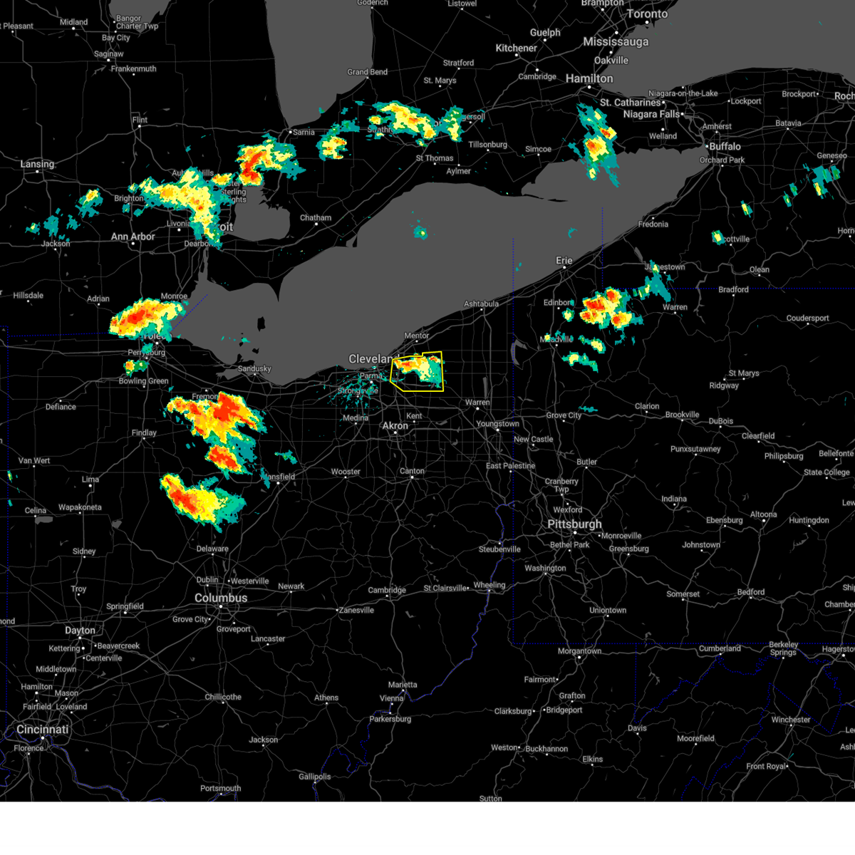 The severe thunderstorm warning for southwestern geauga and northeastern cuyahoga counties will expire at 130 pm edt, the storm which prompted the warning has weakened below severe limits, and no longer poses an immediate threat to life or property. therefore, the warning will be allowed to expire. however gusty winds are still possible with this thunderstorm. a tornado watch remains in effect until 900 pm edt for northeastern ohio. The severe thunderstorm warning for southwestern geauga and northeastern cuyahoga counties will expire at 130 pm edt, the storm which prompted the warning has weakened below severe limits, and no longer poses an immediate threat to life or property. therefore, the warning will be allowed to expire. however gusty winds are still possible with this thunderstorm. a tornado watch remains in effect until 900 pm edt for northeastern ohio.
|
| 8/12/2023 1:10 PM EDT |
 At 109 pm edt, a severe thunderstorm was located near cleveland heights and lyndhurst, or 8 miles south of willowick, moving east at 25 mph (radar indicated). Hazards include 60 mph wind gusts and penny size hail. Expect damage to trees and power lines. locations impacted include, chardon, euclid, cleveland heights, solon, warrensville heights, south russell, burton, highland hills, chesterland, shaker heights, maple heights, south euclid, mayfield heights, lyndhurst, university heights, bedford, beachwood, bedford heights, richmond heights and highland heights. hail threat, radar indicated max hail size, 0. 75 in wind threat, radar indicated max wind gust, 60 mph. At 109 pm edt, a severe thunderstorm was located near cleveland heights and lyndhurst, or 8 miles south of willowick, moving east at 25 mph (radar indicated). Hazards include 60 mph wind gusts and penny size hail. Expect damage to trees and power lines. locations impacted include, chardon, euclid, cleveland heights, solon, warrensville heights, south russell, burton, highland hills, chesterland, shaker heights, maple heights, south euclid, mayfield heights, lyndhurst, university heights, bedford, beachwood, bedford heights, richmond heights and highland heights. hail threat, radar indicated max hail size, 0. 75 in wind threat, radar indicated max wind gust, 60 mph.
|
| 8/12/2023 12:50 PM EDT |
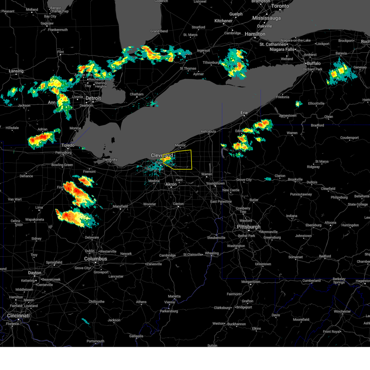 At 1250 pm edt, a severe thunderstorm was located over cleveland heights, or near cleveland, moving east at 35 mph (radar indicated). Hazards include 60 mph wind gusts and quarter size hail. Minor damage to vehicles is possible. Expect damage to trees and power lines. At 1250 pm edt, a severe thunderstorm was located over cleveland heights, or near cleveland, moving east at 35 mph (radar indicated). Hazards include 60 mph wind gusts and quarter size hail. Minor damage to vehicles is possible. Expect damage to trees and power lines.
|
| 7/29/2023 4:49 AM EDT |
 At 449 am edt, a severe thunderstorm was located near springboro, moving east at 45 mph (radar indicated). Hazards include 60 mph wind gusts. Expect damage to trees and power lines. locations impacted include, dayton, kettering, middletown, huber heights, trotwood, miamisburg, springboro, vandalia, englewood, monroe, trenton, franklin, moraine, carlisle, oakwood, south middletown, west carrollton, gratis, seven mile and hunter. this includes the following interstates, i-70 in ohio between mile markers 27 and 40. i-75 in ohio between mile markers 29 and 64. hail threat, radar indicated max hail size, <. 75 in wind threat, radar indicated max wind gust, 60 mph. At 449 am edt, a severe thunderstorm was located near springboro, moving east at 45 mph (radar indicated). Hazards include 60 mph wind gusts. Expect damage to trees and power lines. locations impacted include, dayton, kettering, middletown, huber heights, trotwood, miamisburg, springboro, vandalia, englewood, monroe, trenton, franklin, moraine, carlisle, oakwood, south middletown, west carrollton, gratis, seven mile and hunter. this includes the following interstates, i-70 in ohio between mile markers 27 and 40. i-75 in ohio between mile markers 29 and 64. hail threat, radar indicated max hail size, <. 75 in wind threat, radar indicated max wind gust, 60 mph.
|
| 7/29/2023 4:25 AM EDT |
 At 425 am edt, a severe thunderstorm was located over gratis, moving east at 45 mph (radar indicated). Hazards include 60 mph wind gusts. expect damage to trees and power lines At 425 am edt, a severe thunderstorm was located over gratis, moving east at 45 mph (radar indicated). Hazards include 60 mph wind gusts. expect damage to trees and power lines
|
| 7/29/2023 3:14 AM EDT |
 At 314 am edt, severe thunderstorms were located along a line extending from near fayette to near defiance to 6 miles east of paulding, moving east at 40 mph (radar indicated). Hazards include 60 mph wind gusts. expect damage to roofs, siding, and trees At 314 am edt, severe thunderstorms were located along a line extending from near fayette to near defiance to 6 miles east of paulding, moving east at 40 mph (radar indicated). Hazards include 60 mph wind gusts. expect damage to roofs, siding, and trees
|
| 7/26/2023 6:36 PM EDT |
 At 636 pm edt, severe thunderstorms were located along a line extending from near cleveland heights to near brunswick to near chippewa lake, moving east at 50 mph (radar indicated). Hazards include 60 mph wind gusts. Expect damage to trees and power lines. locations impacted include, cleveland, akron, medina, parma, lakewood, cuyahoga falls, euclid, cleveland heights, strongsville, brunswick, north royalton, north ridgeville, kent, solon, hudson, wadsworth, twinsburg, tallmadge, streetsboro and warrensville heights. hail threat, radar indicated max hail size, <. 75 in wind threat, radar indicated max wind gust, 60 mph. At 636 pm edt, severe thunderstorms were located along a line extending from near cleveland heights to near brunswick to near chippewa lake, moving east at 50 mph (radar indicated). Hazards include 60 mph wind gusts. Expect damage to trees and power lines. locations impacted include, cleveland, akron, medina, parma, lakewood, cuyahoga falls, euclid, cleveland heights, strongsville, brunswick, north royalton, north ridgeville, kent, solon, hudson, wadsworth, twinsburg, tallmadge, streetsboro and warrensville heights. hail threat, radar indicated max hail size, <. 75 in wind threat, radar indicated max wind gust, 60 mph.
|
| 7/26/2023 6:14 PM EDT |
 At 613 pm edt, severe thunderstorms were located along a line extending from 8 miles northeast of lakewood to near brunswick to near wellington, moving east at 25 mph (radar indicated). Hazards include 60 mph wind gusts and penny size hail. Expect damage to trees and power lines. locations impacted include, cleveland, akron, lorain, elyria, medina, parma, lakewood, cuyahoga falls, euclid, cleveland heights, strongsville, brunswick, westlake, north royalton, north ridgeville, kent, solon, avon lake, hudson and wadsworth. hail threat, radar indicated max hail size, 0. 75 in wind threat, radar indicated max wind gust, 60 mph. At 613 pm edt, severe thunderstorms were located along a line extending from 8 miles northeast of lakewood to near brunswick to near wellington, moving east at 25 mph (radar indicated). Hazards include 60 mph wind gusts and penny size hail. Expect damage to trees and power lines. locations impacted include, cleveland, akron, lorain, elyria, medina, parma, lakewood, cuyahoga falls, euclid, cleveland heights, strongsville, brunswick, westlake, north royalton, north ridgeville, kent, solon, avon lake, hudson and wadsworth. hail threat, radar indicated max hail size, 0. 75 in wind threat, radar indicated max wind gust, 60 mph.
|
| 7/26/2023 6:07 PM EDT |
 At 607 pm edt, severe thunderstorms were located along a line extending from 8 miles north of lakewood to near grafton to near wellington, moving east at 35 mph (radar indicated). Hazards include 60 mph wind gusts and penny size hail. Expect damage to trees and power lines. locations impacted include, cleveland, akron, lorain, elyria, medina, vermilion, parma, lakewood, cuyahoga falls, euclid, cleveland heights, strongsville, brunswick, westlake, north royalton, north ridgeville, kent, solon, avon lake and hudson. hail threat, radar indicated max hail size, 0. 75 in wind threat, radar indicated max wind gust, 60 mph. At 607 pm edt, severe thunderstorms were located along a line extending from 8 miles north of lakewood to near grafton to near wellington, moving east at 35 mph (radar indicated). Hazards include 60 mph wind gusts and penny size hail. Expect damage to trees and power lines. locations impacted include, cleveland, akron, lorain, elyria, medina, vermilion, parma, lakewood, cuyahoga falls, euclid, cleveland heights, strongsville, brunswick, westlake, north royalton, north ridgeville, kent, solon, avon lake and hudson. hail threat, radar indicated max hail size, 0. 75 in wind threat, radar indicated max wind gust, 60 mph.
|
| 7/26/2023 5:56 PM EDT |
 At 555 pm edt, severe thunderstorms were located along a line extending from 10 miles north of lakewood to near grafton to near wellington, moving east-northeast at 40 mph (radar indicated). Hazards include 60 mph wind gusts and penny size hail. expect damage to trees and power lines At 555 pm edt, severe thunderstorms were located along a line extending from 10 miles north of lakewood to near grafton to near wellington, moving east-northeast at 40 mph (radar indicated). Hazards include 60 mph wind gusts and penny size hail. expect damage to trees and power lines
|
| 7/26/2023 4:45 PM EDT |
 At 444 pm edt, a severe thunderstorm was located 8 miles north of lorain, moving east at 55 mph (radar indicated). Hazards include 70 mph wind gusts and penny size hail. Expect considerable tree damage. Damage is likely to mobile homes, roofs, and outbuildings. At 444 pm edt, a severe thunderstorm was located 8 miles north of lorain, moving east at 55 mph (radar indicated). Hazards include 70 mph wind gusts and penny size hail. Expect considerable tree damage. Damage is likely to mobile homes, roofs, and outbuildings.
|
| 7/25/2023 3:20 PM EDT |
 The severe thunderstorm warning for northwestern portage, southwestern geauga, east central cuyahoga and northeastern summit counties will expire at 330 pm edt, the storm which prompted the warning has weakened below severe limits, and no longer poses an immediate threat to life or property. therefore, the warning will be allowed to expire. The severe thunderstorm warning for northwestern portage, southwestern geauga, east central cuyahoga and northeastern summit counties will expire at 330 pm edt, the storm which prompted the warning has weakened below severe limits, and no longer poses an immediate threat to life or property. therefore, the warning will be allowed to expire.
|
| 7/25/2023 2:44 PM EDT |
 At 243 pm edt, a severe thunderstorm was located over chagrin falls, or 14 miles southwest of chardon, moving south at 10 mph (radar indicated). Hazards include 60 mph wind gusts and quarter size hail. Minor damage to vehicles is possible. Expect damage to trees and power lines. At 243 pm edt, a severe thunderstorm was located over chagrin falls, or 14 miles southwest of chardon, moving south at 10 mph (radar indicated). Hazards include 60 mph wind gusts and quarter size hail. Minor damage to vehicles is possible. Expect damage to trees and power lines.
|
| 7/20/2023 9:44 PM EDT |
 At 944 pm edt, a severe thunderstorm was located over dayton, moving southeast at 25 mph (radar indicated). Hazards include 60 mph wind gusts and quarter size hail. Minor hail damage to vehicles is possible. expect wind damage to trees and power lines. locations impacted include, dayton, kettering, beavercreek, huber heights, fairborn, xenia, trotwood, miamisburg, vandalia, englewood, bellbrook, moraine, oakwood, yellow springs, wright-patterson afb, west carrollton, cedarville, enon, wilberforce and riverside. this includes the following interstates, i-70 in ohio between mile markers 21 and 45. i-75 in ohio between mile markers 44 and 62. hail threat, radar indicated max hail size, 1. 00 in wind threat, radar indicated max wind gust, 60 mph. At 944 pm edt, a severe thunderstorm was located over dayton, moving southeast at 25 mph (radar indicated). Hazards include 60 mph wind gusts and quarter size hail. Minor hail damage to vehicles is possible. expect wind damage to trees and power lines. locations impacted include, dayton, kettering, beavercreek, huber heights, fairborn, xenia, trotwood, miamisburg, vandalia, englewood, bellbrook, moraine, oakwood, yellow springs, wright-patterson afb, west carrollton, cedarville, enon, wilberforce and riverside. this includes the following interstates, i-70 in ohio between mile markers 21 and 45. i-75 in ohio between mile markers 44 and 62. hail threat, radar indicated max hail size, 1. 00 in wind threat, radar indicated max wind gust, 60 mph.
|
| 7/20/2023 9:34 PM EDT |
 At 934 pm edt, a severe thunderstorm was located over englewood, moving east at 20 mph (radar indicated). Hazards include 60 mph wind gusts and quarter size hail. Minor hail damage to vehicles is possible. Expect wind damage to trees and power lines. At 934 pm edt, a severe thunderstorm was located over englewood, moving east at 20 mph (radar indicated). Hazards include 60 mph wind gusts and quarter size hail. Minor hail damage to vehicles is possible. Expect wind damage to trees and power lines.
|
| 7/20/2023 7:38 PM EDT |
 At 737 pm edt, severe thunderstorms were located along a line extending from near garrettsville to 6 miles northwest of cuyahoga falls to near wellington, moving southeast at 25 mph (radar indicated). Hazards include 60 mph wind gusts and quarter size hail. Minor damage to vehicles is possible. expect damage to trees and power lines. locations impacted include, cleveland, akron, elyria, medina, ravenna, parma, cuyahoga falls, strongsville, brunswick, westlake, north royalton, north ridgeville, kent, solon, hudson, wadsworth, twinsburg, tallmadge, streetsboro and warrensville heights. hail threat, radar indicated max hail size, 1. 00 in wind threat, radar indicated max wind gust, 60 mph. At 737 pm edt, severe thunderstorms were located along a line extending from near garrettsville to 6 miles northwest of cuyahoga falls to near wellington, moving southeast at 25 mph (radar indicated). Hazards include 60 mph wind gusts and quarter size hail. Minor damage to vehicles is possible. expect damage to trees and power lines. locations impacted include, cleveland, akron, elyria, medina, ravenna, parma, cuyahoga falls, strongsville, brunswick, westlake, north royalton, north ridgeville, kent, solon, hudson, wadsworth, twinsburg, tallmadge, streetsboro and warrensville heights. hail threat, radar indicated max hail size, 1. 00 in wind threat, radar indicated max wind gust, 60 mph.
|
| 7/20/2023 6:59 PM EDT |
 At 659 pm edt, severe thunderstorms were located along a line extending from near burton to parma to near vermilion, moving southeast at 30 mph (radar indicated). Hazards include 70 mph wind gusts and quarter size hail. Minor damage to vehicles is possible. expect considerable tree damage. Wind damage is also likely to mobile homes, roofs, and outbuildings. At 659 pm edt, severe thunderstorms were located along a line extending from near burton to parma to near vermilion, moving southeast at 30 mph (radar indicated). Hazards include 70 mph wind gusts and quarter size hail. Minor damage to vehicles is possible. expect considerable tree damage. Wind damage is also likely to mobile homes, roofs, and outbuildings.
|
| 7/20/2023 6:51 PM EDT |
 At 650 pm edt, severe thunderstorms were located along a line extending from north kingsville to 6 miles east of chardon to highland hills, moving southwest at 10 mph (radar indicated). Hazards include 70 mph wind gusts and quarter size hail. Minor damage to vehicles is possible. expect considerable tree damage. wind damage is also likely to mobile homes, roofs, and outbuildings. locations impacted include, cleveland, painesville, ashtabula, willowick, conneaut, chardon, fairport harbor, geneva-on-the-lake, euclid, mentor, cleveland heights, solon, willoughby, twinsburg, eastlake, warrensville heights, macedonia, geneva, south russell and madison. thunderstorm damage threat, considerable hail threat, radar indicated max hail size, 1. 00 in wind threat, radar indicated max wind gust, 70 mph. At 650 pm edt, severe thunderstorms were located along a line extending from north kingsville to 6 miles east of chardon to highland hills, moving southwest at 10 mph (radar indicated). Hazards include 70 mph wind gusts and quarter size hail. Minor damage to vehicles is possible. expect considerable tree damage. wind damage is also likely to mobile homes, roofs, and outbuildings. locations impacted include, cleveland, painesville, ashtabula, willowick, conneaut, chardon, fairport harbor, geneva-on-the-lake, euclid, mentor, cleveland heights, solon, willoughby, twinsburg, eastlake, warrensville heights, macedonia, geneva, south russell and madison. thunderstorm damage threat, considerable hail threat, radar indicated max hail size, 1. 00 in wind threat, radar indicated max wind gust, 70 mph.
|
| 7/20/2023 5:58 PM EDT |
 At 557 pm edt, severe thunderstorms were located along a line extending from 19 miles north of ashtabula to 6 miles northwest of fairport harbor to 15 miles northwest of euclid, moving southeast at 45 mph (radar indicated). Hazards include 70 mph wind gusts and quarter size hail. Minor damage to vehicles is possible. expect considerable tree damage. Wind damage is also likely to mobile homes, roofs, and outbuildings. At 557 pm edt, severe thunderstorms were located along a line extending from 19 miles north of ashtabula to 6 miles northwest of fairport harbor to 15 miles northwest of euclid, moving southeast at 45 mph (radar indicated). Hazards include 70 mph wind gusts and quarter size hail. Minor damage to vehicles is possible. expect considerable tree damage. Wind damage is also likely to mobile homes, roofs, and outbuildings.
|
| 7/20/2023 5:51 PM EDT |
 The severe thunderstorm warning for east central allen, southern defiance and paulding counties will expire at 600 pm edt, the storm which prompted the warning has weakened below severe limits, and no longer poses an immediate threat to life or property. therefore, the warning will be allowed to expire. a severe thunderstorm watch remains in effect until 1100 pm edt for northeastern indiana, and northwestern and west central ohio. The severe thunderstorm warning for east central allen, southern defiance and paulding counties will expire at 600 pm edt, the storm which prompted the warning has weakened below severe limits, and no longer poses an immediate threat to life or property. therefore, the warning will be allowed to expire. a severe thunderstorm watch remains in effect until 1100 pm edt for northeastern indiana, and northwestern and west central ohio.
|
| 7/20/2023 5:51 PM EDT |
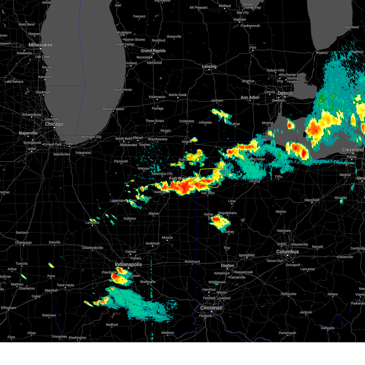 The severe thunderstorm warning for east central allen, southern defiance and paulding counties will expire at 600 pm edt, the storm which prompted the warning has weakened below severe limits, and no longer poses an immediate threat to life or property. therefore, the warning will be allowed to expire. a severe thunderstorm watch remains in effect until 1100 pm edt for northeastern indiana, and northwestern and west central ohio. The severe thunderstorm warning for east central allen, southern defiance and paulding counties will expire at 600 pm edt, the storm which prompted the warning has weakened below severe limits, and no longer poses an immediate threat to life or property. therefore, the warning will be allowed to expire. a severe thunderstorm watch remains in effect until 1100 pm edt for northeastern indiana, and northwestern and west central ohio.
|
| 7/20/2023 5:31 PM EDT |
 At 530 pm edt, a severe thunderstorm was located near paulding, or 9 miles southeast of hicksville, moving east at 40 mph (radar indicated). Hazards include 70 mph wind gusts and penny size hail. Expect considerable tree damage. damage is likely to mobile homes, roofs, and outbuildings. Locations impacted include, defiance, paulding, antwerp, woodburn, payne, grover hill, melrose, haviland, latty, cecil, broughton, worstville, arthur, charloe, edgerton in allen county, ayersville, roselms, and briceton. At 530 pm edt, a severe thunderstorm was located near paulding, or 9 miles southeast of hicksville, moving east at 40 mph (radar indicated). Hazards include 70 mph wind gusts and penny size hail. Expect considerable tree damage. damage is likely to mobile homes, roofs, and outbuildings. Locations impacted include, defiance, paulding, antwerp, woodburn, payne, grover hill, melrose, haviland, latty, cecil, broughton, worstville, arthur, charloe, edgerton in allen county, ayersville, roselms, and briceton.
|
| 7/20/2023 5:31 PM EDT |
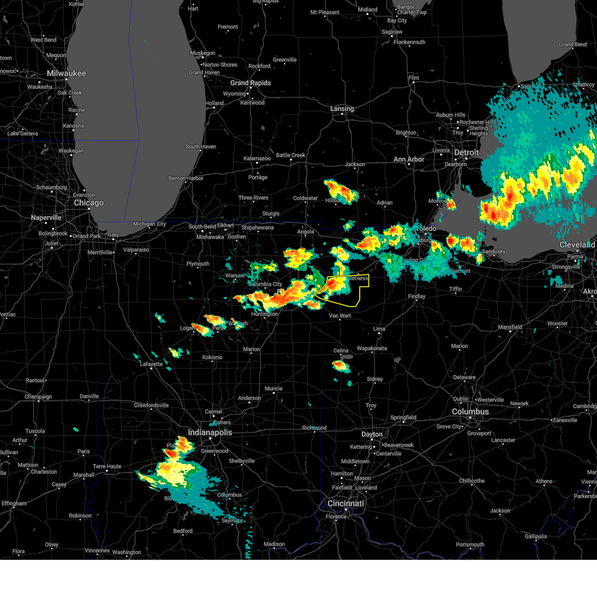 At 530 pm edt, a severe thunderstorm was located near paulding, or 9 miles southeast of hicksville, moving east at 40 mph (radar indicated). Hazards include 70 mph wind gusts and penny size hail. Expect considerable tree damage. damage is likely to mobile homes, roofs, and outbuildings. Locations impacted include, defiance, paulding, antwerp, woodburn, payne, grover hill, melrose, haviland, latty, cecil, broughton, worstville, arthur, charloe, edgerton in allen county, ayersville, roselms, and briceton. At 530 pm edt, a severe thunderstorm was located near paulding, or 9 miles southeast of hicksville, moving east at 40 mph (radar indicated). Hazards include 70 mph wind gusts and penny size hail. Expect considerable tree damage. damage is likely to mobile homes, roofs, and outbuildings. Locations impacted include, defiance, paulding, antwerp, woodburn, payne, grover hill, melrose, haviland, latty, cecil, broughton, worstville, arthur, charloe, edgerton in allen county, ayersville, roselms, and briceton.
|
| 7/20/2023 5:11 PM EDT |
 At 511 pm edt, a severe thunderstorm was located near grabill, or 7 miles southwest of hicksville, moving east at 40 mph (radar indicated). Hazards include 70 mph wind gusts and penny size hail. Expect considerable tree damage. damage is likely to mobile homes, roofs, and outbuildings. locations impacted include, fort wayne, defiance, hicksville, paulding, antwerp, woodburn, payne, grabill, st. joe, newville, grover hill, scott, melrose, haviland, latty, cecil, broughton, arthur, charloe, and edgerton in allen county. This includes interstate 469 between mile markers 22 and 26. At 511 pm edt, a severe thunderstorm was located near grabill, or 7 miles southwest of hicksville, moving east at 40 mph (radar indicated). Hazards include 70 mph wind gusts and penny size hail. Expect considerable tree damage. damage is likely to mobile homes, roofs, and outbuildings. locations impacted include, fort wayne, defiance, hicksville, paulding, antwerp, woodburn, payne, grabill, st. joe, newville, grover hill, scott, melrose, haviland, latty, cecil, broughton, arthur, charloe, and edgerton in allen county. This includes interstate 469 between mile markers 22 and 26.
|
| 7/20/2023 4:53 PM EDT |
 At 453 pm edt, a severe thunderstorm was located near huntertown, or near garrett, moving east at 40 mph (radar indicated). Hazards include 70 mph wind gusts and penny size hail. Expect considerable tree damage. Damage is likely to mobile homes, roofs, and outbuildings. At 453 pm edt, a severe thunderstorm was located near huntertown, or near garrett, moving east at 40 mph (radar indicated). Hazards include 70 mph wind gusts and penny size hail. Expect considerable tree damage. Damage is likely to mobile homes, roofs, and outbuildings.
|
| 7/17/2023 8:51 PM EDT |
 The severe thunderstorm warning for central montgomery county will expire at 900 pm edt, a new severe thunderstorm warning still remains in effect for southeastern montgomery county. a severe thunderstorm watch remains in effect until midnight edt for southwestern and west central ohio. please report previous wind damage or hail to the national weather service by going to our website at weather.gov/iln and submitting your report via social media. The severe thunderstorm warning for central montgomery county will expire at 900 pm edt, a new severe thunderstorm warning still remains in effect for southeastern montgomery county. a severe thunderstorm watch remains in effect until midnight edt for southwestern and west central ohio. please report previous wind damage or hail to the national weather service by going to our website at weather.gov/iln and submitting your report via social media.
|
| 7/17/2023 8:30 PM EDT |
 At 829 pm edt, a severe thunderstorm was located over trotwood, moving southeast at 25 mph (radar indicated). Hazards include 60 mph wind gusts and quarter size hail. Minor hail damage to vehicles is possible. expect wind damage to trees and power lines. locations impacted include, dayton, kettering, trotwood, miamisburg, springboro, moraine, oakwood, west carrollton, riverside, clayton, new lebanon, shiloh, centerville, fort mckinley, drexel, woodbourne-hyde park and overlook-page mano. this includes i-75 in ohio between mile markers 42 and 58. hail threat, radar indicated max hail size, 1. 00 in wind threat, radar indicated max wind gust, 60 mph. At 829 pm edt, a severe thunderstorm was located over trotwood, moving southeast at 25 mph (radar indicated). Hazards include 60 mph wind gusts and quarter size hail. Minor hail damage to vehicles is possible. expect wind damage to trees and power lines. locations impacted include, dayton, kettering, trotwood, miamisburg, springboro, moraine, oakwood, west carrollton, riverside, clayton, new lebanon, shiloh, centerville, fort mckinley, drexel, woodbourne-hyde park and overlook-page mano. this includes i-75 in ohio between mile markers 42 and 58. hail threat, radar indicated max hail size, 1. 00 in wind threat, radar indicated max wind gust, 60 mph.
|
| 7/17/2023 8:10 PM EDT |
 At 809 pm edt, a severe thunderstorm was located near lewisburg, moving southeast at 25 mph (radar indicated). Hazards include 60 mph wind gusts and quarter size hail. Minor hail damage to vehicles is possible. Expect wind damage to trees and power lines. At 809 pm edt, a severe thunderstorm was located near lewisburg, moving southeast at 25 mph (radar indicated). Hazards include 60 mph wind gusts and quarter size hail. Minor hail damage to vehicles is possible. Expect wind damage to trees and power lines.
|
| 7/15/2023 3:23 PM EDT |
 At 322 pm edt, a severe thunderstorm was located 7 miles southeast of north royalton, or 13 miles northwest of akron, moving northeast at 25 mph (radar indicated). Hazards include 60 mph wind gusts and quarter size hail. Minor damage to vehicles is possible. expect damage to trees and power lines. Locations impacted include, akron, cuyahoga falls, hudson, twinsburg, streetsboro, macedonia, stow, garfield heights, maple heights, broadview heights, aurora, brecksville, bedford, fairlawn, independence, northfield, richfield, silver lake, walton hills and valley view. At 322 pm edt, a severe thunderstorm was located 7 miles southeast of north royalton, or 13 miles northwest of akron, moving northeast at 25 mph (radar indicated). Hazards include 60 mph wind gusts and quarter size hail. Minor damage to vehicles is possible. expect damage to trees and power lines. Locations impacted include, akron, cuyahoga falls, hudson, twinsburg, streetsboro, macedonia, stow, garfield heights, maple heights, broadview heights, aurora, brecksville, bedford, fairlawn, independence, northfield, richfield, silver lake, walton hills and valley view.
|
| 7/15/2023 3:12 PM EDT |
 At 312 pm edt, a severe thunderstorm was located 8 miles east of brunswick, or 11 miles northeast of medina, moving northeast at 25 mph (radar indicated). Hazards include 60 mph wind gusts and quarter size hail. Minor damage to vehicles is possible. Expect damage to trees and power lines. At 312 pm edt, a severe thunderstorm was located 8 miles east of brunswick, or 11 miles northeast of medina, moving northeast at 25 mph (radar indicated). Hazards include 60 mph wind gusts and quarter size hail. Minor damage to vehicles is possible. Expect damage to trees and power lines.
|
| 7/2/2023 9:08 PM EDT |
 At 907 pm edt, a severe thunderstorm was located near south russell, or 11 miles southwest of chardon, moving east at 30 mph (radar indicated). Hazards include 60 mph wind gusts. Expect damage to trees and power lines. locations impacted include, cleveland, willowick, chardon, euclid, mentor, cleveland heights, solon, willoughby, eastlake, streetsboro, warrensville heights, south russell, highland hills, timberlake, lakeline, chesterland, garfield heights, shaker heights, maple heights and south euclid. hail threat, radar indicated max hail size, <. 75 in wind threat, radar indicated max wind gust, 60 mph. At 907 pm edt, a severe thunderstorm was located near south russell, or 11 miles southwest of chardon, moving east at 30 mph (radar indicated). Hazards include 60 mph wind gusts. Expect damage to trees and power lines. locations impacted include, cleveland, willowick, chardon, euclid, mentor, cleveland heights, solon, willoughby, eastlake, streetsboro, warrensville heights, south russell, highland hills, timberlake, lakeline, chesterland, garfield heights, shaker heights, maple heights and south euclid. hail threat, radar indicated max hail size, <. 75 in wind threat, radar indicated max wind gust, 60 mph.
|
| 7/2/2023 8:32 PM EDT |
 At 831 pm edt, a severe thunderstorm was located near cleveland, moving east at 30 mph (radar indicated). Hazards include 60 mph wind gusts. expect damage to trees and power lines At 831 pm edt, a severe thunderstorm was located near cleveland, moving east at 30 mph (radar indicated). Hazards include 60 mph wind gusts. expect damage to trees and power lines
|
| 7/2/2023 6:21 PM EDT |
 The severe thunderstorm warning for montgomery county will expire at 630 pm edt, the storms which prompted the warning have weakened below severe limits, and no longer pose an immediate threat to life or property. therefore, the warning will be allowed to expire. however gusty winds are still possible with these thunderstorms. a severe thunderstorm watch remains in effect until 900 pm edt for southwestern and west central ohio. please report previous wind damage or hail to the national weather service by going to our website at weather.gov/iln and submitting your report via social media. The severe thunderstorm warning for montgomery county will expire at 630 pm edt, the storms which prompted the warning have weakened below severe limits, and no longer pose an immediate threat to life or property. therefore, the warning will be allowed to expire. however gusty winds are still possible with these thunderstorms. a severe thunderstorm watch remains in effect until 900 pm edt for southwestern and west central ohio. please report previous wind damage or hail to the national weather service by going to our website at weather.gov/iln and submitting your report via social media.
|
| 7/2/2023 6:07 PM EDT |
 At 607 pm edt, severe thunderstorms were located along a line extending from near englewood to near carlisle, moving east at 55 mph (radar indicated). Hazards include 60 mph wind gusts. Expect damage to trees and power lines. locations impacted include, dayton, kettering, beavercreek, huber heights, trotwood, miamisburg, springboro, vandalia, englewood, moraine, carlisle, oakwood, wright-patterson afb, west carrollton, riverside, clayton, union, brookville, germantown and new lebanon. this includes the following interstates, i-70 in ohio between mile markers 19 and 41. i-75 in ohio between mile markers 42 and 65. hail threat, radar indicated max hail size, <. 75 in wind threat, radar indicated max wind gust, 60 mph. At 607 pm edt, severe thunderstorms were located along a line extending from near englewood to near carlisle, moving east at 55 mph (radar indicated). Hazards include 60 mph wind gusts. Expect damage to trees and power lines. locations impacted include, dayton, kettering, beavercreek, huber heights, trotwood, miamisburg, springboro, vandalia, englewood, moraine, carlisle, oakwood, wright-patterson afb, west carrollton, riverside, clayton, union, brookville, germantown and new lebanon. this includes the following interstates, i-70 in ohio between mile markers 19 and 41. i-75 in ohio between mile markers 42 and 65. hail threat, radar indicated max hail size, <. 75 in wind threat, radar indicated max wind gust, 60 mph.
|
| 7/2/2023 5:50 PM EDT |
 At 550 pm edt, severe thunderstorms were located along a line extending from near lewisburg to near seven mile, moving east at 60 mph (radar indicated). Hazards include 60 mph wind gusts. expect damage to trees and power lines At 550 pm edt, severe thunderstorms were located along a line extending from near lewisburg to near seven mile, moving east at 60 mph (radar indicated). Hazards include 60 mph wind gusts. expect damage to trees and power lines
|
| 6/11/2023 7:28 PM EDT |
 The severe thunderstorm warning for southwestern clark, northwestern greene, eastern montgomery and south central miami counties will expire at 730 pm edt, the storm which prompted the warning has moved out of the area. therefore, the warning will be allowed to expire. a tornado warning remains in effect for portions of west central clark, north central montgomery, and southeast miami counties until 745 pm edt. please report previous wind damage or hail to the national weather service by going to our website at weather.gov/iln and submitting your report via social media. The severe thunderstorm warning for southwestern clark, northwestern greene, eastern montgomery and south central miami counties will expire at 730 pm edt, the storm which prompted the warning has moved out of the area. therefore, the warning will be allowed to expire. a tornado warning remains in effect for portions of west central clark, north central montgomery, and southeast miami counties until 745 pm edt. please report previous wind damage or hail to the national weather service by going to our website at weather.gov/iln and submitting your report via social media.
|
| 6/11/2023 7:05 PM EDT |
 At 704 pm edt, a severe thunderstorm was located over oakwood, moving northeast at 25 mph (radar indicated). Hazards include 60 mph wind gusts. Expect damage to trees and power lines. locations impacted include, dayton, kettering, beavercreek, huber heights, fairborn, trotwood, vandalia, englewood, moraine, oakwood, wright-patterson afb, west carrollton, enon, riverside, clayton, union, shiloh, centerville, fort mckinley and phoneton. this includes the following interstates, i-70 in ohio between mile markers 30 and 44. i-75 in ohio between mile markers 48 and 65. hail threat, radar indicated max hail size, <. 75 in wind threat, radar indicated max wind gust, 60 mph. At 704 pm edt, a severe thunderstorm was located over oakwood, moving northeast at 25 mph (radar indicated). Hazards include 60 mph wind gusts. Expect damage to trees and power lines. locations impacted include, dayton, kettering, beavercreek, huber heights, fairborn, trotwood, vandalia, englewood, moraine, oakwood, wright-patterson afb, west carrollton, enon, riverside, clayton, union, shiloh, centerville, fort mckinley and phoneton. this includes the following interstates, i-70 in ohio between mile markers 30 and 44. i-75 in ohio between mile markers 48 and 65. hail threat, radar indicated max hail size, <. 75 in wind threat, radar indicated max wind gust, 60 mph.
|
| 6/11/2023 6:53 PM EDT |
 At 653 pm edt, a severe thunderstorm was located over west carrollton, moving northeast at 25 mph (radar indicated). Hazards include 60 mph wind gusts. expect damage to trees and power lines At 653 pm edt, a severe thunderstorm was located over west carrollton, moving northeast at 25 mph (radar indicated). Hazards include 60 mph wind gusts. expect damage to trees and power lines
|
| 4/5/2023 1:56 PM EDT |
 At 156 pm edt, severe thunderstorms were located along a line extending from near morenci to near defiance, moving northeast at 55 mph (radar indicated). Hazards include 60 mph wind gusts. Expect damage to roofs, siding, and trees. locations impacted include, defiance, napoleon, wauseon, ottawa, archbold, swanton, delta, leipsic, deshler, kalida, fayette, liberty center, continental, holgate, glandorf, mcclure, metamora, hamler, lyons and grover hill. This includes interstate 80 in ohio between mile markers 23 and 47. At 156 pm edt, severe thunderstorms were located along a line extending from near morenci to near defiance, moving northeast at 55 mph (radar indicated). Hazards include 60 mph wind gusts. Expect damage to roofs, siding, and trees. locations impacted include, defiance, napoleon, wauseon, ottawa, archbold, swanton, delta, leipsic, deshler, kalida, fayette, liberty center, continental, holgate, glandorf, mcclure, metamora, hamler, lyons and grover hill. This includes interstate 80 in ohio between mile markers 23 and 47.
|
| 4/5/2023 1:46 PM EDT |
 At 146 pm edt, severe thunderstorms were located along a line extending from fayette to paulding, moving northeast at 55 mph (radar indicated). Hazards include 60 mph wind gusts. Expect damage to roofs, siding, and trees. locations impacted include, defiance, napoleon, bryan, wauseon, ottawa, archbold, swanton, paulding, delta, leipsic, deshler, west unity, kalida, stryker, fayette, payne, liberty center, continental, holgate and glandorf. This includes interstate 80 in ohio between mile markers 16 and 47. At 146 pm edt, severe thunderstorms were located along a line extending from fayette to paulding, moving northeast at 55 mph (radar indicated). Hazards include 60 mph wind gusts. Expect damage to roofs, siding, and trees. locations impacted include, defiance, napoleon, bryan, wauseon, ottawa, archbold, swanton, paulding, delta, leipsic, deshler, west unity, kalida, stryker, fayette, payne, liberty center, continental, holgate and glandorf. This includes interstate 80 in ohio between mile markers 16 and 47.
|
| 4/5/2023 1:41 PM EDT |
 At 141 pm edt, severe thunderstorms were located along a line extending from near fayette to near paulding, moving northeast at 55 mph (radar indicated). Hazards include 60 mph wind gusts. expect damage to roofs, siding, and trees At 141 pm edt, severe thunderstorms were located along a line extending from near fayette to near paulding, moving northeast at 55 mph (radar indicated). Hazards include 60 mph wind gusts. expect damage to roofs, siding, and trees
|
| 4/1/2023 1:11 PM EDT |
 The severe thunderstorm warning for portage and summit counties will expire at 115 pm edt, the storms which prompted the warning have moved out of the area. therefore, the warning will be allowed to expire. wind gusts in excess of 50 mph will continue for the next several hours and a wind advisory remains in effect until 800 pm edt. a severe thunderstorm watch remains in effect until 600 pm edt for northeastern ohio. The severe thunderstorm warning for portage and summit counties will expire at 115 pm edt, the storms which prompted the warning have moved out of the area. therefore, the warning will be allowed to expire. wind gusts in excess of 50 mph will continue for the next several hours and a wind advisory remains in effect until 800 pm edt. a severe thunderstorm watch remains in effect until 600 pm edt for northeastern ohio.
|
| 4/1/2023 12:45 PM EDT |
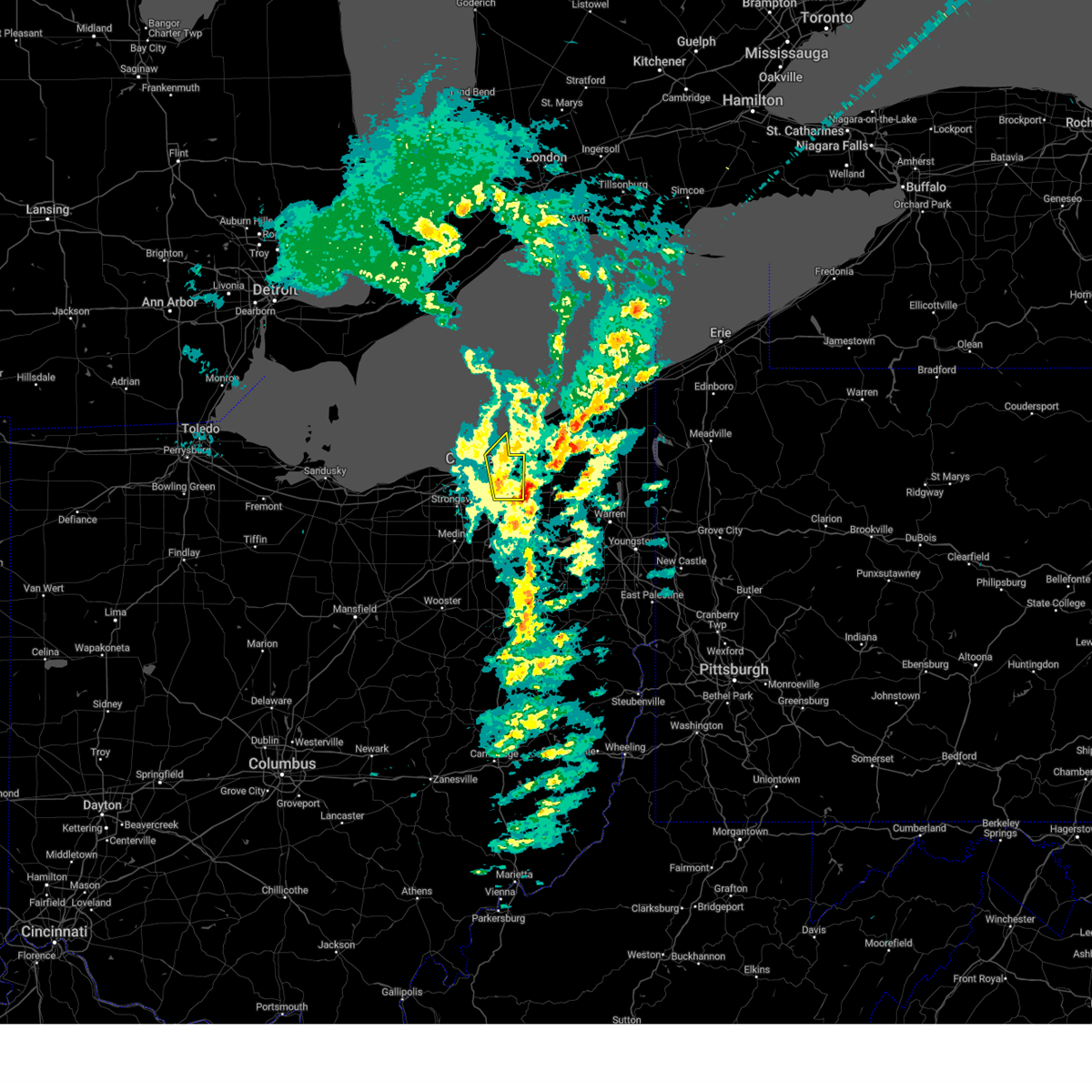 At 1245 pm edt, severe thunderstorms were located along a line extending from near euclid to near macedonia, moving northeast at 60 mph (several reports of damaging wind across cuyahoga county and measured gusts over 60 mph at burke lakefront airport). Hazards include 70 mph wind gusts and penny size hail. Expect considerable tree damage. Damage is likely to mobile homes, roofs, and outbuildings. At 1245 pm edt, severe thunderstorms were located along a line extending from near euclid to near macedonia, moving northeast at 60 mph (several reports of damaging wind across cuyahoga county and measured gusts over 60 mph at burke lakefront airport). Hazards include 70 mph wind gusts and penny size hail. Expect considerable tree damage. Damage is likely to mobile homes, roofs, and outbuildings.
|
| 4/1/2023 12:33 PM EDT |
 At 1232 pm edt, severe thunderstorms were located along a line extending from near macedonia to wadsworth, moving east at 55 mph (radar indicated. at 1232 pm edt, a trained spotter reported three large trees down with nickel sized hail in richfield). Hazards include 70 mph wind gusts and quarter size hail. Minor damage to vehicles is possible. expect considerable tree damage. wind damage is also likely to mobile homes, roofs, and outbuildings. locations impacted include, akron, ravenna, cuyahoga falls, kent, barberton, green, solon, hudson, twinsburg, tallmadge, streetsboro, macedonia, mogadore, garrettsville, mantua, stow, broadview heights, aurora, new franklin and brecksville. thunderstorm damage threat, considerable hail threat, radar indicated max hail size, 1. 00 in wind threat, radar indicated max wind gust, 70 mph. At 1232 pm edt, severe thunderstorms were located along a line extending from near macedonia to wadsworth, moving east at 55 mph (radar indicated. at 1232 pm edt, a trained spotter reported three large trees down with nickel sized hail in richfield). Hazards include 70 mph wind gusts and quarter size hail. Minor damage to vehicles is possible. expect considerable tree damage. wind damage is also likely to mobile homes, roofs, and outbuildings. locations impacted include, akron, ravenna, cuyahoga falls, kent, barberton, green, solon, hudson, twinsburg, tallmadge, streetsboro, macedonia, mogadore, garrettsville, mantua, stow, broadview heights, aurora, new franklin and brecksville. thunderstorm damage threat, considerable hail threat, radar indicated max hail size, 1. 00 in wind threat, radar indicated max wind gust, 70 mph.
|
| 4/1/2023 12:18 PM EDT |
 At 1217 pm edt, severe thunderstorms were located along a line extending from 6 miles north of cleveland to near lodi, moving east at 60 mph. additional thunderstorms are developing ahead of this line across cuyahoga county (law enforcement. numerous trees were downed in northern ashland county. lorain county airport gusted to 61 mph). Hazards include 70 mph wind gusts and penny size hail. Expect considerable tree damage. damage is likely to mobile homes, roofs, and outbuildings. locations impacted include, cleveland, medina, parma, lakewood, euclid, cleveland heights, strongsville, brunswick, westlake, north royalton, solon, wadsworth, warrensville heights, rittman, lodi, highland hills, chippewa lake, north olmsted, garfield heights and shaker heights. thunderstorm damage threat, considerable hail threat, radar indicated max hail size, 0. 75 in wind threat, observed max wind gust, 70 mph. At 1217 pm edt, severe thunderstorms were located along a line extending from 6 miles north of cleveland to near lodi, moving east at 60 mph. additional thunderstorms are developing ahead of this line across cuyahoga county (law enforcement. numerous trees were downed in northern ashland county. lorain county airport gusted to 61 mph). Hazards include 70 mph wind gusts and penny size hail. Expect considerable tree damage. damage is likely to mobile homes, roofs, and outbuildings. locations impacted include, cleveland, medina, parma, lakewood, euclid, cleveland heights, strongsville, brunswick, westlake, north royalton, solon, wadsworth, warrensville heights, rittman, lodi, highland hills, chippewa lake, north olmsted, garfield heights and shaker heights. thunderstorm damage threat, considerable hail threat, radar indicated max hail size, 0. 75 in wind threat, observed max wind gust, 70 mph.
|
| 4/1/2023 12:17 PM EDT |
 At 1216 pm edt, severe thunderstorms were located along a line extending from near south russell to 6 miles southwest of green, moving northeast at 55 mph (radar indicated). Hazards include 60 mph wind gusts and nickel size hail. expect damage to trees and power lines At 1216 pm edt, severe thunderstorms were located along a line extending from near south russell to 6 miles southwest of green, moving northeast at 55 mph (radar indicated). Hazards include 60 mph wind gusts and nickel size hail. expect damage to trees and power lines
|
| 4/1/2023 11:59 AM EDT |
 At 1158 am edt, severe thunderstorms were located along a line extending from avon lake to near savannah, moving northeast at 55 mph. strong wind gusts in excess of 50 mph will continue even after the rain exits (public reported. there have been several measured wind gusts in excess of 60 mph and reports of down trees and power-lines with this line of thunderstorms). Hazards include 60 mph wind gusts and penny size hail. expect damage to trees and power lines At 1158 am edt, severe thunderstorms were located along a line extending from avon lake to near savannah, moving northeast at 55 mph. strong wind gusts in excess of 50 mph will continue even after the rain exits (public reported. there have been several measured wind gusts in excess of 60 mph and reports of down trees and power-lines with this line of thunderstorms). Hazards include 60 mph wind gusts and penny size hail. expect damage to trees and power lines
|
| 3/25/2023 1:59 PM EDT |
 At 159 pm edt, severe thunderstorms were located along a line extending from near macedonia to near cuyahoga falls to near wadsworth, moving northeast at 65 mph (radar indicated). Hazards include 60 mph wind gusts. Expect damage to trees and power lines. locations impacted include, cuyahoga falls, solon, hudson, twinsburg, streetsboro, macedonia, south russell, middlefield, garrettsville, burton, mantua, stow, broadview heights, aurora, brecksville, fairlawn, parkman, chagrin falls, northfield and richfield. hail threat, radar indicated max hail size, <. 75 in wind threat, radar indicated max wind gust, 60 mph. At 159 pm edt, severe thunderstorms were located along a line extending from near macedonia to near cuyahoga falls to near wadsworth, moving northeast at 65 mph (radar indicated). Hazards include 60 mph wind gusts. Expect damage to trees and power lines. locations impacted include, cuyahoga falls, solon, hudson, twinsburg, streetsboro, macedonia, south russell, middlefield, garrettsville, burton, mantua, stow, broadview heights, aurora, brecksville, fairlawn, parkman, chagrin falls, northfield and richfield. hail threat, radar indicated max hail size, <. 75 in wind threat, radar indicated max wind gust, 60 mph.
|
| 3/25/2023 1:58 PM EDT |
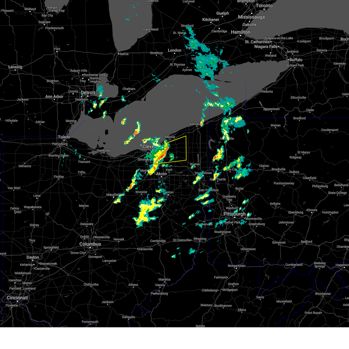 At 158 pm edt, severe thunderstorms were located along a line extending from chesterland to 6 miles northwest of mantua, moving east at 55 mph (radar indicated). Hazards include 70 mph wind gusts. Expect considerable tree damage. damage is likely to mobile homes, roofs, and outbuildings. locations impacted include, chardon, solon, twinsburg, warrensville heights, macedonia, south russell, middlefield, burton, chesterland, maple heights, aurora, brecksville, bedford, bedford heights, kirtland, pepper pike, parkman, chagrin falls, northfield and huntsburg. thunderstorm damage threat, considerable hail threat, radar indicated max hail size, <. 75 in wind threat, radar indicated max wind gust, 70 mph. At 158 pm edt, severe thunderstorms were located along a line extending from chesterland to 6 miles northwest of mantua, moving east at 55 mph (radar indicated). Hazards include 70 mph wind gusts. Expect considerable tree damage. damage is likely to mobile homes, roofs, and outbuildings. locations impacted include, chardon, solon, twinsburg, warrensville heights, macedonia, south russell, middlefield, burton, chesterland, maple heights, aurora, brecksville, bedford, bedford heights, kirtland, pepper pike, parkman, chagrin falls, northfield and huntsburg. thunderstorm damage threat, considerable hail threat, radar indicated max hail size, <. 75 in wind threat, radar indicated max wind gust, 70 mph.
|
| 3/25/2023 1:54 PM EDT |
 At 153 pm edt, severe thunderstorms were located along a line extending from near north royalton to 7 miles west of cuyahoga falls to near chippewa lake, moving northeast at 65 mph (radar indicated). Hazards include 60 mph wind gusts. expect damage to trees and power lines At 153 pm edt, severe thunderstorms were located along a line extending from near north royalton to 7 miles west of cuyahoga falls to near chippewa lake, moving northeast at 65 mph (radar indicated). Hazards include 60 mph wind gusts. expect damage to trees and power lines
|
| 3/25/2023 1:44 PM EDT |
 At 144 pm edt, severe thunderstorms were located along a line extending from cleveland heights to near macedonia, moving east at 55 mph (radar indicated). Hazards include 70 mph wind gusts. Expect considerable tree damage. Damage is likely to mobile homes, roofs, and outbuildings. At 144 pm edt, severe thunderstorms were located along a line extending from cleveland heights to near macedonia, moving east at 55 mph (radar indicated). Hazards include 70 mph wind gusts. Expect considerable tree damage. Damage is likely to mobile homes, roofs, and outbuildings.
|
| 2/27/2023 3:12 PM EST |
 At 311 pm est, severe thunderstorms were located along a line extending from near paulding to 10 miles north of van wert, moving northeast at 55 mph (radar indicated). Hazards include 60 mph wind gusts. Expect damage to roofs, siding, and trees. severe thunderstorms will be near, defiance around 325 pm est. continental around 330 pm est. holgate around 340 pm est. napoleon and wauseon around 350 pm est. delta around 355 pm est. other locations impacted by these severe thunderstorms include hamler, melrose, arthur, ridgeville corners, gerald, charloe, new bavaria, ayersville, brunersburg and dupont. This includes interstate 80 in ohio between mile markers 38 and 41. At 311 pm est, severe thunderstorms were located along a line extending from near paulding to 10 miles north of van wert, moving northeast at 55 mph (radar indicated). Hazards include 60 mph wind gusts. Expect damage to roofs, siding, and trees. severe thunderstorms will be near, defiance around 325 pm est. continental around 330 pm est. holgate around 340 pm est. napoleon and wauseon around 350 pm est. delta around 355 pm est. other locations impacted by these severe thunderstorms include hamler, melrose, arthur, ridgeville corners, gerald, charloe, new bavaria, ayersville, brunersburg and dupont. This includes interstate 80 in ohio between mile markers 38 and 41.
|
| 2/27/2023 3:08 PM EST |
 The tornado warning for southeastern montgomery county will expire at 315 pm est, the storm which prompted the warning has moved out of the area. therefore, the warning will be allowed to expire. a tornado watch remains in effect until 600 pm est for west central ohio. please report previous tornadoes, wind damage or hail to the national weather service by going to our website at weather.gov/iln and submitting your report via social media. The tornado warning for southeastern montgomery county will expire at 315 pm est, the storm which prompted the warning has moved out of the area. therefore, the warning will be allowed to expire. a tornado watch remains in effect until 600 pm est for west central ohio. please report previous tornadoes, wind damage or hail to the national weather service by going to our website at weather.gov/iln and submitting your report via social media.
|
| 2/27/2023 2:58 PM EST |
 At 257 pm est, a severe thunderstorm was located over moraine, moving northeast at 55 mph (radar indicated). Hazards include 60 mph wind gusts and quarter size hail. Minor hail damage to vehicles is possible. expect wind damage to trees and power lines. locations impacted include, dayton, kettering, beavercreek, huber heights, fairborn, miamisburg, springboro, bellbrook, moraine, oakwood, wright-patterson afb, west carrollton, riverside, centerville, woodbourne-hyde park and overlook-page mano. This includes i-75 in ohio between mile markers 42 and 56. At 257 pm est, a severe thunderstorm was located over moraine, moving northeast at 55 mph (radar indicated). Hazards include 60 mph wind gusts and quarter size hail. Minor hail damage to vehicles is possible. expect wind damage to trees and power lines. locations impacted include, dayton, kettering, beavercreek, huber heights, fairborn, miamisburg, springboro, bellbrook, moraine, oakwood, wright-patterson afb, west carrollton, riverside, centerville, woodbourne-hyde park and overlook-page mano. This includes i-75 in ohio between mile markers 42 and 56.
|
| 2/27/2023 2:54 PM EST |
 At 254 pm est, a severe thunderstorm capable of producing a tornado was located over miamisburg, moving northeast at 45 mph. this storm previously produced a tornado and may generate another tornado at any time (radar indicated rotation). Hazards include tornado and quarter size hail. Flying debris will be dangerous to those caught without shelter. mobile homes will be damaged or destroyed. damage to roofs, windows, and vehicles will occur. tree damage is likely. locations impacted include, dayton, kettering, miamisburg, springboro, bellbrook, moraine, oakwood, west carrollton, riverside, centerville and woodbourne-hyde park. This includes i-75 in ohio between mile markers 42 and 52. At 254 pm est, a severe thunderstorm capable of producing a tornado was located over miamisburg, moving northeast at 45 mph. this storm previously produced a tornado and may generate another tornado at any time (radar indicated rotation). Hazards include tornado and quarter size hail. Flying debris will be dangerous to those caught without shelter. mobile homes will be damaged or destroyed. damage to roofs, windows, and vehicles will occur. tree damage is likely. locations impacted include, dayton, kettering, miamisburg, springboro, bellbrook, moraine, oakwood, west carrollton, riverside, centerville and woodbourne-hyde park. This includes i-75 in ohio between mile markers 42 and 52.
|
| 2/27/2023 2:44 PM EST |
 At 244 pm est, a confirmed tornado was located near carlisle, moving northeast at 45 mph (radar confirmed tornado. radar shows tornado debris in the air). Hazards include damaging tornado. Flying debris will be dangerous to those caught without shelter. mobile homes will be damaged or destroyed. damage to roofs, windows, and vehicles will occur. tree damage is likely. locations impacted include, dayton, kettering, miamisburg, springboro, franklin, bellbrook, moraine, carlisle, oakwood, west carrollton, riverside, germantown, centerville, poast town heights and woodbourne-hyde park. This includes i-75 in ohio between mile markers 40 and 52. At 244 pm est, a confirmed tornado was located near carlisle, moving northeast at 45 mph (radar confirmed tornado. radar shows tornado debris in the air). Hazards include damaging tornado. Flying debris will be dangerous to those caught without shelter. mobile homes will be damaged or destroyed. damage to roofs, windows, and vehicles will occur. tree damage is likely. locations impacted include, dayton, kettering, miamisburg, springboro, franklin, bellbrook, moraine, carlisle, oakwood, west carrollton, riverside, germantown, centerville, poast town heights and woodbourne-hyde park. This includes i-75 in ohio between mile markers 40 and 52.
|
| 2/27/2023 2:43 PM EST |
 At 242 pm est, a severe thunderstorm capable of producing a tornado was located near middletown, moving northeast at 45 mph (radar indicated rotation). Hazards include tornado. Flying debris will be dangerous to those caught without shelter. mobile homes will be damaged or destroyed. damage to roofs, windows, and vehicles will occur. Tree damage is likely. At 242 pm est, a severe thunderstorm capable of producing a tornado was located near middletown, moving northeast at 45 mph (radar indicated rotation). Hazards include tornado. Flying debris will be dangerous to those caught without shelter. mobile homes will be damaged or destroyed. damage to roofs, windows, and vehicles will occur. Tree damage is likely.
|
| 2/27/2023 2:36 PM EST |
 At 236 pm est, a severe thunderstorm was located near gratis, moving northeast at 55 mph (radar indicated). Hazards include 60 mph wind gusts and quarter size hail. Minor hail damage to vehicles is possible. Expect wind damage to trees and power lines. At 236 pm est, a severe thunderstorm was located near gratis, moving northeast at 55 mph (radar indicated). Hazards include 60 mph wind gusts and quarter size hail. Minor hail damage to vehicles is possible. Expect wind damage to trees and power lines.
|
| 1/19/2023 6:38 PM EST |
 At 637 pm est, severe thunderstorms were located along a line extending from 9 miles north of avon lake to near strongsville to near wooster, moving east at 45 mph (radar indicated). Hazards include 60 mph wind gusts. Expect damage to trees and power lines. locations impacted include, cleveland, akron, elyria, medina, parma, lakewood, cuyahoga falls, euclid, cleveland heights, strongsville, brunswick, westlake, north royalton, north ridgeville, kent, solon, avon lake, hudson, twinsburg and tallmadge. hail threat, radar indicated max hail size, <. 75 in wind threat, radar indicated max wind gust, 60 mph. At 637 pm est, severe thunderstorms were located along a line extending from 9 miles north of avon lake to near strongsville to near wooster, moving east at 45 mph (radar indicated). Hazards include 60 mph wind gusts. Expect damage to trees and power lines. locations impacted include, cleveland, akron, elyria, medina, parma, lakewood, cuyahoga falls, euclid, cleveland heights, strongsville, brunswick, westlake, north royalton, north ridgeville, kent, solon, avon lake, hudson, twinsburg and tallmadge. hail threat, radar indicated max hail size, <. 75 in wind threat, radar indicated max wind gust, 60 mph.
|
| 1/19/2023 6:24 PM EST |
 At 622 pm est, severe thunderstorms were located along a line extending from 9 miles north of lorain to grafton to 6 miles northwest of shreve, moving east at 60 mph (radar indicated). Hazards include 60 mph wind gusts. Expect damage to trees and power lines. locations impacted include, cleveland, akron, lorain, elyria, medina, vermilion, western vermilion, parma, lakewood, cuyahoga falls, euclid, cleveland heights, strongsville, brunswick, westlake, north royalton, north ridgeville, kent, solon and avon lake. hail threat, radar indicated max hail size, <. 75 in wind threat, radar indicated max wind gust, 60 mph. At 622 pm est, severe thunderstorms were located along a line extending from 9 miles north of lorain to grafton to 6 miles northwest of shreve, moving east at 60 mph (radar indicated). Hazards include 60 mph wind gusts. Expect damage to trees and power lines. locations impacted include, cleveland, akron, lorain, elyria, medina, vermilion, western vermilion, parma, lakewood, cuyahoga falls, euclid, cleveland heights, strongsville, brunswick, westlake, north royalton, north ridgeville, kent, solon and avon lake. hail threat, radar indicated max hail size, <. 75 in wind threat, radar indicated max wind gust, 60 mph.
|
| 1/19/2023 6:05 PM EST |
 At 605 pm est, severe thunderstorms were located along a line extending from 9 miles northwest of western vermilion to near wellington to near bellville, moving east at 60 mph (radar indicated). Hazards include 60 mph wind gusts. expect damage to trees and power lines At 605 pm est, severe thunderstorms were located along a line extending from 9 miles northwest of western vermilion to near wellington to near bellville, moving east at 60 mph (radar indicated). Hazards include 60 mph wind gusts. expect damage to trees and power lines
|
| 1/19/2023 4:33 PM EST |
 At 432 pm est, a severe thunderstorm was located near waynesville, moving northeast at 40 mph (radar indicated). Hazards include 60 mph wind gusts. expect damage to trees and power lines At 432 pm est, a severe thunderstorm was located near waynesville, moving northeast at 40 mph (radar indicated). Hazards include 60 mph wind gusts. expect damage to trees and power lines
|
| 8/29/2022 5:04 PM EDT |
 At 503 pm edt, severe thunderstorms were located along a line extending from near edgerton to near woodburn to 6 miles northeast of ossian, moving east at 50 mph (radar indicated). Hazards include 70 mph wind gusts. Expect considerable tree damage. Damage is likely to mobile homes, roofs, and outbuildings. At 503 pm edt, severe thunderstorms were located along a line extending from near edgerton to near woodburn to 6 miles northeast of ossian, moving east at 50 mph (radar indicated). Hazards include 70 mph wind gusts. Expect considerable tree damage. Damage is likely to mobile homes, roofs, and outbuildings.
|
| 8/21/2022 5:59 PM EDT |
 At 559 pm edt, a severe thunderstorm capable of producing a tornado was located over kettering, moving east at 20 mph (radar indicated rotation). Hazards include tornado. Flying debris will be dangerous to those caught without shelter. mobile homes will be damaged or destroyed. damage to roofs, windows, and vehicles will occur. tree damage is likely. Locations impacted include, dayton, kettering, beavercreek, oakwood, riverside and overlook-page mano. At 559 pm edt, a severe thunderstorm capable of producing a tornado was located over kettering, moving east at 20 mph (radar indicated rotation). Hazards include tornado. Flying debris will be dangerous to those caught without shelter. mobile homes will be damaged or destroyed. damage to roofs, windows, and vehicles will occur. tree damage is likely. Locations impacted include, dayton, kettering, beavercreek, oakwood, riverside and overlook-page mano.
|
| 8/21/2022 5:54 PM EDT |
 At 553 pm edt, a severe thunderstorm capable of producing a tornado was located over oakwood, moving east at 20 mph (radar indicated rotation). Hazards include tornado. Flying debris will be dangerous to those caught without shelter. mobile homes will be damaged or destroyed. damage to roofs, windows, and vehicles will occur. Tree damage is likely. At 553 pm edt, a severe thunderstorm capable of producing a tornado was located over oakwood, moving east at 20 mph (radar indicated rotation). Hazards include tornado. Flying debris will be dangerous to those caught without shelter. mobile homes will be damaged or destroyed. damage to roofs, windows, and vehicles will occur. Tree damage is likely.
|
| 8/8/2022 8:12 PM EDT |
 The severe thunderstorm warning for northwestern portage, geauga, northeastern medina, cuyahoga, lake, northern summit, central lorain and southwestern ashtabula counties will expire at 815 pm edt, the storms which prompted the warning have weakened below severe limits, and no longer pose an immediate threat to life or property. therefore, the warning will be allowed to expire. The severe thunderstorm warning for northwestern portage, geauga, northeastern medina, cuyahoga, lake, northern summit, central lorain and southwestern ashtabula counties will expire at 815 pm edt, the storms which prompted the warning have weakened below severe limits, and no longer pose an immediate threat to life or property. therefore, the warning will be allowed to expire.
|
| 8/8/2022 8:06 PM EDT |
 At 806 pm edt, severe thunderstorms were located along a line extending from 6 miles southeast of perry to near highland hills to near wellington, moving southeast at 40 mph (radar indicated). Hazards include 60 mph wind gusts. Expect damage to trees and power lines. locations impacted include, cleveland, lorain, elyria, painesville, willowick, chardon, fairport harbor, parma, lakewood, euclid, mentor, cleveland heights, strongsville, brunswick, westlake, north royalton, north ridgeville, solon, avon lake and willoughby. hail threat, radar indicated max hail size, <. 75 in wind threat, radar indicated max wind gust, 60 mph. At 806 pm edt, severe thunderstorms were located along a line extending from 6 miles southeast of perry to near highland hills to near wellington, moving southeast at 40 mph (radar indicated). Hazards include 60 mph wind gusts. Expect damage to trees and power lines. locations impacted include, cleveland, lorain, elyria, painesville, willowick, chardon, fairport harbor, parma, lakewood, euclid, mentor, cleveland heights, strongsville, brunswick, westlake, north royalton, north ridgeville, solon, avon lake and willoughby. hail threat, radar indicated max hail size, <. 75 in wind threat, radar indicated max wind gust, 60 mph.
|
| 8/8/2022 7:47 PM EDT |
 At 747 pm edt, severe thunderstorms were located along a line extending from near fairport harbor to near euclid to near vermilion, moving southeast at 35 mph (radar indicated). Hazards include 60 mph wind gusts. Expect damage to trees and power lines. locations impacted include, cleveland, lorain, elyria, painesville, willowick, vermilion, western vermilion, chardon, fairport harbor, parma, lakewood, euclid, mentor, cleveland heights, strongsville, brunswick, westlake, north royalton, north ridgeville and solon. hail threat, radar indicated max hail size, <. 75 in wind threat, radar indicated max wind gust, 60 mph. At 747 pm edt, severe thunderstorms were located along a line extending from near fairport harbor to near euclid to near vermilion, moving southeast at 35 mph (radar indicated). Hazards include 60 mph wind gusts. Expect damage to trees and power lines. locations impacted include, cleveland, lorain, elyria, painesville, willowick, vermilion, western vermilion, chardon, fairport harbor, parma, lakewood, euclid, mentor, cleveland heights, strongsville, brunswick, westlake, north royalton, north ridgeville and solon. hail threat, radar indicated max hail size, <. 75 in wind threat, radar indicated max wind gust, 60 mph.
|
| 8/8/2022 7:25 PM EDT |
 At 725 pm edt, severe thunderstorms were located along a line extending from 16 miles northwest of timberlake to 6 miles northwest of euclid to 6 miles northeast of milan, moving southeast at 35 mph (radar indicated). Hazards include 60 mph wind gusts. expect damage to trees and power lines At 725 pm edt, severe thunderstorms were located along a line extending from 16 miles northwest of timberlake to 6 miles northwest of euclid to 6 miles northeast of milan, moving southeast at 35 mph (radar indicated). Hazards include 60 mph wind gusts. expect damage to trees and power lines
|
| 7/24/2022 11:53 PM EDT |
 At 1152 pm edt, a severe thunderstorm was located near chesterland, or 10 miles southeast of willowick, moving east at 35 mph (radar indicated). Hazards include 70 mph wind gusts. Expect considerable tree damage. damage is likely to mobile homes, roofs, and outbuildings. locations impacted include, cleveland, chardon, cleveland heights, solon, warrensville heights, south russell, middlefield, burton, highland hills, chesterland, garfield heights, shaker heights, maple heights, south euclid, mayfield heights, lyndhurst, university heights, bedford, beachwood and bedford heights. thunderstorm damage threat, considerable hail threat, radar indicated max hail size, <. 75 in wind threat, radar indicated max wind gust, 70 mph. At 1152 pm edt, a severe thunderstorm was located near chesterland, or 10 miles southeast of willowick, moving east at 35 mph (radar indicated). Hazards include 70 mph wind gusts. Expect considerable tree damage. damage is likely to mobile homes, roofs, and outbuildings. locations impacted include, cleveland, chardon, cleveland heights, solon, warrensville heights, south russell, middlefield, burton, highland hills, chesterland, garfield heights, shaker heights, maple heights, south euclid, mayfield heights, lyndhurst, university heights, bedford, beachwood and bedford heights. thunderstorm damage threat, considerable hail threat, radar indicated max hail size, <. 75 in wind threat, radar indicated max wind gust, 70 mph.
|
| 7/24/2022 11:48 PM EDT |
 At 1148 pm edt, severe thunderstorms were located along a line extending from near chesterland to near solon to near parma, moving east at 35 mph (radar indicated). Hazards include 60 mph wind gusts. expect damage to trees and power lines At 1148 pm edt, severe thunderstorms were located along a line extending from near chesterland to near solon to near parma, moving east at 35 mph (radar indicated). Hazards include 60 mph wind gusts. expect damage to trees and power lines
|
| 7/20/2022 8:08 PM EDT |
 At 807 pm edt, severe thunderstorms were located along a line extending from near independence to 6 miles southwest of macedonia to 8 miles west of cuyahoga falls, moving east at 40 mph (radar indicated). Hazards include 60 mph wind gusts. Expect damage to trees and power lines. locations impacted include, cleveland, akron, parma, cuyahoga falls, kent, solon, hudson, twinsburg, tallmadge, streetsboro, warrensville heights, macedonia, south russell, highland hills, stow, garfield heights, maple heights, broadview heights, aurora and brecksville. hail threat, radar indicated max hail size, <. 75 in wind threat, radar indicated max wind gust, 60 mph. At 807 pm edt, severe thunderstorms were located along a line extending from near independence to 6 miles southwest of macedonia to 8 miles west of cuyahoga falls, moving east at 40 mph (radar indicated). Hazards include 60 mph wind gusts. Expect damage to trees and power lines. locations impacted include, cleveland, akron, parma, cuyahoga falls, kent, solon, hudson, twinsburg, tallmadge, streetsboro, warrensville heights, macedonia, south russell, highland hills, stow, garfield heights, maple heights, broadview heights, aurora and brecksville. hail threat, radar indicated max hail size, <. 75 in wind threat, radar indicated max wind gust, 60 mph.
|
| 7/20/2022 7:53 PM EDT |
 At 753 pm edt, severe thunderstorms were located along a line extending from strongsville to brunswick to medina, moving east at 35 mph (radar indicated). Hazards include 60 mph wind gusts. expect damage to trees and power lines At 753 pm edt, severe thunderstorms were located along a line extending from strongsville to brunswick to medina, moving east at 35 mph (radar indicated). Hazards include 60 mph wind gusts. expect damage to trees and power lines
|
| 7/6/2022 12:41 PM EDT |
 At 1241 pm edt, a severe thunderstorm was located over fairborn, moving southeast at 45 mph (radar indicated). Hazards include 60 mph wind gusts. Expect damage to trees and power lines. locations impacted include, dayton, springfield, kettering, beavercreek, huber heights, fairborn, trotwood, vandalia, englewood, tipp city, bellbrook, moraine, new carlisle, oakwood, yellow springs, wright-patterson afb, west carrollton, enon, brown and riverside. this includes the following interstates, i-70 in ohio between mile markers 25 and 55. i-75 in ohio between mile markers 48 and 67. hail threat, radar indicated max hail size, <. 75 in wind threat, radar indicated max wind gust, 60 mph. At 1241 pm edt, a severe thunderstorm was located over fairborn, moving southeast at 45 mph (radar indicated). Hazards include 60 mph wind gusts. Expect damage to trees and power lines. locations impacted include, dayton, springfield, kettering, beavercreek, huber heights, fairborn, trotwood, vandalia, englewood, tipp city, bellbrook, moraine, new carlisle, oakwood, yellow springs, wright-patterson afb, west carrollton, enon, brown and riverside. this includes the following interstates, i-70 in ohio between mile markers 25 and 55. i-75 in ohio between mile markers 48 and 67. hail threat, radar indicated max hail size, <. 75 in wind threat, radar indicated max wind gust, 60 mph.
|
| 7/6/2022 12:27 PM EDT |
 At 1226 pm edt, a severe thunderstorm was located over vandalia, moving southeast at 35 mph (radar indicated). Hazards include 60 mph wind gusts. Expect damage to trees and power lines. locations impacted include, dayton, springfield, kettering, beavercreek, huber heights, fairborn, troy, trotwood, vandalia, englewood, tipp city, bellbrook, moraine, new carlisle, west milton, oakwood, yellow springs, wright-patterson afb, west carrollton and enon. this includes the following interstates, i-70 in ohio between mile markers 18 and 55. i-75 in ohio between mile markers 48 and 72. hail threat, radar indicated max hail size, <. 75 in wind threat, radar indicated max wind gust, 60 mph. At 1226 pm edt, a severe thunderstorm was located over vandalia, moving southeast at 35 mph (radar indicated). Hazards include 60 mph wind gusts. Expect damage to trees and power lines. locations impacted include, dayton, springfield, kettering, beavercreek, huber heights, fairborn, troy, trotwood, vandalia, englewood, tipp city, bellbrook, moraine, new carlisle, west milton, oakwood, yellow springs, wright-patterson afb, west carrollton and enon. this includes the following interstates, i-70 in ohio between mile markers 18 and 55. i-75 in ohio between mile markers 48 and 72. hail threat, radar indicated max hail size, <. 75 in wind threat, radar indicated max wind gust, 60 mph.
|
| 7/6/2022 12:08 PM EDT |
 At 1208 pm edt, a severe thunderstorm was located over west milton, moving southeast at 40 mph (radar indicated). Hazards include 60 mph wind gusts and penny size hail. expect damage to trees and power lines At 1208 pm edt, a severe thunderstorm was located over west milton, moving southeast at 40 mph (radar indicated). Hazards include 60 mph wind gusts and penny size hail. expect damage to trees and power lines
|
| 6/13/2022 10:18 PM EDT |
 At 1018 pm edt, a severe thunderstorm was located over continental, or 12 miles northwest of ottawa, moving southeast at 60 mph (radar indicated). Hazards include 70 mph wind gusts and quarter size hail. Hail damage to vehicles is expected. expect considerable tree damage. wind damage is also likely to mobile homes, roofs, and outbuildings. Locations impacted include, ottawa, leipsic, kalida, pandora, continental, glandorf, oakwood, dupont, melrose, west leipsic, gilboa, cloverdale, belmore, miller city, prentiss, kieferville, charloe, north creek, mandale and wisterman. At 1018 pm edt, a severe thunderstorm was located over continental, or 12 miles northwest of ottawa, moving southeast at 60 mph (radar indicated). Hazards include 70 mph wind gusts and quarter size hail. Hail damage to vehicles is expected. expect considerable tree damage. wind damage is also likely to mobile homes, roofs, and outbuildings. Locations impacted include, ottawa, leipsic, kalida, pandora, continental, glandorf, oakwood, dupont, melrose, west leipsic, gilboa, cloverdale, belmore, miller city, prentiss, kieferville, charloe, north creek, mandale and wisterman.
|
| 6/13/2022 9:55 PM EDT |
 At 954 pm edt, a severe thunderstorm was located near defiance, moving southeast at 70 mph (radar indicated). Hazards include 70 mph wind gusts and quarter size hail. Hail damage to vehicles is expected. expect considerable tree damage. Wind damage is also likely to mobile homes, roofs, and outbuildings. At 954 pm edt, a severe thunderstorm was located near defiance, moving southeast at 70 mph (radar indicated). Hazards include 70 mph wind gusts and quarter size hail. Hail damage to vehicles is expected. expect considerable tree damage. Wind damage is also likely to mobile homes, roofs, and outbuildings.
|
| 6/13/2022 6:19 PM EDT |
 At 618 pm edt, severe thunderstorms were located along a line extending from beavercreek to morrow, moving east at 25 mph (radar indicated). Hazards include 70 mph wind gusts and penny size hail. Expect considerable tree damage. damage is likely to mobile homes, roofs, and outbuildings. locations impacted include, dayton, kettering, beavercreek, huber heights, mason, trotwood, miamisburg, lebanon, springboro, vandalia, englewood, monroe, loveland, moraine, oakwood, wright-patterson afb, west carrollton, waynesville, morrow and kings island. this includes the following interstates, i-70 in ohio between mile markers 25 and 40. i-71 in ohio between mile markers 20 and 36. i-75 in ohio near mile marker 29, and between mile markers 43 and 65. thunderstorm damage threat, considerable hail threat, radar indicated max hail size, 0. 75 in wind threat, radar indicated max wind gust, 70 mph. At 618 pm edt, severe thunderstorms were located along a line extending from beavercreek to morrow, moving east at 25 mph (radar indicated). Hazards include 70 mph wind gusts and penny size hail. Expect considerable tree damage. damage is likely to mobile homes, roofs, and outbuildings. locations impacted include, dayton, kettering, beavercreek, huber heights, mason, trotwood, miamisburg, lebanon, springboro, vandalia, englewood, monroe, loveland, moraine, oakwood, wright-patterson afb, west carrollton, waynesville, morrow and kings island. this includes the following interstates, i-70 in ohio between mile markers 25 and 40. i-71 in ohio between mile markers 20 and 36. i-75 in ohio near mile marker 29, and between mile markers 43 and 65. thunderstorm damage threat, considerable hail threat, radar indicated max hail size, 0. 75 in wind threat, radar indicated max wind gust, 70 mph.
|
| 6/13/2022 6:04 PM EDT |
 At 604 pm edt, severe thunderstorms were located along a line extending from oakwood to near kings island, moving east at 25 mph (radar indicated). Hazards include 70 mph wind gusts and penny size hail. Expect considerable tree damage. damage is likely to mobile homes, roofs, and outbuildings. locations impacted include, dayton, hamilton, kettering, middletown, beavercreek, fairfield, huber heights, mason, trotwood, miamisburg, lebanon, springboro, vandalia, sharonville, englewood, monroe, loveland, trenton, franklin and springdale. this includes the following interstates, i-70 in ohio between mile markers 19 and 40. i-71 in ohio between mile markers 20 and 36. i-75 in ohio between mile markers 18 and 65. thunderstorm damage threat, considerable hail threat, radar indicated max hail size, 0. 75 in wind threat, radar indicated max wind gust, 70 mph. At 604 pm edt, severe thunderstorms were located along a line extending from oakwood to near kings island, moving east at 25 mph (radar indicated). Hazards include 70 mph wind gusts and penny size hail. Expect considerable tree damage. damage is likely to mobile homes, roofs, and outbuildings. locations impacted include, dayton, hamilton, kettering, middletown, beavercreek, fairfield, huber heights, mason, trotwood, miamisburg, lebanon, springboro, vandalia, sharonville, englewood, monroe, loveland, trenton, franklin and springdale. this includes the following interstates, i-70 in ohio between mile markers 19 and 40. i-71 in ohio between mile markers 20 and 36. i-75 in ohio between mile markers 18 and 65. thunderstorm damage threat, considerable hail threat, radar indicated max hail size, 0. 75 in wind threat, radar indicated max wind gust, 70 mph.
|
| 6/13/2022 5:50 PM EDT |
 At 550 pm edt, severe thunderstorms were located along a line extending from near moraine to near highpoint, moving east at 45 mph (radar indicated). Hazards include 70 mph wind gusts and penny size hail. Expect considerable tree damage. damage is likely to mobile homes, roofs, and outbuildings. locations impacted include, dayton, hamilton, kettering, middletown, beavercreek, fairfield, huber heights, mason, trotwood, miamisburg, lebanon, springboro, vandalia, sharonville, englewood, monroe, loveland, trenton, franklin and springdale. this includes the following interstates, i-70 in ohio between mile markers 17 and 40. i-71 in ohio between mile markers 20 and 36. i-75 in ohio between mile markers 18 and 65. thunderstorm damage threat, considerable hail threat, radar indicated max hail size, 0. 75 in wind threat, radar indicated max wind gust, 70 mph. At 550 pm edt, severe thunderstorms were located along a line extending from near moraine to near highpoint, moving east at 45 mph (radar indicated). Hazards include 70 mph wind gusts and penny size hail. Expect considerable tree damage. damage is likely to mobile homes, roofs, and outbuildings. locations impacted include, dayton, hamilton, kettering, middletown, beavercreek, fairfield, huber heights, mason, trotwood, miamisburg, lebanon, springboro, vandalia, sharonville, englewood, monroe, loveland, trenton, franklin and springdale. this includes the following interstates, i-70 in ohio between mile markers 17 and 40. i-71 in ohio between mile markers 20 and 36. i-75 in ohio between mile markers 18 and 65. thunderstorm damage threat, considerable hail threat, radar indicated max hail size, 0. 75 in wind threat, radar indicated max wind gust, 70 mph.
|
| 6/13/2022 5:40 PM EDT |
 At 540 pm edt, severe thunderstorms were located along a line extending from near lewisburg to forest park, moving east at 30 mph (radar indicated). Hazards include 70 mph wind gusts and quarter size hail. Minor hail damage to vehicles is possible. expect considerable tree damage. wind damage is also likely to mobile homes, roofs, and outbuildings. locations impacted include, dayton, hamilton, kettering, middletown, beavercreek, fairfield, huber heights, mason, trotwood, miamisburg, lebanon, springboro, vandalia, sharonville, englewood, monroe, loveland, trenton, franklin and springdale. this includes the following interstates, i-70 in ohio between mile markers 17 and 40. i-71 in ohio between mile markers 20 and 36. i-75 in ohio between mile markers 18 and 65. thunderstorm damage threat, considerable hail threat, radar indicated max hail size, 1. 00 in wind threat, radar indicated max wind gust, 70 mph. At 540 pm edt, severe thunderstorms were located along a line extending from near lewisburg to forest park, moving east at 30 mph (radar indicated). Hazards include 70 mph wind gusts and quarter size hail. Minor hail damage to vehicles is possible. expect considerable tree damage. wind damage is also likely to mobile homes, roofs, and outbuildings. locations impacted include, dayton, hamilton, kettering, middletown, beavercreek, fairfield, huber heights, mason, trotwood, miamisburg, lebanon, springboro, vandalia, sharonville, englewood, monroe, loveland, trenton, franklin and springdale. this includes the following interstates, i-70 in ohio between mile markers 17 and 40. i-71 in ohio between mile markers 20 and 36. i-75 in ohio between mile markers 18 and 65. thunderstorm damage threat, considerable hail threat, radar indicated max hail size, 1. 00 in wind threat, radar indicated max wind gust, 70 mph.
|
| 6/13/2022 5:25 PM EDT |
 At 524 pm edt, severe thunderstorms were located along a line extending from near lewisburg to ross, moving east at 25 mph (radar indicated). Hazards include 70 mph wind gusts and quarter size hail. Minor hail damage to vehicles is possible. expect considerable tree damage. Wind damage is also likely to mobile homes, roofs, and outbuildings. At 524 pm edt, severe thunderstorms were located along a line extending from near lewisburg to ross, moving east at 25 mph (radar indicated). Hazards include 70 mph wind gusts and quarter size hail. Minor hail damage to vehicles is possible. expect considerable tree damage. Wind damage is also likely to mobile homes, roofs, and outbuildings.
|
| 6/1/2022 6:45 PM EDT |
 At 645 pm edt, a severe thunderstorm was located near continental, or 11 miles northwest of ottawa, moving east at 45 mph (radar indicated). Hazards include 60 mph wind gusts and quarter size hail. Hail damage to vehicles is expected. expect wind damage to roofs, siding, and trees. Locations impacted include, ottawa, leipsic, deshler, kalida, continental, holgate, glandorf, oakwood, hamler, dupont, malinta, west leipsic, gilboa, cloverdale, belmore, miller city, new bavaria, arthur, ayersville and wisterman. At 645 pm edt, a severe thunderstorm was located near continental, or 11 miles northwest of ottawa, moving east at 45 mph (radar indicated). Hazards include 60 mph wind gusts and quarter size hail. Hail damage to vehicles is expected. expect wind damage to roofs, siding, and trees. Locations impacted include, ottawa, leipsic, deshler, kalida, continental, holgate, glandorf, oakwood, hamler, dupont, malinta, west leipsic, gilboa, cloverdale, belmore, miller city, new bavaria, arthur, ayersville and wisterman.
|
| 6/1/2022 6:43 PM EDT |
 At 643 pm edt, a severe thunderstorm was located near continental, or 11 miles northwest of ottawa, moving east at 45 mph (radar indicated). Hazards include 60 mph wind gusts and quarter size hail. Hail damage to vehicles is expected. expect wind damage to roofs, siding, and trees. locations impacted include, ottawa, leipsic, deshler, kalida, continental, holgate, glandorf, oakwood, hamler, dupont, malinta, west leipsic, gilboa, cloverdale, belmore, miller city, new bavaria, arthur, ayersville and wisterman. hail threat, radar indicated max hail size, 1. 00 in wind threat, radar indicated max wind gust, 60 mph. At 643 pm edt, a severe thunderstorm was located near continental, or 11 miles northwest of ottawa, moving east at 45 mph (radar indicated). Hazards include 60 mph wind gusts and quarter size hail. Hail damage to vehicles is expected. expect wind damage to roofs, siding, and trees. locations impacted include, ottawa, leipsic, deshler, kalida, continental, holgate, glandorf, oakwood, hamler, dupont, malinta, west leipsic, gilboa, cloverdale, belmore, miller city, new bavaria, arthur, ayersville and wisterman. hail threat, radar indicated max hail size, 1. 00 in wind threat, radar indicated max wind gust, 60 mph.
|
| 6/1/2022 6:42 PM EDT |
 The severe thunderstorm warning for northwestern putnam, southeastern defiance and eastern paulding counties will expire at 645 pm edt, the storm which prompted the warning has moved out of the area. therefore, the warning will be allowed to expire. to report severe weather, contact your nearest law enforcement agency. they will relay your report to the national weather service northern indiana. remember, a severe thunderstorm warning still remains in effect for eastern paulding, northern putnam, southeastern defiance, and southern henry counties in ohio. The severe thunderstorm warning for northwestern putnam, southeastern defiance and eastern paulding counties will expire at 645 pm edt, the storm which prompted the warning has moved out of the area. therefore, the warning will be allowed to expire. to report severe weather, contact your nearest law enforcement agency. they will relay your report to the national weather service northern indiana. remember, a severe thunderstorm warning still remains in effect for eastern paulding, northern putnam, southeastern defiance, and southern henry counties in ohio.
|
| 6/1/2022 6:28 PM EDT |
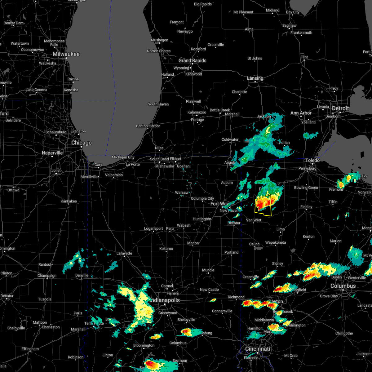 At 628 pm edt, a severe thunderstorm was located near paulding, or 13 miles southwest of defiance, moving east at 35 mph (radar indicated). Hazards include 60 mph wind gusts and quarter size hail. Hail damage to vehicles is expected. expect wind damage to roofs, siding, and trees. locations impacted include, oakwood, grover hill, dupont, melrose, cloverdale, broughton, mandale, arthur, charloe and roselms. hail threat, radar indicated max hail size, 1. 00 in wind threat, radar indicated max wind gust, 60 mph. At 628 pm edt, a severe thunderstorm was located near paulding, or 13 miles southwest of defiance, moving east at 35 mph (radar indicated). Hazards include 60 mph wind gusts and quarter size hail. Hail damage to vehicles is expected. expect wind damage to roofs, siding, and trees. locations impacted include, oakwood, grover hill, dupont, melrose, cloverdale, broughton, mandale, arthur, charloe and roselms. hail threat, radar indicated max hail size, 1. 00 in wind threat, radar indicated max wind gust, 60 mph.
|
| 6/1/2022 6:26 PM EDT |
 At 625 pm edt, a severe thunderstorm was located 7 miles southeast of paulding, or 14 miles south of defiance, moving east at 45 mph (radar indicated). Hazards include 60 mph wind gusts and quarter size hail. Hail damage to vehicles is expected. Expect wind damage to roofs, siding, and trees. At 625 pm edt, a severe thunderstorm was located 7 miles southeast of paulding, or 14 miles south of defiance, moving east at 45 mph (radar indicated). Hazards include 60 mph wind gusts and quarter size hail. Hail damage to vehicles is expected. Expect wind damage to roofs, siding, and trees.
|
| 6/1/2022 6:21 PM EDT |
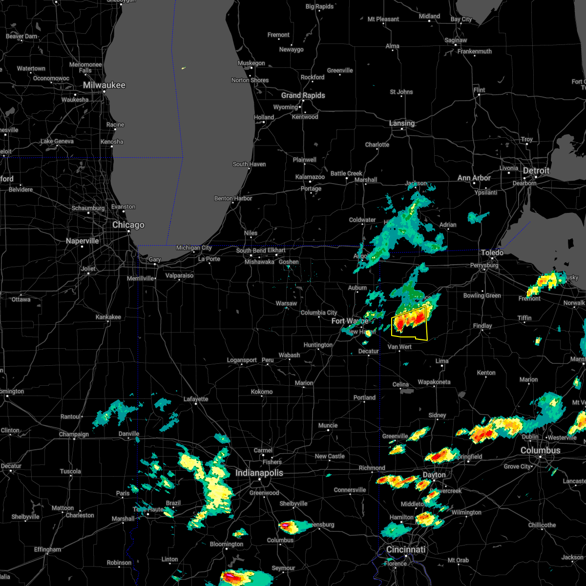 At 620 pm edt, a severe thunderstorm was located near paulding, or 15 miles north of van wert, moving east at 35 mph (radar indicated). Hazards include 60 mph wind gusts and quarter size hail. Hail damage to vehicles is expected. expect wind damage to roofs, siding, and trees. locations impacted include, paulding, oakwood, grover hill, dupont, scott, melrose, haviland, latty, cloverdale, broughton, arthur, charloe, tipton, roselms, mandale and briceton. hail threat, radar indicated max hail size, 1. 00 in wind threat, radar indicated max wind gust, 60 mph. At 620 pm edt, a severe thunderstorm was located near paulding, or 15 miles north of van wert, moving east at 35 mph (radar indicated). Hazards include 60 mph wind gusts and quarter size hail. Hail damage to vehicles is expected. expect wind damage to roofs, siding, and trees. locations impacted include, paulding, oakwood, grover hill, dupont, scott, melrose, haviland, latty, cloverdale, broughton, arthur, charloe, tipton, roselms, mandale and briceton. hail threat, radar indicated max hail size, 1. 00 in wind threat, radar indicated max wind gust, 60 mph.
|
| 6/1/2022 6:04 PM EDT |
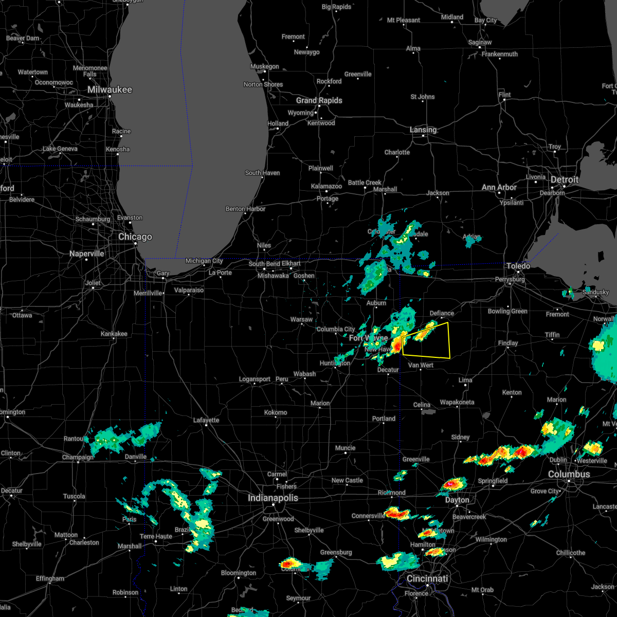 At 604 pm edt, a severe thunderstorm was located over payne, or 15 miles northwest of van wert, moving east at 35 mph (radar indicated). Hazards include 60 mph wind gusts and quarter size hail. Hail damage to vehicles is expected. Expect wind damage to roofs, siding, and trees. At 604 pm edt, a severe thunderstorm was located over payne, or 15 miles northwest of van wert, moving east at 35 mph (radar indicated). Hazards include 60 mph wind gusts and quarter size hail. Hail damage to vehicles is expected. Expect wind damage to roofs, siding, and trees.
|
| 6/1/2022 5:39 PM EDT |
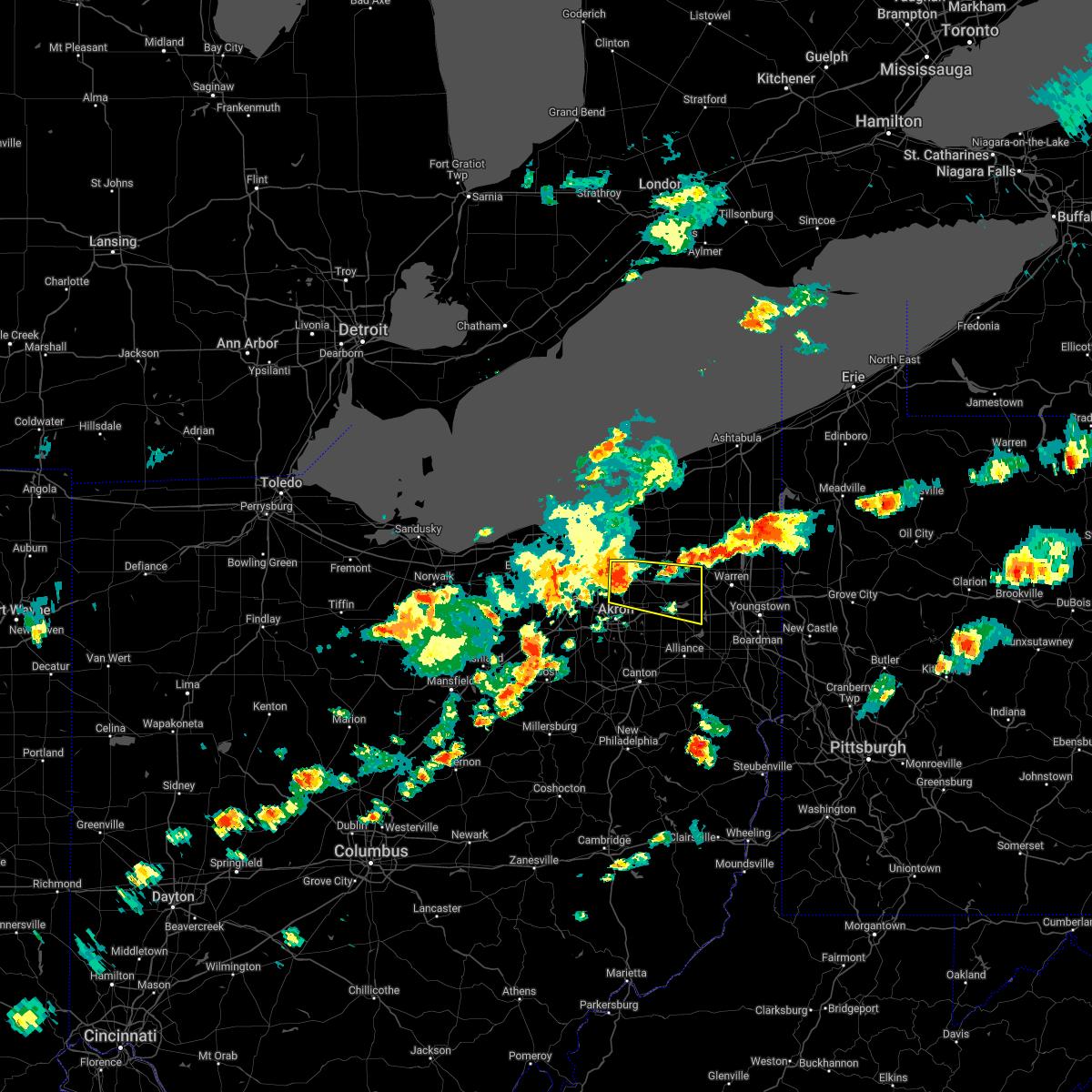 At 539 pm edt, a severe thunderstorm was located over hudson, or 12 miles north of akron, moving east at 45 mph (radar indicated). Hazards include 70 mph wind gusts and quarter size hail. Minor damage to vehicles is possible. expect considerable tree damage. wind damage is also likely to mobile homes, roofs, and outbuildings. locations impacted include, akron, ravenna, cuyahoga falls, kent, hudson, twinsburg, tallmadge, streetsboro, macedonia, garrettsville, mantua, stow, aurora, munroe falls, northfield, reminderville, edinburg, silver lake, windham and hiram. thunderstorm damage threat, considerable hail threat, radar indicated max hail size, 1. 00 in wind threat, radar indicated max wind gust, 70 mph. At 539 pm edt, a severe thunderstorm was located over hudson, or 12 miles north of akron, moving east at 45 mph (radar indicated). Hazards include 70 mph wind gusts and quarter size hail. Minor damage to vehicles is possible. expect considerable tree damage. wind damage is also likely to mobile homes, roofs, and outbuildings. locations impacted include, akron, ravenna, cuyahoga falls, kent, hudson, twinsburg, tallmadge, streetsboro, macedonia, garrettsville, mantua, stow, aurora, munroe falls, northfield, reminderville, edinburg, silver lake, windham and hiram. thunderstorm damage threat, considerable hail threat, radar indicated max hail size, 1. 00 in wind threat, radar indicated max wind gust, 70 mph.
|
| 6/1/2022 5:31 PM EDT |
 At 530 pm edt, a severe thunderstorm was located over macedonia, or 14 miles southeast of cleveland, moving east at 50 mph (radar indicated). Hazards include 70 mph wind gusts and quarter size hail. Minor damage to vehicles is possible. expect considerable tree damage. wind damage is also likely to mobile homes, roofs, and outbuildings. locations impacted include, akron, ravenna, cuyahoga falls, kent, solon, hudson, twinsburg, tallmadge, streetsboro, macedonia, garrettsville, mantua, stow, garfield heights, maple heights, broadview heights, aurora, brecksville, bedford and seven hills. thunderstorm damage threat, considerable hail threat, radar indicated max hail size, 1. 00 in wind threat, radar indicated max wind gust, 70 mph. At 530 pm edt, a severe thunderstorm was located over macedonia, or 14 miles southeast of cleveland, moving east at 50 mph (radar indicated). Hazards include 70 mph wind gusts and quarter size hail. Minor damage to vehicles is possible. expect considerable tree damage. wind damage is also likely to mobile homes, roofs, and outbuildings. locations impacted include, akron, ravenna, cuyahoga falls, kent, solon, hudson, twinsburg, tallmadge, streetsboro, macedonia, garrettsville, mantua, stow, garfield heights, maple heights, broadview heights, aurora, brecksville, bedford and seven hills. thunderstorm damage threat, considerable hail threat, radar indicated max hail size, 1. 00 in wind threat, radar indicated max wind gust, 70 mph.
|
| 6/1/2022 5:22 PM EDT |
 At 522 pm edt, a severe thunderstorm was located near north royalton, or 13 miles south of cleveland, moving east at 40 mph (radar indicated). Hazards include 60 mph wind gusts and quarter size hail. Minor damage to vehicles is possible. Expect damage to trees and power lines. At 522 pm edt, a severe thunderstorm was located near north royalton, or 13 miles south of cleveland, moving east at 40 mph (radar indicated). Hazards include 60 mph wind gusts and quarter size hail. Minor damage to vehicles is possible. Expect damage to trees and power lines.
|
| 5/21/2022 5:16 PM EDT |
 At 516 pm edt, a severe thunderstorm was located over englewood, moving northeast at 25 mph (radar indicated). Hazards include 60 mph wind gusts and quarter size hail. Minor hail damage to vehicles is possible. expect wind damage to trees and power lines. locations impacted include, dayton, kettering, huber heights, trotwood, vandalia, englewood, tipp city, eaton, moraine, west milton, oakwood, wright-patterson afb, west carrollton, camden, lewisburg, west alexandria, gratis, riverside, clayton and union. this includes the following interstates, i-70 in ohio between mile markers 10 and 39. i-75 in ohio between mile markers 47 and 72. hail threat, radar indicated max hail size, 1. 00 in wind threat, radar indicated max wind gust, 60 mph. At 516 pm edt, a severe thunderstorm was located over englewood, moving northeast at 25 mph (radar indicated). Hazards include 60 mph wind gusts and quarter size hail. Minor hail damage to vehicles is possible. expect wind damage to trees and power lines. locations impacted include, dayton, kettering, huber heights, trotwood, vandalia, englewood, tipp city, eaton, moraine, west milton, oakwood, wright-patterson afb, west carrollton, camden, lewisburg, west alexandria, gratis, riverside, clayton and union. this includes the following interstates, i-70 in ohio between mile markers 10 and 39. i-75 in ohio between mile markers 47 and 72. hail threat, radar indicated max hail size, 1. 00 in wind threat, radar indicated max wind gust, 60 mph.
|
| 5/21/2022 4:58 PM EDT |
 At 458 pm edt, a severe thunderstorm was located near lewisburg, moving east at 30 mph (radar indicated). Hazards include 60 mph wind gusts and quarter size hail. Minor hail damage to vehicles is possible. expect wind damage to trees and power lines. locations impacted include, dayton, kettering, huber heights, trotwood, vandalia, englewood, tipp city, eaton, moraine, west milton, oakwood, wright-patterson afb, west carrollton, camden, lewisburg, west alexandria, gratis, riverside, clayton and union. this includes the following interstates, i-70 in ohio between mile markers 10 and 39. i-75 in ohio between mile markers 47 and 72. hail threat, radar indicated max hail size, 1. 00 in wind threat, radar indicated max wind gust, 60 mph. At 458 pm edt, a severe thunderstorm was located near lewisburg, moving east at 30 mph (radar indicated). Hazards include 60 mph wind gusts and quarter size hail. Minor hail damage to vehicles is possible. expect wind damage to trees and power lines. locations impacted include, dayton, kettering, huber heights, trotwood, vandalia, englewood, tipp city, eaton, moraine, west milton, oakwood, wright-patterson afb, west carrollton, camden, lewisburg, west alexandria, gratis, riverside, clayton and union. this includes the following interstates, i-70 in ohio between mile markers 10 and 39. i-75 in ohio between mile markers 47 and 72. hail threat, radar indicated max hail size, 1. 00 in wind threat, radar indicated max wind gust, 60 mph.
|
| 5/21/2022 4:42 PM EDT |
 At 442 pm edt, a severe thunderstorm was located near eaton, moving northeast at 25 mph (radar indicated). Hazards include 60 mph wind gusts and quarter size hail. Minor hail damage to vehicles is possible. Expect wind damage to trees and power lines. At 442 pm edt, a severe thunderstorm was located near eaton, moving northeast at 25 mph (radar indicated). Hazards include 60 mph wind gusts and quarter size hail. Minor hail damage to vehicles is possible. Expect wind damage to trees and power lines.
|
| 5/3/2022 7:42 PM EDT |
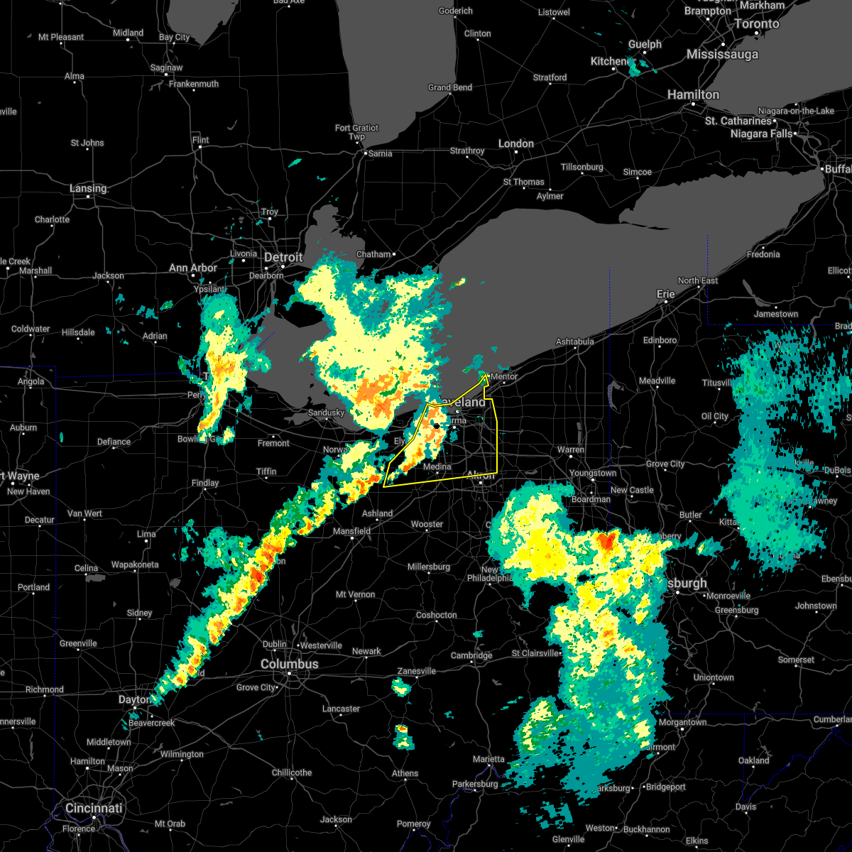 At 742 pm edt, severe thunderstorms were located along a line extending from near lakewood to near strongsville to near wellington, moving northeast at 25 mph (radar indicated). Hazards include 60 mph wind gusts. Expect damage to trees and power lines. locations impacted include, cleveland, akron, medina, willowick, parma, lakewood, cuyahoga falls, euclid, cleveland heights, strongsville, brunswick, westlake, north royalton, north ridgeville, kent, solon, hudson, twinsburg, streetsboro and warrensville heights. hail threat, radar indicated max hail size, <. 75 in wind threat, radar indicated max wind gust, 60 mph. At 742 pm edt, severe thunderstorms were located along a line extending from near lakewood to near strongsville to near wellington, moving northeast at 25 mph (radar indicated). Hazards include 60 mph wind gusts. Expect damage to trees and power lines. locations impacted include, cleveland, akron, medina, willowick, parma, lakewood, cuyahoga falls, euclid, cleveland heights, strongsville, brunswick, westlake, north royalton, north ridgeville, kent, solon, hudson, twinsburg, streetsboro and warrensville heights. hail threat, radar indicated max hail size, <. 75 in wind threat, radar indicated max wind gust, 60 mph.
|
| 5/3/2022 7:24 PM EDT |
 At 724 pm edt, severe thunderstorms were located along a line extending from 12 miles north of lorain to near north ridgeville to near new london, moving northeast at 45 mph (radar indicated). Hazards include 60 mph wind gusts and quarter size hail. Minor damage to vehicles is possible. Expect damage to trees and power lines. At 724 pm edt, severe thunderstorms were located along a line extending from 12 miles north of lorain to near north ridgeville to near new london, moving northeast at 45 mph (radar indicated). Hazards include 60 mph wind gusts and quarter size hail. Minor damage to vehicles is possible. Expect damage to trees and power lines.
|
| 5/3/2022 3:08 PM EDT |
 At 308 pm edt, a severe thunderstorm was located near gratis, moving northeast at 40 mph (radar indicated). Hazards include 60 mph wind gusts and quarter size hail. Minor hail damage to vehicles is possible. Expect wind damage to trees and power lines. At 308 pm edt, a severe thunderstorm was located near gratis, moving northeast at 40 mph (radar indicated). Hazards include 60 mph wind gusts and quarter size hail. Minor hail damage to vehicles is possible. Expect wind damage to trees and power lines.
|
| 4/25/2022 2:58 PM EDT |
 At 258 pm edt, a severe thunderstorm was located near highland hills, or 12 miles east of cleveland, moving northeast at 55 mph (radar indicated). Hazards include 60 mph wind gusts. expect damage to trees and power lines At 258 pm edt, a severe thunderstorm was located near highland hills, or 12 miles east of cleveland, moving northeast at 55 mph (radar indicated). Hazards include 60 mph wind gusts. expect damage to trees and power lines
|
| 4/25/2022 2:40 PM EDT |
 At 240 pm edt, a severe thunderstorm was located over cleveland, moving northeast at 55 mph (radar indicated). Hazards include 60 mph wind gusts. Expect damage to trees and power lines. locations impacted include, cleveland, willowick, parma, lakewood, euclid, cleveland heights, north royalton, solon, willoughby, eastlake, warrensville heights, highland hills, lakeline, garfield heights, shaker heights, maple heights, south euclid, parma heights, rocky river and broadview heights. hail threat, radar indicated max hail size, <. 75 in wind threat, radar indicated max wind gust, 60 mph. At 240 pm edt, a severe thunderstorm was located over cleveland, moving northeast at 55 mph (radar indicated). Hazards include 60 mph wind gusts. Expect damage to trees and power lines. locations impacted include, cleveland, willowick, parma, lakewood, euclid, cleveland heights, north royalton, solon, willoughby, eastlake, warrensville heights, highland hills, lakeline, garfield heights, shaker heights, maple heights, south euclid, parma heights, rocky river and broadview heights. hail threat, radar indicated max hail size, <. 75 in wind threat, radar indicated max wind gust, 60 mph.
|
| 4/25/2022 2:22 PM EDT |
 At 222 pm edt, a severe thunderstorm was located near grafton, or 7 miles southeast of elyria, moving northeast at 40 mph (radar indicated). Hazards include 60 mph wind gusts. expect damage to trees and power lines At 222 pm edt, a severe thunderstorm was located near grafton, or 7 miles southeast of elyria, moving northeast at 40 mph (radar indicated). Hazards include 60 mph wind gusts. expect damage to trees and power lines
|
| 3/6/2022 3:53 AM EST |
 At 352 am est, severe thunderstorms were located along a line extending from wauseon to near kalida to near fort recovery, moving east at 65 mph (radar indicated). Hazards include 70 mph wind gusts. Expect considerable tree damage. damage is likely to mobile homes, roofs, and outbuildings. locations impacted include, lima, defiance, van wert, napoleon, bryan, wauseon, delphos, portland, ottawa, archbold, fort shawnee, paulding, delta, spencerville, columbus grove, elida, kalida, stryker, geneva and payne. This includes interstate 75 between mile markers 119 and 132. At 352 am est, severe thunderstorms were located along a line extending from wauseon to near kalida to near fort recovery, moving east at 65 mph (radar indicated). Hazards include 70 mph wind gusts. Expect considerable tree damage. damage is likely to mobile homes, roofs, and outbuildings. locations impacted include, lima, defiance, van wert, napoleon, bryan, wauseon, delphos, portland, ottawa, archbold, fort shawnee, paulding, delta, spencerville, columbus grove, elida, kalida, stryker, geneva and payne. This includes interstate 75 between mile markers 119 and 132.
|
| 3/6/2022 3:21 AM EST |
 At 321 am est, severe thunderstorms were located along a line extending from near auburn to near monroeville to near matthews, moving east at 80 mph (radar indicated). Hazards include 70 mph wind gusts. Expect considerable tree damage. Damage is likely to mobile homes, roofs, and outbuildings. At 321 am est, severe thunderstorms were located along a line extending from near auburn to near monroeville to near matthews, moving east at 80 mph (radar indicated). Hazards include 70 mph wind gusts. Expect considerable tree damage. Damage is likely to mobile homes, roofs, and outbuildings.
|
| 9/22/2021 2:29 PM EDT |
 At 229 pm edt, a severe thunderstorm was located over cuyahoga falls, or near akron, moving north at 30 mph (radar indicated). Hazards include 60 mph wind gusts. Expect damage to trees and power lines. locations impacted include, akron, ravenna, cuyahoga falls, kent, barberton, solon, hudson, twinsburg, tallmadge, streetsboro, macedonia, mogadore, garrettsville, mantua, stow, aurora, brecksville, norton, brimfield and fairlawn. hail threat, radar indicated max hail size, <. 75 in wind threat, radar indicated max wind gust, 60 mph. At 229 pm edt, a severe thunderstorm was located over cuyahoga falls, or near akron, moving north at 30 mph (radar indicated). Hazards include 60 mph wind gusts. Expect damage to trees and power lines. locations impacted include, akron, ravenna, cuyahoga falls, kent, barberton, solon, hudson, twinsburg, tallmadge, streetsboro, macedonia, mogadore, garrettsville, mantua, stow, aurora, brecksville, norton, brimfield and fairlawn. hail threat, radar indicated max hail size, <. 75 in wind threat, radar indicated max wind gust, 60 mph.
|
| 9/22/2021 2:09 PM EDT |
 At 209 pm edt, a severe thunderstorm was located over barberton, or near akron, moving north at 30 mph (radar indicated). Hazards include 60 mph wind gusts. expect damage to trees and power lines At 209 pm edt, a severe thunderstorm was located over barberton, or near akron, moving north at 30 mph (radar indicated). Hazards include 60 mph wind gusts. expect damage to trees and power lines
|
| 9/15/2021 2:11 AM EDT |
 The severe thunderstorm warning for portage, geauga, southeastern cuyahoga, south central lake and northern summit counties will expire at 215 am edt, the storms which prompted the warning have weakened below severe limits, and no longer pose an immediate threat to life or property. therefore, the warning will be allowed to expire. however gusty winds are still possible with these thunderstorms. The severe thunderstorm warning for portage, geauga, southeastern cuyahoga, south central lake and northern summit counties will expire at 215 am edt, the storms which prompted the warning have weakened below severe limits, and no longer pose an immediate threat to life or property. therefore, the warning will be allowed to expire. however gusty winds are still possible with these thunderstorms.
|
| 9/15/2021 2:02 AM EDT |
 At 202 am edt, severe thunderstorms were located along a line extending from near burton to near streetsboro, moving east at 40 mph (radar indicated). Hazards include 60 mph wind gusts. Expect damage to trees and power lines. locations impacted include, akron, ravenna, chardon, cuyahoga falls, kent, solon, hudson, twinsburg, tallmadge, streetsboro, macedonia, south russell, middlefield, garrettsville, burton, mantua, chesterland, stow, aurora and brecksville. hail threat, radar indicated max hail size, <. 75 in wind threat, radar indicated max wind gust, 60 mph. At 202 am edt, severe thunderstorms were located along a line extending from near burton to near streetsboro, moving east at 40 mph (radar indicated). Hazards include 60 mph wind gusts. Expect damage to trees and power lines. locations impacted include, akron, ravenna, chardon, cuyahoga falls, kent, solon, hudson, twinsburg, tallmadge, streetsboro, macedonia, south russell, middlefield, garrettsville, burton, mantua, chesterland, stow, aurora and brecksville. hail threat, radar indicated max hail size, <. 75 in wind threat, radar indicated max wind gust, 60 mph.
|
| 9/15/2021 1:46 AM EDT |
 At 146 am edt, severe thunderstorms were located along a line extending from near south russell to near cuyahoga falls, moving east at 40 mph (radar indicated). Hazards include 60 mph wind gusts and penny size hail. Expect damage to trees and power lines. locations impacted include, cleveland, akron, willowick, ravenna, chardon, parma, cuyahoga falls, euclid, mentor, cleveland heights, strongsville, brunswick, north royalton, kent, solon, willoughby, hudson, twinsburg, eastlake and tallmadge. hail threat, radar indicated max hail size, 0. 75 in wind threat, radar indicated max wind gust, 60 mph. At 146 am edt, severe thunderstorms were located along a line extending from near south russell to near cuyahoga falls, moving east at 40 mph (radar indicated). Hazards include 60 mph wind gusts and penny size hail. Expect damage to trees and power lines. locations impacted include, cleveland, akron, willowick, ravenna, chardon, parma, cuyahoga falls, euclid, mentor, cleveland heights, strongsville, brunswick, north royalton, kent, solon, willoughby, hudson, twinsburg, eastlake and tallmadge. hail threat, radar indicated max hail size, 0. 75 in wind threat, radar indicated max wind gust, 60 mph.
|
| 9/15/2021 1:04 AM EDT |
 At 103 am edt, severe thunderstorms were located along a line extending from near lakewood to grafton, moving east at 40 mph (radar indicated). Hazards include 60 mph wind gusts. expect damage to trees and power lines At 103 am edt, severe thunderstorms were located along a line extending from near lakewood to grafton, moving east at 40 mph (radar indicated). Hazards include 60 mph wind gusts. expect damage to trees and power lines
|
| 8/12/2021 10:28 AM EDT |
 At 1028 am edt, severe thunderstorms were located along a line extending from near highland hills to solon to near cuyahoga falls, moving east at 45 mph (radar indicated). Hazards include 60 mph wind gusts. expect damage to trees and power lines At 1028 am edt, severe thunderstorms were located along a line extending from near highland hills to solon to near cuyahoga falls, moving east at 45 mph (radar indicated). Hazards include 60 mph wind gusts. expect damage to trees and power lines
|
| 8/11/2021 5:59 PM EDT |
 At 558 pm edt, a line of severe thunderstorms was located near south russell to bedford, moving east at 45 mph (radar indicated). Hazards include 70 mph wind gusts and penny size hail. Expect considerable tree damage. damage is likely to mobile homes, roofs, and outbuildings. locations impacted include, cleveland, parma, euclid, cleveland heights, north royalton, solon, hudson, twinsburg, warrensville heights, macedonia, south russell, highland hills, chesterland, garfield heights, shaker heights, maple heights, south euclid, parma heights, broadview heights and mayfield heights. thunderstorm damage threat, considerable hail threat, radar indicated max hail size, 0. 75 in wind threat, radar indicated max wind gust, 70 mph. At 558 pm edt, a line of severe thunderstorms was located near south russell to bedford, moving east at 45 mph (radar indicated). Hazards include 70 mph wind gusts and penny size hail. Expect considerable tree damage. damage is likely to mobile homes, roofs, and outbuildings. locations impacted include, cleveland, parma, euclid, cleveland heights, north royalton, solon, hudson, twinsburg, warrensville heights, macedonia, south russell, highland hills, chesterland, garfield heights, shaker heights, maple heights, south euclid, parma heights, broadview heights and mayfield heights. thunderstorm damage threat, considerable hail threat, radar indicated max hail size, 0. 75 in wind threat, radar indicated max wind gust, 70 mph.
|
| 8/11/2021 5:33 PM EDT |
 At 533 pm edt, a severe thunderstorm was located over warrensville heights, or 9 miles southeast of cleveland, moving east at 45 mph. this is a destructive storm for cuyahoga county (radar indicated). Hazards include 80 mph wind gusts and penny size hail. Flying debris will be dangerous to those caught without shelter. mobile homes will be heavily damaged. expect considerable damage to roofs, windows, and vehicles. extensive tree damage and power outages are likely. locations impacted include, cleveland, painesville, willowick, fairport harbor, parma, lakewood, euclid, mentor, cleveland heights, strongsville, brunswick, north royalton, solon, willoughby, twinsburg, eastlake, warrensville heights, macedonia, south russell and highland hills. thunderstorm damage threat, destructive hail threat, radar indicated max hail size, 0. 75 in wind threat, radar indicated max wind gust, 80 mph. At 533 pm edt, a severe thunderstorm was located over warrensville heights, or 9 miles southeast of cleveland, moving east at 45 mph. this is a destructive storm for cuyahoga county (radar indicated). Hazards include 80 mph wind gusts and penny size hail. Flying debris will be dangerous to those caught without shelter. mobile homes will be heavily damaged. expect considerable damage to roofs, windows, and vehicles. extensive tree damage and power outages are likely. locations impacted include, cleveland, painesville, willowick, fairport harbor, parma, lakewood, euclid, mentor, cleveland heights, strongsville, brunswick, north royalton, solon, willoughby, twinsburg, eastlake, warrensville heights, macedonia, south russell and highland hills. thunderstorm damage threat, destructive hail threat, radar indicated max hail size, 0. 75 in wind threat, radar indicated max wind gust, 80 mph.
|
| 8/11/2021 5:17 PM EDT |
 At 517 pm edt, a severe thunderstorm was located near parma, or near cleveland, moving east at 45 mph (radar indicated). Hazards include 70 mph wind gusts and penny size hail. Expect considerable tree damage. Damage is likely to mobile homes, roofs, and outbuildings. At 517 pm edt, a severe thunderstorm was located near parma, or near cleveland, moving east at 45 mph (radar indicated). Hazards include 70 mph wind gusts and penny size hail. Expect considerable tree damage. Damage is likely to mobile homes, roofs, and outbuildings.
|
| 8/11/2021 2:53 PM EDT |
 At 253 pm edt, severe thunderstorms were located along a line extending from near holgate to near elida to celina, moving east at 45 mph (radar indicated). Hazards include 60 mph wind gusts and penny size hail. Expect damage to roofs, siding, and trees. locations impacted include, defiance, van wert, berne, geneva, convoy, monroe, ohio city, westchester, oakwood, middlebury, nottingham, middle point, grover hill, willshire, scott, melrose, bryant, wren, venedocia and vera cruz. hail threat, radar indicated max hail size, 0. 75 in wind threat, radar indicated max wind gust, 60 mph. At 253 pm edt, severe thunderstorms were located along a line extending from near holgate to near elida to celina, moving east at 45 mph (radar indicated). Hazards include 60 mph wind gusts and penny size hail. Expect damage to roofs, siding, and trees. locations impacted include, defiance, van wert, berne, geneva, convoy, monroe, ohio city, westchester, oakwood, middlebury, nottingham, middle point, grover hill, willshire, scott, melrose, bryant, wren, venedocia and vera cruz. hail threat, radar indicated max hail size, 0. 75 in wind threat, radar indicated max wind gust, 60 mph.
|
| 8/11/2021 2:36 PM EDT |
 At 236 pm edt, severe thunderstorms were located along a line extending from 6 miles northeast of antwerp to near ohio city to near geneva, moving southeast at 40 mph (radar indicated). Hazards include 60 mph wind gusts and penny size hail. Expect damage to roofs, siding, and trees. locations impacted include, fort wayne, defiance, new haven, van wert, bluffton, decatur, berne, hicksville, ossian, paulding, antwerp, woodburn, geneva, monroeville, payne, markle, convoy, monroe, ohio city and westchester. this includes the following highways, interstate 469 near mile marker 6, and between mile markers 9 and 23. interstate 69 in indiana between mile markers 276 and 282. hail threat, radar indicated max hail size, 0. 75 in wind threat, radar indicated max wind gust, 60 mph. At 236 pm edt, severe thunderstorms were located along a line extending from 6 miles northeast of antwerp to near ohio city to near geneva, moving southeast at 40 mph (radar indicated). Hazards include 60 mph wind gusts and penny size hail. Expect damage to roofs, siding, and trees. locations impacted include, fort wayne, defiance, new haven, van wert, bluffton, decatur, berne, hicksville, ossian, paulding, antwerp, woodburn, geneva, monroeville, payne, markle, convoy, monroe, ohio city and westchester. this includes the following highways, interstate 469 near mile marker 6, and between mile markers 9 and 23. interstate 69 in indiana between mile markers 276 and 282. hail threat, radar indicated max hail size, 0. 75 in wind threat, radar indicated max wind gust, 60 mph.
|
| 8/11/2021 2:14 PM EDT |
 At 214 pm edt, severe thunderstorms were located along a line extending from st. joe to near decatur to 7 miles north of montpelier, moving southeast at 40 mph (radar indicated). Hazards include 60 mph wind gusts and penny size hail. expect damage to roofs, siding, and trees At 214 pm edt, severe thunderstorms were located along a line extending from st. joe to near decatur to 7 miles north of montpelier, moving southeast at 40 mph (radar indicated). Hazards include 60 mph wind gusts and penny size hail. expect damage to roofs, siding, and trees
|
| 8/10/2021 7:39 PM EDT |
 The severe thunderstorm warning for eastern paulding county will expire at 745 pm edt, the storm which prompted the warning has weakened below severe limits, and no longer poses an immediate threat to life or property. therefore, the warning will be allowed to expire. however heavy rain is still possible with this thunderstorm. The severe thunderstorm warning for eastern paulding county will expire at 745 pm edt, the storm which prompted the warning has weakened below severe limits, and no longer poses an immediate threat to life or property. therefore, the warning will be allowed to expire. however heavy rain is still possible with this thunderstorm.
|
| 8/10/2021 7:23 PM EDT |
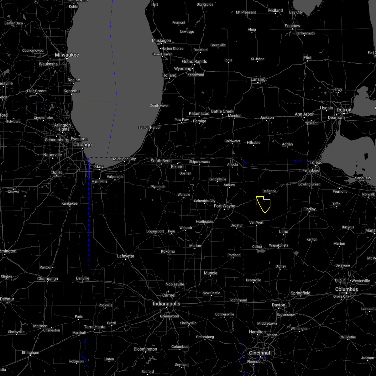 At 722 pm edt, a severe thunderstorm was located near charloe, or 11 miles southwest of defiance, moving northeast at 15 mph (radar indicated). Hazards include 60 mph wind gusts. Expect damage to roofs, siding, and trees. locations impacted include, oakwood, melrose, charloe and arthur. hail threat, radar indicated max hail size, <. 75 in wind threat, radar indicated max wind gust, 60 mph. At 722 pm edt, a severe thunderstorm was located near charloe, or 11 miles southwest of defiance, moving northeast at 15 mph (radar indicated). Hazards include 60 mph wind gusts. Expect damage to roofs, siding, and trees. locations impacted include, oakwood, melrose, charloe and arthur. hail threat, radar indicated max hail size, <. 75 in wind threat, radar indicated max wind gust, 60 mph.
|
| 8/10/2021 7:07 PM EDT |
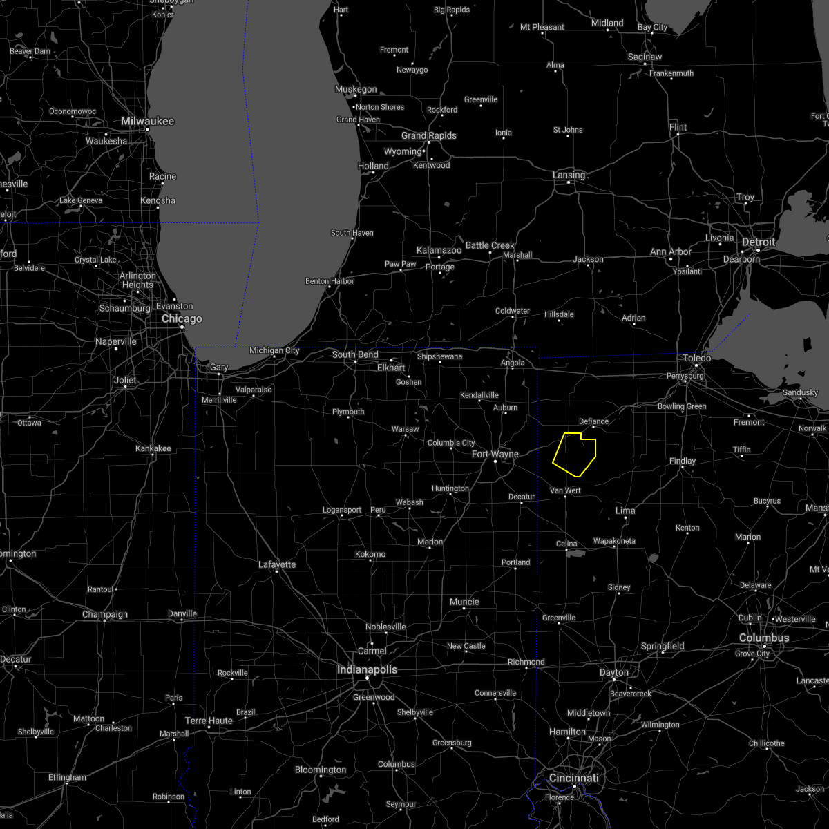 At 706 pm edt, a severe thunderstorm was located near paulding, or 14 miles southwest of defiance, moving northeast at 20 mph (radar indicated). Hazards include 60 mph wind gusts. expect damage to roofs, siding, and trees At 706 pm edt, a severe thunderstorm was located near paulding, or 14 miles southwest of defiance, moving northeast at 20 mph (radar indicated). Hazards include 60 mph wind gusts. expect damage to roofs, siding, and trees
|
| 8/10/2021 6:27 PM EDT |
 At 626 pm edt, a severe thunderstorm was located near oakwood, or 12 miles south of defiance, moving east at 20 mph (radar indicated). Hazards include 60 mph wind gusts. Expect damage to roofs, siding, and trees. locations impacted include, ottawa, leipsic, deshler, kalida, continental, holgate, glandorf, oakwood, hamler, grover hill, dupont, melrose, west leipsic, gilboa, cloverdale, belmore, miller city, new bavaria, arthur and charloe. hail threat, radar indicated max hail size, <. 75 in wind threat, radar indicated max wind gust, 60 mph. At 626 pm edt, a severe thunderstorm was located near oakwood, or 12 miles south of defiance, moving east at 20 mph (radar indicated). Hazards include 60 mph wind gusts. Expect damage to roofs, siding, and trees. locations impacted include, ottawa, leipsic, deshler, kalida, continental, holgate, glandorf, oakwood, hamler, grover hill, dupont, melrose, west leipsic, gilboa, cloverdale, belmore, miller city, new bavaria, arthur and charloe. hail threat, radar indicated max hail size, <. 75 in wind threat, radar indicated max wind gust, 60 mph.
|
| 8/10/2021 5:58 PM EDT |
 At 557 pm edt, severe thunderstorms were located along a line extending from near paulding to near continental, moving east at 30 mph (radar indicated). Hazards include 60 mph wind gusts. expect damage to roofs, siding, and trees At 557 pm edt, severe thunderstorms were located along a line extending from near paulding to near continental, moving east at 30 mph (radar indicated). Hazards include 60 mph wind gusts. expect damage to roofs, siding, and trees
|
| 7/29/2021 6:32 AM EDT |
 At 632 am edt, severe thunderstorms were located along a line extending from near bryan to near paulding to near monroeville, moving east at 55 mph (radar indicated). Hazards include 60 mph wind gusts. Expect damage to roofs, siding, and trees. Locations impacted include, defiance, paulding, antwerp, woodburn, monroeville, payne, continental, convoy, ottoville, oakwood, dixon, grover hill, ney, dupont, scott, melrose, haviland, latty, cecil and cloverdale. At 632 am edt, severe thunderstorms were located along a line extending from near bryan to near paulding to near monroeville, moving east at 55 mph (radar indicated). Hazards include 60 mph wind gusts. Expect damage to roofs, siding, and trees. Locations impacted include, defiance, paulding, antwerp, woodburn, monroeville, payne, continental, convoy, ottoville, oakwood, dixon, grover hill, ney, dupont, scott, melrose, haviland, latty, cecil and cloverdale.
|
| 7/29/2021 6:07 AM EDT |
 At 607 am edt, severe thunderstorms were located along a line extending from near butler to near grabill to near fort wayne, moving east at 50 mph (radar indicated). Hazards include 60 mph wind gusts. expect damage to roofs, siding, and trees At 607 am edt, severe thunderstorms were located along a line extending from near butler to near grabill to near fort wayne, moving east at 50 mph (radar indicated). Hazards include 60 mph wind gusts. expect damage to roofs, siding, and trees
|
| 7/16/2021 2:37 PM EDT |
 At 237 pm edt, a severe thunderstorm was located over kettering, moving northeast at 30 mph (radar indicated). Hazards include 60 mph wind gusts. Expect damage to trees and power lines. locations impacted include, dayton, kettering, beavercreek, huber heights, fairborn, xenia, bellbrook, moraine, oakwood, yellow springs, wright-patterson afb, cedarville, enon, wilberforce, riverside, centerville, green meadows, holiday valley, john bryan state park and oldtown. this includes the following interstates, i-70 in ohio between mile markers 43 and 47. I-75 in ohio between mile markers 50 and 52. At 237 pm edt, a severe thunderstorm was located over kettering, moving northeast at 30 mph (radar indicated). Hazards include 60 mph wind gusts. Expect damage to trees and power lines. locations impacted include, dayton, kettering, beavercreek, huber heights, fairborn, xenia, bellbrook, moraine, oakwood, yellow springs, wright-patterson afb, cedarville, enon, wilberforce, riverside, centerville, green meadows, holiday valley, john bryan state park and oldtown. this includes the following interstates, i-70 in ohio between mile markers 43 and 47. I-75 in ohio between mile markers 50 and 52.
|
| 7/16/2021 2:31 PM EDT |
 At 231 pm edt, a severe thunderstorm was located over west carrollton, moving northeast at 30 mph (radar indicated). Hazards include 60 mph wind gusts. Expect damage to trees and power lines. locations impacted include, dayton, kettering, beavercreek, huber heights, fairborn, xenia, miamisburg, springboro, bellbrook, moraine, new carlisle, oakwood, yellow springs, wright-patterson afb, west carrollton, cedarville, enon, wilberforce, riverside and centerville. this includes the following interstates, i-70 in ohio between mile markers 38 and 46. I-75 in ohio between mile markers 42 and 56. At 231 pm edt, a severe thunderstorm was located over west carrollton, moving northeast at 30 mph (radar indicated). Hazards include 60 mph wind gusts. Expect damage to trees and power lines. locations impacted include, dayton, kettering, beavercreek, huber heights, fairborn, xenia, miamisburg, springboro, bellbrook, moraine, new carlisle, oakwood, yellow springs, wright-patterson afb, west carrollton, cedarville, enon, wilberforce, riverside and centerville. this includes the following interstates, i-70 in ohio between mile markers 38 and 46. I-75 in ohio between mile markers 42 and 56.
|
| 7/16/2021 2:27 PM EDT |
 At 227 pm edt, a severe thunderstorm was located over west carrollton, moving northeast at 30 mph (radar indicated). Hazards include 60 mph wind gusts and penny size hail. expect damage to trees and power lines At 227 pm edt, a severe thunderstorm was located over west carrollton, moving northeast at 30 mph (radar indicated). Hazards include 60 mph wind gusts and penny size hail. expect damage to trees and power lines
|
| 7/7/2021 6:41 PM EDT |
 At 641 pm edt, severe thunderstorms were located along a line extending from near north royalton to 6 miles northwest of cuyahoga falls, moving northeast at 30 mph (radar indicated). Hazards include 60 mph wind gusts. Expect damage to trees and power lines. Locations impacted include, akron, cuyahoga falls, solon, hudson, twinsburg, streetsboro, macedonia, stow, broadview heights, aurora, brecksville, bedford, seven hills, bedford heights, independence, chagrin falls, northfield, richfield, reminderville and moreland hills. At 641 pm edt, severe thunderstorms were located along a line extending from near north royalton to 6 miles northwest of cuyahoga falls, moving northeast at 30 mph (radar indicated). Hazards include 60 mph wind gusts. Expect damage to trees and power lines. Locations impacted include, akron, cuyahoga falls, solon, hudson, twinsburg, streetsboro, macedonia, stow, broadview heights, aurora, brecksville, bedford, seven hills, bedford heights, independence, chagrin falls, northfield, richfield, reminderville and moreland hills.
|
| 7/7/2021 6:22 PM EDT |
 At 622 pm edt, a severe thunderstorm was located over brunswick, or 7 miles north of medina, moving east at 20 mph (radar indicated). Hazards include 60 mph wind gusts and quarter size hail. Minor damage to vehicles is possible. Expect damage to trees and power lines. At 622 pm edt, a severe thunderstorm was located over brunswick, or 7 miles north of medina, moving east at 20 mph (radar indicated). Hazards include 60 mph wind gusts and quarter size hail. Minor damage to vehicles is possible. Expect damage to trees and power lines.
|
| 7/7/2021 4:35 PM EDT |
 The severe thunderstorm warning for northern cuyahoga county will expire at 445 pm edt, the storms which prompted the warning have weakened below severe limits, and have exited the warned area. therefore, the warning will be allowed to expire. however heavy rain is still possible with these thunderstorms. a severe thunderstorm watch remains in effect until 900 pm edt for northeastern ohio. to report severe weather, contact your nearest law enforcement agency. they will relay your report to the national weather service cleveland. The severe thunderstorm warning for northern cuyahoga county will expire at 445 pm edt, the storms which prompted the warning have weakened below severe limits, and have exited the warned area. therefore, the warning will be allowed to expire. however heavy rain is still possible with these thunderstorms. a severe thunderstorm watch remains in effect until 900 pm edt for northeastern ohio. to report severe weather, contact your nearest law enforcement agency. they will relay your report to the national weather service cleveland.
|
| 7/7/2021 4:12 PM EDT |
 At 411 pm edt, severe thunderstorms were located along a line extending from near lakewood to near cleveland to near highland hills, moving northeast at 30 mph (radar indicated). Hazards include 60 mph wind gusts. Expect damage to trees and power lines. Locations impacted include, cleveland, parma, lakewood, euclid, cleveland heights, solon, warrensville heights, highland hills, garfield heights, shaker heights, maple heights, south euclid, rocky river, mayfield heights, east cleveland, lyndhurst, university heights, bedford, beachwood and seven hills. At 411 pm edt, severe thunderstorms were located along a line extending from near lakewood to near cleveland to near highland hills, moving northeast at 30 mph (radar indicated). Hazards include 60 mph wind gusts. Expect damage to trees and power lines. Locations impacted include, cleveland, parma, lakewood, euclid, cleveland heights, solon, warrensville heights, highland hills, garfield heights, shaker heights, maple heights, south euclid, rocky river, mayfield heights, east cleveland, lyndhurst, university heights, bedford, beachwood and seven hills.
|
| 7/7/2021 3:44 PM EDT |
 At 343 pm edt, severe thunderstorms were located along a line extending from lorain to near north ridgeville to north royalton, moving northeast at 25 mph (radar indicated). Hazards include 60 mph wind gusts. expect damage to trees and power lines At 343 pm edt, severe thunderstorms were located along a line extending from lorain to near north ridgeville to north royalton, moving northeast at 25 mph (radar indicated). Hazards include 60 mph wind gusts. expect damage to trees and power lines
|
| 6/28/2021 4:42 PM EDT |
 At 442 pm edt, severe thunderstorms were located along a line extending from near macedonia to cuyahoga falls, moving northeast at 25 mph (radar indicated). Hazards include 60 mph wind gusts and penny size hail. expect damage to trees and power lines At 442 pm edt, severe thunderstorms were located along a line extending from near macedonia to cuyahoga falls, moving northeast at 25 mph (radar indicated). Hazards include 60 mph wind gusts and penny size hail. expect damage to trees and power lines
|
| 6/21/2021 1:06 PM EDT |
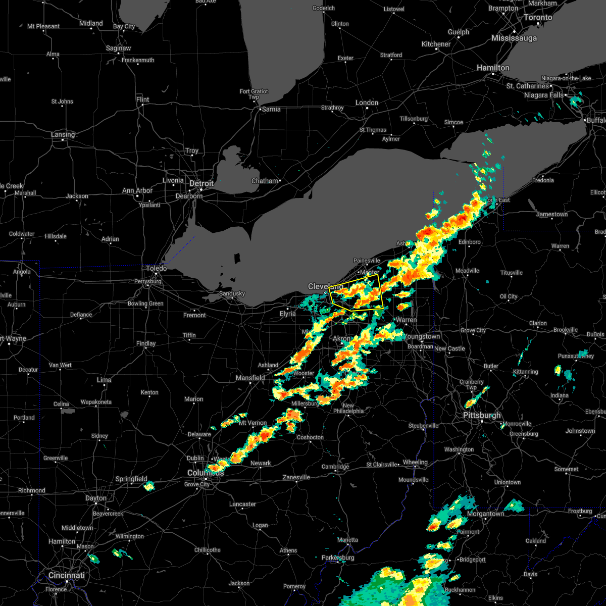 At 106 pm edt, a severe thunderstorm was located near highland hills, or 10 miles south of willowick, moving east at 45 mph (radar indicated). Hazards include 60 mph wind gusts. Expect damage to trees and power lines. Locations impacted include, cleveland, chardon, euclid, cleveland heights, solon, warrensville heights, south russell, middlefield, burton, highland hills, chesterland, garfield heights, shaker heights, maple heights, south euclid, mayfield heights, east cleveland, lyndhurst, university heights and bedford. At 106 pm edt, a severe thunderstorm was located near highland hills, or 10 miles south of willowick, moving east at 45 mph (radar indicated). Hazards include 60 mph wind gusts. Expect damage to trees and power lines. Locations impacted include, cleveland, chardon, euclid, cleveland heights, solon, warrensville heights, south russell, middlefield, burton, highland hills, chesterland, garfield heights, shaker heights, maple heights, south euclid, mayfield heights, east cleveland, lyndhurst, university heights and bedford.
|
| 6/21/2021 12:52 PM EDT |
 At 1252 pm edt, a severe thunderstorm was located over cleveland, moving east at 45 mph (radar indicated). Hazards include 60 mph wind gusts and quarter size hail. Minor damage to vehicles is possible. Expect damage to trees and power lines. At 1252 pm edt, a severe thunderstorm was located over cleveland, moving east at 45 mph (radar indicated). Hazards include 60 mph wind gusts and quarter size hail. Minor damage to vehicles is possible. Expect damage to trees and power lines.
|
| 6/21/2021 6:33 AM EDT |
 At 633 am edt, severe thunderstorms were located along a line extending from near cleveland heights to near macedonia, moving east at 60 mph (radar indicated). Hazards include 60 mph wind gusts. Expect damage to trees and power lines. Locations impacted include, cleveland, parma, euclid, cleveland heights, strongsville, brunswick, north royalton, solon, warrensville heights, highland hills, garfield heights, shaker heights, maple heights, south euclid, parma heights, broadview heights, mayfield heights, east cleveland, middleburg heights and lyndhurst. At 633 am edt, severe thunderstorms were located along a line extending from near cleveland heights to near macedonia, moving east at 60 mph (radar indicated). Hazards include 60 mph wind gusts. Expect damage to trees and power lines. Locations impacted include, cleveland, parma, euclid, cleveland heights, strongsville, brunswick, north royalton, solon, warrensville heights, highland hills, garfield heights, shaker heights, maple heights, south euclid, parma heights, broadview heights, mayfield heights, east cleveland, middleburg heights and lyndhurst.
|
| 6/21/2021 6:14 AM EDT |
 At 613 am edt, severe thunderstorms were located along a line extending from lakewood to near strongsville, moving east at 50 mph (radar indicated). Hazards include 60 mph wind gusts. Expect damage to trees and power lines. Locations impacted include, cleveland, elyria, parma, lakewood, euclid, cleveland heights, strongsville, brunswick, westlake, north royalton, north ridgeville, solon, avon lake, warrensville heights, grafton, highland hills, north olmsted, garfield heights, shaker heights and maple heights. At 613 am edt, severe thunderstorms were located along a line extending from lakewood to near strongsville, moving east at 50 mph (radar indicated). Hazards include 60 mph wind gusts. Expect damage to trees and power lines. Locations impacted include, cleveland, elyria, parma, lakewood, euclid, cleveland heights, strongsville, brunswick, westlake, north royalton, north ridgeville, solon, avon lake, warrensville heights, grafton, highland hills, north olmsted, garfield heights, shaker heights and maple heights.
|
| 6/21/2021 5:38 AM EDT |
 At 538 am edt, severe thunderstorms were located along a line extending from near western vermilion to near milan, moving east at 55 mph (radar indicated). Hazards include 60 mph wind gusts. expect damage to trees and power lines At 538 am edt, severe thunderstorms were located along a line extending from near western vermilion to near milan, moving east at 55 mph (radar indicated). Hazards include 60 mph wind gusts. expect damage to trees and power lines
|
| 6/18/2021 8:33 PM EDT |
 At 833 pm edt, a severe thunderstorm capable of producing a tornado was located over west carrollton, moving southeast at 30 mph (radar indicated rotation). Hazards include tornado. Flying debris will be dangerous to those caught without shelter. mobile homes will be damaged or destroyed. damage to roofs, windows, and vehicles will occur. Tree damage is likely. At 833 pm edt, a severe thunderstorm capable of producing a tornado was located over west carrollton, moving southeast at 30 mph (radar indicated rotation). Hazards include tornado. Flying debris will be dangerous to those caught without shelter. mobile homes will be damaged or destroyed. damage to roofs, windows, and vehicles will occur. Tree damage is likely.
|
| 6/18/2021 8:11 PM EDT |
 At 811 pm edt, a severe thunderstorm was located over trotwood, moving east at 15 mph (radar indicated). Hazards include ping pong ball size hail and 60 mph wind gusts. People and animals outdoors will be injured. expect hail damage to roofs, siding, windows, and vehicles. Expect wind damage to trees and power lines. At 811 pm edt, a severe thunderstorm was located over trotwood, moving east at 15 mph (radar indicated). Hazards include ping pong ball size hail and 60 mph wind gusts. People and animals outdoors will be injured. expect hail damage to roofs, siding, windows, and vehicles. Expect wind damage to trees and power lines.
|
| 6/18/2021 7:19 PM EDT |
 At 719 pm edt, a severe thunderstorm was located near oakwood, moving southeast at 20 mph (radar indicated). Hazards include 60 mph wind gusts and half dollar size hail. Minor hail damage to vehicles is possible. Expect wind damage to trees and power lines. At 719 pm edt, a severe thunderstorm was located near oakwood, moving southeast at 20 mph (radar indicated). Hazards include 60 mph wind gusts and half dollar size hail. Minor hail damage to vehicles is possible. Expect wind damage to trees and power lines.
|
| 6/18/2021 7:00 PM EDT |
 At 700 pm edt, a severe thunderstorm was located over trotwood, moving southeast at 20 mph (radar indicated). Hazards include 60 mph wind gusts and half dollar size hail. Minor hail damage to vehicles is possible. expect wind damage to trees and power lines. locations impacted include, dayton, kettering, beavercreek, huber heights, fairborn, trotwood, miamisburg, vandalia, englewood, moraine, oakwood, wright-patterson afb, west carrollton, riverside, clayton, union, brookville, new lebanon, shiloh and phillipsburg. this includes the following interstates, i-70 in ohio between mile markers 20 and 41. i-75 in ohio between mile markers 45 and 65. A tornado watch remains in effect until 1100 pm edt for west central ohio. At 700 pm edt, a severe thunderstorm was located over trotwood, moving southeast at 20 mph (radar indicated). Hazards include 60 mph wind gusts and half dollar size hail. Minor hail damage to vehicles is possible. expect wind damage to trees and power lines. locations impacted include, dayton, kettering, beavercreek, huber heights, fairborn, trotwood, miamisburg, vandalia, englewood, moraine, oakwood, wright-patterson afb, west carrollton, riverside, clayton, union, brookville, new lebanon, shiloh and phillipsburg. this includes the following interstates, i-70 in ohio between mile markers 20 and 41. i-75 in ohio between mile markers 45 and 65. A tornado watch remains in effect until 1100 pm edt for west central ohio.
|
| 6/18/2021 6:39 PM EDT |
 At 639 pm edt, a severe thunderstorm was located near englewood, moving southeast at 20 mph (radar indicated). Hazards include 60 mph wind gusts and half dollar size hail. Minor hail damage to vehicles is possible. Expect wind damage to trees and power lines. At 639 pm edt, a severe thunderstorm was located near englewood, moving southeast at 20 mph (radar indicated). Hazards include 60 mph wind gusts and half dollar size hail. Minor hail damage to vehicles is possible. Expect wind damage to trees and power lines.
|
| 6/18/2021 5:57 PM EDT |
 At 557 pm edt, a severe thunderstorm was located over northridge, moving east at 20 mph (radar indicated). Hazards include 60 mph wind gusts and quarter size hail. Minor hail damage to vehicles is possible. Expect wind damage to trees and power lines. At 557 pm edt, a severe thunderstorm was located over northridge, moving east at 20 mph (radar indicated). Hazards include 60 mph wind gusts and quarter size hail. Minor hail damage to vehicles is possible. Expect wind damage to trees and power lines.
|
| 4/9/2021 4:44 PM EDT |
 At 444 pm edt, a severe thunderstorm was located over moraine, moving east at 50 mph (radar indicated). Hazards include 60 mph wind gusts. Expect damage to trees and power lines. locations impacted include, dayton, kettering, beavercreek, huber heights, fairborn, xenia, trotwood, miamisburg, vandalia, bellbrook, moraine, oakwood, wright-patterson afb, west carrollton, riverside, clayton, germantown, new lebanon, farmersville and shiloh. this includes the following interstates, i-70 in ohio between mile markers 35 and 41. I-75 in ohio between mile markers 43 and 61. At 444 pm edt, a severe thunderstorm was located over moraine, moving east at 50 mph (radar indicated). Hazards include 60 mph wind gusts. Expect damage to trees and power lines. locations impacted include, dayton, kettering, beavercreek, huber heights, fairborn, xenia, trotwood, miamisburg, vandalia, bellbrook, moraine, oakwood, wright-patterson afb, west carrollton, riverside, clayton, germantown, new lebanon, farmersville and shiloh. this includes the following interstates, i-70 in ohio between mile markers 35 and 41. I-75 in ohio between mile markers 43 and 61.
|
| 4/9/2021 4:34 PM EDT |
 At 434 pm edt, a severe thunderstorm was located 7 miles northwest of miamisburg, moving east at 50 mph (radar indicated). Hazards include 60 mph wind gusts. expect damage to trees and power lines At 434 pm edt, a severe thunderstorm was located 7 miles northwest of miamisburg, moving east at 50 mph (radar indicated). Hazards include 60 mph wind gusts. expect damage to trees and power lines
|
| 11/15/2020 1:21 PM EST |
 At 120 pm est, severe thunderstorms were located along a line extending from near highland hills to coshocton, moving east at 55 mph (radar indicated). Hazards include 70 mph wind gusts. Expect considerable tree damage. damage is likely to mobile homes, roofs, and outbuildings. Locations impacted include, akron, canton, painesville, ravenna, chardon, fairport harbor, cuyahoga falls, mentor, massillon, kent, barberton, green, solon, alliance, willoughby, hudson, twinsburg, tallmadge, north canton and streetsboro. At 120 pm est, severe thunderstorms were located along a line extending from near highland hills to coshocton, moving east at 55 mph (radar indicated). Hazards include 70 mph wind gusts. Expect considerable tree damage. damage is likely to mobile homes, roofs, and outbuildings. Locations impacted include, akron, canton, painesville, ravenna, chardon, fairport harbor, cuyahoga falls, mentor, massillon, kent, barberton, green, solon, alliance, willoughby, hudson, twinsburg, tallmadge, north canton and streetsboro.
|
| 11/15/2020 12:58 PM EST |
 At 1258 pm est, severe thunderstorms were located along a line extending from near westlake to 10 miles east of utica, moving east at 55 mph (radar indicated). Hazards include 70 mph wind gusts. Expect considerable tree damage. damage is likely to mobile homes, roofs, and outbuildings. Locations impacted include, cleveland, akron, canton, painesville, willowick, ravenna, chardon, fairport harbor, millersburg, cuyahoga falls, euclid, mentor, cleveland heights, massillon, kent, barberton, green, solon, alliance and willoughby. At 1258 pm est, severe thunderstorms were located along a line extending from near westlake to 10 miles east of utica, moving east at 55 mph (radar indicated). Hazards include 70 mph wind gusts. Expect considerable tree damage. damage is likely to mobile homes, roofs, and outbuildings. Locations impacted include, cleveland, akron, canton, painesville, willowick, ravenna, chardon, fairport harbor, millersburg, cuyahoga falls, euclid, mentor, cleveland heights, massillon, kent, barberton, green, solon, alliance and willoughby.
|
| 11/15/2020 12:51 PM EST |
 At 1251 pm est, severe thunderstorms were located along a line extending from near westlake to 10 miles east of utica, moving east at 55 mph (radar indicated). Hazards include 60 mph wind gusts. expect damage to trees and power lines At 1251 pm est, severe thunderstorms were located along a line extending from near westlake to 10 miles east of utica, moving east at 55 mph (radar indicated). Hazards include 60 mph wind gusts. expect damage to trees and power lines
|
| 10/23/2020 7:40 PM EDT |
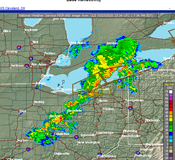 At 740 pm edt, a severe thunderstorm was located near highland hills, or 9 miles south of willowick, moving northeast at 50 mph (radar indicated). Hazards include 60 mph wind gusts and penny size hail. expect damage to trees and power lines At 740 pm edt, a severe thunderstorm was located near highland hills, or 9 miles south of willowick, moving northeast at 50 mph (radar indicated). Hazards include 60 mph wind gusts and penny size hail. expect damage to trees and power lines
|
| 10/23/2020 7:32 PM EDT |
 At 731 pm edt, severe thunderstorms were located along a line extending from 8 miles west of lakeline to cleveland to strongsville, moving east at 50 mph (radar indicated). Hazards include 60 mph wind gusts and penny size hail. Expect damage to trees and power lines. Locations impacted include, cleveland, parma, lakewood, euclid, cleveland heights, strongsville, brunswick, north royalton, solon, eastlake, warrensville heights, highland hills, timberlake, lakeline, garfield heights, shaker heights, maple heights, south euclid, parma heights and rocky river. At 731 pm edt, severe thunderstorms were located along a line extending from 8 miles west of lakeline to cleveland to strongsville, moving east at 50 mph (radar indicated). Hazards include 60 mph wind gusts and penny size hail. Expect damage to trees and power lines. Locations impacted include, cleveland, parma, lakewood, euclid, cleveland heights, strongsville, brunswick, north royalton, solon, eastlake, warrensville heights, highland hills, timberlake, lakeline, garfield heights, shaker heights, maple heights, south euclid, parma heights and rocky river.
|
| 10/23/2020 7:24 PM EDT |
 At 723 pm edt, severe thunderstorms were located along a line extending from 9 miles northwest of euclid to near lakewood to near strongsville, moving northeast at 50 mph (radar indicated). Hazards include 60 mph wind gusts and penny size hail. Expect damage to trees and power lines. Locations impacted include, cleveland, parma, lakewood, euclid, cleveland heights, strongsville, brunswick, westlake, north royalton, north ridgeville, solon, eastlake, warrensville heights, grafton, highland hills, timberlake, lakeline, north olmsted, garfield heights and shaker heights. At 723 pm edt, severe thunderstorms were located along a line extending from 9 miles northwest of euclid to near lakewood to near strongsville, moving northeast at 50 mph (radar indicated). Hazards include 60 mph wind gusts and penny size hail. Expect damage to trees and power lines. Locations impacted include, cleveland, parma, lakewood, euclid, cleveland heights, strongsville, brunswick, westlake, north royalton, north ridgeville, solon, eastlake, warrensville heights, grafton, highland hills, timberlake, lakeline, north olmsted, garfield heights and shaker heights.
|
| 10/23/2020 7:05 PM EDT |
 At 705 pm edt, severe thunderstorms were located along a line extending from 12 miles northwest of avon lake to near elyria to near wellington, moving east at 50 mph (radar indicated). Hazards include 70 mph wind gusts and penny size hail. Expect considerable tree damage. Damage is likely to mobile homes, roofs, and outbuildings. At 705 pm edt, severe thunderstorms were located along a line extending from 12 miles northwest of avon lake to near elyria to near wellington, moving east at 50 mph (radar indicated). Hazards include 70 mph wind gusts and penny size hail. Expect considerable tree damage. Damage is likely to mobile homes, roofs, and outbuildings.
|
| 10/23/2020 6:39 PM EDT |
 The severe thunderstorm warning for southwestern geauga, northeastern cuyahoga and southwestern lake counties will expire at 645 pm edt, the storm which prompted the warning has weakened below severe limits, and no longer poses an immediate threat to life or property. therefore, the warning will be allowed to expire. however gusty winds are likely with the line of approaching storms. The severe thunderstorm warning for southwestern geauga, northeastern cuyahoga and southwestern lake counties will expire at 645 pm edt, the storm which prompted the warning has weakened below severe limits, and no longer poses an immediate threat to life or property. therefore, the warning will be allowed to expire. however gusty winds are likely with the line of approaching storms.
|
| 10/23/2020 6:15 PM EDT |
 At 614 pm edt, a severe thunderstorm was located near camden, moving northeast at 40 mph (radar indicated). Hazards include 60 mph wind gusts and nickel size hail. expect damage to trees and power lines At 614 pm edt, a severe thunderstorm was located near camden, moving northeast at 40 mph (radar indicated). Hazards include 60 mph wind gusts and nickel size hail. expect damage to trees and power lines
|
| 10/23/2020 6:10 PM EDT |
 At 609 pm edt, a severe thunderstorm was located over warrensville heights, or 10 miles southeast of cleveland, moving northeast at 35 mph (radar indicated). Hazards include 60 mph wind gusts and quarter size hail. Minor damage to vehicles is possible. Expect damage to trees and power lines. At 609 pm edt, a severe thunderstorm was located over warrensville heights, or 10 miles southeast of cleveland, moving northeast at 35 mph (radar indicated). Hazards include 60 mph wind gusts and quarter size hail. Minor damage to vehicles is possible. Expect damage to trees and power lines.
|
| 9/7/2020 7:46 PM EDT |
 At 746 pm edt, a severe thunderstorm was located over dayton, moving east at 30 mph (radar indicated). Hazards include 60 mph wind gusts and quarter size hail. Minor hail damage to vehicles is possible. Expect wind damage to trees and power lines. At 746 pm edt, a severe thunderstorm was located over dayton, moving east at 30 mph (radar indicated). Hazards include 60 mph wind gusts and quarter size hail. Minor hail damage to vehicles is possible. Expect wind damage to trees and power lines.
|
| 8/28/2020 4:21 PM EDT |
 The severe thunderstorm warning for cuyahoga and northeastern lorain counties will expire at 430 pm edt, the storm which prompted the warning has weakened below severe limits, and no longer poses an immediate threat to life or property. therefore, the warning will be allowed to expire. however heavy rain is still possible with this thunderstorm. The severe thunderstorm warning for cuyahoga and northeastern lorain counties will expire at 430 pm edt, the storm which prompted the warning has weakened below severe limits, and no longer poses an immediate threat to life or property. therefore, the warning will be allowed to expire. however heavy rain is still possible with this thunderstorm.
|
| 8/28/2020 4:10 PM EDT |
 At 410 pm edt, a severe thunderstorm was located near cleveland heights, or near cleveland, moving northeast at 35 mph (radar indicated). Hazards include 60 mph wind gusts. Expect damage to trees and power lines. Locations impacted include, cleveland, elyria, parma, lakewood, euclid, cleveland heights, westlake, north royalton, north ridgeville, solon, warrensville heights, highland hills, north olmsted, garfield heights, shaker heights, maple heights, south euclid, avon, parma heights and rocky river. At 410 pm edt, a severe thunderstorm was located near cleveland heights, or near cleveland, moving northeast at 35 mph (radar indicated). Hazards include 60 mph wind gusts. Expect damage to trees and power lines. Locations impacted include, cleveland, elyria, parma, lakewood, euclid, cleveland heights, westlake, north royalton, north ridgeville, solon, warrensville heights, highland hills, north olmsted, garfield heights, shaker heights, maple heights, south euclid, avon, parma heights and rocky river.
|
| 8/28/2020 3:56 PM EDT |
 At 355 pm edt, a severe thunderstorm was located over parma, or 8 miles south of cleveland, moving northeast at 35 mph (radar indicated). Hazards include 60 mph wind gusts and penny size hail. Expect damage to trees and power lines. Locations impacted include, cleveland, elyria, parma, lakewood, euclid, cleveland heights, strongsville, westlake, north royalton, north ridgeville, solon, warrensville heights, grafton, highland hills, north olmsted, garfield heights, shaker heights, maple heights, south euclid and avon. At 355 pm edt, a severe thunderstorm was located over parma, or 8 miles south of cleveland, moving northeast at 35 mph (radar indicated). Hazards include 60 mph wind gusts and penny size hail. Expect damage to trees and power lines. Locations impacted include, cleveland, elyria, parma, lakewood, euclid, cleveland heights, strongsville, westlake, north royalton, north ridgeville, solon, warrensville heights, grafton, highland hills, north olmsted, garfield heights, shaker heights, maple heights, south euclid and avon.
|
| 8/28/2020 3:41 PM EDT |
 At 341 pm edt, a severe thunderstorm was located over strongsville, or 11 miles north of medina, moving northeast at 35 mph (radar indicated). Hazards include 60 mph wind gusts and quarter size hail. Minor damage to vehicles is possible. expect damage to trees and power lines. Locations impacted include, cleveland, elyria, medina, parma, lakewood, euclid, cleveland heights, strongsville, brunswick, westlake, north royalton, north ridgeville, solon, warrensville heights, grafton, highland hills, north olmsted, garfield heights, shaker heights and maple heights. At 341 pm edt, a severe thunderstorm was located over strongsville, or 11 miles north of medina, moving northeast at 35 mph (radar indicated). Hazards include 60 mph wind gusts and quarter size hail. Minor damage to vehicles is possible. expect damage to trees and power lines. Locations impacted include, cleveland, elyria, medina, parma, lakewood, euclid, cleveland heights, strongsville, brunswick, westlake, north royalton, north ridgeville, solon, warrensville heights, grafton, highland hills, north olmsted, garfield heights, shaker heights and maple heights.
|
| 8/28/2020 3:26 PM EDT |
 At 326 pm edt, a severe thunderstorm was located near grafton, or 7 miles northwest of medina, moving northeast at 35 mph (radar indicated). Hazards include 60 mph wind gusts and quarter size hail. Minor damage to vehicles is possible. Expect damage to trees and power lines. At 326 pm edt, a severe thunderstorm was located near grafton, or 7 miles northwest of medina, moving northeast at 35 mph (radar indicated). Hazards include 60 mph wind gusts and quarter size hail. Minor damage to vehicles is possible. Expect damage to trees and power lines.
|
| 8/10/2020 8:26 PM EDT |
 At 824 pm edt, severe thunderstorms were located along a line extending from near stryker to 7 miles east of paulding to near van wert, moving east at 45 mph (emergency management has reported trees and branches down in hicksville, ohio). Hazards include 60 mph wind gusts. Expect damage to roofs, siding, and trees. these severe storms will be near, ottoville around 840 pm edt. Other locations impacted by these severe thunderstorms include evansport, ney, melrose, arthur, charloe, oakwood, wren, cavett, haviland and dull. At 824 pm edt, severe thunderstorms were located along a line extending from near stryker to 7 miles east of paulding to near van wert, moving east at 45 mph (emergency management has reported trees and branches down in hicksville, ohio). Hazards include 60 mph wind gusts. Expect damage to roofs, siding, and trees. these severe storms will be near, ottoville around 840 pm edt. Other locations impacted by these severe thunderstorms include evansport, ney, melrose, arthur, charloe, oakwood, wren, cavett, haviland and dull.
|
| 8/10/2020 7:51 PM EDT |
 At 751 pm edt, severe thunderstorms were located along a line extending from near butler to near woodburn to near decatur, moving east at 45 mph (radar indicated). Hazards include 70 mph wind gusts. Expect considerable tree damage. damage is likely to mobile homes, roofs, and outbuildings. severe thunderstorms will be near, edgerton in williams county around 800 pm edt. antwerp and payne around 805 pm edt. convoy around 810 pm edt. bryan, paulding and ohio city around 815 pm edt. van wert around 820 pm edt. Ottoville around 835 pm edt. At 751 pm edt, severe thunderstorms were located along a line extending from near butler to near woodburn to near decatur, moving east at 45 mph (radar indicated). Hazards include 70 mph wind gusts. Expect considerable tree damage. damage is likely to mobile homes, roofs, and outbuildings. severe thunderstorms will be near, edgerton in williams county around 800 pm edt. antwerp and payne around 805 pm edt. convoy around 810 pm edt. bryan, paulding and ohio city around 815 pm edt. van wert around 820 pm edt. Ottoville around 835 pm edt.
|
| 7/19/2020 6:12 PM EDT |
 The severe thunderstorm warning for southeastern cuyahoga and northeastern summit counties will expire at 615 pm edt, the storms which prompted the warning have moved out of the area. therefore, the warning will be allowed to expire. a severe thunderstorm watch remains in effect until 1100 pm edt for northeastern ohio. to report severe weather, contact your nearest law enforcement agency. they will relay your report to the national weather service cleveland. The severe thunderstorm warning for southeastern cuyahoga and northeastern summit counties will expire at 615 pm edt, the storms which prompted the warning have moved out of the area. therefore, the warning will be allowed to expire. a severe thunderstorm watch remains in effect until 1100 pm edt for northeastern ohio. to report severe weather, contact your nearest law enforcement agency. they will relay your report to the national weather service cleveland.
|
| 7/19/2020 6:00 PM EDT |
 At 559 pm edt, severe thunderstorms were located along a line extending from near solon to near cuyahoga falls, moving east at 50 mph (radar indicated). Hazards include 60 mph wind gusts. Expect damage to trees and power lines. Locations impacted include, cuyahoga falls, solon, hudson, twinsburg, streetsboro, warrensville heights, macedonia, highland hills, stow, mayfield heights, aurora, brecksville, bedford, beachwood, bedford heights, pepper pike, chagrin falls, northfield, reminderville and orange. At 559 pm edt, severe thunderstorms were located along a line extending from near solon to near cuyahoga falls, moving east at 50 mph (radar indicated). Hazards include 60 mph wind gusts. Expect damage to trees and power lines. Locations impacted include, cuyahoga falls, solon, hudson, twinsburg, streetsboro, warrensville heights, macedonia, highland hills, stow, mayfield heights, aurora, brecksville, bedford, beachwood, bedford heights, pepper pike, chagrin falls, northfield, reminderville and orange.
|
| 7/19/2020 5:43 PM EDT |
 At 541 pm edt, severe thunderstorms were located along a line extending from cleveland to near parma to near macedonia to hinckley, moving east at 50 mph (radar indicated). Hazards include 60 mph wind gusts. Expect damage to trees and power lines. Locations impacted include, cleveland, parma, lakewood, cuyahoga falls, euclid, cleveland heights, strongsville, brunswick, north royalton, solon, hudson, twinsburg, warrensville heights, macedonia, highland hills, stow, garfield heights, shaker heights and maple heights. At 541 pm edt, severe thunderstorms were located along a line extending from cleveland to near parma to near macedonia to hinckley, moving east at 50 mph (radar indicated). Hazards include 60 mph wind gusts. Expect damage to trees and power lines. Locations impacted include, cleveland, parma, lakewood, cuyahoga falls, euclid, cleveland heights, strongsville, brunswick, north royalton, solon, hudson, twinsburg, warrensville heights, macedonia, highland hills, stow, garfield heights, shaker heights and maple heights.
|
| 7/19/2020 5:18 PM EDT |
 At 517 pm edt, severe thunderstorms were located along a line extending from near avon lake to north ridgeville to grafton, moving east at 50 mph (radar indicated). Hazards include 60 mph wind gusts. expect damage to trees and power lines At 517 pm edt, severe thunderstorms were located along a line extending from near avon lake to north ridgeville to grafton, moving east at 50 mph (radar indicated). Hazards include 60 mph wind gusts. expect damage to trees and power lines
|
| 7/19/2020 5:03 PM EDT |
 At 503 pm edt, a severe thunderstorm was located over wilberforce, moving east at 20 mph (radar indicated). Hazards include 60 mph wind gusts. Expect damage to trees and power lines. locations impacted include, dayton, kettering, beavercreek, huber heights, fairborn, xenia, vandalia, bellbrook, moraine, oakwood, yellow springs, wright-patterson afb, cedarville, jamestown, wilberforce, riverside, new jasper, spring valley, bowersville and port william. this includes the following interstates, i-71 in ohio between mile markers 50 and 64. I-75 in ohio between mile markers 52 and 59. At 503 pm edt, a severe thunderstorm was located over wilberforce, moving east at 20 mph (radar indicated). Hazards include 60 mph wind gusts. Expect damage to trees and power lines. locations impacted include, dayton, kettering, beavercreek, huber heights, fairborn, xenia, vandalia, bellbrook, moraine, oakwood, yellow springs, wright-patterson afb, cedarville, jamestown, wilberforce, riverside, new jasper, spring valley, bowersville and port william. this includes the following interstates, i-71 in ohio between mile markers 50 and 64. I-75 in ohio between mile markers 52 and 59.
|
| 7/19/2020 4:48 PM EDT |
 At 447 pm edt, a severe thunderstorm was located over xenia, moving east at 20 mph (radar indicated). Hazards include 60 mph wind gusts. expect damage to trees and power lines At 447 pm edt, a severe thunderstorm was located over xenia, moving east at 20 mph (radar indicated). Hazards include 60 mph wind gusts. expect damage to trees and power lines
|
| 6/27/2020 12:23 AM EDT |
 At 1222 am edt, a severe thunderstorm was located over warrensville heights, or 10 miles southeast of cleveland, moving southeast at 30 mph (radar indicated). Hazards include 70 mph wind gusts and quarter size hail. Minor damage to vehicles is possible. expect considerable tree damage. Wind damage is also likely to mobile homes, roofs, and outbuildings. At 1222 am edt, a severe thunderstorm was located over warrensville heights, or 10 miles southeast of cleveland, moving southeast at 30 mph (radar indicated). Hazards include 70 mph wind gusts and quarter size hail. Minor damage to vehicles is possible. expect considerable tree damage. Wind damage is also likely to mobile homes, roofs, and outbuildings.
|
| 6/27/2020 12:11 AM EDT |
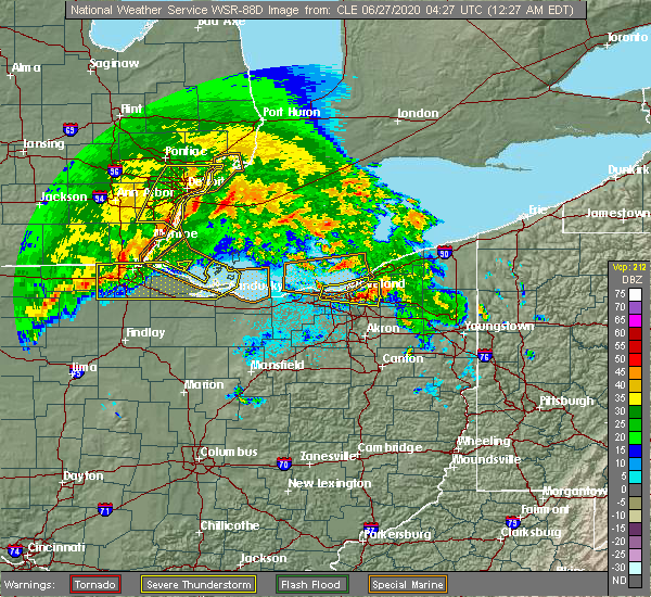 At 1211 am edt, a severe thunderstorm was located near cleveland heights, or near cleveland, moving east at 30 mph (radar indicated). Hazards include 60 mph wind gusts and quarter size hail. Minor damage to vehicles is possible. expect damage to trees and power lines. Locations impacted include, cleveland, parma, euclid, cleveland heights, solon, warrensville heights, highland hills, garfield heights, shaker heights, maple heights, south euclid, parma heights, mayfield heights, east cleveland, lyndhurst, university heights, bedford, wickliffe, beachwood and seven hills. At 1211 am edt, a severe thunderstorm was located near cleveland heights, or near cleveland, moving east at 30 mph (radar indicated). Hazards include 60 mph wind gusts and quarter size hail. Minor damage to vehicles is possible. expect damage to trees and power lines. Locations impacted include, cleveland, parma, euclid, cleveland heights, solon, warrensville heights, highland hills, garfield heights, shaker heights, maple heights, south euclid, parma heights, mayfield heights, east cleveland, lyndhurst, university heights, bedford, wickliffe, beachwood and seven hills.
|
| 6/26/2020 11:53 PM EDT |
 A severe thunderstorm warning remains in effect until 1230 am edt for cuyahoga county. at 1152 pm edt, a severe thunderstorm was located near lakewood, or near cleveland, moving east at 30 mph. hazard. 60 mph wind gusts and quarter size hail. source. Radar indicated. A severe thunderstorm warning remains in effect until 1230 am edt for cuyahoga county. at 1152 pm edt, a severe thunderstorm was located near lakewood, or near cleveland, moving east at 30 mph. hazard. 60 mph wind gusts and quarter size hail. source. Radar indicated.
|
| 6/26/2020 11:23 PM EDT |
 At 1123 pm edt, a severe thunderstorm was located 7 miles northwest of avon lake, or 9 miles northeast of lorain, moving east at 30 mph (radar indicated). Hazards include 70 mph wind gusts and half dollar size hail. People and animals outdoors will be injured. expect hail damage to roofs, siding, windows, and vehicles. expect considerable tree damage. Wind damage is also likely to mobile homes, roofs, and outbuildings. At 1123 pm edt, a severe thunderstorm was located 7 miles northwest of avon lake, or 9 miles northeast of lorain, moving east at 30 mph (radar indicated). Hazards include 70 mph wind gusts and half dollar size hail. People and animals outdoors will be injured. expect hail damage to roofs, siding, windows, and vehicles. expect considerable tree damage. Wind damage is also likely to mobile homes, roofs, and outbuildings.
|
| 6/21/2020 4:37 PM EDT |
 The severe thunderstorm warning for southwestern clark, western greene, eastern montgomery and southeastern miami counties will expire at 445 pm edt, the storm which prompted the warning has weakened below severe limits, and no longer poses an immediate threat to life or property. therefore, the warning will be allowed to expire. please report previous wind damage or hail to the national weather service by going to our website at weather.gov/iln and submitting your report via social media. The severe thunderstorm warning for southwestern clark, western greene, eastern montgomery and southeastern miami counties will expire at 445 pm edt, the storm which prompted the warning has weakened below severe limits, and no longer poses an immediate threat to life or property. therefore, the warning will be allowed to expire. please report previous wind damage or hail to the national weather service by going to our website at weather.gov/iln and submitting your report via social media.
|
| 6/21/2020 4:20 PM EDT |
 At 420 pm edt, a severe thunderstorm was located over kettering, moving north at 30 mph (radar indicated). Hazards include 60 mph wind gusts and penny size hail. expect damage to trees and power lines At 420 pm edt, a severe thunderstorm was located over kettering, moving north at 30 mph (radar indicated). Hazards include 60 mph wind gusts and penny size hail. expect damage to trees and power lines
|
| 6/10/2020 8:28 PM EDT |
 The severe thunderstorm warning for cuyahoga county will expire at 830 pm edt, the storm which prompted the warning has weakened below severe limits, and no longer poses an immediate threat to life or property. therefore, the warning will be allowed to expire. however gusty winds are still possible with this thunderstorm. a severe thunderstorm watch remains in effect until 1000 pm edt for northeastern ohio. a severe thunderstorm watch also remains in effect until 100 am edt for northeastern ohio. The severe thunderstorm warning for cuyahoga county will expire at 830 pm edt, the storm which prompted the warning has weakened below severe limits, and no longer poses an immediate threat to life or property. therefore, the warning will be allowed to expire. however gusty winds are still possible with this thunderstorm. a severe thunderstorm watch remains in effect until 1000 pm edt for northeastern ohio. a severe thunderstorm watch also remains in effect until 100 am edt for northeastern ohio.
|
| 6/10/2020 8:17 PM EDT |
 At 816 pm edt, a severe thunderstorm was located over fairport harbor, moving northeast at 60 mph (radar indicated). Hazards include 60 mph wind gusts. Expect damage to trees and power lines. Locations impacted include, cleveland, parma, lakewood, euclid, cleveland heights, strongsville, north royalton, solon, warrensville heights, highland hills, garfield heights, shaker heights, maple heights, south euclid, parma heights, rocky river, broadview heights, brook park, mayfield heights and east cleveland. At 816 pm edt, a severe thunderstorm was located over fairport harbor, moving northeast at 60 mph (radar indicated). Hazards include 60 mph wind gusts. Expect damage to trees and power lines. Locations impacted include, cleveland, parma, lakewood, euclid, cleveland heights, strongsville, north royalton, solon, warrensville heights, highland hills, garfield heights, shaker heights, maple heights, south euclid, parma heights, rocky river, broadview heights, brook park, mayfield heights and east cleveland.
|
| 6/10/2020 7:54 PM EDT |
 At 753 pm edt, a severe thunderstorm was located near cleveland, moving northeast at 50 mph (radar indicated). Hazards include 70 mph wind gusts and nickel size hail. Expect considerable tree damage. damage is likely to mobile homes, roofs, and outbuildings. Locations impacted include, cleveland, parma, lakewood, euclid, cleveland heights, strongsville, brunswick, westlake, north royalton, solon, warrensville heights, highland hills, north olmsted, garfield heights, shaker heights, maple heights, south euclid, parma heights, rocky river and broadview heights. At 753 pm edt, a severe thunderstorm was located near cleveland, moving northeast at 50 mph (radar indicated). Hazards include 70 mph wind gusts and nickel size hail. Expect considerable tree damage. damage is likely to mobile homes, roofs, and outbuildings. Locations impacted include, cleveland, parma, lakewood, euclid, cleveland heights, strongsville, brunswick, westlake, north royalton, solon, warrensville heights, highland hills, north olmsted, garfield heights, shaker heights, maple heights, south euclid, parma heights, rocky river and broadview heights.
|
| 6/10/2020 7:23 PM EDT |
 At 722 pm edt, a severe thunderstorm was located near grafton, or near elyria, moving northeast at 60 mph (radar indicated). Hazards include 70 mph wind gusts and nickel size hail. Expect considerable tree damage. Damage is likely to mobile homes, roofs, and outbuildings. At 722 pm edt, a severe thunderstorm was located near grafton, or near elyria, moving northeast at 60 mph (radar indicated). Hazards include 70 mph wind gusts and nickel size hail. Expect considerable tree damage. Damage is likely to mobile homes, roofs, and outbuildings.
|
| 6/10/2020 5:07 PM EDT |
 The severe thunderstorm warning for central montgomery county will expire at 515 pm edt, the storm which prompted the warning has weakened below severe limits, and no longer poses an immediate threat to life or property. therefore, the warning will be allowed to expire. a severe thunderstorm watch remains in effect until 1000 pm edt for west central ohio. please report previous wind damage or hail to the national weather service by going to our website at weather.gov/iln and submitting your report via social media. The severe thunderstorm warning for central montgomery county will expire at 515 pm edt, the storm which prompted the warning has weakened below severe limits, and no longer poses an immediate threat to life or property. therefore, the warning will be allowed to expire. a severe thunderstorm watch remains in effect until 1000 pm edt for west central ohio. please report previous wind damage or hail to the national weather service by going to our website at weather.gov/iln and submitting your report via social media.
|
| 6/10/2020 5:00 PM EDT |
 At 459 pm edt, a severe thunderstorm was located over west carrollton, moving northeast at 35 mph (radar indicated). Hazards include 60 mph wind gusts. Expect damage to trees and power lines. locations impacted include, dayton, kettering, huber heights, miamisburg, vandalia, moraine, carlisle, oakwood, west carrollton and riverside. this includes the following interstates, i-70 in ohio between mile markers 34 and 35. I-75 in ohio between mile markers 45 and 61. At 459 pm edt, a severe thunderstorm was located over west carrollton, moving northeast at 35 mph (radar indicated). Hazards include 60 mph wind gusts. Expect damage to trees and power lines. locations impacted include, dayton, kettering, huber heights, miamisburg, vandalia, moraine, carlisle, oakwood, west carrollton and riverside. this includes the following interstates, i-70 in ohio between mile markers 34 and 35. I-75 in ohio between mile markers 45 and 61.
|
| 6/10/2020 4:38 PM EDT |
 At 437 pm edt, a severe thunderstorm was located over middletown, moving northeast at 35 mph (radar indicated). Hazards include 60 mph wind gusts. expect damage to trees and power lines At 437 pm edt, a severe thunderstorm was located over middletown, moving northeast at 35 mph (radar indicated). Hazards include 60 mph wind gusts. expect damage to trees and power lines
|
| 6/9/2020 4:31 PM EDT |
 At 431 pm edt, a severe thunderstorm was located over dayton, moving northeast at 40 mph (radar indicated). Hazards include 60 mph wind gusts. Expect damage to trees and power lines. locations impacted include, dayton, kettering, beavercreek, huber heights, fairborn, trotwood, miamisburg, vandalia, englewood, bellbrook, moraine, oakwood, wright-patterson afb, west carrollton, riverside, clayton, union, shiloh, centerville and fort mckinley. this includes the following interstates, i-70 in ohio between mile markers 29 and 41. I-75 in ohio between mile markers 42 and 64. At 431 pm edt, a severe thunderstorm was located over dayton, moving northeast at 40 mph (radar indicated). Hazards include 60 mph wind gusts. Expect damage to trees and power lines. locations impacted include, dayton, kettering, beavercreek, huber heights, fairborn, trotwood, miamisburg, vandalia, englewood, bellbrook, moraine, oakwood, wright-patterson afb, west carrollton, riverside, clayton, union, shiloh, centerville and fort mckinley. this includes the following interstates, i-70 in ohio between mile markers 29 and 41. I-75 in ohio between mile markers 42 and 64.
|
| 6/9/2020 4:20 PM EDT |
 At 419 pm edt, a severe thunderstorm was located over west carrollton, moving northeast at 40 mph (radar indicated). Hazards include 60 mph wind gusts. expect damage to trees and power lines At 419 pm edt, a severe thunderstorm was located over west carrollton, moving northeast at 40 mph (radar indicated). Hazards include 60 mph wind gusts. expect damage to trees and power lines
|
| 5/10/2020 4:04 PM EDT |
 At 404 pm edt, severe thunderstorms were located along a line extending from new carlisle to near springboro, moving northeast at 40 mph (radar indicated). Hazards include 60 mph wind gusts and penny size hail. Expect damage to trees and power lines. locations impacted include, dayton, kettering, beavercreek, fairborn, xenia, bellbrook, oakwood, wright-patterson afb, waynesville, morrow, riverside, harveysburg, spring valley, corwin, centerville, fort ancient, lytle, mount holly, oldtown and caesar creek state park. This includes i-71 in ohio between mile markers 34 and 41. At 404 pm edt, severe thunderstorms were located along a line extending from new carlisle to near springboro, moving northeast at 40 mph (radar indicated). Hazards include 60 mph wind gusts and penny size hail. Expect damage to trees and power lines. locations impacted include, dayton, kettering, beavercreek, fairborn, xenia, bellbrook, oakwood, wright-patterson afb, waynesville, morrow, riverside, harveysburg, spring valley, corwin, centerville, fort ancient, lytle, mount holly, oldtown and caesar creek state park. This includes i-71 in ohio between mile markers 34 and 41.
|
| 5/10/2020 3:25 PM EDT |
 At 325 pm edt, severe thunderstorms were located along a line extending from near trotwood to near hamilton, moving northeast at 40 mph (radar indicated). Hazards include 60 mph wind gusts and penny size hail. expect damage to trees and power lines At 325 pm edt, severe thunderstorms were located along a line extending from near trotwood to near hamilton, moving northeast at 40 mph (radar indicated). Hazards include 60 mph wind gusts and penny size hail. expect damage to trees and power lines
|
| 5/10/2020 3:22 PM EDT |
 At 320 pm edt, severe thunderstorms were located along a line extending from 7 miles southeast of reading to near west unity to near defiance, moving northeast at 45 mph (radar indicated. at 247 pm, a 61 mph gust was reported by a mesonet station 4 miles northeast of antwerp). Hazards include 60 mph wind gusts. Expect damage to roofs, siding, and trees. Locations impacted include, defiance, napoleon, bryan, wauseon, archbold, montpelier, hicksville, paulding, delta, edgerton, west unity, hamilton, pioneer, stryker, fayette, liberty center, continental, holgate, edon and mcclure. At 320 pm edt, severe thunderstorms were located along a line extending from 7 miles southeast of reading to near west unity to near defiance, moving northeast at 45 mph (radar indicated. at 247 pm, a 61 mph gust was reported by a mesonet station 4 miles northeast of antwerp). Hazards include 60 mph wind gusts. Expect damage to roofs, siding, and trees. Locations impacted include, defiance, napoleon, bryan, wauseon, archbold, montpelier, hicksville, paulding, delta, edgerton, west unity, hamilton, pioneer, stryker, fayette, liberty center, continental, holgate, edon and mcclure.
|
| 5/10/2020 2:53 PM EDT |
 At 252 pm edt, severe thunderstorms were located along a line extending from near waterloo to near hicksville to near paulding, moving northeast at 45 mph (radar indicated. at 247 pm, a 61 mph gust was reported by a mesonet station 4 miles northeast of antwerp). Hazards include 60 mph wind gusts. Expect damage to roofs, siding, and trees. Locations impacted include, defiance, auburn, napoleon, bryan, wauseon, garrett, archbold, montpelier, hicksville, butler, paulding, delta, waterloo, edgerton, antwerp, west unity, hamilton, pioneer, stryker and fayette. At 252 pm edt, severe thunderstorms were located along a line extending from near waterloo to near hicksville to near paulding, moving northeast at 45 mph (radar indicated. at 247 pm, a 61 mph gust was reported by a mesonet station 4 miles northeast of antwerp). Hazards include 60 mph wind gusts. Expect damage to roofs, siding, and trees. Locations impacted include, defiance, auburn, napoleon, bryan, wauseon, garrett, archbold, montpelier, hicksville, butler, paulding, delta, waterloo, edgerton, antwerp, west unity, hamilton, pioneer, stryker and fayette.
|
| 5/10/2020 2:41 PM EDT |
 At 241 pm edt, severe thunderstorms were located along a line extending from near auburn to near antwerp to near convoy, moving northeast at 45 mph (radar indicated). Hazards include 60 mph wind gusts. expect damage to roofs, siding, and trees At 241 pm edt, severe thunderstorms were located along a line extending from near auburn to near antwerp to near convoy, moving northeast at 45 mph (radar indicated). Hazards include 60 mph wind gusts. expect damage to roofs, siding, and trees
|
| 5/10/2020 2:08 PM EDT |
 At 207 pm edt, severe thunderstorms were located along a line extending from grabill to near monroeville to near decatur, moving northeast at 40 mph (radar indicated). Hazards include 60 mph wind gusts. expect damage to roofs, siding, and trees At 207 pm edt, severe thunderstorms were located along a line extending from grabill to near monroeville to near decatur, moving northeast at 40 mph (radar indicated). Hazards include 60 mph wind gusts. expect damage to roofs, siding, and trees
|
| 4/8/2020 10:38 PM EDT |
 At 1038 pm edt, a severe thunderstorm was located near springboro, moving east at 45 mph (radar indicated). Hazards include 60 mph wind gusts and penny size hail. Expect damage to trees and power lines. locations impacted include, dayton, kettering, middletown, beavercreek, fairborn, xenia, miamisburg, springboro, franklin, bellbrook, moraine, carlisle, oakwood, yellow springs, wright-patterson afb, west carrollton, waynesville, wilberforce, riverside and germantown. this includes i-75 in ohio between mile markers 36 and 57. A tornado watch remains in effect until 200 am edt for southwestern and west central ohio. At 1038 pm edt, a severe thunderstorm was located near springboro, moving east at 45 mph (radar indicated). Hazards include 60 mph wind gusts and penny size hail. Expect damage to trees and power lines. locations impacted include, dayton, kettering, middletown, beavercreek, fairborn, xenia, miamisburg, springboro, franklin, bellbrook, moraine, carlisle, oakwood, yellow springs, wright-patterson afb, west carrollton, waynesville, wilberforce, riverside and germantown. this includes i-75 in ohio between mile markers 36 and 57. A tornado watch remains in effect until 200 am edt for southwestern and west central ohio.
|
| 4/8/2020 10:17 PM EDT |
 At 1017 pm edt, a severe thunderstorm was located near gratis, moving east at 55 mph (radar indicated). Hazards include 60 mph wind gusts and quarter size hail. Minor hail damage to vehicles is possible. Expect wind damage to trees and power lines. At 1017 pm edt, a severe thunderstorm was located near gratis, moving east at 55 mph (radar indicated). Hazards include 60 mph wind gusts and quarter size hail. Minor hail damage to vehicles is possible. Expect wind damage to trees and power lines.
|
| 4/8/2020 4:11 AM EDT |
 The severe thunderstorm warning for northern fayette, southern clark, greene, northeastern montgomery, southern madison and southeastern miami counties will expire at 415 am edt, this warning has been replaced by a new severe thunderstorm warning, which is in effect for portions of clark, greene, madison, and fayette counties until 500 am. a severe thunderstorm watch remains in effect until 600 am edt for central and west central ohio. please report previous wind damage or hail to the national weather service by going to our website at weather.gov/iln and submitting your report via social media. The severe thunderstorm warning for northern fayette, southern clark, greene, northeastern montgomery, southern madison and southeastern miami counties will expire at 415 am edt, this warning has been replaced by a new severe thunderstorm warning, which is in effect for portions of clark, greene, madison, and fayette counties until 500 am. a severe thunderstorm watch remains in effect until 600 am edt for central and west central ohio. please report previous wind damage or hail to the national weather service by going to our website at weather.gov/iln and submitting your report via social media.
|
| 4/8/2020 4:02 AM EDT |
 At 401 am edt, a severe thunderstorm was located over yellow springs, moving east at 35 mph (radar indicated). Hazards include 60 mph wind gusts and quarter size hail. Minor hail damage to vehicles is possible. expect wind damage to trees and power lines. locations impacted include, dayton, springfield, kettering, beavercreek, huber heights, fairborn, xenia, trotwood, vandalia, englewood, london, new carlisle, oakwood, yellow springs, wright-patterson afb, cedarville, enon, jamestown, mount sterling and south charleston. this includes the following interstates, i-70 in ohio between mile markers 27 and 60. i-71 in ohio between mile markers 64 and 87. I-75 in ohio between mile markers 52 and 65. At 401 am edt, a severe thunderstorm was located over yellow springs, moving east at 35 mph (radar indicated). Hazards include 60 mph wind gusts and quarter size hail. Minor hail damage to vehicles is possible. expect wind damage to trees and power lines. locations impacted include, dayton, springfield, kettering, beavercreek, huber heights, fairborn, xenia, trotwood, vandalia, englewood, london, new carlisle, oakwood, yellow springs, wright-patterson afb, cedarville, enon, jamestown, mount sterling and south charleston. this includes the following interstates, i-70 in ohio between mile markers 27 and 60. i-71 in ohio between mile markers 64 and 87. I-75 in ohio between mile markers 52 and 65.
|
| 4/8/2020 3:51 AM EDT |
 At 350 am edt, a severe thunderstorm was located near park layne, moving east at 45 mph. trained spotters in northern montgomery county have reported one inch diameter hail with this storm (radar indicated). Hazards include 60 mph wind gusts and quarter size hail. Minor hail damage to vehicles is possible. expect wind damage to trees and power lines. locations impacted include, dayton, springfield, kettering, beavercreek, huber heights, fairborn, xenia, trotwood, vandalia, englewood, london, tipp city, moraine, new carlisle, west milton, oakwood, yellow springs, wright-patterson afb, west jefferson and cedarville. this includes the following interstates, i-70 in ohio between mile markers 18 and 70. i-71 in ohio between mile markers 64 and 87. I-75 in ohio between mile markers 51 and 67. At 350 am edt, a severe thunderstorm was located near park layne, moving east at 45 mph. trained spotters in northern montgomery county have reported one inch diameter hail with this storm (radar indicated). Hazards include 60 mph wind gusts and quarter size hail. Minor hail damage to vehicles is possible. expect wind damage to trees and power lines. locations impacted include, dayton, springfield, kettering, beavercreek, huber heights, fairborn, xenia, trotwood, vandalia, englewood, london, tipp city, moraine, new carlisle, west milton, oakwood, yellow springs, wright-patterson afb, west jefferson and cedarville. this includes the following interstates, i-70 in ohio between mile markers 18 and 70. i-71 in ohio between mile markers 64 and 87. I-75 in ohio between mile markers 51 and 67.
|
| 4/8/2020 3:40 AM EDT |
 At 339 am edt, a severe thunderstorm was located over huber heights. another severe thunderstorm was located 6 miles southwest of london. these storms are moving southeast at 40 mph (radar indicated). Hazards include 60 mph wind gusts and quarter size hail. Minor hail damage to vehicles is possible. expect wind damage to trees and power lines. locations impacted include, dayton, springfield, kettering, beavercreek, huber heights, fairborn, xenia, trotwood, vandalia, englewood, london, tipp city, moraine, new carlisle, west milton, oakwood, yellow springs, wright-patterson afb, west jefferson and cedarville. this includes the following interstates, i-70 in ohio between mile markers 18 and 75. i-71 in ohio between mile markers 64 and 87. I-75 in ohio between mile markers 51 and 69. At 339 am edt, a severe thunderstorm was located over huber heights. another severe thunderstorm was located 6 miles southwest of london. these storms are moving southeast at 40 mph (radar indicated). Hazards include 60 mph wind gusts and quarter size hail. Minor hail damage to vehicles is possible. expect wind damage to trees and power lines. locations impacted include, dayton, springfield, kettering, beavercreek, huber heights, fairborn, xenia, trotwood, vandalia, englewood, london, tipp city, moraine, new carlisle, west milton, oakwood, yellow springs, wright-patterson afb, west jefferson and cedarville. this includes the following interstates, i-70 in ohio between mile markers 18 and 75. i-71 in ohio between mile markers 64 and 87. I-75 in ohio between mile markers 51 and 69.
|
| 4/8/2020 3:26 AM EDT |
 At 325 am edt, a severe thunderstorm was located near tipp city. another severe thunderstorm was located 5 miles southeast of springfield. these storms are moving east at 55 mph (radar indicated). Hazards include 60 mph wind gusts and quarter size hail. Minor hail damage to vehicles is possible. Expect wind damage to trees and power lines. At 325 am edt, a severe thunderstorm was located near tipp city. another severe thunderstorm was located 5 miles southeast of springfield. these storms are moving east at 55 mph (radar indicated). Hazards include 60 mph wind gusts and quarter size hail. Minor hail damage to vehicles is possible. Expect wind damage to trees and power lines.
|
| 4/7/2020 11:52 PM EDT |
 At 1152 pm edt, severe thunderstorms were located along a line extending from jamestown west to linesville, moving east at 100 mph (radar indicated). Hazards include 60 mph wind gusts and quarter size hail. Minor damage to vehicles is possible. expect damage to trees and power lines. Locations impacted include, warren, meadville, ravenna, chardon, kent, solon, hudson, niles, twinsburg, tallmadge, streetsboro, macedonia, cortland, newton falls, south russell, lordstown, middlefield, garrettsville, kinsman and north bloomfield. At 1152 pm edt, severe thunderstorms were located along a line extending from jamestown west to linesville, moving east at 100 mph (radar indicated). Hazards include 60 mph wind gusts and quarter size hail. Minor damage to vehicles is possible. expect damage to trees and power lines. Locations impacted include, warren, meadville, ravenna, chardon, kent, solon, hudson, niles, twinsburg, tallmadge, streetsboro, macedonia, cortland, newton falls, south russell, lordstown, middlefield, garrettsville, kinsman and north bloomfield.
|
| 4/7/2020 11:38 PM EDT |
 At 1137 pm edt, severe thunderstorms were located along a line extending from solon to 6 miles northwest of lodi to near norwalk, moving southeast at 45 mph (radar indicated). Hazards include 70 mph wind gusts and quarter size hail. Minor damage to vehicles is possible. expect considerable tree damage. Wind damage is also likely to mobile homes, roofs, and outbuildings. At 1137 pm edt, severe thunderstorms were located along a line extending from solon to 6 miles northwest of lodi to near norwalk, moving southeast at 45 mph (radar indicated). Hazards include 70 mph wind gusts and quarter size hail. Minor damage to vehicles is possible. expect considerable tree damage. Wind damage is also likely to mobile homes, roofs, and outbuildings.
|
| 4/7/2020 11:34 PM EDT |
 At 1134 pm edt, severe thunderstorms were located along a line extending from highland hills to 7 miles west of medina to 6 miles southwest of wakeman, moving southeast at 70 mph (radar indicated). Hazards include 70 mph wind gusts and quarter size hail. Minor damage to vehicles is possible. expect considerable tree damage. wind damage is also likely to mobile homes, roofs, and outbuildings. Locations impacted include, cleveland, akron, lorain, elyria, medina, ravenna, vermilion, parma, lakewood, cuyahoga falls, euclid, cleveland heights, strongsville, brunswick, westlake, north royalton, north ridgeville, kent, barberton and solon. At 1134 pm edt, severe thunderstorms were located along a line extending from highland hills to 7 miles west of medina to 6 miles southwest of wakeman, moving southeast at 70 mph (radar indicated). Hazards include 70 mph wind gusts and quarter size hail. Minor damage to vehicles is possible. expect considerable tree damage. wind damage is also likely to mobile homes, roofs, and outbuildings. Locations impacted include, cleveland, akron, lorain, elyria, medina, ravenna, vermilion, parma, lakewood, cuyahoga falls, euclid, cleveland heights, strongsville, brunswick, westlake, north royalton, north ridgeville, kent, barberton and solon.
|
| 4/7/2020 11:18 PM EDT |
 At 1118 pm edt, a severe thunderstorm was located near south russell, or 15 miles southwest of chardon, moving east at 45 mph (radar indicated). Hazards include two inch hail and 60 mph wind gusts. People and animals outdoors will be injured. expect hail damage to roofs, siding, windows, and vehicles. expect damage to trees and power lines. Locations impacted include, cleveland, parma, cleveland heights, north royalton, solon, twinsburg, streetsboro, warrensville heights, macedonia, south russell, middlefield, garrettsville, burton, highland hills, mantua, garfield heights, shaker heights, maple heights, south euclid and parma heights. At 1118 pm edt, a severe thunderstorm was located near south russell, or 15 miles southwest of chardon, moving east at 45 mph (radar indicated). Hazards include two inch hail and 60 mph wind gusts. People and animals outdoors will be injured. expect hail damage to roofs, siding, windows, and vehicles. expect damage to trees and power lines. Locations impacted include, cleveland, parma, cleveland heights, north royalton, solon, twinsburg, streetsboro, warrensville heights, macedonia, south russell, middlefield, garrettsville, burton, highland hills, mantua, garfield heights, shaker heights, maple heights, south euclid and parma heights.
|
| 4/7/2020 11:17 PM EDT |
 At 1117 pm edt, severe thunderstorms were located along a line extending from 6 miles north of cleveland to 6 miles south of amherst to near northern milan, moving south at 50 mph (trained weather spotters reported half dollar size hail in avon recently). Hazards include 70 mph wind gusts and half dollar size hail. People and animals outdoors will be injured. expect hail damage to roofs, siding, windows, and vehicles. expect considerable tree damage. wind damage is also likely to mobile homes, roofs, and outbuildings. Locations impacted include, cleveland, akron, lorain, elyria, medina, sandusky, ravenna, western vermilion, vermilion, parma, lakewood, cuyahoga falls, euclid, cleveland heights, strongsville, brunswick, westlake, north royalton, north ridgeville and kent. At 1117 pm edt, severe thunderstorms were located along a line extending from 6 miles north of cleveland to 6 miles south of amherst to near northern milan, moving south at 50 mph (trained weather spotters reported half dollar size hail in avon recently). Hazards include 70 mph wind gusts and half dollar size hail. People and animals outdoors will be injured. expect hail damage to roofs, siding, windows, and vehicles. expect considerable tree damage. wind damage is also likely to mobile homes, roofs, and outbuildings. Locations impacted include, cleveland, akron, lorain, elyria, medina, sandusky, ravenna, western vermilion, vermilion, parma, lakewood, cuyahoga falls, euclid, cleveland heights, strongsville, brunswick, westlake, north royalton, north ridgeville and kent.
|
| 4/7/2020 11:12 PM EDT |
 At 1112 pm edt, severe thunderstorms were located along a line extending from 11 miles north of conneaut to 9 miles northwest of euclid, moving southeast at 60 mph (radar indicated). Hazards include 60 mph wind gusts and quarter size hail. Minor damage to vehicles is possible. Expect damage to trees and power lines. At 1112 pm edt, severe thunderstorms were located along a line extending from 11 miles north of conneaut to 9 miles northwest of euclid, moving southeast at 60 mph (radar indicated). Hazards include 60 mph wind gusts and quarter size hail. Minor damage to vehicles is possible. Expect damage to trees and power lines.
|
| 4/7/2020 11:01 PM EDT |
 At 1100 pm edt, severe thunderstorms were located along a line extending from 16 miles northwest of lakeline to near lorain to 7 miles east of sandusky, moving southeast at 55 mph (radar indicated). Hazards include 60 mph wind gusts and quarter size hail. Minor damage to vehicles is possible. Expect damage to trees and power lines. At 1100 pm edt, severe thunderstorms were located along a line extending from 16 miles northwest of lakeline to near lorain to 7 miles east of sandusky, moving southeast at 55 mph (radar indicated). Hazards include 60 mph wind gusts and quarter size hail. Minor damage to vehicles is possible. Expect damage to trees and power lines.
|
| 4/7/2020 10:57 PM EDT |
 At 1056 pm edt, a severe thunderstorm was located near parma, or near cleveland, moving east at 45 mph (radar indicated). Hazards include 60 mph wind gusts and quarter size hail. Minor damage to vehicles is possible. Expect damage to trees and power lines. At 1056 pm edt, a severe thunderstorm was located near parma, or near cleveland, moving east at 45 mph (radar indicated). Hazards include 60 mph wind gusts and quarter size hail. Minor damage to vehicles is possible. Expect damage to trees and power lines.
|
| 3/28/2020 12:14 PM EDT |
 At 1213 pm edt, a severe thunderstorm was located over brunswick, or 7 miles northeast of medina, moving east at 70 mph (radar indicated). Hazards include golf ball size hail. golf ball size hail was reported recently in the valley city area. People and animals outdoors will be injured. expect damage to roofs, siding, windows, and vehicles. Locations impacted include, akron, medina, ravenna, cuyahoga falls, strongsville, brunswick, north royalton, kent, solon, hudson, twinsburg, tallmadge, streetsboro, macedonia, garrettsville, mantua, stow, broadview heights, aurora and brecksville. At 1213 pm edt, a severe thunderstorm was located over brunswick, or 7 miles northeast of medina, moving east at 70 mph (radar indicated). Hazards include golf ball size hail. golf ball size hail was reported recently in the valley city area. People and animals outdoors will be injured. expect damage to roofs, siding, windows, and vehicles. Locations impacted include, akron, medina, ravenna, cuyahoga falls, strongsville, brunswick, north royalton, kent, solon, hudson, twinsburg, tallmadge, streetsboro, macedonia, garrettsville, mantua, stow, broadview heights, aurora and brecksville.
|
| 3/28/2020 12:12 PM EDT |
 At 1212 pm edt, a severe thunderstorm was located over brunswick, or near medina, moving east at 70 mph (radar indicated). Hazards include quarter size hail. minor damage to vehicles is possible At 1212 pm edt, a severe thunderstorm was located over brunswick, or near medina, moving east at 70 mph (radar indicated). Hazards include quarter size hail. minor damage to vehicles is possible
|
| 3/20/2020 3:55 AM EDT |
 At 354 am edt, a severe thunderstorm was located over miamisburg, moving east at 55 mph (radar indicated). Hazards include 60 mph wind gusts and half dollar size hail. Minor hail damage to vehicles is possible. expect wind damage to trees and power lines. locations impacted include, dayton, kettering, miamisburg, springboro, franklin, moraine, carlisle, oakwood, west carrollton, riverside, germantown, centerville, lytle, state route 48 at state route 73, woodbourne-hyde park and overlook-page mano. This includes i-75 in ohio between mile markers 38 and 51. At 354 am edt, a severe thunderstorm was located over miamisburg, moving east at 55 mph (radar indicated). Hazards include 60 mph wind gusts and half dollar size hail. Minor hail damage to vehicles is possible. expect wind damage to trees and power lines. locations impacted include, dayton, kettering, miamisburg, springboro, franklin, moraine, carlisle, oakwood, west carrollton, riverside, germantown, centerville, lytle, state route 48 at state route 73, woodbourne-hyde park and overlook-page mano. This includes i-75 in ohio between mile markers 38 and 51.
|
| 3/20/2020 3:47 AM EDT |
 At 347 am edt, a severe thunderstorm was located over huber heights, moving northeast at 60 mph (radar indicated). Hazards include 60 mph wind gusts. Expect damage to trees and power lines. locations impacted include, dayton, kettering, beavercreek, huber heights, fairborn, trotwood, vandalia, moraine, oakwood, wright-patterson afb, brown, riverside, clayton, new lebanon, farmersville, shiloh, fort mckinley, phoneton, drexel and brandt. this includes the following interstates, i-70 in ohio between mile markers 33 and 40. I-75 in ohio between mile markers 50 and 62. At 347 am edt, a severe thunderstorm was located over huber heights, moving northeast at 60 mph (radar indicated). Hazards include 60 mph wind gusts. Expect damage to trees and power lines. locations impacted include, dayton, kettering, beavercreek, huber heights, fairborn, trotwood, vandalia, moraine, oakwood, wright-patterson afb, brown, riverside, clayton, new lebanon, farmersville, shiloh, fort mckinley, phoneton, drexel and brandt. this includes the following interstates, i-70 in ohio between mile markers 33 and 40. I-75 in ohio between mile markers 50 and 62.
|
| 3/20/2020 3:38 AM EDT |
 At 338 am edt, a severe thunderstorm was located near gratis, moving east at 50 mph (radar indicated). Hazards include ping pong ball size hail and 60 mph wind gusts. People and animals outdoors will be injured. expect hail damage to roofs, siding, windows, and vehicles. Expect wind damage to trees and power lines. At 338 am edt, a severe thunderstorm was located near gratis, moving east at 50 mph (radar indicated). Hazards include ping pong ball size hail and 60 mph wind gusts. People and animals outdoors will be injured. expect hail damage to roofs, siding, windows, and vehicles. Expect wind damage to trees and power lines.
|
| 3/20/2020 3:30 AM EDT |
 At 329 am edt, a severe thunderstorm was located near west alexandria, moving east at 55 mph (radar indicated). Hazards include 60 mph wind gusts. expect damage to trees and power lines At 329 am edt, a severe thunderstorm was located near west alexandria, moving east at 55 mph (radar indicated). Hazards include 60 mph wind gusts. expect damage to trees and power lines
|
| 9/13/2019 8:55 PM EDT |
 At 854 pm edt, a severe thunderstorm was located over chesterland, or 7 miles southwest of chardon, moving east at 55 mph (radar indicated. downed trees were recently reported in shaker heights). Hazards include 70 mph wind gusts and penny size hail. Expect considerable tree damage. damage is likely to mobile homes, roofs, and outbuildings. Locations impacted include, cleveland, willowick, chardon, euclid, mentor, cleveland heights, solon, willoughby, eastlake, warrensville heights, cortland, south russell, middlefield, north bloomfield, orwell, burton, highland hills, timberlake, west farmington and lakeline. At 854 pm edt, a severe thunderstorm was located over chesterland, or 7 miles southwest of chardon, moving east at 55 mph (radar indicated. downed trees were recently reported in shaker heights). Hazards include 70 mph wind gusts and penny size hail. Expect considerable tree damage. damage is likely to mobile homes, roofs, and outbuildings. Locations impacted include, cleveland, willowick, chardon, euclid, mentor, cleveland heights, solon, willoughby, eastlake, warrensville heights, cortland, south russell, middlefield, north bloomfield, orwell, burton, highland hills, timberlake, west farmington and lakeline.
|
| 9/13/2019 8:35 PM EDT |
 At 835 pm edt, a severe thunderstorm was located near highland hills, or 10 miles south of willowick, moving east at 55 mph (radar indicated). Hazards include 70 mph wind gusts and penny size hail. Expect considerable tree damage. Damage is likely to mobile homes, roofs, and outbuildings. At 835 pm edt, a severe thunderstorm was located near highland hills, or 10 miles south of willowick, moving east at 55 mph (radar indicated). Hazards include 70 mph wind gusts and penny size hail. Expect considerable tree damage. Damage is likely to mobile homes, roofs, and outbuildings.
|
| 9/13/2019 8:08 PM EDT |
 At 748 pm edt, severe thunderstorms were located along a line extending from 10 miles northwest of cleveland to near grafton, moving east at 45 mph. these are very dangerous storms (radar indicated). Hazards include 80 mph wind gusts and penny size hail. Flying debris will be dangerous to those caught without shelter. mobile homes will be heavily damaged. expect considerable damage to roofs, windows, and vehicles. extensive tree damage and power outages are likely. Locations impacted include, cleveland, lorain, elyria, willowick, parma, lakewood, euclid, cleveland heights, strongsville, brunswick, westlake, north royalton, north ridgeville, solon, avon lake, willoughby, hudson, twinsburg, eastlake and warrensville heights. At 748 pm edt, severe thunderstorms were located along a line extending from 10 miles northwest of cleveland to near grafton, moving east at 45 mph. these are very dangerous storms (radar indicated). Hazards include 80 mph wind gusts and penny size hail. Flying debris will be dangerous to those caught without shelter. mobile homes will be heavily damaged. expect considerable damage to roofs, windows, and vehicles. extensive tree damage and power outages are likely. Locations impacted include, cleveland, lorain, elyria, willowick, parma, lakewood, euclid, cleveland heights, strongsville, brunswick, westlake, north royalton, north ridgeville, solon, avon lake, willoughby, hudson, twinsburg, eastlake and warrensville heights.
|
| 9/13/2019 7:49 PM EDT |
 At 748 pm edt, severe thunderstorms were located along a line extending from 10 miles northwest of cleveland to near grafton, moving east at 45 mph. these are very dangerous storms (radar indicated). Hazards include 80 mph wind gusts and penny size hail. Flying debris will be dangerous to those caught without shelter. mobile homes will be heavily damaged. expect considerable damage to roofs, windows, and vehicles. extensive tree damage and power outages are likely. Locations impacted include, cleveland, lorain, elyria, willowick, parma, lakewood, euclid, cleveland heights, strongsville, brunswick, westlake, north royalton, north ridgeville, solon, avon lake, willoughby, hudson, twinsburg, eastlake and warrensville heights. At 748 pm edt, severe thunderstorms were located along a line extending from 10 miles northwest of cleveland to near grafton, moving east at 45 mph. these are very dangerous storms (radar indicated). Hazards include 80 mph wind gusts and penny size hail. Flying debris will be dangerous to those caught without shelter. mobile homes will be heavily damaged. expect considerable damage to roofs, windows, and vehicles. extensive tree damage and power outages are likely. Locations impacted include, cleveland, lorain, elyria, willowick, parma, lakewood, euclid, cleveland heights, strongsville, brunswick, westlake, north royalton, north ridgeville, solon, avon lake, willoughby, hudson, twinsburg, eastlake and warrensville heights.
|
| 9/13/2019 7:31 PM EDT |
 At 730 pm edt, severe thunderstorms were located along a line extending from 10 miles north of avon lake to 6 miles northeast of wakeman, moving east at 50 mph (radar indicated). Hazards include 70 mph wind gusts and penny size hail. Expect considerable tree damage. Damage is likely to mobile homes, roofs, and outbuildings. At 730 pm edt, severe thunderstorms were located along a line extending from 10 miles north of avon lake to 6 miles northeast of wakeman, moving east at 50 mph (radar indicated). Hazards include 70 mph wind gusts and penny size hail. Expect considerable tree damage. Damage is likely to mobile homes, roofs, and outbuildings.
|
| 9/11/2019 5:37 PM EDT |
 At 536 pm edt, severe thunderstorms were located along a line extending from near mentor to near mantua, moving east at 45 mph (radar indicated). Hazards include 60 mph wind gusts and penny size hail. Expect damage to trees and power lines. Locations impacted include, painesville, chardon, mentor, solon, willoughby, twinsburg, macedonia, south russell, middlefield, garrettsville, burton, chesterland, mayfield heights, aurora, bedford heights, willoughby hills, kirtland, pepper pike, parkman and chagrin falls. At 536 pm edt, severe thunderstorms were located along a line extending from near mentor to near mantua, moving east at 45 mph (radar indicated). Hazards include 60 mph wind gusts and penny size hail. Expect damage to trees and power lines. Locations impacted include, painesville, chardon, mentor, solon, willoughby, twinsburg, macedonia, south russell, middlefield, garrettsville, burton, chesterland, mayfield heights, aurora, bedford heights, willoughby hills, kirtland, pepper pike, parkman and chagrin falls.
|
| 9/11/2019 5:21 PM EDT |
 At 520 pm edt, a severe thunderstorm was located over chesterland, or 8 miles southeast of willowick, moving east at 35 mph (radar indicated). Hazards include 60 mph wind gusts and nickel size hail. expect damage to trees and power lines At 520 pm edt, a severe thunderstorm was located over chesterland, or 8 miles southeast of willowick, moving east at 35 mph (radar indicated). Hazards include 60 mph wind gusts and nickel size hail. expect damage to trees and power lines
|
| 8/18/2019 6:36 AM EDT |
 At 616 am edt, severe thunderstorms were located along a line extending from near euclid to near macedonia, moving east at 50 mph (radar indicated). Hazards include 60 mph wind gusts. Expect damage to trees and power lines. Locations impacted include, cleveland, parma, euclid, cleveland heights, solon, hudson, twinsburg, warrensville heights, macedonia, highland hills, garfield heights, shaker heights, maple heights, south euclid, broadview heights, mayfield heights, east cleveland, lyndhurst, brecksville and university heights. At 616 am edt, severe thunderstorms were located along a line extending from near euclid to near macedonia, moving east at 50 mph (radar indicated). Hazards include 60 mph wind gusts. Expect damage to trees and power lines. Locations impacted include, cleveland, parma, euclid, cleveland heights, solon, hudson, twinsburg, warrensville heights, macedonia, highland hills, garfield heights, shaker heights, maple heights, south euclid, broadview heights, mayfield heights, east cleveland, lyndhurst, brecksville and university heights.
|
| 8/18/2019 6:21 AM EDT |
 At 619 am edt, severe thunderstorms were located along a line extending from near euclid to solon, moving east at 50 mph (radar indicated). Hazards include 60 mph wind gusts. expect damage to trees and power lines At 619 am edt, severe thunderstorms were located along a line extending from near euclid to solon, moving east at 50 mph (radar indicated). Hazards include 60 mph wind gusts. expect damage to trees and power lines
|
| 8/18/2019 6:16 AM EDT |
 At 616 am edt, severe thunderstorms were located along a line extending from near euclid to near macedonia, moving east at 50 mph (radar indicated). Hazards include 60 mph wind gusts. Expect damage to trees and power lines. Locations impacted include, cleveland, parma, euclid, cleveland heights, solon, hudson, twinsburg, warrensville heights, macedonia, highland hills, garfield heights, shaker heights, maple heights, south euclid, broadview heights, mayfield heights, east cleveland, lyndhurst, brecksville and university heights. At 616 am edt, severe thunderstorms were located along a line extending from near euclid to near macedonia, moving east at 50 mph (radar indicated). Hazards include 60 mph wind gusts. Expect damage to trees and power lines. Locations impacted include, cleveland, parma, euclid, cleveland heights, solon, hudson, twinsburg, warrensville heights, macedonia, highland hills, garfield heights, shaker heights, maple heights, south euclid, broadview heights, mayfield heights, east cleveland, lyndhurst, brecksville and university heights.
|
| 8/18/2019 5:55 AM EDT |
 At 554 am edt, severe thunderstorms were located along a line extending from near westlake to near brunswick, moving northeast at 40 mph (radar indicated). Hazards include 60 mph wind gusts. expect damage to trees and power lines At 554 am edt, severe thunderstorms were located along a line extending from near westlake to near brunswick, moving northeast at 40 mph (radar indicated). Hazards include 60 mph wind gusts. expect damage to trees and power lines
|
| 8/17/2019 3:29 PM EDT |
 At 329 pm edt, a severe thunderstorm was located near twinsburg, or 13 miles northwest of ravenna, moving southeast at 20 mph (radar indicated). Hazards include 60 mph wind gusts and quarter size hail and heavy rain. Minor damage to vehicles is possible. Expect damage to trees and power lines. At 329 pm edt, a severe thunderstorm was located near twinsburg, or 13 miles northwest of ravenna, moving southeast at 20 mph (radar indicated). Hazards include 60 mph wind gusts and quarter size hail and heavy rain. Minor damage to vehicles is possible. Expect damage to trees and power lines.
|
| 8/15/2019 3:26 PM EDT |
 At 326 pm edt, a severe thunderstorm was located over highland hills, or 10 miles east of cleveland, moving northeast at 25 mph (radar indicated). Hazards include 60 mph wind gusts and quarter size hail. Minor damage to vehicles is possible. expect damage to trees and power lines. Locations impacted include, cleveland, euclid, cleveland heights, solon, warrensville heights, south russell, highland hills, garfield heights, shaker heights, maple heights, south euclid, mayfield heights, east cleveland, lyndhurst, university heights, bedford, beachwood, bedford heights, richmond heights and highland heights. At 326 pm edt, a severe thunderstorm was located over highland hills, or 10 miles east of cleveland, moving northeast at 25 mph (radar indicated). Hazards include 60 mph wind gusts and quarter size hail. Minor damage to vehicles is possible. expect damage to trees and power lines. Locations impacted include, cleveland, euclid, cleveland heights, solon, warrensville heights, south russell, highland hills, garfield heights, shaker heights, maple heights, south euclid, mayfield heights, east cleveland, lyndhurst, university heights, bedford, beachwood, bedford heights, richmond heights and highland heights.
|
| 8/15/2019 3:12 PM EDT |
 At 311 pm edt, a severe thunderstorm was located near warrensville heights, or 9 miles southeast of cleveland, moving northeast at 20 mph (radar indicated). Hazards include 60 mph wind gusts and penny size hail. Expect damage to trees and power lines. Locations impacted include, cleveland, parma, euclid, cleveland heights, solon, twinsburg, warrensville heights, macedonia, south russell, highland hills, garfield heights, shaker heights, maple heights, south euclid, broadview heights, mayfield heights, east cleveland, lyndhurst, brecksville and university heights. At 311 pm edt, a severe thunderstorm was located near warrensville heights, or 9 miles southeast of cleveland, moving northeast at 20 mph (radar indicated). Hazards include 60 mph wind gusts and penny size hail. Expect damage to trees and power lines. Locations impacted include, cleveland, parma, euclid, cleveland heights, solon, twinsburg, warrensville heights, macedonia, south russell, highland hills, garfield heights, shaker heights, maple heights, south euclid, broadview heights, mayfield heights, east cleveland, lyndhurst, brecksville and university heights.
|
| 8/15/2019 2:55 PM EDT |
 At 255 pm edt, a severe thunderstorm was located over north royalton, or 11 miles south of cleveland, moving northeast at 20 mph (radar indicated). Hazards include 60 mph wind gusts and quarter size hail. Minor damage to vehicles is possible. Expect damage to trees and power lines. At 255 pm edt, a severe thunderstorm was located over north royalton, or 11 miles south of cleveland, moving northeast at 20 mph (radar indicated). Hazards include 60 mph wind gusts and quarter size hail. Minor damage to vehicles is possible. Expect damage to trees and power lines.
|
| 8/8/2019 5:55 PM EDT |
 At 555 pm edt, a severe thunderstorm was located near trotwood, moving east at 40 mph (radar indicated). Hazards include 60 mph wind gusts and penny size hail. expect damage to trees and power lines At 555 pm edt, a severe thunderstorm was located near trotwood, moving east at 40 mph (radar indicated). Hazards include 60 mph wind gusts and penny size hail. expect damage to trees and power lines
|
| 8/6/2019 3:37 PM EDT |
 At 337 pm edt, a severe thunderstorm was located 7 miles southeast of north royalton, or 12 miles northwest of akron, moving east at 30 mph (radar indicated). Hazards include 60 mph wind gusts and quarter size hail. Minor damage to vehicles is possible. Expect damage to trees and power lines. At 337 pm edt, a severe thunderstorm was located 7 miles southeast of north royalton, or 12 miles northwest of akron, moving east at 30 mph (radar indicated). Hazards include 60 mph wind gusts and quarter size hail. Minor damage to vehicles is possible. Expect damage to trees and power lines.
|
| 8/6/2019 1:47 PM EDT |
 At 147 pm edt, severe thunderstorms were located along a line extending from near cleveland heights to solon, moving northeast at 25 mph (radar indicated). Hazards include 60 mph wind gusts. expect damage to trees and power lines At 147 pm edt, severe thunderstorms were located along a line extending from near cleveland heights to solon, moving northeast at 25 mph (radar indicated). Hazards include 60 mph wind gusts. expect damage to trees and power lines
|
| 6/16/2019 3:27 PM EDT |
 At 327 pm edt, a severe thunderstorm capable of producing a tornado was located over solon, or 15 miles southeast of cleveland, moving east at 30 mph (radar indicated rotation). Hazards include tornado and quarter size hail. Flying debris will be dangerous to those caught without shelter. mobile homes will be damaged or destroyed. damage to roofs, windows, and vehicles will occur. Tree damage is likely. At 327 pm edt, a severe thunderstorm capable of producing a tornado was located over solon, or 15 miles southeast of cleveland, moving east at 30 mph (radar indicated rotation). Hazards include tornado and quarter size hail. Flying debris will be dangerous to those caught without shelter. mobile homes will be damaged or destroyed. damage to roofs, windows, and vehicles will occur. Tree damage is likely.
|
| 5/30/2019 5:24 PM EDT |
 At 524 pm edt, severe thunderstorms were located along a line extending from near cleveland to near north royalton, moving east at 45 mph (radar indicated). Hazards include 60 mph wind gusts. Expect damage to trees and power lines. Locations impacted include, cleveland, parma, north royalton, solon, warrensville heights, highland hills, garfield heights, shaker heights, maple heights, broadview heights, brecksville, bedford, beachwood, seven hills, bedford heights, independence, pepper pike, chagrin falls, northfield and orange. At 524 pm edt, severe thunderstorms were located along a line extending from near cleveland to near north royalton, moving east at 45 mph (radar indicated). Hazards include 60 mph wind gusts. Expect damage to trees and power lines. Locations impacted include, cleveland, parma, north royalton, solon, warrensville heights, highland hills, garfield heights, shaker heights, maple heights, broadview heights, brecksville, bedford, beachwood, seven hills, bedford heights, independence, pepper pike, chagrin falls, northfield and orange.
|
| 5/30/2019 4:59 PM EDT |
 At 458 pm edt, severe thunderstorms were located along a line extending from near avon lake to near north ridgeville, moving east at 45 mph (radar indicated). Hazards include 60 mph wind gusts. expect damage to trees and power lines At 458 pm edt, severe thunderstorms were located along a line extending from near avon lake to near north ridgeville, moving east at 45 mph (radar indicated). Hazards include 60 mph wind gusts. expect damage to trees and power lines
|
| 5/28/2019 6:57 PM EDT |
 At 657 pm edt, a severe thunderstorm was located over avon lake, or 7 miles northeast of elyria, moving east at 50 mph (radar indicated). Hazards include 60 mph wind gusts and quarter size hail. Minor damage to vehicles is possible. Expect damage to trees and power lines. At 657 pm edt, a severe thunderstorm was located over avon lake, or 7 miles northeast of elyria, moving east at 50 mph (radar indicated). Hazards include 60 mph wind gusts and quarter size hail. Minor damage to vehicles is possible. Expect damage to trees and power lines.
|
| 5/28/2019 4:31 PM EDT |
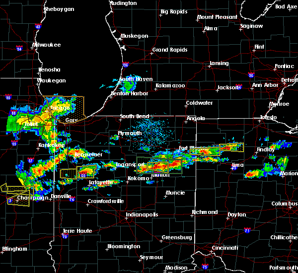 At 431 pm edt, a severe thunderstorm was located over payne, or 15 miles south of hicksville, moving east at 35 mph (radar indicated). Hazards include quarter size hail. Damage to vehicles is expected. this severe storm will be near, paulding around 440 pm edt. Other locations impacted by this severe thunderstorm include worstville, mandale, melrose, latty, charloe, grover hill, oakwood, briceton, broughton and roselms. At 431 pm edt, a severe thunderstorm was located over payne, or 15 miles south of hicksville, moving east at 35 mph (radar indicated). Hazards include quarter size hail. Damage to vehicles is expected. this severe storm will be near, paulding around 440 pm edt. Other locations impacted by this severe thunderstorm include worstville, mandale, melrose, latty, charloe, grover hill, oakwood, briceton, broughton and roselms.
|
| 5/28/2019 4:16 PM EDT |
 At 416 pm edt, a severe thunderstorm was located over woodburn, or 9 miles east of new haven, moving east at 35 mph (radar indicated). Hazards include golf ball size hail. People and animals outdoors will be injured. expect damage to roofs, siding, windows, and vehicles. this severe thunderstorm will be near, payne around 425 pm edt. paulding around 440 pm edt. Other locations impacted by this severe thunderstorm include worstville, melrose, charloe, edgerton in allen county, tipton, oakwood, roselms, zulu, mcgill and haviland. At 416 pm edt, a severe thunderstorm was located over woodburn, or 9 miles east of new haven, moving east at 35 mph (radar indicated). Hazards include golf ball size hail. People and animals outdoors will be injured. expect damage to roofs, siding, windows, and vehicles. this severe thunderstorm will be near, payne around 425 pm edt. paulding around 440 pm edt. Other locations impacted by this severe thunderstorm include worstville, melrose, charloe, edgerton in allen county, tipton, oakwood, roselms, zulu, mcgill and haviland.
|
| 5/28/2019 3:24 PM EDT |
 The severe thunderstorm warning for northern portage, southern geauga and east central cuyahoga counties will expire at 330 pm edt, the storm which prompted the warning has weakened below severe limits, and no longer poses an immediate threat to life or property. therefore, the warning will be allowed to expire. however small hail is still possible with this thunderstorm. a severe thunderstorm watch remains in effect until 800 pm edt for northeastern ohio. to report severe weather, contact your nearest law enforcement agency. they will relay your report to the national weather service cleveland. The severe thunderstorm warning for northern portage, southern geauga and east central cuyahoga counties will expire at 330 pm edt, the storm which prompted the warning has weakened below severe limits, and no longer poses an immediate threat to life or property. therefore, the warning will be allowed to expire. however small hail is still possible with this thunderstorm. a severe thunderstorm watch remains in effect until 800 pm edt for northeastern ohio. to report severe weather, contact your nearest law enforcement agency. they will relay your report to the national weather service cleveland.
|
| 5/28/2019 3:10 PM EDT |
 At 309 pm edt, a severe thunderstorm was located over mantua, or 10 miles north of ravenna, moving east at 45 mph. another storm was located over solon, also moving east at 45 mph (radar indicated). Hazards include 60 mph wind gusts and quarter size hail. Minor damage to vehicles is possible. expect damage to trees and power lines. Locations impacted include, solon, garrettsville, mantua, aurora, bedford, bedford heights, parkman, reminderville, walton hills, windham, hiram, glenwillow and bainbridge. At 309 pm edt, a severe thunderstorm was located over mantua, or 10 miles north of ravenna, moving east at 45 mph. another storm was located over solon, also moving east at 45 mph (radar indicated). Hazards include 60 mph wind gusts and quarter size hail. Minor damage to vehicles is possible. expect damage to trees and power lines. Locations impacted include, solon, garrettsville, mantua, aurora, bedford, bedford heights, parkman, reminderville, walton hills, windham, hiram, glenwillow and bainbridge.
|
| 5/28/2019 2:50 PM EDT |
 At 249 pm edt, a severe thunderstorm was located over twinsburg, or 16 miles northwest of ravenna, moving east at 25 mph (radar indicated). Hazards include 60 mph wind gusts and quarter size hail. Minor damage to vehicles is possible. Expect damage to trees and power lines. At 249 pm edt, a severe thunderstorm was located over twinsburg, or 16 miles northwest of ravenna, moving east at 25 mph (radar indicated). Hazards include 60 mph wind gusts and quarter size hail. Minor damage to vehicles is possible. Expect damage to trees and power lines.
|
| 5/27/2019 11:41 PM EDT |
 At 1141 pm edt, a confirmed large and extremely dangerous tornado was located over northridge, moving southeast at 35 mph. this is a particularly dangerous situation. take cover now! (radar confirmed tornado. radar shows tornado debris in the air). Hazards include damaging tornado. You are in a life-threatening situation. flying debris may be deadly to those caught without shelter. mobile homes will be destroyed. considerable damage to homes, businesses, and vehicles is likely and complete destruction is possible. locations impacted include, dayton, kettering, beavercreek, huber heights, fairborn, vandalia, oakwood, wright-patterson afb, riverside, clayton, shiloh, centerville and overlook-page mano. this includes the following interstates, i-70 in ohio between mile markers 30 and 39. I-75 in ohio between mile markers 52 and 64. At 1141 pm edt, a confirmed large and extremely dangerous tornado was located over northridge, moving southeast at 35 mph. this is a particularly dangerous situation. take cover now! (radar confirmed tornado. radar shows tornado debris in the air). Hazards include damaging tornado. You are in a life-threatening situation. flying debris may be deadly to those caught without shelter. mobile homes will be destroyed. considerable damage to homes, businesses, and vehicles is likely and complete destruction is possible. locations impacted include, dayton, kettering, beavercreek, huber heights, fairborn, vandalia, oakwood, wright-patterson afb, riverside, clayton, shiloh, centerville and overlook-page mano. this includes the following interstates, i-70 in ohio between mile markers 30 and 39. I-75 in ohio between mile markers 52 and 64.
|
| 5/27/2019 11:38 PM EDT |
 At 1138 pm edt, a confirmed tornado was located over vandalia, moving southeast at 35 mph (radar confirmed tornado. radar shows tornado debris in the air). Hazards include damaging tornado. Flying debris will be dangerous to those caught without shelter. mobile homes will be damaged or destroyed. damage to roofs, windows, and vehicles will occur. tree damage is likely. locations impacted include, dayton, kettering, beavercreek, huber heights, fairborn, trotwood, vandalia, englewood, bellbrook, moraine, oakwood, wright-patterson afb, riverside, clayton, union, shiloh, centerville, fort mckinley, northview and dayton international airport. this includes the following interstates, i-70 in ohio between mile markers 26 and 39. I-75 in ohio between mile markers 49 and 65. At 1138 pm edt, a confirmed tornado was located over vandalia, moving southeast at 35 mph (radar confirmed tornado. radar shows tornado debris in the air). Hazards include damaging tornado. Flying debris will be dangerous to those caught without shelter. mobile homes will be damaged or destroyed. damage to roofs, windows, and vehicles will occur. tree damage is likely. locations impacted include, dayton, kettering, beavercreek, huber heights, fairborn, trotwood, vandalia, englewood, bellbrook, moraine, oakwood, wright-patterson afb, riverside, clayton, union, shiloh, centerville, fort mckinley, northview and dayton international airport. this includes the following interstates, i-70 in ohio between mile markers 26 and 39. I-75 in ohio between mile markers 49 and 65.
|
| 5/27/2019 11:31 PM EDT |
 At 1131 pm edt, a severe thunderstorm capable of producing a tornado was located over englewood, moving southeast at 35 mph (radar indicated rotation). Hazards include tornado. Flying debris will be dangerous to those caught without shelter. mobile homes will be damaged or destroyed. damage to roofs, windows, and vehicles will occur. Tree damage is likely. At 1131 pm edt, a severe thunderstorm capable of producing a tornado was located over englewood, moving southeast at 35 mph (radar indicated rotation). Hazards include tornado. Flying debris will be dangerous to those caught without shelter. mobile homes will be damaged or destroyed. damage to roofs, windows, and vehicles will occur. Tree damage is likely.
|
| 5/27/2019 11:15 PM EDT |
 At 1115 pm edt, a confirmed large and extremely dangerous tornado was located just northwest of beavercreek, moving southeast at 45 mph. this is a particularly dangerous situation. take cover now! (radar confirmed tornado. radar shows tornado debris in the air). Hazards include damaging tornado. You are in a life-threatening situation. flying debris may be deadly to those caught without shelter. mobile homes will be destroyed. considerable damage to homes, businesses, and vehicles is likely and complete destruction is possible. locations impacted include, dayton, kettering, beavercreek, huber heights, fairborn, xenia, oakwood, yellow springs, wright-patterson afb, cedarville, wilberforce, riverside, clifton, centerville, john bryan state park, oldtown, greene county airport, overlook-page mano and trebein. This includes i-70 in ohio between mile markers 36 and 41. At 1115 pm edt, a confirmed large and extremely dangerous tornado was located just northwest of beavercreek, moving southeast at 45 mph. this is a particularly dangerous situation. take cover now! (radar confirmed tornado. radar shows tornado debris in the air). Hazards include damaging tornado. You are in a life-threatening situation. flying debris may be deadly to those caught without shelter. mobile homes will be destroyed. considerable damage to homes, businesses, and vehicles is likely and complete destruction is possible. locations impacted include, dayton, kettering, beavercreek, huber heights, fairborn, xenia, oakwood, yellow springs, wright-patterson afb, cedarville, wilberforce, riverside, clifton, centerville, john bryan state park, oldtown, greene county airport, overlook-page mano and trebein. This includes i-70 in ohio between mile markers 36 and 41.
|
| 5/27/2019 11:07 PM EDT |
 At 1106 pm edt, a confirmed large and extremely dangerous tornado was located over northridge, moving east at 30 mph. this is a particularly dangerous situation. take cover now! (radar confirmed tornado. radar shows tornado debris in the air. amateur radio reports the tornado is on the ground on the north side of dayton). Hazards include damaging tornado. You are in a life-threatening situation. flying debris may be deadly to those caught without shelter. mobile homes will be destroyed. considerable damage to homes, businesses, and vehicles is likely and complete destruction is possible. locations impacted include, dayton, kettering, beavercreek, huber heights, fairborn, xenia, trotwood, vandalia, bellbrook, moraine, oakwood, yellow springs, wright-patterson afb, west carrollton, cedarville, wilberforce, riverside, clayton, union and shiloh. this includes the following interstates, i-70 in ohio between mile markers 31 and 41. I-75 in ohio between mile markers 48 and 64. At 1106 pm edt, a confirmed large and extremely dangerous tornado was located over northridge, moving east at 30 mph. this is a particularly dangerous situation. take cover now! (radar confirmed tornado. radar shows tornado debris in the air. amateur radio reports the tornado is on the ground on the north side of dayton). Hazards include damaging tornado. You are in a life-threatening situation. flying debris may be deadly to those caught without shelter. mobile homes will be destroyed. considerable damage to homes, businesses, and vehicles is likely and complete destruction is possible. locations impacted include, dayton, kettering, beavercreek, huber heights, fairborn, xenia, trotwood, vandalia, bellbrook, moraine, oakwood, yellow springs, wright-patterson afb, west carrollton, cedarville, wilberforce, riverside, clayton, union and shiloh. this includes the following interstates, i-70 in ohio between mile markers 31 and 41. I-75 in ohio between mile markers 48 and 64.
|
| 5/27/2019 11:00 PM EDT |
 Tornado emergency for montgomery county, the national weather service in wilmington has issued a * tornado warning for, northwestern greene county in west central ohio, northeastern montgomery county in west central ohio, * until 1145 pm edt. * at 1059 pm edt, a confirmed large and destructive tornado was observed near trotwood, moving east at 35 mph. tornado emergency for montgomery county. this is a particularly dangerous situation. take cover now! (weather spotters confirmed tornado. amateur radio operators have reported a tornado in montgomery county). Hazards include deadly tornado. You are in a life-threatening situation. flying debris may be deadly to those caught without shelter. mobile homes will be destroyed. Considerable damage to homes, businesses, and vehicles is likely and complete destruction is possible. Tornado emergency for montgomery county, the national weather service in wilmington has issued a * tornado warning for, northwestern greene county in west central ohio, northeastern montgomery county in west central ohio, * until 1145 pm edt. * at 1059 pm edt, a confirmed large and destructive tornado was observed near trotwood, moving east at 35 mph. tornado emergency for montgomery county. this is a particularly dangerous situation. take cover now! (weather spotters confirmed tornado. amateur radio operators have reported a tornado in montgomery county). Hazards include deadly tornado. You are in a life-threatening situation. flying debris may be deadly to those caught without shelter. mobile homes will be destroyed. Considerable damage to homes, businesses, and vehicles is likely and complete destruction is possible.
|
| 5/27/2019 10:57 PM EDT |
 At 1056 pm edt, a confirmed large and destructive tornado was located over trotwood, moving east at 35 mph. tornado emergency for sections of central montgomery county. this is a particularly dangerous situation. take cover now! (radar confirmed tornado. radar shows tornado debris in the air). Hazards include deadly tornado. You are in a life-threatening situation. flying debris may be deadly to those caught without shelter. mobile homes will be destroyed. considerable damage to homes, businesses, and vehicles is likely and complete destruction is possible. locations impacted include, dayton, kettering, huber heights, trotwood, vandalia, englewood, moraine, oakwood, clayton, union, shiloh, fort mckinley, northview, drexel and dayton international airport. this includes the following interstates, i-70 in ohio between mile markers 25 and 35. I-75 in ohio between mile markers 49 and 64. At 1056 pm edt, a confirmed large and destructive tornado was located over trotwood, moving east at 35 mph. tornado emergency for sections of central montgomery county. this is a particularly dangerous situation. take cover now! (radar confirmed tornado. radar shows tornado debris in the air). Hazards include deadly tornado. You are in a life-threatening situation. flying debris may be deadly to those caught without shelter. mobile homes will be destroyed. considerable damage to homes, businesses, and vehicles is likely and complete destruction is possible. locations impacted include, dayton, kettering, huber heights, trotwood, vandalia, englewood, moraine, oakwood, clayton, union, shiloh, fort mckinley, northview, drexel and dayton international airport. this includes the following interstates, i-70 in ohio between mile markers 25 and 35. I-75 in ohio between mile markers 49 and 64.
|
| 5/27/2019 10:50 PM EDT |
 At 1050 pm edt, a confirmed large and extremely dangerous tornado was located near trotwood, moving east at 40 mph. this is a particularly dangerous situation. take cover now! (radar confirmed tornado. radar shows tornado debris in the air). Hazards include damaging tornado. You are in a life-threatening situation. flying debris may be deadly to those caught without shelter. mobile homes will be destroyed. considerable damage to homes, businesses, and vehicles is likely and complete destruction is possible. locations impacted include, dayton, kettering, huber heights, trotwood, vandalia, englewood, moraine, oakwood, clayton, union, brookville, new lebanon, shiloh, phillipsburg, fort mckinley, northview, drexel and dayton international airport. this includes the following interstates, i-70 in ohio between mile markers 22 and 35. I-75 in ohio between mile markers 48 and 65. At 1050 pm edt, a confirmed large and extremely dangerous tornado was located near trotwood, moving east at 40 mph. this is a particularly dangerous situation. take cover now! (radar confirmed tornado. radar shows tornado debris in the air). Hazards include damaging tornado. You are in a life-threatening situation. flying debris may be deadly to those caught without shelter. mobile homes will be destroyed. considerable damage to homes, businesses, and vehicles is likely and complete destruction is possible. locations impacted include, dayton, kettering, huber heights, trotwood, vandalia, englewood, moraine, oakwood, clayton, union, brookville, new lebanon, shiloh, phillipsburg, fort mckinley, northview, drexel and dayton international airport. this includes the following interstates, i-70 in ohio between mile markers 22 and 35. I-75 in ohio between mile markers 48 and 65.
|
| 5/27/2019 10:48 PM EDT |
 At 1048 pm edt, a confirmed tornado was located near trotwood, moving east at 40 mph (radar confirmed tornado. radar shows tornado debris in the air). Hazards include damaging tornado and golf ball size hail. Flying debris will be dangerous to those caught without shelter. mobile homes will be damaged or destroyed. damage to roofs, windows, and vehicles will occur. tree damage is likely. locations impacted include, dayton, kettering, huber heights, trotwood, vandalia, englewood, moraine, oakwood, clayton, union, brookville, new lebanon, shiloh, phillipsburg, fort mckinley, northview, drexel, pyrmont and dayton international airport. this includes the following interstates, i-70 in ohio between mile markers 18 and 35. I-75 in ohio between mile markers 49 and 65. At 1048 pm edt, a confirmed tornado was located near trotwood, moving east at 40 mph (radar confirmed tornado. radar shows tornado debris in the air). Hazards include damaging tornado and golf ball size hail. Flying debris will be dangerous to those caught without shelter. mobile homes will be damaged or destroyed. damage to roofs, windows, and vehicles will occur. tree damage is likely. locations impacted include, dayton, kettering, huber heights, trotwood, vandalia, englewood, moraine, oakwood, clayton, union, brookville, new lebanon, shiloh, phillipsburg, fort mckinley, northview, drexel, pyrmont and dayton international airport. this includes the following interstates, i-70 in ohio between mile markers 18 and 35. I-75 in ohio between mile markers 49 and 65.
|
| 5/27/2019 10:42 PM EDT |
 At 1042 pm edt, a severe thunderstorm capable of producing a tornado was located near lewisburg, moving east at 40 mph (radar indicated rotation). Hazards include tornado and golf ball size hail. Flying debris will be dangerous to those caught without shelter. mobile homes will be damaged or destroyed. damage to roofs, windows, and vehicles will occur. tree damage is likely. locations impacted include, dayton, kettering, huber heights, trotwood, vandalia, englewood, moraine, oakwood, clayton, union, brookville, new lebanon, shiloh, phillipsburg, fort mckinley, northview, drexel, pyrmont and dayton international airport. this includes the following interstates, i-70 in ohio between mile markers 18 and 35. I-75 in ohio between mile markers 49 and 65. At 1042 pm edt, a severe thunderstorm capable of producing a tornado was located near lewisburg, moving east at 40 mph (radar indicated rotation). Hazards include tornado and golf ball size hail. Flying debris will be dangerous to those caught without shelter. mobile homes will be damaged or destroyed. damage to roofs, windows, and vehicles will occur. tree damage is likely. locations impacted include, dayton, kettering, huber heights, trotwood, vandalia, englewood, moraine, oakwood, clayton, union, brookville, new lebanon, shiloh, phillipsburg, fort mckinley, northview, drexel, pyrmont and dayton international airport. this includes the following interstates, i-70 in ohio between mile markers 18 and 35. I-75 in ohio between mile markers 49 and 65.
|
| 5/27/2019 10:31 PM EDT |
 At 1030 pm edt, a severe thunderstorm capable of producing a tornado was located over lewisburg, moving east at 40 mph (radar indicated rotation). Hazards include tornado and golf ball size hail. Flying debris will be dangerous to those caught without shelter. mobile homes will be damaged or destroyed. damage to roofs, windows, and vehicles will occur. Tree damage is likely. At 1030 pm edt, a severe thunderstorm capable of producing a tornado was located over lewisburg, moving east at 40 mph (radar indicated rotation). Hazards include tornado and golf ball size hail. Flying debris will be dangerous to those caught without shelter. mobile homes will be damaged or destroyed. damage to roofs, windows, and vehicles will occur. Tree damage is likely.
|
| 5/23/2019 8:40 AM EDT |
 At 839 am edt, severe thunderstorms were located along a line extending from near twinsburg to 6 miles northwest of mount eaton, moving east at 60 mph (radar indicated). Hazards include 60 mph wind gusts. Expect damage to trees and power lines. Locations impacted include, cleveland, akron, canton, wooster, painesville, willowick, millersburg, cuyahoga falls, euclid, mentor, cleveland heights, massillon, kent, barberton, green, solon, willoughby, hudson, wadsworth and twinsburg. At 839 am edt, severe thunderstorms were located along a line extending from near twinsburg to 6 miles northwest of mount eaton, moving east at 60 mph (radar indicated). Hazards include 60 mph wind gusts. Expect damage to trees and power lines. Locations impacted include, cleveland, akron, canton, wooster, painesville, willowick, millersburg, cuyahoga falls, euclid, mentor, cleveland heights, massillon, kent, barberton, green, solon, willoughby, hudson, wadsworth and twinsburg.
|
| 5/23/2019 8:38 AM EDT |
 At 837 am edt, severe thunderstorms were located along a line extending from painesville to hudson, moving northeast at 60 mph (radar indicated). Hazards include 60 mph wind gusts. expect damage to trees and power lines At 837 am edt, severe thunderstorms were located along a line extending from painesville to hudson, moving northeast at 60 mph (radar indicated). Hazards include 60 mph wind gusts. expect damage to trees and power lines
|
| 5/23/2019 8:32 AM EDT |
 At 832 am edt, severe thunderstorms were located along a line extending from near macedonia to near wooster, moving east at 45 mph (radar indicated). Hazards include 60 mph wind gusts. Expect damage to trees and power lines. Locations impacted include, cleveland, akron, canton, medina, wooster, painesville, mount vernon, willowick, millersburg, parma, cuyahoga falls, euclid, mentor, cleveland heights, strongsville, brunswick, massillon, north royalton, kent and barberton. At 832 am edt, severe thunderstorms were located along a line extending from near macedonia to near wooster, moving east at 45 mph (radar indicated). Hazards include 60 mph wind gusts. Expect damage to trees and power lines. Locations impacted include, cleveland, akron, canton, medina, wooster, painesville, mount vernon, willowick, millersburg, parma, cuyahoga falls, euclid, mentor, cleveland heights, strongsville, brunswick, massillon, north royalton, kent and barberton.
|
| 5/23/2019 8:19 AM EDT |
 At 819 am edt, severe thunderstorms were located along a line extending from near north royalton to near shreve, moving east at 45 mph (radar indicated). Hazards include 60 mph wind gusts. Expect damage to trees and power lines. Locations impacted include, cleveland, akron, canton, medina, wooster, painesville, mount vernon, willowick, millersburg, parma, lakewood, cuyahoga falls, euclid, mentor, cleveland heights, strongsville, brunswick, westlake, massillon and north royalton. At 819 am edt, severe thunderstorms were located along a line extending from near north royalton to near shreve, moving east at 45 mph (radar indicated). Hazards include 60 mph wind gusts. Expect damage to trees and power lines. Locations impacted include, cleveland, akron, canton, medina, wooster, painesville, mount vernon, willowick, millersburg, parma, lakewood, cuyahoga falls, euclid, mentor, cleveland heights, strongsville, brunswick, westlake, massillon and north royalton.
|
| 5/23/2019 8:17 AM EDT |
 At 817 am edt, severe thunderstorms were located along a line extending from near north royalton to near shreve, moving east at 45 mph (radar indicated). Hazards include 60 mph wind gusts. expect damage to trees and power lines At 817 am edt, severe thunderstorms were located along a line extending from near north royalton to near shreve, moving east at 45 mph (radar indicated). Hazards include 60 mph wind gusts. expect damage to trees and power lines
|
| 5/23/2019 6:18 AM EDT |
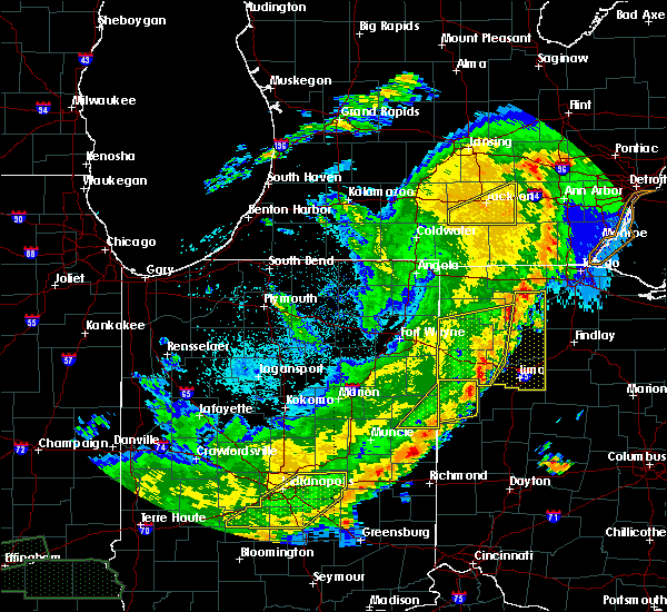 At 617 am edt, severe thunderstorms were located along a line extending from near napoleon to near delphos to near fort recovery, moving east at 50 mph (radar indicated). Hazards include 70 mph wind gusts and penny size hail. Expect considerable tree damage. damage is likely to mobile homes, roofs, and outbuildings. Locations impacted include, defiance, napoleon, delphos, spencerville, continental, ottoville, spencerville in allen county, oakwood, middle point, fort jennings, dupont, melrose, florida, cloverdale, venedocia, elgin, arthur, ayersville, rushmore and jonestown. At 617 am edt, severe thunderstorms were located along a line extending from near napoleon to near delphos to near fort recovery, moving east at 50 mph (radar indicated). Hazards include 70 mph wind gusts and penny size hail. Expect considerable tree damage. damage is likely to mobile homes, roofs, and outbuildings. Locations impacted include, defiance, napoleon, delphos, spencerville, continental, ottoville, spencerville in allen county, oakwood, middle point, fort jennings, dupont, melrose, florida, cloverdale, venedocia, elgin, arthur, ayersville, rushmore and jonestown.
|
| 5/23/2019 5:44 AM EDT |
 At 544 am edt, severe thunderstorms were located along a line extending from near hicksville to decatur to dunkirk, moving east at 55 mph (radar indicated). Hazards include 70 mph wind gusts. Expect considerable tree damage. Damage is likely to mobile homes, roofs, and outbuildings. At 544 am edt, severe thunderstorms were located along a line extending from near hicksville to decatur to dunkirk, moving east at 55 mph (radar indicated). Hazards include 70 mph wind gusts. Expect considerable tree damage. Damage is likely to mobile homes, roofs, and outbuildings.
|
| 5/23/2019 5:44 AM EDT |
 The national weather service in northern indiana has issued a * severe thunderstorm warning for. eastern adams county in northeastern indiana. jay county in east central indiana. western putnam county in west central ohio. Southern defiance county in northwestern ohio. The national weather service in northern indiana has issued a * severe thunderstorm warning for. eastern adams county in northeastern indiana. jay county in east central indiana. western putnam county in west central ohio. Southern defiance county in northwestern ohio.
|
| 5/19/2019 9:35 PM EDT |
 The severe thunderstorm warning for northeastern montgomery and southern miami counties will expire at 945 pm edt, this warning was replaced with another severe thunderstorm warning for portions of eastern montgomery and miami counties until 1000 pm. please report previous wind damage or hail to the national weather service by going to our website at weather.gov/iln and submitting your report via social media. The severe thunderstorm warning for northeastern montgomery and southern miami counties will expire at 945 pm edt, this warning was replaced with another severe thunderstorm warning for portions of eastern montgomery and miami counties until 1000 pm. please report previous wind damage or hail to the national weather service by going to our website at weather.gov/iln and submitting your report via social media.
|
| 5/19/2019 9:23 PM EDT |
 At 923 pm edt, a severe thunderstorm was located over tipp city, moving northeast at 45 mph (radar indicated). Hazards include 60 mph wind gusts. Expect damage to trees and power lines. locations impacted include, dayton, kettering, beavercreek, huber heights, troy, trotwood, vandalia, englewood, tipp city, moraine, west milton, oakwood, wright-patterson afb, riverside, clayton, union, shiloh, ginghamsburg, fort mckinley and phoneton. this includes the following interstates, i-70 in ohio between mile markers 28 and 39. I-75 in ohio between mile markers 51 and 74. At 923 pm edt, a severe thunderstorm was located over tipp city, moving northeast at 45 mph (radar indicated). Hazards include 60 mph wind gusts. Expect damage to trees and power lines. locations impacted include, dayton, kettering, beavercreek, huber heights, troy, trotwood, vandalia, englewood, tipp city, moraine, west milton, oakwood, wright-patterson afb, riverside, clayton, union, shiloh, ginghamsburg, fort mckinley and phoneton. this includes the following interstates, i-70 in ohio between mile markers 28 and 39. I-75 in ohio between mile markers 51 and 74.
|
| 5/19/2019 9:03 PM EDT |
 At 903 pm edt, a severe thunderstorm was located near englewood, moving northeast at 40 mph (radar indicated). Hazards include 60 mph wind gusts. Expect damage to trees and power lines. locations impacted include, dayton, kettering, beavercreek, huber heights, troy, trotwood, vandalia, englewood, tipp city, moraine, west milton, oakwood, wright-patterson afb, riverside, clayton, union, brookville, new lebanon, shiloh and phillipsburg. this includes the following interstates, i-70 in ohio between mile markers 18 and 39. I-75 in ohio between mile markers 50 and 74. At 903 pm edt, a severe thunderstorm was located near englewood, moving northeast at 40 mph (radar indicated). Hazards include 60 mph wind gusts. Expect damage to trees and power lines. locations impacted include, dayton, kettering, beavercreek, huber heights, troy, trotwood, vandalia, englewood, tipp city, moraine, west milton, oakwood, wright-patterson afb, riverside, clayton, union, brookville, new lebanon, shiloh and phillipsburg. this includes the following interstates, i-70 in ohio between mile markers 18 and 39. I-75 in ohio between mile markers 50 and 74.
|
| 5/19/2019 8:54 PM EDT |
 At 853 pm edt, a severe thunderstorm was located near lewisburg, moving east at 55 mph (radar indicated). Hazards include 60 mph wind gusts. expect damage to trees and power lines At 853 pm edt, a severe thunderstorm was located near lewisburg, moving east at 55 mph (radar indicated). Hazards include 60 mph wind gusts. expect damage to trees and power lines
|
| 4/14/2019 6:12 PM EDT |
 At 612 pm edt, a severe thunderstorm was located near euclid, or near willowick, moving east at 50 mph (radar indicated). Hazards include 60 mph wind gusts and penny size hail. Expect damage to trees and power lines. Locations impacted include, cleveland, painesville, willowick, fairport harbor, euclid, mentor, cleveland heights, solon, willoughby, eastlake, warrensville heights, south russell, highland hills, timberlake, lakeline, chesterland, garfield heights, shaker heights, maple heights and south euclid. At 612 pm edt, a severe thunderstorm was located near euclid, or near willowick, moving east at 50 mph (radar indicated). Hazards include 60 mph wind gusts and penny size hail. Expect damage to trees and power lines. Locations impacted include, cleveland, painesville, willowick, fairport harbor, euclid, mentor, cleveland heights, solon, willoughby, eastlake, warrensville heights, south russell, highland hills, timberlake, lakeline, chesterland, garfield heights, shaker heights, maple heights and south euclid.
|
| 4/14/2019 6:03 PM EDT |
 At 603 pm edt, a severe thunderstorm was located over cleveland heights, or near cleveland, moving northeast at 55 mph (radar indicated). Hazards include 60 mph wind gusts and penny size hail. Expect damage to trees and power lines. Locations impacted include, cleveland, painesville, willowick, fairport harbor, euclid, mentor, cleveland heights, solon, willoughby, eastlake, warrensville heights, south russell, highland hills, timberlake, lakeline, chesterland, garfield heights, shaker heights, maple heights and south euclid. At 603 pm edt, a severe thunderstorm was located over cleveland heights, or near cleveland, moving northeast at 55 mph (radar indicated). Hazards include 60 mph wind gusts and penny size hail. Expect damage to trees and power lines. Locations impacted include, cleveland, painesville, willowick, fairport harbor, euclid, mentor, cleveland heights, solon, willoughby, eastlake, warrensville heights, south russell, highland hills, timberlake, lakeline, chesterland, garfield heights, shaker heights, maple heights and south euclid.
|
| 4/14/2019 5:51 PM EDT |
 At 551 pm edt, a severe thunderstorm was located over lakewood, or near cleveland, moving east at 55 mph (radar indicated). Hazards include 60 mph wind gusts and penny size hail. expect damage to trees and power lines At 551 pm edt, a severe thunderstorm was located over lakewood, or near cleveland, moving east at 55 mph (radar indicated). Hazards include 60 mph wind gusts and penny size hail. expect damage to trees and power lines
|
| 1/8/2019 4:21 PM EST |
 At 420 pm est, a severe thunderstorm was located near mantua, or 12 miles north of ravenna, moving east at 60 mph (radar indicated). Hazards include 60 mph wind gusts and quarter size hail. Minor damage to vehicles is possible. expect damage to trees and power lines. Locations impacted include, cleveland, parma, lakewood, euclid, cleveland heights, strongsville, north royalton, solon, hudson, twinsburg, warrensville heights, macedonia, highland hills, garfield heights, shaker heights, maple heights, south euclid, parma heights, rocky river and broadview heights. At 420 pm est, a severe thunderstorm was located near mantua, or 12 miles north of ravenna, moving east at 60 mph (radar indicated). Hazards include 60 mph wind gusts and quarter size hail. Minor damage to vehicles is possible. expect damage to trees and power lines. Locations impacted include, cleveland, parma, lakewood, euclid, cleveland heights, strongsville, north royalton, solon, hudson, twinsburg, warrensville heights, macedonia, highland hills, garfield heights, shaker heights, maple heights, south euclid, parma heights, rocky river and broadview heights.
|
| 1/8/2019 3:44 PM EST |
 At 344 pm est, a severe thunderstorm was located over grafton, or 8 miles southeast of elyria, moving east at 45 mph (radar indicated). Hazards include 60 mph wind gusts and quarter size hail. Minor damage to vehicles is possible. Expect damage to trees and power lines. At 344 pm est, a severe thunderstorm was located over grafton, or 8 miles southeast of elyria, moving east at 45 mph (radar indicated). Hazards include 60 mph wind gusts and quarter size hail. Minor damage to vehicles is possible. Expect damage to trees and power lines.
|
| 10/20/2018 5:05 PM EDT |
 The severe thunderstorm warning for cuyahoga county will expire at 515 pm edt, the storm which prompted the warning has weakened below severe limits, and has exited the warned area. therefore, the warning will be allowed to expire. The severe thunderstorm warning for cuyahoga county will expire at 515 pm edt, the storm which prompted the warning has weakened below severe limits, and has exited the warned area. therefore, the warning will be allowed to expire.
|
| 10/20/2018 4:39 PM EDT |
 At 439 pm edt, strong winds from a thunderstorm outflow were located near parma, or near cleveland, moving east at 45 mph (radar indicated). Hazards include 60 mph wind gusts. Expect damage to trees and power lines. Locations impacted include, cleveland, parma, lakewood, euclid, cleveland heights, strongsville, westlake, north royalton, solon, warrensville heights, highland hills, north olmsted, garfield heights, shaker heights, maple heights, south euclid, parma heights, rocky river, broadview heights and brook park. At 439 pm edt, strong winds from a thunderstorm outflow were located near parma, or near cleveland, moving east at 45 mph (radar indicated). Hazards include 60 mph wind gusts. Expect damage to trees and power lines. Locations impacted include, cleveland, parma, lakewood, euclid, cleveland heights, strongsville, westlake, north royalton, solon, warrensville heights, highland hills, north olmsted, garfield heights, shaker heights, maple heights, south euclid, parma heights, rocky river, broadview heights and brook park.
|
| 10/20/2018 4:21 PM EDT |
 At 420 pm edt, strong winds from a thunderstorm outflow were located over westlake, or 7 miles northeast of elyria, moving east at 45 mph (radar indicated). Hazards include 70 mph wind gusts. Expect considerable tree damage. Damage is likely to mobile homes, roofs, and outbuildings. At 420 pm edt, strong winds from a thunderstorm outflow were located over westlake, or 7 miles northeast of elyria, moving east at 45 mph (radar indicated). Hazards include 70 mph wind gusts. Expect considerable tree damage. Damage is likely to mobile homes, roofs, and outbuildings.
|
| 9/21/2018 4:33 PM EDT |
 A severe thunderstorm warning remains in effect until 515 pm edt for geauga. northeastern cuyahoga and lake counties. at 433 pm edt, a severe thunderstorm was located near cleveland heights, or near willowick, moving east at 40 mph. hazard. 60 mph wind gusts. source. Radar indicated. A severe thunderstorm warning remains in effect until 515 pm edt for geauga. northeastern cuyahoga and lake counties. at 433 pm edt, a severe thunderstorm was located near cleveland heights, or near willowick, moving east at 40 mph. hazard. 60 mph wind gusts. source. Radar indicated.
|
| 9/21/2018 4:24 PM EDT |
 The national weather service in cleveland has issued a * severe thunderstorm warning for. geauga county in northeastern ohio. eastern cuyahoga county in northeastern ohio. lake county in northeastern ohio. Until 515 pm edt. The national weather service in cleveland has issued a * severe thunderstorm warning for. geauga county in northeastern ohio. eastern cuyahoga county in northeastern ohio. lake county in northeastern ohio. Until 515 pm edt.
|
| 9/5/2018 6:49 PM EDT |
 At 649 pm edt, a severe thunderstorm was located near parma, or near cleveland, moving northeast at 20 mph (radar indicated). Hazards include 60 mph wind gusts and penny size hail. expect damage to trees and power lines At 649 pm edt, a severe thunderstorm was located near parma, or near cleveland, moving northeast at 20 mph (radar indicated). Hazards include 60 mph wind gusts and penny size hail. expect damage to trees and power lines
|
| 8/29/2018 3:50 PM EDT |
 At 349 pm edt, a severe thunderstorm was located over macedonia, or 15 miles southeast of cleveland, moving east at 30 mph (radar indicated). Hazards include 60 mph wind gusts and quarter size hail. Minor damage to vehicles is possible. expect damage to trees and power lines. Locations impacted include, akron, cuyahoga falls, north royalton, kent, solon, hudson, twinsburg, tallmadge, streetsboro, macedonia, mogadore, south russell, stow, garfield heights, maple heights, broadview heights, aurora, brecksville, bedford and seven hills. At 349 pm edt, a severe thunderstorm was located over macedonia, or 15 miles southeast of cleveland, moving east at 30 mph (radar indicated). Hazards include 60 mph wind gusts and quarter size hail. Minor damage to vehicles is possible. expect damage to trees and power lines. Locations impacted include, akron, cuyahoga falls, north royalton, kent, solon, hudson, twinsburg, tallmadge, streetsboro, macedonia, mogadore, south russell, stow, garfield heights, maple heights, broadview heights, aurora, brecksville, bedford and seven hills.
|
| 8/29/2018 3:23 PM EDT |
 At 323 pm edt, a severe thunderstorm was located over north royalton, or 12 miles northeast of medina, moving southeast at 30 mph (radar indicated). Hazards include 60 mph wind gusts and quarter size hail. Minor damage to vehicles is possible. Expect damage to trees and power lines. At 323 pm edt, a severe thunderstorm was located over north royalton, or 12 miles northeast of medina, moving southeast at 30 mph (radar indicated). Hazards include 60 mph wind gusts and quarter size hail. Minor damage to vehicles is possible. Expect damage to trees and power lines.
|
| 8/7/2018 12:06 AM EDT |
 At 1205 am edt, a severe thunderstorm was located over north royalton, or 13 miles south of cleveland, moving east at 15 mph (radar indicated). Hazards include 60 mph wind gusts. Expect damage to trees and power lines. Locations impacted include, strongsville, westlake, north royalton, solon, warrensville heights, highland hills, north olmsted, garfield heights, shaker heights, maple heights, south euclid, parma heights, rocky river, broadview heights and brook park. At 1205 am edt, a severe thunderstorm was located over north royalton, or 13 miles south of cleveland, moving east at 15 mph (radar indicated). Hazards include 60 mph wind gusts. Expect damage to trees and power lines. Locations impacted include, strongsville, westlake, north royalton, solon, warrensville heights, highland hills, north olmsted, garfield heights, shaker heights, maple heights, south euclid, parma heights, rocky river, broadview heights and brook park.
|
| 8/6/2018 11:55 PM EDT |
 At 1133 pm edt, severe thunderstorms were located along a line extending from near euclid to near cleveland to strongsville to 7 miles west of grafton, moving east at 30 mph. reports from east of lorain to near sheffield lake indicate some tree damage has occured with this storm (radar indicated). Hazards include 60 mph wind gusts. Expect damage to trees and power lines. Locations impacted include, cleveland, lorain, elyria, parma, lakewood, euclid, cleveland heights, strongsville, westlake, north royalton, north ridgeville, solon, avon lake, warrensville heights, grafton, highland hills, north olmsted, garfield heights, shaker heights and maple heights. At 1133 pm edt, severe thunderstorms were located along a line extending from near euclid to near cleveland to strongsville to 7 miles west of grafton, moving east at 30 mph. reports from east of lorain to near sheffield lake indicate some tree damage has occured with this storm (radar indicated). Hazards include 60 mph wind gusts. Expect damage to trees and power lines. Locations impacted include, cleveland, lorain, elyria, parma, lakewood, euclid, cleveland heights, strongsville, westlake, north royalton, north ridgeville, solon, avon lake, warrensville heights, grafton, highland hills, north olmsted, garfield heights, shaker heights and maple heights.
|
| 8/6/2018 11:34 PM EDT |
 At 1133 pm edt, severe thunderstorms were located along a line extending from near euclid to near cleveland to strongsville to 7 miles west of grafton, moving east at 30 mph. reports from east of lorain to near sheffield lake indicate some tree damage has occured with this storm (radar indicated). Hazards include 60 mph wind gusts. Expect damage to trees and power lines. Locations impacted include, cleveland, lorain, elyria, parma, lakewood, euclid, cleveland heights, strongsville, westlake, north royalton, north ridgeville, solon, avon lake, warrensville heights, grafton, highland hills, north olmsted, garfield heights, shaker heights and maple heights. At 1133 pm edt, severe thunderstorms were located along a line extending from near euclid to near cleveland to strongsville to 7 miles west of grafton, moving east at 30 mph. reports from east of lorain to near sheffield lake indicate some tree damage has occured with this storm (radar indicated). Hazards include 60 mph wind gusts. Expect damage to trees and power lines. Locations impacted include, cleveland, lorain, elyria, parma, lakewood, euclid, cleveland heights, strongsville, westlake, north royalton, north ridgeville, solon, avon lake, warrensville heights, grafton, highland hills, north olmsted, garfield heights, shaker heights and maple heights.
|
| 8/6/2018 11:09 PM EDT |
 At 1108 pm edt, severe thunderstorms were located along a line extending from 9 miles northwest of cleveland to near lakewood to near elyria, moving east at 30 mph (radar indicated). Hazards include 60 mph wind gusts. expect damage to trees and power lines At 1108 pm edt, severe thunderstorms were located along a line extending from 9 miles northwest of cleveland to near lakewood to near elyria, moving east at 30 mph (radar indicated). Hazards include 60 mph wind gusts. expect damage to trees and power lines
|
| 7/26/2018 5:49 PM EDT |
 At 548 pm edt, a severe thunderstorm was located near cleveland, moving east at 40 mph (radar indicated). Hazards include 60 mph wind gusts and quarter size hail. Minor damage to vehicles is possible. Expect damage to trees and power lines. At 548 pm edt, a severe thunderstorm was located near cleveland, moving east at 40 mph (radar indicated). Hazards include 60 mph wind gusts and quarter size hail. Minor damage to vehicles is possible. Expect damage to trees and power lines.
|
| 7/5/2018 4:02 PM EDT |
 At 341 pm edt, a severe thunderstorm was located over lakewood, or near cleveland, moving northeast at 30 mph. another thunderstorm was located near strongsville moving east at 30 mph. (radar indicated). Hazards include 60 mph wind gusts and quarter size hail. Minor damage to vehicles is possible. Expect damage to trees and power lines. At 341 pm edt, a severe thunderstorm was located over lakewood, or near cleveland, moving northeast at 30 mph. another thunderstorm was located near strongsville moving east at 30 mph. (radar indicated). Hazards include 60 mph wind gusts and quarter size hail. Minor damage to vehicles is possible. Expect damage to trees and power lines.
|
| 7/5/2018 3:42 PM EDT |
 At 341 pm edt, a severe thunderstorm was located over lakewood, or near cleveland, moving northeast at 30 mph. another thunderstorm was located near strongsville moving east at 30 mph. (radar indicated). Hazards include 60 mph wind gusts and quarter size hail. Minor damage to vehicles is possible. Expect damage to trees and power lines. At 341 pm edt, a severe thunderstorm was located over lakewood, or near cleveland, moving northeast at 30 mph. another thunderstorm was located near strongsville moving east at 30 mph. (radar indicated). Hazards include 60 mph wind gusts and quarter size hail. Minor damage to vehicles is possible. Expect damage to trees and power lines.
|
| 7/3/2018 5:26 PM EDT |
 The severe thunderstorm warning for southern montgomery county will expire at 530 pm edt, the storm which prompted the warning has weakened below severe limits, and no longer poses an immediate threat to life or property. therefore, the warning will be allowed to expire. gusty winds will still be possible with this thunderstorm in montgomery county through 6 pm. please report previous wind damage or hail to the national weather service by going to our website at weather.gov/iln and submitting your report via social media. The severe thunderstorm warning for southern montgomery county will expire at 530 pm edt, the storm which prompted the warning has weakened below severe limits, and no longer poses an immediate threat to life or property. therefore, the warning will be allowed to expire. gusty winds will still be possible with this thunderstorm in montgomery county through 6 pm. please report previous wind damage or hail to the national weather service by going to our website at weather.gov/iln and submitting your report via social media.
|
| 7/3/2018 5:18 PM EDT |
 At 518 pm edt, a severe thunderstorm was located over moraine, moving north at 25 mph (radar indicated). Hazards include 60 mph wind gusts. Expect damage to trees and power lines. locations impacted include, dayton, kettering, trotwood, miamisburg, springboro, bellbrook, moraine, oakwood, west carrollton, riverside, germantown, new lebanon, farmersville, shiloh, centerville, fort mckinley, drexel and woodbourne-hyde park. This includes i-75 in ohio between mile markers 42 and 55. At 518 pm edt, a severe thunderstorm was located over moraine, moving north at 25 mph (radar indicated). Hazards include 60 mph wind gusts. Expect damage to trees and power lines. locations impacted include, dayton, kettering, trotwood, miamisburg, springboro, bellbrook, moraine, oakwood, west carrollton, riverside, germantown, new lebanon, farmersville, shiloh, centerville, fort mckinley, drexel and woodbourne-hyde park. This includes i-75 in ohio between mile markers 42 and 55.
|
| 7/3/2018 5:08 PM EDT |
 At 507 pm edt, a severe thunderstorm was located over west carrollton, moving north at 25 mph (radar indicated). Hazards include 60 mph wind gusts. Expect damage to trees and power lines. locations impacted include, dayton, kettering, trotwood, miamisburg, springboro, franklin, bellbrook, moraine, carlisle, oakwood, west carrollton, riverside, germantown, new lebanon, farmersville, shiloh, centerville, fort mckinley, drexel and woodbourne-hyde park. This includes i-75 in ohio between mile markers 39 and 55. At 507 pm edt, a severe thunderstorm was located over west carrollton, moving north at 25 mph (radar indicated). Hazards include 60 mph wind gusts. Expect damage to trees and power lines. locations impacted include, dayton, kettering, trotwood, miamisburg, springboro, franklin, bellbrook, moraine, carlisle, oakwood, west carrollton, riverside, germantown, new lebanon, farmersville, shiloh, centerville, fort mckinley, drexel and woodbourne-hyde park. This includes i-75 in ohio between mile markers 39 and 55.
|
| 7/3/2018 4:57 PM EDT |
 At 457 pm edt, a severe thunderstorm was located over carlisle, moving north at 20 mph (radar indicated). Hazards include 60 mph wind gusts. expect damage to trees and power lines At 457 pm edt, a severe thunderstorm was located over carlisle, moving north at 20 mph (radar indicated). Hazards include 60 mph wind gusts. expect damage to trees and power lines
|
| 6/16/2018 4:04 PM EDT |
 At 404 pm edt, a severe thunderstorm was located near trotwood, moving southeast at 10 mph (radar indicated). Hazards include 60 mph wind gusts and quarter size hail. Minor hail damage to vehicles is possible. expect wind damage to trees and power lines. locations impacted include, dayton, kettering, huber heights, trotwood, vandalia, englewood, moraine, oakwood, west carrollton, riverside, clayton, union, brookville, new lebanon, shiloh, fort mckinley, northview, drexel, pyrmont and overlook-page mano. this includes the following interstates, i-70 in ohio between mile markers 18 and 36. I-75 in ohio between mile markers 47 and 62. At 404 pm edt, a severe thunderstorm was located near trotwood, moving southeast at 10 mph (radar indicated). Hazards include 60 mph wind gusts and quarter size hail. Minor hail damage to vehicles is possible. expect wind damage to trees and power lines. locations impacted include, dayton, kettering, huber heights, trotwood, vandalia, englewood, moraine, oakwood, west carrollton, riverside, clayton, union, brookville, new lebanon, shiloh, fort mckinley, northview, drexel, pyrmont and overlook-page mano. this includes the following interstates, i-70 in ohio between mile markers 18 and 36. I-75 in ohio between mile markers 47 and 62.
|
| 6/16/2018 3:45 PM EDT |
 At 344 pm edt, a severe thunderstorm was located near trotwood, moving southeast at 10 mph (trained weather spotter reported half dollar size hail). Hazards include 60 mph wind gusts and half dollar size hail. Minor hail damage to vehicles is possible. Expect wind damage to trees and power lines. At 344 pm edt, a severe thunderstorm was located near trotwood, moving southeast at 10 mph (trained weather spotter reported half dollar size hail). Hazards include 60 mph wind gusts and half dollar size hail. Minor hail damage to vehicles is possible. Expect wind damage to trees and power lines.
|
| 5/31/2018 5:00 PM EDT |
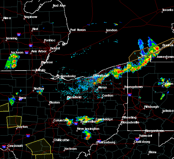 At 500 pm edt, a severe thunderstorm was located over solon, moving east at 25 mph (radar indicated). Hazards include 60 mph wind gusts. Expect damage to trees and power lines. Locations impacted include, solon, twinsburg, warrensville heights, macedonia, south russell, highland hills, bedford, bedford heights, chagrin falls, northfield, reminderville, orange, moreland hills, walton hills, glenwillow and bentleyville. At 500 pm edt, a severe thunderstorm was located over solon, moving east at 25 mph (radar indicated). Hazards include 60 mph wind gusts. Expect damage to trees and power lines. Locations impacted include, solon, twinsburg, warrensville heights, macedonia, south russell, highland hills, bedford, bedford heights, chagrin falls, northfield, reminderville, orange, moreland hills, walton hills, glenwillow and bentleyville.
|
| 5/31/2018 4:39 PM EDT |
 At 439 pm edt, a severe thunderstorm was located near warrensville heights, or 10 miles southeast of cleveland, moving east at 25 mph (radar indicated). Hazards include 60 mph wind gusts. expect damage to trees and power lines At 439 pm edt, a severe thunderstorm was located near warrensville heights, or 10 miles southeast of cleveland, moving east at 25 mph (radar indicated). Hazards include 60 mph wind gusts. expect damage to trees and power lines
|
| 5/31/2018 3:29 PM EDT |
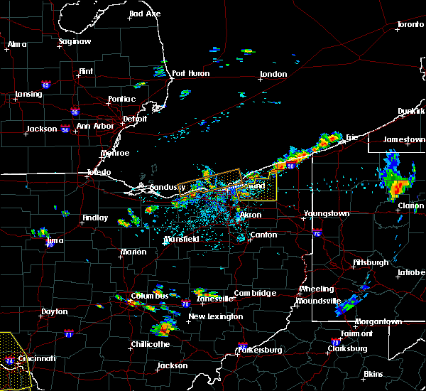 The national weather service in cleveland has issued a * severe thunderstorm warning for. geauga county in northeastern ohio. east central cuyahoga county in northeastern ohio. Until 415 pm edt * at 329 pm edt, a severe thunderstorm was located over solon, or 14. The national weather service in cleveland has issued a * severe thunderstorm warning for. geauga county in northeastern ohio. east central cuyahoga county in northeastern ohio. Until 415 pm edt * at 329 pm edt, a severe thunderstorm was located over solon, or 14.
|
| 5/30/2018 3:38 PM EDT |
 At 338 pm edt, a severe thunderstorm was located over kettering, moving north at 35 mph (radar indicated). Hazards include 60 mph wind gusts. expect damage to trees and power lines At 338 pm edt, a severe thunderstorm was located over kettering, moving north at 35 mph (radar indicated). Hazards include 60 mph wind gusts. expect damage to trees and power lines
|
| 5/30/2018 3:30 PM EDT |
 At 329 pm edt, a severe thunderstorm was located near springboro, moving north at 20 mph (radar indicated). Hazards include 60 mph wind gusts. Expect damage to trees and power lines. locations impacted include, kettering, beavercreek, xenia, miamisburg, springboro, franklin, bellbrook, moraine, oakwood, west carrollton, waynesville, spring valley, corwin, centerville, lytle, mount holly, roxanna, pekin, state route 48 at state route 73 and woodbourne-hyde park. This includes i-75 in ohio between mile markers 38 and 51. At 329 pm edt, a severe thunderstorm was located near springboro, moving north at 20 mph (radar indicated). Hazards include 60 mph wind gusts. Expect damage to trees and power lines. locations impacted include, kettering, beavercreek, xenia, miamisburg, springboro, franklin, bellbrook, moraine, oakwood, west carrollton, waynesville, spring valley, corwin, centerville, lytle, mount holly, roxanna, pekin, state route 48 at state route 73 and woodbourne-hyde park. This includes i-75 in ohio between mile markers 38 and 51.
|
| 5/30/2018 3:18 PM EDT |
 At 317 pm edt, a severe thunderstorm was located near lebanon, moving northeast at 45 mph (radar indicated). Hazards include 60 mph wind gusts. expect damage to trees and power lines At 317 pm edt, a severe thunderstorm was located near lebanon, moving northeast at 45 mph (radar indicated). Hazards include 60 mph wind gusts. expect damage to trees and power lines
|
| 5/22/2018 2:31 PM EDT |
 At 229 pm edt, a severe thunderstorm was located near richfield, or 10 miles north of akron, moving east at 35 mph. damaging winds will sweep through peninsula and hudson by 245 pm (radar indicated). Hazards include 70 mph wind gusts and quarter size hail. Minor damage to vehicles is possible. expect considerable tree damage. wind damage is also likely to mobile homes, roofs, and outbuildings. Locations impacted include, akron, medina, parma, cuyahoga falls, strongsville, brunswick, north royalton, kent, barberton, solon, hudson, wadsworth, twinsburg, tallmadge, streetsboro, warrensville heights, macedonia, rittman, mogadore and south russell. At 229 pm edt, a severe thunderstorm was located near richfield, or 10 miles north of akron, moving east at 35 mph. damaging winds will sweep through peninsula and hudson by 245 pm (radar indicated). Hazards include 70 mph wind gusts and quarter size hail. Minor damage to vehicles is possible. expect considerable tree damage. wind damage is also likely to mobile homes, roofs, and outbuildings. Locations impacted include, akron, medina, parma, cuyahoga falls, strongsville, brunswick, north royalton, kent, barberton, solon, hudson, wadsworth, twinsburg, tallmadge, streetsboro, warrensville heights, macedonia, rittman, mogadore and south russell.
|
| 5/22/2018 2:25 PM EDT |
 At 223 pm edt, a severe thunderstorm was located near cuyahoga falls, or 11 miles north of akron, moving east at 35 mph (radar indicated. quarter sized hail was reported in north royalton with this storm). Hazards include 60 mph wind gusts and quarter size hail. Minor damage to vehicles is possible. expect damage to trees and power lines. torrential rainfall is also occurring with this storm. Locations impacted include, akron, medina, parma, cuyahoga falls, strongsville, brunswick, north royalton, kent, barberton, solon, hudson, wadsworth, twinsburg, tallmadge, streetsboro, warrensville heights, macedonia, rittman, mogadore and south russell. At 223 pm edt, a severe thunderstorm was located near cuyahoga falls, or 11 miles north of akron, moving east at 35 mph (radar indicated. quarter sized hail was reported in north royalton with this storm). Hazards include 60 mph wind gusts and quarter size hail. Minor damage to vehicles is possible. expect damage to trees and power lines. torrential rainfall is also occurring with this storm. Locations impacted include, akron, medina, parma, cuyahoga falls, strongsville, brunswick, north royalton, kent, barberton, solon, hudson, wadsworth, twinsburg, tallmadge, streetsboro, warrensville heights, macedonia, rittman, mogadore and south russell.
|
| 5/22/2018 2:12 PM EDT |
 At 212 pm edt, a severe thunderstorm was located near brunswick, or 9 miles northeast of medina, moving southeast at 35 mph (radar indicated). Hazards include 60 mph wind gusts and quarter size hail. Minor damage to vehicles is possible. Expect damage to trees and power lines. At 212 pm edt, a severe thunderstorm was located near brunswick, or 9 miles northeast of medina, moving southeast at 35 mph (radar indicated). Hazards include 60 mph wind gusts and quarter size hail. Minor damage to vehicles is possible. Expect damage to trees and power lines.
|
| 5/22/2018 1:48 PM EDT |
 At 148 pm edt, a severe thunderstorm was located near parma, or 9 miles southwest of cleveland, moving east at 25 mph (radar indicated). Hazards include 60 mph wind gusts and quarter size hail. Minor damage to vehicles is possible. expect damage to trees and power lines. Locations impacted include, cleveland, parma, lakewood, euclid, cleveland heights, strongsville, brunswick, westlake, north royalton, north ridgeville, solon, avon lake, warrensville heights, south russell, highland hills, north olmsted, garfield heights, shaker heights, maple heights and south euclid. At 148 pm edt, a severe thunderstorm was located near parma, or 9 miles southwest of cleveland, moving east at 25 mph (radar indicated). Hazards include 60 mph wind gusts and quarter size hail. Minor damage to vehicles is possible. expect damage to trees and power lines. Locations impacted include, cleveland, parma, lakewood, euclid, cleveland heights, strongsville, brunswick, westlake, north royalton, north ridgeville, solon, avon lake, warrensville heights, south russell, highland hills, north olmsted, garfield heights, shaker heights, maple heights and south euclid.
|
| 5/22/2018 1:23 PM EDT |
 At 123 pm edt, a severe thunderstorm was located over westlake, or 10 miles west of cleveland, moving northeast at 55 mph (radar indicated). Hazards include 60 mph wind gusts and quarter size hail. Minor damage to vehicles is possible. Expect damage to trees and power lines. At 123 pm edt, a severe thunderstorm was located over westlake, or 10 miles west of cleveland, moving northeast at 55 mph (radar indicated). Hazards include 60 mph wind gusts and quarter size hail. Minor damage to vehicles is possible. Expect damage to trees and power lines.
|
| 4/15/2018 6:29 PM EDT |
 At 627 pm edt, a severe thunderstorm capable of producing a tornado was located over cuyahoga falls, or near akron, moving northeast at 25 mph. additional storms located along the line in stark county were also capable of producing a tornado (radar indicated rotation). Hazards include tornado. Flying debris will be dangerous to those caught without shelter. mobile homes will be damaged or destroyed. damage to roofs, windows, and vehicles will occur. tree damage is likely. this dangerous storm will be near, kent, hudson and twinsburg around 640 pm edt. streetsboro around 650 pm edt. ravenna around 655 pm edt. mantua around 700 pm edt. garrettsville around 715 pm edt. Other locations impacted by this tornadic thunderstorm include greentown, brimfield, brady lake, windham, atwater, stow, aurora, robertsville, perry heights and sugar bush knolls. At 627 pm edt, a severe thunderstorm capable of producing a tornado was located over cuyahoga falls, or near akron, moving northeast at 25 mph. additional storms located along the line in stark county were also capable of producing a tornado (radar indicated rotation). Hazards include tornado. Flying debris will be dangerous to those caught without shelter. mobile homes will be damaged or destroyed. damage to roofs, windows, and vehicles will occur. tree damage is likely. this dangerous storm will be near, kent, hudson and twinsburg around 640 pm edt. streetsboro around 650 pm edt. ravenna around 655 pm edt. mantua around 700 pm edt. garrettsville around 715 pm edt. Other locations impacted by this tornadic thunderstorm include greentown, brimfield, brady lake, windham, atwater, stow, aurora, robertsville, perry heights and sugar bush knolls.
|
| 4/3/2018 4:21 PM EDT |
 At 413 pm edt, a severe thunderstorm capable of producing a tornado was located near moraine, moving northeast at 50 mph (radar indicated rotation). Hazards include tornado and half dollar size hail. Flying debris will be dangerous to those caught without shelter. mobile homes will be damaged or destroyed. damage to roofs, windows, and vehicles will occur. tree damage is likely. locations impacted include, dayton, kettering, huber heights, trotwood, miamisburg, moraine, oakwood, west carrollton, riverside, germantown, centerville, drexel, woodbourne-hyde park and overlook-page mano. This includes i-75 in ohio between mile markers 43 and 58. At 413 pm edt, a severe thunderstorm capable of producing a tornado was located near moraine, moving northeast at 50 mph (radar indicated rotation). Hazards include tornado and half dollar size hail. Flying debris will be dangerous to those caught without shelter. mobile homes will be damaged or destroyed. damage to roofs, windows, and vehicles will occur. tree damage is likely. locations impacted include, dayton, kettering, huber heights, trotwood, miamisburg, moraine, oakwood, west carrollton, riverside, germantown, centerville, drexel, woodbourne-hyde park and overlook-page mano. This includes i-75 in ohio between mile markers 43 and 58.
|
| 4/3/2018 4:13 PM EDT |
 At 413 pm edt, a severe thunderstorm capable of producing a tornado was located near moraine, moving northeast at 50 mph (radar indicated rotation). Hazards include tornado and half dollar size hail. Flying debris will be dangerous to those caught without shelter. mobile homes will be damaged or destroyed. damage to roofs, windows, and vehicles will occur. tree damage is likely. locations impacted include, dayton, kettering, huber heights, trotwood, miamisburg, moraine, oakwood, west carrollton, riverside, germantown, centerville, drexel, woodbourne-hyde park and overlook-page mano. This includes i-75 in ohio between mile markers 43 and 58. At 413 pm edt, a severe thunderstorm capable of producing a tornado was located near moraine, moving northeast at 50 mph (radar indicated rotation). Hazards include tornado and half dollar size hail. Flying debris will be dangerous to those caught without shelter. mobile homes will be damaged or destroyed. damage to roofs, windows, and vehicles will occur. tree damage is likely. locations impacted include, dayton, kettering, huber heights, trotwood, miamisburg, moraine, oakwood, west carrollton, riverside, germantown, centerville, drexel, woodbourne-hyde park and overlook-page mano. This includes i-75 in ohio between mile markers 43 and 58.
|
| 4/3/2018 4:01 PM EDT |
 The national weather service in wilmington has issued a * tornado warning for. southeastern preble county in west central ohio. southern montgomery county in west central ohio. until 430 pm edt. At 401 pm edt, a severe thunderstorm capable of producing a tornado. The national weather service in wilmington has issued a * tornado warning for. southeastern preble county in west central ohio. southern montgomery county in west central ohio. until 430 pm edt. At 401 pm edt, a severe thunderstorm capable of producing a tornado.
|
| 11/5/2017 7:09 PM EDT |
 At 608 pm est, a severe thunderstorm was located near macedonia, or 14 miles southeast of cleveland, moving east at 65 mph. this is a very dangerous storm (radar indicated). Hazards include 80 mph wind gusts and quarter size hail. Flying debris will be dangerous to those caught without shelter. mobile homes will be heavily damaged. expect considerable damage to roofs, windows, and vehicles. extensive tree damage and power outages are likely. locations impacted include, cleveland, parma, cleveland heights, north royalton, solon, warrensville heights, south russell, highland hills, garfield heights, shaker heights, maple heights, south euclid, broadview heights, mayfield heights, lyndhurst, brecksville, university heights, bedford, beachwood and seven hills. A tornado watch remains in effect until 700 pm est for northeastern ohio. At 608 pm est, a severe thunderstorm was located near macedonia, or 14 miles southeast of cleveland, moving east at 65 mph. this is a very dangerous storm (radar indicated). Hazards include 80 mph wind gusts and quarter size hail. Flying debris will be dangerous to those caught without shelter. mobile homes will be heavily damaged. expect considerable damage to roofs, windows, and vehicles. extensive tree damage and power outages are likely. locations impacted include, cleveland, parma, cleveland heights, north royalton, solon, warrensville heights, south russell, highland hills, garfield heights, shaker heights, maple heights, south euclid, broadview heights, mayfield heights, lyndhurst, brecksville, university heights, bedford, beachwood and seven hills. A tornado watch remains in effect until 700 pm est for northeastern ohio.
|
| 11/5/2017 7:03 PM EDT |
 At 602 pm est, a severe thunderstorm was located over north royalton, or 14 miles south of cleveland, moving east at 70 mph (radar indicated). Hazards include 70 mph wind gusts and quarter size hail. Minor damage to vehicles is possible. expect considerable tree damage. Wind damage is also likely to mobile homes, roofs, and outbuildings. At 602 pm est, a severe thunderstorm was located over north royalton, or 14 miles south of cleveland, moving east at 70 mph (radar indicated). Hazards include 70 mph wind gusts and quarter size hail. Minor damage to vehicles is possible. expect considerable tree damage. Wind damage is also likely to mobile homes, roofs, and outbuildings.
|
| 11/5/2017 7:02 PM EDT |
 At 601 pm est, severe thunderstorms were located along a line extending from cuyahoga falls to near mount eaton, moving northeast at 75 mph (radar indicated). Hazards include 60 mph wind gusts. expect damage to trees and power lines At 601 pm est, severe thunderstorms were located along a line extending from cuyahoga falls to near mount eaton, moving northeast at 75 mph (radar indicated). Hazards include 60 mph wind gusts. expect damage to trees and power lines
|
| 11/5/2017 1:05 PM EDT |
 At 1205 pm est, severe thunderstorms were located along a line extending from near fayette to near archbold to near paulding, moving east at 50 mph (radar indicated). Hazards include 70 mph wind gusts. Expect considerable tree damage. Damage is likely to mobile homes, roofs, and outbuildings. At 1205 pm est, severe thunderstorms were located along a line extending from near fayette to near archbold to near paulding, moving east at 50 mph (radar indicated). Hazards include 70 mph wind gusts. Expect considerable tree damage. Damage is likely to mobile homes, roofs, and outbuildings.
|
| 7/21/2017 8:11 AM EDT |
 The severe thunderstorm warning for shelby, champaign, southwestern logan, northwestern fayette, northeastern darke, clark, southwestern auglaize, southeastern mercer, northwestern warren, greene, montgomery, southwestern madison and miami counties will expire at 815 am edt, the storms which prompted the warning have moved out of the area. therefore, the warning will be allowed to expire. however gusty winds are still possible with these thunderstorms. please report previous wind damage or hail to the national weather service by going to our website at weather.gov/iln and submitting your report via social media. remember, a new severe thunderstorm warning has been issued for portions of shelby, logan, miami, champaign, clark, greene, madison, and fayette counties. The severe thunderstorm warning for shelby, champaign, southwestern logan, northwestern fayette, northeastern darke, clark, southwestern auglaize, southeastern mercer, northwestern warren, greene, montgomery, southwestern madison and miami counties will expire at 815 am edt, the storms which prompted the warning have moved out of the area. therefore, the warning will be allowed to expire. however gusty winds are still possible with these thunderstorms. please report previous wind damage or hail to the national weather service by going to our website at weather.gov/iln and submitting your report via social media. remember, a new severe thunderstorm warning has been issued for portions of shelby, logan, miami, champaign, clark, greene, madison, and fayette counties.
|
| 7/21/2017 7:49 AM EDT |
 At 749 am edt, severe thunderstorms were located along a line extending from anna to bellbrook, moving east at 55 mph (radar indicated). Hazards include 60 mph wind gusts. Expect damage to trees and power lines. locations impacted include, dayton, springfield, kettering, beavercreek, huber heights, fairborn, xenia, troy, trotwood, sidney, piqua, miamisburg, springboro, vandalia, englewood, bellefontaine, urbana, franklin, tipp city and bellbrook. this includes the following interstates, i-70 in ohio between mile markers 24 and 71. i-71 in ohio between mile markers 59 and 67. I-75 in ohio between mile markers 40 and 104. At 749 am edt, severe thunderstorms were located along a line extending from anna to bellbrook, moving east at 55 mph (radar indicated). Hazards include 60 mph wind gusts. Expect damage to trees and power lines. locations impacted include, dayton, springfield, kettering, beavercreek, huber heights, fairborn, xenia, troy, trotwood, sidney, piqua, miamisburg, springboro, vandalia, englewood, bellefontaine, urbana, franklin, tipp city and bellbrook. this includes the following interstates, i-70 in ohio between mile markers 24 and 71. i-71 in ohio between mile markers 59 and 67. I-75 in ohio between mile markers 40 and 104.
|
| 7/21/2017 7:28 AM EDT |
 At 728 am edt, severe thunderstorms were located along a line extending from 6 miles west of minster to near carlisle, moving east at 55 mph (radar indicated). Hazards include 60 mph wind gusts. expect damage to trees and power lines At 728 am edt, severe thunderstorms were located along a line extending from 6 miles west of minster to near carlisle, moving east at 55 mph (radar indicated). Hazards include 60 mph wind gusts. expect damage to trees and power lines
|
| 7/11/2017 3:30 PM EDT |
 At 329 pm edt, severe thunderstorms were located along a line extending from kettering to lebanon, moving east at 20 mph (radar indicated). Hazards include 60 mph wind gusts. expect damage to trees and power lines At 329 pm edt, severe thunderstorms were located along a line extending from kettering to lebanon, moving east at 20 mph (radar indicated). Hazards include 60 mph wind gusts. expect damage to trees and power lines
|
| 7/11/2017 3:18 PM EDT |
 At 314 pm edt, showers with embedded severe thunderstorms were located along a line extending from oakwood to near kings island, moving east at 20 mph (trained weather spotters). Hazards include 60 mph wind gusts. Expect damage to trees and power lines. locations impacted include, dayton, kettering, middletown, beavercreek, fairborn, mason, xenia, trotwood, miamisburg, lebanon, springboro, wilmington, monroe, loveland, franklin, bellbrook, moraine, carlisle, blanchester and oakwood. this includes the following interstates, i-71 in ohio between mile markers 21 and 53. I-75 in ohio between mile markers 19 and 58. At 314 pm edt, showers with embedded severe thunderstorms were located along a line extending from oakwood to near kings island, moving east at 20 mph (trained weather spotters). Hazards include 60 mph wind gusts. Expect damage to trees and power lines. locations impacted include, dayton, kettering, middletown, beavercreek, fairborn, mason, xenia, trotwood, miamisburg, lebanon, springboro, wilmington, monroe, loveland, franklin, bellbrook, moraine, carlisle, blanchester and oakwood. this includes the following interstates, i-71 in ohio between mile markers 21 and 53. I-75 in ohio between mile markers 19 and 58.
|
| 7/11/2017 2:41 PM EDT |
 At 240 pm edt, severe thunderstorms were located along a line extending from near trotwood to near trenton, moving east at 40 mph (trained weather spotters). Hazards include 70 mph wind gusts. Expect considerable tree damage. Damage is likely to mobile homes, roofs, and outbuildings. At 240 pm edt, severe thunderstorms were located along a line extending from near trotwood to near trenton, moving east at 40 mph (trained weather spotters). Hazards include 70 mph wind gusts. Expect considerable tree damage. Damage is likely to mobile homes, roofs, and outbuildings.
|
| 7/7/2017 7:57 AM EDT |
 The national weather service in cleveland has issued a * severe thunderstorm warning for. portage county in northeastern ohio. southern geauga county in northeastern ohio. summit county in northeastern ohio. Until 900 am edt. The national weather service in cleveland has issued a * severe thunderstorm warning for. portage county in northeastern ohio. southern geauga county in northeastern ohio. summit county in northeastern ohio. Until 900 am edt.
|
| 7/7/2017 7:48 AM EDT |
 At 748 am edt, severe thunderstorms were located along a line extending from 8 miles west of euclid to cleveland to near strongsville to near grafton, moving east at 30 mph (radar indicated). Hazards include 60 mph wind gusts. Expect damage to trees and power lines. Locations impacted include, cleveland, parma, euclid, cleveland heights, strongsville, north royalton, solon, warrensville heights, south russell, highland hills, garfield heights, shaker heights, maple heights, south euclid, parma heights, broadview heights, brook park, mayfield heights, berea and east cleveland. At 748 am edt, severe thunderstorms were located along a line extending from 8 miles west of euclid to cleveland to near strongsville to near grafton, moving east at 30 mph (radar indicated). Hazards include 60 mph wind gusts. Expect damage to trees and power lines. Locations impacted include, cleveland, parma, euclid, cleveland heights, strongsville, north royalton, solon, warrensville heights, south russell, highland hills, garfield heights, shaker heights, maple heights, south euclid, parma heights, broadview heights, brook park, mayfield heights, berea and east cleveland.
|
| 7/7/2017 7:23 AM EDT |
 At 723 am edt, severe thunderstorms were located along a line extending from 13 miles north of lakewood to near avon lake to elyria to 8 miles south of amherst, moving east at 45 mph (radar indicated). Hazards include 60 mph wind gusts. Expect damage to trees and power lines. Locations impacted include, cleveland, lorain, elyria, vermilion, parma, lakewood, euclid, cleveland heights, strongsville, westlake, north royalton, north ridgeville, solon, avon lake, warrensville heights, amherst, grafton, south russell, highland hills and north olmsted. At 723 am edt, severe thunderstorms were located along a line extending from 13 miles north of lakewood to near avon lake to elyria to 8 miles south of amherst, moving east at 45 mph (radar indicated). Hazards include 60 mph wind gusts. Expect damage to trees and power lines. Locations impacted include, cleveland, lorain, elyria, vermilion, parma, lakewood, euclid, cleveland heights, strongsville, westlake, north royalton, north ridgeville, solon, avon lake, warrensville heights, amherst, grafton, south russell, highland hills and north olmsted.
|
| 7/7/2017 7:08 AM EDT |
 At 708 am edt, severe thunderstorms were located along a line extending from 16 miles north of avon lake to 10 miles north of lorain to near western vermilion, moving east at 30 mph (radar indicated). Hazards include 70 mph wind gusts. Expect considerable tree damage. Damage is likely to mobile homes, roofs, and outbuildings. At 708 am edt, severe thunderstorms were located along a line extending from 16 miles north of avon lake to 10 miles north of lorain to near western vermilion, moving east at 30 mph (radar indicated). Hazards include 70 mph wind gusts. Expect considerable tree damage. Damage is likely to mobile homes, roofs, and outbuildings.
|
| 6/5/2017 6:30 PM EDT |
 At 629 pm edt, a severe thunderstorm was located over bellbrook, moving south at 45 mph (radar indicated). Hazards include 60 mph wind gusts and quarter size hail. Hail damage to vehicles is expected. Expect wind damage to roofs, siding, and trees. At 629 pm edt, a severe thunderstorm was located over bellbrook, moving south at 45 mph (radar indicated). Hazards include 60 mph wind gusts and quarter size hail. Hail damage to vehicles is expected. Expect wind damage to roofs, siding, and trees.
|
| 6/5/2017 6:16 PM EDT |
 At 615 pm edt, a severe thunderstorm was located over oakwood, moving southeast at 35 mph (trained weather spotters). Hazards include 60 mph wind gusts and quarter size hail. Hail damage to vehicles is expected. expect wind damage to roofs, siding, and trees. locations impacted include, dayton, kettering, miamisburg, springboro, moraine, carlisle, oakwood, west carrollton, riverside, centerville, woodbourne-hyde park, overlook-page mano and drexel. This includes i-75 in ohio between mile markers 41 and 55. At 615 pm edt, a severe thunderstorm was located over oakwood, moving southeast at 35 mph (trained weather spotters). Hazards include 60 mph wind gusts and quarter size hail. Hail damage to vehicles is expected. expect wind damage to roofs, siding, and trees. locations impacted include, dayton, kettering, miamisburg, springboro, moraine, carlisle, oakwood, west carrollton, riverside, centerville, woodbourne-hyde park, overlook-page mano and drexel. This includes i-75 in ohio between mile markers 41 and 55.
|
| 6/5/2017 6:08 PM EDT |
 At 607 pm edt, a severe thunderstorm was located over dayton, moving southeast at 35 mph (trained weather spotters). Hazards include 60 mph wind gusts and half dollar size hail. Hail damage to vehicles is expected. expect wind damage to roofs, siding, and trees. locations impacted include, dayton, kettering, huber heights, trotwood, miamisburg, springboro, vandalia, moraine, carlisle, oakwood, west carrollton, riverside, shiloh, centerville, fort mckinley, drexel, woodbourne-hyde park and overlook-page mano. This includes i-75 in ohio between mile markers 41 and 59. At 607 pm edt, a severe thunderstorm was located over dayton, moving southeast at 35 mph (trained weather spotters). Hazards include 60 mph wind gusts and half dollar size hail. Hail damage to vehicles is expected. expect wind damage to roofs, siding, and trees. locations impacted include, dayton, kettering, huber heights, trotwood, miamisburg, springboro, vandalia, moraine, carlisle, oakwood, west carrollton, riverside, shiloh, centerville, fort mckinley, drexel, woodbourne-hyde park and overlook-page mano. This includes i-75 in ohio between mile markers 41 and 59.
|
| 6/5/2017 6:02 PM EDT |
 The national weather service in wilmington has issued a * severe thunderstorm warning for. central montgomery county in west central ohio. until 630 pm edt. At 602 pm edt, a severe thunderstorm was located over trotwood, moving southeast at 35 mph. The national weather service in wilmington has issued a * severe thunderstorm warning for. central montgomery county in west central ohio. until 630 pm edt. At 602 pm edt, a severe thunderstorm was located over trotwood, moving southeast at 35 mph.
|
| 5/30/2017 12:27 AM EDT |
 The severe thunderstorm warning for eastern cuyahoga county will expire at 1230 am edt, the storm which prompted the warning has weakened below severe limits, and has moved east of cuyahoga county. therefore, the warning will be allowed to expire. The severe thunderstorm warning for eastern cuyahoga county will expire at 1230 am edt, the storm which prompted the warning has weakened below severe limits, and has moved east of cuyahoga county. therefore, the warning will be allowed to expire.
|
| 5/30/2017 12:11 AM EDT |
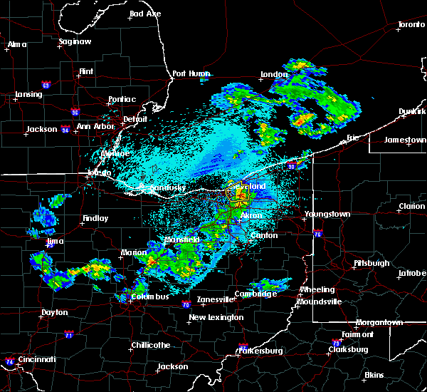 At 1210 am edt, a severe thunderstorm was located over warrensville heights, or 12 miles southeast of cleveland, moving east at 40 mph (radar indicated). Hazards include 60 mph wind gusts and quarter size hail. Minor damage to vehicles is possible. expect damage to trees and power lines. Locations impacted include, cleveland, euclid, cleveland heights, solon, warrensville heights, highland hills, garfield heights, shaker heights, maple heights, south euclid, mayfield heights, east cleveland, lyndhurst, brecksville, university heights, bedford, beachwood, bedford heights and richmond heights. At 1210 am edt, a severe thunderstorm was located over warrensville heights, or 12 miles southeast of cleveland, moving east at 40 mph (radar indicated). Hazards include 60 mph wind gusts and quarter size hail. Minor damage to vehicles is possible. expect damage to trees and power lines. Locations impacted include, cleveland, euclid, cleveland heights, solon, warrensville heights, highland hills, garfield heights, shaker heights, maple heights, south euclid, mayfield heights, east cleveland, lyndhurst, brecksville, university heights, bedford, beachwood, bedford heights and richmond heights.
|
| 5/29/2017 11:40 PM EDT |
 At 1140 pm edt, a severe thunderstorm was located near strongsville, or 9 miles east of elyria, moving northeast at 55 mph (radar indicated). Hazards include 60 mph wind gusts and quarter size hail. Minor damage to vehicles is possible. Expect damage to trees and power lines. At 1140 pm edt, a severe thunderstorm was located near strongsville, or 9 miles east of elyria, moving northeast at 55 mph (radar indicated). Hazards include 60 mph wind gusts and quarter size hail. Minor damage to vehicles is possible. Expect damage to trees and power lines.
|
| 5/28/2017 6:33 PM EDT |
 At 631 pm edt, a severe thunderstorm was located near hudson, or 11 miles northwest of ravenna, moving east at 30 mph. an additional area of strong winds was located over southwestern lake county (radar indicated). Hazards include 60 mph wind gusts. Expect damage to trees and power lines. Locations impacted include, willowick, cuyahoga falls, euclid, mentor, solon, willoughby, hudson, twinsburg, eastlake, warrensville heights, macedonia, south russell, highland hills, timberlake, lakeline, stow, garfield heights, shaker heights and maple heights. At 631 pm edt, a severe thunderstorm was located near hudson, or 11 miles northwest of ravenna, moving east at 30 mph. an additional area of strong winds was located over southwestern lake county (radar indicated). Hazards include 60 mph wind gusts. Expect damage to trees and power lines. Locations impacted include, willowick, cuyahoga falls, euclid, mentor, solon, willoughby, hudson, twinsburg, eastlake, warrensville heights, macedonia, south russell, highland hills, timberlake, lakeline, stow, garfield heights, shaker heights and maple heights.
|
| 5/28/2017 6:24 PM EDT |
 At 623 pm edt, a severe thunderstorm was located near continental, or 13 miles south of defiance, moving east at 35 mph (radar indicated). Hazards include 60 mph wind gusts and quarter size hail. Hail damage to vehicles is possible. Expect wind damage to roofs, siding, and trees. At 623 pm edt, a severe thunderstorm was located near continental, or 13 miles south of defiance, moving east at 35 mph (radar indicated). Hazards include 60 mph wind gusts and quarter size hail. Hail damage to vehicles is possible. Expect wind damage to roofs, siding, and trees.
|
| 5/28/2017 6:16 PM EDT |
 At 616 pm edt, a severe thunderstorm was located near macedonia, or 14 miles southeast of cleveland, moving northeast at 30 mph (radar indicated). Hazards include 60 mph wind gusts and quarter size hail. Minor damage to vehicles is possible. Expect damage to trees and power lines. At 616 pm edt, a severe thunderstorm was located near macedonia, or 14 miles southeast of cleveland, moving northeast at 30 mph (radar indicated). Hazards include 60 mph wind gusts and quarter size hail. Minor damage to vehicles is possible. Expect damage to trees and power lines.
|
| 5/18/2017 6:55 PM EDT |
 At 655 pm edt, a severe thunderstorm was located near continental, or 12 miles west of ottawa, moving east at 45 mph (radar indicated). Hazards include 60 mph wind gusts and penny size hail. expect damage to roofs, siding, and trees At 655 pm edt, a severe thunderstorm was located near continental, or 12 miles west of ottawa, moving east at 45 mph (radar indicated). Hazards include 60 mph wind gusts and penny size hail. expect damage to roofs, siding, and trees
|
| 5/18/2017 6:25 PM EDT |
 At 625 pm edt, a severe thunderstorm was located near convoy, or 9 miles northwest of van wert, moving east at 40 mph (radar indicated). Hazards include 60 mph wind gusts and nickel size hail. expect damage to roofs, siding, and trees At 625 pm edt, a severe thunderstorm was located near convoy, or 9 miles northwest of van wert, moving east at 40 mph (radar indicated). Hazards include 60 mph wind gusts and nickel size hail. expect damage to roofs, siding, and trees
|
| 5/18/2017 5:26 PM EDT |
 At 526 pm edt, a severe thunderstorm was located near continental, or 13 miles south of defiance, moving east at 50 mph (radar indicated). Hazards include 60 mph wind gusts and penny size hail. expect damage to roofs, siding, and trees At 526 pm edt, a severe thunderstorm was located near continental, or 13 miles south of defiance, moving east at 50 mph (radar indicated). Hazards include 60 mph wind gusts and penny size hail. expect damage to roofs, siding, and trees
|
| 5/18/2017 5:00 PM EDT |
 At 459 pm edt, a severe thunderstorm was located near payne, or 11 miles east of new haven, moving east at 50 mph (radar indicated). Hazards include 60 mph wind gusts and penny size hail. expect damage to roofs, siding, and trees At 459 pm edt, a severe thunderstorm was located near payne, or 11 miles east of new haven, moving east at 50 mph (radar indicated). Hazards include 60 mph wind gusts and penny size hail. expect damage to roofs, siding, and trees
|
| 4/5/2017 6:34 PM EDT |
 At 634 pm edt, a severe thunderstorm was located over dayton, moving northeast at 50 mph (radar indicated). Hazards include 60 mph wind gusts and half dollar size hail. Hail damage to vehicles is expected. expect wind damage to roofs, siding, and trees. locations impacted include, dayton, kettering, huber heights, trotwood, miamisburg, vandalia, moraine, oakwood, west carrollton, riverside, clayton, shiloh, fort mckinley, drexel and woodbourne-hyde park. this includes the following interstates, i-70 in ohio between mile markers 32 and 37. I-75 in ohio between mile markers 44 and 63. At 634 pm edt, a severe thunderstorm was located over dayton, moving northeast at 50 mph (radar indicated). Hazards include 60 mph wind gusts and half dollar size hail. Hail damage to vehicles is expected. expect wind damage to roofs, siding, and trees. locations impacted include, dayton, kettering, huber heights, trotwood, miamisburg, vandalia, moraine, oakwood, west carrollton, riverside, clayton, shiloh, fort mckinley, drexel and woodbourne-hyde park. this includes the following interstates, i-70 in ohio between mile markers 32 and 37. I-75 in ohio between mile markers 44 and 63.
|
| 4/5/2017 6:25 PM EDT |
 At 624 pm edt, a severe thunderstorm was located near trotwood, moving northeast at 40 mph (radar indicated). Hazards include 60 mph wind gusts and half dollar size hail. Hail damage to vehicles is expected. expect wind damage to roofs, siding, and trees. locations impacted include, dayton, kettering, huber heights, trotwood, miamisburg, springboro, vandalia, englewood, moraine, carlisle, oakwood, west carrollton, riverside, clayton, germantown, new lebanon, shiloh, centerville, fort mckinley and northview. this includes the following interstates, i-70 in ohio between mile markers 27 and 37. I-75 in ohio between mile markers 42 and 63. At 624 pm edt, a severe thunderstorm was located near trotwood, moving northeast at 40 mph (radar indicated). Hazards include 60 mph wind gusts and half dollar size hail. Hail damage to vehicles is expected. expect wind damage to roofs, siding, and trees. locations impacted include, dayton, kettering, huber heights, trotwood, miamisburg, springboro, vandalia, englewood, moraine, carlisle, oakwood, west carrollton, riverside, clayton, germantown, new lebanon, shiloh, centerville, fort mckinley and northview. this includes the following interstates, i-70 in ohio between mile markers 27 and 37. I-75 in ohio between mile markers 42 and 63.
|
| 4/5/2017 6:15 PM EDT |
 At 614 pm edt, a severe thunderstorm was located near gratis, moving northeast at 40 mph. trained spotters reported hail to one inch in diameter in gratis (radar indicated). Hazards include 60 mph wind gusts and half dollar size hail. Hail damage to vehicles is expected. expect wind damage to roofs, siding, and trees. locations impacted include, dayton, kettering, huber heights, trotwood, miamisburg, springboro, vandalia, englewood, moraine, carlisle, oakwood, west carrollton, riverside, clayton, union, brookville, germantown, new lebanon, farmersville and shiloh. this includes the following interstates, i-70 in ohio between mile markers 24 and 37. I-75 in ohio between mile markers 42 and 64. At 614 pm edt, a severe thunderstorm was located near gratis, moving northeast at 40 mph. trained spotters reported hail to one inch in diameter in gratis (radar indicated). Hazards include 60 mph wind gusts and half dollar size hail. Hail damage to vehicles is expected. expect wind damage to roofs, siding, and trees. locations impacted include, dayton, kettering, huber heights, trotwood, miamisburg, springboro, vandalia, englewood, moraine, carlisle, oakwood, west carrollton, riverside, clayton, union, brookville, germantown, new lebanon, farmersville and shiloh. this includes the following interstates, i-70 in ohio between mile markers 24 and 37. I-75 in ohio between mile markers 42 and 64.
|
| 4/5/2017 6:01 PM EDT |
 At 601 pm edt, a severe thunderstorm was located near gratis, moving northeast at 40 mph (radar indicated). Hazards include 60 mph wind gusts and half dollar size hail. Hail damage to vehicles is expected. Expect wind damage to roofs, siding, and trees. At 601 pm edt, a severe thunderstorm was located near gratis, moving northeast at 40 mph (radar indicated). Hazards include 60 mph wind gusts and half dollar size hail. Hail damage to vehicles is expected. Expect wind damage to roofs, siding, and trees.
|
| 3/1/2017 5:48 AM EST |
 At 548 am est, severe thunderstorms were located along a line extending from near geneva to south russell to near brunswick, moving east at 55 mph (radar indicated). Hazards include 60 mph wind gusts and quarter size hail. Hail damage to vehicles is expected. expect wind damage to roofs, siding, and trees. Locations impacted include, chardon, north royalton, solon, twinsburg, warrensville heights, macedonia, south russell, middlefield, garrettsville, burton, mantua, chesterland, maple heights, broadview heights, aurora, brecksville, bedford, bedford heights, independence and pepper pike. At 548 am est, severe thunderstorms were located along a line extending from near geneva to south russell to near brunswick, moving east at 55 mph (radar indicated). Hazards include 60 mph wind gusts and quarter size hail. Hail damage to vehicles is expected. expect wind damage to roofs, siding, and trees. Locations impacted include, chardon, north royalton, solon, twinsburg, warrensville heights, macedonia, south russell, middlefield, garrettsville, burton, mantua, chesterland, maple heights, broadview heights, aurora, brecksville, bedford, bedford heights, independence and pepper pike.
|
| 3/1/2017 5:45 AM EST |
 At 544 am est, a severe squall line capable of producing both tornadoes and extensive straight line wind damage was located over solon, or 14 miles southeast of cleveland, moving southeast at 50 mph (radar indicated rotation). Hazards include tornado. Flying debris will be dangerous to those caught without shelter. mobile homes will be damaged or destroyed. damage to roofs, windows, and vehicles will occur. tree damage is likely. This tornadic thunderstorm will remain over mainly rural areas of southwestern geauga, southeastern cuyahoga, northeastern medina and northern summit counties, including the following locations: moreland hills, bentleyville, orange, bedford heights, northfield, peninsula, glenwillow, richfield, chagrin falls and walton hills. At 544 am est, a severe squall line capable of producing both tornadoes and extensive straight line wind damage was located over solon, or 14 miles southeast of cleveland, moving southeast at 50 mph (radar indicated rotation). Hazards include tornado. Flying debris will be dangerous to those caught without shelter. mobile homes will be damaged or destroyed. damage to roofs, windows, and vehicles will occur. tree damage is likely. This tornadic thunderstorm will remain over mainly rural areas of southwestern geauga, southeastern cuyahoga, northeastern medina and northern summit counties, including the following locations: moreland hills, bentleyville, orange, bedford heights, northfield, peninsula, glenwillow, richfield, chagrin falls and walton hills.
|
| 3/1/2017 5:36 AM EST |
 At 535 am est, severe thunderstorms capable of producing both tornadoes and extensive straight line wind damage were located over warrensville heights, or 8 miles southeast of cleveland, moving southeast at 40 mph (radar indicated rotation). Hazards include tornado. Flying debris will be dangerous to those caught without shelter. mobile homes will be damaged or destroyed. damage to roofs, windows, and vehicles will occur. tree damage is likely. these dangerous storms will be near, macedonia around 540 am est. solon around 545 am est. twinsburg around 550 am est. Other locations impacted by this tornadic thunderstorm include north randall, valley view, bentleyville, orange, seven hills, peninsula, glenwillow, broadview heights, garfield heights and boston heights. At 535 am est, severe thunderstorms capable of producing both tornadoes and extensive straight line wind damage were located over warrensville heights, or 8 miles southeast of cleveland, moving southeast at 40 mph (radar indicated rotation). Hazards include tornado. Flying debris will be dangerous to those caught without shelter. mobile homes will be damaged or destroyed. damage to roofs, windows, and vehicles will occur. tree damage is likely. these dangerous storms will be near, macedonia around 540 am est. solon around 545 am est. twinsburg around 550 am est. Other locations impacted by this tornadic thunderstorm include north randall, valley view, bentleyville, orange, seven hills, peninsula, glenwillow, broadview heights, garfield heights and boston heights.
|
| 3/1/2017 5:28 AM EST |
 At 528 am est, severe thunderstorms were located along a line extending from fairport harbor to near cleveland to 7 miles east of wellington, moving east at 60 mph (radar indicated). Hazards include 60 mph wind gusts and quarter size hail. Hail damage to vehicles is expected. expect wind damage to roofs, siding, and trees. Locations impacted include, cleveland, painesville, willowick, chardon, fairport harbor, parma, lakewood, euclid, mentor, cleveland heights, strongsville, north royalton, solon, willoughby, twinsburg, eastlake, warrensville heights, macedonia, grafton and south russell. At 528 am est, severe thunderstorms were located along a line extending from fairport harbor to near cleveland to 7 miles east of wellington, moving east at 60 mph (radar indicated). Hazards include 60 mph wind gusts and quarter size hail. Hail damage to vehicles is expected. expect wind damage to roofs, siding, and trees. Locations impacted include, cleveland, painesville, willowick, chardon, fairport harbor, parma, lakewood, euclid, mentor, cleveland heights, strongsville, north royalton, solon, willoughby, twinsburg, eastlake, warrensville heights, macedonia, grafton and south russell.
|
| 3/1/2017 5:12 AM EST |
 At 511 am est, severe thunderstorms were located along a line extending from near north lewisburg to near trotwood, moving southeast at 45 mph (radar indicated. at 510 am...the dayton international airport gusted to 56 mph). Hazards include 60 mph wind gusts. expect damage to roofs, siding, and trees At 511 am est, severe thunderstorms were located along a line extending from near north lewisburg to near trotwood, moving southeast at 45 mph (radar indicated. at 510 am...the dayton international airport gusted to 56 mph). Hazards include 60 mph wind gusts. expect damage to roofs, siding, and trees
|
| 3/1/2017 5:09 AM EST |
 At 509 am est, severe thunderstorms were located along a line extending from 10 miles northwest of timberlake to near westlake, moving east at 55 mph (radar indicated). Hazards include 60 mph wind gusts and quarter size hail. Hail damage to vehicles is expected. Expect wind damage to roofs, siding, and trees. At 509 am est, severe thunderstorms were located along a line extending from 10 miles northwest of timberlake to near westlake, moving east at 55 mph (radar indicated). Hazards include 60 mph wind gusts and quarter size hail. Hail damage to vehicles is expected. Expect wind damage to roofs, siding, and trees.
|
| 3/1/2017 4:01 AM EST |
 At 400 am est, a severe thunderstorm was located near alliance, or 12 miles northeast of canton, moving northeast at 35 mph (radar indicated). Hazards include 60 mph wind gusts. expect damage to roofs, siding, and trees At 400 am est, a severe thunderstorm was located near alliance, or 12 miles northeast of canton, moving northeast at 35 mph (radar indicated). Hazards include 60 mph wind gusts. expect damage to roofs, siding, and trees
|
| 3/1/2017 3:23 AM EST |
 At 323 am est, a severe thunderstorm was located over van wert, moving east at 70 mph (radar indicated). Hazards include 60 mph wind gusts and quarter size hail. Hail damage to vehicles is expected. Expect wind damage to roofs, siding, and trees. At 323 am est, a severe thunderstorm was located over van wert, moving east at 70 mph (radar indicated). Hazards include 60 mph wind gusts and quarter size hail. Hail damage to vehicles is expected. Expect wind damage to roofs, siding, and trees.
|
| 3/1/2017 3:09 AM EST |
 At 309 am est, severe thunderstorms were located along a line extending from 6 miles southeast of morenci to 6 miles southeast of defiance to convoy, moving east at 65 mph (radar indicated). Hazards include 60 mph wind gusts. Expect damage to roofs, siding, and trees. locations impacted include, fort wayne, defiance, new haven, napoleon, bryan, wauseon, ottawa, archbold, bluffton, swanton, hicksville, paulding, delta, columbus grove, leipsic, deshler, antwerp, west unity, kalida and woodburn. this includes the following highways, interstate 469 between mile markers 10 and 22. interstate 75 between mile markers 134 and 141. interstate 80 in ohio between mile markers 17 and 48. A tornado watch remains in effect until 700 am est for northeastern indiana, and northwestern and west central ohio. At 309 am est, severe thunderstorms were located along a line extending from 6 miles southeast of morenci to 6 miles southeast of defiance to convoy, moving east at 65 mph (radar indicated). Hazards include 60 mph wind gusts. Expect damage to roofs, siding, and trees. locations impacted include, fort wayne, defiance, new haven, napoleon, bryan, wauseon, ottawa, archbold, bluffton, swanton, hicksville, paulding, delta, columbus grove, leipsic, deshler, antwerp, west unity, kalida and woodburn. this includes the following highways, interstate 469 between mile markers 10 and 22. interstate 75 between mile markers 134 and 141. interstate 80 in ohio between mile markers 17 and 48. A tornado watch remains in effect until 700 am est for northeastern indiana, and northwestern and west central ohio.
|
| 3/1/2017 2:54 AM EST |
 At 253 am est, severe thunderstorms were located along a line extending from near pioneer to 7 miles north of paulding to near monroeville, moving east at 70 mph (radar indicated). Hazards include 70 mph wind gusts and penny size hail. Expect considerable tree damage. damage is likely to mobile homes, roofs, and outbuildings. locations impacted include, fort wayne, defiance, new haven, napoleon, bryan, wauseon, delphos, ottawa, archbold, bluffton, montpelier, swanton, hicksville, paulding, delta, columbus grove, leipsic, edgerton, deshler and antwerp. this includes the following highways, interstate 469 between mile markers 9 and 24. interstate 75 between mile markers 133 and 141. interstate 80 in ohio between mile markers 2 and 48. This storm has a history of producing 70 to 80 mph wind gusts! a tornado watch remains in effect until 700 am est for northeastern indiana, and northwestern and west central ohio. At 253 am est, severe thunderstorms were located along a line extending from near pioneer to 7 miles north of paulding to near monroeville, moving east at 70 mph (radar indicated). Hazards include 70 mph wind gusts and penny size hail. Expect considerable tree damage. damage is likely to mobile homes, roofs, and outbuildings. locations impacted include, fort wayne, defiance, new haven, napoleon, bryan, wauseon, delphos, ottawa, archbold, bluffton, montpelier, swanton, hicksville, paulding, delta, columbus grove, leipsic, edgerton, deshler and antwerp. this includes the following highways, interstate 469 between mile markers 9 and 24. interstate 75 between mile markers 133 and 141. interstate 80 in ohio between mile markers 2 and 48. This storm has a history of producing 70 to 80 mph wind gusts! a tornado watch remains in effect until 700 am est for northeastern indiana, and northwestern and west central ohio.
|
| 3/1/2017 2:29 AM EST |
 At 227 am est, severe thunderstorms were located along a line extending from fremont to near auburn to 10 miles west of fort wayne, moving east at 70 mph. these are very dangerous storms (radar indicated). Hazards include 80 mph wind gusts and nickel size hail. Flying debris will be dangerous to those caught without shelter. mobile homes will be heavily damaged. expect considerable damage to roofs, windows, and vehicles. Extensive tree damage and power outages are likely. At 227 am est, severe thunderstorms were located along a line extending from fremont to near auburn to 10 miles west of fort wayne, moving east at 70 mph. these are very dangerous storms (radar indicated). Hazards include 80 mph wind gusts and nickel size hail. Flying debris will be dangerous to those caught without shelter. mobile homes will be heavily damaged. expect considerable damage to roofs, windows, and vehicles. Extensive tree damage and power outages are likely.
|
| 3/1/2017 1:15 AM EST |
 At 115 am est, severe thunderstorms were located along a line extending from norwalk to near medina to rittman to 7 miles west of wooster, moving east at 95 mph (radar indicated). Hazards include 70 mph wind gusts and quarter size hail. Hail damage to vehicles is expected. expect considerable tree damage. Wind damage is also likely to mobile homes, roofs, and outbuildings. At 115 am est, severe thunderstorms were located along a line extending from norwalk to near medina to rittman to 7 miles west of wooster, moving east at 95 mph (radar indicated). Hazards include 70 mph wind gusts and quarter size hail. Hail damage to vehicles is expected. expect considerable tree damage. Wind damage is also likely to mobile homes, roofs, and outbuildings.
|
| 2/24/2017 7:40 PM EST |
 At 739 pm est, a severe thunderstorm was located near carlisle, moving northeast at 45 mph (radar indicated). Hazards include 60 mph wind gusts and quarter size hail. Hail damage to vehicles is expected. Expect wind damage to roofs, siding, and trees. At 739 pm est, a severe thunderstorm was located near carlisle, moving northeast at 45 mph (radar indicated). Hazards include 60 mph wind gusts and quarter size hail. Hail damage to vehicles is expected. Expect wind damage to roofs, siding, and trees.
|
| 1/10/2017 9:34 PM EST |
 At 933 pm est, severe thunderstorms were located along a line extending from xenia to wetherington, moving east at 60 mph (radar indicated). Hazards include 60 mph wind gusts. Expect damage to roofs, siding, and trees. locations impacted include, dayton, hamilton, kettering, middletown, beavercreek, fairfield, huber heights, fairborn, mason, xenia, miamisburg, lebanon, forest park, springboro, sharonville, wilmington, monroe, loveland, trenton and franklin. this includes the following interstates, i-71 in ohio between mile markers 19 and 60. I-75 in ohio between mile markers 17 and 55. At 933 pm est, severe thunderstorms were located along a line extending from xenia to wetherington, moving east at 60 mph (radar indicated). Hazards include 60 mph wind gusts. Expect damage to roofs, siding, and trees. locations impacted include, dayton, hamilton, kettering, middletown, beavercreek, fairfield, huber heights, fairborn, mason, xenia, miamisburg, lebanon, forest park, springboro, sharonville, wilmington, monroe, loveland, trenton and franklin. this includes the following interstates, i-71 in ohio between mile markers 19 and 60. I-75 in ohio between mile markers 17 and 55.
|
| 1/10/2017 9:18 PM EST |
 At 918 pm est, severe thunderstorms were located along a line extending from near dayton to near hamilton, moving east at 65 mph (radar indicated). Hazards include 60 mph wind gusts. expect damage to roofs, siding, and trees At 918 pm est, severe thunderstorms were located along a line extending from near dayton to near hamilton, moving east at 65 mph (radar indicated). Hazards include 60 mph wind gusts. expect damage to roofs, siding, and trees
|
| 9/10/2016 6:14 PM EDT |
 At 613 pm edt, severe thunderstorms were located along a line extending from 6 miles north of conneaut to near middlefield, moving northeast at 50 mph (radar indicated). Hazards include 60 mph wind gusts and nickel size hail. Expect damage to roofs. siding and trees. Locations impacted include, akron, ashtabula, conneaut, ravenna, chardon, jefferson, geneva-on-the-lake, cuyahoga falls, kent, solon, hudson, twinsburg, tallmadge, streetsboro, macedonia, geneva, newton falls, south russell, north kingsville and middlefield. At 613 pm edt, severe thunderstorms were located along a line extending from 6 miles north of conneaut to near middlefield, moving northeast at 50 mph (radar indicated). Hazards include 60 mph wind gusts and nickel size hail. Expect damage to roofs. siding and trees. Locations impacted include, akron, ashtabula, conneaut, ravenna, chardon, jefferson, geneva-on-the-lake, cuyahoga falls, kent, solon, hudson, twinsburg, tallmadge, streetsboro, macedonia, geneva, newton falls, south russell, north kingsville and middlefield.
|
| 9/10/2016 5:55 PM EDT |
 At 554 pm edt, severe thunderstorms were located along a line extending from ashtabula to near mantua, moving northeast at 50 mph (radar indicated). Hazards include 60 mph wind gusts and nickel size hail. Expect damage to roofs. Siding and trees. At 554 pm edt, severe thunderstorms were located along a line extending from ashtabula to near mantua, moving northeast at 50 mph (radar indicated). Hazards include 60 mph wind gusts and nickel size hail. Expect damage to roofs. Siding and trees.
|
| 9/10/2016 5:24 PM EDT |
 At 522 pm edt, severe thunderstorms were located along a line extending from 8 miles north of fairport harbor to warrensville heights, moving northeast at 40 mph. wind gusts to 54 mph have been reported when the storms passed over cleveland hopkins airport (radar indicated). Hazards include 60 mph wind gusts and nickel size hail. Expect damage to roofs. siding and trees. Locations impacted include, cleveland, painesville, willowick, chardon, fairport harbor, geneva-on-the-lake, parma, euclid, mentor, cleveland heights, north royalton, solon, willoughby, twinsburg, eastlake, warrensville heights, macedonia, south russell, madison and middlefield. At 522 pm edt, severe thunderstorms were located along a line extending from 8 miles north of fairport harbor to warrensville heights, moving northeast at 40 mph. wind gusts to 54 mph have been reported when the storms passed over cleveland hopkins airport (radar indicated). Hazards include 60 mph wind gusts and nickel size hail. Expect damage to roofs. siding and trees. Locations impacted include, cleveland, painesville, willowick, chardon, fairport harbor, geneva-on-the-lake, parma, euclid, mentor, cleveland heights, north royalton, solon, willoughby, twinsburg, eastlake, warrensville heights, macedonia, south russell, madison and middlefield.
|
| 9/10/2016 4:55 PM EDT |
 At 454 pm edt, severe thunderstorms were located along a line extending from 8 miles northwest of lakeline to strongsville, moving northeast at 40 mph (radar indicated). Hazards include 60 mph wind gusts and nickel size hail. Expect damage to roofs. Siding and trees. At 454 pm edt, severe thunderstorms were located along a line extending from 8 miles northwest of lakeline to strongsville, moving northeast at 40 mph (radar indicated). Hazards include 60 mph wind gusts and nickel size hail. Expect damage to roofs. Siding and trees.
|
| 8/28/2016 8:30 PM EDT |
 At 830 pm edt, a severe thunderstorm was located over wright-patterson afb, moving southeast at 20 mph (radar indicated). Hazards include 60 mph wind gusts. Expect damage to roofs. siding. And trees. At 830 pm edt, a severe thunderstorm was located over wright-patterson afb, moving southeast at 20 mph (radar indicated). Hazards include 60 mph wind gusts. Expect damage to roofs. siding. And trees.
|
| 8/27/2016 3:13 PM EDT |
 At 313 pm edt, a severe thunderstorm was located near tipp city, moving northeast at 25 mph (radar indicated). Hazards include 70 mph wind gusts. Expect considerable tree damage. Damage is likely to mobile homes, roofs, and outbuildings. At 313 pm edt, a severe thunderstorm was located near tipp city, moving northeast at 25 mph (radar indicated). Hazards include 70 mph wind gusts. Expect considerable tree damage. Damage is likely to mobile homes, roofs, and outbuildings.
|
| 8/27/2016 2:45 PM EDT |
 At 245 pm edt, severe thunderstorms were located along a line extending from lewisburg to miamisburg to near kings island, moving northeast at 40 mph (radar indicated). Hazards include 60 mph wind gusts and penny size hail. Expect damage to roofs. siding. And trees. At 245 pm edt, severe thunderstorms were located along a line extending from lewisburg to miamisburg to near kings island, moving northeast at 40 mph (radar indicated). Hazards include 60 mph wind gusts and penny size hail. Expect damage to roofs. siding. And trees.
|
| 8/26/2016 8:25 PM EDT |
 At 825 pm edt, a severe thunderstorm was located over carlisle, and is nearly stationary (radar indicated). Hazards include 60 mph wind gusts. Expect damage to roofs. siding. and trees. Locations impacted include, dayton, kettering, middletown, miamisburg, springboro, franklin, moraine, carlisle, oakwood, west carrollton, germantown, farmersville, centerville, poast town heights and woodbourne-hyde park. At 825 pm edt, a severe thunderstorm was located over carlisle, and is nearly stationary (radar indicated). Hazards include 60 mph wind gusts. Expect damage to roofs. siding. and trees. Locations impacted include, dayton, kettering, middletown, miamisburg, springboro, franklin, moraine, carlisle, oakwood, west carrollton, germantown, farmersville, centerville, poast town heights and woodbourne-hyde park.
|
| 8/26/2016 8:13 PM EDT |
 At 813 pm edt, a severe thunderstorm was located over carlisle, moving north at 5 mph (radar indicated). Hazards include 60 mph wind gusts. Expect damage to roofs. siding. And trees. At 813 pm edt, a severe thunderstorm was located over carlisle, moving north at 5 mph (radar indicated). Hazards include 60 mph wind gusts. Expect damage to roofs. siding. And trees.
|
| 8/24/2016 8:52 PM EDT |
 The tornado warning for southeastern paulding county will expire at 900 pm edt, the storm which prompted the warning has weakened below severe limits, and has exited the warned area. therefore, the warning will be allowed to expire. a tornado watch remains in effect until 900 pm edt for west central ohio. to report severe weather, contact your nearest law enforcement agency. they will relay your report to the national weather service northern indiana. The tornado warning for southeastern paulding county will expire at 900 pm edt, the storm which prompted the warning has weakened below severe limits, and has exited the warned area. therefore, the warning will be allowed to expire. a tornado watch remains in effect until 900 pm edt for west central ohio. to report severe weather, contact your nearest law enforcement agency. they will relay your report to the national weather service northern indiana.
|
| 8/24/2016 8:50 PM EDT |
 At 850 pm edt, severe thunderstorms were located along a line extending from near defiance to 7 miles west of continental, moving east at 35 mph (radar indicated). Hazards include 60 mph wind gusts. Expect damage to roofs. siding. And trees. At 850 pm edt, severe thunderstorms were located along a line extending from near defiance to 7 miles west of continental, moving east at 35 mph (radar indicated). Hazards include 60 mph wind gusts. Expect damage to roofs. siding. And trees.
|
| 8/24/2016 8:46 PM EDT |
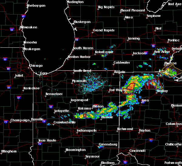 At 846 pm edt, a severe thunderstorm capable of producing a tornado was located near paulding, or 13 miles southwest of defiance, moving east at 25 mph (radar indicated rotation). Hazards include tornado. Flying debris will be dangerous to those caught without shelter. mobile homes will be damaged or destroyed. damage to roofs, windows, and vehicles will occur. tree damage is likely. This tornadic thunderstorm will remain over mainly rural areas of southeastern paulding county, including the following locations: broughton, roselms, latty, charloe, oakwood, melrose and grover hill. At 846 pm edt, a severe thunderstorm capable of producing a tornado was located near paulding, or 13 miles southwest of defiance, moving east at 25 mph (radar indicated rotation). Hazards include tornado. Flying debris will be dangerous to those caught without shelter. mobile homes will be damaged or destroyed. damage to roofs, windows, and vehicles will occur. tree damage is likely. This tornadic thunderstorm will remain over mainly rural areas of southeastern paulding county, including the following locations: broughton, roselms, latty, charloe, oakwood, melrose and grover hill.
|
| 8/24/2016 8:33 PM EDT |
 At 833 pm edt, a severe thunderstorm capable of producing a tornado was located near paulding, or 14 miles southeast of hicksville, moving east at 20 mph (radar indicated rotation). Hazards include tornado. Flying debris will be dangerous to those caught without shelter. mobile homes will be damaged or destroyed. damage to roofs, windows, and vehicles will occur. tree damage is likely. this dangerous storm will be near, paulding around 840 pm edt. other locations impacted by this tornadic thunderstorm include broughton, roselms, latty, charloe, oakwood, briceton, melrose. Worstville, grover hill and haviland. At 833 pm edt, a severe thunderstorm capable of producing a tornado was located near paulding, or 14 miles southeast of hicksville, moving east at 20 mph (radar indicated rotation). Hazards include tornado. Flying debris will be dangerous to those caught without shelter. mobile homes will be damaged or destroyed. damage to roofs, windows, and vehicles will occur. tree damage is likely. this dangerous storm will be near, paulding around 840 pm edt. other locations impacted by this tornadic thunderstorm include broughton, roselms, latty, charloe, oakwood, briceton, melrose. Worstville, grover hill and haviland.
|
| 8/24/2016 7:19 PM EDT |
 At 719 pm edt, a confirmed tornado was located near ottoville, or 11 miles north of delphos, moving northeast at 25 mph (emergency management confirmed tornado. this storm has a history of producing multiple destructive tornadoes). Hazards include damaging tornado. Flying debris will be dangerous to those caught without shelter. mobile homes will be damaged or destroyed. damage to roofs, windows, and vehicles will occur. tree damage is likely. this tornado will be near, kalida and continental around 730 pm edt. Other locations impacted by this tornadic thunderstorm include roselms, kieferville, wisterman, oakwood, mandale, cloverdale, melrose and dupont. At 719 pm edt, a confirmed tornado was located near ottoville, or 11 miles north of delphos, moving northeast at 25 mph (emergency management confirmed tornado. this storm has a history of producing multiple destructive tornadoes). Hazards include damaging tornado. Flying debris will be dangerous to those caught without shelter. mobile homes will be damaged or destroyed. damage to roofs, windows, and vehicles will occur. tree damage is likely. this tornado will be near, kalida and continental around 730 pm edt. Other locations impacted by this tornadic thunderstorm include roselms, kieferville, wisterman, oakwood, mandale, cloverdale, melrose and dupont.
|
| 8/24/2016 7:08 PM EDT |
 At 707 pm edt, a confirmed tornado was located near ottoville, or 10 miles northeast of van wert, moving northeast at 25 mph (emergency management confirmed tornado. this storm has a history of producing multiple destructive tornadoes). Hazards include damaging tornado. Flying debris will be dangerous to those caught without shelter. mobile homes will be damaged or destroyed. damage to roofs, windows, and vehicles will occur. tree damage is likely. this tornado will be near, ottoville around 715 pm edt. kalida and continental around 730 pm edt. Other locations impacted by this tornadic thunderstorm include roselms, kieferville, wetzel, wisterman, oakwood, mandale, cloverdale, melrose, grover hill and dupont. At 707 pm edt, a confirmed tornado was located near ottoville, or 10 miles northeast of van wert, moving northeast at 25 mph (emergency management confirmed tornado. this storm has a history of producing multiple destructive tornadoes). Hazards include damaging tornado. Flying debris will be dangerous to those caught without shelter. mobile homes will be damaged or destroyed. damage to roofs, windows, and vehicles will occur. tree damage is likely. this tornado will be near, ottoville around 715 pm edt. kalida and continental around 730 pm edt. Other locations impacted by this tornadic thunderstorm include roselms, kieferville, wetzel, wisterman, oakwood, mandale, cloverdale, melrose, grover hill and dupont.
|
| 8/24/2016 6:57 PM EDT |
 At 657 pm edt, a confirmed large and extremely dangerous tornado was located near van wert, moving northeast at 30 mph. this is a particularly dangerous situation. take cover now! (emergency management confirmed tornado. this storm has a history of producing multiple destructive tornadoes). Hazards include damaging tornado. You are in a life-threatening situation. flying debris may be deadly to those caught without shelter. mobile homes will be destroyed. considerable damage to homes, businesses, and vehicles is likely and complete destruction is possible. the tornado will be near, ottoville around 715 pm edt. kalida and continental around 730 pm edt. Other locations impacted by this tornadic thunderstorm include roselms, kieferville, wetzel, wisterman, oakwood, mandale, cave tt, cloverdale, melrose and grover hill. At 657 pm edt, a confirmed large and extremely dangerous tornado was located near van wert, moving northeast at 30 mph. this is a particularly dangerous situation. take cover now! (emergency management confirmed tornado. this storm has a history of producing multiple destructive tornadoes). Hazards include damaging tornado. You are in a life-threatening situation. flying debris may be deadly to those caught without shelter. mobile homes will be destroyed. considerable damage to homes, businesses, and vehicles is likely and complete destruction is possible. the tornado will be near, ottoville around 715 pm edt. kalida and continental around 730 pm edt. Other locations impacted by this tornadic thunderstorm include roselms, kieferville, wetzel, wisterman, oakwood, mandale, cave tt, cloverdale, melrose and grover hill.
|
| 8/11/2016 4:53 PM EDT |
 At 453 pm edt, a severe thunderstorm was located over lakewood, or near cleveland, moving east at 25 mph (radar indicated). Hazards include 60 mph wind gusts and penny size hail. Expect damage to roofs. siding and trees. Locations impacted include, cleveland, parma, lakewood, euclid, cleveland heights, strongsville, north royalton, solon, warrensville heights, highland hills, garfield heights, shaker heights, maple heights, south euclid, parma heights, rocky river, broadview heights, brook park, mayfield heights and east cleveland. At 453 pm edt, a severe thunderstorm was located over lakewood, or near cleveland, moving east at 25 mph (radar indicated). Hazards include 60 mph wind gusts and penny size hail. Expect damage to roofs. siding and trees. Locations impacted include, cleveland, parma, lakewood, euclid, cleveland heights, strongsville, north royalton, solon, warrensville heights, highland hills, garfield heights, shaker heights, maple heights, south euclid, parma heights, rocky river, broadview heights, brook park, mayfield heights and east cleveland.
|
| 8/11/2016 4:30 PM EDT |
 At 430 pm edt, a severe thunderstorm was located over westlake, or 9 miles northeast of elyria, moving east at 25 mph (radar indicated). Hazards include 60 mph wind gusts and penny size hail. Expect damage to roofs. Siding and trees. At 430 pm edt, a severe thunderstorm was located over westlake, or 9 miles northeast of elyria, moving east at 25 mph (radar indicated). Hazards include 60 mph wind gusts and penny size hail. Expect damage to roofs. Siding and trees.
|
| 7/18/2016 5:34 AM EDT |
 At 533 am edt, a severe thunderstorm was located over lorain, moving east at 40 mph (radar indicated). Hazards include 60 mph wind gusts. Expect damage to roofs. Siding and trees. At 533 am edt, a severe thunderstorm was located over lorain, moving east at 40 mph (radar indicated). Hazards include 60 mph wind gusts. Expect damage to roofs. Siding and trees.
|
| 7/13/2016 10:16 PM EDT |
 At 1016 pm edt, severe thunderstorms were located along a line extending from near cleveland heights to near massillon, moving southeast at 30 mph (radar indicated). Hazards include 60 mph wind gusts. Expect damage to roofs. Siding and trees. At 1016 pm edt, severe thunderstorms were located along a line extending from near cleveland heights to near massillon, moving southeast at 30 mph (radar indicated). Hazards include 60 mph wind gusts. Expect damage to roofs. Siding and trees.
|
| 6/23/2016 2:44 AM EDT |
 At 244 am edt, severe thunderstorms were located along a line extending from fairborn to near oxford, moving southeast at 60 mph (radar indicated). Hazards include 70 mph wind gusts and penny size hail. Expect considerable tree damage. damage is likely to mobile homes, roofs, and outbuildings. locations impacted include, dayton, hamilton, kettering, middletown, beavercreek, huber heights, richmond, fairborn, xenia, trotwood, oxford, miamisburg, springboro, vandalia, connersville, englewood, monroe, trenton, franklin and eaton. A tornado watch remains in effect until 500 am edt for southeastern and east central indiana, and west central and southwestern ohio. At 244 am edt, severe thunderstorms were located along a line extending from fairborn to near oxford, moving southeast at 60 mph (radar indicated). Hazards include 70 mph wind gusts and penny size hail. Expect considerable tree damage. damage is likely to mobile homes, roofs, and outbuildings. locations impacted include, dayton, hamilton, kettering, middletown, beavercreek, huber heights, richmond, fairborn, xenia, trotwood, oxford, miamisburg, springboro, vandalia, connersville, englewood, monroe, trenton, franklin and eaton. A tornado watch remains in effect until 500 am edt for southeastern and east central indiana, and west central and southwestern ohio.
|
| 6/23/2016 2:23 AM EDT |
 At 222 am edt, severe thunderstorms were located along a line extending from near west milton to near connersville, moving southeast at 60 mph (radar indicated). Hazards include 60 mph wind gusts and penny size hail. Expect damage to roofs. siding. And trees. At 222 am edt, severe thunderstorms were located along a line extending from near west milton to near connersville, moving southeast at 60 mph (radar indicated). Hazards include 60 mph wind gusts and penny size hail. Expect damage to roofs. siding. And trees.
|
| 6/16/2016 1:26 PM EDT |
 At 126 pm edt, severe thunderstorms were located along a line extending from near hudson to near cuyahoga falls to wadsworth, moving southeast at 30 mph (radar indicated). Hazards include 60 mph wind gusts and quarter size hail. Hail damage to vehicles is possible. expect wind damage to roofs, siding and trees. Locations impacted include, akron, ravenna, cuyahoga falls, kent, barberton, green, solon, hudson, twinsburg, tallmadge, streetsboro, macedonia, mogadore, garrettsville, mantua, stow, broadview heights, aurora, brecksville and norton. At 126 pm edt, severe thunderstorms were located along a line extending from near hudson to near cuyahoga falls to wadsworth, moving southeast at 30 mph (radar indicated). Hazards include 60 mph wind gusts and quarter size hail. Hail damage to vehicles is possible. expect wind damage to roofs, siding and trees. Locations impacted include, akron, ravenna, cuyahoga falls, kent, barberton, green, solon, hudson, twinsburg, tallmadge, streetsboro, macedonia, mogadore, garrettsville, mantua, stow, broadview heights, aurora, brecksville and norton.
|
| 6/16/2016 1:21 PM EDT |
 At 121 pm edt, severe thunderstorms were located along a line extending from near macedonia to near cuyahoga falls to near wadsworth, moving east at 30 mph (radar indicated). Hazards include 60 mph wind gusts and quarter size hail. Hail damage to vehicles is expected. Expect wind damage to roofs, siding and trees. At 121 pm edt, severe thunderstorms were located along a line extending from near macedonia to near cuyahoga falls to near wadsworth, moving east at 30 mph (radar indicated). Hazards include 60 mph wind gusts and quarter size hail. Hail damage to vehicles is expected. Expect wind damage to roofs, siding and trees.
|
| 6/5/2016 3:31 PM EDT |
 At 330 pm edt, severe thunderstorms were located along a line extending from near highland hills to near wadsworth, moving east at 45 mph (radar indicated). Hazards include 60 mph wind gusts and quarter size hail. Hail damage to vehicles is expected. Expect wind damage to roofs, siding and trees. At 330 pm edt, severe thunderstorms were located along a line extending from near highland hills to near wadsworth, moving east at 45 mph (radar indicated). Hazards include 60 mph wind gusts and quarter size hail. Hail damage to vehicles is expected. Expect wind damage to roofs, siding and trees.
|
| 6/5/2016 3:16 PM EDT |
 At 315 pm edt, a severe thunderstorm was located near parma, or near cleveland, moving northeast at 45 mph. in addition, another another severe thunderstorm was located near lorain, moving east at 45 mph (radar indicated). Hazards include 60 mph wind gusts and quarter size hail. Hail damage to vehicles is expected. expect wind damage to roofs, siding and trees. Locations impacted include, cleveland, lorain, elyria, willowick, parma, lakewood, euclid, mentor, cleveland heights, strongsville, westlake, north royalton, north ridgeville, solon, avon lake, willoughby, eastlake, warrensville heights, amherst and grafton. At 315 pm edt, a severe thunderstorm was located near parma, or near cleveland, moving northeast at 45 mph. in addition, another another severe thunderstorm was located near lorain, moving east at 45 mph (radar indicated). Hazards include 60 mph wind gusts and quarter size hail. Hail damage to vehicles is expected. expect wind damage to roofs, siding and trees. Locations impacted include, cleveland, lorain, elyria, willowick, parma, lakewood, euclid, mentor, cleveland heights, strongsville, westlake, north royalton, north ridgeville, solon, avon lake, willoughby, eastlake, warrensville heights, amherst and grafton.
|
| 6/5/2016 2:52 PM EDT |
 At 252 pm edt, severe thunderstorms were located along a line extending from near timberlake to near grafton, moving east at 50 mph (radar indicated). Hazards include 60 mph wind gusts and quarter size hail. Hail damage to vehicles is expected. Expect wind damage to roofs, siding and trees. At 252 pm edt, severe thunderstorms were located along a line extending from near timberlake to near grafton, moving east at 50 mph (radar indicated). Hazards include 60 mph wind gusts and quarter size hail. Hail damage to vehicles is expected. Expect wind damage to roofs, siding and trees.
|
| 4/26/2016 6:19 PM EDT |
 At 619 pm edt, severe thunderstorms were located along a line extending from eaton to 6 miles east of greensburg, moving east at 45 mph (radar indicated). Hazards include 60 mph wind gusts and quarter size hail. Hail damage to vehicles is expected. expect wind damage to roofs, siding, and trees. Locations impacted include, dayton, hamilton, kettering, trotwood, oxford, miamisburg, trenton, eaton, batesville, moraine, carlisle, oakwood, brookville, west carrollton, liberty, camden, west alexandria, gratis, seven mile and west college corner. At 619 pm edt, severe thunderstorms were located along a line extending from eaton to 6 miles east of greensburg, moving east at 45 mph (radar indicated). Hazards include 60 mph wind gusts and quarter size hail. Hail damage to vehicles is expected. expect wind damage to roofs, siding, and trees. Locations impacted include, dayton, hamilton, kettering, trotwood, oxford, miamisburg, trenton, eaton, batesville, moraine, carlisle, oakwood, brookville, west carrollton, liberty, camden, west alexandria, gratis, seven mile and west college corner.
|
| 4/26/2016 6:08 PM EDT |
 At 608 pm edt, severe thunderstorms were located along a line extending from near eaton to near greensburg, moving east at 50 mph (radar indicated). Hazards include 60 mph wind gusts and quarter size hail. Hail damage to vehicles is expected. Expect wind damage to roofs, siding, and trees. At 608 pm edt, severe thunderstorms were located along a line extending from near eaton to near greensburg, moving east at 50 mph (radar indicated). Hazards include 60 mph wind gusts and quarter size hail. Hail damage to vehicles is expected. Expect wind damage to roofs, siding, and trees.
|
| 3/27/2016 7:32 PM EDT |
 At 732 pm edt, a severe thunderstorm was located near payne, or 10 miles north of van wert, moving east at 35 mph (radar indicated). Hazards include 60 mph wind gusts and quarter size hail. Hail damage to vehicles is expected. expect wind damage to roofs, siding and trees. this severe thunderstorm will be near, continental around 805 pm edt. Other locations impacted by this severe thunderstorm include roselms, haviland, wisterman, oakwood, cloverdale, grover hill, broughton, latty, charloe and mandale. At 732 pm edt, a severe thunderstorm was located near payne, or 10 miles north of van wert, moving east at 35 mph (radar indicated). Hazards include 60 mph wind gusts and quarter size hail. Hail damage to vehicles is expected. expect wind damage to roofs, siding and trees. this severe thunderstorm will be near, continental around 805 pm edt. Other locations impacted by this severe thunderstorm include roselms, haviland, wisterman, oakwood, cloverdale, grover hill, broughton, latty, charloe and mandale.
|
| 12/23/2015 5:31 PM EST | At 531 pm est, radar indicated severe thunderstorms located along a line extending from near vandalia to near west chester, moving east at 50 mph. storm hazards include, winds to 60 mph, very heavy rain which may cause minor flooding,. |
| 12/23/2015 5:15 PM EST | At 515 pm est, radar indicated severe thunderstorms located along a line extending from near lewisburg to near gratis to near cleves, moving east at 55 mph. storm hazards include, winds to 60 mph, locations impacted include, cincinnati, dayton, hamilton, kettering, middletown, fairfield, covington, huber heights, mason, trotwood, miamisburg, lebanon, norwood, forest park, springboro, fort thomas, vandalia, sharonville, englewood and monroe. this includes the following interstates, i-70 in ohio between mile markers 13 and 36. i-71 in ohio between mile markers 0 and 29. i-74 in ohio between mile markers 6 and 19. i-75 in ohio between mile markers 0 and 64. |
| 12/23/2015 4:49 PM EST | At 449 pm est, radar indicated severe thunderstorms located along a line extending from richmond to near moores hill, moving east at 50 mph. storm hazards include, winds to 60 mph,. |
| 8/3/2015 8:30 PM EDT |
 At 830 pm edt, a severe thunderstorm was located over cleveland heights, or 8 miles southwest of willowick, moving east at 40 mph (radar indicated). Hazards include 60 mph wind gusts and quarter size hail. Hail damage to vehicles is expected. Expect wind damage to roofs, siding and trees. At 830 pm edt, a severe thunderstorm was located over cleveland heights, or 8 miles southwest of willowick, moving east at 40 mph (radar indicated). Hazards include 60 mph wind gusts and quarter size hail. Hail damage to vehicles is expected. Expect wind damage to roofs, siding and trees.
|
| 7/14/2015 2:41 PM EDT |
 At 240 pm edt, a severe thunderstorm was located near twinsburg, or 14 miles northwest of ravenna, moving west at 20 mph (radar indicated). Hazards include 60 mph wind gusts and quarter size hail. Hail damage to vehicles is expected. expect wind damage to roofs, siding and trees. heavy rain could cause local flooding. Locations impacted include, warren, solon, cortland, south russell, garrettsville, north bloomfield, mantua, west farmington, vienna center, bristolville, leavittsburg, aurora, bedford heights, parkman, vienna, reminderville, mecca, johnston, hiram and glenwillow. At 240 pm edt, a severe thunderstorm was located near twinsburg, or 14 miles northwest of ravenna, moving west at 20 mph (radar indicated). Hazards include 60 mph wind gusts and quarter size hail. Hail damage to vehicles is expected. expect wind damage to roofs, siding and trees. heavy rain could cause local flooding. Locations impacted include, warren, solon, cortland, south russell, garrettsville, north bloomfield, mantua, west farmington, vienna center, bristolville, leavittsburg, aurora, bedford heights, parkman, vienna, reminderville, mecca, johnston, hiram and glenwillow.
|
| 7/14/2015 2:36 PM EDT |
 At 236 pm edt, a severe thunderstorm was located near cuyahoga falls, or 8 miles north of akron, moving east at 35 mph (radar indicated). Hazards include 60 mph wind gusts and quarter size hail. Hail damage to vehicles is expected. Expect wind damage to roofs, siding and trees. At 236 pm edt, a severe thunderstorm was located near cuyahoga falls, or 8 miles north of akron, moving east at 35 mph (radar indicated). Hazards include 60 mph wind gusts and quarter size hail. Hail damage to vehicles is expected. Expect wind damage to roofs, siding and trees.
|
| 7/14/2015 2:16 PM EDT |
 At 215 pm edt, a severe thunderstorm was located over bristolville, or 11 miles north of warren, moving east at 20 mph. other potentially severe storms were in trumbull county and extreme eastern cuyahoga county (radar indicated). Hazards include 60 mph wind gusts and quarter size hail. Hail damage to vehicles is expected. Expect wind damage to roofs, siding and trees. At 215 pm edt, a severe thunderstorm was located over bristolville, or 11 miles north of warren, moving east at 20 mph. other potentially severe storms were in trumbull county and extreme eastern cuyahoga county (radar indicated). Hazards include 60 mph wind gusts and quarter size hail. Hail damage to vehicles is expected. Expect wind damage to roofs, siding and trees.
|
| 7/14/2015 1:29 PM EDT |
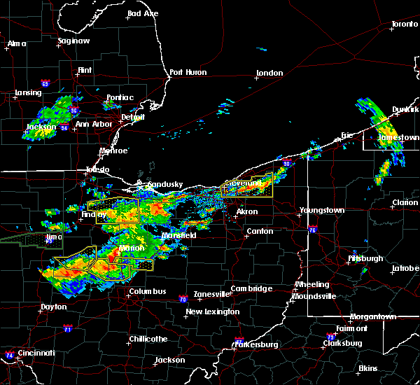 At 129 pm edt, a severe thunderstorm was located near south russell, or 8 miles southwest of chardon, moving east at 25 mph (radar indicated). Hazards include 60 mph wind gusts and quarter size hail. Hail damage to vehicles is expected. expect wind damage to roofs, siding and trees. Locations impacted include, cleveland, chardon, parma, cleveland heights, solon, warrensville heights, south russell, middlefield, burton, highland hills, chesterland, garfield heights, shaker heights, maple heights, south euclid, broadview heights, mayfield heights, lyndhurst, university heights and bedford. At 129 pm edt, a severe thunderstorm was located near south russell, or 8 miles southwest of chardon, moving east at 25 mph (radar indicated). Hazards include 60 mph wind gusts and quarter size hail. Hail damage to vehicles is expected. expect wind damage to roofs, siding and trees. Locations impacted include, cleveland, chardon, parma, cleveland heights, solon, warrensville heights, south russell, middlefield, burton, highland hills, chesterland, garfield heights, shaker heights, maple heights, south euclid, broadview heights, mayfield heights, lyndhurst, university heights and bedford.
|
| 7/14/2015 1:02 PM EDT |
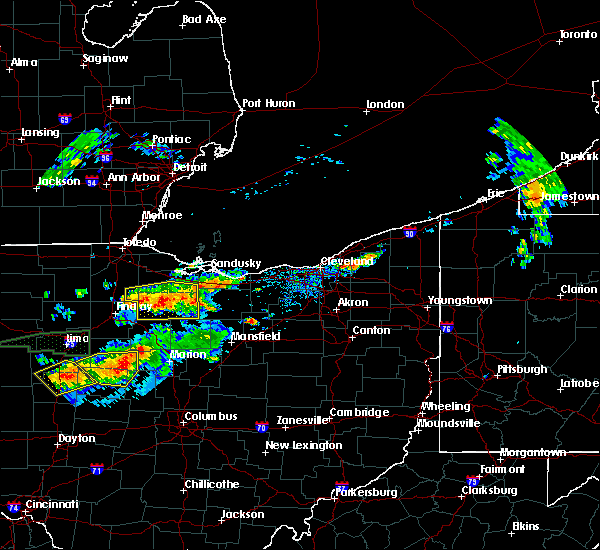 At 102 pm edt, a severe thunderstorm was located near highland hills, or 9 miles south of willowick, moving east at 15 mph (radar indicated). Hazards include 60 mph wind gusts and quarter size hail. Hail damage to vehicles is expected. Expect wind damage to roofs, siding and trees. At 102 pm edt, a severe thunderstorm was located near highland hills, or 9 miles south of willowick, moving east at 15 mph (radar indicated). Hazards include 60 mph wind gusts and quarter size hail. Hail damage to vehicles is expected. Expect wind damage to roofs, siding and trees.
|
| 7/14/2015 12:07 AM EDT |
 At 1206 am edt, the public reported quarter size hail. radar indicated that this storm was located near bellbrook, moving southeast at 40 mph. storm hazards include, winds to 60 mph, quarter size hail, locations impacted include, dayton, kettering, beavercreek, fairborn, xenia, wilmington, bellbrook, oakwood, wright-patterson afb, sabina, jamestown, wilberforce, riverside, new jasper, spring valley, bowersville, port william, milledgeville, centerville and octa. At 1206 am edt, the public reported quarter size hail. radar indicated that this storm was located near bellbrook, moving southeast at 40 mph. storm hazards include, winds to 60 mph, quarter size hail, locations impacted include, dayton, kettering, beavercreek, fairborn, xenia, wilmington, bellbrook, oakwood, wright-patterson afb, sabina, jamestown, wilberforce, riverside, new jasper, spring valley, bowersville, port william, milledgeville, centerville and octa.
|
| 7/14/2015 12:01 AM EDT |
 At 1200 am edt, the public reported quarter size hail. radar indicated that this storm was located over beavercreek, moving southeast at 40 mph. storm hazards include, winds to 60 mph, quarter size hail, locations impacted include, dayton, kettering, beavercreek, huber heights, fairborn, xenia, wilmington, bellbrook, moraine, oakwood, wright-patterson afb, northridge, west carrollton, sabina, jamestown, wilberforce, west carrollton city, riverside, new jasper and spring valley. At 1200 am edt, the public reported quarter size hail. radar indicated that this storm was located over beavercreek, moving southeast at 40 mph. storm hazards include, winds to 60 mph, quarter size hail, locations impacted include, dayton, kettering, beavercreek, huber heights, fairborn, xenia, wilmington, bellbrook, moraine, oakwood, wright-patterson afb, northridge, west carrollton, sabina, jamestown, wilberforce, west carrollton city, riverside, new jasper and spring valley.
|
| 7/13/2015 11:58 PM EDT | Large tree fell into home on peach orchard avenue. time estimated from rada in montgomery county OH, 0.7 miles NW of Oakwood, OH |
| 7/13/2015 11:49 PM EDT |
 At 1148 pm edt, radar indicated a severe thunderstorm located over dayton, moving southeast at 40 mph. storm hazards include, winds to 60 mph, quarter size hail,. At 1148 pm edt, radar indicated a severe thunderstorm located over dayton, moving southeast at 40 mph. storm hazards include, winds to 60 mph, quarter size hail,.
|
| 7/13/2015 12:52 PM EDT |
 At 1252 pm edt, radar indicated severe thunderstorms located along a line extending from near trenton to near cedarville, moving southeast at 45 mph. storm hazards include, winds to 60 mph, frequent cloud to ground lightning, very heavy rain which may cause minor flooding,. At 1252 pm edt, radar indicated severe thunderstorms located along a line extending from near trenton to near cedarville, moving southeast at 45 mph. storm hazards include, winds to 60 mph, frequent cloud to ground lightning, very heavy rain which may cause minor flooding,.
|
| 6/23/2015 5:28 AM EDT |
 At 527 am edt, a severe thunderstorm was located over avon lake, or 8 miles northeast of lorain, moving east at 40 mph (radar indicated). Hazards include 70 mph wind gusts. Expect considerable tree damage. Damage is likely to mobile homes, roofs and outbuildings. At 527 am edt, a severe thunderstorm was located over avon lake, or 8 miles northeast of lorain, moving east at 40 mph (radar indicated). Hazards include 70 mph wind gusts. Expect considerable tree damage. Damage is likely to mobile homes, roofs and outbuildings.
|
| 6/23/2015 4:34 AM EDT |
 At 433 am edt, severe thunderstorms were located along a line extending from near orwell to south russell to near north ridgeville, moving east at 50 mph (radar indicated). Hazards include 60 mph wind gusts. Expect considerable tree damage. damage is likely to mobile homes, roofs and outbuildings. Locations impacted include, cleveland, parma, lakewood, euclid, cleveland heights, strongsville, brunswick, westlake, north royalton, solon, warrensville heights, highland hills, north olmsted, garfield heights, shaker heights, maple heights, south euclid, parma heights, rocky river and broadview heights. At 433 am edt, severe thunderstorms were located along a line extending from near orwell to south russell to near north ridgeville, moving east at 50 mph (radar indicated). Hazards include 60 mph wind gusts. Expect considerable tree damage. damage is likely to mobile homes, roofs and outbuildings. Locations impacted include, cleveland, parma, lakewood, euclid, cleveland heights, strongsville, brunswick, westlake, north royalton, solon, warrensville heights, highland hills, north olmsted, garfield heights, shaker heights, maple heights, south euclid, parma heights, rocky river and broadview heights.
|
| 6/23/2015 4:25 AM EDT |
 At 423 am edt, severe thunderstorms were located along a line extending from near chardon to near warrensville heights to near amherst, moving east at 50 mph. a 52 mph wind gust has been measured at burke lakefront airport in downtown cleveland (radar indicated). Hazards include 70 mph wind gusts. Expect considerable tree damage. damage is likely to mobile homes, roofs and outbuildings. Locations impacted include, cleveland, lorain, elyria, vermilion, parma, lakewood, euclid, cleveland heights, strongsville, brunswick, westlake, north royalton, north ridgeville, solon, avon lake, warrensville heights, amherst, grafton, highland hills and north olmsted. At 423 am edt, severe thunderstorms were located along a line extending from near chardon to near warrensville heights to near amherst, moving east at 50 mph. a 52 mph wind gust has been measured at burke lakefront airport in downtown cleveland (radar indicated). Hazards include 70 mph wind gusts. Expect considerable tree damage. damage is likely to mobile homes, roofs and outbuildings. Locations impacted include, cleveland, lorain, elyria, vermilion, parma, lakewood, euclid, cleveland heights, strongsville, brunswick, westlake, north royalton, north ridgeville, solon, avon lake, warrensville heights, amherst, grafton, highland hills and north olmsted.
|
| 6/23/2015 3:56 AM EDT |
 At 355 am edt, severe thunderstorms were located along a line extending from near mentor to near cleveland to near vermilion, moving east at 80 mph (radar indicated). Hazards include 70 mph wind gusts. Expect considerable tree damage. Damage is likely to mobile homes, roofs and outbuildings. At 355 am edt, severe thunderstorms were located along a line extending from near mentor to near cleveland to near vermilion, moving east at 80 mph (radar indicated). Hazards include 70 mph wind gusts. Expect considerable tree damage. Damage is likely to mobile homes, roofs and outbuildings.
|
| 6/22/2015 6:26 PM EDT |
 The severe thunderstorm warning for southeastern cuyahoga county will expire at 630 pm edt, the storm which prompted the warning has moved out of the area. therefore the warning will be allowed to expire. a severe thunderstorm watch remains in effect until midnight edt for northeastern ohio. The severe thunderstorm warning for southeastern cuyahoga county will expire at 630 pm edt, the storm which prompted the warning has moved out of the area. therefore the warning will be allowed to expire. a severe thunderstorm watch remains in effect until midnight edt for northeastern ohio.
|
| 6/22/2015 6:25 PM EDT |
 At 624 pm edt, a severe thunderstorm was located near twinsburg, or 13 miles northwest of ravenna, moving east at 40 mph (radar indicated). Hazards include 60 mph wind gusts and quarter size hail. Hail damage to vehicles is expected. Expect wind damage to roofs, siding and trees. At 624 pm edt, a severe thunderstorm was located near twinsburg, or 13 miles northwest of ravenna, moving east at 40 mph (radar indicated). Hazards include 60 mph wind gusts and quarter size hail. Hail damage to vehicles is expected. Expect wind damage to roofs, siding and trees.
|
| 6/22/2015 6:12 PM EDT |
 At 611 pm edt, a severe thunderstorm was located over macedonia, or 15 miles southeast of cleveland, moving east at 35 mph (radar indicated). Hazards include 60 mph wind gusts and quarter size hail. Hail damage to vehicles is expected. expect wind damage to roofs, siding and trees. Locations impacted include, solon, warrensville heights, garfield heights, maple heights, broadview heights, brecksville, bedford, bedford heights, independence, chagrin falls, northfield, orange, moreland hills, walton hills, valley view, glenwillow and bentleyville. At 611 pm edt, a severe thunderstorm was located over macedonia, or 15 miles southeast of cleveland, moving east at 35 mph (radar indicated). Hazards include 60 mph wind gusts and quarter size hail. Hail damage to vehicles is expected. expect wind damage to roofs, siding and trees. Locations impacted include, solon, warrensville heights, garfield heights, maple heights, broadview heights, brecksville, bedford, bedford heights, independence, chagrin falls, northfield, orange, moreland hills, walton hills, valley view, glenwillow and bentleyville.
|
| 6/22/2015 5:56 PM EDT |
 At 553 pm edt, several strong to severe thunderstorms were located from eastern lorain county across cuyahoga county moving east at 45 mph (radar indicated). Hazards include 60 mph wind gusts and quarter size hail. Hail damage to vehicles is expected. expect wind damage to roofs, siding and trees. Locations impacted include, cleveland, lorain, elyria, parma, lakewood, euclid, cleveland heights, strongsville, brunswick, westlake, north royalton, north ridgeville, solon, avon lake, warrensville heights, amherst, grafton, highland hills, north olmsted and garfield heights. At 553 pm edt, several strong to severe thunderstorms were located from eastern lorain county across cuyahoga county moving east at 45 mph (radar indicated). Hazards include 60 mph wind gusts and quarter size hail. Hail damage to vehicles is expected. expect wind damage to roofs, siding and trees. Locations impacted include, cleveland, lorain, elyria, parma, lakewood, euclid, cleveland heights, strongsville, brunswick, westlake, north royalton, north ridgeville, solon, avon lake, warrensville heights, amherst, grafton, highland hills, north olmsted and garfield heights.
|
| 6/22/2015 5:26 PM EDT |
 At 526 pm edt, a severe thunderstorm was located over amherst, or near lorain, moving east at 45 mph (radar indicated). Hazards include 60 mph wind gusts and quarter size hail. Hail damage to vehicles is expected. Expect wind damage to roofs, siding and trees. At 526 pm edt, a severe thunderstorm was located over amherst, or near lorain, moving east at 45 mph (radar indicated). Hazards include 60 mph wind gusts and quarter size hail. Hail damage to vehicles is expected. Expect wind damage to roofs, siding and trees.
|
| 6/18/2015 6:04 PM EDT | At 604 pm edt, severe thunderstorms were located along a line extending from near edgerton to near payne, moving east at 45 mph (radar indicated). Hazards include 60 mph wind gusts. Damage to roofs. Siding and trees possible. |
| 6/18/2015 5:21 PM EDT | The severe thunderstorm warning for eastern preble and montgomery counties will expire at 530 pm edt, the storm has moved out of the warned area, therefore this severe thunderstorm warning will be allowed to expire. however, another severe thunderstorm warning has been issued downstream for northern warren, southeast montgomery, southern greene and northern clinton counties until 600 pm edt. please report previous wind damage or hail to the national weather service by going to our website at weather.gov/iln and submitting your report via social media. |
| 6/18/2015 5:15 PM EDT | At 514 pm edt, radar indicated a severe thunderstorm located near miamisburg, moving east at 40 mph. storm hazards include, winds to 60 mph, quarter size hail,. |
| 6/18/2015 5:03 PM EDT | At 455 pm edt, radar indicated that the severe thunderstorm had weakened. this storm was located near west alexandria, moving east at 30 mph. storm hazards include, winds to 60 mph, quarter size hail, locations impacted include, trotwood, miamisburg, west carrollton, vandalia, downtown dayton, kettering and huber heights. in addition, farmersville, brookville, new lebanon, clayton, germantown, englewood, drexel and northview are near the path of this storm. this includes the following interstates, i-70 between mile markers 13 and 39, i-75 between mile markers 42 and 63,. |
| 6/18/2015 4:50 PM EDT | At 440 pm edt, radar indicated a severe thunderstorm located near eaton, moving east at 30 mph. storm hazards include, winds to 60 mph, quarter size hail,. |
| 6/15/2015 4:20 PM EDT | 8-10" limbs down. no information on health of limbs. heavy rain also observe in paulding county OH, 0.4 miles N of Oakwood, OH |
| 6/12/2015 4:08 PM EDT |
 The severe thunderstorm warning for northern warren, southeastern montgomery and southwestern greene counties will expire at 415 pm edt, an additional severe thunderstorm warning remains in effect for portions of warren, montgomery and greene counties until 445 pm. please report previous wind damage or hail to the national weather service by going to our website at weather.gov/iln and submitting your report via social media. The severe thunderstorm warning for northern warren, southeastern montgomery and southwestern greene counties will expire at 415 pm edt, an additional severe thunderstorm warning remains in effect for portions of warren, montgomery and greene counties until 445 pm. please report previous wind damage or hail to the national weather service by going to our website at weather.gov/iln and submitting your report via social media.
|
| 6/12/2015 4:01 PM EDT |
 At 358 pm edt, radar continued to indicate severe thunderstorms located along a line extending from waynesville to south lebanon, moving east at 45 mph. storm hazards include, winds to 60 mph, these storms will affect mainly rural areas of northern warren, southeastern montgomery and southwestern greene counties, including oregonia and fort ancient. this includes the following interstate, i-71 between mile markers 27 and 37,. At 358 pm edt, radar continued to indicate severe thunderstorms located along a line extending from waynesville to south lebanon, moving east at 45 mph. storm hazards include, winds to 60 mph, these storms will affect mainly rural areas of northern warren, southeastern montgomery and southwestern greene counties, including oregonia and fort ancient. this includes the following interstate, i-71 between mile markers 27 and 37,.
|
| 6/12/2015 3:41 PM EDT |
 A severe thunderstorm warning remains in effect until 415 pm edt for northern warren. southern montgomery. southwestern greene and eastern butler counties. at 339 pm edt. radar continued to indicate severe thunderstorms located along a line extending from drexel to monroe. Moving east at 35 mph. A severe thunderstorm warning remains in effect until 415 pm edt for northern warren. southern montgomery. southwestern greene and eastern butler counties. at 339 pm edt. radar continued to indicate severe thunderstorms located along a line extending from drexel to monroe. Moving east at 35 mph.
|
| 6/12/2015 3:30 PM EDT |
 At 326 pm edt, radar indicated severe thunderstorms located along a line extending from farmersville to new miami, moving east at 35 mph. storm hazards include, winds to 60 mph, penny size hail,. At 326 pm edt, radar indicated severe thunderstorms located along a line extending from farmersville to new miami, moving east at 35 mph. storm hazards include, winds to 60 mph, penny size hail,.
|
| 5/30/2015 7:15 PM EDT | At 715 pm edt, a severe thunderstorm was located near chesterland, or 12 miles west of chardon, moving northeast at 30 mph (radar indicated). Hazards include 60 mph wind gusts and penny size hail. Expect damage to roofs. siding and trees. Locations impacted include, euclid, cleveland heights, solon, willoughby, eastlake, warrensville heights, south russell, highland hills, timberlake, lakeline, chesterland, garfield heights, shaker heights, maple heights, south euclid, mayfield heights, east cleveland, lyndhurst, university heights and bedford. |
| 5/30/2015 6:56 PM EDT | At 656 pm edt, a severe thunderstorm was located near warrensville heights, or 22 miles southwest of chardon, moving northeast at 30 mph (radar indicated). Hazards include 60 mph wind gusts and penny size hail. Expect damage to roofs. Siding and trees. |
| 5/30/2015 6:00 PM EDT | At 558 pm edt, a severe thunderstorm was located near macedonia, or 18 miles north of akron, moving east at 15 mph. another severe thunderstorm was located near cuyahoga heights and was also moving east at 15 mph (radar indicated). Hazards include 60 mph wind gusts and nickel size hail. Expect damage to roofs. Siding and trees. |
| 5/30/2015 4:54 PM EDT | At 452 pm edt, a severe thunderstorm was located near continental, and moving northeast at 40 mph (radar indicated). Hazards include 60 mph wind gusts and nickel size hail. Expect damage to roofs. siding and trees. Locations impacted include, ottawa, kalida, continental, glandorf, holgate, leipsic, deshler, mcclure, wisterman, kieferville, north creek, pleasant bend, miller city, new bavaria, west leipsic, prentiss, gilboa, gallup, hamler and elery. |
| 5/30/2015 4:37 PM EDT | At 434 pm edt, a severe thunderstorm was located 8 miles northwest of ottoville, and moving east at 35 mph (radar indicated). Hazards include 60 mph wind gusts and nickel size hail. Expect damage to roofs. Siding and trees. |
| 5/27/2015 3:43 PM EDT | At 341 pm edt, severe thunderstorms were located along a line extending from 6 miles northwest of leipsic to continental, and moving east at 40 mph (radar indicated). Hazards include quarter size hail and 60 mph wind gusts. Hail damage to vehicles is expected. expect wind damage to roofs, siding and trees. severe thunderstorms will be near, deshler around 355 pm edt. leipsic around 400 pm edt. Other locations in the warning include kieferville, prentiss, miller city, belmore and west leipsic. |
| 5/27/2015 3:17 PM EDT | At 314 pm edt, severe thunderstorms were located along a line extending from defiance to paulding, and moving east at 40 mph (radar indicated). Hazards include quarter size hail and 60 mph wind gusts. Hail damage to vehicles is expected. expect wind damage to roofs, siding and trees. severe thunderstorms will be near, holgate around 330 pm edt. continental around 335 pm edt. mcclure around 345 pm edt. leipsic around 355 pm edt. deshler around 400 pm edt. Other locations in the warning include melrose, florida, oakwood, elery, new bavaria, malinta, wisterman, grelton, kieferville and pleasant bend. |
| 5/27/2015 2:58 PM EDT | At 254 pm edt, severe thunderstorms were located along a line extending from 9 miles east of hicksville to paulding to 7 miles southeast of payne, and moving east at 40 mph. another severe thunderstorm was developing 2 miles northeast of paulding, moving northeast at 35 mph (radar indicated). Hazards include quarter size hail and 60 mph wind gusts. Hail damage to vehicles is expected. Expect wind damage to roofs, siding and trees. |
| 5/11/2015 7:16 PM EDT | At 705 pm edt, a severe thunderstorm was located near solon, and moving east at 50 mph (radar indicated). Hazards include 60 mph wind gusts. Expect damage to roofs. siding and trees. locations impacted include, , <. 75in. |
| 5/11/2015 6:48 PM EDT | At 647 pm edt, a severe thunderstorm was located 6 miles east of north royalton, and moving east at 50 mph (radar indicated). Hazards include 60 mph wind gusts. Expect damage to roofs. Siding and trees. |
| 5/11/2015 2:35 PM EDT | At 233 pm edt, a severe thunderstorm was located near convoy, and moving northeast at 55 mph (radar indicated). Hazards include quarter size hail and 60 mph wind gusts. Hail damage to vehicles is expected. expect wind damage to roofs, siding and trees. locations impacted include, continental, holgate, cavett, scott, haviland, wetzel, grover hill, broughton, roselms, mandale, melrose, cloverdale, charloe, oakwood, dupont, wisterman, arthur, north creek, kieferville and ayersville. 1. 00in. |
| 5/11/2015 2:22 PM EDT | At 219 pm edt, a severe thunderstorm was located 6 miles east of monroe, and moving northeast at 55 mph (radar indicated). Hazards include quarter size hail and 60 mph wind gusts. Hail damage to vehicles is expected. Expect wind damage to roofs, siding and trees. |
| 5/11/2015 2:22 PM EDT | At 219 pm edt, a severe thunderstorm was located 6 miles east of monroe, and moving northeast at 55 mph (radar indicated). Hazards include quarter size hail and 60 mph wind gusts. Hail damage to vehicles is expected. Expect wind damage to roofs, siding and trees. |
| 4/10/2015 3:27 AM EDT | A severe thunderstorm warning remains in effect until 400 am edt for southeastern montgomery. southern logan. western greene. clark and champaign counties. at 325 am edt. radar continued to indicate severe thunderstorms located along a line extending from westville to greene county airport. Moving northeast at 60 mph. |
| 4/10/2015 3:11 AM EDT | The national weather service in wilmington has issued a * severe thunderstorm warning for. southeastern shelby county in west central ohio. eastern montgomery county in west central ohio. eastern miami county in west central ohio. Southern logan county in west central ohio. |
| 4/9/2015 6:58 PM EDT | The severe thunderstorm warning for eastern montgomery county will expire at 700 pm edt. this warning was replaced by another severe thunderstorm warning for northeastern montgomery county. in effect until 730 pm. please report previous wind damage or hail to the national weather service by going to our website at weather. Gov/iln and submitting. |
| 4/9/2015 6:49 PM EDT | A severe thunderstorm warning remains in effect until 700 pm edt for eastern montgomery county. at 647 pm edt. radar continued to indicate a severe thunderstorm located near downtown dayton. moving northeast at 55 mph. storm hazards include. Winds to 60 mph. |
| 4/9/2015 6:46 PM EDT | The national weather service in wilmington has issued a * severe thunderstorm warning for. northeastern montgomery county in west central ohio. southeastern miami county in west central ohio. northern greene county in west central ohio. Western clark county in west central ohio. |
| 4/9/2015 6:39 PM EDT | A severe thunderstorm warning remains in effect until 700 pm edt for northwestern warren and southern montgomery counties. at 638 pm edt. radar continued to indicate a severe thunderstorm located near west carrollton. moving northeast at 60 mph. storm hazards include. Winds to 60 mph. |
| 4/9/2015 6:29 PM EDT | A severe thunderstorm warning remains in effect until 700 pm edt for northwestern warren. southeastern preble. montgomery and northeastern butler counties. at 628 pm edt. radar continued to indicate a severe thunderstorm located near poast town heights. moving northeast at 50 mph. Storm hazards include. |
| 4/9/2015 6:23 PM EDT | The national weather service in wilmington has issued a * severe thunderstorm warning for. northwestern warren county in southwest ohio. southeastern preble county in west central ohio. montgomery county in west central ohio. Northeastern butler county in southwest ohio. |
| 4/8/2015 10:33 AM EDT | The national weather service in wilmington has issued a * severe thunderstorm warning for. eastern montgomery county in west central ohio. southeastern miami county in west central ohio. greene county in west central ohio. Southwestern clark county in west central ohio. |
| 10/31/2013 11:35 PM EDT | Multiple trees down in montgomery county OH, 0.4 miles WSW of Oakwood, OH |
| 5/31/2013 3:35 PM EDT | Tree down in montgomery county OH, 0.4 miles WSW of Oakwood, OH |
| 8/8/2012 12:45 AM EDT | Limbs and tree in montgomery county OH, 0.4 miles WSW of Oakwood, OH |
| 1/1/0001 12:00 AM | Numerous power lines down in paulding county OH, 0.3 miles S of Oakwood, OH |
| 1/1/0001 12:00 AM | Several trees down in paulding county OH, 0.3 miles S of Oakwood, OH |
Hail Maps for Oakwood, OH
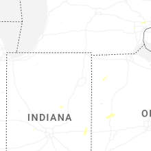
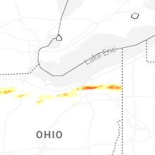


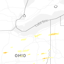
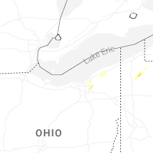


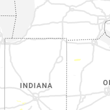


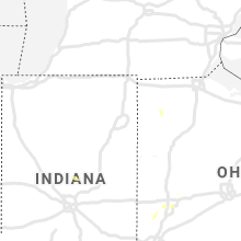


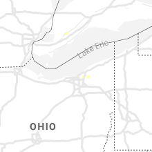


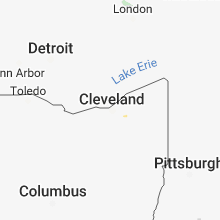


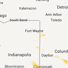


Connect with Interactive Hail Maps