

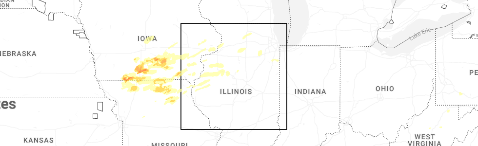
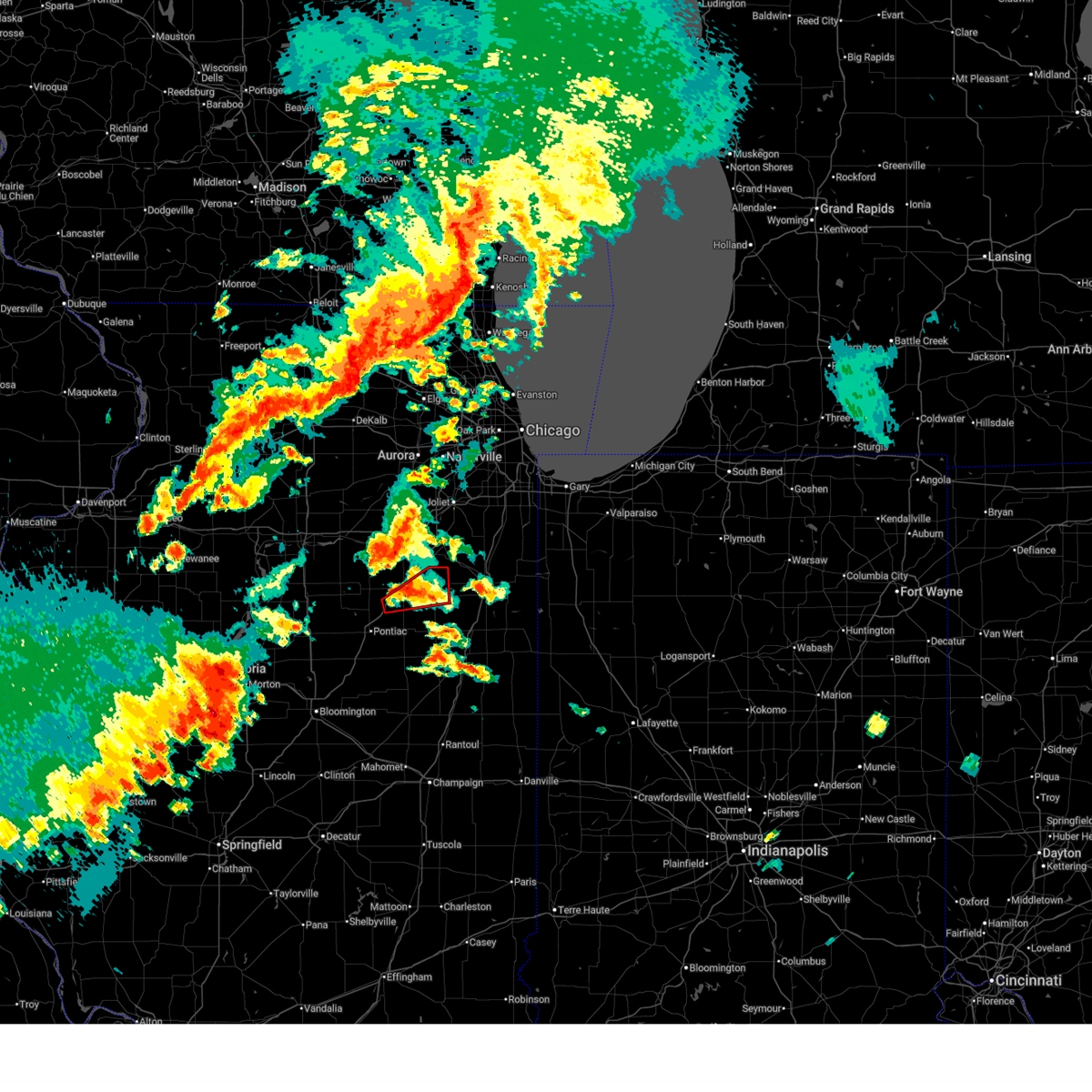
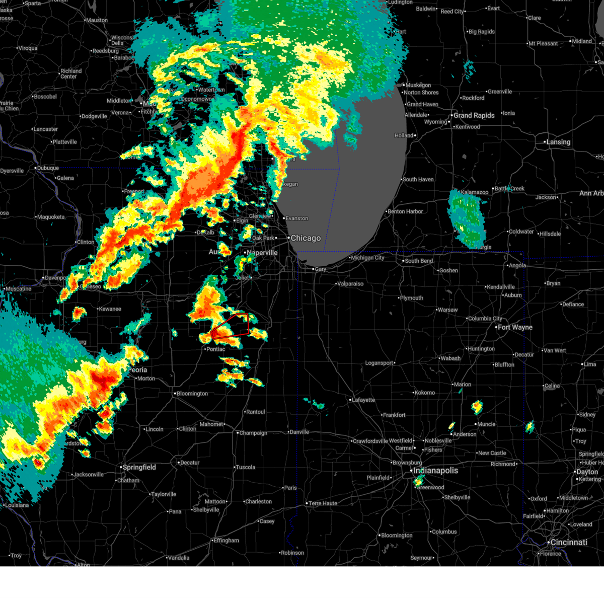
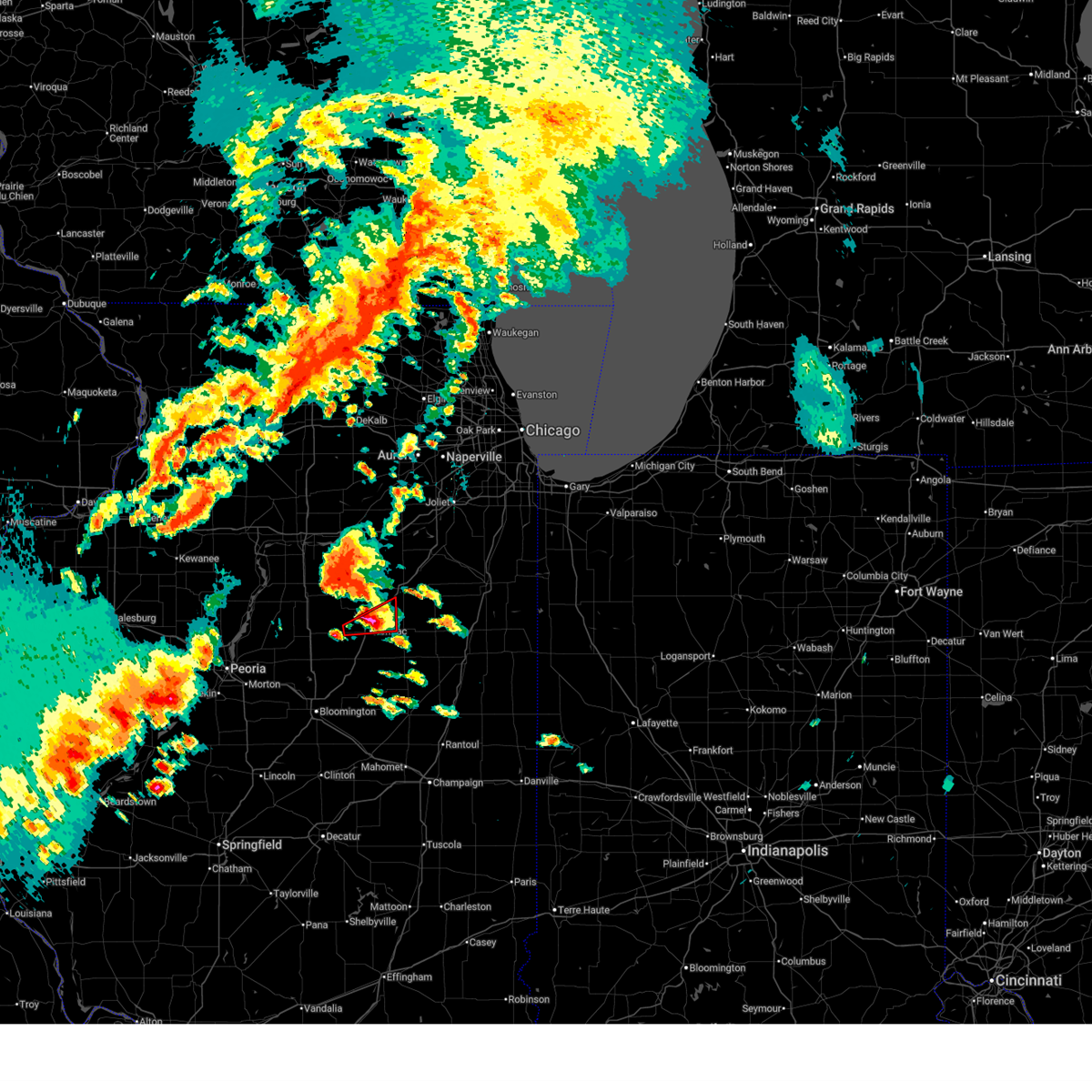
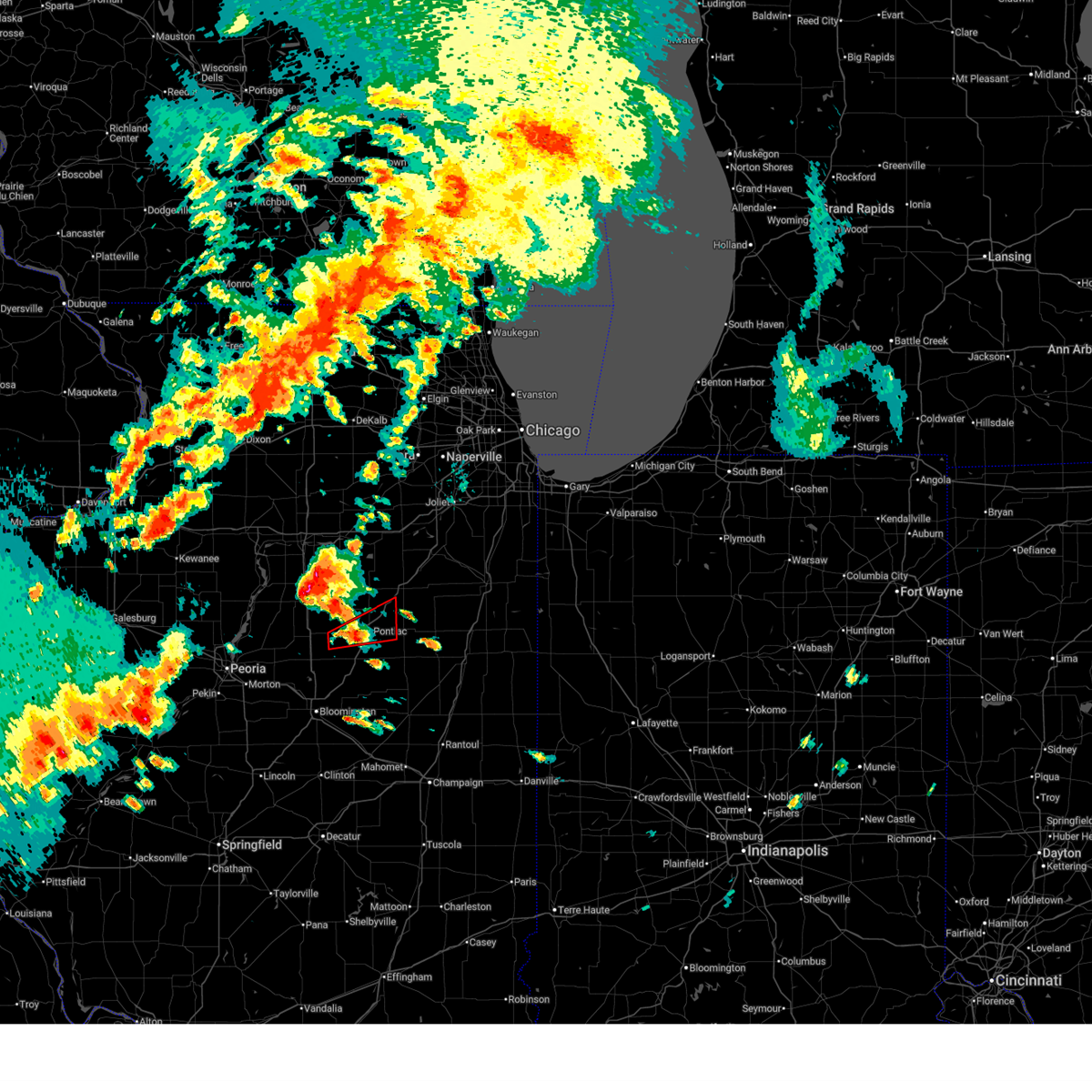
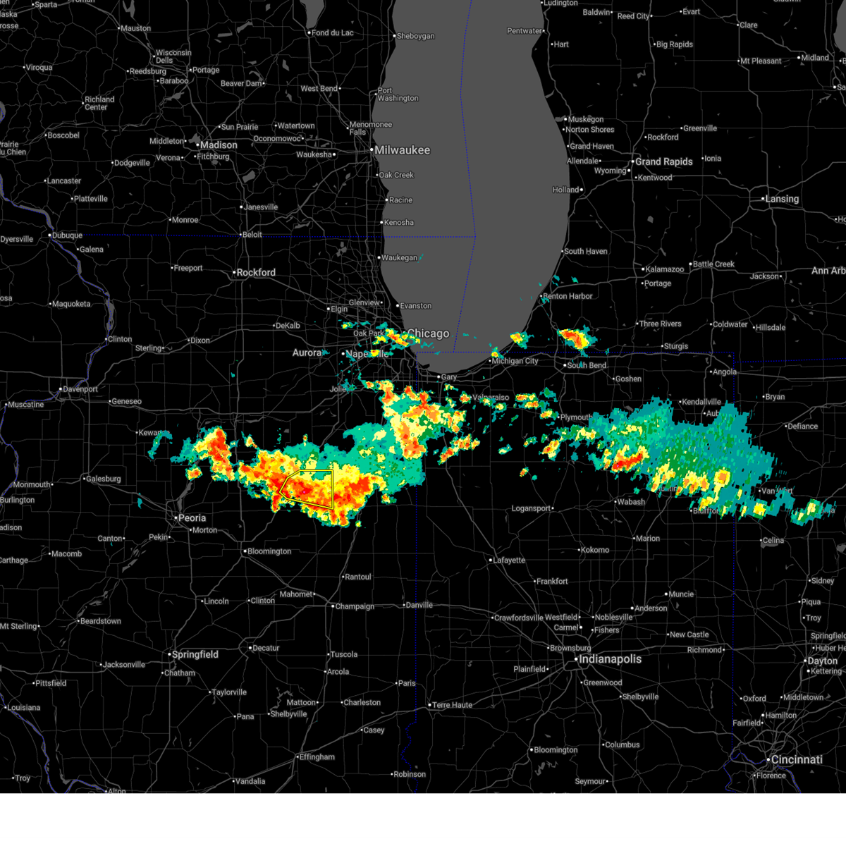
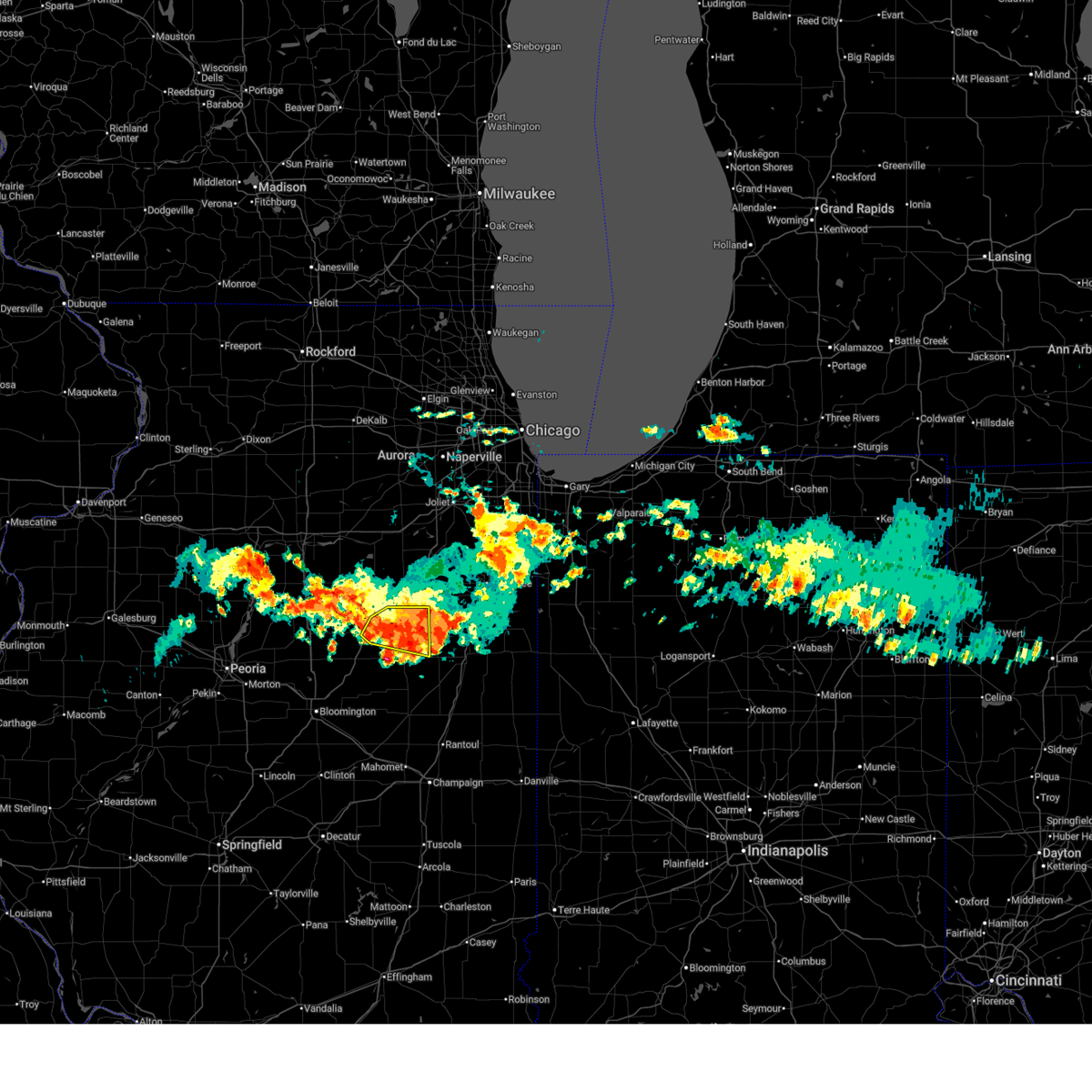
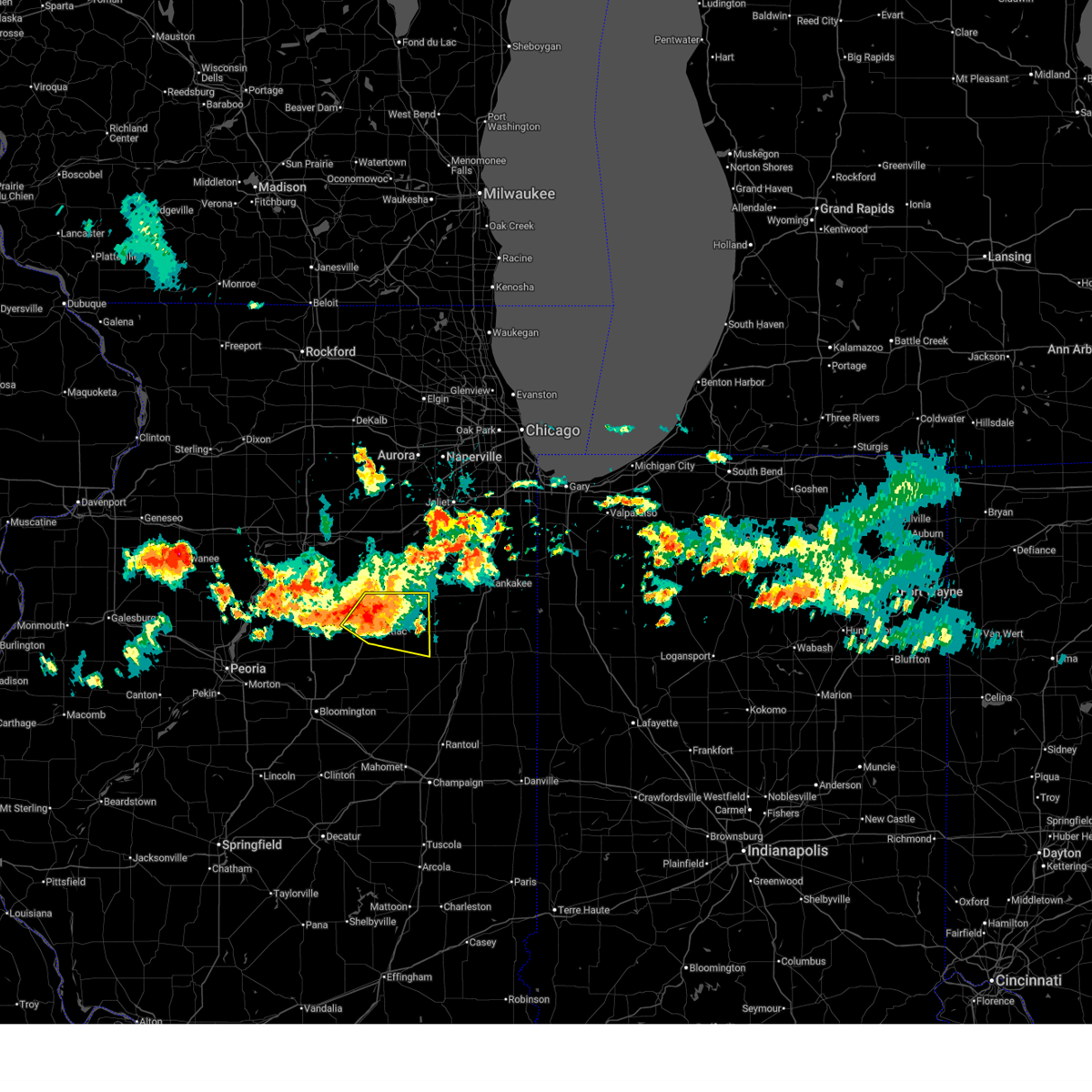
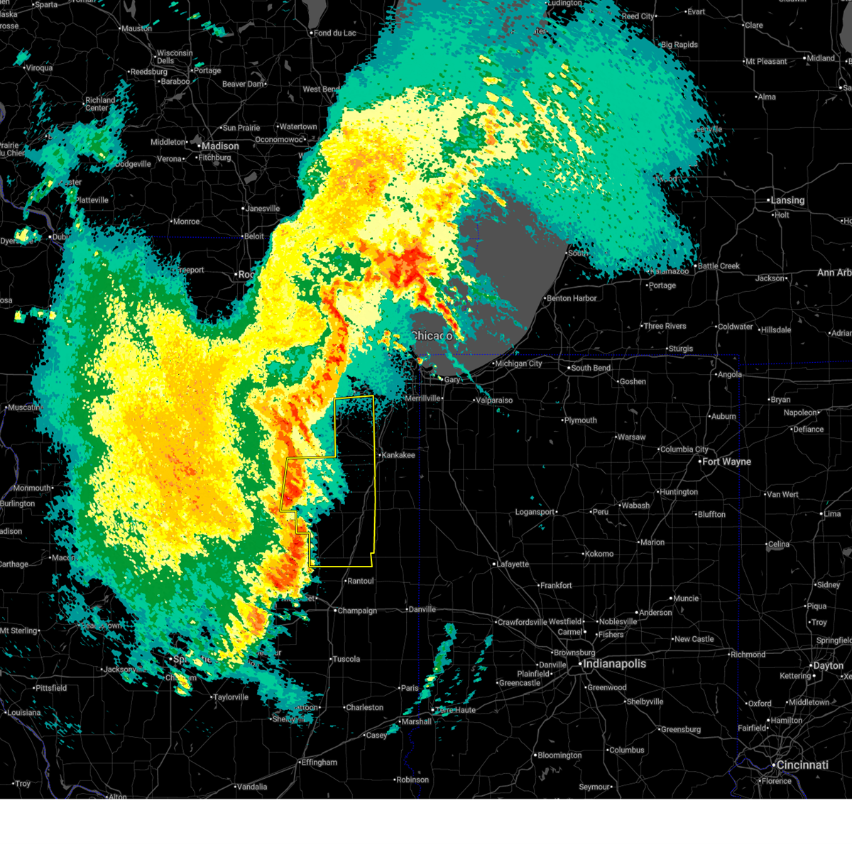
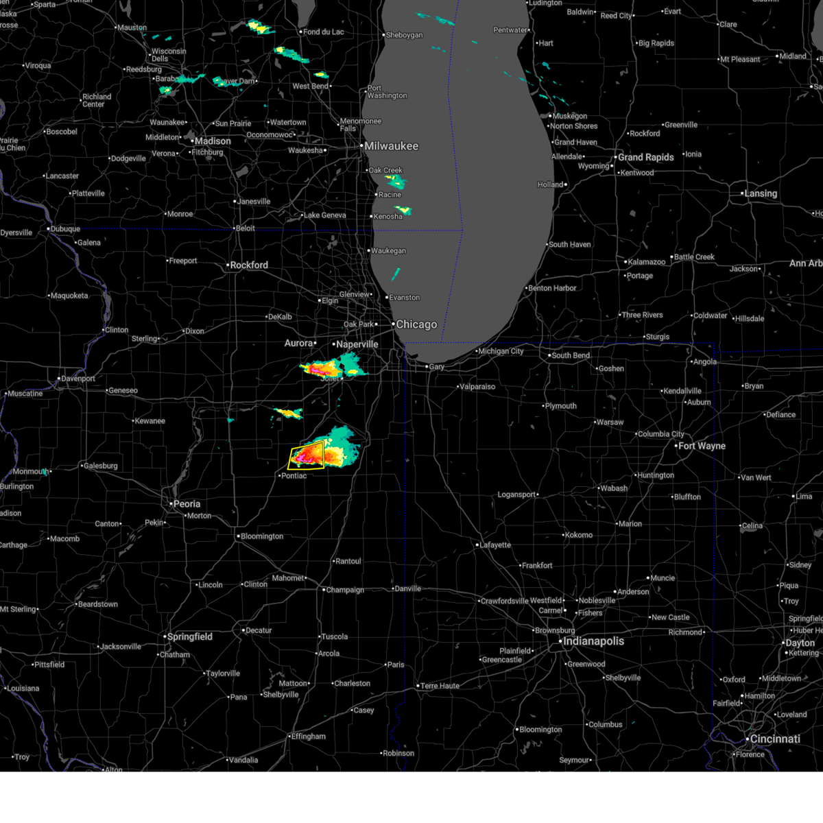
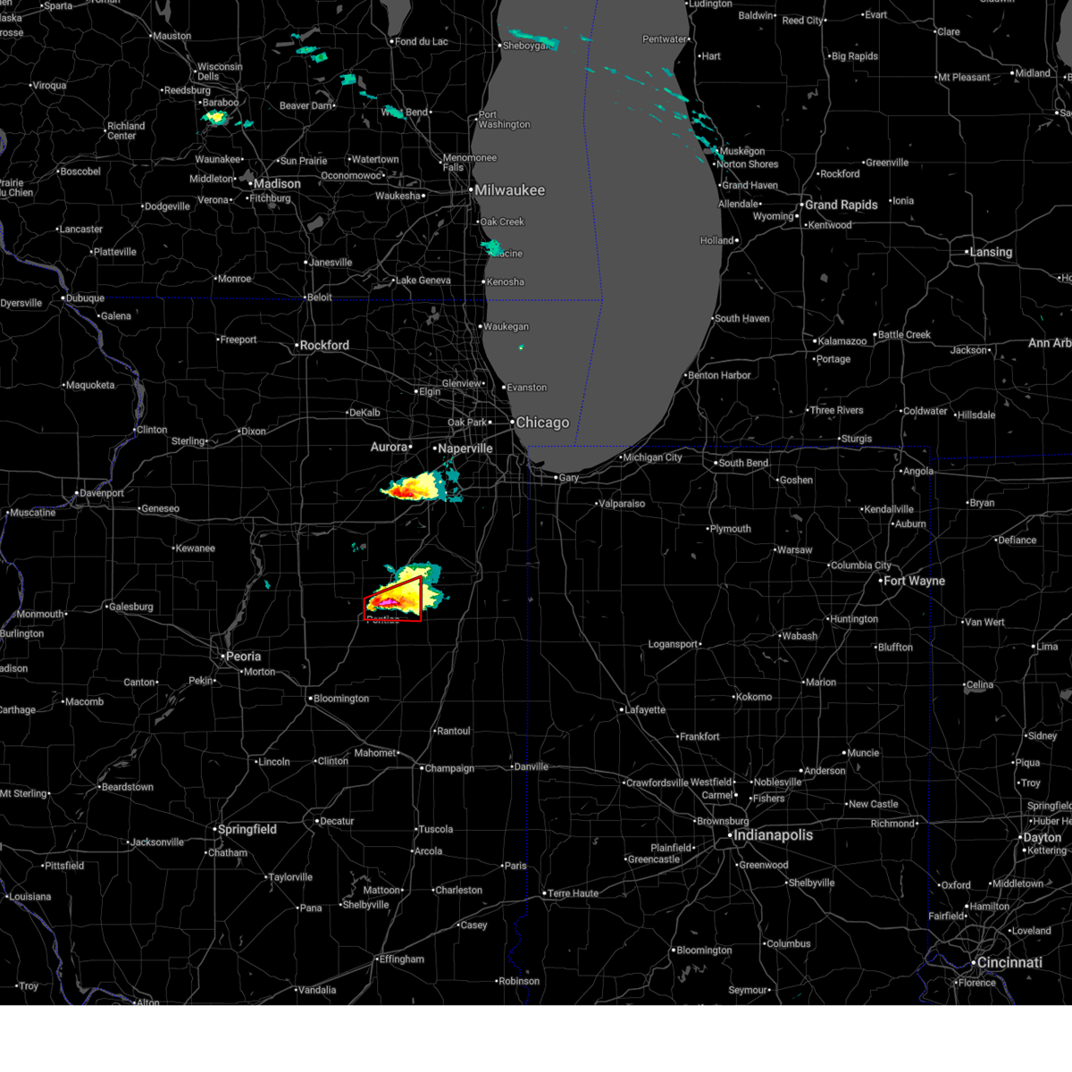
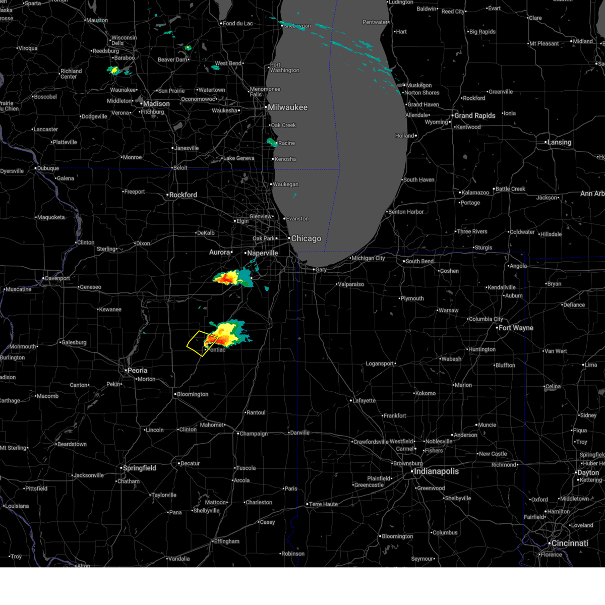
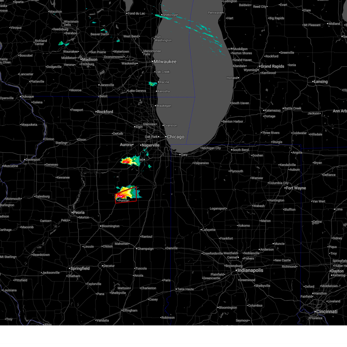
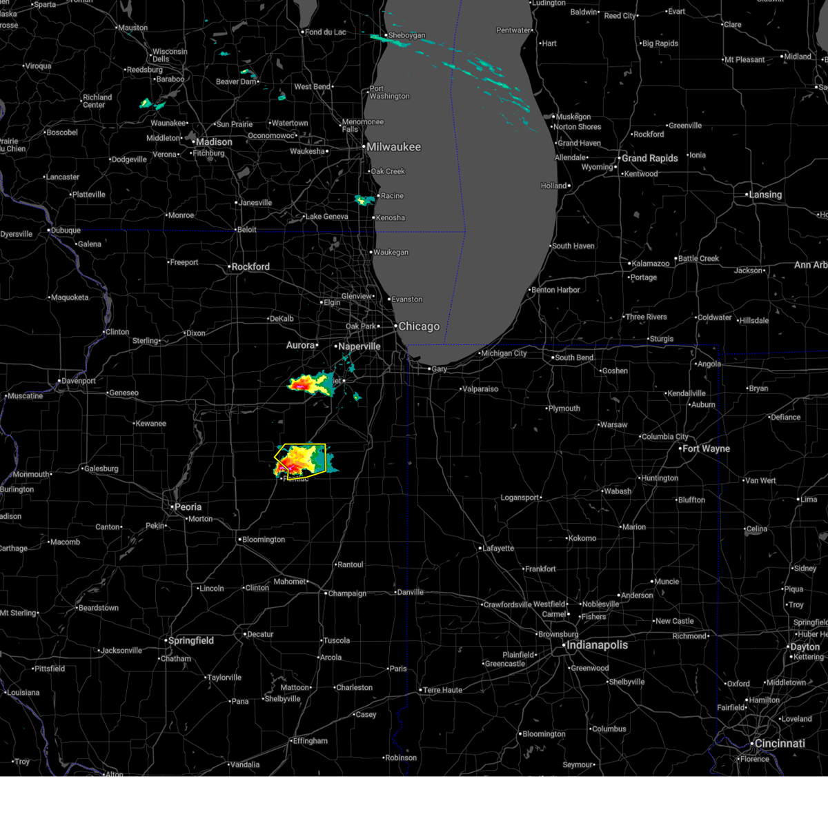
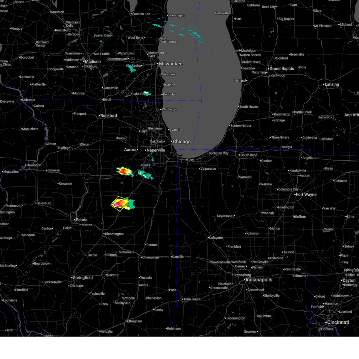
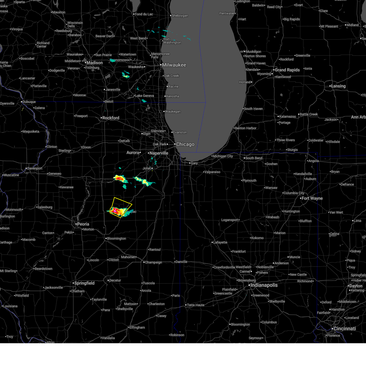
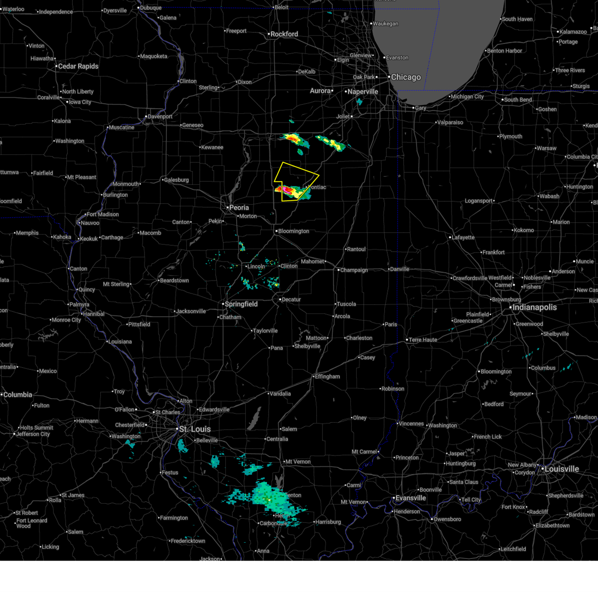
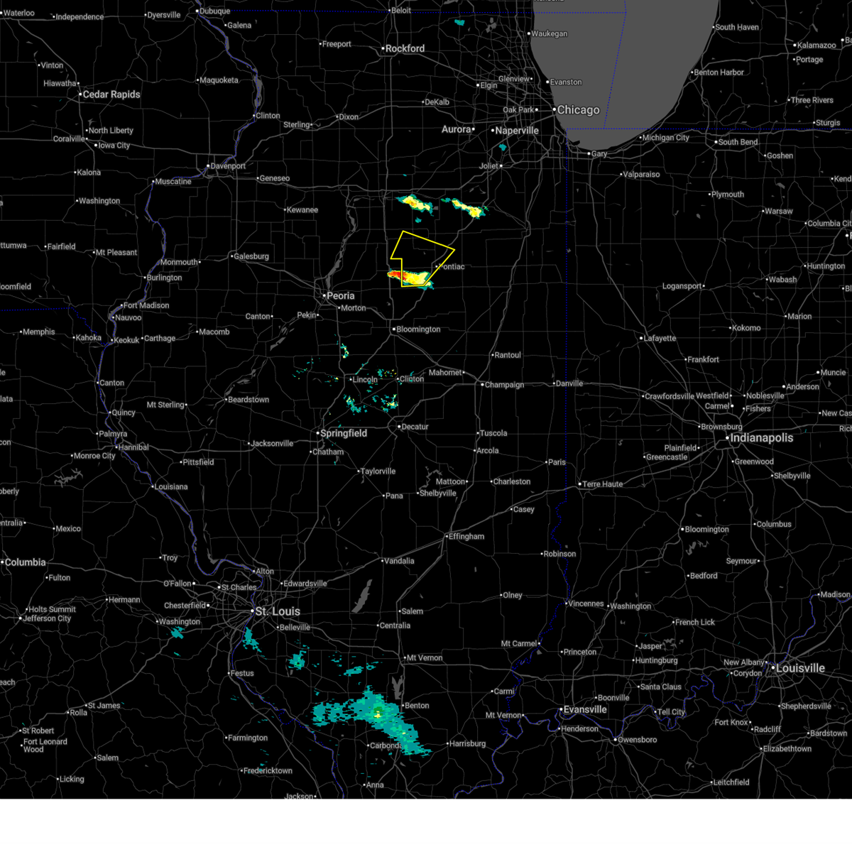
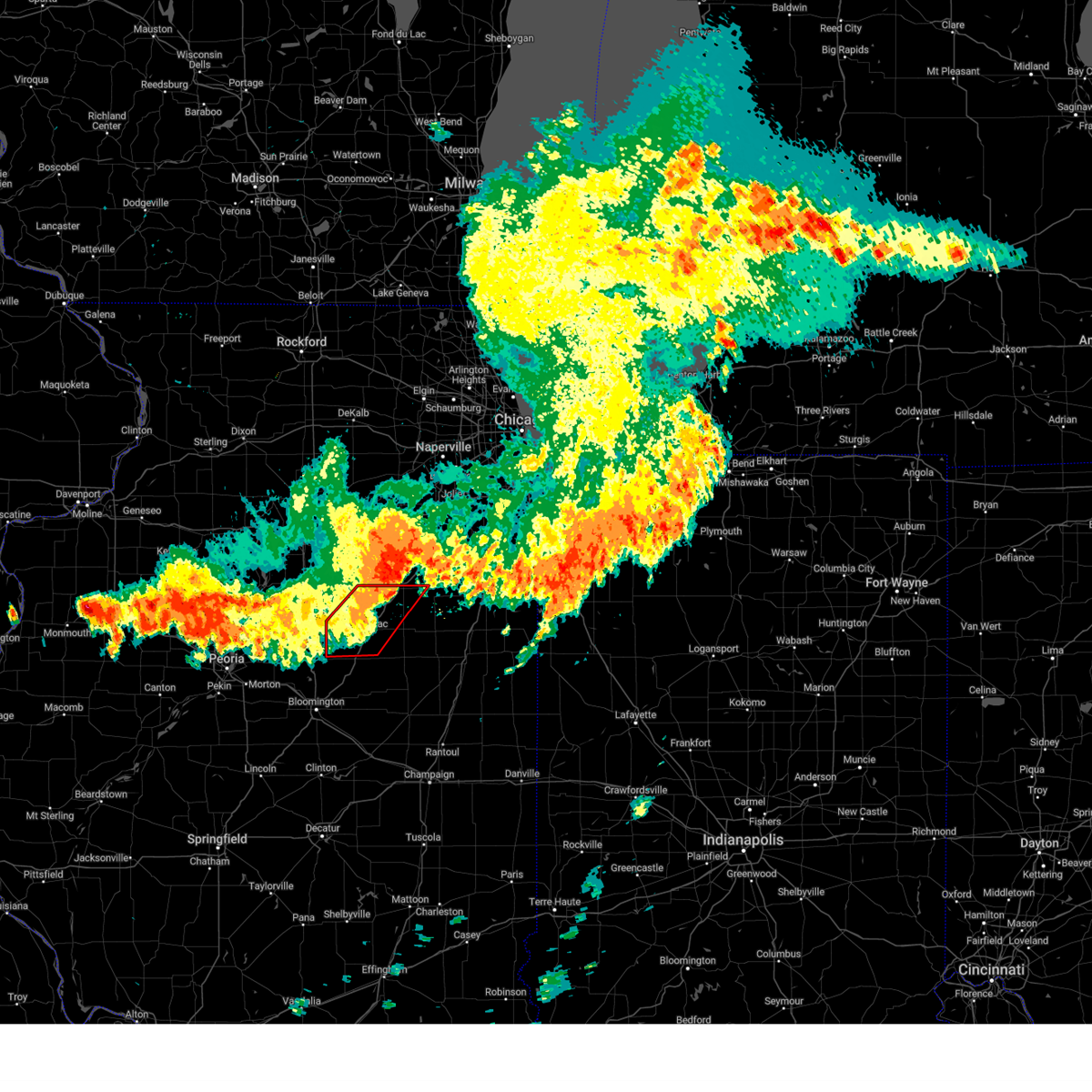
Hail Map for Odell, IL
The Odell, IL area has had 3 reports of on-the-ground hail by trained spotters, and has been under severe weather warnings 27 times during the past 12 months. Doppler radar has detected hail at or near Odell, IL on 46 occasions, including 4 occasions during the past year.
| Name: | Odell, IL |
| Where Located: | 60 miles ENE of Peoria, IL |
| Map: | Google Map for Odell, IL |
| Population: | 1046 |
| Housing Units: | 455 |
| More Info: | Search Google for Odell, IL |
4
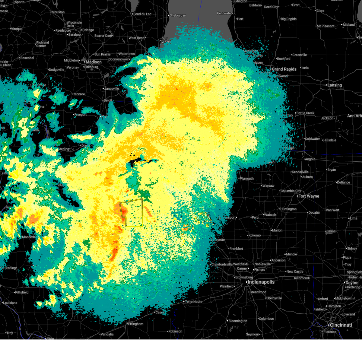
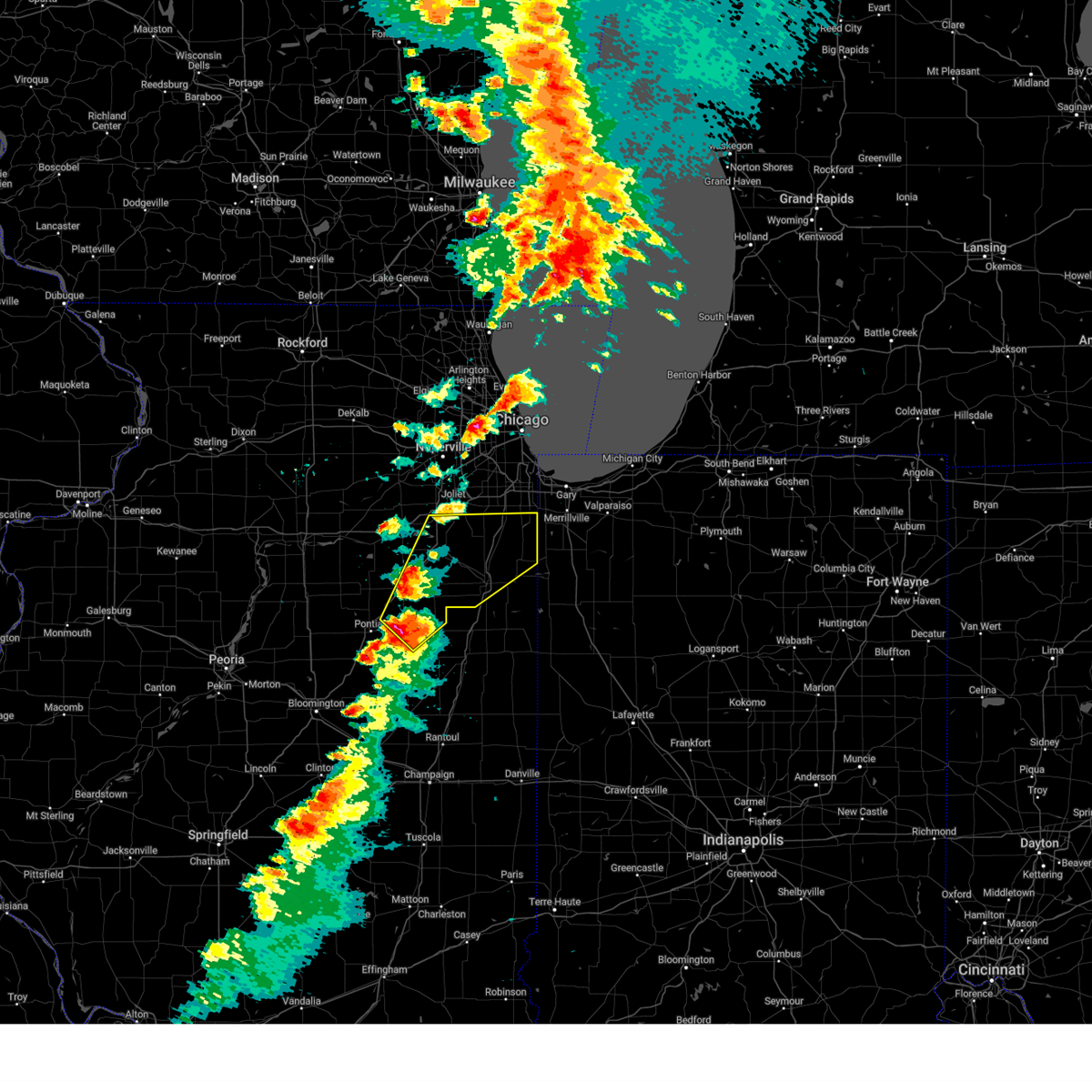
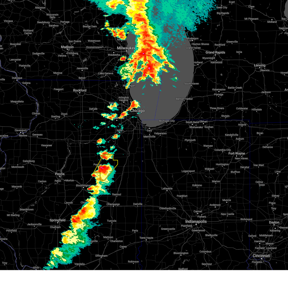
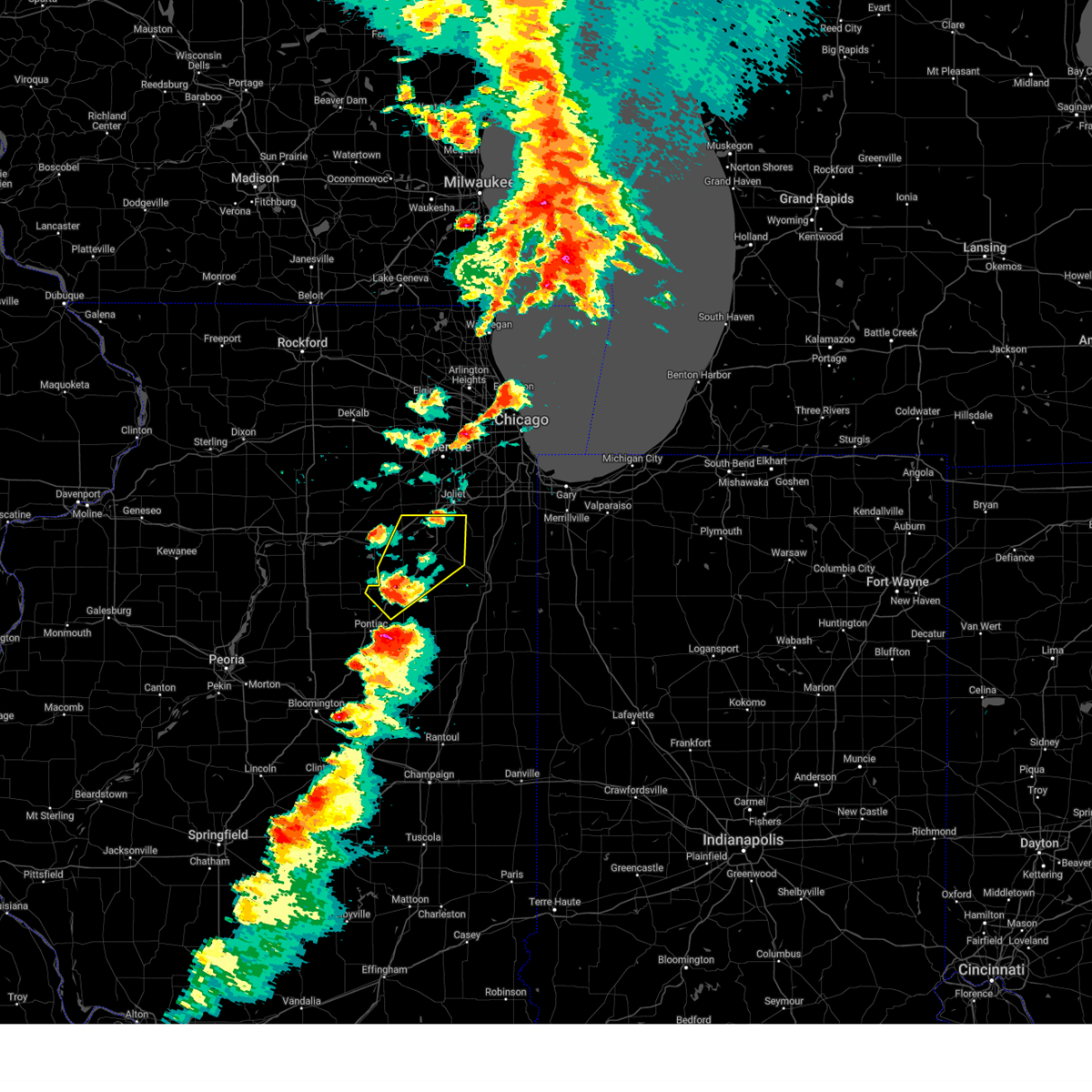
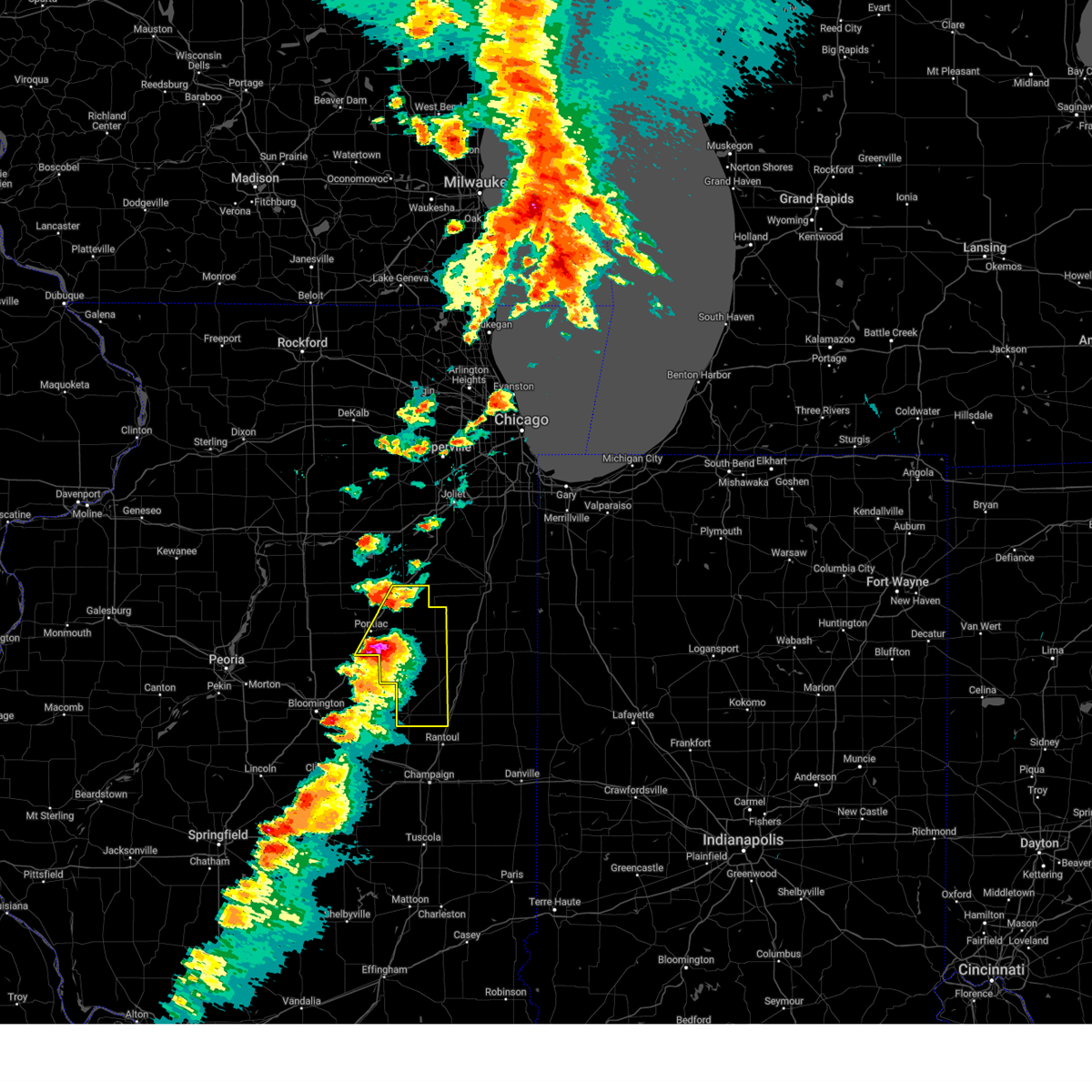
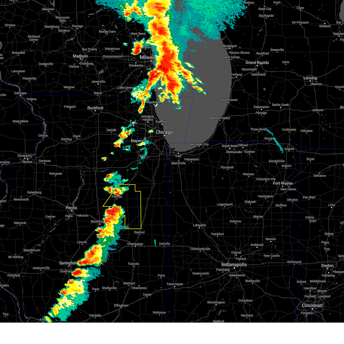
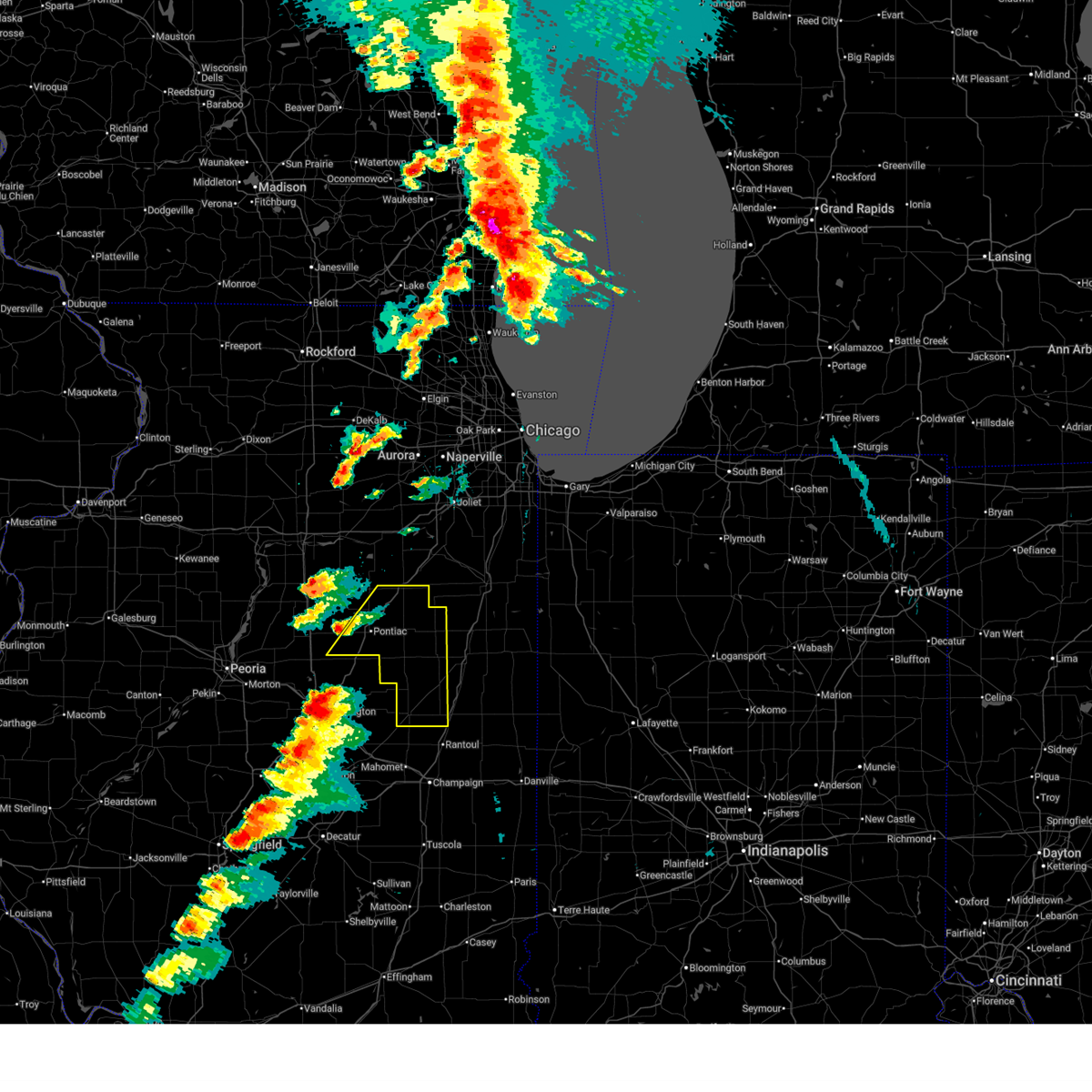
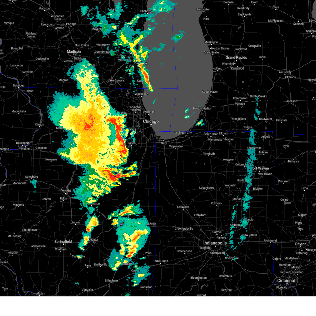
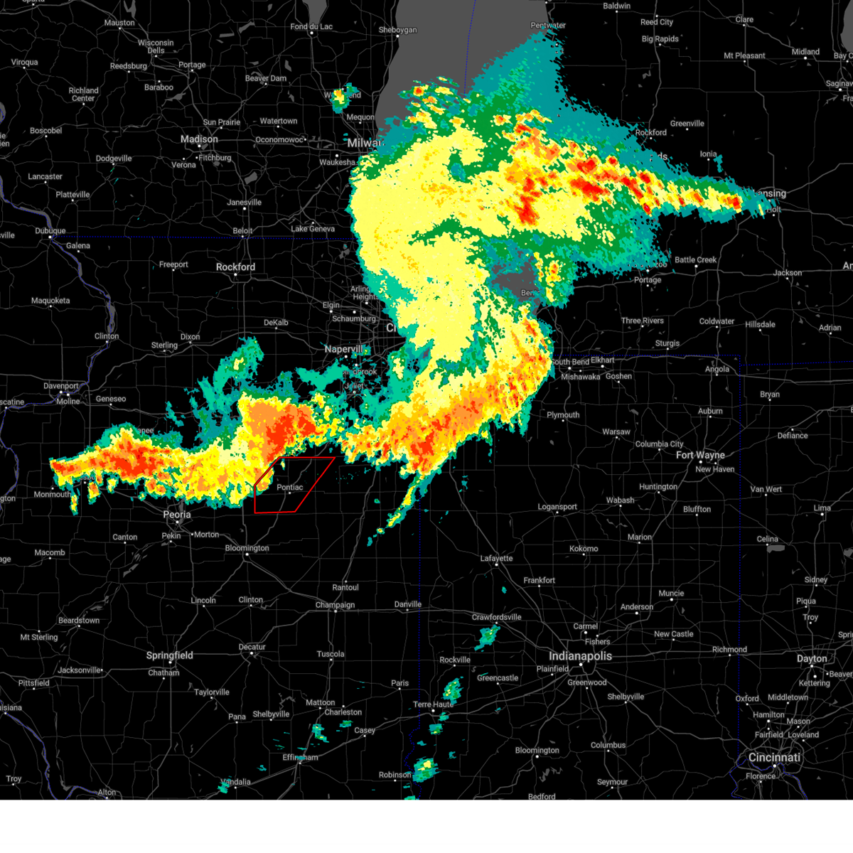
The Top Recent Hail Date for Odell, IL is Thursday, June 11, 2026 (6th out of 46)
Hail and Wind Damage Spotted near Odell, IL
| Date / Time | Report Details |
|---|---|
| 6/17/2026 10:43 AM CDT |
 At 1042 am cdt, a severe thunderstorm was located over fairbury, moving east at 50 mph (radar indicated). Hazards include 60 mph wind gusts. Expect damage to roofs, siding, and trees. Locations impacted include, pontiac, fairbury, chatsworth, forrest, odell, cullom, saunemin, campus, emington, and strawn. At 1042 am cdt, a severe thunderstorm was located over fairbury, moving east at 50 mph (radar indicated). Hazards include 60 mph wind gusts. Expect damage to roofs, siding, and trees. Locations impacted include, pontiac, fairbury, chatsworth, forrest, odell, cullom, saunemin, campus, emington, and strawn.
|
| 6/17/2026 10:30 AM CDT |
 At 1030 am cdt, a severe thunderstorm was located over chenoa, or 7 miles south of pontiac, moving east at 45 mph (radar indicated). Hazards include 60 mph wind gusts. Expect damage to roofs, siding, and trees. Locations impacted include, pontiac, fairbury, chatsworth, forrest, flanagan, odell, cullom, saunemin, campus, emington, and strawn. At 1030 am cdt, a severe thunderstorm was located over chenoa, or 7 miles south of pontiac, moving east at 45 mph (radar indicated). Hazards include 60 mph wind gusts. Expect damage to roofs, siding, and trees. Locations impacted include, pontiac, fairbury, chatsworth, forrest, flanagan, odell, cullom, saunemin, campus, emington, and strawn.
|
| 6/17/2026 10:02 AM CDT |
 Svrlot the national weather service in chicago has issued a * severe thunderstorm warning for, livingston county in central illinois, * until 1100 am cdt. * at 1001 am cdt, severe thunderstorms were located along a line extending from near toluca to near secor to near stanford, moving east at 50 mph (radar indicated). Hazards include 60 mph wind gusts. expect damage to roofs, siding, and trees Svrlot the national weather service in chicago has issued a * severe thunderstorm warning for, livingston county in central illinois, * until 1100 am cdt. * at 1001 am cdt, severe thunderstorms were located along a line extending from near toluca to near secor to near stanford, moving east at 50 mph (radar indicated). Hazards include 60 mph wind gusts. expect damage to roofs, siding, and trees
|
| 6/11/2026 6:10 PM CDT |
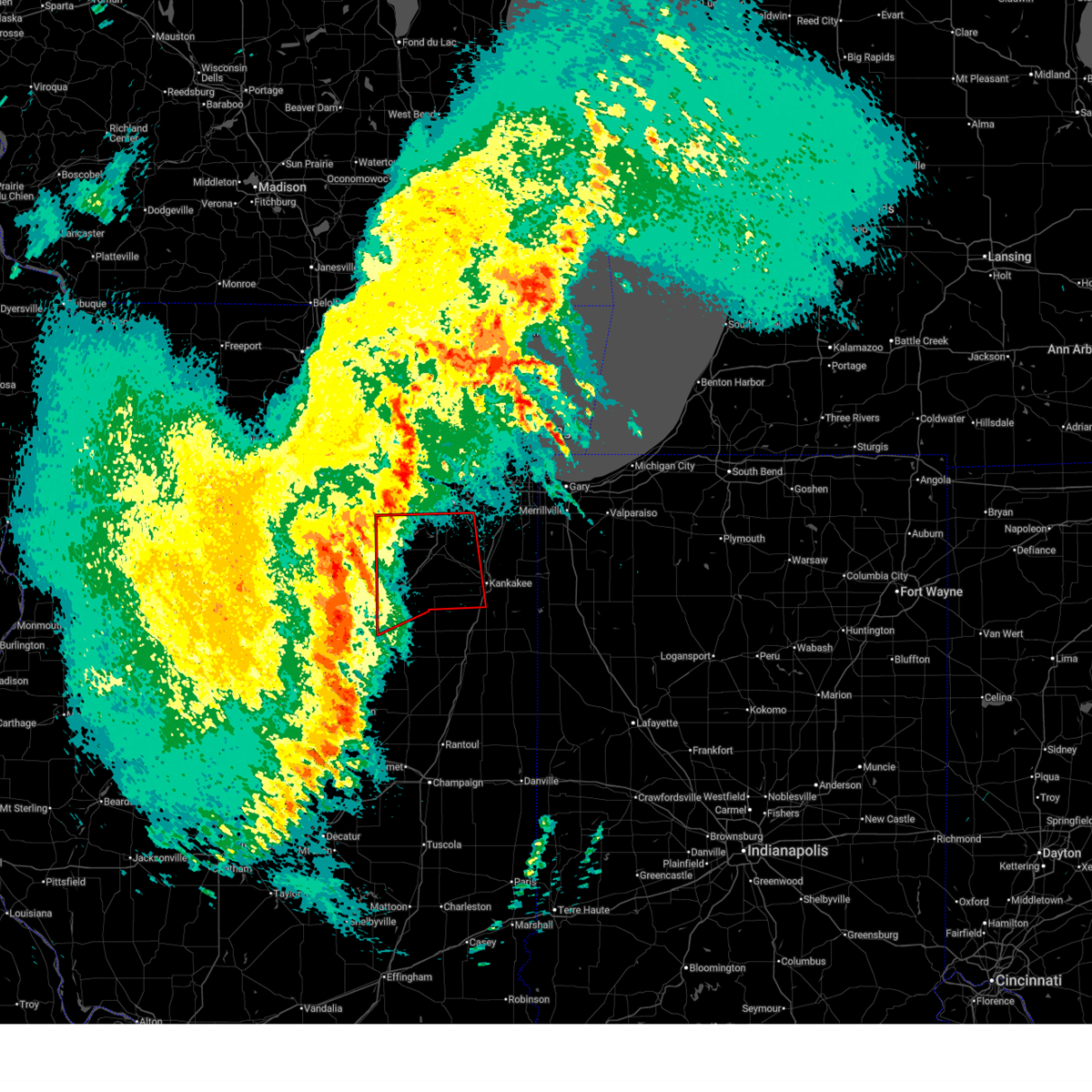
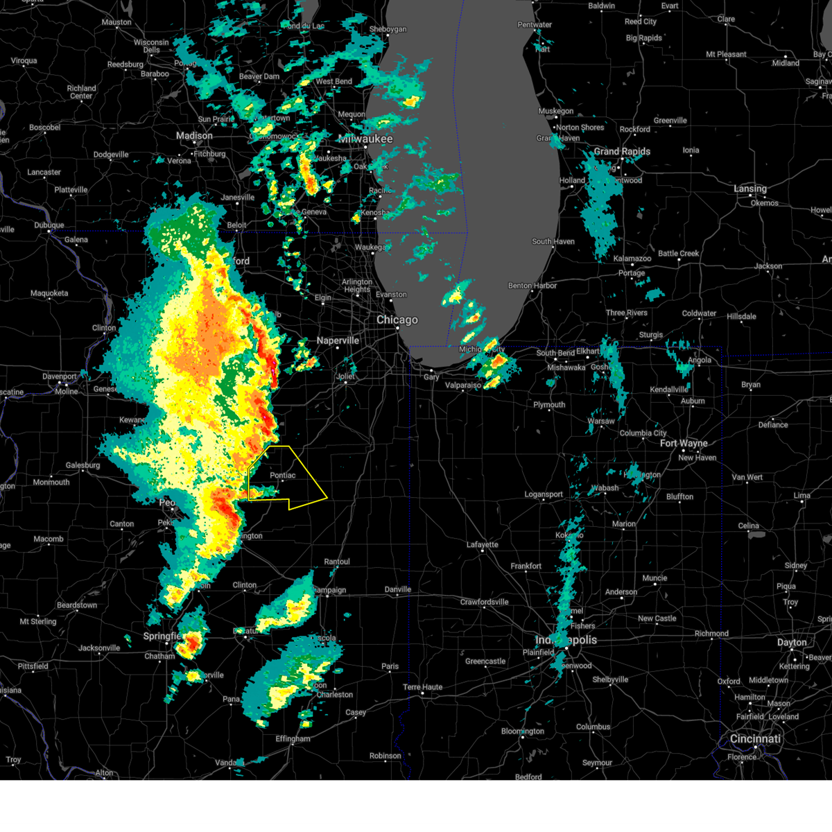
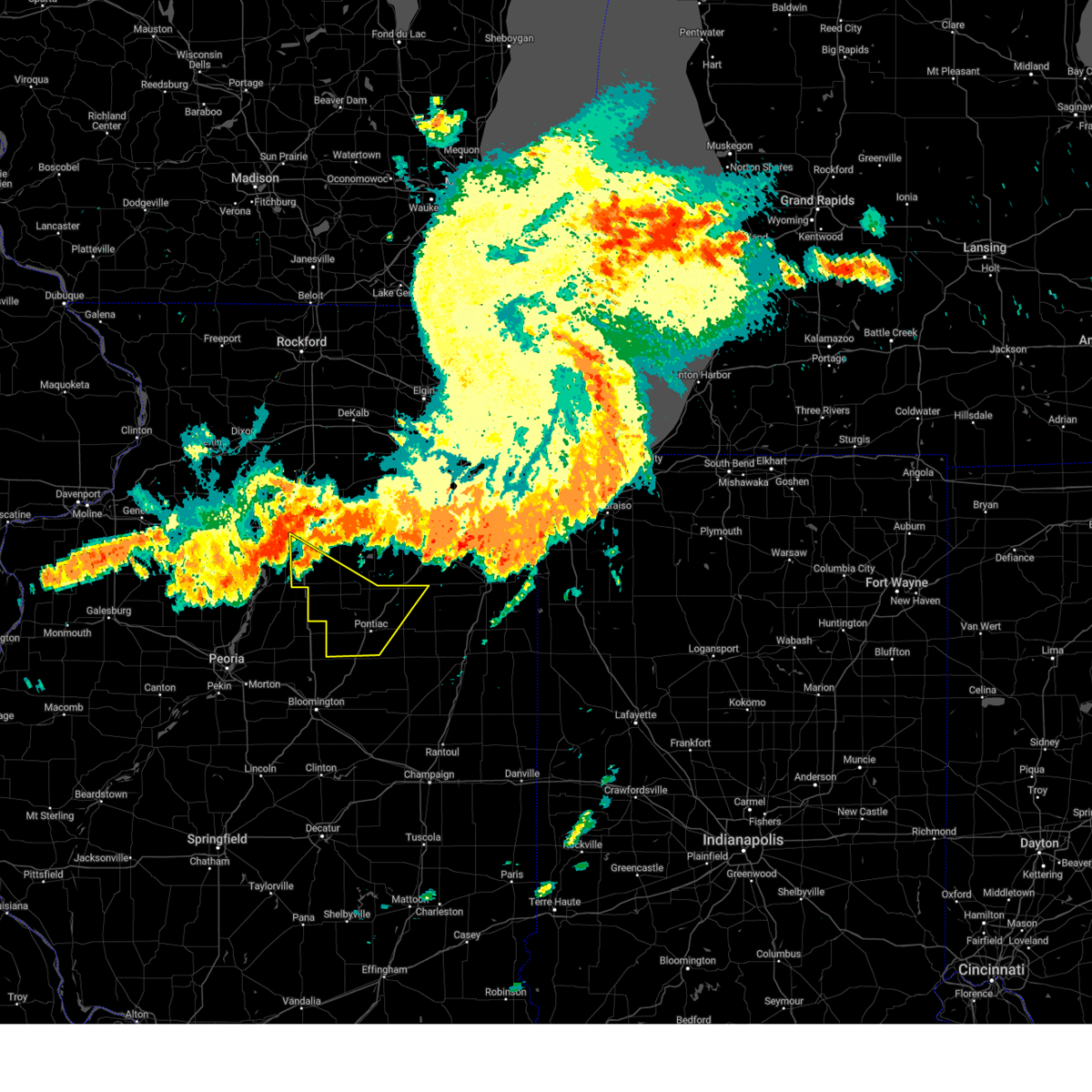
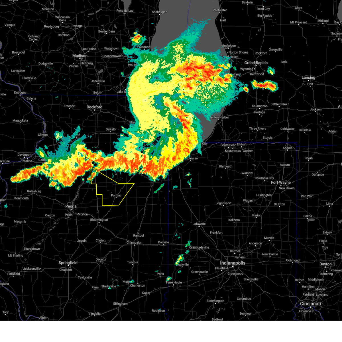
 At 610 pm cdt, a confirmed large and extremely dangerous tornado was located near odell, or near dwight, moving northeast at 35 mph. this is a particularly dangerous situation. take cover now! (weather spotters confirmed tornado). Hazards include damaging tornado. You are in a life-threatening situation. flying debris may be deadly to those caught without shelter. mobile homes will be destroyed. considerable damage to homes, businesses, and vehicles is likely and complete destruction is possible. the tornado will be near, dwight around 615 pm cdt. Other locations impacted by this tornadic thunderstorm include campus, union hill, south wilmington, reddick, east brooklyn, essex, and buckingham. At 610 pm cdt, a confirmed large and extremely dangerous tornado was located near odell, or near dwight, moving northeast at 35 mph. this is a particularly dangerous situation. take cover now! (weather spotters confirmed tornado). Hazards include damaging tornado. You are in a life-threatening situation. flying debris may be deadly to those caught without shelter. mobile homes will be destroyed. considerable damage to homes, businesses, and vehicles is likely and complete destruction is possible. the tornado will be near, dwight around 615 pm cdt. Other locations impacted by this tornadic thunderstorm include campus, union hill, south wilmington, reddick, east brooklyn, essex, and buckingham.
|
| 6/11/2026 6:07 PM CDT |
 Torlot the national weather service in chicago has issued a * tornado warning for, northeastern livingston county in central illinois, southeastern grundy county in northeastern illinois, southwestern kankakee county in northeastern illinois, * until 645 pm cdt. * at 606 pm cdt, a confirmed tornado was located over odell, or near dwight, moving northeast at 40 mph (weather spotters confirmed tornado). Hazards include damaging tornado. Flying debris will be dangerous to those caught without shelter. mobile homes will be damaged or destroyed. damage to roofs, windows, and vehicles will occur. tree damage is likely. the tornado will be near, dwight around 610 pm cdt. Other locations impacted by this tornadic thunderstorm include campus, union hill, south wilmington, reddick, east brooklyn, essex, and buckingham. Torlot the national weather service in chicago has issued a * tornado warning for, northeastern livingston county in central illinois, southeastern grundy county in northeastern illinois, southwestern kankakee county in northeastern illinois, * until 645 pm cdt. * at 606 pm cdt, a confirmed tornado was located over odell, or near dwight, moving northeast at 40 mph (weather spotters confirmed tornado). Hazards include damaging tornado. Flying debris will be dangerous to those caught without shelter. mobile homes will be damaged or destroyed. damage to roofs, windows, and vehicles will occur. tree damage is likely. the tornado will be near, dwight around 610 pm cdt. Other locations impacted by this tornadic thunderstorm include campus, union hill, south wilmington, reddick, east brooklyn, essex, and buckingham.
|
| 6/11/2026 5:56 PM CDT |
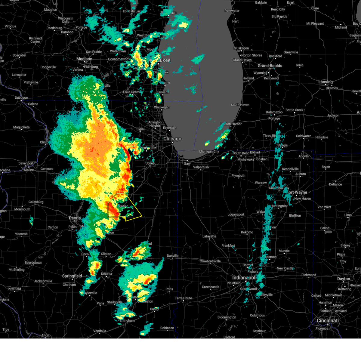
 At 556 pm cdt, a severe thunderstorm capable of producing a tornado was located near odell, or near pontiac, moving northeast at 30 mph (radar indicated rotation). Hazards include tornado and tennis ball size hail. Flying debris will be dangerous to those caught without shelter. mobile homes will be damaged or destroyed. damage to roofs, windows, and vehicles will occur. tree damage is likely. This dangerous storm will be near, odell around 600 pm cdt. At 556 pm cdt, a severe thunderstorm capable of producing a tornado was located near odell, or near pontiac, moving northeast at 30 mph (radar indicated rotation). Hazards include tornado and tennis ball size hail. Flying debris will be dangerous to those caught without shelter. mobile homes will be damaged or destroyed. damage to roofs, windows, and vehicles will occur. tree damage is likely. This dangerous storm will be near, odell around 600 pm cdt.
|
| 6/11/2026 5:44 PM CDT |
 At 544 pm cdt, a severe thunderstorm capable of producing a tornado was located near pontiac, moving northeast at 35 mph (radar indicated rotation). Hazards include tornado and tennis ball size hail. Flying debris will be dangerous to those caught without shelter. mobile homes will be damaged or destroyed. damage to roofs, windows, and vehicles will occur. tree damage is likely. this dangerous storm will be near, pontiac around 550 pm cdt. Other locations in the path of this tornadic thunderstorm include odell. At 544 pm cdt, a severe thunderstorm capable of producing a tornado was located near pontiac, moving northeast at 35 mph (radar indicated rotation). Hazards include tornado and tennis ball size hail. Flying debris will be dangerous to those caught without shelter. mobile homes will be damaged or destroyed. damage to roofs, windows, and vehicles will occur. tree damage is likely. this dangerous storm will be near, pontiac around 550 pm cdt. Other locations in the path of this tornadic thunderstorm include odell.
|
| 6/11/2026 5:30 PM CDT |
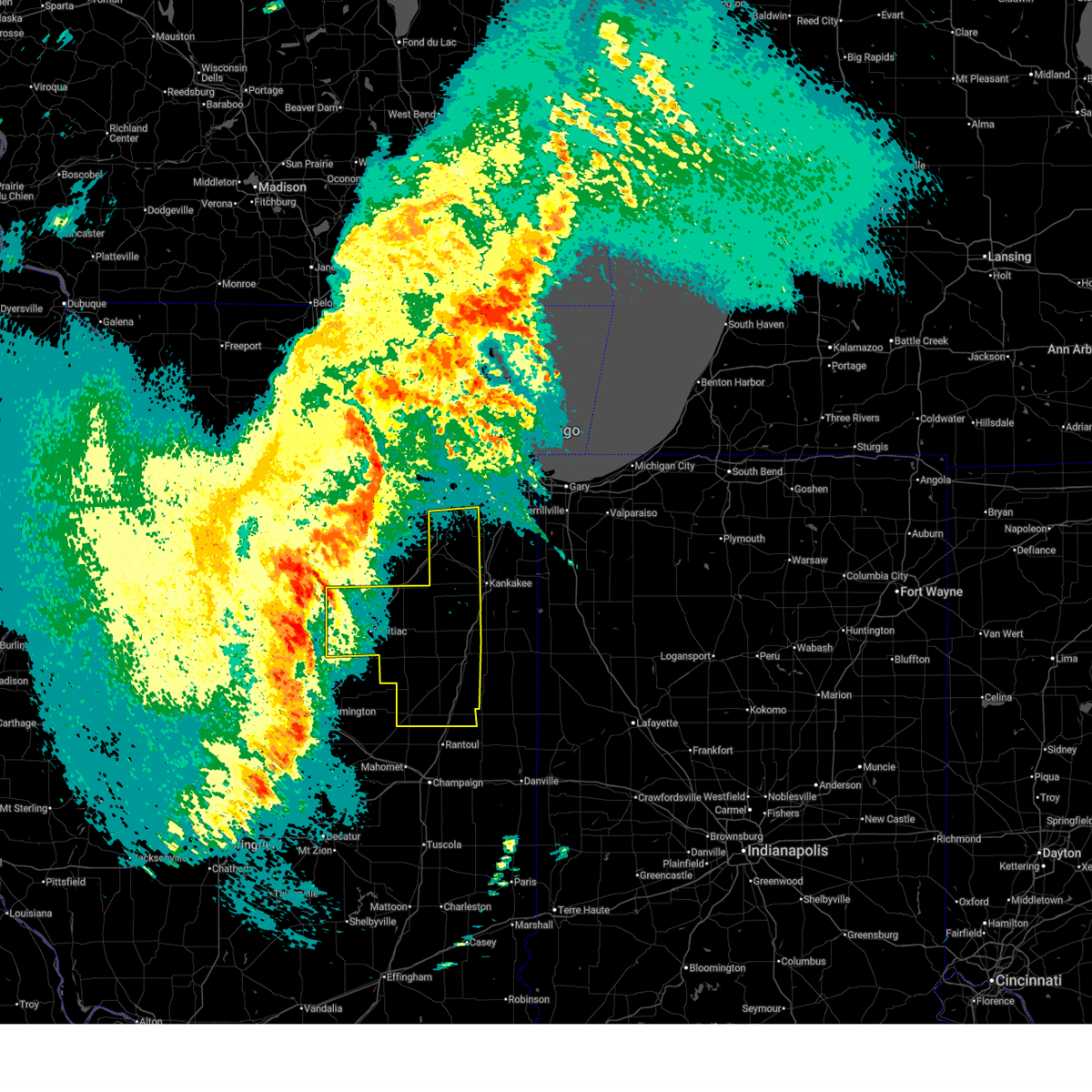
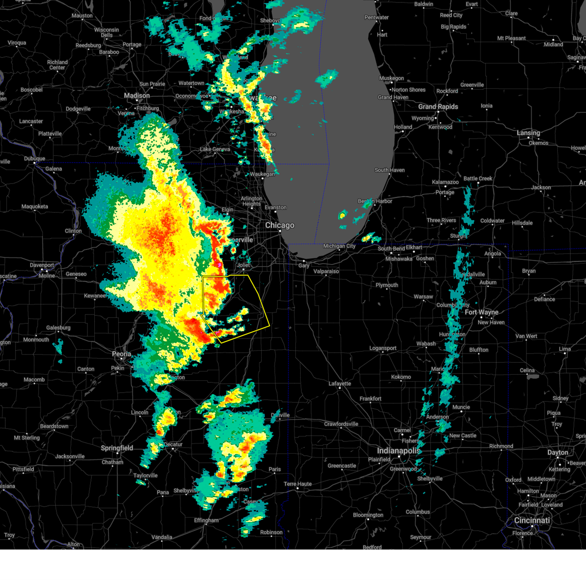
 Torlot the national weather service in chicago has issued a * tornado warning for, central livingston county in central illinois, * until 615 pm cdt. * at 530 pm cdt, a severe thunderstorm capable of producing a tornado was located near flanagan, or 11 miles west of pontiac, moving northeast at 40 mph (radar indicated rotation). Hazards include tornado and golf ball size hail. Flying debris will be dangerous to those caught without shelter. mobile homes will be damaged or destroyed. damage to roofs, windows, and vehicles will occur. tree damage is likely. this dangerous storm will be near, flanagan around 535 pm cdt. pontiac around 540 pm cdt. Odell around 555 pm cdt. Torlot the national weather service in chicago has issued a * tornado warning for, central livingston county in central illinois, * until 615 pm cdt. * at 530 pm cdt, a severe thunderstorm capable of producing a tornado was located near flanagan, or 11 miles west of pontiac, moving northeast at 40 mph (radar indicated rotation). Hazards include tornado and golf ball size hail. Flying debris will be dangerous to those caught without shelter. mobile homes will be damaged or destroyed. damage to roofs, windows, and vehicles will occur. tree damage is likely. this dangerous storm will be near, flanagan around 535 pm cdt. pontiac around 540 pm cdt. Odell around 555 pm cdt.
|
| 6/6/2026 5:39 AM CDT |
 The strongest portion of the storm which prompted the warning has moved out of the area. therefore, the warning will be allowed to expire. however, small hail, gusty winds and heavy rain may still occur in the next hour as additional thunderstorms move over the area. to report severe weather, contact your nearest law enforcement agency. they will relay your report to the national weather service chicago. The strongest portion of the storm which prompted the warning has moved out of the area. therefore, the warning will be allowed to expire. however, small hail, gusty winds and heavy rain may still occur in the next hour as additional thunderstorms move over the area. to report severe weather, contact your nearest law enforcement agency. they will relay your report to the national weather service chicago.
|
| 6/6/2026 5:27 AM CDT |
 At 526 am cdt, a cluster of severe thunderstorms was located from pontiac to stelle to forrest, moving southeast at 40 mph (radar indicated and automated measurements. this storm produced a measured wind gust of 57 mph in pontiac). Hazards include 60 mph wind gusts and nickel size hail. Expect damage to roofs, siding, and trees. Locations impacted include, pontiac, chatsworth, odell, cullom, saunemin, and emington. At 526 am cdt, a cluster of severe thunderstorms was located from pontiac to stelle to forrest, moving southeast at 40 mph (radar indicated and automated measurements. this storm produced a measured wind gust of 57 mph in pontiac). Hazards include 60 mph wind gusts and nickel size hail. Expect damage to roofs, siding, and trees. Locations impacted include, pontiac, chatsworth, odell, cullom, saunemin, and emington.
|
| 6/6/2026 5:12 AM CDT |
 At 512 am cdt, a severe thunderstorm was located over saunemin, or 10 miles northwest of chatsworth, moving east at 40 mph (radar indicated). Hazards include 60 mph wind gusts and quarter size hail. Hail damage to vehicles is expected. expect wind damage to roofs, siding, and trees. Locations impacted include, pontiac, chatsworth, odell, cullom, saunemin, and emington. At 512 am cdt, a severe thunderstorm was located over saunemin, or 10 miles northwest of chatsworth, moving east at 40 mph (radar indicated). Hazards include 60 mph wind gusts and quarter size hail. Hail damage to vehicles is expected. expect wind damage to roofs, siding, and trees. Locations impacted include, pontiac, chatsworth, odell, cullom, saunemin, and emington.
|
| 6/6/2026 4:57 AM CDT |
 At 457 am cdt, a severe thunderstorm was located near odell, or near pontiac, moving east at 40 mph (radar indicated). Hazards include 60 mph wind gusts and quarter size hail. Hail damage to vehicles is expected. expect wind damage to roofs, siding, and trees. Locations impacted include, pontiac, chatsworth, odell, cullom, cornell, saunemin, campus, and emington. At 457 am cdt, a severe thunderstorm was located near odell, or near pontiac, moving east at 40 mph (radar indicated). Hazards include 60 mph wind gusts and quarter size hail. Hail damage to vehicles is expected. expect wind damage to roofs, siding, and trees. Locations impacted include, pontiac, chatsworth, odell, cullom, cornell, saunemin, campus, and emington.
|
| 4/17/2026 9:28 PM CDT |
 At 928 pm cdt, severe thunderstorms were located along a line extending from near seneca to near odell to fairbury to saybrook, moving east at 55 mph (radar indicated). Hazards include 70 mph wind gusts. Expect considerable tree damage. damage is likely to mobile homes, roofs, and outbuildings. Locations impacted include, joliet, new lenox, channahon, pontiac, minooka, braidwood, wilmington, paxton, dwight, fairbury, gibson city, gilman, herscher, clifton, chatsworth, manhattan, diamond, elwood, limestone, onarga, lakewood shores, forrest, chebanse, odell, and piper city. At 928 pm cdt, severe thunderstorms were located along a line extending from near seneca to near odell to fairbury to saybrook, moving east at 55 mph (radar indicated). Hazards include 70 mph wind gusts. Expect considerable tree damage. damage is likely to mobile homes, roofs, and outbuildings. Locations impacted include, joliet, new lenox, channahon, pontiac, minooka, braidwood, wilmington, paxton, dwight, fairbury, gibson city, gilman, herscher, clifton, chatsworth, manhattan, diamond, elwood, limestone, onarga, lakewood shores, forrest, chebanse, odell, and piper city.
|
| 4/17/2026 9:23 PM CDT |
 Torlot the national weather service in chicago has issued a * tornado warning for, southeastern kendall county in northeastern illinois, northeastern livingston county in central illinois, southwestern will county in northeastern illinois, grundy county in northeastern illinois, western kankakee county in northeastern illinois, * until 1015 pm cdt. * at 923 pm cdt, severe thunderstorms capable of producing tornadoes were located along a line extending from near seneca to near odell to near pontiac, moving east at 55 mph (radar indicated rotation). Hazards include tornado. Flying debris will be dangerous to those caught without shelter. mobile homes will be damaged or destroyed. damage to roofs, windows, and vehicles will occur. tree damage is likely. these dangerous storms will be near, dwight, odell, and mazon around 930 pm cdt. gardner around 935 pm cdt. morris, coal city, diamond, and braceville around 940 pm cdt. Other locations in the path of these tornadic storms include channahon, braidwood, wilmington, herscher, lakewood shores, elwood, limestone, kankakee, bourbonnais, manhattan and chebanse. Torlot the national weather service in chicago has issued a * tornado warning for, southeastern kendall county in northeastern illinois, northeastern livingston county in central illinois, southwestern will county in northeastern illinois, grundy county in northeastern illinois, western kankakee county in northeastern illinois, * until 1015 pm cdt. * at 923 pm cdt, severe thunderstorms capable of producing tornadoes were located along a line extending from near seneca to near odell to near pontiac, moving east at 55 mph (radar indicated rotation). Hazards include tornado. Flying debris will be dangerous to those caught without shelter. mobile homes will be damaged or destroyed. damage to roofs, windows, and vehicles will occur. tree damage is likely. these dangerous storms will be near, dwight, odell, and mazon around 930 pm cdt. gardner around 935 pm cdt. morris, coal city, diamond, and braceville around 940 pm cdt. Other locations in the path of these tornadic storms include channahon, braidwood, wilmington, herscher, lakewood shores, elwood, limestone, kankakee, bourbonnais, manhattan and chebanse.
|
| 4/17/2026 9:05 PM CDT |
 Svrlot the national weather service in chicago has issued a * severe thunderstorm warning for, livingston county in central illinois, southwestern will county in northeastern illinois, western kankakee county in northeastern illinois, ford county in east central illinois, western iroquois county in east central illinois, * until 1015 pm cdt. * at 904 pm cdt, severe thunderstorms were located along a line extending from 6 miles northeast of wenona to near hudson to near bloomington, moving east at 55 mph (radar indicated). Hazards include 70 mph wind gusts. Expect considerable tree damage. Damage is likely to mobile homes, roofs, and outbuildings. Svrlot the national weather service in chicago has issued a * severe thunderstorm warning for, livingston county in central illinois, southwestern will county in northeastern illinois, western kankakee county in northeastern illinois, ford county in east central illinois, western iroquois county in east central illinois, * until 1015 pm cdt. * at 904 pm cdt, severe thunderstorms were located along a line extending from 6 miles northeast of wenona to near hudson to near bloomington, moving east at 55 mph (radar indicated). Hazards include 70 mph wind gusts. Expect considerable tree damage. Damage is likely to mobile homes, roofs, and outbuildings.
|
| 3/10/2026 5:26 PM CDT |
 The tornadic thunderstorm which prompted the warning has weakened. therefore, the warning will be allowed to expire. a severe thunderstorm warning remains in effect for large hail. a tornado watch remains in effect until 1100 pm cdt for central illinois. The tornadic thunderstorm which prompted the warning has weakened. therefore, the warning will be allowed to expire. a severe thunderstorm warning remains in effect for large hail. a tornado watch remains in effect until 1100 pm cdt for central illinois.
|
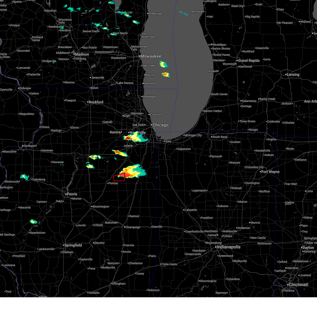
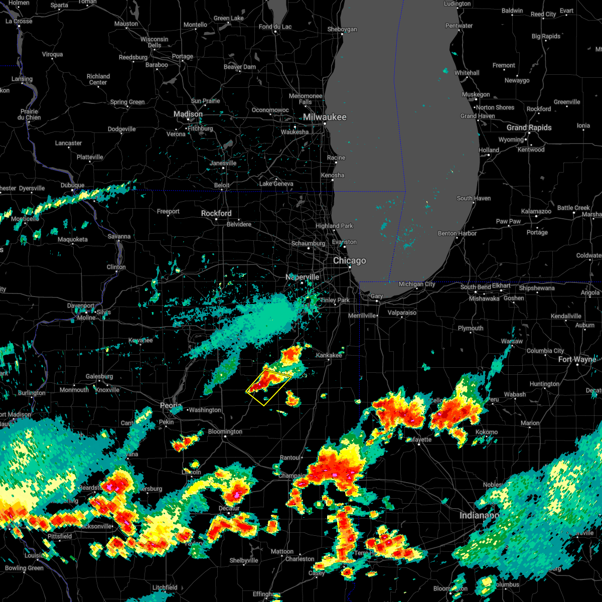
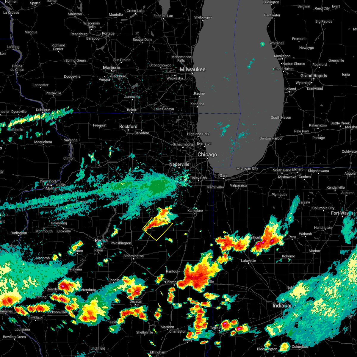
| 3/10/2026 5:10 PM CDT | Golf Ball sized hail reported 3.5 miles NE of Odell, IL, relayed via mping. time estimated by radar. |
| 3/10/2026 5:09 PM CDT |
 At 509 pm cdt, a severe thunderstorm capable of producing a tornado was located near saunemin, or 9 miles south of dwight, moving east at 30 mph (radar indicated rotation). Hazards include tornado and tennis ball size hail. Flying debris will be dangerous to those caught without shelter. mobile homes will be damaged or destroyed. damage to roofs, windows, and vehicles will occur. tree damage is likely. This tornadic thunderstorm will remain over mainly rural areas of northeastern livingston county, including the following locations, campus and emington. At 509 pm cdt, a severe thunderstorm capable of producing a tornado was located near saunemin, or 9 miles south of dwight, moving east at 30 mph (radar indicated rotation). Hazards include tornado and tennis ball size hail. Flying debris will be dangerous to those caught without shelter. mobile homes will be damaged or destroyed. damage to roofs, windows, and vehicles will occur. tree damage is likely. This tornadic thunderstorm will remain over mainly rural areas of northeastern livingston county, including the following locations, campus and emington.
|
| 3/10/2026 5:07 PM CDT |
 At 506 pm cdt, a severe thunderstorm was located over dwight, moving northeast at 35 mph (radar indicated). Hazards include tennis ball size hail and 60 mph wind gusts. People and animals outdoors will be injured. expect hail damage to roofs, siding, windows, and vehicles. expect wind damage to roofs, siding, and trees. Locations impacted include, odell, kempton, campus, reddick, and emington. At 506 pm cdt, a severe thunderstorm was located over dwight, moving northeast at 35 mph (radar indicated). Hazards include tennis ball size hail and 60 mph wind gusts. People and animals outdoors will be injured. expect hail damage to roofs, siding, windows, and vehicles. expect wind damage to roofs, siding, and trees. Locations impacted include, odell, kempton, campus, reddick, and emington.
|
| 3/10/2026 4:58 PM CDT |
 At 458 pm cdt, a severe thunderstorm capable of producing a tornado was located southeast of odell, or 7 miles northeast of pontiac, moving east at 30 mph (radar indicated rotation). Hazards include tornado and golf ball size hail. Flying debris will be dangerous to those caught without shelter. mobile homes will be damaged or destroyed. damage to roofs, windows, and vehicles will occur. tree damage is likely. This dangerous storm will be near, odell around 505 pm cdt. At 458 pm cdt, a severe thunderstorm capable of producing a tornado was located southeast of odell, or 7 miles northeast of pontiac, moving east at 30 mph (radar indicated rotation). Hazards include tornado and golf ball size hail. Flying debris will be dangerous to those caught without shelter. mobile homes will be damaged or destroyed. damage to roofs, windows, and vehicles will occur. tree damage is likely. This dangerous storm will be near, odell around 505 pm cdt.
|
| 3/10/2026 4:56 PM CDT | Hen Egg sized hail reported 3.4 miles NW of Odell, IL, 2 inch diameter hail southeast of odell. time estimated by radar. relayed via social media. |
| 3/10/2026 4:54 PM CDT |
 The severe thunderstorm which prompted the warning has moved out of the warned area. therefore, the severe thunderstorm warning will be allowed to expire. however, a tornado warning is in effect for a portion of the area. a tornado watch remains in effect until 1100 pm cdt for central illinois. The severe thunderstorm which prompted the warning has moved out of the warned area. therefore, the severe thunderstorm warning will be allowed to expire. however, a tornado warning is in effect for a portion of the area. a tornado watch remains in effect until 1100 pm cdt for central illinois.
|
| 3/10/2026 4:47 PM CDT |
 Torlot the national weather service in chicago has issued a * tornado warning for, northeastern livingston county in central illinois, * until 530 pm cdt. * at 447 pm cdt, a severe thunderstorm capable of producing a tornado was located near pontiac, moving east at 30 mph (radar indicated rotation). Hazards include tornado and golf ball size hail. Flying debris will be dangerous to those caught without shelter. mobile homes will be damaged or destroyed. damage to roofs, windows, and vehicles will occur. tree damage is likely. This dangerous storm will be near, odell around 455 pm cdt. Torlot the national weather service in chicago has issued a * tornado warning for, northeastern livingston county in central illinois, * until 530 pm cdt. * at 447 pm cdt, a severe thunderstorm capable of producing a tornado was located near pontiac, moving east at 30 mph (radar indicated rotation). Hazards include tornado and golf ball size hail. Flying debris will be dangerous to those caught without shelter. mobile homes will be damaged or destroyed. damage to roofs, windows, and vehicles will occur. tree damage is likely. This dangerous storm will be near, odell around 455 pm cdt.
|
| 3/10/2026 4:45 PM CDT | Grapefruit sized hail reported 4 miles NE of Odell, IL |
| 3/10/2026 4:45 PM CDT |
 Svrlot the national weather service in chicago has issued a * severe thunderstorm warning for, northeastern livingston county in central illinois, * until 530 pm cdt. * at 444 pm cdt, a severe thunderstorm was located near odell, or near pontiac, moving northeast at 35 mph (radar indicated). Hazards include two inch hail and 60 mph wind gusts. People and animals outdoors will be injured. expect hail damage to roofs, siding, windows, and vehicles. Expect wind damage to roofs, siding, and trees. Svrlot the national weather service in chicago has issued a * severe thunderstorm warning for, northeastern livingston county in central illinois, * until 530 pm cdt. * at 444 pm cdt, a severe thunderstorm was located near odell, or near pontiac, moving northeast at 35 mph (radar indicated). Hazards include two inch hail and 60 mph wind gusts. People and animals outdoors will be injured. expect hail damage to roofs, siding, windows, and vehicles. Expect wind damage to roofs, siding, and trees.
|
| 3/10/2026 4:33 PM CDT |
 At 433 pm cdt, a severe thunderstorm was located near cornell, or near pontiac, moving northeast at 35 mph (radar indicated). Hazards include ping pong ball size hail and 60 mph wind gusts. People and animals outdoors will be injured. expect hail damage to roofs, siding, windows, and vehicles. expect wind damage to roofs, siding, and trees. Locations impacted include, pontiac, odell, and cornell. At 433 pm cdt, a severe thunderstorm was located near cornell, or near pontiac, moving northeast at 35 mph (radar indicated). Hazards include ping pong ball size hail and 60 mph wind gusts. People and animals outdoors will be injured. expect hail damage to roofs, siding, windows, and vehicles. expect wind damage to roofs, siding, and trees. Locations impacted include, pontiac, odell, and cornell.
|
| 3/10/2026 4:22 PM CDT |
 the severe thunderstorm warning has been cancelled and is no longer in effect the severe thunderstorm warning has been cancelled and is no longer in effect
|
| 3/10/2026 4:22 PM CDT |
 At 421 pm cdt, a severe thunderstorm was located near flanagan, or 8 miles west of pontiac, moving northeast at 35 mph (trained weather spotters reported quarter size hail in flanagan). Hazards include ping pong ball size hail and 60 mph wind gusts. People and animals outdoors will be injured. expect hail damage to roofs, siding, windows, and vehicles. expect wind damage to roofs, siding, and trees. Locations impacted include, pontiac, flanagan, odell, and cornell. At 421 pm cdt, a severe thunderstorm was located near flanagan, or 8 miles west of pontiac, moving northeast at 35 mph (trained weather spotters reported quarter size hail in flanagan). Hazards include ping pong ball size hail and 60 mph wind gusts. People and animals outdoors will be injured. expect hail damage to roofs, siding, windows, and vehicles. expect wind damage to roofs, siding, and trees. Locations impacted include, pontiac, flanagan, odell, and cornell.
|
| 3/10/2026 4:15 PM CDT |
 At 414 pm cdt, a severe thunderstorm was located over flanagan, or 14 miles west of pontiac, moving northeast at 35 mph (trained weather spotters reported quarter size hail along the woodford and livingston county line). Hazards include ping pong ball size hail and 60 mph wind gusts. People and animals outdoors will be injured. expect hail damage to roofs, siding, windows, and vehicles. expect wind damage to roofs, siding, and trees. Locations impacted include, pontiac, flanagan, odell, cornell, long point, and dana. At 414 pm cdt, a severe thunderstorm was located over flanagan, or 14 miles west of pontiac, moving northeast at 35 mph (trained weather spotters reported quarter size hail along the woodford and livingston county line). Hazards include ping pong ball size hail and 60 mph wind gusts. People and animals outdoors will be injured. expect hail damage to roofs, siding, windows, and vehicles. expect wind damage to roofs, siding, and trees. Locations impacted include, pontiac, flanagan, odell, cornell, long point, and dana.
|
| 3/10/2026 4:07 PM CDT |
 Svrlot the national weather service in chicago has issued a * severe thunderstorm warning for, northwestern livingston county in central illinois, south central la salle county in north central illinois, * until 500 pm cdt. * at 407 pm cdt, a severe thunderstorm was located near flanagan, or 17 miles west of pontiac, moving northeast at 35 mph (radar indicated). Hazards include ping pong ball size hail and 60 mph wind gusts. People and animals outdoors will be injured. expect hail damage to roofs, siding, windows, and vehicles. Expect wind damage to roofs, siding, and trees. Svrlot the national weather service in chicago has issued a * severe thunderstorm warning for, northwestern livingston county in central illinois, south central la salle county in north central illinois, * until 500 pm cdt. * at 407 pm cdt, a severe thunderstorm was located near flanagan, or 17 miles west of pontiac, moving northeast at 35 mph (radar indicated). Hazards include ping pong ball size hail and 60 mph wind gusts. People and animals outdoors will be injured. expect hail damage to roofs, siding, windows, and vehicles. Expect wind damage to roofs, siding, and trees.
|
| 5/15/2025 7:45 PM CDT |
 Svrlot the national weather service in chicago has issued a * severe thunderstorm warning for, northeastern livingston county in central illinois, will county in northeastern illinois, southeastern grundy county in northeastern illinois, kankakee county in northeastern illinois, north central ford county in east central illinois, * until 845 pm cdt. * at 744 pm cdt, a severe thunderstorm was located near saunemin, or 9 miles southeast of dwight, moving northeast at 60 mph (radar indicated). Hazards include two inch hail and 70 mph wind gusts largest hail is expectd over western kankakee and southern will counties. People and animals outdoors will be injured. expect hail damage to roofs, siding, windows, and vehicles. expect considerable tree damage. Wind damage is also likely to mobile homes, roofs, and outbuildings. Svrlot the national weather service in chicago has issued a * severe thunderstorm warning for, northeastern livingston county in central illinois, will county in northeastern illinois, southeastern grundy county in northeastern illinois, kankakee county in northeastern illinois, north central ford county in east central illinois, * until 845 pm cdt. * at 744 pm cdt, a severe thunderstorm was located near saunemin, or 9 miles southeast of dwight, moving northeast at 60 mph (radar indicated). Hazards include two inch hail and 70 mph wind gusts largest hail is expectd over western kankakee and southern will counties. People and animals outdoors will be injured. expect hail damage to roofs, siding, windows, and vehicles. expect considerable tree damage. Wind damage is also likely to mobile homes, roofs, and outbuildings.
|
| 5/15/2025 7:37 PM CDT |
 At 737 pm cdt, a severe thunderstorm was located over fairbury, moving northeast at 50 mph (radar indicated). Hazards include two inch hail and 70 mph wind gusts. People and animals outdoors will be injured. expect hail damage to roofs, siding, windows, and vehicles. expect considerable tree damage. wind damage is also likely to mobile homes, roofs, and outbuildings. Locations impacted include, campus, forrest, pontiac, cullom, fairbury, cabery, stelle, saunemin, kempton, odell, emington, dwight, and reddick. At 737 pm cdt, a severe thunderstorm was located over fairbury, moving northeast at 50 mph (radar indicated). Hazards include two inch hail and 70 mph wind gusts. People and animals outdoors will be injured. expect hail damage to roofs, siding, windows, and vehicles. expect considerable tree damage. wind damage is also likely to mobile homes, roofs, and outbuildings. Locations impacted include, campus, forrest, pontiac, cullom, fairbury, cabery, stelle, saunemin, kempton, odell, emington, dwight, and reddick.
|
| 5/15/2025 7:35 PM CDT |
 Svrlot the national weather service in chicago has issued a * severe thunderstorm warning for, northeastern livingston county in central illinois, southwestern will county in northeastern illinois, grundy county in northeastern illinois, northwestern kankakee county in northeastern illinois, * until 845 pm cdt. * at 734 pm cdt, a severe thunderstorm was located near odell, or near dwight, moving northeast at 45 mph (radar indicated). Hazards include 60 mph wind gusts and quarter size hail. Hail damage to vehicles is expected. Expect wind damage to roofs, siding, and trees. Svrlot the national weather service in chicago has issued a * severe thunderstorm warning for, northeastern livingston county in central illinois, southwestern will county in northeastern illinois, grundy county in northeastern illinois, northwestern kankakee county in northeastern illinois, * until 845 pm cdt. * at 734 pm cdt, a severe thunderstorm was located near odell, or near dwight, moving northeast at 45 mph (radar indicated). Hazards include 60 mph wind gusts and quarter size hail. Hail damage to vehicles is expected. Expect wind damage to roofs, siding, and trees.
|
| 5/15/2025 7:31 PM CDT |
 At 730 pm cdt, a severe thunderstorm was located near fairbury, moving northeast at 50 mph. this is a destructive storm especially for south central livingston county (radar indicated). Hazards include baseball size hail and 70 mph wind gusts. the biggest hail will go through central livingston county. People and animals outdoors will be severely injured. expect shattered windows, extensive damage to roofs, siding, and vehicles. Locations impacted include, melvin, campus, forrest, pontiac, cullom, gibson city, sibley, roberts, fairbury, piper city, cabery, stelle, saunemin, elliott, kempton, odell, emington, dwight, chatsworth, strawn, reddick, and paxton. At 730 pm cdt, a severe thunderstorm was located near fairbury, moving northeast at 50 mph. this is a destructive storm especially for south central livingston county (radar indicated). Hazards include baseball size hail and 70 mph wind gusts. the biggest hail will go through central livingston county. People and animals outdoors will be severely injured. expect shattered windows, extensive damage to roofs, siding, and vehicles. Locations impacted include, melvin, campus, forrest, pontiac, cullom, gibson city, sibley, roberts, fairbury, piper city, cabery, stelle, saunemin, elliott, kempton, odell, emington, dwight, chatsworth, strawn, reddick, and paxton.
|
| 5/15/2025 7:21 PM CDT |
 At 719 pm cdt, a severe thunderstorm was located over lexington, or 14 miles northeast of normal, moving northeast at 50 mph. this is a destructive storm especially for south central livingston county (radar indicated). Hazards include baseball size hail and 70 mph wind gusts. the biggest hail will go through central livingston county. People and animals outdoors will be severely injured. expect shattered windows, extensive damage to roofs, siding, and vehicles. Locations impacted include, melvin, campus, forrest, pontiac, cullom, gibson city, sibley, roberts, fairbury, piper city, cabery, stelle, saunemin, elliott, kempton, odell, emington, dwight, chatsworth, strawn, reddick, and paxton. At 719 pm cdt, a severe thunderstorm was located over lexington, or 14 miles northeast of normal, moving northeast at 50 mph. this is a destructive storm especially for south central livingston county (radar indicated). Hazards include baseball size hail and 70 mph wind gusts. the biggest hail will go through central livingston county. People and animals outdoors will be severely injured. expect shattered windows, extensive damage to roofs, siding, and vehicles. Locations impacted include, melvin, campus, forrest, pontiac, cullom, gibson city, sibley, roberts, fairbury, piper city, cabery, stelle, saunemin, elliott, kempton, odell, emington, dwight, chatsworth, strawn, reddick, and paxton.
|
| 5/15/2025 7:08 PM CDT |
 Svrlot the national weather service in chicago has issued a * severe thunderstorm warning for, livingston county in central illinois, ford county in east central illinois, * until 830 pm cdt. * at 707 pm cdt, a severe thunderstorm was located over towanda, or near normal, moving northeast at 50 mph (radar indicated). Hazards include two inch hail and 70 mph wind gusts. People and animals outdoors will be injured. expect hail damage to roofs, siding, windows, and vehicles. expect considerable tree damage. Wind damage is also likely to mobile homes, roofs, and outbuildings. Svrlot the national weather service in chicago has issued a * severe thunderstorm warning for, livingston county in central illinois, ford county in east central illinois, * until 830 pm cdt. * at 707 pm cdt, a severe thunderstorm was located over towanda, or near normal, moving northeast at 50 mph (radar indicated). Hazards include two inch hail and 70 mph wind gusts. People and animals outdoors will be injured. expect hail damage to roofs, siding, windows, and vehicles. expect considerable tree damage. Wind damage is also likely to mobile homes, roofs, and outbuildings.
|
| 3/19/2025 4:59 PM CDT |
 The storm which prompted the warning has moved out of the area. therefore, the warning will be allowed to expire. a tornado watch remains in effect until 900 pm cdt for central, north central and northeastern illinois. remember, a severe thunderstorm warning still remains in effect for northeast livingston county until 530 pm cdt. The storm which prompted the warning has moved out of the area. therefore, the warning will be allowed to expire. a tornado watch remains in effect until 900 pm cdt for central, north central and northeastern illinois. remember, a severe thunderstorm warning still remains in effect for northeast livingston county until 530 pm cdt.
|
| 3/19/2025 4:53 PM CDT |
 At 452 pm cdt, a severe thunderstorm was located near saunemin, or 7 miles east of pontiac, moving northeast at 55 mph (radar indicated). Hazards include 60 mph wind gusts. Expect damage to roofs, siding, and trees. Locations impacted include, odell and saunemin. At 452 pm cdt, a severe thunderstorm was located near saunemin, or 7 miles east of pontiac, moving northeast at 55 mph (radar indicated). Hazards include 60 mph wind gusts. Expect damage to roofs, siding, and trees. Locations impacted include, odell and saunemin.
|
| 3/19/2025 4:51 PM CDT |
 Svrlot the national weather service in chicago has issued a * severe thunderstorm warning for, northeastern livingston county in central illinois, southwestern will county in northeastern illinois, grundy county in northeastern illinois, western kankakee county in northeastern illinois, north central ford county in east central illinois, northwestern iroquois county in east central illinois, * until 530 pm cdt. * at 450 pm cdt, severe thunderstorms were located along a line extending from 6 miles east of south streator to near saunemin, moving northeast at 55 mph (radar indicated). Hazards include 60 mph wind gusts. expect damage to roofs, siding, and trees Svrlot the national weather service in chicago has issued a * severe thunderstorm warning for, northeastern livingston county in central illinois, southwestern will county in northeastern illinois, grundy county in northeastern illinois, western kankakee county in northeastern illinois, north central ford county in east central illinois, northwestern iroquois county in east central illinois, * until 530 pm cdt. * at 450 pm cdt, severe thunderstorms were located along a line extending from 6 miles east of south streator to near saunemin, moving northeast at 55 mph (radar indicated). Hazards include 60 mph wind gusts. expect damage to roofs, siding, and trees
|
| 3/19/2025 4:37 PM CDT |
 At 435 pm cdt, a severe thunderstorm was located near chenoa, or 9 miles southwest of pontiac, moving northeast at 55 mph (trained weather spotters. wind damage has been observed between chenoa and gridley). Hazards include 70 mph wind gusts. Expect considerable tree damage. damage is likely to mobile homes, roofs, and outbuildings. Locations impacted include, pontiac, flanagan, forrest, saunemin, cornell, odell, fairbury, and chatsworth. At 435 pm cdt, a severe thunderstorm was located near chenoa, or 9 miles southwest of pontiac, moving northeast at 55 mph (trained weather spotters. wind damage has been observed between chenoa and gridley). Hazards include 70 mph wind gusts. Expect considerable tree damage. damage is likely to mobile homes, roofs, and outbuildings. Locations impacted include, pontiac, flanagan, forrest, saunemin, cornell, odell, fairbury, and chatsworth.
|
| 3/19/2025 4:31 PM CDT |
 At 429 pm cdt, a severe thunderstorm was located near chenoa, or 7 miles southwest of pontiac, moving northeast at 55 mph (radar indicated). Hazards include 70 mph wind gusts. Expect considerable tree damage. damage is likely to mobile homes, roofs, and outbuildings. Locations impacted include, flanagan, forrest, saunemin, pontiac, cornell, odell, fairbury, and chatsworth. At 429 pm cdt, a severe thunderstorm was located near chenoa, or 7 miles southwest of pontiac, moving northeast at 55 mph (radar indicated). Hazards include 70 mph wind gusts. Expect considerable tree damage. damage is likely to mobile homes, roofs, and outbuildings. Locations impacted include, flanagan, forrest, saunemin, pontiac, cornell, odell, fairbury, and chatsworth.
|
| 3/19/2025 4:12 PM CDT |
 Svrlot the national weather service in chicago has issued a * severe thunderstorm warning for, livingston county in central illinois, * until 500 pm cdt. * at 412 pm cdt, a severe thunderstorm was located near el paso, or 11 miles north of normal, moving northeast at 55 mph (radar indicated). Hazards include 70 mph wind gusts. Expect considerable tree damage. Damage is likely to mobile homes, roofs, and outbuildings. Svrlot the national weather service in chicago has issued a * severe thunderstorm warning for, livingston county in central illinois, * until 500 pm cdt. * at 412 pm cdt, a severe thunderstorm was located near el paso, or 11 miles north of normal, moving northeast at 55 mph (radar indicated). Hazards include 70 mph wind gusts. Expect considerable tree damage. Damage is likely to mobile homes, roofs, and outbuildings.
|
| 3/14/2025 11:39 PM CDT |
 At 1139 pm cdt, severe thunderstorms were located along a line extending from near sugar grove to 6 miles south of yorkville to near morris to 6 miles east of colfax, moving east at 50 mph (radar indicated). Hazards include 70 mph wind gusts. Expect considerable tree damage. damage is likely to mobile homes, roofs, and outbuildings. Locations impacted include, buckley, preston heights, plainfield, crest hill, millbrook, limestone, cullom, piper city, cabery, channahon, bristol, kempton, odell, dwight, morris, wilmington, elwood, bonfield, union hill, campus, coal city, thawville, forrest, lisbon, and symerton. At 1139 pm cdt, severe thunderstorms were located along a line extending from near sugar grove to 6 miles south of yorkville to near morris to 6 miles east of colfax, moving east at 50 mph (radar indicated). Hazards include 70 mph wind gusts. Expect considerable tree damage. damage is likely to mobile homes, roofs, and outbuildings. Locations impacted include, buckley, preston heights, plainfield, crest hill, millbrook, limestone, cullom, piper city, cabery, channahon, bristol, kempton, odell, dwight, morris, wilmington, elwood, bonfield, union hill, campus, coal city, thawville, forrest, lisbon, and symerton.
|
| 3/14/2025 11:13 PM CDT |
 Svrlot the national weather service in chicago has issued a * severe thunderstorm warning for, eastern livingston county in central illinois, kendall county in northeastern illinois, will county in northeastern illinois, grundy county in northeastern illinois, western kankakee county in northeastern illinois, ford county in east central illinois, western iroquois county in east central illinois, * until 1230 am cdt. * at 1111 pm cdt, severe thunderstorms were located along a line extending from near leland to near grand ridge to near downs, moving east at 40 mph. a 70 mph wind gust was reported with this line of storms at streator 1105 pm cdt (radar indicated). Hazards include 70 mph wind gusts. Expect considerable tree damage. Damage is likely to mobile homes, roofs, and outbuildings. Svrlot the national weather service in chicago has issued a * severe thunderstorm warning for, eastern livingston county in central illinois, kendall county in northeastern illinois, will county in northeastern illinois, grundy county in northeastern illinois, western kankakee county in northeastern illinois, ford county in east central illinois, western iroquois county in east central illinois, * until 1230 am cdt. * at 1111 pm cdt, severe thunderstorms were located along a line extending from near leland to near grand ridge to near downs, moving east at 40 mph. a 70 mph wind gust was reported with this line of storms at streator 1105 pm cdt (radar indicated). Hazards include 70 mph wind gusts. Expect considerable tree damage. Damage is likely to mobile homes, roofs, and outbuildings.
|
| 7/15/2024 9:43 PM CDT |
 The most dangerous part of the storms which prompted the warning have moved out of the area. herefore, the warning will be allowed to expire. however, gusty winds and heavy rain are still possible with these thunderstorms. a tornado watch remains in effect until 100 am cdt for central, north central, northeastern and east central illinois. The most dangerous part of the storms which prompted the warning have moved out of the area. herefore, the warning will be allowed to expire. however, gusty winds and heavy rain are still possible with these thunderstorms. a tornado watch remains in effect until 100 am cdt for central, north central, northeastern and east central illinois.
|
| 7/15/2024 9:09 PM CDT |
 At 908 pm cdt, severe thunderstorms were located along a line extending from 6 miles north of morris to near south streator to near chenoa, moving east at 70 mph (radar indicated). Hazards include 70 mph wind gusts. Expect considerable tree damage. damage is likely to mobile homes, roofs, and outbuildings. Locations impacted include, streator, morris, channahon, pontiac, minooka, braidwood, coal city, marseilles, dwight, fairbury, chatsworth, diamond, seneca, gardner, gridley, forrest, flanagan, wenona, odell, mazon, south streator, braceville, grand ridge, cullom, and cornell. At 908 pm cdt, severe thunderstorms were located along a line extending from 6 miles north of morris to near south streator to near chenoa, moving east at 70 mph (radar indicated). Hazards include 70 mph wind gusts. Expect considerable tree damage. damage is likely to mobile homes, roofs, and outbuildings. Locations impacted include, streator, morris, channahon, pontiac, minooka, braidwood, coal city, marseilles, dwight, fairbury, chatsworth, diamond, seneca, gardner, gridley, forrest, flanagan, wenona, odell, mazon, south streator, braceville, grand ridge, cullom, and cornell.
|
| 7/15/2024 8:43 PM CDT |
 Svrlot the national weather service in chicago has issued a * severe thunderstorm warning for, livingston county in central illinois, southeastern kendall county in northeastern illinois, central la salle county in north central illinois, grundy county in northeastern illinois, central ford county in east central illinois, * until 945 pm cdt. * at 843 pm cdt, severe thunderstorms were located along a line extending from peru to near washburn to near pekin, moving east at 60 mph (radar indicated). Hazards include 70 mph wind gusts. Expect considerable tree damage. Damage is likely to mobile homes, roofs, and outbuildings. Svrlot the national weather service in chicago has issued a * severe thunderstorm warning for, livingston county in central illinois, southeastern kendall county in northeastern illinois, central la salle county in north central illinois, grundy county in northeastern illinois, central ford county in east central illinois, * until 945 pm cdt. * at 843 pm cdt, severe thunderstorms were located along a line extending from peru to near washburn to near pekin, moving east at 60 mph (radar indicated). Hazards include 70 mph wind gusts. Expect considerable tree damage. Damage is likely to mobile homes, roofs, and outbuildings.
|
| 7/15/2024 12:35 AM CDT |
 At 1234 am cdt, severe thunderstorms were located along a line extending from gardner to near fairbury, moving southeast at 45 mph (automated weather observation). Hazards include 60 mph wind gusts. Expect damage to roofs, siding, and trees. locations impacted include, kankakee, bourbonnais, bradley, pontiac, manteno, braidwood, coal city, watseka, paxton, dwight, fairbury, gibson city, momence, gilman, herscher, clifton, chatsworth, diamond, limestone, gardner, onarga, lakewood shores, grant park, st. Anne, and forrest. At 1234 am cdt, severe thunderstorms were located along a line extending from gardner to near fairbury, moving southeast at 45 mph (automated weather observation). Hazards include 60 mph wind gusts. Expect damage to roofs, siding, and trees. locations impacted include, kankakee, bourbonnais, bradley, pontiac, manteno, braidwood, coal city, watseka, paxton, dwight, fairbury, gibson city, momence, gilman, herscher, clifton, chatsworth, diamond, limestone, gardner, onarga, lakewood shores, grant park, st. Anne, and forrest.
|
| 7/15/2024 12:35 AM CDT |
 the severe thunderstorm warning has been cancelled and is no longer in effect the severe thunderstorm warning has been cancelled and is no longer in effect
|
| 7/15/2024 12:30 AM CDT |
 The storms which prompted the warning have moved out of portions of the area. therefore, the warning will be allowed to expire. however, gusty winds and heavy rain are still possible with these thunderstorms. a severe thunderstorm watch remains in effect until 100 am cdt for central, north central and northeastern illinois. remember, a severe thunderstorm warning still remains in effect for eastern livingston county. The storms which prompted the warning have moved out of portions of the area. therefore, the warning will be allowed to expire. however, gusty winds and heavy rain are still possible with these thunderstorms. a severe thunderstorm watch remains in effect until 100 am cdt for central, north central and northeastern illinois. remember, a severe thunderstorm warning still remains in effect for eastern livingston county.
|
| 7/15/2024 12:29 AM CDT |
 The tornado threat has diminished and the tornado warning will be allowed to expire. however, damaging winds remain likely and a severe thunderstorm warning remains in effect for the area. a severe thunderstorm watch remains in effect until 100 am cdt for central, north central and northeastern illinois. The tornado threat has diminished and the tornado warning will be allowed to expire. however, damaging winds remain likely and a severe thunderstorm warning remains in effect for the area. a severe thunderstorm watch remains in effect until 100 am cdt for central, north central and northeastern illinois.
|
| 7/15/2024 12:28 AM CDT |
 Svrlot the national weather service in chicago has issued a * severe thunderstorm warning for, livingston county in central illinois, east central la salle county in north central illinois, southern will county in northeastern illinois, grundy county in northeastern illinois, kankakee county in northeastern illinois, ford county in east central illinois, iroquois county in east central illinois, * until 145 am cdt. * at 1227 am cdt, severe thunderstorms were located along a line extending from near gardner to near pontiac, moving southeast at 45 mph (radar indicated). Hazards include 60 mph wind gusts. expect damage to roofs, siding, and trees Svrlot the national weather service in chicago has issued a * severe thunderstorm warning for, livingston county in central illinois, east central la salle county in north central illinois, southern will county in northeastern illinois, grundy county in northeastern illinois, kankakee county in northeastern illinois, ford county in east central illinois, iroquois county in east central illinois, * until 145 am cdt. * at 1227 am cdt, severe thunderstorms were located along a line extending from near gardner to near pontiac, moving southeast at 45 mph (radar indicated). Hazards include 60 mph wind gusts. expect damage to roofs, siding, and trees
|
| 7/15/2024 12:16 AM CDT |
 At 1215 am cdt, severe thunderstorms capable of producing tornadoes were located along a line extending from near cornell to near flanagan to near el paso, moving east southeast at 50 mph (radar indicated rotation). Hazards include tornado. Flying debris will be dangerous to those caught without shelter. mobile homes will be damaged or destroyed. damage to roofs, windows, and vehicles will occur. tree damage is likely. these dangerous storms will be near, pontiac, gridley, and cornell around 1220 am cdt. Odell around 1225 am cdt. At 1215 am cdt, severe thunderstorms capable of producing tornadoes were located along a line extending from near cornell to near flanagan to near el paso, moving east southeast at 50 mph (radar indicated rotation). Hazards include tornado. Flying debris will be dangerous to those caught without shelter. mobile homes will be damaged or destroyed. damage to roofs, windows, and vehicles will occur. tree damage is likely. these dangerous storms will be near, pontiac, gridley, and cornell around 1220 am cdt. Odell around 1225 am cdt.
|
| 7/15/2024 12:16 AM CDT |
 the tornado warning has been cancelled and is no longer in effect the tornado warning has been cancelled and is no longer in effect
|
| 7/15/2024 12:12 AM CDT |
 At 1211 am cdt, severe thunderstorms were located along a line extending from near streator to near dana, moving southeast at 50 mph (automated weather observation). Hazards include 70 mph wind gusts. Expect considerable tree damage. damage is likely to mobile homes, roofs, and outbuildings. Locations impacted include, streator, pontiac, dwight, gridley, flanagan, wenona, odell, south streator, cornell, rutland, kangley, long point, and dana. At 1211 am cdt, severe thunderstorms were located along a line extending from near streator to near dana, moving southeast at 50 mph (automated weather observation). Hazards include 70 mph wind gusts. Expect considerable tree damage. damage is likely to mobile homes, roofs, and outbuildings. Locations impacted include, streator, pontiac, dwight, gridley, flanagan, wenona, odell, south streator, cornell, rutland, kangley, long point, and dana.
|
| 7/15/2024 12:05 AM CDT |
 Torlot the national weather service in chicago has issued a * tornado warning for, livingston county in central illinois, southeastern la salle county in north central illinois, * until 1230 am cdt. * at 1205 am cdt, severe thunderstorms capable of producing both tornadoes and straight line wind damage were located along a line extending from near streator to 7 miles northwest of flanagan to near minonk, moving southeast at 50 mph (radar indicated rotation). Hazards include tornado. Flying debris will be dangerous to those caught without shelter. mobile homes will be damaged or destroyed. damage to roofs, windows, and vehicles will occur. tree damage is likely. these dangerous storms will be near, streator, flanagan, south streator, and cornell around 1210 am cdt. pontiac and gridley around 1215 am cdt. Odell around 1225 am cdt. Torlot the national weather service in chicago has issued a * tornado warning for, livingston county in central illinois, southeastern la salle county in north central illinois, * until 1230 am cdt. * at 1205 am cdt, severe thunderstorms capable of producing both tornadoes and straight line wind damage were located along a line extending from near streator to 7 miles northwest of flanagan to near minonk, moving southeast at 50 mph (radar indicated rotation). Hazards include tornado. Flying debris will be dangerous to those caught without shelter. mobile homes will be damaged or destroyed. damage to roofs, windows, and vehicles will occur. tree damage is likely. these dangerous storms will be near, streator, flanagan, south streator, and cornell around 1210 am cdt. pontiac and gridley around 1215 am cdt. Odell around 1225 am cdt.
|
| 7/14/2024 11:47 PM CDT |
 At 1147 pm cdt, severe thunderstorms were located along a line extending from tonica to near lacon, moving southeast at 55 mph (radar indicated). Hazards include 70 mph wind gusts. Expect considerable tree damage. damage is likely to mobile homes, roofs, and outbuildings. Locations impacted include, streator, pontiac, peru, la salle, dwight, spring valley, oglesby, gridley, flanagan, wenona, odell, south streator, tonica, cornell, lostant, rutland, cedar point, kangley, long point, dana, and leonore. At 1147 pm cdt, severe thunderstorms were located along a line extending from tonica to near lacon, moving southeast at 55 mph (radar indicated). Hazards include 70 mph wind gusts. Expect considerable tree damage. damage is likely to mobile homes, roofs, and outbuildings. Locations impacted include, streator, pontiac, peru, la salle, dwight, spring valley, oglesby, gridley, flanagan, wenona, odell, south streator, tonica, cornell, lostant, rutland, cedar point, kangley, long point, dana, and leonore.
|
| 7/14/2024 11:35 PM CDT |
 Svrlot the national weather service in chicago has issued a * severe thunderstorm warning for, livingston county in central illinois, southern la salle county in north central illinois, * until 1230 am cdt. * at 1135 pm cdt, severe thunderstorms were located along a line extending from near spring valley to near camp grove, moving southeast at 60 mph (radar indicated). Hazards include 60 mph wind gusts. expect damage to roofs, siding, and trees Svrlot the national weather service in chicago has issued a * severe thunderstorm warning for, livingston county in central illinois, southern la salle county in north central illinois, * until 1230 am cdt. * at 1135 pm cdt, severe thunderstorms were located along a line extending from near spring valley to near camp grove, moving southeast at 60 mph (radar indicated). Hazards include 60 mph wind gusts. expect damage to roofs, siding, and trees
|
| 6/13/2024 9:15 PM CDT |
 The storms which prompted the warning have weakened below severe limits, and no longer pose an immediate threat to life or property. therefore, the warning has been allowed to expire. however, gusty winds and heavy rain are still possible with these thunderstorms. a severe thunderstorm watch remains in effect until 1000 pm cdt for central and north central illinois. The storms which prompted the warning have weakened below severe limits, and no longer pose an immediate threat to life or property. therefore, the warning has been allowed to expire. however, gusty winds and heavy rain are still possible with these thunderstorms. a severe thunderstorm watch remains in effect until 1000 pm cdt for central and north central illinois.
|
| 6/13/2024 8:53 PM CDT |
 At 853 pm cdt, severe thunderstorms were located along a line extending from near wenona to near saunemin to 9 miles south of forrest, moving east at 35 mph (radar indicated). Hazards include 60 mph wind gusts. Expect damage to roofs, siding, and trees. these severe storms will be near, streator, chatsworth, forrest, odell, south streator, cornell, and saunemin around 900 pm cdt. Other locations impacted by these severe thunderstorms include dana, strawn, rutland, and long point. At 853 pm cdt, severe thunderstorms were located along a line extending from near wenona to near saunemin to 9 miles south of forrest, moving east at 35 mph (radar indicated). Hazards include 60 mph wind gusts. Expect damage to roofs, siding, and trees. these severe storms will be near, streator, chatsworth, forrest, odell, south streator, cornell, and saunemin around 900 pm cdt. Other locations impacted by these severe thunderstorms include dana, strawn, rutland, and long point.
|
| 6/13/2024 8:31 PM CDT |
 At 831 pm cdt, severe thunderstorms were located along a line extending from toluca to near flanagan to near gridley to near lexington, moving northeast at 45 mph (radar indicated). Hazards include 60 mph wind gusts and penny size hail. Expect damage to roofs, siding, and trees. these severe storms will be near, pontiac, wenona, and cornell around 835 pm cdt. streator, fairbury, odell, and south streator around 845 pm cdt. forrest around 850 pm cdt. chatsworth and saunemin around 855 pm cdt. Other locations impacted by these severe thunderstorms include dana, strawn, rutland, and long point. At 831 pm cdt, severe thunderstorms were located along a line extending from toluca to near flanagan to near gridley to near lexington, moving northeast at 45 mph (radar indicated). Hazards include 60 mph wind gusts and penny size hail. Expect damage to roofs, siding, and trees. these severe storms will be near, pontiac, wenona, and cornell around 835 pm cdt. streator, fairbury, odell, and south streator around 845 pm cdt. forrest around 850 pm cdt. chatsworth and saunemin around 855 pm cdt. Other locations impacted by these severe thunderstorms include dana, strawn, rutland, and long point.
|
| 6/13/2024 8:13 PM CDT |
 Svrlot the national weather service in chicago has issued a * severe thunderstorm warning for, livingston county in central illinois, southern la salle county in north central illinois, * until 915 pm cdt. * at 813 pm cdt, severe thunderstorms were located along a line extending from near chillicothe to near roanoke to near el paso to near hudson, moving east at 40 mph (radar indicated). Hazards include 60 mph wind gusts and quarter size hail. Hail damage to vehicles is expected. expect wind damage to roofs, siding, and trees. severe thunderstorms will be near, gridley around 820 pm cdt. flanagan around 825 pm cdt. pontiac and wenona around 835 pm cdt. cornell around 840 pm cdt. fairbury around 845 pm cdt. streator and south streator around 850 pm cdt. forrest, odell, and saunemin around 855 pm cdt. Other locations impacted by these severe thunderstorms include dana, strawn, rutland, and long point. Svrlot the national weather service in chicago has issued a * severe thunderstorm warning for, livingston county in central illinois, southern la salle county in north central illinois, * until 915 pm cdt. * at 813 pm cdt, severe thunderstorms were located along a line extending from near chillicothe to near roanoke to near el paso to near hudson, moving east at 40 mph (radar indicated). Hazards include 60 mph wind gusts and quarter size hail. Hail damage to vehicles is expected. expect wind damage to roofs, siding, and trees. severe thunderstorms will be near, gridley around 820 pm cdt. flanagan around 825 pm cdt. pontiac and wenona around 835 pm cdt. cornell around 840 pm cdt. fairbury around 845 pm cdt. streator and south streator around 850 pm cdt. forrest, odell, and saunemin around 855 pm cdt. Other locations impacted by these severe thunderstorms include dana, strawn, rutland, and long point.
|
| 6/29/2023 1:39 PM CDT |
 At 139 pm cdt, severe thunderstorms were located along a line extending from near odell to near piper city to buckley to near rankin, moving east at 55 mph (radar indicated. at 138 pm, a 62 mph wind gust was observed at a mesonet site in paxton). Hazards include 60 mph wind gusts. Expect damage to roofs, siding, and trees. locations impacted include, streator, pontiac, paxton, dwight, fairbury, gibson city, chatsworth, gridley, forrest, flanagan, odell, south streator, piper city, cullom, cornell, saunemin, melvin, roberts, elliott and sibley. including the following interstates, i-55 between mile markers 188 and 217. I-57 between mile markers 258 and 263. At 139 pm cdt, severe thunderstorms were located along a line extending from near odell to near piper city to buckley to near rankin, moving east at 55 mph (radar indicated. at 138 pm, a 62 mph wind gust was observed at a mesonet site in paxton). Hazards include 60 mph wind gusts. Expect damage to roofs, siding, and trees. locations impacted include, streator, pontiac, paxton, dwight, fairbury, gibson city, chatsworth, gridley, forrest, flanagan, odell, south streator, piper city, cullom, cornell, saunemin, melvin, roberts, elliott and sibley. including the following interstates, i-55 between mile markers 188 and 217. I-57 between mile markers 258 and 263.
|
| 6/29/2023 1:30 PM CDT |
 At 128 pm cdt, severe thunderstorms were located along a line extending from near cornell to chatsworth to 7 miles west of buckley to near paxton, moving east at 55 to 60 mph (radar indicated). Hazards include 60 mph wind gusts and penny size hail. Expect damage to roofs, siding, and trees. locations impacted include, streator, pontiac, paxton, dwight, fairbury, gibson city, chatsworth, gridley, forrest, flanagan, odell, south streator, piper city, cullom, cornell, saunemin, melvin, roberts, elliott and sibley. including the following interstates, i-55 between mile markers 188 and 217. I-57 between mile markers 258 and 263. At 128 pm cdt, severe thunderstorms were located along a line extending from near cornell to chatsworth to 7 miles west of buckley to near paxton, moving east at 55 to 60 mph (radar indicated). Hazards include 60 mph wind gusts and penny size hail. Expect damage to roofs, siding, and trees. locations impacted include, streator, pontiac, paxton, dwight, fairbury, gibson city, chatsworth, gridley, forrest, flanagan, odell, south streator, piper city, cullom, cornell, saunemin, melvin, roberts, elliott and sibley. including the following interstates, i-55 between mile markers 188 and 217. I-57 between mile markers 258 and 263.
|
| 6/29/2023 1:14 PM CDT |
 At 114 pm cdt, severe thunderstorms were located along a line extending from near south streator to fairbury to 9 miles north of gibson city to near saybrook, moving east at 50 mph (radar indicated). Hazards include 70 mph wind gusts and penny size hail. Expect considerable tree damage. damage is likely to mobile homes, roofs, and outbuildings. locations impacted include, streator, pontiac, paxton, dwight, fairbury, gibson city, chatsworth, gridley, forrest, flanagan, wenona, odell, south streator, piper city, cullom, cornell, saunemin, melvin, roberts and rutland. those attending the ford county fair in melvin are in the path of these storms and should prepare for imminent dangerous weather conditions. seek shelter now! including the following interstates, i-55 between mile markers 188 and 217. I-57 between mile markers 258 and 263. At 114 pm cdt, severe thunderstorms were located along a line extending from near south streator to fairbury to 9 miles north of gibson city to near saybrook, moving east at 50 mph (radar indicated). Hazards include 70 mph wind gusts and penny size hail. Expect considerable tree damage. damage is likely to mobile homes, roofs, and outbuildings. locations impacted include, streator, pontiac, paxton, dwight, fairbury, gibson city, chatsworth, gridley, forrest, flanagan, wenona, odell, south streator, piper city, cullom, cornell, saunemin, melvin, roberts and rutland. those attending the ford county fair in melvin are in the path of these storms and should prepare for imminent dangerous weather conditions. seek shelter now! including the following interstates, i-55 between mile markers 188 and 217. I-57 between mile markers 258 and 263.
|
| 6/29/2023 12:58 PM CDT |
 At 1257 pm cdt, severe thunderstorms were located along a line extending from near wenona to near chenoa to cooksville to near le roy, moving east at 55 mph (radar indicated). Hazards include 70 mph wind gusts and quarter size hail. Hail damage to vehicles is expected. expect considerable tree damage. wind damage is also likely to mobile homes, roofs, and outbuildings. locations impacted include, streator, pontiac, paxton, dwight, fairbury, gibson city, chatsworth, gridley, forrest, flanagan, wenona, odell, south streator, piper city, cullom, cornell, saunemin, melvin, roberts and rutland. those attending the ford county fair are in the path of these storms and should prepare for imminent dangerous weather conditions. seek shelter now! including the following interstates, i-55 between mile markers 188 and 217. I-57 between mile markers 258 and 263. At 1257 pm cdt, severe thunderstorms were located along a line extending from near wenona to near chenoa to cooksville to near le roy, moving east at 55 mph (radar indicated). Hazards include 70 mph wind gusts and quarter size hail. Hail damage to vehicles is expected. expect considerable tree damage. wind damage is also likely to mobile homes, roofs, and outbuildings. locations impacted include, streator, pontiac, paxton, dwight, fairbury, gibson city, chatsworth, gridley, forrest, flanagan, wenona, odell, south streator, piper city, cullom, cornell, saunemin, melvin, roberts and rutland. those attending the ford county fair are in the path of these storms and should prepare for imminent dangerous weather conditions. seek shelter now! including the following interstates, i-55 between mile markers 188 and 217. I-57 between mile markers 258 and 263.
|
| 6/29/2023 12:43 PM CDT |
 At 1243 pm cdt, severe thunderstorms were located along a line extending from near varna to near el paso to towanda to near heyworth, moving east at 50 to 55 mph (radar indicated. at around 1235 pm, wind gusts near 60 mph were recorded by mesonet sites north of peoria). Hazards include 70 mph wind gusts and quarter size hail. Hail damage to vehicles is expected. expect considerable tree damage. wind damage is also likely to mobile homes, roofs, and outbuildings. locations impacted include, streator, pontiac, paxton, dwight, fairbury, gibson city, chatsworth, gridley, forrest, flanagan, wenona, odell, south streator, piper city, cullom, cornell, saunemin, melvin, roberts and rutland. those attending the ford county fair in melvin are in the path of these storms and should prepare for dangerous weather conditions. seek shelter now! including the following interstates, i-55 between mile markers 188 and 217. I-57 between mile markers 258 and 263. At 1243 pm cdt, severe thunderstorms were located along a line extending from near varna to near el paso to towanda to near heyworth, moving east at 50 to 55 mph (radar indicated. at around 1235 pm, wind gusts near 60 mph were recorded by mesonet sites north of peoria). Hazards include 70 mph wind gusts and quarter size hail. Hail damage to vehicles is expected. expect considerable tree damage. wind damage is also likely to mobile homes, roofs, and outbuildings. locations impacted include, streator, pontiac, paxton, dwight, fairbury, gibson city, chatsworth, gridley, forrest, flanagan, wenona, odell, south streator, piper city, cullom, cornell, saunemin, melvin, roberts and rutland. those attending the ford county fair in melvin are in the path of these storms and should prepare for dangerous weather conditions. seek shelter now! including the following interstates, i-55 between mile markers 188 and 217. I-57 between mile markers 258 and 263.
|
| 6/29/2023 12:27 PM CDT |
 At 1226 pm cdt, severe thunderstorms were located along a line extending from near roanoke to near danvers to near lincoln, moving east at 55 mph (radar indicated). Hazards include 70 mph wind gusts and quarter size hail. Hail damage to vehicles is expected. expect considerable tree damage. Wind damage is also likely to mobile homes, roofs, and outbuildings. At 1226 pm cdt, severe thunderstorms were located along a line extending from near roanoke to near danvers to near lincoln, moving east at 55 mph (radar indicated). Hazards include 70 mph wind gusts and quarter size hail. Hail damage to vehicles is expected. expect considerable tree damage. Wind damage is also likely to mobile homes, roofs, and outbuildings.
|
| 5/7/2023 9:44 PM CDT |
 At 943 pm cdt, severe thunderstorms were located along a line extending from near lakewood shores to near cullom to 7 miles south of forrest, moving southeast at 35 mph (radar indicated). Hazards include 60 mph wind gusts. Expect damage to roofs, siding, and trees. these severe thunderstorms will remain over mainly rural areas of livingston and southern grundy counties, including the following locations, campus, south wilmington, reddick, east brooklyn, verona, emington, strawn and godley. including the following interstate, i-55 between mile markers 189 and 197, and between mile markers 201 and 232. hail threat, radar indicated max hail size, <. 75 in wind threat, radar indicated max wind gust, 60 mph. At 943 pm cdt, severe thunderstorms were located along a line extending from near lakewood shores to near cullom to 7 miles south of forrest, moving southeast at 35 mph (radar indicated). Hazards include 60 mph wind gusts. Expect damage to roofs, siding, and trees. these severe thunderstorms will remain over mainly rural areas of livingston and southern grundy counties, including the following locations, campus, south wilmington, reddick, east brooklyn, verona, emington, strawn and godley. including the following interstate, i-55 between mile markers 189 and 197, and between mile markers 201 and 232. hail threat, radar indicated max hail size, <. 75 in wind threat, radar indicated max wind gust, 60 mph.
|
| 5/7/2023 9:19 PM CDT |
 At 918 pm cdt, severe thunderstorms were located along a line extending from near coal city to near saunemin to near fairbury, moving southeast at 35 mph (radar indicated). Hazards include 60 mph wind gusts. Expect damage to roofs, siding, and trees. these severe storms will be near, saunemin around 925 pm cdt. forrest around 930 pm cdt. cullom around 935 pm cdt. chatsworth around 940 pm cdt. including the following interstate, i-55 between mile markers 188 and 232. hail threat, radar indicated max hail size, <. 75 in wind threat, radar indicated max wind gust, 60 mph. At 918 pm cdt, severe thunderstorms were located along a line extending from near coal city to near saunemin to near fairbury, moving southeast at 35 mph (radar indicated). Hazards include 60 mph wind gusts. Expect damage to roofs, siding, and trees. these severe storms will be near, saunemin around 925 pm cdt. forrest around 930 pm cdt. cullom around 935 pm cdt. chatsworth around 940 pm cdt. including the following interstate, i-55 between mile markers 188 and 232. hail threat, radar indicated max hail size, <. 75 in wind threat, radar indicated max wind gust, 60 mph.
|
| 5/7/2023 9:01 PM CDT |
 At 901 pm cdt, severe thunderstorms were located along a line extending from near morris to odell to chenoa, moving southeast at 40 mph (radar indicated). Hazards include 60 mph wind gusts. Expect damage to roofs, siding, and trees. these severe storms will be near, fairbury, gardner and saunemin around 915 pm cdt. braceville around 920 pm cdt. forrest and cullom around 925 pm cdt. other locations impacted by these severe thunderstorms include campus, ransom, dana, south wilmington, kinsman, norway, reddick, east brooklyn, verona and emington. this includes, illini state park. including the following interstates, i-55 between mile markers 188 and 232. i-80 between mile markers 97 and 111. hail threat, radar indicated max hail size, <. 75 in wind threat, radar indicated max wind gust, 60 mph. At 901 pm cdt, severe thunderstorms were located along a line extending from near morris to odell to chenoa, moving southeast at 40 mph (radar indicated). Hazards include 60 mph wind gusts. Expect damage to roofs, siding, and trees. these severe storms will be near, fairbury, gardner and saunemin around 915 pm cdt. braceville around 920 pm cdt. forrest and cullom around 925 pm cdt. other locations impacted by these severe thunderstorms include campus, ransom, dana, south wilmington, kinsman, norway, reddick, east brooklyn, verona and emington. this includes, illini state park. including the following interstates, i-55 between mile markers 188 and 232. i-80 between mile markers 97 and 111. hail threat, radar indicated max hail size, <. 75 in wind threat, radar indicated max wind gust, 60 mph.
|
| 5/7/2023 8:42 PM CDT |
 At 841 pm cdt, severe thunderstorms were located along a line extending from 6 miles northeast of marseilles to near cornell to near minonk, moving southeast at 35 mph (radar indicated). Hazards include 60 mph wind gusts. Expect damage to roofs, siding, and trees. severe thunderstorms will be near, cornell around 845 pm cdt. gridley around 855 pm cdt. morris and odell around 900 pm cdt. other locations in the path of these severe thunderstorms include mazon, gardner, braceville, saunemin, fairbury, cullom and chatsworth. including the following interstates, i-55 between mile markers 188 and 232. i-80 between mile markers 97 and 111. hail threat, radar indicated max hail size, <. 75 in wind threat, radar indicated max wind gust, 60 mph. At 841 pm cdt, severe thunderstorms were located along a line extending from 6 miles northeast of marseilles to near cornell to near minonk, moving southeast at 35 mph (radar indicated). Hazards include 60 mph wind gusts. Expect damage to roofs, siding, and trees. severe thunderstorms will be near, cornell around 845 pm cdt. gridley around 855 pm cdt. morris and odell around 900 pm cdt. other locations in the path of these severe thunderstorms include mazon, gardner, braceville, saunemin, fairbury, cullom and chatsworth. including the following interstates, i-55 between mile markers 188 and 232. i-80 between mile markers 97 and 111. hail threat, radar indicated max hail size, <. 75 in wind threat, radar indicated max wind gust, 60 mph.
|
| 8/29/2022 7:42 PM CDT |
 At 742 pm cdt, a severe thunderstorm was located over pontiac, moving southeast at 20 mph (radar indicated). Hazards include 60 mph wind gusts and quarter size hail. Hail damage to vehicles is expected. expect wind damage to roofs, siding, and trees. locations impacted include, pontiac, odell, saunemin and emington. Including the following interstate, i-55 between mile markers 193 and 211. At 742 pm cdt, a severe thunderstorm was located over pontiac, moving southeast at 20 mph (radar indicated). Hazards include 60 mph wind gusts and quarter size hail. Hail damage to vehicles is expected. expect wind damage to roofs, siding, and trees. locations impacted include, pontiac, odell, saunemin and emington. Including the following interstate, i-55 between mile markers 193 and 211.
|
| 8/29/2022 7:26 PM CDT |
 At 726 pm cdt, a severe thunderstorm was located near pontiac, moving southeast at 20 mph (radar indicated). Hazards include 60 mph wind gusts and quarter size hail. Hail damage to vehicles is expected. expect wind damage to roofs, siding, and trees. locations impacted include, pontiac, odell, cornell, saunemin and emington. Including the following interstate, i-55 between mile markers 193 and 211. At 726 pm cdt, a severe thunderstorm was located near pontiac, moving southeast at 20 mph (radar indicated). Hazards include 60 mph wind gusts and quarter size hail. Hail damage to vehicles is expected. expect wind damage to roofs, siding, and trees. locations impacted include, pontiac, odell, cornell, saunemin and emington. Including the following interstate, i-55 between mile markers 193 and 211.
|
| 8/29/2022 7:08 PM CDT |
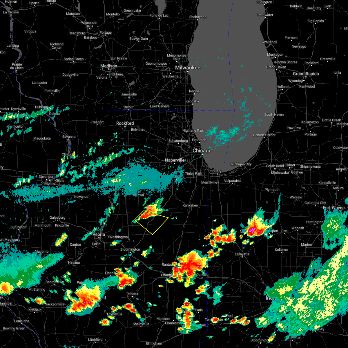 At 708 pm cdt, a severe thunderstorm was located over cornell, or 8 miles northwest of pontiac, moving southeast at 20 mph (radar indicated). Hazards include 60 mph wind gusts and quarter size hail. Hail damage to vehicles is expected. Expect wind damage to roofs, siding, and trees. At 708 pm cdt, a severe thunderstorm was located over cornell, or 8 miles northwest of pontiac, moving southeast at 20 mph (radar indicated). Hazards include 60 mph wind gusts and quarter size hail. Hail damage to vehicles is expected. Expect wind damage to roofs, siding, and trees.
|
| 8/29/2022 6:56 PM CDT |
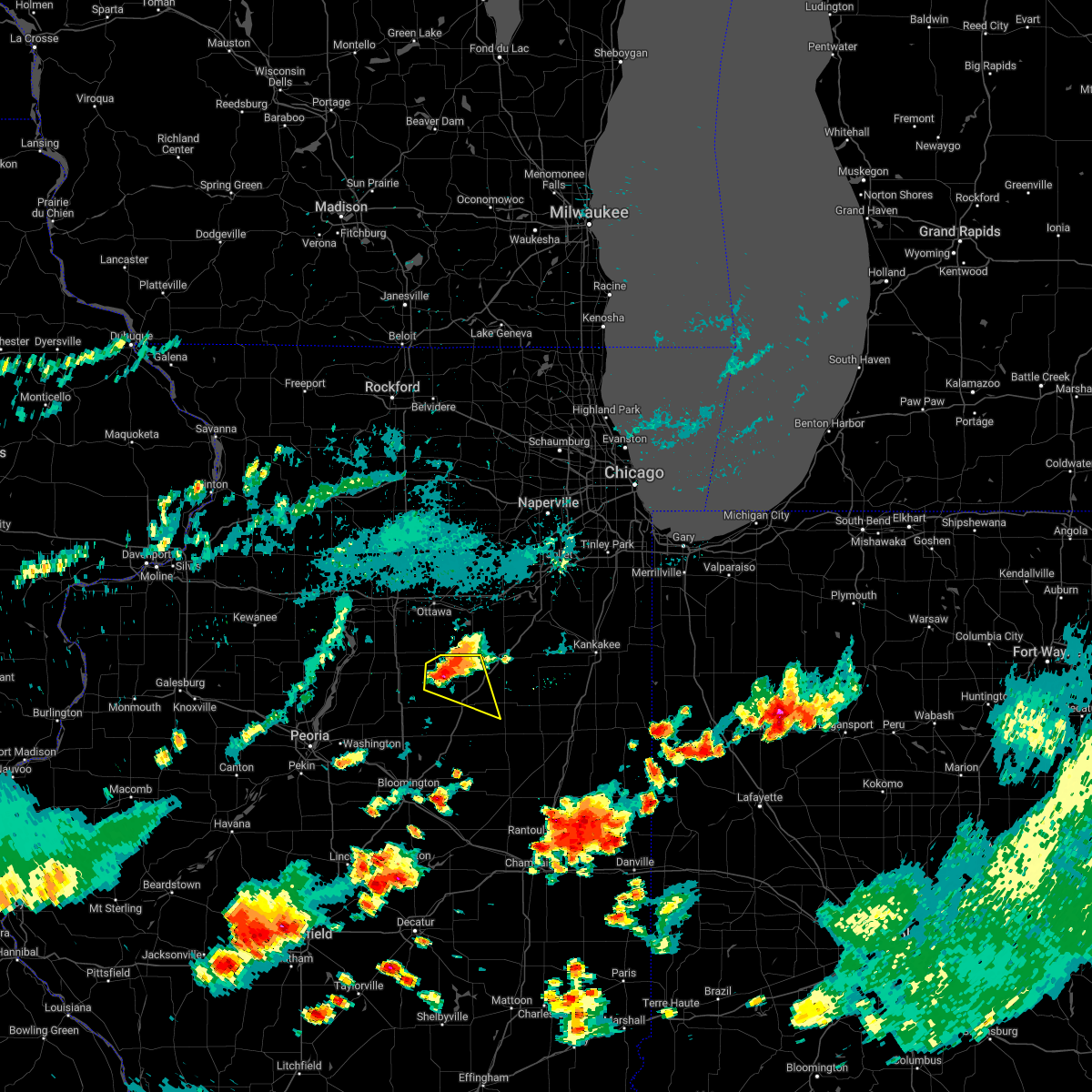 At 656 pm cdt, a severe thunderstorm was located over cornell, or 8 miles southeast of streator, moving east at 25 mph (radar indicated). Hazards include 60 mph wind gusts and quarter size hail. Hail damage to vehicles is expected. expect wind damage to roofs, siding, and trees. locations impacted include, streator, pontiac, odell, south streator, cornell and long point. including the following interstate, i-55 between mile markers 198 and 210. hail threat, radar indicated max hail size, 1. 00 in wind threat, radar indicated max wind gust, 60 mph. At 656 pm cdt, a severe thunderstorm was located over cornell, or 8 miles southeast of streator, moving east at 25 mph (radar indicated). Hazards include 60 mph wind gusts and quarter size hail. Hail damage to vehicles is expected. expect wind damage to roofs, siding, and trees. locations impacted include, streator, pontiac, odell, south streator, cornell and long point. including the following interstate, i-55 between mile markers 198 and 210. hail threat, radar indicated max hail size, 1. 00 in wind threat, radar indicated max wind gust, 60 mph.
|
| 8/29/2022 6:46 PM CDT |
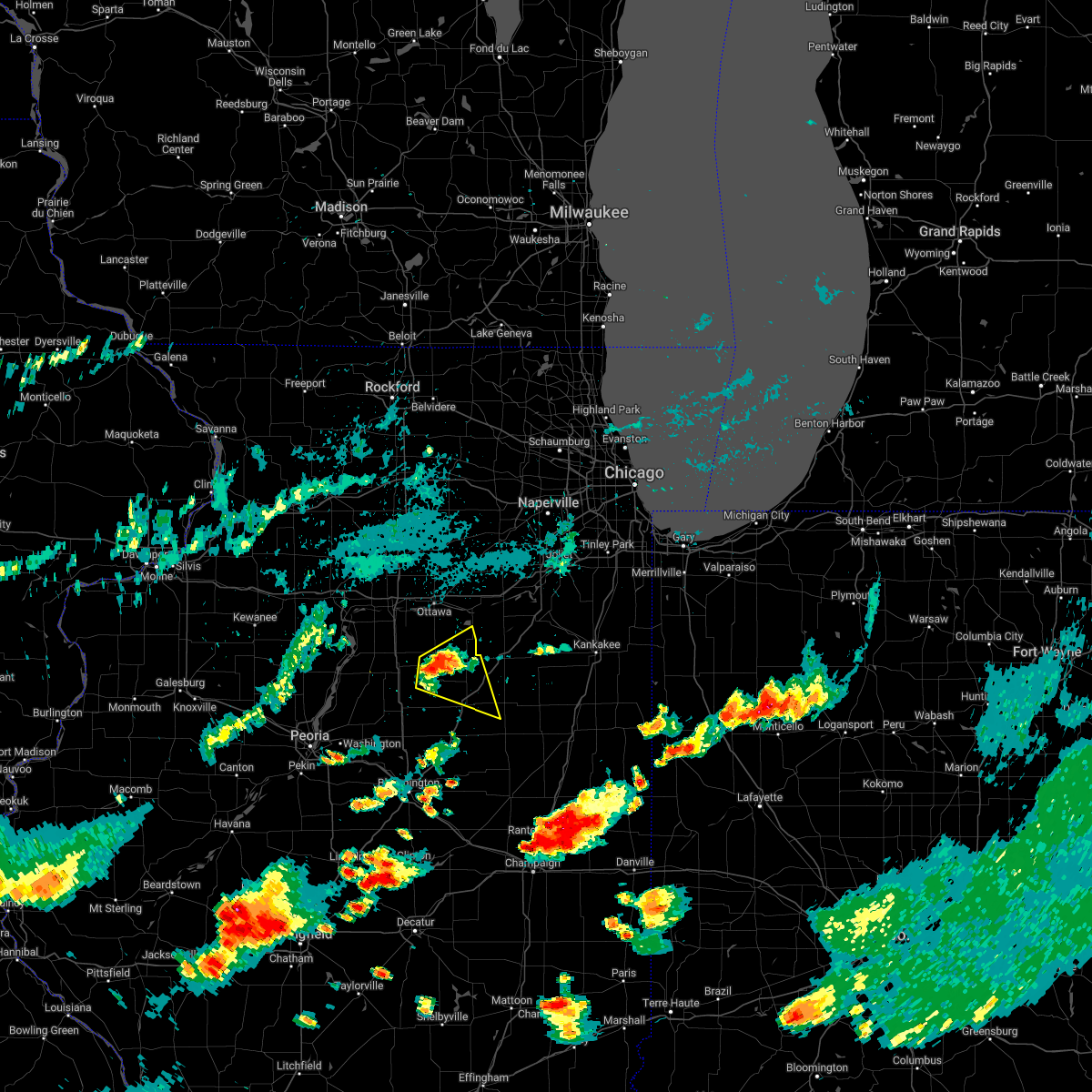 At 646 pm cdt, a severe thunderstorm was located near south streator, or near streator, moving east at 35 mph (radar indicated). Hazards include 60 mph wind gusts and quarter size hail. Hail damage to vehicles is expected. expect wind damage to roofs, siding, and trees. locations impacted include, streator, pontiac, odell, south streator, cornell, ransom, long point and dana. including the following interstate, i-55 between mile markers 198 and 210. hail threat, radar indicated max hail size, 1. 00 in wind threat, radar indicated max wind gust, 60 mph. At 646 pm cdt, a severe thunderstorm was located near south streator, or near streator, moving east at 35 mph (radar indicated). Hazards include 60 mph wind gusts and quarter size hail. Hail damage to vehicles is expected. expect wind damage to roofs, siding, and trees. locations impacted include, streator, pontiac, odell, south streator, cornell, ransom, long point and dana. including the following interstate, i-55 between mile markers 198 and 210. hail threat, radar indicated max hail size, 1. 00 in wind threat, radar indicated max wind gust, 60 mph.
|
| 8/29/2022 6:34 PM CDT |
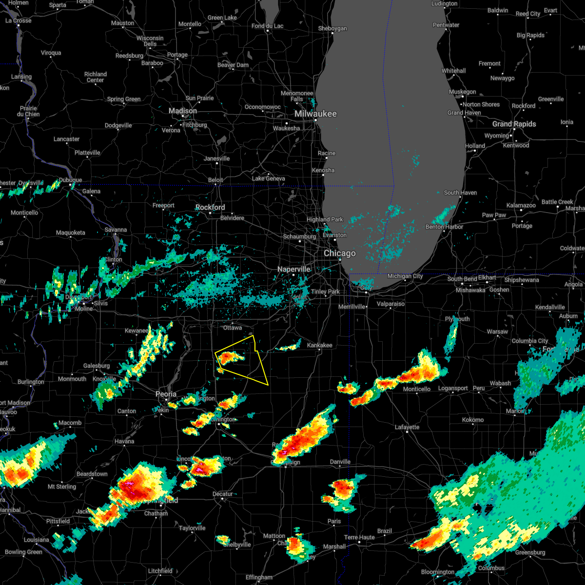 At 633 pm cdt, a severe thunderstorm was located near streator, moving east at 25 mph (radar indicated). Hazards include 60 mph wind gusts and quarter size hail. Hail damage to vehicles is expected. Expect wind damage to roofs, siding, and trees. At 633 pm cdt, a severe thunderstorm was located near streator, moving east at 25 mph (radar indicated). Hazards include 60 mph wind gusts and quarter size hail. Hail damage to vehicles is expected. Expect wind damage to roofs, siding, and trees.
|
| 8/29/2022 12:55 PM CDT | At 1255 pm cdt, severe thunderstorms were located along a line extending from near mazon to near flanagan, moving east at 45 mph (radar indicated). Hazards include 60 mph wind gusts and nickel size hail. Expect damage to roofs, siding, and trees. locations impacted include, streator, pontiac, marseilles, seneca, odell, south streator, grand ridge, cornell, ransom, kangley, long point, verona and kinsman. Including the following interstate, i-55 between mile markers 198 and 213. |
| 8/29/2022 12:39 PM CDT | At 1239 pm cdt, severe thunderstorms were located along a line extending from near grand ridge to minonk, moving east at 45 mph. strong winds will persist for a period behind the leading edge (radar indicated). Hazards include 60 mph wind gusts and nickel size hail. Expect damage to roofs, siding, and trees. locations impacted include, ottawa, streator, pontiac, la salle, marseilles, oglesby, seneca, gridley, north utica, flanagan, wenona, odell, south streator, tonica, grand ridge, naplate, cornell, lostant, ransom and rutland. this includes, buffalo rock state park, illini state park, matthiessen state park, and starved rock state park. including the following interstates, i-39 between mile markers 41 and 54. I-55 between mile markers 189 and 213. |
| 8/29/2022 12:23 PM CDT | At 1222 pm cdt, severe thunderstorms were located along a line extending from near north utica to near washburn, moving east at 45 mph (radar indicated). Hazards include 60 mph wind gusts and nickel size hail. Expect damage to roofs, siding, and trees. locations impacted include, ottawa, streator, pontiac, peru, la salle, marseilles, spring valley, oglesby, seneca, gridley, north utica, flanagan, wenona, odell, south streator, tonica, grand ridge, cornell, lostant and ransom. this includes, buffalo rock state park, illini state park, illinois valley community college, matthiessen state park, and starved rock state park. including the following interstates, i-39 between mile markers 41 and 56. I-55 between mile markers 189 and 213. |
| 8/29/2022 12:02 PM CDT | At 1202 pm cdt, severe thunderstorms were located along a line extending from spring valley to near sparland, moving southeast at 45 mph (radar indicated). Hazards include 60 mph wind gusts and nickel size hail. expect damage to roofs, siding, and trees |
| 4/30/2022 6:45 PM CDT |
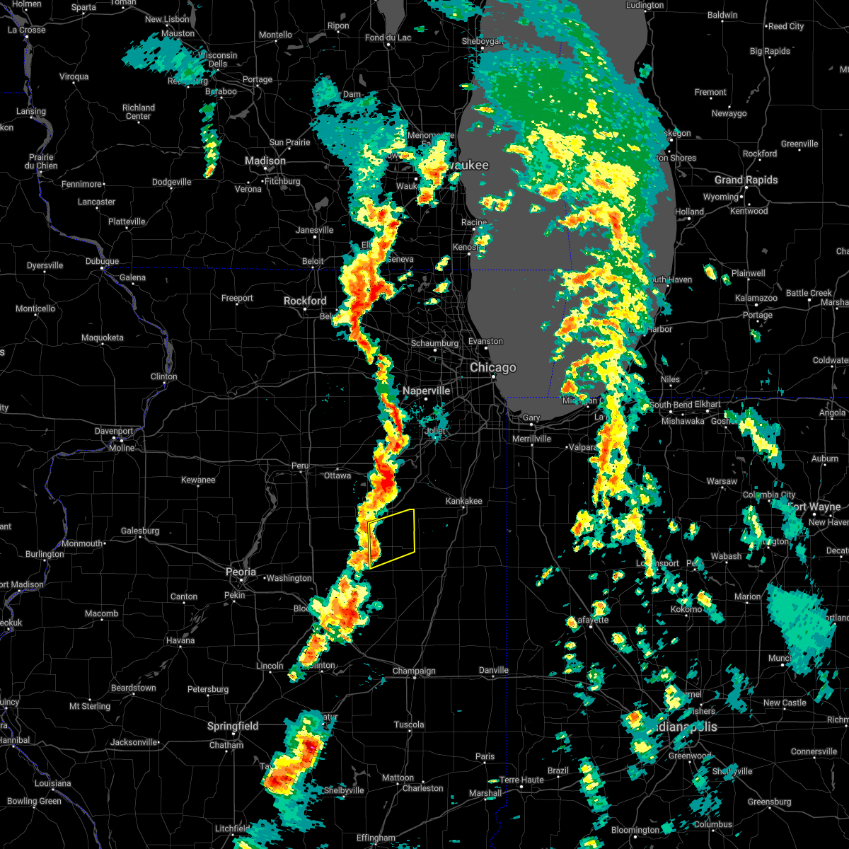 At 645 pm cdt, severe thunderstorms were located along a line extending from near odell to fairbury, moving northeast at 40 mph (radar indicated). Hazards include 60 mph wind gusts. Expect damage to roofs, siding, and trees. severe thunderstorms will be near, odell around 650 pm cdt. saunemin around 700 pm cdt. cullom around 710 pm cdt. other locations impacted by these severe thunderstorms include campus, emington and reddick. including the following interstate, i-55 between mile markers 204 and 214. hail threat, radar indicated max hail size, <. 75 in wind threat, radar indicated max wind gust, 60 mph. At 645 pm cdt, severe thunderstorms were located along a line extending from near odell to fairbury, moving northeast at 40 mph (radar indicated). Hazards include 60 mph wind gusts. Expect damage to roofs, siding, and trees. severe thunderstorms will be near, odell around 650 pm cdt. saunemin around 700 pm cdt. cullom around 710 pm cdt. other locations impacted by these severe thunderstorms include campus, emington and reddick. including the following interstate, i-55 between mile markers 204 and 214. hail threat, radar indicated max hail size, <. 75 in wind threat, radar indicated max wind gust, 60 mph.
|
| 4/30/2022 6:25 PM CDT |
 At 624 pm cdt, severe thunderstorms were located along a line extending from 6 miles south of newark to near cornell, moving northeast at 40 mph (radar indicated). Hazards include 60 mph wind gusts and quarter size hail. Hail damage to vehicles is expected. Expect wind damage to roofs, siding, and trees. At 624 pm cdt, severe thunderstorms were located along a line extending from 6 miles south of newark to near cornell, moving northeast at 40 mph (radar indicated). Hazards include 60 mph wind gusts and quarter size hail. Hail damage to vehicles is expected. Expect wind damage to roofs, siding, and trees.
|
| 10/11/2021 6:32 PM CDT |
 At 632 pm cdt, severe thunderstorms were located along a line extending from near mendota to near odell to chatsworth to 6 miles east of gibson city, moving northeast at 40 mph (radar indicated). Hazards include 60 mph wind gusts. Expect damage to roofs, siding, and trees. these severe storms will be near, paxton around 640 pm cdt. dwight and cullom around 645 pm cdt. gardner and mazon around 655 pm cdt. including the following interstates, i-39 between mile markers 43 and 64. i-55 between mile markers 200 and 229. i-57 between mile markers 258 and 263. I-80 between mile markers 74 and 90. At 632 pm cdt, severe thunderstorms were located along a line extending from near mendota to near odell to chatsworth to 6 miles east of gibson city, moving northeast at 40 mph (radar indicated). Hazards include 60 mph wind gusts. Expect damage to roofs, siding, and trees. these severe storms will be near, paxton around 640 pm cdt. dwight and cullom around 645 pm cdt. gardner and mazon around 655 pm cdt. including the following interstates, i-39 between mile markers 43 and 64. i-55 between mile markers 200 and 229. i-57 between mile markers 258 and 263. I-80 between mile markers 74 and 90.
|
| 10/11/2021 6:17 PM CDT |
 At 616 pm cdt, severe thunderstorms were located along a line extending from dalzell to near pontiac to 7 miles south of forrest to near fisher, moving northeast at 40 mph (radar indicated). Hazards include 70 mph wind gusts. Expect considerable tree damage. damage is likely to mobile homes, roofs, and outbuildings. these severe storms will be near, peru, la salle, oglesby and north utica around 620 pm cdt. forrest around 625 pm cdt. gibson city, chatsworth and odell around 630 pm cdt. piper city around 635 pm cdt. paxton around 640 pm cdt. dwight, gardner and cullom around 645 pm cdt. including the following interstates, i-39 between mile markers 41 and 64. i-55 between mile markers 191 and 229. i-57 between mile markers 258 and 263. I-80 between mile markers 73 and 90. At 616 pm cdt, severe thunderstorms were located along a line extending from dalzell to near pontiac to 7 miles south of forrest to near fisher, moving northeast at 40 mph (radar indicated). Hazards include 70 mph wind gusts. Expect considerable tree damage. damage is likely to mobile homes, roofs, and outbuildings. these severe storms will be near, peru, la salle, oglesby and north utica around 620 pm cdt. forrest around 625 pm cdt. gibson city, chatsworth and odell around 630 pm cdt. piper city around 635 pm cdt. paxton around 640 pm cdt. dwight, gardner and cullom around 645 pm cdt. including the following interstates, i-39 between mile markers 41 and 64. i-55 between mile markers 191 and 229. i-57 between mile markers 258 and 263. I-80 between mile markers 73 and 90.
|
| 10/11/2021 5:59 PM CDT |
 At 558 pm cdt, severe thunderstorms were located along a line extending from near depue to near flanagan to near saybrook to near mansfield, moving northeast at 45 mph (radar indicated). Hazards include 70 mph wind gusts. Expect considerable tree damage. damage is likely to mobile homes, roofs, and outbuildings. these severe storms will be near, spring valley around 605 pm cdt. pontiac around 610 pm cdt. cornell around 615 pm cdt. forrest and odell around 625 pm cdt. gibson city and chatsworth around 630 pm cdt. piper city around 635 pm cdt. paxton, dwight and cullom around 640 pm cdt. gardner and mazon around 650 pm cdt. including the following interstates, i-39 between mile markers 41 and 64. i-55 between mile markers 188 and 229. i-57 between mile markers 258 and 263. I-80 between mile markers 73 and 90. At 558 pm cdt, severe thunderstorms were located along a line extending from near depue to near flanagan to near saybrook to near mansfield, moving northeast at 45 mph (radar indicated). Hazards include 70 mph wind gusts. Expect considerable tree damage. damage is likely to mobile homes, roofs, and outbuildings. these severe storms will be near, spring valley around 605 pm cdt. pontiac around 610 pm cdt. cornell around 615 pm cdt. forrest and odell around 625 pm cdt. gibson city and chatsworth around 630 pm cdt. piper city around 635 pm cdt. paxton, dwight and cullom around 640 pm cdt. gardner and mazon around 650 pm cdt. including the following interstates, i-39 between mile markers 41 and 64. i-55 between mile markers 188 and 229. i-57 between mile markers 258 and 263. I-80 between mile markers 73 and 90.
|
| 10/11/2021 5:37 PM CDT |
 At 535 pm cdt, severe thunderstorms were located along a line extending from near el paso to near bloomington to near weldon, moving northeast at 40 mph (radar indicated). Hazards include 70 mph wind gusts. Expect considerable tree damage. Damage is likely to mobile homes, roofs, and outbuildings. At 535 pm cdt, severe thunderstorms were located along a line extending from near el paso to near bloomington to near weldon, moving northeast at 40 mph (radar indicated). Hazards include 70 mph wind gusts. Expect considerable tree damage. Damage is likely to mobile homes, roofs, and outbuildings.
|
| 9/7/2021 4:24 PM CDT |
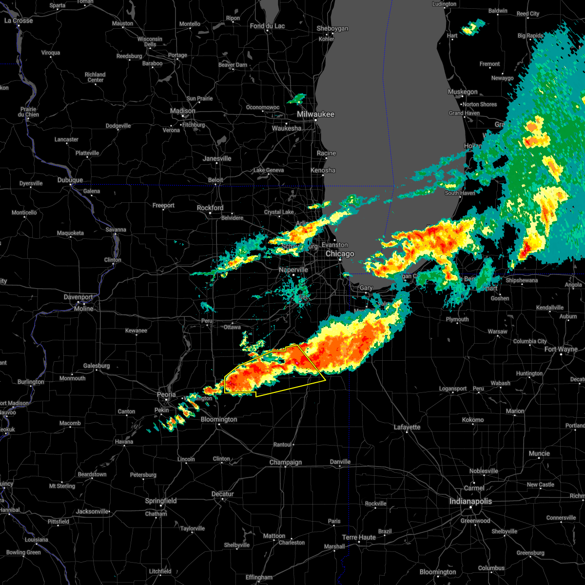 At 424 pm cdt, severe thunderstorms were located along a line extending from near herscher to near flanagan, moving southeast at 35 mph (radar indicated). Hazards include 60 mph wind gusts and quarter size hail. Hail damage to vehicles is expected. expect wind damage to roofs, siding, and trees. locations impacted include, pontiac, dwight, fairbury, herscher, clifton, gridley, forrest, flanagan, odell, ashkum, cullom, cornell, saunemin, danforth, buckingham, cabery, kempton, campus, reddick and emington. hail threat, radar indicated max hail size, 1. 00 in wind threat, radar indicated max wind gust, 60 mph. At 424 pm cdt, severe thunderstorms were located along a line extending from near herscher to near flanagan, moving southeast at 35 mph (radar indicated). Hazards include 60 mph wind gusts and quarter size hail. Hail damage to vehicles is expected. expect wind damage to roofs, siding, and trees. locations impacted include, pontiac, dwight, fairbury, herscher, clifton, gridley, forrest, flanagan, odell, ashkum, cullom, cornell, saunemin, danforth, buckingham, cabery, kempton, campus, reddick and emington. hail threat, radar indicated max hail size, 1. 00 in wind threat, radar indicated max wind gust, 60 mph.
|
| 9/7/2021 4:06 PM CDT |
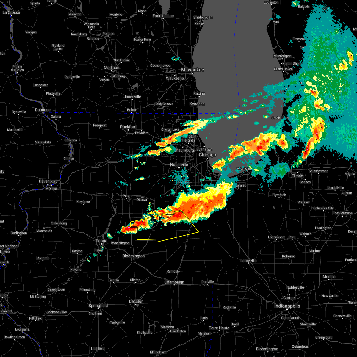 At 406 pm cdt, severe thunderstorms were located along a line extending from 6 miles west of herscher to near minonk, moving southeast at 35 mph (radar indicated). Hazards include 60 mph wind gusts and quarter size hail. Hail damage to vehicles is expected. Expect wind damage to roofs, siding, and trees. At 406 pm cdt, severe thunderstorms were located along a line extending from 6 miles west of herscher to near minonk, moving southeast at 35 mph (radar indicated). Hazards include 60 mph wind gusts and quarter size hail. Hail damage to vehicles is expected. Expect wind damage to roofs, siding, and trees.
|
| 11/10/2020 5:38 PM CST |
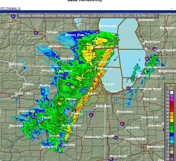 The severe thunderstorm warning for northern livingston and grundy counties will expire at 545 pm cst, the storms which prompted the warning have weakened below severe limits, and no longer pose an immediate threat to life or property. therefore, the warning will be allowed to expire. however gusty winds and heavy rain are still possible with these thunderstorms. a tornado watch remains in effect until 800 pm cst for central, north central, northeastern and east central illinois. The severe thunderstorm warning for northern livingston and grundy counties will expire at 545 pm cst, the storms which prompted the warning have weakened below severe limits, and no longer pose an immediate threat to life or property. therefore, the warning will be allowed to expire. however gusty winds and heavy rain are still possible with these thunderstorms. a tornado watch remains in effect until 800 pm cst for central, north central, northeastern and east central illinois.
|
| 11/10/2020 5:24 PM CST |
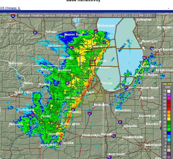 At 523 pm cst, severe thunderstorms were located along a line extending from channahon to near dwight to near chenoa, moving northeast at 40 mph (radar indicated). Hazards include 70 mph wind gusts. Expect considerable tree damage. damage is likely to mobile homes, roofs, and outbuildings. Locations impacted include, morris, channahon, pontiac, minooka, coal city, dwight, diamond, chenoa, gardner, odell, mazon, braceville, cullom, saunemin, south wilmington, godley, carbon hill, verona, campus and reddick. At 523 pm cst, severe thunderstorms were located along a line extending from channahon to near dwight to near chenoa, moving northeast at 40 mph (radar indicated). Hazards include 70 mph wind gusts. Expect considerable tree damage. damage is likely to mobile homes, roofs, and outbuildings. Locations impacted include, morris, channahon, pontiac, minooka, coal city, dwight, diamond, chenoa, gardner, odell, mazon, braceville, cullom, saunemin, south wilmington, godley, carbon hill, verona, campus and reddick.
|
| 11/10/2020 4:58 PM CST |
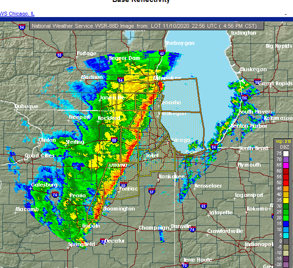 At 457 pm cst, severe thunderstorms were located along a line extending from near morris to cornell to near gridley, moving east at 40 mph. these storms have a history of producing wind damage and measured severe wind gusts (radar indicated). Hazards include 70 mph wind gusts. Expect considerable tree damage. damage is likely to mobile homes, roofs, and outbuildings. Locations impacted include, streator, morris, channahon, pontiac, minooka, coal city, marseilles, dwight, diamond, seneca, chenoa, gardner, gridley, flanagan, odell, mazon, braceville, cullom, cornell and saunemin. At 457 pm cst, severe thunderstorms were located along a line extending from near morris to cornell to near gridley, moving east at 40 mph. these storms have a history of producing wind damage and measured severe wind gusts (radar indicated). Hazards include 70 mph wind gusts. Expect considerable tree damage. damage is likely to mobile homes, roofs, and outbuildings. Locations impacted include, streator, morris, channahon, pontiac, minooka, coal city, marseilles, dwight, diamond, seneca, chenoa, gardner, gridley, flanagan, odell, mazon, braceville, cullom, cornell and saunemin.
|
| 11/10/2020 4:34 PM CST |
 At 434 pm cst, severe thunderstorms were located along a line extending from ottawa to near minonk to near minier, moving east at 40 mph. these storms have a history of producing wind damage (radar indicated). Hazards include 70 mph wind gusts. Expect considerable tree damage. Damage is likely to mobile homes, roofs, and outbuildings. At 434 pm cst, severe thunderstorms were located along a line extending from ottawa to near minonk to near minier, moving east at 40 mph. these storms have a history of producing wind damage (radar indicated). Hazards include 70 mph wind gusts. Expect considerable tree damage. Damage is likely to mobile homes, roofs, and outbuildings.
|
| 8/10/2020 3:10 PM CDT |
 At 310 pm cdt, severe thunderstorms were located along a line extending from near sharon to near genoa to near morris to near chenoa, moving east at 75 mph (radar indicated). Hazards include 60 mph wind gusts. Expect damage to roofs, siding, and trees. Locations impacted include, streator, pontiac, dwight, fairbury, chatsworth, gridley, forrest, flanagan, odell, south streator, cullom, cornell, saunemin, long point, campus, emington and strawn. At 310 pm cdt, severe thunderstorms were located along a line extending from near sharon to near genoa to near morris to near chenoa, moving east at 75 mph (radar indicated). Hazards include 60 mph wind gusts. Expect damage to roofs, siding, and trees. Locations impacted include, streator, pontiac, dwight, fairbury, chatsworth, gridley, forrest, flanagan, odell, south streator, cullom, cornell, saunemin, long point, campus, emington and strawn.
|
| 8/10/2020 2:47 PM CDT |
 At 247 pm cdt, severe thunderstorms were located along a line extending from near durand to near davis junction to near north utica to roanoke, moving east at 75 mph (radar indicated). Hazards include 60 mph wind gusts. expect damage to roofs, siding, and trees At 247 pm cdt, severe thunderstorms were located along a line extending from near durand to near davis junction to near north utica to roanoke, moving east at 75 mph (radar indicated). Hazards include 60 mph wind gusts. expect damage to roofs, siding, and trees
|
| 7/19/2020 11:09 AM CDT |
 The severe thunderstorm warning for northeastern livingston county will expire at 1115 am cdt, the strongest part of the storm which prompted the warning has east of the area.therefore, the warning will be allowed to expire. a severe thunderstorm watch remains in effect until 600 pm cdt for central, northeastern and east central illinois. The severe thunderstorm warning for northeastern livingston county will expire at 1115 am cdt, the strongest part of the storm which prompted the warning has east of the area.therefore, the warning will be allowed to expire. a severe thunderstorm watch remains in effect until 600 pm cdt for central, northeastern and east central illinois.
|
| 7/19/2020 10:40 AM CDT |
 At 1039 am cdt, a severe thunderstorm was located near odell, or near pontiac, moving east at 60 mph (radar indicated). Hazards include 60 mph wind gusts. expect damage to roofs, siding, and trees At 1039 am cdt, a severe thunderstorm was located near odell, or near pontiac, moving east at 60 mph (radar indicated). Hazards include 60 mph wind gusts. expect damage to roofs, siding, and trees
|
| 7/11/2020 9:38 PM CDT |
 At 937 pm cdt, severe thunderstorms were located along a line extending from dwight to near forrest to near colfax, moving east at 50 mph (radar indicated). Hazards include 60 mph wind gusts. Expect damage to roofs, siding, and trees. Locations impacted include, pontiac, paxton, dwight, fairbury, gibson city, chatsworth, forrest, odell, piper city, cullom, saunemin, melvin, roberts, elliott, sibley, cabery, kempton, campus, reddick and emington. At 937 pm cdt, severe thunderstorms were located along a line extending from dwight to near forrest to near colfax, moving east at 50 mph (radar indicated). Hazards include 60 mph wind gusts. Expect damage to roofs, siding, and trees. Locations impacted include, pontiac, paxton, dwight, fairbury, gibson city, chatsworth, forrest, odell, piper city, cullom, saunemin, melvin, roberts, elliott, sibley, cabery, kempton, campus, reddick and emington.
|
| 7/11/2020 9:21 PM CDT |
 At 920 pm cdt, severe thunderstorms were located along a line extending from 8 miles northwest of dwight to near towanda to near hartsburg, moving southeast at 50 mph. the strongest portion of the storm is just west of fairbury and south of pontiac (radar indicated). Hazards include 60 mph wind gusts and nickel size hail. Expect damage to roofs, siding, and trees. Locations impacted include, pontiac, paxton, dwight, fairbury, gibson city, chatsworth, gridley, forrest, flanagan, odell, piper city, cullom, saunemin, melvin, roberts, elliott, sibley, cabery, kempton and campus. At 920 pm cdt, severe thunderstorms were located along a line extending from 8 miles northwest of dwight to near towanda to near hartsburg, moving southeast at 50 mph. the strongest portion of the storm is just west of fairbury and south of pontiac (radar indicated). Hazards include 60 mph wind gusts and nickel size hail. Expect damage to roofs, siding, and trees. Locations impacted include, pontiac, paxton, dwight, fairbury, gibson city, chatsworth, gridley, forrest, flanagan, odell, piper city, cullom, saunemin, melvin, roberts, elliott, sibley, cabery, kempton and campus.
|
| 7/11/2020 8:55 PM CDT |
 At 855 pm cdt, severe thunderstorms were located along a line extending from naplate to near eureka to green valley, moving southeast at 50 mph (radar indicated). Hazards include 70 mph wind gusts. Expect considerable tree damage. Damage is likely to mobile homes, roofs, and outbuildings. At 855 pm cdt, severe thunderstorms were located along a line extending from naplate to near eureka to green valley, moving southeast at 50 mph (radar indicated). Hazards include 70 mph wind gusts. Expect considerable tree damage. Damage is likely to mobile homes, roofs, and outbuildings.
|
| 6/26/2020 9:24 PM CDT |
 At 923 pm cdt, a severe thunderstorm was located 7 miles north of cullom, or 10 miles southeast of dwight, moving east at 55 mph (radar indicated). Hazards include 60 mph wind gusts. Expect damage to roofs, siding, and trees. This severe thunderstorm will remain over mainly rural areas of northeastern livingston county, including the following locations, campus, emington, saunemin and reddick. At 923 pm cdt, a severe thunderstorm was located 7 miles north of cullom, or 10 miles southeast of dwight, moving east at 55 mph (radar indicated). Hazards include 60 mph wind gusts. Expect damage to roofs, siding, and trees. This severe thunderstorm will remain over mainly rural areas of northeastern livingston county, including the following locations, campus, emington, saunemin and reddick.
|
| 6/26/2020 9:10 PM CDT |
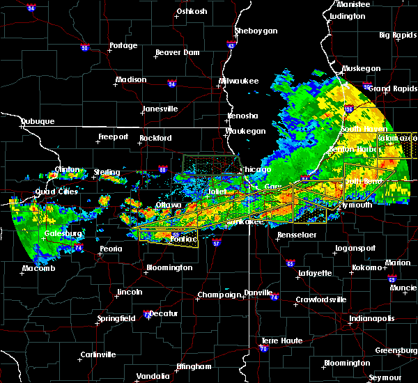 At 909 pm cdt, a severe thunderstorm was located near odell, or 9 miles north of pontiac, moving east at 50 mph (radar indicated). Hazards include 70 mph wind gusts. Expect considerable tree damage. damage is likely to mobile homes, roofs, and outbuildings. this severe storm will be near, odell around 915 pm cdt. cullom around 935 pm cdt. Other locations impacted by this severe thunderstorm include cornell, campus, emington, saunemin and reddick. At 909 pm cdt, a severe thunderstorm was located near odell, or 9 miles north of pontiac, moving east at 50 mph (radar indicated). Hazards include 70 mph wind gusts. Expect considerable tree damage. damage is likely to mobile homes, roofs, and outbuildings. this severe storm will be near, odell around 915 pm cdt. cullom around 935 pm cdt. Other locations impacted by this severe thunderstorm include cornell, campus, emington, saunemin and reddick.
|
| 6/26/2020 8:53 PM CDT |
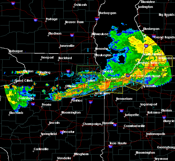 At 853 pm cdt, a severe thunderstorm was located 7 miles southwest of streator, moving east at 50 mph (radar indicated). Hazards include 70 mph wind gusts. Expect considerable tree damage. damage is likely to mobile homes, roofs, and outbuildings. this severe thunderstorm will be near, odell around 920 pm cdt. cullom around 935 pm cdt. Including the following interstate, i-55 between mile markers 198 and 218. At 853 pm cdt, a severe thunderstorm was located 7 miles southwest of streator, moving east at 50 mph (radar indicated). Hazards include 70 mph wind gusts. Expect considerable tree damage. damage is likely to mobile homes, roofs, and outbuildings. this severe thunderstorm will be near, odell around 920 pm cdt. cullom around 935 pm cdt. Including the following interstate, i-55 between mile markers 198 and 218.
|
| 9/27/2019 11:52 PM CDT |
 At 1152 pm cdt, severe thunderstorms were located along a line extending from near pontiac to chenoa to near cooksville, moving east at 50 mph (radar indicated). Hazards include 60 mph wind gusts. expect damage to roofs, siding, and trees At 1152 pm cdt, severe thunderstorms were located along a line extending from near pontiac to chenoa to near cooksville, moving east at 50 mph (radar indicated). Hazards include 60 mph wind gusts. expect damage to roofs, siding, and trees
|
| 7/6/2019 5:22 PM CDT |
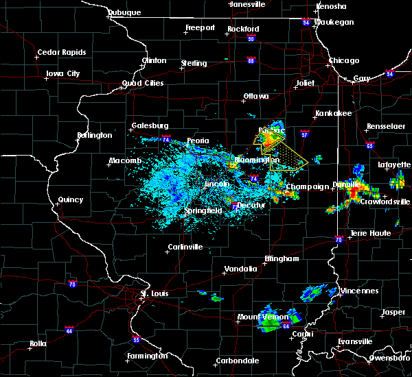 At 522 pm cdt, a severe thunderstorm was located near forrest, or near fairbury, moving southeast at 25 mph (radar indicated). Hazards include 60 mph wind gusts and quarter size hail. Hail damage to vehicles is expected. expect wind damage to roofs, siding, and trees. Locations impacted include, pontiac, fairbury, forrest and saunemin. At 522 pm cdt, a severe thunderstorm was located near forrest, or near fairbury, moving southeast at 25 mph (radar indicated). Hazards include 60 mph wind gusts and quarter size hail. Hail damage to vehicles is expected. expect wind damage to roofs, siding, and trees. Locations impacted include, pontiac, fairbury, forrest and saunemin.
|
| 7/6/2019 5:07 PM CDT |
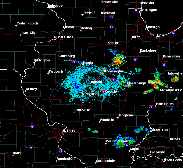 At 507 pm cdt, a severe thunderstorm was located over fairbury, moving southeast at 30 mph (radar indicated). Hazards include 60 mph wind gusts and quarter size hail. Hail damage to vehicles is expected. expect wind damage to roofs, siding, and trees. Locations impacted include, pontiac, fairbury, forrest and saunemin. At 507 pm cdt, a severe thunderstorm was located over fairbury, moving southeast at 30 mph (radar indicated). Hazards include 60 mph wind gusts and quarter size hail. Hail damage to vehicles is expected. expect wind damage to roofs, siding, and trees. Locations impacted include, pontiac, fairbury, forrest and saunemin.
|
| 7/6/2019 4:58 PM CDT |
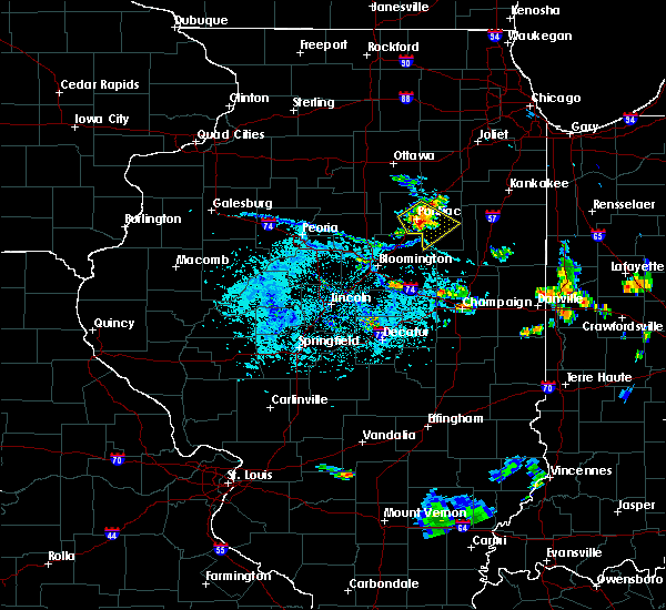 At 458 pm cdt, a severe thunderstorm was located near pontiac, moving southeast at 20 mph (radar indicated). Hazards include 60 mph wind gusts and quarter size hail. Hail damage to vehicles is expected. expect wind damage to roofs, siding, and trees. Locations impacted include, pontiac, fairbury, forrest, odell and saunemin. At 458 pm cdt, a severe thunderstorm was located near pontiac, moving southeast at 20 mph (radar indicated). Hazards include 60 mph wind gusts and quarter size hail. Hail damage to vehicles is expected. expect wind damage to roofs, siding, and trees. Locations impacted include, pontiac, fairbury, forrest, odell and saunemin.
|
| 7/6/2019 4:52 PM CDT |
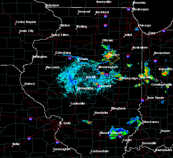 At 452 pm cdt, a severe thunderstorm was located over pontiac, moving southeast at 20 mph (radar indicated). Hazards include 60 mph wind gusts. expect damage to roofs, siding, and trees At 452 pm cdt, a severe thunderstorm was located over pontiac, moving southeast at 20 mph (radar indicated). Hazards include 60 mph wind gusts. expect damage to roofs, siding, and trees
|
| 6/30/2019 3:07 PM CDT |
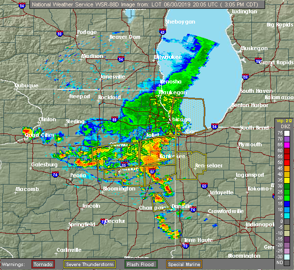 At 307 pm cdt, severe thunderstorms were located along a line extending from near varna to 8 miles northwest of pontiac to near odell to 7 miles southeast of gardner, moving south at 30 mph (trained weather spotters). Hazards include 60 mph wind gusts. Expect damage to roofs, siding, and trees. Locations impacted include, dwight, odell, cornell, long point, campus, reddick and dana. At 307 pm cdt, severe thunderstorms were located along a line extending from near varna to 8 miles northwest of pontiac to near odell to 7 miles southeast of gardner, moving south at 30 mph (trained weather spotters). Hazards include 60 mph wind gusts. Expect damage to roofs, siding, and trees. Locations impacted include, dwight, odell, cornell, long point, campus, reddick and dana.
|
| 6/30/2019 3:00 PM CDT | Powerlines down in odel in livingston county IL, 0.3 miles NNE of Odell, IL |
| 6/30/2019 2:46 PM CDT |
 At 246 pm cdt, severe thunderstorms were located along a line extending from oglesby to 9 miles east of streator to near coal city, moving southeast at 25 mph (radar indicated). Hazards include 60 mph wind gusts. Expect damage to roofs, siding, and trees. Locations impacted include, ottawa, streator, morris, channahon, minooka, peru, marseilles, dwight, oglesby, seneca, la salle, coal city, diamond, utica, gardner, north utica, wenona, odell, mazon and braceville. At 246 pm cdt, severe thunderstorms were located along a line extending from oglesby to 9 miles east of streator to near coal city, moving southeast at 25 mph (radar indicated). Hazards include 60 mph wind gusts. Expect damage to roofs, siding, and trees. Locations impacted include, ottawa, streator, morris, channahon, minooka, peru, marseilles, dwight, oglesby, seneca, la salle, coal city, diamond, utica, gardner, north utica, wenona, odell, mazon and braceville.
|
| 6/30/2019 2:28 PM CDT |
 At 228 pm cdt, severe thunderstorms were located along a line extending from near granville to near streator to 6 miles west of herscher, moving south at 45 mph (radar indicated). Hazards include 60 mph wind gusts. expect damage to roofs, siding, and trees At 228 pm cdt, severe thunderstorms were located along a line extending from near granville to near streator to 6 miles west of herscher, moving south at 45 mph (radar indicated). Hazards include 60 mph wind gusts. expect damage to roofs, siding, and trees
|
| 6/29/2019 5:22 PM CDT |
 At 521 pm cdt, a severe thunderstorm was located near dwight, moving southeast at 15 mph. an additional storm over pontiac will also be capable of producing strong wind gusts to 60 mph (radar indicated). Hazards include 60 mph wind gusts and quarter size hail. Hail damage to vehicles is expected. expect wind damage to roofs, siding, and trees. Locations impacted include, pontiac, dwight, odell, saunemin, campus and emington. At 521 pm cdt, a severe thunderstorm was located near dwight, moving southeast at 15 mph. an additional storm over pontiac will also be capable of producing strong wind gusts to 60 mph (radar indicated). Hazards include 60 mph wind gusts and quarter size hail. Hail damage to vehicles is expected. expect wind damage to roofs, siding, and trees. Locations impacted include, pontiac, dwight, odell, saunemin, campus and emington.
|
| 6/29/2019 5:03 PM CDT |
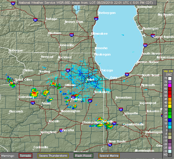 The national weather service in chicago has issued a * severe thunderstorm warning for. central livingston county in central illinois. south central grundy county in northeastern illinois. until 545 pm cdt. At 502 pm cdt, a severe thunderstorm was located over dwight,. The national weather service in chicago has issued a * severe thunderstorm warning for. central livingston county in central illinois. south central grundy county in northeastern illinois. until 545 pm cdt. At 502 pm cdt, a severe thunderstorm was located over dwight,.
|
| 5/23/2019 1:43 AM CDT |
 At 143 am cdt, severe thunderstorms were located along a line extending from 7 miles northwest of cullom to near piper city to near buckley to near thomasboro, moving northeast at 70 mph. in addition, brief tornado spin ups will be possible with this line of thunderstorms. these are very dangerous storms (radar indicated). Hazards include 80 mph wind gusts and nickel size hail. Flying debris will be dangerous to those caught without shelter. mobile homes will be heavily damaged. expect considerable damage to roofs, windows, and vehicles. extensive tree damage and power outages are likely. Locations impacted include, pontiac, watseka, paxton, fairbury, gibson city, piper city, claytonville, gilman, clifton, onarga, milford, forrest, chatsworth, chebanse, odell, cissna park, ashkum, buckley, cullom and gibson. At 143 am cdt, severe thunderstorms were located along a line extending from 7 miles northwest of cullom to near piper city to near buckley to near thomasboro, moving northeast at 70 mph. in addition, brief tornado spin ups will be possible with this line of thunderstorms. these are very dangerous storms (radar indicated). Hazards include 80 mph wind gusts and nickel size hail. Flying debris will be dangerous to those caught without shelter. mobile homes will be heavily damaged. expect considerable damage to roofs, windows, and vehicles. extensive tree damage and power outages are likely. Locations impacted include, pontiac, watseka, paxton, fairbury, gibson city, piper city, claytonville, gilman, clifton, onarga, milford, forrest, chatsworth, chebanse, odell, cissna park, ashkum, buckley, cullom and gibson.
|
| 5/23/2019 1:29 AM CDT |
 At 112 am cdt, severe thunderstorms were located along a line extending from near towanda to near cooksville to farmer city to near argenta, moving northeast at 65 mph. another thunderstorm, capable of producing a tornado, was located just northwest of chatsworth (radar indicated). Hazards include 70 mph wind gusts and nickel size hail. Expect considerable tree damage. Damage is likely to mobile homes, roofs, and outbuildings. At 112 am cdt, severe thunderstorms were located along a line extending from near towanda to near cooksville to farmer city to near argenta, moving northeast at 65 mph. another thunderstorm, capable of producing a tornado, was located just northwest of chatsworth (radar indicated). Hazards include 70 mph wind gusts and nickel size hail. Expect considerable tree damage. Damage is likely to mobile homes, roofs, and outbuildings.
|
| 5/23/2019 1:12 AM CDT |
 At 112 am cdt, severe thunderstorms were located along a line extending from near towanda to near cooksville to farmer city to near argenta, moving northeast at 65 mph. another thunderstorm, capable of producing a tornado, was located just northwest of chatsworth (radar indicated). Hazards include 70 mph wind gusts and nickel size hail. Expect considerable tree damage. Damage is likely to mobile homes, roofs, and outbuildings. At 112 am cdt, severe thunderstorms were located along a line extending from near towanda to near cooksville to farmer city to near argenta, moving northeast at 65 mph. another thunderstorm, capable of producing a tornado, was located just northwest of chatsworth (radar indicated). Hazards include 70 mph wind gusts and nickel size hail. Expect considerable tree damage. Damage is likely to mobile homes, roofs, and outbuildings.
|
| 5/23/2019 12:43 AM CDT |
 At 1241 am cdt, a severe thunderstorm capable of producing a tornado was located near chenoa, or about 5 miles west of fairbury, moving northeast at 30 mph (radar indicated rotation). Hazards include tornado and quarter size hail. Flying debris will be dangerous to those caught without shelter. mobile homes will be damaged or destroyed. damage to roofs, windows, and vehicles will occur. tree damage is likely. this dangerous storm will be near, mcdowell around 1250 am cdt. forrest around 100 am cdt. Other locations impacted by this tornadic thunderstorm include saunemin. At 1241 am cdt, a severe thunderstorm capable of producing a tornado was located near chenoa, or about 5 miles west of fairbury, moving northeast at 30 mph (radar indicated rotation). Hazards include tornado and quarter size hail. Flying debris will be dangerous to those caught without shelter. mobile homes will be damaged or destroyed. damage to roofs, windows, and vehicles will occur. tree damage is likely. this dangerous storm will be near, mcdowell around 1250 am cdt. forrest around 100 am cdt. Other locations impacted by this tornadic thunderstorm include saunemin.
|
| 5/23/2019 12:22 AM CDT |
 At 1221 am cdt, a severe thunderstorm capable of producing a tornado was located near lexington, or 14 miles southwest of pontiac, moving northeast at 35 mph (radar indicated rotation). Hazards include tornado and quarter size hail. Flying debris will be dangerous to those caught without shelter. mobile homes will be damaged or destroyed. damage to roofs, windows, and vehicles will occur. tree damage is likely. this dangerous storm will be near, pontiac and fairbury around 1245 am cdt. other locations impacted by this tornadic thunderstorm include saunemin. Including the following interstate, i-55 between mile markers 188 and 198, and between mile markers 201 and 206. At 1221 am cdt, a severe thunderstorm capable of producing a tornado was located near lexington, or 14 miles southwest of pontiac, moving northeast at 35 mph (radar indicated rotation). Hazards include tornado and quarter size hail. Flying debris will be dangerous to those caught without shelter. mobile homes will be damaged or destroyed. damage to roofs, windows, and vehicles will occur. tree damage is likely. this dangerous storm will be near, pontiac and fairbury around 1245 am cdt. other locations impacted by this tornadic thunderstorm include saunemin. Including the following interstate, i-55 between mile markers 188 and 198, and between mile markers 201 and 206.
|
| 5/16/2019 1:35 PM CDT |
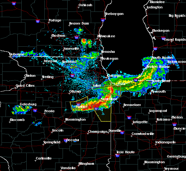 The severe thunderstorm warning for northeastern livingston and southern grundy counties will expire at 145 pm cdt, the storms which prompted the warning have moved out of the area. therefore, the warning will be allowed to expire. a severe thunderstorm watch remains in effect until 600 pm cdt for central, northeastern and east central illinois. The severe thunderstorm warning for northeastern livingston and southern grundy counties will expire at 145 pm cdt, the storms which prompted the warning have moved out of the area. therefore, the warning will be allowed to expire. a severe thunderstorm watch remains in effect until 600 pm cdt for central, northeastern and east central illinois.
|
| 5/16/2019 1:14 PM CDT |
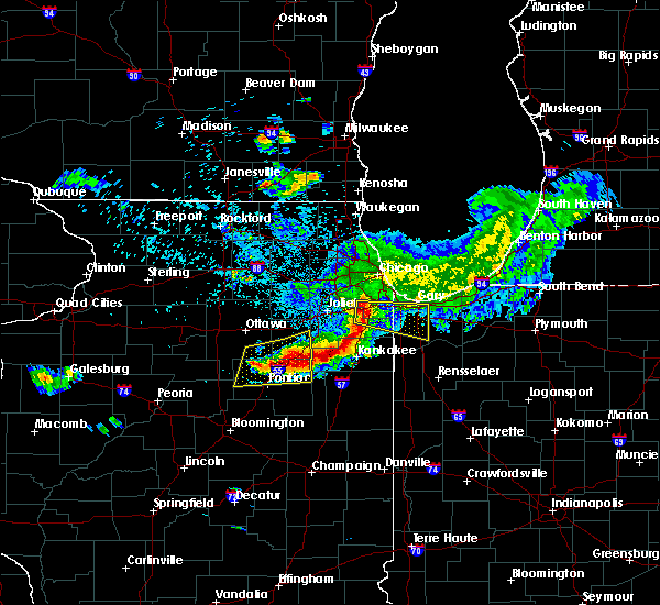 A severe thunderstorm warning remains in effect until 145 pm cdt for northeastern livingston and southern grundy counties. at 114 pm cdt, severe thunderstorms were located along a line extending from 6 miles north of herscher to near dwight to 6 miles west of odell, moving southeast at 35 mph. hazard. 60 mph wind gusts and quarter size hail. A severe thunderstorm warning remains in effect until 145 pm cdt for northeastern livingston and southern grundy counties. at 114 pm cdt, severe thunderstorms were located along a line extending from 6 miles north of herscher to near dwight to 6 miles west of odell, moving southeast at 35 mph. hazard. 60 mph wind gusts and quarter size hail.
|
| 5/16/2019 12:55 PM CDT |
 At 1254 pm cdt, severe thunderstorms were located along a line extending from braidwood to near mazon to near streator, moving southeast at 30 mph. quarter size hail was reported earlier in marseilles from these storms (radar indicated). Hazards include 60 mph wind gusts and quarter size hail. Hail damage to vehicles is expected. expect wind damage to roofs, siding, and trees. Locations impacted include, streator, pontiac, dwight, coal city, diamond, gardner, flanagan, odell, mazon, braceville, south wilmington, godley, cornell, ransom, carbon hill, kempton, verona, campus, reddick and emington. At 1254 pm cdt, severe thunderstorms were located along a line extending from braidwood to near mazon to near streator, moving southeast at 30 mph. quarter size hail was reported earlier in marseilles from these storms (radar indicated). Hazards include 60 mph wind gusts and quarter size hail. Hail damage to vehicles is expected. expect wind damage to roofs, siding, and trees. Locations impacted include, streator, pontiac, dwight, coal city, diamond, gardner, flanagan, odell, mazon, braceville, south wilmington, godley, cornell, ransom, carbon hill, kempton, verona, campus, reddick and emington.
|
| 5/16/2019 12:41 PM CDT |
 The national weather service in chicago has issued a * severe thunderstorm warning for. northern livingston county in central illinois. east central la salle county in north central illinois. grundy county in northeastern illinois. Until 145 pm cdt. The national weather service in chicago has issued a * severe thunderstorm warning for. northern livingston county in central illinois. east central la salle county in north central illinois. grundy county in northeastern illinois. Until 145 pm cdt.
|
| 3/14/2019 11:02 AM CDT |
 At 1101 am cdt, a severe thunderstorm capable of producing a tornado was located near pontiac, moving northeast at 55 mph (radar indicated rotation). Hazards include tornado. Flying debris will be dangerous to those caught without shelter. mobile homes will be damaged or destroyed. damage to roofs, windows, and vehicles will occur. tree damage is likely. this dangerous storm will be near, odell around 1110 am cdt. dwight around 1115 am cdt. Other locations impacted by this tornadic thunderstorm include cornell. At 1101 am cdt, a severe thunderstorm capable of producing a tornado was located near pontiac, moving northeast at 55 mph (radar indicated rotation). Hazards include tornado. Flying debris will be dangerous to those caught without shelter. mobile homes will be damaged or destroyed. damage to roofs, windows, and vehicles will occur. tree damage is likely. this dangerous storm will be near, odell around 1110 am cdt. dwight around 1115 am cdt. Other locations impacted by this tornadic thunderstorm include cornell.
|
| 3/14/2019 10:53 AM CDT |
 At 1053 am cdt, a severe thunderstorm capable of producing a tornado was located near pontiac, moving northeast at 55 mph (radar indicated rotation). Hazards include tornado. Flying debris will be dangerous to those caught without shelter. mobile homes will be damaged or destroyed. damage to roofs, windows, and vehicles will occur. tree damage is likely. this dangerous storm will be near, odell around 1105 am cdt. dwight around 1115 am cdt. other locations impacted by this tornadic thunderstorm include cornell. Including the following interstate, i-55 between mile markers 194 and 218. At 1053 am cdt, a severe thunderstorm capable of producing a tornado was located near pontiac, moving northeast at 55 mph (radar indicated rotation). Hazards include tornado. Flying debris will be dangerous to those caught without shelter. mobile homes will be damaged or destroyed. damage to roofs, windows, and vehicles will occur. tree damage is likely. this dangerous storm will be near, odell around 1105 am cdt. dwight around 1115 am cdt. other locations impacted by this tornadic thunderstorm include cornell. Including the following interstate, i-55 between mile markers 194 and 218.
|
| 6/19/2018 5:06 PM CDT |
 At 505 pm cdt, severe thunderstorms were located along a line extending from near grand ridge to 10 miles northwest of odell to near pontiac, moving east at 40 mph (radar indicated). Hazards include 60 mph wind gusts. Expect damage to roofs, siding, and trees. Locations impacted include, ottawa, streator, morris, pontiac, marseilles, dwight, seneca, gardner, odell, mazon, grand ridge, cullom, south wilmington, cornell, saunemin, ransom, verona, campus, reddick and emington. At 505 pm cdt, severe thunderstorms were located along a line extending from near grand ridge to 10 miles northwest of odell to near pontiac, moving east at 40 mph (radar indicated). Hazards include 60 mph wind gusts. Expect damage to roofs, siding, and trees. Locations impacted include, ottawa, streator, morris, pontiac, marseilles, dwight, seneca, gardner, odell, mazon, grand ridge, cullom, south wilmington, cornell, saunemin, ransom, verona, campus, reddick and emington.
|
| 6/19/2018 4:50 PM CDT |
 The national weather service in chicago has issued a * severe thunderstorm warning for. northern livingston county in central illinois. central la salle county in north central illinois. southern grundy county in northeastern illinois. Until 545 pm cdt. The national weather service in chicago has issued a * severe thunderstorm warning for. northern livingston county in central illinois. central la salle county in north central illinois. southern grundy county in northeastern illinois. Until 545 pm cdt.
|
| 5/13/2018 5:01 PM CDT |
 At 501 pm cdt, severe thunderstorms were located along a line extending from 7 miles west of dwight to near odell to near flanagan, moving east at 50 mph (radar indicated). Hazards include 60 mph wind gusts and quarter size hail. Hail damage to vehicles is expected. expect wind damage to roofs, siding, and trees. severe thunderstorms will be near, odell around 505 pm cdt. dwight around 510 pm cdt. cullom around 535 pm cdt. Other locations impacted by these severe thunderstorms include cabery, campus, reddick, saunemin, kempton, emington and buckingham. At 501 pm cdt, severe thunderstorms were located along a line extending from 7 miles west of dwight to near odell to near flanagan, moving east at 50 mph (radar indicated). Hazards include 60 mph wind gusts and quarter size hail. Hail damage to vehicles is expected. expect wind damage to roofs, siding, and trees. severe thunderstorms will be near, odell around 505 pm cdt. dwight around 510 pm cdt. cullom around 535 pm cdt. Other locations impacted by these severe thunderstorms include cabery, campus, reddick, saunemin, kempton, emington and buckingham.
|
| 10/14/2017 8:08 PM CDT |
 At 807 pm cdt, severe thunderstorms were located along a line extending from near mazon to dwight to near odell, moving east at 60 mph (radar indicated). Hazards include 60 mph wind gusts and penny size hail. Expect damage to roofs, siding, and trees. locations impacted include, pontiac, dwight, fairbury, chenoa, gardner, gridley, forrest, chatsworth, flanagan, odell, braceville, cullom, south wilmington, cornell, saunemin, kempton, campus, reddick, emington and east brooklyn. A tornado watch remains in effect until 100 am cdt for central, north central and northeastern illinois. At 807 pm cdt, severe thunderstorms were located along a line extending from near mazon to dwight to near odell, moving east at 60 mph (radar indicated). Hazards include 60 mph wind gusts and penny size hail. Expect damage to roofs, siding, and trees. locations impacted include, pontiac, dwight, fairbury, chenoa, gardner, gridley, forrest, chatsworth, flanagan, odell, braceville, cullom, south wilmington, cornell, saunemin, kempton, campus, reddick, emington and east brooklyn. A tornado watch remains in effect until 100 am cdt for central, north central and northeastern illinois.
|
| 10/14/2017 7:50 PM CDT |
 At 749 pm cdt, severe thunderstorms were located along a line extending from near streator to 10 miles west of odell to near flanagan, moving east at 75 mph. the strongest winds will last for 15 minutes or so behind the leading edge (radar indicated). Hazards include 60 mph wind gusts and penny size hail. Expect damage to roofs, siding, and trees. locations impacted include, streator, pontiac, dwight, fairbury, chenoa, gardner, gridley, forrest, chatsworth, flanagan, wenona, odell, braceville, cullom, south wilmington, cornell, saunemin, ransom, rutland and kempton. A tornado watch remains in effect until 100 am cdt for central, north central and northeastern illinois. At 749 pm cdt, severe thunderstorms were located along a line extending from near streator to 10 miles west of odell to near flanagan, moving east at 75 mph. the strongest winds will last for 15 minutes or so behind the leading edge (radar indicated). Hazards include 60 mph wind gusts and penny size hail. Expect damage to roofs, siding, and trees. locations impacted include, streator, pontiac, dwight, fairbury, chenoa, gardner, gridley, forrest, chatsworth, flanagan, wenona, odell, braceville, cullom, south wilmington, cornell, saunemin, ransom, rutland and kempton. A tornado watch remains in effect until 100 am cdt for central, north central and northeastern illinois.
|
| 10/14/2017 7:33 PM CDT |
 At 732 pm cdt, severe thunderstorms were located along a line extending from near wenona to near toluca to roanoke, moving east at 75 mph (radar indicated). Hazards include 60 mph wind gusts and penny size hail. expect damage to roofs, siding, and trees At 732 pm cdt, severe thunderstorms were located along a line extending from near wenona to near toluca to roanoke, moving east at 75 mph (radar indicated). Hazards include 60 mph wind gusts and penny size hail. expect damage to roofs, siding, and trees
|
| 8/3/2017 7:35 PM CDT |
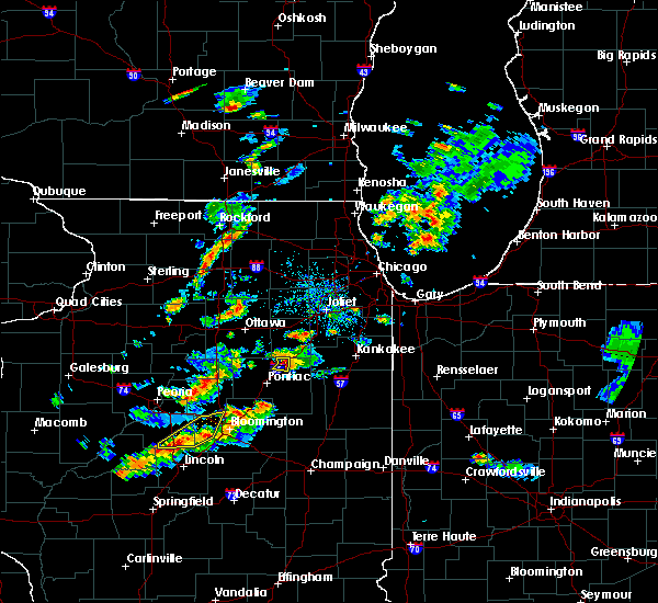 At 734 pm cdt, a severe thunderstorm was located near odell, or near dwight, moving east at 25 mph (radar indicated). Hazards include 60 mph wind gusts and quarter size hail. Hail damage to vehicles is expected. expect wind damage to roofs, siding, and trees. Locations impacted include, dwight and odell. At 734 pm cdt, a severe thunderstorm was located near odell, or near dwight, moving east at 25 mph (radar indicated). Hazards include 60 mph wind gusts and quarter size hail. Hail damage to vehicles is expected. expect wind damage to roofs, siding, and trees. Locations impacted include, dwight and odell.
|
| 8/3/2017 7:20 PM CDT |
 At 720 pm cdt, a severe thunderstorm was located near odell, or 9 miles southwest of dwight, moving east at 25 mph (radar indicated). Hazards include 60 mph wind gusts and quarter size hail. Hail damage to vehicles is expected. expect wind damage to roofs, siding, and trees. Locations impacted include, dwight and odell. At 720 pm cdt, a severe thunderstorm was located near odell, or 9 miles southwest of dwight, moving east at 25 mph (radar indicated). Hazards include 60 mph wind gusts and quarter size hail. Hail damage to vehicles is expected. expect wind damage to roofs, siding, and trees. Locations impacted include, dwight and odell.
|
| 8/3/2017 7:04 PM CDT |
 At 704 pm cdt, a severe thunderstorm was located 8 miles southeast of streator, moving east at 25 mph (radar indicated). Hazards include 60 mph wind gusts and quarter size hail. Hail damage to vehicles is expected. Expect wind damage to roofs, siding, and trees. At 704 pm cdt, a severe thunderstorm was located 8 miles southeast of streator, moving east at 25 mph (radar indicated). Hazards include 60 mph wind gusts and quarter size hail. Hail damage to vehicles is expected. Expect wind damage to roofs, siding, and trees.
|
| 6/14/2017 5:12 PM CDT |
 The severe thunderstorm warning for kendall, northeastern livingston, northeastern la salle, western will, grundy and western kankakee counties will expire at 515 pm cdt, the leading edge of the storms which prompted the warning have shifted northeast of the warned area. therefore, the warning will be allowed to expire.however gusty winds to 55 mph are still possible behind the leading edge of thunderstorms, and some tree damage is still possible. a severe thunderstorm watch remains in effect until 800 pm cdt for central, north central and northeastern illinois. The severe thunderstorm warning for kendall, northeastern livingston, northeastern la salle, western will, grundy and western kankakee counties will expire at 515 pm cdt, the leading edge of the storms which prompted the warning have shifted northeast of the warned area. therefore, the warning will be allowed to expire.however gusty winds to 55 mph are still possible behind the leading edge of thunderstorms, and some tree damage is still possible. a severe thunderstorm watch remains in effect until 800 pm cdt for central, north central and northeastern illinois.
|
| 6/14/2017 4:54 PM CDT |
 At 453 pm cdt, severe thunderstorms were located along a line extending from yorkville to near coal city to odell, moving east at 55 mph (trained weather spotters). Hazards include 60 mph wind gusts and penny size hail. Expect damage to roofs, siding, and trees. Locations impacted include, joliet, bolingbrook, romeoville, plainfield, lockport, new lenox, yorkville, morris, channahon, minooka, marseilles, dwight, seneca, wilmington, ingalls park, shorewood, manhattan, braidwood, coal city and diamond. At 453 pm cdt, severe thunderstorms were located along a line extending from yorkville to near coal city to odell, moving east at 55 mph (trained weather spotters). Hazards include 60 mph wind gusts and penny size hail. Expect damage to roofs, siding, and trees. Locations impacted include, joliet, bolingbrook, romeoville, plainfield, lockport, new lenox, yorkville, morris, channahon, minooka, marseilles, dwight, seneca, wilmington, ingalls park, shorewood, manhattan, braidwood, coal city and diamond.
|
| 6/14/2017 4:39 PM CDT |
 At 437 pm cdt, severe thunderstorms were located along a line extending from near leland to near seneca to near flanagan, moving east at 60 mph (trained spotters reported). Hazards include 60 mph wind gusts and quarter size hail. Expect wind damage to roofs, siding, and trees. Large hail is also possible. At 437 pm cdt, severe thunderstorms were located along a line extending from near leland to near seneca to near flanagan, moving east at 60 mph (trained spotters reported). Hazards include 60 mph wind gusts and quarter size hail. Expect wind damage to roofs, siding, and trees. Large hail is also possible.
|
| 6/14/2017 1:31 PM CDT |
 At 130 pm cdt, a severe thunderstorm was located over dwight, moving east at 40 mph (radar indicated). Hazards include quarter size hail. damage to vehicles is expected At 130 pm cdt, a severe thunderstorm was located over dwight, moving east at 40 mph (radar indicated). Hazards include quarter size hail. damage to vehicles is expected
|
| 3/7/2017 1:03 AM CST |
 At 102 am cst, severe thunderstorms were located along a line extending from east dundee to near aurora to near dwight, moving east at 60 mph (radar indicated). Hazards include 60 mph wind gusts and quarter size hail. Hail damage to vehicles is expected. expect wind damage to roofs, siding, and trees. these severe storms will be near, naperville, elgin, and warrenville around 105 am cst. bolingbrook, wheaton, romeoville, streamwood, and inverness around 110 am cst. schaumburg, downers grove, westmont, rolling meadows, york center, and darien around 115 am cst. arlington heights, des plaines, mount prospect, wheeling, hinsdale, oak brook, willow springs and palos hills around 120 am cst. skokie, northbrook, maywood, morton grove, brookfield, and justice around 125 am cst. cicero, wilmette, bourbonnais, bradley, winnetka, and stickney around 130 am cst. Chatham, navy pier, lincoln park, hyde park and lakeview around 135 am cst. At 102 am cst, severe thunderstorms were located along a line extending from east dundee to near aurora to near dwight, moving east at 60 mph (radar indicated). Hazards include 60 mph wind gusts and quarter size hail. Hail damage to vehicles is expected. expect wind damage to roofs, siding, and trees. these severe storms will be near, naperville, elgin, and warrenville around 105 am cst. bolingbrook, wheaton, romeoville, streamwood, and inverness around 110 am cst. schaumburg, downers grove, westmont, rolling meadows, york center, and darien around 115 am cst. arlington heights, des plaines, mount prospect, wheeling, hinsdale, oak brook, willow springs and palos hills around 120 am cst. skokie, northbrook, maywood, morton grove, brookfield, and justice around 125 am cst. cicero, wilmette, bourbonnais, bradley, winnetka, and stickney around 130 am cst. Chatham, navy pier, lincoln park, hyde park and lakeview around 135 am cst.
|
| 3/7/2017 12:43 AM CST |
 At 1242 am cst, severe thunderstorms were located along a line extending from sycamore to near newark to near flanagan, moving northeast at 80 mph (radar indicated). Hazards include 60 mph wind gusts. Expect damage to roofs, siding, and trees. severe thunderstorms will be near, maple park, newark and virgil around 1245 am cst. yorkville, plano and lily lake around 1250 am cst. elgin and oswego around 1255 am cst. aurora, naperville, west dundee and odell around 100 am cst. hoffman estates, romeoville, dwight, and inverness around 105 am cst. bolingbrook, palatine, wheaton, downers grove, glen ellyn, lisle, woodridge, darien and gardner around 110 am cst. Cicero, westchester, forest park and river forest around 120 am cst. At 1242 am cst, severe thunderstorms were located along a line extending from sycamore to near newark to near flanagan, moving northeast at 80 mph (radar indicated). Hazards include 60 mph wind gusts. Expect damage to roofs, siding, and trees. severe thunderstorms will be near, maple park, newark and virgil around 1245 am cst. yorkville, plano and lily lake around 1250 am cst. elgin and oswego around 1255 am cst. aurora, naperville, west dundee and odell around 100 am cst. hoffman estates, romeoville, dwight, and inverness around 105 am cst. bolingbrook, palatine, wheaton, downers grove, glen ellyn, lisle, woodridge, darien and gardner around 110 am cst. Cicero, westchester, forest park and river forest around 120 am cst.
|
| 8/28/2016 2:27 PM CDT |
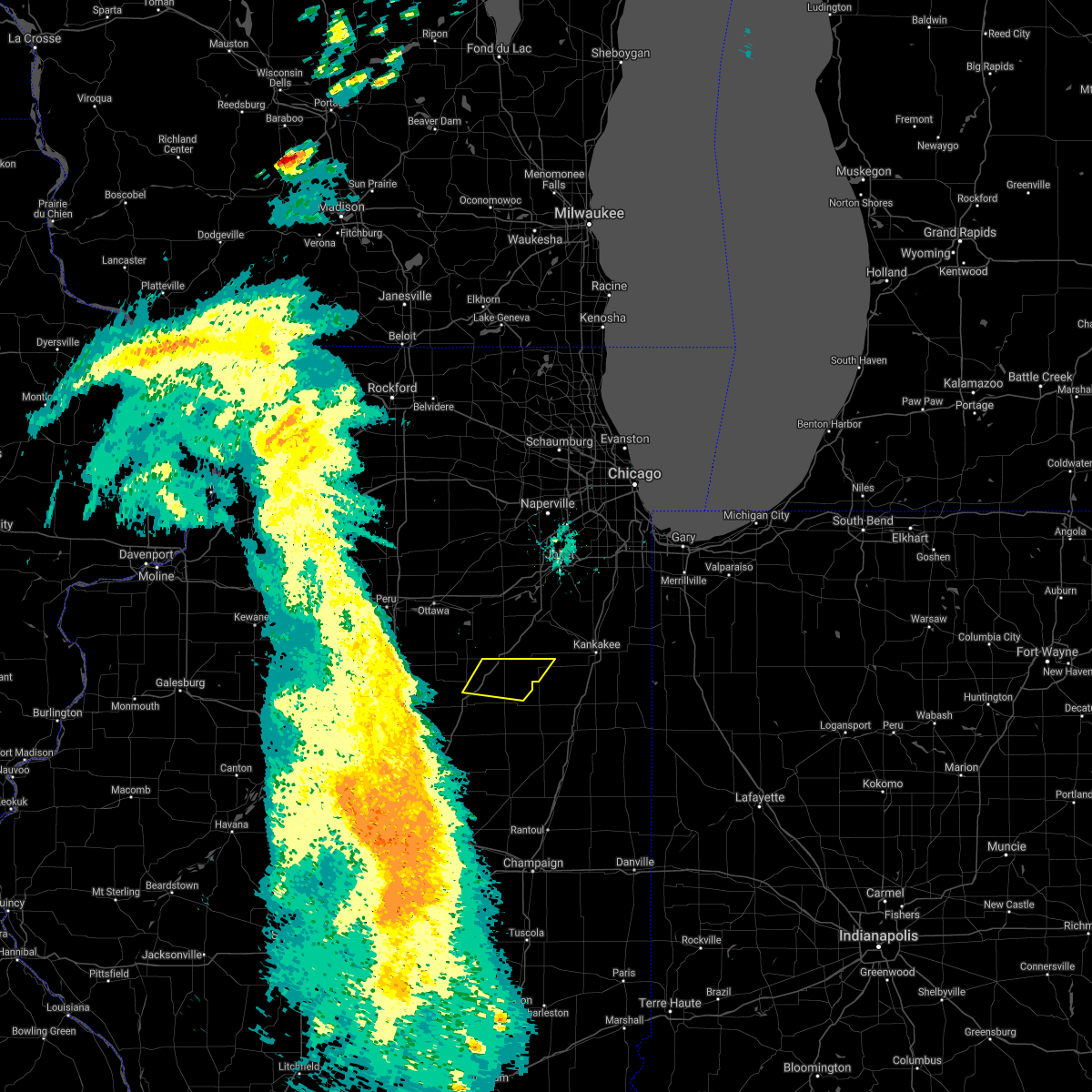 The severe thunderstorm warning for northeastern livingston and southwestern kankakee counties will expire at 230 pm cdt, the storms which prompted the warning have weakened below severe limits, and no longer poses an immediate threat to life or property. therefore the warning will be allowed to expire. however gusty winds and heavy rain are still possible with these thunderstorms. The severe thunderstorm warning for northeastern livingston and southwestern kankakee counties will expire at 230 pm cdt, the storms which prompted the warning have weakened below severe limits, and no longer poses an immediate threat to life or property. therefore the warning will be allowed to expire. however gusty winds and heavy rain are still possible with these thunderstorms.
|
| 8/28/2016 2:20 PM CDT |
 At 220 pm cdt, severe thunderstorms were located along a line extending from 6 miles northwest of herscher to near cullom to 7 miles southeast of odell, moving east at 10 mph (radar indicated). Hazards include 60 mph wind gusts. Expect damage to roofs. siding. and trees. locations impacted include, dwight, odell, buckingham, cabery, campus and emington. Including the following interstate, i-55 between mile markers 203 and 216. At 220 pm cdt, severe thunderstorms were located along a line extending from 6 miles northwest of herscher to near cullom to 7 miles southeast of odell, moving east at 10 mph (radar indicated). Hazards include 60 mph wind gusts. Expect damage to roofs. siding. and trees. locations impacted include, dwight, odell, buckingham, cabery, campus and emington. Including the following interstate, i-55 between mile markers 203 and 216.
|
| 8/28/2016 2:02 PM CDT |
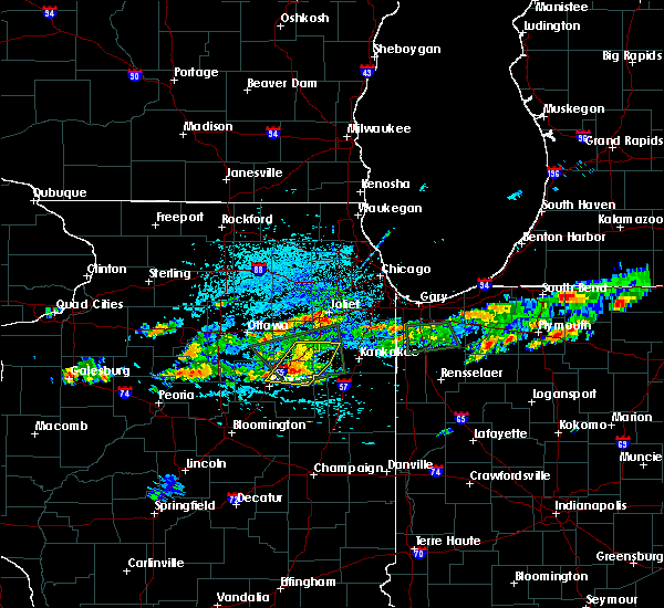 At 201 pm cdt, severe thunderstorms were located along a line extending from near braceville to 7 miles southeast of dwight to near odell, moving east at 20 mph (radar indicated). Hazards include 60 mph wind gusts. Expect damage to roofs. siding. and trees. locations impacted include, dwight, braidwood, coal city, diamond, gardner, odell, mazon, braceville, lakewood shores, essex, south wilmington, godley, buckingham, cabery, campus, reddick, emington, east brooklyn and union hill. Including the following interstate, i-55 between mile markers 203 and 234. At 201 pm cdt, severe thunderstorms were located along a line extending from near braceville to 7 miles southeast of dwight to near odell, moving east at 20 mph (radar indicated). Hazards include 60 mph wind gusts. Expect damage to roofs. siding. and trees. locations impacted include, dwight, braidwood, coal city, diamond, gardner, odell, mazon, braceville, lakewood shores, essex, south wilmington, godley, buckingham, cabery, campus, reddick, emington, east brooklyn and union hill. Including the following interstate, i-55 between mile markers 203 and 234.
|
| 8/28/2016 1:45 PM CDT |
 At 144 pm cdt, severe thunderstorms were located along a line extending from braceville to near dwight to near odell, moving east at 15 mph (radar indicated). Hazards include 60 mph wind gusts. Expect damage to roofs. siding. And trees. At 144 pm cdt, severe thunderstorms were located along a line extending from braceville to near dwight to near odell, moving east at 15 mph (radar indicated). Hazards include 60 mph wind gusts. Expect damage to roofs. siding. And trees.
|
| 8/25/2016 2:20 AM CDT |
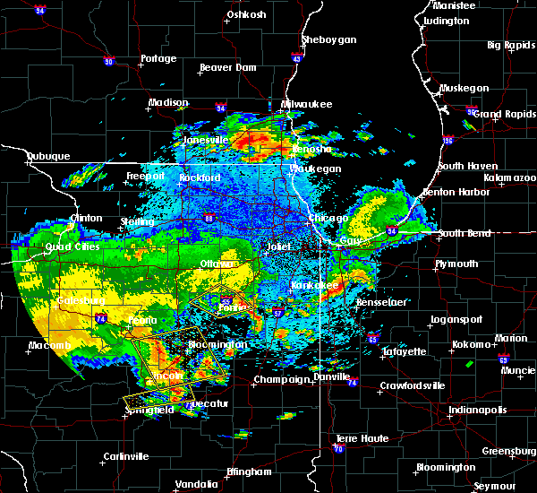 The severe thunderstorm warning for southeastern la salle, northern livingston and southwestern grundy counties will expire at 230 am cdt, the storm which prompted the warning has weakened below severe limits and exited the warned area. therefore the warning will be allowed to expire. The severe thunderstorm warning for southeastern la salle, northern livingston and southwestern grundy counties will expire at 230 am cdt, the storm which prompted the warning has weakened below severe limits and exited the warned area. therefore the warning will be allowed to expire.
|
| 8/25/2016 2:04 AM CDT |
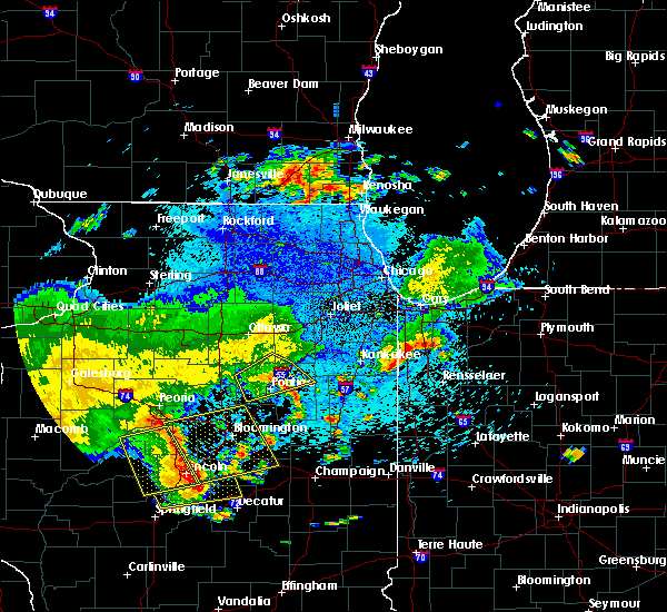 At 204 am cdt, a severe thunderstorm was located over odell, or 9 miles southwest of dwight, moving northeast at 40 mph (radar indicated). Hazards include 60 mph wind gusts. Expect damage to roofs. siding. and trees. locations impacted include, pontiac, dwight, odell, cornell, ransom, long point and emington. Including the following interstate, i-55 between mile markers 197 and 218. At 204 am cdt, a severe thunderstorm was located over odell, or 9 miles southwest of dwight, moving northeast at 40 mph (radar indicated). Hazards include 60 mph wind gusts. Expect damage to roofs. siding. and trees. locations impacted include, pontiac, dwight, odell, cornell, ransom, long point and emington. Including the following interstate, i-55 between mile markers 197 and 218.
|
| 8/25/2016 1:47 AM CDT |
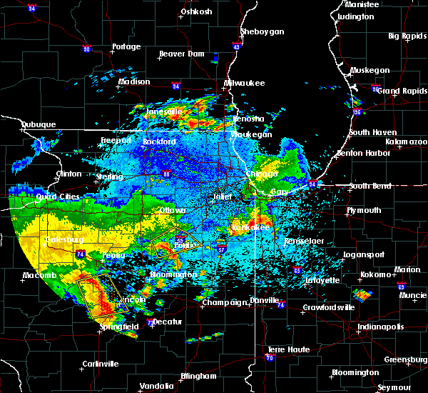 At 147 am cdt, a severe thunderstorm was located 7 miles northeast of flanagan, or 7 miles northwest of pontiac, moving northeast at 40 mph (radar indicated). Hazards include 60 mph wind gusts. Expect damage to roofs. siding. And trees. At 147 am cdt, a severe thunderstorm was located 7 miles northeast of flanagan, or 7 miles northwest of pontiac, moving northeast at 40 mph (radar indicated). Hazards include 60 mph wind gusts. Expect damage to roofs. siding. And trees.
|
| 7/17/2016 8:21 PM CDT |
 At 821 pm cdt, a severe thunderstorm was located near odell, or near dwight, moving east at 15 mph (radar indicated). Hazards include 60 mph wind gusts and quarter size hail. Hail damage to vehicles is expected. expect wind damage to roofs, siding, and trees. this severe storm will be near, dwight around 830 pm cdt. Including the following interstate, i-55 between mile markers 208 and 218. At 821 pm cdt, a severe thunderstorm was located near odell, or near dwight, moving east at 15 mph (radar indicated). Hazards include 60 mph wind gusts and quarter size hail. Hail damage to vehicles is expected. expect wind damage to roofs, siding, and trees. this severe storm will be near, dwight around 830 pm cdt. Including the following interstate, i-55 between mile markers 208 and 218.
|
| 7/17/2016 8:07 PM CDT |
 At 807 pm cdt, a severe thunderstorm was located over odell, or 7 miles southwest of dwight, moving east at 15 mph (radar indicated). Hazards include 60 mph wind gusts and quarter size hail. Hail damage to vehicles is expected. expect wind damage to roofs, siding, and trees. this severe storm will be near, dwight around 830 pm cdt. Including the following interstate, i-55 between mile markers 205 and 218. At 807 pm cdt, a severe thunderstorm was located over odell, or 7 miles southwest of dwight, moving east at 15 mph (radar indicated). Hazards include 60 mph wind gusts and quarter size hail. Hail damage to vehicles is expected. expect wind damage to roofs, siding, and trees. this severe storm will be near, dwight around 830 pm cdt. Including the following interstate, i-55 between mile markers 205 and 218.
|
| 7/17/2016 7:51 PM CDT |
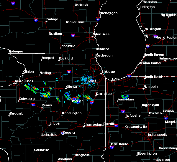 At 751 pm cdt, a severe thunderstorm was located near odell, or 8 miles north of pontiac, moving east at 15 mph (radar indicated). Hazards include 60 mph wind gusts and quarter size hail. Hail damage to vehicles is expected. expect wind damage to roofs, siding, and trees. this severe thunderstorm will be near, odell around 810 pm cdt. dwight around 830 pm cdt. Including the following interstate, i-55 between mile markers 203 and 218. At 751 pm cdt, a severe thunderstorm was located near odell, or 8 miles north of pontiac, moving east at 15 mph (radar indicated). Hazards include 60 mph wind gusts and quarter size hail. Hail damage to vehicles is expected. expect wind damage to roofs, siding, and trees. this severe thunderstorm will be near, odell around 810 pm cdt. dwight around 830 pm cdt. Including the following interstate, i-55 between mile markers 203 and 218.
|
| 7/13/2016 6:04 PM CDT |
 At 604 pm cdt, severe thunderstorms were located along a line extending from 8 miles west of cullom to near cissna park, moving northeast at 60 mph (radar indicated). Hazards include 60 mph wind gusts and quarter size hail. Hail damage to vehicles is expected. expect wind damage to roofs, siding, and trees. locations impacted include, kankakee, watseka, paxton, dwight, fairbury, piper city, stockland, claytonville, gilman, herscher, clifton, onarga, milford, st. anne, forrest, chatsworth, sheldon, chebanse, odell and cissna park. this includes, kankakee community college and kankakee county fairgrounds and speedway. including the following interstates, i-55 between mile markers 203 and 218. I-57 between mile markers 258 and 311. At 604 pm cdt, severe thunderstorms were located along a line extending from 8 miles west of cullom to near cissna park, moving northeast at 60 mph (radar indicated). Hazards include 60 mph wind gusts and quarter size hail. Hail damage to vehicles is expected. expect wind damage to roofs, siding, and trees. locations impacted include, kankakee, watseka, paxton, dwight, fairbury, piper city, stockland, claytonville, gilman, herscher, clifton, onarga, milford, st. anne, forrest, chatsworth, sheldon, chebanse, odell and cissna park. this includes, kankakee community college and kankakee county fairgrounds and speedway. including the following interstates, i-55 between mile markers 203 and 218. I-57 between mile markers 258 and 311.
|
| 7/13/2016 5:51 PM CDT |
 At 551 pm cdt, severe thunderstorms were located along a line extending from near lexington to near cissna park, moving northeast at 55 mph. an additional line of severe thunderstorms near pontiac were moving east into the area (radar indicated). Hazards include 60 mph wind gusts and quarter size hail. Hail damage to vehicles is expected. expect wind damage to roofs, siding, and trees. locations impacted include, kankakee, watseka, paxton, dwight, fairbury, gibson city, piper city, stockland, claytonville, gilman, herscher, clifton, onarga, milford, st. anne, forrest, chatsworth, sheldon, chebanse and odell. this includes, kankakee community college and kankakee county fairgrounds and speedway. including the following interstates, i-55 between mile markers 203 and 218. I-57 between mile markers 258 and 311. At 551 pm cdt, severe thunderstorms were located along a line extending from near lexington to near cissna park, moving northeast at 55 mph. an additional line of severe thunderstorms near pontiac were moving east into the area (radar indicated). Hazards include 60 mph wind gusts and quarter size hail. Hail damage to vehicles is expected. expect wind damage to roofs, siding, and trees. locations impacted include, kankakee, watseka, paxton, dwight, fairbury, gibson city, piper city, stockland, claytonville, gilman, herscher, clifton, onarga, milford, st. anne, forrest, chatsworth, sheldon, chebanse and odell. this includes, kankakee community college and kankakee county fairgrounds and speedway. including the following interstates, i-55 between mile markers 203 and 218. I-57 between mile markers 258 and 311.
|
| 7/13/2016 5:37 PM CDT |
 At 536 pm cdt, severe thunderstorms were located along a line extending from near hudson to 6 miles northwest of rantoul, moving northeast at 40 mph. an additional line of severe storms was near interstate 39 moving east at 40 mph (radar indicated). Hazards include 60 mph wind gusts and quarter size hail. Hail damage to vehicles is expected. Expect wind damage to roofs, siding, and trees. At 536 pm cdt, severe thunderstorms were located along a line extending from near hudson to 6 miles northwest of rantoul, moving northeast at 40 mph. an additional line of severe storms was near interstate 39 moving east at 40 mph (radar indicated). Hazards include 60 mph wind gusts and quarter size hail. Hail damage to vehicles is expected. Expect wind damage to roofs, siding, and trees.
|
| 6/23/2016 12:27 AM CDT |
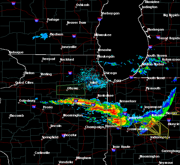 At 1226 am cdt, severe thunderstorms were located along a line extending from 6 miles southeast of clifton to 7 miles west of odell, moving southeast at 25 mph (radar indicated). Hazards include 60 mph wind gusts and quarter size hail. Hail damage to vehicles is expected. expect wind damage to roofs, siding, and trees. locations impacted include, watseka, dwight, clifton, chebanse, odell, ashkum, cullom, danforth, saunemin, martinton, buckingham, cabery, kempton, campus and emington. including the following interstates, i-55 between mile markers 206 and 216. i-57 between mile markers 288 and 302. A tornado watch remains in effect until 100 am cdt for northeastern illinois. At 1226 am cdt, severe thunderstorms were located along a line extending from 6 miles southeast of clifton to 7 miles west of odell, moving southeast at 25 mph (radar indicated). Hazards include 60 mph wind gusts and quarter size hail. Hail damage to vehicles is expected. expect wind damage to roofs, siding, and trees. locations impacted include, watseka, dwight, clifton, chebanse, odell, ashkum, cullom, danforth, saunemin, martinton, buckingham, cabery, kempton, campus and emington. including the following interstates, i-55 between mile markers 206 and 216. i-57 between mile markers 288 and 302. A tornado watch remains in effect until 100 am cdt for northeastern illinois.
|
| 6/23/2016 12:08 AM CDT |
 At 1208 am cdt, severe thunderstorms were located along a line extending from near watseka to odell, moving southeast at 45 mph (radar indicated). Hazards include 60 mph wind gusts and quarter size hail. Hail damage to vehicles is expected. expect wind damage to roofs, siding, and trees. locations impacted include, watseka, dwight, clifton, chebanse, odell, ashkum, cullom, danforth, saunemin, martinton, buckingham, cabery, kempton, campus and emington. including the following interstates, i-55 between mile markers 206 and 216. i-57 between mile markers 288 and 302. A tornado watch remains in effect until 100 am cdt for northeastern illinois. At 1208 am cdt, severe thunderstorms were located along a line extending from near watseka to odell, moving southeast at 45 mph (radar indicated). Hazards include 60 mph wind gusts and quarter size hail. Hail damage to vehicles is expected. expect wind damage to roofs, siding, and trees. locations impacted include, watseka, dwight, clifton, chebanse, odell, ashkum, cullom, danforth, saunemin, martinton, buckingham, cabery, kempton, campus and emington. including the following interstates, i-55 between mile markers 206 and 216. i-57 between mile markers 288 and 302. A tornado watch remains in effect until 100 am cdt for northeastern illinois.
|
| 6/22/2016 11:53 PM CDT |
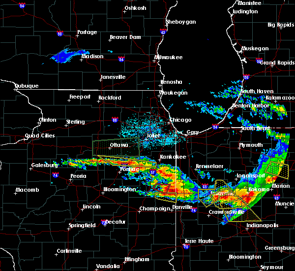 At 1152 pm cdt, severe thunderstorms were located along a line extending from near ashkum to near streator, moving southeast at 50 mph (radar indicated). Hazards include 60 mph wind gusts and quarter size hail. Hail damage to vehicles is expected. Expect wind damage to roofs, siding, and trees. At 1152 pm cdt, severe thunderstorms were located along a line extending from near ashkum to near streator, moving southeast at 50 mph (radar indicated). Hazards include 60 mph wind gusts and quarter size hail. Hail damage to vehicles is expected. Expect wind damage to roofs, siding, and trees.
|
| 3/15/2016 9:56 PM CDT |
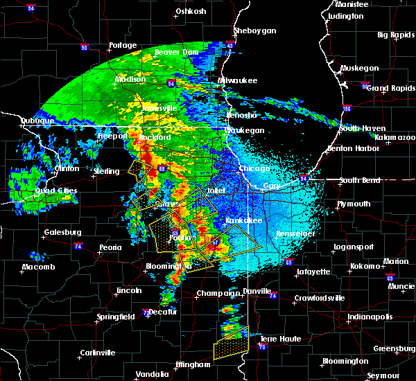 The severe thunderstorm warning for east central la salle, livingston and southwestern grundy counties will expire at 1000 pm cdt, a new severe thunderstorm warning has been issued for portions of grundy and la salle counties. a tornado watch remains in effect until 1100 pm cdt for north central illinois. a severe thunderstorm watch remains in effect until 300 am cdt for northeastern illinois. The severe thunderstorm warning for east central la salle, livingston and southwestern grundy counties will expire at 1000 pm cdt, a new severe thunderstorm warning has been issued for portions of grundy and la salle counties. a tornado watch remains in effect until 1100 pm cdt for north central illinois. a severe thunderstorm watch remains in effect until 300 am cdt for northeastern illinois.
|
| 3/15/2016 9:39 PM CDT |
 At 939 pm cdt, severe thunderstorms were located along a line extending from 8 miles south of seneca to near chenoa, moving northeast at 50 mph (radar indicated). Hazards include 60 mph wind gusts and quarter size hail. Hail damage to vehicles is expected. expect wind damage to roofs, siding, and trees. locations impacted include, streator, pontiac, dwight, seneca, odell, cornell, saunemin, ransom, kangley, verona, emington and kinsman. including the following interstate, i-55 between mile markers 188 and 221. A tornado watch remains in effect until 1100 pm cdt for north central illinois. At 939 pm cdt, severe thunderstorms were located along a line extending from 8 miles south of seneca to near chenoa, moving northeast at 50 mph (radar indicated). Hazards include 60 mph wind gusts and quarter size hail. Hail damage to vehicles is expected. expect wind damage to roofs, siding, and trees. locations impacted include, streator, pontiac, dwight, seneca, odell, cornell, saunemin, ransom, kangley, verona, emington and kinsman. including the following interstate, i-55 between mile markers 188 and 221. A tornado watch remains in effect until 1100 pm cdt for north central illinois.
|
| 3/15/2016 9:26 PM CDT |
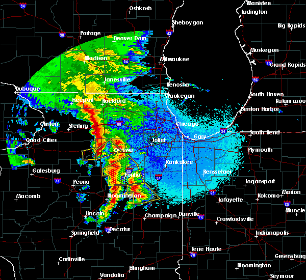 At 925 pm cdt, severe thunderstorms were located along a line extending from near streator to near flanagan, moving northeast at 60 mph (radar indicated). Hazards include 60 mph wind gusts and quarter size hail. Hail damage to vehicles is expected. expect wind damage to roofs, siding, and trees. locations impacted include, streator, pontiac, dwight, seneca, gridley, flanagan, odell, cornell, saunemin, ransom, rutland, kangley, long point, verona, dana, emington and kinsman. including the following interstate, i-55 between mile markers 188 and 221. A tornado watch remains in effect until 1100 pm cdt for north central illinois. At 925 pm cdt, severe thunderstorms were located along a line extending from near streator to near flanagan, moving northeast at 60 mph (radar indicated). Hazards include 60 mph wind gusts and quarter size hail. Hail damage to vehicles is expected. expect wind damage to roofs, siding, and trees. locations impacted include, streator, pontiac, dwight, seneca, gridley, flanagan, odell, cornell, saunemin, ransom, rutland, kangley, long point, verona, dana, emington and kinsman. including the following interstate, i-55 between mile markers 188 and 221. A tornado watch remains in effect until 1100 pm cdt for north central illinois.
|
| 3/15/2016 9:13 PM CDT |
 At 912 pm cdt, severe thunderstorms were located along a line extending from near minonk to near el paso, moving northeast at 55 mph (radar indicated). Hazards include 60 mph wind gusts and quarter size hail. Hail damage to vehicles is expected. Expect wind damage to roofs, siding, and trees. At 912 pm cdt, severe thunderstorms were located along a line extending from near minonk to near el paso, moving northeast at 55 mph (radar indicated). Hazards include 60 mph wind gusts and quarter size hail. Hail damage to vehicles is expected. Expect wind damage to roofs, siding, and trees.
|
| 3/15/2016 9:01 PM CDT |
 At 901 pm cdt, a severe thunderstorm was located near grand ridge, or 8 miles northwest of streator, moving northeast at 40 mph (radar indicated). Hazards include 60 mph wind gusts and quarter size hail. Hail damage to vehicles is expected. expect wind damage to roofs, siding, and trees. locations impacted include, ottawa, streator, pontiac, oglesby, gridley, flanagan, odell, tonica, grand ridge, naplate, lostant, cornell, ransom, rutland, cedar point, kangley, long point, dana and leonore. this includes, buffalo rock state park, matthiessen state park, and starved rock state park. including the following interstates, i-39 between mile markers 41 and 53. i-55 between mile markers 193 and 210. i-80 between mile markers 86 and 92. A tornado watch remains in effect until 1100 pm cdt for north central illinois. At 901 pm cdt, a severe thunderstorm was located near grand ridge, or 8 miles northwest of streator, moving northeast at 40 mph (radar indicated). Hazards include 60 mph wind gusts and quarter size hail. Hail damage to vehicles is expected. expect wind damage to roofs, siding, and trees. locations impacted include, ottawa, streator, pontiac, oglesby, gridley, flanagan, odell, tonica, grand ridge, naplate, lostant, cornell, ransom, rutland, cedar point, kangley, long point, dana and leonore. this includes, buffalo rock state park, matthiessen state park, and starved rock state park. including the following interstates, i-39 between mile markers 41 and 53. i-55 between mile markers 193 and 210. i-80 between mile markers 86 and 92. A tornado watch remains in effect until 1100 pm cdt for north central illinois.
|
| 3/15/2016 8:43 PM CDT |
 At 843 pm cdt, a severe thunderstorm was located near wenona, or 13 miles south of oglesby, moving northeast at 30 mph (radar indicated). Hazards include 60 mph wind gusts and quarter size hail. Hail damage to vehicles is expected. expect wind damage to roofs, siding, and trees. locations impacted include, ottawa, streator, pontiac, oglesby, gridley, flanagan, odell, tonica, grand ridge, naplate, lostant, cornell, ransom, rutland, cedar point, kangley, long point, dana and leonore. this includes, buffalo rock state park, matthiessen state park, and starved rock state park. including the following interstates, i-39 between mile markers 41 and 53. i-55 between mile markers 193 and 210. i-80 between mile markers 86 and 92. A tornado watch remains in effect until 1100 pm cdt for north central illinois. At 843 pm cdt, a severe thunderstorm was located near wenona, or 13 miles south of oglesby, moving northeast at 30 mph (radar indicated). Hazards include 60 mph wind gusts and quarter size hail. Hail damage to vehicles is expected. expect wind damage to roofs, siding, and trees. locations impacted include, ottawa, streator, pontiac, oglesby, gridley, flanagan, odell, tonica, grand ridge, naplate, lostant, cornell, ransom, rutland, cedar point, kangley, long point, dana and leonore. this includes, buffalo rock state park, matthiessen state park, and starved rock state park. including the following interstates, i-39 between mile markers 41 and 53. i-55 between mile markers 193 and 210. i-80 between mile markers 86 and 92. A tornado watch remains in effect until 1100 pm cdt for north central illinois.
|
| 3/15/2016 8:29 PM CDT |
 At 829 pm cdt, a severe thunderstorm was located over varna, or 9 miles east of lacon, moving northeast at 30 mph (radar indicated). Hazards include 60 mph wind gusts and quarter size hail. Hail damage to vehicles is expected. Expect wind damage to roofs, siding, and trees. At 829 pm cdt, a severe thunderstorm was located over varna, or 9 miles east of lacon, moving northeast at 30 mph (radar indicated). Hazards include 60 mph wind gusts and quarter size hail. Hail damage to vehicles is expected. Expect wind damage to roofs, siding, and trees.
|
| 12/23/2015 9:56 AM CST | At 956 am cst, a severe thunderstorm was located near forrest, or 8 miles east of fairbury, moving northeast at 55 mph (radar indicated). Hazards include 60 mph wind gusts. Expect damage to roofs. siding and trees. Locations impacted include, fairbury, piper city, forrest, chatsworth, odell, cullom, melvin, saunemin, roberts, elliott, sibley, kempton, emington and strawn. |
| 12/23/2015 9:40 AM CST | At 940 am cst, a severe thunderstorm was located 7 miles east of colfax, or 10 miles south of fairbury, moving northeast at 55 mph (radar indicated). Hazards include 60 mph wind gusts. Expect damage to roofs. siding and trees. Locations impacted include, fairbury, gibson city, piper city, forrest, chatsworth, odell, cullom, gibson, melvin, saunemin, roberts, elliott, sibley, kempton, emington and strawn. |
| 12/23/2015 9:25 AM CST | At 924 am cst, a severe thunderstorm was located near saybrook, or 12 miles west of gibson city, moving northeast at 55 mph (radar indicated). Hazards include 60 mph wind gusts. Expect damage to roofs. Siding and trees. |
| 11/11/2015 9:10 PM CST |
 The severe thunderstorm warning for east central la salle, kendall, northwestern livingston, grundy and southeastern kane counties will expire at 915 pm cst, the storms which prompted the warning have weakened below severe limits, and exited the warning area. therefore the warning has been allowed to expire. gusts of 40 to 45 mph will remain possible through the remainder of the evening, while gusts in excess of 50 mph are possible overnight. to report severe weather, contact your nearest law enforcement agency. they will relay your report to the national weather service chicago. The severe thunderstorm warning for east central la salle, kendall, northwestern livingston, grundy and southeastern kane counties will expire at 915 pm cst, the storms which prompted the warning have weakened below severe limits, and exited the warning area. therefore the warning has been allowed to expire. gusts of 40 to 45 mph will remain possible through the remainder of the evening, while gusts in excess of 50 mph are possible overnight. to report severe weather, contact your nearest law enforcement agency. they will relay your report to the national weather service chicago.
|
| 11/11/2015 9:00 PM CST |
 At 859 pm cst, strong to severe thunderstorms were located along a line extending from east dundee to near seneca, moving northeast at 55 mph. higher winds to 60 mph will likely be isolated in nature (radar indicated). Hazards include 60 mph wind gusts. Expect damage to roofs. siding and trees. Locations impacted include, aurora, joliet, oswego, west chicago, batavia, geneva, yorkville, morris, channahon, pontiac, minooka, dwight, seneca, montgomery, north aurora, odell, mazon, cornell, ransom and lisbon. At 859 pm cst, strong to severe thunderstorms were located along a line extending from east dundee to near seneca, moving northeast at 55 mph. higher winds to 60 mph will likely be isolated in nature (radar indicated). Hazards include 60 mph wind gusts. Expect damage to roofs. siding and trees. Locations impacted include, aurora, joliet, oswego, west chicago, batavia, geneva, yorkville, morris, channahon, pontiac, minooka, dwight, seneca, montgomery, north aurora, odell, mazon, cornell, ransom and lisbon.
|
| 11/11/2015 8:44 PM CST |
 At 843 pm cst, severe thunderstorms were located along a line extending from lily lake to 10 miles south of streator, moving northeast at 65 mph (radar indicated). Hazards include 60 mph wind gusts. Expect damage to roofs. siding and trees. locations impacted include, aurora, joliet, elgin, carpentersville, st. Charles, oswego, algonquin, west chicago, batavia, geneva, yorkville, streator, morris, channahon, pontiac, minooka, plano, marseilles, dwight and sleepy hollow. At 843 pm cst, severe thunderstorms were located along a line extending from lily lake to 10 miles south of streator, moving northeast at 65 mph (radar indicated). Hazards include 60 mph wind gusts. Expect damage to roofs. siding and trees. locations impacted include, aurora, joliet, elgin, carpentersville, st. Charles, oswego, algonquin, west chicago, batavia, geneva, yorkville, streator, morris, channahon, pontiac, minooka, plano, marseilles, dwight and sleepy hollow.
|
| 11/11/2015 8:30 PM CST |
 At 828 pm cst, severe thunderstorms were located along a line extending from near hinckley to 5 miles east of wenona, moving northeast at 55 mph. while the severe winds do not extend the entire length of this line of storms, there are scattered areas of likely severe winds based on radar, including in northern kane county, and entering kendall county (radar indicated). Hazards include 60 mph wind gusts. Expect damage to roofs. Siding and trees. At 828 pm cst, severe thunderstorms were located along a line extending from near hinckley to 5 miles east of wenona, moving northeast at 55 mph. while the severe winds do not extend the entire length of this line of storms, there are scattered areas of likely severe winds based on radar, including in northern kane county, and entering kendall county (radar indicated). Hazards include 60 mph wind gusts. Expect damage to roofs. Siding and trees.
|
| 7/13/2015 8:24 AM CDT |
 At 823 am cdt, a severe thunderstorm was located 7 miles southeast of odell, or 11 miles south of dwight, moving south at 40 mph (radar indicated). Hazards include 60 mph wind gusts and half dollar size hail. Hail damage to vehicles is expected. expect wind damage to roofs, siding and trees. locations impacted include, fairbury, piper city, forrest, chatsworth, odell, cullom, saunemin, cabery, kempton, campus and emington. Including the following interstate, i-55 between mile markers 206 and 211. At 823 am cdt, a severe thunderstorm was located 7 miles southeast of odell, or 11 miles south of dwight, moving south at 40 mph (radar indicated). Hazards include 60 mph wind gusts and half dollar size hail. Hail damage to vehicles is expected. expect wind damage to roofs, siding and trees. locations impacted include, fairbury, piper city, forrest, chatsworth, odell, cullom, saunemin, cabery, kempton, campus and emington. Including the following interstate, i-55 between mile markers 206 and 211.
|
| 7/13/2015 8:17 AM CDT |
 At 816 am cdt, a severe thunderstorm was located near odell, or near dwight, moving south at 40 mph (radar indicated). Hazards include 60 mph wind gusts and half dollar size hail. Hail damage to vehicles is expected. Expect wind damage to roofs, siding and trees. At 816 am cdt, a severe thunderstorm was located near odell, or near dwight, moving south at 40 mph (radar indicated). Hazards include 60 mph wind gusts and half dollar size hail. Hail damage to vehicles is expected. Expect wind damage to roofs, siding and trees.
|
| 6/7/2015 3:24 PM CDT | At 324 pm cdt, a severe thunderstorm was located near odell, or near dwight, moving northeast at 30 mph (radar indicated). Hazards include 70 mph wind gusts and quarter size hail. Hail damage to vehicles is expected. expect considerable tree damage. wind damage is also likely to mobile homes, roofs and outbuildings. this severe thunderstorm will be near, dwight around 340 pm cdt. gardner around 355 pm cdt. braceville around 400 pm cdt. coal city and diamond around 405 pm cdt. other locations impacted by this severe thunderstorm include emington, east brooklyn, campus, south wilmington, carbon hill, reddick and godley. Including the following interstate, i-55 between mile markers 206 and 232. |
Hail Maps for Odell, IL

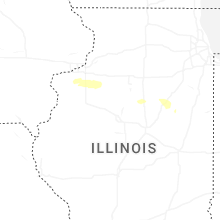
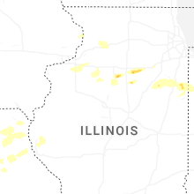


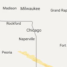


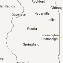


Connect with Interactive Hail Maps