

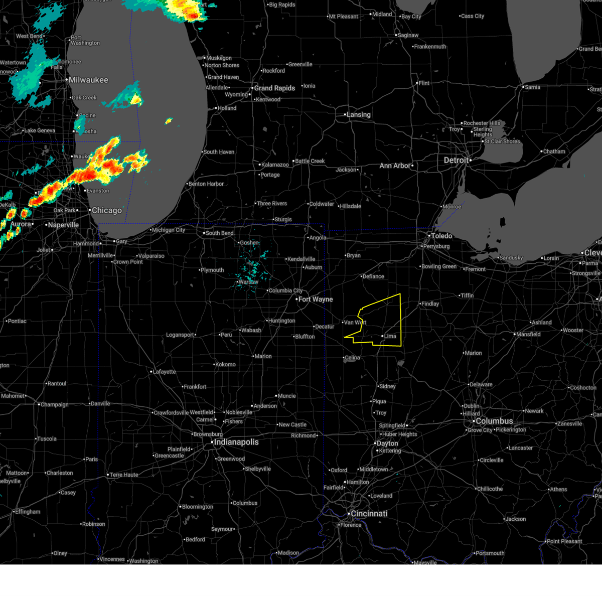
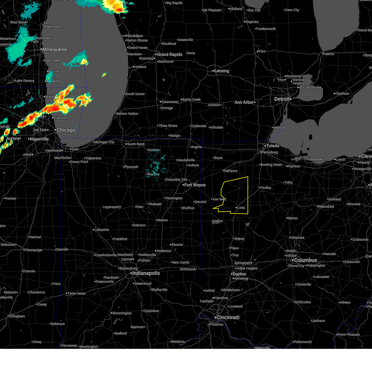
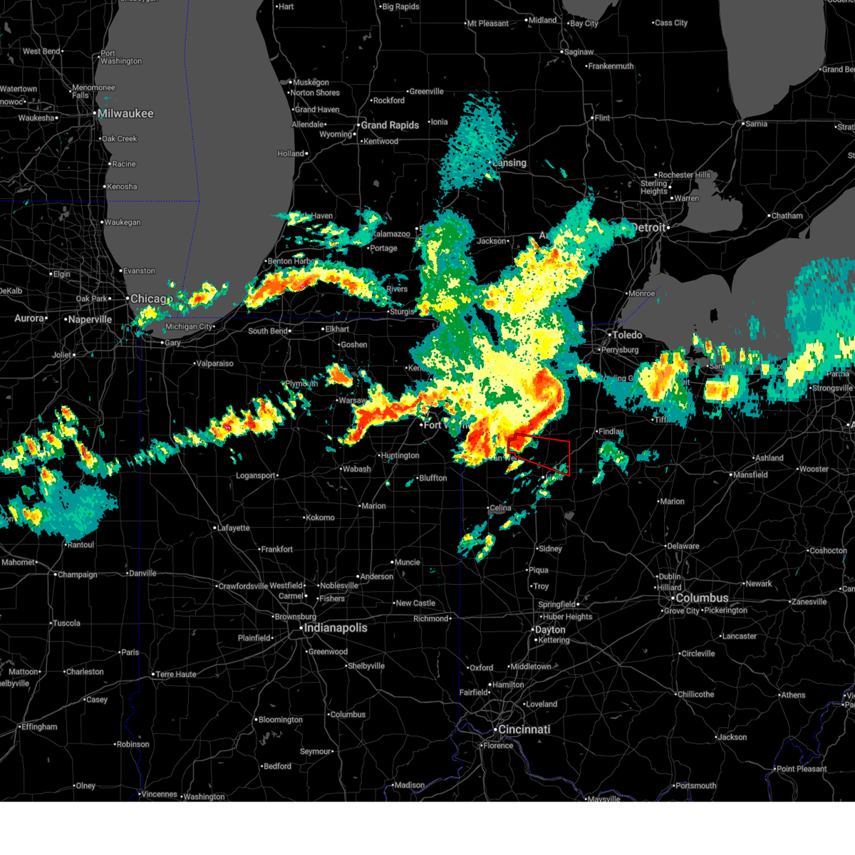
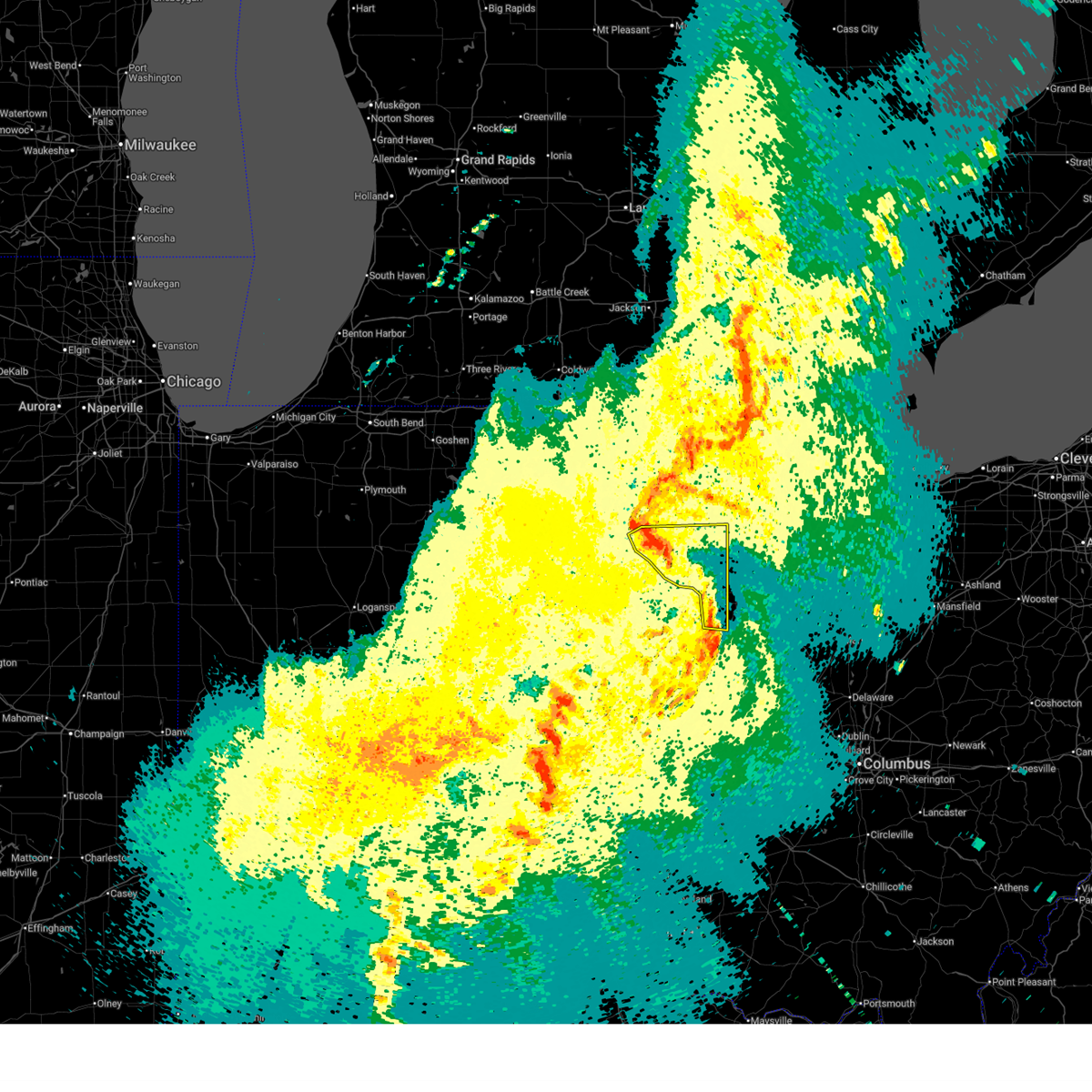
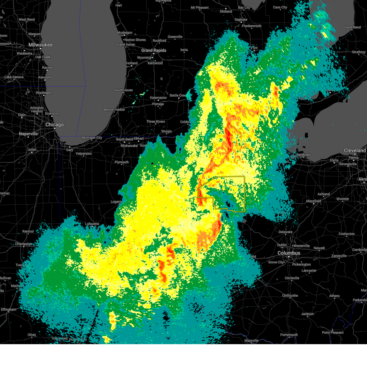
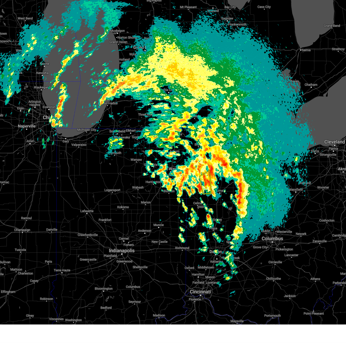
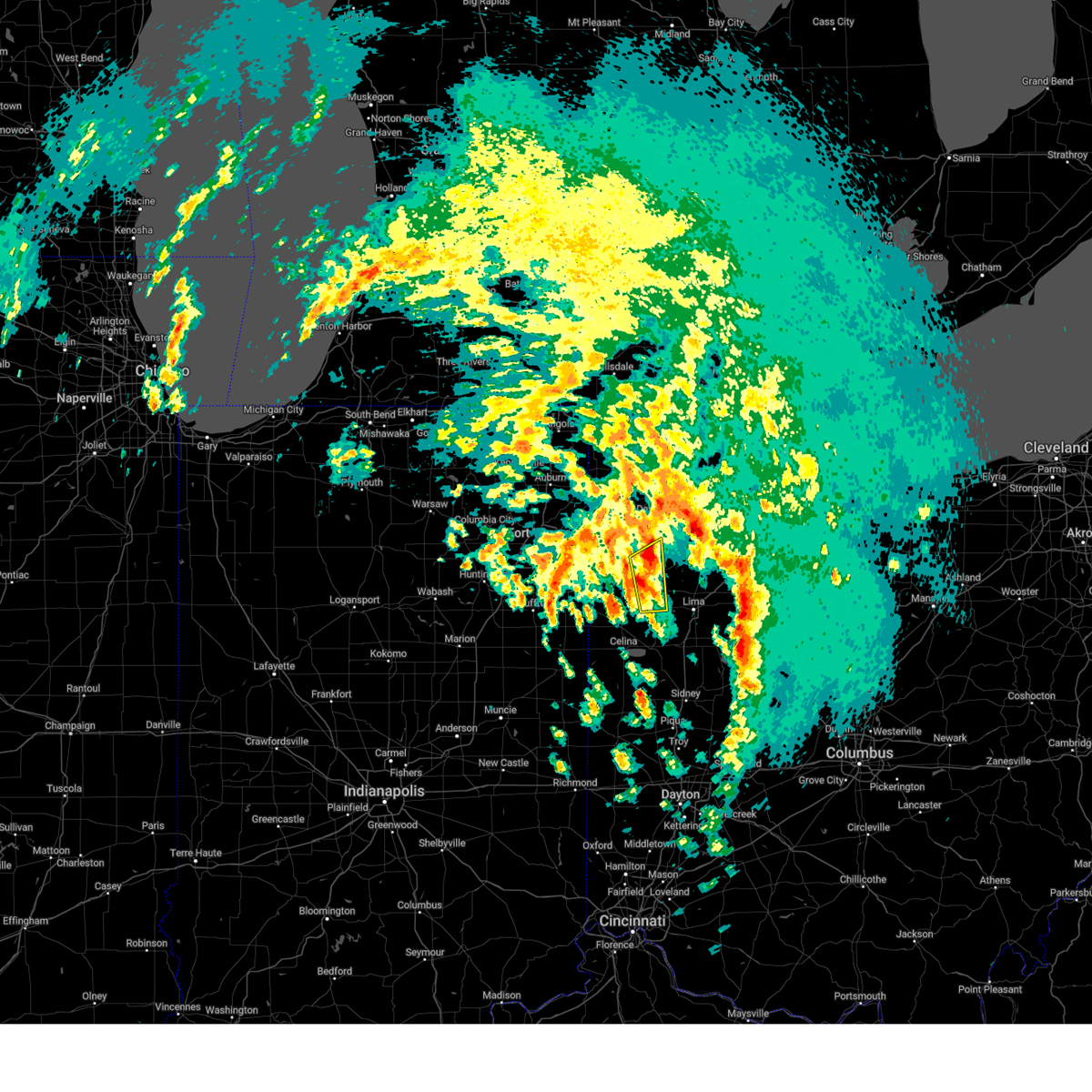
Hail Map for Ottoville, OH
The Ottoville, OH area has had 1 report of on-the-ground hail by trained spotters, and has been under severe weather warnings 12 times during the past 12 months. Doppler radar has detected hail at or near Ottoville, OH on 33 occasions.
| Name: | Ottoville, OH |
| Where Located: | 40.9 miles ESE of Fort Wayne, IN |
| Map: | Google Map for Ottoville, OH |
| Population: | 976 |
| Housing Units: | 411 |
| More Info: | Search Google for Ottoville, OH |
0
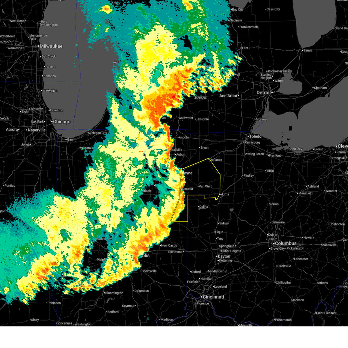
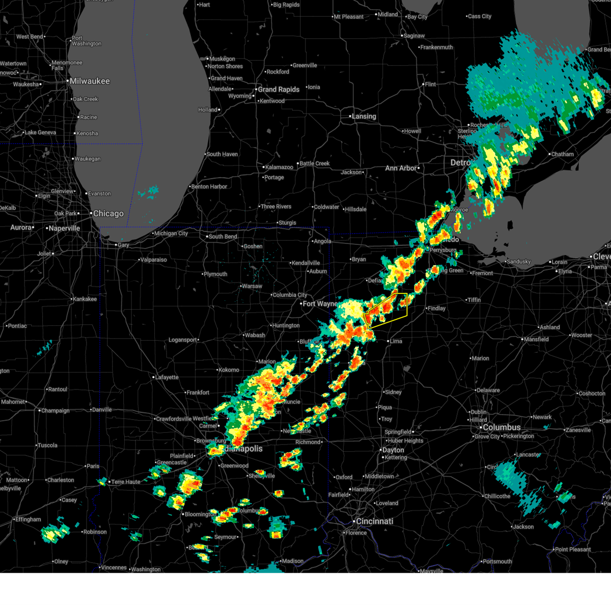
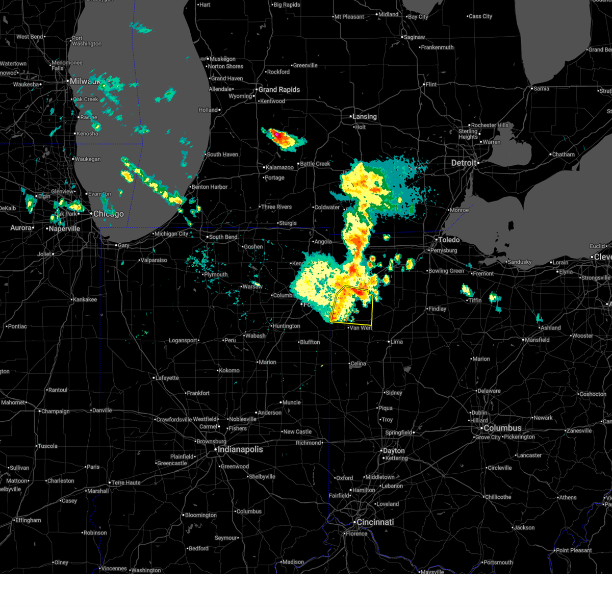
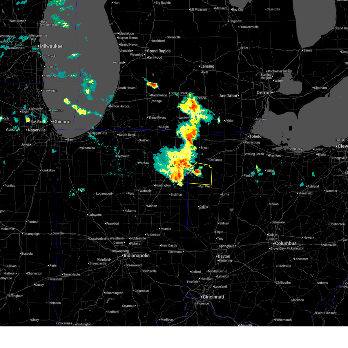
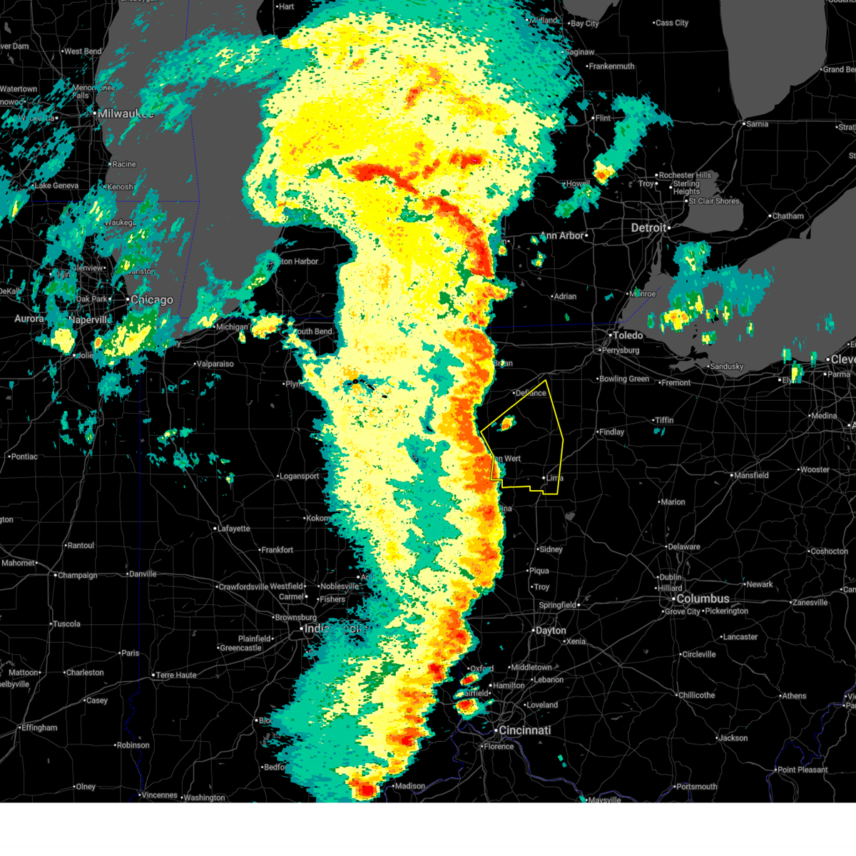
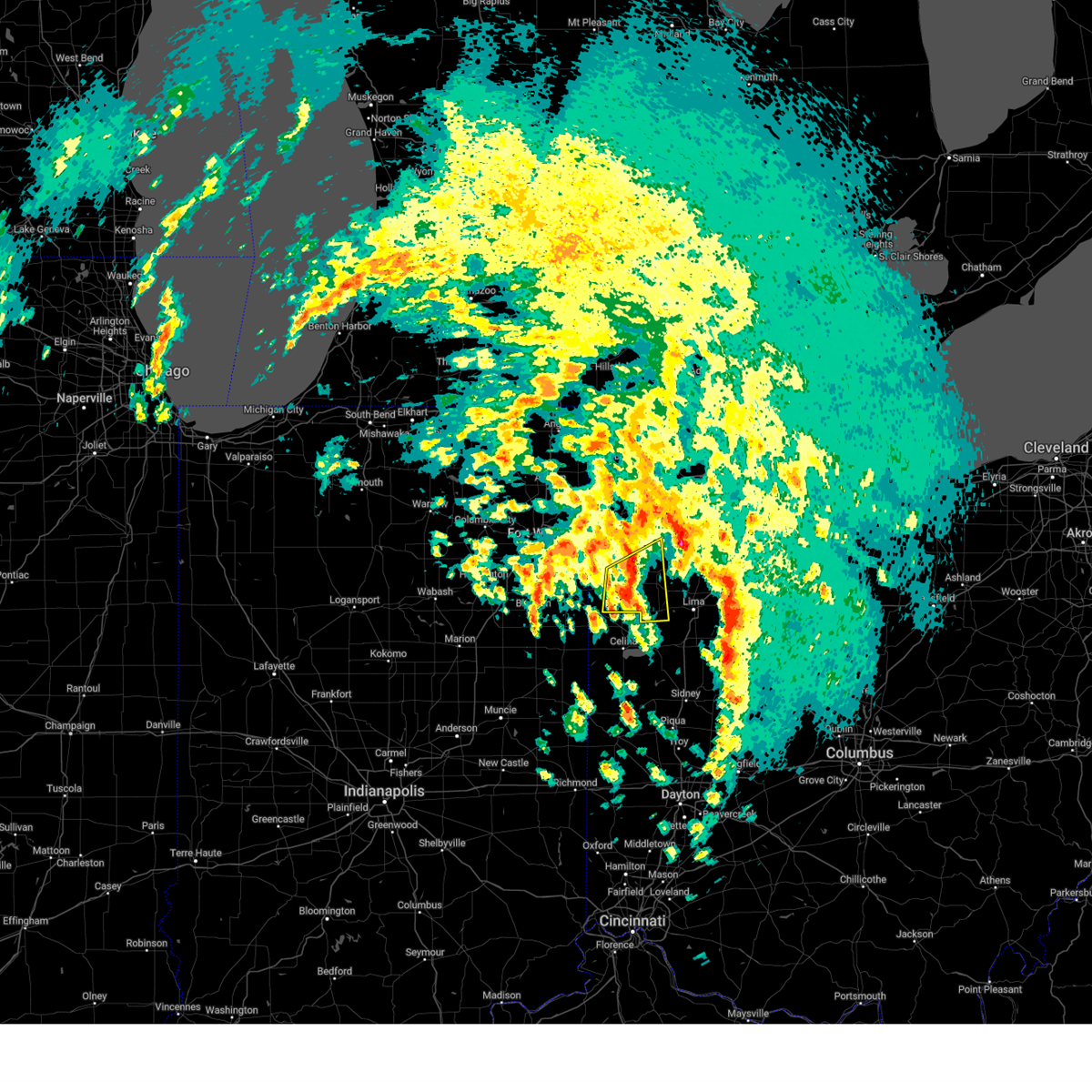
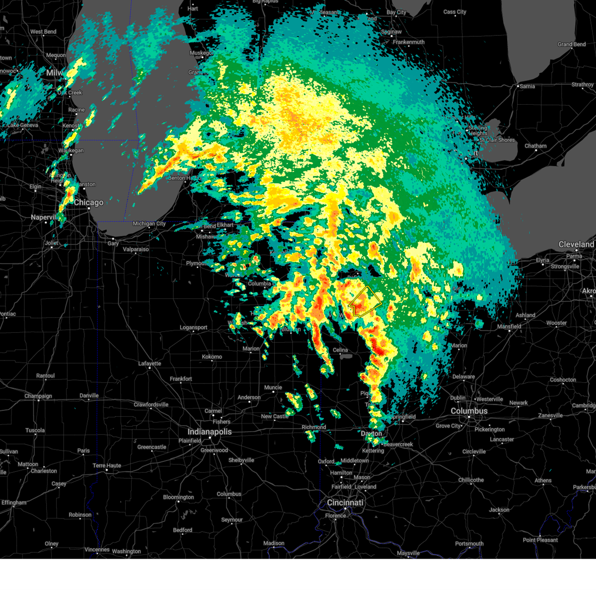
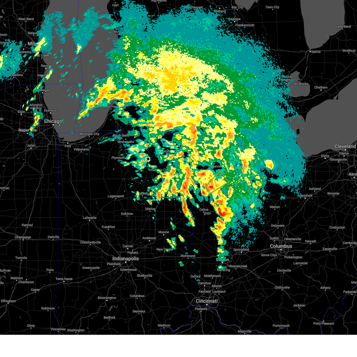
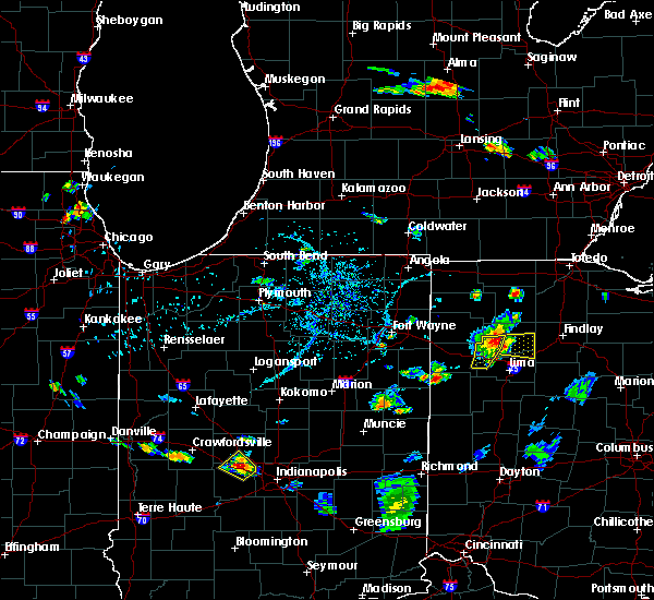
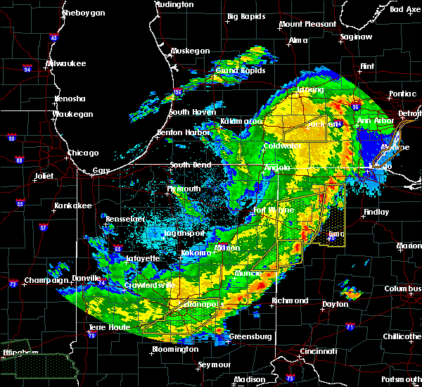
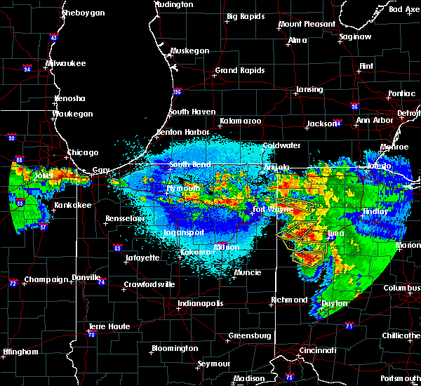
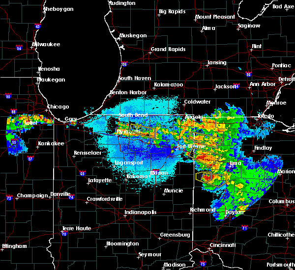
The Top Recent Hail Date for Ottoville, OH is Wednesday, April 2, 2025 (18th out of 33)

Hail and Wind Damage Spotted near Ottoville, OH
| Date / Time | Report Details |
|---|---|
| 7/3/2026 7:37 PM EDT |
 At 736 pm edt, a severe thunderstorm was located over pandora, or near bluffton, moving east at 30 mph (radar indicated). Hazards include 60 mph wind gusts and quarter size hail. Hail damage to vehicles is expected. expect wind damage to roofs, siding, and trees. locations impacted include, lima, delphos, ottawa, bluffton, fort shawnee, spencerville, columbus grove, leipsic, elida, kalida, pandora, glandorf, ottoville, spencerville in allen county, cairo, fort jennings, harrod, beaverdam, gilboa, and elgin. This includes interstate 75 between mile markers 119 and 141. At 736 pm edt, a severe thunderstorm was located over pandora, or near bluffton, moving east at 30 mph (radar indicated). Hazards include 60 mph wind gusts and quarter size hail. Hail damage to vehicles is expected. expect wind damage to roofs, siding, and trees. locations impacted include, lima, delphos, ottawa, bluffton, fort shawnee, spencerville, columbus grove, leipsic, elida, kalida, pandora, glandorf, ottoville, spencerville in allen county, cairo, fort jennings, harrod, beaverdam, gilboa, and elgin. This includes interstate 75 between mile markers 119 and 141.
|
| 7/3/2026 7:12 PM EDT |
 Svriwx the national weather service in northern indiana has issued a * severe thunderstorm warning for, putnam county in west central ohio, southeastern paulding county in west central ohio, southeastern henry county in northwestern ohio, eastern van wert county in west central ohio, allen county in west central ohio, * until 815 pm edt. * at 712 pm edt, a severe thunderstorm was located near columbus grove, or 8 miles southwest of ottawa, moving east at 30 mph (radar indicated). Hazards include 60 mph wind gusts and quarter size hail. Hail damage to vehicles is expected. Expect wind damage to roofs, siding, and trees. Svriwx the national weather service in northern indiana has issued a * severe thunderstorm warning for, putnam county in west central ohio, southeastern paulding county in west central ohio, southeastern henry county in northwestern ohio, eastern van wert county in west central ohio, allen county in west central ohio, * until 815 pm edt. * at 712 pm edt, a severe thunderstorm was located near columbus grove, or 8 miles southwest of ottawa, moving east at 30 mph (radar indicated). Hazards include 60 mph wind gusts and quarter size hail. Hail damage to vehicles is expected. Expect wind damage to roofs, siding, and trees.
|
| 6/11/2026 11:57 PM EDT |
 Svriwx the national weather service in northern indiana has issued a * severe thunderstorm warning for, putnam county in west central ohio, southeastern henry county in northwestern ohio, allen county in west central ohio, * until 1230 am edt. * at 1156 pm edt, severe thunderstorms were located along a line extending from near continental to near kalida to near spencerville, moving northeast at 55 mph (radar indicated). Hazards include 60 mph wind gusts. expect damage to roofs, siding, and trees Svriwx the national weather service in northern indiana has issued a * severe thunderstorm warning for, putnam county in west central ohio, southeastern henry county in northwestern ohio, allen county in west central ohio, * until 1230 am edt. * at 1156 pm edt, severe thunderstorms were located along a line extending from near continental to near kalida to near spencerville, moving northeast at 55 mph (radar indicated). Hazards include 60 mph wind gusts. expect damage to roofs, siding, and trees
|
| 6/11/2026 11:34 PM EDT |
 At 1133 pm edt, severe thunderstorms were located along a line extending from antwerp to 6 miles southeast of payne to near ohio city to 6 miles southwest of fort recovery, moving east at 60 mph (trained weather spotters). Hazards include 70 mph wind gusts. Expect considerable tree damage. damage is likely to mobile homes, roofs, and outbuildings. Locations impacted include, lima, defiance, van wert, delphos, fort shawnee, paulding, spencerville, elida, antwerp, kalida, payne, continental, convoy, ottoville, ohio city, spencerville in allen county, middlebury, middle point, fort jennings, and grover hill. At 1133 pm edt, severe thunderstorms were located along a line extending from antwerp to 6 miles southeast of payne to near ohio city to 6 miles southwest of fort recovery, moving east at 60 mph (trained weather spotters). Hazards include 70 mph wind gusts. Expect considerable tree damage. damage is likely to mobile homes, roofs, and outbuildings. Locations impacted include, lima, defiance, van wert, delphos, fort shawnee, paulding, spencerville, elida, antwerp, kalida, payne, continental, convoy, ottoville, ohio city, spencerville in allen county, middlebury, middle point, fort jennings, and grover hill.
|
| 6/11/2026 11:19 PM EDT |
 Svriwx the national weather service in northern indiana has issued a * severe thunderstorm warning for, southeastern allen county in northeastern indiana, adams county in northeastern indiana, jay county in east central indiana, southeastern defiance county in northwestern ohio, western putnam county in west central ohio, paulding county in west central ohio, van wert county in west central ohio, southwestern allen county in west central ohio, * until midnight edt. * at 1119 pm edt, severe thunderstorms were located along a line extending from near grabill to monroeville to near monroe to near redkey, moving east at 60 mph (surface observations). Hazards include 70 mph wind gusts. Expect considerable tree damage. Damage is likely to mobile homes, roofs, and outbuildings. Svriwx the national weather service in northern indiana has issued a * severe thunderstorm warning for, southeastern allen county in northeastern indiana, adams county in northeastern indiana, jay county in east central indiana, southeastern defiance county in northwestern ohio, western putnam county in west central ohio, paulding county in west central ohio, van wert county in west central ohio, southwestern allen county in west central ohio, * until midnight edt. * at 1119 pm edt, severe thunderstorms were located along a line extending from near grabill to monroeville to near monroe to near redkey, moving east at 60 mph (surface observations). Hazards include 70 mph wind gusts. Expect considerable tree damage. Damage is likely to mobile homes, roofs, and outbuildings.
|
| 5/19/2026 5:41 PM EDT |
 Svriwx the national weather service in northern indiana has issued a * severe thunderstorm warning for, putnam county in west central ohio, * until 615 pm edt. * at 540 pm edt, a severe thunderstorm was located over ottoville, or 7 miles north of delphos, moving northeast at 45 mph (radar indicated). Hazards include 60 mph wind gusts and penny size hail. expect damage to roofs, siding, and trees Svriwx the national weather service in northern indiana has issued a * severe thunderstorm warning for, putnam county in west central ohio, * until 615 pm edt. * at 540 pm edt, a severe thunderstorm was located over ottoville, or 7 miles north of delphos, moving northeast at 45 mph (radar indicated). Hazards include 60 mph wind gusts and penny size hail. expect damage to roofs, siding, and trees
|
| 4/13/2026 7:32 PM EDT |
 At 732 pm edt, a severe thunderstorm was located 9 miles southeast of paulding, or 15 miles northeast of van wert, moving east at 50 mph (radar indicated). Hazards include 60 mph wind gusts and quarter size hail. Hail damage to vehicles is expected. expect wind damage to roofs, siding, and trees. Locations impacted include, paulding, payne, convoy, ottoville, grover hill, dupont, scott, melrose, haviland, latty, cecil, cloverdale, broughton, wetzel, worstville, arthur, charloe, tipton, roselms, and cavett. At 732 pm edt, a severe thunderstorm was located 9 miles southeast of paulding, or 15 miles northeast of van wert, moving east at 50 mph (radar indicated). Hazards include 60 mph wind gusts and quarter size hail. Hail damage to vehicles is expected. expect wind damage to roofs, siding, and trees. Locations impacted include, paulding, payne, convoy, ottoville, grover hill, dupont, scott, melrose, haviland, latty, cecil, cloverdale, broughton, wetzel, worstville, arthur, charloe, tipton, roselms, and cavett.
|
| 4/13/2026 7:12 PM EDT |
 Svriwx the national weather service in northern indiana has issued a * severe thunderstorm warning for, southeastern allen county in northeastern indiana, western putnam county in west central ohio, paulding county in west central ohio, northern van wert county in west central ohio, * until 745 pm edt. * at 711 pm edt, a severe thunderstorm was located near payne, or 12 miles east of new haven, moving east at 50 mph (radar indicated). Hazards include 60 mph wind gusts and quarter size hail. Hail damage to vehicles is expected. Expect wind damage to roofs, siding, and trees. Svriwx the national weather service in northern indiana has issued a * severe thunderstorm warning for, southeastern allen county in northeastern indiana, western putnam county in west central ohio, paulding county in west central ohio, northern van wert county in west central ohio, * until 745 pm edt. * at 711 pm edt, a severe thunderstorm was located near payne, or 12 miles east of new haven, moving east at 50 mph (radar indicated). Hazards include 60 mph wind gusts and quarter size hail. Hail damage to vehicles is expected. Expect wind damage to roofs, siding, and trees.
|
| 3/31/2026 7:42 PM EDT |
 Toriwx the national weather service in northern indiana has issued a * tornado warning for, southern putnam county in west central ohio, northeastern allen county in west central ohio, * until 815 pm edt. * at 742 pm edt, a severe thunderstorm capable of producing a tornado was located over ottoville, or 7 miles north of delphos, moving southeast at 50 mph (radar indicated rotation). Hazards include tornado. Flying debris will be dangerous to those caught without shelter. mobile homes will be damaged or destroyed. damage to roofs, windows, and vehicles will occur. tree damage is likely. this dangerous storm will be near, columbus grove around 755 pm edt. other locations impacted by this tornadic thunderstorm include vaughnsville, beaverdam, cairo, rimer, fort jennings, rockport, gomer, rushmore, and cloverdale. This includes interstate 75 between mile markers 131 and 141. Toriwx the national weather service in northern indiana has issued a * tornado warning for, southern putnam county in west central ohio, northeastern allen county in west central ohio, * until 815 pm edt. * at 742 pm edt, a severe thunderstorm capable of producing a tornado was located over ottoville, or 7 miles north of delphos, moving southeast at 50 mph (radar indicated rotation). Hazards include tornado. Flying debris will be dangerous to those caught without shelter. mobile homes will be damaged or destroyed. damage to roofs, windows, and vehicles will occur. tree damage is likely. this dangerous storm will be near, columbus grove around 755 pm edt. other locations impacted by this tornadic thunderstorm include vaughnsville, beaverdam, cairo, rimer, fort jennings, rockport, gomer, rushmore, and cloverdale. This includes interstate 75 between mile markers 131 and 141.
|
| 3/11/2026 8:56 AM EDT |
 the severe thunderstorm warning has been cancelled and is no longer in effect the severe thunderstorm warning has been cancelled and is no longer in effect
|
| 3/11/2026 8:56 AM EDT |
 At 856 am edt, a severe thunderstorm was located over kalida, or 9 miles northeast of delphos, moving northeast at 50 mph (radar indicated). Hazards include 60 mph wind gusts. Expect damage to roofs, siding, and trees. Locations impacted include, ottawa, columbus grove, leipsic, kalida, pandora, glandorf, ottoville, fort jennings, and gilboa. At 856 am edt, a severe thunderstorm was located over kalida, or 9 miles northeast of delphos, moving northeast at 50 mph (radar indicated). Hazards include 60 mph wind gusts. Expect damage to roofs, siding, and trees. Locations impacted include, ottawa, columbus grove, leipsic, kalida, pandora, glandorf, ottoville, fort jennings, and gilboa.
|
| 3/11/2026 8:40 AM EDT |
 Svriwx the national weather service in northern indiana has issued a * severe thunderstorm warning for, putnam county in west central ohio, northeastern van wert county in west central ohio, northern allen county in west central ohio, * until 915 am edt. * at 840 am edt, a severe thunderstorm was located near delphos, moving east at 55 mph (radar indicated). Hazards include 60 mph wind gusts. expect damage to roofs, siding, and trees Svriwx the national weather service in northern indiana has issued a * severe thunderstorm warning for, putnam county in west central ohio, northeastern van wert county in west central ohio, northern allen county in west central ohio, * until 915 am edt. * at 840 am edt, a severe thunderstorm was located near delphos, moving east at 55 mph (radar indicated). Hazards include 60 mph wind gusts. expect damage to roofs, siding, and trees
|
| 6/18/2025 6:48 PM EDT |
 the severe thunderstorm warning has been cancelled and is no longer in effect the severe thunderstorm warning has been cancelled and is no longer in effect
|
| 6/18/2025 6:48 PM EDT |
 At 648 pm edt, severe thunderstorms were located along a line extending from 7 miles northeast of defiance to near holgate to near kalida, moving east at 70 mph (radar indicated). Hazards include 60 mph wind gusts. Expect damage to roofs, siding, and trees. locations impacted include, lima, delphos, ottawa, fort shawnee, columbus grove, leipsic, elida, cridersville, kalida, pandora, continental, holgate, glandorf, ottoville, hamler, cairo, fort jennings, beaverdam, dupont, and west leipsic. This includes interstate 75 between mile markers 119 and 135. At 648 pm edt, severe thunderstorms were located along a line extending from 7 miles northeast of defiance to near holgate to near kalida, moving east at 70 mph (radar indicated). Hazards include 60 mph wind gusts. Expect damage to roofs, siding, and trees. locations impacted include, lima, delphos, ottawa, fort shawnee, columbus grove, leipsic, elida, cridersville, kalida, pandora, continental, holgate, glandorf, ottoville, hamler, cairo, fort jennings, beaverdam, dupont, and west leipsic. This includes interstate 75 between mile markers 119 and 135.
|
| 6/18/2025 6:22 PM EDT |
 Svriwx the national weather service in northern indiana has issued a * severe thunderstorm warning for, putnam county in west central ohio, southeastern defiance county in northwestern ohio, southeastern paulding county in west central ohio, south central henry county in northwestern ohio, eastern van wert county in west central ohio, allen county in west central ohio, * until 700 pm edt. * at 621 pm edt, severe thunderstorms were located along a line extending from near payne to van wert to near rockford, moving northeast at 70 mph (radar indicated). Hazards include 60 mph wind gusts. expect damage to roofs, siding, and trees Svriwx the national weather service in northern indiana has issued a * severe thunderstorm warning for, putnam county in west central ohio, southeastern defiance county in northwestern ohio, southeastern paulding county in west central ohio, south central henry county in northwestern ohio, eastern van wert county in west central ohio, allen county in west central ohio, * until 700 pm edt. * at 621 pm edt, severe thunderstorms were located along a line extending from near payne to van wert to near rockford, moving northeast at 70 mph (radar indicated). Hazards include 60 mph wind gusts. expect damage to roofs, siding, and trees
|
| 5/16/2025 9:11 PM EDT |
 the severe thunderstorm warning has been cancelled and is no longer in effect the severe thunderstorm warning has been cancelled and is no longer in effect
|
| 5/16/2025 8:38 PM EDT |
 Svriwx the national weather service in northern indiana has issued a * severe thunderstorm warning for, putnam county in west central ohio, allen county in west central ohio, * until 945 pm edt. * at 837 pm edt, showers and embedded thunderstorms producing strong wind gusts were located along a line extending from near paulding to near jackson center, moving northeast at 60 mph (broadcast media). Hazards include 70 mph wind gusts. Expect considerable tree damage. Damage is likely to mobile homes, roofs, and outbuildings. Svriwx the national weather service in northern indiana has issued a * severe thunderstorm warning for, putnam county in west central ohio, allen county in west central ohio, * until 945 pm edt. * at 837 pm edt, showers and embedded thunderstorms producing strong wind gusts were located along a line extending from near paulding to near jackson center, moving northeast at 60 mph (broadcast media). Hazards include 70 mph wind gusts. Expect considerable tree damage. Damage is likely to mobile homes, roofs, and outbuildings.
|
| 4/2/2025 11:44 PM EDT |
 the severe thunderstorm warning has been cancelled and is no longer in effect the severe thunderstorm warning has been cancelled and is no longer in effect
|
| 4/2/2025 11:26 PM EDT |
 the severe thunderstorm warning has been cancelled and is no longer in effect the severe thunderstorm warning has been cancelled and is no longer in effect
|
| 4/2/2025 11:26 PM EDT |
 At 1125 pm edt, severe thunderstorms were located along a line extending from near defiance to near glandorf to 6 miles south of kalida, moving northeast at 65 mph (radar indicated). Hazards include 60 mph wind gusts. Expect damage to roofs, siding, and trees. locations impacted include, ottoville, westminster, columbus grove, pandora, melrose, harrod, charloe, bluffton, west leipsic, rimer, dupont, wisterman, ottawa, vaughnsville, prentiss, leipsic, kieferville, miller city, glandorf, and belmore. This includes interstate 75 between mile markers 130 and 141. At 1125 pm edt, severe thunderstorms were located along a line extending from near defiance to near glandorf to 6 miles south of kalida, moving northeast at 65 mph (radar indicated). Hazards include 60 mph wind gusts. Expect damage to roofs, siding, and trees. locations impacted include, ottoville, westminster, columbus grove, pandora, melrose, harrod, charloe, bluffton, west leipsic, rimer, dupont, wisterman, ottawa, vaughnsville, prentiss, leipsic, kieferville, miller city, glandorf, and belmore. This includes interstate 75 between mile markers 130 and 141.
|
| 4/2/2025 11:02 PM EDT |
 the severe thunderstorm warning has been cancelled and is no longer in effect the severe thunderstorm warning has been cancelled and is no longer in effect
|
| 4/2/2025 11:02 PM EDT |
 At 1102 pm edt, severe thunderstorms were located along a line extending from near payne to near van wert to near rockford, moving northeast at 60 mph (radar indicated). Hazards include 70 mph wind gusts. Expect considerable tree damage. damage is likely to mobile homes, roofs, and outbuildings. locations impacted include, elida, ottoville, yoder, westminster, columbus grove, bluffton, cavett, haviland, west leipsic, rimer, latty, dupont, venedocia, convoy, ottawa, wetzel, vaughnsville, kieferville, glandorf, and spencerville in allen county. This includes interstate 75 between mile markers 119 and 141. At 1102 pm edt, severe thunderstorms were located along a line extending from near payne to near van wert to near rockford, moving northeast at 60 mph (radar indicated). Hazards include 70 mph wind gusts. Expect considerable tree damage. damage is likely to mobile homes, roofs, and outbuildings. locations impacted include, elida, ottoville, yoder, westminster, columbus grove, bluffton, cavett, haviland, west leipsic, rimer, latty, dupont, venedocia, convoy, ottawa, wetzel, vaughnsville, kieferville, glandorf, and spencerville in allen county. This includes interstate 75 between mile markers 119 and 141.
|
| 4/2/2025 10:43 PM EDT |
 Svriwx the national weather service in northern indiana has issued a * severe thunderstorm warning for, southeastern allen county in northeastern indiana, northern adams county in northeastern indiana, putnam county in west central ohio, southeastern paulding county in west central ohio, van wert county in west central ohio, allen county in west central ohio, * until midnight edt. * at 1042 pm edt, severe thunderstorms were located along a line extending from near decatur to 6 miles west of rockford to st. henry, moving northeast at 65 mph (radar indicated). Hazards include 70 mph wind gusts. Expect considerable tree damage. Damage is likely to mobile homes, roofs, and outbuildings. Svriwx the national weather service in northern indiana has issued a * severe thunderstorm warning for, southeastern allen county in northeastern indiana, northern adams county in northeastern indiana, putnam county in west central ohio, southeastern paulding county in west central ohio, van wert county in west central ohio, allen county in west central ohio, * until midnight edt. * at 1042 pm edt, severe thunderstorms were located along a line extending from near decatur to 6 miles west of rockford to st. henry, moving northeast at 65 mph (radar indicated). Hazards include 70 mph wind gusts. Expect considerable tree damage. Damage is likely to mobile homes, roofs, and outbuildings.
|
| 4/2/2025 9:54 AM EDT |
 the severe thunderstorm warning has been cancelled and is no longer in effect the severe thunderstorm warning has been cancelled and is no longer in effect
|
| 4/2/2025 9:46 AM EDT |
 At 946 am edt, a severe thunderstorm was located near ottoville, or 10 miles north of delphos, moving northeast at 70 mph (radar indicated). Hazards include 60 mph wind gusts and quarter size hail. Hail damage to vehicles is expected. expect wind damage to roofs, siding, and trees. Locations impacted include, southworth, wetzel, delphos, ottoville, mandale, needmore, middle point, fort jennings, grover hill, venedocia, roselms, and cloverdale. At 946 am edt, a severe thunderstorm was located near ottoville, or 10 miles north of delphos, moving northeast at 70 mph (radar indicated). Hazards include 60 mph wind gusts and quarter size hail. Hail damage to vehicles is expected. expect wind damage to roofs, siding, and trees. Locations impacted include, southworth, wetzel, delphos, ottoville, mandale, needmore, middle point, fort jennings, grover hill, venedocia, roselms, and cloverdale.
|
| 4/2/2025 9:39 AM EDT |
 Svriwx the national weather service in northern indiana has issued a * severe thunderstorm warning for, southwestern putnam county in west central ohio, southeastern paulding county in west central ohio, van wert county in west central ohio, southwestern allen county in west central ohio, * until 1015 am edt. * at 938 am edt, a severe thunderstorm was located near van wert, moving northeast at 70 mph (radar indicated). Hazards include 60 mph wind gusts and quarter size hail. Hail damage to vehicles is expected. Expect wind damage to roofs, siding, and trees. Svriwx the national weather service in northern indiana has issued a * severe thunderstorm warning for, southwestern putnam county in west central ohio, southeastern paulding county in west central ohio, van wert county in west central ohio, southwestern allen county in west central ohio, * until 1015 am edt. * at 938 am edt, a severe thunderstorm was located near van wert, moving northeast at 70 mph (radar indicated). Hazards include 60 mph wind gusts and quarter size hail. Hail damage to vehicles is expected. Expect wind damage to roofs, siding, and trees.
|
| 4/2/2025 9:23 AM EDT |
 the severe thunderstorm warning has been cancelled and is no longer in effect the severe thunderstorm warning has been cancelled and is no longer in effect
|
| 4/2/2025 9:23 AM EDT |
 At 922 am edt, a severe thunderstorm was located near ottoville, or 9 miles north of delphos, moving northeast at 70 mph (trained weather spotters reported quarter size hail near van wert). Hazards include quarter size hail. Damage to vehicles is expected. Locations impacted include, ottoville, north creek, mandale, kieferville, kalida, continental, dupont, fort jennings, wisterman, cloverdale, roselms, and glandorf. At 922 am edt, a severe thunderstorm was located near ottoville, or 9 miles north of delphos, moving northeast at 70 mph (trained weather spotters reported quarter size hail near van wert). Hazards include quarter size hail. Damage to vehicles is expected. Locations impacted include, ottoville, north creek, mandale, kieferville, kalida, continental, dupont, fort jennings, wisterman, cloverdale, roselms, and glandorf.
|
| 4/2/2025 9:18 AM EDT |
 Svriwx the national weather service in northern indiana has issued a * severe thunderstorm warning for, western putnam county in west central ohio, southeastern paulding county in west central ohio, northeastern van wert county in west central ohio, * until 945 am edt. * at 917 am edt, a severe thunderstorm was located near ottoville, or 7 miles northwest of delphos, moving northeast at 70 mph (trained weather spotters reported quarter size hail near van wert). Hazards include quarter size hail. damage to vehicles is expected Svriwx the national weather service in northern indiana has issued a * severe thunderstorm warning for, western putnam county in west central ohio, southeastern paulding county in west central ohio, northeastern van wert county in west central ohio, * until 945 am edt. * at 917 am edt, a severe thunderstorm was located near ottoville, or 7 miles northwest of delphos, moving northeast at 70 mph (trained weather spotters reported quarter size hail near van wert). Hazards include quarter size hail. damage to vehicles is expected
|
| 4/17/2024 2:08 PM EDT |
 At 207 pm edt, severe thunderstorms were located along a line extending from near defiance to 6 miles east of continental to near kalida to elida to near spencerville, moving northeast at 45 mph (radar indicated). Hazards include 60 mph wind gusts and quarter size hail. Hail damage to vehicles is expected. expect wind damage to roofs, siding, and trees. Locations impacted include, lima, delphos, ottawa, spencerville, columbus grove, leipsic, elida, kalida, continental, holgate, glandorf, spencerville in allen county, cairo, fort jennings, dupont, florida, west leipsic, cloverdale, miller city, and new bavaria. At 207 pm edt, severe thunderstorms were located along a line extending from near defiance to 6 miles east of continental to near kalida to elida to near spencerville, moving northeast at 45 mph (radar indicated). Hazards include 60 mph wind gusts and quarter size hail. Hail damage to vehicles is expected. expect wind damage to roofs, siding, and trees. Locations impacted include, lima, delphos, ottawa, spencerville, columbus grove, leipsic, elida, kalida, continental, holgate, glandorf, spencerville in allen county, cairo, fort jennings, dupont, florida, west leipsic, cloverdale, miller city, and new bavaria.
|
| 4/17/2024 2:08 PM EDT |
 the severe thunderstorm warning has been cancelled and is no longer in effect the severe thunderstorm warning has been cancelled and is no longer in effect
|
| 4/17/2024 1:59 PM EDT |
 At 158 pm edt, severe thunderstorms were located along a line extending from 6 miles east of paulding to near continental to near delphos to near spencerville in allen county, moving east at 35 mph (radar indicated). Hazards include 60 mph wind gusts and quarter size hail. Hail damage to vehicles is expected. expect wind damage to roofs, siding, and trees. Locations impacted include, lima, delphos, ottawa, spencerville, columbus grove, leipsic, elida, kalida, continental, holgate, glandorf, ottoville, spencerville in allen county, middle point, cairo, fort jennings, grover hill, dupont, melrose, and florida. At 158 pm edt, severe thunderstorms were located along a line extending from 6 miles east of paulding to near continental to near delphos to near spencerville in allen county, moving east at 35 mph (radar indicated). Hazards include 60 mph wind gusts and quarter size hail. Hail damage to vehicles is expected. expect wind damage to roofs, siding, and trees. Locations impacted include, lima, delphos, ottawa, spencerville, columbus grove, leipsic, elida, kalida, continental, holgate, glandorf, ottoville, spencerville in allen county, middle point, cairo, fort jennings, grover hill, dupont, melrose, and florida.
|
| 4/17/2024 1:43 PM EDT |
 Svriwx the national weather service in northern indiana has issued a * severe thunderstorm warning for, southeastern defiance county in northwestern ohio, putnam county in west central ohio, southeastern paulding county in west central ohio, south central henry county in northwestern ohio, eastern van wert county in west central ohio, western allen county in west central ohio, * until 230 pm edt. * at 143 pm edt, severe thunderstorms were located along a line extending from 9 miles south of paulding to near delphos to 6 miles southwest of spencerville in allen county, moving northeast at 40 mph (radar indicated). Hazards include 60 mph wind gusts. expect damage to roofs, siding, and trees Svriwx the national weather service in northern indiana has issued a * severe thunderstorm warning for, southeastern defiance county in northwestern ohio, putnam county in west central ohio, southeastern paulding county in west central ohio, south central henry county in northwestern ohio, eastern van wert county in west central ohio, western allen county in west central ohio, * until 230 pm edt. * at 143 pm edt, severe thunderstorms were located along a line extending from 9 miles south of paulding to near delphos to 6 miles southwest of spencerville in allen county, moving northeast at 40 mph (radar indicated). Hazards include 60 mph wind gusts. expect damage to roofs, siding, and trees
|
| 3/14/2024 6:58 PM EDT |
 At 657 pm edt, a severe thunderstorm was located near ottawa, moving east at 65 mph (at 649 pm edt, emergency management reported quarter size hail in ottoville). Hazards include 60 mph wind gusts and half dollar size hail. Hail damage to vehicles is expected. expect wind damage to roofs, siding, and trees. Locations impacted include, delphos, ottawa, bluffton, columbus grove, kalida, pandora, glandorf, ottoville, fort jennings, gilboa, cloverdale, vaughnsville, rushmore, and rimer. At 657 pm edt, a severe thunderstorm was located near ottawa, moving east at 65 mph (at 649 pm edt, emergency management reported quarter size hail in ottoville). Hazards include 60 mph wind gusts and half dollar size hail. Hail damage to vehicles is expected. expect wind damage to roofs, siding, and trees. Locations impacted include, delphos, ottawa, bluffton, columbus grove, kalida, pandora, glandorf, ottoville, fort jennings, gilboa, cloverdale, vaughnsville, rushmore, and rimer.
|
| 3/14/2024 6:51 PM EDT |
 the severe thunderstorm warning has been cancelled and is no longer in effect the severe thunderstorm warning has been cancelled and is no longer in effect
|
| 3/14/2024 6:51 PM EDT |
 At 651 pm edt, a severe thunderstorm was located over glandorf, or near ottawa, moving east at 65 mph (radar indicated). Hazards include 60 mph wind gusts and half dollar size hail. Hail damage to vehicles is expected. expect wind damage to roofs, siding, and trees. Locations impacted include, delphos, ottawa, bluffton, columbus grove, kalida, pandora, glandorf, ottoville, fort jennings, gilboa, cloverdale, vaughnsville, rushmore, and rimer. At 651 pm edt, a severe thunderstorm was located over glandorf, or near ottawa, moving east at 65 mph (radar indicated). Hazards include 60 mph wind gusts and half dollar size hail. Hail damage to vehicles is expected. expect wind damage to roofs, siding, and trees. Locations impacted include, delphos, ottawa, bluffton, columbus grove, kalida, pandora, glandorf, ottoville, fort jennings, gilboa, cloverdale, vaughnsville, rushmore, and rimer.
|
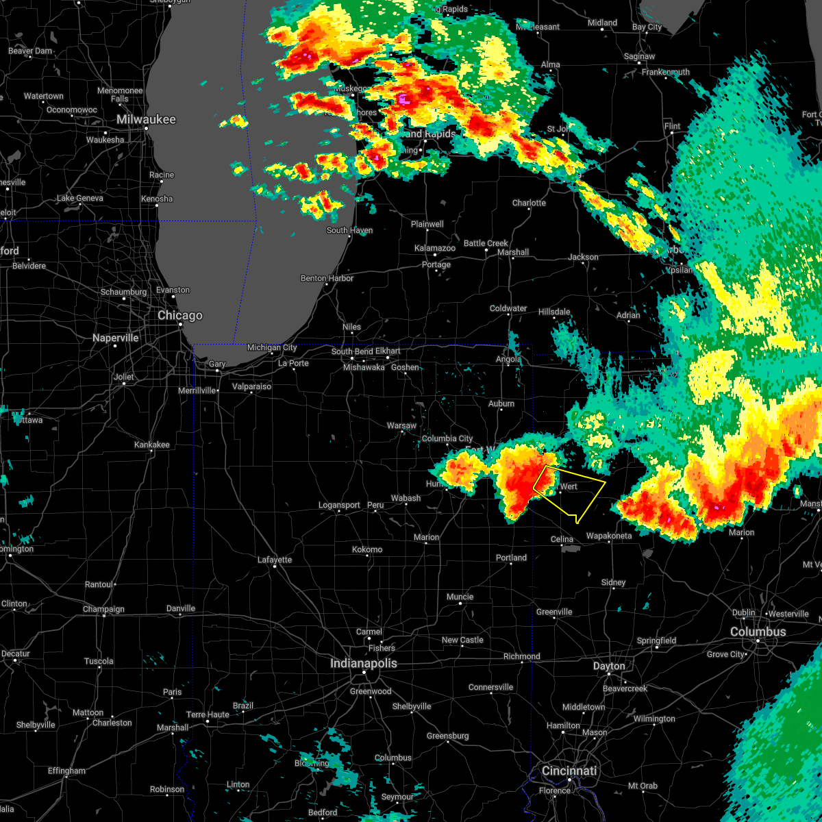
| 3/14/2024 6:49 PM EDT | Quarter sized hail reported 0 miles NNW of Ottoville, OH |
| 3/14/2024 6:40 PM EDT |
 Svriwx the national weather service in northern indiana has issued a * severe thunderstorm warning for, putnam county in west central ohio, northeastern van wert county in west central ohio, northern allen county in west central ohio, * until 715 pm edt. * at 639 pm edt, a severe thunderstorm was located near ottoville, or 8 miles north of delphos, moving east at 65 mph (radar indicated). Hazards include 60 mph wind gusts and half dollar size hail. Hail damage to vehicles is expected. Expect wind damage to roofs, siding, and trees. Svriwx the national weather service in northern indiana has issued a * severe thunderstorm warning for, putnam county in west central ohio, northeastern van wert county in west central ohio, northern allen county in west central ohio, * until 715 pm edt. * at 639 pm edt, a severe thunderstorm was located near ottoville, or 8 miles north of delphos, moving east at 65 mph (radar indicated). Hazards include 60 mph wind gusts and half dollar size hail. Hail damage to vehicles is expected. Expect wind damage to roofs, siding, and trees.
|
| 6/25/2023 9:46 PM EDT |
 At 946 pm edt, a severe thunderstorm was located near van wert, moving east at 25 mph (radar indicated). Hazards include 60 mph wind gusts and quarter size hail. Hail damage to vehicles is expected. expect wind damage to roofs, siding, and trees. locations impacted include, van wert, delphos, ottoville, ohio city, middle point, fort jennings, venedocia, wetzel, dull, jonestown, rushmore and cavett. hail threat, radar indicated max hail size, 1. 00 in wind threat, radar indicated max wind gust, 60 mph. At 946 pm edt, a severe thunderstorm was located near van wert, moving east at 25 mph (radar indicated). Hazards include 60 mph wind gusts and quarter size hail. Hail damage to vehicles is expected. expect wind damage to roofs, siding, and trees. locations impacted include, van wert, delphos, ottoville, ohio city, middle point, fort jennings, venedocia, wetzel, dull, jonestown, rushmore and cavett. hail threat, radar indicated max hail size, 1. 00 in wind threat, radar indicated max wind gust, 60 mph.
|
| 6/25/2023 9:28 PM EDT |
 At 927 pm edt, a severe thunderstorm was located near ohio city, or near van wert, moving east at 25 mph (radar indicated). Hazards include 60 mph wind gusts and quarter size hail. Hail damage to vehicles is expected. Expect wind damage to roofs, siding, and trees. At 927 pm edt, a severe thunderstorm was located near ohio city, or near van wert, moving east at 25 mph (radar indicated). Hazards include 60 mph wind gusts and quarter size hail. Hail damage to vehicles is expected. Expect wind damage to roofs, siding, and trees.
|
| 4/5/2023 2:15 PM EDT |
 At 214 pm edt, a severe thunderstorm was located near kalida, or 9 miles west of ottawa, moving northeast at 60 mph (radar indicated). Hazards include 60 mph wind gusts. Expect damage to roofs, siding, and trees. locations impacted include, lima, delphos, bluffton, fort shawnee, spencerville, columbus grove, elida, kalida, pandora, ottoville, spencerville in allen county, middle point, cairo, fort jennings, beaverdam, venedocia, elgin, yoder, gomer and rushmore. This includes interstate 75 between mile markers 120 and 140. At 214 pm edt, a severe thunderstorm was located near kalida, or 9 miles west of ottawa, moving northeast at 60 mph (radar indicated). Hazards include 60 mph wind gusts. Expect damage to roofs, siding, and trees. locations impacted include, lima, delphos, bluffton, fort shawnee, spencerville, columbus grove, elida, kalida, pandora, ottoville, spencerville in allen county, middle point, cairo, fort jennings, beaverdam, venedocia, elgin, yoder, gomer and rushmore. This includes interstate 75 between mile markers 120 and 140.
|
| 4/5/2023 2:02 PM EDT |
 At 201 pm edt, a severe thunderstorm was located near ottoville, or 7 miles northwest of delphos, moving northeast at 60 mph (radar indicated). Hazards include 60 mph wind gusts. expect damage to roofs, siding, and trees At 201 pm edt, a severe thunderstorm was located near ottoville, or 7 miles northwest of delphos, moving northeast at 60 mph (radar indicated). Hazards include 60 mph wind gusts. expect damage to roofs, siding, and trees
|
| 2/27/2023 3:53 PM EST |
 The severe thunderstorm warning for putnam, eastern van wert and western allen counties will expire at 400 pm est, the storms which prompted the warning havemoved out of the warned area. therefore, the warning will be allowed to expire. a tornado watch remains in effect until 600 pm est for west central ohio. The severe thunderstorm warning for putnam, eastern van wert and western allen counties will expire at 400 pm est, the storms which prompted the warning havemoved out of the warned area. therefore, the warning will be allowed to expire. a tornado watch remains in effect until 600 pm est for west central ohio.
|
| 2/27/2023 3:26 PM EST |
 At 326 pm est, severe thunderstorms were located along a line extending from near ottoville to 6 miles east of ohio city, moving east at 65 mph (radar indicated). Hazards include 60 mph wind gusts. Expect damage to roofs, siding, and trees. severe thunderstorms will be near, ottoville around 330 pm est. delphos, spencerville and spencerville in allen county around 335 pm est. elida and kalida around 340 pm est. lima, ottawa, fort shawnee, columbus grove and glandorf around 345 pm est. pandora around 350 pm est. bluffton around 355 pm est. other locations impacted by these severe thunderstorms include yoder, westminster, harrod, gomer, rushmore, jonestown, rimer, venedocia, elgin and wetzel. this includes interstate 75 between mile markers 119 and 141. hail threat, radar indicated max hail size, <. 75 in wind threat, radar indicated max wind gust, 60 mph. At 326 pm est, severe thunderstorms were located along a line extending from near ottoville to 6 miles east of ohio city, moving east at 65 mph (radar indicated). Hazards include 60 mph wind gusts. Expect damage to roofs, siding, and trees. severe thunderstorms will be near, ottoville around 330 pm est. delphos, spencerville and spencerville in allen county around 335 pm est. elida and kalida around 340 pm est. lima, ottawa, fort shawnee, columbus grove and glandorf around 345 pm est. pandora around 350 pm est. bluffton around 355 pm est. other locations impacted by these severe thunderstorms include yoder, westminster, harrod, gomer, rushmore, jonestown, rimer, venedocia, elgin and wetzel. this includes interstate 75 between mile markers 119 and 141. hail threat, radar indicated max hail size, <. 75 in wind threat, radar indicated max wind gust, 60 mph.
|
| 8/29/2022 5:04 PM EDT |
 At 503 pm edt, severe thunderstorms were located along a line extending from near edgerton to near woodburn to 6 miles northeast of ossian, moving east at 50 mph (radar indicated). Hazards include 70 mph wind gusts. Expect considerable tree damage. Damage is likely to mobile homes, roofs, and outbuildings. At 503 pm edt, severe thunderstorms were located along a line extending from near edgerton to near woodburn to 6 miles northeast of ossian, moving east at 50 mph (radar indicated). Hazards include 70 mph wind gusts. Expect considerable tree damage. Damage is likely to mobile homes, roofs, and outbuildings.
|
| 7/23/2022 9:54 AM EDT |
 The severe thunderstorm warning for southwestern putnam and van wert counties will expire at 1000 am edt, the storms which prompted the warning have moved out of the area. therefore, the warning will be allowed to expire. however gusty winds are still possible with lingering thunderstorms. a severe thunderstorm watch remains in effect until 200 pm edt for west central ohio. The severe thunderstorm warning for southwestern putnam and van wert counties will expire at 1000 am edt, the storms which prompted the warning have moved out of the area. therefore, the warning will be allowed to expire. however gusty winds are still possible with lingering thunderstorms. a severe thunderstorm watch remains in effect until 200 pm edt for west central ohio.
|
| 7/23/2022 9:33 AM EDT |
 At 932 am edt, severe thunderstorms were located along a line extending from near van wert to ohio city, moving east at 45 mph (radar indicated). Hazards include 70 mph wind gusts. Expect considerable tree damage. damage is likely to mobile homes, roofs, and outbuildings. locations impacted include, van wert, delphos, kalida, ottoville, ohio city, middle point, fort jennings, scott, wren, venedocia, elgin, wetzel, glenmore, cavett, dull and jonestown. thunderstorm damage threat, considerable hail threat, radar indicated max hail size, <. 75 in wind threat, radar indicated max wind gust, 70 mph. At 932 am edt, severe thunderstorms were located along a line extending from near van wert to ohio city, moving east at 45 mph (radar indicated). Hazards include 70 mph wind gusts. Expect considerable tree damage. damage is likely to mobile homes, roofs, and outbuildings. locations impacted include, van wert, delphos, kalida, ottoville, ohio city, middle point, fort jennings, scott, wren, venedocia, elgin, wetzel, glenmore, cavett, dull and jonestown. thunderstorm damage threat, considerable hail threat, radar indicated max hail size, <. 75 in wind threat, radar indicated max wind gust, 70 mph.
|
| 7/23/2022 9:13 AM EDT |
 At 913 am edt, severe thunderstorms were located along a line extending from near monroeville to decatur, moving east at 35 mph (radar indicated). Hazards include 70 mph wind gusts. Expect considerable tree damage. Damage is likely to mobile homes, roofs, and outbuildings. At 913 am edt, severe thunderstorms were located along a line extending from near monroeville to decatur, moving east at 35 mph (radar indicated). Hazards include 70 mph wind gusts. Expect considerable tree damage. Damage is likely to mobile homes, roofs, and outbuildings.
|
| 6/13/2022 11:42 PM EDT |
 The severe thunderstorm warning for southwestern putnam, south central paulding, van wert and west central allen counties will expire at 1145 pm edt, the storm which prompted the warning has moved out of the area. therefore, the warning will be allowed to expire. a severe thunderstorm watch remains in effect until midnight edt for west central ohio. The severe thunderstorm warning for southwestern putnam, south central paulding, van wert and west central allen counties will expire at 1145 pm edt, the storm which prompted the warning has moved out of the area. therefore, the warning will be allowed to expire. a severe thunderstorm watch remains in effect until midnight edt for west central ohio.
|
| 6/13/2022 11:04 PM EDT |
 At 1104 pm edt, a severe thunderstorm was located over convoy, or near van wert, moving southeast at 35 mph. this is a destructive storm! (radar indicated). Hazards include 80 mph wind gusts. Flying debris will be dangerous to those caught without shelter. mobile homes will be heavily damaged. expect considerable damage to roofs, windows, and vehicles. Extensive tree damage and power outages are likely. At 1104 pm edt, a severe thunderstorm was located over convoy, or near van wert, moving southeast at 35 mph. this is a destructive storm! (radar indicated). Hazards include 80 mph wind gusts. Flying debris will be dangerous to those caught without shelter. mobile homes will be heavily damaged. expect considerable damage to roofs, windows, and vehicles. Extensive tree damage and power outages are likely.
|
| 6/13/2022 11:01 PM EDT |
 At 1100 pm edt, a severe thunderstorm was located over convoy, or 8 miles northwest of van wert, moving southeast at 35 mph. this is a destructive storm! (radar indicated). Hazards include 80 mph wind gusts. Flying debris will be dangerous to those caught without shelter. mobile homes will be heavily damaged. expect considerable damage to roofs, windows, and vehicles. Extensive tree damage and power outages are likely. At 1100 pm edt, a severe thunderstorm was located over convoy, or 8 miles northwest of van wert, moving southeast at 35 mph. this is a destructive storm! (radar indicated). Hazards include 80 mph wind gusts. Flying debris will be dangerous to those caught without shelter. mobile homes will be heavily damaged. expect considerable damage to roofs, windows, and vehicles. Extensive tree damage and power outages are likely.
|
| 5/21/2022 3:51 PM EDT |
 At 350 pm edt, a severe thunderstorm was located near delphos, moving northeast at 35 mph (radar indicated). Hazards include 60 mph wind gusts and penny size hail. expect damage to roofs, siding, and trees At 350 pm edt, a severe thunderstorm was located near delphos, moving northeast at 35 mph (radar indicated). Hazards include 60 mph wind gusts and penny size hail. expect damage to roofs, siding, and trees
|
| 3/6/2022 4:00 AM EST |
 At 359 am est, severe thunderstorms were located along a line extending from near holgate to 7 miles northeast of celina, moving east at 80 mph (radar indicated). Hazards include 70 mph wind gusts. Expect considerable tree damage. Damage is likely to mobile homes, roofs, and outbuildings. At 359 am est, severe thunderstorms were located along a line extending from near holgate to 7 miles northeast of celina, moving east at 80 mph (radar indicated). Hazards include 70 mph wind gusts. Expect considerable tree damage. Damage is likely to mobile homes, roofs, and outbuildings.
|
| 3/6/2022 3:53 AM EST |
 At 352 am est, severe thunderstorms were located along a line extending from wauseon to near kalida to near fort recovery, moving east at 65 mph (radar indicated). Hazards include 70 mph wind gusts. Expect considerable tree damage. damage is likely to mobile homes, roofs, and outbuildings. locations impacted include, lima, defiance, van wert, napoleon, bryan, wauseon, delphos, portland, ottawa, archbold, fort shawnee, paulding, delta, spencerville, columbus grove, elida, kalida, stryker, geneva and payne. This includes interstate 75 between mile markers 119 and 132. At 352 am est, severe thunderstorms were located along a line extending from wauseon to near kalida to near fort recovery, moving east at 65 mph (radar indicated). Hazards include 70 mph wind gusts. Expect considerable tree damage. damage is likely to mobile homes, roofs, and outbuildings. locations impacted include, lima, defiance, van wert, napoleon, bryan, wauseon, delphos, portland, ottawa, archbold, fort shawnee, paulding, delta, spencerville, columbus grove, elida, kalida, stryker, geneva and payne. This includes interstate 75 between mile markers 119 and 132.
|
| 3/6/2022 3:21 AM EST |
 At 321 am est, severe thunderstorms were located along a line extending from near auburn to near monroeville to near matthews, moving east at 80 mph (radar indicated). Hazards include 70 mph wind gusts. Expect considerable tree damage. Damage is likely to mobile homes, roofs, and outbuildings. At 321 am est, severe thunderstorms were located along a line extending from near auburn to near monroeville to near matthews, moving east at 80 mph (radar indicated). Hazards include 70 mph wind gusts. Expect considerable tree damage. Damage is likely to mobile homes, roofs, and outbuildings.
|
| 8/11/2021 2:48 PM EDT |
 At 247 pm edt, severe thunderstorms were located along a line extending from near defiance to near continental to 7 miles west of spencerville, moving east at 45 mph (radar indicated). Hazards include 60 mph wind gusts and penny size hail. expect damage to roofs, siding, and trees At 247 pm edt, severe thunderstorms were located along a line extending from near defiance to near continental to 7 miles west of spencerville, moving east at 45 mph (radar indicated). Hazards include 60 mph wind gusts and penny size hail. expect damage to roofs, siding, and trees
|
| 7/29/2021 6:32 AM EDT |
 At 632 am edt, severe thunderstorms were located along a line extending from near bryan to near paulding to near monroeville, moving east at 55 mph (radar indicated). Hazards include 60 mph wind gusts. Expect damage to roofs, siding, and trees. Locations impacted include, defiance, paulding, antwerp, woodburn, monroeville, payne, continental, convoy, ottoville, oakwood, dixon, grover hill, ney, dupont, scott, melrose, haviland, latty, cecil and cloverdale. At 632 am edt, severe thunderstorms were located along a line extending from near bryan to near paulding to near monroeville, moving east at 55 mph (radar indicated). Hazards include 60 mph wind gusts. Expect damage to roofs, siding, and trees. Locations impacted include, defiance, paulding, antwerp, woodburn, monroeville, payne, continental, convoy, ottoville, oakwood, dixon, grover hill, ney, dupont, scott, melrose, haviland, latty, cecil and cloverdale.
|
| 7/29/2021 6:07 AM EDT |
 At 607 am edt, severe thunderstorms were located along a line extending from near butler to near grabill to near fort wayne, moving east at 50 mph (radar indicated). Hazards include 60 mph wind gusts. expect damage to roofs, siding, and trees At 607 am edt, severe thunderstorms were located along a line extending from near butler to near grabill to near fort wayne, moving east at 50 mph (radar indicated). Hazards include 60 mph wind gusts. expect damage to roofs, siding, and trees
|
| 8/10/2020 8:26 PM EDT |
 At 824 pm edt, severe thunderstorms were located along a line extending from near stryker to 7 miles east of paulding to near van wert, moving east at 45 mph (emergency management has reported trees and branches down in hicksville, ohio). Hazards include 60 mph wind gusts. Expect damage to roofs, siding, and trees. these severe storms will be near, ottoville around 840 pm edt. Other locations impacted by these severe thunderstorms include evansport, ney, melrose, arthur, charloe, oakwood, wren, cavett, haviland and dull. At 824 pm edt, severe thunderstorms were located along a line extending from near stryker to 7 miles east of paulding to near van wert, moving east at 45 mph (emergency management has reported trees and branches down in hicksville, ohio). Hazards include 60 mph wind gusts. Expect damage to roofs, siding, and trees. these severe storms will be near, ottoville around 840 pm edt. Other locations impacted by these severe thunderstorms include evansport, ney, melrose, arthur, charloe, oakwood, wren, cavett, haviland and dull.
|
| 8/10/2020 7:51 PM EDT |
 At 751 pm edt, severe thunderstorms were located along a line extending from near butler to near woodburn to near decatur, moving east at 45 mph (radar indicated). Hazards include 70 mph wind gusts. Expect considerable tree damage. damage is likely to mobile homes, roofs, and outbuildings. severe thunderstorms will be near, edgerton in williams county around 800 pm edt. antwerp and payne around 805 pm edt. convoy around 810 pm edt. bryan, paulding and ohio city around 815 pm edt. van wert around 820 pm edt. Ottoville around 835 pm edt. At 751 pm edt, severe thunderstorms were located along a line extending from near butler to near woodburn to near decatur, moving east at 45 mph (radar indicated). Hazards include 70 mph wind gusts. Expect considerable tree damage. damage is likely to mobile homes, roofs, and outbuildings. severe thunderstorms will be near, edgerton in williams county around 800 pm edt. antwerp and payne around 805 pm edt. convoy around 810 pm edt. bryan, paulding and ohio city around 815 pm edt. van wert around 820 pm edt. Ottoville around 835 pm edt.
|
| 7/9/2020 5:34 PM EDT |
 At 534 pm edt, severe thunderstorms were located along a line extending from near ottoville to delphos to 6 miles east of ohio city, moving northeast at 15 mph (radar indicated). Hazards include 60 mph wind gusts. Expect damage to roofs, siding, and trees. Locations impacted include, delphos, ottoville, middle point, fort jennings, venedocia, elgin, southworth and jonestown. At 534 pm edt, severe thunderstorms were located along a line extending from near ottoville to delphos to 6 miles east of ohio city, moving northeast at 15 mph (radar indicated). Hazards include 60 mph wind gusts. Expect damage to roofs, siding, and trees. Locations impacted include, delphos, ottoville, middle point, fort jennings, venedocia, elgin, southworth and jonestown.
|
| 7/9/2020 5:25 PM EDT |
 At 524 pm edt, severe thunderstorms were located along a line extending from near ottoville to delphos to 6 miles east of ohio city, moving east at 10 mph (emergency management). Hazards include 60 mph wind gusts and penny size hail. Expect damage to roofs, siding, and trees. locations impacted include, delphos, ottoville, middle point, fort jennings, venedocia, elgin, southworth, wetzel and jonestown. Emergency management reported large tree branches and power lines down on the east side of van wert as the storms passed through. At 524 pm edt, severe thunderstorms were located along a line extending from near ottoville to delphos to 6 miles east of ohio city, moving east at 10 mph (emergency management). Hazards include 60 mph wind gusts and penny size hail. Expect damage to roofs, siding, and trees. locations impacted include, delphos, ottoville, middle point, fort jennings, venedocia, elgin, southworth, wetzel and jonestown. Emergency management reported large tree branches and power lines down on the east side of van wert as the storms passed through.
|
| 7/9/2020 5:04 PM EDT |
 At 504 pm edt, severe thunderstorms were located along a line extending from 6 miles west of ottoville to 6 miles west of delphos to 6 miles east of ohio city, moving northeast at 15 mph (radar indicated). Hazards include 60 mph wind gusts and penny size hail. expect damage to roofs, siding, and trees At 504 pm edt, severe thunderstorms were located along a line extending from 6 miles west of ottoville to 6 miles west of delphos to 6 miles east of ohio city, moving northeast at 15 mph (radar indicated). Hazards include 60 mph wind gusts and penny size hail. expect damage to roofs, siding, and trees
|
| 7/7/2020 5:53 PM EDT |
 The severe thunderstorm warning for southwestern putnam, east central van wert and west central allen counties will expire at 600 pm edt, the storms which prompted the warning have moved out of the area. therefore, the warning will be allowed to expire. however gusty winds and heavy rain are still possible with these thunderstorms through 615 pm edt. The severe thunderstorm warning for southwestern putnam, east central van wert and west central allen counties will expire at 600 pm edt, the storms which prompted the warning have moved out of the area. therefore, the warning will be allowed to expire. however gusty winds and heavy rain are still possible with these thunderstorms through 615 pm edt.
|
| 7/7/2020 5:24 PM EDT |
 At 522 pm edt, severe thunderstorms were located along a line extending from near continental to near ottoville to near spencerville, moving east at 15 mph (radar indicated). Hazards include 60 mph wind gusts and penny size hail. Expect damage to roofs, siding, and trees. Locations impacted include, delphos, kalida, ottoville, fort jennings, cloverdale, southworth, needmore and rushmore. At 522 pm edt, severe thunderstorms were located along a line extending from near continental to near ottoville to near spencerville, moving east at 15 mph (radar indicated). Hazards include 60 mph wind gusts and penny size hail. Expect damage to roofs, siding, and trees. Locations impacted include, delphos, kalida, ottoville, fort jennings, cloverdale, southworth, needmore and rushmore.
|
| 7/7/2020 5:00 PM EDT |
 At 459 pm edt, severe thunderstorms were located along a line extending from 8 miles southwest of continental to near ottoville to near ohio city, moving east at 15 mph (radar indicated). Hazards include 60 mph wind gusts and penny size hail. expect damage to roofs, siding, and trees At 459 pm edt, severe thunderstorms were located along a line extending from 8 miles southwest of continental to near ottoville to near ohio city, moving east at 15 mph (radar indicated). Hazards include 60 mph wind gusts and penny size hail. expect damage to roofs, siding, and trees
|
| 5/10/2020 3:16 PM EDT |
 At 314 pm edt, severe thunderstorms were located along a line extending from near mccomb to near rawson to near ada to near wapakoneta, moving northeast at 55 mph (radar indicated. at 3:02 pm edt, a 60 mph wind gust was observed at the lima airport). Hazards include 60 mph wind gusts. Expect damage to roofs, siding, and trees. Locations impacted include, lima, delphos, ottawa, bluffton, fort shawnee, spencerville, columbus grove, leipsic, elida, deshler, kalida, pandora, glandorf, ottoville, spencerville in allen county, middle point, cairo, fort jennings, harrod and beaverdam. At 314 pm edt, severe thunderstorms were located along a line extending from near mccomb to near rawson to near ada to near wapakoneta, moving northeast at 55 mph (radar indicated. at 3:02 pm edt, a 60 mph wind gust was observed at the lima airport). Hazards include 60 mph wind gusts. Expect damage to roofs, siding, and trees. Locations impacted include, lima, delphos, ottawa, bluffton, fort shawnee, spencerville, columbus grove, leipsic, elida, deshler, kalida, pandora, glandorf, ottoville, spencerville in allen county, middle point, cairo, fort jennings, harrod and beaverdam.
|
| 5/10/2020 2:46 PM EDT |
 At 245 pm edt, severe thunderstorms were located along a line extending from near ottoville to near elida to near st. marys to 6 miles west of minster, moving northeast at 55 mph (radar indicated). Hazards include 60 mph wind gusts. expect damage to roofs, siding, and trees At 245 pm edt, severe thunderstorms were located along a line extending from near ottoville to near elida to near st. marys to 6 miles west of minster, moving northeast at 55 mph (radar indicated). Hazards include 60 mph wind gusts. expect damage to roofs, siding, and trees
|
| 5/10/2020 2:08 PM EDT |
 At 207 pm edt, severe thunderstorms were located along a line extending from grabill to near monroeville to near decatur, moving northeast at 40 mph (radar indicated). Hazards include 60 mph wind gusts. expect damage to roofs, siding, and trees At 207 pm edt, severe thunderstorms were located along a line extending from grabill to near monroeville to near decatur, moving northeast at 40 mph (radar indicated). Hazards include 60 mph wind gusts. expect damage to roofs, siding, and trees
|
| 3/28/2020 9:03 AM EDT |
 At 902 am edt, a severe thunderstorm was located near elida, or near delphos, moving east at 75 mph (emergency management). Hazards include quarter size hail and wind gusts in excess of 40 mph. Damage to vehicles is expected. Locations impacted include, lima, delphos, ottawa, bluffton, columbus grove, elida, pandora, ottoville, cairo, fort jennings, beaverdam, gilboa, vaughnsville, rushmore, gomer, southworth, needmore, rimer and rockport. At 902 am edt, a severe thunderstorm was located near elida, or near delphos, moving east at 75 mph (emergency management). Hazards include quarter size hail and wind gusts in excess of 40 mph. Damage to vehicles is expected. Locations impacted include, lima, delphos, ottawa, bluffton, columbus grove, elida, pandora, ottoville, cairo, fort jennings, beaverdam, gilboa, vaughnsville, rushmore, gomer, southworth, needmore, rimer and rockport.
|
| 3/28/2020 8:51 AM EDT |
 At 850 am edt, a severe thunderstorm was located near van wert, moving east at 55 mph (trained weather spotters). Hazards include quarter size hail and wind gusts in excess of 40 mph. damage to vehicles is expected At 850 am edt, a severe thunderstorm was located near van wert, moving east at 55 mph (trained weather spotters). Hazards include quarter size hail and wind gusts in excess of 40 mph. damage to vehicles is expected
|
| 9/13/2019 5:10 PM EDT |
 At 451 pm edt, a severe thunderstorm was located near van wert, moving northeast at 35 mph. at 449 pm edt, tree limbs were reported down in ohio city (radar indicated). Hazards include 60 mph wind gusts and penny size hail. expect damage to roofs, siding, and trees At 451 pm edt, a severe thunderstorm was located near van wert, moving northeast at 35 mph. at 449 pm edt, tree limbs were reported down in ohio city (radar indicated). Hazards include 60 mph wind gusts and penny size hail. expect damage to roofs, siding, and trees
|
| 9/13/2019 4:52 PM EDT |
 At 451 pm edt, a severe thunderstorm was located near van wert, moving northeast at 35 mph. at 449 pm edt, tree limbs were reported down in ohio city (radar indicated). Hazards include 60 mph wind gusts and penny size hail. expect damage to roofs, siding, and trees At 451 pm edt, a severe thunderstorm was located near van wert, moving northeast at 35 mph. at 449 pm edt, tree limbs were reported down in ohio city (radar indicated). Hazards include 60 mph wind gusts and penny size hail. expect damage to roofs, siding, and trees
|
| 7/10/2019 7:52 PM EDT |
 At 752 pm edt, a severe thunderstorm was located over kalida, or 7 miles southwest of ottawa, moving east at 15 mph (radar indicated). Hazards include 60 mph wind gusts and quarter size hail. Hail damage to vehicles is expected. expect wind damage to roofs, siding, and trees. Locations impacted include, ottawa, columbus grove, kalida, pandora, glandorf, ottoville, gilboa, cloverdale and rockport. At 752 pm edt, a severe thunderstorm was located over kalida, or 7 miles southwest of ottawa, moving east at 15 mph (radar indicated). Hazards include 60 mph wind gusts and quarter size hail. Hail damage to vehicles is expected. expect wind damage to roofs, siding, and trees. Locations impacted include, ottawa, columbus grove, kalida, pandora, glandorf, ottoville, gilboa, cloverdale and rockport.
|
| 7/10/2019 7:26 PM EDT |
 The national weather service in northern indiana has issued a * severe thunderstorm warning for. central putnam county in west central ohio. northeastern allen county in west central ohio. until 815 pm edt. At 726 pm edt, a severe thunderstorm was located near kalida, or 9. The national weather service in northern indiana has issued a * severe thunderstorm warning for. central putnam county in west central ohio. northeastern allen county in west central ohio. until 815 pm edt. At 726 pm edt, a severe thunderstorm was located near kalida, or 9.
|
| 6/1/2019 11:56 PM EDT |
 The severe thunderstorm warning for southwestern putnam, central van wert and southwestern allen counties will expire at midnight edt, the storms which prompted the warning have weakened below severe limits. therefore, the severe thunderstorm warning will be allowed to expire at midnight edt. however, gusty winds of 45 to 50 mph and pea sized hail will be possible with these storms across allen and southern putnam counties in northwest ohio through 1230 am edt. The severe thunderstorm warning for southwestern putnam, central van wert and southwestern allen counties will expire at midnight edt, the storms which prompted the warning have weakened below severe limits. therefore, the severe thunderstorm warning will be allowed to expire at midnight edt. however, gusty winds of 45 to 50 mph and pea sized hail will be possible with these storms across allen and southern putnam counties in northwest ohio through 1230 am edt.
|
| 6/1/2019 11:37 PM EDT |
 At 1137 pm edt, severe thunderstorms were located along a line extending from 7 miles northwest of ottoville to 6 miles west of delphos to near ohio city, moving east at 50 mph (radar indicated). Hazards include 60 mph wind gusts. Expect damage to roofs, siding, and trees. Locations impacted include, van wert, delphos, spencerville, elida, ottoville, ohio city, spencerville in allen county, middle point, fort jennings, venedocia, elgin, wetzel, vaughnsville, conant, monticello, rushmore, gomer, cavett, southworth and dull. At 1137 pm edt, severe thunderstorms were located along a line extending from 7 miles northwest of ottoville to 6 miles west of delphos to near ohio city, moving east at 50 mph (radar indicated). Hazards include 60 mph wind gusts. Expect damage to roofs, siding, and trees. Locations impacted include, van wert, delphos, spencerville, elida, ottoville, ohio city, spencerville in allen county, middle point, fort jennings, venedocia, elgin, wetzel, vaughnsville, conant, monticello, rushmore, gomer, cavett, southworth and dull.
|
| 6/1/2019 11:09 PM EDT |
 At 1109 pm edt, severe thunderstorms were located along a line extending from monroeville to near decatur to near berne, moving east at 50 mph (radar indicated). Hazards include 60 mph wind gusts and penny size hail. expect damage to roofs, siding, and trees At 1109 pm edt, severe thunderstorms were located along a line extending from monroeville to near decatur to near berne, moving east at 50 mph (radar indicated). Hazards include 60 mph wind gusts and penny size hail. expect damage to roofs, siding, and trees
|
| 5/23/2019 6:18 AM EDT |
 At 617 am edt, severe thunderstorms were located along a line extending from near napoleon to near delphos to near fort recovery, moving east at 50 mph (radar indicated). Hazards include 70 mph wind gusts and penny size hail. Expect considerable tree damage. damage is likely to mobile homes, roofs, and outbuildings. Locations impacted include, defiance, napoleon, delphos, spencerville, continental, ottoville, spencerville in allen county, oakwood, middle point, fort jennings, dupont, melrose, florida, cloverdale, venedocia, elgin, arthur, ayersville, rushmore and jonestown. At 617 am edt, severe thunderstorms were located along a line extending from near napoleon to near delphos to near fort recovery, moving east at 50 mph (radar indicated). Hazards include 70 mph wind gusts and penny size hail. Expect considerable tree damage. damage is likely to mobile homes, roofs, and outbuildings. Locations impacted include, defiance, napoleon, delphos, spencerville, continental, ottoville, spencerville in allen county, oakwood, middle point, fort jennings, dupont, melrose, florida, cloverdale, venedocia, elgin, arthur, ayersville, rushmore and jonestown.
|
| 5/23/2019 5:44 AM EDT |
 The national weather service in northern indiana has issued a * severe thunderstorm warning for. eastern adams county in northeastern indiana. jay county in east central indiana. western putnam county in west central ohio. Southern defiance county in northwestern ohio. The national weather service in northern indiana has issued a * severe thunderstorm warning for. eastern adams county in northeastern indiana. jay county in east central indiana. western putnam county in west central ohio. Southern defiance county in northwestern ohio.
|
| 5/23/2019 5:44 AM EDT |
 At 544 am edt, severe thunderstorms were located along a line extending from near hicksville to decatur to dunkirk, moving east at 55 mph (radar indicated). Hazards include 70 mph wind gusts. Expect considerable tree damage. Damage is likely to mobile homes, roofs, and outbuildings. At 544 am edt, severe thunderstorms were located along a line extending from near hicksville to decatur to dunkirk, moving east at 55 mph (radar indicated). Hazards include 70 mph wind gusts. Expect considerable tree damage. Damage is likely to mobile homes, roofs, and outbuildings.
|
| 5/16/2019 11:47 PM EDT |
 At 1128 pm edt, a severe thunderstorm was located near convoy, or 9 miles northwest of van wert, moving southeast at 30 mph (radar indicated). Hazards include half dollar size hail. Damage to vehicles is expected. Locations impacted include, van wert, convoy, ottoville, middle point, scott, venedocia, elgin, wetzel, jonestown and cavett. At 1128 pm edt, a severe thunderstorm was located near convoy, or 9 miles northwest of van wert, moving southeast at 30 mph (radar indicated). Hazards include half dollar size hail. Damage to vehicles is expected. Locations impacted include, van wert, convoy, ottoville, middle point, scott, venedocia, elgin, wetzel, jonestown and cavett.
|
| 5/16/2019 11:28 PM EDT |
 At 1128 pm edt, a severe thunderstorm was located near convoy, or 9 miles northwest of van wert, moving southeast at 30 mph (radar indicated). Hazards include half dollar size hail. Damage to vehicles is expected. Locations impacted include, van wert, convoy, ottoville, middle point, scott, venedocia, elgin, wetzel, jonestown and cavett. At 1128 pm edt, a severe thunderstorm was located near convoy, or 9 miles northwest of van wert, moving southeast at 30 mph (radar indicated). Hazards include half dollar size hail. Damage to vehicles is expected. Locations impacted include, van wert, convoy, ottoville, middle point, scott, venedocia, elgin, wetzel, jonestown and cavett.
|
| 5/16/2019 11:19 PM EDT |
 At 1118 pm edt, a severe thunderstorm was located near monroeville, or 13 miles east of new haven, moving southeast at 30 mph (radar indicated). Hazards include quarter size hail. damage to vehicles is expected At 1118 pm edt, a severe thunderstorm was located near monroeville, or 13 miles east of new haven, moving southeast at 30 mph (radar indicated). Hazards include quarter size hail. damage to vehicles is expected
|
| 5/16/2019 11:19 PM EDT |
 The national weather service in northern indiana has issued a * severe thunderstorm warning for. southeastern allen county in northeastern indiana. southwestern putnam county in west central ohio. southern paulding county in west central ohio. Van wert county in west central ohio. The national weather service in northern indiana has issued a * severe thunderstorm warning for. southeastern allen county in northeastern indiana. southwestern putnam county in west central ohio. southern paulding county in west central ohio. Van wert county in west central ohio.
|
| 5/16/2019 10:54 PM EDT |
 The severe thunderstorm warning for eastern allen, southwestern putnam, southern paulding and northern van wert counties will expire at 1100 pm edt, the storm which prompted the warning has weakened below severe limits therefore, the warning will be allowed to expire. however nickel sized hail will be possible with thunderstorms through 1130 pm edt. The severe thunderstorm warning for eastern allen, southwestern putnam, southern paulding and northern van wert counties will expire at 1100 pm edt, the storm which prompted the warning has weakened below severe limits therefore, the warning will be allowed to expire. however nickel sized hail will be possible with thunderstorms through 1130 pm edt.
|
| 5/16/2019 10:26 PM EDT |
 At 1026 pm edt, a severe thunderstorm was located near payne, or 14 miles northwest of van wert, moving southeast at 40 mph (radar indicated). Hazards include quarter size hail. Damage to vehicles is expected. Locations impacted include, fort wayne, new haven, woodburn, monroeville, payne, grabill, ottoville, leo-cedarville, dixon, grover hill, scott, haviland, edgerton in allen county, zulu, cavett, mcgill, townley, wetzel, worstville and harlan. At 1026 pm edt, a severe thunderstorm was located near payne, or 14 miles northwest of van wert, moving southeast at 40 mph (radar indicated). Hazards include quarter size hail. Damage to vehicles is expected. Locations impacted include, fort wayne, new haven, woodburn, monroeville, payne, grabill, ottoville, leo-cedarville, dixon, grover hill, scott, haviland, edgerton in allen county, zulu, cavett, mcgill, townley, wetzel, worstville and harlan.
|
| 5/16/2019 10:06 PM EDT |
 At 1003 pm edt, a severe thunderstorm was located near grabill, or near new haven, moving southeast at 40 mph (radar indicated). Hazards include 60 mph wind gusts and quarter size hail. Hail damage to vehicles is expected. Expect wind damage to roofs, siding, and trees. At 1003 pm edt, a severe thunderstorm was located near grabill, or near new haven, moving southeast at 40 mph (radar indicated). Hazards include 60 mph wind gusts and quarter size hail. Hail damage to vehicles is expected. Expect wind damage to roofs, siding, and trees.
|
| 8/4/2017 6:03 AM EDT |
 At 603 am edt, a severe thunderstorm was located over delphos, moving northeast at 45 mph (radar indicated). Hazards include 60 mph wind gusts and quarter size hail. Hail damage to vehicles is expected. expect wind damage to roofs, siding, and trees. Locations impacted include, delphos, ottawa, columbus grove, leipsic, kalida, pandora, glandorf, ottoville, fort jennings, west leipsic, gilboa, vaughnsville, prentiss, rushmore, gomer and rimer. At 603 am edt, a severe thunderstorm was located over delphos, moving northeast at 45 mph (radar indicated). Hazards include 60 mph wind gusts and quarter size hail. Hail damage to vehicles is expected. expect wind damage to roofs, siding, and trees. Locations impacted include, delphos, ottawa, columbus grove, leipsic, kalida, pandora, glandorf, ottoville, fort jennings, west leipsic, gilboa, vaughnsville, prentiss, rushmore, gomer and rimer.
|
| 8/4/2017 5:42 AM EDT |
 At 541 am edt, a severe thunderstorm was located over ohio city, or 8 miles south of van wert, moving northeast at 45 mph (radar indicated). Hazards include 60 mph wind gusts and quarter size hail. Hail damage to vehicles is expected. Expect wind damage to roofs, siding, and trees. At 541 am edt, a severe thunderstorm was located over ohio city, or 8 miles south of van wert, moving northeast at 45 mph (radar indicated). Hazards include 60 mph wind gusts and quarter size hail. Hail damage to vehicles is expected. Expect wind damage to roofs, siding, and trees.
|
| 5/18/2017 6:55 PM EDT |
 At 655 pm edt, a severe thunderstorm was located near continental, or 12 miles west of ottawa, moving east at 45 mph (radar indicated). Hazards include 60 mph wind gusts and penny size hail. expect damage to roofs, siding, and trees At 655 pm edt, a severe thunderstorm was located near continental, or 12 miles west of ottawa, moving east at 45 mph (radar indicated). Hazards include 60 mph wind gusts and penny size hail. expect damage to roofs, siding, and trees
|
| 5/18/2017 6:25 PM EDT |
 At 625 pm edt, a severe thunderstorm was located near convoy, or 9 miles northwest of van wert, moving east at 40 mph (radar indicated). Hazards include 60 mph wind gusts and nickel size hail. expect damage to roofs, siding, and trees At 625 pm edt, a severe thunderstorm was located near convoy, or 9 miles northwest of van wert, moving east at 40 mph (radar indicated). Hazards include 60 mph wind gusts and nickel size hail. expect damage to roofs, siding, and trees
|
| 4/20/2017 5:08 PM EDT |
 At 507 pm edt, a severe thunderstorm was located over glandorf, or near ottawa, moving east at 40 mph (radar indicated). Hazards include 60 mph wind gusts and quarter size hail. Hail damage to vehicles is expected. expect wind damage to roofs, siding, and trees. Locations impacted include, ottawa, columbus grove, leipsic, kalida, pandora, glandorf, west leipsic, gilboa, cloverdale and belmore. At 507 pm edt, a severe thunderstorm was located over glandorf, or near ottawa, moving east at 40 mph (radar indicated). Hazards include 60 mph wind gusts and quarter size hail. Hail damage to vehicles is expected. expect wind damage to roofs, siding, and trees. Locations impacted include, ottawa, columbus grove, leipsic, kalida, pandora, glandorf, west leipsic, gilboa, cloverdale and belmore.
|
| 4/20/2017 4:54 PM EDT |
 At 454 pm edt, a severe thunderstorm was located near kalida, or 10 miles north of delphos, moving east at 40 mph (radar indicated). Hazards include 60 mph wind gusts and quarter size hail. Hail damage to vehicles is expected. Expect wind damage to roofs, siding, and trees. At 454 pm edt, a severe thunderstorm was located near kalida, or 10 miles north of delphos, moving east at 40 mph (radar indicated). Hazards include 60 mph wind gusts and quarter size hail. Hail damage to vehicles is expected. Expect wind damage to roofs, siding, and trees.
|
| 3/1/2017 3:46 AM EST |
 At 345 am est, a severe thunderstorm was located near columbus grove, or 9 miles south of ottawa, moving east northeast at 70 mph (radar indicated). Hazards include 60 mph wind gusts and quarter size hail. Hail damage to vehicles is expected. expect wind damage to roofs, siding, and trees. locations impacted include, van wert, delphos, ottawa, bluffton, columbus grove, leipsic, kalida, pandora, glandorf, ottoville, ohio city, middle point, fort jennings, west leipsic, gilboa, venedocia, elgin, rushmore, gomer and dull. A tornado watch remains in effect until 700 am est for northwestern and west central ohio. At 345 am est, a severe thunderstorm was located near columbus grove, or 9 miles south of ottawa, moving east northeast at 70 mph (radar indicated). Hazards include 60 mph wind gusts and quarter size hail. Hail damage to vehicles is expected. expect wind damage to roofs, siding, and trees. locations impacted include, van wert, delphos, ottawa, bluffton, columbus grove, leipsic, kalida, pandora, glandorf, ottoville, ohio city, middle point, fort jennings, west leipsic, gilboa, venedocia, elgin, rushmore, gomer and dull. A tornado watch remains in effect until 700 am est for northwestern and west central ohio.
|
| 3/1/2017 3:23 AM EST |
 At 323 am est, a severe thunderstorm was located over van wert, moving east at 70 mph (radar indicated). Hazards include 60 mph wind gusts and quarter size hail. Hail damage to vehicles is expected. Expect wind damage to roofs, siding, and trees. At 323 am est, a severe thunderstorm was located over van wert, moving east at 70 mph (radar indicated). Hazards include 60 mph wind gusts and quarter size hail. Hail damage to vehicles is expected. Expect wind damage to roofs, siding, and trees.
|
| 3/1/2017 3:09 AM EST |
 At 309 am est, severe thunderstorms were located along a line extending from 6 miles southeast of morenci to 6 miles southeast of defiance to convoy, moving east at 65 mph (radar indicated). Hazards include 60 mph wind gusts. Expect damage to roofs, siding, and trees. locations impacted include, fort wayne, defiance, new haven, napoleon, bryan, wauseon, ottawa, archbold, bluffton, swanton, hicksville, paulding, delta, columbus grove, leipsic, deshler, antwerp, west unity, kalida and woodburn. this includes the following highways, interstate 469 between mile markers 10 and 22. interstate 75 between mile markers 134 and 141. interstate 80 in ohio between mile markers 17 and 48. A tornado watch remains in effect until 700 am est for northeastern indiana, and northwestern and west central ohio. At 309 am est, severe thunderstorms were located along a line extending from 6 miles southeast of morenci to 6 miles southeast of defiance to convoy, moving east at 65 mph (radar indicated). Hazards include 60 mph wind gusts. Expect damage to roofs, siding, and trees. locations impacted include, fort wayne, defiance, new haven, napoleon, bryan, wauseon, ottawa, archbold, bluffton, swanton, hicksville, paulding, delta, columbus grove, leipsic, deshler, antwerp, west unity, kalida and woodburn. this includes the following highways, interstate 469 between mile markers 10 and 22. interstate 75 between mile markers 134 and 141. interstate 80 in ohio between mile markers 17 and 48. A tornado watch remains in effect until 700 am est for northeastern indiana, and northwestern and west central ohio.
|
| 3/1/2017 2:54 AM EST |
 At 253 am est, severe thunderstorms were located along a line extending from near pioneer to 7 miles north of paulding to near monroeville, moving east at 70 mph (radar indicated). Hazards include 70 mph wind gusts and penny size hail. Expect considerable tree damage. damage is likely to mobile homes, roofs, and outbuildings. locations impacted include, fort wayne, defiance, new haven, napoleon, bryan, wauseon, delphos, ottawa, archbold, bluffton, montpelier, swanton, hicksville, paulding, delta, columbus grove, leipsic, edgerton, deshler and antwerp. this includes the following highways, interstate 469 between mile markers 9 and 24. interstate 75 between mile markers 133 and 141. interstate 80 in ohio between mile markers 2 and 48. This storm has a history of producing 70 to 80 mph wind gusts! a tornado watch remains in effect until 700 am est for northeastern indiana, and northwestern and west central ohio. At 253 am est, severe thunderstorms were located along a line extending from near pioneer to 7 miles north of paulding to near monroeville, moving east at 70 mph (radar indicated). Hazards include 70 mph wind gusts and penny size hail. Expect considerable tree damage. damage is likely to mobile homes, roofs, and outbuildings. locations impacted include, fort wayne, defiance, new haven, napoleon, bryan, wauseon, delphos, ottawa, archbold, bluffton, montpelier, swanton, hicksville, paulding, delta, columbus grove, leipsic, edgerton, deshler and antwerp. this includes the following highways, interstate 469 between mile markers 9 and 24. interstate 75 between mile markers 133 and 141. interstate 80 in ohio between mile markers 2 and 48. This storm has a history of producing 70 to 80 mph wind gusts! a tornado watch remains in effect until 700 am est for northeastern indiana, and northwestern and west central ohio.
|
| 3/1/2017 2:29 AM EST |
 At 227 am est, severe thunderstorms were located along a line extending from fremont to near auburn to 10 miles west of fort wayne, moving east at 70 mph. these are very dangerous storms (radar indicated). Hazards include 80 mph wind gusts and nickel size hail. Flying debris will be dangerous to those caught without shelter. mobile homes will be heavily damaged. expect considerable damage to roofs, windows, and vehicles. Extensive tree damage and power outages are likely. At 227 am est, severe thunderstorms were located along a line extending from fremont to near auburn to 10 miles west of fort wayne, moving east at 70 mph. these are very dangerous storms (radar indicated). Hazards include 80 mph wind gusts and nickel size hail. Flying debris will be dangerous to those caught without shelter. mobile homes will be heavily damaged. expect considerable damage to roofs, windows, and vehicles. Extensive tree damage and power outages are likely.
|
| 8/24/2016 7:19 PM EDT |
 At 719 pm edt, a confirmed tornado was located near ottoville, or 11 miles north of delphos, moving northeast at 25 mph (emergency management confirmed tornado. this storm has a history of producing multiple destructive tornadoes). Hazards include damaging tornado. Flying debris will be dangerous to those caught without shelter. mobile homes will be damaged or destroyed. damage to roofs, windows, and vehicles will occur. tree damage is likely. this tornado will be near, kalida and continental around 730 pm edt. Other locations impacted by this tornadic thunderstorm include roselms, kieferville, wisterman, oakwood, mandale, cloverdale, melrose and dupont. At 719 pm edt, a confirmed tornado was located near ottoville, or 11 miles north of delphos, moving northeast at 25 mph (emergency management confirmed tornado. this storm has a history of producing multiple destructive tornadoes). Hazards include damaging tornado. Flying debris will be dangerous to those caught without shelter. mobile homes will be damaged or destroyed. damage to roofs, windows, and vehicles will occur. tree damage is likely. this tornado will be near, kalida and continental around 730 pm edt. Other locations impacted by this tornadic thunderstorm include roselms, kieferville, wisterman, oakwood, mandale, cloverdale, melrose and dupont.
|
| 8/24/2016 7:08 PM EDT |
 At 707 pm edt, a confirmed tornado was located near ottoville, or 10 miles northeast of van wert, moving northeast at 25 mph (emergency management confirmed tornado. this storm has a history of producing multiple destructive tornadoes). Hazards include damaging tornado. Flying debris will be dangerous to those caught without shelter. mobile homes will be damaged or destroyed. damage to roofs, windows, and vehicles will occur. tree damage is likely. this tornado will be near, ottoville around 715 pm edt. kalida and continental around 730 pm edt. Other locations impacted by this tornadic thunderstorm include roselms, kieferville, wetzel, wisterman, oakwood, mandale, cloverdale, melrose, grover hill and dupont. At 707 pm edt, a confirmed tornado was located near ottoville, or 10 miles northeast of van wert, moving northeast at 25 mph (emergency management confirmed tornado. this storm has a history of producing multiple destructive tornadoes). Hazards include damaging tornado. Flying debris will be dangerous to those caught without shelter. mobile homes will be damaged or destroyed. damage to roofs, windows, and vehicles will occur. tree damage is likely. this tornado will be near, ottoville around 715 pm edt. kalida and continental around 730 pm edt. Other locations impacted by this tornadic thunderstorm include roselms, kieferville, wetzel, wisterman, oakwood, mandale, cloverdale, melrose, grover hill and dupont.
|
| 8/24/2016 6:57 PM EDT |
 At 657 pm edt, a confirmed large and extremely dangerous tornado was located near van wert, moving northeast at 30 mph. this is a particularly dangerous situation. take cover now! (emergency management confirmed tornado. this storm has a history of producing multiple destructive tornadoes). Hazards include damaging tornado. You are in a life-threatening situation. flying debris may be deadly to those caught without shelter. mobile homes will be destroyed. considerable damage to homes, businesses, and vehicles is likely and complete destruction is possible. the tornado will be near, ottoville around 715 pm edt. kalida and continental around 730 pm edt. Other locations impacted by this tornadic thunderstorm include roselms, kieferville, wetzel, wisterman, oakwood, mandale, cave tt, cloverdale, melrose and grover hill. At 657 pm edt, a confirmed large and extremely dangerous tornado was located near van wert, moving northeast at 30 mph. this is a particularly dangerous situation. take cover now! (emergency management confirmed tornado. this storm has a history of producing multiple destructive tornadoes). Hazards include damaging tornado. You are in a life-threatening situation. flying debris may be deadly to those caught without shelter. mobile homes will be destroyed. considerable damage to homes, businesses, and vehicles is likely and complete destruction is possible. the tornado will be near, ottoville around 715 pm edt. kalida and continental around 730 pm edt. Other locations impacted by this tornadic thunderstorm include roselms, kieferville, wetzel, wisterman, oakwood, mandale, cave tt, cloverdale, melrose and grover hill.
|
| 5/30/2015 4:54 PM EDT | At 452 pm edt, a severe thunderstorm was located near continental, and moving northeast at 40 mph (radar indicated). Hazards include 60 mph wind gusts and nickel size hail. Expect damage to roofs. siding and trees. Locations impacted include, ottawa, kalida, continental, glandorf, holgate, leipsic, deshler, mcclure, wisterman, kieferville, north creek, pleasant bend, miller city, new bavaria, west leipsic, prentiss, gilboa, gallup, hamler and elery. |
| 5/30/2015 4:37 PM EDT | At 434 pm edt, a severe thunderstorm was located 8 miles northwest of ottoville, and moving east at 35 mph (radar indicated). Hazards include 60 mph wind gusts and nickel size hail. Expect damage to roofs. Siding and trees. |
| 5/26/2015 4:59 PM EDT | At 458 pm edt, severe thunderstorms were located along a line extending from ottoville to elida to cridersville, and moving northeast at 55 mph (radar indicated). Hazards include 60 mph wind gusts. Expect damage to roofs. Siding and trees. |
| 5/26/2015 4:50 PM EDT | At 447 pm edt, severe thunderstorms were located along a line extending from ohio city to spencerville to wapakoneta, and moving northeast at 55 mph (radar indicated). Hazards include 60 mph wind gusts. Expect damage to roofs. siding and trees. Locations impacted include, van wert, delphos, fort shawnee, lima, elida, ottoville, venedocia, conant, needmore, hume, kemp, middle point, rousculp, cavett, rushmore, gomer, rimer, fort jennings, yoder and wetzel. |
| 5/26/2015 4:34 PM EDT | At 432 pm edt, severe thunderstorms were located along a line extending from 6 miles west of rockford to 5 miles north of celina to st. marys, and moving northeast at 55 mph (radar indicated). Hazards include 60 mph wind gusts. Expect damage to roofs. Siding and trees. |
Hail Maps for Ottoville, OH


Connect with Interactive Hail Maps