

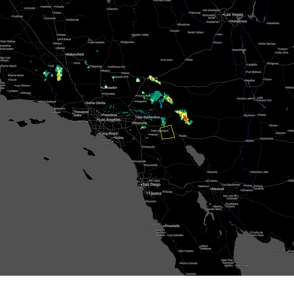
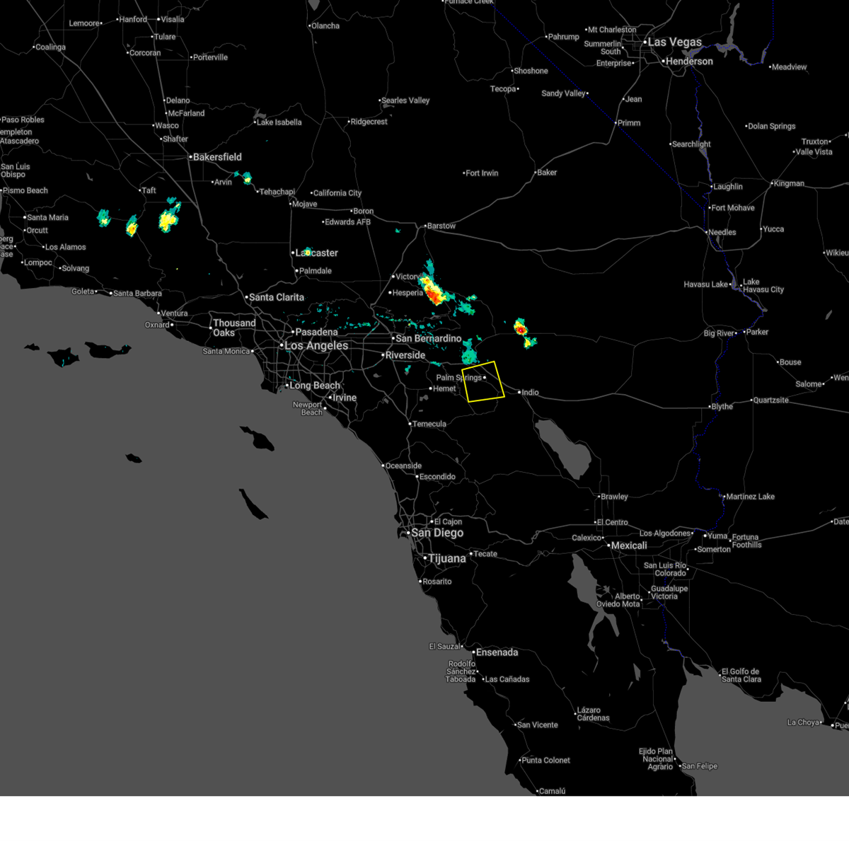
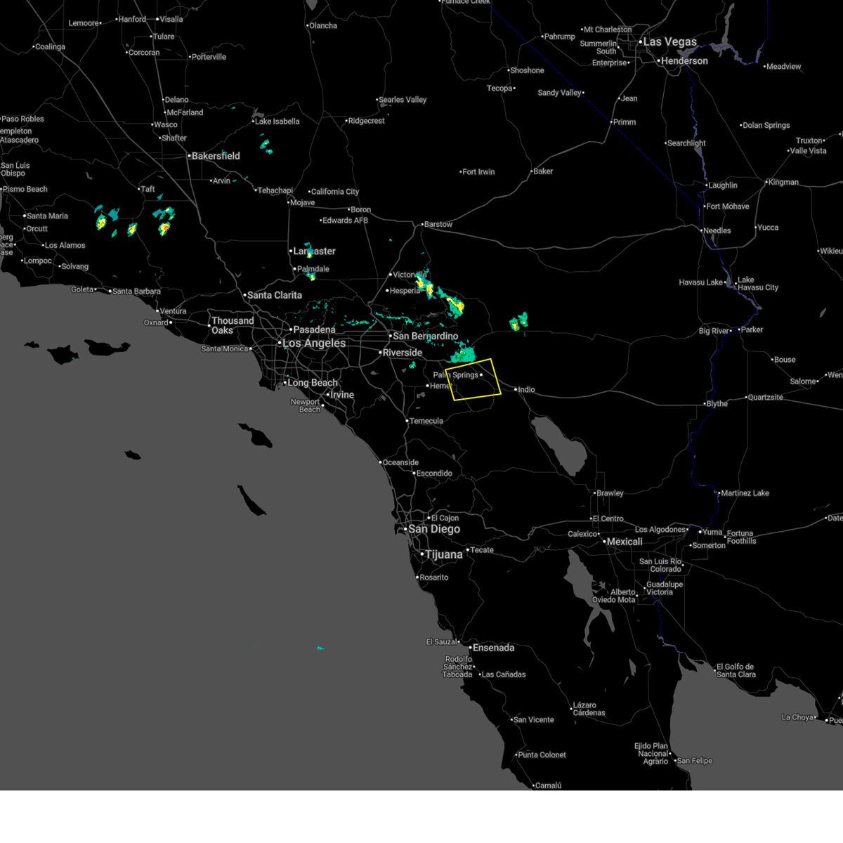
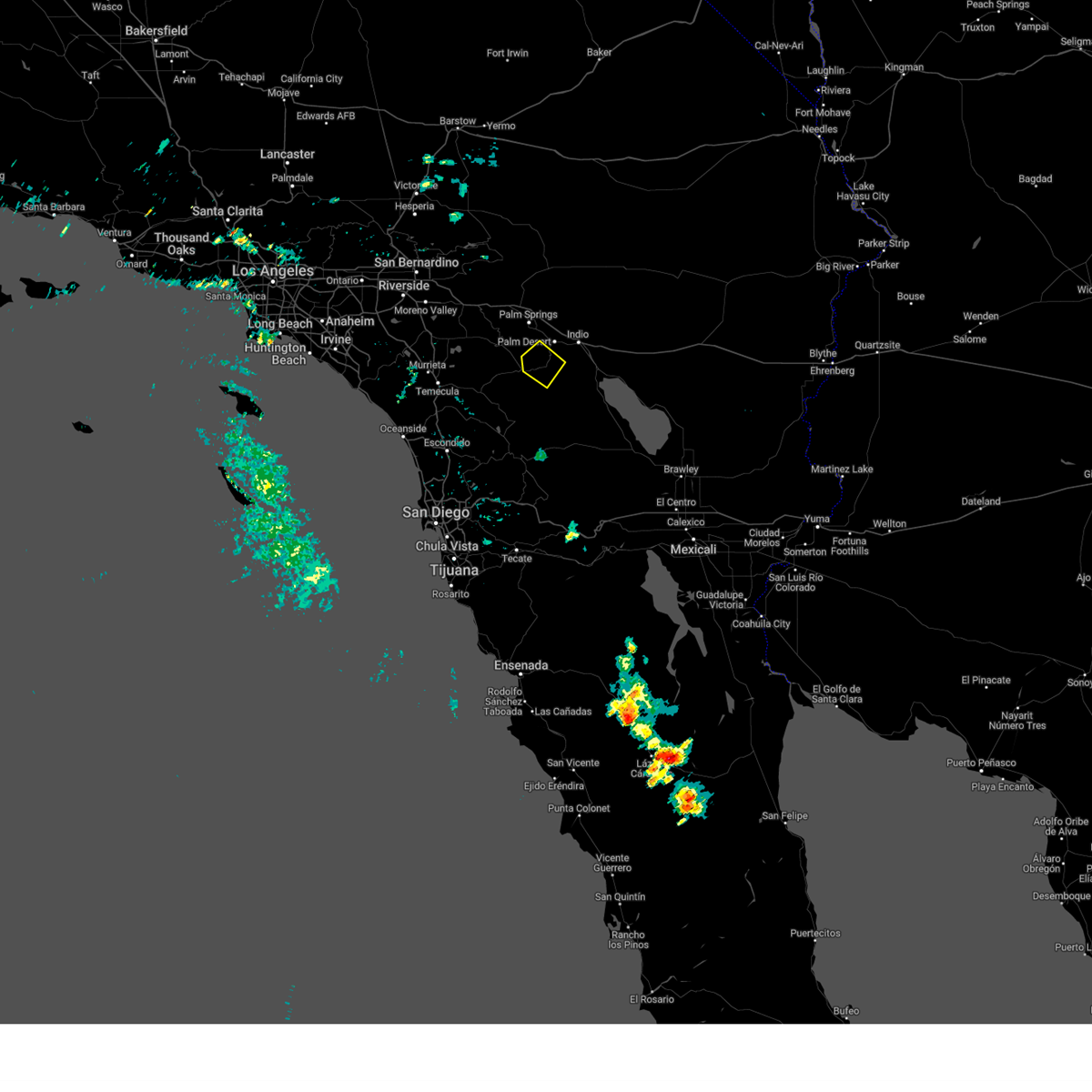
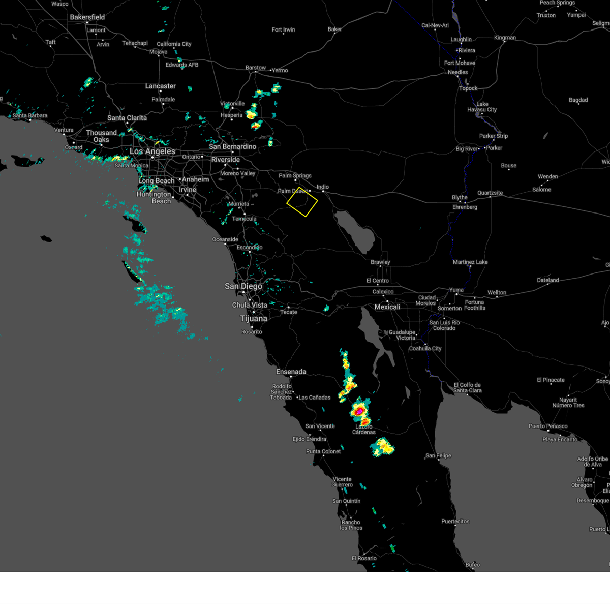
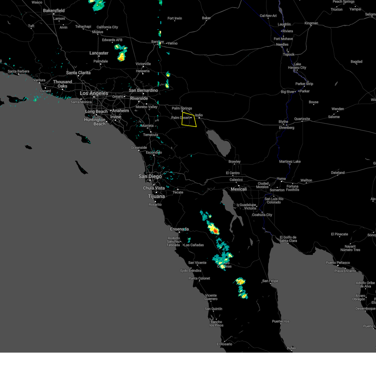
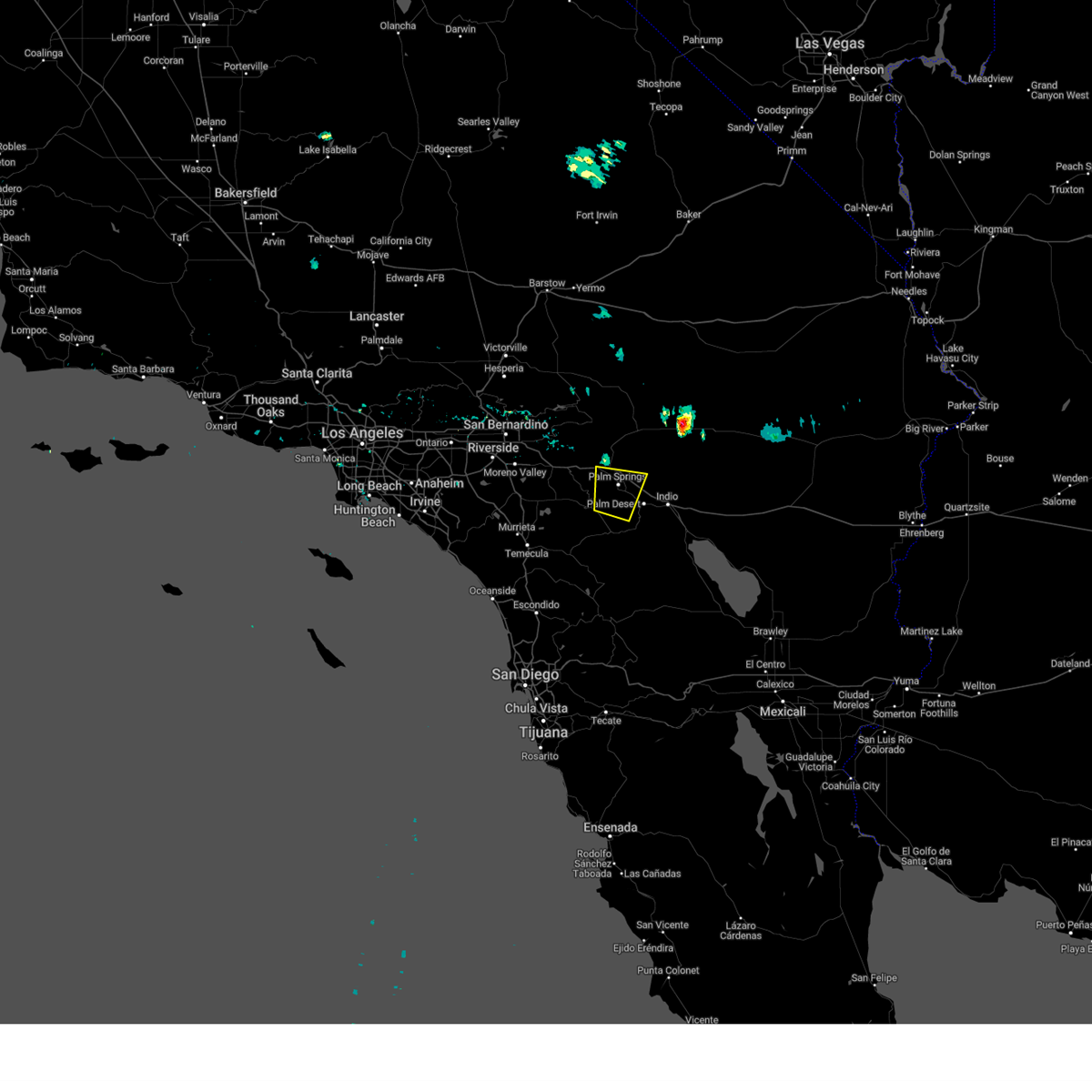
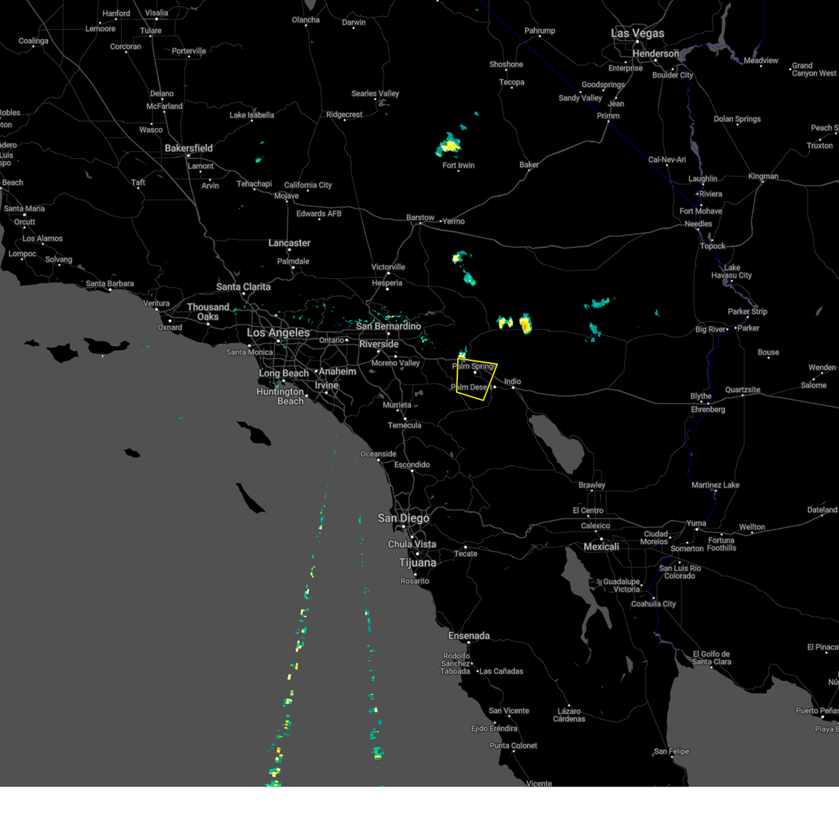
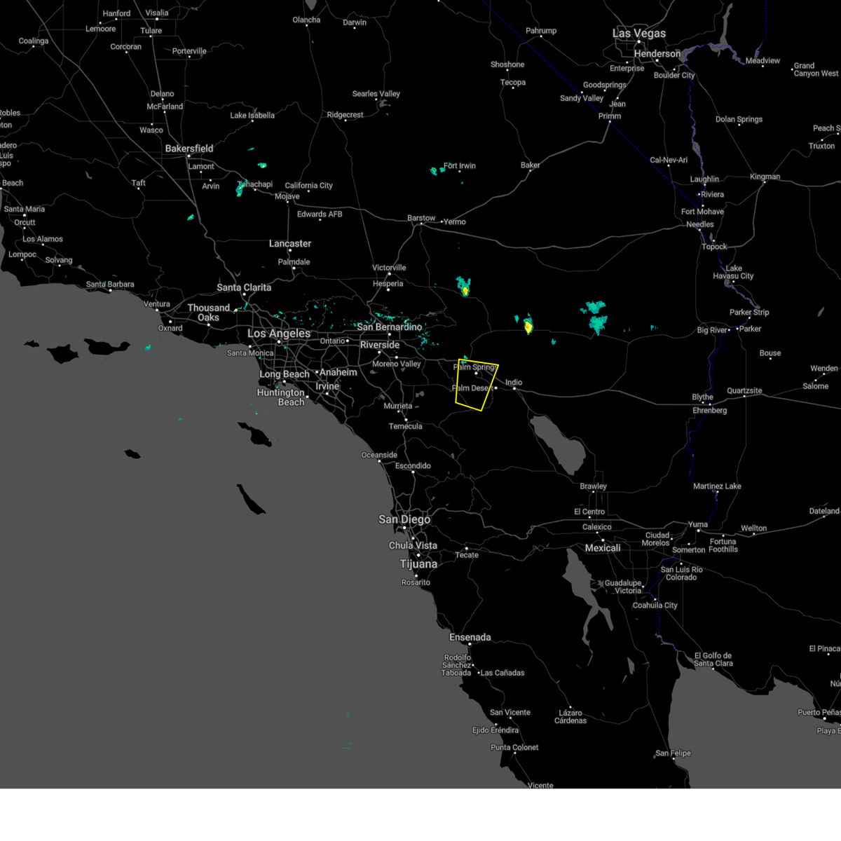
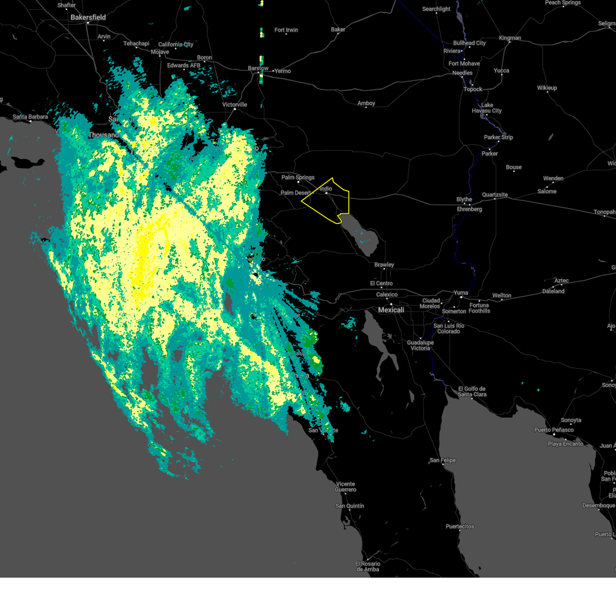
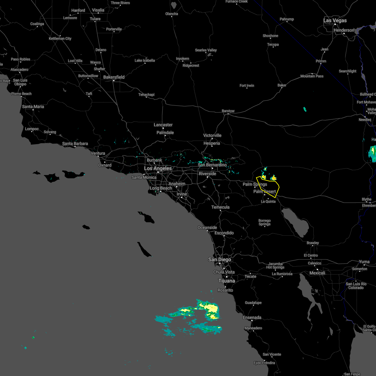
Hail Map for Palm Desert, CA
The Palm Desert, CA area has had 0 reports of on-the-ground hail by trained spotters, and has been under severe weather warnings 6 times during the past 12 months. Doppler radar has detected hail at or near Palm Desert, CA on 3 occasions.
| Name: | Palm Desert, CA |
| Where Located: | 27.6 miles S of Yucca Valley, CA |
| Map: | Google Map for Palm Desert, CA |
| Population: | 48445 |
| Housing Units: | 37073 |
| More Info: | Search Google for Palm Desert, CA |
0
The Top Recent Hail Date for Palm Desert, CA is Friday, October 12, 2018 (3rd out of 3)

Hail and Wind Damage Spotted near Palm Desert, CA
| Date / Time | Report Details |
|---|---|
| 9/18/2025 5:22 PM PDT | The severe thunderstorm which prompted the warning has weakened and moved north out of the warned area. therefore, the warning will be allowed to expire. |
| 9/18/2025 5:07 PM PDT | At 504 pm pdt, a severe thunderstorm was located 7 miles south of joshua tree, or 17 miles southwest of twentynine palms, moving north at 25 mph. the storm has maintained strength and is moving toward joshua tree (radar indicated). Hazards include 60 mph wind gusts and penny size hail. Expect damage to roofs, siding, and trees. Locations impacted include, indio, eastern palm springs, coachella, cathedral city, palm desert, eastern desert hot springs, rancho mirage, hwy 74 between anza and palm desert, thermal, la quinta, indian wells, thousand palms, sky valley, bermuda dunes, and santa rosa mountain. |
| 9/18/2025 4:32 PM PDT | Sce painted canyon rd observation station reported wind gust of 62 mp in riverside county CA, 3.4 miles NE of Palm Desert, CA |
| 9/18/2025 4:32 PM PDT | Svrsgx the national weather service in san diego has issued a * severe thunderstorm warning for, san bernardino county in southern california, riverside county in southern california, * until 530 pm pdt. * at 432 pm pdt, a severe thunderstorm was located near palm desert, or 8 miles northwest of indio, moving north at 20 mph (radar indicated). Hazards include 60 mph wind gusts and penny size hail. expect damage to roofs, siding, and trees |
| 8/25/2025 3:24 PM PDT |
 The storm which prompted the warning has weakened below severe limits, and no longer poses an immediate threat to life or property. therefore, the warning will be allowed to expire. The storm which prompted the warning has weakened below severe limits, and no longer poses an immediate threat to life or property. therefore, the warning will be allowed to expire.
|
| 8/25/2025 2:50 PM PDT |
 At 249 pm pdt, a severe thunderstorm was located over northeastern palm springs, moving east at 5 mph (radar indicated). Hazards include 60 mph wind gusts. Expect damage to roofs, siding, and trees. Locations impacted include, palm springs, mt san jacinto state park, cathedral city, palm desert, southeastern desert hot springs, rancho mirage, north palm springs, whitewater, indian wells, sky valley, and thousand palms. At 249 pm pdt, a severe thunderstorm was located over northeastern palm springs, moving east at 5 mph (radar indicated). Hazards include 60 mph wind gusts. Expect damage to roofs, siding, and trees. Locations impacted include, palm springs, mt san jacinto state park, cathedral city, palm desert, southeastern desert hot springs, rancho mirage, north palm springs, whitewater, indian wells, sky valley, and thousand palms.
|
| 8/25/2025 2:28 PM PDT |
 Svrsgx the national weather service in san diego has issued a * severe thunderstorm warning for, riverside county in southern california, * until 330 pm pdt. * at 228 pm pdt, a severe thunderstorm was located near palm springs, moving east at 20 mph (radar indicated). Hazards include 60 mph wind gusts. expect damage to roofs, siding, and trees Svrsgx the national weather service in san diego has issued a * severe thunderstorm warning for, riverside county in southern california, * until 330 pm pdt. * at 228 pm pdt, a severe thunderstorm was located near palm springs, moving east at 20 mph (radar indicated). Hazards include 60 mph wind gusts. expect damage to roofs, siding, and trees
|
| 7/15/2024 2:28 PM PDT |
 At 227 pm pdt, a severe thunderstorm was located over hwy 74 between anza and palm desert, or 11 miles east of anza, and is nearly stationary (radar indicated). Hazards include 60 mph wind gusts and quarter size hail. Hail damage to vehicles is expected. expect wind damage to roofs, siding, and trees. Locations impacted include, southeastern palm springs, palm desert, hwy 74 between anza and palm desert, la quinta, and santa rosa mountain. At 227 pm pdt, a severe thunderstorm was located over hwy 74 between anza and palm desert, or 11 miles east of anza, and is nearly stationary (radar indicated). Hazards include 60 mph wind gusts and quarter size hail. Hail damage to vehicles is expected. expect wind damage to roofs, siding, and trees. Locations impacted include, southeastern palm springs, palm desert, hwy 74 between anza and palm desert, la quinta, and santa rosa mountain.
|
| 7/15/2024 1:53 PM PDT |
 Svrsgx the national weather service in san diego has issued a * severe thunderstorm warning for, riverside county in southern california, * until 245 pm pdt. * at 153 pm pdt, a severe thunderstorm was located over hwy 74 between anza and palm desert, or 11 miles east of anza, and is nearly stationary (radar indicated). Hazards include 60 mph wind gusts and quarter size hail. Hail damage to vehicles is expected. Expect wind damage to roofs, siding, and trees. Svrsgx the national weather service in san diego has issued a * severe thunderstorm warning for, riverside county in southern california, * until 245 pm pdt. * at 153 pm pdt, a severe thunderstorm was located over hwy 74 between anza and palm desert, or 11 miles east of anza, and is nearly stationary (radar indicated). Hazards include 60 mph wind gusts and quarter size hail. Hail damage to vehicles is expected. Expect wind damage to roofs, siding, and trees.
|
| 7/14/2024 3:32 PM PDT |
 the severe thunderstorm warning has been cancelled and is no longer in effect the severe thunderstorm warning has been cancelled and is no longer in effect
|
| 7/14/2024 3:25 PM PDT |
 At 325 pm pdt, a severe thunderstorm was located over palm desert, or 7 miles east of palm springs, moving northeast at 10 mph (radar indicated). Hazards include 60 mph wind gusts and quarter size hail. Hail damage to vehicles is expected. expect wind damage to roofs, siding, and trees. Locations impacted include, southern indio, southeastern palm springs, palm desert, rancho mirage, hwy 74 between anza and palm desert, la quinta, indian wells, bermuda dunes, and santa rosa mountain. At 325 pm pdt, a severe thunderstorm was located over palm desert, or 7 miles east of palm springs, moving northeast at 10 mph (radar indicated). Hazards include 60 mph wind gusts and quarter size hail. Hail damage to vehicles is expected. expect wind damage to roofs, siding, and trees. Locations impacted include, southern indio, southeastern palm springs, palm desert, rancho mirage, hwy 74 between anza and palm desert, la quinta, indian wells, bermuda dunes, and santa rosa mountain.
|
| 7/14/2024 2:58 PM PDT |
 Svrsgx the national weather service in san diego has issued a * severe thunderstorm warning for, riverside county in southern california, * until 345 pm pdt. * at 258 pm pdt, a severe thunderstorm was located near palm desert, or 8 miles southeast of palm springs, moving northeast at 10 mph (radar indicated). Hazards include 60 mph wind gusts and quarter size hail. Hail damage to vehicles is expected. Expect wind damage to roofs, siding, and trees. Svrsgx the national weather service in san diego has issued a * severe thunderstorm warning for, riverside county in southern california, * until 345 pm pdt. * at 258 pm pdt, a severe thunderstorm was located near palm desert, or 8 miles southeast of palm springs, moving northeast at 10 mph (radar indicated). Hazards include 60 mph wind gusts and quarter size hail. Hail damage to vehicles is expected. Expect wind damage to roofs, siding, and trees.
|
| 7/14/2024 2:43 PM PDT |
 At 243 pm pdt, a severe thunderstorm was located near palm desert, or 7 miles southwest of indio, moving east at 10 mph (radar indicated). Hazards include 60 mph wind gusts and quarter size hail. Hail damage to vehicles is expected. expect wind damage to roofs, siding, and trees. Locations impacted include, southeastern palm springs, cathedral city, palm desert, rancho mirage, hwy 74 between anza and palm desert, la quinta, indian wells, and santa rosa mountain. At 243 pm pdt, a severe thunderstorm was located near palm desert, or 7 miles southwest of indio, moving east at 10 mph (radar indicated). Hazards include 60 mph wind gusts and quarter size hail. Hail damage to vehicles is expected. expect wind damage to roofs, siding, and trees. Locations impacted include, southeastern palm springs, cathedral city, palm desert, rancho mirage, hwy 74 between anza and palm desert, la quinta, indian wells, and santa rosa mountain.
|
| 7/14/2024 2:10 PM PDT |
 Svrsgx the national weather service in san diego has issued a * severe thunderstorm warning for, riverside county in southern california, * until 300 pm pdt. * at 209 pm pdt, a severe thunderstorm was located near palm desert, or 7 miles southeast of palm springs, moving east at 10 mph (radar indicated). Hazards include 60 mph wind gusts and quarter size hail. Hail damage to vehicles is expected. Expect wind damage to roofs, siding, and trees. Svrsgx the national weather service in san diego has issued a * severe thunderstorm warning for, riverside county in southern california, * until 300 pm pdt. * at 209 pm pdt, a severe thunderstorm was located near palm desert, or 7 miles southeast of palm springs, moving east at 10 mph (radar indicated). Hazards include 60 mph wind gusts and quarter size hail. Hail damage to vehicles is expected. Expect wind damage to roofs, siding, and trees.
|
| 7/14/2024 1:51 PM PDT |
 The storm which prompted the warning has weakened below severe limits, and no longer poses an immediate threat to life or property. therefore, the warning will be allowed to expire. however, heavy rain is still possible with this thunderstorm. The storm which prompted the warning has weakened below severe limits, and no longer poses an immediate threat to life or property. therefore, the warning will be allowed to expire. however, heavy rain is still possible with this thunderstorm.
|
| 7/14/2024 1:36 PM PDT |
 At 135 pm pdt, a severe thunderstorm was located near palm springs, moving northeast at 10 mph (radar indicated). Hazards include 60 mph wind gusts and quarter size hail. Hail damage to vehicles is expected. expect wind damage to roofs, siding, and trees. Locations impacted include, palm springs, mt san jacinto state park, idyllwild-pine cove, cathedral city, southeastern desert hot springs, rancho mirage, whitewater, north palm springs, sky valley, and thousand palms. At 135 pm pdt, a severe thunderstorm was located near palm springs, moving northeast at 10 mph (radar indicated). Hazards include 60 mph wind gusts and quarter size hail. Hail damage to vehicles is expected. expect wind damage to roofs, siding, and trees. Locations impacted include, palm springs, mt san jacinto state park, idyllwild-pine cove, cathedral city, southeastern desert hot springs, rancho mirage, whitewater, north palm springs, sky valley, and thousand palms.
|
| 7/14/2024 1:10 PM PDT |
 Svrsgx the national weather service in san diego has issued a * severe thunderstorm warning for, riverside county in southern california, * until 200 pm pdt. * at 110 pm pdt, a severe thunderstorm was located near hwy 74 between mountain center and anza, or 8 miles southwest of palm springs, moving north at 10 mph (radar indicated). Hazards include 60 mph wind gusts and quarter size hail. Hail damage to vehicles is expected. Expect wind damage to roofs, siding, and trees. Svrsgx the national weather service in san diego has issued a * severe thunderstorm warning for, riverside county in southern california, * until 200 pm pdt. * at 110 pm pdt, a severe thunderstorm was located near hwy 74 between mountain center and anza, or 8 miles southwest of palm springs, moving north at 10 mph (radar indicated). Hazards include 60 mph wind gusts and quarter size hail. Hail damage to vehicles is expected. Expect wind damage to roofs, siding, and trees.
|
| 8/20/2023 1:41 PM PDT |
 The severe thunderstorm warning for riverside county will expire at 145 pm pdt, the storm which prompted the warning has weakened below severe limits, and no longer poses an immediate threat to life or property. therefore, the warning will be allowed to expire. The severe thunderstorm warning for riverside county will expire at 145 pm pdt, the storm which prompted the warning has weakened below severe limits, and no longer poses an immediate threat to life or property. therefore, the warning will be allowed to expire.
|
| 8/20/2023 1:32 PM PDT |
 At 131 pm pdt, a severe thunderstorm was located over coachella, moving northwest at 55 mph (radar indicated). Hazards include 60 mph wind gusts. Expect damage to roofs, siding, and trees. Locations impacted include, indio, southeastern palm springs, coachella, palm desert, thermal, hwy 74 between anza and palm desert, la quinta, mecca, indian wells, santa rosa mountain, and bermuda dunes. At 131 pm pdt, a severe thunderstorm was located over coachella, moving northwest at 55 mph (radar indicated). Hazards include 60 mph wind gusts. Expect damage to roofs, siding, and trees. Locations impacted include, indio, southeastern palm springs, coachella, palm desert, thermal, hwy 74 between anza and palm desert, la quinta, mecca, indian wells, santa rosa mountain, and bermuda dunes.
|
| 8/20/2023 1:07 PM PDT |
 At 107 pm pdt, a severe thunderstorm was located 7 miles northeast of salton sea beach, or 12 miles north of salton city, moving northwest at 55 mph (radar indicated). Hazards include 60 mph wind gusts. expect damage to roofs, siding, and trees At 107 pm pdt, a severe thunderstorm was located 7 miles northeast of salton sea beach, or 12 miles north of salton city, moving northwest at 55 mph (radar indicated). Hazards include 60 mph wind gusts. expect damage to roofs, siding, and trees
|
| 8/11/2021 12:04 AM PDT | Huge tree downed on tamarisk row by strong winds. reported by kesq t in riverside county CA, 4.2 miles SW of Palm Desert, CA |
| 7/25/2021 4:14 PM PDT |
 At 413 pm pdt, a severe thunderstorm was located 14 miles south of twentynine palms, and is nearly stationary (radar indicated). Hazards include 60 mph wind gusts and half dollar size hail. Hail damage to vehicles is expected. Expect wind damage to roofs, siding, and trees. At 413 pm pdt, a severe thunderstorm was located 14 miles south of twentynine palms, and is nearly stationary (radar indicated). Hazards include 60 mph wind gusts and half dollar size hail. Hail damage to vehicles is expected. Expect wind damage to roofs, siding, and trees.
|
| 7/11/2018 7:41 PM PDT |
 The severe thunderstorm warning for riverside county will expire at 745 pm pdt, the storm which prompted the warning has weakened below severe limits, and has exited the warned area. therefore, the warning will be allowed to expire. to report severe weather, contact your nearest law enforcement agency. they will relay your report to the national weather service san diego. The severe thunderstorm warning for riverside county will expire at 745 pm pdt, the storm which prompted the warning has weakened below severe limits, and has exited the warned area. therefore, the warning will be allowed to expire. to report severe weather, contact your nearest law enforcement agency. they will relay your report to the national weather service san diego.
|
| 7/11/2018 7:04 PM PDT |
 At 702 pm pdt, a severe thunderstorm was located over northeastern palm springs, moving south at 10 mph. at 655 pm pdt, a wind gust of 63 mph was recorded at palm springs international airport (radar indicated). Hazards include 60 mph wind gusts. Expect damage to roofs, siding, and trees. Locations impacted include, indio, palm springs, coachella, cathedral city, palm desert, desert hot springs, rancho mirage, north palm springs, hwy 74 between anza and palm desert, thermal, whitewater, la quinta, mecca, indian wells, santa rosa mountain, thousand palms, sky valley and bermuda dunes. At 702 pm pdt, a severe thunderstorm was located over northeastern palm springs, moving south at 10 mph. at 655 pm pdt, a wind gust of 63 mph was recorded at palm springs international airport (radar indicated). Hazards include 60 mph wind gusts. Expect damage to roofs, siding, and trees. Locations impacted include, indio, palm springs, coachella, cathedral city, palm desert, desert hot springs, rancho mirage, north palm springs, hwy 74 between anza and palm desert, thermal, whitewater, la quinta, mecca, indian wells, santa rosa mountain, thousand palms, sky valley and bermuda dunes.
|
| 7/11/2018 6:40 PM PDT |
 At 639 pm pdt, a severe thunderstorm was located 8 miles northeast of cathedral city, or 12 miles northeast of palm springs, moving southwest at about 25 mph (radar indicated). Hazards include 60 mph wind gusts. expect damage to roofs, siding, and trees At 639 pm pdt, a severe thunderstorm was located 8 miles northeast of cathedral city, or 12 miles northeast of palm springs, moving southwest at about 25 mph (radar indicated). Hazards include 60 mph wind gusts. expect damage to roofs, siding, and trees
|
| 7/30/2015 8:15 PM PDT | Multiple large trees and power lines down in palm desert country club area. trees fell on apartment on elkhorn trail and damaged roof. 5288 customers lost power due to in riverside county CA, 3 miles WSW of Palm Desert, CA |
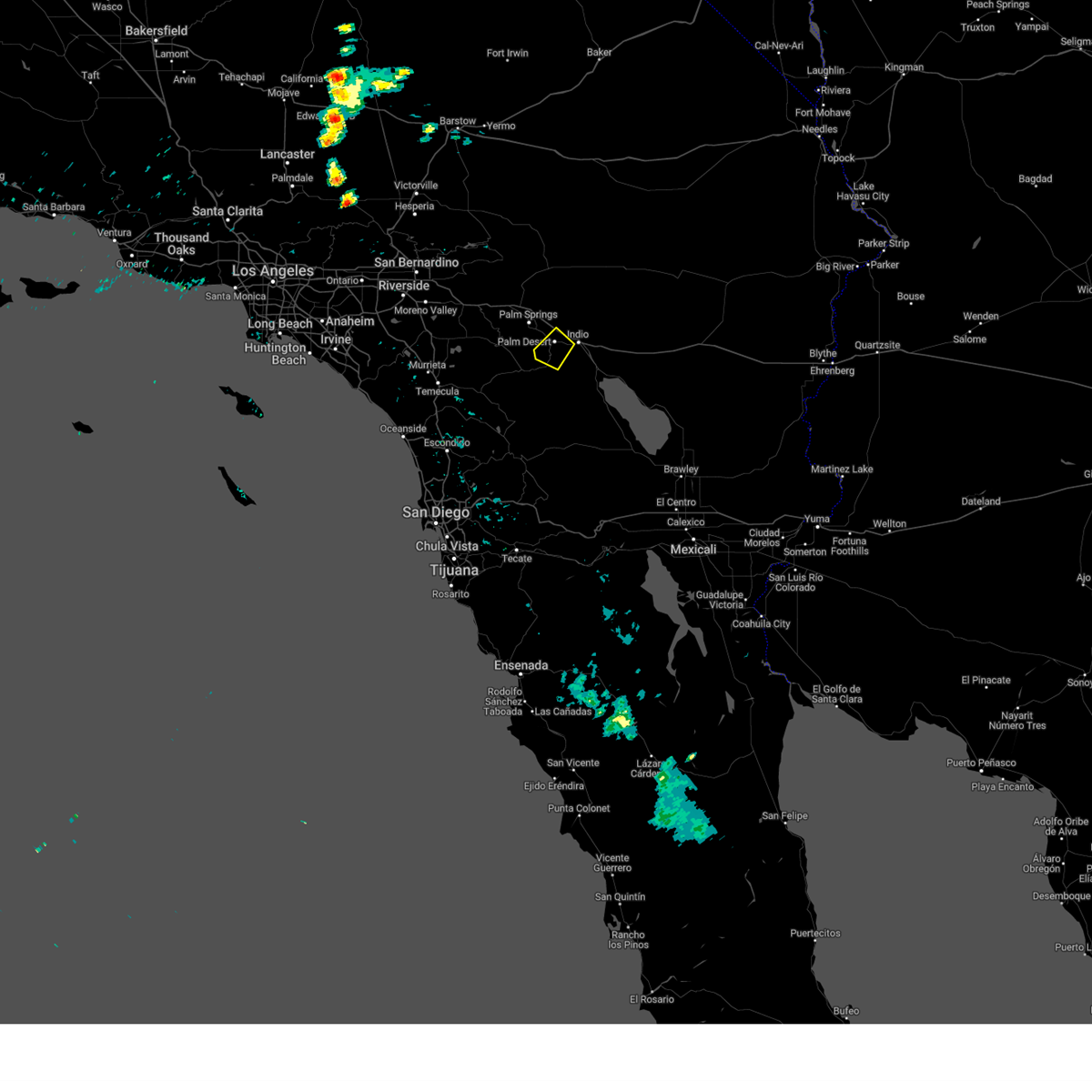
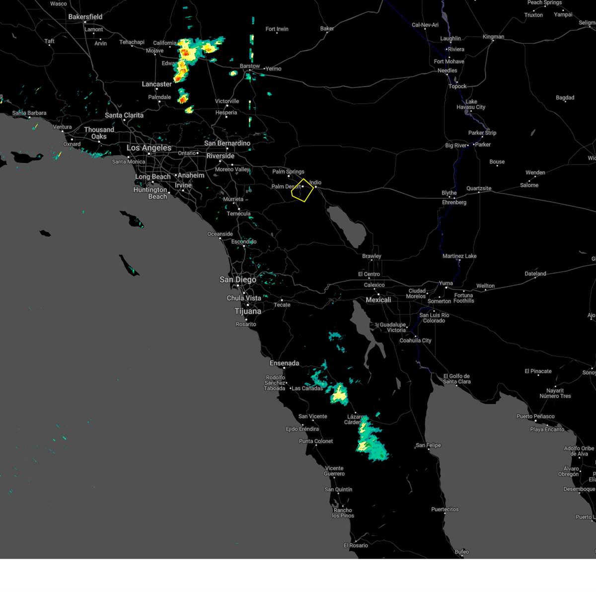
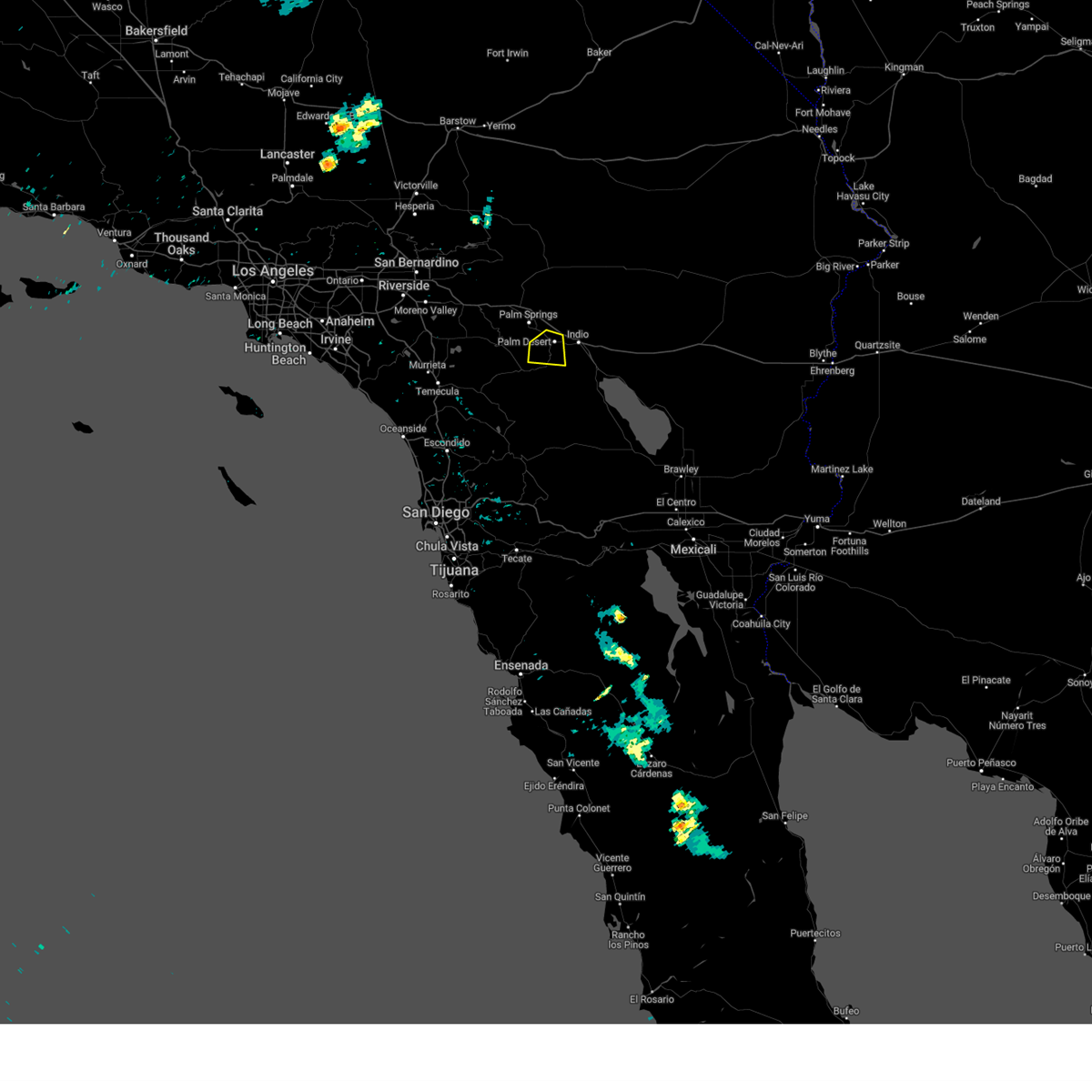
Hail Maps for Palm Desert, CA


Connect with Interactive Hail Maps