

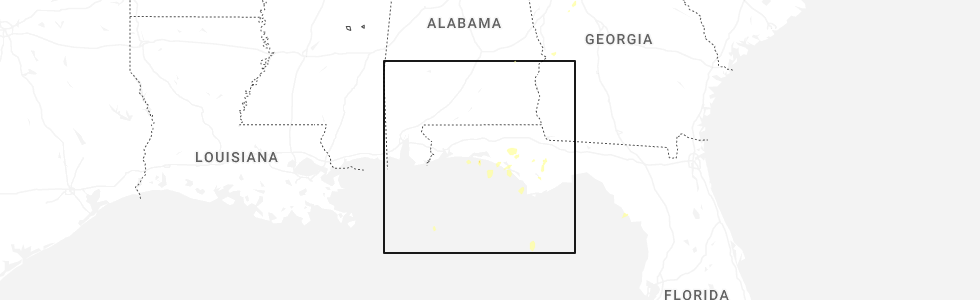
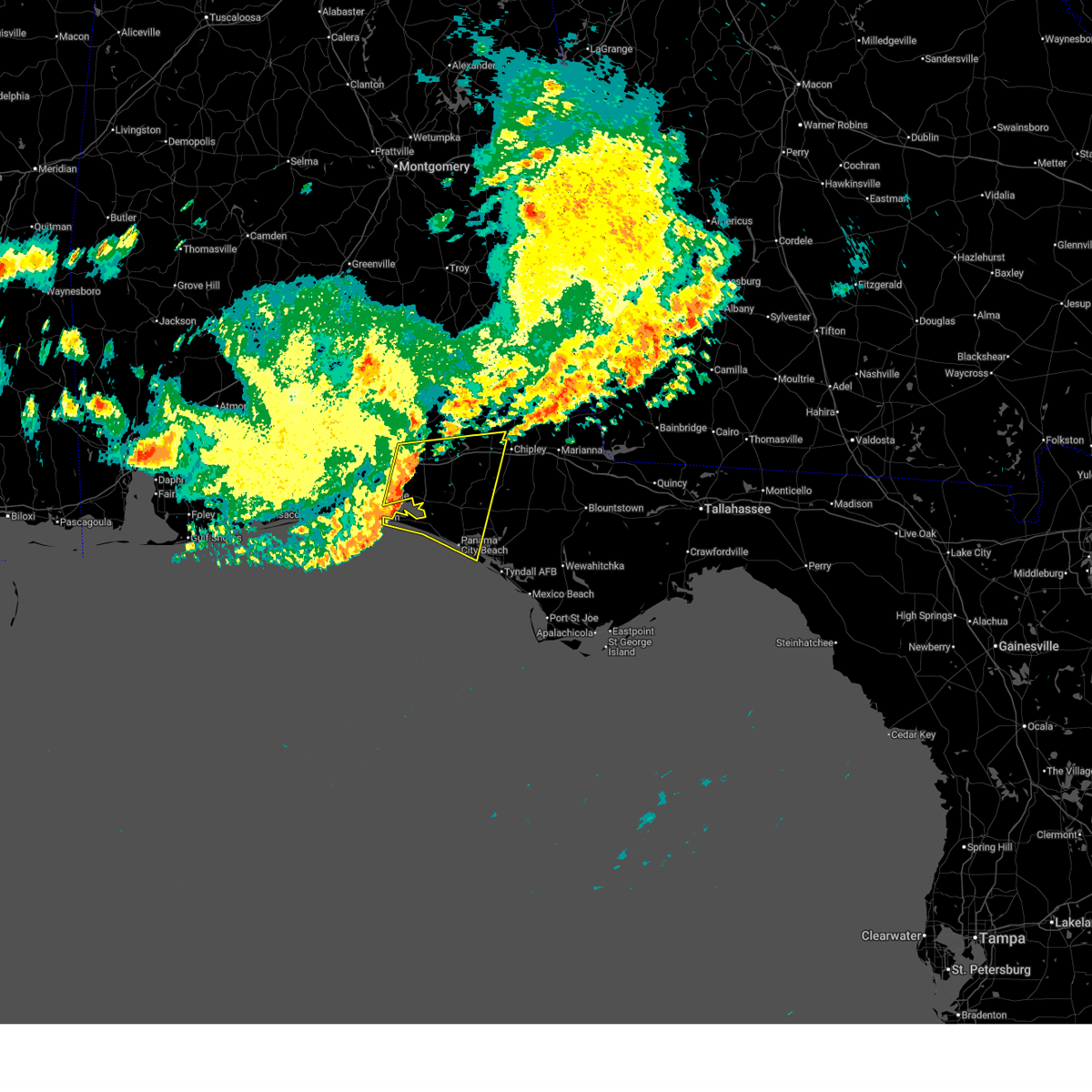
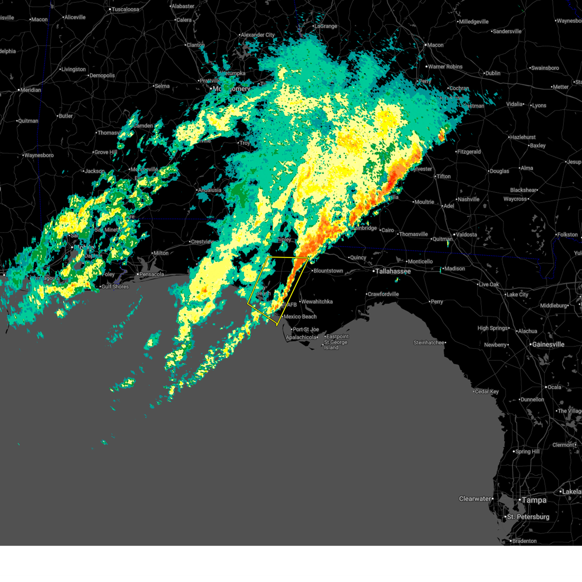
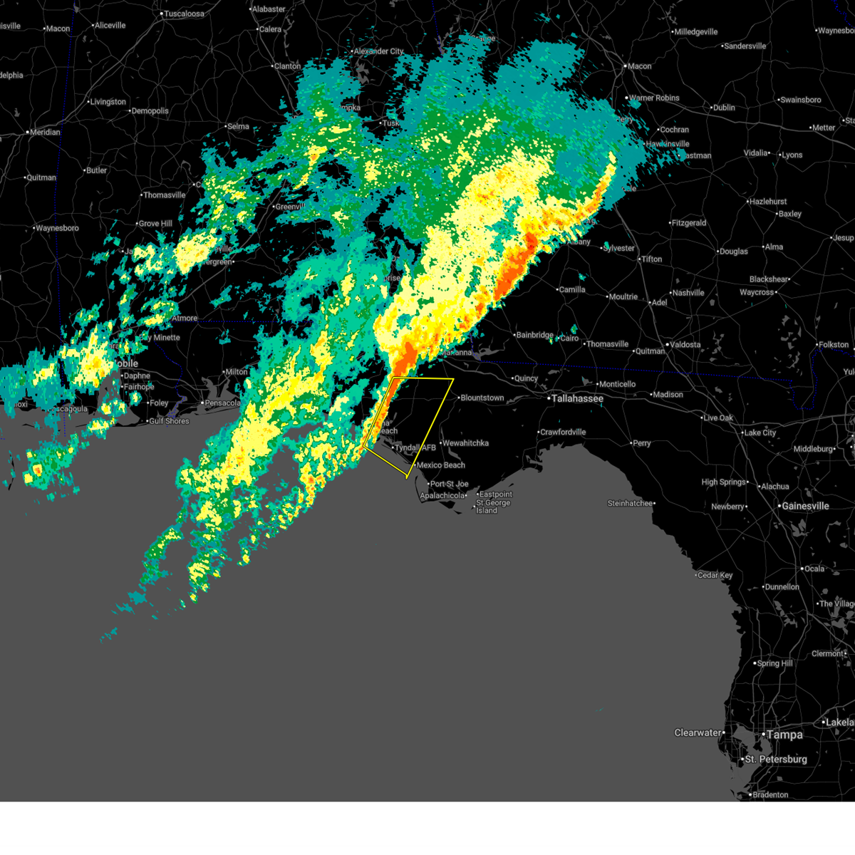
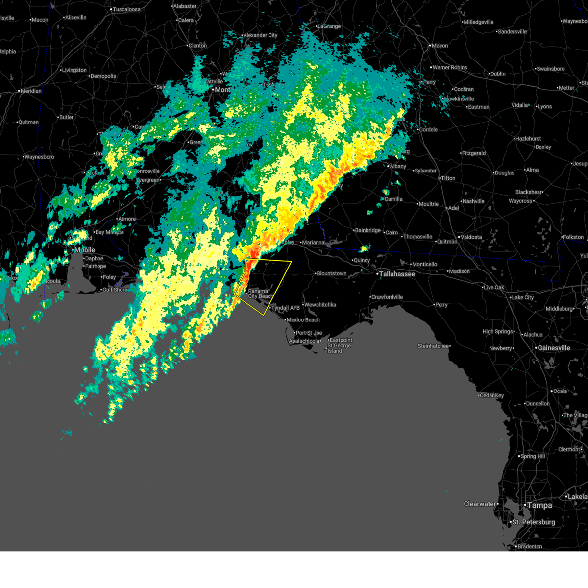
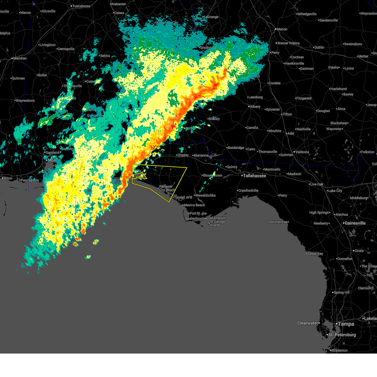
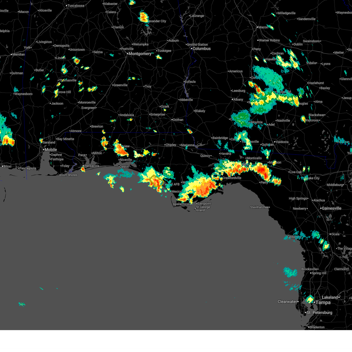
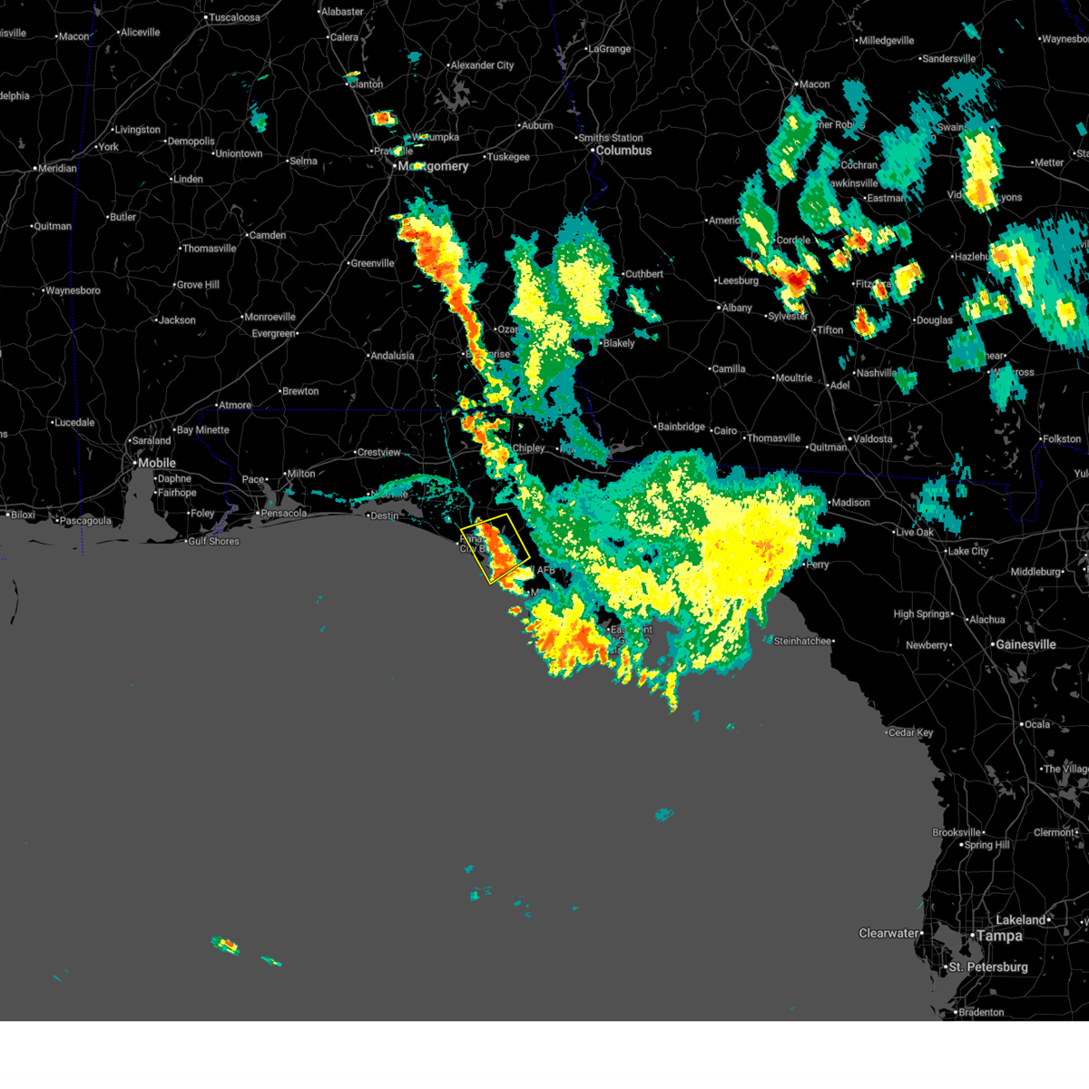
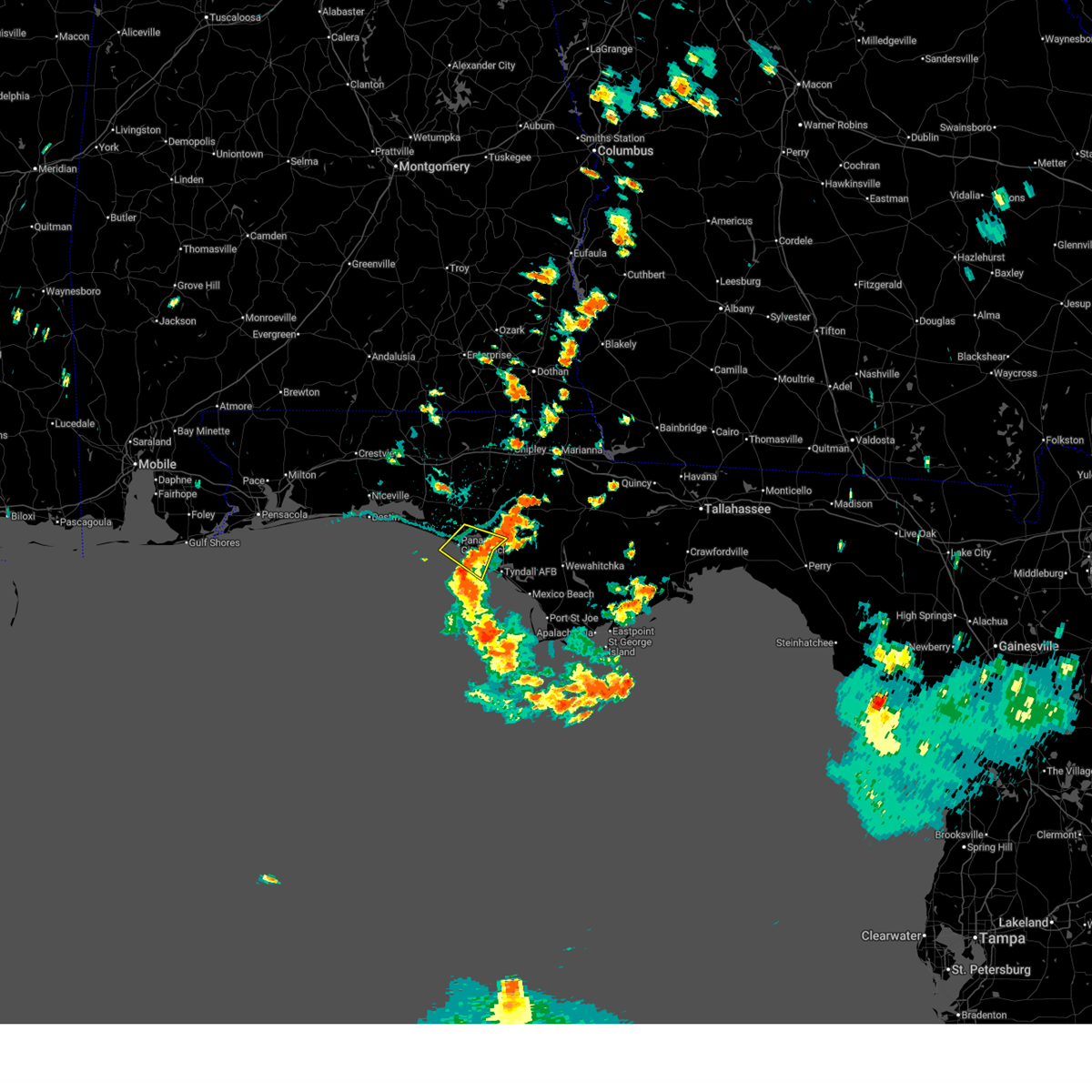
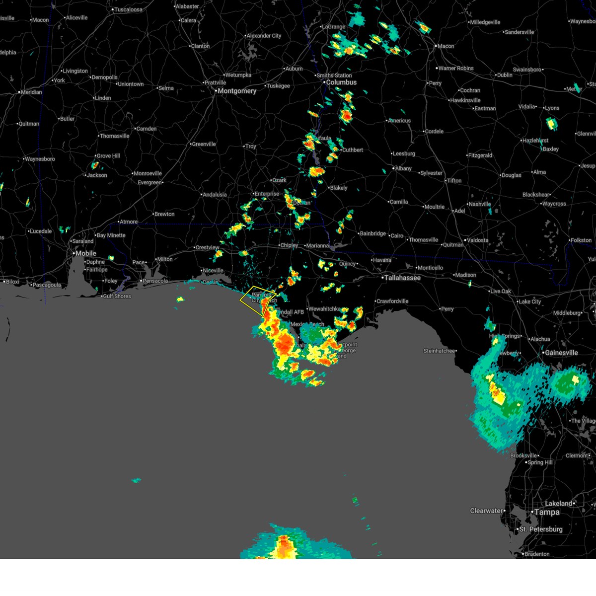
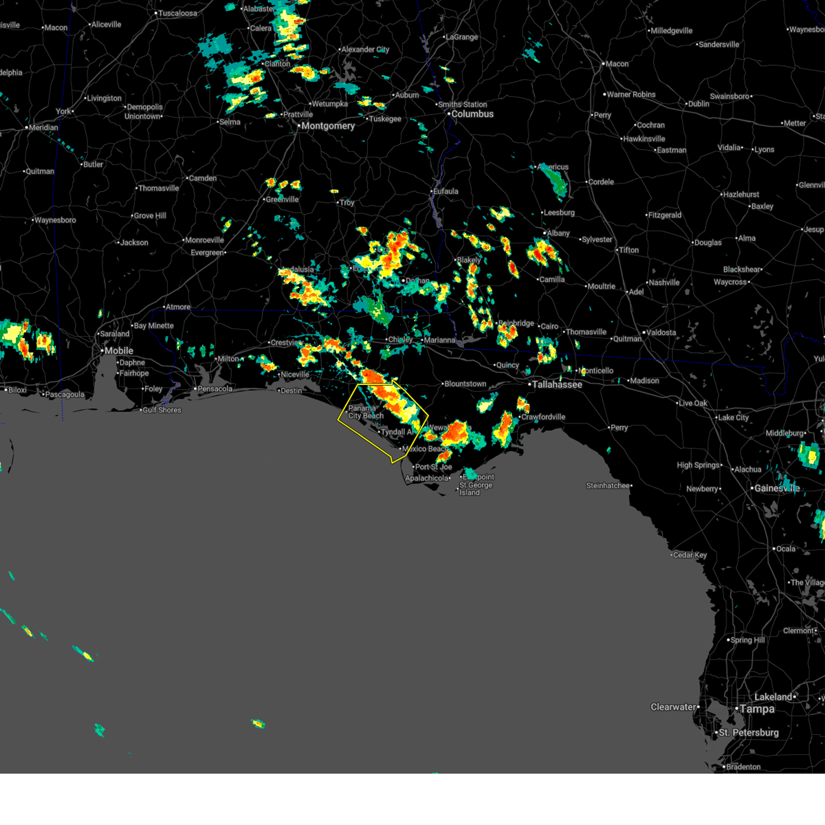
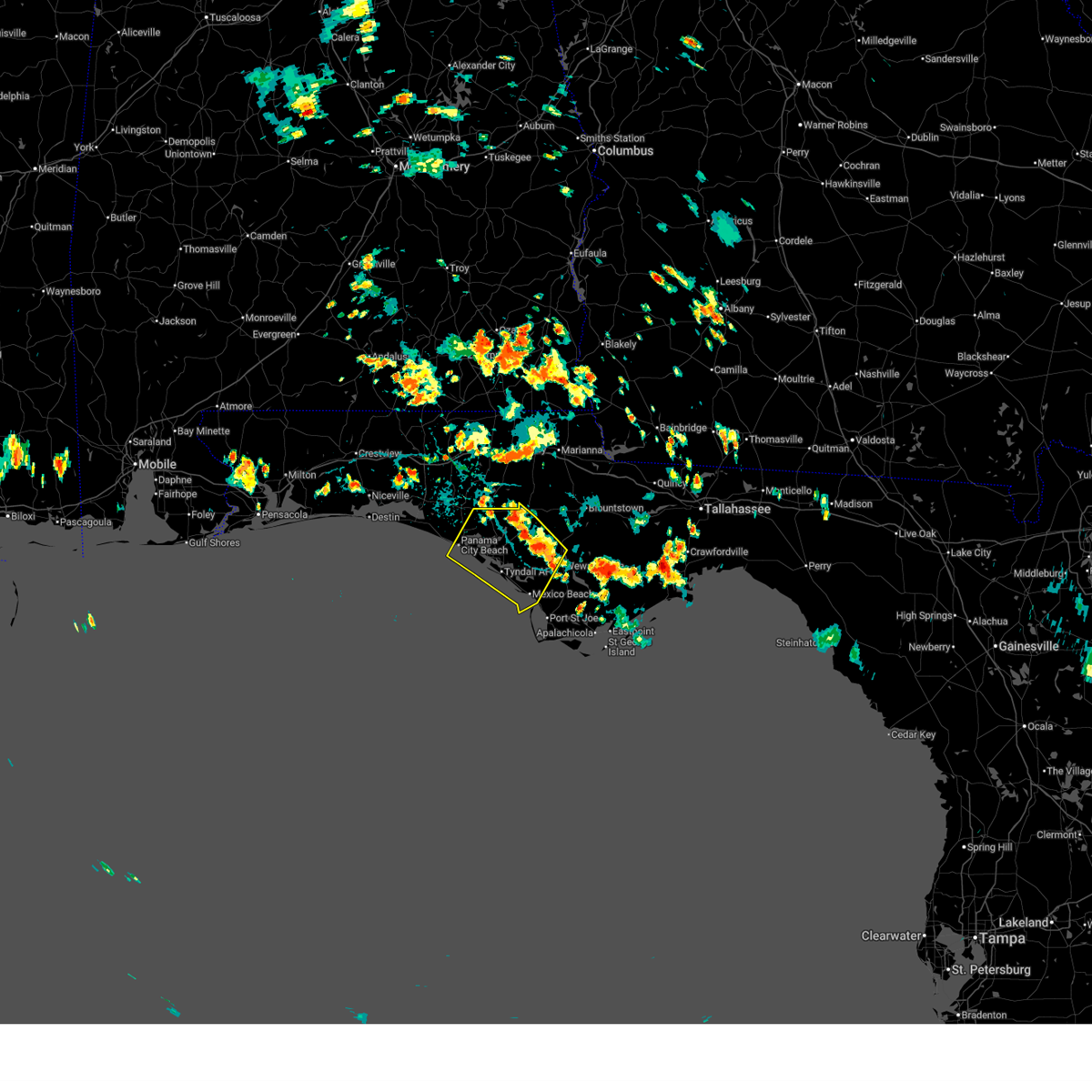
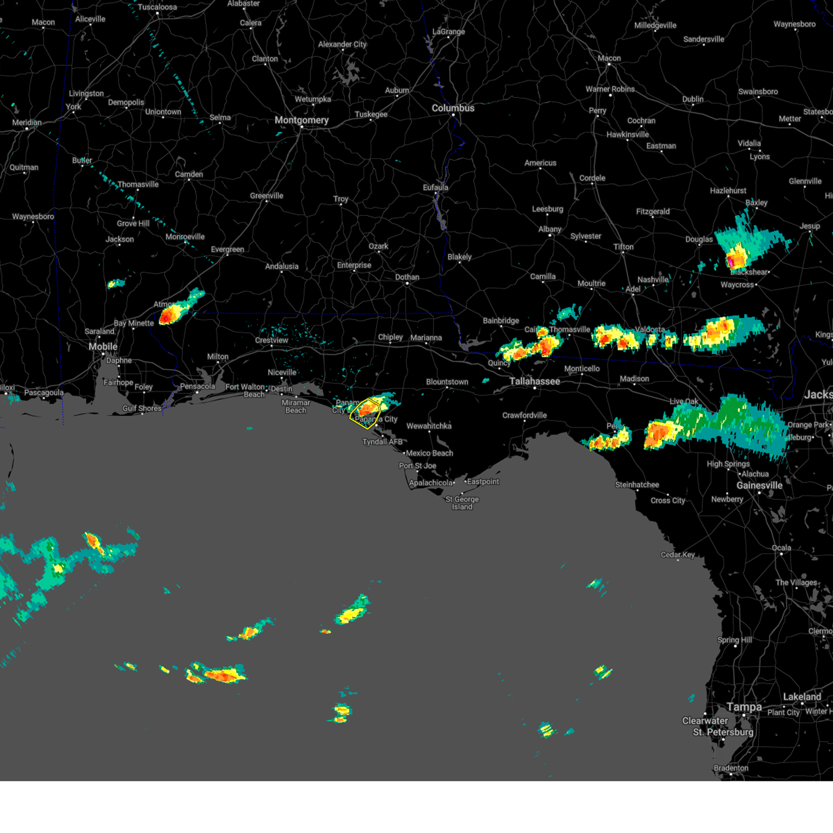
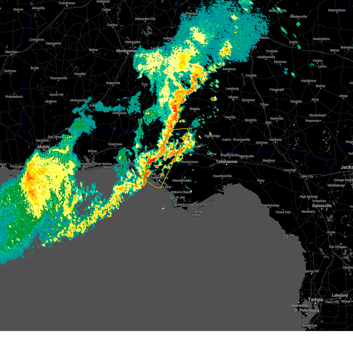
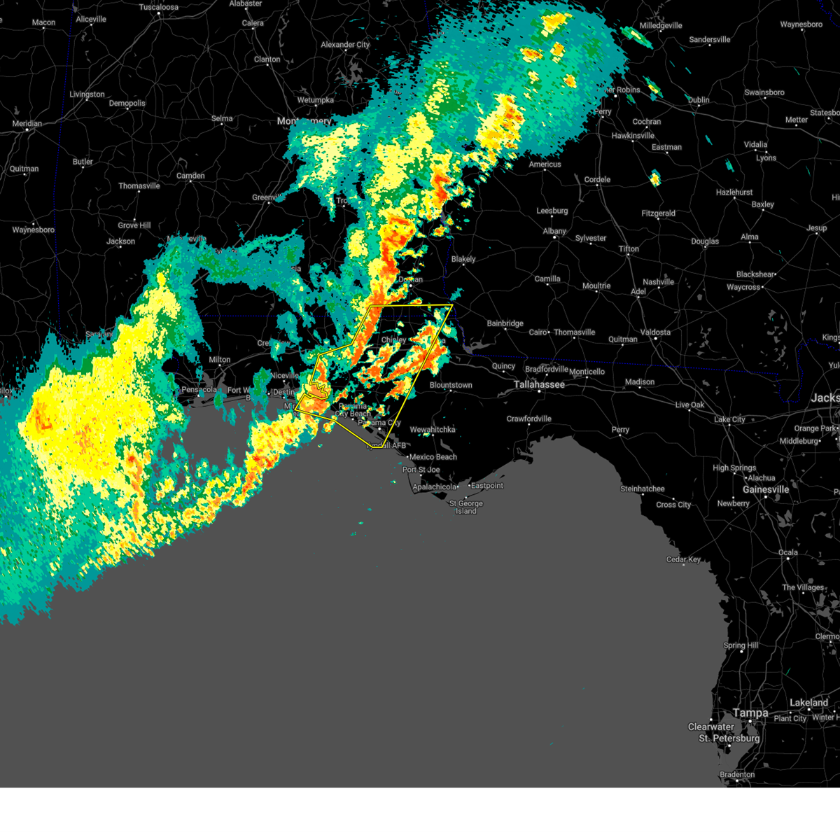
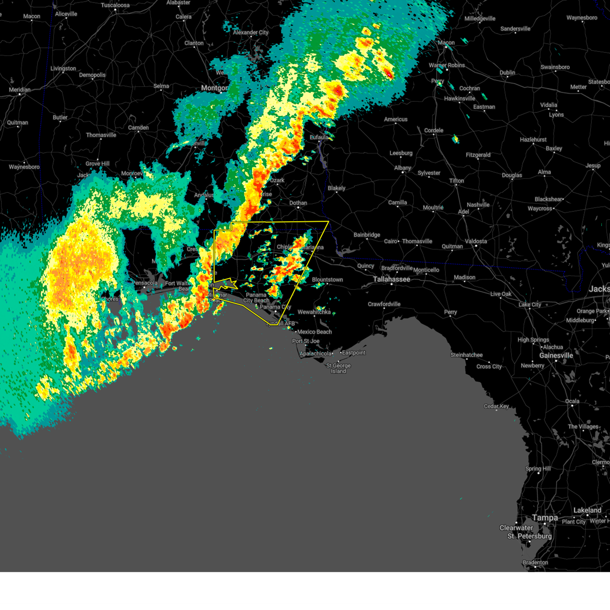
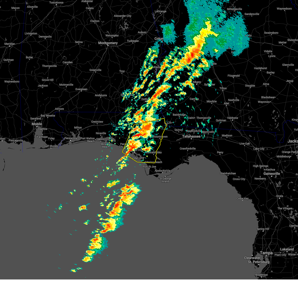
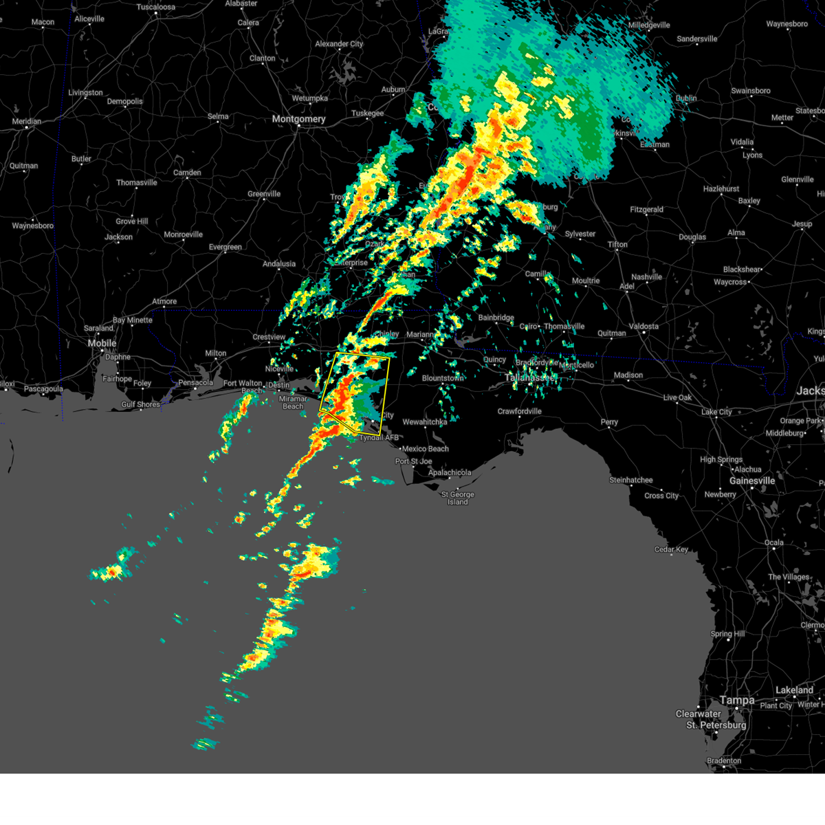
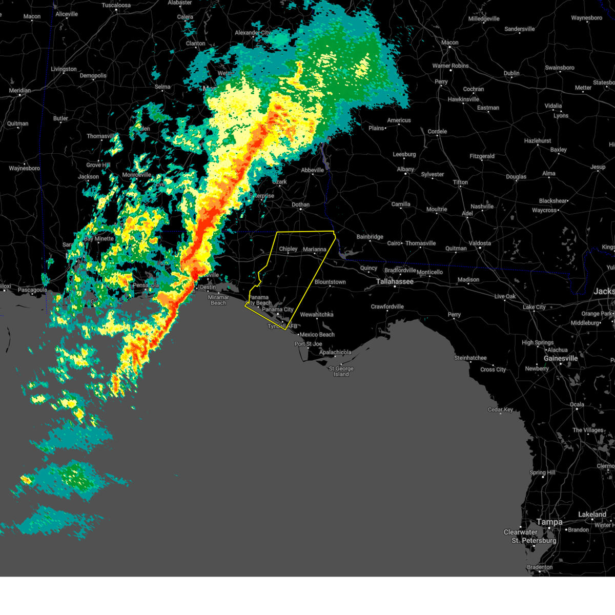
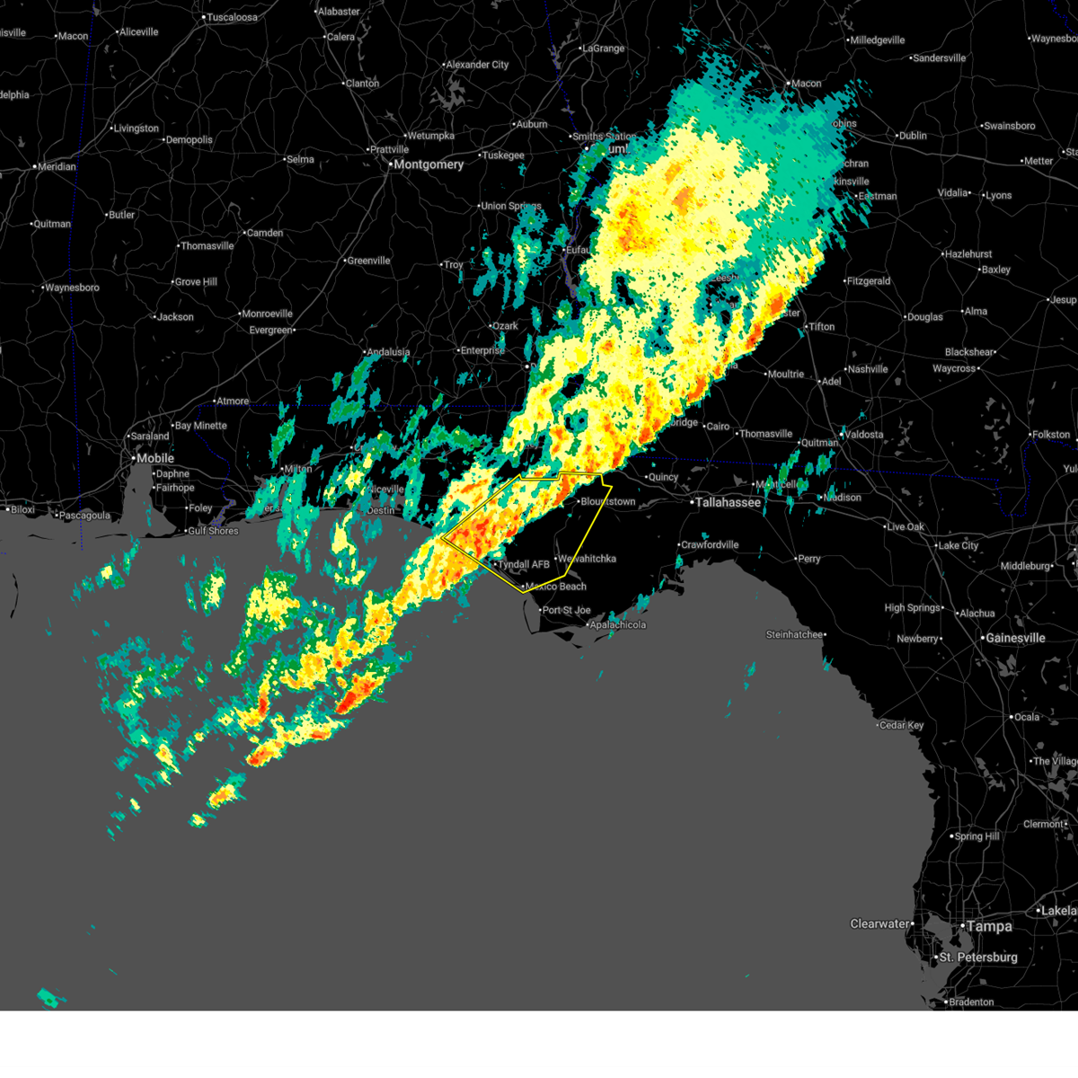
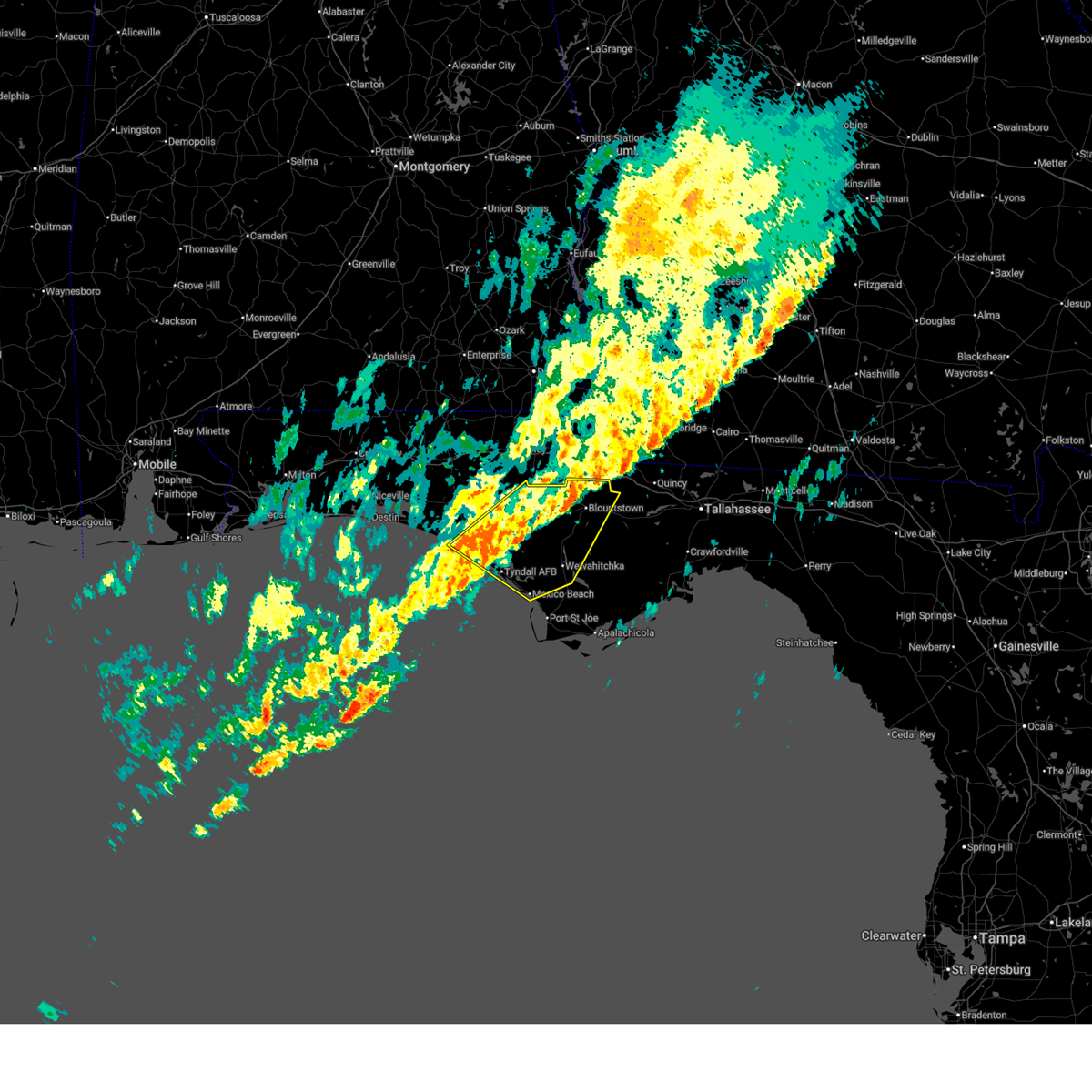
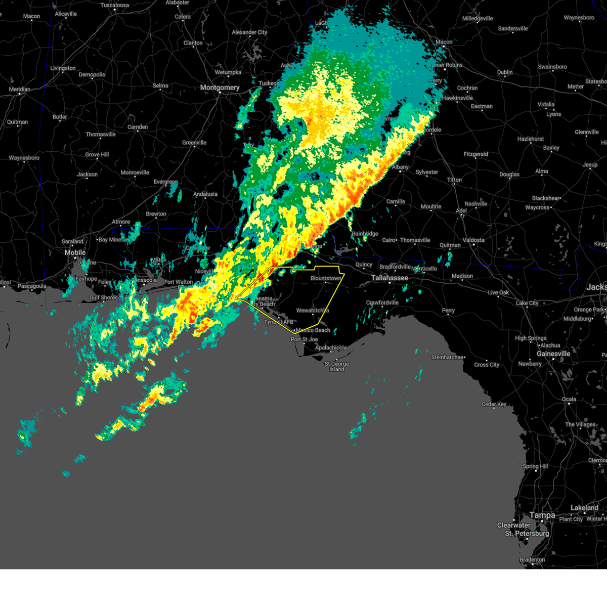
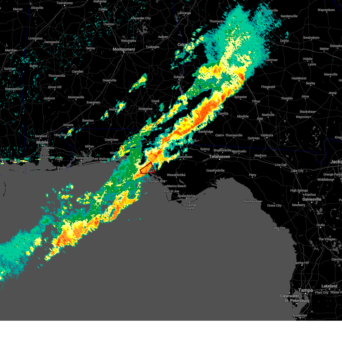
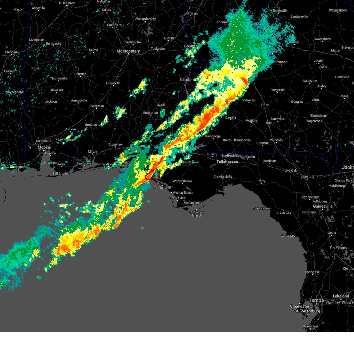
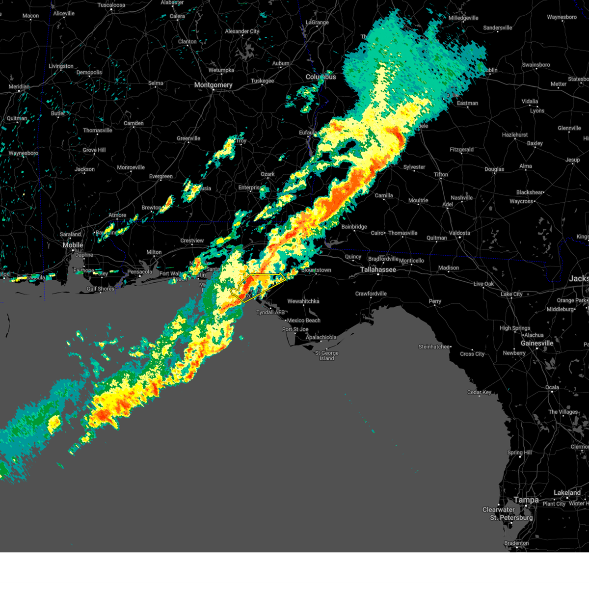
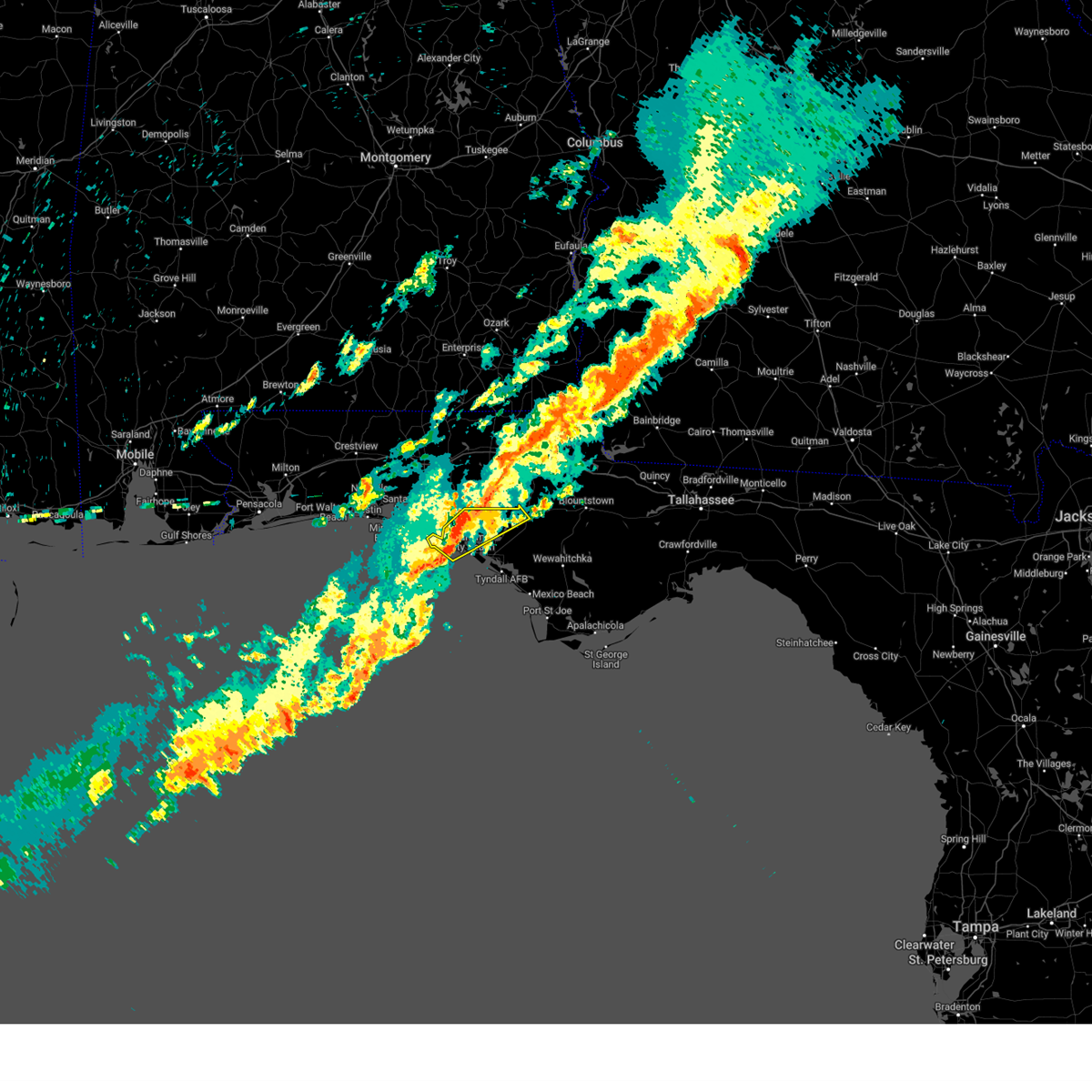
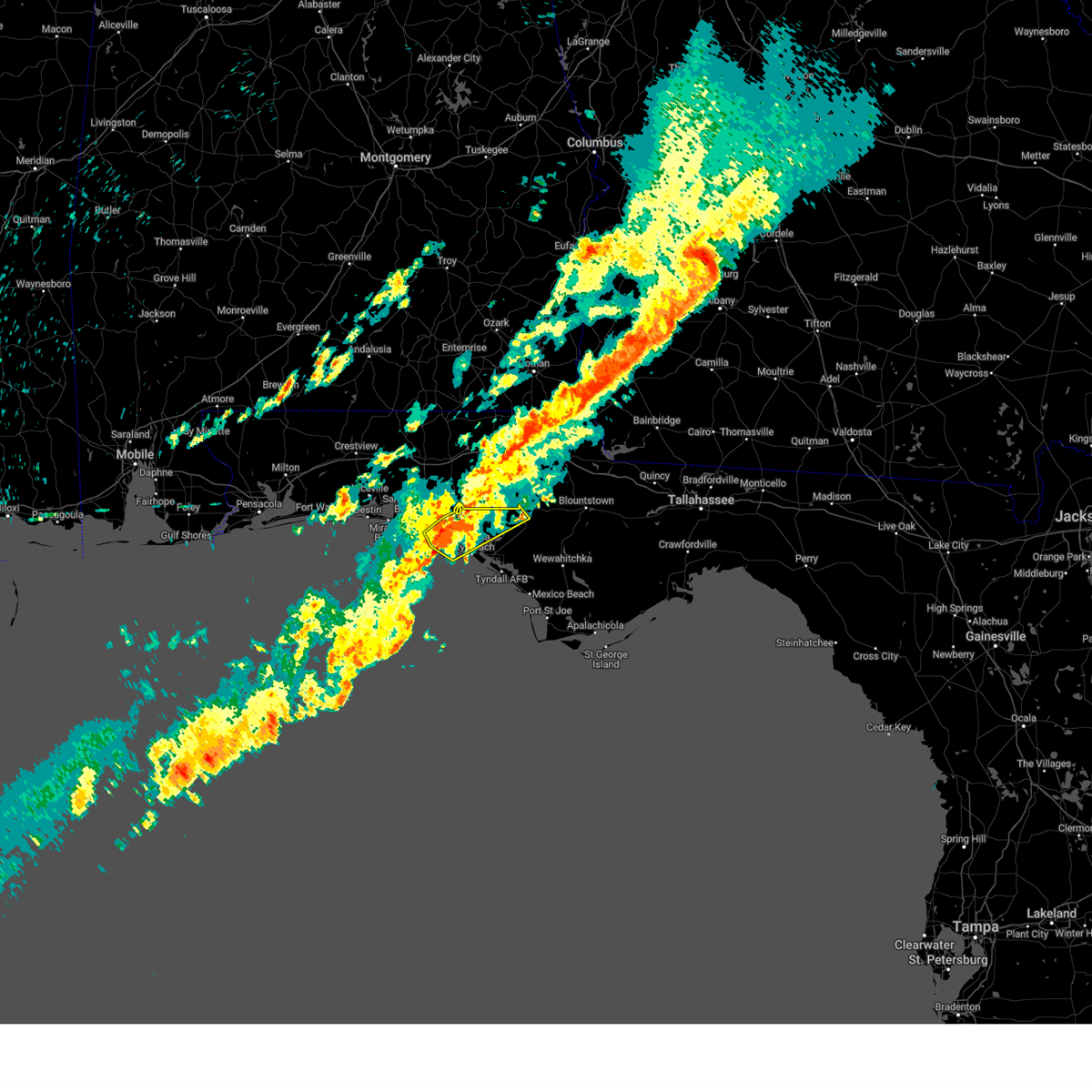
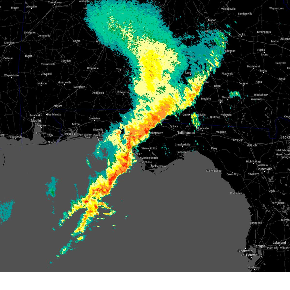
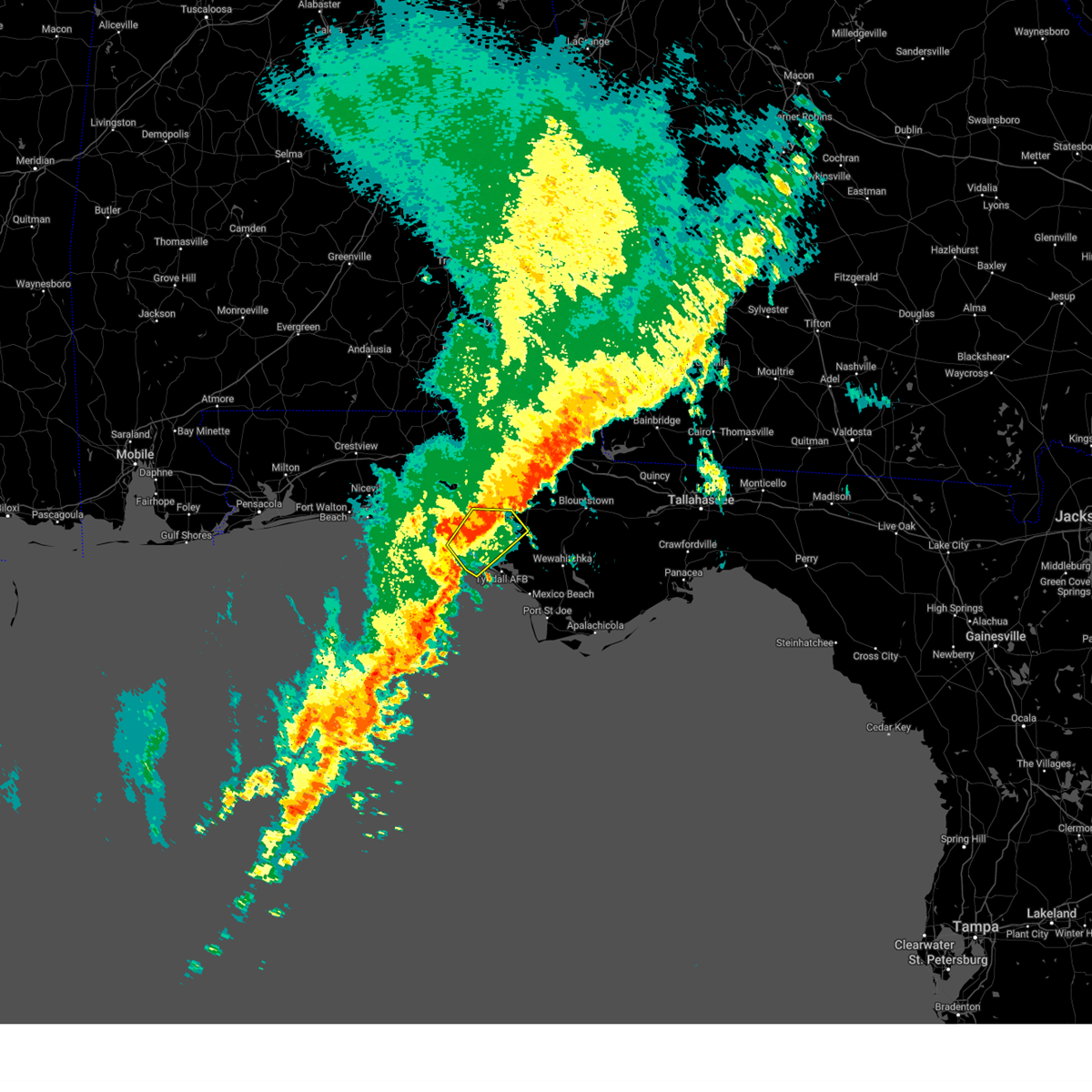
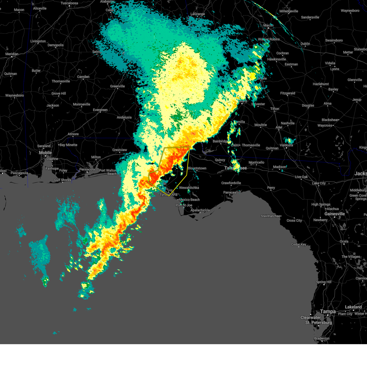
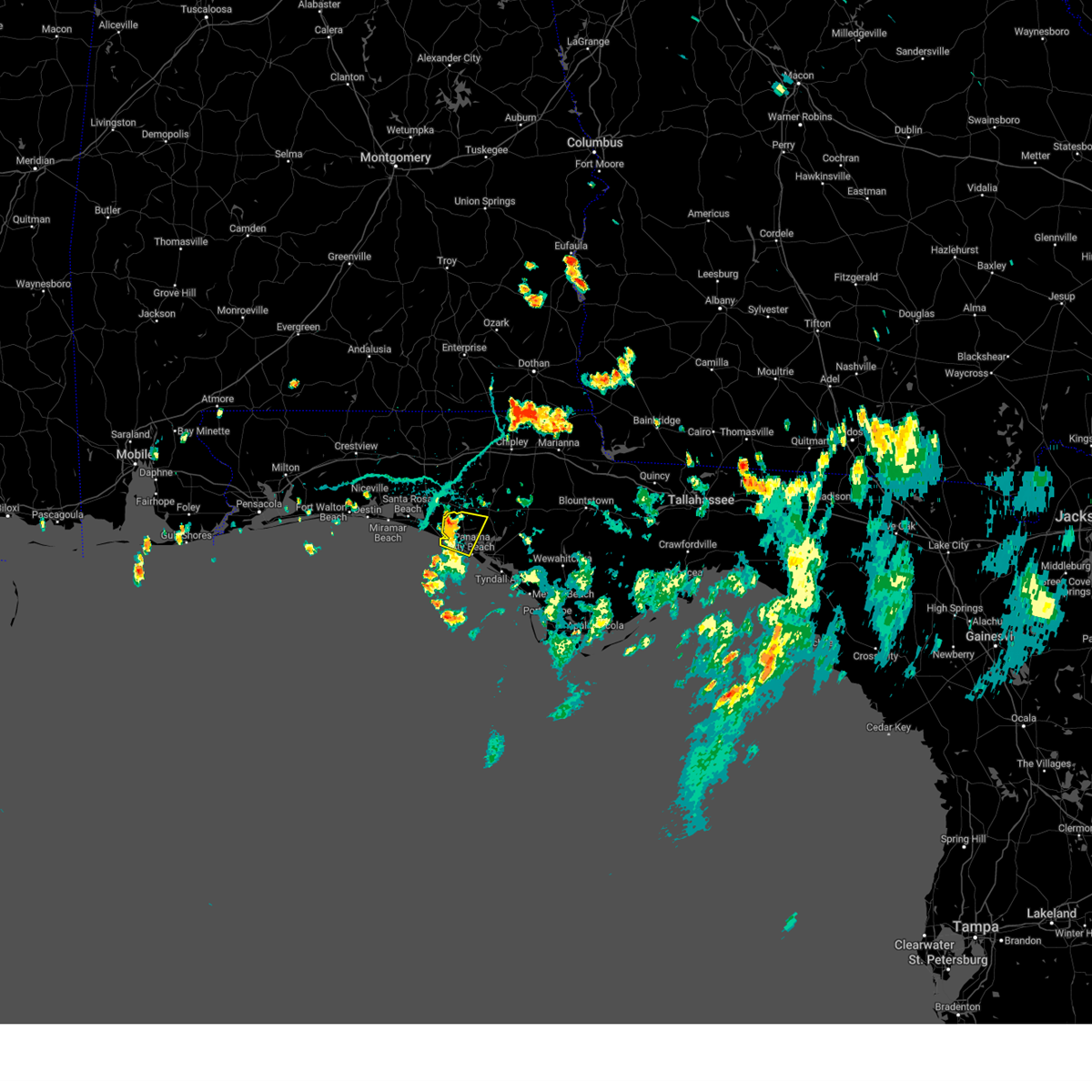
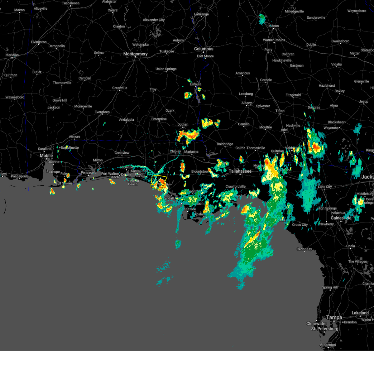
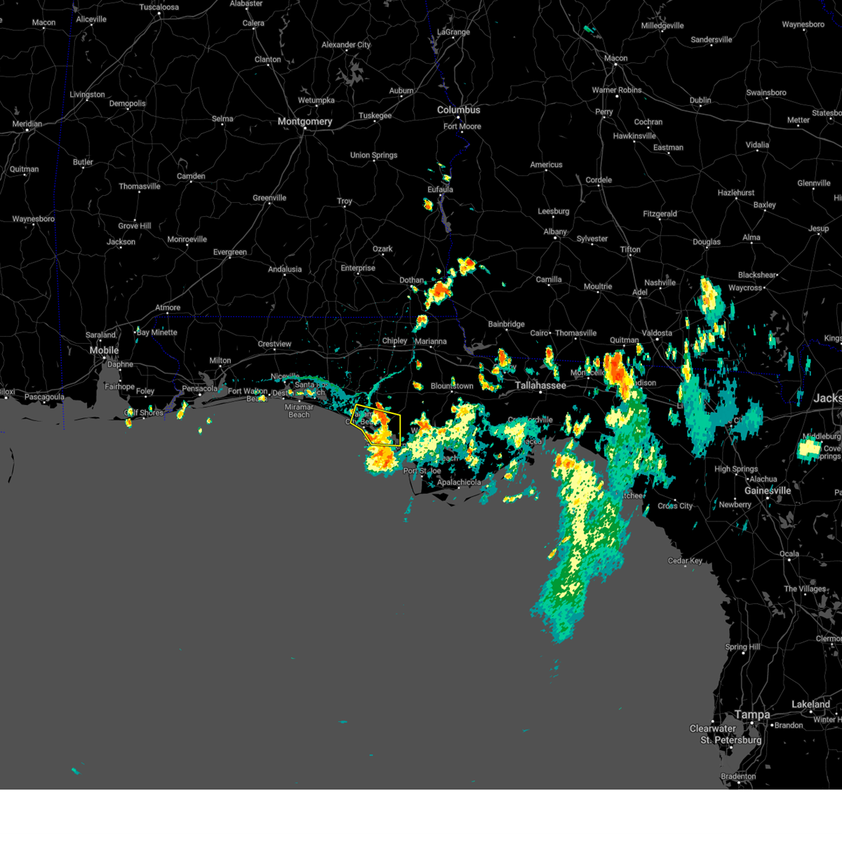
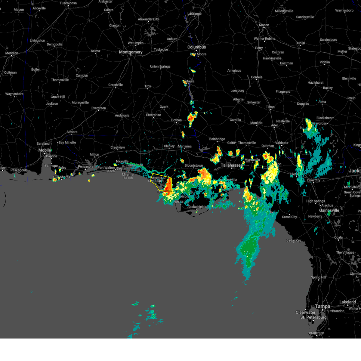
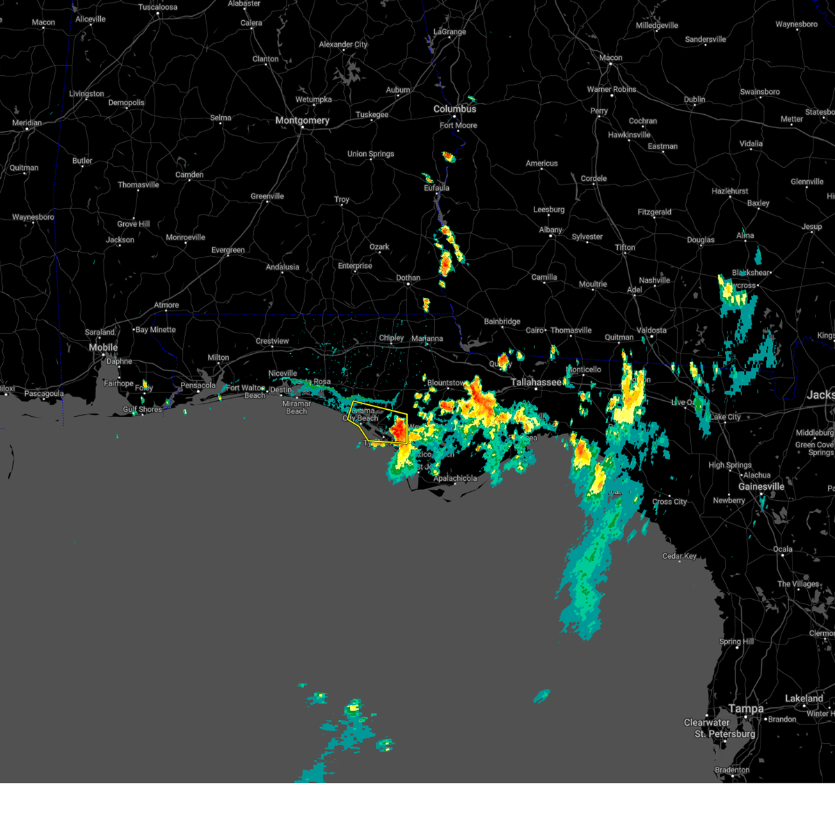
Hail Map for Panama City Beach, FL
The Panama City Beach, FL area has had 1 report of on-the-ground hail by trained spotters, and has been under severe weather warnings 25 times during the past 12 months. Doppler radar has detected hail at or near Panama City Beach, FL on 38 occasions, including 1 occasion during the past year.
| Name: | Panama City Beach, FL |
| Where Located: | 31.6 miles ESE of Miramar Beach, FL |
| Map: | Google Map for Panama City Beach, FL |
| Population: | 12018 |
| Housing Units: | 17141 |
| More Info: | Search Google for Panama City Beach, FL |
2
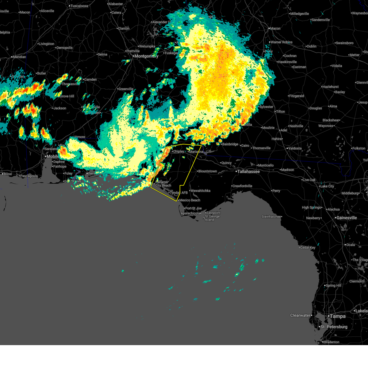
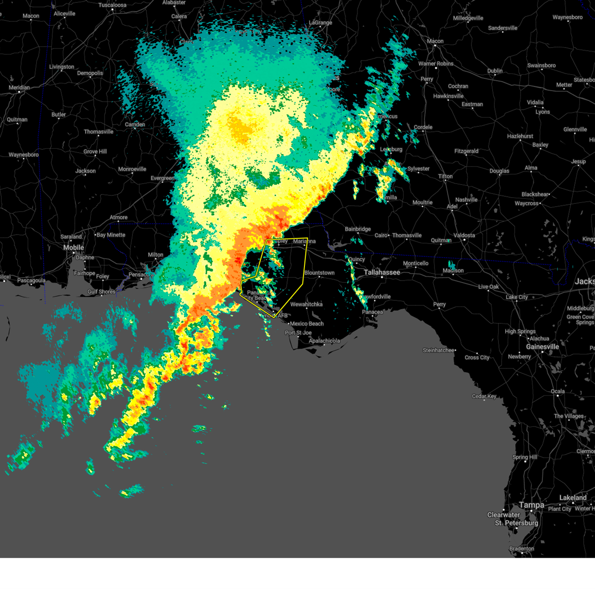
The Top Recent Hail Date for Panama City Beach, FL is Tuesday, July 15, 2025 (5th out of 38)
Hail and Wind Damage Spotted near Panama City Beach, FL
| Date / Time | Report Details |
|---|---|
| 6/18/2026 10:35 PM CDT |
 Svrtae the national weather service in tallahassee has issued a * severe thunderstorm warning for, central jackson county in the panhandle of florida, bay county in the panhandle of florida, western calhoun county in the panhandle of florida, southeastern holmes county in the panhandle of florida, washington county in the panhandle of florida, * until 1130 pm cdt. * at 1034 pm cdt, severe thunderstorms were located along a line extending from near bonifay to 7 miles west of panama city beach, moving east at 40 mph (radar indicated). Hazards include 60 mph wind gusts. expect damage to roofs, siding, and trees Svrtae the national weather service in tallahassee has issued a * severe thunderstorm warning for, central jackson county in the panhandle of florida, bay county in the panhandle of florida, western calhoun county in the panhandle of florida, southeastern holmes county in the panhandle of florida, washington county in the panhandle of florida, * until 1130 pm cdt. * at 1034 pm cdt, severe thunderstorms were located along a line extending from near bonifay to 7 miles west of panama city beach, moving east at 40 mph (radar indicated). Hazards include 60 mph wind gusts. expect damage to roofs, siding, and trees
|
| 6/18/2026 10:28 PM CDT |
 At 1028 pm cdt, severe thunderstorms were located along a line extending from near bonifay to 12 miles west of panama city beach, moving east at 45 mph (radar indicated). Hazards include 60 mph wind gusts. Expect damage to roofs, siding, and trees. Locations impacted include, panama city beach, vernon, bonifay, live oak, caryville, westville, ebro, hinsons crossroads, whitehead crossroads, seminole hills, gulf resort beach, west panama city, seaside, bahama beach, holmes valley, millers ferry, sunnyside, smyrna, sylvania, and johnson crossroads. At 1028 pm cdt, severe thunderstorms were located along a line extending from near bonifay to 12 miles west of panama city beach, moving east at 45 mph (radar indicated). Hazards include 60 mph wind gusts. Expect damage to roofs, siding, and trees. Locations impacted include, panama city beach, vernon, bonifay, live oak, caryville, westville, ebro, hinsons crossroads, whitehead crossroads, seminole hills, gulf resort beach, west panama city, seaside, bahama beach, holmes valley, millers ferry, sunnyside, smyrna, sylvania, and johnson crossroads.
|
| 6/18/2026 10:07 PM CDT |
 At 1007 pm cdt, severe thunderstorms were located along a line extending from 7 miles east of de funiak springs to near santa rosa beach, moving east at 40 mph (radar indicated). Hazards include 60 mph wind gusts. Expect damage to roofs, siding, and trees. Locations impacted include, panama city beach, vernon, santa rosa beach, bonifay, de funiak springs, eglin air force base, live oak, freeport, ponce de leon, caryville, westville, ebro, whitehead crossroads, gulf resort beach, gritney, west panama city, blue mountain beach, seaside, bahama beach, and rock hill. At 1007 pm cdt, severe thunderstorms were located along a line extending from 7 miles east of de funiak springs to near santa rosa beach, moving east at 40 mph (radar indicated). Hazards include 60 mph wind gusts. Expect damage to roofs, siding, and trees. Locations impacted include, panama city beach, vernon, santa rosa beach, bonifay, de funiak springs, eglin air force base, live oak, freeport, ponce de leon, caryville, westville, ebro, whitehead crossroads, gulf resort beach, gritney, west panama city, blue mountain beach, seaside, bahama beach, and rock hill.
|
| 6/18/2026 9:56 PM CDT |
 At 956 pm cdt, severe thunderstorms were located along a line extending from 11 miles northeast of de funiak springs to 6 miles northwest of santa rosa beach, moving east at 50 mph (radar indicated). Hazards include 60 mph wind gusts. Expect damage to roofs, siding, and trees. Locations impacted include, panama city beach, vernon, santa rosa beach, de funiak springs, bonifay, eglin air force base, union, live oak, freeport, ponce de leon, caryville, westville, ebro, oakwood hills, whitehead crossroads, cerrogordo, villa tasso, gulf resort beach, gritney, and west panama city. At 956 pm cdt, severe thunderstorms were located along a line extending from 11 miles northeast of de funiak springs to 6 miles northwest of santa rosa beach, moving east at 50 mph (radar indicated). Hazards include 60 mph wind gusts. Expect damage to roofs, siding, and trees. Locations impacted include, panama city beach, vernon, santa rosa beach, de funiak springs, bonifay, eglin air force base, union, live oak, freeport, ponce de leon, caryville, westville, ebro, oakwood hills, whitehead crossroads, cerrogordo, villa tasso, gulf resort beach, gritney, and west panama city.
|
| 6/18/2026 9:20 PM CDT |
 Svrtae the national weather service in tallahassee has issued a * severe thunderstorm warning for, northwestern bay county in the panhandle of florida, walton county in the panhandle of florida, southern holmes county in the panhandle of florida, central washington county in the panhandle of florida, * until 1045 pm cdt. * at 920 pm cdt, severe thunderstorms were located along a line extending from near crestview to near navarre beach, moving east at 50 mph (radar indicated). Hazards include 60 mph wind gusts. expect damage to roofs, siding, and trees Svrtae the national weather service in tallahassee has issued a * severe thunderstorm warning for, northwestern bay county in the panhandle of florida, walton county in the panhandle of florida, southern holmes county in the panhandle of florida, central washington county in the panhandle of florida, * until 1045 pm cdt. * at 920 pm cdt, severe thunderstorms were located along a line extending from near crestview to near navarre beach, moving east at 50 mph (radar indicated). Hazards include 60 mph wind gusts. expect damage to roofs, siding, and trees
|
| 6/16/2026 2:40 PM CDT |
 Svrtae the national weather service in tallahassee has issued a * severe thunderstorm warning for, gulf county in the panhandle of florida, bay county in the panhandle of florida, southwestern calhoun county in the panhandle of florida, southern walton county in the panhandle of florida, southwestern liberty county in big bend florida, southwestern washington county in the panhandle of florida, * until 430 pm edt/330 pm cdt/. * at 340 pm edt/240 pm cdt/, severe thunderstorms were located along a line extending from near santa rosa beach to near panama city beach to near port st. joe, moving northeast at 25 mph (radar indicated). Hazards include 60 mph wind gusts. expect damage to roofs, siding, and trees Svrtae the national weather service in tallahassee has issued a * severe thunderstorm warning for, gulf county in the panhandle of florida, bay county in the panhandle of florida, southwestern calhoun county in the panhandle of florida, southern walton county in the panhandle of florida, southwestern liberty county in big bend florida, southwestern washington county in the panhandle of florida, * until 430 pm edt/330 pm cdt/. * at 340 pm edt/240 pm cdt/, severe thunderstorms were located along a line extending from near santa rosa beach to near panama city beach to near port st. joe, moving northeast at 25 mph (radar indicated). Hazards include 60 mph wind gusts. expect damage to roofs, siding, and trees
|
| 3/16/2026 6:28 AM CDT |
 Svrtae the national weather service in tallahassee has issued a * severe thunderstorm warning for, houston county in southeastern alabama, jackson county in the panhandle of florida, bay county in the panhandle of florida, northwestern calhoun county in the panhandle of florida, southeastern walton county in the panhandle of florida, central holmes county in the panhandle of florida, washington county in the panhandle of florida, western miller county in southwestern georgia, southern early county in southwestern georgia, northwestern seminole county in southwestern georgia, * until 900 am edt/800 am cdt/. * at 728 am edt/628 am cdt/, severe thunderstorms were located along a line extending from near cottonwood to 10 miles southeast of santa rosa beach, moving northeast at 50 mph (radar indicated). Hazards include 60 mph wind gusts and penny size hail. expect damage to roofs, siding, and trees Svrtae the national weather service in tallahassee has issued a * severe thunderstorm warning for, houston county in southeastern alabama, jackson county in the panhandle of florida, bay county in the panhandle of florida, northwestern calhoun county in the panhandle of florida, southeastern walton county in the panhandle of florida, central holmes county in the panhandle of florida, washington county in the panhandle of florida, western miller county in southwestern georgia, southern early county in southwestern georgia, northwestern seminole county in southwestern georgia, * until 900 am edt/800 am cdt/. * at 728 am edt/628 am cdt/, severe thunderstorms were located along a line extending from near cottonwood to 10 miles southeast of santa rosa beach, moving northeast at 50 mph (radar indicated). Hazards include 60 mph wind gusts and penny size hail. expect damage to roofs, siding, and trees
|
| 1/25/2026 3:36 PM CST |
 The storms which prompted the warning have weakened below severe limits, and have exited the warned area. therefore, the warning will be allowed to expire. a tornado watch remains in effect until 600 pm cst for the panhandle of florida. remember, a severe thunderstorm warning still remains in effect for calhoun and gulf county. The storms which prompted the warning have weakened below severe limits, and have exited the warned area. therefore, the warning will be allowed to expire. a tornado watch remains in effect until 600 pm cst for the panhandle of florida. remember, a severe thunderstorm warning still remains in effect for calhoun and gulf county.
|
| 1/25/2026 2:53 PM CST |
 Svrtae the national weather service in tallahassee has issued a * severe thunderstorm warning for, south central jackson county in the panhandle of florida, northwestern gulf county in the panhandle of florida, bay county in the panhandle of florida, western calhoun county in the panhandle of florida, southeastern washington county in the panhandle of florida, * until 345 pm cst. * at 252 pm cst, severe thunderstorms were located along a line extending from 7 miles southeast of vernon to 9 miles south of panama city beach, moving east at 35 mph (radar indicated). Hazards include 60 mph wind gusts. expect damage to roofs, siding, and trees Svrtae the national weather service in tallahassee has issued a * severe thunderstorm warning for, south central jackson county in the panhandle of florida, northwestern gulf county in the panhandle of florida, bay county in the panhandle of florida, western calhoun county in the panhandle of florida, southeastern washington county in the panhandle of florida, * until 345 pm cst. * at 252 pm cst, severe thunderstorms were located along a line extending from 7 miles southeast of vernon to 9 miles south of panama city beach, moving east at 35 mph (radar indicated). Hazards include 60 mph wind gusts. expect damage to roofs, siding, and trees
|
| 1/25/2026 2:31 PM CST |
 At 231 pm cst, severe thunderstorms were located along a line extending from near vernon to 6 miles northwest of panama city beach, moving east at 45 mph (radar indicated). Hazards include 60 mph wind gusts. Expect damage to roofs, siding, and trees. Locations impacted include, panama city, lynn haven, panama city beach, callaway, springfield, hiland park, tyndall air force base, live oak, parker, ebro, dirego park, college station, gulf resort beach, west panama city, bahama beach, holmes valley, millers ferry, bennett, porter lake, and brannonville. At 231 pm cst, severe thunderstorms were located along a line extending from near vernon to 6 miles northwest of panama city beach, moving east at 45 mph (radar indicated). Hazards include 60 mph wind gusts. Expect damage to roofs, siding, and trees. Locations impacted include, panama city, lynn haven, panama city beach, callaway, springfield, hiland park, tyndall air force base, live oak, parker, ebro, dirego park, college station, gulf resort beach, west panama city, bahama beach, holmes valley, millers ferry, bennett, porter lake, and brannonville.
|
| 1/25/2026 1:45 PM CST |
 Svrtae the national weather service in tallahassee has issued a * severe thunderstorm warning for, bay county in the panhandle of florida, western calhoun county in the panhandle of florida, southern walton county in the panhandle of florida, southern washington county in the panhandle of florida, * until 300 pm cst. * at 145 pm cst, severe thunderstorms were located along a line extending from eglin air force base to 10 miles south of destin, moving east at 45 mph (radar indicated). Hazards include 60 mph wind gusts. expect damage to roofs, siding, and trees Svrtae the national weather service in tallahassee has issued a * severe thunderstorm warning for, bay county in the panhandle of florida, western calhoun county in the panhandle of florida, southern walton county in the panhandle of florida, southern washington county in the panhandle of florida, * until 300 pm cst. * at 145 pm cst, severe thunderstorms were located along a line extending from eglin air force base to 10 miles south of destin, moving east at 45 mph (radar indicated). Hazards include 60 mph wind gusts. expect damage to roofs, siding, and trees
|
| 10/27/2025 6:07 AM CDT | The storms which prompted the warning have moved out of the area. therefore, the warning will be allowed to expire. however, gusty winds are still possible with these thunderstorms. remember, a severe thunderstorm warning still remains in effect for southern bay county until 7:15 am cdt. remember, a tornado warning still remains in effect for southern bay county, including david beach and mexico beach until 7:00 am cdt. |
| 10/27/2025 5:36 AM CDT | At 536 am cdt, severe thunderstorms were located along a line extending from 10 miles northwest of lynn haven to 12 miles southwest of panama city beach, moving east at 20 mph (radar indicated). Hazards include 60 mph wind gusts. Expect damage to roofs, siding, and trees. Locations impacted include, panama city, lynn haven, panama city beach, callaway, springfield, mexico beach, hiland park, tyndall air force base, parker, st andrews state park, southport, allanton, cedar grove, dirego park, beacon beach, college station, gulf resort beach, bayou george, west panama city, and camp flowers. |
| 10/27/2025 5:36 AM CDT | the severe thunderstorm warning has been cancelled and is no longer in effect |
| 10/27/2025 4:50 AM CDT | Svrtae the national weather service in tallahassee has issued a * severe thunderstorm warning for, bay county in the panhandle of florida, south central walton county in the panhandle of florida, * until 615 am cdt. * at 450 am cdt, severe thunderstorms were located along a line extending from 14 miles northwest of panama city beach to 11 miles south of santa rosa beach, moving east at 20 mph (radar indicated). Hazards include 60 mph wind gusts. expect damage to roofs, siding, and trees |
| 7/29/2025 2:41 PM CDT |
 The storm which prompted the warning has moved out of the area. therefore, the warning will be allowed to expire. however, gusty winds are still possible with this thunderstorm. The storm which prompted the warning has moved out of the area. therefore, the warning will be allowed to expire. however, gusty winds are still possible with this thunderstorm.
|
| 7/29/2025 2:30 PM CDT |
 At 229 pm cdt, a severe thunderstorm was located near panama city, moving southeast at 20 mph (radar indicated). Hazards include 60 mph wind gusts. Expect damage to roofs, siding, and trees. Locations impacted include, panama city, panama city beach, callaway, springfield, tyndall air force base, parker, st andrews state park, gulf lagoon beach, magnolia beach, beacon beach, bay harbor, west panama city, biltmore beach, edgewater gulf beach, and millville. At 229 pm cdt, a severe thunderstorm was located near panama city, moving southeast at 20 mph (radar indicated). Hazards include 60 mph wind gusts. Expect damage to roofs, siding, and trees. Locations impacted include, panama city, panama city beach, callaway, springfield, tyndall air force base, parker, st andrews state park, gulf lagoon beach, magnolia beach, beacon beach, bay harbor, west panama city, biltmore beach, edgewater gulf beach, and millville.
|
| 7/29/2025 2:00 PM CDT |
 Svrtae the national weather service in tallahassee has issued a * severe thunderstorm warning for, central bay county in the panhandle of florida, * until 245 pm cdt. * at 200 pm cdt, a severe thunderstorm was located near panama city beach, moving southeast at 20 mph. an ambient station near lynn haven recently gusted to 51 mph (radar indicated). Hazards include 60 mph wind gusts. expect damage to roofs, siding, and trees Svrtae the national weather service in tallahassee has issued a * severe thunderstorm warning for, central bay county in the panhandle of florida, * until 245 pm cdt. * at 200 pm cdt, a severe thunderstorm was located near panama city beach, moving southeast at 20 mph. an ambient station near lynn haven recently gusted to 51 mph (radar indicated). Hazards include 60 mph wind gusts. expect damage to roofs, siding, and trees
|
| 7/22/2025 5:28 PM CDT |
 The storms which prompted the warning have weakened below severe limits, and no longer pose an immediate threat to life or property. therefore, the warning will be allowed to expire. however, small hail and gusty winds are still possible with these thunderstorms. The storms which prompted the warning have weakened below severe limits, and no longer pose an immediate threat to life or property. therefore, the warning will be allowed to expire. however, small hail and gusty winds are still possible with these thunderstorms.
|
| 7/22/2025 5:10 PM CDT |
 At 510 pm cdt, severe thunderstorms were located along a line extending from 6 miles north of lynn haven to near tyndall air force base, moving east at 10 mph (radar indicated). Hazards include 60 mph wind gusts and half dollar size hail. Hail damage to vehicles is expected. expect wind damage to roofs, siding, and trees. Locations impacted include, panama city, lynn haven, callaway, springfield, hiland park, tyndall air force base, parker, st andrews state park, southport, cedar grove, dirego park, beacon beach, college station, bayou george, camp flowers, biltmore beach, brannonville, millville, vicksburg, and majette. At 510 pm cdt, severe thunderstorms were located along a line extending from 6 miles north of lynn haven to near tyndall air force base, moving east at 10 mph (radar indicated). Hazards include 60 mph wind gusts and half dollar size hail. Hail damage to vehicles is expected. expect wind damage to roofs, siding, and trees. Locations impacted include, panama city, lynn haven, callaway, springfield, hiland park, tyndall air force base, parker, st andrews state park, southport, cedar grove, dirego park, beacon beach, college station, bayou george, camp flowers, biltmore beach, brannonville, millville, vicksburg, and majette.
|
| 7/22/2025 4:35 PM CDT |
 Svrtae the national weather service in tallahassee has issued a * severe thunderstorm warning for, central bay county in the panhandle of florida, * until 530 pm cdt. * at 435 pm cdt, severe thunderstorms were located along a line extending from 8 miles north of lynn haven to 6 miles east of callaway, moving southwest at 10 mph (radar indicated). Hazards include 60 mph wind gusts and penny size hail. expect damage to roofs, siding, and trees Svrtae the national weather service in tallahassee has issued a * severe thunderstorm warning for, central bay county in the panhandle of florida, * until 530 pm cdt. * at 435 pm cdt, severe thunderstorms were located along a line extending from 8 miles north of lynn haven to 6 miles east of callaway, moving southwest at 10 mph (radar indicated). Hazards include 60 mph wind gusts and penny size hail. expect damage to roofs, siding, and trees
|
| 7/15/2025 3:51 PM CDT |
 The storms which prompted the warning have weakened below severe limits, and no longer pose an immediate threat to life or property. therefore, the warning will be allowed to expire. however, heavy rain continues to fall with these thunderstorms and the flood threat is increasing in and around panama city and panama city beach and areas around st. andrews bay. The storms which prompted the warning have weakened below severe limits, and no longer pose an immediate threat to life or property. therefore, the warning will be allowed to expire. however, heavy rain continues to fall with these thunderstorms and the flood threat is increasing in and around panama city and panama city beach and areas around st. andrews bay.
|
| 7/15/2025 3:18 PM CDT |
 Svrtae the national weather service in tallahassee has issued a * severe thunderstorm warning for, west central bay county in the panhandle of florida, * until 400 pm cdt. * at 318 pm cdt, severe thunderstorms were located along a line extending from near lynn haven to near panama city beach to 8 miles southwest of panama city, moving west at 15 mph (radar indicated). Hazards include 60 mph wind gusts. expect damage to roofs, siding, and trees Svrtae the national weather service in tallahassee has issued a * severe thunderstorm warning for, west central bay county in the panhandle of florida, * until 400 pm cdt. * at 318 pm cdt, severe thunderstorms were located along a line extending from near lynn haven to near panama city beach to 8 miles southwest of panama city, moving west at 15 mph (radar indicated). Hazards include 60 mph wind gusts. expect damage to roofs, siding, and trees
|
| 7/13/2025 2:58 PM CDT |
 the severe thunderstorm warning has been cancelled and is no longer in effect the severe thunderstorm warning has been cancelled and is no longer in effect
|
| 7/13/2025 2:23 PM CDT |
 Svrtae the national weather service in tallahassee has issued a * severe thunderstorm warning for, northwestern gulf county in the panhandle of florida, bay county in the panhandle of florida, southwestern calhoun county in the panhandle of florida, * until 415 pm edt/315 pm cdt/. * at 322 pm edt/222 pm cdt/, a severe thunderstorm was located 11 miles northeast of lynn haven, moving southwest at 10 mph (radar indicated). Hazards include 60 mph wind gusts. expect damage to roofs, siding, and trees Svrtae the national weather service in tallahassee has issued a * severe thunderstorm warning for, northwestern gulf county in the panhandle of florida, bay county in the panhandle of florida, southwestern calhoun county in the panhandle of florida, * until 415 pm edt/315 pm cdt/. * at 322 pm edt/222 pm cdt/, a severe thunderstorm was located 11 miles northeast of lynn haven, moving southwest at 10 mph (radar indicated). Hazards include 60 mph wind gusts. expect damage to roofs, siding, and trees
|
| 6/25/2025 4:40 PM CDT |
 Svrtae the national weather service in tallahassee has issued a * severe thunderstorm warning for, northern bay county in the panhandle of florida, walton county in the panhandle of florida, southern holmes county in the panhandle of florida, washington county in the panhandle of florida, * until 615 pm cdt. * at 440 pm cdt, severe thunderstorms were located along a line extending from 9 miles southeast of vernon to 12 miles southwest of panama city beach, moving northwest at 10 mph (radar indicated). Hazards include 60 mph wind gusts and penny size hail. expect damage to roofs, siding, and trees Svrtae the national weather service in tallahassee has issued a * severe thunderstorm warning for, northern bay county in the panhandle of florida, walton county in the panhandle of florida, southern holmes county in the panhandle of florida, washington county in the panhandle of florida, * until 615 pm cdt. * at 440 pm cdt, severe thunderstorms were located along a line extending from 9 miles southeast of vernon to 12 miles southwest of panama city beach, moving northwest at 10 mph (radar indicated). Hazards include 60 mph wind gusts and penny size hail. expect damage to roofs, siding, and trees
|
| 6/25/2025 4:07 PM CDT |
 At 407 pm cdt, a severe thunderstorm was located over panama city, moving northwest at 20 mph (radar indicated). Hazards include 60 mph wind gusts and quarter size hail. Hail damage to vehicles is expected. expect wind damage to roofs, siding, and trees. Locations impacted include, panama city, lynn haven, panama city beach, callaway, springfield, hiland park, tyndall air force base, parker, ebro, st andrews state park, southport, fountain, seminole hills, cedar grove, singer road, dirego park, beacon beach, college station, gulf resort beach, and bayou george. At 407 pm cdt, a severe thunderstorm was located over panama city, moving northwest at 20 mph (radar indicated). Hazards include 60 mph wind gusts and quarter size hail. Hail damage to vehicles is expected. expect wind damage to roofs, siding, and trees. Locations impacted include, panama city, lynn haven, panama city beach, callaway, springfield, hiland park, tyndall air force base, parker, ebro, st andrews state park, southport, fountain, seminole hills, cedar grove, singer road, dirego park, beacon beach, college station, gulf resort beach, and bayou george.
|
| 6/25/2025 4:07 PM CDT |
 the severe thunderstorm warning has been cancelled and is no longer in effect the severe thunderstorm warning has been cancelled and is no longer in effect
|
| 6/25/2025 3:19 PM CDT |
 Svrtae the national weather service in tallahassee has issued a * severe thunderstorm warning for, northwestern gulf county in the panhandle of florida, bay county in the panhandle of florida, southwestern calhoun county in the panhandle of florida, southern washington county in the panhandle of florida, * until 545 pm edt/445 pm cdt/. * at 419 pm edt/319 pm cdt/, severe thunderstorms were located along a line extending from near stonemill creek to 16 miles west of port st. joe, moving northwest at 10 mph (radar indicated). Hazards include 60 mph wind gusts and quarter size hail. Hail damage to vehicles is expected. Expect wind damage to roofs, siding, and trees. Svrtae the national weather service in tallahassee has issued a * severe thunderstorm warning for, northwestern gulf county in the panhandle of florida, bay county in the panhandle of florida, southwestern calhoun county in the panhandle of florida, southern washington county in the panhandle of florida, * until 545 pm edt/445 pm cdt/. * at 419 pm edt/319 pm cdt/, severe thunderstorms were located along a line extending from near stonemill creek to 16 miles west of port st. joe, moving northwest at 10 mph (radar indicated). Hazards include 60 mph wind gusts and quarter size hail. Hail damage to vehicles is expected. Expect wind damage to roofs, siding, and trees.
|
| 5/30/2025 6:36 PM CDT |
 At 636 pm cdt, a severe thunderstorm was located near panama city beach, moving southeast at 20 mph (radar indicated). Hazards include 60 mph wind gusts. Expect damage to roofs, siding, and trees. Locations impacted include, panama city, lynn haven, panama city beach, southport, gulf lagoon beach, magnolia beach, west panama city, bahama beach, biltmore beach, edgewater gulf beach, bid-a-wee, st andrews state park, and vicksburg. At 636 pm cdt, a severe thunderstorm was located near panama city beach, moving southeast at 20 mph (radar indicated). Hazards include 60 mph wind gusts. Expect damage to roofs, siding, and trees. Locations impacted include, panama city, lynn haven, panama city beach, southport, gulf lagoon beach, magnolia beach, west panama city, bahama beach, biltmore beach, edgewater gulf beach, bid-a-wee, st andrews state park, and vicksburg.
|
| 5/30/2025 6:23 PM CDT |
 the severe thunderstorm warning has been cancelled and is no longer in effect the severe thunderstorm warning has been cancelled and is no longer in effect
|
| 5/30/2025 6:23 PM CDT |
 At 623 pm cdt, a severe thunderstorm was located near panama city beach, moving southeast at 30 mph (radar indicated). Hazards include 60 mph wind gusts and quarter size hail. Hail damage to vehicles is expected. expect wind damage to roofs, siding, and trees. Locations impacted include, panama city, lynn haven, panama city beach, west bay, southport, gulf lagoon beach, magnolia beach, gulf resort beach, west panama city, bahama beach, biltmore beach, edgewater gulf beach, sunnyside, laird, bid-a-wee, st andrews state park, and laguna beach. At 623 pm cdt, a severe thunderstorm was located near panama city beach, moving southeast at 30 mph (radar indicated). Hazards include 60 mph wind gusts and quarter size hail. Hail damage to vehicles is expected. expect wind damage to roofs, siding, and trees. Locations impacted include, panama city, lynn haven, panama city beach, west bay, southport, gulf lagoon beach, magnolia beach, gulf resort beach, west panama city, bahama beach, biltmore beach, edgewater gulf beach, sunnyside, laird, bid-a-wee, st andrews state park, and laguna beach.
|
| 5/30/2025 6:07 PM CDT |
 Svrtae the national weather service in tallahassee has issued a * severe thunderstorm warning for, west central bay county in the panhandle of florida, southeastern walton county in the panhandle of florida, southwestern washington county in the panhandle of florida, * until 645 pm cdt. * at 607 pm cdt, a severe thunderstorm was located 13 miles northwest of panama city beach, moving southeast at 20 mph (radar indicated). Hazards include 60 mph wind gusts and quarter size hail. Hail damage to vehicles is expected. Expect wind damage to roofs, siding, and trees. Svrtae the national weather service in tallahassee has issued a * severe thunderstorm warning for, west central bay county in the panhandle of florida, southeastern walton county in the panhandle of florida, southwestern washington county in the panhandle of florida, * until 645 pm cdt. * at 607 pm cdt, a severe thunderstorm was located 13 miles northwest of panama city beach, moving southeast at 20 mph (radar indicated). Hazards include 60 mph wind gusts and quarter size hail. Hail damage to vehicles is expected. Expect wind damage to roofs, siding, and trees.
|
| 3/31/2025 12:58 PM CDT |
 Svrtae the national weather service in tallahassee has issued a * severe thunderstorm warning for, jackson county in the panhandle of florida, north central gulf county in the panhandle of florida, bay county in the panhandle of florida, calhoun county in the panhandle of florida, gadsden county in big bend florida, central liberty county in big bend florida, southeastern washington county in the panhandle of florida, decatur county in southwestern georgia, northwestern grady county in southwestern georgia, seminole county in southwestern georgia, * until 300 pm edt/200 pm cdt/. * at 158 pm edt/1258 pm cdt/, severe thunderstorms were located along a line extending from 7 miles east of cottonwood to 13 miles southwest of marianna to 6 miles east of panama city beach, moving east at 40 mph (radar indicated). Hazards include 60 mph wind gusts. expect damage to roofs, siding, and trees Svrtae the national weather service in tallahassee has issued a * severe thunderstorm warning for, jackson county in the panhandle of florida, north central gulf county in the panhandle of florida, bay county in the panhandle of florida, calhoun county in the panhandle of florida, gadsden county in big bend florida, central liberty county in big bend florida, southeastern washington county in the panhandle of florida, decatur county in southwestern georgia, northwestern grady county in southwestern georgia, seminole county in southwestern georgia, * until 300 pm edt/200 pm cdt/. * at 158 pm edt/1258 pm cdt/, severe thunderstorms were located along a line extending from 7 miles east of cottonwood to 13 miles southwest of marianna to 6 miles east of panama city beach, moving east at 40 mph (radar indicated). Hazards include 60 mph wind gusts. expect damage to roofs, siding, and trees
|
| 3/31/2025 12:43 PM CDT |
 the severe thunderstorm warning has been cancelled and is no longer in effect the severe thunderstorm warning has been cancelled and is no longer in effect
|
| 3/31/2025 12:43 PM CDT |
 At 1243 pm cdt, severe thunderstorms were located along a line extending from near cottonwood to 9 miles southwest of panama city beach, moving east at 50 mph (radar indicated). Hazards include 60 mph wind gusts. Expect damage to roofs, siding, and trees. Locations impacted include, chipley, hiland park, crosby, bradford, grangeburg, dirego park, alford, college station, gulf resort beach, west panama city, bahama beach, holmes valley, millers ferry, bennett, porter lake, brannonville, ebro, panama city beach, millville, and bahoma. At 1243 pm cdt, severe thunderstorms were located along a line extending from near cottonwood to 9 miles southwest of panama city beach, moving east at 50 mph (radar indicated). Hazards include 60 mph wind gusts. Expect damage to roofs, siding, and trees. Locations impacted include, chipley, hiland park, crosby, bradford, grangeburg, dirego park, alford, college station, gulf resort beach, west panama city, bahama beach, holmes valley, millers ferry, bennett, porter lake, brannonville, ebro, panama city beach, millville, and bahoma.
|
| 3/31/2025 12:23 PM CDT |
 At 1223 pm cdt, severe thunderstorms were located along a line extending from near slocomb to 18 miles south of santa rosa beach, moving east at 50 mph (radar indicated). Hazards include 60 mph wind gusts. Expect damage to roofs, siding, and trees. Locations impacted include, hiland park, whitehead crossroads, bradford, gulf resort beach, black, gritney, west panama city, rock hill, millers ferry, noma, pleasant ridge, knox hill, four mile village, miller crossroads, west bay, douglass crossroad, santa rosa beach, orange hill, magnolia beach, and bethlehem. At 1223 pm cdt, severe thunderstorms were located along a line extending from near slocomb to 18 miles south of santa rosa beach, moving east at 50 mph (radar indicated). Hazards include 60 mph wind gusts. Expect damage to roofs, siding, and trees. Locations impacted include, hiland park, whitehead crossroads, bradford, gulf resort beach, black, gritney, west panama city, rock hill, millers ferry, noma, pleasant ridge, knox hill, four mile village, miller crossroads, west bay, douglass crossroad, santa rosa beach, orange hill, magnolia beach, and bethlehem.
|
| 3/31/2025 11:58 AM CDT |
 Svrtae the national weather service in tallahassee has issued a * severe thunderstorm warning for, southern geneva county in southeastern alabama, southeastern houston county in southeastern alabama, western jackson county in the panhandle of florida, bay county in the panhandle of florida, northwestern calhoun county in the panhandle of florida, walton county in the panhandle of florida, holmes county in the panhandle of florida, washington county in the panhandle of florida, * until 100 pm cdt. * at 1158 am cdt, severe thunderstorms were located along a line extending from near geneva to 21 miles south of destin, moving east at 50 mph (radar indicated). Hazards include 60 mph wind gusts. expect damage to roofs, siding, and trees Svrtae the national weather service in tallahassee has issued a * severe thunderstorm warning for, southern geneva county in southeastern alabama, southeastern houston county in southeastern alabama, western jackson county in the panhandle of florida, bay county in the panhandle of florida, northwestern calhoun county in the panhandle of florida, walton county in the panhandle of florida, holmes county in the panhandle of florida, washington county in the panhandle of florida, * until 100 pm cdt. * at 1158 am cdt, severe thunderstorms were located along a line extending from near geneva to 21 miles south of destin, moving east at 50 mph (radar indicated). Hazards include 60 mph wind gusts. expect damage to roofs, siding, and trees
|
| 3/16/2025 2:39 AM CDT |
 Svrtae the national weather service in tallahassee has issued a * severe thunderstorm warning for, southern jackson county in the panhandle of florida, northwestern gulf county in the panhandle of florida, bay county in the panhandle of florida, calhoun county in the panhandle of florida, washington county in the panhandle of florida, * until 500 am edt/400 am cdt/. * at 338 am edt/238 am cdt/, severe thunderstorms were located along a line extending from 11 miles southeast of vernon to near panama city beach, moving northeast at 55 mph (radar indicated). Hazards include 60 mph wind gusts and quarter size hail. Hail damage to vehicles is expected. Expect wind damage to roofs, siding, and trees. Svrtae the national weather service in tallahassee has issued a * severe thunderstorm warning for, southern jackson county in the panhandle of florida, northwestern gulf county in the panhandle of florida, bay county in the panhandle of florida, calhoun county in the panhandle of florida, washington county in the panhandle of florida, * until 500 am edt/400 am cdt/. * at 338 am edt/238 am cdt/, severe thunderstorms were located along a line extending from 11 miles southeast of vernon to near panama city beach, moving northeast at 55 mph (radar indicated). Hazards include 60 mph wind gusts and quarter size hail. Hail damage to vehicles is expected. Expect wind damage to roofs, siding, and trees.
|
| 3/16/2025 1:52 AM CDT |
 Svrtae the national weather service in tallahassee has issued a * severe thunderstorm warning for, central bay county in the panhandle of florida, southeastern walton county in the panhandle of florida, southern washington county in the panhandle of florida, * until 245 am cdt. * at 151 am cdt, severe thunderstorms were located along a line extending from 16 miles north of panama city beach to 27 miles south of santa rosa beach, moving northeast at 30 mph (radar indicated). Hazards include 60 mph wind gusts. expect damage to roofs, siding, and trees Svrtae the national weather service in tallahassee has issued a * severe thunderstorm warning for, central bay county in the panhandle of florida, southeastern walton county in the panhandle of florida, southern washington county in the panhandle of florida, * until 245 am cdt. * at 151 am cdt, severe thunderstorms were located along a line extending from 16 miles north of panama city beach to 27 miles south of santa rosa beach, moving northeast at 30 mph (radar indicated). Hazards include 60 mph wind gusts. expect damage to roofs, siding, and trees
|
| 3/5/2025 1:04 AM CST |
 At 103 am cst, severe thunderstorms were located along a line extending from near graceville to near panama city beach, moving east at 35 mph (radar indicated). Hazards include 60 mph wind gusts. Expect damage to roofs, siding, and trees. Locations impacted include, hiland park, whitehead crossroads, bradford, gulf resort beach, west panama city, millers ferry, noma, dellwood, buena vista, bascom, west bay, orange hill, magnolia beach, parker, recota beach, red head, bonifay, edgewater gulf beach, two egg, and poplar head. At 103 am cst, severe thunderstorms were located along a line extending from near graceville to near panama city beach, moving east at 35 mph (radar indicated). Hazards include 60 mph wind gusts. Expect damage to roofs, siding, and trees. Locations impacted include, hiland park, whitehead crossroads, bradford, gulf resort beach, west panama city, millers ferry, noma, dellwood, buena vista, bascom, west bay, orange hill, magnolia beach, parker, recota beach, red head, bonifay, edgewater gulf beach, two egg, and poplar head.
|
| 3/5/2025 1:04 AM CST |
 the severe thunderstorm warning has been cancelled and is no longer in effect the severe thunderstorm warning has been cancelled and is no longer in effect
|
| 3/5/2025 12:19 AM CST |
 Svrtae the national weather service in tallahassee has issued a * severe thunderstorm warning for, jackson county in the panhandle of florida, bay county in the panhandle of florida, northwestern calhoun county in the panhandle of florida, southeastern walton county in the panhandle of florida, holmes county in the panhandle of florida, washington county in the panhandle of florida, * until 145 am cst. * at 1218 am cst, severe thunderstorms were located along a line extending from near geneva to near santa rosa beach, moving east at 45 mph (radar indicated). Hazards include 60 mph wind gusts. expect damage to roofs, siding, and trees Svrtae the national weather service in tallahassee has issued a * severe thunderstorm warning for, jackson county in the panhandle of florida, bay county in the panhandle of florida, northwestern calhoun county in the panhandle of florida, southeastern walton county in the panhandle of florida, holmes county in the panhandle of florida, washington county in the panhandle of florida, * until 145 am cst. * at 1218 am cst, severe thunderstorms were located along a line extending from near geneva to near santa rosa beach, moving east at 45 mph (radar indicated). Hazards include 60 mph wind gusts. expect damage to roofs, siding, and trees
|
| 2/16/2025 6:13 AM CST |
 At 712 am est/612 am cst/, severe thunderstorms were located along a line extending from 12 miles northwest of blountstown to near panama city beach, moving east at 40 mph (radar indicated). Hazards include 60 mph wind gusts. Expect damage to roofs, siding, and trees. Locations impacted include, panama city, lynn haven, panama city beach, callaway, blountstown, springfield, mexico beach, hiland park, stonemill creek, tyndall air force base, orange, parker, wewahitchka, bristol, altha, rock bluff, honeyville, moose pond, clarksville, and ocheesee. At 712 am est/612 am cst/, severe thunderstorms were located along a line extending from 12 miles northwest of blountstown to near panama city beach, moving east at 40 mph (radar indicated). Hazards include 60 mph wind gusts. Expect damage to roofs, siding, and trees. Locations impacted include, panama city, lynn haven, panama city beach, callaway, blountstown, springfield, mexico beach, hiland park, stonemill creek, tyndall air force base, orange, parker, wewahitchka, bristol, altha, rock bluff, honeyville, moose pond, clarksville, and ocheesee.
|
| 2/16/2025 6:13 AM CST |
 the severe thunderstorm warning has been cancelled and is no longer in effect the severe thunderstorm warning has been cancelled and is no longer in effect
|
| 2/16/2025 5:25 AM CST |
 Svrtae the national weather service in tallahassee has issued a * severe thunderstorm warning for, northwestern gulf county in the panhandle of florida, bay county in the panhandle of florida, calhoun county in the panhandle of florida, southeastern walton county in the panhandle of florida, northwestern liberty county in big bend florida, southeastern washington county in the panhandle of florida, * until 800 am est/700 am cst/. * at 625 am est/525 am cst/, severe thunderstorms were located along a line extending from near vernon to 7 miles south of santa rosa beach, moving east at 45 mph (radar indicated). Hazards include 60 mph wind gusts. expect damage to roofs, siding, and trees Svrtae the national weather service in tallahassee has issued a * severe thunderstorm warning for, northwestern gulf county in the panhandle of florida, bay county in the panhandle of florida, calhoun county in the panhandle of florida, southeastern walton county in the panhandle of florida, northwestern liberty county in big bend florida, southeastern washington county in the panhandle of florida, * until 800 am est/700 am cst/. * at 625 am est/525 am cst/, severe thunderstorms were located along a line extending from near vernon to 7 miles south of santa rosa beach, moving east at 45 mph (radar indicated). Hazards include 60 mph wind gusts. expect damage to roofs, siding, and trees
|
| 2/16/2025 5:12 AM CST |
 At 512 am cst, severe thunderstorms were located along a line extending from near bonifay to 10 miles southeast of santa rosa beach, moving east at 55 mph (radar indicated). Hazards include 60 mph wind gusts. Expect damage to roofs, siding, and trees. Locations impacted include, panama city beach, vernon, chipley, live oak, freeport, caryville, westville, ebro, hinsons crossroads, whitehead crossroads, seminole hills, gulf resort beach, seaside, bahama beach, holmes valley, millers ferry, sunnyside, knox hill, bunker, and smyrna. At 512 am cst, severe thunderstorms were located along a line extending from near bonifay to 10 miles southeast of santa rosa beach, moving east at 55 mph (radar indicated). Hazards include 60 mph wind gusts. Expect damage to roofs, siding, and trees. Locations impacted include, panama city beach, vernon, chipley, live oak, freeport, caryville, westville, ebro, hinsons crossroads, whitehead crossroads, seminole hills, gulf resort beach, seaside, bahama beach, holmes valley, millers ferry, sunnyside, knox hill, bunker, and smyrna.
|
| 2/16/2025 4:04 AM CST |
 Svrtae the national weather service in tallahassee has issued a * severe thunderstorm warning for, northwestern bay county in the panhandle of florida, southern walton county in the panhandle of florida, central washington county in the panhandle of florida, * until 530 am cst. * at 404 am cst, severe thunderstorms were located along a line extending from crestview to gulf breeze, moving east at 60 mph (radar indicated). Hazards include 60 mph wind gusts. expect damage to roofs, siding, and trees Svrtae the national weather service in tallahassee has issued a * severe thunderstorm warning for, northwestern bay county in the panhandle of florida, southern walton county in the panhandle of florida, central washington county in the panhandle of florida, * until 530 am cst. * at 404 am cst, severe thunderstorms were located along a line extending from crestview to gulf breeze, moving east at 60 mph (radar indicated). Hazards include 60 mph wind gusts. expect damage to roofs, siding, and trees
|
| 2/13/2025 5:48 AM CST |
 At 548 am cst, a severe thunderstorm was located near lynn haven, moving east at 40 mph (radar indicated). Hazards include 60 mph wind gusts. Expect damage to roofs, siding, and trees. Locations impacted include, panama city beach, gainer spring, bennett, southport, singer road, vicksburg, camp flowers, and bid-a-wee. At 548 am cst, a severe thunderstorm was located near lynn haven, moving east at 40 mph (radar indicated). Hazards include 60 mph wind gusts. Expect damage to roofs, siding, and trees. Locations impacted include, panama city beach, gainer spring, bennett, southport, singer road, vicksburg, camp flowers, and bid-a-wee.
|
| 2/13/2025 5:36 AM CST |
 the tornado warning has been cancelled and is no longer in effect the tornado warning has been cancelled and is no longer in effect
|
| 2/13/2025 5:26 AM CST |
 At 526 am cst, a severe thunderstorm capable of producing a tornado was located near panama city beach, moving northeast at 30 mph (radar indicated rotation). Hazards include tornado. Flying debris will be dangerous to those caught without shelter. mobile homes will be damaged or destroyed. damage to roofs, windows, and vehicles will occur. tree damage is likely. this dangerous storm will be near, panama city beach around 530 am cst. Other locations impacted by this tornadic thunderstorm include west bay, gulf resort beach, sunnyside, bahama beach, bid-a-wee, and edgewater gulf beach. At 526 am cst, a severe thunderstorm capable of producing a tornado was located near panama city beach, moving northeast at 30 mph (radar indicated rotation). Hazards include tornado. Flying debris will be dangerous to those caught without shelter. mobile homes will be damaged or destroyed. damage to roofs, windows, and vehicles will occur. tree damage is likely. this dangerous storm will be near, panama city beach around 530 am cst. Other locations impacted by this tornadic thunderstorm include west bay, gulf resort beach, sunnyside, bahama beach, bid-a-wee, and edgewater gulf beach.
|
| 2/13/2025 5:23 AM CST |
 Tortae the national weather service in tallahassee has issued a * tornado warning for, west central bay county in the panhandle of florida, * until 600 am cst. * at 523 am cst, a severe thunderstorm capable of producing a tornado was located 7 miles west of panama city beach, moving east at 35 mph (radar indicated rotation). Hazards include tornado. Flying debris will be dangerous to those caught without shelter. mobile homes will be damaged or destroyed. damage to roofs, windows, and vehicles will occur. tree damage is likely. this dangerous storm will be near, panama city beach around 530 am cst. lynn haven around 550 am cst. Other locations impacted by this tornadic thunderstorm include west bay, edgewater gulf beach, sunnyside, gulf lagoon beach, laguna beach, gulf resort beach, west panama city, hollywood beach, bahama beach, and bid-a-wee. Tortae the national weather service in tallahassee has issued a * tornado warning for, west central bay county in the panhandle of florida, * until 600 am cst. * at 523 am cst, a severe thunderstorm capable of producing a tornado was located 7 miles west of panama city beach, moving east at 35 mph (radar indicated rotation). Hazards include tornado. Flying debris will be dangerous to those caught without shelter. mobile homes will be damaged or destroyed. damage to roofs, windows, and vehicles will occur. tree damage is likely. this dangerous storm will be near, panama city beach around 530 am cst. lynn haven around 550 am cst. Other locations impacted by this tornadic thunderstorm include west bay, edgewater gulf beach, sunnyside, gulf lagoon beach, laguna beach, gulf resort beach, west panama city, hollywood beach, bahama beach, and bid-a-wee.
|
| 2/13/2025 5:20 AM CST |
 At 519 am cst, a severe thunderstorm was located 8 miles northwest of panama city beach, moving northeast at 45 mph (radar indicated). Hazards include 60 mph wind gusts. Expect damage to roofs, siding, and trees. Locations impacted include, panama city beach, bayhead, west bay, southport, seminole hills, singer road, recota beach, gulf resort beach, camp flowers, bahama beach, gainer spring, bennett, sunnyside, laird, laguna beach, vicksburg, hollywood beach, and bid-a-wee. At 519 am cst, a severe thunderstorm was located 8 miles northwest of panama city beach, moving northeast at 45 mph (radar indicated). Hazards include 60 mph wind gusts. Expect damage to roofs, siding, and trees. Locations impacted include, panama city beach, bayhead, west bay, southport, seminole hills, singer road, recota beach, gulf resort beach, camp flowers, bahama beach, gainer spring, bennett, sunnyside, laird, laguna beach, vicksburg, hollywood beach, and bid-a-wee.
|
| 2/13/2025 5:20 AM CST |
 the severe thunderstorm warning has been cancelled and is no longer in effect the severe thunderstorm warning has been cancelled and is no longer in effect
|
| 2/13/2025 5:12 AM CST |
 Svrtae the national weather service in tallahassee has issued a * severe thunderstorm warning for, northern bay county in the panhandle of florida, southeastern walton county in the panhandle of florida, * until 600 am cst. * at 512 am cst, a severe thunderstorm was located 9 miles northwest of panama city beach, moving northeast at 45 mph (radar indicated). Hazards include 60 mph wind gusts. expect damage to roofs, siding, and trees Svrtae the national weather service in tallahassee has issued a * severe thunderstorm warning for, northern bay county in the panhandle of florida, southeastern walton county in the panhandle of florida, * until 600 am cst. * at 512 am cst, a severe thunderstorm was located 9 miles northwest of panama city beach, moving northeast at 45 mph (radar indicated). Hazards include 60 mph wind gusts. expect damage to roofs, siding, and trees
|
| 12/29/2024 5:26 AM CST | The northwest florida beaches international airport kecp recorded a measured wind gust of 50 knots or 58 mph at 5:26am cs in bay county FL, 9.7 miles SSW of Panama City Beach, FL |
| 12/29/2024 5:26 AM CST |
 The storms which prompted the warning have moved out of the area. therefore, the warning will be allowed to expire. however, gusty winds are still possible with these thunderstorms. a tornado watch remains in effect until 800 am cst for the panhandle of florida. remember, a severe thunderstorm warning still remains in effect for bay county, including panama city. The storms which prompted the warning have moved out of the area. therefore, the warning will be allowed to expire. however, gusty winds are still possible with these thunderstorms. a tornado watch remains in effect until 800 am cst for the panhandle of florida. remember, a severe thunderstorm warning still remains in effect for bay county, including panama city.
|
| 12/29/2024 5:25 AM CST |
 Svrtae the national weather service in tallahassee has issued a * severe thunderstorm warning for, northwestern gulf county in the panhandle of florida, southeastern bay county in the panhandle of florida, southwestern calhoun county in the panhandle of florida, * until 715 am est/615 am cst/. * at 625 am est/525 am cst/, a severe thunderstorm was located 7 miles west of tyndall air force base, or 10 miles southwest of callaway, moving northeast at 55 mph (radar indicated). Hazards include 60 mph wind gusts. expect damage to roofs, siding, and trees Svrtae the national weather service in tallahassee has issued a * severe thunderstorm warning for, northwestern gulf county in the panhandle of florida, southeastern bay county in the panhandle of florida, southwestern calhoun county in the panhandle of florida, * until 715 am est/615 am cst/. * at 625 am est/525 am cst/, a severe thunderstorm was located 7 miles west of tyndall air force base, or 10 miles southwest of callaway, moving northeast at 55 mph (radar indicated). Hazards include 60 mph wind gusts. expect damage to roofs, siding, and trees
|
| 12/29/2024 5:06 AM CST |
 Svrtae the national weather service in tallahassee has issued a * severe thunderstorm warning for, central bay county in the panhandle of florida, * until 530 am cst. * at 505 am cst, severe thunderstorms were located along a line extending from 14 miles northwest of panama city to near panama city beach, moving northeast at 45 mph (radar indicated). Hazards include 60 mph wind gusts. expect damage to roofs, siding, and trees Svrtae the national weather service in tallahassee has issued a * severe thunderstorm warning for, central bay county in the panhandle of florida, * until 530 am cst. * at 505 am cst, severe thunderstorms were located along a line extending from 14 miles northwest of panama city to near panama city beach, moving northeast at 45 mph (radar indicated). Hazards include 60 mph wind gusts. expect damage to roofs, siding, and trees
|
| 12/29/2024 4:45 AM CST |
 The storms which prompted the warning have weakened below severe limits, and no longer pose an immediate threat to life or property. therefore, the warning has been allowed to expire. however, gusty winds are still possible with these thunderstorms. a tornado watch remains in effect until 800 am cst for the panhandle of florida. The storms which prompted the warning have weakened below severe limits, and no longer pose an immediate threat to life or property. therefore, the warning has been allowed to expire. however, gusty winds are still possible with these thunderstorms. a tornado watch remains in effect until 800 am cst for the panhandle of florida.
|
| 12/29/2024 4:06 AM CST |
 Svrtae the national weather service in tallahassee has issued a * severe thunderstorm warning for, southwestern jackson county in the panhandle of florida, bay county in the panhandle of florida, northwestern calhoun county in the panhandle of florida, southeastern holmes county in the panhandle of florida, washington county in the panhandle of florida, * until 445 am cst. * at 405 am cst, severe thunderstorms were located along a line extending from 9 miles west of bonifay to 17 miles northwest of lynn haven to 8 miles west of panama city beach, moving east at 45 mph (radar indicated). Hazards include 60 mph wind gusts. expect damage to roofs, siding, and trees Svrtae the national weather service in tallahassee has issued a * severe thunderstorm warning for, southwestern jackson county in the panhandle of florida, bay county in the panhandle of florida, northwestern calhoun county in the panhandle of florida, southeastern holmes county in the panhandle of florida, washington county in the panhandle of florida, * until 445 am cst. * at 405 am cst, severe thunderstorms were located along a line extending from 9 miles west of bonifay to 17 miles northwest of lynn haven to 8 miles west of panama city beach, moving east at 45 mph (radar indicated). Hazards include 60 mph wind gusts. expect damage to roofs, siding, and trees
|
| 8/19/2024 3:15 AM CDT |
 the severe thunderstorm warning has been cancelled and is no longer in effect the severe thunderstorm warning has been cancelled and is no longer in effect
|
| 8/19/2024 3:15 AM CDT |
 At 315 am cdt, severe thunderstorms were located along a line extending from 12 miles northwest of panama city beach to near tyndall air force base, moving east at 35 mph (radar indicated). Hazards include 60 mph wind gusts and penny size hail. Expect damage to roofs, siding, and trees. Locations impacted include, panama city, lynn haven, panama city beach, callaway, springfield, mexico beach, hiland park, tyndall air force base, parker, st andrews state park, allanton, cedar grove, dirego park, beacon beach, college station, gulf resort beach, bayou george, west panama city, bahama beach, and biltmore beach. At 315 am cdt, severe thunderstorms were located along a line extending from 12 miles northwest of panama city beach to near tyndall air force base, moving east at 35 mph (radar indicated). Hazards include 60 mph wind gusts and penny size hail. Expect damage to roofs, siding, and trees. Locations impacted include, panama city, lynn haven, panama city beach, callaway, springfield, mexico beach, hiland park, tyndall air force base, parker, st andrews state park, allanton, cedar grove, dirego park, beacon beach, college station, gulf resort beach, bayou george, west panama city, bahama beach, and biltmore beach.
|
| 8/19/2024 1:56 AM CDT |
 Svrtae the national weather service in tallahassee has issued a * severe thunderstorm warning for, west central gulf county in the panhandle of florida, bay county in the panhandle of florida, southern walton county in the panhandle of florida, southwestern washington county in the panhandle of florida, * until 330 am cdt. * at 156 am cdt, severe thunderstorms were located along a line extending from near crestview to 10 miles northeast of santa rosa beach, moving southeast at 35 mph (radar indicated). Hazards include 60 mph wind gusts and penny size hail. expect damage to roofs, siding, and trees Svrtae the national weather service in tallahassee has issued a * severe thunderstorm warning for, west central gulf county in the panhandle of florida, bay county in the panhandle of florida, southern walton county in the panhandle of florida, southwestern washington county in the panhandle of florida, * until 330 am cdt. * at 156 am cdt, severe thunderstorms were located along a line extending from near crestview to 10 miles northeast of santa rosa beach, moving southeast at 35 mph (radar indicated). Hazards include 60 mph wind gusts and penny size hail. expect damage to roofs, siding, and trees
|
| 7/1/2024 5:21 PM CDT |
 The storm which prompted the warning has weakened below severe limits, and no longer poses an immediate threat to life or property. therefore, the warning will be allowed to expire. to report severe weather, contact your nearest law enforcement agency. they will relay your report to the national weather service tallahassee. The storm which prompted the warning has weakened below severe limits, and no longer poses an immediate threat to life or property. therefore, the warning will be allowed to expire. to report severe weather, contact your nearest law enforcement agency. they will relay your report to the national weather service tallahassee.
|
| 7/1/2024 4:51 PM CDT |
 Svrtae the national weather service in tallahassee has issued a * severe thunderstorm warning for, west central bay county in the panhandle of florida, * until 530 pm cdt. * at 451 pm cdt, a severe thunderstorm was located 7 miles north of panama city beach, moving west at 25 mph (radar indicated). Hazards include 60 mph wind gusts. expect damage to roofs, siding, and trees Svrtae the national weather service in tallahassee has issued a * severe thunderstorm warning for, west central bay county in the panhandle of florida, * until 530 pm cdt. * at 451 pm cdt, a severe thunderstorm was located 7 miles north of panama city beach, moving west at 25 mph (radar indicated). Hazards include 60 mph wind gusts. expect damage to roofs, siding, and trees
|
| 7/1/2024 4:26 PM CDT |
 the severe thunderstorm warning has been cancelled and is no longer in effect the severe thunderstorm warning has been cancelled and is no longer in effect
|
| 7/1/2024 4:00 PM CDT |
 At 400 pm cdt, severe thunderstorms were located along a line extending from near tyndall air force base to 6 miles east of lynn haven, moving west at 20 mph (radar indicated). Hazards include 60 mph wind gusts. Expect damage to roofs, siding, and trees. Locations impacted include, panama city, lynn haven, panama city beach, callaway, springfield, hiland park, tyndall air force base, parker, st andrews state park, southport, cedar grove, dirego park, beacon beach, college station, gulf resort beach, bayou george, west panama city, bahama beach, biltmore beach, and brannonville. At 400 pm cdt, severe thunderstorms were located along a line extending from near tyndall air force base to 6 miles east of lynn haven, moving west at 20 mph (radar indicated). Hazards include 60 mph wind gusts. Expect damage to roofs, siding, and trees. Locations impacted include, panama city, lynn haven, panama city beach, callaway, springfield, hiland park, tyndall air force base, parker, st andrews state park, southport, cedar grove, dirego park, beacon beach, college station, gulf resort beach, bayou george, west panama city, bahama beach, biltmore beach, and brannonville.
|
| 7/1/2024 3:44 PM CDT |
 Svrtae the national weather service in tallahassee has issued a * severe thunderstorm warning for, central bay county in the panhandle of florida, * until 445 pm cdt. * at 344 pm cdt, a severe thunderstorm was located near callaway, moving west at 20 mph (radar indicated). Hazards include 60 mph wind gusts. expect damage to roofs, siding, and trees Svrtae the national weather service in tallahassee has issued a * severe thunderstorm warning for, central bay county in the panhandle of florida, * until 445 pm cdt. * at 344 pm cdt, a severe thunderstorm was located near callaway, moving west at 20 mph (radar indicated). Hazards include 60 mph wind gusts. expect damage to roofs, siding, and trees
|
| 5/14/2024 3:30 AM CDT | Station pcbf1 panama city beach... f in gmz750 county FL, 1.2 miles NE of Panama City Beach, FL |
| 5/13/2024 12:40 PM CDT |
 the severe thunderstorm warning has been cancelled and is no longer in effect the severe thunderstorm warning has been cancelled and is no longer in effect
|
| 5/13/2024 12:40 PM CDT |
 At 1239 pm cdt, severe thunderstorms were located along a line extending from near chipley to 6 miles northeast of lynn haven, moving east at 45 mph (radar indicated). Hazards include 60 mph wind gusts. Expect damage to roofs, siding, and trees. Locations impacted include, panama city, lynn haven, panama city beach, callaway, springfield, hiland park, parker, southport, cedar grove, dirego park, college station, bayou george, west panama city, camp flowers, gainer spring, bennett, youngstown, brannonville, millville, and vicksburg. At 1239 pm cdt, severe thunderstorms were located along a line extending from near chipley to 6 miles northeast of lynn haven, moving east at 45 mph (radar indicated). Hazards include 60 mph wind gusts. Expect damage to roofs, siding, and trees. Locations impacted include, panama city, lynn haven, panama city beach, callaway, springfield, hiland park, parker, southport, cedar grove, dirego park, college station, bayou george, west panama city, camp flowers, gainer spring, bennett, youngstown, brannonville, millville, and vicksburg.
|
| 5/13/2024 12:25 PM CDT |
 Svrtae the national weather service in tallahassee has issued a * severe thunderstorm warning for, northwestern gulf county in the panhandle of florida, southern bay county in the panhandle of florida, * until 200 pm edt/100 pm cdt/. * at 125 pm edt/1225 pm cdt/, severe thunderstorms were located along a line extending from 9 miles southwest of vernon to near panama city beach, moving east at 45 mph (radar indicated). Hazards include 60 mph wind gusts. expect damage to roofs, siding, and trees Svrtae the national weather service in tallahassee has issued a * severe thunderstorm warning for, northwestern gulf county in the panhandle of florida, southern bay county in the panhandle of florida, * until 200 pm edt/100 pm cdt/. * at 125 pm edt/1225 pm cdt/, severe thunderstorms were located along a line extending from 9 miles southwest of vernon to near panama city beach, moving east at 45 mph (radar indicated). Hazards include 60 mph wind gusts. expect damage to roofs, siding, and trees
|
| 5/13/2024 12:21 PM CDT |
 the severe thunderstorm warning has been cancelled and is no longer in effect the severe thunderstorm warning has been cancelled and is no longer in effect
|
| 5/13/2024 12:21 PM CDT |
 At 1220 pm cdt, severe thunderstorms were located along a line extending from 6 miles southwest of bonifay to 7 miles northeast of panama city beach, moving east at 45 mph (radar indicated). Hazards include 60 mph wind gusts. Expect damage to roofs, siding, and trees. Locations impacted include, panama city, lynn haven, panama city beach, callaway, vernon, springfield, hiland park, live oak, parker, wausau, ebro, moose pond, dirego park, college station, gulf resort beach, west panama city, bahama beach, holmes valley, millers ferry, and bennett. At 1220 pm cdt, severe thunderstorms were located along a line extending from 6 miles southwest of bonifay to 7 miles northeast of panama city beach, moving east at 45 mph (radar indicated). Hazards include 60 mph wind gusts. Expect damage to roofs, siding, and trees. Locations impacted include, panama city, lynn haven, panama city beach, callaway, vernon, springfield, hiland park, live oak, parker, wausau, ebro, moose pond, dirego park, college station, gulf resort beach, west panama city, bahama beach, holmes valley, millers ferry, and bennett.
|
| 5/13/2024 11:57 AM CDT |
 Svrtae the national weather service in tallahassee has issued a * severe thunderstorm warning for, southwestern jackson county in the panhandle of florida, northwestern gulf county in the panhandle of florida, bay county in the panhandle of florida, western calhoun county in the panhandle of florida, southeastern walton county in the panhandle of florida, southern holmes county in the panhandle of florida, washington county in the panhandle of florida, * until 100 pm cdt. * at 1156 am cdt, severe thunderstorms were located along a line extending from near de funiak springs to 11 miles southeast of santa rosa beach, moving east at 45 mph (radar indicated). Hazards include 70 mph wind gusts. Expect considerable tree damage. Damage is likely to mobile homes, roofs, and outbuildings. Svrtae the national weather service in tallahassee has issued a * severe thunderstorm warning for, southwestern jackson county in the panhandle of florida, northwestern gulf county in the panhandle of florida, bay county in the panhandle of florida, western calhoun county in the panhandle of florida, southeastern walton county in the panhandle of florida, southern holmes county in the panhandle of florida, washington county in the panhandle of florida, * until 100 pm cdt. * at 1156 am cdt, severe thunderstorms were located along a line extending from near de funiak springs to 11 miles southeast of santa rosa beach, moving east at 45 mph (radar indicated). Hazards include 70 mph wind gusts. Expect considerable tree damage. Damage is likely to mobile homes, roofs, and outbuildings.
|
| 5/10/2024 5:24 AM CDT |
 The storms which prompted the warning have moved out of the area. therefore, the warning will be allowed to expire. however, gusty winds are still possible with these thunderstorms. a severe thunderstorm watch remains in effect until 800 am edt/700 am cdt/ for southeastern alabama. a severe thunderstorm watch also remains in effect until 1100 am edt/1000 am cdt/ for the panhandle of florida, and southwestern georgia. remember, a severe thunderstorm warning still remains in effect for eastern bay, liberty, and jackson counties until 6:45 am cdt. The storms which prompted the warning have moved out of the area. therefore, the warning will be allowed to expire. however, gusty winds are still possible with these thunderstorms. a severe thunderstorm watch remains in effect until 800 am edt/700 am cdt/ for southeastern alabama. a severe thunderstorm watch also remains in effect until 1100 am edt/1000 am cdt/ for the panhandle of florida, and southwestern georgia. remember, a severe thunderstorm warning still remains in effect for eastern bay, liberty, and jackson counties until 6:45 am cdt.
|
| 5/10/2024 5:12 AM CDT | Panama city beach... fl (nos-nwlo in gmz750 county FL, 1.2 miles NE of Panama City Beach, FL |
| 5/10/2024 5:07 AM CDT | Asos station kecp panama cit in bay county FL, 9.7 miles SSW of Panama City Beach, FL |
| 5/10/2024 4:02 AM CDT |
 Svrtae the national weather service in tallahassee has issued a * severe thunderstorm warning for, southern geneva county in southeastern alabama, southeastern houston county in southeastern alabama, jackson county in the panhandle of florida, bay county in the panhandle of florida, western calhoun county in the panhandle of florida, walton county in the panhandle of florida, holmes county in the panhandle of florida, washington county in the panhandle of florida, central seminole county in southwestern georgia, * until 630 am edt/530 am cdt/. * at 502 am edt/402 am cdt/, severe thunderstorms were located along a line extending from near river falls to 7 miles southwest of baker to near oriole beach, moving east at 75 mph (radar indicated). Hazards include 70 mph wind gusts and quarter size hail. Hail damage to vehicles is expected. expect considerable tree damage. Wind damage is also likely to mobile homes, roofs, and outbuildings. Svrtae the national weather service in tallahassee has issued a * severe thunderstorm warning for, southern geneva county in southeastern alabama, southeastern houston county in southeastern alabama, jackson county in the panhandle of florida, bay county in the panhandle of florida, western calhoun county in the panhandle of florida, walton county in the panhandle of florida, holmes county in the panhandle of florida, washington county in the panhandle of florida, central seminole county in southwestern georgia, * until 630 am edt/530 am cdt/. * at 502 am edt/402 am cdt/, severe thunderstorms were located along a line extending from near river falls to 7 miles southwest of baker to near oriole beach, moving east at 75 mph (radar indicated). Hazards include 70 mph wind gusts and quarter size hail. Hail damage to vehicles is expected. expect considerable tree damage. Wind damage is also likely to mobile homes, roofs, and outbuildings.
|
| 4/10/2024 6:43 PM CDT |
 The storms which prompted the warning have weakened below severe limits, and no longer pose an immediate threat to life or property. therefore, the warning will be allowed to expire. however, heavy rain and flash flooding are still possible with these thunderstorms. a tornado watch remains in effect until 800 pm cdt for the panhandle of florida. to report severe weather, contact your nearest law enforcement agency. they will relay your report to the national weather service tallahassee. The storms which prompted the warning have weakened below severe limits, and no longer pose an immediate threat to life or property. therefore, the warning will be allowed to expire. however, heavy rain and flash flooding are still possible with these thunderstorms. a tornado watch remains in effect until 800 pm cdt for the panhandle of florida. to report severe weather, contact your nearest law enforcement agency. they will relay your report to the national weather service tallahassee.
|
| 4/10/2024 6:20 PM CDT |
 At 620 pm cdt, severe thunderstorms were located along a line extending from near chipley to 8 miles southwest of panama city, moving east at 20 mph (radar indicated). Hazards include 60 mph wind gusts. Expect damage to roofs, siding, and trees. Locations impacted include, panama city, lynn haven, panama city beach, callaway, vernon, chipley, springfield, mexico beach, hiland park, tyndall air force base, bradford, parker, wausau, allanton, dirego park, college station, west panama city, bahama beach, holmes valley, and bennett. At 620 pm cdt, severe thunderstorms were located along a line extending from near chipley to 8 miles southwest of panama city, moving east at 20 mph (radar indicated). Hazards include 60 mph wind gusts. Expect damage to roofs, siding, and trees. Locations impacted include, panama city, lynn haven, panama city beach, callaway, vernon, chipley, springfield, mexico beach, hiland park, tyndall air force base, bradford, parker, wausau, allanton, dirego park, college station, west panama city, bahama beach, holmes valley, and bennett.
|
| 4/10/2024 6:20 PM CDT |
 the severe thunderstorm warning has been cancelled and is no longer in effect the severe thunderstorm warning has been cancelled and is no longer in effect
|
| 4/10/2024 5:37 PM CDT | Report from mping: 1-inch tree limbs broken; shingles blown of in bay county FL, 1.7 miles ESE of Panama City Beach, FL |
| 4/10/2024 5:21 PM CDT |
 the tornado warning has been cancelled and is no longer in effect the tornado warning has been cancelled and is no longer in effect
|
| 4/10/2024 5:21 PM CDT |
 At 521 pm cdt, a severe thunderstorm capable of producing a tornado was located 10 miles north of panama city beach, moving northeast at 30 mph (radar indicated rotation). Hazards include tornado. Flying debris will be dangerous to those caught without shelter. mobile homes will be damaged or destroyed. damage to roofs, windows, and vehicles will occur. tree damage is likely. Locations impacted include, west bay, laird, pine log, and seminole hills. At 521 pm cdt, a severe thunderstorm capable of producing a tornado was located 10 miles north of panama city beach, moving northeast at 30 mph (radar indicated rotation). Hazards include tornado. Flying debris will be dangerous to those caught without shelter. mobile homes will be damaged or destroyed. damage to roofs, windows, and vehicles will occur. tree damage is likely. Locations impacted include, west bay, laird, pine log, and seminole hills.
|
| 4/10/2024 5:09 PM CDT |
 Svrtae the national weather service in tallahassee has issued a * severe thunderstorm warning for, bay county in the panhandle of florida, southeastern walton county in the panhandle of florida, washington county in the panhandle of florida, * until 645 pm cdt. * at 509 pm cdt, severe thunderstorms were located along a line extending from 8 miles southeast of de funiak springs to 12 miles southwest of panama city beach, moving east at 25 mph (radar indicated). Hazards include 60 mph wind gusts. expect damage to roofs, siding, and trees Svrtae the national weather service in tallahassee has issued a * severe thunderstorm warning for, bay county in the panhandle of florida, southeastern walton county in the panhandle of florida, washington county in the panhandle of florida, * until 645 pm cdt. * at 509 pm cdt, severe thunderstorms were located along a line extending from 8 miles southeast of de funiak springs to 12 miles southwest of panama city beach, moving east at 25 mph (radar indicated). Hazards include 60 mph wind gusts. expect damage to roofs, siding, and trees
|
| 4/10/2024 5:04 PM CDT |
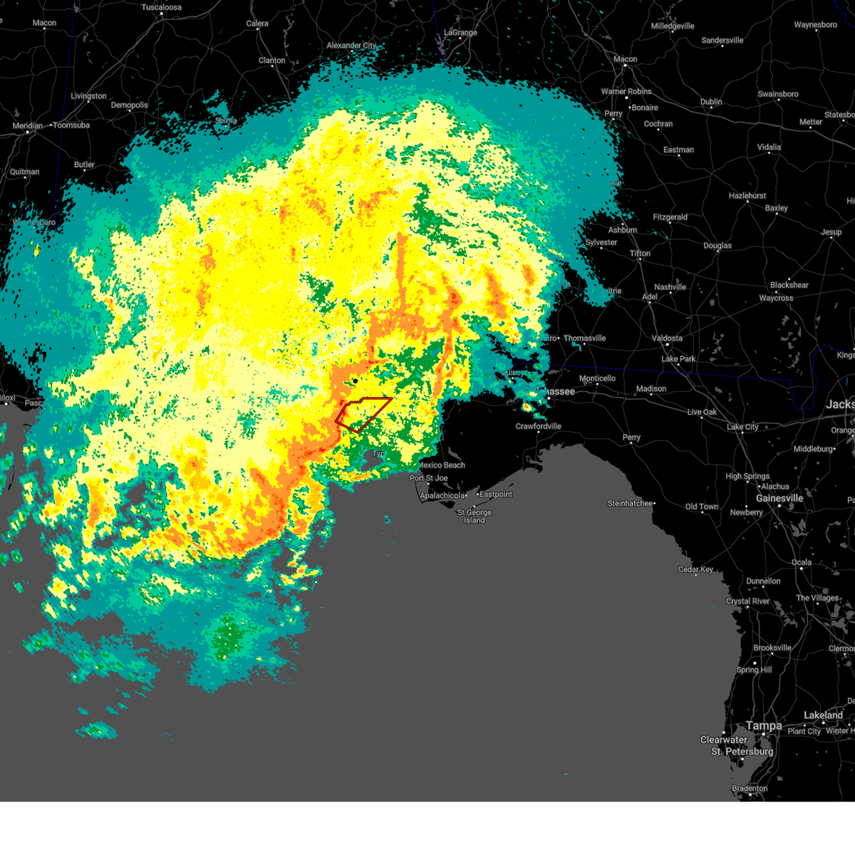 Tortae the national weather service in tallahassee has issued a * tornado warning for, northwestern bay county in the panhandle of florida, south central walton county in the panhandle of florida, * until 545 pm cdt. * at 504 pm cdt, a severe thunderstorm capable of producing a tornado was located 9 miles west of panama city beach, moving northeast at 30 mph (radar indicated rotation). Hazards include tornado. Flying debris will be dangerous to those caught without shelter. mobile homes will be damaged or destroyed. damage to roofs, windows, and vehicles will occur. tree damage is likely. This tornadic thunderstorm will remain over mainly rural areas of northwestern bay and south central walton counties, including the following locations, west bay, inlet beach, pine log, sunnyside, seminole hills, laird, laguna beach, gulf resort beach, and hollywood beach. Tortae the national weather service in tallahassee has issued a * tornado warning for, northwestern bay county in the panhandle of florida, south central walton county in the panhandle of florida, * until 545 pm cdt. * at 504 pm cdt, a severe thunderstorm capable of producing a tornado was located 9 miles west of panama city beach, moving northeast at 30 mph (radar indicated rotation). Hazards include tornado. Flying debris will be dangerous to those caught without shelter. mobile homes will be damaged or destroyed. damage to roofs, windows, and vehicles will occur. tree damage is likely. This tornadic thunderstorm will remain over mainly rural areas of northwestern bay and south central walton counties, including the following locations, west bay, inlet beach, pine log, sunnyside, seminole hills, laird, laguna beach, gulf resort beach, and hollywood beach.
|
| 4/10/2024 4:28 PM CDT |
 the severe thunderstorm warning has been cancelled and is no longer in effect the severe thunderstorm warning has been cancelled and is no longer in effect
|
| 4/10/2024 4:28 PM CDT |
 At 527 pm edt/427 pm cdt/, severe thunderstorms were located along a line extending from near pinckard to 10 miles south of santa rosa beach, moving east at 20 mph (radar indicated). Hazards include 60 mph wind gusts. Expect damage to roofs, siding, and trees. Locations impacted include, panama city, lynn haven, panama city beach, callaway, daleville, cottonwood, vernon, bonifay, geneva, marianna, headland, dothan, santa rosa beach, chipley, graceville, de funiak springs, springfield, hartford, taylor, and midland city. At 527 pm edt/427 pm cdt/, severe thunderstorms were located along a line extending from near pinckard to 10 miles south of santa rosa beach, moving east at 20 mph (radar indicated). Hazards include 60 mph wind gusts. Expect damage to roofs, siding, and trees. Locations impacted include, panama city, lynn haven, panama city beach, callaway, daleville, cottonwood, vernon, bonifay, geneva, marianna, headland, dothan, santa rosa beach, chipley, graceville, de funiak springs, springfield, hartford, taylor, and midland city.
|
| 4/10/2024 3:40 PM CDT |
 Svrtae the national weather service in tallahassee has issued a * severe thunderstorm warning for, dale county in southeastern alabama, southern henry county in southeastern alabama, coffee county in southeastern alabama, geneva county in southeastern alabama, houston county in southeastern alabama, jackson county in the panhandle of florida, northwestern gulf county in the panhandle of florida, bay county in the panhandle of florida, western calhoun county in the panhandle of florida, walton county in the panhandle of florida, holmes county in the panhandle of florida, washington county in the panhandle of florida, * until 615 pm edt/515 pm cdt/. * at 440 pm edt/340 pm cdt/, severe thunderstorms were located along a line extending from 9 miles northeast of samson to 10 miles southwest of geneva to 7 miles southeast of de funiak springs to near santa rosa beach, moving northeast at 35 mph (radar indicated). Hazards include 60 mph wind gusts. expect damage to roofs, siding, and trees Svrtae the national weather service in tallahassee has issued a * severe thunderstorm warning for, dale county in southeastern alabama, southern henry county in southeastern alabama, coffee county in southeastern alabama, geneva county in southeastern alabama, houston county in southeastern alabama, jackson county in the panhandle of florida, northwestern gulf county in the panhandle of florida, bay county in the panhandle of florida, western calhoun county in the panhandle of florida, walton county in the panhandle of florida, holmes county in the panhandle of florida, washington county in the panhandle of florida, * until 615 pm edt/515 pm cdt/. * at 440 pm edt/340 pm cdt/, severe thunderstorms were located along a line extending from 9 miles northeast of samson to 10 miles southwest of geneva to 7 miles southeast of de funiak springs to near santa rosa beach, moving northeast at 35 mph (radar indicated). Hazards include 60 mph wind gusts. expect damage to roofs, siding, and trees
|
| 4/10/2024 2:23 PM CDT |
 Svrtae the national weather service in tallahassee has issued a * severe thunderstorm warning for, geneva county in southeastern alabama, bay county in the panhandle of florida, walton county in the panhandle of florida, holmes county in the panhandle of florida, washington county in the panhandle of florida, * until 345 pm cdt. * at 222 pm cdt, severe thunderstorms were located along a line extending from 15 miles southwest of river falls to 13 miles west of laurel hill to near baker to 8 miles southwest of crestview to 9 miles north of wright to 11 miles south of navarre beach, moving east at 40 mph (radar indicated). Hazards include 60 mph wind gusts. expect damage to roofs, siding, and trees Svrtae the national weather service in tallahassee has issued a * severe thunderstorm warning for, geneva county in southeastern alabama, bay county in the panhandle of florida, walton county in the panhandle of florida, holmes county in the panhandle of florida, washington county in the panhandle of florida, * until 345 pm cdt. * at 222 pm cdt, severe thunderstorms were located along a line extending from 15 miles southwest of river falls to 13 miles west of laurel hill to near baker to 8 miles southwest of crestview to 9 miles north of wright to 11 miles south of navarre beach, moving east at 40 mph (radar indicated). Hazards include 60 mph wind gusts. expect damage to roofs, siding, and trees
|
| 4/3/2024 4:20 AM CDT |
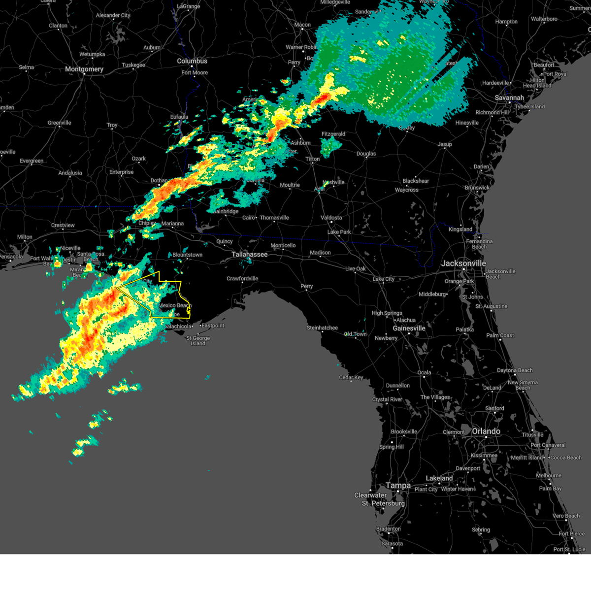 Svrtae the national weather service in tallahassee has issued a * severe thunderstorm warning for, gulf county in the panhandle of florida, southeastern bay county in the panhandle of florida, * until 615 am edt/515 am cdt/. * at 520 am edt/420 am cdt/, a severe thunderstorm was located 12 miles south of panama city beach, moving east at 65 mph (radar indicated). Hazards include 60 mph wind gusts and penny size hail. expect damage to roofs, siding, and trees Svrtae the national weather service in tallahassee has issued a * severe thunderstorm warning for, gulf county in the panhandle of florida, southeastern bay county in the panhandle of florida, * until 615 am edt/515 am cdt/. * at 520 am edt/420 am cdt/, a severe thunderstorm was located 12 miles south of panama city beach, moving east at 65 mph (radar indicated). Hazards include 60 mph wind gusts and penny size hail. expect damage to roofs, siding, and trees
|
| 2/12/2024 8:26 AM CST |
 At 825 am cst, severe thunderstorms were located along a line extending from near vernon to 8 miles northwest of lynn haven to 18 miles southwest of panama city beach, moving northeast at 40 mph (radar indicated). Hazards include 60 mph wind gusts and penny size hail. Expect damage to roofs, siding, and trees. Locations impacted include, panama city, lynn haven, panama city beach, callaway, vernon, springfield, hiland park, tyndall air force base, bradford, parker, alford, wausau, dirego park, college station, gulf resort beach, west panama city, bahama beach, holmes valley, bennett, and porter lake. At 825 am cst, severe thunderstorms were located along a line extending from near vernon to 8 miles northwest of lynn haven to 18 miles southwest of panama city beach, moving northeast at 40 mph (radar indicated). Hazards include 60 mph wind gusts and penny size hail. Expect damage to roofs, siding, and trees. Locations impacted include, panama city, lynn haven, panama city beach, callaway, vernon, springfield, hiland park, tyndall air force base, bradford, parker, alford, wausau, dirego park, college station, gulf resort beach, west panama city, bahama beach, holmes valley, bennett, and porter lake.
|
| 2/12/2024 8:04 AM CST |
 At 804 am cst, severe thunderstorms were located along a line extending from 11 miles southwest of vernon to 10 miles northwest of panama city beach to 18 miles southeast of santa rosa beach, moving northeast at 45 mph (radar indicated). Hazards include 60 mph wind gusts and penny size hail. Expect damage to roofs, siding, and trees. Locations impacted include, panama city, lynn haven, panama city beach, callaway, vernon, springfield, hiland park, tyndall air force base, bradford, live oak, parker, alford, wausau, ebro, dirego park, college station, gulf resort beach, west panama city, bahama beach, and holmes valley. At 804 am cst, severe thunderstorms were located along a line extending from 11 miles southwest of vernon to 10 miles northwest of panama city beach to 18 miles southeast of santa rosa beach, moving northeast at 45 mph (radar indicated). Hazards include 60 mph wind gusts and penny size hail. Expect damage to roofs, siding, and trees. Locations impacted include, panama city, lynn haven, panama city beach, callaway, vernon, springfield, hiland park, tyndall air force base, bradford, live oak, parker, alford, wausau, ebro, dirego park, college station, gulf resort beach, west panama city, bahama beach, and holmes valley.
|
| 2/12/2024 7:34 AM CST |
 At 733 am cst, severe thunderstorms were located along a line extending from 7 miles north of santa rosa beach to 16 miles southeast of destin to 28 miles southeast of cinco bayou, moving east at 35 mph (radar indicated). Hazards include 60 mph wind gusts and penny size hail. expect damage to roofs, siding, and trees At 733 am cst, severe thunderstorms were located along a line extending from 7 miles north of santa rosa beach to 16 miles southeast of destin to 28 miles southeast of cinco bayou, moving east at 35 mph (radar indicated). Hazards include 60 mph wind gusts and penny size hail. expect damage to roofs, siding, and trees
|
| 1/27/2024 2:24 PM CST |
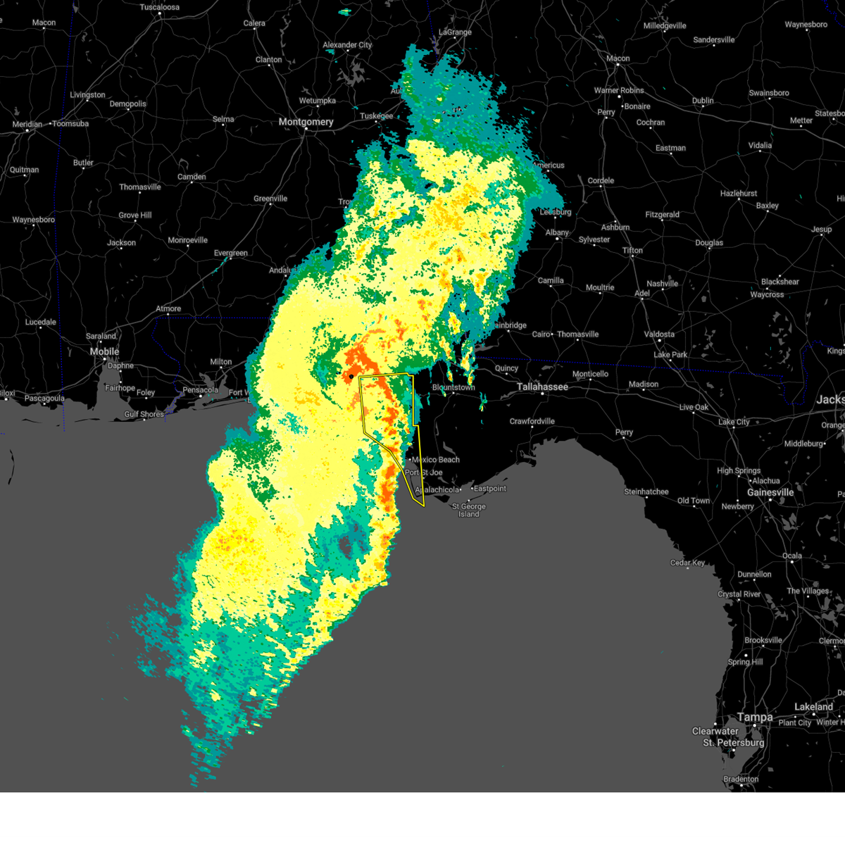 At 323 pm est/223 pm cst/, severe thunderstorms were located along a line extending from near vernon to 30 miles southwest of port st. joe, moving northeast at 50 mph (radar indicated). Hazards include 60 mph wind gusts. Expect damage to roofs, siding, and trees. Locations impacted include, panama city, lynn haven, panama city beach, callaway, springfield, mexico beach, hiland park, tyndall air force base, parker, allanton, dirego park, college station, cape san blas, west panama city, overstreet, bennett, davis beach, porter lake, brannonville, and millville. At 323 pm est/223 pm cst/, severe thunderstorms were located along a line extending from near vernon to 30 miles southwest of port st. joe, moving northeast at 50 mph (radar indicated). Hazards include 60 mph wind gusts. Expect damage to roofs, siding, and trees. Locations impacted include, panama city, lynn haven, panama city beach, callaway, springfield, mexico beach, hiland park, tyndall air force base, parker, allanton, dirego park, college station, cape san blas, west panama city, overstreet, bennett, davis beach, porter lake, brannonville, and millville.
|
| 1/27/2024 2:10 PM CST |
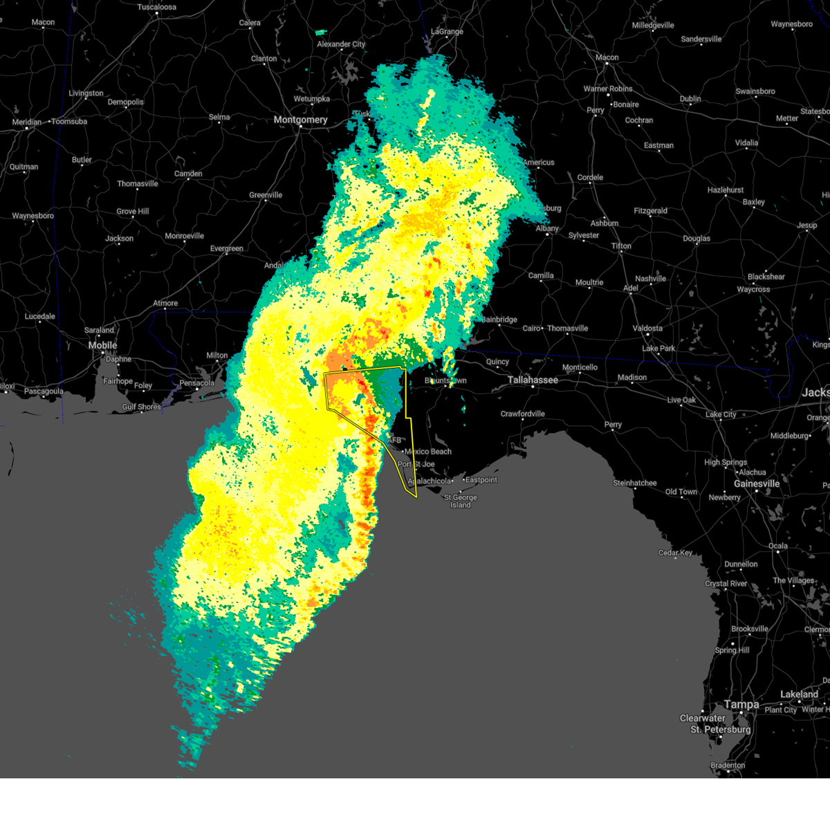 At 310 pm est/210 pm cst/, severe thunderstorms were located along a line extending from 11 miles southwest of vernon to 39 miles southwest of port st. joe, moving northeast at 50 mph (radar indicated). Hazards include 60 mph wind gusts. Expect damage to roofs, siding, and trees. Locations impacted include, panama city, lynn haven, panama city beach, callaway, springfield, mexico beach, hiland park, tyndall air force base, parker, ebro, allanton, dirego park, college station, gulf resort beach, cape san blas, west panama city, bahama beach, overstreet, bennett, and davis beach. At 310 pm est/210 pm cst/, severe thunderstorms were located along a line extending from 11 miles southwest of vernon to 39 miles southwest of port st. joe, moving northeast at 50 mph (radar indicated). Hazards include 60 mph wind gusts. Expect damage to roofs, siding, and trees. Locations impacted include, panama city, lynn haven, panama city beach, callaway, springfield, mexico beach, hiland park, tyndall air force base, parker, ebro, allanton, dirego park, college station, gulf resort beach, cape san blas, west panama city, bahama beach, overstreet, bennett, and davis beach.
|
| 1/27/2024 1:55 PM CST |
 At 255 pm est/155 pm cst/, severe thunderstorms were located along a line extending from 12 miles northeast of santa rosa beach to 51 miles southwest of port st. joe, moving east at 50 mph (radar indicated). Hazards include 60 mph wind gusts. Expect damage to roofs, siding, and trees. Locations impacted include, panama city, lynn haven, panama city beach, callaway, santa rosa beach, springfield, mexico beach, hiland park, tyndall air force base, eglin air force base, parker, freeport, ebro, allanton, dirego park, college station, gulf resort beach, blue mountain beach, cape san blas, and west panama city. At 255 pm est/155 pm cst/, severe thunderstorms were located along a line extending from 12 miles northeast of santa rosa beach to 51 miles southwest of port st. joe, moving east at 50 mph (radar indicated). Hazards include 60 mph wind gusts. Expect damage to roofs, siding, and trees. Locations impacted include, panama city, lynn haven, panama city beach, callaway, santa rosa beach, springfield, mexico beach, hiland park, tyndall air force base, eglin air force base, parker, freeport, ebro, allanton, dirego park, college station, gulf resort beach, blue mountain beach, cape san blas, and west panama city.
|
| 1/27/2024 1:26 PM CST |
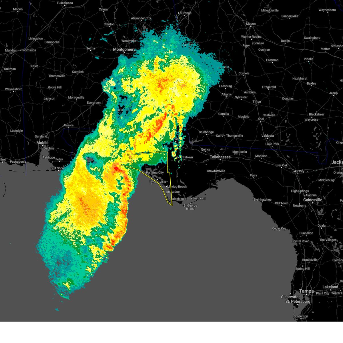 At 226 pm est/126 pm cst/, severe thunderstorms were located along a line extending from 9 miles southeast of destin to 73 miles southwest of port st. joe, moving northeast at 50 mph (radar indicated). Hazards include 60 mph wind gusts. expect damage to roofs, siding, and trees At 226 pm est/126 pm cst/, severe thunderstorms were located along a line extending from 9 miles southeast of destin to 73 miles southwest of port st. joe, moving northeast at 50 mph (radar indicated). Hazards include 60 mph wind gusts. expect damage to roofs, siding, and trees
|
| 1/9/2024 7:34 AM CST |
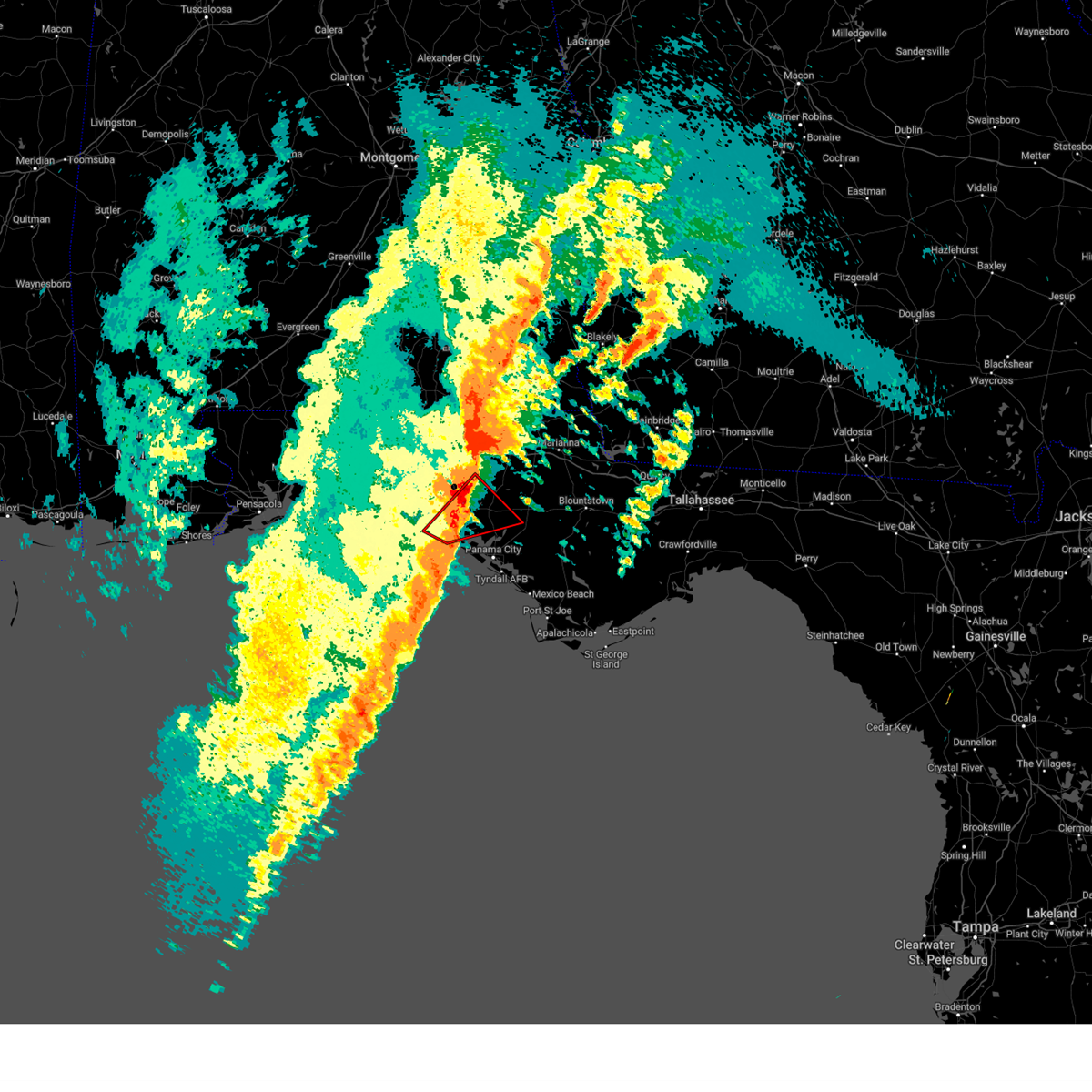 At 734 am cst, a confirmed tornado was located 14 miles southwest of vernon, moving northeast at 60 mph (radar confirmed tornado). Hazards include damaging tornado and quarter size hail. Flying debris will be dangerous to those caught without shelter. mobile homes will be damaged or destroyed. damage to roofs, windows, and vehicles will occur. tree damage is likely. Locations impacted include, ebro, west bay, inlet beach, seminole hills, greenhead, red head, holmes valley, gainer spring, millers ferry, bennett, pine log, sunnyside, laird, laguna beach, vicksburg, hollywood beach, and riverside. At 734 am cst, a confirmed tornado was located 14 miles southwest of vernon, moving northeast at 60 mph (radar confirmed tornado). Hazards include damaging tornado and quarter size hail. Flying debris will be dangerous to those caught without shelter. mobile homes will be damaged or destroyed. damage to roofs, windows, and vehicles will occur. tree damage is likely. Locations impacted include, ebro, west bay, inlet beach, seminole hills, greenhead, red head, holmes valley, gainer spring, millers ferry, bennett, pine log, sunnyside, laird, laguna beach, vicksburg, hollywood beach, and riverside.
|
| 1/9/2024 7:19 AM CST |
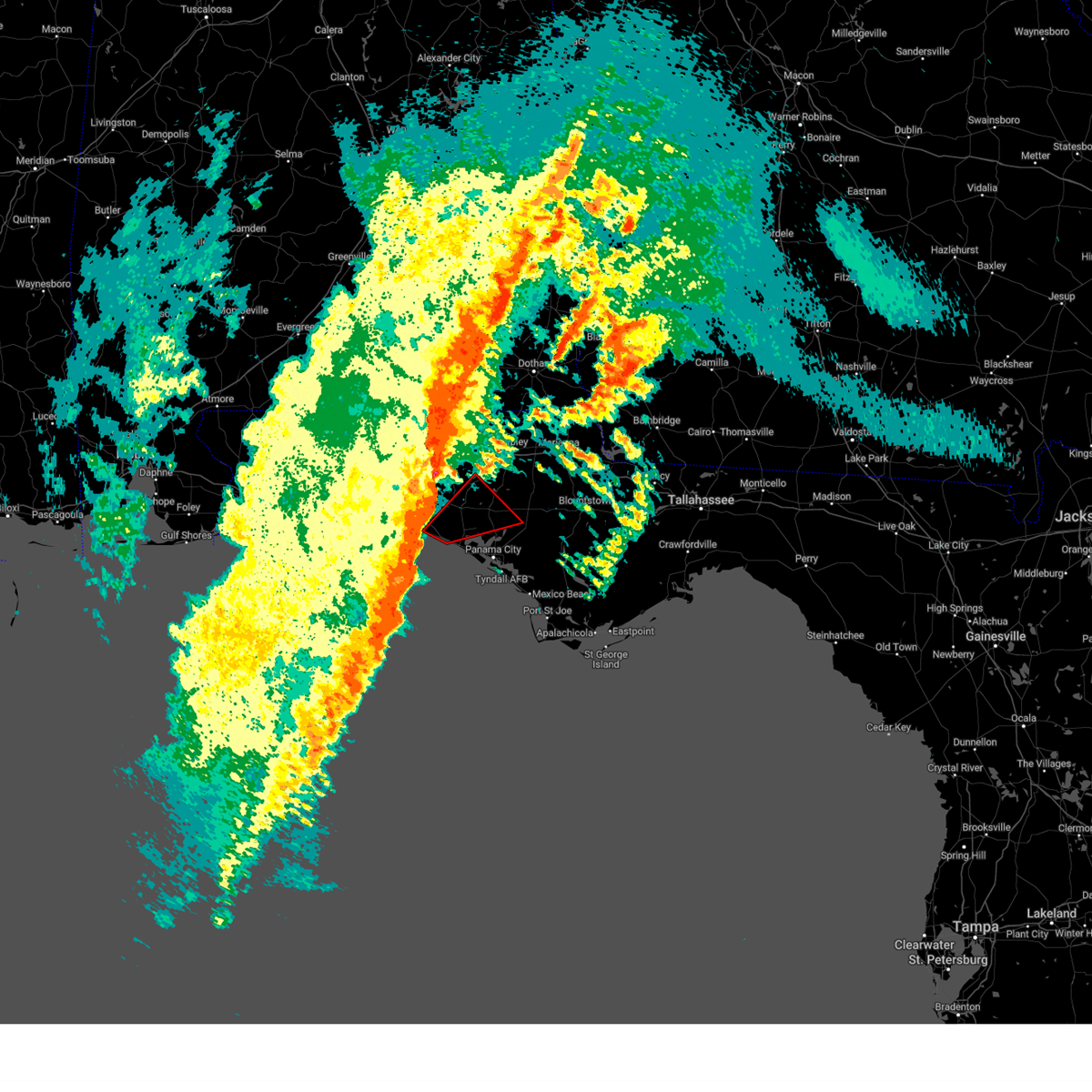 At 718 am cst, a severe thunderstorm capable of producing a tornado was located 13 miles northwest of panama city beach, moving northeast at 65 mph (radar indicated rotation). Hazards include tornado and quarter size hail. Flying debris will be dangerous to those caught without shelter. mobile homes will be damaged or destroyed. damage to roofs, windows, and vehicles will occur. tree damage is likely. This tornadic thunderstorm will remain over mainly rural areas of northern bay, southeastern walton and southwestern washington counties, including the following locations, west bay, inlet beach, seminole hills, greenhead, red head, holmes valley, gainer spring, millers ferry, bennett, and pine log. At 718 am cst, a severe thunderstorm capable of producing a tornado was located 13 miles northwest of panama city beach, moving northeast at 65 mph (radar indicated rotation). Hazards include tornado and quarter size hail. Flying debris will be dangerous to those caught without shelter. mobile homes will be damaged or destroyed. damage to roofs, windows, and vehicles will occur. tree damage is likely. This tornadic thunderstorm will remain over mainly rural areas of northern bay, southeastern walton and southwestern washington counties, including the following locations, west bay, inlet beach, seminole hills, greenhead, red head, holmes valley, gainer spring, millers ferry, bennett, and pine log.
|
| 1/9/2024 7:00 AM CST |
 At 659 am cst, severe thunderstorms were located along a line extending from 10 miles southwest of samson to near santa rosa beach to 25 miles south of destin, moving northeast at 60 mph (radar indicated). Hazards include 70 mph wind gusts and quarter size hail. Hail damage to vehicles is expected. expect considerable tree damage. Wind damage is also likely to mobile homes, roofs, and outbuildings. At 659 am cst, severe thunderstorms were located along a line extending from 10 miles southwest of samson to near santa rosa beach to 25 miles south of destin, moving northeast at 60 mph (radar indicated). Hazards include 70 mph wind gusts and quarter size hail. Hail damage to vehicles is expected. expect considerable tree damage. Wind damage is also likely to mobile homes, roofs, and outbuildings.
|
| 1/9/2024 5:34 AM CST |
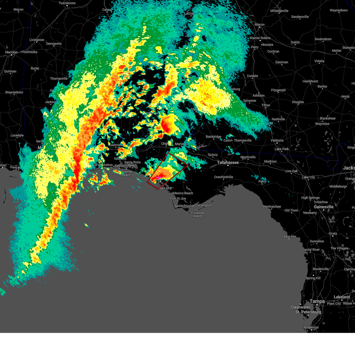 At 533 am cst, a confirmed large and extremely dangerous tornado was located near panama city, moving northeast at 55 mph. this is a particularly dangerous situation. take cover now! (radar confirmed tornado). Hazards include damaging tornado. You are in a life-threatening situation. flying debris may be deadly to those caught without shelter. mobile homes will be destroyed. considerable damage to homes, businesses, and vehicles is likely and complete destruction is possible. the tornado will be near, panama city, lynn haven, and hiland park around 540 am cst. Other locations impacted by this tornadic thunderstorm include moose pond, clarksville, st andrews state park, southport, fountain, cedar grove, singer road, dirego park, beacon beach, and college station. At 533 am cst, a confirmed large and extremely dangerous tornado was located near panama city, moving northeast at 55 mph. this is a particularly dangerous situation. take cover now! (radar confirmed tornado). Hazards include damaging tornado. You are in a life-threatening situation. flying debris may be deadly to those caught without shelter. mobile homes will be destroyed. considerable damage to homes, businesses, and vehicles is likely and complete destruction is possible. the tornado will be near, panama city, lynn haven, and hiland park around 540 am cst. Other locations impacted by this tornadic thunderstorm include moose pond, clarksville, st andrews state park, southport, fountain, cedar grove, singer road, dirego park, beacon beach, and college station.
|
| 1/9/2024 5:33 AM CST |
 At 533 am cst, a large and extremely dangerous tornado was located near panama city, moving northeast at 55 mph. this is a particularly dangerous situation. take cover now! (radar indicated rotation). Hazards include damaging tornado. You are in a life-threatening situation. flying debris may be deadly to those caught without shelter. mobile homes will be destroyed. considerable damage to homes, businesses, and vehicles is likely and complete destruction is possible. the tornado will be near, panama city, lynn haven, and hiland park around 540 am cst. Other locations impacted by this tornadic thunderstorm include moose pond, clarksville, st andrews state park, southport, fountain, cedar grove, singer road, dirego park, beacon beach, and college station. At 533 am cst, a large and extremely dangerous tornado was located near panama city, moving northeast at 55 mph. this is a particularly dangerous situation. take cover now! (radar indicated rotation). Hazards include damaging tornado. You are in a life-threatening situation. flying debris may be deadly to those caught without shelter. mobile homes will be destroyed. considerable damage to homes, businesses, and vehicles is likely and complete destruction is possible. the tornado will be near, panama city, lynn haven, and hiland park around 540 am cst. Other locations impacted by this tornadic thunderstorm include moose pond, clarksville, st andrews state park, southport, fountain, cedar grove, singer road, dirego park, beacon beach, and college station.
|
| 1/9/2024 5:22 AM CST |
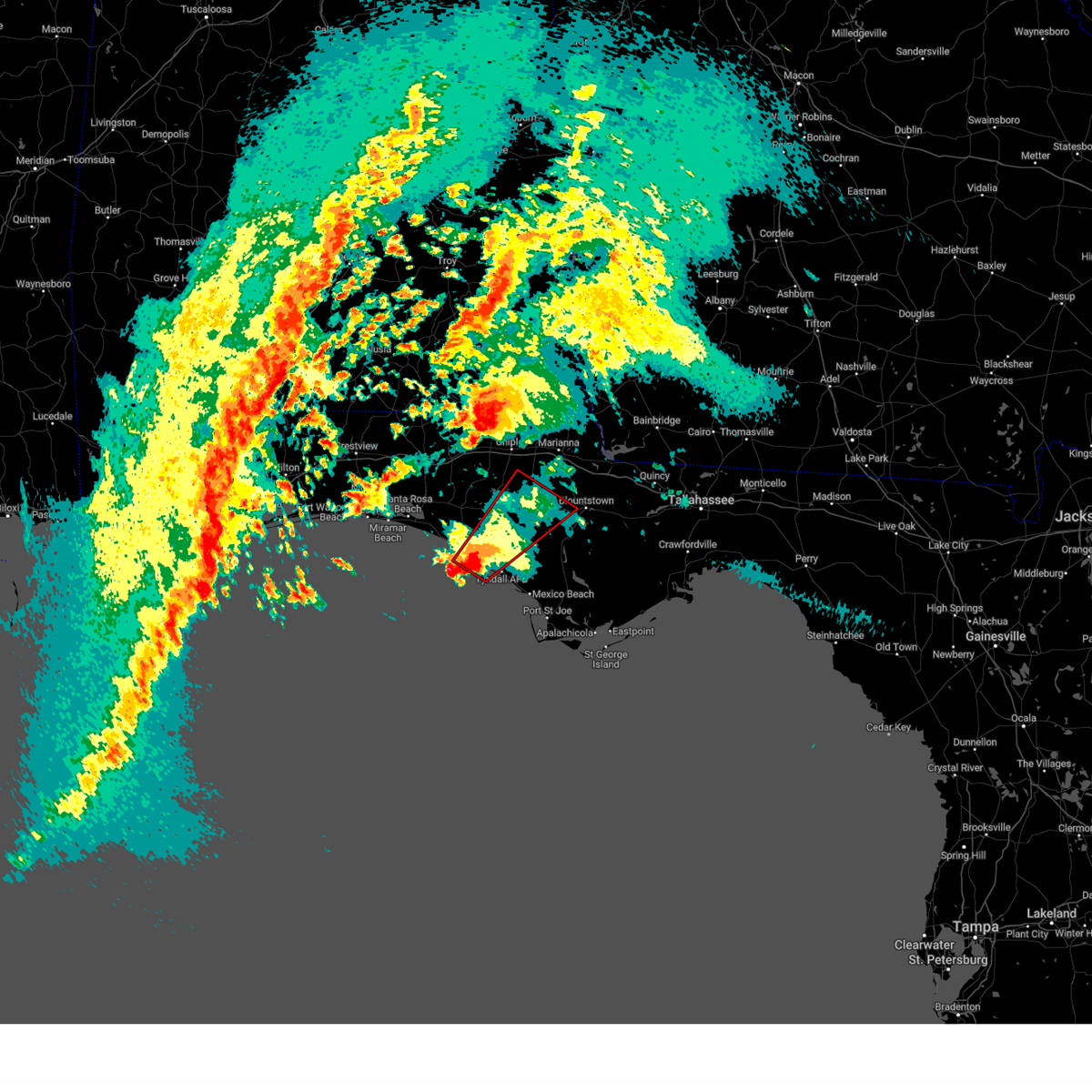 At 521 am cst, a severe thunderstorm capable of producing a tornado was located 9 miles south of panama city beach, moving northeast at 70 mph (radar indicated rotation). Hazards include tornado and quarter size hail. Flying debris will be dangerous to those caught without shelter. mobile homes will be damaged or destroyed. damage to roofs, windows, and vehicles will occur. tree damage is likely. this dangerous storm will be near, panama city and panama city beach around 525 am cst. lynn haven, springfield, hiland park, and tyndall air force base around 530 am cst. Other locations impacted by this tornadic thunderstorm include moose pond, clarksville, st andrews state park, southport, fountain, cedar grove, singer road, dirego park, beacon beach, and college station. At 521 am cst, a severe thunderstorm capable of producing a tornado was located 9 miles south of panama city beach, moving northeast at 70 mph (radar indicated rotation). Hazards include tornado and quarter size hail. Flying debris will be dangerous to those caught without shelter. mobile homes will be damaged or destroyed. damage to roofs, windows, and vehicles will occur. tree damage is likely. this dangerous storm will be near, panama city and panama city beach around 525 am cst. lynn haven, springfield, hiland park, and tyndall air force base around 530 am cst. Other locations impacted by this tornadic thunderstorm include moose pond, clarksville, st andrews state park, southport, fountain, cedar grove, singer road, dirego park, beacon beach, and college station.
|
| 8/23/2023 7:19 PM CDT |
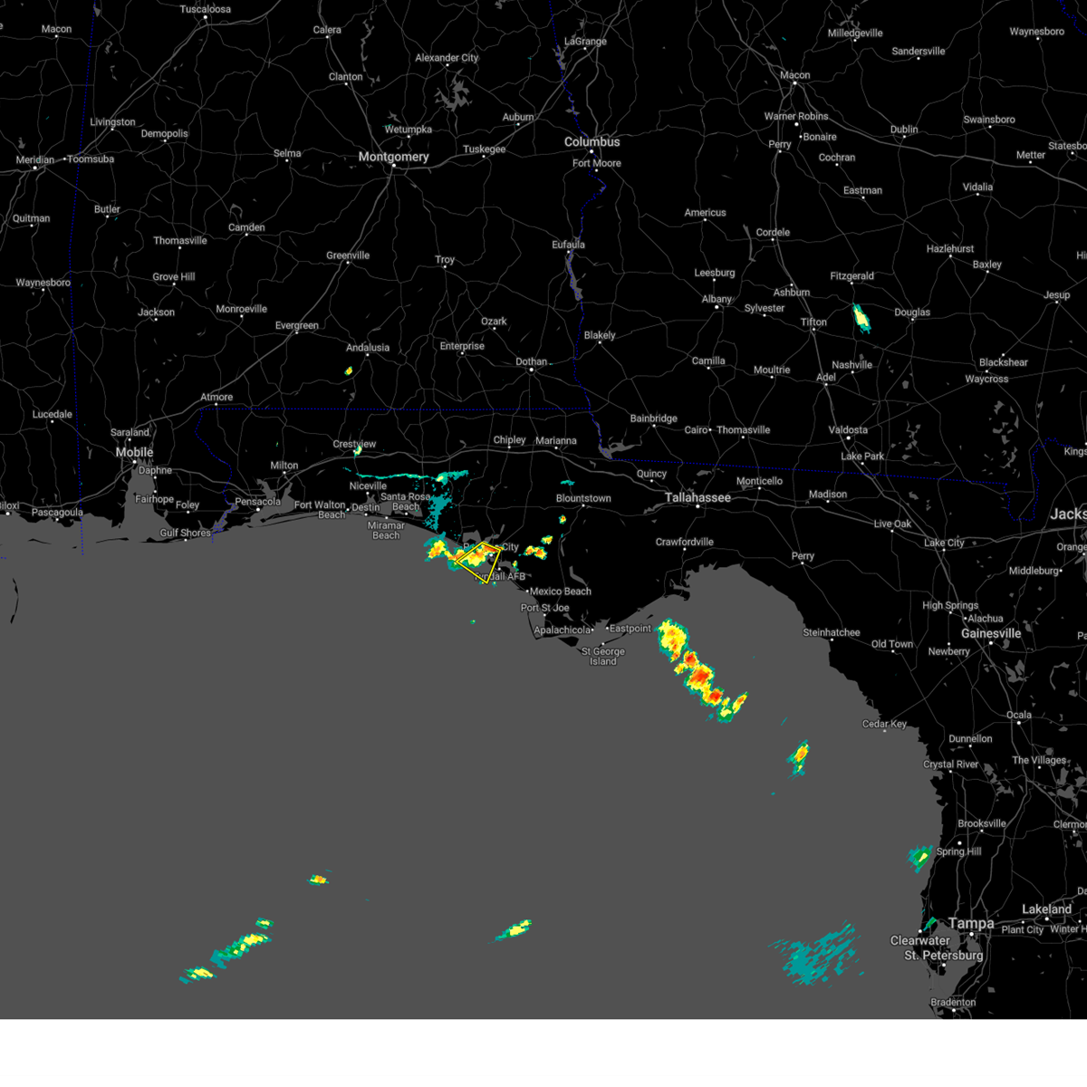 At 719 pm cdt, a severe thunderstorm was located near panama city, moving southwest at 20 mph (radar indicated). Hazards include 60 mph wind gusts and penny size hail. Expect damage to roofs, siding, and trees. locations impacted include, panama city, panama city beach, springfield, hiland park, tyndall air force base, st andrews state park, gulf lagoon beach, magnolia beach, cedar grove, dirego park, beacon beach, biltmore beach, and millville. hail threat, radar indicated max hail size, 0. 75 in wind threat, radar indicated max wind gust, 60 mph. At 719 pm cdt, a severe thunderstorm was located near panama city, moving southwest at 20 mph (radar indicated). Hazards include 60 mph wind gusts and penny size hail. Expect damage to roofs, siding, and trees. locations impacted include, panama city, panama city beach, springfield, hiland park, tyndall air force base, st andrews state park, gulf lagoon beach, magnolia beach, cedar grove, dirego park, beacon beach, biltmore beach, and millville. hail threat, radar indicated max hail size, 0. 75 in wind threat, radar indicated max wind gust, 60 mph.
|
| 8/23/2023 6:57 PM CDT |
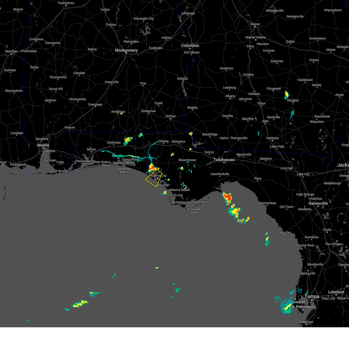 At 656 pm cdt, a severe thunderstorm was located over lynn haven, moving southwest at 20 mph (radar indicated). Hazards include 60 mph wind gusts and penny size hail. expect damage to roofs, siding, and trees At 656 pm cdt, a severe thunderstorm was located over lynn haven, moving southwest at 20 mph (radar indicated). Hazards include 60 mph wind gusts and penny size hail. expect damage to roofs, siding, and trees
|
| 8/15/2023 8:23 PM CDT |
 At 823 pm cdt, a severe thunderstorm was located 8 miles northeast of panama city beach, moving southeast at 40 mph (radar indicated). Hazards include 60 mph wind gusts. Expect damage to roofs, siding, and trees. locations impacted include, panama city beach, vernon, santa rosa beach, eglin air force base, live oak, freeport, ebro, portland, seminole hills, gulf resort beach, blue mountain beach, seaside, bahama beach, holmes valley, millers ferry, sunnyside, gulf pines, knox hill, bunker and vicksburg. hail threat, radar indicated max hail size, <. 75 in wind threat, radar indicated max wind gust, 60 mph. At 823 pm cdt, a severe thunderstorm was located 8 miles northeast of panama city beach, moving southeast at 40 mph (radar indicated). Hazards include 60 mph wind gusts. Expect damage to roofs, siding, and trees. locations impacted include, panama city beach, vernon, santa rosa beach, eglin air force base, live oak, freeport, ebro, portland, seminole hills, gulf resort beach, blue mountain beach, seaside, bahama beach, holmes valley, millers ferry, sunnyside, gulf pines, knox hill, bunker and vicksburg. hail threat, radar indicated max hail size, <. 75 in wind threat, radar indicated max wind gust, 60 mph.
|
| 8/15/2023 7:37 PM CDT |
 At 737 pm cdt, a severe thunderstorm was located near de funiak springs, moving southeast at 35 mph (radar indicated). Hazards include 60 mph wind gusts. expect damage to roofs, siding, and trees At 737 pm cdt, a severe thunderstorm was located near de funiak springs, moving southeast at 35 mph (radar indicated). Hazards include 60 mph wind gusts. expect damage to roofs, siding, and trees
|
| 6/18/2023 1:25 PM CDT |
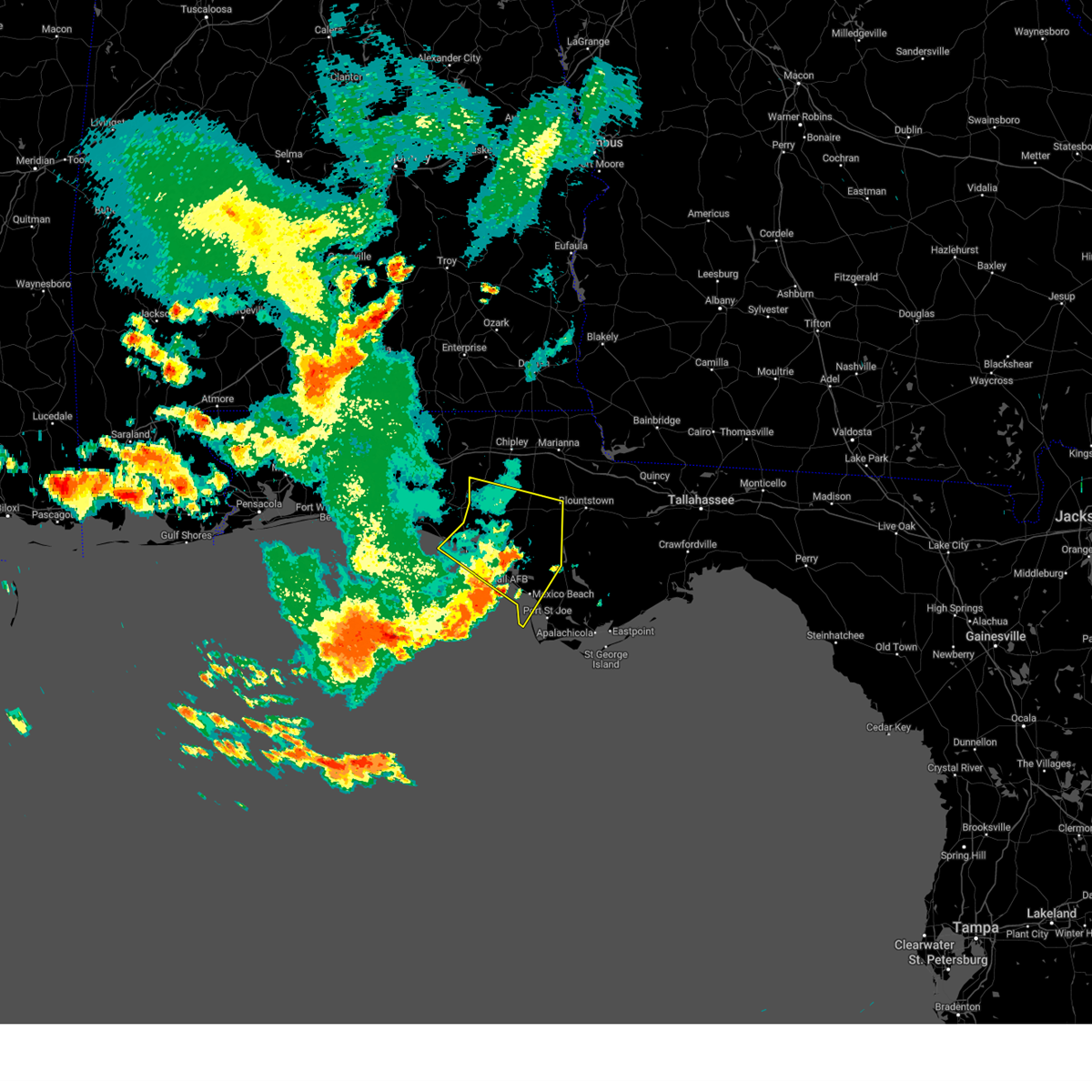 The severe thunderstorm warning for northwestern gulf, bay, southwestern calhoun and southeastern washington counties in the panhandle of florida will expire at 230 pm edt/130 pm cdt/, the storms which prompted the warning have moved out of the area. therefore, the warning will be allowed to expire. however gusty winds are still possible with these thunderstorms. a severe thunderstorm watch remains in effect until 600 pm edt/500 pm cdt/ for the panhandle of florida. remember, a severe thunderstorm warning still remains in effect for gulf and southeastern bay counties until 215 pm cdt. The severe thunderstorm warning for northwestern gulf, bay, southwestern calhoun and southeastern washington counties in the panhandle of florida will expire at 230 pm edt/130 pm cdt/, the storms which prompted the warning have moved out of the area. therefore, the warning will be allowed to expire. however gusty winds are still possible with these thunderstorms. a severe thunderstorm watch remains in effect until 600 pm edt/500 pm cdt/ for the panhandle of florida. remember, a severe thunderstorm warning still remains in effect for gulf and southeastern bay counties until 215 pm cdt.
|
| 6/18/2023 1:13 PM CDT |
 At 213 pm edt/113 pm cdt/, severe thunderstorms were located along a line extending from 11 miles southeast of vernon to 8 miles northeast of hiland park to 7 miles west of tyndall air force base, moving southeast at 45 mph (radar indicated). Hazards include 60 mph wind gusts. Expect damage to roofs, siding, and trees. locations impacted include, panama city, lynn haven, panama city beach, callaway, springfield, mexico beach, hiland park, tyndall air force base, wewahitchka, parker, allanton, dirego park, college station, gulf resort beach, west panama city, bahama beach, overstreet, holmes valley, bennett and davis beach. hail threat, radar indicated max hail size, <. 75 in wind threat, observed max wind gust, 60 mph. At 213 pm edt/113 pm cdt/, severe thunderstorms were located along a line extending from 11 miles southeast of vernon to 8 miles northeast of hiland park to 7 miles west of tyndall air force base, moving southeast at 45 mph (radar indicated). Hazards include 60 mph wind gusts. Expect damage to roofs, siding, and trees. locations impacted include, panama city, lynn haven, panama city beach, callaway, springfield, mexico beach, hiland park, tyndall air force base, wewahitchka, parker, allanton, dirego park, college station, gulf resort beach, west panama city, bahama beach, overstreet, holmes valley, bennett and davis beach. hail threat, radar indicated max hail size, <. 75 in wind threat, observed max wind gust, 60 mph.
|
| 6/18/2023 12:53 PM CDT |
 At 152 pm edt/1252 pm cdt/, severe thunderstorms were located along a line extending from near vernon to 8 miles northwest of lynn haven to 6 miles south of panama city beach, moving east at 40 mph (radar indicated). Hazards include 60 mph wind gusts and penny size hail. Expect damage to roofs, siding, and trees. locations impacted include, panama city, lynn haven, panama city beach, callaway, vernon, springfield, mexico beach, hiland park, tyndall air force base, wewahitchka, bradford, live oak, parker, wausau, westville, ebro, moose pond, whitehead crossroads, allanton and dirego park. hail threat, radar indicated max hail size, 0. 75 in wind threat, observed max wind gust, 60 mph. At 152 pm edt/1252 pm cdt/, severe thunderstorms were located along a line extending from near vernon to 8 miles northwest of lynn haven to 6 miles south of panama city beach, moving east at 40 mph (radar indicated). Hazards include 60 mph wind gusts and penny size hail. Expect damage to roofs, siding, and trees. locations impacted include, panama city, lynn haven, panama city beach, callaway, vernon, springfield, mexico beach, hiland park, tyndall air force base, wewahitchka, bradford, live oak, parker, wausau, westville, ebro, moose pond, whitehead crossroads, allanton and dirego park. hail threat, radar indicated max hail size, 0. 75 in wind threat, observed max wind gust, 60 mph.
|
| 6/18/2023 12:32 PM CDT |
 At 1231 pm cdt, severe thunderstorms were located along a line extending from 12 miles west of bonifay to 16 miles southwest of vernon to 14 miles west of panama city beach, moving east at 55 mph (radar indicated). Hazards include 70 mph wind gusts and penny size hail. Expect considerable tree damage. damage is likely to mobile homes, roofs, and outbuildings. locations impacted include, panama city, lynn haven, panama city beach, vernon, santa rosa beach, de funiak springs, bonifay, eglin air force base, union, liberty, live oak, freeport, ponce de leon, caryville, westville, ebro, oakwood hills, cluster springs, whitehead crossroads and cerrogordo. thunderstorm damage threat, considerable hail threat, radar indicated max hail size, 0. 75 in wind threat, observed max wind gust, 70 mph. At 1231 pm cdt, severe thunderstorms were located along a line extending from 12 miles west of bonifay to 16 miles southwest of vernon to 14 miles west of panama city beach, moving east at 55 mph (radar indicated). Hazards include 70 mph wind gusts and penny size hail. Expect considerable tree damage. damage is likely to mobile homes, roofs, and outbuildings. locations impacted include, panama city, lynn haven, panama city beach, vernon, santa rosa beach, de funiak springs, bonifay, eglin air force base, union, liberty, live oak, freeport, ponce de leon, caryville, westville, ebro, oakwood hills, cluster springs, whitehead crossroads and cerrogordo. thunderstorm damage threat, considerable hail threat, radar indicated max hail size, 0. 75 in wind threat, observed max wind gust, 70 mph.
|
| 6/18/2023 12:29 PM CDT |
 At 128 pm edt/1228 pm cdt/, severe thunderstorms were located along a line extending from 7 miles east of de funiak springs to 17 miles northwest of panama city beach to 13 miles southeast of santa rosa beach, moving southeast at 45 mph (radar indicated). Hazards include 70 mph wind gusts and penny size hail. Expect considerable tree damage. Damage is likely to mobile homes, roofs, and outbuildings. At 128 pm edt/1228 pm cdt/, severe thunderstorms were located along a line extending from 7 miles east of de funiak springs to 17 miles northwest of panama city beach to 13 miles southeast of santa rosa beach, moving southeast at 45 mph (radar indicated). Hazards include 70 mph wind gusts and penny size hail. Expect considerable tree damage. Damage is likely to mobile homes, roofs, and outbuildings.
|
| 6/18/2023 12:14 PM CDT |
 At 1213 pm cdt, severe thunderstorms were located along a line extending from near de funiak springs to 10 miles northeast of santa rosa beach to 13 miles southeast of destin, moving east at 50 mph. these are destructive storms for walton county south of i 10 (radar indicated). Hazards include 80 mph wind gusts and nickel size hail. Flying debris will be dangerous to those caught without shelter. mobile homes will be heavily damaged. expect considerable damage to roofs, windows, and vehicles. extensive tree damage and power outages are likely. locations impacted include, panama city, lynn haven, panama city beach, vernon, santa rosa beach, de funiak springs, bonifay, eglin air force base, union, liberty, live oak, freeport, ponce de leon, caryville, westville, ebro, oakwood hills, cluster springs, whitehead crossroads and villa tasso. thunderstorm damage threat, destructive hail threat, radar indicated max hail size, 0. 88 in wind threat, observed max wind gust, 80 mph. At 1213 pm cdt, severe thunderstorms were located along a line extending from near de funiak springs to 10 miles northeast of santa rosa beach to 13 miles southeast of destin, moving east at 50 mph. these are destructive storms for walton county south of i 10 (radar indicated). Hazards include 80 mph wind gusts and nickel size hail. Flying debris will be dangerous to those caught without shelter. mobile homes will be heavily damaged. expect considerable damage to roofs, windows, and vehicles. extensive tree damage and power outages are likely. locations impacted include, panama city, lynn haven, panama city beach, vernon, santa rosa beach, de funiak springs, bonifay, eglin air force base, union, liberty, live oak, freeport, ponce de leon, caryville, westville, ebro, oakwood hills, cluster springs, whitehead crossroads and villa tasso. thunderstorm damage threat, destructive hail threat, radar indicated max hail size, 0. 88 in wind threat, observed max wind gust, 80 mph.
|
| 6/18/2023 11:54 AM CDT |
 At 1153 am cdt, severe thunderstorms were located along a line extending from 8 miles east of crestview to near niceville to 11 miles south of mary esther, moving east at 55 mph. these are destructive storms for south walton county (radar indicated). Hazards include 80 mph wind gusts and nickel size hail. Flying debris will be dangerous to those caught without shelter. mobile homes will be heavily damaged. expect considerable damage to roofs, windows, and vehicles. extensive tree damage and power outages are likely. locations impacted include, panama city, lynn haven, panama city beach, vernon, santa rosa beach, de funiak springs, bonifay, eglin air force base, union, liberty, live oak, freeport, ponce de leon, caryville, westville, ebro, oakwood hills, cluster springs, whitehead crossroads and villa tasso. thunderstorm damage threat, destructive hail threat, radar indicated max hail size, 0. 88 in wind threat, observed max wind gust, 80 mph. At 1153 am cdt, severe thunderstorms were located along a line extending from 8 miles east of crestview to near niceville to 11 miles south of mary esther, moving east at 55 mph. these are destructive storms for south walton county (radar indicated). Hazards include 80 mph wind gusts and nickel size hail. Flying debris will be dangerous to those caught without shelter. mobile homes will be heavily damaged. expect considerable damage to roofs, windows, and vehicles. extensive tree damage and power outages are likely. locations impacted include, panama city, lynn haven, panama city beach, vernon, santa rosa beach, de funiak springs, bonifay, eglin air force base, union, liberty, live oak, freeport, ponce de leon, caryville, westville, ebro, oakwood hills, cluster springs, whitehead crossroads and villa tasso. thunderstorm damage threat, destructive hail threat, radar indicated max hail size, 0. 88 in wind threat, observed max wind gust, 80 mph.
|
| 6/18/2023 11:39 AM CDT |
 At 1139 am cdt, severe thunderstorms were located along a line extending from near baker to near wright to 7 miles south of navarre beach, moving east at 55 mph (radar indicated). Hazards include 70 mph wind gusts and nickel size hail. Expect considerable tree damage. Damage is likely to mobile homes, roofs, and outbuildings. At 1139 am cdt, severe thunderstorms were located along a line extending from near baker to near wright to 7 miles south of navarre beach, moving east at 55 mph (radar indicated). Hazards include 70 mph wind gusts and nickel size hail. Expect considerable tree damage. Damage is likely to mobile homes, roofs, and outbuildings.
|
| 6/16/2023 10:42 AM CDT |
 The severe thunderstorm warning for jackson, northwestern gulf, bay, calhoun, south central walton, eastern holmes and washington counties in the panhandle of florida will expire at 1145 am edt/1045 am cdt/, the storms which prompted the warning have moved out of the area. therefore, the warning will be allowed to expire. however wind gusts to near 50 mph are still possible for through about 1130 am cdt. a severe thunderstorm watch remains in effect until 300 pm edt/200 pm cdt/ for big bend of and the panhandle of florida, and southwestern georgia. remember, a severe thunderstorm warning still remains in effect for gulf county until 1230 pm edt. The severe thunderstorm warning for jackson, northwestern gulf, bay, calhoun, south central walton, eastern holmes and washington counties in the panhandle of florida will expire at 1145 am edt/1045 am cdt/, the storms which prompted the warning have moved out of the area. therefore, the warning will be allowed to expire. however wind gusts to near 50 mph are still possible for through about 1130 am cdt. a severe thunderstorm watch remains in effect until 300 pm edt/200 pm cdt/ for big bend of and the panhandle of florida, and southwestern georgia. remember, a severe thunderstorm warning still remains in effect for gulf county until 1230 pm edt.
|
| 6/16/2023 10:06 AM CDT | Buoy station pcbf1 panama city beach... f in gmz750 county FL, 1.2 miles NE of Panama City Beach, FL |
| 6/16/2023 10:04 AM CDT |
 At 1103 am edt/1003 am cdt/, severe thunderstorms were located along a line extending from graceville to 11 miles south of chipley to 12 miles north of lynn haven to panama city beach, moving east at 65 mph. at 959 am cdt, ecp airport measured a gust of 67 mph (radar indicated). Hazards include 70 mph wind gusts and penny size hail. Expect considerable tree damage. damage is likely to mobile homes, roofs, and outbuildings. locations impacted include, panama city, lynn haven, panama city beach, callaway, vernon, bonifay, blountstown, marianna, chipley, graceville, springfield, mexico beach, hiland park, stonemill creek, tyndall air force base, chattahoochee, bradford, parker, malone and wewahitchka. thunderstorm damage threat, considerable hail threat, radar indicated max hail size, 0. 75 in wind threat, observed max wind gust, 70 mph. At 1103 am edt/1003 am cdt/, severe thunderstorms were located along a line extending from graceville to 11 miles south of chipley to 12 miles north of lynn haven to panama city beach, moving east at 65 mph. at 959 am cdt, ecp airport measured a gust of 67 mph (radar indicated). Hazards include 70 mph wind gusts and penny size hail. Expect considerable tree damage. damage is likely to mobile homes, roofs, and outbuildings. locations impacted include, panama city, lynn haven, panama city beach, callaway, vernon, bonifay, blountstown, marianna, chipley, graceville, springfield, mexico beach, hiland park, stonemill creek, tyndall air force base, chattahoochee, bradford, parker, malone and wewahitchka. thunderstorm damage threat, considerable hail threat, radar indicated max hail size, 0. 75 in wind threat, observed max wind gust, 70 mph.
|
| 6/16/2023 9:58 AM CDT | Asos station kecp panama cit in bay county FL, 9.7 miles SSW of Panama City Beach, FL |
| 6/16/2023 9:51 AM CDT |
 At 1050 am edt/950 am cdt/, severe thunderstorms were located along a line extending from 9 miles south of hartford to near vernon to 17 miles northwest of lynn haven to 12 miles west of panama city beach, moving east at 65 mph (radar indicated). Hazards include 60 mph wind gusts and penny size hail. expect damage to roofs, siding, and trees At 1050 am edt/950 am cdt/, severe thunderstorms were located along a line extending from 9 miles south of hartford to near vernon to 17 miles northwest of lynn haven to 12 miles west of panama city beach, moving east at 65 mph (radar indicated). Hazards include 60 mph wind gusts and penny size hail. expect damage to roofs, siding, and trees
|
| 6/16/2023 9:04 AM CDT |
 At 904 am cdt, severe thunderstorms were located along a line extending from near fort deposit to near baker to near pensacola beach, moving east at 65 mph (radar indicated). Hazards include 70 mph wind gusts and penny size hail. Expect considerable tree damage. Damage is likely to mobile homes, roofs, and outbuildings. At 904 am cdt, severe thunderstorms were located along a line extending from near fort deposit to near baker to near pensacola beach, moving east at 65 mph (radar indicated). Hazards include 70 mph wind gusts and penny size hail. Expect considerable tree damage. Damage is likely to mobile homes, roofs, and outbuildings.
|
| 6/12/2023 7:59 AM CDT |
 At 759 am cdt, severe thunderstorms were located along a line extending from 6 miles west of bonifay to 7 miles west of vernon to 12 miles east of eglin air force base, moving southeast at 30 mph (radar indicated). Hazards include 60 mph wind gusts. expect damage to roofs, siding, and trees At 759 am cdt, severe thunderstorms were located along a line extending from 6 miles west of bonifay to 7 miles west of vernon to 12 miles east of eglin air force base, moving southeast at 30 mph (radar indicated). Hazards include 60 mph wind gusts. expect damage to roofs, siding, and trees
|
| 6/9/2023 2:20 PM CDT |
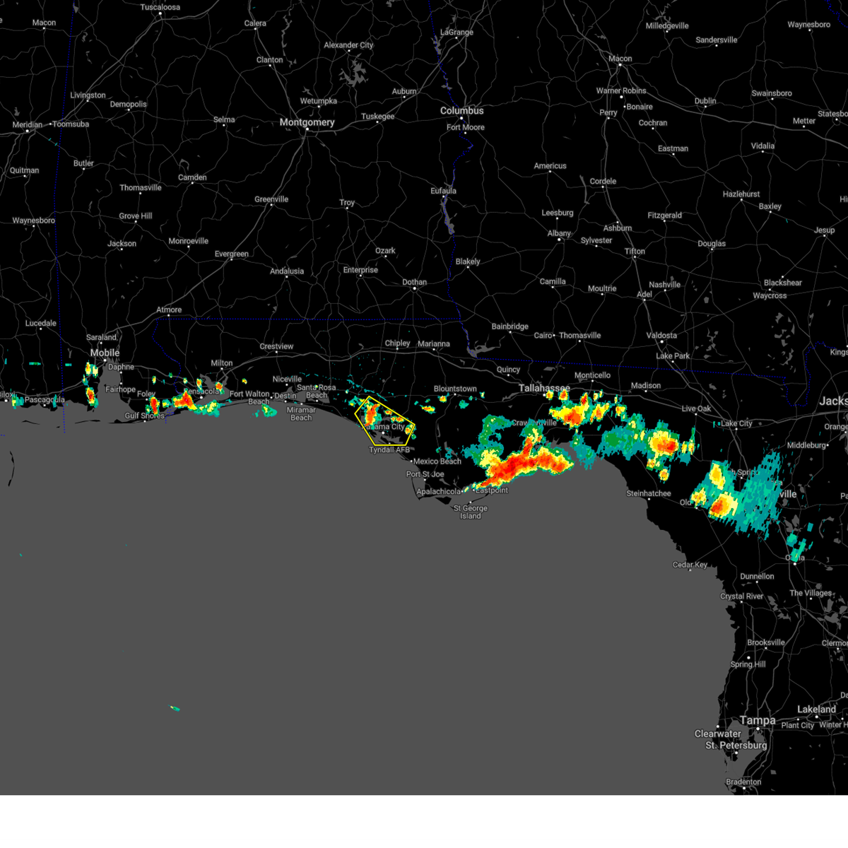 At 220 pm cdt, a severe thunderstorm was located near lynn haven, moving southeast at 20 mph (radar indicated). Hazards include 60 mph wind gusts and penny size hail. expect damage to roofs, siding, and trees At 220 pm cdt, a severe thunderstorm was located near lynn haven, moving southeast at 20 mph (radar indicated). Hazards include 60 mph wind gusts and penny size hail. expect damage to roofs, siding, and trees
|
| 6/9/2023 2:11 PM CDT | Asos station kecp panama city measured 63mph gus in bay county FL, 9.7 miles SSW of Panama City Beach, FL |
| 4/27/2023 3:11 PM CDT |
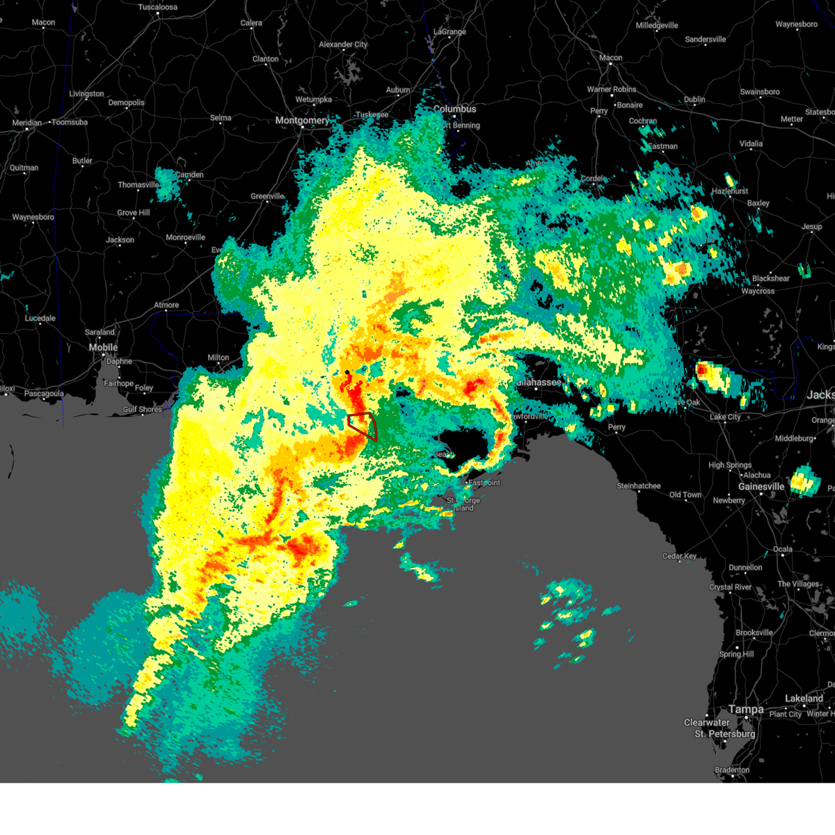 The tornado warning for west central bay county will expire at 315 pm cdt, the storm which prompted the warning has moved out of the area. therefore, the warning will be allowed to expire. a severe thunderstorm watch remains in effect until 600 pm cdt for the panhandle of florida. to report severe weather, contact your nearest law enforcement agency. they will relay your report to the national weather service tallahassee. The tornado warning for west central bay county will expire at 315 pm cdt, the storm which prompted the warning has moved out of the area. therefore, the warning will be allowed to expire. a severe thunderstorm watch remains in effect until 600 pm cdt for the panhandle of florida. to report severe weather, contact your nearest law enforcement agency. they will relay your report to the national weather service tallahassee.
|
| 4/27/2023 2:45 PM CDT |
 At 245 pm cdt, severe thunderstorms capable of producing both tornadoes and extensive straight line wind damage were located over panama city beach, moving east at 50 mph (radar indicated rotation). Hazards include tornado and quarter size hail. Flying debris will be dangerous to those caught without shelter. mobile homes will be damaged or destroyed. damage to roofs, windows, and vehicles will occur. tree damage is likely. these dangerous storms will be near, panama city and tyndall air force base around 300 pm cdt. Other locations impacted by this tornadic thunderstorm include biltmore beach, st andrews state park, edgewater gulf beach, gulf lagoon beach, magnolia beach, gulf resort beach, west panama city, bahama beach and bid-a-wee. At 245 pm cdt, severe thunderstorms capable of producing both tornadoes and extensive straight line wind damage were located over panama city beach, moving east at 50 mph (radar indicated rotation). Hazards include tornado and quarter size hail. Flying debris will be dangerous to those caught without shelter. mobile homes will be damaged or destroyed. damage to roofs, windows, and vehicles will occur. tree damage is likely. these dangerous storms will be near, panama city and tyndall air force base around 300 pm cdt. Other locations impacted by this tornadic thunderstorm include biltmore beach, st andrews state park, edgewater gulf beach, gulf lagoon beach, magnolia beach, gulf resort beach, west panama city, bahama beach and bid-a-wee.
|
| 4/27/2023 2:42 PM CDT | Ambient station gusted to 59 mp in bay county FL, 5 miles ESE of Panama City Beach, FL |
| 4/27/2023 2:21 PM CDT |
 At 221 pm cdt, a severe thunderstorm was located 12 miles southeast of santa rosa beach, moving east at 30 mph (radar indicated). Hazards include 60 mph wind gusts and quarter size hail. Hail damage to vehicles is expected. Expect wind damage to roofs, siding, and trees. At 221 pm cdt, a severe thunderstorm was located 12 miles southeast of santa rosa beach, moving east at 30 mph (radar indicated). Hazards include 60 mph wind gusts and quarter size hail. Hail damage to vehicles is expected. Expect wind damage to roofs, siding, and trees.
|
| 4/27/2023 12:54 PM CDT |
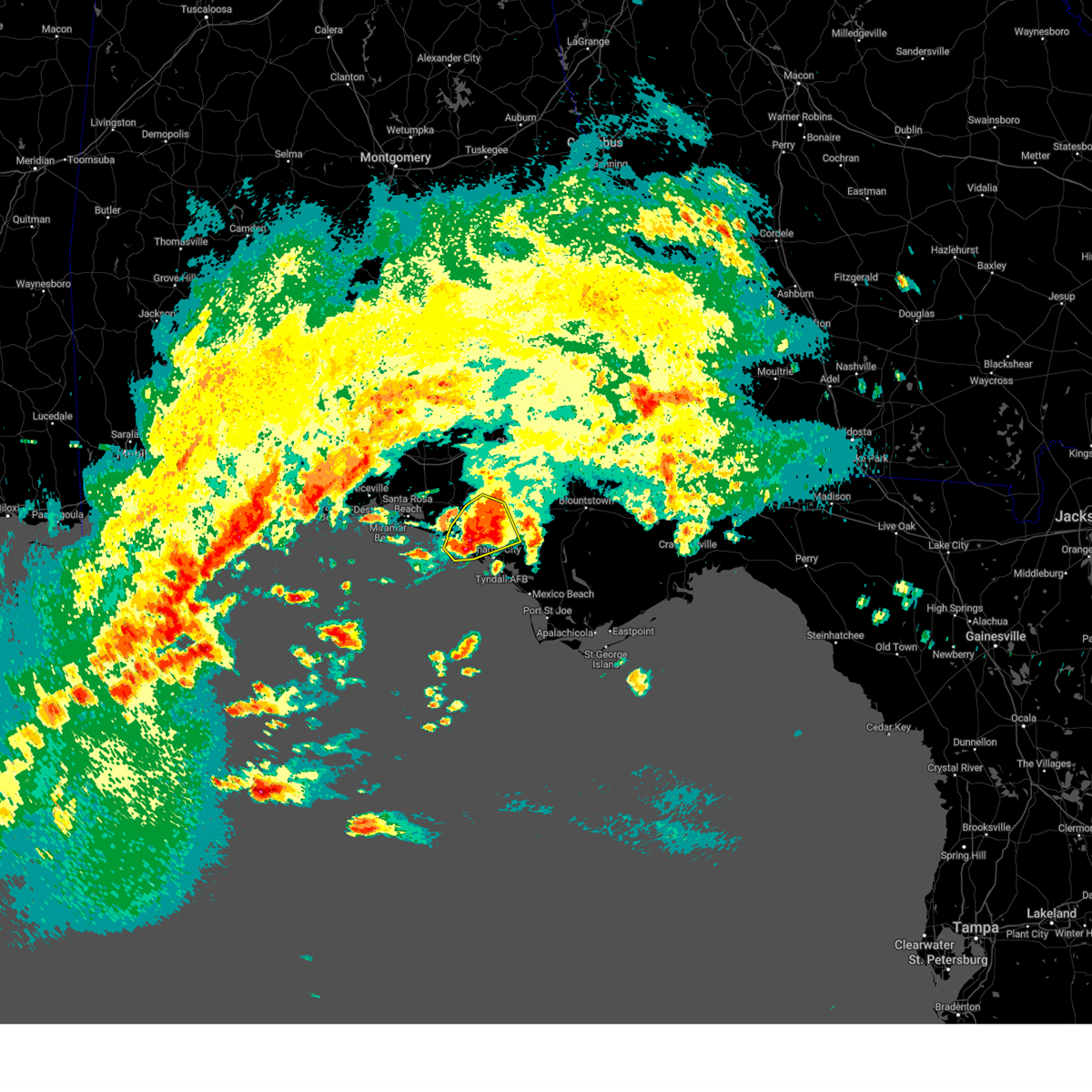 At 1253 pm cdt, a severe thunderstorm was located 11 miles northeast of lynn haven, moving east at 50 mph (radar indicated). Hazards include golf ball size hail and 60 mph wind gusts. People and animals outdoors will be injured. expect hail damage to roofs, siding, windows, and vehicles. expect wind damage to roofs, siding, and trees. Locations impacted include, panama city, lynn haven, panama city beach, bayhead, west bay, southport, gulf lagoon beach, recota beach, college station, gulf resort beach, bayou george, west panama city, camp flowers, bahama beach, edgewater gulf beach, sunnyside, brannonville, laird, laguna beach and vicksburg. At 1253 pm cdt, a severe thunderstorm was located 11 miles northeast of lynn haven, moving east at 50 mph (radar indicated). Hazards include golf ball size hail and 60 mph wind gusts. People and animals outdoors will be injured. expect hail damage to roofs, siding, windows, and vehicles. expect wind damage to roofs, siding, and trees. Locations impacted include, panama city, lynn haven, panama city beach, bayhead, west bay, southport, gulf lagoon beach, recota beach, college station, gulf resort beach, bayou george, west panama city, camp flowers, bahama beach, edgewater gulf beach, sunnyside, brannonville, laird, laguna beach and vicksburg.
|
| 4/27/2023 12:39 PM CDT |
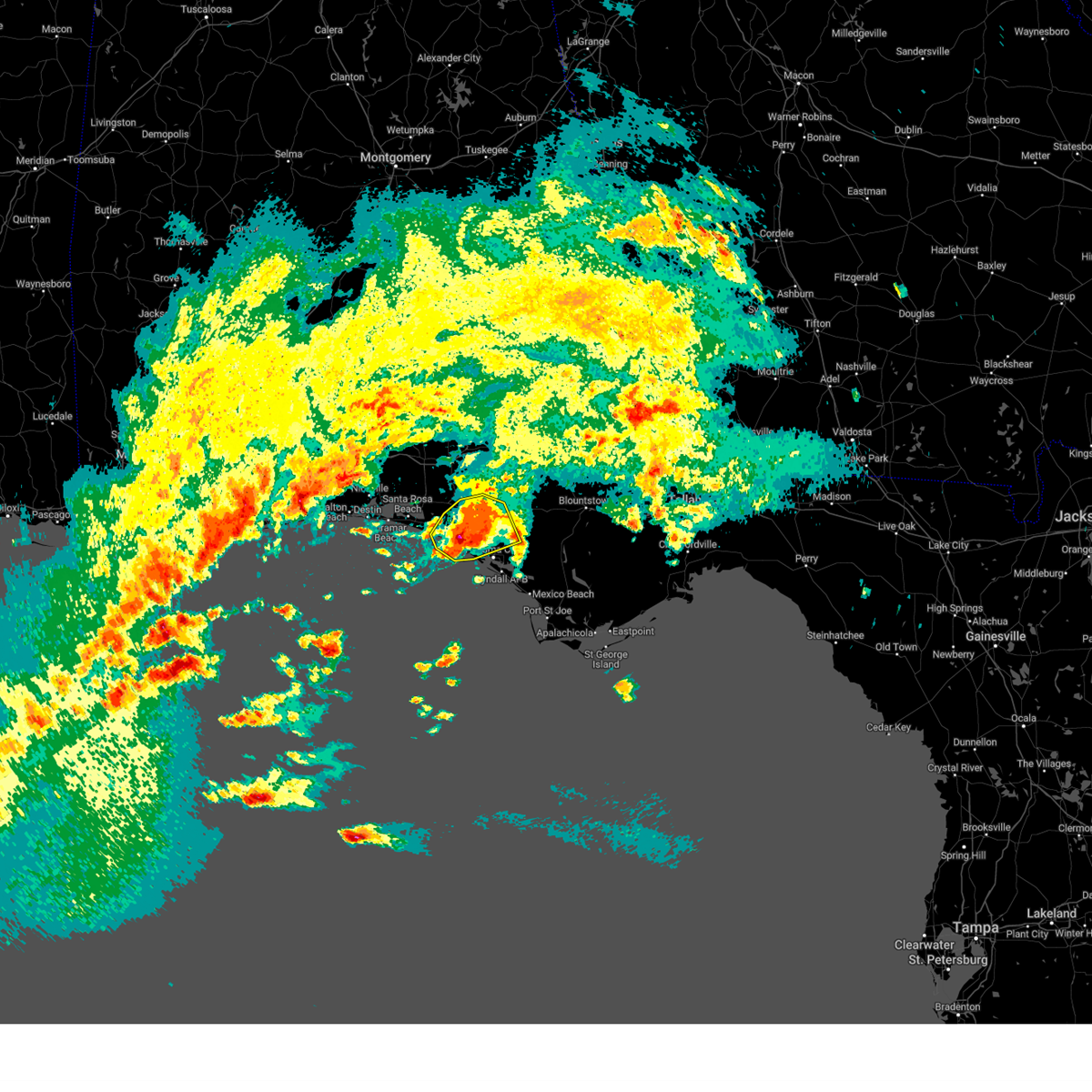 At 1239 pm cdt, a severe thunderstorm was located 7 miles northwest of lynn haven, moving east at 50 mph (radar indicated). Hazards include golf ball size hail and 60 mph wind gusts. People and animals outdoors will be injured. expect hail damage to roofs, siding, windows, and vehicles. expect wind damage to roofs, siding, and trees. Locations impacted include, panama city, lynn haven, panama city beach, ebro, southport, seminole hills, college station, gulf resort beach, bayou george, west panama city, camp flowers, bahama beach, sunnyside, brannonville, vicksburg, majette, bayhead, west bay, inlet beach and gulf lagoon beach. At 1239 pm cdt, a severe thunderstorm was located 7 miles northwest of lynn haven, moving east at 50 mph (radar indicated). Hazards include golf ball size hail and 60 mph wind gusts. People and animals outdoors will be injured. expect hail damage to roofs, siding, windows, and vehicles. expect wind damage to roofs, siding, and trees. Locations impacted include, panama city, lynn haven, panama city beach, ebro, southport, seminole hills, college station, gulf resort beach, bayou george, west panama city, camp flowers, bahama beach, sunnyside, brannonville, vicksburg, majette, bayhead, west bay, inlet beach and gulf lagoon beach.
|
| 4/27/2023 12:35 PM CDT | Report from mping: 1-inch tree limbs broken; shingles blown of in bay county FL, 7.7 miles ESE of Panama City Beach, FL |
| 4/27/2023 12:32 PM CDT |
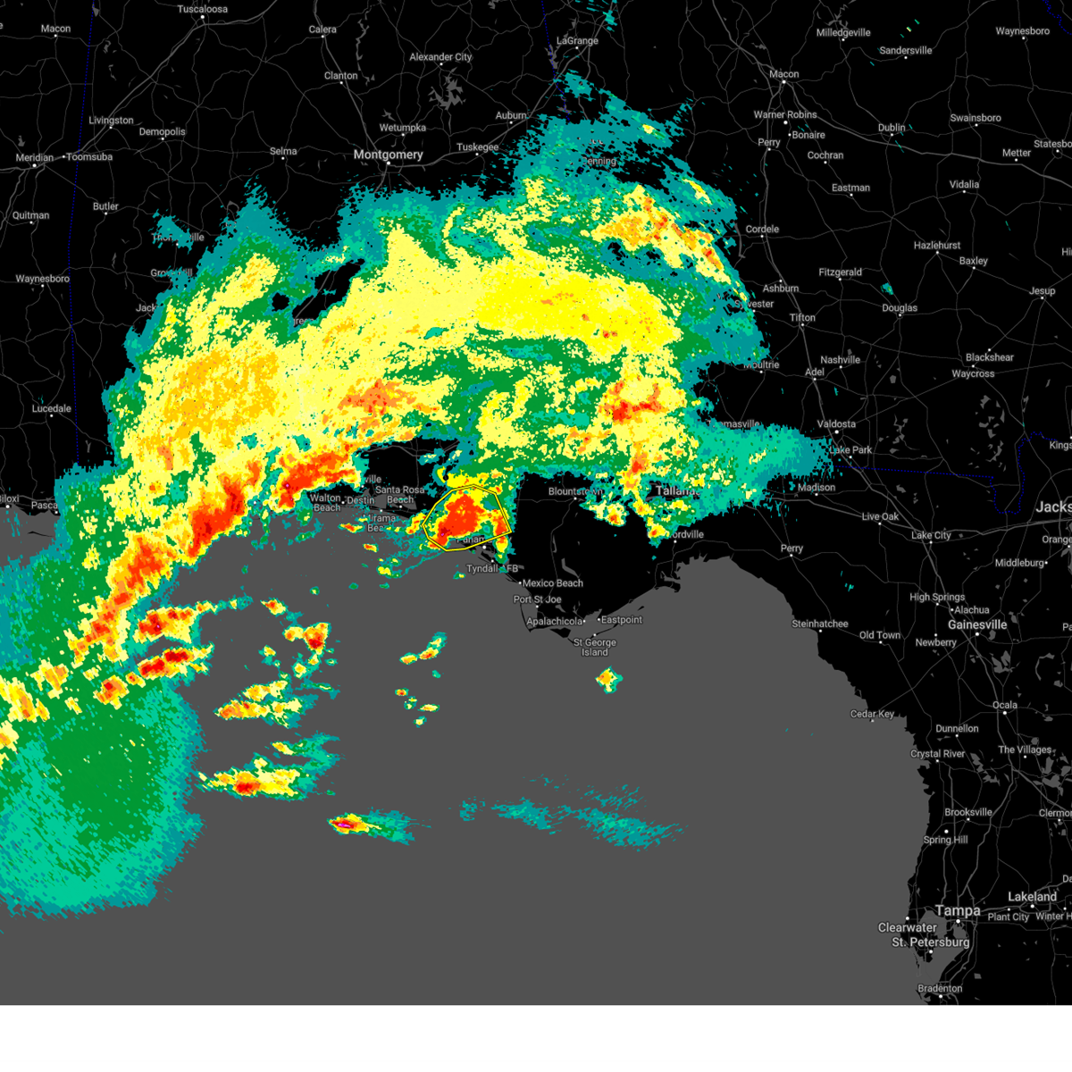 At 1232 pm cdt, a severe thunderstorm was located near panama city beach, moving east at 50 mph (radar indicated). Hazards include golf ball size hail. People and animals outdoors will be injured. expect damage to roofs, siding, windows, and vehicles. Locations impacted include, panama city, lynn haven, panama city beach, ebro, southport, seminole hills, college station, gulf resort beach, bayou george, west panama city, camp flowers, bahama beach, sunnyside, brannonville, vicksburg, majette, bayhead, west bay, inlet beach and gulf lagoon beach. At 1232 pm cdt, a severe thunderstorm was located near panama city beach, moving east at 50 mph (radar indicated). Hazards include golf ball size hail. People and animals outdoors will be injured. expect damage to roofs, siding, windows, and vehicles. Locations impacted include, panama city, lynn haven, panama city beach, ebro, southport, seminole hills, college station, gulf resort beach, bayou george, west panama city, camp flowers, bahama beach, sunnyside, brannonville, vicksburg, majette, bayhead, west bay, inlet beach and gulf lagoon beach.
|
| 4/27/2023 12:30 PM CDT | Half Dollar sized hail reported 1.7 miles ESE of Panama City Beach, FL, public reported estimated quarter to half-dollar size hail at the interstection of hwy 79 and 98. |
| 4/27/2023 12:29 PM CDT |
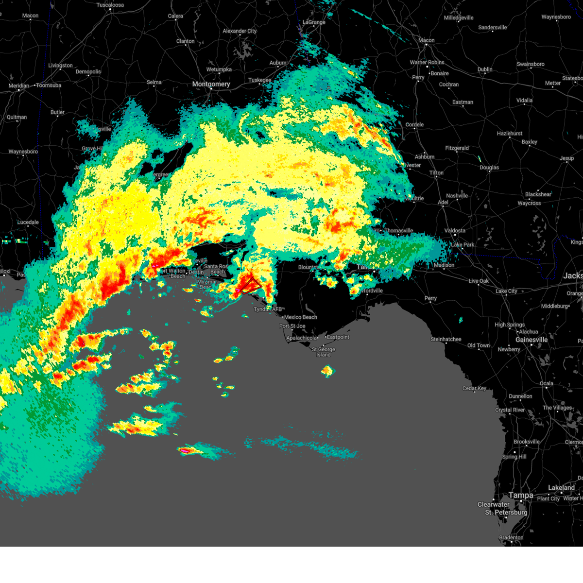 At 1229 pm cdt, a confirmed tornado was located over panama city beach, moving northeast at 25 mph (public confirmed tornado). Hazards include damaging tornado and ping pong ball size hail. Flying debris will be dangerous to those caught without shelter. mobile homes will be damaged or destroyed. damage to roofs, windows, and vehicles will occur. tree damage is likely. This tornadic thunderstorm will remain over mainly rural areas of west central bay county, including the following locations, west bay and gulf resort beach. At 1229 pm cdt, a confirmed tornado was located over panama city beach, moving northeast at 25 mph (public confirmed tornado). Hazards include damaging tornado and ping pong ball size hail. Flying debris will be dangerous to those caught without shelter. mobile homes will be damaged or destroyed. damage to roofs, windows, and vehicles will occur. tree damage is likely. This tornadic thunderstorm will remain over mainly rural areas of west central bay county, including the following locations, west bay and gulf resort beach.
|
| 4/27/2023 12:23 PM CDT |
 At 1223 pm cdt, a severe thunderstorm was located near panama city beach, moving east at 50 mph (radar indicated). Hazards include half dollar size hail. damage to vehicles is expected At 1223 pm cdt, a severe thunderstorm was located near panama city beach, moving east at 50 mph (radar indicated). Hazards include half dollar size hail. damage to vehicles is expected
|
| 4/15/2023 6:01 PM CDT |
 At 600 pm cdt, severe thunderstorms were located along a line extending from 6 miles northwest of taylor to near graceville to 11 miles southeast of vernon to springfield, moving east at 50 mph (radar indicated). Hazards include 60 mph wind gusts. Expect damage to roofs, siding, and trees. Locations impacted include, panama city, lynn haven, panama city beach, callaway, vernon, bonifay, chipley, graceville, dothan, springfield, hartford, taylor, slocomb, hiland park, tyndall air force base, bradford, parker, malvern, cottondale and alford. At 600 pm cdt, severe thunderstorms were located along a line extending from 6 miles northwest of taylor to near graceville to 11 miles southeast of vernon to springfield, moving east at 50 mph (radar indicated). Hazards include 60 mph wind gusts. Expect damage to roofs, siding, and trees. Locations impacted include, panama city, lynn haven, panama city beach, callaway, vernon, bonifay, chipley, graceville, dothan, springfield, hartford, taylor, slocomb, hiland park, tyndall air force base, bradford, parker, malvern, cottondale and alford.
|
| 4/15/2023 5:48 PM CDT |
 At 547 pm cdt, severe thunderstorms were located along a line extending from near daleville to 8 miles north of bonifay to 6 miles south of vernon to near panama city beach, moving east at 25 mph (radar indicated). Hazards include 60 mph wind gusts. Expect damage to roofs, siding, and trees. Locations impacted include, panama city, lynn haven, panama city beach, callaway, vernon, bonifay, geneva, chipley, graceville, enterprise, dothan, springfield, hartford, taylor, slocomb, hiland park, tyndall air force base, bradford, live oak and parker. At 547 pm cdt, severe thunderstorms were located along a line extending from near daleville to 8 miles north of bonifay to 6 miles south of vernon to near panama city beach, moving east at 25 mph (radar indicated). Hazards include 60 mph wind gusts. Expect damage to roofs, siding, and trees. Locations impacted include, panama city, lynn haven, panama city beach, callaway, vernon, bonifay, geneva, chipley, graceville, enterprise, dothan, springfield, hartford, taylor, slocomb, hiland park, tyndall air force base, bradford, live oak and parker.
|
| 4/15/2023 5:24 PM CDT |
 At 524 pm cdt, severe thunderstorms were located along a line extending from 9 miles northeast of samson to 11 miles northwest of bonifay to 13 miles southwest of vernon to 8 miles west of panama city beach, moving east at 25 mph (radar indicated). Hazards include 60 mph wind gusts. expect damage to roofs, siding, and trees At 524 pm cdt, severe thunderstorms were located along a line extending from 9 miles northeast of samson to 11 miles northwest of bonifay to 13 miles southwest of vernon to 8 miles west of panama city beach, moving east at 25 mph (radar indicated). Hazards include 60 mph wind gusts. expect damage to roofs, siding, and trees
|
| 4/15/2023 5:12 PM CDT |
 At 512 pm cdt, severe thunderstorms were located along a line extending from near samson to 12 miles south of geneva to 17 miles southeast of eglin air force base to 13 miles southeast of santa rosa beach, moving east at 35 mph (radar indicated). Hazards include 60 mph wind gusts. Expect damage to roofs, siding, and trees. locations impacted include, panama city, lynn haven, panama city beach, vernon, santa rosa beach, de funiak springs, bonifay, geneva, chipley, hartford, slocomb, samson, eglin air force base, bradford, union, liberty, live oak, freeport, ponce de leon and caryville. hail threat, radar indicated max hail size, <. 75 in wind threat, observed max wind gust, 60 mph. At 512 pm cdt, severe thunderstorms were located along a line extending from near samson to 12 miles south of geneva to 17 miles southeast of eglin air force base to 13 miles southeast of santa rosa beach, moving east at 35 mph (radar indicated). Hazards include 60 mph wind gusts. Expect damage to roofs, siding, and trees. locations impacted include, panama city, lynn haven, panama city beach, vernon, santa rosa beach, de funiak springs, bonifay, geneva, chipley, hartford, slocomb, samson, eglin air force base, bradford, union, liberty, live oak, freeport, ponce de leon and caryville. hail threat, radar indicated max hail size, <. 75 in wind threat, observed max wind gust, 60 mph.
|
| 4/15/2023 4:25 PM CDT |
 At 425 pm cdt, severe thunderstorms were located along a line extending from 16 miles northwest of laurel hill to near crestview to wright to 15 miles south of navarre beach, moving east at 60 mph (radar indicated). Hazards include 60 mph wind gusts and penny size hail. expect damage to roofs, siding, and trees At 425 pm cdt, severe thunderstorms were located along a line extending from 16 miles northwest of laurel hill to near crestview to wright to 15 miles south of navarre beach, moving east at 60 mph (radar indicated). Hazards include 60 mph wind gusts and penny size hail. expect damage to roofs, siding, and trees
|
| 4/13/2023 10:47 PM CDT |
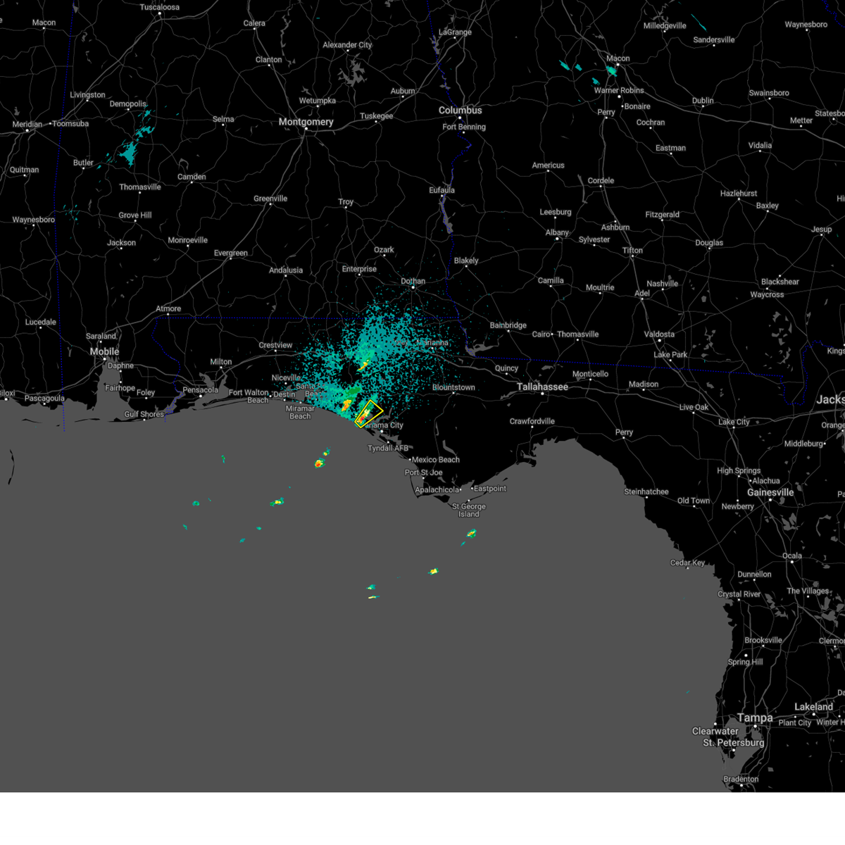 At 1046 pm cdt, a severe thunderstorm was located near panama city beach, moving northeast at 20 mph (radar indicated). Hazards include quarter size hail. damage to vehicles is expected At 1046 pm cdt, a severe thunderstorm was located near panama city beach, moving northeast at 20 mph (radar indicated). Hazards include quarter size hail. damage to vehicles is expected
|
| 3/17/2023 7:36 PM CDT |
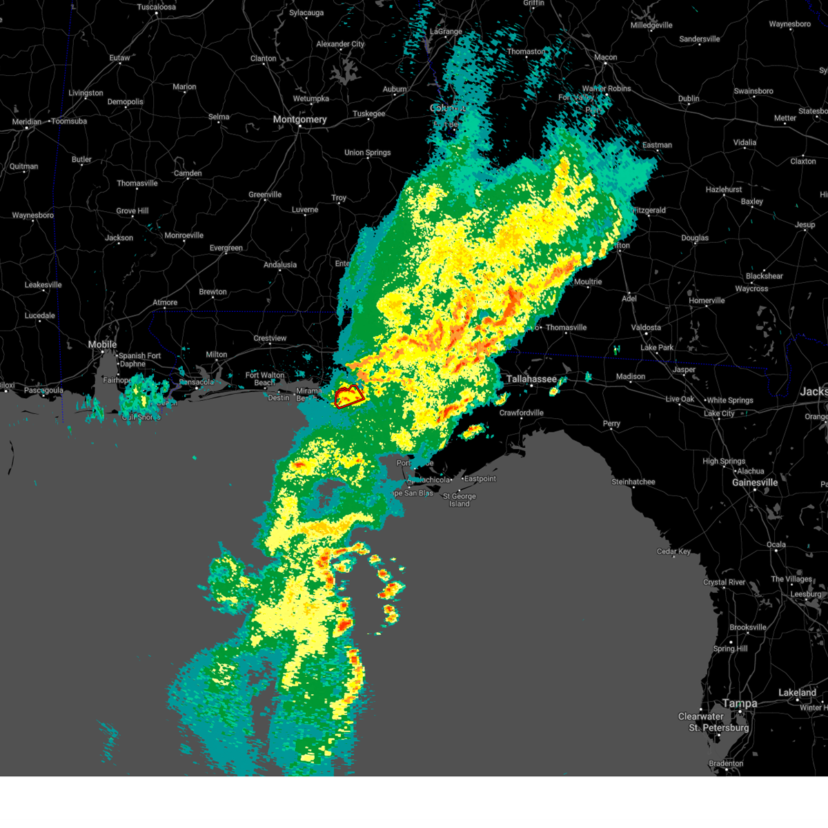 At 736 pm cdt, a severe thunderstorm capable of producing a tornado was located 11 miles northwest of panama city beach, moving northeast at 15 mph (radar indicated rotation). Hazards include tornado. Flying debris will be dangerous to those caught without shelter. mobile homes will be damaged or destroyed. damage to roofs, windows, and vehicles will occur. tree damage is likely. This tornadic thunderstorm will remain over mainly rural areas of northwestern bay county, including the following locations, pine log, seminole hills and laird. At 736 pm cdt, a severe thunderstorm capable of producing a tornado was located 11 miles northwest of panama city beach, moving northeast at 15 mph (radar indicated rotation). Hazards include tornado. Flying debris will be dangerous to those caught without shelter. mobile homes will be damaged or destroyed. damage to roofs, windows, and vehicles will occur. tree damage is likely. This tornadic thunderstorm will remain over mainly rural areas of northwestern bay county, including the following locations, pine log, seminole hills and laird.
|
| 3/17/2023 7:27 PM CDT |
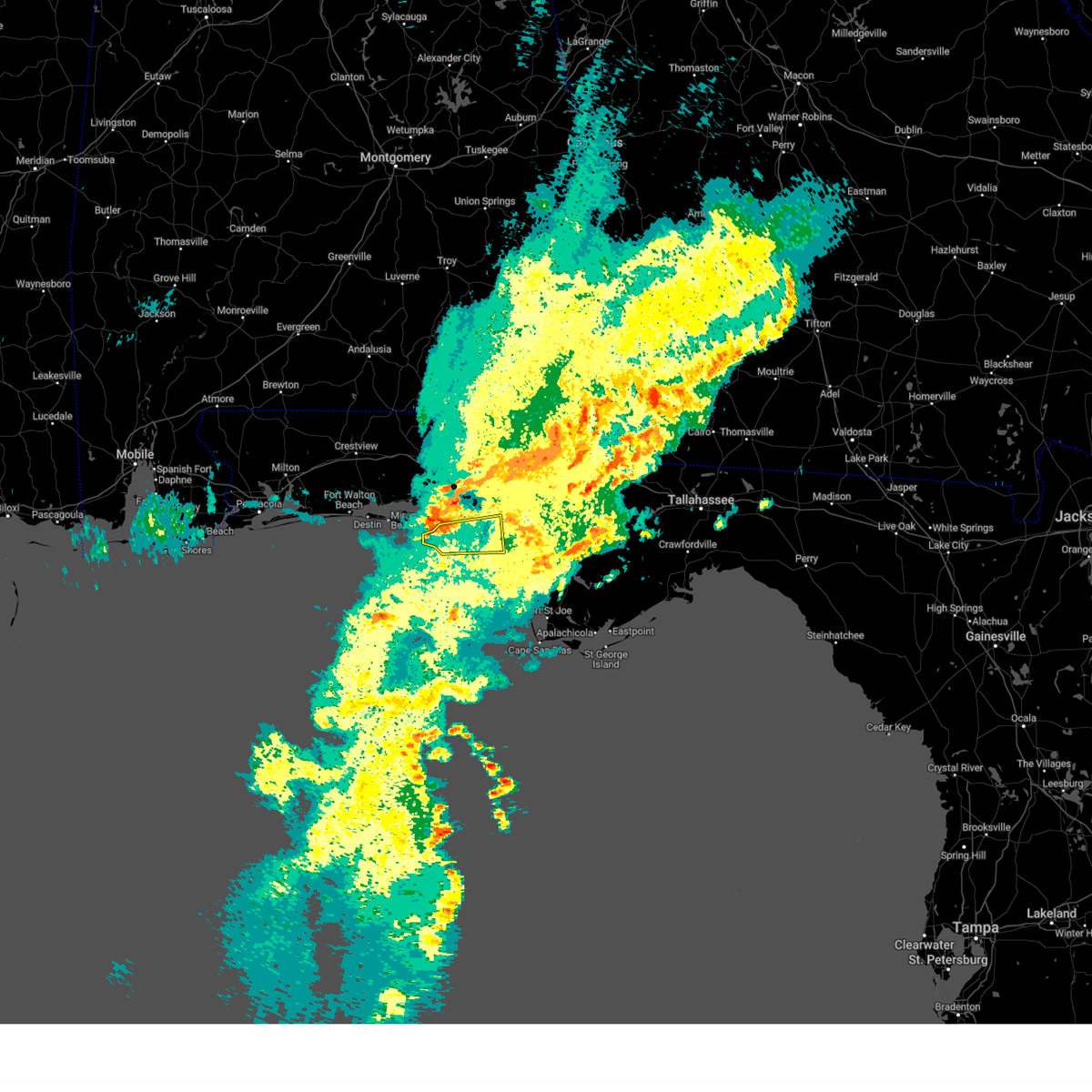 At 727 pm cdt, a severe thunderstorm was located 11 miles west of panama city beach, moving east at 40 mph (radar indicated). Hazards include 60 mph wind gusts. expect damage to roofs, siding, and trees At 727 pm cdt, a severe thunderstorm was located 11 miles west of panama city beach, moving east at 40 mph (radar indicated). Hazards include 60 mph wind gusts. expect damage to roofs, siding, and trees
|
| 1/25/2023 5:57 AM CST |
 At 657 am est/557 am cst/, severe thunderstorms were located along a line extending from near graceville to near panama city beach, moving east at 30 mph (radar indicated). Hazards include 60 mph wind gusts. Expect damage to roofs, siding, and trees. locations impacted include, panama city, lynn haven, panama city beach, callaway, vernon, blountstown, marianna, chipley, graceville, port st. Joe, springfield, mexico beach, hiland park, stonemill creek, tyndall air force base, chattahoochee, bradford, parker, malone and wewahitchka. At 657 am est/557 am cst/, severe thunderstorms were located along a line extending from near graceville to near panama city beach, moving east at 30 mph (radar indicated). Hazards include 60 mph wind gusts. Expect damage to roofs, siding, and trees. locations impacted include, panama city, lynn haven, panama city beach, callaway, vernon, blountstown, marianna, chipley, graceville, port st. Joe, springfield, mexico beach, hiland park, stonemill creek, tyndall air force base, chattahoochee, bradford, parker, malone and wewahitchka.
|
| 1/25/2023 5:30 AM CST |
 At 629 am est/529 am cst/, severe thunderstorms were located along a line extending from 7 miles south of hartford to near panama city beach, moving east at 35 mph (radar indicated). Hazards include 60 mph wind gusts. expect damage to roofs, siding, and trees At 629 am est/529 am cst/, severe thunderstorms were located along a line extending from 7 miles south of hartford to near panama city beach, moving east at 35 mph (radar indicated). Hazards include 60 mph wind gusts. expect damage to roofs, siding, and trees
|
| 1/25/2023 5:22 AM CST |
 At 521 am cst, severe thunderstorms were located along a line extending from 8 miles south of hartford to 12 miles west of panama city beach, moving east at 35 mph (radar indicated). Hazards include 60 mph wind gusts. Expect damage to roofs, siding, and trees. Locations impacted include, panama city beach, vernon, bonifay, live oak, ponce de leon, caryville, esto, westville, ebro, noma, whitehead crossroads, cerrogordo, gulf resort beach, gritney, west panama city, bahama beach, holmes valley, millers ferry, knox hill and izagora. At 521 am cst, severe thunderstorms were located along a line extending from 8 miles south of hartford to 12 miles west of panama city beach, moving east at 35 mph (radar indicated). Hazards include 60 mph wind gusts. Expect damage to roofs, siding, and trees. Locations impacted include, panama city beach, vernon, bonifay, live oak, ponce de leon, caryville, esto, westville, ebro, noma, whitehead crossroads, cerrogordo, gulf resort beach, gritney, west panama city, bahama beach, holmes valley, millers ferry, knox hill and izagora.
|
| 1/25/2023 5:13 AM CST |
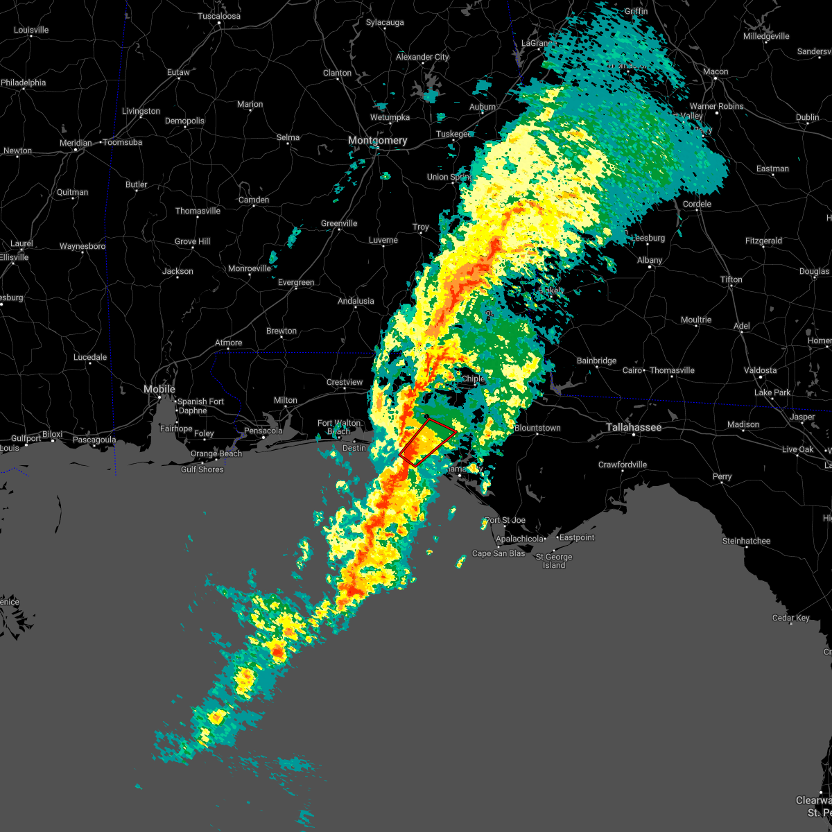 At 513 am cst, a severe thunderstorm capable of producing a tornado was located 12 miles northwest of panama city beach, moving northeast at 50 mph (radar indicated rotation). Hazards include tornado. Flying debris will be dangerous to those caught without shelter. mobile homes will be damaged or destroyed. damage to roofs, windows, and vehicles will occur. tree damage is likely. This tornadic thunderstorm will remain over mainly rural areas of northwestern bay, southeastern walton and southwestern washington counties, including the following locations, bruce, red head, inlet beach, pine log, seminole hills, laird and ebro. At 513 am cst, a severe thunderstorm capable of producing a tornado was located 12 miles northwest of panama city beach, moving northeast at 50 mph (radar indicated rotation). Hazards include tornado. Flying debris will be dangerous to those caught without shelter. mobile homes will be damaged or destroyed. damage to roofs, windows, and vehicles will occur. tree damage is likely. This tornadic thunderstorm will remain over mainly rural areas of northwestern bay, southeastern walton and southwestern washington counties, including the following locations, bruce, red head, inlet beach, pine log, seminole hills, laird and ebro.
|
| 1/25/2023 5:01 AM CST |
 At 501 am cst, severe thunderstorms were located along a line extending from near enterprise to 15 miles south of santa rosa beach, moving northeast at 40 mph (radar indicated). Hazards include 60 mph wind gusts. Expect damage to roofs, siding, and trees. Locations impacted include, panama city beach, vernon, de funiak springs, bonifay, santa rosa beach, eglin air force base, union, live oak, freeport, ponce de leon, caryville, esto, westville, ebro, noma, whitehead crossroads, cerrogordo, gulf resort beach, blue mountain beach and gritney. At 501 am cst, severe thunderstorms were located along a line extending from near enterprise to 15 miles south of santa rosa beach, moving northeast at 40 mph (radar indicated). Hazards include 60 mph wind gusts. Expect damage to roofs, siding, and trees. Locations impacted include, panama city beach, vernon, de funiak springs, bonifay, santa rosa beach, eglin air force base, union, live oak, freeport, ponce de leon, caryville, esto, westville, ebro, noma, whitehead crossroads, cerrogordo, gulf resort beach, blue mountain beach and gritney.
|
| 1/25/2023 4:42 AM CST |
 At 442 am cst, severe thunderstorms were located along a line extending from 8 miles southwest of new brockton to 22 miles south of destin, moving northeast at 45 mph (radar indicated). Hazards include 60 mph wind gusts. Expect damage to roofs, siding, and trees. Locations impacted include, panama city beach, vernon, santa rosa beach, de funiak springs, bonifay, eglin air force base, union, liberty, live oak, freeport, ponce de leon, caryville, esto, westville, ebro, noma, oakwood hills, whitehead crossroads, cerrogordo and gulf resort beach. At 442 am cst, severe thunderstorms were located along a line extending from 8 miles southwest of new brockton to 22 miles south of destin, moving northeast at 45 mph (radar indicated). Hazards include 60 mph wind gusts. Expect damage to roofs, siding, and trees. Locations impacted include, panama city beach, vernon, santa rosa beach, de funiak springs, bonifay, eglin air force base, union, liberty, live oak, freeport, ponce de leon, caryville, esto, westville, ebro, noma, oakwood hills, whitehead crossroads, cerrogordo and gulf resort beach.
|
| 1/25/2023 4:08 AM CST |
 At 407 am cst, severe thunderstorms were located along a line extending from 8 miles north of lockhart to 31 miles south of navarre beach, moving northeast at 40 mph (radar indicated). Hazards include 60 mph wind gusts. expect damage to roofs, siding, and trees At 407 am cst, severe thunderstorms were located along a line extending from 8 miles north of lockhart to 31 miles south of navarre beach, moving northeast at 40 mph (radar indicated). Hazards include 60 mph wind gusts. expect damage to roofs, siding, and trees
|
| 12/15/2022 1:24 AM CST |
 At 223 am est/123 am cst/, severe thunderstorms were located along a line extending from near vernon to 39 miles south of panama city beach, moving east at 30 mph. a wind gust to 58 mph was measured in the panama city beach area (radar indicated). Hazards include 60 mph wind gusts. expect damage to roofs, siding, and trees At 223 am est/123 am cst/, severe thunderstorms were located along a line extending from near vernon to 39 miles south of panama city beach, moving east at 30 mph. a wind gust to 58 mph was measured in the panama city beach area (radar indicated). Hazards include 60 mph wind gusts. expect damage to roofs, siding, and trees
|
| 12/15/2022 1:16 AM CST | 58 mph gust at the weatherflow station at panama city beac in bay county FL, 1.2 miles ESE of Panama City Beach, FL |
| 12/15/2022 1:05 AM CST |
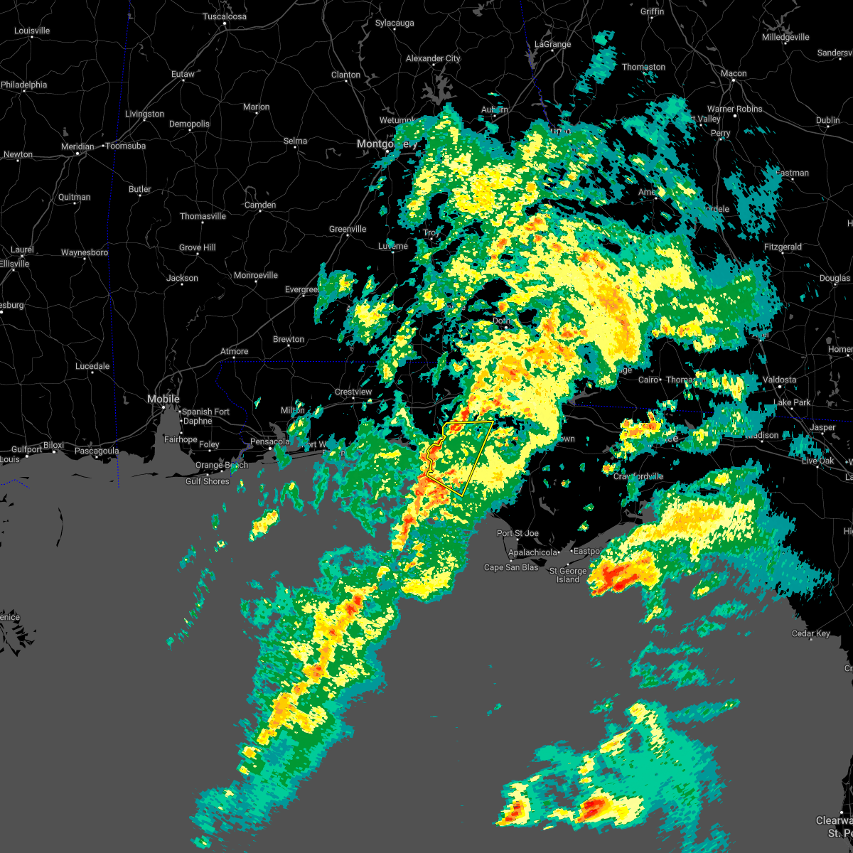 At 105 am cst, severe thunderstorms were located along a line extending from near vernon to 8 miles west of panama city beach, moving east at 30 mph (radar indicated). Hazards include 60 mph wind gusts. Expect damage to roofs, siding, and trees. Locations impacted include, panama city, lynn haven, panama city beach, ebro, st andrews state park, southport, seminole hills, gulf resort beach, west panama city, bahama beach, holmes valley, biltmore beach, millers ferry, sunnyside, porter lake, vicksburg, west bay, gulf lagoon beach, magnolia beach and greenhead. At 105 am cst, severe thunderstorms were located along a line extending from near vernon to 8 miles west of panama city beach, moving east at 30 mph (radar indicated). Hazards include 60 mph wind gusts. Expect damage to roofs, siding, and trees. Locations impacted include, panama city, lynn haven, panama city beach, ebro, st andrews state park, southport, seminole hills, gulf resort beach, west panama city, bahama beach, holmes valley, biltmore beach, millers ferry, sunnyside, porter lake, vicksburg, west bay, gulf lagoon beach, magnolia beach and greenhead.
|
| 12/15/2022 12:53 AM CST |
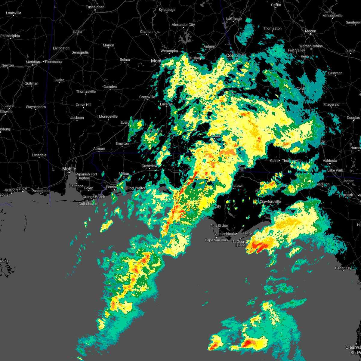 At 1253 am cst, severe thunderstorms were located along a line extending from near vernon to 11 miles west of panama city beach, moving southeast at 20 mph (radar indicated). Hazards include 60 mph wind gusts. Expect damage to roofs, siding, and trees. Locations impacted include, panama city, lynn haven, panama city beach, ebro, st andrews state park, southport, seminole hills, gulf resort beach, west panama city, bahama beach, holmes valley, biltmore beach, millers ferry, sunnyside, porter lake, vicksburg, west bay, inlet beach, gulf lagoon beach and magnolia beach. At 1253 am cst, severe thunderstorms were located along a line extending from near vernon to 11 miles west of panama city beach, moving southeast at 20 mph (radar indicated). Hazards include 60 mph wind gusts. Expect damage to roofs, siding, and trees. Locations impacted include, panama city, lynn haven, panama city beach, ebro, st andrews state park, southport, seminole hills, gulf resort beach, west panama city, bahama beach, holmes valley, biltmore beach, millers ferry, sunnyside, porter lake, vicksburg, west bay, inlet beach, gulf lagoon beach and magnolia beach.
|
| 12/15/2022 12:22 AM CST |
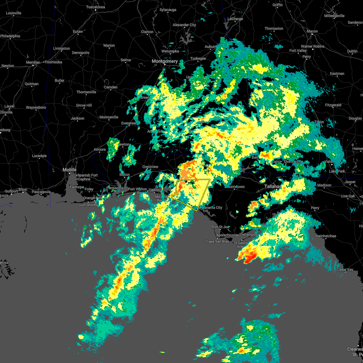 At 1222 am cst, severe thunderstorms were located along a line extending from 13 miles southeast of de funiak springs to 7 miles southeast of santa rosa beach, moving northeast at 45 mph (radar indicated). Hazards include 60 mph wind gusts. Expect damage to roofs, siding, and trees. Locations impacted include, panama city, lynn haven, panama city beach, live oak, ebro, st andrews state park, southport, seminole hills, gulf resort beach, west panama city, seaside, bahama beach, holmes valley, biltmore beach, millers ferry, sunnyside, porter lake, bunker, vicksburg and grayton beach. At 1222 am cst, severe thunderstorms were located along a line extending from 13 miles southeast of de funiak springs to 7 miles southeast of santa rosa beach, moving northeast at 45 mph (radar indicated). Hazards include 60 mph wind gusts. Expect damage to roofs, siding, and trees. Locations impacted include, panama city, lynn haven, panama city beach, live oak, ebro, st andrews state park, southport, seminole hills, gulf resort beach, west panama city, seaside, bahama beach, holmes valley, biltmore beach, millers ferry, sunnyside, porter lake, bunker, vicksburg and grayton beach.
|
| 12/15/2022 12:14 AM CST |
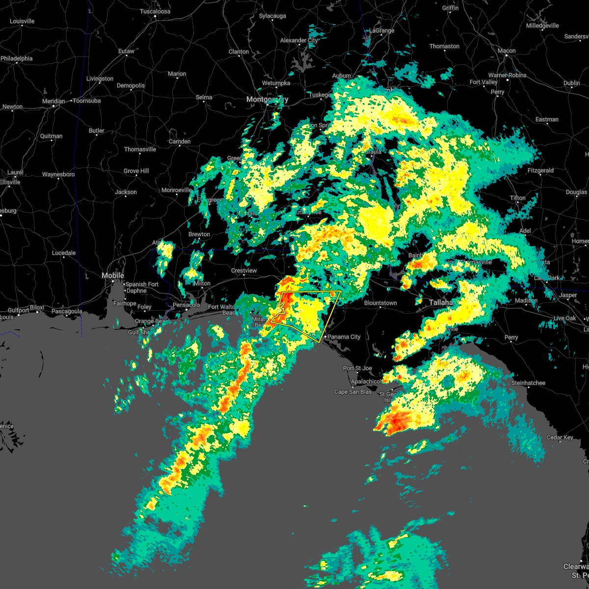 At 1214 am cst, severe thunderstorms were located along a line extending from 11 miles southeast of de funiak springs to 6 miles south of santa rosa beach, moving east at 45 mph (radar indicated). Hazards include 60 mph wind gusts. Expect damage to roofs, siding, and trees. Locations impacted include, panama city, lynn haven, panama city beach, santa rosa beach, eglin air force base, live oak, freeport, ebro, st andrews state park, southport, seminole hills, gulf resort beach, blue mountain beach, west panama city, seaside, bahama beach, holmes valley, biltmore beach, millers ferry and sunnyside. At 1214 am cst, severe thunderstorms were located along a line extending from 11 miles southeast of de funiak springs to 6 miles south of santa rosa beach, moving east at 45 mph (radar indicated). Hazards include 60 mph wind gusts. Expect damage to roofs, siding, and trees. Locations impacted include, panama city, lynn haven, panama city beach, santa rosa beach, eglin air force base, live oak, freeport, ebro, st andrews state park, southport, seminole hills, gulf resort beach, blue mountain beach, west panama city, seaside, bahama beach, holmes valley, biltmore beach, millers ferry and sunnyside.
|
| 12/14/2022 11:55 PM CST |
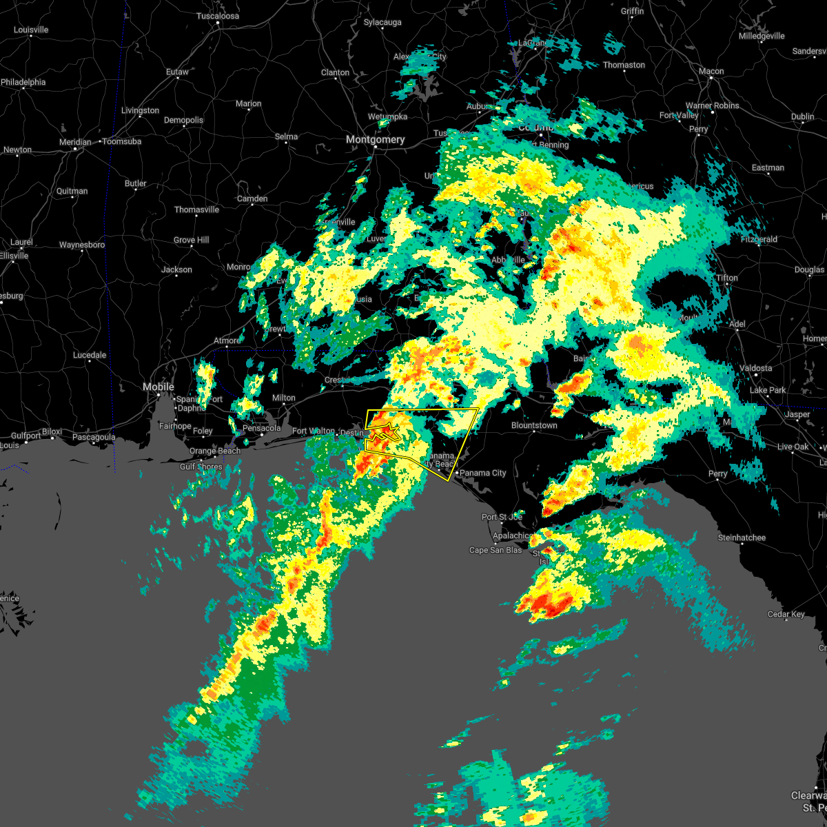 At 1154 pm cst, severe thunderstorms were located along a line extending from near eglin air force base to 15 miles south of destin, moving northeast at 45 mph (radar indicated). Hazards include 60 mph wind gusts. expect damage to roofs, siding, and trees At 1154 pm cst, severe thunderstorms were located along a line extending from near eglin air force base to 15 miles south of destin, moving northeast at 45 mph (radar indicated). Hazards include 60 mph wind gusts. expect damage to roofs, siding, and trees
|
| 12/14/2022 5:21 PM CST |
 At 521 pm cst, a severe thunderstorm capable of producing a tornado was located 11 miles north of panama city beach, moving northeast at 30 mph (radar indicated rotation). Hazards include tornado. Flying debris will be dangerous to those caught without shelter. mobile homes will be damaged or destroyed. damage to roofs, windows, and vehicles will occur. tree damage is likely. this dangerous storm will be near, vernon around 600 pm cst. Other locations impacted by this tornadic thunderstorm include red head, holmes valley, pine log, seminole hills, laird, ebro, greenhead and riverside. At 521 pm cst, a severe thunderstorm capable of producing a tornado was located 11 miles north of panama city beach, moving northeast at 30 mph (radar indicated rotation). Hazards include tornado. Flying debris will be dangerous to those caught without shelter. mobile homes will be damaged or destroyed. damage to roofs, windows, and vehicles will occur. tree damage is likely. this dangerous storm will be near, vernon around 600 pm cst. Other locations impacted by this tornadic thunderstorm include red head, holmes valley, pine log, seminole hills, laird, ebro, greenhead and riverside.
|
| 12/14/2022 5:10 PM CST |
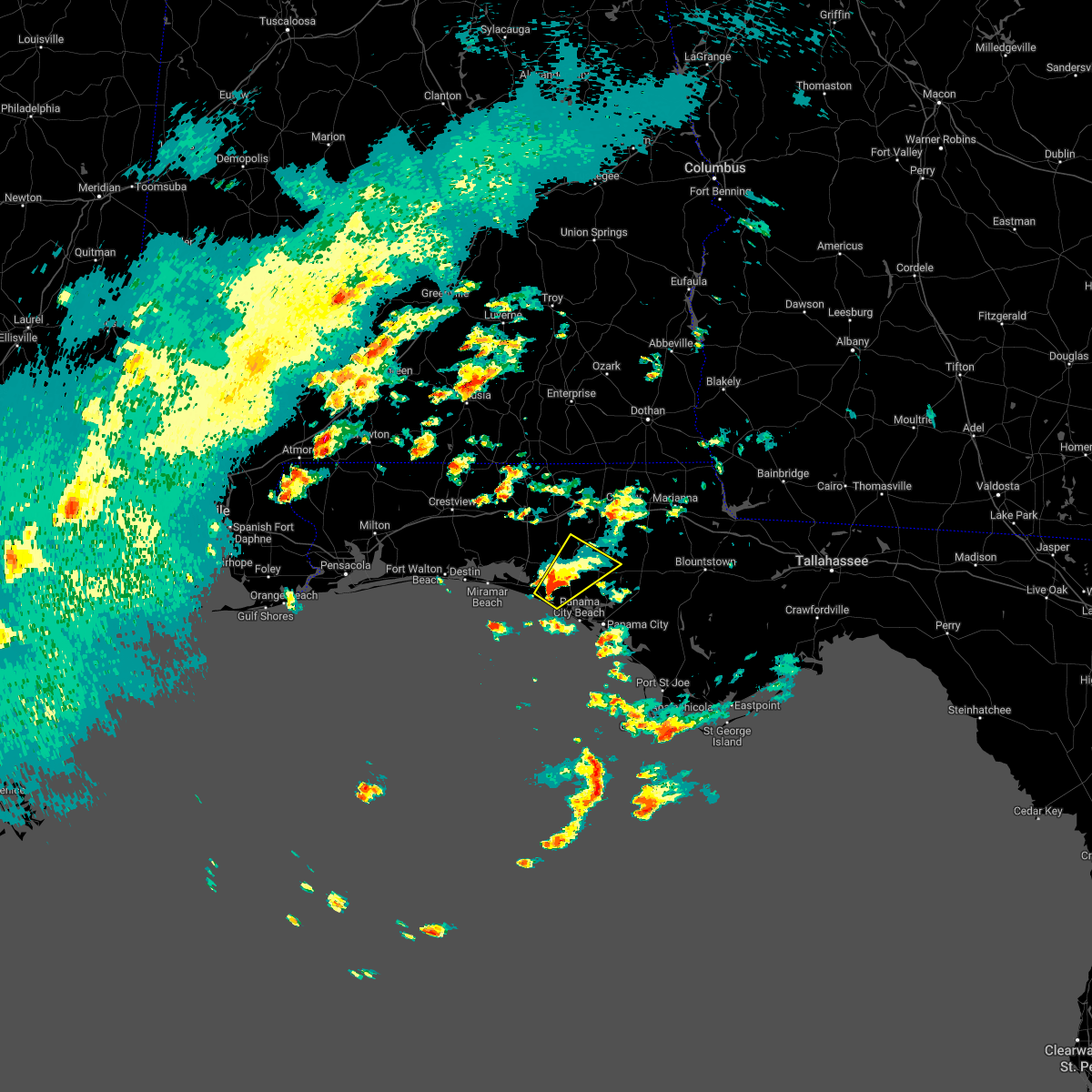 At 510 pm cst, a severe thunderstorm was located 10 miles northwest of panama city beach, moving northeast at 30 mph (radar indicated). Hazards include 60 mph wind gusts. expect damage to roofs, siding, and trees At 510 pm cst, a severe thunderstorm was located 10 miles northwest of panama city beach, moving northeast at 30 mph (radar indicated). Hazards include 60 mph wind gusts. expect damage to roofs, siding, and trees
|
| 12/14/2022 4:39 PM CST |
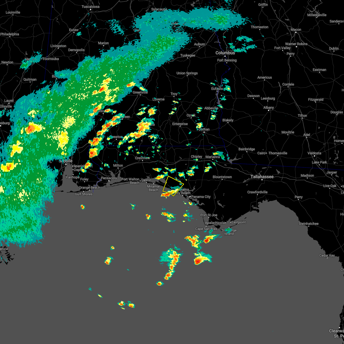 At 438 pm cst, a severe thunderstorm was located 15 miles west of panama city beach, moving northeast at 25 mph (radar indicated). Hazards include 60 mph wind gusts. expect damage to roofs, siding, and trees At 438 pm cst, a severe thunderstorm was located 15 miles west of panama city beach, moving northeast at 25 mph (radar indicated). Hazards include 60 mph wind gusts. expect damage to roofs, siding, and trees
|
| 11/30/2022 8:03 AM CST |
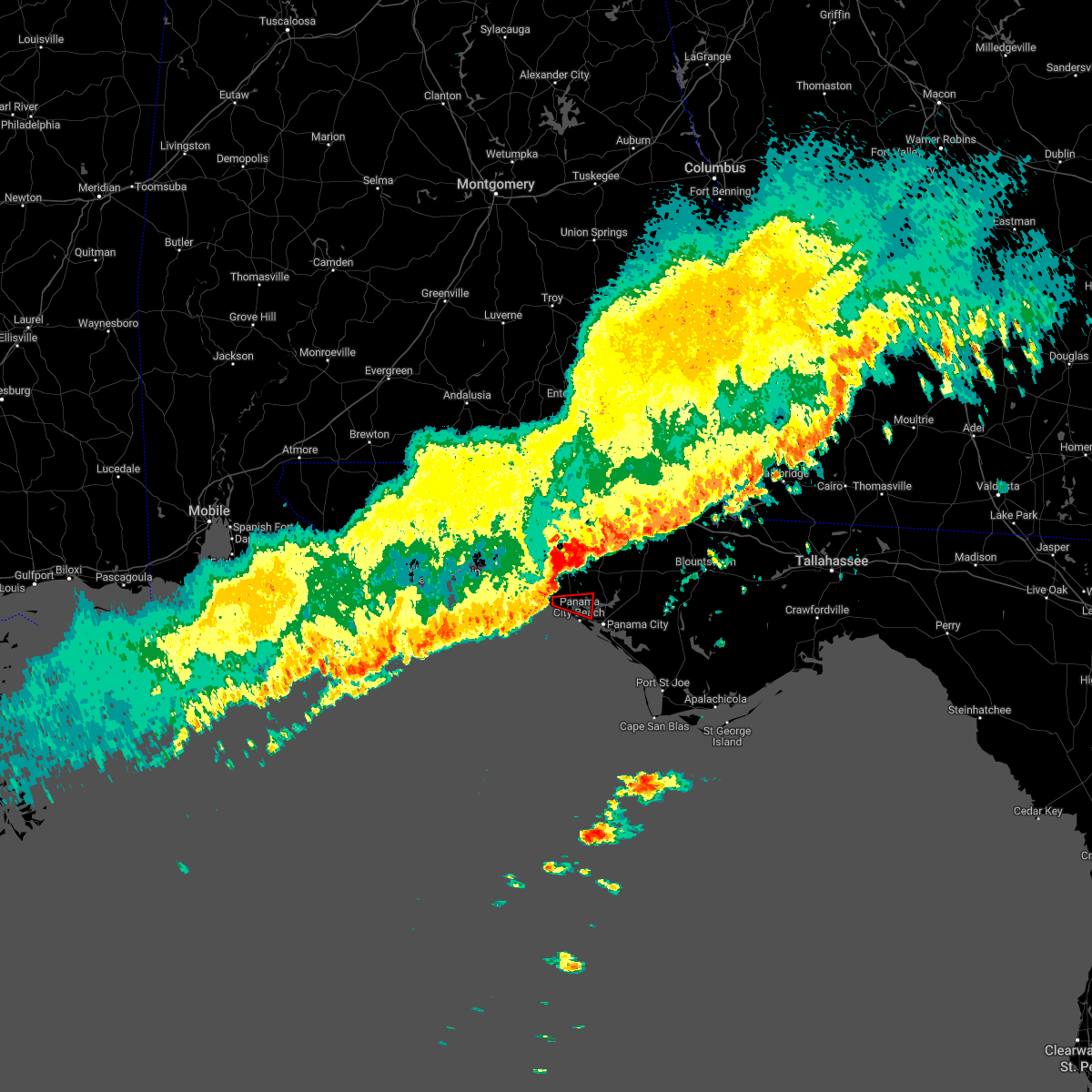 At 803 am cst, a severe thunderstorm capable of producing a tornado was located near panama city beach, moving east at 45 mph (radar indicated rotation). Hazards include tornado. Flying debris will be dangerous to those caught without shelter. mobile homes will be damaged or destroyed. damage to roofs, windows, and vehicles will occur. tree damage is likely. this dangerous storm will be near, panama city beach around 810 am cst. Other locations impacted by this tornadic thunderstorm include west bay. At 803 am cst, a severe thunderstorm capable of producing a tornado was located near panama city beach, moving east at 45 mph (radar indicated rotation). Hazards include tornado. Flying debris will be dangerous to those caught without shelter. mobile homes will be damaged or destroyed. damage to roofs, windows, and vehicles will occur. tree damage is likely. this dangerous storm will be near, panama city beach around 810 am cst. Other locations impacted by this tornadic thunderstorm include west bay.
|
| 11/30/2022 7:54 AM CST |
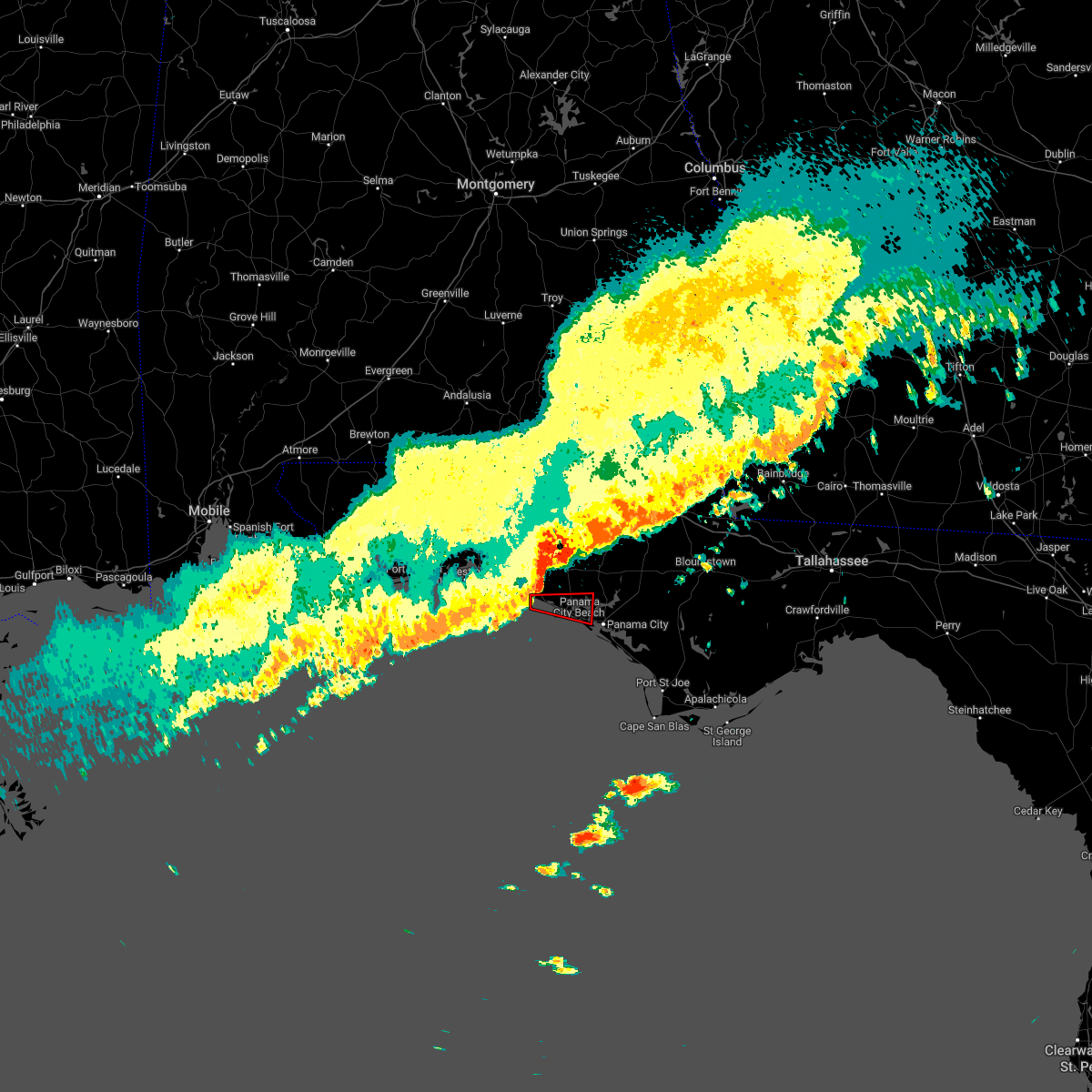 At 753 am cst, a severe thunderstorm capable of producing a tornado was located 12 miles west of panama city beach, moving east at 50 mph (radar indicated rotation). Hazards include tornado. Flying debris will be dangerous to those caught without shelter. mobile homes will be damaged or destroyed. damage to roofs, windows, and vehicles will occur. tree damage is likely. this dangerous storm will be near, panama city beach around 805 am cst. panama city around 820 am cst. Other locations impacted by this tornadic thunderstorm include west bay, inlet beach, edgewater gulf beach, sunnyside, laird, laguna beach, gulf resort beach, west panama city, hollywood beach and bahama beach. At 753 am cst, a severe thunderstorm capable of producing a tornado was located 12 miles west of panama city beach, moving east at 50 mph (radar indicated rotation). Hazards include tornado. Flying debris will be dangerous to those caught without shelter. mobile homes will be damaged or destroyed. damage to roofs, windows, and vehicles will occur. tree damage is likely. this dangerous storm will be near, panama city beach around 805 am cst. panama city around 820 am cst. Other locations impacted by this tornadic thunderstorm include west bay, inlet beach, edgewater gulf beach, sunnyside, laird, laguna beach, gulf resort beach, west panama city, hollywood beach and bahama beach.
|
| 11/30/2022 7:22 AM CST |
 At 822 am est/722 am cst/, severe thunderstorms were located along a line extending from near chipley to 14 miles northwest of vernon to 9 miles southeast of de funiak springs to near eglin air force base to near destin, moving east at 45 mph (radar indicated). Hazards include 70 mph wind gusts. Expect considerable tree damage. Damage is likely to mobile homes, roofs, and outbuildings. At 822 am est/722 am cst/, severe thunderstorms were located along a line extending from near chipley to 14 miles northwest of vernon to 9 miles southeast of de funiak springs to near eglin air force base to near destin, moving east at 45 mph (radar indicated). Hazards include 70 mph wind gusts. Expect considerable tree damage. Damage is likely to mobile homes, roofs, and outbuildings.
|
| 8/8/2022 2:13 PM CDT |
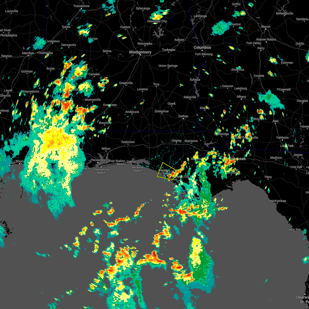 At 212 pm cdt, a severe thunderstorm was located over hiland park, or over lynn haven, moving west at 15 mph (radar indicated). Hazards include 60 mph wind gusts. expect damage to roofs, siding, and trees At 212 pm cdt, a severe thunderstorm was located over hiland park, or over lynn haven, moving west at 15 mph (radar indicated). Hazards include 60 mph wind gusts. expect damage to roofs, siding, and trees
|
| 6/28/2022 1:17 PM CDT |
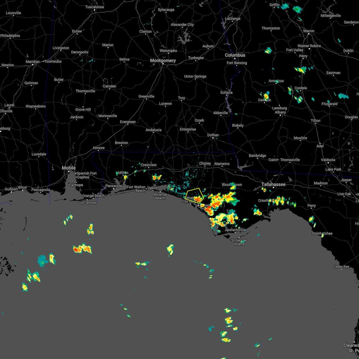 At 116 pm cdt, a severe thunderstorm was located near lynn haven, moving northwest at 15 mph (radar indicated). Hazards include 60 mph wind gusts and quarter size hail. Hail damage to vehicles is expected. Expect wind damage to roofs, siding, and trees. At 116 pm cdt, a severe thunderstorm was located near lynn haven, moving northwest at 15 mph (radar indicated). Hazards include 60 mph wind gusts and quarter size hail. Hail damage to vehicles is expected. Expect wind damage to roofs, siding, and trees.
|
| 5/6/2022 10:56 AM CDT |
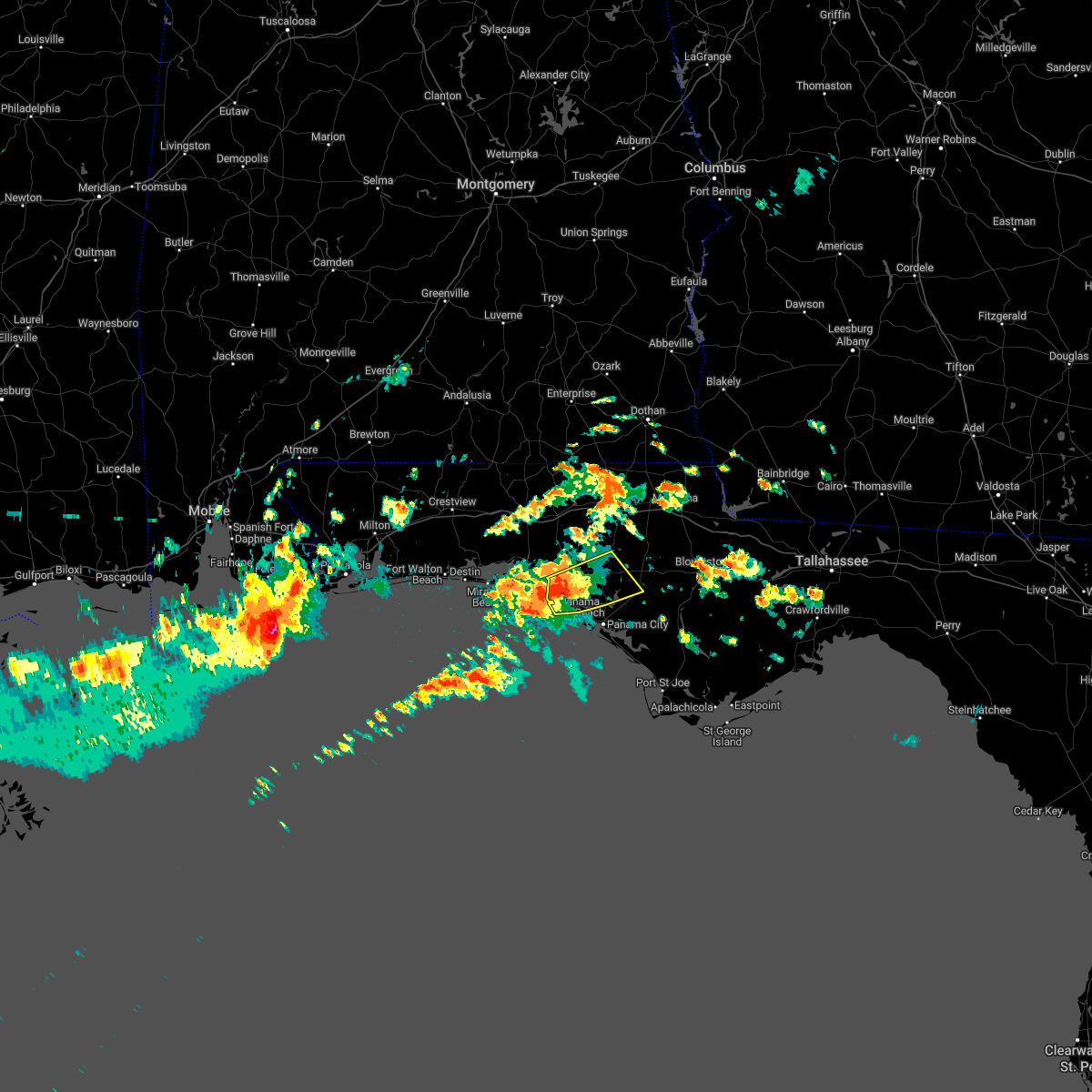 At 1056 am cdt, a severe thunderstorm was located 9 miles north of panama city beach, moving east at 35 mph (radar indicated). Hazards include 60 mph wind gusts and quarter size hail. Hail damage to vehicles is expected. Expect wind damage to roofs, siding, and trees. At 1056 am cdt, a severe thunderstorm was located 9 miles north of panama city beach, moving east at 35 mph (radar indicated). Hazards include 60 mph wind gusts and quarter size hail. Hail damage to vehicles is expected. Expect wind damage to roofs, siding, and trees.
|
| 5/6/2022 5:47 AM CDT |
 At 546 am cdt, severe thunderstorms were located along a line extending from near rutledge to near brantley to 6 miles east of dozier to near opp to 10 miles north of lockhart to near florala to valparaiso, moving east at 45 mph (radar indicated). Hazards include 60 mph wind gusts. Expect damage to roofs, siding, and trees. locations impacted include, panama city beach, elba, santa rosa beach, de funiak springs, geneva, enterprise, fort rucker, samson, new brockton, eglin air force base, lee, union, liberty, live oak, freeport, paxton, ponce de leon, kinston, westville and ebro. hail threat, radar indicated max hail size, <. 75 in wind threat, radar indicated max wind gust, 60 mph. At 546 am cdt, severe thunderstorms were located along a line extending from near rutledge to near brantley to 6 miles east of dozier to near opp to 10 miles north of lockhart to near florala to valparaiso, moving east at 45 mph (radar indicated). Hazards include 60 mph wind gusts. Expect damage to roofs, siding, and trees. locations impacted include, panama city beach, elba, santa rosa beach, de funiak springs, geneva, enterprise, fort rucker, samson, new brockton, eglin air force base, lee, union, liberty, live oak, freeport, paxton, ponce de leon, kinston, westville and ebro. hail threat, radar indicated max hail size, <. 75 in wind threat, radar indicated max wind gust, 60 mph.
|
| 5/6/2022 5:18 AM CDT |
 At 518 am cdt, severe thunderstorms were located along a line extending from 7 miles east of georgiana to near mckenzie to near red level to 10 miles southwest of river falls to 17 miles west of lockhart to 7 miles west of laurel hill to near crestview to near navarre beach, moving east at 45 mph (radar indicated). Hazards include 70 mph wind gusts. Expect considerable tree damage. Damage is likely to mobile homes, roofs, and outbuildings. At 518 am cdt, severe thunderstorms were located along a line extending from 7 miles east of georgiana to near mckenzie to near red level to 10 miles southwest of river falls to 17 miles west of lockhart to 7 miles west of laurel hill to near crestview to near navarre beach, moving east at 45 mph (radar indicated). Hazards include 70 mph wind gusts. Expect considerable tree damage. Damage is likely to mobile homes, roofs, and outbuildings.
|
| 4/18/2022 1:28 AM CDT |
 At 128 am cdt, severe thunderstorms were located along a line extending from near lynn haven to callaway to 17 miles southwest of tyndall air force base, moving east at 45 mph (radar indicated). Hazards include 60 mph wind gusts. Expect damage to roofs, siding, and trees. Locations impacted include, panama city, lynn haven, panama city beach, callaway, vernon, chipley, springfield, mexico beach, hiland park, tyndall air force base, bradford, parker, alford, wausau, ebro, allanton, dirego park, college station, west panama city and bahama beach. At 128 am cdt, severe thunderstorms were located along a line extending from near lynn haven to callaway to 17 miles southwest of tyndall air force base, moving east at 45 mph (radar indicated). Hazards include 60 mph wind gusts. Expect damage to roofs, siding, and trees. Locations impacted include, panama city, lynn haven, panama city beach, callaway, vernon, chipley, springfield, mexico beach, hiland park, tyndall air force base, bradford, parker, alford, wausau, ebro, allanton, dirego park, college station, west panama city and bahama beach.
|
| 4/18/2022 12:40 AM CDT |
 At 1239 am cdt, severe thunderstorms were located along a line extending from 6 miles south of de funiak springs to 8 miles east of santa rosa beach to 26 miles southeast of destin, moving east at 45 mph (radar indicated). Hazards include 60 mph wind gusts. expect damage to roofs, siding, and trees At 1239 am cdt, severe thunderstorms were located along a line extending from 6 miles south of de funiak springs to 8 miles east of santa rosa beach to 26 miles southeast of destin, moving east at 45 mph (radar indicated). Hazards include 60 mph wind gusts. expect damage to roofs, siding, and trees
|
| 4/5/2022 2:42 PM CDT |
 At 242 pm cdt, severe thunderstorms were located along a line extending from 6 miles southeast of donalsonville to 9 miles southeast of vernon, moving east at 55 mph (radar indicated). Hazards include 60 mph wind gusts. Expect damage to roofs, siding, and trees. Locations impacted include, panama city beach, vernon, santa rosa beach, marianna, chipley, bradford, live oak, malone, freeport, cottondale, greenwood, alford, wausau, ebro, bascom, blue mountain beach, seaside, lovedale, holmes valley and millers ferry. At 242 pm cdt, severe thunderstorms were located along a line extending from 6 miles southeast of donalsonville to 9 miles southeast of vernon, moving east at 55 mph (radar indicated). Hazards include 60 mph wind gusts. Expect damage to roofs, siding, and trees. Locations impacted include, panama city beach, vernon, santa rosa beach, marianna, chipley, bradford, live oak, malone, freeport, cottondale, greenwood, alford, wausau, ebro, bascom, blue mountain beach, seaside, lovedale, holmes valley and millers ferry.
|
| 4/5/2022 2:31 PM CDT |
 At 231 pm cdt, severe thunderstorms were located along a line extending from near donalsonville to 9 miles southwest of vernon, moving east at 55 mph (radar indicated). Hazards include 60 mph wind gusts. Expect damage to roofs, siding, and trees. Locations impacted include, panama city beach, vernon, chipley, santa rosa beach, bonifay, marianna, bradford, live oak, malone, freeport, cottondale, greenwood, alford, wausau, ebro, campbellton, bascom, whitehead crossroads, blue mountain beach and seaside. At 231 pm cdt, severe thunderstorms were located along a line extending from near donalsonville to 9 miles southwest of vernon, moving east at 55 mph (radar indicated). Hazards include 60 mph wind gusts. Expect damage to roofs, siding, and trees. Locations impacted include, panama city beach, vernon, chipley, santa rosa beach, bonifay, marianna, bradford, live oak, malone, freeport, cottondale, greenwood, alford, wausau, ebro, campbellton, bascom, whitehead crossroads, blue mountain beach and seaside.
|
| 4/5/2022 2:00 PM CDT |
 At 159 pm cdt, severe thunderstorms were located along a line extending from near graceville to 7 miles south of eglin air force base, moving east at 55 mph (radar indicated). Hazards include 60 mph wind gusts. expect damage to roofs, siding, and trees At 159 pm cdt, severe thunderstorms were located along a line extending from near graceville to 7 miles south of eglin air force base, moving east at 55 mph (radar indicated). Hazards include 60 mph wind gusts. expect damage to roofs, siding, and trees
|
| 3/31/2022 4:54 AM CDT |
 At 454 am cdt, severe thunderstorms were located along a line extending from 13 miles northeast of marianna to near panama city beach, moving east at 20 mph (radar indicated). Hazards include 60 mph wind gusts. Expect damage to roofs, siding, and trees. Locations impacted include, panama city, lynn haven, panama city beach, callaway, marianna, springfield, hiland park, tyndall air force base, parker, malone, cottondale, greenwood, alford, bascom, moose pond, dirego park, college station, west panama city, camps head and bahama beach. At 454 am cdt, severe thunderstorms were located along a line extending from 13 miles northeast of marianna to near panama city beach, moving east at 20 mph (radar indicated). Hazards include 60 mph wind gusts. Expect damage to roofs, siding, and trees. Locations impacted include, panama city, lynn haven, panama city beach, callaway, marianna, springfield, hiland park, tyndall air force base, parker, malone, cottondale, greenwood, alford, bascom, moose pond, dirego park, college station, west panama city, camps head and bahama beach.
|
| 3/31/2022 4:36 AM CDT |
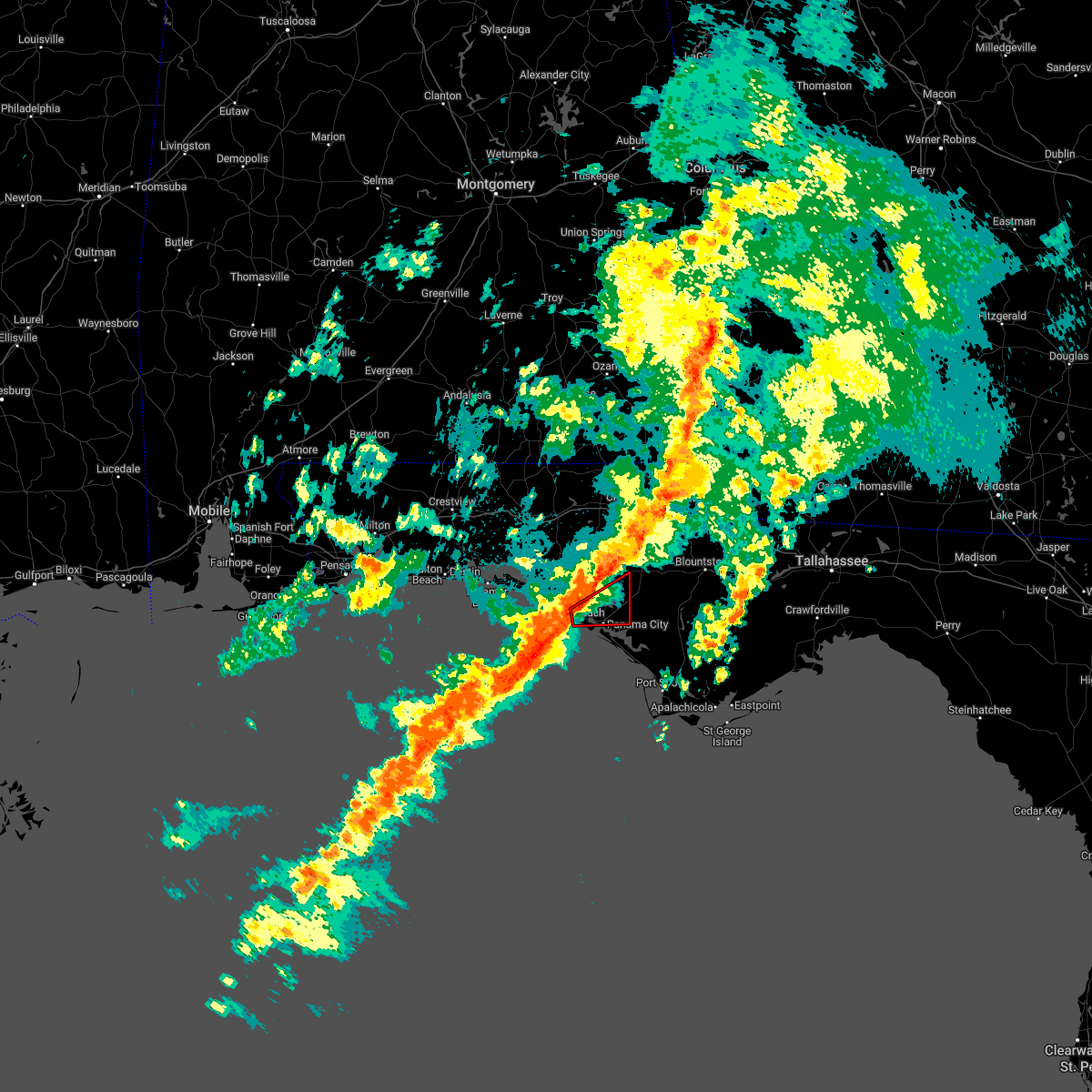 At 436 am cdt, a severe thunderstorm capable of producing a tornado was located near panama city beach, moving east at 45 mph (radar indicated rotation). Hazards include tornado. Flying debris will be dangerous to those caught without shelter. mobile homes will be damaged or destroyed. damage to roofs, windows, and vehicles will occur. tree damage is likely. this dangerous storm will be near, panama city, lynn haven, callaway, springfield and hiland park around 450 am cdt. Other locations impacted by this tornadic thunderstorm include bayhead, southport, gulf lagoon beach, magnolia beach, cedar grove, dirego park, recota beach, college station, bayou george and west panama city. At 436 am cdt, a severe thunderstorm capable of producing a tornado was located near panama city beach, moving east at 45 mph (radar indicated rotation). Hazards include tornado. Flying debris will be dangerous to those caught without shelter. mobile homes will be damaged or destroyed. damage to roofs, windows, and vehicles will occur. tree damage is likely. this dangerous storm will be near, panama city, lynn haven, callaway, springfield and hiland park around 450 am cdt. Other locations impacted by this tornadic thunderstorm include bayhead, southport, gulf lagoon beach, magnolia beach, cedar grove, dirego park, recota beach, college station, bayou george and west panama city.
|
| 3/31/2022 3:54 AM CDT |
 At 354 am cdt, severe thunderstorms were located along a line extending from near graceville to 8 miles northwest of panama city beach, moving northeast at 35 mph (radar indicated). Hazards include 60 mph wind gusts. expect damage to roofs, siding, and trees At 354 am cdt, severe thunderstorms were located along a line extending from near graceville to 8 miles northwest of panama city beach, moving northeast at 35 mph (radar indicated). Hazards include 60 mph wind gusts. expect damage to roofs, siding, and trees
|
| 3/31/2022 3:12 AM CDT |
 At 312 am cdt, severe thunderstorms were located along a line extending from 6 miles southeast of geneva to near santa rosa beach, moving east at 20 mph (radar indicated). Hazards include 60 mph wind gusts. Expect damage to roofs, siding, and trees. Locations impacted include, panama city beach, vernon, chipley, graceville, santa rosa beach, bonifay, eglin air force base, bradford, live oak, freeport, ponce de leon, caryville, wausau, esto, westville, ebro, campbellton, noma, whitehead crossroads and cerrogordo. At 312 am cdt, severe thunderstorms were located along a line extending from 6 miles southeast of geneva to near santa rosa beach, moving east at 20 mph (radar indicated). Hazards include 60 mph wind gusts. Expect damage to roofs, siding, and trees. Locations impacted include, panama city beach, vernon, chipley, graceville, santa rosa beach, bonifay, eglin air force base, bradford, live oak, freeport, ponce de leon, caryville, wausau, esto, westville, ebro, campbellton, noma, whitehead crossroads and cerrogordo.
|
| 3/31/2022 2:37 AM CDT |
 At 237 am cdt, severe thunderstorms were located along a line extending from 8 miles south of samson to 6 miles east of destin, moving northeast at 30 mph (radar indicated). Hazards include 60 mph wind gusts. expect damage to roofs, siding, and trees At 237 am cdt, severe thunderstorms were located along a line extending from 8 miles south of samson to 6 miles east of destin, moving northeast at 30 mph (radar indicated). Hazards include 60 mph wind gusts. expect damage to roofs, siding, and trees
|
| 3/31/2022 2:27 AM CDT |
 At 227 am cdt, severe thunderstorms were located along a line extending from 9 miles south of samson to destin, moving east at 30 mph (radar indicated). Hazards include 60 mph wind gusts and penny size hail. Expect damage to roofs, siding, and trees. Locations impacted include, panama city beach, vernon, santa rosa beach, de funiak springs, bonifay, eglin air force base, union, liberty, live oak, freeport, ponce de leon, caryville, esto, westville, ebro, noma, oakwood hills, cluster springs, whitehead crossroads and villa tasso. At 227 am cdt, severe thunderstorms were located along a line extending from 9 miles south of samson to destin, moving east at 30 mph (radar indicated). Hazards include 60 mph wind gusts and penny size hail. Expect damage to roofs, siding, and trees. Locations impacted include, panama city beach, vernon, santa rosa beach, de funiak springs, bonifay, eglin air force base, union, liberty, live oak, freeport, ponce de leon, caryville, esto, westville, ebro, noma, oakwood hills, cluster springs, whitehead crossroads and villa tasso.
|
| 3/31/2022 2:05 AM CDT |
 At 205 am cdt, severe thunderstorms were located along a line extending from 10 miles east of florala to near mary esther, moving east at 35 mph (radar indicated). Hazards include 60 mph wind gusts and penny size hail. Expect damage to roofs, siding, and trees. Locations impacted include, panama city beach, vernon, santa rosa beach, de funiak springs, bonifay, eglin air force base, union, liberty, live oak, freeport, paxton, ponce de leon, caryville, esto, westville, ebro, noma, oakwood hills, whitehead crossroads and cerrogordo. At 205 am cdt, severe thunderstorms were located along a line extending from 10 miles east of florala to near mary esther, moving east at 35 mph (radar indicated). Hazards include 60 mph wind gusts and penny size hail. Expect damage to roofs, siding, and trees. Locations impacted include, panama city beach, vernon, santa rosa beach, de funiak springs, bonifay, eglin air force base, union, liberty, live oak, freeport, paxton, ponce de leon, caryville, esto, westville, ebro, noma, oakwood hills, whitehead crossroads and cerrogordo.
|
| 3/31/2022 1:16 AM CDT |
 At 115 am cdt, severe thunderstorms were located along a line extending from 17 miles southwest of river falls to near oriole beach, moving northeast at 50 mph (radar indicated). Hazards include 70 mph wind gusts and penny size hail. Expect considerable tree damage. Damage is likely to mobile homes, roofs, and outbuildings. At 115 am cdt, severe thunderstorms were located along a line extending from 17 miles southwest of river falls to near oriole beach, moving northeast at 50 mph (radar indicated). Hazards include 70 mph wind gusts and penny size hail. Expect considerable tree damage. Damage is likely to mobile homes, roofs, and outbuildings.
|
| 3/23/2022 7:56 AM CDT |
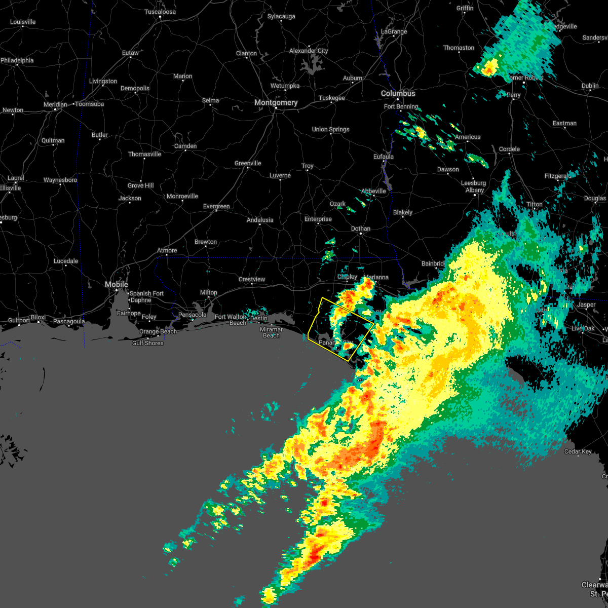 The severe thunderstorm warning for bay, west central calhoun and southeastern washington counties in the panhandle of florida will expire at 800 am cdt, the storms which prompted the warning have weakened below severe limits, and have exited the warned area. therefore, the warning will be allowed to expire. however gusty winds to 50 mph are still possible with these thunderstorms. The severe thunderstorm warning for bay, west central calhoun and southeastern washington counties in the panhandle of florida will expire at 800 am cdt, the storms which prompted the warning have weakened below severe limits, and have exited the warned area. therefore, the warning will be allowed to expire. however gusty winds to 50 mph are still possible with these thunderstorms.
|
| 3/23/2022 7:27 AM CDT |
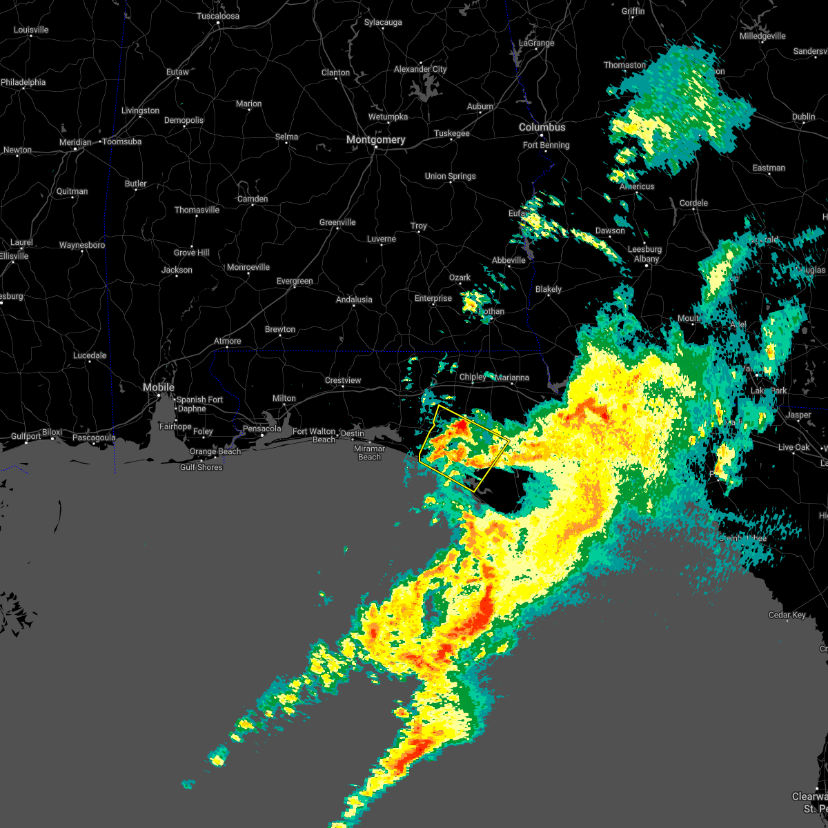 At 727 am cdt, severe thunderstorms were located along a line extending from 11 miles north of panama city beach to 6 miles east of callaway, moving east at 30 mph (radar indicated). Hazards include 60 mph wind gusts. Expect damage to roofs, siding, and trees. Locations impacted include, panama city, lynn haven, panama city beach, callaway, springfield, hiland park, tyndall air force base, parker, ebro, dirego park, college station, gulf resort beach, west panama city, bahama beach, holmes valley, bennett, porter lake, brannonville, millville and west bay. At 727 am cdt, severe thunderstorms were located along a line extending from 11 miles north of panama city beach to 6 miles east of callaway, moving east at 30 mph (radar indicated). Hazards include 60 mph wind gusts. Expect damage to roofs, siding, and trees. Locations impacted include, panama city, lynn haven, panama city beach, callaway, springfield, hiland park, tyndall air force base, parker, ebro, dirego park, college station, gulf resort beach, west panama city, bahama beach, holmes valley, bennett, porter lake, brannonville, millville and west bay.
|
| 3/23/2022 6:57 AM CDT |
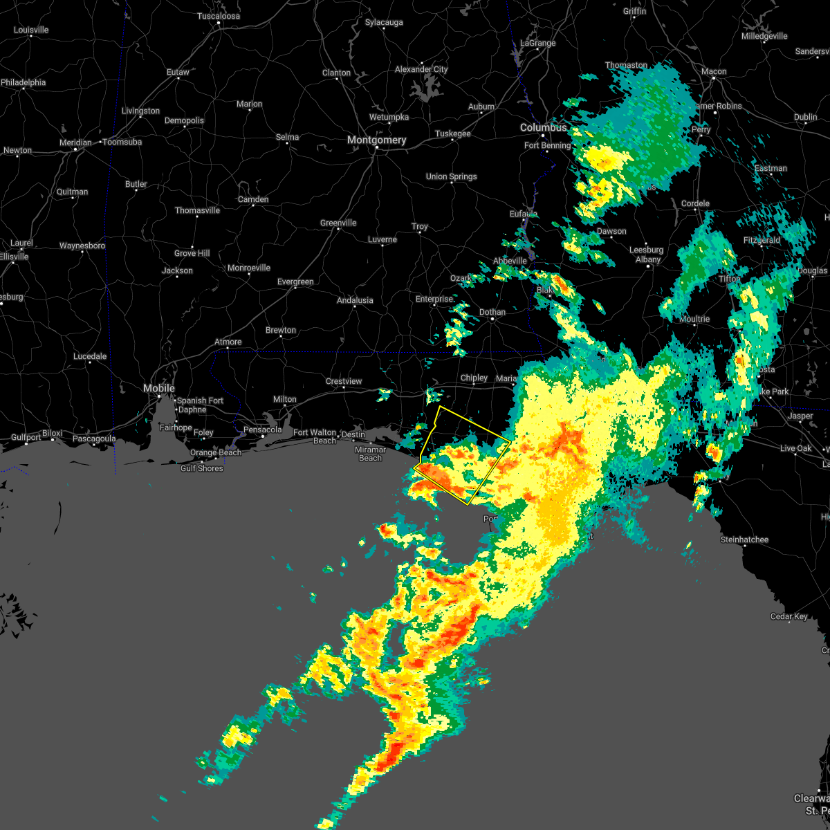 At 656 am cdt, severe thunderstorms were located along a line extending from 11 miles west of panama city beach to near tyndall air force base, moving northeast at 30 mph (radar indicated). Hazards include 60 mph wind gusts. expect damage to roofs, siding, and trees At 656 am cdt, severe thunderstorms were located along a line extending from 11 miles west of panama city beach to near tyndall air force base, moving northeast at 30 mph (radar indicated). Hazards include 60 mph wind gusts. expect damage to roofs, siding, and trees
|
| 3/23/2022 5:03 AM CDT |
 At 502 am cdt, severe thunderstorms were located along a line extending from 6 miles south of geneva to 14 miles south of santa rosa beach, moving northeast at 55 mph (radar indicated). Hazards include 60 mph wind gusts. Expect damage to roofs, siding, and trees. Locations impacted include, panama city beach, vernon, santa rosa beach, de funiak springs, bonifay, eglin air force base, union, live oak, freeport, ponce de leon, caryville, esto, westville, ebro, noma, whitehead crossroads, cerrogordo, gulf resort beach, blue mountain beach and gritney. At 502 am cdt, severe thunderstorms were located along a line extending from 6 miles south of geneva to 14 miles south of santa rosa beach, moving northeast at 55 mph (radar indicated). Hazards include 60 mph wind gusts. Expect damage to roofs, siding, and trees. Locations impacted include, panama city beach, vernon, santa rosa beach, de funiak springs, bonifay, eglin air force base, union, live oak, freeport, ponce de leon, caryville, esto, westville, ebro, noma, whitehead crossroads, cerrogordo, gulf resort beach, blue mountain beach and gritney.
|
| 3/23/2022 4:34 AM CDT |
 At 434 am cdt, a severe thunderstorm was located 9 miles northeast of santa rosa beach, moving northeast at 25 mph (radar indicated). Hazards include 60 mph wind gusts. Expect damage to roofs, siding, and trees. Locations impacted include, panama city beach, vernon, santa rosa beach, de funiak springs, bonifay, eglin air force base, union, live oak, freeport, ponce de leon, caryville, esto, westville, ebro, noma, whitehead crossroads, cerrogordo, gulf resort beach, blue mountain beach and gritney. At 434 am cdt, a severe thunderstorm was located 9 miles northeast of santa rosa beach, moving northeast at 25 mph (radar indicated). Hazards include 60 mph wind gusts. Expect damage to roofs, siding, and trees. Locations impacted include, panama city beach, vernon, santa rosa beach, de funiak springs, bonifay, eglin air force base, union, live oak, freeport, ponce de leon, caryville, esto, westville, ebro, noma, whitehead crossroads, cerrogordo, gulf resort beach, blue mountain beach and gritney.
|
| 3/23/2022 3:53 AM CDT |
 At 353 am cdt, a severe thunderstorm was located 9 miles southwest of santa rosa beach, moving northeast at 45 mph (radar indicated). Hazards include 60 mph wind gusts. expect damage to roofs, siding, and trees At 353 am cdt, a severe thunderstorm was located 9 miles southwest of santa rosa beach, moving northeast at 45 mph (radar indicated). Hazards include 60 mph wind gusts. expect damage to roofs, siding, and trees
|
| 3/18/2022 7:20 PM CDT |
 The severe thunderstorm warning for southern jackson, northwestern gulf, bay and calhoun counties in the panhandle of florida, northwestern gadsden, northwestern liberty counties in big bend of florida and southeastern washington counties in the panhandle of florida will expire at 830 pm edt/730 pm cdt/, the storms which prompted the warning have weakened below severe limits, and no longer pose an immediate threat to life or property. therefore, the warning will be allowed to expire. to report severe weather, contact your nearest law enforcement agency. they will relay your report to the national weather service tallahassee. The severe thunderstorm warning for southern jackson, northwestern gulf, bay and calhoun counties in the panhandle of florida, northwestern gadsden, northwestern liberty counties in big bend of florida and southeastern washington counties in the panhandle of florida will expire at 830 pm edt/730 pm cdt/, the storms which prompted the warning have weakened below severe limits, and no longer pose an immediate threat to life or property. therefore, the warning will be allowed to expire. to report severe weather, contact your nearest law enforcement agency. they will relay your report to the national weather service tallahassee.
|
| 3/18/2022 6:01 PM CDT |
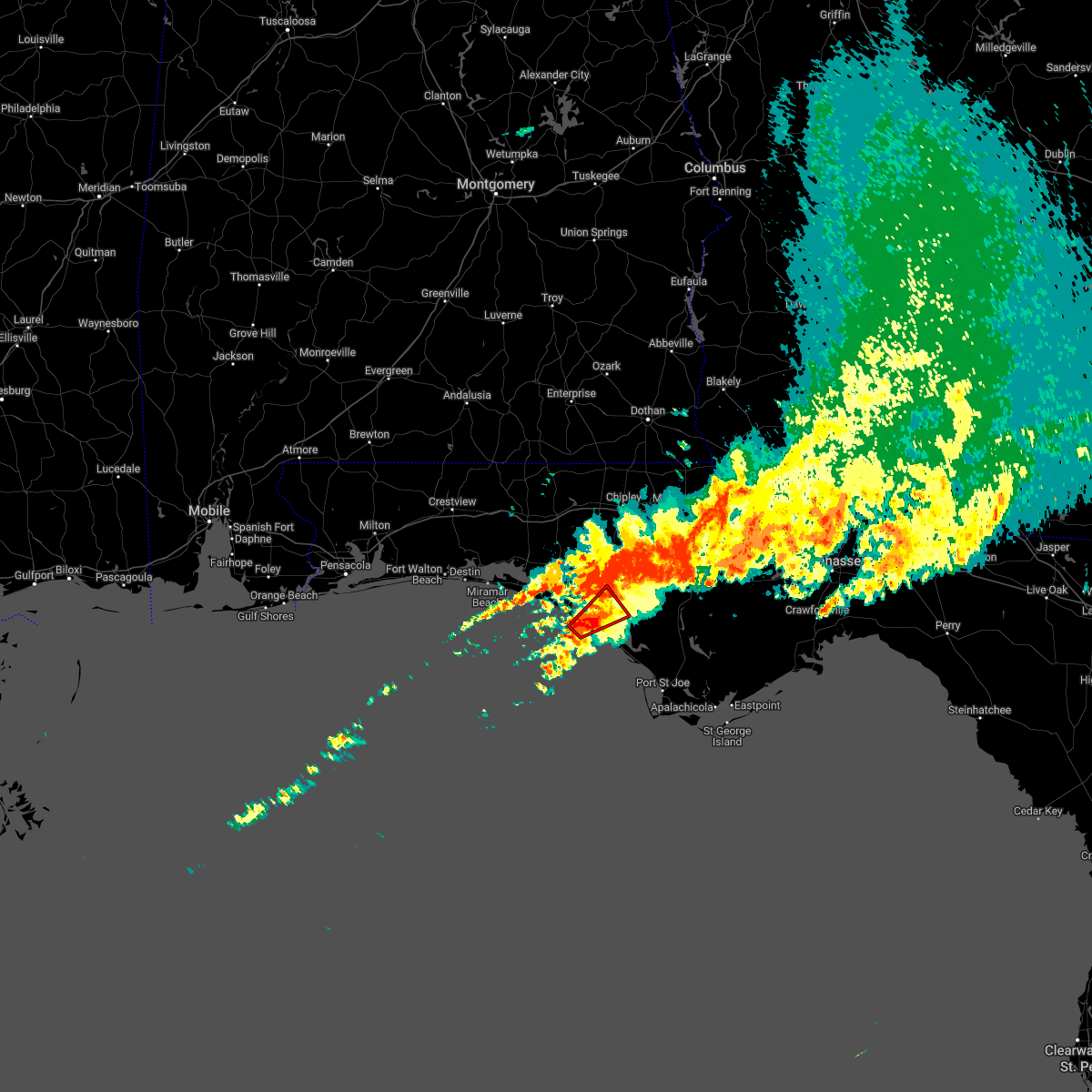 At 601 pm cdt, a severe thunderstorm capable of producing a tornado was located near panama city beach, moving northeast at 35 mph (radar indicated rotation). Hazards include tornado and quarter size hail. Flying debris will be dangerous to those caught without shelter. mobile homes will be damaged or destroyed. damage to roofs, windows, and vehicles will occur. tree damage is likely. this dangerous storm will be near, panama city, lynn haven and hiland park around 620 pm cdt. springfield around 625 pm cdt. Other locations impacted by this tornadic thunderstorm include st andrews state park, southport, gulf lagoon beach, magnolia beach, cedar grove, dirego park, recota beach, college station, west panama city and biltmore beach. At 601 pm cdt, a severe thunderstorm capable of producing a tornado was located near panama city beach, moving northeast at 35 mph (radar indicated rotation). Hazards include tornado and quarter size hail. Flying debris will be dangerous to those caught without shelter. mobile homes will be damaged or destroyed. damage to roofs, windows, and vehicles will occur. tree damage is likely. this dangerous storm will be near, panama city, lynn haven and hiland park around 620 pm cdt. springfield around 625 pm cdt. Other locations impacted by this tornadic thunderstorm include st andrews state park, southport, gulf lagoon beach, magnolia beach, cedar grove, dirego park, recota beach, college station, west panama city and biltmore beach.
|
| 3/18/2022 6:01 PM CDT |
 At 701 pm edt/601 pm cdt/, severe thunderstorms were located along a line extending from 15 miles southwest of marianna to 8 miles south of panama city beach, moving east at 40 mph (radar indicated). Hazards include 60 mph wind gusts. expect damage to roofs, siding, and trees At 701 pm edt/601 pm cdt/, severe thunderstorms were located along a line extending from 15 miles southwest of marianna to 8 miles south of panama city beach, moving east at 40 mph (radar indicated). Hazards include 60 mph wind gusts. expect damage to roofs, siding, and trees
|
| 3/18/2022 5:45 PM CDT |
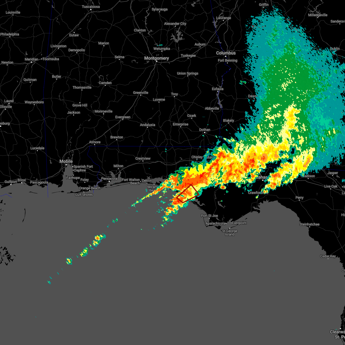 At 544 pm cdt, a severe thunderstorm capable of producing a tornado was located 10 miles southwest of panama city beach, moving northeast at 40 mph (radar indicated rotation). Hazards include tornado and quarter size hail. Flying debris will be dangerous to those caught without shelter. mobile homes will be damaged or destroyed. damage to roofs, windows, and vehicles will occur. tree damage is likely. this dangerous storm will be near, panama city beach around 555 pm cdt. tyndall air force base around 610 pm cdt. panama city, callaway and hiland park around 615 pm cdt. lynn haven and springfield around 620 pm cdt. Other locations impacted by this tornadic thunderstorm include st andrews state park, southport, gulf lagoon beach, magnolia beach, cedar grove, dirego park, recota beach, college station, west panama city and bahama beach. At 544 pm cdt, a severe thunderstorm capable of producing a tornado was located 10 miles southwest of panama city beach, moving northeast at 40 mph (radar indicated rotation). Hazards include tornado and quarter size hail. Flying debris will be dangerous to those caught without shelter. mobile homes will be damaged or destroyed. damage to roofs, windows, and vehicles will occur. tree damage is likely. this dangerous storm will be near, panama city beach around 555 pm cdt. tyndall air force base around 610 pm cdt. panama city, callaway and hiland park around 615 pm cdt. lynn haven and springfield around 620 pm cdt. Other locations impacted by this tornadic thunderstorm include st andrews state park, southport, gulf lagoon beach, magnolia beach, cedar grove, dirego park, recota beach, college station, west panama city and bahama beach.
|
| 3/18/2022 5:23 PM CDT |
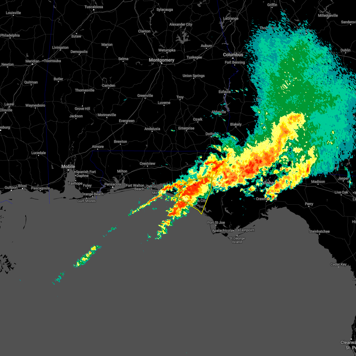 At 523 pm cdt, severe thunderstorms were located along a line extending from 10 miles east of vernon to near panama city beach, moving northeast at 35 mph (radar indicated). Hazards include 60 mph wind gusts. Expect damage to roofs, siding, and trees. Locations impacted include, panama city, lynn haven, panama city beach, callaway, springfield, hiland park, tyndall air force base, parker, ebro, dirego park, college station, gulf resort beach, west panama city, bahama beach, bennett, porter lake, brannonville, millville, west bay and gulf lagoon beach. At 523 pm cdt, severe thunderstorms were located along a line extending from 10 miles east of vernon to near panama city beach, moving northeast at 35 mph (radar indicated). Hazards include 60 mph wind gusts. Expect damage to roofs, siding, and trees. Locations impacted include, panama city, lynn haven, panama city beach, callaway, springfield, hiland park, tyndall air force base, parker, ebro, dirego park, college station, gulf resort beach, west panama city, bahama beach, bennett, porter lake, brannonville, millville, west bay and gulf lagoon beach.
|
| 3/18/2022 4:33 PM CDT |
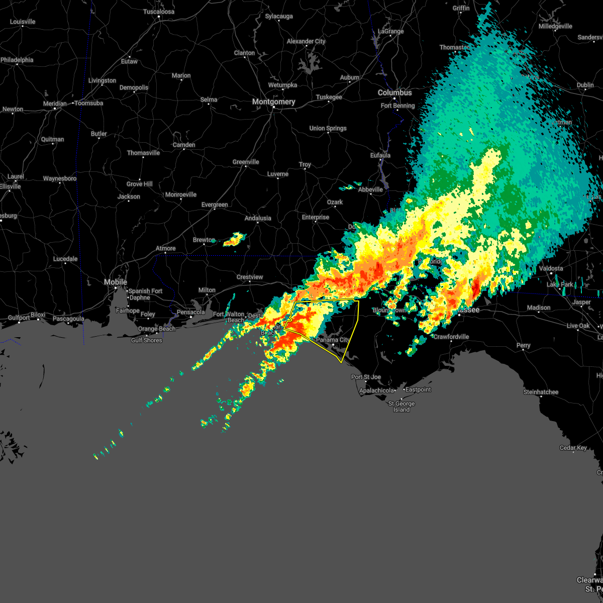 At 433 pm cdt, severe thunderstorms were located along a line extending from 15 miles northwest of panama city beach to 27 miles south of santa rosa beach, moving northeast at 35 mph (radar indicated). Hazards include 60 mph wind gusts. expect damage to roofs, siding, and trees At 433 pm cdt, severe thunderstorms were located along a line extending from 15 miles northwest of panama city beach to 27 miles south of santa rosa beach, moving northeast at 35 mph (radar indicated). Hazards include 60 mph wind gusts. expect damage to roofs, siding, and trees
|
| 10/28/2021 1:26 AM CDT |
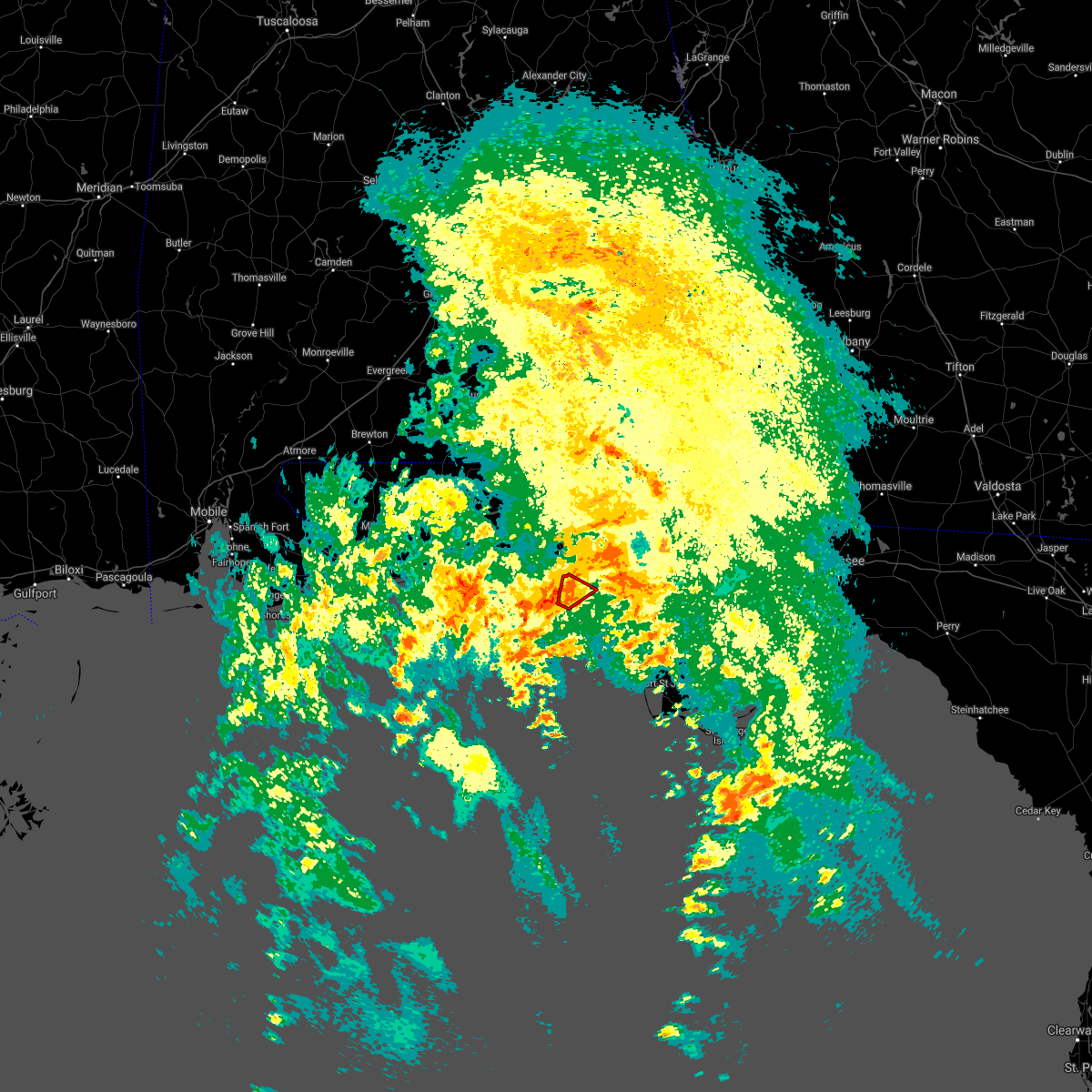 The tornado warning for west central bay county will expire at 130 am cdt, the storm which prompted the warning has weakened below severe limits, and no longer appears capable of producing a tornado. therefore, the warning will be allowed to expire. a tornado watch remains in effect until 500 am cdt for the panhandle of florida. to report severe weather, contact your nearest law enforcement agency. they will relay your report to the national weather service tallahassee. The tornado warning for west central bay county will expire at 130 am cdt, the storm which prompted the warning has weakened below severe limits, and no longer appears capable of producing a tornado. therefore, the warning will be allowed to expire. a tornado watch remains in effect until 500 am cdt for the panhandle of florida. to report severe weather, contact your nearest law enforcement agency. they will relay your report to the national weather service tallahassee.
|
| 10/28/2021 1:16 AM CDT |
 At 116 am cdt, a severe thunderstorm capable of producing a tornado was located near panama city beach, moving northeast at 30 mph (radar indicated rotation). Hazards include tornado. Flying debris will be dangerous to those caught without shelter. mobile homes will be damaged or destroyed. damage to roofs, windows, and vehicles will occur. tree damage is likely. This tornadic thunderstorm will remain over mainly rural areas of west central bay county, including the following locations, west bay and laird. At 116 am cdt, a severe thunderstorm capable of producing a tornado was located near panama city beach, moving northeast at 30 mph (radar indicated rotation). Hazards include tornado. Flying debris will be dangerous to those caught without shelter. mobile homes will be damaged or destroyed. damage to roofs, windows, and vehicles will occur. tree damage is likely. This tornadic thunderstorm will remain over mainly rural areas of west central bay county, including the following locations, west bay and laird.
|
| 10/28/2021 1:06 AM CDT |
 At 106 am cdt, a severe thunderstorm capable of producing a tornado was located near panama city beach, moving northeast at 25 mph (radar indicated rotation). Hazards include tornado. Flying debris will be dangerous to those caught without shelter. mobile homes will be damaged or destroyed. damage to roofs, windows, and vehicles will occur. tree damage is likely. this dangerous storm will be near, panama city beach around 115 am cdt. Other locations impacted by this tornadic thunderstorm include west bay, sunnyside, laird, laguna beach, gulf resort beach, hollywood beach, bid-a-wee and bahama beach. At 106 am cdt, a severe thunderstorm capable of producing a tornado was located near panama city beach, moving northeast at 25 mph (radar indicated rotation). Hazards include tornado. Flying debris will be dangerous to those caught without shelter. mobile homes will be damaged or destroyed. damage to roofs, windows, and vehicles will occur. tree damage is likely. this dangerous storm will be near, panama city beach around 115 am cdt. Other locations impacted by this tornadic thunderstorm include west bay, sunnyside, laird, laguna beach, gulf resort beach, hollywood beach, bid-a-wee and bahama beach.
|
| 8/31/2021 9:58 AM CDT |
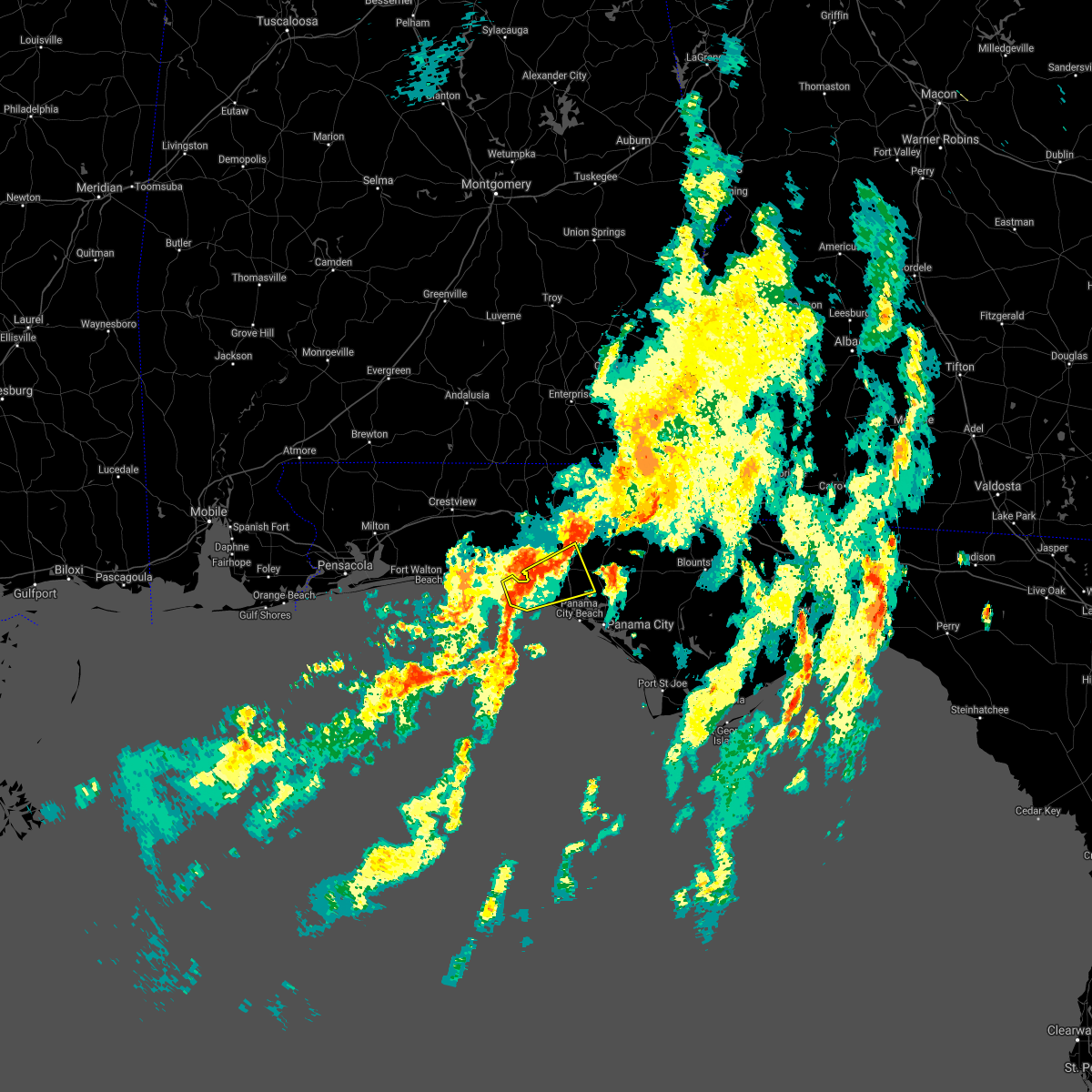 At 957 am cdt, a severe thunderstorm was located near santa rosa beach, moving east at 35 mph (radar indicated). Hazards include 60 mph wind gusts. expect damage to roofs, siding, and trees At 957 am cdt, a severe thunderstorm was located near santa rosa beach, moving east at 35 mph (radar indicated). Hazards include 60 mph wind gusts. expect damage to roofs, siding, and trees
|
| 8/31/2021 7:02 AM CDT | Estimated wind gusts near 60 mp in walton county FL, 10.2 miles ESE of Panama City Beach, FL |
| 8/29/2021 1:40 PM CDT |
 At 139 pm cdt, severe thunderstorms were located along a line extending from 12 miles southwest of santa rosa beach to 9 miles west of panama city beach to 15 miles west of tyndall air force base, moving north at 45 mph (radar indicated). Hazards include 60 mph wind gusts. expect damage to roofs, siding, and trees At 139 pm cdt, severe thunderstorms were located along a line extending from 12 miles southwest of santa rosa beach to 9 miles west of panama city beach to 15 miles west of tyndall air force base, moving north at 45 mph (radar indicated). Hazards include 60 mph wind gusts. expect damage to roofs, siding, and trees
|
| 8/14/2021 4:40 PM CDT |
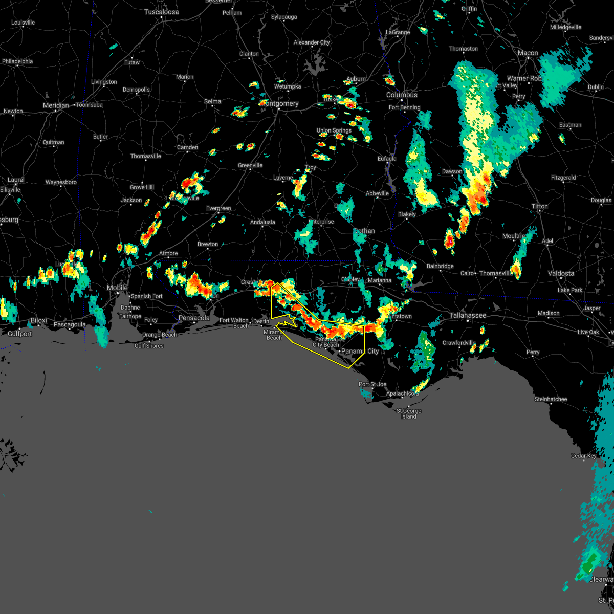 At 440 pm cdt, severe thunderstorms were located along a line extending from 8 miles west of de funiak springs to 16 miles north of panama city beach to 11 miles southwest of blountstown, moving southwest at 15 mph (radar indicated). Hazards include 60 mph wind gusts. expect damage to roofs, siding, and trees At 440 pm cdt, severe thunderstorms were located along a line extending from 8 miles west of de funiak springs to 16 miles north of panama city beach to 11 miles southwest of blountstown, moving southwest at 15 mph (radar indicated). Hazards include 60 mph wind gusts. expect damage to roofs, siding, and trees
|
| 8/12/2021 2:29 PM CDT |
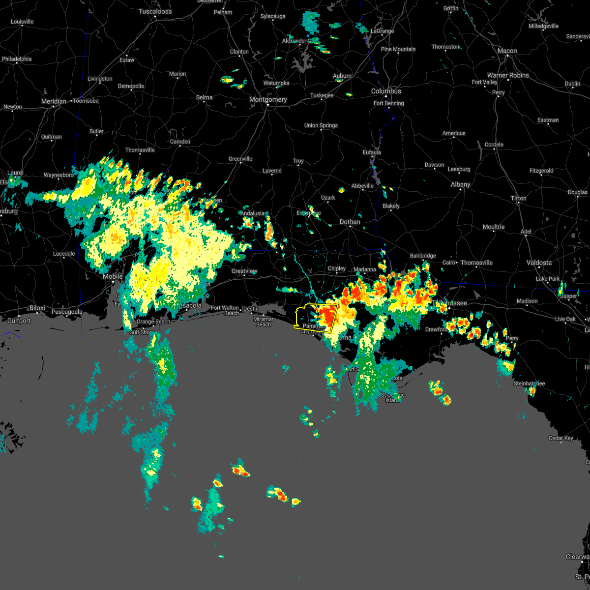 At 229 pm cdt, a severe thunderstorm was located 9 miles north of lynn haven, moving west at 20 mph (radar indicated). Hazards include 60 mph wind gusts. Expect damage to roofs, siding, and trees. locations impacted include, panama city, lynn haven, panama city beach, ebro, bayhead, west bay, southport, seminole hills, recota beach, gainer spring, pine log, sunnyside, laird, laguna beach, vicksburg and hollywood beach. hail threat, radar indicated max hail size, <. 75 in wind threat, radar indicated max wind gust, 60 mph. At 229 pm cdt, a severe thunderstorm was located 9 miles north of lynn haven, moving west at 20 mph (radar indicated). Hazards include 60 mph wind gusts. Expect damage to roofs, siding, and trees. locations impacted include, panama city, lynn haven, panama city beach, ebro, bayhead, west bay, southport, seminole hills, recota beach, gainer spring, pine log, sunnyside, laird, laguna beach, vicksburg and hollywood beach. hail threat, radar indicated max hail size, <. 75 in wind threat, radar indicated max wind gust, 60 mph.
|
| 8/12/2021 2:08 PM CDT |
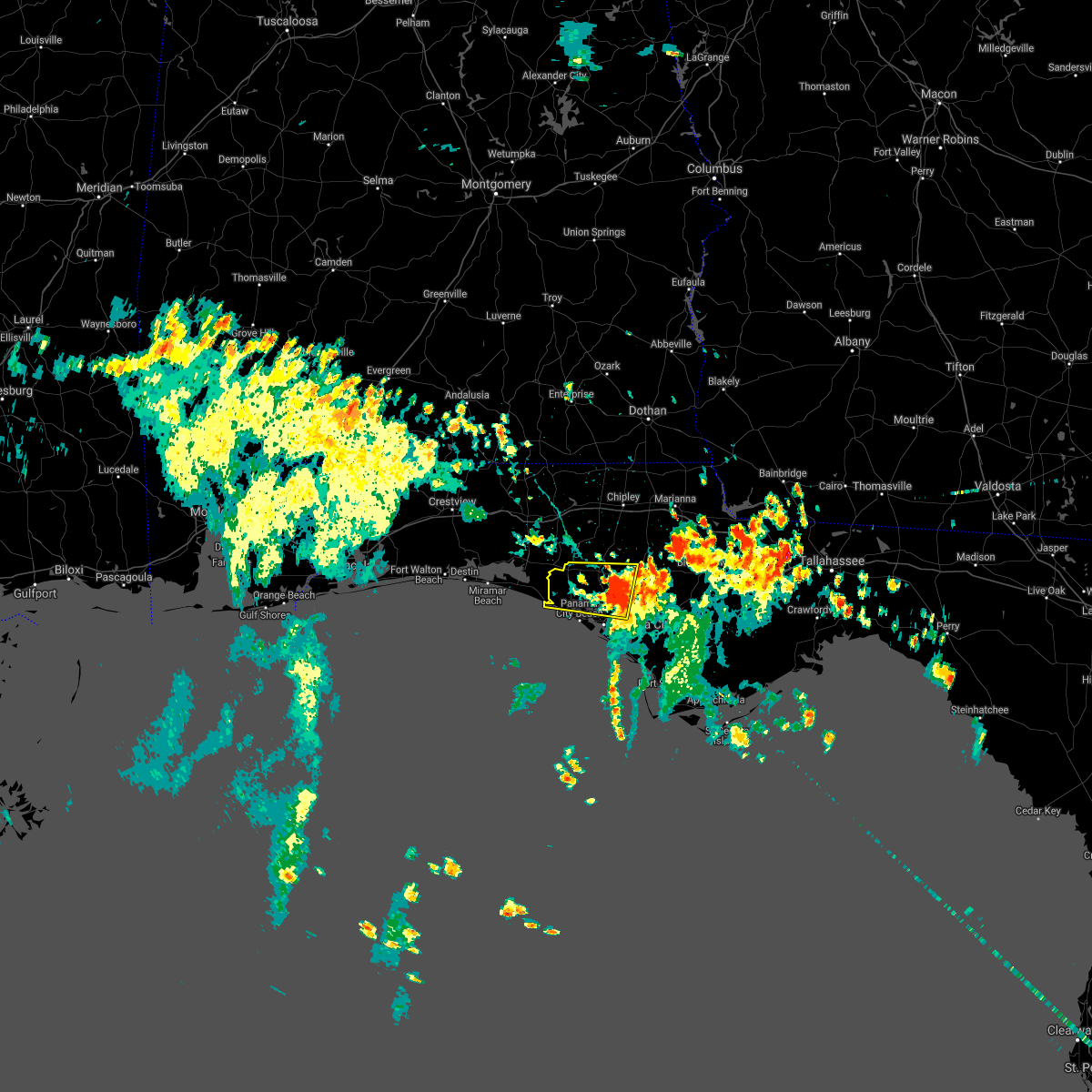 At 208 pm cdt, a severe thunderstorm was located near lynn haven, moving west at 20 mph (radar indicated). Hazards include 60 mph wind gusts. expect damage to roofs, siding, and trees At 208 pm cdt, a severe thunderstorm was located near lynn haven, moving west at 20 mph (radar indicated). Hazards include 60 mph wind gusts. expect damage to roofs, siding, and trees
|
| 7/15/2021 3:24 PM CDT |
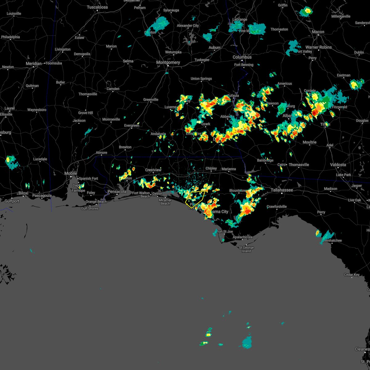 At 324 pm cdt, doppler radar indicated a line of severe thunderstorms capable of producing damaging winds in excess of 60 mph. these storms were located along a line extending from 13 miles northwest of lynn haven to 7 miles north of panama city beach. these storms were nearly stationary. At 324 pm cdt, doppler radar indicated a line of severe thunderstorms capable of producing damaging winds in excess of 60 mph. these storms were located along a line extending from 13 miles northwest of lynn haven to 7 miles north of panama city beach. these storms were nearly stationary.
|
| 6/19/2021 12:52 PM CDT |
 At 1251 pm cdt, severe thunderstorms were located along a line extending from 7 miles southwest of panama city beach to near santa rosa beach, moving north at 50 mph (radar indicated). Hazards include 60 mph wind gusts. expect damage to roofs, siding, and trees At 1251 pm cdt, severe thunderstorms were located along a line extending from 7 miles southwest of panama city beach to near santa rosa beach, moving north at 50 mph (radar indicated). Hazards include 60 mph wind gusts. expect damage to roofs, siding, and trees
|
| 6/19/2021 8:27 AM CDT |
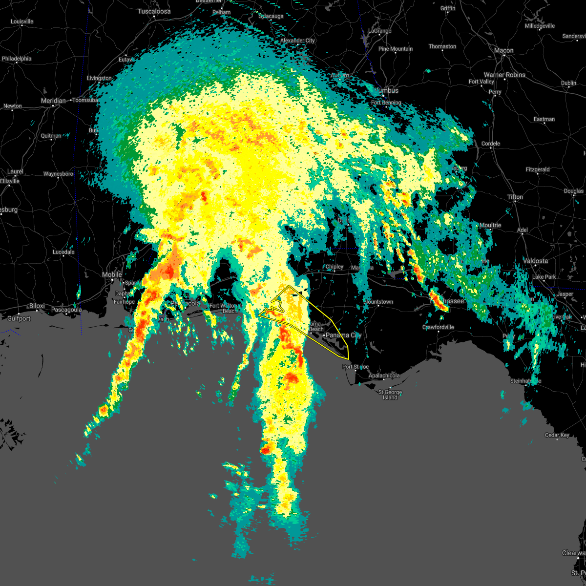 At 827 am cdt, severe thunderstorms were located along a line extending from near santa rosa beach to 30 miles southwest of tyndall air force base, moving northeast at 40 mph (radar indicated). Hazards include 60 mph wind gusts. expect damage to roofs, siding, and trees At 827 am cdt, severe thunderstorms were located along a line extending from near santa rosa beach to 30 miles southwest of tyndall air force base, moving northeast at 40 mph (radar indicated). Hazards include 60 mph wind gusts. expect damage to roofs, siding, and trees
|
| 6/13/2021 6:45 PM CDT |
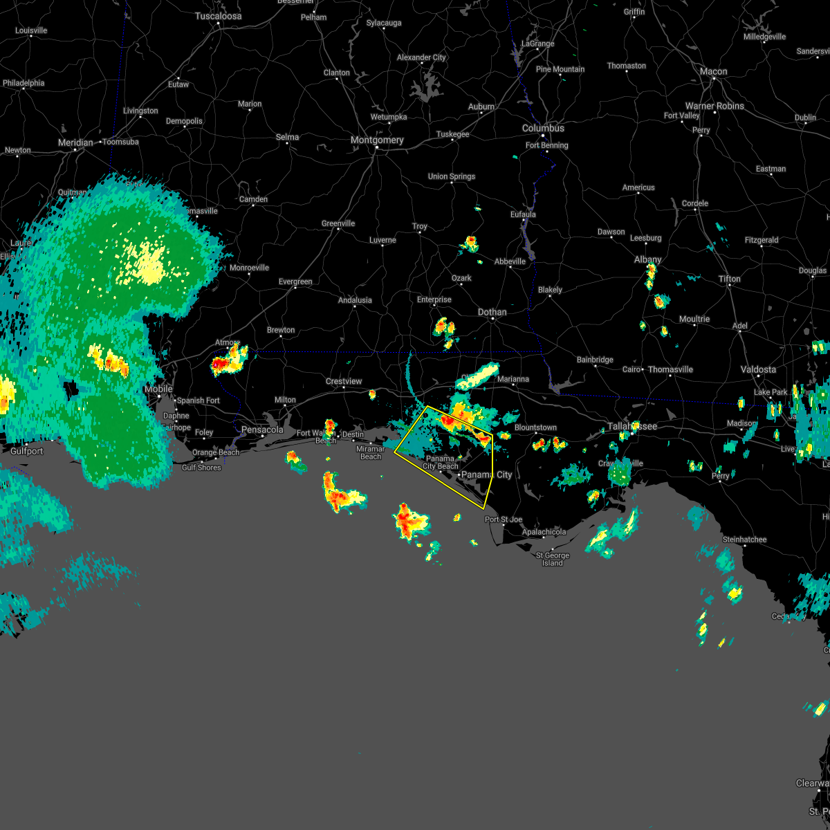 At 645 pm cdt, severe thunderstorms were located along a line extending from 10 miles southwest of vernon to 15 miles northeast of lynn haven, moving south at 25 mph (radar indicated). Hazards include 60 mph wind gusts and penny size hail. expect damage to roofs, siding, and trees At 645 pm cdt, severe thunderstorms were located along a line extending from 10 miles southwest of vernon to 15 miles northeast of lynn haven, moving south at 25 mph (radar indicated). Hazards include 60 mph wind gusts and penny size hail. expect damage to roofs, siding, and trees
|
| 5/12/2021 7:21 AM CDT |
 At 721 am cdt, severe thunderstorms were located along a line extending from near samson to near de funiak springs to near eglin air force base to near destin, moving east at 35 mph (radar indicated). Hazards include 60 mph wind gusts and quarter size hail. Hail damage to vehicles is expected. Expect wind damage to roofs, siding, and trees. At 721 am cdt, severe thunderstorms were located along a line extending from near samson to near de funiak springs to near eglin air force base to near destin, moving east at 35 mph (radar indicated). Hazards include 60 mph wind gusts and quarter size hail. Hail damage to vehicles is expected. Expect wind damage to roofs, siding, and trees.
|
| 4/10/2021 8:48 AM CDT | Nos station at panama city beach pier reported 62 mph gus in bay county FL, 1 miles E of Panama City Beach, FL |
| 4/10/2021 8:46 AM CDT |
 At 846 am cdt, severe thunderstorms were located along a line extending from 6 miles west of vernon to 7 miles southwest of panama city beach, moving east at 60 mph (radar indicated). Hazards include 70 mph wind gusts. Expect considerable tree damage. damage is likely to mobile homes, roofs, and outbuildings. Locations impacted include, panama city, lynn haven, panama city beach, callaway, vernon, springfield, mexico beach, hiland park, tyndall air force base, live oak, parker, wausau, ebro, allanton, dirego park, college station, gulf resort beach, west panama city, bahama beach and holmes valley. At 846 am cdt, severe thunderstorms were located along a line extending from 6 miles west of vernon to 7 miles southwest of panama city beach, moving east at 60 mph (radar indicated). Hazards include 70 mph wind gusts. Expect considerable tree damage. damage is likely to mobile homes, roofs, and outbuildings. Locations impacted include, panama city, lynn haven, panama city beach, callaway, vernon, springfield, mexico beach, hiland park, tyndall air force base, live oak, parker, wausau, ebro, allanton, dirego park, college station, gulf resort beach, west panama city, bahama beach and holmes valley.
|
| 4/10/2021 8:42 AM CDT |
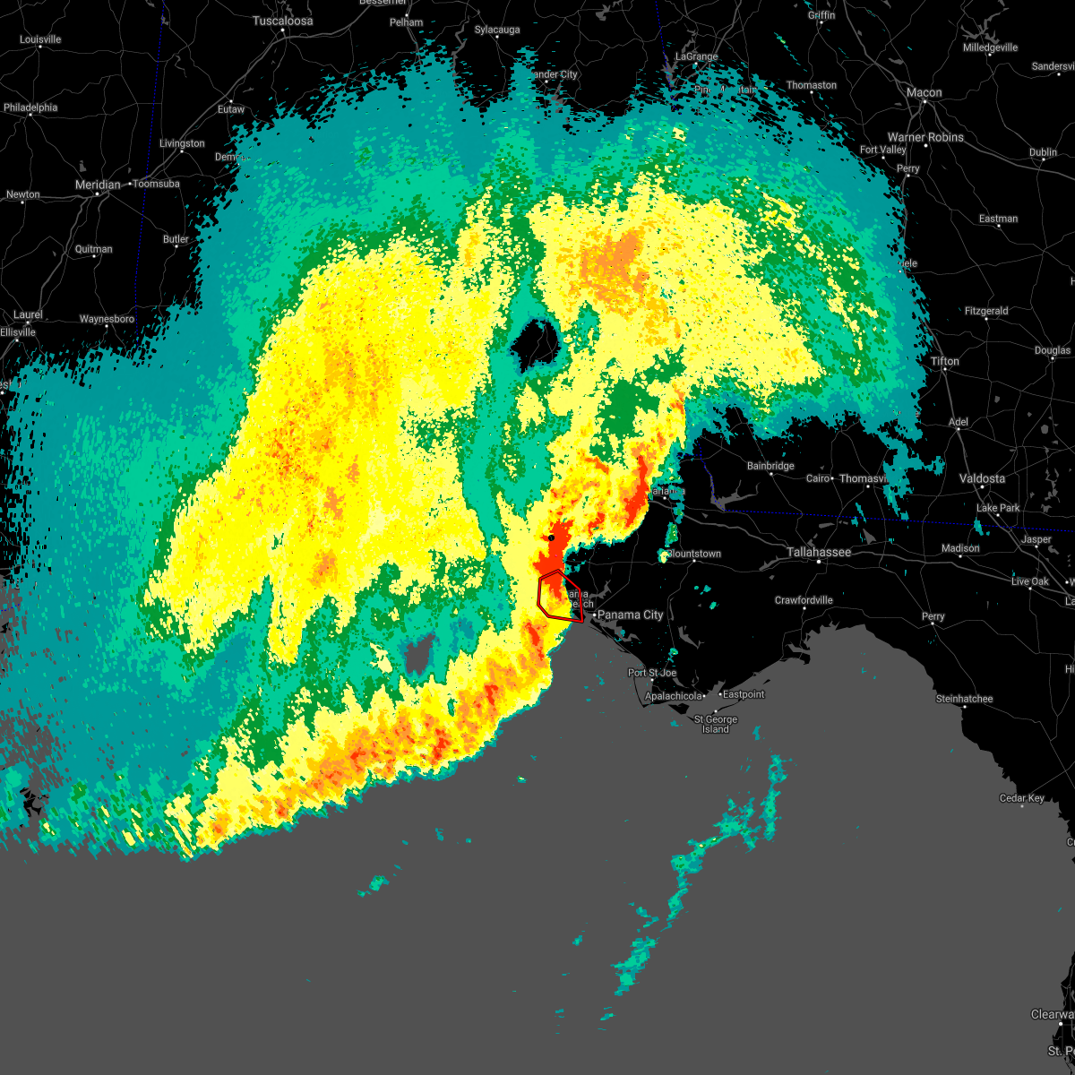 At 841 am cdt, a severe squall line capable of producing both tornadoes and extensive straight line wind damage was located near panama city beach, moving east at 35 mph (radar indicated rotation). Hazards include tornado and quarter size hail. Flying debris will be dangerous to those caught without shelter. mobile homes will be damaged or destroyed. damage to roofs, windows, and vehicles will occur. tree damage is likely. these dangerous storms will be near, panama city beach around 845 am cdt. Other locations impacted by this tornadic thunderstorm include west bay, st andrews state park, seminole hills, gulf lagoon beach, gulf resort beach, west panama city, bahama beach, biltmore beach, edgewater gulf beach and sunnyside. At 841 am cdt, a severe squall line capable of producing both tornadoes and extensive straight line wind damage was located near panama city beach, moving east at 35 mph (radar indicated rotation). Hazards include tornado and quarter size hail. Flying debris will be dangerous to those caught without shelter. mobile homes will be damaged or destroyed. damage to roofs, windows, and vehicles will occur. tree damage is likely. these dangerous storms will be near, panama city beach around 845 am cdt. Other locations impacted by this tornadic thunderstorm include west bay, st andrews state park, seminole hills, gulf lagoon beach, gulf resort beach, west panama city, bahama beach, biltmore beach, edgewater gulf beach and sunnyside.
|
| 4/10/2021 8:36 AM CDT | Weatherstem sensor reported a measured gust of 64 mph at inlet beac in walton county FL, 9.7 miles ESE of Panama City Beach, FL |
| 4/10/2021 8:31 AM CDT |
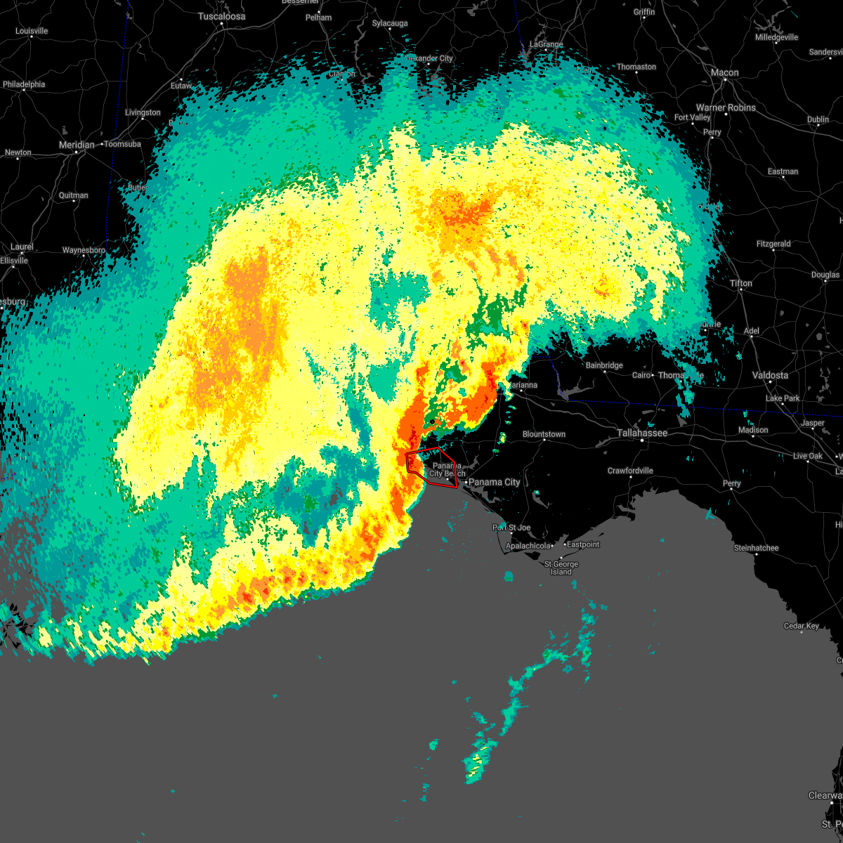 At 831 am cdt, severe thunderstorms capable of producing both tornadoes and extensive straight line wind damage were located 13 miles west of panama city beach, moving east at 25 mph (radar indicated rotation). Hazards include tornado and quarter size hail. Flying debris will be dangerous to those caught without shelter. mobile homes will be damaged or destroyed. damage to roofs, windows, and vehicles will occur. tree damage is likely. these dangerous storms will be near, panama city beach around 855 am cdt. Other locations impacted by this tornadic thunderstorm include west bay, inlet beach, st andrews state park, seminole hills, gulf lagoon beach, gulf resort beach, west panama city, bahama beach, biltmore beach and edgewater gulf beach. At 831 am cdt, severe thunderstorms capable of producing both tornadoes and extensive straight line wind damage were located 13 miles west of panama city beach, moving east at 25 mph (radar indicated rotation). Hazards include tornado and quarter size hail. Flying debris will be dangerous to those caught without shelter. mobile homes will be damaged or destroyed. damage to roofs, windows, and vehicles will occur. tree damage is likely. these dangerous storms will be near, panama city beach around 855 am cdt. Other locations impacted by this tornadic thunderstorm include west bay, inlet beach, st andrews state park, seminole hills, gulf lagoon beach, gulf resort beach, west panama city, bahama beach, biltmore beach and edgewater gulf beach.
|
| 4/10/2021 8:18 AM CDT |
 At 817 am cdt, severe thunderstorms were located along a line extending from near de funiak springs to 23 miles south of santa rosa beach, moving east at 65 mph (radar indicated). Hazards include 70 mph wind gusts. Expect considerable tree damage. damage is likely to mobile homes, roofs, and outbuildings. Locations impacted include, panama city, lynn haven, panama city beach, callaway, vernon, santa rosa beach, de funiak springs, springfield, mexico beach, hiland park, eglin air force base, tyndall air force base, live oak, parker, freeport, wausau, ebro, villa tasso, allanton and dirego park. At 817 am cdt, severe thunderstorms were located along a line extending from near de funiak springs to 23 miles south of santa rosa beach, moving east at 65 mph (radar indicated). Hazards include 70 mph wind gusts. Expect considerable tree damage. damage is likely to mobile homes, roofs, and outbuildings. Locations impacted include, panama city, lynn haven, panama city beach, callaway, vernon, santa rosa beach, de funiak springs, springfield, mexico beach, hiland park, eglin air force base, tyndall air force base, live oak, parker, freeport, wausau, ebro, villa tasso, allanton and dirego park.
|
| 4/10/2021 7:59 AM CDT |
 The national weather service in tallahassee has issued a * severe thunderstorm warning for. bay county in the panhandle of florida. southern walton county in the panhandle of florida. washington county in the panhandle of florida. Until 930 am cdt. The national weather service in tallahassee has issued a * severe thunderstorm warning for. bay county in the panhandle of florida. southern walton county in the panhandle of florida. washington county in the panhandle of florida. Until 930 am cdt.
|
| 4/10/2021 7:21 AM CDT |
 At 721 am cdt, severe thunderstorms were located along a line extending from 7 miles south of hartford to near santa rosa beach, moving east at 30 mph (radar indicated). Hazards include 60 mph wind gusts. expect damage to roofs, siding, and trees At 721 am cdt, severe thunderstorms were located along a line extending from 7 miles south of hartford to near santa rosa beach, moving east at 30 mph (radar indicated). Hazards include 60 mph wind gusts. expect damage to roofs, siding, and trees
|
| 4/10/2021 6:52 AM CDT |
 At 651 am cdt, severe thunderstorms were located along a line extending from 7 miles southwest of geneva to near santa rosa beach, moving east at 35 mph (radar indicated). Hazards include 60 mph wind gusts. Expect damage to roofs, siding, and trees. Locations impacted include, panama city beach, vernon, graceville, santa rosa beach, de funiak springs, bonifay, chipley, eglin air force base, union, liberty, live oak, freeport, ponce de leon, caryville, esto, westville, ebro, noma, black and oakwood hills. At 651 am cdt, severe thunderstorms were located along a line extending from 7 miles southwest of geneva to near santa rosa beach, moving east at 35 mph (radar indicated). Hazards include 60 mph wind gusts. Expect damage to roofs, siding, and trees. Locations impacted include, panama city beach, vernon, graceville, santa rosa beach, de funiak springs, bonifay, chipley, eglin air force base, union, liberty, live oak, freeport, ponce de leon, caryville, esto, westville, ebro, noma, black and oakwood hills.
|
| 4/10/2021 5:57 AM CDT |
 At 557 am cdt, severe thunderstorms were located along a line extending from 10 miles west of laurel hill to navarre beach, moving east at 55 mph (radar indicated). Hazards include 60 mph wind gusts. expect damage to roofs, siding, and trees At 557 am cdt, severe thunderstorms were located along a line extending from 10 miles west of laurel hill to navarre beach, moving east at 55 mph (radar indicated). Hazards include 60 mph wind gusts. expect damage to roofs, siding, and trees
|
| 4/9/2021 10:58 AM CDT |
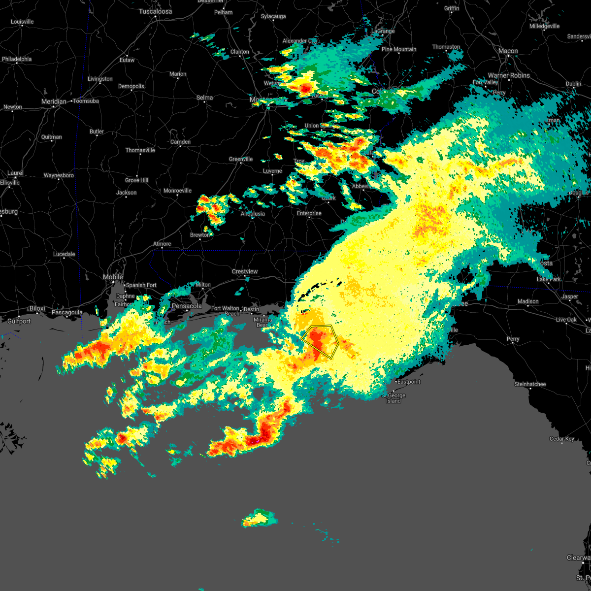 At 1058 am cdt, severe thunderstorms were located along a line extending from 6 miles northwest of lynn haven to near panama city to 15 miles southwest of tyndall air force base, moving east at 30 mph (radar indicated). Hazards include 60 mph wind gusts and quarter size hail. Hail damage to vehicles is expected. expect wind damage to roofs, siding, and trees. Locations impacted include, panama city, lynn haven, panama city beach, callaway, springfield, hiland park, tyndall air force base, parker, st andrews state park, gulf lagoon beach, magnolia beach, cedar grove, dirego park, beacon beach, bay harbor, west panama city, bahama beach, biltmore beach, edgewater gulf beach and brannonville. At 1058 am cdt, severe thunderstorms were located along a line extending from 6 miles northwest of lynn haven to near panama city to 15 miles southwest of tyndall air force base, moving east at 30 mph (radar indicated). Hazards include 60 mph wind gusts and quarter size hail. Hail damage to vehicles is expected. expect wind damage to roofs, siding, and trees. Locations impacted include, panama city, lynn haven, panama city beach, callaway, springfield, hiland park, tyndall air force base, parker, st andrews state park, gulf lagoon beach, magnolia beach, cedar grove, dirego park, beacon beach, bay harbor, west panama city, bahama beach, biltmore beach, edgewater gulf beach and brannonville.
|
| 4/9/2021 10:27 AM CDT |
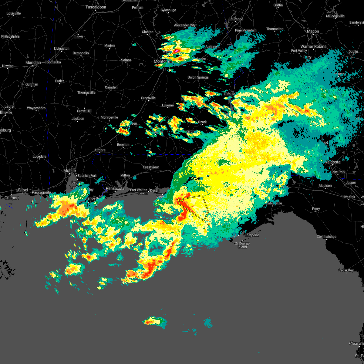 At 1026 am cdt, severe thunderstorms were located along a line extending from 17 miles east of santa rosa beach to 7 miles southwest of panama city beach to 27 miles southwest of panama city, moving east at 30 mph (radar indicated). Hazards include 60 mph wind gusts and quarter size hail. Hail damage to vehicles is expected. Expect wind damage to roofs, siding, and trees. At 1026 am cdt, severe thunderstorms were located along a line extending from 17 miles east of santa rosa beach to 7 miles southwest of panama city beach to 27 miles southwest of panama city, moving east at 30 mph (radar indicated). Hazards include 60 mph wind gusts and quarter size hail. Hail damage to vehicles is expected. Expect wind damage to roofs, siding, and trees.
|
| 3/18/2021 6:05 AM CDT |
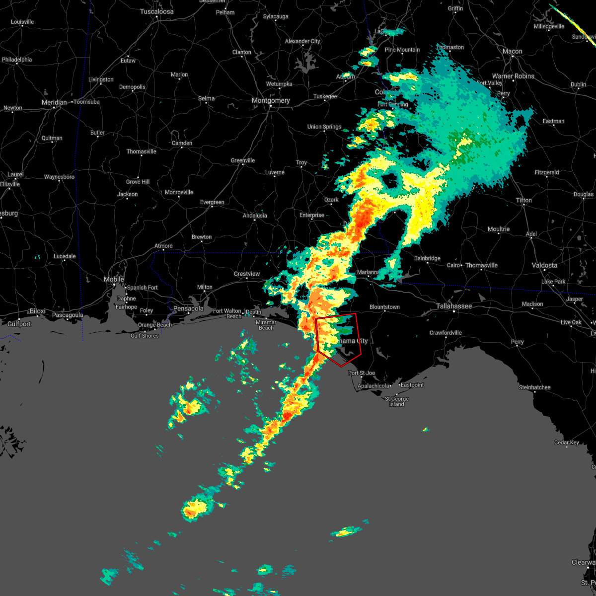 At 605 am cdt, severe thunderstorms capable of producing a tornado were located along a line extending from 9 miles northwest of lynn haven to 14 miles southwest of tyndall air force base, moving northeast at 35 mph (radar indicated rotation). Hazards include tornado. Flying debris will be dangerous to those caught without shelter. mobile homes will be damaged or destroyed. damage to roofs, windows, and vehicles will occur. tree damage is likely. these dangerous storms will be near, callaway around 640 am cdt. Other locations impacted by these tornadic storms include st andrews state park, southport, allanton, cedar grove, dirego park, beacon beach, college station, bayou george, camp flowers and biltmore beach. At 605 am cdt, severe thunderstorms capable of producing a tornado were located along a line extending from 9 miles northwest of lynn haven to 14 miles southwest of tyndall air force base, moving northeast at 35 mph (radar indicated rotation). Hazards include tornado. Flying debris will be dangerous to those caught without shelter. mobile homes will be damaged or destroyed. damage to roofs, windows, and vehicles will occur. tree damage is likely. these dangerous storms will be near, callaway around 640 am cdt. Other locations impacted by these tornadic storms include st andrews state park, southport, allanton, cedar grove, dirego park, beacon beach, college station, bayou george, camp flowers and biltmore beach.
|
| 3/18/2021 5:40 AM CDT |
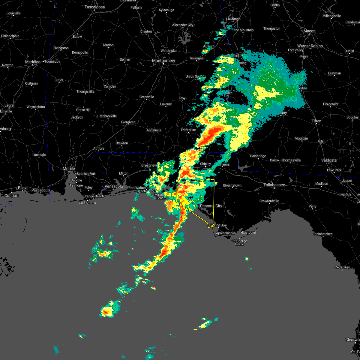 At 540 am cdt, severe thunderstorms were located along a line extending from 15 miles northeast of santa rosa beach to 31 miles south of panama city beach, moving northeast at 35 mph (radar indicated). Hazards include 60 mph wind gusts. expect damage to roofs, siding, and trees At 540 am cdt, severe thunderstorms were located along a line extending from 15 miles northeast of santa rosa beach to 31 miles south of panama city beach, moving northeast at 35 mph (radar indicated). Hazards include 60 mph wind gusts. expect damage to roofs, siding, and trees
|
| 2/15/2021 2:30 PM CST | Powerlines down on the west end of panama city beac in bay county FL, 4.7 miles NW of Panama City Beach, FL |
| 2/15/2021 2:27 PM CST |
 The severe thunderstorm warning for northwestern jackson, bay, eastern walton, holmes and washington counties will expire at 230 pm cst, the storms which prompted the warning have moved out of the area. therefore, the warning will be allowed to expire. however gusty winds are still possible with these thunderstorms. a tornado watch remains in effect until 600 pm cst for the panhandle of florida. to report severe weather, contact your nearest law enforcement agency. they will relay your report to the national weather service tallahassee. remember, a severe thunderstorm warning still remains in effect for the eastern florida panhandle. The severe thunderstorm warning for northwestern jackson, bay, eastern walton, holmes and washington counties will expire at 230 pm cst, the storms which prompted the warning have moved out of the area. therefore, the warning will be allowed to expire. however gusty winds are still possible with these thunderstorms. a tornado watch remains in effect until 600 pm cst for the panhandle of florida. to report severe weather, contact your nearest law enforcement agency. they will relay your report to the national weather service tallahassee. remember, a severe thunderstorm warning still remains in effect for the eastern florida panhandle.
|
| 2/15/2021 2:06 PM CST | Storm damage reported in gmz750 county FL, 1.2 miles NE of Panama City Beach, FL |
| 2/15/2021 2:05 PM CST | Possible tornad in gmz750 county FL, 1.6 miles E of Panama City Beach, FL |
| 2/15/2021 2:05 PM CST | Social media report of multiple trees down in palmetto trac in bay county FL, 0.7 miles SSW of Panama City Beach, FL |
| 2/15/2021 2:03 PM CST | Photo of power lines down near runway island in the panama city beach are in bay county FL, 0.8 miles NNW of Panama City Beach, FL |
| 2/15/2021 2:02 PM CST |
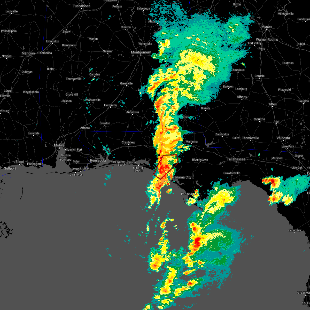 At 201 pm cst, a severe thunderstorm capable of producing a tornado was located near panama city beach, moving northeast at 60 mph (radar indicated rotation). Hazards include tornado. Flying debris will be dangerous to those caught without shelter. mobile homes will be damaged or destroyed. damage to roofs, windows, and vehicles will occur. tree damage is likely. This tornadic thunderstorm will remain over mainly rural areas of northern bay, southeastern walton and southeastern washington counties, including the following locations, west bay, seminole hills, gulf resort beach, greenhead, bahama beach, red head, gainer spring, pine log, edgewater gulf beach and sunnyside. At 201 pm cst, a severe thunderstorm capable of producing a tornado was located near panama city beach, moving northeast at 60 mph (radar indicated rotation). Hazards include tornado. Flying debris will be dangerous to those caught without shelter. mobile homes will be damaged or destroyed. damage to roofs, windows, and vehicles will occur. tree damage is likely. This tornadic thunderstorm will remain over mainly rural areas of northern bay, southeastern walton and southeastern washington counties, including the following locations, west bay, seminole hills, gulf resort beach, greenhead, bahama beach, red head, gainer spring, pine log, edgewater gulf beach and sunnyside.
|
| 2/15/2021 1:36 PM CST |
 At 136 pm cst, severe thunderstorms were located along a line extending from 8 miles east of florala to 20 miles southwest of panama city beach, moving east at 50 mph (radar indicated). Hazards include 60 mph wind gusts. expect damage to roofs, siding, and trees At 136 pm cst, severe thunderstorms were located along a line extending from 8 miles east of florala to 20 miles southwest of panama city beach, moving east at 50 mph (radar indicated). Hazards include 60 mph wind gusts. expect damage to roofs, siding, and trees
|
| 9/16/2020 1:34 AM CDT |
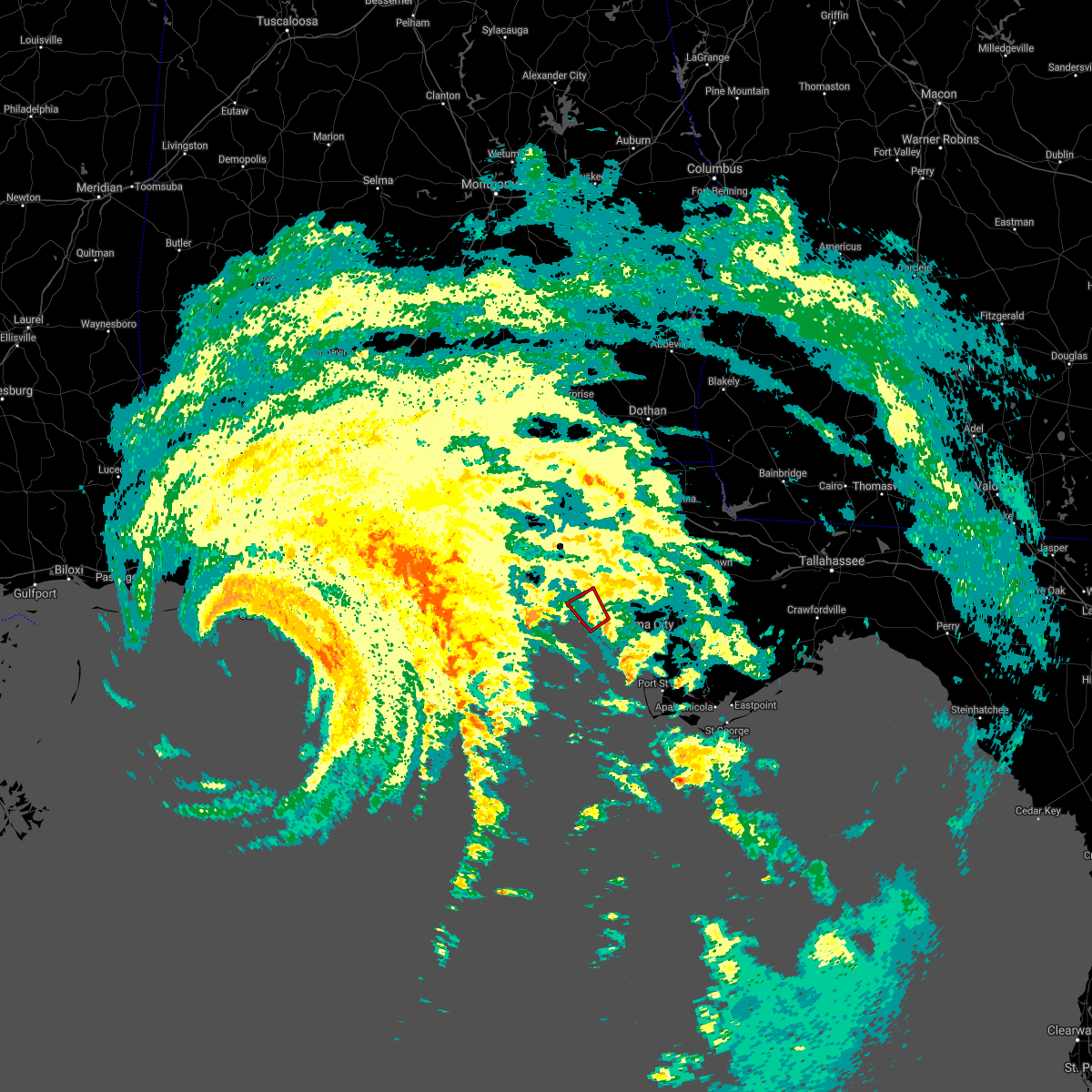 At 134 am cdt, a severe thunderstorm capable of producing a tornado was located over panama city, moving north at 35 mph (radar indicated rotation). Hazards include tornado. Flying debris will be dangerous to those caught without shelter. mobile homes will be damaged or destroyed. damage to roofs, windows, and vehicles will occur. tree damage is likely. This tornadic thunderstorm will remain over mainly rural areas of central bay county, including the following locations, biltmore beach, dirego park, st andrews state park and magnolia beach. At 134 am cdt, a severe thunderstorm capable of producing a tornado was located over panama city, moving north at 35 mph (radar indicated rotation). Hazards include tornado. Flying debris will be dangerous to those caught without shelter. mobile homes will be damaged or destroyed. damage to roofs, windows, and vehicles will occur. tree damage is likely. This tornadic thunderstorm will remain over mainly rural areas of central bay county, including the following locations, biltmore beach, dirego park, st andrews state park and magnolia beach.
|
| 9/15/2020 10:51 PM CDT |
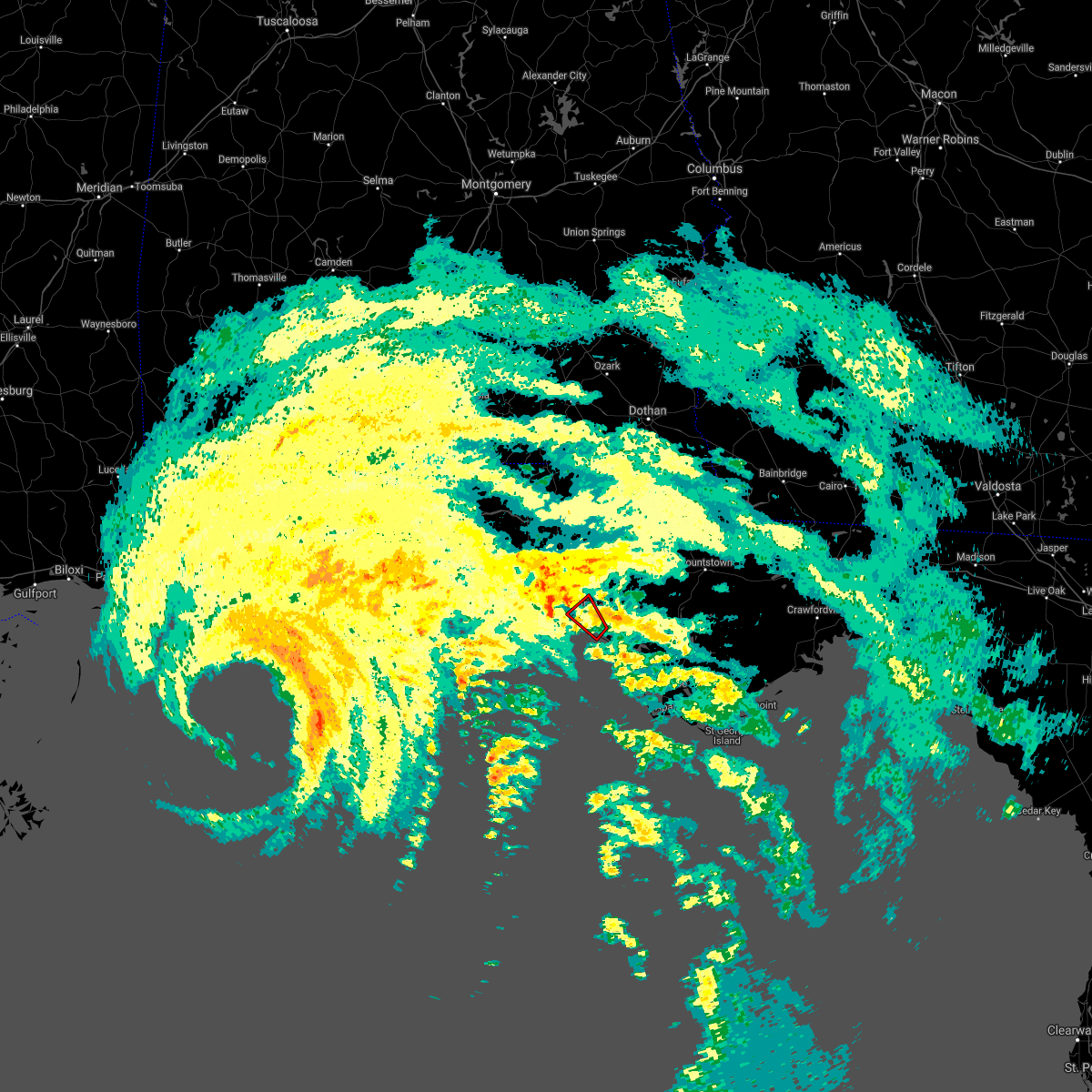 The tornado warning for central bay county will expire at 1100 pm cdt, the storm which prompted the warning has weakened below severe limits, and no longer appears capable of producing a tornado. therefore, the warning will be allowed to expire. a tornado watch remains in effect until 600 am cdt for the panhandle of florida. The tornado warning for central bay county will expire at 1100 pm cdt, the storm which prompted the warning has weakened below severe limits, and no longer appears capable of producing a tornado. therefore, the warning will be allowed to expire. a tornado watch remains in effect until 600 am cdt for the panhandle of florida.
|
| 9/15/2020 10:34 PM CDT |
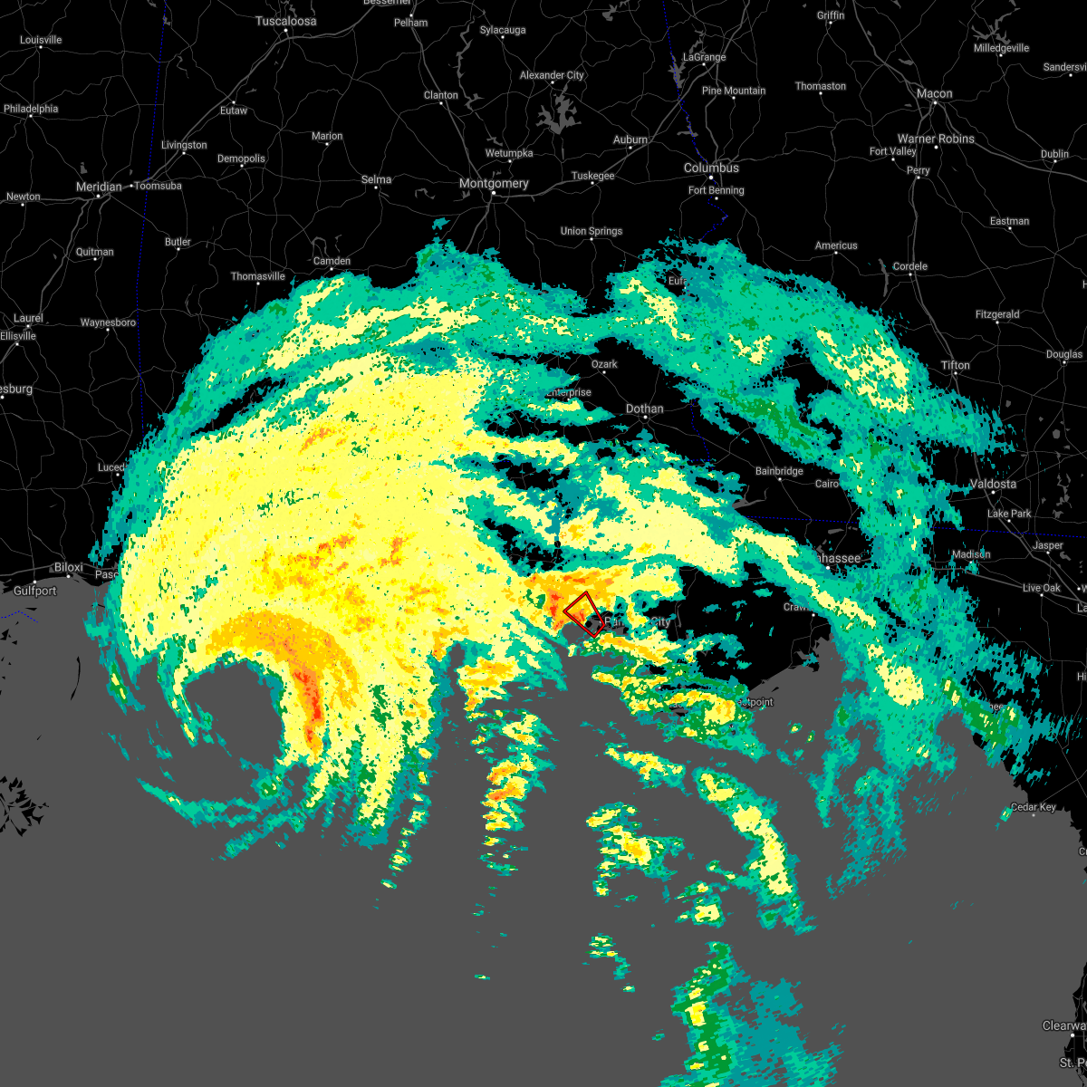 At 1034 pm cdt, a severe thunderstorm capable of producing a tornado was located near panama city, moving northwest at 30 mph (radar indicated rotation). Hazards include tornado. Flying debris will be dangerous to those caught without shelter. mobile homes will be damaged or destroyed. damage to roofs, windows, and vehicles will occur. tree damage is likely. this dangerous storm will be near, panama city beach around 1050 pm cdt. Other locations impacted by this tornadic thunderstorm include biltmore beach, st andrews state park, edgewater gulf beach, gulf lagoon beach, magnolia beach, west panama city, bahama beach and bid-a-wee. At 1034 pm cdt, a severe thunderstorm capable of producing a tornado was located near panama city, moving northwest at 30 mph (radar indicated rotation). Hazards include tornado. Flying debris will be dangerous to those caught without shelter. mobile homes will be damaged or destroyed. damage to roofs, windows, and vehicles will occur. tree damage is likely. this dangerous storm will be near, panama city beach around 1050 pm cdt. Other locations impacted by this tornadic thunderstorm include biltmore beach, st andrews state park, edgewater gulf beach, gulf lagoon beach, magnolia beach, west panama city, bahama beach and bid-a-wee.
|
| 9/15/2020 8:01 PM CDT |
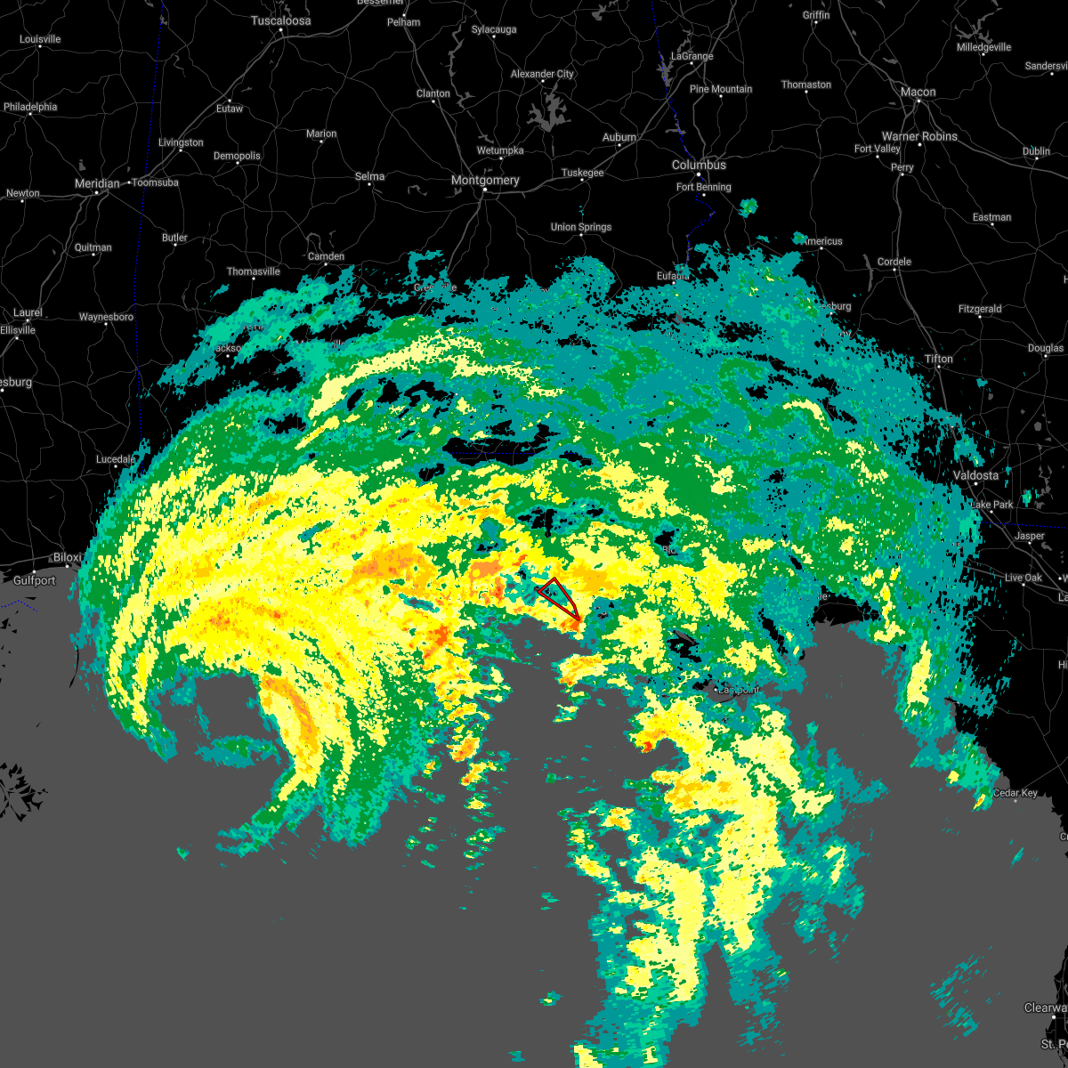 At 801 pm cdt, a severe thunderstorm capable of producing a tornado was located 7 miles southeast of panama city beach, moving northwest at 25 mph (radar indicated rotation). Hazards include tornado. Flying debris will be dangerous to those caught without shelter. mobile homes will be damaged or destroyed. damage to roofs, windows, and vehicles will occur. tree damage is likely. this dangerous storm will be near, panama city beach around 815 pm cdt. Other locations impacted by this tornadic thunderstorm include biltmore beach, west bay, st andrews state park, edgewater gulf beach, sunnyside, gulf lagoon beach, laguna beach, gulf resort beach, west panama city and hollywood beach. At 801 pm cdt, a severe thunderstorm capable of producing a tornado was located 7 miles southeast of panama city beach, moving northwest at 25 mph (radar indicated rotation). Hazards include tornado. Flying debris will be dangerous to those caught without shelter. mobile homes will be damaged or destroyed. damage to roofs, windows, and vehicles will occur. tree damage is likely. this dangerous storm will be near, panama city beach around 815 pm cdt. Other locations impacted by this tornadic thunderstorm include biltmore beach, west bay, st andrews state park, edgewater gulf beach, sunnyside, gulf lagoon beach, laguna beach, gulf resort beach, west panama city and hollywood beach.
|
| 9/12/2020 5:06 PM CDT |
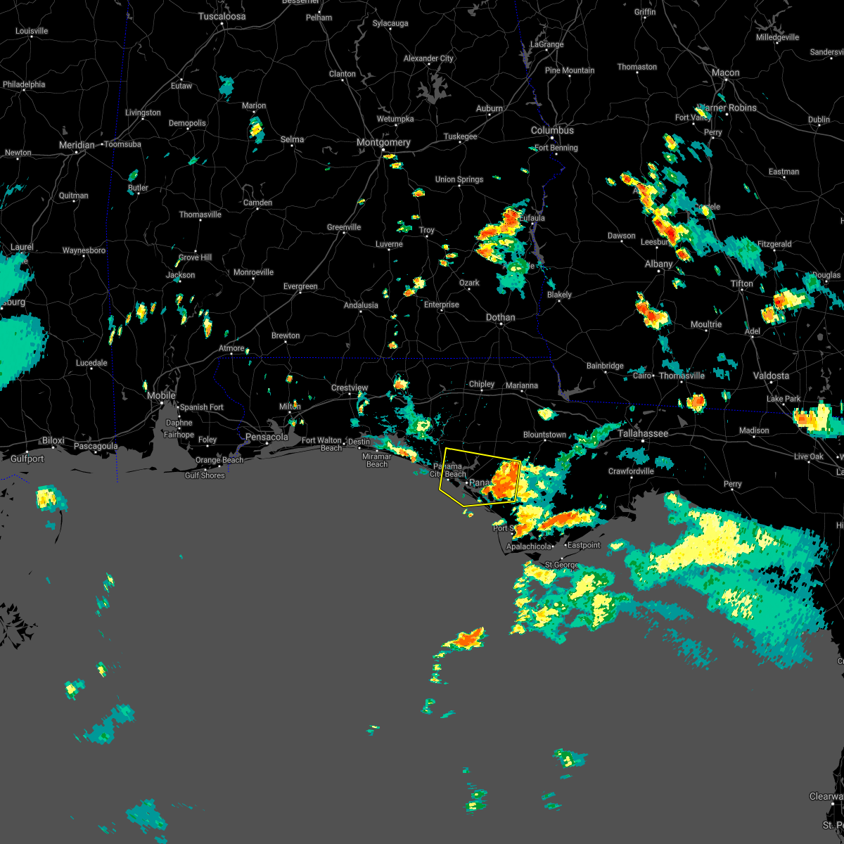 At 505 pm cdt, a severe thunderstorm was located near callaway, moving west at 20 mph (radar indicated). Hazards include 60 mph wind gusts. expect damage to roofs, siding, and trees At 505 pm cdt, a severe thunderstorm was located near callaway, moving west at 20 mph (radar indicated). Hazards include 60 mph wind gusts. expect damage to roofs, siding, and trees
|
| 7/22/2020 1:35 PM CDT |
 The severe thunderstorm warning for west central bay county will expire at 145 pm cdt, the storm which prompted the warning has weakened below severe limits, and no longer poses an immediate threat to life or property. therefore, the warning will be allowed to expire. however gusty winds are still possible with this thunderstorm. to report severe weather, contact your nearest law enforcement agency. they will relay your report to the national weather service tallahassee. The severe thunderstorm warning for west central bay county will expire at 145 pm cdt, the storm which prompted the warning has weakened below severe limits, and no longer poses an immediate threat to life or property. therefore, the warning will be allowed to expire. however gusty winds are still possible with this thunderstorm. to report severe weather, contact your nearest law enforcement agency. they will relay your report to the national weather service tallahassee.
|
| 7/22/2020 1:15 PM CDT |
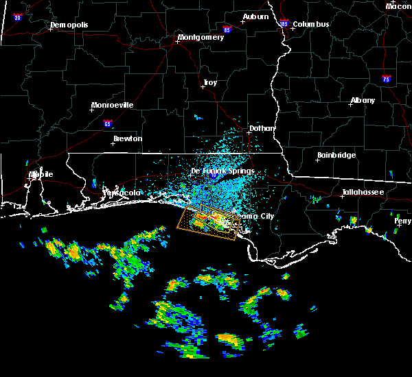 At 1257 pm cdt, a severe thunderstorm was located near panama city, moving west at 20 mph (radar indicated). Hazards include 60 mph wind gusts. expect damage to roofs, siding, and trees At 1257 pm cdt, a severe thunderstorm was located near panama city, moving west at 20 mph (radar indicated). Hazards include 60 mph wind gusts. expect damage to roofs, siding, and trees
|
| 7/22/2020 12:57 PM CDT |
 The national weather service in tallahassee has issued a * severe thunderstorm warning for. west central bay county in the panhandle of florida. until 145 pm cdt. At 1257 pm cdt, a severe thunderstorm was located near panama city, moving west at 20 mph. The national weather service in tallahassee has issued a * severe thunderstorm warning for. west central bay county in the panhandle of florida. until 145 pm cdt. At 1257 pm cdt, a severe thunderstorm was located near panama city, moving west at 20 mph.
|
| 7/12/2020 8:11 PM CDT |
 The severe thunderstorm warning for central bay and south central walton counties will expire at 815 pm cdt, the storm which prompted the warning has moved out of the area. therefore, the warning will be allowed to expire. a severe thunderstorm watch remains in effect until 1000 pm cdt for the panhandle of florida. The severe thunderstorm warning for central bay and south central walton counties will expire at 815 pm cdt, the storm which prompted the warning has moved out of the area. therefore, the warning will be allowed to expire. a severe thunderstorm watch remains in effect until 1000 pm cdt for the panhandle of florida.
|
| 7/12/2020 8:03 PM CDT |
 At 802 pm cdt, a severe thunderstorm was located 8 miles southeast of santa rosa beach, moving southeast at 35 mph (radar indicated). Hazards include 60 mph wind gusts. Expect damage to roofs, siding, and trees. Locations impacted include, panama city, lynn haven, panama city beach, callaway, springfield, hiland park, tyndall air force base, parker, st andrews state park, southport, seminole hills, cedar grove, dirego park, beacon beach, gulf resort beach, west panama city, bahama beach, biltmore beach, sunnyside and millville. At 802 pm cdt, a severe thunderstorm was located 8 miles southeast of santa rosa beach, moving southeast at 35 mph (radar indicated). Hazards include 60 mph wind gusts. Expect damage to roofs, siding, and trees. Locations impacted include, panama city, lynn haven, panama city beach, callaway, springfield, hiland park, tyndall air force base, parker, st andrews state park, southport, seminole hills, cedar grove, dirego park, beacon beach, gulf resort beach, west panama city, bahama beach, biltmore beach, sunnyside and millville.
|
| 7/12/2020 7:29 PM CDT |
 At 729 pm cdt, a severe thunderstorm was located near eglin air force base, or 11 miles north of santa rosa beach, moving southeast at 35 mph (radar indicated). Hazards include 60 mph wind gusts. expect damage to roofs, siding, and trees At 729 pm cdt, a severe thunderstorm was located near eglin air force base, or 11 miles north of santa rosa beach, moving southeast at 35 mph (radar indicated). Hazards include 60 mph wind gusts. expect damage to roofs, siding, and trees
|
| 7/12/2020 7:21 PM CDT |
 At 720 pm cdt, a severe thunderstorm was located 13 miles west of bonifay, moving southeast at 35 mph (radar indicated). Hazards include 60 mph wind gusts. Expect damage to roofs, siding, and trees. Locations impacted include, panama city, lynn haven, panama city beach, callaway, vernon, santa rosa beach, de funiak springs, bonifay, springfield, hiland park, eglin air force base, tyndall air force base, union, live oak, parker, freeport, ponce de leon, caryville, westville and ebro. At 720 pm cdt, a severe thunderstorm was located 13 miles west of bonifay, moving southeast at 35 mph (radar indicated). Hazards include 60 mph wind gusts. Expect damage to roofs, siding, and trees. Locations impacted include, panama city, lynn haven, panama city beach, callaway, vernon, santa rosa beach, de funiak springs, bonifay, springfield, hiland park, eglin air force base, tyndall air force base, union, live oak, parker, freeport, ponce de leon, caryville, westville and ebro.
|
| 7/12/2020 6:33 PM CDT |
 At 632 pm cdt, a severe thunderstorm was located near samson, or 11 miles southeast of opp, moving southeast at 35 mph (radar indicated). Hazards include 60 mph wind gusts. expect damage to roofs, siding, and trees At 632 pm cdt, a severe thunderstorm was located near samson, or 11 miles southeast of opp, moving southeast at 35 mph (radar indicated). Hazards include 60 mph wind gusts. expect damage to roofs, siding, and trees
|
| 6/23/2020 1:54 PM CDT |
 At 154 pm cdt, severe thunderstorms were located along a line extending from graceville to 6 miles south of chipley to 11 miles northwest of vernon to 9 miles south of de funiak springs to 13 miles east of eglin air force base to santa rosa beach, moving east at 30 mph (radar indicated). Hazards include 60 mph wind gusts. expect damage to roofs, siding, and trees At 154 pm cdt, severe thunderstorms were located along a line extending from graceville to 6 miles south of chipley to 11 miles northwest of vernon to 9 miles south of de funiak springs to 13 miles east of eglin air force base to santa rosa beach, moving east at 30 mph (radar indicated). Hazards include 60 mph wind gusts. expect damage to roofs, siding, and trees
|
| 4/23/2020 4:27 PM CDT |
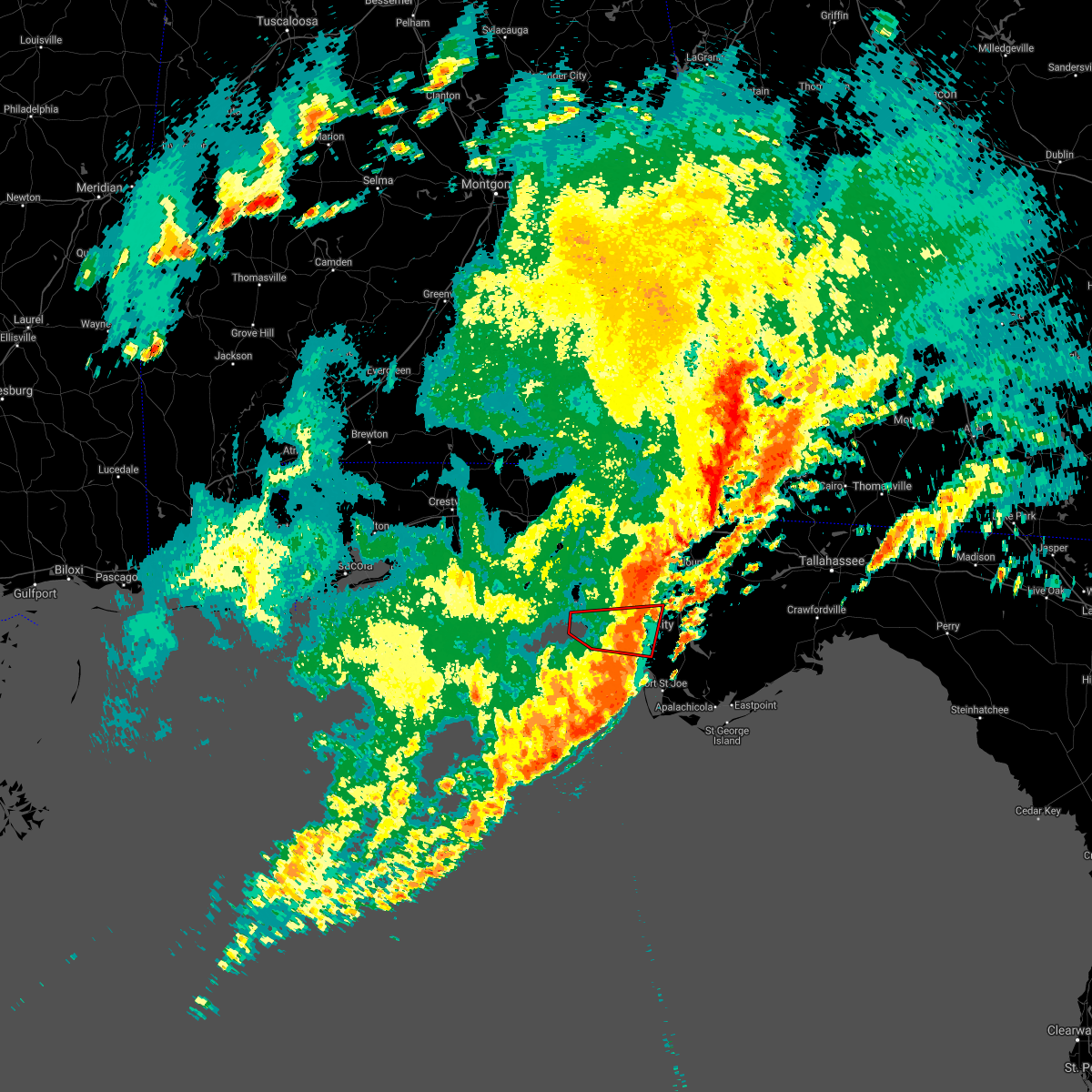 The tornado warning for northwestern gulf, southern bay and southwestern calhoun counties in the panhandle of florida will expire at 430 pm cdt, the storm which prompted the warning has weakened, and no longer appears capable of producing a tornado. therefore, the warning will be allowed to expire. a tornado watch remains in effect until 900 pm cdt for the panhandle of florida. remember, a severe thunderstorm warning still remains in effect. The tornado warning for northwestern gulf, southern bay and southwestern calhoun counties in the panhandle of florida will expire at 430 pm cdt, the storm which prompted the warning has weakened, and no longer appears capable of producing a tornado. therefore, the warning will be allowed to expire. a tornado watch remains in effect until 900 pm cdt for the panhandle of florida. remember, a severe thunderstorm warning still remains in effect.
|
| 4/23/2020 4:00 PM CDT |
 At 359 pm cdt, a confirmed tornado was located 7 miles southeast of panama city beach, moving east at 55 mph (weather spotters confirmed tornado). Hazards include damaging tornado and quarter size hail. Flying debris will be dangerous to those caught without shelter. mobile homes will be damaged or destroyed. damage to roofs, windows, and vehicles will occur. tree damage is likely. the tornado will be near, panama city and tyndall air force base around 405 pm cdt. callaway, springfield and hiland park around 410 pm cdt. Other locations impacted by this tornadic thunderstorm include st andrews state park, allanton, parker, gulf lagoon beach, magnolia beach, cedar grove, dirego park, beacon beach, bay harbor and college station. At 359 pm cdt, a confirmed tornado was located 7 miles southeast of panama city beach, moving east at 55 mph (weather spotters confirmed tornado). Hazards include damaging tornado and quarter size hail. Flying debris will be dangerous to those caught without shelter. mobile homes will be damaged or destroyed. damage to roofs, windows, and vehicles will occur. tree damage is likely. the tornado will be near, panama city and tyndall air force base around 405 pm cdt. callaway, springfield and hiland park around 410 pm cdt. Other locations impacted by this tornadic thunderstorm include st andrews state park, allanton, parker, gulf lagoon beach, magnolia beach, cedar grove, dirego park, beacon beach, bay harbor and college station.
|
| 4/23/2020 3:55 PM CDT |
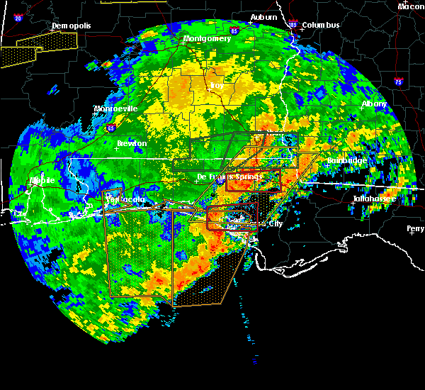 At 454 pm edt/354 pm cdt/, severe thunderstorms were located along a line extending from 11 miles south of vernon to near panama city beach to 26 miles southwest of tyndall air force base, moving east at 45 mph (radar indicated). Hazards include 70 mph wind gusts and quarter size hail. Hail damage to vehicles is expected. expect considerable tree damage. Wind damage is also likely to mobile homes, roofs, and outbuildings. At 454 pm edt/354 pm cdt/, severe thunderstorms were located along a line extending from 11 miles south of vernon to near panama city beach to 26 miles southwest of tyndall air force base, moving east at 45 mph (radar indicated). Hazards include 70 mph wind gusts and quarter size hail. Hail damage to vehicles is expected. expect considerable tree damage. Wind damage is also likely to mobile homes, roofs, and outbuildings.
|
| 4/23/2020 3:48 PM CDT |
 At 447 pm edt/347 pm cdt/, severe thunderstorms were located along a line extending from near cottonwood to 9 miles north of panama city beach, moving east at 55 mph (radar indicated). Hazards include 70 mph wind gusts and quarter size hail. Hail damage to vehicles is expected. expect considerable tree damage. wind damage is also likely to mobile homes, roofs, and outbuildings. Locations impacted include, lynn haven, cottonwood, vernon, bonifay, marianna, chipley, graceville, donalsonville, slocomb, bradford, live oak, malone, sneads, freeport, malvern, rehobeth, cottondale, grand ridge, greenwood and ponce de leon. At 447 pm edt/347 pm cdt/, severe thunderstorms were located along a line extending from near cottonwood to 9 miles north of panama city beach, moving east at 55 mph (radar indicated). Hazards include 70 mph wind gusts and quarter size hail. Hail damage to vehicles is expected. expect considerable tree damage. wind damage is also likely to mobile homes, roofs, and outbuildings. Locations impacted include, lynn haven, cottonwood, vernon, bonifay, marianna, chipley, graceville, donalsonville, slocomb, bradford, live oak, malone, sneads, freeport, malvern, rehobeth, cottondale, grand ridge, greenwood and ponce de leon.
|
| 4/23/2020 3:45 PM CDT |
 At 345 pm cdt, a severe thunderstorm capable of producing a tornado was located 9 miles north of panama city beach, moving east at 45 mph (radar indicated rotation). Hazards include tornado and quarter size hail. Flying debris will be dangerous to those caught without shelter. mobile homes will be damaged or destroyed. damage to roofs, windows, and vehicles will occur. tree damage is likely. this dangerous storm will be near, lynn haven around 405 pm cdt. Other locations impacted by this tornadic thunderstorm include southport, seminole hills, cedar grove, singer road, dirego park, college station, gulf resort beach, bayou george, west panama city and camp flowers. At 345 pm cdt, a severe thunderstorm capable of producing a tornado was located 9 miles north of panama city beach, moving east at 45 mph (radar indicated rotation). Hazards include tornado and quarter size hail. Flying debris will be dangerous to those caught without shelter. mobile homes will be damaged or destroyed. damage to roofs, windows, and vehicles will occur. tree damage is likely. this dangerous storm will be near, lynn haven around 405 pm cdt. Other locations impacted by this tornadic thunderstorm include southport, seminole hills, cedar grove, singer road, dirego park, college station, gulf resort beach, bayou george, west panama city and camp flowers.
|
| 4/23/2020 3:39 PM CDT |
 At 339 pm cdt, a severe thunderstorm capable of producing a tornado was located 13 miles northwest of panama city beach, moving east at 45 mph (radar indicated rotation). Hazards include tornado and quarter size hail. Flying debris will be dangerous to those caught without shelter. mobile homes will be damaged or destroyed. damage to roofs, windows, and vehicles will occur. tree damage is likely. Locations impacted include, panama city beach, ebro, west bay, inlet beach, seminole hills, port washington, gulf resort beach, seaside, pine log, sunnyside, bunker, laird, laguna beach, hollywood beach and seagrove beach. At 339 pm cdt, a severe thunderstorm capable of producing a tornado was located 13 miles northwest of panama city beach, moving east at 45 mph (radar indicated rotation). Hazards include tornado and quarter size hail. Flying debris will be dangerous to those caught without shelter. mobile homes will be damaged or destroyed. damage to roofs, windows, and vehicles will occur. tree damage is likely. Locations impacted include, panama city beach, ebro, west bay, inlet beach, seminole hills, port washington, gulf resort beach, seaside, pine log, sunnyside, bunker, laird, laguna beach, hollywood beach and seagrove beach.
|
| 4/23/2020 3:25 PM CDT |
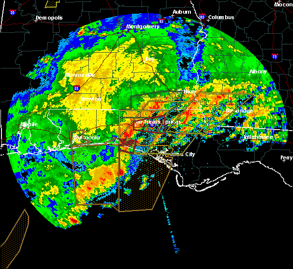 At 324 pm cdt, a severe thunderstorm capable of producing a tornado was located near santa rosa beach, moving east at 45 mph (radar indicated rotation). Hazards include tornado and quarter size hail. Flying debris will be dangerous to those caught without shelter. mobile homes will be damaged or destroyed. damage to roofs, windows, and vehicles will occur. tree damage is likely. This tornadic thunderstorm will remain over mainly rural areas of northwestern bay, southeastern walton and southwestern washington counties, including the following locations, west bay, inlet beach, seminole hills, port washington, gulf resort beach, blue mountain beach, seaside, pine log, sunnyside and bunker. At 324 pm cdt, a severe thunderstorm capable of producing a tornado was located near santa rosa beach, moving east at 45 mph (radar indicated rotation). Hazards include tornado and quarter size hail. Flying debris will be dangerous to those caught without shelter. mobile homes will be damaged or destroyed. damage to roofs, windows, and vehicles will occur. tree damage is likely. This tornadic thunderstorm will remain over mainly rural areas of northwestern bay, southeastern walton and southwestern washington counties, including the following locations, west bay, inlet beach, seminole hills, port washington, gulf resort beach, blue mountain beach, seaside, pine log, sunnyside and bunker.
|
| 4/23/2020 3:19 PM CDT |
 At 418 pm edt/318 pm cdt/, severe thunderstorms were located along a line extending from near hartford to near santa rosa beach, moving east at 55 mph (radar indicated). Hazards include 60 mph wind gusts and quarter size hail. Hail damage to vehicles is expected. Expect wind damage to roofs, siding, and trees. At 418 pm edt/318 pm cdt/, severe thunderstorms were located along a line extending from near hartford to near santa rosa beach, moving east at 55 mph (radar indicated). Hazards include 60 mph wind gusts and quarter size hail. Hail damage to vehicles is expected. Expect wind damage to roofs, siding, and trees.
|
| 4/23/2020 2:50 PM CDT |
 At 249 pm cdt, severe thunderstorms were located along a line extending from near laurel hill to near mary esther, moving east at 50 mph (radar indicated). Hazards include 60 mph wind gusts and half dollar size hail. Hail damage to vehicles is expected. Expect wind damage to roofs, siding, and trees. At 249 pm cdt, severe thunderstorms were located along a line extending from near laurel hill to near mary esther, moving east at 50 mph (radar indicated). Hazards include 60 mph wind gusts and half dollar size hail. Hail damage to vehicles is expected. Expect wind damage to roofs, siding, and trees.
|
| 4/20/2020 2:26 AM CDT |
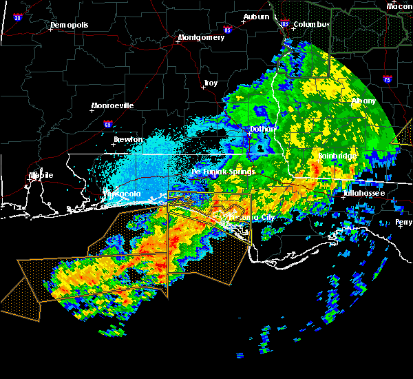 The severe thunderstorm warning for bay, southern walton and southern washington counties will expire at 230 am cdt, the storms which prompted the warning have weakened below severe limits, and no longer pose an immediate threat to life or property. therefore, the warning will be allowed to expire. however heavy rain is still possible with these thunderstorms. a tornado watch remains in effect until 600 am cdt for the panhandle of florida. to report severe weather, contact your nearest law enforcement agency. they will relay your report to the national weather service tallahassee. The severe thunderstorm warning for bay, southern walton and southern washington counties will expire at 230 am cdt, the storms which prompted the warning have weakened below severe limits, and no longer pose an immediate threat to life or property. therefore, the warning will be allowed to expire. however heavy rain is still possible with these thunderstorms. a tornado watch remains in effect until 600 am cdt for the panhandle of florida. to report severe weather, contact your nearest law enforcement agency. they will relay your report to the national weather service tallahassee.
|
| 4/20/2020 1:35 AM CDT |
 At 135 am cdt, severe thunderstorms were located along a line extending from 6 miles east of destin to 15 miles north of panama city beach to 16 miles northeast of lynn haven, moving south at 20 mph (radar indicated). Hazards include 60 mph wind gusts. expect damage to roofs, siding, and trees At 135 am cdt, severe thunderstorms were located along a line extending from 6 miles east of destin to 15 miles north of panama city beach to 16 miles northeast of lynn haven, moving south at 20 mph (radar indicated). Hazards include 60 mph wind gusts. expect damage to roofs, siding, and trees
|
| 4/13/2020 4:04 AM CDT |
 At 504 am edt/404 am cdt/, a severe thunderstorm was located near marianna, moving east at 50 mph (radar indicated). Hazards include 60 mph wind gusts and penny size hail. expect damage to roofs, siding, and trees At 504 am edt/404 am cdt/, a severe thunderstorm was located near marianna, moving east at 50 mph (radar indicated). Hazards include 60 mph wind gusts and penny size hail. expect damage to roofs, siding, and trees
|
| 4/13/2020 3:45 AM CDT |
 At 445 am edt/345 am cdt/, a severe thunderstorm was located 8 miles northeast of marianna, moving east at 55 mph (radar indicated). Hazards include 60 mph wind gusts. Expect damage to roofs, siding, and trees. Locations impacted include, panama city, lynn haven, panama city beach, callaway, vernon, marianna, chipley, donalsonville, graceville, springfield, hiland park, tyndall air force base, bradford, parker, malone, cottondale, grand ridge, greenwood, altha and alford. At 445 am edt/345 am cdt/, a severe thunderstorm was located 8 miles northeast of marianna, moving east at 55 mph (radar indicated). Hazards include 60 mph wind gusts. Expect damage to roofs, siding, and trees. Locations impacted include, panama city, lynn haven, panama city beach, callaway, vernon, marianna, chipley, donalsonville, graceville, springfield, hiland park, tyndall air force base, bradford, parker, malone, cottondale, grand ridge, greenwood, altha and alford.
|
| 4/13/2020 3:09 AM CDT |
 At 409 am edt/309 am cdt/, a severe thunderstorm was located near vernon, moving east at 55 mph (radar indicated). Hazards include 60 mph wind gusts. expect damage to roofs, siding, and trees At 409 am edt/309 am cdt/, a severe thunderstorm was located near vernon, moving east at 55 mph (radar indicated). Hazards include 60 mph wind gusts. expect damage to roofs, siding, and trees
|
| 4/13/2020 2:54 AM CDT |
 At 254 am cdt, a severe thunderstorm was located over graceville, moving east at 55 mph (radar indicated). Hazards include 60 mph wind gusts and penny size hail. Expect damage to roofs, siding, and trees. Locations impacted include, panama city beach, vernon, chipley, graceville, santa rosa beach, bonifay, eglin air force base, bradford, live oak, malone, freeport, cottondale, ponce de leon, alford, caryville, wausau, esto, westville, ebro and campbellton. At 254 am cdt, a severe thunderstorm was located over graceville, moving east at 55 mph (radar indicated). Hazards include 60 mph wind gusts and penny size hail. Expect damage to roofs, siding, and trees. Locations impacted include, panama city beach, vernon, chipley, graceville, santa rosa beach, bonifay, eglin air force base, bradford, live oak, malone, freeport, cottondale, ponce de leon, alford, caryville, wausau, esto, westville, ebro and campbellton.
|
| 4/13/2020 2:22 AM CDT |
 At 222 am cdt, a severe thunderstorm was located 11 miles northeast of de funiak springs, moving east at 55 mph (radar indicated). Hazards include 60 mph wind gusts and penny size hail. expect damage to roofs, siding, and trees At 222 am cdt, a severe thunderstorm was located 11 miles northeast of de funiak springs, moving east at 55 mph (radar indicated). Hazards include 60 mph wind gusts and penny size hail. expect damage to roofs, siding, and trees
|
| 3/31/2020 2:08 PM CDT |
 The severe thunderstorm warning for southeastern jackson, northern gulf, bay, calhoun and southern walton counties in the panhandle of florida, gadsden and liberty counties in big bend of florida, southwestern decatur and southern seminole counties in southwestern georgia will expire at 315 pm edt/215 pm cdt/, the storms which prompted the warning have weakened below severe limits, and no longer pose an immediate threat to life or property. therefore, the warning will be allowed to expire. however gusty winds and heavy rain are still possible with these thunderstorms. a tornado watch remains in effect until 400 pm edt/300 pm cdt/ for big bend of and the panhandle of florida, and southwestern georgia. a tornado watch also remains in effect until 900 pm edt/800 pm cdt/ for big bend of and the panhandle of florida. The severe thunderstorm warning for southeastern jackson, northern gulf, bay, calhoun and southern walton counties in the panhandle of florida, gadsden and liberty counties in big bend of florida, southwestern decatur and southern seminole counties in southwestern georgia will expire at 315 pm edt/215 pm cdt/, the storms which prompted the warning have weakened below severe limits, and no longer pose an immediate threat to life or property. therefore, the warning will be allowed to expire. however gusty winds and heavy rain are still possible with these thunderstorms. a tornado watch remains in effect until 400 pm edt/300 pm cdt/ for big bend of and the panhandle of florida, and southwestern georgia. a tornado watch also remains in effect until 900 pm edt/800 pm cdt/ for big bend of and the panhandle of florida.
|
| 3/31/2020 1:50 PM CDT |
 At 249 pm edt/149 pm cdt/, severe thunderstorms were located along a line extending from near cairo to near callaway, moving east at 45 mph (radar indicated). Hazards include 60 mph wind gusts. Expect damage to roofs, siding, and trees. Locations impacted include, panama city, lynn haven, panama city beach, callaway, santa rosa beach, quincy, blountstown, havana, midway, springfield, hiland park, stonemill creek, chattahoochee, greensboro, tyndall air force base, orange, parker, wewahitchka, sneads and gretna. At 249 pm edt/149 pm cdt/, severe thunderstorms were located along a line extending from near cairo to near callaway, moving east at 45 mph (radar indicated). Hazards include 60 mph wind gusts. Expect damage to roofs, siding, and trees. Locations impacted include, panama city, lynn haven, panama city beach, callaway, santa rosa beach, quincy, blountstown, havana, midway, springfield, hiland park, stonemill creek, chattahoochee, greensboro, tyndall air force base, orange, parker, wewahitchka, sneads and gretna.
|
| 3/31/2020 1:12 PM CDT |
 At 212 pm edt/112 pm cdt/, severe thunderstorms were located along a line extending from 8 miles northwest of west bainbridge to 13 miles west of panama city beach, moving east at 45 mph (radar indicated). Hazards include 60 mph wind gusts. expect damage to roofs, siding, and trees At 212 pm edt/112 pm cdt/, severe thunderstorms were located along a line extending from 8 miles northwest of west bainbridge to 13 miles west of panama city beach, moving east at 45 mph (radar indicated). Hazards include 60 mph wind gusts. expect damage to roofs, siding, and trees
|
| 3/31/2020 12:14 PM CDT |
 At 114 pm edt/1214 pm cdt/, severe thunderstorms were located along a line extending from near taylor to 12 miles southwest of baker, moving southeast at 50 mph (radar indicated). Hazards include 60 mph wind gusts. expect damage to roofs, siding, and trees At 114 pm edt/1214 pm cdt/, severe thunderstorms were located along a line extending from near taylor to 12 miles southwest of baker, moving southeast at 50 mph (radar indicated). Hazards include 60 mph wind gusts. expect damage to roofs, siding, and trees
|
| 1/11/2020 5:28 PM CST |
 At 527 pm cst, severe thunderstorms were located along a line extending from near cottonwood to 12 miles northwest of lynn haven, moving northeast at 45 mph (radar indicated). Hazards include 70 mph wind gusts. Expect considerable tree damage. damage is likely to mobile homes, roofs, and outbuildings. Locations impacted include, panama city beach, vernon, chipley, graceville, bradford, cottondale, alford, wausau, campbellton, richter crossroads, gulf resort beach, west panama city, bahama beach, sunnyside, jacobs, smyrna, bahoma, sylvania, ellaville and brock crossroad. At 527 pm cst, severe thunderstorms were located along a line extending from near cottonwood to 12 miles northwest of lynn haven, moving northeast at 45 mph (radar indicated). Hazards include 70 mph wind gusts. Expect considerable tree damage. damage is likely to mobile homes, roofs, and outbuildings. Locations impacted include, panama city beach, vernon, chipley, graceville, bradford, cottondale, alford, wausau, campbellton, richter crossroads, gulf resort beach, west panama city, bahama beach, sunnyside, jacobs, smyrna, bahoma, sylvania, ellaville and brock crossroad.
|
| 1/11/2020 5:15 PM CST |
 At 514 pm cst, severe thunderstorms were located along a line extending from near graceville to near panama city beach, moving east at 35 mph (radar indicated). Hazards include 70 mph wind gusts. Expect considerable tree damage. damage is likely to mobile homes, roofs, and outbuildings. Locations impacted include, panama city beach, vernon, chipley, graceville, bonifay, bradford, cottondale, alford, wausau, ebro, campbellton, noma, whitehead crossroads, gulf resort beach, west panama city, bahama beach, holmes valley, millers ferry, noma junction and bahoma. At 514 pm cst, severe thunderstorms were located along a line extending from near graceville to near panama city beach, moving east at 35 mph (radar indicated). Hazards include 70 mph wind gusts. Expect considerable tree damage. damage is likely to mobile homes, roofs, and outbuildings. Locations impacted include, panama city beach, vernon, chipley, graceville, bonifay, bradford, cottondale, alford, wausau, ebro, campbellton, noma, whitehead crossroads, gulf resort beach, west panama city, bahama beach, holmes valley, millers ferry, noma junction and bahoma.
|
| 1/11/2020 4:38 PM CST |
 At 438 pm cst, severe thunderstorms were located along a line extending from 9 miles southeast of geneva to 19 miles south of santa rosa beach, moving east at 35 mph (radar indicated). Hazards include 60 mph wind gusts. expect damage to roofs, siding, and trees At 438 pm cst, severe thunderstorms were located along a line extending from 9 miles southeast of geneva to 19 miles south of santa rosa beach, moving east at 35 mph (radar indicated). Hazards include 60 mph wind gusts. expect damage to roofs, siding, and trees
|
| 6/28/2019 2:05 PM CDT |
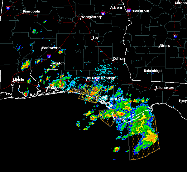 The severe thunderstorm warning for northwestern bay, southeastern walton and southwestern washington counties will expire at 215 pm cdt, the storms which prompted the warning have weakened below severe limits, and no longer pose an immediate threat to life or property. therefore, the warning will be allowed to expire. to report severe weather, contact your nearest law enforcement agency. they will relay your report to the national weather service tallahassee. The severe thunderstorm warning for northwestern bay, southeastern walton and southwestern washington counties will expire at 215 pm cdt, the storms which prompted the warning have weakened below severe limits, and no longer pose an immediate threat to life or property. therefore, the warning will be allowed to expire. to report severe weather, contact your nearest law enforcement agency. they will relay your report to the national weather service tallahassee.
|
| 6/28/2019 1:35 PM CDT | Cable line down in the laguna beach are in bay county FL, 5.8 miles ESE of Panama City Beach, FL |
| 6/28/2019 1:34 PM CDT |
 At 134 pm cdt, severe thunderstorms were located along a line extending from 15 miles northwest of lynn haven to near panama city beach, moving west at 15 mph (radar indicated). Hazards include 60 mph wind gusts. expect damage to roofs, siding, and trees At 134 pm cdt, severe thunderstorms were located along a line extending from 15 miles northwest of lynn haven to near panama city beach, moving west at 15 mph (radar indicated). Hazards include 60 mph wind gusts. expect damage to roofs, siding, and trees
|
| 5/12/2019 10:42 AM CDT |
 At 1141 am edt/1041 am cdt/, severe thunderstorms were located along a line extending from 9 miles east of chipley to 11 miles south of vernon to near panama city beach, moving east at 50 mph (radar indicated). Hazards include 60 mph wind gusts. expect damage to roofs, siding, and trees At 1141 am edt/1041 am cdt/, severe thunderstorms were located along a line extending from 9 miles east of chipley to 11 miles south of vernon to near panama city beach, moving east at 50 mph (radar indicated). Hazards include 60 mph wind gusts. expect damage to roofs, siding, and trees
|
| 5/12/2019 9:58 AM CDT |
 At 958 am cdt, severe thunderstorms were located along a line extending from 7 miles south of geneva to 13 miles northwest of vernon to 7 miles southeast of destin, moving southeast at 40 mph (radar indicated). Hazards include 60 mph wind gusts. expect damage to roofs, siding, and trees At 958 am cdt, severe thunderstorms were located along a line extending from 7 miles south of geneva to 13 miles northwest of vernon to 7 miles southeast of destin, moving southeast at 40 mph (radar indicated). Hazards include 60 mph wind gusts. expect damage to roofs, siding, and trees
|
| 4/19/2019 5:28 AM CDT |
 At 527 am cdt, a severe thunderstorm was located near vernon, moving northeast at 45 mph (radar indicated). Hazards include 60 mph wind gusts. Expect damage to roofs, siding, and trees. locations impacted include, panama city, lynn haven, panama city beach, vernon, chipley, bonifay, springfield, hiland park, tyndall air force base, bradford, live oak, cottondale, ponce de leon, alford, caryville, wausau, westville, ebro, whitehead crossroads and cerrogordo. A tornado watch remains in effect until 800 am cdt for the panhandle of florida. At 527 am cdt, a severe thunderstorm was located near vernon, moving northeast at 45 mph (radar indicated). Hazards include 60 mph wind gusts. Expect damage to roofs, siding, and trees. locations impacted include, panama city, lynn haven, panama city beach, vernon, chipley, bonifay, springfield, hiland park, tyndall air force base, bradford, live oak, cottondale, ponce de leon, alford, caryville, wausau, westville, ebro, whitehead crossroads and cerrogordo. A tornado watch remains in effect until 800 am cdt for the panhandle of florida.
|
| 4/19/2019 4:58 AM CDT |
 At 457 am cdt, a severe thunderstorm was located near panama city beach, moving northeast at 45 mph (radar indicated). Hazards include 60 mph wind gusts. expect damage to roofs, siding, and trees At 457 am cdt, a severe thunderstorm was located near panama city beach, moving northeast at 45 mph (radar indicated). Hazards include 60 mph wind gusts. expect damage to roofs, siding, and trees
|
| 4/19/2019 4:39 AM CDT |
 At 439 am cdt, severe thunderstorms were located along a line extending from 14 miles east of santa rosa beach to 14 miles southwest of panama city beach, moving east at 40 mph (radar indicated). Hazards include 60 mph wind gusts. Expect damage to roofs, siding, and trees. locations impacted include, panama city, lynn haven, panama city beach, vernon, live oak, freeport, ponce de leon, caryville, westville, ebro, hinsons crossroads, southport, seminole hills, cerrogordo, gulf resort beach, west panama city, camp flowers, seaside, bahama beach and holmes valley. A tornado watch remains in effect until 800 am cdt for the panhandle of florida. At 439 am cdt, severe thunderstorms were located along a line extending from 14 miles east of santa rosa beach to 14 miles southwest of panama city beach, moving east at 40 mph (radar indicated). Hazards include 60 mph wind gusts. Expect damage to roofs, siding, and trees. locations impacted include, panama city, lynn haven, panama city beach, vernon, live oak, freeport, ponce de leon, caryville, westville, ebro, hinsons crossroads, southport, seminole hills, cerrogordo, gulf resort beach, west panama city, camp flowers, seaside, bahama beach and holmes valley. A tornado watch remains in effect until 800 am cdt for the panhandle of florida.
|
| 4/19/2019 4:15 AM CDT |
 At 414 am cdt, severe thunderstorms were located along a line extending from 11 miles south of santa rosa beach to 29 miles southwest of panama city beach, moving northeast at 40 mph (radar indicated). Hazards include 60 mph wind gusts. expect damage to roofs, siding, and trees At 414 am cdt, severe thunderstorms were located along a line extending from 11 miles south of santa rosa beach to 29 miles southwest of panama city beach, moving northeast at 40 mph (radar indicated). Hazards include 60 mph wind gusts. expect damage to roofs, siding, and trees
|
| 3/3/2019 6:00 PM CST |
 At 659 pm est/559 pm cst/, a severe thunderstorm was located 12 miles west of blountstown, moving east at 65 mph (radar indicated). Hazards include 60 mph wind gusts. expect damage to roofs, siding, and trees At 659 pm est/559 pm cst/, a severe thunderstorm was located 12 miles west of blountstown, moving east at 65 mph (radar indicated). Hazards include 60 mph wind gusts. expect damage to roofs, siding, and trees
|
| 3/3/2019 5:24 PM CST |
 At 624 pm est/524 pm cst/, severe thunderstorms were located along a line extending from 13 miles northeast of marianna to 11 miles west of panama city beach, moving east at 50 mph (radar indicated). Hazards include 60 mph wind gusts. expect damage to roofs, siding, and trees At 624 pm est/524 pm cst/, severe thunderstorms were located along a line extending from 13 miles northeast of marianna to 11 miles west of panama city beach, moving east at 50 mph (radar indicated). Hazards include 60 mph wind gusts. expect damage to roofs, siding, and trees
|
| 1/23/2019 7:52 PM CST |
 At 752 pm cst, severe thunderstorms were located along a line extending from 9 miles northwest of bonifay to 33 miles south of panama city beach, moving east at 45 mph (radar indicated). Hazards include 60 mph wind gusts. Expect damage to roofs, siding, and trees. Locations impacted include, panama city, lynn haven, panama city beach, callaway, vernon, chipley, bonifay, springfield, hiland park, tyndall air force base, bradford, live oak, parker, ponce de leon, caryville, wausau, westville, ebro, whitehead crossroads and dirego park. At 752 pm cst, severe thunderstorms were located along a line extending from 9 miles northwest of bonifay to 33 miles south of panama city beach, moving east at 45 mph (radar indicated). Hazards include 60 mph wind gusts. Expect damage to roofs, siding, and trees. Locations impacted include, panama city, lynn haven, panama city beach, callaway, vernon, chipley, bonifay, springfield, hiland park, tyndall air force base, bradford, live oak, parker, ponce de leon, caryville, wausau, westville, ebro, whitehead crossroads and dirego park.
|
| 1/23/2019 7:33 PM CST |
 At 733 pm cst, severe thunderstorms were located along a line extending from 8 miles north of de funiak springs to 44 miles southwest of panama city beach, moving east at 35 mph (radar indicated). Hazards include 60 mph wind gusts. Expect damage to roofs, siding, and trees. Locations impacted include, panama city, lynn haven, panama city beach, callaway, vernon, chipley, de funiak springs, bonifay, santa rosa beach, springfield, hiland park, tyndall air force base, eglin air force base, bradford, live oak, parker, freeport, ponce de leon, caryville and wausau. At 733 pm cst, severe thunderstorms were located along a line extending from 8 miles north of de funiak springs to 44 miles southwest of panama city beach, moving east at 35 mph (radar indicated). Hazards include 60 mph wind gusts. Expect damage to roofs, siding, and trees. Locations impacted include, panama city, lynn haven, panama city beach, callaway, vernon, chipley, de funiak springs, bonifay, santa rosa beach, springfield, hiland park, tyndall air force base, eglin air force base, bradford, live oak, parker, freeport, ponce de leon, caryville and wausau.
|
| 1/23/2019 7:01 PM CST |
 At 700 pm cst, severe thunderstorms were located along a line extending from 12 miles east of crestview to 52 miles south of destin, moving east at 35 mph (radar indicated). Hazards include 60 mph wind gusts. expect damage to roofs, siding, and trees At 700 pm cst, severe thunderstorms were located along a line extending from 12 miles east of crestview to 52 miles south of destin, moving east at 35 mph (radar indicated). Hazards include 60 mph wind gusts. expect damage to roofs, siding, and trees
|
| 1/19/2019 5:54 PM CST |
 At 554 pm cst, severe thunderstorms were located along a line extending from 8 miles south of chipley to 7 miles west of tyndall air force base, moving northeast at 50 mph (radar indicated). Hazards include 60 mph wind gusts. Expect damage to roofs, siding, and trees. locations impacted include, panama city, lynn haven, panama city beach, callaway, vernon, springfield, mexico beach, hiland park, tyndall air force base, bradford, parker, wausau, allanton, dirego park, college station, west panama city, bahama beach, bennett, davis beach and porter lake. A tornado watch remains in effect until 900 pm cst for the panhandle of florida. At 554 pm cst, severe thunderstorms were located along a line extending from 8 miles south of chipley to 7 miles west of tyndall air force base, moving northeast at 50 mph (radar indicated). Hazards include 60 mph wind gusts. Expect damage to roofs, siding, and trees. locations impacted include, panama city, lynn haven, panama city beach, callaway, vernon, springfield, mexico beach, hiland park, tyndall air force base, bradford, parker, wausau, allanton, dirego park, college station, west panama city, bahama beach, bennett, davis beach and porter lake. A tornado watch remains in effect until 900 pm cst for the panhandle of florida.
|
| 1/19/2019 5:38 PM CST |
 At 538 pm cst, severe thunderstorms were located along a line extending from 8 miles west of vernon to 17 miles southwest of panama city beach, moving east at 40 mph (radar indicated). Hazards include 60 mph wind gusts. Expect damage to roofs, siding, and trees. locations impacted include, panama city, lynn haven, panama city beach, callaway, vernon, springfield, mexico beach, hiland park, tyndall air force base, live oak, parker, wausau, ebro, allanton, dirego park, college station, gulf resort beach, west panama city, bahama beach and holmes valley. A tornado watch remains in effect until 900 pm cst for the panhandle of florida. At 538 pm cst, severe thunderstorms were located along a line extending from 8 miles west of vernon to 17 miles southwest of panama city beach, moving east at 40 mph (radar indicated). Hazards include 60 mph wind gusts. Expect damage to roofs, siding, and trees. locations impacted include, panama city, lynn haven, panama city beach, callaway, vernon, springfield, mexico beach, hiland park, tyndall air force base, live oak, parker, wausau, ebro, allanton, dirego park, college station, gulf resort beach, west panama city, bahama beach and holmes valley. A tornado watch remains in effect until 900 pm cst for the panhandle of florida.
|
| 1/19/2019 5:24 PM CST |
 At 523 pm cst, severe thunderstorms were located along a line extending from 9 miles northeast of santa rosa beach to 38 miles southwest of panama city beach, moving northeast at 45 mph (radar indicated). Hazards include 60 mph wind gusts. a wind gust to 48 mph was recently measured at the panama city airport. expect damage to roofs, siding, and trees At 523 pm cst, severe thunderstorms were located along a line extending from 9 miles northeast of santa rosa beach to 38 miles southwest of panama city beach, moving northeast at 45 mph (radar indicated). Hazards include 60 mph wind gusts. a wind gust to 48 mph was recently measured at the panama city airport. expect damage to roofs, siding, and trees
|
| 12/9/2018 12:00 AM CST | A few power outages along front beach road as strong winds moved through the area. likely due to wind as no lightning was in the area. unknown if lines are down. also a in bay county FL, 3.4 miles NW of Panama City Beach, FL |
| 12/8/2018 11:39 PM CST |
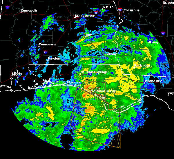 At 1139 pm cst, severe thunderstorms were located along a line extending from 18 miles east of santa rosa beach to 42 miles southwest of tyndall air force base, moving east at 25 mph (radar indicated). Hazards include 60 mph wind gusts. Expect damage to roofs, siding, and trees. Locations impacted include, panama city, lynn haven, panama city beach, callaway, springfield, mexico beach, hiland park, tyndall air force base, parker, ebro, allanton, dirego park, college station, gulf resort beach, west panama city, bahama beach, bennett, davis beach, brannonville and millville. At 1139 pm cst, severe thunderstorms were located along a line extending from 18 miles east of santa rosa beach to 42 miles southwest of tyndall air force base, moving east at 25 mph (radar indicated). Hazards include 60 mph wind gusts. Expect damage to roofs, siding, and trees. Locations impacted include, panama city, lynn haven, panama city beach, callaway, springfield, mexico beach, hiland park, tyndall air force base, parker, ebro, allanton, dirego park, college station, gulf resort beach, west panama city, bahama beach, bennett, davis beach, brannonville and millville.
|
| 12/8/2018 11:19 PM CST |
 At 1118 pm cst, severe thunderstorms were located along a line extending from 13 miles southeast of eglin air force base to 41 miles southwest of panama city beach, moving northeast at 30 mph (radar indicated). Hazards include 60 mph wind gusts. Expect damage to roofs, siding, and trees. Locations impacted include, panama city, lynn haven, panama city beach, callaway, springfield, mexico beach, hiland park, tyndall air force base, eglin air force base, parker, freeport, ebro, allanton, dirego park, college station, gulf resort beach, west panama city, seaside, bahama beach and bennett. At 1118 pm cst, severe thunderstorms were located along a line extending from 13 miles southeast of eglin air force base to 41 miles southwest of panama city beach, moving northeast at 30 mph (radar indicated). Hazards include 60 mph wind gusts. Expect damage to roofs, siding, and trees. Locations impacted include, panama city, lynn haven, panama city beach, callaway, springfield, mexico beach, hiland park, tyndall air force base, eglin air force base, parker, freeport, ebro, allanton, dirego park, college station, gulf resort beach, west panama city, seaside, bahama beach and bennett.
|
| 12/8/2018 10:47 PM CST |
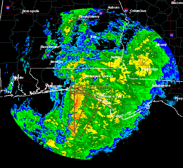 At 1047 pm cst, severe thunderstorms were located along a line extending from 7 miles south of eglin air force base to 55 miles southwest of panama city beach, moving northeast at 35 mph (radar indicated). Hazards include 60 mph wind gusts. expect damage to roofs, siding, and trees At 1047 pm cst, severe thunderstorms were located along a line extending from 7 miles south of eglin air force base to 55 miles southwest of panama city beach, moving northeast at 35 mph (radar indicated). Hazards include 60 mph wind gusts. expect damage to roofs, siding, and trees
|
| 12/1/2018 2:22 PM CST |
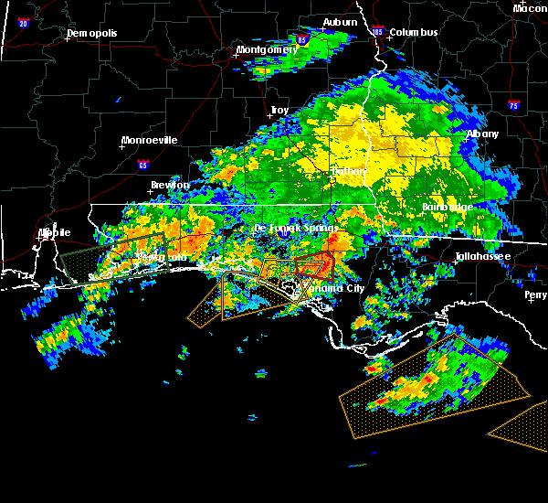 The severe thunderstorm warning for northern bay, southeastern walton and southern washington counties will expire at 230 pm cst, the storm which prompted the warning has weakened below severe limits, and no longer poses an immediate threat to life or property. therefore, the warning will be allowed to expire. however gusty winds are still possible with this thunderstorm. a tornado watch remains in effect until 600 pm cst for the panhandle of florida. to report severe weather, contact your nearest law enforcement agency. they will relay your report to the national weather service tallahassee. The severe thunderstorm warning for northern bay, southeastern walton and southern washington counties will expire at 230 pm cst, the storm which prompted the warning has weakened below severe limits, and no longer poses an immediate threat to life or property. therefore, the warning will be allowed to expire. however gusty winds are still possible with this thunderstorm. a tornado watch remains in effect until 600 pm cst for the panhandle of florida. to report severe weather, contact your nearest law enforcement agency. they will relay your report to the national weather service tallahassee.
|
| 12/1/2018 1:24 PM CST |
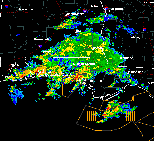 At 124 pm cst, a severe thunderstorm was located 10 miles northwest of panama city beach, moving east at 40 mph (radar indicated). Hazards include 60 mph wind gusts. expect damage to roofs, siding, and trees At 124 pm cst, a severe thunderstorm was located 10 miles northwest of panama city beach, moving east at 40 mph (radar indicated). Hazards include 60 mph wind gusts. expect damage to roofs, siding, and trees
|
| 11/12/2018 2:16 PM CST |
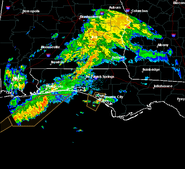 At 216 pm cst, a severe thunderstorm was located 8 miles southeast of panama city beach, moving northeast at 20 mph (radar indicated). Hazards include 60 mph wind gusts. expect damage to roofs, siding, and trees At 216 pm cst, a severe thunderstorm was located 8 miles southeast of panama city beach, moving northeast at 20 mph (radar indicated). Hazards include 60 mph wind gusts. expect damage to roofs, siding, and trees
|
| 9/2/2018 6:38 PM CDT |
 The severe thunderstorm warning for southwestern jackson, bay and washington counties will expire at 645 pm cdt, the storms which prompted the warning have weakened below severe limits, and no longer pose an immediate threat to life or property. therefore, the warning will be allowed to expire. however gusty winds are still expected with these thunderstorms. The severe thunderstorm warning for southwestern jackson, bay and washington counties will expire at 645 pm cdt, the storms which prompted the warning have weakened below severe limits, and no longer pose an immediate threat to life or property. therefore, the warning will be allowed to expire. however gusty winds are still expected with these thunderstorms.
|
| 9/2/2018 6:27 PM CDT |
 At 627 pm cdt, a severe thunderstorm was located near panama city, moving west at 35 mph (radar indicated). Hazards include 60 mph wind gusts. Expect damage to roofs, siding, and trees. Locations impacted include, panama city, lynn haven, panama city beach, callaway, vernon, chipley, marianna, bonifay, springfield, hiland park, tyndall air force base, bradford, parker, alford, wausau, dirego park, college station, gulf resort beach, west panama city and bahama beach. At 627 pm cdt, a severe thunderstorm was located near panama city, moving west at 35 mph (radar indicated). Hazards include 60 mph wind gusts. Expect damage to roofs, siding, and trees. Locations impacted include, panama city, lynn haven, panama city beach, callaway, vernon, chipley, marianna, bonifay, springfield, hiland park, tyndall air force base, bradford, parker, alford, wausau, dirego park, college station, gulf resort beach, west panama city and bahama beach.
|
| 9/2/2018 5:49 PM CDT |
 At 549 pm cdt, a severe thunderstorm was located 9 miles west of wewahitchka, or 13 miles east of callaway, moving west at 35 mph (radar indicated). Hazards include 60 mph wind gusts. expect damage to roofs, siding, and trees At 549 pm cdt, a severe thunderstorm was located 9 miles west of wewahitchka, or 13 miles east of callaway, moving west at 35 mph (radar indicated). Hazards include 60 mph wind gusts. expect damage to roofs, siding, and trees
|
| 8/31/2018 12:40 PM CDT |
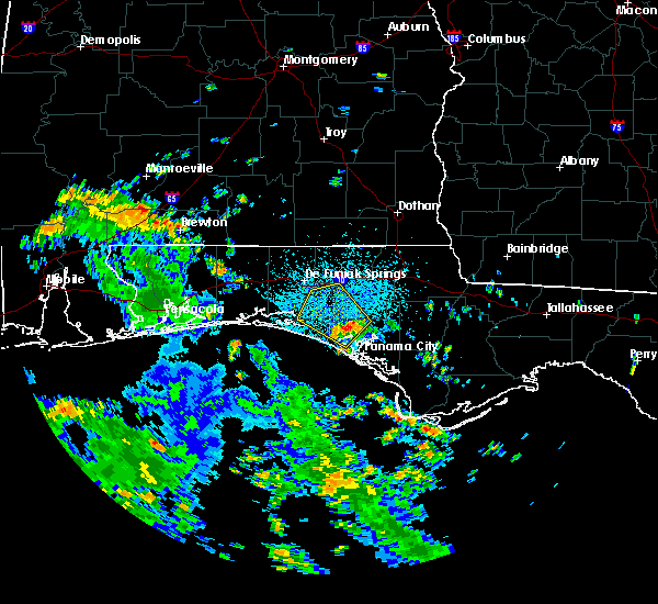 At 1239 pm cdt, doppler radar indicated a severe thunderstorm capable of producing damaging winds in excess of 60 mph. this storm was located 11 miles northwest of lynn haven, and moving northwest at 15 mph. At 1239 pm cdt, doppler radar indicated a severe thunderstorm capable of producing damaging winds in excess of 60 mph. this storm was located 11 miles northwest of lynn haven, and moving northwest at 15 mph.
|
| 8/13/2018 3:53 PM CDT |
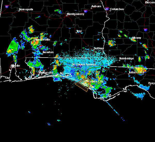 At 352 pm cdt, a severe thunderstorm was located over lynn haven, moving southwest at 5 mph (radar indicated). Hazards include 60 mph wind gusts. expect damage to roofs, siding, and trees At 352 pm cdt, a severe thunderstorm was located over lynn haven, moving southwest at 5 mph (radar indicated). Hazards include 60 mph wind gusts. expect damage to roofs, siding, and trees
|
| 7/28/2018 2:38 PM CDT |
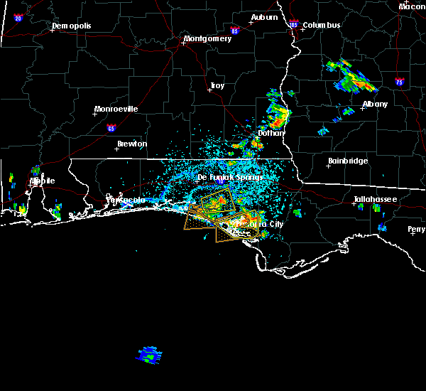 At 238 pm cdt, severe thunderstorms were located along a line extending from 11 miles northeast of hiland park to 6 miles west of lynn haven, moving southeast at 10 mph (radar indicated). Hazards include 60 mph wind gusts. expect damage to roofs, siding, and trees At 238 pm cdt, severe thunderstorms were located along a line extending from 11 miles northeast of hiland park to 6 miles west of lynn haven, moving southeast at 10 mph (radar indicated). Hazards include 60 mph wind gusts. expect damage to roofs, siding, and trees
|
| 7/22/2018 4:25 PM CDT |
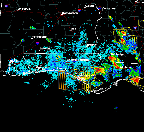 At 525 pm edt/425 pm cdt/, a severe thunderstorm was located 7 miles east of callaway, moving southeast at 40 mph (radar indicated). Hazards include 60 mph wind gusts and penny size hail. expect damage to roofs, siding, and trees At 525 pm edt/425 pm cdt/, a severe thunderstorm was located 7 miles east of callaway, moving southeast at 40 mph (radar indicated). Hazards include 60 mph wind gusts and penny size hail. expect damage to roofs, siding, and trees
|
| 7/22/2018 4:08 PM CDT |
 At 407 pm cdt, severe thunderstorms were located along a line extending from 14 miles northwest of blountstown to 13 miles northwest of stonemill creek to near lynn haven to 8 miles northwest of panama city beach, moving southeast at 55 mph (radar indicated). Hazards include 60 mph wind gusts and quarter size hail. Hail damage to vehicles is expected. expect wind damage to roofs, siding, and trees. Locations impacted include, panama city, lynn haven, panama city beach, callaway, blountstown, springfield, hiland park, stonemill creek, tyndall air force base, parker, wewahitchka, ebro, honeyville, moose pond, clarksville, abe springs, allanton, chipola cutoff, dirego park and college station. At 407 pm cdt, severe thunderstorms were located along a line extending from 14 miles northwest of blountstown to 13 miles northwest of stonemill creek to near lynn haven to 8 miles northwest of panama city beach, moving southeast at 55 mph (radar indicated). Hazards include 60 mph wind gusts and quarter size hail. Hail damage to vehicles is expected. expect wind damage to roofs, siding, and trees. Locations impacted include, panama city, lynn haven, panama city beach, callaway, blountstown, springfield, hiland park, stonemill creek, tyndall air force base, parker, wewahitchka, ebro, honeyville, moose pond, clarksville, abe springs, allanton, chipola cutoff, dirego park and college station.
|
| 7/22/2018 3:43 PM CDT |
 At 342 pm cdt, severe thunderstorms were located along a line extending from 7 miles south of chipley to 13 miles southeast of vernon to 14 miles north of panama city beach to 6 miles north of santa rosa beach, moving southeast at 55 mph (radar indicated). Hazards include 70 mph wind gusts and quarter size hail. Hail damage to vehicles is expected. expect considerable tree damage. Wind damage is also likely to mobile homes, roofs, and outbuildings. At 342 pm cdt, severe thunderstorms were located along a line extending from 7 miles south of chipley to 13 miles southeast of vernon to 14 miles north of panama city beach to 6 miles north of santa rosa beach, moving southeast at 55 mph (radar indicated). Hazards include 70 mph wind gusts and quarter size hail. Hail damage to vehicles is expected. expect considerable tree damage. Wind damage is also likely to mobile homes, roofs, and outbuildings.
|
| 7/22/2018 3:05 PM CDT |
 At 305 pm cdt, a severe thunderstorm was located 9 miles southeast of de funiak springs, moving southeast at 35 mph (radar indicated). Hazards include 70 mph wind gusts and quarter size hail. Hail damage to vehicles is expected. expect considerable tree damage. Wind damage is also likely to mobile homes, roofs, and outbuildings. At 305 pm cdt, a severe thunderstorm was located 9 miles southeast of de funiak springs, moving southeast at 35 mph (radar indicated). Hazards include 70 mph wind gusts and quarter size hail. Hail damage to vehicles is expected. expect considerable tree damage. Wind damage is also likely to mobile homes, roofs, and outbuildings.
|
| 7/10/2018 4:00 PM CDT |
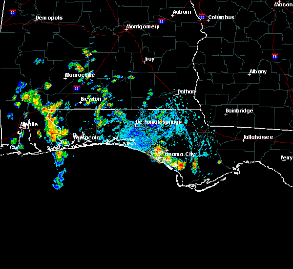 At 400 pm cdt, a severe thunderstorm was located near lynn haven, moving south at 10 mph (radar indicated). Hazards include 60 mph wind gusts and quarter size hail. Hail damage to vehicles is expected. Expect wind damage to roofs, siding, and trees. At 400 pm cdt, a severe thunderstorm was located near lynn haven, moving south at 10 mph (radar indicated). Hazards include 60 mph wind gusts and quarter size hail. Hail damage to vehicles is expected. Expect wind damage to roofs, siding, and trees.
|
| 6/28/2018 7:35 PM CDT |
 At 734 pm cdt, severe thunderstorms were located along a line extending from 9 miles north of lynn haven to 12 miles northwest of panama city beach to near destin, moving south at 35 mph (radar indicated). Hazards include 60 mph wind gusts. expect damage to roofs, siding, and trees At 734 pm cdt, severe thunderstorms were located along a line extending from 9 miles north of lynn haven to 12 miles northwest of panama city beach to near destin, moving south at 35 mph (radar indicated). Hazards include 60 mph wind gusts. expect damage to roofs, siding, and trees
|
| 4/15/2018 2:54 AM CDT |
 At 253 am cdt, a severe thunderstorm was located 14 miles east of santa rosa beach, moving northeast at 50 mph (radar indicated). Hazards include 60 mph wind gusts. Expect damage to roofs, siding, and trees. locations impacted include, panama city beach, vernon, santa rosa beach, de funiak springs, bonifay, chipley, eglin air force base, live oak, freeport, ponce de leon, caryville, westville, ebro, whitehead crossroads, gulf resort beach, blue mountain beach, west panama city, seaside, bahama beach and rock hill. A tornado watch remains in effect until 700 am cdt for the panhandle of florida. At 253 am cdt, a severe thunderstorm was located 14 miles east of santa rosa beach, moving northeast at 50 mph (radar indicated). Hazards include 60 mph wind gusts. Expect damage to roofs, siding, and trees. locations impacted include, panama city beach, vernon, santa rosa beach, de funiak springs, bonifay, chipley, eglin air force base, live oak, freeport, ponce de leon, caryville, westville, ebro, whitehead crossroads, gulf resort beach, blue mountain beach, west panama city, seaside, bahama beach and rock hill. A tornado watch remains in effect until 700 am cdt for the panhandle of florida.
|
| 4/15/2018 2:28 AM CDT |
 At 228 am cdt, a severe thunderstorm was located 7 miles southwest of santa rosa beach, moving northeast at 55 mph (radar indicated). Hazards include 60 mph wind gusts. expect damage to roofs, siding, and trees At 228 am cdt, a severe thunderstorm was located 7 miles southwest of santa rosa beach, moving northeast at 55 mph (radar indicated). Hazards include 60 mph wind gusts. expect damage to roofs, siding, and trees
|
| 2/11/2018 3:35 AM CST |
 At 335 am cst, severe thunderstorms were located along a line extending from near graceville to 7 miles west of panama city beach, moving northeast at 25 mph (radar indicated). Hazards include 60 mph wind gusts. Expect damage to roofs, siding, and trees. Locations impacted include, panama city, lynn haven, panama city beach, vernon, chipley, graceville, bonifay, springfield, hiland park, tyndall air force base, bradford, parker, cottondale, alford, wausau, ebro, campbellton, dirego park, college station and gulf resort beach. At 335 am cst, severe thunderstorms were located along a line extending from near graceville to 7 miles west of panama city beach, moving northeast at 25 mph (radar indicated). Hazards include 60 mph wind gusts. Expect damage to roofs, siding, and trees. Locations impacted include, panama city, lynn haven, panama city beach, vernon, chipley, graceville, bonifay, springfield, hiland park, tyndall air force base, bradford, parker, cottondale, alford, wausau, ebro, campbellton, dirego park, college station and gulf resort beach.
|
| 2/11/2018 3:13 AM CST |
 At 248 am cst, severe thunderstorms were located along a line extending from 7 miles south of geneva to 9 miles southeast of santa rosa beach, moving northeast at 30 mph (radar indicated). Hazards include 60 mph wind gusts. expect damage to roofs, siding, and trees At 248 am cst, severe thunderstorms were located along a line extending from 7 miles south of geneva to 9 miles southeast of santa rosa beach, moving northeast at 30 mph (radar indicated). Hazards include 60 mph wind gusts. expect damage to roofs, siding, and trees
|
| 2/11/2018 2:48 AM CST |
 At 248 am cst, severe thunderstorms were located along a line extending from 7 miles south of geneva to 9 miles southeast of santa rosa beach, moving northeast at 30 mph (radar indicated). Hazards include 60 mph wind gusts. expect damage to roofs, siding, and trees At 248 am cst, severe thunderstorms were located along a line extending from 7 miles south of geneva to 9 miles southeast of santa rosa beach, moving northeast at 30 mph (radar indicated). Hazards include 60 mph wind gusts. expect damage to roofs, siding, and trees
|
| 10/7/2017 4:52 PM CDT |
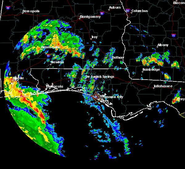 The tornado warning for west central bay county will expire at 500 pm cdt, the tornadic thunderstorm which prompted the warning has weakened. therefore, the warning will be allowed to expire. The tornado warning for west central bay county will expire at 500 pm cdt, the tornadic thunderstorm which prompted the warning has weakened. therefore, the warning will be allowed to expire.
|
| 10/7/2017 4:36 PM CDT |
 At 436 pm cdt, a severe thunderstorm capable of producing a tornado was located over panama city beach, moving northwest at 35 mph (radar indicated rotation). Hazards include tornado. Flying debris will be dangerous to those caught without shelter. mobile homes will be damaged or destroyed. damage to roofs, windows, and vehicles will occur. tree damage is likely. This tornadic thunderstorm will remain over mainly rural areas of west central bay county, including the following locations: west bay, sunnyside, laguna beach, gulf resort beach, bahama beach, bid-a-wee and edgewater gulf beach. At 436 pm cdt, a severe thunderstorm capable of producing a tornado was located over panama city beach, moving northwest at 35 mph (radar indicated rotation). Hazards include tornado. Flying debris will be dangerous to those caught without shelter. mobile homes will be damaged or destroyed. damage to roofs, windows, and vehicles will occur. tree damage is likely. This tornadic thunderstorm will remain over mainly rural areas of west central bay county, including the following locations: west bay, sunnyside, laguna beach, gulf resort beach, bahama beach, bid-a-wee and edgewater gulf beach.
|
| 10/7/2017 4:24 PM CDT |
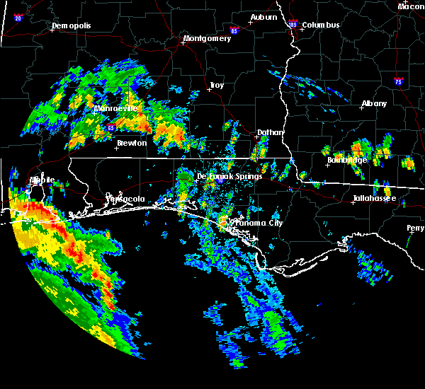 At 423 pm cdt, a severe thunderstorm capable of producing a tornado was located near panama city beach, moving northwest at 35 mph (radar indicated rotation). Hazards include tornado. Flying debris will be dangerous to those caught without shelter. mobile homes will be damaged or destroyed. damage to roofs, windows, and vehicles will occur. tree damage is likely. this dangerous storm will be near, panama city beach around 445 pm cdt. Other locations impacted by this tornadic thunderstorm include biltmore beach, west bay, st andrews state park, edgewater gulf beach, sunnyside, gulf lagoon beach, laguna beach, gulf resort beach, west panama city and bahama beach. At 423 pm cdt, a severe thunderstorm capable of producing a tornado was located near panama city beach, moving northwest at 35 mph (radar indicated rotation). Hazards include tornado. Flying debris will be dangerous to those caught without shelter. mobile homes will be damaged or destroyed. damage to roofs, windows, and vehicles will occur. tree damage is likely. this dangerous storm will be near, panama city beach around 445 pm cdt. Other locations impacted by this tornadic thunderstorm include biltmore beach, west bay, st andrews state park, edgewater gulf beach, sunnyside, gulf lagoon beach, laguna beach, gulf resort beach, west panama city and bahama beach.
|
| 5/21/2017 12:56 AM CDT |
 At 1255 am cdt, severe thunderstorms were located along a line extending from near vernon to near panama city beach, moving southeast at 30 mph (radar indicated). Hazards include 60 mph wind gusts. expect damage to roofs, siding, and trees At 1255 am cdt, severe thunderstorms were located along a line extending from near vernon to near panama city beach, moving southeast at 30 mph (radar indicated). Hazards include 60 mph wind gusts. expect damage to roofs, siding, and trees
|
| 5/21/2017 12:08 AM CDT |
 At 1208 am cdt, severe thunderstorms were located along a line extending from near geneva to 10 miles east of santa rosa beach, moving east at 40 mph (radar indicated). Hazards include 70 mph wind gusts. Expect considerable tree damage. Damage is likely to mobile homes, roofs, and outbuildings. At 1208 am cdt, severe thunderstorms were located along a line extending from near geneva to 10 miles east of santa rosa beach, moving east at 40 mph (radar indicated). Hazards include 70 mph wind gusts. Expect considerable tree damage. Damage is likely to mobile homes, roofs, and outbuildings.
|
| 4/3/2017 11:03 AM CDT |
 At 1102 am cdt, severe thunderstorms were located along a line extending from 14 miles south of geneva to 7 miles southeast of de funiak springs to 7 miles east of destin, moving southeast at 25 mph (radar indicated). Hazards include 60 mph wind gusts. expect damage to roofs, siding, and trees At 1102 am cdt, severe thunderstorms were located along a line extending from 14 miles south of geneva to 7 miles southeast of de funiak springs to 7 miles east of destin, moving southeast at 25 mph (radar indicated). Hazards include 60 mph wind gusts. expect damage to roofs, siding, and trees
|
| 2/7/2017 4:20 PM CST |
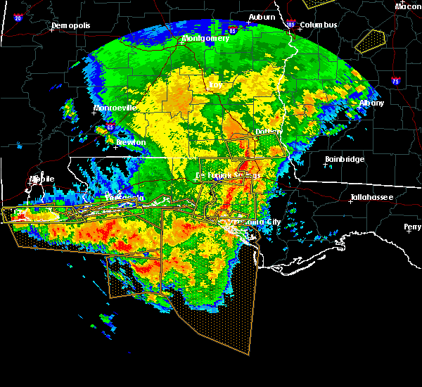 The severe thunderstorm warning for central walton county will expire at 430 pm cst, the storm which prompted the warning has moved out of the area. therefore the warning will be allowed to expire. a severe thunderstorm watch remains in effect until 800 pm cst for the panhandle of florida. The severe thunderstorm warning for central walton county will expire at 430 pm cst, the storm which prompted the warning has moved out of the area. therefore the warning will be allowed to expire. a severe thunderstorm watch remains in effect until 800 pm cst for the panhandle of florida.
|
| 2/7/2017 4:08 PM CST |
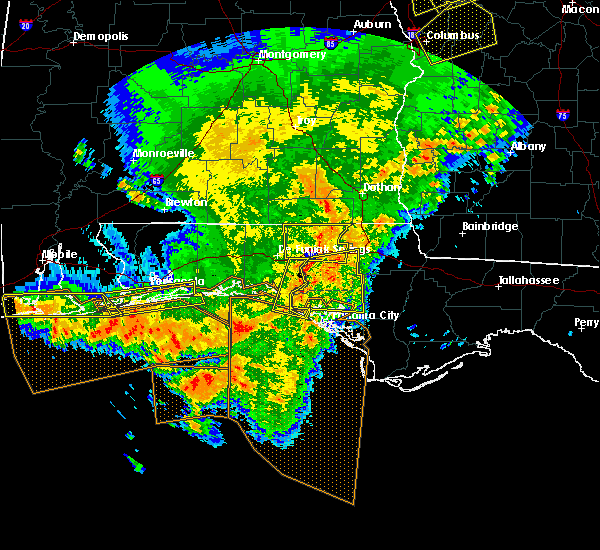 At 408 pm cst, a severe thunderstorm was located 12 miles southwest of geneva, moving east at 50 mph (radar indicated). Hazards include 70 mph wind gusts. Expect considerable tree damage. damage is likely to mobile homes, roofs, and outbuildings. Locations impacted include, panama city beach, douglass crossroad, bunker, seagrove beach, bruce, knox hill, red bay, port washington and inlet beach. At 408 pm cst, a severe thunderstorm was located 12 miles southwest of geneva, moving east at 50 mph (radar indicated). Hazards include 70 mph wind gusts. Expect considerable tree damage. damage is likely to mobile homes, roofs, and outbuildings. Locations impacted include, panama city beach, douglass crossroad, bunker, seagrove beach, bruce, knox hill, red bay, port washington and inlet beach.
|
| 2/7/2017 4:07 PM CST |
 At 407 pm cst, doppler radar indicated a severe thunderstorm capable of producing destructive winds in excess of 70 mph. this storm was located 13 miles west of vernon, and moving east at 50 mph. At 407 pm cst, doppler radar indicated a severe thunderstorm capable of producing destructive winds in excess of 70 mph. this storm was located 13 miles west of vernon, and moving east at 50 mph.
|
| 2/7/2017 3:54 PM CST |
 At 354 pm cst, a severe thunderstorm was located 7 miles north of de funiak springs, moving east at 45 mph (radar indicated). Hazards include 70 mph wind gusts. Expect considerable tree damage. damage is likely to mobile homes, roofs, and outbuildings. Locations impacted include, panama city beach, santa rosa beach, de funiak springs, eglin air force base, freeport, ponce de leon, gulf pines, villa tasso, seagrove beach, pleasant hill, piney grove, knox hill, blue mountain beach, grayton beach, douglass crossroad, oakwood hills, bruce, pleasant ridge, center ridge and argyle. At 354 pm cst, a severe thunderstorm was located 7 miles north of de funiak springs, moving east at 45 mph (radar indicated). Hazards include 70 mph wind gusts. Expect considerable tree damage. damage is likely to mobile homes, roofs, and outbuildings. Locations impacted include, panama city beach, santa rosa beach, de funiak springs, eglin air force base, freeport, ponce de leon, gulf pines, villa tasso, seagrove beach, pleasant hill, piney grove, knox hill, blue mountain beach, grayton beach, douglass crossroad, oakwood hills, bruce, pleasant ridge, center ridge and argyle.
|
| 2/7/2017 3:31 PM CST |
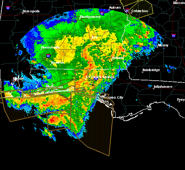 At 330 pm cst, a severe thunderstorm was located near crestview, moving east at 45 mph (radar indicated). Hazards include 60 mph wind gusts. expect damage to roofs, siding, and trees At 330 pm cst, a severe thunderstorm was located near crestview, moving east at 45 mph (radar indicated). Hazards include 60 mph wind gusts. expect damage to roofs, siding, and trees
|
| 1/22/2017 1:00 PM CST | Multiple trees and power lines down in greater panama city are in bay county FL, 9 miles SSW of Panama City Beach, FL |
| 1/22/2017 12:52 PM CST |
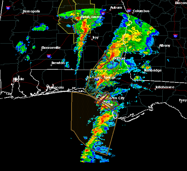 At 1252 pm cst, a severe thunderstorm capable of producing a tornado was located 9 miles southwest of panama city, moving northeast at 55 mph (radar indicated rotation). Hazards include tornado. Flying debris will be dangerous to those caught without shelter. mobile homes will be damaged or destroyed. damage to roofs, windows, and vehicles will occur. tree damage is likely. this dangerous storm will be near, panama city and lynn haven around 105 pm cst. Other locations impacted by this tornadic thunderstorm include recota beach, magnolia beach, southport, biltmore beach, gulf lagoon beach, bayhead, camp flowers, west panama city and st andrews state park. At 1252 pm cst, a severe thunderstorm capable of producing a tornado was located 9 miles southwest of panama city, moving northeast at 55 mph (radar indicated rotation). Hazards include tornado. Flying debris will be dangerous to those caught without shelter. mobile homes will be damaged or destroyed. damage to roofs, windows, and vehicles will occur. tree damage is likely. this dangerous storm will be near, panama city and lynn haven around 105 pm cst. Other locations impacted by this tornadic thunderstorm include recota beach, magnolia beach, southport, biltmore beach, gulf lagoon beach, bayhead, camp flowers, west panama city and st andrews state park.
|
| 1/22/2017 12:12 PM CST |
 At 1212 pm cst, a severe thunderstorm was located near santa rosa beach, moving northeast at 55 mph (radar indicated). Hazards include 60 mph wind gusts. expect damage to roofs, siding, and trees At 1212 pm cst, a severe thunderstorm was located near santa rosa beach, moving northeast at 55 mph (radar indicated). Hazards include 60 mph wind gusts. expect damage to roofs, siding, and trees
|
| 1/22/2017 8:08 AM CST |
 At 808 am cst, a severe thunderstorm was located 12 miles southeast of vernon, moving northeast at 55 mph (radar indicated). Hazards include 60 mph wind gusts and nickel size hail. expect damage to roofs, siding, and trees At 808 am cst, a severe thunderstorm was located 12 miles southeast of vernon, moving northeast at 55 mph (radar indicated). Hazards include 60 mph wind gusts and nickel size hail. expect damage to roofs, siding, and trees
|
| 1/22/2017 7:40 AM CST |
 At 839 am est/739 am cst/, a severe thunderstorm was located 10 miles northeast of lynn haven, moving northeast at 50 mph (radar indicated). Hazards include 60 mph wind gusts and nickel size hail. expect damage to roofs, siding, and trees At 839 am est/739 am cst/, a severe thunderstorm was located 10 miles northeast of lynn haven, moving northeast at 50 mph (radar indicated). Hazards include 60 mph wind gusts and nickel size hail. expect damage to roofs, siding, and trees
|
| 1/22/2017 7:35 AM CST |
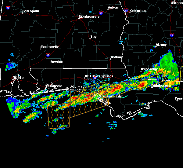 At 735 am cst, a severe thunderstorm was located 10 miles northwest of panama city beach, moving northeast at 55 mph (radar indicated). Hazards include 60 mph wind gusts and nickel size hail. expect damage to roofs, siding, and trees At 735 am cst, a severe thunderstorm was located 10 miles northwest of panama city beach, moving northeast at 55 mph (radar indicated). Hazards include 60 mph wind gusts and nickel size hail. expect damage to roofs, siding, and trees
|
| 1/22/2017 7:05 AM CST |
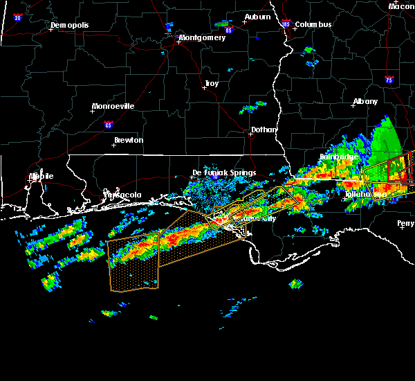 At 705 am cst, a severe thunderstorm was located over panama city beach, moving northeast at 55 mph (radar indicated). Hazards include 60 mph wind gusts and quarter size hail. Hail damage to vehicles is expected. Expect wind damage to roofs, siding, and trees. At 705 am cst, a severe thunderstorm was located over panama city beach, moving northeast at 55 mph (radar indicated). Hazards include 60 mph wind gusts and quarter size hail. Hail damage to vehicles is expected. Expect wind damage to roofs, siding, and trees.
|
| 1/2/2017 7:28 PM CST |
 At 726 pm cst, severe thunderstorms were located along a line extending from near daleville to near bonifay to vernon to 16 miles northwest of panama city beach, moving east at 60 mph. these are very dangerous storms (radar indicated). Hazards include 80 mph wind gusts. Flying debris will be dangerous to those caught without shelter. mobile homes will be heavily damaged. expect considerable damage to roofs, windows, and vehicles. extensive tree damage and power outages are likely. locations impacted include, panama city, lynn haven, panama city beach, daleville, cottonwood, vernon, ozark, bonifay, fort rucker, headland, marianna, enterprise, chipley, graceville, dothan, springfield, hartford, taylor, midland city and kinsey. A tornado watch remains in effect until 1000 pm cst for southeastern alabama, and the panhandle of florida. At 726 pm cst, severe thunderstorms were located along a line extending from near daleville to near bonifay to vernon to 16 miles northwest of panama city beach, moving east at 60 mph. these are very dangerous storms (radar indicated). Hazards include 80 mph wind gusts. Flying debris will be dangerous to those caught without shelter. mobile homes will be heavily damaged. expect considerable damage to roofs, windows, and vehicles. extensive tree damage and power outages are likely. locations impacted include, panama city, lynn haven, panama city beach, daleville, cottonwood, vernon, ozark, bonifay, fort rucker, headland, marianna, enterprise, chipley, graceville, dothan, springfield, hartford, taylor, midland city and kinsey. A tornado watch remains in effect until 1000 pm cst for southeastern alabama, and the panhandle of florida.
|
| 1/2/2017 7:05 PM CST |
 At 705 pm cst, severe thunderstorms were located along a line extending from near new brockton to 10 miles south of geneva to 6 miles east of de funiak springs to 7 miles south of eglin air force base, moving east at 55 mph (radar indicated). Hazards include 70 mph wind gusts. Expect considerable tree damage. Damage is likely to mobile homes, roofs, and outbuildings. At 705 pm cst, severe thunderstorms were located along a line extending from near new brockton to 10 miles south of geneva to 6 miles east of de funiak springs to 7 miles south of eglin air force base, moving east at 55 mph (radar indicated). Hazards include 70 mph wind gusts. Expect considerable tree damage. Damage is likely to mobile homes, roofs, and outbuildings.
|
| 1/2/2017 6:25 PM CST |
 At 624 pm cst, severe thunderstorms were located along a line extending from near heath to near crestview to navarre beach, moving southeast at 50 mph (radar indicated). Hazards include 70 mph wind gusts. Expect considerable tree damage. Damage is likely to mobile homes, roofs, and outbuildings. At 624 pm cst, severe thunderstorms were located along a line extending from near heath to near crestview to navarre beach, moving southeast at 50 mph (radar indicated). Hazards include 70 mph wind gusts. Expect considerable tree damage. Damage is likely to mobile homes, roofs, and outbuildings.
|
| 6/17/2016 9:02 PM CDT |
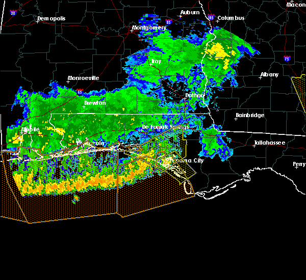 At 1001 pm edt/901 pm cdt/, severe thunderstorms were located along a line extending from near lynn haven to 6 miles southwest of panama city, moving southeast at 30 mph (radar indicated). Hazards include 60 mph wind gusts. Expect damage to roofs. siding. And trees. At 1001 pm edt/901 pm cdt/, severe thunderstorms were located along a line extending from near lynn haven to 6 miles southwest of panama city, moving southeast at 30 mph (radar indicated). Hazards include 60 mph wind gusts. Expect damage to roofs. siding. And trees.
|
| 6/17/2016 8:54 PM CDT |
 At 853 pm cdt, severe thunderstorms were located along a line extending from chattahoochee to 14 miles west of blountstown to near panama city beach, moving southeast at 45 mph (law enforcement). Hazards include 60 mph wind gusts and nickel size hail. Expect damage to roofs. siding. and trees. Locations impacted include, panama city, lynn haven, panama city beach, callaway, vernon, chipley, springfield, hiland park, santa rosa beach, tyndall air force base, bradford, live oak, freeport, wausau, ebro, gulf pines, gainer spring, seminole hills, laird and riverside. At 853 pm cdt, severe thunderstorms were located along a line extending from chattahoochee to 14 miles west of blountstown to near panama city beach, moving southeast at 45 mph (law enforcement). Hazards include 60 mph wind gusts and nickel size hail. Expect damage to roofs. siding. and trees. Locations impacted include, panama city, lynn haven, panama city beach, callaway, vernon, chipley, springfield, hiland park, santa rosa beach, tyndall air force base, bradford, live oak, freeport, wausau, ebro, gulf pines, gainer spring, seminole hills, laird and riverside.
|
| 6/17/2016 7:56 PM CDT |
 At 855 pm edt/755 pm cdt/, severe thunderstorms were located along a line extending from near graceville to 10 miles northwest of vernon to 7 miles east of postil, moving southeast at 45 mph (radar indicated). Hazards include 60 mph wind gusts and nickel size hail. Expect damage to roofs. siding. And trees. At 855 pm edt/755 pm cdt/, severe thunderstorms were located along a line extending from near graceville to 10 miles northwest of vernon to 7 miles east of postil, moving southeast at 45 mph (radar indicated). Hazards include 60 mph wind gusts and nickel size hail. Expect damage to roofs. siding. And trees.
|
| 4/1/2016 9:23 PM CDT |
 At 923 pm cdt, severe thunderstorms were located along a line extending from 9 miles northeast of lynn haven to 19 miles south of panama city beach, moving east at 50 mph (radar indicated). Hazards include 60 mph wind gusts. Expect damage to roofs. siding. and trees. locations impacted include, panama city, lynn haven, panama city beach, callaway, springfield, mexico beach, hiland park, tyndall air force base, parker, bayou george, nixon, millville, camp flowers, recota beach, vicksburg, southport, college station, bay harbor, davis beach and gulf lagoon beach. A tornado watch remains in effect until 300 am cdt for northwest florida. At 923 pm cdt, severe thunderstorms were located along a line extending from 9 miles northeast of lynn haven to 19 miles south of panama city beach, moving east at 50 mph (radar indicated). Hazards include 60 mph wind gusts. Expect damage to roofs. siding. and trees. locations impacted include, panama city, lynn haven, panama city beach, callaway, springfield, mexico beach, hiland park, tyndall air force base, parker, bayou george, nixon, millville, camp flowers, recota beach, vicksburg, southport, college station, bay harbor, davis beach and gulf lagoon beach. A tornado watch remains in effect until 300 am cdt for northwest florida.
|
| 4/1/2016 9:14 PM CDT |
 At 914 pm cdt, severe thunderstorms were located along a line extending from 6 miles north of lynn haven to 22 miles southwest of panama city beach, moving east at 45 mph (radar indicated). Hazards include 60 mph wind gusts. Expect damage to roofs. siding. And trees. At 914 pm cdt, severe thunderstorms were located along a line extending from 6 miles north of lynn haven to 22 miles southwest of panama city beach, moving east at 45 mph (radar indicated). Hazards include 60 mph wind gusts. Expect damage to roofs. siding. And trees.
|
| 3/17/2016 11:26 PM CDT |
 At 1125 pm cdt, severe thunderstorms were located along a line extending from near chipley to 12 miles north of panama city beach, moving east at 40 mph (radar indicated). Hazards include 60 mph wind gusts and quarter size hail. Hail damage to vehicles is expected. expect wind damage to roofs, siding, and trees. Locations impacted include, panama city, lynn haven, callaway, vernon, springfield, hiland park, bradford, parker, alford, wausau, ebro, moose pond, gainer spring, seminole hills, laird, riverside, millville, simsville, recota beach and southport. At 1125 pm cdt, severe thunderstorms were located along a line extending from near chipley to 12 miles north of panama city beach, moving east at 40 mph (radar indicated). Hazards include 60 mph wind gusts and quarter size hail. Hail damage to vehicles is expected. expect wind damage to roofs, siding, and trees. Locations impacted include, panama city, lynn haven, callaway, vernon, springfield, hiland park, bradford, parker, alford, wausau, ebro, moose pond, gainer spring, seminole hills, laird, riverside, millville, simsville, recota beach and southport.
|
| 3/17/2016 11:08 PM CDT |
 At 1107 pm cdt, severe thunderstorms were located along a line extending from bonifay to 14 miles east of santa rosa beach, moving east at 40 mph (radar indicated). Hazards include 60 mph wind gusts. Expect damage to roofs. siding. And trees. At 1107 pm cdt, severe thunderstorms were located along a line extending from bonifay to 14 miles east of santa rosa beach, moving east at 40 mph (radar indicated). Hazards include 60 mph wind gusts. Expect damage to roofs. siding. And trees.
|
| 3/17/2016 10:26 AM CDT |
 At 1026 am cdt, a severe thunderstorm was located near santa rosa beach, moving northeast at 25 mph (radar indicated). Hazards include quarter size hail. damage to vehicles is expected At 1026 am cdt, a severe thunderstorm was located near santa rosa beach, moving northeast at 25 mph (radar indicated). Hazards include quarter size hail. damage to vehicles is expected
|
| 2/23/2016 11:49 PM CST |
 At 1149 pm cst, severe thunderstorms were located along a line extending from 9 miles south of cottonwood to 7 miles southwest of panama city beach, moving east at 20 mph (radar indicated). Hazards include 60 mph wind gusts. Expect damage to roofs. siding and trees. locations impacted include, panama city beach, vernon, chipley, bonifay, graceville, bradford, malone, cottondale, alford, wausau, esto, ebro, campbellton, noma, richter crossroads, laird, riverside, bahoma, bahama beach and jacobs. A tornado watch remains in effect until 300 am cst for northwest florida. At 1149 pm cst, severe thunderstorms were located along a line extending from 9 miles south of cottonwood to 7 miles southwest of panama city beach, moving east at 20 mph (radar indicated). Hazards include 60 mph wind gusts. Expect damage to roofs. siding and trees. locations impacted include, panama city beach, vernon, chipley, bonifay, graceville, bradford, malone, cottondale, alford, wausau, esto, ebro, campbellton, noma, richter crossroads, laird, riverside, bahoma, bahama beach and jacobs. A tornado watch remains in effect until 300 am cst for northwest florida.
|
| 2/23/2016 11:47 PM CST |
 At 1246 am est /1146 pm cst/, severe thunderstorms were located along a line extending from near cottonwood to 7 miles southwest of panama city beach, moving east at 45 mph (radar indicated). Hazards include 60 mph wind gusts. Expect damage to roofs. Siding and trees. At 1246 am est /1146 pm cst/, severe thunderstorms were located along a line extending from near cottonwood to 7 miles southwest of panama city beach, moving east at 45 mph (radar indicated). Hazards include 60 mph wind gusts. Expect damage to roofs. Siding and trees.
|
| 2/23/2016 11:30 PM CST |
 At 1130 pm cst, severe thunderstorms were located along a line extending from near graceville to 11 miles west of panama city beach, moving east at 20 mph (radar indicated). Hazards include 60 mph wind gusts. Expect damage to roofs. siding and trees. locations impacted include, panama city beach, vernon, chipley, bonifay, graceville, bradford, live oak, malone, cottondale, ponce de leon, alford, caryville, wausau, esto, westville, ebro, campbellton, noma, richter crossroads and seminole hills. A tornado watch remains in effect until 300 am cst for northwest florida. At 1130 pm cst, severe thunderstorms were located along a line extending from near graceville to 11 miles west of panama city beach, moving east at 20 mph (radar indicated). Hazards include 60 mph wind gusts. Expect damage to roofs. siding and trees. locations impacted include, panama city beach, vernon, chipley, bonifay, graceville, bradford, live oak, malone, cottondale, ponce de leon, alford, caryville, wausau, esto, westville, ebro, campbellton, noma, richter crossroads and seminole hills. A tornado watch remains in effect until 300 am cst for northwest florida.
|
| 2/23/2016 11:22 PM CST |
 At 1121 pm cst, a severe thunderstorm capable of producing a tornado was located 8 miles south of panama city beach, moving northeast at 50 mph (radar indicated rotation). Hazards include tornado. Flying debris will be dangerous to those caught without shelter. mobile homes will be damaged or destroyed. damage to roofs, windows and vehicles will occur. tree damage is likely. this dangerous storm will be near, tyndall air force base around 1130 pm cst. panama city, callaway, springfield and hiland park around 1135 pm cst. lynn haven around 1140 pm cst. Other locations impacted by this tornadic thunderstorm include gainer spring, bayou george, biltmore beach, millville, camp flowers, parker, st andrews state park, recota beach, vicksburg and southport. At 1121 pm cst, a severe thunderstorm capable of producing a tornado was located 8 miles south of panama city beach, moving northeast at 50 mph (radar indicated rotation). Hazards include tornado. Flying debris will be dangerous to those caught without shelter. mobile homes will be damaged or destroyed. damage to roofs, windows and vehicles will occur. tree damage is likely. this dangerous storm will be near, tyndall air force base around 1130 pm cst. panama city, callaway, springfield and hiland park around 1135 pm cst. lynn haven around 1140 pm cst. Other locations impacted by this tornadic thunderstorm include gainer spring, bayou george, biltmore beach, millville, camp flowers, parker, st andrews state park, recota beach, vicksburg and southport.
|
| 2/23/2016 11:14 PM CST |
 At 1113 pm cst, severe thunderstorms were located along a line extending from near graceville to 14 miles southeast of santa rosa beach, moving east at 25 mph (radar indicated). Hazards include 60 mph wind gusts. Expect damage to roofs. siding and trees. locations impacted include, panama city beach, vernon, chipley, bonifay, graceville, santa rosa beach, bradford, live oak, malone, cottondale, ponce de leon, alford, caryville, wausau, esto, westville, ebro, campbellton, noma and barker store. A tornado watch remains in effect until 300 am cst for northwest florida. At 1113 pm cst, severe thunderstorms were located along a line extending from near graceville to 14 miles southeast of santa rosa beach, moving east at 25 mph (radar indicated). Hazards include 60 mph wind gusts. Expect damage to roofs. siding and trees. locations impacted include, panama city beach, vernon, chipley, bonifay, graceville, santa rosa beach, bradford, live oak, malone, cottondale, ponce de leon, alford, caryville, wausau, esto, westville, ebro, campbellton, noma and barker store. A tornado watch remains in effect until 300 am cst for northwest florida.
|
| 2/23/2016 10:52 PM CST |
 At 1052 pm cst, severe thunderstorms were located along a line extending from 7 miles south of hartford to 11 miles south of santa rosa beach, moving east at 20 mph (radar indicated). Hazards include 60 mph wind gusts. Expect damage to roofs. Siding and trees. At 1052 pm cst, severe thunderstorms were located along a line extending from 7 miles south of hartford to 11 miles south of santa rosa beach, moving east at 20 mph (radar indicated). Hazards include 60 mph wind gusts. Expect damage to roofs. Siding and trees.
|
| 2/15/2016 7:33 PM CST |
 At 733 pm cst, severe thunderstorms were located along a line extending from 9 miles west of edison to 9 miles north of panama city beach, moving east at 50 mph (radar indicated). Hazards include 60 mph wind gusts. Expect damage to roofs. siding and trees. locations impacted include, panama city beach, abbeville, cottonwood, vernon, chipley, bonifay, graceville, headland, dothan, taylor, kinsey, ashford, cowarts, webb, columbia, live oak, malvern, rehobeth, avon and newville. a tornado watch remains in effect until 900 pm cst for southeastern alabama and central florida. A tornado watch also remains in effect until midnight cst for southwestern georgia. At 733 pm cst, severe thunderstorms were located along a line extending from 9 miles west of edison to 9 miles north of panama city beach, moving east at 50 mph (radar indicated). Hazards include 60 mph wind gusts. Expect damage to roofs. siding and trees. locations impacted include, panama city beach, abbeville, cottonwood, vernon, chipley, bonifay, graceville, headland, dothan, taylor, kinsey, ashford, cowarts, webb, columbia, live oak, malvern, rehobeth, avon and newville. a tornado watch remains in effect until 900 pm cst for southeastern alabama and central florida. A tornado watch also remains in effect until midnight cst for southwestern georgia.
|
| 2/15/2016 7:28 PM CST |
 At 827 pm est /727 pm cst/, severe thunderstorms were located along a line extending from 7 miles east of graceville to 8 miles west of panama city beach, moving east at 45 mph (radar indicated). Hazards include 60 mph wind gusts. Expect damage to roofs. Siding and trees. At 827 pm est /727 pm cst/, severe thunderstorms were located along a line extending from 7 miles east of graceville to 8 miles west of panama city beach, moving east at 45 mph (radar indicated). Hazards include 60 mph wind gusts. Expect damage to roofs. Siding and trees.
|
| 2/15/2016 7:03 PM CST |
 At 702 pm cst, severe thunderstorms were located along a line extending from near abbeville to santa rosa beach, moving east at 50 mph (radar indicated). Hazards include 60 mph wind gusts. Expect damage to roofs. siding and trees. locations impacted include, panama city beach, daleville, abbeville, cottonwood, vernon, de funiak springs, ozark, bonifay, headland, chipley, geneva, graceville, dothan, fort rucker, hartford, taylor, midland city, kinsey, ashford and slocomb. A tornado watch remains in effect until 900 pm cst for southeastern alabama and central florida. At 702 pm cst, severe thunderstorms were located along a line extending from near abbeville to santa rosa beach, moving east at 50 mph (radar indicated). Hazards include 60 mph wind gusts. Expect damage to roofs. siding and trees. locations impacted include, panama city beach, daleville, abbeville, cottonwood, vernon, de funiak springs, ozark, bonifay, headland, chipley, geneva, graceville, dothan, fort rucker, hartford, taylor, midland city, kinsey, ashford and slocomb. A tornado watch remains in effect until 900 pm cst for southeastern alabama and central florida.
|
| 2/15/2016 6:45 PM CST |
 At 645 pm cst, the national weather service has detected a line of severe thunderstorms capable of producing damaging winds in excess of 60 mph. these storms were located along a line extending from near blue springs state park to near destin, and moving east at 50 mph. At 645 pm cst, the national weather service has detected a line of severe thunderstorms capable of producing damaging winds in excess of 60 mph. these storms were located along a line extending from near blue springs state park to near destin, and moving east at 50 mph.
|
| 1/22/2016 2:52 AM CST | At 252 am cst, a severe thunderstorm was located near lynn haven, moving northeast at 45 mph (radar indicated). Hazards include 60 mph wind gusts. Expect damage to roofs. siding and trees. locations impacted include, panama city, lynn haven, panama city beach, callaway, springfield, hiland park, tyndall air force base, parker, gainer spring, bayou george, west bay, nixon, millville, bahama beach, vicksburg, college station, bay harbor, bennett, gulf lagoon beach and brannonville. A tornado watch remains in effect until 500 am cst for central florida. |
| 1/22/2016 2:43 AM CST | At 243 am cst, a severe thunderstorm capable of producing a tornado was located 8 miles south of panama city beach, moving northeast at 35 mph (radar indicated rotation). Hazards include tornado. Flying debris will be dangerous to those caught without shelter. mobile homes will be damaged or destroyed. damage to roofs, windows and vehicles will occur. tree damage is likely. this dangerous storm will be near, tyndall air force base around 255 am cst. panama city around 300 am cst. lynn haven, callaway, springfield and hiland park around 305 am cst. Other locations impacted by this tornadic thunderstorm include bayou george, biltmore beach, millville, parker, recota beach, cairo, southport, dirego park, college station and bay harbor. |
| 1/22/2016 2:31 AM CST | The national weather service in tallahassee has issued a * severe thunderstorm warning for. bay county in the panhandle of florida. southern washington county in the panhandle of florida. southern walton county in the panhandle of florida. Until 330 am cst. |
| 1/22/2016 2:09 AM CST | At 209 am cst, severe thunderstorms were located along a line extending from near geneva to 7 miles east of destin, moving northeast at 30 mph (radar indicated). Hazards include 60 mph wind gusts. Expect damage to roofs. siding and trees. locations impacted include, panama city beach, vernon, bonifay, de funiak springs, eglin air force base, santa rosa beach, union, liberty, live oak, freeport, ponce de leon, caryville, esto, westville, ebro, noma, gulf pines, barker store, seminole hills and baker settlement. A tornado watch remains in effect until 500 am cst for central florida. |
| 1/22/2016 1:27 AM CST | At 127 am cst, severe thunderstorms were located along a line extending from florala to 10 miles southeast of destin, moving northeast at 60 mph (radar indicated). Hazards include 60 mph wind gusts. Expect damage to roofs. siding and trees. locations impacted include, panama city beach, vernon, de funiak springs, bonifay, eglin air force base, santa rosa beach, union, liberty, live oak, freeport, paxton, ponce de leon, caryville, esto, westville, ebro, noma, seminole hills, laird and hickory hill. A tornado watch remains in effect until 500 am cst for northwest florida. |
| 1/22/2016 12:57 AM CST | At 1256 am cst, severe thunderstorms were located along a line extending from near baker to 23 miles south of navarre beach, moving northeast at 60 mph. these storms have a history of producing measured wind gusts over 60 mph (radar indicated). Hazards include 60 mph wind gusts. Expect damage to roofs. Siding and trees. |
| 12/22/2015 3:50 AM CST |
 The severe thunderstorm warning for eastern bay, southern jackson, northwestern gulf and calhoun counties in the panhandle of florida will expire at 500 am est, the storms which prompted the warning have weakened below severe limits, and no longer pose an immediate threat to life or property. therefore the warning will be allowed to expire. to report severe weather, contact your nearest law enforcement agency. they will relay your report to the national weather service tallahassee. The severe thunderstorm warning for eastern bay, southern jackson, northwestern gulf and calhoun counties in the panhandle of florida will expire at 500 am est, the storms which prompted the warning have weakened below severe limits, and no longer pose an immediate threat to life or property. therefore the warning will be allowed to expire. to report severe weather, contact your nearest law enforcement agency. they will relay your report to the national weather service tallahassee.
|
| 12/22/2015 3:18 AM CST |
 At 417 am est /317 am cst/, severe thunderstorms were located along a line extending from 9 miles south of marianna to near panama city, moving east at 35 mph (radar indicated). Hazards include 60 mph wind gusts. Expect damage to roofs. siding and trees. Locations impacted include, panama city, lynn haven, panama city beach, callaway, blountstown, springfield, mexico beach, hiland park, stonemill creek, tyndall air force base, chattahoochee, parker, wewahitchka, sneads, grand ridge, altha, scotts ferry, cypress, moose pond and white pond. At 417 am est /317 am cst/, severe thunderstorms were located along a line extending from 9 miles south of marianna to near panama city, moving east at 35 mph (radar indicated). Hazards include 60 mph wind gusts. Expect damage to roofs. siding and trees. Locations impacted include, panama city, lynn haven, panama city beach, callaway, blountstown, springfield, mexico beach, hiland park, stonemill creek, tyndall air force base, chattahoochee, parker, wewahitchka, sneads, grand ridge, altha, scotts ferry, cypress, moose pond and white pond.
|
| 12/22/2015 3:02 AM CST |
 At 402 am est /302 am cst/, severe thunderstorms were located along a line extending from 11 miles southeast of chipley to 8 miles south of panama city beach, moving east at 35 mph (radar indicated). Hazards include 60 mph wind gusts. Expect damage to roofs. Siding and trees. At 402 am est /302 am cst/, severe thunderstorms were located along a line extending from 11 miles southeast of chipley to 8 miles south of panama city beach, moving east at 35 mph (radar indicated). Hazards include 60 mph wind gusts. Expect damage to roofs. Siding and trees.
|
| 12/22/2015 2:10 AM CST |
 The severe thunderstorm warning for northwestern bay, western washington, walton and southwestern holmes counties will expire at 215 am cst, the storm which prompted the warning has weakened below severe limits, and no longer pose an immediate threat to life or property. therefore the warning will be allowed to expire. to report severe weather, contact your nearest law enforcement agency. they will relay your report to the national weather service tallahassee. The severe thunderstorm warning for northwestern bay, western washington, walton and southwestern holmes counties will expire at 215 am cst, the storm which prompted the warning has weakened below severe limits, and no longer pose an immediate threat to life or property. therefore the warning will be allowed to expire. to report severe weather, contact your nearest law enforcement agency. they will relay your report to the national weather service tallahassee.
|
| 12/22/2015 1:34 AM CST |
 At 134 am cst, a severe thunderstorm was located 11 miles southeast of eglin air force base, or 11 miles northeast of santa rosa beach, moving east at 50 mph (radar indicated). Hazards include 60 mph wind gusts. Expect damage to roofs. siding and trees. Locations impacted include, panama city beach, de funiak springs, eglin air force base, santa rosa beach, live oak, freeport, ponce de leon, caryville, westville, ebro, seminole hills, laird, seagrove beach, west bay, blue mountain beach, knox hill, grayton beach, douglass crossroad, hinsons crossroads and bruce. At 134 am cst, a severe thunderstorm was located 11 miles southeast of eglin air force base, or 11 miles northeast of santa rosa beach, moving east at 50 mph (radar indicated). Hazards include 60 mph wind gusts. Expect damage to roofs. siding and trees. Locations impacted include, panama city beach, de funiak springs, eglin air force base, santa rosa beach, live oak, freeport, ponce de leon, caryville, westville, ebro, seminole hills, laird, seagrove beach, west bay, blue mountain beach, knox hill, grayton beach, douglass crossroad, hinsons crossroads and bruce.
|
| 12/22/2015 1:21 AM CST |
 At 121 am cst, a severe thunderstorm was located near eglin air force base, or 12 miles north of santa rosa beach, moving east at 50 mph (radar indicated). Hazards include 60 mph wind gusts. Expect damage to roofs. siding and trees. Locations impacted include, panama city beach, de funiak springs, eglin air force base, santa rosa beach, live oak, freeport, ponce de leon, caryville, westville, ebro, gulf pines, seminole hills, laird, turquoise beach, blue mountain beach, knox hill, grayton beach, douglass crossroad, hinsons crossroads and pleasant ridge. At 121 am cst, a severe thunderstorm was located near eglin air force base, or 12 miles north of santa rosa beach, moving east at 50 mph (radar indicated). Hazards include 60 mph wind gusts. Expect damage to roofs. siding and trees. Locations impacted include, panama city beach, de funiak springs, eglin air force base, santa rosa beach, live oak, freeport, ponce de leon, caryville, westville, ebro, gulf pines, seminole hills, laird, turquoise beach, blue mountain beach, knox hill, grayton beach, douglass crossroad, hinsons crossroads and pleasant ridge.
|
| 12/22/2015 12:57 AM CST |
 At 1257 am cst, a severe thunderstorm was located near eglin afb, moving northeast at 55 mph (radar indicated). Hazards include 60 mph wind gusts. Expect damage to roofs. Siding and trees. At 1257 am cst, a severe thunderstorm was located near eglin afb, moving northeast at 55 mph (radar indicated). Hazards include 60 mph wind gusts. Expect damage to roofs. Siding and trees.
|
| 8/8/2015 1:44 PM CDT |
 At 143 pm cdt, doppler radar indicated a severe thunderstorm capable of producing damaging winds in excess of 60 mph. this storm was located near panama city beach, moving southeast at 10 mph. locations impacted include, panama city, panama city beach, callaway, springfield, tyndall air force base, parker, magnolia beach, biltmore beach, millville, wetappo, st andrews state park, bay harbor, allanton, gulf lagoon beach, beacon beach, west panama city and cedar grove. At 143 pm cdt, doppler radar indicated a severe thunderstorm capable of producing damaging winds in excess of 60 mph. this storm was located near panama city beach, moving southeast at 10 mph. locations impacted include, panama city, panama city beach, callaway, springfield, tyndall air force base, parker, magnolia beach, biltmore beach, millville, wetappo, st andrews state park, bay harbor, allanton, gulf lagoon beach, beacon beach, west panama city and cedar grove.
|
| 8/8/2015 1:25 PM CDT |
 At 124 pm cdt, the national weather service has detected a severe thunderstorm capable of producing damaging winds in excess of 60 mph. this storm was located near panama city, and moving southeast at 20 mph. At 124 pm cdt, the national weather service has detected a severe thunderstorm capable of producing damaging winds in excess of 60 mph. this storm was located near panama city, and moving southeast at 20 mph.
|
| 8/7/2015 6:04 PM CDT |
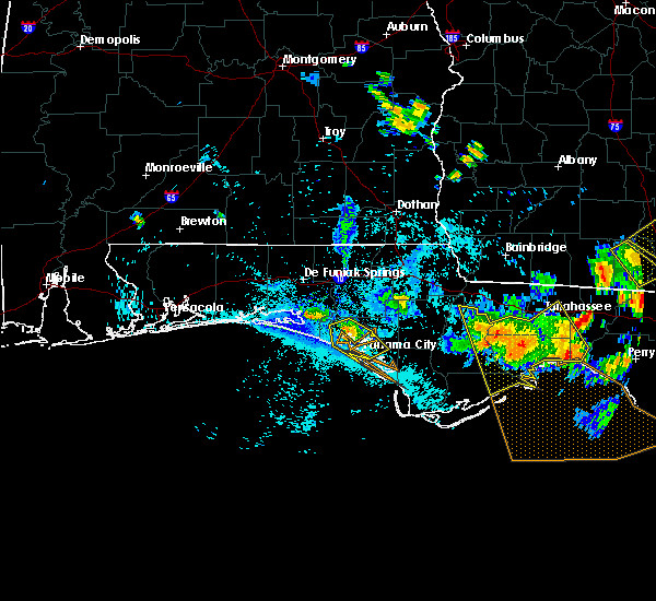 At 604 pm cdt, doppler radar indicated a severe thunderstorm capable of producing damaging winds in excess of 60 mph. this storm was located near panama city, moving southeast at 35 mph. locations impacted include, panama city, lynn haven, panama city beach, callaway, springfield, hiland park, parker, bayou george, west bay, millville, bahama beach, recota beach, vicksburg, southport, college station, bay harbor, gulf lagoon beach, brannonville, magnolia beach and biltmore beach. At 604 pm cdt, doppler radar indicated a severe thunderstorm capable of producing damaging winds in excess of 60 mph. this storm was located near panama city, moving southeast at 35 mph. locations impacted include, panama city, lynn haven, panama city beach, callaway, springfield, hiland park, parker, bayou george, west bay, millville, bahama beach, recota beach, vicksburg, southport, college station, bay harbor, gulf lagoon beach, brannonville, magnolia beach and biltmore beach.
|
| 8/7/2015 5:25 PM CDT |
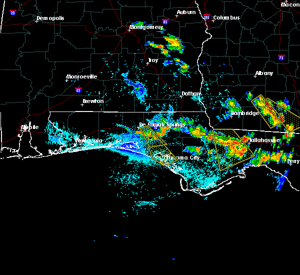 At 525 pm cdt, doppler radar indicated a severe thunderstorm capable of producing damaging winds in excess of 60 mph. this storm was located 13 miles southwest of vernon, and moving southeast at 35 mph. At 525 pm cdt, doppler radar indicated a severe thunderstorm capable of producing damaging winds in excess of 60 mph. this storm was located 13 miles southwest of vernon, and moving southeast at 35 mph.
|
| 7/24/2015 3:45 PM CDT |
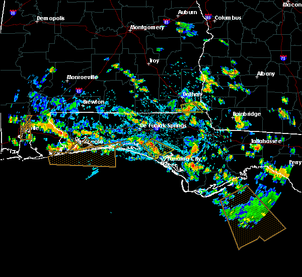 At 344 pm cdt, the national weather service has detected a severe thunderstorm capable of producing quarter size hail and damaging winds in excess of 60 mph. this storm was located 15 miles north of panama city beach, and moving southeast at 35 mph. At 344 pm cdt, the national weather service has detected a severe thunderstorm capable of producing quarter size hail and damaging winds in excess of 60 mph. this storm was located 15 miles north of panama city beach, and moving southeast at 35 mph.
|
| 7/5/2015 10:58 AM CDT |
 At 1158 am edt /1058 am cdt/, the national weather service has detected a line of severe thunderstorms capable of producing damaging winds in excess of 60 mph. these storms were located along a line extending from 15 miles north of panama city beach to 23 miles southwest of tyndall air force base, and moving east at 30 mph. At 1158 am edt /1058 am cdt/, the national weather service has detected a line of severe thunderstorms capable of producing damaging winds in excess of 60 mph. these storms were located along a line extending from 15 miles north of panama city beach to 23 miles southwest of tyndall air force base, and moving east at 30 mph.
|
| 7/5/2015 10:39 AM CDT |
 At 1039 am cdt, doppler radar indicated a line of severe thunderstorms capable of producing damaging winds in excess of 60 mph. these storms were located along a line extending from near vernon to near panama city beach, moving east at 35 mph. locations impacted include, panama city, lynn haven, panama city beach, callaway, vernon, chipley, bonifay, springfield, hiland park, tyndall air force base, bradford, live oak, parker, cottondale, alford, caryville, wausau, ebro, gainer spring and seminole hills. At 1039 am cdt, doppler radar indicated a line of severe thunderstorms capable of producing damaging winds in excess of 60 mph. these storms were located along a line extending from near vernon to near panama city beach, moving east at 35 mph. locations impacted include, panama city, lynn haven, panama city beach, callaway, vernon, chipley, bonifay, springfield, hiland park, tyndall air force base, bradford, live oak, parker, cottondale, alford, caryville, wausau, ebro, gainer spring and seminole hills.
|
| 7/5/2015 10:05 AM CDT |
 At 1005 am cdt, the national weather service has detected a line of severe thunderstorms capable of producing damaging winds in excess of 60 mph. these storms were located along a line extending from 7 miles east of de funiak springs to 11 miles southeast of santa rosa beach, and moving east at 35 mph. At 1005 am cdt, the national weather service has detected a line of severe thunderstorms capable of producing damaging winds in excess of 60 mph. these storms were located along a line extending from 7 miles east of de funiak springs to 11 miles southeast of santa rosa beach, and moving east at 35 mph.
|
| 7/5/2015 9:49 AM CDT |
 At 949 am cdt, doppler radar indicated a severe thunderstorm capable of producing damaging winds in excess of 60 mph. this storm was located 11 miles south of de funiak springs, moving east at 40 mph. locations impacted include, panama city beach, bonifay, de funiak springs, santa rosa beach, eglin air force base, union, live oak, freeport, ponce de leon, caryville, westville, ebro, gulf pines, seminole hills, laird, hickory hill, pleasant hill, turquoise beach, knox hill and gritney. At 949 am cdt, doppler radar indicated a severe thunderstorm capable of producing damaging winds in excess of 60 mph. this storm was located 11 miles south of de funiak springs, moving east at 40 mph. locations impacted include, panama city beach, bonifay, de funiak springs, santa rosa beach, eglin air force base, union, live oak, freeport, ponce de leon, caryville, westville, ebro, gulf pines, seminole hills, laird, hickory hill, pleasant hill, turquoise beach, knox hill and gritney.
|
| 7/5/2015 9:22 AM CDT |
 At 922 am cdt, the national weather service has detected a severe thunderstorm capable of producing damaging winds in excess of 60 mph. this storm was located near eglin air force base, or 11 miles northeast of niceville, and moving east at 40 mph. At 922 am cdt, the national weather service has detected a severe thunderstorm capable of producing damaging winds in excess of 60 mph. this storm was located near eglin air force base, or 11 miles northeast of niceville, and moving east at 40 mph.
|
| 6/30/2015 3:55 PM CDT |
 At 453 pm edt /353 pm cdt/, doppler radar indicated a line of severe thunderstorms capable of producing destructive winds in excess of 70 mph. these storms were located along a line extending from 12 miles southeast of cottonwood to 8 miles east of marianna to near lynn haven, moving east at 60 mph. in addition, at 337 pm cdt, a 68 mph wind gust was measured at northwest florida beaches international airport. locations impacted include, panama city, lynn haven, panama city beach, marianna, hiland park, chattahoochee, malone, sneads, grand ridge, greenwood, altha, bascom, cypress, moose pond, gainer spring, white pond, red oak, chason, blountstown airport and simsville. At 453 pm edt /353 pm cdt/, doppler radar indicated a line of severe thunderstorms capable of producing destructive winds in excess of 70 mph. these storms were located along a line extending from 12 miles southeast of cottonwood to 8 miles east of marianna to near lynn haven, moving east at 60 mph. in addition, at 337 pm cdt, a 68 mph wind gust was measured at northwest florida beaches international airport. locations impacted include, panama city, lynn haven, panama city beach, marianna, hiland park, chattahoochee, malone, sneads, grand ridge, greenwood, altha, bascom, cypress, moose pond, gainer spring, white pond, red oak, chason, blountstown airport and simsville.
|
| 6/30/2015 3:32 PM CDT |
 At 432 pm edt /332 pm cdt/, the national weather service has detected a line of severe thunderstorms capable of producing damaging winds in excess of 60 mph. these storms were located along a line extending from near cottonwood to 6 miles northwest of marianna to near panama city beach, and moving east at 65 mph. At 432 pm edt /332 pm cdt/, the national weather service has detected a line of severe thunderstorms capable of producing damaging winds in excess of 60 mph. these storms were located along a line extending from near cottonwood to 6 miles northwest of marianna to near panama city beach, and moving east at 65 mph.
|
| 6/23/2015 7:05 PM CDT |
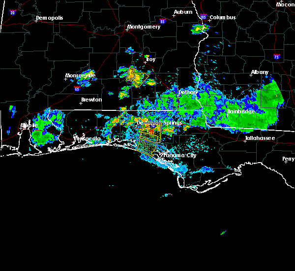 At 705 pm cdt, the national weather service has detected a severe thunderstorm capable of producing damaging winds in excess of 60 mph. this storm was located 9 miles southwest of vernon, and moving south at 30 mph. At 705 pm cdt, the national weather service has detected a severe thunderstorm capable of producing damaging winds in excess of 60 mph. this storm was located 9 miles southwest of vernon, and moving south at 30 mph.
|
| 11/23/2014 12:25 PM CST | Large tree limbs down and roofing material blown off panhandle bolt and industrial building. pictures posted to wjhg-tv facebook pag in bay county FL, 3.9 miles ESE of Panama City Beach, FL |
| 10/14/2014 2:05 AM CDT | Delayed report. a sign and tree limbs blown dow in bay county FL, 1.1 miles NW of Panama City Beach, FL |
| 6/22/2014 1:15 PM CDT | Power pole and lines down on 15th stree in bay county FL, 9 miles SSW of Panama City Beach, FL |
| 2/23/2014 6:10 AM CST | Picture submitted on social media of damage to an awning attached to a house near panama city beach in bay county FL, 1.1 miles NW of Panama City Beach, FL |
| 7/4/2013 11:30 AM CDT | Large pine tree toppled. relayed by wjhg-t in bay county FL, 1.1 miles NW of Panama City Beach, FL |
| 7/4/2013 11:20 AM CDT | Shingles peeling off roof near gulf highlands resort on panama city beach. corrected locatio in bay county FL, 1.1 miles NW of Panama City Beach, FL |
| 1/1/0001 12:00 AM | Spotter estimated winds of 60 to 70 mph with power lines down in bay county FL, 1.1 miles NW of Panama City Beach, FL |
| 1/1/0001 12:00 AM | Storm damage reported in bay county FL, 9 miles SSW of Panama City Beach, FL |
| 1/1/0001 12:00 AM | Air traffic control reports at least one cessna aircraft flipped over and several other small aircraft moved out of place by a measured 76 mph wind gus in bay county FL, 9 miles SSW of Panama City Beach, FL |
Hail Maps for Panama City Beach, FL
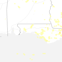
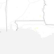


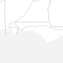


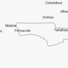


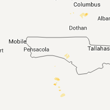


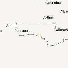
Connect with Interactive Hail Maps