

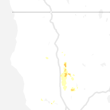
Hail Map for Paynes Creek, CA
The Paynes Creek, CA area has had 0 reports of on-the-ground hail by trained spotters, and has been under severe weather warnings 0 times during the past 12 months. Doppler radar has detected hail at or near Paynes Creek, CA on 1 occasion.
| Name: | Paynes Creek, CA |
| Where Located: | 30.3 miles SE of Redding, CA |
| Map: | Google Map for Paynes Creek, CA |
| Population: | 57 |
| Housing Units: | 34 |
| More Info: | Search Google for Paynes Creek, CA |
0
The Top Recent Hail Date for Paynes Creek, CA is Thursday, May 30, 2019 (1st out of 1)

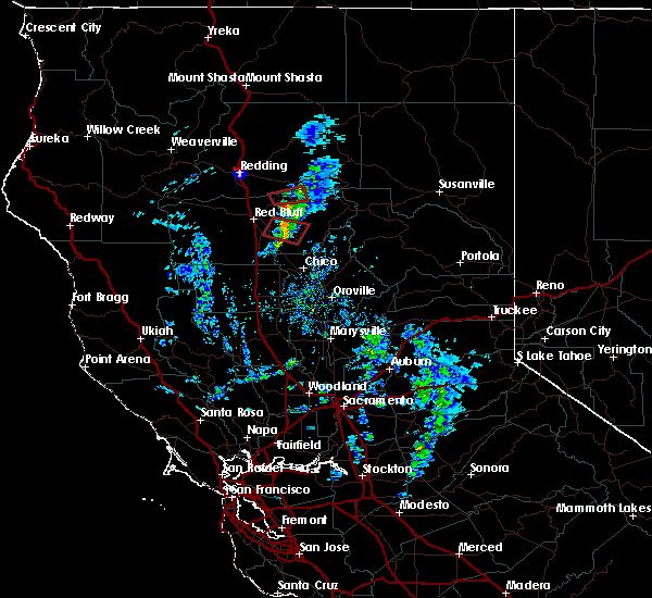
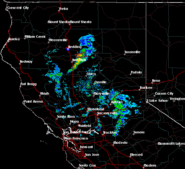
Hail and Wind Damage Spotted near Paynes Creek, CA
| Date / Time | Report Details |
|---|---|
| 1/13/2016 2:31 PM PST |
 At 229 pm pst, doppler radar indicated a severe thunderstorm capable of producing a tornado. this dangerous storm was located north of paynes creek, or west of manton, moving east at 20 to 30 mph. locations impacted include, paynes creek and manton. radar shows this storm has weakened, but still should be considered dangerous through 245 pm. At 229 pm pst, doppler radar indicated a severe thunderstorm capable of producing a tornado. this dangerous storm was located north of paynes creek, or west of manton, moving east at 20 to 30 mph. locations impacted include, paynes creek and manton. radar shows this storm has weakened, but still should be considered dangerous through 245 pm.
|
| 1/13/2016 2:18 PM PST |
 At 217 pm pst, doppler radar indicated a severe thunderstorm capable of producing a tornado. this dangerous storm was located near paynes creek, or 12 miles southwest of shingletown, and moving east at 30 mph. At 217 pm pst, doppler radar indicated a severe thunderstorm capable of producing a tornado. this dangerous storm was located near paynes creek, or 12 miles southwest of shingletown, and moving east at 30 mph.
|
Hail Maps for Paynes Creek, CA
Connect with Interactive Hail Maps