

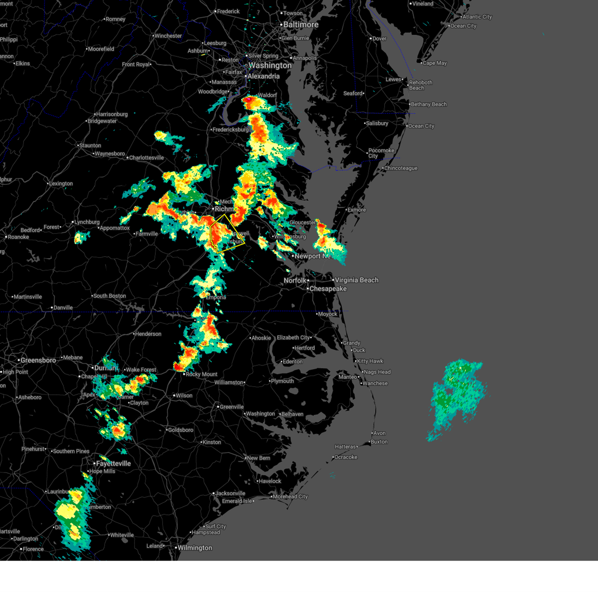
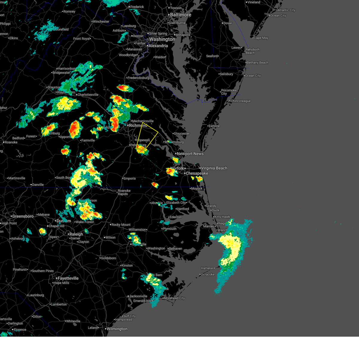
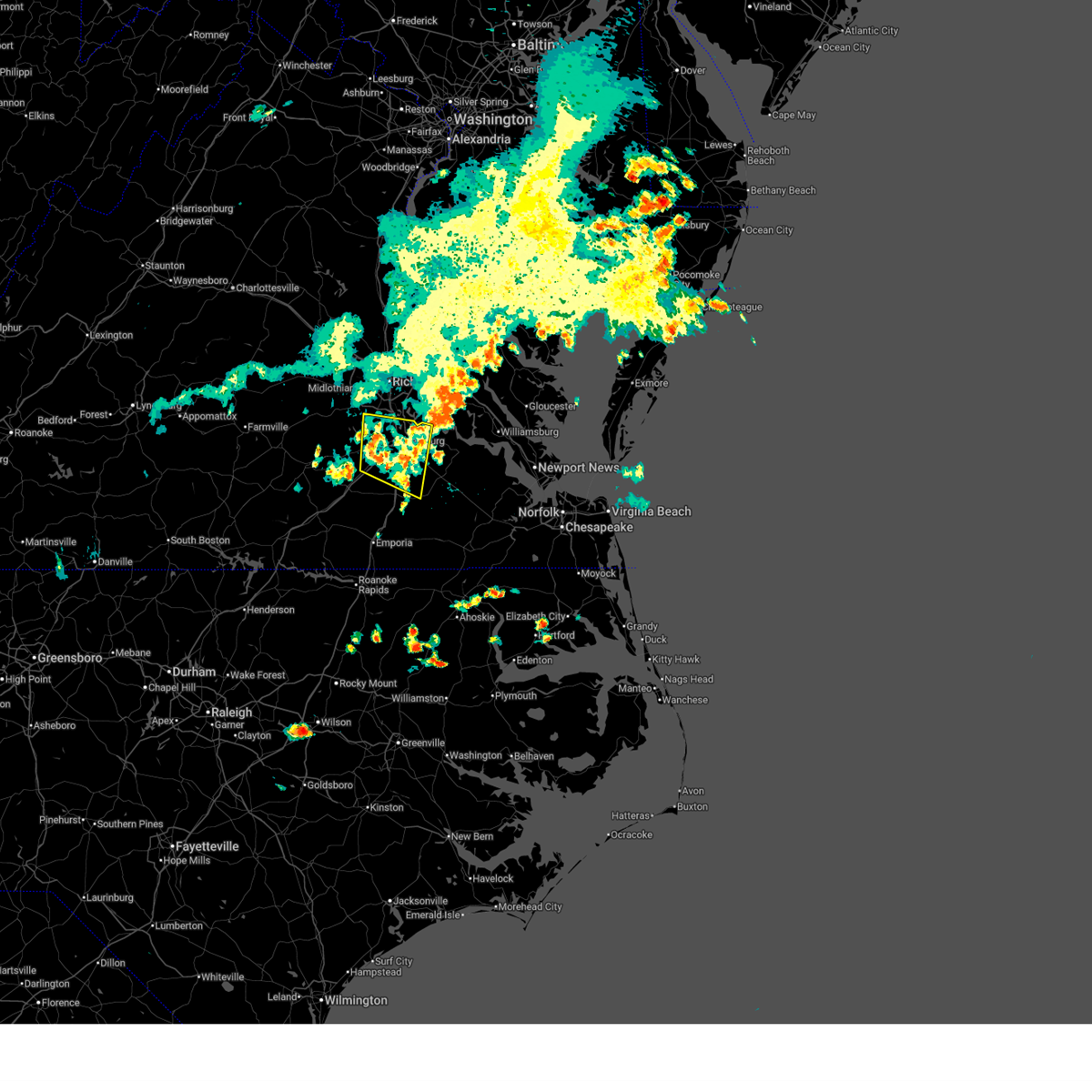
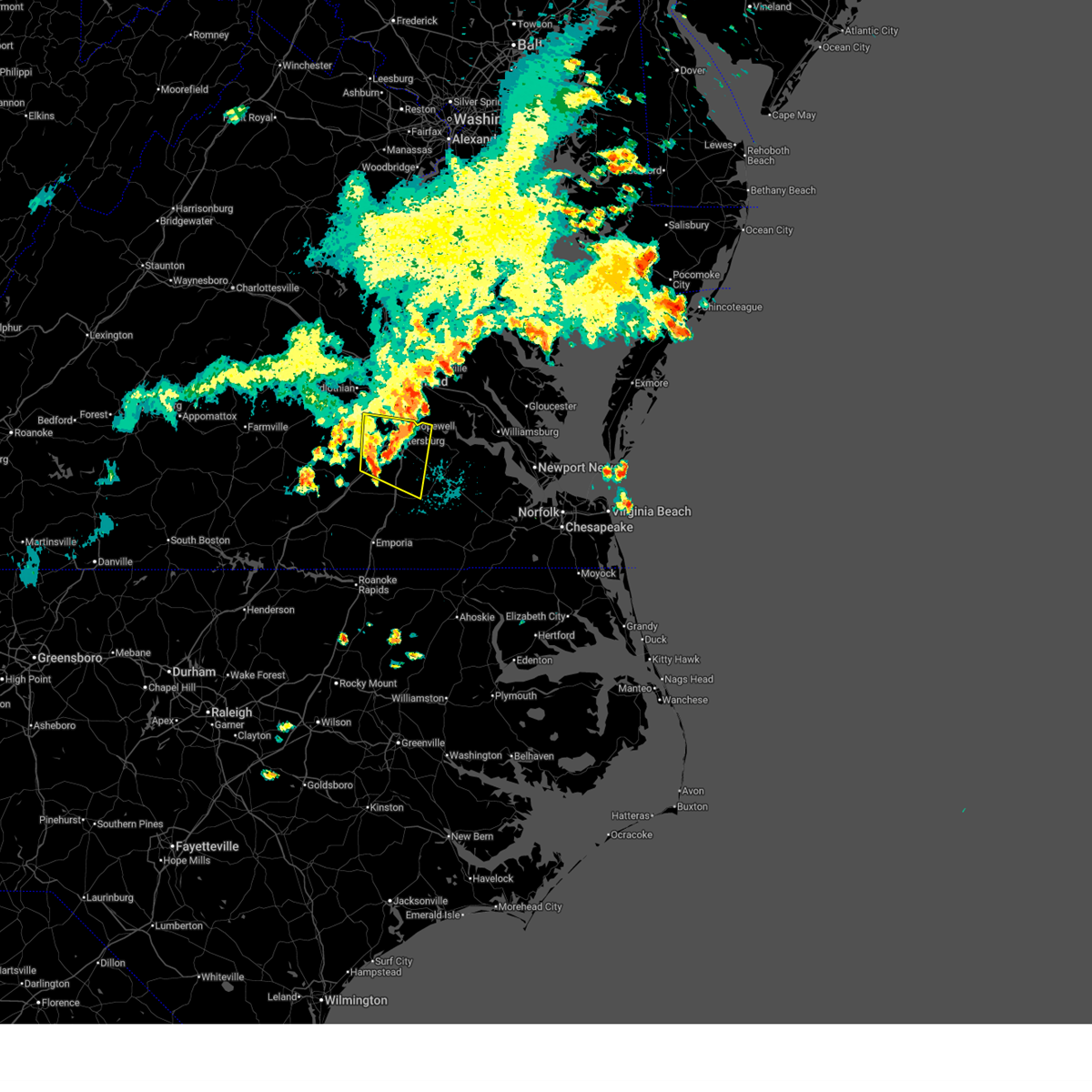
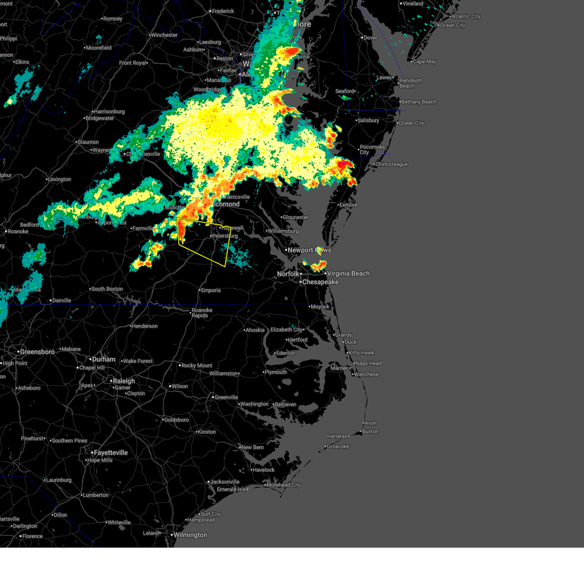
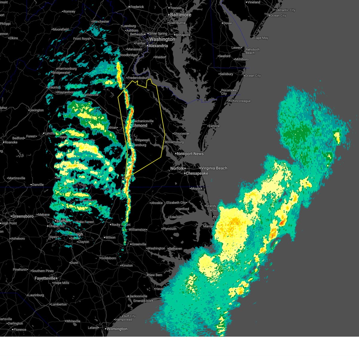
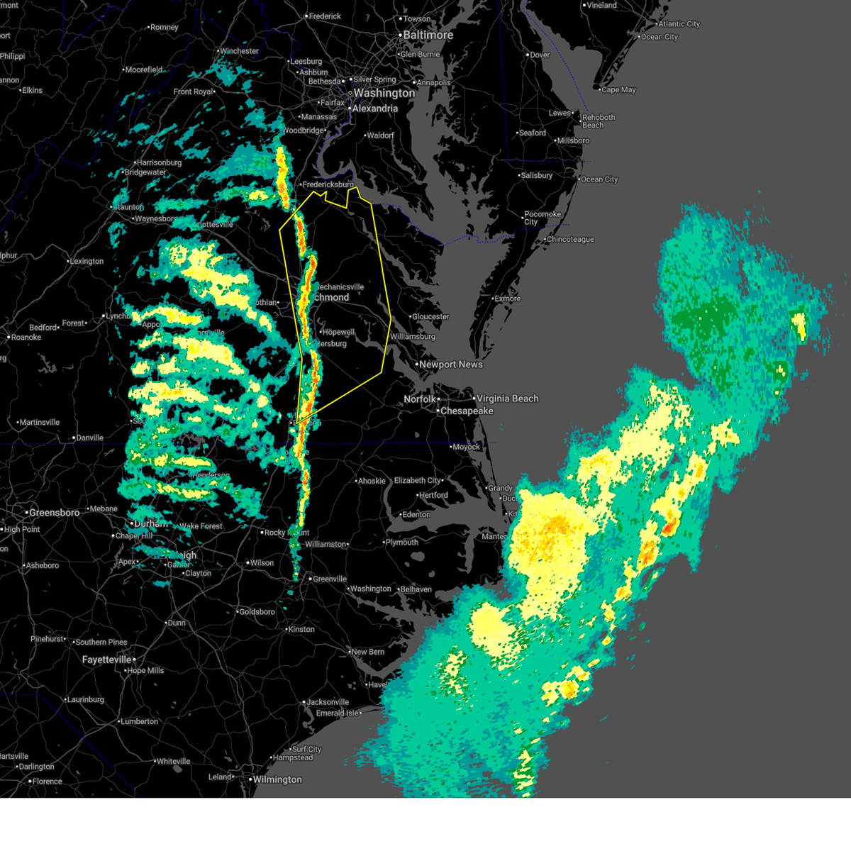
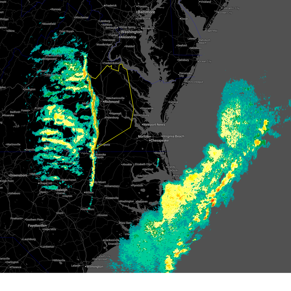
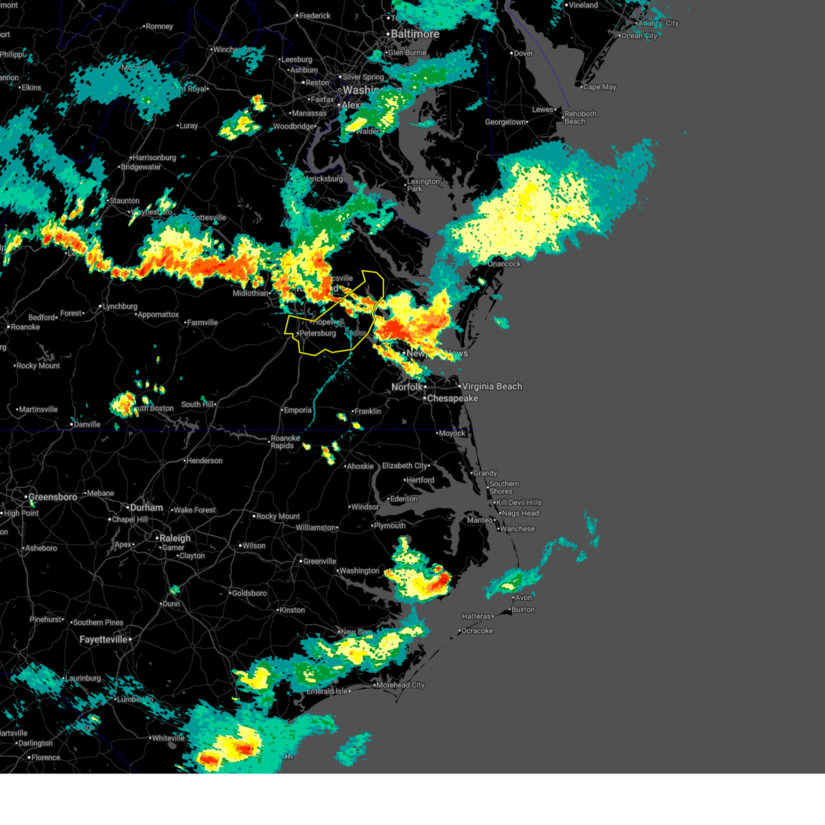
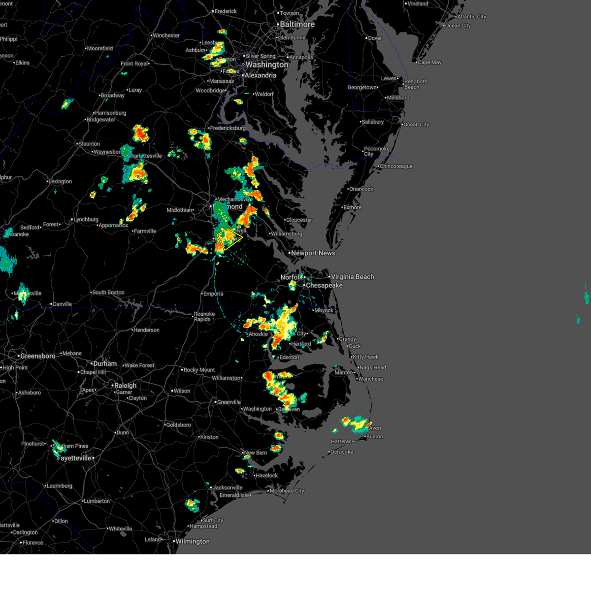
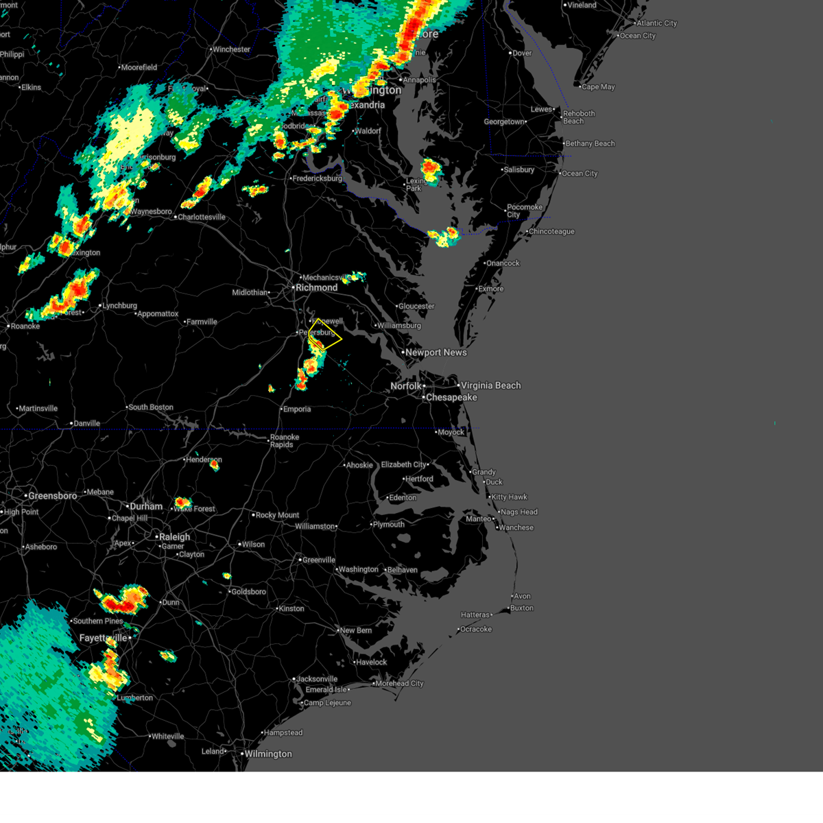
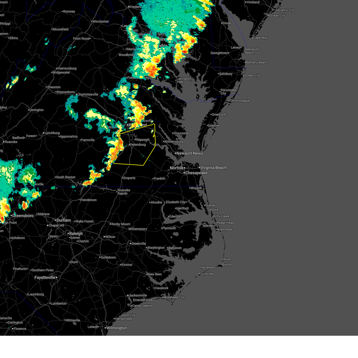
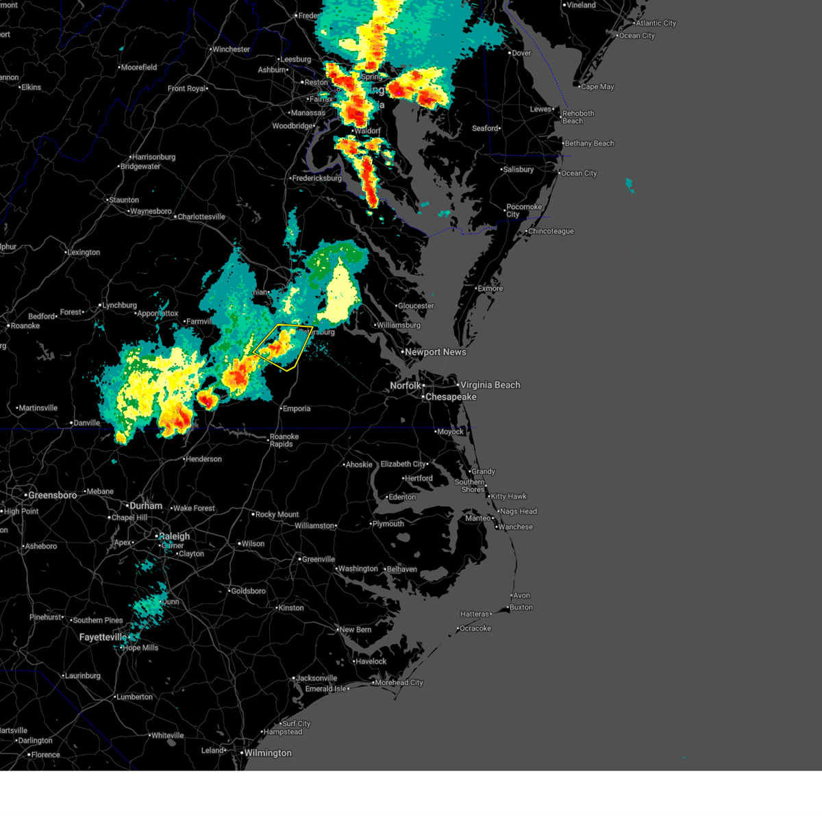
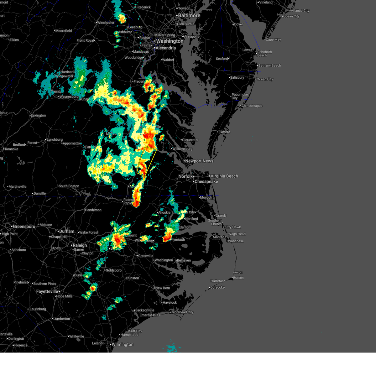
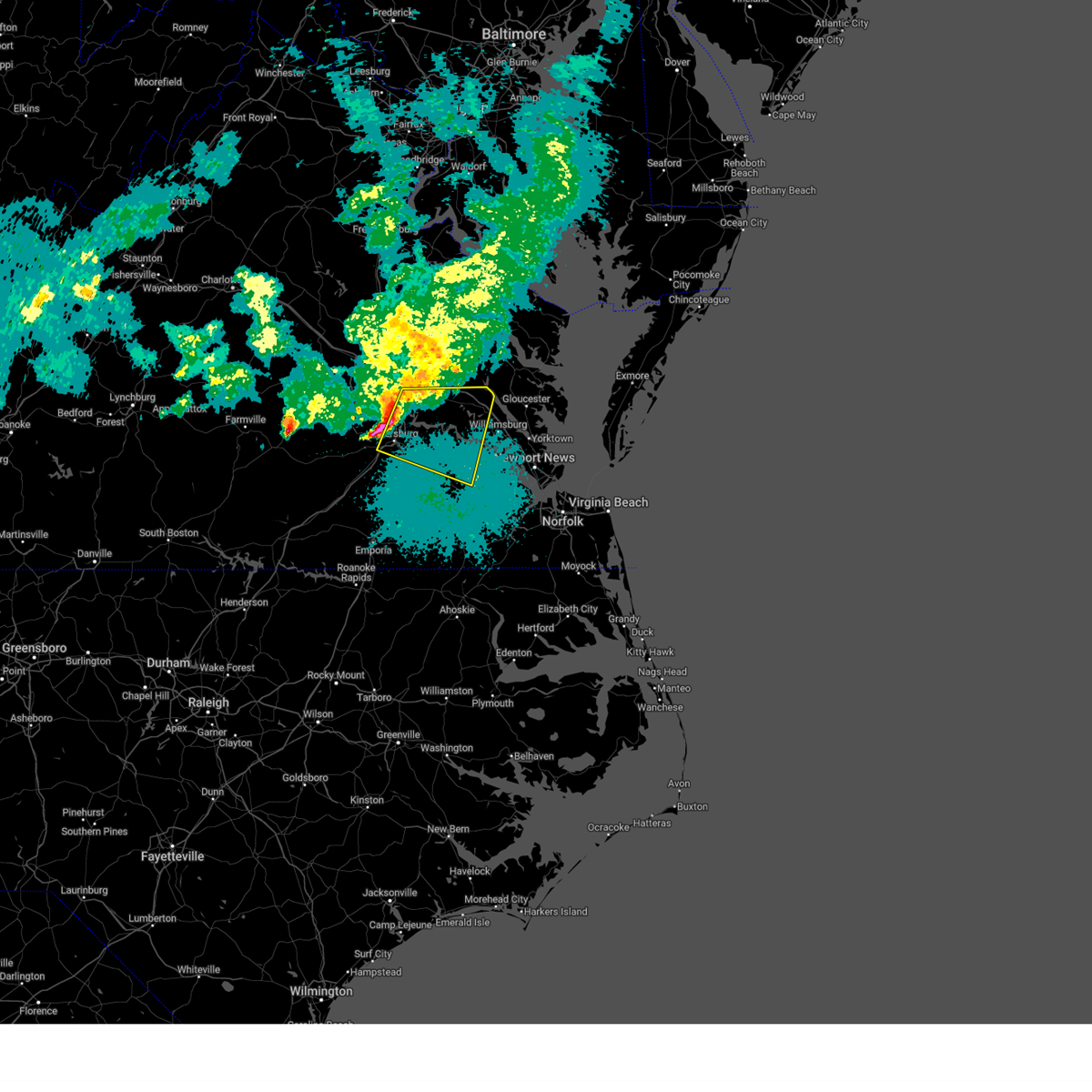
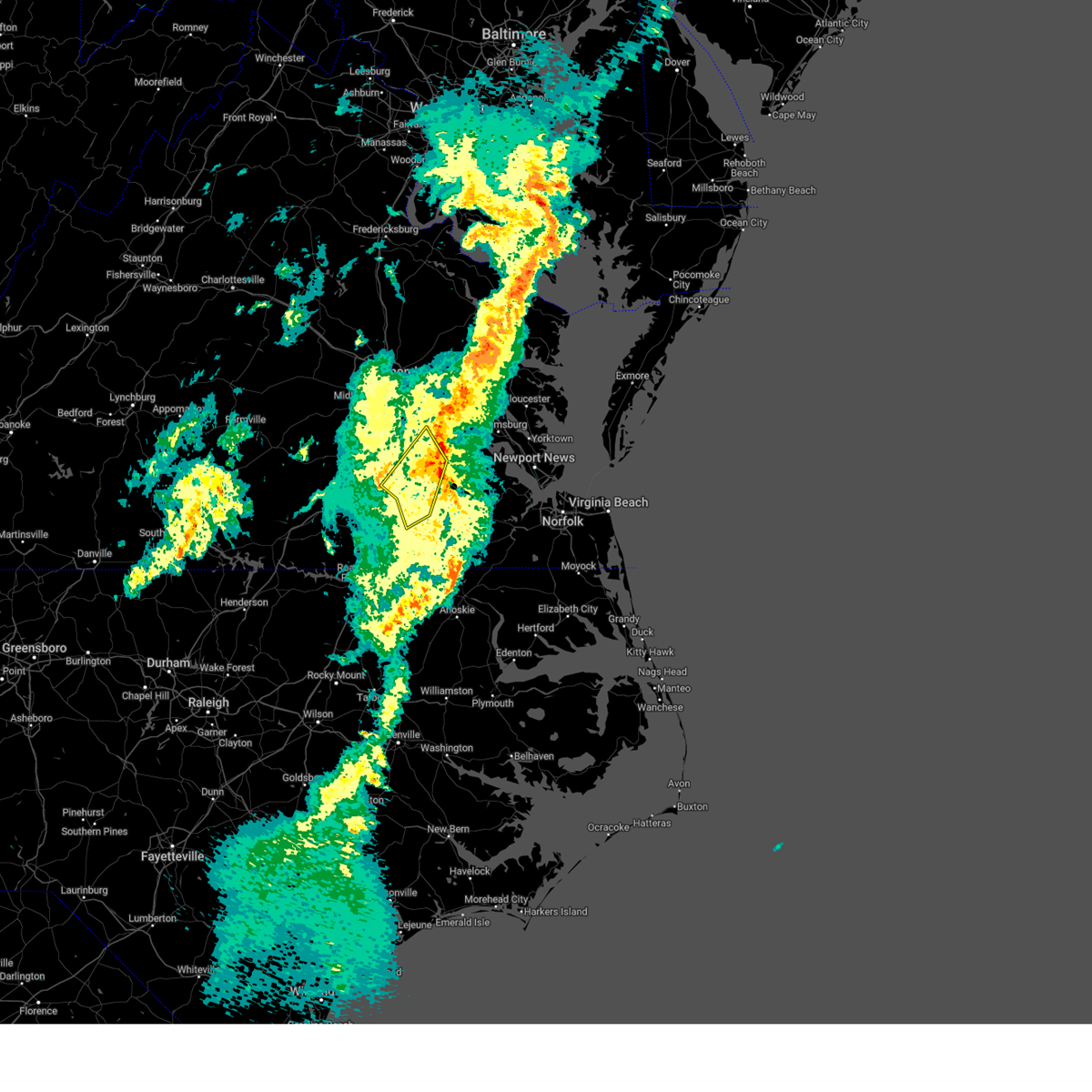
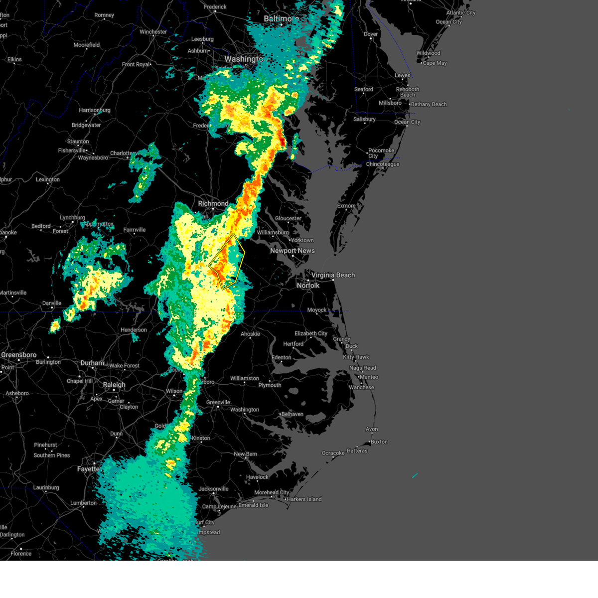
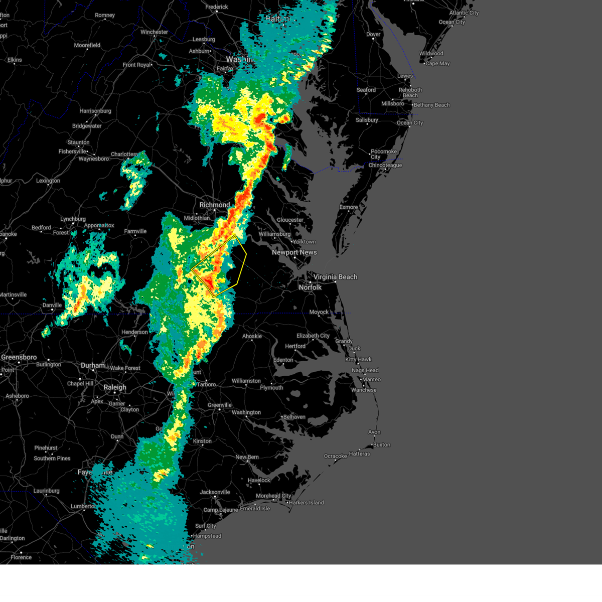
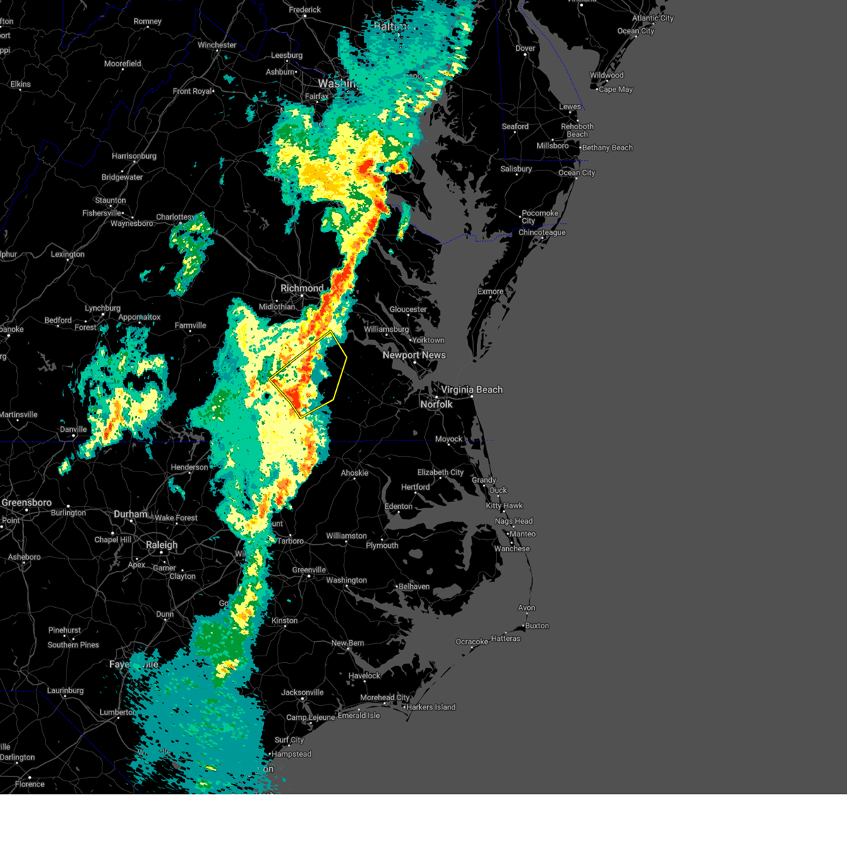
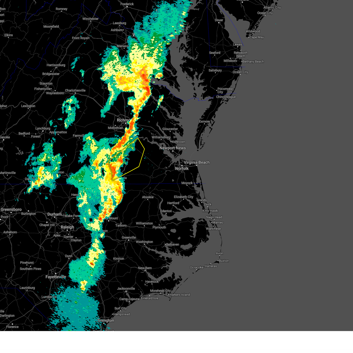
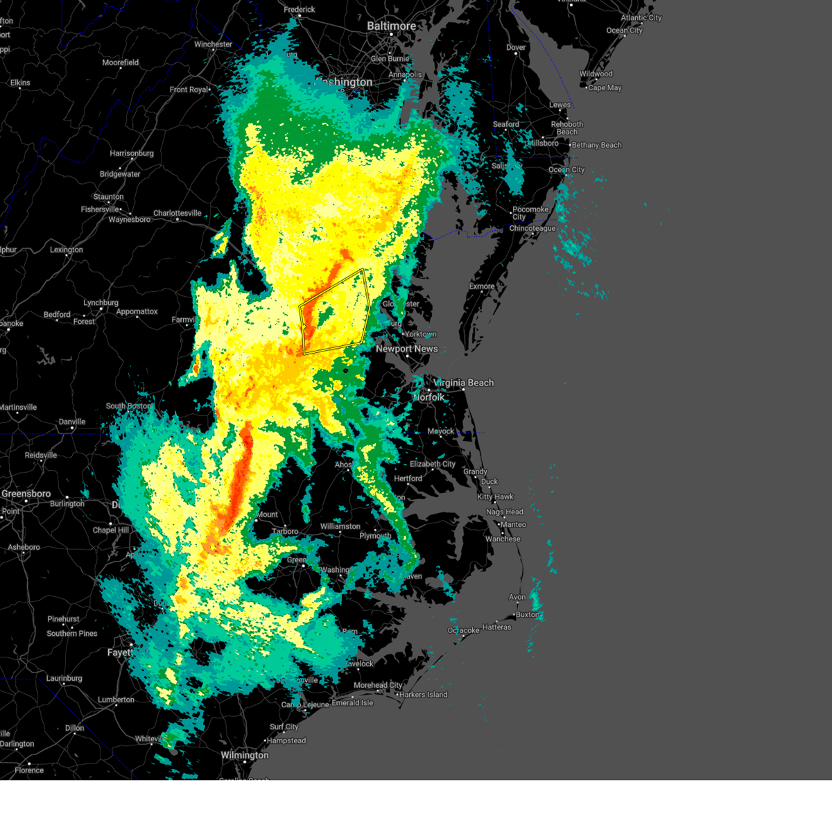
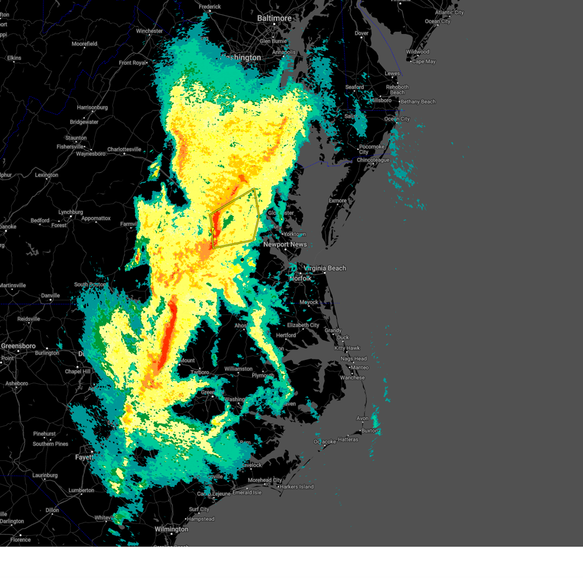
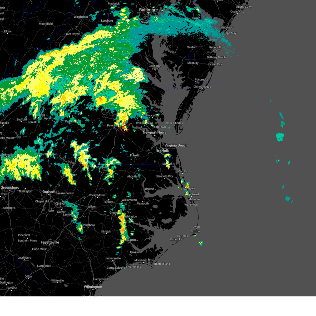
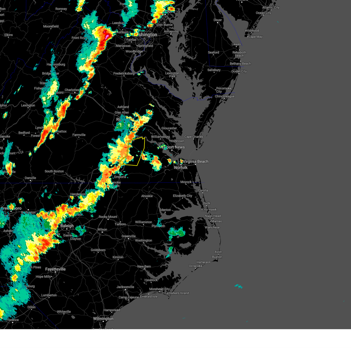
Hail Map for Prince George, VA
The Prince George, VA area has had 10 reports of on-the-ground hail by trained spotters, and has been under severe weather warnings 25 times during the past 12 months. Doppler radar has detected hail at or near Prince George, VA on 52 occasions, including 3 occasions during the past year.
| Name: | Prince George, VA |
| Where Located: | 29.1 miles SE of Richmond, VA |
| Map: | Google Map for Prince George, VA |
| Population: | 2066 |
| Housing Units: | 892 |
| More Info: | Search Google for Prince George, VA |
1
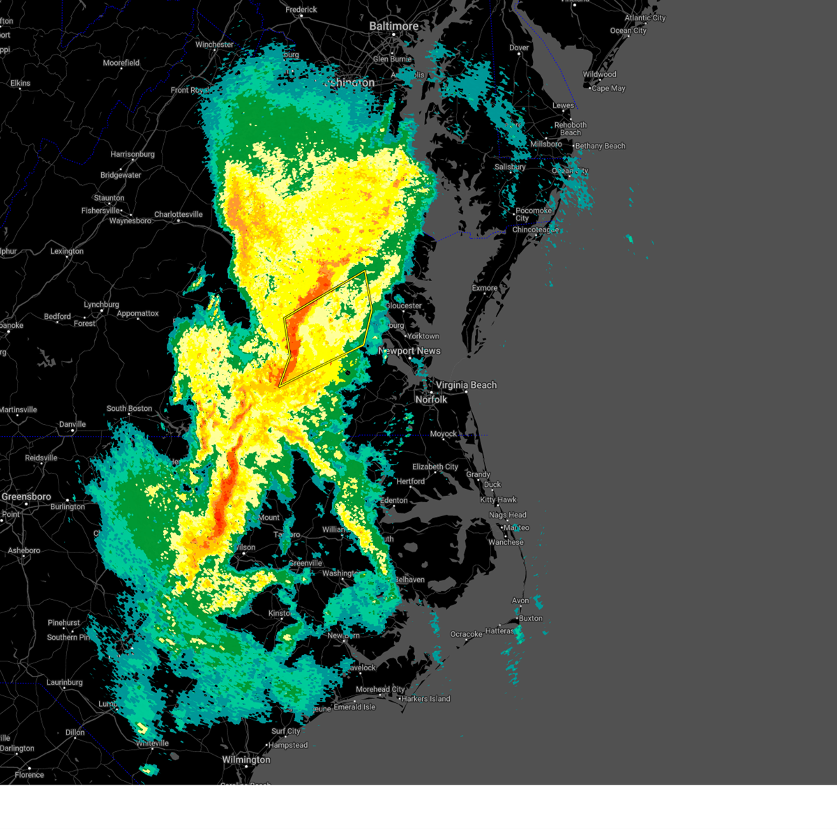
The Top Recent Hail Date for Prince George, VA is Thursday, June 19, 2025 (14th out of 52)

Hail and Wind Damage Spotted near Prince George, VA
| Date / Time | Report Details |
|---|---|
| 6/14/2026 7:19 PM EDT |
 Svrakq the national weather service in wakefield has issued a * severe thunderstorm warning for, southeastern chesterfield county in central virginia, the city of colonial heights in central virginia, the city of hopewell in south central virginia, the city of petersburg in south central virginia, west central charles city county in east central virginia, northern prince george county in south central virginia, southeastern henrico county in central virginia, * until 745 pm edt. * at 719 pm edt, a severe thunderstorm was located over fort gregg-adams, moving northeast at 35 mph (radar indicated). Hazards include 60 mph wind gusts. Expect damage to trees and powerlines. this severe thunderstorm will be near, hopewell, fort gregg-adams, and jordans point around 725 pm edt. Other locations impacted by this severe thunderstorm include new bohemia, richard bland college, meadowville, wayside, birchett estate, varina, jordan point country club, petersburg national battlefield, and prince george golf. Svrakq the national weather service in wakefield has issued a * severe thunderstorm warning for, southeastern chesterfield county in central virginia, the city of colonial heights in central virginia, the city of hopewell in south central virginia, the city of petersburg in south central virginia, west central charles city county in east central virginia, northern prince george county in south central virginia, southeastern henrico county in central virginia, * until 745 pm edt. * at 719 pm edt, a severe thunderstorm was located over fort gregg-adams, moving northeast at 35 mph (radar indicated). Hazards include 60 mph wind gusts. Expect damage to trees and powerlines. this severe thunderstorm will be near, hopewell, fort gregg-adams, and jordans point around 725 pm edt. Other locations impacted by this severe thunderstorm include new bohemia, richard bland college, meadowville, wayside, birchett estate, varina, jordan point country club, petersburg national battlefield, and prince george golf.
|
| 6/14/2026 6:16 PM EDT |
 Svrakq the national weather service in wakefield has issued a * severe thunderstorm warning for, charles city county in east central virginia, northeastern prince george county in south central virginia, central new kent county in east central virginia, northwestern james city county in southeastern virginia, * until 700 pm edt. * at 616 pm edt, a severe thunderstorm was located over garysville, or 7 miles north of disputanta, moving northeast at 30 mph (radar indicated). Hazards include 60 mph wind gusts and quarter size hail. Minor damage to vehicles is possible. expect wind damage to trees and powerlines. this severe thunderstorm will be near, garysville around 620 pm edt. charles city around 630 pm edt. ruthville and adkins store around 635 pm edt. providence forge around 640 pm edt. Other locations impacted by this severe thunderstorm include wrights corner, taylors corner, chickahominy shore, wayside, brandon, mountcastle, lanexa, colonial downs, quinton, and browns corner. Svrakq the national weather service in wakefield has issued a * severe thunderstorm warning for, charles city county in east central virginia, northeastern prince george county in south central virginia, central new kent county in east central virginia, northwestern james city county in southeastern virginia, * until 700 pm edt. * at 616 pm edt, a severe thunderstorm was located over garysville, or 7 miles north of disputanta, moving northeast at 30 mph (radar indicated). Hazards include 60 mph wind gusts and quarter size hail. Minor damage to vehicles is possible. expect wind damage to trees and powerlines. this severe thunderstorm will be near, garysville around 620 pm edt. charles city around 630 pm edt. ruthville and adkins store around 635 pm edt. providence forge around 640 pm edt. Other locations impacted by this severe thunderstorm include wrights corner, taylors corner, chickahominy shore, wayside, brandon, mountcastle, lanexa, colonial downs, quinton, and browns corner.
|
| 6/12/2026 9:46 PM EDT |
 The storm which prompted the warning has weakened below severe limits, and no longer poses an immediate threat to life or property. therefore, the warning has been allowed to expire. however, gusty winds are still possible with this thunderstorm. a severe thunderstorm watch remains in effect until 1100 pm edt for south central, central, southeastern and east central virginia. The storm which prompted the warning has weakened below severe limits, and no longer poses an immediate threat to life or property. therefore, the warning has been allowed to expire. however, gusty winds are still possible with this thunderstorm. a severe thunderstorm watch remains in effect until 1100 pm edt for south central, central, southeastern and east central virginia.
|
| 6/12/2026 9:20 PM EDT |
 At 920 pm edt, a severe thunderstorm was located near petersburg, moving east at 40 mph (trained weather spotter. at 909 pm edt, a national weather service employee measured 55-60 mph winds near lake chesdin). Hazards include 60 mph wind gusts. Expect damage to trees and powerlines. this severe storm will be near, petersburg around 925 pm edt. disputanta around 930 pm edt. Other locations impacted by this severe thunderstorm include burgess, birchett estate, addison, reams, jordan point country club, petersburg national battlefield, new bohemia, petersburg airport, beach, and five forks. At 920 pm edt, a severe thunderstorm was located near petersburg, moving east at 40 mph (trained weather spotter. at 909 pm edt, a national weather service employee measured 55-60 mph winds near lake chesdin). Hazards include 60 mph wind gusts. Expect damage to trees and powerlines. this severe storm will be near, petersburg around 925 pm edt. disputanta around 930 pm edt. Other locations impacted by this severe thunderstorm include burgess, birchett estate, addison, reams, jordan point country club, petersburg national battlefield, new bohemia, petersburg airport, beach, and five forks.
|
| 6/12/2026 8:53 PM EDT |
 Svrakq the national weather service in wakefield has issued a * severe thunderstorm warning for, southern chesterfield county in central virginia, the city of colonial heights in central virginia, the city of hopewell in south central virginia, the city of petersburg in south central virginia, prince george county in south central virginia, north central sussex county in southeastern virginia, northern dinwiddie county in south central virginia, southeastern amelia county in central virginia, * until 945 pm edt. * at 853 pm edt, a severe thunderstorm was located near mannboro, moving east at 40 mph (radar indicated). Hazards include 60 mph wind gusts. Expect damage to trees and powerlines. this severe thunderstorm will be near, sutherland around 900 pm edt. matoaca around 905 pm edt. petersburg and ettrick around 910 pm edt. disputanta around 930 pm edt. Other locations impacted by this severe thunderstorm include winterpock, burgess, birchett estate, addison, reams, ammon, jordan point country club, petersburg national battlefield, new bohemia, and center star. Svrakq the national weather service in wakefield has issued a * severe thunderstorm warning for, southern chesterfield county in central virginia, the city of colonial heights in central virginia, the city of hopewell in south central virginia, the city of petersburg in south central virginia, prince george county in south central virginia, north central sussex county in southeastern virginia, northern dinwiddie county in south central virginia, southeastern amelia county in central virginia, * until 945 pm edt. * at 853 pm edt, a severe thunderstorm was located near mannboro, moving east at 40 mph (radar indicated). Hazards include 60 mph wind gusts. Expect damage to trees and powerlines. this severe thunderstorm will be near, sutherland around 900 pm edt. matoaca around 905 pm edt. petersburg and ettrick around 910 pm edt. disputanta around 930 pm edt. Other locations impacted by this severe thunderstorm include winterpock, burgess, birchett estate, addison, reams, ammon, jordan point country club, petersburg national battlefield, new bohemia, and center star.
|
| 3/16/2026 8:41 PM EDT |
 the severe thunderstorm warning has been cancelled and is no longer in effect the severe thunderstorm warning has been cancelled and is no longer in effect
|
| 3/16/2026 8:41 PM EDT |
 At 839 pm edt, severe thunderstorms were located along a line extending from near ladysmith to near hopewell to 6 miles east of carson to near sussex, moving northeast at 55 mph (radar indicated). Hazards include 60 mph wind gusts. Expect damage to trees and powerlines. these severe storms will be near, hopewell, bowling green, mechanicsville, highland springs, milford, disputanta, hanover, sussex, jordans point, and garysville around 845 pm edt. charles city, waverly, roxbury, manquin, burrowsville, tunstall, beulahville, adkins store, and fort walker around 850 pm edt. claremont, talleysville, port royal, newtown, ruthville, cabin point, aylett, and providence forge around 855 pm edt. new kent, king william, saint stephens church, dendron, holdcroft, and rustic around 900 pm edt. champlain, stevensville, millers tavern, loretto, leedstown, and elberon around 905 pm edt. colonial beach, west point, tappahannock, surry, toano, king and queen court house, norge, scotland, and barhamsville around 910 pm edt. williamsburg, college of william and mary, jamestown, dunnsville, newland, little plymouth, center cross, and shacklefords around 915 pm edt. Other locations impacted by these severe thunderstorms include eltham, grizzard, croaker, wayside, lumberton, etna mills, sandston, glendale, hilda, and rose garden. At 839 pm edt, severe thunderstorms were located along a line extending from near ladysmith to near hopewell to 6 miles east of carson to near sussex, moving northeast at 55 mph (radar indicated). Hazards include 60 mph wind gusts. Expect damage to trees and powerlines. these severe storms will be near, hopewell, bowling green, mechanicsville, highland springs, milford, disputanta, hanover, sussex, jordans point, and garysville around 845 pm edt. charles city, waverly, roxbury, manquin, burrowsville, tunstall, beulahville, adkins store, and fort walker around 850 pm edt. claremont, talleysville, port royal, newtown, ruthville, cabin point, aylett, and providence forge around 855 pm edt. new kent, king william, saint stephens church, dendron, holdcroft, and rustic around 900 pm edt. champlain, stevensville, millers tavern, loretto, leedstown, and elberon around 905 pm edt. colonial beach, west point, tappahannock, surry, toano, king and queen court house, norge, scotland, and barhamsville around 910 pm edt. williamsburg, college of william and mary, jamestown, dunnsville, newland, little plymouth, center cross, and shacklefords around 915 pm edt. Other locations impacted by these severe thunderstorms include eltham, grizzard, croaker, wayside, lumberton, etna mills, sandston, glendale, hilda, and rose garden.
|
| 3/16/2026 8:20 PM EDT |
 Svrakq the national weather service in wakefield has issued a * severe thunderstorm warning for, northeastern louisa county in central virginia, the city of petersburg in south central virginia, hanover county in central virginia, sussex county in southeastern virginia, eastern dinwiddie county in south central virginia, the city of richmond in central virginia, chesterfield county in central virginia, charles city county in east central virginia, prince george county in south central virginia, northwestern richmond county in east central virginia, new kent county in east central virginia, henrico county in central virginia, central greensville county in southeastern virginia, the city of colonial heights in central virginia, the city of hopewell in south central virginia, southeastern goochland county in central virginia, northwestern york county in southeastern virginia, james city county in southeastern virginia, the city of emporia in southeastern virginia, king and queen county in east central virginia, northwestern westmoreland county in east central virginia, caroline county in north central virginia, king william county in east central virginia, surry county in southeastern virginia, essex county in east central virginia, the city of williamsburg in southeastern virginia, * until 915 pm edt. * at 819 pm edt, severe thunderstorms were located along a line extending from near bumpass to near sutherland to 6 miles north of purdy to near radium, moving northeast at 55 mph (radar indicated). Hazards include 60 mph wind gusts. Expect damage to trees and powerlines. severe thunderstorms will be near, richmond, petersburg, colonial heights, university of richmond, chester, downtown richmond, virginia state university, tuckahoe, bon air, and jarratt around 825 pm edt. ashland, virginia union university, randolph macon college, mechanicsville, fort gregg-adams, virginia commonwealth university, ladysmith, and east highland park around 830 pm edt. hopewell, highland springs, hanover, prince george, sussex, and kings dominion around 835 pm edt. bowling green, milford, disputanta, jordans point, dawn, and studley around 840 pm edt. waverly, garysville, mangohick, homeville, and bottoms bridge around 845 pm edt. charles city, roxbury, manquin, burrowsville, cabin point, tunstall, beulahville, adkins store, and fort walker around 850 pm edt. claremont, saint stephens church, talleysville, port royal, newtown, ruthville, aylett, and providence forge around 855 pm edt. new kent, king william, dendron, loretto, holdcroft, and rustic around 900 pm edt. Other locations impacted by these severe thunderstorms include eltham, grizzard, croaker, wayside, lumberton, etna mills, sandston, glendale, hilda, and rose garden. Svrakq the national weather service in wakefield has issued a * severe thunderstorm warning for, northeastern louisa county in central virginia, the city of petersburg in south central virginia, hanover county in central virginia, sussex county in southeastern virginia, eastern dinwiddie county in south central virginia, the city of richmond in central virginia, chesterfield county in central virginia, charles city county in east central virginia, prince george county in south central virginia, northwestern richmond county in east central virginia, new kent county in east central virginia, henrico county in central virginia, central greensville county in southeastern virginia, the city of colonial heights in central virginia, the city of hopewell in south central virginia, southeastern goochland county in central virginia, northwestern york county in southeastern virginia, james city county in southeastern virginia, the city of emporia in southeastern virginia, king and queen county in east central virginia, northwestern westmoreland county in east central virginia, caroline county in north central virginia, king william county in east central virginia, surry county in southeastern virginia, essex county in east central virginia, the city of williamsburg in southeastern virginia, * until 915 pm edt. * at 819 pm edt, severe thunderstorms were located along a line extending from near bumpass to near sutherland to 6 miles north of purdy to near radium, moving northeast at 55 mph (radar indicated). Hazards include 60 mph wind gusts. Expect damage to trees and powerlines. severe thunderstorms will be near, richmond, petersburg, colonial heights, university of richmond, chester, downtown richmond, virginia state university, tuckahoe, bon air, and jarratt around 825 pm edt. ashland, virginia union university, randolph macon college, mechanicsville, fort gregg-adams, virginia commonwealth university, ladysmith, and east highland park around 830 pm edt. hopewell, highland springs, hanover, prince george, sussex, and kings dominion around 835 pm edt. bowling green, milford, disputanta, jordans point, dawn, and studley around 840 pm edt. waverly, garysville, mangohick, homeville, and bottoms bridge around 845 pm edt. charles city, roxbury, manquin, burrowsville, cabin point, tunstall, beulahville, adkins store, and fort walker around 850 pm edt. claremont, saint stephens church, talleysville, port royal, newtown, ruthville, aylett, and providence forge around 855 pm edt. new kent, king william, dendron, loretto, holdcroft, and rustic around 900 pm edt. Other locations impacted by these severe thunderstorms include eltham, grizzard, croaker, wayside, lumberton, etna mills, sandston, glendale, hilda, and rose garden.
|
| 9/26/2025 2:52 AM EDT | the severe thunderstorm warning has been cancelled and is no longer in effect |
| 9/26/2025 2:33 AM EDT | Svrakq the national weather service in wakefield has issued a * severe thunderstorm warning for, the city of colonial heights in central virginia, the city of hopewell in south central virginia, the city of petersburg in south central virginia, prince george county in south central virginia, northeastern dinwiddie county in south central virginia, * until 315 am edt. * at 233 am edt, a severe thunderstorm was located over petersburg, moving east at 45 mph (radar indicated). Hazards include 60 mph wind gusts. Expect damage to trees and powerlines. this severe thunderstorm will be near, petersburg, hopewell, fort gregg-adams, and prince george around 240 am edt. garysville around 250 am edt. Other locations impacted by this severe thunderstorm include new bohemia, richard bland college, birchett estate, addison, prince george golf, jordan point country club, and petersburg national battlefield. |
| 7/27/2025 6:25 PM EDT | Trees down around disputanta. time estimate in prince george county VA, 6.9 miles NNW of Prince George, VA |
| 7/27/2025 6:00 PM EDT |
 Svrakq the national weather service in wakefield has issued a * severe thunderstorm warning for, southeastern chesterfield county in central virginia, the city of colonial heights in central virginia, the city of hopewell in south central virginia, southeastern king and queen county in east central virginia, the city of petersburg in south central virginia, charles city county in east central virginia, prince george county in south central virginia, southeastern new kent county in east central virginia, southeastern king william county in east central virginia, james city county in southeastern virginia, northwestern surry county in southeastern virginia, * until 645 pm edt. * at 600 pm edt, severe thunderstorms were located along a line extending from ruthville to near jordans point to 7 miles southeast of moseley, moving southeast at 50 mph (radar indicated). Hazards include 60 mph wind gusts. Expect damage to trees and powerlines. severe thunderstorms will be near, petersburg, hopewell, colonial heights, charles city, chester, fort gregg-adams, virginia state university, jordans point, ettrick, and matoaca around 605 pm edt. claremont, prince george, and burrowsville around 610 pm edt. cabin point around 615 pm edt. disputanta around 620 pm edt. Other locations impacted by these severe thunderstorms include taylors corner, eltham, chickahominy shore, croaker, birchett estate, spring grove, jordan point country club, petersburg national battlefield, lanexa, and ewell. Svrakq the national weather service in wakefield has issued a * severe thunderstorm warning for, southeastern chesterfield county in central virginia, the city of colonial heights in central virginia, the city of hopewell in south central virginia, southeastern king and queen county in east central virginia, the city of petersburg in south central virginia, charles city county in east central virginia, prince george county in south central virginia, southeastern new kent county in east central virginia, southeastern king william county in east central virginia, james city county in southeastern virginia, northwestern surry county in southeastern virginia, * until 645 pm edt. * at 600 pm edt, severe thunderstorms were located along a line extending from ruthville to near jordans point to 7 miles southeast of moseley, moving southeast at 50 mph (radar indicated). Hazards include 60 mph wind gusts. Expect damage to trees and powerlines. severe thunderstorms will be near, petersburg, hopewell, colonial heights, charles city, chester, fort gregg-adams, virginia state university, jordans point, ettrick, and matoaca around 605 pm edt. claremont, prince george, and burrowsville around 610 pm edt. cabin point around 615 pm edt. disputanta around 620 pm edt. Other locations impacted by these severe thunderstorms include taylors corner, eltham, chickahominy shore, croaker, birchett estate, spring grove, jordan point country club, petersburg national battlefield, lanexa, and ewell.
|
| 7/18/2025 8:23 PM EDT |
 The storm which prompted the warning has moved out of the area. therefore, the warning will be allowed to expire. remember, a severe thunderstorm warning still remains in effect for portions of prince george county. The storm which prompted the warning has moved out of the area. therefore, the warning will be allowed to expire. remember, a severe thunderstorm warning still remains in effect for portions of prince george county.
|
| 7/18/2025 8:04 PM EDT |
 At 804 pm edt, a severe thunderstorm was located near prince george, or near hopewell, moving east at 30 mph (radar indicated). Hazards include 60 mph wind gusts. Expect damage to trees and powerlines. Locations impacted include, petersburg, hopewell, colonial heights, virginia state university, chester, disputanta, fort gregg-adams, prince george, matoaca, garysville, ettrick, jordans point, carson, birchett estate, reams, jordan point country club, petersburg national battlefield, new bohemia, richard bland college, and meadowville. At 804 pm edt, a severe thunderstorm was located near prince george, or near hopewell, moving east at 30 mph (radar indicated). Hazards include 60 mph wind gusts. Expect damage to trees and powerlines. Locations impacted include, petersburg, hopewell, colonial heights, virginia state university, chester, disputanta, fort gregg-adams, prince george, matoaca, garysville, ettrick, jordans point, carson, birchett estate, reams, jordan point country club, petersburg national battlefield, new bohemia, richard bland college, and meadowville.
|
| 7/18/2025 7:39 PM EDT |
 Svrakq the national weather service in wakefield has issued a * severe thunderstorm warning for, southeastern chesterfield county in central virginia, the city of colonial heights in central virginia, the city of hopewell in south central virginia, the city of petersburg in south central virginia, prince george county in south central virginia, northeastern dinwiddie county in south central virginia, * until 830 pm edt. * at 739 pm edt, a severe thunderstorm was located over matoaca, or near virginia state university, moving east at 25 mph (radar indicated). Hazards include 60 mph wind gusts. expect damage to trees and powerlines Svrakq the national weather service in wakefield has issued a * severe thunderstorm warning for, southeastern chesterfield county in central virginia, the city of colonial heights in central virginia, the city of hopewell in south central virginia, the city of petersburg in south central virginia, prince george county in south central virginia, northeastern dinwiddie county in south central virginia, * until 830 pm edt. * at 739 pm edt, a severe thunderstorm was located over matoaca, or near virginia state university, moving east at 25 mph (radar indicated). Hazards include 60 mph wind gusts. expect damage to trees and powerlines
|
| 7/12/2025 3:07 PM EDT |
 The storm which prompted the warning has moved out of the area. therefore, the warning will be allowed to expire. however, gusty winds and heavy rain are still possible with this thunderstorm. The storm which prompted the warning has moved out of the area. therefore, the warning will be allowed to expire. however, gusty winds and heavy rain are still possible with this thunderstorm.
|
| 7/12/2025 2:49 PM EDT |
 At 249 pm edt, a severe thunderstorm was located near garysville, or near hopewell, and is nearly stationary (radar indicated). Hazards include 60 mph wind gusts. Expect damage to trees and powerlines. this severe storm will be near, garysville around 255 pm edt. Other locations impacted by this severe thunderstorm include birchett estate, jordan point country club, and prince george golf. At 249 pm edt, a severe thunderstorm was located near garysville, or near hopewell, and is nearly stationary (radar indicated). Hazards include 60 mph wind gusts. Expect damage to trees and powerlines. this severe storm will be near, garysville around 255 pm edt. Other locations impacted by this severe thunderstorm include birchett estate, jordan point country club, and prince george golf.
|
| 7/12/2025 2:29 PM EDT |
 Svrakq the national weather service in wakefield has issued a * severe thunderstorm warning for, the city of hopewell in south central virginia, northern prince george county in south central virginia, * until 315 pm edt. * at 229 pm edt, a severe thunderstorm was located over prince george, or near hopewell, and is nearly stationary (radar indicated). Hazards include 60 mph wind gusts. Expect damage to trees and powerlines. this severe thunderstorm will be near, prince george around 235 pm edt. Other locations impacted by this severe thunderstorm include birchett estate, jordan point country club, and prince george golf. Svrakq the national weather service in wakefield has issued a * severe thunderstorm warning for, the city of hopewell in south central virginia, northern prince george county in south central virginia, * until 315 pm edt. * at 229 pm edt, a severe thunderstorm was located over prince george, or near hopewell, and is nearly stationary (radar indicated). Hazards include 60 mph wind gusts. Expect damage to trees and powerlines. this severe thunderstorm will be near, prince george around 235 pm edt. Other locations impacted by this severe thunderstorm include birchett estate, jordan point country club, and prince george golf.
|
| 7/8/2025 5:51 PM EDT |
 The storm which prompted the warning has weakened below severe limits, and no longer poses an immediate threat to life or property. therefore, the warning will be allowed to expire. a severe thunderstorm watch remains in effect until 900 pm edt for south central, southeastern and east central virginia. The storm which prompted the warning has weakened below severe limits, and no longer poses an immediate threat to life or property. therefore, the warning will be allowed to expire. a severe thunderstorm watch remains in effect until 900 pm edt for south central, southeastern and east central virginia.
|
| 7/8/2025 5:42 PM EDT |
 the severe thunderstorm warning has been cancelled and is no longer in effect the severe thunderstorm warning has been cancelled and is no longer in effect
|
| 7/8/2025 5:42 PM EDT |
 At 541 pm edt, a severe thunderstorm was located near garysville, or near disputanta, moving northeast at 20 mph (radar indicated). Hazards include 60 mph wind gusts. Expect damage to trees and powerlines. this severe storm will be near, garysville and burrowsville around 545 pm edt. Other locations impacted by this severe thunderstorm include oak hill corner and barham. At 541 pm edt, a severe thunderstorm was located near garysville, or near disputanta, moving northeast at 20 mph (radar indicated). Hazards include 60 mph wind gusts. Expect damage to trees and powerlines. this severe storm will be near, garysville and burrowsville around 545 pm edt. Other locations impacted by this severe thunderstorm include oak hill corner and barham.
|
| 7/8/2025 5:26 PM EDT |
 the severe thunderstorm warning has been cancelled and is no longer in effect the severe thunderstorm warning has been cancelled and is no longer in effect
|
| 7/8/2025 5:26 PM EDT |
 At 525 pm edt, a severe thunderstorm was located over disputanta, moving northeast at 20 mph (radar indicated). Hazards include 60 mph wind gusts. Expect damage to trees and powerlines. this severe storm will be near, disputanta around 530 pm edt. garysville and burrowsville around 545 pm edt. Other locations impacted by this severe thunderstorm include new bohemia, birchett estate, prince george golf, oak hill corner, jordan point country club, savedge, and barham. At 525 pm edt, a severe thunderstorm was located over disputanta, moving northeast at 20 mph (radar indicated). Hazards include 60 mph wind gusts. Expect damage to trees and powerlines. this severe storm will be near, disputanta around 530 pm edt. garysville and burrowsville around 545 pm edt. Other locations impacted by this severe thunderstorm include new bohemia, birchett estate, prince george golf, oak hill corner, jordan point country club, savedge, and barham.
|
| 7/8/2025 5:11 PM EDT |
 Svrakq the national weather service in wakefield has issued a * severe thunderstorm warning for, prince george county in south central virginia, north central sussex county in southeastern virginia, east central dinwiddie county in south central virginia, northwestern surry county in southeastern virginia, * until 600 pm edt. * at 511 pm edt, a severe thunderstorm was located near carson, or near disputanta, moving northeast at 20 mph (radar indicated). Hazards include 60 mph wind gusts. Expect damage to trees and powerlines. this severe thunderstorm will be near, disputanta around 520 pm edt. garysville and burrowsville around 545 pm edt. Other locations impacted by this severe thunderstorm include new bohemia, templeton, birchett estate, reams, prince george golf, oak hill corner, jordan point country club, savedge, and barham. Svrakq the national weather service in wakefield has issued a * severe thunderstorm warning for, prince george county in south central virginia, north central sussex county in southeastern virginia, east central dinwiddie county in south central virginia, northwestern surry county in southeastern virginia, * until 600 pm edt. * at 511 pm edt, a severe thunderstorm was located near carson, or near disputanta, moving northeast at 20 mph (radar indicated). Hazards include 60 mph wind gusts. Expect damage to trees and powerlines. this severe thunderstorm will be near, disputanta around 520 pm edt. garysville and burrowsville around 545 pm edt. Other locations impacted by this severe thunderstorm include new bohemia, templeton, birchett estate, reams, prince george golf, oak hill corner, jordan point country club, savedge, and barham.
|
| 6/19/2025 6:10 PM EDT | Tree down at intersection of lebanon rd and cedar ln. time estimate in prince george county VA, 8 miles WNW of Prince George, VA |
| 6/19/2025 6:05 PM EDT | Tree down on chester dr. time estimate in prince george county VA, 5.2 miles N of Prince George, VA |
| 6/19/2025 6:00 PM EDT | Tree down on us 460 near queens st. time estimate in prince george county VA, 6.2 miles NNW of Prince George, VA |
| 6/19/2025 5:55 PM EDT | Tree down on courthouse rd. time estimate in prince george county VA, 3.8 miles ENE of Prince George, VA |
| 6/19/2025 5:55 PM EDT |
 At 555 pm edt, severe thunderstorms were located along a line extending from 7 miles northwest of jordans point to near prince george to near stony creek, moving east at 50 mph (radar indicated). Hazards include 60 mph wind gusts and penny size hail. Expect damage to trees and powerlines. these severe storms will be near, disputanta, stony creek, jordans point, and garysville around 600 pm edt. charles city, roxbury, providence forge, ruthville, burrowsville, cabin point, and adkins store around 605 pm edt. waverly, claremont, and homeville around 610 pm edt. holdcroft and rustic around 615 pm edt. Other locations impacted by these severe thunderstorms include taylors corner, carsley, chickahominy shore, wayside, birchett estate, booker, mountcastle, spring grove, elko, and jordan point country club. At 555 pm edt, severe thunderstorms were located along a line extending from 7 miles northwest of jordans point to near prince george to near stony creek, moving east at 50 mph (radar indicated). Hazards include 60 mph wind gusts and penny size hail. Expect damage to trees and powerlines. these severe storms will be near, disputanta, stony creek, jordans point, and garysville around 600 pm edt. charles city, roxbury, providence forge, ruthville, burrowsville, cabin point, and adkins store around 605 pm edt. waverly, claremont, and homeville around 610 pm edt. holdcroft and rustic around 615 pm edt. Other locations impacted by these severe thunderstorms include taylors corner, carsley, chickahominy shore, wayside, birchett estate, booker, mountcastle, spring grove, elko, and jordan point country club.
|
| 6/19/2025 5:48 PM EDT | Large tree branches fell and smashed fenc in prince george county VA, 3.7 miles E of Prince George, VA |
| 6/19/2025 5:36 PM EDT |
 Svrakq the national weather service in wakefield has issued a * severe thunderstorm warning for, southeastern chesterfield county in central virginia, the city of colonial heights in central virginia, the city of hopewell in south central virginia, the city of petersburg in south central virginia, charles city county in east central virginia, prince george county in south central virginia, central new kent county in east central virginia, southeastern henrico county in central virginia, northern sussex county in southeastern virginia, eastern dinwiddie county in south central virginia, northwestern surry county in southeastern virginia, * until 615 pm edt. * at 536 pm edt, severe thunderstorms were located along a line extending from chesterfield court house to near sutherland to near mckenney, moving east at 50 mph (radar indicated). Hazards include 60 mph wind gusts and penny size hail. Expect damage to trees and powerlines. severe thunderstorms will be near, petersburg, colonial heights, chester, virginia state university, ettrick, matoaca, bellwood, and chesterfield court house around 540 pm edt. hopewell, fort gregg-adams, and carson around 545 pm edt. prince george and stony creek around 550 pm edt. disputanta, jordans point, and garysville around 555 pm edt. roxbury, burrowsville, and adkins store around 600 pm edt. charles city, waverly, providence forge, ruthville, and cabin point around 605 pm edt. claremont and homeville around 610 pm edt. Other locations impacted by these severe thunderstorms include taylors corner, carsley, chickahominy shore, wayside, birchett estate, addison, booker, spring grove, mountcastle, and elko. Svrakq the national weather service in wakefield has issued a * severe thunderstorm warning for, southeastern chesterfield county in central virginia, the city of colonial heights in central virginia, the city of hopewell in south central virginia, the city of petersburg in south central virginia, charles city county in east central virginia, prince george county in south central virginia, central new kent county in east central virginia, southeastern henrico county in central virginia, northern sussex county in southeastern virginia, eastern dinwiddie county in south central virginia, northwestern surry county in southeastern virginia, * until 615 pm edt. * at 536 pm edt, severe thunderstorms were located along a line extending from chesterfield court house to near sutherland to near mckenney, moving east at 50 mph (radar indicated). Hazards include 60 mph wind gusts and penny size hail. Expect damage to trees and powerlines. severe thunderstorms will be near, petersburg, colonial heights, chester, virginia state university, ettrick, matoaca, bellwood, and chesterfield court house around 540 pm edt. hopewell, fort gregg-adams, and carson around 545 pm edt. prince george and stony creek around 550 pm edt. disputanta, jordans point, and garysville around 555 pm edt. roxbury, burrowsville, and adkins store around 600 pm edt. charles city, waverly, providence forge, ruthville, and cabin point around 605 pm edt. claremont and homeville around 610 pm edt. Other locations impacted by these severe thunderstorms include taylors corner, carsley, chickahominy shore, wayside, birchett estate, addison, booker, spring grove, mountcastle, and elko.
|
| 5/30/2025 7:25 PM EDT |
 At 725 pm edt, a severe thunderstorm was located over hopewell, moving east at 40 mph (radar indicated). Hazards include 60 mph wind gusts. Expect damage to trees and powerlines. this severe storm will be near, hopewell, jordans point, and garysville around 730 pm edt. charles city around 740 pm edt. Other locations impacted by this severe thunderstorm include barnetts, jordan point country club, roaches corner, new hope, wayside, and birchett estate. At 725 pm edt, a severe thunderstorm was located over hopewell, moving east at 40 mph (radar indicated). Hazards include 60 mph wind gusts. Expect damage to trees and powerlines. this severe storm will be near, hopewell, jordans point, and garysville around 730 pm edt. charles city around 740 pm edt. Other locations impacted by this severe thunderstorm include barnetts, jordan point country club, roaches corner, new hope, wayside, and birchett estate.
|
| 5/30/2025 7:25 PM EDT |
 the severe thunderstorm warning has been cancelled and is no longer in effect the severe thunderstorm warning has been cancelled and is no longer in effect
|
| 5/30/2025 6:56 PM EDT |
 Svrakq the national weather service in wakefield has issued a * severe thunderstorm warning for, southeastern chesterfield county in central virginia, the city of colonial heights in central virginia, the city of hopewell in south central virginia, the city of petersburg in south central virginia, western charles city county in east central virginia, northern prince george county in south central virginia, northeastern dinwiddie county in south central virginia, * until 745 pm edt. * at 656 pm edt, a severe thunderstorm was located near sutherland, or 9 miles north of dinwiddie, moving east at 50 mph (radar indicated). Hazards include 60 mph wind gusts. Expect damage to trees and powerlines. this severe thunderstorm will be near, matoaca and sutherland around 700 pm edt. petersburg, colonial heights, virginia state university, and ettrick around 705 pm edt. chester and fort gregg-adams around 710 pm edt. hopewell around 715 pm edt. jordans point around 720 pm edt. charles city around 730 pm edt. ruthville and adkins store around 735 pm edt. Other locations impacted by this severe thunderstorm include church road, wayside, birchett estate, addison, barnetts, jordan point country club, roaches corner, new hope, and petersburg national battlefield. Svrakq the national weather service in wakefield has issued a * severe thunderstorm warning for, southeastern chesterfield county in central virginia, the city of colonial heights in central virginia, the city of hopewell in south central virginia, the city of petersburg in south central virginia, western charles city county in east central virginia, northern prince george county in south central virginia, northeastern dinwiddie county in south central virginia, * until 745 pm edt. * at 656 pm edt, a severe thunderstorm was located near sutherland, or 9 miles north of dinwiddie, moving east at 50 mph (radar indicated). Hazards include 60 mph wind gusts. Expect damage to trees and powerlines. this severe thunderstorm will be near, matoaca and sutherland around 700 pm edt. petersburg, colonial heights, virginia state university, and ettrick around 705 pm edt. chester and fort gregg-adams around 710 pm edt. hopewell around 715 pm edt. jordans point around 720 pm edt. charles city around 730 pm edt. ruthville and adkins store around 735 pm edt. Other locations impacted by this severe thunderstorm include church road, wayside, birchett estate, addison, barnetts, jordan point country club, roaches corner, new hope, and petersburg national battlefield.
|
| 5/16/2025 6:12 PM EDT |
 The storm which prompted the warning has moved out of the area. therefore, the warning will be allowed to expire. a severe thunderstorm watch remains in effect until 1100 pm edt for central, south central and southeastern virginia. The storm which prompted the warning has moved out of the area. therefore, the warning will be allowed to expire. a severe thunderstorm watch remains in effect until 1100 pm edt for central, south central and southeastern virginia.
|
| 5/16/2025 5:52 PM EDT |
 the severe thunderstorm warning has been cancelled and is no longer in effect the severe thunderstorm warning has been cancelled and is no longer in effect
|
| 5/16/2025 5:52 PM EDT |
 At 551 pm edt, a severe thunderstorm was located near sutherland, or near dinwiddie, moving east at 35 mph (radar indicated). Hazards include 60 mph wind gusts and penny size hail. Expect damage to trees and powerlines. this severe storm will be near, petersburg around 600 pm edt. Other locations impacted by this severe thunderstorm include burgess, birchett estate, addison, reams, petersburg national battlefield, new bohemia, petersburg airport, center star, church road, and five forks. At 551 pm edt, a severe thunderstorm was located near sutherland, or near dinwiddie, moving east at 35 mph (radar indicated). Hazards include 60 mph wind gusts and penny size hail. Expect damage to trees and powerlines. this severe storm will be near, petersburg around 600 pm edt. Other locations impacted by this severe thunderstorm include burgess, birchett estate, addison, reams, petersburg national battlefield, new bohemia, petersburg airport, center star, church road, and five forks.
|
| 5/16/2025 5:34 PM EDT |
 Svrakq the national weather service in wakefield has issued a * severe thunderstorm warning for, southwestern chesterfield county in central virginia, the city of colonial heights in central virginia, eastern nottoway county in south central virginia, the city of petersburg in south central virginia, northwestern prince george county in south central virginia, dinwiddie county in south central virginia, southeastern amelia county in central virginia, * until 615 pm edt. * at 534 pm edt, a severe thunderstorm was located near mannboro, moving east at 35 mph (radar indicated). Hazards include 60 mph wind gusts and penny size hail. Expect damage to trees and powerlines. this severe thunderstorm will be near, sutherland around 545 pm edt. petersburg around 600 pm edt. Other locations impacted by this severe thunderstorm include burgess, birchett estate, addison, reams, ammon, petersburg national battlefield, new bohemia, petersburg airport, center star, and church road. Svrakq the national weather service in wakefield has issued a * severe thunderstorm warning for, southwestern chesterfield county in central virginia, the city of colonial heights in central virginia, eastern nottoway county in south central virginia, the city of petersburg in south central virginia, northwestern prince george county in south central virginia, dinwiddie county in south central virginia, southeastern amelia county in central virginia, * until 615 pm edt. * at 534 pm edt, a severe thunderstorm was located near mannboro, moving east at 35 mph (radar indicated). Hazards include 60 mph wind gusts and penny size hail. Expect damage to trees and powerlines. this severe thunderstorm will be near, sutherland around 545 pm edt. petersburg around 600 pm edt. Other locations impacted by this severe thunderstorm include burgess, birchett estate, addison, reams, ammon, petersburg national battlefield, new bohemia, petersburg airport, center star, and church road.
|
| 5/5/2025 6:13 PM EDT |
 The storm which prompted the warning has weakened below severe limits, and no longer poses an immediate threat to life or property. therefore, the warning will be allowed to expire. a severe thunderstorm watch remains in effect until 900 pm edt for south central, southeastern and east central virginia. The storm which prompted the warning has weakened below severe limits, and no longer poses an immediate threat to life or property. therefore, the warning will be allowed to expire. a severe thunderstorm watch remains in effect until 900 pm edt for south central, southeastern and east central virginia.
|
| 5/5/2025 5:50 PM EDT |
 At 550 pm edt, a severe thunderstorm was located near waverly, moving north at 25 mph (radar indicated). Hazards include 60 mph wind gusts and quarter size hail. Minor damage to vehicles is possible. expect wind damage to trees and powerlines. Locations impacted include, disputanta, garysville, homeville, jordans point, burrowsville, taylors corner, newville, prince george golf, lumberton, oak hill corner, and barham. At 550 pm edt, a severe thunderstorm was located near waverly, moving north at 25 mph (radar indicated). Hazards include 60 mph wind gusts and quarter size hail. Minor damage to vehicles is possible. expect wind damage to trees and powerlines. Locations impacted include, disputanta, garysville, homeville, jordans point, burrowsville, taylors corner, newville, prince george golf, lumberton, oak hill corner, and barham.
|
| 5/5/2025 5:40 PM EDT |
 the severe thunderstorm warning has been cancelled and is no longer in effect the severe thunderstorm warning has been cancelled and is no longer in effect
|
| 5/5/2025 5:40 PM EDT |
 At 539 pm edt, a severe thunderstorm was located near homeville, or near waverly, moving northeast at 25 mph (radar indicated). Hazards include 60 mph wind gusts and quarter size hail. Minor damage to vehicles is possible. expect wind damage to trees and powerlines. this severe storm will be near, burrowsville around 610 pm edt. Other locations impacted by this severe thunderstorm include taylors corner, newville, templeton, booker, prince george golf, oak hill corner, and barham. At 539 pm edt, a severe thunderstorm was located near homeville, or near waverly, moving northeast at 25 mph (radar indicated). Hazards include 60 mph wind gusts and quarter size hail. Minor damage to vehicles is possible. expect wind damage to trees and powerlines. this severe storm will be near, burrowsville around 610 pm edt. Other locations impacted by this severe thunderstorm include taylors corner, newville, templeton, booker, prince george golf, oak hill corner, and barham.
|
| 5/5/2025 5:29 PM EDT |
 Svrakq the national weather service in wakefield has issued a * severe thunderstorm warning for, the city of hopewell in south central virginia, the eastern city of petersburg in south central virginia, prince george county in south central virginia, north central sussex county in southeastern virginia, northwestern surry county in southeastern virginia, * until 615 pm edt. * at 528 pm edt, a severe thunderstorm was located near sussex, or 10 miles southwest of disputanta, moving north at 25 mph (radar indicated). Hazards include 60 mph wind gusts and quarter size hail. Minor damage to vehicles is possible. expect wind damage to trees and powerlines. this severe thunderstorm will be near, disputanta around 545 pm edt. prince george around 600 pm edt. Other locations impacted by this severe thunderstorm include new bohemia, taylors corner, newville, richard bland college, templeton, birchett estate, booker, prince george golf, oak hill corner, and jordan point country club. Svrakq the national weather service in wakefield has issued a * severe thunderstorm warning for, the city of hopewell in south central virginia, the eastern city of petersburg in south central virginia, prince george county in south central virginia, north central sussex county in southeastern virginia, northwestern surry county in southeastern virginia, * until 615 pm edt. * at 528 pm edt, a severe thunderstorm was located near sussex, or 10 miles southwest of disputanta, moving north at 25 mph (radar indicated). Hazards include 60 mph wind gusts and quarter size hail. Minor damage to vehicles is possible. expect wind damage to trees and powerlines. this severe thunderstorm will be near, disputanta around 545 pm edt. prince george around 600 pm edt. Other locations impacted by this severe thunderstorm include new bohemia, taylors corner, newville, richard bland college, templeton, birchett estate, booker, prince george golf, oak hill corner, and jordan point country club.
|
| 4/14/2025 11:38 PM EDT |
 The storm which prompted the warning has weakened below severe limits, and no longer poses an immediate threat to life or property. therefore, the warning will be allowed to expire. The storm which prompted the warning has weakened below severe limits, and no longer poses an immediate threat to life or property. therefore, the warning will be allowed to expire.
|
| 4/14/2025 11:17 PM EDT |
 At 1116 pm edt, a severe thunderstorm was located over garysville, or near charles city, moving east at 55 mph (radar indicated). Hazards include 60 mph wind gusts and quarter size hail. Minor damage to vehicles is possible. expect wind damage to trees and powerlines. this severe storm will be near, claremont and burrowsville around 1120 pm edt. rustic around 1125 pm edt. Other locations impacted by this severe thunderstorm include taylors corner, carsley, chickahominy shore, spring grove, mountcastle, ellis fork, lanexa, colonial downs, warren mill, and barnetts. At 1116 pm edt, a severe thunderstorm was located over garysville, or near charles city, moving east at 55 mph (radar indicated). Hazards include 60 mph wind gusts and quarter size hail. Minor damage to vehicles is possible. expect wind damage to trees and powerlines. this severe storm will be near, claremont and burrowsville around 1120 pm edt. rustic around 1125 pm edt. Other locations impacted by this severe thunderstorm include taylors corner, carsley, chickahominy shore, spring grove, mountcastle, ellis fork, lanexa, colonial downs, warren mill, and barnetts.
|
| 4/14/2025 11:17 PM EDT |
 the severe thunderstorm warning has been cancelled and is no longer in effect the severe thunderstorm warning has been cancelled and is no longer in effect
|
| 4/14/2025 10:56 PM EDT |
 Svrakq the national weather service in wakefield has issued a * severe thunderstorm warning for, southeastern chesterfield county in central virginia, the city of colonial heights in central virginia, the city of hopewell in south central virginia, the city of petersburg in south central virginia, charles city county in east central virginia, prince george county in south central virginia, southern new kent county in east central virginia, southeastern henrico county in central virginia, northeastern sussex county in southeastern virginia, northeastern dinwiddie county in south central virginia, western james city county in southeastern virginia, surry county in southeastern virginia, * until 1145 pm edt. * at 1055 pm edt, a severe thunderstorm was located over colonial heights, moving east at 65 mph (radar indicated). Hazards include 60 mph wind gusts and quarter size hail. Minor damage to vehicles is possible. expect wind damage to trees and powerlines. this severe thunderstorm will be near, colonial heights, fort gregg-adams, prince george, petersburg, and hopewell around 1100 pm edt. jordans point and garysville around 1105 pm edt. burrowsville around 1110 pm edt. claremont and cabin point around 1115 pm edt. Other locations impacted by this severe thunderstorm include taylors corner, carsley, chickahominy shore, wayside, birchett estate, addison, spring grove, mountcastle, ellis fork, and elko. Svrakq the national weather service in wakefield has issued a * severe thunderstorm warning for, southeastern chesterfield county in central virginia, the city of colonial heights in central virginia, the city of hopewell in south central virginia, the city of petersburg in south central virginia, charles city county in east central virginia, prince george county in south central virginia, southern new kent county in east central virginia, southeastern henrico county in central virginia, northeastern sussex county in southeastern virginia, northeastern dinwiddie county in south central virginia, western james city county in southeastern virginia, surry county in southeastern virginia, * until 1145 pm edt. * at 1055 pm edt, a severe thunderstorm was located over colonial heights, moving east at 65 mph (radar indicated). Hazards include 60 mph wind gusts and quarter size hail. Minor damage to vehicles is possible. expect wind damage to trees and powerlines. this severe thunderstorm will be near, colonial heights, fort gregg-adams, prince george, petersburg, and hopewell around 1100 pm edt. jordans point and garysville around 1105 pm edt. burrowsville around 1110 pm edt. claremont and cabin point around 1115 pm edt. Other locations impacted by this severe thunderstorm include taylors corner, carsley, chickahominy shore, wayside, birchett estate, addison, spring grove, mountcastle, ellis fork, and elko.
|
| 3/31/2025 9:16 PM EDT |
 The storms which prompted the warning have weakened below severe limits, and have exited the warned area. therefore, the warning has been allowed to expire. however, gusty winds are still possible with these thunderstorms. The storms which prompted the warning have weakened below severe limits, and have exited the warned area. therefore, the warning has been allowed to expire. however, gusty winds are still possible with these thunderstorms.
|
| 3/31/2025 9:04 PM EDT |
 the severe thunderstorm warning has been cancelled and is no longer in effect the severe thunderstorm warning has been cancelled and is no longer in effect
|
| 3/31/2025 9:04 PM EDT |
 At 903 pm edt, severe thunderstorms were located along a line extending from near carson to sussex to 10 miles east of jarratt, moving northeast at 40 mph (radar indicated). Hazards include 60 mph wind gusts. Expect damage to trees and powerlines. these severe storms will be near, homeville around 910 pm edt. disputanta and waverly around 915 pm edt. Other locations impacted by these severe thunderstorms include newville, templeton, booker, prince george golf, yale, lumberton, barham, littleton, and hilda. At 903 pm edt, severe thunderstorms were located along a line extending from near carson to sussex to 10 miles east of jarratt, moving northeast at 40 mph (radar indicated). Hazards include 60 mph wind gusts. Expect damage to trees and powerlines. these severe storms will be near, homeville around 910 pm edt. disputanta and waverly around 915 pm edt. Other locations impacted by these severe thunderstorms include newville, templeton, booker, prince george golf, yale, lumberton, barham, littleton, and hilda.
|
| 3/31/2025 8:48 PM EDT |
 the severe thunderstorm warning has been cancelled and is no longer in effect the severe thunderstorm warning has been cancelled and is no longer in effect
|
| 3/31/2025 8:48 PM EDT |
 At 848 pm edt, severe thunderstorms were located along a line extending from near stony creek to near jarratt to near green plain, moving northeast at 50 mph (radar indicated). Hazards include 60 mph wind gusts. Expect damage to trees and powerlines. these severe storms will be near, sussex and stony creek around 855 pm edt. homeville around 900 pm edt. waverly around 905 pm edt. Other locations impacted by these severe thunderstorms include gray, grizzard, newville, booker, reams, yale, fields crossroads, lumberton, wharfs store, and huske. At 848 pm edt, severe thunderstorms were located along a line extending from near stony creek to near jarratt to near green plain, moving northeast at 50 mph (radar indicated). Hazards include 60 mph wind gusts. Expect damage to trees and powerlines. these severe storms will be near, sussex and stony creek around 855 pm edt. homeville around 900 pm edt. waverly around 905 pm edt. Other locations impacted by these severe thunderstorms include gray, grizzard, newville, booker, reams, yale, fields crossroads, lumberton, wharfs store, and huske.
|
| 3/31/2025 8:31 PM EDT |
 Svrakq the national weather service in wakefield has issued a * severe thunderstorm warning for, central greensville county in southeastern virginia, the city of emporia in southeastern virginia, the southeastern city of petersburg in south central virginia, prince george county in south central virginia, sussex county in southeastern virginia, southeastern dinwiddie county in south central virginia, west central surry county in southeastern virginia, northeastern brunswick county in south central virginia, * until 915 pm edt. * at 831 pm edt, severe thunderstorms were located along a line extending from 6 miles northwest of purdy to radium to near barley, moving northeast at 40 mph (radar indicated). Hazards include 60 mph wind gusts. Expect damage to trees and powerlines. severe thunderstorms will be near, purdy, radium, and emporia around 835 pm edt. jarratt around 840 pm edt. stony creek and carson around 850 pm edt. sussex around 900 pm edt. Other locations impacted by these severe thunderstorms include grizzard, bufford crossroads, booker, yale, pleasant shade, lumberton, wharfs store, emporia reservoir, cowie corner, and hilda. Svrakq the national weather service in wakefield has issued a * severe thunderstorm warning for, central greensville county in southeastern virginia, the city of emporia in southeastern virginia, the southeastern city of petersburg in south central virginia, prince george county in south central virginia, sussex county in southeastern virginia, southeastern dinwiddie county in south central virginia, west central surry county in southeastern virginia, northeastern brunswick county in south central virginia, * until 915 pm edt. * at 831 pm edt, severe thunderstorms were located along a line extending from 6 miles northwest of purdy to radium to near barley, moving northeast at 40 mph (radar indicated). Hazards include 60 mph wind gusts. Expect damage to trees and powerlines. severe thunderstorms will be near, purdy, radium, and emporia around 835 pm edt. jarratt around 840 pm edt. stony creek and carson around 850 pm edt. sussex around 900 pm edt. Other locations impacted by these severe thunderstorms include grizzard, bufford crossroads, booker, yale, pleasant shade, lumberton, wharfs store, emporia reservoir, cowie corner, and hilda.
|
| 3/5/2025 1:59 PM EST |
 the severe thunderstorm warning has been cancelled and is no longer in effect the severe thunderstorm warning has been cancelled and is no longer in effect
|
| 3/5/2025 1:59 PM EST |
 At 159 pm est, severe thunderstorms were located along a line extending from 6 miles southwest of bottoms bridge to near hopewell to near disputanta, moving northeast at 50 mph (radar indicated). Hazards include 60 mph wind gusts. Expect damage to trees and powerlines. these severe storms will be near, jordans point, garysville, bottoms bridge, adkins store, and roxbury around 205 pm est. ruthville, burrowsville, talleysville, providence forge, and charles city around 210 pm est. new kent around 215 pm est. holdcroft around 220 pm est. king and queen court house and rustic around 225 pm est. west point and barhamsville around 230 pm est. Other locations impacted by these severe thunderstorms include eltham, taylors corner, chickahominy shore, wayside, birchett estate, spring grove, mountcastle, elko, jordan point country club, and cohoke. At 159 pm est, severe thunderstorms were located along a line extending from 6 miles southwest of bottoms bridge to near hopewell to near disputanta, moving northeast at 50 mph (radar indicated). Hazards include 60 mph wind gusts. Expect damage to trees and powerlines. these severe storms will be near, jordans point, garysville, bottoms bridge, adkins store, and roxbury around 205 pm est. ruthville, burrowsville, talleysville, providence forge, and charles city around 210 pm est. new kent around 215 pm est. holdcroft around 220 pm est. king and queen court house and rustic around 225 pm est. west point and barhamsville around 230 pm est. Other locations impacted by these severe thunderstorms include eltham, taylors corner, chickahominy shore, wayside, birchett estate, spring grove, mountcastle, elko, jordan point country club, and cohoke.
|
| 3/5/2025 1:43 PM EST |
 Svrakq the national weather service in wakefield has issued a * severe thunderstorm warning for, the city of colonial heights in central virginia, the city of hopewell in south central virginia, the city of petersburg in south central virginia, northwestern sussex county in southeastern virginia, eastern dinwiddie county in south central virginia, northwestern james city county in southeastern virginia, southeastern chesterfield county in central virginia, southern king and queen county in east central virginia, charles city county in east central virginia, prince george county in south central virginia, new kent county in east central virginia, southeastern henrico county in central virginia, southeastern king william county in east central virginia, northwestern surry county in southeastern virginia, * until 230 pm est. * at 143 pm est, severe thunderstorms were located along a line extending from near matoaca to near petersburg to 6 miles northwest of stony creek, moving northeast at 50 mph (radar indicated). Hazards include 60 mph wind gusts. Expect damage to trees and powerlines. severe thunderstorms will be near, ettrick, chester, colonial heights, fort gregg-adams, bellwood, prince george, petersburg, hopewell, and carson around 150 pm est. jordans point and disputanta around 155 pm est. garysville around 200 pm est. burrowsville, adkins store, roxbury, and charles city around 205 pm est. ruthville and providence forge around 210 pm est. claremont, new kent, holdcroft, cabin point, and talleysville around 215 pm est. rustic around 220 pm est. Other locations impacted by these severe thunderstorms include eltham, taylors corner, chickahominy shore, wayside, birchett estate, addison, spring grove, mountcastle, elko, and jordan point country club. Svrakq the national weather service in wakefield has issued a * severe thunderstorm warning for, the city of colonial heights in central virginia, the city of hopewell in south central virginia, the city of petersburg in south central virginia, northwestern sussex county in southeastern virginia, eastern dinwiddie county in south central virginia, northwestern james city county in southeastern virginia, southeastern chesterfield county in central virginia, southern king and queen county in east central virginia, charles city county in east central virginia, prince george county in south central virginia, new kent county in east central virginia, southeastern henrico county in central virginia, southeastern king william county in east central virginia, northwestern surry county in southeastern virginia, * until 230 pm est. * at 143 pm est, severe thunderstorms were located along a line extending from near matoaca to near petersburg to 6 miles northwest of stony creek, moving northeast at 50 mph (radar indicated). Hazards include 60 mph wind gusts. Expect damage to trees and powerlines. severe thunderstorms will be near, ettrick, chester, colonial heights, fort gregg-adams, bellwood, prince george, petersburg, hopewell, and carson around 150 pm est. jordans point and disputanta around 155 pm est. garysville around 200 pm est. burrowsville, adkins store, roxbury, and charles city around 205 pm est. ruthville and providence forge around 210 pm est. claremont, new kent, holdcroft, cabin point, and talleysville around 215 pm est. rustic around 220 pm est. Other locations impacted by these severe thunderstorms include eltham, taylors corner, chickahominy shore, wayside, birchett estate, addison, spring grove, mountcastle, elko, and jordan point country club.
|
| 8/19/2024 5:18 PM EDT |
 The storms which prompted the warning have moved out of the area. therefore, the warning has been allowed to expire. The storms which prompted the warning have moved out of the area. therefore, the warning has been allowed to expire.
|
| 8/19/2024 4:29 PM EDT |
 Svrakq the national weather service in wakefield has issued a * severe thunderstorm warning for, southeastern chesterfield county in central virginia, the city of colonial heights in central virginia, the city of hopewell in south central virginia, southern charles city county in east central virginia, the city of petersburg in south central virginia, prince george county in south central virginia, northwestern sussex county in southeastern virginia, dinwiddie county in south central virginia, northwestern surry county in southeastern virginia, * until 515 pm edt. * at 428 pm edt, severe thunderstorms were located along a line extending from near hopewell to near petersburg to dewitt, moving east at 20 mph (radar indicated). Hazards include 60 mph wind gusts. Expect damage to trees and powerlines. severe thunderstorms will be near, petersburg, dinwiddie, hopewell, fort gregg-adams, prince george, jordans point, and dewitt around 435 pm edt. garysville and carson around 445 pm edt. disputanta around 455 pm edt. Other locations impacted by these severe thunderstorms include taylors corner, birchett estate, addison, spring grove, jordan point country club, wharfs store, petersburg national battlefield, darvills, church road, and richard bland college. Svrakq the national weather service in wakefield has issued a * severe thunderstorm warning for, southeastern chesterfield county in central virginia, the city of colonial heights in central virginia, the city of hopewell in south central virginia, southern charles city county in east central virginia, the city of petersburg in south central virginia, prince george county in south central virginia, northwestern sussex county in southeastern virginia, dinwiddie county in south central virginia, northwestern surry county in southeastern virginia, * until 515 pm edt. * at 428 pm edt, severe thunderstorms were located along a line extending from near hopewell to near petersburg to dewitt, moving east at 20 mph (radar indicated). Hazards include 60 mph wind gusts. Expect damage to trees and powerlines. severe thunderstorms will be near, petersburg, dinwiddie, hopewell, fort gregg-adams, prince george, jordans point, and dewitt around 435 pm edt. garysville and carson around 445 pm edt. disputanta around 455 pm edt. Other locations impacted by these severe thunderstorms include taylors corner, birchett estate, addison, spring grove, jordan point country club, wharfs store, petersburg national battlefield, darvills, church road, and richard bland college.
|
| 8/8/2024 5:58 PM EDT |
 The storm which prompted the warning has weakened below severe limits, and no longer appears capable of producing a tornado. therefore, the warning will be allowed to expire. a tornado watch remains in effect until 800 pm edt for south central and southeastern virginia. The storm which prompted the warning has weakened below severe limits, and no longer appears capable of producing a tornado. therefore, the warning will be allowed to expire. a tornado watch remains in effect until 800 pm edt for south central and southeastern virginia.
|
| 8/8/2024 5:49 PM EDT |
 At 549 pm edt, a severe thunderstorm capable of producing a tornado was located near garysville, or near disputanta, moving north at 35 mph (radar indicated rotation). Hazards include tornado. Flying debris will be dangerous to those caught without shelter. mobile homes will be damaged or destroyed. damage to roofs, windows, and vehicles will occur. tree damage is likely. This dangerous storm will be near, garysville around 555 pm edt. At 549 pm edt, a severe thunderstorm capable of producing a tornado was located near garysville, or near disputanta, moving north at 35 mph (radar indicated rotation). Hazards include tornado. Flying debris will be dangerous to those caught without shelter. mobile homes will be damaged or destroyed. damage to roofs, windows, and vehicles will occur. tree damage is likely. This dangerous storm will be near, garysville around 555 pm edt.
|
| 8/8/2024 5:49 PM EDT |
 the tornado warning has been cancelled and is no longer in effect the tornado warning has been cancelled and is no longer in effect
|
| 8/8/2024 5:42 PM EDT |
 the tornado warning has been cancelled and is no longer in effect the tornado warning has been cancelled and is no longer in effect
|
| 8/8/2024 5:42 PM EDT |
 At 542 pm edt, a severe thunderstorm capable of producing a tornado was located near disputanta, moving north at 35 mph (radar indicated rotation). Hazards include tornado. Flying debris will be dangerous to those caught without shelter. mobile homes will be damaged or destroyed. damage to roofs, windows, and vehicles will occur. tree damage is likely. this dangerous storm will be near, garysville around 550 pm edt. Other locations impacted by this tornadic thunderstorm include oak hill corner and barham. At 542 pm edt, a severe thunderstorm capable of producing a tornado was located near disputanta, moving north at 35 mph (radar indicated rotation). Hazards include tornado. Flying debris will be dangerous to those caught without shelter. mobile homes will be damaged or destroyed. damage to roofs, windows, and vehicles will occur. tree damage is likely. this dangerous storm will be near, garysville around 550 pm edt. Other locations impacted by this tornadic thunderstorm include oak hill corner and barham.
|
| 8/8/2024 5:25 PM EDT |
 Torakq the national weather service in wakefield has issued a * tornado warning for, central prince george county in south central virginia, northeastern sussex county in southeastern virginia, west central surry county in southeastern virginia, * until 600 pm edt. * at 525 pm edt, a severe thunderstorm capable of producing a tornado was located over waverly, moving north at 35 mph (radar indicated rotation). Hazards include tornado. Flying debris will be dangerous to those caught without shelter. mobile homes will be damaged or destroyed. damage to roofs, windows, and vehicles will occur. tree damage is likely. this dangerous storm will be near, waverly around 530 pm edt. garysville around 550 pm edt. Other locations impacted by this tornadic thunderstorm include oak hill corner and barham. Torakq the national weather service in wakefield has issued a * tornado warning for, central prince george county in south central virginia, northeastern sussex county in southeastern virginia, west central surry county in southeastern virginia, * until 600 pm edt. * at 525 pm edt, a severe thunderstorm capable of producing a tornado was located over waverly, moving north at 35 mph (radar indicated rotation). Hazards include tornado. Flying debris will be dangerous to those caught without shelter. mobile homes will be damaged or destroyed. damage to roofs, windows, and vehicles will occur. tree damage is likely. this dangerous storm will be near, waverly around 530 pm edt. garysville around 550 pm edt. Other locations impacted by this tornadic thunderstorm include oak hill corner and barham.
|
| 8/3/2024 5:14 PM EDT |
 At 513 pm edt, severe thunderstorms were located along a line extending from near prince george to near carson to near stony creek, moving east at 30 mph (radar indicated). Hazards include 60 mph wind gusts. Expect damage to trees and powerlines. these severe storms will be near, disputanta, prince george, sussex, and stony creek around 520 pm edt. garysville around 525 pm edt. Other locations impacted by these severe thunderstorms include taylors corner, newville, booker, yale, lumberton, huske, petersburg national battlefield, barham, new bohemia, and owens. At 513 pm edt, severe thunderstorms were located along a line extending from near prince george to near carson to near stony creek, moving east at 30 mph (radar indicated). Hazards include 60 mph wind gusts. Expect damage to trees and powerlines. these severe storms will be near, disputanta, prince george, sussex, and stony creek around 520 pm edt. garysville around 525 pm edt. Other locations impacted by these severe thunderstorms include taylors corner, newville, booker, yale, lumberton, huske, petersburg national battlefield, barham, new bohemia, and owens.
|
| 8/3/2024 5:14 PM EDT |
 the severe thunderstorm warning has been cancelled and is no longer in effect the severe thunderstorm warning has been cancelled and is no longer in effect
|
| 8/3/2024 4:56 PM EDT |
 Svrakq the national weather service in wakefield has issued a * severe thunderstorm warning for, the city of petersburg in south central virginia, prince george county in south central virginia, sussex county in southeastern virginia, eastern dinwiddie county in south central virginia, northwestern surry county in southeastern virginia, * until 530 pm edt. * at 455 pm edt, severe thunderstorms were located along a line extending from near petersburg to near carson to near purdy, moving east at 30 mph (radar indicated). Hazards include 60 mph wind gusts. Expect damage to trees and powerlines. severe thunderstorms will be near, petersburg, stony creek, and carson around 500 pm edt. fort gregg-adams around 505 pm edt. prince george around 510 pm edt. disputanta around 515 pm edt. sussex around 520 pm edt. Other locations impacted by these severe thunderstorms include taylors corner, newville, burgess, booker, reams, yale, lumberton, huske, petersburg national battlefield, and barham. Svrakq the national weather service in wakefield has issued a * severe thunderstorm warning for, the city of petersburg in south central virginia, prince george county in south central virginia, sussex county in southeastern virginia, eastern dinwiddie county in south central virginia, northwestern surry county in southeastern virginia, * until 530 pm edt. * at 455 pm edt, severe thunderstorms were located along a line extending from near petersburg to near carson to near purdy, moving east at 30 mph (radar indicated). Hazards include 60 mph wind gusts. Expect damage to trees and powerlines. severe thunderstorms will be near, petersburg, stony creek, and carson around 500 pm edt. fort gregg-adams around 505 pm edt. prince george around 510 pm edt. disputanta around 515 pm edt. sussex around 520 pm edt. Other locations impacted by these severe thunderstorms include taylors corner, newville, burgess, booker, reams, yale, lumberton, huske, petersburg national battlefield, and barham.
|
| 8/2/2024 7:33 PM EDT |
 the severe thunderstorm warning has been cancelled and is no longer in effect the severe thunderstorm warning has been cancelled and is no longer in effect
|
| 8/2/2024 7:33 PM EDT |
 At 733 pm edt, a severe thunderstorm was located over stony creek, or 11 miles southeast of dinwiddie, moving northeast at 30 mph (radar indicated). Hazards include 60 mph wind gusts. Expect damage to trees and powerlines. this severe storm will be near, disputanta around 800 pm edt. cabin point around 820 pm edt. Other locations impacted by this severe thunderstorm include vicksville, booth fork, carsley, gray, newville, berlin, booker, yale, lumberton, and manry. At 733 pm edt, a severe thunderstorm was located over stony creek, or 11 miles southeast of dinwiddie, moving northeast at 30 mph (radar indicated). Hazards include 60 mph wind gusts. Expect damage to trees and powerlines. this severe storm will be near, disputanta around 800 pm edt. cabin point around 820 pm edt. Other locations impacted by this severe thunderstorm include vicksville, booth fork, carsley, gray, newville, berlin, booker, yale, lumberton, and manry.
|
| 8/2/2024 7:28 PM EDT |
 the severe thunderstorm warning has been cancelled and is no longer in effect the severe thunderstorm warning has been cancelled and is no longer in effect
|
| 8/2/2024 7:11 PM EDT |
 the severe thunderstorm warning has been cancelled and is no longer in effect the severe thunderstorm warning has been cancelled and is no longer in effect
|
| 8/2/2024 7:11 PM EDT |
 At 711 pm edt, a severe thunderstorm was located near hopewell, moving east at 30 mph (radar indicated). Hazards include 60 mph wind gusts. Expect damage to trees and powerlines. this severe storm will be near, roxbury and adkins store around 730 pm edt. providence forge around 735 pm edt. Other locations impacted by this severe thunderstorm include wrights corner, taylors corner, wayside, richmond heights, birchett estate, mountcastle, orapax farms, elko, jordan point country club, and petersburg national battlefield. At 711 pm edt, a severe thunderstorm was located near hopewell, moving east at 30 mph (radar indicated). Hazards include 60 mph wind gusts. Expect damage to trees and powerlines. this severe storm will be near, roxbury and adkins store around 730 pm edt. providence forge around 735 pm edt. Other locations impacted by this severe thunderstorm include wrights corner, taylors corner, wayside, richmond heights, birchett estate, mountcastle, orapax farms, elko, jordan point country club, and petersburg national battlefield.
|
| 8/2/2024 7:10 PM EDT |
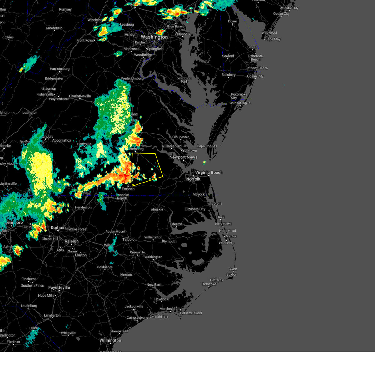 Svrakq the national weather service in wakefield has issued a * severe thunderstorm warning for, the southern city of petersburg in south central virginia, central southampton county in southeastern virginia, southern prince george county in south central virginia, sussex county in southeastern virginia, east central dinwiddie county in south central virginia, western surry county in southeastern virginia, * until 800 pm edt. * at 710 pm edt, a severe thunderstorm was located near purdy, moving northeast at 25 mph (radar indicated). Hazards include 60 mph wind gusts. Expect damage to trees and powerlines. this severe thunderstorm will be near, stony creek around 725 pm edt. carson around 730 pm edt. Other locations impacted by this severe thunderstorm include vicksville, booth fork, carsley, grizzard, booker, yale, lumberton, hilda, dory, and richard bland college. Svrakq the national weather service in wakefield has issued a * severe thunderstorm warning for, the southern city of petersburg in south central virginia, central southampton county in southeastern virginia, southern prince george county in south central virginia, sussex county in southeastern virginia, east central dinwiddie county in south central virginia, western surry county in southeastern virginia, * until 800 pm edt. * at 710 pm edt, a severe thunderstorm was located near purdy, moving northeast at 25 mph (radar indicated). Hazards include 60 mph wind gusts. Expect damage to trees and powerlines. this severe thunderstorm will be near, stony creek around 725 pm edt. carson around 730 pm edt. Other locations impacted by this severe thunderstorm include vicksville, booth fork, carsley, grizzard, booker, yale, lumberton, hilda, dory, and richard bland college.
|
| 8/2/2024 6:54 PM EDT |
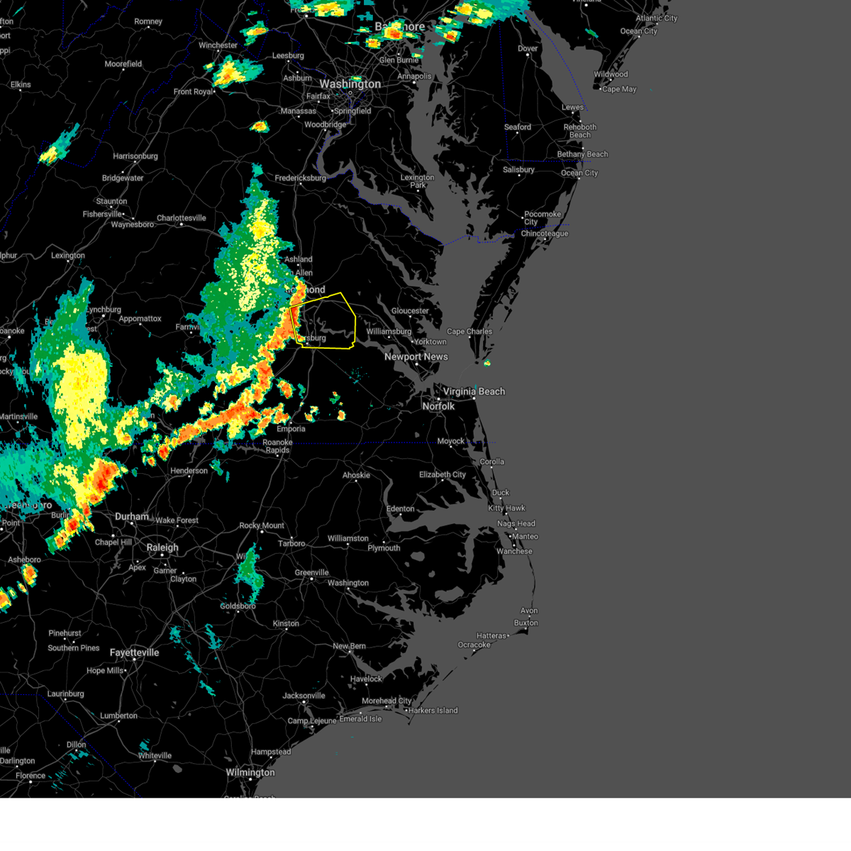 Svrakq the national weather service in wakefield has issued a * severe thunderstorm warning for, the city of richmond in central virginia, southeastern chesterfield county in central virginia, the city of colonial heights in central virginia, the city of hopewell in south central virginia, the northern city of petersburg in south central virginia, charles city county in east central virginia, northern prince george county in south central virginia, southwestern new kent county in east central virginia, southeastern henrico county in central virginia, * until 745 pm edt. * at 653 pm edt, a severe thunderstorm was located over chester, moving east at 30 mph (radar indicated). Hazards include 60 mph wind gusts. Expect damage to trees and powerlines. this severe thunderstorm will be near, hopewell, colonial heights, chester, and bellwood around 700 pm edt. adkins store around 730 pm edt. ruthville around 740 pm edt. Other locations impacted by this severe thunderstorm include taylors corner, wayside, richmond heights, birchett estate, mountcastle, elko, jordan point country club, petersburg national battlefield, sandston, and glendale. Svrakq the national weather service in wakefield has issued a * severe thunderstorm warning for, the city of richmond in central virginia, southeastern chesterfield county in central virginia, the city of colonial heights in central virginia, the city of hopewell in south central virginia, the northern city of petersburg in south central virginia, charles city county in east central virginia, northern prince george county in south central virginia, southwestern new kent county in east central virginia, southeastern henrico county in central virginia, * until 745 pm edt. * at 653 pm edt, a severe thunderstorm was located over chester, moving east at 30 mph (radar indicated). Hazards include 60 mph wind gusts. Expect damage to trees and powerlines. this severe thunderstorm will be near, hopewell, colonial heights, chester, and bellwood around 700 pm edt. adkins store around 730 pm edt. ruthville around 740 pm edt. Other locations impacted by this severe thunderstorm include taylors corner, wayside, richmond heights, birchett estate, mountcastle, elko, jordan point country club, petersburg national battlefield, sandston, and glendale.
|
| 7/17/2024 7:55 PM EDT |
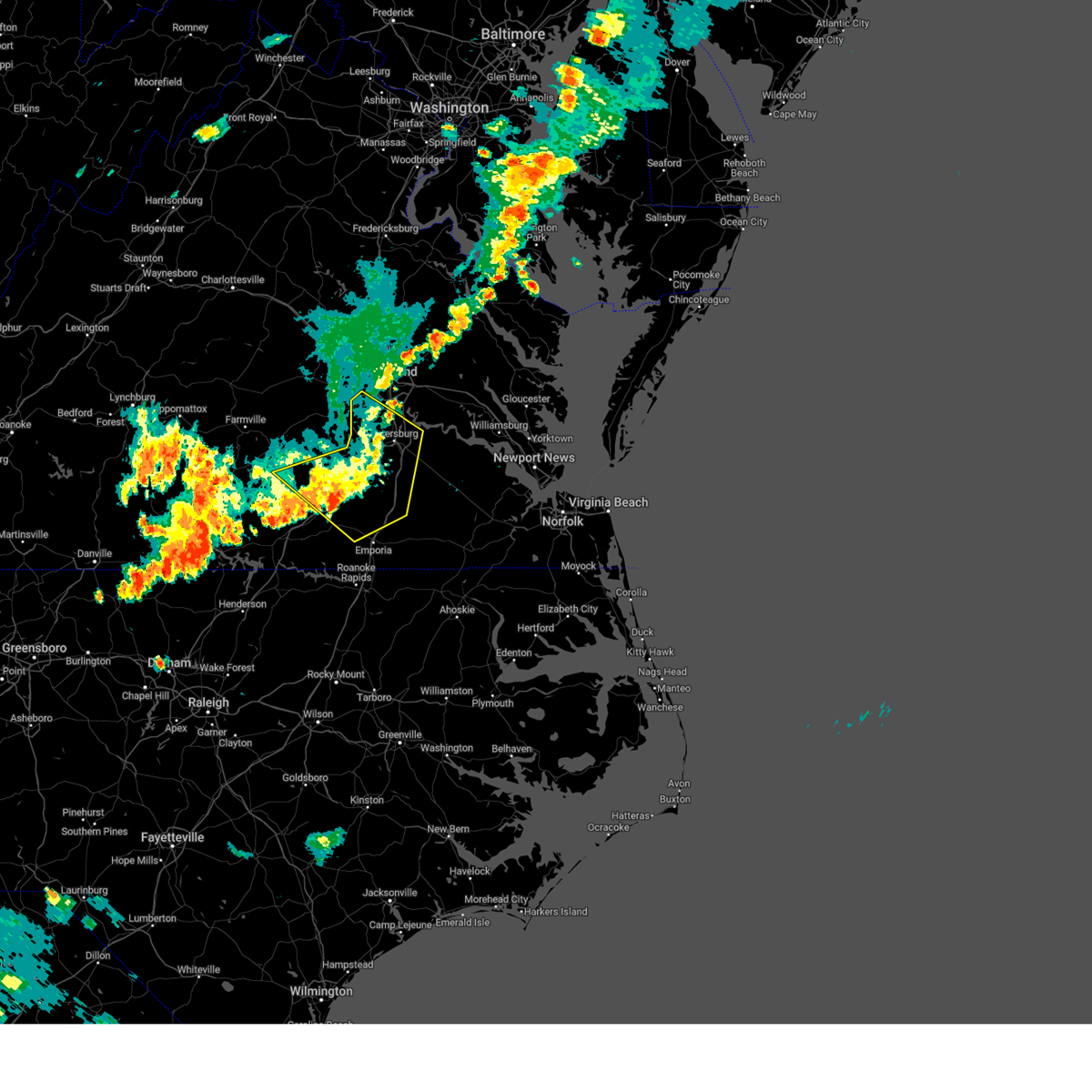 The storms which prompted the warning have weakened below severe limits, and no longer pose an immediate threat to life or property. therefore, the warning will be allowed to expire. however, gusty winds are still possible with these thunderstorms. a severe thunderstorm watch remains in effect until 1000 pm edt for central and south central virginia. The storms which prompted the warning have weakened below severe limits, and no longer pose an immediate threat to life or property. therefore, the warning will be allowed to expire. however, gusty winds are still possible with these thunderstorms. a severe thunderstorm watch remains in effect until 1000 pm edt for central and south central virginia.
|
| 7/17/2024 7:43 PM EDT |
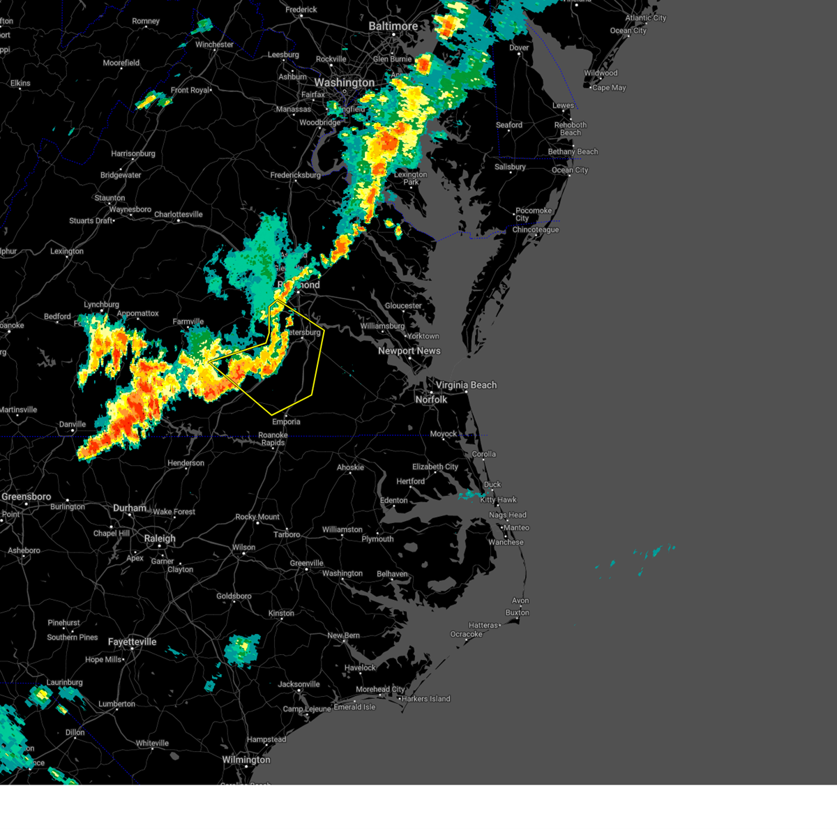 At 743 pm edt, severe thunderstorms were located along a line extending from near colonial heights to 7 miles west of stony creek to 6 miles east of alberta, moving east at 45 mph (radar indicated). Hazards include 60 mph wind gusts. Expect damage to trees and powerlines. these severe storms will be near, petersburg, hopewell, colonial heights, purdy, fort gregg-adams, prince george, stony creek, and carson around 750 pm edt. jarratt around 800 pm edt. Other locations impacted by these severe thunderstorms include irby, birchett estate, bufford crossroads, addison, dolphin, murdocks, pleasant shade, forkland, jordan point country club, and wharfs store. At 743 pm edt, severe thunderstorms were located along a line extending from near colonial heights to 7 miles west of stony creek to 6 miles east of alberta, moving east at 45 mph (radar indicated). Hazards include 60 mph wind gusts. Expect damage to trees and powerlines. these severe storms will be near, petersburg, hopewell, colonial heights, purdy, fort gregg-adams, prince george, stony creek, and carson around 750 pm edt. jarratt around 800 pm edt. Other locations impacted by these severe thunderstorms include irby, birchett estate, bufford crossroads, addison, dolphin, murdocks, pleasant shade, forkland, jordan point country club, and wharfs store.
|
| 7/17/2024 7:15 PM EDT |
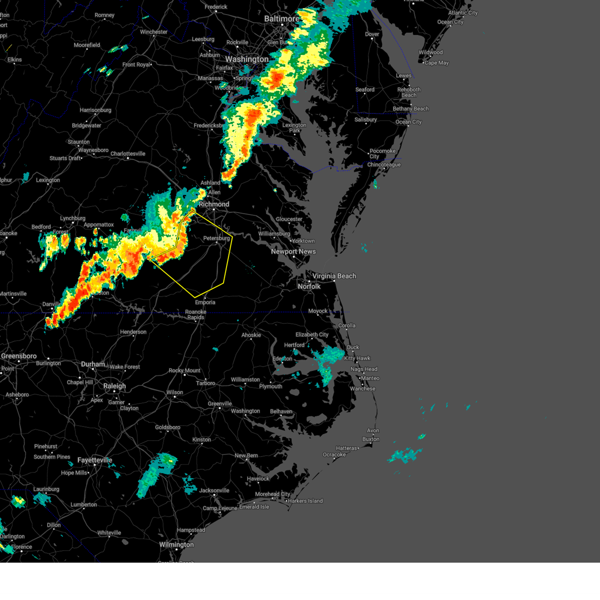 Svrakq the national weather service in wakefield has issued a * severe thunderstorm warning for, chesterfield county in central virginia, northwestern greensville county in southeastern virginia, the city of colonial heights in central virginia, the city of hopewell in south central virginia, northeastern lunenburg county in south central virginia, southern nottoway county in south central virginia, the city of petersburg in south central virginia, western prince george county in south central virginia, western sussex county in southeastern virginia, dinwiddie county in south central virginia, southeastern amelia county in central virginia, northern brunswick county in south central virginia, * until 800 pm edt. * at 715 pm edt, severe thunderstorms were located along a line extending from near moseley to near wilsons to near blackstone, moving southeast at 45 mph (radar indicated). Hazards include 60 mph wind gusts. Expect damage to trees and powerlines. severe thunderstorms will be near, dewitt around 720 pm edt. dinwiddie, mckenney, sutherland, and chesterfield court house around 725 pm edt. chester, alberta, and matoaca around 730 pm edt. petersburg, colonial heights, virginia state university, and ettrick around 735 pm edt. fort gregg-adams and carson around 740 pm edt. hopewell, purdy, and stony creek around 745 pm edt. prince george and jarratt around 750 pm edt. Other locations impacted by these severe thunderstorms include north wellville, dolphin, ammon, murdocks, pleasant shade, wharfs store, pocahontas state park, skinquarter, wellville, and beach. Svrakq the national weather service in wakefield has issued a * severe thunderstorm warning for, chesterfield county in central virginia, northwestern greensville county in southeastern virginia, the city of colonial heights in central virginia, the city of hopewell in south central virginia, northeastern lunenburg county in south central virginia, southern nottoway county in south central virginia, the city of petersburg in south central virginia, western prince george county in south central virginia, western sussex county in southeastern virginia, dinwiddie county in south central virginia, southeastern amelia county in central virginia, northern brunswick county in south central virginia, * until 800 pm edt. * at 715 pm edt, severe thunderstorms were located along a line extending from near moseley to near wilsons to near blackstone, moving southeast at 45 mph (radar indicated). Hazards include 60 mph wind gusts. Expect damage to trees and powerlines. severe thunderstorms will be near, dewitt around 720 pm edt. dinwiddie, mckenney, sutherland, and chesterfield court house around 725 pm edt. chester, alberta, and matoaca around 730 pm edt. petersburg, colonial heights, virginia state university, and ettrick around 735 pm edt. fort gregg-adams and carson around 740 pm edt. hopewell, purdy, and stony creek around 745 pm edt. prince george and jarratt around 750 pm edt. Other locations impacted by these severe thunderstorms include north wellville, dolphin, ammon, murdocks, pleasant shade, wharfs store, pocahontas state park, skinquarter, wellville, and beach.
|
| 6/30/2024 5:20 PM EDT |
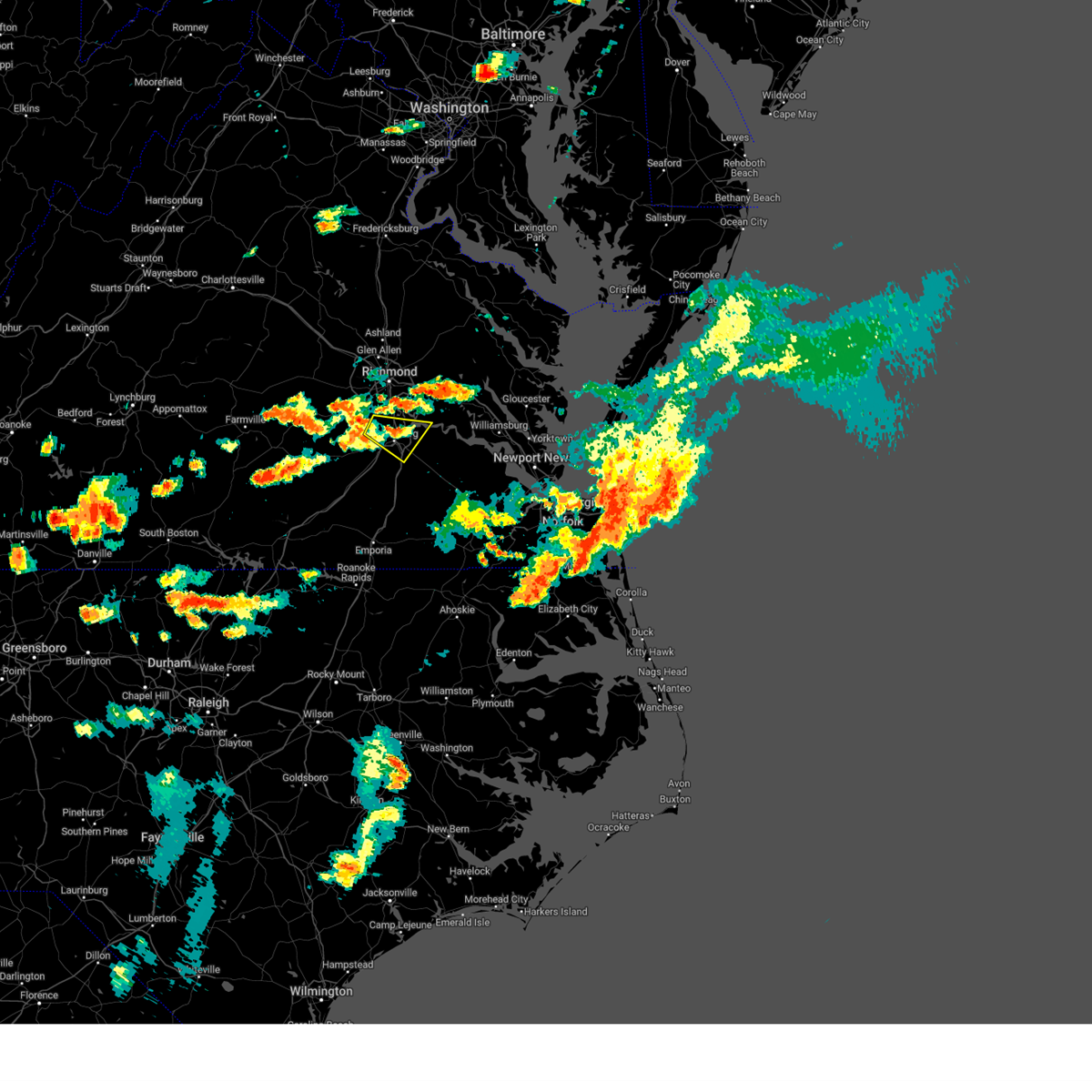 the severe thunderstorm warning has been cancelled and is no longer in effect the severe thunderstorm warning has been cancelled and is no longer in effect
|
| 6/30/2024 5:01 PM EDT |
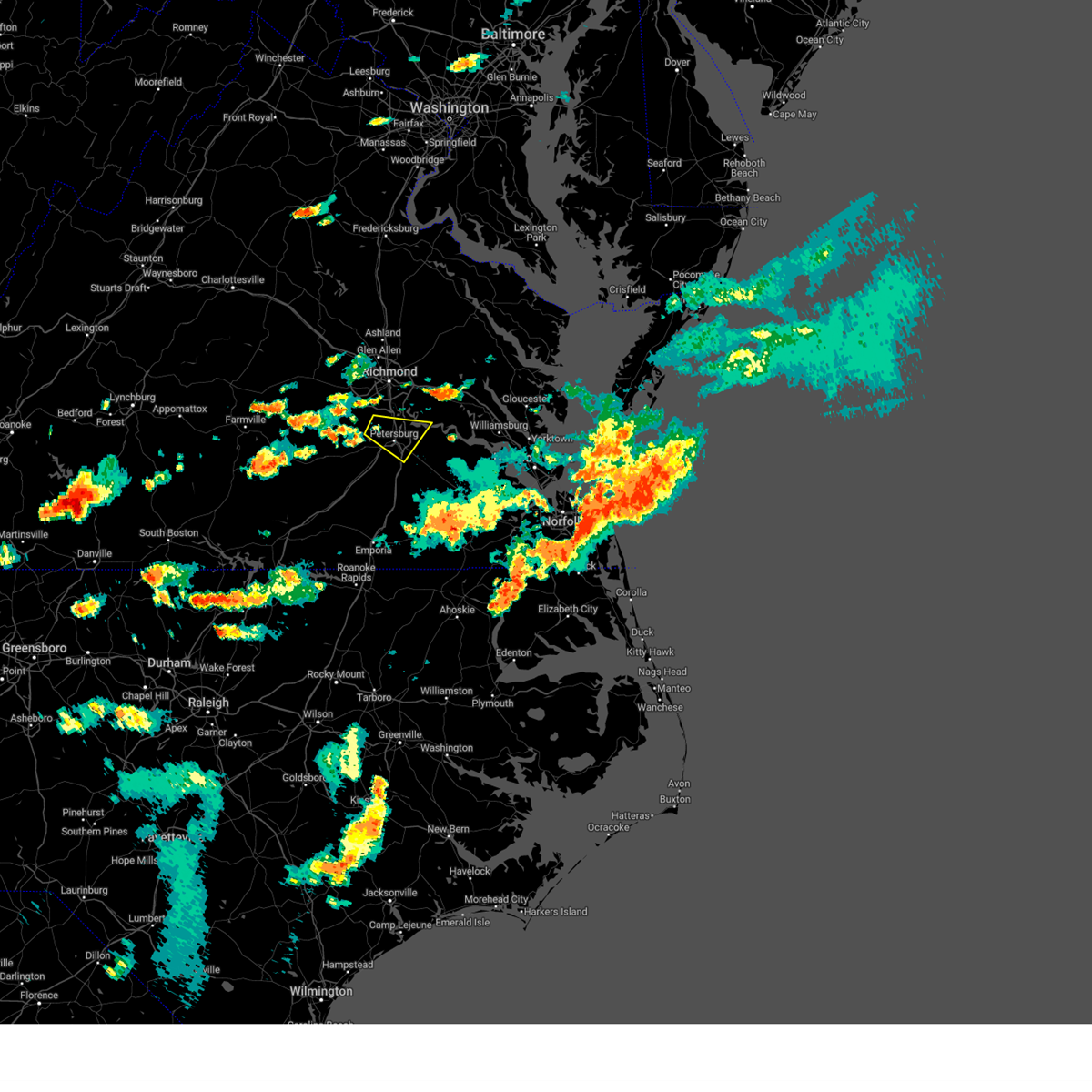 Svrakq the national weather service in wakefield has issued a * severe thunderstorm warning for, southeastern chesterfield county in central virginia, the city of colonial heights in central virginia, the city of hopewell in south central virginia, the city of petersburg in south central virginia, west central charles city county in east central virginia, northwestern prince george county in south central virginia, northeastern dinwiddie county in south central virginia, * until 545 pm edt. * at 500 pm edt, a severe thunderstorm was located near matoaca, or near virginia state university, moving southeast at 15 mph (radar indicated). Hazards include 60 mph wind gusts and penny size hail. Expect damage to trees and powerlines. this severe thunderstorm will be near, colonial heights, chester, virginia state university, ettrick, and matoaca around 505 pm edt. petersburg around 510 pm edt. fort gregg-adams around 520 pm edt. hopewell around 525 pm edt. Other locations impacted by this severe thunderstorm include new bohemia, jordan point country club, richard bland college, birchett estate, and petersburg national battlefield. Svrakq the national weather service in wakefield has issued a * severe thunderstorm warning for, southeastern chesterfield county in central virginia, the city of colonial heights in central virginia, the city of hopewell in south central virginia, the city of petersburg in south central virginia, west central charles city county in east central virginia, northwestern prince george county in south central virginia, northeastern dinwiddie county in south central virginia, * until 545 pm edt. * at 500 pm edt, a severe thunderstorm was located near matoaca, or near virginia state university, moving southeast at 15 mph (radar indicated). Hazards include 60 mph wind gusts and penny size hail. Expect damage to trees and powerlines. this severe thunderstorm will be near, colonial heights, chester, virginia state university, ettrick, and matoaca around 505 pm edt. petersburg around 510 pm edt. fort gregg-adams around 520 pm edt. hopewell around 525 pm edt. Other locations impacted by this severe thunderstorm include new bohemia, jordan point country club, richard bland college, birchett estate, and petersburg national battlefield.
|
| 4/3/2024 4:39 PM EDT |
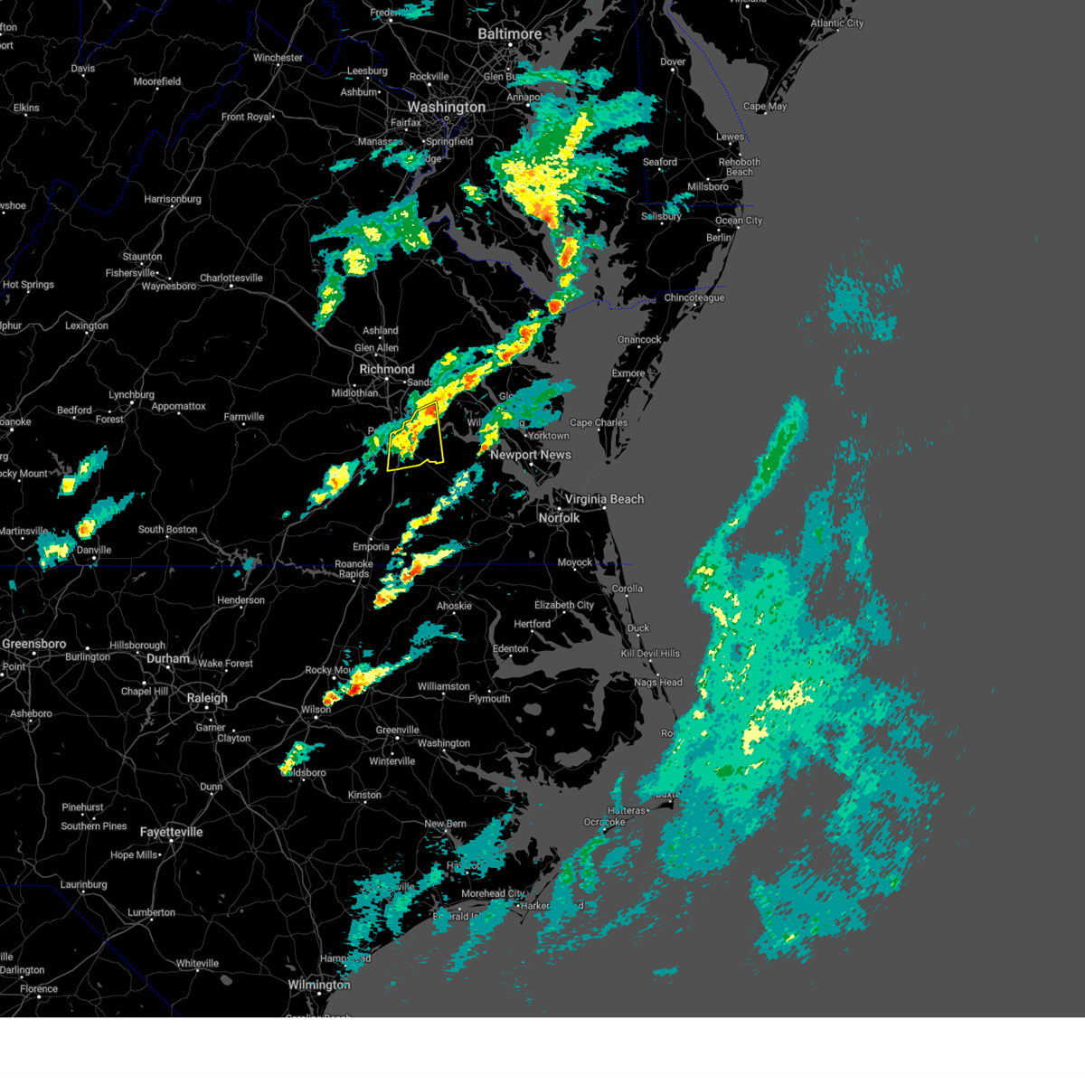 The storm which prompted the warning has weakened below severe limits, and no longer poses an immediate threat to life or property. therefore, the warning will be allowed to expire. a tornado watch remains in effect until 700 pm edt for central, south central, southeastern and east central virginia. The storm which prompted the warning has weakened below severe limits, and no longer poses an immediate threat to life or property. therefore, the warning will be allowed to expire. a tornado watch remains in effect until 700 pm edt for central, south central, southeastern and east central virginia.
|
| 4/3/2024 4:32 PM EDT |
 the severe thunderstorm warning has been cancelled and is no longer in effect the severe thunderstorm warning has been cancelled and is no longer in effect
|
| 4/3/2024 4:32 PM EDT |
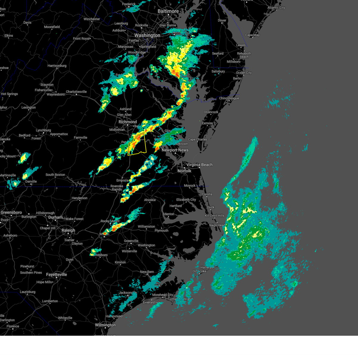 At 432 pm edt, a severe thunderstorm was located over prince george, or near disputanta, moving east at 45 mph (radar indicated). Hazards include 60 mph wind gusts. Expect damage to trees and powerlines. this severe storm will be near, garysville around 435 pm edt. burrowsville around 440 pm edt. Other locations impacted by this severe thunderstorm include new bohemia, richard bland college, templeton, wayside, birchett estate, reams, prince george golf, barnetts, oak hill corner, and jordan point country club. At 432 pm edt, a severe thunderstorm was located over prince george, or near disputanta, moving east at 45 mph (radar indicated). Hazards include 60 mph wind gusts. Expect damage to trees and powerlines. this severe storm will be near, garysville around 435 pm edt. burrowsville around 440 pm edt. Other locations impacted by this severe thunderstorm include new bohemia, richard bland college, templeton, wayside, birchett estate, reams, prince george golf, barnetts, oak hill corner, and jordan point country club.
|
| 4/3/2024 4:13 PM EDT |
 At 413 pm edt, a severe thunderstorm was located near dinwiddie, moving east at 55 mph (radar indicated). Hazards include 60 mph wind gusts and quarter size hail. Minor damage to vehicles is possible. expect wind damage to trees and powerlines. this severe storm will be near, petersburg around 420 pm edt. disputanta and prince george around 430 pm edt. garysville and burrowsville around 435 pm edt. Other locations impacted by this severe thunderstorm include burgess, wayside, birchett estate, addison, reams, jordan point country club, wharfs store, petersburg national battlefield, barham, and new bohemia. At 413 pm edt, a severe thunderstorm was located near dinwiddie, moving east at 55 mph (radar indicated). Hazards include 60 mph wind gusts and quarter size hail. Minor damage to vehicles is possible. expect wind damage to trees and powerlines. this severe storm will be near, petersburg around 420 pm edt. disputanta and prince george around 430 pm edt. garysville and burrowsville around 435 pm edt. Other locations impacted by this severe thunderstorm include burgess, wayside, birchett estate, addison, reams, jordan point country club, wharfs store, petersburg national battlefield, barham, and new bohemia.
|
| 4/3/2024 4:13 PM EDT |
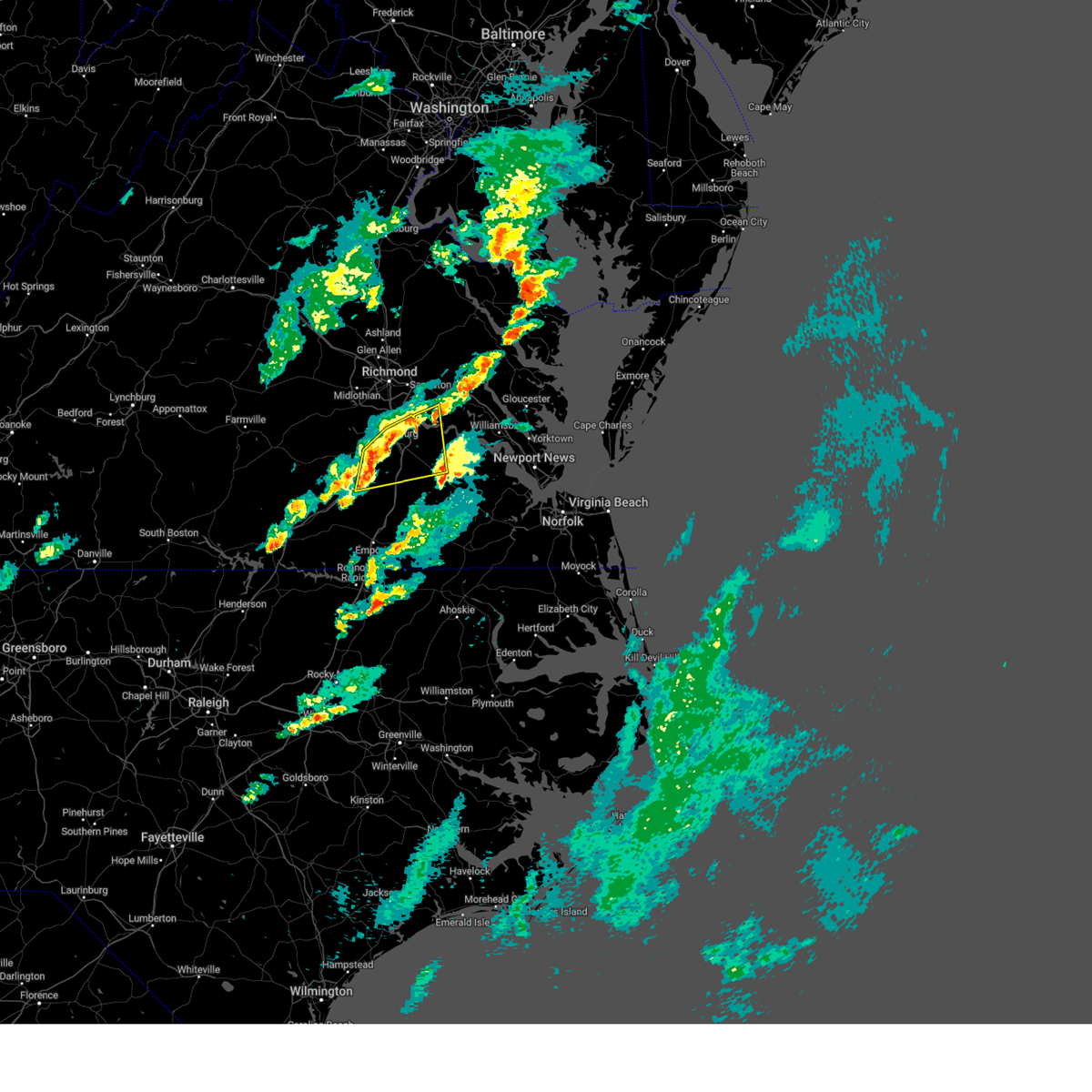 the severe thunderstorm warning has been cancelled and is no longer in effect the severe thunderstorm warning has been cancelled and is no longer in effect
|
| 4/3/2024 3:54 PM EDT |
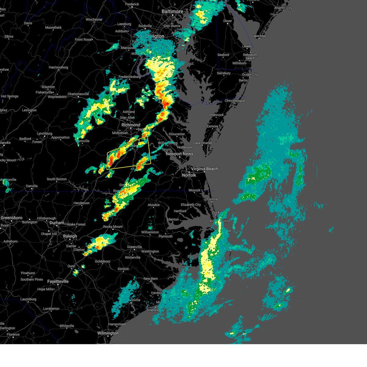 Svrakq the national weather service in wakefield has issued a * severe thunderstorm warning for, southeastern chesterfield county in central virginia, the city of colonial heights in central virginia, the city of hopewell in south central virginia, southeastern nottoway county in south central virginia, the city of petersburg in south central virginia, west central charles city county in east central virginia, prince george county in south central virginia, northern sussex county in southeastern virginia, dinwiddie county in south central virginia, west central surry county in southeastern virginia, northeastern brunswick county in south central virginia, * until 445 pm edt. * at 354 pm edt, a severe thunderstorm was located near mckenney, moving east at 55 mph (radar indicated). Hazards include 60 mph wind gusts and quarter size hail. Minor damage to vehicles is possible. expect wind damage to trees and powerlines. this severe thunderstorm will be near, mckenney and dewitt around 400 pm edt. dinwiddie around 405 pm edt. carson around 415 pm edt. disputanta around 425 pm edt. Other locations impacted by this severe thunderstorm include wayside, birchett estate, addison, jordan point country club, wharfs store, petersburg national battlefield, darvills, church road, richard bland college, and templeton. Svrakq the national weather service in wakefield has issued a * severe thunderstorm warning for, southeastern chesterfield county in central virginia, the city of colonial heights in central virginia, the city of hopewell in south central virginia, southeastern nottoway county in south central virginia, the city of petersburg in south central virginia, west central charles city county in east central virginia, prince george county in south central virginia, northern sussex county in southeastern virginia, dinwiddie county in south central virginia, west central surry county in southeastern virginia, northeastern brunswick county in south central virginia, * until 445 pm edt. * at 354 pm edt, a severe thunderstorm was located near mckenney, moving east at 55 mph (radar indicated). Hazards include 60 mph wind gusts and quarter size hail. Minor damage to vehicles is possible. expect wind damage to trees and powerlines. this severe thunderstorm will be near, mckenney and dewitt around 400 pm edt. dinwiddie around 405 pm edt. carson around 415 pm edt. disputanta around 425 pm edt. Other locations impacted by this severe thunderstorm include wayside, birchett estate, addison, jordan point country club, wharfs store, petersburg national battlefield, darvills, church road, richard bland college, and templeton.
|
| 1/9/2024 7:43 PM EST |
 At 742 pm est, a severe thunderstorm was located near carson, or 7 miles southwest of disputanta, moving northeast at 65 mph (radar indicated). Hazards include 60 mph wind gusts. Expect damage to trees and powerlines. this severe thunderstorm will be near, disputanta around 750 pm est. garysville and burrowsville around 755 pm est. rustic around 805 pm est. other locations impacted by this severe thunderstorm include taylors corner, booth fork, adams grove, carsley, grizzard, gum forks, birchett estate, bufford crossroads, lanes corner, and booker. hail threat, radar indicated max hail size, <. 75 in wind threat, radar indicated max wind gust, 60 mph. At 742 pm est, a severe thunderstorm was located near carson, or 7 miles southwest of disputanta, moving northeast at 65 mph (radar indicated). Hazards include 60 mph wind gusts. Expect damage to trees and powerlines. this severe thunderstorm will be near, disputanta around 750 pm est. garysville and burrowsville around 755 pm est. rustic around 805 pm est. other locations impacted by this severe thunderstorm include taylors corner, booth fork, adams grove, carsley, grizzard, gum forks, birchett estate, bufford crossroads, lanes corner, and booker. hail threat, radar indicated max hail size, <. 75 in wind threat, radar indicated max wind gust, 60 mph.
|
| 1/9/2024 6:13 PM EST |
 At 613 pm est, severe thunderstorms were located along a line extending from near gum spring to near mckenney, moving east at 50 mph (radar indicated). Hazards include 60 mph wind gusts. Expect damage to trees and powerlines. severe thunderstorms will be near, mckenney, tuckahoe, bon air, montpelier, wyndham, dewitt, manakin, and sabot around 620 pm est. richmond, dinwiddie, university of richmond, laurel, sutherland, and chesterfield court house around 625 pm est. ashland, randolph macon college, chester, downtown richmond, virginia commonwealth university, lakeside, matoaca, bensley, and glen allen around 630 pm est. petersburg, colonial heights, virginia union university, mechanicsville, virginia state university, ettrick, east highland park, kings dominion, bellwood, and carson around 635 pm est. hopewell, highland springs, fort gregg-adams, hanover, and dawn around 640 pm est. prince george, mangohick, and studley around 645 pm est. disputanta, jordans point, bottoms bridge, and beulahville around 650 pm est. Other locations impacted by these severe thunderstorms include wayside, etna mills, sandston, glendale, pocahontas state park, skinquarter, atlee, richard bland college, meadowville, and ashcake. At 613 pm est, severe thunderstorms were located along a line extending from near gum spring to near mckenney, moving east at 50 mph (radar indicated). Hazards include 60 mph wind gusts. Expect damage to trees and powerlines. severe thunderstorms will be near, mckenney, tuckahoe, bon air, montpelier, wyndham, dewitt, manakin, and sabot around 620 pm est. richmond, dinwiddie, university of richmond, laurel, sutherland, and chesterfield court house around 625 pm est. ashland, randolph macon college, chester, downtown richmond, virginia commonwealth university, lakeside, matoaca, bensley, and glen allen around 630 pm est. petersburg, colonial heights, virginia union university, mechanicsville, virginia state university, ettrick, east highland park, kings dominion, bellwood, and carson around 635 pm est. hopewell, highland springs, fort gregg-adams, hanover, and dawn around 640 pm est. prince george, mangohick, and studley around 645 pm est. disputanta, jordans point, bottoms bridge, and beulahville around 650 pm est. Other locations impacted by these severe thunderstorms include wayside, etna mills, sandston, glendale, pocahontas state park, skinquarter, atlee, richard bland college, meadowville, and ashcake.
|
| 9/7/2023 8:14 PM EDT |
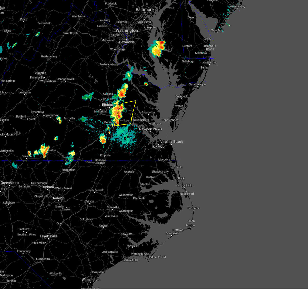 At 813 pm edt, severe thunderstorms were located along a line extending from near tunstall to near prince george, moving east at 15 mph (radar indicated). Hazards include 60 mph wind gusts and quarter size hail. Minor damage to vehicles is possible. expect wind damage to trees and powerlines. severe thunderstorms will be near, talleysville, roxbury, jordans point, garysville, and adkins store around 820 pm edt. providence forge around 830 pm edt. charles city around 835 pm edt. new kent and ruthville around 840 pm edt. other locations impacted by these severe thunderstorms include taylors corner, chickahominy shore, wayside, birchett estate, mountcastle, elko, jordan point country club, cohoke, glendale, and lanexa. hail threat, radar indicated max hail size, 1. 00 in wind threat, radar indicated max wind gust, 60 mph. At 813 pm edt, severe thunderstorms were located along a line extending from near tunstall to near prince george, moving east at 15 mph (radar indicated). Hazards include 60 mph wind gusts and quarter size hail. Minor damage to vehicles is possible. expect wind damage to trees and powerlines. severe thunderstorms will be near, talleysville, roxbury, jordans point, garysville, and adkins store around 820 pm edt. providence forge around 830 pm edt. charles city around 835 pm edt. new kent and ruthville around 840 pm edt. other locations impacted by these severe thunderstorms include taylors corner, chickahominy shore, wayside, birchett estate, mountcastle, elko, jordan point country club, cohoke, glendale, and lanexa. hail threat, radar indicated max hail size, 1. 00 in wind threat, radar indicated max wind gust, 60 mph.
|
| 9/7/2023 7:52 PM EDT |
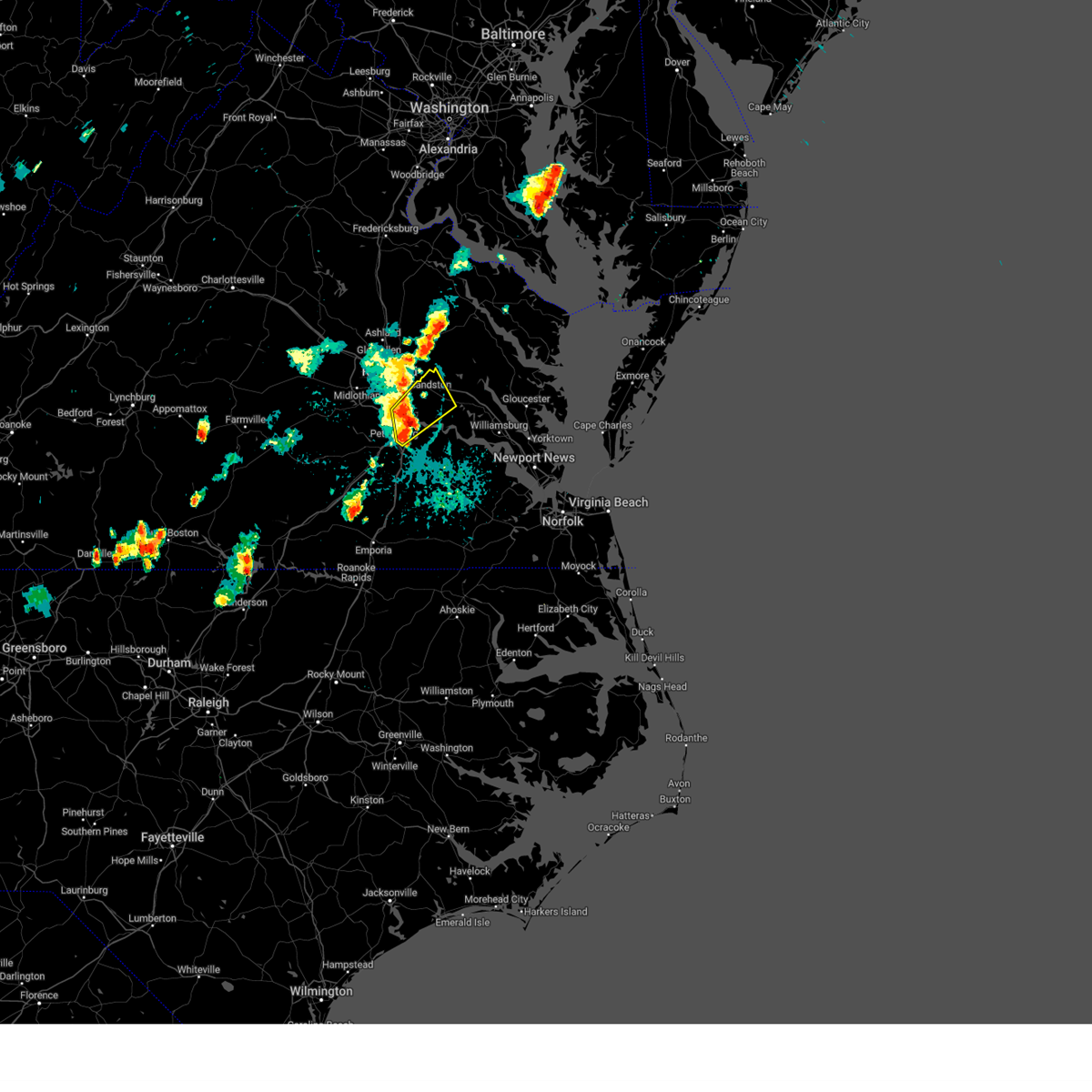 At 752 pm edt, severe thunderstorms were located along a line extending from near bellwood to hopewell, moving northeast at 20 mph (radar indicated). Hazards include 60 mph wind gusts and quarter size hail. Minor damage to vehicles is possible. expect wind damage to trees and powerlines. these severe storms will be near, hopewell around 755 pm edt. jordans point around 800 pm edt. bottoms bridge around 815 pm edt. other locations impacted by these severe thunderstorms include wrights corner, wayside, birchett estate, mountcastle, orapax farms, elko, jordan point country club, petersburg national battlefield, glendale, and quinton. hail threat, radar indicated max hail size, 1. 00 in wind threat, radar indicated max wind gust, 60 mph. At 752 pm edt, severe thunderstorms were located along a line extending from near bellwood to hopewell, moving northeast at 20 mph (radar indicated). Hazards include 60 mph wind gusts and quarter size hail. Minor damage to vehicles is possible. expect wind damage to trees and powerlines. these severe storms will be near, hopewell around 755 pm edt. jordans point around 800 pm edt. bottoms bridge around 815 pm edt. other locations impacted by these severe thunderstorms include wrights corner, wayside, birchett estate, mountcastle, orapax farms, elko, jordan point country club, petersburg national battlefield, glendale, and quinton. hail threat, radar indicated max hail size, 1. 00 in wind threat, radar indicated max wind gust, 60 mph.
|
| 9/7/2023 7:31 PM EDT |
 At 730 pm edt, severe thunderstorms were located along a line extending from near chesterfield court house to ettrick, moving northeast at 20 mph (radar indicated). Hazards include 60 mph wind gusts and quarter size hail. Minor damage to vehicles is possible. expect wind damage to trees and powerlines. severe thunderstorms will be near, hopewell, colonial heights, chester, fort gregg-adams, and bellwood around 735 pm edt. jordans point around 800 pm edt. other locations impacted by these severe thunderstorms include wrights corner, wayside, birchett estate, mountcastle, orapax farms, elko, jordan point country club, petersburg national battlefield, glendale, and quinton. hail threat, radar indicated max hail size, 1. 00 in wind threat, radar indicated max wind gust, 60 mph. At 730 pm edt, severe thunderstorms were located along a line extending from near chesterfield court house to ettrick, moving northeast at 20 mph (radar indicated). Hazards include 60 mph wind gusts and quarter size hail. Minor damage to vehicles is possible. expect wind damage to trees and powerlines. severe thunderstorms will be near, hopewell, colonial heights, chester, fort gregg-adams, and bellwood around 735 pm edt. jordans point around 800 pm edt. other locations impacted by these severe thunderstorms include wrights corner, wayside, birchett estate, mountcastle, orapax farms, elko, jordan point country club, petersburg national battlefield, glendale, and quinton. hail threat, radar indicated max hail size, 1. 00 in wind threat, radar indicated max wind gust, 60 mph.
|
| 7/3/2023 11:01 PM EDT |
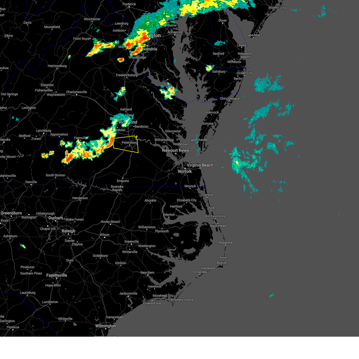 At 1101 pm edt, a severe thunderstorm was located near sutherland, or 9 miles east of mannboro, moving east at 30 mph (radar indicated). Hazards include 60 mph wind gusts. Expect damage to trees and powerlines. this severe thunderstorm will be near, sutherland around 1110 pm edt. matoaca around 1125 pm edt. colonial heights, virginia state university and ettrick around 1130 pm edt. petersburg and fort gregg-adams around 1135 pm edt. hopewell around 1140 pm edt. prince george around 1145 pm edt. other locations impacted by this severe thunderstorm include new bohemia, petersburg airport, richard bland college, birchett estate, addison, prince george golf, jordan point country club and petersburg national battlefield. hail threat, radar indicated max hail size, <. 75 in wind threat, radar indicated max wind gust, 60 mph. At 1101 pm edt, a severe thunderstorm was located near sutherland, or 9 miles east of mannboro, moving east at 30 mph (radar indicated). Hazards include 60 mph wind gusts. Expect damage to trees and powerlines. this severe thunderstorm will be near, sutherland around 1110 pm edt. matoaca around 1125 pm edt. colonial heights, virginia state university and ettrick around 1130 pm edt. petersburg and fort gregg-adams around 1135 pm edt. hopewell around 1140 pm edt. prince george around 1145 pm edt. other locations impacted by this severe thunderstorm include new bohemia, petersburg airport, richard bland college, birchett estate, addison, prince george golf, jordan point country club and petersburg national battlefield. hail threat, radar indicated max hail size, <. 75 in wind threat, radar indicated max wind gust, 60 mph.
|
| 6/27/2023 12:17 AM EDT |
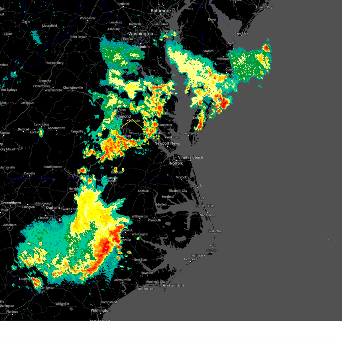 At 1216 am edt, severe thunderstorms were located along a line extending from near matoaca to petersburg to near disputanta, moving east at 40 mph (radar indicated). Hazards include 60 mph wind gusts. Expect damage to trees and powerlines. these severe storms will be near, disputanta and prince george around 1225 am edt. hopewell and fort gregg-adams around 1230 am edt. jordans point around 1240 am edt. burrowsville and garysville around 1245 am edt. cabin point around 1250 am edt. charles city, claremont and ruthville around 1255 am edt. other locations impacted by these severe thunderstorms include taylors corner, wayside, birchett estate, spring grove, brandon, elko, jordan point country club, petersburg national battlefield, barham and glendale. hail threat, radar indicated max hail size, <. 75 in wind threat, radar indicated max wind gust, 60 mph. At 1216 am edt, severe thunderstorms were located along a line extending from near matoaca to petersburg to near disputanta, moving east at 40 mph (radar indicated). Hazards include 60 mph wind gusts. Expect damage to trees and powerlines. these severe storms will be near, disputanta and prince george around 1225 am edt. hopewell and fort gregg-adams around 1230 am edt. jordans point around 1240 am edt. burrowsville and garysville around 1245 am edt. cabin point around 1250 am edt. charles city, claremont and ruthville around 1255 am edt. other locations impacted by these severe thunderstorms include taylors corner, wayside, birchett estate, spring grove, brandon, elko, jordan point country club, petersburg national battlefield, barham and glendale. hail threat, radar indicated max hail size, <. 75 in wind threat, radar indicated max wind gust, 60 mph.
|
| 6/27/2023 12:07 AM EDT |
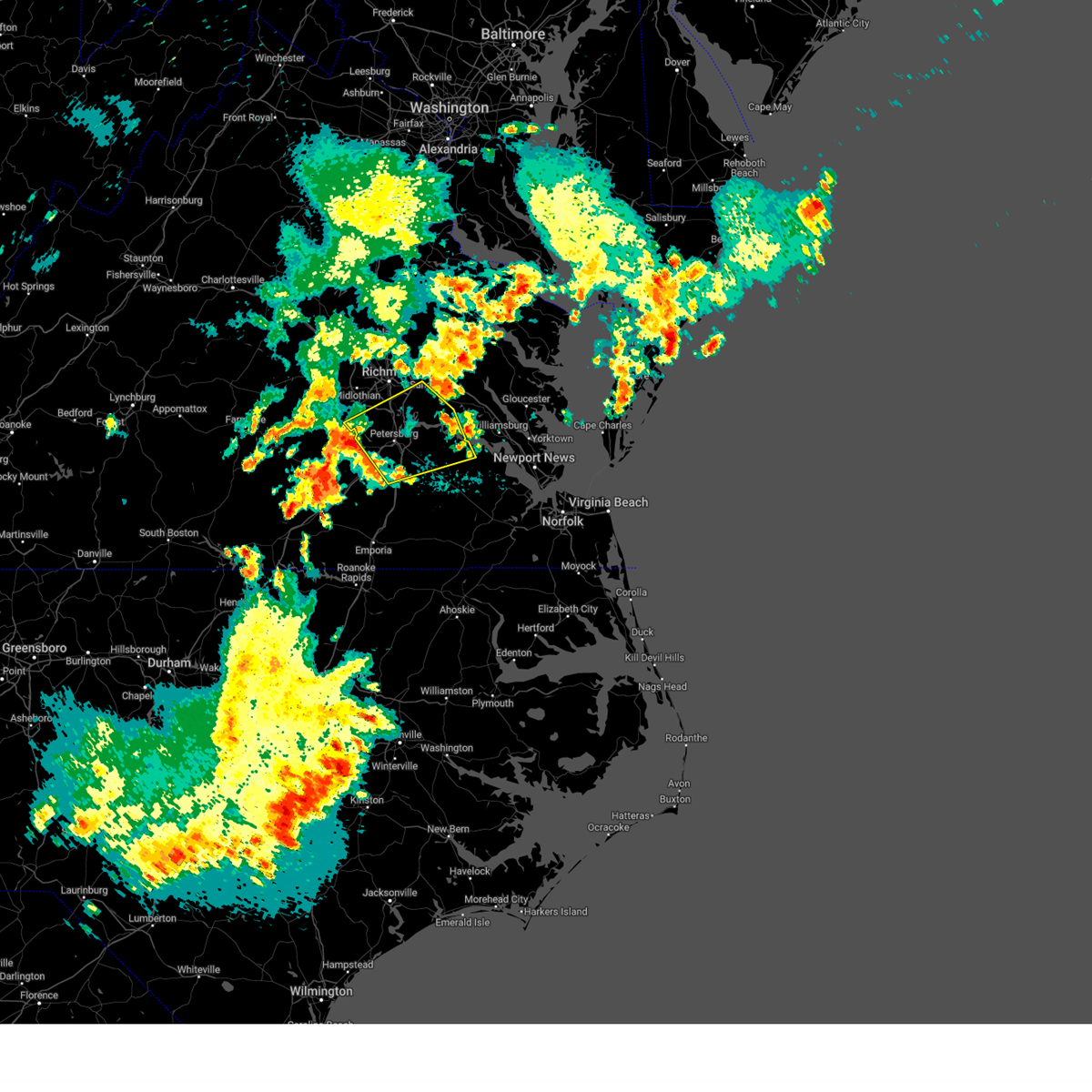 At 1206 am edt, severe thunderstorms were located along a line extending from 7 miles southwest of chesterfield court house to near matoaca to carson, moving northeast at 40 mph (radar indicated). Hazards include 60 mph wind gusts. Expect damage to trees and powerlines. severe thunderstorms will be near, colonial heights, virginia state university, matoaca and ettrick around 1215 am edt. petersburg, fort gregg-adams and chesterfield court house around 1220 am edt. hopewell, disputanta, chester, prince george, bellwood and bensley around 1225 am edt. jordans point and garysville around 1235 am edt. cabin point and burrowsville around 1240 am edt. charles city, claremont, roxbury, ruthville, bottoms bridge and adkins store around 1245 am edt. other locations impacted by these severe thunderstorms include taylors corner, richmond heights, wayside, birchett estate, addison, spring grove, elko, jordan point country club, petersburg national battlefield and glendale. hail threat, radar indicated max hail size, <. 75 in wind threat, radar indicated max wind gust, 60 mph. At 1206 am edt, severe thunderstorms were located along a line extending from 7 miles southwest of chesterfield court house to near matoaca to carson, moving northeast at 40 mph (radar indicated). Hazards include 60 mph wind gusts. Expect damage to trees and powerlines. severe thunderstorms will be near, colonial heights, virginia state university, matoaca and ettrick around 1215 am edt. petersburg, fort gregg-adams and chesterfield court house around 1220 am edt. hopewell, disputanta, chester, prince george, bellwood and bensley around 1225 am edt. jordans point and garysville around 1235 am edt. cabin point and burrowsville around 1240 am edt. charles city, claremont, roxbury, ruthville, bottoms bridge and adkins store around 1245 am edt. other locations impacted by these severe thunderstorms include taylors corner, richmond heights, wayside, birchett estate, addison, spring grove, elko, jordan point country club, petersburg national battlefield and glendale. hail threat, radar indicated max hail size, <. 75 in wind threat, radar indicated max wind gust, 60 mph.
|
| 6/16/2023 4:23 PM EDT |
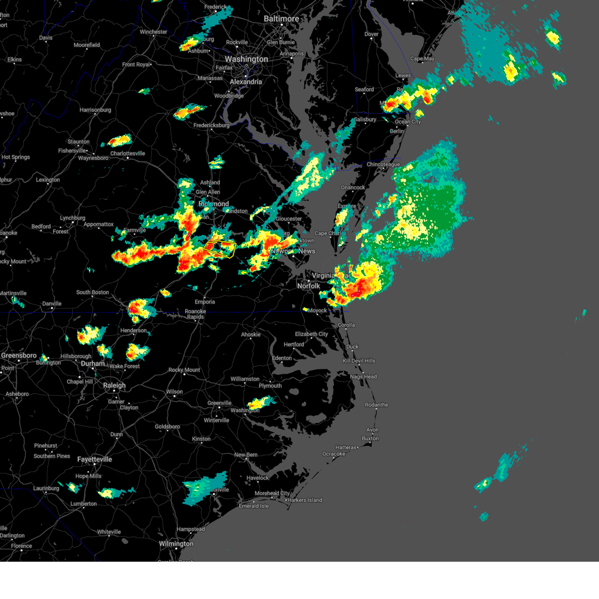 At 423 pm edt, a severe thunderstorm was located near petersburg, moving east at 30 mph (radar indicated). Hazards include 60 mph wind gusts and quarter size hail. Minor damage to vehicles is possible. expect wind damage to trees and powerlines. this severe storm will be near, prince george around 440 pm edt. disputanta around 450 pm edt. other locations impacted by this severe thunderstorm include new bohemia, petersburg airport, richard bland college, petersburg national battlefield, addison and prince george golf. hail threat, radar indicated max hail size, 1. 00 in wind threat, radar indicated max wind gust, 60 mph. At 423 pm edt, a severe thunderstorm was located near petersburg, moving east at 30 mph (radar indicated). Hazards include 60 mph wind gusts and quarter size hail. Minor damage to vehicles is possible. expect wind damage to trees and powerlines. this severe storm will be near, prince george around 440 pm edt. disputanta around 450 pm edt. other locations impacted by this severe thunderstorm include new bohemia, petersburg airport, richard bland college, petersburg national battlefield, addison and prince george golf. hail threat, radar indicated max hail size, 1. 00 in wind threat, radar indicated max wind gust, 60 mph.
|
| 6/16/2023 4:10 PM EDT |
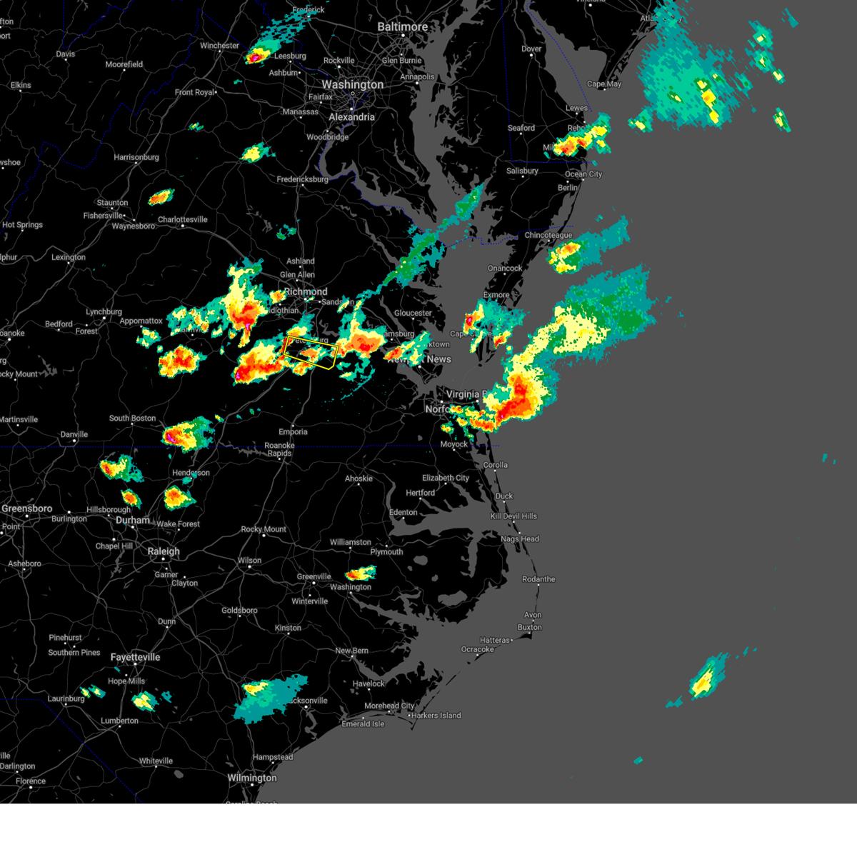 At 410 pm edt, a severe thunderstorm was located over sutherland, or 7 miles west of virginia state university, moving east at 30 mph (radar indicated). Hazards include 60 mph wind gusts and quarter size hail. Minor damage to vehicles is possible. expect wind damage to trees and powerlines. this severe thunderstorm will be near, colonial heights, virginia state university, matoaca and ettrick around 425 pm edt. petersburg and fort gregg-adams around 430 pm edt. prince george around 440 pm edt. disputanta around 450 pm edt. other locations impacted by this severe thunderstorm include new bohemia, petersburg airport, richard bland college, addison, prince george golf, petersburg national battlefield and burgess. hail threat, radar indicated max hail size, 1. 00 in wind threat, radar indicated max wind gust, 60 mph. At 410 pm edt, a severe thunderstorm was located over sutherland, or 7 miles west of virginia state university, moving east at 30 mph (radar indicated). Hazards include 60 mph wind gusts and quarter size hail. Minor damage to vehicles is possible. expect wind damage to trees and powerlines. this severe thunderstorm will be near, colonial heights, virginia state university, matoaca and ettrick around 425 pm edt. petersburg and fort gregg-adams around 430 pm edt. prince george around 440 pm edt. disputanta around 450 pm edt. other locations impacted by this severe thunderstorm include new bohemia, petersburg airport, richard bland college, addison, prince george golf, petersburg national battlefield and burgess. hail threat, radar indicated max hail size, 1. 00 in wind threat, radar indicated max wind gust, 60 mph.
|
| 6/16/2023 3:58 PM EDT |
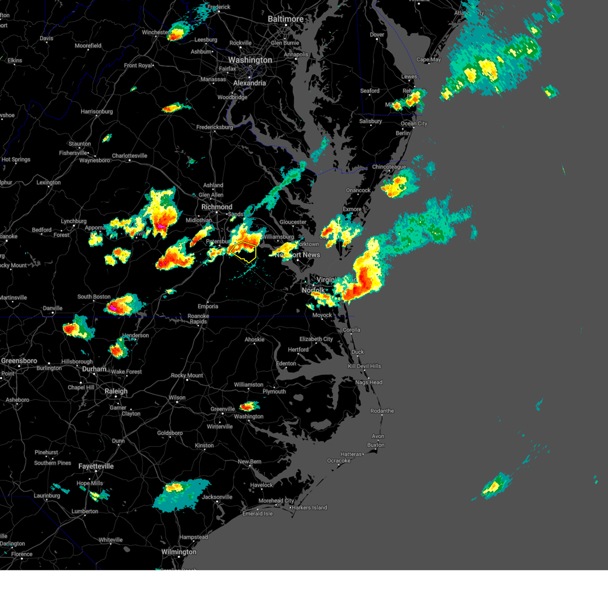 At 358 pm edt, a severe thunderstorm was located near burrowsville, or near disputanta, moving southeast at 25 mph (trained weather spotters). Hazards include 60 mph wind gusts and quarter size hail. Minor damage to vehicles is possible. expect wind damage to trees and powerlines. this severe storm will be near, cabin point around 410 pm edt. other locations impacted by this severe thunderstorm include taylors corner, carsley, spring grove, gwaltney corner, oak hill corner, savedge and barham. hail threat, radar indicated max hail size, 1. 00 in wind threat, radar indicated max wind gust, 60 mph. At 358 pm edt, a severe thunderstorm was located near burrowsville, or near disputanta, moving southeast at 25 mph (trained weather spotters). Hazards include 60 mph wind gusts and quarter size hail. Minor damage to vehicles is possible. expect wind damage to trees and powerlines. this severe storm will be near, cabin point around 410 pm edt. other locations impacted by this severe thunderstorm include taylors corner, carsley, spring grove, gwaltney corner, oak hill corner, savedge and barham. hail threat, radar indicated max hail size, 1. 00 in wind threat, radar indicated max wind gust, 60 mph.
|
| 6/16/2023 3:57 PM EDT | Trees down along highway 460 at disputant in prince george county VA, 6.9 miles NNW of Prince George, VA |
| 6/16/2023 3:47 PM EDT |
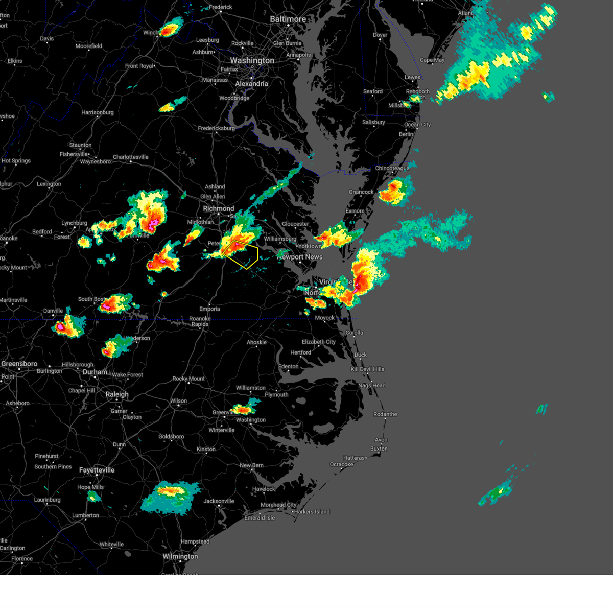 At 347 pm edt, a severe thunderstorm was located near disputanta, moving east at 20 mph (trained weather spotters). Hazards include 70 mph wind gusts and half dollar size hail. Minor damage to vehicles is possible. expect considerable tree damage. wind damage is also likely to mobile homes, roofs, and outbuildings. this severe storm will be near, garysville around 350 pm edt. burrowsville around 405 pm edt. cabin point around 410 pm edt. claremont around 425 pm edt. other locations impacted by this severe thunderstorm include new bohemia, taylors corner, carsley, richard bland college, birchett estate, prince george golf, spring grove, gwaltney corner, oak hill corner and jordan point country club. thunderstorm damage threat, considerable hail threat, radar indicated max hail size, 1. 25 in wind threat, radar indicated max wind gust, 70 mph. At 347 pm edt, a severe thunderstorm was located near disputanta, moving east at 20 mph (trained weather spotters). Hazards include 70 mph wind gusts and half dollar size hail. Minor damage to vehicles is possible. expect considerable tree damage. wind damage is also likely to mobile homes, roofs, and outbuildings. this severe storm will be near, garysville around 350 pm edt. burrowsville around 405 pm edt. cabin point around 410 pm edt. claremont around 425 pm edt. other locations impacted by this severe thunderstorm include new bohemia, taylors corner, carsley, richard bland college, birchett estate, prince george golf, spring grove, gwaltney corner, oak hill corner and jordan point country club. thunderstorm damage threat, considerable hail threat, radar indicated max hail size, 1. 25 in wind threat, radar indicated max wind gust, 70 mph.
|
| 6/16/2023 3:44 PM EDT |
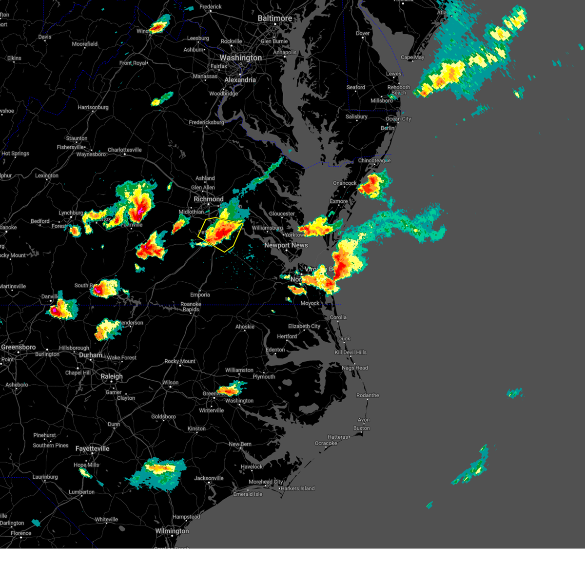 The severe thunderstorm warning for southeastern chesterfield, southwestern charles city, prince george, southeastern henrico and northeastern dinwiddie counties, the city of colonial heights, the city of hopewell and the city of petersburg will expire at 345 pm edt, the storm which prompted the warning has moved out of the area. therefore, the warning will be allowed to expire. a severe thunderstorm watch remains in effect until 900 pm edt for central, south central, southeastern and east central virginia. remember, a severe thunderstorm warning still remains in effect for portions of prince george county until 4:15 pm edt. The severe thunderstorm warning for southeastern chesterfield, southwestern charles city, prince george, southeastern henrico and northeastern dinwiddie counties, the city of colonial heights, the city of hopewell and the city of petersburg will expire at 345 pm edt, the storm which prompted the warning has moved out of the area. therefore, the warning will be allowed to expire. a severe thunderstorm watch remains in effect until 900 pm edt for central, south central, southeastern and east central virginia. remember, a severe thunderstorm warning still remains in effect for portions of prince george county until 4:15 pm edt.
|
| 6/16/2023 3:36 PM EDT |
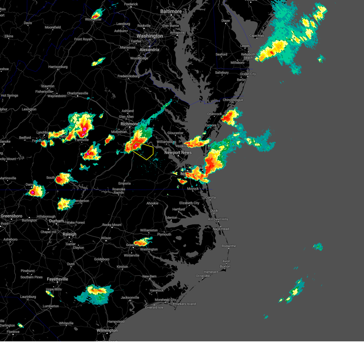 At 335 pm edt, a severe thunderstorm was located over prince george, or near fort gregg-adams, moving southeast at 25 mph. this is a destructive storm for portions of prince george county! (trained weather spotters). Hazards include 80 mph wind gusts and quarter size hail. Flying debris will be dangerous to those caught without shelter. mobile homes will be heavily damaged. expect considerable damage to roofs, windows, and vehicles. extensive tree damage and power outages are likely. this severe storm will be near, disputanta and garysville around 345 pm edt. burrowsville around 355 pm edt. cabin point around 400 pm edt. waverly around 405 pm edt. Other locations impacted by this severe thunderstorm include taylors corner, carsley, birchett estate, spring grove, jordan point country club, petersburg national battlefield, barham, new bohemia, richard bland college and prince george golf. At 335 pm edt, a severe thunderstorm was located over prince george, or near fort gregg-adams, moving southeast at 25 mph. this is a destructive storm for portions of prince george county! (trained weather spotters). Hazards include 80 mph wind gusts and quarter size hail. Flying debris will be dangerous to those caught without shelter. mobile homes will be heavily damaged. expect considerable damage to roofs, windows, and vehicles. extensive tree damage and power outages are likely. this severe storm will be near, disputanta and garysville around 345 pm edt. burrowsville around 355 pm edt. cabin point around 400 pm edt. waverly around 405 pm edt. Other locations impacted by this severe thunderstorm include taylors corner, carsley, birchett estate, spring grove, jordan point country club, petersburg national battlefield, barham, new bohemia, richard bland college and prince george golf.
|
| 6/16/2023 3:25 PM EDT |
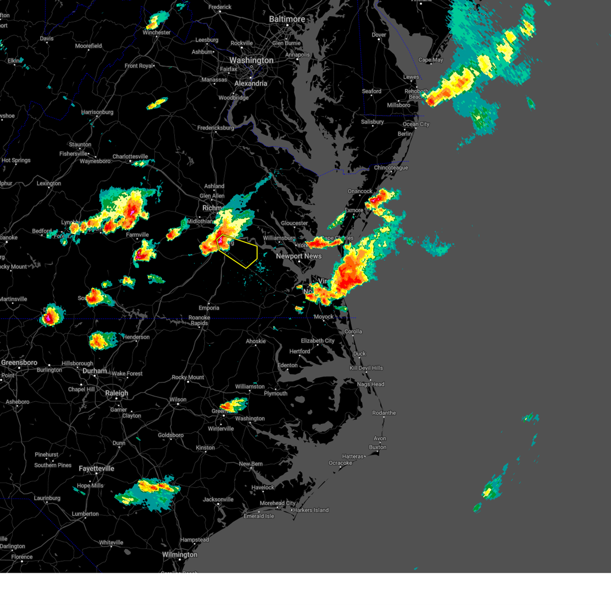 At 324 pm edt, a severe thunderstorm was located over fort gregg-adams, moving southeast at 30 mph. this is a destructive storm for portions of colonial heights, petersburg, and prince george! (radar indicated). Hazards include 80 mph wind gusts and ping pong ball size hail. Flying debris will be dangerous to those caught without shelter. mobile homes will be heavily damaged. expect considerable damage to roofs, windows, and vehicles. extensive tree damage and power outages are likely. this severe thunderstorm will be near, disputanta and garysville around 340 pm edt. burrowsville around 350 pm edt. cabin point around 400 pm edt. waverly and claremont around 405 pm edt. Other locations impacted by this severe thunderstorm include taylors corner, carsley, birchett estate, spring grove, jordan point country club, petersburg national battlefield, barham, new bohemia, richard bland college and prince george golf. At 324 pm edt, a severe thunderstorm was located over fort gregg-adams, moving southeast at 30 mph. this is a destructive storm for portions of colonial heights, petersburg, and prince george! (radar indicated). Hazards include 80 mph wind gusts and ping pong ball size hail. Flying debris will be dangerous to those caught without shelter. mobile homes will be heavily damaged. expect considerable damage to roofs, windows, and vehicles. extensive tree damage and power outages are likely. this severe thunderstorm will be near, disputanta and garysville around 340 pm edt. burrowsville around 350 pm edt. cabin point around 400 pm edt. waverly and claremont around 405 pm edt. Other locations impacted by this severe thunderstorm include taylors corner, carsley, birchett estate, spring grove, jordan point country club, petersburg national battlefield, barham, new bohemia, richard bland college and prince george golf.
|
| 6/16/2023 3:17 PM EDT |
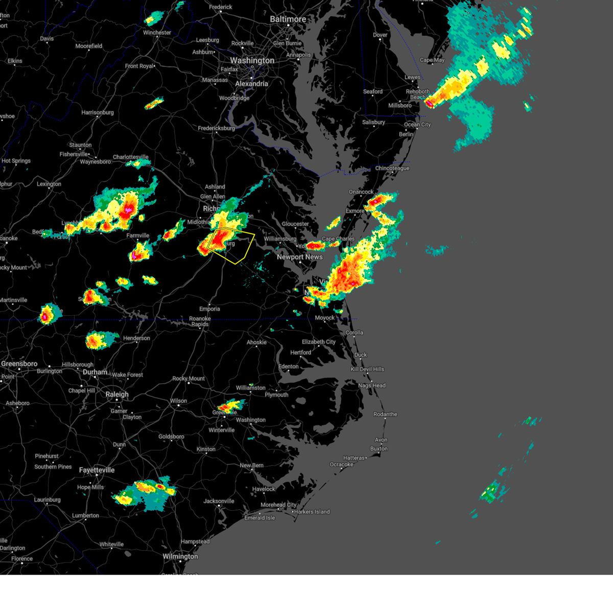 At 317 pm edt, a severe thunderstorm was located over colonial heights, moving southeast at 25 mph (radar indicated). Hazards include 70 mph wind gusts and ping pong ball size hail. People and animals outdoors will be injured. expect hail damage to roofs, siding, windows, and vehicles. expect considerable tree damage. wind damage is also likely to mobile homes, roofs, and outbuildings. this severe storm will be near, prince george and jordans point around 330 pm edt. disputanta and garysville around 345 pm edt. burrowsville around 355 pm edt. Other locations impacted by this severe thunderstorm include new bohemia, richard bland college, meadowville, wayside, birchett estate, addison, prince george golf, barnetts, jordan point country club and new hope. At 317 pm edt, a severe thunderstorm was located over colonial heights, moving southeast at 25 mph (radar indicated). Hazards include 70 mph wind gusts and ping pong ball size hail. People and animals outdoors will be injured. expect hail damage to roofs, siding, windows, and vehicles. expect considerable tree damage. wind damage is also likely to mobile homes, roofs, and outbuildings. this severe storm will be near, prince george and jordans point around 330 pm edt. disputanta and garysville around 345 pm edt. burrowsville around 355 pm edt. Other locations impacted by this severe thunderstorm include new bohemia, richard bland college, meadowville, wayside, birchett estate, addison, prince george golf, barnetts, jordan point country club and new hope.
|
| 6/16/2023 3:03 PM EDT |
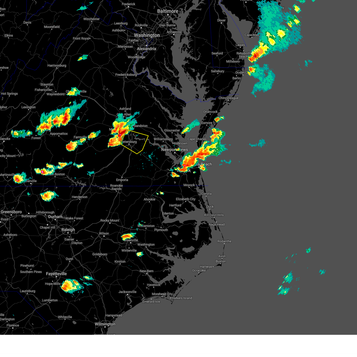 At 302 pm edt, a severe thunderstorm was located near chester, moving east at 25 mph (radar indicated). Hazards include 70 mph wind gusts and quarter size hail. Minor damage to vehicles is possible. expect considerable tree damage. wind damage is also likely to mobile homes, roofs, and outbuildings. this severe thunderstorm will be near, colonial heights, virginia state university, ettrick and matoaca around 315 pm edt. hopewell and fort gregg-adams around 320 pm edt. petersburg around 325 pm edt. prince george and jordans point around 335 pm edt. disputanta and garysville around 345 pm edt. Other locations impacted by this severe thunderstorm include wayside, birchett estate, addison, jordan point country club, petersburg national battlefield, new bohemia, richard bland college, meadowville, prince george golf and barnetts. At 302 pm edt, a severe thunderstorm was located near chester, moving east at 25 mph (radar indicated). Hazards include 70 mph wind gusts and quarter size hail. Minor damage to vehicles is possible. expect considerable tree damage. wind damage is also likely to mobile homes, roofs, and outbuildings. this severe thunderstorm will be near, colonial heights, virginia state university, ettrick and matoaca around 315 pm edt. hopewell and fort gregg-adams around 320 pm edt. petersburg around 325 pm edt. prince george and jordans point around 335 pm edt. disputanta and garysville around 345 pm edt. Other locations impacted by this severe thunderstorm include wayside, birchett estate, addison, jordan point country club, petersburg national battlefield, new bohemia, richard bland college, meadowville, prince george golf and barnetts.
|
| 6/8/2023 12:33 PM EDT |
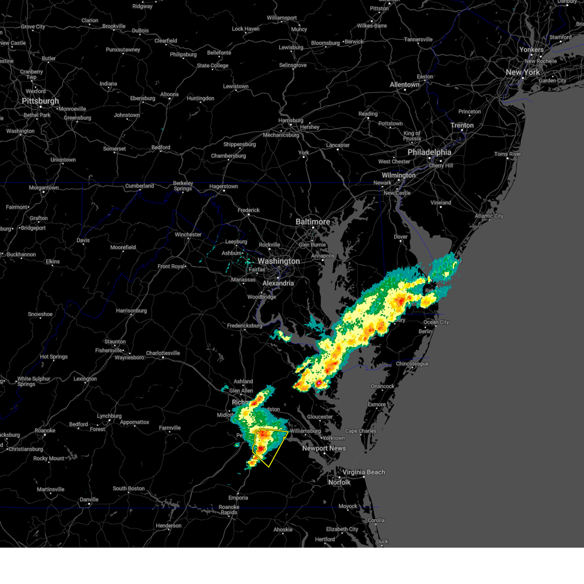 At 1233 pm edt, severe thunderstorms were located along a line extending from near jordans point to near disputanta to 7 miles east of carson, moving southeast at 20 mph (radar indicated). Hazards include 60 mph wind gusts and quarter size hail. Minor damage to vehicles is possible. expect wind damage to trees and powerlines. these severe storms will be near, burrowsville around 1255 pm edt. waverly, cabin point and rustic around 105 pm edt. claremont around 110 pm edt. other locations impacted by these severe thunderstorms include new bohemia, taylors corner, newville, birchett estate, prince george golf, brandon, oak hill corner, jordan point country club and barham. hail threat, radar indicated max hail size, 1. 00 in wind threat, radar indicated max wind gust, 60 mph. At 1233 pm edt, severe thunderstorms were located along a line extending from near jordans point to near disputanta to 7 miles east of carson, moving southeast at 20 mph (radar indicated). Hazards include 60 mph wind gusts and quarter size hail. Minor damage to vehicles is possible. expect wind damage to trees and powerlines. these severe storms will be near, burrowsville around 1255 pm edt. waverly, cabin point and rustic around 105 pm edt. claremont around 110 pm edt. other locations impacted by these severe thunderstorms include new bohemia, taylors corner, newville, birchett estate, prince george golf, brandon, oak hill corner, jordan point country club and barham. hail threat, radar indicated max hail size, 1. 00 in wind threat, radar indicated max wind gust, 60 mph.
|
| 6/8/2023 12:17 PM EDT | Half Dollar sized hail reported 3.3 miles ENE of Prince George, VA, quarter to half dollar sized hail. over two inches in depth on the ground. |
| 6/8/2023 12:15 PM EDT | Quarter sized hail reported 3.1 miles E of Prince George, VA |
| 6/8/2023 12:10 PM EDT |
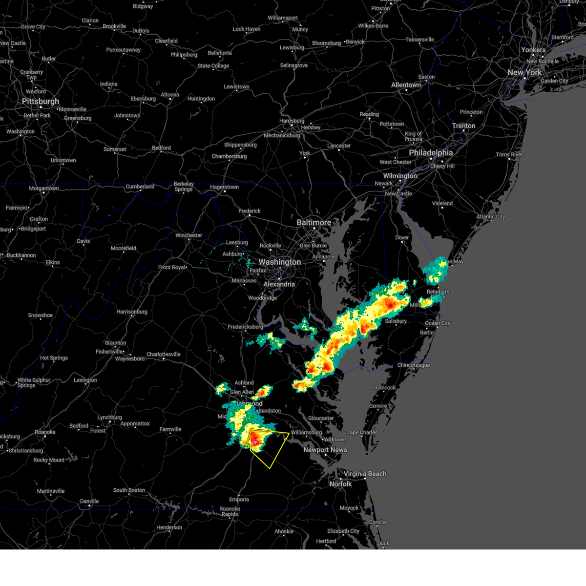 At 1210 pm edt, a severe thunderstorm was located over fort gregg-adams, moving southeast at 20 mph (radar indicated). Hazards include 60 mph wind gusts and quarter size hail. Minor damage to vehicles is possible. expect wind damage to trees and powerlines. this severe thunderstorm will be near, prince george and jordans point around 1215 pm edt. disputanta and garysville around 1230 pm edt. burrowsville around 1245 pm edt. cabin point around 1250 pm edt. waverly around 100 pm edt. other locations impacted by this severe thunderstorm include new bohemia, taylors corner, newville, richard bland college, birchett estate, prince george golf, brandon, oak hill corner, jordan point country club and petersburg national battlefield. hail threat, radar indicated max hail size, 1. 00 in wind threat, radar indicated max wind gust, 60 mph. At 1210 pm edt, a severe thunderstorm was located over fort gregg-adams, moving southeast at 20 mph (radar indicated). Hazards include 60 mph wind gusts and quarter size hail. Minor damage to vehicles is possible. expect wind damage to trees and powerlines. this severe thunderstorm will be near, prince george and jordans point around 1215 pm edt. disputanta and garysville around 1230 pm edt. burrowsville around 1245 pm edt. cabin point around 1250 pm edt. waverly around 100 pm edt. other locations impacted by this severe thunderstorm include new bohemia, taylors corner, newville, richard bland college, birchett estate, prince george golf, brandon, oak hill corner, jordan point country club and petersburg national battlefield. hail threat, radar indicated max hail size, 1. 00 in wind threat, radar indicated max wind gust, 60 mph.
|
| 6/8/2023 11:56 AM EDT |
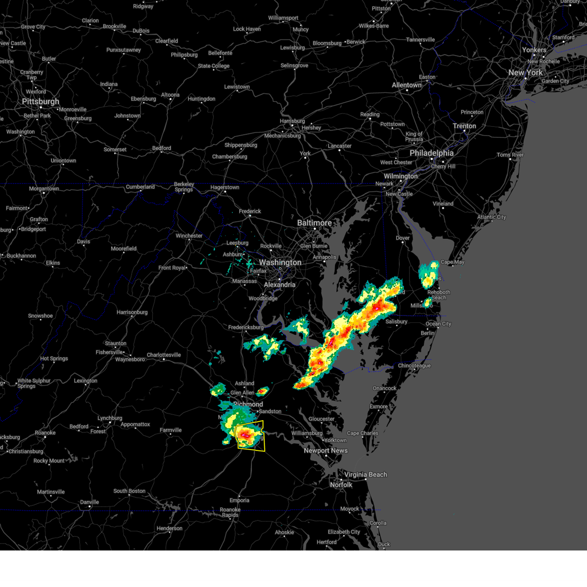 At 1155 am edt, a severe thunderstorm was located over colonial heights, moving east at 25 mph (radar indicated). Hazards include 60 mph wind gusts and half dollar size hail. Minor damage to vehicles is possible. expect wind damage to trees and powerlines. this severe storm will be near, hopewell and fort gregg-adams around 1205 pm edt. prince george around 1215 pm edt. other locations impacted by this severe thunderstorm include pocahontas state park, new bohemia, petersburg airport, richard bland college, meadowville, birchett estate, addison, prince george golf, jordan point country club and petersburg national battlefield. hail threat, radar indicated max hail size, 1. 25 in wind threat, radar indicated max wind gust, 60 mph. At 1155 am edt, a severe thunderstorm was located over colonial heights, moving east at 25 mph (radar indicated). Hazards include 60 mph wind gusts and half dollar size hail. Minor damage to vehicles is possible. expect wind damage to trees and powerlines. this severe storm will be near, hopewell and fort gregg-adams around 1205 pm edt. prince george around 1215 pm edt. other locations impacted by this severe thunderstorm include pocahontas state park, new bohemia, petersburg airport, richard bland college, meadowville, birchett estate, addison, prince george golf, jordan point country club and petersburg national battlefield. hail threat, radar indicated max hail size, 1. 25 in wind threat, radar indicated max wind gust, 60 mph.
|
| 6/8/2023 11:40 AM EDT |
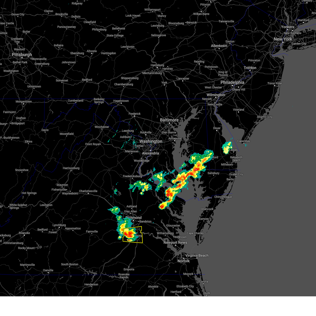 At 1140 am edt, a severe thunderstorm was located near ettrick, or near colonial heights, moving east at 30 mph (radar indicated). Hazards include 60 mph wind gusts and quarter size hail. Minor damage to vehicles is possible. expect wind damage to trees and powerlines. this severe thunderstorm will be near, virginia state university and ettrick around 1145 am edt. colonial heights around 1150 am edt. petersburg, hopewell and fort gregg-adams around 1155 am edt. prince george around 1205 pm edt. other locations impacted by this severe thunderstorm include birchett estate, addison, jordan point country club, petersburg national battlefield, pocahontas state park, new bohemia, petersburg airport, beach, richard bland college and meadowville. hail threat, radar indicated max hail size, 1. 00 in wind threat, radar indicated max wind gust, 60 mph. At 1140 am edt, a severe thunderstorm was located near ettrick, or near colonial heights, moving east at 30 mph (radar indicated). Hazards include 60 mph wind gusts and quarter size hail. Minor damage to vehicles is possible. expect wind damage to trees and powerlines. this severe thunderstorm will be near, virginia state university and ettrick around 1145 am edt. colonial heights around 1150 am edt. petersburg, hopewell and fort gregg-adams around 1155 am edt. prince george around 1205 pm edt. other locations impacted by this severe thunderstorm include birchett estate, addison, jordan point country club, petersburg national battlefield, pocahontas state park, new bohemia, petersburg airport, beach, richard bland college and meadowville. hail threat, radar indicated max hail size, 1. 00 in wind threat, radar indicated max wind gust, 60 mph.
|
| 4/6/2023 7:39 PM EDT |
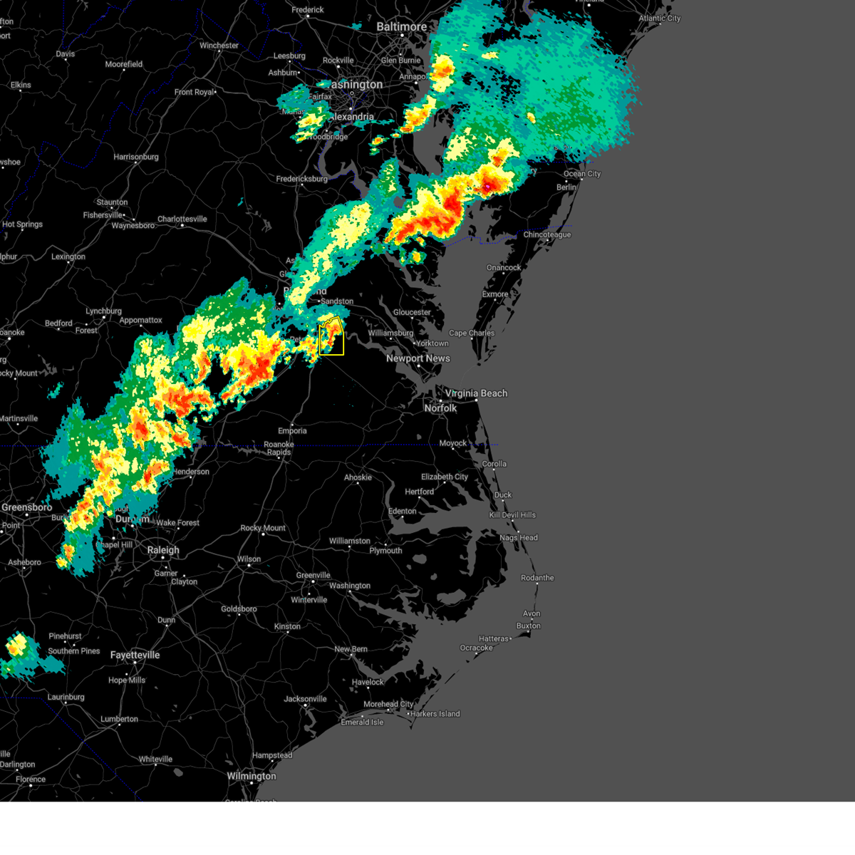 The severe thunderstorm warning for east central chesterfield, west central charles city and northwestern prince george counties and the city of hopewell will expire at 745 pm edt, the storms which prompted the warning have weakened below severe limits, and no longer pose an immediate threat to life or property. therefore, the warning will be allowed to expire. a severe thunderstorm watch remains in effect until 1000 pm edt for central, south central and east central virginia. The severe thunderstorm warning for east central chesterfield, west central charles city and northwestern prince george counties and the city of hopewell will expire at 745 pm edt, the storms which prompted the warning have weakened below severe limits, and no longer pose an immediate threat to life or property. therefore, the warning will be allowed to expire. a severe thunderstorm watch remains in effect until 1000 pm edt for central, south central and east central virginia.
|
| 4/6/2023 7:30 PM EDT |
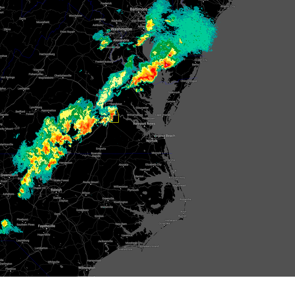 At 730 pm edt, severe thunderstorms were located along a line extending from near jordans point to near hopewell to prince george, moving east at 30 mph (radar indicated). Hazards include 60 mph wind gusts and penny size hail. Expect damage to trees and powerlines. these severe storms will be near, garysville around 740 pm edt. other locations impacted by these severe thunderstorms include barnetts, jordan point country club, wayside and birchett estate. hail threat, radar indicated max hail size, 0. 75 in wind threat, radar indicated max wind gust, 60 mph. At 730 pm edt, severe thunderstorms were located along a line extending from near jordans point to near hopewell to prince george, moving east at 30 mph (radar indicated). Hazards include 60 mph wind gusts and penny size hail. Expect damage to trees and powerlines. these severe storms will be near, garysville around 740 pm edt. other locations impacted by these severe thunderstorms include barnetts, jordan point country club, wayside and birchett estate. hail threat, radar indicated max hail size, 0. 75 in wind threat, radar indicated max wind gust, 60 mph.
|
| 4/6/2023 7:19 PM EDT |
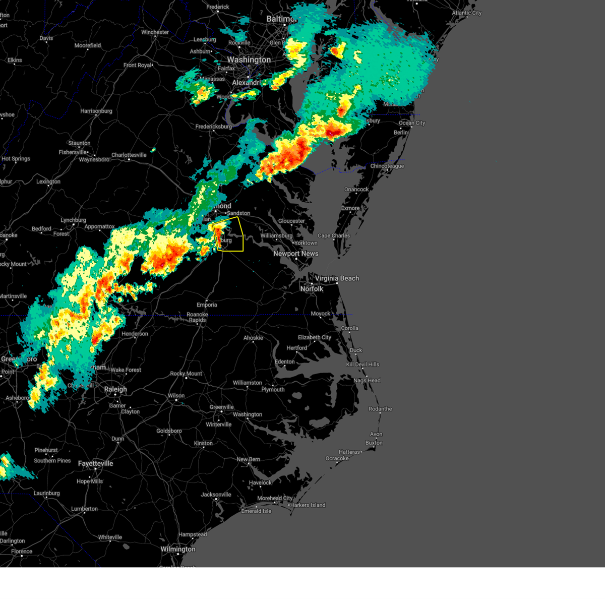 At 719 pm edt, severe thunderstorms were located along a line extending from near chester to near hopewell to near petersburg, moving east at 35 mph (radar indicated). Hazards include 60 mph wind gusts and penny size hail. Expect damage to trees and powerlines. these severe storms will be near, jordans point around 730 pm edt. garysville around 740 pm edt. other locations impacted by these severe thunderstorms include new bohemia, richard bland college, meadowville, wayside, birchett estate, varina, barnetts, elko, jordan point country club and petersburg national battlefield. hail threat, radar indicated max hail size, 0. 75 in wind threat, radar indicated max wind gust, 60 mph. At 719 pm edt, severe thunderstorms were located along a line extending from near chester to near hopewell to near petersburg, moving east at 35 mph (radar indicated). Hazards include 60 mph wind gusts and penny size hail. Expect damage to trees and powerlines. these severe storms will be near, jordans point around 730 pm edt. garysville around 740 pm edt. other locations impacted by these severe thunderstorms include new bohemia, richard bland college, meadowville, wayside, birchett estate, varina, barnetts, elko, jordan point country club and petersburg national battlefield. hail threat, radar indicated max hail size, 0. 75 in wind threat, radar indicated max wind gust, 60 mph.
|
| 4/6/2023 7:00 PM EDT |
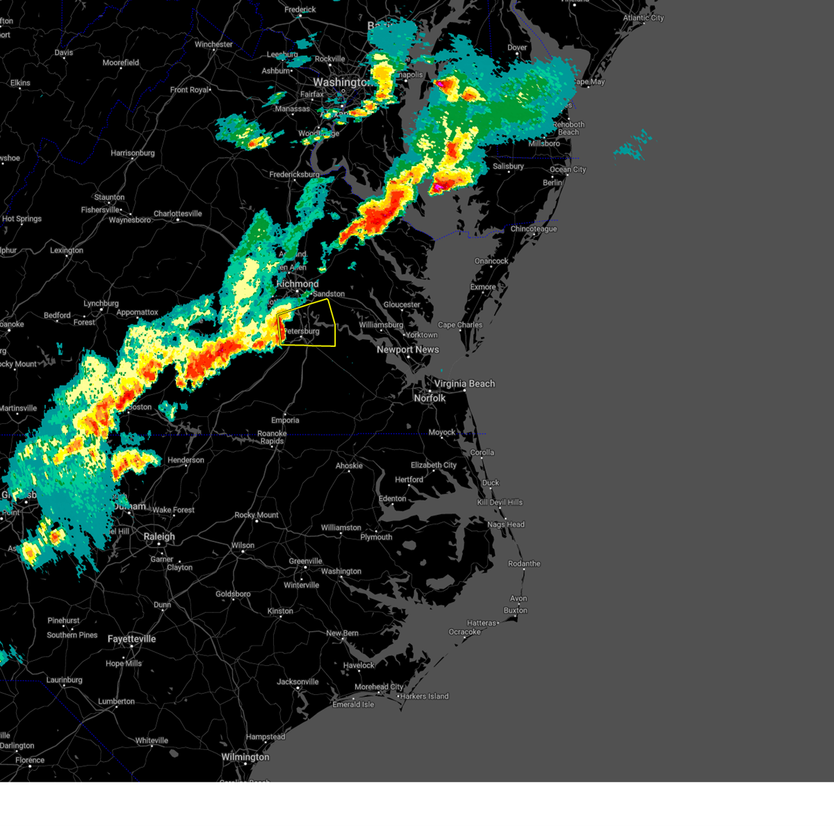 At 700 pm edt, severe thunderstorms were located along a line extending from near chesterfield court house to near matoaca to sutherland, moving east at 30 mph (radar indicated). Hazards include 60 mph wind gusts. Expect damage to trees and powerlines. severe thunderstorms will be near, chesterfield court house around 705 pm edt. matoaca around 710 pm edt. colonial heights, virginia state university, chester, ettrick and bellwood around 715 pm edt. petersburg and fort lee around 720 pm edt. hopewell around 725 pm edt. prince george around 730 pm edt. jordans point around 735 pm edt. garysville around 745 pm edt. other locations impacted by these severe thunderstorms include wayside, birchett estate, addison, elko, jordan point country club, petersburg national battlefield, glendale, pocahontas state park, new bohemia and beach. hail threat, radar indicated max hail size, <. 75 in wind threat, radar indicated max wind gust, 60 mph. At 700 pm edt, severe thunderstorms were located along a line extending from near chesterfield court house to near matoaca to sutherland, moving east at 30 mph (radar indicated). Hazards include 60 mph wind gusts. Expect damage to trees and powerlines. severe thunderstorms will be near, chesterfield court house around 705 pm edt. matoaca around 710 pm edt. colonial heights, virginia state university, chester, ettrick and bellwood around 715 pm edt. petersburg and fort lee around 720 pm edt. hopewell around 725 pm edt. prince george around 730 pm edt. jordans point around 735 pm edt. garysville around 745 pm edt. other locations impacted by these severe thunderstorms include wayside, birchett estate, addison, elko, jordan point country club, petersburg national battlefield, glendale, pocahontas state park, new bohemia and beach. hail threat, radar indicated max hail size, <. 75 in wind threat, radar indicated max wind gust, 60 mph.
|
| 11/11/2022 2:44 PM EST |
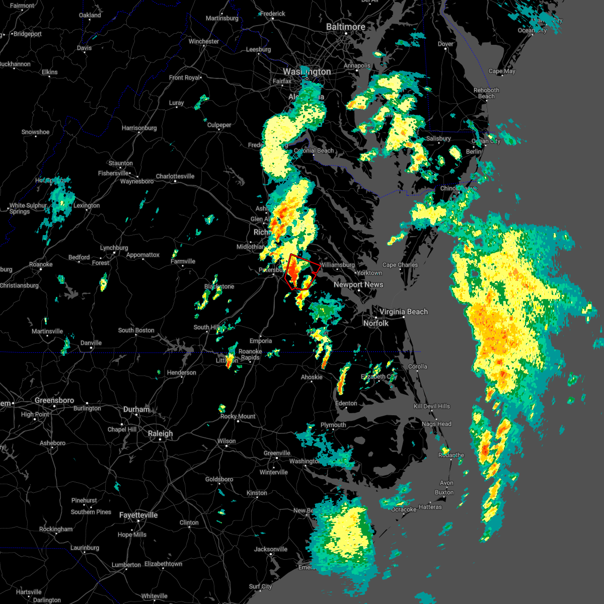 At 243 pm est, a severe thunderstorm capable of producing a tornado was located near disputanta, moving north at 30 mph (radar indicated rotation). Hazards include tornado. Flying debris will be dangerous to those caught without shelter. mobile homes will be damaged or destroyed. damage to roofs, windows, and vehicles will occur. tree damage is likely. this dangerous storm will be near, cabin point around 250 pm est. garysville and burrowsville around 255 pm est. jordans point around 300 pm est. charles city around 310 pm est. Other locations impacted by this tornadic thunderstorm include taylors corner, wayside, brandon, barnetts, gwaltney corner, oak hill corner, new hope, savedge and barham. At 243 pm est, a severe thunderstorm capable of producing a tornado was located near disputanta, moving north at 30 mph (radar indicated rotation). Hazards include tornado. Flying debris will be dangerous to those caught without shelter. mobile homes will be damaged or destroyed. damage to roofs, windows, and vehicles will occur. tree damage is likely. this dangerous storm will be near, cabin point around 250 pm est. garysville and burrowsville around 255 pm est. jordans point around 300 pm est. charles city around 310 pm est. Other locations impacted by this tornadic thunderstorm include taylors corner, wayside, brandon, barnetts, gwaltney corner, oak hill corner, new hope, savedge and barham.
|
| 11/11/2022 2:31 PM EST |
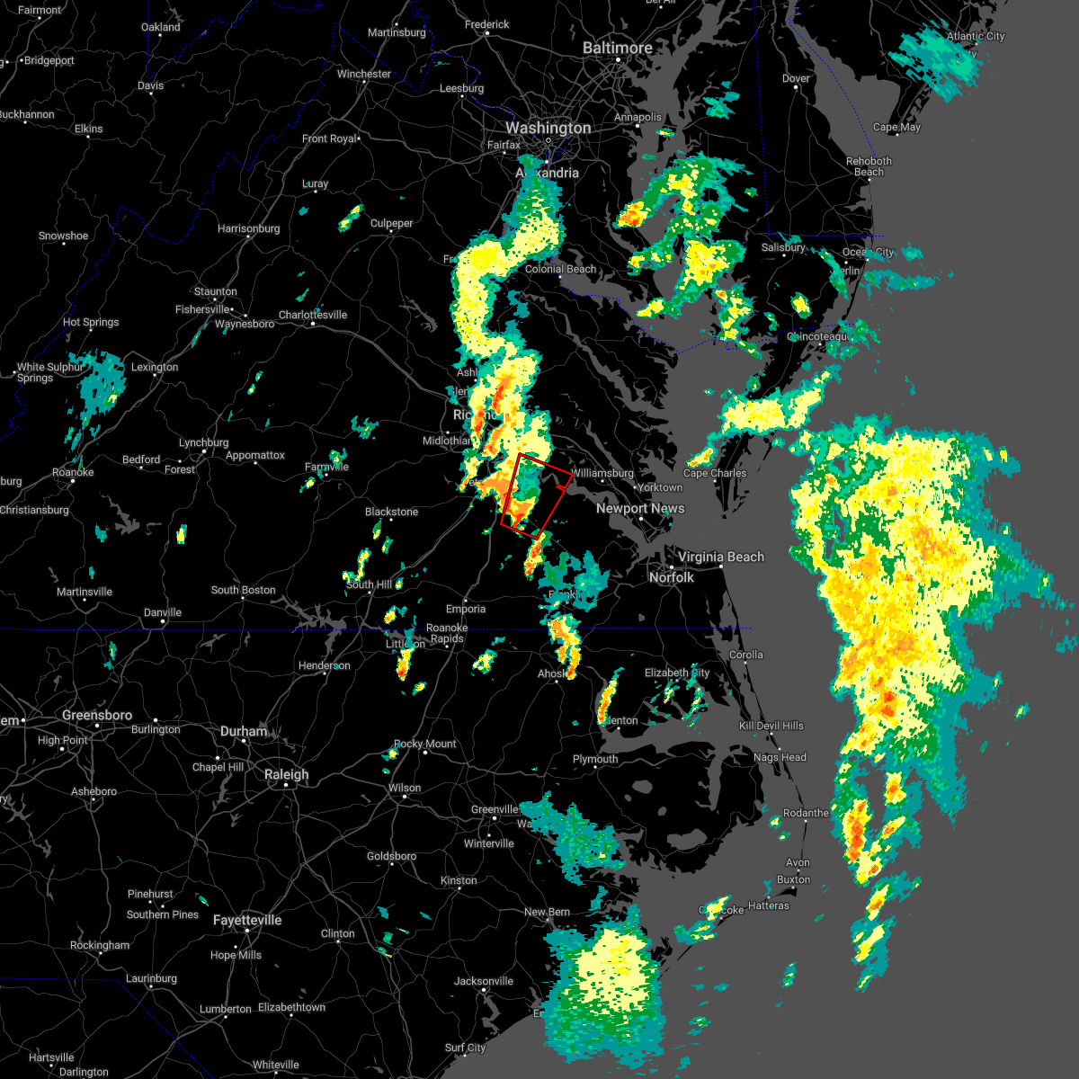 At 231 pm est, a severe thunderstorm capable of producing a tornado was located near disputanta, moving north at 30 mph (radar indicated rotation). Hazards include tornado. Flying debris will be dangerous to those caught without shelter. mobile homes will be damaged or destroyed. damage to roofs, windows, and vehicles will occur. tree damage is likely. this dangerous storm will be near, disputanta around 240 pm est. cabin point around 250 pm est. garysville and burrowsville around 255 pm est. charles city and jordans point around 300 pm est. Other locations impacted by this tornadic thunderstorm include taylors corner, newville, wayside, prince george golf, brandon, barnetts, gwaltney corner, oak hill corner, new hope and savedge. At 231 pm est, a severe thunderstorm capable of producing a tornado was located near disputanta, moving north at 30 mph (radar indicated rotation). Hazards include tornado. Flying debris will be dangerous to those caught without shelter. mobile homes will be damaged or destroyed. damage to roofs, windows, and vehicles will occur. tree damage is likely. this dangerous storm will be near, disputanta around 240 pm est. cabin point around 250 pm est. garysville and burrowsville around 255 pm est. charles city and jordans point around 300 pm est. Other locations impacted by this tornadic thunderstorm include taylors corner, newville, wayside, prince george golf, brandon, barnetts, gwaltney corner, oak hill corner, new hope and savedge.
|
| 9/25/2022 5:02 PM EDT | Report from mping: 1-inch tree limbs broken; shingles blown of in prince george county VA, 3.4 miles SSE of Prince George, VA |
| 9/25/2022 4:55 PM EDT |
 At 455 pm edt, severe thunderstorms were located along a line extending from near hopewell to prince george to near carson, moving east at 50 mph (radar indicated). Hazards include 60 mph wind gusts and penny size hail. Expect damage to trees and powerlines. severe thunderstorms will be near, jordans point around 500 pm edt. disputanta and garysville around 505 pm edt. charles city, burrowsville, cabin point, ruthville and adkins store around 510 pm edt. waverly around 515 pm edt. claremont, rustic and holdcroft around 520 pm edt. surry, toano and dendron around 525 pm edt. norge, scotland, elberon and jamestown around 530 pm edt. williamsburg, queens lake, college of william and mary, york terrace, carver gardens and kings point around 535 pm edt. other locations impacted by these severe thunderstorms include pons, croaker, chippokes state park, wayside, camp peary, ewell, meadowville, poolesville, allmondsville and gwaltney corner. hail threat, radar indicated max hail size, 0. 75 in wind threat, radar indicated max wind gust, 60 mph. At 455 pm edt, severe thunderstorms were located along a line extending from near hopewell to prince george to near carson, moving east at 50 mph (radar indicated). Hazards include 60 mph wind gusts and penny size hail. Expect damage to trees and powerlines. severe thunderstorms will be near, jordans point around 500 pm edt. disputanta and garysville around 505 pm edt. charles city, burrowsville, cabin point, ruthville and adkins store around 510 pm edt. waverly around 515 pm edt. claremont, rustic and holdcroft around 520 pm edt. surry, toano and dendron around 525 pm edt. norge, scotland, elberon and jamestown around 530 pm edt. williamsburg, queens lake, college of william and mary, york terrace, carver gardens and kings point around 535 pm edt. other locations impacted by these severe thunderstorms include pons, croaker, chippokes state park, wayside, camp peary, ewell, meadowville, poolesville, allmondsville and gwaltney corner. hail threat, radar indicated max hail size, 0. 75 in wind threat, radar indicated max wind gust, 60 mph.
|
| 9/25/2022 4:46 PM EDT |
 At 445 pm edt, severe thunderstorms were located along a line extending from near matoaca to near sutherland to dinwiddie, moving east at 50 mph (radar indicated). Hazards include 60 mph wind gusts. Expect damage to trees and powerlines. these severe storms will be near, colonial heights, virginia state university, chester, ettrick and matoaca around 450 pm edt. petersburg, hopewell and fort lee around 455 pm edt. prince george and carson around 500 pm edt. other locations impacted by these severe thunderstorms include burgess, birchett estate, addison, reams, wharfs store, petersburg national battlefield, darvills, pocahontas state park, new bohemia and center star. hail threat, radar indicated max hail size, <. 75 in wind threat, radar indicated max wind gust, 60 mph. At 445 pm edt, severe thunderstorms were located along a line extending from near matoaca to near sutherland to dinwiddie, moving east at 50 mph (radar indicated). Hazards include 60 mph wind gusts. Expect damage to trees and powerlines. these severe storms will be near, colonial heights, virginia state university, chester, ettrick and matoaca around 450 pm edt. petersburg, hopewell and fort lee around 455 pm edt. prince george and carson around 500 pm edt. other locations impacted by these severe thunderstorms include burgess, birchett estate, addison, reams, wharfs store, petersburg national battlefield, darvills, pocahontas state park, new bohemia and center star. hail threat, radar indicated max hail size, <. 75 in wind threat, radar indicated max wind gust, 60 mph.
|
| 9/25/2022 4:18 PM EDT |
 At 418 pm edt, severe thunderstorms were located along a line extending from near scotts fork to near mannboro to near spainville, moving east at 50 mph (radar indicated). Hazards include 60 mph wind gusts. Expect damage to trees and powerlines. severe thunderstorms will be near, sutherland, dewitt and chesterfield court house around 440 pm edt. dinwiddie and chester around 445 pm edt. colonial heights, virginia state university, ettrick and matoaca around 450 pm edt. petersburg, hopewell and fort lee around 455 pm edt. prince george and carson around 500 pm edt. other locations impacted by these severe thunderstorms include north wellville, birchett estate, addison, earls, ammon, wharfs store, petersburg national battlefield, darvills, pocahontas state park and church road. hail threat, radar indicated max hail size, <. 75 in wind threat, radar indicated max wind gust, 60 mph. At 418 pm edt, severe thunderstorms were located along a line extending from near scotts fork to near mannboro to near spainville, moving east at 50 mph (radar indicated). Hazards include 60 mph wind gusts. Expect damage to trees and powerlines. severe thunderstorms will be near, sutherland, dewitt and chesterfield court house around 440 pm edt. dinwiddie and chester around 445 pm edt. colonial heights, virginia state university, ettrick and matoaca around 450 pm edt. petersburg, hopewell and fort lee around 455 pm edt. prince george and carson around 500 pm edt. other locations impacted by these severe thunderstorms include north wellville, birchett estate, addison, earls, ammon, wharfs store, petersburg national battlefield, darvills, pocahontas state park and church road. hail threat, radar indicated max hail size, <. 75 in wind threat, radar indicated max wind gust, 60 mph.
|
| 8/10/2022 6:46 PM EDT |
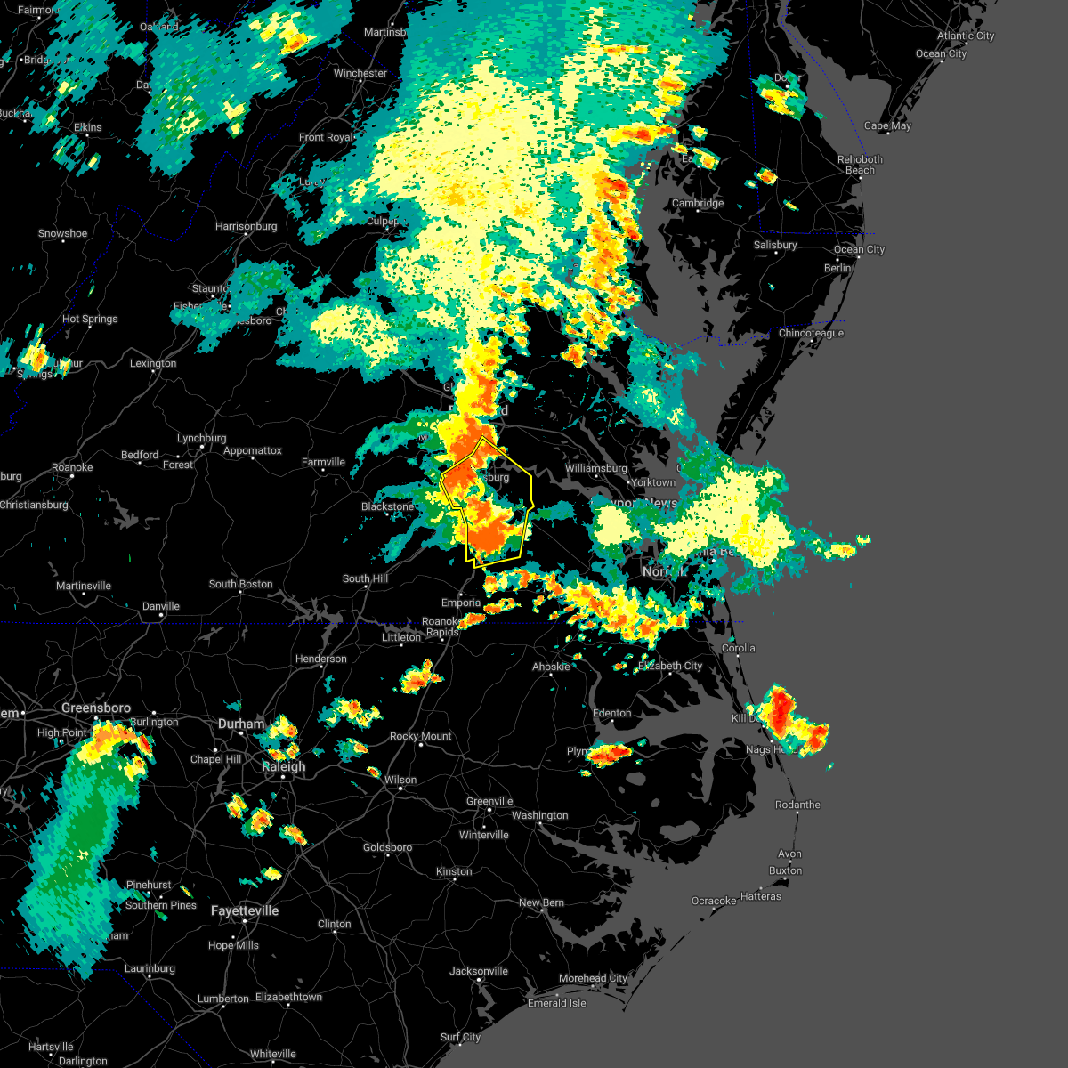 At 646 pm edt, severe thunderstorms were located along a line extending from near colonial heights to near prince george to stony creek, moving northeast at 30 mph (radar indicated). Hazards include 60 mph wind gusts. Expect damage to trees and powerlines. these severe storms will be near, fort lee, disputanta and prince george around 650 pm edt. hopewell around 655 pm edt. garysville and jordans point around 700 pm edt. homeville around 705 pm edt. other locations impacted by these severe thunderstorms include newville, burgess, birchett estate, addison, booker, reams, lumberton, jordan point country club, huske and petersburg national battlefield. hail threat, radar indicated max hail size, <. 75 in wind threat, radar indicated max wind gust, 60 mph. At 646 pm edt, severe thunderstorms were located along a line extending from near colonial heights to near prince george to stony creek, moving northeast at 30 mph (radar indicated). Hazards include 60 mph wind gusts. Expect damage to trees and powerlines. these severe storms will be near, fort lee, disputanta and prince george around 650 pm edt. hopewell around 655 pm edt. garysville and jordans point around 700 pm edt. homeville around 705 pm edt. other locations impacted by these severe thunderstorms include newville, burgess, birchett estate, addison, booker, reams, lumberton, jordan point country club, huske and petersburg national battlefield. hail threat, radar indicated max hail size, <. 75 in wind threat, radar indicated max wind gust, 60 mph.
|
| 8/10/2022 6:17 PM EDT |
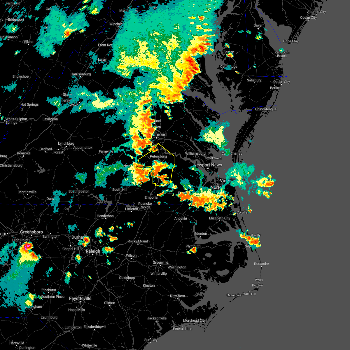 At 617 pm edt, severe thunderstorms were located along a line extending from near sutherland to near dinwiddie to purdy, moving northeast at 30 mph (radar indicated). Hazards include 60 mph wind gusts. Expect damage to trees and powerlines. severe thunderstorms will be near, sutherland and carson around 620 pm edt. matoaca around 635 pm edt. virginia state university and ettrick around 640 pm edt. petersburg, colonial heights, disputanta, chester, prince george and stony creek around 645 pm edt. hopewell, fort lee and sussex around 650 pm edt. garysville, homeville and jordans point around 700 pm edt. other locations impacted by these severe thunderstorms include birchett estate, addison, booker, ammon, lumberton, jordan point country club, petersburg national battlefield, church road, richard bland college and meadowville. hail threat, radar indicated max hail size, <. 75 in wind threat, radar indicated max wind gust, 60 mph. At 617 pm edt, severe thunderstorms were located along a line extending from near sutherland to near dinwiddie to purdy, moving northeast at 30 mph (radar indicated). Hazards include 60 mph wind gusts. Expect damage to trees and powerlines. severe thunderstorms will be near, sutherland and carson around 620 pm edt. matoaca around 635 pm edt. virginia state university and ettrick around 640 pm edt. petersburg, colonial heights, disputanta, chester, prince george and stony creek around 645 pm edt. hopewell, fort lee and sussex around 650 pm edt. garysville, homeville and jordans point around 700 pm edt. other locations impacted by these severe thunderstorms include birchett estate, addison, booker, ammon, lumberton, jordan point country club, petersburg national battlefield, church road, richard bland college and meadowville. hail threat, radar indicated max hail size, <. 75 in wind threat, radar indicated max wind gust, 60 mph.
|
| 8/4/2022 3:05 PM EDT |
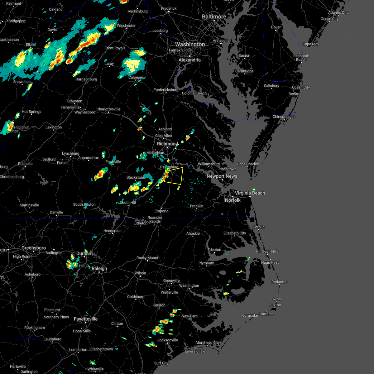 At 305 pm edt, a severe thunderstorm was located near petersburg, moving east at 15 mph (radar indicated). Hazards include 60 mph wind gusts. Expect damage to trees and powerlines. this severe thunderstorm will be near, prince george around 325 pm edt. disputanta around 345 pm edt. other locations impacted by this severe thunderstorm include new bohemia, richard bland college, templeton, reams and prince george golf. hail threat, radar indicated max hail size, <. 75 in wind threat, radar indicated max wind gust, 60 mph. At 305 pm edt, a severe thunderstorm was located near petersburg, moving east at 15 mph (radar indicated). Hazards include 60 mph wind gusts. Expect damage to trees and powerlines. this severe thunderstorm will be near, prince george around 325 pm edt. disputanta around 345 pm edt. other locations impacted by this severe thunderstorm include new bohemia, richard bland college, templeton, reams and prince george golf. hail threat, radar indicated max hail size, <. 75 in wind threat, radar indicated max wind gust, 60 mph.
|
| 7/21/2022 3:44 PM EDT |
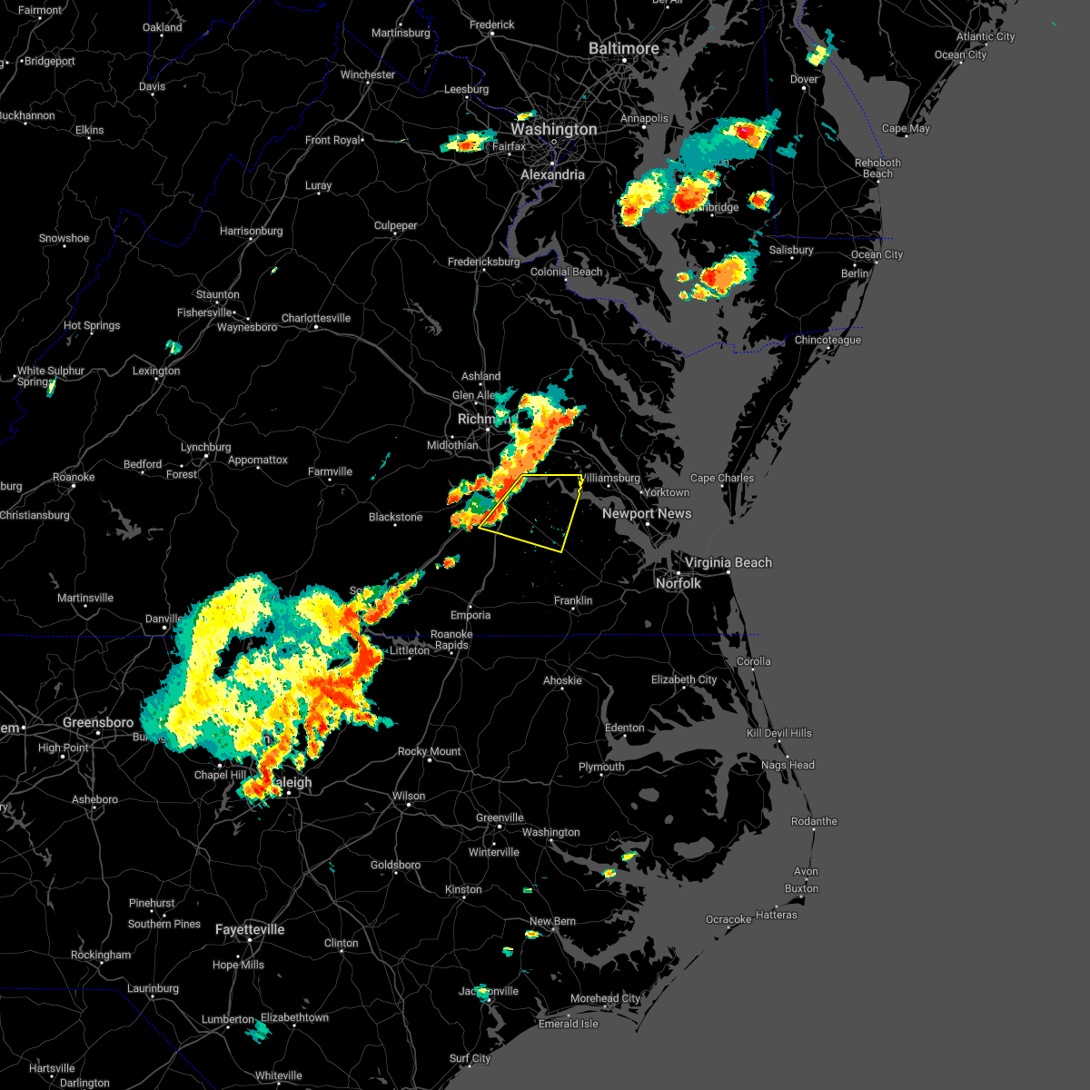 At 343 pm edt, a severe thunderstorm was located near carson, or near petersburg, moving east at 30 mph (radar indicated). Hazards include 60 mph wind gusts and quarter size hail. Minor damage to vehicles is possible. expect wind damage to trees and powerlines. this severe thunderstorm will be near, prince george around 355 pm edt. disputanta around 405 pm edt. garysville around 410 pm edt. waverly and burrowsville around 420 pm edt. cabin point around 425 pm edt. claremont around 430 pm edt. other locations impacted by this severe thunderstorm include taylors corner, carsley, newville, birchett estate, reams, spring grove, brandon, jordan point country club, barham and new bohemia. hail threat, radar indicated max hail size, 1. 00 in wind threat, radar indicated max wind gust, 60 mph. At 343 pm edt, a severe thunderstorm was located near carson, or near petersburg, moving east at 30 mph (radar indicated). Hazards include 60 mph wind gusts and quarter size hail. Minor damage to vehicles is possible. expect wind damage to trees and powerlines. this severe thunderstorm will be near, prince george around 355 pm edt. disputanta around 405 pm edt. garysville around 410 pm edt. waverly and burrowsville around 420 pm edt. cabin point around 425 pm edt. claremont around 430 pm edt. other locations impacted by this severe thunderstorm include taylors corner, carsley, newville, birchett estate, reams, spring grove, brandon, jordan point country club, barham and new bohemia. hail threat, radar indicated max hail size, 1. 00 in wind threat, radar indicated max wind gust, 60 mph.
|
| 7/21/2022 3:37 PM EDT |
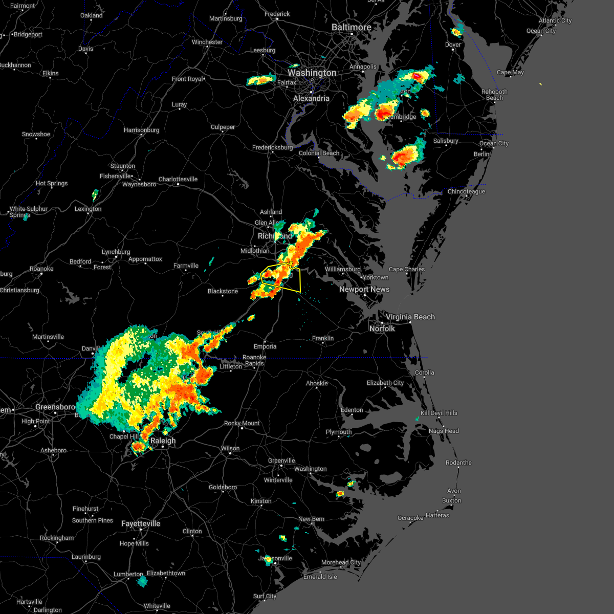 At 336 pm edt, a severe thunderstorm was located near matoaca, or near virginia state university, moving east at 20 mph (radar indicated). Hazards include 60 mph wind gusts and quarter size hail. Minor damage to vehicles is possible. expect wind damage to trees and powerlines. this severe storm will be near, matoaca around 350 pm edt. virginia state university and ettrick around 355 pm edt. colonial heights around 400 pm edt. petersburg around 405 pm edt. fort lee around 410 pm edt. hopewell around 415 pm edt. prince george around 420 pm edt. jordans point around 430 pm edt. other locations impacted by this severe thunderstorm include new bohemia, richard bland college, birchett estate, addison, prince george golf, jordan point country club and petersburg national battlefield. hail threat, radar indicated max hail size, 1. 00 in wind threat, radar indicated max wind gust, 60 mph. At 336 pm edt, a severe thunderstorm was located near matoaca, or near virginia state university, moving east at 20 mph (radar indicated). Hazards include 60 mph wind gusts and quarter size hail. Minor damage to vehicles is possible. expect wind damage to trees and powerlines. this severe storm will be near, matoaca around 350 pm edt. virginia state university and ettrick around 355 pm edt. colonial heights around 400 pm edt. petersburg around 405 pm edt. fort lee around 410 pm edt. hopewell around 415 pm edt. prince george around 420 pm edt. jordans point around 430 pm edt. other locations impacted by this severe thunderstorm include new bohemia, richard bland college, birchett estate, addison, prince george golf, jordan point country club and petersburg national battlefield. hail threat, radar indicated max hail size, 1. 00 in wind threat, radar indicated max wind gust, 60 mph.
|
| 7/21/2022 3:10 PM EDT |
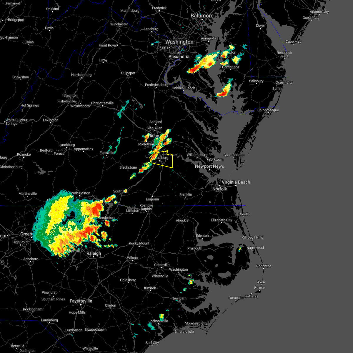 At 310 pm edt, a severe thunderstorm was located near sutherland, or near virginia state university, moving east at 20 mph (radar indicated). Hazards include 60 mph wind gusts and quarter size hail. Minor damage to vehicles is possible. expect wind damage to trees and powerlines. this severe thunderstorm will be near, virginia state university, matoaca and ettrick around 330 pm edt. colonial heights around 335 pm edt. petersburg around 340 pm edt. fort lee around 345 pm edt. hopewell around 350 pm edt. prince george around 355 pm edt. jordans point around 400 pm edt. other locations impacted by this severe thunderstorm include new bohemia, richard bland college, birchett estate, addison, prince george golf, jordan point country club and petersburg national battlefield. hail threat, radar indicated max hail size, 1. 00 in wind threat, radar indicated max wind gust, 60 mph. At 310 pm edt, a severe thunderstorm was located near sutherland, or near virginia state university, moving east at 20 mph (radar indicated). Hazards include 60 mph wind gusts and quarter size hail. Minor damage to vehicles is possible. expect wind damage to trees and powerlines. this severe thunderstorm will be near, virginia state university, matoaca and ettrick around 330 pm edt. colonial heights around 335 pm edt. petersburg around 340 pm edt. fort lee around 345 pm edt. hopewell around 350 pm edt. prince george around 355 pm edt. jordans point around 400 pm edt. other locations impacted by this severe thunderstorm include new bohemia, richard bland college, birchett estate, addison, prince george golf, jordan point country club and petersburg national battlefield. hail threat, radar indicated max hail size, 1. 00 in wind threat, radar indicated max wind gust, 60 mph.
|
| 6/22/2022 4:24 PM EDT |
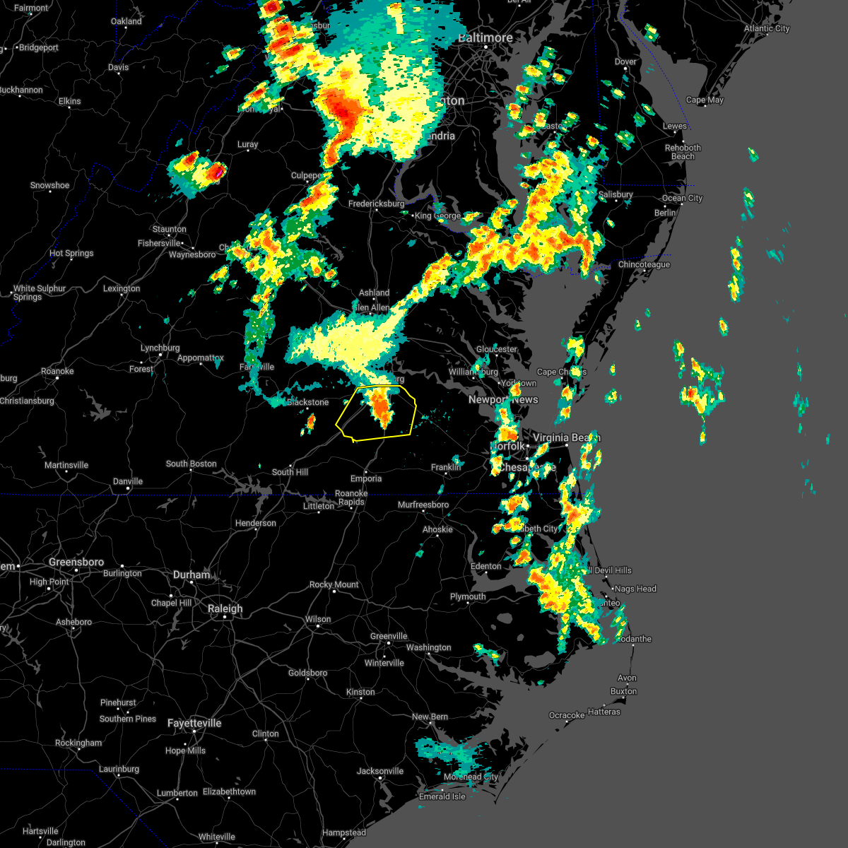 At 424 pm edt, severe thunderstorms were located along a line extending from near homeville to near stony creek to dewitt, moving south at 50 mph (radar indicated). Hazards include 60 mph wind gusts. Expect damage to trees and powerlines. these severe storms will be near, sussex around 430 pm edt. other locations impacted by these severe thunderstorms include newville, burgess, addison, booker, reams, wharfs store, new bohemia, center star, petersburg airport and church road. hail threat, radar indicated max hail size, <. 75 in wind threat, radar indicated max wind gust, 60 mph. At 424 pm edt, severe thunderstorms were located along a line extending from near homeville to near stony creek to dewitt, moving south at 50 mph (radar indicated). Hazards include 60 mph wind gusts. Expect damage to trees and powerlines. these severe storms will be near, sussex around 430 pm edt. other locations impacted by these severe thunderstorms include newville, burgess, addison, booker, reams, wharfs store, new bohemia, center star, petersburg airport and church road. hail threat, radar indicated max hail size, <. 75 in wind threat, radar indicated max wind gust, 60 mph.
|
| 6/22/2022 4:10 PM EDT | Trees down on route 46 in prince george county VA, 7.2 miles NNW of Prince George, VA |
| 6/22/2022 3:59 PM EDT |
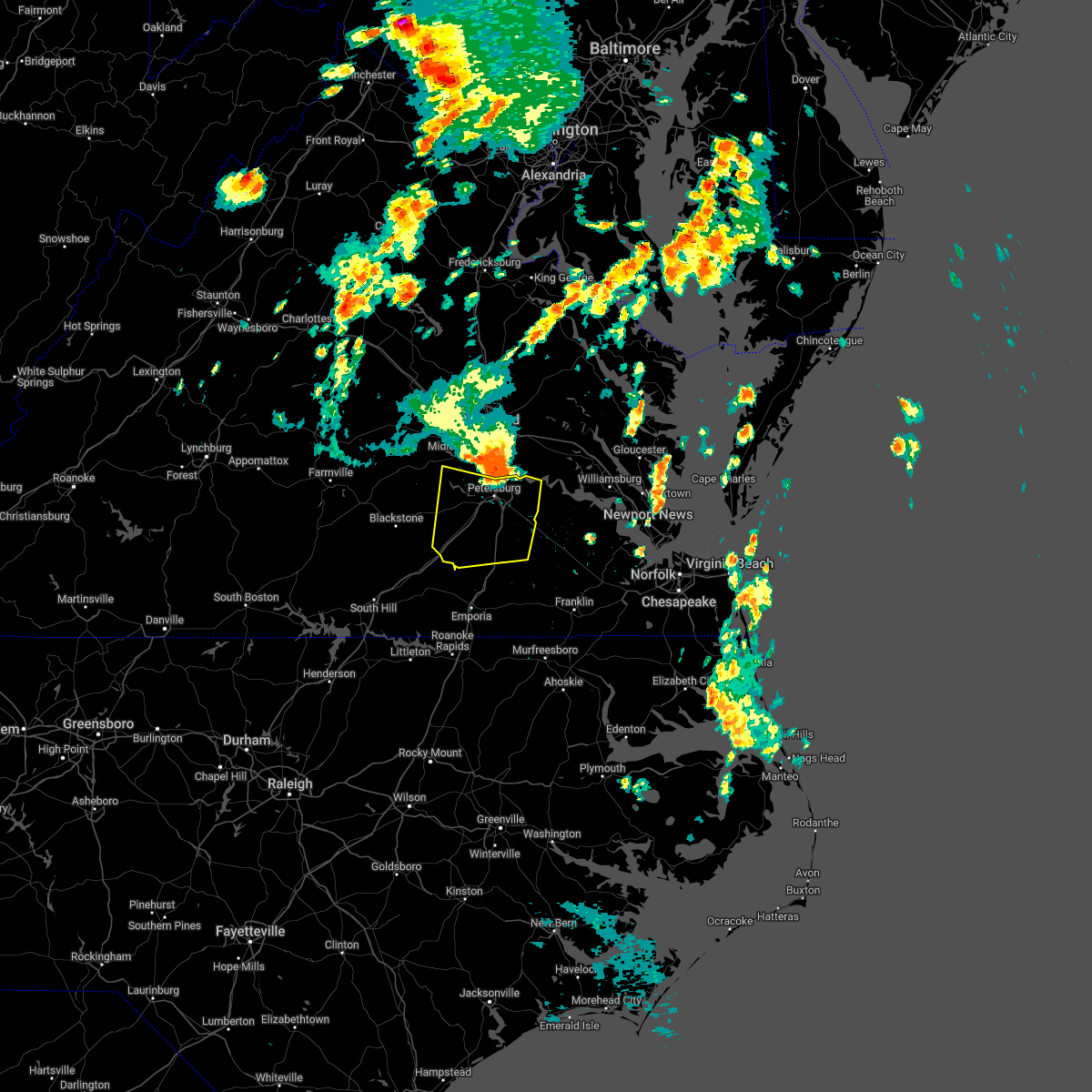 At 359 pm edt, severe thunderstorms were located along a line extending from jordans point to colonial heights to 8 miles southwest of chesterfield court house, moving south at 50 mph (radar indicated). Hazards include 60 mph wind gusts and nickel size hail. Expect damage to trees and powerlines. severe thunderstorms will be near, petersburg and prince george around 405 pm edt. sutherland around 410 pm edt. disputanta around 415 pm edt. dinwiddie, carson and dewitt around 420 pm edt. mckenney and stony creek around 425 pm edt. sussex around 430 pm edt. other locations impacted by these severe thunderstorms include newville, winterpock, burgess, birchett estate, addison, booker, reams, jordan point country club, wharfs store and petersburg national battlefield. hail threat, radar indicated max hail size, 0. 88 in wind threat, radar indicated max wind gust, 60 mph. At 359 pm edt, severe thunderstorms were located along a line extending from jordans point to colonial heights to 8 miles southwest of chesterfield court house, moving south at 50 mph (radar indicated). Hazards include 60 mph wind gusts and nickel size hail. Expect damage to trees and powerlines. severe thunderstorms will be near, petersburg and prince george around 405 pm edt. sutherland around 410 pm edt. disputanta around 415 pm edt. dinwiddie, carson and dewitt around 420 pm edt. mckenney and stony creek around 425 pm edt. sussex around 430 pm edt. other locations impacted by these severe thunderstorms include newville, winterpock, burgess, birchett estate, addison, booker, reams, jordan point country club, wharfs store and petersburg national battlefield. hail threat, radar indicated max hail size, 0. 88 in wind threat, radar indicated max wind gust, 60 mph.
|
| 6/12/2022 12:19 PM EDT |
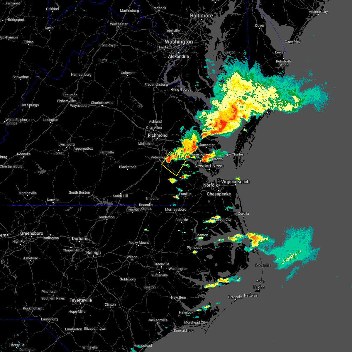 At 1218 pm edt, a severe thunderstorm was located near garysville, or near disputanta, moving southeast at 15 mph (radar indicated). Hazards include 60 mph wind gusts and half dollar size hail. Minor damage to vehicles is possible. expect wind damage to trees and powerlines. this severe storm will be near, burrowsville around 1235 pm edt. cabin point around 1250 pm edt. waverly around 100 pm edt. other locations impacted by this severe thunderstorm include new bohemia, taylors corner, carsley, prince george golf, spring grove, brandon, gwaltney corner, oak hill corner, jordan point country club and savedge. hail threat, radar indicated max hail size, 1. 25 in wind threat, radar indicated max wind gust, 60 mph. At 1218 pm edt, a severe thunderstorm was located near garysville, or near disputanta, moving southeast at 15 mph (radar indicated). Hazards include 60 mph wind gusts and half dollar size hail. Minor damage to vehicles is possible. expect wind damage to trees and powerlines. this severe storm will be near, burrowsville around 1235 pm edt. cabin point around 1250 pm edt. waverly around 100 pm edt. other locations impacted by this severe thunderstorm include new bohemia, taylors corner, carsley, prince george golf, spring grove, brandon, gwaltney corner, oak hill corner, jordan point country club and savedge. hail threat, radar indicated max hail size, 1. 25 in wind threat, radar indicated max wind gust, 60 mph.
|
| 6/12/2022 12:18 PM EDT | Tree down across brockwell roa in prince george county VA, 4.6 miles W of Prince George, VA |
| 6/12/2022 12:03 PM EDT | Tree down near courthouse rd and prince george driv in prince george county VA, 1 miles SSW of Prince George, VA |
| 6/12/2022 12:00 PM EDT |
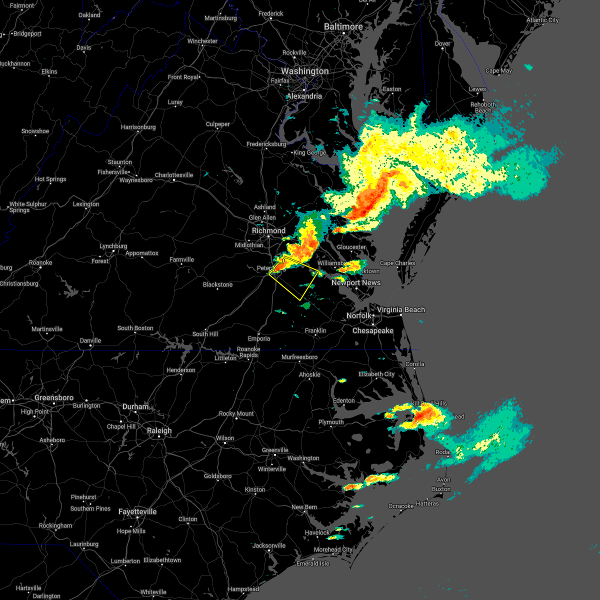 At 1200 pm edt, a severe thunderstorm was located over prince george, or over fort lee, moving southeast at 15 mph (radar indicated). Hazards include 60 mph wind gusts and quarter size hail. Minor damage to vehicles is possible. expect wind damage to trees and powerlines. this severe thunderstorm will be near, garysville around 1220 pm edt. disputanta around 1225 pm edt. burrowsville around 1235 pm edt. waverly and cabin point around 1245 pm edt. other locations impacted by this severe thunderstorm include taylors corner, carsley, birchett estate, spring grove, brandon, jordan point country club, petersburg national battlefield, barham, new bohemia and richard bland college. hail threat, radar indicated max hail size, 1. 00 in wind threat, radar indicated max wind gust, 60 mph. At 1200 pm edt, a severe thunderstorm was located over prince george, or over fort lee, moving southeast at 15 mph (radar indicated). Hazards include 60 mph wind gusts and quarter size hail. Minor damage to vehicles is possible. expect wind damage to trees and powerlines. this severe thunderstorm will be near, garysville around 1220 pm edt. disputanta around 1225 pm edt. burrowsville around 1235 pm edt. waverly and cabin point around 1245 pm edt. other locations impacted by this severe thunderstorm include taylors corner, carsley, birchett estate, spring grove, brandon, jordan point country club, petersburg national battlefield, barham, new bohemia and richard bland college. hail threat, radar indicated max hail size, 1. 00 in wind threat, radar indicated max wind gust, 60 mph.
|
| 6/2/2022 6:32 PM EDT |
 At 632 pm edt, a severe thunderstorm was located over richmond, moving east at 40 mph (radar indicated). Hazards include 60 mph wind gusts. Expect damage to trees and powerlines. this severe storm will be near, east highland park around 635 pm edt. highland springs around 640 pm edt. other locations impacted by this severe thunderstorm include enfield, richmond heights, birchett estate, jordan point country club, montrose, sandston, glendale, pocahontas state park, richmond international and fair oaks. hail threat, radar indicated max hail size, <. 75 in wind threat, radar indicated max wind gust, 60 mph. At 632 pm edt, a severe thunderstorm was located over richmond, moving east at 40 mph (radar indicated). Hazards include 60 mph wind gusts. Expect damage to trees and powerlines. this severe storm will be near, east highland park around 635 pm edt. highland springs around 640 pm edt. other locations impacted by this severe thunderstorm include enfield, richmond heights, birchett estate, jordan point country club, montrose, sandston, glendale, pocahontas state park, richmond international and fair oaks. hail threat, radar indicated max hail size, <. 75 in wind threat, radar indicated max wind gust, 60 mph.
|
| 6/2/2022 6:15 PM EDT |
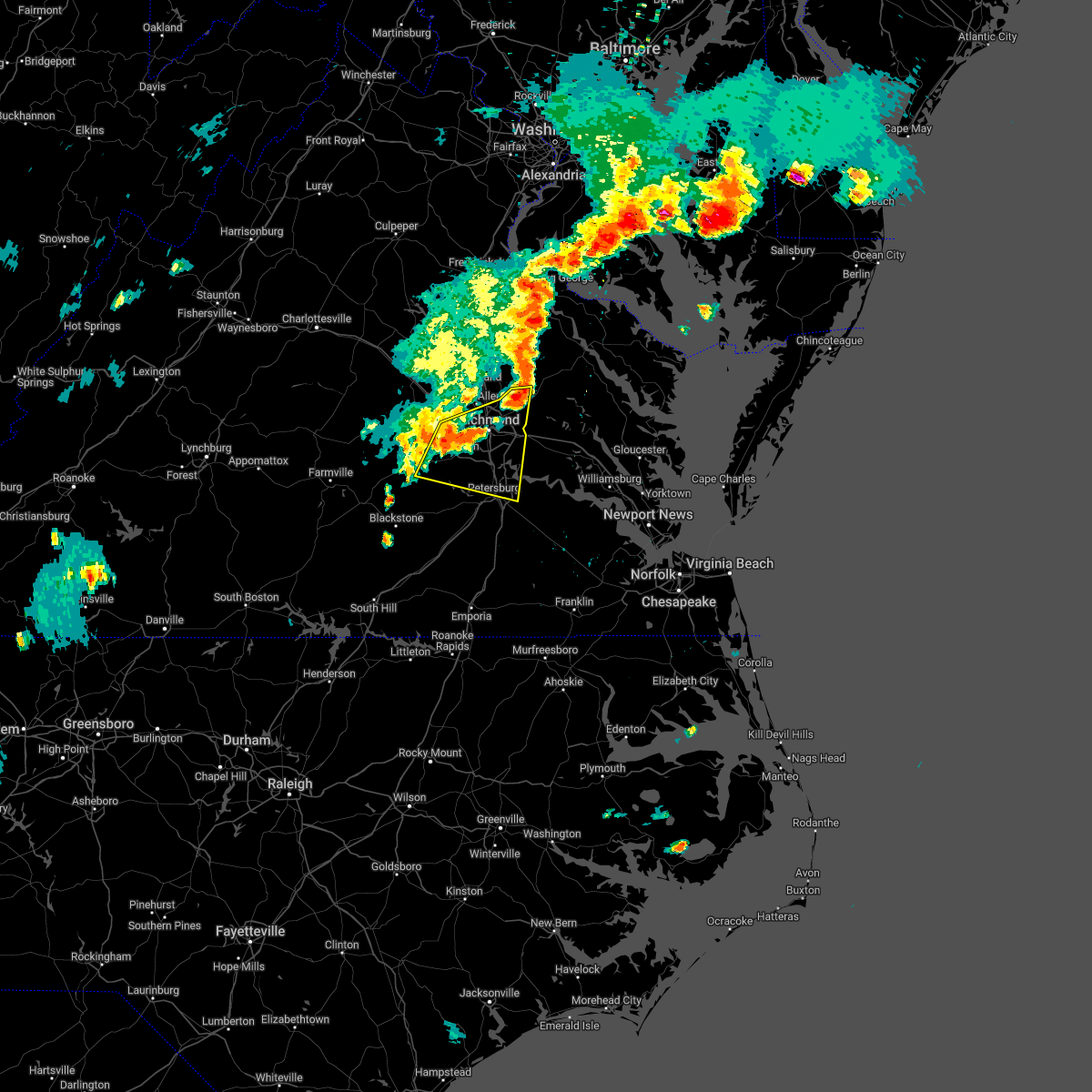 At 614 pm edt, a severe thunderstorm was located near bon air, moving east at 35 mph (radar indicated). Hazards include 60 mph wind gusts. Expect damage to trees and powerlines. this severe storm will be near, bon air, university of richmond and chesterfield court house around 625 pm edt. richmond and downtown richmond around 630 pm edt. virginia commonwealth university, virginia union university, bensley, bellwood and east highland park around 635 pm edt. highland springs around 640 pm edt. other locations impacted by this severe thunderstorm include enfield, richmond heights, birchett estate, jordan point country club, montrose, petersburg national battlefield, sandston, glendale, pocahontas state park and richmond international. hail threat, radar indicated max hail size, <. 75 in wind threat, radar indicated max wind gust, 60 mph. At 614 pm edt, a severe thunderstorm was located near bon air, moving east at 35 mph (radar indicated). Hazards include 60 mph wind gusts. Expect damage to trees and powerlines. this severe storm will be near, bon air, university of richmond and chesterfield court house around 625 pm edt. richmond and downtown richmond around 630 pm edt. virginia commonwealth university, virginia union university, bensley, bellwood and east highland park around 635 pm edt. highland springs around 640 pm edt. other locations impacted by this severe thunderstorm include enfield, richmond heights, birchett estate, jordan point country club, montrose, petersburg national battlefield, sandston, glendale, pocahontas state park and richmond international. hail threat, radar indicated max hail size, <. 75 in wind threat, radar indicated max wind gust, 60 mph.
|
| 6/2/2022 5:55 PM EDT |
 The national weather service in wakefield has issued a * severe thunderstorm warning for. the city of colonial heights in central virginia. the city of hopewell in south central virginia. the northeastern city of petersburg in south central virginia. Southeastern goochland county in central virginia. The national weather service in wakefield has issued a * severe thunderstorm warning for. the city of colonial heights in central virginia. the city of hopewell in south central virginia. the northeastern city of petersburg in south central virginia. Southeastern goochland county in central virginia.
|
| 5/16/2022 4:41 PM EDT |
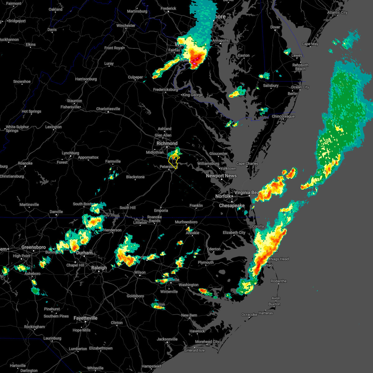 At 440 pm edt, a severe thunderstorm was located near hopewell, moving east at 35 mph (radar indicated). Hazards include 60 mph wind gusts and penny size hail. Expect damage to trees and powerlines. this severe thunderstorm will remain over mainly rural areas of east central chesterfield, northwestern prince george and southeastern henrico counties and the city of hopewell, including the following locations, meadowville and birchett estate. hail threat, radar indicated max hail size, 0. 75 in wind threat, radar indicated max wind gust, 60 mph. At 440 pm edt, a severe thunderstorm was located near hopewell, moving east at 35 mph (radar indicated). Hazards include 60 mph wind gusts and penny size hail. Expect damage to trees and powerlines. this severe thunderstorm will remain over mainly rural areas of east central chesterfield, northwestern prince george and southeastern henrico counties and the city of hopewell, including the following locations, meadowville and birchett estate. hail threat, radar indicated max hail size, 0. 75 in wind threat, radar indicated max wind gust, 60 mph.
|
| 5/16/2022 4:23 PM EDT |
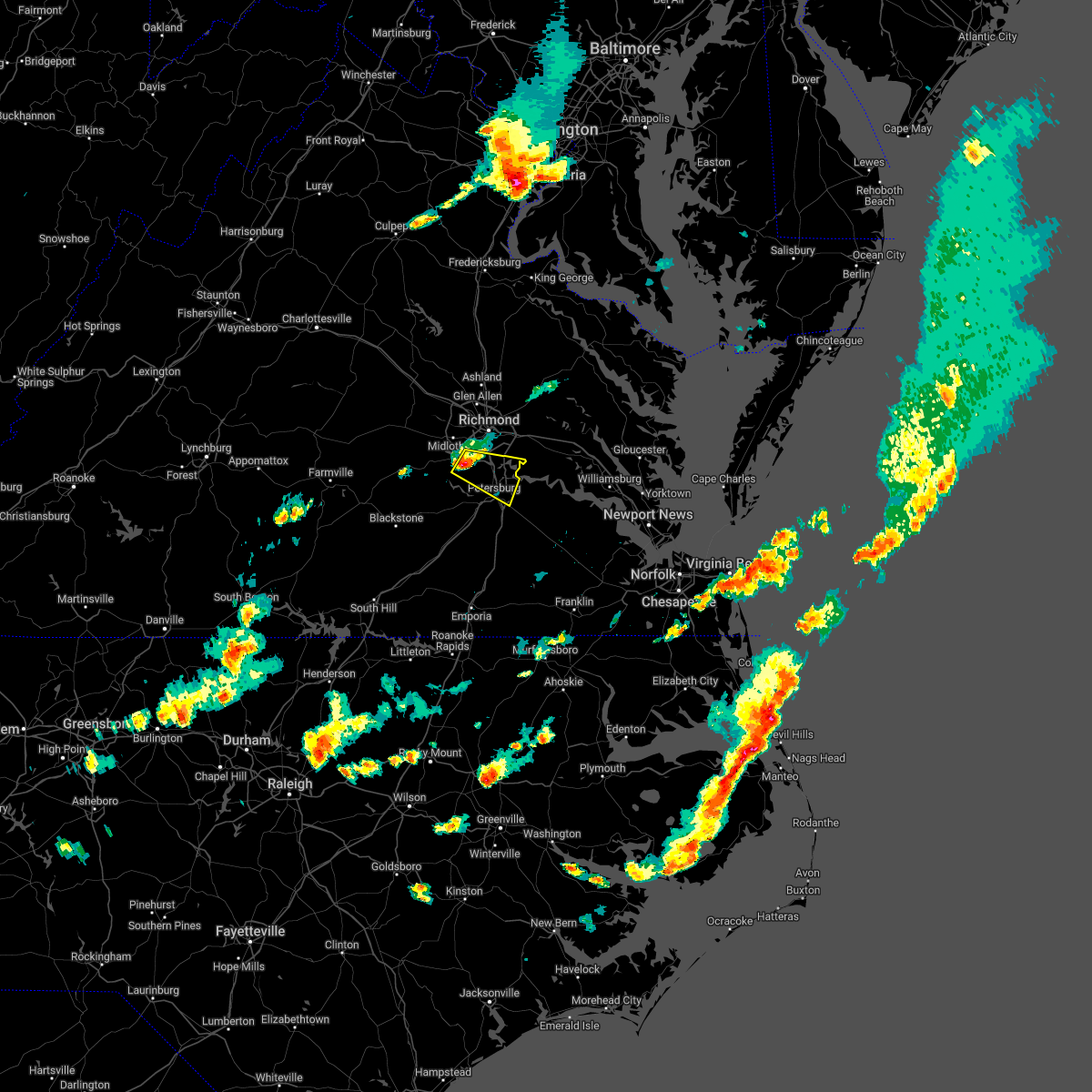 At 423 pm edt, a severe thunderstorm was located over chesterfield court house, or near chester, moving east at 35 mph (radar indicated). Hazards include 60 mph wind gusts and quarter size hail. Minor damage to vehicles is possible. expect wind damage to trees and powerlines. this severe thunderstorm will be near, chester and bellwood around 430 pm edt. colonial heights, virginia state university and ettrick around 435 pm edt. petersburg and fort lee around 440 pm edt. hopewell around 445 pm edt. other locations impacted by this severe thunderstorm include pocahontas state park, beach, meadowville, birchett estate, drewrys bluff, petersburg national battlefield, centralia, chesterfield and new bohemia. hail threat, radar indicated max hail size, 1. 00 in wind threat, radar indicated max wind gust, 60 mph. At 423 pm edt, a severe thunderstorm was located over chesterfield court house, or near chester, moving east at 35 mph (radar indicated). Hazards include 60 mph wind gusts and quarter size hail. Minor damage to vehicles is possible. expect wind damage to trees and powerlines. this severe thunderstorm will be near, chester and bellwood around 430 pm edt. colonial heights, virginia state university and ettrick around 435 pm edt. petersburg and fort lee around 440 pm edt. hopewell around 445 pm edt. other locations impacted by this severe thunderstorm include pocahontas state park, beach, meadowville, birchett estate, drewrys bluff, petersburg national battlefield, centralia, chesterfield and new bohemia. hail threat, radar indicated max hail size, 1. 00 in wind threat, radar indicated max wind gust, 60 mph.
|
| 5/4/2022 3:05 PM EDT |
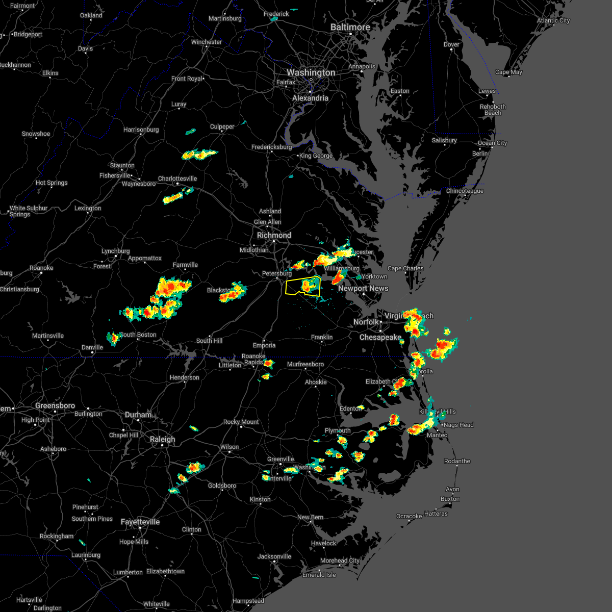 The severe thunderstorm warning for central prince george and northwestern surry counties will expire at 315 pm edt, the storm which prompted the warning has weakened below severe limits, and no longer poses an immediate threat to life or property. therefore, the warning will be allowed to expire. however, gusty winds and heavy rain are still possible with this thunderstorm. to report severe weather, contact your nearest law enforcement agency. they will relay your report to the national weather service wakefield. The severe thunderstorm warning for central prince george and northwestern surry counties will expire at 315 pm edt, the storm which prompted the warning has weakened below severe limits, and no longer poses an immediate threat to life or property. therefore, the warning will be allowed to expire. however, gusty winds and heavy rain are still possible with this thunderstorm. to report severe weather, contact your nearest law enforcement agency. they will relay your report to the national weather service wakefield.
|
| 5/4/2022 2:44 PM EDT |
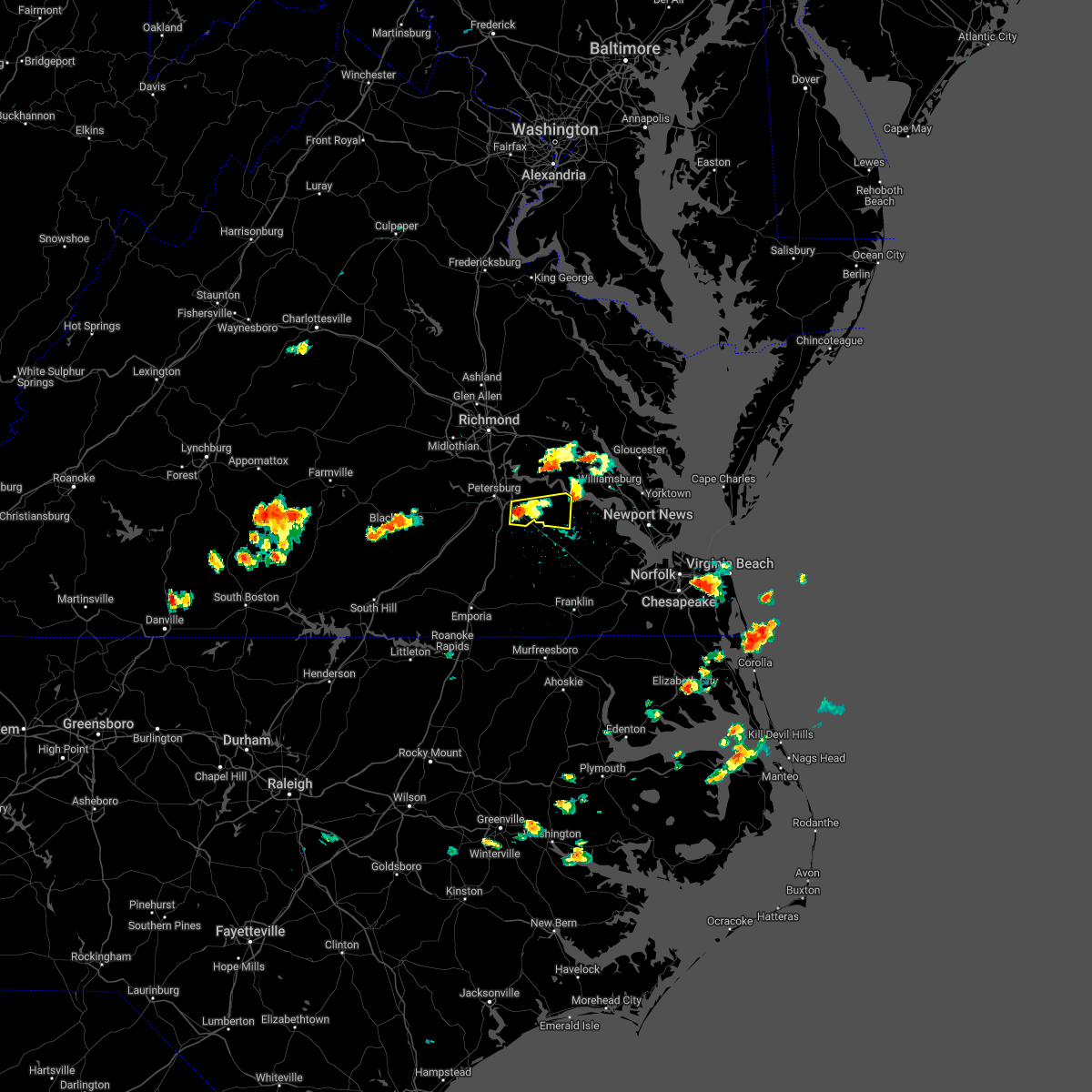 At 244 pm edt, a severe thunderstorm was located over disputanta, moving east at 30 mph (radar indicated). Hazards include 60 mph wind gusts and quarter size hail. Minor damage to vehicles is possible. expect wind damage to trees and powerlines. this severe thunderstorm will be near, burrowsville around 300 pm edt. cabin point around 305 pm edt. claremont around 315 pm edt. other locations impacted by this severe thunderstorm include taylors corner, carsley, prince george golf, spring grove, gwaltney corner, oak hill corner, savedge and barham. hail threat, radar indicated max hail size, 1. 00 in wind threat, radar indicated max wind gust, 60 mph. At 244 pm edt, a severe thunderstorm was located over disputanta, moving east at 30 mph (radar indicated). Hazards include 60 mph wind gusts and quarter size hail. Minor damage to vehicles is possible. expect wind damage to trees and powerlines. this severe thunderstorm will be near, burrowsville around 300 pm edt. cabin point around 305 pm edt. claremont around 315 pm edt. other locations impacted by this severe thunderstorm include taylors corner, carsley, prince george golf, spring grove, gwaltney corner, oak hill corner, savedge and barham. hail threat, radar indicated max hail size, 1. 00 in wind threat, radar indicated max wind gust, 60 mph.
|
| 9/8/2021 2:03 PM EDT |
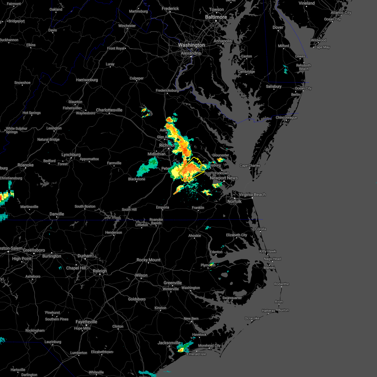 At 202 pm edt, a severe thunderstorm was located near claremont, moving northeast at 30 mph (radar indicated). Hazards include 60 mph wind gusts and nickel size hail. Expect damage to trees and powerlines. this severe storm will be near, rustic around 215 pm edt. holdcroft around 220 pm edt. other locations impacted by this severe thunderstorm include taylors corner, chickahominy shore, spring grove, brandon, oak hill corner, new hope, savedge, barham and mount airy. hail threat, radar indicated max hail size, 0. 88 in wind threat, radar indicated max wind gust, 60 mph. At 202 pm edt, a severe thunderstorm was located near claremont, moving northeast at 30 mph (radar indicated). Hazards include 60 mph wind gusts and nickel size hail. Expect damage to trees and powerlines. this severe storm will be near, rustic around 215 pm edt. holdcroft around 220 pm edt. other locations impacted by this severe thunderstorm include taylors corner, chickahominy shore, spring grove, brandon, oak hill corner, new hope, savedge, barham and mount airy. hail threat, radar indicated max hail size, 0. 88 in wind threat, radar indicated max wind gust, 60 mph.
|
| 9/8/2021 1:26 PM EDT |
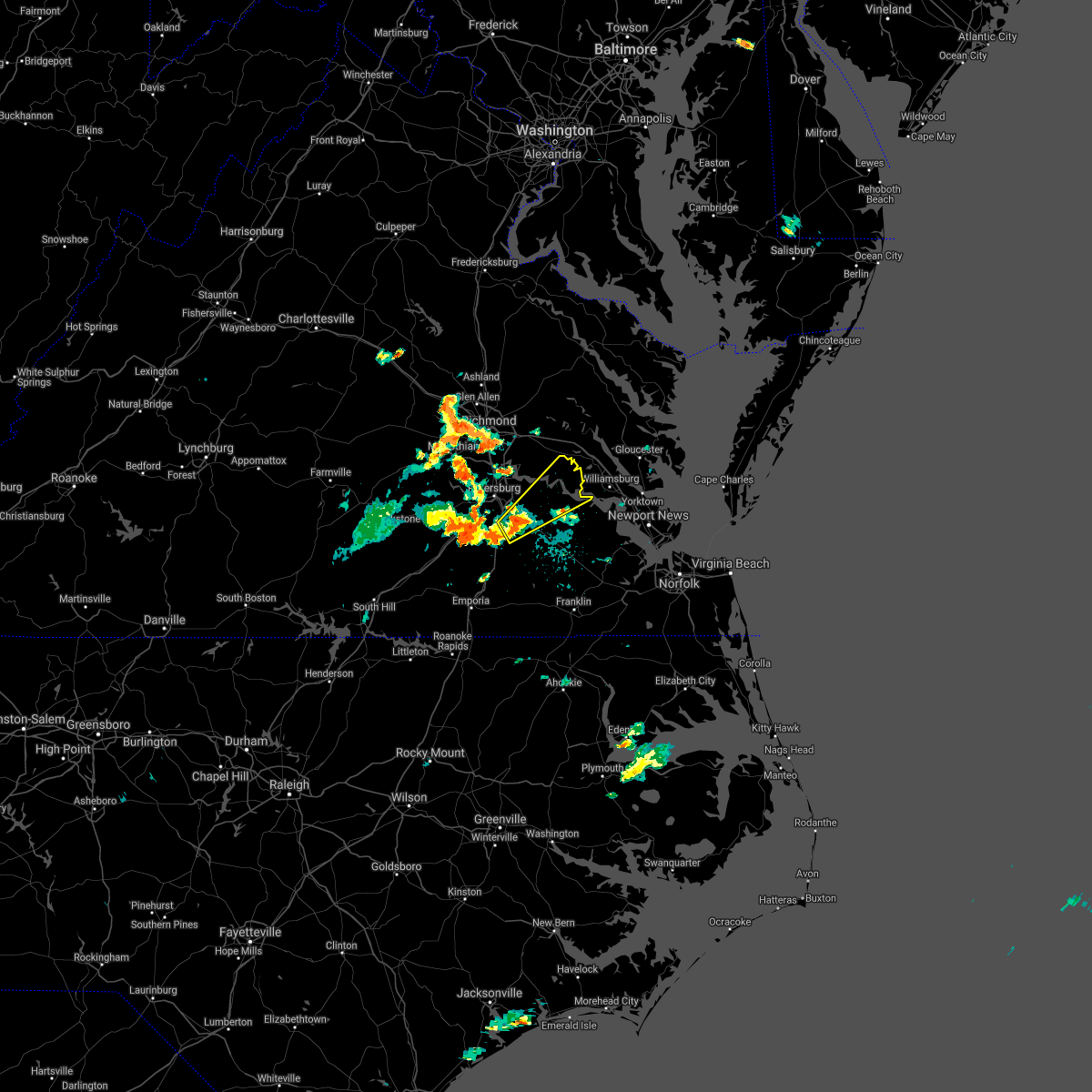 At 126 pm edt, a severe thunderstorm was located near disputanta, moving northeast at 30 mph (radar indicated). Hazards include 60 mph wind gusts and nickel size hail. Expect damage to trees and powerlines. this severe thunderstorm will be near, disputanta around 135 pm edt. garysville around 150 pm edt. burrowsville and cabin point around 155 pm edt. charles city and claremont around 205 pm edt. ruthville around 210 pm edt. rustic and holdcroft around 215 pm edt. other locations impacted by this severe thunderstorm include taylors corner, chickahominy shore, templeton, prince george golf, spring grove, brandon, oak hill corner, new hope, savedge and barham. hail threat, radar indicated max hail size, 0. 88 in wind threat, radar indicated max wind gust, 60 mph. At 126 pm edt, a severe thunderstorm was located near disputanta, moving northeast at 30 mph (radar indicated). Hazards include 60 mph wind gusts and nickel size hail. Expect damage to trees and powerlines. this severe thunderstorm will be near, disputanta around 135 pm edt. garysville around 150 pm edt. burrowsville and cabin point around 155 pm edt. charles city and claremont around 205 pm edt. ruthville around 210 pm edt. rustic and holdcroft around 215 pm edt. other locations impacted by this severe thunderstorm include taylors corner, chickahominy shore, templeton, prince george golf, spring grove, brandon, oak hill corner, new hope, savedge and barham. hail threat, radar indicated max hail size, 0. 88 in wind threat, radar indicated max wind gust, 60 mph.
|
| 9/1/2021 1:38 PM EDT |
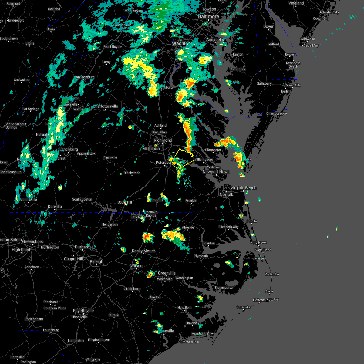 The severe thunderstorm warning for charles city and northeastern prince george counties will expire at 145 pm edt, the storms which prompted the warning have weakened below severe limits, and have exited the warned area. therefore, the warning will be allowed to expire. a tornado watch remains in effect until 700 pm edt for south central, southeastern and east central virginia. The severe thunderstorm warning for charles city and northeastern prince george counties will expire at 145 pm edt, the storms which prompted the warning have weakened below severe limits, and have exited the warned area. therefore, the warning will be allowed to expire. a tornado watch remains in effect until 700 pm edt for south central, southeastern and east central virginia.
|
| 9/1/2021 1:19 PM EDT |
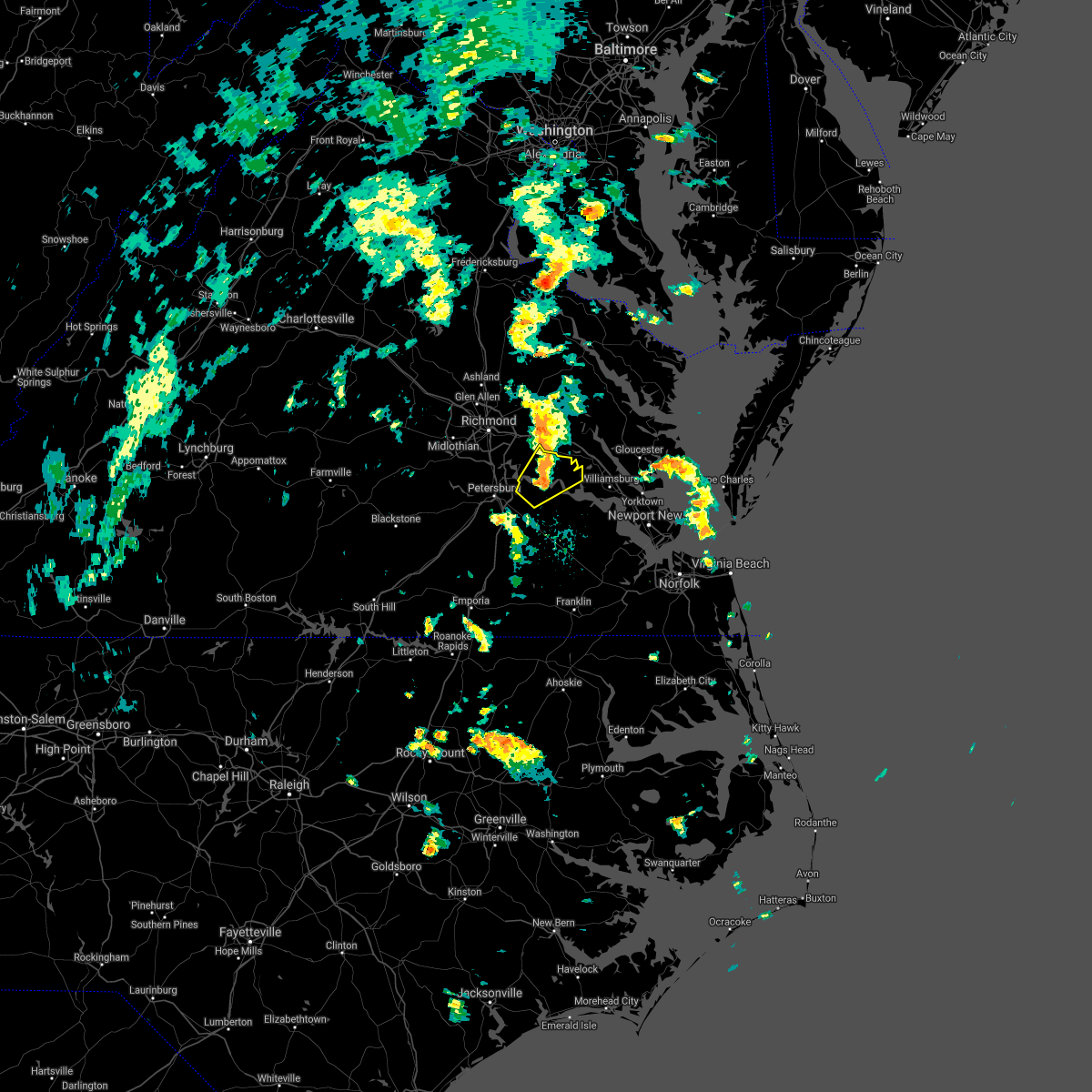 At 119 pm edt, severe thunderstorms were located along a line extending from adkins store to burrowsville, moving northeast at 40 mph (radar indicated). Hazards include 60 mph wind gusts. Expect damage to trees and powerlines. these severe storms will be near, adkins store around 125 pm edt. ruthville and rustic around 135 pm edt. holdcroft around 140 pm edt. Other locations impacted by these severe thunderstorms include taylors corner, chickahominy shore, wayside, sandybottom, brandon, barnetts, new hope, roaches corner and mount airy. At 119 pm edt, severe thunderstorms were located along a line extending from adkins store to burrowsville, moving northeast at 40 mph (radar indicated). Hazards include 60 mph wind gusts. Expect damage to trees and powerlines. these severe storms will be near, adkins store around 125 pm edt. ruthville and rustic around 135 pm edt. holdcroft around 140 pm edt. Other locations impacted by these severe thunderstorms include taylors corner, chickahominy shore, wayside, sandybottom, brandon, barnetts, new hope, roaches corner and mount airy.
|
| 9/1/2021 1:06 PM EDT |
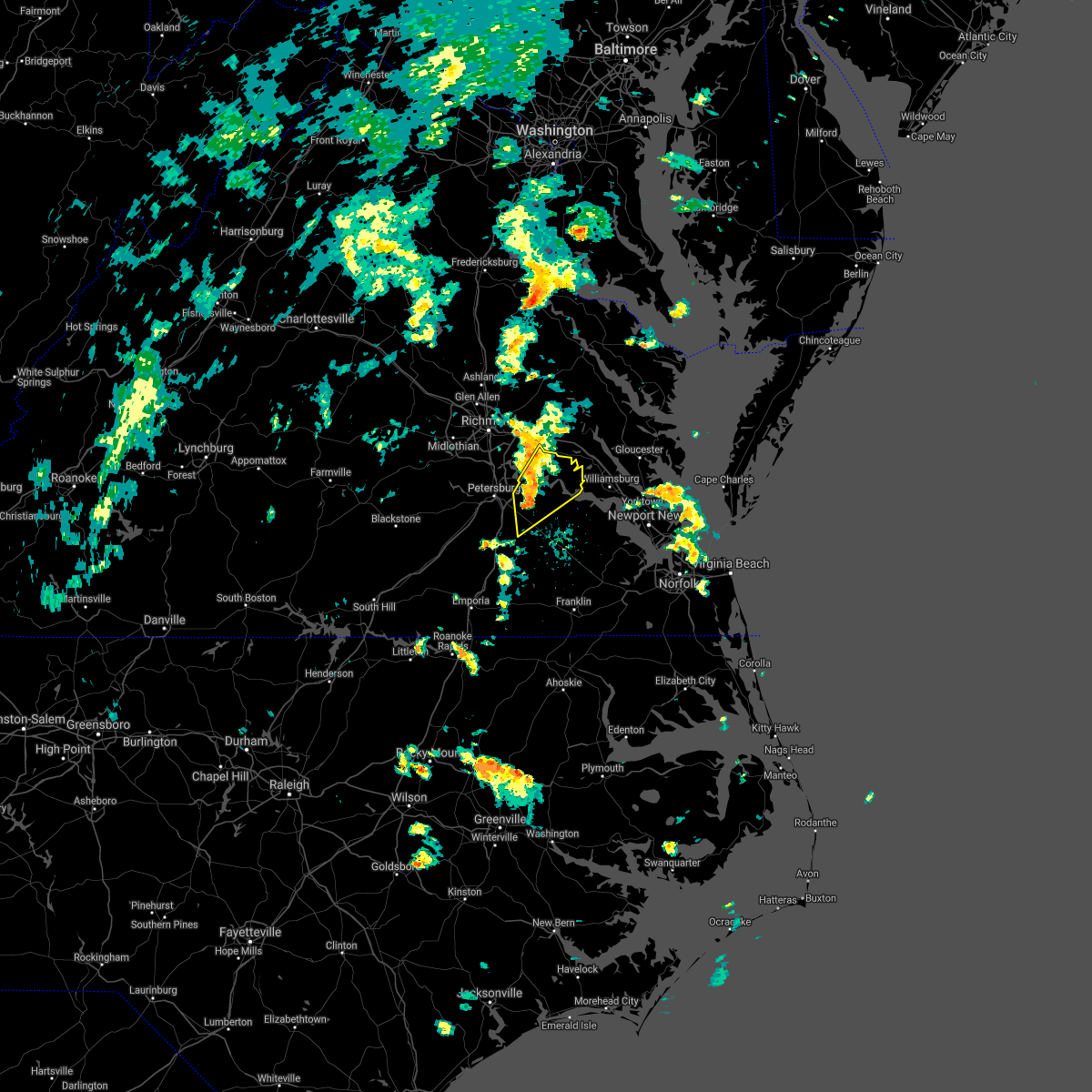 At 106 pm edt, severe thunderstorms were located along a line extending from near jordans point to near disputanta, moving northeast at 40 mph (radar indicated). Hazards include 60 mph wind gusts. Expect damage to trees and powerlines. these severe storms will be near, jordans point around 110 pm edt. charles city and adkins store around 115 pm edt. burrowsville, ruthville and cabin point around 120 pm edt. claremont around 125 pm edt. rustic around 130 pm edt. holdcroft around 135 pm edt. Other locations impacted by these severe thunderstorms include taylors corner, chickahominy shore, wayside, brandon, barham, sandybottom, prince george golf, barnetts, oak hill corner and new hope. At 106 pm edt, severe thunderstorms were located along a line extending from near jordans point to near disputanta, moving northeast at 40 mph (radar indicated). Hazards include 60 mph wind gusts. Expect damage to trees and powerlines. these severe storms will be near, jordans point around 110 pm edt. charles city and adkins store around 115 pm edt. burrowsville, ruthville and cabin point around 120 pm edt. claremont around 125 pm edt. rustic around 130 pm edt. holdcroft around 135 pm edt. Other locations impacted by these severe thunderstorms include taylors corner, chickahominy shore, wayside, brandon, barham, sandybottom, prince george golf, barnetts, oak hill corner and new hope.
|
| 9/1/2021 12:54 PM EDT |
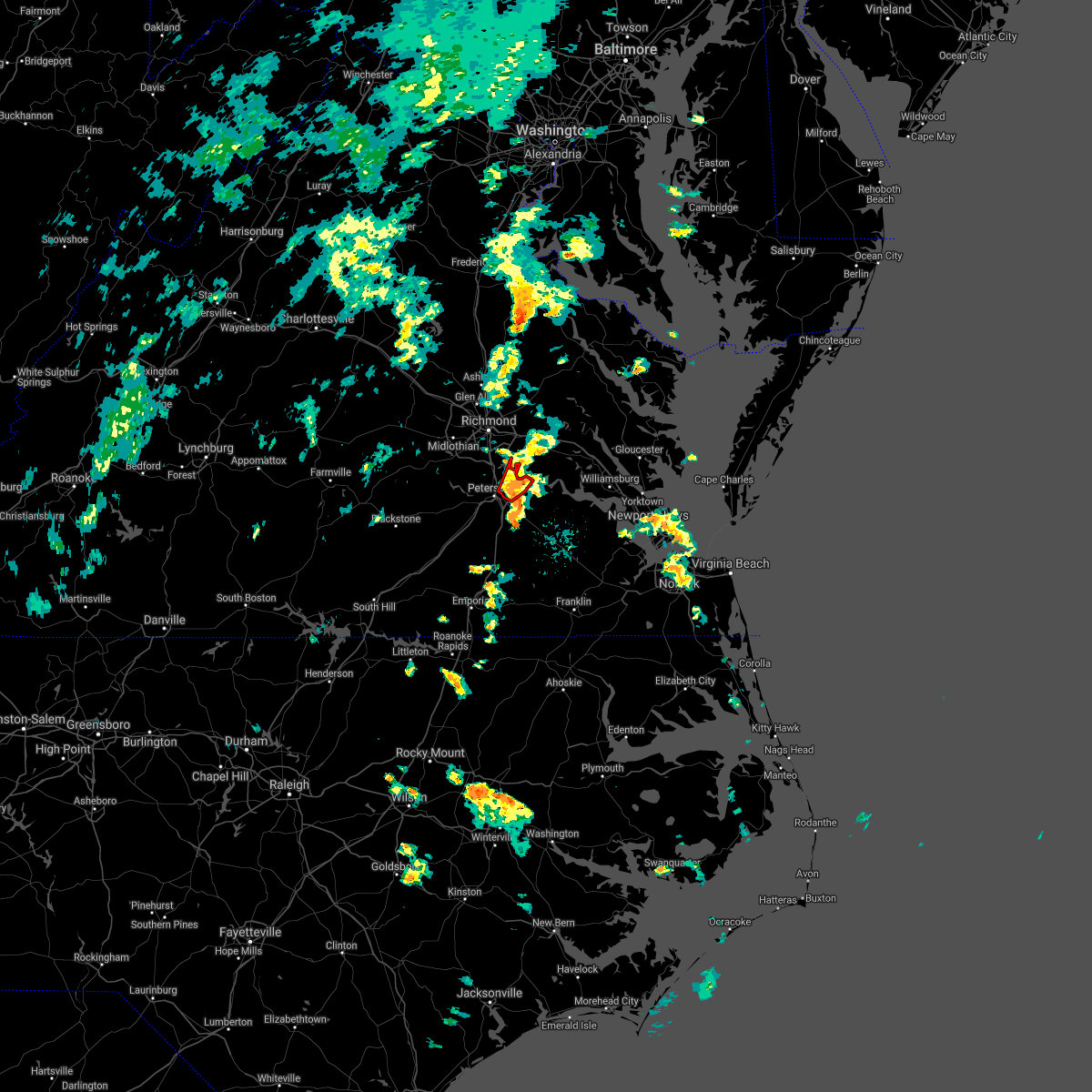 The tornado warning for southeastern chesterfield and northwestern prince george counties and the city of hopewell will expire at 100 pm edt, the storm which prompted the warning has weakened below severe limits, and has exited the warned area. therefore, the warning will be allowed to expire. there remains a severe thunderstorm warning in effect for prince george county for another severe storm moving across the county. a tornado watch remains in effect until 700 pm edt for central, south central and east central virginia. The tornado warning for southeastern chesterfield and northwestern prince george counties and the city of hopewell will expire at 100 pm edt, the storm which prompted the warning has weakened below severe limits, and has exited the warned area. therefore, the warning will be allowed to expire. there remains a severe thunderstorm warning in effect for prince george county for another severe storm moving across the county. a tornado watch remains in effect until 700 pm edt for central, south central and east central virginia.
|
| 9/1/2021 12:52 PM EDT |
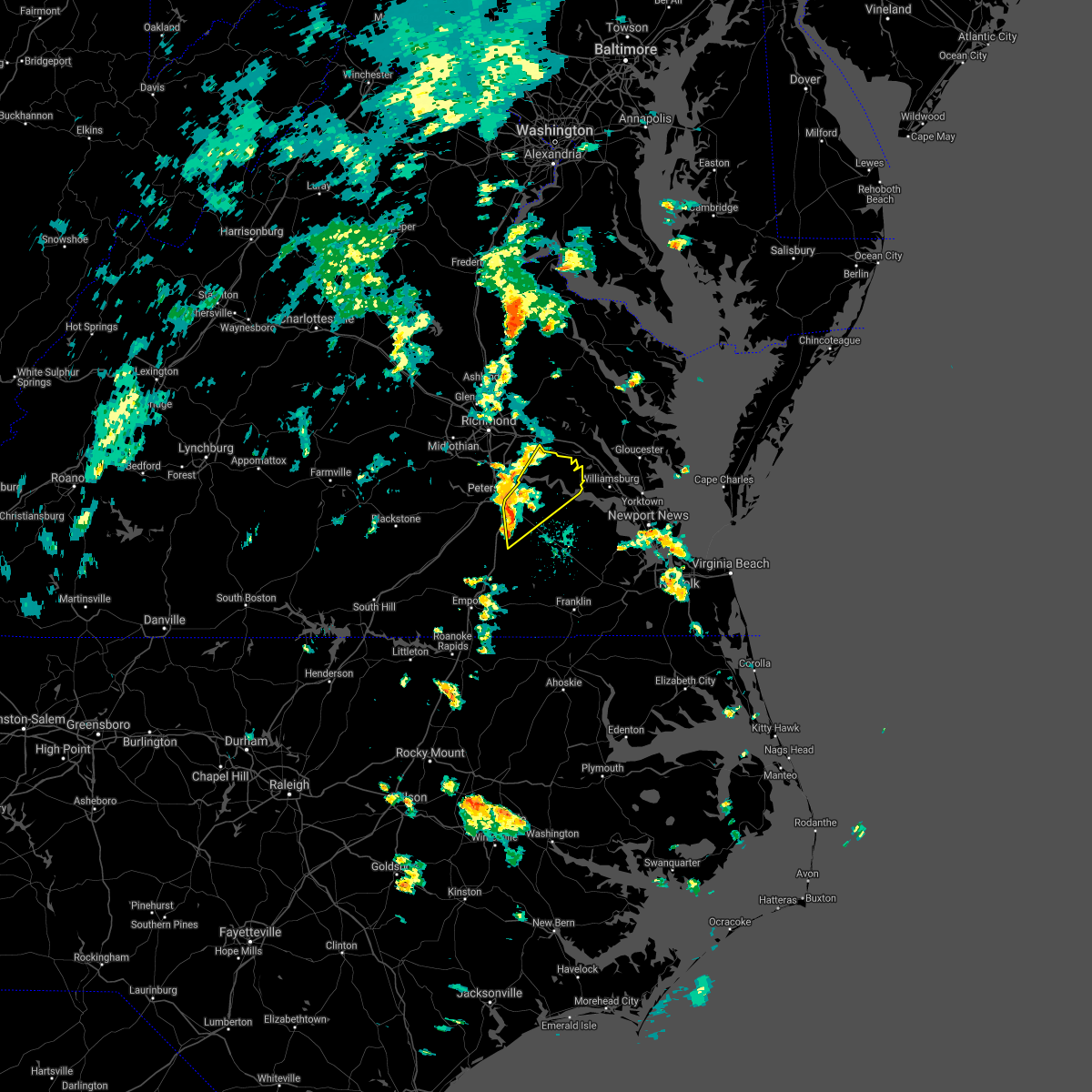 At 1251 pm edt, severe thunderstorms were located along a line extending from prince george to 6 miles east of carson, moving northeast at 40 mph (radar indicated). Hazards include 60 mph wind gusts. Expect damage to trees and powerlines. severe thunderstorms will be near, prince george around 1255 pm edt. garysville around 100 pm edt. disputanta and jordans point around 105 pm edt. charles city, adkins store, burrowsville, ruthville and cabin point around 115 pm edt. claremont around 125 pm edt. rustic around 130 pm edt. holdcroft around 135 pm edt. other locations impacted by these severe thunderstorms include taylors corner, chickahominy shore, birchett estate, wayside, brandon, jordan point country club, barham, new bohemia, templeton and sandybottom. hail threat, radar indicated max hail size, <. 75 in wind threat, radar indicated max wind gust, 60 mph. At 1251 pm edt, severe thunderstorms were located along a line extending from prince george to 6 miles east of carson, moving northeast at 40 mph (radar indicated). Hazards include 60 mph wind gusts. Expect damage to trees and powerlines. severe thunderstorms will be near, prince george around 1255 pm edt. garysville around 100 pm edt. disputanta and jordans point around 105 pm edt. charles city, adkins store, burrowsville, ruthville and cabin point around 115 pm edt. claremont around 125 pm edt. rustic around 130 pm edt. holdcroft around 135 pm edt. other locations impacted by these severe thunderstorms include taylors corner, chickahominy shore, birchett estate, wayside, brandon, jordan point country club, barham, new bohemia, templeton and sandybottom. hail threat, radar indicated max hail size, <. 75 in wind threat, radar indicated max wind gust, 60 mph.
|
| 9/1/2021 12:45 PM EDT |
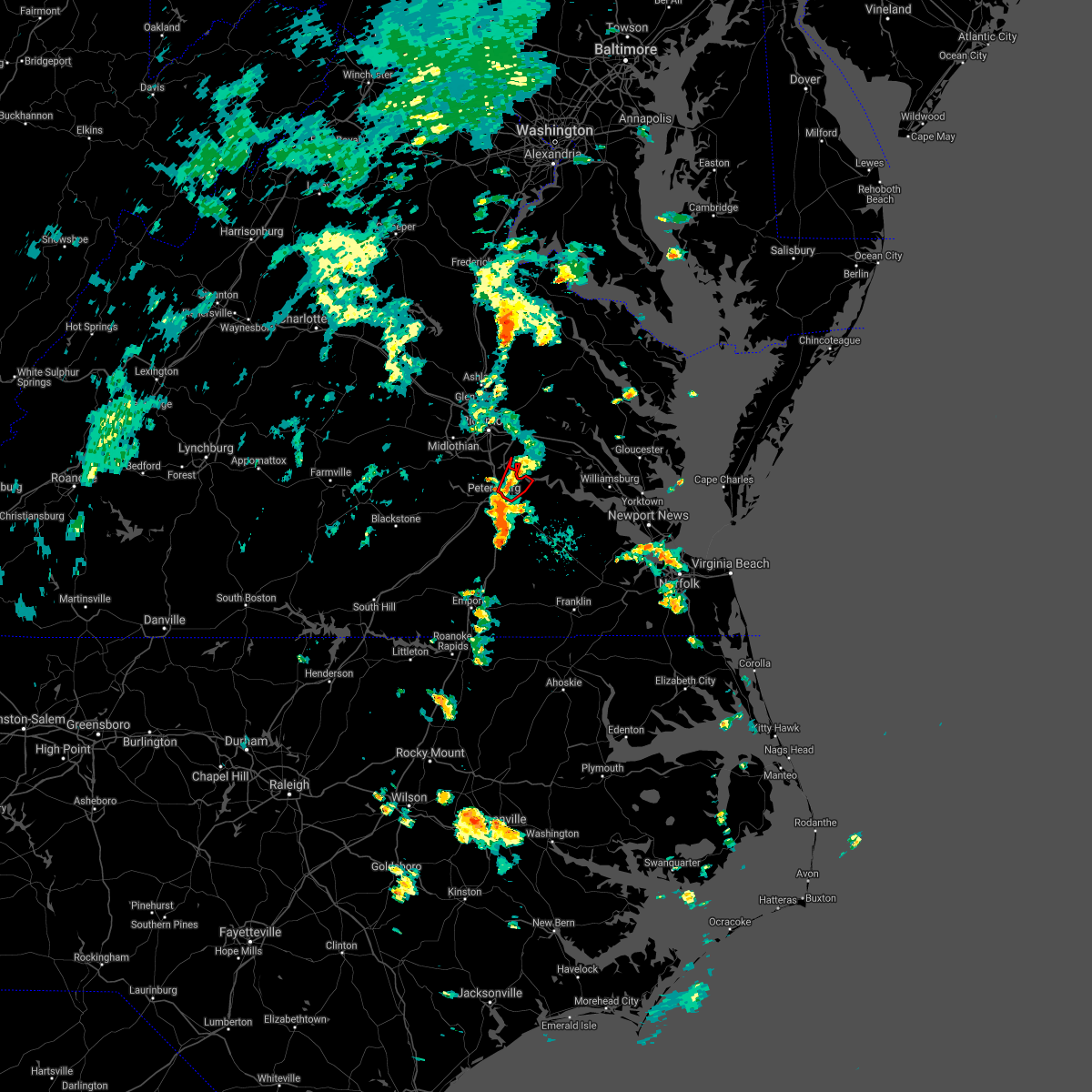 At 1245 pm edt, a severe thunderstorm capable of producing a tornado was located over hopewell, moving northeast at 30 mph (radar indicated rotation. at 1239 pm edt, a nws employee reported a funnel cloud near us 460 in petersburg). Hazards include tornado. Flying debris will be dangerous to those caught without shelter. mobile homes will be damaged or destroyed. damage to roofs, windows, and vehicles will occur. tree damage is likely. this dangerous storm will be near, jordans point around 1255 pm edt. Other locations impacted by this tornadic thunderstorm include birchett estate and jordan point country club. At 1245 pm edt, a severe thunderstorm capable of producing a tornado was located over hopewell, moving northeast at 30 mph (radar indicated rotation. at 1239 pm edt, a nws employee reported a funnel cloud near us 460 in petersburg). Hazards include tornado. Flying debris will be dangerous to those caught without shelter. mobile homes will be damaged or destroyed. damage to roofs, windows, and vehicles will occur. tree damage is likely. this dangerous storm will be near, jordans point around 1255 pm edt. Other locations impacted by this tornadic thunderstorm include birchett estate and jordan point country club.
|
| 9/1/2021 12:40 PM EDT |
 At 1239 pm edt, a severe thunderstorm capable of producing a tornado was located over fort lee, moving northeast at 35 mph (radar indicated rotation. at 1239 pm edt, a nws employee reported a funnel cloud near us 460 in petersburg). Hazards include tornado. Flying debris will be dangerous to those caught without shelter. mobile homes will be damaged or destroyed. damage to roofs, windows, and vehicles will occur. tree damage is likely. this dangerous storm will be near, jordans point around 1250 pm edt. Other locations impacted by this tornadic thunderstorm include new bohemia, jordan point country club, richard bland college, birchett estate and petersburg national battlefield. At 1239 pm edt, a severe thunderstorm capable of producing a tornado was located over fort lee, moving northeast at 35 mph (radar indicated rotation. at 1239 pm edt, a nws employee reported a funnel cloud near us 460 in petersburg). Hazards include tornado. Flying debris will be dangerous to those caught without shelter. mobile homes will be damaged or destroyed. damage to roofs, windows, and vehicles will occur. tree damage is likely. this dangerous storm will be near, jordans point around 1250 pm edt. Other locations impacted by this tornadic thunderstorm include new bohemia, jordan point country club, richard bland college, birchett estate and petersburg national battlefield.
|
| 9/1/2021 12:32 PM EDT |
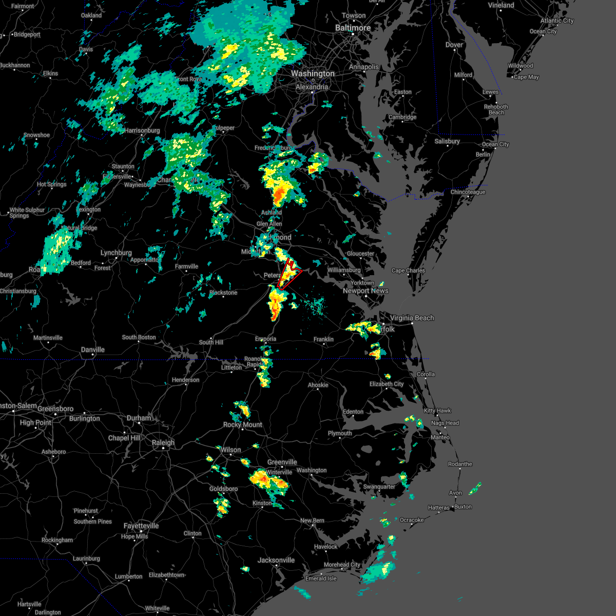 At 1231 pm edt, a severe thunderstorm capable of producing a tornado was located over petersburg, moving northeast at 35 mph (radar indicated rotation). Hazards include tornado. Flying debris will be dangerous to those caught without shelter. mobile homes will be damaged or destroyed. damage to roofs, windows, and vehicles will occur. tree damage is likely. this dangerous storm will be near, fort lee and prince george around 1240 pm edt. hopewell around 1245 pm edt. jordans point around 1250 pm edt. Other locations impacted by this tornadic thunderstorm include new bohemia, jordan point country club, richard bland college, birchett estate and petersburg national battlefield. At 1231 pm edt, a severe thunderstorm capable of producing a tornado was located over petersburg, moving northeast at 35 mph (radar indicated rotation). Hazards include tornado. Flying debris will be dangerous to those caught without shelter. mobile homes will be damaged or destroyed. damage to roofs, windows, and vehicles will occur. tree damage is likely. this dangerous storm will be near, fort lee and prince george around 1240 pm edt. hopewell around 1245 pm edt. jordans point around 1250 pm edt. Other locations impacted by this tornadic thunderstorm include new bohemia, jordan point country club, richard bland college, birchett estate and petersburg national battlefield.
|
| 8/30/2021 8:21 PM EDT |
 At 821 pm edt, a severe thunderstorm was located near jordans point, or near hopewell, moving east at 20 mph (radar indicated). Hazards include 60 mph wind gusts. Expect damage to trees and powerlines. locations impacted include, hopewell, disputanta, fort lee, prince george, jordans point, new bohemia, richard bland college, birchett estate, prince george golf and jordan point country club. hail threat, radar indicated max hail size, <. 75 in wind threat, radar indicated max wind gust, 60 mph. At 821 pm edt, a severe thunderstorm was located near jordans point, or near hopewell, moving east at 20 mph (radar indicated). Hazards include 60 mph wind gusts. Expect damage to trees and powerlines. locations impacted include, hopewell, disputanta, fort lee, prince george, jordans point, new bohemia, richard bland college, birchett estate, prince george golf and jordan point country club. hail threat, radar indicated max hail size, <. 75 in wind threat, radar indicated max wind gust, 60 mph.
|
| 8/30/2021 7:43 PM EDT |
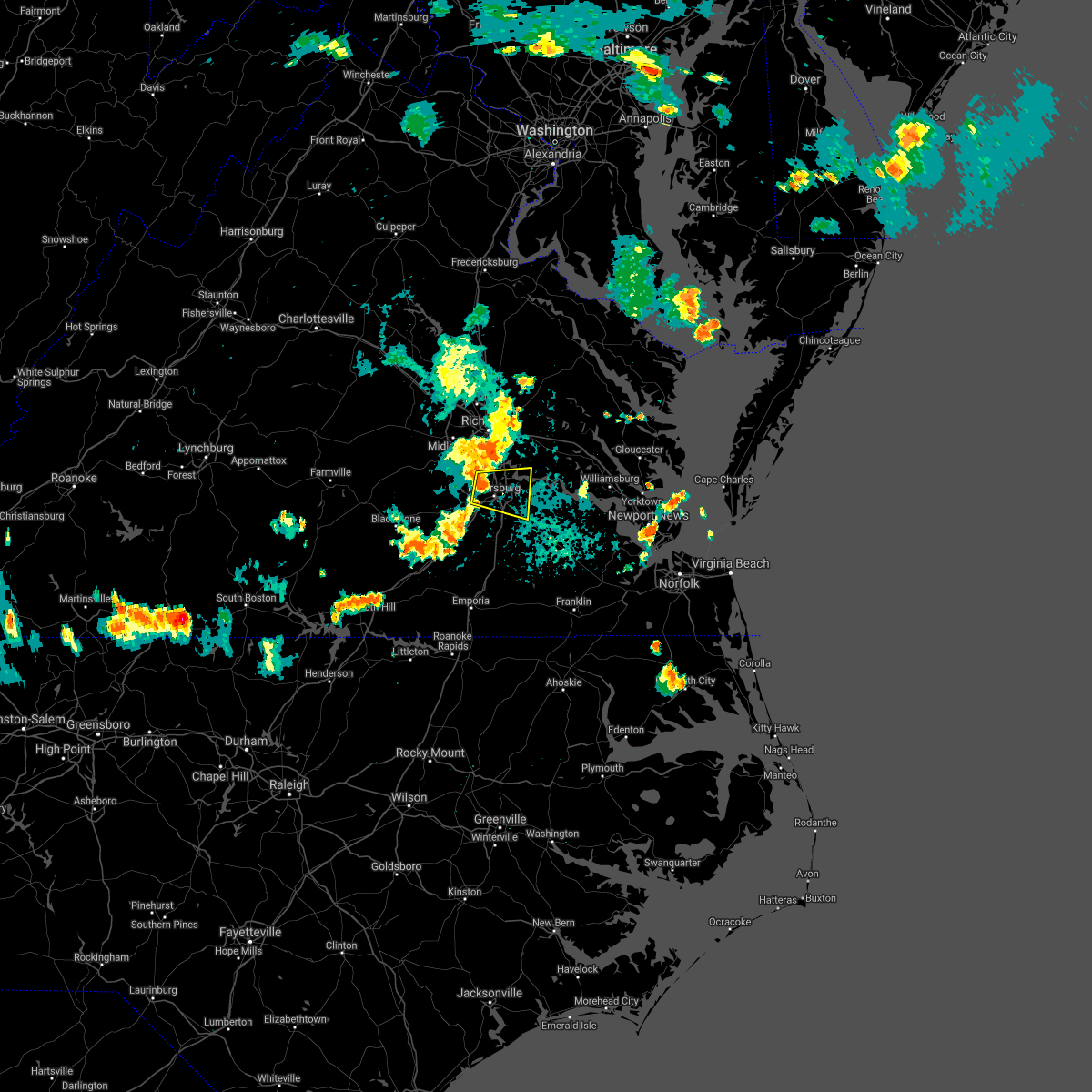 At 743 pm edt, a severe thunderstorm was located near ettrick, or near colonial heights, moving east at 20 mph (radar indicated). Hazards include 60 mph wind gusts. expect damage to trees and powerlines At 743 pm edt, a severe thunderstorm was located near ettrick, or near colonial heights, moving east at 20 mph (radar indicated). Hazards include 60 mph wind gusts. expect damage to trees and powerlines
|
| 8/22/2021 5:01 PM EDT |
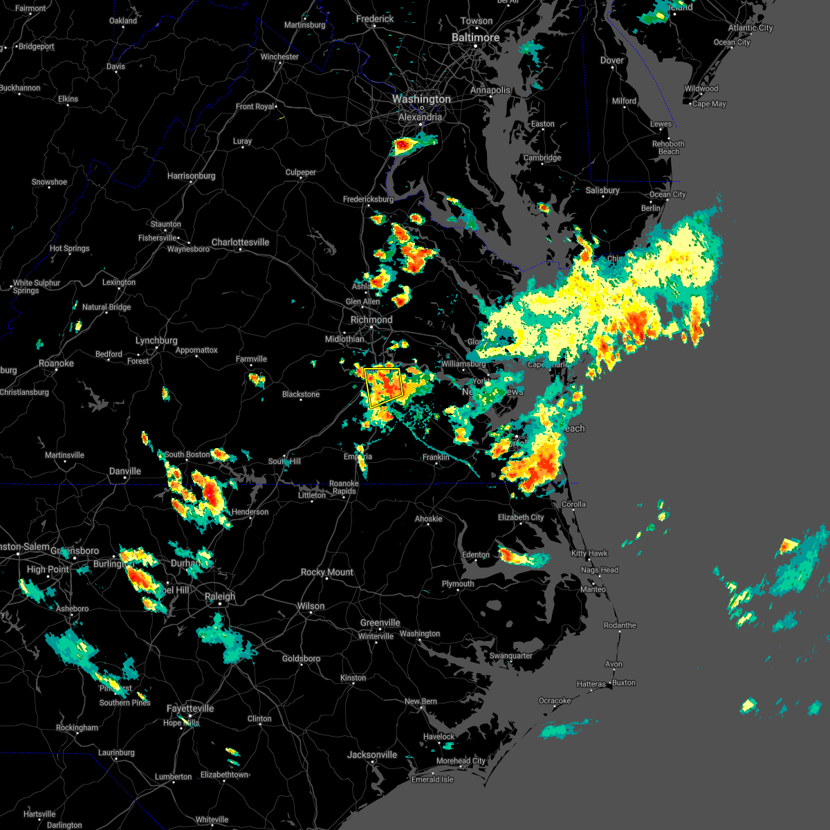 At 500 pm edt, a severe thunderstorm was located near prince george, or near petersburg, moving west at 5 mph (radar indicated). Hazards include 60 mph wind gusts and quarter size hail. Minor damage to vehicles is possible. expect wind damage to trees and powerlines. locations impacted include, petersburg, hopewell, colonial heights, virginia state university, disputanta, fort lee, prince george, matoaca, ettrick, birchett estate, reams, petersburg national battlefield, new bohemia, richard bland college, templeton and prince george golf. hail threat, radar indicated max hail size, 1. 00 in wind threat, radar indicated max wind gust, 60 mph. At 500 pm edt, a severe thunderstorm was located near prince george, or near petersburg, moving west at 5 mph (radar indicated). Hazards include 60 mph wind gusts and quarter size hail. Minor damage to vehicles is possible. expect wind damage to trees and powerlines. locations impacted include, petersburg, hopewell, colonial heights, virginia state university, disputanta, fort lee, prince george, matoaca, ettrick, birchett estate, reams, petersburg national battlefield, new bohemia, richard bland college, templeton and prince george golf. hail threat, radar indicated max hail size, 1. 00 in wind threat, radar indicated max wind gust, 60 mph.
|
| 8/22/2021 4:43 PM EDT | Numerous trees down near us 460 east of prince george driv in prince george county VA, 4.5 miles N of Prince George, VA |
| 8/22/2021 4:31 PM EDT |
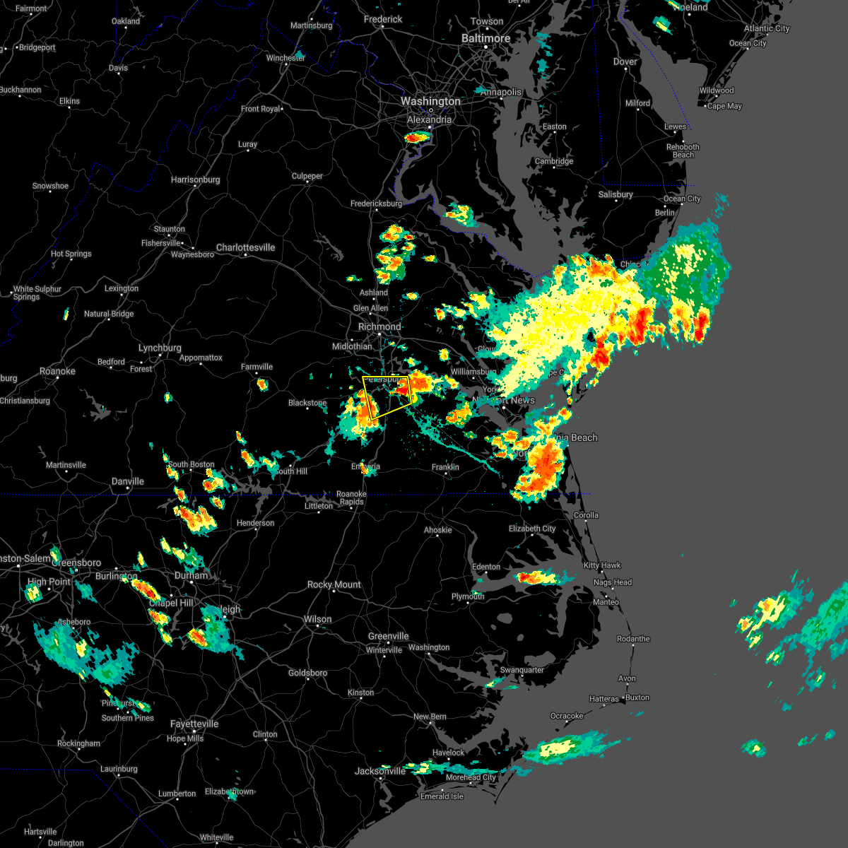 At 430 pm edt, a severe thunderstorm was located over prince george, or near fort lee, moving west at 10 mph (radar indicated). Hazards include 60 mph wind gusts and quarter size hail. Minor damage to vehicles is possible. Expect wind damage to trees and powerlines. At 430 pm edt, a severe thunderstorm was located over prince george, or near fort lee, moving west at 10 mph (radar indicated). Hazards include 60 mph wind gusts and quarter size hail. Minor damage to vehicles is possible. Expect wind damage to trees and powerlines.
|
| 8/14/2021 6:59 PM EDT |
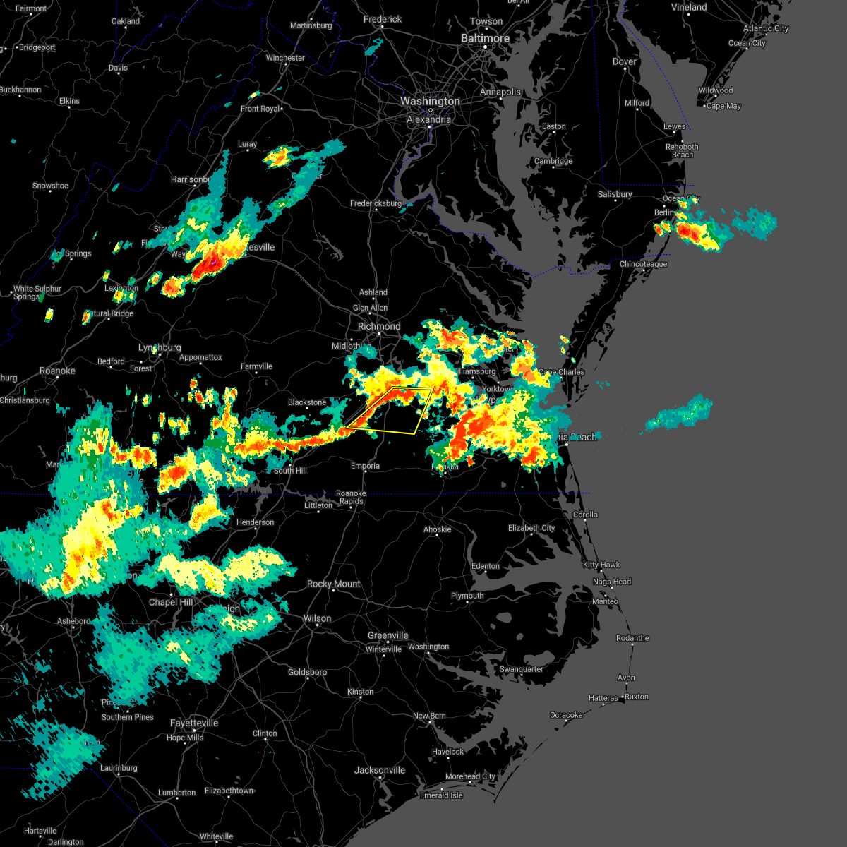 At 659 pm edt, a severe thunderstorm was located near petersburg, moving southeast at 15 mph (radar indicated). Hazards include 60 mph wind gusts. expect damage to trees and powerlines At 659 pm edt, a severe thunderstorm was located near petersburg, moving southeast at 15 mph (radar indicated). Hazards include 60 mph wind gusts. expect damage to trees and powerlines
|
| 8/14/2021 6:40 PM EDT |
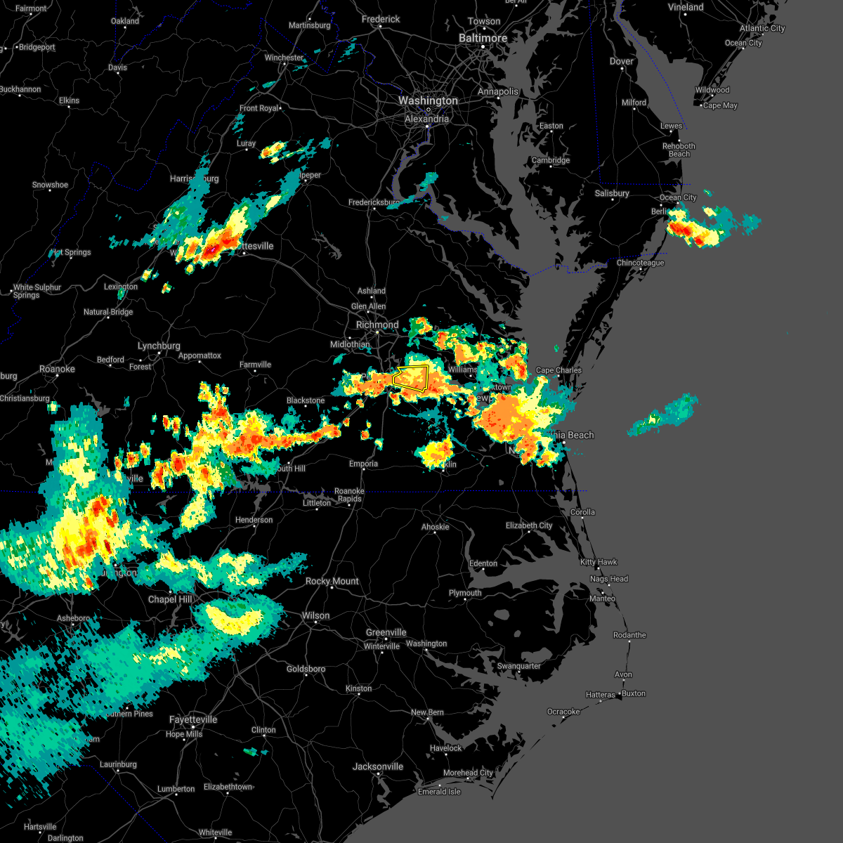 The severe thunderstorm warning for southwestern charles city and northern prince george counties will expire at 645 pm edt, the storm which prompted the warning has weakened below severe limits, and no longer poses an immediate threat to life or property. therefore, the warning will be allowed to expire. however heavy rain is still possible with this thunderstorm. The severe thunderstorm warning for southwestern charles city and northern prince george counties will expire at 645 pm edt, the storm which prompted the warning has weakened below severe limits, and no longer poses an immediate threat to life or property. therefore, the warning will be allowed to expire. however heavy rain is still possible with this thunderstorm.
|
| 8/14/2021 6:23 PM EDT |
 At 622 pm edt, a severe thunderstorm was located over garysville, or 8 miles southwest of charles city, moving east at 10 mph (radar indicated). Hazards include 60 mph wind gusts. Expect damage to trees and powerlines. locations impacted include, hopewell, prince george, garysville, jordans point, burrowsville, birchett estate and jordan point country club. hail threat, radar indicated max hail size, <. 75 in wind threat, radar indicated max wind gust, 60 mph. At 622 pm edt, a severe thunderstorm was located over garysville, or 8 miles southwest of charles city, moving east at 10 mph (radar indicated). Hazards include 60 mph wind gusts. Expect damage to trees and powerlines. locations impacted include, hopewell, prince george, garysville, jordans point, burrowsville, birchett estate and jordan point country club. hail threat, radar indicated max hail size, <. 75 in wind threat, radar indicated max wind gust, 60 mph.
|
| 8/14/2021 6:05 PM EDT |
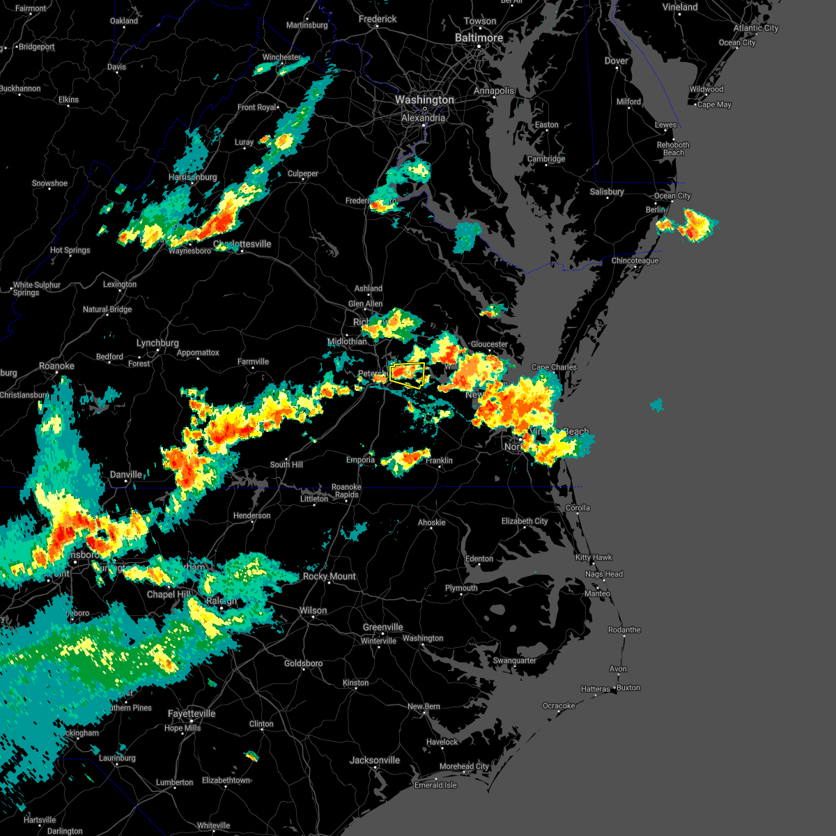 At 605 pm edt, a severe thunderstorm was located near jordans point, or near hopewell, moving east at 10 mph (radar indicated). Hazards include 60 mph wind gusts. expect damage to trees and powerlines At 605 pm edt, a severe thunderstorm was located near jordans point, or near hopewell, moving east at 10 mph (radar indicated). Hazards include 60 mph wind gusts. expect damage to trees and powerlines
|
| 7/26/2021 4:14 PM EDT |
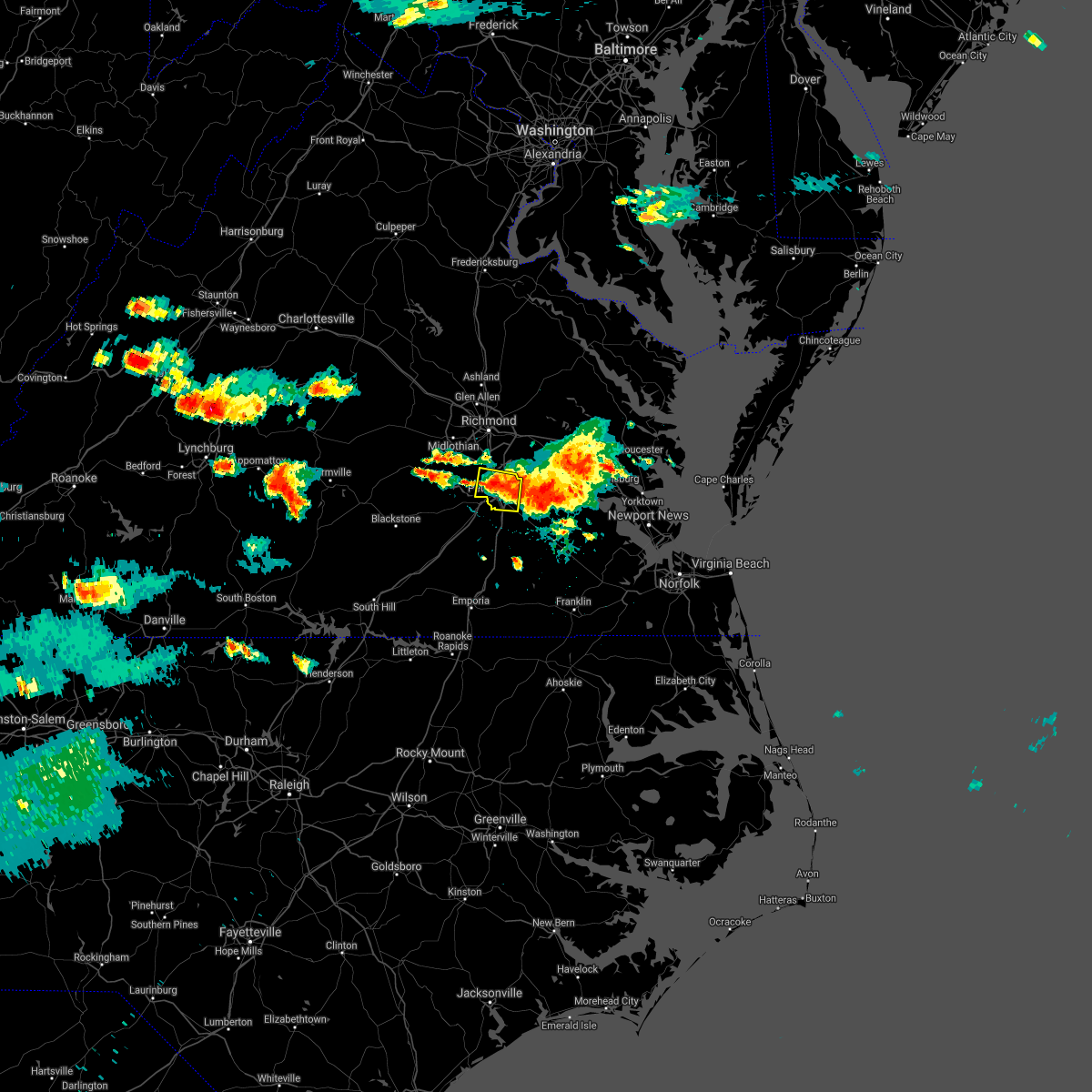 At 413 pm edt, a severe thunderstorm was located over colonial heights, moving southeast at 20 mph (radar indicated). Hazards include 60 mph wind gusts and nickel size hail. Expect damage to trees and powerlines. this severe thunderstorm will be near, hopewell and fort lee around 420 pm edt. prince george around 435 pm edt. Other locations impacted by this severe thunderstorm include new bohemia, jordan point country club, richard bland college, birchett estate and petersburg national battlefield. At 413 pm edt, a severe thunderstorm was located over colonial heights, moving southeast at 20 mph (radar indicated). Hazards include 60 mph wind gusts and nickel size hail. Expect damage to trees and powerlines. this severe thunderstorm will be near, hopewell and fort lee around 420 pm edt. prince george around 435 pm edt. Other locations impacted by this severe thunderstorm include new bohemia, jordan point country club, richard bland college, birchett estate and petersburg national battlefield.
|
| 7/26/2021 4:09 PM EDT |
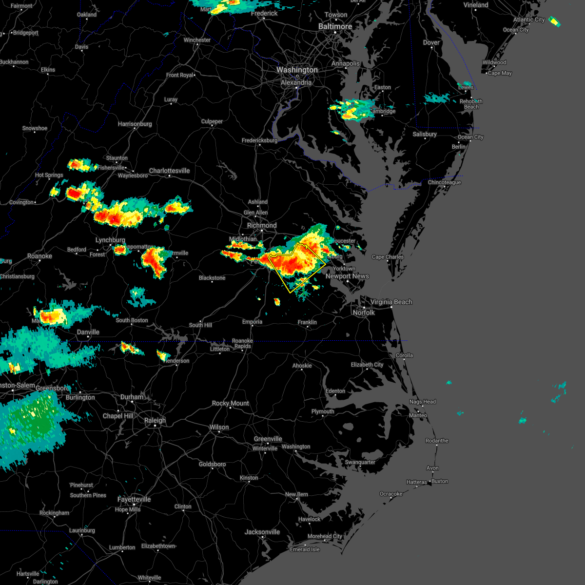 At 409 pm edt, a severe thunderstorm was located near burrowsville, or near claremont, moving southeast at 20 mph (radar indicated). Hazards include 70 mph wind gusts and nickel size hail. Expect considerable tree damage. damage is likely to mobile homes, roofs, and outbuildings. this severe storm will be near, rustic around 420 pm edt. claremont around 425 pm edt. jamestown around 455 pm edt. Other locations impacted by this severe thunderstorm include taylors corner, carsley, chickahominy shore, birchett estate, spring grove, brandon, jordan point country club, barham, governors land and mount airy. At 409 pm edt, a severe thunderstorm was located near burrowsville, or near claremont, moving southeast at 20 mph (radar indicated). Hazards include 70 mph wind gusts and nickel size hail. Expect considerable tree damage. damage is likely to mobile homes, roofs, and outbuildings. this severe storm will be near, rustic around 420 pm edt. claremont around 425 pm edt. jamestown around 455 pm edt. Other locations impacted by this severe thunderstorm include taylors corner, carsley, chickahominy shore, birchett estate, spring grove, brandon, jordan point country club, barham, governors land and mount airy.
|
| 7/26/2021 4:05 PM EDT | 911 call center reported trees down on hines r in prince george county VA, 6.9 miles W of Prince George, VA |
| 7/26/2021 3:56 PM EDT | Public reports several trees down and power out near the intersection of mill creek rd and old stage rd. time estimated from rada in prince george county VA, 4.2 miles WSW of Prince George, VA |
| 7/26/2021 3:39 PM EDT |
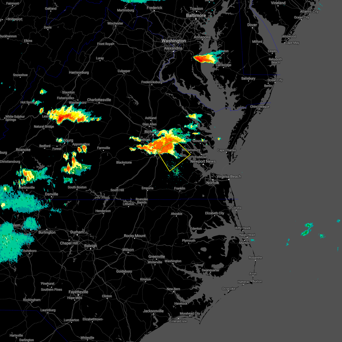 At 338 pm edt, a severe thunderstorm was located over jordans point, or near hopewell, moving southeast at 20 mph (radar indicated). Hazards include 60 mph wind gusts and nickel size hail. Expect damage to trees and powerlines. this severe thunderstorm will be near, garysville around 350 pm edt. charles city around 355 pm edt. burrowsville around 405 pm edt. cabin point around 415 pm edt. rustic around 420 pm edt. claremont around 425 pm edt. Other locations impacted by this severe thunderstorm include taylors corner, carsley, chickahominy shore, birchett estate, wayside, spring grove, brandon, jordan point country club, barham and governors land. At 338 pm edt, a severe thunderstorm was located over jordans point, or near hopewell, moving southeast at 20 mph (radar indicated). Hazards include 60 mph wind gusts and nickel size hail. Expect damage to trees and powerlines. this severe thunderstorm will be near, garysville around 350 pm edt. charles city around 355 pm edt. burrowsville around 405 pm edt. cabin point around 415 pm edt. rustic around 420 pm edt. claremont around 425 pm edt. Other locations impacted by this severe thunderstorm include taylors corner, carsley, chickahominy shore, birchett estate, wayside, spring grove, brandon, jordan point country club, barham and governors land.
|
| 7/17/2021 8:15 PM EDT |
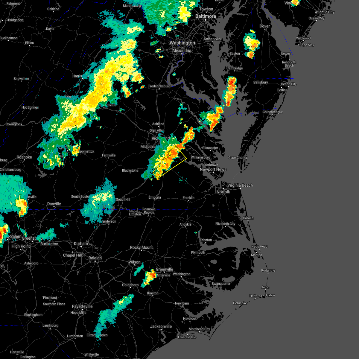 At 815 pm edt, severe thunderstorms were located along a line extending from near roxbury to near garysville to near carson, moving northeast at 35 mph (radar indicated). Hazards include 60 mph wind gusts. Expect damage to trees and powerlines. these severe storms will be near, jordans point and adkins store around 820 pm edt. ettrick around 825 pm edt. charles city around 830 pm edt. fort lee around 835 pm edt. garysville around 845 pm edt. Other locations impacted by these severe thunderstorms include new bohemia, richard bland college, burgess, birchett estate, wayside, reams, prince george golf, barnetts, jordan point country club and new hope. At 815 pm edt, severe thunderstorms were located along a line extending from near roxbury to near garysville to near carson, moving northeast at 35 mph (radar indicated). Hazards include 60 mph wind gusts. Expect damage to trees and powerlines. these severe storms will be near, jordans point and adkins store around 820 pm edt. ettrick around 825 pm edt. charles city around 830 pm edt. fort lee around 835 pm edt. garysville around 845 pm edt. Other locations impacted by these severe thunderstorms include new bohemia, richard bland college, burgess, birchett estate, wayside, reams, prince george golf, barnetts, jordan point country club and new hope.
|
| 7/17/2021 8:04 PM EDT |
 At 804 pm edt, severe thunderstorms were located along a line extending from near jordans point to prince george to near dinwiddie, moving northeast at 40 mph (radar indicated). Hazards include 60 mph wind gusts. Expect damage to trees and powerlines. these severe storms will be near, hopewell around 810 pm edt. jordans point around 815 pm edt. virginia state university and matoaca around 820 pm edt. ettrick around 825 pm edt. charles city, prince george and adkins store around 830 pm edt. garysville around 840 pm edt. Other locations impacted by these severe thunderstorms include burgess, birchett estate, wayside, addison, reams, jordan point country club, petersburg national battlefield, glendale, new bohemia and petersburg airport. At 804 pm edt, severe thunderstorms were located along a line extending from near jordans point to prince george to near dinwiddie, moving northeast at 40 mph (radar indicated). Hazards include 60 mph wind gusts. Expect damage to trees and powerlines. these severe storms will be near, hopewell around 810 pm edt. jordans point around 815 pm edt. virginia state university and matoaca around 820 pm edt. ettrick around 825 pm edt. charles city, prince george and adkins store around 830 pm edt. garysville around 840 pm edt. Other locations impacted by these severe thunderstorms include burgess, birchett estate, wayside, addison, reams, jordan point country club, petersburg national battlefield, glendale, new bohemia and petersburg airport.
|
| 7/17/2021 7:50 PM EDT |
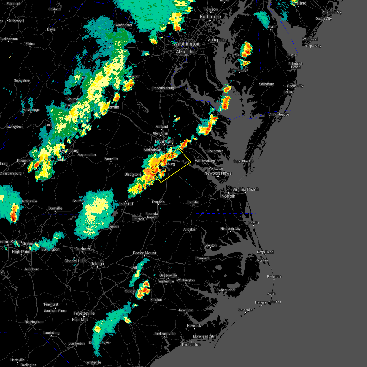 At 749 pm edt, a severe thunderstorm was located over sutherland, or near dinwiddie, moving northeast at 35 mph (radar indicated). Hazards include 60 mph wind gusts. Expect damage to trees and powerlines. this severe thunderstorm will be near, virginia state university and matoaca around 805 pm edt. petersburg, colonial heights and ettrick around 810 pm edt. fort lee and prince george around 815 pm edt. hopewell around 820 pm edt. jordans point around 825 pm edt. adkins store and garysville around 830 pm edt. Other locations impacted by this severe thunderstorm include burgess, birchett estate, wayside, addison, reams, jordan point country club, petersburg national battlefield, glendale, new bohemia and petersburg airport. At 749 pm edt, a severe thunderstorm was located over sutherland, or near dinwiddie, moving northeast at 35 mph (radar indicated). Hazards include 60 mph wind gusts. Expect damage to trees and powerlines. this severe thunderstorm will be near, virginia state university and matoaca around 805 pm edt. petersburg, colonial heights and ettrick around 810 pm edt. fort lee and prince george around 815 pm edt. hopewell around 820 pm edt. jordans point around 825 pm edt. adkins store and garysville around 830 pm edt. Other locations impacted by this severe thunderstorm include burgess, birchett estate, wayside, addison, reams, jordan point country club, petersburg national battlefield, glendale, new bohemia and petersburg airport.
|
| 7/1/2021 3:47 PM EDT |
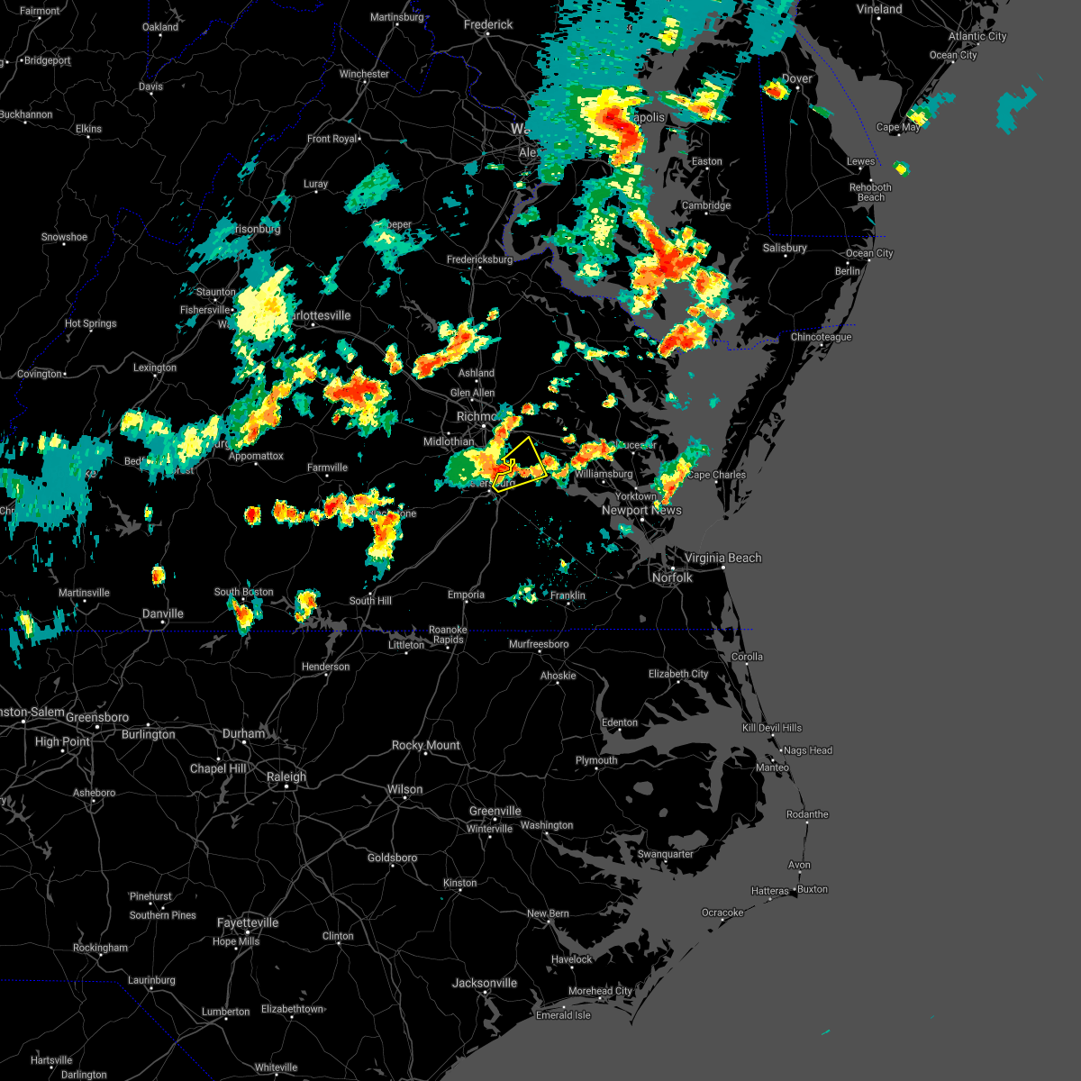 At 347 pm edt, a severe thunderstorm was located over hopewell, moving northeast at 30 mph (radar indicated). Hazards include 70 mph wind gusts and quarter size hail. Minor damage to vehicles is possible. expect considerable tree damage. wind damage is also likely to mobile homes, roofs, and outbuildings. this severe storm will be near, jordans point around 355 pm edt. Other locations impacted by this severe thunderstorm include barnetts, jordan point country club, birchett estate and wayside. At 347 pm edt, a severe thunderstorm was located over hopewell, moving northeast at 30 mph (radar indicated). Hazards include 70 mph wind gusts and quarter size hail. Minor damage to vehicles is possible. expect considerable tree damage. wind damage is also likely to mobile homes, roofs, and outbuildings. this severe storm will be near, jordans point around 355 pm edt. Other locations impacted by this severe thunderstorm include barnetts, jordan point country club, birchett estate and wayside.
|
| 7/1/2021 3:38 PM EDT |
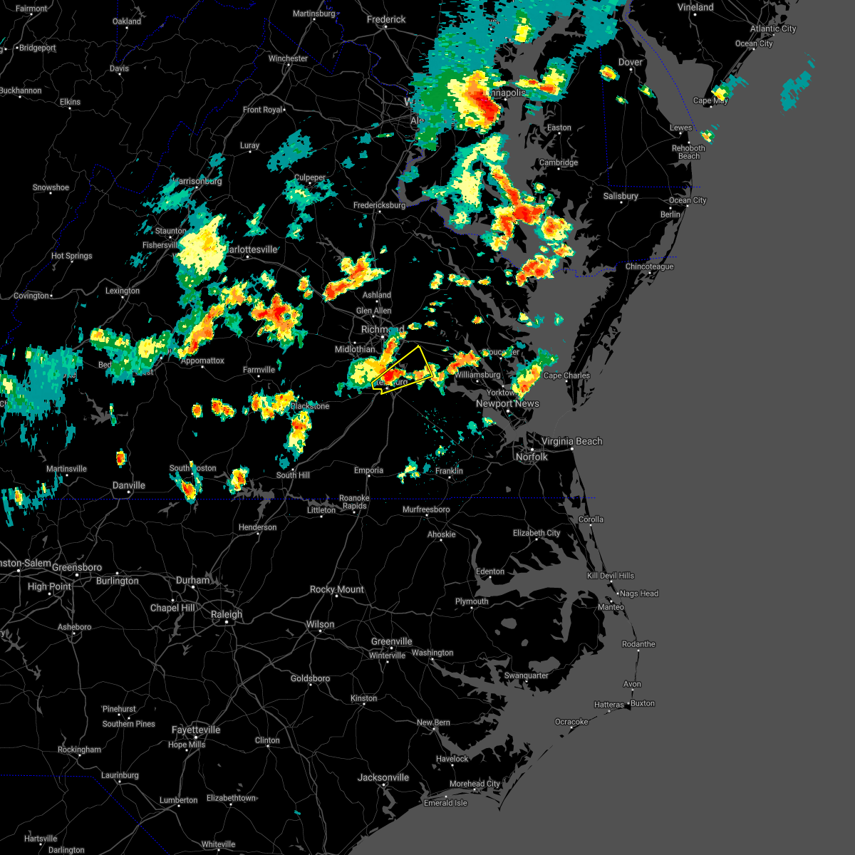 At 337 pm edt, a severe thunderstorm was located over colonial heights, moving northeast at 30 mph (radar indicated). Hazards include 60 mph wind gusts and quarter size hail. Minor damage to vehicles is possible. expect wind damage to trees and powerlines. this severe storm will be near, hopewell around 345 pm edt. jordans point around 355 pm edt. roxbury around 415 pm edt. Other locations impacted by this severe thunderstorm include barnetts, jordan point country club, meadowville, birchett estate, wayside and petersburg national battlefield. At 337 pm edt, a severe thunderstorm was located over colonial heights, moving northeast at 30 mph (radar indicated). Hazards include 60 mph wind gusts and quarter size hail. Minor damage to vehicles is possible. expect wind damage to trees and powerlines. this severe storm will be near, hopewell around 345 pm edt. jordans point around 355 pm edt. roxbury around 415 pm edt. Other locations impacted by this severe thunderstorm include barnetts, jordan point country club, meadowville, birchett estate, wayside and petersburg national battlefield.
|
| 7/1/2021 3:29 PM EDT |
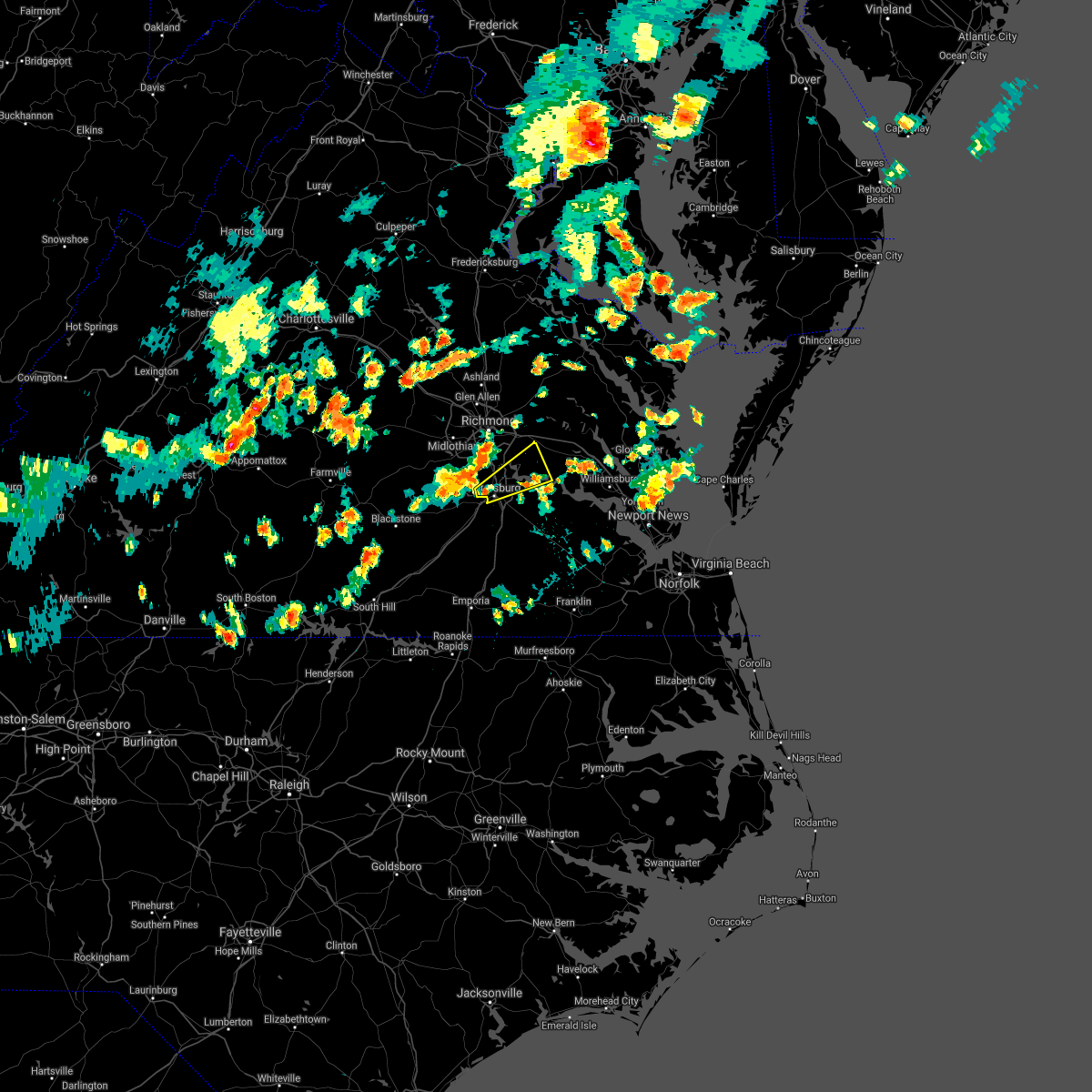 At 329 pm edt, a severe thunderstorm was located over ettrick, or over virginia state university, moving northeast at 30 mph (radar indicated). Hazards include 60 mph wind gusts and quarter size hail. Minor damage to vehicles is possible. expect wind damage to trees and powerlines. this severe thunderstorm will be near, fort lee around 340 pm edt. hopewell around 345 pm edt. jordans point around 355 pm edt. roxbury around 415 pm edt. Other locations impacted by this severe thunderstorm include barnetts, jordan point country club, meadowville, birchett estate, wayside and petersburg national battlefield. At 329 pm edt, a severe thunderstorm was located over ettrick, or over virginia state university, moving northeast at 30 mph (radar indicated). Hazards include 60 mph wind gusts and quarter size hail. Minor damage to vehicles is possible. expect wind damage to trees and powerlines. this severe thunderstorm will be near, fort lee around 340 pm edt. hopewell around 345 pm edt. jordans point around 355 pm edt. roxbury around 415 pm edt. Other locations impacted by this severe thunderstorm include barnetts, jordan point country club, meadowville, birchett estate, wayside and petersburg national battlefield.
|
| 6/9/2021 3:35 PM EDT | Trees down along east quaker rd. time estimated from rada in prince george county VA, 1.9 miles NNW of Prince George, VA |
| 6/9/2021 3:35 PM EDT | Trees down along pumphouse rd. time estimated from rada in prince george county VA, 5.9 miles N of Prince George, VA |
| 6/9/2021 3:34 PM EDT | Corrects previous tstm wnd dmg report from disputanta. vdot reports multiple trees down along us 460 in disputanta. time estimated via rada in prince george county VA, 6.9 miles NNW of Prince George, VA |
| 6/9/2021 3:34 PM EDT | Corrects previous tstm wnd dmg report from disputanta. vdot reports multiple trees down along us 460 in disputanta. time estimated via rada in prince george county VA, 6.9 miles NNW of Prince George, VA |
| 4/21/2021 2:10 PM EDT | Trees down near hines road and rt 1 in prince george county VA, 6.9 miles W of Prince George, VA |
| 4/21/2021 1:59 PM EDT |
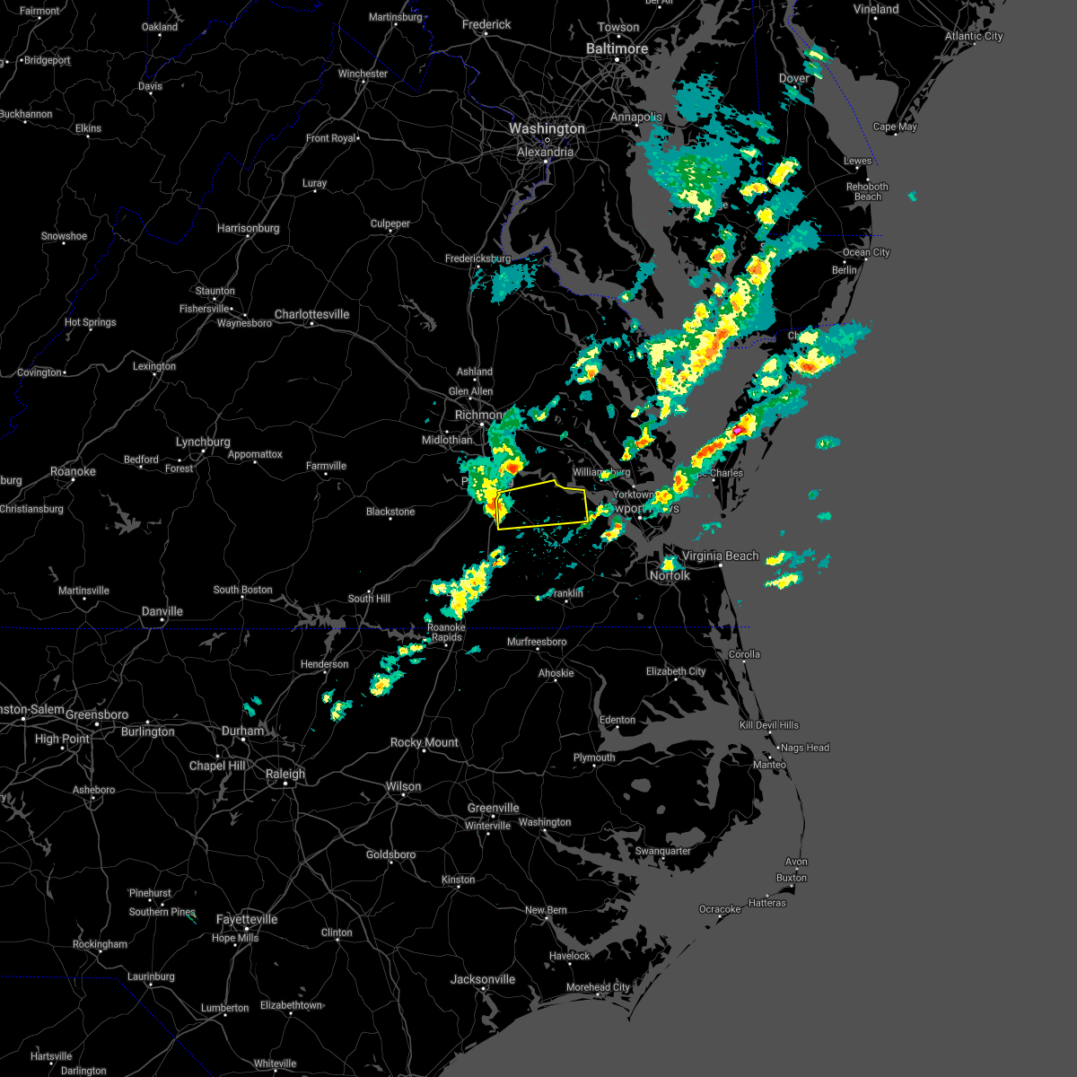 At 159 pm edt, a severe thunderstorm was located over disputanta, moving east at 40 mph (radar indicated). Hazards include 60 mph wind gusts and penny size hail. Expect damage to trees and powerlines. this severe thunderstorm will be near, waverly and burrowsville around 220 pm edt. cabin point around 225 pm edt. claremont around 235 pm edt. elberon around 240 pm edt. surry around 245 pm edt. Other locations impacted by this severe thunderstorm include new bohemia, taylors corner, carsley, templeton, prince george golf, spring grove, brandon, gwaltney corner, oak hill corner and savedge. At 159 pm edt, a severe thunderstorm was located over disputanta, moving east at 40 mph (radar indicated). Hazards include 60 mph wind gusts and penny size hail. Expect damage to trees and powerlines. this severe thunderstorm will be near, waverly and burrowsville around 220 pm edt. cabin point around 225 pm edt. claremont around 235 pm edt. elberon around 240 pm edt. surry around 245 pm edt. Other locations impacted by this severe thunderstorm include new bohemia, taylors corner, carsley, templeton, prince george golf, spring grove, brandon, gwaltney corner, oak hill corner and savedge.
|
| 4/21/2021 1:51 PM EDT |
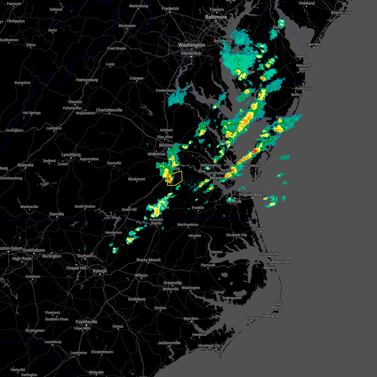 At 151 pm edt, a severe thunderstorm was located near carson, or near disputanta, moving east at 50 mph (radar indicated). Hazards include 60 mph wind gusts and penny size hail. Expect damage to trees and powerlines. this severe storm will be near, disputanta around 200 pm edt. Other locations impacted by this severe thunderstorm include new bohemia, richard bland college, templeton, reams and prince george golf. At 151 pm edt, a severe thunderstorm was located near carson, or near disputanta, moving east at 50 mph (radar indicated). Hazards include 60 mph wind gusts and penny size hail. Expect damage to trees and powerlines. this severe storm will be near, disputanta around 200 pm edt. Other locations impacted by this severe thunderstorm include new bohemia, richard bland college, templeton, reams and prince george golf.
|
| 4/21/2021 1:37 PM EDT |
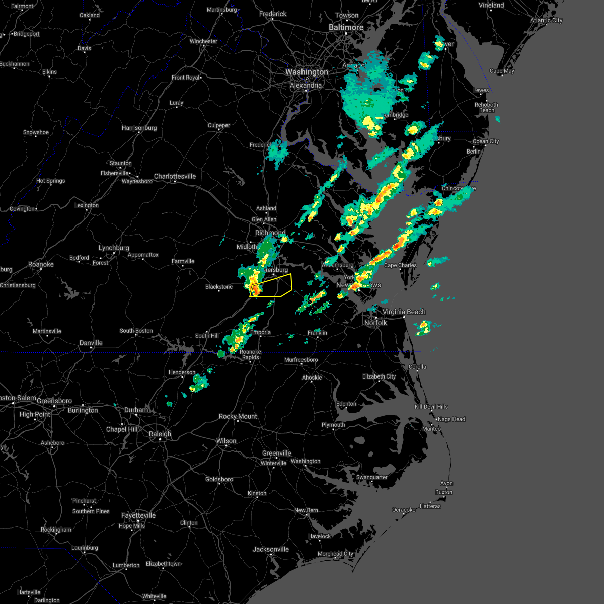 At 137 pm edt, a severe thunderstorm was located over dinwiddie, moving east at 40 mph (radar indicated). Hazards include 60 mph wind gusts and penny size hail. Expect damage to trees and powerlines. this severe thunderstorm will be near, carson around 150 pm edt. disputanta around 210 pm edt. Other locations impacted by this severe thunderstorm include new bohemia, richard bland college, burgess, templeton, reams, prince george golf and butterworth. At 137 pm edt, a severe thunderstorm was located over dinwiddie, moving east at 40 mph (radar indicated). Hazards include 60 mph wind gusts and penny size hail. Expect damage to trees and powerlines. this severe thunderstorm will be near, carson around 150 pm edt. disputanta around 210 pm edt. Other locations impacted by this severe thunderstorm include new bohemia, richard bland college, burgess, templeton, reams, prince george golf and butterworth.
|
| 3/31/2021 5:06 PM EDT |
 At 506 pm edt, a severe thunderstorm was located over disputanta, moving east at 40 mph (radar indicated). Hazards include 60 mph wind gusts. Expect damage to trees and powerlines. this severe thunderstorm will be near, waverly and burrowsville around 520 pm edt. cabin point around 525 pm edt. claremont and dendron around 530 pm edt. elberon around 535 pm edt. Other locations impacted by this severe thunderstorm include new bohemia, taylors corner, carsley, templeton, prince george golf, spring grove, brandon, gwaltney corner, oak hill corner and savedge. At 506 pm edt, a severe thunderstorm was located over disputanta, moving east at 40 mph (radar indicated). Hazards include 60 mph wind gusts. Expect damage to trees and powerlines. this severe thunderstorm will be near, waverly and burrowsville around 520 pm edt. cabin point around 525 pm edt. claremont and dendron around 530 pm edt. elberon around 535 pm edt. Other locations impacted by this severe thunderstorm include new bohemia, taylors corner, carsley, templeton, prince george golf, spring grove, brandon, gwaltney corner, oak hill corner and savedge.
|
| 8/27/2020 9:50 PM EDT |
 At 949 pm edt, severe thunderstorms were located along a line extending from hayes to york terrace to near burrowsville, moving southeast at 30 mph (radar indicated). Hazards include 60 mph wind gusts and nickel size hail. Expect damage to trees and powerlines. severe thunderstorms will be near, williamsburg, gloucester courthouse, queens lake, gloucester point, college of william and mary, grove, busch gardens, hayes, carver gardens and york terrace around 955 pm edt. wicomico around 1000 pm edt. newport news, virginia institute for marine sciences, lee hall, achilles, mobjack and fort eustis around 1005 pm edt. denbigh around 1010 pm edt. seaford, patrick henry field and bavon around 1015 pm edt. christopher newport university, dendron, elberon, tabb and beaconsdale around 1020 pm edt. hampton, surry, northampton and scotland around 1025 pm edt. langley afb, hampton university, grand view, buckroe beach and fort monroe around 1030 pm edt. Other locations impacted by these severe thunderstorms include pons, carrollton, chippokes state park, lackey, beulah, camp peary, naxera, oriana, ewell and poolesville. At 949 pm edt, severe thunderstorms were located along a line extending from hayes to york terrace to near burrowsville, moving southeast at 30 mph (radar indicated). Hazards include 60 mph wind gusts and nickel size hail. Expect damage to trees and powerlines. severe thunderstorms will be near, williamsburg, gloucester courthouse, queens lake, gloucester point, college of william and mary, grove, busch gardens, hayes, carver gardens and york terrace around 955 pm edt. wicomico around 1000 pm edt. newport news, virginia institute for marine sciences, lee hall, achilles, mobjack and fort eustis around 1005 pm edt. denbigh around 1010 pm edt. seaford, patrick henry field and bavon around 1015 pm edt. christopher newport university, dendron, elberon, tabb and beaconsdale around 1020 pm edt. hampton, surry, northampton and scotland around 1025 pm edt. langley afb, hampton university, grand view, buckroe beach and fort monroe around 1030 pm edt. Other locations impacted by these severe thunderstorms include pons, carrollton, chippokes state park, lackey, beulah, camp peary, naxera, oriana, ewell and poolesville.
|
| 7/17/2020 4:16 PM EDT |
 At 416 pm edt, a severe thunderstorm was located near chester, moving southeast at 20 mph (radar indicated). Hazards include 60 mph wind gusts and penny size hail. Expect damage to trees and powerlines. this severe thunderstorm will be near, colonial heights around 425 pm edt. hopewell and fort lee around 430 pm edt. petersburg around 435 pm edt. prince george and jordans point around 445 pm edt. Other locations impacted by this severe thunderstorm include meadowville, wayside, richmond heights, birchett estate, varina, barnetts, jordan point country club, centralia and chesterfield. At 416 pm edt, a severe thunderstorm was located near chester, moving southeast at 20 mph (radar indicated). Hazards include 60 mph wind gusts and penny size hail. Expect damage to trees and powerlines. this severe thunderstorm will be near, colonial heights around 425 pm edt. hopewell and fort lee around 430 pm edt. petersburg around 435 pm edt. prince george and jordans point around 445 pm edt. Other locations impacted by this severe thunderstorm include meadowville, wayside, richmond heights, birchett estate, varina, barnetts, jordan point country club, centralia and chesterfield.
|
| 7/1/2020 4:47 PM EDT |
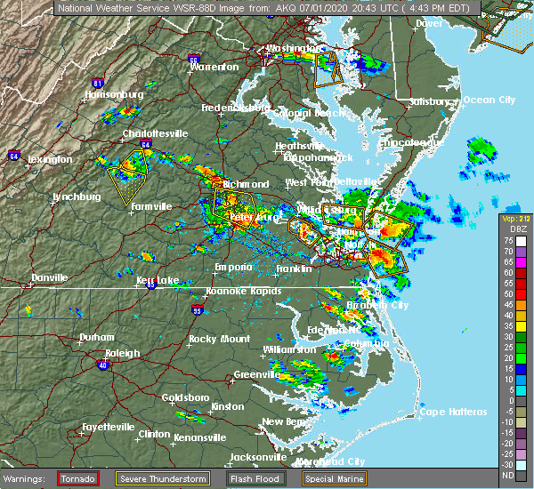 At 446 pm edt, severe thunderstorms were located along a line extending from near jordans point to near garysville to near fort lee, moving southeast at 45 mph (radar indicated). Hazards include 60 mph wind gusts and quarter size hail. Minor damage to vehicles is possible. expect wind damage to trees and powerlines. these severe storms will be near, garysville around 450 pm edt. Other locations impacted by these severe thunderstorms include barnetts, jordan point country club, birchett estate and petersburg national battlefield. At 446 pm edt, severe thunderstorms were located along a line extending from near jordans point to near garysville to near fort lee, moving southeast at 45 mph (radar indicated). Hazards include 60 mph wind gusts and quarter size hail. Minor damage to vehicles is possible. expect wind damage to trees and powerlines. these severe storms will be near, garysville around 450 pm edt. Other locations impacted by these severe thunderstorms include barnetts, jordan point country club, birchett estate and petersburg national battlefield.
|
| 7/1/2020 4:18 PM EDT |
 At 418 pm edt, severe thunderstorms were located along a line extending from near richmond to near bellwood to near chester, moving southeast at 20 mph (radar indicated). Hazards include 60 mph wind gusts and quarter size hail. Minor damage to vehicles is possible. expect wind damage to trees and powerlines. severe thunderstorms will be near, chester around 425 pm edt. colonial heights, bellwood and ettrick around 435 pm edt. fort lee around 445 pm edt. petersburg and hopewell around 450 pm edt. prince george, jordans point and garysville around 500 pm edt. Other locations impacted by these severe thunderstorms include wayside, richmond heights, birchett estate, elko, jordan point country club, montrose, petersburg national battlefield, glendale, richmond international and meadowville. At 418 pm edt, severe thunderstorms were located along a line extending from near richmond to near bellwood to near chester, moving southeast at 20 mph (radar indicated). Hazards include 60 mph wind gusts and quarter size hail. Minor damage to vehicles is possible. expect wind damage to trees and powerlines. severe thunderstorms will be near, chester around 425 pm edt. colonial heights, bellwood and ettrick around 435 pm edt. fort lee around 445 pm edt. petersburg and hopewell around 450 pm edt. prince george, jordans point and garysville around 500 pm edt. Other locations impacted by these severe thunderstorms include wayside, richmond heights, birchett estate, elko, jordan point country club, montrose, petersburg national battlefield, glendale, richmond international and meadowville.
|
| 6/25/2020 10:58 PM EDT |
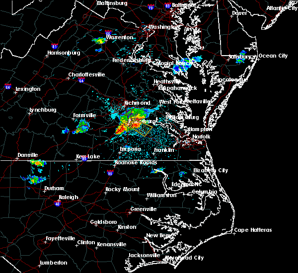 At 1058 pm edt, a severe thunderstorm was located over prince george, or near fort lee, moving southeast at 25 mph (radar indicated). Hazards include 70 mph wind gusts and quarter size hail. Minor damage to vehicles is possible. expect considerable tree damage. wind damage is also likely to mobile homes, roofs, and outbuildings. this severe storm will be near, disputanta around 1110 pm edt. burrowsville around 1120 pm edt. cabin point around 1125 pm edt. waverly around 1130 pm edt. Other locations impacted by this severe thunderstorm include new bohemia, carsley, birchett estate, prince george golf, spring grove, gwaltney corner, oak hill corner, jordan point country club, savedge and barham. At 1058 pm edt, a severe thunderstorm was located over prince george, or near fort lee, moving southeast at 25 mph (radar indicated). Hazards include 70 mph wind gusts and quarter size hail. Minor damage to vehicles is possible. expect considerable tree damage. wind damage is also likely to mobile homes, roofs, and outbuildings. this severe storm will be near, disputanta around 1110 pm edt. burrowsville around 1120 pm edt. cabin point around 1125 pm edt. waverly around 1130 pm edt. Other locations impacted by this severe thunderstorm include new bohemia, carsley, birchett estate, prince george golf, spring grove, gwaltney corner, oak hill corner, jordan point country club, savedge and barham.
|
| 6/25/2020 10:50 PM EDT | Trees down sebera rd and route 15 in prince george county VA, 0.4 miles SE of Prince George, VA |
| 6/25/2020 10:50 PM EDT | Trees down hall farm rd and old stage r in prince george county VA, 2.5 miles W of Prince George, VA |
| 6/25/2020 10:48 PM EDT |
 At 1047 pm edt, a severe thunderstorm was located over petersburg, moving southeast at 25 mph (radar indicated). Hazards include 70 mph wind gusts and quarter size hail. Minor damage to vehicles is possible. expect considerable tree damage. wind damage is also likely to mobile homes, roofs, and outbuildings. this severe storm will be near, prince george around 1055 pm edt. disputanta around 1110 pm edt. burrowsville around 1115 pm edt. cabin point around 1125 pm edt. waverly around 1130 pm edt. Other locations impacted by this severe thunderstorm include carsley, newville, birchett estate, addison, spring grove, jordan point country club, petersburg national battlefield, barham, new bohemia and richard bland college. At 1047 pm edt, a severe thunderstorm was located over petersburg, moving southeast at 25 mph (radar indicated). Hazards include 70 mph wind gusts and quarter size hail. Minor damage to vehicles is possible. expect considerable tree damage. wind damage is also likely to mobile homes, roofs, and outbuildings. this severe storm will be near, prince george around 1055 pm edt. disputanta around 1110 pm edt. burrowsville around 1115 pm edt. cabin point around 1125 pm edt. waverly around 1130 pm edt. Other locations impacted by this severe thunderstorm include carsley, newville, birchett estate, addison, spring grove, jordan point country club, petersburg national battlefield, barham, new bohemia and richard bland college.
|
| 6/25/2020 10:36 PM EDT |
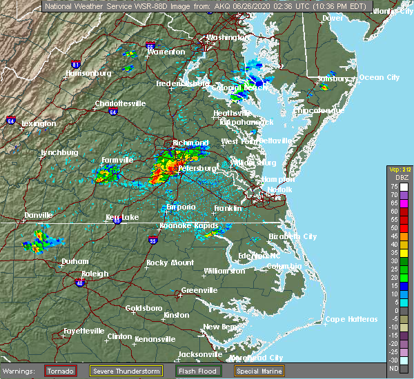 At 1036 pm edt, a severe thunderstorm was located over ettrick, or over virginia state university, moving southeast at 25 mph (radar indicated). Hazards include 60 mph wind gusts and nickel size hail. Expect damage to trees and powerlines. this severe thunderstorm will be near, colonial heights and virginia state university around 1040 pm edt. petersburg, hopewell and fort lee around 1045 pm edt. prince george around 1055 pm edt. disputanta around 1110 pm edt. Other locations impacted by this severe thunderstorm include carsley, newville, birchett estate, addison, spring grove, jordan point country club, petersburg national battlefield, barham, new bohemia and richard bland college. At 1036 pm edt, a severe thunderstorm was located over ettrick, or over virginia state university, moving southeast at 25 mph (radar indicated). Hazards include 60 mph wind gusts and nickel size hail. Expect damage to trees and powerlines. this severe thunderstorm will be near, colonial heights and virginia state university around 1040 pm edt. petersburg, hopewell and fort lee around 1045 pm edt. prince george around 1055 pm edt. disputanta around 1110 pm edt. Other locations impacted by this severe thunderstorm include carsley, newville, birchett estate, addison, spring grove, jordan point country club, petersburg national battlefield, barham, new bohemia and richard bland college.
|
| 6/25/2020 6:12 PM EDT |
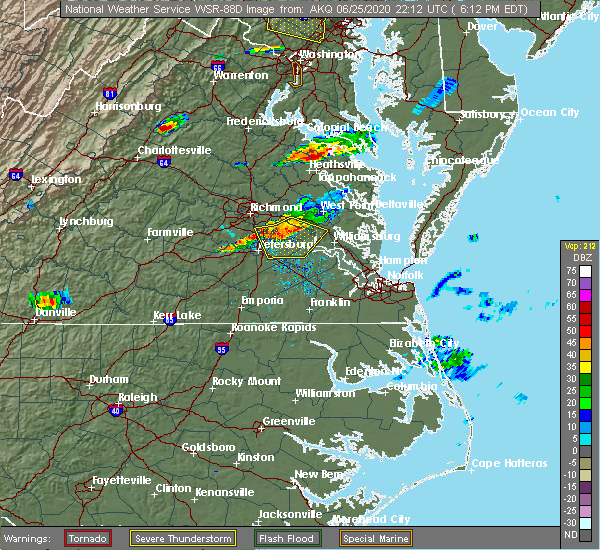 At 612 pm edt, severe thunderstorms were located along a line extending from near holdcroft to near charles city to hopewell, moving southeast at 20 mph (radar indicated). Hazards include 60 mph wind gusts. Expect damage to trees and powerlines. these severe storms will be near, holdcroft around 620 pm edt. rustic around 630 pm edt. claremont and burrowsville around 645 pm edt. cabin point around 655 pm edt. Other locations impacted by these severe thunderstorms include taylors corner, wayside, birchett estate, spring grove, brandon, jordan point country club, sandybottom, prince george golf, mount airy and barnetts. At 612 pm edt, severe thunderstorms were located along a line extending from near holdcroft to near charles city to hopewell, moving southeast at 20 mph (radar indicated). Hazards include 60 mph wind gusts. Expect damage to trees and powerlines. these severe storms will be near, holdcroft around 620 pm edt. rustic around 630 pm edt. claremont and burrowsville around 645 pm edt. cabin point around 655 pm edt. Other locations impacted by these severe thunderstorms include taylors corner, wayside, birchett estate, spring grove, brandon, jordan point country club, sandybottom, prince george golf, mount airy and barnetts.
|
| 6/25/2020 5:49 PM EDT |
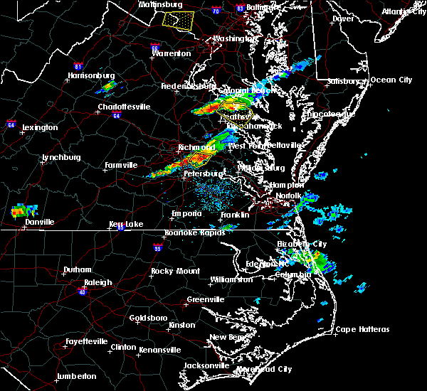 At 549 pm edt, severe thunderstorms were located along a line extending from providence forge to near jordans point to near chester, moving southeast at 20 mph (radar indicated). Hazards include 60 mph wind gusts. Expect damage to trees and powerlines. severe thunderstorms will be near, providence forge around 555 pm edt. adkins store and ruthville around 600 pm edt. charles city around 610 pm edt. prince george, holdcroft and jordans point around 615 pm edt. burrowsville around 625 pm edt. claremont, toano, garysville, cabin point and rustic around 630 pm edt. Other locations impacted by these severe thunderstorms include taylors corner, chickahominy shore, wayside, birchett estate, spring grove, mountcastle, brandon, jordan point country club, lanexa and new bohemia. At 549 pm edt, severe thunderstorms were located along a line extending from providence forge to near jordans point to near chester, moving southeast at 20 mph (radar indicated). Hazards include 60 mph wind gusts. Expect damage to trees and powerlines. severe thunderstorms will be near, providence forge around 555 pm edt. adkins store and ruthville around 600 pm edt. charles city around 610 pm edt. prince george, holdcroft and jordans point around 615 pm edt. burrowsville around 625 pm edt. claremont, toano, garysville, cabin point and rustic around 630 pm edt. Other locations impacted by these severe thunderstorms include taylors corner, chickahominy shore, wayside, birchett estate, spring grove, mountcastle, brandon, jordan point country club, lanexa and new bohemia.
|
| 4/24/2020 5:21 PM EDT |
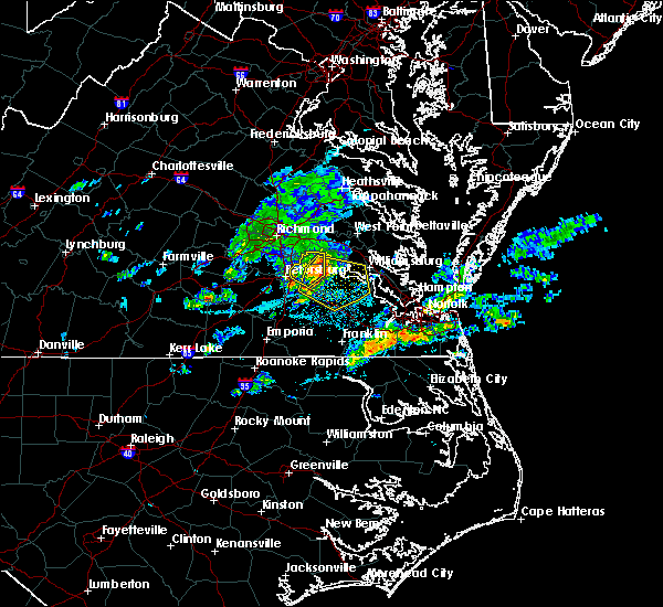 The severe thunderstorm warning for northwestern prince george and southwestern charles city counties and the city of hopewell will expire at 530 pm edt, the storm which prompted the warning has moved out of the area. therefore, the warning will be allowed to expire. remember, a severe thunderstorm warning still remains in effect for portions of prince george and charles city counties until 600 pm edt. The severe thunderstorm warning for northwestern prince george and southwestern charles city counties and the city of hopewell will expire at 530 pm edt, the storm which prompted the warning has moved out of the area. therefore, the warning will be allowed to expire. remember, a severe thunderstorm warning still remains in effect for portions of prince george and charles city counties until 600 pm edt.
|
| 4/24/2020 5:12 PM EDT |
 At 512 pm edt, a severe thunderstorm was located over garysville, or 7 miles southwest of charles city, moving southeast at 30 mph (radar indicated). Hazards include 60 mph wind gusts and quarter size hail. Minor damage to vehicles is possible. expect wind damage to trees and powerlines. this severe thunderstorm will be near, burrowsville around 520 pm edt. cabin point around 525 pm edt. rustic around 530 pm edt. claremont around 535 pm edt. dendron around 545 pm edt. surry, scotland, elberon and jamestown around 550 pm edt. Other locations impacted by this severe thunderstorm include taylors corner, booth fork, carsley, chippokes state park, spring grove, brandon, ellis fork, delk crossroads, barham and bacons castle. At 512 pm edt, a severe thunderstorm was located over garysville, or 7 miles southwest of charles city, moving southeast at 30 mph (radar indicated). Hazards include 60 mph wind gusts and quarter size hail. Minor damage to vehicles is possible. expect wind damage to trees and powerlines. this severe thunderstorm will be near, burrowsville around 520 pm edt. cabin point around 525 pm edt. rustic around 530 pm edt. claremont around 535 pm edt. dendron around 545 pm edt. surry, scotland, elberon and jamestown around 550 pm edt. Other locations impacted by this severe thunderstorm include taylors corner, booth fork, carsley, chippokes state park, spring grove, brandon, ellis fork, delk crossroads, barham and bacons castle.
|
| 4/24/2020 5:07 PM EDT |
 At 507 pm edt, a severe thunderstorm was located over garysville, or near hopewell, moving southeast at 35 mph (trained weather spotters). Hazards include 60 mph wind gusts and quarter size hail. Minor damage to vehicles is possible. expect wind damage to trees and powerlines. this severe storm will be near, burrowsville around 520 pm edt. Other locations impacted by this severe thunderstorm include barnetts, jordan point country club, wayside, birchett estate and new bohemia. At 507 pm edt, a severe thunderstorm was located over garysville, or near hopewell, moving southeast at 35 mph (trained weather spotters). Hazards include 60 mph wind gusts and quarter size hail. Minor damage to vehicles is possible. expect wind damage to trees and powerlines. this severe storm will be near, burrowsville around 520 pm edt. Other locations impacted by this severe thunderstorm include barnetts, jordan point country club, wayside, birchett estate and new bohemia.
|
| 4/24/2020 4:51 PM EDT |
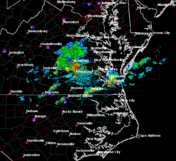 At 450 pm edt, a severe thunderstorm was located near hopewell, moving southeast at 35 mph. trained weather spotters have reported hail up to quarter size near chester, va as well as wind damage (trained weather spotters). Hazards include 70 mph wind gusts and half dollar size hail. Minor damage to vehicles is possible. expect considerable tree damage. wind damage is also likely to mobile homes, roofs, and outbuildings. this severe storm will be near, hopewell and fort lee around 455 pm edt. prince george and jordans point around 500 pm edt. garysville around 510 pm edt. charles city around 515 pm edt. burrowsville around 520 pm edt. Other locations impacted by this severe thunderstorm include meadowville, wayside, birchett estate, varina, barnetts, jordan point country club, petersburg national battlefield and glendale. At 450 pm edt, a severe thunderstorm was located near hopewell, moving southeast at 35 mph. trained weather spotters have reported hail up to quarter size near chester, va as well as wind damage (trained weather spotters). Hazards include 70 mph wind gusts and half dollar size hail. Minor damage to vehicles is possible. expect considerable tree damage. wind damage is also likely to mobile homes, roofs, and outbuildings. this severe storm will be near, hopewell and fort lee around 455 pm edt. prince george and jordans point around 500 pm edt. garysville around 510 pm edt. charles city around 515 pm edt. burrowsville around 520 pm edt. Other locations impacted by this severe thunderstorm include meadowville, wayside, birchett estate, varina, barnetts, jordan point country club, petersburg national battlefield and glendale.
|
| 4/24/2020 4:40 PM EDT |
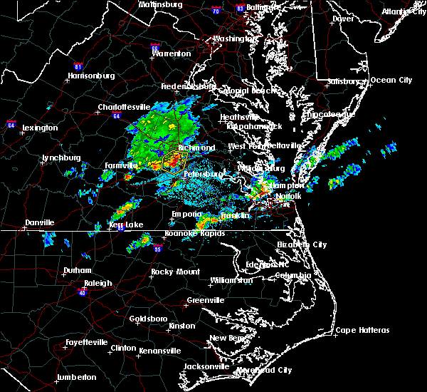 At 440 pm edt, a severe thunderstorm was located over chester, moving southeast at 35 mph (radar indicated). Hazards include 70 mph wind gusts and half dollar size hail. Minor damage to vehicles is possible. expect considerable tree damage. wind damage is also likely to mobile homes, roofs, and outbuildings. this severe thunderstorm will be near, colonial heights and ettrick around 450 pm edt. petersburg, hopewell and fort lee around 455 pm edt. prince george around 500 pm edt. jordans point around 505 pm edt. garysville around 510 pm edt. burrowsville around 520 pm edt. other locations impacted by this severe thunderstorm include meadowville, wayside, richmond heights, birchett estate, varina, barnetts, jordan point country club, drewrys bluff, petersburg national battlefield and centralia. People at john randolph medical center, and tri-cities er should seek safe shelter immediately!. At 440 pm edt, a severe thunderstorm was located over chester, moving southeast at 35 mph (radar indicated). Hazards include 70 mph wind gusts and half dollar size hail. Minor damage to vehicles is possible. expect considerable tree damage. wind damage is also likely to mobile homes, roofs, and outbuildings. this severe thunderstorm will be near, colonial heights and ettrick around 450 pm edt. petersburg, hopewell and fort lee around 455 pm edt. prince george around 500 pm edt. jordans point around 505 pm edt. garysville around 510 pm edt. burrowsville around 520 pm edt. other locations impacted by this severe thunderstorm include meadowville, wayside, richmond heights, birchett estate, varina, barnetts, jordan point country club, drewrys bluff, petersburg national battlefield and centralia. People at john randolph medical center, and tri-cities er should seek safe shelter immediately!.
|
| 4/13/2020 9:56 AM EDT |
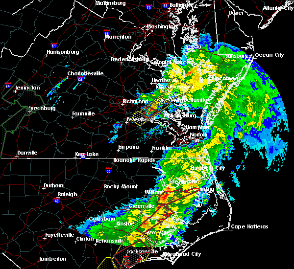 The severe thunderstorm warning for northeastern prince george and southwestern charles city counties and the city of hopewell will expire at 1000 am edt, the storm which prompted the warning has moved out of the area. therefore, the warning will be allowed to expire. a tornado watch remains in effect until noon edt for central, south central and east central virginia. The severe thunderstorm warning for northeastern prince george and southwestern charles city counties and the city of hopewell will expire at 1000 am edt, the storm which prompted the warning has moved out of the area. therefore, the warning will be allowed to expire. a tornado watch remains in effect until noon edt for central, south central and east central virginia.
|
| 4/13/2020 9:41 AM EDT |
 At 941 am edt, a severe thunderstorm was located near garysville, or near charles city, moving northeast at 50 mph (radar indicated). Hazards include 60 mph wind gusts and penny size hail. Expect damage to trees and powerlines. this severe storm will be near, charles city around 945 am edt. Other locations impacted by this severe thunderstorm include taylors corner, wayside, birchett estate, brandon, barnetts, jordan point country club and new hope. At 941 am edt, a severe thunderstorm was located near garysville, or near charles city, moving northeast at 50 mph (radar indicated). Hazards include 60 mph wind gusts and penny size hail. Expect damage to trees and powerlines. this severe storm will be near, charles city around 945 am edt. Other locations impacted by this severe thunderstorm include taylors corner, wayside, birchett estate, brandon, barnetts, jordan point country club and new hope.
|
| 4/13/2020 9:30 AM EDT | Trees down reported across prince george in several location in prince george county VA, 2.1 miles WSW of Prince George, VA |
| 4/13/2020 9:21 AM EDT |
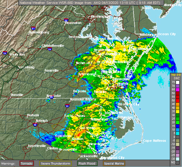 At 921 am edt, a severe thunderstorm was located near petersburg, moving northeast at 55 mph (radar indicated). Hazards include 60 mph wind gusts and penny size hail. Expect damage to trees and powerlines. this severe thunderstorm will be near, disputanta around 925 am edt. hopewell, fort lee and prince george around 930 am edt. garysville, jordans point and burrowsville around 935 am edt. charles city around 945 am edt. other locations impacted by this severe thunderstorm include new bohemia, taylors corner, richard bland college, wayside, birchett estate, prince george golf, brandon, barnetts, jordan point country club and new hope. People at john randolph medical center, southside regional medical center, and tri-cities er should seek safe shelter immediately! a tornado watch remains in effect until noon edt for central, south central and east central virginia. At 921 am edt, a severe thunderstorm was located near petersburg, moving northeast at 55 mph (radar indicated). Hazards include 60 mph wind gusts and penny size hail. Expect damage to trees and powerlines. this severe thunderstorm will be near, disputanta around 925 am edt. hopewell, fort lee and prince george around 930 am edt. garysville, jordans point and burrowsville around 935 am edt. charles city around 945 am edt. other locations impacted by this severe thunderstorm include new bohemia, taylors corner, richard bland college, wayside, birchett estate, prince george golf, brandon, barnetts, jordan point country club and new hope. People at john randolph medical center, southside regional medical center, and tri-cities er should seek safe shelter immediately! a tornado watch remains in effect until noon edt for central, south central and east central virginia.
|
| 8/7/2019 3:51 PM EDT |
 The severe thunderstorm warning for southeastern chesterfield and northwestern prince george counties, the city of colonial heights, the city of hopewell and the city of petersburg will expire at 400 pm edt, the storm which prompted the warning has weakened below severe limits, and no longer poses an immediate threat to life or property. therefore, the warning will be allowed to expire. a severe thunderstorm watch remains in effect until 800 pm edt for central, south central and east central virginia. The severe thunderstorm warning for southeastern chesterfield and northwestern prince george counties, the city of colonial heights, the city of hopewell and the city of petersburg will expire at 400 pm edt, the storm which prompted the warning has weakened below severe limits, and no longer poses an immediate threat to life or property. therefore, the warning will be allowed to expire. a severe thunderstorm watch remains in effect until 800 pm edt for central, south central and east central virginia.
|
| 8/7/2019 3:34 PM EDT |
 At 334 pm edt, a severe thunderstorm was located over prince george, or over fort lee, moving northeast at 30 mph (radar indicated). Hazards include 60 mph wind gusts and quarter size hail. Minor damage to vehicles is possible. expect wind damage to trees and powerlines. This severe thunderstorm will remain over mainly rural areas of southeastern chesterfield and northwestern prince george counties, the city of colonial heights, the city of hopewell and the city of petersburg, including the following locations, new bohemia, jordan point country club, richard bland college, birchett estate, petersburg national battlefield and prince george golf. At 334 pm edt, a severe thunderstorm was located over prince george, or over fort lee, moving northeast at 30 mph (radar indicated). Hazards include 60 mph wind gusts and quarter size hail. Minor damage to vehicles is possible. expect wind damage to trees and powerlines. This severe thunderstorm will remain over mainly rural areas of southeastern chesterfield and northwestern prince george counties, the city of colonial heights, the city of hopewell and the city of petersburg, including the following locations, new bohemia, jordan point country club, richard bland college, birchett estate, petersburg national battlefield and prince george golf.
|
| 8/7/2019 3:29 PM EDT |
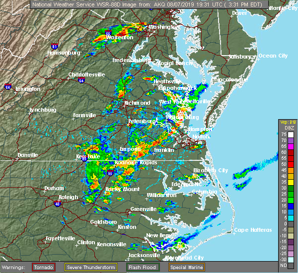 At 328 pm edt, a severe thunderstorm was located over petersburg, moving northeast at 30 mph (radar indicated). Hazards include 60 mph wind gusts and quarter size hail. Minor damage to vehicles is possible. expect wind damage to trees and powerlines. this severe storm will be near, disputanta and prince george around 335 pm edt. hopewell around 340 pm edt. Other locations impacted by this severe thunderstorm include new bohemia, jordan point country club, richard bland college, birchett estate, petersburg national battlefield and prince george golf. At 328 pm edt, a severe thunderstorm was located over petersburg, moving northeast at 30 mph (radar indicated). Hazards include 60 mph wind gusts and quarter size hail. Minor damage to vehicles is possible. expect wind damage to trees and powerlines. this severe storm will be near, disputanta and prince george around 335 pm edt. hopewell around 340 pm edt. Other locations impacted by this severe thunderstorm include new bohemia, jordan point country club, richard bland college, birchett estate, petersburg national battlefield and prince george golf.
|
| 8/7/2019 3:17 PM EDT |
 At 317 pm edt, a severe thunderstorm was located near carson, or near petersburg, moving northeast at 20 mph (radar indicated). Hazards include 60 mph wind gusts and quarter size hail. Minor damage to vehicles is possible. expect wind damage to trees and powerlines. this severe thunderstorm will be near, virginia state university and matoaca around 330 pm edt. petersburg around 340 pm edt. disputanta, fort lee and prince george around 345 pm edt. Other locations impacted by this severe thunderstorm include new bohemia, petersburg airport, richard bland college, templeton, burgess, birchett estate, addison, reams, prince george golf and jordan point country club. At 317 pm edt, a severe thunderstorm was located near carson, or near petersburg, moving northeast at 20 mph (radar indicated). Hazards include 60 mph wind gusts and quarter size hail. Minor damage to vehicles is possible. expect wind damage to trees and powerlines. this severe thunderstorm will be near, virginia state university and matoaca around 330 pm edt. petersburg around 340 pm edt. disputanta, fort lee and prince george around 345 pm edt. Other locations impacted by this severe thunderstorm include new bohemia, petersburg airport, richard bland college, templeton, burgess, birchett estate, addison, reams, prince george golf and jordan point country club.
|
| 7/22/2019 9:57 PM EDT |
 At 957 pm edt, a severe thunderstorm was located over burrowsville, or 8 miles northeast of disputanta, moving northeast at 35 mph (radar indicated). Hazards include 60 mph wind gusts. Expect damage to trees and powerlines. this severe thunderstorm will be near, burrowsville around 1000 pm edt. cabin point around 1005 pm edt. charles city and ruthville around 1010 pm edt. claremont and rustic around 1015 pm edt. holdcroft around 1020 pm edt. Other locations impacted by this severe thunderstorm include taylors corner, chickahominy shore, birchett estate, governors land, sandybottom, mount airy, brandon, oak hill corner, jordan point country club and new hope. At 957 pm edt, a severe thunderstorm was located over burrowsville, or 8 miles northeast of disputanta, moving northeast at 35 mph (radar indicated). Hazards include 60 mph wind gusts. Expect damage to trees and powerlines. this severe thunderstorm will be near, burrowsville around 1000 pm edt. cabin point around 1005 pm edt. charles city and ruthville around 1010 pm edt. claremont and rustic around 1015 pm edt. holdcroft around 1020 pm edt. Other locations impacted by this severe thunderstorm include taylors corner, chickahominy shore, birchett estate, governors land, sandybottom, mount airy, brandon, oak hill corner, jordan point country club and new hope.
|
| 7/22/2019 4:05 PM EDT | Time is radar estimated. tree downed between baxter road and boisseau dr. numerous power outages reported in the are in prince george county VA, 3.7 miles E of Prince George, VA |
| 7/22/2019 4:03 PM EDT |
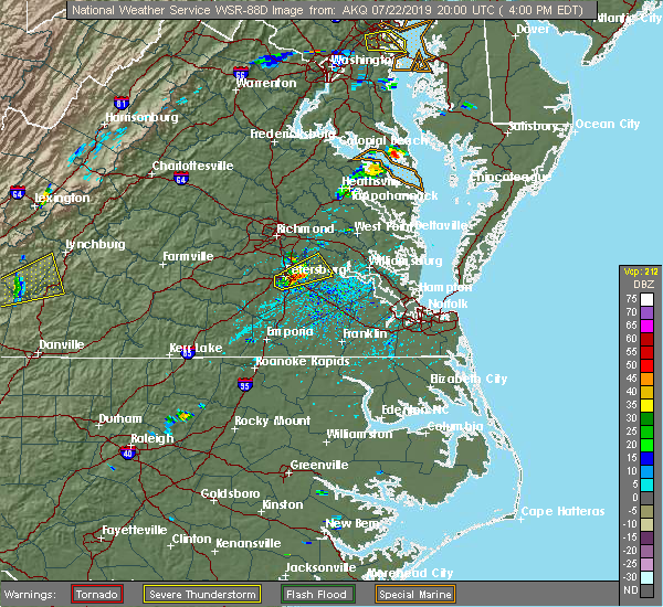 At 402 pm edt, a severe thunderstorm was located over prince george, or over fort lee, moving northeast at 25 mph (radar indicated). Hazards include 60 mph wind gusts. Expect damage to trees and powerlines. this severe storm will be near, garysville and jordans point around 420 pm edt. burrowsville around 425 pm edt. Other locations impacted by this severe thunderstorm include new bohemia, taylors corner, birchett estate, prince george golf, barnetts, jordan point country club and petersburg national battlefield. At 402 pm edt, a severe thunderstorm was located over prince george, or over fort lee, moving northeast at 25 mph (radar indicated). Hazards include 60 mph wind gusts. Expect damage to trees and powerlines. this severe storm will be near, garysville and jordans point around 420 pm edt. burrowsville around 425 pm edt. Other locations impacted by this severe thunderstorm include new bohemia, taylors corner, birchett estate, prince george golf, barnetts, jordan point country club and petersburg national battlefield.
|
| 7/22/2019 3:50 PM EDT |
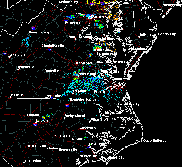 At 350 pm edt, a severe thunderstorm was located over petersburg, moving northeast at 25 mph (radar indicated). Hazards include 60 mph wind gusts and quarter size hail. Minor damage to vehicles is possible. expect wind damage to trees and powerlines. this severe thunderstorm will be near, fort lee around 400 pm edt. hopewell and prince george around 405 pm edt. garysville and jordans point around 420 pm edt. burrowsville around 425 pm edt. Other locations impacted by this severe thunderstorm include new bohemia, taylors corner, richard bland college, birchett estate, prince george golf, barnetts, jordan point country club and petersburg national battlefield. At 350 pm edt, a severe thunderstorm was located over petersburg, moving northeast at 25 mph (radar indicated). Hazards include 60 mph wind gusts and quarter size hail. Minor damage to vehicles is possible. expect wind damage to trees and powerlines. this severe thunderstorm will be near, fort lee around 400 pm edt. hopewell and prince george around 405 pm edt. garysville and jordans point around 420 pm edt. burrowsville around 425 pm edt. Other locations impacted by this severe thunderstorm include new bohemia, taylors corner, richard bland college, birchett estate, prince george golf, barnetts, jordan point country club and petersburg national battlefield.
|
| 7/17/2019 9:50 PM EDT |
 At 950 pm edt, a severe thunderstorm was located over petersburg, moving northeast at 40 mph (radar indicated). Hazards include 60 mph wind gusts. Expect damage to trees and powerlines. Locations impacted include, petersburg, hopewell, colonial heights, charles city, virginia state university, fort lee, chester, prince george, matoaca, garysville, ettrick, jordans point, wayside, birchett estate, brandon, elko, jordan point country club, petersburg national battlefield, glendale and new bohemia. At 950 pm edt, a severe thunderstorm was located over petersburg, moving northeast at 40 mph (radar indicated). Hazards include 60 mph wind gusts. Expect damage to trees and powerlines. Locations impacted include, petersburg, hopewell, colonial heights, charles city, virginia state university, fort lee, chester, prince george, matoaca, garysville, ettrick, jordans point, wayside, birchett estate, brandon, elko, jordan point country club, petersburg national battlefield, glendale and new bohemia.
|
| 7/17/2019 9:29 PM EDT |
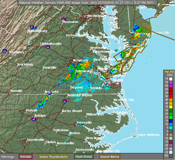 At 927 pm edt, a severe thunderstorm was located over dinwiddie, moving northeast at 40 mph (radar indicated). Hazards include 60 mph wind gusts. expect damage to trees and powerlines At 927 pm edt, a severe thunderstorm was located over dinwiddie, moving northeast at 40 mph (radar indicated). Hazards include 60 mph wind gusts. expect damage to trees and powerlines
|
| 6/5/2019 5:10 PM EDT |
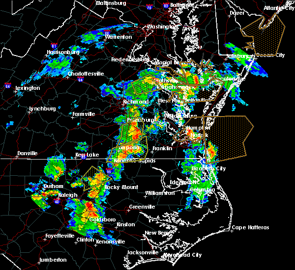 A severe thunderstorm warning remains in effect until 530 pm edt for central prince george. central sussex and west central surry counties. At 510 pm edt, severe thunderstorms were located along a line extending from fort lee to near disputanta to near sussex, moving northeast at 40 mph. A severe thunderstorm warning remains in effect until 530 pm edt for central prince george. central sussex and west central surry counties. At 510 pm edt, severe thunderstorms were located along a line extending from fort lee to near disputanta to near sussex, moving northeast at 40 mph.
|
| 6/5/2019 4:57 PM EDT |
 At 441 pm edt, severe thunderstorms were located along a line extending from dinwiddie to 7 miles west of stony creek to purdy, moving northeast at 40 mph (radar indicated). Hazards include 60 mph wind gusts. Expect damage to trees and powerlines. severe thunderstorms will be near, dinwiddie around 445 pm edt. carson around 455 pm edt. stony creek around 500 pm edt. petersburg around 505 pm edt. fort lee, prince george and sussex around 510 pm edt. disputanta and homeville around 515 pm edt. garysville around 520 pm edt. waverly around 530 pm edt. Other locations impacted by these severe thunderstorms include newville, bufford crossroads, booker, reams, yale, pleasant shade, fields crossroads, lumberton, wharfs store and huske. At 441 pm edt, severe thunderstorms were located along a line extending from dinwiddie to 7 miles west of stony creek to purdy, moving northeast at 40 mph (radar indicated). Hazards include 60 mph wind gusts. Expect damage to trees and powerlines. severe thunderstorms will be near, dinwiddie around 445 pm edt. carson around 455 pm edt. stony creek around 500 pm edt. petersburg around 505 pm edt. fort lee, prince george and sussex around 510 pm edt. disputanta and homeville around 515 pm edt. garysville around 520 pm edt. waverly around 530 pm edt. Other locations impacted by these severe thunderstorms include newville, bufford crossroads, booker, reams, yale, pleasant shade, fields crossroads, lumberton, wharfs store and huske.
|
| 6/5/2019 4:41 PM EDT |
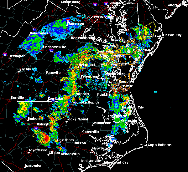 At 441 pm edt, severe thunderstorms were located along a line extending from dinwiddie to 7 miles west of stony creek to purdy, moving northeast at 40 mph (radar indicated). Hazards include 60 mph wind gusts. Expect damage to trees and powerlines. severe thunderstorms will be near, dinwiddie around 445 pm edt. carson around 455 pm edt. stony creek around 500 pm edt. petersburg around 505 pm edt. fort lee, prince george and sussex around 510 pm edt. disputanta and homeville around 515 pm edt. garysville around 520 pm edt. waverly around 530 pm edt. Other locations impacted by these severe thunderstorms include newville, bufford crossroads, booker, reams, yale, pleasant shade, fields crossroads, lumberton, wharfs store and huske. At 441 pm edt, severe thunderstorms were located along a line extending from dinwiddie to 7 miles west of stony creek to purdy, moving northeast at 40 mph (radar indicated). Hazards include 60 mph wind gusts. Expect damage to trees and powerlines. severe thunderstorms will be near, dinwiddie around 445 pm edt. carson around 455 pm edt. stony creek around 500 pm edt. petersburg around 505 pm edt. fort lee, prince george and sussex around 510 pm edt. disputanta and homeville around 515 pm edt. garysville around 520 pm edt. waverly around 530 pm edt. Other locations impacted by these severe thunderstorms include newville, bufford crossroads, booker, reams, yale, pleasant shade, fields crossroads, lumberton, wharfs store and huske.
|
| 6/3/2019 12:35 AM EDT |
 At 1234 am edt, severe thunderstorms were located along a line extending from hopewell to near prince george to near disputanta, moving east at 35 mph (radar indicated). Hazards include 60 mph wind gusts and penny size hail. Expect damage to trees and powerlines. Locations impacted include, hopewell, colonial heights, charles city, waverly, claremont, disputanta, fort lee, prince george, dendron, rustic, burrowsville, garysville, cabin point, jordans point, taylors corner, carsley, birchett estate, spring grove, jordan point country club and gwaltney corner. At 1234 am edt, severe thunderstorms were located along a line extending from hopewell to near prince george to near disputanta, moving east at 35 mph (radar indicated). Hazards include 60 mph wind gusts and penny size hail. Expect damage to trees and powerlines. Locations impacted include, hopewell, colonial heights, charles city, waverly, claremont, disputanta, fort lee, prince george, dendron, rustic, burrowsville, garysville, cabin point, jordans point, taylors corner, carsley, birchett estate, spring grove, jordan point country club and gwaltney corner.
|
| 6/3/2019 12:22 AM EDT |
 At 1222 am edt, severe thunderstorms were located along a line extending from colonial heights to near petersburg to near carson, moving east at 35 mph (radar indicated). Hazards include 60 mph wind gusts and penny size hail. expect damage to trees and powerlines At 1222 am edt, severe thunderstorms were located along a line extending from colonial heights to near petersburg to near carson, moving east at 35 mph (radar indicated). Hazards include 60 mph wind gusts and penny size hail. expect damage to trees and powerlines
|
| 5/31/2019 9:16 PM EDT |
 At 916 pm edt, severe thunderstorms were located along a line extending from near highland springs to near hopewell to near petersburg, moving east at 20 mph (radar indicated). Hazards include 60 mph wind gusts and quarter size hail. Minor damage to vehicles is possible. Expect wind damage to trees and powerlines. At 916 pm edt, severe thunderstorms were located along a line extending from near highland springs to near hopewell to near petersburg, moving east at 20 mph (radar indicated). Hazards include 60 mph wind gusts and quarter size hail. Minor damage to vehicles is possible. Expect wind damage to trees and powerlines.
|
| 4/26/2019 3:24 PM EDT |
 At 324 pm edt, a severe thunderstorm was located over chester, moving northeast at 35 mph (radar indicated). Hazards include 60 mph wind gusts and quarter size hail. Minor damage to vehicles is possible. expect wind damage to trees and powerlines. this severe thunderstorm will be near, highland springs around 345 pm edt. roxbury and bottoms bridge around 350 pm edt. talleysville around 400 pm edt. tunstall around 405 pm edt. manquin around 410 pm edt. Other locations impacted by this severe thunderstorm include wayside, richmond heights, birchett estate, mountcastle, elko, jordan point country club, cohoke, petersburg national battlefield, sandston and glendale. At 324 pm edt, a severe thunderstorm was located over chester, moving northeast at 35 mph (radar indicated). Hazards include 60 mph wind gusts and quarter size hail. Minor damage to vehicles is possible. expect wind damage to trees and powerlines. this severe thunderstorm will be near, highland springs around 345 pm edt. roxbury and bottoms bridge around 350 pm edt. talleysville around 400 pm edt. tunstall around 405 pm edt. manquin around 410 pm edt. Other locations impacted by this severe thunderstorm include wayside, richmond heights, birchett estate, mountcastle, elko, jordan point country club, cohoke, petersburg national battlefield, sandston and glendale.
|
| 4/19/2019 7:37 PM EDT |
 At 737 pm edt, a severe thunderstorm capable of producing a tornado was located near disputanta, moving northeast at 50 mph (radar indicated rotation). Hazards include tornado. Flying debris will be dangerous to those caught without shelter. mobile homes will be damaged or destroyed. damage to roofs, windows, and vehicles will occur. tree damage is likely. this dangerous storm will be near, burrowsville, cabin point and garysville around 745 pm edt. Other locations impacted by this tornadic thunderstorm include taylors corner, oak hill corner, jordan point country club, birchett estate, barham and prince george golf. At 737 pm edt, a severe thunderstorm capable of producing a tornado was located near disputanta, moving northeast at 50 mph (radar indicated rotation). Hazards include tornado. Flying debris will be dangerous to those caught without shelter. mobile homes will be damaged or destroyed. damage to roofs, windows, and vehicles will occur. tree damage is likely. this dangerous storm will be near, burrowsville, cabin point and garysville around 745 pm edt. Other locations impacted by this tornadic thunderstorm include taylors corner, oak hill corner, jordan point country club, birchett estate, barham and prince george golf.
|
| 4/19/2019 7:32 PM EDT |
 At 731 pm edt, a severe thunderstorm capable of producing a tornado was located near disputanta, moving northeast at 50 mph (radar indicated rotation). Hazards include tornado. Flying debris will be dangerous to those caught without shelter. mobile homes will be damaged or destroyed. damage to roofs, windows, and vehicles will occur. tree damage is likely. this dangerous storm will be near, burrowsville, cabin point and garysville around 745 pm edt. Other locations impacted by this tornadic thunderstorm include new bohemia, taylors corner, richard bland college, templeton, birchett estate, prince george golf, oak hill corner, jordan point country club and barham. At 731 pm edt, a severe thunderstorm capable of producing a tornado was located near disputanta, moving northeast at 50 mph (radar indicated rotation). Hazards include tornado. Flying debris will be dangerous to those caught without shelter. mobile homes will be damaged or destroyed. damage to roofs, windows, and vehicles will occur. tree damage is likely. this dangerous storm will be near, burrowsville, cabin point and garysville around 745 pm edt. Other locations impacted by this tornadic thunderstorm include new bohemia, taylors corner, richard bland college, templeton, birchett estate, prince george golf, oak hill corner, jordan point country club and barham.
|
| 4/19/2019 7:20 PM EDT |
 At 720 pm edt, a severe thunderstorm capable of producing a tornado was located near sussex, or 12 miles southwest of disputanta, moving northeast at 50 mph (radar indicated rotation). Hazards include tornado. Flying debris will be dangerous to those caught without shelter. mobile homes will be damaged or destroyed. damage to roofs, windows, and vehicles will occur. tree damage is likely. this dangerous storm will be near, disputanta around 735 pm edt. burrowsville, cabin point and garysville around 745 pm edt. Other locations impacted by this tornadic thunderstorm include taylors corner, newville, birchett estate, booker, reams, jordan point country club, petersburg national battlefield, barham, new bohemia and richard bland college. At 720 pm edt, a severe thunderstorm capable of producing a tornado was located near sussex, or 12 miles southwest of disputanta, moving northeast at 50 mph (radar indicated rotation). Hazards include tornado. Flying debris will be dangerous to those caught without shelter. mobile homes will be damaged or destroyed. damage to roofs, windows, and vehicles will occur. tree damage is likely. this dangerous storm will be near, disputanta around 735 pm edt. burrowsville, cabin point and garysville around 745 pm edt. Other locations impacted by this tornadic thunderstorm include taylors corner, newville, birchett estate, booker, reams, jordan point country club, petersburg national battlefield, barham, new bohemia and richard bland college.
|
| 4/19/2019 1:32 PM EDT |
 At 132 pm edt, a severe thunderstorm capable of producing a tornado was located over prince george, or over hopewell, moving north at 40 mph (radar indicated rotation). Hazards include tornado. Flying debris will be dangerous to those caught without shelter. mobile homes will be damaged or destroyed. damage to roofs, windows, and vehicles will occur. tree damage is likely. this dangerous storm will be near, hopewell and garysville around 135 pm edt. jordans point around 140 pm edt. Other locations impacted by this tornadic thunderstorm include birchett estate and jordan point country club. At 132 pm edt, a severe thunderstorm capable of producing a tornado was located over prince george, or over hopewell, moving north at 40 mph (radar indicated rotation). Hazards include tornado. Flying debris will be dangerous to those caught without shelter. mobile homes will be damaged or destroyed. damage to roofs, windows, and vehicles will occur. tree damage is likely. this dangerous storm will be near, hopewell and garysville around 135 pm edt. jordans point around 140 pm edt. Other locations impacted by this tornadic thunderstorm include birchett estate and jordan point country club.
|
| 4/19/2019 1:28 PM EDT |
 At 128 pm edt, a severe thunderstorm capable of producing a tornado was located over prince george, or near fort lee, moving north at 55 mph (radar indicated rotation). Hazards include tornado. Flying debris will be dangerous to those caught without shelter. mobile homes will be damaged or destroyed. damage to roofs, windows, and vehicles will occur. tree damage is likely. this dangerous storm will be near, jordans point around 135 pm edt. Other locations impacted by this tornadic thunderstorm include new bohemia, jordan point country club, birchett estate, petersburg national battlefield and prince george golf. At 128 pm edt, a severe thunderstorm capable of producing a tornado was located over prince george, or near fort lee, moving north at 55 mph (radar indicated rotation). Hazards include tornado. Flying debris will be dangerous to those caught without shelter. mobile homes will be damaged or destroyed. damage to roofs, windows, and vehicles will occur. tree damage is likely. this dangerous storm will be near, jordans point around 135 pm edt. Other locations impacted by this tornadic thunderstorm include new bohemia, jordan point country club, birchett estate, petersburg national battlefield and prince george golf.
|
| 4/19/2019 1:23 PM EDT |
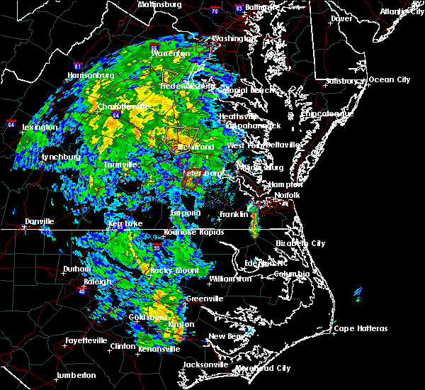 At 123 pm edt, a severe thunderstorm capable of producing a tornado was located near disputanta, moving north at 55 mph (radar indicated rotation). Hazards include tornado. Flying debris will be dangerous to those caught without shelter. mobile homes will be damaged or destroyed. damage to roofs, windows, and vehicles will occur. tree damage is likely. this dangerous storm will be near, hopewell, jordans point and garysville around 135 pm edt. Other locations impacted by this tornadic thunderstorm include new bohemia, jordan point country club, richard bland college, birchett estate, petersburg national battlefield and prince george golf. At 123 pm edt, a severe thunderstorm capable of producing a tornado was located near disputanta, moving north at 55 mph (radar indicated rotation). Hazards include tornado. Flying debris will be dangerous to those caught without shelter. mobile homes will be damaged or destroyed. damage to roofs, windows, and vehicles will occur. tree damage is likely. this dangerous storm will be near, hopewell, jordans point and garysville around 135 pm edt. Other locations impacted by this tornadic thunderstorm include new bohemia, jordan point country club, richard bland college, birchett estate, petersburg national battlefield and prince george golf.
|
| 4/15/2019 2:36 AM EDT |
 At 236 am edt, a severe thunderstorm was located near cabin point, or near claremont, moving northeast at 60 mph (radar indicated). Hazards include 60 mph wind gusts and quarter size hail. Minor damage to vehicles is possible. expect wind damage to trees and powerlines. this severe storm will be near, surry, scotland and rustic around 245 am edt. jamestown around 250 am edt. williamsburg and kings point around 255 am edt. other locations impacted by this severe thunderstorm include taylors corner, booth fork, carsley, chickahominy shore, chippokes state park, birchett estate, booker, spring grove, ellis fork and jordan point country club. A tornado watch remains in effect until 700 am edt for south central, southeastern and east central virginia. At 236 am edt, a severe thunderstorm was located near cabin point, or near claremont, moving northeast at 60 mph (radar indicated). Hazards include 60 mph wind gusts and quarter size hail. Minor damage to vehicles is possible. expect wind damage to trees and powerlines. this severe storm will be near, surry, scotland and rustic around 245 am edt. jamestown around 250 am edt. williamsburg and kings point around 255 am edt. other locations impacted by this severe thunderstorm include taylors corner, booth fork, carsley, chickahominy shore, chippokes state park, birchett estate, booker, spring grove, ellis fork and jordan point country club. A tornado watch remains in effect until 700 am edt for south central, southeastern and east central virginia.
|
| 4/15/2019 2:08 AM EDT |
 At 208 am edt, a severe thunderstorm was located over stony creek, or 12 miles northeast of purdy, moving northeast at 60 mph (radar indicated). Hazards include 60 mph wind gusts and quarter size hail. Minor damage to vehicles is possible. expect wind damage to trees and powerlines. this severe thunderstorm will be near, homeville around 220 am edt. disputanta around 225 am edt. waverly around 230 am edt. dendron and cabin point around 235 am edt. claremont and elberon around 240 am edt. surry around 245 am edt. jamestown and scotland around 250 am edt. williamsburg and kings point around 255 am edt. other locations impacted by this severe thunderstorm include taylors corner, booth fork, carsley, chickahominy shore, chippokes state park, birchett estate, booker, spring grove, lumberton and ellis fork. A tornado watch remains in effect until 700 am edt for south central, southeastern and east central virginia. At 208 am edt, a severe thunderstorm was located over stony creek, or 12 miles northeast of purdy, moving northeast at 60 mph (radar indicated). Hazards include 60 mph wind gusts and quarter size hail. Minor damage to vehicles is possible. expect wind damage to trees and powerlines. this severe thunderstorm will be near, homeville around 220 am edt. disputanta around 225 am edt. waverly around 230 am edt. dendron and cabin point around 235 am edt. claremont and elberon around 240 am edt. surry around 245 am edt. jamestown and scotland around 250 am edt. williamsburg and kings point around 255 am edt. other locations impacted by this severe thunderstorm include taylors corner, booth fork, carsley, chickahominy shore, chippokes state park, birchett estate, booker, spring grove, lumberton and ellis fork. A tornado watch remains in effect until 700 am edt for south central, southeastern and east central virginia.
|
| 8/13/2018 8:01 PM EDT |
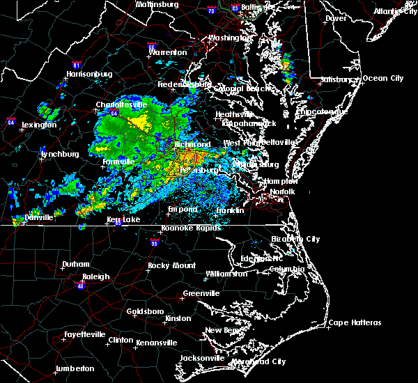 At 801 pm edt, a severe thunderstorm was located over colonial heights, moving east at 15 mph (radar indicated). Hazards include 60 mph wind gusts and penny size hail. Expect damage to trees and powerlines. this severe storm will be near, hopewell around 805 pm edt. prince george around 815 pm edt. jordans point around 825 pm edt. Other locations impacted by this severe thunderstorm include meadowville, wayside, richmond heights, birchett estate, addison, varina, elko, jordan point country club, petersburg national battlefield and glendale. At 801 pm edt, a severe thunderstorm was located over colonial heights, moving east at 15 mph (radar indicated). Hazards include 60 mph wind gusts and penny size hail. Expect damage to trees and powerlines. this severe storm will be near, hopewell around 805 pm edt. prince george around 815 pm edt. jordans point around 825 pm edt. Other locations impacted by this severe thunderstorm include meadowville, wayside, richmond heights, birchett estate, addison, varina, elko, jordan point country club, petersburg national battlefield and glendale.
|
| 8/13/2018 7:40 PM EDT |
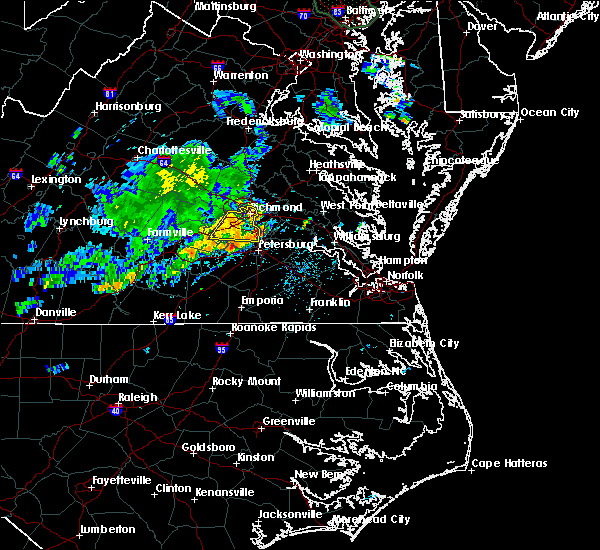 At 740 pm edt, a severe thunderstorm was located near matoaca, or near virginia state university, moving east at 20 mph (radar indicated). Hazards include 60 mph wind gusts and penny size hail. Expect damage to trees and powerlines. this severe thunderstorm will be near, chester around 750 pm edt. virginia state university around 755 pm edt. colonial heights and ettrick around 800 pm edt. petersburg and fort lee around 815 pm edt. hopewell around 825 pm edt. prince george and jordans point around 830 pm edt. Other locations impacted by this severe thunderstorm include wayside, richmond heights, birchett estate, addison, elko, jordan point country club, petersburg national battlefield, glendale, pocahontas state park and beach. At 740 pm edt, a severe thunderstorm was located near matoaca, or near virginia state university, moving east at 20 mph (radar indicated). Hazards include 60 mph wind gusts and penny size hail. Expect damage to trees and powerlines. this severe thunderstorm will be near, chester around 750 pm edt. virginia state university around 755 pm edt. colonial heights and ettrick around 800 pm edt. petersburg and fort lee around 815 pm edt. hopewell around 825 pm edt. prince george and jordans point around 830 pm edt. Other locations impacted by this severe thunderstorm include wayside, richmond heights, birchett estate, addison, elko, jordan point country club, petersburg national battlefield, glendale, pocahontas state park and beach.
|
| 7/11/2018 5:11 PM EDT |
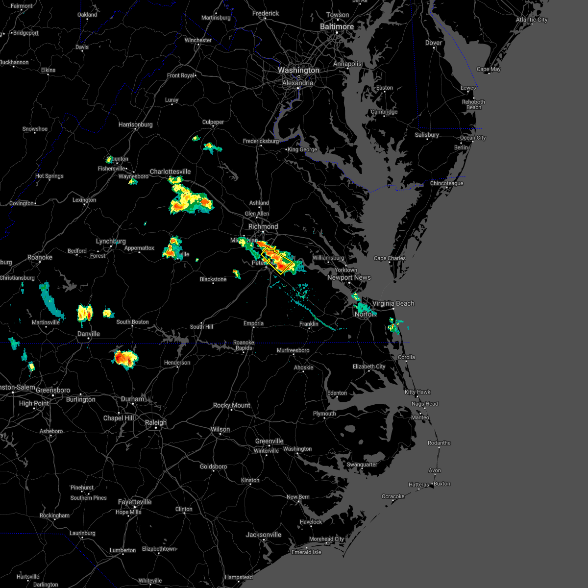 The severe thunderstorm warning for southeastern chesterfield, northwestern prince george and western charles city counties and the city of hopewell will expire at 515 pm edt, the storm which prompted the warning has weakened below severe limits, and has exited the warned area. therefore, the warning will be allowed to expire. The severe thunderstorm warning for southeastern chesterfield, northwestern prince george and western charles city counties and the city of hopewell will expire at 515 pm edt, the storm which prompted the warning has weakened below severe limits, and has exited the warned area. therefore, the warning will be allowed to expire.
|
| 7/11/2018 4:57 PM EDT |
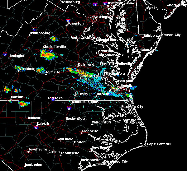 At 442 pm edt, a severe thunderstorm was located over hopewell, moving southeast at 20 mph (trained weather spotters). Hazards include 60 mph wind gusts and penny size hail. Expect damage to trees and powerlines. Locations impacted include, hopewell, colonial heights, chester, fort lee, prince george, garysville, jordans point, meadowville, birchett estate and jordan point country club. At 442 pm edt, a severe thunderstorm was located over hopewell, moving southeast at 20 mph (trained weather spotters). Hazards include 60 mph wind gusts and penny size hail. Expect damage to trees and powerlines. Locations impacted include, hopewell, colonial heights, chester, fort lee, prince george, garysville, jordans point, meadowville, birchett estate and jordan point country club.
|
| 7/11/2018 4:42 PM EDT |
 At 442 pm edt, a severe thunderstorm was located over hopewell, moving southeast at 20 mph (trained weather spotters). Hazards include 60 mph wind gusts and penny size hail. Expect damage to trees and powerlines. Locations impacted include, hopewell, colonial heights, chester, fort lee, prince george, garysville, jordans point, meadowville, birchett estate and jordan point country club. At 442 pm edt, a severe thunderstorm was located over hopewell, moving southeast at 20 mph (trained weather spotters). Hazards include 60 mph wind gusts and penny size hail. Expect damage to trees and powerlines. Locations impacted include, hopewell, colonial heights, chester, fort lee, prince george, garysville, jordans point, meadowville, birchett estate and jordan point country club.
|
| 7/11/2018 4:29 PM EDT |
 At 428 pm edt, a severe thunderstorm was located near hopewell, moving southeast at 20 mph (radar indicated). Hazards include 60 mph wind gusts and quarter size hail. Minor damage to vehicles is possible. expect wind damage to trees and powerlines. this severe thunderstorm will be near, hopewell and fort lee around 435 pm edt. jordans point around 450 pm edt. prince george around 455 pm edt. garysville around 505 pm edt. Other locations impacted by this severe thunderstorm include barnetts, jordan point country club, meadowville, wayside, birchett estate and new hope. At 428 pm edt, a severe thunderstorm was located near hopewell, moving southeast at 20 mph (radar indicated). Hazards include 60 mph wind gusts and quarter size hail. Minor damage to vehicles is possible. expect wind damage to trees and powerlines. this severe thunderstorm will be near, hopewell and fort lee around 435 pm edt. jordans point around 450 pm edt. prince george around 455 pm edt. garysville around 505 pm edt. Other locations impacted by this severe thunderstorm include barnetts, jordan point country club, meadowville, wayside, birchett estate and new hope.
|
| 6/24/2018 6:27 PM EDT |
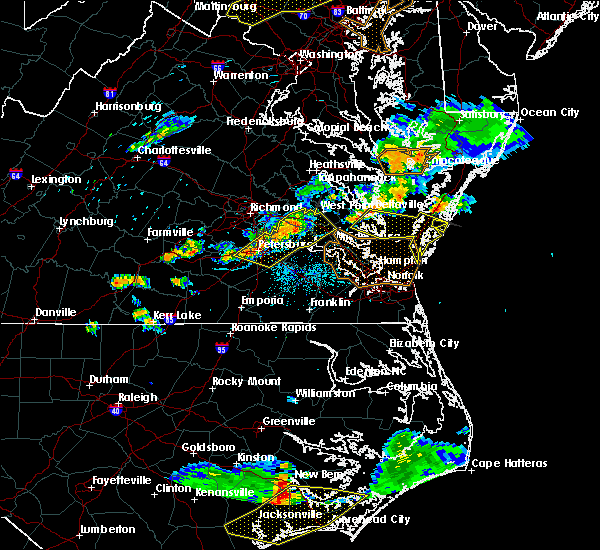 At 625 pm edt, severe thunderstorms were located along a line extending from near new kent to near sutherland, moving east at 40 mph (radar indicated). Hazards include 60 mph wind gusts and penny size hail. Expect damage to trees and powerlines. these severe storms will be near, new kent around 630 pm edt. barhamsville around 635 pm edt. toano around 640 pm edt. disputanta and norge around 645 pm edt. Other locations impacted by these severe thunderstorms include eltham, taylors corner, chickahominy shore, croaker, wayside, birchett estate, addison, mountcastle, jordan point country club and petersburg national battlefield. At 625 pm edt, severe thunderstorms were located along a line extending from near new kent to near sutherland, moving east at 40 mph (radar indicated). Hazards include 60 mph wind gusts and penny size hail. Expect damage to trees and powerlines. these severe storms will be near, new kent around 630 pm edt. barhamsville around 635 pm edt. toano around 640 pm edt. disputanta and norge around 645 pm edt. Other locations impacted by these severe thunderstorms include eltham, taylors corner, chickahominy shore, croaker, wayside, birchett estate, addison, mountcastle, jordan point country club and petersburg national battlefield.
|
| 6/24/2018 6:03 PM EDT |
 At 602 pm edt, severe thunderstorms were located along a line extending from near bottoms bridge to near mannboro, moving east at 40 mph (radar indicated). Hazards include 60 mph wind gusts and penny size hail. Expect damage to trees and powerlines. severe thunderstorms will be near, roxbury and bottoms bridge around 610 pm edt. talleysville around 615 pm edt. new kent and providence forge around 620 pm edt. virginia state university and matoaca around 625 pm edt. holdcroft around 630 pm edt. barhamsville around 635 pm edt. toano around 640 pm edt. disputanta and norge around 645 pm edt. Other locations impacted by these severe thunderstorms include eltham, taylors corner, chickahominy shore, croaker, wayside, birchett estate, addison, mountcastle, elko and jordan point country club. At 602 pm edt, severe thunderstorms were located along a line extending from near bottoms bridge to near mannboro, moving east at 40 mph (radar indicated). Hazards include 60 mph wind gusts and penny size hail. Expect damage to trees and powerlines. severe thunderstorms will be near, roxbury and bottoms bridge around 610 pm edt. talleysville around 615 pm edt. new kent and providence forge around 620 pm edt. virginia state university and matoaca around 625 pm edt. holdcroft around 630 pm edt. barhamsville around 635 pm edt. toano around 640 pm edt. disputanta and norge around 645 pm edt. Other locations impacted by these severe thunderstorms include eltham, taylors corner, chickahominy shore, croaker, wayside, birchett estate, addison, mountcastle, elko and jordan point country club.
|
| 5/14/2018 8:47 PM EDT | Tree down over roadway... cleared by fire dep in prince george county VA, 1.8 miles N of Prince George, VA |
| 5/14/2018 8:27 PM EDT | Quarter sized hail reported 2.8 miles SSE of Prince George, VA |
| 5/14/2018 8:26 PM EDT |
 At 826 pm edt, severe thunderstorms were located along a line extending from near hartfield to near petersburg, moving southeast at 45 mph (radar indicated. radar indicated. at 822 pm, 1 inch hail was reported in prince george). Hazards include 60 mph wind gusts and quarter size hail. Minor damage to vehicles is possible. expect wind damage to trees and powerlines. Locations impacted include, newport news, petersburg, hopewell, colonial heights, williamsburg, mathews, charles city, gloucester courthouse, west point, waverly, claremont, surry, queens lake, disputanta, norge, fort lee, virginia state university, toano, college of william and mary and gloucester point. At 826 pm edt, severe thunderstorms were located along a line extending from near hartfield to near petersburg, moving southeast at 45 mph (radar indicated. radar indicated. at 822 pm, 1 inch hail was reported in prince george). Hazards include 60 mph wind gusts and quarter size hail. Minor damage to vehicles is possible. expect wind damage to trees and powerlines. Locations impacted include, newport news, petersburg, hopewell, colonial heights, williamsburg, mathews, charles city, gloucester courthouse, west point, waverly, claremont, surry, queens lake, disputanta, norge, fort lee, virginia state university, toano, college of william and mary and gloucester point.
|
| 5/14/2018 8:24 PM EDT | Quarter sized hail reported 1.5 miles ESE of Prince George, VA, several reports of quarter size hail. |
| 5/14/2018 8:15 PM EDT |
 At 814 pm edt, severe thunderstorms were located along a line extending from near glenns to near sutherland, moving southeast at 45 mph (radar indicated). Hazards include 60 mph wind gusts and quarter size hail. Minor damage to vehicles is possible. expect wind damage to trees and powerlines. severe thunderstorms will be near, glenns around 820 pm edt. gloucester courthouse and hartfield around 825 pm edt. blakes and carson around 830 pm edt. disputanta around 835 pm edt. mathews and mobjack around 840 pm edt. bavon around 845 pm edt. waverly and homeville around 850 pm edt. other locations impacted by these severe thunderstorms include eltham, croaker, lackey, moon, laban, camp peary, grafton, richard bland college, clay bank and port haywood. People attending the lpga at kingsmill should seek safe shelter immediately!. At 814 pm edt, severe thunderstorms were located along a line extending from near glenns to near sutherland, moving southeast at 45 mph (radar indicated). Hazards include 60 mph wind gusts and quarter size hail. Minor damage to vehicles is possible. expect wind damage to trees and powerlines. severe thunderstorms will be near, glenns around 820 pm edt. gloucester courthouse and hartfield around 825 pm edt. blakes and carson around 830 pm edt. disputanta around 835 pm edt. mathews and mobjack around 840 pm edt. bavon around 845 pm edt. waverly and homeville around 850 pm edt. other locations impacted by these severe thunderstorms include eltham, croaker, lackey, moon, laban, camp peary, grafton, richard bland college, clay bank and port haywood. People attending the lpga at kingsmill should seek safe shelter immediately!.
|
| 5/14/2018 8:03 PM EDT |
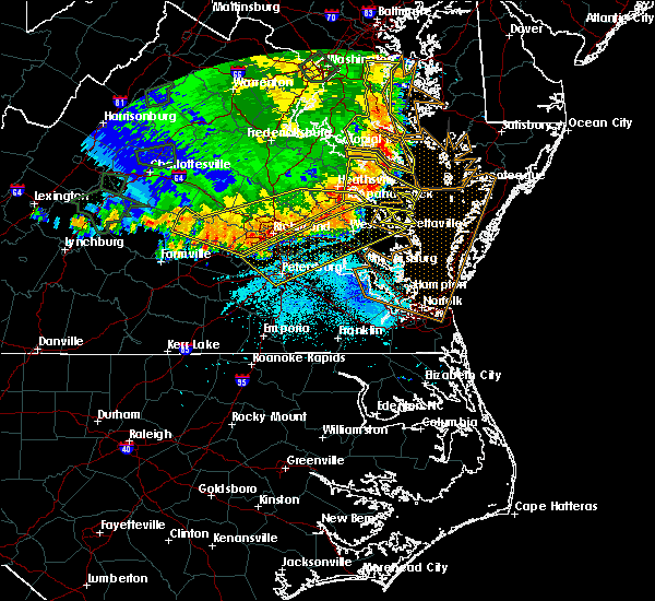 At 803 pm edt, severe thunderstorms were located along a line extending from near urbanna to 6 miles northwest of sutherland, moving southeast at 65 mph (radar indicated). Hazards include 70 mph wind gusts and quarter size hail. Minor damage to vehicles is possible. expect considerable tree damage. wind damage is also likely to mobile homes, roofs, and outbuildings. Locations impacted include, richmond, petersburg, hopewell, new kent, colonial heights, king william, charles city, west point, kilmarnock, urbanna, talleysville, chester, fort lee, virginia state university, king and queen court house, highland springs, roxbury, prince george, white stone and bellwood. At 803 pm edt, severe thunderstorms were located along a line extending from near urbanna to 6 miles northwest of sutherland, moving southeast at 65 mph (radar indicated). Hazards include 70 mph wind gusts and quarter size hail. Minor damage to vehicles is possible. expect considerable tree damage. wind damage is also likely to mobile homes, roofs, and outbuildings. Locations impacted include, richmond, petersburg, hopewell, new kent, colonial heights, king william, charles city, west point, kilmarnock, urbanna, talleysville, chester, fort lee, virginia state university, king and queen court house, highland springs, roxbury, prince george, white stone and bellwood.
|
| 5/14/2018 7:47 PM EDT |
 At 747 pm edt, severe thunderstorms were located along a line extending from near millers tavern to near chula, moving east at 55 mph (radar indicated). Hazards include 70 mph wind gusts and quarter size hail. Minor damage to vehicles is possible. expect considerable tree damage. wind damage is also likely to mobile homes, roofs, and outbuildings. severe thunderstorms will be near, stevensville around 750 pm edt. jamaica around 800 pm edt. church view around 805 pm edt. urbanna and chesterfield court house around 810 pm edt. chester around 815 pm edt. colonial heights, kilmarnock, virginia state university, white stone, ettrick and matoaca around 820 pm edt. petersburg, hopewell and fort lee around 825 pm edt. prince george, jordans point and garysville around 830 pm edt. Other locations impacted by these severe thunderstorms include eltham, byrdton, wayside, bertrand, grafton, cohoke, montrose, sandston, glendale and rose garden. At 747 pm edt, severe thunderstorms were located along a line extending from near millers tavern to near chula, moving east at 55 mph (radar indicated). Hazards include 70 mph wind gusts and quarter size hail. Minor damage to vehicles is possible. expect considerable tree damage. wind damage is also likely to mobile homes, roofs, and outbuildings. severe thunderstorms will be near, stevensville around 750 pm edt. jamaica around 800 pm edt. church view around 805 pm edt. urbanna and chesterfield court house around 810 pm edt. chester around 815 pm edt. colonial heights, kilmarnock, virginia state university, white stone, ettrick and matoaca around 820 pm edt. petersburg, hopewell and fort lee around 825 pm edt. prince george, jordans point and garysville around 830 pm edt. Other locations impacted by these severe thunderstorms include eltham, byrdton, wayside, bertrand, grafton, cohoke, montrose, sandston, glendale and rose garden.
|
| 5/10/2018 6:08 PM EDT |
 At 607 pm edt, a severe thunderstorm was located near carson, or 9 miles southwest of disputanta, moving east at 40 mph (radar indicated). Hazards include 70 mph wind gusts and penny size hail. Expect considerable tree damage. damage is likely to mobile homes, roofs, and outbuildings. this severe thunderstorm will be near, homeville around 620 pm edt. waverly around 625 pm edt. wakefield around 635 pm edt. ivor around 640 pm edt. zuni around 650 pm edt. Other locations impacted by this severe thunderstorm include vicksville, booth fork, carsley, pons, chippokes state park, booker, spring grove, lumberton, ellis fork and dory. At 607 pm edt, a severe thunderstorm was located near carson, or 9 miles southwest of disputanta, moving east at 40 mph (radar indicated). Hazards include 70 mph wind gusts and penny size hail. Expect considerable tree damage. damage is likely to mobile homes, roofs, and outbuildings. this severe thunderstorm will be near, homeville around 620 pm edt. waverly around 625 pm edt. wakefield around 635 pm edt. ivor around 640 pm edt. zuni around 650 pm edt. Other locations impacted by this severe thunderstorm include vicksville, booth fork, carsley, pons, chippokes state park, booker, spring grove, lumberton, ellis fork and dory.
|
| 5/10/2018 5:21 PM EDT |
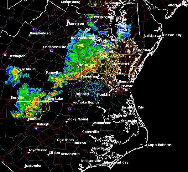 A severe thunderstorm warning remains in effect until 600 pm edt for southeastern chesterfield. prince george. southwestern charles city. southeastern henrico and northeastern dinwiddie counties. the city of colonial heights. the city of hopewell and the city of petersburg. At 521 pm edt, severe thunderstorms were located along a line. A severe thunderstorm warning remains in effect until 600 pm edt for southeastern chesterfield. prince george. southwestern charles city. southeastern henrico and northeastern dinwiddie counties. the city of colonial heights. the city of hopewell and the city of petersburg. At 521 pm edt, severe thunderstorms were located along a line.
|
| 5/10/2018 5:01 PM EDT |
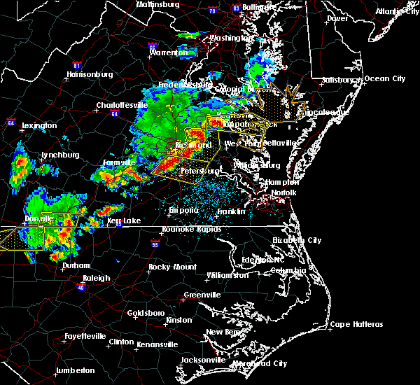 At 500 pm edt, severe thunderstorms were located along a line extending from near bensley to near sutherland, moving east at 40 mph (radar indicated). Hazards include ping pong ball size hail and 60 mph wind gusts. People and animals outdoors will be injured. expect hail damage to roofs, siding, windows, and vehicles. expect wind damage to trees and powerlines. these severe storms will be near, matoaca and ettrick around 515 pm edt. petersburg and virginia state university around 520 pm edt. charles city and adkins store around 525 pm edt. prince george and ruthville around 530 pm edt. disputanta around 535 pm edt. Other locations impacted by these severe thunderstorms include wayside, birchett estate, addison, jordan point country club, petersburg national battlefield, pocahontas state park, new bohemia, beach, richard bland college and meadowville. At 500 pm edt, severe thunderstorms were located along a line extending from near bensley to near sutherland, moving east at 40 mph (radar indicated). Hazards include ping pong ball size hail and 60 mph wind gusts. People and animals outdoors will be injured. expect hail damage to roofs, siding, windows, and vehicles. expect wind damage to trees and powerlines. these severe storms will be near, matoaca and ettrick around 515 pm edt. petersburg and virginia state university around 520 pm edt. charles city and adkins store around 525 pm edt. prince george and ruthville around 530 pm edt. disputanta around 535 pm edt. Other locations impacted by these severe thunderstorms include wayside, birchett estate, addison, jordan point country club, petersburg national battlefield, pocahontas state park, new bohemia, beach, richard bland college and meadowville.
|
| 5/10/2018 4:56 PM EDT |
 At 456 pm edt, severe thunderstorms were located along a line extending from near bensley to 7 miles west of sutherland, moving east at 40 mph (radar indicated). Hazards include 60 mph wind gusts and quarter size hail. Minor damage to vehicles is possible. expect wind damage to trees and powerlines. severe thunderstorms will be near, chester, bellwood and bensley around 500 pm edt. matoaca and ettrick around 515 pm edt. petersburg and virginia state university around 520 pm edt. charles city and adkins store around 525 pm edt. prince george and ruthville around 530 pm edt. disputanta around 535 pm edt. Other locations impacted by these severe thunderstorms include wayside, birchett estate, addison, jordan point country club, petersburg national battlefield, pocahontas state park, new bohemia, beach, richard bland college and meadowville. At 456 pm edt, severe thunderstorms were located along a line extending from near bensley to 7 miles west of sutherland, moving east at 40 mph (radar indicated). Hazards include 60 mph wind gusts and quarter size hail. Minor damage to vehicles is possible. expect wind damage to trees and powerlines. severe thunderstorms will be near, chester, bellwood and bensley around 500 pm edt. matoaca and ettrick around 515 pm edt. petersburg and virginia state university around 520 pm edt. charles city and adkins store around 525 pm edt. prince george and ruthville around 530 pm edt. disputanta around 535 pm edt. Other locations impacted by these severe thunderstorms include wayside, birchett estate, addison, jordan point country club, petersburg national battlefield, pocahontas state park, new bohemia, beach, richard bland college and meadowville.
|
| 1/12/2018 10:41 PM EST |
 At 1040 pm est, severe thunderstorms were located along a line extending from colonial heights to near sussex to near claresville, moving east at 40 mph (radar indicated). Hazards include 60 mph wind gusts. Expect damage to trees and powerlines. these severe storms will be near, hopewell and sussex around 1045 pm est. prince george and homeville around 1050 pm est. jordans point around 1055 pm est. charles city, waverly, wakefield, boykins, newsoms, garysville, adkins store, burrowsville and ruthville around 1100 pm est. Other locations impacted by these severe thunderstorms include vicksville, grizzard, wayside, booker, yale, lumberton, glendale, hilda, dory and richard bland college. At 1040 pm est, severe thunderstorms were located along a line extending from colonial heights to near sussex to near claresville, moving east at 40 mph (radar indicated). Hazards include 60 mph wind gusts. Expect damage to trees and powerlines. these severe storms will be near, hopewell and sussex around 1045 pm est. prince george and homeville around 1050 pm est. jordans point around 1055 pm est. charles city, waverly, wakefield, boykins, newsoms, garysville, adkins store, burrowsville and ruthville around 1100 pm est. Other locations impacted by these severe thunderstorms include vicksville, grizzard, wayside, booker, yale, lumberton, glendale, hilda, dory and richard bland college.
|
| 1/12/2018 10:20 PM EST |
 At 1019 pm est, severe thunderstorms were located along a line extending from near sutherland to stony creek to near gaston, moving east at 40 mph (radar indicated). Hazards include 60 mph wind gusts. Expect damage to trees and powerlines. severe thunderstorms will be near, stony creek and carson around 1030 pm est. colonial heights, virginia state university, chester, ettrick, matoaca and claresville around 1035 pm est. petersburg, fort lee and sussex around 1040 pm est. hopewell and prince george around 1045 pm est. homeville around 1050 pm est. boykins, jordans point and garysville around 1055 pm est. charles city, waverly, wakefield, newsoms, burrowsville, ruthville and adkins store around 1100 pm est. Other locations impacted by these severe thunderstorms include vicksville, grizzard, wayside, booker, yale, pleasant shade, lumberton, wharfs store, glendale and hilda. At 1019 pm est, severe thunderstorms were located along a line extending from near sutherland to stony creek to near gaston, moving east at 40 mph (radar indicated). Hazards include 60 mph wind gusts. Expect damage to trees and powerlines. severe thunderstorms will be near, stony creek and carson around 1030 pm est. colonial heights, virginia state university, chester, ettrick, matoaca and claresville around 1035 pm est. petersburg, fort lee and sussex around 1040 pm est. hopewell and prince george around 1045 pm est. homeville around 1050 pm est. boykins, jordans point and garysville around 1055 pm est. charles city, waverly, wakefield, newsoms, burrowsville, ruthville and adkins store around 1100 pm est. Other locations impacted by these severe thunderstorms include vicksville, grizzard, wayside, booker, yale, pleasant shade, lumberton, wharfs store, glendale and hilda.
|
| 6/19/2017 7:56 PM EDT |
 The national weather service in wakefield has issued a * severe thunderstorm warning for. southern chesterfield county in central virginia. the city of colonial heights in central virginia. the city of hopewell in south central virginia. The city of petersburg in south central virginia. The national weather service in wakefield has issued a * severe thunderstorm warning for. southern chesterfield county in central virginia. the city of colonial heights in central virginia. the city of hopewell in south central virginia. The city of petersburg in south central virginia.
|
| 6/19/2017 7:56 PM EDT |
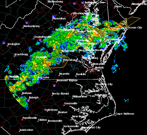 At 756 pm edt, severe thunderstorms were located along a line extending from near spainville to fort pickett to near dundas, moving northeast at 50 mph (radar indicated). Hazards include 60 mph wind gusts and quarter size hail. Minor damage to vehicles is possible. expect wind damage to trees and powerlines. severe thunderstorms will be near, spainville around 800 pm edt. mannboro and wilsons around 805 pm edt. mckenney around 815 pm edt. dewitt around 820 pm edt. dinwiddie and sutherland around 825 pm edt. chesterfield court house around 830 pm edt. colonial heights, virginia state university, chester, ettrick, matoaca and carson around 835 pm edt. petersburg, hopewell, fort lee, bellwood and bensley around 840 pm edt. Other locations impacted by these severe thunderstorms include north wellville, birchett estate, addison, earls, ammon, forkland, jordan point country club, wharfs store, petersburg national battlefield and darvills. At 756 pm edt, severe thunderstorms were located along a line extending from near spainville to fort pickett to near dundas, moving northeast at 50 mph (radar indicated). Hazards include 60 mph wind gusts and quarter size hail. Minor damage to vehicles is possible. expect wind damage to trees and powerlines. severe thunderstorms will be near, spainville around 800 pm edt. mannboro and wilsons around 805 pm edt. mckenney around 815 pm edt. dewitt around 820 pm edt. dinwiddie and sutherland around 825 pm edt. chesterfield court house around 830 pm edt. colonial heights, virginia state university, chester, ettrick, matoaca and carson around 835 pm edt. petersburg, hopewell, fort lee, bellwood and bensley around 840 pm edt. Other locations impacted by these severe thunderstorms include north wellville, birchett estate, addison, earls, ammon, forkland, jordan point country club, wharfs store, petersburg national battlefield and darvills.
|
| 5/27/2017 8:31 PM EDT |
 At 831 pm edt, severe thunderstorms were located along a line extending from prince george to near rice, moving southeast at 25 mph (radar indicated). Hazards include 60 mph wind gusts and quarter size hail. Minor damage to vehicles is possible. expect wind damage to trees and powerlines. these severe storms will be near, petersburg, hopewell, fort lee, prince george and jordans point around 835 pm edt. garysville around 840 pm edt. burrowsville around 845 pm edt. Other locations impacted by these severe thunderstorms include north wellville, chippokes state park, wayside, ammon, pocahontas state park, skinquarter, beach, richard bland college, meadowville and new hope. At 831 pm edt, severe thunderstorms were located along a line extending from prince george to near rice, moving southeast at 25 mph (radar indicated). Hazards include 60 mph wind gusts and quarter size hail. Minor damage to vehicles is possible. expect wind damage to trees and powerlines. these severe storms will be near, petersburg, hopewell, fort lee, prince george and jordans point around 835 pm edt. garysville around 840 pm edt. burrowsville around 845 pm edt. Other locations impacted by these severe thunderstorms include north wellville, chippokes state park, wayside, ammon, pocahontas state park, skinquarter, beach, richard bland college, meadowville and new hope.
|
| 5/27/2017 8:13 PM EDT |
 At 813 pm edt, severe thunderstorms were located along a line extending from near hopewell to near rice, moving southeast at 25 mph (radar indicated). Hazards include 60 mph wind gusts and quarter size hail. Minor damage to vehicles is possible. expect wind damage to trees and powerlines. these severe storms will be near, petersburg, hopewell, colonial heights, fort lee, virginia state university, ettrick and matoaca around 820 pm edt. jordans point around 825 pm edt. prince george around 830 pm edt. burkeville around 835 pm edt. crewe and garysville around 840 pm edt. burrowsville around 845 pm edt. Other locations impacted by these severe thunderstorms include north wellville, angola, chippokes state park, wayside, ammon, glendale, pocahontas state park, skinquarter, beach and richard bland college. At 813 pm edt, severe thunderstorms were located along a line extending from near hopewell to near rice, moving southeast at 25 mph (radar indicated). Hazards include 60 mph wind gusts and quarter size hail. Minor damage to vehicles is possible. expect wind damage to trees and powerlines. these severe storms will be near, petersburg, hopewell, colonial heights, fort lee, virginia state university, ettrick and matoaca around 820 pm edt. jordans point around 825 pm edt. prince george around 830 pm edt. burkeville around 835 pm edt. crewe and garysville around 840 pm edt. burrowsville around 845 pm edt. Other locations impacted by these severe thunderstorms include north wellville, angola, chippokes state park, wayside, ammon, glendale, pocahontas state park, skinquarter, beach and richard bland college.
|
| 5/27/2017 8:09 PM EDT |
 At 806 pm edt, severe thunderstorms were located along a line extending from near chester to near guinea mills, moving southeast at 25 mph (radar indicated). Hazards include 60 mph wind gusts and quarter size hail. Minor damage to vehicles is possible. expect wind damage to trees and powerlines. severe thunderstorms will be near, colonial heights and chester around 810 pm edt. hopewell, fort lee, virginia state university, ettrick and matoaca around 815 pm edt. petersburg around 820 pm edt. jordans point around 825 pm edt. prince george around 830 pm edt. jetersville around 835 pm edt. burkeville and garysville around 840 pm edt. crewe and burrowsville around 845 pm edt. Other locations impacted by these severe thunderstorms include north wellville, angola, chippokes state park, wayside, ammon, glendale, pocahontas state park, skinquarter, beach and richard bland college. At 806 pm edt, severe thunderstorms were located along a line extending from near chester to near guinea mills, moving southeast at 25 mph (radar indicated). Hazards include 60 mph wind gusts and quarter size hail. Minor damage to vehicles is possible. expect wind damage to trees and powerlines. severe thunderstorms will be near, colonial heights and chester around 810 pm edt. hopewell, fort lee, virginia state university, ettrick and matoaca around 815 pm edt. petersburg around 820 pm edt. jordans point around 825 pm edt. prince george around 830 pm edt. jetersville around 835 pm edt. burkeville and garysville around 840 pm edt. crewe and burrowsville around 845 pm edt. Other locations impacted by these severe thunderstorms include north wellville, angola, chippokes state park, wayside, ammon, glendale, pocahontas state park, skinquarter, beach and richard bland college.
|
| 5/27/2017 7:31 PM EDT |
 At 731 pm edt, severe thunderstorms were located along a line extending from near highland springs to near richmond, moving southeast at 30 mph (radar indicated). Hazards include ping pong ball size hail and 60 mph wind gusts. People and animals outdoors will be injured. expect hail damage to roofs, siding, windows, and vehicles. expect wind damage to trees and powerlines. severe thunderstorms will be near, bellwood around 740 pm edt. chester around 745 pm edt. hopewell, colonial heights, jordans point and adkins store around 800 pm edt. charles city, fort lee and ruthville around 805 pm edt. garysville around 810 pm edt. prince george and burrowsville around 815 pm edt. Other locations impacted by these severe thunderstorms include taylors corner, wayside, richmond heights, birchett estate, brandon, elko, jordan point country club, montrose, sandston and glendale. At 731 pm edt, severe thunderstorms were located along a line extending from near highland springs to near richmond, moving southeast at 30 mph (radar indicated). Hazards include ping pong ball size hail and 60 mph wind gusts. People and animals outdoors will be injured. expect hail damage to roofs, siding, windows, and vehicles. expect wind damage to trees and powerlines. severe thunderstorms will be near, bellwood around 740 pm edt. chester around 745 pm edt. hopewell, colonial heights, jordans point and adkins store around 800 pm edt. charles city, fort lee and ruthville around 805 pm edt. garysville around 810 pm edt. prince george and burrowsville around 815 pm edt. Other locations impacted by these severe thunderstorms include taylors corner, wayside, richmond heights, birchett estate, brandon, elko, jordan point country club, montrose, sandston and glendale.
|
| 5/27/2017 7:13 PM EDT |
 At 712 pm edt, a severe thunderstorm was located over garysville, or 8 miles southwest of charles city, moving southeast at 25 mph (radar indicated). Hazards include 60 mph wind gusts and quarter size hail. Minor damage to vehicles is possible. expect wind damage to trees and powerlines. this severe storm will be near, burrowsville around 720 pm edt. cabin point around 730 pm edt. claremont around 735 pm edt. Other locations impacted by this severe thunderstorm include taylors corner, carsley, brandon, spring grove, gwaltney corner, oak hill corner, jordan point country club, savedge and barham. At 712 pm edt, a severe thunderstorm was located over garysville, or 8 miles southwest of charles city, moving southeast at 25 mph (radar indicated). Hazards include 60 mph wind gusts and quarter size hail. Minor damage to vehicles is possible. expect wind damage to trees and powerlines. this severe storm will be near, burrowsville around 720 pm edt. cabin point around 730 pm edt. claremont around 735 pm edt. Other locations impacted by this severe thunderstorm include taylors corner, carsley, brandon, spring grove, gwaltney corner, oak hill corner, jordan point country club, savedge and barham.
|
| 5/27/2017 6:56 PM EDT |
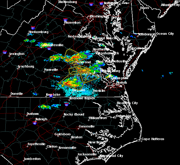 At 656 pm edt, a severe thunderstorm was located over jordans point, or near hopewell, moving southeast at 30 mph (trained weather spotters). Hazards include two inch hail and 60 mph wind gusts. People and animals outdoors will be injured. expect hail damage to roofs, siding, windows, and vehicles. expect wind damage to trees and powerlines. this severe thunderstorm will be near, garysville around 705 pm edt. burrowsville around 715 pm edt. cabin point around 720 pm edt. claremont around 725 pm edt. waverly around 730 pm edt. surry and elberon around 745 pm edt. Other locations impacted by this severe thunderstorm include taylors corner, carsley, newville, wayside, birchett estate, brandon, spring grove, jordan point country club, barham and prince george golf. At 656 pm edt, a severe thunderstorm was located over jordans point, or near hopewell, moving southeast at 30 mph (trained weather spotters). Hazards include two inch hail and 60 mph wind gusts. People and animals outdoors will be injured. expect hail damage to roofs, siding, windows, and vehicles. expect wind damage to trees and powerlines. this severe thunderstorm will be near, garysville around 705 pm edt. burrowsville around 715 pm edt. cabin point around 720 pm edt. claremont around 725 pm edt. waverly around 730 pm edt. surry and elberon around 745 pm edt. Other locations impacted by this severe thunderstorm include taylors corner, carsley, newville, wayside, birchett estate, brandon, spring grove, jordan point country club, barham and prince george golf.
|
| 5/27/2017 6:52 PM EDT |
 At 652 pm edt, a severe thunderstorm was located near purdy, moving southeast at 40 mph (radar indicated). Hazards include ping pong ball size hail and 60 mph wind gusts. People and animals outdoors will be injured. expect hail damage to roofs, siding, windows, and vehicles. expect wind damage to trees and powerlines. this severe storm will be near, jarratt around 700 pm edt. Other locations impacted by this severe thunderstorm include birchett estate, addison, booker, yale, jordan point country club, wharfs store, petersburg national battlefield, darvills, hilda and church road. At 652 pm edt, a severe thunderstorm was located near purdy, moving southeast at 40 mph (radar indicated). Hazards include ping pong ball size hail and 60 mph wind gusts. People and animals outdoors will be injured. expect hail damage to roofs, siding, windows, and vehicles. expect wind damage to trees and powerlines. this severe storm will be near, jarratt around 700 pm edt. Other locations impacted by this severe thunderstorm include birchett estate, addison, booker, yale, jordan point country club, wharfs store, petersburg national battlefield, darvills, hilda and church road.
|
| 5/27/2017 6:14 PM EDT |
 At 614 pm edt, a severe thunderstorm was located near sutherland, or 9 miles east of mannboro, moving east at 45 mph (radar indicated). Hazards include ping pong ball size hail and 60 mph wind gusts. People and animals outdoors will be injured. expect hail damage to roofs, siding, windows, and vehicles. expect wind damage to trees and powerlines. this severe thunderstorm will be near, sutherland around 620 pm edt. colonial heights, virginia state university, matoaca and ettrick around 630 pm edt. petersburg and fort lee around 635 pm edt. prince george around 640 pm edt. disputanta and garysville around 650 pm edt. burrowsville around 700 pm edt. Other locations impacted by this severe thunderstorm include birchett estate, addison, booker, ammon, yale, jordan point country club, wharfs store, petersburg national battlefield, darvills and hilda. At 614 pm edt, a severe thunderstorm was located near sutherland, or 9 miles east of mannboro, moving east at 45 mph (radar indicated). Hazards include ping pong ball size hail and 60 mph wind gusts. People and animals outdoors will be injured. expect hail damage to roofs, siding, windows, and vehicles. expect wind damage to trees and powerlines. this severe thunderstorm will be near, sutherland around 620 pm edt. colonial heights, virginia state university, matoaca and ettrick around 630 pm edt. petersburg and fort lee around 635 pm edt. prince george around 640 pm edt. disputanta and garysville around 650 pm edt. burrowsville around 700 pm edt. Other locations impacted by this severe thunderstorm include birchett estate, addison, booker, ammon, yale, jordan point country club, wharfs store, petersburg national battlefield, darvills and hilda.
|
| 5/27/2017 6:13 PM EDT |
 At 612 pm edt, a severe thunderstorm was located near highland springs, moving southeast at 35 mph (trained weather spotters). Hazards include two inch hail and 60 mph wind gusts. People and animals outdoors will be injured. expect hail damage to roofs, siding, windows, and vehicles. expect wind damage to trees and powerlines. this severe thunderstorm will be near, jordans point around 635 pm edt. adkins store around 640 pm edt. Other locations impacted by this severe thunderstorm include meadowville, wayside, richmond heights, birchett estate, varina, barnetts, jordan point country club, roaches corner, glendale and montrose. At 612 pm edt, a severe thunderstorm was located near highland springs, moving southeast at 35 mph (trained weather spotters). Hazards include two inch hail and 60 mph wind gusts. People and animals outdoors will be injured. expect hail damage to roofs, siding, windows, and vehicles. expect wind damage to trees and powerlines. this severe thunderstorm will be near, jordans point around 635 pm edt. adkins store around 640 pm edt. Other locations impacted by this severe thunderstorm include meadowville, wayside, richmond heights, birchett estate, varina, barnetts, jordan point country club, roaches corner, glendale and montrose.
|
| 5/5/2017 7:49 AM EDT |
 At 748 am edt, severe thunderstorms were located along a line extending from providence forge to burrowsville to near waverly, moving northeast at 55 mph (radar indicated). Hazards include 60 mph wind gusts. Expect damage to roofs, siding, and trees. these severe storms will be near, new kent, claremont, talleysville, providence forge and ruthville around 755 am edt. west point, dendron, rustic, holdcroft and barhamsville around 800 am edt. other locations impacted by these severe thunderstorms include eltham, taylors corner, carsley, chickahominy shore, wayside, birchett estate, spring grove, mountcastle, elko and jordan point country club. A tornado watch remains in effect until 100 pm edt for south central, southeastern and east central virginia. At 748 am edt, severe thunderstorms were located along a line extending from providence forge to burrowsville to near waverly, moving northeast at 55 mph (radar indicated). Hazards include 60 mph wind gusts. Expect damage to roofs, siding, and trees. these severe storms will be near, new kent, claremont, talleysville, providence forge and ruthville around 755 am edt. west point, dendron, rustic, holdcroft and barhamsville around 800 am edt. other locations impacted by these severe thunderstorms include eltham, taylors corner, carsley, chickahominy shore, wayside, birchett estate, spring grove, mountcastle, elko and jordan point country club. A tornado watch remains in effect until 100 pm edt for south central, southeastern and east central virginia.
|
| 5/5/2017 7:20 AM EDT |
 At 720 am edt, severe thunderstorms were located along a line extending from petersburg to carson to jarratt, moving northeast at 55 mph (radar indicated). Hazards include 60 mph wind gusts. Expect damage to roofs, siding, and trees. severe thunderstorms will be near, petersburg, hopewell, colonial heights, fort lee, virginia state university, prince george, ettrick and matoaca around 725 am edt. jordans point around 730 am edt. disputanta and sussex around 735 am edt. charles city and adkins store around 740 am edt. roxbury, burrowsville, providence forge, homeville, cabin point, ruthville and garysville around 745 am edt. waverly and talleysville around 750 am edt. new kent, claremont and rustic around 755 am edt. west point, toano, dendron, holdcroft and barhamsville around 800 am edt. other locations impacted by these severe thunderstorms include eltham, wayside, booker, yale, cohoke, glendale, hilda, richard bland college, meadowville and cooke. A tornado watch remains in effect until 100 pm edt for south central, southeastern and east central virginia. At 720 am edt, severe thunderstorms were located along a line extending from petersburg to carson to jarratt, moving northeast at 55 mph (radar indicated). Hazards include 60 mph wind gusts. Expect damage to roofs, siding, and trees. severe thunderstorms will be near, petersburg, hopewell, colonial heights, fort lee, virginia state university, prince george, ettrick and matoaca around 725 am edt. jordans point around 730 am edt. disputanta and sussex around 735 am edt. charles city and adkins store around 740 am edt. roxbury, burrowsville, providence forge, homeville, cabin point, ruthville and garysville around 745 am edt. waverly and talleysville around 750 am edt. new kent, claremont and rustic around 755 am edt. west point, toano, dendron, holdcroft and barhamsville around 800 am edt. other locations impacted by these severe thunderstorms include eltham, wayside, booker, yale, cohoke, glendale, hilda, richard bland college, meadowville and cooke. A tornado watch remains in effect until 100 pm edt for south central, southeastern and east central virginia.
|
| 7/19/2016 6:06 PM EDT |
 At 605 pm edt, a severe thunderstorm was located near disputanta, moving southeast at 15 mph (radar indicated). Hazards include 60 mph wind gusts and quarter size hail. Hail damage to vehicles is expected. expect wind damage to roofs, siding, and trees. this severe storm will be near, cabin point around 620 pm edt. waverly around 640 pm edt. wakefield and dendron around 645 pm edt. other locations impacted by this severe thunderstorm include bacons castle, newville, spring grove, delk crossroads, alliance, prince george golf, new bohemia, templeton, poolesville and brandon. precautionary/preparedness actions, for your protection move to an interior room on the lowest floor of a building. please send your reports of hail and or wind damage, including trees or large limbs downed, by calling noaa`s national weather service in wakefield at , 7 5 7, 8 9 9, 2 4 1 5. At 605 pm edt, a severe thunderstorm was located near disputanta, moving southeast at 15 mph (radar indicated). Hazards include 60 mph wind gusts and quarter size hail. Hail damage to vehicles is expected. expect wind damage to roofs, siding, and trees. this severe storm will be near, cabin point around 620 pm edt. waverly around 640 pm edt. wakefield and dendron around 645 pm edt. other locations impacted by this severe thunderstorm include bacons castle, newville, spring grove, delk crossroads, alliance, prince george golf, new bohemia, templeton, poolesville and brandon. precautionary/preparedness actions, for your protection move to an interior room on the lowest floor of a building. please send your reports of hail and or wind damage, including trees or large limbs downed, by calling noaa`s national weather service in wakefield at , 7 5 7, 8 9 9, 2 4 1 5.
|
| 7/19/2016 6:00 PM EDT | Trees down along hines rd at webb r in prince george county VA, 2.7 miles WNW of Prince George, VA |
| 7/19/2016 5:57 PM EDT |
 At 557 pm edt, a severe thunderstorm was located near disputanta, moving southeast at 25 mph (radar indicated). Hazards include 60 mph wind gusts and quarter size hail. Hail damage to vehicles is expected. expect wind damage to roofs, siding, and trees. this severe thunderstorm will be near, cabin point around 605 pm edt. waverly around 620 pm edt. dendron around 630 pm edt. wakefield around 635 pm edt. Other locations impacted by this severe thunderstorm include jordan point country club, bacons castle, richard bland college, spring grove, newville, alliance, delk crossroads, prince george golf, new bohemia and templeton. At 557 pm edt, a severe thunderstorm was located near disputanta, moving southeast at 25 mph (radar indicated). Hazards include 60 mph wind gusts and quarter size hail. Hail damage to vehicles is expected. expect wind damage to roofs, siding, and trees. this severe thunderstorm will be near, cabin point around 605 pm edt. waverly around 620 pm edt. dendron around 630 pm edt. wakefield around 635 pm edt. Other locations impacted by this severe thunderstorm include jordan point country club, bacons castle, richard bland college, spring grove, newville, alliance, delk crossroads, prince george golf, new bohemia and templeton.
|
| 7/19/2016 5:22 PM EDT |
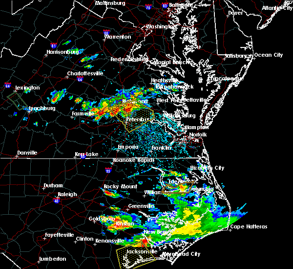 At 522 pm edt, a severe thunderstorm was located near bellwood, or near hopewell, moving southeast at 20 mph (radar indicated). Hazards include 70 mph wind gusts and quarter size hail. Hail damage to vehicles is expected. expect considerable tree damage. wind damage is also likely to mobile homes, roofs, and outbuildings. this severe storm will be near, hopewell and fort lee around 530 pm edt. jordans point around 545 pm edt. adkins store around 550 pm edt. charles city around 555 pm edt. garysville and burrowsville around 600 pm edt. other locations impacted by this severe thunderstorm include chesterfield, sandybottom, jordan point country club, orapax farms, new hope, richard bland college, prince george golf, colonial downs, new bohemia and wayside. precautionary/preparedness actions, for your protection move to an interior room on the lowest floor of a building. please send your reports of hail and or wind damage, including trees or large limbs downed, by calling noaa`s national weather service in wakefield at , 7 5 7, 8 9 9, 2 4 1 5. At 522 pm edt, a severe thunderstorm was located near bellwood, or near hopewell, moving southeast at 20 mph (radar indicated). Hazards include 70 mph wind gusts and quarter size hail. Hail damage to vehicles is expected. expect considerable tree damage. wind damage is also likely to mobile homes, roofs, and outbuildings. this severe storm will be near, hopewell and fort lee around 530 pm edt. jordans point around 545 pm edt. adkins store around 550 pm edt. charles city around 555 pm edt. garysville and burrowsville around 600 pm edt. other locations impacted by this severe thunderstorm include chesterfield, sandybottom, jordan point country club, orapax farms, new hope, richard bland college, prince george golf, colonial downs, new bohemia and wayside. precautionary/preparedness actions, for your protection move to an interior room on the lowest floor of a building. please send your reports of hail and or wind damage, including trees or large limbs downed, by calling noaa`s national weather service in wakefield at , 7 5 7, 8 9 9, 2 4 1 5.
|
| 7/19/2016 5:15 PM EDT |
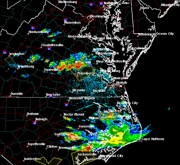 At 515 pm edt, a severe thunderstorm was located near bellwood, or near chester, moving southeast at 30 mph (radar indicated). Hazards include 60 mph wind gusts and quarter size hail. Hail damage to vehicles is expected. expect wind damage to roofs, siding, and trees. this severe thunderstorm will be near, hopewell and fort lee around 525 pm edt. prince george and jordans point around 535 pm edt. charles city around 540 pm edt. garysville around 545 pm edt. burrowsville around 555 pm edt. Other locations impacted by this severe thunderstorm include chesterfield, sandybottom, jordan point country club, orapax farms, new hope, richard bland college, prince george golf, colonial downs, new bohemia and wayside. At 515 pm edt, a severe thunderstorm was located near bellwood, or near chester, moving southeast at 30 mph (radar indicated). Hazards include 60 mph wind gusts and quarter size hail. Hail damage to vehicles is expected. expect wind damage to roofs, siding, and trees. this severe thunderstorm will be near, hopewell and fort lee around 525 pm edt. prince george and jordans point around 535 pm edt. charles city around 540 pm edt. garysville around 545 pm edt. burrowsville around 555 pm edt. Other locations impacted by this severe thunderstorm include chesterfield, sandybottom, jordan point country club, orapax farms, new hope, richard bland college, prince george golf, colonial downs, new bohemia and wayside.
|
| 6/23/2016 7:38 AM EDT |
 At 738 am edt, a severe thunderstorm was located near charles city, moving east at 45 mph (radar indicated). Hazards include 60 mph wind gusts and quarter size hail. Hail damage to vehicles is expected. expect wind damage to roofs, siding, and trees. this severe thunderstorm will be near, rustic and holdcroft around 745 am edt. claremont around 750 am edt. williamsburg, surry, college of william and mary, jamestown and scotland around 800 am edt. queens lake, kings point, carver gardens and york terrace around 805 am edt. busch gardens and grove around 810 am edt. newport news, virginia institute for marine sciences, lee hall and fort eustis around 815 am edt. patrick henry field and denbigh around 820 am edt. seaford, tabb and beaconsdale around 825 am edt. Other locations impacted by this severe thunderstorm include ruff, belroi, harcum, hog island game reserve, sandybottom, adner, bacons castle, new hope, ark and hornsbyville. At 738 am edt, a severe thunderstorm was located near charles city, moving east at 45 mph (radar indicated). Hazards include 60 mph wind gusts and quarter size hail. Hail damage to vehicles is expected. expect wind damage to roofs, siding, and trees. this severe thunderstorm will be near, rustic and holdcroft around 745 am edt. claremont around 750 am edt. williamsburg, surry, college of william and mary, jamestown and scotland around 800 am edt. queens lake, kings point, carver gardens and york terrace around 805 am edt. busch gardens and grove around 810 am edt. newport news, virginia institute for marine sciences, lee hall and fort eustis around 815 am edt. patrick henry field and denbigh around 820 am edt. seaford, tabb and beaconsdale around 825 am edt. Other locations impacted by this severe thunderstorm include ruff, belroi, harcum, hog island game reserve, sandybottom, adner, bacons castle, new hope, ark and hornsbyville.
|
| 6/23/2016 7:36 AM EDT |
 At 734 am edt, a severe thunderstorm was located over charles city, moving east at 60 mph (radar indicated). Hazards include 60 mph wind gusts and quarter size hail. Hail damage to vehicles is expected. expect wind damage to roofs, siding, and trees. this severe thunderstorm will remain over mainly rural areas of southeastern henrico, western new kent, northern prince george, and charles city counties and the city of hopewell, including the following locations: taylors corner, sandybottom, birchett estate, jordan point country club, orapax farms, new hope, wrights corner, browns corner, colonial downs and new bohemia. precautionary/preparedness actions, for your protection move to an interior room on the lowest floor of a building. please send your reports of hail and or wind damage, including trees or large limbs downed, by calling noaa`s national weather service in wakefield at , 7 5 7, 8 9 9, 2 4 1 5. At 734 am edt, a severe thunderstorm was located over charles city, moving east at 60 mph (radar indicated). Hazards include 60 mph wind gusts and quarter size hail. Hail damage to vehicles is expected. expect wind damage to roofs, siding, and trees. this severe thunderstorm will remain over mainly rural areas of southeastern henrico, western new kent, northern prince george, and charles city counties and the city of hopewell, including the following locations: taylors corner, sandybottom, birchett estate, jordan point country club, orapax farms, new hope, wrights corner, browns corner, colonial downs and new bohemia. precautionary/preparedness actions, for your protection move to an interior room on the lowest floor of a building. please send your reports of hail and or wind damage, including trees or large limbs downed, by calling noaa`s national weather service in wakefield at , 7 5 7, 8 9 9, 2 4 1 5.
|
| 6/23/2016 7:11 AM EDT |
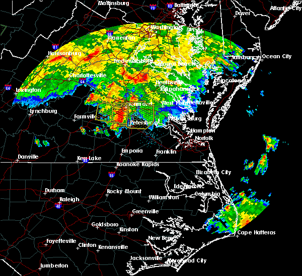 At 711 am edt, a severe thunderstorm was located over chesterfield court house, or near chester, moving east at 45 mph (radar indicated). Hazards include 60 mph wind gusts and quarter size hail. Hail damage to vehicles is expected. expect wind damage to roofs, siding, and trees. this severe thunderstorm will be near, hopewell around 720 am edt. jordans point around 730 am edt. roxbury and bottoms bridge around 735 am edt. charles city, talleysville and adkins store around 740 am edt. providence forge and ruthville around 745 am edt. new kent around 750 am edt. Other locations impacted by this severe thunderstorm include chesterfield, sandybottom, jordan point country club, orapax farms, new hope, richard bland college, colonial downs, new bohemia, wayside and roslyn hills. At 711 am edt, a severe thunderstorm was located over chesterfield court house, or near chester, moving east at 45 mph (radar indicated). Hazards include 60 mph wind gusts and quarter size hail. Hail damage to vehicles is expected. expect wind damage to roofs, siding, and trees. this severe thunderstorm will be near, hopewell around 720 am edt. jordans point around 730 am edt. roxbury and bottoms bridge around 735 am edt. charles city, talleysville and adkins store around 740 am edt. providence forge and ruthville around 745 am edt. new kent around 750 am edt. Other locations impacted by this severe thunderstorm include chesterfield, sandybottom, jordan point country club, orapax farms, new hope, richard bland college, colonial downs, new bohemia, wayside and roslyn hills.
|
| 6/16/2016 10:46 PM EDT |
 At 1046 pm edt, severe thunderstorms were located along a line extending from near rustic to near petersburg, moving southeast at 40 mph (radar indicated). Hazards include 60 mph wind gusts and quarter size hail. Hail damage to vehicles is expected. expect wind damage to roofs, siding, and trees. severe thunderstorms will be near, claremont around 1050 pm edt. surry, jamestown and scotland around 1055 pm edt. disputanta and kings point around 1100 pm edt. busch gardens and grove around 1105 pm edt. newport news, lee hall and fort eustis around 1110 pm edt. waverly, denbigh and homeville around 1115 pm edt. patrick henry field, seaford and tabb around 1120 pm edt. dendron around 1125 pm edt. Other locations impacted by these severe thunderstorms include addison, hog island game reserve, newport news golf course, jordan point country club, bacons castle, richard bland college, spring grove, newville, hornsbyville and alliance. At 1046 pm edt, severe thunderstorms were located along a line extending from near rustic to near petersburg, moving southeast at 40 mph (radar indicated). Hazards include 60 mph wind gusts and quarter size hail. Hail damage to vehicles is expected. expect wind damage to roofs, siding, and trees. severe thunderstorms will be near, claremont around 1050 pm edt. surry, jamestown and scotland around 1055 pm edt. disputanta and kings point around 1100 pm edt. busch gardens and grove around 1105 pm edt. newport news, lee hall and fort eustis around 1110 pm edt. waverly, denbigh and homeville around 1115 pm edt. patrick henry field, seaford and tabb around 1120 pm edt. dendron around 1125 pm edt. Other locations impacted by these severe thunderstorms include addison, hog island game reserve, newport news golf course, jordan point country club, bacons castle, richard bland college, spring grove, newville, hornsbyville and alliance.
|
| 6/16/2016 10:22 PM EDT |
 At 1021 pm edt, severe thunderstorms were located along a line extending from near jordans point to 6 miles east of mannboro, moving east at 40 mph (radar indicated). Hazards include 60 mph wind gusts and quarter size hail. Hail damage to vehicles is expected. expect wind damage to roofs, siding, and trees. severe thunderstorms will be near, jordans point and garysville around 1025 pm edt. burrowsville around 1035 pm edt. virginia state university, matoaca and ettrick around 1040 pm edt. petersburg and claremont around 1045 pm edt. Other locations impacted by these severe thunderstorms include taylors corner, addison, chesterfield, birchett estate, governors land, jordan point country club, richard bland college, burgess, prince george golf and new bohemia. At 1021 pm edt, severe thunderstorms were located along a line extending from near jordans point to 6 miles east of mannboro, moving east at 40 mph (radar indicated). Hazards include 60 mph wind gusts and quarter size hail. Hail damage to vehicles is expected. expect wind damage to roofs, siding, and trees. severe thunderstorms will be near, jordans point and garysville around 1025 pm edt. burrowsville around 1035 pm edt. virginia state university, matoaca and ettrick around 1040 pm edt. petersburg and claremont around 1045 pm edt. Other locations impacted by these severe thunderstorms include taylors corner, addison, chesterfield, birchett estate, governors land, jordan point country club, richard bland college, burgess, prince george golf and new bohemia.
|
| 5/2/2016 6:08 PM EDT |
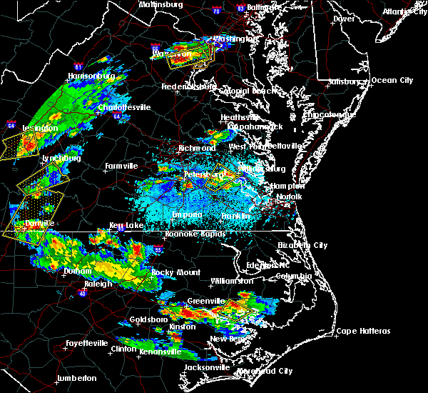 At 607 pm edt, severe thunderstorms were located along a line extending from garysville to near rustic to near surry, moving northeast at 30 mph (radar indicated). Hazards include 60 mph wind gusts and quarter size hail. Hail damage to vehicles is expected. expect wind damage to roofs, siding, and trees. severe thunderstorms will be near, scotland around 615 pm edt. williamsburg, norge, toano and jamestown around 620 pm edt. college of william and mary and kings point around 625 pm edt. busch gardens, grove, carver gardens, york terrace and rustic around 630 pm edt. newport news, queens lake, holdcroft, providence forge and lee hall around 635 pm edt. new kent, gloucester courthouse, virginia institute for marine sciences and wicomico around 645 pm edt. gloucester point and achilles around 650 pm edt. barhamsville and hayes around 655 pm edt. Other locations impacted by these severe thunderstorms include belroi, hog island game reserve, sandybottom, adner, bacons castle, new hope, ark, selden, severn and camp peary. At 607 pm edt, severe thunderstorms were located along a line extending from garysville to near rustic to near surry, moving northeast at 30 mph (radar indicated). Hazards include 60 mph wind gusts and quarter size hail. Hail damage to vehicles is expected. expect wind damage to roofs, siding, and trees. severe thunderstorms will be near, scotland around 615 pm edt. williamsburg, norge, toano and jamestown around 620 pm edt. college of william and mary and kings point around 625 pm edt. busch gardens, grove, carver gardens, york terrace and rustic around 630 pm edt. newport news, queens lake, holdcroft, providence forge and lee hall around 635 pm edt. new kent, gloucester courthouse, virginia institute for marine sciences and wicomico around 645 pm edt. gloucester point and achilles around 650 pm edt. barhamsville and hayes around 655 pm edt. Other locations impacted by these severe thunderstorms include belroi, hog island game reserve, sandybottom, adner, bacons castle, new hope, ark, selden, severn and camp peary.
|
| 2/24/2016 7:40 PM EST |
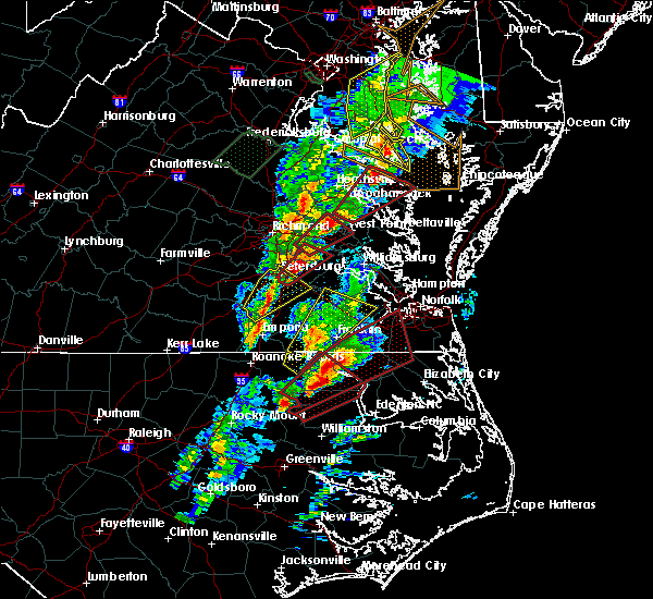 At 740 pm est, doppler radar indicated a tornado. this dangerous storm was located near prince george, or near fort lee, and moving northeast at 55 mph. * this dangerous storm will be near, burrowsville around 745 pm est. charles city, adkins store and ruthville around 755 pm est. roxbury and providence forge around 800 pm est. new kent and talleysville around 805 pm est. king william and west point around 815 pm est. other locations impacted by this tornadic thunderstorm include sandybottom, mattaponi, jordan point country club, eltham, new hope, palls, plum point, colonial downs, cooke and wayside. At 740 pm est, doppler radar indicated a tornado. this dangerous storm was located near prince george, or near fort lee, and moving northeast at 55 mph. * this dangerous storm will be near, burrowsville around 745 pm est. charles city, adkins store and ruthville around 755 pm est. roxbury and providence forge around 800 pm est. new kent and talleysville around 805 pm est. king william and west point around 815 pm est. other locations impacted by this tornadic thunderstorm include sandybottom, mattaponi, jordan point country club, eltham, new hope, palls, plum point, colonial downs, cooke and wayside.
|
| 2/24/2016 7:35 PM EST | Trees down along river road near irwin road in prince george county VA, 6.5 miles SE of Prince George, VA |
| 2/24/2016 7:30 PM EST | Trees down along baxter road in prince george county VA, 3.7 miles E of Prince George, VA |
| 2/24/2016 7:10 PM EST | Quarter sized hail reported 1.9 miles SSE of Prince George, VA, quarter size hail |
| 2/24/2016 7:06 PM EST |
 At 706 pm est, doppler radar indicated a tornado. this dangerous storm was located near prince george, or near petersburg, and moving northeast at 45 mph. * this dangerous storm will be near, prince george around 710 pm est. hopewell and fort lee around 715 pm est. jordans point and garysville around 720 pm est. charles city and adkins store around 730 pm est. ruthville around 735 pm est. other locations impacted by this tornadic thunderstorm include new bohemia, wayside, birchett estate, jordan point country club, new hope, richard bland college, barnetts, petersburg national battlefield, prince george golf and roaches corner. At 706 pm est, doppler radar indicated a tornado. this dangerous storm was located near prince george, or near petersburg, and moving northeast at 45 mph. * this dangerous storm will be near, prince george around 710 pm est. hopewell and fort lee around 715 pm est. jordans point and garysville around 720 pm est. charles city and adkins store around 730 pm est. ruthville around 735 pm est. other locations impacted by this tornadic thunderstorm include new bohemia, wayside, birchett estate, jordan point country club, new hope, richard bland college, barnetts, petersburg national battlefield, prince george golf and roaches corner.
|
| 2/24/2016 6:35 PM EST |
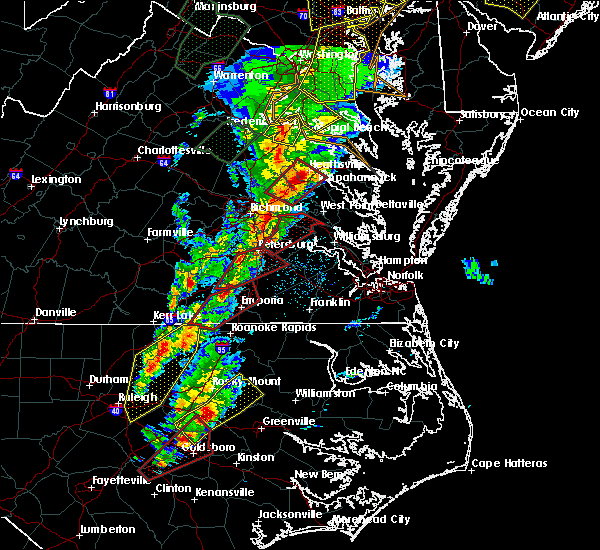 At 634 pm est, doppler radar indicated a possible tornado. this dangerous storm was located over prince george, or over fort lee, and moving northeast at 60 mph. * this dangerous storm will be near, garysville around 640 pm est. jordans point around 645 pm est. charles city, adkins store and ruthville around 650 pm est. roxbury and providence forge around 655 pm est. new kent and talleysville around 700 pm est. other locations impacted by this tornadic thunderstorm include sandybottom, birchett estate, jordan point country club, slaterville, new hope, wrights corner, browns corner, colonial downs, wayside and chickahominy shore. At 634 pm est, doppler radar indicated a possible tornado. this dangerous storm was located over prince george, or over fort lee, and moving northeast at 60 mph. * this dangerous storm will be near, garysville around 640 pm est. jordans point around 645 pm est. charles city, adkins store and ruthville around 650 pm est. roxbury and providence forge around 655 pm est. new kent and talleysville around 700 pm est. other locations impacted by this tornadic thunderstorm include sandybottom, birchett estate, jordan point country club, slaterville, new hope, wrights corner, browns corner, colonial downs, wayside and chickahominy shore.
|
| 6/25/2015 10:55 PM EDT |
 At 1053 pm edt, doppler radar indicated a line of severe thunderstorms capable of producing quarter size hail and destructive winds in excess of 70 mph. these storms were located along a line extending from roxbury to near burrowsville to near carson, moving east at 30 mph. these severe storms will be near, burrowsville around 1100 pm edt. cabin point and providence forge around 1105 pm edt. charles city and ruthville around 1110 pm edt. waverly, claremont, surry, dendron, holdcroft and elberon around 1115 pm edt. other locations impacted by these severe thunderstorms include sandybottom, new hope, spring grove, newville, alliance, delk crossroads, prince george golf, colonial downs, wayside and templeton. At 1053 pm edt, doppler radar indicated a line of severe thunderstorms capable of producing quarter size hail and destructive winds in excess of 70 mph. these storms were located along a line extending from roxbury to near burrowsville to near carson, moving east at 30 mph. these severe storms will be near, burrowsville around 1100 pm edt. cabin point and providence forge around 1105 pm edt. charles city and ruthville around 1110 pm edt. waverly, claremont, surry, dendron, holdcroft and elberon around 1115 pm edt. other locations impacted by these severe thunderstorms include sandybottom, new hope, spring grove, newville, alliance, delk crossroads, prince george golf, colonial downs, wayside and templeton.
|
| 6/25/2015 10:28 PM EDT |
 At 1027 pm edt, doppler radar indicated a line of severe thunderstorms capable of producing quarter size hail and damaging winds in excess of 65 mph. these storms were located along a line extending from east highland park to fort lee to near sutherland, and moving southeast at 35 mph. * severe thunderstorms will be near, petersburg, hopewell, fort lee, prince george and jordans point around 1030 pm edt. disputanta and garysville around 1040 pm edt. bottoms bridge around 1045 pm edt. roxbury and burrowsville around 1050 pm edt. cabin point around 1055 pm edt. claremont, providence forge and adkins store around 1100 pm edt. charles city and ruthville around 1105 pm edt. waverly, dendron and elberon around 1110 pm edt. other locations impacted by these severe thunderstorms include addison, sandybottom, orapax farms, new hope, richard bland college, prince george golf, roaches corner, richmond heights, barnetts and diascund. At 1027 pm edt, doppler radar indicated a line of severe thunderstorms capable of producing quarter size hail and damaging winds in excess of 65 mph. these storms were located along a line extending from east highland park to fort lee to near sutherland, and moving southeast at 35 mph. * severe thunderstorms will be near, petersburg, hopewell, fort lee, prince george and jordans point around 1030 pm edt. disputanta and garysville around 1040 pm edt. bottoms bridge around 1045 pm edt. roxbury and burrowsville around 1050 pm edt. cabin point around 1055 pm edt. claremont, providence forge and adkins store around 1100 pm edt. charles city and ruthville around 1105 pm edt. waverly, dendron and elberon around 1110 pm edt. other locations impacted by these severe thunderstorms include addison, sandybottom, orapax farms, new hope, richard bland college, prince george golf, roaches corner, richmond heights, barnetts and diascund.
|
| 6/25/2015 9:41 PM EDT |
 At 940 pm edt, doppler radar indicated a severe thunderstorm capable of producing quarter size hail and destructive winds in excess of 70 mph. this storm was located near bon air, and moving southeast at 35 mph. * this severe thunderstorm will be near, downtown richmond and chesterfield court house around 945 pm edt. bellwood and bensley around 950 pm edt. chester around 955 pm edt. hopewell, colonial heights, fort lee and ettrick around 1005 pm edt. petersburg around 1010 pm edt. prince george and jordans point around 1015 pm edt. charles city and garysville around 1025 pm edt. burrowsville around 1030 pm edt. other locations impacted by this severe thunderstorm include addison, hebron, orapax farms, goodwins store, richard bland college, maidens, irwin, roslyn hills, atlee and richmond heights. At 940 pm edt, doppler radar indicated a severe thunderstorm capable of producing quarter size hail and destructive winds in excess of 70 mph. this storm was located near bon air, and moving southeast at 35 mph. * this severe thunderstorm will be near, downtown richmond and chesterfield court house around 945 pm edt. bellwood and bensley around 950 pm edt. chester around 955 pm edt. hopewell, colonial heights, fort lee and ettrick around 1005 pm edt. petersburg around 1010 pm edt. prince george and jordans point around 1015 pm edt. charles city and garysville around 1025 pm edt. burrowsville around 1030 pm edt. other locations impacted by this severe thunderstorm include addison, hebron, orapax farms, goodwins store, richard bland college, maidens, irwin, roslyn hills, atlee and richmond heights.
|
| 6/25/2015 4:28 PM EDT |
 At 428 pm edt, doppler radar indicated a severe thunderstorm capable of producing quarter size hail and damaging winds in excess of 60 mph. this storm was located near carson, or near petersburg, and moving southeast at 25 mph. * this severe thunderstorm will be near, disputanta around 445 pm edt. sussex around 505 pm edt. waverly and homeville around 510 pm edt. wakefield around 515 pm edt. other locations impacted by this severe thunderstorm include carsley, booker, gwaltney corner, barham, littleton, richard bland college, newville, reams, prince george golf and new bohemia. At 428 pm edt, doppler radar indicated a severe thunderstorm capable of producing quarter size hail and damaging winds in excess of 60 mph. this storm was located near carson, or near petersburg, and moving southeast at 25 mph. * this severe thunderstorm will be near, disputanta around 445 pm edt. sussex around 505 pm edt. waverly and homeville around 510 pm edt. wakefield around 515 pm edt. other locations impacted by this severe thunderstorm include carsley, booker, gwaltney corner, barham, littleton, richard bland college, newville, reams, prince george golf and new bohemia.
|
| 6/20/2015 10:24 PM EDT |
 At 1023 pm edt, doppler radar indicated a severe thunderstorm capable of producing quarter size hail and damaging winds in excess of 60 mph. this storm was located near waverly, moving east at 40 mph. this severe thunderstorm will remain over mainly rural areas of southeastern dinwiddie, prince george, southampton, western surry, charles city, sussex and central greensville counties, the city of franklin, the city of emporia and the city of petersburg, including the following locations, richard bland college, prince george golf, sebrell, burdette, emporia airport, worrell, lumberton, carsley, booker and booth fork. At 1023 pm edt, doppler radar indicated a severe thunderstorm capable of producing quarter size hail and damaging winds in excess of 60 mph. this storm was located near waverly, moving east at 40 mph. this severe thunderstorm will remain over mainly rural areas of southeastern dinwiddie, prince george, southampton, western surry, charles city, sussex and central greensville counties, the city of franklin, the city of emporia and the city of petersburg, including the following locations, richard bland college, prince george golf, sebrell, burdette, emporia airport, worrell, lumberton, carsley, booker and booth fork.
|
| 6/20/2015 10:03 PM EDT |
 At 1002 pm edt, doppler radar indicated a line of severe thunderstorms capable of producing quarter size hail and damaging winds in excess of 60 mph. these storms were located along a line extending from near champlain to near barhamsville to near waverly, moving east at 50 mph. these severe storms will be near, west point around 1010 pm edt. surry around 1020 pm edt. scotland around 1025 pm edt. other locations impacted by these severe thunderstorms include sandybottom, turpin, orapax farms, new hope, epworth, richard bland college, sparta, prince george golf, burruss corner and sebrell. At 1002 pm edt, doppler radar indicated a line of severe thunderstorms capable of producing quarter size hail and damaging winds in excess of 60 mph. these storms were located along a line extending from near champlain to near barhamsville to near waverly, moving east at 50 mph. these severe storms will be near, west point around 1010 pm edt. surry around 1020 pm edt. scotland around 1025 pm edt. other locations impacted by these severe thunderstorms include sandybottom, turpin, orapax farms, new hope, epworth, richard bland college, sparta, prince george golf, burruss corner and sebrell.
|
| 6/20/2015 9:27 PM EDT |
 At 926 pm edt, doppler radar indicated a line of severe thunderstorms capable of producing quarter size hail and damaging winds in excess of 60 mph. these storms were located along a line extending from near oilville to chester to emporia, and moving east at 40 mph. * severe thunderstorms will be near, petersburg, hopewell, colonial heights, fort lee, chester, virginia state university, ettrick, bellwood and matoaca around 930 pm edt. montpelier and wyndham around 935 pm edt. jordans point around 940 pm edt. roxbury, randolph macon college and bottoms bridge around 945 pm edt. charles city, ashland, talleysville, providence forge, kings dominion, adkins store and ruthville around 950 pm edt. courtland, hanover, dawn and holdcroft around 955 pm edt. new kent, sedley and mangohick around 1000 pm edt. barhamsville and beulahville around 1005 pm edt. At 926 pm edt, doppler radar indicated a line of severe thunderstorms capable of producing quarter size hail and damaging winds in excess of 60 mph. these storms were located along a line extending from near oilville to chester to emporia, and moving east at 40 mph. * severe thunderstorms will be near, petersburg, hopewell, colonial heights, fort lee, chester, virginia state university, ettrick, bellwood and matoaca around 930 pm edt. montpelier and wyndham around 935 pm edt. jordans point around 940 pm edt. roxbury, randolph macon college and bottoms bridge around 945 pm edt. charles city, ashland, talleysville, providence forge, kings dominion, adkins store and ruthville around 950 pm edt. courtland, hanover, dawn and holdcroft around 955 pm edt. new kent, sedley and mangohick around 1000 pm edt. barhamsville and beulahville around 1005 pm edt.
|
| 4/10/2015 6:17 PM EDT | A severe thunderstorm warning remains in effect until 645 pm edt for northern prince george. northwestern charles city counties. the southeastern city of hopewell and the southeastern city of petersburg. at 616 pm edt. Doppler radar indicated a line of severe thunderstorms capable of producing quarter size hail and damaging. |
| 4/10/2015 5:54 PM EDT | The national weather service in wakefield has issued a * severe thunderstorm warning for. southeastern henrico county in central virginia. southeastern chesterfield county in central virginia. south central new kent county in east central virginia. Northeastern dinwiddie county in south central virginia. |
| 6/11/2014 3:55 PM EDT | Trees dow in prince george county VA, 6.2 miles WSW of Prince George, VA |
| 5/22/2014 7:48 PM EDT | Quarter sized hail reported 6.4 miles W of Prince George, VA |
| 5/22/2014 5:58 PM EDT | Half Dollar sized hail reported 5.2 miles N of Prince George, VA |
| 2/21/2014 12:30 PM EST | Large tree down on hines road in prince george county VA, 5.6 miles NW of Prince George, VA |
| 6/13/2013 4:35 PM EDT | Numerous trees down around disputanta. estimated wind in excess of 60 mp in prince george county VA, 6.9 miles NNW of Prince George, VA |
| 6/13/2013 4:33 PM EDT | Trees down along prince george road. estimated winds to 60 mp in prince george county VA, 5.5 miles NNW of Prince George, VA |
| 8/15/2012 3:55 PM EDT | Trees down along highway 460 just east of route 15 in prince george county VA, 4.5 miles N of Prince George, VA |
| 7/27/2012 5:31 PM EDT | Three trees down near hines rd in prince george county VA, 6.3 miles NW of Prince George, VA |
| 6/30/2012 9:55 PM EDT | Ping Pong Ball sized hail reported 6.4 miles W of Prince George, VA |
| 6/30/2012 9:55 PM EDT | Golf Ball sized hail reported 1.5 miles ESE of Prince George, VA |
| 6/30/2012 9:52 PM EDT | Quarter sized hail reported 3.8 miles N of Prince George, VA |
| 6/29/2012 11:25 PM EDT | Numerous trees down in prince george county VA, 6.9 miles NNW of Prince George, VA |
| 1/1/0001 12:00 AM | Tree down on rte 10 at nobles road in prince george county VA, 7 miles WSW of Prince George, VA |
| 6/10/2011 3:55 PM EDT | Trees down on power lines in prince george county VA, 4.9 miles NNW of Prince George, VA |
Hail Maps for Prince George, VA
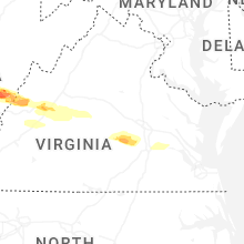


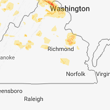


Connect with Interactive Hail Maps