

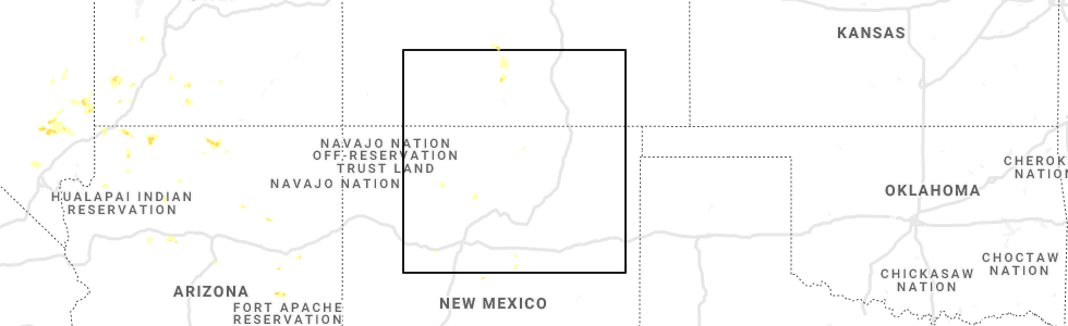
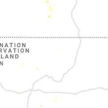
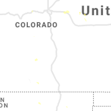
Hail Map for Red River, NM
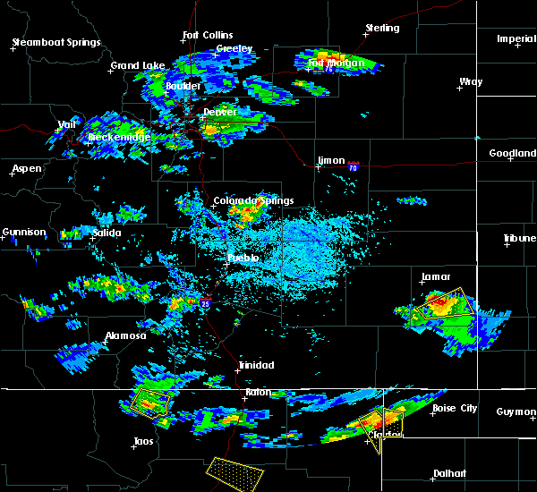
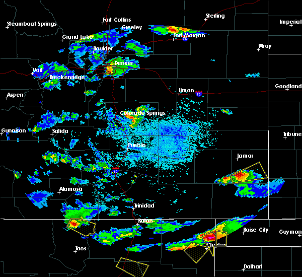
The Red River, NM area has had 1 report of on-the-ground hail by trained spotters, and has been under severe weather warnings 0 times during the past 12 months. Doppler radar has detected hail at or near Red River, NM on 2 occasions.
| Name: | Red River, NM |
| Where Located: | 22.3 miles NNE of Taos, NM |
| Map: | Google Map for Red River, NM |
| Population: | 477 |
| Housing Units: | 756 |
| More Info: | Search Google for Red River, NM |
0
The Top Recent Hail Date for Red River, NM is Thursday, July 22, 2021 (2nd out of 2)
Hail and Wind Damage Spotted near Red River, NM
| Date / Time | Report Details |
|---|---|
| 8/2/2018 6:08 PM MDT | Quarter sized hail reported 3.6 miles W of Red River, NM, bobcat pass |
| 8/13/2017 3:59 PM MDT |
 At 359 pm mdt, a severe thunderstorm was located near amalia, or 13 miles northeast of questa, moving southeast at 20 mph (radar indicated). Hazards include 60 mph wind gusts and quarter size hail. Hail damage to vehicles is expected. expect wind damage to roofs, siding, and trees. Locations impacted include, red river and amalia. At 359 pm mdt, a severe thunderstorm was located near amalia, or 13 miles northeast of questa, moving southeast at 20 mph (radar indicated). Hazards include 60 mph wind gusts and quarter size hail. Hail damage to vehicles is expected. expect wind damage to roofs, siding, and trees. Locations impacted include, red river and amalia.
|
| 8/13/2017 3:34 PM MDT |
 At 334 pm mdt, a severe thunderstorm was located near costilla, or 14 miles north of questa, moving southeast at 20 mph (radar indicated). Hazards include 60 mph wind gusts and quarter size hail. Hail damage to vehicles is expected. Expect wind damage to roofs, siding, and trees. At 334 pm mdt, a severe thunderstorm was located near costilla, or 14 miles north of questa, moving southeast at 20 mph (radar indicated). Hazards include 60 mph wind gusts and quarter size hail. Hail damage to vehicles is expected. Expect wind damage to roofs, siding, and trees.
|
Hail Maps for Red River, NM
Connect with Interactive Hail Maps