

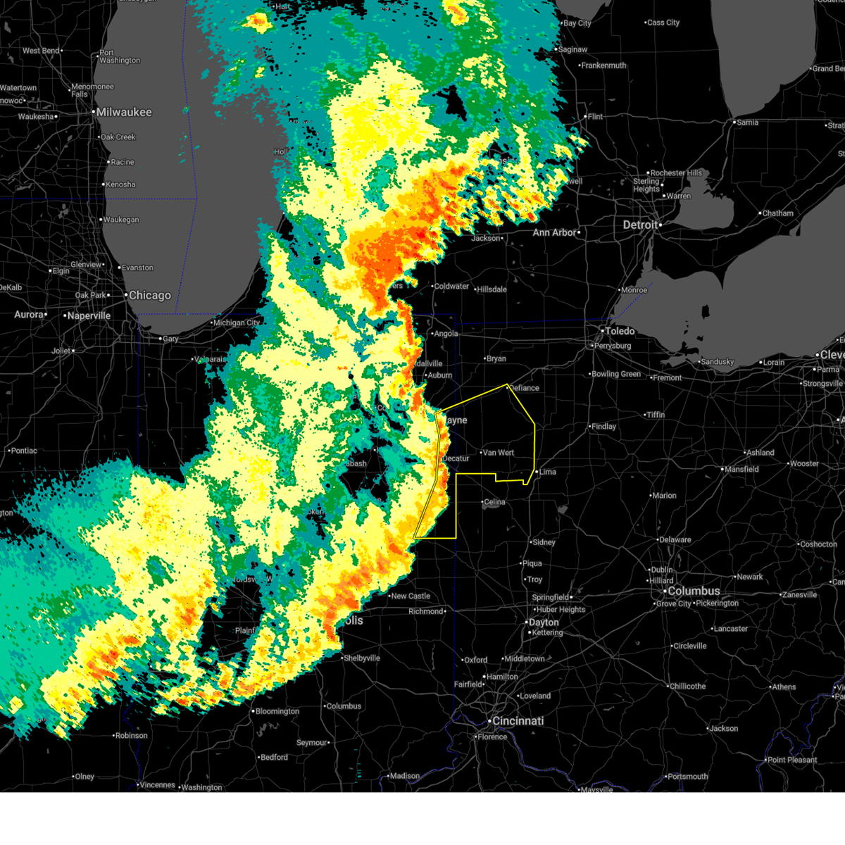
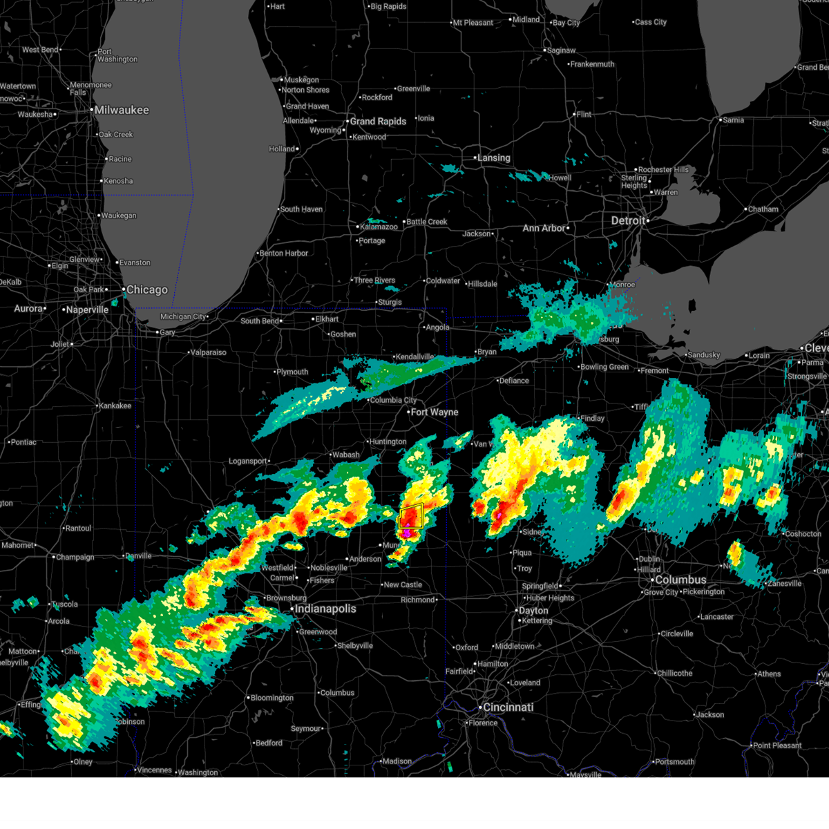
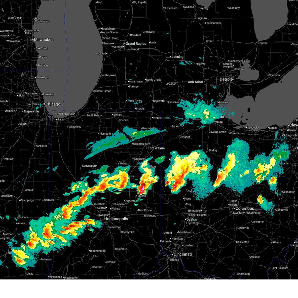
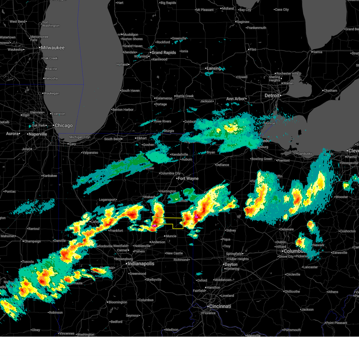
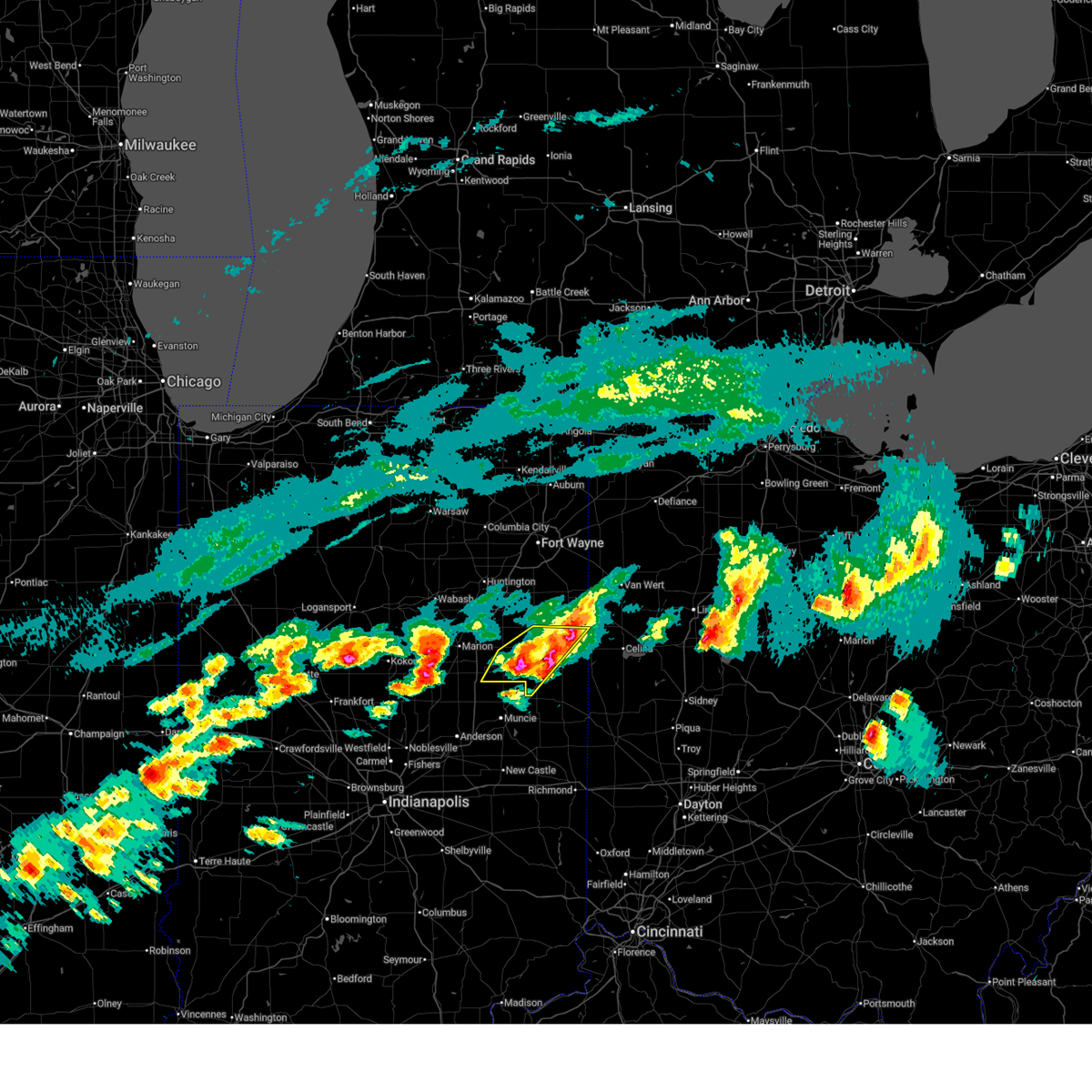
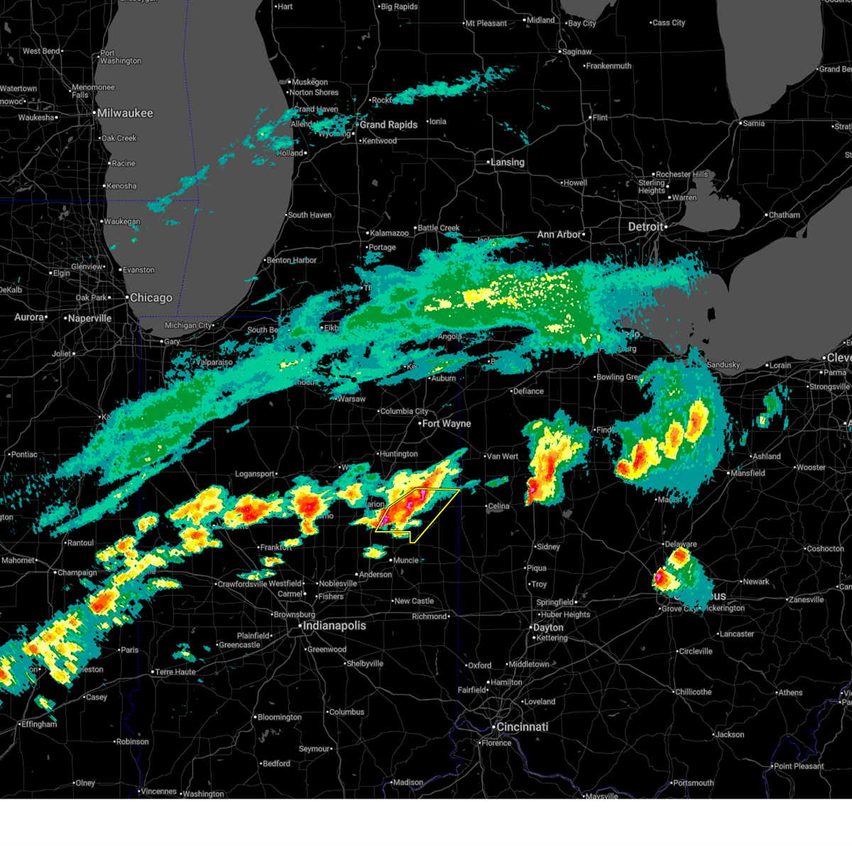
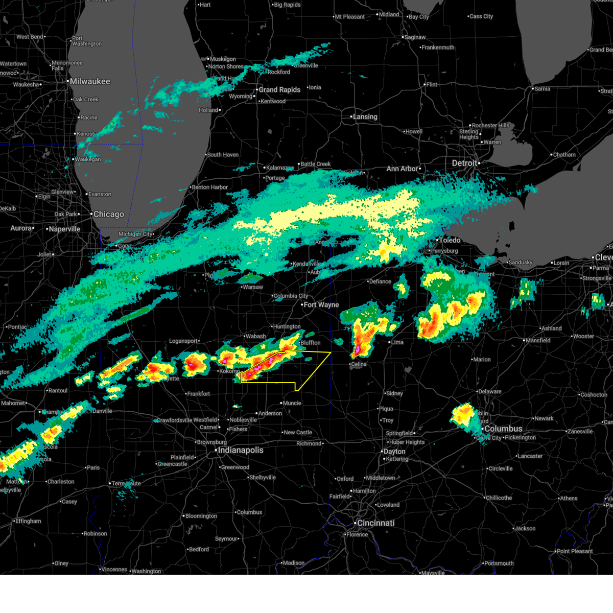
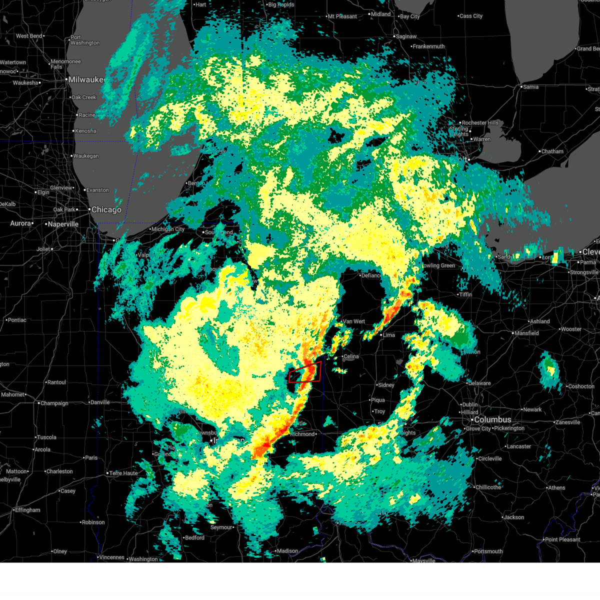
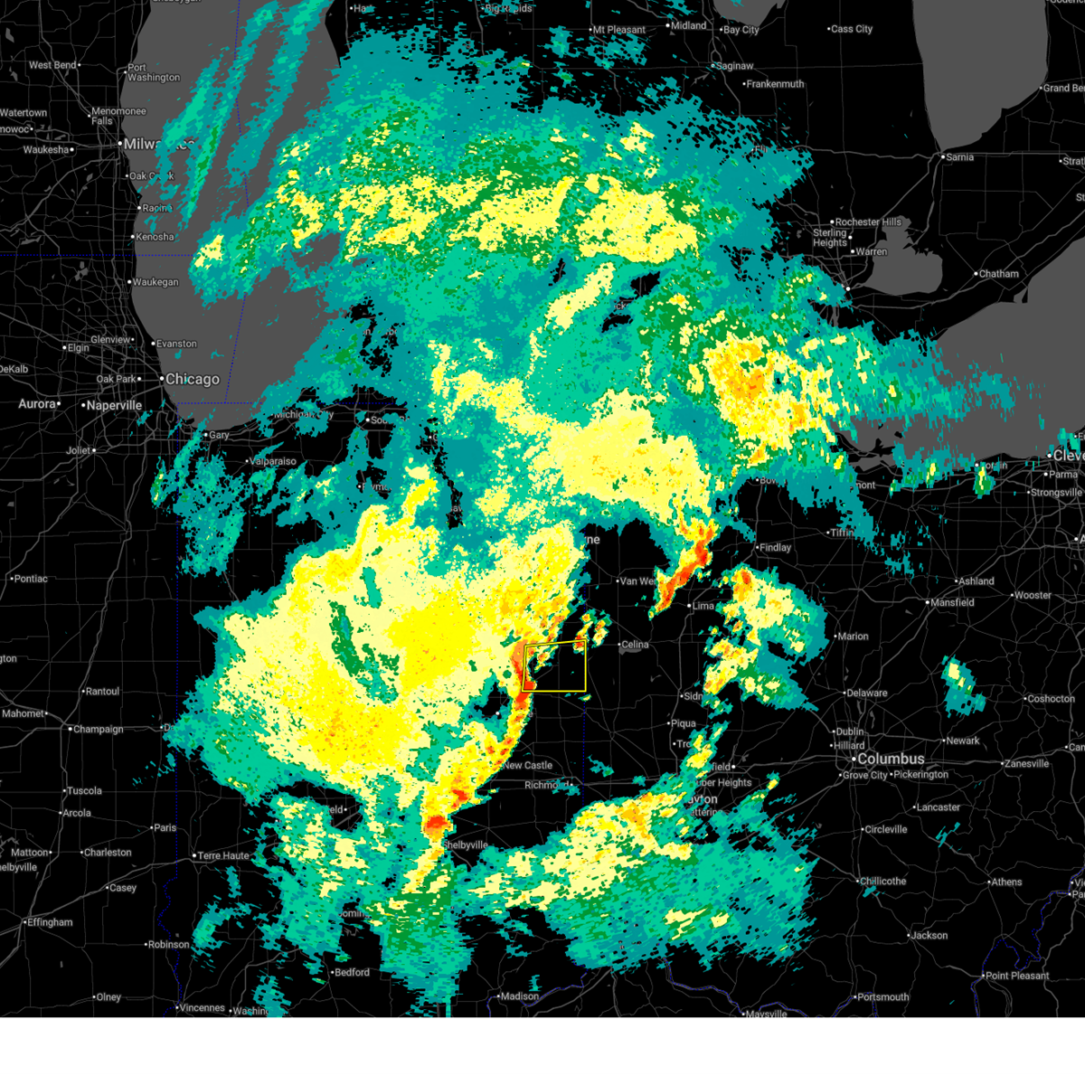
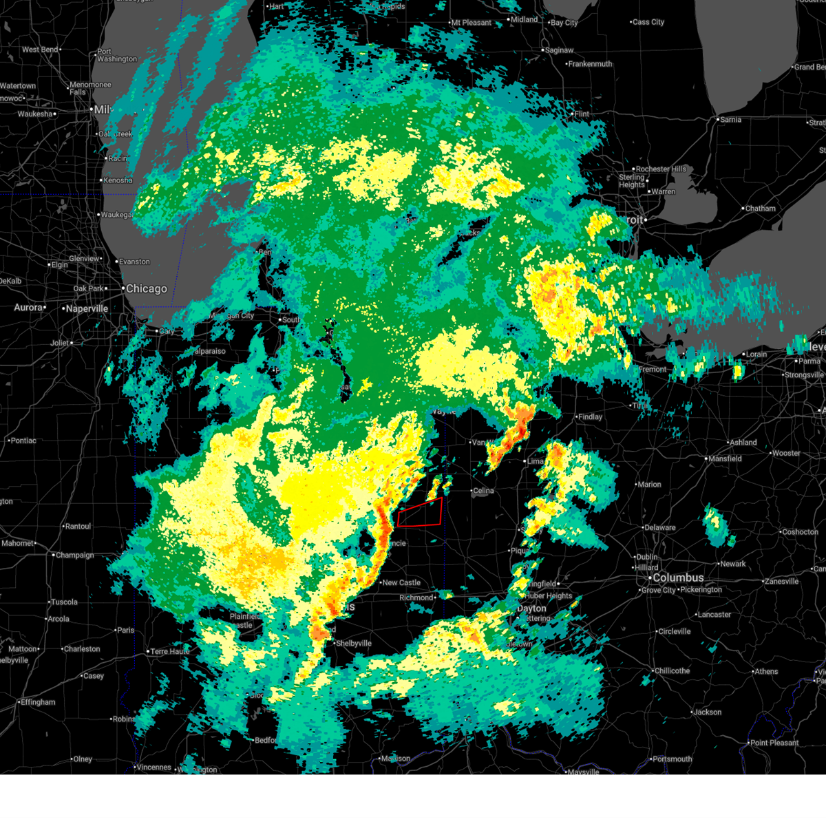
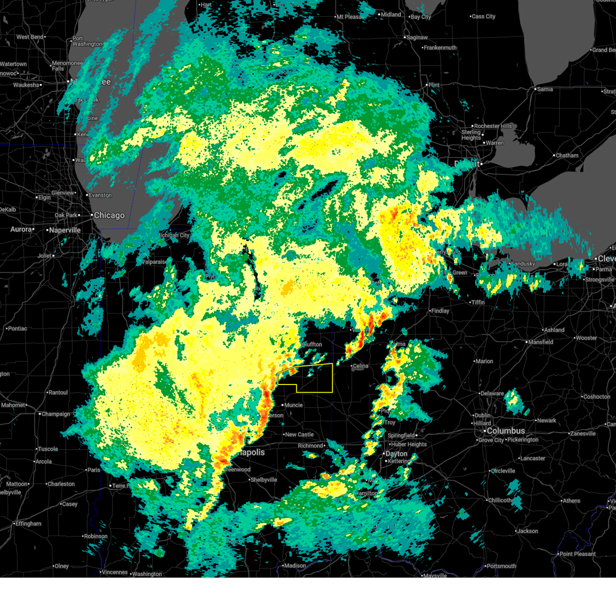
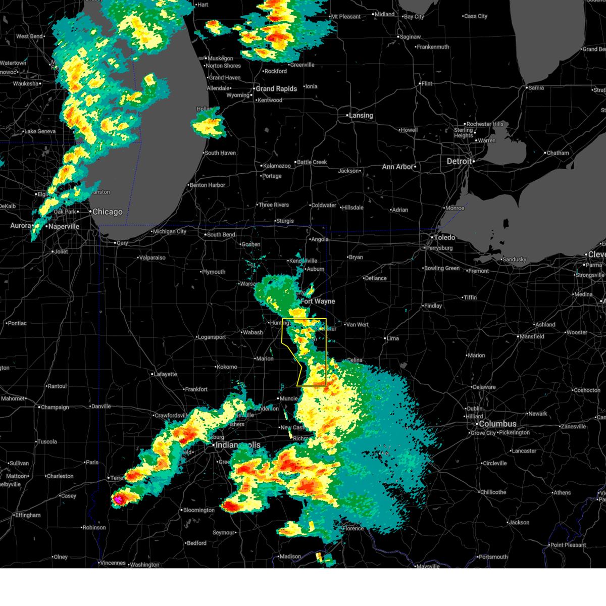
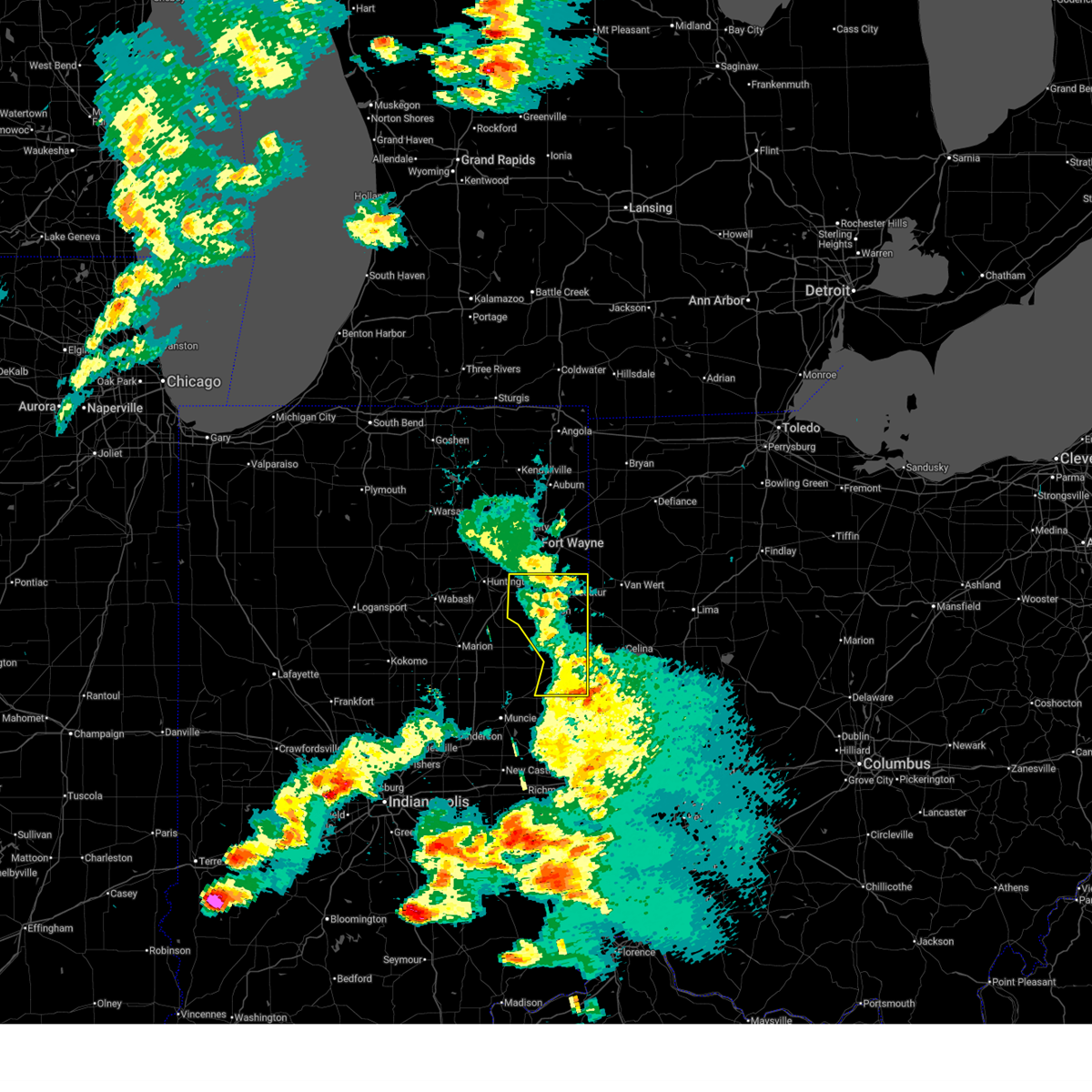
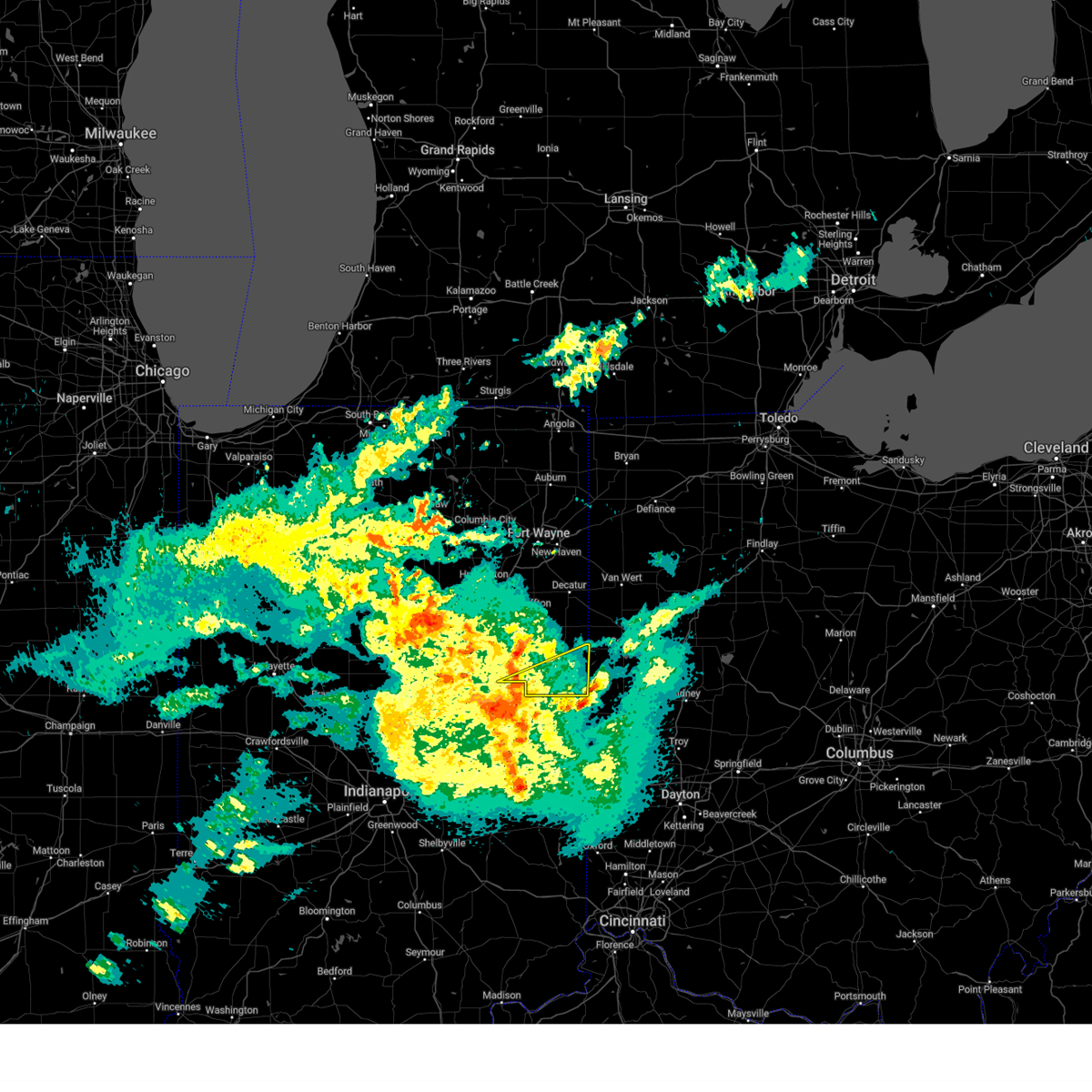
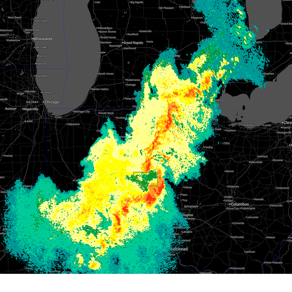
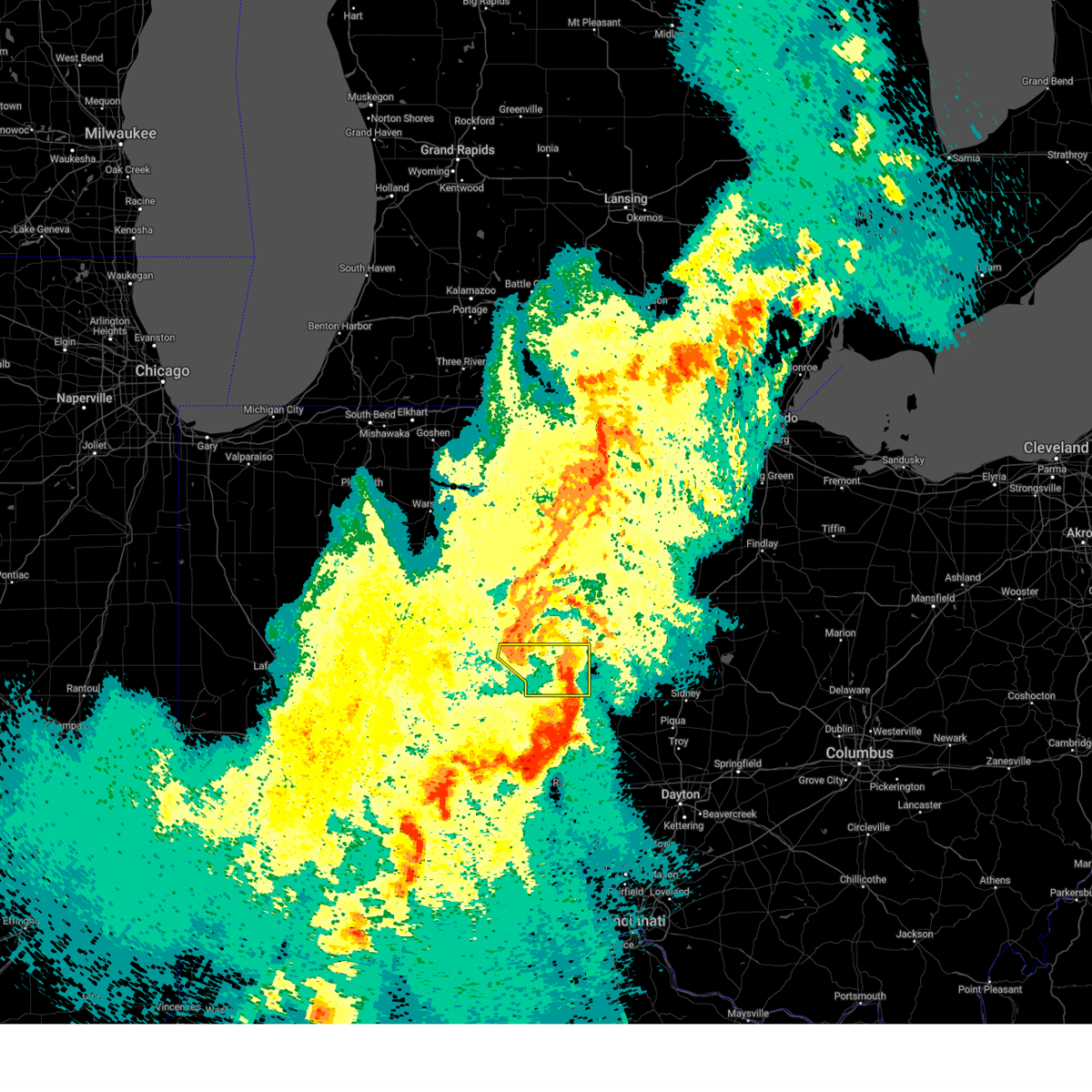
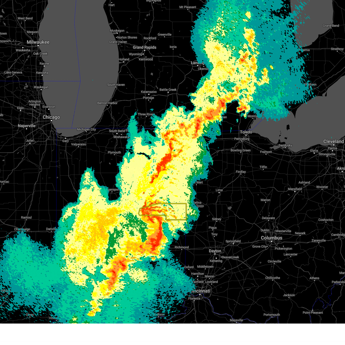
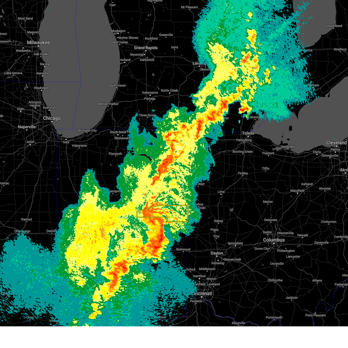
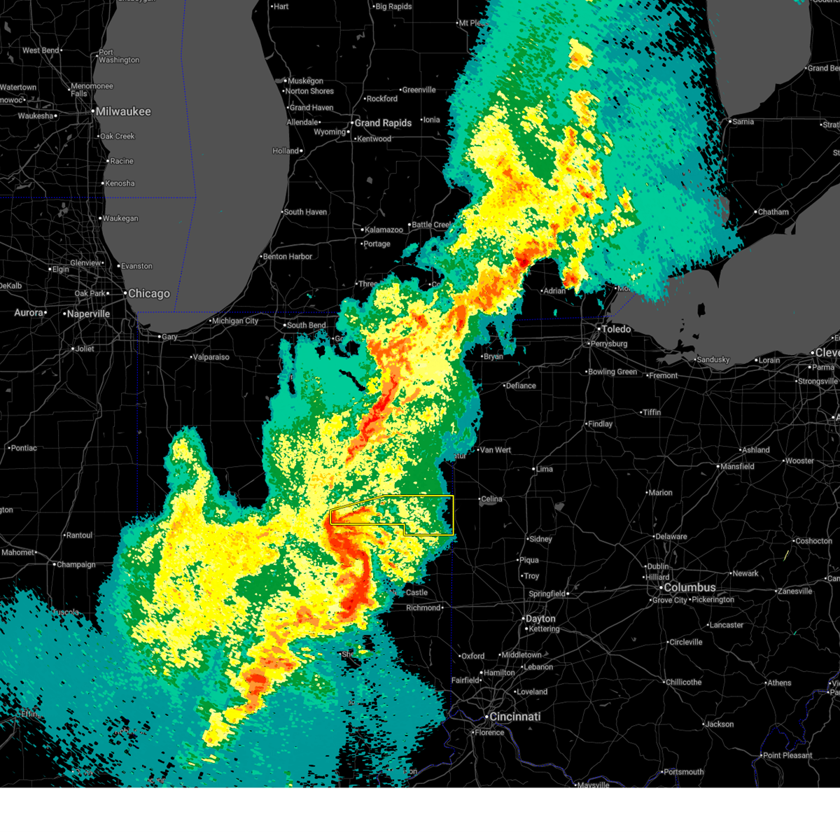
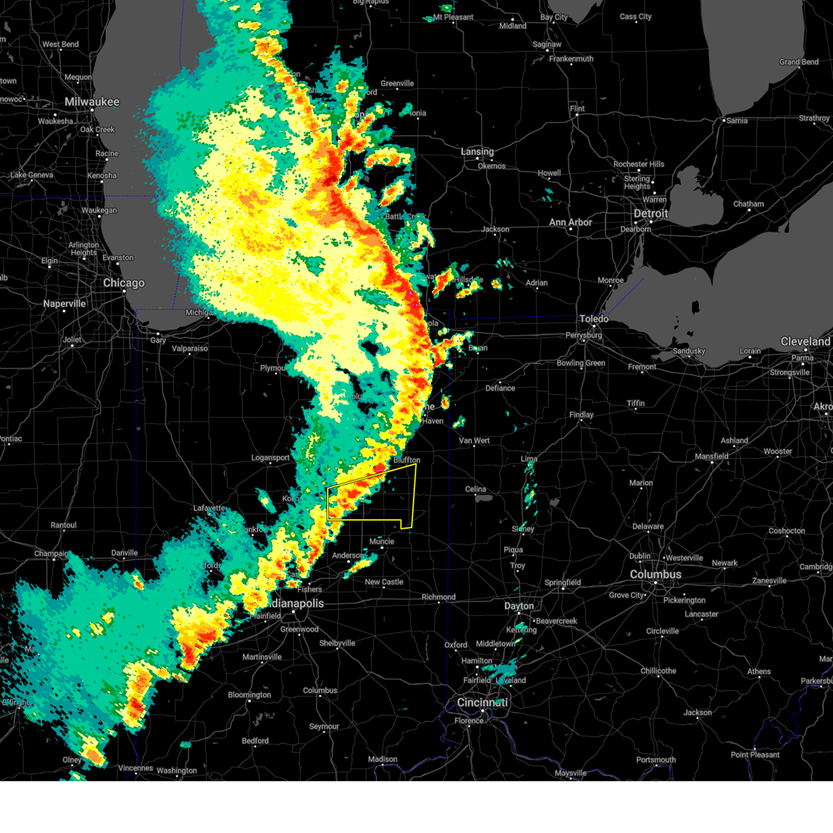
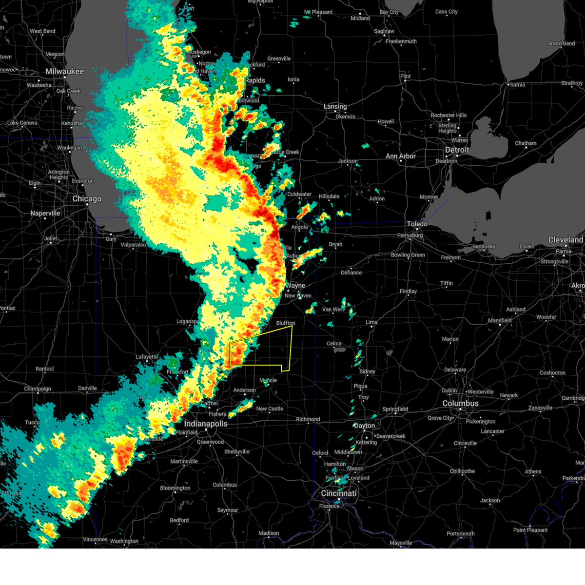
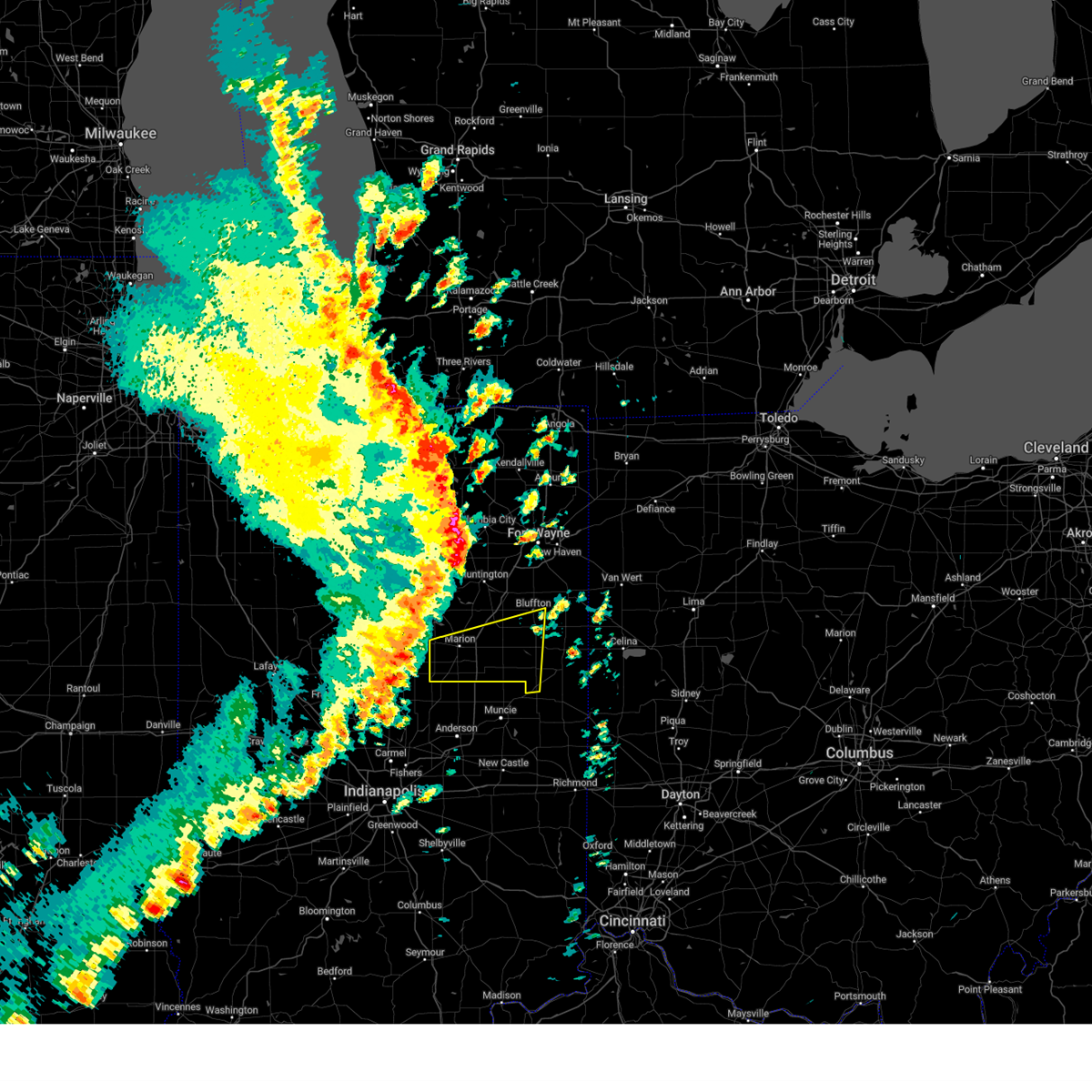
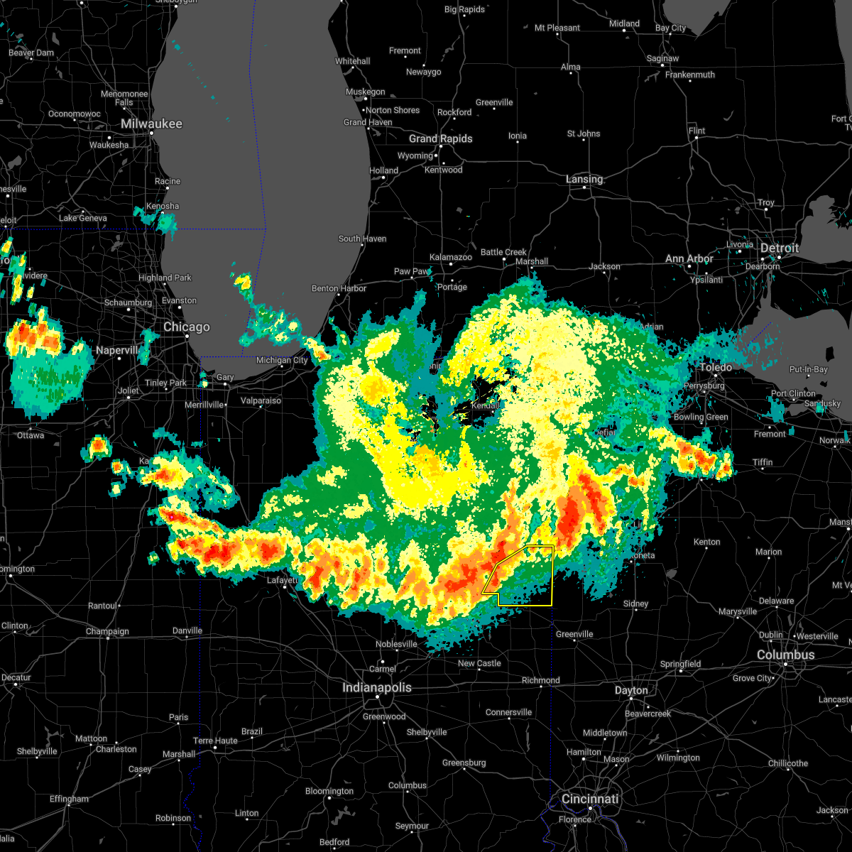
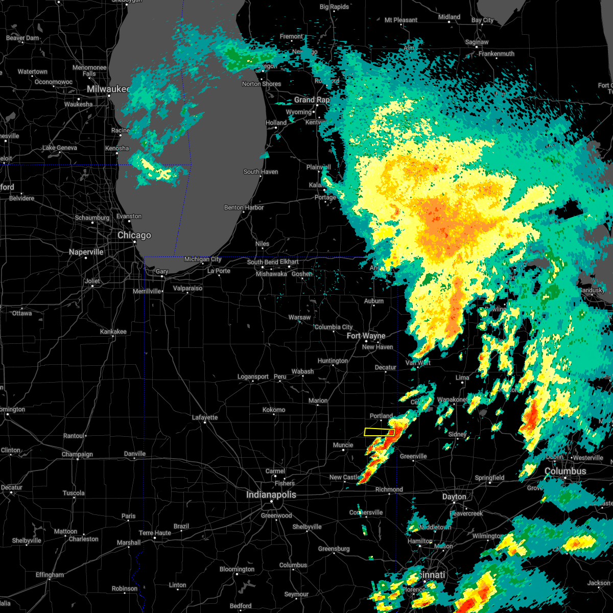
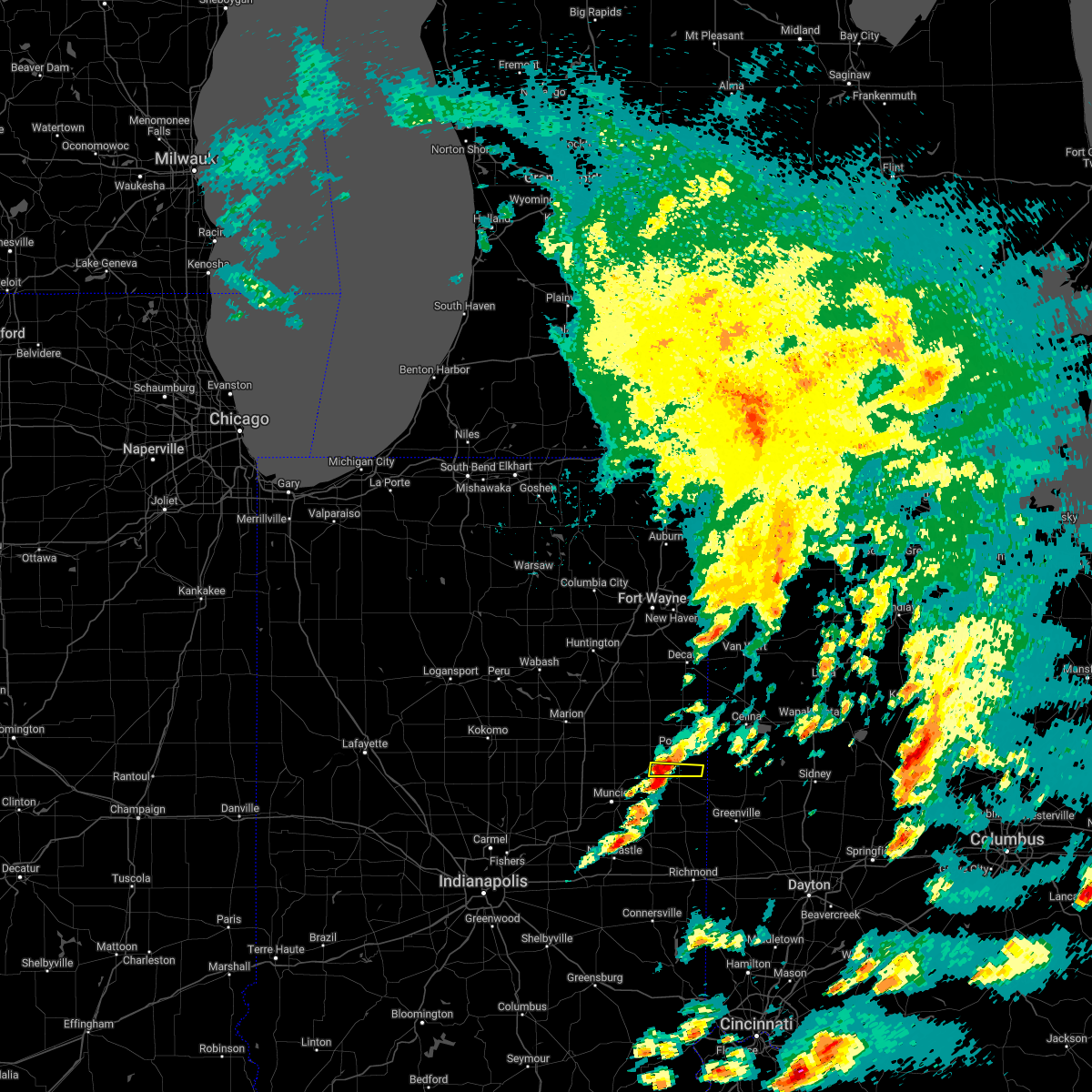
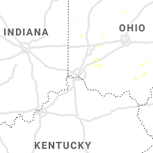
Hail Map for Redkey, IN
The Redkey, IN area has had 1 report of on-the-ground hail by trained spotters, and has been under severe weather warnings 22 times during the past 12 months. Doppler radar has detected hail at or near Redkey, IN on 45 occasions, including 2 occasions during the past year.
| Name: | Redkey, IN |
| Where Located: | 50.2 miles S of Fort Wayne, IN |
| Map: | Google Map for Redkey, IN |
| Population: | 1353 |
| Housing Units: | 630 |
| More Info: | Search Google for Redkey, IN |
3
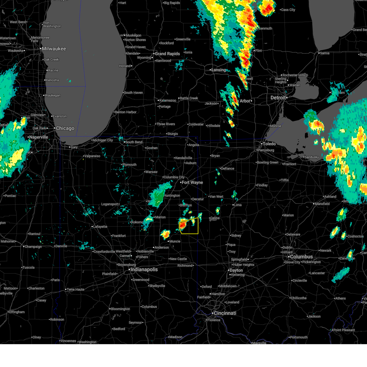
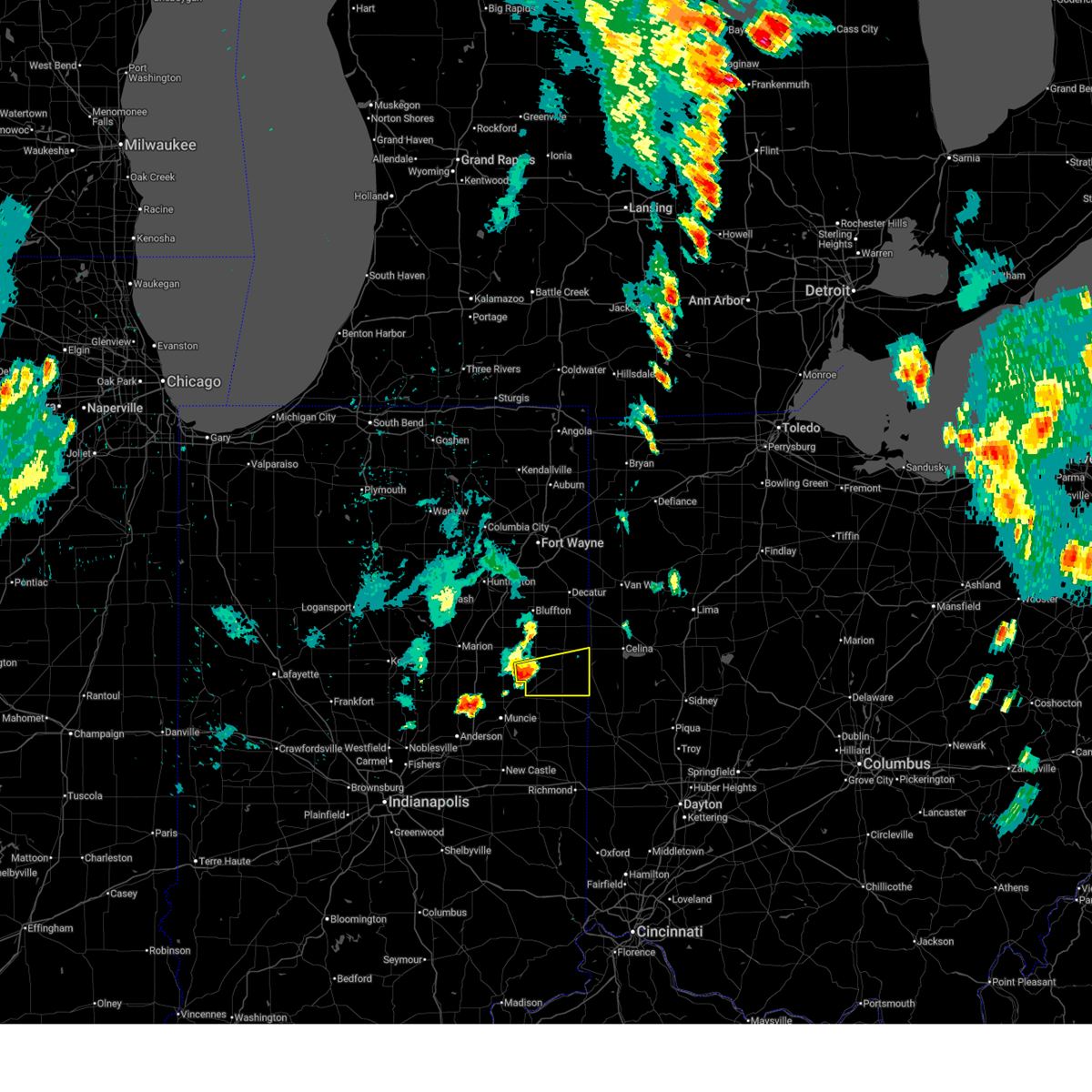
The Top Recent Hail Date for Redkey, IN is Sunday, March 22, 2026 (3rd out of 45)

Hail and Wind Damage Spotted near Redkey, IN
| Date / Time | Report Details |
|---|---|
| 6/11/2026 11:19 PM EDT |
 Svriwx the national weather service in northern indiana has issued a * severe thunderstorm warning for, southeastern allen county in northeastern indiana, adams county in northeastern indiana, jay county in east central indiana, southeastern defiance county in northwestern ohio, western putnam county in west central ohio, paulding county in west central ohio, van wert county in west central ohio, southwestern allen county in west central ohio, * until midnight edt. * at 1119 pm edt, severe thunderstorms were located along a line extending from near grabill to monroeville to near monroe to near redkey, moving east at 60 mph (surface observations). Hazards include 70 mph wind gusts. Expect considerable tree damage. Damage is likely to mobile homes, roofs, and outbuildings. Svriwx the national weather service in northern indiana has issued a * severe thunderstorm warning for, southeastern allen county in northeastern indiana, adams county in northeastern indiana, jay county in east central indiana, southeastern defiance county in northwestern ohio, western putnam county in west central ohio, paulding county in west central ohio, van wert county in west central ohio, southwestern allen county in west central ohio, * until midnight edt. * at 1119 pm edt, severe thunderstorms were located along a line extending from near grabill to monroeville to near monroe to near redkey, moving east at 60 mph (surface observations). Hazards include 70 mph wind gusts. Expect considerable tree damage. Damage is likely to mobile homes, roofs, and outbuildings.
|
| 6/10/2026 9:07 PM EDT |
 At 907 pm edt, a severe thunderstorm was located near portland, moving east at 30 mph (radar indicated). Hazards include 60 mph wind gusts and nickel size hail. Expect damage to roofs, siding, and trees. Locations impacted include, portland, redkey, westchester, center, salamonia, brice, como, bellfountain, college corner, boundary city, liber, blaine, collett, powers, bluff point, and new mount pleasant. At 907 pm edt, a severe thunderstorm was located near portland, moving east at 30 mph (radar indicated). Hazards include 60 mph wind gusts and nickel size hail. Expect damage to roofs, siding, and trees. Locations impacted include, portland, redkey, westchester, center, salamonia, brice, como, bellfountain, college corner, boundary city, liber, blaine, collett, powers, bluff point, and new mount pleasant.
|
| 6/10/2026 9:07 PM EDT |
 the severe thunderstorm warning has been cancelled and is no longer in effect the severe thunderstorm warning has been cancelled and is no longer in effect
|
| 6/10/2026 8:52 PM EDT |
 Svriwx the national weather service in northern indiana has issued a * severe thunderstorm warning for, southeastern blackford county in east central indiana, jay county in east central indiana, * until 945 pm edt. * at 852 pm edt, a severe thunderstorm was located over dunkirk, moving east at 30 mph (radar indicated). Hazards include 60 mph wind gusts and nickel size hail. expect damage to roofs, siding, and trees Svriwx the national weather service in northern indiana has issued a * severe thunderstorm warning for, southeastern blackford county in east central indiana, jay county in east central indiana, * until 945 pm edt. * at 852 pm edt, a severe thunderstorm was located over dunkirk, moving east at 30 mph (radar indicated). Hazards include 60 mph wind gusts and nickel size hail. expect damage to roofs, siding, and trees
|
| 4/27/2026 11:22 PM EDT |
 Svriwx the national weather service in northern indiana has issued a * severe thunderstorm warning for, eastern wells county in northeastern indiana, adams county in northeastern indiana, jay county in east central indiana, van wert county in west central ohio, * until midnight edt. * at 1122 pm edt, severe thunderstorms were located along a line extending from near new haven to near berne to near dunkirk, moving east at 70 mph (radar indicated). Hazards include 60 mph wind gusts. expect damage to roofs, siding, and trees Svriwx the national weather service in northern indiana has issued a * severe thunderstorm warning for, eastern wells county in northeastern indiana, adams county in northeastern indiana, jay county in east central indiana, van wert county in west central ohio, * until midnight edt. * at 1122 pm edt, severe thunderstorms were located along a line extending from near new haven to near berne to near dunkirk, moving east at 70 mph (radar indicated). Hazards include 60 mph wind gusts. expect damage to roofs, siding, and trees
|
| 3/22/2026 9:04 PM EDT |
 the severe thunderstorm warning has been cancelled and is no longer in effect the severe thunderstorm warning has been cancelled and is no longer in effect
|
| 3/22/2026 8:58 PM EDT |
 At 858 pm edt, a severe thunderstorm was located near redkey, or near dunkirk, moving east at 60 mph (radar indicated). Hazards include quarter size hail. Damage to vehicles is expected. Locations impacted include, dunkirk, redkey, center, blaine, powers, new mount pleasant, and como. At 858 pm edt, a severe thunderstorm was located near redkey, or near dunkirk, moving east at 60 mph (radar indicated). Hazards include quarter size hail. Damage to vehicles is expected. Locations impacted include, dunkirk, redkey, center, blaine, powers, new mount pleasant, and como.
|
| 3/22/2026 8:58 PM EDT |
 the severe thunderstorm warning has been cancelled and is no longer in effect the severe thunderstorm warning has been cancelled and is no longer in effect
|
| 3/22/2026 8:57 PM EDT |
 Svriwx the national weather service in northern indiana has issued a * severe thunderstorm warning for, southern jay county in east central indiana, * until 930 pm edt. * at 857 pm edt, a severe thunderstorm was located over redkey, or near dunkirk, moving east at 75 mph (radar indicated). Hazards include quarter size hail. damage to vehicles is expected Svriwx the national weather service in northern indiana has issued a * severe thunderstorm warning for, southern jay county in east central indiana, * until 930 pm edt. * at 857 pm edt, a severe thunderstorm was located over redkey, or near dunkirk, moving east at 75 mph (radar indicated). Hazards include quarter size hail. damage to vehicles is expected
|
| 3/22/2026 8:52 PM EDT |
 the severe thunderstorm warning has been cancelled and is no longer in effect the severe thunderstorm warning has been cancelled and is no longer in effect
|
| 3/22/2026 8:52 PM EDT |
 At 852 pm edt, a severe thunderstorm was located near dunkirk, moving east at 60 mph (radar indicated). Hazards include quarter size hail. Damage to vehicles is expected. Locations impacted include, hartford city, dunkirk, redkey, center, blaine, powers, trenton, new mount pleasant, como, and mill grove. At 852 pm edt, a severe thunderstorm was located near dunkirk, moving east at 60 mph (radar indicated). Hazards include quarter size hail. Damage to vehicles is expected. Locations impacted include, hartford city, dunkirk, redkey, center, blaine, powers, trenton, new mount pleasant, como, and mill grove.
|
| 3/22/2026 8:37 PM EDT |
 Svriwx the national weather service in northern indiana has issued a * severe thunderstorm warning for, southeastern grant county in central indiana, southern blackford county in east central indiana, southwestern jay county in east central indiana, * until 915 pm edt. * at 837 pm edt, a severe thunderstorm was located over matthews, or near upland, moving east at 60 mph (radar indicated). Hazards include quarter size hail. damage to vehicles is expected Svriwx the national weather service in northern indiana has issued a * severe thunderstorm warning for, southeastern grant county in central indiana, southern blackford county in east central indiana, southwestern jay county in east central indiana, * until 915 pm edt. * at 837 pm edt, a severe thunderstorm was located over matthews, or near upland, moving east at 60 mph (radar indicated). Hazards include quarter size hail. damage to vehicles is expected
|
| 3/22/2026 8:22 PM EDT |
 The storms which prompted the warning have moved out of the area. therefore, the warning will be allowed to expire. however, small hail is still possible with these thunderstorms. remember, a severe thunderstorm warning still remains in effect until 8:45 pm edt for portions of grant, adams, and jay counties. The storms which prompted the warning have moved out of the area. therefore, the warning will be allowed to expire. however, small hail is still possible with these thunderstorms. remember, a severe thunderstorm warning still remains in effect until 8:45 pm edt for portions of grant, adams, and jay counties.
|
| 3/22/2026 8:21 PM EDT |
 Svriwx the national weather service in northern indiana has issued a * severe thunderstorm warning for, eastern blackford county in east central indiana, southeastern wells county in northeastern indiana, southern adams county in northeastern indiana, jay county in east central indiana, southern allen county in west central ohio, * until 845 pm edt. * at 820 pm edt, severe thunderstorms were located along a line extending from near monroe to near dunkirk, moving east at 60 mph (radar indicated). Hazards include quarter size hail. damage to vehicles is expected Svriwx the national weather service in northern indiana has issued a * severe thunderstorm warning for, eastern blackford county in east central indiana, southeastern wells county in northeastern indiana, southern adams county in northeastern indiana, jay county in east central indiana, southern allen county in west central ohio, * until 845 pm edt. * at 820 pm edt, severe thunderstorms were located along a line extending from near monroe to near dunkirk, moving east at 60 mph (radar indicated). Hazards include quarter size hail. damage to vehicles is expected
|
| 3/22/2026 8:13 PM EDT |
 At 813 pm edt, severe thunderstorms were located along a line extending from 8 miles west of geneva to matthews, moving east at 50 mph (trained weather spotters). Hazards include quarter size hail. Damage to vehicles is expected. Locations impacted include, hartford city, berne, dunkirk, montpelier, redkey, geneva, pennville, matthews, center, nottingham, bryant, shamrock lakes, ceylon, reiffsburg, dillman, petroleum, mill grove, keystone, linn grove, and domestic. At 813 pm edt, severe thunderstorms were located along a line extending from 8 miles west of geneva to matthews, moving east at 50 mph (trained weather spotters). Hazards include quarter size hail. Damage to vehicles is expected. Locations impacted include, hartford city, berne, dunkirk, montpelier, redkey, geneva, pennville, matthews, center, nottingham, bryant, shamrock lakes, ceylon, reiffsburg, dillman, petroleum, mill grove, keystone, linn grove, and domestic.
|
| 3/22/2026 8:02 PM EDT |
 At 802 pm edt, severe thunderstorms were located along a line extending from near montpelier to near fairmount, moving east at 50 mph (radar indicated). Hazards include quarter size hail. Damage to vehicles is expected. locations impacted include, hartford city, gas city, berne, upland, fairmount, dunkirk, montpelier, redkey, geneva, pennville, matthews, center, nottingham, fowlerton, bryant, shamrock lakes, poneto, wellsburg, mount zion, and mill grove. This includes interstate 69 in indiana between mile markers 252 and 261. At 802 pm edt, severe thunderstorms were located along a line extending from near montpelier to near fairmount, moving east at 50 mph (radar indicated). Hazards include quarter size hail. Damage to vehicles is expected. locations impacted include, hartford city, gas city, berne, upland, fairmount, dunkirk, montpelier, redkey, geneva, pennville, matthews, center, nottingham, fowlerton, bryant, shamrock lakes, poneto, wellsburg, mount zion, and mill grove. This includes interstate 69 in indiana between mile markers 252 and 261.
|
| 3/22/2026 7:55 PM EDT |
 Svriwx the national weather service in northern indiana has issued a * severe thunderstorm warning for, grant county in central indiana, blackford county in east central indiana, southern wells county in northeastern indiana, southern adams county in northeastern indiana, western jay county in east central indiana, * until 830 pm edt. * at 755 pm edt, severe thunderstorms were located along a line extending from 6 miles east of van buren to 6 miles west of fairmount, moving east at 50 mph (radar indicated). Hazards include quarter size hail. damage to vehicles is expected Svriwx the national weather service in northern indiana has issued a * severe thunderstorm warning for, grant county in central indiana, blackford county in east central indiana, southern wells county in northeastern indiana, southern adams county in northeastern indiana, western jay county in east central indiana, * until 830 pm edt. * at 755 pm edt, severe thunderstorms were located along a line extending from 6 miles east of van buren to 6 miles west of fairmount, moving east at 50 mph (radar indicated). Hazards include quarter size hail. damage to vehicles is expected
|
| 3/11/2026 9:28 AM EDT |
 The storm which prompted the warning has weakened and is moving out of the area. therefore, the warning will be allowed to expire. a tornado watch remains in effect until noon edt for east central indiana. The storm which prompted the warning has weakened and is moving out of the area. therefore, the warning will be allowed to expire. a tornado watch remains in effect until noon edt for east central indiana.
|
| 3/11/2026 9:20 AM EDT |
 the severe thunderstorm warning has been cancelled and is no longer in effect the severe thunderstorm warning has been cancelled and is no longer in effect
|
| 3/11/2026 9:20 AM EDT |
 At 920 am edt, severe thunderstorms were located along a line extending from near pennville to near redkey, moving east at 70 mph (radar indicated). Hazards include 60 mph wind gusts. Expect damage to roofs, siding, and trees. Locations impacted include, portland, dunkirk, redkey, pennville, westchester, center, bryant, salamonia, trinity, brice, como, bellfountain, college corner, boundary city, liber, blaine, collett, bluff point, powers, and balbec. At 920 am edt, severe thunderstorms were located along a line extending from near pennville to near redkey, moving east at 70 mph (radar indicated). Hazards include 60 mph wind gusts. Expect damage to roofs, siding, and trees. Locations impacted include, portland, dunkirk, redkey, pennville, westchester, center, bryant, salamonia, trinity, brice, como, bellfountain, college corner, boundary city, liber, blaine, collett, bluff point, powers, and balbec.
|
| 3/11/2026 9:14 AM EDT |
 Toriwx the national weather service in northern indiana has issued a * tornado warning for, southern jay county in east central indiana, * until 930 am edt. * at 914 am edt, a severe thunderstorm capable of producing a tornado was located over redkey, or near dunkirk, moving east at 60 mph (radar indicated rotation). Hazards include tornado. Flying debris will be dangerous to those caught without shelter. mobile homes will be damaged or destroyed. damage to roofs, windows, and vehicles will occur. tree damage is likely. this dangerous storm will be near, portland around 920 am edt. Other locations impacted by this tornadic thunderstorm include college corner, boundary city, liber, blaine, collett, bluff point, powers, new mount pleasant, salamonia, and brice. Toriwx the national weather service in northern indiana has issued a * tornado warning for, southern jay county in east central indiana, * until 930 am edt. * at 914 am edt, a severe thunderstorm capable of producing a tornado was located over redkey, or near dunkirk, moving east at 60 mph (radar indicated rotation). Hazards include tornado. Flying debris will be dangerous to those caught without shelter. mobile homes will be damaged or destroyed. damage to roofs, windows, and vehicles will occur. tree damage is likely. this dangerous storm will be near, portland around 920 am edt. Other locations impacted by this tornadic thunderstorm include college corner, boundary city, liber, blaine, collett, bluff point, powers, new mount pleasant, salamonia, and brice.
|
| 3/11/2026 9:01 AM EDT |
 Svriwx the national weather service in northern indiana has issued a * severe thunderstorm warning for, blackford county in east central indiana, jay county in east central indiana, * until 930 am edt. * at 901 am edt, severe thunderstorms were located along a line extending from near hartford city to near muncie, moving east at 60 mph (radar indicated). Hazards include 60 mph wind gusts. expect damage to roofs, siding, and trees Svriwx the national weather service in northern indiana has issued a * severe thunderstorm warning for, blackford county in east central indiana, jay county in east central indiana, * until 930 am edt. * at 901 am edt, severe thunderstorms were located along a line extending from near hartford city to near muncie, moving east at 60 mph (radar indicated). Hazards include 60 mph wind gusts. expect damage to roofs, siding, and trees
|
| 6/18/2025 5:52 PM EDT |
 Svriwx the national weather service in northern indiana has issued a * severe thunderstorm warning for, southeastern allen county in northeastern indiana, eastern wells county in northeastern indiana, adams county in northeastern indiana, jay county in east central indiana, southwestern paulding county in west central ohio, van wert county in west central ohio, * until 630 pm edt. * at 552 pm edt, severe thunderstorms were located along a line extending from ossian to near monroe to near portland, moving northeast at 60 mph (radar indicated). Hazards include 60 mph wind gusts and penny size hail. expect damage to roofs, siding, and trees Svriwx the national weather service in northern indiana has issued a * severe thunderstorm warning for, southeastern allen county in northeastern indiana, eastern wells county in northeastern indiana, adams county in northeastern indiana, jay county in east central indiana, southwestern paulding county in west central ohio, van wert county in west central ohio, * until 630 pm edt. * at 552 pm edt, severe thunderstorms were located along a line extending from ossian to near monroe to near portland, moving northeast at 60 mph (radar indicated). Hazards include 60 mph wind gusts and penny size hail. expect damage to roofs, siding, and trees
|
| 6/18/2025 5:47 PM EDT | Large pine tree dow in jay county IN, 0.3 miles E of Redkey, IN |
| 5/16/2025 8:13 PM EDT |
 At 813 pm edt, severe thunderstorms were located along a line extending from 6 miles east of ossian to near fort recovery, moving northeast at 70 mph (radar indicated). Hazards include 60 mph wind gusts. Expect damage to roofs, siding, and trees. locations impacted include, bluffton, decatur, portland, berne, ossian, redkey, geneva, markle, monroe, westchester, center, preble, nottingham, zanesville, uniondale, bryant, poneto, salamonia, vera cruz, and trinity. This includes interstate 69 in indiana near mile marker 293. At 813 pm edt, severe thunderstorms were located along a line extending from 6 miles east of ossian to near fort recovery, moving northeast at 70 mph (radar indicated). Hazards include 60 mph wind gusts. Expect damage to roofs, siding, and trees. locations impacted include, bluffton, decatur, portland, berne, ossian, redkey, geneva, markle, monroe, westchester, center, preble, nottingham, zanesville, uniondale, bryant, poneto, salamonia, vera cruz, and trinity. This includes interstate 69 in indiana near mile marker 293.
|
| 5/16/2025 8:13 PM EDT |
 the severe thunderstorm warning has been cancelled and is no longer in effect the severe thunderstorm warning has been cancelled and is no longer in effect
|
| 5/16/2025 7:41 PM EDT |
 Svriwx the national weather service in northern indiana has issued a * severe thunderstorm warning for, grant county in central indiana, huntington county in northeastern indiana, blackford county in east central indiana, wells county in northeastern indiana, adams county in northeastern indiana, jay county in east central indiana, * until 845 pm edt. * at 741 pm edt, severe thunderstorms were located along a line extending from la fontaine to near muncie, moving northeast at 55 mph (radar indicated). Hazards include 60 mph wind gusts. expect damage to roofs, siding, and trees Svriwx the national weather service in northern indiana has issued a * severe thunderstorm warning for, grant county in central indiana, huntington county in northeastern indiana, blackford county in east central indiana, wells county in northeastern indiana, adams county in northeastern indiana, jay county in east central indiana, * until 845 pm edt. * at 741 pm edt, severe thunderstorms were located along a line extending from la fontaine to near muncie, moving northeast at 55 mph (radar indicated). Hazards include 60 mph wind gusts. expect damage to roofs, siding, and trees
|
| 4/19/2025 6:16 AM EDT |
 Svriwx the national weather service in northern indiana has issued a * severe thunderstorm warning for, southeastern blackford county in east central indiana, jay county in east central indiana, * until 700 am edt. * at 616 am edt, a severe thunderstorm was located near muncie, moving northeast at 75 mph (radar indicated). Hazards include 70 mph wind gusts. Expect considerable tree damage. Damage is likely to mobile homes, roofs, and outbuildings. Svriwx the national weather service in northern indiana has issued a * severe thunderstorm warning for, southeastern blackford county in east central indiana, jay county in east central indiana, * until 700 am edt. * at 616 am edt, a severe thunderstorm was located near muncie, moving northeast at 75 mph (radar indicated). Hazards include 70 mph wind gusts. Expect considerable tree damage. Damage is likely to mobile homes, roofs, and outbuildings.
|
| 4/2/2025 10:47 PM EDT |
 the severe thunderstorm warning has been cancelled and is no longer in effect the severe thunderstorm warning has been cancelled and is no longer in effect
|
| 4/2/2025 10:29 PM EDT |
 the severe thunderstorm warning has been cancelled and is no longer in effect the severe thunderstorm warning has been cancelled and is no longer in effect
|
| 4/2/2025 10:29 PM EDT |
 At 1027 pm edt, severe thunderstorms were located along a line extending from near montpelier to near pennville to near union city, moving east at 65 mph. these are destructive storms for locations that include portland, westchester, and boundary city (radar indicated). Hazards include 80 mph wind gusts and quarter size hail. Flying debris will be dangerous to those caught without shelter. mobile homes will be heavily damaged. expect considerable damage to roofs, windows, and vehicles. extensive tree damage and power outages are likely. Locations impacted include, westchester, portland, trinity, brice, como, bellfountain, pennville, collett, balbec, new mount pleasant, montpelier, bryant, center, redkey, college corner, boundary city, liber, blaine, new corydon, and fiat. At 1027 pm edt, severe thunderstorms were located along a line extending from near montpelier to near pennville to near union city, moving east at 65 mph. these are destructive storms for locations that include portland, westchester, and boundary city (radar indicated). Hazards include 80 mph wind gusts and quarter size hail. Flying debris will be dangerous to those caught without shelter. mobile homes will be heavily damaged. expect considerable damage to roofs, windows, and vehicles. extensive tree damage and power outages are likely. Locations impacted include, westchester, portland, trinity, brice, como, bellfountain, pennville, collett, balbec, new mount pleasant, montpelier, bryant, center, redkey, college corner, boundary city, liber, blaine, new corydon, and fiat.
|
| 4/2/2025 10:07 PM EDT |
 At 1005 pm edt, severe thunderstorms were located along a line extending from near jonesboro to matthews to 6 miles southeast of muncie, moving east at 65 mph. these are destructive storms for hartford city, pennville, and portland (radar indicated). Hazards include 80 mph wind gusts and quarter size hail. Flying debris will be dangerous to those caught without shelter. mobile homes will be heavily damaged. expect considerable damage to roofs, windows, and vehicles. extensive tree damage and power outages are likely. locations impacted include, westchester, gas city, portland, trinity, brice, upland, mill grove, como, bellfountain, pennville, jonesboro, collett, balbec, new mount pleasant, montpelier, bryant, center, redkey, michaelsville, and fowlerton. This includes interstate 69 in indiana between mile markers 252 and 262. At 1005 pm edt, severe thunderstorms were located along a line extending from near jonesboro to matthews to 6 miles southeast of muncie, moving east at 65 mph. these are destructive storms for hartford city, pennville, and portland (radar indicated). Hazards include 80 mph wind gusts and quarter size hail. Flying debris will be dangerous to those caught without shelter. mobile homes will be heavily damaged. expect considerable damage to roofs, windows, and vehicles. extensive tree damage and power outages are likely. locations impacted include, westchester, gas city, portland, trinity, brice, upland, mill grove, como, bellfountain, pennville, jonesboro, collett, balbec, new mount pleasant, montpelier, bryant, center, redkey, michaelsville, and fowlerton. This includes interstate 69 in indiana between mile markers 252 and 262.
|
| 4/2/2025 10:03 PM EDT |
 At 1000 pm edt, severe thunderstorms were located along a line extending from near swayzee to near matthews to 9 miles southwest of muncie, moving east at 65 mph (radar indicated). Hazards include 70 mph wind gusts and quarter size hail. Hail damage to vehicles is expected. expect considerable tree damage. wind damage is also likely to mobile homes, roofs, and outbuildings. locations impacted include, westchester, gas city, portland, trinity, brice, upland, mill grove, como, bellfountain, pennville, point isabel, jonesboro, collett, balbec, new mount pleasant, montpelier, bryant, center, redkey, and michaelsville. This includes interstate 69 in indiana between mile markers 252 and 262. At 1000 pm edt, severe thunderstorms were located along a line extending from near swayzee to near matthews to 9 miles southwest of muncie, moving east at 65 mph (radar indicated). Hazards include 70 mph wind gusts and quarter size hail. Hail damage to vehicles is expected. expect considerable tree damage. wind damage is also likely to mobile homes, roofs, and outbuildings. locations impacted include, westchester, gas city, portland, trinity, brice, upland, mill grove, como, bellfountain, pennville, point isabel, jonesboro, collett, balbec, new mount pleasant, montpelier, bryant, center, redkey, and michaelsville. This includes interstate 69 in indiana between mile markers 252 and 262.
|
| 4/2/2025 9:57 PM EDT |
 Svriwx the national weather service in northern indiana has issued a * severe thunderstorm warning for, southern grant county in central indiana, blackford county in east central indiana, jay county in east central indiana, * until 1100 pm edt. * at 957 pm edt, severe thunderstorms were located along a line extending from near swayzee to near fairmount to 9 miles east of anderson, moving east at 65 mph (radar indicated). Hazards include 70 mph wind gusts and quarter size hail. Hail damage to vehicles is expected. expect considerable tree damage. Wind damage is also likely to mobile homes, roofs, and outbuildings. Svriwx the national weather service in northern indiana has issued a * severe thunderstorm warning for, southern grant county in central indiana, blackford county in east central indiana, jay county in east central indiana, * until 1100 pm edt. * at 957 pm edt, severe thunderstorms were located along a line extending from near swayzee to near fairmount to 9 miles east of anderson, moving east at 65 mph (radar indicated). Hazards include 70 mph wind gusts and quarter size hail. Hail damage to vehicles is expected. expect considerable tree damage. Wind damage is also likely to mobile homes, roofs, and outbuildings.
|
| 3/30/2025 5:41 PM EDT |
 The storms which prompted the warning have weakened below severe limits, and no longer pose an immediate threat to life or property. therefore, the warning will be allowed to expire. however, gusty winds and heavy rain are still possible with these thunderstorms. a tornado watch remains in effect until 800 pm edt for central, northeastern and east central indiana. The storms which prompted the warning have weakened below severe limits, and no longer pose an immediate threat to life or property. therefore, the warning will be allowed to expire. however, gusty winds and heavy rain are still possible with these thunderstorms. a tornado watch remains in effect until 800 pm edt for central, northeastern and east central indiana.
|
| 3/30/2025 5:26 PM EDT |
 At 526 pm edt, severe thunderstorms were located along a line extending from near van buren to near fairmount, moving east at 60 mph (radar indicated). Hazards include 60 mph wind gusts. Expect damage to roofs, siding, and trees. locations impacted include, nottingham, mcnatts, landess, wellsburg, liberty center, mill grove, herbst, buckeye, point isabel, swayzee, home corner, fowlerton, hartford city, dillman, petroleum, shamrock lakes, matthews, hanfield, sweetser, and sims. This includes interstate 69 in indiana between mile markers 252 and 272. At 526 pm edt, severe thunderstorms were located along a line extending from near van buren to near fairmount, moving east at 60 mph (radar indicated). Hazards include 60 mph wind gusts. Expect damage to roofs, siding, and trees. locations impacted include, nottingham, mcnatts, landess, wellsburg, liberty center, mill grove, herbst, buckeye, point isabel, swayzee, home corner, fowlerton, hartford city, dillman, petroleum, shamrock lakes, matthews, hanfield, sweetser, and sims. This includes interstate 69 in indiana between mile markers 252 and 272.
|
| 3/30/2025 5:01 PM EDT |
 Svriwx the national weather service in northern indiana has issued a * severe thunderstorm warning for, grant county in central indiana, southeastern huntington county in northeastern indiana, blackford county in east central indiana, southern wells county in northeastern indiana, western jay county in east central indiana, * until 545 pm edt. * at 501 pm edt, severe thunderstorms were located along a line extending from 7 miles east of kokomo to near tipton, moving east at 60 mph (radar indicated). Hazards include 60 mph wind gusts. expect damage to roofs, siding, and trees Svriwx the national weather service in northern indiana has issued a * severe thunderstorm warning for, grant county in central indiana, southeastern huntington county in northeastern indiana, blackford county in east central indiana, southern wells county in northeastern indiana, western jay county in east central indiana, * until 545 pm edt. * at 501 pm edt, severe thunderstorms were located along a line extending from 7 miles east of kokomo to near tipton, moving east at 60 mph (radar indicated). Hazards include 60 mph wind gusts. expect damage to roofs, siding, and trees
|
| 8/17/2023 7:30 PM EDT | Tree and power lines down. time estimated by rada in jay county IN, 2.4 miles NNW of Redkey, IN |
| 4/5/2023 1:36 PM EDT |
 The severe thunderstorm warning for southern allen, southeastern grant, blackford, southeastern huntington, wells, adams and jay counties will expire at 145 pm edt, the storms which prompted the warning have moved out of the area. therefore, the warning will be allowed to expire. a tornado watch remains in effect until 400 pm edt for northeastern and east central indiana, and west central ohio. The severe thunderstorm warning for southern allen, southeastern grant, blackford, southeastern huntington, wells, adams and jay counties will expire at 145 pm edt, the storms which prompted the warning have moved out of the area. therefore, the warning will be allowed to expire. a tornado watch remains in effect until 400 pm edt for northeastern and east central indiana, and west central ohio.
|
| 4/5/2023 1:13 PM EDT |
 At 113 pm edt, severe thunderstorms were located along a line extending from near new haven to near hartford city, moving northeast at 80 mph (radar indicated). Hazards include 60 mph wind gusts. Expect damage to roofs, siding, and trees. locations impacted include, fort wayne, new haven, bluffton, decatur, portland, hartford city, berne, ossian, dunkirk, montpelier, woodburn, redkey, geneva, monroeville, markle, monroe, pennville, matthews, westchester and center. this includes the following highways, interstate 469 between mile markers 0 and 7, and between mile markers 9 and 23. Interstate 69 in indiana between mile markers 299 and 302, and between mile markers 304 and 306. At 113 pm edt, severe thunderstorms were located along a line extending from near new haven to near hartford city, moving northeast at 80 mph (radar indicated). Hazards include 60 mph wind gusts. Expect damage to roofs, siding, and trees. locations impacted include, fort wayne, new haven, bluffton, decatur, portland, hartford city, berne, ossian, dunkirk, montpelier, woodburn, redkey, geneva, monroeville, markle, monroe, pennville, matthews, westchester and center. this includes the following highways, interstate 469 between mile markers 0 and 7, and between mile markers 9 and 23. Interstate 69 in indiana between mile markers 299 and 302, and between mile markers 304 and 306.
|
| 4/5/2023 12:54 PM EDT |
 At 1254 pm edt, severe thunderstorms were located along a line extending from near markle to alexandria, moving northeast at 80 mph (radar indicated). Hazards include 60 mph wind gusts. expect damage to roofs, siding, and trees At 1254 pm edt, severe thunderstorms were located along a line extending from near markle to alexandria, moving northeast at 80 mph (radar indicated). Hazards include 60 mph wind gusts. expect damage to roofs, siding, and trees
|
| 7/23/2022 9:44 AM EDT |
 At 944 am edt, severe thunderstorms were located along a line extending from near pennville to near albany, moving southeast at 60 mph (radar indicated). Hazards include 70 mph wind gusts. Expect considerable tree damage. Damage is likely to mobile homes, roofs, and outbuildings. At 944 am edt, severe thunderstorms were located along a line extending from near pennville to near albany, moving southeast at 60 mph (radar indicated). Hazards include 70 mph wind gusts. Expect considerable tree damage. Damage is likely to mobile homes, roofs, and outbuildings.
|
| 6/8/2022 7:10 PM EDT |
 The severe thunderstorm warning for southern jay county will expire at 715 pm edt, the storm which prompted the warning has weakened below severe limits, and has exited the warned area. therefore, the warning will be allowed to expire. The severe thunderstorm warning for southern jay county will expire at 715 pm edt, the storm which prompted the warning has weakened below severe limits, and has exited the warned area. therefore, the warning will be allowed to expire.
|
| 6/8/2022 6:55 PM EDT |
 At 655 pm edt, a severe thunderstorm was located near redkey, or 8 miles south of portland, moving east at 45 mph (radar indicated). Hazards include 60 mph wind gusts. Expect damage to roofs, siding, and trees. Locations impacted include, redkey, bluff point, powers, boundary city and new mount pleasant. At 655 pm edt, a severe thunderstorm was located near redkey, or 8 miles south of portland, moving east at 45 mph (radar indicated). Hazards include 60 mph wind gusts. Expect damage to roofs, siding, and trees. Locations impacted include, redkey, bluff point, powers, boundary city and new mount pleasant.
|
| 6/8/2022 6:42 PM EDT |
 At 641 pm edt, a severe thunderstorm was located over redkey, or near dunkirk, moving east at 45 mph (radar indicated). Hazards include 60 mph wind gusts. expect damage to roofs, siding, and trees At 641 pm edt, a severe thunderstorm was located over redkey, or near dunkirk, moving east at 45 mph (radar indicated). Hazards include 60 mph wind gusts. expect damage to roofs, siding, and trees
|
| 3/6/2022 3:21 AM EST |
 At 321 am est, severe thunderstorms were located along a line extending from near auburn to near monroeville to near matthews, moving east at 80 mph (radar indicated). Hazards include 70 mph wind gusts. Expect considerable tree damage. Damage is likely to mobile homes, roofs, and outbuildings. At 321 am est, severe thunderstorms were located along a line extending from near auburn to near monroeville to near matthews, moving east at 80 mph (radar indicated). Hazards include 70 mph wind gusts. Expect considerable tree damage. Damage is likely to mobile homes, roofs, and outbuildings.
|
| 3/6/2022 3:16 AM EST |
 At 315 am est, severe thunderstorms were located along a line extending from near van buren to elwood, moving east at 60 mph (radar indicated). Hazards include 60 mph wind gusts. Expect damage to roofs, siding, and trees. locations impacted include, marion, hartford city, gas city, upland, fairmount, dunkirk, montpelier, jonesboro, redkey, pennville, matthews, nottingham, fowlerton, shamrock lakes, mill grove, herbst, keystone, point isabel, roseburg and balbec. This includes interstate 69 in indiana between mile markers 252 and 266. At 315 am est, severe thunderstorms were located along a line extending from near van buren to elwood, moving east at 60 mph (radar indicated). Hazards include 60 mph wind gusts. Expect damage to roofs, siding, and trees. locations impacted include, marion, hartford city, gas city, upland, fairmount, dunkirk, montpelier, jonesboro, redkey, pennville, matthews, nottingham, fowlerton, shamrock lakes, mill grove, herbst, keystone, point isabel, roseburg and balbec. This includes interstate 69 in indiana between mile markers 252 and 266.
|
| 3/6/2022 2:53 AM EST |
 At 253 am est, severe thunderstorms were located along a line extending from near sweetser to 6 miles northwest of noblesville, moving east at 60 mph (radar indicated). Hazards include 60 mph wind gusts. expect damage to roofs, siding, and trees At 253 am est, severe thunderstorms were located along a line extending from near sweetser to 6 miles northwest of noblesville, moving east at 60 mph (radar indicated). Hazards include 60 mph wind gusts. expect damage to roofs, siding, and trees
|
| 8/11/2021 3:13 PM EDT |
 At 311 pm edt, a severe thunderstorm was located 8 miles northwest of union city, or 9 miles southeast of portland, moving east at 40 mph. this storm produced a 67 mph wind gust at the portland airport (radar indicated). Hazards include 60 mph wind gusts. Expect damage to roofs, siding, and trees. locations impacted include, portland, redkey, westchester, salamonia, trinity, brice, como, bellfountain, college corner, boundary city, liber, blaine, collett, new corydon, bluff point, powers and new mount pleasant. hail threat, radar indicated max hail size, <. 75 in wind threat, observed max wind gust, 60 mph. At 311 pm edt, a severe thunderstorm was located 8 miles northwest of union city, or 9 miles southeast of portland, moving east at 40 mph. this storm produced a 67 mph wind gust at the portland airport (radar indicated). Hazards include 60 mph wind gusts. Expect damage to roofs, siding, and trees. locations impacted include, portland, redkey, westchester, salamonia, trinity, brice, como, bellfountain, college corner, boundary city, liber, blaine, collett, new corydon, bluff point, powers and new mount pleasant. hail threat, radar indicated max hail size, <. 75 in wind threat, observed max wind gust, 60 mph.
|
| 8/11/2021 3:01 PM EDT |
 At 301 pm edt, a severe thunderstorm was located near portland, moving east at 40 mph (radar indicated). Hazards include 60 mph wind gusts. expect damage to roofs, siding, and trees At 301 pm edt, a severe thunderstorm was located near portland, moving east at 40 mph (radar indicated). Hazards include 60 mph wind gusts. expect damage to roofs, siding, and trees
|
| 8/11/2021 2:54 PM EDT |
 At 254 pm edt, severe thunderstorms were located along a line extending from near fort recovery to near redkey to 7 miles southwest of muncie, moving southeast at 40 mph (radar indicated). Hazards include 60 mph wind gusts and penny size hail. Expect damage to roofs, siding, and trees. locations impacted include, portland, dunkirk, montpelier, redkey, pennville, center, nottingham, salamonia, brice, mill grove, como, bellfountain, keystone, collett, balbec, new mount pleasant, dillman, college corner, boundary city and liber. hail threat, radar indicated max hail size, 0. 75 in wind threat, radar indicated max wind gust, 60 mph. At 254 pm edt, severe thunderstorms were located along a line extending from near fort recovery to near redkey to 7 miles southwest of muncie, moving southeast at 40 mph (radar indicated). Hazards include 60 mph wind gusts and penny size hail. Expect damage to roofs, siding, and trees. locations impacted include, portland, dunkirk, montpelier, redkey, pennville, center, nottingham, salamonia, brice, mill grove, como, bellfountain, keystone, collett, balbec, new mount pleasant, dillman, college corner, boundary city and liber. hail threat, radar indicated max hail size, 0. 75 in wind threat, radar indicated max wind gust, 60 mph.
|
| 8/11/2021 2:37 PM EDT |
 At 237 pm edt, severe thunderstorms were located along a line extending from near portland to near dunkirk to near alexandria, moving southeast at 40 mph (radar indicated). Hazards include 60 mph wind gusts and penny size hail. Expect damage to roofs, siding, and trees. locations impacted include, marion, portland, hartford city, gas city, upland, fairmount, dunkirk, montpelier, jonesboro, redkey, van buren, pennville, matthews, center, warren, nottingham, fowlerton, shamrock lakes, salamonia and mcnatts. this includes interstate 69 in indiana between mile markers 252 and 275. hail threat, radar indicated max hail size, 0. 75 in wind threat, radar indicated max wind gust, 60 mph. At 237 pm edt, severe thunderstorms were located along a line extending from near portland to near dunkirk to near alexandria, moving southeast at 40 mph (radar indicated). Hazards include 60 mph wind gusts and penny size hail. Expect damage to roofs, siding, and trees. locations impacted include, marion, portland, hartford city, gas city, upland, fairmount, dunkirk, montpelier, jonesboro, redkey, van buren, pennville, matthews, center, warren, nottingham, fowlerton, shamrock lakes, salamonia and mcnatts. this includes interstate 69 in indiana between mile markers 252 and 275. hail threat, radar indicated max hail size, 0. 75 in wind threat, radar indicated max wind gust, 60 mph.
|
| 8/11/2021 2:05 PM EDT |
 At 204 pm edt, severe thunderstorms were located along a line extending from 9 miles southwest of bluffton to near van buren to windfall city, moving southeast at 40 mph (radar indicated). Hazards include 60 mph wind gusts and penny size hail. expect damage to roofs, siding, and trees At 204 pm edt, severe thunderstorms were located along a line extending from 9 miles southwest of bluffton to near van buren to windfall city, moving southeast at 40 mph (radar indicated). Hazards include 60 mph wind gusts and penny size hail. expect damage to roofs, siding, and trees
|
| 6/18/2021 4:48 PM EDT |
 At 448 pm edt, a severe thunderstorm was located near redkey, or 7 miles southeast of dunkirk, moving east at 45 mph (radar indicated). Hazards include 60 mph wind gusts and quarter size hail. Hail damage to vehicles is expected. Expect wind damage to roofs, siding, and trees. At 448 pm edt, a severe thunderstorm was located near redkey, or 7 miles southeast of dunkirk, moving east at 45 mph (radar indicated). Hazards include 60 mph wind gusts and quarter size hail. Hail damage to vehicles is expected. Expect wind damage to roofs, siding, and trees.
|
| 6/18/2021 4:35 PM EDT | Golf Ball sized hail reported 0.3 miles W of Redkey, IN, delayed report. |
| 6/18/2021 4:32 PM EDT |
 At 432 pm edt, a severe thunderstorm was located over dunkirk, moving east at 35 mph (radar indicated). Hazards include 70 mph wind gusts and ping pong ball size hail. People and animals outdoors will be injured. expect hail damage to roofs, siding, windows, and vehicles. expect considerable tree damage. wind damage is also likely to mobile homes, roofs, and outbuildings. this severe storm will be near, redkey around 440 pm edt. Other locations impacted by this severe thunderstorm include powers, como and new mount pleasant. At 432 pm edt, a severe thunderstorm was located over dunkirk, moving east at 35 mph (radar indicated). Hazards include 70 mph wind gusts and ping pong ball size hail. People and animals outdoors will be injured. expect hail damage to roofs, siding, windows, and vehicles. expect considerable tree damage. wind damage is also likely to mobile homes, roofs, and outbuildings. this severe storm will be near, redkey around 440 pm edt. Other locations impacted by this severe thunderstorm include powers, como and new mount pleasant.
|
| 6/18/2021 4:13 PM EDT |
 At 413 pm edt, a severe thunderstorm was located near hartford city, moving southeast at 30 mph (radar indicated). Hazards include 70 mph wind gusts and quarter size hail. Hail damage to vehicles is expected. expect considerable tree damage. wind damage is also likely to mobile homes, roofs, and outbuildings. this severe storm will be near, pennville around 420 pm edt. dunkirk around 425 pm edt. redkey around 430 pm edt. Other locations impacted by this severe thunderstorm include center, blaine, powers, trenton, new mount pleasant, mill grove and como. At 413 pm edt, a severe thunderstorm was located near hartford city, moving southeast at 30 mph (radar indicated). Hazards include 70 mph wind gusts and quarter size hail. Hail damage to vehicles is expected. expect considerable tree damage. wind damage is also likely to mobile homes, roofs, and outbuildings. this severe storm will be near, pennville around 420 pm edt. dunkirk around 425 pm edt. redkey around 430 pm edt. Other locations impacted by this severe thunderstorm include center, blaine, powers, trenton, new mount pleasant, mill grove and como.
|
| 6/18/2021 3:58 PM EDT |
 At 358 pm edt, a severe thunderstorm was located near hartford city, moving southeast at 30 mph (radar indicated). Hazards include 70 mph wind gusts and quarter size hail. Hail damage to vehicles is expected. expect considerable tree damage. wind damage is also likely to mobile homes, roofs, and outbuildings. this severe thunderstorm will be near, montpelier around 405 pm edt. pennville around 420 pm edt. dunkirk around 425 pm edt. redkey around 430 pm edt. Other locations impacted by this severe thunderstorm include center, blaine, powers, trenton, roll, new mount pleasant, mill grove and como. At 358 pm edt, a severe thunderstorm was located near hartford city, moving southeast at 30 mph (radar indicated). Hazards include 70 mph wind gusts and quarter size hail. Hail damage to vehicles is expected. expect considerable tree damage. wind damage is also likely to mobile homes, roofs, and outbuildings. this severe thunderstorm will be near, montpelier around 405 pm edt. pennville around 420 pm edt. dunkirk around 425 pm edt. redkey around 430 pm edt. Other locations impacted by this severe thunderstorm include center, blaine, powers, trenton, roll, new mount pleasant, mill grove and como.
|
| 7/19/2020 2:22 PM EDT |
 At 222 pm edt, severe thunderstorms were located along a line extending from near south whitley to 8 miles south of huntington to 6 miles southwest of fairmount, moving east at 60 mph (radar indicated). Hazards include 60 mph wind gusts. Expect damage to roofs, siding, and trees. Locations impacted include, fort wayne, marion, huntington, new haven, bluffton, hartford city, north manchester, gas city, berne, upland, ossian, fairmount, dunkirk, montpelier, jonesboro, redkey, geneva, sweetser, andrews and markle. At 222 pm edt, severe thunderstorms were located along a line extending from near south whitley to 8 miles south of huntington to 6 miles southwest of fairmount, moving east at 60 mph (radar indicated). Hazards include 60 mph wind gusts. Expect damage to roofs, siding, and trees. Locations impacted include, fort wayne, marion, huntington, new haven, bluffton, hartford city, north manchester, gas city, berne, upland, ossian, fairmount, dunkirk, montpelier, jonesboro, redkey, geneva, sweetser, andrews and markle.
|
| 7/19/2020 2:12 PM EDT |
 At 212 pm edt, severe thunderstorms were located along a line extending from north manchester to 6 miles north of la fontaine to near windfall city, moving east at 60 mph (radar indicated). Hazards include 60 mph wind gusts. Expect damage to roofs, siding, and trees. Locations impacted include, fort wayne, marion, huntington, new haven, wabash, bluffton, hartford city, north manchester, gas city, berne, upland, ossian, fairmount, dunkirk, montpelier, jonesboro, redkey, geneva, sweetser and andrews. At 212 pm edt, severe thunderstorms were located along a line extending from north manchester to 6 miles north of la fontaine to near windfall city, moving east at 60 mph (radar indicated). Hazards include 60 mph wind gusts. Expect damage to roofs, siding, and trees. Locations impacted include, fort wayne, marion, huntington, new haven, wabash, bluffton, hartford city, north manchester, gas city, berne, upland, ossian, fairmount, dunkirk, montpelier, jonesboro, redkey, geneva, sweetser and andrews.
|
| 7/19/2020 1:58 PM EDT |
 At 158 pm edt, severe thunderstorms were located along a line extending from near akron to near wabash to 6 miles west of windfall city, moving east at 60 mph (radar indicated). Hazards include 60 mph wind gusts. expect damage to roofs, siding, and trees At 158 pm edt, severe thunderstorms were located along a line extending from near akron to near wabash to 6 miles west of windfall city, moving east at 60 mph (radar indicated). Hazards include 60 mph wind gusts. expect damage to roofs, siding, and trees
|
| 3/28/2020 11:16 PM EDT |
 At 1115 pm edt, a severe thunderstorm capable of producing a tornado was located near portland, moving east northeast at 60 mph (radar indicated rotation). Hazards include tornado. Flying debris will be dangerous to those caught without shelter. mobile homes will be damaged or destroyed. damage to roofs, windows, and vehicles will occur. tree damage is likely. This tornadic thunderstorm will remain over mainly rural areas of southern jay county, including the following locations, college corner, boundary city, liber, blaine, collett, bluff point, new mount pleasant, salamonia, brice and como. At 1115 pm edt, a severe thunderstorm capable of producing a tornado was located near portland, moving east northeast at 60 mph (radar indicated rotation). Hazards include tornado. Flying debris will be dangerous to those caught without shelter. mobile homes will be damaged or destroyed. damage to roofs, windows, and vehicles will occur. tree damage is likely. This tornadic thunderstorm will remain over mainly rural areas of southern jay county, including the following locations, college corner, boundary city, liber, blaine, collett, bluff point, new mount pleasant, salamonia, brice and como.
|
| 3/28/2020 11:06 PM EDT |
 At 1105 pm edt, a severe thunderstorm capable of producing a tornado was located over redkey, moving east northeast at 60 mph (radar indicated rotation). Hazards include tornado. Flying debris will be dangerous to those caught without shelter. mobile homes will be damaged or destroyed. damage to roofs, windows, and vehicles will occur. tree damage is likely. this dangerous storm will be near, south side of portland around 1120 pm edt. Other locations impacted by this tornadic thunderstorm include college corner, boundary city, liber, blaine, collett, bluff point, new mount pleasant, salamonia, brice and como. At 1105 pm edt, a severe thunderstorm capable of producing a tornado was located over redkey, moving east northeast at 60 mph (radar indicated rotation). Hazards include tornado. Flying debris will be dangerous to those caught without shelter. mobile homes will be damaged or destroyed. damage to roofs, windows, and vehicles will occur. tree damage is likely. this dangerous storm will be near, south side of portland around 1120 pm edt. Other locations impacted by this tornadic thunderstorm include college corner, boundary city, liber, blaine, collett, bluff point, new mount pleasant, salamonia, brice and como.
|
| 3/28/2020 10:56 PM EDT |
 At 1055 pm edt, a severe thunderstorm was located near albany, moving east northeast at 60 mph (radar indicated). Hazards include 70 mph wind gusts. Expect considerable tree damage. damage is likely to mobile homes, roofs, and outbuildings. this severe thunderstorm will be near, dunkirk around 1100 pm edt. redkey around 1105 pm edt. portland around 1115 pm edt. Other locations impacted by this severe thunderstorm include westchester, center, trinity, brice, mill grove, como, bellfountain, college corner, boundary city and liber. At 1055 pm edt, a severe thunderstorm was located near albany, moving east northeast at 60 mph (radar indicated). Hazards include 70 mph wind gusts. Expect considerable tree damage. damage is likely to mobile homes, roofs, and outbuildings. this severe thunderstorm will be near, dunkirk around 1100 pm edt. redkey around 1105 pm edt. portland around 1115 pm edt. Other locations impacted by this severe thunderstorm include westchester, center, trinity, brice, mill grove, como, bellfountain, college corner, boundary city and liber.
|
| 9/12/2019 7:57 PM EDT |
 The national weather service in northern indiana has issued a * severe thunderstorm warning for. southwestern jay county in east central indiana. until 815 pm edt. At 756 pm edt, a severe thunderstorm was located near redkey, or near dunkirk, moving southeast at 5 mph. The national weather service in northern indiana has issued a * severe thunderstorm warning for. southwestern jay county in east central indiana. until 815 pm edt. At 756 pm edt, a severe thunderstorm was located near redkey, or near dunkirk, moving southeast at 5 mph.
|
| 7/10/2019 5:36 PM EDT |
 At 536 pm edt, a severe thunderstorm was located over dunkirk, moving east at 15 mph (radar indicated). Hazards include 60 mph wind gusts and quarter size hail. Hail damage to vehicles is expected. Expect wind damage to roofs, siding, and trees. At 536 pm edt, a severe thunderstorm was located over dunkirk, moving east at 15 mph (radar indicated). Hazards include 60 mph wind gusts and quarter size hail. Hail damage to vehicles is expected. Expect wind damage to roofs, siding, and trees.
|
| 6/15/2019 8:18 PM EDT |
 At 818 pm edt, a severe thunderstorm was located near redkey, or near portland, moving east at 30 mph (radar indicated). Hazards include 60 mph wind gusts. expect damage to roofs, siding, and trees At 818 pm edt, a severe thunderstorm was located near redkey, or near portland, moving east at 30 mph (radar indicated). Hazards include 60 mph wind gusts. expect damage to roofs, siding, and trees
|
| 5/23/2019 5:52 AM EDT |
 At 551 am edt, severe thunderstorms were located along a line extending from near payne to 7 miles west of ohio city to portland, moving east at 65 mph (radar indicated). Hazards include 70 mph wind gusts and penny size hail. Expect considerable tree damage. damage is likely to mobile homes, roofs, and outbuildings. Locations impacted include, decatur, berne, dunkirk, redkey, geneva, monroeville, monroe, pennville, center, preble, dixon, bryant, vera cruz, ceylon, peterson, monmouth, hoagland, linn grove, domestic and rivare. At 551 am edt, severe thunderstorms were located along a line extending from near payne to 7 miles west of ohio city to portland, moving east at 65 mph (radar indicated). Hazards include 70 mph wind gusts and penny size hail. Expect considerable tree damage. damage is likely to mobile homes, roofs, and outbuildings. Locations impacted include, decatur, berne, dunkirk, redkey, geneva, monroeville, monroe, pennville, center, preble, dixon, bryant, vera cruz, ceylon, peterson, monmouth, hoagland, linn grove, domestic and rivare.
|
| 5/23/2019 5:32 AM EDT |
 A severe thunderstorm warning remains in effect until 600 am edt for southern allen. eastern grant. blackford. southeastern huntington. wells. adams and western jay counties. At 531 am edt, severe thunderstorms were located along a line extending from near new haven to bluffton to near hartford city, moving east at 50 mph. A severe thunderstorm warning remains in effect until 600 am edt for southern allen. eastern grant. blackford. southeastern huntington. wells. adams and western jay counties. At 531 am edt, severe thunderstorms were located along a line extending from near new haven to bluffton to near hartford city, moving east at 50 mph.
|
| 5/23/2019 5:03 AM EDT |
 At 503 am edt, severe thunderstorms were located along a line extending from 9 miles south of columbia city to 7 miles south of andrews to near windfall city, moving east at 65 mph (radar indicated). Hazards include 70 mph wind gusts and penny size hail. Expect considerable tree damage. Damage is likely to mobile homes, roofs, and outbuildings. At 503 am edt, severe thunderstorms were located along a line extending from 9 miles south of columbia city to 7 miles south of andrews to near windfall city, moving east at 65 mph (radar indicated). Hazards include 70 mph wind gusts and penny size hail. Expect considerable tree damage. Damage is likely to mobile homes, roofs, and outbuildings.
|
| 11/5/2017 4:18 PM EDT |
 At 318 pm est, severe thunderstorms were located along a line extending from near monroe to near redkey, moving east at 50 mph (radar indicated). Hazards include 60 mph wind gusts. expect damage to roofs, siding, and trees At 318 pm est, severe thunderstorms were located along a line extending from near monroe to near redkey, moving east at 50 mph (radar indicated). Hazards include 60 mph wind gusts. expect damage to roofs, siding, and trees
|
| 11/5/2017 3:59 PM EDT |
 At 259 pm est, severe thunderstorms were located along a line extending from 6 miles east of ossian to 6 miles northwest of muncie, moving east at 55 mph (radar indicated). Hazards include 60 mph wind gusts. expect damage to roofs, siding, and trees At 259 pm est, severe thunderstorms were located along a line extending from 6 miles east of ossian to 6 miles northwest of muncie, moving east at 55 mph (radar indicated). Hazards include 60 mph wind gusts. expect damage to roofs, siding, and trees
|
| 11/5/2017 2:55 PM EDT |
 The tornado warning for southeastern blackford and central jay counties will expire at 200 pm est, the tornado warning that was previously in effect has been reissued for central jay county and is in effect until 230 pm est. please refer to that bulletin for the latest severe weather information. a tornado watch remains in effect until 700 pm est for northeastern and east central indiana. remember, a tornado warning still remains in effect for central jay county with reports of damage in dunkirk. The tornado warning for southeastern blackford and central jay counties will expire at 200 pm est, the tornado warning that was previously in effect has been reissued for central jay county and is in effect until 230 pm est. please refer to that bulletin for the latest severe weather information. a tornado watch remains in effect until 700 pm est for northeastern and east central indiana. remember, a tornado warning still remains in effect for central jay county with reports of damage in dunkirk.
|
| 11/5/2017 2:37 PM EDT |
 At 137 pm est, a severe thunderstorm capable of producing a tornado was located over dunkirk, moving northeast at 45 mph (radar indicated rotation). Hazards include tornado. Flying debris will be dangerous to those caught without shelter. mobile homes will be damaged or destroyed. damage to roofs, windows, and vehicles will occur. tree damage is likely. this dangerous storm will be near, dunkirk and redkey around 140 pm est. portland around 200 pm est. Other locations impacted by this tornadic thunderstorm include bryant, westchester, college corner, center, liber, blaine, brice, mill grove, como and bellfountain. At 137 pm est, a severe thunderstorm capable of producing a tornado was located over dunkirk, moving northeast at 45 mph (radar indicated rotation). Hazards include tornado. Flying debris will be dangerous to those caught without shelter. mobile homes will be damaged or destroyed. damage to roofs, windows, and vehicles will occur. tree damage is likely. this dangerous storm will be near, dunkirk and redkey around 140 pm est. portland around 200 pm est. Other locations impacted by this tornadic thunderstorm include bryant, westchester, college corner, center, liber, blaine, brice, mill grove, como and bellfountain.
|
| 7/7/2017 11:46 AM EDT |
 At 1145 am edt, a severe thunderstorm was located over berne, moving southeast at 25 mph (radar indicated). Hazards include 60 mph wind gusts and nickel size hail. Expect damage to roofs, siding, and trees. Locations impacted include, portland, hartford city, berne, dunkirk, redkey, geneva, pennville, westchester, center, bryant, shamrock lakes, salamonia, trinity, brice, mill grove, como, bellfountain, collett, balbec and new mount pleasant. At 1145 am edt, a severe thunderstorm was located over berne, moving southeast at 25 mph (radar indicated). Hazards include 60 mph wind gusts and nickel size hail. Expect damage to roofs, siding, and trees. Locations impacted include, portland, hartford city, berne, dunkirk, redkey, geneva, pennville, westchester, center, bryant, shamrock lakes, salamonia, trinity, brice, mill grove, como, bellfountain, collett, balbec and new mount pleasant.
|
| 7/7/2017 11:15 AM EDT |
 At 1115 am edt, a severe thunderstorm was located over bluffton, moving southeast at 25 mph (radar indicated). Hazards include 60 mph wind gusts and nickel size hail. expect damage to roofs, siding, and trees At 1115 am edt, a severe thunderstorm was located over bluffton, moving southeast at 25 mph (radar indicated). Hazards include 60 mph wind gusts and nickel size hail. expect damage to roofs, siding, and trees
|
| 6/18/2017 2:00 AM EDT |
 At 159 am edt, severe thunderstorms were located along a line extending from near van buren to near montpelier to near matthews, moving east at 45 mph (radar indicated). Hazards include 60 mph wind gusts. Expect damage to roofs, siding, and trees. Locations impacted include, portland, hartford city, berne, dunkirk, montpelier, redkey, geneva, pennville, westchester, center, nottingham, bryant, shamrock lakes, poneto, salamonia, vera cruz, mcnatts, trinity, wellsburg and brice. At 159 am edt, severe thunderstorms were located along a line extending from near van buren to near montpelier to near matthews, moving east at 45 mph (radar indicated). Hazards include 60 mph wind gusts. Expect damage to roofs, siding, and trees. Locations impacted include, portland, hartford city, berne, dunkirk, montpelier, redkey, geneva, pennville, westchester, center, nottingham, bryant, shamrock lakes, poneto, salamonia, vera cruz, mcnatts, trinity, wellsburg and brice.
|
| 6/18/2017 1:39 AM EDT |
 At 139 am edt, severe thunderstorms were located along a line extending from 7 miles northeast of la fontaine to near gas city to near fairmount, moving east at 45 mph (radar indicated). Hazards include 60 mph wind gusts. expect damage to roofs, siding, and trees At 139 am edt, severe thunderstorms were located along a line extending from 7 miles northeast of la fontaine to near gas city to near fairmount, moving east at 45 mph (radar indicated). Hazards include 60 mph wind gusts. expect damage to roofs, siding, and trees
|
| 7/21/2016 5:47 PM EDT |
 At 547 pm edt, severe thunderstorms were located along a line extending from near pennville to hartford city, moving southeast at 30 mph (radar indicated). Hazards include 60 mph wind gusts and penny size hail. Expect damage to roofs. siding and trees. Locations impacted include, hartford city, dunkirk, montpelier, redkey, pennville, nottingham, powers, mill grove, balbec, dillman, keystone, fiat, roll, petroleum and trenton. At 547 pm edt, severe thunderstorms were located along a line extending from near pennville to hartford city, moving southeast at 30 mph (radar indicated). Hazards include 60 mph wind gusts and penny size hail. Expect damage to roofs. siding and trees. Locations impacted include, hartford city, dunkirk, montpelier, redkey, pennville, nottingham, powers, mill grove, balbec, dillman, keystone, fiat, roll, petroleum and trenton.
|
| 7/21/2016 5:29 PM EDT |
 At 529 pm edt, a severe thunderstorm was located over montpelier, or 8 miles northeast of hartford city, moving southeast at 45 mph (radar indicated). Hazards include 60 mph wind gusts and quarter size hail. Hail damage to vehicles is expected. Expect wind damage to roofs, siding and trees. At 529 pm edt, a severe thunderstorm was located over montpelier, or 8 miles northeast of hartford city, moving southeast at 45 mph (radar indicated). Hazards include 60 mph wind gusts and quarter size hail. Hail damage to vehicles is expected. Expect wind damage to roofs, siding and trees.
|
| 6/23/2016 1:30 AM EDT |
 At 130 am edt, a severe thunderstorm was located near montpelier, or 9 miles north of hartford city, moving east at 25 mph (radar indicated). Hazards include 60 mph wind gusts. Expect damage to roofs. siding and trees. this severe thunderstorm will be near, montpelier around 140 am edt. pennville around 200 am edt. geneva around 215 am edt. portland around 225 am edt. other locations impacted by this severe thunderstorm include liber, bryant, trinity, domestic, brice, dillman, reiffsburg, nottingham, westchester and petroleum. A tornado watch remains in effect until 500 am edt for northeastern indiana. At 130 am edt, a severe thunderstorm was located near montpelier, or 9 miles north of hartford city, moving east at 25 mph (radar indicated). Hazards include 60 mph wind gusts. Expect damage to roofs. siding and trees. this severe thunderstorm will be near, montpelier around 140 am edt. pennville around 200 am edt. geneva around 215 am edt. portland around 225 am edt. other locations impacted by this severe thunderstorm include liber, bryant, trinity, domestic, brice, dillman, reiffsburg, nottingham, westchester and petroleum. A tornado watch remains in effect until 500 am edt for northeastern indiana.
|
| 3/27/2016 8:29 PM EDT |
 At 828 pm edt, a severe thunderstorm was located near redkey, or 8 miles southeast of dunkirk, moving northeast at 35 mph (radar indicated). Hazards include golf ball size hail. People and animals outdoors will be injured. expect damage to roofs, siding, windows and vehicles. this severe thunderstorm will be near, portland around 855 pm edt. Other locations impacted by this severe thunderstorm include liber, powers, collett, bellfountain, westchester, blaine, new mount pleasant, salamonia, bluff point and boundary city. At 828 pm edt, a severe thunderstorm was located near redkey, or 8 miles southeast of dunkirk, moving northeast at 35 mph (radar indicated). Hazards include golf ball size hail. People and animals outdoors will be injured. expect damage to roofs, siding, windows and vehicles. this severe thunderstorm will be near, portland around 855 pm edt. Other locations impacted by this severe thunderstorm include liber, powers, collett, bellfountain, westchester, blaine, new mount pleasant, salamonia, bluff point and boundary city.
|
| 7/13/2015 9:52 PM EDT |
 At 952 pm edt, a severe thunderstorm was located near portland, moving east at 40 mph (radar indicated). Hazards include 60 mph wind gusts and quarter size hail. Hail damage to vehicles is expected. expect wind damage to roofs, siding and trees. locations impacted include, portland, dunkirk, montpelier, redkey, pennville, westchester, center, bryant, salamonia, fiat, powers, balbec, bellfountain, collett, brice, liber, como, new mount pleasant, boundary city and college corner. A tornado watch remains in effect until 300 am edt for east central indiana. At 952 pm edt, a severe thunderstorm was located near portland, moving east at 40 mph (radar indicated). Hazards include 60 mph wind gusts and quarter size hail. Hail damage to vehicles is expected. expect wind damage to roofs, siding and trees. locations impacted include, portland, dunkirk, montpelier, redkey, pennville, westchester, center, bryant, salamonia, fiat, powers, balbec, bellfountain, collett, brice, liber, como, new mount pleasant, boundary city and college corner. A tornado watch remains in effect until 300 am edt for east central indiana.
|
| 7/13/2015 9:23 PM EDT |
 At 923 pm edt, a severe thunderstorm was located near pennville, or near portland, moving east at 40 mph (radar indicated). Hazards include 60 mph wind gusts and quarter size hail. Hail damage to vehicles is expected. Expect wind damage to roofs, siding and trees. At 923 pm edt, a severe thunderstorm was located near pennville, or near portland, moving east at 40 mph (radar indicated). Hazards include 60 mph wind gusts and quarter size hail. Hail damage to vehicles is expected. Expect wind damage to roofs, siding and trees.
|
| 5/30/2015 6:43 PM EDT | At 642 pm edt, severe thunderstorms were located along a line extending from pennville to 5 miles north of redkey to 8 miles southeast of redkey, and moving northeast at 30 mph (radar indicated). Hazards include 60 mph wind gusts. Expect damage to roofs. Siding and trees. |
| 5/26/2015 4:04 PM EDT | At 403 pm edt, a severe thunderstorm was located 5 miles east of redkey, and moving northeast at 40 mph (radar indicated). Hazards include 60 mph wind gusts. Expect damage to roofs. Siding and trees. |
| 6/16/2012 7:32 PM EDT | Few trees down in tow in jay county IN, 0.3 miles W of Redkey, IN |
Hail Maps for Redkey, IN


Connect with Interactive Hail Maps