

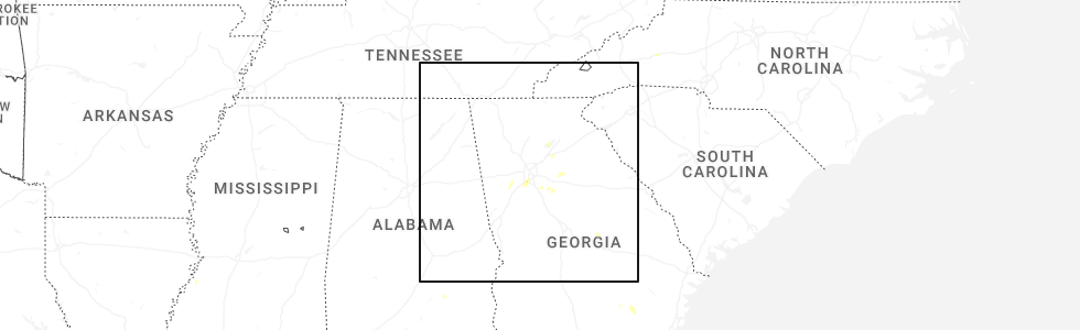
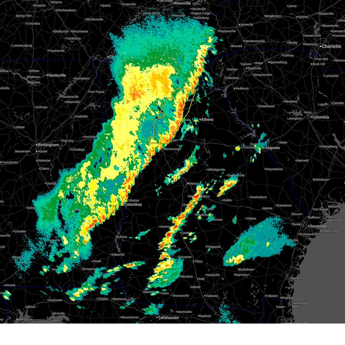
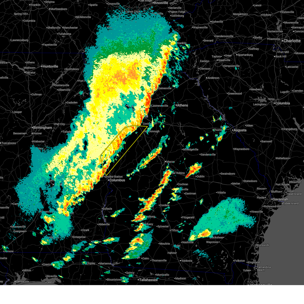
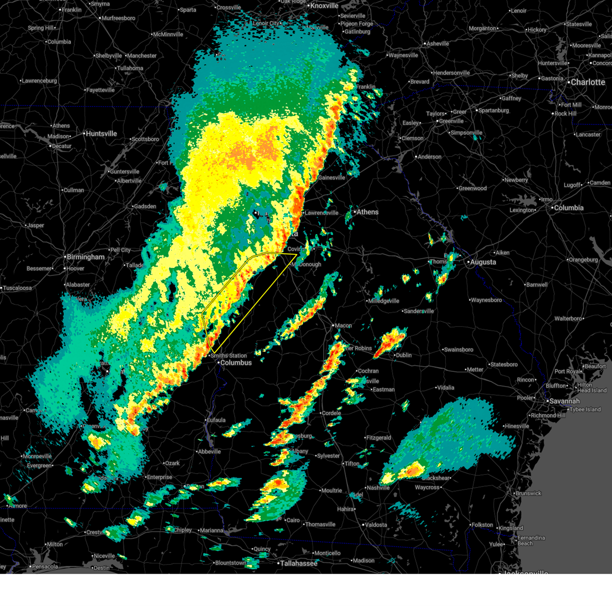
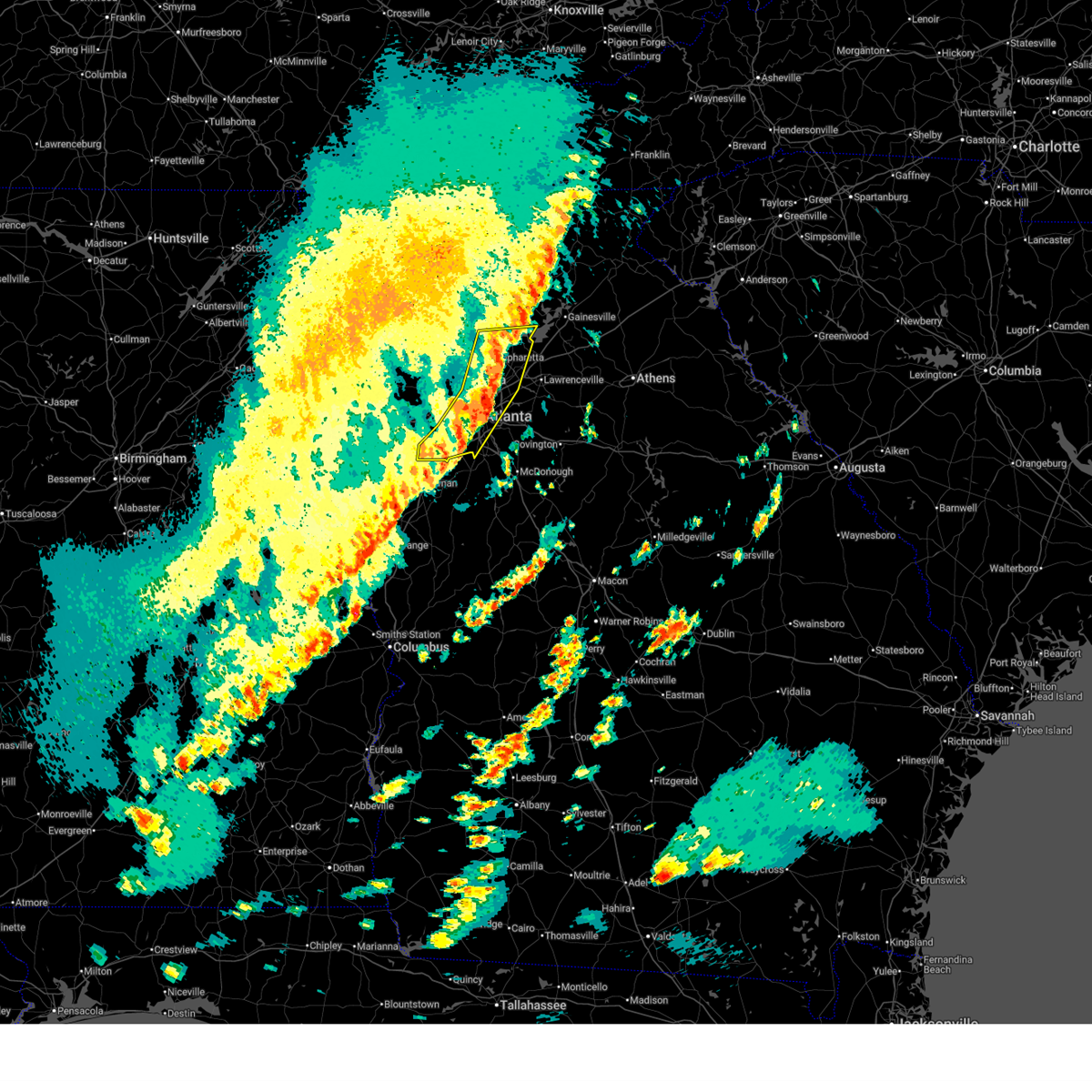
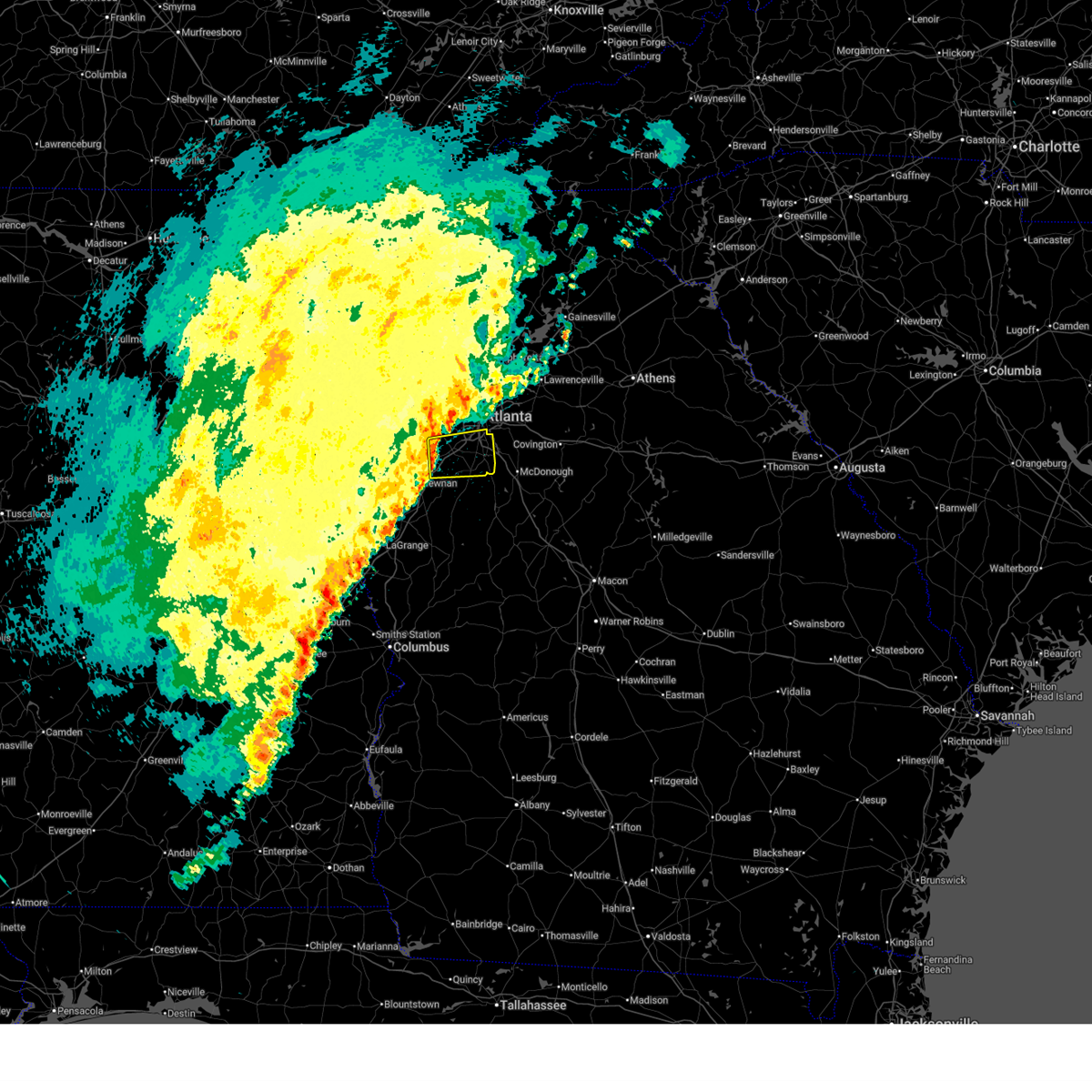
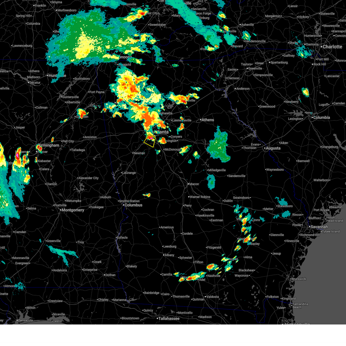
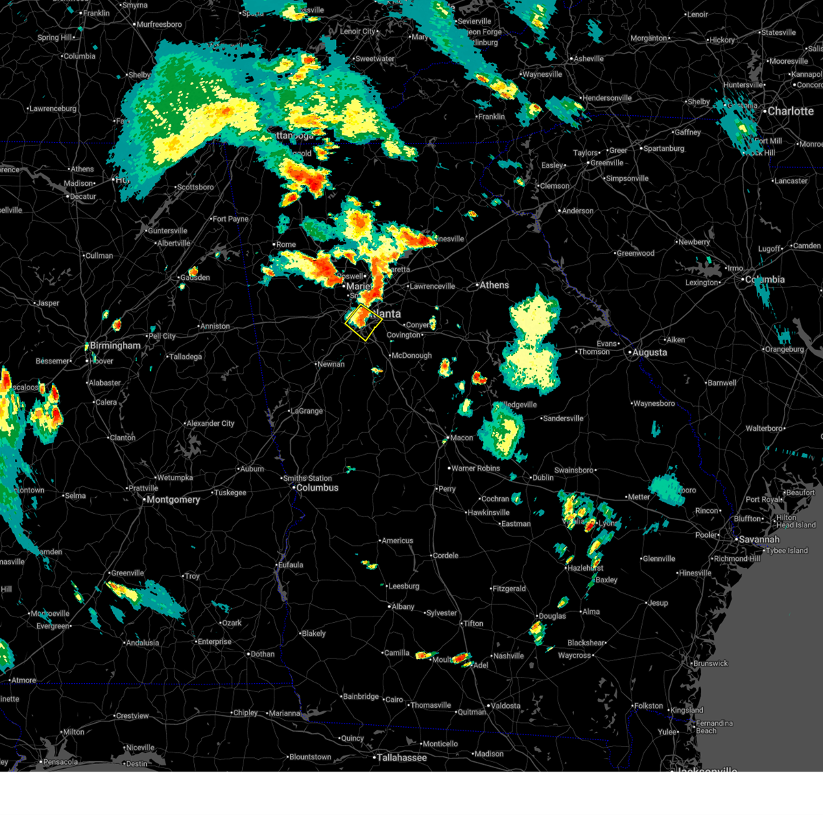
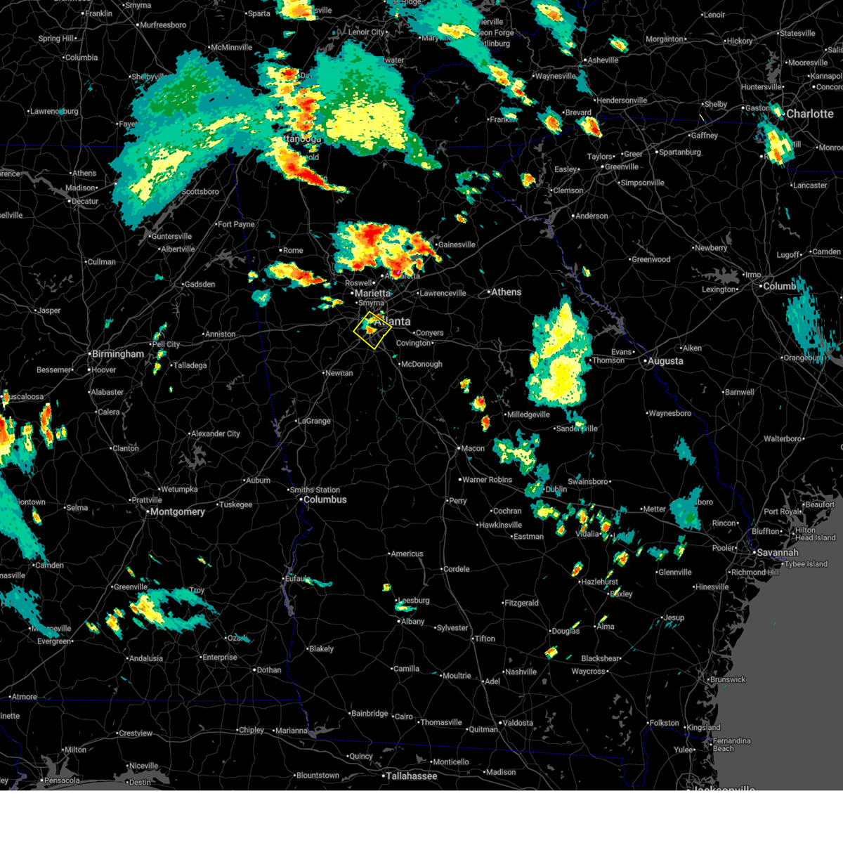
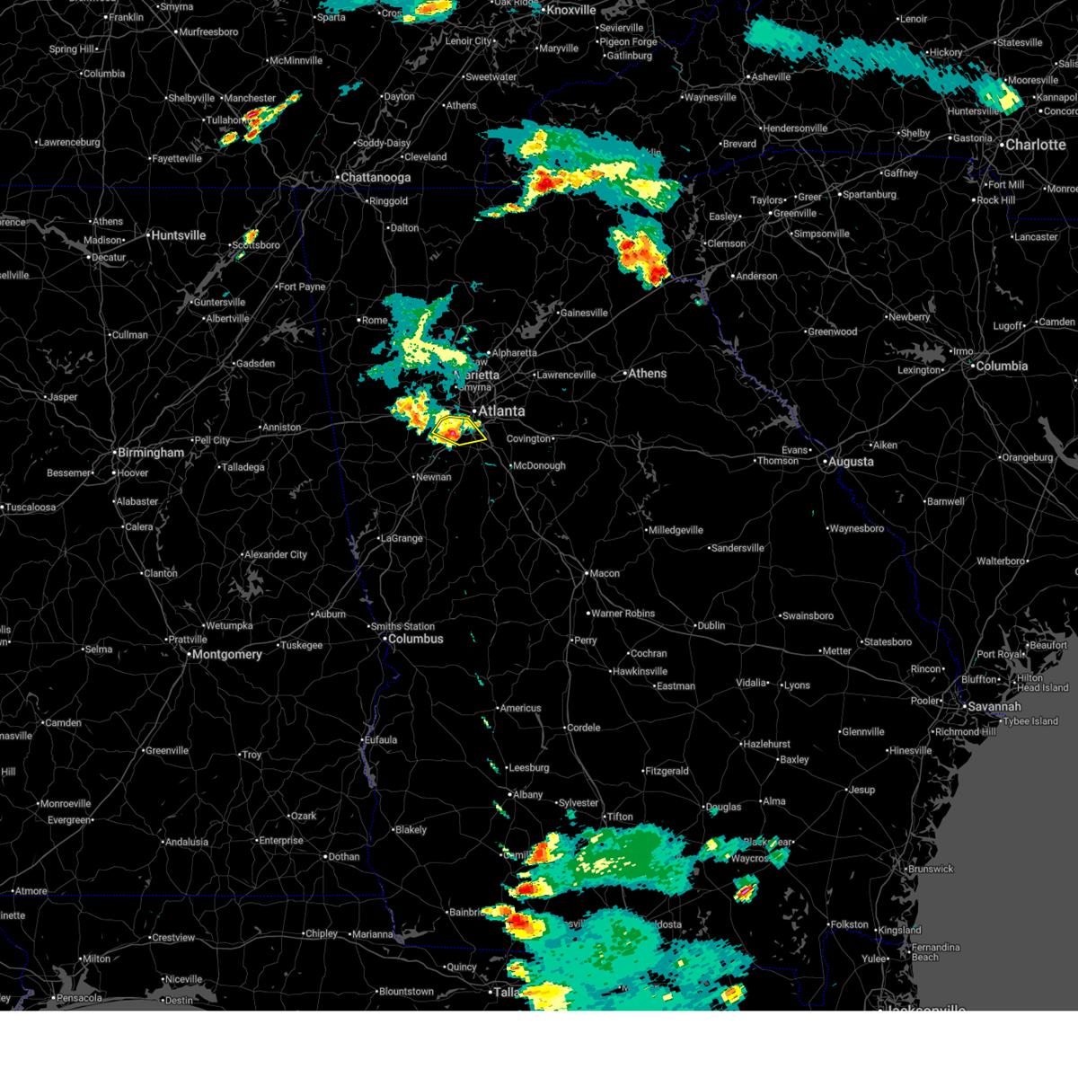
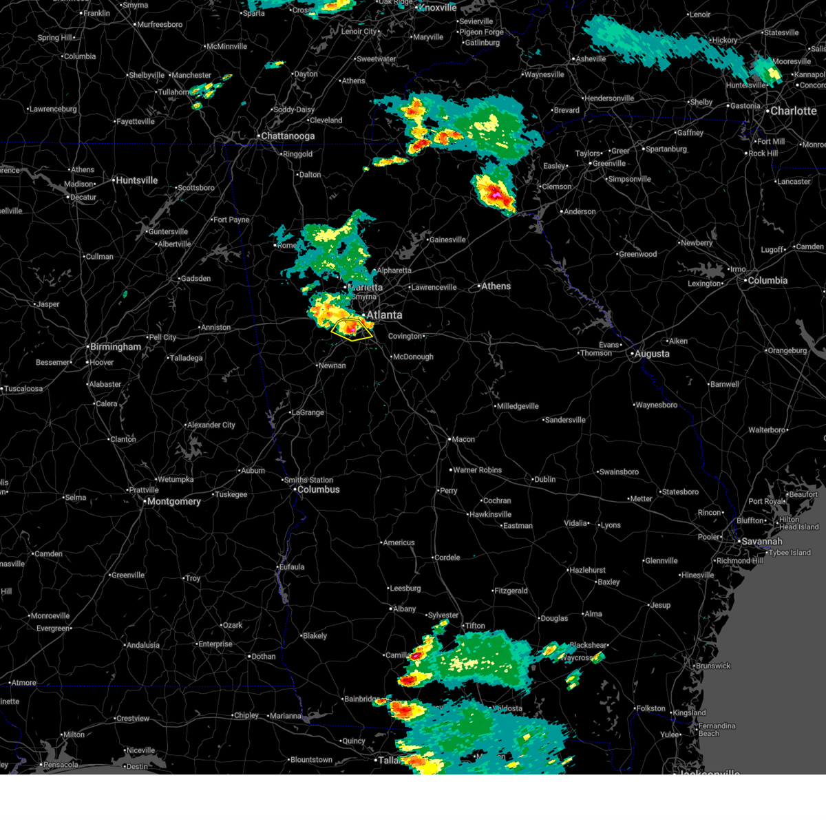
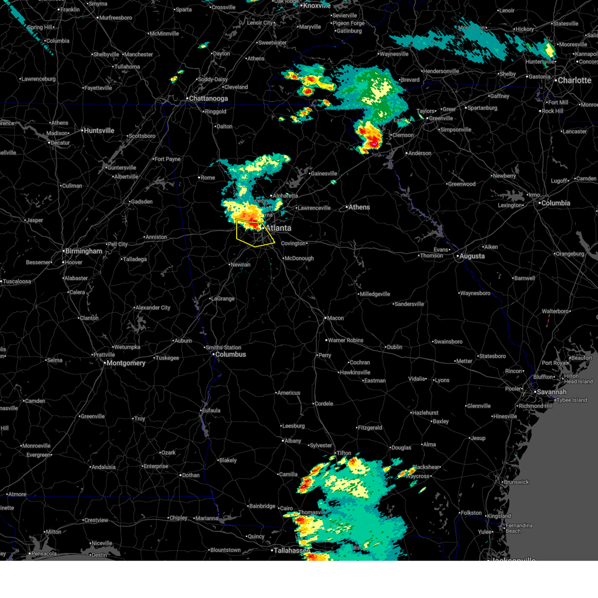
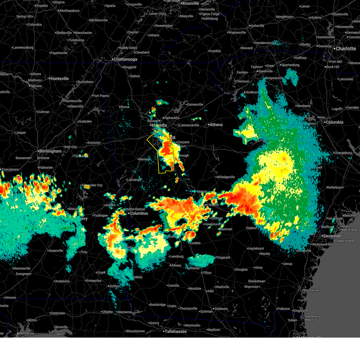
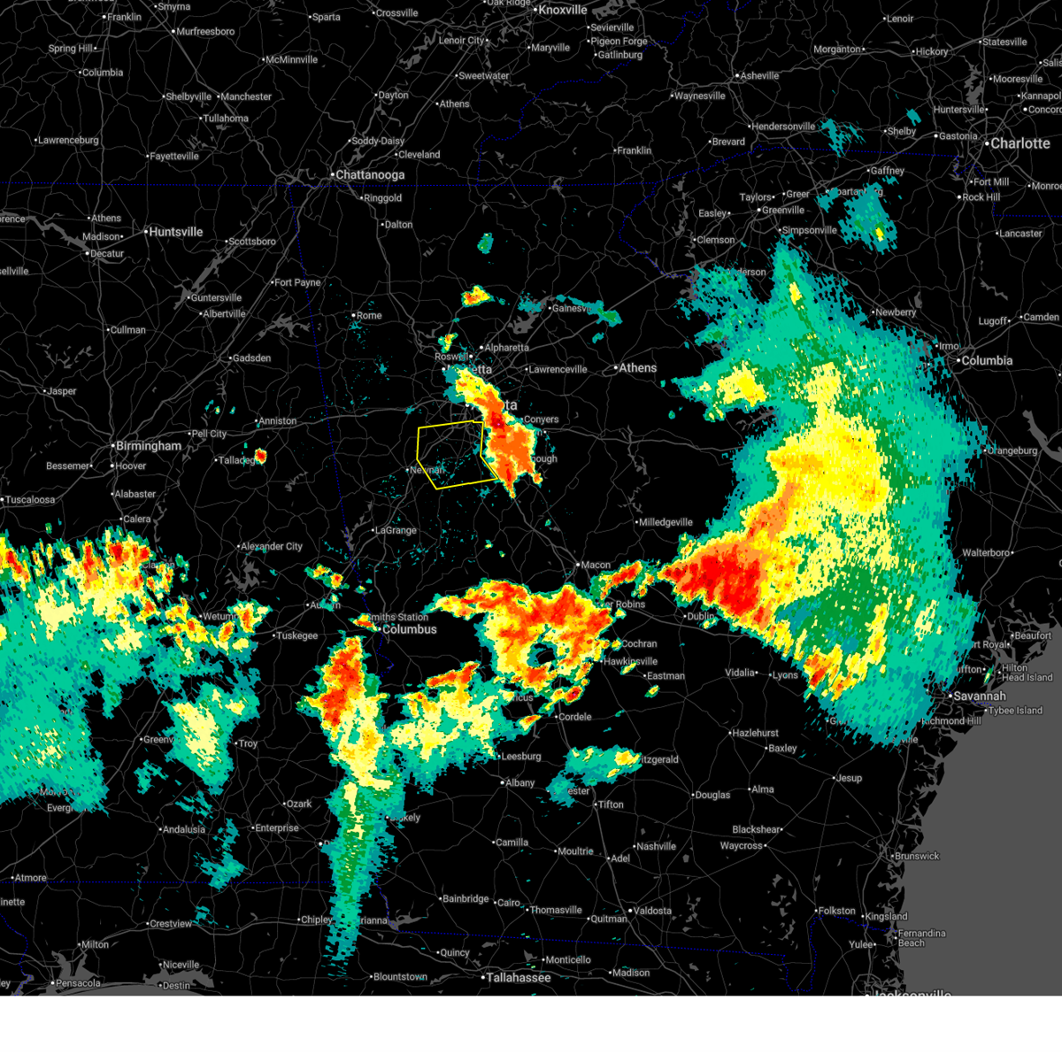
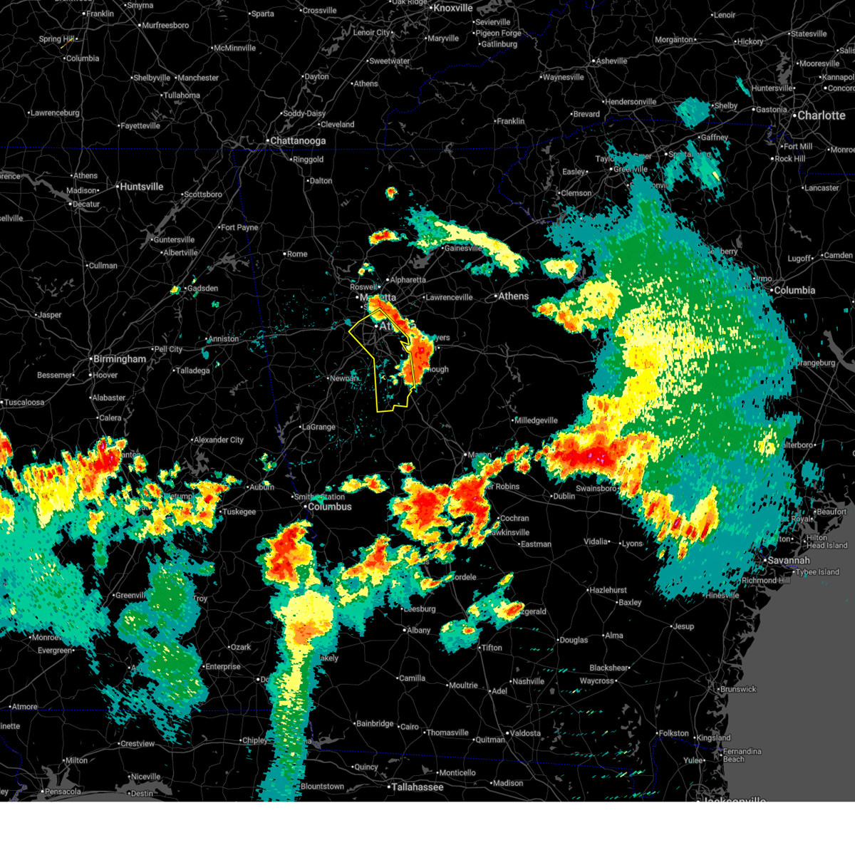
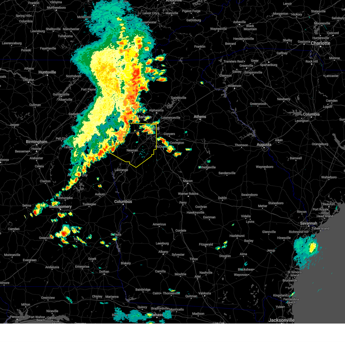
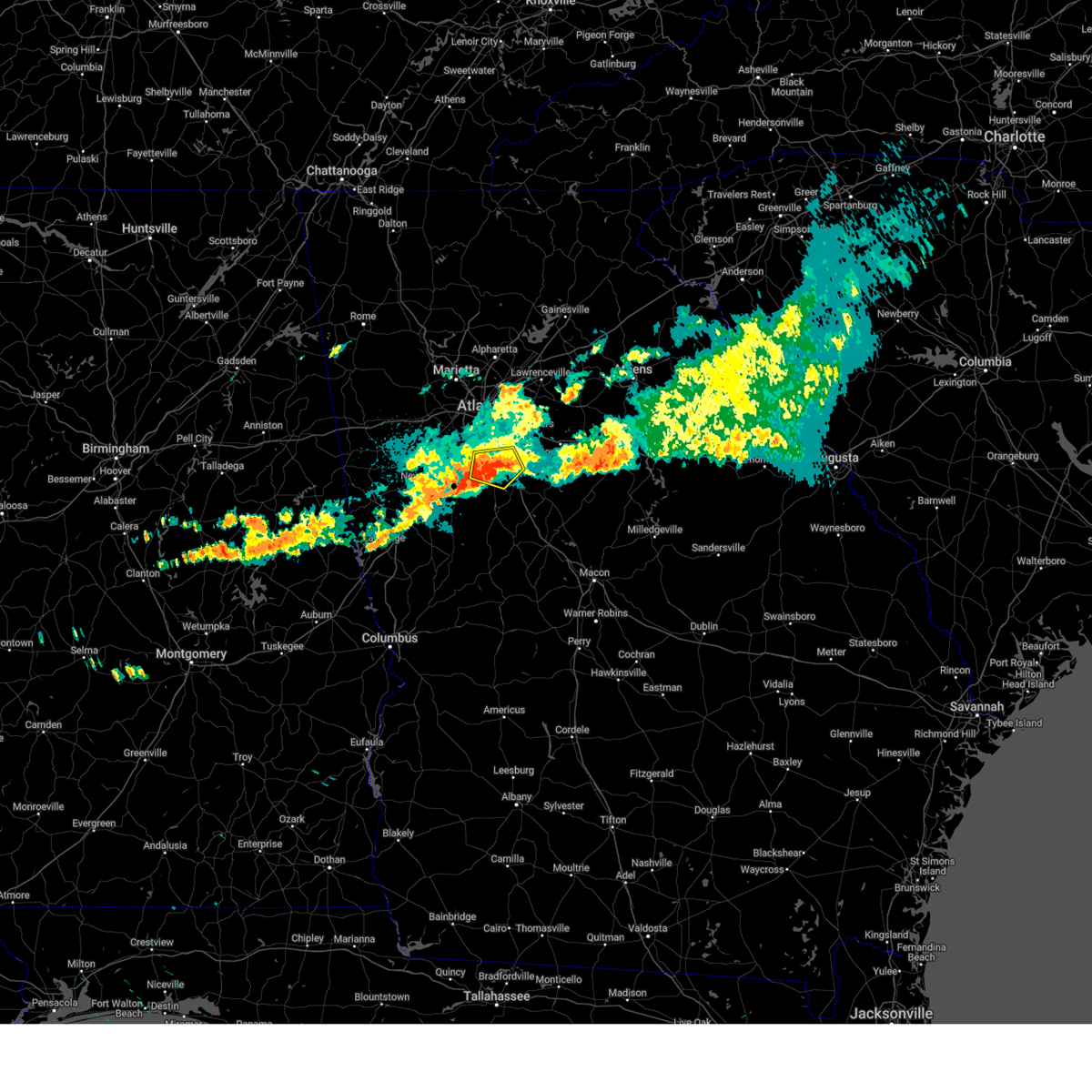
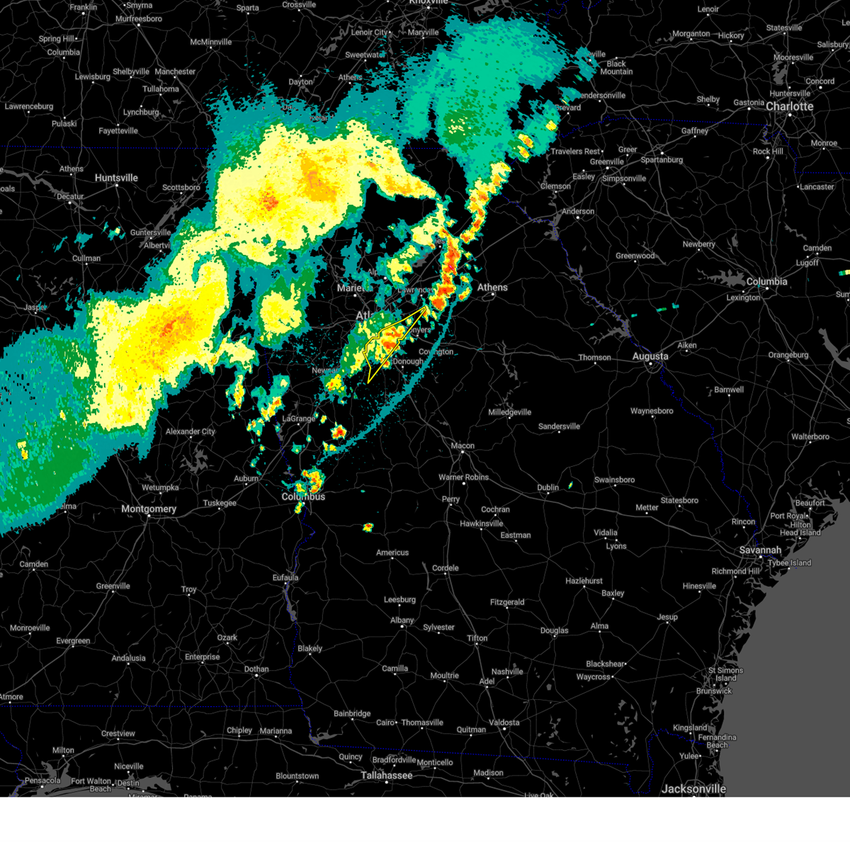
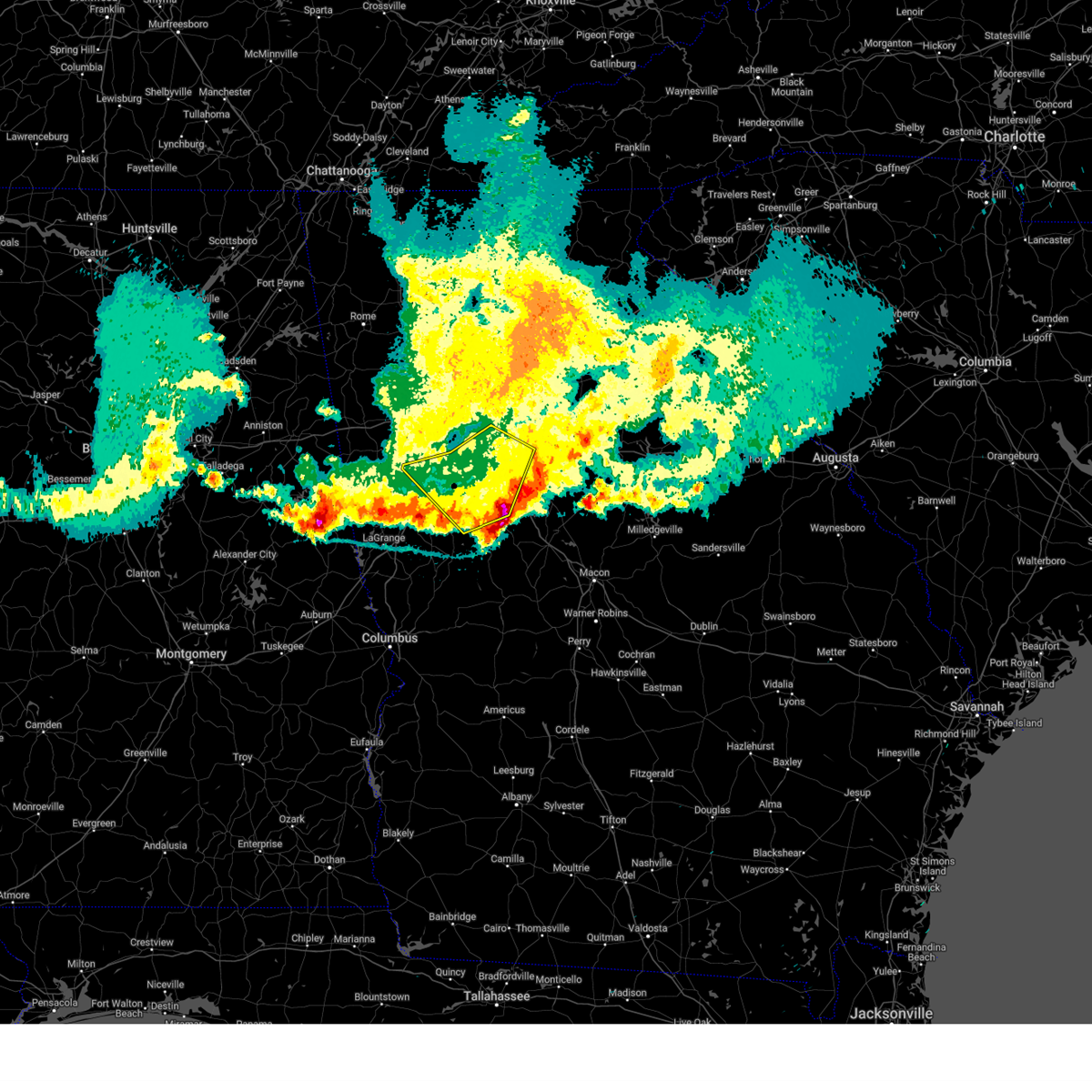
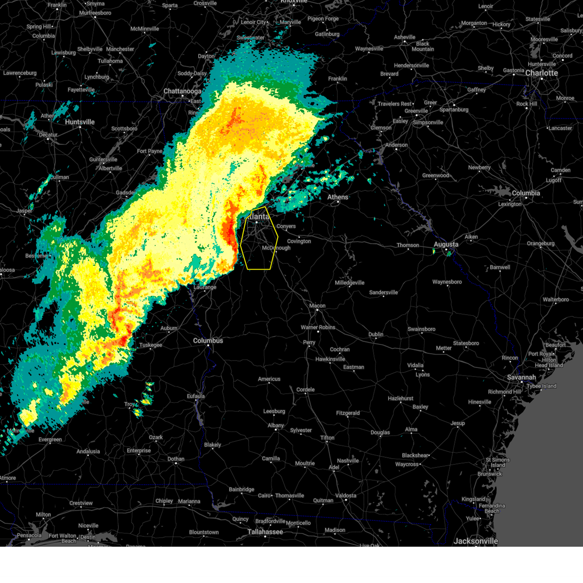
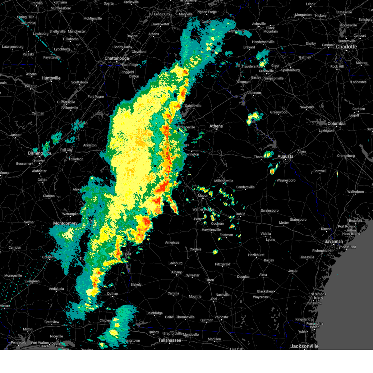
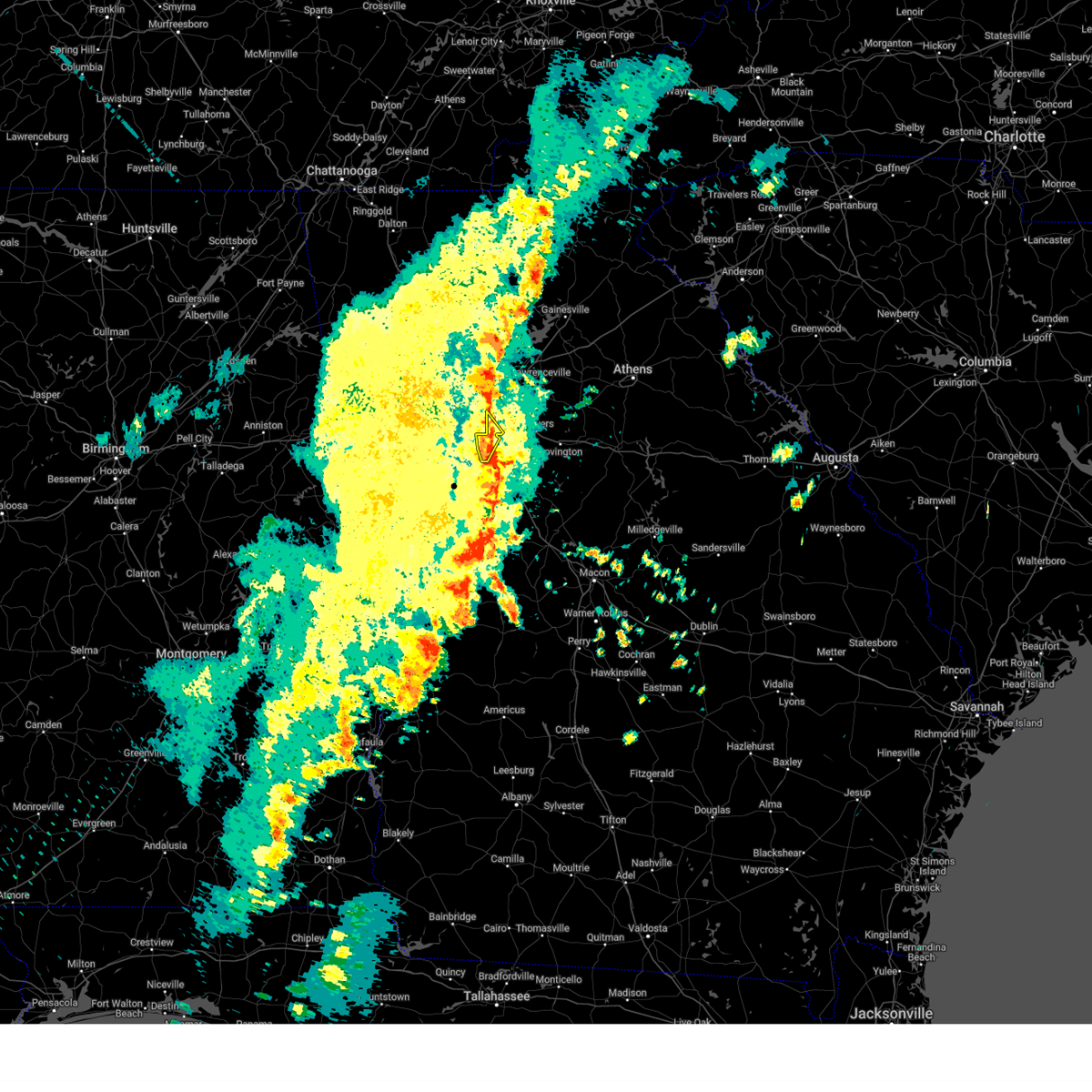
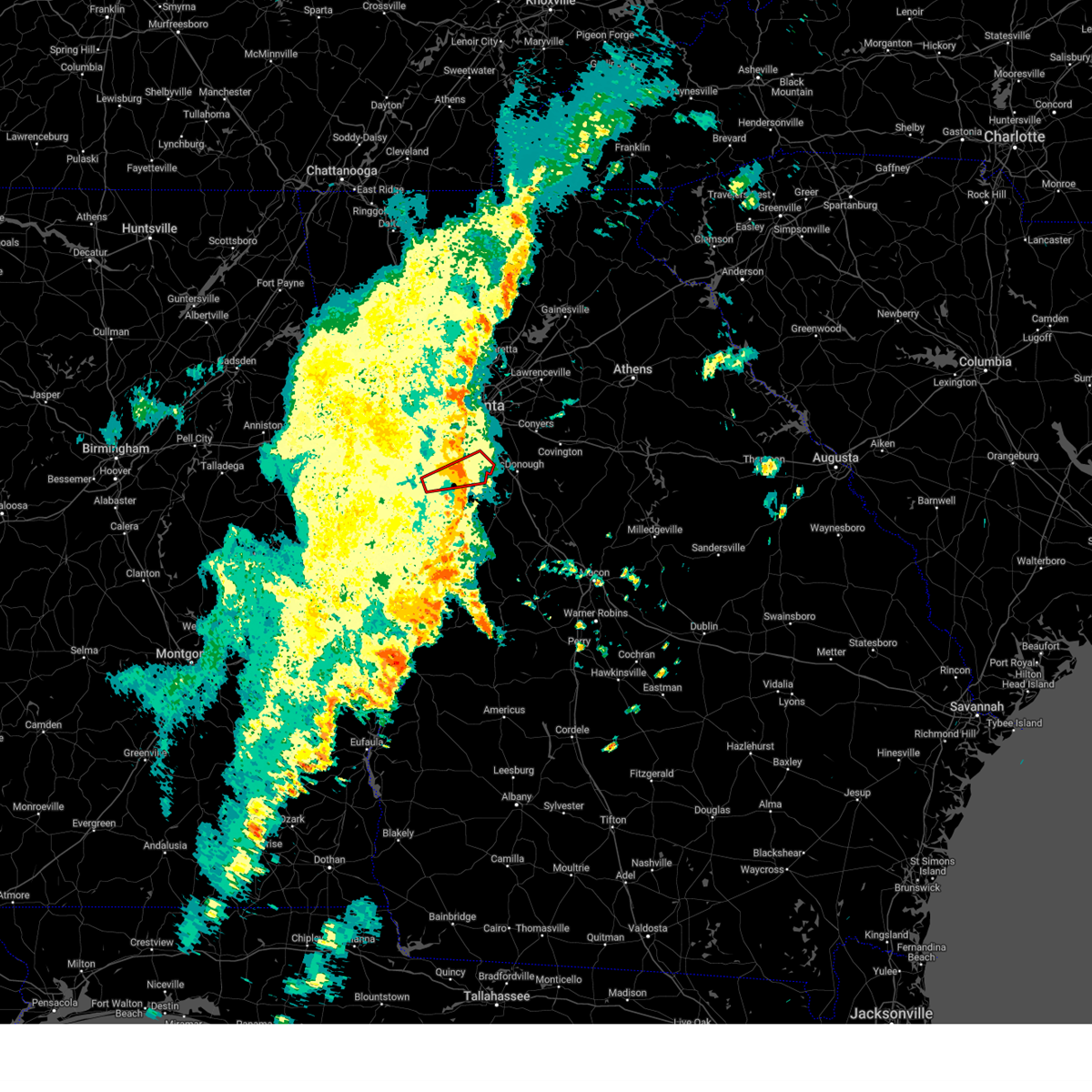
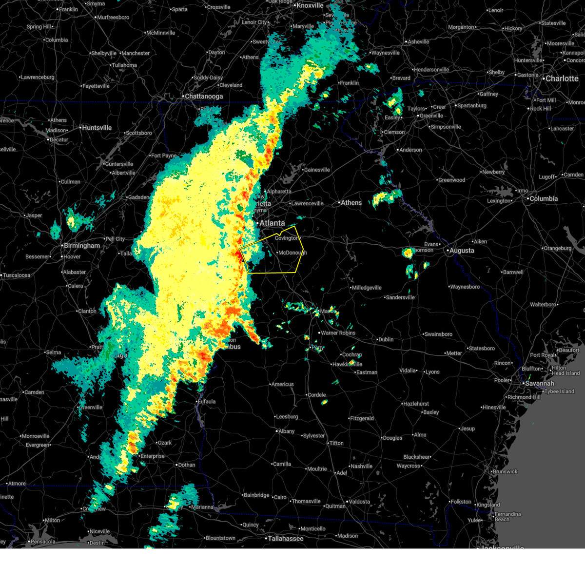
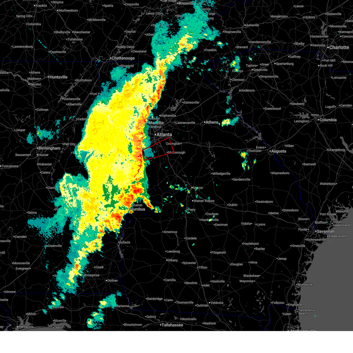
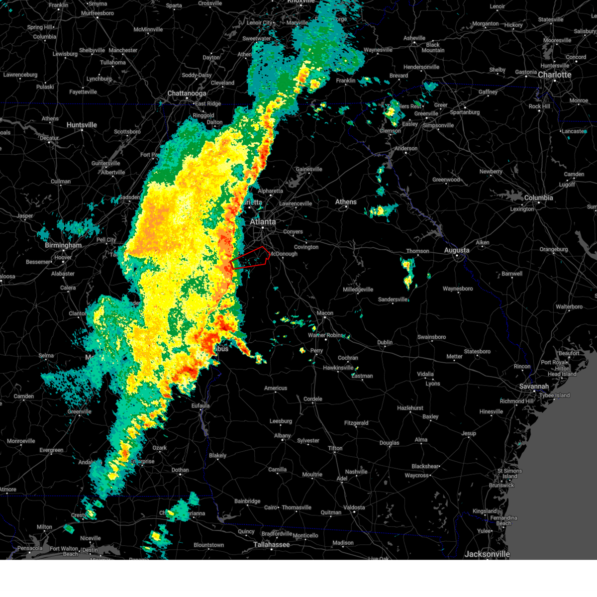
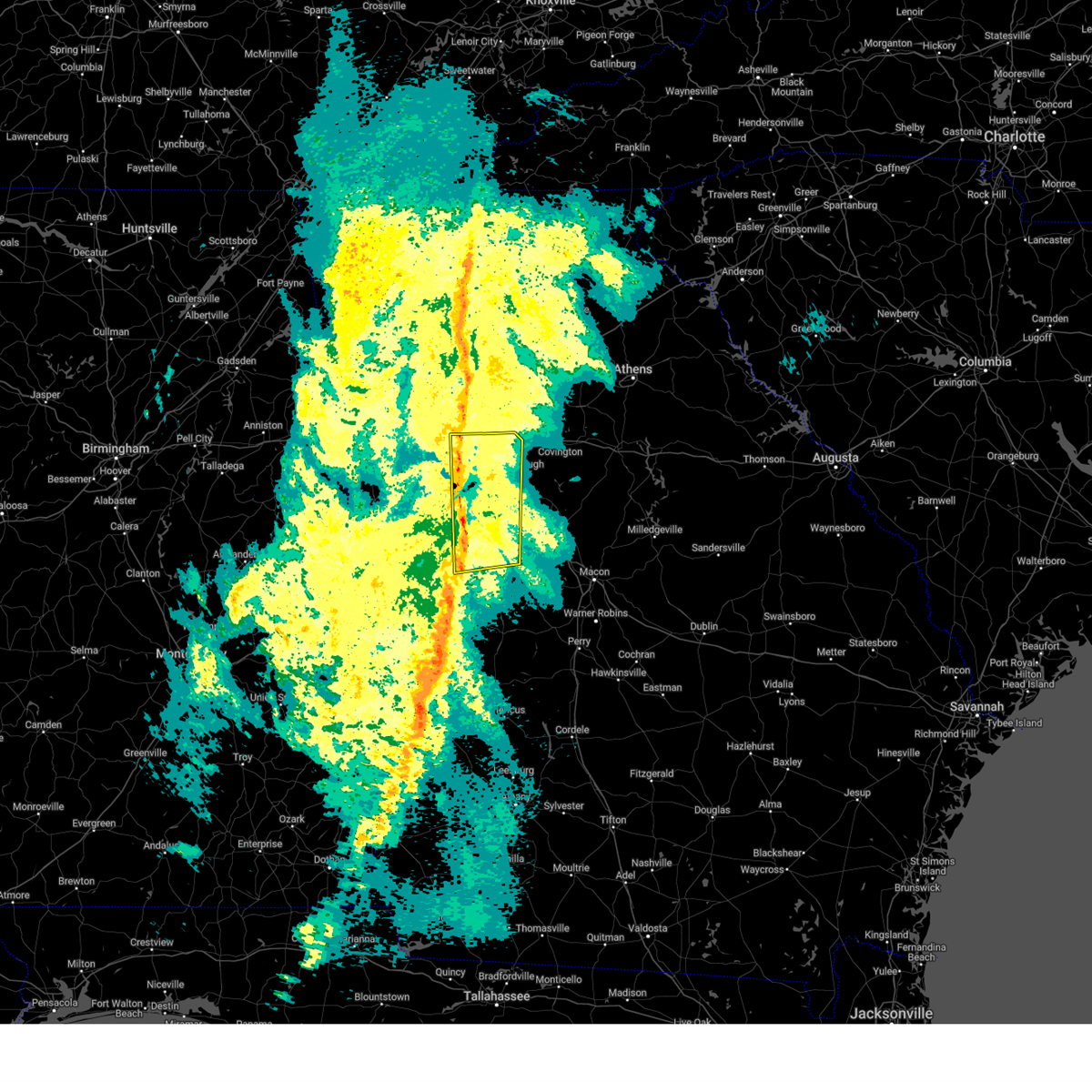
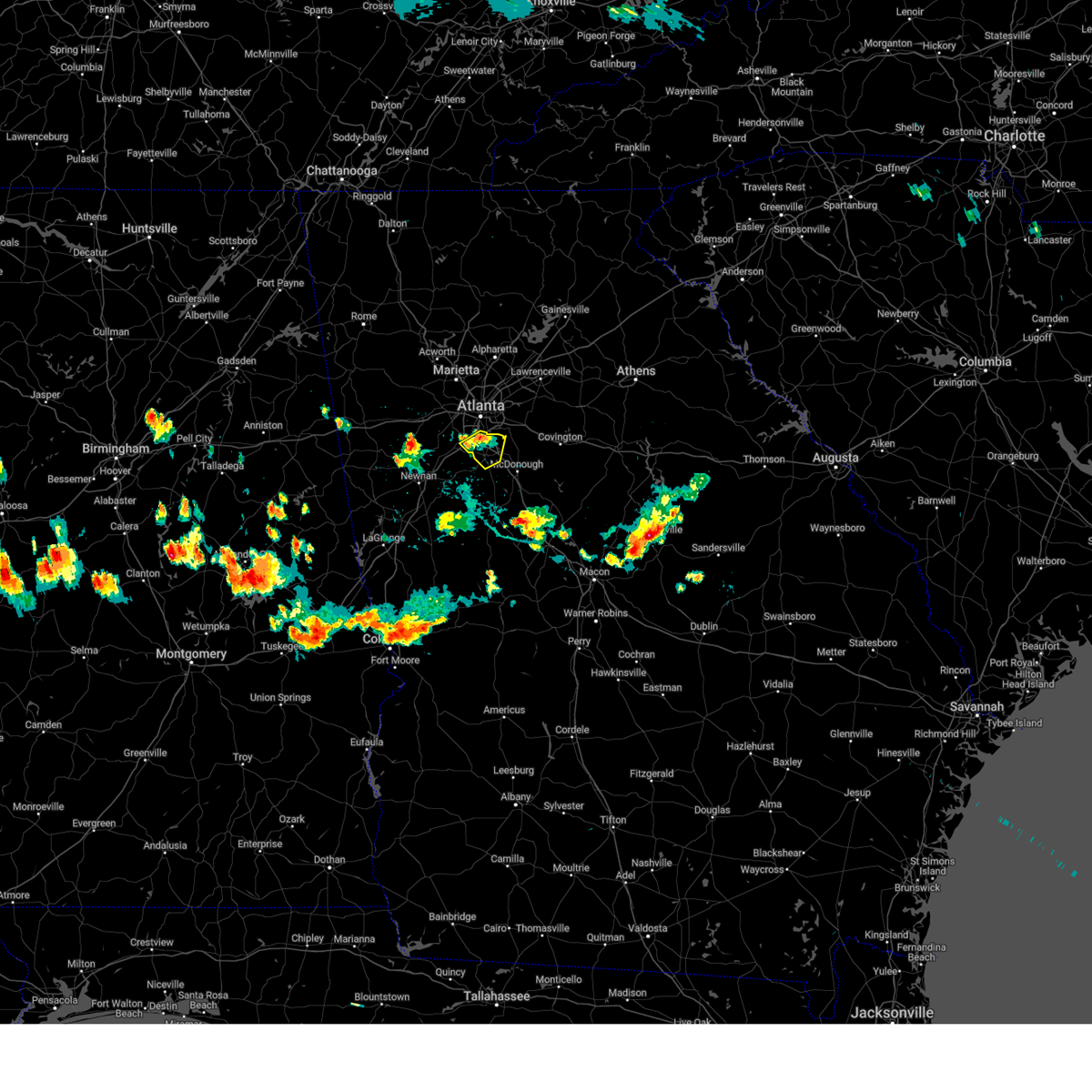
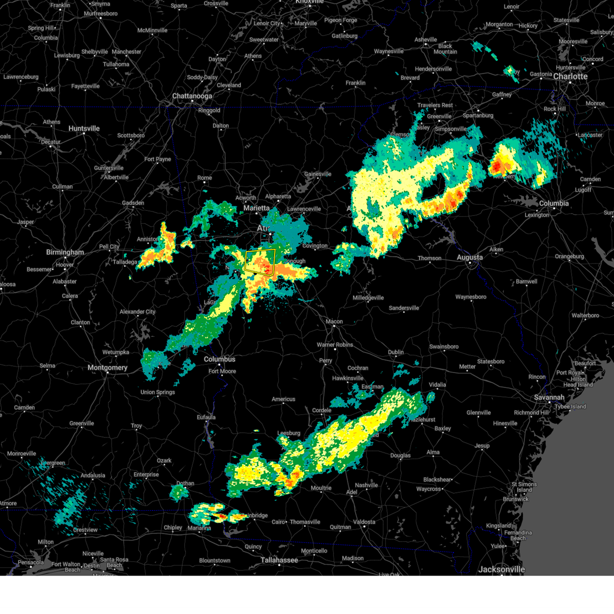
Hail Map for Riverdale, GA
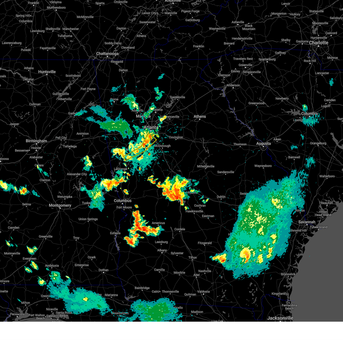
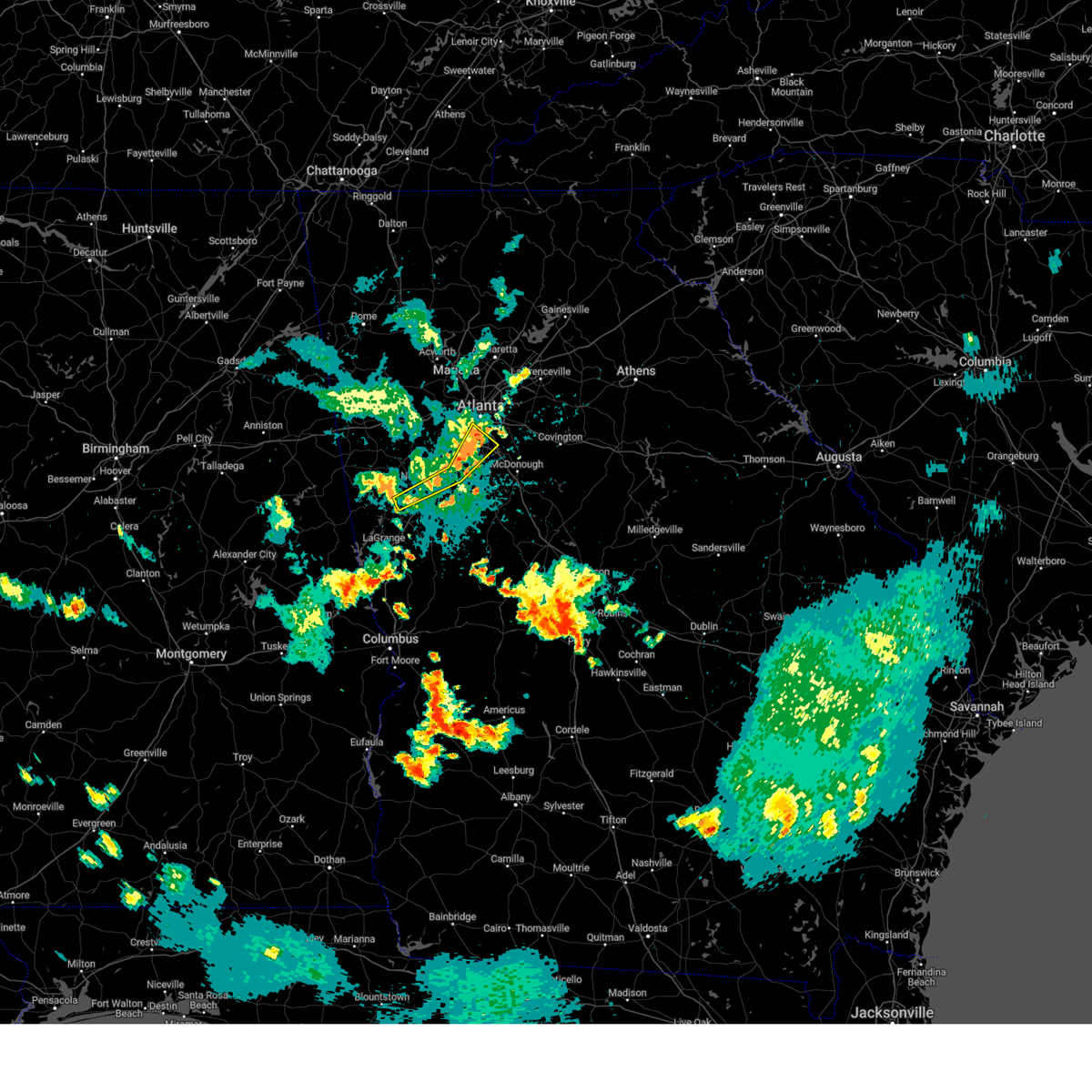
The Riverdale, GA area has had 1 report of on-the-ground hail by trained spotters, and has been under severe weather warnings 18 times during the past 12 months. Doppler radar has detected hail at or near Riverdale, GA on 48 occasions, including 3 occasions during the past year.
| Name: | Riverdale, GA |
| Where Located: | 13 miles S of Atlanta, GA |
| Map: | Google Map for Riverdale, GA |
| Population: | 15134 |
| Housing Units: | 6210 |
| More Info: | Search Google for Riverdale, GA |
2
The Top Recent Hail Date for Riverdale, GA is Friday, March 6, 2026 (9th out of 48)
Hail and Wind Damage Spotted near Riverdale, GA
| Date / Time | Report Details |
|---|---|
| 6/18/2026 4:48 PM EDT |
 At 448 pm edt, severe thunderstorms were located along a line extending from sandy creek to plant scherer, moving east at 45 mph (radar indicated). Hazards include 60 mph wind gusts. Expect damage to roofs, siding, and trees. Locations impacted include, atlanta, mcdonough, fayetteville, jackson, jonesboro, forsyth, city of south fulton, east point, stockbridge, union city, forest park, riverdale, college park, fairburn, hampton, morrow, lovejoy, hapeville, locust grove, and lake city. At 448 pm edt, severe thunderstorms were located along a line extending from sandy creek to plant scherer, moving east at 45 mph (radar indicated). Hazards include 60 mph wind gusts. Expect damage to roofs, siding, and trees. Locations impacted include, atlanta, mcdonough, fayetteville, jackson, jonesboro, forsyth, city of south fulton, east point, stockbridge, union city, forest park, riverdale, college park, fairburn, hampton, morrow, lovejoy, hapeville, locust grove, and lake city.
|
| 6/18/2026 4:37 PM EDT |
 At 437 pm edt, severe thunderstorms were located along a line extending from cannongate to near forsyth, moving east at 45 mph (radar indicated). Hazards include 60 mph wind gusts. Expect damage to roofs, siding, and trees. Locations impacted include, atlanta, griffin, mcdonough, fayetteville, barnesville, jackson, jonesboro, forsyth, city of south fulton, peachtree city, east point, stockbridge, union city, forest park, riverdale, college park, fairburn, hampton, tyrone, and morrow. At 437 pm edt, severe thunderstorms were located along a line extending from cannongate to near forsyth, moving east at 45 mph (radar indicated). Hazards include 60 mph wind gusts. Expect damage to roofs, siding, and trees. Locations impacted include, atlanta, griffin, mcdonough, fayetteville, barnesville, jackson, jonesboro, forsyth, city of south fulton, peachtree city, east point, stockbridge, union city, forest park, riverdale, college park, fairburn, hampton, tyrone, and morrow.
|
| 6/18/2026 4:18 PM EDT |
 Svrffc the national weather service in peachtree city has issued a * severe thunderstorm warning for, spalding county in west central georgia, fayette county in north central georgia, northeastern meriwether county in west central georgia, pike county in west central georgia, monroe county in central georgia, eastern upson county in west central georgia, southwestern butts county in central georgia, henry county in north central georgia, northwestern crawford county in central georgia, eastern coweta county in west central georgia, clayton county in north central georgia, south central fulton county in north central georgia, lamar county in west central georgia, * until 500 pm edt. * at 417 pm edt, severe thunderstorms were located along a line extending from near east newnan to near culloden, moving northeast at 45 mph (radar indicated). Hazards include 60 mph wind gusts. expect damage to roofs, siding, and trees Svrffc the national weather service in peachtree city has issued a * severe thunderstorm warning for, spalding county in west central georgia, fayette county in north central georgia, northeastern meriwether county in west central georgia, pike county in west central georgia, monroe county in central georgia, eastern upson county in west central georgia, southwestern butts county in central georgia, henry county in north central georgia, northwestern crawford county in central georgia, eastern coweta county in west central georgia, clayton county in north central georgia, south central fulton county in north central georgia, lamar county in west central georgia, * until 500 pm edt. * at 417 pm edt, severe thunderstorms were located along a line extending from near east newnan to near culloden, moving northeast at 45 mph (radar indicated). Hazards include 60 mph wind gusts. expect damage to roofs, siding, and trees
|
| 3/16/2026 6:35 AM EDT |
 The storms which prompted the warning have moved out of the area. therefore, the warning will be allowed to expire. a tornado watch remains in effect until 1000 am edt for north central and northeastern georgia. The storms which prompted the warning have moved out of the area. therefore, the warning will be allowed to expire. a tornado watch remains in effect until 1000 am edt for north central and northeastern georgia.
|
| 3/16/2026 6:17 AM EDT |
 the severe thunderstorm warning has been cancelled and is no longer in effect the severe thunderstorm warning has been cancelled and is no longer in effect
|
| 3/16/2026 6:17 AM EDT |
 At 616 am edt, severe thunderstorms were located along a line extending from lake spivey to odessadale, moving east at 55 mph (radar indicated). Hazards include 60 mph wind gusts. Expect damage to roofs, siding, and trees. Locations impacted include, newnan, lagrange, mcdonough, fayetteville, jonesboro, hamilton, greenville, peachtree city, stockbridge, riverdale, hampton, tyrone, lovejoy, senoia, hogansville, grantville, pine mountain, luthersville, brooks, and moreland. At 616 am edt, severe thunderstorms were located along a line extending from lake spivey to odessadale, moving east at 55 mph (radar indicated). Hazards include 60 mph wind gusts. Expect damage to roofs, siding, and trees. Locations impacted include, newnan, lagrange, mcdonough, fayetteville, jonesboro, hamilton, greenville, peachtree city, stockbridge, riverdale, hampton, tyrone, lovejoy, senoia, hogansville, grantville, pine mountain, luthersville, brooks, and moreland.
|
| 3/16/2026 6:00 AM EDT |
 The storms which prompted the warning have moved out of the area. therefore, the warning will be allowed to expire. a tornado watch remains in effect until 1000 am edt for north central and west central georgia. to report severe weather, contact your nearest law enforcement agency. they will relay your report to the national weather service peachtree city. remember, a severe thunderstorm warning still remains in effect for forsyth, gwinnett, dekalb, and clayton counties until 645 am edt. The storms which prompted the warning have moved out of the area. therefore, the warning will be allowed to expire. a tornado watch remains in effect until 1000 am edt for north central and west central georgia. to report severe weather, contact your nearest law enforcement agency. they will relay your report to the national weather service peachtree city. remember, a severe thunderstorm warning still remains in effect for forsyth, gwinnett, dekalb, and clayton counties until 645 am edt.
|
| 3/16/2026 5:59 AM EDT |
 Svrffc the national weather service in peachtree city has issued a * severe thunderstorm warning for, rockdale county in north central georgia, western barrow county in north central georgia, dekalb county in north central georgia, central forsyth county in north central georgia, gwinnett county in north central georgia, western banks county in northeastern georgia, northwestern henry county in north central georgia, northwestern walton county in north central georgia, hall county in north central georgia, northwestern jackson county in northeastern georgia, northern clayton county in north central georgia, * until 645 am edt. * at 558 am edt, severe thunderstorms were located along a line extending from near war hill park to near riverdale, moving east at 55 mph (radar indicated). Hazards include 60 mph wind gusts. expect damage to roofs, siding, and trees Svrffc the national weather service in peachtree city has issued a * severe thunderstorm warning for, rockdale county in north central georgia, western barrow county in north central georgia, dekalb county in north central georgia, central forsyth county in north central georgia, gwinnett county in north central georgia, western banks county in northeastern georgia, northwestern henry county in north central georgia, northwestern walton county in north central georgia, hall county in north central georgia, northwestern jackson county in northeastern georgia, northern clayton county in north central georgia, * until 645 am edt. * at 558 am edt, severe thunderstorms were located along a line extending from near war hill park to near riverdale, moving east at 55 mph (radar indicated). Hazards include 60 mph wind gusts. expect damage to roofs, siding, and trees
|
| 3/16/2026 5:54 AM EDT |
 Svrffc the national weather service in peachtree city has issued a * severe thunderstorm warning for, western spalding county in west central georgia, fayette county in north central georgia, meriwether county in west central georgia, northwestern pike county in west central georgia, northwestern muscogee county in west central georgia, southwestern henry county in north central georgia, southeastern heard county in west central georgia, troup county in west central georgia, coweta county in west central georgia, central clayton county in north central georgia, central harris county in west central georgia, * until 630 am edt. * at 553 am edt, severe thunderstorms were located along a line extending from cannongate to near piedmont heights, moving east at 50 mph (radar indicated). Hazards include 60 mph wind gusts. expect damage to roofs, siding, and trees Svrffc the national weather service in peachtree city has issued a * severe thunderstorm warning for, western spalding county in west central georgia, fayette county in north central georgia, meriwether county in west central georgia, northwestern pike county in west central georgia, northwestern muscogee county in west central georgia, southwestern henry county in north central georgia, southeastern heard county in west central georgia, troup county in west central georgia, coweta county in west central georgia, central clayton county in north central georgia, central harris county in west central georgia, * until 630 am edt. * at 553 am edt, severe thunderstorms were located along a line extending from cannongate to near piedmont heights, moving east at 50 mph (radar indicated). Hazards include 60 mph wind gusts. expect damage to roofs, siding, and trees
|
| 3/16/2026 5:46 AM EDT |
 At 546 am edt, severe thunderstorms were located along a line extending from drew to fairburn, moving east at 55 mph (radar indicated). Hazards include 70 mph wind gusts. Expect considerable tree damage. damage is likely to mobile homes, roofs, and outbuildings. Locations impacted include, atlanta, marietta, douglasville, decatur, cumming, peachtree corners, city of south fulton, mountain park, sandy springs, roswell, johns creek, alpharetta, smyrna, dunwoody, east point, milton, duluth, union city, sugar hill, and forest park. At 546 am edt, severe thunderstorms were located along a line extending from drew to fairburn, moving east at 55 mph (radar indicated). Hazards include 70 mph wind gusts. Expect considerable tree damage. damage is likely to mobile homes, roofs, and outbuildings. Locations impacted include, atlanta, marietta, douglasville, decatur, cumming, peachtree corners, city of south fulton, mountain park, sandy springs, roswell, johns creek, alpharetta, smyrna, dunwoody, east point, milton, duluth, union city, sugar hill, and forest park.
|
| 3/16/2026 5:46 AM EDT |
 the severe thunderstorm warning has been cancelled and is no longer in effect the severe thunderstorm warning has been cancelled and is no longer in effect
|
| 3/16/2026 5:32 AM EDT |
 the severe thunderstorm warning has been cancelled and is no longer in effect the severe thunderstorm warning has been cancelled and is no longer in effect
|
| 3/16/2026 5:32 AM EDT |
 At 532 am edt, severe thunderstorms were located along a line extending from hickory flat to near chattahoochee hill, moving east at 55 mph (radar indicated). Hazards include 60 mph wind gusts. Expect damage to roofs, siding, and trees. Locations impacted include, atlanta, marietta, douglasville, canton, decatur, cumming, mountain park, peachtree corners, city of south fulton, sandy springs, roswell, johns creek, alpharetta, smyrna, dunwoody, east point, milton, kennesaw, duluth, and woodstock. At 532 am edt, severe thunderstorms were located along a line extending from hickory flat to near chattahoochee hill, moving east at 55 mph (radar indicated). Hazards include 60 mph wind gusts. Expect damage to roofs, siding, and trees. Locations impacted include, atlanta, marietta, douglasville, canton, decatur, cumming, mountain park, peachtree corners, city of south fulton, sandy springs, roswell, johns creek, alpharetta, smyrna, dunwoody, east point, milton, kennesaw, duluth, and woodstock.
|
| 3/16/2026 5:16 AM EDT |
 Svrffc the national weather service in peachtree city has issued a * severe thunderstorm warning for, eastern paulding county in northwestern georgia, southern cherokee county in north central georgia, northwestern dekalb county in north central georgia, southwestern forsyth county in north central georgia, eastern carroll county in northwestern georgia, cobb county in north central georgia, douglas county in north central georgia, northwestern gwinnett county in north central georgia, northwestern clayton county in north central georgia, fulton county in north central georgia, southeastern bartow county in northwestern georgia, * until 600 am edt. * at 516 am edt, severe thunderstorms were located along a line extending from near oak grove to near lowell, moving east at 55 mph (radar indicated). Hazards include 60 mph wind gusts. expect damage to roofs, siding, and trees Svrffc the national weather service in peachtree city has issued a * severe thunderstorm warning for, eastern paulding county in northwestern georgia, southern cherokee county in north central georgia, northwestern dekalb county in north central georgia, southwestern forsyth county in north central georgia, eastern carroll county in northwestern georgia, cobb county in north central georgia, douglas county in north central georgia, northwestern gwinnett county in north central georgia, northwestern clayton county in north central georgia, fulton county in north central georgia, southeastern bartow county in northwestern georgia, * until 600 am edt. * at 516 am edt, severe thunderstorms were located along a line extending from near oak grove to near lowell, moving east at 55 mph (radar indicated). Hazards include 60 mph wind gusts. expect damage to roofs, siding, and trees
|
| 3/12/2026 4:16 AM EDT |
 Svrffc the national weather service in peachtree city has issued a * severe thunderstorm warning for, northern fayette county in north central georgia, northeastern coweta county in west central georgia, clayton county in north central georgia, southwestern fulton county in north central georgia, * until 445 am edt. * at 415 am edt, a severe thunderstorm was located over palmetto, or 8 miles south of city of south fulton, moving east at 25 mph (radar indicated). Hazards include 60 mph wind gusts and penny size hail. expect damage to roofs, siding, and trees Svrffc the national weather service in peachtree city has issued a * severe thunderstorm warning for, northern fayette county in north central georgia, northeastern coweta county in west central georgia, clayton county in north central georgia, southwestern fulton county in north central georgia, * until 445 am edt. * at 415 am edt, a severe thunderstorm was located over palmetto, or 8 miles south of city of south fulton, moving east at 25 mph (radar indicated). Hazards include 60 mph wind gusts and penny size hail. expect damage to roofs, siding, and trees
|
| 11/25/2025 8:32 AM EST |
 At 831 am est, severe thunderstorms were located along a line extending from holbrook to virginia highland to thomas crossroads, moving east at 50 mph (radar indicated). Hazards include 60 mph wind gusts. Expect damage to roofs, siding, and trees. Locations impacted include, atlanta, newnan, decatur, fayetteville, cumming, jonesboro, peachtree corners, city of south fulton, sandy springs, roswell, johns creek, alpharetta, dunwoody, peachtree city, east point, milton, duluth, union city, sugar hill, and forest park. At 831 am est, severe thunderstorms were located along a line extending from holbrook to virginia highland to thomas crossroads, moving east at 50 mph (radar indicated). Hazards include 60 mph wind gusts. Expect damage to roofs, siding, and trees. Locations impacted include, atlanta, newnan, decatur, fayetteville, cumming, jonesboro, peachtree corners, city of south fulton, sandy springs, roswell, johns creek, alpharetta, dunwoody, peachtree city, east point, milton, duluth, union city, sugar hill, and forest park.
|
| 11/25/2025 8:32 AM EST |
 the severe thunderstorm warning has been cancelled and is no longer in effect the severe thunderstorm warning has been cancelled and is no longer in effect
|
| 11/25/2025 8:05 AM EST |
 Svrffc the national weather service in peachtree city has issued a * severe thunderstorm warning for, cherokee county in north central georgia, dekalb county in north central georgia, fayette county in north central georgia, forsyth county in north central georgia, eastern cobb county in north central georgia, eastern douglas county in north central georgia, western gwinnett county in north central georgia, northern coweta county in west central georgia, clayton county in north central georgia, fulton county in north central georgia, * until 845 am est. * at 804 am est, severe thunderstorms were located along a line extending from near george washington carver st pk to near douglasville to centralhatchee, moving east at 50 mph (radar indicated). Hazards include 60 mph wind gusts. expect damage to roofs, siding, and trees Svrffc the national weather service in peachtree city has issued a * severe thunderstorm warning for, cherokee county in north central georgia, dekalb county in north central georgia, fayette county in north central georgia, forsyth county in north central georgia, eastern cobb county in north central georgia, eastern douglas county in north central georgia, western gwinnett county in north central georgia, northern coweta county in west central georgia, clayton county in north central georgia, fulton county in north central georgia, * until 845 am est. * at 804 am est, severe thunderstorms were located along a line extending from near george washington carver st pk to near douglasville to centralhatchee, moving east at 50 mph (radar indicated). Hazards include 60 mph wind gusts. expect damage to roofs, siding, and trees
|
| 6/27/2025 8:13 PM EDT |
 The storm which prompted the warning has weakened below severe limits, and no longer poses an immediate threat to life or property. therefore, the warning will be allowed to expire. The storm which prompted the warning has weakened below severe limits, and no longer poses an immediate threat to life or property. therefore, the warning will be allowed to expire.
|
| 6/27/2025 7:50 PM EDT |
 Svrffc the national weather service in peachtree city has issued a * severe thunderstorm warning for, northeastern fayette county in north central georgia, northwestern clayton county in north central georgia, south central fulton county in north central georgia, * until 815 pm edt. * at 750 pm edt, a severe thunderstorm was located over hartsfield-jackson airport, or 7 miles northwest of jonesboro, moving southwest at 10 mph (radar indicated). Hazards include 60 mph wind gusts and quarter size hail. Hail damage to vehicles is expected. Expect wind damage to roofs, siding, and trees. Svrffc the national weather service in peachtree city has issued a * severe thunderstorm warning for, northeastern fayette county in north central georgia, northwestern clayton county in north central georgia, south central fulton county in north central georgia, * until 815 pm edt. * at 750 pm edt, a severe thunderstorm was located over hartsfield-jackson airport, or 7 miles northwest of jonesboro, moving southwest at 10 mph (radar indicated). Hazards include 60 mph wind gusts and quarter size hail. Hail damage to vehicles is expected. Expect wind damage to roofs, siding, and trees.
|
| 6/27/2025 7:20 PM EDT |
 The storm which prompted the warning has weakened below severe limits, and no longer poses an immediate threat to life or property. therefore, the warning will be allowed to expire. however, gusty winds are still possible with this thunderstorm. The storm which prompted the warning has weakened below severe limits, and no longer poses an immediate threat to life or property. therefore, the warning will be allowed to expire. however, gusty winds are still possible with this thunderstorm.
|
| 6/27/2025 6:47 PM EDT |
 Svrffc the national weather service in peachtree city has issued a * severe thunderstorm warning for, southwestern dekalb county in north central georgia, northwestern clayton county in north central georgia, south central fulton county in north central georgia, * until 730 pm edt. * at 647 pm edt, a severe thunderstorm was located over lakewood park, or near atlanta, and is nearly stationary (radar indicated). Hazards include 60 mph wind gusts and quarter size hail. Hail damage to vehicles is expected. Expect wind damage to roofs, siding, and trees. Svrffc the national weather service in peachtree city has issued a * severe thunderstorm warning for, southwestern dekalb county in north central georgia, northwestern clayton county in north central georgia, south central fulton county in north central georgia, * until 730 pm edt. * at 647 pm edt, a severe thunderstorm was located over lakewood park, or near atlanta, and is nearly stationary (radar indicated). Hazards include 60 mph wind gusts and quarter size hail. Hail damage to vehicles is expected. Expect wind damage to roofs, siding, and trees.
|
| 6/26/2025 6:39 PM EDT |
 The storms which prompted the warning have weakened below severe limits, and no longer pose an immediate threat to life or property. therefore, the warning will be allowed to expire. The storms which prompted the warning have weakened below severe limits, and no longer pose an immediate threat to life or property. therefore, the warning will be allowed to expire.
|
| 6/26/2025 6:27 PM EDT |
 At 627 pm edt, severe thunderstorms were located along a line extending from near city of south fulton to near east point to hartsfield-jackson airport, moving south at 15 mph (radar indicated). Hazards include 60 mph wind gusts and quarter size hail. Hail damage to vehicles is expected. expect wind damage to roofs, siding, and trees. Locations impacted include, atlanta, city of south fulton, east point, union city, forest park, riverdale, college park, morrow, hapeville, lake city, hartsfield-jackson airport, and sandtown. At 627 pm edt, severe thunderstorms were located along a line extending from near city of south fulton to near east point to hartsfield-jackson airport, moving south at 15 mph (radar indicated). Hazards include 60 mph wind gusts and quarter size hail. Hail damage to vehicles is expected. expect wind damage to roofs, siding, and trees. Locations impacted include, atlanta, city of south fulton, east point, union city, forest park, riverdale, college park, morrow, hapeville, lake city, hartsfield-jackson airport, and sandtown.
|
| 6/26/2025 6:27 PM EDT |
 the severe thunderstorm warning has been cancelled and is no longer in effect the severe thunderstorm warning has been cancelled and is no longer in effect
|
| 6/26/2025 5:58 PM EDT |
 Svrffc the national weather service in peachtree city has issued a * severe thunderstorm warning for, southwestern dekalb county in north central georgia, southwestern cobb county in north central georgia, northeastern douglas county in north central georgia, northern clayton county in north central georgia, southwestern fulton county in north central georgia, * until 645 pm edt. * at 558 pm edt, severe thunderstorms were located along a line extending from austell to six flags over georgia to bankhead, moving southeast at 10 mph (radar indicated). Hazards include 60 mph wind gusts and quarter size hail. Hail damage to vehicles is expected. Expect wind damage to roofs, siding, and trees. Svrffc the national weather service in peachtree city has issued a * severe thunderstorm warning for, southwestern dekalb county in north central georgia, southwestern cobb county in north central georgia, northeastern douglas county in north central georgia, northern clayton county in north central georgia, southwestern fulton county in north central georgia, * until 645 pm edt. * at 558 pm edt, severe thunderstorms were located along a line extending from austell to six flags over georgia to bankhead, moving southeast at 10 mph (radar indicated). Hazards include 60 mph wind gusts and quarter size hail. Hail damage to vehicles is expected. Expect wind damage to roofs, siding, and trees.
|
| 6/26/2025 12:41 AM EDT |
 The storms which prompted the warning have moved out of the area. therefore, the warning will be allowed to expire. however, gusty winds are still possible with these thunderstorms. a severe thunderstorm watch remains in effect until 400 am edt for central, north central and west central georgia. The storms which prompted the warning have moved out of the area. therefore, the warning will be allowed to expire. however, gusty winds are still possible with these thunderstorms. a severe thunderstorm watch remains in effect until 400 am edt for central, north central and west central georgia.
|
| 6/26/2025 12:25 AM EDT |
 Svrffc the national weather service in peachtree city has issued a * severe thunderstorm warning for, north central spalding county in west central georgia, fayette county in north central georgia, southwestern henry county in north central georgia, northeastern coweta county in west central georgia, clayton county in north central georgia, southwestern fulton county in north central georgia, * until 100 am edt. * at 1225 am edt, severe thunderstorms were located along a line extending from lake city to near irondale to atlanta motor speedway, moving west at 25 mph (radar indicated). Hazards include 60 mph wind gusts and quarter size hail. Hail damage to vehicles is expected. Expect wind damage to roofs, siding, and trees. Svrffc the national weather service in peachtree city has issued a * severe thunderstorm warning for, north central spalding county in west central georgia, fayette county in north central georgia, southwestern henry county in north central georgia, northeastern coweta county in west central georgia, clayton county in north central georgia, southwestern fulton county in north central georgia, * until 100 am edt. * at 1225 am edt, severe thunderstorms were located along a line extending from lake city to near irondale to atlanta motor speedway, moving west at 25 mph (radar indicated). Hazards include 60 mph wind gusts and quarter size hail. Hail damage to vehicles is expected. Expect wind damage to roofs, siding, and trees.
|
| 6/26/2025 12:13 AM EDT |
 Svrffc the national weather service in peachtree city has issued a * severe thunderstorm warning for, spalding county in west central georgia, southwestern dekalb county in north central georgia, northeastern fayette county in north central georgia, northeastern pike county in west central georgia, henry county in north central georgia, clayton county in north central georgia, south central fulton county in north central georgia, * until 1245 am edt. * at 1212 am edt, severe thunderstorms were located along a line extending from bolton to hidden valley park to near east griffin, moving southwest at 15 mph (radar indicated). Hazards include 60 mph wind gusts and quarter size hail. Hail damage to vehicles is expected. Expect wind damage to roofs, siding, and trees. Svrffc the national weather service in peachtree city has issued a * severe thunderstorm warning for, spalding county in west central georgia, southwestern dekalb county in north central georgia, northeastern fayette county in north central georgia, northeastern pike county in west central georgia, henry county in north central georgia, clayton county in north central georgia, south central fulton county in north central georgia, * until 1245 am edt. * at 1212 am edt, severe thunderstorms were located along a line extending from bolton to hidden valley park to near east griffin, moving southwest at 15 mph (radar indicated). Hazards include 60 mph wind gusts and quarter size hail. Hail damage to vehicles is expected. Expect wind damage to roofs, siding, and trees.
|
| 6/7/2025 5:53 PM EDT |
 The storms which prompted the warning have weakened below severe limits, and no longer pose an immediate threat to life or property. therefore, the warning will be allowed to expire. however, gusty winds are still possible with these thunderstorms. a severe thunderstorm watch remains in effect until 900 pm edt for north central and west central georgia. The storms which prompted the warning have weakened below severe limits, and no longer pose an immediate threat to life or property. therefore, the warning will be allowed to expire. however, gusty winds are still possible with these thunderstorms. a severe thunderstorm watch remains in effect until 900 pm edt for north central and west central georgia.
|
| 6/7/2025 5:46 PM EDT |
 At 546 pm edt, severe thunderstorms were located along a line extending from near mableton to near cannongate to near corinth, moving east at 50 mph (radar indicated). Hazards include 60 mph wind gusts. Expect damage to roofs, siding, and trees. Locations impacted include, atlanta, newnan, douglasville, decatur, fayetteville, jonesboro, city of south fulton, sandy springs, smyrna, peachtree city, east point, union city, forest park, riverdale, college park, powder springs, fairburn, chamblee, tyrone, and austell. At 546 pm edt, severe thunderstorms were located along a line extending from near mableton to near cannongate to near corinth, moving east at 50 mph (radar indicated). Hazards include 60 mph wind gusts. Expect damage to roofs, siding, and trees. Locations impacted include, atlanta, newnan, douglasville, decatur, fayetteville, jonesboro, city of south fulton, sandy springs, smyrna, peachtree city, east point, union city, forest park, riverdale, college park, powder springs, fairburn, chamblee, tyrone, and austell.
|
| 6/7/2025 5:46 PM EDT |
 the severe thunderstorm warning has been cancelled and is no longer in effect the severe thunderstorm warning has been cancelled and is no longer in effect
|
| 6/7/2025 5:26 PM EDT |
 At 526 pm edt, severe thunderstorms were located along a line extending from hiram to near hannah to near frolona, moving east at 50 mph (radar indicated). Hazards include 60 mph wind gusts. Expect damage to roofs, siding, and trees. Locations impacted include, atlanta, newnan, douglasville, decatur, fayetteville, jonesboro, franklin, city of south fulton, sandy springs, smyrna, peachtree city, east point, union city, forest park, riverdale, villa rica, college park, powder springs, fairburn, and chamblee. At 526 pm edt, severe thunderstorms were located along a line extending from hiram to near hannah to near frolona, moving east at 50 mph (radar indicated). Hazards include 60 mph wind gusts. Expect damage to roofs, siding, and trees. Locations impacted include, atlanta, newnan, douglasville, decatur, fayetteville, jonesboro, franklin, city of south fulton, sandy springs, smyrna, peachtree city, east point, union city, forest park, riverdale, villa rica, college park, powder springs, fairburn, and chamblee.
|
| 6/7/2025 5:18 PM EDT |
 Svrffc the national weather service in peachtree city has issued a * severe thunderstorm warning for, southeastern paulding county in northwestern georgia, southwestern dekalb county in north central georgia, fayette county in north central georgia, northwestern meriwether county in west central georgia, eastern carroll county in northwestern georgia, southern cobb county in north central georgia, douglas county in north central georgia, northern heard county in west central georgia, coweta county in west central georgia, clayton county in north central georgia, fulton county in north central georgia, * until 600 pm edt. * at 517 pm edt, severe thunderstorms were located along a line extending from near dallas to near clem to near frolona, moving east at 50 mph (radar indicated). Hazards include 70 mph wind gusts. Expect considerable tree damage. Damage is likely to mobile homes, roofs, and outbuildings. Svrffc the national weather service in peachtree city has issued a * severe thunderstorm warning for, southeastern paulding county in northwestern georgia, southwestern dekalb county in north central georgia, fayette county in north central georgia, northwestern meriwether county in west central georgia, eastern carroll county in northwestern georgia, southern cobb county in north central georgia, douglas county in north central georgia, northern heard county in west central georgia, coweta county in west central georgia, clayton county in north central georgia, fulton county in north central georgia, * until 600 pm edt. * at 517 pm edt, severe thunderstorms were located along a line extending from near dallas to near clem to near frolona, moving east at 50 mph (radar indicated). Hazards include 70 mph wind gusts. Expect considerable tree damage. Damage is likely to mobile homes, roofs, and outbuildings.
|
| 5/27/2025 3:48 PM EDT |
 The storms which prompted the warning have moved out of the area. therefore, the warning has been allowed to expire. a severe thunderstorm watch remains in effect until 900 pm edt for north central and west central georgia. remember, a severe thunderstorm warning still remains in effect for clayton and far eastern fayette counties until 415 pm edt. The storms which prompted the warning have moved out of the area. therefore, the warning has been allowed to expire. a severe thunderstorm watch remains in effect until 900 pm edt for north central and west central georgia. remember, a severe thunderstorm warning still remains in effect for clayton and far eastern fayette counties until 415 pm edt.
|
| 5/27/2025 3:47 PM EDT |
 Svrffc the national weather service in peachtree city has issued a * severe thunderstorm warning for, northern spalding county in west central georgia, eastern fayette county in north central georgia, henry county in north central georgia, clayton county in north central georgia, * until 415 pm edt. * at 347 pm edt, severe thunderstorms were located along a line extending from near riverdale to jw smith reservoir to near brooks, moving east at 30 mph (radar indicated). Hazards include 60 mph wind gusts. expect damage to roofs, siding, and trees Svrffc the national weather service in peachtree city has issued a * severe thunderstorm warning for, northern spalding county in west central georgia, eastern fayette county in north central georgia, henry county in north central georgia, clayton county in north central georgia, * until 415 pm edt. * at 347 pm edt, severe thunderstorms were located along a line extending from near riverdale to jw smith reservoir to near brooks, moving east at 30 mph (radar indicated). Hazards include 60 mph wind gusts. expect damage to roofs, siding, and trees
|
| 5/27/2025 3:33 PM EDT |
 At 332 pm edt, severe thunderstorms were located along a line extending from sandy creek to near starrs mill to near alvaton, moving east at 35 mph (radar indicated). Hazards include 60 mph wind gusts and quarter size hail. Hail damage to vehicles is expected. expect wind damage to roofs, siding, and trees. Locations impacted include, fayetteville, jonesboro, peachtree city, riverdale, tyrone, senoia, brooks, haralson, woolsey, starrs mill, inman, alvaton, jw smith reservoir, sandy creek, lake horton, and irondale. At 332 pm edt, severe thunderstorms were located along a line extending from sandy creek to near starrs mill to near alvaton, moving east at 35 mph (radar indicated). Hazards include 60 mph wind gusts and quarter size hail. Hail damage to vehicles is expected. expect wind damage to roofs, siding, and trees. Locations impacted include, fayetteville, jonesboro, peachtree city, riverdale, tyrone, senoia, brooks, haralson, woolsey, starrs mill, inman, alvaton, jw smith reservoir, sandy creek, lake horton, and irondale.
|
| 5/27/2025 3:11 PM EDT |
 Svrffc the national weather service in peachtree city has issued a * severe thunderstorm warning for, fayette county in north central georgia, northern meriwether county in west central georgia, eastern coweta county in west central georgia, southwestern clayton county in north central georgia, * until 345 pm edt. * at 311 pm edt, severe thunderstorms were located along a line extending from douglasville to near newnan to near hogansville, moving east at 35 mph (radar indicated). Hazards include 60 mph wind gusts and quarter size hail. Hail damage to vehicles is expected. Expect wind damage to roofs, siding, and trees. Svrffc the national weather service in peachtree city has issued a * severe thunderstorm warning for, fayette county in north central georgia, northern meriwether county in west central georgia, eastern coweta county in west central georgia, southwestern clayton county in north central georgia, * until 345 pm edt. * at 311 pm edt, severe thunderstorms were located along a line extending from douglasville to near newnan to near hogansville, moving east at 35 mph (radar indicated). Hazards include 60 mph wind gusts and quarter size hail. Hail damage to vehicles is expected. Expect wind damage to roofs, siding, and trees.
|
| 5/21/2025 3:27 AM EDT |
 The storm which prompted the warning has moved out of the area. therefore, the warning will be allowed to expire. remember, a severe thunderstorm warning still remains in effect for henry county. The storm which prompted the warning has moved out of the area. therefore, the warning will be allowed to expire. remember, a severe thunderstorm warning still remains in effect for henry county.
|
| 5/21/2025 3:14 AM EDT |
 the severe thunderstorm warning has been cancelled and is no longer in effect the severe thunderstorm warning has been cancelled and is no longer in effect
|
| 5/21/2025 3:14 AM EDT |
 At 314 am edt, a severe thunderstorm was located over jonesboro, moving east at 30 mph (radar indicated). Hazards include 60 mph wind gusts and half dollar size hail. Hail damage to vehicles is expected. expect wind damage to roofs, siding, and trees. Locations impacted include, mcdonough, fayetteville, jonesboro, stockbridge, riverdale, hampton, lovejoy, lake spivey, blacksville, bonanza, atlanta motor speedway, jw smith reservoir, flippen, eagles landing, and irondale. At 314 am edt, a severe thunderstorm was located over jonesboro, moving east at 30 mph (radar indicated). Hazards include 60 mph wind gusts and half dollar size hail. Hail damage to vehicles is expected. expect wind damage to roofs, siding, and trees. Locations impacted include, mcdonough, fayetteville, jonesboro, stockbridge, riverdale, hampton, lovejoy, lake spivey, blacksville, bonanza, atlanta motor speedway, jw smith reservoir, flippen, eagles landing, and irondale.
|
| 5/21/2025 3:08 AM EDT |
 At 307 am edt, a severe thunderstorm was located near riverdale, or near jonesboro, moving east at 30 mph (radar indicated). Hazards include 70 mph wind gusts and ping pong ball size hail. People and animals outdoors will be injured. expect hail damage to roofs, siding, windows, and vehicles. expect considerable tree damage. wind damage is also likely to mobile homes, roofs, and outbuildings. Locations impacted include, mcdonough, fayetteville, jonesboro, city of south fulton, peachtree city, stockbridge, union city, riverdale, fairburn, hampton, tyrone, morrow, lovejoy, lake spivey, blacksville, bonanza, atlanta motor speedway, jw smith reservoir, flippen, and sandy creek. At 307 am edt, a severe thunderstorm was located near riverdale, or near jonesboro, moving east at 30 mph (radar indicated). Hazards include 70 mph wind gusts and ping pong ball size hail. People and animals outdoors will be injured. expect hail damage to roofs, siding, windows, and vehicles. expect considerable tree damage. wind damage is also likely to mobile homes, roofs, and outbuildings. Locations impacted include, mcdonough, fayetteville, jonesboro, city of south fulton, peachtree city, stockbridge, union city, riverdale, fairburn, hampton, tyrone, morrow, lovejoy, lake spivey, blacksville, bonanza, atlanta motor speedway, jw smith reservoir, flippen, and sandy creek.
|
| 5/21/2025 3:03 AM EDT |
 At 302 am edt, a severe thunderstorm was located near fayetteville, moving east at 30 mph (radar indicated). Hazards include ping pong ball size hail and 60 mph wind gusts. People and animals outdoors will be injured. expect hail damage to roofs, siding, windows, and vehicles. expect wind damage to roofs, siding, and trees. Locations impacted include, mcdonough, fayetteville, jonesboro, city of south fulton, peachtree city, stockbridge, union city, riverdale, fairburn, hampton, tyrone, morrow, lovejoy, lake spivey, blacksville, bonanza, atlanta motor speedway, jw smith reservoir, flippen, and sandy creek. At 302 am edt, a severe thunderstorm was located near fayetteville, moving east at 30 mph (radar indicated). Hazards include ping pong ball size hail and 60 mph wind gusts. People and animals outdoors will be injured. expect hail damage to roofs, siding, windows, and vehicles. expect wind damage to roofs, siding, and trees. Locations impacted include, mcdonough, fayetteville, jonesboro, city of south fulton, peachtree city, stockbridge, union city, riverdale, fairburn, hampton, tyrone, morrow, lovejoy, lake spivey, blacksville, bonanza, atlanta motor speedway, jw smith reservoir, flippen, and sandy creek.
|
| 5/21/2025 2:58 AM EDT |
 Svrffc the national weather service in peachtree city has issued a * severe thunderstorm warning for, northern fayette county in north central georgia, western henry county in north central georgia, central clayton county in north central georgia, south central fulton county in north central georgia, * until 330 am edt. * at 258 am edt, a severe thunderstorm was located over sandy creek, or near fayetteville, moving east at 30 mph (radar indicated). Hazards include 60 mph wind gusts and quarter size hail. Hail damage to vehicles is expected. Expect wind damage to roofs, siding, and trees. Svrffc the national weather service in peachtree city has issued a * severe thunderstorm warning for, northern fayette county in north central georgia, western henry county in north central georgia, central clayton county in north central georgia, south central fulton county in north central georgia, * until 330 am edt. * at 258 am edt, a severe thunderstorm was located over sandy creek, or near fayetteville, moving east at 30 mph (radar indicated). Hazards include 60 mph wind gusts and quarter size hail. Hail damage to vehicles is expected. Expect wind damage to roofs, siding, and trees.
|
| 5/2/2025 10:29 PM EDT |
 The storms which prompted the warning have weakened below severe limits, and no longer pose an immediate threat to life or property. therefore, the warning will be allowed to expire. a severe thunderstorm watch remains in effect until 200 am edt for north central georgia. The storms which prompted the warning have weakened below severe limits, and no longer pose an immediate threat to life or property. therefore, the warning will be allowed to expire. a severe thunderstorm watch remains in effect until 200 am edt for north central georgia.
|
| 5/2/2025 10:21 PM EDT |
 the severe thunderstorm warning has been cancelled and is no longer in effect the severe thunderstorm warning has been cancelled and is no longer in effect
|
| 5/2/2025 10:21 PM EDT |
 At 1020 pm edt, severe thunderstorms were located along a line extending from near suwanee to morrow, moving east at 25 mph (radar indicated). Hazards include 60 mph wind gusts and penny size hail. Expect damage to roofs, siding, and trees. Locations impacted include, fayetteville, jonesboro, stockbridge, forest park, snellville, riverdale, college park, morrow, lake city, lithonia, woolsey, candler-mcafee, belvedere park, lake spivey, rex, belmont, inman, hidden valley park, jw smith reservoir, and conley. At 1020 pm edt, severe thunderstorms were located along a line extending from near suwanee to morrow, moving east at 25 mph (radar indicated). Hazards include 60 mph wind gusts and penny size hail. Expect damage to roofs, siding, and trees. Locations impacted include, fayetteville, jonesboro, stockbridge, forest park, snellville, riverdale, college park, morrow, lake city, lithonia, woolsey, candler-mcafee, belvedere park, lake spivey, rex, belmont, inman, hidden valley park, jw smith reservoir, and conley.
|
| 5/2/2025 10:11 PM EDT |
 At 1011 pm edt, severe thunderstorms were located along a line extending from near suwanee to morrow, moving east at 25 mph (radar indicated). Hazards include 60 mph wind gusts and penny size hail. Expect damage to roofs, siding, and trees. Locations impacted include, atlanta, lawrenceville, decatur, fayetteville, jonesboro, city of south fulton, east point, stockbridge, union city, forest park, snellville, riverdale, college park, lilburn, clarkston, morrow, hapeville, stone mountain, avondale estates, and grayson. At 1011 pm edt, severe thunderstorms were located along a line extending from near suwanee to morrow, moving east at 25 mph (radar indicated). Hazards include 60 mph wind gusts and penny size hail. Expect damage to roofs, siding, and trees. Locations impacted include, atlanta, lawrenceville, decatur, fayetteville, jonesboro, city of south fulton, east point, stockbridge, union city, forest park, snellville, riverdale, college park, lilburn, clarkston, morrow, hapeville, stone mountain, avondale estates, and grayson.
|
| 5/2/2025 9:43 PM EDT |
 Svrffc the national weather service in peachtree city has issued a * severe thunderstorm warning for, dekalb county in north central georgia, northeastern fayette county in north central georgia, central gwinnett county in north central georgia, northwestern henry county in north central georgia, clayton county in north central georgia, southeastern fulton county in north central georgia, * until 1030 pm edt. * at 943 pm edt, severe thunderstorms were located along a line extending from berkeley lake to near union city, moving east at 25 mph (radar indicated). Hazards include 60 mph wind gusts and penny size hail. expect damage to roofs, siding, and trees Svrffc the national weather service in peachtree city has issued a * severe thunderstorm warning for, dekalb county in north central georgia, northeastern fayette county in north central georgia, central gwinnett county in north central georgia, northwestern henry county in north central georgia, clayton county in north central georgia, southeastern fulton county in north central georgia, * until 1030 pm edt. * at 943 pm edt, severe thunderstorms were located along a line extending from berkeley lake to near union city, moving east at 25 mph (radar indicated). Hazards include 60 mph wind gusts and penny size hail. expect damage to roofs, siding, and trees
|
| 4/10/2025 10:04 PM EDT |
 The storm which prompted the warning has moved out of the area. therefore, the warning has been allowed to expire. a severe thunderstorm watch remains in effect until midnight edt for north central, northwestern and west central georgia. The storm which prompted the warning has moved out of the area. therefore, the warning has been allowed to expire. a severe thunderstorm watch remains in effect until midnight edt for north central, northwestern and west central georgia.
|
| 4/10/2025 9:40 PM EDT |
 At 938 pm edt, a severe thunderstorm was located over birdie, or 8 miles northwest of griffin, moving southeast at 50 mph (radar indicated). Hazards include 60 mph wind gusts and half dollar size hail. Hail damage to vehicles is expected. expect wind damage to roofs, siding, and trees. Locations impacted include, turin, rex, woolsey, walker mill, mcdonough, haralson, hidden valley park, rover, cannongate, riverdale, east newnan, kelleytown, madras, highland mills, brooks, experiment, sharpsburg, east griffin, birdie, and sunny side. At 938 pm edt, a severe thunderstorm was located over birdie, or 8 miles northwest of griffin, moving southeast at 50 mph (radar indicated). Hazards include 60 mph wind gusts and half dollar size hail. Hail damage to vehicles is expected. expect wind damage to roofs, siding, and trees. Locations impacted include, turin, rex, woolsey, walker mill, mcdonough, haralson, hidden valley park, rover, cannongate, riverdale, east newnan, kelleytown, madras, highland mills, brooks, experiment, sharpsburg, east griffin, birdie, and sunny side.
|
| 4/10/2025 9:40 PM EDT |
 the severe thunderstorm warning has been cancelled and is no longer in effect the severe thunderstorm warning has been cancelled and is no longer in effect
|
| 4/10/2025 9:10 PM EDT |
 Svrffc the national weather service in peachtree city has issued a * severe thunderstorm warning for, spalding county in west central georgia, southwestern dekalb county in north central georgia, fayette county in north central georgia, northeastern meriwether county in west central georgia, northern pike county in west central georgia, southeastern carroll county in northwestern georgia, southeastern douglas county in north central georgia, southwestern rockdale county in north central georgia, south central cobb county in north central georgia, henry county in north central georgia, central coweta county in west central georgia, clayton county in north central georgia, southwestern fulton county in north central georgia, * until 1000 pm edt. * at 908 pm edt, a severe thunderstorm was located near palmetto, or near city of south fulton, moving southeast at 50 mph (emergency management). Hazards include golf ball size hail and 60 mph wind gusts. People and animals outdoors will be injured. expect hail damage to roofs, siding, windows, and vehicles. Expect wind damage to roofs, siding, and trees. Svrffc the national weather service in peachtree city has issued a * severe thunderstorm warning for, spalding county in west central georgia, southwestern dekalb county in north central georgia, fayette county in north central georgia, northeastern meriwether county in west central georgia, northern pike county in west central georgia, southeastern carroll county in northwestern georgia, southeastern douglas county in north central georgia, southwestern rockdale county in north central georgia, south central cobb county in north central georgia, henry county in north central georgia, central coweta county in west central georgia, clayton county in north central georgia, southwestern fulton county in north central georgia, * until 1000 pm edt. * at 908 pm edt, a severe thunderstorm was located near palmetto, or near city of south fulton, moving southeast at 50 mph (emergency management). Hazards include golf ball size hail and 60 mph wind gusts. People and animals outdoors will be injured. expect hail damage to roofs, siding, windows, and vehicles. Expect wind damage to roofs, siding, and trees.
|
| 4/6/2025 12:58 PM EDT |
 Svrffc the national weather service in peachtree city has issued a * severe thunderstorm warning for, southwestern rockdale county in north central georgia, northwestern spalding county in west central georgia, western dekalb county in north central georgia, fayette county in north central georgia, western henry county in north central georgia, clayton county in north central georgia, south central fulton county in north central georgia, * until 145 pm edt. * at 1257 pm edt, severe thunderstorms were located along a line extending from sweetwater creek state park to near turin, moving east at 35 mph (radar indicated). Hazards include 60 mph wind gusts. expect damage to roofs, siding, and trees Svrffc the national weather service in peachtree city has issued a * severe thunderstorm warning for, southwestern rockdale county in north central georgia, northwestern spalding county in west central georgia, western dekalb county in north central georgia, fayette county in north central georgia, western henry county in north central georgia, clayton county in north central georgia, south central fulton county in north central georgia, * until 145 pm edt. * at 1257 pm edt, severe thunderstorms were located along a line extending from sweetwater creek state park to near turin, moving east at 35 mph (radar indicated). Hazards include 60 mph wind gusts. expect damage to roofs, siding, and trees
|
| 3/31/2025 1:08 PM EDT |
 the severe thunderstorm warning has been cancelled and is no longer in effect the severe thunderstorm warning has been cancelled and is no longer in effect
|
| 3/31/2025 1:08 PM EDT |
 At 107 pm edt, a severe thunderstorm was located over ellenwood, or 8 miles south of decatur, moving east at 45 mph (radar indicated). Hazards include 60 mph wind gusts and nickel size hail. Expect damage to roofs, siding, and trees. Locations impacted include, lake city, ellenwood, fort gillem, forest park, jonesboro, conley, gresham park, morrow, little five points, kirkwood, riverdale, panthersville, hapeville, candler-mcafee, and atlanta. At 107 pm edt, a severe thunderstorm was located over ellenwood, or 8 miles south of decatur, moving east at 45 mph (radar indicated). Hazards include 60 mph wind gusts and nickel size hail. Expect damage to roofs, siding, and trees. Locations impacted include, lake city, ellenwood, fort gillem, forest park, jonesboro, conley, gresham park, morrow, little five points, kirkwood, riverdale, panthersville, hapeville, candler-mcafee, and atlanta.
|
| 3/31/2025 12:53 PM EDT |
 The storm which prompted the warning has weakened below severe limits, and has exited the warned area. therefore, the warning will be allowed to expire. a severe thunderstorm watch remains in effect until 700 pm edt for north central and west central georgia. to report severe weather, contact your nearest law enforcement agency. they will relay your report to the national weather service peachtree city. The storm which prompted the warning has weakened below severe limits, and has exited the warned area. therefore, the warning will be allowed to expire. a severe thunderstorm watch remains in effect until 700 pm edt for north central and west central georgia. to report severe weather, contact your nearest law enforcement agency. they will relay your report to the national weather service peachtree city.
|
| 3/31/2025 12:52 PM EDT |
 the tornado warning has been cancelled and is no longer in effect the tornado warning has been cancelled and is no longer in effect
|
| 3/31/2025 12:49 PM EDT |
 Svrffc the national weather service in peachtree city has issued a * severe thunderstorm warning for, rockdale county in north central georgia, spalding county in west central georgia, fayette county in north central georgia, henry county in north central georgia, butts county in central georgia, central clayton county in north central georgia, western newton county in north central georgia, * until 130 pm edt. * at 1249 pm edt, severe thunderstorms were located along a line extending from sandy creek to near starrs mill to haralson, moving east at 55 mph (radar indicated). Hazards include 60 mph wind gusts and penny size hail. expect damage to roofs, siding, and trees Svrffc the national weather service in peachtree city has issued a * severe thunderstorm warning for, rockdale county in north central georgia, spalding county in west central georgia, fayette county in north central georgia, henry county in north central georgia, butts county in central georgia, central clayton county in north central georgia, western newton county in north central georgia, * until 130 pm edt. * at 1249 pm edt, severe thunderstorms were located along a line extending from sandy creek to near starrs mill to haralson, moving east at 55 mph (radar indicated). Hazards include 60 mph wind gusts and penny size hail. expect damage to roofs, siding, and trees
|
| 3/31/2025 12:45 PM EDT |
 Torffc the national weather service in peachtree city has issued a * tornado warning for, southwestern rockdale county in north central georgia, south central dekalb county in north central georgia, fayette county in north central georgia, henry county in north central georgia, northeastern coweta county in west central georgia, clayton county in north central georgia, * until 115 pm edt. * at 1245 pm edt, a severe thunderstorm capable of producing a tornado was located over peachtree city, or 7 miles west of fayetteville, moving east at 50 mph (radar indicated rotation). Hazards include tornado. Flying debris will be dangerous to those caught without shelter. mobile homes will be damaged or destroyed. damage to roofs, windows, and vehicles will occur. Tree damage is likely. Torffc the national weather service in peachtree city has issued a * tornado warning for, southwestern rockdale county in north central georgia, south central dekalb county in north central georgia, fayette county in north central georgia, henry county in north central georgia, northeastern coweta county in west central georgia, clayton county in north central georgia, * until 115 pm edt. * at 1245 pm edt, a severe thunderstorm capable of producing a tornado was located over peachtree city, or 7 miles west of fayetteville, moving east at 50 mph (radar indicated rotation). Hazards include tornado. Flying debris will be dangerous to those caught without shelter. mobile homes will be damaged or destroyed. damage to roofs, windows, and vehicles will occur. Tree damage is likely.
|
| 3/31/2025 12:35 PM EDT |
 Torffc the national weather service in peachtree city has issued a * tornado warning for, fayette county in north central georgia, northeastern coweta county in west central georgia, central clayton county in north central georgia, * until 100 pm edt. * at 1235 pm edt, a severe thunderstorm capable of producing a tornado was located over thomas crossroads, or near newnan, moving east at 55 mph (radar indicated rotation). Hazards include tornado. Flying debris will be dangerous to those caught without shelter. mobile homes will be damaged or destroyed. damage to roofs, windows, and vehicles will occur. Tree damage is likely. Torffc the national weather service in peachtree city has issued a * tornado warning for, fayette county in north central georgia, northeastern coweta county in west central georgia, central clayton county in north central georgia, * until 100 pm edt. * at 1235 pm edt, a severe thunderstorm capable of producing a tornado was located over thomas crossroads, or near newnan, moving east at 55 mph (radar indicated rotation). Hazards include tornado. Flying debris will be dangerous to those caught without shelter. mobile homes will be damaged or destroyed. damage to roofs, windows, and vehicles will occur. Tree damage is likely.
|
| 3/31/2025 12:33 PM EDT |
 Svrffc the national weather service in peachtree city has issued a * severe thunderstorm warning for, southwestern dekalb county in north central georgia, northern fayette county in north central georgia, central douglas county in north central georgia, north central coweta county in west central georgia, clayton county in north central georgia, southwestern fulton county in north central georgia, * until 115 pm edt. * at 1233 pm edt, a severe thunderstorm was located over chattahoochee hill, or 10 miles southwest of city of south fulton, moving east at 45 mph (radar indicated). Hazards include 60 mph wind gusts and nickel size hail. expect damage to roofs, siding, and trees Svrffc the national weather service in peachtree city has issued a * severe thunderstorm warning for, southwestern dekalb county in north central georgia, northern fayette county in north central georgia, central douglas county in north central georgia, north central coweta county in west central georgia, clayton county in north central georgia, southwestern fulton county in north central georgia, * until 115 pm edt. * at 1233 pm edt, a severe thunderstorm was located over chattahoochee hill, or 10 miles southwest of city of south fulton, moving east at 45 mph (radar indicated). Hazards include 60 mph wind gusts and nickel size hail. expect damage to roofs, siding, and trees
|
| 3/5/2025 2:10 AM EST |
 Svrffc the national weather service in peachtree city has issued a * severe thunderstorm warning for, southwestern rockdale county in north central georgia, spalding county in west central georgia, southwestern dekalb county in north central georgia, fayette county in north central georgia, eastern meriwether county in west central georgia, pike county in west central georgia, henry county in north central georgia, northern upson county in west central georgia, southeastern coweta county in west central georgia, south central fulton county in north central georgia, clayton county in north central georgia, western lamar county in west central georgia, * until 300 am est. * at 210 am est, severe thunderstorms were located along a line extending from near six flags over georgia to near sprewell bluff state park, moving east at 25 mph (radar indicated). Hazards include 60 mph wind gusts. expect damage to roofs, siding, and trees Svrffc the national weather service in peachtree city has issued a * severe thunderstorm warning for, southwestern rockdale county in north central georgia, spalding county in west central georgia, southwestern dekalb county in north central georgia, fayette county in north central georgia, eastern meriwether county in west central georgia, pike county in west central georgia, henry county in north central georgia, northern upson county in west central georgia, southeastern coweta county in west central georgia, south central fulton county in north central georgia, clayton county in north central georgia, western lamar county in west central georgia, * until 300 am est. * at 210 am est, severe thunderstorms were located along a line extending from near six flags over georgia to near sprewell bluff state park, moving east at 25 mph (radar indicated). Hazards include 60 mph wind gusts. expect damage to roofs, siding, and trees
|
| 2/16/2025 4:25 AM EST |
 Svrffc the national weather service in peachtree city has issued a * severe thunderstorm warning for, rockdale county in north central georgia, western barrow county in north central georgia, dekalb county in north central georgia, fayette county in north central georgia, southwestern forsyth county in north central georgia, eastern cobb county in north central georgia, gwinnett county in north central georgia, henry county in north central georgia, northwestern walton county in north central georgia, northern coweta county in west central georgia, fulton county in north central georgia, clayton county in north central georgia, * until 515 am est. * at 424 am est, severe thunderstorms were located along a line extending from near roswell to near six flags over georgia to dunaway gardens, moving east at 55 mph (radar indicated). Hazards include 60 mph wind gusts. expect damage to roofs, siding, and trees Svrffc the national weather service in peachtree city has issued a * severe thunderstorm warning for, rockdale county in north central georgia, western barrow county in north central georgia, dekalb county in north central georgia, fayette county in north central georgia, southwestern forsyth county in north central georgia, eastern cobb county in north central georgia, gwinnett county in north central georgia, henry county in north central georgia, northwestern walton county in north central georgia, northern coweta county in west central georgia, fulton county in north central georgia, clayton county in north central georgia, * until 515 am est. * at 424 am est, severe thunderstorms were located along a line extending from near roswell to near six flags over georgia to dunaway gardens, moving east at 55 mph (radar indicated). Hazards include 60 mph wind gusts. expect damage to roofs, siding, and trees
|
| 8/18/2024 6:11 PM EDT |
 the severe thunderstorm warning has been cancelled and is no longer in effect the severe thunderstorm warning has been cancelled and is no longer in effect
|
| 8/18/2024 6:11 PM EDT |
 At 610 pm edt, a severe thunderstorm was located over riverdale, or near jonesboro, moving southeast at 20 mph (radar indicated). Hazards include 60 mph wind gusts and penny size hail. Expect damage to roofs, siding, and trees. Locations impacted include, atlanta, jonesboro, city of south fulton, stockbridge, forest park, riverdale, college park, morrow, hapeville, lake city, hartsfield-jackson airport, lake spivey, rex, ellenwood, fort gillem, conley, irondale, and bonanza. At 610 pm edt, a severe thunderstorm was located over riverdale, or near jonesboro, moving southeast at 20 mph (radar indicated). Hazards include 60 mph wind gusts and penny size hail. Expect damage to roofs, siding, and trees. Locations impacted include, atlanta, jonesboro, city of south fulton, stockbridge, forest park, riverdale, college park, morrow, hapeville, lake city, hartsfield-jackson airport, lake spivey, rex, ellenwood, fort gillem, conley, irondale, and bonanza.
|
| 8/18/2024 5:49 PM EDT |
 Svrffc the national weather service in peachtree city has issued a * severe thunderstorm warning for, southwestern dekalb county in north central georgia, northeastern fayette county in north central georgia, northwestern henry county in north central georgia, south central fulton county in north central georgia, clayton county in north central georgia, * until 630 pm edt. * at 548 pm edt, a severe thunderstorm was located near city of south fulton, moving southeast at 20 mph (radar indicated). Hazards include 60 mph wind gusts. expect damage to roofs, siding, and trees Svrffc the national weather service in peachtree city has issued a * severe thunderstorm warning for, southwestern dekalb county in north central georgia, northeastern fayette county in north central georgia, northwestern henry county in north central georgia, south central fulton county in north central georgia, clayton county in north central georgia, * until 630 pm edt. * at 548 pm edt, a severe thunderstorm was located near city of south fulton, moving southeast at 20 mph (radar indicated). Hazards include 60 mph wind gusts. expect damage to roofs, siding, and trees
|
| 8/18/2024 3:59 PM EDT |
 At 359 pm edt, a severe thunderstorm was located over gresham park, or near decatur, moving southeast at 30 mph (radar indicated). Hazards include 60 mph wind gusts and penny size hail. Expect damage to roofs, siding, and trees. Locations impacted include, atlanta, decatur, jonesboro, east point, stockbridge, forest park, riverdale, college park, morrow, hapeville, avondale estates, lake city, belvedere park, hartsfield-jackson airport, candler-mcafee, north decatur, rex, hidden valley park, conley, and snapfinger. At 359 pm edt, a severe thunderstorm was located over gresham park, or near decatur, moving southeast at 30 mph (radar indicated). Hazards include 60 mph wind gusts and penny size hail. Expect damage to roofs, siding, and trees. Locations impacted include, atlanta, decatur, jonesboro, east point, stockbridge, forest park, riverdale, college park, morrow, hapeville, avondale estates, lake city, belvedere park, hartsfield-jackson airport, candler-mcafee, north decatur, rex, hidden valley park, conley, and snapfinger.
|
| 8/18/2024 3:48 PM EDT |
 Svrffc the national weather service in peachtree city has issued a * severe thunderstorm warning for, southwestern dekalb county in north central georgia, northwestern henry county in north central georgia, south central fulton county in north central georgia, northern clayton county in north central georgia, * until 430 pm edt. * at 347 pm edt, a severe thunderstorm was located over sweet auburn, or over atlanta, moving southeast at 30 mph (radar indicated). Hazards include 60 mph wind gusts and penny size hail. expect damage to roofs, siding, and trees Svrffc the national weather service in peachtree city has issued a * severe thunderstorm warning for, southwestern dekalb county in north central georgia, northwestern henry county in north central georgia, south central fulton county in north central georgia, northern clayton county in north central georgia, * until 430 pm edt. * at 347 pm edt, a severe thunderstorm was located over sweet auburn, or over atlanta, moving southeast at 30 mph (radar indicated). Hazards include 60 mph wind gusts and penny size hail. expect damage to roofs, siding, and trees
|
| 8/17/2024 8:51 PM EDT |
 The storm which prompted the warning has moved out of the area. therefore, the warning will be allowed to expire. however, gusty winds and heavy rain are still possible with this thunderstorm. a severe thunderstorm watch remains in effect until 1000 pm edt for north central georgia. to report severe weather, contact your nearest law enforcement agency. they will relay your report to the national weather service peachtree city. The storm which prompted the warning has moved out of the area. therefore, the warning will be allowed to expire. however, gusty winds and heavy rain are still possible with this thunderstorm. a severe thunderstorm watch remains in effect until 1000 pm edt for north central georgia. to report severe weather, contact your nearest law enforcement agency. they will relay your report to the national weather service peachtree city.
|
| 8/17/2024 8:10 PM EDT |
 Svrffc the national weather service in peachtree city has issued a * severe thunderstorm warning for, fayette county in north central georgia, northeastern coweta county in west central georgia, south central fulton county in north central georgia, western clayton county in north central georgia, * until 900 pm edt. * at 810 pm edt, a severe thunderstorm was located over tyrone, or 8 miles west of fayetteville, moving east at 10 mph (radar indicated). Hazards include 60 mph wind gusts and quarter size hail. Hail damage to vehicles is expected. Expect wind damage to roofs, siding, and trees. Svrffc the national weather service in peachtree city has issued a * severe thunderstorm warning for, fayette county in north central georgia, northeastern coweta county in west central georgia, south central fulton county in north central georgia, western clayton county in north central georgia, * until 900 pm edt. * at 810 pm edt, a severe thunderstorm was located over tyrone, or 8 miles west of fayetteville, moving east at 10 mph (radar indicated). Hazards include 60 mph wind gusts and quarter size hail. Hail damage to vehicles is expected. Expect wind damage to roofs, siding, and trees.
|
| 7/30/2024 8:56 PM EDT |
 Svrffc the national weather service in peachtree city has issued a * severe thunderstorm warning for, northeastern spalding county in west central georgia, fayette county in north central georgia, western henry county in north central georgia, northeastern coweta county in west central georgia, southwestern fulton county in north central georgia, clayton county in north central georgia, * until 945 pm edt. * at 856 pm edt, severe thunderstorms were located along a line extending from chattahoochee hills to near union city to near morrow, moving southeast at 25 mph (radar indicated). Hazards include 60 mph wind gusts and quarter size hail. Hail damage to vehicles is expected. Expect wind damage to roofs, siding, and trees. Svrffc the national weather service in peachtree city has issued a * severe thunderstorm warning for, northeastern spalding county in west central georgia, fayette county in north central georgia, western henry county in north central georgia, northeastern coweta county in west central georgia, southwestern fulton county in north central georgia, clayton county in north central georgia, * until 945 pm edt. * at 856 pm edt, severe thunderstorms were located along a line extending from chattahoochee hills to near union city to near morrow, moving southeast at 25 mph (radar indicated). Hazards include 60 mph wind gusts and quarter size hail. Hail damage to vehicles is expected. Expect wind damage to roofs, siding, and trees.
|
| 7/30/2024 8:31 PM EDT |
 Svrffc the national weather service in peachtree city has issued a * severe thunderstorm warning for, northern fayette county in north central georgia, douglas county in north central georgia, southwestern fulton county in north central georgia, northern clayton county in north central georgia, * until 915 pm edt. * at 831 pm edt, severe thunderstorms were located along a line extending from villa rica to chapel hill to sandtown, moving southeast at 20 mph (radar indicated). Hazards include 60 mph wind gusts and quarter size hail. Hail damage to vehicles is expected. Expect wind damage to roofs, siding, and trees. Svrffc the national weather service in peachtree city has issued a * severe thunderstorm warning for, northern fayette county in north central georgia, douglas county in north central georgia, southwestern fulton county in north central georgia, northern clayton county in north central georgia, * until 915 pm edt. * at 831 pm edt, severe thunderstorms were located along a line extending from villa rica to chapel hill to sandtown, moving southeast at 20 mph (radar indicated). Hazards include 60 mph wind gusts and quarter size hail. Hail damage to vehicles is expected. Expect wind damage to roofs, siding, and trees.
|
| 7/29/2024 8:45 PM EDT |
 At 845 pm edt, severe thunderstorms were located along a line extending from ellenwood to near fayetteville to near east newnan, moving east at 35 mph (radar indicated). Hazards include 60 mph wind gusts and quarter size hail. Hail damage to vehicles is expected. expect wind damage to roofs, siding, and trees. Locations impacted include, atlanta, newnan, fayetteville, jonesboro, city of south fulton, peachtree city, east point, union city, forest park, riverdale, college park, tyrone, morrow, hapeville, lake city, moreland, sharpsburg, hartsfield-jackson airport, east newnan, and fort gillem. At 845 pm edt, severe thunderstorms were located along a line extending from ellenwood to near fayetteville to near east newnan, moving east at 35 mph (radar indicated). Hazards include 60 mph wind gusts and quarter size hail. Hail damage to vehicles is expected. expect wind damage to roofs, siding, and trees. Locations impacted include, atlanta, newnan, fayetteville, jonesboro, city of south fulton, peachtree city, east point, union city, forest park, riverdale, college park, tyrone, morrow, hapeville, lake city, moreland, sharpsburg, hartsfield-jackson airport, east newnan, and fort gillem.
|
| 7/29/2024 8:45 PM EDT |
 the severe thunderstorm warning has been cancelled and is no longer in effect the severe thunderstorm warning has been cancelled and is no longer in effect
|
| 7/29/2024 8:44 PM EDT | Tree down on home near the intersection of caribou trail and salem plac in clayton county GA, 1.4 miles ENE of Riverdale, GA |
| 7/29/2024 8:44 PM EDT |
 Svrffc the national weather service in peachtree city has issued a * severe thunderstorm warning for, spalding county in west central georgia, fayette county in north central georgia, northeastern meriwether county in west central georgia, northern pike county in west central georgia, western henry county in north central georgia, southern coweta county in west central georgia, clayton county in north central georgia, * until 930 pm edt. * at 843 pm edt, severe thunderstorms were located along a line extending from conley to near sandy creek to near grantville, moving southeast at 35 mph (radar indicated). Hazards include 60 mph wind gusts and quarter size hail. Hail damage to vehicles is expected. Expect wind damage to roofs, siding, and trees. Svrffc the national weather service in peachtree city has issued a * severe thunderstorm warning for, spalding county in west central georgia, fayette county in north central georgia, northeastern meriwether county in west central georgia, northern pike county in west central georgia, western henry county in north central georgia, southern coweta county in west central georgia, clayton county in north central georgia, * until 930 pm edt. * at 843 pm edt, severe thunderstorms were located along a line extending from conley to near sandy creek to near grantville, moving southeast at 35 mph (radar indicated). Hazards include 60 mph wind gusts and quarter size hail. Hail damage to vehicles is expected. Expect wind damage to roofs, siding, and trees.
|
| 7/29/2024 8:15 PM EDT |
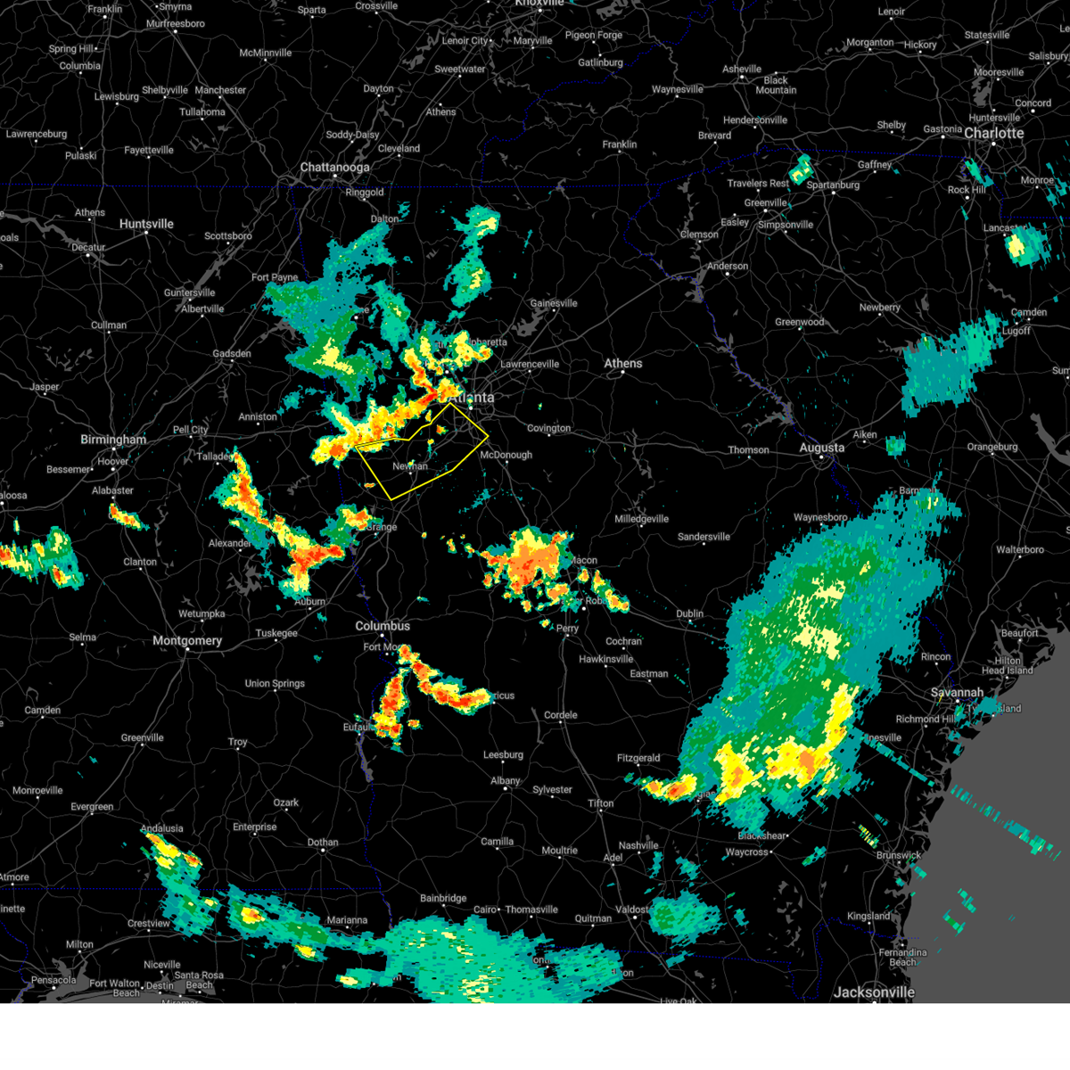 Svrffc the national weather service in peachtree city has issued a * severe thunderstorm warning for, northern fayette county in north central georgia, southeastern carroll county in northwestern georgia, northeastern heard county in west central georgia, coweta county in west central georgia, southwestern fulton county in north central georgia, northern clayton county in north central georgia, * until 900 pm edt. * at 815 pm edt, severe thunderstorms were located along a line extending from mableton to near bill arp to near roopville, moving southeast at 30 mph (radar indicated). Hazards include 60 mph wind gusts and quarter size hail. Hail damage to vehicles is expected. Expect wind damage to roofs, siding, and trees. Svrffc the national weather service in peachtree city has issued a * severe thunderstorm warning for, northern fayette county in north central georgia, southeastern carroll county in northwestern georgia, northeastern heard county in west central georgia, coweta county in west central georgia, southwestern fulton county in north central georgia, northern clayton county in north central georgia, * until 900 pm edt. * at 815 pm edt, severe thunderstorms were located along a line extending from mableton to near bill arp to near roopville, moving southeast at 30 mph (radar indicated). Hazards include 60 mph wind gusts and quarter size hail. Hail damage to vehicles is expected. Expect wind damage to roofs, siding, and trees.
|
| 5/27/2024 9:01 AM EDT |
 At 901 am edt, severe thunderstorms were located along a line extending from rosebud to near kelleytown to zetella, moving east at 50 mph (radar indicated). Hazards include 60 mph wind gusts and penny size hail. Expect damage to roofs, siding, and trees. Locations impacted include, atlanta, griffin, mcdonough, decatur, conyers, jonesboro, stockbridge, forest park, snellville, riverdale, college park, lilburn, loganville, chamblee, doraville, clarkston, hampton, morrow, lovejoy, and stone mountain. At 901 am edt, severe thunderstorms were located along a line extending from rosebud to near kelleytown to zetella, moving east at 50 mph (radar indicated). Hazards include 60 mph wind gusts and penny size hail. Expect damage to roofs, siding, and trees. Locations impacted include, atlanta, griffin, mcdonough, decatur, conyers, jonesboro, stockbridge, forest park, snellville, riverdale, college park, lilburn, loganville, chamblee, doraville, clarkston, hampton, morrow, lovejoy, and stone mountain.
|
| 5/27/2024 9:01 AM EDT |
 the severe thunderstorm warning has been cancelled and is no longer in effect the severe thunderstorm warning has been cancelled and is no longer in effect
|
| 5/27/2024 8:52 AM EDT |
 At 850 am edt, severe thunderstorms were located along a line extending from near stone mountain to near hidden valley park to digbey, moving east at 50 mph (radar indicated). Hazards include 60 mph wind gusts and penny size hail. Expect damage to roofs, siding, and trees. Locations impacted include, atlanta, douglasville, griffin, mcdonough, decatur, fayetteville, conyers, jonesboro, city of south fulton, peachtree city, east point, stockbridge, union city, forest park, snellville, riverdale, college park, fairburn, lilburn, and loganville. At 850 am edt, severe thunderstorms were located along a line extending from near stone mountain to near hidden valley park to digbey, moving east at 50 mph (radar indicated). Hazards include 60 mph wind gusts and penny size hail. Expect damage to roofs, siding, and trees. Locations impacted include, atlanta, douglasville, griffin, mcdonough, decatur, fayetteville, conyers, jonesboro, city of south fulton, peachtree city, east point, stockbridge, union city, forest park, snellville, riverdale, college park, fairburn, lilburn, and loganville.
|
| 5/27/2024 8:52 AM EDT |
 the severe thunderstorm warning has been cancelled and is no longer in effect the severe thunderstorm warning has been cancelled and is no longer in effect
|
| 5/27/2024 8:27 AM EDT |
 Svrffc the national weather service in peachtree city has issued a * severe thunderstorm warning for, rockdale county in north central georgia, spalding county in west central georgia, dekalb county in north central georgia, fayette county in north central georgia, southeastern cobb county in north central georgia, east central douglas county in north central georgia, southern gwinnett county in north central georgia, henry county in north central georgia, coweta county in west central georgia, south central fulton county in north central georgia, clayton county in north central georgia, * until 915 am edt. * at 827 am edt, severe thunderstorms were located along a line extending from bolton to union city to grantville, moving east at 50 mph (radar indicated). Hazards include 60 mph wind gusts and penny size hail. expect damage to roofs, siding, and trees Svrffc the national weather service in peachtree city has issued a * severe thunderstorm warning for, rockdale county in north central georgia, spalding county in west central georgia, dekalb county in north central georgia, fayette county in north central georgia, southeastern cobb county in north central georgia, east central douglas county in north central georgia, southern gwinnett county in north central georgia, henry county in north central georgia, coweta county in west central georgia, south central fulton county in north central georgia, clayton county in north central georgia, * until 915 am edt. * at 827 am edt, severe thunderstorms were located along a line extending from bolton to union city to grantville, moving east at 50 mph (radar indicated). Hazards include 60 mph wind gusts and penny size hail. expect damage to roofs, siding, and trees
|
| 2/28/2024 3:59 PM EST |
 At 359 pm est, severe thunderstorms were located along a line extending from walnut grove to almon to near richardson park to irondale, moving southeast at 40 mph (radar indicated). Hazards include 60 mph wind gusts and penny size hail. Expect damage to roofs, siding, and trees. Locations impacted include, mcdonough, conyers, covington, jonesboro, stockbridge, forest park, riverdale, college park, hampton, morrow, lovejoy, hapeville, social circle, lake city, oxford, lithonia, porterdale, walnut grove, jersey, and hartsfield-jackson airport. At 359 pm est, severe thunderstorms were located along a line extending from walnut grove to almon to near richardson park to irondale, moving southeast at 40 mph (radar indicated). Hazards include 60 mph wind gusts and penny size hail. Expect damage to roofs, siding, and trees. Locations impacted include, mcdonough, conyers, covington, jonesboro, stockbridge, forest park, riverdale, college park, hampton, morrow, lovejoy, hapeville, social circle, lake city, oxford, lithonia, porterdale, walnut grove, jersey, and hartsfield-jackson airport.
|
| 2/28/2024 3:26 PM EST |
 Svrffc the national weather service in peachtree city has issued a * severe thunderstorm warning for, rockdale county in north central georgia, dekalb county in north central georgia, east central douglas county in north central georgia, southwestern gwinnett county in north central georgia, northern henry county in north central georgia, central walton county in north central georgia, clayton county in north central georgia, southwestern fulton county in north central georgia, central newton county in north central georgia, * until 415 pm est. * at 326 pm est, severe thunderstorms were located along a line extending from lilburn to clarkston to cascade heights to campbellton, moving southeast at 40 mph (radar indicated). Hazards include 60 mph wind gusts and penny size hail. expect damage to roofs, siding, and trees Svrffc the national weather service in peachtree city has issued a * severe thunderstorm warning for, rockdale county in north central georgia, dekalb county in north central georgia, east central douglas county in north central georgia, southwestern gwinnett county in north central georgia, northern henry county in north central georgia, central walton county in north central georgia, clayton county in north central georgia, southwestern fulton county in north central georgia, central newton county in north central georgia, * until 415 pm est. * at 326 pm est, severe thunderstorms were located along a line extending from lilburn to clarkston to cascade heights to campbellton, moving southeast at 40 mph (radar indicated). Hazards include 60 mph wind gusts and penny size hail. expect damage to roofs, siding, and trees
|
| 1/9/2024 8:19 AM EST |
 At 819 am est, severe thunderstorms were located along a line extending from near city of south fulton to union city to sandy creek, moving northeast at 65 mph (radar indicated). Hazards include 60 mph wind gusts. expect damage to roofs, siding, and trees At 819 am est, severe thunderstorms were located along a line extending from near city of south fulton to union city to sandy creek, moving northeast at 65 mph (radar indicated). Hazards include 60 mph wind gusts. expect damage to roofs, siding, and trees
|
| 1/9/2024 8:12 AM EST |
 At 811 am est, a severe thunderstorm capable of producing a brief tornado was located over palmetto, or 8 miles south of city of south fulton, moving northeast at 65 mph (radar indicated rotation). Hazards include tornado. Flying debris will be dangerous to those caught without shelter. mobile homes will be damaged or destroyed. damage to roofs, windows, and vehicles will occur. Tree damage is likely. At 811 am est, a severe thunderstorm capable of producing a brief tornado was located over palmetto, or 8 miles south of city of south fulton, moving northeast at 65 mph (radar indicated rotation). Hazards include tornado. Flying debris will be dangerous to those caught without shelter. mobile homes will be damaged or destroyed. damage to roofs, windows, and vehicles will occur. Tree damage is likely.
|
| 8/15/2023 3:02 PM EDT |
 At 302 pm edt, a severe thunderstorm was located over eagles landing, or near mcdonough, moving east at 25 mph (radar indicated). Hazards include 60 mph wind gusts and quarter size hail. Hail damage to vehicles is expected. expect wind damage to roofs, siding, and trees. locations impacted include, mcdonough, jonesboro, stockbridge, forest park, riverdale, morrow, lake city, lake spivey, rex, ellenwood, hidden valley park, flippen, eagles landing, irondale, and bonanza. hail threat, radar indicated max hail size, 1. 00 in wind threat, radar indicated max wind gust, 60 mph. At 302 pm edt, a severe thunderstorm was located over eagles landing, or near mcdonough, moving east at 25 mph (radar indicated). Hazards include 60 mph wind gusts and quarter size hail. Hail damage to vehicles is expected. expect wind damage to roofs, siding, and trees. locations impacted include, mcdonough, jonesboro, stockbridge, forest park, riverdale, morrow, lake city, lake spivey, rex, ellenwood, hidden valley park, flippen, eagles landing, irondale, and bonanza. hail threat, radar indicated max hail size, 1. 00 in wind threat, radar indicated max wind gust, 60 mph.
|
| 8/15/2023 2:35 PM EDT |
 At 235 pm edt, a severe thunderstorm was located over riverdale, or over jonesboro, moving east at 25 mph (radar indicated). Hazards include 60 mph wind gusts and quarter size hail. Hail damage to vehicles is expected. Expect wind damage to roofs, siding, and trees. At 235 pm edt, a severe thunderstorm was located over riverdale, or over jonesboro, moving east at 25 mph (radar indicated). Hazards include 60 mph wind gusts and quarter size hail. Hail damage to vehicles is expected. Expect wind damage to roofs, siding, and trees.
|
| 8/12/2023 5:05 PM EDT |
 At 505 pm edt, severe thunderstorms were located along a line extending from forest park to inman, moving east at 20 mph (radar indicated). Hazards include 60 mph wind gusts. Expect damage to roofs, siding, and trees. locations impacted include, atlanta, fayetteville, jonesboro, city of south fulton, peachtree city, east point, union city, forest park, riverdale, college park, morrow, hapeville, lake city, brooks, woolsey, belvedere park, hartsfield-jackson airport, grant park-zoo atlanta, candler-mcafee, and starrs mill. hail threat, radar indicated max hail size, <. 75 in wind threat, radar indicated max wind gust, 60 mph. At 505 pm edt, severe thunderstorms were located along a line extending from forest park to inman, moving east at 20 mph (radar indicated). Hazards include 60 mph wind gusts. Expect damage to roofs, siding, and trees. locations impacted include, atlanta, fayetteville, jonesboro, city of south fulton, peachtree city, east point, union city, forest park, riverdale, college park, morrow, hapeville, lake city, brooks, woolsey, belvedere park, hartsfield-jackson airport, grant park-zoo atlanta, candler-mcafee, and starrs mill. hail threat, radar indicated max hail size, <. 75 in wind threat, radar indicated max wind gust, 60 mph.
|
| 8/12/2023 4:52 PM EDT |
 At 451 pm edt, severe thunderstorms were located along a line extending from near gresham park to near woolsey, moving east at 20 mph (radar indicated). Hazards include 60 mph wind gusts. expect damage to roofs, siding, and trees At 451 pm edt, severe thunderstorms were located along a line extending from near gresham park to near woolsey, moving east at 20 mph (radar indicated). Hazards include 60 mph wind gusts. expect damage to roofs, siding, and trees
|
| 8/12/2023 4:47 PM EDT |
 At 447 pm edt, severe thunderstorms were located along a line extending from college park to peachtree city, moving east at 20 mph (radar indicated). Hazards include 60 mph wind gusts. Expect damage to roofs, siding, and trees. locations impacted include, atlanta, fayetteville, jonesboro, city of south fulton, peachtree city, east point, union city, forest park, riverdale, college park, fairburn, tyrone, morrow, hapeville, senoia, lake city, brooks, woolsey, belvedere park, and hartsfield-jackson airport. hail threat, radar indicated max hail size, <. 75 in wind threat, radar indicated max wind gust, 60 mph. At 447 pm edt, severe thunderstorms were located along a line extending from college park to peachtree city, moving east at 20 mph (radar indicated). Hazards include 60 mph wind gusts. Expect damage to roofs, siding, and trees. locations impacted include, atlanta, fayetteville, jonesboro, city of south fulton, peachtree city, east point, union city, forest park, riverdale, college park, fairburn, tyrone, morrow, hapeville, senoia, lake city, brooks, woolsey, belvedere park, and hartsfield-jackson airport. hail threat, radar indicated max hail size, <. 75 in wind threat, radar indicated max wind gust, 60 mph.
|
| 8/12/2023 4:27 PM EDT |
 At 427 pm edt, severe thunderstorms were located along a line extending from near sandtown to thomas crossroads, moving east at 20 mph (radar indicated). Hazards include 60 mph wind gusts. expect damage to roofs, siding, and trees At 427 pm edt, severe thunderstorms were located along a line extending from near sandtown to thomas crossroads, moving east at 20 mph (radar indicated). Hazards include 60 mph wind gusts. expect damage to roofs, siding, and trees
|
| 8/7/2023 6:12 PM EDT |
 The severe thunderstorm warning for northwestern fayette, southeastern carroll, southwestern douglas, northern heard, northwestern coweta, southwestern fulton and northwestern clayton counties will expire at 615 pm edt, the storm which prompted the warning has moved out of the area. therefore, the warning will be allowed to expire. a severe thunderstorm watch remains in effect until 800 pm edt for north central, northwestern and west central georgia. The severe thunderstorm warning for northwestern fayette, southeastern carroll, southwestern douglas, northern heard, northwestern coweta, southwestern fulton and northwestern clayton counties will expire at 615 pm edt, the storm which prompted the warning has moved out of the area. therefore, the warning will be allowed to expire. a severe thunderstorm watch remains in effect until 800 pm edt for north central, northwestern and west central georgia.
|
| 8/7/2023 5:54 PM EDT |
 At 554 pm edt, severe thunderstorms were located along a line extending from palmetto to harrisonville, moving east at 30 mph (radar indicated). Hazards include 60 mph wind gusts and nickel size hail. expect damage to roofs, siding, and trees At 554 pm edt, severe thunderstorms were located along a line extending from palmetto to harrisonville, moving east at 30 mph (radar indicated). Hazards include 60 mph wind gusts and nickel size hail. expect damage to roofs, siding, and trees
|
| 8/7/2023 5:37 PM EDT |
 At 537 pm edt, a severe thunderstorm was located near chapel hill, or 7 miles south of douglasville, moving east at 40 mph (radar indicated). Hazards include 60 mph wind gusts. expect damage to roofs, siding, and trees At 537 pm edt, a severe thunderstorm was located near chapel hill, or 7 miles south of douglasville, moving east at 40 mph (radar indicated). Hazards include 60 mph wind gusts. expect damage to roofs, siding, and trees
|
| 8/3/2023 5:19 PM EDT |
 At 519 pm edt, a severe thunderstorm was located over forest park, or near jonesboro, moving southeast at 30 mph (radar indicated). Hazards include 60 mph wind gusts. Expect damage to roofs, siding, and trees. locations impacted include, atlanta, decatur, city of south fulton, east point, union city, forest park, riverdale, college park, fairburn, hapeville, avondale estates, lake city, belvedere park, hartsfield-jackson airport, candler-mcafee, fort gillem, lakewood park, panthersville, conley, and gresham park. hail threat, radar indicated max hail size, <. 75 in wind threat, radar indicated max wind gust, 60 mph. At 519 pm edt, a severe thunderstorm was located over forest park, or near jonesboro, moving southeast at 30 mph (radar indicated). Hazards include 60 mph wind gusts. Expect damage to roofs, siding, and trees. locations impacted include, atlanta, decatur, city of south fulton, east point, union city, forest park, riverdale, college park, fairburn, hapeville, avondale estates, lake city, belvedere park, hartsfield-jackson airport, candler-mcafee, fort gillem, lakewood park, panthersville, conley, and gresham park. hail threat, radar indicated max hail size, <. 75 in wind threat, radar indicated max wind gust, 60 mph.
|
| 8/3/2023 4:40 PM EDT |
 At 440 pm edt, a severe thunderstorm was located near sweetwater creek state park, or near city of south fulton, moving southeast at 35 mph (radar indicated). Hazards include 60 mph wind gusts. expect damage to roofs, siding, and trees At 440 pm edt, a severe thunderstorm was located near sweetwater creek state park, or near city of south fulton, moving southeast at 35 mph (radar indicated). Hazards include 60 mph wind gusts. expect damage to roofs, siding, and trees
|
| 6/25/2023 7:10 PM EDT |
 At 710 pm edt, severe thunderstorms were located along a line extending from near digbey to monticello, moving southeast at 45 mph (radar indicated). Hazards include 60 mph wind gusts. expect damage to roofs, siding, and trees At 710 pm edt, severe thunderstorms were located along a line extending from near digbey to monticello, moving southeast at 45 mph (radar indicated). Hazards include 60 mph wind gusts. expect damage to roofs, siding, and trees
|
| 6/25/2023 6:56 PM EDT |
 At 655 pm edt, a severe thunderstorm was located over the area (radar indicated). Hazards include 60 mph wind gusts. expect damage to roofs, siding, and trees At 655 pm edt, a severe thunderstorm was located over the area (radar indicated). Hazards include 60 mph wind gusts. expect damage to roofs, siding, and trees
|
| 6/25/2023 6:32 PM EDT |
 At 631 pm edt, severe thunderstorms were located along a line extending from near gum creek to near ellenwood to near city of south fulton, moving southeast at 45 mph (radar indicated). Hazards include 60 mph wind gusts. expect damage to roofs, siding, and trees At 631 pm edt, severe thunderstorms were located along a line extending from near gum creek to near ellenwood to near city of south fulton, moving southeast at 45 mph (radar indicated). Hazards include 60 mph wind gusts. expect damage to roofs, siding, and trees
|
| 6/25/2023 6:24 PM EDT |
 At 623 pm edt, severe thunderstorms were located along a line extending from near lilburn to hiram to winston to near arnco-sargent, moving southeast at 45 mph (radar indicated). Hazards include 60 mph wind gusts and penny size hail. Expect damage to roofs, siding, and trees. locations impacted include, atlanta, marietta, douglasville, lawrenceville, decatur, fayetteville, conyers, covington, dallas, jonesboro, peachtree corners, city of south fulton, sandy springs, roswell, smyrna, dunwoody, east point, kennesaw, duluth and stockbridge. hail threat, radar indicated max hail size, 0. 75 in wind threat, radar indicated max wind gust, 60 mph. At 623 pm edt, severe thunderstorms were located along a line extending from near lilburn to hiram to winston to near arnco-sargent, moving southeast at 45 mph (radar indicated). Hazards include 60 mph wind gusts and penny size hail. Expect damage to roofs, siding, and trees. locations impacted include, atlanta, marietta, douglasville, lawrenceville, decatur, fayetteville, conyers, covington, dallas, jonesboro, peachtree corners, city of south fulton, sandy springs, roswell, smyrna, dunwoody, east point, kennesaw, duluth and stockbridge. hail threat, radar indicated max hail size, 0. 75 in wind threat, radar indicated max wind gust, 60 mph.
|
| 6/25/2023 6:00 PM EDT |
 At 600 pm edt, severe thunderstorms were located along a line extending from near alpharetta to near taylorsville to near yorkville to near clem, moving southeast at 45 mph (radar indicated). Hazards include 60 mph wind gusts and penny size hail. expect damage to roofs, siding, and trees At 600 pm edt, severe thunderstorms were located along a line extending from near alpharetta to near taylorsville to near yorkville to near clem, moving southeast at 45 mph (radar indicated). Hazards include 60 mph wind gusts and penny size hail. expect damage to roofs, siding, and trees
|
| 6/11/2023 6:03 PM EDT |
 At 601 pm edt, a severe thunderstorm was located over starrs mill, or 8 miles south of fayetteville, moving northeast at 25 mph (radar indicated). Hazards include 60 mph wind gusts and quarter size hail. Hail damage to vehicles is expected. Expect wind damage to roofs, siding, and trees. At 601 pm edt, a severe thunderstorm was located over starrs mill, or 8 miles south of fayetteville, moving northeast at 25 mph (radar indicated). Hazards include 60 mph wind gusts and quarter size hail. Hail damage to vehicles is expected. Expect wind damage to roofs, siding, and trees.
|
| 3/26/2023 11:58 PM EDT |
 At 1158 pm edt, a severe thunderstorm was located over lake spivey, or over jonesboro, moving northeast at 50 mph (radar indicated). Hazards include 60 mph wind gusts. Expect damage to roofs, siding, and trees. locations impacted include, jonesboro, stockbridge, forest park, riverdale, hampton, morrow, lovejoy, lake city, lake spivey, rex, fort gillem, bonanza, atlanta motor speedway, jw smith reservoir, conley, eagles landing and irondale. hail threat, radar indicated max hail size, <. 75 in wind threat, radar indicated max wind gust, 60 mph. At 1158 pm edt, a severe thunderstorm was located over lake spivey, or over jonesboro, moving northeast at 50 mph (radar indicated). Hazards include 60 mph wind gusts. Expect damage to roofs, siding, and trees. locations impacted include, jonesboro, stockbridge, forest park, riverdale, hampton, morrow, lovejoy, lake city, lake spivey, rex, fort gillem, bonanza, atlanta motor speedway, jw smith reservoir, conley, eagles landing and irondale. hail threat, radar indicated max hail size, <. 75 in wind threat, radar indicated max wind gust, 60 mph.
|
| 3/26/2023 11:43 PM EDT |
 At 1143 pm edt, a severe thunderstorm was located near fayetteville, moving northeast at 50 mph (radar indicated). Hazards include 60 mph wind gusts. Expect damage to roofs, siding, and trees. locations impacted include, fayetteville, jonesboro, peachtree city, stockbridge, forest park, riverdale, hampton, tyrone, morrow, lovejoy, lake city, woolsey, lake spivey, rex, starrs mill, inman, fort gillem, bonanza, atlanta motor speedway and jw smith reservoir. hail threat, radar indicated max hail size, <. 75 in wind threat, radar indicated max wind gust, 60 mph. At 1143 pm edt, a severe thunderstorm was located near fayetteville, moving northeast at 50 mph (radar indicated). Hazards include 60 mph wind gusts. Expect damage to roofs, siding, and trees. locations impacted include, fayetteville, jonesboro, peachtree city, stockbridge, forest park, riverdale, hampton, tyrone, morrow, lovejoy, lake city, woolsey, lake spivey, rex, starrs mill, inman, fort gillem, bonanza, atlanta motor speedway and jw smith reservoir. hail threat, radar indicated max hail size, <. 75 in wind threat, radar indicated max wind gust, 60 mph.
|
| 3/26/2023 11:27 PM EDT |
 At 1127 pm edt, a severe thunderstorm was located near sharpsburg, or near newnan, moving northeast at 50 mph (radar indicated). Hazards include 60 mph wind gusts. expect damage to roofs, siding, and trees At 1127 pm edt, a severe thunderstorm was located near sharpsburg, or near newnan, moving northeast at 50 mph (radar indicated). Hazards include 60 mph wind gusts. expect damage to roofs, siding, and trees
|
| 3/26/2023 9:31 PM EDT |
 At 930 pm edt, a severe thunderstorm was located over east point, or near atlanta, moving northeast at 25 mph (radar indicated). Hazards include golf ball size hail and 60 mph wind gusts. People and animals outdoors will be injured. expect hail damage to roofs, siding, windows, and vehicles. Expect wind damage to roofs, siding, and trees. At 930 pm edt, a severe thunderstorm was located over east point, or near atlanta, moving northeast at 25 mph (radar indicated). Hazards include golf ball size hail and 60 mph wind gusts. People and animals outdoors will be injured. expect hail damage to roofs, siding, windows, and vehicles. Expect wind damage to roofs, siding, and trees.
|
| 3/26/2023 9:21 PM EDT |
 At 921 pm edt, a severe thunderstorm was located over union city, or 8 miles southeast of city of south fulton, moving northeast at 40 mph (radar indicated). Hazards include tennis ball size hail and 60 mph wind gusts. People and animals outdoors will be injured. expect hail damage to roofs, siding, windows, and vehicles. expect wind damage to roofs, siding, and trees. locations impacted include, atlanta, jonesboro, city of south fulton, east point, union city, forest park, riverdale, college park, fairburn, tyrone, morrow, hapeville, palmetto, lake city, hartsfield-jackson airport, cascade heights, lakewood park, sandy creek, conley and sandtown. thunderstorm damage threat, considerable hail threat, observed max hail size, 2. 50 in wind threat, radar indicated max wind gust, 60 mph. At 921 pm edt, a severe thunderstorm was located over union city, or 8 miles southeast of city of south fulton, moving northeast at 40 mph (radar indicated). Hazards include tennis ball size hail and 60 mph wind gusts. People and animals outdoors will be injured. expect hail damage to roofs, siding, windows, and vehicles. expect wind damage to roofs, siding, and trees. locations impacted include, atlanta, jonesboro, city of south fulton, east point, union city, forest park, riverdale, college park, fairburn, tyrone, morrow, hapeville, palmetto, lake city, hartsfield-jackson airport, cascade heights, lakewood park, sandy creek, conley and sandtown. thunderstorm damage threat, considerable hail threat, observed max hail size, 2. 50 in wind threat, radar indicated max wind gust, 60 mph.
|
| 3/26/2023 9:10 PM EDT |
 At 910 pm edt, a severe thunderstorm was located over palmetto, or 9 miles south of city of south fulton, moving northeast at 35 mph (radar indicated). Hazards include golf ball size hail and 60 mph wind gusts. People and animals outdoors will be injured. expect hail damage to roofs, siding, windows, and vehicles. expect wind damage to roofs, siding, and trees. locations impacted include, atlanta, newnan, fayetteville, jonesboro, city of south fulton, peachtree city, east point, union city, forest park, riverdale, college park, fairburn, tyrone, morrow, hapeville, palmetto, lake city, chattahoochee hills, hartsfield-jackson airport and cascade heights. thunderstorm damage threat, considerable hail threat, observed max hail size, 1. 75 in wind threat, radar indicated max wind gust, 60 mph. At 910 pm edt, a severe thunderstorm was located over palmetto, or 9 miles south of city of south fulton, moving northeast at 35 mph (radar indicated). Hazards include golf ball size hail and 60 mph wind gusts. People and animals outdoors will be injured. expect hail damage to roofs, siding, windows, and vehicles. expect wind damage to roofs, siding, and trees. locations impacted include, atlanta, newnan, fayetteville, jonesboro, city of south fulton, peachtree city, east point, union city, forest park, riverdale, college park, fairburn, tyrone, morrow, hapeville, palmetto, lake city, chattahoochee hills, hartsfield-jackson airport and cascade heights. thunderstorm damage threat, considerable hail threat, observed max hail size, 1. 75 in wind threat, radar indicated max wind gust, 60 mph.
|
| 3/26/2023 9:03 PM EDT |
 At 903 pm edt, a severe thunderstorm was located over cannongate, or 9 miles northeast of newnan, moving northeast at 35 mph (radar indicated). Hazards include 60 mph wind gusts and quarter size hail. Hail damage to vehicles is expected. Expect wind damage to roofs, siding, and trees. At 903 pm edt, a severe thunderstorm was located over cannongate, or 9 miles northeast of newnan, moving northeast at 35 mph (radar indicated). Hazards include 60 mph wind gusts and quarter size hail. Hail damage to vehicles is expected. Expect wind damage to roofs, siding, and trees.
|
| 1/12/2023 4:13 PM EST |
 At 413 pm est, a severe thunderstorm capable of producing a tornado was located over jonesboro, moving east at 40 mph (radar indicated rotation). Hazards include tornado and quarter size hail. Flying debris will be dangerous to those caught without shelter. mobile homes will be damaged or destroyed. damage to roofs, windows, and vehicles will occur. Tree damage is likely. At 413 pm est, a severe thunderstorm capable of producing a tornado was located over jonesboro, moving east at 40 mph (radar indicated rotation). Hazards include tornado and quarter size hail. Flying debris will be dangerous to those caught without shelter. mobile homes will be damaged or destroyed. damage to roofs, windows, and vehicles will occur. Tree damage is likely.
|
| 1/12/2023 3:49 PM EST |
 At 348 pm est, severe thunderstorms were located along a line extending from near chattahoochee hills to near grantville, moving northeast at 80 mph (radar indicated). Hazards include 60 mph wind gusts and quarter size hail. Hail damage to vehicles is expected. Expect wind damage to roofs, siding, and trees. At 348 pm est, severe thunderstorms were located along a line extending from near chattahoochee hills to near grantville, moving northeast at 80 mph (radar indicated). Hazards include 60 mph wind gusts and quarter size hail. Hail damage to vehicles is expected. Expect wind damage to roofs, siding, and trees.
|
| 1/4/2023 5:37 AM EST |
 At 536 am est, severe thunderstorms were located along a line extending from near campbellton to near union city to near fayetteville to near haralson to near greenville, moving northeast at 60 mph (radar indicated). Hazards include 60 mph wind gusts. expect damage to roofs, siding, and trees At 536 am est, severe thunderstorms were located along a line extending from near campbellton to near union city to near fayetteville to near haralson to near greenville, moving northeast at 60 mph (radar indicated). Hazards include 60 mph wind gusts. expect damage to roofs, siding, and trees
|
| 1/3/2023 6:03 PM EST |
 At 603 pm est, severe thunderstorms were located along a line extending from bolton to atlanta to lakewood park to conley to riverdale, moving east at 50 mph (radar indicated). Hazards include 60 mph wind gusts. Expect damage to roofs, siding, and trees. Locations impacted include, atlanta, city of south fulton, smyrna, east point, forest park, riverdale, college park, morrow, hapeville, lake city, hartsfield-jackson airport, midtown, grant park-zoo atlanta, druid hills, candler-mcafee, sweet auburn, piedmont park, cascade heights, lakewood park and conley. At 603 pm est, severe thunderstorms were located along a line extending from bolton to atlanta to lakewood park to conley to riverdale, moving east at 50 mph (radar indicated). Hazards include 60 mph wind gusts. Expect damage to roofs, siding, and trees. Locations impacted include, atlanta, city of south fulton, smyrna, east point, forest park, riverdale, college park, morrow, hapeville, lake city, hartsfield-jackson airport, midtown, grant park-zoo atlanta, druid hills, candler-mcafee, sweet auburn, piedmont park, cascade heights, lakewood park and conley.
|
| 1/3/2023 6:01 PM EST |
 At 601 pm est, a severe thunderstorm was located over jw smith reservoir, or near fayetteville, moving east at 40 mph (radar indicated). Hazards include 60 mph wind gusts. Expect damage to roofs, siding, and trees. Locations impacted include, fayetteville, jonesboro, peachtree city, stockbridge, riverdale, hampton, tyrone, morrow, lovejoy, brooks, woolsey, sunny side, lake spivey, starrs mill, walker mill, inman, jw smith reservoir, towalaga, birdie and bonanza. At 601 pm est, a severe thunderstorm was located over jw smith reservoir, or near fayetteville, moving east at 40 mph (radar indicated). Hazards include 60 mph wind gusts. Expect damage to roofs, siding, and trees. Locations impacted include, fayetteville, jonesboro, peachtree city, stockbridge, riverdale, hampton, tyrone, morrow, lovejoy, brooks, woolsey, sunny side, lake spivey, starrs mill, walker mill, inman, jw smith reservoir, towalaga, birdie and bonanza.
|
| 1/3/2023 5:52 PM EST |
 At 552 pm est, a severe thunderstorm was located near peachtree city, or near fayetteville, moving east at 40 mph (radar indicated). Hazards include 60 mph wind gusts. expect damage to roofs, siding, and trees At 552 pm est, a severe thunderstorm was located near peachtree city, or near fayetteville, moving east at 40 mph (radar indicated). Hazards include 60 mph wind gusts. expect damage to roofs, siding, and trees
|
| 1/3/2023 5:51 PM EST |
 At 550 pm est, severe thunderstorms were located along a line extending from lithia springs to sweetwater creek state park to city of south fulton to union city to near sandy creek, moving east at 40 mph (radar indicated). Hazards include 60 mph wind gusts. Expect damage to roofs, siding, and trees. Locations impacted include, atlanta, douglasville, city of south fulton, smyrna, east point, union city, forest park, riverdale, college park, powder springs, fairburn, austell, morrow, hapeville, lake city, lithia springs, hartsfield-jackson airport, midtown, grant park-zoo atlanta and druid hills. At 550 pm est, severe thunderstorms were located along a line extending from lithia springs to sweetwater creek state park to city of south fulton to union city to near sandy creek, moving east at 40 mph (radar indicated). Hazards include 60 mph wind gusts. Expect damage to roofs, siding, and trees. Locations impacted include, atlanta, douglasville, city of south fulton, smyrna, east point, union city, forest park, riverdale, college park, powder springs, fairburn, austell, morrow, hapeville, lake city, lithia springs, hartsfield-jackson airport, midtown, grant park-zoo atlanta and druid hills.
|
| 1/3/2023 5:39 PM EST |
 At 539 pm est, severe thunderstorms were located along a line extending from near winston to chapel hill to campbellton to near palmetto to near cannongate, moving east at 45 mph (radar indicated). Hazards include 60 mph wind gusts. expect damage to roofs, siding, and trees At 539 pm est, severe thunderstorms were located along a line extending from near winston to chapel hill to campbellton to near palmetto to near cannongate, moving east at 45 mph (radar indicated). Hazards include 60 mph wind gusts. expect damage to roofs, siding, and trees
|
| 7/3/2022 4:20 PM EDT |
 At 420 pm edt, a severe thunderstorm was located over jonesboro, moving southeast at 10 mph (radar indicated). Hazards include 60 mph wind gusts and quarter size hail. Hail damage to vehicles is expected. Expect wind damage to roofs, siding, and trees. At 420 pm edt, a severe thunderstorm was located over jonesboro, moving southeast at 10 mph (radar indicated). Hazards include 60 mph wind gusts and quarter size hail. Hail damage to vehicles is expected. Expect wind damage to roofs, siding, and trees.
|
| 2/17/2022 10:59 PM EST |
 At 1059 pm est, severe thunderstorms were located along a line extending from bolton to cascade heights to near fairburn, moving east at 50 mph (radar indicated). Hazards include 60 mph wind gusts. Expect damage to roofs, siding, and trees. Locations impacted include, atlanta, decatur, east point, union city, forest park, college park, fairburn, chamblee, doraville, hapeville, north decatur, north atlanta, hartsfield-jackson airport, north druid hills, midtown, grant park-zoo atlanta, druid hills, candler-mcafee, sweet auburn and piedmont park. At 1059 pm est, severe thunderstorms were located along a line extending from bolton to cascade heights to near fairburn, moving east at 50 mph (radar indicated). Hazards include 60 mph wind gusts. Expect damage to roofs, siding, and trees. Locations impacted include, atlanta, decatur, east point, union city, forest park, college park, fairburn, chamblee, doraville, hapeville, north decatur, north atlanta, hartsfield-jackson airport, north druid hills, midtown, grant park-zoo atlanta, druid hills, candler-mcafee, sweet auburn and piedmont park.
|
| 2/17/2022 10:47 PM EST |
 At 1047 pm est, severe thunderstorms were located along a line extending from near sweetwater creek state park to campbellton to chattahoochee hills, moving east at 50 mph (radar indicated). Hazards include 60 mph wind gusts. expect damage to roofs, siding, and trees At 1047 pm est, severe thunderstorms were located along a line extending from near sweetwater creek state park to campbellton to chattahoochee hills, moving east at 50 mph (radar indicated). Hazards include 60 mph wind gusts. expect damage to roofs, siding, and trees
|
| 12/30/2021 9:28 AM EST |
 At 928 am est, a severe thunderstorm was located near fayetteville, moving east at 40 mph (radar indicated). Hazards include 60 mph wind gusts. expect damage to roofs, siding, and trees At 928 am est, a severe thunderstorm was located near fayetteville, moving east at 40 mph (radar indicated). Hazards include 60 mph wind gusts. expect damage to roofs, siding, and trees
|
| 4/24/2021 8:52 PM EDT |
 The severe thunderstorm warning for southeastern paulding, northwestern dekalb, northwestern fayette, cobb, douglas, west central gwinnett, northern heard, northern coweta, fulton and northwestern clayton counties will expire at 900 pm edt, the storms which prompted the warning have moved out of the area. therefore, the warning will be allowed to expire. a severe thunderstorm watch remains in effect until 1000 pm edt for north central, northwestern and west central georgia. The severe thunderstorm warning for southeastern paulding, northwestern dekalb, northwestern fayette, cobb, douglas, west central gwinnett, northern heard, northern coweta, fulton and northwestern clayton counties will expire at 900 pm edt, the storms which prompted the warning have moved out of the area. therefore, the warning will be allowed to expire. a severe thunderstorm watch remains in effect until 1000 pm edt for north central, northwestern and west central georgia.
|
| 4/24/2021 8:36 PM EDT |
 At 835 pm edt, severe thunderstorms were located along a line extending from mountain park to near thomas crossroads, moving east at 50 mph (radar indicated). Hazards include 70 mph wind gusts and quarter size hail. Hail damage to vehicles is expected. expect considerable tree damage. Wind damage is also likely to mobile homes, roofs, and outbuildings. At 835 pm edt, severe thunderstorms were located along a line extending from mountain park to near thomas crossroads, moving east at 50 mph (radar indicated). Hazards include 70 mph wind gusts and quarter size hail. Hail damage to vehicles is expected. expect considerable tree damage. Wind damage is also likely to mobile homes, roofs, and outbuildings.
|
| 4/24/2021 8:19 PM EDT |
 At 818 pm edt, severe thunderstorms were located along a line extending from due west to near lithia springs to plant wansley, moving northeast at 70 mph (radar indicated). Hazards include 70 mph wind gusts and quarter size hail. Hail damage to vehicles is expected. expect considerable tree damage. wind damage is also likely to mobile homes, roofs, and outbuildings. Locations impacted include, atlanta, marietta, newnan, douglasville, decatur, fayetteville, dallas, sandy springs, roswell, johns creek, alpharetta, smyrna, dunwoody, peachtree city, east point, kennesaw, duluth, union city, forest park and riverdale. At 818 pm edt, severe thunderstorms were located along a line extending from due west to near lithia springs to plant wansley, moving northeast at 70 mph (radar indicated). Hazards include 70 mph wind gusts and quarter size hail. Hail damage to vehicles is expected. expect considerable tree damage. wind damage is also likely to mobile homes, roofs, and outbuildings. Locations impacted include, atlanta, marietta, newnan, douglasville, decatur, fayetteville, dallas, sandy springs, roswell, johns creek, alpharetta, smyrna, dunwoody, peachtree city, east point, kennesaw, duluth, union city, forest park and riverdale.
|
| 4/24/2021 8:07 PM EDT |
 At 807 pm edt, severe thunderstorms were located along a line extending from near new hope to near douglasville to centralhatchee, moving east at 70 mph (radar indicated). Hazards include 60 mph wind gusts and quarter size hail. Hail damage to vehicles is expected. Expect wind damage to roofs, siding, and trees. At 807 pm edt, severe thunderstorms were located along a line extending from near new hope to near douglasville to centralhatchee, moving east at 70 mph (radar indicated). Hazards include 60 mph wind gusts and quarter size hail. Hail damage to vehicles is expected. Expect wind damage to roofs, siding, and trees.
|
| 3/26/2021 12:42 AM EDT |
 The tornado warning for northeastern fayette and west central clayton counties will expire at 1245 am edt, the storm which prompted the warning has weakened below severe limits, and no longer appears capable of producing a tornado. therefore, the warning will be allowed to expire. a tornado watch remains in effect until 200 am edt for north central georgia. The tornado warning for northeastern fayette and west central clayton counties will expire at 1245 am edt, the storm which prompted the warning has weakened below severe limits, and no longer appears capable of producing a tornado. therefore, the warning will be allowed to expire. a tornado watch remains in effect until 200 am edt for north central georgia.
|
| 3/26/2021 12:37 AM EDT |
 At 1237 am edt, a severe thunderstorm capable of producing a tornado was located over fayetteville, moving east at 40 mph (radar indicated rotation). Hazards include tornado and quarter size hail. Flying debris will be dangerous to those caught without shelter. mobile homes will be damaged or destroyed. damage to roofs, windows, and vehicles will occur. tree damage is likely. Locations impacted include, fayetteville, jonesboro, riverdale and irondale. At 1237 am edt, a severe thunderstorm capable of producing a tornado was located over fayetteville, moving east at 40 mph (radar indicated rotation). Hazards include tornado and quarter size hail. Flying debris will be dangerous to those caught without shelter. mobile homes will be damaged or destroyed. damage to roofs, windows, and vehicles will occur. tree damage is likely. Locations impacted include, fayetteville, jonesboro, riverdale and irondale.
|
| 3/26/2021 12:32 AM EDT |
 At 1232 am edt, a confirmed tornado was located over sandy creek, or near fayetteville, moving northeast at 45 mph (radar confirmed tornado). Hazards include damaging tornado and ping pong ball size hail. Flying debris will be dangerous to those caught without shelter. mobile homes will be damaged or destroyed. damage to roofs, windows, and vehicles will occur. tree damage is likely. Locations impacted include, fayetteville, jonesboro, riverdale and irondale. At 1232 am edt, a confirmed tornado was located over sandy creek, or near fayetteville, moving northeast at 45 mph (radar confirmed tornado). Hazards include damaging tornado and ping pong ball size hail. Flying debris will be dangerous to those caught without shelter. mobile homes will be damaged or destroyed. damage to roofs, windows, and vehicles will occur. tree damage is likely. Locations impacted include, fayetteville, jonesboro, riverdale and irondale.
|
| 3/26/2021 12:22 AM EDT |
 At 1221 am edt, a confirmed large and destructive tornado was located over thomas crossroads, or 9 miles east of newnan, moving east at 40 mph. tornado emergency for north peachtree city and fayetteville. this is a particularly dangerous situation. take cover now! (radar confirmed tornado). Hazards include deadly tornado. You are in a life-threatening situation. flying debris may be deadly to those caught without shelter. mobile homes will be destroyed. considerable damage to homes, businesses, and vehicles is likely and complete destruction is possible. Locations impacted include, fayetteville, jonesboro, peachtree city, union city, riverdale, fairburn, tyrone, palmetto, cannongate, sandy creek, irondale and thomas crossroads. At 1221 am edt, a confirmed large and destructive tornado was located over thomas crossroads, or 9 miles east of newnan, moving east at 40 mph. tornado emergency for north peachtree city and fayetteville. this is a particularly dangerous situation. take cover now! (radar confirmed tornado). Hazards include deadly tornado. You are in a life-threatening situation. flying debris may be deadly to those caught without shelter. mobile homes will be destroyed. considerable damage to homes, businesses, and vehicles is likely and complete destruction is possible. Locations impacted include, fayetteville, jonesboro, peachtree city, union city, riverdale, fairburn, tyrone, palmetto, cannongate, sandy creek, irondale and thomas crossroads.
|
| 3/26/2021 12:10 AM EDT |
 Tornado emergency for city of newnan, the national weather service in peachtree city has issued a * tornado warning for, fayette county in north central georgia, northeastern coweta county in west central georgia, south central fulton county in north central georgia, southwestern clayton county in north central georgia, * until 1245 am edt. * at 1209 am edt, a confirmed large and destructive tornado was observed over newnan, moving northeast at 50 mph. tornado emergency for newnan. this is a particularly dangerous situation. take cover now! (radar confirmed tornado). Hazards include deadly tornado. You are in a life-threatening situation. flying debris may be deadly to those caught without shelter. mobile homes will be destroyed. Considerable damage to homes, businesses, and vehicles is likely and complete destruction is possible. Tornado emergency for city of newnan, the national weather service in peachtree city has issued a * tornado warning for, fayette county in north central georgia, northeastern coweta county in west central georgia, south central fulton county in north central georgia, southwestern clayton county in north central georgia, * until 1245 am edt. * at 1209 am edt, a confirmed large and destructive tornado was observed over newnan, moving northeast at 50 mph. tornado emergency for newnan. this is a particularly dangerous situation. take cover now! (radar confirmed tornado). Hazards include deadly tornado. You are in a life-threatening situation. flying debris may be deadly to those caught without shelter. mobile homes will be destroyed. Considerable damage to homes, businesses, and vehicles is likely and complete destruction is possible.
|
| 10/10/2020 7:32 PM EDT |
 At 732 pm edt, a severe thunderstorm capable of producing a tornado was located over lake spivey, or near jonesboro, moving north at 25 mph (radar indicated rotation). Hazards include tornado. Flying debris will be dangerous to those caught without shelter. mobile homes will be damaged or destroyed. damage to roofs, windows, and vehicles will occur. tree damage is likely. Locations impacted include, jonesboro, stockbridge, riverdale, morrow, lovejoy, lake spivey, bonanza, eagles landing and irondale. At 732 pm edt, a severe thunderstorm capable of producing a tornado was located over lake spivey, or near jonesboro, moving north at 25 mph (radar indicated rotation). Hazards include tornado. Flying debris will be dangerous to those caught without shelter. mobile homes will be damaged or destroyed. damage to roofs, windows, and vehicles will occur. tree damage is likely. Locations impacted include, jonesboro, stockbridge, riverdale, morrow, lovejoy, lake spivey, bonanza, eagles landing and irondale.
|
| 10/10/2020 7:17 PM EDT |
 At 717 pm edt, a severe thunderstorm capable of producing a tornado was located over atlanta motor speedway, or 7 miles southeast of fayetteville, moving north at 25 mph (radar indicated rotation). Hazards include tornado. Flying debris will be dangerous to those caught without shelter. mobile homes will be damaged or destroyed. damage to roofs, windows, and vehicles will occur. Tree damage is likely. At 717 pm edt, a severe thunderstorm capable of producing a tornado was located over atlanta motor speedway, or 7 miles southeast of fayetteville, moving north at 25 mph (radar indicated rotation). Hazards include tornado. Flying debris will be dangerous to those caught without shelter. mobile homes will be damaged or destroyed. damage to roofs, windows, and vehicles will occur. Tree damage is likely.
|
| 8/18/2020 9:42 PM EDT |
 At 942 pm edt, a severe thunderstorm was located near sandtown, or 12 miles southeast of douglasville, moving south at 5 mph (radar indicated). Hazards include 60 mph wind gusts and quarter size hail. Hail damage to vehicles is expected. Expect wind damage to roofs, siding, and trees. At 942 pm edt, a severe thunderstorm was located near sandtown, or 12 miles southeast of douglasville, moving south at 5 mph (radar indicated). Hazards include 60 mph wind gusts and quarter size hail. Hail damage to vehicles is expected. Expect wind damage to roofs, siding, and trees.
|
| 8/12/2020 3:30 PM EDT |
 At 330 pm edt, a severe thunderstorm was located near sandy creek, or near fayetteville, and is nearly stationary (radar indicated). Hazards include 60 mph wind gusts and nickel size hail. expect damage to roofs, siding, and trees At 330 pm edt, a severe thunderstorm was located near sandy creek, or near fayetteville, and is nearly stationary (radar indicated). Hazards include 60 mph wind gusts and nickel size hail. expect damage to roofs, siding, and trees
|
| 8/9/2020 7:10 PM EDT |
 The severe thunderstorm warning for southwestern dekalb, northwestern henry, southeastern fulton and clayton counties will expire at 715 pm edt, the storm which prompted the warning is weakening below severe limits, and no longer poses an immediate threat to life or property. therefore, the warning will be allowed to expire at 715 pm edt. however, gusty winds and heavy rain are still possible with this thunderstorm. The severe thunderstorm warning for southwestern dekalb, northwestern henry, southeastern fulton and clayton counties will expire at 715 pm edt, the storm which prompted the warning is weakening below severe limits, and no longer poses an immediate threat to life or property. therefore, the warning will be allowed to expire at 715 pm edt. however, gusty winds and heavy rain are still possible with this thunderstorm.
|
| 8/9/2020 6:48 PM EDT |
 At 647 pm edt, a severe thunderstorm was located over ellenwood, and is nearly stationary (radar indicated). Hazards include 60 mph wind gusts and nickel size hail. expect damage to roofs, siding, and trees At 647 pm edt, a severe thunderstorm was located over ellenwood, and is nearly stationary (radar indicated). Hazards include 60 mph wind gusts and nickel size hail. expect damage to roofs, siding, and trees
|
| 7/21/2020 4:10 PM EDT |
 At 410 pm edt, a severe thunderstorm was located over hapeville, or 7 miles south of atlanta, and is nearly stationary (radar indicated). Hazards include 60 mph wind gusts and quarter size hail. Hail damage to vehicles is expected. Expect wind damage to roofs, siding, and trees. At 410 pm edt, a severe thunderstorm was located over hapeville, or 7 miles south of atlanta, and is nearly stationary (radar indicated). Hazards include 60 mph wind gusts and quarter size hail. Hail damage to vehicles is expected. Expect wind damage to roofs, siding, and trees.
|
| 7/15/2020 4:41 PM EDT |
 At 440 pm edt, a severe thunderstorm was located over fayetteville, moving northwest at 10 mph (radar indicated). Hazards include 60 mph wind gusts and quarter size hail. Hail damage to vehicles is expected. Expect wind damage to roofs, siding, and trees. At 440 pm edt, a severe thunderstorm was located over fayetteville, moving northwest at 10 mph (radar indicated). Hazards include 60 mph wind gusts and quarter size hail. Hail damage to vehicles is expected. Expect wind damage to roofs, siding, and trees.
|
| 7/9/2020 7:25 PM EDT |
 The severe thunderstorm warning for northeastern fayette and northwestern clayton counties will expire at 730 pm edt, the storm which prompted the warning has weakened below severe limits, and no longer poses an immediate threat to life or property. therefore, the warning will be allowed to expire. however heavy rain is still possible with this thunderstorm. to report severe weather, contact your nearest law enforcement agency. they will relay your report to the national weather service peachtree city. The severe thunderstorm warning for northeastern fayette and northwestern clayton counties will expire at 730 pm edt, the storm which prompted the warning has weakened below severe limits, and no longer poses an immediate threat to life or property. therefore, the warning will be allowed to expire. however heavy rain is still possible with this thunderstorm. to report severe weather, contact your nearest law enforcement agency. they will relay your report to the national weather service peachtree city.
|
| 7/9/2020 7:11 PM EDT |
 At 710 pm edt, a severe thunderstorm was located near jonesboro, and is nearly stationary (radar indicated). Hazards include 60 mph wind gusts and penny size hail. Expect damage to roofs, siding, and trees. Locations impacted include, fayetteville, jonesboro, forest park, riverdale, morrow, lake city, bonanza and irondale. At 710 pm edt, a severe thunderstorm was located near jonesboro, and is nearly stationary (radar indicated). Hazards include 60 mph wind gusts and penny size hail. Expect damage to roofs, siding, and trees. Locations impacted include, fayetteville, jonesboro, forest park, riverdale, morrow, lake city, bonanza and irondale.
|
| 7/9/2020 6:46 PM EDT |
 At 646 pm edt, a severe thunderstorm was located over riverdale, or near jonesboro, moving south at 15 mph (radar indicated). Hazards include 60 mph wind gusts and penny size hail. expect damage to roofs, siding, and trees At 646 pm edt, a severe thunderstorm was located over riverdale, or near jonesboro, moving south at 15 mph (radar indicated). Hazards include 60 mph wind gusts and penny size hail. expect damage to roofs, siding, and trees
|
| 6/14/2020 8:06 PM EDT |
 At 806 pm edt, a severe thunderstorm was located over riverdale, or near jonesboro, moving south at 10 mph (radar indicated). Hazards include 60 mph wind gusts and quarter size hail. Hail damage to vehicles is expected. Expect wind damage to roofs, siding, and trees. At 806 pm edt, a severe thunderstorm was located over riverdale, or near jonesboro, moving south at 10 mph (radar indicated). Hazards include 60 mph wind gusts and quarter size hail. Hail damage to vehicles is expected. Expect wind damage to roofs, siding, and trees.
|
| 4/13/2020 2:53 AM EDT |
 The severe thunderstorm warning for northern fayette, south central fulton and clayton counties will expire at 300 am edt, the storm which prompted the warning has moved out of the area. therefore, the warning will be allowed to expire. however gusty winds are still possible with this thunderstorm. a tornado watch remains in effect until 700 am edt for north central and west central georgia. The severe thunderstorm warning for northern fayette, south central fulton and clayton counties will expire at 300 am edt, the storm which prompted the warning has moved out of the area. therefore, the warning will be allowed to expire. however gusty winds are still possible with this thunderstorm. a tornado watch remains in effect until 700 am edt for north central and west central georgia.
|
| 4/13/2020 2:36 AM EDT |
 At 235 am edt, a severe thunderstorm was located near union city, or 8 miles northwest of jonesboro, moving east at 60 mph (radar indicated). Hazards include 70 mph wind gusts. Expect considerable tree damage. damage is likely to mobile homes, roofs, and outbuildings. Locations impacted include, atlanta, fayetteville, jonesboro, east point, union city, forest park, riverdale, college park, fairburn, tyrone, morrow, hapeville, palmetto, lake city, hartsfield-jackson airport, grant park-zoo atlanta, lake spivey, fort gillem, lakewood park and sandy creek. At 235 am edt, a severe thunderstorm was located near union city, or 8 miles northwest of jonesboro, moving east at 60 mph (radar indicated). Hazards include 70 mph wind gusts. Expect considerable tree damage. damage is likely to mobile homes, roofs, and outbuildings. Locations impacted include, atlanta, fayetteville, jonesboro, east point, union city, forest park, riverdale, college park, fairburn, tyrone, morrow, hapeville, palmetto, lake city, hartsfield-jackson airport, grant park-zoo atlanta, lake spivey, fort gillem, lakewood park and sandy creek.
|
| 4/13/2020 2:24 AM EDT |
 At 224 am edt, a severe thunderstorm was located over palmetto, or 12 miles northeast of newnan, moving east at 60 mph (radar indicated). Hazards include 60 mph wind gusts. expect damage to roofs, siding, and trees At 224 am edt, a severe thunderstorm was located over palmetto, or 12 miles northeast of newnan, moving east at 60 mph (radar indicated). Hazards include 60 mph wind gusts. expect damage to roofs, siding, and trees
|
| 3/31/2020 11:43 AM EDT |
 At 1143 am edt, a severe thunderstorm was located over eagles landing, or near mcdonough, moving east at 60 mph (radar indicated). Hazards include 70 mph wind gusts. Expect considerable tree damage. damage is likely to mobile homes, roofs, and outbuildings. Locations impacted include, atlanta, griffin, mcdonough, fayetteville, jackson, jonesboro, peachtree city, stockbridge, forest park, riverdale, hampton, morrow, lovejoy, hapeville, locust grove, senoia, lake city, lithonia, brooks and jenkinsburg. At 1143 am edt, a severe thunderstorm was located over eagles landing, or near mcdonough, moving east at 60 mph (radar indicated). Hazards include 70 mph wind gusts. Expect considerable tree damage. damage is likely to mobile homes, roofs, and outbuildings. Locations impacted include, atlanta, griffin, mcdonough, fayetteville, jackson, jonesboro, peachtree city, stockbridge, forest park, riverdale, hampton, morrow, lovejoy, hapeville, locust grove, senoia, lake city, lithonia, brooks and jenkinsburg.
|
| 3/31/2020 11:16 AM EDT |
 At 1115 am edt, a severe thunderstorm was located over thomas crossroads, or near newnan, moving east at 60 mph (radar indicated). Hazards include 70 mph wind gusts. Expect considerable tree damage. Damage is likely to mobile homes, roofs, and outbuildings. At 1115 am edt, a severe thunderstorm was located over thomas crossroads, or near newnan, moving east at 60 mph (radar indicated). Hazards include 70 mph wind gusts. Expect considerable tree damage. Damage is likely to mobile homes, roofs, and outbuildings.
|
| 1/11/2020 5:24 PM EST |
 At 523 pm est, severe thunderstorms were located along a line extending from near hollis lathem reservoir to near palmetto, moving east at 40 mph (radar indicated). Hazards include 60 mph wind gusts. expect damage to roofs, siding, and trees At 523 pm est, severe thunderstorms were located along a line extending from near hollis lathem reservoir to near palmetto, moving east at 40 mph (radar indicated). Hazards include 60 mph wind gusts. expect damage to roofs, siding, and trees
|
| 1/11/2020 4:51 PM EST |
 At 450 pm est, severe thunderstorms were located along a line extending from salacoa valley to whitesburg, moving east at 45 mph (radar indicated). Hazards include 60 mph wind gusts. expect damage to roofs, siding, and trees At 450 pm est, severe thunderstorms were located along a line extending from salacoa valley to whitesburg, moving east at 45 mph (radar indicated). Hazards include 60 mph wind gusts. expect damage to roofs, siding, and trees
|
| 10/31/2019 1:19 PM EDT |
 At 119 pm edt, a severe thunderstorm was located over fayetteville, moving northeast at 60 mph (radar indicated). Hazards include 60 mph wind gusts. Expect damage to roofs, siding, and trees. Locations impacted include, atlanta, griffin, mcdonough, fayetteville, jonesboro, peachtree city, stockbridge, union city, forest park, riverdale, college park, fairburn, hampton, tyrone, morrow, lovejoy, hapeville, locust grove, senoia and lake city. At 119 pm edt, a severe thunderstorm was located over fayetteville, moving northeast at 60 mph (radar indicated). Hazards include 60 mph wind gusts. Expect damage to roofs, siding, and trees. Locations impacted include, atlanta, griffin, mcdonough, fayetteville, jonesboro, peachtree city, stockbridge, union city, forest park, riverdale, college park, fairburn, hampton, tyrone, morrow, lovejoy, hapeville, locust grove, senoia and lake city.
|
| 10/31/2019 1:07 PM EDT |
 At 106 pm edt, a severe thunderstorm was located over sharpsburg, or 10 miles east of newnan, moving northeast at 55 mph (radar indicated). Hazards include 60 mph wind gusts. expect damage to roofs, siding, and trees At 106 pm edt, a severe thunderstorm was located over sharpsburg, or 10 miles east of newnan, moving northeast at 55 mph (radar indicated). Hazards include 60 mph wind gusts. expect damage to roofs, siding, and trees
|
| 6/24/2019 8:12 PM EDT |
 At 812 pm edt, a severe thunderstorm was located over ola, or near mcdonough, moving east at 55 mph (radar indicated). Hazards include 60 mph wind gusts. Expect damage to roofs, siding, and trees. Locations impacted include, griffin, mcdonough, fayetteville, jonesboro, peachtree city, stockbridge, riverdale, hampton, tyrone, lovejoy, locust grove, senoia, brooks, jenkinsburg, woolsey, sunny side, east griffin, lake spivey, blacksville and ola. At 812 pm edt, a severe thunderstorm was located over ola, or near mcdonough, moving east at 55 mph (radar indicated). Hazards include 60 mph wind gusts. Expect damage to roofs, siding, and trees. Locations impacted include, griffin, mcdonough, fayetteville, jonesboro, peachtree city, stockbridge, riverdale, hampton, tyrone, lovejoy, locust grove, senoia, brooks, jenkinsburg, woolsey, sunny side, east griffin, lake spivey, blacksville and ola.
|
| 6/24/2019 7:59 PM EDT |
 At 759 pm edt, a severe thunderstorm was located over lovejoy, or 8 miles south of jonesboro, moving east at 55 mph (radar indicated). Hazards include 60 mph wind gusts. expect damage to roofs, siding, and trees At 759 pm edt, a severe thunderstorm was located over lovejoy, or 8 miles south of jonesboro, moving east at 55 mph (radar indicated). Hazards include 60 mph wind gusts. expect damage to roofs, siding, and trees
|
| 6/24/2019 7:33 PM EDT |
 At 733 pm edt, a severe thunderstorm was located near east newnan, or near newnan, moving east at 55 mph (radar indicated). Hazards include 60 mph wind gusts. expect damage to roofs, siding, and trees At 733 pm edt, a severe thunderstorm was located near east newnan, or near newnan, moving east at 55 mph (radar indicated). Hazards include 60 mph wind gusts. expect damage to roofs, siding, and trees
|
| 6/24/2019 7:24 PM EDT |
 At 724 pm edt, severe thunderstorms were located along a line extending from redan to near inman, moving east at 35 mph (radar indicated). Hazards include 60 mph wind gusts. Expect damage to roofs, siding, and trees. Locations impacted include, atlanta, newnan, mcdonough, decatur, fayetteville, conyers, jonesboro, peachtree city, east point, stockbridge, union city, forest park, riverdale, college park, fairburn, hampton, tyrone, morrow, lovejoy and hapeville. At 724 pm edt, severe thunderstorms were located along a line extending from redan to near inman, moving east at 35 mph (radar indicated). Hazards include 60 mph wind gusts. Expect damage to roofs, siding, and trees. Locations impacted include, atlanta, newnan, mcdonough, decatur, fayetteville, conyers, jonesboro, peachtree city, east point, stockbridge, union city, forest park, riverdale, college park, fairburn, hampton, tyrone, morrow, lovejoy and hapeville.
|
| 6/24/2019 6:51 PM EDT |
 At 651 pm edt, severe thunderstorms were located along a line extending from bankhead to madras, moving east at 35 mph (radar indicated). Hazards include 60 mph wind gusts. expect damage to roofs, siding, and trees At 651 pm edt, severe thunderstorms were located along a line extending from bankhead to madras, moving east at 35 mph (radar indicated). Hazards include 60 mph wind gusts. expect damage to roofs, siding, and trees
|
| 6/23/2019 3:25 PM EDT |
 At 325 pm edt, a severe thunderstorm was located over sandtown, or 10 miles southwest of atlanta, moving southeast at 15 mph (radar indicated). Hazards include ping pong ball size hail and 60 mph wind gusts. People and animals outdoors will be injured. expect hail damage to roofs, siding, windows, and vehicles. Expect wind damage to roofs, siding, and trees. At 325 pm edt, a severe thunderstorm was located over sandtown, or 10 miles southwest of atlanta, moving southeast at 15 mph (radar indicated). Hazards include ping pong ball size hail and 60 mph wind gusts. People and animals outdoors will be injured. expect hail damage to roofs, siding, windows, and vehicles. Expect wind damage to roofs, siding, and trees.
|
| 6/22/2019 8:00 PM EDT |
 A severe thunderstorm warning remains in effect until 830 pm edt for southwestern dekalb. northwestern henry. southeastern fulton and northeastern clayton counties. at 800 pm edt, a severe thunderstorm was located over forest park, or near jonesboro, moving east at 15 mph. hazard. 60 mph wind gusts. A severe thunderstorm warning remains in effect until 830 pm edt for southwestern dekalb. northwestern henry. southeastern fulton and northeastern clayton counties. at 800 pm edt, a severe thunderstorm was located over forest park, or near jonesboro, moving east at 15 mph. hazard. 60 mph wind gusts.
|
| 6/22/2019 7:37 PM EDT |
 At 737 pm edt, a severe thunderstorm was located over college park, or 9 miles southwest of atlanta, moving east at 15 mph (radar indicated). Hazards include 60 mph wind gusts and quarter size hail. Hail damage to vehicles is expected. Expect wind damage to roofs, siding, and trees. At 737 pm edt, a severe thunderstorm was located over college park, or 9 miles southwest of atlanta, moving east at 15 mph (radar indicated). Hazards include 60 mph wind gusts and quarter size hail. Hail damage to vehicles is expected. Expect wind damage to roofs, siding, and trees.
|
| 6/22/2019 7:37 PM EDT |
 The national weather service in peachtree city has issued a * severe thunderstorm warning for. southwestern dekalb county in north central georgia. northeastern fayette county in north central georgia. northwestern henry county in north central georgia. South central fulton county in north central georgia. The national weather service in peachtree city has issued a * severe thunderstorm warning for. southwestern dekalb county in north central georgia. northeastern fayette county in north central georgia. northwestern henry county in north central georgia. South central fulton county in north central georgia.
|
| 6/22/2019 7:37 PM EDT |
 At 737 pm edt, a severe thunderstorm was located over college park, or 9 miles southwest of atlanta, moving east at 15 mph (radar indicated). Hazards include 60 mph wind gusts and quarter size hail. Hail damage to vehicles is expected. Expect wind damage to roofs, siding, and trees. At 737 pm edt, a severe thunderstorm was located over college park, or 9 miles southwest of atlanta, moving east at 15 mph (radar indicated). Hazards include 60 mph wind gusts and quarter size hail. Hail damage to vehicles is expected. Expect wind damage to roofs, siding, and trees.
|
| 6/20/2019 3:33 PM EDT |
 At 332 pm edt, a severe thunderstorm was located over fayetteville, moving east at 40 mph (radar indicated). Hazards include 60 mph wind gusts and quarter size hail. Hail damage to vehicles is expected. Expect wind damage to roofs, siding, and trees. At 332 pm edt, a severe thunderstorm was located over fayetteville, moving east at 40 mph (radar indicated). Hazards include 60 mph wind gusts and quarter size hail. Hail damage to vehicles is expected. Expect wind damage to roofs, siding, and trees.
|
| 2/12/2019 1:36 PM EST |
 At 136 pm est, severe thunderstorms capable of producing both tornadoes and extensive straight line wind damage were located over forest park, or near jonesboro, moving east at 40 mph (radar indicated rotation). Hazards include tornado. Flying debris will be dangerous to those caught without shelter. mobile homes will be damaged or destroyed. damage to roofs, windows, and vehicles will occur. Tree damage is likely. At 136 pm est, severe thunderstorms capable of producing both tornadoes and extensive straight line wind damage were located over forest park, or near jonesboro, moving east at 40 mph (radar indicated rotation). Hazards include tornado. Flying debris will be dangerous to those caught without shelter. mobile homes will be damaged or destroyed. damage to roofs, windows, and vehicles will occur. Tree damage is likely.
|
| 7/21/2018 6:45 PM EDT |
 At 645 pm edt, a severe thunderstorm was located near sandtown, or 11 miles southeast of douglasville, moving east at 25 mph (radar indicated). Hazards include 60 mph wind gusts and quarter size hail. Hail damage to vehicles is expected. Expect wind damage to roofs, siding, and trees. At 645 pm edt, a severe thunderstorm was located near sandtown, or 11 miles southeast of douglasville, moving east at 25 mph (radar indicated). Hazards include 60 mph wind gusts and quarter size hail. Hail damage to vehicles is expected. Expect wind damage to roofs, siding, and trees.
|
| 6/25/2018 6:21 PM EDT |
 The severe thunderstorm warning for northeastern fayette, northwestern henry, clayton and south central fulton counties will expire at 630 pm edt, the storm which prompted the warning has weakened below severe limits, and no longer poses an immediate threat to life or property. therefore, the warning will be allowed to expire. however gusty winds are still possible with this thunderstorm. The severe thunderstorm warning for northeastern fayette, northwestern henry, clayton and south central fulton counties will expire at 630 pm edt, the storm which prompted the warning has weakened below severe limits, and no longer poses an immediate threat to life or property. therefore, the warning will be allowed to expire. however gusty winds are still possible with this thunderstorm.
|
| 6/25/2018 5:50 PM EDT |
 At 549 pm edt, a severe thunderstorm was located over riverdale, or near jonesboro, moving east at 30 mph (radar indicated). Hazards include 60 mph wind gusts and quarter size hail. Hail damage to vehicles is expected. Expect wind damage to roofs, siding, and trees. At 549 pm edt, a severe thunderstorm was located over riverdale, or near jonesboro, moving east at 30 mph (radar indicated). Hazards include 60 mph wind gusts and quarter size hail. Hail damage to vehicles is expected. Expect wind damage to roofs, siding, and trees.
|
| 6/22/2018 7:22 PM EDT |
 At 722 pm edt, severe thunderstorms were located along a line extending from fayetteville to woolsey to near digbey, moving east at 45 mph (radar indicated). Hazards include 60 mph wind gusts. expect damage to roofs, siding, and trees At 722 pm edt, severe thunderstorms were located along a line extending from fayetteville to woolsey to near digbey, moving east at 45 mph (radar indicated). Hazards include 60 mph wind gusts. expect damage to roofs, siding, and trees
|
| 6/22/2018 5:56 PM EDT |
 At 556 pm edt, a severe thunderstorm was located near chapel hill, or 7 miles south of douglasville, moving east at 40 mph (radar indicated). Hazards include 60 mph wind gusts. expect damage to roofs, siding, and trees At 556 pm edt, a severe thunderstorm was located near chapel hill, or 7 miles south of douglasville, moving east at 40 mph (radar indicated). Hazards include 60 mph wind gusts. expect damage to roofs, siding, and trees
|
| 6/15/2018 5:49 PM EDT |
 At 549 pm edt, a severe thunderstorm was located over college park, or 8 miles southwest of atlanta, moving southwest at 20 mph (radar indicated). Hazards include 60 mph wind gusts and quarter size hail. Hail damage to vehicles is expected. Expect wind damage to roofs, siding, and trees. At 549 pm edt, a severe thunderstorm was located over college park, or 8 miles southwest of atlanta, moving southwest at 20 mph (radar indicated). Hazards include 60 mph wind gusts and quarter size hail. Hail damage to vehicles is expected. Expect wind damage to roofs, siding, and trees.
|
| 6/1/2018 5:05 PM EDT |
 At 505 pm edt, severe thunderstorms were located along a line extending from jw smith reservoir to senoia to corinth, moving southeast at 10 mph (radar indicated). Hazards include 60 mph wind gusts and quarter size hail. Hail damage to vehicles is expected. expect wind damage to roofs, siding, and trees. Locations impacted include, newnan, griffin, mcdonough, fayetteville, jonesboro, peachtree city, stockbridge, riverdale, hampton, tyrone, lovejoy, senoia, grantville, luthersville, brooks, moreland, williamson, sharpsburg, turin and haralson. At 505 pm edt, severe thunderstorms were located along a line extending from jw smith reservoir to senoia to corinth, moving southeast at 10 mph (radar indicated). Hazards include 60 mph wind gusts and quarter size hail. Hail damage to vehicles is expected. expect wind damage to roofs, siding, and trees. Locations impacted include, newnan, griffin, mcdonough, fayetteville, jonesboro, peachtree city, stockbridge, riverdale, hampton, tyrone, lovejoy, senoia, grantville, luthersville, brooks, moreland, williamson, sharpsburg, turin and haralson.
|
| 6/1/2018 4:38 PM EDT |
 At 438 pm edt, severe thunderstorms were located along a line extending from near fayetteville to near turin to near powers crossroads, moving southeast at 10 mph (radar indicated). Hazards include 60 mph wind gusts and quarter size hail. Hail damage to vehicles is expected. Expect wind damage to roofs, siding, and trees. At 438 pm edt, severe thunderstorms were located along a line extending from near fayetteville to near turin to near powers crossroads, moving southeast at 10 mph (radar indicated). Hazards include 60 mph wind gusts and quarter size hail. Hail damage to vehicles is expected. Expect wind damage to roofs, siding, and trees.
|
| 6/1/2018 3:51 PM EDT |
 At 351 pm edt, severe thunderstorms were located along a line extending from near sandy plains to douglasville to near clem, moving east at 45 mph (radar indicated). Hazards include 60 mph wind gusts and quarter size hail. Hail damage to vehicles is expected. Expect wind damage to roofs, siding, and trees. At 351 pm edt, severe thunderstorms were located along a line extending from near sandy plains to douglasville to near clem, moving east at 45 mph (radar indicated). Hazards include 60 mph wind gusts and quarter size hail. Hail damage to vehicles is expected. Expect wind damage to roofs, siding, and trees.
|
| 5/20/2018 6:50 PM EDT | Tree reported down at the intersection of bernardo dr and lake ridge pkw in clayton county GA, 1.4 miles ENE of Riverdale, GA |
| 5/20/2018 6:48 PM EDT |
 At 648 pm edt, a severe thunderstorm was located near sandy creek, or near fayetteville, moving southwest at 15 mph (radar indicated). Hazards include 60 mph wind gusts and penny size hail. expect damage to roofs, siding, and trees At 648 pm edt, a severe thunderstorm was located near sandy creek, or near fayetteville, moving southwest at 15 mph (radar indicated). Hazards include 60 mph wind gusts and penny size hail. expect damage to roofs, siding, and trees
|
| 3/19/2018 11:31 PM EDT |
 At 1130 pm edt, severe thunderstorms were located along a line extending from big haynes creek park to near alvaton, moving southeast at 50 mph (radar indicated). Hazards include ping pong ball size hail and 60 mph wind gusts. People and animals outdoors will be injured. expect hail damage to roofs, siding, windows, and vehicles. Expect wind damage to roofs, siding, and trees. At 1130 pm edt, severe thunderstorms were located along a line extending from big haynes creek park to near alvaton, moving southeast at 50 mph (radar indicated). Hazards include ping pong ball size hail and 60 mph wind gusts. People and animals outdoors will be injured. expect hail damage to roofs, siding, windows, and vehicles. Expect wind damage to roofs, siding, and trees.
|
| 3/19/2018 11:11 PM EDT |
 At 1110 pm edt, a severe thunderstorm was located over chattahoochee hill country, or 13 miles south of douglasville, moving southeast at 40 mph (radar indicated). Hazards include golf ball size hail and 70 mph wind gusts. People and animals outdoors will be injured. expect hail damage to roofs, siding, windows, and vehicles. expect considerable tree damage. wind damage is also likely to mobile homes, roofs, and outbuildings. locations impacted include, atlanta, douglasville, fayetteville, jonesboro, east point, union city, forest park, riverdale, college park, fairburn, tyrone, morrow, hapeville, palmetto, lake city, lithia springs, hartsfield-jackson airport, chattahoochee hill country, bill arp and fairplay. A tornado watch remains in effect until 400 am edt for north central, northwestern and west central georgia. At 1110 pm edt, a severe thunderstorm was located over chattahoochee hill country, or 13 miles south of douglasville, moving southeast at 40 mph (radar indicated). Hazards include golf ball size hail and 70 mph wind gusts. People and animals outdoors will be injured. expect hail damage to roofs, siding, windows, and vehicles. expect considerable tree damage. wind damage is also likely to mobile homes, roofs, and outbuildings. locations impacted include, atlanta, douglasville, fayetteville, jonesboro, east point, union city, forest park, riverdale, college park, fairburn, tyrone, morrow, hapeville, palmetto, lake city, lithia springs, hartsfield-jackson airport, chattahoochee hill country, bill arp and fairplay. A tornado watch remains in effect until 400 am edt for north central, northwestern and west central georgia.
|
| 3/19/2018 10:53 PM EDT |
 At 1053 pm edt, a severe thunderstorm was located over treasure lake, or 10 miles southwest of douglasville, moving east at 55 mph (radar indicated). Hazards include 70 mph wind gusts and quarter size hail. Hail damage to vehicles is expected. expect considerable tree damage. Wind damage is also likely to mobile homes, roofs, and outbuildings. At 1053 pm edt, a severe thunderstorm was located over treasure lake, or 10 miles southwest of douglasville, moving east at 55 mph (radar indicated). Hazards include 70 mph wind gusts and quarter size hail. Hail damage to vehicles is expected. expect considerable tree damage. Wind damage is also likely to mobile homes, roofs, and outbuildings.
|
| 11/18/2017 10:55 PM EST |
 At 1055 pm est, severe thunderstorms were located along a line extending from near riverdale to moreland, moving east at 40 mph (radar indicated). Hazards include 60 mph wind gusts. Expect damage to roofs, siding, and trees. Locations impacted include, newnan, fayetteville, jonesboro, peachtree city, stockbridge, riverdale, tyrone, lovejoy, senoia, grantville, luthersville, brooks, moreland, sharpsburg, turin, haralson, woolsey, east newnan, starrs mill and inman. At 1055 pm est, severe thunderstorms were located along a line extending from near riverdale to moreland, moving east at 40 mph (radar indicated). Hazards include 60 mph wind gusts. Expect damage to roofs, siding, and trees. Locations impacted include, newnan, fayetteville, jonesboro, peachtree city, stockbridge, riverdale, tyrone, lovejoy, senoia, grantville, luthersville, brooks, moreland, sharpsburg, turin, haralson, woolsey, east newnan, starrs mill and inman.
|
| 11/18/2017 10:27 PM EST |
 At 1027 pm est, severe thunderstorms were located along a line extending from near campbellton to near powers crossroads, moving east at 40 mph (radar indicated). Hazards include 60 mph wind gusts. expect damage to roofs, siding, and trees At 1027 pm est, severe thunderstorms were located along a line extending from near campbellton to near powers crossroads, moving east at 40 mph (radar indicated). Hazards include 60 mph wind gusts. expect damage to roofs, siding, and trees
|
| 7/25/2017 5:08 PM EDT |
 At 508 pm edt, a severe thunderstorm was located over riverdale, moving southwest at 15 mph (radar indicated). Hazards include 60 mph wind gusts and penny size hail. expect damage to roofs, siding, and trees At 508 pm edt, a severe thunderstorm was located over riverdale, moving southwest at 15 mph (radar indicated). Hazards include 60 mph wind gusts and penny size hail. expect damage to roofs, siding, and trees
|
| 6/23/2017 9:06 PM EDT | Power lines were reported down on lyle driv in clayton county GA, 0.9 miles NE of Riverdale, GA |
| 6/23/2017 9:02 PM EDT |
 At 902 pm edt, severe thunderstorms were located along a line extending from near riverdale to near fayetteville to starrs mill, moving east at 45 mph (radar indicated). Hazards include 60 mph wind gusts. Expect damage to roofs, siding, and trees. Locations impacted include, griffin, mcdonough, fayetteville, jonesboro, peachtree city, stockbridge, riverdale, hampton, morrow, lovejoy, brooks, woolsey, sunny side, east griffin, lake spivey, starrs mill, inman, jw smith reservoir, flippen and highland mills. At 902 pm edt, severe thunderstorms were located along a line extending from near riverdale to near fayetteville to starrs mill, moving east at 45 mph (radar indicated). Hazards include 60 mph wind gusts. Expect damage to roofs, siding, and trees. Locations impacted include, griffin, mcdonough, fayetteville, jonesboro, peachtree city, stockbridge, riverdale, hampton, morrow, lovejoy, brooks, woolsey, sunny side, east griffin, lake spivey, starrs mill, inman, jw smith reservoir, flippen and highland mills.
|
| 6/23/2017 8:42 PM EDT |
 At 841 pm edt, severe thunderstorms were located along a line extending from palmetto to near madras to near moreland, moving east at 45 mph (radar indicated). Hazards include 60 mph wind gusts. expect damage to roofs, siding, and trees At 841 pm edt, severe thunderstorms were located along a line extending from palmetto to near madras to near moreland, moving east at 45 mph (radar indicated). Hazards include 60 mph wind gusts. expect damage to roofs, siding, and trees
|
| 6/15/2017 6:23 PM EDT |
 At 623 pm edt, severe thunderstorms were located along a line extending from near college park to near arnco-sargent to texas, moving southeast at 35 mph (radar indicated). Hazards include 60 mph wind gusts. Expect damage to roofs, siding, and trees. Locations impacted include, atlanta, newnan, franklin, peachtree city, east point, union city, forest park, riverdale, college park, fairburn, tyrone, hapeville, palmetto, hogansville, grantville, ephesus, centralhatchee, moreland, sharpsburg and turin. At 623 pm edt, severe thunderstorms were located along a line extending from near college park to near arnco-sargent to texas, moving southeast at 35 mph (radar indicated). Hazards include 60 mph wind gusts. Expect damage to roofs, siding, and trees. Locations impacted include, atlanta, newnan, franklin, peachtree city, east point, union city, forest park, riverdale, college park, fairburn, tyrone, hapeville, palmetto, hogansville, grantville, ephesus, centralhatchee, moreland, sharpsburg and turin.
|
| 6/15/2017 5:50 PM EDT |
 At 549 pm edt, severe thunderstorms were located along a line extending from near powder springs to near treasure lake to graham, moving southeast at 35 mph (radar indicated). Hazards include 60 mph wind gusts. expect damage to roofs, siding, and trees At 549 pm edt, severe thunderstorms were located along a line extending from near powder springs to near treasure lake to graham, moving southeast at 35 mph (radar indicated). Hazards include 60 mph wind gusts. expect damage to roofs, siding, and trees
|
| 4/5/2017 12:19 PM EDT |
 At 1219 pm edt, a severe thunderstorm capable of producing a tornado was located over jonesboro, moving east at 40 mph (radar indicated rotation). Hazards include tornado. Flying debris will be dangerous to those caught without shelter. mobile homes will be damaged or destroyed. damage to roofs, windows, and vehicles will occur. Tree damage is likely. At 1219 pm edt, a severe thunderstorm capable of producing a tornado was located over jonesboro, moving east at 40 mph (radar indicated rotation). Hazards include tornado. Flying debris will be dangerous to those caught without shelter. mobile homes will be damaged or destroyed. damage to roofs, windows, and vehicles will occur. Tree damage is likely.
|
| 7/11/2016 6:36 PM EDT |
 At 635 pm edt, a severe thunderstorm was located near lake city, or 7 miles northeast of jonesboro, moving northeast at 25 mph (radar indicated). Hazards include 60 mph wind gusts and penny size hail. Expect damage to roofs. siding. and trees. multiple reports of trees down and damage have been received. Other locations in the warning include but are not limited to jonesboro, forest park, riverdale, college park, morrow, lake city, conley, fort gillem, rex, lake spivey, ellenwood and irondale. At 635 pm edt, a severe thunderstorm was located near lake city, or 7 miles northeast of jonesboro, moving northeast at 25 mph (radar indicated). Hazards include 60 mph wind gusts and penny size hail. Expect damage to roofs. siding. and trees. multiple reports of trees down and damage have been received. Other locations in the warning include but are not limited to jonesboro, forest park, riverdale, college park, morrow, lake city, conley, fort gillem, rex, lake spivey, ellenwood and irondale.
|
| 7/11/2016 6:13 PM EDT |
 At 613 pm edt, a severe thunderstorm was located over jonesboro, moving northeast at 25 mph (radar indicated). Hazards include 60 mph wind gusts and penny size hail. Expect damage to roofs. siding. and trees. Other locations in the warning include but are not limited to fayetteville, jonesboro, forest park, riverdale, college park, tyrone, morrow, lovejoy, hapeville, lake city, hartsfield-jackson airport, irondale, conley, bonanza, jw smith reservoir, fort gillem, rex, sandy creek, lake spivey and ellenwood. At 613 pm edt, a severe thunderstorm was located over jonesboro, moving northeast at 25 mph (radar indicated). Hazards include 60 mph wind gusts and penny size hail. Expect damage to roofs. siding. and trees. Other locations in the warning include but are not limited to fayetteville, jonesboro, forest park, riverdale, college park, tyrone, morrow, lovejoy, hapeville, lake city, hartsfield-jackson airport, irondale, conley, bonanza, jw smith reservoir, fort gillem, rex, sandy creek, lake spivey and ellenwood.
|
| 6/14/2016 2:57 PM EDT |
 At 257 pm edt, a severe thunderstorm was located over forest park, or 7 miles north of jonesboro, moving northeast at 15 mph (radar indicated). Hazards include 60 mph wind gusts and quarter size hail. Hail damage to vehicles is expected. expect wind damage to roofs, siding, and trees. Other locations in the warning include but are not limited to atlanta, decatur, jonesboro, east point, forest park, riverdale, college park, morrow, hapeville, avondale estates, lake city, hartsfield-jackson airport, candler- mcafee, belvedere park, conley, lakewood park, gresham park, east lake, fort gillem and rex. At 257 pm edt, a severe thunderstorm was located over forest park, or 7 miles north of jonesboro, moving northeast at 15 mph (radar indicated). Hazards include 60 mph wind gusts and quarter size hail. Hail damage to vehicles is expected. expect wind damage to roofs, siding, and trees. Other locations in the warning include but are not limited to atlanta, decatur, jonesboro, east point, forest park, riverdale, college park, morrow, hapeville, avondale estates, lake city, hartsfield-jackson airport, candler- mcafee, belvedere park, conley, lakewood park, gresham park, east lake, fort gillem and rex.
|
| 4/7/2016 12:11 AM EDT |
 At 1211 am edt, severe thunderstorms were located along a line extending from doraville to near candler-mcafee to near peachtree city, moving east at 50 mph (radar indicated). Hazards include 60 mph wind gusts. Expect damage to roofs. siding. and trees. Other locations in the warning include but are not limited to atlanta, newnan, decatur, fayetteville, jonesboro, sandy springs, dunwoody, peachtree city, east point, stockbridge, union city, forest park, snellville, riverdale, college park, fairburn, lilburn, chamblee, norcross and doraville. At 1211 am edt, severe thunderstorms were located along a line extending from doraville to near candler-mcafee to near peachtree city, moving east at 50 mph (radar indicated). Hazards include 60 mph wind gusts. Expect damage to roofs. siding. and trees. Other locations in the warning include but are not limited to atlanta, newnan, decatur, fayetteville, jonesboro, sandy springs, dunwoody, peachtree city, east point, stockbridge, union city, forest park, snellville, riverdale, college park, fairburn, lilburn, chamblee, norcross and doraville.
|
| 4/6/2016 11:41 PM EDT |
 At 1141 pm edt, severe thunderstorms were located along a line extending from near marietta to near lithia springs to near newnan, moving east at 50 mph (radar indicated). Hazards include 60 mph wind gusts and quarter size hail. Hail damage to vehicles is expected. expect wind damage to roofs, siding, and trees. Other locations in the warning include but are not limited to atlanta, marietta, newnan, douglasville, decatur, fayetteville, jonesboro, sandy springs, smyrna, dunwoody, peachtree city, east point, stockbridge, union city, forest park, snellville, riverdale, college park, powder springs and fairburn. At 1141 pm edt, severe thunderstorms were located along a line extending from near marietta to near lithia springs to near newnan, moving east at 50 mph (radar indicated). Hazards include 60 mph wind gusts and quarter size hail. Hail damage to vehicles is expected. expect wind damage to roofs, siding, and trees. Other locations in the warning include but are not limited to atlanta, marietta, newnan, douglasville, decatur, fayetteville, jonesboro, sandy springs, smyrna, dunwoody, peachtree city, east point, stockbridge, union city, forest park, snellville, riverdale, college park, powder springs and fairburn.
|
| 7/18/2015 4:55 PM EDT |
 At 454 pm edt, severe thunderstorms were located extending from near decatur to forest park, moving southeast at 10 mph (radar indicated). Hazards include 60 mph wind gusts. Expect damage to roofs. siding and trees. Other locations in the warning include but are not limited to atlanta, decatur, east point, forest park, riverdale, college park, clarkston, morrow, hapeville, avondale estates, lake city, pine lake, midtown, druid hills, north decatur, candler-mcafee, belvedere park, grant park-zoo atlanta, hartsfield-jackson airport and north druid hills. At 454 pm edt, severe thunderstorms were located extending from near decatur to forest park, moving southeast at 10 mph (radar indicated). Hazards include 60 mph wind gusts. Expect damage to roofs. siding and trees. Other locations in the warning include but are not limited to atlanta, decatur, east point, forest park, riverdale, college park, clarkston, morrow, hapeville, avondale estates, lake city, pine lake, midtown, druid hills, north decatur, candler-mcafee, belvedere park, grant park-zoo atlanta, hartsfield-jackson airport and north druid hills.
|
| 7/14/2015 9:22 PM EDT |
 At 921 pm edt, severe thunderstorms were located extending from near suwanee to lilburn to pine lake to near hapeville to near college park to near fairburn to near chattahoochee hills, moving southeast at 45 mph (radar indicated). Hazards include 60 mph wind gusts and nickel size hail. Expect damage to roofs. siding and trees. Other locations in the warning include but are not limited to atlanta, newnan, lawrenceville, mcdonough, decatur, fayetteville, conyers, winder, monroe, covington, jonesboro, peachtree city, east point, duluth, stockbridge, union city, sugar hill, forest park, snellville and suwanee. At 921 pm edt, severe thunderstorms were located extending from near suwanee to lilburn to pine lake to near hapeville to near college park to near fairburn to near chattahoochee hills, moving southeast at 45 mph (radar indicated). Hazards include 60 mph wind gusts and nickel size hail. Expect damage to roofs. siding and trees. Other locations in the warning include but are not limited to atlanta, newnan, lawrenceville, mcdonough, decatur, fayetteville, conyers, winder, monroe, covington, jonesboro, peachtree city, east point, duluth, stockbridge, union city, sugar hill, forest park, snellville and suwanee.
|
| 6/24/2015 5:12 PM EDT |
 At 511 pm edt, severe thunderstorms were located along a line extending from near jonesboro to near haralson, moving west at 10 mph (radar indicated). Hazards include 60 mph wind gusts and quarter size hail. Hail damage to vehicles is expected. expect wind damage to roofs, siding and trees. Other locations in the warning include but are not limited to fayetteville, jonesboro, peachtree city, forest park, riverdale, college park, morrow, senoia, lake city, brooks, haralson, woolsey, digbey, wooster, irondale, inman, hollonville, jw smith reservoir, starrs mill and alvaton. At 511 pm edt, severe thunderstorms were located along a line extending from near jonesboro to near haralson, moving west at 10 mph (radar indicated). Hazards include 60 mph wind gusts and quarter size hail. Hail damage to vehicles is expected. expect wind damage to roofs, siding and trees. Other locations in the warning include but are not limited to fayetteville, jonesboro, peachtree city, forest park, riverdale, college park, morrow, senoia, lake city, brooks, haralson, woolsey, digbey, wooster, irondale, inman, hollonville, jw smith reservoir, starrs mill and alvaton.
|
| 6/24/2015 5:05 PM EDT |
 At 504 pm edt, a severe thunderstorm was located near college park, or 8 miles southwest of atlanta, moving southwest at 10 mph (radar indicated). Hazards include 60 mph wind gusts and quarter size hail. Hail damage to vehicles is expected. expect wind damage to roofs, siding and trees. Other locations in the warning include but are not limited to atlanta, east point, union city, riverdale, college park, fairburn, hapeville, hartsfield-jackson airport and sandtown. At 504 pm edt, a severe thunderstorm was located near college park, or 8 miles southwest of atlanta, moving southwest at 10 mph (radar indicated). Hazards include 60 mph wind gusts and quarter size hail. Hail damage to vehicles is expected. expect wind damage to roofs, siding and trees. Other locations in the warning include but are not limited to atlanta, east point, union city, riverdale, college park, fairburn, hapeville, hartsfield-jackson airport and sandtown.
|
| 6/24/2015 4:43 PM EDT |
 At 443 pm edt, severe thunderstorms were located along a line extending from stockbridge to near williamson, moving southwest at 10 mph (radar indicated). Hazards include 60 mph wind gusts and quarter size hail. Hail damage to vehicles is expected. expect wind damage to roofs, siding and trees. Other locations in the warning include but are not limited to griffin, fayetteville, jonesboro, zebulon, peachtree city, stockbridge, forest park, riverdale, college park, hampton, morrow, lovejoy, senoia, lake city, brooks, williamson, haralson, woolsey, sunny side and digbey. At 443 pm edt, severe thunderstorms were located along a line extending from stockbridge to near williamson, moving southwest at 10 mph (radar indicated). Hazards include 60 mph wind gusts and quarter size hail. Hail damage to vehicles is expected. expect wind damage to roofs, siding and trees. Other locations in the warning include but are not limited to griffin, fayetteville, jonesboro, zebulon, peachtree city, stockbridge, forest park, riverdale, college park, hampton, morrow, lovejoy, senoia, lake city, brooks, williamson, haralson, woolsey, sunny side and digbey.
|
| 6/24/2015 4:30 PM EDT |
 At 429 pm edt, a severe thunderstorm was located near union city, or 8 miles northwest of jonesboro, moving south at 15 mph (radar indicated). Hazards include 60 mph wind gusts and penny size hail. Expect damage to roofs. siding and trees. Other locations in the warning include but are not limited to atlanta, east point, union city, riverdale, college park, hapeville and hartsfield-jackson airport. At 429 pm edt, a severe thunderstorm was located near union city, or 8 miles northwest of jonesboro, moving south at 15 mph (radar indicated). Hazards include 60 mph wind gusts and penny size hail. Expect damage to roofs. siding and trees. Other locations in the warning include but are not limited to atlanta, east point, union city, riverdale, college park, hapeville and hartsfield-jackson airport.
|
| 6/24/2015 4:03 PM EDT |
 At 403 pm edt, a severe thunderstorm was located over lake city, or 7 miles northeast of jonesboro, moving southeast at 15 mph (radar indicated). Hazards include 60 mph wind gusts and quarter size hail. Hail damage to vehicles is expected. expect wind damage to roofs, siding and trees. Other locations in the warning include but are not limited to jonesboro, stockbridge, forest park, riverdale, college park, morrow, hapeville, lake city, hartsfield-jackson airport, irondale, conley, eagles landing, bonanza, hidden valley park, fort gillem, rex, kelleytown, lake spivey and ellenwood. At 403 pm edt, a severe thunderstorm was located over lake city, or 7 miles northeast of jonesboro, moving southeast at 15 mph (radar indicated). Hazards include 60 mph wind gusts and quarter size hail. Hail damage to vehicles is expected. expect wind damage to roofs, siding and trees. Other locations in the warning include but are not limited to jonesboro, stockbridge, forest park, riverdale, college park, morrow, hapeville, lake city, hartsfield-jackson airport, irondale, conley, eagles landing, bonanza, hidden valley park, fort gillem, rex, kelleytown, lake spivey and ellenwood.
|
| 6/24/2015 3:40 PM EDT |
 At 340 pm edt, a severe thunderstorm was located over east point, or near atlanta, moving southeast at 15 mph (radar indicated). Hazards include 60 mph wind gusts and quarter size hail. Hail damage to vehicles is expected. expect wind damage to roofs, siding and trees. Other locations in the warning include but are not limited to atlanta, east point, union city, forest park, riverdale, college park, morrow, hapeville, lake city, hartsfield-jackson airport, west end, cascade heights, turner field, lakewood park, fort gillem and conley. At 340 pm edt, a severe thunderstorm was located over east point, or near atlanta, moving southeast at 15 mph (radar indicated). Hazards include 60 mph wind gusts and quarter size hail. Hail damage to vehicles is expected. expect wind damage to roofs, siding and trees. Other locations in the warning include but are not limited to atlanta, east point, union city, forest park, riverdale, college park, morrow, hapeville, lake city, hartsfield-jackson airport, west end, cascade heights, turner field, lakewood park, fort gillem and conley.
|
| 6/18/2015 5:24 PM EDT | At 523 pm edt, a severe thunderstorm was located over hartsfield-jackson airport, or 8 miles northwest of jonesboro, moving northeast at 40 mph (radar indicated). Hazards include 60 mph wind gusts. Expect downed trees and powerlines as well as minor damage to roofs and siding. Other locations in the warning include but are not limited to atlanta, east point, forest park, riverdale, college park, morrow, hapeville, lake city, grant park-zoo atlanta, hartsfield-jackson airport, conley, lakewood park, sweet auburn, gresham park, fort gillem, ellenwood and panthersville. |
| 6/9/2015 4:37 PM EDT |
 At 437 pm edt, a severe thunderstorm continues to be located near stockbridge, or near mcdonough, moving east at 20 mph (radar indicated). Hazards include 60 mph wind gusts and quarter size hail. Hail damage to vehicles is expected. expect wind damage to roofs, siding and trees. Other locations in the warning include but are not limited to mcdonough, jonesboro, stockbridge, forest park, riverdale, college park, morrow, lovejoy, hapeville, lake city, hartsfield-jackson airport, magnet, flippen, richardson park, rex, lake spivey, irondale, conley, eagles landing and bonanza. At 437 pm edt, a severe thunderstorm continues to be located near stockbridge, or near mcdonough, moving east at 20 mph (radar indicated). Hazards include 60 mph wind gusts and quarter size hail. Hail damage to vehicles is expected. expect wind damage to roofs, siding and trees. Other locations in the warning include but are not limited to mcdonough, jonesboro, stockbridge, forest park, riverdale, college park, morrow, lovejoy, hapeville, lake city, hartsfield-jackson airport, magnet, flippen, richardson park, rex, lake spivey, irondale, conley, eagles landing and bonanza.
|
| 6/9/2015 3:52 PM EDT |
 The national weather service in peachtree city has issued a * severe thunderstorm warning for. southwestern rockdale county in north central georgia. clayton county in north central georgia. central henry county in north central georgia. Until 445 pm edt. The national weather service in peachtree city has issued a * severe thunderstorm warning for. southwestern rockdale county in north central georgia. clayton county in north central georgia. central henry county in north central georgia. Until 445 pm edt.
|
| 5/26/2015 4:49 PM EDT | At 449 pm edt, severe thunderstorms were located along a line extending from near east point to near mcdonough, moving northeast at 45 mph (radar indicated). Hazards include 60 mph wind gusts and quarter size hail. Hail damage to vehicles is expected. expect wind damage to roofs, siding and trees. Other locations in the warning include but are not limited to atlanta, mcdonough, decatur, conyers, jonesboro, east point, stockbridge, union city, forest park, snellville, riverdale, college park, lilburn, chamblee, doraville, clarkston, hampton, morrow, lovejoy and hapeville. |
| 5/26/2015 4:25 PM EDT | At 424 pm edt, severe thunderstorms were located along a line extending from near tyrone to near woolsey, moving northeast at 65 mph (radar indicated). Hazards include 60 mph wind gusts and quarter size hail. Hail damage to vehicles is expected. expect wind damage to roofs, siding and trees. Other locations in the warning include but are not limited to atlanta, griffin, mcdonough, decatur, fayetteville, conyers, jonesboro, peachtree city, east point, stockbridge, union city, forest park, snellville, riverdale, college park, fairburn, lilburn, chamblee, doraville and clarkston. |
| 7/12/2013 6:10 PM EDT | Numerous trees and power lines were blown down across the county. power lines were downed on highway 85 in riverdale causing the road to be shut dow in clayton county GA, 0.7 miles S of Riverdale, GA |
| 7/4/2012 5:38 PM EDT | 911 call center relayed a report of at least six trees down and numerous powerlines down countywide. at time of call more calls were coming in about damag in clayton county GA, 0.7 miles S of Riverdale, GA |
| 7/4/2012 5:30 PM EDT | The public reported two trees down. one was reported down on a car. the public also reported a flag pole bent by the winds along with one powerline dow in clayton county GA, 2.1 miles S of Riverdale, GA |
| 6/13/2012 8:30 PM EDT | 911 center reports numerous trees and powerlines down across the county including trees and lines down along thornhedge d in clayton county GA, 2.7 miles ESE of Riverdale, GA |
| 6/13/2012 8:25 PM EDT | Quarter sized hail reported 1.8 miles SW of Riverdale, GA, security detail at the southern regional medical center reported quarter sized hail at the facility. |
Hail Maps for Riverdale, GA
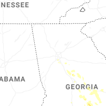
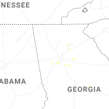


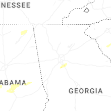


Connect with Interactive Hail Maps