

Hail Map for Rolling Hills, CA
The Rolling Hills, CA area has had 0 reports of on-the-ground hail by trained spotters, and has been under severe weather warnings 21 times during the past 12 months. Doppler radar has detected hail at or near Rolling Hills, CA on 1 occasion, including 1 occasion during the past year.
| Name: | Rolling Hills, CA |
| Where Located: | 20.8 miles SSW of Los Angeles, CA |
| Map: | Google Map for Rolling Hills, CA |
| Population: | 1860 |
| Housing Units: | 716 |
| More Info: | Search Google for Rolling Hills, CA |
0
The Top Recent Hail Date for Rolling Hills, CA is Tuesday, April 21, 2026 (1st out of 1)
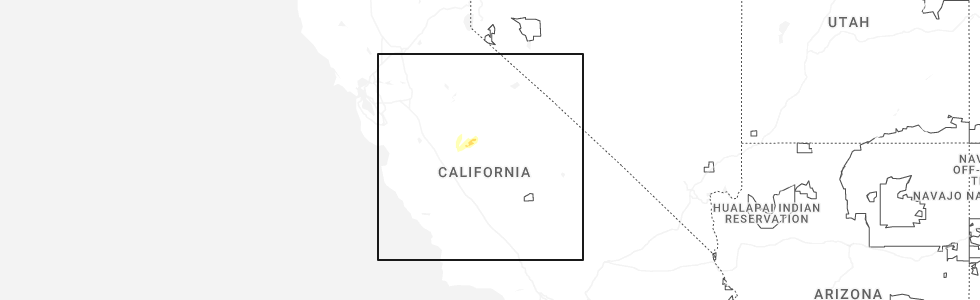
Hail and Wind Damage Spotted near Rolling Hills, CA
| Date / Time | Report Details |
|---|---|
| 4/21/2026 4:55 PM PDT |
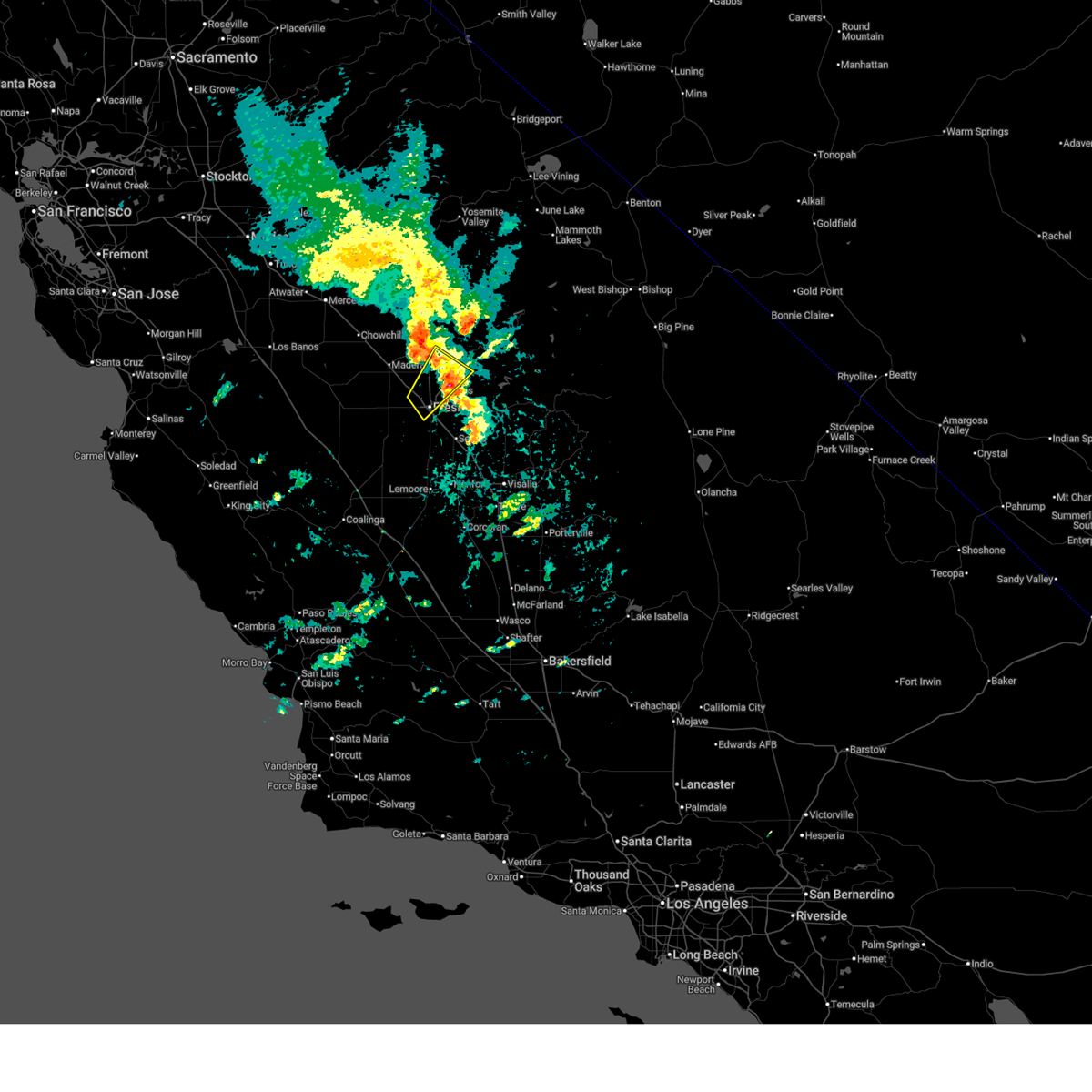 The storm which prompted the warning has moved out of the area. therefore, the warning will be allowed to expire. a severe thunderstorm warning still remains in effect for fresno county northeast of the city of fresno. The storm which prompted the warning has moved out of the area. therefore, the warning will be allowed to expire. a severe thunderstorm warning still remains in effect for fresno county northeast of the city of fresno.
|
| 4/21/2026 4:30 PM PDT |
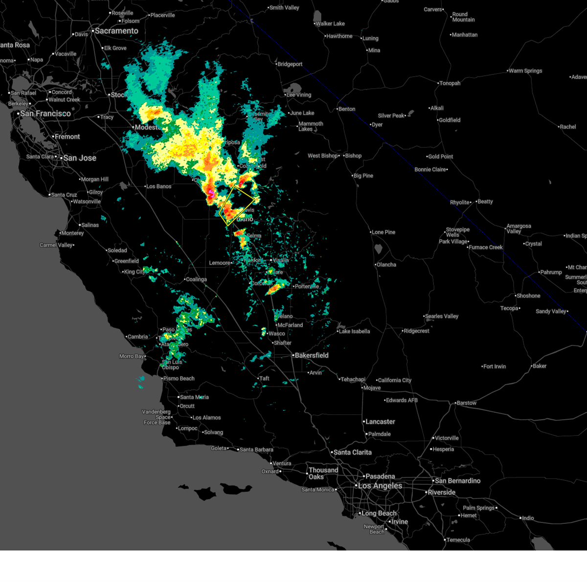 Svrhnx the national weather service in hanford ca has issued a * severe thunderstorm warning for, south central madera county in central california, central fresno county in central california, * until 500 pm pdt. * at 430 pm pdt, a severe thunderstorm was located over fresno, moving northeast at 30 mph (radar indicated). Hazards include 60 mph wind gusts and quarter size hail. Hail damage to vehicles is expected. Expect wind damage to roofs, siding, and trees. Svrhnx the national weather service in hanford ca has issued a * severe thunderstorm warning for, south central madera county in central california, central fresno county in central california, * until 500 pm pdt. * at 430 pm pdt, a severe thunderstorm was located over fresno, moving northeast at 30 mph (radar indicated). Hazards include 60 mph wind gusts and quarter size hail. Hail damage to vehicles is expected. Expect wind damage to roofs, siding, and trees.
|
| 4/21/2026 2:55 PM PDT |
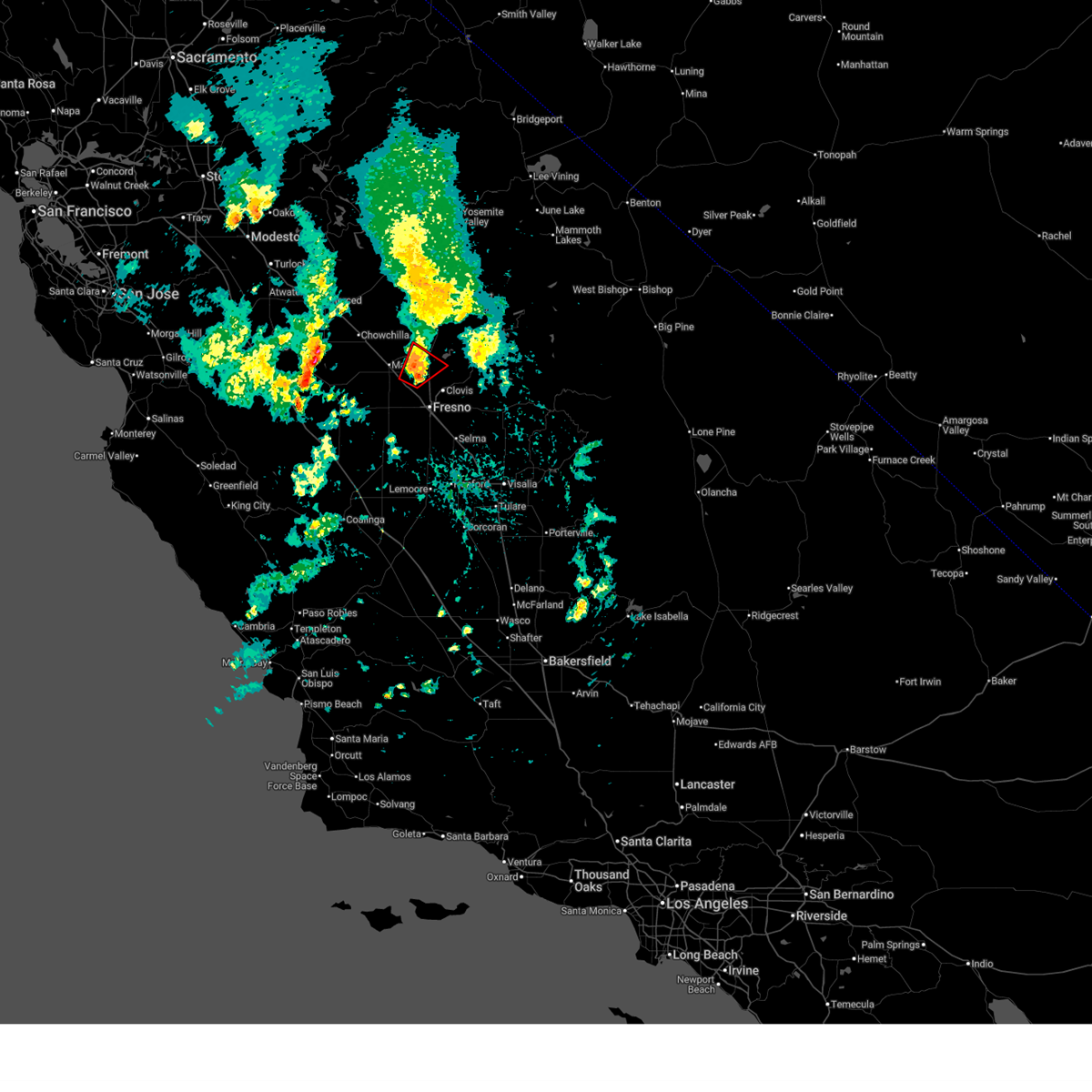 The tornado threat has diminished and the tornado warning has been cancelled. however, hail and damaging winds remain likely and a severe thunderstorm warning remains in effect for the area. to report severe weather, contact your nearest law enforcement agency. they will relay your report to the national weather service hanford ca. The tornado threat has diminished and the tornado warning has been cancelled. however, hail and damaging winds remain likely and a severe thunderstorm warning remains in effect for the area. to report severe weather, contact your nearest law enforcement agency. they will relay your report to the national weather service hanford ca.
|
| 4/21/2026 2:54 PM PDT |
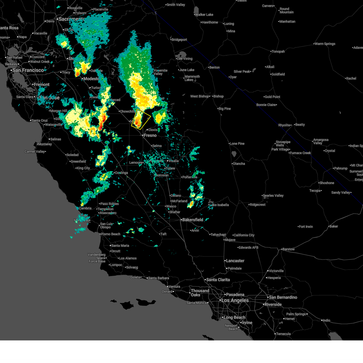 Svrhnx the national weather service in hanford ca has issued a * severe thunderstorm warning for, south central madera county in central california, northwestern fresno county in central california, * until 330 pm pdt. * at 254 pm pdt, a severe thunderstorm was located near bonadelle ranchos-madera ranchos, or 10 miles northwest of fresno, moving northeast at 15 mph (radar indicated). Hazards include 40 mph wind gusts and penny size hail. expect damage to roofs, siding, and trees Svrhnx the national weather service in hanford ca has issued a * severe thunderstorm warning for, south central madera county in central california, northwestern fresno county in central california, * until 330 pm pdt. * at 254 pm pdt, a severe thunderstorm was located near bonadelle ranchos-madera ranchos, or 10 miles northwest of fresno, moving northeast at 15 mph (radar indicated). Hazards include 40 mph wind gusts and penny size hail. expect damage to roofs, siding, and trees
|
| 4/21/2026 2:37 PM PDT |
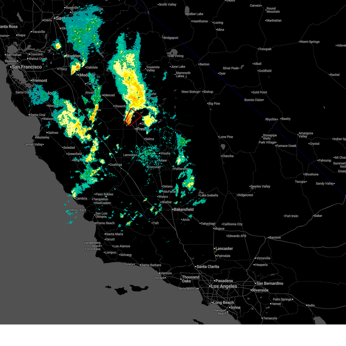 Torhnx the national weather service in hanford ca has issued a * tornado warning for, south central madera county in central california, northwestern fresno county in central california, * until 300 pm pdt. * at 237 pm pdt, a confirmed tornado was located near biola, or 8 miles northwest of fresno, moving northeast at 15 mph (law enforcement confirmed tornado). Hazards include damaging tornado. Flying debris will be dangerous to those caught without shelter. mobile homes will be damaged or destroyed. damage to roofs, windows, and vehicles will occur. tree damage is likely. the tornado will be near, fresno and bonadelle ranchos-madera ranchos around 240 pm pdt. Other locations impacted by this tornadic thunderstorm include friant. Torhnx the national weather service in hanford ca has issued a * tornado warning for, south central madera county in central california, northwestern fresno county in central california, * until 300 pm pdt. * at 237 pm pdt, a confirmed tornado was located near biola, or 8 miles northwest of fresno, moving northeast at 15 mph (law enforcement confirmed tornado). Hazards include damaging tornado. Flying debris will be dangerous to those caught without shelter. mobile homes will be damaged or destroyed. damage to roofs, windows, and vehicles will occur. tree damage is likely. the tornado will be near, fresno and bonadelle ranchos-madera ranchos around 240 pm pdt. Other locations impacted by this tornadic thunderstorm include friant.
|
| 4/21/2026 2:30 PM PDT |
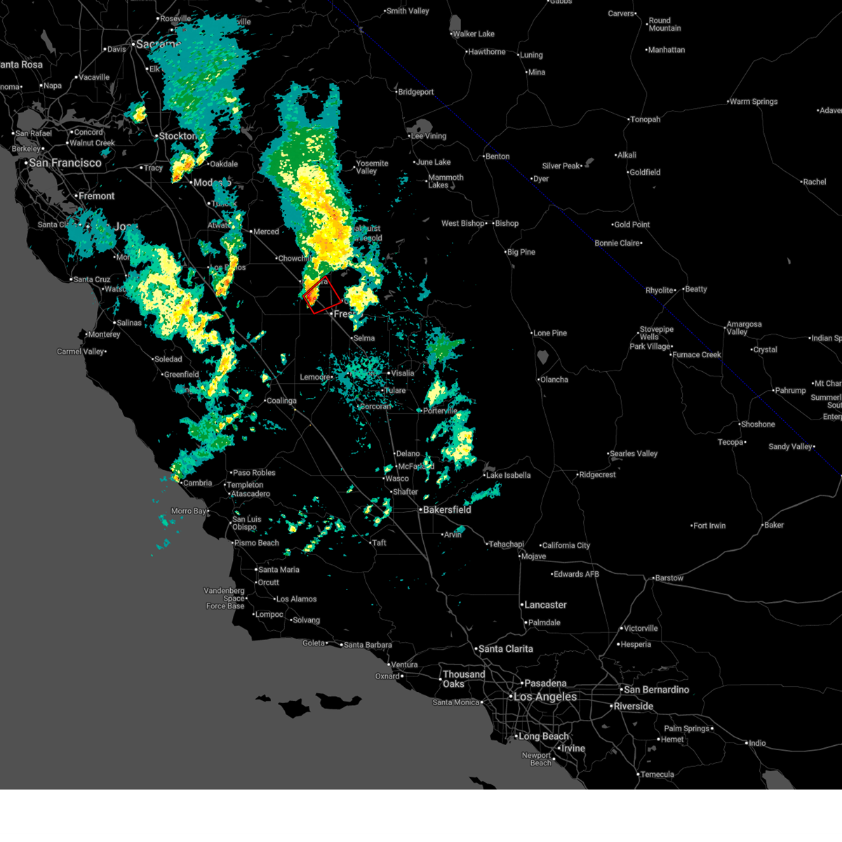 At 230 pm pdt, a confirmed tornado was located near biola, or 8 miles west of fresno, moving northeast at 15 mph (law enforcement confirmed tornado). Hazards include damaging tornado. Flying debris will be dangerous to those caught without shelter. mobile homes will be damaged or destroyed. damage to roofs, windows, and vehicles will occur. tree damage is likely. This tornado will be near, fresno around 235 pm pdt. At 230 pm pdt, a confirmed tornado was located near biola, or 8 miles west of fresno, moving northeast at 15 mph (law enforcement confirmed tornado). Hazards include damaging tornado. Flying debris will be dangerous to those caught without shelter. mobile homes will be damaged or destroyed. damage to roofs, windows, and vehicles will occur. tree damage is likely. This tornado will be near, fresno around 235 pm pdt.
|
| 4/21/2026 2:19 PM PDT |
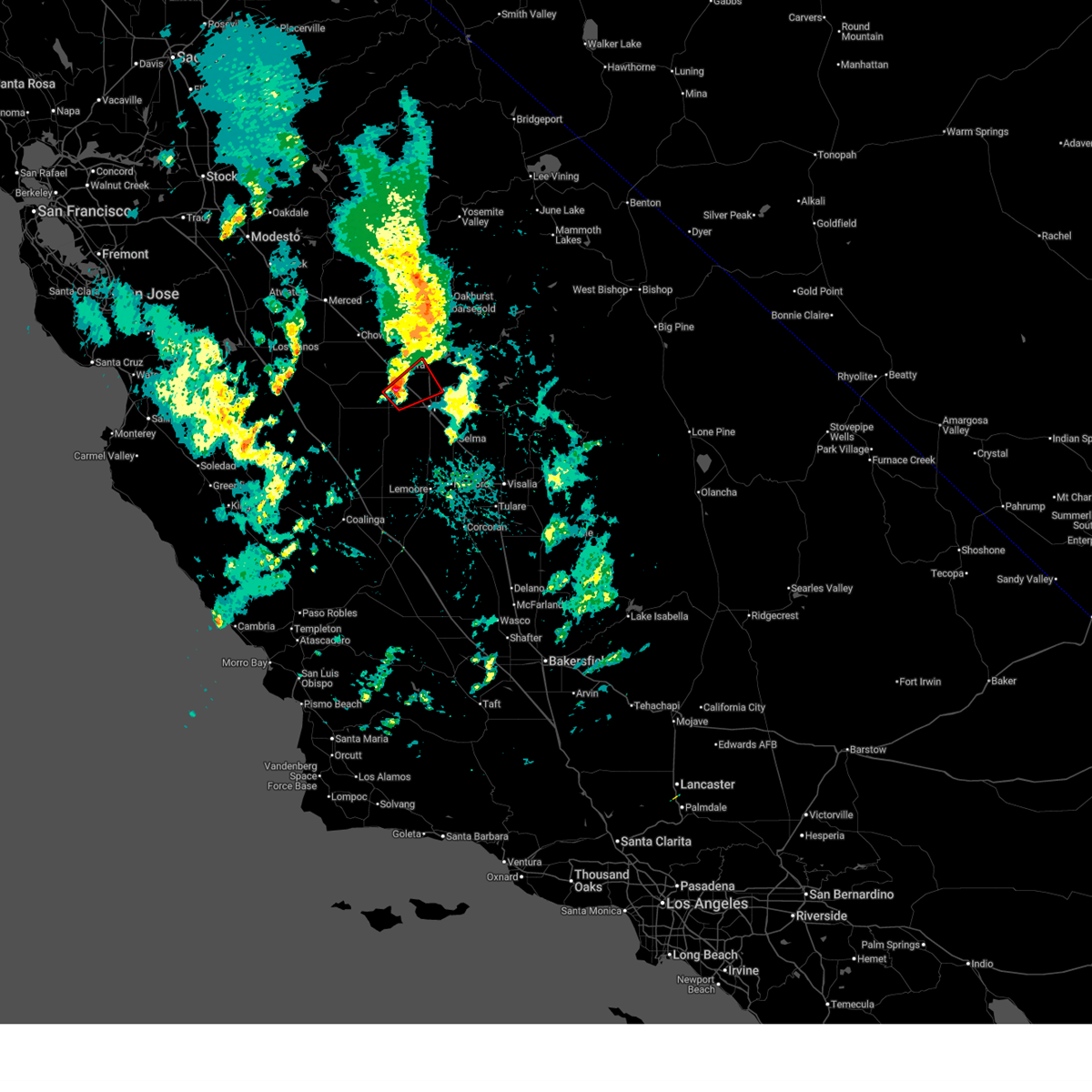 Torhnx the national weather service in hanford ca has issued a * tornado warning for, southwestern madera county in central california, central fresno county in central california, * until 245 pm pdt. * at 219 pm pdt, a confirmed tornado was located over biola, or 9 miles west of fresno, moving northeast at 15 mph (law enforcement confirmed tornado). Hazards include damaging tornado. Flying debris will be dangerous to those caught without shelter. mobile homes will be damaged or destroyed. damage to roofs, windows, and vehicles will occur. tree damage is likely. The tornado will be near, fresno around 225 pm pdt. Torhnx the national weather service in hanford ca has issued a * tornado warning for, southwestern madera county in central california, central fresno county in central california, * until 245 pm pdt. * at 219 pm pdt, a confirmed tornado was located over biola, or 9 miles west of fresno, moving northeast at 15 mph (law enforcement confirmed tornado). Hazards include damaging tornado. Flying debris will be dangerous to those caught without shelter. mobile homes will be damaged or destroyed. damage to roofs, windows, and vehicles will occur. tree damage is likely. The tornado will be near, fresno around 225 pm pdt.
|
| 2/18/2026 1:58 AM PST |
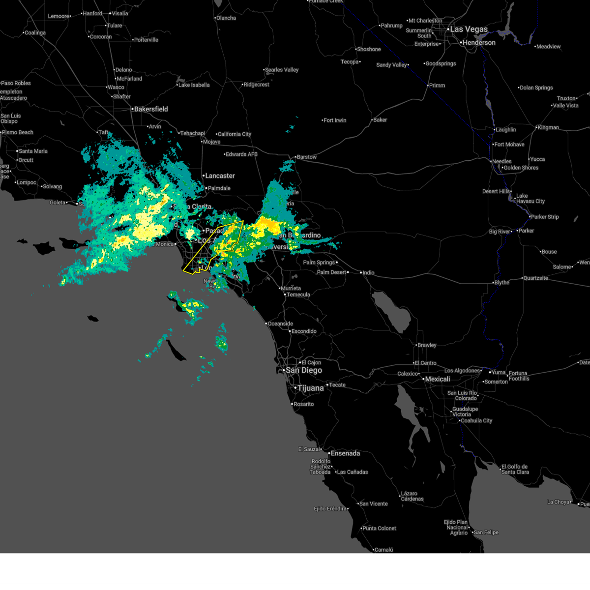 the severe thunderstorm warning has been cancelled and is no longer in effect the severe thunderstorm warning has been cancelled and is no longer in effect
|
| 2/18/2026 1:42 AM PST |
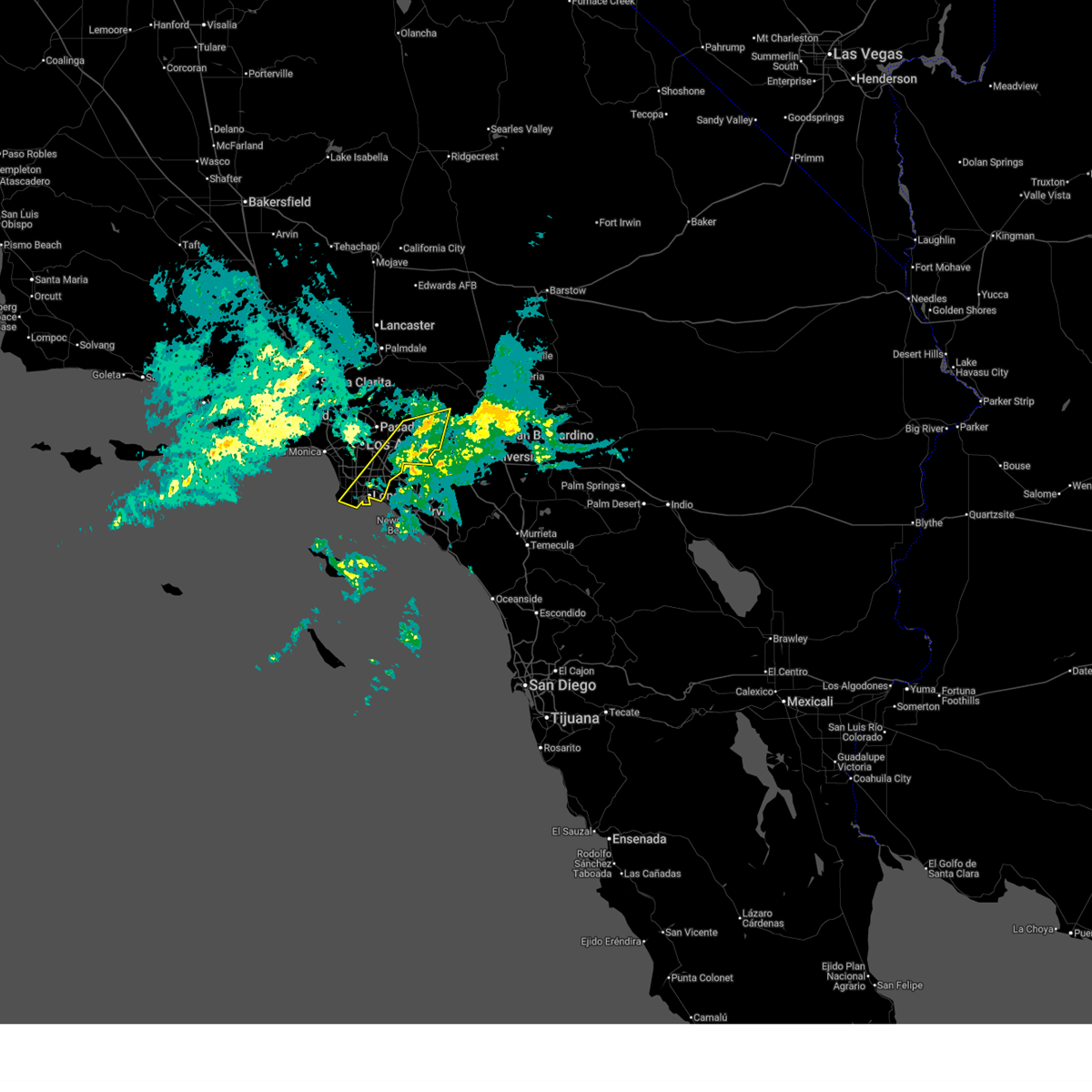 At 142 am pst, severe thunderstorms were located along a line extending from hwy 138 between i-15 and hwy 2 to near carson, moving northeast at 100 mph (emergency management). Hazards include 60 mph wind gusts. Expect damage to roofs, siding, and trees. Locations impacted include, long beach, seal beach, pomona, rancho palos verdes, san dimas, glendora, west covina, whittier, torrance, buena park, chino hills, la habra, montclair, los alamitos, port of los angeles, la verne, carson, rolling hills, brea, and los angeles harbor. At 142 am pst, severe thunderstorms were located along a line extending from hwy 138 between i-15 and hwy 2 to near carson, moving northeast at 100 mph (emergency management). Hazards include 60 mph wind gusts. Expect damage to roofs, siding, and trees. Locations impacted include, long beach, seal beach, pomona, rancho palos verdes, san dimas, glendora, west covina, whittier, torrance, buena park, chino hills, la habra, montclair, los alamitos, port of los angeles, la verne, carson, rolling hills, brea, and los angeles harbor.
|
| 2/18/2026 1:34 AM PST |
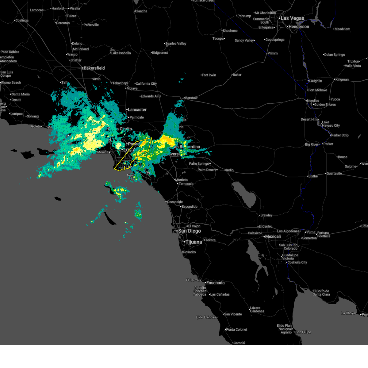 Svrlox the national weather service in oxnard has issued a * severe thunderstorm warning for, east central and southern los angeles county in southwestern california, * until 230 am pst. * at 132 am pst, severe thunderstorms were located along a line extending from 6 miles southwest of mount baldy to near rancho palos verdes, moving northeast at 40 mph (emergency management reports multiple trees down with this line of storms). Hazards include 60 mph wind gusts. brief weak tornado possible. Expect tree damage. Damage is likely to mobile homes, roofs, and outbuildings. Svrlox the national weather service in oxnard has issued a * severe thunderstorm warning for, east central and southern los angeles county in southwestern california, * until 230 am pst. * at 132 am pst, severe thunderstorms were located along a line extending from 6 miles southwest of mount baldy to near rancho palos verdes, moving northeast at 40 mph (emergency management reports multiple trees down with this line of storms). Hazards include 60 mph wind gusts. brief weak tornado possible. Expect tree damage. Damage is likely to mobile homes, roofs, and outbuildings.
|
| 2/18/2026 1:19 AM PST |
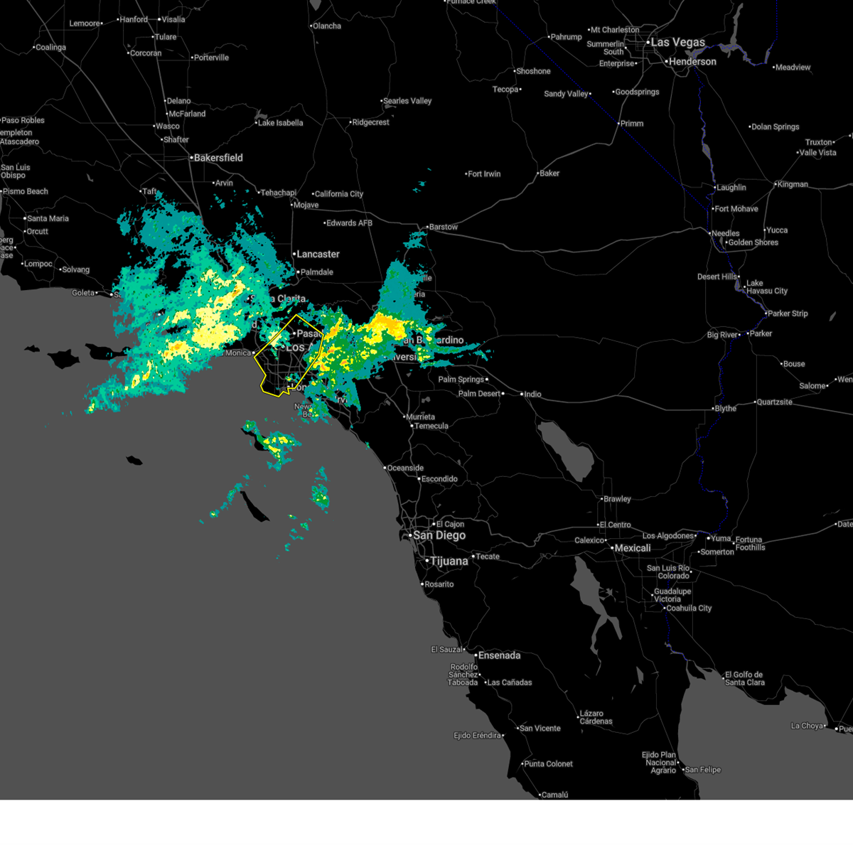 At 118 am pst, severe thunderstorms were located along a line extending from lucerne valley to chino hills, moving east at 45 mph (emergency management reports multiple trees down with this line of storms). Hazards include 60 to 70 mph wind gusts. Expect considerable tree damage. damage is likely to mobile homes, roofs, and outbuildings. Locations impacted include, long beach, inglewood, manhattan beach, redondo beach, venice, rancho palos verdes, downtown los angeles, alhambra, pasadena, mount wilson, culver city, torrance, whittier, griffith park, hollywood, west covina, beverly hills, altadena, hermosa beach, and port of los angeles. At 118 am pst, severe thunderstorms were located along a line extending from lucerne valley to chino hills, moving east at 45 mph (emergency management reports multiple trees down with this line of storms). Hazards include 60 to 70 mph wind gusts. Expect considerable tree damage. damage is likely to mobile homes, roofs, and outbuildings. Locations impacted include, long beach, inglewood, manhattan beach, redondo beach, venice, rancho palos verdes, downtown los angeles, alhambra, pasadena, mount wilson, culver city, torrance, whittier, griffith park, hollywood, west covina, beverly hills, altadena, hermosa beach, and port of los angeles.
|
| 2/18/2026 1:14 AM PST |
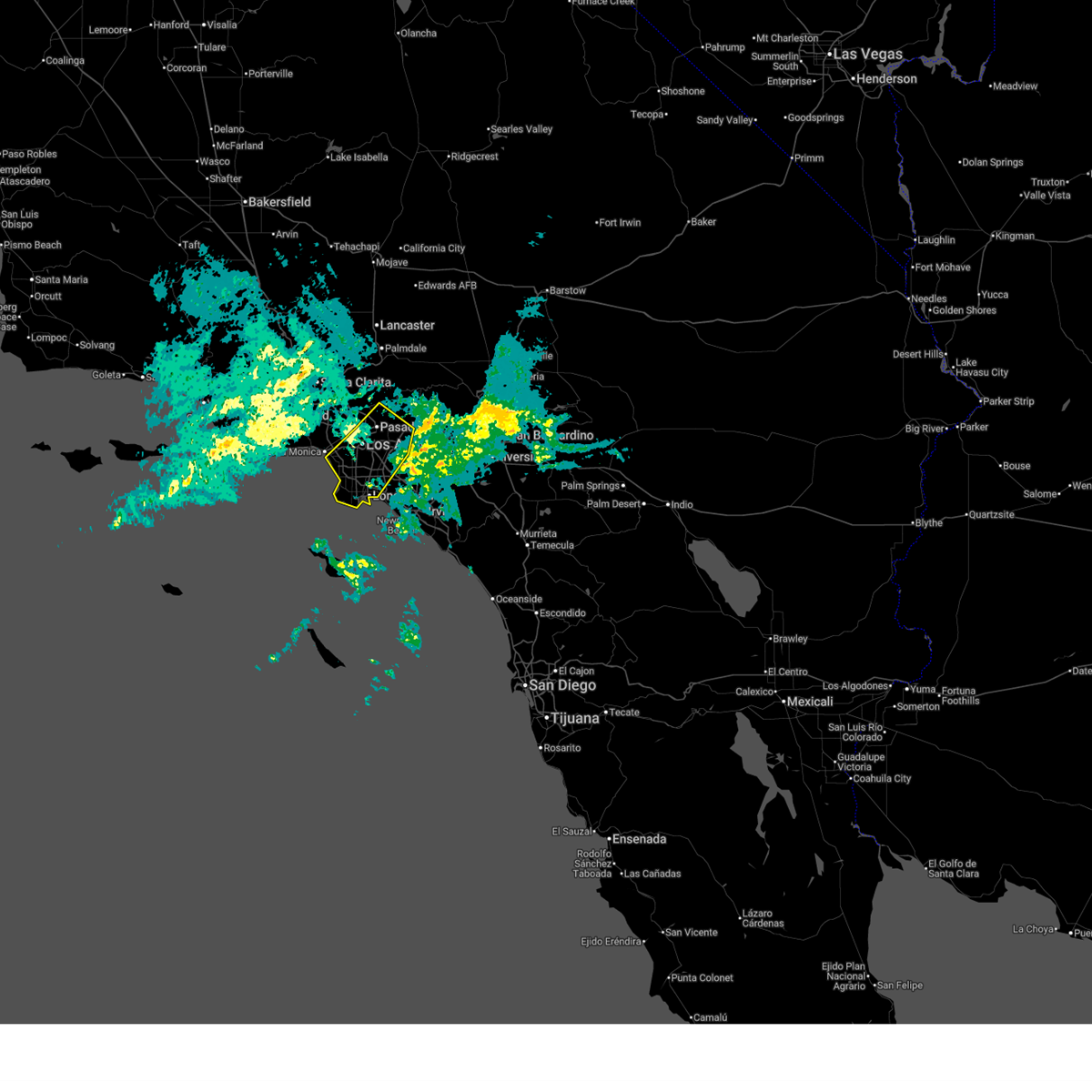 At 114 am pst, severe thunderstorms were located along a line extending from lucerne valley to near yorba linda, moving east at 40 mph (radar indicated). Hazards include 60 to 70 mph wind gusts. brief weak tornado possible. Expect considerable tree damage. damage is likely to mobile homes, roofs, and outbuildings. Locations impacted include, long beach, inglewood, manhattan beach, redondo beach, venice, rancho palos verdes, downtown los angeles, alhambra, pasadena, mount wilson, culver city, torrance, whittier, griffith park, hollywood, west covina, beverly hills, altadena, hermosa beach, and port of los angeles. At 114 am pst, severe thunderstorms were located along a line extending from lucerne valley to near yorba linda, moving east at 40 mph (radar indicated). Hazards include 60 to 70 mph wind gusts. brief weak tornado possible. Expect considerable tree damage. damage is likely to mobile homes, roofs, and outbuildings. Locations impacted include, long beach, inglewood, manhattan beach, redondo beach, venice, rancho palos verdes, downtown los angeles, alhambra, pasadena, mount wilson, culver city, torrance, whittier, griffith park, hollywood, west covina, beverly hills, altadena, hermosa beach, and port of los angeles.
|
| 2/18/2026 12:44 AM PST |
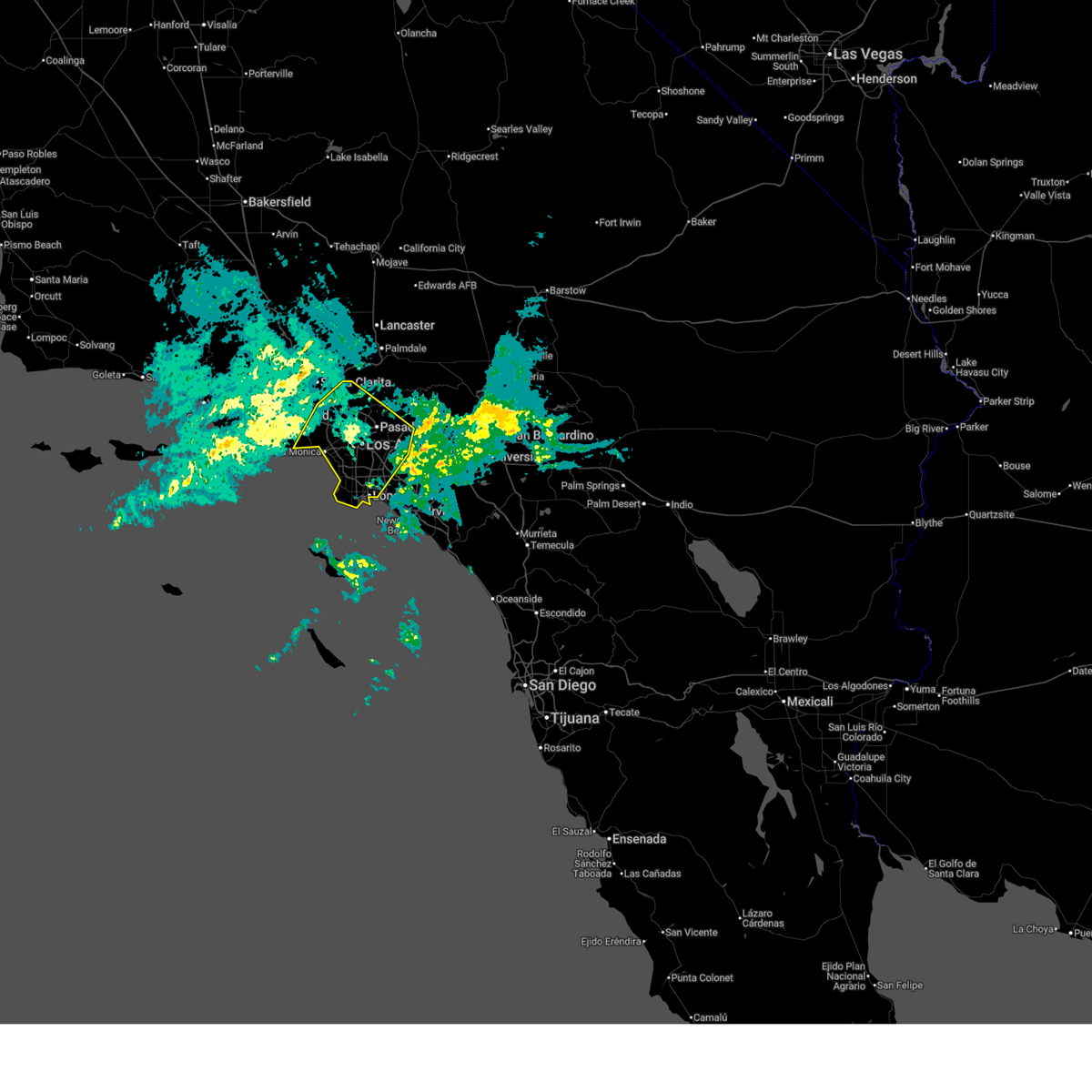 At 1243 am pst, severe thunderstorms were located along a line extending from 7 miles south of llano to 16 miles west of redondo beach, moving east at 40 mph (radar indicated). Hazards include 60 to 70 mph wind gusts. brief weak tornado possible. Expect considerable tree damage. damage is likely to mobile homes, roofs, and outbuildings. Locations impacted include, long beach, eastern malibu, encino, inglewood, manhattan beach, venice, rancho palos verdes, hollywood, van nuys, alhambra, mount wilson, culver city, torrance, universal city, whittier, burbank, beverly hills, northridge, griffith park, and north hollywood. At 1243 am pst, severe thunderstorms were located along a line extending from 7 miles south of llano to 16 miles west of redondo beach, moving east at 40 mph (radar indicated). Hazards include 60 to 70 mph wind gusts. brief weak tornado possible. Expect considerable tree damage. damage is likely to mobile homes, roofs, and outbuildings. Locations impacted include, long beach, eastern malibu, encino, inglewood, manhattan beach, venice, rancho palos verdes, hollywood, van nuys, alhambra, mount wilson, culver city, torrance, universal city, whittier, burbank, beverly hills, northridge, griffith park, and north hollywood.
|
| 2/18/2026 12:18 AM PST |
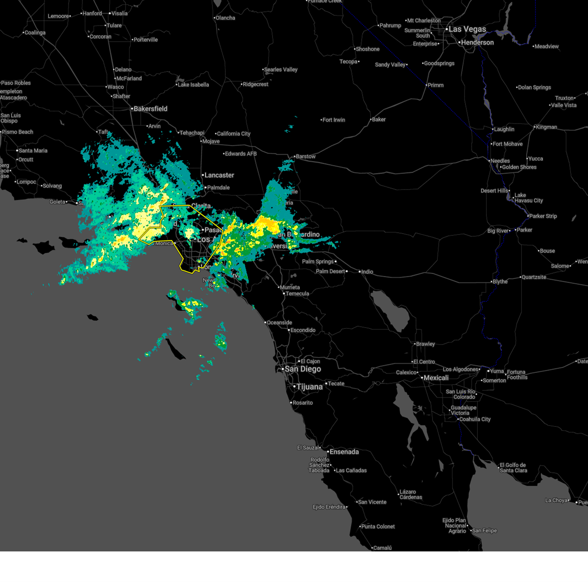 Svrlox the national weather service in oxnard has issued a * severe thunderstorm warning for, central and southern los angeles county in southwestern california, * until 145 am pst. * at 1217 am pst, severe thunderstorms were located along a line extending from pacoima to 26 miles southeast of anacapa island, moving east at 40 mph (radar indicated). Hazards include 60 to 70 mph wind gusts. brief weak tornado possible. Expect considerable tree damage. Damage is likely to mobile homes, roofs, and outbuildings. Svrlox the national weather service in oxnard has issued a * severe thunderstorm warning for, central and southern los angeles county in southwestern california, * until 145 am pst. * at 1217 am pst, severe thunderstorms were located along a line extending from pacoima to 26 miles southeast of anacapa island, moving east at 40 mph (radar indicated). Hazards include 60 to 70 mph wind gusts. brief weak tornado possible. Expect considerable tree damage. Damage is likely to mobile homes, roofs, and outbuildings.
|
| 2/16/2026 12:14 PM PST |
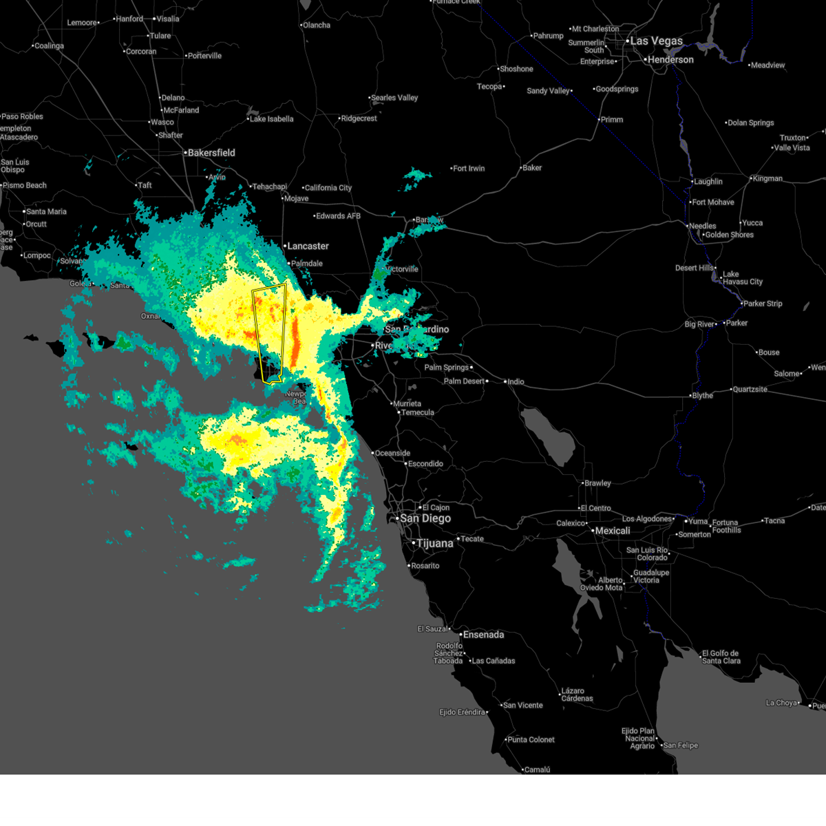 The storms which prompted the warning have moved out of the area. therefore, the warning will be allowed to expire. however, gusty winds are still likely. The storms which prompted the warning have moved out of the area. therefore, the warning will be allowed to expire. however, gusty winds are still likely.
|
| 2/16/2026 11:46 AM PST |
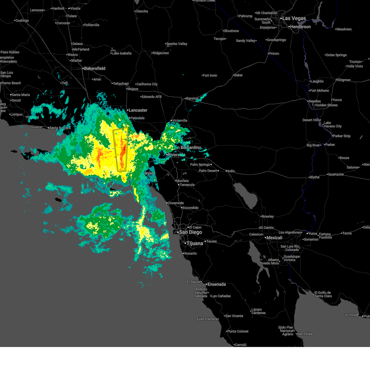 At 1145 am pst, severe thunderstorms were located along a line extending from 7 miles north of la canada flintridge to near port of los angeles, moving east at 20 mph (radar indicated. bried, weak tornado possible). Hazards include 60 mph wind gusts. Expect damage to roofs, siding, and trees. Locations impacted include, long beach, north hollywood, inglewood, hollywood, downtown los angeles, torrance, universal city, burbank, griffith park, beverly hills, culver city, pasadena, rancho palos verdes, altadena, glendale, studio city, port of los angeles, sunland, hollywood hills, and la canada flintridge. At 1145 am pst, severe thunderstorms were located along a line extending from 7 miles north of la canada flintridge to near port of los angeles, moving east at 20 mph (radar indicated. bried, weak tornado possible). Hazards include 60 mph wind gusts. Expect damage to roofs, siding, and trees. Locations impacted include, long beach, north hollywood, inglewood, hollywood, downtown los angeles, torrance, universal city, burbank, griffith park, beverly hills, culver city, pasadena, rancho palos verdes, altadena, glendale, studio city, port of los angeles, sunland, hollywood hills, and la canada flintridge.
|
| 2/16/2026 11:01 AM PST |
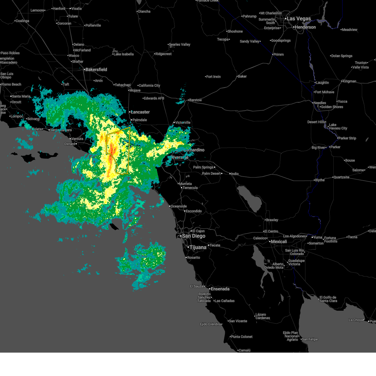 At 1100 am pst, severe thunderstorms were located along a line extending from near pacoima to 9 miles southwest of rancho palos verdes, moving northeast at 40 mph (radar indicated). Hazards include 70 mph wind gusts. a brief, weak tornado is possible. Expect considerable tree damage. damage is likely to mobile homes, roofs, and outbuildings. Locations impacted include, long beach, encino, inglewood, venice, rancho palos verdes, hollywood, van nuys, culver city, torrance, universal city, burbank, beverly hills, northridge, griffith park, north hollywood, downtown los angeles, santa monica, chatsworth, woodland hills, and pasadena. At 1100 am pst, severe thunderstorms were located along a line extending from near pacoima to 9 miles southwest of rancho palos verdes, moving northeast at 40 mph (radar indicated). Hazards include 70 mph wind gusts. a brief, weak tornado is possible. Expect considerable tree damage. damage is likely to mobile homes, roofs, and outbuildings. Locations impacted include, long beach, encino, inglewood, venice, rancho palos verdes, hollywood, van nuys, culver city, torrance, universal city, burbank, beverly hills, northridge, griffith park, north hollywood, downtown los angeles, santa monica, chatsworth, woodland hills, and pasadena.
|
| 2/16/2026 10:47 AM PST |
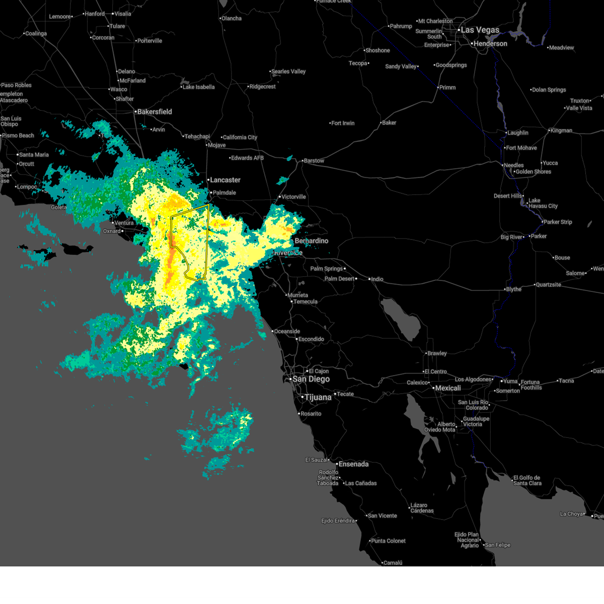 Svrlox the national weather service in oxnard has issued a * severe thunderstorm warning for, central and southern los angeles county in southwestern california, * until 1215 pm pst. * at 1046 am pst, severe thunderstorms were located along a line extending from encino to 14 miles northwest of two harbors, moving northeast at 40 mph (radar indicated). Hazards include 60 mph wind gusts. a brief, weak tornado is possible. expect damage to roofs, siding, and trees Svrlox the national weather service in oxnard has issued a * severe thunderstorm warning for, central and southern los angeles county in southwestern california, * until 1215 pm pst. * at 1046 am pst, severe thunderstorms were located along a line extending from encino to 14 miles northwest of two harbors, moving northeast at 40 mph (radar indicated). Hazards include 60 mph wind gusts. a brief, weak tornado is possible. expect damage to roofs, siding, and trees
|
| 11/21/2025 1:34 AM PST |
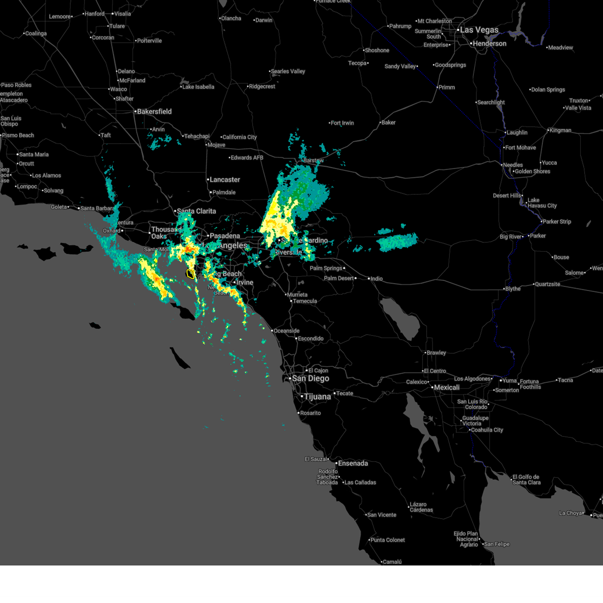 the severe thunderstorm warning has been cancelled and is no longer in effect the severe thunderstorm warning has been cancelled and is no longer in effect
|
| 11/21/2025 1:27 AM PST |
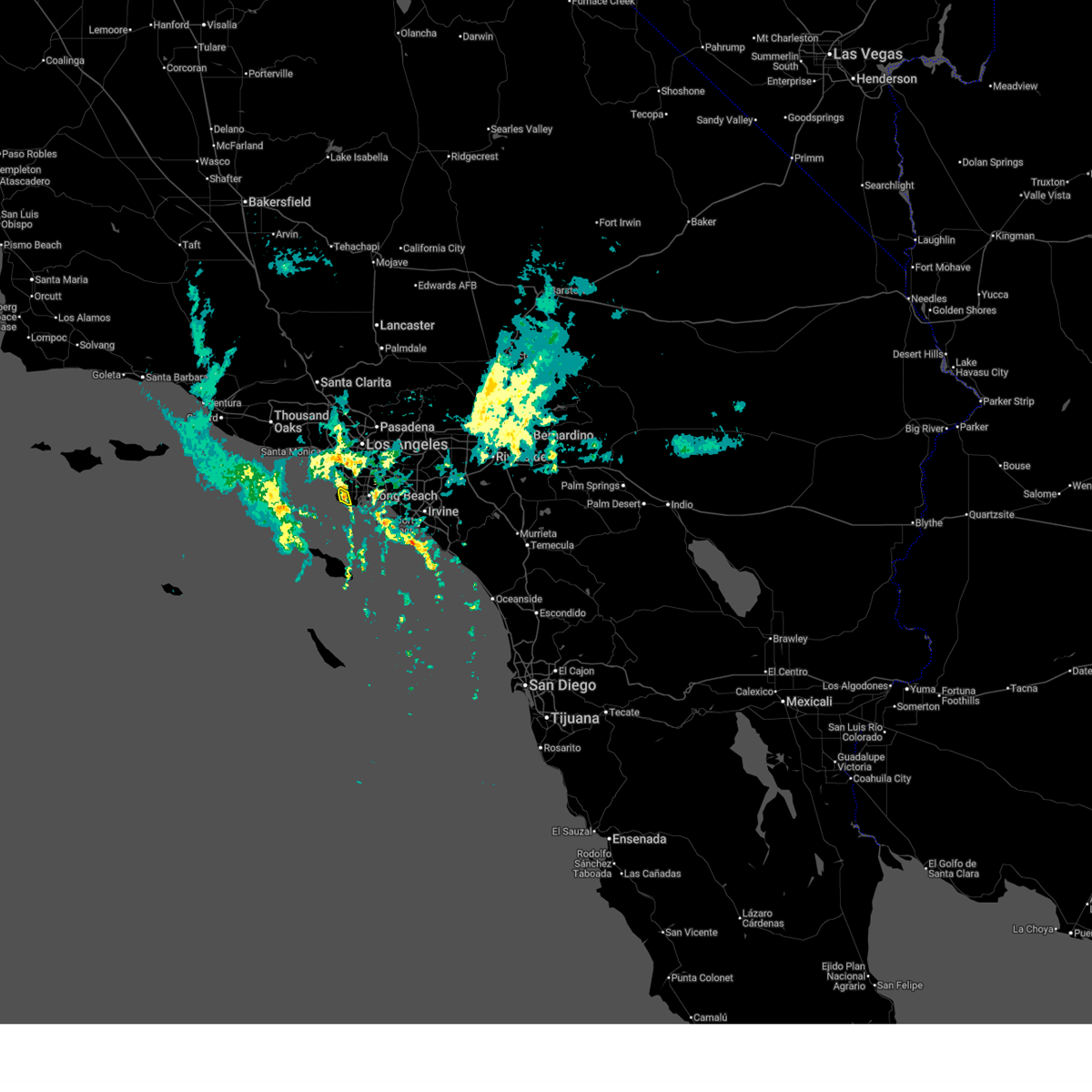 At 126 am pst, a severe thunderstorm was located over rancho palos verdes, moving northeast at 15 mph (radar indicated). Hazards include 60 mph wind gusts. Expect damage to roofs, siding, and trees. Locations impacted include, rancho palos verdes, torrance, and rolling hills. At 126 am pst, a severe thunderstorm was located over rancho palos verdes, moving northeast at 15 mph (radar indicated). Hazards include 60 mph wind gusts. Expect damage to roofs, siding, and trees. Locations impacted include, rancho palos verdes, torrance, and rolling hills.
|
| 11/21/2025 1:06 AM PST |
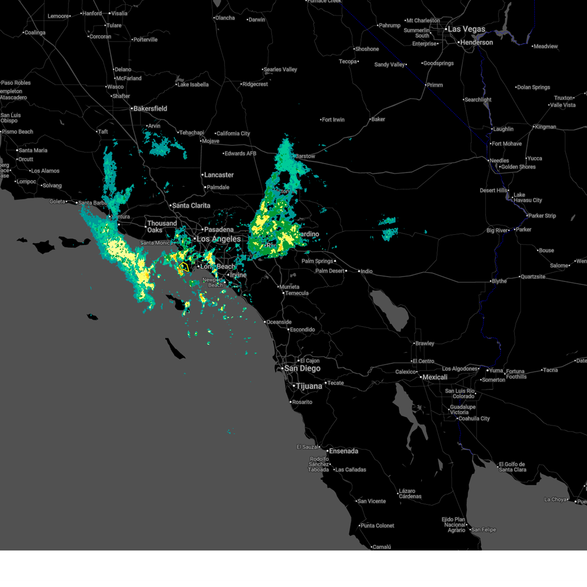 Svrlox the national weather service in oxnard has issued a * severe thunderstorm warning for, southern los angeles county in southwestern california, * until 145 am pst. * at 106 am pst, a severe thunderstorm was located near rancho palos verdes, moving northeast at 15 mph (radar indicated). Hazards include 60 mph wind gusts. expect damage to roofs, siding, and trees Svrlox the national weather service in oxnard has issued a * severe thunderstorm warning for, southern los angeles county in southwestern california, * until 145 am pst. * at 106 am pst, a severe thunderstorm was located near rancho palos verdes, moving northeast at 15 mph (radar indicated). Hazards include 60 mph wind gusts. expect damage to roofs, siding, and trees
|
| 3/31/2024 1:18 AM PDT |
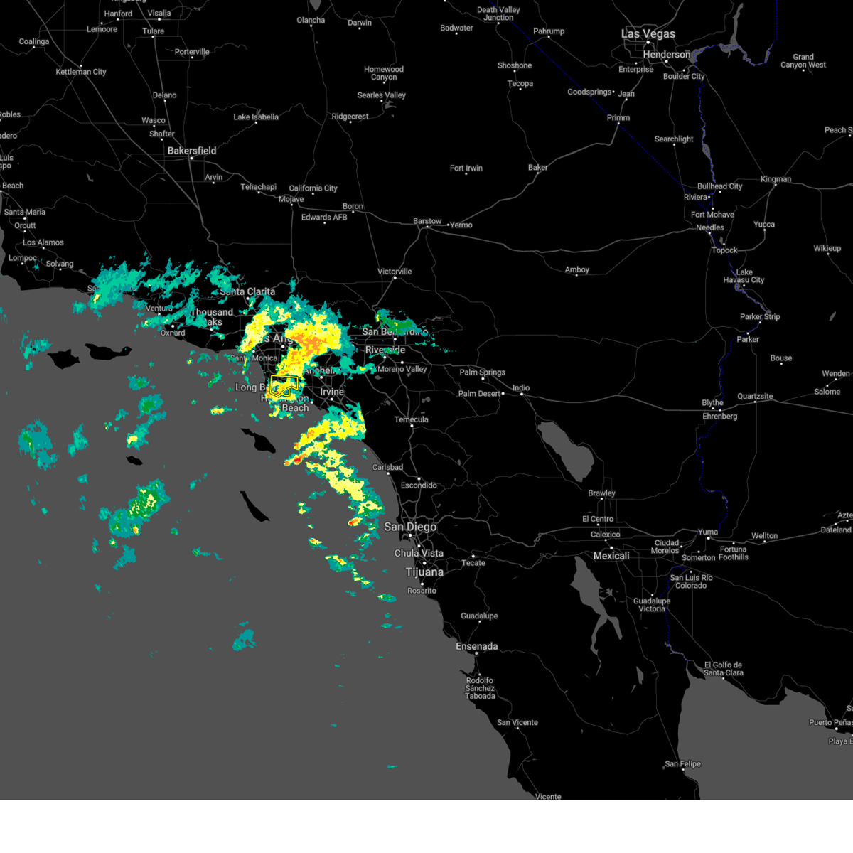 the severe thunderstorm warning has been cancelled and is no longer in effect the severe thunderstorm warning has been cancelled and is no longer in effect
|
| 3/31/2024 12:32 AM PDT |
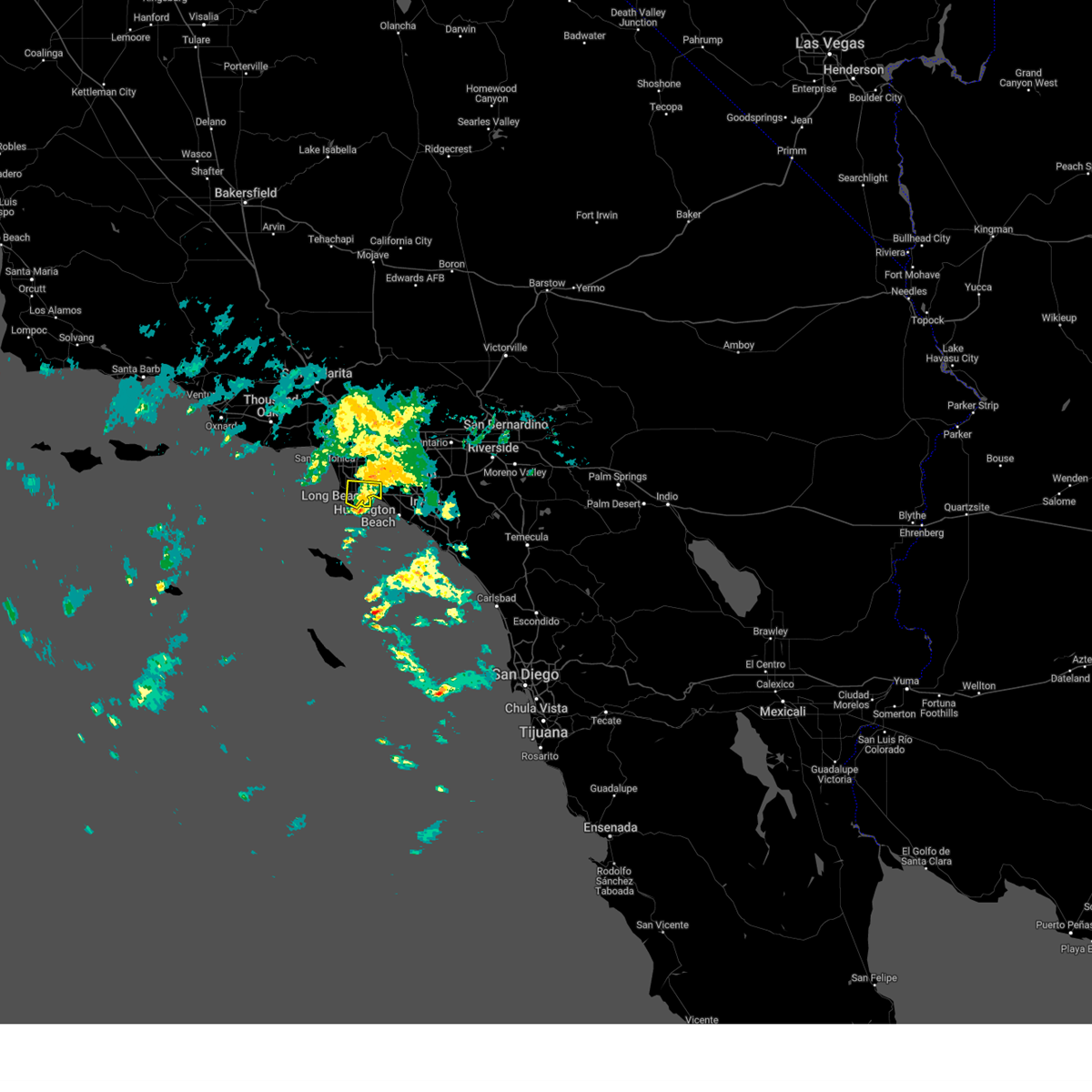 Svrlox the national weather service in oxnard has issued a * severe thunderstorm warning for, southern los angeles county in southwestern california, * until 130 am pdt. * at 1228 am pdt, a severe thunderstorm was located just south of san pedro and long beach, moving north at 15 to 20 mph (radar indicated). Hazards include 60 mph wind gusts and penny size hail. expect damage to roofs, siding, and trees Svrlox the national weather service in oxnard has issued a * severe thunderstorm warning for, southern los angeles county in southwestern california, * until 130 am pdt. * at 1228 am pdt, a severe thunderstorm was located just south of san pedro and long beach, moving north at 15 to 20 mph (radar indicated). Hazards include 60 mph wind gusts and penny size hail. expect damage to roofs, siding, and trees
|
| 2/2/2019 3:28 PM PST |
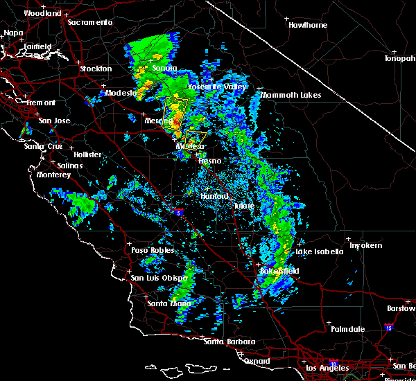 At 328 pm pst, a severe thunderstorm was located near bonadelle ranchos-madera ranchos, or 9 miles northwest of fresno, moving north at 30 mph (radar indicated). Hazards include 70 mph wind gusts and quarter size hail. Hail damage to vehicles is expected. expect considerable tree damage. Wind damage is also likely to mobile homes, roofs, and outbuildings. At 328 pm pst, a severe thunderstorm was located near bonadelle ranchos-madera ranchos, or 9 miles northwest of fresno, moving north at 30 mph (radar indicated). Hazards include 70 mph wind gusts and quarter size hail. Hail damage to vehicles is expected. expect considerable tree damage. Wind damage is also likely to mobile homes, roofs, and outbuildings.
|
| 9/11/2017 6:36 PM PDT |
 At 634 pm pdt, an area of thunderstorms, a few of them severe, were located near kerman, or 11 miles west of fresno, moving northwest at 45 mph (radar indicated). Hazards include 60 mph wind gusts and quarter size hail. Hail damage to vehicles is expected. expect wind damage to roofs, siding, and trees. in addition to frequent cloud to ground lightning, thunderstorms will contain heavy rain. ponding of water is likely on roads with localized flooding. Locations impacted include, fresno, clovis, lemoore, selma, parlier, kerman, kingsburg, lanare, bowles, calwa, biola, del rey, bonadelle ranchos-madera ranchos, easton, raisin city, fowler, san joaquin, riverdale, laton and caruthers. At 634 pm pdt, an area of thunderstorms, a few of them severe, were located near kerman, or 11 miles west of fresno, moving northwest at 45 mph (radar indicated). Hazards include 60 mph wind gusts and quarter size hail. Hail damage to vehicles is expected. expect wind damage to roofs, siding, and trees. in addition to frequent cloud to ground lightning, thunderstorms will contain heavy rain. ponding of water is likely on roads with localized flooding. Locations impacted include, fresno, clovis, lemoore, selma, parlier, kerman, kingsburg, lanare, bowles, calwa, biola, del rey, bonadelle ranchos-madera ranchos, easton, raisin city, fowler, san joaquin, riverdale, laton and caruthers.
|
| 9/11/2017 6:14 PM PDT |
 At 613 pm pdt, a severe thunderstorm was located near bowles, or 16 miles northwest of hanford, moving northwest at 45 mph (radar indicated). Hazards include 60 mph wind gusts and quarter size hail. Hail damage to vehicles is expected. expect wind damage to roofs, siding, and trees. In addition to dangerous cloud to ground lightning, thunderstorms will bring very heavy rain and ponding of water on roads with localized flooding. At 613 pm pdt, a severe thunderstorm was located near bowles, or 16 miles northwest of hanford, moving northwest at 45 mph (radar indicated). Hazards include 60 mph wind gusts and quarter size hail. Hail damage to vehicles is expected. expect wind damage to roofs, siding, and trees. In addition to dangerous cloud to ground lightning, thunderstorms will bring very heavy rain and ponding of water on roads with localized flooding.
|
Hail Maps for Rolling Hills, CA
Connect with Interactive Hail Maps