

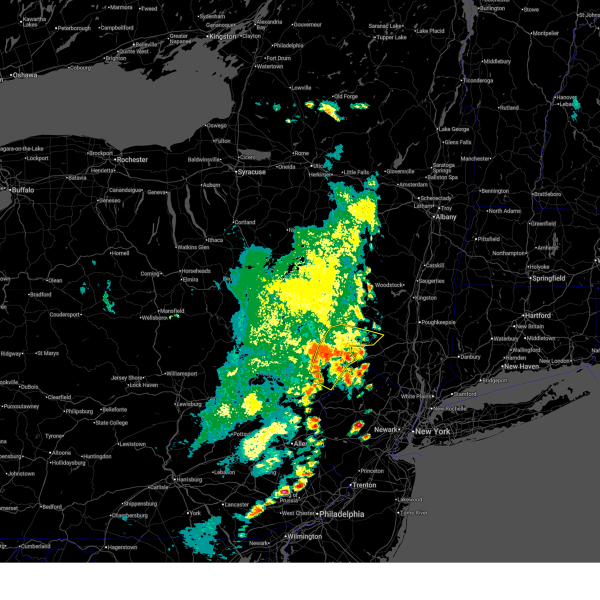
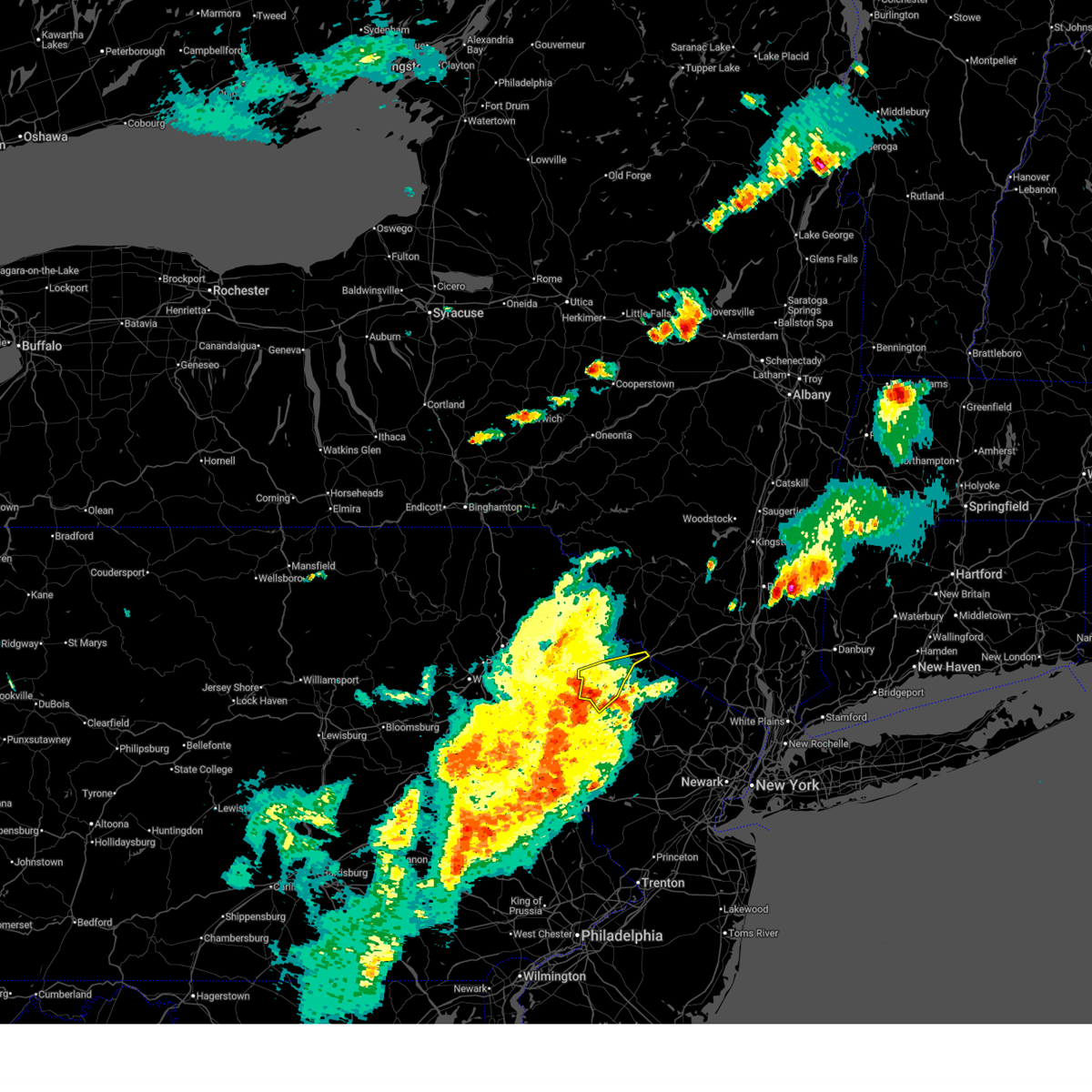
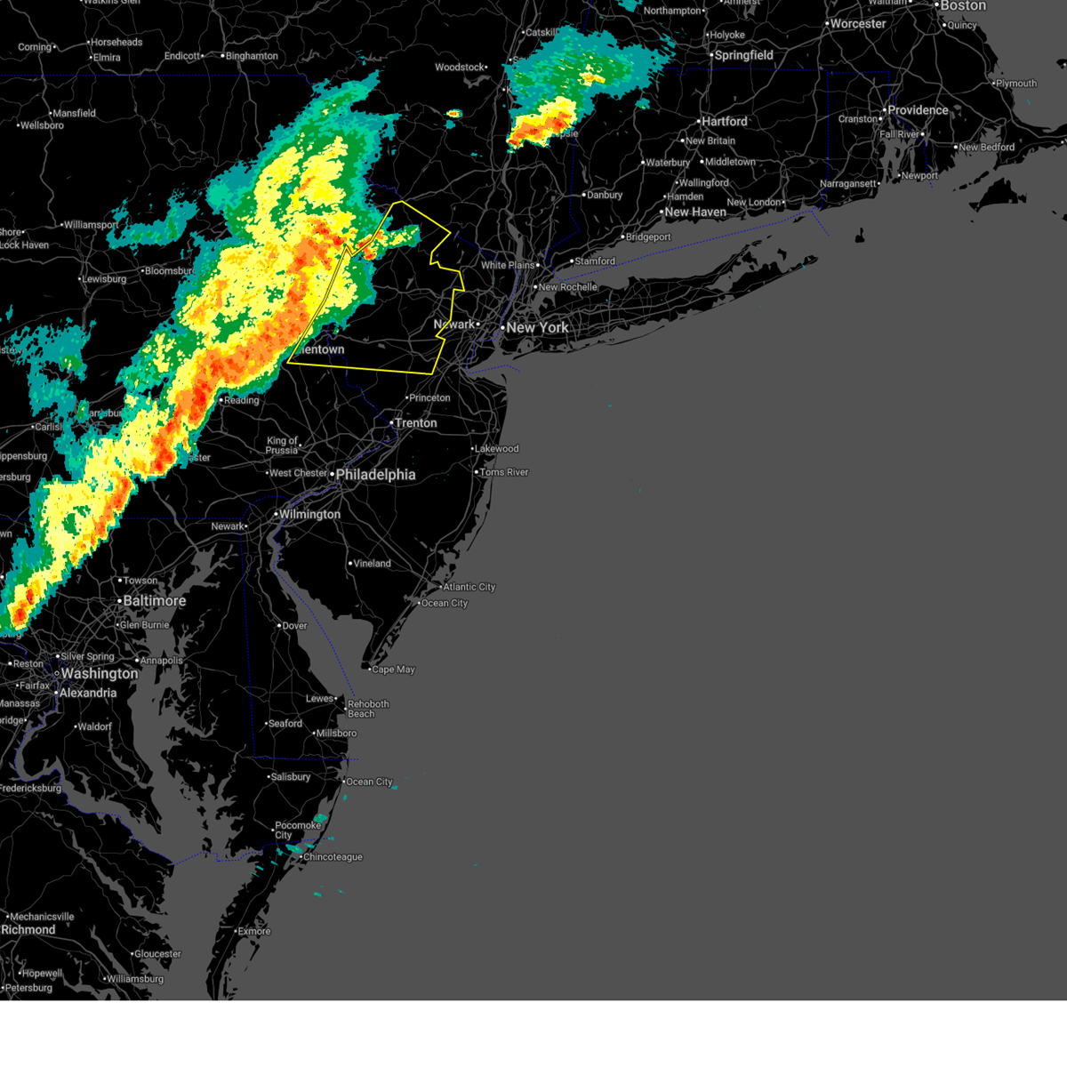
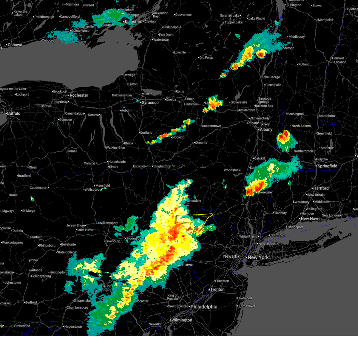
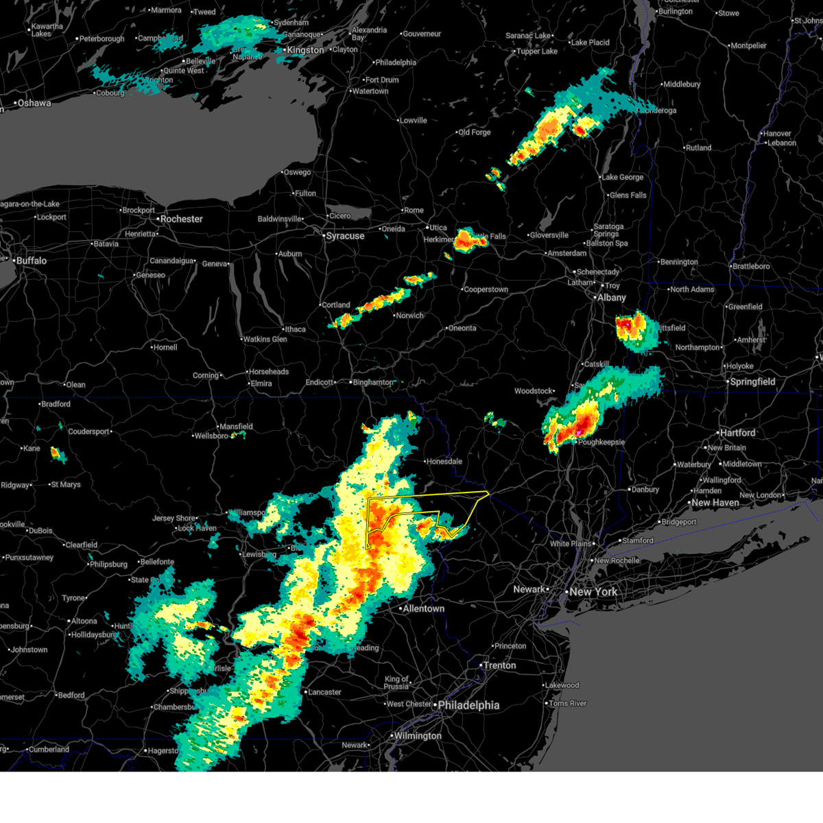
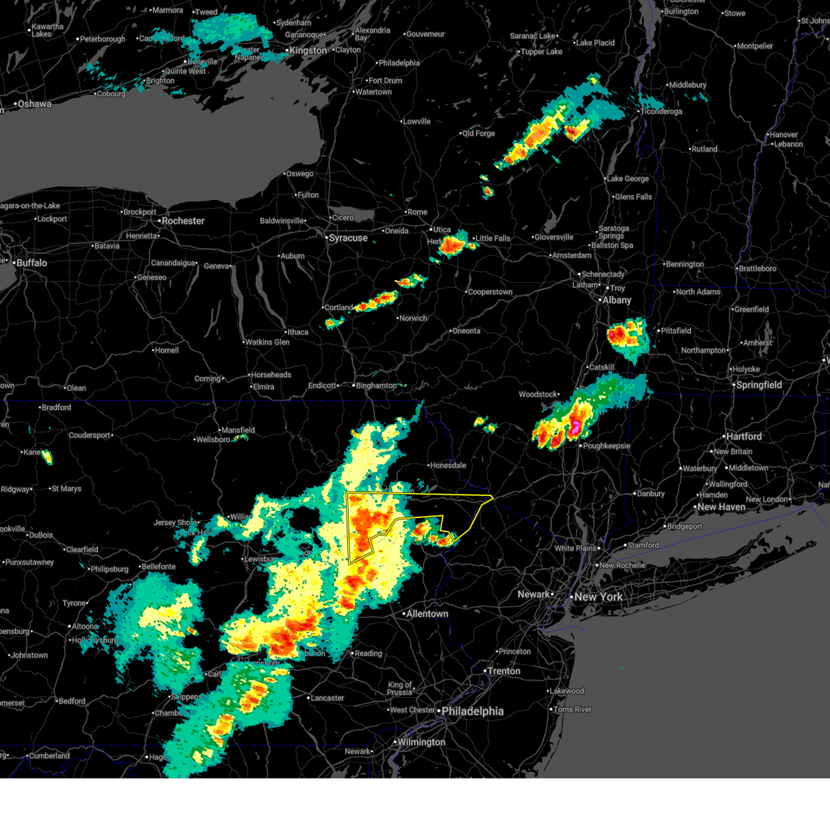
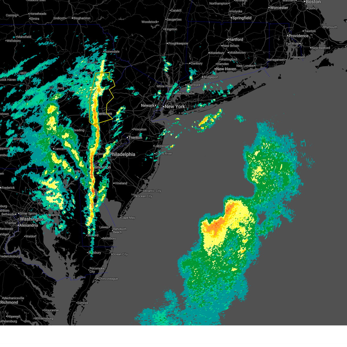
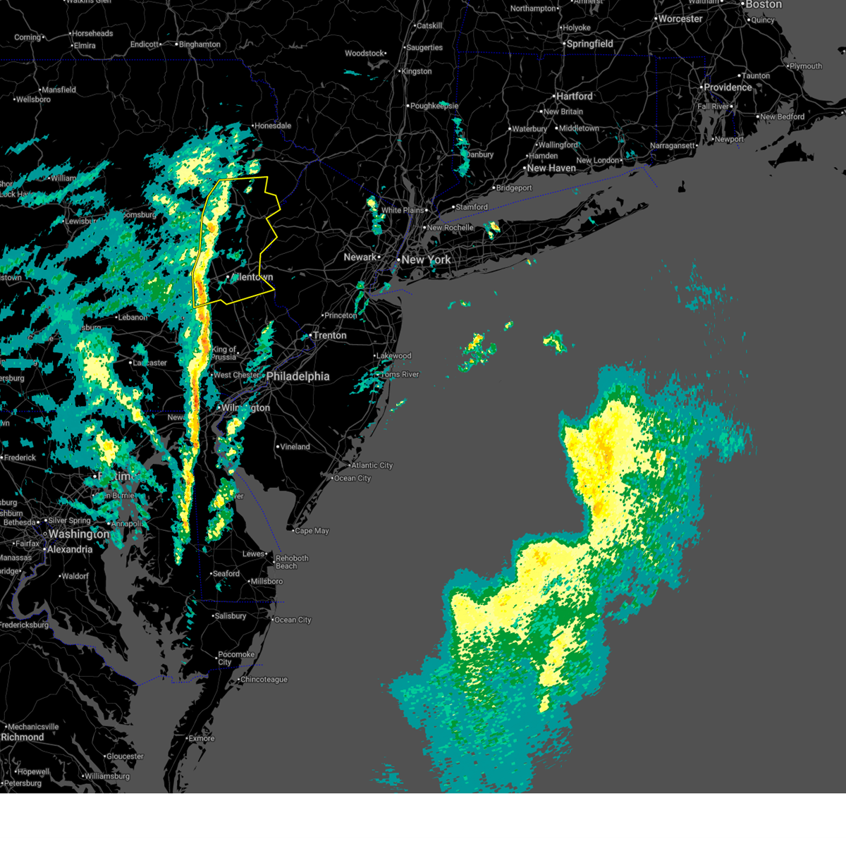
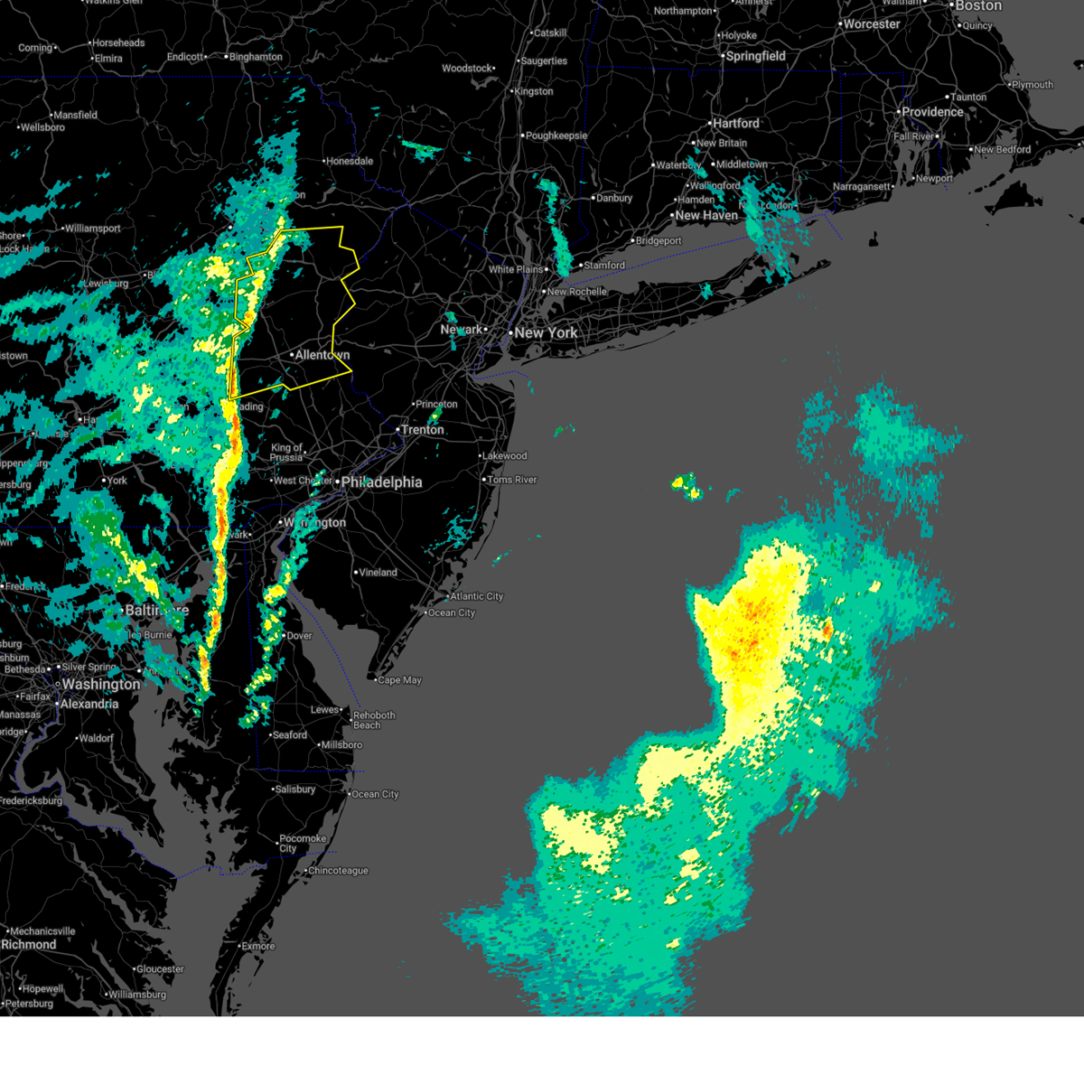
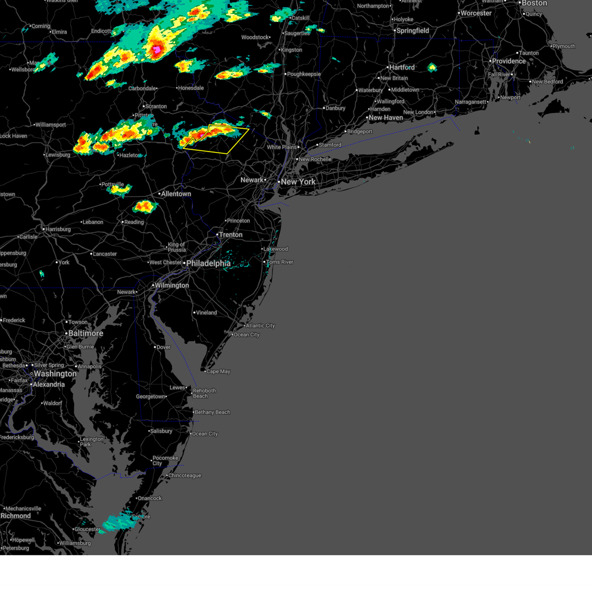
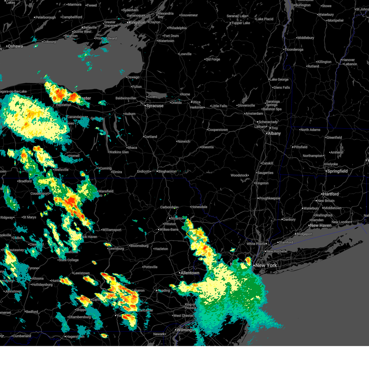
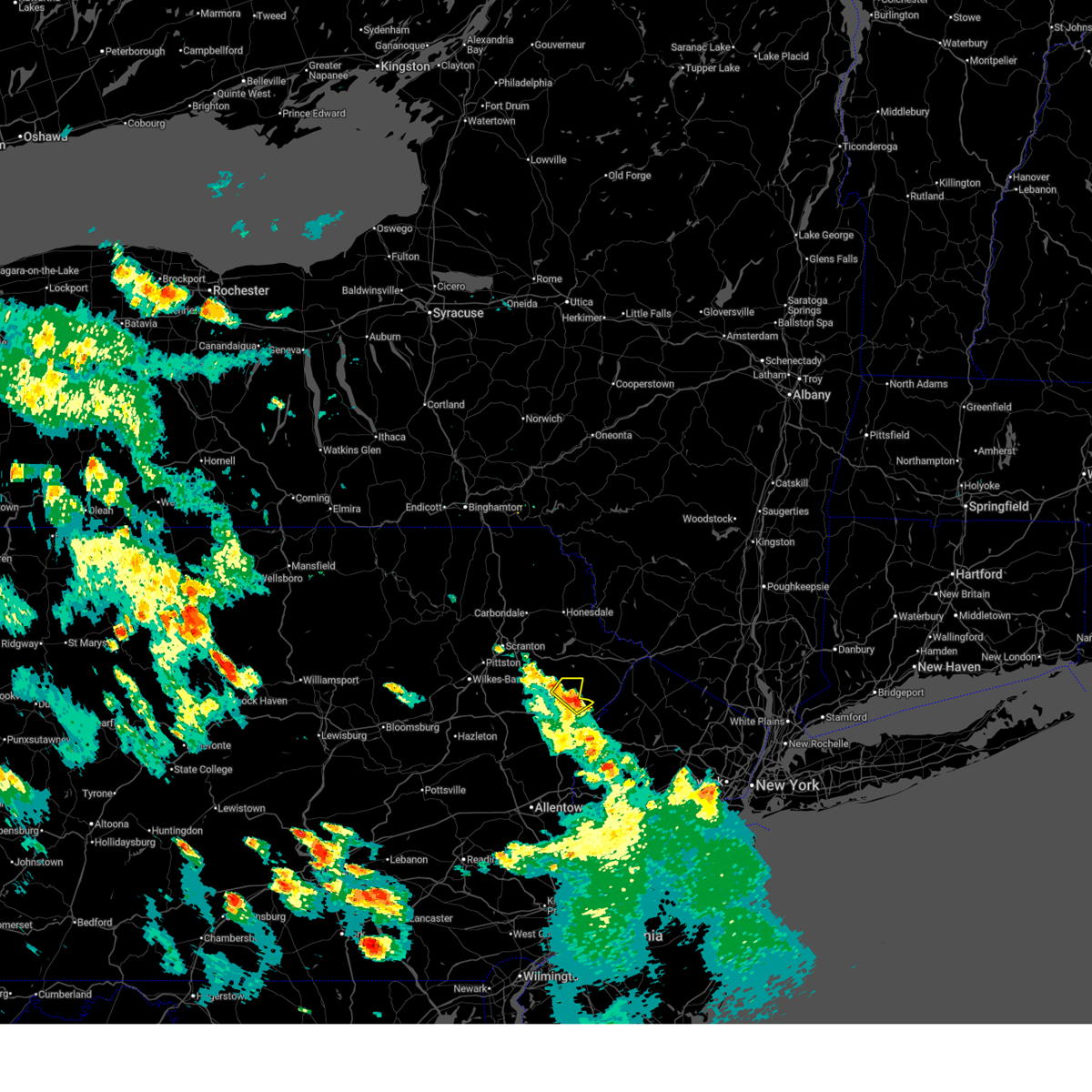
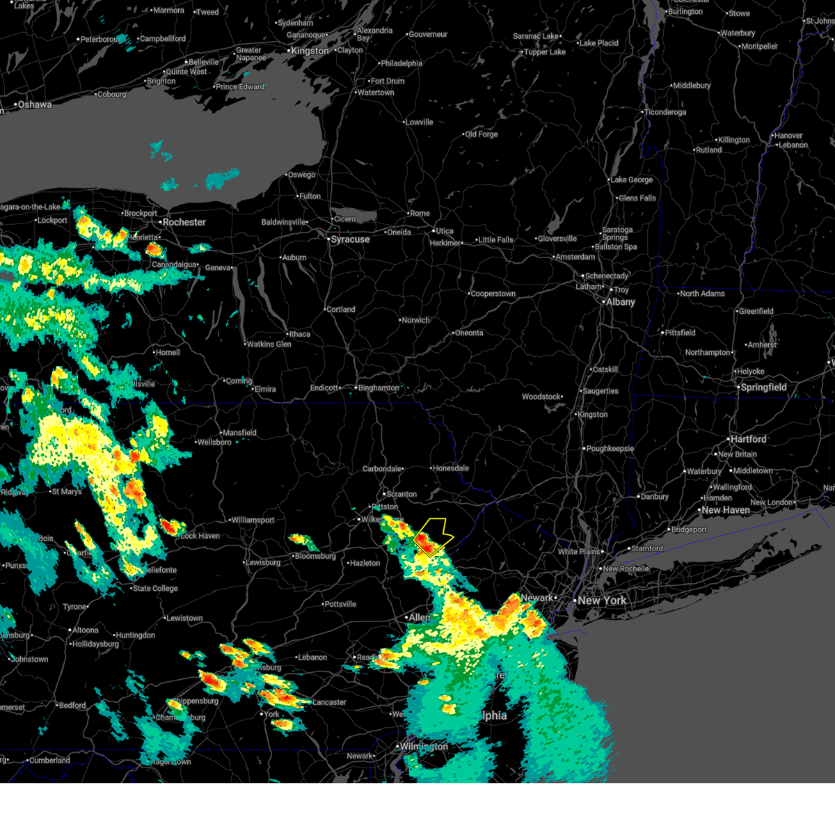
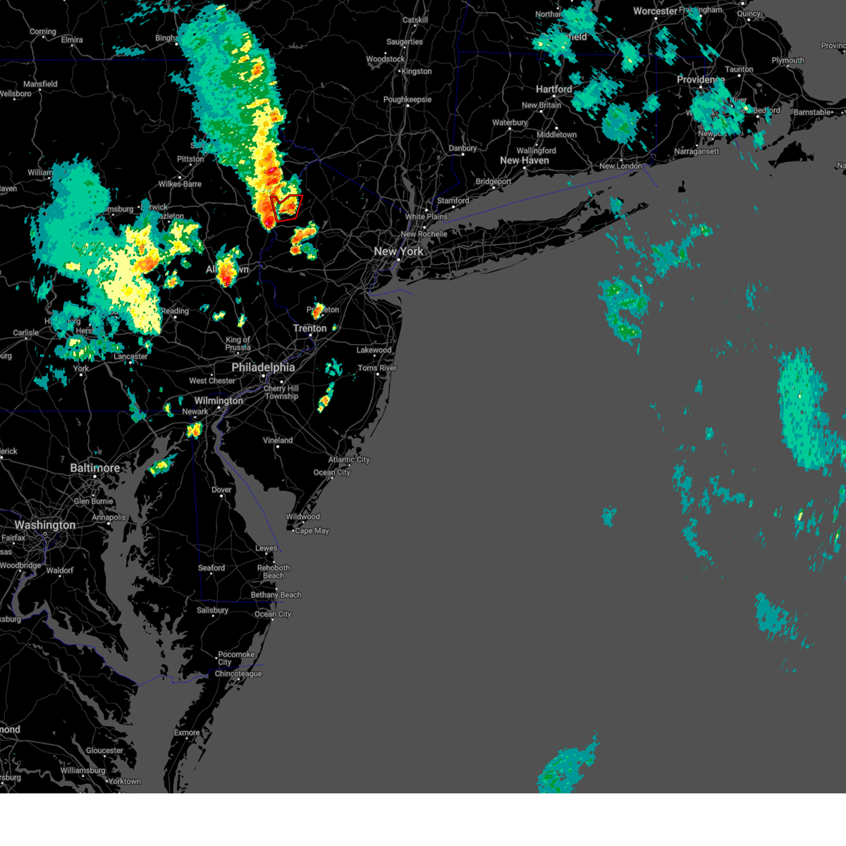
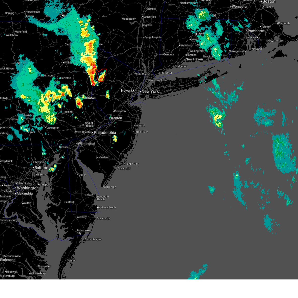
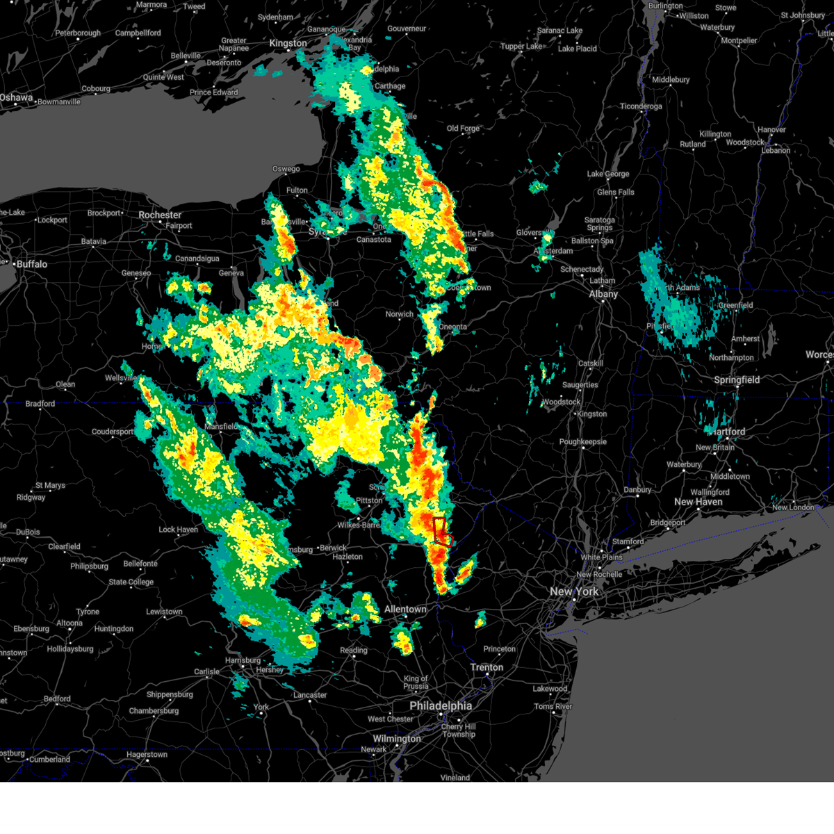
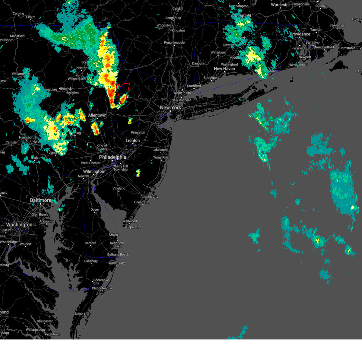
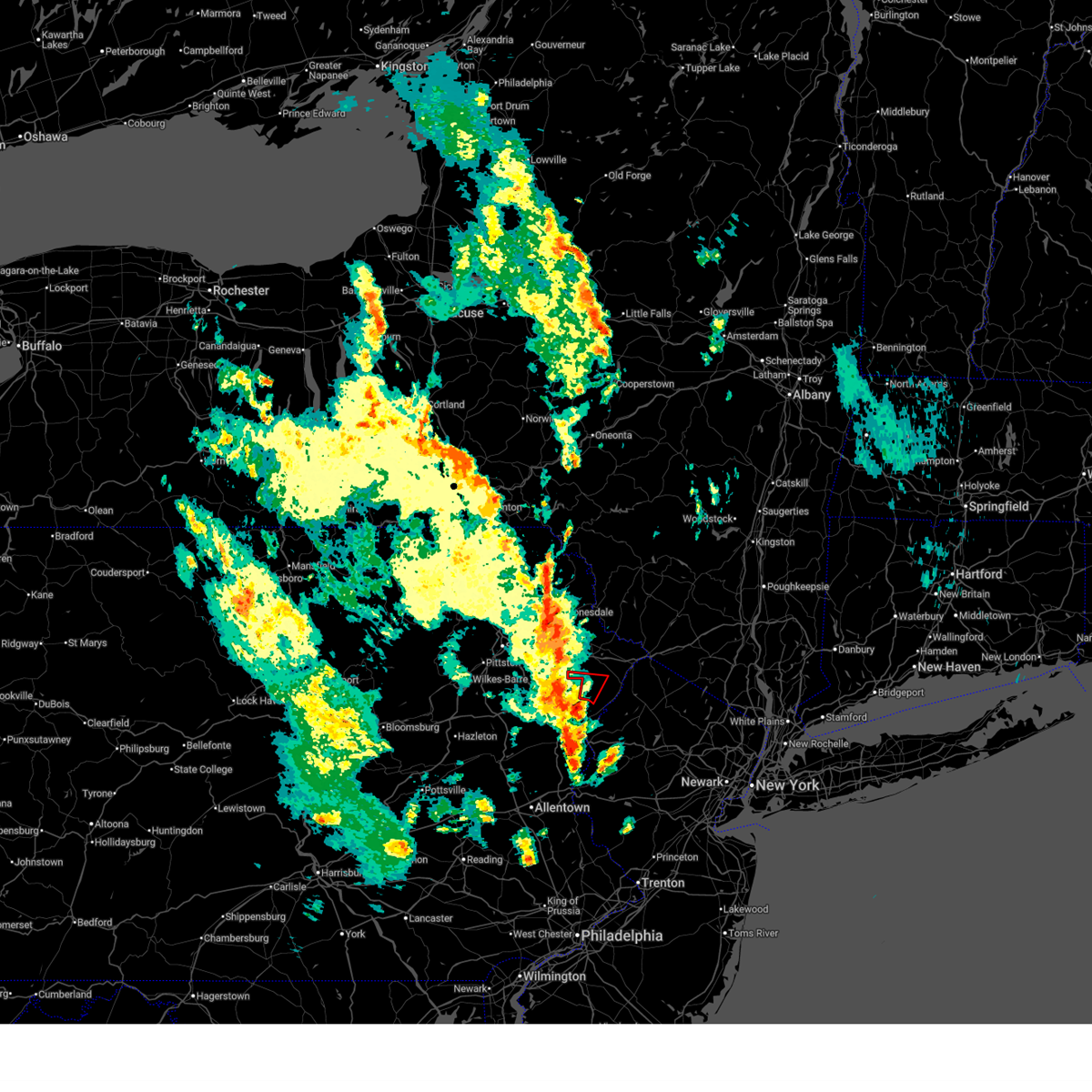
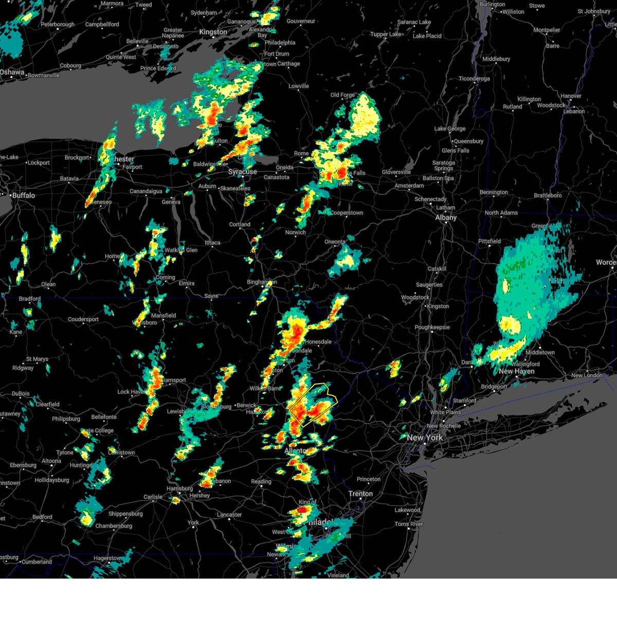
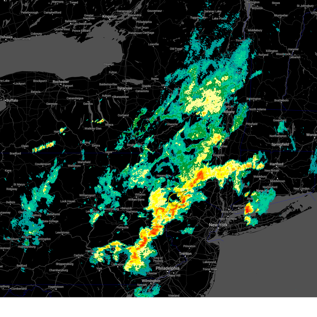
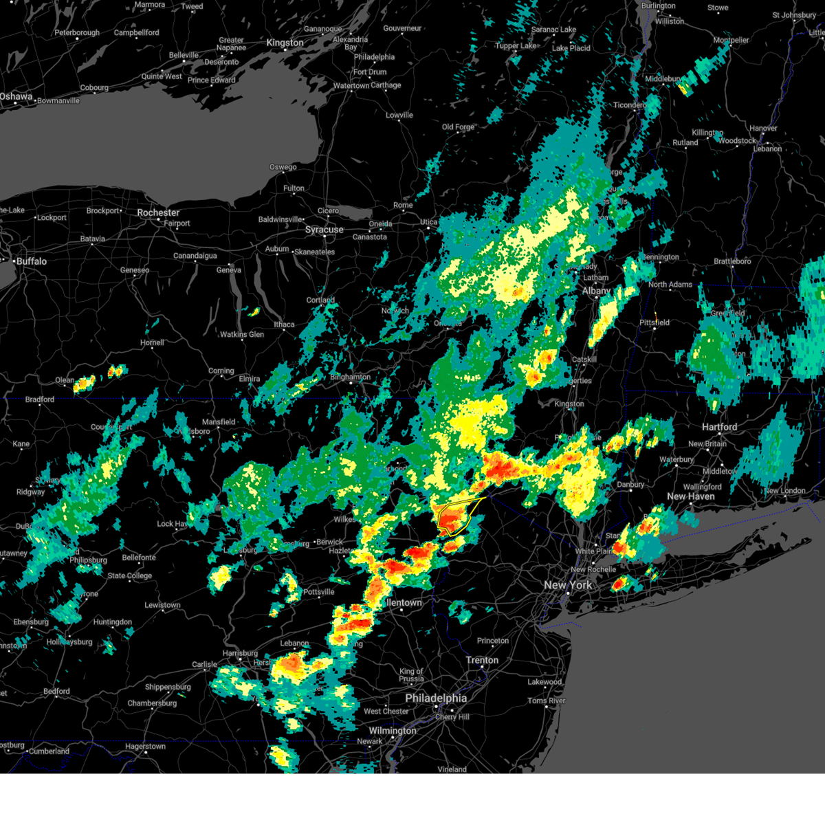
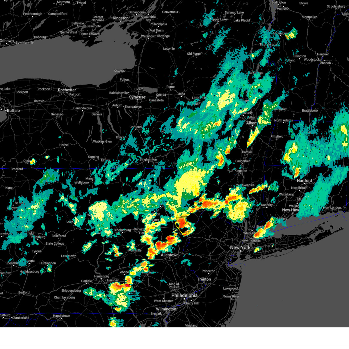
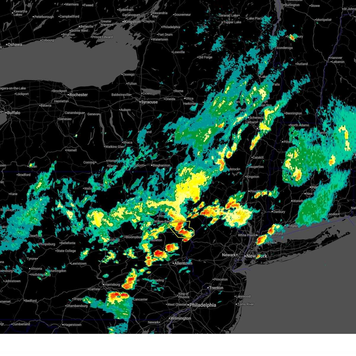
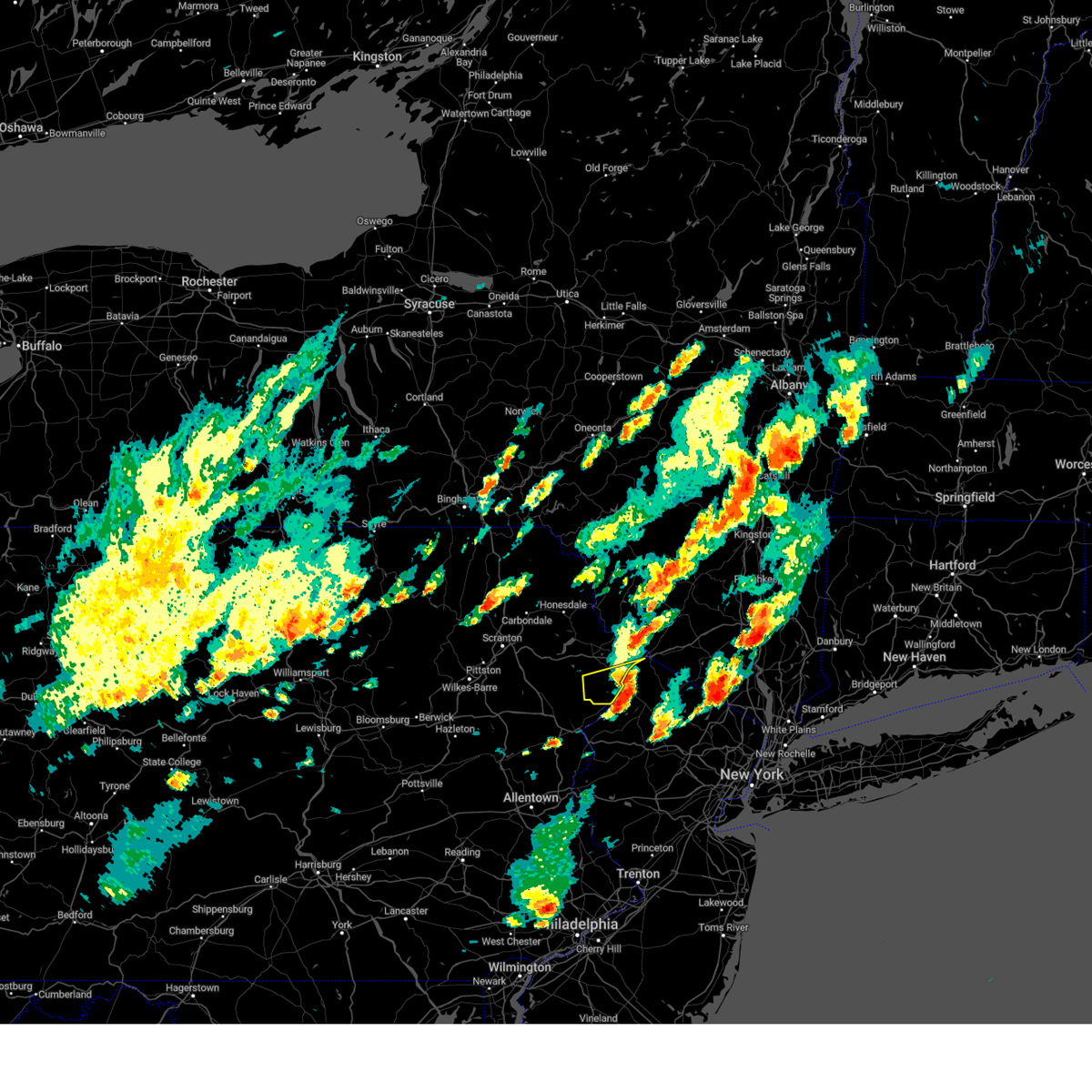
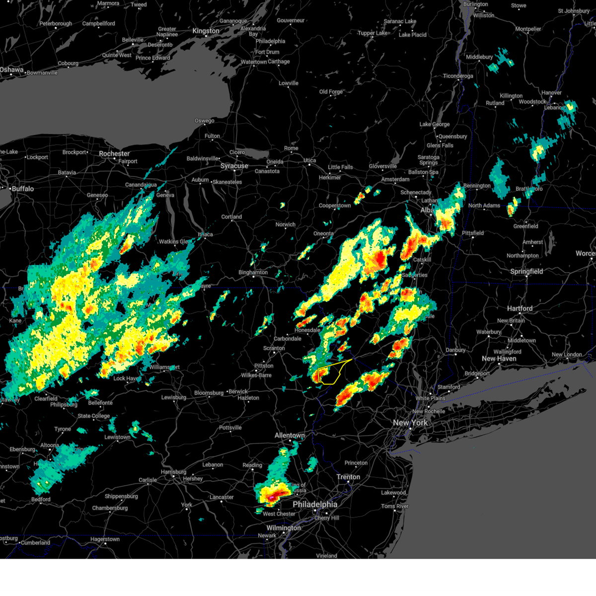
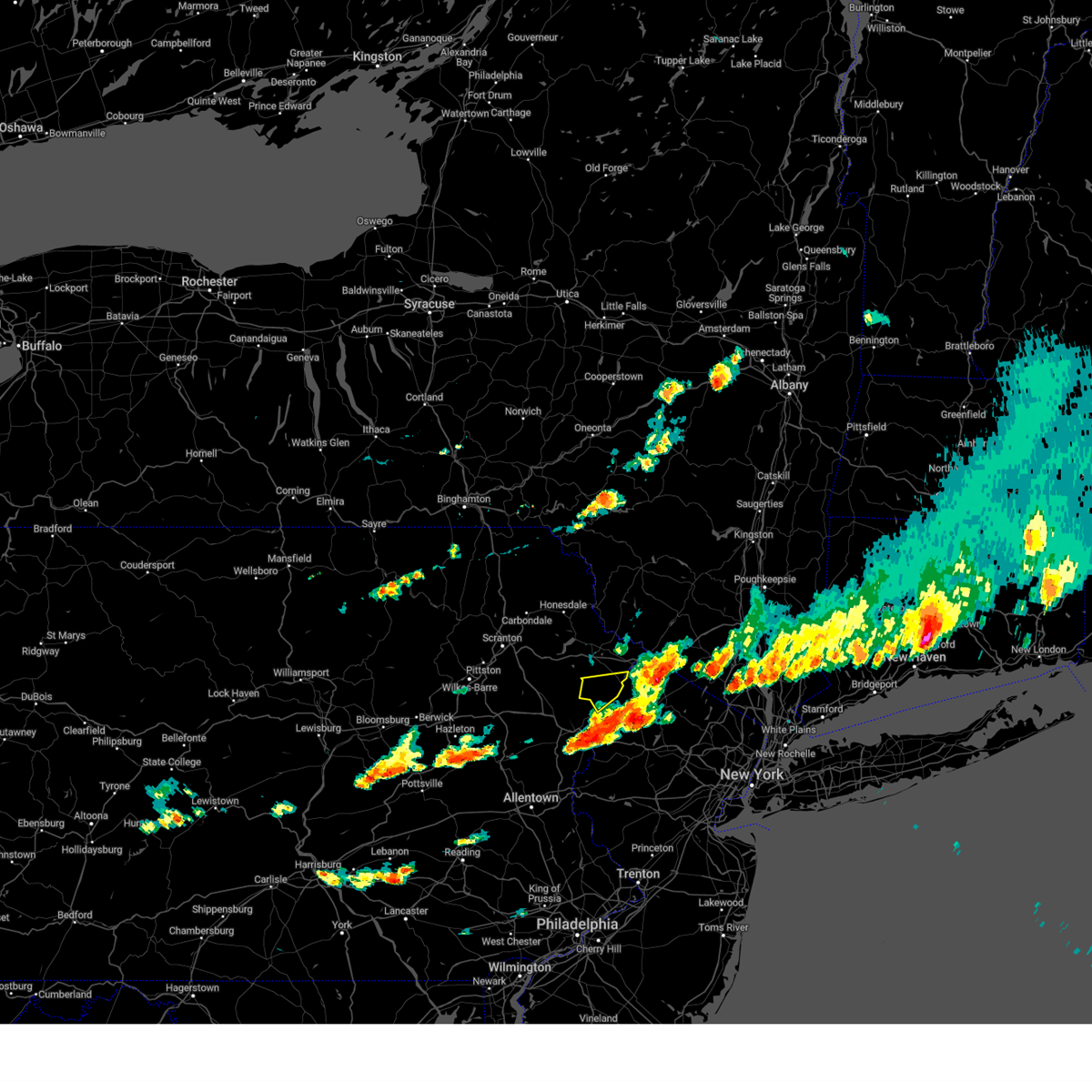
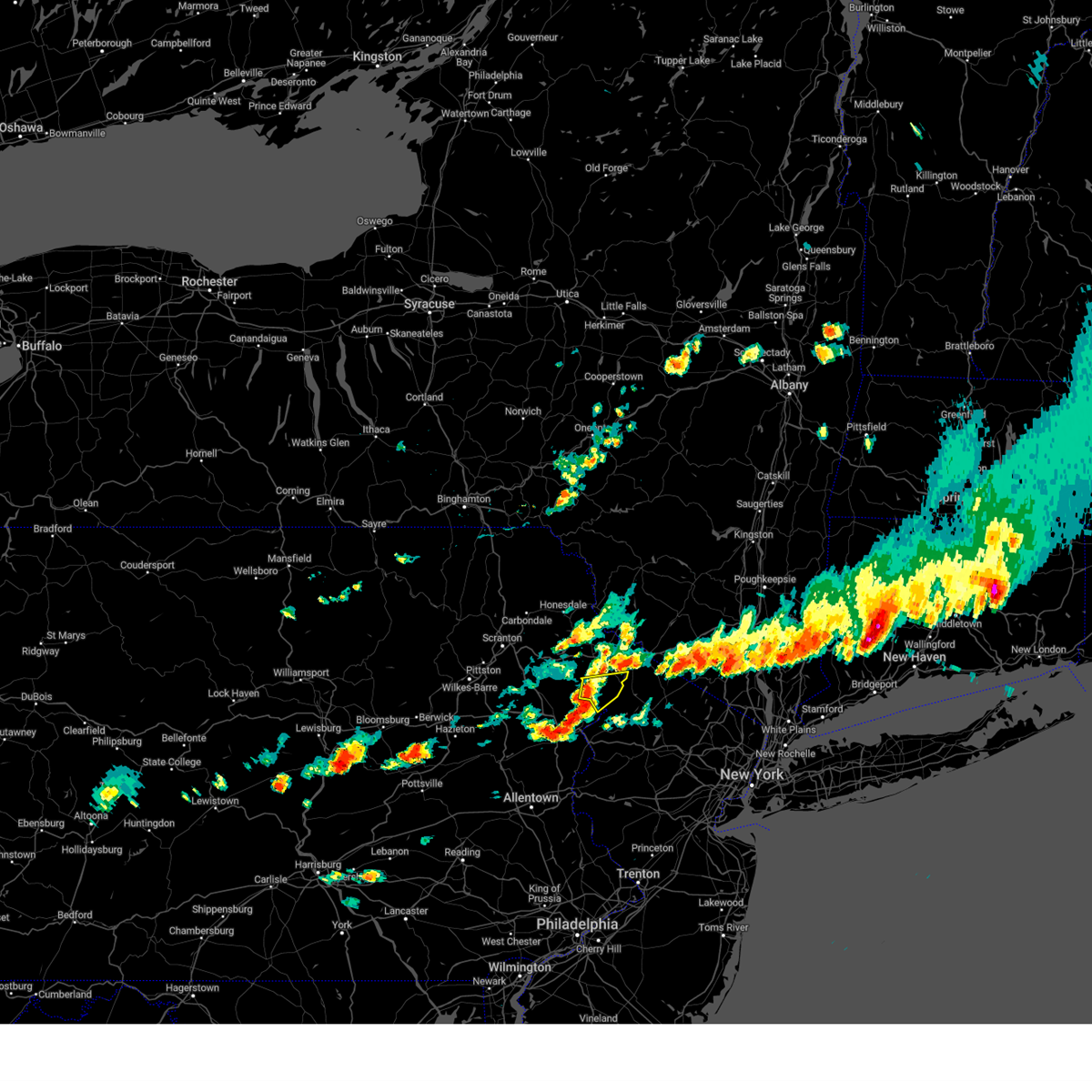
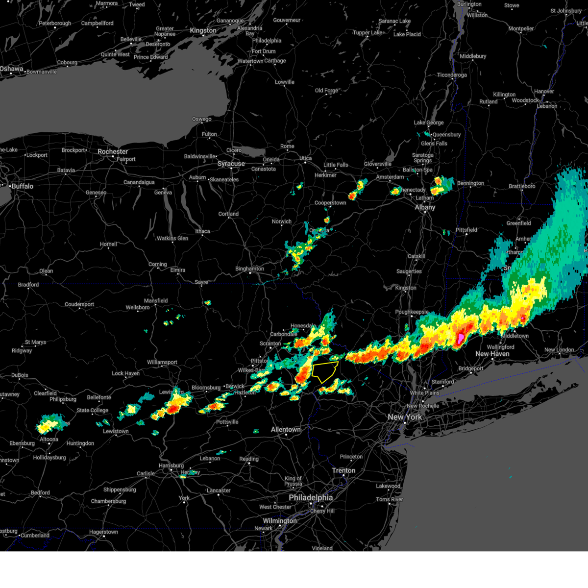
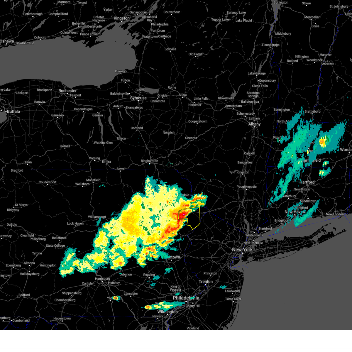
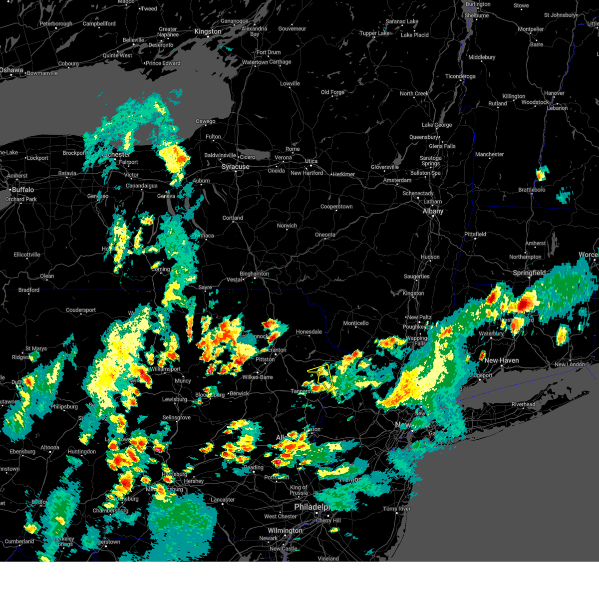
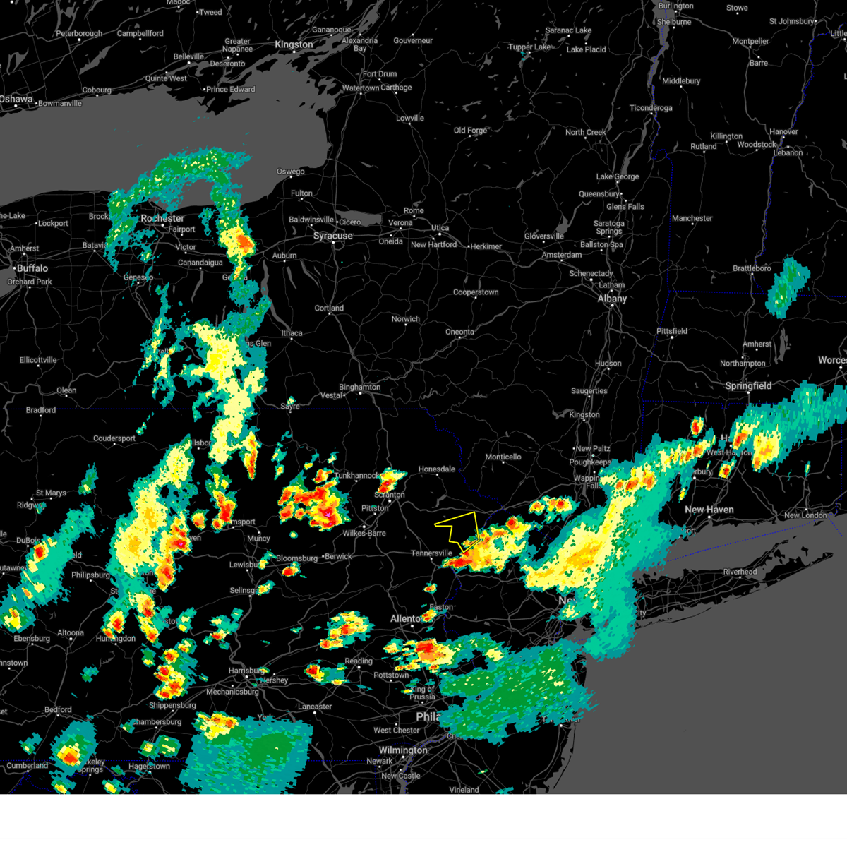
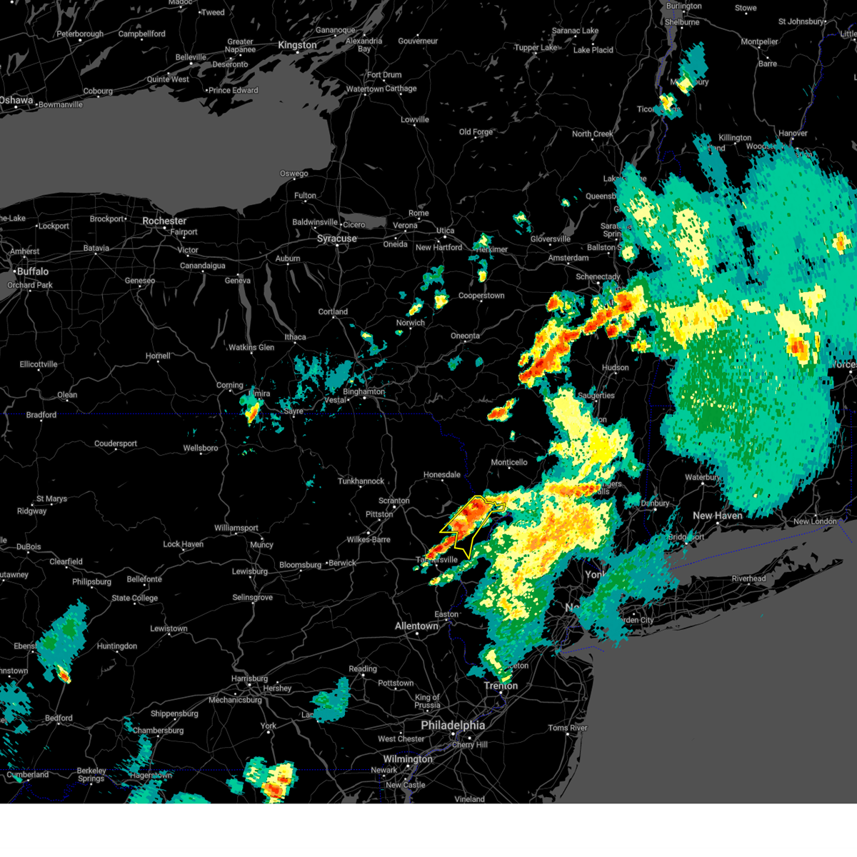
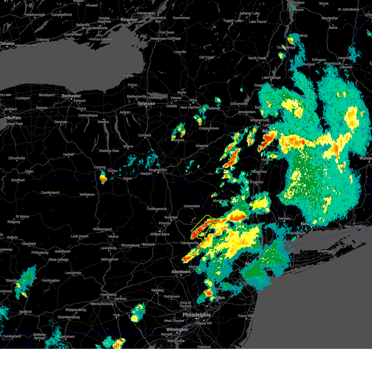
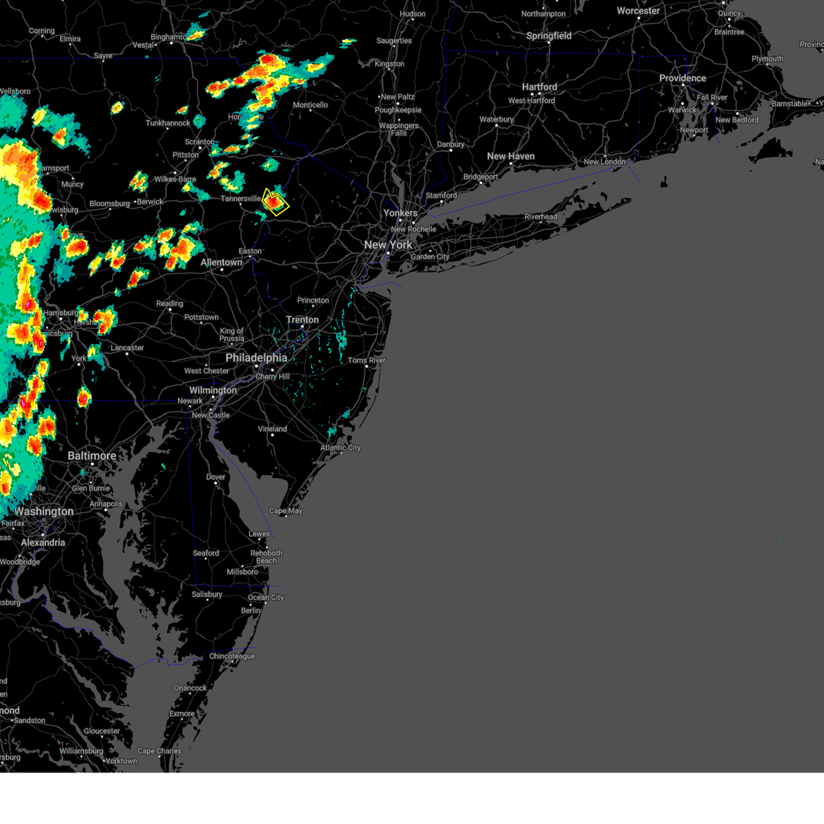
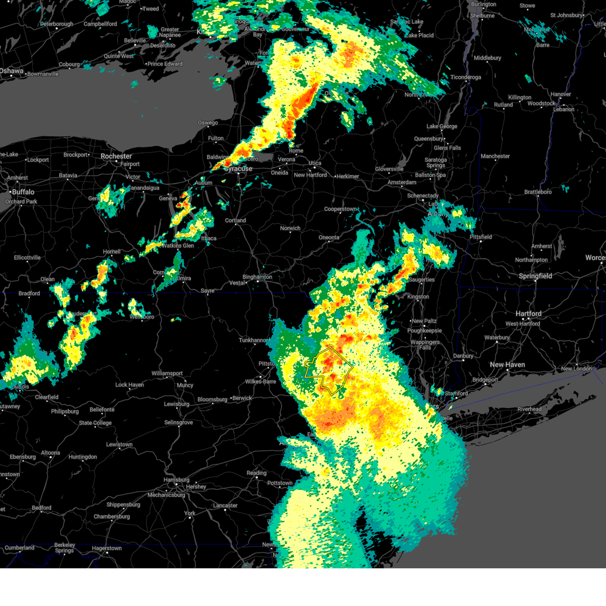
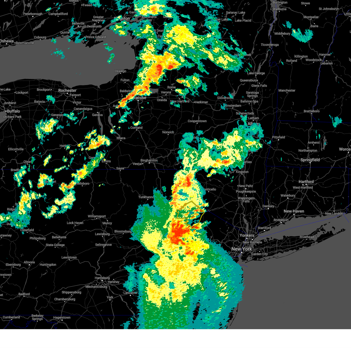
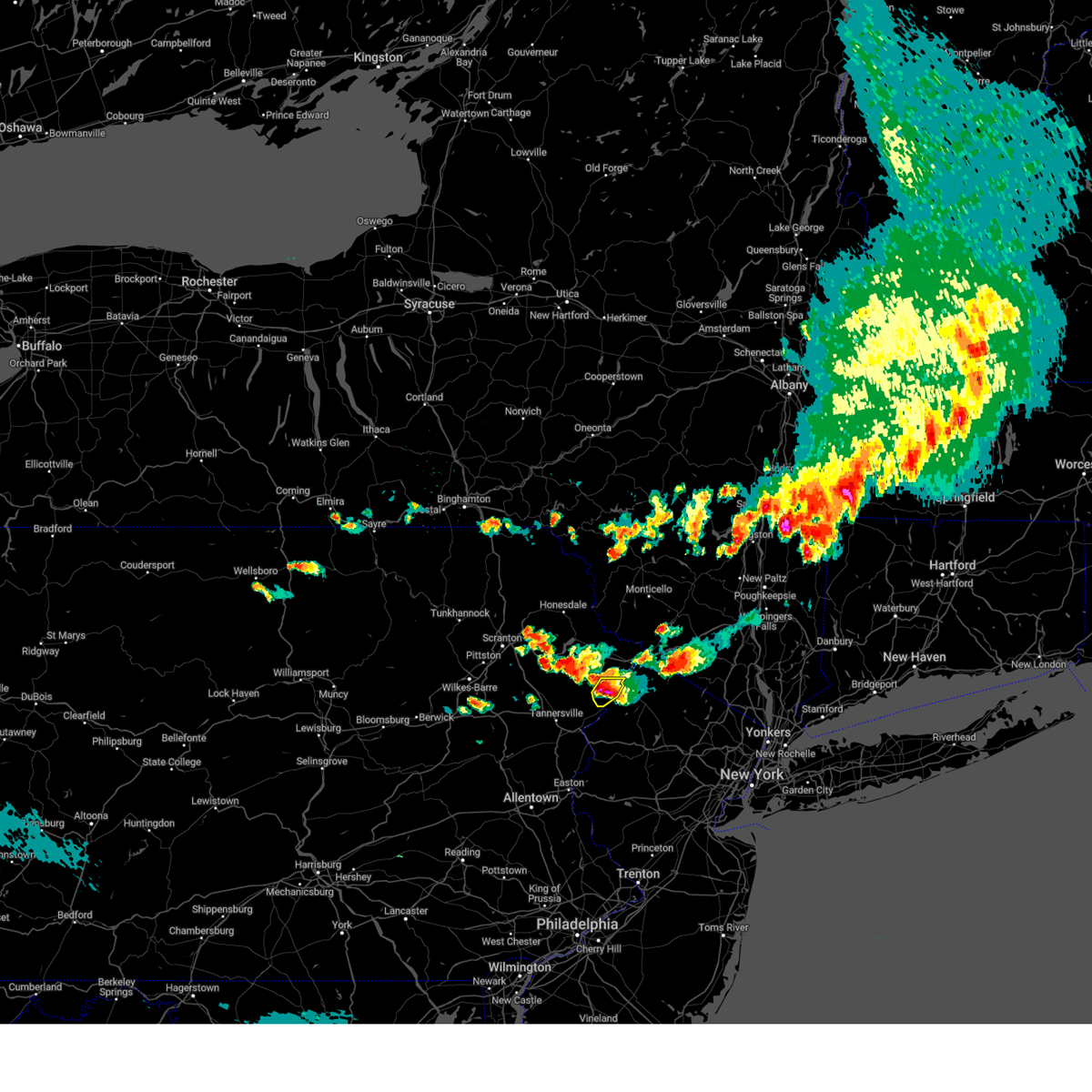
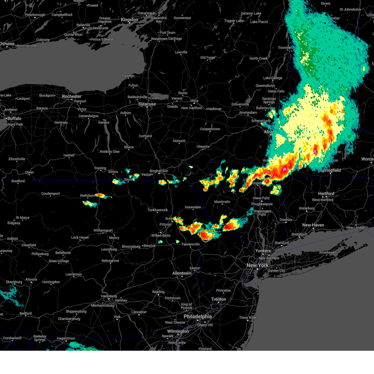
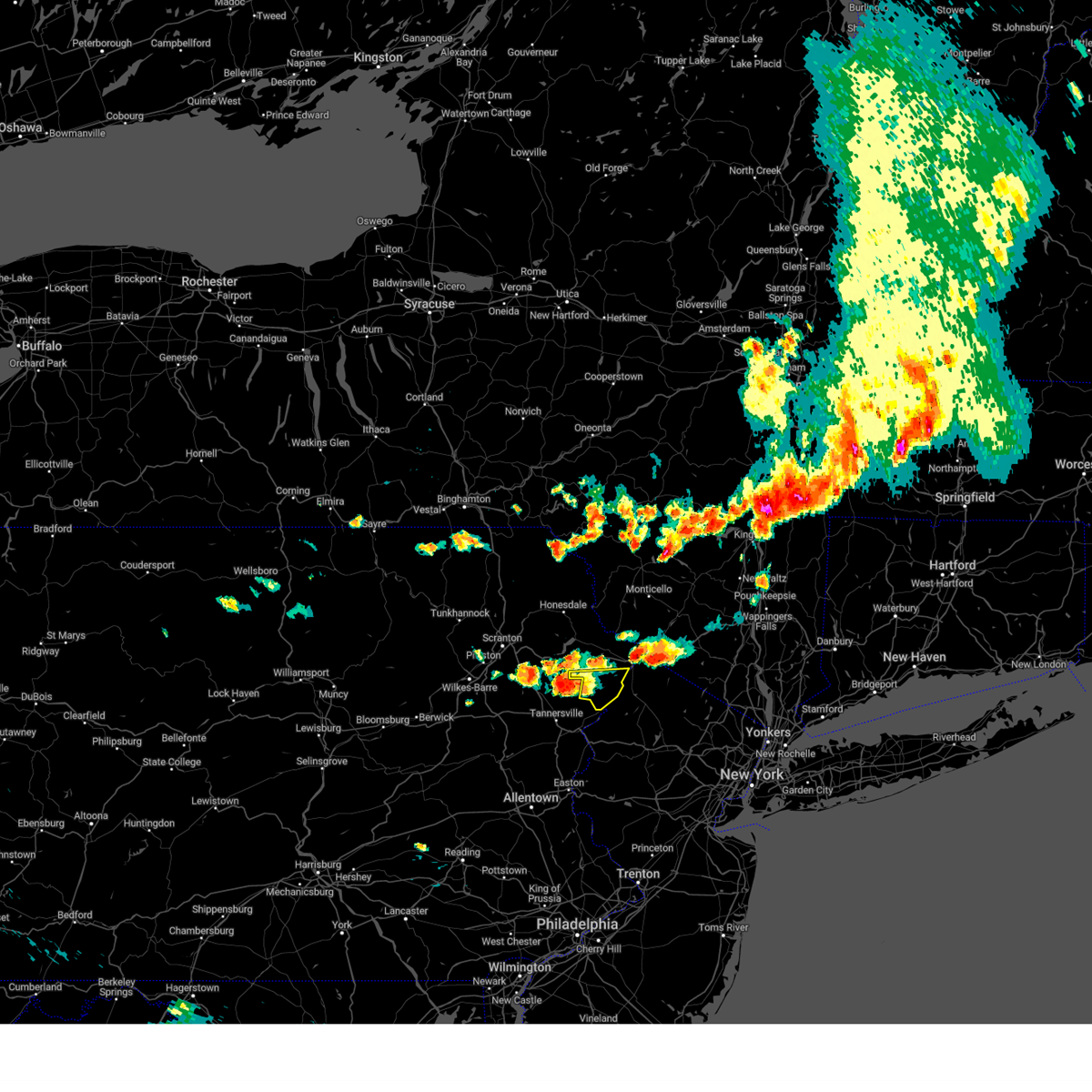
Hail Map for Saw Creek, PA
The Saw Creek, PA area has had 0 reports of on-the-ground hail by trained spotters, and has been under severe weather warnings 18 times during the past 12 months. Doppler radar has detected hail at or near Saw Creek, PA on 30 occasions.
| Name: | Saw Creek, PA |
| Where Located: | 38.4 miles ESE of Scranton, PA |
| Map: | Google Map for Saw Creek, PA |
| Population: | 4016 |
| Housing Units: | 2776 |
| More Info: | Search Google for Saw Creek, PA |
0
The Top Recent Hail Date for Saw Creek, PA is Sunday, August 18, 2024 (30th out of 30)

Hail and Wind Damage Spotted near Saw Creek, PA
| Date / Time | Report Details |
|---|---|
| 6/11/2026 9:35 PM EDT |
 At 935 pm edt, severe thunderstorms were located along a line extending from near loch sheldrake to near mongaup valley to near greeley to near canadensis to near gilbert, moving southeast at 25 mph (radar indicated). Hazards include 60 mph wind gusts and penny size hail. Expect damage to roofs, siding, and trees. Locations impacted include, bushkill, monticello, lackawaxen, blooming grove, bethel, shohola, matamoras, tusten, wurtsboro, and milford. At 935 pm edt, severe thunderstorms were located along a line extending from near loch sheldrake to near mongaup valley to near greeley to near canadensis to near gilbert, moving southeast at 25 mph (radar indicated). Hazards include 60 mph wind gusts and penny size hail. Expect damage to roofs, siding, and trees. Locations impacted include, bushkill, monticello, lackawaxen, blooming grove, bethel, shohola, matamoras, tusten, wurtsboro, and milford.
|
| 6/11/2026 9:05 PM EDT |
 At 905 pm edt, severe thunderstorms were located along a line extending from roscoe to fosterdale to near hawley to lehigh to albrightsville, moving southeast at 25 mph (radar indicated). Hazards include 60 mph wind gusts and penny size hail. Expect damage to roofs, siding, and trees. Locations impacted include, rockland, scranton, dunmore, fallsburg, old forge, bushkill, archbald, monticello, blakely, and taylor. At 905 pm edt, severe thunderstorms were located along a line extending from roscoe to fosterdale to near hawley to lehigh to albrightsville, moving southeast at 25 mph (radar indicated). Hazards include 60 mph wind gusts and penny size hail. Expect damage to roofs, siding, and trees. Locations impacted include, rockland, scranton, dunmore, fallsburg, old forge, bushkill, archbald, monticello, blakely, and taylor.
|
| 6/11/2026 8:40 PM EDT | Tree down on wire in pike county PA, 1 miles W of Saw Creek, PA |
| 6/11/2026 8:39 PM EDT |
 Svrbgm the national weather service in binghamton has issued a * severe thunderstorm warning for, central delaware county in central new york, sullivan county in central new york, lackawanna county in northeastern pennsylvania, wayne county in northeastern pennsylvania, central luzerne county in northeastern pennsylvania, pike county in northeastern pennsylvania, * until 945 pm edt. * at 839 pm edt, severe thunderstorms were located along a line extending from near delhi to near roscoe to near narrowsburg to mount cobb to wilkes-barre to near weatherly, moving southeast at 25 mph (radar indicated). Hazards include 60 mph wind gusts and quarter size hail. Hail damage to vehicles is expected. Expect wind damage to roofs, siding, and trees. Svrbgm the national weather service in binghamton has issued a * severe thunderstorm warning for, central delaware county in central new york, sullivan county in central new york, lackawanna county in northeastern pennsylvania, wayne county in northeastern pennsylvania, central luzerne county in northeastern pennsylvania, pike county in northeastern pennsylvania, * until 945 pm edt. * at 839 pm edt, severe thunderstorms were located along a line extending from near delhi to near roscoe to near narrowsburg to mount cobb to wilkes-barre to near weatherly, moving southeast at 25 mph (radar indicated). Hazards include 60 mph wind gusts and quarter size hail. Hail damage to vehicles is expected. Expect wind damage to roofs, siding, and trees.
|
| 6/6/2026 6:39 PM EDT |
 At 639 pm edt, severe thunderstorms were located along a line extending from near pellettown to allamuchy-panther valley to near clinton, moving east at 55 mph (trained weather spotters. at 615 pm, tree damage was reported near easton pa). Hazards include 60 mph wind gusts. Damage to roofs, siding, trees, and power lines is possible. Locations impacted include, easton, morristown, somerville, newton, somerset, bethlehem, bridgewater, dover, madison, hopatcong, forks, middlesex, florham park, east hanover, lincoln park, bound brook, manville, kinnelon, hackettstown, and chatham. At 639 pm edt, severe thunderstorms were located along a line extending from near pellettown to allamuchy-panther valley to near clinton, moving east at 55 mph (trained weather spotters. at 615 pm, tree damage was reported near easton pa). Hazards include 60 mph wind gusts. Damage to roofs, siding, trees, and power lines is possible. Locations impacted include, easton, morristown, somerville, newton, somerset, bethlehem, bridgewater, dover, madison, hopatcong, forks, middlesex, florham park, east hanover, lincoln park, bound brook, manville, kinnelon, hackettstown, and chatham.
|
| 6/6/2026 6:23 PM EDT |
 the severe thunderstorm warning has been cancelled and is no longer in effect the severe thunderstorm warning has been cancelled and is no longer in effect
|
| 6/6/2026 6:23 PM EDT |
 At 622 pm edt, severe thunderstorms were located along a line extending from near greeley to near columbia, moving east at 30 mph (radar indicated). Hazards include 60 mph wind gusts and penny size hail. Expect damage to roofs, siding, and trees. Locations impacted include, bushkill, matamoras, milford, pecks pond, dingmans ferry, and tamiment. At 622 pm edt, severe thunderstorms were located along a line extending from near greeley to near columbia, moving east at 30 mph (radar indicated). Hazards include 60 mph wind gusts and penny size hail. Expect damage to roofs, siding, and trees. Locations impacted include, bushkill, matamoras, milford, pecks pond, dingmans ferry, and tamiment.
|
| 6/6/2026 6:13 PM EDT |
 Svrphi the national weather service in mount holly nj has issued a * severe thunderstorm warning for, hunterdon county in northwestern new jersey, morris county in northern new jersey, sussex county in northwestern new jersey, warren county in northwestern new jersey, somerset county in northern new jersey, north central middlesex county in northern new jersey, east central lehigh county in eastern pennsylvania, north central bucks county in southeastern pennsylvania, east central monroe county in northeastern pennsylvania, eastern northampton county in eastern pennsylvania, * until 700 pm edt. * at 613 pm edt, severe thunderstorms were located along a line extending from near skytop to pen argyl to near lehigh university, moving east at 55 mph (radar indicated). Hazards include 60 mph wind gusts. damage to roofs, siding, trees, and power lines is possible Svrphi the national weather service in mount holly nj has issued a * severe thunderstorm warning for, hunterdon county in northwestern new jersey, morris county in northern new jersey, sussex county in northwestern new jersey, warren county in northwestern new jersey, somerset county in northern new jersey, north central middlesex county in northern new jersey, east central lehigh county in eastern pennsylvania, north central bucks county in southeastern pennsylvania, east central monroe county in northeastern pennsylvania, eastern northampton county in eastern pennsylvania, * until 700 pm edt. * at 613 pm edt, severe thunderstorms were located along a line extending from near skytop to pen argyl to near lehigh university, moving east at 55 mph (radar indicated). Hazards include 60 mph wind gusts. damage to roofs, siding, trees, and power lines is possible
|
| 6/6/2026 6:04 PM EDT |
 At 604 pm edt, severe thunderstorms were located along a line extending from ledgerdale to rossland, moving east at 25 mph (radar indicated). Hazards include 60 mph wind gusts and penny size hail. Expect damage to roofs, siding, and trees. Locations impacted include, bushkill, matamoras, sterling, milford, greentown, pecks pond, dingmans ferry, angels, panther, and newfoundland. At 604 pm edt, severe thunderstorms were located along a line extending from ledgerdale to rossland, moving east at 25 mph (radar indicated). Hazards include 60 mph wind gusts and penny size hail. Expect damage to roofs, siding, and trees. Locations impacted include, bushkill, matamoras, sterling, milford, greentown, pecks pond, dingmans ferry, angels, panther, and newfoundland.
|
| 6/6/2026 5:51 PM EDT |
 At 551 pm edt, severe thunderstorms were located along a line extending from near elmhurst to near beltzville state park, moving east at 45 mph (radar indicated). Hazards include 60 mph wind gusts and penny size hail. Expect damage to roofs, siding, and trees. Locations impacted include, bushkill, dupont, avoca, matamoras, moscow, sterling, milford, lehigh, penn lake park, and bear creek village. At 551 pm edt, severe thunderstorms were located along a line extending from near elmhurst to near beltzville state park, moving east at 45 mph (radar indicated). Hazards include 60 mph wind gusts and penny size hail. Expect damage to roofs, siding, and trees. Locations impacted include, bushkill, dupont, avoca, matamoras, moscow, sterling, milford, lehigh, penn lake park, and bear creek village.
|
| 6/6/2026 5:39 PM EDT |
 Svrbgm the national weather service in binghamton has issued a * severe thunderstorm warning for, southern lackawanna county in northeastern pennsylvania, southwestern wayne county in northeastern pennsylvania, eastern luzerne county in northeastern pennsylvania, pike county in northeastern pennsylvania, * until 645 pm edt. * at 539 pm edt, severe thunderstorms were located along a line extending from old forge to near weatherly, moving east at 45 mph (radar indicated). Hazards include 60 mph wind gusts and penny size hail. expect damage to roofs, siding, and trees Svrbgm the national weather service in binghamton has issued a * severe thunderstorm warning for, southern lackawanna county in northeastern pennsylvania, southwestern wayne county in northeastern pennsylvania, eastern luzerne county in northeastern pennsylvania, pike county in northeastern pennsylvania, * until 645 pm edt. * at 539 pm edt, severe thunderstorms were located along a line extending from old forge to near weatherly, moving east at 45 mph (radar indicated). Hazards include 60 mph wind gusts and penny size hail. expect damage to roofs, siding, and trees
|
| 3/16/2026 11:12 PM EDT |
 The storms which prompted the warning have weakened below severe limits, and have exited the warned area. therefore, the warning will be allowed to expire. however gusty winds are still possible with these thunderstorms. to report severe weather, contact your nearest law enforcement agency. they will relay your report to the national weather service mount holly nj. The storms which prompted the warning have weakened below severe limits, and have exited the warned area. therefore, the warning will be allowed to expire. however gusty winds are still possible with these thunderstorms. to report severe weather, contact your nearest law enforcement agency. they will relay your report to the national weather service mount holly nj.
|
| 3/16/2026 11:06 PM EDT |
 At 1106 pm edt, showers producing gusty winds were located along a line extending from pecks pond to near pen argyl to near riegelsville, moving northeast at 50 mph (radar indicated). Hazards include 60 mph wind gusts. Damage to roofs, siding, trees, and power lines is possible. Locations impacted include, easton, bethlehem, forks, east stroudsburg, wilson, nazareth, bangor, pen argyl, wind gap, belvidere, ferndale, belfast, west easton, tatamy, east bangor, riegelsville, glendon, pleasant valley, stormville, and henryville. At 1106 pm edt, showers producing gusty winds were located along a line extending from pecks pond to near pen argyl to near riegelsville, moving northeast at 50 mph (radar indicated). Hazards include 60 mph wind gusts. Damage to roofs, siding, trees, and power lines is possible. Locations impacted include, easton, bethlehem, forks, east stroudsburg, wilson, nazareth, bangor, pen argyl, wind gap, belvidere, ferndale, belfast, west easton, tatamy, east bangor, riegelsville, glendon, pleasant valley, stormville, and henryville.
|
| 3/16/2026 11:06 PM EDT |
 the severe thunderstorm warning has been cancelled and is no longer in effect the severe thunderstorm warning has been cancelled and is no longer in effect
|
| 3/16/2026 10:49 PM EDT |
 At 1049 pm edt, showers with strong to damaging winds were located along a line extending from near mountainhome to near beersville to near emmaus, moving northeast at 50 mph (radar indicated). Hazards include 60 mph wind gusts. Damage to roofs, siding, trees, and power lines is possible. Locations impacted include, allentown, easton, mount pocono, bethlehem, forks, emmaus, northampton, east stroudsburg, tobyhanna, wilson, hellertown, nazareth, bangor, pen argyl, wind gap, bath, belvidere, ferndale, belfast, and west easton. At 1049 pm edt, showers with strong to damaging winds were located along a line extending from near mountainhome to near beersville to near emmaus, moving northeast at 50 mph (radar indicated). Hazards include 60 mph wind gusts. Damage to roofs, siding, trees, and power lines is possible. Locations impacted include, allentown, easton, mount pocono, bethlehem, forks, emmaus, northampton, east stroudsburg, tobyhanna, wilson, hellertown, nazareth, bangor, pen argyl, wind gap, bath, belvidere, ferndale, belfast, and west easton.
|
| 3/16/2026 10:49 PM EDT |
 the severe thunderstorm warning has been cancelled and is no longer in effect the severe thunderstorm warning has been cancelled and is no longer in effect
|
| 3/16/2026 10:33 PM EDT |
 At 1033 pm edt, severe thunderstorms were located along a line extending from long pond to schnecksville to near ancient oaks, moving northeast at 50 mph (radar indicated). Hazards include 60 mph wind gusts. Damage to roofs, siding, trees, and power lines is possible. Locations impacted include, allentown, easton, lehighton, mount pocono, bethlehem, forks, emmaus, northampton, east stroudsburg, tobyhanna, wilson, hellertown, nazareth, palmerton, bangor, jim thorpe, slatington, pen argyl, wind gap, and bath. At 1033 pm edt, severe thunderstorms were located along a line extending from long pond to schnecksville to near ancient oaks, moving northeast at 50 mph (radar indicated). Hazards include 60 mph wind gusts. Damage to roofs, siding, trees, and power lines is possible. Locations impacted include, allentown, easton, lehighton, mount pocono, bethlehem, forks, emmaus, northampton, east stroudsburg, tobyhanna, wilson, hellertown, nazareth, palmerton, bangor, jim thorpe, slatington, pen argyl, wind gap, and bath.
|
| 3/16/2026 10:18 PM EDT |
 Svrphi the national weather service in mount holly nj has issued a * severe thunderstorm warning for, western warren county in northwestern new jersey, northeastern berks county in eastern pennsylvania, lehigh county in eastern pennsylvania, carbon county in northeastern pennsylvania, northwestern bucks county in southeastern pennsylvania, monroe county in northeastern pennsylvania, northampton county in eastern pennsylvania, * until 1115 pm edt. * at 1018 pm edt, severe thunderstorms were located along a line extending from christmans to near lenhartsville to near fleetwood, moving northeast at 50 mph (radar indicated). Hazards include 60 mph wind gusts. damage to roofs, siding, trees, and power lines is possible Svrphi the national weather service in mount holly nj has issued a * severe thunderstorm warning for, western warren county in northwestern new jersey, northeastern berks county in eastern pennsylvania, lehigh county in eastern pennsylvania, carbon county in northeastern pennsylvania, northwestern bucks county in southeastern pennsylvania, monroe county in northeastern pennsylvania, northampton county in eastern pennsylvania, * until 1115 pm edt. * at 1018 pm edt, severe thunderstorms were located along a line extending from christmans to near lenhartsville to near fleetwood, moving northeast at 50 mph (radar indicated). Hazards include 60 mph wind gusts. damage to roofs, siding, trees, and power lines is possible
|
| 7/3/2025 3:35 PM EDT |
 Svrphi the national weather service in mount holly nj has issued a * severe thunderstorm warning for, sussex county in northwestern new jersey, north central warren county in northwestern new jersey, east central monroe county in northeastern pennsylvania, * until 415 pm edt. * at 334 pm edt, a severe thunderstorm was located over flatbrookville, or 10 miles northwest of newton, moving east at 30 mph (radar indicated). Hazards include 60 mph wind gusts and penny size hail. damage to roofs, siding, trees, and power lines is possible Svrphi the national weather service in mount holly nj has issued a * severe thunderstorm warning for, sussex county in northwestern new jersey, north central warren county in northwestern new jersey, east central monroe county in northeastern pennsylvania, * until 415 pm edt. * at 334 pm edt, a severe thunderstorm was located over flatbrookville, or 10 miles northwest of newton, moving east at 30 mph (radar indicated). Hazards include 60 mph wind gusts and penny size hail. damage to roofs, siding, trees, and power lines is possible
|
| 6/30/2025 5:50 PM EDT |
 The storm which prompted the warning has weakened below severe limits, and has exited the warned area. therefore, the warning will be allowed to expire. to report severe weather, contact your nearest law enforcement agency. they will relay your report to the national weather service mount holly nj. The storm which prompted the warning has weakened below severe limits, and has exited the warned area. therefore, the warning will be allowed to expire. to report severe weather, contact your nearest law enforcement agency. they will relay your report to the national weather service mount holly nj.
|
| 6/30/2025 5:29 PM EDT |
 At 529 pm edt, a severe thunderstorm was located near alpine mountain, or 9 miles east of mount pocono, moving northeast at 25 mph (radar indicated). Hazards include 60 mph wind gusts and quarter size hail. Minor damage to vehicles is possible. wind damage to roofs, siding, trees, and power lines is possible. Locations impacted include, skytop, mountainhome, canadensis, alpine mountain, and cresco. At 529 pm edt, a severe thunderstorm was located near alpine mountain, or 9 miles east of mount pocono, moving northeast at 25 mph (radar indicated). Hazards include 60 mph wind gusts and quarter size hail. Minor damage to vehicles is possible. wind damage to roofs, siding, trees, and power lines is possible. Locations impacted include, skytop, mountainhome, canadensis, alpine mountain, and cresco.
|
| 6/30/2025 5:14 PM EDT |
 Svrphi the national weather service in mount holly nj has issued a * severe thunderstorm warning for, northeastern monroe county in northeastern pennsylvania, * until 600 pm edt. * at 513 pm edt, a severe thunderstorm was located over henryville, or near mount pocono, moving northeast at 25 mph (radar indicated). Hazards include 60 mph wind gusts and quarter size hail. Minor damage to vehicles is possible. Wind damage to roofs, siding, trees, and power lines is possible. Svrphi the national weather service in mount holly nj has issued a * severe thunderstorm warning for, northeastern monroe county in northeastern pennsylvania, * until 600 pm edt. * at 513 pm edt, a severe thunderstorm was located over henryville, or near mount pocono, moving northeast at 25 mph (radar indicated). Hazards include 60 mph wind gusts and quarter size hail. Minor damage to vehicles is possible. Wind damage to roofs, siding, trees, and power lines is possible.
|
| 5/6/2025 4:53 PM EDT |
 At 453 pm edt, a severe thunderstorm capable of producing a tornado was located over millbrook, or 9 miles west of newton, moving north at 30 mph (radar indicated rotation). Hazards include tornado and quarter size hail. Flying debris will be dangerous to those caught without shelter. mobile homes will be damaged or destroyed. damage to roofs, windows, and vehicles will occur. tree damage is likely. this dangerous storm will be near, flatbrookville, five points, millbrook, and crandon lakes around 500 pm edt. Other locations impacted by this tornadic thunderstorm include hidden lake. At 453 pm edt, a severe thunderstorm capable of producing a tornado was located over millbrook, or 9 miles west of newton, moving north at 30 mph (radar indicated rotation). Hazards include tornado and quarter size hail. Flying debris will be dangerous to those caught without shelter. mobile homes will be damaged or destroyed. damage to roofs, windows, and vehicles will occur. tree damage is likely. this dangerous storm will be near, flatbrookville, five points, millbrook, and crandon lakes around 500 pm edt. Other locations impacted by this tornadic thunderstorm include hidden lake.
|
| 5/6/2025 4:41 PM EDT |
 At 440 pm edt, a severe thunderstorm capable of producing a tornado was located over blairstown, or 12 miles southwest of newton, moving north at 30 mph (radar indicated rotation). Hazards include tornado and quarter size hail. Flying debris will be dangerous to those caught without shelter. mobile homes will be damaged or destroyed. damage to roofs, windows, and vehicles will occur. tree damage is likely. this dangerous storm will be near, blairstown around 445 pm edt. millbrook around 450 pm edt. flatbrookville around 455 pm edt. crandon lakes and five points around 500 pm edt. other locations impacted by this tornadic thunderstorm include hidden lake. This includes interstate 80 in new jersey between mile markers 8 and 15. At 440 pm edt, a severe thunderstorm capable of producing a tornado was located over blairstown, or 12 miles southwest of newton, moving north at 30 mph (radar indicated rotation). Hazards include tornado and quarter size hail. Flying debris will be dangerous to those caught without shelter. mobile homes will be damaged or destroyed. damage to roofs, windows, and vehicles will occur. tree damage is likely. this dangerous storm will be near, blairstown around 445 pm edt. millbrook around 450 pm edt. flatbrookville around 455 pm edt. crandon lakes and five points around 500 pm edt. other locations impacted by this tornadic thunderstorm include hidden lake. This includes interstate 80 in new jersey between mile markers 8 and 15.
|
| 5/6/2025 4:32 PM EDT |
 At 432 pm edt, a severe thunderstorm capable of producing a tornado was located near alpine mountain, or 12 miles east of mount pocono, moving north at 30 mph (radar indicated rotation). Hazards include tornado and quarter size hail. Flying debris will be dangerous to those caught without shelter. mobile homes will be damaged or destroyed. damage to roofs, windows, and vehicles will occur. tree damage is likely. This tornadic thunderstorm will remain over mainly rural areas of northeastern monroe county. At 432 pm edt, a severe thunderstorm capable of producing a tornado was located near alpine mountain, or 12 miles east of mount pocono, moving north at 30 mph (radar indicated rotation). Hazards include tornado and quarter size hail. Flying debris will be dangerous to those caught without shelter. mobile homes will be damaged or destroyed. damage to roofs, windows, and vehicles will occur. tree damage is likely. This tornadic thunderstorm will remain over mainly rural areas of northeastern monroe county.
|
| 5/6/2025 4:31 PM EDT |
 Torphi the national weather service in mount holly nj has issued a * tornado warning for, west central sussex county in northwestern new jersey, north central warren county in northwestern new jersey, east central monroe county in northeastern pennsylvania, * until 515 pm edt. * at 431 pm edt, a severe thunderstorm capable of producing a tornado was located over hope, or 15 miles southwest of newton, moving north at 30 mph (radar indicated rotation). Hazards include tornado and quarter size hail. Flying debris will be dangerous to those caught without shelter. mobile homes will be damaged or destroyed. damage to roofs, windows, and vehicles will occur. Tree damage is likely. Torphi the national weather service in mount holly nj has issued a * tornado warning for, west central sussex county in northwestern new jersey, north central warren county in northwestern new jersey, east central monroe county in northeastern pennsylvania, * until 515 pm edt. * at 431 pm edt, a severe thunderstorm capable of producing a tornado was located over hope, or 15 miles southwest of newton, moving north at 30 mph (radar indicated rotation). Hazards include tornado and quarter size hail. Flying debris will be dangerous to those caught without shelter. mobile homes will be damaged or destroyed. damage to roofs, windows, and vehicles will occur. Tree damage is likely.
|
| 5/6/2025 4:28 PM EDT |
 Torbgm the national weather service in binghamton has issued a * tornado warning for, southwestern pike county in northeastern pennsylvania, * until 500 pm edt. * at 427 pm edt, a severe thunderstorm capable of producing a tornado was located near alpine mountain, or 11 miles east of mount pocono, moving north at 25 mph (radar indicated rotation). Hazards include tornado. Flying debris will be dangerous to those caught without shelter. mobile homes will be damaged or destroyed. damage to roofs, windows, and vehicles will occur. tree damage is likely. This tornadic thunderstorm will remain over mainly rural areas of southwestern pike county. Torbgm the national weather service in binghamton has issued a * tornado warning for, southwestern pike county in northeastern pennsylvania, * until 500 pm edt. * at 427 pm edt, a severe thunderstorm capable of producing a tornado was located near alpine mountain, or 11 miles east of mount pocono, moving north at 25 mph (radar indicated rotation). Hazards include tornado. Flying debris will be dangerous to those caught without shelter. mobile homes will be damaged or destroyed. damage to roofs, windows, and vehicles will occur. tree damage is likely. This tornadic thunderstorm will remain over mainly rural areas of southwestern pike county.
|
| 5/6/2025 4:19 PM EDT |
 Torphi the national weather service in mount holly nj has issued a * tornado warning for, northeastern monroe county in northeastern pennsylvania, * until 445 pm edt. * at 419 pm edt, a severe thunderstorm capable of producing a tornado was located near analomink, or 10 miles east of mount pocono, moving north at 30 mph (radar indicated rotation). Hazards include tornado and quarter size hail. Flying debris will be dangerous to those caught without shelter. mobile homes will be damaged or destroyed. damage to roofs, windows, and vehicles will occur. Tree damage is likely. Torphi the national weather service in mount holly nj has issued a * tornado warning for, northeastern monroe county in northeastern pennsylvania, * until 445 pm edt. * at 419 pm edt, a severe thunderstorm capable of producing a tornado was located near analomink, or 10 miles east of mount pocono, moving north at 30 mph (radar indicated rotation). Hazards include tornado and quarter size hail. Flying debris will be dangerous to those caught without shelter. mobile homes will be damaged or destroyed. damage to roofs, windows, and vehicles will occur. Tree damage is likely.
|
| 8/18/2024 3:50 PM EDT |
 Svrphi the national weather service in mount holly nj has issued a * severe thunderstorm warning for, east central carbon county in northeastern pennsylvania, monroe county in northeastern pennsylvania, * until 430 pm edt. * at 349 pm edt, a severe thunderstorm was located over sun valley, or 10 miles southwest of mount pocono, moving northeast at 20 mph (radar indicated). Hazards include 60 mph wind gusts and nickel size hail. damage to roofs, siding, trees, and power lines is possible Svrphi the national weather service in mount holly nj has issued a * severe thunderstorm warning for, east central carbon county in northeastern pennsylvania, monroe county in northeastern pennsylvania, * until 430 pm edt. * at 349 pm edt, a severe thunderstorm was located over sun valley, or 10 miles southwest of mount pocono, moving northeast at 20 mph (radar indicated). Hazards include 60 mph wind gusts and nickel size hail. damage to roofs, siding, trees, and power lines is possible
|
| 8/18/2024 3:48 PM EDT |
 Svrphi the national weather service in mount holly nj has issued a * severe thunderstorm warning for, east central carbon county in northeastern pennsylvania, monroe county in northeastern pennsylvania, * until 430 pm edt. * at 348 pm edt, a severe thunderstorm was located over sun valley, or 10 miles southwest of mount pocono, moving northeast at 20 mph (radar indicated). Hazards include 60 mph wind gusts and nickel size hail. damage to roofs, siding, trees, and power lines is possible Svrphi the national weather service in mount holly nj has issued a * severe thunderstorm warning for, east central carbon county in northeastern pennsylvania, monroe county in northeastern pennsylvania, * until 430 pm edt. * at 348 pm edt, a severe thunderstorm was located over sun valley, or 10 miles southwest of mount pocono, moving northeast at 20 mph (radar indicated). Hazards include 60 mph wind gusts and nickel size hail. damage to roofs, siding, trees, and power lines is possible
|
| 7/17/2024 7:17 PM EDT |
 The storm which prompted the warning has moved out of the area. therefore, the warning has been allowed to expire. however, heavy rain is still possible with this thunderstorm. a severe thunderstorm watch remains in effect until 800 pm edt for northeastern pennsylvania. The storm which prompted the warning has moved out of the area. therefore, the warning has been allowed to expire. however, heavy rain is still possible with this thunderstorm. a severe thunderstorm watch remains in effect until 800 pm edt for northeastern pennsylvania.
|
| 7/17/2024 6:53 PM EDT |
 At 653 pm edt, a severe thunderstorm was located over dingmans ferry, or near montague, moving east at 40 mph (radar indicated). Hazards include 60 mph wind gusts and quarter size hail. Hail damage to vehicles is expected. expect wind damage to roofs, siding, and trees. Locations impacted include, bushkill, milford, dingmans ferry, and tamiment. At 653 pm edt, a severe thunderstorm was located over dingmans ferry, or near montague, moving east at 40 mph (radar indicated). Hazards include 60 mph wind gusts and quarter size hail. Hail damage to vehicles is expected. expect wind damage to roofs, siding, and trees. Locations impacted include, bushkill, milford, dingmans ferry, and tamiment.
|
| 7/17/2024 6:50 PM EDT |
 At 650 pm edt, a severe thunderstorm was located near pecks pond, or 11 miles west of montague, moving east at 40 mph (radar indicated). Hazards include 60 mph wind gusts and quarter size hail. Hail damage to vehicles is expected. expect wind damage to roofs, siding, and trees. Locations impacted include, bushkill, matamoras, milford, millrift, dingmans ferry, and tamiment. At 650 pm edt, a severe thunderstorm was located near pecks pond, or 11 miles west of montague, moving east at 40 mph (radar indicated). Hazards include 60 mph wind gusts and quarter size hail. Hail damage to vehicles is expected. expect wind damage to roofs, siding, and trees. Locations impacted include, bushkill, matamoras, milford, millrift, dingmans ferry, and tamiment.
|
| 7/17/2024 6:37 PM EDT |
 At 637 pm edt, a severe thunderstorm was located over alpine mountain, or 8 miles east of mount pocono, moving east at 35 mph (radar indicated). Hazards include 60 mph wind gusts and quarter size hail. Minor damage to vehicles is possible. wind damage to roofs, siding, trees, and power lines is possible. locations impacted include, mount pocono, east stroudsburg, henryville, analomink, skytop, mountainhome, canadensis, alpine mountain, echo lake, paradise valley, stroudsburg, cresco, arlington heights, shawnee, and marshalls creek. This includes interstate 80 in pennsylvania between mile markers 312 and 314. At 637 pm edt, a severe thunderstorm was located over alpine mountain, or 8 miles east of mount pocono, moving east at 35 mph (radar indicated). Hazards include 60 mph wind gusts and quarter size hail. Minor damage to vehicles is possible. wind damage to roofs, siding, trees, and power lines is possible. locations impacted include, mount pocono, east stroudsburg, henryville, analomink, skytop, mountainhome, canadensis, alpine mountain, echo lake, paradise valley, stroudsburg, cresco, arlington heights, shawnee, and marshalls creek. This includes interstate 80 in pennsylvania between mile markers 312 and 314.
|
| 7/17/2024 6:24 PM EDT |
 the severe thunderstorm warning has been cancelled and is no longer in effect the severe thunderstorm warning has been cancelled and is no longer in effect
|
| 7/17/2024 6:24 PM EDT |
 At 623 pm edt, a severe thunderstorm was located near mount pocono, moving east at 35 mph (radar indicated). Hazards include 60 mph wind gusts and quarter size hail. Minor damage to vehicles is possible. wind damage to roofs, siding, trees, and power lines is possible. locations impacted include, mount pocono, east stroudsburg, tobyhanna, reeders, henryville, pocono pines, analomink, skytop, tannersville, mountainhome, canadensis, alpine mountain, scotrun, echo lake, paradise valley, gouldsboro state park, stroudsburg, cresco, arlington heights, and shawnee. this includes the following highways, interstate 80 in pennsylvania between mile markers 295 and 306, and between mile markers 313 and 314. Interstate 380 in pennsylvania between mile markers 0 and 12. At 623 pm edt, a severe thunderstorm was located near mount pocono, moving east at 35 mph (radar indicated). Hazards include 60 mph wind gusts and quarter size hail. Minor damage to vehicles is possible. wind damage to roofs, siding, trees, and power lines is possible. locations impacted include, mount pocono, east stroudsburg, tobyhanna, reeders, henryville, pocono pines, analomink, skytop, tannersville, mountainhome, canadensis, alpine mountain, scotrun, echo lake, paradise valley, gouldsboro state park, stroudsburg, cresco, arlington heights, and shawnee. this includes the following highways, interstate 80 in pennsylvania between mile markers 295 and 306, and between mile markers 313 and 314. Interstate 380 in pennsylvania between mile markers 0 and 12.
|
| 7/17/2024 6:19 PM EDT |
 Svrbgm the national weather service in binghamton has issued a * severe thunderstorm warning for, pike county in northeastern pennsylvania, * until 715 pm edt. * at 619 pm edt, a severe thunderstorm was located over tobyhanna, or near mount pocono, moving east at 40 mph (radar indicated). Hazards include 60 mph wind gusts and quarter size hail. Hail damage to vehicles is expected. Expect wind damage to roofs, siding, and trees. Svrbgm the national weather service in binghamton has issued a * severe thunderstorm warning for, pike county in northeastern pennsylvania, * until 715 pm edt. * at 619 pm edt, a severe thunderstorm was located over tobyhanna, or near mount pocono, moving east at 40 mph (radar indicated). Hazards include 60 mph wind gusts and quarter size hail. Hail damage to vehicles is expected. Expect wind damage to roofs, siding, and trees.
|
| 7/17/2024 6:07 PM EDT |
 At 606 pm edt, a severe thunderstorm was located over arrowhead lake, or 9 miles west of mount pocono, moving east at 35 mph (radar indicated). Hazards include 60 mph wind gusts and quarter size hail. Minor damage to vehicles is possible. wind damage to roofs, siding, trees, and power lines is possible. locations impacted include, mount pocono, east stroudsburg, tobyhanna, henryville, pocono pines, pocono raceway, lake harmony, skytop, tannersville, mountainhome, alpine mountain, long pond, arrowhead lake, reeders, analomink, canadensis, scotrun, blakeslee, echo lake, and paradise valley. this includes the following highways, interstate 80 in pennsylvania between mile markers 283 and 306, and between mile markers 313 and 314. Interstate 380 in pennsylvania between mile markers 0 and 12. At 606 pm edt, a severe thunderstorm was located over arrowhead lake, or 9 miles west of mount pocono, moving east at 35 mph (radar indicated). Hazards include 60 mph wind gusts and quarter size hail. Minor damage to vehicles is possible. wind damage to roofs, siding, trees, and power lines is possible. locations impacted include, mount pocono, east stroudsburg, tobyhanna, henryville, pocono pines, pocono raceway, lake harmony, skytop, tannersville, mountainhome, alpine mountain, long pond, arrowhead lake, reeders, analomink, canadensis, scotrun, blakeslee, echo lake, and paradise valley. this includes the following highways, interstate 80 in pennsylvania between mile markers 283 and 306, and between mile markers 313 and 314. Interstate 380 in pennsylvania between mile markers 0 and 12.
|
| 7/17/2024 5:51 PM EDT |
 Svrphi the national weather service in mount holly nj has issued a * severe thunderstorm warning for, northeastern carbon county in northeastern pennsylvania, monroe county in northeastern pennsylvania, * until 645 pm edt. * at 551 pm edt, a severe thunderstorm was located over bear creek village, or 9 miles southeast of wilkes-barre, moving east at 35 mph (radar indicated). Hazards include 60 mph wind gusts and quarter size hail. Minor damage to vehicles is possible. Wind damage to roofs, siding, trees, and power lines is possible. Svrphi the national weather service in mount holly nj has issued a * severe thunderstorm warning for, northeastern carbon county in northeastern pennsylvania, monroe county in northeastern pennsylvania, * until 645 pm edt. * at 551 pm edt, a severe thunderstorm was located over bear creek village, or 9 miles southeast of wilkes-barre, moving east at 35 mph (radar indicated). Hazards include 60 mph wind gusts and quarter size hail. Minor damage to vehicles is possible. Wind damage to roofs, siding, trees, and power lines is possible.
|
| 7/17/2024 3:21 PM EDT |
 The storm which prompted the warning has moved out of the area. therefore, the warning will be allowed to expire. a severe thunderstorm watch remains in effect until 800 pm edt for northeastern pennsylvania. The storm which prompted the warning has moved out of the area. therefore, the warning will be allowed to expire. a severe thunderstorm watch remains in effect until 800 pm edt for northeastern pennsylvania.
|
| 7/17/2024 3:01 PM EDT |
 Svrbgm the national weather service in binghamton has issued a * severe thunderstorm warning for, southeastern pike county in northeastern pennsylvania, * until 330 pm edt. * at 301 pm edt, a severe thunderstorm was located 7 miles north of bushkill, or 14 miles southwest of montague, moving east at 35 mph (radar indicated). Hazards include 60 mph wind gusts and penny size hail. expect damage to roofs, siding, and trees Svrbgm the national weather service in binghamton has issued a * severe thunderstorm warning for, southeastern pike county in northeastern pennsylvania, * until 330 pm edt. * at 301 pm edt, a severe thunderstorm was located 7 miles north of bushkill, or 14 miles southwest of montague, moving east at 35 mph (radar indicated). Hazards include 60 mph wind gusts and penny size hail. expect damage to roofs, siding, and trees
|
| 6/30/2024 2:35 PM EDT |
 the severe thunderstorm warning has been cancelled and is no longer in effect the severe thunderstorm warning has been cancelled and is no longer in effect
|
| 6/30/2024 2:10 PM EDT |
 At 209 pm edt, a severe thunderstorm was located near bushkill, or 14 miles southwest of montague, moving east at 45 mph. this storm has shown signs of intensification and will likely produce damaging winds (radar indicated). Hazards include 60 mph wind gusts and penny size hail. Expect damage to roofs, siding, and trees. Locations impacted include, bushkill, dingmans ferry, and tamiment. At 209 pm edt, a severe thunderstorm was located near bushkill, or 14 miles southwest of montague, moving east at 45 mph. this storm has shown signs of intensification and will likely produce damaging winds (radar indicated). Hazards include 60 mph wind gusts and penny size hail. Expect damage to roofs, siding, and trees. Locations impacted include, bushkill, dingmans ferry, and tamiment.
|
| 6/30/2024 1:58 PM EDT |
 Svrbgm the national weather service in binghamton has issued a * severe thunderstorm warning for, southeastern pike county in northeastern pennsylvania, * until 300 pm edt. * at 158 pm edt, a severe thunderstorm was located near canadensis, or 10 miles east of mount pocono, moving east at 45 mph (radar indicated). Hazards include 60 mph wind gusts. expect damage to roofs, siding, and trees Svrbgm the national weather service in binghamton has issued a * severe thunderstorm warning for, southeastern pike county in northeastern pennsylvania, * until 300 pm edt. * at 158 pm edt, a severe thunderstorm was located near canadensis, or 10 miles east of mount pocono, moving east at 45 mph (radar indicated). Hazards include 60 mph wind gusts. expect damage to roofs, siding, and trees
|
| 6/30/2024 1:39 PM EDT |
 At 139 pm edt, a severe thunderstorm was located over gouldsboro state park, or near mount pocono, moving east at 45 mph (radar indicated). Hazards include 60 mph wind gusts. Damage to roofs, siding, trees, and power lines is possible. locations impacted include, mount pocono, tobyhanna, henryville, pocono pines, analomink, skytop, mountainhome, canadensis, alpine mountain, scotrun, paradise valley, gouldsboro state park, arrowhead lake, cresco, and marshalls creek. this includes the following highways, interstate 80 in pennsylvania between mile markers 296 and 301. Interstate 380 in pennsylvania between mile markers 0 and 13. At 139 pm edt, a severe thunderstorm was located over gouldsboro state park, or near mount pocono, moving east at 45 mph (radar indicated). Hazards include 60 mph wind gusts. Damage to roofs, siding, trees, and power lines is possible. locations impacted include, mount pocono, tobyhanna, henryville, pocono pines, analomink, skytop, mountainhome, canadensis, alpine mountain, scotrun, paradise valley, gouldsboro state park, arrowhead lake, cresco, and marshalls creek. this includes the following highways, interstate 80 in pennsylvania between mile markers 296 and 301. Interstate 380 in pennsylvania between mile markers 0 and 13.
|
| 6/30/2024 1:39 PM EDT |
 the severe thunderstorm warning has been cancelled and is no longer in effect the severe thunderstorm warning has been cancelled and is no longer in effect
|
| 6/30/2024 1:18 PM EDT |
 Svrphi the national weather service in mount holly nj has issued a * severe thunderstorm warning for, north central carbon county in northeastern pennsylvania, northern monroe county in northeastern pennsylvania, * until 200 pm edt. * at 117 pm edt, a severe thunderstorm was located over bear creek village, or near wilkes-barre, moving east at 40 mph (radar indicated). Hazards include 60 mph wind gusts and penny size hail. damage to roofs, siding, trees, and power lines is possible Svrphi the national weather service in mount holly nj has issued a * severe thunderstorm warning for, north central carbon county in northeastern pennsylvania, northern monroe county in northeastern pennsylvania, * until 200 pm edt. * at 117 pm edt, a severe thunderstorm was located over bear creek village, or near wilkes-barre, moving east at 40 mph (radar indicated). Hazards include 60 mph wind gusts and penny size hail. damage to roofs, siding, trees, and power lines is possible
|
| 6/26/2024 7:52 PM EDT |
 The storms which prompted the warning have moved out of the area. therefore, the warning will be allowed to expire. a severe thunderstorm watch remains in effect until 900 pm edt for central new york, and northeastern pennsylvania. The storms which prompted the warning have moved out of the area. therefore, the warning will be allowed to expire. a severe thunderstorm watch remains in effect until 900 pm edt for central new york, and northeastern pennsylvania.
|
| 6/26/2024 7:36 PM EDT |
 At 735 pm edt, severe thunderstorms were located along a line extending from near waymart to near pecks pond, moving northeast at 45 mph (law enforcement). Hazards include 60 mph wind gusts. Expect damage to roofs, siding, and trees. Locations impacted include, carbondale, bushkill, lackawaxen, blooming grove, honesdale, paupack, shohola, forest city, waymart, and hawley. At 735 pm edt, severe thunderstorms were located along a line extending from near waymart to near pecks pond, moving northeast at 45 mph (law enforcement). Hazards include 60 mph wind gusts. Expect damage to roofs, siding, and trees. Locations impacted include, carbondale, bushkill, lackawaxen, blooming grove, honesdale, paupack, shohola, forest city, waymart, and hawley.
|
| 6/26/2024 7:25 PM EDT | Tree and wires down next to hous in pike county PA, 0.8 miles N of Saw Creek, PA |
| 6/26/2024 7:25 PM EDT |
 At 724 pm edt, severe thunderstorms were located along a line extending from carbondale to near skytop, moving northeast at 50 mph (law enforcement reported numerous trees and wires down in luzerne county). Hazards include 60 mph wind gusts. Expect damage to roofs, siding, and trees. Locations impacted include, dunmore, carbondale, bushkill, archbald, blakely, dickson city, olyphant, lackawaxen, blooming grove, and jessup. At 724 pm edt, severe thunderstorms were located along a line extending from carbondale to near skytop, moving northeast at 50 mph (law enforcement reported numerous trees and wires down in luzerne county). Hazards include 60 mph wind gusts. Expect damage to roofs, siding, and trees. Locations impacted include, dunmore, carbondale, bushkill, archbald, blakely, dickson city, olyphant, lackawaxen, blooming grove, and jessup.
|
| 6/26/2024 7:25 PM EDT |
 the severe thunderstorm warning has been cancelled and is no longer in effect the severe thunderstorm warning has been cancelled and is no longer in effect
|
| 6/26/2024 7:24 PM EDT | Tree down on roa in pike county PA, 0.1 miles NNE of Saw Creek, PA |
| 6/26/2024 7:10 PM EDT |
 At 710 pm edt, severe thunderstorms were located along a line extending from clarks summit to mount pocono, moving northeast at 45 mph (law enforcement has reported numerous downed trees and wires in luzerne county). Hazards include 60 mph wind gusts. Expect damage to roofs, siding, and trees. Locations impacted include, scranton, falls, dunmore, carbondale, old forge, bushkill, pittston, archbald, blakely, and taylor. At 710 pm edt, severe thunderstorms were located along a line extending from clarks summit to mount pocono, moving northeast at 45 mph (law enforcement has reported numerous downed trees and wires in luzerne county). Hazards include 60 mph wind gusts. Expect damage to roofs, siding, and trees. Locations impacted include, scranton, falls, dunmore, carbondale, old forge, bushkill, pittston, archbald, blakely, and taylor.
|
| 6/26/2024 6:54 PM EDT |
 Svrbgm the national weather service in binghamton has issued a * severe thunderstorm warning for, southeastern susquehanna county in northeastern pennsylvania, lackawanna county in northeastern pennsylvania, wayne county in northeastern pennsylvania, northeastern luzerne county in northeastern pennsylvania, pike county in northeastern pennsylvania, southeastern wyoming county in northeastern pennsylvania, * until 800 pm edt. * at 654 pm edt, severe thunderstorms were located along a line extending from near west wyoming to meckesville, moving northeast at 45 mph (law enforcement has reported numerous trees and wires down in luzerne county). Hazards include 60 mph wind gusts. expect damage to roofs, siding, and trees Svrbgm the national weather service in binghamton has issued a * severe thunderstorm warning for, southeastern susquehanna county in northeastern pennsylvania, lackawanna county in northeastern pennsylvania, wayne county in northeastern pennsylvania, northeastern luzerne county in northeastern pennsylvania, pike county in northeastern pennsylvania, southeastern wyoming county in northeastern pennsylvania, * until 800 pm edt. * at 654 pm edt, severe thunderstorms were located along a line extending from near west wyoming to meckesville, moving northeast at 45 mph (law enforcement has reported numerous trees and wires down in luzerne county). Hazards include 60 mph wind gusts. expect damage to roofs, siding, and trees
|
| 6/14/2024 5:04 PM EDT |
 the severe thunderstorm warning has been cancelled and is no longer in effect the severe thunderstorm warning has been cancelled and is no longer in effect
|
| 6/14/2024 4:16 PM EDT |
 Svrbgm the national weather service in binghamton has issued a * severe thunderstorm warning for, pike county in northeastern pennsylvania, * until 515 pm edt. * at 415 pm edt, a severe thunderstorm was located near blooming grove, or 15 miles northeast of mount pocono, moving east at 15 mph (radar indicated). Hazards include 60 mph wind gusts and penny size hail. expect damage to roofs, siding, and trees Svrbgm the national weather service in binghamton has issued a * severe thunderstorm warning for, pike county in northeastern pennsylvania, * until 515 pm edt. * at 415 pm edt, a severe thunderstorm was located near blooming grove, or 15 miles northeast of mount pocono, moving east at 15 mph (radar indicated). Hazards include 60 mph wind gusts and penny size hail. expect damage to roofs, siding, and trees
|
| 9/9/2023 5:51 PM EDT |
 At 551 pm edt, a severe thunderstorm was located near alpine mountain, or 11 miles east of mount pocono, moving north at 20 mph (radar indicated). Hazards include 60 mph wind gusts and quarter size hail. Hail damage to vehicles is expected. expect wind damage to roofs, siding, and trees. locations impacted include, bushkill, pecks pond, and tamiment. hail threat, radar indicated max hail size, 1. 00 in wind threat, radar indicated max wind gust, 60 mph. At 551 pm edt, a severe thunderstorm was located near alpine mountain, or 11 miles east of mount pocono, moving north at 20 mph (radar indicated). Hazards include 60 mph wind gusts and quarter size hail. Hail damage to vehicles is expected. expect wind damage to roofs, siding, and trees. locations impacted include, bushkill, pecks pond, and tamiment. hail threat, radar indicated max hail size, 1. 00 in wind threat, radar indicated max wind gust, 60 mph.
|
| 9/9/2023 5:23 PM EDT |
 At 522 pm edt, a severe thunderstorm was located over werry lake, or 14 miles west of newton, moving north at 20 mph (radar indicated). Hazards include 60 mph wind gusts and half dollar size hail. Hail damage to vehicles is expected. Expect wind damage to roofs, siding, and trees. At 522 pm edt, a severe thunderstorm was located over werry lake, or 14 miles west of newton, moving north at 20 mph (radar indicated). Hazards include 60 mph wind gusts and half dollar size hail. Hail damage to vehicles is expected. Expect wind damage to roofs, siding, and trees.
|
| 9/8/2023 7:02 PM EDT |
 At 702 pm edt, severe thunderstorms were located along a line extending from shohola to near pecks pond, moving north at 15 mph (radar indicated). Hazards include 60 mph wind gusts and penny size hail. Expect damage to roofs, siding, and trees. locations impacted include, shohola, greeley, pecks pond, millrift, twin lakes, tamiment, and lords valley. hail threat, radar indicated max hail size, 0. 75 in wind threat, radar indicated max wind gust, 60 mph. At 702 pm edt, severe thunderstorms were located along a line extending from shohola to near pecks pond, moving north at 15 mph (radar indicated). Hazards include 60 mph wind gusts and penny size hail. Expect damage to roofs, siding, and trees. locations impacted include, shohola, greeley, pecks pond, millrift, twin lakes, tamiment, and lords valley. hail threat, radar indicated max hail size, 0. 75 in wind threat, radar indicated max wind gust, 60 mph.
|
| 9/8/2023 6:33 PM EDT |
 At 633 pm edt, severe thunderstorms were located along a line extending from near greeley to paradise valley, moving east at 5 mph (radar indicated). Hazards include 60 mph wind gusts and nickel size hail. expect damage to roofs, siding, and trees At 633 pm edt, severe thunderstorms were located along a line extending from near greeley to paradise valley, moving east at 5 mph (radar indicated). Hazards include 60 mph wind gusts and nickel size hail. expect damage to roofs, siding, and trees
|
| 9/8/2023 6:14 PM EDT |
 At 613 pm edt, a severe thunderstorm was located over montague, moving northeast at 20 mph (radar indicated). Hazards include 60 mph wind gusts and penny size hail. Expect damage to roofs, siding, and trees. locations impacted include, bushkill, matamoras, milford, dingmans ferry, and tamiment. hail threat, radar indicated max hail size, 0. 75 in wind threat, radar indicated max wind gust, 60 mph. At 613 pm edt, a severe thunderstorm was located over montague, moving northeast at 20 mph (radar indicated). Hazards include 60 mph wind gusts and penny size hail. Expect damage to roofs, siding, and trees. locations impacted include, bushkill, matamoras, milford, dingmans ferry, and tamiment. hail threat, radar indicated max hail size, 0. 75 in wind threat, radar indicated max wind gust, 60 mph.
|
| 9/8/2023 5:57 PM EDT |
 At 557 pm edt, a cluster of severe thunderstorms was located along the delaware river between dingmans ferry and matamoras, moving northeast at 20 mph (radar indicated). Hazards include 60 mph wind gusts and penny size hail. expect damage to roofs, siding, and trees At 557 pm edt, a cluster of severe thunderstorms was located along the delaware river between dingmans ferry and matamoras, moving northeast at 20 mph (radar indicated). Hazards include 60 mph wind gusts and penny size hail. expect damage to roofs, siding, and trees
|
| 9/7/2023 3:08 PM EDT |
 At 307 pm edt, a severe thunderstorm was located over echo lake, or 14 miles west of newton, moving northeast at 15 mph (radar indicated). Hazards include 60 mph wind gusts and quarter size hail. Minor damage to vehicles is possible. wind damage to roofs, siding, trees, and power lines is possible. locations impacted include, blairstown, millbrook, echo lake, werry lake and hidden lake. hail threat, radar indicated max hail size, 1. 00 in wind threat, radar indicated max wind gust, 60 mph. At 307 pm edt, a severe thunderstorm was located over echo lake, or 14 miles west of newton, moving northeast at 15 mph (radar indicated). Hazards include 60 mph wind gusts and quarter size hail. Minor damage to vehicles is possible. wind damage to roofs, siding, trees, and power lines is possible. locations impacted include, blairstown, millbrook, echo lake, werry lake and hidden lake. hail threat, radar indicated max hail size, 1. 00 in wind threat, radar indicated max wind gust, 60 mph.
|
| 9/7/2023 2:52 PM EDT |
 At 251 pm edt, a severe thunderstorm was located near delaware water gap, or 16 miles southeast of mount pocono, moving northeast at 10 mph (radar indicated). Hazards include 60 mph wind gusts and quarter size hail. Minor damage to vehicles is possible. Wind damage to roofs, siding, trees, and power lines is possible. At 251 pm edt, a severe thunderstorm was located near delaware water gap, or 16 miles southeast of mount pocono, moving northeast at 10 mph (radar indicated). Hazards include 60 mph wind gusts and quarter size hail. Minor damage to vehicles is possible. Wind damage to roofs, siding, trees, and power lines is possible.
|
| 8/7/2023 8:41 PM EDT |
 The severe thunderstorm warning for pike county will expire at 845 pm edt, the storm which prompted the warning has weakened below severe limits, and no longer poses an immediate threat to life or property. therefore, the warning will be allowed to expire. a tornado watch remains in effect until 1100 pm edt for northeastern pennsylvania. The severe thunderstorm warning for pike county will expire at 845 pm edt, the storm which prompted the warning has weakened below severe limits, and no longer poses an immediate threat to life or property. therefore, the warning will be allowed to expire. a tornado watch remains in effect until 1100 pm edt for northeastern pennsylvania.
|
| 8/7/2023 7:54 PM EDT |
 At 754 pm edt, a severe thunderstorm was located near alpine mountain, or 12 miles east of mount pocono, moving northeast at 30 mph (radar indicated). Hazards include 60 mph wind gusts. expect damage to roofs, siding, and trees At 754 pm edt, a severe thunderstorm was located near alpine mountain, or 12 miles east of mount pocono, moving northeast at 30 mph (radar indicated). Hazards include 60 mph wind gusts. expect damage to roofs, siding, and trees
|
| 7/14/2023 6:54 PM EDT |
 At 653 pm edt, a severe thunderstorm was located near blairstown, or 14 miles west of newton, moving east at 15 mph (radar indicated). Hazards include ping pong ball size hail and 60 mph wind gusts. People and animals outdoors will be injured. expect hail damage to roofs, siding, windows, and vehicles. wind damage to roofs, siding, trees, and power lines is possible. locations impacted include, east stroudsburg, blairstown, hope, flatbrookville, echo lake, werry lake, millbrook, delaware water gap, stroudsburg, marshalls creek, hidden lake and shawnee. this includes the following highways, interstate 80 in pennsylvania between mile markers 311 and 314. interstate 80 in new jersey between mile markers 0 and 2, and between mile markers 7 and 12. hail threat, radar indicated max hail size, 1. 50 in wind threat, radar indicated max wind gust, 60 mph. At 653 pm edt, a severe thunderstorm was located near blairstown, or 14 miles west of newton, moving east at 15 mph (radar indicated). Hazards include ping pong ball size hail and 60 mph wind gusts. People and animals outdoors will be injured. expect hail damage to roofs, siding, windows, and vehicles. wind damage to roofs, siding, trees, and power lines is possible. locations impacted include, east stroudsburg, blairstown, hope, flatbrookville, echo lake, werry lake, millbrook, delaware water gap, stroudsburg, marshalls creek, hidden lake and shawnee. this includes the following highways, interstate 80 in pennsylvania between mile markers 311 and 314. interstate 80 in new jersey between mile markers 0 and 2, and between mile markers 7 and 12. hail threat, radar indicated max hail size, 1. 50 in wind threat, radar indicated max wind gust, 60 mph.
|
| 7/14/2023 6:52 PM EDT |
 At 651 pm edt, severe thunderstorms were located along a line extending from near echo lake to bangor, moving east at 20 mph (radar indicated). Hazards include 60 mph wind gusts and half dollar size hail. Minor damage to vehicles is possible. Wind damage to roofs, siding, trees, and power lines is possible. At 651 pm edt, severe thunderstorms were located along a line extending from near echo lake to bangor, moving east at 20 mph (radar indicated). Hazards include 60 mph wind gusts and half dollar size hail. Minor damage to vehicles is possible. Wind damage to roofs, siding, trees, and power lines is possible.
|
| 7/14/2023 6:37 PM EDT |
 At 637 pm edt, a severe thunderstorm was located near echo lake, or 14 miles southeast of mount pocono, moving east at 15 mph (radar indicated). Hazards include ping pong ball size hail and 60 mph wind gusts. People and animals outdoors will be injured. expect hail damage to roofs, siding, windows, and vehicles. wind damage to roofs, siding, trees, and power lines is possible. locations impacted include, east stroudsburg, blairstown, hope, flatbrookville, henryville, werry lake, analomink, millbrook, delaware water gap, alpine mountain, echo lake, stroudsburg, arlington heights, shawnee, marshalls creek and hidden lake. this includes the following highways, interstate 80 in pennsylvania between mile markers 307 and 314. interstate 80 in new jersey between mile markers 0 and 2, and between mile markers 7 and 12. hail threat, radar indicated max hail size, 1. 50 in wind threat, radar indicated max wind gust, 60 mph. At 637 pm edt, a severe thunderstorm was located near echo lake, or 14 miles southeast of mount pocono, moving east at 15 mph (radar indicated). Hazards include ping pong ball size hail and 60 mph wind gusts. People and animals outdoors will be injured. expect hail damage to roofs, siding, windows, and vehicles. wind damage to roofs, siding, trees, and power lines is possible. locations impacted include, east stroudsburg, blairstown, hope, flatbrookville, henryville, werry lake, analomink, millbrook, delaware water gap, alpine mountain, echo lake, stroudsburg, arlington heights, shawnee, marshalls creek and hidden lake. this includes the following highways, interstate 80 in pennsylvania between mile markers 307 and 314. interstate 80 in new jersey between mile markers 0 and 2, and between mile markers 7 and 12. hail threat, radar indicated max hail size, 1. 50 in wind threat, radar indicated max wind gust, 60 mph.
|
| 7/14/2023 6:26 PM EDT |
 At 626 pm edt, a severe thunderstorm was located over east stroudsburg, or 11 miles southeast of mount pocono, moving east at 15 mph (radar indicated). Hazards include 60 mph wind gusts and quarter size hail. Minor damage to vehicles is possible. Wind damage to roofs, siding, trees, and power lines is possible. At 626 pm edt, a severe thunderstorm was located over east stroudsburg, or 11 miles southeast of mount pocono, moving east at 15 mph (radar indicated). Hazards include 60 mph wind gusts and quarter size hail. Minor damage to vehicles is possible. Wind damage to roofs, siding, trees, and power lines is possible.
|
| 7/13/2023 9:05 PM EDT |
 At 905 pm edt, a severe thunderstorm was located near dingmans ferry, or 7 miles south of montague, moving east at 30 mph (radar indicated). Hazards include 60 mph wind gusts and half dollar size hail. Hail damage to vehicles is expected. expect wind damage to roofs, siding, and trees. locations impacted include, dingmans ferry and tamiment. hail threat, radar indicated max hail size, 1. 25 in wind threat, radar indicated max wind gust, 60 mph. At 905 pm edt, a severe thunderstorm was located near dingmans ferry, or 7 miles south of montague, moving east at 30 mph (radar indicated). Hazards include 60 mph wind gusts and half dollar size hail. Hail damage to vehicles is expected. expect wind damage to roofs, siding, and trees. locations impacted include, dingmans ferry and tamiment. hail threat, radar indicated max hail size, 1. 25 in wind threat, radar indicated max wind gust, 60 mph.
|
| 7/13/2023 8:56 PM EDT |
 At 856 pm edt, a severe thunderstorm was located over dingmans ferry, or 9 miles southwest of montague, moving east at 30 mph (radar indicated). Hazards include 60 mph wind gusts and quarter size hail. Hail damage to vehicles is expected. expect wind damage to roofs, siding, and trees. locations impacted include, dingmans ferry and tamiment. hail threat, radar indicated max hail size, 1. 00 in wind threat, radar indicated max wind gust, 60 mph. At 856 pm edt, a severe thunderstorm was located over dingmans ferry, or 9 miles southwest of montague, moving east at 30 mph (radar indicated). Hazards include 60 mph wind gusts and quarter size hail. Hail damage to vehicles is expected. expect wind damage to roofs, siding, and trees. locations impacted include, dingmans ferry and tamiment. hail threat, radar indicated max hail size, 1. 00 in wind threat, radar indicated max wind gust, 60 mph.
|
| 7/13/2023 8:29 PM EDT |
 At 829 pm edt, a severe thunderstorm was located near skytop, or 11 miles northeast of mount pocono, moving east at 30 mph (radar indicated). Hazards include 60 mph wind gusts and quarter size hail. Hail damage to vehicles is expected. Expect wind damage to roofs, siding, and trees. At 829 pm edt, a severe thunderstorm was located near skytop, or 11 miles northeast of mount pocono, moving east at 30 mph (radar indicated). Hazards include 60 mph wind gusts and quarter size hail. Hail damage to vehicles is expected. Expect wind damage to roofs, siding, and trees.
|
| 6/26/2023 3:40 PM EDT |
 The severe thunderstorm warning for west central sussex, northwestern warren, east central monroe and northeastern northampton counties will expire at 345 pm edt, the storm which prompted the warning has weakened below severe limits, and no longer poses an immediate threat to life or property. therefore, the warning will be allowed to expire. a severe thunderstorm watch remains in effect until 900 pm edt for northwestern new jersey, and eastern and northeastern pennsylvania. remember, a severe thunderstorm warning still remains in effect for monroe county and northern northampton county until 430 pm edt. The severe thunderstorm warning for west central sussex, northwestern warren, east central monroe and northeastern northampton counties will expire at 345 pm edt, the storm which prompted the warning has weakened below severe limits, and no longer poses an immediate threat to life or property. therefore, the warning will be allowed to expire. a severe thunderstorm watch remains in effect until 900 pm edt for northwestern new jersey, and eastern and northeastern pennsylvania. remember, a severe thunderstorm warning still remains in effect for monroe county and northern northampton county until 430 pm edt.
|
| 6/26/2023 3:12 PM EDT |
 At 312 pm edt, a severe thunderstorm was located over columbia, or 16 miles northeast of easton, moving northeast at 30 mph (radar indicated). Hazards include 60 mph wind gusts and quarter size hail. Minor damage to vehicles is possible. wind damage to roofs, siding, trees, and power lines is possible. locations impacted include, blairstown, belvidere, hope, east bangor, flatbrookville, werry lake, millbrook, delaware water gap, columbia, echo lake, five points, portland, shawnee, marshalls creek and hidden lake. this includes the following highways, interstate 80 in pennsylvania near mile marker 314. Interstate 80 in new jersey between mile markers 0 and 12. At 312 pm edt, a severe thunderstorm was located over columbia, or 16 miles northeast of easton, moving northeast at 30 mph (radar indicated). Hazards include 60 mph wind gusts and quarter size hail. Minor damage to vehicles is possible. wind damage to roofs, siding, trees, and power lines is possible. locations impacted include, blairstown, belvidere, hope, east bangor, flatbrookville, werry lake, millbrook, delaware water gap, columbia, echo lake, five points, portland, shawnee, marshalls creek and hidden lake. this includes the following highways, interstate 80 in pennsylvania near mile marker 314. Interstate 80 in new jersey between mile markers 0 and 12.
|
| 6/26/2023 2:58 PM EDT |
 At 258 pm edt, a severe thunderstorm was located over roxburg, or 10 miles northeast of easton, moving northeast at 30 mph (radar indicated). Hazards include 60 mph wind gusts and quarter size hail. Minor damage to vehicles is possible. Wind damage to roofs, siding, trees, and power lines is possible. At 258 pm edt, a severe thunderstorm was located over roxburg, or 10 miles northeast of easton, moving northeast at 30 mph (radar indicated). Hazards include 60 mph wind gusts and quarter size hail. Minor damage to vehicles is possible. Wind damage to roofs, siding, trees, and power lines is possible.
|
| 6/26/2023 9:47 AM EDT |
 At 947 am edt, a severe thunderstorm was located over belvidere, or 12 miles northeast of easton, moving northeast at 25 mph (radar indicated). Hazards include 60 mph wind gusts and quarter size hail. Minor damage to vehicles is possible. Wind damage to roofs, siding, trees, and power lines is possible. At 947 am edt, a severe thunderstorm was located over belvidere, or 12 miles northeast of easton, moving northeast at 25 mph (radar indicated). Hazards include 60 mph wind gusts and quarter size hail. Minor damage to vehicles is possible. Wind damage to roofs, siding, trees, and power lines is possible.
|
| 4/22/2023 6:31 PM EDT |
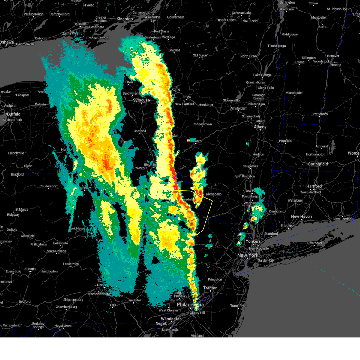 At 630 pm edt, a severe thunderstorm was located near rutledgedale, or 11 miles north of honesdale, moving northeast at 50 mph (radar indicated). Hazards include 60 mph wind gusts and quarter size hail. Hail damage to vehicles is expected. expect wind damage to roofs, siding, and trees. locations impacted include, bushkill, lackawaxen, blooming grove, honesdale, paupack, damascus, shohola, south canaan, tusten and cochecton. hail threat, radar indicated max hail size, 1. 00 in wind threat, radar indicated max wind gust, 60 mph. At 630 pm edt, a severe thunderstorm was located near rutledgedale, or 11 miles north of honesdale, moving northeast at 50 mph (radar indicated). Hazards include 60 mph wind gusts and quarter size hail. Hail damage to vehicles is expected. expect wind damage to roofs, siding, and trees. locations impacted include, bushkill, lackawaxen, blooming grove, honesdale, paupack, damascus, shohola, south canaan, tusten and cochecton. hail threat, radar indicated max hail size, 1. 00 in wind threat, radar indicated max wind gust, 60 mph.
|
| 4/22/2023 6:08 PM EDT |
 At 607 pm edt, a severe thunderstorm was located over tresslarville, or 7 miles southeast of carbondale, moving northeast at 50 mph. another severe thunderstorm was located over pike county near lackawaxen (radar indicated). Hazards include 60 mph wind gusts and quarter size hail. Hail damage to vehicles is expected. expect wind damage to roofs, siding, and trees. locations impacted include, scranton, dunmore, carbondale, bushkill, archbald, blakely, dickson city, olyphant, lackawaxen and blooming grove. hail threat, radar indicated max hail size, 1. 00 in wind threat, radar indicated max wind gust, 60 mph. At 607 pm edt, a severe thunderstorm was located over tresslarville, or 7 miles southeast of carbondale, moving northeast at 50 mph. another severe thunderstorm was located over pike county near lackawaxen (radar indicated). Hazards include 60 mph wind gusts and quarter size hail. Hail damage to vehicles is expected. expect wind damage to roofs, siding, and trees. locations impacted include, scranton, dunmore, carbondale, bushkill, archbald, blakely, dickson city, olyphant, lackawaxen and blooming grove. hail threat, radar indicated max hail size, 1. 00 in wind threat, radar indicated max wind gust, 60 mph.
|
| 4/22/2023 5:59 PM EDT |
 At 558 pm edt, a severe thunderstorm was located near elmhurst, or 9 miles east of scranton, moving northeast at 50 mph. a cluster of severe thunderstorms was also over pike county (radar indicated). Hazards include 60 mph wind gusts. expect damage to roofs, siding, and trees At 558 pm edt, a severe thunderstorm was located near elmhurst, or 9 miles east of scranton, moving northeast at 50 mph. a cluster of severe thunderstorms was also over pike county (radar indicated). Hazards include 60 mph wind gusts. expect damage to roofs, siding, and trees
|
| 4/22/2023 5:50 PM EDT |
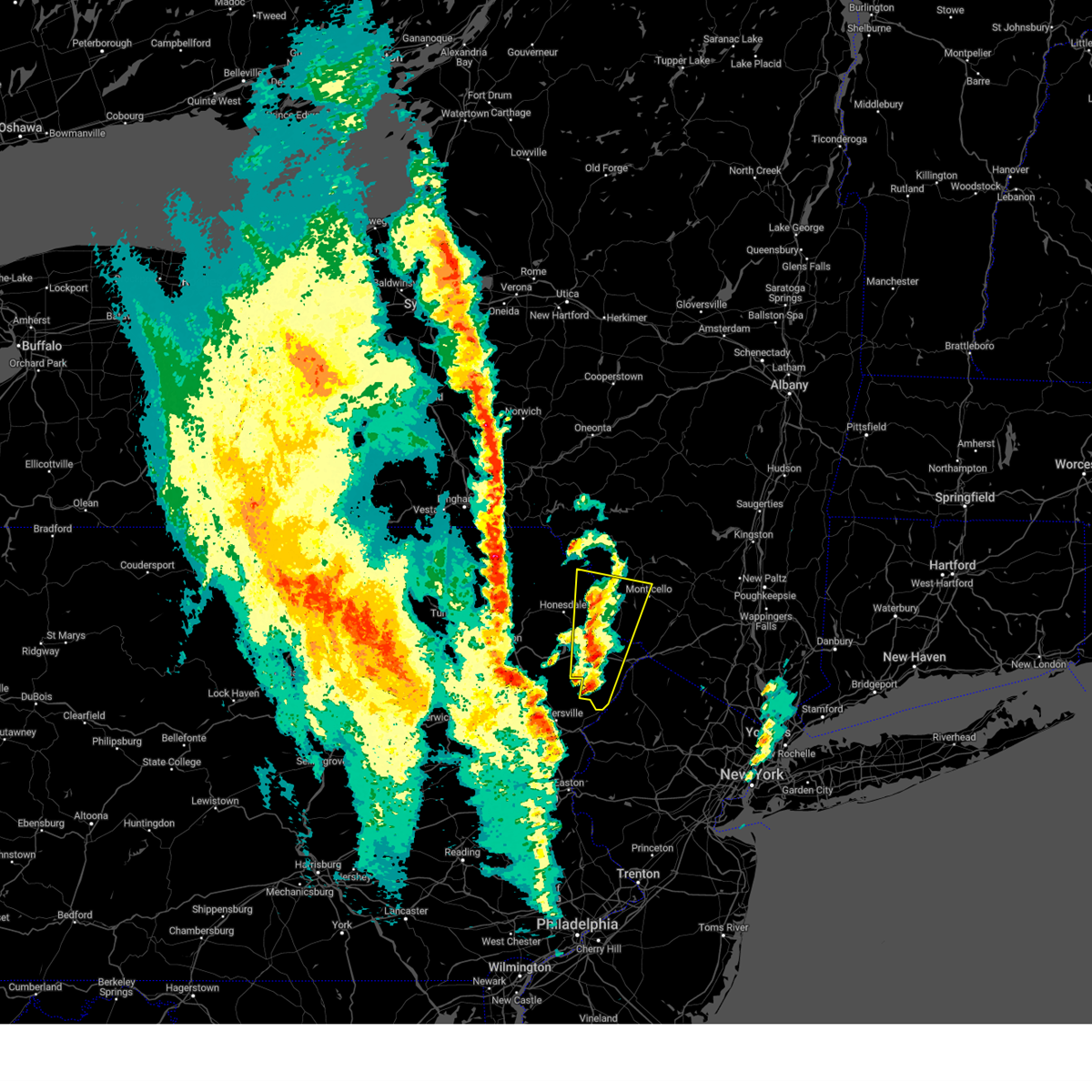 At 549 pm edt, a severe thunderstorm was located over pecks pond, or 13 miles west of montague, moving north at 20 mph (radar indicated). Hazards include 60 mph wind gusts. Expect damage to roofs, siding, and trees. Locations impacted include, bushkill, monticello, lackawaxen, blooming grove, bethel, damascus, callicoon, shohola, tusten and cochecton. At 549 pm edt, a severe thunderstorm was located over pecks pond, or 13 miles west of montague, moving north at 20 mph (radar indicated). Hazards include 60 mph wind gusts. Expect damage to roofs, siding, and trees. Locations impacted include, bushkill, monticello, lackawaxen, blooming grove, bethel, damascus, callicoon, shohola, tusten and cochecton.
|
| 4/22/2023 5:50 PM EDT |
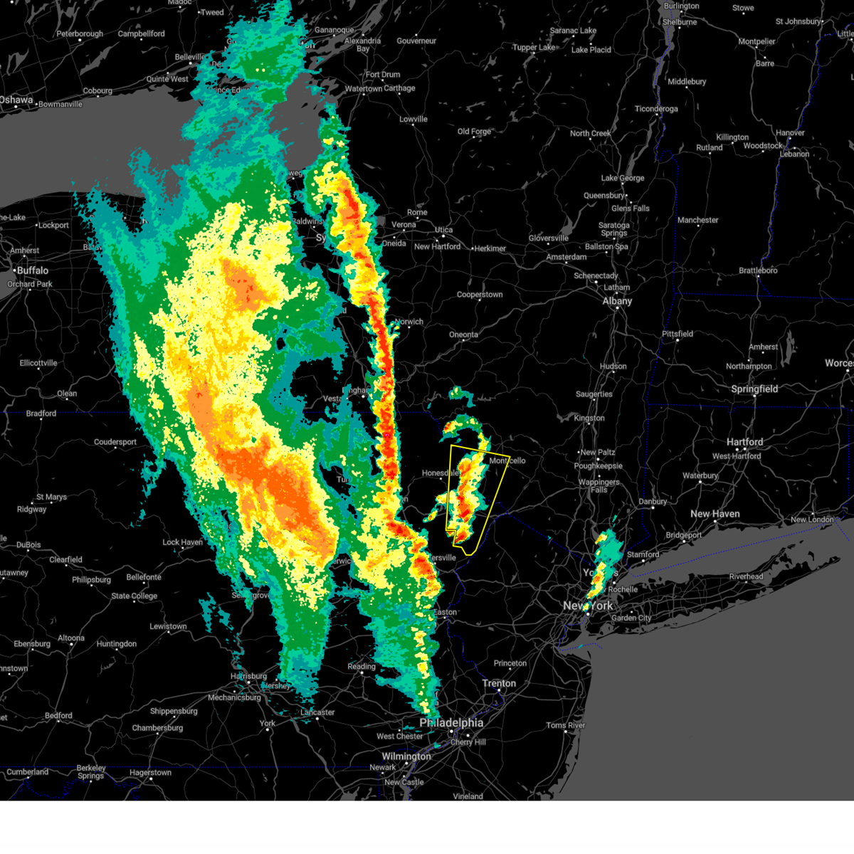 At 549 pm edt, a severe thunderstorm was located over pecks pond, or 13 miles west of montague, moving north at 20 mph (radar indicated). Hazards include 60 mph wind gusts. Expect damage to roofs, siding, and trees. Locations impacted include, bushkill, monticello, lackawaxen, blooming grove, bethel, damascus, callicoon, shohola, tusten and cochecton. At 549 pm edt, a severe thunderstorm was located over pecks pond, or 13 miles west of montague, moving north at 20 mph (radar indicated). Hazards include 60 mph wind gusts. Expect damage to roofs, siding, and trees. Locations impacted include, bushkill, monticello, lackawaxen, blooming grove, bethel, damascus, callicoon, shohola, tusten and cochecton.
|
| 4/22/2023 5:29 PM EDT |
 At 529 pm edt, a severe thunderstorm was located near bushkill, or 14 miles east of mount pocono, moving north at 20 mph (radar indicated). Hazards include 60 mph wind gusts. expect damage to roofs, siding, and trees At 529 pm edt, a severe thunderstorm was located near bushkill, or 14 miles east of mount pocono, moving north at 20 mph (radar indicated). Hazards include 60 mph wind gusts. expect damage to roofs, siding, and trees
|
| 4/22/2023 5:29 PM EDT |
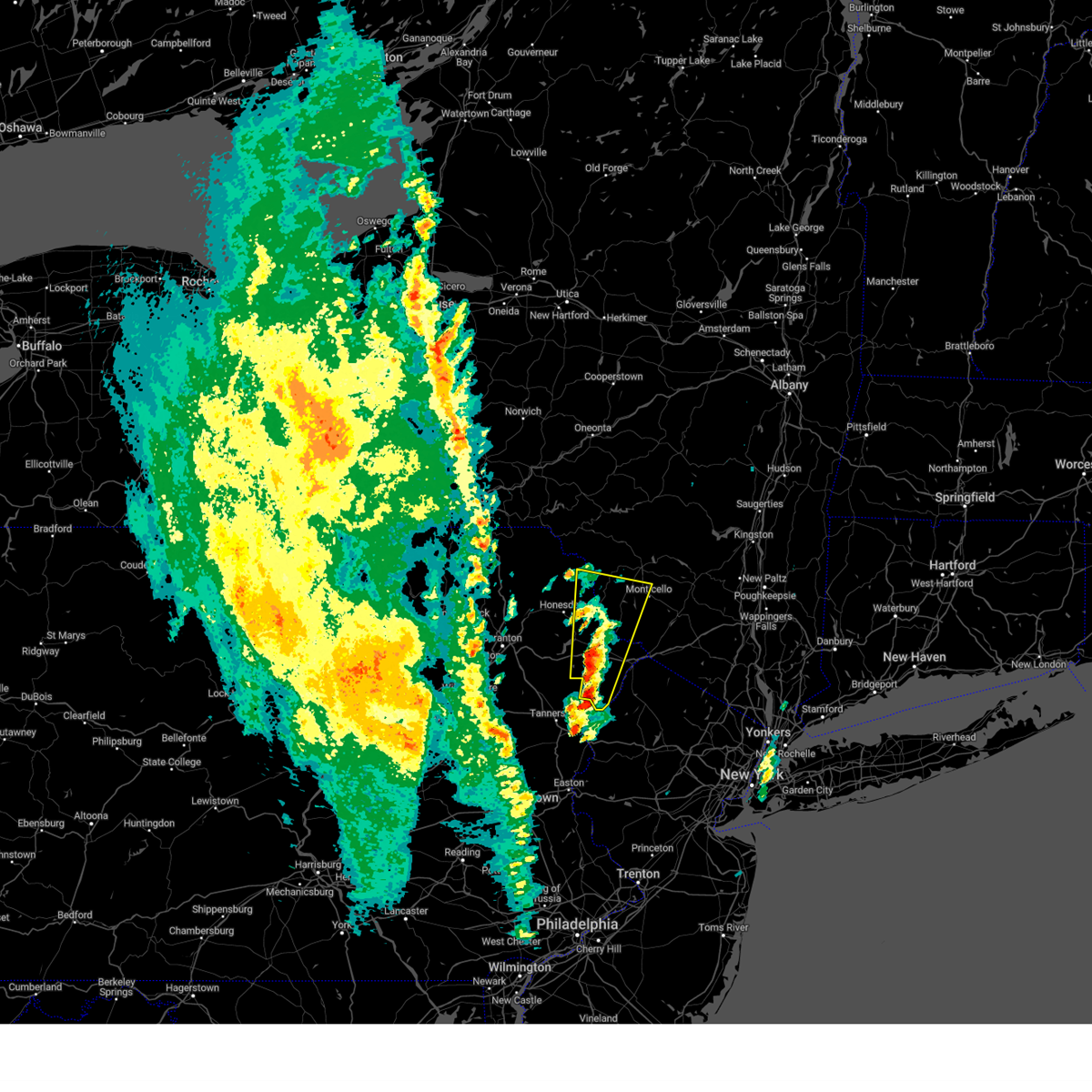 At 529 pm edt, a severe thunderstorm was located near bushkill, or 14 miles east of mount pocono, moving north at 20 mph (radar indicated). Hazards include 60 mph wind gusts. expect damage to roofs, siding, and trees At 529 pm edt, a severe thunderstorm was located near bushkill, or 14 miles east of mount pocono, moving north at 20 mph (radar indicated). Hazards include 60 mph wind gusts. expect damage to roofs, siding, and trees
|
| 7/24/2022 8:52 PM EDT |
 The severe thunderstorm warning for southeastern pike county will expire at 900 pm edt, the storm which prompted the warning has weakened below severe limits, and has exited the warned area. therefore, the warning will be allowed to expire. a severe thunderstorm watch remains in effect until 1000 pm edt for northeastern pennsylvania. to report severe weather, contact your nearest law enforcement agency. they will relay your report to the national weather service binghamton. The severe thunderstorm warning for southeastern pike county will expire at 900 pm edt, the storm which prompted the warning has weakened below severe limits, and has exited the warned area. therefore, the warning will be allowed to expire. a severe thunderstorm watch remains in effect until 1000 pm edt for northeastern pennsylvania. to report severe weather, contact your nearest law enforcement agency. they will relay your report to the national weather service binghamton.
|
| 7/24/2022 8:43 PM EDT |
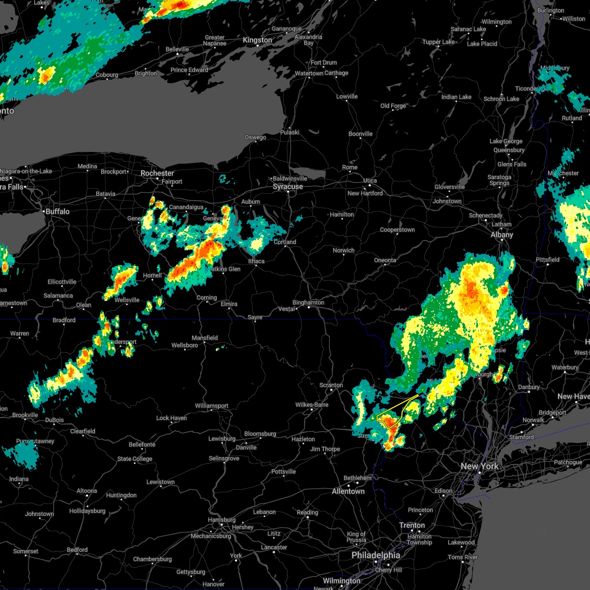 At 843 pm edt, a severe thunderstorm was located near dingmans ferry, or 10 miles northwest of newton, moving northeast at 30 mph (radar indicated). Hazards include 60 mph wind gusts. Expect damage to roofs, siding, and trees. locations impacted include, bushkill, matamoras, milford, dingmans ferry and tamiment. hail threat, radar indicated max hail size, <. 75 in wind threat, radar indicated max wind gust, 60 mph. At 843 pm edt, a severe thunderstorm was located near dingmans ferry, or 10 miles northwest of newton, moving northeast at 30 mph (radar indicated). Hazards include 60 mph wind gusts. Expect damage to roofs, siding, and trees. locations impacted include, bushkill, matamoras, milford, dingmans ferry and tamiment. hail threat, radar indicated max hail size, <. 75 in wind threat, radar indicated max wind gust, 60 mph.
|
| 7/24/2022 8:19 PM EDT |
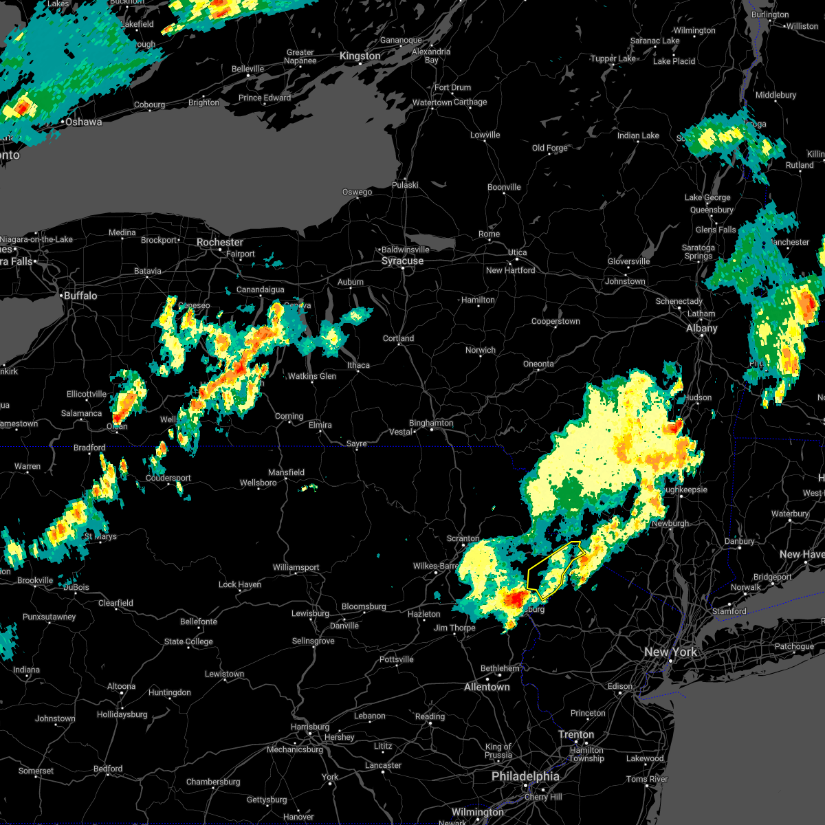 At 819 pm edt, a severe thunderstorm was located over alpine mountain, or 8 miles east of mount pocono, moving northeast at 35 mph (radar indicated). Hazards include 60 mph wind gusts. expect damage to roofs, siding, and trees At 819 pm edt, a severe thunderstorm was located over alpine mountain, or 8 miles east of mount pocono, moving northeast at 35 mph (radar indicated). Hazards include 60 mph wind gusts. expect damage to roofs, siding, and trees
|
| 7/12/2022 5:45 PM EDT |
 At 545 pm edt, a severe thunderstorm was located over columbia, or 17 miles southeast of mount pocono, moving east at 35 mph (radar indicated). Hazards include ping pong ball size hail and 60 mph wind gusts. People and animals outdoors will be injured. expect hail damage to roofs, siding, windows, and vehicles. wind damage to roofs, siding, trees, and power lines is possible. locations impacted include, east stroudsburg, blairstown, belvidere, oxford, hope, east bangor, flatbrookville, stormville, werry lake, millbrook, delaware water gap, columbia, echo lake, five points, crandon lakes, stroudsburg, portland, arlington heights, shawnee and marshalls creek. this includes the following highways, interstate 80 in pennsylvania between mile markers 307 and 314. Interstate 80 in new jersey between mile markers 0 and 12. At 545 pm edt, a severe thunderstorm was located over columbia, or 17 miles southeast of mount pocono, moving east at 35 mph (radar indicated). Hazards include ping pong ball size hail and 60 mph wind gusts. People and animals outdoors will be injured. expect hail damage to roofs, siding, windows, and vehicles. wind damage to roofs, siding, trees, and power lines is possible. locations impacted include, east stroudsburg, blairstown, belvidere, oxford, hope, east bangor, flatbrookville, stormville, werry lake, millbrook, delaware water gap, columbia, echo lake, five points, crandon lakes, stroudsburg, portland, arlington heights, shawnee and marshalls creek. this includes the following highways, interstate 80 in pennsylvania between mile markers 307 and 314. Interstate 80 in new jersey between mile markers 0 and 12.
|
| 7/12/2022 5:36 PM EDT |
 At 535 pm edt, a severe thunderstorm was located over stormville, or 12 miles south of mount pocono, moving east at 35 mph (radar indicated). Hazards include 60 mph wind gusts and half dollar size hail. Minor damage to vehicles is possible. wind damage to roofs, siding, trees, and power lines is possible. locations impacted include, east stroudsburg, blairstown, bangor, pen argyl, wind gap, belvidere, oxford, hope, east bangor, stormville, henryville, brodheadsville, werry lake, gilbert, millbrook, delaware water gap, tannersville, rossland, kresgeville and sun valley. this includes the following highways, interstate 80 in pennsylvania between mile markers 300 and 314. interstate 80 in new jersey between mile markers 0 and 12. hail threat, radar indicated max hail size, 1. 25 in wind threat, radar indicated max wind gust, 60 mph. At 535 pm edt, a severe thunderstorm was located over stormville, or 12 miles south of mount pocono, moving east at 35 mph (radar indicated). Hazards include 60 mph wind gusts and half dollar size hail. Minor damage to vehicles is possible. wind damage to roofs, siding, trees, and power lines is possible. locations impacted include, east stroudsburg, blairstown, bangor, pen argyl, wind gap, belvidere, oxford, hope, east bangor, stormville, henryville, brodheadsville, werry lake, gilbert, millbrook, delaware water gap, tannersville, rossland, kresgeville and sun valley. this includes the following highways, interstate 80 in pennsylvania between mile markers 300 and 314. interstate 80 in new jersey between mile markers 0 and 12. hail threat, radar indicated max hail size, 1. 25 in wind threat, radar indicated max wind gust, 60 mph.
|
| 7/12/2022 5:25 PM EDT |
 At 525 pm edt, a severe thunderstorm was located over gilbert, or 12 miles south of mount pocono, moving east at 30 mph (radar indicated). Hazards include 60 mph wind gusts and half dollar size hail. Minor damage to vehicles is possible. Wind damage to roofs, siding, trees, and power lines is possible. At 525 pm edt, a severe thunderstorm was located over gilbert, or 12 miles south of mount pocono, moving east at 30 mph (radar indicated). Hazards include 60 mph wind gusts and half dollar size hail. Minor damage to vehicles is possible. Wind damage to roofs, siding, trees, and power lines is possible.
|
| 5/16/2022 3:21 PM EDT |
 At 321 pm edt, a severe thunderstorm was located over millrift, or near matamoras, moving northeast at 55 mph (radar indicated). Hazards include 60 mph wind gusts and quarter size hail. Hail damage to vehicles is expected. expect wind damage to roofs, siding, and trees. locations impacted include, fallsburg, bushkill, monticello, lackawaxen, blooming grove, bethel, south fallsburg, shohola, matamoras and tusten. hail threat, radar indicated max hail size, 1. 00 in wind threat, radar indicated max wind gust, 60 mph. At 321 pm edt, a severe thunderstorm was located over millrift, or near matamoras, moving northeast at 55 mph (radar indicated). Hazards include 60 mph wind gusts and quarter size hail. Hail damage to vehicles is expected. expect wind damage to roofs, siding, and trees. locations impacted include, fallsburg, bushkill, monticello, lackawaxen, blooming grove, bethel, south fallsburg, shohola, matamoras and tusten. hail threat, radar indicated max hail size, 1. 00 in wind threat, radar indicated max wind gust, 60 mph.
|
| 5/16/2022 3:21 PM EDT |
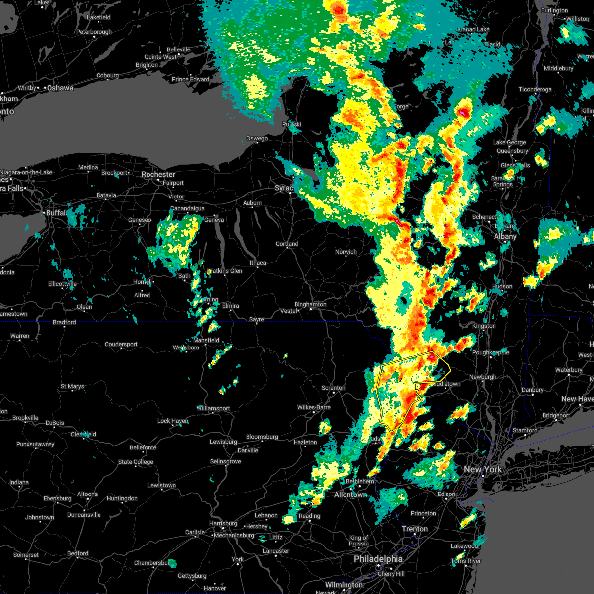 At 321 pm edt, a severe thunderstorm was located over millrift, or near matamoras, moving northeast at 55 mph (radar indicated). Hazards include 60 mph wind gusts and quarter size hail. Hail damage to vehicles is expected. expect wind damage to roofs, siding, and trees. locations impacted include, fallsburg, bushkill, monticello, lackawaxen, blooming grove, bethel, south fallsburg, shohola, matamoras and tusten. hail threat, radar indicated max hail size, 1. 00 in wind threat, radar indicated max wind gust, 60 mph. At 321 pm edt, a severe thunderstorm was located over millrift, or near matamoras, moving northeast at 55 mph (radar indicated). Hazards include 60 mph wind gusts and quarter size hail. Hail damage to vehicles is expected. expect wind damage to roofs, siding, and trees. locations impacted include, fallsburg, bushkill, monticello, lackawaxen, blooming grove, bethel, south fallsburg, shohola, matamoras and tusten. hail threat, radar indicated max hail size, 1. 00 in wind threat, radar indicated max wind gust, 60 mph.
|
| 5/16/2022 2:42 PM EDT |
 At 242 pm edt, a severe thunderstorm was located over henryville, or near mount pocono, moving northeast at 40 mph (radar indicated). Hazards include 60 mph wind gusts and quarter size hail. Hail damage to vehicles is expected. Expect wind damage to roofs, siding, and trees. At 242 pm edt, a severe thunderstorm was located over henryville, or near mount pocono, moving northeast at 40 mph (radar indicated). Hazards include 60 mph wind gusts and quarter size hail. Hail damage to vehicles is expected. Expect wind damage to roofs, siding, and trees.
|
| 5/16/2022 2:42 PM EDT |
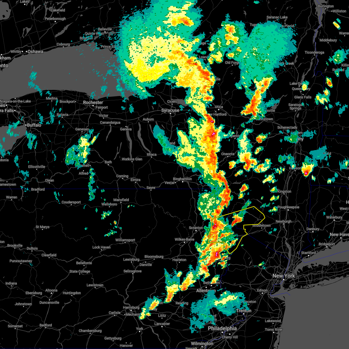 At 242 pm edt, a severe thunderstorm was located over henryville, or near mount pocono, moving northeast at 40 mph (radar indicated). Hazards include 60 mph wind gusts and quarter size hail. Hail damage to vehicles is expected. Expect wind damage to roofs, siding, and trees. At 242 pm edt, a severe thunderstorm was located over henryville, or near mount pocono, moving northeast at 40 mph (radar indicated). Hazards include 60 mph wind gusts and quarter size hail. Hail damage to vehicles is expected. Expect wind damage to roofs, siding, and trees.
|
| 3/7/2022 8:42 PM EST |
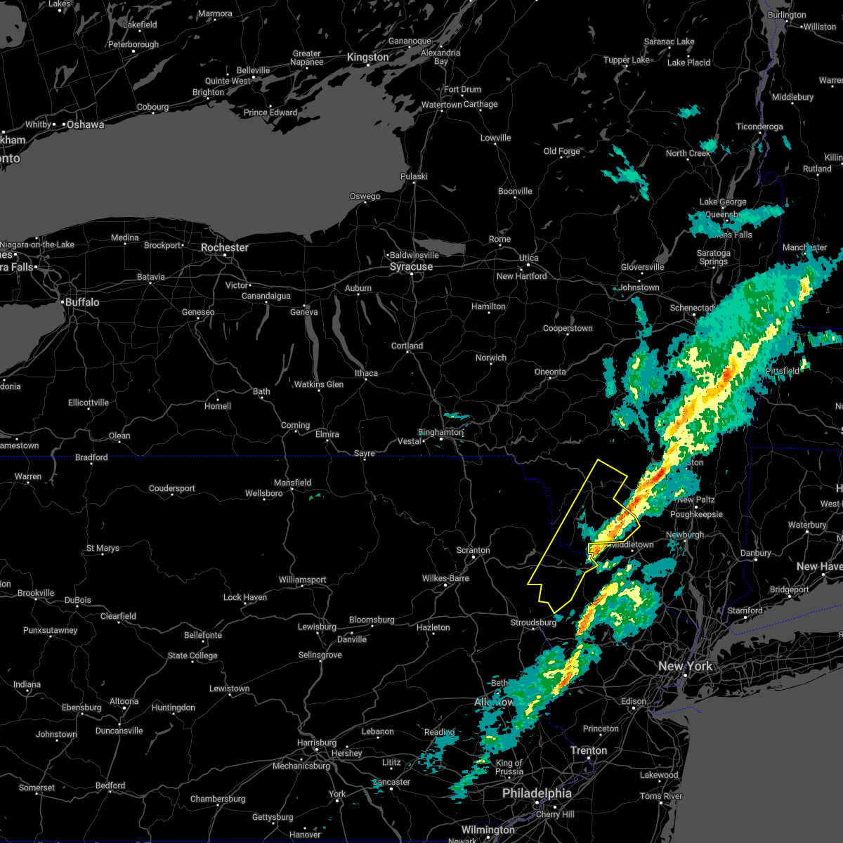 The severe thunderstorm warning for sullivan and pike counties will expire at 845 pm est, the storms which prompted the warning have moved out of the area. therefore, the warning will be allowed to expire. The severe thunderstorm warning for sullivan and pike counties will expire at 845 pm est, the storms which prompted the warning have moved out of the area. therefore, the warning will be allowed to expire.
|
| 3/7/2022 8:29 PM EST |
 At 826 pm est, severe showers and embedded thunderstorms were located along a line extending from near milford to alpha to near new morgan, moving east at 55 mph. this line has had a history of producing areas of wind damage (trained weather spotters. a 66 mph wind gust was measured in forks township in northampton county). Hazards include 70 mph wind gusts. Expect considerable tree damage. damage is likely to mobile homes, roofs, and outbuildings. locations impacted include, allentown, reading, easton, morristown, somerville, newton, montague, bethlehem, bridgewater, pottstown, dover, lansdale, madison, hopatcong, forks, florham park, emmaus, east hanover, lincoln park and wyomissing. this includes the following highways, pennsylvania turnpike between mile markers 295 and 303. northeast extension between mile markers 26 and 57. interstate 78 in pennsylvania between mile markers 54 and 76. interstate 78 in new jersey between mile markers 0 and 37. interstate 80 in pennsylvania between mile markers 310 and 314. interstate 80 in new jersey between mile markers 0 and 47. interstate 287 in new jersey between mile markers 16 and 54. interstate 176 in pennsylvania between mile markers 1 and 11. thunderstorm damage threat, considerable hail threat, radar indicated max hail size, <. 75 in wind threat, radar indicated max wind gust, 70 mph. At 826 pm est, severe showers and embedded thunderstorms were located along a line extending from near milford to alpha to near new morgan, moving east at 55 mph. this line has had a history of producing areas of wind damage (trained weather spotters. a 66 mph wind gust was measured in forks township in northampton county). Hazards include 70 mph wind gusts. Expect considerable tree damage. damage is likely to mobile homes, roofs, and outbuildings. locations impacted include, allentown, reading, easton, morristown, somerville, newton, montague, bethlehem, bridgewater, pottstown, dover, lansdale, madison, hopatcong, forks, florham park, emmaus, east hanover, lincoln park and wyomissing. this includes the following highways, pennsylvania turnpike between mile markers 295 and 303. northeast extension between mile markers 26 and 57. interstate 78 in pennsylvania between mile markers 54 and 76. interstate 78 in new jersey between mile markers 0 and 37. interstate 80 in pennsylvania between mile markers 310 and 314. interstate 80 in new jersey between mile markers 0 and 47. interstate 287 in new jersey between mile markers 16 and 54. interstate 176 in pennsylvania between mile markers 1 and 11. thunderstorm damage threat, considerable hail threat, radar indicated max hail size, <. 75 in wind threat, radar indicated max wind gust, 70 mph.
|
| 3/7/2022 8:13 PM EST |
 At 812 pm est, severe thunderstorms were located along a line extending from near willowemoc to near skytop, moving northeast at 60 mph (radar indicated). Hazards include 60 mph wind gusts. expect damage to roofs, siding, and trees At 812 pm est, severe thunderstorms were located along a line extending from near willowemoc to near skytop, moving northeast at 60 mph (radar indicated). Hazards include 60 mph wind gusts. expect damage to roofs, siding, and trees
|
| 3/7/2022 8:11 PM EST |
 At 810 pm est, severe showers and embedded thunderstorms were located along a line extending from blooming grove to near northampton to near denver, moving east at 55 mph (public). Hazards include 60 mph wind gusts. a 59 mph wind gust was reported in lehighton pennsylvania. Damage to roofs, siding, trees, and power lines is possible. locations impacted include, allentown, reading, easton, morristown, somerville, newton, montague, bethlehem, bridgewater, pottstown, dover, lansdale, madison, hopatcong, forks, florham park, emmaus, east hanover, lincoln park and wyomissing. this includes the following highways, pennsylvania turnpike between mile markers 295 and 303. northeast extension between mile markers 26 and 57. interstate 78 in pennsylvania between mile markers 54 and 76. interstate 78 in new jersey between mile markers 0 and 37. interstate 80 in pennsylvania between mile markers 308 and 314. interstate 80 in new jersey between mile markers 0 and 47. interstate 287 in new jersey between mile markers 16 and 54. interstate 176 in pennsylvania between mile markers 1 and 11. hail threat, radar indicated max hail size, <. 75 in wind threat, radar indicated max wind gust, 60 mph. At 810 pm est, severe showers and embedded thunderstorms were located along a line extending from blooming grove to near northampton to near denver, moving east at 55 mph (public). Hazards include 60 mph wind gusts. a 59 mph wind gust was reported in lehighton pennsylvania. Damage to roofs, siding, trees, and power lines is possible. locations impacted include, allentown, reading, easton, morristown, somerville, newton, montague, bethlehem, bridgewater, pottstown, dover, lansdale, madison, hopatcong, forks, florham park, emmaus, east hanover, lincoln park and wyomissing. this includes the following highways, pennsylvania turnpike between mile markers 295 and 303. northeast extension between mile markers 26 and 57. interstate 78 in pennsylvania between mile markers 54 and 76. interstate 78 in new jersey between mile markers 0 and 37. interstate 80 in pennsylvania between mile markers 308 and 314. interstate 80 in new jersey between mile markers 0 and 47. interstate 287 in new jersey between mile markers 16 and 54. interstate 176 in pennsylvania between mile markers 1 and 11. hail threat, radar indicated max hail size, <. 75 in wind threat, radar indicated max wind gust, 60 mph.
|
| 3/7/2022 8:05 PM EST |
 At 803 pm est, severe showers and embedded thunderstorms were located along a line extending from near hawley to kunkletown to wernersville, moving east at 50 mph. this line has had a history of producing areas of wind damage (radar indicated). Hazards include 60 mph wind gusts. damage to roofs, siding, trees, and power lines is possible At 803 pm est, severe showers and embedded thunderstorms were located along a line extending from near hawley to kunkletown to wernersville, moving east at 50 mph. this line has had a history of producing areas of wind damage (radar indicated). Hazards include 60 mph wind gusts. damage to roofs, siding, trees, and power lines is possible
|
| 3/7/2022 7:52 PM EST |
 At 750 pm est, severe showers and embedded thunderstorms were located along a line extending from near prompton to near lehighton to near mount joy, moving east at 60 mph. this line has had a history of producing areas of wind damage (radar indicated). Hazards include 60 mph wind gusts. Damage to roofs, siding, trees, and power lines is possible. locations impacted include, allentown, reading, easton, lehighton, mount pocono, bethlehem, forks, emmaus, wyomissing, northampton, east stroudsburg, tobyhanna, wilson, hellertown, nazareth, palmerton, bangor, kutztown, jim thorpe and hamburg. this includes the following highways, northeast extension between mile markers 46 and 97. interstate 78 in pennsylvania near mile marker 8, and between mile markers 10 and 75. interstate 80 in pennsylvania between mile markers 278 and 314. interstate 380 in pennsylvania between mile markers 0 and 13. hail threat, radar indicated max hail size, <. 75 in wind threat, radar indicated max wind gust, 60 mph. At 750 pm est, severe showers and embedded thunderstorms were located along a line extending from near prompton to near lehighton to near mount joy, moving east at 60 mph. this line has had a history of producing areas of wind damage (radar indicated). Hazards include 60 mph wind gusts. Damage to roofs, siding, trees, and power lines is possible. locations impacted include, allentown, reading, easton, lehighton, mount pocono, bethlehem, forks, emmaus, wyomissing, northampton, east stroudsburg, tobyhanna, wilson, hellertown, nazareth, palmerton, bangor, kutztown, jim thorpe and hamburg. this includes the following highways, northeast extension between mile markers 46 and 97. interstate 78 in pennsylvania near mile marker 8, and between mile markers 10 and 75. interstate 80 in pennsylvania between mile markers 278 and 314. interstate 380 in pennsylvania between mile markers 0 and 13. hail threat, radar indicated max hail size, <. 75 in wind threat, radar indicated max wind gust, 60 mph.
|
| 3/7/2022 7:31 PM EST |
 At 731 pm est, severe thunderstorms were located along a line extending from franklin to conyngham, moving east at 60 mph (radar indicated). Hazards include 60 mph wind gusts. expect damage to roofs, siding, and trees At 731 pm est, severe thunderstorms were located along a line extending from franklin to conyngham, moving east at 60 mph (radar indicated). Hazards include 60 mph wind gusts. expect damage to roofs, siding, and trees
|
| 3/7/2022 7:29 PM EST |
 At 727 pm est, severe showers and embedded thunderstorms were located along a line extending from near hop bottom to shenandoah to shiremanstown, moving east at 60 mph. this line has had a history of producing wind damage to the west (radar indicated). Hazards include 60 mph wind gusts. damage to roofs, siding, trees, and power lines is possible At 727 pm est, severe showers and embedded thunderstorms were located along a line extending from near hop bottom to shenandoah to shiremanstown, moving east at 60 mph. this line has had a history of producing wind damage to the west (radar indicated). Hazards include 60 mph wind gusts. damage to roofs, siding, trees, and power lines is possible
|
| 9/8/2021 8:52 PM EDT |
 The severe thunderstorm warning for north central berks, northwestern lehigh, southeastern carbon, central monroe and west central northampton counties will expire at 900 pm edt, the storms which prompted the warning have weakened below severe limits, and no longer pose an immediate threat to life or property. therefore, the warning will be allowed to expire. however gusty winds and heavy rain are still possible with these thunderstorms. a severe thunderstorm watch remains in effect until midnight edt for eastern and northeastern pennsylvania. The severe thunderstorm warning for north central berks, northwestern lehigh, southeastern carbon, central monroe and west central northampton counties will expire at 900 pm edt, the storms which prompted the warning have weakened below severe limits, and no longer pose an immediate threat to life or property. therefore, the warning will be allowed to expire. however gusty winds and heavy rain are still possible with these thunderstorms. a severe thunderstorm watch remains in effect until midnight edt for eastern and northeastern pennsylvania.
|
| 9/8/2021 8:38 PM EDT |
 At 837 pm edt, severe thunderstorms were located along a line extending from 7 miles northwest of bushkill to near reeders to near jordan valley, moving east at 35 mph (radar indicated). Hazards include 60 mph wind gusts and quarter size hail. Minor damage to vehicles is possible. wind damage to roofs, siding, trees, and power lines is possible. locations impacted include, lehighton, mount pocono, east stroudsburg, palmerton, hamburg, slatington, walnutport, lenhartsville, stormville, neffs, new tripoli, skytop, tannersville, kresgeville, sun valley, reeders, beltzville state park, saylorsburg, mcmichael and canadensis. this includes the following highways, northeast extension between mile markers 62 and 78. interstate 78 in pennsylvania between mile markers 33 and 47. interstate 80 in pennsylvania between mile markers 296 and 310. interstate 380 in pennsylvania between mile markers 0 and 2. hail threat, radar indicated max hail size, 1. 00 in wind threat, radar indicated max wind gust, 60 mph. At 837 pm edt, severe thunderstorms were located along a line extending from 7 miles northwest of bushkill to near reeders to near jordan valley, moving east at 35 mph (radar indicated). Hazards include 60 mph wind gusts and quarter size hail. Minor damage to vehicles is possible. wind damage to roofs, siding, trees, and power lines is possible. locations impacted include, lehighton, mount pocono, east stroudsburg, palmerton, hamburg, slatington, walnutport, lenhartsville, stormville, neffs, new tripoli, skytop, tannersville, kresgeville, sun valley, reeders, beltzville state park, saylorsburg, mcmichael and canadensis. this includes the following highways, northeast extension between mile markers 62 and 78. interstate 78 in pennsylvania between mile markers 33 and 47. interstate 80 in pennsylvania between mile markers 296 and 310. interstate 380 in pennsylvania between mile markers 0 and 2. hail threat, radar indicated max hail size, 1. 00 in wind threat, radar indicated max wind gust, 60 mph.
|
| 9/8/2021 8:18 PM EDT |
 At 818 pm edt, severe thunderstorms were located along a line extending from near paradise valley to penn forest reservoir to wanamakers, moving east at 30 mph (radar indicated). Hazards include 60 mph wind gusts and quarter size hail. Minor damage to vehicles is possible. wind damage to roofs, siding, trees, and power lines is possible. locations impacted include, lehighton, mount pocono, east stroudsburg, tobyhanna, palmerton, jim thorpe, hamburg, slatington, nesquehoning, walnutport, lenhartsville, stormville, neffs, pocono pines, new tripoli, skytop, tannersville, long pond, kresgeville and sun valley. this includes the following highways, northeast extension between mile markers 62 and 89. interstate 78 in pennsylvania between mile markers 33 and 47. interstate 80 in pennsylvania between mile markers 290 and 310. interstate 380 in pennsylvania between mile markers 0 and 7. hail threat, radar indicated max hail size, 1. 00 in wind threat, radar indicated max wind gust, 60 mph. At 818 pm edt, severe thunderstorms were located along a line extending from near paradise valley to penn forest reservoir to wanamakers, moving east at 30 mph (radar indicated). Hazards include 60 mph wind gusts and quarter size hail. Minor damage to vehicles is possible. wind damage to roofs, siding, trees, and power lines is possible. locations impacted include, lehighton, mount pocono, east stroudsburg, tobyhanna, palmerton, jim thorpe, hamburg, slatington, nesquehoning, walnutport, lenhartsville, stormville, neffs, pocono pines, new tripoli, skytop, tannersville, long pond, kresgeville and sun valley. this includes the following highways, northeast extension between mile markers 62 and 89. interstate 78 in pennsylvania between mile markers 33 and 47. interstate 80 in pennsylvania between mile markers 290 and 310. interstate 380 in pennsylvania between mile markers 0 and 7. hail threat, radar indicated max hail size, 1. 00 in wind threat, radar indicated max wind gust, 60 mph.
|
| 9/8/2021 7:59 PM EDT |
 At 759 pm edt, severe thunderstorms were located along a line extending from near pocono pines to near mckeansburg, moving east at 35 mph (radar indicated). Hazards include 60 mph wind gusts and quarter size hail. Minor damage to vehicles is possible. Wind damage to roofs, siding, trees, and power lines is possible. At 759 pm edt, severe thunderstorms were located along a line extending from near pocono pines to near mckeansburg, moving east at 35 mph (radar indicated). Hazards include 60 mph wind gusts and quarter size hail. Minor damage to vehicles is possible. Wind damage to roofs, siding, trees, and power lines is possible.
|
| 8/26/2021 1:50 PM EDT |
 The severe thunderstorm warning for northern monroe county will expire at 200 pm edt, the storm which prompted the warning has weakened below severe limits, and no longer poses an immediate threat to life or property. therefore, the warning will be allowed to expire. The severe thunderstorm warning for northern monroe county will expire at 200 pm edt, the storm which prompted the warning has weakened below severe limits, and no longer poses an immediate threat to life or property. therefore, the warning will be allowed to expire.
|
| 8/26/2021 1:20 PM EDT |
 At 119 pm edt, a severe thunderstorm was located over paradise valley, or near mount pocono, moving south at 10 mph (radar indicated). Hazards include 60 mph wind gusts and penny size hail. damage to roofs, siding, trees, and power lines is possible At 119 pm edt, a severe thunderstorm was located over paradise valley, or near mount pocono, moving south at 10 mph (radar indicated). Hazards include 60 mph wind gusts and penny size hail. damage to roofs, siding, trees, and power lines is possible
|
| 8/12/2021 4:10 PM EDT |
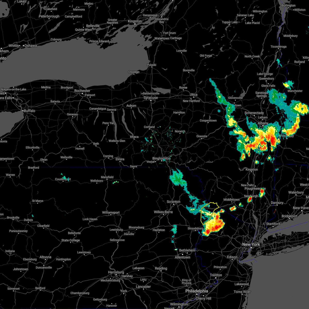 The severe thunderstorm warning for central pike county will expire at 415 pm edt, the storms which prompted the warning have moved out of the area. therefore, the warning will be allowed to expire. however gusty winds and heavy rain are still possible with these thunderstorms. a severe thunderstorm watch remains in effect until 800 pm edt for central new york, and northeastern pennsylvania. The severe thunderstorm warning for central pike county will expire at 415 pm edt, the storms which prompted the warning have moved out of the area. therefore, the warning will be allowed to expire. however gusty winds and heavy rain are still possible with these thunderstorms. a severe thunderstorm watch remains in effect until 800 pm edt for central new york, and northeastern pennsylvania.
|
| 8/12/2021 4:02 PM EDT |
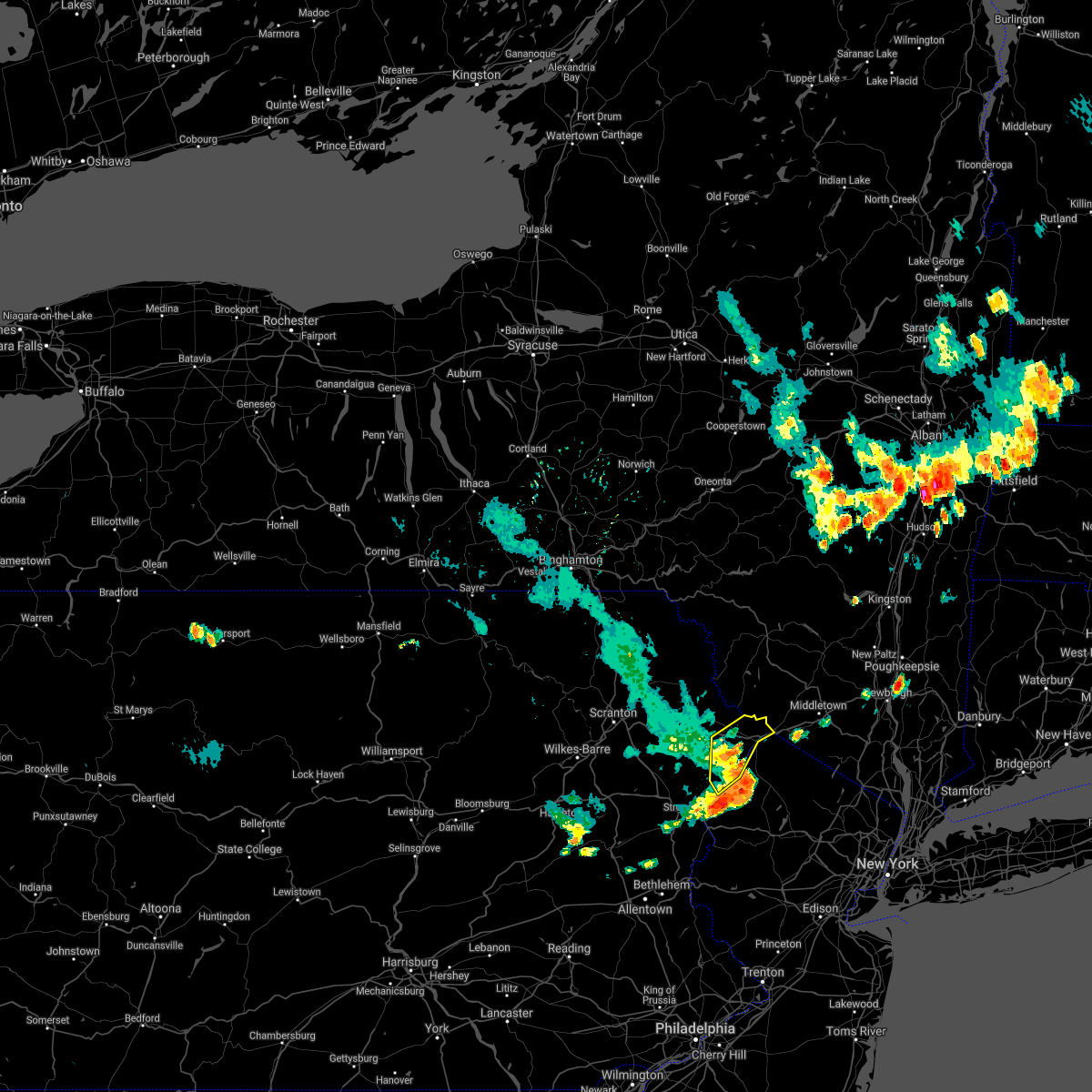 At 402 pm edt, severe thunderstorms were located along a line extending from milford to near hainesville to werry lake, moving east at 55 mph (radar indicated). Hazards include 60 mph wind gusts and penny size hail. Expect damage to roofs, siding, and trees. locations impacted include, bushkill, matamoras, milford, dingmans ferry, millrift, twin lakes and tamiment. hail threat, radar indicated max hail size, 0. 75 in wind threat, radar indicated max wind gust, 60 mph. At 402 pm edt, severe thunderstorms were located along a line extending from milford to near hainesville to werry lake, moving east at 55 mph (radar indicated). Hazards include 60 mph wind gusts and penny size hail. Expect damage to roofs, siding, and trees. locations impacted include, bushkill, matamoras, milford, dingmans ferry, millrift, twin lakes and tamiment. hail threat, radar indicated max hail size, 0. 75 in wind threat, radar indicated max wind gust, 60 mph.
|
| 8/12/2021 3:52 PM EDT |
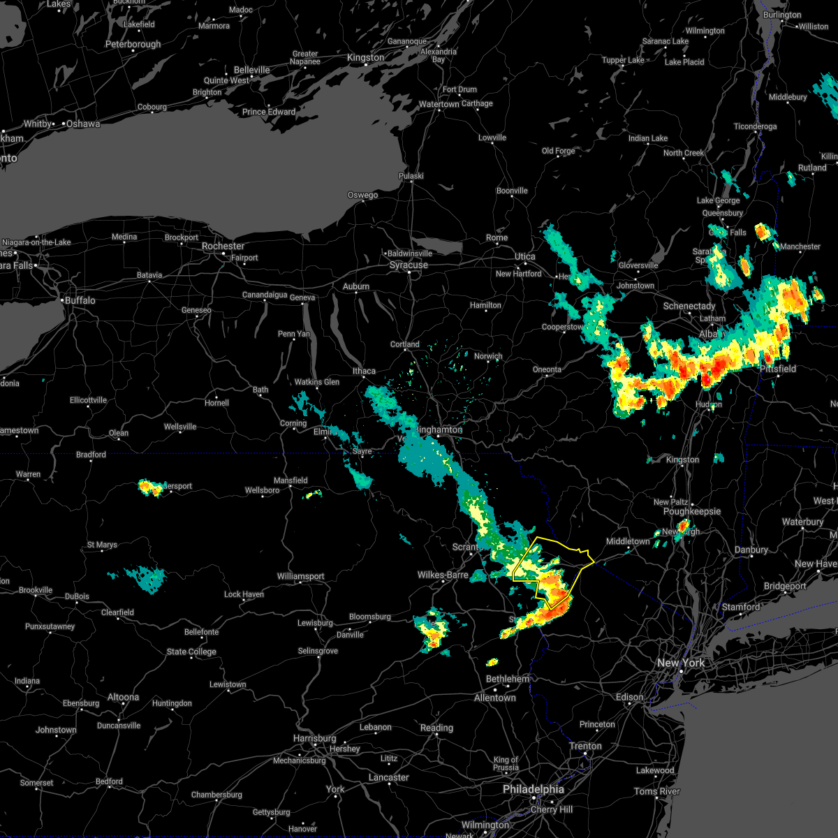 At 351 pm edt, severe thunderstorms were located along a line extending from hawley to near dingmans ferry to analomink, moving east at 55 mph (radar indicated). Hazards include 60 mph wind gusts and penny size hail. Expect damage to roofs, siding, and trees. locations impacted include, bushkill, lackawaxen, blooming grove, paupack, matamoras, hawley, milford, greeley, pecks pond and dingmans ferry. hail threat, radar indicated max hail size, 0. 75 in wind threat, radar indicated max wind gust, 60 mph. At 351 pm edt, severe thunderstorms were located along a line extending from hawley to near dingmans ferry to analomink, moving east at 55 mph (radar indicated). Hazards include 60 mph wind gusts and penny size hail. Expect damage to roofs, siding, and trees. locations impacted include, bushkill, lackawaxen, blooming grove, paupack, matamoras, hawley, milford, greeley, pecks pond and dingmans ferry. hail threat, radar indicated max hail size, 0. 75 in wind threat, radar indicated max wind gust, 60 mph.
|
| 8/12/2021 3:42 PM EDT |
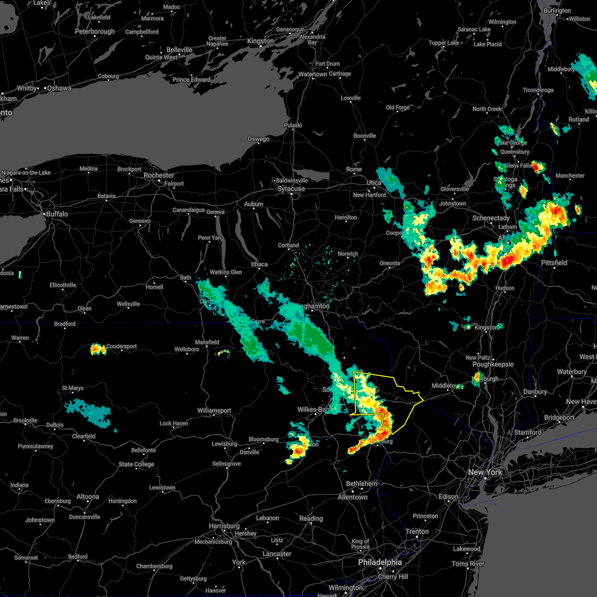 At 341 pm edt, severe thunderstorms were located along a line extending from near prompton to near pecks pond to scotrun, moving east at 55 mph (radar indicated). Hazards include 60 mph wind gusts and penny size hail. Expect damage to roofs, siding, and trees. locations impacted include, bushkill, lackawaxen, blooming grove, honesdale, paupack, shohola, matamoras, south canaan, sterling and waymart. hail threat, radar indicated max hail size, 0. 75 in wind threat, radar indicated max wind gust, 60 mph. At 341 pm edt, severe thunderstorms were located along a line extending from near prompton to near pecks pond to scotrun, moving east at 55 mph (radar indicated). Hazards include 60 mph wind gusts and penny size hail. Expect damage to roofs, siding, and trees. locations impacted include, bushkill, lackawaxen, blooming grove, honesdale, paupack, shohola, matamoras, south canaan, sterling and waymart. hail threat, radar indicated max hail size, 0. 75 in wind threat, radar indicated max wind gust, 60 mph.
|
| 8/12/2021 3:28 PM EDT |
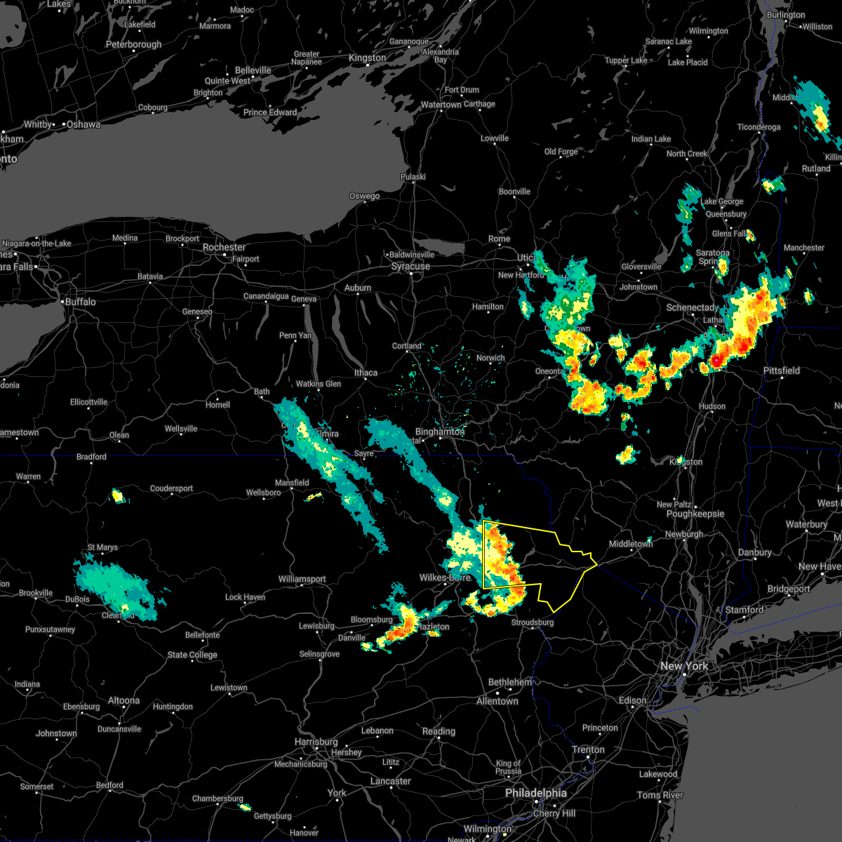 At 328 pm edt, severe thunderstorms were located along a line extending from carbondale to near skytop to pocono raceway, moving east at 55 mph (radar indicated). Hazards include 60 mph wind gusts and penny size hail. expect damage to roofs, siding, and trees At 328 pm edt, severe thunderstorms were located along a line extending from carbondale to near skytop to pocono raceway, moving east at 55 mph (radar indicated). Hazards include 60 mph wind gusts and penny size hail. expect damage to roofs, siding, and trees
|
| 7/27/2021 5:56 PM EDT |
 At 556 pm edt, a severe thunderstorm was located near pecks pond, or 14 miles northeast of mount pocono, moving east at 35 mph (radar indicated). Hazards include 60 mph wind gusts and penny size hail. Damage to roofs, siding, trees, and power lines is possible. Locations impacted include, flatbrookville, five points, crandon lakes, millbrook, skytop, canadensis and hainesville. At 556 pm edt, a severe thunderstorm was located near pecks pond, or 14 miles northeast of mount pocono, moving east at 35 mph (radar indicated). Hazards include 60 mph wind gusts and penny size hail. Damage to roofs, siding, trees, and power lines is possible. Locations impacted include, flatbrookville, five points, crandon lakes, millbrook, skytop, canadensis and hainesville.
|
| 7/27/2021 5:56 PM EDT |
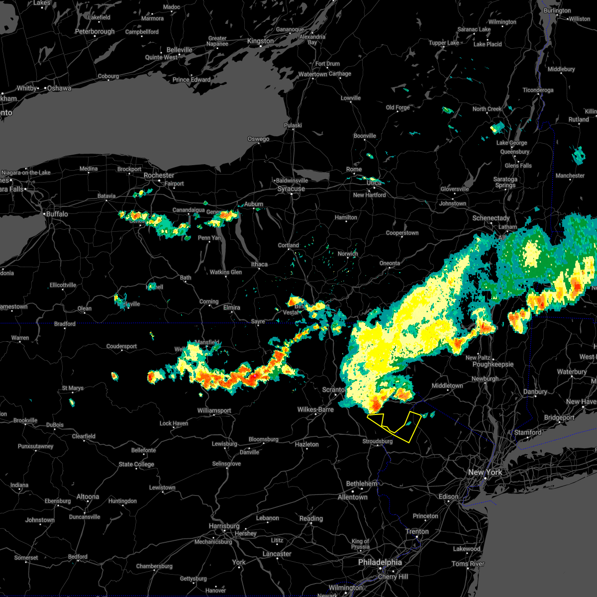 At 556 pm edt, a severe thunderstorm was located near pecks pond, or 14 miles northeast of mount pocono, moving east at 35 mph (radar indicated). Hazards include 60 mph wind gusts and penny size hail. Damage to roofs, siding, trees, and power lines is possible. Locations impacted include, flatbrookville, five points, crandon lakes, millbrook, skytop, canadensis and hainesville. At 556 pm edt, a severe thunderstorm was located near pecks pond, or 14 miles northeast of mount pocono, moving east at 35 mph (radar indicated). Hazards include 60 mph wind gusts and penny size hail. Damage to roofs, siding, trees, and power lines is possible. Locations impacted include, flatbrookville, five points, crandon lakes, millbrook, skytop, canadensis and hainesville.
|
| 7/7/2021 11:40 PM EDT |
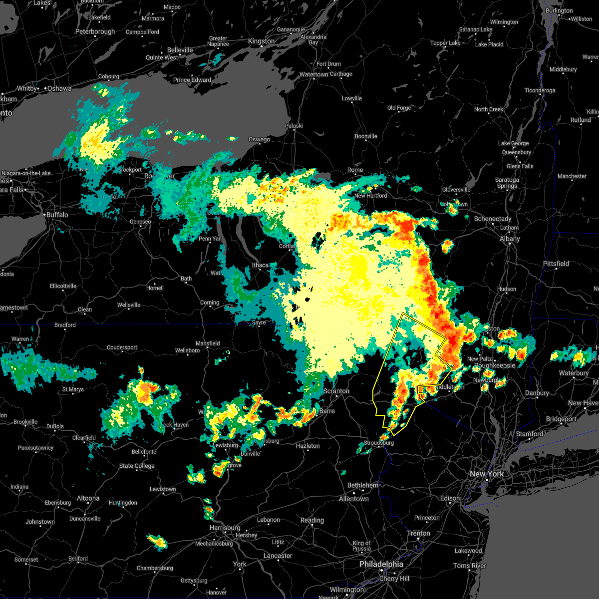 The severe thunderstorm warning for south central delaware, sullivan, southeastern wayne and pike counties will expire at 1145 pm edt, the storms which prompted the warning have moved out of the area. therefore, the warning will be allowed to expire. a severe thunderstorm watch remains in effect until 100 am edt for central new york, and northeastern pennsylvania. to report severe weather, contact your nearest law enforcement agency. they will relay your report to the national weather service binghamton. The severe thunderstorm warning for south central delaware, sullivan, southeastern wayne and pike counties will expire at 1145 pm edt, the storms which prompted the warning have moved out of the area. therefore, the warning will be allowed to expire. a severe thunderstorm watch remains in effect until 100 am edt for central new york, and northeastern pennsylvania. to report severe weather, contact your nearest law enforcement agency. they will relay your report to the national weather service binghamton.
|
| 7/7/2021 11:12 PM EDT |
 At 1112 pm edt, severe thunderstorms were located along a line extending from grahamsville to tobyhanna, moving southeast at 25 mph (radar indicated). Hazards include 60 mph wind gusts and quarter size hail. Hail damage to vehicles is expected. expect wind damage to roofs, siding, and trees. Locations impacted include, rockland, fallsburg, bushkill, monticello, lackawaxen, blooming grove, liberty, bethel, paupack and damascus. At 1112 pm edt, severe thunderstorms were located along a line extending from grahamsville to tobyhanna, moving southeast at 25 mph (radar indicated). Hazards include 60 mph wind gusts and quarter size hail. Hail damage to vehicles is expected. expect wind damage to roofs, siding, and trees. Locations impacted include, rockland, fallsburg, bushkill, monticello, lackawaxen, blooming grove, liberty, bethel, paupack and damascus.
|
| 7/7/2021 10:59 PM EDT |
 At 1058 pm edt, severe thunderstorms were located along a line extending from willowemoc to near gouldsboro, moving southeast at 25 mph (radar indicated). Hazards include 60 mph wind gusts and quarter size hail. Hail damage to vehicles is expected. expect wind damage to roofs, siding, and trees. Locations impacted include, rockland, fallsburg, bushkill, monticello, lackawaxen, blooming grove, honesdale, liberty, bethel and paupack. At 1058 pm edt, severe thunderstorms were located along a line extending from willowemoc to near gouldsboro, moving southeast at 25 mph (radar indicated). Hazards include 60 mph wind gusts and quarter size hail. Hail damage to vehicles is expected. expect wind damage to roofs, siding, and trees. Locations impacted include, rockland, fallsburg, bushkill, monticello, lackawaxen, blooming grove, honesdale, liberty, bethel and paupack.
|
| 7/7/2021 10:59 PM EDT |
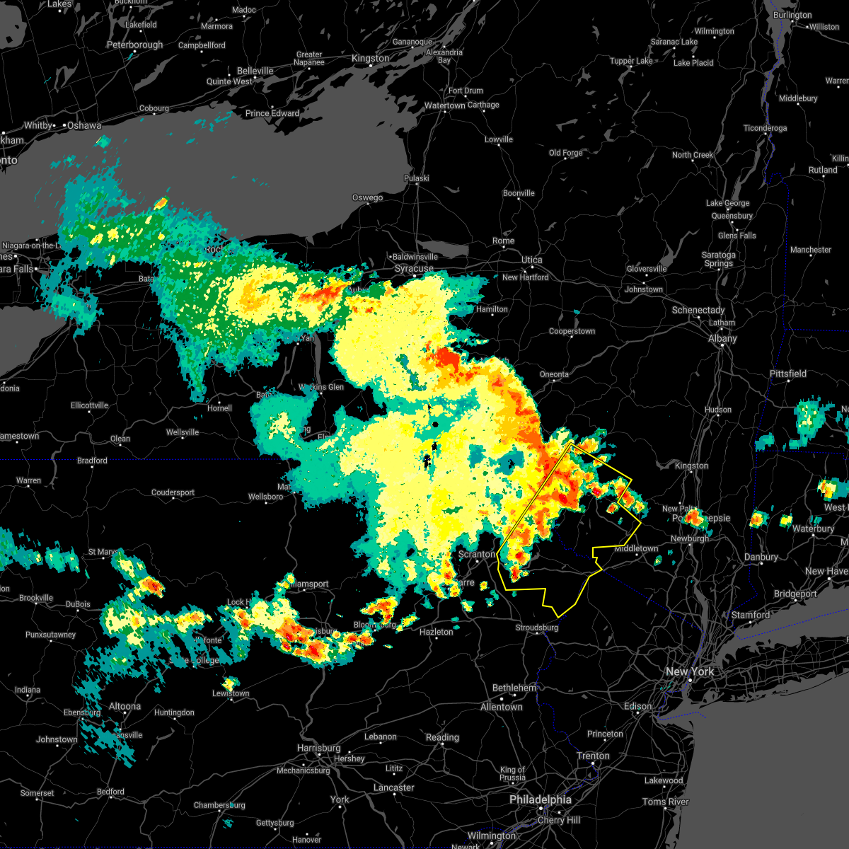 At 1058 pm edt, severe thunderstorms were located along a line extending from willowemoc to near gouldsboro, moving southeast at 25 mph (radar indicated). Hazards include 60 mph wind gusts and quarter size hail. Hail damage to vehicles is expected. expect wind damage to roofs, siding, and trees. Locations impacted include, rockland, fallsburg, bushkill, monticello, lackawaxen, blooming grove, honesdale, liberty, bethel and paupack. At 1058 pm edt, severe thunderstorms were located along a line extending from willowemoc to near gouldsboro, moving southeast at 25 mph (radar indicated). Hazards include 60 mph wind gusts and quarter size hail. Hail damage to vehicles is expected. expect wind damage to roofs, siding, and trees. Locations impacted include, rockland, fallsburg, bushkill, monticello, lackawaxen, blooming grove, honesdale, liberty, bethel and paupack.
|
| 7/7/2021 10:29 PM EDT |
 At 1028 pm edt, severe thunderstorms were located along a line extending from near roscoe to glendale, moving southeast at 25 mph (radar indicated). Hazards include 60 mph wind gusts and quarter size hail. Hail damage to vehicles is expected. Expect wind damage to roofs, siding, and trees. At 1028 pm edt, severe thunderstorms were located along a line extending from near roscoe to glendale, moving southeast at 25 mph (radar indicated). Hazards include 60 mph wind gusts and quarter size hail. Hail damage to vehicles is expected. Expect wind damage to roofs, siding, and trees.
|
| 7/6/2021 5:21 PM EDT |
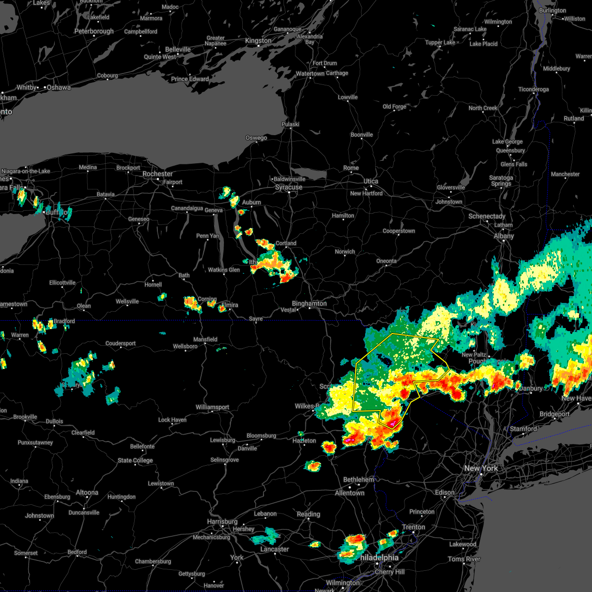 The severe thunderstorm warning for sullivan, central wayne and pike counties will expire at 530 pm edt, the storms which prompted the warning have moved out of the area. therefore, the warning will be allowed to expire. a severe thunderstorm watch remains in effect until 800 pm edt for central new york, and northeastern pennsylvania. The severe thunderstorm warning for sullivan, central wayne and pike counties will expire at 530 pm edt, the storms which prompted the warning have moved out of the area. therefore, the warning will be allowed to expire. a severe thunderstorm watch remains in effect until 800 pm edt for central new york, and northeastern pennsylvania.
|
| 7/6/2021 5:15 PM EDT |
 At 515 pm edt, severe thunderstorms were located along a line extending from near dingmans ferry to east stroudsburg to sun valley, moving east at 40 mph (radar indicated). Hazards include 70 mph wind gusts and quarter size hail. Minor damage to vehicles is possible. expect considerable tree damage. Wind damage is also likely to mobile homes, roofs, and outbuildings. At 515 pm edt, severe thunderstorms were located along a line extending from near dingmans ferry to east stroudsburg to sun valley, moving east at 40 mph (radar indicated). Hazards include 70 mph wind gusts and quarter size hail. Minor damage to vehicles is possible. expect considerable tree damage. Wind damage is also likely to mobile homes, roofs, and outbuildings.
|
| 7/6/2021 5:06 PM EDT |
 At 506 pm edt, severe thunderstorms were located along a line extending from near ellenville to matamoras to delaware water gap, moving east at 70 mph (radar indicated). Hazards include 60 mph wind gusts. Expect damage to roofs, siding, and trees. Locations impacted include, fallsburg, bushkill, monticello, lackawaxen, blooming grove, honesdale, liberty, bethel, paupack and damascus. At 506 pm edt, severe thunderstorms were located along a line extending from near ellenville to matamoras to delaware water gap, moving east at 70 mph (radar indicated). Hazards include 60 mph wind gusts. Expect damage to roofs, siding, and trees. Locations impacted include, fallsburg, bushkill, monticello, lackawaxen, blooming grove, honesdale, liberty, bethel, paupack and damascus.
|
| 7/6/2021 5:06 PM EDT |
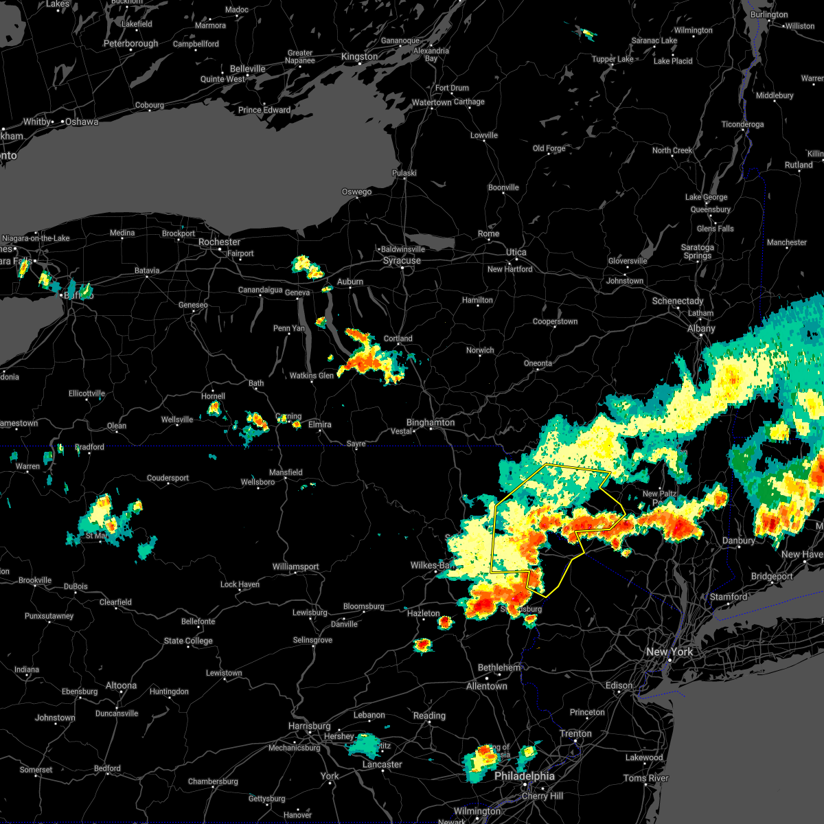 At 506 pm edt, severe thunderstorms were located along a line extending from near ellenville to matamoras to delaware water gap, moving east at 70 mph (radar indicated). Hazards include 60 mph wind gusts. Expect damage to roofs, siding, and trees. Locations impacted include, fallsburg, bushkill, monticello, lackawaxen, blooming grove, honesdale, liberty, bethel, paupack and damascus. At 506 pm edt, severe thunderstorms were located along a line extending from near ellenville to matamoras to delaware water gap, moving east at 70 mph (radar indicated). Hazards include 60 mph wind gusts. Expect damage to roofs, siding, and trees. Locations impacted include, fallsburg, bushkill, monticello, lackawaxen, blooming grove, honesdale, liberty, bethel, paupack and damascus.
|
| 7/6/2021 4:41 PM EDT |
 At 441 pm edt, severe thunderstorms were located along a line extending from near white sulphur springs to near hawley to stoddartsville, moving east at 70 mph (radar indicated). Hazards include 60 mph wind gusts. expect damage to roofs, siding, and trees At 441 pm edt, severe thunderstorms were located along a line extending from near white sulphur springs to near hawley to stoddartsville, moving east at 70 mph (radar indicated). Hazards include 60 mph wind gusts. expect damage to roofs, siding, and trees
|
| 6/21/2021 8:32 PM EDT |
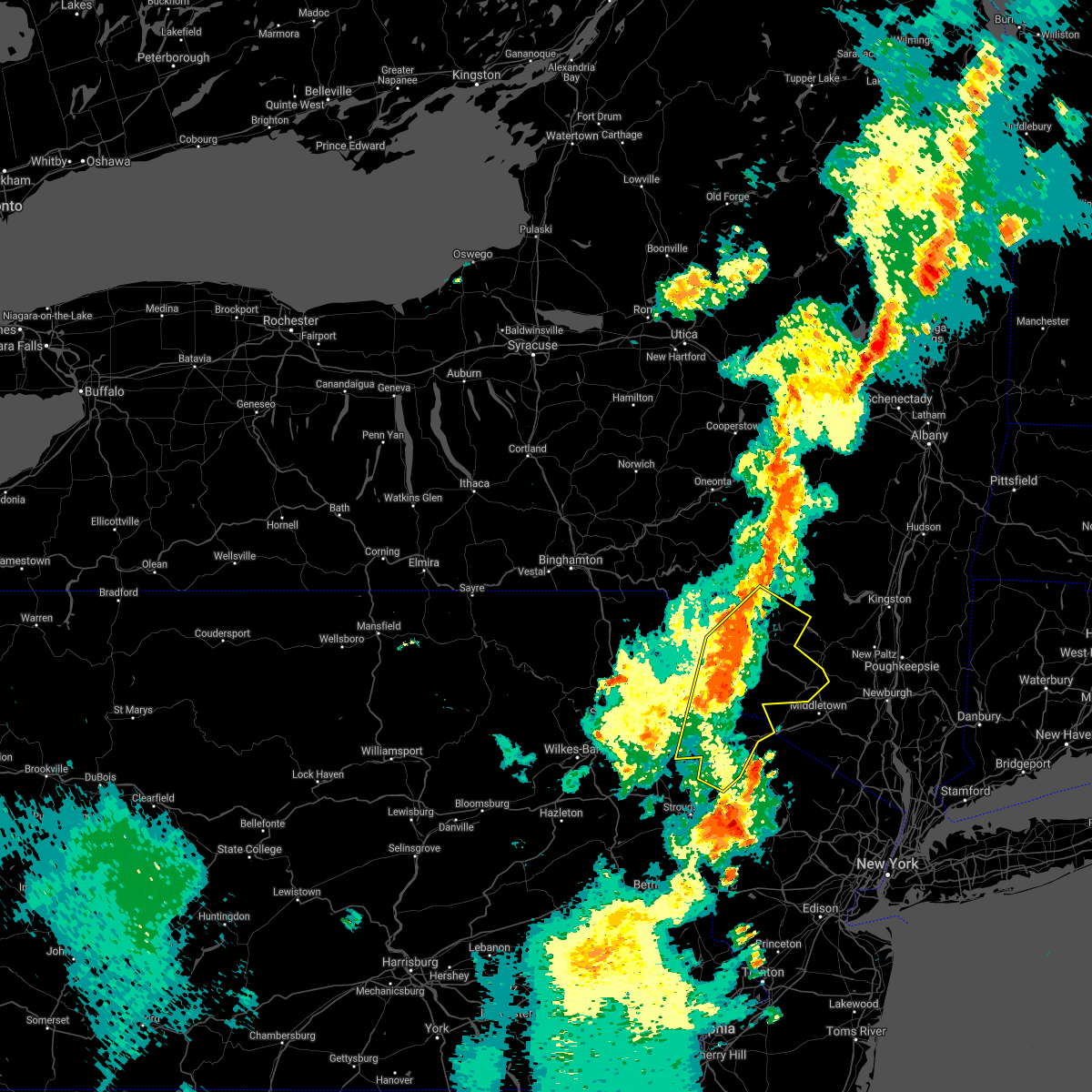 At 831 pm edt, severe thunderstorms were located along a line extending from roxbury to ledgerdale, moving northeast at 55 mph (radar indicated). Hazards include 60 mph wind gusts and quarter size hail. Hail damage to vehicles is expected. expect wind damage to roofs, siding, and trees. Locations impacted include, fallsburg, bushkill, monticello, lackawaxen, blooming grove, liberty, bethel, paupack, damascus and neversink. At 831 pm edt, severe thunderstorms were located along a line extending from roxbury to ledgerdale, moving northeast at 55 mph (radar indicated). Hazards include 60 mph wind gusts and quarter size hail. Hail damage to vehicles is expected. expect wind damage to roofs, siding, and trees. Locations impacted include, fallsburg, bushkill, monticello, lackawaxen, blooming grove, liberty, bethel, paupack, damascus and neversink.
|
| 6/21/2021 7:56 PM EDT |
 At 756 pm edt, severe thunderstorms were located along a line extending from corbett to near bear creek, moving northeast at 50 mph (radar indicated). Hazards include 60 mph wind gusts and quarter size hail. Hail damage to vehicles is expected. Expect wind damage to roofs, siding, and trees. At 756 pm edt, severe thunderstorms were located along a line extending from corbett to near bear creek, moving northeast at 50 mph (radar indicated). Hazards include 60 mph wind gusts and quarter size hail. Hail damage to vehicles is expected. Expect wind damage to roofs, siding, and trees.
|
| 6/21/2021 7:56 PM EDT |
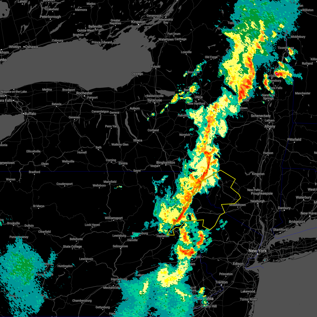 At 756 pm edt, severe thunderstorms were located along a line extending from corbett to near bear creek, moving northeast at 50 mph (radar indicated). Hazards include 60 mph wind gusts and quarter size hail. Hail damage to vehicles is expected. Expect wind damage to roofs, siding, and trees. At 756 pm edt, severe thunderstorms were located along a line extending from corbett to near bear creek, moving northeast at 50 mph (radar indicated). Hazards include 60 mph wind gusts and quarter size hail. Hail damage to vehicles is expected. Expect wind damage to roofs, siding, and trees.
|
| 4/28/2021 8:21 PM EDT |
 At 820 pm edt, severe thunderstorms were located along a line extending from near glen spey to near hainesville to near dingmans ferry to near flatbrookville, moving east at 50 mph (law enforcement. trees and powerlines continue to be reported blown down with this line of thunderstorms). Hazards include 60 mph wind gusts. Expect damage to roofs, siding, and trees. Locations impacted include, bushkill, matamoras, milford, oakland, glen spey, dingmans ferry, highland lake, millrift, hartwood and twin lakes. At 820 pm edt, severe thunderstorms were located along a line extending from near glen spey to near hainesville to near dingmans ferry to near flatbrookville, moving east at 50 mph (law enforcement. trees and powerlines continue to be reported blown down with this line of thunderstorms). Hazards include 60 mph wind gusts. Expect damage to roofs, siding, and trees. Locations impacted include, bushkill, matamoras, milford, oakland, glen spey, dingmans ferry, highland lake, millrift, hartwood and twin lakes.
|
| 4/28/2021 8:21 PM EDT |
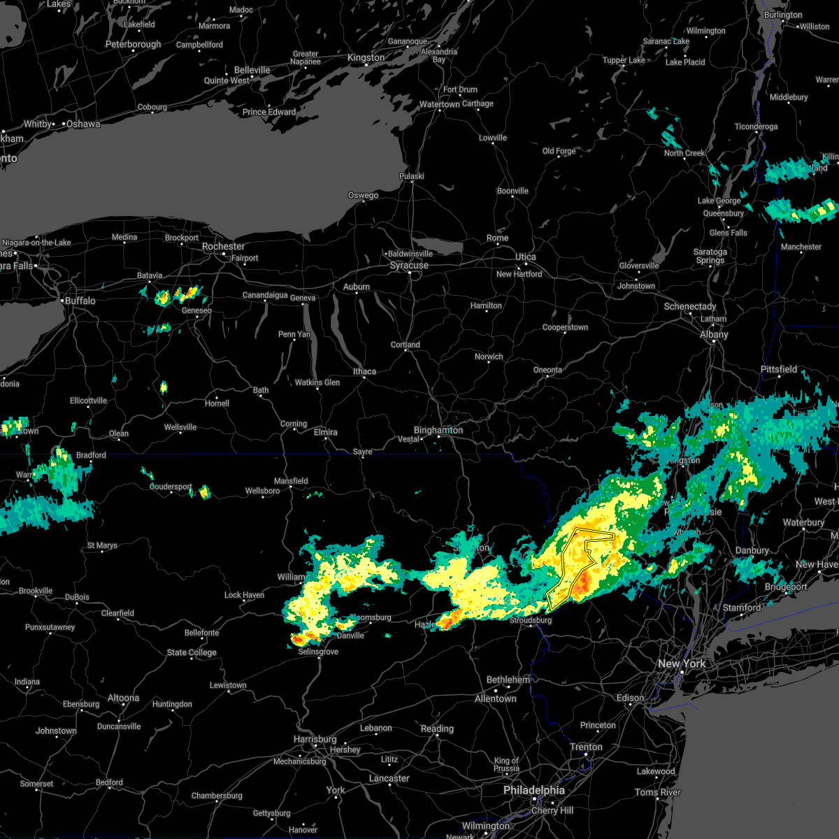 At 820 pm edt, severe thunderstorms were located along a line extending from near glen spey to near hainesville to near dingmans ferry to near flatbrookville, moving east at 50 mph (law enforcement. trees and powerlines continue to be reported blown down with this line of thunderstorms). Hazards include 60 mph wind gusts. Expect damage to roofs, siding, and trees. Locations impacted include, bushkill, matamoras, milford, oakland, glen spey, dingmans ferry, highland lake, millrift, hartwood and twin lakes. At 820 pm edt, severe thunderstorms were located along a line extending from near glen spey to near hainesville to near dingmans ferry to near flatbrookville, moving east at 50 mph (law enforcement. trees and powerlines continue to be reported blown down with this line of thunderstorms). Hazards include 60 mph wind gusts. Expect damage to roofs, siding, and trees. Locations impacted include, bushkill, matamoras, milford, oakland, glen spey, dingmans ferry, highland lake, millrift, hartwood and twin lakes.
|
| 4/28/2021 8:09 PM EDT |
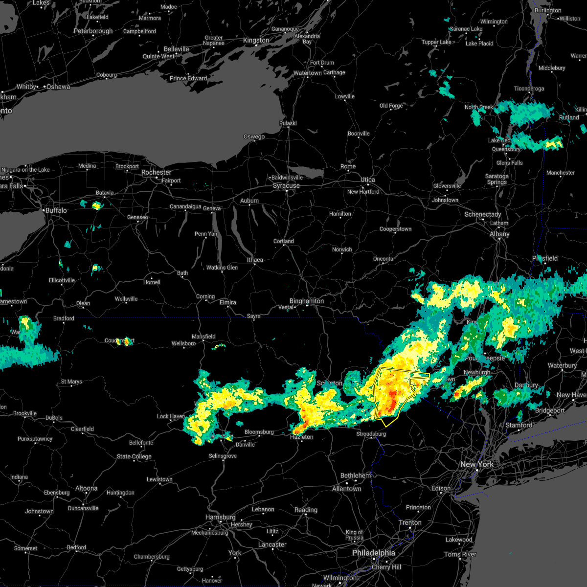 At 807 pm edt, severe thunderstorms were located along a line extending from lackawaxen to 6 miles northwest of dingmans ferry to 6 miles southeast of pecks pond to 7 miles southeast of skytop, moving east at 50 mph (law enforcement. trees and powerlines continue to be reported blown down with this line of thunderstorms). Hazards include 60 mph wind gusts and penny size hail. Expect damage to roofs, siding, and trees. Locations impacted include, bushkill, lackawaxen, shohola, matamoras, tusten, milford, oakland, glen spey, dingmans ferry and millrift. At 807 pm edt, severe thunderstorms were located along a line extending from lackawaxen to 6 miles northwest of dingmans ferry to 6 miles southeast of pecks pond to 7 miles southeast of skytop, moving east at 50 mph (law enforcement. trees and powerlines continue to be reported blown down with this line of thunderstorms). Hazards include 60 mph wind gusts and penny size hail. Expect damage to roofs, siding, and trees. Locations impacted include, bushkill, lackawaxen, shohola, matamoras, tusten, milford, oakland, glen spey, dingmans ferry and millrift.
|
| 4/28/2021 7:57 PM EDT |
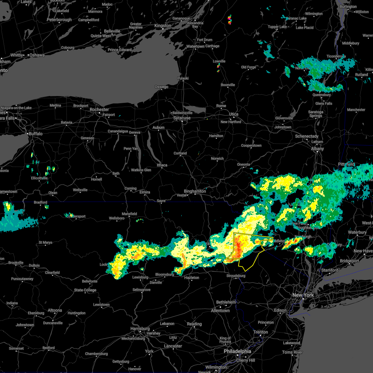 At 756 pm edt, severe thunderstorms were located along a line extending from near hawley to near pecks pond to near skytop, moving east at 50 mph (radar indicated. trees and powerlines continue to be reported blown down with this line of thunderstorms). Hazards include 70 mph wind gusts and penny size hail. Expect considerable tree damage. Damage is likely to mobile homes, roofs, and outbuildings. At 756 pm edt, severe thunderstorms were located along a line extending from near hawley to near pecks pond to near skytop, moving east at 50 mph (radar indicated. trees and powerlines continue to be reported blown down with this line of thunderstorms). Hazards include 70 mph wind gusts and penny size hail. Expect considerable tree damage. Damage is likely to mobile homes, roofs, and outbuildings.
|
| 4/28/2021 7:57 PM EDT |
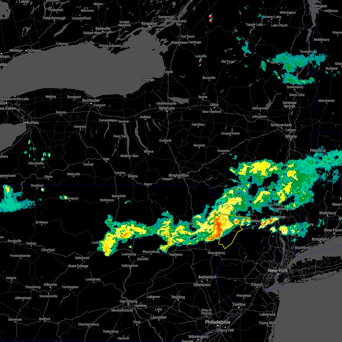 At 756 pm edt, severe thunderstorms were located along a line extending from near hawley to near pecks pond to near skytop, moving east at 50 mph (radar indicated. trees and powerlines continue to be reported blown down with this line of thunderstorms). Hazards include 70 mph wind gusts and penny size hail. Expect considerable tree damage. Damage is likely to mobile homes, roofs, and outbuildings. At 756 pm edt, severe thunderstorms were located along a line extending from near hawley to near pecks pond to near skytop, moving east at 50 mph (radar indicated. trees and powerlines continue to be reported blown down with this line of thunderstorms). Hazards include 70 mph wind gusts and penny size hail. Expect considerable tree damage. Damage is likely to mobile homes, roofs, and outbuildings.
|
| 11/15/2020 7:29 PM EST |
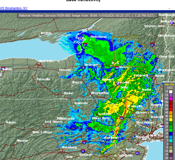 At 728 pm est, severe thunderstorms were located along a line extending from near willowemoc to near greeley, moving northeast at 65 mph (radar indicated). Hazards include 60 mph wind gusts. Expect damage to roofs, siding, and trees. Locations impacted include, fallsburg, bushkill, monticello, liberty, neversink, south fallsburg, shohola, matamoras, wurtsboro and milford. At 728 pm est, severe thunderstorms were located along a line extending from near willowemoc to near greeley, moving northeast at 65 mph (radar indicated). Hazards include 60 mph wind gusts. Expect damage to roofs, siding, and trees. Locations impacted include, fallsburg, bushkill, monticello, liberty, neversink, south fallsburg, shohola, matamoras, wurtsboro and milford.
|
| 11/15/2020 7:20 PM EST |
 At 718 pm est, intense showers and embedded severe thunderstorms were located along a line extending from near dingmans ferry to harmony to near ottsville to near pottstown, moving east at 60 mph. this line may contain little or no lightning. do not wait until you hear thunder before taking cover (radar indicated). Hazards include 60 mph wind gusts. Damage to roofs, siding, trees, and power lines is possible. locations impacted include, easton, newton, montague, bethlehem, pottstown, dover, phoenixville, lansdale, west norriton, hopatcong, forks, east norriton, east stroudsburg, hackettstown, quakertown, perkasie, doylestown, byram, wilson and hatboro. this includes the following highways, pennsylvania turnpike between mile markers 342 and 347. northeast extension between mile markers 23 and 48. interstate 78 in pennsylvania between mile markers 62 and 76. interstate 78 in new jersey between mile markers 0 and 25. interstate 80 in pennsylvania between mile markers 309 and 314. Interstate 80 in new jersey between mile markers 0 and 38. At 718 pm est, intense showers and embedded severe thunderstorms were located along a line extending from near dingmans ferry to harmony to near ottsville to near pottstown, moving east at 60 mph. this line may contain little or no lightning. do not wait until you hear thunder before taking cover (radar indicated). Hazards include 60 mph wind gusts. Damage to roofs, siding, trees, and power lines is possible. locations impacted include, easton, newton, montague, bethlehem, pottstown, dover, phoenixville, lansdale, west norriton, hopatcong, forks, east norriton, east stroudsburg, hackettstown, quakertown, perkasie, doylestown, byram, wilson and hatboro. this includes the following highways, pennsylvania turnpike between mile markers 342 and 347. northeast extension between mile markers 23 and 48. interstate 78 in pennsylvania between mile markers 62 and 76. interstate 78 in new jersey between mile markers 0 and 25. interstate 80 in pennsylvania between mile markers 309 and 314. Interstate 80 in new jersey between mile markers 0 and 38.
|
| 11/15/2020 7:11 PM EST |
 At 710 pm est, severe thunderstorms were located along a line extending from near jeffersonville to mountainhome, moving northeast at 65 mph (radar indicated). Hazards include 60 mph wind gusts. expect damage to roofs, siding, and trees At 710 pm est, severe thunderstorms were located along a line extending from near jeffersonville to mountainhome, moving northeast at 65 mph (radar indicated). Hazards include 60 mph wind gusts. expect damage to roofs, siding, and trees
|
| 11/15/2020 7:11 PM EST |
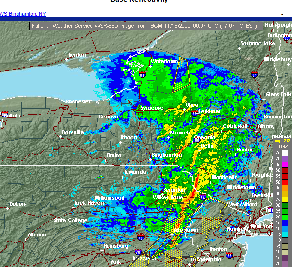 At 710 pm est, severe thunderstorms were located along a line extending from near jeffersonville to mountainhome, moving northeast at 65 mph (radar indicated). Hazards include 60 mph wind gusts. expect damage to roofs, siding, and trees At 710 pm est, severe thunderstorms were located along a line extending from near jeffersonville to mountainhome, moving northeast at 65 mph (radar indicated). Hazards include 60 mph wind gusts. expect damage to roofs, siding, and trees
|
| 11/15/2020 6:44 PM EST |
 At 643 pm est, intense showers and some embedded severe thunderstorms were located along a line extending from near sterling to near jordan valley to near fleetwood to near terre hill, moving northeast at 70 mph. this line may contain little or no lightning. do not wait until you hear thunder before taking cover (radar indicated). Hazards include 60 mph wind gusts. damage to roofs, siding, trees, and power lines is possible At 643 pm est, intense showers and some embedded severe thunderstorms were located along a line extending from near sterling to near jordan valley to near fleetwood to near terre hill, moving northeast at 70 mph. this line may contain little or no lightning. do not wait until you hear thunder before taking cover (radar indicated). Hazards include 60 mph wind gusts. damage to roofs, siding, trees, and power lines is possible
|
| 8/18/2020 1:09 AM EDT |
 At 109 am edt, severe thunderstorms were located along a line extending from near dingmans ferry to near hope to near forks, moving east at 60 mph (radar indicated). Hazards include 60 mph wind gusts and quarter size hail. Hail damage to vehicles is expected. Expect wind damage to roofs, siding, and trees. At 109 am edt, severe thunderstorms were located along a line extending from near dingmans ferry to near hope to near forks, moving east at 60 mph (radar indicated). Hazards include 60 mph wind gusts and quarter size hail. Hail damage to vehicles is expected. Expect wind damage to roofs, siding, and trees.
|
| 7/22/2020 6:06 PM EDT |
 The severe thunderstorm warning for west central morris, northwestern hunterdon, southwestern sussex, warren, north central bucks, east central monroe and eastern northampton counties will expire at 615 pm edt, the storm which prompted the warning has weakened below severe limits, and has exited the warned area. therefore, the warning will be allowed to expire. however gusty winds and heavy rain are still possible with this thunderstorm. a severe thunderstorm watch remains in effect until 1000 pm edt for northern and northwestern new jersey, and eastern, southeastern and northeastern pennsylvania. The severe thunderstorm warning for west central morris, northwestern hunterdon, southwestern sussex, warren, north central bucks, east central monroe and eastern northampton counties will expire at 615 pm edt, the storm which prompted the warning has weakened below severe limits, and has exited the warned area. therefore, the warning will be allowed to expire. however gusty winds and heavy rain are still possible with this thunderstorm. a severe thunderstorm watch remains in effect until 1000 pm edt for northern and northwestern new jersey, and eastern, southeastern and northeastern pennsylvania.
|
| 7/22/2020 5:35 PM EDT |
 The severe thunderstorm warning for east central berks, southeastern lehigh, northwestern bucks, central monroe and northampton counties will expire at 545 pm edt, the storms which prompted the warning have moved out of the area. therefore, the warning will be allowed to expire. however, gusty winds and heavy rain are still possible with these thunderstorms. a severe thunderstorm watch remains in effect until 1000 pm edt for northwestern new jersey, and eastern, southeastern and northeastern pennsylvania. The severe thunderstorm warning for east central berks, southeastern lehigh, northwestern bucks, central monroe and northampton counties will expire at 545 pm edt, the storms which prompted the warning have moved out of the area. therefore, the warning will be allowed to expire. however, gusty winds and heavy rain are still possible with these thunderstorms. a severe thunderstorm watch remains in effect until 1000 pm edt for northwestern new jersey, and eastern, southeastern and northeastern pennsylvania.
|
| 7/22/2020 5:16 PM EDT |
 At 515 pm edt, a severe thunderstorm was located near oxford, or 17 miles southwest of newton, moving northeast at 15 mph (radar indicated). Hazards include 70 mph wind gusts and penny size hail. Expect considerable tree damage. Damage is likely to mobile homes, roofs, and outbuildings. At 515 pm edt, a severe thunderstorm was located near oxford, or 17 miles southwest of newton, moving northeast at 15 mph (radar indicated). Hazards include 70 mph wind gusts and penny size hail. Expect considerable tree damage. Damage is likely to mobile homes, roofs, and outbuildings.
|
| 7/22/2020 5:16 PM EDT |
 At 515 pm edt, severe thunderstorms were located along a line extending from near analomink to near emmaus, moving east at 25 mph (law enforcement. several reports of wind damage have been received from lehigh and northampton counties with these storms). Hazards include 70 mph wind gusts and penny size hail. Expect considerable tree damage. damage is likely to mobile homes, roofs, and outbuildings. locations impacted include, allentown, easton, bethlehem, forks, emmaus, northampton, east stroudsburg, wilson, hellertown, nazareth, bangor, pen argyl, wind gap, bath, belfast, west easton, tatamy, east bangor, steuben and glendon. this includes the following highways, northeast extension between mile markers 47 and 57. interstate 78 in pennsylvania between mile markers 54 and 76. interstate 80 in pennsylvania between mile markers 299 and 314. Interstate 80 in new jersey near mile marker 3. At 515 pm edt, severe thunderstorms were located along a line extending from near analomink to near emmaus, moving east at 25 mph (law enforcement. several reports of wind damage have been received from lehigh and northampton counties with these storms). Hazards include 70 mph wind gusts and penny size hail. Expect considerable tree damage. damage is likely to mobile homes, roofs, and outbuildings. locations impacted include, allentown, easton, bethlehem, forks, emmaus, northampton, east stroudsburg, wilson, hellertown, nazareth, bangor, pen argyl, wind gap, bath, belfast, west easton, tatamy, east bangor, steuben and glendon. this includes the following highways, northeast extension between mile markers 47 and 57. interstate 78 in pennsylvania between mile markers 54 and 76. interstate 80 in pennsylvania between mile markers 299 and 314. Interstate 80 in new jersey near mile marker 3.
|
| 7/22/2020 4:49 PM EDT |
 At 449 pm edt, severe thunderstorms were located along a line extending from sun valley to topton, moving east at 25 mph (law enforcement. several reports of wind damage have been received from these storms). Hazards include 70 mph wind gusts and penny size hail. Expect considerable tree damage. Damage is likely to mobile homes, roofs, and outbuildings. At 449 pm edt, severe thunderstorms were located along a line extending from sun valley to topton, moving east at 25 mph (law enforcement. several reports of wind damage have been received from these storms). Hazards include 70 mph wind gusts and penny size hail. Expect considerable tree damage. Damage is likely to mobile homes, roofs, and outbuildings.
|
| 7/22/2020 3:11 PM EDT |
 The severe thunderstorm warning for south central pike county will expire at 315 pm edt, the storm which prompted the warning has moved out of the area. therefore, the warning will be allowed to expire. a severe thunderstorm watch remains in effect until 1000 pm edt for northeastern pennsylvania. to report severe weather, contact your nearest law enforcement agency. they will relay your report to the national weather service binghamton. remember, a severe thunderstorm warning still remains in effect for eastern portions of pike county until 345 pm. The severe thunderstorm warning for south central pike county will expire at 315 pm edt, the storm which prompted the warning has moved out of the area. therefore, the warning will be allowed to expire. a severe thunderstorm watch remains in effect until 1000 pm edt for northeastern pennsylvania. to report severe weather, contact your nearest law enforcement agency. they will relay your report to the national weather service binghamton. remember, a severe thunderstorm warning still remains in effect for eastern portions of pike county until 345 pm.
|
| 7/22/2020 2:57 PM EDT |
 At 257 pm edt, a severe thunderstorm was located near dingmans ferry, or 11 miles southwest of montague, moving northeast at 30 mph (law enforcement. numerous downed trees were reported from this storm as it moved through tannersville). Hazards include ping pong ball size hail and 60 mph wind gusts. People and animals outdoors will be injured. expect hail damage to roofs, siding, windows, and vehicles. expect wind damage to roofs, siding, and trees. Locations impacted include, dingmans ferry and tamiment. At 257 pm edt, a severe thunderstorm was located near dingmans ferry, or 11 miles southwest of montague, moving northeast at 30 mph (law enforcement. numerous downed trees were reported from this storm as it moved through tannersville). Hazards include ping pong ball size hail and 60 mph wind gusts. People and animals outdoors will be injured. expect hail damage to roofs, siding, windows, and vehicles. expect wind damage to roofs, siding, and trees. Locations impacted include, dingmans ferry and tamiment.
|
| 7/22/2020 2:37 PM EDT |
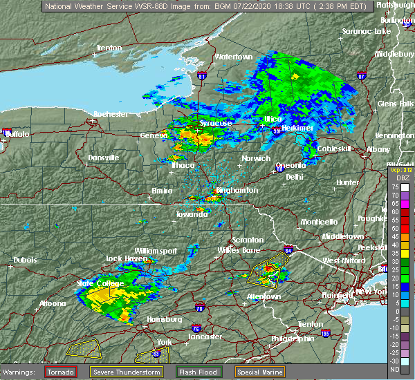 At 218 pm edt, a severe thunderstorm was located over analomink, or near mount pocono, moving northeast at 25 mph (radar indicated). Hazards include ping pong ball size hail and 60 mph wind gusts. People and animals outdoors will be injured. expect hail damage to roofs, siding, windows, and vehicles. Expect wind damage to roofs, siding, and trees. At 218 pm edt, a severe thunderstorm was located over analomink, or near mount pocono, moving northeast at 25 mph (radar indicated). Hazards include ping pong ball size hail and 60 mph wind gusts. People and animals outdoors will be injured. expect hail damage to roofs, siding, windows, and vehicles. Expect wind damage to roofs, siding, and trees.
|
| 7/22/2020 2:19 PM EDT |
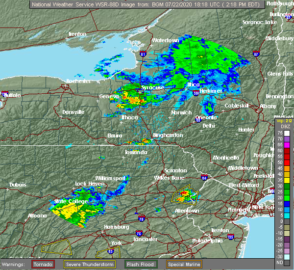 At 218 pm edt, a severe thunderstorm was located over analomink, or near mount pocono, moving northeast at 25 mph (radar indicated). Hazards include ping pong ball size hail and 60 mph wind gusts. People and animals outdoors will be injured. expect hail damage to roofs, siding, windows, and vehicles. Expect wind damage to roofs, siding, and trees. At 218 pm edt, a severe thunderstorm was located over analomink, or near mount pocono, moving northeast at 25 mph (radar indicated). Hazards include ping pong ball size hail and 60 mph wind gusts. People and animals outdoors will be injured. expect hail damage to roofs, siding, windows, and vehicles. Expect wind damage to roofs, siding, and trees.
|
| 7/6/2020 7:48 PM EDT |
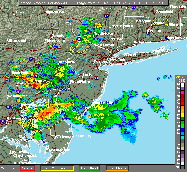 At 747 pm edt, a severe thunderstorm was located over dingmans ferry, or near montague, moving southeast at 15 mph (radar indicated). Hazards include 60 mph wind gusts and quarter size hail. Minor damage to vehicles is possible. wind damage to roofs, siding, trees, and power lines is possible. Locations impacted include, newton, blairstown, franklin, ogdensburg, branchville, andover, flatbrookville, werry lake, greendell, millbrook, five points, crandon lakes, echo lake, hainesville, lake mohawk and hidden lake. At 747 pm edt, a severe thunderstorm was located over dingmans ferry, or near montague, moving southeast at 15 mph (radar indicated). Hazards include 60 mph wind gusts and quarter size hail. Minor damage to vehicles is possible. wind damage to roofs, siding, trees, and power lines is possible. Locations impacted include, newton, blairstown, franklin, ogdensburg, branchville, andover, flatbrookville, werry lake, greendell, millbrook, five points, crandon lakes, echo lake, hainesville, lake mohawk and hidden lake.
|
| 7/6/2020 7:18 PM EDT |
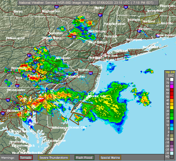 At 716 pm edt, a severe thunderstorm was located near greeley, or 7 miles northwest of montague, moving southeast at 15 mph (radar indicated). Hazards include 60 mph wind gusts and half dollar size hail. Minor damage to vehicles is possible. Wind damage to roofs, siding, trees, and power lines is possible. At 716 pm edt, a severe thunderstorm was located near greeley, or 7 miles northwest of montague, moving southeast at 15 mph (radar indicated). Hazards include 60 mph wind gusts and half dollar size hail. Minor damage to vehicles is possible. Wind damage to roofs, siding, trees, and power lines is possible.
|
| 6/28/2020 3:01 PM EDT |
 At 301 pm edt, severe thunderstorms were located along a line extending from prompton to elmhurst, moving southeast at 20 mph (radar indicated). Hazards include 60 mph wind gusts and half dollar size hail. Hail damage to vehicles is expected. Expect wind damage to roofs, siding, and trees. At 301 pm edt, severe thunderstorms were located along a line extending from prompton to elmhurst, moving southeast at 20 mph (radar indicated). Hazards include 60 mph wind gusts and half dollar size hail. Hail damage to vehicles is expected. Expect wind damage to roofs, siding, and trees.
|
| 6/28/2020 3:01 PM EDT |
 The national weather service in binghamton has issued a * severe thunderstorm warning for. southwestern sullivan county in central new york. east central lackawanna county in northeastern pennsylvania. southern wayne county in northeastern pennsylvania. Pike county in northeastern pennsylvania. The national weather service in binghamton has issued a * severe thunderstorm warning for. southwestern sullivan county in central new york. east central lackawanna county in northeastern pennsylvania. southern wayne county in northeastern pennsylvania. Pike county in northeastern pennsylvania.
|
| 6/3/2020 7:51 PM EDT |
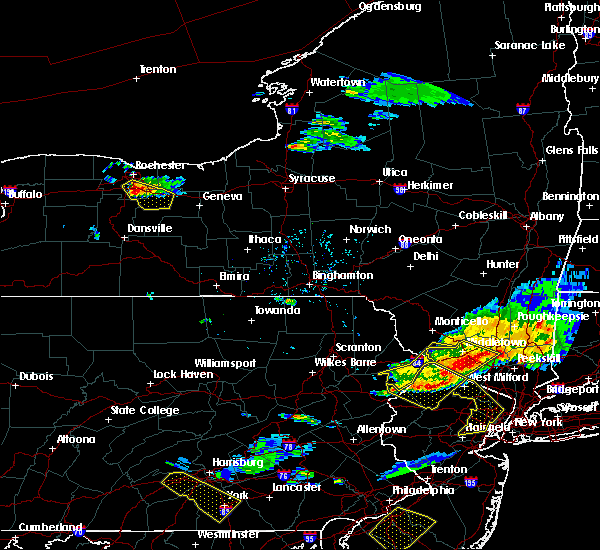 The severe thunderstorm warning for southeastern sullivan and southern pike counties will expire at 800 pm edt, the storms which prompted the warning have moved out of the area. therefore, the warning will be allowed to expire. The severe thunderstorm warning for southeastern sullivan and southern pike counties will expire at 800 pm edt, the storms which prompted the warning have moved out of the area. therefore, the warning will be allowed to expire.
|
| 6/3/2020 7:38 PM EDT |
 At 738 pm edt, severe thunderstorms were located along a line extending from near otisville to near dingmans ferry to canadensis, moving southeast at 50 mph (radar indicated). Hazards include 60 mph wind gusts. Expect damage to roofs, siding, and trees. Locations impacted include, port jervis, bushkill, matamoras, otisville, milford, dingmans ferry, millrift, hartwood, oakland and basha kill. At 738 pm edt, severe thunderstorms were located along a line extending from near otisville to near dingmans ferry to canadensis, moving southeast at 50 mph (radar indicated). Hazards include 60 mph wind gusts. Expect damage to roofs, siding, and trees. Locations impacted include, port jervis, bushkill, matamoras, otisville, milford, dingmans ferry, millrift, hartwood, oakland and basha kill.
|
| 6/3/2020 7:38 PM EDT |
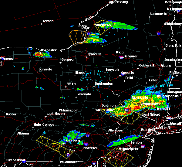 At 738 pm edt, severe thunderstorms were located along a line extending from near otisville to near dingmans ferry to canadensis, moving southeast at 50 mph (radar indicated). Hazards include 60 mph wind gusts. Expect damage to roofs, siding, and trees. Locations impacted include, port jervis, bushkill, matamoras, otisville, milford, dingmans ferry, millrift, hartwood, oakland and basha kill. At 738 pm edt, severe thunderstorms were located along a line extending from near otisville to near dingmans ferry to canadensis, moving southeast at 50 mph (radar indicated). Hazards include 60 mph wind gusts. Expect damage to roofs, siding, and trees. Locations impacted include, port jervis, bushkill, matamoras, otisville, milford, dingmans ferry, millrift, hartwood, oakland and basha kill.
|
| 6/3/2020 7:15 PM EDT |
 At 714 pm edt, severe thunderstorms were located along a line extending from near hartwood to blooming grove to moscow, moving southeast at 40 mph (radar indicated). Hazards include 60 mph wind gusts. Expect damage to roofs, siding, and trees. Locations impacted include, scranton, port jervis, bushkill, moosic, lackawaxen, blooming grove, paupack, shohola, matamoras and moscow. At 714 pm edt, severe thunderstorms were located along a line extending from near hartwood to blooming grove to moscow, moving southeast at 40 mph (radar indicated). Hazards include 60 mph wind gusts. Expect damage to roofs, siding, and trees. Locations impacted include, scranton, port jervis, bushkill, moosic, lackawaxen, blooming grove, paupack, shohola, matamoras and moscow.
|
| 6/3/2020 7:15 PM EDT |
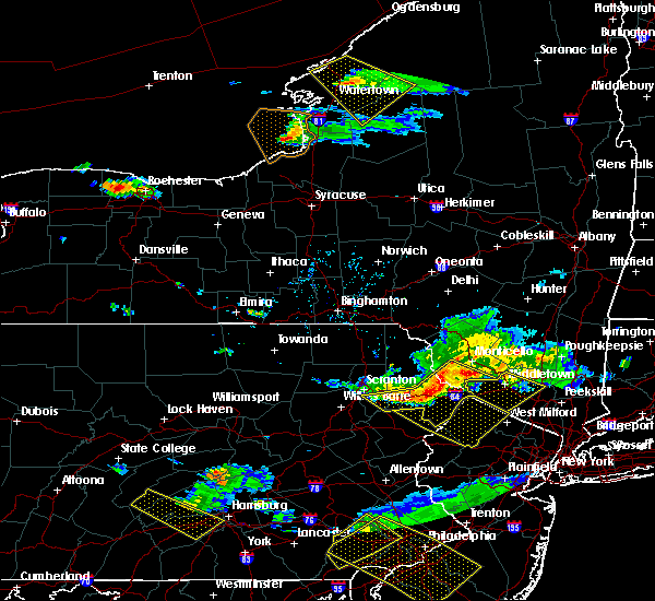 At 714 pm edt, severe thunderstorms were located along a line extending from near hartwood to blooming grove to moscow, moving southeast at 40 mph (radar indicated). Hazards include 60 mph wind gusts. Expect damage to roofs, siding, and trees. Locations impacted include, scranton, port jervis, bushkill, moosic, lackawaxen, blooming grove, paupack, shohola, matamoras and moscow. At 714 pm edt, severe thunderstorms were located along a line extending from near hartwood to blooming grove to moscow, moving southeast at 40 mph (radar indicated). Hazards include 60 mph wind gusts. Expect damage to roofs, siding, and trees. Locations impacted include, scranton, port jervis, bushkill, moosic, lackawaxen, blooming grove, paupack, shohola, matamoras and moscow.
|
| 6/3/2020 6:53 PM EDT |
 At 653 pm edt, severe thunderstorms were located along a line extending from near fosterdale to near lake ariel to near clarks summit, moving southeast at 50 mph (radar indicated). Hazards include 60 mph wind gusts. expect damage to roofs, siding, and trees At 653 pm edt, severe thunderstorms were located along a line extending from near fosterdale to near lake ariel to near clarks summit, moving southeast at 50 mph (radar indicated). Hazards include 60 mph wind gusts. expect damage to roofs, siding, and trees
|
| 10/31/2019 9:51 PM EDT |
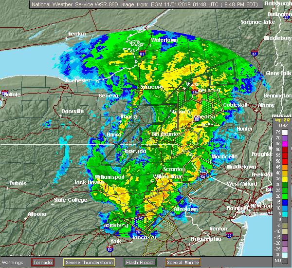 The severe thunderstorm warning for southwestern sullivan, southeastern wayne and pike counties will expire at 1000 pm edt, the storm which prompted the warning has weakened below severe limits, and no longer poses an immediate threat to life or property. therefore, the warning will be allowed to expire. however gusty winds and heavy rain are still possible with this thunderstorm. a severe thunderstorm watch remains in effect until 200 am edt for central new york, and northeastern pennsylvania. The severe thunderstorm warning for southwestern sullivan, southeastern wayne and pike counties will expire at 1000 pm edt, the storm which prompted the warning has weakened below severe limits, and no longer poses an immediate threat to life or property. therefore, the warning will be allowed to expire. however gusty winds and heavy rain are still possible with this thunderstorm. a severe thunderstorm watch remains in effect until 200 am edt for central new york, and northeastern pennsylvania.
|
| 10/31/2019 9:43 PM EDT |
 At 942 pm edt, a severe thunderstorm was located near greeley, or 8 miles northwest of montague, moving northeast at 60 mph (radar indicated). Hazards include 60 mph wind gusts. Expect damage to roofs, siding, and trees. Locations impacted include, port jervis, bushkill, lackawaxen, blooming grove, bethel, paupack, damascus, shohola, matamoras and tusten. At 942 pm edt, a severe thunderstorm was located near greeley, or 8 miles northwest of montague, moving northeast at 60 mph (radar indicated). Hazards include 60 mph wind gusts. Expect damage to roofs, siding, and trees. Locations impacted include, port jervis, bushkill, lackawaxen, blooming grove, bethel, paupack, damascus, shohola, matamoras and tusten.
|
| 10/31/2019 9:26 PM EDT |
 At 926 pm edt, severe thunderstorms were located along a line extending from near skytop to akron, moving northeast at 50 mph (radar indicated). Hazards include 60 mph wind gusts. Damage to roofs, siding, trees, and power lines is possible. locations impacted include, reading, lehighton, mount pocono, wyomissing, northampton, east stroudsburg, tobyhanna, palmerton, kutztown, jim thorpe, hamburg, slatington, fleetwood, sinking spring, laureldale, nesquehoning, womelsdorf, weatherly, wernersville and newmanstown. this includes the following highways, interstate 80 in pennsylvania between mile markers 277 and 310. Interstate 78 in pennsylvania between mile markers 10 and 53. At 926 pm edt, severe thunderstorms were located along a line extending from near skytop to akron, moving northeast at 50 mph (radar indicated). Hazards include 60 mph wind gusts. Damage to roofs, siding, trees, and power lines is possible. locations impacted include, reading, lehighton, mount pocono, wyomissing, northampton, east stroudsburg, tobyhanna, palmerton, kutztown, jim thorpe, hamburg, slatington, fleetwood, sinking spring, laureldale, nesquehoning, womelsdorf, weatherly, wernersville and newmanstown. this includes the following highways, interstate 80 in pennsylvania between mile markers 277 and 310. Interstate 78 in pennsylvania between mile markers 10 and 53.
|
| 10/31/2019 9:20 PM EDT |
 At 920 pm edt, a severe thunderstorm was located over mountainhome, or near mount pocono, moving northeast at 60 mph (radar indicated). Hazards include 60 mph wind gusts. expect damage to roofs, siding, and trees At 920 pm edt, a severe thunderstorm was located over mountainhome, or near mount pocono, moving northeast at 60 mph (radar indicated). Hazards include 60 mph wind gusts. expect damage to roofs, siding, and trees
|
| 10/31/2019 9:20 PM EDT |
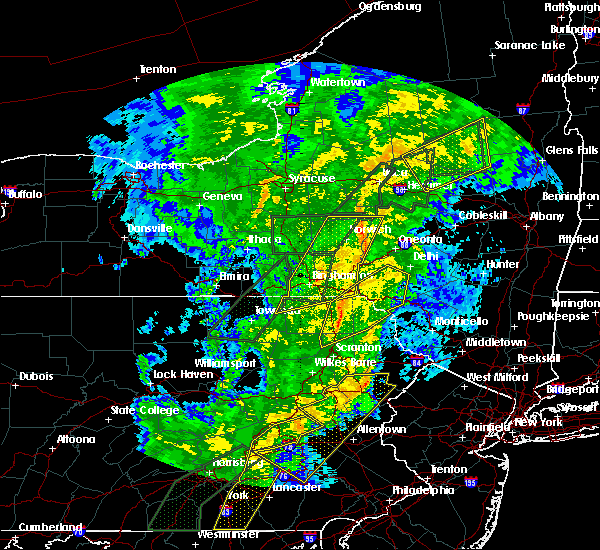 At 920 pm edt, a severe thunderstorm was located over mountainhome, or near mount pocono, moving northeast at 60 mph (radar indicated). Hazards include 60 mph wind gusts. expect damage to roofs, siding, and trees At 920 pm edt, a severe thunderstorm was located over mountainhome, or near mount pocono, moving northeast at 60 mph (radar indicated). Hazards include 60 mph wind gusts. expect damage to roofs, siding, and trees
|
| 10/31/2019 8:58 PM EDT |
 At 857 pm edt, severe thunderstorms were located along a line extending from albrightsville to windsor, moving northeast at 50 mph (radar indicated). Hazards include 60 mph wind gusts. damage to roofs, siding, trees, and power lines is possible At 857 pm edt, severe thunderstorms were located along a line extending from albrightsville to windsor, moving northeast at 50 mph (radar indicated). Hazards include 60 mph wind gusts. damage to roofs, siding, trees, and power lines is possible
|
| 8/18/2019 6:40 PM EDT |
 The national weather service in mount holly nj has issued a * severe thunderstorm warning for. morris county in northern new jersey. northeastern hunterdon county in northwestern new jersey. sussex county in northwestern new jersey. Warren county in northwestern new jersey. The national weather service in mount holly nj has issued a * severe thunderstorm warning for. morris county in northern new jersey. northeastern hunterdon county in northwestern new jersey. sussex county in northwestern new jersey. Warren county in northwestern new jersey.
|
| 8/8/2019 6:11 PM EDT |
 The severe thunderstorm warning for southern sullivan, southeastern lackawanna, southern wayne, east central luzerne and pike counties will expire at 615 pm edt, the storms which prompted the warning have weakened below severe limits, and are exiting the warned area. therefore, the warning will be allowed to expire. however gusty winds are still possible with these thunderstorms. The severe thunderstorm warning for southern sullivan, southeastern lackawanna, southern wayne, east central luzerne and pike counties will expire at 615 pm edt, the storms which prompted the warning have weakened below severe limits, and are exiting the warned area. therefore, the warning will be allowed to expire. however gusty winds are still possible with these thunderstorms.
|
| 8/8/2019 6:11 PM EDT |
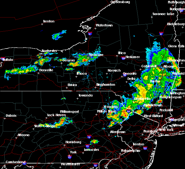 The severe thunderstorm warning for southern sullivan, southeastern lackawanna, southern wayne, east central luzerne and pike counties will expire at 615 pm edt, the storms which prompted the warning have weakened below severe limits, and are exiting the warned area. therefore, the warning will be allowed to expire. however gusty winds are still possible with these thunderstorms. The severe thunderstorm warning for southern sullivan, southeastern lackawanna, southern wayne, east central luzerne and pike counties will expire at 615 pm edt, the storms which prompted the warning have weakened below severe limits, and are exiting the warned area. therefore, the warning will be allowed to expire. however gusty winds are still possible with these thunderstorms.
|
| 8/8/2019 5:47 PM EDT |
 At 545 pm edt, severe thunderstorms were located along a line extending from near bear creek to near hawley to near rock hill, moving east at 40 mph (radar indicated). Hazards include 60 mph wind gusts and penny size hail. Expect damage to roofs, siding, and trees. Locations impacted include, scranton, fallsburg, port jervis, bushkill, monticello, lackawaxen, blooming grove, paupack, south fallsburg and shohola. At 545 pm edt, severe thunderstorms were located along a line extending from near bear creek to near hawley to near rock hill, moving east at 40 mph (radar indicated). Hazards include 60 mph wind gusts and penny size hail. Expect damage to roofs, siding, and trees. Locations impacted include, scranton, fallsburg, port jervis, bushkill, monticello, lackawaxen, blooming grove, paupack, south fallsburg and shohola.
|
| 8/8/2019 5:47 PM EDT |
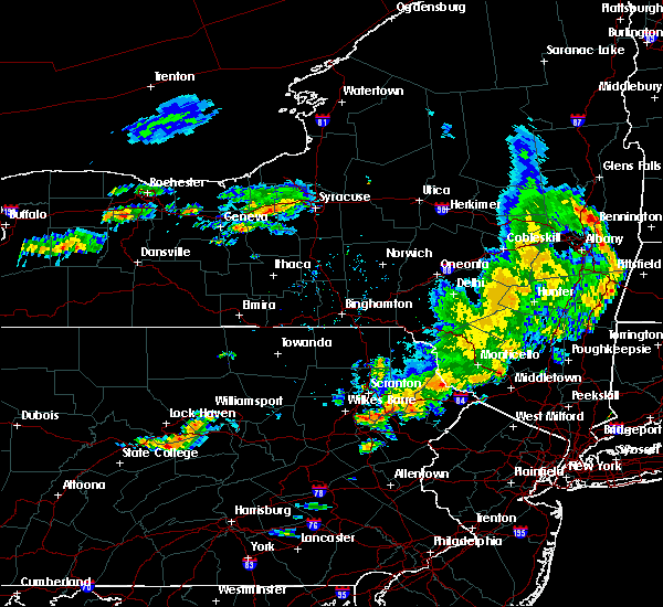 At 545 pm edt, severe thunderstorms were located along a line extending from near bear creek to near hawley to near rock hill, moving east at 40 mph (radar indicated). Hazards include 60 mph wind gusts and penny size hail. Expect damage to roofs, siding, and trees. Locations impacted include, scranton, fallsburg, port jervis, bushkill, monticello, lackawaxen, blooming grove, paupack, south fallsburg and shohola. At 545 pm edt, severe thunderstorms were located along a line extending from near bear creek to near hawley to near rock hill, moving east at 40 mph (radar indicated). Hazards include 60 mph wind gusts and penny size hail. Expect damage to roofs, siding, and trees. Locations impacted include, scranton, fallsburg, port jervis, bushkill, monticello, lackawaxen, blooming grove, paupack, south fallsburg and shohola.
|
| 8/8/2019 5:11 PM EDT |
 At 511 pm edt, severe thunderstorms were located along a line extending from livingston manor to near honesdale to near bear creek village, moving east at 50 mph (radar indicated). Hazards include 60 mph wind gusts and penny size hail. expect damage to roofs, siding, and trees At 511 pm edt, severe thunderstorms were located along a line extending from livingston manor to near honesdale to near bear creek village, moving east at 50 mph (radar indicated). Hazards include 60 mph wind gusts and penny size hail. expect damage to roofs, siding, and trees
|
| 8/7/2019 4:53 PM EDT |
 The severe thunderstorm warning for southwestern morris, northeastern hunterdon, southwestern sussex, warren, northwestern somerset, east central monroe and northeastern northampton counties will expire at 500 pm edt, the storms which prompted the warning have weakened below severe limits, and no longer pose an immediate threat to life or property. therefore, the warning will be allowed to expire. however gusty winds are still possible with these thunderstorms. a severe thunderstorm watch remains in effect until 900 pm edt for northern and northwestern new jersey, and eastern and northeastern pennsylvania. The severe thunderstorm warning for southwestern morris, northeastern hunterdon, southwestern sussex, warren, northwestern somerset, east central monroe and northeastern northampton counties will expire at 500 pm edt, the storms which prompted the warning have weakened below severe limits, and no longer pose an immediate threat to life or property. therefore, the warning will be allowed to expire. however gusty winds are still possible with these thunderstorms. a severe thunderstorm watch remains in effect until 900 pm edt for northern and northwestern new jersey, and eastern and northeastern pennsylvania.
|
| 8/7/2019 4:46 PM EDT |
 At 445 pm edt, severe thunderstorms were located along a line extending from near echo lake to near califon, moving northeast at 30 mph (radar indicated). Hazards include 60 mph wind gusts and penny size hail. Damage to roofs, siding, trees, and power lines is possible. locations impacted include, hackettstown, washington, blairstown, mendham, high bridge, clinton, belvidere, peapack and gladstone, oxford, hope, glen gardner, chester, hampton, lebanon, califon, far hills, bloomsbury, brass castle, werry lake and greendell. This includes interstate 287 in new jersey between mile markers 22 and 26. At 445 pm edt, severe thunderstorms were located along a line extending from near echo lake to near califon, moving northeast at 30 mph (radar indicated). Hazards include 60 mph wind gusts and penny size hail. Damage to roofs, siding, trees, and power lines is possible. locations impacted include, hackettstown, washington, blairstown, mendham, high bridge, clinton, belvidere, peapack and gladstone, oxford, hope, glen gardner, chester, hampton, lebanon, califon, far hills, bloomsbury, brass castle, werry lake and greendell. This includes interstate 287 in new jersey between mile markers 22 and 26.
|
| 8/7/2019 4:14 PM EDT |
 At 413 pm edt, severe thunderstorms were located along a line extending from near pen argyl to near bloomsbury, moving northeast at 30 mph (radar indicated). Hazards include 60 mph wind gusts and penny size hail. damage to roofs, siding, trees, and power lines is possible At 413 pm edt, severe thunderstorms were located along a line extending from near pen argyl to near bloomsbury, moving northeast at 30 mph (radar indicated). Hazards include 60 mph wind gusts and penny size hail. damage to roofs, siding, trees, and power lines is possible
|
| 7/31/2019 5:24 PM EDT |
 At 524 pm edt, a severe thunderstorm was located over bushkill, or 15 miles west of newton, moving northeast at 25 mph (radar indicated). Hazards include 60 mph wind gusts and quarter size hail. Hail damage to vehicles is expected. expect wind damage to roofs, siding, and trees. Locations impacted include, bushkill, dingmans ferry and tamiment. At 524 pm edt, a severe thunderstorm was located over bushkill, or 15 miles west of newton, moving northeast at 25 mph (radar indicated). Hazards include 60 mph wind gusts and quarter size hail. Hail damage to vehicles is expected. expect wind damage to roofs, siding, and trees. Locations impacted include, bushkill, dingmans ferry and tamiment.
|
| 7/31/2019 5:08 PM EDT |
 At 508 pm edt, a severe thunderstorm was located over werry lake, or 16 miles east of mount pocono, moving northeast at 35 mph (radar indicated). Hazards include 60 mph wind gusts and quarter size hail. Hail damage to vehicles is expected. Expect wind damage to roofs, siding, and trees. At 508 pm edt, a severe thunderstorm was located over werry lake, or 16 miles east of mount pocono, moving northeast at 35 mph (radar indicated). Hazards include 60 mph wind gusts and quarter size hail. Hail damage to vehicles is expected. Expect wind damage to roofs, siding, and trees.
|
| 7/6/2019 6:55 PM EDT |
 The severe thunderstorm warning for sussex, warren, berks, lehigh, southeastern carbon, monroe and northampton counties will expire at 700 pm edt, the storms which prompted the warning continue to move to the southeast. a new severe thunderstorm warning is in effect for these counties until 8:00 pm edt. to report severe weather, contact your nearest law enforcement agency. they will relay your report to the national weather service mount holly nj. The severe thunderstorm warning for sussex, warren, berks, lehigh, southeastern carbon, monroe and northampton counties will expire at 700 pm edt, the storms which prompted the warning continue to move to the southeast. a new severe thunderstorm warning is in effect for these counties until 8:00 pm edt. to report severe weather, contact your nearest law enforcement agency. they will relay your report to the national weather service mount holly nj.
|
| 7/6/2019 6:22 PM EDT |
 At 622 pm edt, severe thunderstorms were located along a line extending from near matamoras to beltzville state park to near palmyra, moving southeast at 30 mph (radar indicated). Hazards include 60 mph wind gusts. damage to roofs, siding, trees, and power lines is possible At 622 pm edt, severe thunderstorms were located along a line extending from near matamoras to beltzville state park to near palmyra, moving southeast at 30 mph (radar indicated). Hazards include 60 mph wind gusts. damage to roofs, siding, trees, and power lines is possible
|
| 5/29/2019 4:14 PM EDT |
 At 414 pm edt, a severe thunderstorm was located over greendell, or near newton, moving east at 45 mph (radar indicated). Hazards include 60 mph wind gusts and quarter size hail. Minor damage to vehicles is possible. wind damage to roofs, siding, trees, and power lines is possible. Locations impacted include, newton, hopatcong, east stroudsburg, hackettstown, blairstown, bangor, mount arlington, stanhope, netcong, hope, east bangor, andover, stormville, henryville, lake mohawk, werry lake, greendell, millbrook, delaware water gap and great meadows-vienna. At 414 pm edt, a severe thunderstorm was located over greendell, or near newton, moving east at 45 mph (radar indicated). Hazards include 60 mph wind gusts and quarter size hail. Minor damage to vehicles is possible. wind damage to roofs, siding, trees, and power lines is possible. Locations impacted include, newton, hopatcong, east stroudsburg, hackettstown, blairstown, bangor, mount arlington, stanhope, netcong, hope, east bangor, andover, stormville, henryville, lake mohawk, werry lake, greendell, millbrook, delaware water gap and great meadows-vienna.
|
| 5/29/2019 3:43 PM EDT |
 At 341 pm edt, a severe thunderstorm was located over scotrun, or near mount pocono, moving east at 45 mph (radar indicated). Hazards include 60 mph wind gusts and half dollar size hail. Minor damage to vehicles is possible. Wind damage to roofs, siding, trees, and power lines is possible. At 341 pm edt, a severe thunderstorm was located over scotrun, or near mount pocono, moving east at 45 mph (radar indicated). Hazards include 60 mph wind gusts and half dollar size hail. Minor damage to vehicles is possible. Wind damage to roofs, siding, trees, and power lines is possible.
|
| 5/28/2019 7:37 PM EDT |
 The severe thunderstorm warning for southern pike county will expire at 745 pm edt, the storm which prompted the warning has weakened below severe limits, and no longer poses an immediate threat to life or property. therefore, the warning will be allowed to expire. however gusty winds and heavy rain are still possible with this thunderstorm. a tornado watch remains in effect until 1000 pm edt for northeastern pennsylvania. The severe thunderstorm warning for southern pike county will expire at 745 pm edt, the storm which prompted the warning has weakened below severe limits, and no longer poses an immediate threat to life or property. therefore, the warning will be allowed to expire. however gusty winds and heavy rain are still possible with this thunderstorm. a tornado watch remains in effect until 1000 pm edt for northeastern pennsylvania.
|
| 5/28/2019 7:18 PM EDT |
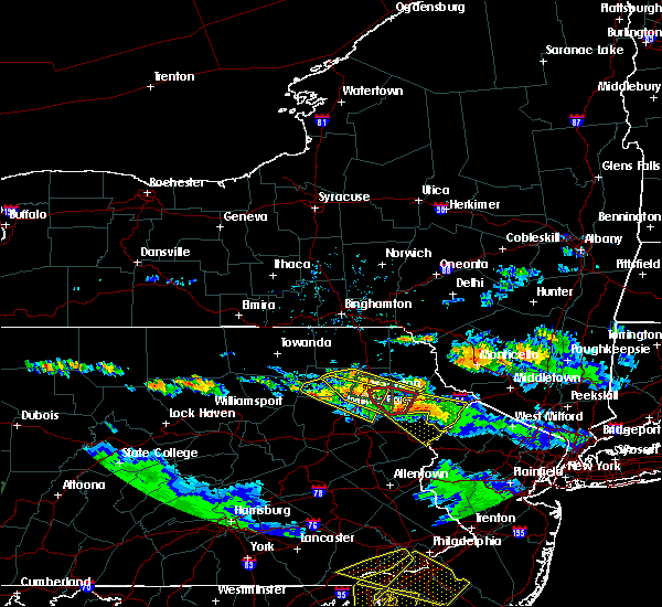 At 718 pm edt, a severe thunderstorm was located near skytop, or 13 miles northeast of mount pocono, moving southeast at 35 mph (radar indicated). Hazards include 60 mph wind gusts and quarter size hail. Hail damage to vehicles is expected. expect wind damage to roofs, siding, and trees. Locations impacted include, bushkill, blooming grove, pecks pond, dingmans ferry, ledgerdale, panther, promised land state park, tamiment and greentown. At 718 pm edt, a severe thunderstorm was located near skytop, or 13 miles northeast of mount pocono, moving southeast at 35 mph (radar indicated). Hazards include 60 mph wind gusts and quarter size hail. Hail damage to vehicles is expected. expect wind damage to roofs, siding, and trees. Locations impacted include, bushkill, blooming grove, pecks pond, dingmans ferry, ledgerdale, panther, promised land state park, tamiment and greentown.
|
| 5/28/2019 7:04 PM EDT |
 At 704 pm edt, a severe thunderstorm was located over greentown, or 12 miles north of mount pocono, moving southeast at 35 mph (radar indicated. numerous reports of damage and large hail have been associated with this severe thunderstorm). Hazards include 60 mph wind gusts and half dollar size hail. Hail damage to vehicles is expected. Expect wind damage to roofs, siding, and trees. At 704 pm edt, a severe thunderstorm was located over greentown, or 12 miles north of mount pocono, moving southeast at 35 mph (radar indicated. numerous reports of damage and large hail have been associated with this severe thunderstorm). Hazards include 60 mph wind gusts and half dollar size hail. Hail damage to vehicles is expected. Expect wind damage to roofs, siding, and trees.
|
| 5/23/2019 9:20 PM EDT |
 At 920 pm edt, a severe thunderstorm capable of producing a tornado was located over pond hill, or 7 miles east of berwick, moving east at 60 mph (radar indicated rotation). Hazards include tornado and quarter size hail. Flying debris will be dangerous to those caught without shelter. mobile homes will be damaged or destroyed. damage to roofs, windows, and vehicles will occur. tree damage is likely. this dangerous storm will be near, drums and mountain top around 925 pm edt. freeland, fairview heights and woodside-drifton around 930 pm edt. bear creek and white haven around 940 pm edt. Stoddartsville and arrowhead lake around 945 pm edt. At 920 pm edt, a severe thunderstorm capable of producing a tornado was located over pond hill, or 7 miles east of berwick, moving east at 60 mph (radar indicated rotation). Hazards include tornado and quarter size hail. Flying debris will be dangerous to those caught without shelter. mobile homes will be damaged or destroyed. damage to roofs, windows, and vehicles will occur. tree damage is likely. this dangerous storm will be near, drums and mountain top around 925 pm edt. freeland, fairview heights and woodside-drifton around 930 pm edt. bear creek and white haven around 940 pm edt. Stoddartsville and arrowhead lake around 945 pm edt.
|
| 5/19/2019 7:55 PM EDT |
 At 718 pm edt, a severe thunderstorm was located over scotrun, or near mount pocono, moving northeast at 40 mph (radar indicated). Hazards include 60 mph wind gusts and quarter size hail. Minor damage to vehicles is possible. wind damage to roofs, siding, trees, and power lines is possible. Locations impacted include, mount pocono, east stroudsburg, tobyhanna, wind gap, stormville, henryville, brodheadsville, werry lake, pocono pines, gilbert, pocono raceway, delaware water gap, skytop, tannersville, mountainhome, alpine mountain, rossland, long pond, sun valley and reeders. At 718 pm edt, a severe thunderstorm was located over scotrun, or near mount pocono, moving northeast at 40 mph (radar indicated). Hazards include 60 mph wind gusts and quarter size hail. Minor damage to vehicles is possible. wind damage to roofs, siding, trees, and power lines is possible. Locations impacted include, mount pocono, east stroudsburg, tobyhanna, wind gap, stormville, henryville, brodheadsville, werry lake, pocono pines, gilbert, pocono raceway, delaware water gap, skytop, tannersville, mountainhome, alpine mountain, rossland, long pond, sun valley and reeders.
|
| 5/19/2019 7:51 PM EDT |
 At 751 pm edt, severe thunderstorms were located along a line extending from near shohola to near milford to dingmans ferry to flatbrookville, moving northeast at 50 mph (radar indicated). Hazards include 60 mph wind gusts and quarter size hail. Hail damage to vehicles is expected. expect wind damage to roofs, siding, and trees. Locations impacted include, fallsburg, port jervis, bushkill, monticello, south fallsburg, shohola, matamoras, wurtsboro, otisville and milford. At 751 pm edt, severe thunderstorms were located along a line extending from near shohola to near milford to dingmans ferry to flatbrookville, moving northeast at 50 mph (radar indicated). Hazards include 60 mph wind gusts and quarter size hail. Hail damage to vehicles is expected. expect wind damage to roofs, siding, and trees. Locations impacted include, fallsburg, port jervis, bushkill, monticello, south fallsburg, shohola, matamoras, wurtsboro, otisville and milford.
|
| 5/19/2019 7:35 PM EDT |
 At 722 pm edt, severe thunderstorms were located along a line extending from skytop to near alpine mountain to reeders to saylorsburg, moving northeast at 40 mph (radar indicated). Hazards include 60 mph wind gusts and quarter size hail. Hail damage to vehicles is expected. Expect wind damage to roofs, siding, and trees. At 722 pm edt, severe thunderstorms were located along a line extending from skytop to near alpine mountain to reeders to saylorsburg, moving northeast at 40 mph (radar indicated). Hazards include 60 mph wind gusts and quarter size hail. Hail damage to vehicles is expected. Expect wind damage to roofs, siding, and trees.
|
| 5/19/2019 7:35 PM EDT |
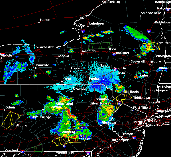 At 722 pm edt, severe thunderstorms were located along a line extending from skytop to near alpine mountain to reeders to saylorsburg, moving northeast at 40 mph (radar indicated). Hazards include 60 mph wind gusts and quarter size hail. Hail damage to vehicles is expected. Expect wind damage to roofs, siding, and trees. At 722 pm edt, severe thunderstorms were located along a line extending from skytop to near alpine mountain to reeders to saylorsburg, moving northeast at 40 mph (radar indicated). Hazards include 60 mph wind gusts and quarter size hail. Hail damage to vehicles is expected. Expect wind damage to roofs, siding, and trees.
|
| 5/19/2019 7:22 PM EDT |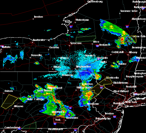
 At 722 pm edt, severe thunderstorms were located along a line extending from skytop to near alpine mountain to reeders to saylorsburg, moving northeast at 40 mph (radar indicated). Hazards include 60 mph wind gusts and quarter size hail. Hail damage to vehicles is expected. Expect wind damage to roofs, siding, and trees. At 722 pm edt, severe thunderstorms were located along a line extending from skytop to near alpine mountain to reeders to saylorsburg, moving northeast at 40 mph (radar indicated). Hazards include 60 mph wind gusts and quarter size hail. Hail damage to vehicles is expected. Expect wind damage to roofs, siding, and trees.
|
| 5/19/2019 7:19 PM EDT |
 At 718 pm edt, a severe thunderstorm was located over scotrun, or near mount pocono, moving northeast at 40 mph (radar indicated). Hazards include 60 mph wind gusts and quarter size hail. Minor damage to vehicles is possible. wind damage to roofs, siding, trees, and power lines is possible. Locations impacted include, mount pocono, east stroudsburg, tobyhanna, wind gap, stormville, henryville, brodheadsville, werry lake, pocono pines, gilbert, pocono raceway, delaware water gap, skytop, tannersville, mountainhome, alpine mountain, rossland, long pond, sun valley and reeders. At 718 pm edt, a severe thunderstorm was located over scotrun, or near mount pocono, moving northeast at 40 mph (radar indicated). Hazards include 60 mph wind gusts and quarter size hail. Minor damage to vehicles is possible. wind damage to roofs, siding, trees, and power lines is possible. Locations impacted include, mount pocono, east stroudsburg, tobyhanna, wind gap, stormville, henryville, brodheadsville, werry lake, pocono pines, gilbert, pocono raceway, delaware water gap, skytop, tannersville, mountainhome, alpine mountain, rossland, long pond, sun valley and reeders.
|
| 5/19/2019 6:55 PM EDT |
 At 655 pm edt, a severe thunderstorm was located over meckesville, or 13 miles southwest of mount pocono, moving northeast at 45 mph (radar indicated). Hazards include 60 mph wind gusts and quarter size hail. Minor damage to vehicles is possible. Wind damage to roofs, siding, trees, and power lines is possible. At 655 pm edt, a severe thunderstorm was located over meckesville, or 13 miles southwest of mount pocono, moving northeast at 45 mph (radar indicated). Hazards include 60 mph wind gusts and quarter size hail. Minor damage to vehicles is possible. Wind damage to roofs, siding, trees, and power lines is possible.
|
| 8/17/2018 6:56 PM EDT |
 The severe thunderstorm warning for western sussex, northern warren and east central monroe counties will expire at 700 pm edt, the storm which prompted the warning has weakened below severe limits, and no longer poses an immediate threat to life or property. therefore, the warning will be allowed to expire. however gusty winds and heavy rain are still possible with this thunderstorm. a severe thunderstorm watch remains in effect until 1100 pm edt for northwestern new jersey, and eastern and northeastern pennsylvania. to report severe weather, contact your nearest law enforcement agency. they will relay your report to the national weather service in mount holly nj. The severe thunderstorm warning for western sussex, northern warren and east central monroe counties will expire at 700 pm edt, the storm which prompted the warning has weakened below severe limits, and no longer poses an immediate threat to life or property. therefore, the warning will be allowed to expire. however gusty winds and heavy rain are still possible with this thunderstorm. a severe thunderstorm watch remains in effect until 1100 pm edt for northwestern new jersey, and eastern and northeastern pennsylvania. to report severe weather, contact your nearest law enforcement agency. they will relay your report to the national weather service in mount holly nj.
|
| 8/17/2018 6:41 PM EDT |
 At 621 pm edt, a severe thunderstorm was located over east bangor, or 14 miles north of easton, moving northeast at 40 mph (public. several reports of wind damage have been received from northampton county during the past 20 minutes). Hazards include 70 mph wind gusts and nickel size hail. Expect considerable tree damage. Damage is likely to mobile homes, roofs, and outbuildings. At 621 pm edt, a severe thunderstorm was located over east bangor, or 14 miles north of easton, moving northeast at 40 mph (public. several reports of wind damage have been received from northampton county during the past 20 minutes). Hazards include 70 mph wind gusts and nickel size hail. Expect considerable tree damage. Damage is likely to mobile homes, roofs, and outbuildings.
|
| 8/17/2018 6:41 PM EDT |
 A severe thunderstorm warning remains in effect until 700 pm edt for western sussex. northern warren and east central monroe counties. at 640 pm edt, a severe thunderstorm was located over blairstown, or 13 miles west of newton, moving northeast at 40 mph. hazard. 70 mph wind gusts and penny size hail. A severe thunderstorm warning remains in effect until 700 pm edt for western sussex. northern warren and east central monroe counties. at 640 pm edt, a severe thunderstorm was located over blairstown, or 13 miles west of newton, moving northeast at 40 mph. hazard. 70 mph wind gusts and penny size hail.
|
| 8/17/2018 6:22 PM EDT |
 At 621 pm edt, a severe thunderstorm was located over east bangor, or 14 miles north of easton, moving northeast at 40 mph (public. several reports of wind damage have been received from northampton county during the past 20 minutes). Hazards include 70 mph wind gusts and nickel size hail. Expect considerable tree damage. Damage is likely to mobile homes, roofs, and outbuildings. At 621 pm edt, a severe thunderstorm was located over east bangor, or 14 miles north of easton, moving northeast at 40 mph (public. several reports of wind damage have been received from northampton county during the past 20 minutes). Hazards include 70 mph wind gusts and nickel size hail. Expect considerable tree damage. Damage is likely to mobile homes, roofs, and outbuildings.
|
| 7/17/2018 12:16 PM EDT |
 At 1215 pm edt, severe thunderstorms were located along a line extending from near haven, to glen spey, to near greeley, to 6 miles northwest of bushkill, moving northeast at 30 mph (radar indicated). Hazards include 60 mph wind gusts and penny size hail. Expect damage to roofs, siding, and trees. Locations impacted include, port jervis, bushkill, shohola, matamoras, wurtsboro, otisville, milford, bloomingburg, haven and phillipsport. At 1215 pm edt, severe thunderstorms were located along a line extending from near haven, to glen spey, to near greeley, to 6 miles northwest of bushkill, moving northeast at 30 mph (radar indicated). Hazards include 60 mph wind gusts and penny size hail. Expect damage to roofs, siding, and trees. Locations impacted include, port jervis, bushkill, shohola, matamoras, wurtsboro, otisville, milford, bloomingburg, haven and phillipsport.
|
| 7/17/2018 12:06 PM EDT |
 At 1205 pm edt, severe thunderstorms were located along a line extending from near glen spey, to near shohola, to near pecks pond, to 6 miles northeast of alpine mountain, moving northeast at 30 mph (radar indicated). Hazards include 60 mph wind gusts. expect damage to roofs, siding, and trees At 1205 pm edt, severe thunderstorms were located along a line extending from near glen spey, to near shohola, to near pecks pond, to 6 miles northeast of alpine mountain, moving northeast at 30 mph (radar indicated). Hazards include 60 mph wind gusts. expect damage to roofs, siding, and trees
|
| 7/17/2018 12:06 PM EDT |
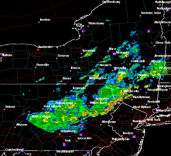 At 1205 pm edt, severe thunderstorms were located along a line extending from near glen spey, to near shohola, to near pecks pond, to 6 miles northeast of alpine mountain, moving northeast at 30 mph (radar indicated). Hazards include 60 mph wind gusts. expect damage to roofs, siding, and trees At 1205 pm edt, severe thunderstorms were located along a line extending from near glen spey, to near shohola, to near pecks pond, to 6 miles northeast of alpine mountain, moving northeast at 30 mph (radar indicated). Hazards include 60 mph wind gusts. expect damage to roofs, siding, and trees
|
| 6/18/2018 6:48 PM EDT |
 At 647 pm edt, severe thunderstorms were located along a line extending from near alpine mountain to near new mahoning, moving east at 35 mph (radar indicated). Hazards include 60 mph wind gusts. damage to roofs, siding, trees, and power lines is possible At 647 pm edt, severe thunderstorms were located along a line extending from near alpine mountain to near new mahoning, moving east at 35 mph (radar indicated). Hazards include 60 mph wind gusts. damage to roofs, siding, trees, and power lines is possible
|
| 6/18/2018 5:27 PM EDT |
 At 527 pm edt, severe thunderstorms were located along a line extending from near bethany to near mount cobb to near bear creek village to near shickshinny, moving east southeast at 40 mph (radar indicated). Hazards include 60 mph wind gusts. Expect damage to roofs, siding, and trees. severe thunderstorms will be near, honesdale, prompton and bethany around 530 pm edt. moscow, arlington and ledgerdale around 535 pm edt. blooming grove, paupack and sterling around 540 pm edt. white haven, greeley and angels around 545 pm edt. stoddartsville around 550 pm edt. montague, milford and pecks pond around 555 pm edt. port jervis around 600 pm edt. Dingmans ferry around 605 pm edt. At 527 pm edt, severe thunderstorms were located along a line extending from near bethany to near mount cobb to near bear creek village to near shickshinny, moving east southeast at 40 mph (radar indicated). Hazards include 60 mph wind gusts. Expect damage to roofs, siding, and trees. severe thunderstorms will be near, honesdale, prompton and bethany around 530 pm edt. moscow, arlington and ledgerdale around 535 pm edt. blooming grove, paupack and sterling around 540 pm edt. white haven, greeley and angels around 545 pm edt. stoddartsville around 550 pm edt. montague, milford and pecks pond around 555 pm edt. port jervis around 600 pm edt. Dingmans ferry around 605 pm edt.
|
| 6/13/2018 11:41 PM EDT |
 The severe thunderstorm warning for northern warren, southeastern monroe and northeastern northampton counties will expire at 1145 pm edt, the storms which prompted the warning have moved out of the area. therefore, the warning will be allowed to expire. however gusty winds and heavy rain are still possible with these thunderstorms. The severe thunderstorm warning for northern warren, southeastern monroe and northeastern northampton counties will expire at 1145 pm edt, the storms which prompted the warning have moved out of the area. therefore, the warning will be allowed to expire. however gusty winds and heavy rain are still possible with these thunderstorms.
|
| 6/13/2018 11:13 PM EDT |
 At 1112 pm edt, severe thunderstorms were located along a line extending from near echo lake to columbia to rossland, moving southeast at 50 mph (radar indicated). Hazards include 70 mph wind gusts and penny size hail. Expect considerable tree damage. damage is likely to mobile homes, roofs, and outbuildings. Locations impacted include, east stroudsburg, blairstown, bangor, pen argyl, wind gap, belvidere, hope, belfast, east bangor, stormville, brodheadsville, kunkletown, werry lake, gilbert, millbrook, delaware water gap, rossland, saylorsburg, columbia and echo lake. At 1112 pm edt, severe thunderstorms were located along a line extending from near echo lake to columbia to rossland, moving southeast at 50 mph (radar indicated). Hazards include 70 mph wind gusts and penny size hail. Expect considerable tree damage. damage is likely to mobile homes, roofs, and outbuildings. Locations impacted include, east stroudsburg, blairstown, bangor, pen argyl, wind gap, belvidere, hope, belfast, east bangor, stormville, brodheadsville, kunkletown, werry lake, gilbert, millbrook, delaware water gap, rossland, saylorsburg, columbia and echo lake.
|
| 6/13/2018 11:11 PM EDT |
 The tornado warning for central monroe county will expire at 1115 pm edt, the storm which prompted the warning has weakened, and no longer appears capable of producing a tornado. therefore, the warning will be allowed to expire. however gusty winds and heavy rain are still possible with this thunderstorm. remember, a severe thunderstorm warning still remains in effect for southern monroe county. The tornado warning for central monroe county will expire at 1115 pm edt, the storm which prompted the warning has weakened, and no longer appears capable of producing a tornado. therefore, the warning will be allowed to expire. however gusty winds and heavy rain are still possible with this thunderstorm. remember, a severe thunderstorm warning still remains in effect for southern monroe county.
|
| 6/13/2018 10:56 PM EDT |
 At 1054 pm edt, severe thunderstorms were located along a line extending from near analomink to jonas, moving southeast at 40 mph (radar indicated). Hazards include 70 mph wind gusts and penny size hail. Expect considerable tree damage. Damage is likely to mobile homes, roofs, and outbuildings. At 1054 pm edt, severe thunderstorms were located along a line extending from near analomink to jonas, moving southeast at 40 mph (radar indicated). Hazards include 70 mph wind gusts and penny size hail. Expect considerable tree damage. Damage is likely to mobile homes, roofs, and outbuildings.
|
| 6/13/2018 10:47 PM EDT |
 At 1045 pm edt, a severe thunderstorm capable of producing a tornado was located over mount pocono, moving east at 40 mph (radar indicated rotation. this storm produced significant damage in the wilkes-barre area earlier). Hazards include tornado. Flying debris will be dangerous to those caught without shelter. mobile homes will be damaged or destroyed. damage to roofs, windows, and vehicles will occur. tree damage is likely. this dangerous storm will be near, analomink, hernyville and alpine mountain around 1055 pm edt. east stroudsburg around 1100 pm edt. delaware water gap and delaware water gap around 1105 pm edt. echo lake and werry lake around 1110 pm edt. Other locations impacted by this tornadic thunderstorm include cresco, marshalls creek, arlington heights, hidden lake, stroudsburg, bartonsville and shawnee. At 1045 pm edt, a severe thunderstorm capable of producing a tornado was located over mount pocono, moving east at 40 mph (radar indicated rotation. this storm produced significant damage in the wilkes-barre area earlier). Hazards include tornado. Flying debris will be dangerous to those caught without shelter. mobile homes will be damaged or destroyed. damage to roofs, windows, and vehicles will occur. tree damage is likely. this dangerous storm will be near, analomink, hernyville and alpine mountain around 1055 pm edt. east stroudsburg around 1100 pm edt. delaware water gap and delaware water gap around 1105 pm edt. echo lake and werry lake around 1110 pm edt. Other locations impacted by this tornadic thunderstorm include cresco, marshalls creek, arlington heights, hidden lake, stroudsburg, bartonsville and shawnee.
|
| 6/13/2018 10:39 PM EDT |
 At 1038 pm edt, a severe thunderstorm capable of producing a tornado was located over pocono pines, or near mount pocono, moving east at 40 mph (radar indicated rotation). Hazards include tornado. Flying debris will be dangerous to those caught without shelter. mobile homes will be damaged or destroyed. damage to roofs, windows, and vehicles will occur. tree damage is likely. this dangerous storm will be near, scotrun, paradise valley, tannersville and mountainhome around 1050 pm edt. analomink, hernyville and alpine mountain around 1055 pm edt. east stroudsburg and delaware water gap around 1105 pm edt. delaware water gap, echo lake and werry lake around 1110 pm edt. Other locations impacted by this tornadic thunderstorm include cresco, marshalls creek, arlington heights, hidden lake, stroudsburg, bartonsville and shawnee. At 1038 pm edt, a severe thunderstorm capable of producing a tornado was located over pocono pines, or near mount pocono, moving east at 40 mph (radar indicated rotation). Hazards include tornado. Flying debris will be dangerous to those caught without shelter. mobile homes will be damaged or destroyed. damage to roofs, windows, and vehicles will occur. tree damage is likely. this dangerous storm will be near, scotrun, paradise valley, tannersville and mountainhome around 1050 pm edt. analomink, hernyville and alpine mountain around 1055 pm edt. east stroudsburg and delaware water gap around 1105 pm edt. delaware water gap, echo lake and werry lake around 1110 pm edt. Other locations impacted by this tornadic thunderstorm include cresco, marshalls creek, arlington heights, hidden lake, stroudsburg, bartonsville and shawnee.
|
| 5/15/2018 4:12 PM EDT |
 At 411 pm edt, a severe thunderstorm was located over new mahoning, or near lehighton, moving east at 60 mph (radar indicated). Hazards include 70 mph wind gusts and quarter size hail. Minor damage to vehicles is possible. expect considerable tree damage. Wind damage is also likely to mobile homes, roofs, and outbuildings. At 411 pm edt, a severe thunderstorm was located over new mahoning, or near lehighton, moving east at 60 mph (radar indicated). Hazards include 70 mph wind gusts and quarter size hail. Minor damage to vehicles is possible. expect considerable tree damage. Wind damage is also likely to mobile homes, roofs, and outbuildings.
|
| 5/15/2018 4:06 PM EDT |
 At 405 pm edt, severe thunderstorms were located along a line extending from near kerhonkson to near montgomery to near otisville to near milford to near bushkill, moving east at 70 mph (radar indicated). Hazards include 70 mph wind gusts and quarter size hail. Hail damage to vehicles is expected. expect considerable tree damage. wind damage is also likely to mobile homes, roofs, and outbuildings. locations impacted include, port jervis, bushkill, blooming grove, matamoras, milford, greeley, pecks pond, dingmans ferry, millrift and panther. A tornado watch remains in effect until 800 pm edt for central new york, and northeastern pennsylvania. At 405 pm edt, severe thunderstorms were located along a line extending from near kerhonkson to near montgomery to near otisville to near milford to near bushkill, moving east at 70 mph (radar indicated). Hazards include 70 mph wind gusts and quarter size hail. Hail damage to vehicles is expected. expect considerable tree damage. wind damage is also likely to mobile homes, roofs, and outbuildings. locations impacted include, port jervis, bushkill, blooming grove, matamoras, milford, greeley, pecks pond, dingmans ferry, millrift and panther. A tornado watch remains in effect until 800 pm edt for central new york, and northeastern pennsylvania.
|
| 5/15/2018 3:55 PM EDT |
 At 355 pm edt, severe thunderstorms were located along a line extending from near woodbourne to near wurtsboro to glen spey to paupack to near canadensis, moving east at 55 mph (radar indicated). Hazards include 70 mph wind gusts and quarter size hail. Hail damage to vehicles is expected. expect considerable tree damage. Wind damage is also likely to mobile homes, roofs, and outbuildings. At 355 pm edt, severe thunderstorms were located along a line extending from near woodbourne to near wurtsboro to glen spey to paupack to near canadensis, moving east at 55 mph (radar indicated). Hazards include 70 mph wind gusts and quarter size hail. Hail damage to vehicles is expected. expect considerable tree damage. Wind damage is also likely to mobile homes, roofs, and outbuildings.
|
| 5/15/2018 3:37 PM EDT |
 At 334 pm edt, severe thunderstorms were located along a line extending from white sulphur springs to near bethel to near sterling to mcadoo, moving east at 55 mph. several damage reports, associated with this line of thunderstorms, have been received at the national weather service in binghamton. a wind gust between 60 and 65 miles per hour was reported as the line passed over the wilkes- barre/scranton airport (trained weather spotters). Hazards include 70 mph wind gusts and quarter size hail. Hail damage to vehicles is expected. expect considerable tree damage. wind damage is also likely to mobile homes, roofs, and outbuildings. locations impacted include, scranton, wilkes-barre, hazleton, dunmore, kingston, fallsburg, nanticoke, plains, carbondale and port jervis. A tornado watch remains in effect until 800 pm edt for central new york, and northeastern pennsylvania. At 334 pm edt, severe thunderstorms were located along a line extending from white sulphur springs to near bethel to near sterling to mcadoo, moving east at 55 mph. several damage reports, associated with this line of thunderstorms, have been received at the national weather service in binghamton. a wind gust between 60 and 65 miles per hour was reported as the line passed over the wilkes- barre/scranton airport (trained weather spotters). Hazards include 70 mph wind gusts and quarter size hail. Hail damage to vehicles is expected. expect considerable tree damage. wind damage is also likely to mobile homes, roofs, and outbuildings. locations impacted include, scranton, wilkes-barre, hazleton, dunmore, kingston, fallsburg, nanticoke, plains, carbondale and port jervis. A tornado watch remains in effect until 800 pm edt for central new york, and northeastern pennsylvania.
|
| 5/15/2018 3:33 PM EDT |
 At 332 pm edt, severe thunderstorms were located along a line extending from white sulphur springs to near bethel to near sterling to mcadoo, moving east at 55 mph (radar indicated). Hazards include 70 mph wind gusts and quarter size hail. Hail damage to vehicles is expected. expect considerable tree damage. wind damage is also likely to mobile homes, roofs, and outbuildings. locations impacted include, scranton, wilkes-barre, hazleton, dunmore, kingston, fallsburg, nanticoke, plains, carbondale and port jervis. A tornado watch remains in effect until 800 pm edt for central new york, and northeastern pennsylvania. At 332 pm edt, severe thunderstorms were located along a line extending from white sulphur springs to near bethel to near sterling to mcadoo, moving east at 55 mph (radar indicated). Hazards include 70 mph wind gusts and quarter size hail. Hail damage to vehicles is expected. expect considerable tree damage. wind damage is also likely to mobile homes, roofs, and outbuildings. locations impacted include, scranton, wilkes-barre, hazleton, dunmore, kingston, fallsburg, nanticoke, plains, carbondale and port jervis. A tornado watch remains in effect until 800 pm edt for central new york, and northeastern pennsylvania.
|
| 5/15/2018 3:05 PM EDT |
 At 304 pm edt, severe thunderstorms were located along a line extending from stalker to near falls to rupert, moving east at 55 mph (radar indicated). Hazards include 70 mph wind gusts and quarter size hail. Hail damage to vehicles is expected. expect considerable tree damage. wind damage is also likely to mobile homes, roofs, and outbuildings. severe thunderstorms will be near, callicoon, hankins and stalker around 310 pm edt. scranton, dickson city and moosic around 315 pm edt. dunmore, olyphant and white sulphur springs around 320 pm edt. liberty, moscow and conyngham around 325 pm edt. hazleton, west hazleton and south fallsburg around 330 pm edt. fallsburg, sterling and woodridge around 335 pm edt. greentown around 340 pm edt. blooming grove and paupack around 345 pm edt. A tornado watch remains in effect until 800 pm edt for central new york, and northeastern pennsylvania. At 304 pm edt, severe thunderstorms were located along a line extending from stalker to near falls to rupert, moving east at 55 mph (radar indicated). Hazards include 70 mph wind gusts and quarter size hail. Hail damage to vehicles is expected. expect considerable tree damage. wind damage is also likely to mobile homes, roofs, and outbuildings. severe thunderstorms will be near, callicoon, hankins and stalker around 310 pm edt. scranton, dickson city and moosic around 315 pm edt. dunmore, olyphant and white sulphur springs around 320 pm edt. liberty, moscow and conyngham around 325 pm edt. hazleton, west hazleton and south fallsburg around 330 pm edt. fallsburg, sterling and woodridge around 335 pm edt. greentown around 340 pm edt. blooming grove and paupack around 345 pm edt. A tornado watch remains in effect until 800 pm edt for central new york, and northeastern pennsylvania.
|
| 8/19/2017 9:34 PM EDT |
 At 933 pm edt, severe thunderstorms were located along a line extending from sun valley to near nazareth to lehigh university to east greenville, moving northeast at 40 mph (radar indicated). Hazards include 60 mph wind gusts. Expect damage to trees and power lines. Locations impacted include, allentown, easton, bethlehem, forks, emmaus, northampton, east stroudsburg, quakertown, perkasie, wilson, bedminster, hellertown, nazareth, bangor, tinicum, pen argyl, east greenville, wind gap, bath and ferndale. At 933 pm edt, severe thunderstorms were located along a line extending from sun valley to near nazareth to lehigh university to east greenville, moving northeast at 40 mph (radar indicated). Hazards include 60 mph wind gusts. Expect damage to trees and power lines. Locations impacted include, allentown, easton, bethlehem, forks, emmaus, northampton, east stroudsburg, quakertown, perkasie, wilson, bedminster, hellertown, nazareth, bangor, tinicum, pen argyl, east greenville, wind gap, bath and ferndale.
|
| 8/19/2017 9:16 PM EDT |
 At 915 pm edt, severe thunderstorms were located along a line extending from beltzville state park to coffeetown to ancient oaks to near birdsboro, moving northeast at 40 mph (radar indicated). Hazards include 60 mph wind gusts. Expect damage to trees and power lines. Locations impacted include, allentown, easton, lehighton, bethlehem, pottstown, forks, emmaus, northampton, east stroudsburg, quakertown, perkasie, wilson, bedminster, hellertown, nazareth, palmerton, bangor, birdsboro, kutztown and jim thorpe. At 915 pm edt, severe thunderstorms were located along a line extending from beltzville state park to coffeetown to ancient oaks to near birdsboro, moving northeast at 40 mph (radar indicated). Hazards include 60 mph wind gusts. Expect damage to trees and power lines. Locations impacted include, allentown, easton, lehighton, bethlehem, pottstown, forks, emmaus, northampton, east stroudsburg, quakertown, perkasie, wilson, bedminster, hellertown, nazareth, palmerton, bangor, birdsboro, kutztown and jim thorpe.
|
| 8/19/2017 9:00 PM EDT |
 At 859 pm edt, severe thunderstorms were located along a line extending from near jordan valley to near claussville to near fleetwood to near new morgan, moving northeast at 40 mph (radar indicated). Hazards include 60 mph wind gusts. expect damage to trees and power lines At 859 pm edt, severe thunderstorms were located along a line extending from near jordan valley to near claussville to near fleetwood to near new morgan, moving northeast at 40 mph (radar indicated). Hazards include 60 mph wind gusts. expect damage to trees and power lines
|
| 7/20/2017 6:29 PM EDT |
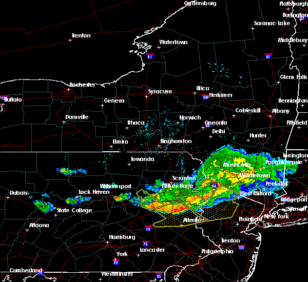 At 629 pm edt, a severe thunderstorm was located near dingmans ferry, or near montague, moving southeast at 50 mph (radar indicated). Hazards include 60 mph wind gusts. Expect damage to trees, and power lines. This severe thunderstorm will remain over mainly rural areas of pike county. At 629 pm edt, a severe thunderstorm was located near dingmans ferry, or near montague, moving southeast at 50 mph (radar indicated). Hazards include 60 mph wind gusts. Expect damage to trees, and power lines. This severe thunderstorm will remain over mainly rural areas of pike county.
|
| 7/20/2017 5:44 PM EDT |
 At 544 pm edt, a severe thunderstorm was located over ledgerdale, or 14 miles south of honesdale, moving southeast at 55 mph (radar indicated). Hazards include 60 mph wind gusts. Expect damage to trees, and power lines. this severe thunderstorm will be near, blooming grove around 550 pm edt. pecks pond around 555 pm edt. Bushkill around 610 pm edt. At 544 pm edt, a severe thunderstorm was located over ledgerdale, or 14 miles south of honesdale, moving southeast at 55 mph (radar indicated). Hazards include 60 mph wind gusts. Expect damage to trees, and power lines. this severe thunderstorm will be near, blooming grove around 550 pm edt. pecks pond around 555 pm edt. Bushkill around 610 pm edt.
|
| 5/1/2017 8:29 PM EDT |
 At 828 pm edt, severe thunderstorms were located along a line extending from near deposit to near union dale to near berwick, moving east at 40 mph (radar indicated). Hazards include 60 mph wind gusts and penny size hail. Expect damage to roofs, siding, and trees. severe thunderstorms will be near, forest city, union dale and pleasant mount around 835 pm edt. walton, conyngham and waymart around 845 pm edt. west hazleton, prompton and bethany around 850 pm edt. hazleton, honesdale and rutledgedale around 855 pm edt. freeland, corbett and woodside-drifton around 900 pm edt. damascus, callicoon and hortonville around 905 pm edt. cochecton, white haven and lava around 910 pm edt. fosterdale, hazel and livingston manor around 915 pm edt. A tornado watch remains in effect until 1000 pm edt for central new york, and northeastern pennsylvania. At 828 pm edt, severe thunderstorms were located along a line extending from near deposit to near union dale to near berwick, moving east at 40 mph (radar indicated). Hazards include 60 mph wind gusts and penny size hail. Expect damage to roofs, siding, and trees. severe thunderstorms will be near, forest city, union dale and pleasant mount around 835 pm edt. walton, conyngham and waymart around 845 pm edt. west hazleton, prompton and bethany around 850 pm edt. hazleton, honesdale and rutledgedale around 855 pm edt. freeland, corbett and woodside-drifton around 900 pm edt. damascus, callicoon and hortonville around 905 pm edt. cochecton, white haven and lava around 910 pm edt. fosterdale, hazel and livingston manor around 915 pm edt. A tornado watch remains in effect until 1000 pm edt for central new york, and northeastern pennsylvania.
|
| 2/25/2017 4:19 PM EST |
 At 418 pm est, severe thunderstorms were located along a line extending from waymart to reeders, moving east at 25 mph (radar indicated). Hazards include 60 mph wind gusts and quarter size hail. Hail damage to vehicles is expected. expect wind damage to roofs, siding, and trees. severe thunderstorms will be near, waymart around 425 pm est. prompton around 430 pm est. honesdale and bethany around 435 pm est. narrowsburg around 500 pm est. bushkill and lava around 505 pm est. Dingmans ferry around 515 pm est. At 418 pm est, severe thunderstorms were located along a line extending from waymart to reeders, moving east at 25 mph (radar indicated). Hazards include 60 mph wind gusts and quarter size hail. Hail damage to vehicles is expected. expect wind damage to roofs, siding, and trees. severe thunderstorms will be near, waymart around 425 pm est. prompton around 430 pm est. honesdale and bethany around 435 pm est. narrowsburg around 500 pm est. bushkill and lava around 505 pm est. Dingmans ferry around 515 pm est.
|
| 2/25/2017 4:19 PM EST |
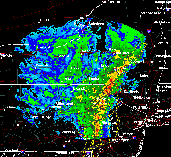 At 418 pm est, severe thunderstorms were located along a line extending from waymart to reeders, moving east at 25 mph (radar indicated). Hazards include 60 mph wind gusts and quarter size hail. Hail damage to vehicles is expected. expect wind damage to roofs, siding, and trees. severe thunderstorms will be near, waymart around 425 pm est. prompton around 430 pm est. honesdale and bethany around 435 pm est. narrowsburg around 500 pm est. bushkill and lava around 505 pm est. Dingmans ferry around 515 pm est. At 418 pm est, severe thunderstorms were located along a line extending from waymart to reeders, moving east at 25 mph (radar indicated). Hazards include 60 mph wind gusts and quarter size hail. Hail damage to vehicles is expected. expect wind damage to roofs, siding, and trees. severe thunderstorms will be near, waymart around 425 pm est. prompton around 430 pm est. honesdale and bethany around 435 pm est. narrowsburg around 500 pm est. bushkill and lava around 505 pm est. Dingmans ferry around 515 pm est.
|
| 9/14/2016 3:51 PM EDT |
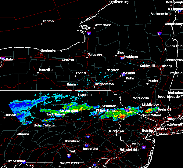 At 351 pm edt, a severe thunderstorm was located near bushkill, or 16 miles southwest of montague, moving southeast at 35 mph (radar indicated). Hazards include quarter size hail. Damage to vehicles is expected. This severe thunderstorm will be near, bushkill and dingmans ferry around 400 pm edt. At 351 pm edt, a severe thunderstorm was located near bushkill, or 16 miles southwest of montague, moving southeast at 35 mph (radar indicated). Hazards include quarter size hail. Damage to vehicles is expected. This severe thunderstorm will be near, bushkill and dingmans ferry around 400 pm edt.
|
| 10/9/2015 3:46 PM EDT |
 At 345 pm edt, doppler radar indicated a line of severe thunderstorms capable of producing damaging winds in excess of 60 mph. these storms were located along a line extending from analomink to snyders, moving east at 35 mph. locations impacted include, allentown, lehighton, bethlehem, northampton, east stroudsburg, blairstown, nazareth, palmerton, bangor, jim thorpe, slatington, pen argyl, nesquehoning, wind gap, bath, weatherly, walnutport, hope, belfast and tatamy. At 345 pm edt, doppler radar indicated a line of severe thunderstorms capable of producing damaging winds in excess of 60 mph. these storms were located along a line extending from analomink to snyders, moving east at 35 mph. locations impacted include, allentown, lehighton, bethlehem, northampton, east stroudsburg, blairstown, nazareth, palmerton, bangor, jim thorpe, slatington, pen argyl, nesquehoning, wind gap, bath, weatherly, walnutport, hope, belfast and tatamy.
|
| 10/9/2015 3:17 PM EDT |
 At 316 pm edt, doppler radar indicated a line of severe thunderstorms capable of producing damaging winds in excess of 60 mph. these storms were located along a line extending from near pocono pines to locust lake state park, and moving east at 35 mph. At 316 pm edt, doppler radar indicated a line of severe thunderstorms capable of producing damaging winds in excess of 60 mph. these storms were located along a line extending from near pocono pines to locust lake state park, and moving east at 35 mph.
|
| 7/23/2012 7:40 PM EDT | Trees and wires down in middle smithfield twp in monroe county PA, 5 miles ENE of Saw Creek, PA |
| 7/23/2012 7:15 PM EDT | Widespread trees and wires down in pike county PA, 2 miles S of Saw Creek, PA |
| 1/1/0001 12:00 AM | Rt 209 trees down on roadway and cars in monroe county PA, 5 miles ENE of Saw Creek, PA |
Hail Maps for Saw Creek, PA


Connect with Interactive Hail Maps