

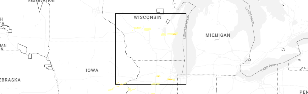
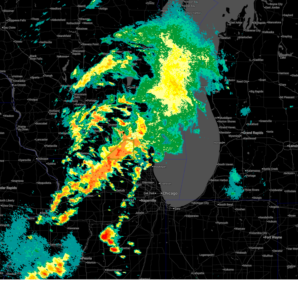
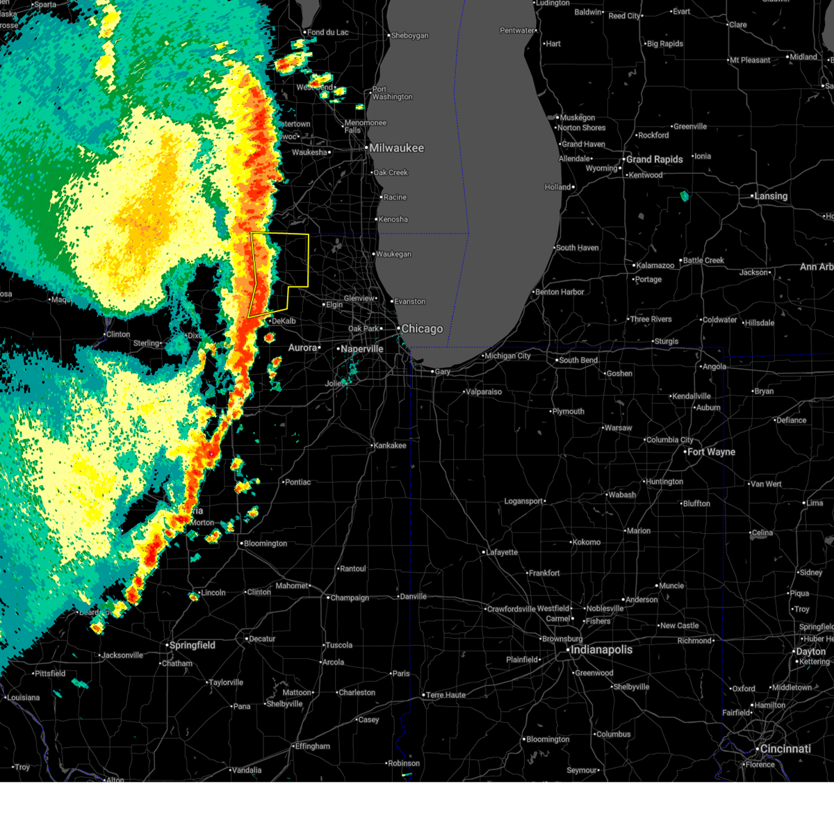
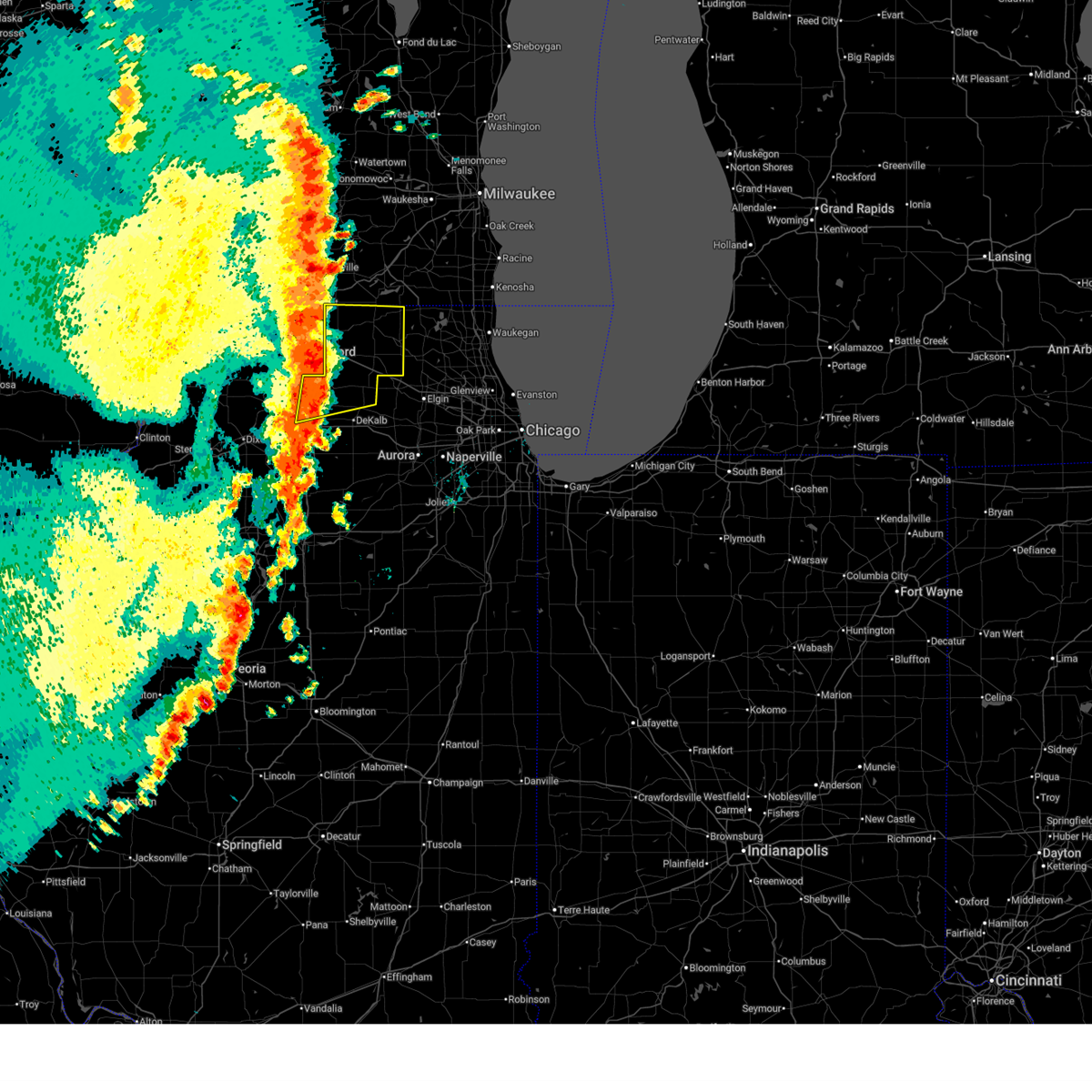
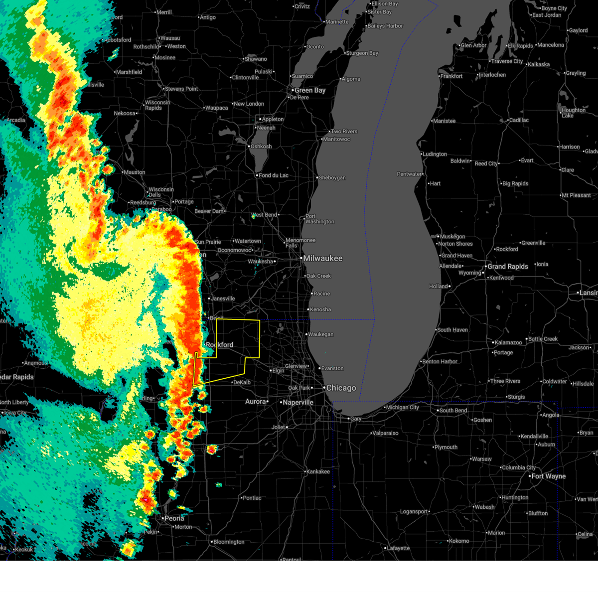
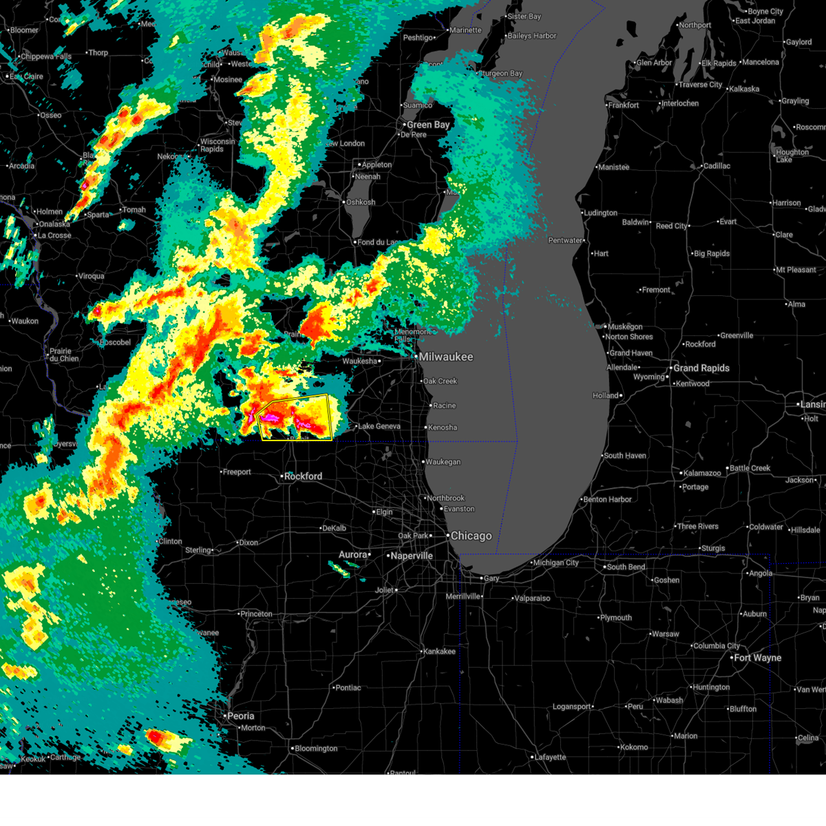
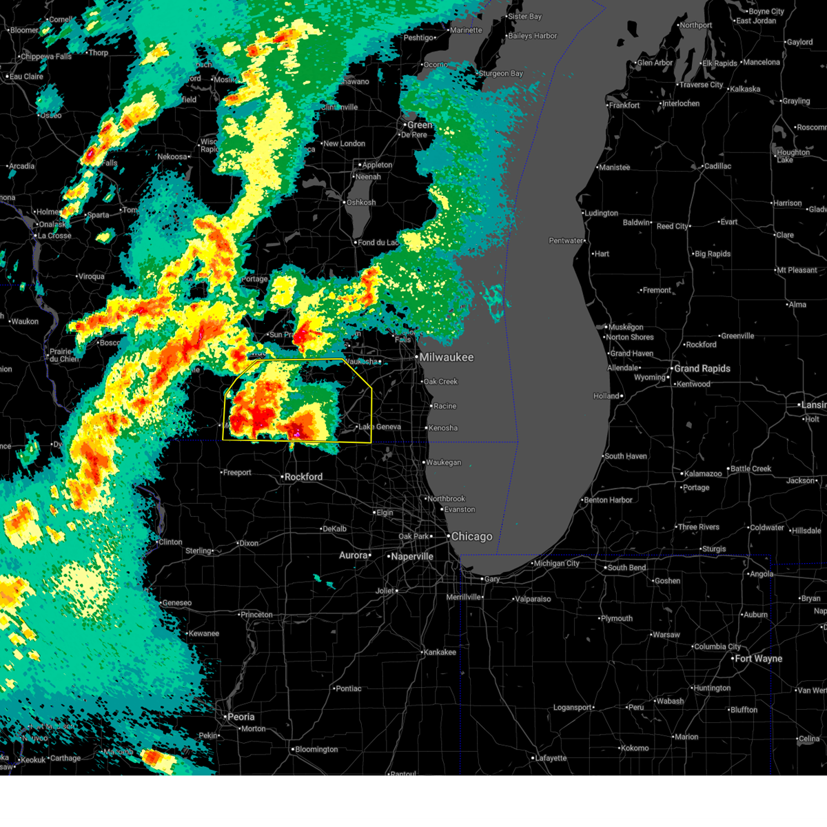
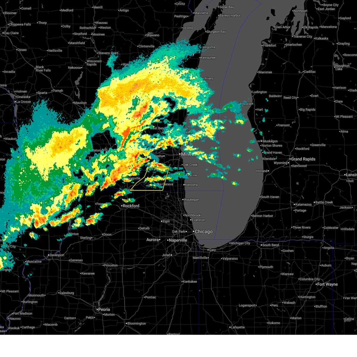
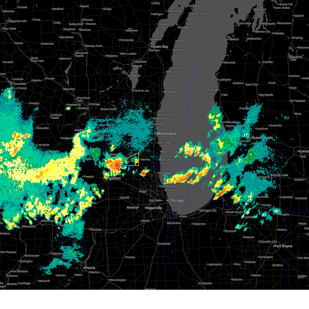
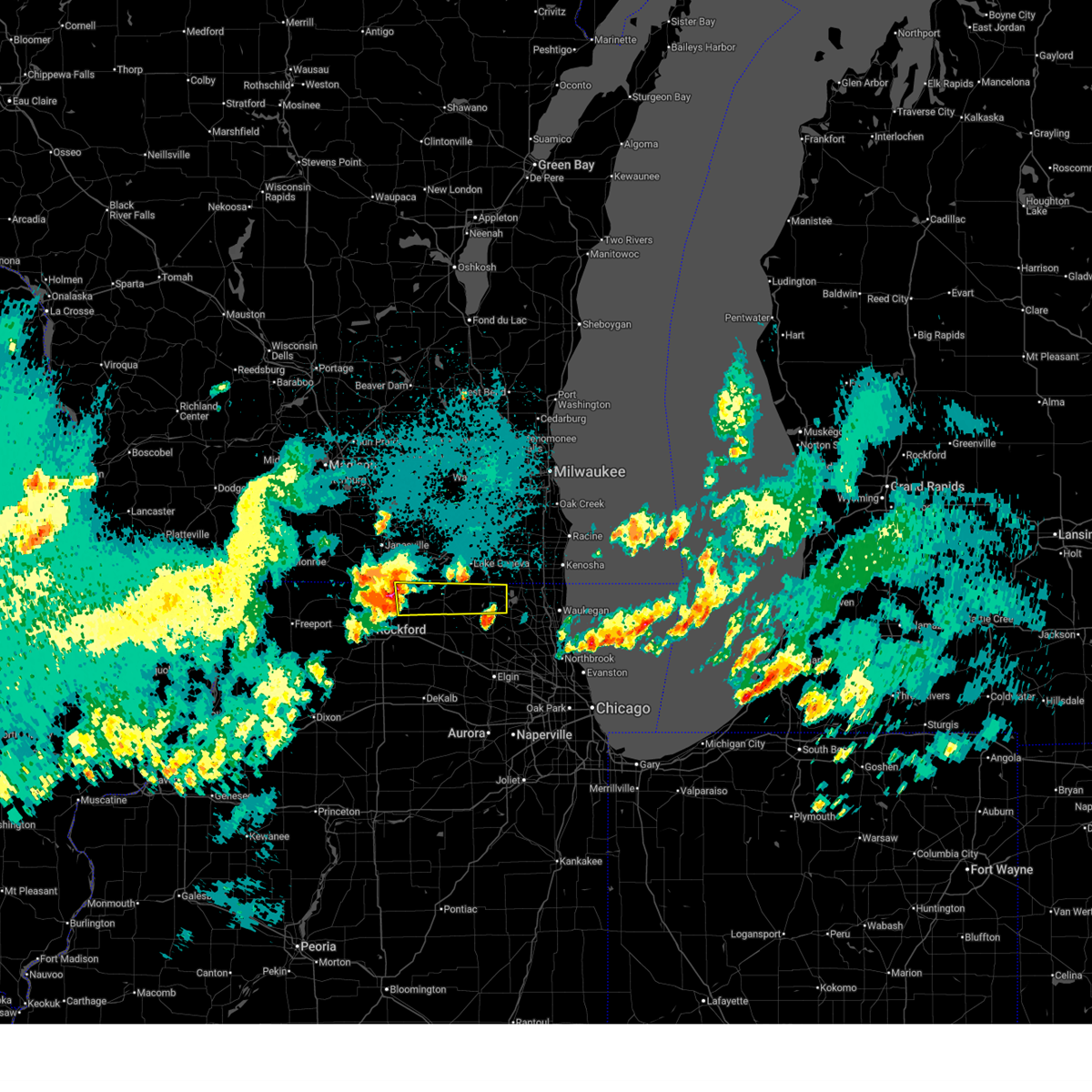
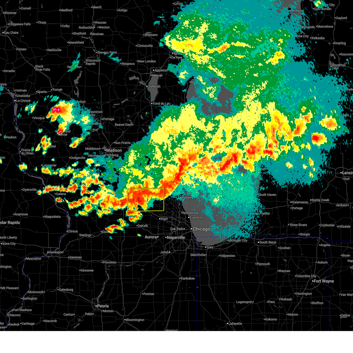
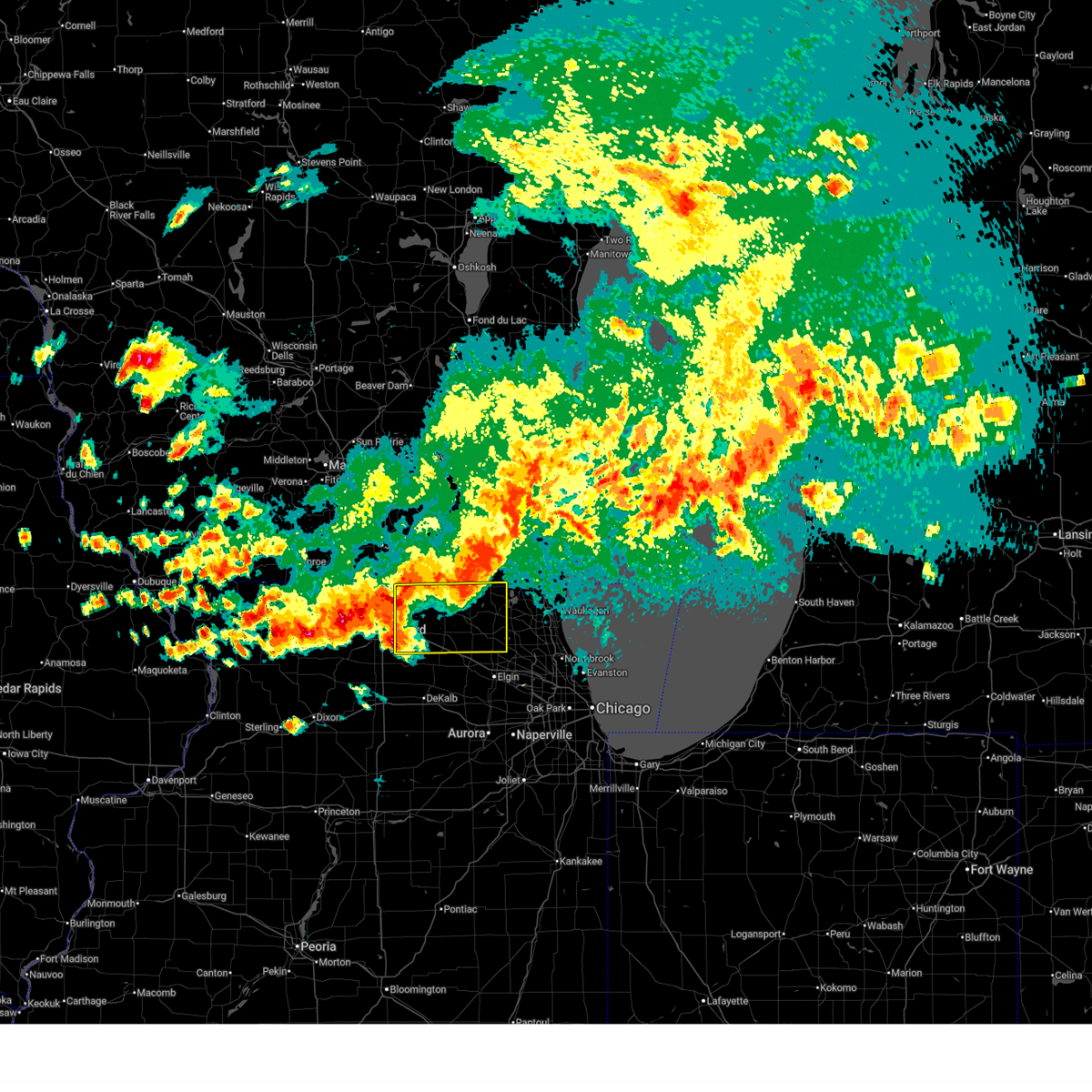
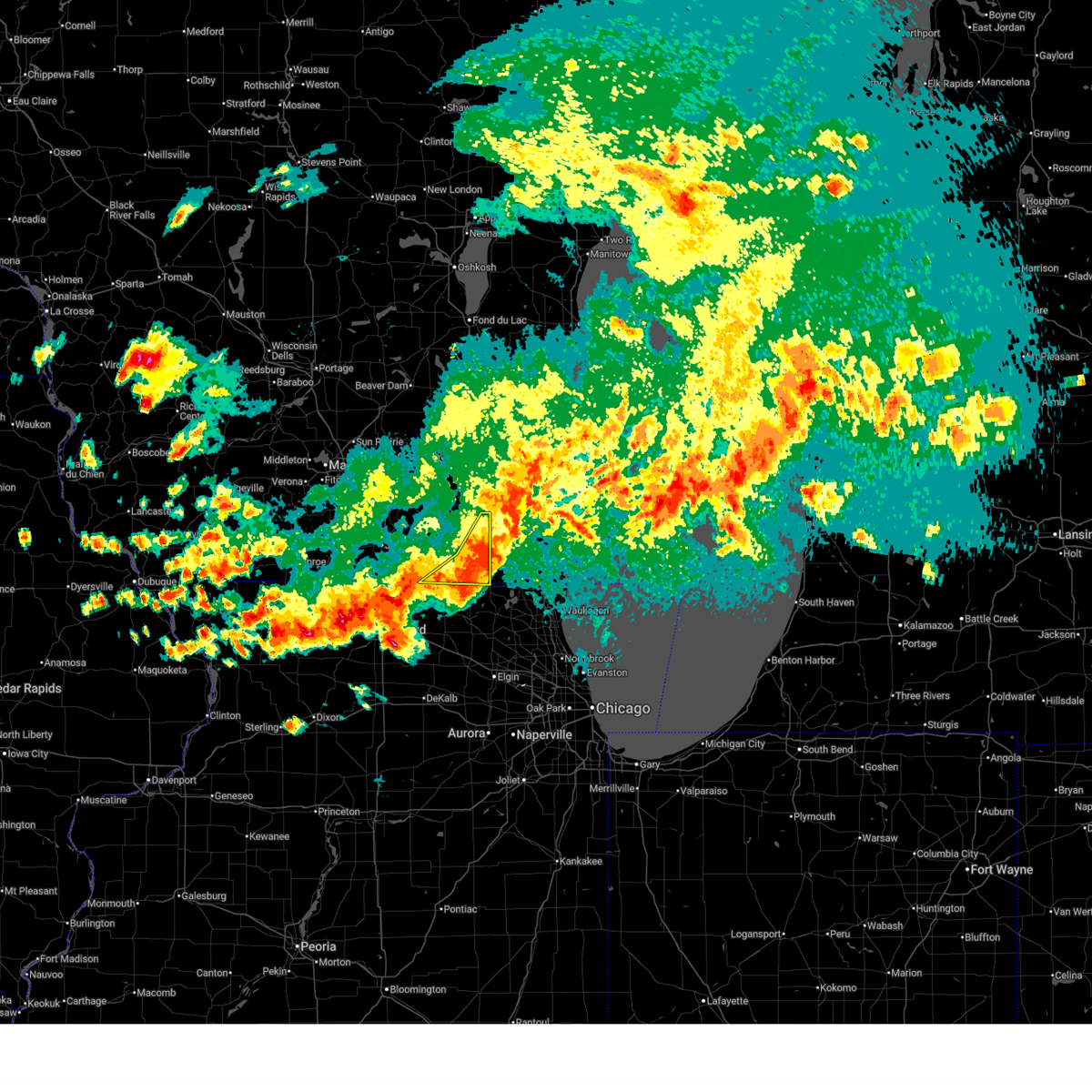
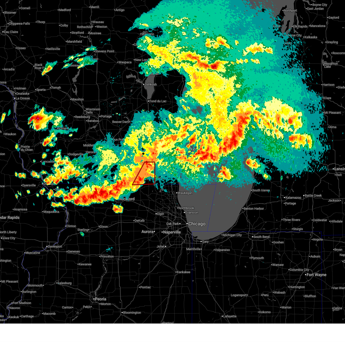
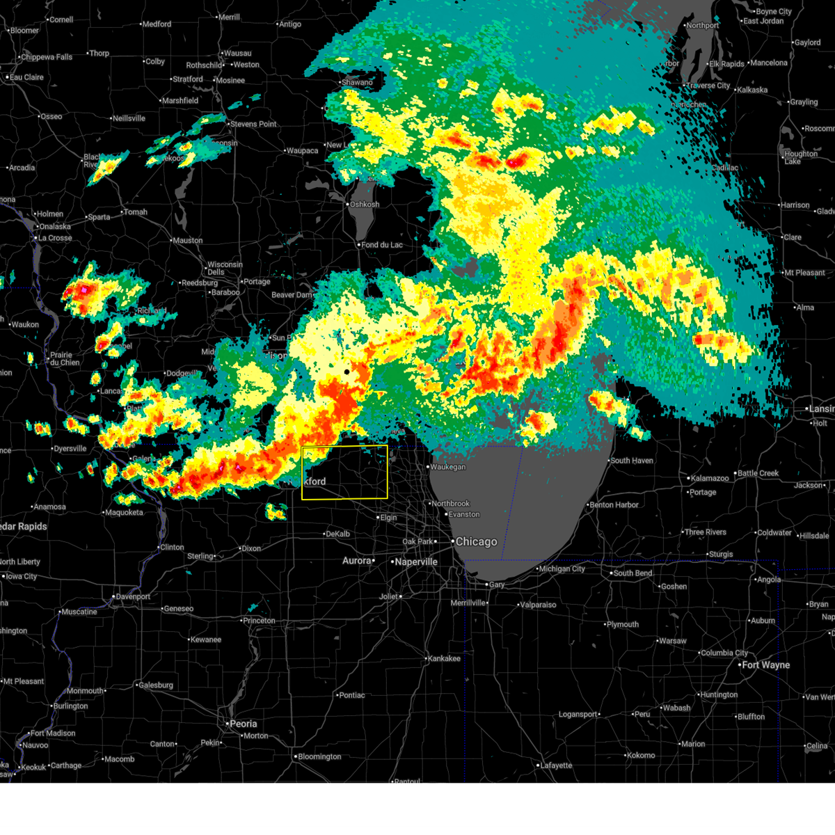
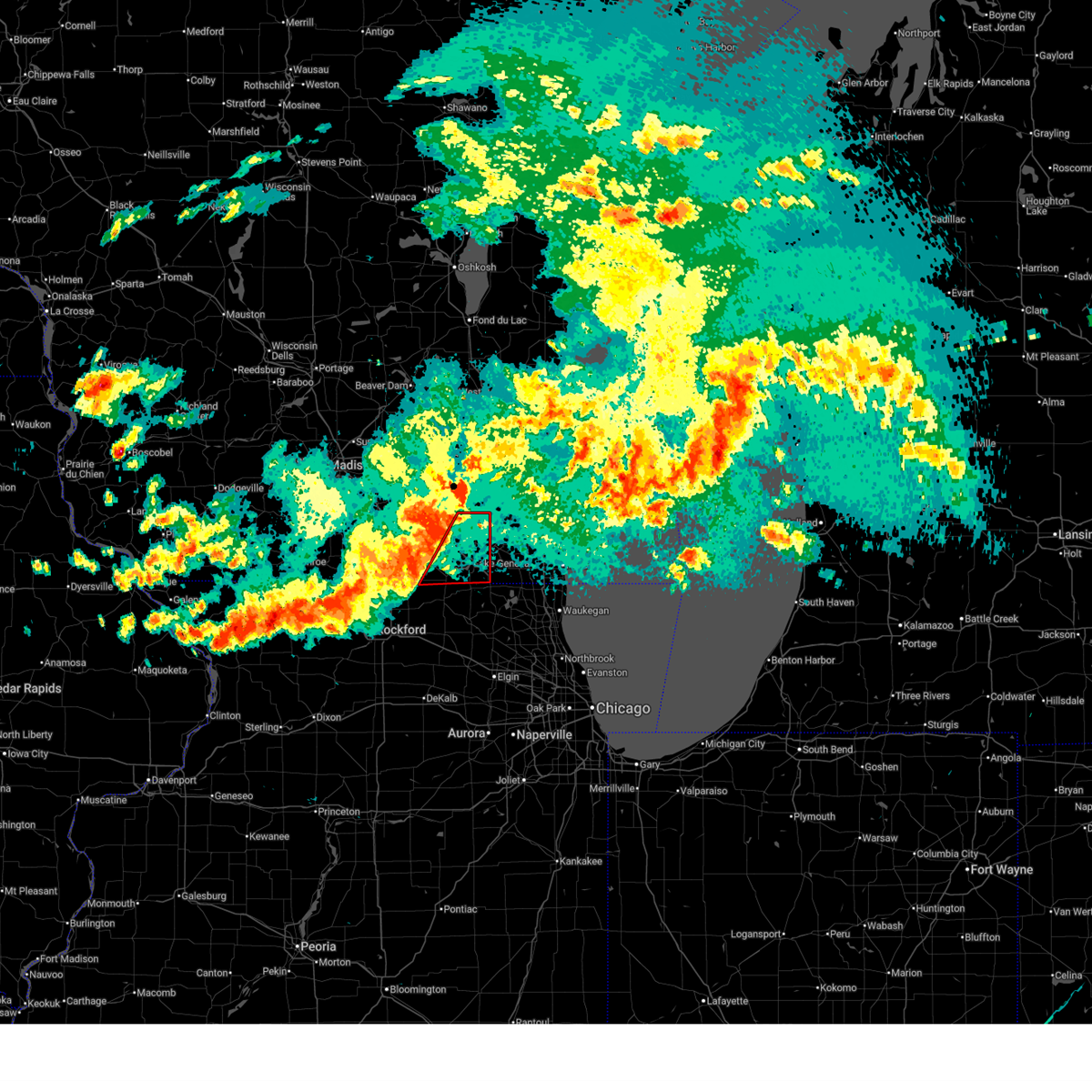
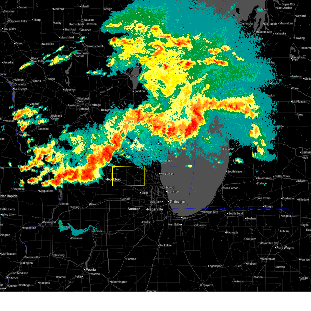
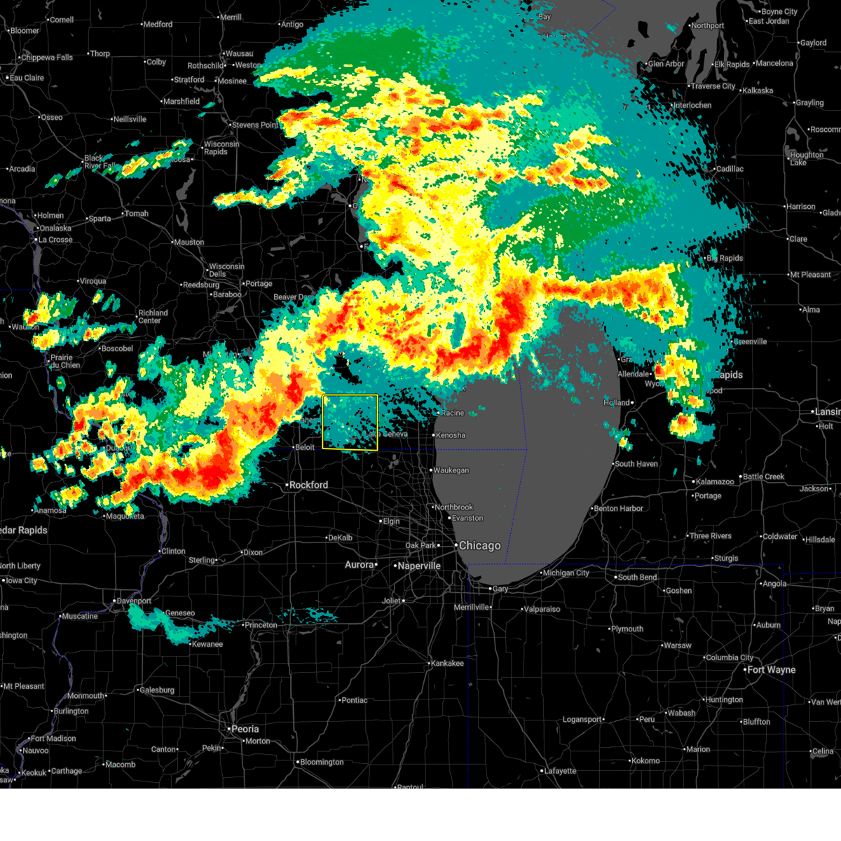
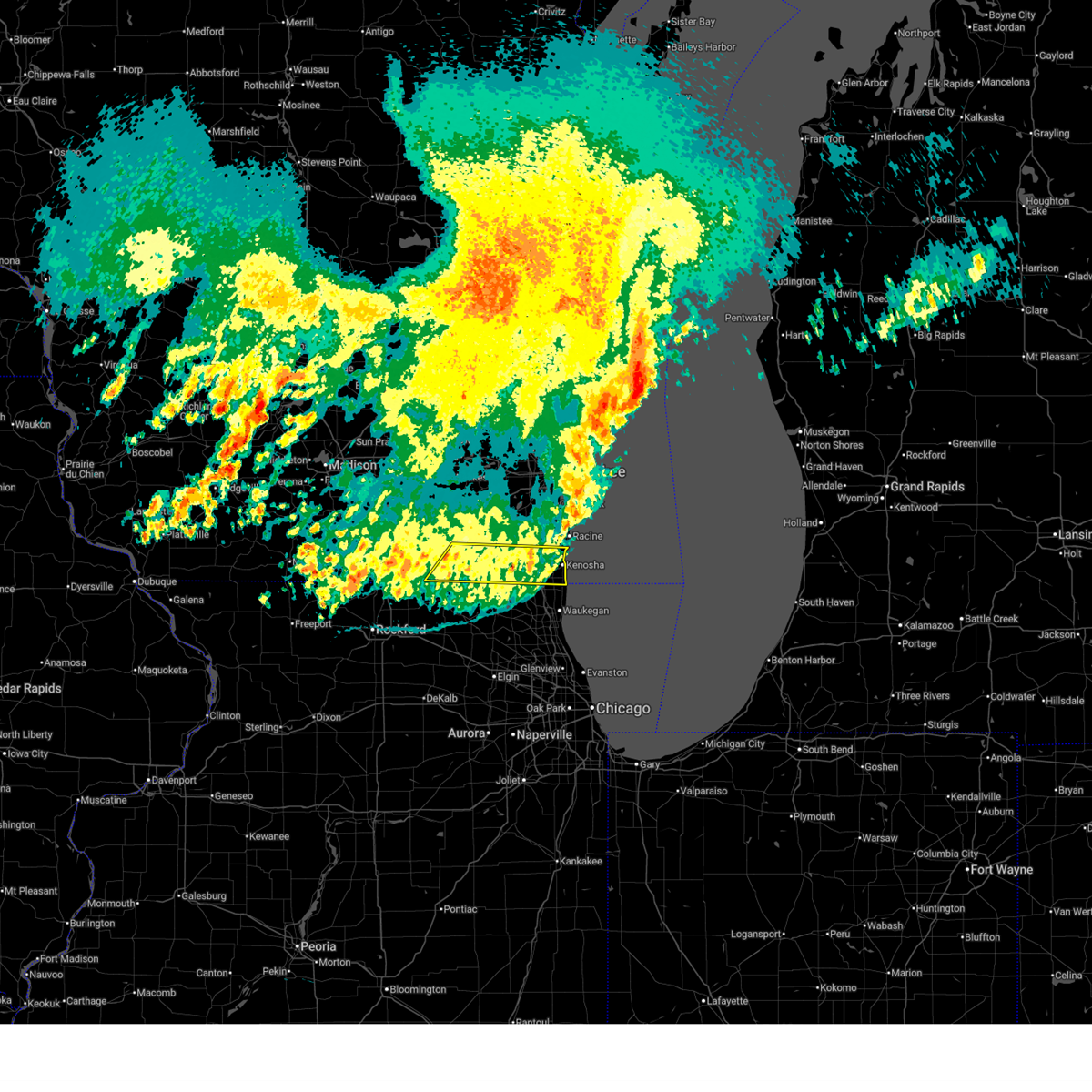
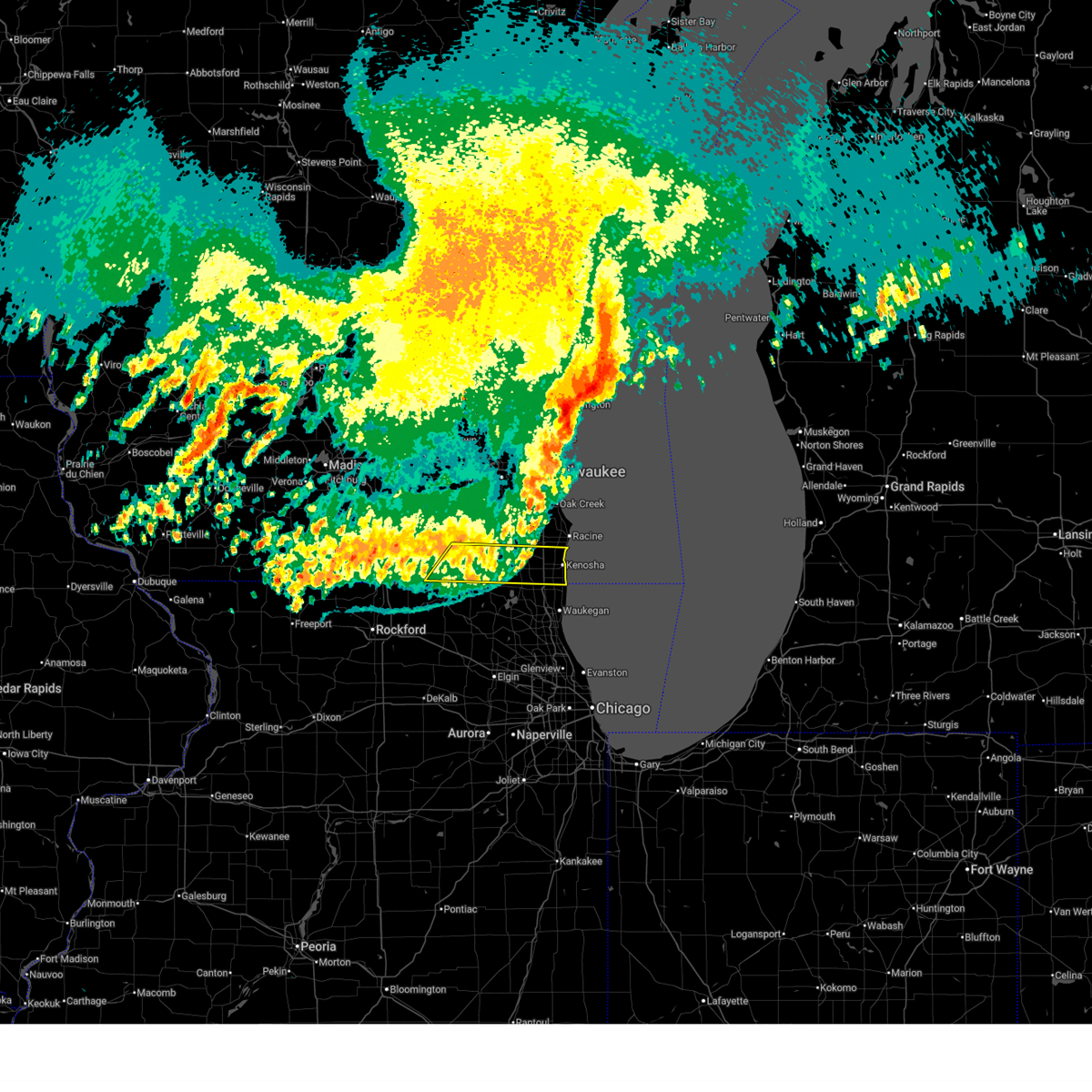
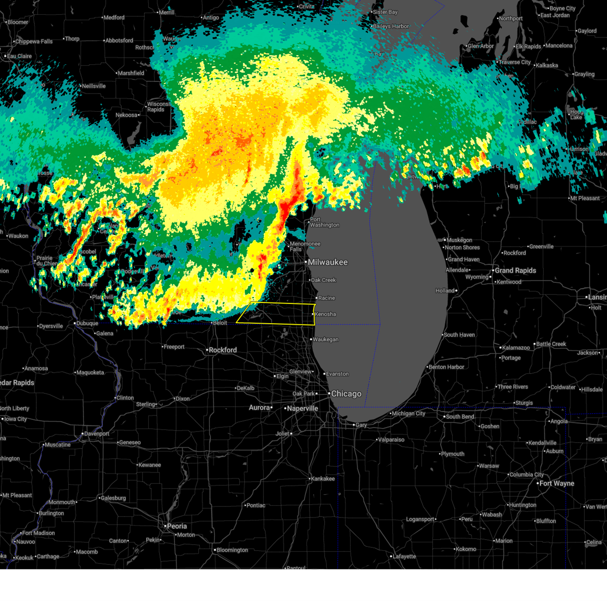
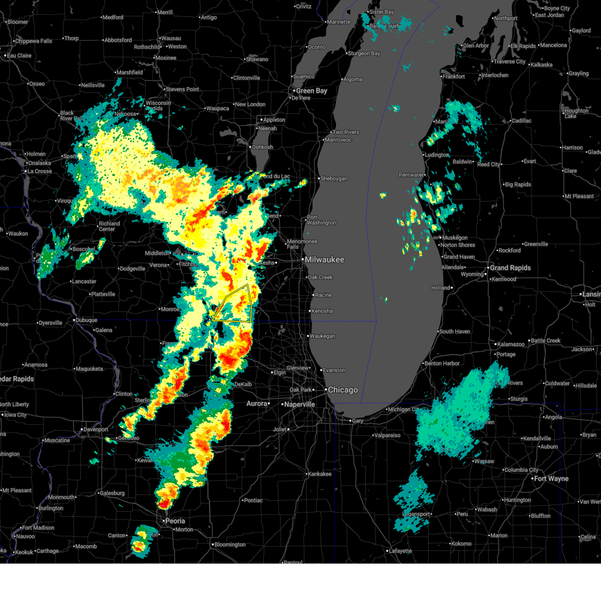
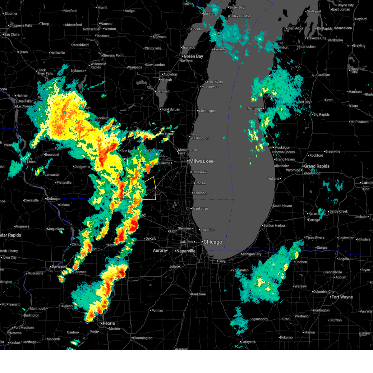
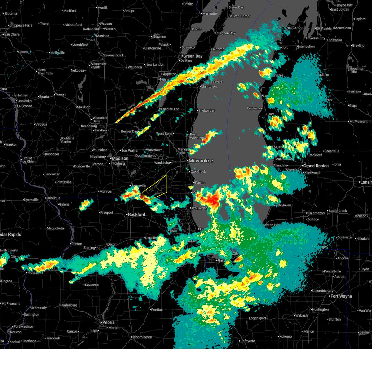
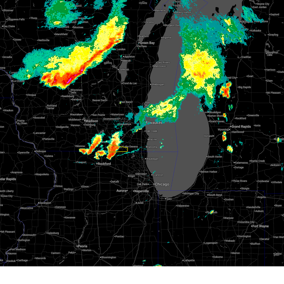
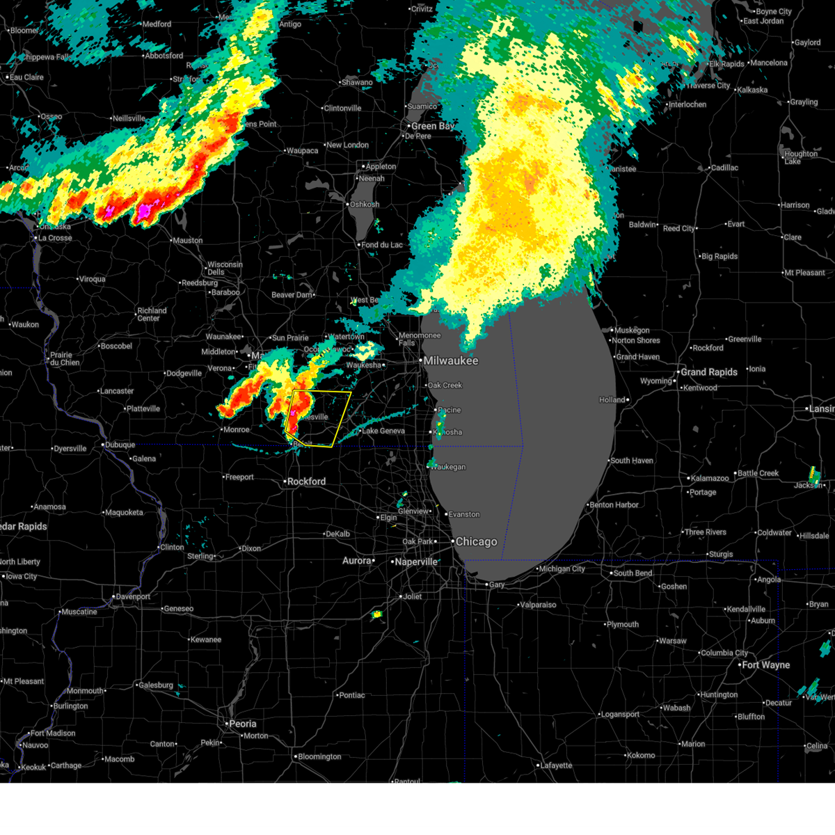
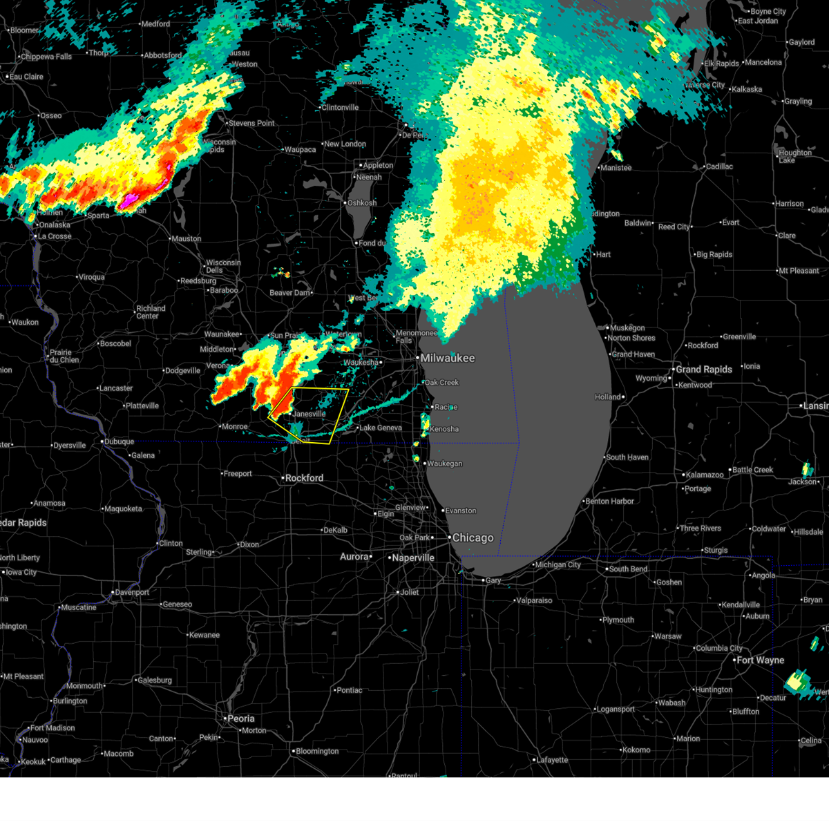
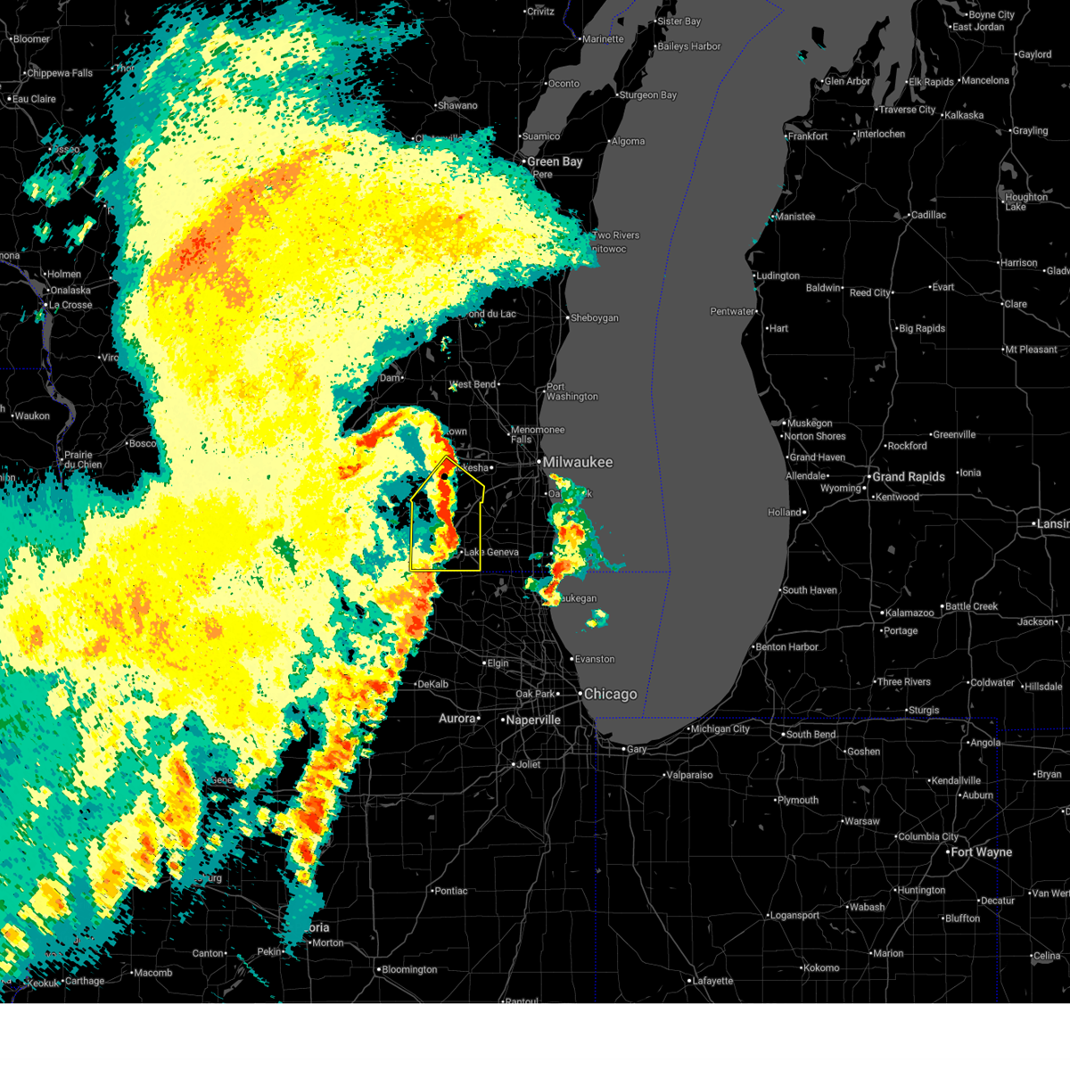
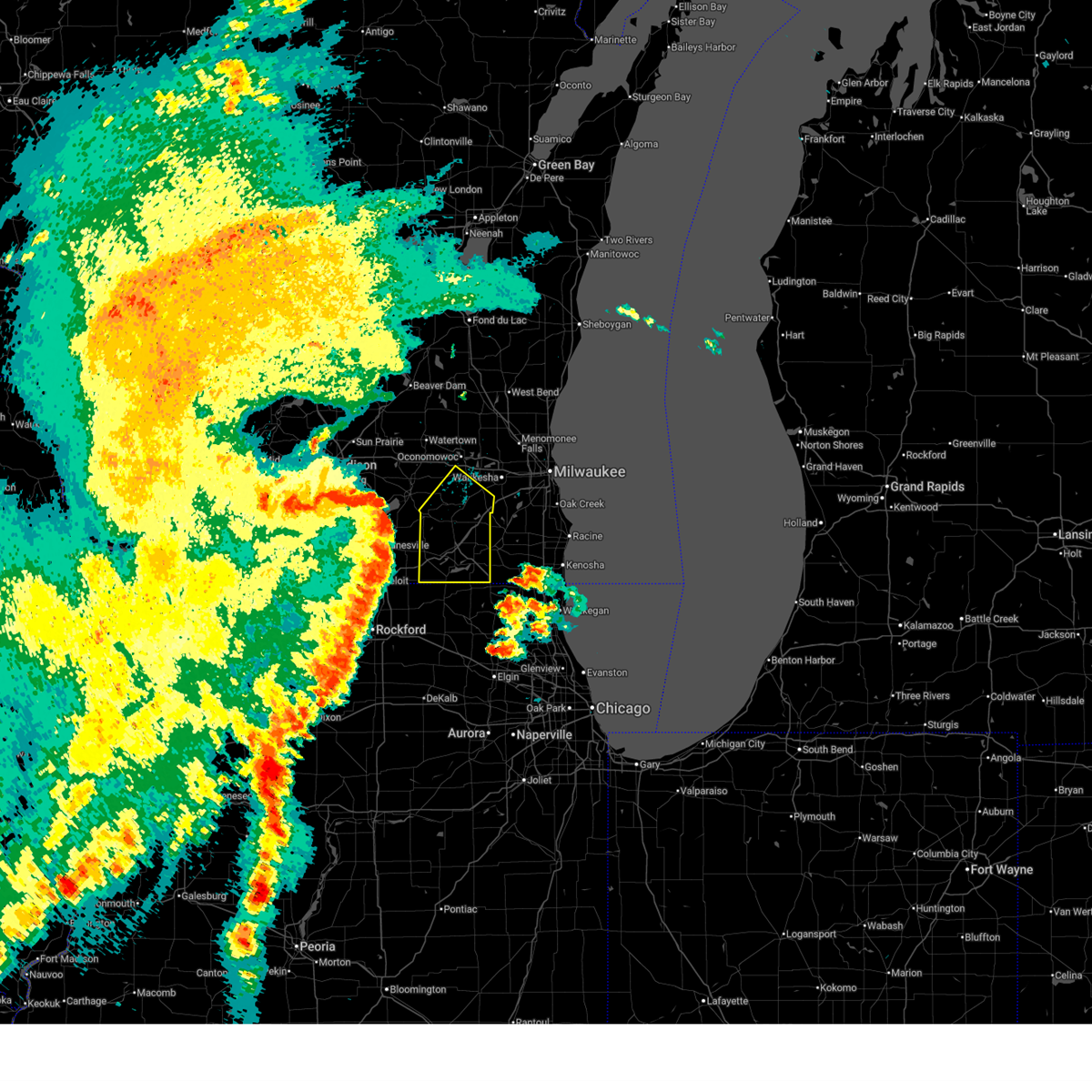
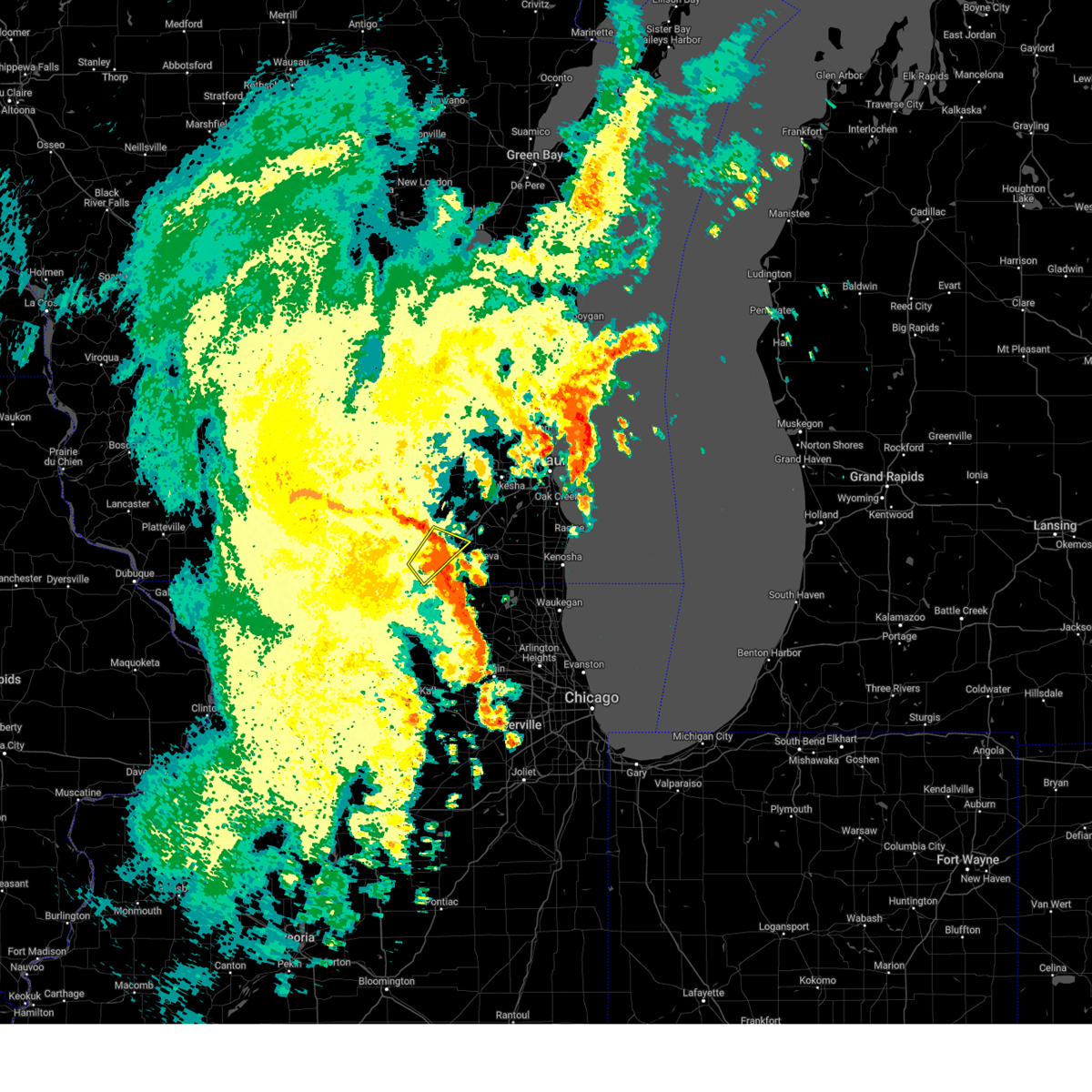
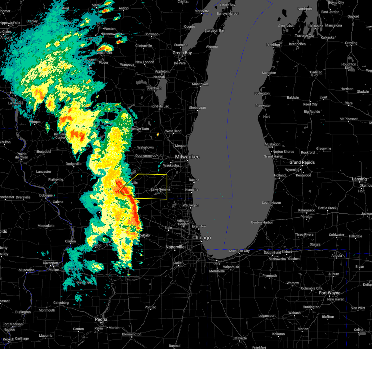
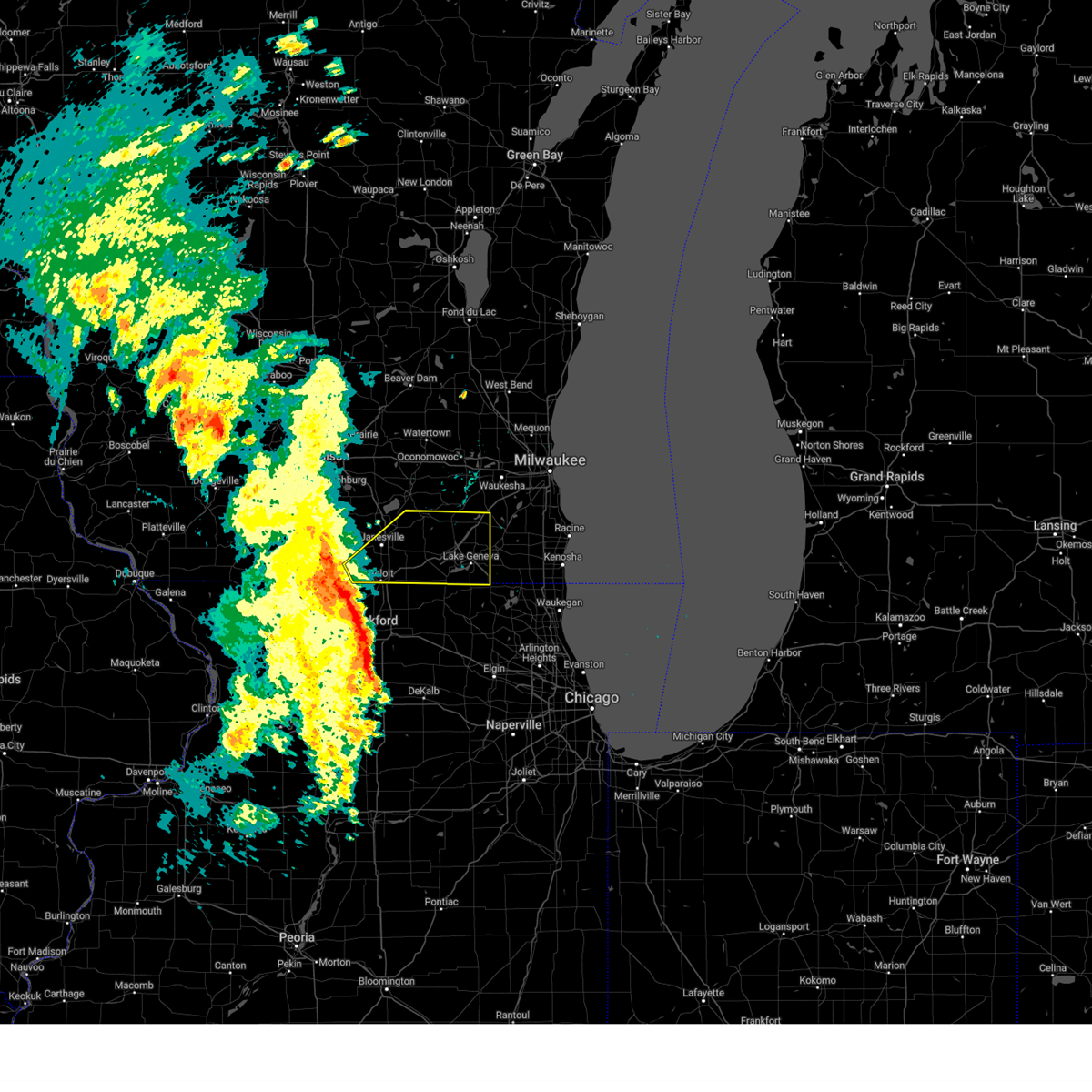
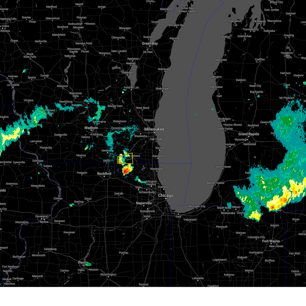
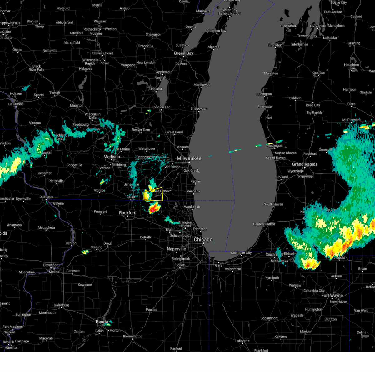
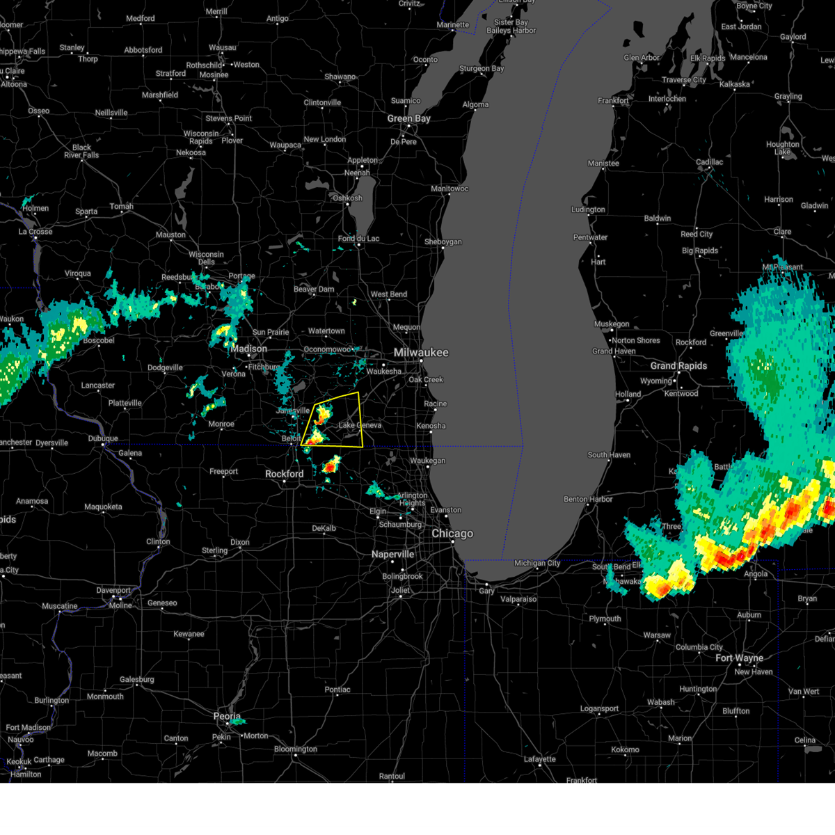
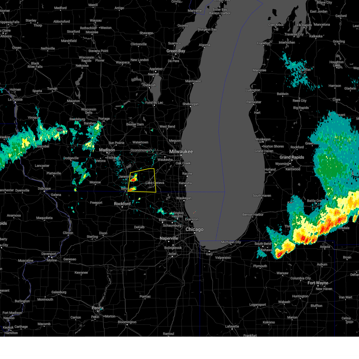
Hail Map for Sharon, WI
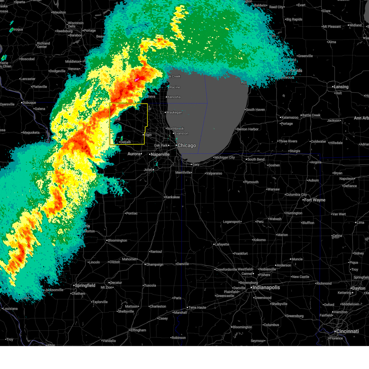
The Sharon, WI area has had 0 reports of on-the-ground hail by trained spotters, and has been under severe weather warnings 62 times during the past 12 months. Doppler radar has detected hail at or near Sharon, WI on 59 occasions, including 5 occasions during the past year.
| Name: | Sharon, WI |
| Where Located: | 51.5 miles SE of Madison, WI |
| Map: | Google Map for Sharon, WI |
| Population: | 1605 |
| Housing Units: | 714 |
| More Info: | Search Google for Sharon, WI |
3
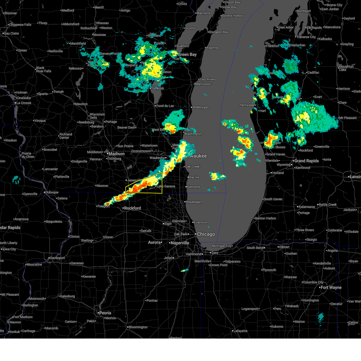
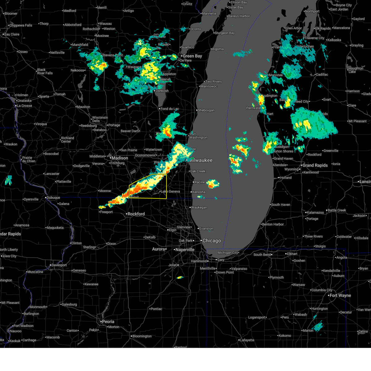
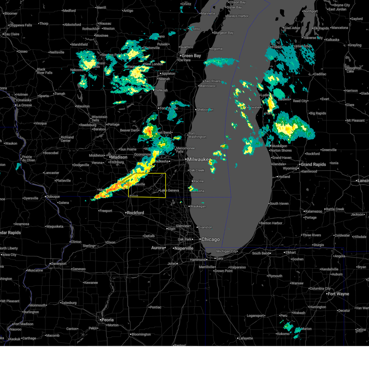
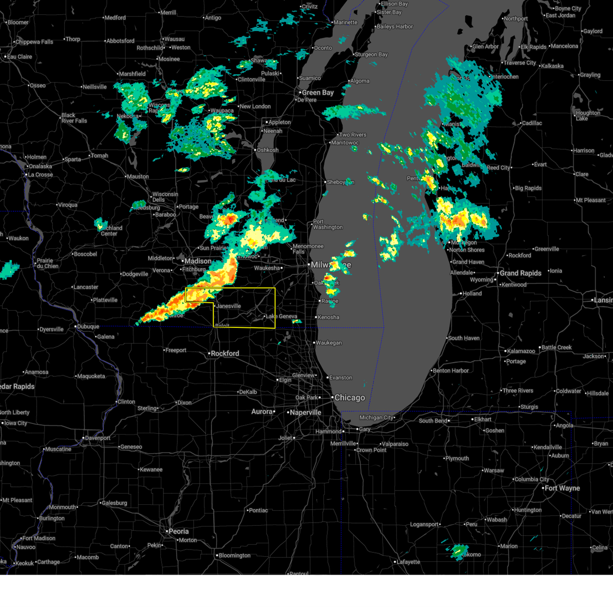
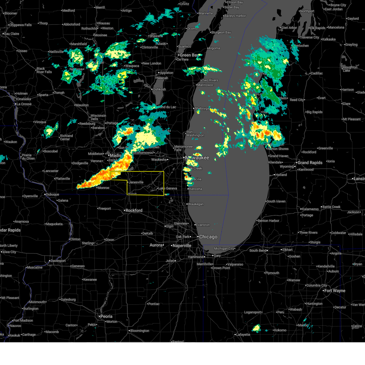
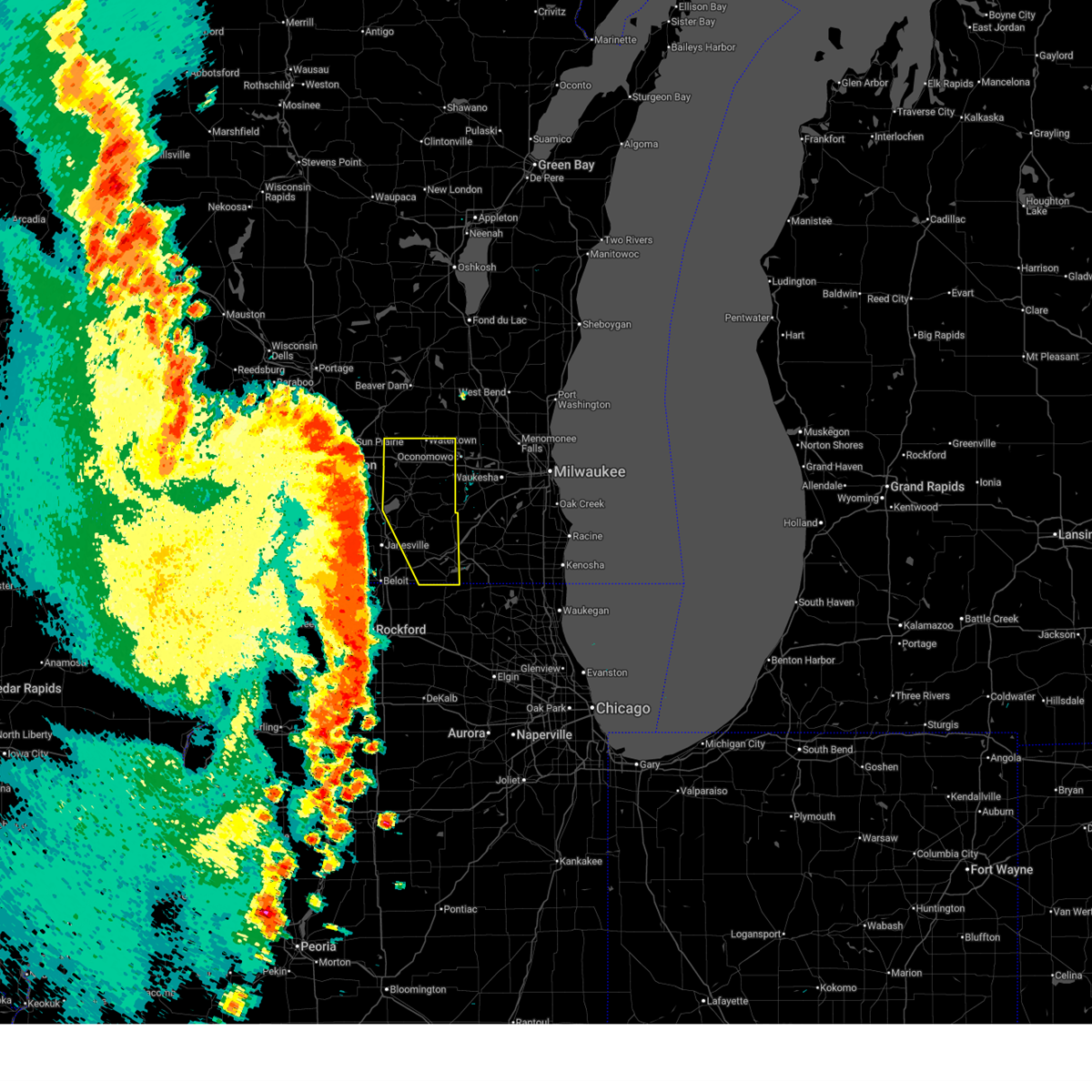
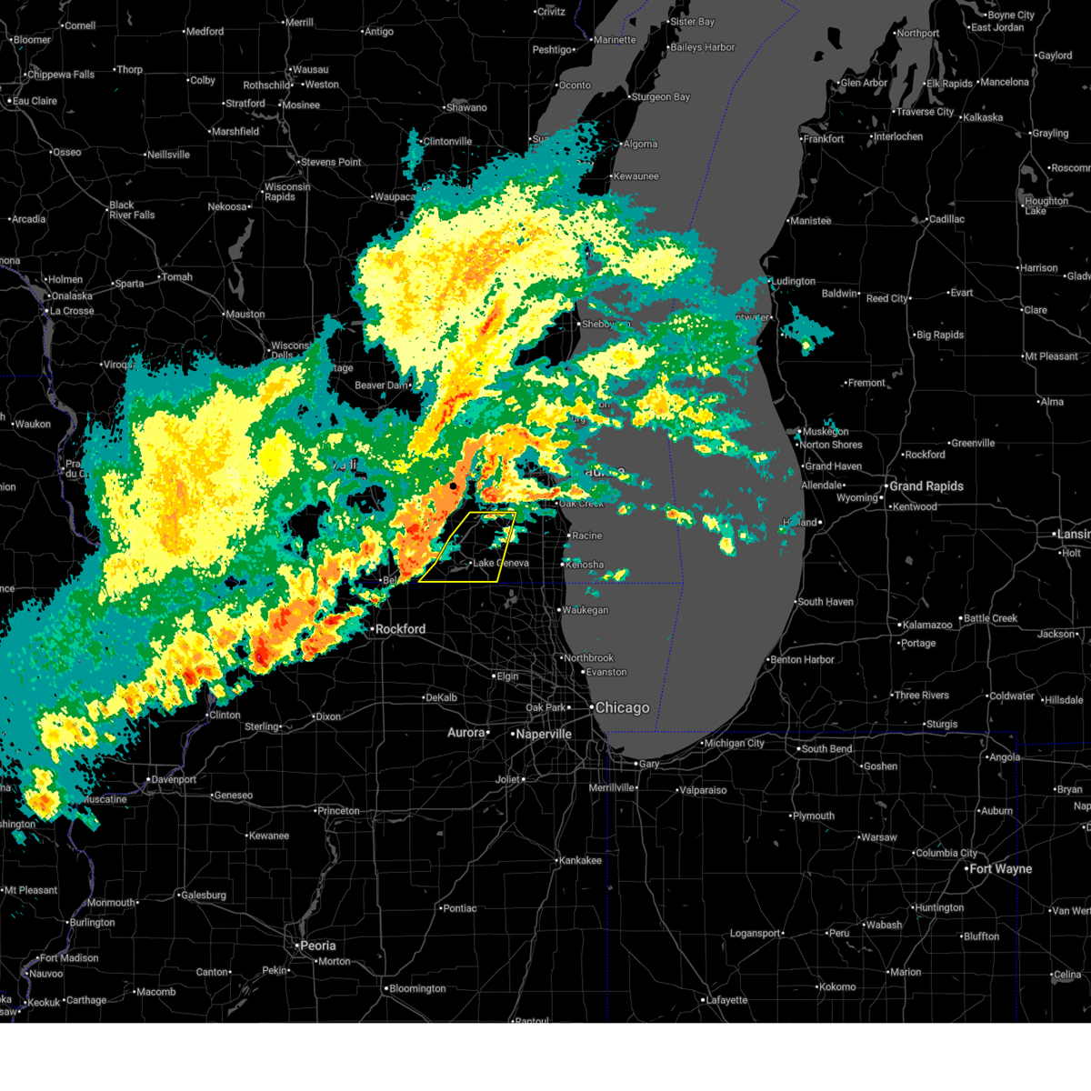
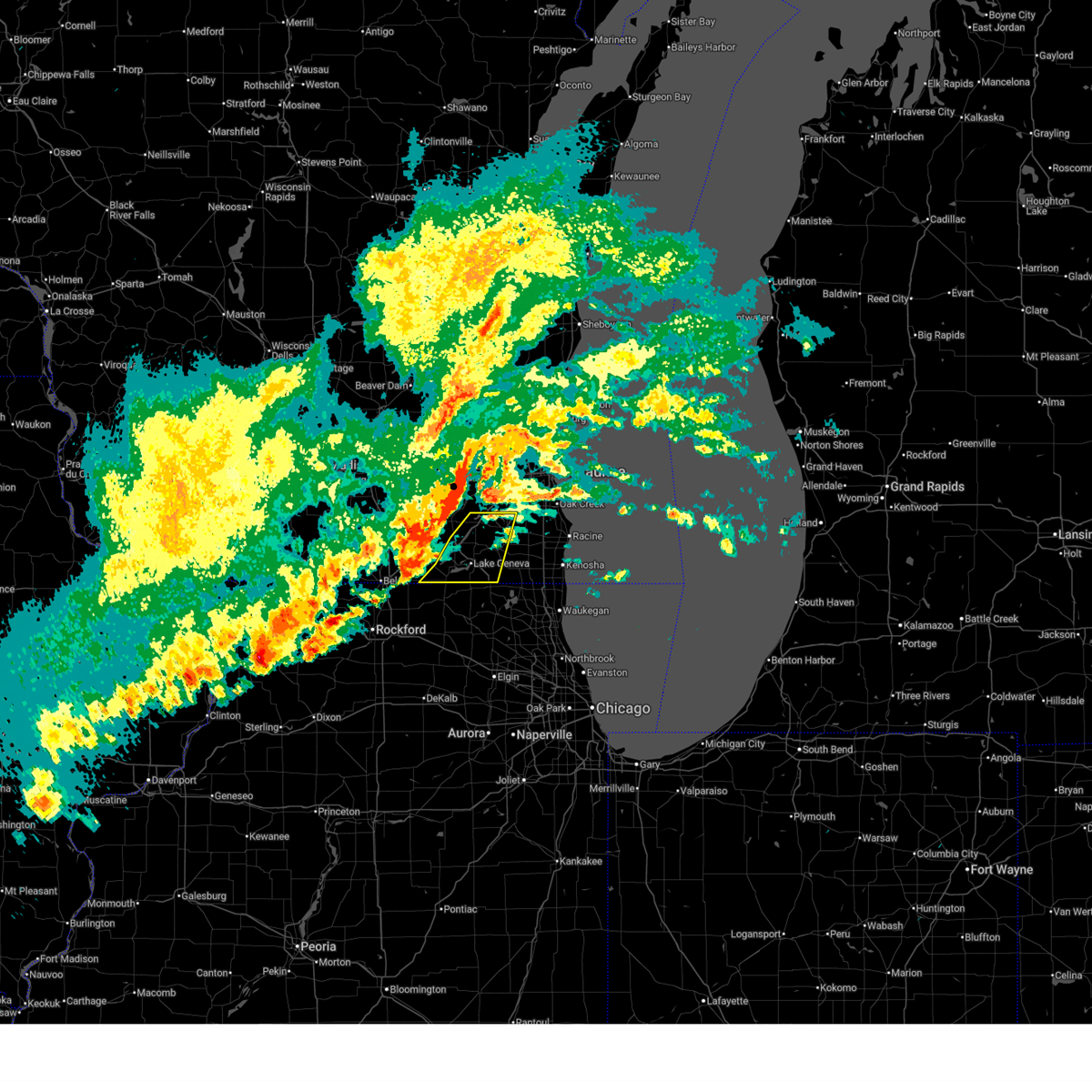
The Top Recent Hail Date for Sharon, WI is Tuesday, March 31, 2026 (13th out of 59)
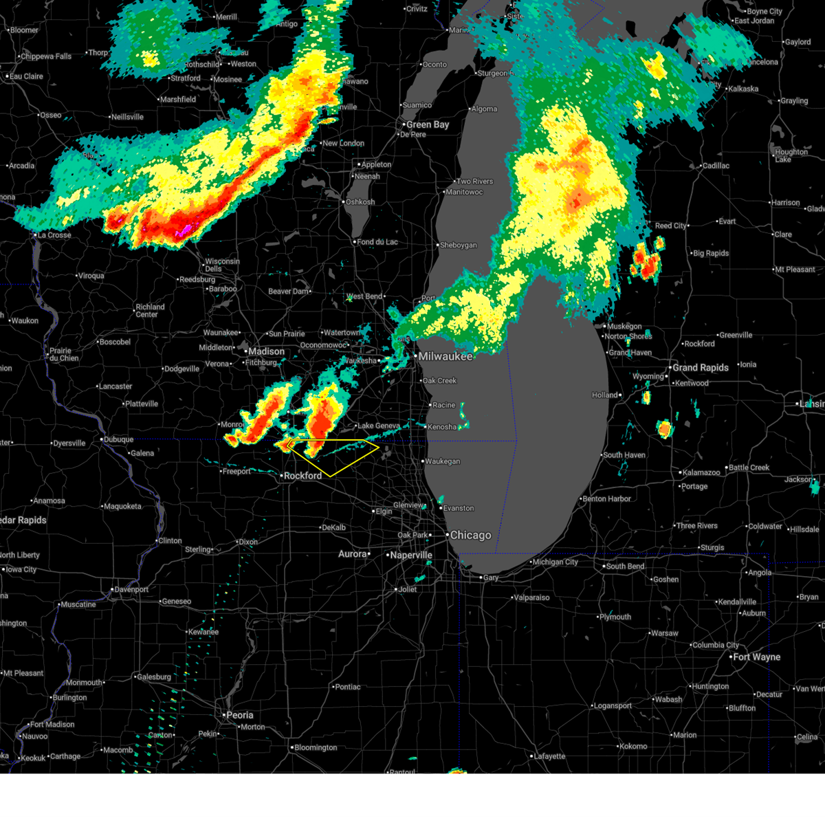
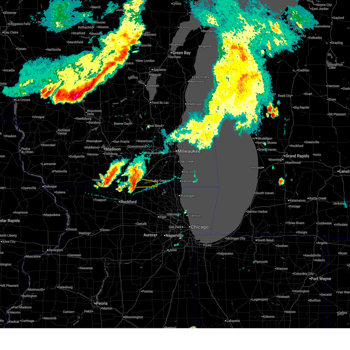
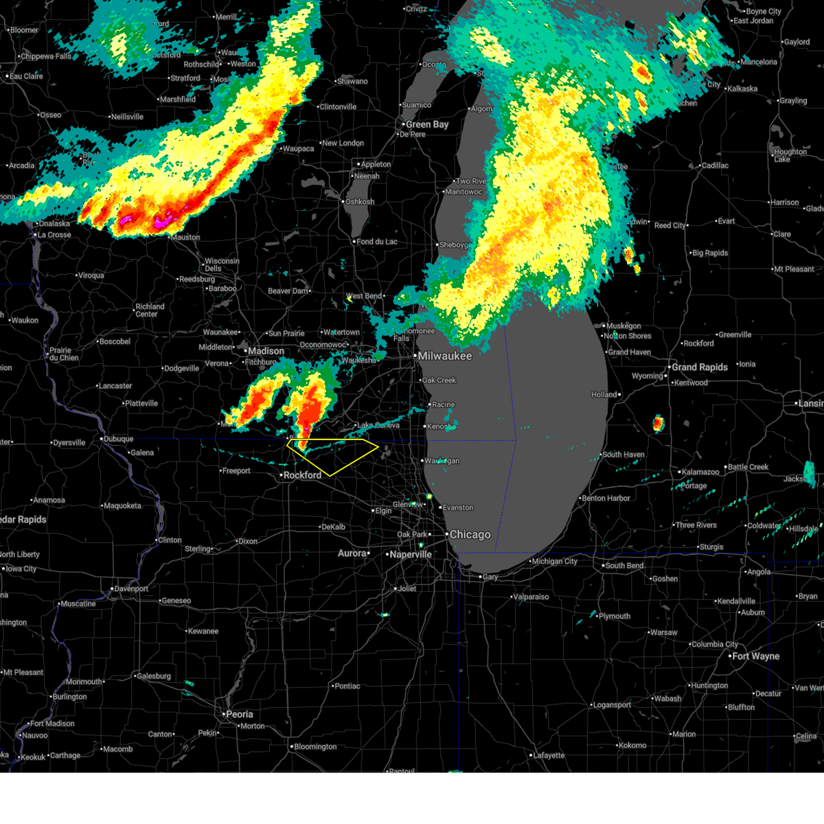
Hail and Wind Damage Spotted near Sharon, WI
| Date / Time | Report Details |
|---|---|
| 6/17/2026 8:43 PM CDT |
 At 843 pm cdt, severe thunderstorms were located along a line extending from lake geneva to near harvard to near roscoe, moving east at 50 mph (radar indicated). Hazards include 60 mph wind gusts. Expect damage to roofs, siding, and trees. Locations impacted include, mchenry, woodstock, fox lake, harvard, poplar grove, johnsburg, lakemoor, twin lakes, spring grove, wonder lake, pistakee highlands, genoa city, richmond, sharon, capron, hebron, bull valley, mccullom lake, ringwood, chemung, and greenwood. At 843 pm cdt, severe thunderstorms were located along a line extending from lake geneva to near harvard to near roscoe, moving east at 50 mph (radar indicated). Hazards include 60 mph wind gusts. Expect damage to roofs, siding, and trees. Locations impacted include, mchenry, woodstock, fox lake, harvard, poplar grove, johnsburg, lakemoor, twin lakes, spring grove, wonder lake, pistakee highlands, genoa city, richmond, sharon, capron, hebron, bull valley, mccullom lake, ringwood, chemung, and greenwood.
|
| 6/17/2026 8:41 PM CDT |
 Svrmkx the national weather service in milwaukee/sullivan has issued a * severe thunderstorm warning for, southern walworth county in southeastern wisconsin, southwestern kenosha county in southeastern wisconsin, * until 930 pm cdt. * at 841 pm cdt, severe thunderstorms were located along a line extending from near lake geneva to fontana-on-geneva lake to sharon, moving east at 45 mph (radar indicated). Hazards include 60 mph wind gusts. expect damage to roofs, siding, and trees Svrmkx the national weather service in milwaukee/sullivan has issued a * severe thunderstorm warning for, southern walworth county in southeastern wisconsin, southwestern kenosha county in southeastern wisconsin, * until 930 pm cdt. * at 841 pm cdt, severe thunderstorms were located along a line extending from near lake geneva to fontana-on-geneva lake to sharon, moving east at 45 mph (radar indicated). Hazards include 60 mph wind gusts. expect damage to roofs, siding, and trees
|
| 6/17/2026 8:38 PM CDT |
 At 837 pm cdt, a severe thunderstorm capable of producing a tornado was located over walworth, or near williams bay, moving east at 35 mph (weather spotters reported a funnel cloud). Hazards include tornado. Flying debris will be dangerous to those caught without shelter. mobile homes will be damaged or destroyed. damage to roofs, windows, and vehicles will occur. tree damage is likely. this dangerous storm will be near, fontana-on-geneva lake around 845 pm cdt. Other locations impacted by this tornadic thunderstorm include delavan lake. At 837 pm cdt, a severe thunderstorm capable of producing a tornado was located over walworth, or near williams bay, moving east at 35 mph (weather spotters reported a funnel cloud). Hazards include tornado. Flying debris will be dangerous to those caught without shelter. mobile homes will be damaged or destroyed. damage to roofs, windows, and vehicles will occur. tree damage is likely. this dangerous storm will be near, fontana-on-geneva lake around 845 pm cdt. Other locations impacted by this tornadic thunderstorm include delavan lake.
|
| 6/17/2026 8:31 PM CDT |
 Svrlot the national weather service in chicago has issued a * severe thunderstorm warning for, northern mchenry county in northeastern illinois, northern boone county in north central illinois, * until 930 pm cdt. * at 831 pm cdt, severe thunderstorms were located along a line extending from near delavan to near clinton, moving east at 45 mph (radar indicated). Hazards include 60 mph wind gusts. expect damage to roofs, siding, and trees Svrlot the national weather service in chicago has issued a * severe thunderstorm warning for, northern mchenry county in northeastern illinois, northern boone county in north central illinois, * until 930 pm cdt. * at 831 pm cdt, severe thunderstorms were located along a line extending from near delavan to near clinton, moving east at 45 mph (radar indicated). Hazards include 60 mph wind gusts. expect damage to roofs, siding, and trees
|
| 6/17/2026 8:30 PM CDT |
 At 830 pm cdt, severe thunderstorms were located along a line extending from wind lake to elkhorn to near clinton, moving east at 50 mph (radar indicated). Hazards include 60 mph wind gusts. Expect damage to roofs, siding, and trees. Locations impacted include, beloit, elkhorn, delavan, lake geneva, east troy, williams bay, genoa city, walworth, clinton, richmond, fontana-on-geneva lake, sharon, darien, como, pell lake, powers lake, burlington, springfield, tiffany, and avalon. At 830 pm cdt, severe thunderstorms were located along a line extending from wind lake to elkhorn to near clinton, moving east at 50 mph (radar indicated). Hazards include 60 mph wind gusts. Expect damage to roofs, siding, and trees. Locations impacted include, beloit, elkhorn, delavan, lake geneva, east troy, williams bay, genoa city, walworth, clinton, richmond, fontana-on-geneva lake, sharon, darien, como, pell lake, powers lake, burlington, springfield, tiffany, and avalon.
|
| 6/17/2026 8:17 PM CDT |
 At 817 pm cdt, severe thunderstorms were located along a line extending from potter lake to near delavan to near beloit, moving east at 55 mph (radar indicated). Hazards include 60 mph wind gusts. Expect damage to roofs, siding, and trees. Locations impacted include, janesville, beloit, elkhorn, delavan, lake geneva, east troy, williams bay, genoa city, walworth, clinton, fontana-on-geneva lake, sharon, darien, como, pell lake, potter lake, powers lake, burlington, richmond, and springfield. At 817 pm cdt, severe thunderstorms were located along a line extending from potter lake to near delavan to near beloit, moving east at 55 mph (radar indicated). Hazards include 60 mph wind gusts. Expect damage to roofs, siding, and trees. Locations impacted include, janesville, beloit, elkhorn, delavan, lake geneva, east troy, williams bay, genoa city, walworth, clinton, fontana-on-geneva lake, sharon, darien, como, pell lake, potter lake, powers lake, burlington, richmond, and springfield.
|
| 6/17/2026 8:01 PM CDT |
 At 801 pm cdt, severe thunderstorms were located along a line extending from near palmyra to 7 miles south of whitewater to near janesville, moving east at 55 mph (radar indicated). Hazards include 60 mph wind gusts. Expect damage to roofs, siding, and trees. Locations impacted include, janesville, beloit, whitewater, elkhorn, delavan, lake geneva, milton, east troy, williams bay, genoa city, walworth, clinton, fontana-on-geneva lake, sharon, darien, como, pell lake, potter lake, powers lake, and burlington. At 801 pm cdt, severe thunderstorms were located along a line extending from near palmyra to 7 miles south of whitewater to near janesville, moving east at 55 mph (radar indicated). Hazards include 60 mph wind gusts. Expect damage to roofs, siding, and trees. Locations impacted include, janesville, beloit, whitewater, elkhorn, delavan, lake geneva, milton, east troy, williams bay, genoa city, walworth, clinton, fontana-on-geneva lake, sharon, darien, como, pell lake, potter lake, powers lake, and burlington.
|
| 6/17/2026 7:36 PM CDT |
 At 736 pm cdt, severe thunderstorms were located along a line extending from near lake koshkonong to near footville to near brodhead, moving east at 55 mph (radar indicated). Hazards include 60 mph wind gusts. Expect damage to roofs, siding, and trees. Locations impacted include, janesville, beloit, whitewater, elkhorn, delavan, lake geneva, milton, edgerton, evansville, east troy, williams bay, genoa city, walworth, clinton, fontana-on-geneva lake, sharon, darien, como, pell lake, and potter lake. At 736 pm cdt, severe thunderstorms were located along a line extending from near lake koshkonong to near footville to near brodhead, moving east at 55 mph (radar indicated). Hazards include 60 mph wind gusts. Expect damage to roofs, siding, and trees. Locations impacted include, janesville, beloit, whitewater, elkhorn, delavan, lake geneva, milton, edgerton, evansville, east troy, williams bay, genoa city, walworth, clinton, fontana-on-geneva lake, sharon, darien, como, pell lake, and potter lake.
|
| 6/17/2026 7:32 PM CDT |
 Svrmkx the national weather service in milwaukee/sullivan has issued a * severe thunderstorm warning for, walworth county in southeastern wisconsin, rock county in south central wisconsin, * until 845 pm cdt. * at 732 pm cdt, severe thunderstorms were located along a line extending from near lake koshkonong to near edgerton to near albany, moving east at 80 mph (radar indicated). Hazards include 60 mph wind gusts. expect damage to roofs, siding, and trees Svrmkx the national weather service in milwaukee/sullivan has issued a * severe thunderstorm warning for, walworth county in southeastern wisconsin, rock county in south central wisconsin, * until 845 pm cdt. * at 732 pm cdt, severe thunderstorms were located along a line extending from near lake koshkonong to near edgerton to near albany, moving east at 80 mph (radar indicated). Hazards include 60 mph wind gusts. expect damage to roofs, siding, and trees
|
| 6/11/2026 6:06 PM CDT |
 The storm which prompted the warning has moved out of the area. therefore, the warning will be allowed to expire. a tornado watch remains in effect until 900 pm cdt for south central and southeastern wisconsin. The storm which prompted the warning has moved out of the area. therefore, the warning will be allowed to expire. a tornado watch remains in effect until 900 pm cdt for south central and southeastern wisconsin.
|
| 6/11/2026 5:56 PM CDT |
 At 556 pm cdt, severe thunderstorms were located along a line extending from powers lake to near woodstock to near hillcrest, moving east-northeast at 50 mph (radar indicated). Hazards include 60 mph wind gusts and penny size hail. Expect damage to roofs, siding, and trees. Locations impacted include, rockford, mchenry, belvidere, woodstock, loves park, machesney park, roscoe, rochelle, harvard, marengo, poplar grove, genoa, byron, oregon, rockford airport, spring grove, candlewick lake, wonder lake, cherry valley, winnebago, davis junction, richmond, kirkland, sharon, and capron. At 556 pm cdt, severe thunderstorms were located along a line extending from powers lake to near woodstock to near hillcrest, moving east-northeast at 50 mph (radar indicated). Hazards include 60 mph wind gusts and penny size hail. Expect damage to roofs, siding, and trees. Locations impacted include, rockford, mchenry, belvidere, woodstock, loves park, machesney park, roscoe, rochelle, harvard, marengo, poplar grove, genoa, byron, oregon, rockford airport, spring grove, candlewick lake, wonder lake, cherry valley, winnebago, davis junction, richmond, kirkland, sharon, and capron.
|
| 6/11/2026 5:39 PM CDT |
 Svrlot the national weather service in chicago has issued a * severe thunderstorm warning for, eastern ogle county in north central illinois, northern de kalb county in north central illinois, winnebago county in north central illinois, mchenry county in northeastern illinois, boone county in north central illinois, * until 630 pm cdt. * at 538 pm cdt, severe thunderstorms were located along a line extending from near sharon to near poplar grove to near oregon, moving east-northeast at 55 mph (radar indicated). Hazards include 60 mph wind gusts. expect damage to roofs, siding, and trees Svrlot the national weather service in chicago has issued a * severe thunderstorm warning for, eastern ogle county in north central illinois, northern de kalb county in north central illinois, winnebago county in north central illinois, mchenry county in northeastern illinois, boone county in north central illinois, * until 630 pm cdt. * at 538 pm cdt, severe thunderstorms were located along a line extending from near sharon to near poplar grove to near oregon, moving east-northeast at 55 mph (radar indicated). Hazards include 60 mph wind gusts. expect damage to roofs, siding, and trees
|
| 6/11/2026 5:31 PM CDT |
 Svrmkx the national weather service in milwaukee/sullivan has issued a * severe thunderstorm warning for, walworth county in southeastern wisconsin, southeastern rock county in south central wisconsin, * until 615 pm cdt. * at 531 pm cdt, a severe thunderstorm was located over clinton, or 8 miles east of beloit, moving northeast at 55 mph (radar indicated). Hazards include 60 mph wind gusts. expect damage to roofs, siding, and trees Svrmkx the national weather service in milwaukee/sullivan has issued a * severe thunderstorm warning for, walworth county in southeastern wisconsin, southeastern rock county in south central wisconsin, * until 615 pm cdt. * at 531 pm cdt, a severe thunderstorm was located over clinton, or 8 miles east of beloit, moving northeast at 55 mph (radar indicated). Hazards include 60 mph wind gusts. expect damage to roofs, siding, and trees
|
| 6/10/2026 2:45 PM CDT |
 At 244 pm cdt, severe thunderstorms were located along a line extending from near sharon to near marengo to near sycamore, moving east at 40 mph (radar indicated). Hazards include 60 mph wind gusts. Expect damage to roofs, siding, and trees. Locations impacted include, lake in the hills, belvidere, woodstock, huntley, sycamore, harvard, marengo, poplar grove, genoa, hampshire, candlewick lake, kirkland, sharon, capron, hebron, kingston, timberlane, union, garden prairie, chemung, and caledonia. At 244 pm cdt, severe thunderstorms were located along a line extending from near sharon to near marengo to near sycamore, moving east at 40 mph (radar indicated). Hazards include 60 mph wind gusts. Expect damage to roofs, siding, and trees. Locations impacted include, lake in the hills, belvidere, woodstock, huntley, sycamore, harvard, marengo, poplar grove, genoa, hampshire, candlewick lake, kirkland, sharon, capron, hebron, kingston, timberlane, union, garden prairie, chemung, and caledonia.
|
| 6/10/2026 2:45 PM CDT |
 the severe thunderstorm warning has been cancelled and is no longer in effect the severe thunderstorm warning has been cancelled and is no longer in effect
|
| 6/10/2026 2:27 PM CDT |
 At 227 pm cdt, severe thunderstorms were located along a line extending from near roscoe to near cherry valley to near malta, moving east at 35 mph (radar indicated). Hazards include 60 mph wind gusts. Expect damage to roofs, siding, and trees. Locations impacted include, belvidere, poplar grove, candlewick lake, kirkland, capron, kingston, timberlane, sycamore, genoa, harvard, marengo, sharon, woodstock, hampshire, lake in the hills, huntley and hebron. At 227 pm cdt, severe thunderstorms were located along a line extending from near roscoe to near cherry valley to near malta, moving east at 35 mph (radar indicated). Hazards include 60 mph wind gusts. Expect damage to roofs, siding, and trees. Locations impacted include, belvidere, poplar grove, candlewick lake, kirkland, capron, kingston, timberlane, sycamore, genoa, harvard, marengo, sharon, woodstock, hampshire, lake in the hills, huntley and hebron.
|
| 6/10/2026 2:09 PM CDT |
 Svrlot the national weather service in chicago has issued a * severe thunderstorm warning for, eastern ogle county in north central illinois, northern de kalb county in north central illinois, western mchenry county in northeastern illinois, boone county in north central illinois, * until 315 pm cdt. * at 209 pm cdt, severe thunderstorms were located along a line extending from near orfordville to near machesney park to near hillcrest, moving northeast at 45 mph (radar indicated). Hazards include 70 mph wind gusts. Expect considerable tree damage. damage is likely to mobile homes, roofs, and outbuildings. severe thunderstorms will be near, rochelle, davis junction, and hillcrest around 215 pm cdt. belvidere, loves park, and cherry valley around 220 pm cdt. poplar grove, candlewick lake, kirkland, and timberlane around 225 pm cdt. sharon, capron, and kingston around 235 pm cdt. harvard and genoa around 240 pm cdt. marengo around 245 pm cdt. woodstock and hampshire around 255 pm cdt. Lake in the hills, huntley, and hebron around 300 pm cdt. Svrlot the national weather service in chicago has issued a * severe thunderstorm warning for, eastern ogle county in north central illinois, northern de kalb county in north central illinois, western mchenry county in northeastern illinois, boone county in north central illinois, * until 315 pm cdt. * at 209 pm cdt, severe thunderstorms were located along a line extending from near orfordville to near machesney park to near hillcrest, moving northeast at 45 mph (radar indicated). Hazards include 70 mph wind gusts. Expect considerable tree damage. damage is likely to mobile homes, roofs, and outbuildings. severe thunderstorms will be near, rochelle, davis junction, and hillcrest around 215 pm cdt. belvidere, loves park, and cherry valley around 220 pm cdt. poplar grove, candlewick lake, kirkland, and timberlane around 225 pm cdt. sharon, capron, and kingston around 235 pm cdt. harvard and genoa around 240 pm cdt. marengo around 245 pm cdt. woodstock and hampshire around 255 pm cdt. Lake in the hills, huntley, and hebron around 300 pm cdt.
|
| 6/10/2026 2:08 PM CDT |
 Svrmkx the national weather service in milwaukee/sullivan has issued a * severe thunderstorm warning for, western walworth county in southeastern wisconsin, northeastern rock county in south central wisconsin, jefferson county in southeastern wisconsin, * until 315 pm cdt. * at 208 pm cdt, severe thunderstorms were located along a line extending from near cottage grove to 6 miles southwest of edgerton to rockford airport, moving northeast at 45 mph (radar indicated). Hazards include 70 mph wind gusts and penny size hail. Expect considerable tree damage. Damage is likely to mobile homes, roofs, and outbuildings. Svrmkx the national weather service in milwaukee/sullivan has issued a * severe thunderstorm warning for, western walworth county in southeastern wisconsin, northeastern rock county in south central wisconsin, jefferson county in southeastern wisconsin, * until 315 pm cdt. * at 208 pm cdt, severe thunderstorms were located along a line extending from near cottage grove to 6 miles southwest of edgerton to rockford airport, moving northeast at 45 mph (radar indicated). Hazards include 70 mph wind gusts and penny size hail. Expect considerable tree damage. Damage is likely to mobile homes, roofs, and outbuildings.
|
| 5/16/2026 1:06 AM CDT |
 Svrmkx the national weather service in milwaukee/sullivan has issued a * severe thunderstorm warning for, walworth county in southeastern wisconsin, eastern rock county in south central wisconsin, jefferson county in southeastern wisconsin, * until 200 am cdt. * at 106 am cdt, severe thunderstorms were located along a line extending from near marshall to near footville to near lake summerset, moving east at 55 mph (radar indicated). Hazards include 60 mph wind gusts. expect damage to roofs, siding, and trees Svrmkx the national weather service in milwaukee/sullivan has issued a * severe thunderstorm warning for, walworth county in southeastern wisconsin, eastern rock county in south central wisconsin, jefferson county in southeastern wisconsin, * until 200 am cdt. * at 106 am cdt, severe thunderstorms were located along a line extending from near marshall to near footville to near lake summerset, moving east at 55 mph (radar indicated). Hazards include 60 mph wind gusts. expect damage to roofs, siding, and trees
|
| 4/17/2026 7:52 PM CDT |
 At 752 pm cdt, severe thunderstorms were located along a line extending from pell lake to near marengo to near ashton, moving east at 50 mph (radar indicated). Hazards include 70 mph wind gusts. Expect considerable tree damage. damage is likely to mobile homes, roofs, and outbuildings. locations impacted include, elgin, dekalb, bartlett, crystal lake, carpentersville, st. Charles, algonquin, lake in the hills, west chicago, mchenry, belvidere, woodstock, huntley, loves park, sycamore, campton hills, fox lake, harvard, island lake, marengo, poplar grove, genoa, south elgin, cary, and pingree grove. At 752 pm cdt, severe thunderstorms were located along a line extending from pell lake to near marengo to near ashton, moving east at 50 mph (radar indicated). Hazards include 70 mph wind gusts. Expect considerable tree damage. damage is likely to mobile homes, roofs, and outbuildings. locations impacted include, elgin, dekalb, bartlett, crystal lake, carpentersville, st. Charles, algonquin, lake in the hills, west chicago, mchenry, belvidere, woodstock, huntley, loves park, sycamore, campton hills, fox lake, harvard, island lake, marengo, poplar grove, genoa, south elgin, cary, and pingree grove.
|
| 4/17/2026 7:43 PM CDT |
 At 743 pm cdt, severe thunderstorms were located along a line extending from near big bend to near darien, moving east at 30 mph (radar indicated). Hazards include 60 mph wind gusts and quarter size hail. Hail damage to vehicles is expected. expect wind damage to roofs, siding, and trees. Locations impacted include, elkhorn, delavan, east troy, williams bay, walworth, fontana-on-geneva lake, darien, como, potter lake, abells corners, tibbets, troy center, delavan lake, and millard. At 743 pm cdt, severe thunderstorms were located along a line extending from near big bend to near darien, moving east at 30 mph (radar indicated). Hazards include 60 mph wind gusts and quarter size hail. Hail damage to vehicles is expected. expect wind damage to roofs, siding, and trees. Locations impacted include, elkhorn, delavan, east troy, williams bay, walworth, fontana-on-geneva lake, darien, como, potter lake, abells corners, tibbets, troy center, delavan lake, and millard.
|
| 4/17/2026 7:31 PM CDT |
 At 731 pm cdt, severe thunderstorms were located along a line extending from near walworth to cherry valley to dixon, moving east at 50 mph (radar indicated). Hazards include 70 mph wind gusts. Expect considerable tree damage. damage is likely to mobile homes, roofs, and outbuildings. locations impacted include, elgin, dekalb, bartlett, crystal lake, carpentersville, st. Charles, algonquin, lake in the hills, west chicago, mchenry, belvidere, woodstock, huntley, loves park, sycamore, campton hills, fox lake, harvard, island lake, marengo, poplar grove, genoa, south elgin, cary, and pingree grove. At 731 pm cdt, severe thunderstorms were located along a line extending from near walworth to cherry valley to dixon, moving east at 50 mph (radar indicated). Hazards include 70 mph wind gusts. Expect considerable tree damage. damage is likely to mobile homes, roofs, and outbuildings. locations impacted include, elgin, dekalb, bartlett, crystal lake, carpentersville, st. Charles, algonquin, lake in the hills, west chicago, mchenry, belvidere, woodstock, huntley, loves park, sycamore, campton hills, fox lake, harvard, island lake, marengo, poplar grove, genoa, south elgin, cary, and pingree grove.
|
| 4/17/2026 7:23 PM CDT |
 Svrmkx the national weather service in milwaukee/sullivan has issued a * severe thunderstorm warning for, walworth county in southeastern wisconsin, eastern rock county in south central wisconsin, southwestern waukesha county in southeastern wisconsin, southeastern jefferson county in southeastern wisconsin, * until 815 pm cdt. * at 722 pm cdt, severe thunderstorms were located along a line extending from near north prairie to near clinton, moving east at 30 mph (radar indicated). Hazards include 70 mph wind gusts and ping pong ball size hail. People and animals outdoors will be injured. expect hail damage to roofs, siding, windows, and vehicles. expect considerable tree damage. Wind damage is also likely to mobile homes, roofs, and outbuildings. Svrmkx the national weather service in milwaukee/sullivan has issued a * severe thunderstorm warning for, walworth county in southeastern wisconsin, eastern rock county in south central wisconsin, southwestern waukesha county in southeastern wisconsin, southeastern jefferson county in southeastern wisconsin, * until 815 pm cdt. * at 722 pm cdt, severe thunderstorms were located along a line extending from near north prairie to near clinton, moving east at 30 mph (radar indicated). Hazards include 70 mph wind gusts and ping pong ball size hail. People and animals outdoors will be injured. expect hail damage to roofs, siding, windows, and vehicles. expect considerable tree damage. Wind damage is also likely to mobile homes, roofs, and outbuildings.
|
| 4/17/2026 7:16 PM CDT |
 Svrlot the national weather service in chicago has issued a * severe thunderstorm warning for, northern de kalb county in north central illinois, northern kane county in northeastern illinois, mchenry county in northeastern illinois, boone county in north central illinois, * until 830 pm cdt. * at 716 pm cdt, severe thunderstorms were located along a line extending from near south beloit to rockford airport to sterling, moving east at 50 mph (radar indicated). Hazards include 70 mph wind gusts. Expect considerable tree damage. Damage is likely to mobile homes, roofs, and outbuildings. Svrlot the national weather service in chicago has issued a * severe thunderstorm warning for, northern de kalb county in north central illinois, northern kane county in northeastern illinois, mchenry county in northeastern illinois, boone county in north central illinois, * until 830 pm cdt. * at 716 pm cdt, severe thunderstorms were located along a line extending from near south beloit to rockford airport to sterling, moving east at 50 mph (radar indicated). Hazards include 70 mph wind gusts. Expect considerable tree damage. Damage is likely to mobile homes, roofs, and outbuildings.
|
| 4/17/2026 7:04 PM CDT |
 Svrmkx the national weather service in milwaukee/sullivan has issued a * severe thunderstorm warning for, southern milwaukee county in southeastern wisconsin, southeastern walworth county in southeastern wisconsin, southeastern rock county in south central wisconsin, racine county in southeastern wisconsin, southeastern waukesha county in southeastern wisconsin, kenosha county in southeastern wisconsin, * until 815 pm cdt. * at 704 pm cdt, severe thunderstorms were located along a line extending from near wales to near mukwonago to near east troy to near beloit, moving east at 30 mph (radar indicated). Hazards include 60 mph wind gusts and half dollar size hail. Hail damage to vehicles is expected. Expect wind damage to roofs, siding, and trees. Svrmkx the national weather service in milwaukee/sullivan has issued a * severe thunderstorm warning for, southern milwaukee county in southeastern wisconsin, southeastern walworth county in southeastern wisconsin, southeastern rock county in south central wisconsin, racine county in southeastern wisconsin, southeastern waukesha county in southeastern wisconsin, kenosha county in southeastern wisconsin, * until 815 pm cdt. * at 704 pm cdt, severe thunderstorms were located along a line extending from near wales to near mukwonago to near east troy to near beloit, moving east at 30 mph (radar indicated). Hazards include 60 mph wind gusts and half dollar size hail. Hail damage to vehicles is expected. Expect wind damage to roofs, siding, and trees.
|
| 4/17/2026 5:41 PM CDT |
 At 540 pm cdt, severe thunderstorms were located along a line extending from 6 miles southeast of whitewater to near lake koshkonong to near evansville, moving northeast at 55 mph (public). Hazards include 70 mph wind gusts and ping pong ball size hail. People and animals outdoors will be injured. expect hail damage to roofs, siding, windows, and vehicles. expect considerable tree damage. wind damage is also likely to mobile homes, roofs, and outbuildings. Locations impacted include, janesville, beloit, whitewater, stoughton, fort atkinson, elkhorn, delavan, lake geneva, mukwonago, milton, edgerton, evansville, east troy, williams bay, genoa city, walworth, clinton, north prairie, palmyra, and fontana-on-geneva lake. At 540 pm cdt, severe thunderstorms were located along a line extending from 6 miles southeast of whitewater to near lake koshkonong to near evansville, moving northeast at 55 mph (public). Hazards include 70 mph wind gusts and ping pong ball size hail. People and animals outdoors will be injured. expect hail damage to roofs, siding, windows, and vehicles. expect considerable tree damage. wind damage is also likely to mobile homes, roofs, and outbuildings. Locations impacted include, janesville, beloit, whitewater, stoughton, fort atkinson, elkhorn, delavan, lake geneva, mukwonago, milton, edgerton, evansville, east troy, williams bay, genoa city, walworth, clinton, north prairie, palmyra, and fontana-on-geneva lake.
|
| 4/17/2026 5:33 PM CDT |
 Svrmkx the national weather service in milwaukee/sullivan has issued a * severe thunderstorm warning for, western walworth county in southeastern wisconsin, rock county in south central wisconsin, * until 615 pm cdt. * at 533 pm cdt, a severe thunderstorm was located over orfordville, or 8 miles east of brodhead, moving east at 25 mph. this is a destructive storm for southern rock and walworth counties (broadcast media). Hazards include baseball size hail and 60 mph wind gusts. People and animals outdoors will be severely injured. Expect shattered windows, extensive damage to roofs, siding, and vehicles. Svrmkx the national weather service in milwaukee/sullivan has issued a * severe thunderstorm warning for, western walworth county in southeastern wisconsin, rock county in south central wisconsin, * until 615 pm cdt. * at 533 pm cdt, a severe thunderstorm was located over orfordville, or 8 miles east of brodhead, moving east at 25 mph. this is a destructive storm for southern rock and walworth counties (broadcast media). Hazards include baseball size hail and 60 mph wind gusts. People and animals outdoors will be severely injured. Expect shattered windows, extensive damage to roofs, siding, and vehicles.
|
| 4/17/2026 5:25 PM CDT |
 Svrmkx the national weather service in milwaukee/sullivan has issued a * severe thunderstorm warning for, eastern green county in south central wisconsin, walworth county in southeastern wisconsin, rock county in south central wisconsin, southwestern waukesha county in southeastern wisconsin, southeastern dane county in south central wisconsin, southern jefferson county in southeastern wisconsin, * until 630 pm cdt. * at 525 pm cdt, severe thunderstorms were located along a line extending from near clinton to near footville to albany, moving northeast at 55 mph (public. ping-pong sized hail reported in monroe). Hazards include 70 mph wind gusts and ping pong ball size hail. People and animals outdoors will be injured. expect hail damage to roofs, siding, windows, and vehicles. expect considerable tree damage. Wind damage is also likely to mobile homes, roofs, and outbuildings. Svrmkx the national weather service in milwaukee/sullivan has issued a * severe thunderstorm warning for, eastern green county in south central wisconsin, walworth county in southeastern wisconsin, rock county in south central wisconsin, southwestern waukesha county in southeastern wisconsin, southeastern dane county in south central wisconsin, southern jefferson county in southeastern wisconsin, * until 630 pm cdt. * at 525 pm cdt, severe thunderstorms were located along a line extending from near clinton to near footville to albany, moving northeast at 55 mph (public. ping-pong sized hail reported in monroe). Hazards include 70 mph wind gusts and ping pong ball size hail. People and animals outdoors will be injured. expect hail damage to roofs, siding, windows, and vehicles. expect considerable tree damage. Wind damage is also likely to mobile homes, roofs, and outbuildings.
|
| 4/15/2026 8:31 PM CDT |
 the severe thunderstorm warning has been cancelled and is no longer in effect the severe thunderstorm warning has been cancelled and is no longer in effect
|
| 4/15/2026 8:31 PM CDT |
 At 830 pm cdt, severe thunderstorms were located along a line extending from potter lake to como to near sharon, moving east at 20 mph (radar indicated). Hazards include 60 mph wind gusts and penny size hail. Expect damage to roofs, siding, and trees. Locations impacted include, elkhorn, delavan, lake geneva, east troy, williams bay, wind lake, twin lakes, rochester, genoa city, walworth, fontana-on-geneva lake, sharon, powers lake, browns lake, como, waterford north, pell lake, potter lake, bohners lake, and burlington. At 830 pm cdt, severe thunderstorms were located along a line extending from potter lake to como to near sharon, moving east at 20 mph (radar indicated). Hazards include 60 mph wind gusts and penny size hail. Expect damage to roofs, siding, and trees. Locations impacted include, elkhorn, delavan, lake geneva, east troy, williams bay, wind lake, twin lakes, rochester, genoa city, walworth, fontana-on-geneva lake, sharon, powers lake, browns lake, como, waterford north, pell lake, potter lake, bohners lake, and burlington.
|
| 4/15/2026 8:07 PM CDT |
 Svrmkx the national weather service in milwaukee/sullivan has issued a * severe thunderstorm warning for, walworth county in southeastern wisconsin, southeastern rock county in south central wisconsin, western racine county in southeastern wisconsin, southwestern kenosha county in southeastern wisconsin, * until 900 pm cdt. * at 807 pm cdt, severe thunderstorms were located along a line extending from near palmyra to delavan to near clinton, moving east at 20 mph (radar indicated). Hazards include 60 mph wind gusts and penny size hail. expect damage to roofs, siding, and trees Svrmkx the national weather service in milwaukee/sullivan has issued a * severe thunderstorm warning for, walworth county in southeastern wisconsin, southeastern rock county in south central wisconsin, western racine county in southeastern wisconsin, southwestern kenosha county in southeastern wisconsin, * until 900 pm cdt. * at 807 pm cdt, severe thunderstorms were located along a line extending from near palmyra to delavan to near clinton, moving east at 20 mph (radar indicated). Hazards include 60 mph wind gusts and penny size hail. expect damage to roofs, siding, and trees
|
| 4/15/2026 3:00 AM CDT |
 Svrmkx the national weather service in milwaukee/sullivan has issued a * severe thunderstorm warning for, southern walworth county in southeastern wisconsin, * until 330 am cdt. * at 259 am cdt, a severe thunderstorm was located near sharon, or near harvard, moving east at 45 mph (radar indicated). Hazards include quarter size hail. damage to vehicles is expected Svrmkx the national weather service in milwaukee/sullivan has issued a * severe thunderstorm warning for, southern walworth county in southeastern wisconsin, * until 330 am cdt. * at 259 am cdt, a severe thunderstorm was located near sharon, or near harvard, moving east at 45 mph (radar indicated). Hazards include quarter size hail. damage to vehicles is expected
|
| 4/15/2026 2:48 AM CDT |
 Svrlot the national weather service in chicago has issued a * severe thunderstorm warning for, northern mchenry county in northeastern illinois, northern boone county in north central illinois, * until 330 am cdt. * at 247 am cdt, a severe thunderstorm was located near capron, or near poplar grove, moving east at 50 mph (radar indicated). Hazards include 60 mph wind gusts and quarter size hail. Hail damage to vehicles is expected. Expect wind damage to roofs, siding, and trees. Svrlot the national weather service in chicago has issued a * severe thunderstorm warning for, northern mchenry county in northeastern illinois, northern boone county in north central illinois, * until 330 am cdt. * at 247 am cdt, a severe thunderstorm was located near capron, or near poplar grove, moving east at 50 mph (radar indicated). Hazards include 60 mph wind gusts and quarter size hail. Hail damage to vehicles is expected. Expect wind damage to roofs, siding, and trees.
|
| 4/14/2026 9:09 PM CDT |
 At 908 pm cdt, several severe thunderstorms were located across much of boone and mchenry counties, moving east at 50 mph (radar indicated). Hazards include 70 mph wind gusts and quarter size hail. Hail damage to vehicles is expected. expect considerable tree damage. wind damage is also likely to mobile homes, roofs, and outbuildings. Locations impacted include, crystal lake, algonquin, lake in the hills, mchenry, belvidere, woodstock, huntley, loves park, fox lake, harvard, island lake, marengo, poplar grove, cary, johnsburg, lakemoor, twin lakes, spring grove, candlewick lake, fox river grove, barrington hills, wonder lake, lakewood, pistakee highlands, and cherry valley. At 908 pm cdt, several severe thunderstorms were located across much of boone and mchenry counties, moving east at 50 mph (radar indicated). Hazards include 70 mph wind gusts and quarter size hail. Hail damage to vehicles is expected. expect considerable tree damage. wind damage is also likely to mobile homes, roofs, and outbuildings. Locations impacted include, crystal lake, algonquin, lake in the hills, mchenry, belvidere, woodstock, huntley, loves park, fox lake, harvard, island lake, marengo, poplar grove, cary, johnsburg, lakemoor, twin lakes, spring grove, candlewick lake, fox river grove, barrington hills, wonder lake, lakewood, pistakee highlands, and cherry valley.
|
| 4/14/2026 8:49 PM CDT |
 At 847 pm cdt, severe thunderstorms were located along a line extending from near richmond to harvard to near poplar grove to near belvidere, moving east at 45 mph (radar indicated). Hazards include 70 mph wind gusts. Expect considerable tree damage. damage is likely to mobile homes, roofs, and outbuildings. Locations impacted include, mchenry, belvidere, woodstock, fox lake, harvard, johnsburg, twin lakes, spring grove, wonder lake, pistakee highlands, marengo, lakemoor, prairie grove, crystal lake, island lake, lake in the hills, huntley, lakewood, oakwood hills, port barrington, algonquin, cary, fox river grove and barrington hills. At 847 pm cdt, severe thunderstorms were located along a line extending from near richmond to harvard to near poplar grove to near belvidere, moving east at 45 mph (radar indicated). Hazards include 70 mph wind gusts. Expect considerable tree damage. damage is likely to mobile homes, roofs, and outbuildings. Locations impacted include, mchenry, belvidere, woodstock, fox lake, harvard, johnsburg, twin lakes, spring grove, wonder lake, pistakee highlands, marengo, lakemoor, prairie grove, crystal lake, island lake, lake in the hills, huntley, lakewood, oakwood hills, port barrington, algonquin, cary, fox river grove and barrington hills.
|
| 4/14/2026 8:48 PM CDT |
 At 848 pm cdt, severe thunderstorms were located along a line extending from near greendale to near eagle lake to hebron, moving east at 55 mph (radar indicated). Hazards include 60 mph wind gusts and quarter size hail. Hail damage to vehicles is expected. expect wind damage to roofs, siding, and trees. Locations impacted include, elkhorn, lake geneva, east troy, williams bay, genoa city, walworth, richmond, fontana-on-geneva lake, sharon, como, pell lake, potter lake, powers lake, burlington, springfield, and delavan lake. At 848 pm cdt, severe thunderstorms were located along a line extending from near greendale to near eagle lake to hebron, moving east at 55 mph (radar indicated). Hazards include 60 mph wind gusts and quarter size hail. Hail damage to vehicles is expected. expect wind damage to roofs, siding, and trees. Locations impacted include, elkhorn, lake geneva, east troy, williams bay, genoa city, walworth, richmond, fontana-on-geneva lake, sharon, como, pell lake, potter lake, powers lake, burlington, springfield, and delavan lake.
|
| 4/14/2026 8:37 PM CDT |
 At 837 pm cdt, tornado producing storms were located along a line extending from near mukwonago to 6 miles north of lake geneva to near williams bay, moving east at 45 mph (radar confirmed tornado southeast of east troy). Hazards include damaging tornado. Flying debris will be dangerous to those caught without shelter. mobile homes will be damaged or destroyed. damage to roofs, windows, and vehicles will occur. tree damage is likely. these tornadic storms will be near, lake geneva, genoa city, como, powers lake, and pell lake around 840 pm cdt. Other locations impacted by these tornadic storms include abells corners, tibbets, troy center, delavan lake, springfield, and burlington. At 837 pm cdt, tornado producing storms were located along a line extending from near mukwonago to 6 miles north of lake geneva to near williams bay, moving east at 45 mph (radar confirmed tornado southeast of east troy). Hazards include damaging tornado. Flying debris will be dangerous to those caught without shelter. mobile homes will be damaged or destroyed. damage to roofs, windows, and vehicles will occur. tree damage is likely. these tornadic storms will be near, lake geneva, genoa city, como, powers lake, and pell lake around 840 pm cdt. Other locations impacted by these tornadic storms include abells corners, tibbets, troy center, delavan lake, springfield, and burlington.
|
| 4/14/2026 8:28 PM CDT |
 At 828 pm cdt, severe thunderstorms were located along a line extending from near east troy to near capron to near winnebago, moving east at 40 mph (radar indicated). Hazards include 70 mph wind gusts. Expect considerable tree damage. damage is likely to mobile homes, roofs, and outbuildings. these severe storms will be near, belvidere, loves park, harvard, poplar grove, candlewick lake, cherry valley, capron, and timberlane around 835 pm cdt. hebron around 840 pm cdt. woodstock, marengo, genoa city, and richmond around 845 pm cdt. twin lakes, spring grove, wonder lake, and bull valley around 850 pm cdt. crystal lake, mchenry, fox lake, johnsburg, and mccullom lake around 855 pm cdt. lake in the hills, huntley, lakemoor, lakewood, pistakee highlands, and prairie grove around 900 pm cdt. island lake and oakwood hills around 905 pm cdt. Algonquin, cary, fox river grove, and port barrington around 910 pm cdt. At 828 pm cdt, severe thunderstorms were located along a line extending from near east troy to near capron to near winnebago, moving east at 40 mph (radar indicated). Hazards include 70 mph wind gusts. Expect considerable tree damage. damage is likely to mobile homes, roofs, and outbuildings. these severe storms will be near, belvidere, loves park, harvard, poplar grove, candlewick lake, cherry valley, capron, and timberlane around 835 pm cdt. hebron around 840 pm cdt. woodstock, marengo, genoa city, and richmond around 845 pm cdt. twin lakes, spring grove, wonder lake, and bull valley around 850 pm cdt. crystal lake, mchenry, fox lake, johnsburg, and mccullom lake around 855 pm cdt. lake in the hills, huntley, lakemoor, lakewood, pistakee highlands, and prairie grove around 900 pm cdt. island lake and oakwood hills around 905 pm cdt. Algonquin, cary, fox river grove, and port barrington around 910 pm cdt.
|
| 4/14/2026 8:24 PM CDT |
 Tormkx the national weather service in milwaukee/sullivan has issued a * tornado warning for, walworth county in southeastern wisconsin, * until 915 pm cdt. * at 824 pm cdt, severe thunderstorms capable of producing a tornado were located along a line extending from near east troy to elkhorn to near walworth, moving east at 45 mph (radar indicated rotation). Hazards include tornado. Flying debris will be dangerous to those caught without shelter. mobile homes will be damaged or destroyed. damage to roofs, windows, and vehicles will occur. tree damage is likely. these dangerous storms will be near, elkhorn, lake geneva, east troy, williams bay, walworth, fontana-on-geneva lake, potter lake, como, and pell lake around 830 pm cdt. genoa city and powers lake around 835 pm cdt. Other locations impacted by these tornadic storms include abells corners, tibbets, troy center, delavan lake, springfield, and burlington. Tormkx the national weather service in milwaukee/sullivan has issued a * tornado warning for, walworth county in southeastern wisconsin, * until 915 pm cdt. * at 824 pm cdt, severe thunderstorms capable of producing a tornado were located along a line extending from near east troy to elkhorn to near walworth, moving east at 45 mph (radar indicated rotation). Hazards include tornado. Flying debris will be dangerous to those caught without shelter. mobile homes will be damaged or destroyed. damage to roofs, windows, and vehicles will occur. tree damage is likely. these dangerous storms will be near, elkhorn, lake geneva, east troy, williams bay, walworth, fontana-on-geneva lake, potter lake, como, and pell lake around 830 pm cdt. genoa city and powers lake around 835 pm cdt. Other locations impacted by these tornadic storms include abells corners, tibbets, troy center, delavan lake, springfield, and burlington.
|
| 4/14/2026 8:12 PM CDT |
 Svrlot the national weather service in chicago has issued a * severe thunderstorm warning for, mchenry county in northeastern illinois, boone county in north central illinois, * until 930 pm cdt. * at 811 pm cdt, severe thunderstorms were located along a line extending from near whitewater to rockton to german valley, moving southeast at 40 mph (radar indicated). Hazards include 70 mph wind gusts. Expect considerable tree damage. damage is likely to mobile homes, roofs, and outbuildings. severe thunderstorms will be near, loves park, poplar grove, and candlewick lake around 820 pm cdt. capron and timberlane around 825 pm cdt. belvidere, harvard, and cherry valley around 830 pm cdt. hebron around 840 pm cdt. marengo and genoa city around 845 pm cdt. woodstock, twin lakes, spring grove, wonder lake, and richmond around 850 pm cdt. mchenry, fox lake, johnsburg, bull valley, and mccullom lake around 855 pm cdt. Crystal lake, lake in the hills, huntley, lakemoor, lakewood, pistakee highlands, and prairie grove around 900 pm cdt. Svrlot the national weather service in chicago has issued a * severe thunderstorm warning for, mchenry county in northeastern illinois, boone county in north central illinois, * until 930 pm cdt. * at 811 pm cdt, severe thunderstorms were located along a line extending from near whitewater to rockton to german valley, moving southeast at 40 mph (radar indicated). Hazards include 70 mph wind gusts. Expect considerable tree damage. damage is likely to mobile homes, roofs, and outbuildings. severe thunderstorms will be near, loves park, poplar grove, and candlewick lake around 820 pm cdt. capron and timberlane around 825 pm cdt. belvidere, harvard, and cherry valley around 830 pm cdt. hebron around 840 pm cdt. marengo and genoa city around 845 pm cdt. woodstock, twin lakes, spring grove, wonder lake, and richmond around 850 pm cdt. mchenry, fox lake, johnsburg, bull valley, and mccullom lake around 855 pm cdt. Crystal lake, lake in the hills, huntley, lakemoor, lakewood, pistakee highlands, and prairie grove around 900 pm cdt.
|
| 4/14/2026 7:59 PM CDT |
 Svrmkx the national weather service in milwaukee/sullivan has issued a * severe thunderstorm warning for, walworth county in southeastern wisconsin, * until 900 pm cdt. * at 759 pm cdt, severe thunderstorms were located along a line extending from near fort atkinson to near janesville to 6 miles northeast of durand, moving east at 40 mph (radar indicated). Hazards include 60 mph wind gusts and quarter size hail. Hail damage to vehicles is expected. Expect wind damage to roofs, siding, and trees. Svrmkx the national weather service in milwaukee/sullivan has issued a * severe thunderstorm warning for, walworth county in southeastern wisconsin, * until 900 pm cdt. * at 759 pm cdt, severe thunderstorms were located along a line extending from near fort atkinson to near janesville to 6 miles northeast of durand, moving east at 40 mph (radar indicated). Hazards include 60 mph wind gusts and quarter size hail. Hail damage to vehicles is expected. Expect wind damage to roofs, siding, and trees.
|
| 4/14/2026 2:14 AM CDT |
 The severe thunderstorm which prompted the warning has moved out of the warned area. therefore, the warning will be allowed to expire. a severe thunderstorm watch remains in effect until 400 am cdt for southeastern wisconsin. The severe thunderstorm which prompted the warning has moved out of the warned area. therefore, the warning will be allowed to expire. a severe thunderstorm watch remains in effect until 400 am cdt for southeastern wisconsin.
|
| 4/14/2026 1:52 AM CDT |
 At 152 am cdt, a severe thunderstorm was located over paddock lake, moving east at 45 mph (radar indicated). Hazards include 70 mph wind gusts. Expect considerable tree damage. damage is likely to mobile homes, roofs, and outbuildings. Locations impacted include, kenosha, pleasant prairie, elkhorn, delavan, lake geneva, union grove, paddock lake, williams bay, camp lake, winthrop harbor, twin lakes, wheatland, genoa city, walworth, silver lake, fontana-on-geneva lake, powers lake, como, pell lake, and bohners lake. At 152 am cdt, a severe thunderstorm was located over paddock lake, moving east at 45 mph (radar indicated). Hazards include 70 mph wind gusts. Expect considerable tree damage. damage is likely to mobile homes, roofs, and outbuildings. Locations impacted include, kenosha, pleasant prairie, elkhorn, delavan, lake geneva, union grove, paddock lake, williams bay, camp lake, winthrop harbor, twin lakes, wheatland, genoa city, walworth, silver lake, fontana-on-geneva lake, powers lake, como, pell lake, and bohners lake.
|
| 4/14/2026 1:30 AM CDT |
 Svrmkx the national weather service in milwaukee/sullivan has issued a * severe thunderstorm warning for, southern walworth county in southeastern wisconsin, southern racine county in southeastern wisconsin, kenosha county in southeastern wisconsin, * until 215 am cdt. * at 129 am cdt, a severe thunderstorm was located over como, or near elkhorn, moving east at 45 mph (radar indicated). Hazards include 70 mph wind gusts. Expect considerable tree damage. Damage is likely to mobile homes, roofs, and outbuildings. Svrmkx the national weather service in milwaukee/sullivan has issued a * severe thunderstorm warning for, southern walworth county in southeastern wisconsin, southern racine county in southeastern wisconsin, kenosha county in southeastern wisconsin, * until 215 am cdt. * at 129 am cdt, a severe thunderstorm was located over como, or near elkhorn, moving east at 45 mph (radar indicated). Hazards include 70 mph wind gusts. Expect considerable tree damage. Damage is likely to mobile homes, roofs, and outbuildings.
|
| 4/2/2026 7:23 PM CDT |
 At 722 pm cdt, severe thunderstorms were located along a line extending from near delavan to near darien to near sharon, moving east at 65 mph (radar indicated). Hazards include 60 mph wind gusts. Expect damage to roofs, siding, and trees. Locations impacted include, elkhorn, delavan, williams bay, walworth, clinton, fontana-on-geneva lake, sharon, darien, richmond, la grange, tiffany, tibbets, allens grove, millard, avalon, shopiere, johnstown center, delavan lake, and foxhollow. At 722 pm cdt, severe thunderstorms were located along a line extending from near delavan to near darien to near sharon, moving east at 65 mph (radar indicated). Hazards include 60 mph wind gusts. Expect damage to roofs, siding, and trees. Locations impacted include, elkhorn, delavan, williams bay, walworth, clinton, fontana-on-geneva lake, sharon, darien, richmond, la grange, tiffany, tibbets, allens grove, millard, avalon, shopiere, johnstown center, delavan lake, and foxhollow.
|
| 4/2/2026 7:00 PM CDT |
 Svrmkx the national weather service in milwaukee/sullivan has issued a * severe thunderstorm warning for, western walworth county in southeastern wisconsin, southeastern rock county in south central wisconsin, * until 730 pm cdt. * at 659 pm cdt, severe thunderstorms were located along a line extending from near beloit to near rockton to near machesney park, moving east at 65 mph (radar indicated). Hazards include 70 mph wind gusts and penny size hail. Expect considerable tree damage. Damage is likely to mobile homes, roofs, and outbuildings. Svrmkx the national weather service in milwaukee/sullivan has issued a * severe thunderstorm warning for, western walworth county in southeastern wisconsin, southeastern rock county in south central wisconsin, * until 730 pm cdt. * at 659 pm cdt, severe thunderstorms were located along a line extending from near beloit to near rockton to near machesney park, moving east at 65 mph (radar indicated). Hazards include 70 mph wind gusts and penny size hail. Expect considerable tree damage. Damage is likely to mobile homes, roofs, and outbuildings.
|
| 3/31/2026 12:01 PM CDT |
 At 1201 pm cdt, a severe thunderstorm was located near sharon, or near delavan, moving northeast at 35 mph (radar indicated). Hazards include quarter size hail. Damage to vehicles is expected. Locations impacted include, elkhorn, delavan, lake geneva, east troy, williams bay, walworth, fontana-on-geneva lake, sharon, darien, como, potter lake, burlington, springfield, allens grove, and delavan lake. At 1201 pm cdt, a severe thunderstorm was located near sharon, or near delavan, moving northeast at 35 mph (radar indicated). Hazards include quarter size hail. Damage to vehicles is expected. Locations impacted include, elkhorn, delavan, lake geneva, east troy, williams bay, walworth, fontana-on-geneva lake, sharon, darien, como, potter lake, burlington, springfield, allens grove, and delavan lake.
|
| 3/31/2026 12:01 PM CDT |
 the severe thunderstorm warning has been cancelled and is no longer in effect the severe thunderstorm warning has been cancelled and is no longer in effect
|
| 3/31/2026 11:56 AM CDT |
 the severe thunderstorm warning has been cancelled and is no longer in effect the severe thunderstorm warning has been cancelled and is no longer in effect
|
| 3/31/2026 11:56 AM CDT |
 At 1156 am cdt, a severe thunderstorm was located over sharon, or 9 miles southwest of delavan, moving northeast at 35 mph (radar indicated). Hazards include quarter size hail. Damage to vehicles is expected. Locations impacted include, elkhorn, delavan, lake geneva, east troy, williams bay, walworth, fontana-on-geneva lake, sharon, darien, como, potter lake, burlington, springfield, allens grove, and delavan lake. At 1156 am cdt, a severe thunderstorm was located over sharon, or 9 miles southwest of delavan, moving northeast at 35 mph (radar indicated). Hazards include quarter size hail. Damage to vehicles is expected. Locations impacted include, elkhorn, delavan, lake geneva, east troy, williams bay, walworth, fontana-on-geneva lake, sharon, darien, como, potter lake, burlington, springfield, allens grove, and delavan lake.
|
| 3/31/2026 11:55 AM CDT |
 Svrmkx the national weather service in milwaukee/sullivan has issued a * severe thunderstorm warning for, central walworth county in southeastern wisconsin, southeastern rock county in south central wisconsin, northwestern kenosha county in southeastern wisconsin, * until 1245 pm cdt. * at 1155 am cdt, a severe thunderstorm was located over sharon, or 9 miles northwest of harvard, moving northeast at 35 mph (radar indicated). Hazards include quarter size hail. damage to vehicles is expected Svrmkx the national weather service in milwaukee/sullivan has issued a * severe thunderstorm warning for, central walworth county in southeastern wisconsin, southeastern rock county in south central wisconsin, northwestern kenosha county in southeastern wisconsin, * until 1245 pm cdt. * at 1155 am cdt, a severe thunderstorm was located over sharon, or 9 miles northwest of harvard, moving northeast at 35 mph (radar indicated). Hazards include quarter size hail. damage to vehicles is expected
|
| 8/16/2025 3:31 PM CDT |
 The storm which prompted the warning has moved out of the area. therefore, the warning has been allowed to expire. a severe thunderstorm watch remains in effect until 700 pm cdt for north central and northeastern illinois. remember, a severe thunderstorm warning still remains in effect for southern mchenry county until 415 pm this evening. The storm which prompted the warning has moved out of the area. therefore, the warning has been allowed to expire. a severe thunderstorm watch remains in effect until 700 pm cdt for north central and northeastern illinois. remember, a severe thunderstorm warning still remains in effect for southern mchenry county until 415 pm this evening.
|
| 8/16/2025 3:11 PM CDT |
 the severe thunderstorm warning has been cancelled and is no longer in effect the severe thunderstorm warning has been cancelled and is no longer in effect
|
| 8/16/2025 3:11 PM CDT |
 At 311 pm cdt, severe thunderstorms were located along a line extending from near darien to harvard to near capron, moving southeast at 30 mph (radar indicated). Hazards include 60 mph wind gusts and quarter size hail. Hail damage to vehicles is expected. expect wind damage to roofs, siding, and trees. Locations impacted include, delavan, lake geneva, williams bay, genoa city, walworth, fontana-on-geneva lake, sharon, darien, pell lake, powers lake, allens grove, and delavan lake. At 311 pm cdt, severe thunderstorms were located along a line extending from near darien to harvard to near capron, moving southeast at 30 mph (radar indicated). Hazards include 60 mph wind gusts and quarter size hail. Hail damage to vehicles is expected. expect wind damage to roofs, siding, and trees. Locations impacted include, delavan, lake geneva, williams bay, genoa city, walworth, fontana-on-geneva lake, sharon, darien, pell lake, powers lake, allens grove, and delavan lake.
|
| 8/16/2025 3:07 PM CDT |
 At 307 pm cdt, a severe thunderstorm was located near capron, or near harvard, moving southeast at 35 mph (radar indicated). Hazards include 60 mph wind gusts and half dollar size hail. Hail damage to vehicles is expected. expect wind damage to roofs, siding, and trees. Locations impacted include, poplar grove, greenwood, spring grove, harvard, hebron, chemung, capron, sharon, richmond, south beloit, wonder lake, roscoe, and rockton. At 307 pm cdt, a severe thunderstorm was located near capron, or near harvard, moving southeast at 35 mph (radar indicated). Hazards include 60 mph wind gusts and half dollar size hail. Hail damage to vehicles is expected. expect wind damage to roofs, siding, and trees. Locations impacted include, poplar grove, greenwood, spring grove, harvard, hebron, chemung, capron, sharon, richmond, south beloit, wonder lake, roscoe, and rockton.
|
| 8/16/2025 2:56 PM CDT |
 At 256 pm cdt, a severe thunderstorm was located near capron, or near harvard, moving southeast at 35 mph (radar indicated). Hazards include 60 mph wind gusts and half dollar size hail. Hail damage to vehicles is expected. expect wind damage to roofs, siding, and trees. Locations impacted include, poplar grove, greenwood, spring grove, harvard, hebron, chemung, capron, sharon, richmond, south beloit, wonder lake, roscoe, and rockton. At 256 pm cdt, a severe thunderstorm was located near capron, or near harvard, moving southeast at 35 mph (radar indicated). Hazards include 60 mph wind gusts and half dollar size hail. Hail damage to vehicles is expected. expect wind damage to roofs, siding, and trees. Locations impacted include, poplar grove, greenwood, spring grove, harvard, hebron, chemung, capron, sharon, richmond, south beloit, wonder lake, roscoe, and rockton.
|
| 8/16/2025 2:53 PM CDT |
 Svrmkx the national weather service in milwaukee/sullivan has issued a * severe thunderstorm warning for, southern walworth county in southeastern wisconsin, southeastern rock county in south central wisconsin, * until 345 pm cdt. * at 253 pm cdt, severe thunderstorms were located along a line extending from near darien to sharon to near poplar grove, moving southeast at 30 mph (radar indicated). Hazards include 60 mph wind gusts and quarter size hail. Hail damage to vehicles is expected. Expect wind damage to roofs, siding, and trees. Svrmkx the national weather service in milwaukee/sullivan has issued a * severe thunderstorm warning for, southern walworth county in southeastern wisconsin, southeastern rock county in south central wisconsin, * until 345 pm cdt. * at 253 pm cdt, severe thunderstorms were located along a line extending from near darien to sharon to near poplar grove, moving southeast at 30 mph (radar indicated). Hazards include 60 mph wind gusts and quarter size hail. Hail damage to vehicles is expected. Expect wind damage to roofs, siding, and trees.
|
| 8/16/2025 2:43 PM CDT |
 Svrlot the national weather service in chicago has issued a * severe thunderstorm warning for, northeastern winnebago county in north central illinois, northern mchenry county in northeastern illinois, northern boone county in north central illinois, * until 330 pm cdt. * at 243 pm cdt, a severe thunderstorm was located over clinton, or 10 miles east of beloit, moving southeast at 35 mph (radar indicated). Hazards include 60 mph wind gusts and half dollar size hail. Hail damage to vehicles is expected. Expect wind damage to roofs, siding, and trees. Svrlot the national weather service in chicago has issued a * severe thunderstorm warning for, northeastern winnebago county in north central illinois, northern mchenry county in northeastern illinois, northern boone county in north central illinois, * until 330 pm cdt. * at 243 pm cdt, a severe thunderstorm was located over clinton, or 10 miles east of beloit, moving southeast at 35 mph (radar indicated). Hazards include 60 mph wind gusts and half dollar size hail. Hail damage to vehicles is expected. Expect wind damage to roofs, siding, and trees.
|
| 8/16/2025 2:27 PM CDT |
 At 226 pm cdt, severe thunderstorms were located along a line extending from near milton to near beloit, moving east at 40 mph (emergency management. at 225 pm, multiple reports of ping pong ball sized hail and tree damage from winds were reported north of janesville). Hazards include ping pong ball size hail and 60 mph wind gusts. People and animals outdoors will be injured. expect hail damage to roofs, siding, windows, and vehicles. expect wind damage to roofs, siding, and trees. Locations impacted include, janesville, beloit, whitewater, delavan, milton, clinton, sharon, darien, lake koshkonong, richmond, la grange, tiffany, tibbets, allens grove, millard, avalon, shopiere, afton, emerald grove, and johnstown center. At 226 pm cdt, severe thunderstorms were located along a line extending from near milton to near beloit, moving east at 40 mph (emergency management. at 225 pm, multiple reports of ping pong ball sized hail and tree damage from winds were reported north of janesville). Hazards include ping pong ball size hail and 60 mph wind gusts. People and animals outdoors will be injured. expect hail damage to roofs, siding, windows, and vehicles. expect wind damage to roofs, siding, and trees. Locations impacted include, janesville, beloit, whitewater, delavan, milton, clinton, sharon, darien, lake koshkonong, richmond, la grange, tiffany, tibbets, allens grove, millard, avalon, shopiere, afton, emerald grove, and johnstown center.
|
| 8/16/2025 2:13 PM CDT |
 Svrmkx the national weather service in milwaukee/sullivan has issued a * severe thunderstorm warning for, western walworth county in southeastern wisconsin, eastern rock county in south central wisconsin, * until 300 pm cdt. * at 213 pm cdt, severe thunderstorms were located along a line extending from milton to near footville, moving southeast at 40 mph (radar indicated). Hazards include 60 mph wind gusts and quarter size hail. Hail damage to vehicles is expected. Expect wind damage to roofs, siding, and trees. Svrmkx the national weather service in milwaukee/sullivan has issued a * severe thunderstorm warning for, western walworth county in southeastern wisconsin, eastern rock county in south central wisconsin, * until 300 pm cdt. * at 213 pm cdt, severe thunderstorms were located along a line extending from milton to near footville, moving southeast at 40 mph (radar indicated). Hazards include 60 mph wind gusts and quarter size hail. Hail damage to vehicles is expected. Expect wind damage to roofs, siding, and trees.
|
| 7/11/2025 7:40 PM CDT |
 The storms which prompted the warning have weakened below severe limits, and no longer pose an immediate threat to life or property. therefore, the warning will be allowed to expire. however, gusty winds are still expected with these thunderstorms. a tornado watch remains in effect until 1100 pm cdt for south central and southeastern wisconsin. The storms which prompted the warning have weakened below severe limits, and no longer pose an immediate threat to life or property. therefore, the warning will be allowed to expire. however, gusty winds are still expected with these thunderstorms. a tornado watch remains in effect until 1100 pm cdt for south central and southeastern wisconsin.
|
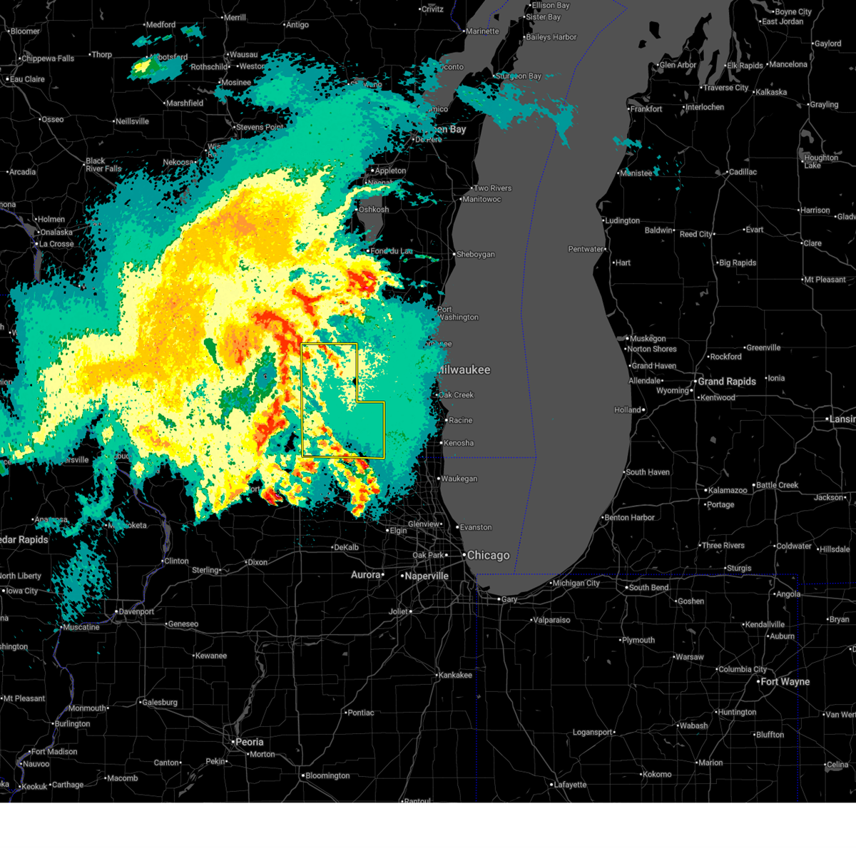
| 7/11/2025 7:00 PM CDT |
 Svrmkx the national weather service in milwaukee/sullivan has issued a * severe thunderstorm warning for, walworth county in southeastern wisconsin, southwestern waukesha county in southeastern wisconsin, southeastern jefferson county in southeastern wisconsin, * until 745 pm cdt. * at 659 pm cdt, severe thunderstorms were located along a line extending from near lake koshkonong to near clinton to 6 miles northeast of roscoe, moving east at 45 mph (radar indicated). Hazards include 70 mph wind gusts and nickel size hail. Expect considerable tree damage. Damage is likely to mobile homes, roofs, and outbuildings. Svrmkx the national weather service in milwaukee/sullivan has issued a * severe thunderstorm warning for, walworth county in southeastern wisconsin, southwestern waukesha county in southeastern wisconsin, southeastern jefferson county in southeastern wisconsin, * until 745 pm cdt. * at 659 pm cdt, severe thunderstorms were located along a line extending from near lake koshkonong to near clinton to 6 miles northeast of roscoe, moving east at 45 mph (radar indicated). Hazards include 70 mph wind gusts and nickel size hail. Expect considerable tree damage. Damage is likely to mobile homes, roofs, and outbuildings.
|
| 6/3/2025 9:36 PM CDT |
 The storm which prompted the warning has weakened below severe limits, and no longer poses an immediate threat to life or property. therefore, the warning will be allowed to expire. however, gusty winds are still possible with this thunderstorm. a severe thunderstorm watch remains in effect until 1100 pm cdt for south central and southeastern wisconsin. The storm which prompted the warning has weakened below severe limits, and no longer poses an immediate threat to life or property. therefore, the warning will be allowed to expire. however, gusty winds are still possible with this thunderstorm. a severe thunderstorm watch remains in effect until 1100 pm cdt for south central and southeastern wisconsin.
|
| 6/3/2025 9:31 PM CDT |
 At 931 pm cdt, a severe thunderstorm was located near whitewater, moving northeast at 60 mph (radar indicated). Hazards include 60 mph wind gusts. Expect damage to roofs, siding, and trees. Locations impacted include, elkhorn, delavan, sharon, darien, abells corners, tibbets, allens grove, delavan lake, and millard. At 931 pm cdt, a severe thunderstorm was located near whitewater, moving northeast at 60 mph (radar indicated). Hazards include 60 mph wind gusts. Expect damage to roofs, siding, and trees. Locations impacted include, elkhorn, delavan, sharon, darien, abells corners, tibbets, allens grove, delavan lake, and millard.
|
| 6/3/2025 9:05 PM CDT |
 Svrmkx the national weather service in milwaukee/sullivan has issued a * severe thunderstorm warning for, western walworth county in southeastern wisconsin, eastern rock county in south central wisconsin, * until 945 pm cdt. * at 905 pm cdt, a severe thunderstorm was located over south beloit, moving northeast at 60 mph (radar indicated). Hazards include 60 mph wind gusts. expect damage to roofs, siding, and trees Svrmkx the national weather service in milwaukee/sullivan has issued a * severe thunderstorm warning for, western walworth county in southeastern wisconsin, eastern rock county in south central wisconsin, * until 945 pm cdt. * at 905 pm cdt, a severe thunderstorm was located over south beloit, moving northeast at 60 mph (radar indicated). Hazards include 60 mph wind gusts. expect damage to roofs, siding, and trees
|
| 6/3/2025 1:33 PM CDT |
 At 133 pm cdt, severe thunderstorms were located along a line extending from near whitewater to near harvard, moving northeast at 50 mph (radar indicated). Hazards include 60 mph wind gusts. Expect damage to roofs, siding, and trees. Locations impacted include, whitewater, elkhorn, delavan, lake geneva, milton, east troy, williams bay, genoa city, walworth, clinton, fontana-on-geneva lake, sharon, darien, como, pell lake, potter lake, powers lake, burlington, richmond, and springfield. At 133 pm cdt, severe thunderstorms were located along a line extending from near whitewater to near harvard, moving northeast at 50 mph (radar indicated). Hazards include 60 mph wind gusts. Expect damage to roofs, siding, and trees. Locations impacted include, whitewater, elkhorn, delavan, lake geneva, milton, east troy, williams bay, genoa city, walworth, clinton, fontana-on-geneva lake, sharon, darien, como, pell lake, potter lake, powers lake, burlington, richmond, and springfield.
|
| 6/3/2025 1:28 PM CDT | Trees and limbs down in southwest walworth county. time estimated from rada in walworth county WI, 3.4 miles SW of Sharon, WI |
| 6/3/2025 1:20 PM CDT |
 At 119 pm cdt, severe thunderstorms were located along a line extending from near janesville to near poplar grove, moving east at 50 mph (radar indicated). Hazards include 60 mph wind gusts. Expect damage to roofs, siding, and trees. locations impacted include, janesville, beloit, whitewater, elkhorn, delavan, lake geneva, milton, east troy, williams bay, genoa city, walworth, clinton, fontana-on-geneva lake, sharon, darien, como, pell lake, potter lake, powers lake, and burlington. People attending music at the marv in janesville should seek safe shelter immediately!. At 119 pm cdt, severe thunderstorms were located along a line extending from near janesville to near poplar grove, moving east at 50 mph (radar indicated). Hazards include 60 mph wind gusts. Expect damage to roofs, siding, and trees. locations impacted include, janesville, beloit, whitewater, elkhorn, delavan, lake geneva, milton, east troy, williams bay, genoa city, walworth, clinton, fontana-on-geneva lake, sharon, darien, como, pell lake, potter lake, powers lake, and burlington. People attending music at the marv in janesville should seek safe shelter immediately!.
|
| 6/3/2025 1:03 PM CDT |
 Svrmkx the national weather service in milwaukee/sullivan has issued a * severe thunderstorm warning for, walworth county in southeastern wisconsin, southeastern rock county in south central wisconsin, * until 145 pm cdt. * at 103 pm cdt, severe thunderstorms were located along a line extending from 6 miles southeast of orfordville to cherry valley, moving northeast at 50 mph (radar indicated). Hazards include 60 mph wind gusts. expect damage to roofs, siding, and trees Svrmkx the national weather service in milwaukee/sullivan has issued a * severe thunderstorm warning for, walworth county in southeastern wisconsin, southeastern rock county in south central wisconsin, * until 145 pm cdt. * at 103 pm cdt, severe thunderstorms were located along a line extending from 6 miles southeast of orfordville to cherry valley, moving northeast at 50 mph (radar indicated). Hazards include 60 mph wind gusts. expect damage to roofs, siding, and trees
|
| 3/14/2025 11:50 PM CDT |
 Svrmkx the national weather service in milwaukee/sullivan has issued a * severe thunderstorm warning for, walworth county in southeastern wisconsin, southeastern rock county in south central wisconsin, southwestern waukesha county in southeastern wisconsin, southeastern jefferson county in southeastern wisconsin, * until 1245 am cdt. * at 1148 pm cdt, severe thunderstorms were located along a line extending from near janesville to near clinton to near capron, moving northeast at 45 mph (radar indicated). Hazards include 60 mph wind gusts. expect damage to roofs, siding, and trees Svrmkx the national weather service in milwaukee/sullivan has issued a * severe thunderstorm warning for, walworth county in southeastern wisconsin, southeastern rock county in south central wisconsin, southwestern waukesha county in southeastern wisconsin, southeastern jefferson county in southeastern wisconsin, * until 1245 am cdt. * at 1148 pm cdt, severe thunderstorms were located along a line extending from near janesville to near clinton to near capron, moving northeast at 45 mph (radar indicated). Hazards include 60 mph wind gusts. expect damage to roofs, siding, and trees
|
| 8/27/2024 5:14 PM CDT |
 the severe thunderstorm warning has been cancelled and is no longer in effect the severe thunderstorm warning has been cancelled and is no longer in effect
|
| 8/27/2024 5:06 PM CDT |
 the severe thunderstorm warning has been cancelled and is no longer in effect the severe thunderstorm warning has been cancelled and is no longer in effect
|
| 8/27/2024 5:06 PM CDT |
 At 505 pm cdt, a severe thunderstorm was located over sharon, or 8 miles northwest of harvard, moving east at 20 mph (radar indicated). Hazards include 60 mph wind gusts and penny size hail. Expect damage to roofs, siding, and trees. Locations impacted include, elkhorn, delavan, lake geneva, williams bay, walworth, fontana-on-geneva lake, sharon, darien, como, allens grove, and delavan lake. At 505 pm cdt, a severe thunderstorm was located over sharon, or 8 miles northwest of harvard, moving east at 20 mph (radar indicated). Hazards include 60 mph wind gusts and penny size hail. Expect damage to roofs, siding, and trees. Locations impacted include, elkhorn, delavan, lake geneva, williams bay, walworth, fontana-on-geneva lake, sharon, darien, como, allens grove, and delavan lake.
|
| 8/27/2024 4:53 PM CDT |
 At 452 pm cdt, a severe thunderstorm was located near darien, or near delavan, moving east at 30 mph (radar indicated). Hazards include 60 mph wind gusts and quarter size hail. Hail damage to vehicles is expected. expect wind damage to roofs, siding, and trees. Locations impacted include, elkhorn, delavan, lake geneva, williams bay, walworth, clinton, fontana-on-geneva lake, sharon, darien, como, richmond, la grange, abells corners, tibbets, allens grove, millard, avalon, johnstown center, troy center, and delavan lake. At 452 pm cdt, a severe thunderstorm was located near darien, or near delavan, moving east at 30 mph (radar indicated). Hazards include 60 mph wind gusts and quarter size hail. Hail damage to vehicles is expected. expect wind damage to roofs, siding, and trees. Locations impacted include, elkhorn, delavan, lake geneva, williams bay, walworth, clinton, fontana-on-geneva lake, sharon, darien, como, richmond, la grange, abells corners, tibbets, allens grove, millard, avalon, johnstown center, troy center, and delavan lake.
|
| 8/27/2024 4:42 PM CDT |
 Svrmkx the national weather service in milwaukee/sullivan has issued a * severe thunderstorm warning for, walworth county in southeastern wisconsin, eastern rock county in south central wisconsin, * until 530 pm cdt. * at 442 pm cdt, a severe thunderstorm was located near darien, or 8 miles northwest of delavan, moving east at 30 mph (radar indicated). Hazards include 60 mph wind gusts. expect damage to roofs, siding, and trees Svrmkx the national weather service in milwaukee/sullivan has issued a * severe thunderstorm warning for, walworth county in southeastern wisconsin, eastern rock county in south central wisconsin, * until 530 pm cdt. * at 442 pm cdt, a severe thunderstorm was located near darien, or 8 miles northwest of delavan, moving east at 30 mph (radar indicated). Hazards include 60 mph wind gusts. expect damage to roofs, siding, and trees
|
| 7/15/2024 8:56 PM CDT |
 At 856 pm cdt, severe thunderstorms were located along a line extending from 6 miles north of lake geneva to mccullom lake to near huntley, moving east at 40 mph (radar indicated). Hazards include 60 mph wind gusts. Expect damage to roofs, siding, and trees. Locations impacted include, whitewater, elkhorn, delavan, lake geneva, east troy, williams bay, genoa city, walworth, fontana-on-geneva lake, sharon, darien, como, pell lake, potter lake, powers lake, burlington, richmond, springfield, la grange, and millard. At 856 pm cdt, severe thunderstorms were located along a line extending from 6 miles north of lake geneva to mccullom lake to near huntley, moving east at 40 mph (radar indicated). Hazards include 60 mph wind gusts. Expect damage to roofs, siding, and trees. Locations impacted include, whitewater, elkhorn, delavan, lake geneva, east troy, williams bay, genoa city, walworth, fontana-on-geneva lake, sharon, darien, como, pell lake, potter lake, powers lake, burlington, richmond, springfield, la grange, and millard.
|
| 7/15/2024 8:56 PM CDT |
 the severe thunderstorm warning has been cancelled and is no longer in effect the severe thunderstorm warning has been cancelled and is no longer in effect
|
| 7/15/2024 8:34 PM CDT |
 At 834 pm cdt, severe thunderstorms were located along a line extending from near harvard to near marengo to near sycamore to near waterman, moving east at 45 mph (radar indicated). Hazards include 70 mph wind gusts. Expect considerable tree damage. damage is likely to mobile homes, roofs, and outbuildings. locations impacted include, aurora, elgin, dekalb, bartlett, crystal lake, carpentersville, st. Charles, algonquin, lake in the hills, west chicago, mchenry, batavia, belvidere, woodstock, huntley, geneva, sycamore, campton hills, fox lake, harvard, island lake, marengo, poplar grove, genoa, and south elgin. At 834 pm cdt, severe thunderstorms were located along a line extending from near harvard to near marengo to near sycamore to near waterman, moving east at 45 mph (radar indicated). Hazards include 70 mph wind gusts. Expect considerable tree damage. damage is likely to mobile homes, roofs, and outbuildings. locations impacted include, aurora, elgin, dekalb, bartlett, crystal lake, carpentersville, st. Charles, algonquin, lake in the hills, west chicago, mchenry, batavia, belvidere, woodstock, huntley, geneva, sycamore, campton hills, fox lake, harvard, island lake, marengo, poplar grove, genoa, and south elgin.
|
| 7/15/2024 8:22 PM CDT |
 At 822 pm cdt, severe thunderstorms were located along a line extending from 6 miles southwest of sharon to near belvidere to near kirkland to near shabbona, moving east at 45 mph (radar indicated). Hazards include 70 mph wind gusts. Expect considerable tree damage. damage is likely to mobile homes, roofs, and outbuildings. locations impacted include, aurora, elgin, dekalb, bartlett, crystal lake, carpentersville, st. Charles, algonquin, lake in the hills, west chicago, mchenry, batavia, belvidere, woodstock, huntley, loves park, geneva, sycamore, campton hills, fox lake, harvard, island lake, marengo, poplar grove, and genoa. At 822 pm cdt, severe thunderstorms were located along a line extending from 6 miles southwest of sharon to near belvidere to near kirkland to near shabbona, moving east at 45 mph (radar indicated). Hazards include 70 mph wind gusts. Expect considerable tree damage. damage is likely to mobile homes, roofs, and outbuildings. locations impacted include, aurora, elgin, dekalb, bartlett, crystal lake, carpentersville, st. Charles, algonquin, lake in the hills, west chicago, mchenry, batavia, belvidere, woodstock, huntley, loves park, geneva, sycamore, campton hills, fox lake, harvard, island lake, marengo, poplar grove, and genoa.
|
| 7/15/2024 8:22 PM CDT |
 the severe thunderstorm warning has been cancelled and is no longer in effect the severe thunderstorm warning has been cancelled and is no longer in effect
|
| 7/15/2024 8:10 PM CDT |
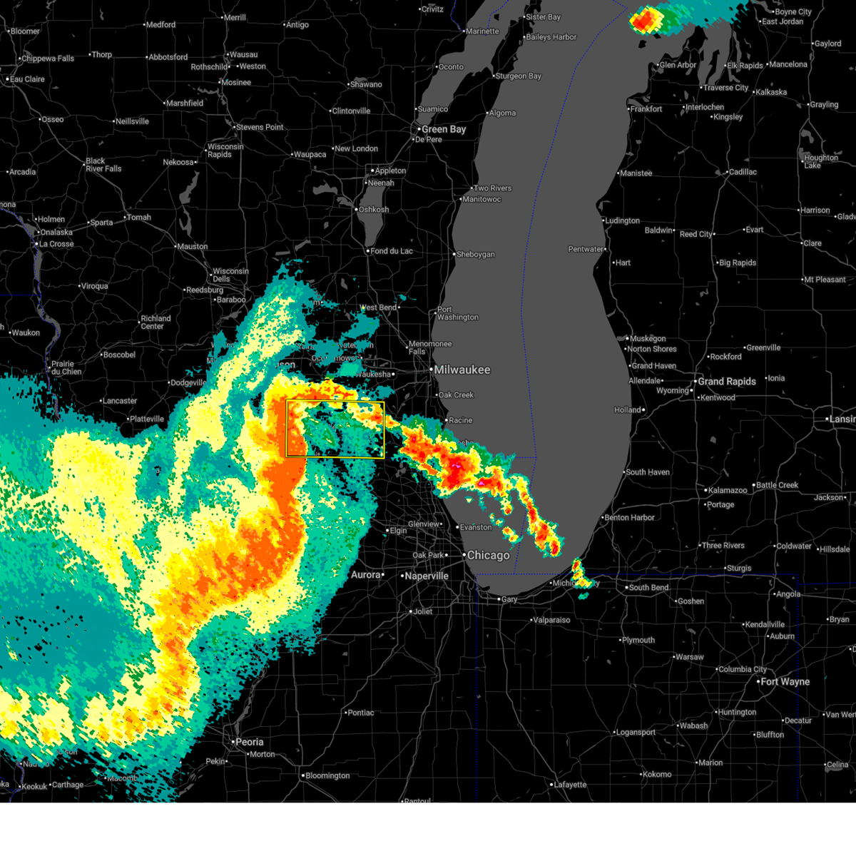 Svrmkx the national weather service in milwaukee/sullivan has issued a * severe thunderstorm warning for, walworth county in southeastern wisconsin, rock county in south central wisconsin, * until 915 pm cdt. * at 810 pm cdt, severe thunderstorms were located along a line extending from near milton to near clinton to near rockford, moving east at 40 mph (radar indicated). Hazards include 60 mph wind gusts. expect damage to roofs, siding, and trees Svrmkx the national weather service in milwaukee/sullivan has issued a * severe thunderstorm warning for, walworth county in southeastern wisconsin, rock county in south central wisconsin, * until 915 pm cdt. * at 810 pm cdt, severe thunderstorms were located along a line extending from near milton to near clinton to near rockford, moving east at 40 mph (radar indicated). Hazards include 60 mph wind gusts. expect damage to roofs, siding, and trees
|
| 7/15/2024 8:01 PM CDT |
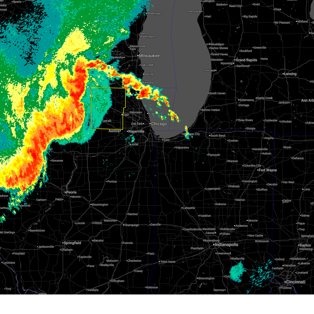 Svrlot the national weather service in chicago has issued a * severe thunderstorm warning for, southeastern ogle county in north central illinois, eastern lee county in north central illinois, de kalb county in north central illinois, eastern winnebago county in north central illinois, kane county in northeastern illinois, mchenry county in northeastern illinois, boone county in north central illinois, * until 915 pm cdt. * at 801 pm cdt, severe thunderstorms were located along a line extending from near rockton to rockford airport to near davis junction to near ashton, moving east at 45 mph (radar indicated). Hazards include 70 mph wind gusts. Expect considerable tree damage. Damage is likely to mobile homes, roofs, and outbuildings. Svrlot the national weather service in chicago has issued a * severe thunderstorm warning for, southeastern ogle county in north central illinois, eastern lee county in north central illinois, de kalb county in north central illinois, eastern winnebago county in north central illinois, kane county in northeastern illinois, mchenry county in northeastern illinois, boone county in north central illinois, * until 915 pm cdt. * at 801 pm cdt, severe thunderstorms were located along a line extending from near rockton to rockford airport to near davis junction to near ashton, moving east at 45 mph (radar indicated). Hazards include 70 mph wind gusts. Expect considerable tree damage. Damage is likely to mobile homes, roofs, and outbuildings.
|
| 7/14/2024 9:07 PM CDT |
 At 906 pm cdt, a severe thunderstorm was located over elkhorn, moving east at 40 mph (radar indicated). Hazards include 70 mph wind gusts and penny size hail. Expect considerable tree damage. damage is likely to mobile homes, roofs, and outbuildings. Locations impacted include, janesville, elkhorn, delavan, lake geneva, milton, williams bay, genoa city, walworth, clinton, fontana-on-geneva lake, sharon, darien, como, pell lake, powers lake, richmond, tiffany, allens grove, avalon, and emerald grove. At 906 pm cdt, a severe thunderstorm was located over elkhorn, moving east at 40 mph (radar indicated). Hazards include 70 mph wind gusts and penny size hail. Expect considerable tree damage. damage is likely to mobile homes, roofs, and outbuildings. Locations impacted include, janesville, elkhorn, delavan, lake geneva, milton, williams bay, genoa city, walworth, clinton, fontana-on-geneva lake, sharon, darien, como, pell lake, powers lake, richmond, tiffany, allens grove, avalon, and emerald grove.
|
| 7/14/2024 8:53 PM CDT |
 At 853 pm cdt, a severe thunderstorm was located near darien, or 7 miles west of delavan, moving southeast at 60 mph (radar indicated). Hazards include 70 mph wind gusts and penny size hail. Expect considerable tree damage. damage is likely to mobile homes, roofs, and outbuildings. Locations impacted include, janesville, beloit, elkhorn, delavan, lake geneva, milton, edgerton, williams bay, genoa city, walworth, clinton, fontana-on-geneva lake, sharon, darien, como, pell lake, powers lake, richmond, tiffany, and hanover. At 853 pm cdt, a severe thunderstorm was located near darien, or 7 miles west of delavan, moving southeast at 60 mph (radar indicated). Hazards include 70 mph wind gusts and penny size hail. Expect considerable tree damage. damage is likely to mobile homes, roofs, and outbuildings. Locations impacted include, janesville, beloit, elkhorn, delavan, lake geneva, milton, edgerton, williams bay, genoa city, walworth, clinton, fontana-on-geneva lake, sharon, darien, como, pell lake, powers lake, richmond, tiffany, and hanover.
|
| 7/14/2024 8:41 PM CDT |
 Svrmkx the national weather service in milwaukee/sullivan has issued a * severe thunderstorm warning for, southern walworth county in southeastern wisconsin, rock county in south central wisconsin, * until 915 pm cdt. * at 841 pm cdt, a severe thunderstorm was located over janesville, moving southeast at 55 mph (radar indicated). Hazards include 60 mph wind gusts and penny size hail. expect damage to roofs, siding, and trees Svrmkx the national weather service in milwaukee/sullivan has issued a * severe thunderstorm warning for, southern walworth county in southeastern wisconsin, rock county in south central wisconsin, * until 915 pm cdt. * at 841 pm cdt, a severe thunderstorm was located over janesville, moving southeast at 55 mph (radar indicated). Hazards include 60 mph wind gusts and penny size hail. expect damage to roofs, siding, and trees
|
| 6/25/2024 8:02 PM CDT |
 At 802 pm cdt, a severe thunderstorm was located near darien, or near delavan, moving east at 35 mph (trained weather spotters). Hazards include 60 mph wind gusts and half dollar size hail. Hail damage to vehicles is expected. expect wind damage to roofs, siding, and trees. Locations impacted include, elkhorn, delavan, lake geneva, williams bay, genoa city, walworth, clinton, fontana-on-geneva lake, sharon, darien, como, pell lake, powers lake, richmond, springfield, allens grove, avalon, emerald grove, johnstown center, and delavan lake. At 802 pm cdt, a severe thunderstorm was located near darien, or near delavan, moving east at 35 mph (trained weather spotters). Hazards include 60 mph wind gusts and half dollar size hail. Hail damage to vehicles is expected. expect wind damage to roofs, siding, and trees. Locations impacted include, elkhorn, delavan, lake geneva, williams bay, genoa city, walworth, clinton, fontana-on-geneva lake, sharon, darien, como, pell lake, powers lake, richmond, springfield, allens grove, avalon, emerald grove, johnstown center, and delavan lake.
|
| 6/25/2024 7:57 PM CDT |
 At 757 pm cdt, a severe thunderstorm was located near darien, or 7 miles west of delavan, moving east at 40 mph (trained weather spotters). Hazards include 60 mph wind gusts and quarter size hail. Hail damage to vehicles is expected. expect wind damage to roofs, siding, and trees. Locations impacted include, janesville, elkhorn, delavan, lake geneva, milton, williams bay, genoa city, walworth, clinton, fontana-on-geneva lake, sharon, darien, como, pell lake, powers lake, richmond, springfield, tiffany, avalon, and delavan lake. At 757 pm cdt, a severe thunderstorm was located near darien, or 7 miles west of delavan, moving east at 40 mph (trained weather spotters). Hazards include 60 mph wind gusts and quarter size hail. Hail damage to vehicles is expected. expect wind damage to roofs, siding, and trees. Locations impacted include, janesville, elkhorn, delavan, lake geneva, milton, williams bay, genoa city, walworth, clinton, fontana-on-geneva lake, sharon, darien, como, pell lake, powers lake, richmond, springfield, tiffany, avalon, and delavan lake.
|
| 6/25/2024 7:42 PM CDT |
 Svrmkx the national weather service in milwaukee/sullivan has issued a * severe thunderstorm warning for, southern walworth county in southeastern wisconsin, eastern rock county in south central wisconsin, * until 815 pm cdt. * at 742 pm cdt, a severe thunderstorm was located near janesville, moving east at 40 mph (radar indicated). Hazards include 60 mph wind gusts and quarter size hail. Hail damage to vehicles is expected. Expect wind damage to roofs, siding, and trees. Svrmkx the national weather service in milwaukee/sullivan has issued a * severe thunderstorm warning for, southern walworth county in southeastern wisconsin, eastern rock county in south central wisconsin, * until 815 pm cdt. * at 742 pm cdt, a severe thunderstorm was located near janesville, moving east at 40 mph (radar indicated). Hazards include 60 mph wind gusts and quarter size hail. Hail damage to vehicles is expected. Expect wind damage to roofs, siding, and trees.
|
| 6/22/2024 8:35 PM CDT |
 At 835 pm cdt, severe thunderstorms were located along a line extending from near hebron to near harvard to near capron, moving east at 50 mph (radar indicated). Hazards include 70 mph wind gusts. Expect considerable tree damage. damage is likely to mobile homes, roofs, and outbuildings. these severe storms will be near, mchenry, woodstock, harvard, johnsburg, twin lakes, spring grove, wonder lake, genoa city, richmond, and bull valley around 840 pm cdt. fox lake, lakemoor, and pistakee highlands around 845 pm cdt. Other locations impacted by these severe thunderstorms include greenwood, chemung, and ringwood. At 835 pm cdt, severe thunderstorms were located along a line extending from near hebron to near harvard to near capron, moving east at 50 mph (radar indicated). Hazards include 70 mph wind gusts. Expect considerable tree damage. damage is likely to mobile homes, roofs, and outbuildings. these severe storms will be near, mchenry, woodstock, harvard, johnsburg, twin lakes, spring grove, wonder lake, genoa city, richmond, and bull valley around 840 pm cdt. fox lake, lakemoor, and pistakee highlands around 845 pm cdt. Other locations impacted by these severe thunderstorms include greenwood, chemung, and ringwood.
|
| 6/22/2024 8:35 PM CDT |
 the severe thunderstorm warning has been cancelled and is no longer in effect the severe thunderstorm warning has been cancelled and is no longer in effect
|
| 6/22/2024 8:19 PM CDT |
 At 819 pm cdt, severe thunderstorms were located along a line extending from near walworth to near sharon to near roscoe, moving east at 45 mph (radar indicated). Hazards include 70 mph wind gusts. Expect considerable tree damage. damage is likely to mobile homes, roofs, and outbuildings. these severe storms will be near, harvard, poplar grove, and capron around 825 pm cdt. hebron around 830 pm cdt. woodstock, genoa city, and richmond around 835 pm cdt. twin lakes, spring grove, wonder lake, and bull valley around 840 pm cdt. mchenry, fox lake, johnsburg, pistakee highlands, and mccullom lake around 845 pm cdt. lakemoor around 850 pm cdt. Other locations impacted by these severe thunderstorms include greenwood, chemung, and ringwood. At 819 pm cdt, severe thunderstorms were located along a line extending from near walworth to near sharon to near roscoe, moving east at 45 mph (radar indicated). Hazards include 70 mph wind gusts. Expect considerable tree damage. damage is likely to mobile homes, roofs, and outbuildings. these severe storms will be near, harvard, poplar grove, and capron around 825 pm cdt. hebron around 830 pm cdt. woodstock, genoa city, and richmond around 835 pm cdt. twin lakes, spring grove, wonder lake, and bull valley around 840 pm cdt. mchenry, fox lake, johnsburg, pistakee highlands, and mccullom lake around 845 pm cdt. lakemoor around 850 pm cdt. Other locations impacted by these severe thunderstorms include greenwood, chemung, and ringwood.
|
| 6/22/2024 8:18 PM CDT |
 At 818 pm cdt, severe thunderstorms were located along a line extending from east troy to walworth to near clinton, moving east at 50 mph (radar indicated). Hazards include 70 mph wind gusts and quarter size hail. Hail damage to vehicles is expected. expect considerable tree damage. wind damage is also likely to mobile homes, roofs, and outbuildings. locations impacted include, elkhorn, delavan, lake geneva, east troy, williams bay, genoa city, walworth, fontana-on-geneva lake, sharon, darien, como, pell lake, potter lake, powers lake, burlington, richmond, springfield, la grange, abells corners, and tibbets. People attending dave matthews band at alpine valley, and neil diamond tribute should seek safe shelter immediately!. At 818 pm cdt, severe thunderstorms were located along a line extending from east troy to walworth to near clinton, moving east at 50 mph (radar indicated). Hazards include 70 mph wind gusts and quarter size hail. Hail damage to vehicles is expected. expect considerable tree damage. wind damage is also likely to mobile homes, roofs, and outbuildings. locations impacted include, elkhorn, delavan, lake geneva, east troy, williams bay, genoa city, walworth, fontana-on-geneva lake, sharon, darien, como, pell lake, potter lake, powers lake, burlington, richmond, springfield, la grange, abells corners, and tibbets. People attending dave matthews band at alpine valley, and neil diamond tribute should seek safe shelter immediately!.
|
| 6/22/2024 8:09 PM CDT |
 Svrlot the national weather service in chicago has issued a * severe thunderstorm warning for, northeastern winnebago county in north central illinois, northern mchenry county in northeastern illinois, northern boone county in north central illinois, * until 900 pm cdt. * at 808 pm cdt, severe thunderstorms were located along a line extending from darien to near clinton to south beloit, moving east at 45 mph (radar indicated). Hazards include 60 mph wind gusts. Expect damage to roofs, siding, and trees. severe thunderstorms will be near, roscoe, south beloit, and sharon around 815 pm cdt. harvard, poplar grove, and capron around 820 pm cdt. hebron around 825 pm cdt. woodstock, twin lakes, spring grove, wonder lake, genoa city, and richmond around 835 pm cdt. mchenry, fox lake, johnsburg, bull valley, and mccullom lake around 840 pm cdt. lakemoor and pistakee highlands around 845 pm cdt. other locations impacted by these severe thunderstorms include greenwood, chemung, and ringwood. Including the following interstate, i-90 between mile markers 0 and 4. Svrlot the national weather service in chicago has issued a * severe thunderstorm warning for, northeastern winnebago county in north central illinois, northern mchenry county in northeastern illinois, northern boone county in north central illinois, * until 900 pm cdt. * at 808 pm cdt, severe thunderstorms were located along a line extending from darien to near clinton to south beloit, moving east at 45 mph (radar indicated). Hazards include 60 mph wind gusts. Expect damage to roofs, siding, and trees. severe thunderstorms will be near, roscoe, south beloit, and sharon around 815 pm cdt. harvard, poplar grove, and capron around 820 pm cdt. hebron around 825 pm cdt. woodstock, twin lakes, spring grove, wonder lake, genoa city, and richmond around 835 pm cdt. mchenry, fox lake, johnsburg, bull valley, and mccullom lake around 840 pm cdt. lakemoor and pistakee highlands around 845 pm cdt. other locations impacted by these severe thunderstorms include greenwood, chemung, and ringwood. Including the following interstate, i-90 between mile markers 0 and 4.
|
| 6/22/2024 8:06 PM CDT |
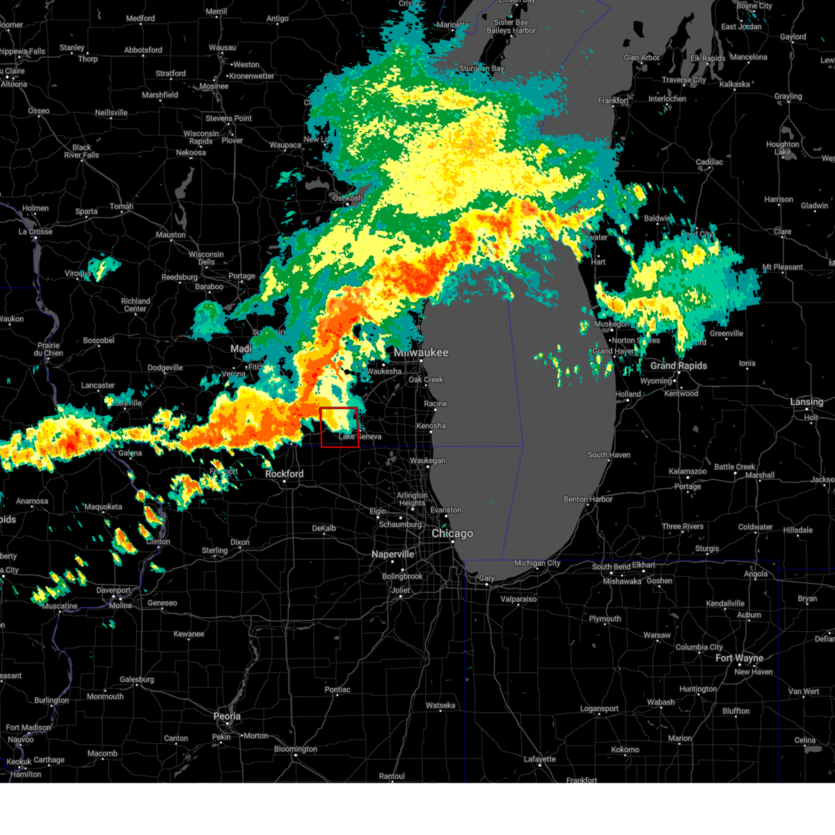 Tormkx the national weather service in milwaukee/sullivan has issued a * tornado warning for, southwestern walworth county in southeastern wisconsin, * until 845 pm cdt. * at 806 pm cdt, severe thunderstorms capable of producing a tornado were located along a line extending from 8 miles west of delavan to near darien to near clinton, moving east at 40 mph (radar indicated rotation). Hazards include tornado. Flying debris will be dangerous to those caught without shelter. mobile homes will be damaged or destroyed. damage to roofs, windows, and vehicles will occur. Tree damage is likely. Tormkx the national weather service in milwaukee/sullivan has issued a * tornado warning for, southwestern walworth county in southeastern wisconsin, * until 845 pm cdt. * at 806 pm cdt, severe thunderstorms capable of producing a tornado were located along a line extending from 8 miles west of delavan to near darien to near clinton, moving east at 40 mph (radar indicated rotation). Hazards include tornado. Flying debris will be dangerous to those caught without shelter. mobile homes will be damaged or destroyed. damage to roofs, windows, and vehicles will occur. Tree damage is likely.
|
| 6/22/2024 8:02 PM CDT |
 Svrmkx the national weather service in milwaukee/sullivan has issued a * severe thunderstorm warning for, walworth county in southeastern wisconsin, * until 845 pm cdt. * at 802 pm cdt, severe thunderstorms were located along a line extending from near palmyra to near clinton to near beloit, moving east at 50 mph (radar indicated). Hazards include 60 mph wind gusts and quarter size hail. Hail damage to vehicles is expected. Expect wind damage to roofs, siding, and trees. Svrmkx the national weather service in milwaukee/sullivan has issued a * severe thunderstorm warning for, walworth county in southeastern wisconsin, * until 845 pm cdt. * at 802 pm cdt, severe thunderstorms were located along a line extending from near palmyra to near clinton to near beloit, moving east at 50 mph (radar indicated). Hazards include 60 mph wind gusts and quarter size hail. Hail damage to vehicles is expected. Expect wind damage to roofs, siding, and trees.
|
| 6/16/2024 4:31 PM CDT |
 At 430 pm cdt, a severe thunderstorm was located near darien, or 7 miles west of delavan, moving northeast at 45 mph (radar indicated). Hazards include 60 mph wind gusts and quarter size hail. Hail damage to vehicles is expected. expect wind damage to roofs, siding, and trees. Locations impacted include, beloit, whitewater, elkhorn, delavan, east troy, clinton, darien, potter lake, richmond, la grange, tiffany, abells corners, tibbets, allens grove, millard, avalon, shopiere, emerald grove, johnstown center, and troy center. At 430 pm cdt, a severe thunderstorm was located near darien, or 7 miles west of delavan, moving northeast at 45 mph (radar indicated). Hazards include 60 mph wind gusts and quarter size hail. Hail damage to vehicles is expected. expect wind damage to roofs, siding, and trees. Locations impacted include, beloit, whitewater, elkhorn, delavan, east troy, clinton, darien, potter lake, richmond, la grange, tiffany, abells corners, tibbets, allens grove, millard, avalon, shopiere, emerald grove, johnstown center, and troy center.
|
| 6/16/2024 4:18 PM CDT |
 Svrmkx the national weather service in milwaukee/sullivan has issued a * severe thunderstorm warning for, northwestern walworth county in southeastern wisconsin, southeastern rock county in south central wisconsin, * until 515 pm cdt. * at 418 pm cdt, a severe thunderstorm was located over clinton, or near beloit, moving northeast at 45 mph (radar indicated). Hazards include 60 mph wind gusts. expect damage to roofs, siding, and trees Svrmkx the national weather service in milwaukee/sullivan has issued a * severe thunderstorm warning for, northwestern walworth county in southeastern wisconsin, southeastern rock county in south central wisconsin, * until 515 pm cdt. * at 418 pm cdt, a severe thunderstorm was located over clinton, or near beloit, moving northeast at 45 mph (radar indicated). Hazards include 60 mph wind gusts. expect damage to roofs, siding, and trees
|
| 6/3/2024 6:56 PM CDT |
 Svrmkx the national weather service in milwaukee/sullivan has issued a * severe thunderstorm warning for, walworth county in southeastern wisconsin, rock county in south central wisconsin, southwestern waukesha county in southeastern wisconsin, southeastern dane county in south central wisconsin, southern jefferson county in southeastern wisconsin, * until 730 pm cdt. * at 655 pm cdt, severe thunderstorms were located along a line extending from near lake koshkonong to near milton to near beloit, moving east at 30 mph (radar indicated). Hazards include 60 mph wind gusts. expect damage to roofs, siding, and trees Svrmkx the national weather service in milwaukee/sullivan has issued a * severe thunderstorm warning for, walworth county in southeastern wisconsin, rock county in south central wisconsin, southwestern waukesha county in southeastern wisconsin, southeastern dane county in south central wisconsin, southern jefferson county in southeastern wisconsin, * until 730 pm cdt. * at 655 pm cdt, severe thunderstorms were located along a line extending from near lake koshkonong to near milton to near beloit, moving east at 30 mph (radar indicated). Hazards include 60 mph wind gusts. expect damage to roofs, siding, and trees
|
| 5/21/2024 8:47 PM CDT |
 Svrmkx the national weather service in milwaukee/sullivan has issued a * severe thunderstorm warning for, western walworth county in southeastern wisconsin, rock county in south central wisconsin, * until 915 pm cdt. * at 847 pm cdt, a severe thunderstorm was located over roscoe, moving northeast at 70 mph (radar indicated). Hazards include 60 mph wind gusts. expect damage to roofs, siding, and trees Svrmkx the national weather service in milwaukee/sullivan has issued a * severe thunderstorm warning for, western walworth county in southeastern wisconsin, rock county in south central wisconsin, * until 915 pm cdt. * at 847 pm cdt, a severe thunderstorm was located over roscoe, moving northeast at 70 mph (radar indicated). Hazards include 60 mph wind gusts. expect damage to roofs, siding, and trees
|
| 5/7/2024 2:40 PM CDT |
 The tornado threat has diminished and the tornado warning has been cancelled. however, large hail and damaging winds remain likely and a severe thunderstorm warning remains in effect for the area. a tornado watch remains in effect until 800 pm cdt for southeastern wisconsin. The tornado threat has diminished and the tornado warning has been cancelled. however, large hail and damaging winds remain likely and a severe thunderstorm warning remains in effect for the area. a tornado watch remains in effect until 800 pm cdt for southeastern wisconsin.
|
| 5/7/2024 2:30 PM CDT |
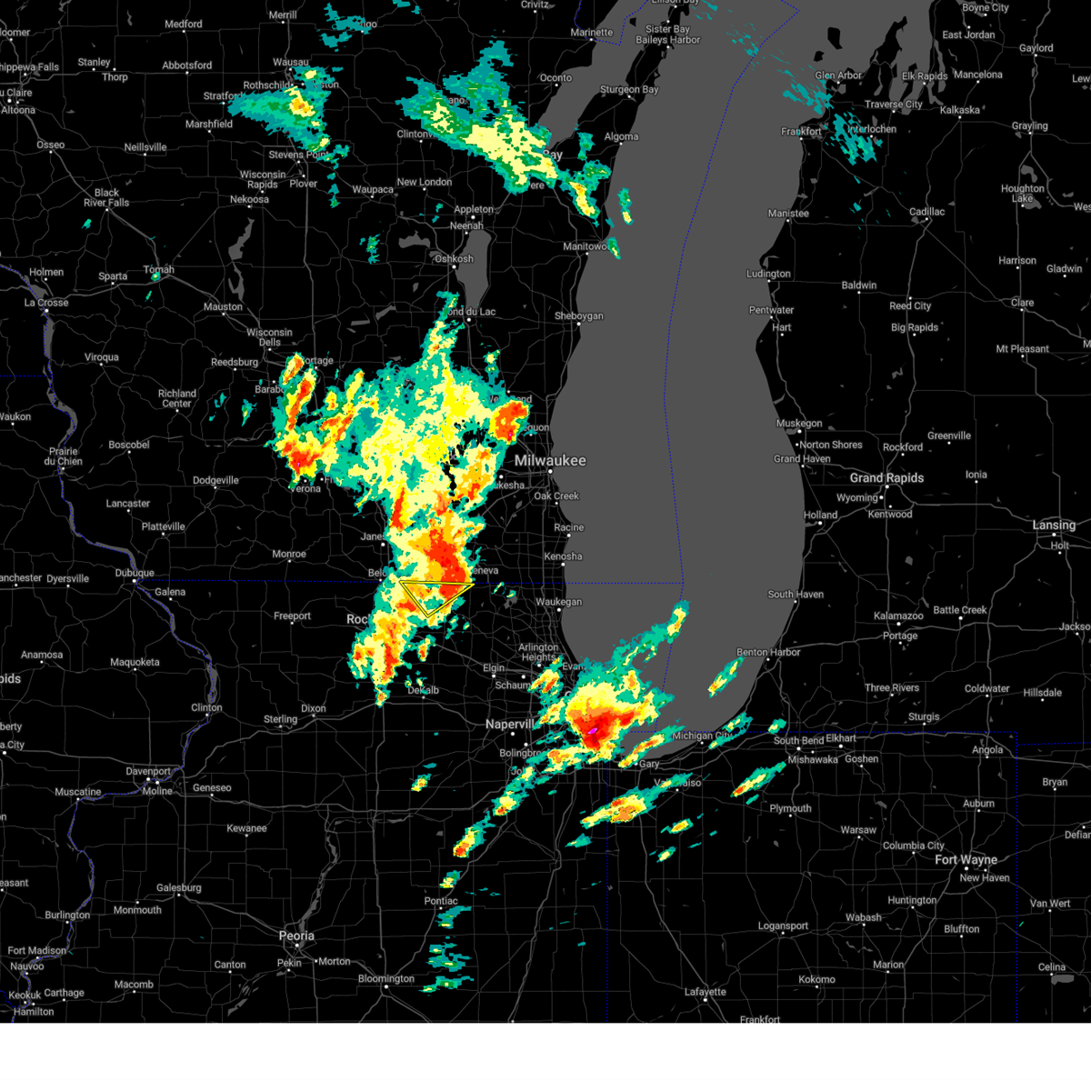 The storm which prompted the warning has moved out of the area. therefore, the warning has been allowed to expire. a tornado watch remains in effect until 800 pm cdt for north central and northeastern illinois. The storm which prompted the warning has moved out of the area. therefore, the warning has been allowed to expire. a tornado watch remains in effect until 800 pm cdt for north central and northeastern illinois.
|
| 5/7/2024 2:22 PM CDT |
 At 222 pm cdt, a severe thunderstorm capable of producing a tornado was located over walworth, or near williams bay, moving northeast at 45 mph (radar indicated rotation). Hazards include tornado and quarter size hail. Flying debris will be dangerous to those caught without shelter. mobile homes will be damaged or destroyed. damage to roofs, windows, and vehicles will occur. tree damage is likely. Locations impacted include, delavan, lake geneva, williams bay, walworth, fontana-on-geneva lake, sharon, darien, pell lake, como, allens grove, and delavan lake. At 222 pm cdt, a severe thunderstorm capable of producing a tornado was located over walworth, or near williams bay, moving northeast at 45 mph (radar indicated rotation). Hazards include tornado and quarter size hail. Flying debris will be dangerous to those caught without shelter. mobile homes will be damaged or destroyed. damage to roofs, windows, and vehicles will occur. tree damage is likely. Locations impacted include, delavan, lake geneva, williams bay, walworth, fontana-on-geneva lake, sharon, darien, pell lake, como, allens grove, and delavan lake.
|
| 5/7/2024 2:22 PM CDT |
 the tornado warning has been cancelled and is no longer in effect the tornado warning has been cancelled and is no longer in effect
|
| 5/7/2024 2:16 PM CDT |
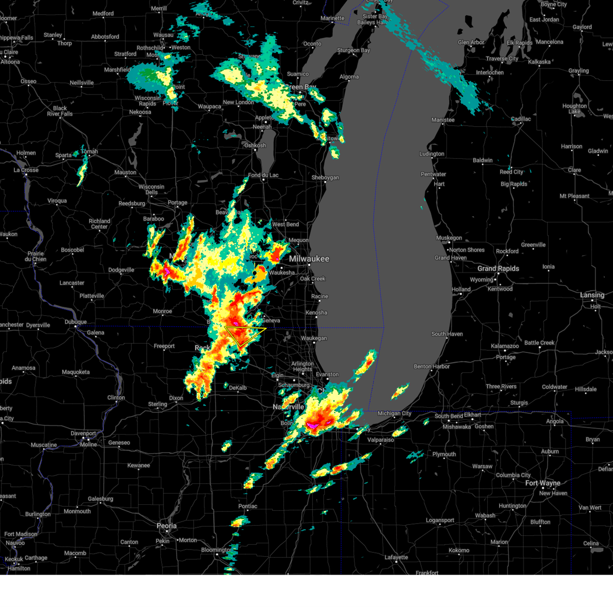 At 215 pm cdt, a severe thunderstorm was located over sharon, or 7 miles northwest of harvard, moving northeast at 45 mph (radar indicated). Hazards include 60 mph wind gusts and quarter size hail. Hail damage to vehicles is expected. expect wind damage to roofs, siding, and trees. Locations impacted include, harvard, sharon, capron, hebron, and chemung. At 215 pm cdt, a severe thunderstorm was located over sharon, or 7 miles northwest of harvard, moving northeast at 45 mph (radar indicated). Hazards include 60 mph wind gusts and quarter size hail. Hail damage to vehicles is expected. expect wind damage to roofs, siding, and trees. Locations impacted include, harvard, sharon, capron, hebron, and chemung.
|
| 5/7/2024 2:10 PM CDT |
 Tormkx the national weather service in milwaukee/sullivan has issued a * tornado warning for, southern walworth county in southeastern wisconsin, southeastern rock county in south central wisconsin, * until 245 pm cdt. * at 208 pm cdt, a severe thunderstorm capable of producing a tornado was located near capron, or near poplar grove, moving northeast at 45 mph (radar indicated rotation). Hazards include tornado. Flying debris will be dangerous to those caught without shelter. mobile homes will be damaged or destroyed. damage to roofs, windows, and vehicles will occur. Tree damage is likely. Tormkx the national weather service in milwaukee/sullivan has issued a * tornado warning for, southern walworth county in southeastern wisconsin, southeastern rock county in south central wisconsin, * until 245 pm cdt. * at 208 pm cdt, a severe thunderstorm capable of producing a tornado was located near capron, or near poplar grove, moving northeast at 45 mph (radar indicated rotation). Hazards include tornado. Flying debris will be dangerous to those caught without shelter. mobile homes will be damaged or destroyed. damage to roofs, windows, and vehicles will occur. Tree damage is likely.
|
| 5/7/2024 2:07 PM CDT |
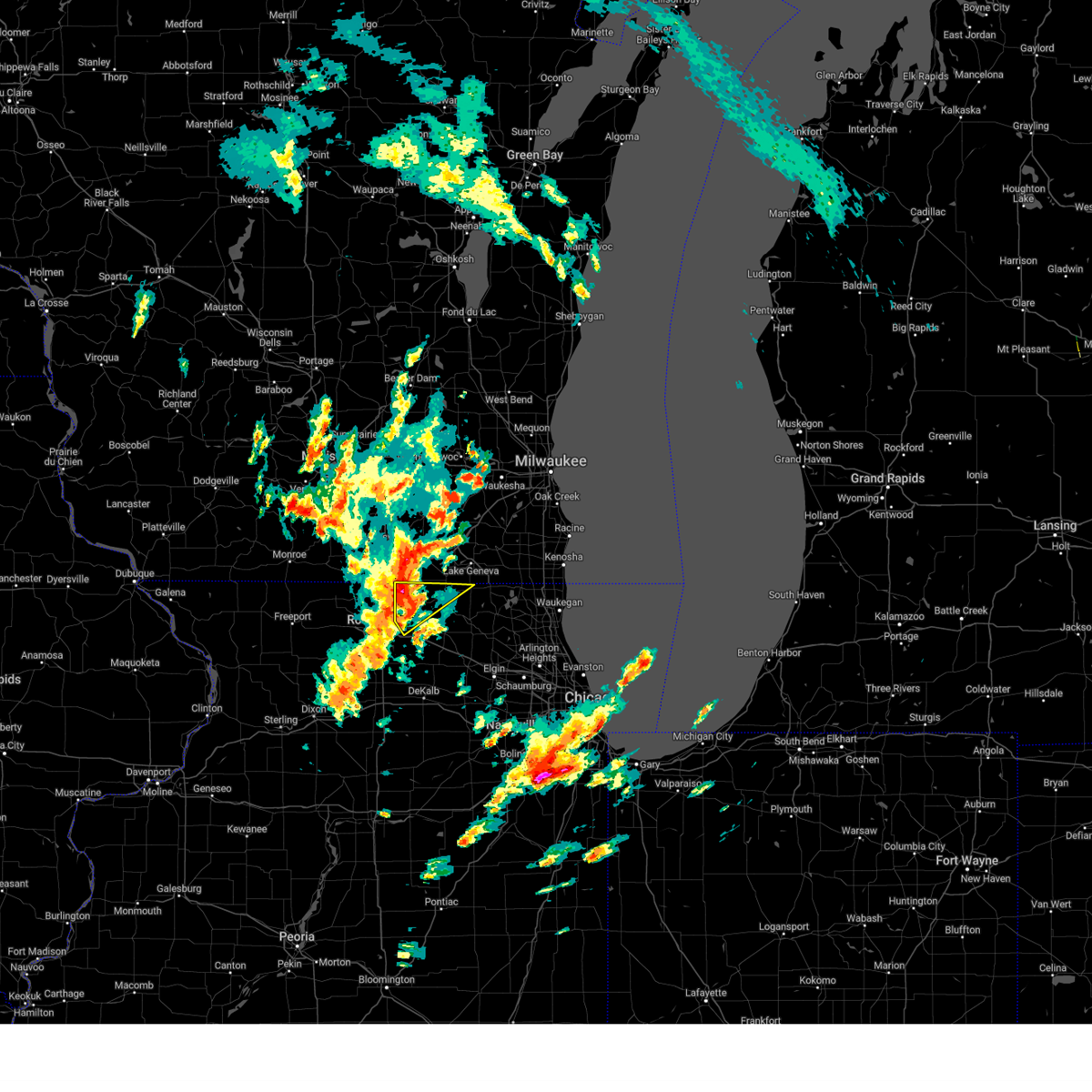 the severe thunderstorm warning has been cancelled and is no longer in effect the severe thunderstorm warning has been cancelled and is no longer in effect
|
| 5/7/2024 2:07 PM CDT |
 At 207 pm cdt, a severe thunderstorm was located near sharon, or 7 miles north of poplar grove, moving northeast at 50 mph (radar indicated). Hazards include 60 mph wind gusts and quarter size hail. Hail damage to vehicles is expected. expect wind damage to roofs, siding, and trees. Locations impacted include, belvidere, loves park, harvard, poplar grove, candlewick lake, sharon, capron, hebron, timberlane, chemung, and caledonia. At 207 pm cdt, a severe thunderstorm was located near sharon, or 7 miles north of poplar grove, moving northeast at 50 mph (radar indicated). Hazards include 60 mph wind gusts and quarter size hail. Hail damage to vehicles is expected. expect wind damage to roofs, siding, and trees. Locations impacted include, belvidere, loves park, harvard, poplar grove, candlewick lake, sharon, capron, hebron, timberlane, chemung, and caledonia.
|
| 5/7/2024 2:03 PM CDT |
 Svrlot the national weather service in chicago has issued a * severe thunderstorm warning for, northeastern winnebago county in north central illinois, northwestern mchenry county in northeastern illinois, boone county in north central illinois, * until 230 pm cdt. * at 203 pm cdt, a severe thunderstorm was located near poplar grove, moving northeast at 50 mph (radar indicated). Hazards include 60 mph wind gusts and quarter size hail. Hail damage to vehicles is expected. Expect wind damage to roofs, siding, and trees. Svrlot the national weather service in chicago has issued a * severe thunderstorm warning for, northeastern winnebago county in north central illinois, northwestern mchenry county in northeastern illinois, boone county in north central illinois, * until 230 pm cdt. * at 203 pm cdt, a severe thunderstorm was located near poplar grove, moving northeast at 50 mph (radar indicated). Hazards include 60 mph wind gusts and quarter size hail. Hail damage to vehicles is expected. Expect wind damage to roofs, siding, and trees.
|
| 4/16/2024 10:10 PM CDT |
 the severe thunderstorm warning has been cancelled and is no longer in effect the severe thunderstorm warning has been cancelled and is no longer in effect
|
| 4/16/2024 9:56 PM CDT |
 the severe thunderstorm warning has been cancelled and is no longer in effect the severe thunderstorm warning has been cancelled and is no longer in effect
|
| 4/16/2024 9:56 PM CDT |
 At 954 pm cdt, severe thunderstorms were located along a line extending from near palmyra to near hebron, moving northeast at 40 mph (radar indicated). Hazards include 60 mph wind gusts. Expect damage to roofs, siding, and trees. Locations impacted include, whitewater, elkhorn, delavan, lake geneva, east troy, williams bay, genoa city, walworth, fontana-on-geneva lake, sharon, darien, como, pell lake, potter lake, powers lake, burlington, richmond, springfield, la grange, and millard. At 954 pm cdt, severe thunderstorms were located along a line extending from near palmyra to near hebron, moving northeast at 40 mph (radar indicated). Hazards include 60 mph wind gusts. Expect damage to roofs, siding, and trees. Locations impacted include, whitewater, elkhorn, delavan, lake geneva, east troy, williams bay, genoa city, walworth, fontana-on-geneva lake, sharon, darien, como, pell lake, potter lake, powers lake, burlington, richmond, springfield, la grange, and millard.
|
| 4/16/2024 9:25 PM CDT |
 Svrmkx the national weather service in milwaukee/sullivan has issued a * severe thunderstorm warning for, walworth county in southeastern wisconsin, eastern rock county in south central wisconsin, * until 1030 pm cdt. * at 924 pm cdt, severe thunderstorms were located along a line extending from near edgerton to near poplar grove, moving east at 35 mph (radar indicated). Hazards include 60 mph wind gusts. expect damage to roofs, siding, and trees Svrmkx the national weather service in milwaukee/sullivan has issued a * severe thunderstorm warning for, walworth county in southeastern wisconsin, eastern rock county in south central wisconsin, * until 1030 pm cdt. * at 924 pm cdt, severe thunderstorms were located along a line extending from near edgerton to near poplar grove, moving east at 35 mph (radar indicated). Hazards include 60 mph wind gusts. expect damage to roofs, siding, and trees
|
| 8/17/2023 5:55 AM CDT |
 The severe thunderstorm warning for southern walworth county will expire at 600 am cdt, the storm which prompted the warning has weakened below severe limits, and no longer poses an immediate threat to life or property. therefore, the warning will be allowed to expire. The severe thunderstorm warning for southern walworth county will expire at 600 am cdt, the storm which prompted the warning has weakened below severe limits, and no longer poses an immediate threat to life or property. therefore, the warning will be allowed to expire.
|
| 8/17/2023 5:46 AM CDT |
 At 545 am cdt, a severe thunderstorm was located over walworth, or near williams bay, moving east at 50 mph (radar indicated). Hazards include quarter size hail. Damage to vehicles is expected. locations impacted include, delavan, lake geneva, williams bay, genoa city, walworth, fontana-on-geneva lake, sharon, darien, como, pell lake, powers lake, bohners lake, burlington, springfield, allens grove, and delavan lake. hail threat, radar indicated max hail size, 1. 00 in wind threat, radar indicated max wind gust, <50 mph. At 545 am cdt, a severe thunderstorm was located over walworth, or near williams bay, moving east at 50 mph (radar indicated). Hazards include quarter size hail. Damage to vehicles is expected. locations impacted include, delavan, lake geneva, williams bay, genoa city, walworth, fontana-on-geneva lake, sharon, darien, como, pell lake, powers lake, bohners lake, burlington, springfield, allens grove, and delavan lake. hail threat, radar indicated max hail size, 1. 00 in wind threat, radar indicated max wind gust, <50 mph.
|
| 8/17/2023 5:26 AM CDT |
 At 525 am cdt, a severe thunderstorm was located near beloit, moving east at 60 mph (radar indicated). Hazards include quarter size hail. damage to vehicles is expected At 525 am cdt, a severe thunderstorm was located near beloit, moving east at 60 mph (radar indicated). Hazards include quarter size hail. damage to vehicles is expected
|
| 8/17/2023 5:22 AM CDT |
 At 522 am cdt, a severe thunderstorm was located over south beloit, moving east at 60 mph (radar indicated). Hazards include quarter size hail. damage to vehicles is expected At 522 am cdt, a severe thunderstorm was located over south beloit, moving east at 60 mph (radar indicated). Hazards include quarter size hail. damage to vehicles is expected
|
| 8/11/2023 11:35 PM CDT |
 The severe thunderstorm warning for southwestern walworth and southeastern rock counties will expire at 1145 pm cdt, the storm which prompted the warning has weakened below severe limits, and has exited the warned area. therefore, the warning will be allowed to expire. however, gusty winds are still possible with this thunderstorm. a severe thunderstorm watch remains in effect until 100 am cdt for south central and southeastern wisconsin. The severe thunderstorm warning for southwestern walworth and southeastern rock counties will expire at 1145 pm cdt, the storm which prompted the warning has weakened below severe limits, and has exited the warned area. therefore, the warning will be allowed to expire. however, gusty winds are still possible with this thunderstorm. a severe thunderstorm watch remains in effect until 100 am cdt for south central and southeastern wisconsin.
|
| 8/11/2023 11:18 PM CDT |
 At 1118 pm cdt, a severe thunderstorm was located near beloit, moving east at 50 mph (radar indicated). Hazards include 60 mph wind gusts and nickel size hail. Expect damage to roofs, siding, and trees. locations impacted include, janesville, beloit, delavan, clinton, darien, tiffany, allens grove, foxhollow, avalon, shopiere, and emerald grove. people attending farmers market in beloit should seek safe shelter immediately! hail threat, radar indicated max hail size, 0. 88 in wind threat, radar indicated max wind gust, 60 mph. At 1118 pm cdt, a severe thunderstorm was located near beloit, moving east at 50 mph (radar indicated). Hazards include 60 mph wind gusts and nickel size hail. Expect damage to roofs, siding, and trees. locations impacted include, janesville, beloit, delavan, clinton, darien, tiffany, allens grove, foxhollow, avalon, shopiere, and emerald grove. people attending farmers market in beloit should seek safe shelter immediately! hail threat, radar indicated max hail size, 0. 88 in wind threat, radar indicated max wind gust, 60 mph.
|
| 8/11/2023 10:44 PM CDT |
 At 1044 pm cdt, a severe thunderstorm was located near albany, or 10 miles west of evansville, moving southeast at 50 mph (radar indicated). Hazards include 60 mph wind gusts and quarter size hail. Hail damage to vehicles is expected. Expect wind damage to roofs, siding, and trees. At 1044 pm cdt, a severe thunderstorm was located near albany, or 10 miles west of evansville, moving southeast at 50 mph (radar indicated). Hazards include 60 mph wind gusts and quarter size hail. Hail damage to vehicles is expected. Expect wind damage to roofs, siding, and trees.
|
| 7/28/2023 10:39 PM CDT |
 At 1038 pm cdt, severe thunderstorms were located along a line extending from near north prairie to east troy to 6 miles north of clinton, moving east at 70 mph (radar indicated). Hazards include 70 mph wind gusts and penny size hail. Expect considerable tree damage. Damage is likely to mobile homes, roofs, and outbuildings. At 1038 pm cdt, severe thunderstorms were located along a line extending from near north prairie to east troy to 6 miles north of clinton, moving east at 70 mph (radar indicated). Hazards include 70 mph wind gusts and penny size hail. Expect considerable tree damage. Damage is likely to mobile homes, roofs, and outbuildings.
|
| 7/26/2023 8:35 AM CDT |
 At 834 am cdt, severe thunderstorms were located along a line extending from near harvard to near belvidere, moving east at 60 mph (mesonet station at poplar grove airport measured a wind gust of 60 mph at 8:29 am cdt). Hazards include 70 mph wind gusts and nickel size hail. Expect considerable tree damage. damage is likely to mobile homes, roofs, and outbuildings. locations impacted include, rockford, crystal lake, lake in the hills, belvidere, woodstock, huntley, loves park, machesney park, roscoe, harvard, marengo, poplar grove, hampshire, candlewick lake, wonder lake, lakewood, cherry valley, davis junction, richmond and sharon. this includes, boone county fairgrounds, mchenry county fairgrounds, rock cut state park, rock valley college, rockford rivets baseball, and rockford speedway. including the following interstates, i-39 between mile markers 115 and 123. i-90 between mile markers 5 and 41. thunderstorm damage threat, considerable hail threat, radar indicated max hail size, 0. 88 in wind threat, observed max wind gust, 70 mph. At 834 am cdt, severe thunderstorms were located along a line extending from near harvard to near belvidere, moving east at 60 mph (mesonet station at poplar grove airport measured a wind gust of 60 mph at 8:29 am cdt). Hazards include 70 mph wind gusts and nickel size hail. Expect considerable tree damage. damage is likely to mobile homes, roofs, and outbuildings. locations impacted include, rockford, crystal lake, lake in the hills, belvidere, woodstock, huntley, loves park, machesney park, roscoe, harvard, marengo, poplar grove, hampshire, candlewick lake, wonder lake, lakewood, cherry valley, davis junction, richmond and sharon. this includes, boone county fairgrounds, mchenry county fairgrounds, rock cut state park, rock valley college, rockford rivets baseball, and rockford speedway. including the following interstates, i-39 between mile markers 115 and 123. i-90 between mile markers 5 and 41. thunderstorm damage threat, considerable hail threat, radar indicated max hail size, 0. 88 in wind threat, observed max wind gust, 70 mph.
|
| 7/26/2023 8:21 AM CDT |
 At 819 am cdt, severe thunderstorms were located along a line extending from 6 miles north of poplar grove to near rockford airport, moving east at 55 mph (trained weather spotters reported trees downed along the state line near beloit, wi). Hazards include 70 mph wind gusts and nickel size hail. Expect considerable tree damage. damage is likely to mobile homes, roofs, and outbuildings. locations impacted include, rockford, crystal lake, beloit, lake in the hills, belvidere, woodstock, huntley, loves park, machesney park, roscoe, harvard, south beloit, rockton, marengo, poplar grove, rockford airport, hampshire, candlewick lake, wonder lake and lakewood. this includes, boone county fairgrounds, mchenry county fairgrounds, rock cut state park, rock valley college, rockford rivets baseball, and rockford speedway. including the following interstates, i-39 between mile markers 115 and 123. i-90 between mile markers 0 and 41. thunderstorm damage threat, considerable hail threat, radar indicated max hail size, 0. 88 in wind threat, observed max wind gust, 70 mph. At 819 am cdt, severe thunderstorms were located along a line extending from 6 miles north of poplar grove to near rockford airport, moving east at 55 mph (trained weather spotters reported trees downed along the state line near beloit, wi). Hazards include 70 mph wind gusts and nickel size hail. Expect considerable tree damage. damage is likely to mobile homes, roofs, and outbuildings. locations impacted include, rockford, crystal lake, beloit, lake in the hills, belvidere, woodstock, huntley, loves park, machesney park, roscoe, harvard, south beloit, rockton, marengo, poplar grove, rockford airport, hampshire, candlewick lake, wonder lake and lakewood. this includes, boone county fairgrounds, mchenry county fairgrounds, rock cut state park, rock valley college, rockford rivets baseball, and rockford speedway. including the following interstates, i-39 between mile markers 115 and 123. i-90 between mile markers 0 and 41. thunderstorm damage threat, considerable hail threat, radar indicated max hail size, 0. 88 in wind threat, observed max wind gust, 70 mph.
|
| 7/26/2023 8:04 AM CDT |
 At 803 am cdt, severe thunderstorms were located along a line extending from beloit to near winnebago, moving east at 55 mph (radar indicated). Hazards include 70 mph wind gusts and nickel size hail. Expect considerable tree damage. Damage is likely to mobile homes, roofs, and outbuildings. At 803 am cdt, severe thunderstorms were located along a line extending from beloit to near winnebago, moving east at 55 mph (radar indicated). Hazards include 70 mph wind gusts and nickel size hail. Expect considerable tree damage. Damage is likely to mobile homes, roofs, and outbuildings.
|
| 7/26/2023 8:03 AM CDT |
 At 803 am cdt, severe thunderstorms were located along a line extending from near footville to beloit to near byron, moving east at 50 mph (radar indicated). Hazards include 60 mph wind gusts. expect damage to roofs, siding, and trees At 803 am cdt, severe thunderstorms were located along a line extending from near footville to beloit to near byron, moving east at 50 mph (radar indicated). Hazards include 60 mph wind gusts. expect damage to roofs, siding, and trees
|
| 7/13/2023 6:58 PM CDT |
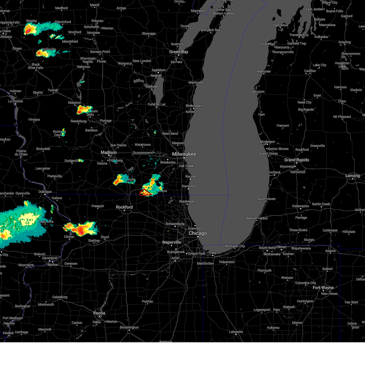 At 657 pm cdt, a severe thunderstorm capable of producing a tornado was located over sharon, or 7 miles northwest of harvard, moving southeast at 20 mph (weather spotters reported a funnel cloud near sharon). Hazards include tornado. Flying debris will be dangerous to those caught without shelter. mobile homes will be damaged or destroyed. damage to roofs, windows, and vehicles will occur. tree damage is likely. Locations impacted include, walworth and sharon. At 657 pm cdt, a severe thunderstorm capable of producing a tornado was located over sharon, or 7 miles northwest of harvard, moving southeast at 20 mph (weather spotters reported a funnel cloud near sharon). Hazards include tornado. Flying debris will be dangerous to those caught without shelter. mobile homes will be damaged or destroyed. damage to roofs, windows, and vehicles will occur. tree damage is likely. Locations impacted include, walworth and sharon.
|
| 7/13/2023 6:43 PM CDT |
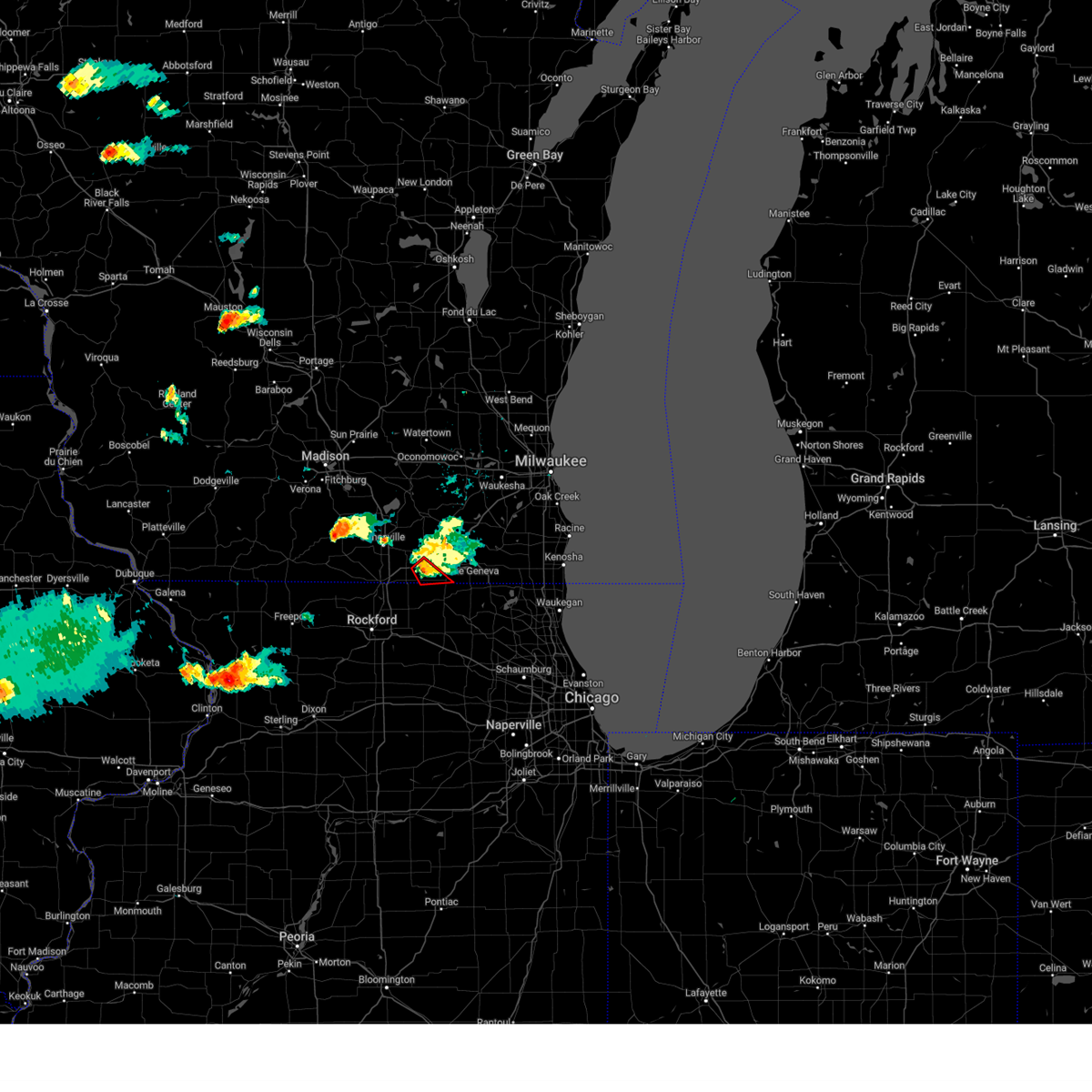 At 643 pm cdt, a severe thunderstorm capable of producing a tornado was located near darien, or 8 miles southwest of delavan, moving southeast at 20 mph (weather spotters reported funnel cloud north of sharon). Hazards include tornado. Flying debris will be dangerous to those caught without shelter. mobile homes will be damaged or destroyed. damage to roofs, windows, and vehicles will occur. Tree damage is likely. At 643 pm cdt, a severe thunderstorm capable of producing a tornado was located near darien, or 8 miles southwest of delavan, moving southeast at 20 mph (weather spotters reported funnel cloud north of sharon). Hazards include tornado. Flying debris will be dangerous to those caught without shelter. mobile homes will be damaged or destroyed. damage to roofs, windows, and vehicles will occur. Tree damage is likely.
|
| 7/13/2023 6:29 PM CDT |
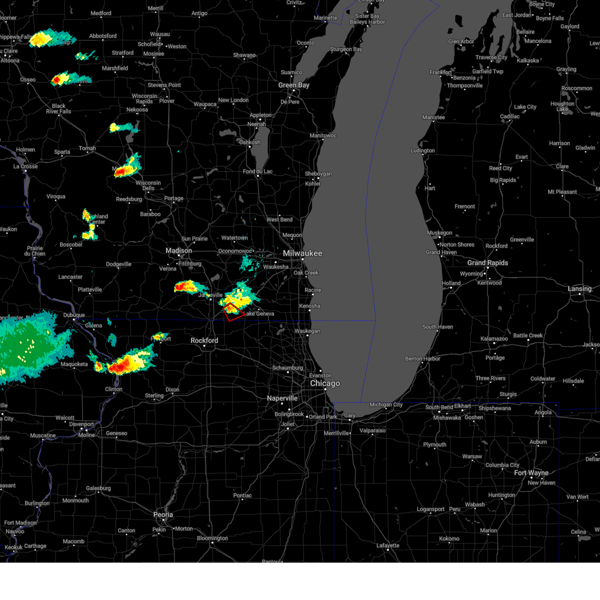 At 628 pm cdt, a severe thunderstorm capable of producing a tornado was located near darien, or 7 miles west of delavan, moving southeast at 25 mph (weather spotters reported a persistent funnel cloud west of darien). Hazards include tornado. Flying debris will be dangerous to those caught without shelter. mobile homes will be damaged or destroyed. damage to roofs, windows, and vehicles will occur. tree damage is likely. Locations impacted include, sharon, darien, and allens grove. At 628 pm cdt, a severe thunderstorm capable of producing a tornado was located near darien, or 7 miles west of delavan, moving southeast at 25 mph (weather spotters reported a persistent funnel cloud west of darien). Hazards include tornado. Flying debris will be dangerous to those caught without shelter. mobile homes will be damaged or destroyed. damage to roofs, windows, and vehicles will occur. tree damage is likely. Locations impacted include, sharon, darien, and allens grove.
|
| 7/13/2023 6:18 PM CDT |
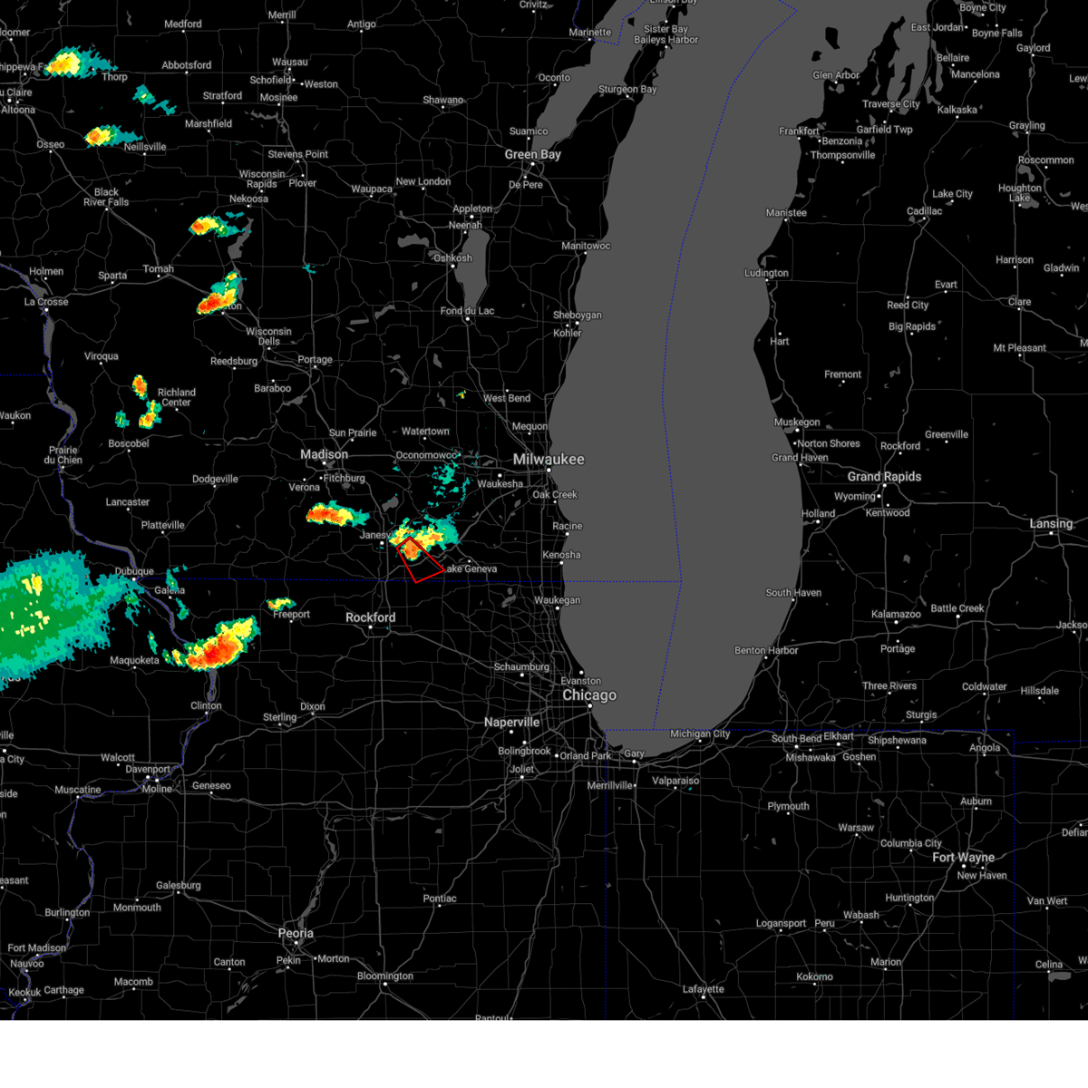 At 617 pm cdt, a severe thunderstorm capable of producing a tornado was located near clinton, or 9 miles west of delavan, moving southeast at 25 mph (weather spotters reported funnel cloud near hwy 14). Hazards include tornado. Flying debris will be dangerous to those caught without shelter. mobile homes will be damaged or destroyed. damage to roofs, windows, and vehicles will occur. Tree damage is likely. At 617 pm cdt, a severe thunderstorm capable of producing a tornado was located near clinton, or 9 miles west of delavan, moving southeast at 25 mph (weather spotters reported funnel cloud near hwy 14). Hazards include tornado. Flying debris will be dangerous to those caught without shelter. mobile homes will be damaged or destroyed. damage to roofs, windows, and vehicles will occur. Tree damage is likely.
|
| 4/20/2023 5:18 PM CDT |
 At 516 pm cdt, a severe thunderstorm was located over candlewick lake, or over poplar grove, moving northeast at 50 mph (trained weather spotters. at about 510 pm, trained spotters reported quarter sized hail in the rockford area). Hazards include 60 mph wind gusts and half dollar size hail. Hail damage to vehicles is expected. expect wind damage to roofs, siding, and trees. Locations impacted include, belvidere, harvard, poplar grove, spring grove, candlewick lake, richmond, sharon, capron, hebron, timberlane, chemung and caledonia. At 516 pm cdt, a severe thunderstorm was located over candlewick lake, or over poplar grove, moving northeast at 50 mph (trained weather spotters. at about 510 pm, trained spotters reported quarter sized hail in the rockford area). Hazards include 60 mph wind gusts and half dollar size hail. Hail damage to vehicles is expected. expect wind damage to roofs, siding, and trees. Locations impacted include, belvidere, harvard, poplar grove, spring grove, candlewick lake, richmond, sharon, capron, hebron, timberlane, chemung and caledonia.
|
| 4/20/2023 5:17 PM CDT |
 At 517 pm cdt, a severe thunderstorm was located near poplar grove, moving northeast at 50 mph (radar indicated). Hazards include 60 mph wind gusts and half dollar size hail. Hail damage to vehicles is expected. Expect wind damage to roofs, siding, and trees. At 517 pm cdt, a severe thunderstorm was located near poplar grove, moving northeast at 50 mph (radar indicated). Hazards include 60 mph wind gusts and half dollar size hail. Hail damage to vehicles is expected. Expect wind damage to roofs, siding, and trees.
|
| 4/20/2023 5:02 PM CDT |
 At 502 pm cdt, a severe thunderstorm was located over rockford, moving northeast at 45 mph (radar indicated). Hazards include 60 mph wind gusts and quarter size hail. Hail damage to vehicles is expected. Expect wind damage to roofs, siding, and trees. At 502 pm cdt, a severe thunderstorm was located over rockford, moving northeast at 45 mph (radar indicated). Hazards include 60 mph wind gusts and quarter size hail. Hail damage to vehicles is expected. Expect wind damage to roofs, siding, and trees.
|
| 4/15/2023 10:56 PM CDT |
 The severe thunderstorm warning for western walworth and rock counties will expire at 1100 pm cdt, the storms which prompted the warning have weakened below severe limits, and no longer pose an immediate threat to life or property. therefore, the warning will be allowed to expire. however, gusty winds below severe limits are still possible with these thunderstorms. The severe thunderstorm warning for western walworth and rock counties will expire at 1100 pm cdt, the storms which prompted the warning have weakened below severe limits, and no longer pose an immediate threat to life or property. therefore, the warning will be allowed to expire. however, gusty winds below severe limits are still possible with these thunderstorms.
|
| 4/15/2023 10:18 PM CDT |
 At 1018 pm cdt, severe thunderstorms were located along a line extending from near durand to near marengo, moving north at 40 mph (radar indicated). Hazards include 60 mph wind gusts. expect damage to roofs, siding, and trees At 1018 pm cdt, severe thunderstorms were located along a line extending from near durand to near marengo, moving north at 40 mph (radar indicated). Hazards include 60 mph wind gusts. expect damage to roofs, siding, and trees
|
| 4/5/2023 6:28 AM CDT |
 At 627 am cdt, severe thunderstorms were located along a line extending from near whitewater to near sharon, moving east at 50 mph (radar indicated). Hazards include 60 mph wind gusts and penny size hail. expect damage to roofs, siding, and trees At 627 am cdt, severe thunderstorms were located along a line extending from near whitewater to near sharon, moving east at 50 mph (radar indicated). Hazards include 60 mph wind gusts and penny size hail. expect damage to roofs, siding, and trees
|
| 4/4/2023 2:24 PM CDT |
 At 223 pm cdt, a severe thunderstorm was located over delavan, moving northeast at 35 mph (radar indicated). Hazards include 60 mph wind gusts and quarter size hail. Hail damage to vehicles is expected. expect wind damage to roofs, siding, and trees. locations impacted include, elkhorn, delavan, lake geneva, williams bay, walworth, fontana-on-geneva lake, sharon, darien, como, springfield, abells corners, tibbets, allens grove, millard, and delavan lake. hail threat, radar indicated max hail size, 1. 00 in wind threat, radar indicated max wind gust, 60 mph. At 223 pm cdt, a severe thunderstorm was located over delavan, moving northeast at 35 mph (radar indicated). Hazards include 60 mph wind gusts and quarter size hail. Hail damage to vehicles is expected. expect wind damage to roofs, siding, and trees. locations impacted include, elkhorn, delavan, lake geneva, williams bay, walworth, fontana-on-geneva lake, sharon, darien, como, springfield, abells corners, tibbets, allens grove, millard, and delavan lake. hail threat, radar indicated max hail size, 1. 00 in wind threat, radar indicated max wind gust, 60 mph.
|
| 4/4/2023 2:16 PM CDT |
 At 216 pm cdt, a severe thunderstorm was located over lake geneva, and is nearly stationary (radar indicated). Hazards include 60 mph wind gusts and quarter size hail. Hail damage to vehicles is expected. expect wind damage to roofs, siding, and trees. locations impacted include, beloit, elkhorn, delavan, lake geneva, williams bay, walworth, clinton, fontana-on-geneva lake, sharon, darien, como, richmond, springfield, la grange, tiffany, abells corners, tibbets, allens grove, millard, and avalon. hail threat, radar indicated max hail size, 1. 00 in wind threat, radar indicated max wind gust, 60 mph. At 216 pm cdt, a severe thunderstorm was located over lake geneva, and is nearly stationary (radar indicated). Hazards include 60 mph wind gusts and quarter size hail. Hail damage to vehicles is expected. expect wind damage to roofs, siding, and trees. locations impacted include, beloit, elkhorn, delavan, lake geneva, williams bay, walworth, clinton, fontana-on-geneva lake, sharon, darien, como, richmond, springfield, la grange, tiffany, abells corners, tibbets, allens grove, millard, and avalon. hail threat, radar indicated max hail size, 1. 00 in wind threat, radar indicated max wind gust, 60 mph.
|
| 4/4/2023 1:59 PM CDT |
 At 159 pm cdt, a severe thunderstorm was located near sharon, or near harvard, moving northeast at 40 mph (radar indicated). Hazards include half dollar size hail. Damage to vehicles is expected. locations impacted include, beloit, loves park, machesney park, roscoe, harvard, south beloit, rockton, poplar grove, candlewick lake, sharon, capron, hebron, timberlane, chemung, caledonia and harrison. this includes, rock cut state park, rockford rivets baseball, and rockford speedway. including the following interstate, i-90 between mile markers 0 and 13. hail threat, radar indicated max hail size, 1. 25 in wind threat, radar indicated max wind gust, <50 mph. At 159 pm cdt, a severe thunderstorm was located near sharon, or near harvard, moving northeast at 40 mph (radar indicated). Hazards include half dollar size hail. Damage to vehicles is expected. locations impacted include, beloit, loves park, machesney park, roscoe, harvard, south beloit, rockton, poplar grove, candlewick lake, sharon, capron, hebron, timberlane, chemung, caledonia and harrison. this includes, rock cut state park, rockford rivets baseball, and rockford speedway. including the following interstate, i-90 between mile markers 0 and 13. hail threat, radar indicated max hail size, 1. 25 in wind threat, radar indicated max wind gust, <50 mph.
|
| 4/4/2023 1:44 PM CDT |
 At 144 pm cdt, a severe thunderstorm was located near roscoe, moving northeast at 40 mph (radar indicated). Hazards include golf ball size hail and 60 mph wind gusts. People and animals outdoors will be injured. expect hail damage to roofs, siding, windows, and vehicles. Expect wind damage to roofs, siding, and trees. At 144 pm cdt, a severe thunderstorm was located near roscoe, moving northeast at 40 mph (radar indicated). Hazards include golf ball size hail and 60 mph wind gusts. People and animals outdoors will be injured. expect hail damage to roofs, siding, windows, and vehicles. Expect wind damage to roofs, siding, and trees.
|
| 4/4/2023 1:41 PM CDT |
 At 141 pm cdt, a severe thunderstorm was located near clinton, or 7 miles east of south beloit, moving northeast at 35 mph (radar indicated). Hazards include 60 mph wind gusts and quarter size hail. Hail damage to vehicles is expected. Expect wind damage to roofs, siding, and trees. At 141 pm cdt, a severe thunderstorm was located near clinton, or 7 miles east of south beloit, moving northeast at 35 mph (radar indicated). Hazards include 60 mph wind gusts and quarter size hail. Hail damage to vehicles is expected. Expect wind damage to roofs, siding, and trees.
|
| 4/4/2023 1:26 PM CDT |
 At 125 pm cdt, a severe thunderstorm was located near clinton, or 9 miles west of delavan, moving northeast at 40 mph (radar indicated). Hazards include 60 mph wind gusts and quarter size hail. Hail damage to vehicles is expected. expect wind damage to roofs, siding, and trees. locations impacted include, beloit, whitewater, elkhorn, delavan, lake geneva, williams bay, walworth, clinton, fontana-on-geneva lake, sharon, darien, como, richmond, springfield, la grange, tiffany, millard, avalon, delavan lake, and foxhollow. hail threat, radar indicated max hail size, 1. 00 in wind threat, radar indicated max wind gust, 60 mph. At 125 pm cdt, a severe thunderstorm was located near clinton, or 9 miles west of delavan, moving northeast at 40 mph (radar indicated). Hazards include 60 mph wind gusts and quarter size hail. Hail damage to vehicles is expected. expect wind damage to roofs, siding, and trees. locations impacted include, beloit, whitewater, elkhorn, delavan, lake geneva, williams bay, walworth, clinton, fontana-on-geneva lake, sharon, darien, como, richmond, springfield, la grange, tiffany, millard, avalon, delavan lake, and foxhollow. hail threat, radar indicated max hail size, 1. 00 in wind threat, radar indicated max wind gust, 60 mph.
|
| 4/4/2023 1:05 PM CDT |
 At 105 pm cdt, a severe thunderstorm was located over roscoe, moving northeast at 40 mph (radar indicated). Hazards include 60 mph wind gusts and quarter size hail. Hail damage to vehicles is expected. Expect wind damage to roofs, siding, and trees. At 105 pm cdt, a severe thunderstorm was located over roscoe, moving northeast at 40 mph (radar indicated). Hazards include 60 mph wind gusts and quarter size hail. Hail damage to vehicles is expected. Expect wind damage to roofs, siding, and trees.
|
| 11/5/2022 11:34 AM CDT |
 At 1134 am cdt, severe thunderstorms were located along a line extending from near jefferson to near whitewater to near delavan, moving northeast at 50 mph (radar indicated). Hazards include 60 mph wind gusts. Expect damage to roofs, siding, and trees. locations impacted include, whitewater, fort atkinson, elkhorn, delavan, lake geneva, east troy, williams bay, genoa city, walworth, palmyra, fontana-on-geneva lake, sharon, darien, como, pell lake, potter lake, powers lake, richmond, springfield and la grange. hail threat, radar indicated max hail size, <. 75 in wind threat, radar indicated max wind gust, 60 mph. At 1134 am cdt, severe thunderstorms were located along a line extending from near jefferson to near whitewater to near delavan, moving northeast at 50 mph (radar indicated). Hazards include 60 mph wind gusts. Expect damage to roofs, siding, and trees. locations impacted include, whitewater, fort atkinson, elkhorn, delavan, lake geneva, east troy, williams bay, genoa city, walworth, palmyra, fontana-on-geneva lake, sharon, darien, como, pell lake, potter lake, powers lake, richmond, springfield and la grange. hail threat, radar indicated max hail size, <. 75 in wind threat, radar indicated max wind gust, 60 mph.
|
| 11/5/2022 11:20 AM CDT |
 At 1119 am cdt, severe thunderstorms were located along a line extending from lake koshkonong to 6 miles southeast of milton to sharon, moving northeast at 50 mph (radar indicated). Hazards include 60 mph wind gusts. expect damage to roofs, siding, and trees At 1119 am cdt, severe thunderstorms were located along a line extending from lake koshkonong to 6 miles southeast of milton to sharon, moving northeast at 50 mph (radar indicated). Hazards include 60 mph wind gusts. expect damage to roofs, siding, and trees
|
| 10/12/2022 12:38 PM CDT | Report from mping: 3-inch tree limbs broken; power poles broke in walworth county WI, 5.6 miles SSW of Sharon, WI |
| 8/28/2022 4:04 PM CDT | At 404 pm cdt, severe thunderstorms were located along a line extending from near watertown to elkhorn, moving northeast at 45 mph (radar indicated). Hazards include 60 mph wind gusts and nickel size hail. Expect damage to roofs, siding, and trees. locations impacted include, watertown, whitewater, fort atkinson, elkhorn, delavan, jefferson, lake geneva, lake mills, east troy, waterloo, williams bay, walworth, johnson creek, clinton, palmyra, fontana-on-geneva lake, sharon, darien, como and lake koshkonong. People attending the uw- whitewater move in should seek safe shelter immediately!. |
| 8/28/2022 3:29 PM CDT | At 329 pm cdt, severe thunderstorms were located along a line extending from mcfarland to near south beloit, moving northeast at 45 mph (radar indicated). Hazards include 60 mph wind gusts and nickel size hail. expect damage to roofs, siding, and trees |
| 7/24/2022 3:00 AM CDT |
 At 259 am cdt, severe thunderstorms were located along a line extending from near walworth to harvard to 6 miles southwest of marengo, moving northeast at 35 mph (radar indicated). Hazards include 60 mph wind gusts. Expect damage to roofs, siding, and trees. locations impacted include, belvidere, woodstock, harvard, marengo, poplar grove, candlewick lake, wonder lake, richmond, sharon, capron, hebron, timberlane, union, garden prairie, chemung, greenwood and caledonia. this includes, boone county fairgrounds. including the following interstate, i-90 between mile markers 20 and 39. hail threat, radar indicated max hail size, <. 75 in wind threat, radar indicated max wind gust, 60 mph. At 259 am cdt, severe thunderstorms were located along a line extending from near walworth to harvard to 6 miles southwest of marengo, moving northeast at 35 mph (radar indicated). Hazards include 60 mph wind gusts. Expect damage to roofs, siding, and trees. locations impacted include, belvidere, woodstock, harvard, marengo, poplar grove, candlewick lake, wonder lake, richmond, sharon, capron, hebron, timberlane, union, garden prairie, chemung, greenwood and caledonia. this includes, boone county fairgrounds. including the following interstate, i-90 between mile markers 20 and 39. hail threat, radar indicated max hail size, <. 75 in wind threat, radar indicated max wind gust, 60 mph.
|
| 7/24/2022 2:44 AM CDT |
 At 244 am cdt, severe thunderstorms were located along a line extending from near clinton to near capron to near cherry valley, moving northeast at 35 mph (radar indicated). Hazards include 60 mph wind gusts. expect damage to roofs, siding, and trees At 244 am cdt, severe thunderstorms were located along a line extending from near clinton to near capron to near cherry valley, moving northeast at 35 mph (radar indicated). Hazards include 60 mph wind gusts. expect damage to roofs, siding, and trees
|
| 7/24/2022 2:41 AM CDT |
 At 241 am cdt, severe thunderstorms were located along a line extending from near lac la belle to near elkhorn to near clinton, moving east at 45 mph (public). Hazards include 60 mph wind gusts. expect damage to roofs, siding, and trees At 241 am cdt, severe thunderstorms were located along a line extending from near lac la belle to near elkhorn to near clinton, moving east at 45 mph (public). Hazards include 60 mph wind gusts. expect damage to roofs, siding, and trees
|
| 7/24/2022 2:32 AM CDT |
 At 231 am cdt, severe thunderstorms were located along a line extending from watertown to 7 miles east of janesville, moving northeast at 55 mph (radar indicated). Hazards include 60 mph wind gusts. Expect damage to roofs, siding, and trees. locations impacted include, janesville, beloit, watertown, whitewater, fort atkinson, elkhorn, hartland, delavan, jefferson, lake geneva, mukwonago, delafield, lake mills, milton, east troy, williams bay, wales, okauchee lake, oconomowoc and ottawa. hail threat, radar indicated max hail size, <. 75 in wind threat, radar indicated max wind gust, 60 mph. At 231 am cdt, severe thunderstorms were located along a line extending from watertown to 7 miles east of janesville, moving northeast at 55 mph (radar indicated). Hazards include 60 mph wind gusts. Expect damage to roofs, siding, and trees. locations impacted include, janesville, beloit, watertown, whitewater, fort atkinson, elkhorn, hartland, delavan, jefferson, lake geneva, mukwonago, delafield, lake mills, milton, east troy, williams bay, wales, okauchee lake, oconomowoc and ottawa. hail threat, radar indicated max hail size, <. 75 in wind threat, radar indicated max wind gust, 60 mph.
|
| 7/24/2022 2:03 AM CDT |
 At 203 am cdt, severe thunderstorms were located along a line extending from near cottage grove to near durand, moving northeast at 55 mph (radar indicated). Hazards include 60 mph wind gusts. expect damage to roofs, siding, and trees At 203 am cdt, severe thunderstorms were located along a line extending from near cottage grove to near durand, moving northeast at 55 mph (radar indicated). Hazards include 60 mph wind gusts. expect damage to roofs, siding, and trees
|
| 7/23/2022 8:37 PM CDT |
 At 837 pm cdt, a severe thunderstorm was located near delavan, moving southeast at 20 mph (radar indicated). Hazards include 60 mph wind gusts and quarter size hail. Hail damage to vehicles is expected. expect wind damage to roofs, siding, and trees. locations impacted include, whitewater, elkhorn, delavan, lake geneva, williams bay, walworth, fontana-on-geneva lake, sharon, darien, como, richmond, springfield, la grange, abells corners, tibbets, allens grove, millard and delavan lake. people attending jimmy buffet at alpine valley should seek safe shelter immediately! hail threat, radar indicated max hail size, 1. 00 in wind threat, radar indicated max wind gust, 60 mph. At 837 pm cdt, a severe thunderstorm was located near delavan, moving southeast at 20 mph (radar indicated). Hazards include 60 mph wind gusts and quarter size hail. Hail damage to vehicles is expected. expect wind damage to roofs, siding, and trees. locations impacted include, whitewater, elkhorn, delavan, lake geneva, williams bay, walworth, fontana-on-geneva lake, sharon, darien, como, richmond, springfield, la grange, abells corners, tibbets, allens grove, millard and delavan lake. people attending jimmy buffet at alpine valley should seek safe shelter immediately! hail threat, radar indicated max hail size, 1. 00 in wind threat, radar indicated max wind gust, 60 mph.
|
| 7/23/2022 8:17 PM CDT |
 At 816 pm cdt, a severe thunderstorm was located near whitewater, moving southeast at 20 mph (radar indicated). Hazards include 60 mph wind gusts and half dollar size hail. Hail damage to vehicles is expected. Expect wind damage to roofs, siding, and trees. At 816 pm cdt, a severe thunderstorm was located near whitewater, moving southeast at 20 mph (radar indicated). Hazards include 60 mph wind gusts and half dollar size hail. Hail damage to vehicles is expected. Expect wind damage to roofs, siding, and trees.
|
| 7/4/2022 9:20 PM CDT |
 The severe thunderstorm warning for southwestern walworth and southeastern rock counties will expire at 930 pm cdt, the storm which prompted the warning has moved out of the area. therefore, the warning will be allowed to expire. a severe thunderstorm watch remains in effect until 300 am cdt for south central and southeastern wisconsin. The severe thunderstorm warning for southwestern walworth and southeastern rock counties will expire at 930 pm cdt, the storm which prompted the warning has moved out of the area. therefore, the warning will be allowed to expire. a severe thunderstorm watch remains in effect until 300 am cdt for south central and southeastern wisconsin.
|
| 7/4/2022 9:03 PM CDT |
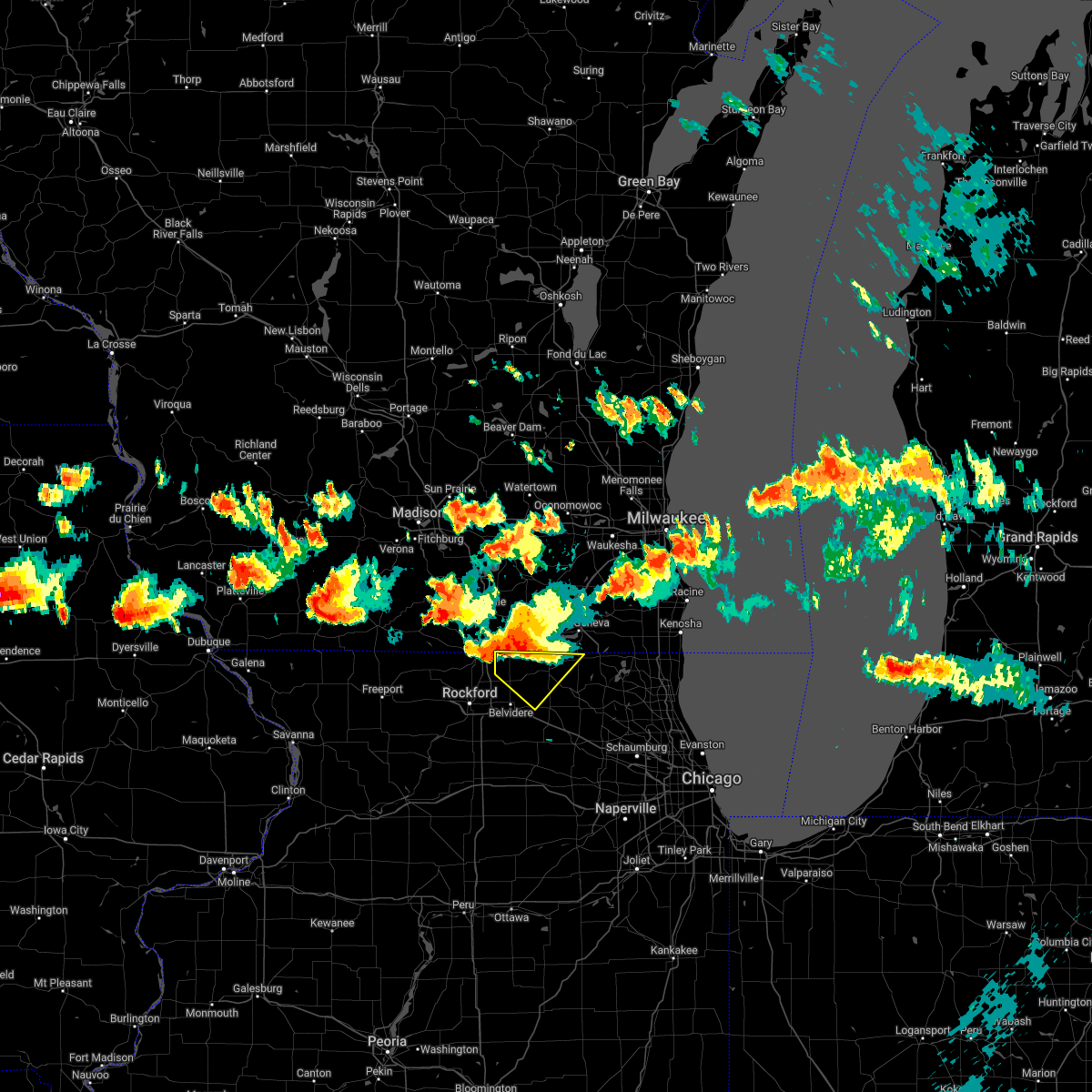 At 902 pm cdt, a severe thunderstorm was located near capron, or near poplar grove, moving southeast at 35 mph (radar indicated). Hazards include 60 mph wind gusts and quarter size hail. the strongest winds are heading toward capron!. Hail damage to vehicles is expected. expect wind damage to roofs, siding, and trees. Locations impacted include, harvard, poplar grove, candlewick lake, sharon, capron, hebron, garden prairie, chemung and caledonia. At 902 pm cdt, a severe thunderstorm was located near capron, or near poplar grove, moving southeast at 35 mph (radar indicated). Hazards include 60 mph wind gusts and quarter size hail. the strongest winds are heading toward capron!. Hail damage to vehicles is expected. expect wind damage to roofs, siding, and trees. Locations impacted include, harvard, poplar grove, candlewick lake, sharon, capron, hebron, garden prairie, chemung and caledonia.
|
| 7/4/2022 9:01 PM CDT |
 At 901 pm cdt, a severe thunderstorm was located over sharon, or near harvard, moving southeast at 30 mph (radar indicated). Hazards include 60 mph wind gusts and quarter size hail. Hail damage to vehicles is expected. expect wind damage to roofs, siding, and trees. locations impacted include, beloit, south beloit, walworth, clinton, fontana-on-geneva lake, sharon, darien, allens grove, foxhollow and delavan lake. People attending beloit fourth of july celebration should seek safe shelter immediately!. At 901 pm cdt, a severe thunderstorm was located over sharon, or near harvard, moving southeast at 30 mph (radar indicated). Hazards include 60 mph wind gusts and quarter size hail. Hail damage to vehicles is expected. expect wind damage to roofs, siding, and trees. locations impacted include, beloit, south beloit, walworth, clinton, fontana-on-geneva lake, sharon, darien, allens grove, foxhollow and delavan lake. People attending beloit fourth of july celebration should seek safe shelter immediately!.
|
| 7/4/2022 8:45 PM CDT |
 At 845 pm cdt, a severe thunderstorm was located over clinton, or 8 miles east of beloit, moving southeast at 30 mph (radar indicated). Hazards include 60 mph wind gusts and quarter size hail. Hail damage to vehicles is expected. expect wind damage to roofs, siding, and trees. locations impacted include, beloit, south beloit, walworth, clinton, fontana-on-geneva lake, sharon, darien, tiffany, allens grove, avalon, shopiere, emerald grove, foxhollow and delavan lake. People attending beloit fourth of july celebration should seek safe shelter immediately!. At 845 pm cdt, a severe thunderstorm was located over clinton, or 8 miles east of beloit, moving southeast at 30 mph (radar indicated). Hazards include 60 mph wind gusts and quarter size hail. Hail damage to vehicles is expected. expect wind damage to roofs, siding, and trees. locations impacted include, beloit, south beloit, walworth, clinton, fontana-on-geneva lake, sharon, darien, tiffany, allens grove, avalon, shopiere, emerald grove, foxhollow and delavan lake. People attending beloit fourth of july celebration should seek safe shelter immediately!.
|
| 7/4/2022 8:44 PM CDT |
 At 844 pm cdt, a severe thunderstorm was located over beloit, moving southeast at 25 mph (radar indicated). Hazards include 60 mph wind gusts and quarter size hail. Hail damage to vehicles is expected. expect wind damage to roofs, siding, and trees. locations impacted include, beloit, roscoe, harvard, south beloit, rockton, poplar grove, candlewick lake, sharon, capron, hebron, timberlane, garden prairie, chemung and caledonia. Including the following interstate, i-90 between mile markers 0 and 5. At 844 pm cdt, a severe thunderstorm was located over beloit, moving southeast at 25 mph (radar indicated). Hazards include 60 mph wind gusts and quarter size hail. Hail damage to vehicles is expected. expect wind damage to roofs, siding, and trees. locations impacted include, beloit, roscoe, harvard, south beloit, rockton, poplar grove, candlewick lake, sharon, capron, hebron, timberlane, garden prairie, chemung and caledonia. Including the following interstate, i-90 between mile markers 0 and 5.
|
| 7/4/2022 8:32 PM CDT |
 At 832 pm cdt, a severe thunderstorm was located near beloit, moving southeast at 35 mph (radar indicated). Hazards include 60 mph wind gusts and quarter size hail. this storm is also exhibiting weak low-level rotation. Hail damage to vehicles is expected. Expect wind damage to roofs, siding, and trees. At 832 pm cdt, a severe thunderstorm was located near beloit, moving southeast at 35 mph (radar indicated). Hazards include 60 mph wind gusts and quarter size hail. this storm is also exhibiting weak low-level rotation. Hail damage to vehicles is expected. Expect wind damage to roofs, siding, and trees.
|
| 7/4/2022 8:27 PM CDT |
 At 827 pm cdt, a severe thunderstorm was located near beloit, moving southeast at 30 mph (radar indicated). Hazards include 60 mph wind gusts and quarter size hail. Hail damage to vehicles is expected. Expect wind damage to roofs, siding, and trees. At 827 pm cdt, a severe thunderstorm was located near beloit, moving southeast at 30 mph (radar indicated). Hazards include 60 mph wind gusts and quarter size hail. Hail damage to vehicles is expected. Expect wind damage to roofs, siding, and trees.
|
| 4/30/2022 6:22 PM CDT |
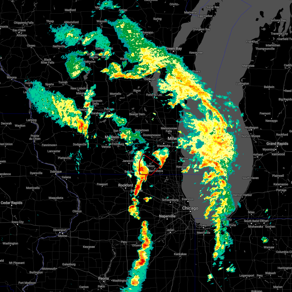 At 621 pm cdt, a severe thunderstorm capable of producing a tornado was located near elkhorn, moving northeast at 55 mph (radar indicated rotation). Hazards include tornado. Flying debris will be dangerous to those caught without shelter. mobile homes will be damaged or destroyed. damage to roofs, windows, and vehicles will occur. tree damage is likely. Locations impacted include, elkhorn, delavan, lake geneva, williams bay, walworth, fontana-on-geneva lake, sharon, darien, como, richmond, springfield, abells corners, tibbets, allens grove, millard and delavan lake. At 621 pm cdt, a severe thunderstorm capable of producing a tornado was located near elkhorn, moving northeast at 55 mph (radar indicated rotation). Hazards include tornado. Flying debris will be dangerous to those caught without shelter. mobile homes will be damaged or destroyed. damage to roofs, windows, and vehicles will occur. tree damage is likely. Locations impacted include, elkhorn, delavan, lake geneva, williams bay, walworth, fontana-on-geneva lake, sharon, darien, como, richmond, springfield, abells corners, tibbets, allens grove, millard and delavan lake.
|
| 4/30/2022 6:00 PM CDT |
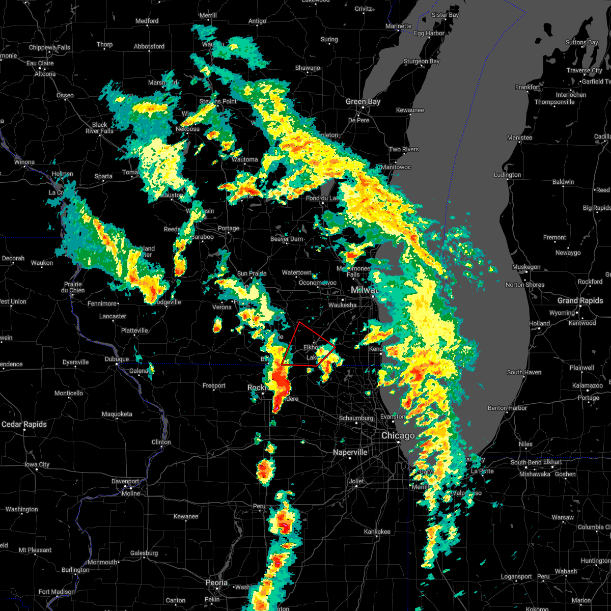 At 600 pm cdt, a severe thunderstorm capable of producing a tornado was located near sharon, or 7 miles north of poplar grove, moving northeast at 55 mph (radar indicated rotation). Hazards include tornado. Flying debris will be dangerous to those caught without shelter. mobile homes will be damaged or destroyed. damage to roofs, windows, and vehicles will occur. Tree damage is likely. At 600 pm cdt, a severe thunderstorm capable of producing a tornado was located near sharon, or 7 miles north of poplar grove, moving northeast at 55 mph (radar indicated rotation). Hazards include tornado. Flying debris will be dangerous to those caught without shelter. mobile homes will be damaged or destroyed. damage to roofs, windows, and vehicles will occur. Tree damage is likely.
|
| 3/5/2022 10:59 PM CST |
 At 1058 pm cst, severe thunderstorms were located along a line extending from hales corners to near lake geneva, moving east at 55 mph (radar indicated). Hazards include 60 mph wind gusts. Expect damage to roofs, siding, and trees. locations impacted include, elkhorn, delavan, lake geneva, williams bay, genoa city, walworth, richmond, fontana-on-geneva lake, sharon, como, pell lake, powers lake, springfield and delavan lake. hail threat, radar indicated max hail size, <. 75 in wind threat, radar indicated max wind gust, 60 mph. At 1058 pm cst, severe thunderstorms were located along a line extending from hales corners to near lake geneva, moving east at 55 mph (radar indicated). Hazards include 60 mph wind gusts. Expect damage to roofs, siding, and trees. locations impacted include, elkhorn, delavan, lake geneva, williams bay, genoa city, walworth, richmond, fontana-on-geneva lake, sharon, como, pell lake, powers lake, springfield and delavan lake. hail threat, radar indicated max hail size, <. 75 in wind threat, radar indicated max wind gust, 60 mph.
|
| 3/5/2022 10:40 PM CST |
 At 1040 pm cst, severe thunderstorms were located along a line extending from near north prairie to sharon, moving east at 55 mph (radar indicated). Hazards include 60 mph wind gusts. Expect damage to roofs, siding, and trees. locations impacted include, elkhorn, delavan, lake geneva, mukwonago, east troy, williams bay, genoa city, walworth, north prairie, richmond, fontana-on-geneva lake, sharon, darien, como, pell lake, potter lake, powers lake, springfield, la grange and eagle. hail threat, radar indicated max hail size, <. 75 in wind threat, radar indicated max wind gust, 60 mph. At 1040 pm cst, severe thunderstorms were located along a line extending from near north prairie to sharon, moving east at 55 mph (radar indicated). Hazards include 60 mph wind gusts. Expect damage to roofs, siding, and trees. locations impacted include, elkhorn, delavan, lake geneva, mukwonago, east troy, williams bay, genoa city, walworth, north prairie, richmond, fontana-on-geneva lake, sharon, darien, como, pell lake, potter lake, powers lake, springfield, la grange and eagle. hail threat, radar indicated max hail size, <. 75 in wind threat, radar indicated max wind gust, 60 mph.
|
| 3/5/2022 10:31 PM CST |
 At 1031 pm cst, severe thunderstorms were located along a line extending from near clinton to marengo to near genoa to near leland, moving east at 60 mph (radar indicated). Hazards include 70 mph wind gusts. Expect considerable tree damage. damage is likely to mobile homes, roofs, and outbuildings. these severe storms will be near, marengo and hampshire around 1035 pm cst. woodstock, huntley, harvard, pingree grove, lakewood and hinckley around 1040 pm cst. crystal lake, gilberts, west dundee, wonder lake, sleepy hollow and bull valley around 1045 pm cst. elgin, carpentersville, algonquin, lake in the hills, mchenry, island lake, cary, spring grove, fox river grove and barrington hills around 1050 pm cst. fox lake, johnsburg, lakemoor, pistakee highlands and richmond around 1055 pm cst. including the following interstates, i-88 between mile markers 88 and 110. i-90 between mile markers 26 and 56. thunderstorm damage threat, considerable hail threat, radar indicated max hail size, <. 75 in wind threat, radar indicated max wind gust, 70 mph. At 1031 pm cst, severe thunderstorms were located along a line extending from near clinton to marengo to near genoa to near leland, moving east at 60 mph (radar indicated). Hazards include 70 mph wind gusts. Expect considerable tree damage. damage is likely to mobile homes, roofs, and outbuildings. these severe storms will be near, marengo and hampshire around 1035 pm cst. woodstock, huntley, harvard, pingree grove, lakewood and hinckley around 1040 pm cst. crystal lake, gilberts, west dundee, wonder lake, sleepy hollow and bull valley around 1045 pm cst. elgin, carpentersville, algonquin, lake in the hills, mchenry, island lake, cary, spring grove, fox river grove and barrington hills around 1050 pm cst. fox lake, johnsburg, lakemoor, pistakee highlands and richmond around 1055 pm cst. including the following interstates, i-88 between mile markers 88 and 110. i-90 between mile markers 26 and 56. thunderstorm damage threat, considerable hail threat, radar indicated max hail size, <. 75 in wind threat, radar indicated max wind gust, 70 mph.
|
| 3/5/2022 10:25 PM CST |
 At 1025 pm cst, severe thunderstorms were located along a line extending from palmyra to near beloit, moving east at 55 mph (radar indicated). Hazards include 60 mph wind gusts. expect damage to roofs, siding, and trees At 1025 pm cst, severe thunderstorms were located along a line extending from palmyra to near beloit, moving east at 55 mph (radar indicated). Hazards include 60 mph wind gusts. expect damage to roofs, siding, and trees
|
| 3/5/2022 10:11 PM CST |
 At 1010 pm cst, severe thunderstorms were located along a line extending from 6 miles west of rockton to cherry valley to 6 miles southwest of kirkland to 6 miles west of paw paw, moving northeast at 65 mph (radar indicated). Hazards include 70 mph wind gusts. Expect considerable tree damage. damage is likely to mobile homes, roofs, and outbuildings. severe thunderstorms will be near, belvidere, loves park, cherry valley and kirkland around 1015 pm cst. poplar grove, candlewick lake, kingston and timberlane around 1020 pm cst. genoa, shabbona, waterman and capron around 1025 pm cst. malta around 1030 pm cst. dekalb, harvard, marengo and cortland around 1035 pm cst. crystal lake, sycamore, lakewood, maple park and hebron around 1040 pm cst. woodstock, campton hills, wonder lake, bull valley and lily lake around 1045 pm cst. mchenry, huntley, pingree grove, hampshire, spring grove and mccullom lake around 1050 pm cst. including the following interstates, i-88 between mile markers 83 and 110. i-90 between mile markers 19 and 56. thunderstorm damage threat, considerable hail threat, radar indicated max hail size, <. 75 in wind threat, radar indicated max wind gust, 70 mph. At 1010 pm cst, severe thunderstorms were located along a line extending from 6 miles west of rockton to cherry valley to 6 miles southwest of kirkland to 6 miles west of paw paw, moving northeast at 65 mph (radar indicated). Hazards include 70 mph wind gusts. Expect considerable tree damage. damage is likely to mobile homes, roofs, and outbuildings. severe thunderstorms will be near, belvidere, loves park, cherry valley and kirkland around 1015 pm cst. poplar grove, candlewick lake, kingston and timberlane around 1020 pm cst. genoa, shabbona, waterman and capron around 1025 pm cst. malta around 1030 pm cst. dekalb, harvard, marengo and cortland around 1035 pm cst. crystal lake, sycamore, lakewood, maple park and hebron around 1040 pm cst. woodstock, campton hills, wonder lake, bull valley and lily lake around 1045 pm cst. mchenry, huntley, pingree grove, hampshire, spring grove and mccullom lake around 1050 pm cst. including the following interstates, i-88 between mile markers 83 and 110. i-90 between mile markers 19 and 56. thunderstorm damage threat, considerable hail threat, radar indicated max hail size, <. 75 in wind threat, radar indicated max wind gust, 70 mph.
|
| 9/7/2021 12:58 PM CDT |
 At 1257 pm cdt, a severe thunderstorm was located near harvard, moving east at 50 mph (radar indicated). Hazards include golf ball size hail and 60 mph wind gusts. People and animals outdoors will be injured. expect hail damage to roofs, siding, windows, and vehicles. expect wind damage to roofs, siding, and trees. locations impacted include, crystal lake, mchenry, woodstock, fox lake, harvard, island lake, poplar grove, johnsburg, lakemoor, spring grove, candlewick lake, wonder lake, pistakee highlands, oakwood hills, prairie grove, richmond, sharon, port barrington, capron and hebron. thunderstorm damage threat, considerable hail threat, radar indicated max hail size, 1. 75 in wind threat, radar indicated max wind gust, 60 mph. At 1257 pm cdt, a severe thunderstorm was located near harvard, moving east at 50 mph (radar indicated). Hazards include golf ball size hail and 60 mph wind gusts. People and animals outdoors will be injured. expect hail damage to roofs, siding, windows, and vehicles. expect wind damage to roofs, siding, and trees. locations impacted include, crystal lake, mchenry, woodstock, fox lake, harvard, island lake, poplar grove, johnsburg, lakemoor, spring grove, candlewick lake, wonder lake, pistakee highlands, oakwood hills, prairie grove, richmond, sharon, port barrington, capron and hebron. thunderstorm damage threat, considerable hail threat, radar indicated max hail size, 1. 75 in wind threat, radar indicated max wind gust, 60 mph.
|
| 9/7/2021 12:54 PM CDT |
 At 1253 pm cdt, severe thunderstorms were located along a line extending from eagle lake to near walworth, moving east at 55 mph. quarter size was reported in lake geneva (trained weather spotters). Hazards include quarter size hail. Damage to vehicles is expected. locations impacted include, kenosha, racine, mount pleasant, pleasant prairie, lake geneva, sturtevant, union grove, paddock lake, williams bay, camp lake, wheatland, genoa city, walworth, silver lake, fontana-on-geneva lake, channel lake, sharon, lake catherine, powers lake and browns lake. hail threat, observed max hail size, 1. 00 in wind threat, radar indicated max wind gust, <50 mph. At 1253 pm cdt, severe thunderstorms were located along a line extending from eagle lake to near walworth, moving east at 55 mph. quarter size was reported in lake geneva (trained weather spotters). Hazards include quarter size hail. Damage to vehicles is expected. locations impacted include, kenosha, racine, mount pleasant, pleasant prairie, lake geneva, sturtevant, union grove, paddock lake, williams bay, camp lake, wheatland, genoa city, walworth, silver lake, fontana-on-geneva lake, channel lake, sharon, lake catherine, powers lake and browns lake. hail threat, observed max hail size, 1. 00 in wind threat, radar indicated max wind gust, <50 mph.
|
| 9/7/2021 12:48 PM CDT |
 At 1248 pm cdt, a severe thunderstorm was located near harvard, moving east at 40 mph (radar indicated). Hazards include 60 mph wind gusts and half dollar size hail. Hail damage to vehicles is expected. expect wind damage to roofs, siding, and trees. locations impacted include, crystal lake, mchenry, woodstock, loves park, machesney park, roscoe, fox lake, harvard, island lake, poplar grove, johnsburg, lakemoor, spring grove, candlewick lake, wonder lake, pistakee highlands, oakwood hills, prairie grove, richmond and sharon. hail threat, radar indicated max hail size, 1. 25 in wind threat, radar indicated max wind gust, 60 mph. At 1248 pm cdt, a severe thunderstorm was located near harvard, moving east at 40 mph (radar indicated). Hazards include 60 mph wind gusts and half dollar size hail. Hail damage to vehicles is expected. expect wind damage to roofs, siding, and trees. locations impacted include, crystal lake, mchenry, woodstock, loves park, machesney park, roscoe, fox lake, harvard, island lake, poplar grove, johnsburg, lakemoor, spring grove, candlewick lake, wonder lake, pistakee highlands, oakwood hills, prairie grove, richmond and sharon. hail threat, radar indicated max hail size, 1. 25 in wind threat, radar indicated max wind gust, 60 mph.
|
| 9/7/2021 12:39 PM CDT |
 At 1238 pm cdt, severe thunderstorms were located along a line extending from near bohners lake to near south beloit, moving east at 60 mph. quarter size hail was reported in delavan with this storm (trained weather spotters). Hazards include quarter size hail. Damage to vehicles is expected. locations impacted include, kenosha, racine, beloit, mount pleasant, pleasant prairie, elkhorn, delavan, lake geneva, sturtevant, union grove, paddock lake, williams bay, camp lake, winthrop harbor, wheatland, genoa city, walworth, silver lake, clinton and fontana-on-geneva lake. hail threat, observed max hail size, 1. 00 in wind threat, radar indicated max wind gust, <50 mph. At 1238 pm cdt, severe thunderstorms were located along a line extending from near bohners lake to near south beloit, moving east at 60 mph. quarter size hail was reported in delavan with this storm (trained weather spotters). Hazards include quarter size hail. Damage to vehicles is expected. locations impacted include, kenosha, racine, beloit, mount pleasant, pleasant prairie, elkhorn, delavan, lake geneva, sturtevant, union grove, paddock lake, williams bay, camp lake, winthrop harbor, wheatland, genoa city, walworth, silver lake, clinton and fontana-on-geneva lake. hail threat, observed max hail size, 1. 00 in wind threat, radar indicated max wind gust, <50 mph.
|
| 9/7/2021 12:37 PM CDT |
 At 1236 pm cdt, a severe thunderstorm was located near poplar grove, moving east at 50 mph (radar indicated). Hazards include 60 mph wind gusts and quarter size hail. Hail damage to vehicles is expected. Expect wind damage to roofs, siding, and trees. At 1236 pm cdt, a severe thunderstorm was located near poplar grove, moving east at 50 mph (radar indicated). Hazards include 60 mph wind gusts and quarter size hail. Hail damage to vehicles is expected. Expect wind damage to roofs, siding, and trees.
|
| 9/7/2021 12:30 PM CDT |
 At 1229 pm cdt, severe thunderstorms were located along a line extending from near elkhorn to near south beloit, moving east at 60 mph (radar indicated). Hazards include quarter size hail. damage to vehicles is expected At 1229 pm cdt, severe thunderstorms were located along a line extending from near elkhorn to near south beloit, moving east at 60 mph (radar indicated). Hazards include quarter size hail. damage to vehicles is expected
|
| 8/10/2021 7:14 PM CDT |
 At 713 pm cdt, severe thunderstorms were located along a line extending from near kewaskum to camp lake, moving east at 40 mph (trained weather spotters. several reports of wind gusts between 60 and 75mph. trees and limbs downed). Hazards include 70 mph wind gusts. Expect considerable tree damage. damage is likely to mobile homes, roofs, and outbuildings. locations impacted include, waukesha, west allis, wauwatosa, new berlin, brookfield, menomonee falls, west bend, muskego, whitewater, hartford, pewaukee, sussex, elkhorn, hartland, delavan, hales corners, lake geneva, mukwonago, delafield and jackson. thunderstorm damage threat, considerable hail threat, radar indicated max hail size, <. 75 in wind threat, radar indicated max wind gust, 70 mph. At 713 pm cdt, severe thunderstorms were located along a line extending from near kewaskum to camp lake, moving east at 40 mph (trained weather spotters. several reports of wind gusts between 60 and 75mph. trees and limbs downed). Hazards include 70 mph wind gusts. Expect considerable tree damage. damage is likely to mobile homes, roofs, and outbuildings. locations impacted include, waukesha, west allis, wauwatosa, new berlin, brookfield, menomonee falls, west bend, muskego, whitewater, hartford, pewaukee, sussex, elkhorn, hartland, delavan, hales corners, lake geneva, mukwonago, delafield and jackson. thunderstorm damage threat, considerable hail threat, radar indicated max hail size, <. 75 in wind threat, radar indicated max wind gust, 70 mph.
|
| 8/10/2021 7:03 PM CDT |
 At 702 pm cdt, severe thunderstorms were located along a line extending from near campbellsport to twin lakes, moving east at 50 mph (trained weather spotters reported a localized wind gust to 77 mph near eagle). Hazards include 60 mph wind gusts. Expect damage to roofs, siding, and trees. locations impacted include, waukesha, west allis, wauwatosa, new berlin, brookfield, menomonee falls, west bend, muskego, whitewater, hartford, pewaukee, sussex, elkhorn, hartland, delavan, hales corners, lake geneva, mukwonago, delafield and jackson. hail threat, radar indicated max hail size, <. 75 in wind threat, radar indicated max wind gust, 60 mph. At 702 pm cdt, severe thunderstorms were located along a line extending from near campbellsport to twin lakes, moving east at 50 mph (trained weather spotters reported a localized wind gust to 77 mph near eagle). Hazards include 60 mph wind gusts. Expect damage to roofs, siding, and trees. locations impacted include, waukesha, west allis, wauwatosa, new berlin, brookfield, menomonee falls, west bend, muskego, whitewater, hartford, pewaukee, sussex, elkhorn, hartland, delavan, hales corners, lake geneva, mukwonago, delafield and jackson. hail threat, radar indicated max hail size, <. 75 in wind threat, radar indicated max wind gust, 60 mph.
|
| 8/10/2021 6:42 PM CDT |
 At 641 pm cdt, severe thunderstorms were located along a line extending from near beloit to near rochelle, moving east at 40 mph. these storms have a history of producing wind damage across winnebago and ogle counties (trained weather spotters). Hazards include 70 mph wind gusts and quarter size hail. Hail damage to vehicles is expected. expect considerable tree damage. wind damage is also likely to mobile homes, roofs, and outbuildings. Locations impacted include, dekalb, belvidere, loves park, sycamore, harvard, marengo, poplar grove, genoa, candlewick lake, cortland, cherry valley, kirkland, sharon, capron, maple park, kingston, malta, timberlane, garden prairie and chemung. At 641 pm cdt, severe thunderstorms were located along a line extending from near beloit to near rochelle, moving east at 40 mph. these storms have a history of producing wind damage across winnebago and ogle counties (trained weather spotters). Hazards include 70 mph wind gusts and quarter size hail. Hail damage to vehicles is expected. expect considerable tree damage. wind damage is also likely to mobile homes, roofs, and outbuildings. Locations impacted include, dekalb, belvidere, loves park, sycamore, harvard, marengo, poplar grove, genoa, candlewick lake, cortland, cherry valley, kirkland, sharon, capron, maple park, kingston, malta, timberlane, garden prairie and chemung.
|
| 8/10/2021 6:26 PM CDT |
 At 626 pm cdt, severe thunderstorms were located along a line extending from 5 miles west of beloit to near ashton, moving east at 40 mph (radar indicated). Hazards include 70 mph wind gusts and quarter size hail. Hail damage to vehicles is expected. expect considerable tree damage. wind damage is also likely to mobile homes, roofs, and outbuildings. Locations impacted include, dekalb, belvidere, loves park, sycamore, harvard, marengo, poplar grove, genoa, candlewick lake, cortland, cherry valley, kirkland, sharon, capron, maple park, kingston, malta, timberlane, garden prairie and chemung. At 626 pm cdt, severe thunderstorms were located along a line extending from 5 miles west of beloit to near ashton, moving east at 40 mph (radar indicated). Hazards include 70 mph wind gusts and quarter size hail. Hail damage to vehicles is expected. expect considerable tree damage. wind damage is also likely to mobile homes, roofs, and outbuildings. Locations impacted include, dekalb, belvidere, loves park, sycamore, harvard, marengo, poplar grove, genoa, candlewick lake, cortland, cherry valley, kirkland, sharon, capron, maple park, kingston, malta, timberlane, garden prairie and chemung.
|
| 8/10/2021 6:16 PM CDT |
 At 616 pm cdt, severe thunderstorms were located along a line extending from near lake summerset to near ashton, moving east at 40 mph (radar indicated). Hazards include 60 mph wind gusts and quarter size hail. Hail damage to vehicles is expected. Expect wind damage to roofs, siding, and trees. At 616 pm cdt, severe thunderstorms were located along a line extending from near lake summerset to near ashton, moving east at 40 mph (radar indicated). Hazards include 60 mph wind gusts and quarter size hail. Hail damage to vehicles is expected. Expect wind damage to roofs, siding, and trees.
|
| 8/10/2021 6:08 PM CDT |
 At 608 pm cdt, severe thunderstorms were located along a line extending from randolph to near beloit, moving east at 40 mph (radar indicated). Hazards include 60 mph wind gusts. expect damage to roofs, siding, and trees At 608 pm cdt, severe thunderstorms were located along a line extending from randolph to near beloit, moving east at 40 mph (radar indicated). Hazards include 60 mph wind gusts. expect damage to roofs, siding, and trees
|
| 7/29/2021 1:57 AM CDT |
 A severe thunderstorm warning remains in effect until 245 am cdt for milwaukee. walworth. rock. racine. waukesha and kenosha counties. At 156 am cdt, severe thunderstorms were located along a line extending from milwaukee to near browns lake to near clinton, moving east at 45 mph. A severe thunderstorm warning remains in effect until 245 am cdt for milwaukee. walworth. rock. racine. waukesha and kenosha counties. At 156 am cdt, severe thunderstorms were located along a line extending from milwaukee to near browns lake to near clinton, moving east at 45 mph.
|
| 7/29/2021 1:50 AM CDT |
 At 149 am cdt, severe thunderstorms were located along a line extending from near lake summerset to near delavan, moving southeast at 45 mph (radar indicated). Hazards include 70 mph wind gusts. Expect considerable tree damage. damage is likely to mobile homes, roofs, and outbuildings. Locations impacted include, rockford, beloit, lake in the hills, belvidere, woodstock, huntley, loves park, machesney park, roscoe, harvard, south beloit, rockton, marengo, poplar grove, rockford airport, hampshire, candlewick lake, cherry valley, winnebago and davis junction. At 149 am cdt, severe thunderstorms were located along a line extending from near lake summerset to near delavan, moving southeast at 45 mph (radar indicated). Hazards include 70 mph wind gusts. Expect considerable tree damage. damage is likely to mobile homes, roofs, and outbuildings. Locations impacted include, rockford, beloit, lake in the hills, belvidere, woodstock, huntley, loves park, machesney park, roscoe, harvard, south beloit, rockton, marengo, poplar grove, rockford airport, hampshire, candlewick lake, cherry valley, winnebago and davis junction.
|
| 7/29/2021 1:32 AM CDT |
 At 131 am cdt, severe thunderstorms were located along a line extending from near germantown to palmyra to near footville, moving southeast at 45 mph (trained weather spotter reports winds of 60 mph in oconomowoc). Hazards include 70 mph wind gusts. Expect considerable tree damage. damage is likely to mobile homes, roofs, and outbuildings. locations impacted include, milwaukee, kenosha, racine, waukesha, janesville, west allis, wauwatosa, new berlin, brookfield, beloit, greenfield, menomonee falls, oak creek, mount pleasant, muskego, south milwaukee, pleasant prairie, cudahy, whitewater and whitefish bay. People attending the waukesha kennel club dog show, the rock county 4h fair in janesville, and the racine county fair in union grove should seek safe shelter immediately!. At 131 am cdt, severe thunderstorms were located along a line extending from near germantown to palmyra to near footville, moving southeast at 45 mph (trained weather spotter reports winds of 60 mph in oconomowoc). Hazards include 70 mph wind gusts. Expect considerable tree damage. damage is likely to mobile homes, roofs, and outbuildings. locations impacted include, milwaukee, kenosha, racine, waukesha, janesville, west allis, wauwatosa, new berlin, brookfield, beloit, greenfield, menomonee falls, oak creek, mount pleasant, muskego, south milwaukee, pleasant prairie, cudahy, whitewater and whitefish bay. People attending the waukesha kennel club dog show, the rock county 4h fair in janesville, and the racine county fair in union grove should seek safe shelter immediately!.
|
| 7/29/2021 1:23 AM CDT |
 At 123 am cdt, severe thunderstorms were located along a line extending from near monticello to near whitewater, moving southeast at 40 mph (radar indicated). Hazards include 70 mph wind gusts. Expect considerable tree damage. Damage is likely to mobile homes, roofs, and outbuildings. At 123 am cdt, severe thunderstorms were located along a line extending from near monticello to near whitewater, moving southeast at 40 mph (radar indicated). Hazards include 70 mph wind gusts. Expect considerable tree damage. Damage is likely to mobile homes, roofs, and outbuildings.
|
| 7/29/2021 1:17 AM CDT |
 At 116 am cdt, severe thunderstorms were located along a line extending from slinger to near jefferson to near brooklyn, moving southeast at 45 mph (trained weather spotter estimated 70 mph winds in johnson creek ). Hazards include 70 mph wind gusts. Expect considerable tree damage. Damage is likely to mobile homes, roofs, and outbuildings. At 116 am cdt, severe thunderstorms were located along a line extending from slinger to near jefferson to near brooklyn, moving southeast at 45 mph (trained weather spotter estimated 70 mph winds in johnson creek ). Hazards include 70 mph wind gusts. Expect considerable tree damage. Damage is likely to mobile homes, roofs, and outbuildings.
|
| 7/15/2021 1:00 AM CDT |
 The national weather service in milwaukee/sullivan has issued a * severe thunderstorm warning for. western walworth county in southeastern wisconsin. southeastern rock county in south central wisconsin. until 130 am cdt. At 1258 am cdt, a severe thunderstorm was located over clinton, or. The national weather service in milwaukee/sullivan has issued a * severe thunderstorm warning for. western walworth county in southeastern wisconsin. southeastern rock county in south central wisconsin. until 130 am cdt. At 1258 am cdt, a severe thunderstorm was located over clinton, or.
|
| 11/10/2020 4:11 PM CST |
 At 356 pm cst, severe thunderstorms were located along a line extending from 6 miles southwest of janesville to near clinton to near capron to near poplar grove, moving northeast at 65 mph (trained weather spotters). Hazards include 70 mph wind gusts and quarter size hail. Hail damage to vehicles is expected. expect considerable tree damage. wind damage is also likely to mobile homes, roofs, and outbuildings. Locations impacted include, janesville, beloit, whitewater, elkhorn, delavan, lake geneva, milton, east troy, williams bay, genoa city, walworth, clinton, fontana-on-geneva lake, sharon, darien, orfordville, footville, como, pell lake and potter lake. At 356 pm cst, severe thunderstorms were located along a line extending from 6 miles southwest of janesville to near clinton to near capron to near poplar grove, moving northeast at 65 mph (trained weather spotters). Hazards include 70 mph wind gusts and quarter size hail. Hail damage to vehicles is expected. expect considerable tree damage. wind damage is also likely to mobile homes, roofs, and outbuildings. Locations impacted include, janesville, beloit, whitewater, elkhorn, delavan, lake geneva, milton, east troy, williams bay, genoa city, walworth, clinton, fontana-on-geneva lake, sharon, darien, orfordville, footville, como, pell lake and potter lake.
|
| 11/10/2020 3:57 PM CST |
 At 356 pm cst, severe thunderstorms were located along a line extending from 6 miles southwest of janesville to near clinton to near capron to near poplar grove, moving northeast at 65 mph (trained weather spotters). Hazards include 70 mph wind gusts and quarter size hail. Hail damage to vehicles is expected. expect considerable tree damage. wind damage is also likely to mobile homes, roofs, and outbuildings. Locations impacted include, janesville, beloit, whitewater, elkhorn, delavan, lake geneva, milton, east troy, williams bay, genoa city, walworth, clinton, fontana-on-geneva lake, sharon, darien, orfordville, footville, como, pell lake and potter lake. At 356 pm cst, severe thunderstorms were located along a line extending from 6 miles southwest of janesville to near clinton to near capron to near poplar grove, moving northeast at 65 mph (trained weather spotters). Hazards include 70 mph wind gusts and quarter size hail. Hail damage to vehicles is expected. expect considerable tree damage. wind damage is also likely to mobile homes, roofs, and outbuildings. Locations impacted include, janesville, beloit, whitewater, elkhorn, delavan, lake geneva, milton, east troy, williams bay, genoa city, walworth, clinton, fontana-on-geneva lake, sharon, darien, orfordville, footville, como, pell lake and potter lake.
|
| 11/10/2020 3:38 PM CST |
 At 337 pm cst, severe thunderstorms were located along a line extending from near davis to 6 miles southeast of durand to rockford airport to near davis junction, moving northeast at 65 mph (trained weather spotters). Hazards include 70 mph wind gusts. Expect considerable tree damage. Damage is likely to mobile homes, roofs, and outbuildings. At 337 pm cst, severe thunderstorms were located along a line extending from near davis to 6 miles southeast of durand to rockford airport to near davis junction, moving northeast at 65 mph (trained weather spotters). Hazards include 70 mph wind gusts. Expect considerable tree damage. Damage is likely to mobile homes, roofs, and outbuildings.
|
| 8/25/2020 3:12 AM CDT |
 At 312 am cdt, a severe thunderstorm was located over williams bay, moving south at 30 mph (radar indicated). Hazards include 60 mph wind gusts and quarter size hail. Hail damage to vehicles is expected. expect wind damage to roofs, siding, and trees. Locations impacted include, elkhorn, delavan, lake geneva, williams bay, walworth, fontana-on-geneva lake, sharon, darien, como, abells corners, tibbets and delavan lake. At 312 am cdt, a severe thunderstorm was located over williams bay, moving south at 30 mph (radar indicated). Hazards include 60 mph wind gusts and quarter size hail. Hail damage to vehicles is expected. expect wind damage to roofs, siding, and trees. Locations impacted include, elkhorn, delavan, lake geneva, williams bay, walworth, fontana-on-geneva lake, sharon, darien, como, abells corners, tibbets and delavan lake.
|
| 8/25/2020 2:54 AM CDT |
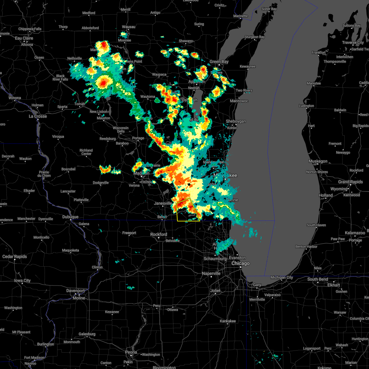 At 254 am cdt, a severe thunderstorm was located near delavan, moving south at 30 mph (radar indicated). Hazards include 60 mph wind gusts and quarter size hail. Hail damage to vehicles is expected. Expect wind damage to roofs, siding, and trees. At 254 am cdt, a severe thunderstorm was located near delavan, moving south at 30 mph (radar indicated). Hazards include 60 mph wind gusts and quarter size hail. Hail damage to vehicles is expected. Expect wind damage to roofs, siding, and trees.
|
| 8/25/2020 1:52 AM CDT |
 The severe thunderstorm warning for southwestern walworth county will expire at 200 am cdt, the storm which prompted the warning has weakened below severe limits, and no longer poses an immediate threat to life or property. therefore, the warning will be allowed to expire. The severe thunderstorm warning for southwestern walworth county will expire at 200 am cdt, the storm which prompted the warning has weakened below severe limits, and no longer poses an immediate threat to life or property. therefore, the warning will be allowed to expire.
|
| 8/25/2020 1:46 AM CDT |
 At 146 am cdt, a severe thunderstorm was located near sharon, or near harvard, moving southeast at 25 mph (radar indicated). Hazards include 60 mph wind gusts and quarter size hail. Hail damage to vehicles is expected. expect wind damage to roofs, siding, and trees. Locations impacted include, woodstock, harvard, marengo, sharon, capron and chemung. At 146 am cdt, a severe thunderstorm was located near sharon, or near harvard, moving southeast at 25 mph (radar indicated). Hazards include 60 mph wind gusts and quarter size hail. Hail damage to vehicles is expected. expect wind damage to roofs, siding, and trees. Locations impacted include, woodstock, harvard, marengo, sharon, capron and chemung.
|
| 8/25/2020 1:41 AM CDT |
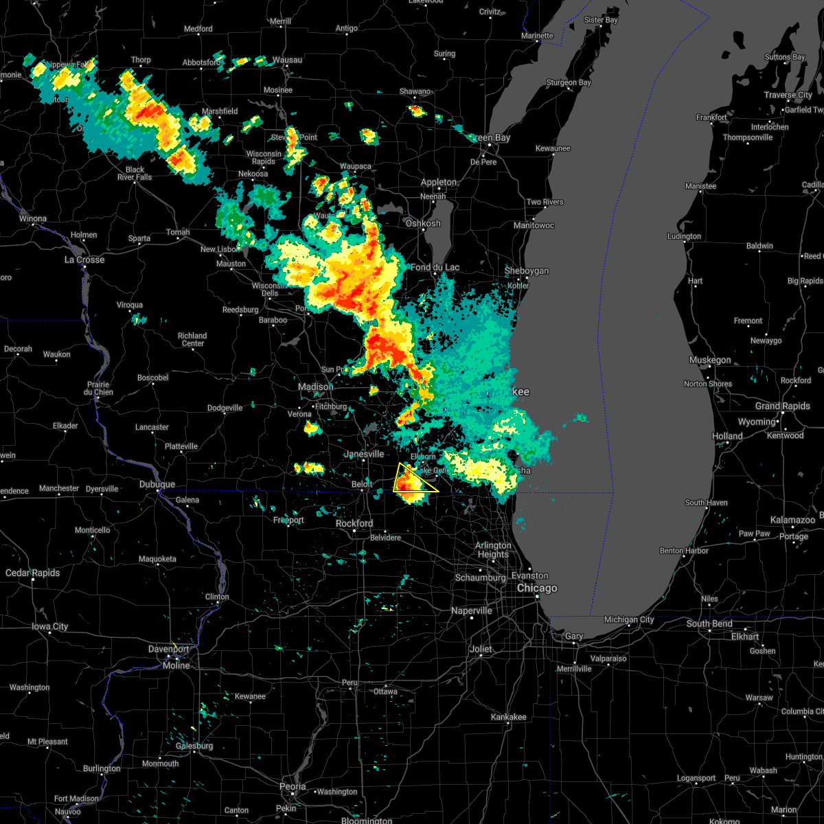 At 140 am cdt, a severe thunderstorm was located near walworth, or near harvard, moving southeast at 30 mph (radar indicated). Hazards include 60 mph wind gusts and quarter size hail. Hail damage to vehicles is expected. expect wind damage to roofs, siding, and trees. Locations impacted include, delavan, williams bay, walworth, fontana-on-geneva lake, sharon, darien and delavan lake. At 140 am cdt, a severe thunderstorm was located near walworth, or near harvard, moving southeast at 30 mph (radar indicated). Hazards include 60 mph wind gusts and quarter size hail. Hail damage to vehicles is expected. expect wind damage to roofs, siding, and trees. Locations impacted include, delavan, williams bay, walworth, fontana-on-geneva lake, sharon, darien and delavan lake.
|
| 8/25/2020 1:36 AM CDT |
 At 136 am cdt, a severe thunderstorm was located near sharon, or 7 miles north of harvard, moving southeast at 30 mph. law enforcement reported 50 mph and pea size hail in the darien area at about 130 am cdt (radar indicated). Hazards include 60 mph wind gusts and quarter size hail. Hail damage to vehicles is expected. expect wind damage to roofs, siding, and trees. Locations impacted include, delavan, williams bay, walworth, clinton, fontana-on-geneva lake, sharon, darien, allens grove and delavan lake. At 136 am cdt, a severe thunderstorm was located near sharon, or 7 miles north of harvard, moving southeast at 30 mph. law enforcement reported 50 mph and pea size hail in the darien area at about 130 am cdt (radar indicated). Hazards include 60 mph wind gusts and quarter size hail. Hail damage to vehicles is expected. expect wind damage to roofs, siding, and trees. Locations impacted include, delavan, williams bay, walworth, clinton, fontana-on-geneva lake, sharon, darien, allens grove and delavan lake.
|
| 8/25/2020 1:20 AM CDT |
 At 119 am cdt, a severe thunderstorm was located over clinton, or 9 miles east of beloit, moving southeast at 25 mph (radar indicated). Hazards include 60 mph wind gusts and quarter size hail. Hail damage to vehicles is expected. Expect wind damage to roofs, siding, and trees. At 119 am cdt, a severe thunderstorm was located over clinton, or 9 miles east of beloit, moving southeast at 25 mph (radar indicated). Hazards include 60 mph wind gusts and quarter size hail. Hail damage to vehicles is expected. Expect wind damage to roofs, siding, and trees.
|
| 8/25/2020 1:16 AM CDT |
 At 116 am cdt, a severe thunderstorm was located near darien, or 8 miles west of delavan, moving southeast at 30 mph (radar indicated). Hazards include 60 mph wind gusts and quarter size hail. Hail damage to vehicles is expected. Expect wind damage to roofs, siding, and trees. At 116 am cdt, a severe thunderstorm was located near darien, or 8 miles west of delavan, moving southeast at 30 mph (radar indicated). Hazards include 60 mph wind gusts and quarter size hail. Hail damage to vehicles is expected. Expect wind damage to roofs, siding, and trees.
|
| 8/10/2020 3:24 PM CDT |
 At 323 pm cdt, severe thunderstorms were located along a line extending from near clinton to near hebron, moving northeast at 40 mph (radar indicated). Hazards include 60 mph wind gusts and nickel size hail. Expect damage to roofs, siding, and trees. Locations impacted include, elkhorn, delavan, lake geneva, williams bay, camp lake, rochester, wheatland, genoa city, walworth, silver lake, clinton, fontana-on-geneva lake, sharon, darien, powers lake, browns lake, como, pell lake, twin lakes and bohners lake. At 323 pm cdt, severe thunderstorms were located along a line extending from near clinton to near hebron, moving northeast at 40 mph (radar indicated). Hazards include 60 mph wind gusts and nickel size hail. Expect damage to roofs, siding, and trees. Locations impacted include, elkhorn, delavan, lake geneva, williams bay, camp lake, rochester, wheatland, genoa city, walworth, silver lake, clinton, fontana-on-geneva lake, sharon, darien, powers lake, browns lake, como, pell lake, twin lakes and bohners lake.
|
| 8/10/2020 3:13 PM CDT |
 At 312 pm cdt, severe thunderstorms were located along a line extending from near clinton to near marengo, moving east at 40 mph (radar indicated). Hazards include 60 mph wind gusts and nickel size hail. expect damage to roofs, siding, and trees At 312 pm cdt, severe thunderstorms were located along a line extending from near clinton to near marengo, moving east at 40 mph (radar indicated). Hazards include 60 mph wind gusts and nickel size hail. expect damage to roofs, siding, and trees
|
| 8/10/2020 3:08 PM CDT |
 At 307 pm cdt, severe thunderstorms were located along a line extending from near brodhead to williams bay, moving northeast at 40 mph (radar indicated). Hazards include 60 mph wind gusts and penny size hail. Expect damage to roofs, siding, and trees. Locations impacted include, janesville, beloit, whitewater, elkhorn, delavan, milton, edgerton, evansville, williams bay, walworth, clinton, fontana-on-geneva lake, sharon, darien, orfordville, footville, richmond, fulton, la grange and newark. At 307 pm cdt, severe thunderstorms were located along a line extending from near brodhead to williams bay, moving northeast at 40 mph (radar indicated). Hazards include 60 mph wind gusts and penny size hail. Expect damage to roofs, siding, and trees. Locations impacted include, janesville, beloit, whitewater, elkhorn, delavan, milton, edgerton, evansville, williams bay, walworth, clinton, fontana-on-geneva lake, sharon, darien, orfordville, footville, richmond, fulton, la grange and newark.
|
| 8/10/2020 2:35 PM CDT |
 At 233 pm cdt, severe thunderstorms were located along a line extending from near brooklyn to near davis, moving east at 30 mph (trained weather spotters. a 62 mph wind gust was measured at the monroe airport in green county). Hazards include 60 mph wind gusts and quarter size hail. Hail damage to vehicles is expected. Expect wind damage to roofs, siding, and trees. At 233 pm cdt, severe thunderstorms were located along a line extending from near brooklyn to near davis, moving east at 30 mph (trained weather spotters. a 62 mph wind gust was measured at the monroe airport in green county). Hazards include 60 mph wind gusts and quarter size hail. Hail damage to vehicles is expected. Expect wind damage to roofs, siding, and trees.
|
| 8/10/2020 2:29 PM CDT |
 At 229 pm cdt, severe thunderstorms were located along a line extending from near belleville to near rock city, moving east at 30 mph (radar indicated). Hazards include 60 mph wind gusts and quarter size hail. Hail damage to vehicles is expected. Expect wind damage to roofs, siding, and trees. At 229 pm cdt, severe thunderstorms were located along a line extending from near belleville to near rock city, moving east at 30 mph (radar indicated). Hazards include 60 mph wind gusts and quarter size hail. Hail damage to vehicles is expected. Expect wind damage to roofs, siding, and trees.
|
| 7/20/2019 3:55 PM CDT |
 At 354 pm cdt, severe thunderstorms were located along a line extending from richmond to near cherry valley, moving east at 40 mph (trained weather spotters. at 334 pm, tree limbs were reported down in loves park). Hazards include 60 mph wind gusts. expect damage to roofs, siding, and trees At 354 pm cdt, severe thunderstorms were located along a line extending from richmond to near cherry valley, moving east at 40 mph (trained weather spotters. at 334 pm, tree limbs were reported down in loves park). Hazards include 60 mph wind gusts. expect damage to roofs, siding, and trees
|
| 6/30/2019 1:11 PM CDT |
 The severe thunderstorm warning for walworth, southeastern rock, western racine and kenosha counties will expire at 115 pm cdt, the storms which prompted the warning have weakened below severe limits, and no longer pose an immediate threat to life or property. therefore, the warning will be allowed to expire. a severe thunderstorm watch remains in effect until 600 pm cdt for south central and southeastern wisconsin. The severe thunderstorm warning for walworth, southeastern rock, western racine and kenosha counties will expire at 115 pm cdt, the storms which prompted the warning have weakened below severe limits, and no longer pose an immediate threat to life or property. therefore, the warning will be allowed to expire. a severe thunderstorm watch remains in effect until 600 pm cdt for south central and southeastern wisconsin.
|
| 6/30/2019 12:51 PM CDT |
 At 1248 pm cdt, severe thunderstorms were located along a line extending from near union grove to near greenwood, moving southeast at 35 mph (law enforcement. there were numerous reports of tree damage with these storms when then tracked through jefferson and waukesha counties). Hazards include 60 mph wind gusts. Expect damage to roofs, siding, and trees. public reported large tree limbs down near pell lake at 12:40 pm. Locations impacted include, kenosha, janesville, pleasant prairie, elkhorn, delavan, lake geneva, twin lakes, union grove, east troy, paddock lake, williams bay, camp lake, wind lake, rochester, genoa city, walworth, silver lake, clinton, fontana-on-geneva lake and sharon. At 1248 pm cdt, severe thunderstorms were located along a line extending from near union grove to near greenwood, moving southeast at 35 mph (law enforcement. there were numerous reports of tree damage with these storms when then tracked through jefferson and waukesha counties). Hazards include 60 mph wind gusts. Expect damage to roofs, siding, and trees. public reported large tree limbs down near pell lake at 12:40 pm. Locations impacted include, kenosha, janesville, pleasant prairie, elkhorn, delavan, lake geneva, twin lakes, union grove, east troy, paddock lake, williams bay, camp lake, wind lake, rochester, genoa city, walworth, silver lake, clinton, fontana-on-geneva lake and sharon.
|
| 6/30/2019 12:48 PM CDT |
 At 1247 pm cdt, severe thunderstorms were located along a line extending from near eagle lake to powers lake to greenwood to near woodstock to near timberlane, moving southeast at 40 mph. these storms have produced 60 mph winds and trees down in pell lake wisconsin in southern walworth county on the border with illinois (trained weather spotters). Hazards include 60 mph wind gusts. Expect damage to roofs, siding, and trees. Locations impacted include, waukegan, north chicago, gurnee, mundelein, algonquin, mchenry, belvidere, vernon hills, woodstock, zion, loves park, grayslake, libertyville, lake zurich, round lake, antioch, beach park, wauconda, fox lake and barrington. At 1247 pm cdt, severe thunderstorms were located along a line extending from near eagle lake to powers lake to greenwood to near woodstock to near timberlane, moving southeast at 40 mph. these storms have produced 60 mph winds and trees down in pell lake wisconsin in southern walworth county on the border with illinois (trained weather spotters). Hazards include 60 mph wind gusts. Expect damage to roofs, siding, and trees. Locations impacted include, waukegan, north chicago, gurnee, mundelein, algonquin, mchenry, belvidere, vernon hills, woodstock, zion, loves park, grayslake, libertyville, lake zurich, round lake, antioch, beach park, wauconda, fox lake and barrington.
|
| 6/30/2019 12:40 PM CDT |
 At 1238 pm cdt, severe thunderstorms were located along a line extending from near wind lake to near hebron, moving southeast at 35 mph (law enforcement. there have been numerous reports of tree damage and power outages). Hazards include 60 mph wind gusts. Expect damage to roofs, siding, and trees. Locations impacted include, kenosha, janesville, pleasant prairie, whitewater, elkhorn, delavan, lake geneva, twin lakes, milton, union grove, east troy, paddock lake, williams bay, camp lake, wind lake, rochester, genoa city, walworth, silver lake and clinton. At 1238 pm cdt, severe thunderstorms were located along a line extending from near wind lake to near hebron, moving southeast at 35 mph (law enforcement. there have been numerous reports of tree damage and power outages). Hazards include 60 mph wind gusts. Expect damage to roofs, siding, and trees. Locations impacted include, kenosha, janesville, pleasant prairie, whitewater, elkhorn, delavan, lake geneva, twin lakes, milton, union grove, east troy, paddock lake, williams bay, camp lake, wind lake, rochester, genoa city, walworth, silver lake and clinton.
|
| 6/30/2019 12:39 PM CDT |
 At 1238 pm cdt, severe thunderstorms were located along a line extending from near wind lake to bohners lake to hebron to harvard to poplar grove, moving southeast at 40 mph (radar indicated). Hazards include 60 mph wind gusts. Expect damage to roofs, siding, and trees. Locations impacted include, waukegan, north chicago, gurnee, mundelein, algonquin, mchenry, belvidere, vernon hills, woodstock, zion, loves park, grayslake, libertyville, lake zurich, round lake, antioch, beach park, wauconda, fox lake and barrington. At 1238 pm cdt, severe thunderstorms were located along a line extending from near wind lake to bohners lake to hebron to harvard to poplar grove, moving southeast at 40 mph (radar indicated). Hazards include 60 mph wind gusts. Expect damage to roofs, siding, and trees. Locations impacted include, waukegan, north chicago, gurnee, mundelein, algonquin, mchenry, belvidere, vernon hills, woodstock, zion, loves park, grayslake, libertyville, lake zurich, round lake, antioch, beach park, wauconda, fox lake and barrington.
|
| 6/30/2019 12:31 PM CDT |
 At 1230 pm cdt, severe thunderstorms were located along a line extending from near eagle lake to near sharon, moving southeast at 35 mph (law enforcement. there have been numerous reports of tree damage and power outages). Hazards include 60 mph wind gusts. Expect damage to roofs, siding, and trees. Locations impacted include, kenosha, waukesha, janesville, new berlin, muskego, pleasant prairie, whitewater, elkhorn, delavan, lake geneva, mukwonago, twin lakes, milton, union grove, east troy, paddock lake, williams bay, camp lake, wind lake and rochester. At 1230 pm cdt, severe thunderstorms were located along a line extending from near eagle lake to near sharon, moving southeast at 35 mph (law enforcement. there have been numerous reports of tree damage and power outages). Hazards include 60 mph wind gusts. Expect damage to roofs, siding, and trees. Locations impacted include, kenosha, waukesha, janesville, new berlin, muskego, pleasant prairie, whitewater, elkhorn, delavan, lake geneva, mukwonago, twin lakes, milton, union grove, east troy, paddock lake, williams bay, camp lake, wind lake and rochester.
|
| 6/30/2019 12:21 PM CDT |
 At 1220 pm cdt, severe thunderstorms were located along a line extending from near big bend to near east troy to near como to darien to near clinton, moving southeast at 45 mph (radar indicated). Hazards include 60 mph wind gusts. expect damage to roofs, siding, and trees At 1220 pm cdt, severe thunderstorms were located along a line extending from near big bend to near east troy to near como to darien to near clinton, moving southeast at 45 mph (radar indicated). Hazards include 60 mph wind gusts. expect damage to roofs, siding, and trees
|
| 6/30/2019 12:19 PM CDT |
 At 1218 pm cdt, severe thunderstorms were located along a line extending from near waterford north to near clinton, moving southeast at 35 mph (law enforcement. there have been numerous reports of tree damage and power outages). Hazards include 60 mph wind gusts. Expect damage to roofs, siding, and trees. locations impacted include, kenosha, waukesha, janesville, new berlin, brookfield, muskego, pleasant prairie, whitewater, pewaukee, sussex, elkhorn, hartland, delavan, lake geneva, mukwonago, delafield, twin lakes, milton, union grove and east troy. People attending hometown celebration in hartland should seek safe shelter immediately!. At 1218 pm cdt, severe thunderstorms were located along a line extending from near waterford north to near clinton, moving southeast at 35 mph (law enforcement. there have been numerous reports of tree damage and power outages). Hazards include 60 mph wind gusts. Expect damage to roofs, siding, and trees. locations impacted include, kenosha, waukesha, janesville, new berlin, brookfield, muskego, pleasant prairie, whitewater, pewaukee, sussex, elkhorn, hartland, delavan, lake geneva, mukwonago, delafield, twin lakes, milton, union grove and east troy. People attending hometown celebration in hartland should seek safe shelter immediately!.
|
| 6/30/2019 11:59 AM CDT |
 At 1157 am cdt, severe thunderstorms were located along a line extending from near wales to milton, moving southeast at 35 mph (law enforcement. there have been numerous reports of tree damage and power outages). Hazards include 60 mph wind gusts. expect damage to roofs, siding, and trees At 1157 am cdt, severe thunderstorms were located along a line extending from near wales to milton, moving southeast at 35 mph (law enforcement. there have been numerous reports of tree damage and power outages). Hazards include 60 mph wind gusts. expect damage to roofs, siding, and trees
|
| 6/27/2019 5:35 PM CDT |
 At 534 pm cdt, severe thunderstorms were located along a line extending from near muskego to harvard, moving east at 35 mph (trained weather spotters. several large trees have been reported down in williams bay. winds were estimated to be around 60 mph in pell lake). Hazards include 60 mph wind gusts and quarter size hail. Hail damage to vehicles is expected. expect wind damage to roofs, siding, and trees. Locations impacted include, kenosha, racine, mount pleasant, pleasant prairie, elkhorn, delavan, lake geneva, sturtevant, twin lakes, union grove, east troy, paddock lake, williams bay, camp lake, wind lake, rochester, genoa city, walworth, silver lake and wind point. At 534 pm cdt, severe thunderstorms were located along a line extending from near muskego to harvard, moving east at 35 mph (trained weather spotters. several large trees have been reported down in williams bay. winds were estimated to be around 60 mph in pell lake). Hazards include 60 mph wind gusts and quarter size hail. Hail damage to vehicles is expected. expect wind damage to roofs, siding, and trees. Locations impacted include, kenosha, racine, mount pleasant, pleasant prairie, elkhorn, delavan, lake geneva, sturtevant, twin lakes, union grove, east troy, paddock lake, williams bay, camp lake, wind lake, rochester, genoa city, walworth, silver lake and wind point.
|
| 6/27/2019 5:18 PM CDT |
 At 517 pm cdt, severe thunderstorms were located along a line extending from near mukwonago to near harvard, moving east at 50 mph (trained weather spotters. these storms have a history of producing wind damage across rock county). Hazards include 60 mph wind gusts and quarter size hail. Hail damage to vehicles is expected. expect wind damage to roofs, siding, and trees. Locations impacted include, kenosha, racine, mount pleasant, pleasant prairie, elkhorn, delavan, lake geneva, sturtevant, twin lakes, union grove, east troy, paddock lake, williams bay, camp lake, wind lake, rochester, genoa city, walworth, silver lake and wind point. At 517 pm cdt, severe thunderstorms were located along a line extending from near mukwonago to near harvard, moving east at 50 mph (trained weather spotters. these storms have a history of producing wind damage across rock county). Hazards include 60 mph wind gusts and quarter size hail. Hail damage to vehicles is expected. expect wind damage to roofs, siding, and trees. Locations impacted include, kenosha, racine, mount pleasant, pleasant prairie, elkhorn, delavan, lake geneva, sturtevant, twin lakes, union grove, east troy, paddock lake, williams bay, camp lake, wind lake, rochester, genoa city, walworth, silver lake and wind point.
|
| 6/27/2019 5:04 PM CDT |
 At 503 pm cdt, severe thunderstorms were located along a line extending from near palmyra to near caledonia, moving east at 45 mph (trained weather spotters. these storms have a widespread history of producing wind gusts in excess of 60 mph, as well as confirmed wind damage. the gusty winds will proceed the heavy rain). Hazards include 60 mph wind gusts and penny size hail. expect damage to roofs, siding, and trees At 503 pm cdt, severe thunderstorms were located along a line extending from near palmyra to near caledonia, moving east at 45 mph (trained weather spotters. these storms have a widespread history of producing wind gusts in excess of 60 mph, as well as confirmed wind damage. the gusty winds will proceed the heavy rain). Hazards include 60 mph wind gusts and penny size hail. expect damage to roofs, siding, and trees
|
| 6/27/2019 4:53 PM CDT |
 The severe thunderstorm warning for northwestern walworth, southeastern rock, northwestern waukesha, southeastern jefferson and eastern dodge counties will expire at 500 pm cdt, the storms which prompted the warning have weakened below severe limits, and no longer pose an immediate threat to life or property. therefore, the warning will be allowed to expire. however gusty winds and frequent lightning are still possible with these thunderstorms. a severe thunderstorm watch remains in effect until 900 pm cdt for south central, southeastern and east central wisconsin. to report severe weather, contact your nearest law enforcement agency. they will relay your report to the national weather service milwaukee/sullivan. The severe thunderstorm warning for northwestern walworth, southeastern rock, northwestern waukesha, southeastern jefferson and eastern dodge counties will expire at 500 pm cdt, the storms which prompted the warning have weakened below severe limits, and no longer pose an immediate threat to life or property. therefore, the warning will be allowed to expire. however gusty winds and frequent lightning are still possible with these thunderstorms. a severe thunderstorm watch remains in effect until 900 pm cdt for south central, southeastern and east central wisconsin. to report severe weather, contact your nearest law enforcement agency. they will relay your report to the national weather service milwaukee/sullivan.
|
| 6/27/2019 4:35 PM CDT |
 At 434 pm cdt, severe thunderstorms were located along a line extending from near waupun to 6 miles east of johnson creek to near beloit, moving east at 50 mph (emergency management. trees down have been reported in the beaver dam area. in addition the observation site at juneau has measured a wind gust of 63 mph). Hazards include 60 mph wind gusts and penny size hail. Expect damage to roofs, siding, and trees. Locations impacted include, janesville, beloit, watertown, beaver dam, whitewater, hartford, fort atkinson, waupun, jefferson, delafield, lake mills, milton, edgerton, mayville, evansville, horicon, waterloo, juneau, okauchee lake and oconomowoc. At 434 pm cdt, severe thunderstorms were located along a line extending from near waupun to 6 miles east of johnson creek to near beloit, moving east at 50 mph (emergency management. trees down have been reported in the beaver dam area. in addition the observation site at juneau has measured a wind gust of 63 mph). Hazards include 60 mph wind gusts and penny size hail. Expect damage to roofs, siding, and trees. Locations impacted include, janesville, beloit, watertown, beaver dam, whitewater, hartford, fort atkinson, waupun, jefferson, delafield, lake mills, milton, edgerton, mayville, evansville, horicon, waterloo, juneau, okauchee lake and oconomowoc.
|
| 6/27/2019 4:15 PM CDT |
 At 415 pm cdt, severe thunderstorms were located along a line extending from 6 miles northeast of randolph to near lake mills to near orfordville, moving east at 40 mph (radar indicated. these storms have a history of producing wind gusts between 50 and 60 mph with sporadic trees down). Hazards include 60 mph wind gusts and penny size hail. Expect damage to roofs, siding, and trees. Locations impacted include, janesville, beloit, watertown, beaver dam, whitewater, hartford, fort atkinson, waupun, jefferson, delafield, lake mills, milton, edgerton, mayville, evansville, horicon, waterloo, juneau, okauchee lake and oconomowoc. At 415 pm cdt, severe thunderstorms were located along a line extending from 6 miles northeast of randolph to near lake mills to near orfordville, moving east at 40 mph (radar indicated. these storms have a history of producing wind gusts between 50 and 60 mph with sporadic trees down). Hazards include 60 mph wind gusts and penny size hail. Expect damage to roofs, siding, and trees. Locations impacted include, janesville, beloit, watertown, beaver dam, whitewater, hartford, fort atkinson, waupun, jefferson, delafield, lake mills, milton, edgerton, mayville, evansville, horicon, waterloo, juneau, okauchee lake and oconomowoc.
|
| 6/27/2019 4:08 PM CDT |
 At 407 pm cdt, severe thunderstorms were located along a line extending from near randolph to near deerfield to brodhead, moving east at 40 mph (radar indicated). Hazards include 60 mph wind gusts and penny size hail. expect damage to roofs, siding, and trees At 407 pm cdt, severe thunderstorms were located along a line extending from near randolph to near deerfield to brodhead, moving east at 40 mph (radar indicated). Hazards include 60 mph wind gusts and penny size hail. expect damage to roofs, siding, and trees
|
| 8/26/2018 11:42 PM CDT |
 At 1142 pm cdt, a severe thunderstorm was located over south beloit, moving northeast at 50 mph (radar indicated). Hazards include 60 mph wind gusts. expect damage to roofs, siding, and trees At 1142 pm cdt, a severe thunderstorm was located over south beloit, moving northeast at 50 mph (radar indicated). Hazards include 60 mph wind gusts. expect damage to roofs, siding, and trees
|
| 5/2/2018 8:56 PM CDT |
 At 856 pm cdt, a severe thunderstorm was located near delavan, moving east at 30 mph. this storm has a history of producing large hail! seek safe shelter indoors as this storm approaches (public reported). Hazards include 60 mph wind gusts and half dollar size hail. Hail damage to vehicles is expected. expect wind damage to roofs, siding, and trees. Locations impacted include, elkhorn, delavan, lake geneva, east troy, williams bay, genoa city, walworth, richmond, fontana-on-geneva lake, sharon, como, pell lake, potter lake, powers lake, springfield and delavan lake. At 856 pm cdt, a severe thunderstorm was located near delavan, moving east at 30 mph. this storm has a history of producing large hail! seek safe shelter indoors as this storm approaches (public reported). Hazards include 60 mph wind gusts and half dollar size hail. Hail damage to vehicles is expected. expect wind damage to roofs, siding, and trees. Locations impacted include, elkhorn, delavan, lake geneva, east troy, williams bay, genoa city, walworth, richmond, fontana-on-geneva lake, sharon, como, pell lake, potter lake, powers lake, springfield and delavan lake.
|
| 5/2/2018 8:23 PM CDT |
 At 822 pm cdt, a severe thunderstorm was located over janesville, moving east at 30 mph (radar indicated). Hazards include two inch hail and 60 mph wind gusts. People and animals outdoors will be injured. expect hail damage to roofs, siding, windows, and vehicles. Expect wind damage to roofs, siding, and trees. At 822 pm cdt, a severe thunderstorm was located over janesville, moving east at 30 mph (radar indicated). Hazards include two inch hail and 60 mph wind gusts. People and animals outdoors will be injured. expect hail damage to roofs, siding, windows, and vehicles. Expect wind damage to roofs, siding, and trees.
|
| 8/10/2017 3:55 PM CDT |
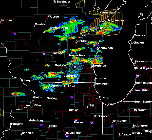 The severe thunderstorm warning for southwestern walworth and southeastern rock counties will expire at 400 pm cdt, the severe thunderstorm which prompted the warning has weakened. therefore, the warning will be allowed to expire. however small hail and gusty winds are still possible with this thunderstorm. a severe thunderstorm watch remains in effect until 900 pm cdt for south central and southeastern wisconsin. The severe thunderstorm warning for southwestern walworth and southeastern rock counties will expire at 400 pm cdt, the severe thunderstorm which prompted the warning has weakened. therefore, the warning will be allowed to expire. however small hail and gusty winds are still possible with this thunderstorm. a severe thunderstorm watch remains in effect until 900 pm cdt for south central and southeastern wisconsin.
|
| 8/10/2017 3:39 PM CDT |
 At 339 pm cdt, a severe thunderstorm was located near clinton, or near beloit, moving east at 25 mph (radar indicated). Hazards include 60 mph wind gusts and quarter size hail. Hail damage to vehicles is expected. expect wind damage to roofs, siding, and trees. locations impacted include, beloit, clinton and sharon. Law enforcement reported 1 inch hail in parts of beloit at 330 pm cdt. At 339 pm cdt, a severe thunderstorm was located near clinton, or near beloit, moving east at 25 mph (radar indicated). Hazards include 60 mph wind gusts and quarter size hail. Hail damage to vehicles is expected. expect wind damage to roofs, siding, and trees. locations impacted include, beloit, clinton and sharon. Law enforcement reported 1 inch hail in parts of beloit at 330 pm cdt.
|
| 8/10/2017 3:30 PM CDT |
 At 330 pm cdt, a severe thunderstorm was located over beloit, moving east at 50 mph (radar indicated). Hazards include 60 mph wind gusts and quarter size hail. Hail damage to vehicles is expected. Expect wind damage to roofs, siding, and trees. At 330 pm cdt, a severe thunderstorm was located over beloit, moving east at 50 mph (radar indicated). Hazards include 60 mph wind gusts and quarter size hail. Hail damage to vehicles is expected. Expect wind damage to roofs, siding, and trees.
|
| 7/19/2017 8:46 PM CDT |
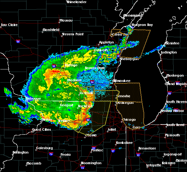 At 846 pm cdt, a severe thunderstorm was located near palmyra, or 7 miles west of east troy, moving east at 45 mph (radar indicated). Hazards include 60 mph wind gusts. Expect damage to roofs, siding, and trees. Locations impacted include, whitewater, fort atkinson, elkhorn, delavan, williams bay, walworth, palmyra, fontana-on-geneva lake, sharon, darien, lake koshkonong, richmond, la grange, hebron, abells corners, tibbets, allens grove, millard and delavan lake. At 846 pm cdt, a severe thunderstorm was located near palmyra, or 7 miles west of east troy, moving east at 45 mph (radar indicated). Hazards include 60 mph wind gusts. Expect damage to roofs, siding, and trees. Locations impacted include, whitewater, fort atkinson, elkhorn, delavan, williams bay, walworth, palmyra, fontana-on-geneva lake, sharon, darien, lake koshkonong, richmond, la grange, hebron, abells corners, tibbets, allens grove, millard and delavan lake.
|
| 7/19/2017 8:26 PM CDT |
 At 826 pm cdt, severe thunderstorms were located along a line extending from poplar grove to near kirkland to near ashton, moving east at 60 mph (radar indicated). Hazards include 70 mph wind gusts. Expect considerable tree damage. damage is likely to mobile homes, roofs, and outbuildings. Locations impacted include, rockford, beloit, belvidere, loves park, machesney park, sycamore, dixon, rochelle, harvard, south beloit, rockton, marengo, genoa, oregon, mount morris, shabbona, rockford airport, dekalb, roscoe and poplar grove. At 826 pm cdt, severe thunderstorms were located along a line extending from poplar grove to near kirkland to near ashton, moving east at 60 mph (radar indicated). Hazards include 70 mph wind gusts. Expect considerable tree damage. damage is likely to mobile homes, roofs, and outbuildings. Locations impacted include, rockford, beloit, belvidere, loves park, machesney park, sycamore, dixon, rochelle, harvard, south beloit, rockton, marengo, genoa, oregon, mount morris, shabbona, rockford airport, dekalb, roscoe and poplar grove.
|
| 7/19/2017 8:10 PM CDT |
 At 809 pm cdt, severe thunderstorms were located along a line extending from near rockton to near byron to near mount morris, moving east at 60 mph (radar indicated). Hazards include 70 mph wind gusts. Expect considerable tree damage. damage is likely to mobile homes, roofs, and outbuildings. Locations impacted include, rockford, beloit, belvidere, loves park, machesney park, sycamore, dixon, rochelle, harvard, south beloit, rockton, marengo, genoa, oregon, mount morris, shabbona, rockford airport, dekalb, roscoe and poplar grove. At 809 pm cdt, severe thunderstorms were located along a line extending from near rockton to near byron to near mount morris, moving east at 60 mph (radar indicated). Hazards include 70 mph wind gusts. Expect considerable tree damage. damage is likely to mobile homes, roofs, and outbuildings. Locations impacted include, rockford, beloit, belvidere, loves park, machesney park, sycamore, dixon, rochelle, harvard, south beloit, rockton, marengo, genoa, oregon, mount morris, shabbona, rockford airport, dekalb, roscoe and poplar grove.
|
| 7/19/2017 7:54 PM CDT |
 At 754 pm cdt, severe thunderstorms were located along a line extending from near brodhead to near ridott to near shannon, moving southeast at 60 mph (radar indicated). Hazards include 70 mph wind gusts. Expect considerable tree damage. Damage is likely to mobile homes, roofs, and outbuildings. At 754 pm cdt, severe thunderstorms were located along a line extending from near brodhead to near ridott to near shannon, moving southeast at 60 mph (radar indicated). Hazards include 70 mph wind gusts. Expect considerable tree damage. Damage is likely to mobile homes, roofs, and outbuildings.
|
| 7/19/2017 7:53 PM CDT |
 At 752 pm cdt, a severe thunderstorm was located over evansville, moving east at 45 mph (radar indicated). Hazards include 60 mph wind gusts. expect damage to roofs, siding, and trees At 752 pm cdt, a severe thunderstorm was located over evansville, moving east at 45 mph (radar indicated). Hazards include 60 mph wind gusts. expect damage to roofs, siding, and trees
|
| 6/28/2017 3:18 PM CDT |
 At 818 pm cdt, severe thunderstorms were located along a line extending from east troy to 6 miles northwest of bohners lake to near hebron, moving east at 50 mph (radar indicated). Hazards include 60 mph wind gusts and penny size hail. Expect damage to roofs, siding, and trees. locations impacted include, elkhorn, lake geneva, east troy, williams bay, genoa city, walworth, fontana-on-geneva lake, sharon, como, pell lake, potter lake, powers lake, springfield, abells corners, troy center and delavan lake. A tornado watch remains in effect until 1000 pm cdt for southeastern wisconsin. At 818 pm cdt, severe thunderstorms were located along a line extending from east troy to 6 miles northwest of bohners lake to near hebron, moving east at 50 mph (radar indicated). Hazards include 60 mph wind gusts and penny size hail. Expect damage to roofs, siding, and trees. locations impacted include, elkhorn, lake geneva, east troy, williams bay, genoa city, walworth, fontana-on-geneva lake, sharon, como, pell lake, potter lake, powers lake, springfield, abells corners, troy center and delavan lake. A tornado watch remains in effect until 1000 pm cdt for southeastern wisconsin.
|
| 6/28/2017 3:08 PM CDT |
 At 807 pm cdt, severe thunderstorms were located along a line extending from 6 miles south of palmyra to elkhorn to walworth, moving east at 40 mph (radar indicated). Hazards include 60 mph wind gusts and penny size hail. Expect damage to roofs, siding, and trees. locations impacted include, whitewater, elkhorn, delavan, lake geneva, east troy, williams bay, genoa city, walworth, fontana-on-geneva lake, sharon, darien, como, pell lake, potter lake, powers lake, richmond, springfield, la grange, abells corners and tibbets. A tornado watch remains in effect until 1000 pm cdt for southeastern wisconsin. At 807 pm cdt, severe thunderstorms were located along a line extending from 6 miles south of palmyra to elkhorn to walworth, moving east at 40 mph (radar indicated). Hazards include 60 mph wind gusts and penny size hail. Expect damage to roofs, siding, and trees. locations impacted include, whitewater, elkhorn, delavan, lake geneva, east troy, williams bay, genoa city, walworth, fontana-on-geneva lake, sharon, darien, como, pell lake, potter lake, powers lake, richmond, springfield, la grange, abells corners and tibbets. A tornado watch remains in effect until 1000 pm cdt for southeastern wisconsin.
|
| 6/28/2017 2:47 PM CDT |
 At 746 pm cdt, severe thunderstorms were located along a line extending from near fort atkinson to near clinton, moving east at 65 mph (radar indicated). Hazards include 60 mph wind gusts and penny size hail. expect damage to roofs, siding, and trees At 746 pm cdt, severe thunderstorms were located along a line extending from near fort atkinson to near clinton, moving east at 65 mph (radar indicated). Hazards include 60 mph wind gusts and penny size hail. expect damage to roofs, siding, and trees
|
| 6/14/2017 5:26 PM CDT |
 The severe thunderstorm warning for southwestern walworth county will expire at 530 pm cdt. the storm which prompted the warning has weakened below severe limits, and no longer poses an immediate threat to life or property. therefore the warning will be allowed to expire. A severe thunderstorm watch remains in effect until 800 pm cdt for. The severe thunderstorm warning for southwestern walworth county will expire at 530 pm cdt. the storm which prompted the warning has weakened below severe limits, and no longer poses an immediate threat to life or property. therefore the warning will be allowed to expire. A severe thunderstorm watch remains in effect until 800 pm cdt for.
|
| 6/14/2017 5:20 PM CDT |
 At 519 pm cdt, a severe thunderstorm was located over walworth, or near williams bay, moving east at 30 mph (law enforcement). Hazards include 60 mph wind gusts and quarter size hail. Hail damage to vehicles is expected. expect wind damage to roofs, siding, and trees. Locations impacted include, delavan, walworth, sharon, darien, allens grove and delavan lake. At 519 pm cdt, a severe thunderstorm was located over walworth, or near williams bay, moving east at 30 mph (law enforcement). Hazards include 60 mph wind gusts and quarter size hail. Hail damage to vehicles is expected. expect wind damage to roofs, siding, and trees. Locations impacted include, delavan, walworth, sharon, darien, allens grove and delavan lake.
|
| 6/14/2017 5:06 PM CDT |
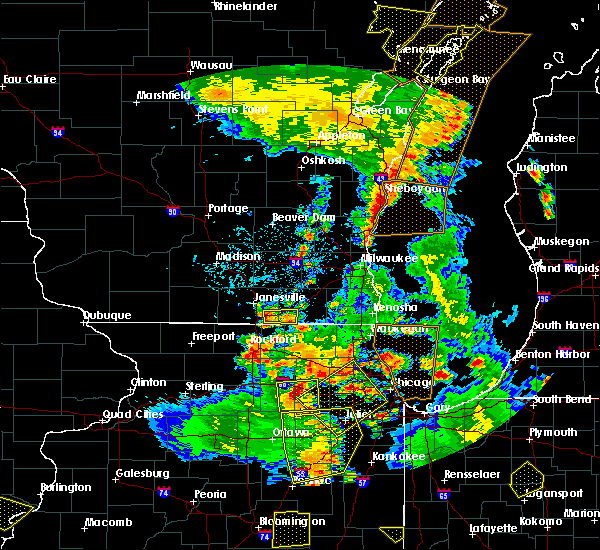 At 505 pm cdt, a severe thunderstorm was located near sharon, or 8 miles southwest of delavan, moving east at 30 mph (law enforcement). Hazards include 60 mph wind gusts and quarter size hail. Hail damage to vehicles is expected. expect wind damage to roofs, siding, and trees. Locations impacted include, delavan, walworth, clinton, sharon, darien, allens grove and delavan lake. At 505 pm cdt, a severe thunderstorm was located near sharon, or 8 miles southwest of delavan, moving east at 30 mph (law enforcement). Hazards include 60 mph wind gusts and quarter size hail. Hail damage to vehicles is expected. expect wind damage to roofs, siding, and trees. Locations impacted include, delavan, walworth, clinton, sharon, darien, allens grove and delavan lake.
|
| 6/14/2017 4:57 PM CDT |
 At 457 pm cdt, a severe thunderstorm was located over clinton, or 8 miles east of beloit, moving east at 30 mph (law enforcement). Hazards include 60 mph wind gusts and quarter size hail. Hail damage to vehicles is expected. expect wind damage to roofs, siding, and trees. Locations impacted include, beloit, delavan, walworth, clinton, sharon, darien, tiffany, allens grove, delavan lake and shopiere. At 457 pm cdt, a severe thunderstorm was located over clinton, or 8 miles east of beloit, moving east at 30 mph (law enforcement). Hazards include 60 mph wind gusts and quarter size hail. Hail damage to vehicles is expected. expect wind damage to roofs, siding, and trees. Locations impacted include, beloit, delavan, walworth, clinton, sharon, darien, tiffany, allens grove, delavan lake and shopiere.
|
| 6/14/2017 4:47 PM CDT |
 At 446 pm cdt, a severe thunderstorm was located over beloit, moving east at 30 mph (radar indicated). Hazards include 60 mph wind gusts and quarter size hail. Hail damage to vehicles is expected. Expect wind damage to roofs, siding, and trees. At 446 pm cdt, a severe thunderstorm was located over beloit, moving east at 30 mph (radar indicated). Hazards include 60 mph wind gusts and quarter size hail. Hail damage to vehicles is expected. Expect wind damage to roofs, siding, and trees.
|
| 5/17/2017 10:44 PM CDT |
 At 1044 pm cdt, a severe thunderstorm capable of producing a tornado was located over williams bay, moving northeast at 50 mph (radar indicated rotation). Hazards include tornado and golf ball size hail. Flying debris will be dangerous to those caught without shelter. mobile homes will be damaged or destroyed. damage to roofs, windows, and vehicles will occur. tree damage is likely. this dangerous storm will be near, lake geneva and pell lake around 1050 pm cdt. Other locations impacted by this tornadic thunderstorm include springfield and burlington. At 1044 pm cdt, a severe thunderstorm capable of producing a tornado was located over williams bay, moving northeast at 50 mph (radar indicated rotation). Hazards include tornado and golf ball size hail. Flying debris will be dangerous to those caught without shelter. mobile homes will be damaged or destroyed. damage to roofs, windows, and vehicles will occur. tree damage is likely. this dangerous storm will be near, lake geneva and pell lake around 1050 pm cdt. Other locations impacted by this tornadic thunderstorm include springfield and burlington.
|
| 5/17/2017 10:42 PM CDT |
 At 1033 pm cdt, a severe thunderstorm was located near sharon, or near harvard, moving northeast at 50 mph (trained weather spotters. golf ball sized hail was reported in poplar grove). Hazards include golf ball size hail and 60 mph wind gusts. People and animals outdoors will be injured. expect hail damage to roofs, siding, windows, and vehicles. expect wind damage to roofs, siding, and trees. locations impacted include, elkhorn, delavan, lake geneva, east troy, williams bay, genoa city, walworth, fontana-on-geneva lake, sharon, como, pell lake, powers lake, springfield, abells corners and delavan lake. A tornado watch remains in effect until 100 am cdt for south central and southeastern wisconsin. At 1033 pm cdt, a severe thunderstorm was located near sharon, or near harvard, moving northeast at 50 mph (trained weather spotters. golf ball sized hail was reported in poplar grove). Hazards include golf ball size hail and 60 mph wind gusts. People and animals outdoors will be injured. expect hail damage to roofs, siding, windows, and vehicles. expect wind damage to roofs, siding, and trees. locations impacted include, elkhorn, delavan, lake geneva, east troy, williams bay, genoa city, walworth, fontana-on-geneva lake, sharon, como, pell lake, powers lake, springfield, abells corners and delavan lake. A tornado watch remains in effect until 100 am cdt for south central and southeastern wisconsin.
|
| 5/17/2017 10:33 PM CDT |
 At 1033 pm cdt, a severe thunderstorm capable of producing a tornado was located over capron, or near harvard, moving northeast at 50 mph (radar indicated rotation). Hazards include tornado and golf ball size hail. Flying debris will be dangerous to those caught without shelter. mobile homes will be damaged or destroyed. damage to roofs, windows, and vehicles will occur. tree damage is likely. this dangerous storm will be near, walworth and fontana-on-geneva lake around 1045 pm cdt. williams bay around 1050 pm cdt. lake geneva, como and pell lake around 1055 pm cdt. powers lake around 1100 pm cdt. Other locations impacted by this tornadic thunderstorm include springfield and burlington. At 1033 pm cdt, a severe thunderstorm capable of producing a tornado was located over capron, or near harvard, moving northeast at 50 mph (radar indicated rotation). Hazards include tornado and golf ball size hail. Flying debris will be dangerous to those caught without shelter. mobile homes will be damaged or destroyed. damage to roofs, windows, and vehicles will occur. tree damage is likely. this dangerous storm will be near, walworth and fontana-on-geneva lake around 1045 pm cdt. williams bay around 1050 pm cdt. lake geneva, como and pell lake around 1055 pm cdt. powers lake around 1100 pm cdt. Other locations impacted by this tornadic thunderstorm include springfield and burlington.
|
| 5/17/2017 10:28 PM CDT |
 At 1028 pm cdt, a severe thunderstorm was located over capron, or near harvard, moving northeast at 50 mph (radar indicated). Hazards include 60 mph wind gusts and quarter size hail. Hail damage to vehicles is expected. Expect wind damage to roofs, siding, and trees. At 1028 pm cdt, a severe thunderstorm was located over capron, or near harvard, moving northeast at 50 mph (radar indicated). Hazards include 60 mph wind gusts and quarter size hail. Hail damage to vehicles is expected. Expect wind damage to roofs, siding, and trees.
|
| 5/17/2017 10:23 PM CDT |
 The severe thunderstorm warning for western walworth and eastern rock counties will expire at 1030 pm cdt, the storm which prompted the warning has weakened below severe limits, and no longer poses an immediate threat to life or property. therefore the warning will be allowed to expire. however gusty winds are still possible with this thunderstorm. a tornado watch remains in effect until 100 am cdt for south central and southeastern wisconsin. The severe thunderstorm warning for western walworth and eastern rock counties will expire at 1030 pm cdt, the storm which prompted the warning has weakened below severe limits, and no longer poses an immediate threat to life or property. therefore the warning will be allowed to expire. however gusty winds are still possible with this thunderstorm. a tornado watch remains in effect until 100 am cdt for south central and southeastern wisconsin.
|
| 5/17/2017 10:18 PM CDT |
 At 1018 pm cdt, a severe thunderstorm was located near whitewater, moving northeast at 65 mph (radar indicated). Hazards include 60 mph wind gusts and penny size hail. Expect damage to roofs, siding, and trees. locations impacted include, janesville, beloit, whitewater, milton, clinton, darien, richmond, la grange, tiffany, allens grove, millard, avalon, shopiere, afton, emerald grove and johnstown center. A tornado watch remains in effect until 100 am cdt for south central and southeastern wisconsin. At 1018 pm cdt, a severe thunderstorm was located near whitewater, moving northeast at 65 mph (radar indicated). Hazards include 60 mph wind gusts and penny size hail. Expect damage to roofs, siding, and trees. locations impacted include, janesville, beloit, whitewater, milton, clinton, darien, richmond, la grange, tiffany, allens grove, millard, avalon, shopiere, afton, emerald grove and johnstown center. A tornado watch remains in effect until 100 am cdt for south central and southeastern wisconsin.
|
| 5/17/2017 10:09 PM CDT |
 At 1007 pm cdt, a severe thunderstorm was located near milton, moving northeast at 65 mph (trained weather spotters. at 1002 pm, 47 mph winds were reported in janesville). Hazards include 60 mph wind gusts and penny size hail. Expect damage to roofs, siding, and trees. locations impacted include, janesville, beloit, whitewater, milton, edgerton, clinton, darien, orfordville, footville, richmond, fulton, la grange, newark, tiffany, hanover, millard, avalon, allens grove, shopiere and afton. A tornado watch remains in effect until 100 am cdt for south central and southeastern wisconsin. At 1007 pm cdt, a severe thunderstorm was located near milton, moving northeast at 65 mph (trained weather spotters. at 1002 pm, 47 mph winds were reported in janesville). Hazards include 60 mph wind gusts and penny size hail. Expect damage to roofs, siding, and trees. locations impacted include, janesville, beloit, whitewater, milton, edgerton, clinton, darien, orfordville, footville, richmond, fulton, la grange, newark, tiffany, hanover, millard, avalon, allens grove, shopiere and afton. A tornado watch remains in effect until 100 am cdt for south central and southeastern wisconsin.
|
| 5/17/2017 9:59 PM CDT |
 The national weather service in milwaukee/sullivan has issued a * severe thunderstorm warning for. western walworth county in southeastern wisconsin. rock county in south central wisconsin. Until 1030 pm cdt * at 958 pm cdt, a severe thunderstorm was located near footville, or. The national weather service in milwaukee/sullivan has issued a * severe thunderstorm warning for. western walworth county in southeastern wisconsin. rock county in south central wisconsin. Until 1030 pm cdt * at 958 pm cdt, a severe thunderstorm was located near footville, or.
|
| 5/17/2017 9:37 PM CDT |
 At 937 pm cdt, severe thunderstorms were located along a line extending from near watertown to near milton to near durand, moving east at 40 mph (radar indicated). Hazards include 60 mph wind gusts. Expect damage to roofs, siding, and trees. locations impacted include, janesville, beloit, watertown, whitewater, stoughton, fort atkinson, elkhorn, hartland, delavan, jefferson, delafield, lake mills, milton, edgerton, evansville, waterloo, brodhead, wales, okauchee lake and oconomowoc. A tornado watch remains in effect until 100 am cdt for south central and southeastern wisconsin. At 937 pm cdt, severe thunderstorms were located along a line extending from near watertown to near milton to near durand, moving east at 40 mph (radar indicated). Hazards include 60 mph wind gusts. Expect damage to roofs, siding, and trees. locations impacted include, janesville, beloit, watertown, whitewater, stoughton, fort atkinson, elkhorn, hartland, delavan, jefferson, delafield, lake mills, milton, edgerton, evansville, waterloo, brodhead, wales, okauchee lake and oconomowoc. A tornado watch remains in effect until 100 am cdt for south central and southeastern wisconsin.
|
| 5/17/2017 9:25 PM CDT |
 At 924 pm cdt, severe thunderstorms were located along a line extending from near waterloo to near edgerton to near rock city, moving east at 40 mph (radar indicated). Hazards include 60 mph wind gusts and penny size hail. expect damage to roofs, siding, and trees At 924 pm cdt, severe thunderstorms were located along a line extending from near waterloo to near edgerton to near rock city, moving east at 40 mph (radar indicated). Hazards include 60 mph wind gusts and penny size hail. expect damage to roofs, siding, and trees
|
| 5/15/2017 10:39 PM CDT |
 The severe thunderstorm warning for walworth, western waukesha and jefferson counties will expire at 1045 pm cdt, the storms which prompted the warning are moving out of the area. therefore the warning will be allowed to expire. a severe thunderstorm watch remains in effect until 200 am cdt for south central and southeastern wisconsin. The severe thunderstorm warning for walworth, western waukesha and jefferson counties will expire at 1045 pm cdt, the storms which prompted the warning are moving out of the area. therefore the warning will be allowed to expire. a severe thunderstorm watch remains in effect until 200 am cdt for south central and southeastern wisconsin.
|
| 5/15/2017 10:26 PM CDT |
 At 1026 pm cdt, severe thunderstorms were located along a line extending from near lac la belle to near dousman to near fontana-on-geneva lake, moving east at 50 mph (trained weather spotters. a wind gust of 57 mph was measured at the national weather service in sullivan). Hazards include 60 mph wind gusts. Expect damage to roofs, siding, and trees. Locations impacted include, watertown, whitewater, fort atkinson, elkhorn, hartland, delavan, jefferson, lake geneva, mukwonago, delafield, lake mills, east troy, waterloo, williams bay, wales, okauchee lake, oconomowoc, merton, genoa city and walworth. At 1026 pm cdt, severe thunderstorms were located along a line extending from near lac la belle to near dousman to near fontana-on-geneva lake, moving east at 50 mph (trained weather spotters. a wind gust of 57 mph was measured at the national weather service in sullivan). Hazards include 60 mph wind gusts. Expect damage to roofs, siding, and trees. Locations impacted include, watertown, whitewater, fort atkinson, elkhorn, hartland, delavan, jefferson, lake geneva, mukwonago, delafield, lake mills, east troy, waterloo, williams bay, wales, okauchee lake, oconomowoc, merton, genoa city and walworth.
|
| 5/15/2017 10:07 PM CDT |
 At 1007 pm cdt, severe thunderstorms were located along a line extending from near waterloo to near sharon, moving east at 55 mph (radar indicated). Hazards include 60 mph wind gusts. expect damage to roofs, siding, and trees At 1007 pm cdt, severe thunderstorms were located along a line extending from near waterloo to near sharon, moving east at 55 mph (radar indicated). Hazards include 60 mph wind gusts. expect damage to roofs, siding, and trees
|
| 4/20/2017 1:42 AM CDT |
 At 142 am cdt, severe thunderstorms were located along a line extending from menomonee falls to near sharon, moving east at 55 mph (radar indicated). Hazards include 60 mph wind gusts. expect damage to roofs, siding, and trees At 142 am cdt, severe thunderstorms were located along a line extending from menomonee falls to near sharon, moving east at 55 mph (radar indicated). Hazards include 60 mph wind gusts. expect damage to roofs, siding, and trees
|
| 3/7/2017 12:11 AM CST |
 The severe thunderstorm warning for western walworth, eastern rock and southern jefferson counties will expire at 1215 am cst, the storms which prompted the warning have weakened below severe limits, and no longer pose an immediate threat to life or property. therefore, the warning will be allowed to expire. however gusty winds up to 50 mph are still possible with these thunderstorms. a severe thunderstorm watch remains in effect until 500 am cst for south central and southeastern wisconsin. The severe thunderstorm warning for western walworth, eastern rock and southern jefferson counties will expire at 1215 am cst, the storms which prompted the warning have weakened below severe limits, and no longer pose an immediate threat to life or property. therefore, the warning will be allowed to expire. however gusty winds up to 50 mph are still possible with these thunderstorms. a severe thunderstorm watch remains in effect until 500 am cst for south central and southeastern wisconsin.
|
| 3/7/2017 12:03 AM CST |
 At 1202 am cst, severe thunderstorms were located along a line extending from near jefferson to near beloit, moving east at 60 mph (radar indicated). Hazards include 60 mph wind gusts and penny size hail. Expect damage to roofs, siding, and trees. Locations impacted include, janesville, beloit, whitewater, fort atkinson, elkhorn, delavan, jefferson, milton, williams bay, walworth, clinton, palmyra, fontana-on-geneva lake, sharon, darien, lake koshkonong, richmond, rome, la grange and hebron. At 1202 am cst, severe thunderstorms were located along a line extending from near jefferson to near beloit, moving east at 60 mph (radar indicated). Hazards include 60 mph wind gusts and penny size hail. Expect damage to roofs, siding, and trees. Locations impacted include, janesville, beloit, whitewater, fort atkinson, elkhorn, delavan, jefferson, milton, williams bay, walworth, clinton, palmyra, fontana-on-geneva lake, sharon, darien, lake koshkonong, richmond, rome, la grange and hebron.
|
| 3/6/2017 11:57 PM CST |
 At 1157 pm cst, severe thunderstorms were located along a line extending from near lake ripley to beloit, moving east at 60 mph (radar indicated). Hazards include 60 mph wind gusts and penny size hail. Expect damage to roofs, siding, and trees. Locations impacted include, janesville, beloit, whitewater, fort atkinson, elkhorn, delavan, jefferson, milton, williams bay, walworth, clinton, palmyra, fontana-on-geneva lake, sharon, darien, lake ripley, lake koshkonong, richmond, rome and la grange. At 1157 pm cst, severe thunderstorms were located along a line extending from near lake ripley to beloit, moving east at 60 mph (radar indicated). Hazards include 60 mph wind gusts and penny size hail. Expect damage to roofs, siding, and trees. Locations impacted include, janesville, beloit, whitewater, fort atkinson, elkhorn, delavan, jefferson, milton, williams bay, walworth, clinton, palmyra, fontana-on-geneva lake, sharon, darien, lake ripley, lake koshkonong, richmond, rome and la grange.
|
| 3/6/2017 11:48 PM CST |
 At 1147 pm cst, severe thunderstorms were located along a line extending from 6 miles southwest of cambridge to 7 miles northwest of rockton, moving east at 60 mph (awos observed). Hazards include 60 mph wind gusts and penny size hail. expect damage to roofs, siding, and trees At 1147 pm cst, severe thunderstorms were located along a line extending from 6 miles southwest of cambridge to 7 miles northwest of rockton, moving east at 60 mph (awos observed). Hazards include 60 mph wind gusts and penny size hail. expect damage to roofs, siding, and trees
|
| 8/4/2016 9:46 PM CDT |
 At 945 pm cdt, severe thunderstorms were located along a line extending from near roscoe to cherry valley to near hillcrest, moving east at 40 mph (radar indicated). Hazards include 70 mph wind gusts. Expect considerable tree damage. damage is likely to mobile homes, roofs, and outbuildings. severe thunderstorms will be near, belvidere around 950 pm cdt. poplar grove, kirkland and timberlane around 955 pm cdt. sharon and capron around 1000 pm cdt. kingston around 1005 pm cdt. harvard and genoa around 1010 pm cdt. marengo, de kalb, dekalb and cortland around 1015 pm cdt. hampshire around 1020 pm cdt. woodstock around 1025 pm cdt. other locations impacted by these severe thunderstorms include union and burlington. including the following interstates, i-39 between mile markers 103 and 109. i-88 between mile markers 97 and 98. i-90 between mile markers 37 and 60. This includes, northern illinois university and boone county fairgrounds. At 945 pm cdt, severe thunderstorms were located along a line extending from near roscoe to cherry valley to near hillcrest, moving east at 40 mph (radar indicated). Hazards include 70 mph wind gusts. Expect considerable tree damage. damage is likely to mobile homes, roofs, and outbuildings. severe thunderstorms will be near, belvidere around 950 pm cdt. poplar grove, kirkland and timberlane around 955 pm cdt. sharon and capron around 1000 pm cdt. kingston around 1005 pm cdt. harvard and genoa around 1010 pm cdt. marengo, de kalb, dekalb and cortland around 1015 pm cdt. hampshire around 1020 pm cdt. woodstock around 1025 pm cdt. other locations impacted by these severe thunderstorms include union and burlington. including the following interstates, i-39 between mile markers 103 and 109. i-88 between mile markers 97 and 98. i-90 between mile markers 37 and 60. This includes, northern illinois university and boone county fairgrounds.
|
| 7/21/2016 7:27 PM CDT | The severe thunderstorm warning for southern walworth, western racine, southeastern rock and western kenosha counties will expire at 730 pm cdt, the storm which prompted the warning has moved out of the area. therefore the warning will be allowed to expire. however gusty winds up to 50 mph are still possible with this thunderstorm. a severe thunderstorm watch remains in effect until 900 pm cdt for south central and southeastern wisconsin. |
| 7/21/2016 7:00 PM CDT |
 At 658 pm cdt, a severe thunderstorm was located over richmond, or over twin lakes, moving southeast at 45 mph (radar indicated). Hazards include 60 mph wind gusts. Expect damage to roofs. siding. and trees. locations impacted include, delavan, lake geneva, twin lakes, union grove, paddock lake, williams bay, camp lake, genoa city, walworth, silver lake, clinton, richmond, fontana-on-geneva lake, sharon, darien, browns lake, eagle lake, powers lake, pell lake and bohners lake. People attending country thunder should seek safe shelter immediately!. At 658 pm cdt, a severe thunderstorm was located over richmond, or over twin lakes, moving southeast at 45 mph (radar indicated). Hazards include 60 mph wind gusts. Expect damage to roofs. siding. and trees. locations impacted include, delavan, lake geneva, twin lakes, union grove, paddock lake, williams bay, camp lake, genoa city, walworth, silver lake, clinton, richmond, fontana-on-geneva lake, sharon, darien, browns lake, eagle lake, powers lake, pell lake and bohners lake. People attending country thunder should seek safe shelter immediately!.
|
| 7/21/2016 6:36 PM CDT |
 At 636 pm cdt, a severe thunderstorm was located over elkhorn, moving southeast at 45 mph (radar indicated). Hazards include 60 mph wind gusts. Expect damage to roofs. siding. And trees. At 636 pm cdt, a severe thunderstorm was located over elkhorn, moving southeast at 45 mph (radar indicated). Hazards include 60 mph wind gusts. Expect damage to roofs. siding. And trees.
|
| 7/6/2016 1:47 AM CDT |
 At 146 am cdt, severe thunderstorms were located along a line extending from south of oak creek to hebron, moving southeast at 45 mph (radar indicated). Hazards include 60 mph wind gusts. Expect damage to roofs. siding. and trees. Locations impacted include, lake geneva, williams bay, walworth, fontana-on-geneva lake, pell lake, como, powers lake, burlington, waterford, springfield and honey creek. At 146 am cdt, severe thunderstorms were located along a line extending from south of oak creek to hebron, moving southeast at 45 mph (radar indicated). Hazards include 60 mph wind gusts. Expect damage to roofs. siding. and trees. Locations impacted include, lake geneva, williams bay, walworth, fontana-on-geneva lake, pell lake, como, powers lake, burlington, waterford, springfield and honey creek.
|
| 7/6/2016 1:38 AM CDT |
 At 136 am cdt, a severe thunderstorm was located over harvard, moving east at 55 mph (radar indicated). Hazards include 60 mph wind gusts. Expect damage to roofs. siding. and trees. locations impacted include, beloit, algonquin, mchenry, belvidere, woodstock, love s park, machesney park, fox lake, harvard, island lake, south beloit, rockton, marengo, wonder lake, pistakee highlands, lake in the hills, huntley, roscoe and johnsburg. this includes, boone county fairgrounds, mchenry county college, mchenry county fairgrounds, moraine hills state park, rock cut state park, rock valley college, rockford aviators baseball, and rockford speedway. Including the following interstate, i-90 between mile markers 0 and 2, and between mile markers 64 and 76. At 136 am cdt, a severe thunderstorm was located over harvard, moving east at 55 mph (radar indicated). Hazards include 60 mph wind gusts. Expect damage to roofs. siding. and trees. locations impacted include, beloit, algonquin, mchenry, belvidere, woodstock, love s park, machesney park, fox lake, harvard, island lake, south beloit, rockton, marengo, wonder lake, pistakee highlands, lake in the hills, huntley, roscoe and johnsburg. this includes, boone county fairgrounds, mchenry county college, mchenry county fairgrounds, moraine hills state park, rock cut state park, rock valley college, rockford aviators baseball, and rockford speedway. Including the following interstate, i-90 between mile markers 0 and 2, and between mile markers 64 and 76.
|
| 7/6/2016 1:38 AM CDT |
 At 136 am cdt, severe thunderstorms were located along a line extending from near muskego to near walworth, moving southeast at 45 mph (radar indicated). Hazards include 60 mph wind gusts. Expect damage to roofs. siding. and trees. Locations impacted include, muskego, elkhorn, lake geneva, mukwonago, east troy, wind lake, rochester, walworth, pell lake, browns lake, como, powers lake, burlington and waterford. At 136 am cdt, severe thunderstorms were located along a line extending from near muskego to near walworth, moving southeast at 45 mph (radar indicated). Hazards include 60 mph wind gusts. Expect damage to roofs. siding. and trees. Locations impacted include, muskego, elkhorn, lake geneva, mukwonago, east troy, wind lake, rochester, walworth, pell lake, browns lake, como, powers lake, burlington and waterford.
|
| 7/6/2016 1:22 AM CDT |
 At 120 am cdt, severe thunderstorms were located along a line extending from near waukesha to near clinton, moving east at 45 mph (radar indicated). Hazards include 60 mph wind gusts. Expect damage to roofs. siding. and trees. Locations impacted include, muskego, elkhorn, delavan, lake geneva, mukwonago, east troy, wind lake, rochester, walworth, clinton, sharon, darien, pell lake, potter lake, bohners lake, waterford north and como. At 120 am cdt, severe thunderstorms were located along a line extending from near waukesha to near clinton, moving east at 45 mph (radar indicated). Hazards include 60 mph wind gusts. Expect damage to roofs. siding. and trees. Locations impacted include, muskego, elkhorn, delavan, lake geneva, mukwonago, east troy, wind lake, rochester, walworth, clinton, sharon, darien, pell lake, potter lake, bohners lake, waterford north and como.
|
| 7/6/2016 1:20 AM CDT |
 At 120 am cdt, a severe thunderstorm was located near south beloit, moving east at 55 mph (radar indicated). Hazards include 60 mph wind gusts. Expect damage to roofs. siding. And trees. At 120 am cdt, a severe thunderstorm was located near south beloit, moving east at 55 mph (radar indicated). Hazards include 60 mph wind gusts. Expect damage to roofs. siding. And trees.
|
| 7/6/2016 1:13 AM CDT |
 At 113 am cdt, a severe thunderstorm was located 7 miles north of elkhorn, moving southeast at 45 mph (radar indicated). Hazards include 60 mph wind gusts. Expect damage to roofs. siding. And trees. At 113 am cdt, a severe thunderstorm was located 7 miles north of elkhorn, moving southeast at 45 mph (radar indicated). Hazards include 60 mph wind gusts. Expect damage to roofs. siding. And trees.
|
| 6/9/2016 11:40 PM CDT | The severe thunderstorm warning for southwestern walworth and eastern rock counties will expire at 1145 pm cdt, the storm which prompted the warning has weakened below severe limits, and no longer poses an immediate threat to life or property. therefore the warning will be allowed to expire. however small hail and heavy rain are still possible with this thunderstorm. |
| 6/9/2016 11:38 PM CDT |
 The severe thunderstorm warning for southwestern walworth and eastern rock counties will expire at 1145 pm cdt, the storm which prompted the warning has weakened below severe limits, and no longer poses an immediate threat to life or property. therefore the warning will be allowed to expire. however small hail and heavy rain are still possible with this thunderstorm. The severe thunderstorm warning for southwestern walworth and eastern rock counties will expire at 1145 pm cdt, the storm which prompted the warning has weakened below severe limits, and no longer poses an immediate threat to life or property. therefore the warning will be allowed to expire. however small hail and heavy rain are still possible with this thunderstorm.
|
| 6/9/2016 11:25 PM CDT |
 At 1124 pm cdt, a severe thunderstorm was located over janesville, moving east at 25 mph (radar indicated). Hazards include 60 mph wind gusts and quarter size hail. Hail damage to vehicles is expected. expect wind damage to roofs, siding, and trees. Locations impacted include, janesville, beloit, milton, clinton, sharon, darien, richmond, tiffany, shopiere, johnstown center, afton, emerald grove, hanover, avalon and allens grove. At 1124 pm cdt, a severe thunderstorm was located over janesville, moving east at 25 mph (radar indicated). Hazards include 60 mph wind gusts and quarter size hail. Hail damage to vehicles is expected. expect wind damage to roofs, siding, and trees. Locations impacted include, janesville, beloit, milton, clinton, sharon, darien, richmond, tiffany, shopiere, johnstown center, afton, emerald grove, hanover, avalon and allens grove.
|
| 6/9/2016 11:13 PM CDT |
 At 1112 pm cdt, a severe thunderstorm was located near janesville, moving east at 30 mph (radar indicated). Hazards include 60 mph wind gusts and quarter size hail. Hail damage to vehicles is expected. Expect wind damage to roofs, siding, and trees. At 1112 pm cdt, a severe thunderstorm was located near janesville, moving east at 30 mph (radar indicated). Hazards include 60 mph wind gusts and quarter size hail. Hail damage to vehicles is expected. Expect wind damage to roofs, siding, and trees.
|
| 11/11/2015 8:32 PM CST |
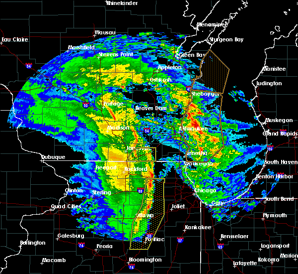 At 830 pm cst, a severe thunderstorm was located over como, or near williams bay, moving east at 45 mph. at 830 pm cst, multiple trees were reported down in southern rock county during the past hour (radar indicated). Hazards include 60 mph wind gusts. Expect damage to roofs. siding and trees. Locations impacted include, elkhorn, lake geneva, williams bay, delavan lake, walworth, clinton, fontana-on-geneva lake, sharon, darien, como, delavan, abells corners and allens grove. At 830 pm cst, a severe thunderstorm was located over como, or near williams bay, moving east at 45 mph. at 830 pm cst, multiple trees were reported down in southern rock county during the past hour (radar indicated). Hazards include 60 mph wind gusts. Expect damage to roofs. siding and trees. Locations impacted include, elkhorn, lake geneva, williams bay, delavan lake, walworth, clinton, fontana-on-geneva lake, sharon, darien, como, delavan, abells corners and allens grove.
|
| 11/11/2015 8:18 PM CST |
 At 816 pm cst, a severe thunderstorm was located near clinton, moving northeast at 45 mph. at 804 pm cst, a 50 mph wind gust was reported near janesville (radar indicated). Hazards include 60 mph wind gusts. Expect damage to roofs. siding and trees. Locations impacted include, elkhorn, lake geneva, williams bay, delavan lake, walworth, clinton, fontana-on-geneva lake, sharon, darien, como, delavan, richmond, tiffany, millard, shopiere, johnstown center, tibbets, abells corners, emerald grove and avalon. At 816 pm cst, a severe thunderstorm was located near clinton, moving northeast at 45 mph. at 804 pm cst, a 50 mph wind gust was reported near janesville (radar indicated). Hazards include 60 mph wind gusts. Expect damage to roofs. siding and trees. Locations impacted include, elkhorn, lake geneva, williams bay, delavan lake, walworth, clinton, fontana-on-geneva lake, sharon, darien, como, delavan, richmond, tiffany, millard, shopiere, johnstown center, tibbets, abells corners, emerald grove and avalon.
|
| 11/11/2015 8:10 PM CST |
 At 808 pm cst, a line of severe thunderstorms was located near beloit, moving northeast at 45 mph (radar indicated). Hazards include 60 mph wind gusts. Expect damage to roofs. Siding and trees. At 808 pm cst, a line of severe thunderstorms was located near beloit, moving northeast at 45 mph (radar indicated). Hazards include 60 mph wind gusts. Expect damage to roofs. Siding and trees.
|
| 8/17/2015 3:58 PM CDT | Large tree blown down. time estimated from rada in walworth county WI, 0.3 miles NW of Sharon, WI |
| 7/18/2015 2:55 PM CDT |
 At 254 pm cdt, a line of severe thunderstorm extended from menomenee falls to near clinton, moving southeast at 50 mph (radar indicated). Hazards include 60 mph wind gusts and quarter size hail. Hail damage to vehicles is expected. Expect wind damage to roofs, siding and trees. At 254 pm cdt, a line of severe thunderstorm extended from menomenee falls to near clinton, moving southeast at 50 mph (radar indicated). Hazards include 60 mph wind gusts and quarter size hail. Hail damage to vehicles is expected. Expect wind damage to roofs, siding and trees.
|
| 7/18/2015 2:09 PM CDT |
 At 209 pm cdt, a severe thunderstorm was located over fontana-on-geneva lake, or near williams bay, moving northeast at 35 mph (radar indicated). Hazards include 60 mph wind gusts and quarter size hail. Hail damage to vehicles is expected. Expect wind damage to roofs, siding and trees. At 209 pm cdt, a severe thunderstorm was located over fontana-on-geneva lake, or near williams bay, moving northeast at 35 mph (radar indicated). Hazards include 60 mph wind gusts and quarter size hail. Hail damage to vehicles is expected. Expect wind damage to roofs, siding and trees.
|
| 7/13/2015 9:04 PM CDT |
 At 903 pm cdt, severe thunderstorms were located along a line extending from pell lake to harvard to poplar grove to near rockton, moving southeast at 25 mph (radar indicated). Hazards include 60 mph wind gusts and quarter size hail. Hail damage to vehicles is expected. expect wind damage to roofs, siding and trees. these severe storms will be near, harvard, richmond and hebron around 910 pm cdt. greenwood around 915 pm cdt. wonder lake, spring grove and ringwood around 920 pm cdt. woodstock around 925 pm cdt. this includes, rock cut state park, rockford aviators baseball, and rockford speedway. including the following interstate, i-90 between mile markers 0 and 2, and between mile markers 66 and 76. A tornado watch remains in effect until 1100 pm cdt for northeastern illinois. At 903 pm cdt, severe thunderstorms were located along a line extending from pell lake to harvard to poplar grove to near rockton, moving southeast at 25 mph (radar indicated). Hazards include 60 mph wind gusts and quarter size hail. Hail damage to vehicles is expected. expect wind damage to roofs, siding and trees. these severe storms will be near, harvard, richmond and hebron around 910 pm cdt. greenwood around 915 pm cdt. wonder lake, spring grove and ringwood around 920 pm cdt. woodstock around 925 pm cdt. this includes, rock cut state park, rockford aviators baseball, and rockford speedway. including the following interstate, i-90 between mile markers 0 and 2, and between mile markers 66 and 76. A tornado watch remains in effect until 1100 pm cdt for northeastern illinois.
|
| 7/13/2015 8:51 PM CDT |
 At 851 pm cdt, severe thunderstorms were located along a line extending from lake geneva to near sharon to 6 miles north of caledonia to near south beloit, moving southeast at 30 mph (radar indicated). Hazards include 60 mph wind gusts and quarter size hail. Hail damage to vehicles is expected. expect wind damage to roofs, siding and trees. severe thunderstorms will be near, harvard around 900 pm cdt. poplar grove and hebron around 905 pm cdt. richmond and capron around 910 pm cdt. wonder lake and greenwood around 915 pm cdt. spring grove and ringwood around 920 pm cdt. woodstock and timberlane around 925 pm cdt. including the following interstate, i-90 between mile markers 0 and 2, and between mile markers 66 and 76. A tornado watch remains in effect until 1100 pm cdt for northeastern illinois. At 851 pm cdt, severe thunderstorms were located along a line extending from lake geneva to near sharon to 6 miles north of caledonia to near south beloit, moving southeast at 30 mph (radar indicated). Hazards include 60 mph wind gusts and quarter size hail. Hail damage to vehicles is expected. expect wind damage to roofs, siding and trees. severe thunderstorms will be near, harvard around 900 pm cdt. poplar grove and hebron around 905 pm cdt. richmond and capron around 910 pm cdt. wonder lake and greenwood around 915 pm cdt. spring grove and ringwood around 920 pm cdt. woodstock and timberlane around 925 pm cdt. including the following interstate, i-90 between mile markers 0 and 2, and between mile markers 66 and 76. A tornado watch remains in effect until 1100 pm cdt for northeastern illinois.
|
| 7/13/2015 5:26 AM CDT |
 At 523 am cdt, severe thunderstorms were located along a line extending from near durand to near bohners lake, moving southeast at 35 mph (radar indicated). Hazards include 60 mph wind gusts. Expect damage to roofs. siding and trees. locations impacted include, rockford, mchenry, belvidere, woodstock, loves park, machesney park, harvard, island lake, south beloit, rockton, marengo, wonder lake, pistakee highlands, roscoe, johnsburg, lakemoor, spring grove, poplar grove, cherry valley and winnebago. including the following interstates, i-39 between mile markers 120 and 123. I-90 between mile markers 0 and 2, and between mile markers 52 and 76. At 523 am cdt, severe thunderstorms were located along a line extending from near durand to near bohners lake, moving southeast at 35 mph (radar indicated). Hazards include 60 mph wind gusts. Expect damage to roofs. siding and trees. locations impacted include, rockford, mchenry, belvidere, woodstock, loves park, machesney park, harvard, island lake, south beloit, rockton, marengo, wonder lake, pistakee highlands, roscoe, johnsburg, lakemoor, spring grove, poplar grove, cherry valley and winnebago. including the following interstates, i-39 between mile markers 120 and 123. I-90 between mile markers 0 and 2, and between mile markers 52 and 76.
|
| 7/13/2015 5:05 AM CDT |
 At 504 am cdt, severe thunderstorms were located along a line extending from near orfordville to east troy, moving southeast at 35 mph (radar indicated). Hazards include 60 mph wind gusts. Expect damage to roofs. Siding and trees. At 504 am cdt, severe thunderstorms were located along a line extending from near orfordville to east troy, moving southeast at 35 mph (radar indicated). Hazards include 60 mph wind gusts. Expect damage to roofs. Siding and trees.
|
| 6/22/2015 11:02 AM CDT |
 At 1101 am cdt, severe thunderstorms were located along a line extending from near west bend to hales corners to near browns lake to harvard, moving east at 60 mph (radar indicated). Hazards include 60 mph wind gusts. Expect damage to roofs. siding and trees. locations impacted include, waukesha, milwaukee, burlington, racine, kenosha, brookfield. People attending cycling classic in waukesha should seek safe shelter immediately!. At 1101 am cdt, severe thunderstorms were located along a line extending from near west bend to hales corners to near browns lake to harvard, moving east at 60 mph (radar indicated). Hazards include 60 mph wind gusts. Expect damage to roofs. siding and trees. locations impacted include, waukesha, milwaukee, burlington, racine, kenosha, brookfield. People attending cycling classic in waukesha should seek safe shelter immediately!.
|
| 6/22/2015 10:56 AM CDT |
 The severe thunderstorm warning for eastern columbia, jefferson, western walworth, dodge, eastern dane and rock counties will expire at 1100 am cdt, the storms which prompted the warning have moved out of the area. therefore the warning will be allowed to expire. however gusty winds are still possible with these thunderstorms. a severe thunderstorm watch remains in effect until 100 pm cdt for south central wisconsin. a severe thunderstorm watch also remains in effect until 300 pm cdt for southeastern wisconsin. The severe thunderstorm warning for eastern columbia, jefferson, western walworth, dodge, eastern dane and rock counties will expire at 1100 am cdt, the storms which prompted the warning have moved out of the area. therefore the warning will be allowed to expire. however gusty winds are still possible with these thunderstorms. a severe thunderstorm watch remains in effect until 100 pm cdt for south central wisconsin. a severe thunderstorm watch also remains in effect until 300 pm cdt for southeastern wisconsin.
|
| 6/22/2015 10:45 AM CDT |
 At 1043 am cdt, severe thunderstorms were located along a line extending from near brandon to near lac la belle to near east troy to timberlane, moving east at 60 mph. widespread tree and power line damage was reported in green, southern dane, and rock counties (radar indicated). Hazards include 70 mph wind gusts. Expect considerable tree damage. damage is likely to mobile homes, roofs and outbuildings. These severe thunderstorms will remain over mainly rural areas of eastern columbia, jefferson, western walworth, dodge, eastern dane and rock counties, including the following locations, east bristol, shopiere, millard, lake lac la belle, johnstown center, fox lake, burnett, minnesota junction, emerald grove and rockdale. At 1043 am cdt, severe thunderstorms were located along a line extending from near brandon to near lac la belle to near east troy to timberlane, moving east at 60 mph. widespread tree and power line damage was reported in green, southern dane, and rock counties (radar indicated). Hazards include 70 mph wind gusts. Expect considerable tree damage. damage is likely to mobile homes, roofs and outbuildings. These severe thunderstorms will remain over mainly rural areas of eastern columbia, jefferson, western walworth, dodge, eastern dane and rock counties, including the following locations, east bristol, shopiere, millard, lake lac la belle, johnstown center, fox lake, burnett, minnesota junction, emerald grove and rockdale.
|
| 6/22/2015 10:38 AM CDT |
 At 1037 am cdt, severe thunderstorms were located along a line extending from near markesan to near jefferson to near rockton, moving east at 55 mph (radar indicated). Hazards include 70 mph wind gusts. Expect considerable tree damage. damage is likely to mobile homes, roofs and outbuildings. severe thunderstorms will be near, whitewater and jefferson around 1040 am cdt. palmyra around 1045 am cdt. dousman around 1050 am cdt. wales and north prairie around 1055 am cdt. waukesha, pewaukee, mukwonago, sharon and darien around 1100 am cdt. new berlin, delavan lake, walworth, fontana-on-geneva lake and big bend around 1105 am cdt. muskego, elm grove, williams bay and como around 1110 am cdt. west allis, greenfield, greendale, hales corners and lake geneva around 1115 am cdt. other locations impacted by these severe thunderstorms include kansasville, franklin, waterford, millard, lake lac la belle, franksville, burlington, mapleton, honey creek and genesee. People attending cyling classic in waukesha should seek safe shelter immediately!. At 1037 am cdt, severe thunderstorms were located along a line extending from near markesan to near jefferson to near rockton, moving east at 55 mph (radar indicated). Hazards include 70 mph wind gusts. Expect considerable tree damage. damage is likely to mobile homes, roofs and outbuildings. severe thunderstorms will be near, whitewater and jefferson around 1040 am cdt. palmyra around 1045 am cdt. dousman around 1050 am cdt. wales and north prairie around 1055 am cdt. waukesha, pewaukee, mukwonago, sharon and darien around 1100 am cdt. new berlin, delavan lake, walworth, fontana-on-geneva lake and big bend around 1105 am cdt. muskego, elm grove, williams bay and como around 1110 am cdt. west allis, greenfield, greendale, hales corners and lake geneva around 1115 am cdt. other locations impacted by these severe thunderstorms include kansasville, franklin, waterford, millard, lake lac la belle, franksville, burlington, mapleton, honey creek and genesee. People attending cyling classic in waukesha should seek safe shelter immediately!.
|
| 6/22/2015 10:31 AM CDT |
 At 1028 am cdt, severe thunderstorms were located along a line extending from near markesan to waterloo to 6 miles south of whitewater to near pecatonica, moving east at 60 mph. this storm has a history of producing widespread tree and power line damage, including hollandale and blanchardville (radar indicated). Hazards include 70 mph wind gusts. Expect considerable tree damage. damage is likely to mobile homes, roofs and outbuildings. these severe storms will be near, watertown, elkhorn and johnson creek around 1040 am cdt. waupun and lac la belle around 1050 am cdt. Other locations impacted by these severe thunderstorms include east bristol, shopiere, millard, lake lac la belle, johnstown center, fox lake, magnolia, merrimac, burnett and paoli. At 1028 am cdt, severe thunderstorms were located along a line extending from near markesan to waterloo to 6 miles south of whitewater to near pecatonica, moving east at 60 mph. this storm has a history of producing widespread tree and power line damage, including hollandale and blanchardville (radar indicated). Hazards include 70 mph wind gusts. Expect considerable tree damage. damage is likely to mobile homes, roofs and outbuildings. these severe storms will be near, watertown, elkhorn and johnson creek around 1040 am cdt. waupun and lac la belle around 1050 am cdt. Other locations impacted by these severe thunderstorms include east bristol, shopiere, millard, lake lac la belle, johnstown center, fox lake, magnolia, merrimac, burnett and paoli.
|
| 6/22/2015 10:16 AM CDT |
 At 1013 am cdt, severe thunderstorms were located along a line extending from montello to near sun prairie to 6 miles south of edgerton to near forreston, moving east at 60 mph. widespread tree and power line damage was reported in iowa and lafayette counties (radar indicated). Hazards include 70 mph wind gusts and quarter size hail. Expect considerable tree damage. wind damage is also likely to mobile homes, roofs and outbuildings. these severe storms will be near, milton and edgerton around 1020 am cdt. marshall and waterloo around 1025 am cdt. lake mills around 1030 am cdt. whitewater around 1035 am cdt. watertown and palmyra around 1040 am cdt. lac la belle around 1050 am cdt. Other locations impacted by these severe thunderstorms include east bristol, mount vernon, shopiere, pine bluff, millard, lake lac la belle, johnstown center, fox lake, magnolia and merrimac. At 1013 am cdt, severe thunderstorms were located along a line extending from montello to near sun prairie to 6 miles south of edgerton to near forreston, moving east at 60 mph. widespread tree and power line damage was reported in iowa and lafayette counties (radar indicated). Hazards include 70 mph wind gusts and quarter size hail. Expect considerable tree damage. wind damage is also likely to mobile homes, roofs and outbuildings. these severe storms will be near, milton and edgerton around 1020 am cdt. marshall and waterloo around 1025 am cdt. lake mills around 1030 am cdt. whitewater around 1035 am cdt. watertown and palmyra around 1040 am cdt. lac la belle around 1050 am cdt. Other locations impacted by these severe thunderstorms include east bristol, mount vernon, shopiere, pine bluff, millard, lake lac la belle, johnstown center, fox lake, magnolia and merrimac.
|
| 6/22/2015 9:58 AM CDT |
 At 958 am cdt, severe thunderstorms were located along a line extending from 8 miles south of plainfield to near belleville to near pearl city, moving east at 65 mph (radar indicated). Hazards include 70 mph wind gusts. Expect considerable tree damage. damage is likely to mobile homes, roofs and outbuildings. severe thunderstorms will be near, brooklyn around 1005 am cdt. evansville around 1010 am cdt. edgerton around 1020 am cdt. milton around 1025 am cdt. lake koshkonong around 1030 am cdt. whitewater around 1035 am cdt. palmyra around 1040 am cdt. Other locations impacted by these severe thunderstorms include east bristol, mount vernon, shopiere, pine bluff, millard, lake lac la belle, johnstown center, fox lake, magnolia and merrimac. At 958 am cdt, severe thunderstorms were located along a line extending from 8 miles south of plainfield to near belleville to near pearl city, moving east at 65 mph (radar indicated). Hazards include 70 mph wind gusts. Expect considerable tree damage. damage is likely to mobile homes, roofs and outbuildings. severe thunderstorms will be near, brooklyn around 1005 am cdt. evansville around 1010 am cdt. edgerton around 1020 am cdt. milton around 1025 am cdt. lake koshkonong around 1030 am cdt. whitewater around 1035 am cdt. palmyra around 1040 am cdt. Other locations impacted by these severe thunderstorms include east bristol, mount vernon, shopiere, pine bluff, millard, lake lac la belle, johnstown center, fox lake, magnolia and merrimac.
|
| 4/9/2015 7:36 PM CDT | The national weather service in milwaukee/sullivan has issued a * severe thunderstorm warning for. southeastern rock county in south central wisconsin. western walworth county in southeastern wisconsin. until 800 pm cdt * at 736 pm cdt. A severe thunderstorm was located near. |
| 4/9/2015 7:27 PM CDT | A severe thunderstorm warning remains in effect until 745 pm cdt for eastern rock and western walworth counties. at 727 pm cdt. a severe thunderstorm was located near janesville. moving northeast at 50 mph. hazard. 60 mph wind gusts and quarter size hail. source. Radar indicated. |
| 4/9/2015 7:26 PM CDT | A severe thunderstorm warning remains in effect until 745 pm cdt for southwestern racine. northwestern kenosha and southeastern walworth counties. at 726 pm cdt. a severe thunderstorm was located over como. or over lake geneva. moving northeast at 50 mph. hazard. 60 mph wind gusts and quarter size hail. |
| 4/9/2015 7:16 PM CDT | The national weather service in milwaukee/sullivan has issued a * severe thunderstorm warning for. eastern rock county in south central wisconsin. western walworth county in southeastern wisconsin. until 745 pm cdt * at 715 pm cdt. A severe thunderstorm was located over beloit. |
| 4/9/2015 7:09 PM CDT | The national weather service in milwaukee/sullivan has issued a * severe thunderstorm warning for. southwestern racine county in southeastern wisconsin. northwestern kenosha county in southeastern wisconsin. southeastern walworth county in southeastern wisconsin. Until 745 pm cdt. |
| 4/9/2015 5:36 PM CDT | The national weather service in milwaukee/sullivan has issued a * severe thunderstorm warning for. southeastern rock county in south central wisconsin. western walworth county in southeastern wisconsin. until 600 pm cdt * at 536 pm cdt. A severe thunderstorm was located near south. |
| 8/30/2013 4:59 PM CDT | Limbs and large trees blown down. via faceboo in boone county IL, 2.3 miles N of Sharon, WI |
| 7/24/2012 5:16 AM CDT | Two trees down in sharon. time estimate in walworth county WI, 0.3 miles NW of Sharon, WI |
Hail Maps for Sharon, WI

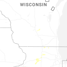

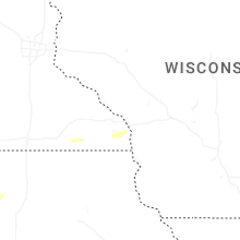


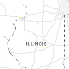


Connect with Interactive Hail Maps