

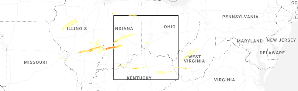
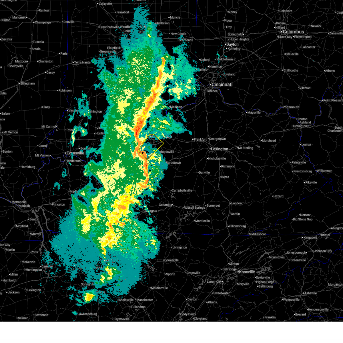
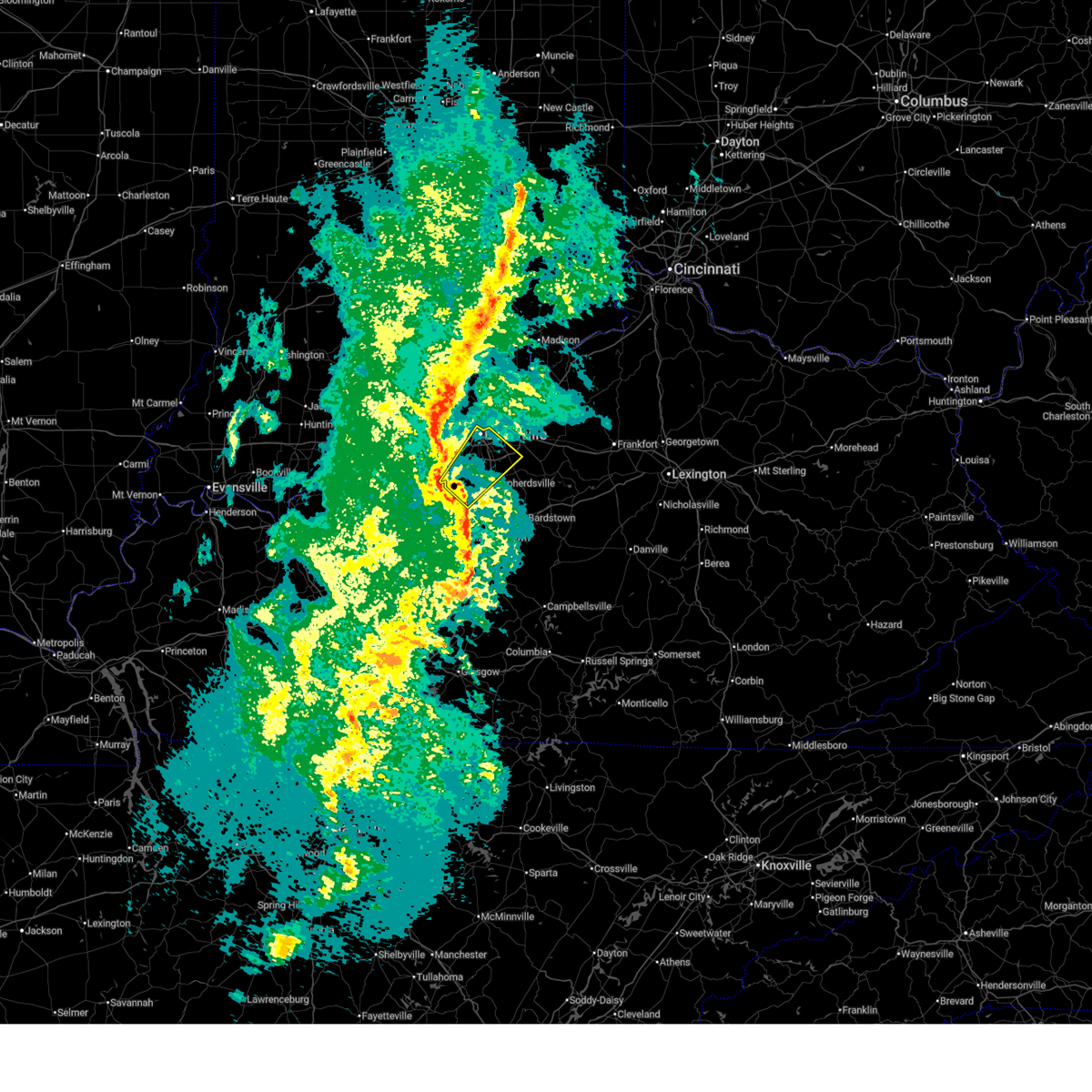
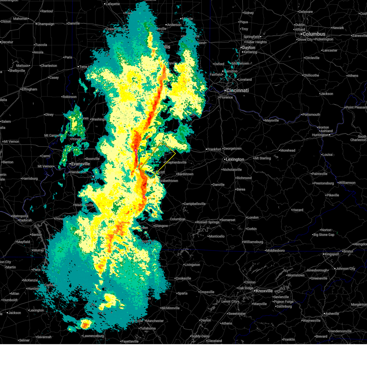
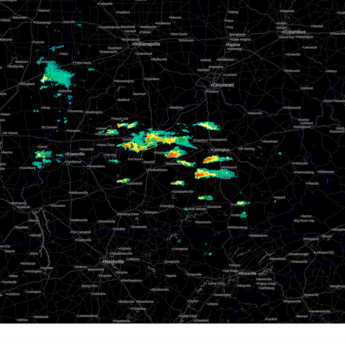
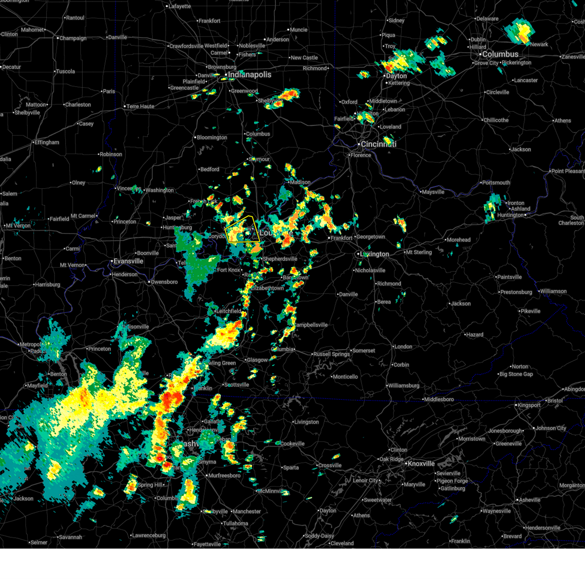
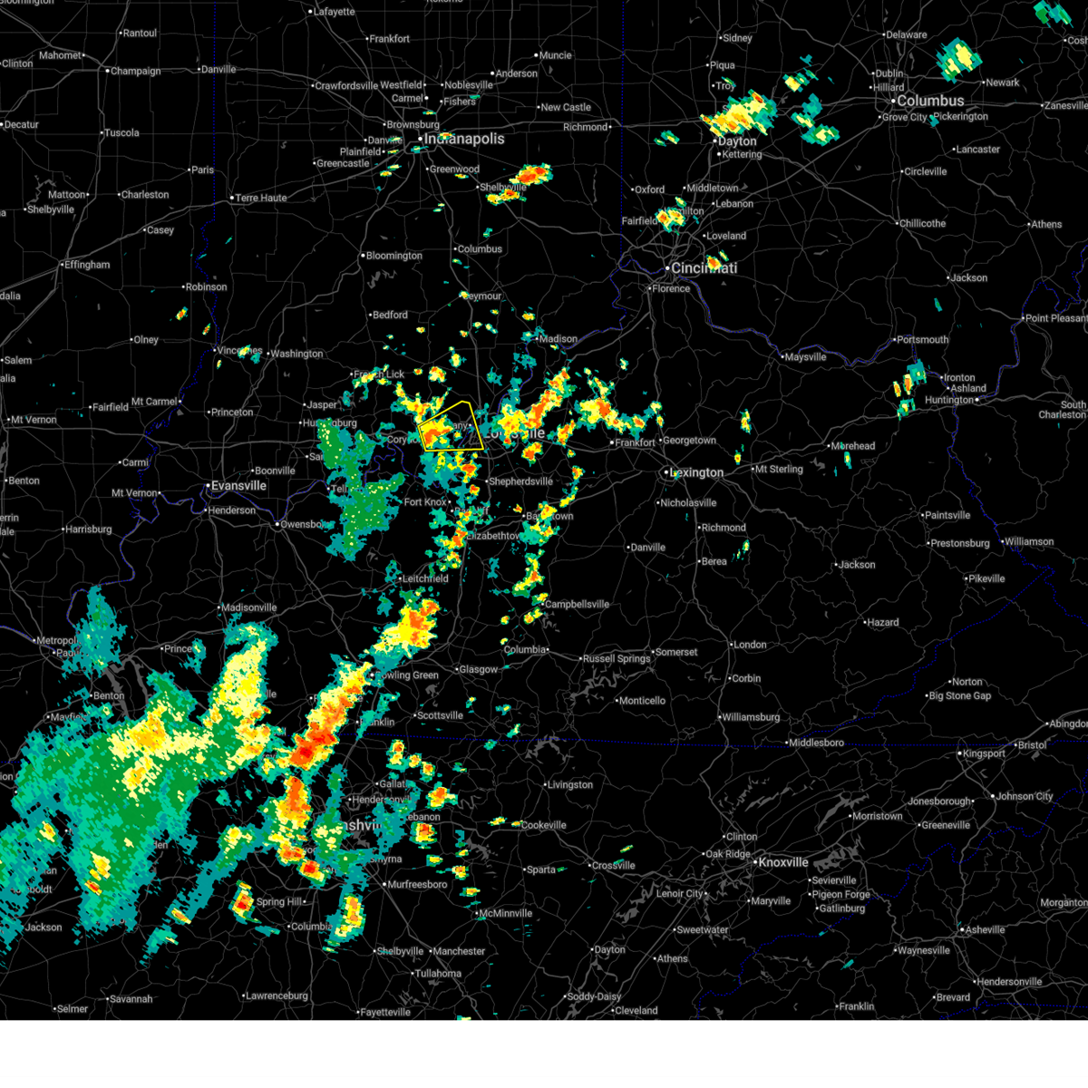
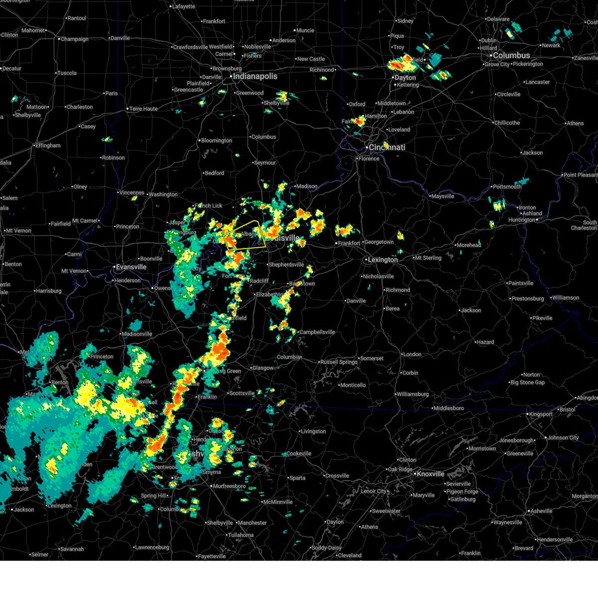
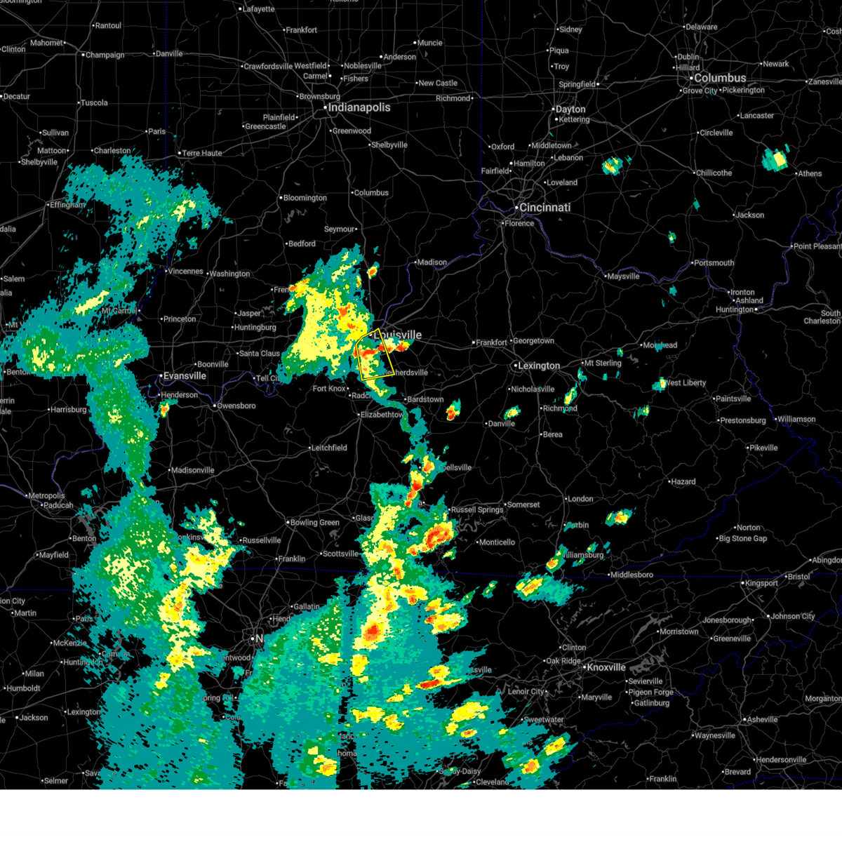
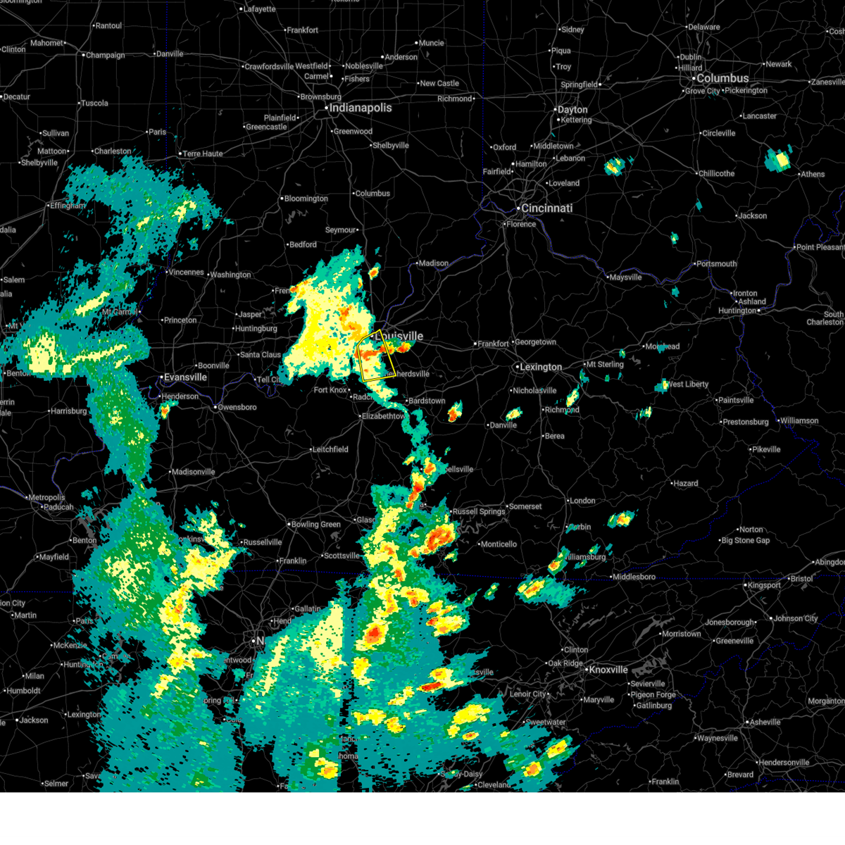
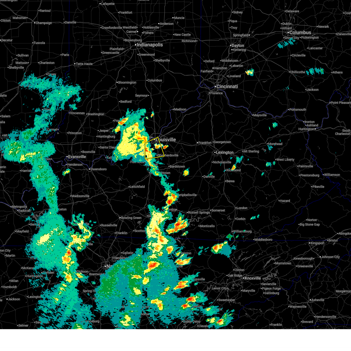
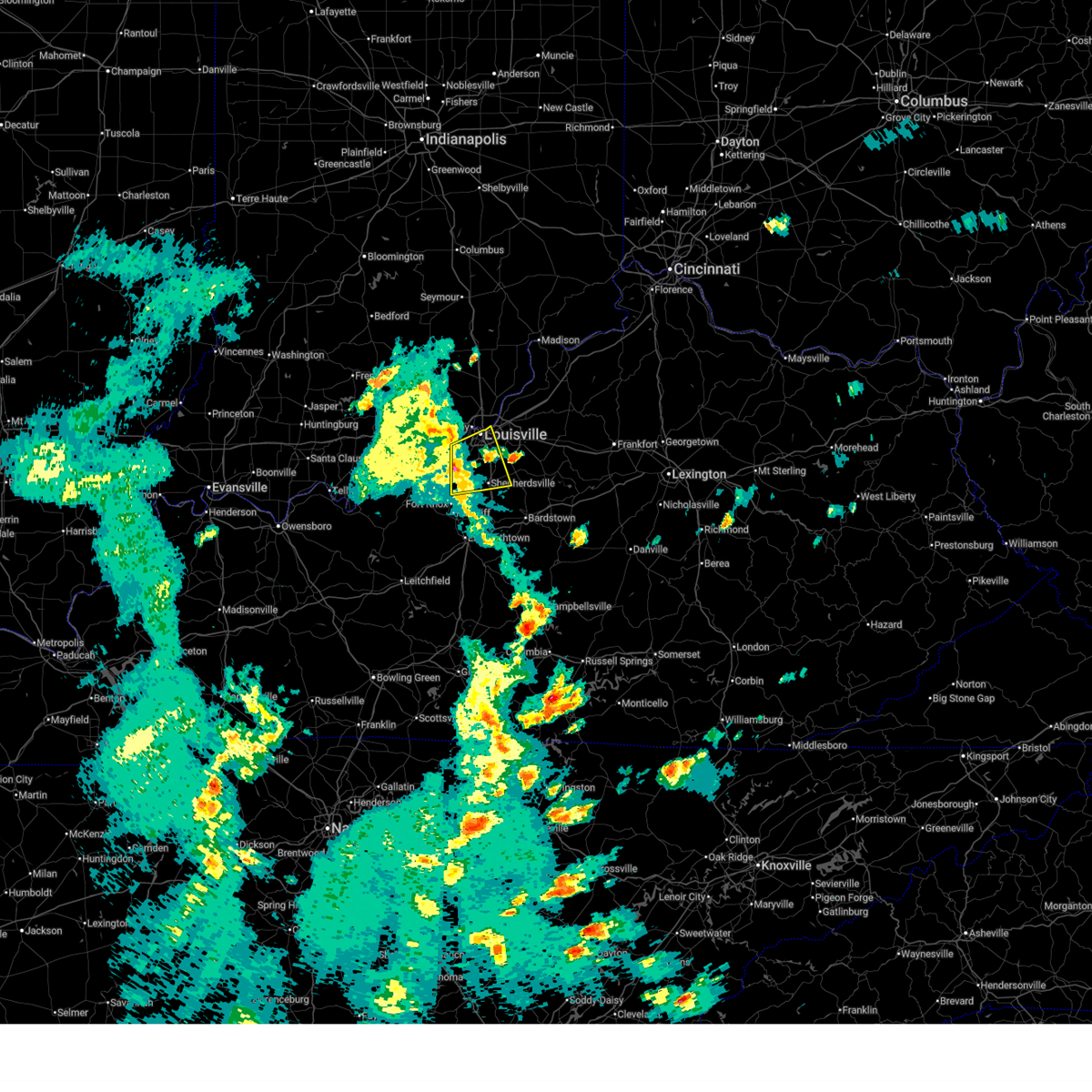
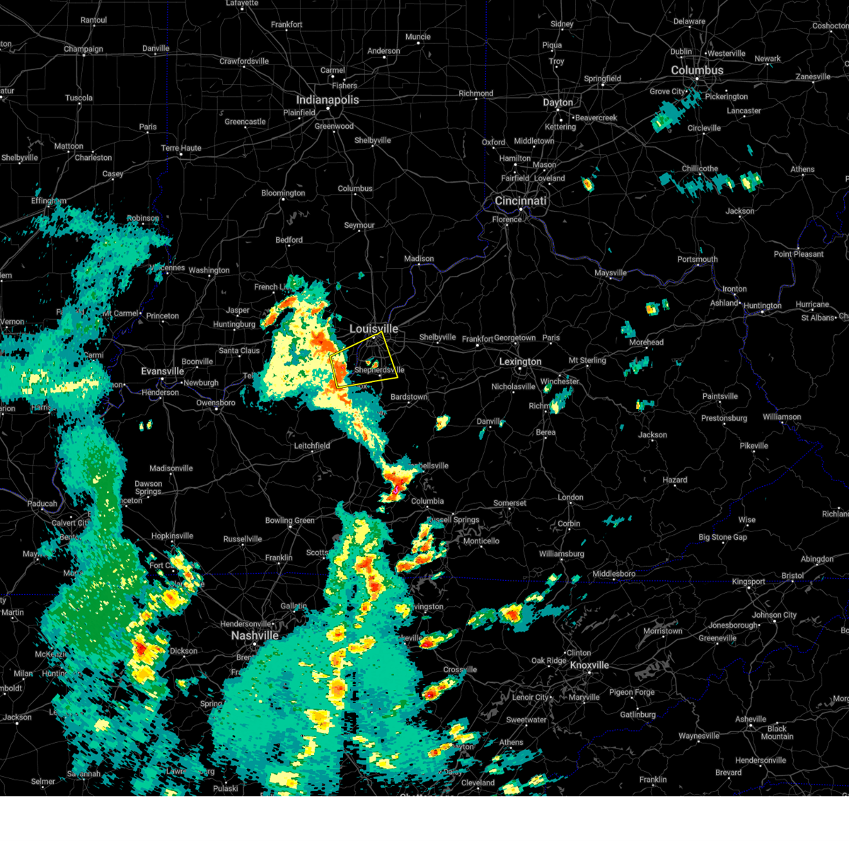
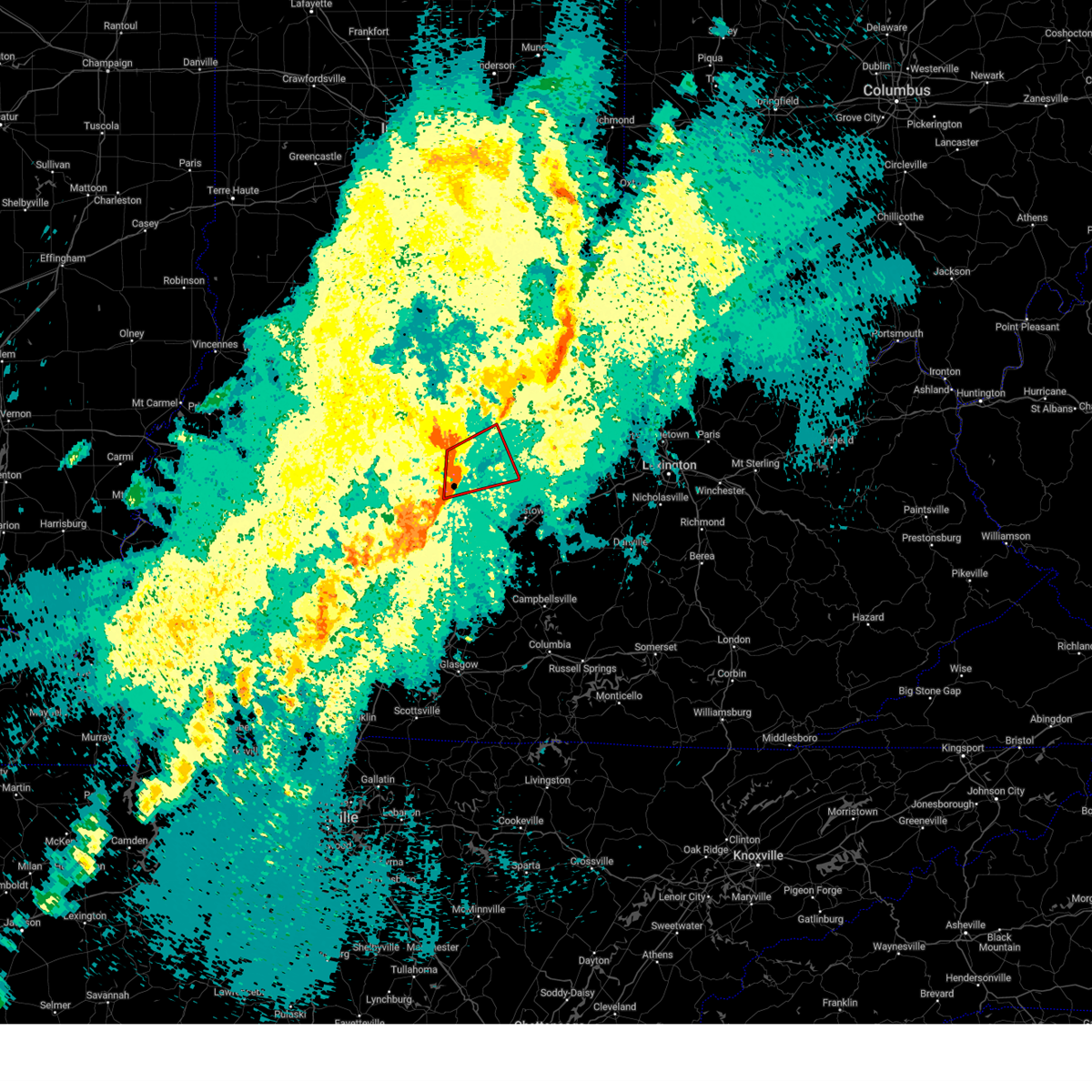
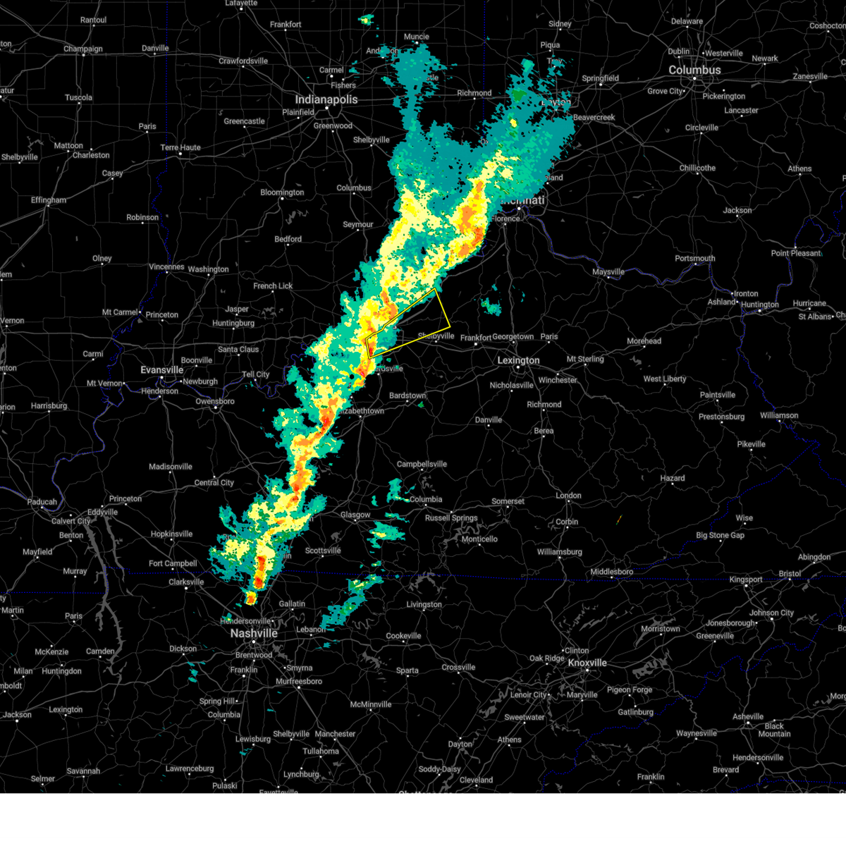
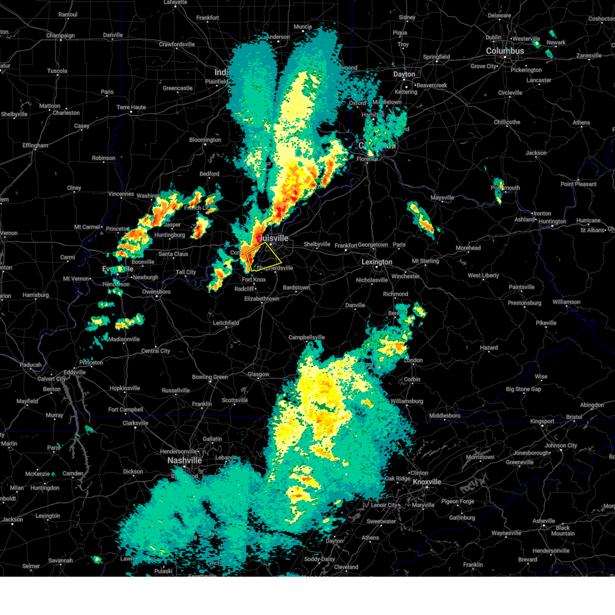
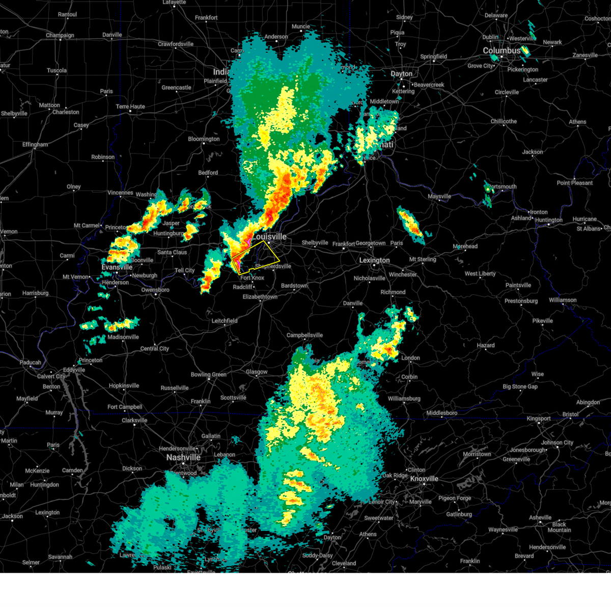
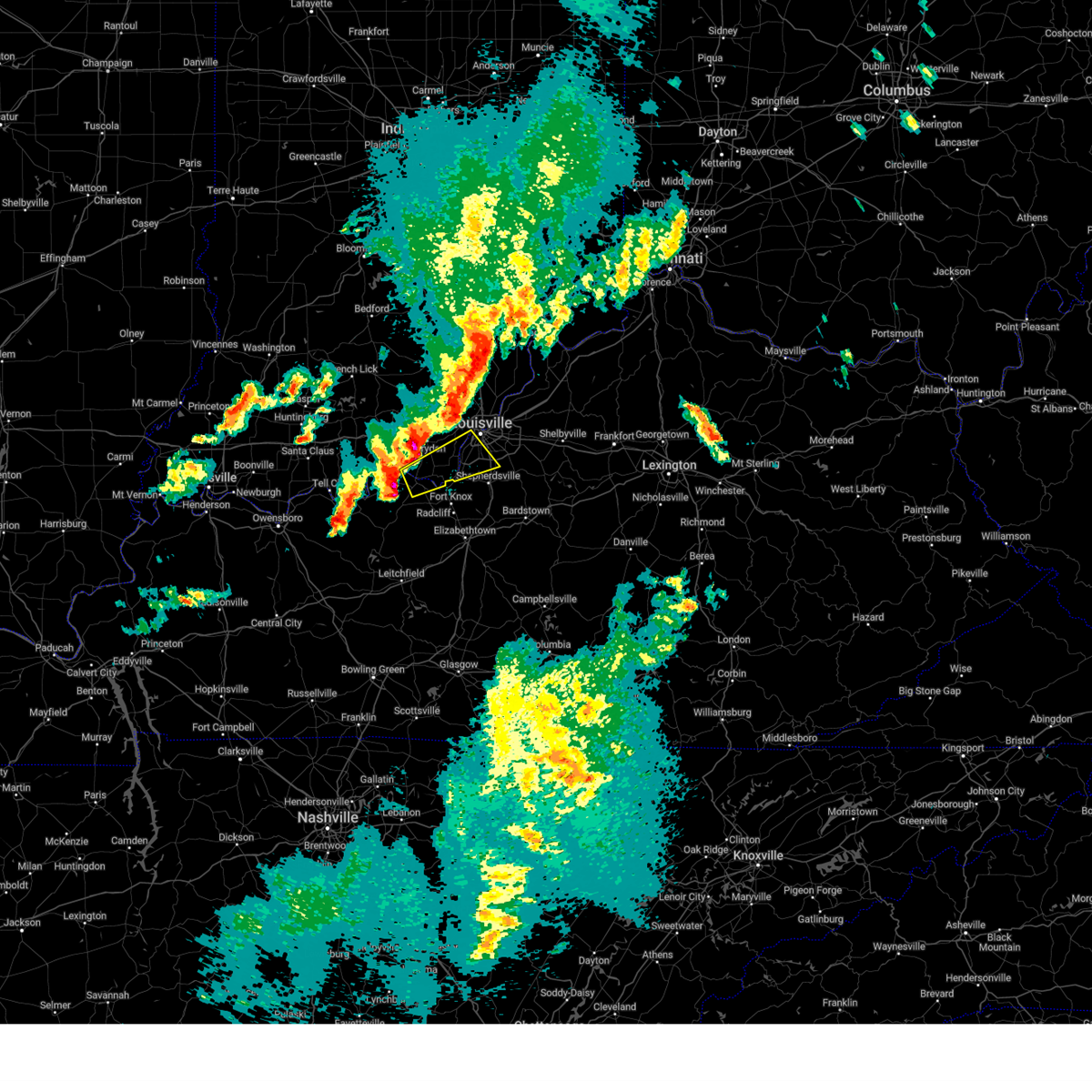
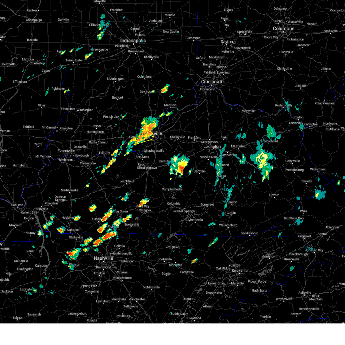
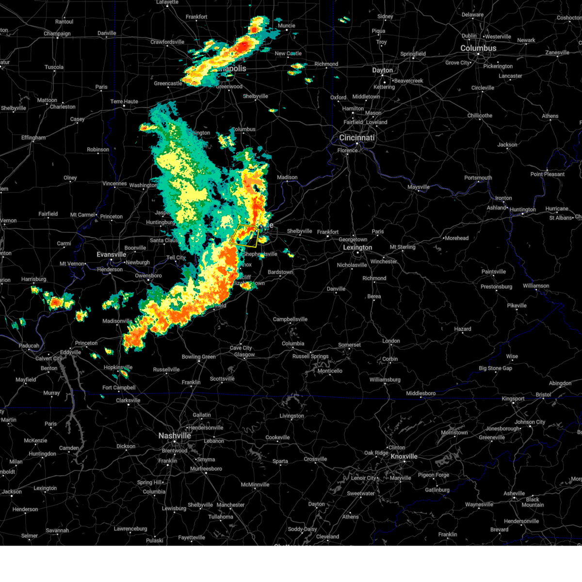
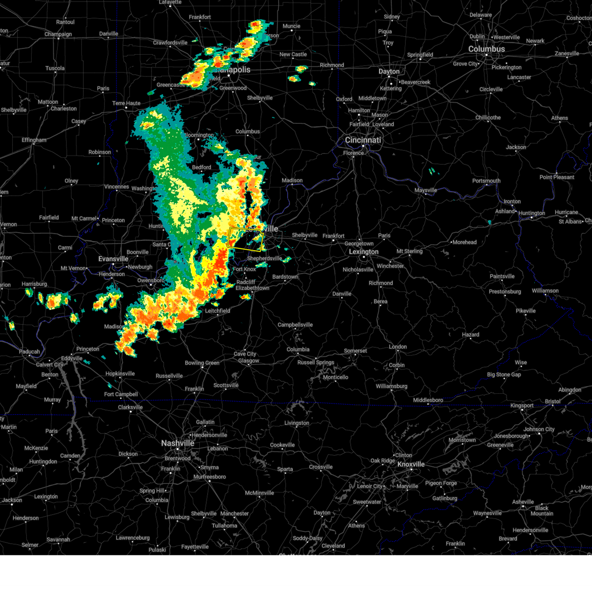
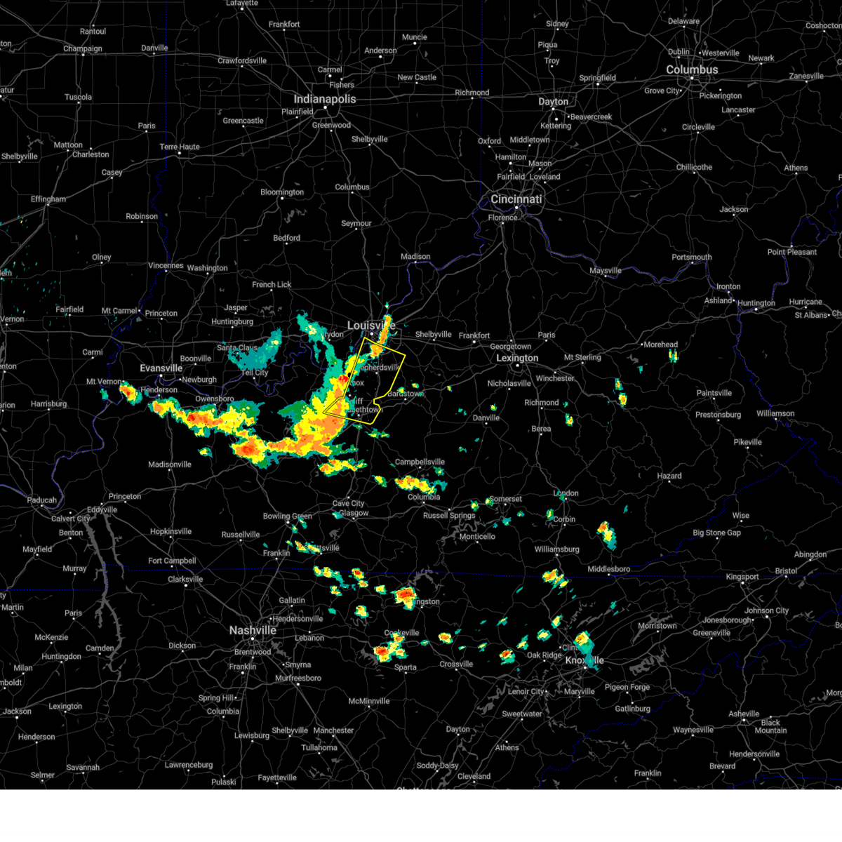
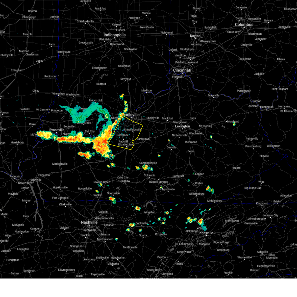
Hail Map for Shively, KY
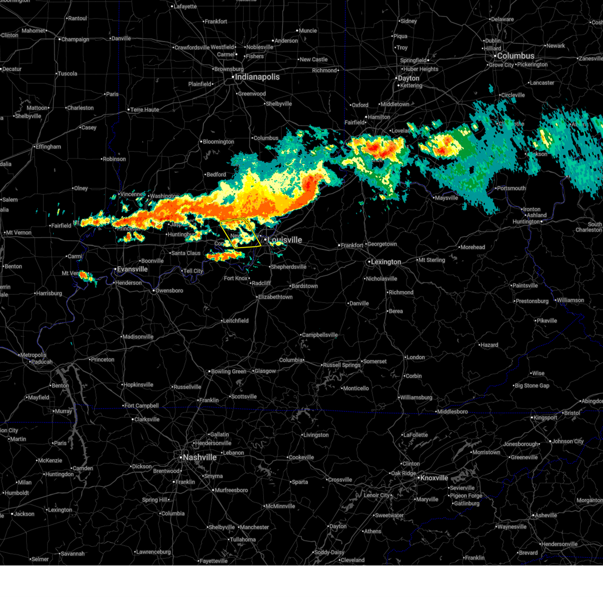
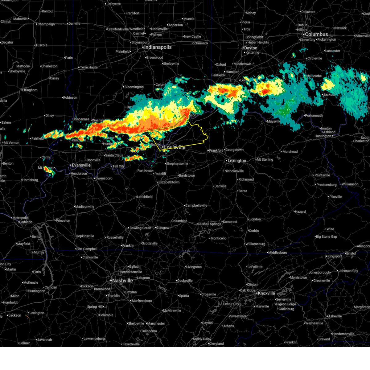
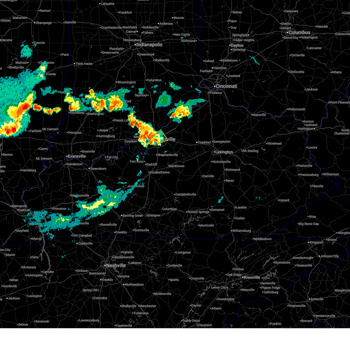
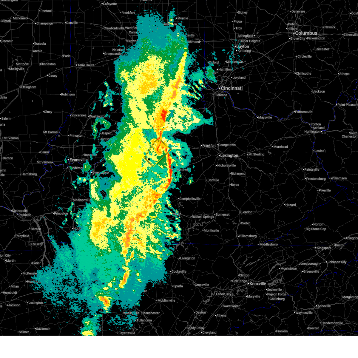
The Shively, KY area has had 12 reports of on-the-ground hail by trained spotters, and has been under severe weather warnings 19 times during the past 12 months. Doppler radar has detected hail at or near Shively, KY on 67 occasions, including 2 occasions during the past year.
| Name: | Shively, KY |
| Where Located: | 15.3 miles NNW of Louisville, KY |
| Map: | Google Map for Shively, KY |
| Population: | 15264 |
| Housing Units: | 6927 |
| More Info: | Search Google for Shively, KY |
0
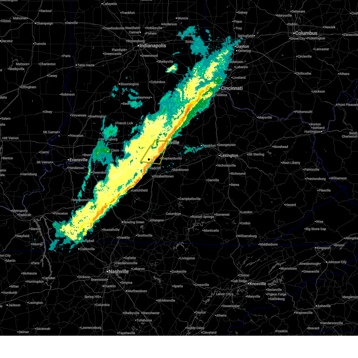
The Top Recent Hail Date for Shively, KY is Thursday, February 19, 2026 (40th out of 67)
Hail and Wind Damage Spotted near Shively, KY
| Date / Time | Report Details |
|---|---|
| 6/18/2026 4:40 AM EDT |
 Svrlmk the national weather service in louisville has issued a * severe thunderstorm warning for, harrison county in south central indiana, south central clark county in south central indiana, southeastern crawford county in south central indiana, northeastern perry county in south central indiana, southern floyd county in south central indiana, southwestern oldham county in central kentucky, northwestern spencer county in central kentucky, central meade county in central kentucky, jefferson county in central kentucky, northern bullitt county in central kentucky, north central hardin county in central kentucky, * until 515 am edt/415 am cdt/. * at 440 am edt/340 am cdt/, severe thunderstorms were located along a line extending from 6 miles northwest of st. dennis to 7 miles southwest of carefree town, moving southeast at 30 mph (radar indicated). Hazards include 60 mph wind gusts. expect damage to roofs, siding, and trees Svrlmk the national weather service in louisville has issued a * severe thunderstorm warning for, harrison county in south central indiana, south central clark county in south central indiana, southeastern crawford county in south central indiana, northeastern perry county in south central indiana, southern floyd county in south central indiana, southwestern oldham county in central kentucky, northwestern spencer county in central kentucky, central meade county in central kentucky, jefferson county in central kentucky, northern bullitt county in central kentucky, north central hardin county in central kentucky, * until 515 am edt/415 am cdt/. * at 440 am edt/340 am cdt/, severe thunderstorms were located along a line extending from 6 miles northwest of st. dennis to 7 miles southwest of carefree town, moving southeast at 30 mph (radar indicated). Hazards include 60 mph wind gusts. expect damage to roofs, siding, and trees
|
| 6/18/2026 4:09 AM EDT |
 The storms which prompted the warning have weakened below severe limits, and no longer pose an immediate threat to life or property. therefore, the warning will be allowed to expire. however, gusty winds and heavy rain are still possible with these thunderstorms. a tornado watch remains in effect until 500 am edt for south central indiana, and central kentucky. The storms which prompted the warning have weakened below severe limits, and no longer pose an immediate threat to life or property. therefore, the warning will be allowed to expire. however, gusty winds and heavy rain are still possible with these thunderstorms. a tornado watch remains in effect until 500 am edt for south central indiana, and central kentucky.
|
| 6/18/2026 3:57 AM EDT |
 At 356 am edt, severe thunderstorms were located along a line extending from 8 miles west of owenton to near new castle to near prospect, moving east at 55 mph (radar indicated). Hazards include 60 mph wind gusts. Expect damage to roofs, siding, and trees. locations impacted include, louisville, jeffersonville, new albany, jeffersontown, st. Matthews, shively, lyndon, la grange, middletown, and douglass hills. At 356 am edt, severe thunderstorms were located along a line extending from 8 miles west of owenton to near new castle to near prospect, moving east at 55 mph (radar indicated). Hazards include 60 mph wind gusts. Expect damage to roofs, siding, and trees. locations impacted include, louisville, jeffersonville, new albany, jeffersontown, st. Matthews, shively, lyndon, la grange, middletown, and douglass hills.
|
| 6/18/2026 3:42 AM EDT |
 Svrlmk the national weather service in louisville has issued a * severe thunderstorm warning for, northern harrison county in south central indiana, northeastern crawford county in south central indiana, western floyd county in south central indiana, south central washington county in south central indiana, west central jefferson county in central kentucky, * until 415 am edt. * at 341 am edt, severe thunderstorms were located along a line extending from 12 miles northwest of new albany to 9 miles east of english, moving southeast at 40 mph (radar indicated). Hazards include 60 mph wind gusts. expect damage to roofs, siding, and trees Svrlmk the national weather service in louisville has issued a * severe thunderstorm warning for, northern harrison county in south central indiana, northeastern crawford county in south central indiana, western floyd county in south central indiana, south central washington county in south central indiana, west central jefferson county in central kentucky, * until 415 am edt. * at 341 am edt, severe thunderstorms were located along a line extending from 12 miles northwest of new albany to 9 miles east of english, moving southeast at 40 mph (radar indicated). Hazards include 60 mph wind gusts. expect damage to roofs, siding, and trees
|
| 6/18/2026 3:32 AM EDT |
 Svrlmk the national weather service in louisville has issued a * severe thunderstorm warning for, south central jefferson county in south central indiana, clark county in south central indiana, eastern floyd county in south central indiana, southeastern washington county in south central indiana, oldham county in central kentucky, northern shelby county in central kentucky, trimble county in central kentucky, henry county in central kentucky, northern jefferson county in central kentucky, * until 415 am edt. * at 332 am edt, severe thunderstorms were located along a line extending from near bedford to 10 miles northwest of la grange to 11 miles northwest of new albany, moving east at 55 mph (radar indicated). Hazards include 60 mph wind gusts. expect damage to roofs, siding, and trees Svrlmk the national weather service in louisville has issued a * severe thunderstorm warning for, south central jefferson county in south central indiana, clark county in south central indiana, eastern floyd county in south central indiana, southeastern washington county in south central indiana, oldham county in central kentucky, northern shelby county in central kentucky, trimble county in central kentucky, henry county in central kentucky, northern jefferson county in central kentucky, * until 415 am edt. * at 332 am edt, severe thunderstorms were located along a line extending from near bedford to 10 miles northwest of la grange to 11 miles northwest of new albany, moving east at 55 mph (radar indicated). Hazards include 60 mph wind gusts. expect damage to roofs, siding, and trees
|
| 5/19/2026 4:45 PM EDT | Tree down blocking roadway on s 6th stree in jefferson county KY, 4.5 miles SW of Shively, KY |
| 5/16/2026 6:11 PM EDT |
 Svrlmk the national weather service in louisville has issued a * severe thunderstorm warning for, south central clark county in south central indiana, south central floyd county in south central indiana, west central oldham county in central kentucky, northern jefferson county in central kentucky, * until 630 pm edt. * at 610 pm edt, a severe thunderstorm was located over louisville, moving northeast at 30 mph (radar indicated). Hazards include quarter size hail. damage to vehicles is expected Svrlmk the national weather service in louisville has issued a * severe thunderstorm warning for, south central clark county in south central indiana, south central floyd county in south central indiana, west central oldham county in central kentucky, northern jefferson county in central kentucky, * until 630 pm edt. * at 610 pm edt, a severe thunderstorm was located over louisville, moving northeast at 30 mph (radar indicated). Hazards include quarter size hail. damage to vehicles is expected
|
| 3/16/2026 12:15 AM EDT |
 The storm which prompted the warning has moved out of the area. therefore, the warning will be allowed to expire. however, gusty winds are still possible with this thunderstorm. a tornado watch remains in effect until 500 am edt for south central indiana, and central kentucky. to report severe weather, contact your nearest law enforcement agency. they will relay your report to the national weather service louisville. The storm which prompted the warning has moved out of the area. therefore, the warning will be allowed to expire. however, gusty winds are still possible with this thunderstorm. a tornado watch remains in effect until 500 am edt for south central indiana, and central kentucky. to report severe weather, contact your nearest law enforcement agency. they will relay your report to the national weather service louisville.
|
| 3/15/2026 11:54 PM EDT |
 the severe thunderstorm warning has been cancelled and is no longer in effect the severe thunderstorm warning has been cancelled and is no longer in effect
|
| 3/15/2026 11:54 PM EDT |
 At 1154 pm edt, a severe thunderstorm was located near valley station, moving northeast at 65 mph (radar indicated). Hazards include 70 mph wind gusts. Expect considerable tree damage. damage is likely to mobile homes, roofs, and outbuildings. locations impacted include, louisville, jeffersonville, jeffersontown, st. Matthews, shively, shepherdsville, pioneer village, audubon park, west buechel, and watterson park. At 1154 pm edt, a severe thunderstorm was located near valley station, moving northeast at 65 mph (radar indicated). Hazards include 70 mph wind gusts. Expect considerable tree damage. damage is likely to mobile homes, roofs, and outbuildings. locations impacted include, louisville, jeffersonville, jeffersontown, st. Matthews, shively, shepherdsville, pioneer village, audubon park, west buechel, and watterson park.
|
| 3/15/2026 11:44 PM EDT |
 Svrlmk the national weather service in louisville has issued a * severe thunderstorm warning for, southeastern harrison county in south central indiana, southeastern meade county in central kentucky, jefferson county in central kentucky, western bullitt county in central kentucky, north central hardin county in central kentucky, * until 1215 am edt. * at 1143 pm edt, a severe thunderstorm was located 11 miles southeast of brandenburg, moving northeast at 65 mph. this is a destructive storm for fort knox and metro louisville (radar indicated). Hazards include 80 mph wind gusts. Flying debris will be dangerous to those caught without shelter. mobile homes will be heavily damaged. expect considerable damage to roofs, windows, and vehicles. Extensive tree damage and power outages are likely. Svrlmk the national weather service in louisville has issued a * severe thunderstorm warning for, southeastern harrison county in south central indiana, southeastern meade county in central kentucky, jefferson county in central kentucky, western bullitt county in central kentucky, north central hardin county in central kentucky, * until 1215 am edt. * at 1143 pm edt, a severe thunderstorm was located 11 miles southeast of brandenburg, moving northeast at 65 mph. this is a destructive storm for fort knox and metro louisville (radar indicated). Hazards include 80 mph wind gusts. Flying debris will be dangerous to those caught without shelter. mobile homes will be heavily damaged. expect considerable damage to roofs, windows, and vehicles. Extensive tree damage and power outages are likely.
|
| 2/19/2026 3:02 PM EST |
 Svrlmk the national weather service in louisville has issued a * severe thunderstorm warning for, southeastern harrison county in south central indiana, southwestern jefferson county in central kentucky, * until 330 pm est. * at 302 pm est, a severe thunderstorm was located near valley station, moving east at 30 mph (radar indicated). Hazards include quarter size hail. damage to vehicles is expected Svrlmk the national weather service in louisville has issued a * severe thunderstorm warning for, southeastern harrison county in south central indiana, southwestern jefferson county in central kentucky, * until 330 pm est. * at 302 pm est, a severe thunderstorm was located near valley station, moving east at 30 mph (radar indicated). Hazards include quarter size hail. damage to vehicles is expected
|
| 12/28/2025 9:58 PM EST |
 The storms which prompted the warning have weakened below severe limits, and no longer pose an immediate threat to life or property. therefore, the warning will be allowed to expire. however, gusty winds are still possible with these thunderstorms. The storms which prompted the warning have weakened below severe limits, and no longer pose an immediate threat to life or property. therefore, the warning will be allowed to expire. however, gusty winds are still possible with these thunderstorms.
|
| 12/28/2025 9:48 PM EST |
 the severe thunderstorm warning has been cancelled and is no longer in effect the severe thunderstorm warning has been cancelled and is no longer in effect
|
| 12/28/2025 9:48 PM EST |
 At 947 pm est, severe thunderstorms were located along a line extending from mockingbird valley to 12 miles southeast of brandenburg, moving east at 50 mph (radar indicated). Hazards include 60 mph wind gusts. Expect damage to roofs, siding, and trees. locations impacted include, louisville, jeffersontown, st. Matthews, shively, shepherdsville, lyndon, douglass hills, hurstbourne, graymoor-devondale, and windy hills. At 947 pm est, severe thunderstorms were located along a line extending from mockingbird valley to 12 miles southeast of brandenburg, moving east at 50 mph (radar indicated). Hazards include 60 mph wind gusts. Expect damage to roofs, siding, and trees. locations impacted include, louisville, jeffersontown, st. Matthews, shively, shepherdsville, lyndon, douglass hills, hurstbourne, graymoor-devondale, and windy hills.
|
| 12/28/2025 9:46 PM EST | Delayed report of multiple trees dow in jefferson county KY, 2.7 miles SSW of Shively, KY |
| 12/28/2025 9:33 PM EST |
 Svrlmk the national weather service in louisville has issued a * severe thunderstorm warning for, southeastern harrison county in south central indiana, south central floyd county in south central indiana, east central meade county in central kentucky, southwestern jefferson county in central kentucky, northwestern bullitt county in central kentucky, north central hardin county in central kentucky, * until 1000 pm est. * at 933 pm est, severe thunderstorms were located along a line extending from near new albany to near brandenburg, moving east at 50 mph (radar indicated). Hazards include 60 mph wind gusts. expect damage to roofs, siding, and trees Svrlmk the national weather service in louisville has issued a * severe thunderstorm warning for, southeastern harrison county in south central indiana, south central floyd county in south central indiana, east central meade county in central kentucky, southwestern jefferson county in central kentucky, northwestern bullitt county in central kentucky, north central hardin county in central kentucky, * until 1000 pm est. * at 933 pm est, severe thunderstorms were located along a line extending from near new albany to near brandenburg, moving east at 50 mph (radar indicated). Hazards include 60 mph wind gusts. expect damage to roofs, siding, and trees
|
| 6/28/2025 3:30 PM EDT |
 The storm which prompted the warning has weakened below severe limits, and no longer poses an immediate threat to life or property. therefore, the warning will be allowed to expire. however, gusty winds and heavy rain are still possible with this thunderstorm. to report severe weather, contact your nearest law enforcement agency. they will relay your report to the national weather service louisville. The storm which prompted the warning has weakened below severe limits, and no longer poses an immediate threat to life or property. therefore, the warning will be allowed to expire. however, gusty winds and heavy rain are still possible with this thunderstorm. to report severe weather, contact your nearest law enforcement agency. they will relay your report to the national weather service louisville.
|
| 6/28/2025 3:29 PM EDT |
 The storm which prompted the warning has weakened below severe limits, and no longer poses an immediate threat to life or property. therefore, the warning will be allowed to expire. however, gusty winds and heavy rain are still possible with this thunderstorm. to report severe weather, contact your nearest law enforcement agency. they will relay your report to the national weather service louisville. The storm which prompted the warning has weakened below severe limits, and no longer poses an immediate threat to life or property. therefore, the warning will be allowed to expire. however, gusty winds and heavy rain are still possible with this thunderstorm. to report severe weather, contact your nearest law enforcement agency. they will relay your report to the national weather service louisville.
|
| 6/28/2025 3:17 PM EDT |
 At 317 pm edt, a severe thunderstorm was located 8 miles northwest of st. dennis, moving east at 25 mph (radar indicated). Hazards include 60 mph wind gusts. Expect damage to roofs, siding, and trees. locations impacted include, louisville, new albany, shively, corydon, st. Dennis, pleasure ridge park, galena, greenville, lanesville, and crandall. At 317 pm edt, a severe thunderstorm was located 8 miles northwest of st. dennis, moving east at 25 mph (radar indicated). Hazards include 60 mph wind gusts. Expect damage to roofs, siding, and trees. locations impacted include, louisville, new albany, shively, corydon, st. Dennis, pleasure ridge park, galena, greenville, lanesville, and crandall.
|
| 6/28/2025 2:59 PM EDT |
 Svrlmk the national weather service in louisville has issued a * severe thunderstorm warning for, central harrison county in south central indiana, floyd county in south central indiana, west central jefferson county in central kentucky, * until 330 pm edt. * at 258 pm edt, a severe thunderstorm was located over corydon, moving east at 25 mph (radar indicated). Hazards include 60 mph wind gusts and quarter size hail. Hail damage to vehicles is expected. Expect wind damage to roofs, siding, and trees. Svrlmk the national weather service in louisville has issued a * severe thunderstorm warning for, central harrison county in south central indiana, floyd county in south central indiana, west central jefferson county in central kentucky, * until 330 pm edt. * at 258 pm edt, a severe thunderstorm was located over corydon, moving east at 25 mph (radar indicated). Hazards include 60 mph wind gusts and quarter size hail. Hail damage to vehicles is expected. Expect wind damage to roofs, siding, and trees.
|
| 6/26/2025 6:29 PM EDT | Trees down on newcut r in jefferson county KY, 2.7 miles NW of Shively, KY |
| 6/26/2025 5:29 PM EDT | Corrects previous tstm wnd dmg report from 2 wnw louisville intl airport for time of occurrence. trees down on newcut r in jefferson county KY, 2.7 miles NW of Shively, KY |
| 6/26/2025 5:26 PM EDT | Power lines down - report from medi in jefferson county KY, 3.7 miles WSW of Shively, KY |
| 6/26/2025 5:25 PM EDT | Power lines down near palatka rd and southdale r in jefferson county KY, 3.8 miles NW of Shively, KY |
| 5/16/2025 9:55 PM EDT |
 Svrlmk the national weather service in louisville has issued a * severe thunderstorm warning for, southeastern harrison county in south central indiana, south central clark county in south central indiana, southern floyd county in south central indiana, south central oldham county in central kentucky, western spencer county in central kentucky, west central shelby county in central kentucky, northwestern nelson county in central kentucky, southeastern meade county in central kentucky, jefferson county in central kentucky, bullitt county in central kentucky, northeastern hardin county in central kentucky, * until 1030 pm edt. * at 954 pm edt, a severe thunderstorm was located 9 miles northeast of brandenburg, moving east at 75 mph (radar indicated). Hazards include 70 mph wind gusts and quarter size hail. Hail damage to vehicles is expected. expect considerable tree damage. Wind damage is also likely to mobile homes, roofs, and outbuildings. Svrlmk the national weather service in louisville has issued a * severe thunderstorm warning for, southeastern harrison county in south central indiana, south central clark county in south central indiana, southern floyd county in south central indiana, south central oldham county in central kentucky, western spencer county in central kentucky, west central shelby county in central kentucky, northwestern nelson county in central kentucky, southeastern meade county in central kentucky, jefferson county in central kentucky, bullitt county in central kentucky, northeastern hardin county in central kentucky, * until 1030 pm edt. * at 954 pm edt, a severe thunderstorm was located 9 miles northeast of brandenburg, moving east at 75 mph (radar indicated). Hazards include 70 mph wind gusts and quarter size hail. Hail damage to vehicles is expected. expect considerable tree damage. Wind damage is also likely to mobile homes, roofs, and outbuildings.
|
| 5/2/2025 4:11 PM EDT | Tree fell on two vehicles at the intersection of east burnett avenue and south brook stree in jefferson county KY, 4 miles SW of Shively, KY |
| 5/2/2025 4:07 PM EDT | Tree down taking powerlines with it near the intersection of cypress st and dumesnil stree in jefferson county KY, 2.7 miles SSW of Shively, KY |
| 5/2/2025 4:07 PM EDT |
 At 407 pm edt, a severe thunderstorm was located over south park view, moving east at 35 mph (radar indicated). Hazards include 60 mph wind gusts and quarter size hail. Hail damage to vehicles is expected. expect wind damage to roofs, siding, and trees. Locations impacted include, louisville, jeffersonville, shively, shepherdsville, pioneer village, audubon park, west buechel, watterson park, lynnview, and seneca gardens. At 407 pm edt, a severe thunderstorm was located over south park view, moving east at 35 mph (radar indicated). Hazards include 60 mph wind gusts and quarter size hail. Hail damage to vehicles is expected. expect wind damage to roofs, siding, and trees. Locations impacted include, louisville, jeffersonville, shively, shepherdsville, pioneer village, audubon park, west buechel, watterson park, lynnview, and seneca gardens.
|
| 5/2/2025 4:07 PM EDT |
 the severe thunderstorm warning has been cancelled and is no longer in effect the severe thunderstorm warning has been cancelled and is no longer in effect
|
| 5/2/2025 4:06 PM EDT | Large tree branch fell taking power lines down near the 1500 block of s 32nd stree in jefferson county KY, 2.5 miles SSW of Shively, KY |
| 5/2/2025 3:59 PM EDT | Car port blown up into the powerlines on the 10600 block of emma jean wa in jefferson county KY, 6.9 miles NNE of Shively, KY |
| 5/2/2025 3:58 PM EDT | Tree and powerlines down on the 6800 block of rutledge roa in jefferson county KY, 4.5 miles NE of Shively, KY |
| 5/2/2025 3:56 PM EDT |
 At 356 pm edt, a severe thunderstorm was located over valley station, moving east at 35 mph (radar indicated). Hazards include 60 mph wind gusts and quarter size hail. Hail damage to vehicles is expected. expect wind damage to roofs, siding, and trees. Locations impacted include, louisville, jeffersonville, shively, shepherdsville, pioneer village, audubon park, west buechel, watterson park, lynnview, and seneca gardens. At 356 pm edt, a severe thunderstorm was located over valley station, moving east at 35 mph (radar indicated). Hazards include 60 mph wind gusts and quarter size hail. Hail damage to vehicles is expected. expect wind damage to roofs, siding, and trees. Locations impacted include, louisville, jeffersonville, shively, shepherdsville, pioneer village, audubon park, west buechel, watterson park, lynnview, and seneca gardens.
|
| 5/2/2025 3:56 PM EDT |
 the severe thunderstorm warning has been cancelled and is no longer in effect the severe thunderstorm warning has been cancelled and is no longer in effect
|
| 5/2/2025 3:40 PM EDT |
 Svrlmk the national weather service in louisville has issued a * severe thunderstorm warning for, southeastern harrison county in south central indiana, south central floyd county in south central indiana, east central meade county in central kentucky, southwestern jefferson county in central kentucky, northwestern bullitt county in central kentucky, north central hardin county in central kentucky, * until 415 pm edt. * at 339 pm edt, a severe thunderstorm was located 9 miles southwest of valley station, moving east at 35 mph (radar indicated). Hazards include 60 mph wind gusts and quarter size hail. Hail damage to vehicles is expected. Expect wind damage to roofs, siding, and trees. Svrlmk the national weather service in louisville has issued a * severe thunderstorm warning for, southeastern harrison county in south central indiana, south central floyd county in south central indiana, east central meade county in central kentucky, southwestern jefferson county in central kentucky, northwestern bullitt county in central kentucky, north central hardin county in central kentucky, * until 415 pm edt. * at 339 pm edt, a severe thunderstorm was located 9 miles southwest of valley station, moving east at 35 mph (radar indicated). Hazards include 60 mph wind gusts and quarter size hail. Hail damage to vehicles is expected. Expect wind damage to roofs, siding, and trees.
|
| 4/3/2025 12:29 AM EDT |
 The storm which prompted the warning has moved out of the area. therefore, the warning will be allowed to expire. a tornado watch remains in effect until 200 am edt for south central indiana, and central kentucky. The storm which prompted the warning has moved out of the area. therefore, the warning will be allowed to expire. a tornado watch remains in effect until 200 am edt for south central indiana, and central kentucky.
|
| 4/3/2025 12:21 AM EDT |
 The storms which prompted the warning have weakened below severe limits, and have exited the warned area. therefore, the warning will be allowed to expire. however, gusty winds and heavy rain are still possible with these thunderstorms. a tornado watch remains in effect until 200 am edt for south central indiana, and central kentucky. to report severe weather, contact your nearest law enforcement agency. they will relay your report to the national weather service louisville. The storms which prompted the warning have weakened below severe limits, and have exited the warned area. therefore, the warning will be allowed to expire. however, gusty winds and heavy rain are still possible with these thunderstorms. a tornado watch remains in effect until 200 am edt for south central indiana, and central kentucky. to report severe weather, contact your nearest law enforcement agency. they will relay your report to the national weather service louisville.
|
| 4/3/2025 12:19 AM EDT |
 the tornado warning has been cancelled and is no longer in effect the tornado warning has been cancelled and is no longer in effect
|
| 4/3/2025 12:19 AM EDT |
 At 1219 am edt, a severe thunderstorm capable of producing a tornado was located over okolona, moving northeast at 70 mph (radar indicated rotation). Hazards include tornado. Flying debris will be dangerous to those caught without shelter. mobile homes will be damaged or destroyed. damage to roofs, windows, and vehicles will occur. tree damage is likely. this dangerous storm will be near, jeffersontown, houston acres, cambridge, lincolnshire, and fern creek around 1225 am edt. Other locations impacted by this tornadic thunderstorm include brooks, louisville bowman field, barrallton, smithville, louisville international airport, hillview, thixton, mount washington, indian hills, and hunters hollow. At 1219 am edt, a severe thunderstorm capable of producing a tornado was located over okolona, moving northeast at 70 mph (radar indicated rotation). Hazards include tornado. Flying debris will be dangerous to those caught without shelter. mobile homes will be damaged or destroyed. damage to roofs, windows, and vehicles will occur. tree damage is likely. this dangerous storm will be near, jeffersontown, houston acres, cambridge, lincolnshire, and fern creek around 1225 am edt. Other locations impacted by this tornadic thunderstorm include brooks, louisville bowman field, barrallton, smithville, louisville international airport, hillview, thixton, mount washington, indian hills, and hunters hollow.
|
| 4/3/2025 12:13 AM EDT |
 At 1213 am edt, a severe thunderstorm capable of producing a tornado was located over fairdale, moving northeast at 70 mph (radar indicated rotation). Hazards include tornado. Flying debris will be dangerous to those caught without shelter. mobile homes will be damaged or destroyed. damage to roofs, windows, and vehicles will occur. tree damage is likely. this dangerous storm will be near, louisville, jeffersontown, st. matthews, st. regis park, west buechel, watterson park, lynnview, hollow creek, houston acres, and meadowview estates around 1220 am edt. Other locations impacted by this tornadic thunderstorm include louisville bowman field, smithville, louisville international airport, seven springs, bridgeport, howard, fox chase, hebron estates, zoneton, and wellington. At 1213 am edt, a severe thunderstorm capable of producing a tornado was located over fairdale, moving northeast at 70 mph (radar indicated rotation). Hazards include tornado. Flying debris will be dangerous to those caught without shelter. mobile homes will be damaged or destroyed. damage to roofs, windows, and vehicles will occur. tree damage is likely. this dangerous storm will be near, louisville, jeffersontown, st. matthews, st. regis park, west buechel, watterson park, lynnview, hollow creek, houston acres, and meadowview estates around 1220 am edt. Other locations impacted by this tornadic thunderstorm include louisville bowman field, smithville, louisville international airport, seven springs, bridgeport, howard, fox chase, hebron estates, zoneton, and wellington.
|
| 4/3/2025 12:06 AM EDT |
 At 1206 am edt, a severe thunderstorm capable of producing a tornado was located near valley station, moving northeast at 70 mph (radar indicated rotation). Hazards include tornado. Flying debris will be dangerous to those caught without shelter. mobile homes will be damaged or destroyed. damage to roofs, windows, and vehicles will occur. tree damage is likely. this dangerous storm will be near, louisville, hollyvilla, pleasure ridge park, fairdale, valley station, and pleasure ridge par around 1210 am edt. watterson park, lynnview, poplar hills, south park view, highview, newburg, and okolona around 1215 am edt. jeffersontown, st. regis park, west buechel, hollow creek, houston acres, meadowview estates, spring mill, cambridge, lincolnshire, and buechel around 1220 am edt. Other locations impacted by this tornadic thunderstorm include louisville bowman field, smithville, new boston, louisville international airport, rock haven, hughes landing, seven springs, buck grove, bridgeport, and howard. At 1206 am edt, a severe thunderstorm capable of producing a tornado was located near valley station, moving northeast at 70 mph (radar indicated rotation). Hazards include tornado. Flying debris will be dangerous to those caught without shelter. mobile homes will be damaged or destroyed. damage to roofs, windows, and vehicles will occur. tree damage is likely. this dangerous storm will be near, louisville, hollyvilla, pleasure ridge park, fairdale, valley station, and pleasure ridge par around 1210 am edt. watterson park, lynnview, poplar hills, south park view, highview, newburg, and okolona around 1215 am edt. jeffersontown, st. regis park, west buechel, hollow creek, houston acres, meadowview estates, spring mill, cambridge, lincolnshire, and buechel around 1220 am edt. Other locations impacted by this tornadic thunderstorm include louisville bowman field, smithville, new boston, louisville international airport, rock haven, hughes landing, seven springs, buck grove, bridgeport, and howard.
|
| 4/2/2025 11:57 PM EDT |
 Torlmk the national weather service in louisville has issued a * tornado warning for, southern harrison county in south central indiana, south central floyd county in south central indiana, southeastern meade county in central kentucky, western jefferson county in central kentucky, northern bullitt county in central kentucky, north central hardin county in central kentucky, * until 1230 am edt. * at 1157 pm edt, a severe thunderstorm capable of producing a tornado was located over brandenburg, moving east at 70 mph (radar indicated rotation). Hazards include tornado. Flying debris will be dangerous to those caught without shelter. mobile homes will be damaged or destroyed. damage to roofs, windows, and vehicles will occur. tree damage is likely. this dangerous storm will be near, valley station around 1205 am edt. louisville, pleasure ridge park, fairdale, and pleasure ridge par around 1210 am edt. watterson park, lynnview, hollyvilla, poplar hills, south park view, highview, newburg, and okolona around 1215 am edt. jeffersontown, st. regis park, west buechel, hollow creek, houston acres, meadowview estates, spring mill, cambridge, lincolnshire, and buechel around 1220 am edt. Other locations impacted by this tornadic thunderstorm include guston, mauckport, louisville bowman field, smithville, new boston, louisville international airport, rock haven, hughes landing, seven springs, and buck grove. Torlmk the national weather service in louisville has issued a * tornado warning for, southern harrison county in south central indiana, south central floyd county in south central indiana, southeastern meade county in central kentucky, western jefferson county in central kentucky, northern bullitt county in central kentucky, north central hardin county in central kentucky, * until 1230 am edt. * at 1157 pm edt, a severe thunderstorm capable of producing a tornado was located over brandenburg, moving east at 70 mph (radar indicated rotation). Hazards include tornado. Flying debris will be dangerous to those caught without shelter. mobile homes will be damaged or destroyed. damage to roofs, windows, and vehicles will occur. tree damage is likely. this dangerous storm will be near, valley station around 1205 am edt. louisville, pleasure ridge park, fairdale, and pleasure ridge par around 1210 am edt. watterson park, lynnview, hollyvilla, poplar hills, south park view, highview, newburg, and okolona around 1215 am edt. jeffersontown, st. regis park, west buechel, hollow creek, houston acres, meadowview estates, spring mill, cambridge, lincolnshire, and buechel around 1220 am edt. Other locations impacted by this tornadic thunderstorm include guston, mauckport, louisville bowman field, smithville, new boston, louisville international airport, rock haven, hughes landing, seven springs, and buck grove.
|
| 4/2/2025 11:39 PM EDT |
 Svrlmk the national weather service in louisville has issued a * severe thunderstorm warning for, southeastern harrison county in south central indiana, jefferson county in south central indiana, clark county in south central indiana, floyd county in south central indiana, scott county in south central indiana, oldham county in central kentucky, trimble county in central kentucky, central jefferson county in central kentucky, * until 1230 am edt. * at 1139 pm edt, severe thunderstorms were located along a line extending from 9 miles south of scottsburg to 7 miles west of pleasure ridge park, moving northeast at 75 mph (radar indicated). Hazards include 60 mph wind gusts. expect damage to roofs, siding, and trees Svrlmk the national weather service in louisville has issued a * severe thunderstorm warning for, southeastern harrison county in south central indiana, jefferson county in south central indiana, clark county in south central indiana, floyd county in south central indiana, scott county in south central indiana, oldham county in central kentucky, trimble county in central kentucky, central jefferson county in central kentucky, * until 1230 am edt. * at 1139 pm edt, severe thunderstorms were located along a line extending from 9 miles south of scottsburg to 7 miles west of pleasure ridge park, moving northeast at 75 mph (radar indicated). Hazards include 60 mph wind gusts. expect damage to roofs, siding, and trees
|
| 3/30/2025 9:49 PM EDT |
 Torlmk the national weather service in louisville has issued a * tornado warning for, southern jefferson county in central kentucky, northeastern bullitt county in central kentucky, * until 1015 pm edt. * at 949 pm edt, severe thunderstorms capable of producing both tornadoes and extensive straight line wind damage were located over hollyvilla, moving east at 50 mph (radar indicated rotation). Hazards include tornado. Flying debris will be dangerous to those caught without shelter. mobile homes will be damaged or destroyed. damage to roofs, windows, and vehicles will occur. tree damage is likely. these dangerous storms will be near, hollow creek, spring mill, highview, fern creek, newburg, and okolona around 955 pm edt. Other locations impacted by this tornadic thunderstorm include louisville international airport, hunters hollow, thixton, whitfield, brooks, and hillview. Torlmk the national weather service in louisville has issued a * tornado warning for, southern jefferson county in central kentucky, northeastern bullitt county in central kentucky, * until 1015 pm edt. * at 949 pm edt, severe thunderstorms capable of producing both tornadoes and extensive straight line wind damage were located over hollyvilla, moving east at 50 mph (radar indicated rotation). Hazards include tornado. Flying debris will be dangerous to those caught without shelter. mobile homes will be damaged or destroyed. damage to roofs, windows, and vehicles will occur. tree damage is likely. these dangerous storms will be near, hollow creek, spring mill, highview, fern creek, newburg, and okolona around 955 pm edt. Other locations impacted by this tornadic thunderstorm include louisville international airport, hunters hollow, thixton, whitfield, brooks, and hillview.
|
| 3/30/2025 9:47 PM EDT | Wires down blocking road on new cut rd near southern pkw in jefferson county KY, 2.7 miles NW of Shively, KY |
| 3/30/2025 9:42 PM EDT | Report of tree down in the middle of the road on powerline in jefferson county KY, 6.7 miles NNE of Shively, KY |
| 3/30/2025 9:41 PM EDT | Via social media... local media... wdrb... showed photos of trees down in prairie villag in jefferson county KY, 5.6 miles NNE of Shively, KY |
| 3/30/2025 9:30 PM EDT |
 Svrlmk the national weather service in louisville has issued a * severe thunderstorm warning for, southeastern harrison county in south central indiana, southwestern jefferson county in central kentucky, northwestern bullitt county in central kentucky, * until 1000 pm edt. * at 930 pm edt, a severe thunderstorm was located 8 miles northeast of brandenburg, moving east at 50 mph (radar indicated). Hazards include 60 mph wind gusts. expect damage to roofs, siding, and trees Svrlmk the national weather service in louisville has issued a * severe thunderstorm warning for, southeastern harrison county in south central indiana, southwestern jefferson county in central kentucky, northwestern bullitt county in central kentucky, * until 1000 pm edt. * at 930 pm edt, a severe thunderstorm was located 8 miles northeast of brandenburg, moving east at 50 mph (radar indicated). Hazards include 60 mph wind gusts. expect damage to roofs, siding, and trees
|
| 3/19/2025 10:51 PM EDT |
 At 1050 pm edt, a severe thunderstorm was located over worthington hills, moving northeast at 70 mph (radar indicated). Hazards include 70 mph wind gusts and quarter size hail. Hail damage to vehicles is expected. expect considerable tree damage. wind damage is also likely to mobile homes, roofs, and outbuildings. locations impacted include, louisville, jeffersontown, st. Matthews, shively, lyndon, la grange, middletown, douglass hills, prospect, and hurstbourne. At 1050 pm edt, a severe thunderstorm was located over worthington hills, moving northeast at 70 mph (radar indicated). Hazards include 70 mph wind gusts and quarter size hail. Hail damage to vehicles is expected. expect considerable tree damage. wind damage is also likely to mobile homes, roofs, and outbuildings. locations impacted include, louisville, jeffersontown, st. Matthews, shively, lyndon, la grange, middletown, douglass hills, prospect, and hurstbourne.
|
| 3/19/2025 10:41 PM EDT |
 Svrlmk the national weather service in louisville has issued a * severe thunderstorm warning for, oldham county in central kentucky, northwestern shelby county in central kentucky, southeastern trimble county in central kentucky, western henry county in central kentucky, central jefferson county in central kentucky, * until 1115 pm edt. * at 1041 pm edt, a severe thunderstorm was located over strathmoor manor, moving northeast at 65 mph (radar indicated). Hazards include 60 mph wind gusts and penny size hail. expect damage to roofs, siding, and trees Svrlmk the national weather service in louisville has issued a * severe thunderstorm warning for, oldham county in central kentucky, northwestern shelby county in central kentucky, southeastern trimble county in central kentucky, western henry county in central kentucky, central jefferson county in central kentucky, * until 1115 pm edt. * at 1041 pm edt, a severe thunderstorm was located over strathmoor manor, moving northeast at 65 mph (radar indicated). Hazards include 60 mph wind gusts and penny size hail. expect damage to roofs, siding, and trees
|
| 3/15/2025 7:38 AM EDT |
 At 737 am edt, a severe thunderstorm was located over west buechel, moving northeast at 60 mph (muhammad ali international airport reported 69 mph wind gusts). Hazards include 70 mph wind gusts and quarter size hail. Hail damage to vehicles is expected. expect considerable tree damage. wind damage is also likely to mobile homes, roofs, and outbuildings. locations impacted include, louisville, jeffersonville, jeffersontown, st. Matthews, shively, lyndon, middletown, douglass hills, prospect, and hurstbourne. At 737 am edt, a severe thunderstorm was located over west buechel, moving northeast at 60 mph (muhammad ali international airport reported 69 mph wind gusts). Hazards include 70 mph wind gusts and quarter size hail. Hail damage to vehicles is expected. expect considerable tree damage. wind damage is also likely to mobile homes, roofs, and outbuildings. locations impacted include, louisville, jeffersonville, jeffersontown, st. Matthews, shively, lyndon, middletown, douglass hills, prospect, and hurstbourne.
|
| 3/15/2025 7:38 AM EDT |
 the severe thunderstorm warning has been cancelled and is no longer in effect the severe thunderstorm warning has been cancelled and is no longer in effect
|
| 3/15/2025 7:31 AM EDT | Ping Pong Ball sized hail reported 2.9 miles NNW of Shively, KY, report from mping: ping pong ball (1.50 in.). |
| 3/15/2025 7:25 AM EDT |
 Svrlmk the national weather service in louisville has issued a * severe thunderstorm warning for, south central clark county in south central indiana, south central floyd county in south central indiana, southwestern oldham county in central kentucky, northwestern shelby county in central kentucky, jefferson county in central kentucky, northwestern bullitt county in central kentucky, * until 800 am edt. * at 725 am edt, a severe thunderstorm was located over pleasure ridge park, moving northeast at 60 mph (radar indicated). Hazards include 60 mph wind gusts and quarter size hail. Hail damage to vehicles is expected. Expect wind damage to roofs, siding, and trees. Svrlmk the national weather service in louisville has issued a * severe thunderstorm warning for, south central clark county in south central indiana, south central floyd county in south central indiana, southwestern oldham county in central kentucky, northwestern shelby county in central kentucky, jefferson county in central kentucky, northwestern bullitt county in central kentucky, * until 800 am edt. * at 725 am edt, a severe thunderstorm was located over pleasure ridge park, moving northeast at 60 mph (radar indicated). Hazards include 60 mph wind gusts and quarter size hail. Hail damage to vehicles is expected. Expect wind damage to roofs, siding, and trees.
|
| 3/15/2025 7:22 AM EDT |
 the severe thunderstorm warning has been cancelled and is no longer in effect the severe thunderstorm warning has been cancelled and is no longer in effect
|
| 3/15/2025 7:22 AM EDT |
 At 722 am edt, a severe thunderstorm was located near pleasure ridge park, moving northeast at 60 mph (radar indicated). Hazards include 60 mph wind gusts and half dollar size hail. Hail damage to vehicles is expected. expect wind damage to roofs, siding, and trees. locations impacted include, louisville, new albany, shively, hollyvilla, south park view, valley station, pleasure ridge par, pleasure ridge park, fairdale, and st. Dennis. At 722 am edt, a severe thunderstorm was located near pleasure ridge park, moving northeast at 60 mph (radar indicated). Hazards include 60 mph wind gusts and half dollar size hail. Hail damage to vehicles is expected. expect wind damage to roofs, siding, and trees. locations impacted include, louisville, new albany, shively, hollyvilla, south park view, valley station, pleasure ridge par, pleasure ridge park, fairdale, and st. Dennis.
|
| 3/15/2025 7:14 AM EDT |
 At 714 am edt, a severe thunderstorm was located 9 miles northeast of brandenburg, moving northeast at 60 mph (radar indicated). Hazards include 60 mph wind gusts and half dollar size hail. Hail damage to vehicles is expected. expect wind damage to roofs, siding, and trees. locations impacted include, louisville, new albany, shively, hollyvilla, south park view, valley station, pleasure ridge par, pleasure ridge park, fairdale, and st. Dennis. At 714 am edt, a severe thunderstorm was located 9 miles northeast of brandenburg, moving northeast at 60 mph (radar indicated). Hazards include 60 mph wind gusts and half dollar size hail. Hail damage to vehicles is expected. expect wind damage to roofs, siding, and trees. locations impacted include, louisville, new albany, shively, hollyvilla, south park view, valley station, pleasure ridge par, pleasure ridge park, fairdale, and st. Dennis.
|
| 3/15/2025 7:07 AM EDT |
 Svrlmk the national weather service in louisville has issued a * severe thunderstorm warning for, southern harrison county in south central indiana, south central floyd county in south central indiana, central meade county in central kentucky, southwestern jefferson county in central kentucky, northwestern bullitt county in central kentucky, * until 730 am edt. * at 706 am edt, a severe thunderstorm was located over brandenburg, moving northeast at 60 mph (radar indicated). Hazards include 60 mph wind gusts and half dollar size hail. Hail damage to vehicles is expected. Expect wind damage to roofs, siding, and trees. Svrlmk the national weather service in louisville has issued a * severe thunderstorm warning for, southern harrison county in south central indiana, south central floyd county in south central indiana, central meade county in central kentucky, southwestern jefferson county in central kentucky, northwestern bullitt county in central kentucky, * until 730 am edt. * at 706 am edt, a severe thunderstorm was located over brandenburg, moving northeast at 60 mph (radar indicated). Hazards include 60 mph wind gusts and half dollar size hail. Hail damage to vehicles is expected. Expect wind damage to roofs, siding, and trees.
|
| 9/24/2024 1:40 PM EDT |
 Svrlmk the national weather service in louisville has issued a * severe thunderstorm warning for, east central harrison county in south central indiana, southwestern clark county in south central indiana, southern floyd county in south central indiana, west central jefferson county in central kentucky, * until 215 pm edt. * at 139 pm edt, a severe thunderstorm was located 7 miles east of corydon, moving east at 30 mph (radar indicated). Hazards include 60 mph wind gusts and quarter size hail. Hail damage to vehicles is expected. Expect wind damage to roofs, siding, and trees. Svrlmk the national weather service in louisville has issued a * severe thunderstorm warning for, east central harrison county in south central indiana, southwestern clark county in south central indiana, southern floyd county in south central indiana, west central jefferson county in central kentucky, * until 215 pm edt. * at 139 pm edt, a severe thunderstorm was located 7 miles east of corydon, moving east at 30 mph (radar indicated). Hazards include 60 mph wind gusts and quarter size hail. Hail damage to vehicles is expected. Expect wind damage to roofs, siding, and trees.
|
| 8/1/2024 5:04 PM EDT |
 Svrlmk the national weather service in louisville has issued a * severe thunderstorm warning for, jefferson county in central kentucky, * until 530 pm edt. * at 504 pm edt, a severe thunderstorm was located over audubon park, moving east at 45 mph (radar indicated). Hazards include 60 mph wind gusts. expect damage to roofs, siding, and trees Svrlmk the national weather service in louisville has issued a * severe thunderstorm warning for, jefferson county in central kentucky, * until 530 pm edt. * at 504 pm edt, a severe thunderstorm was located over audubon park, moving east at 45 mph (radar indicated). Hazards include 60 mph wind gusts. expect damage to roofs, siding, and trees
|
| 8/1/2024 4:59 PM EDT |
 At 459 pm edt, a severe thunderstorm was located over st. dennis, moving east at 45 mph (radar indicated). Hazards include 60 mph wind gusts. Expect damage to roofs, siding, and trees. locations impacted include, louisville, new albany, shively, valley station, st. Dennis, pleasure ridge par, pleasure ridge park, fairdale, clarksville, and lanesville. At 459 pm edt, a severe thunderstorm was located over st. dennis, moving east at 45 mph (radar indicated). Hazards include 60 mph wind gusts. Expect damage to roofs, siding, and trees. locations impacted include, louisville, new albany, shively, valley station, st. Dennis, pleasure ridge par, pleasure ridge park, fairdale, clarksville, and lanesville.
|
| 8/1/2024 4:44 PM EDT |
 Svrlmk the national weather service in louisville has issued a * severe thunderstorm warning for, northeastern harrison county in south central indiana, southern floyd county in south central indiana, west central jefferson county in central kentucky, * until 515 pm edt. * at 444 pm edt, a severe thunderstorm was located near corydon, moving east at 45 mph (radar indicated). Hazards include 60 mph wind gusts. expect damage to roofs, siding, and trees Svrlmk the national weather service in louisville has issued a * severe thunderstorm warning for, northeastern harrison county in south central indiana, southern floyd county in south central indiana, west central jefferson county in central kentucky, * until 515 pm edt. * at 444 pm edt, a severe thunderstorm was located near corydon, moving east at 45 mph (radar indicated). Hazards include 60 mph wind gusts. expect damage to roofs, siding, and trees
|
| 7/30/2024 2:00 PM EDT |
 the severe thunderstorm warning has been cancelled and is no longer in effect the severe thunderstorm warning has been cancelled and is no longer in effect
|
| 7/30/2024 2:00 PM EDT |
 At 158 pm edt, a severe thunderstorm was located over highview, moving southeast at 25 mph (radar indicated). Hazards include 60 mph wind gusts. Expect damage to roofs, siding, and trees. Locations impacted include, louisville, elizabethtown, shively, shepherdsville, pioneer village, watterson park, lynnview, hollow creek, hollyvilla, and poplar hills. At 158 pm edt, a severe thunderstorm was located over highview, moving southeast at 25 mph (radar indicated). Hazards include 60 mph wind gusts. Expect damage to roofs, siding, and trees. Locations impacted include, louisville, elizabethtown, shively, shepherdsville, pioneer village, watterson park, lynnview, hollow creek, hollyvilla, and poplar hills.
|
| 7/30/2024 1:31 PM EDT |
 Svrlmk the national weather service in louisville has issued a * severe thunderstorm warning for, southeastern harrison county in south central indiana, southwestern floyd county in south central indiana, southeastern meade county in central kentucky, southern jefferson county in central kentucky, bullitt county in central kentucky, east central breckinridge county in central kentucky, central hardin county in central kentucky, * until 215 pm edt/115 pm cdt/. * at 130 pm edt/1230 pm cdt/, a severe thunderstorm was located near st. dennis, moving east at 40 mph (radar indicated). Hazards include 60 mph wind gusts. expect damage to roofs, siding, and trees Svrlmk the national weather service in louisville has issued a * severe thunderstorm warning for, southeastern harrison county in south central indiana, southwestern floyd county in south central indiana, southeastern meade county in central kentucky, southern jefferson county in central kentucky, bullitt county in central kentucky, east central breckinridge county in central kentucky, central hardin county in central kentucky, * until 215 pm edt/115 pm cdt/. * at 130 pm edt/1230 pm cdt/, a severe thunderstorm was located near st. dennis, moving east at 40 mph (radar indicated). Hazards include 60 mph wind gusts. expect damage to roofs, siding, and trees
|
| 7/4/2024 1:26 PM EDT | Trees down and power poles snappe in jefferson county KY, 2.7 miles SSW of Shively, KY |
| 5/26/2024 11:24 PM EDT |
 the severe thunderstorm warning has been cancelled and is no longer in effect the severe thunderstorm warning has been cancelled and is no longer in effect
|
| 5/26/2024 11:24 PM EDT |
 At 1124 pm edt, severe thunderstorms were located along a line extending from jeffersonville to 6 miles southwest of shepherdsville, moving east at 70 mph (radar indicated). Hazards include 60 mph wind gusts and penny size hail. Expect damage to roofs, siding, and trees. locations impacted include, louisville, jeffersonville, new albany, jeffersontown, st. Matthews, shively, shelbyville, shepherdsville, lyndon, and la grange. At 1124 pm edt, severe thunderstorms were located along a line extending from jeffersonville to 6 miles southwest of shepherdsville, moving east at 70 mph (radar indicated). Hazards include 60 mph wind gusts and penny size hail. Expect damage to roofs, siding, and trees. locations impacted include, louisville, jeffersonville, new albany, jeffersontown, st. Matthews, shively, shelbyville, shepherdsville, lyndon, and la grange.
|
| 5/26/2024 11:09 PM EDT |
 Svrlmk the national weather service in louisville has issued a * severe thunderstorm warning for, southeastern harrison county in south central indiana, south central clark county in south central indiana, southeastern floyd county in south central indiana, oldham county in central kentucky, spencer county in central kentucky, western shelby county in central kentucky, northeastern nelson county in central kentucky, southeastern meade county in central kentucky, jefferson county in central kentucky, bullitt county in central kentucky, northeastern hardin county in central kentucky, * until midnight edt. * at 1109 pm edt, severe thunderstorms were located along a line extending from 7 miles east of corydon to 9 miles southeast of brandenburg, moving east at 70 mph (radar indicated). Hazards include 60 mph wind gusts and penny size hail. expect damage to roofs, siding, and trees Svrlmk the national weather service in louisville has issued a * severe thunderstorm warning for, southeastern harrison county in south central indiana, south central clark county in south central indiana, southeastern floyd county in south central indiana, oldham county in central kentucky, spencer county in central kentucky, western shelby county in central kentucky, northeastern nelson county in central kentucky, southeastern meade county in central kentucky, jefferson county in central kentucky, bullitt county in central kentucky, northeastern hardin county in central kentucky, * until midnight edt. * at 1109 pm edt, severe thunderstorms were located along a line extending from 7 miles east of corydon to 9 miles southeast of brandenburg, moving east at 70 mph (radar indicated). Hazards include 60 mph wind gusts and penny size hail. expect damage to roofs, siding, and trees
|
| 5/26/2024 12:06 PM EDT | Reports of trees dow in jefferson county KY, 1.7 miles N of Shively, KY |
| 5/26/2024 12:06 PM EDT |
 At 1205 pm edt/1105 am cdt/, a severe thunderstorm was located near fern creek, moving northeast at 65 mph. this is a destructive storm for louisville metro area (radar indicated). Hazards include 80 mph wind gusts. Flying debris will be dangerous to those caught without shelter. mobile homes will be heavily damaged. expect considerable damage to roofs, windows, and vehicles. extensive tree damage and power outages are likely. locations impacted include, louisville, jeffersontown, st. Matthews, shively, shelbyville, bardstown, shepherdsville, lyndon, middletown, and lebanon. At 1205 pm edt/1105 am cdt/, a severe thunderstorm was located near fern creek, moving northeast at 65 mph. this is a destructive storm for louisville metro area (radar indicated). Hazards include 80 mph wind gusts. Flying debris will be dangerous to those caught without shelter. mobile homes will be heavily damaged. expect considerable damage to roofs, windows, and vehicles. extensive tree damage and power outages are likely. locations impacted include, louisville, jeffersontown, st. Matthews, shively, shelbyville, bardstown, shepherdsville, lyndon, middletown, and lebanon.
|
| 5/26/2024 11:58 AM EDT |
 Svrlmk the national weather service in louisville has issued a * severe thunderstorm warning for, southeastern floyd county in south central indiana, shelby county in central kentucky, nelson county in central kentucky, western anderson county in central kentucky, eastern larue county in central kentucky, marion county in central kentucky, northern taylor county in central kentucky, jefferson county in central kentucky, bullitt county in central kentucky, north central casey county in central kentucky, northwestern franklin county in central kentucky, spencer county in central kentucky, southwestern mercer county in central kentucky, northern green county in central kentucky, washington county in central kentucky, west central boyle county in central kentucky, * until 1230 pm edt/1130 am cdt/. * at 1157 am edt/1057 am cdt/, a severe thunderstorm was located over pioneer village, moving northeast at 65 mph (radar indicated). Hazards include 70 mph wind gusts. Expect considerable tree damage. Damage is likely to mobile homes, roofs, and outbuildings. Svrlmk the national weather service in louisville has issued a * severe thunderstorm warning for, southeastern floyd county in south central indiana, shelby county in central kentucky, nelson county in central kentucky, western anderson county in central kentucky, eastern larue county in central kentucky, marion county in central kentucky, northern taylor county in central kentucky, jefferson county in central kentucky, bullitt county in central kentucky, north central casey county in central kentucky, northwestern franklin county in central kentucky, spencer county in central kentucky, southwestern mercer county in central kentucky, northern green county in central kentucky, washington county in central kentucky, west central boyle county in central kentucky, * until 1230 pm edt/1130 am cdt/. * at 1157 am edt/1057 am cdt/, a severe thunderstorm was located over pioneer village, moving northeast at 65 mph (radar indicated). Hazards include 70 mph wind gusts. Expect considerable tree damage. Damage is likely to mobile homes, roofs, and outbuildings.
|
| 5/26/2024 11:55 AM EDT | Trees and power lines down in valley station from pictures sent in on twitte in jefferson county KY, 6.2 miles NNE of Shively, KY |
| 5/26/2024 11:51 AM EDT |
 At 1150 am edt/1050 am cdt/, a severe thunderstorm was located near valley station, moving northeast at 55 mph (radar indicated). Hazards include 70 mph wind gusts. Expect considerable tree damage. damage is likely to mobile homes, roofs, and outbuildings. Locations impacted include, louisville, shively, shepherdsville, brandenburg, pioneer village, hollyvilla, south park view, fairdale, valley station, and pleasure ridge par. At 1150 am edt/1050 am cdt/, a severe thunderstorm was located near valley station, moving northeast at 55 mph (radar indicated). Hazards include 70 mph wind gusts. Expect considerable tree damage. damage is likely to mobile homes, roofs, and outbuildings. Locations impacted include, louisville, shively, shepherdsville, brandenburg, pioneer village, hollyvilla, south park view, fairdale, valley station, and pleasure ridge par.
|
| 5/26/2024 11:33 AM EDT |
 Svrlmk the national weather service in louisville has issued a * severe thunderstorm warning for, southern harrison county in south central indiana, south central floyd county in south central indiana, central meade county in central kentucky, southwestern jefferson county in central kentucky, northwestern bullitt county in central kentucky, northeastern breckinridge county in central kentucky, north central hardin county in central kentucky, * until noon edt/1100 am cdt/. * at 1132 am edt/1032 am cdt/, a severe thunderstorm was located 7 miles southeast of brandenburg, moving northeast at 55 mph (radar indicated). Hazards include 60 mph wind gusts. expect damage to roofs, siding, and trees Svrlmk the national weather service in louisville has issued a * severe thunderstorm warning for, southern harrison county in south central indiana, south central floyd county in south central indiana, central meade county in central kentucky, southwestern jefferson county in central kentucky, northwestern bullitt county in central kentucky, northeastern breckinridge county in central kentucky, north central hardin county in central kentucky, * until noon edt/1100 am cdt/. * at 1132 am edt/1032 am cdt/, a severe thunderstorm was located 7 miles southeast of brandenburg, moving northeast at 55 mph (radar indicated). Hazards include 60 mph wind gusts. expect damage to roofs, siding, and trees
|
| 5/22/2024 8:01 PM EDT |
 The storm which prompted the warning has weakened below severe limits, and has exited the warned area. therefore, the warning has been allowed to expire. to report severe weather, contact your nearest law enforcement agency. they will relay your report to the national weather service louisville. The storm which prompted the warning has weakened below severe limits, and has exited the warned area. therefore, the warning has been allowed to expire. to report severe weather, contact your nearest law enforcement agency. they will relay your report to the national weather service louisville.
|
| 5/22/2024 8:00 PM EDT |
 The storm which prompted the warning has weakened below severe limits, and has exited the warned area. therefore, the warning has been allowed to expire. to report severe weather, contact your nearest law enforcement agency. they will relay your report to the national weather service louisville. The storm which prompted the warning has weakened below severe limits, and has exited the warned area. therefore, the warning has been allowed to expire. to report severe weather, contact your nearest law enforcement agency. they will relay your report to the national weather service louisville.
|
| 5/22/2024 7:48 PM EDT |
 the severe thunderstorm warning has been cancelled and is no longer in effect the severe thunderstorm warning has been cancelled and is no longer in effect
|
| 5/22/2024 7:48 PM EDT |
 At 748 pm edt, a severe thunderstorm was located 9 miles east of brandenburg, moving southeast at 20 mph (radar indicated). Hazards include 60 mph wind gusts. Expect damage to roofs, siding, and trees. locations impacted include, shively, brandenburg, valley station, pleasure ridge par, pleasure ridge park, st. Dennis, muldraugh, west point, elizabeth, and laconia. At 748 pm edt, a severe thunderstorm was located 9 miles east of brandenburg, moving southeast at 20 mph (radar indicated). Hazards include 60 mph wind gusts. Expect damage to roofs, siding, and trees. locations impacted include, shively, brandenburg, valley station, pleasure ridge par, pleasure ridge park, st. Dennis, muldraugh, west point, elizabeth, and laconia.
|
| 5/22/2024 7:44 PM EDT |
 At 744 pm edt, a severe thunderstorm was located over prospect, moving east at 25 mph (radar indicated). Hazards include 60 mph wind gusts. Expect damage to roofs, siding, and trees. locations impacted include, louisville, jeffersonville, new albany, st. Matthews, shively, prospect, graymoor-devondale, windy hills, audubon park, and beechwood village. At 744 pm edt, a severe thunderstorm was located over prospect, moving east at 25 mph (radar indicated). Hazards include 60 mph wind gusts. Expect damage to roofs, siding, and trees. locations impacted include, louisville, jeffersonville, new albany, st. Matthews, shively, prospect, graymoor-devondale, windy hills, audubon park, and beechwood village.
|
| 5/22/2024 7:33 PM EDT |
 Svrlmk the national weather service in louisville has issued a * severe thunderstorm warning for, southeastern harrison county in south central indiana, southern floyd county in south central indiana, east central meade county in central kentucky, southwestern jefferson county in central kentucky, northwestern bullitt county in central kentucky, north central hardin county in central kentucky, * until 800 pm edt. * at 732 pm edt, a severe thunderstorm was located near brandenburg, moving southeast at 25 mph (radar indicated). Hazards include 60 mph wind gusts. expect damage to roofs, siding, and trees Svrlmk the national weather service in louisville has issued a * severe thunderstorm warning for, southeastern harrison county in south central indiana, southern floyd county in south central indiana, east central meade county in central kentucky, southwestern jefferson county in central kentucky, northwestern bullitt county in central kentucky, north central hardin county in central kentucky, * until 800 pm edt. * at 732 pm edt, a severe thunderstorm was located near brandenburg, moving southeast at 25 mph (radar indicated). Hazards include 60 mph wind gusts. expect damage to roofs, siding, and trees
|
| 5/22/2024 7:28 PM EDT |
 Svrlmk the national weather service in louisville has issued a * severe thunderstorm warning for, southwestern clark county in south central indiana, eastern floyd county in south central indiana, southwestern oldham county in central kentucky, northwestern jefferson county in central kentucky, * until 800 pm edt. * at 727 pm edt, a severe thunderstorm was located near new albany, moving east at 25 mph (radar indicated). Hazards include 60 mph wind gusts. expect damage to roofs, siding, and trees Svrlmk the national weather service in louisville has issued a * severe thunderstorm warning for, southwestern clark county in south central indiana, eastern floyd county in south central indiana, southwestern oldham county in central kentucky, northwestern jefferson county in central kentucky, * until 800 pm edt. * at 727 pm edt, a severe thunderstorm was located near new albany, moving east at 25 mph (radar indicated). Hazards include 60 mph wind gusts. expect damage to roofs, siding, and trees
|
| 4/19/2024 12:08 AM EDT |
 At 1208 am edt, severe thunderstorms were located along a line extending from new albany to pleasure ridge par to near valley station, moving east at 45 mph (radar indicated). Hazards include 60 mph wind gusts and penny size hail. Expect damage to roofs, siding, and trees. locations impacted include, louisville, jeffersonville, new albany, jeffersontown, st. Matthews, shively, shepherdsville, lyndon, middletown, and douglass hills. At 1208 am edt, severe thunderstorms were located along a line extending from new albany to pleasure ridge par to near valley station, moving east at 45 mph (radar indicated). Hazards include 60 mph wind gusts and penny size hail. Expect damage to roofs, siding, and trees. locations impacted include, louisville, jeffersonville, new albany, jeffersontown, st. Matthews, shively, shepherdsville, lyndon, middletown, and douglass hills.
|
| 4/19/2024 12:08 AM EDT |
 the severe thunderstorm warning has been cancelled and is no longer in effect the severe thunderstorm warning has been cancelled and is no longer in effect
|
| 4/18/2024 11:53 PM EDT |
 Svrlmk the national weather service in louisville has issued a * severe thunderstorm warning for, southeastern harrison county in south central indiana, south central clark county in south central indiana, floyd county in south central indiana, southwestern oldham county in central kentucky, jefferson county in central kentucky, northwestern bullitt county in central kentucky, * until 1230 am edt. * at 1152 pm edt, severe thunderstorms were located along a line extending from 11 miles west of new albany to 8 miles southeast of corydon to near brandenburg, moving east at 45 mph (radar indicated). Hazards include 60 mph wind gusts and penny size hail. expect damage to roofs, siding, and trees Svrlmk the national weather service in louisville has issued a * severe thunderstorm warning for, southeastern harrison county in south central indiana, south central clark county in south central indiana, floyd county in south central indiana, southwestern oldham county in central kentucky, jefferson county in central kentucky, northwestern bullitt county in central kentucky, * until 1230 am edt. * at 1152 pm edt, severe thunderstorms were located along a line extending from 11 miles west of new albany to 8 miles southeast of corydon to near brandenburg, moving east at 45 mph (radar indicated). Hazards include 60 mph wind gusts and penny size hail. expect damage to roofs, siding, and trees
|
| 3/15/2024 12:04 AM EDT |
 At 1204 am edt, severe thunderstorms were located along a line extending from lyndon to near shepherdsville, moving east at 55 mph (radar indicated). Hazards include 60 mph wind gusts. Expect damage to roofs, siding, and trees. locations impacted include, louisville, jeffersonville, jeffersontown, st. Matthews, shively, shepherdsville, lyndon, middletown, douglass hills, and prospect. At 1204 am edt, severe thunderstorms were located along a line extending from lyndon to near shepherdsville, moving east at 55 mph (radar indicated). Hazards include 60 mph wind gusts. Expect damage to roofs, siding, and trees. locations impacted include, louisville, jeffersonville, jeffersontown, st. Matthews, shively, shepherdsville, lyndon, middletown, douglass hills, and prospect.
|
| 3/15/2024 12:04 AM EDT |
 the severe thunderstorm warning has been cancelled and is no longer in effect the severe thunderstorm warning has been cancelled and is no longer in effect
|
| 3/14/2024 11:57 PM EDT |
 the severe thunderstorm warning has been cancelled and is no longer in effect the severe thunderstorm warning has been cancelled and is no longer in effect
|
| 3/14/2024 11:57 PM EDT |
 At 1156 pm edt, severe thunderstorms were located along a line extending from seneca gardens to 7 miles south of valley station, moving east at 55 mph (radar indicated). Hazards include 60 mph wind gusts. Expect damage to roofs, siding, and trees. locations impacted include, louisville, jeffersonville, new albany, jeffersontown, st. Matthews, shively, shepherdsville, lyndon, middletown, and douglass hills. At 1156 pm edt, severe thunderstorms were located along a line extending from seneca gardens to 7 miles south of valley station, moving east at 55 mph (radar indicated). Hazards include 60 mph wind gusts. Expect damage to roofs, siding, and trees. locations impacted include, louisville, jeffersonville, new albany, jeffersontown, st. Matthews, shively, shepherdsville, lyndon, middletown, and douglass hills.
|
| 3/14/2024 11:41 PM EDT |
 Svrlmk the national weather service in louisville has issued a * severe thunderstorm warning for, southeastern harrison county in south central indiana, south central clark county in south central indiana, southern floyd county in south central indiana, east central meade county in central kentucky, jefferson county in central kentucky, bullitt county in central kentucky, north central hardin county in central kentucky, * until 1215 am edt. * at 1141 pm edt, severe thunderstorms were located along a line extending from 7 miles west of new albany to near brandenburg, moving east at 55 mph (radar indicated). Hazards include 60 mph wind gusts. expect damage to roofs, siding, and trees Svrlmk the national weather service in louisville has issued a * severe thunderstorm warning for, southeastern harrison county in south central indiana, south central clark county in south central indiana, southern floyd county in south central indiana, east central meade county in central kentucky, jefferson county in central kentucky, bullitt county in central kentucky, north central hardin county in central kentucky, * until 1215 am edt. * at 1141 pm edt, severe thunderstorms were located along a line extending from 7 miles west of new albany to near brandenburg, moving east at 55 mph (radar indicated). Hazards include 60 mph wind gusts. expect damage to roofs, siding, and trees
|
| 8/25/2023 8:34 PM EDT |
 At 833 pm edt, a severe thunderstorm was located over louisville, moving southeast at 15 mph (radar indicated). Hazards include 60 mph wind gusts and quarter size hail. Hail damage to vehicles is expected. expect wind damage to roofs, siding, and trees. locations impacted include, louisville, jeffersonville, new albany, jeffersontown, st. matthews, shively, lyndon, middletown, douglass hills and prospect. hail threat, radar indicated max hail size, 1. 00 in wind threat, radar indicated max wind gust, 60 mph. At 833 pm edt, a severe thunderstorm was located over louisville, moving southeast at 15 mph (radar indicated). Hazards include 60 mph wind gusts and quarter size hail. Hail damage to vehicles is expected. expect wind damage to roofs, siding, and trees. locations impacted include, louisville, jeffersonville, new albany, jeffersontown, st. matthews, shively, lyndon, middletown, douglass hills and prospect. hail threat, radar indicated max hail size, 1. 00 in wind threat, radar indicated max wind gust, 60 mph.
|
| 8/25/2023 8:08 PM EDT |
 At 808 pm edt, a severe thunderstorm was located over jeffersonville, moving southeast at 20 mph (radar indicated). Hazards include 60 mph wind gusts and penny size hail. expect damage to roofs, siding, and trees At 808 pm edt, a severe thunderstorm was located over jeffersonville, moving southeast at 20 mph (radar indicated). Hazards include 60 mph wind gusts and penny size hail. expect damage to roofs, siding, and trees
|
| 8/12/2023 10:46 AM EDT | Tree and power line damage resulted in damage to the siding of a home on breckinridge street. time estimated from rada in jefferson county KY, 4.5 miles SW of Shively, KY |
| 8/12/2023 10:46 AM EDT |
 At 1046 am edt, a severe thunderstorm was located over louisville, moving southeast at 30 mph (radar indicated). Hazards include 60 mph wind gusts and quarter size hail. Hail damage to vehicles is expected. Expect wind damage to roofs, siding, and trees. At 1046 am edt, a severe thunderstorm was located over louisville, moving southeast at 30 mph (radar indicated). Hazards include 60 mph wind gusts and quarter size hail. Hail damage to vehicles is expected. Expect wind damage to roofs, siding, and trees.
|
| 8/7/2023 2:06 AM EDT |
 The severe thunderstorm warning for central clark, southeastern floyd, oldham, northwestern shelby, southwestern trimble and central jefferson counties will expire at 215 am edt, the storms which prompted the warning have weakened below severe limits, and no longer pose an immediate threat to life or property. therefore, the warning will be allowed to expire. however, gusty winds are still possible with these thunderstorms. a tornado watch remains in effect until 500 am edt for south central indiana, and central kentucky. The severe thunderstorm warning for central clark, southeastern floyd, oldham, northwestern shelby, southwestern trimble and central jefferson counties will expire at 215 am edt, the storms which prompted the warning have weakened below severe limits, and no longer pose an immediate threat to life or property. therefore, the warning will be allowed to expire. however, gusty winds are still possible with these thunderstorms. a tornado watch remains in effect until 500 am edt for south central indiana, and central kentucky.
|
| 8/7/2023 1:50 AM EDT |
 At 149 am edt, severe thunderstorms were located along a line extending from 8 miles north of prospect to glenview to louisville, moving east at 50 mph (radar indicated). Hazards include 60 mph wind gusts. Expect damage to roofs, siding, and trees. locations impacted include, louisville, jeffersonville, new albany, jeffersontown, st. matthews, shively, lyndon, la grange, middletown and douglass hills. hail threat, radar indicated max hail size, <. 75 in wind threat, radar indicated max wind gust, 60 mph. At 149 am edt, severe thunderstorms were located along a line extending from 8 miles north of prospect to glenview to louisville, moving east at 50 mph (radar indicated). Hazards include 60 mph wind gusts. Expect damage to roofs, siding, and trees. locations impacted include, louisville, jeffersonville, new albany, jeffersontown, st. matthews, shively, lyndon, la grange, middletown and douglass hills. hail threat, radar indicated max hail size, <. 75 in wind threat, radar indicated max wind gust, 60 mph.
|
| 8/7/2023 1:30 AM EDT |
 At 129 am edt, severe thunderstorms were located along a line extending from 13 miles southeast of salem to 6 miles northwest of new albany to 7 miles northeast of corydon, moving east at 50 mph (radar indicated). Hazards include 60 mph wind gusts. expect damage to roofs, siding, and trees At 129 am edt, severe thunderstorms were located along a line extending from 13 miles southeast of salem to 6 miles northwest of new albany to 7 miles northeast of corydon, moving east at 50 mph (radar indicated). Hazards include 60 mph wind gusts. expect damage to roofs, siding, and trees
|
| 7/18/2023 6:43 PM EDT | Tree down in the pleasure ridge park are in jefferson county KY, 4.4 miles NNE of Shively, KY |
| 7/18/2023 6:42 PM EDT |
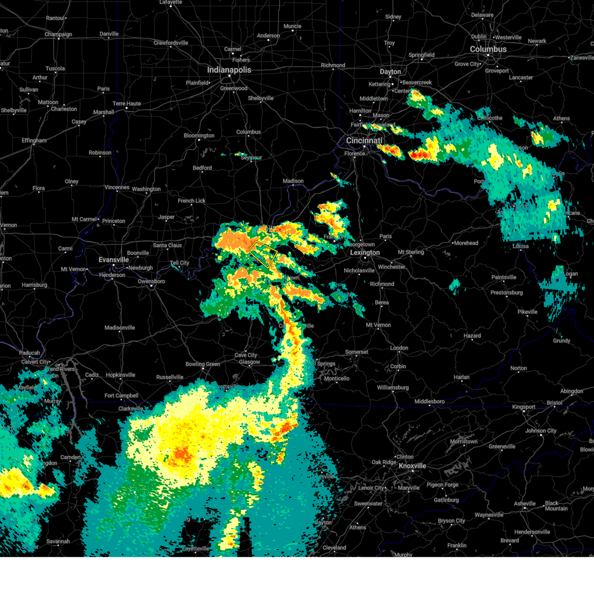 At 642 pm edt, a severe thunderstorm was located over valley station, moving southeast at 25 mph (radar indicated). Hazards include 60 mph wind gusts. expect damage to roofs, siding, and trees At 642 pm edt, a severe thunderstorm was located over valley station, moving southeast at 25 mph (radar indicated). Hazards include 60 mph wind gusts. expect damage to roofs, siding, and trees
|
| 7/18/2023 6:25 PM EDT |
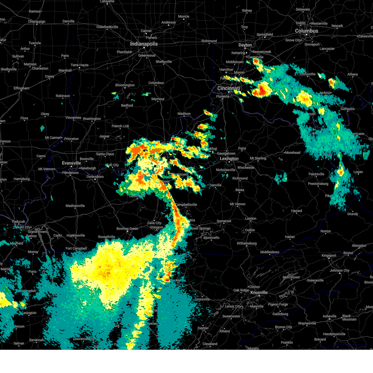 At 625 pm edt, a severe thunderstorm was located 7 miles east of corydon, moving southeast at 25 mph (radar indicated). Hazards include 60 mph wind gusts and penny size hail. Expect damage to roofs, siding, and trees. locations impacted include, louisville, shively, st. dennis, pleasure ridge par, pleasure ridge park, valley station, elizabeth, bridgeport, fishtown and sugar grove. hail threat, radar indicated max hail size, 0. 75 in wind threat, radar indicated max wind gust, 60 mph. At 625 pm edt, a severe thunderstorm was located 7 miles east of corydon, moving southeast at 25 mph (radar indicated). Hazards include 60 mph wind gusts and penny size hail. Expect damage to roofs, siding, and trees. locations impacted include, louisville, shively, st. dennis, pleasure ridge par, pleasure ridge park, valley station, elizabeth, bridgeport, fishtown and sugar grove. hail threat, radar indicated max hail size, 0. 75 in wind threat, radar indicated max wind gust, 60 mph.
|
| 7/18/2023 6:25 PM EDT |
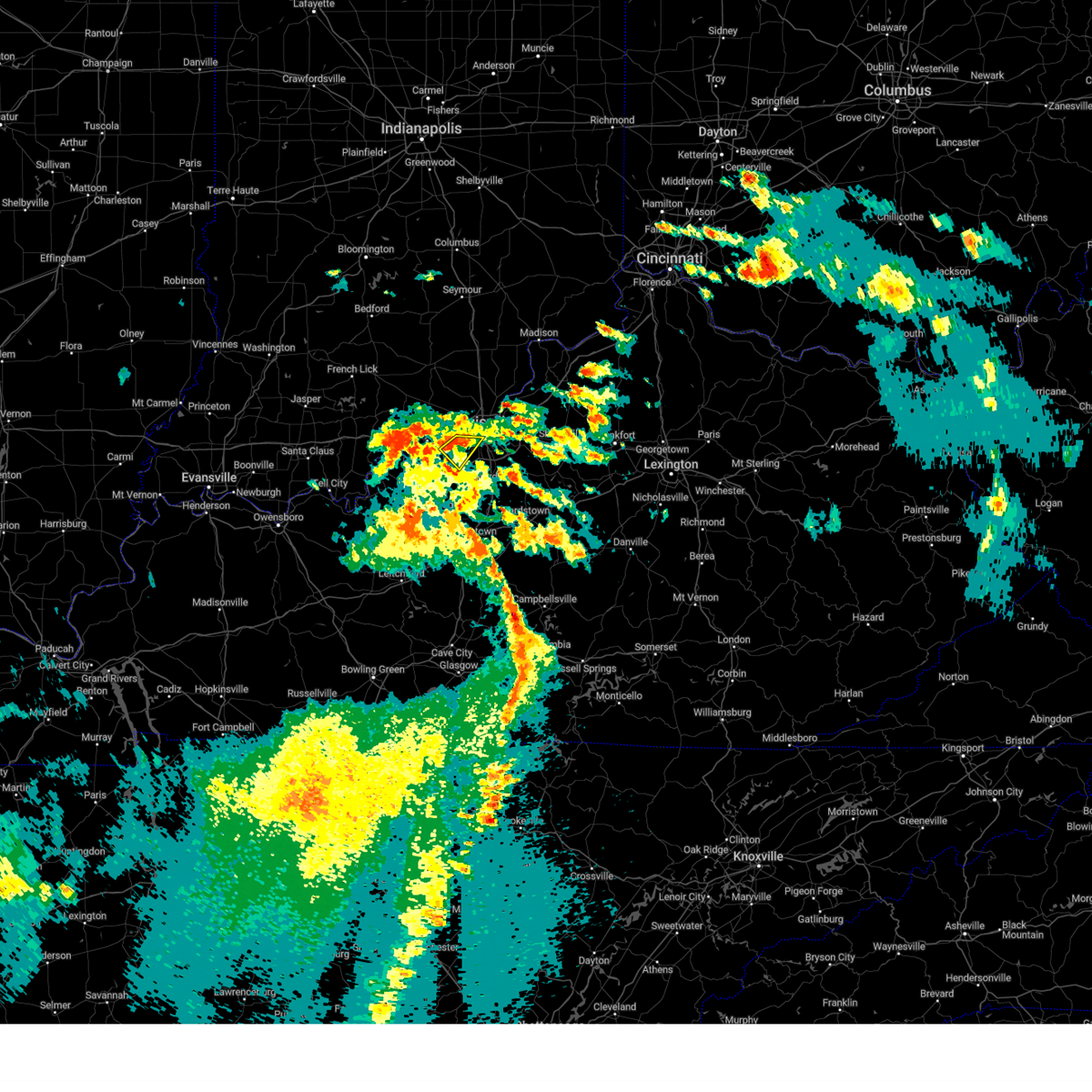 At 625 pm edt, a severe thunderstorm was located 7 miles east of corydon, moving southeast at 25 mph (radar indicated). Hazards include 60 mph wind gusts and penny size hail. Expect damage to roofs, siding, and trees. locations impacted include, louisville, shively, st. dennis, pleasure ridge par, pleasure ridge park, valley station, elizabeth, bridgeport, fishtown and sugar grove. hail threat, radar indicated max hail size, 0. 75 in wind threat, radar indicated max wind gust, 60 mph. At 625 pm edt, a severe thunderstorm was located 7 miles east of corydon, moving southeast at 25 mph (radar indicated). Hazards include 60 mph wind gusts and penny size hail. Expect damage to roofs, siding, and trees. locations impacted include, louisville, shively, st. dennis, pleasure ridge par, pleasure ridge park, valley station, elizabeth, bridgeport, fishtown and sugar grove. hail threat, radar indicated max hail size, 0. 75 in wind threat, radar indicated max wind gust, 60 mph.
|
| 7/18/2023 6:09 PM EDT |
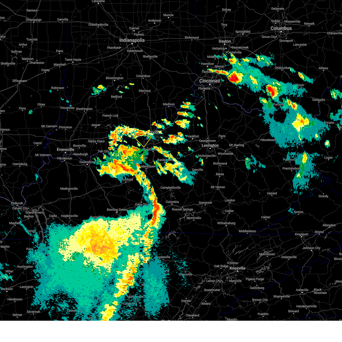 At 608 pm edt, a severe thunderstorm was located near corydon, moving southeast at 25 mph (radar indicated). Hazards include 60 mph wind gusts and penny size hail. expect damage to roofs, siding, and trees At 608 pm edt, a severe thunderstorm was located near corydon, moving southeast at 25 mph (radar indicated). Hazards include 60 mph wind gusts and penny size hail. expect damage to roofs, siding, and trees
|
| 6/25/2023 9:42 PM EDT |
 At 942 pm edt, a severe thunderstorm was located over fairdale, moving east at 45 mph (radar indicated). Hazards include quarter size hail. Damage to vehicles is expected. locations impacted include, louisville, jeffersontown, shively, pioneer village, west buechel, watterson park, lynnview, hollow creek, hollyvilla and poplar hills. hail threat, radar indicated max hail size, 1. 00 in wind threat, radar indicated max wind gust, <50 mph. At 942 pm edt, a severe thunderstorm was located over fairdale, moving east at 45 mph (radar indicated). Hazards include quarter size hail. Damage to vehicles is expected. locations impacted include, louisville, jeffersontown, shively, pioneer village, west buechel, watterson park, lynnview, hollow creek, hollyvilla and poplar hills. hail threat, radar indicated max hail size, 1. 00 in wind threat, radar indicated max wind gust, <50 mph.
|
| 6/25/2023 9:33 PM EDT |
 At 933 pm edt, a severe thunderstorm was located over pleasure ridge park, moving east at 45 mph (radar indicated). Hazards include quarter size hail. damage to vehicles is expected At 933 pm edt, a severe thunderstorm was located over pleasure ridge park, moving east at 45 mph (radar indicated). Hazards include quarter size hail. damage to vehicles is expected
|
| 6/25/2023 8:46 PM EDT |
 At 846 pm edt, a severe thunderstorm was located over louisville, moving southeast at 50 mph (radar indicated). Hazards include ping pong ball size hail and 60 mph wind gusts. People and animals outdoors will be injured. expect hail damage to roofs, siding, windows, and vehicles. Expect wind damage to roofs, siding, and trees. At 846 pm edt, a severe thunderstorm was located over louisville, moving southeast at 50 mph (radar indicated). Hazards include ping pong ball size hail and 60 mph wind gusts. People and animals outdoors will be injured. expect hail damage to roofs, siding, windows, and vehicles. Expect wind damage to roofs, siding, and trees.
|
| 6/25/2023 6:52 PM EDT | Ping Pong Ball sized hail reported 2.5 miles NNE of Shively, KY |
| 6/25/2023 6:50 PM EDT | Half Dollar sized hail reported 0.6 miles SW of Shively, KY |
| 6/25/2023 6:50 PM EDT |
 At 650 pm edt, a severe thunderstorm was located over fairdale, moving southeast at 35 mph (radar indicated). Hazards include two inch hail and 70 mph wind gusts. People and animals outdoors will be injured. expect hail damage to roofs, siding, windows, and vehicles. expect considerable tree damage. wind damage is also likely to mobile homes, roofs, and outbuildings. locations impacted include, louisville, jeffersonville, new albany, jeffersontown, st. matthews, shively, shepherdsville, lyndon, douglass hills and hurstbourne. thunderstorm damage threat, considerable hail threat, radar indicated max hail size, 2. 00 in wind threat, radar indicated max wind gust, 70 mph. At 650 pm edt, a severe thunderstorm was located over fairdale, moving southeast at 35 mph (radar indicated). Hazards include two inch hail and 70 mph wind gusts. People and animals outdoors will be injured. expect hail damage to roofs, siding, windows, and vehicles. expect considerable tree damage. wind damage is also likely to mobile homes, roofs, and outbuildings. locations impacted include, louisville, jeffersonville, new albany, jeffersontown, st. matthews, shively, shepherdsville, lyndon, douglass hills and hurstbourne. thunderstorm damage threat, considerable hail threat, radar indicated max hail size, 2. 00 in wind threat, radar indicated max wind gust, 70 mph.
|
| 6/25/2023 6:37 PM EDT |
 At 636 pm edt, a severe thunderstorm was located over st. dennis, moving southeast at 35 mph (radar indicated). Hazards include two inch hail and 70 mph wind gusts. People and animals outdoors will be injured. expect hail damage to roofs, siding, windows, and vehicles. expect considerable tree damage. wind damage is also likely to mobile homes, roofs, and outbuildings. locations impacted include, louisville, jeffersonville, new albany, jeffersontown, st. matthews, shively, shepherdsville, lyndon, douglass hills and hurstbourne. thunderstorm damage threat, considerable hail threat, radar indicated max hail size, 2. 00 in wind threat, radar indicated max wind gust, 70 mph. At 636 pm edt, a severe thunderstorm was located over st. dennis, moving southeast at 35 mph (radar indicated). Hazards include two inch hail and 70 mph wind gusts. People and animals outdoors will be injured. expect hail damage to roofs, siding, windows, and vehicles. expect considerable tree damage. wind damage is also likely to mobile homes, roofs, and outbuildings. locations impacted include, louisville, jeffersonville, new albany, jeffersontown, st. matthews, shively, shepherdsville, lyndon, douglass hills and hurstbourne. thunderstorm damage threat, considerable hail threat, radar indicated max hail size, 2. 00 in wind threat, radar indicated max wind gust, 70 mph.
|
| 6/25/2023 6:32 PM EDT |
 At 632 pm edt, a severe thunderstorm was located near st. dennis, moving southeast at 35 mph (radar indicated). Hazards include 70 mph wind gusts and half dollar size hail. Hail damage to vehicles is expected. expect considerable tree damage. wind damage is also likely to mobile homes, roofs, and outbuildings. locations impacted include, louisville, jeffersonville, new albany, jeffersontown, st. matthews, shively, shepherdsville, lyndon, douglass hills and hurstbourne. thunderstorm damage threat, considerable hail threat, radar indicated max hail size, 1. 25 in wind threat, radar indicated max wind gust, 70 mph. At 632 pm edt, a severe thunderstorm was located near st. dennis, moving southeast at 35 mph (radar indicated). Hazards include 70 mph wind gusts and half dollar size hail. Hail damage to vehicles is expected. expect considerable tree damage. wind damage is also likely to mobile homes, roofs, and outbuildings. locations impacted include, louisville, jeffersonville, new albany, jeffersontown, st. matthews, shively, shepherdsville, lyndon, douglass hills and hurstbourne. thunderstorm damage threat, considerable hail threat, radar indicated max hail size, 1. 25 in wind threat, radar indicated max wind gust, 70 mph.
|
| 6/25/2023 6:29 PM EDT |
 At 629 pm edt, a severe thunderstorm was located near st. dennis, moving southeast at 35 mph (radar indicated). Hazards include 60 mph wind gusts and quarter size hail. Hail damage to vehicles is expected. Expect wind damage to roofs, siding, and trees. At 629 pm edt, a severe thunderstorm was located near st. dennis, moving southeast at 35 mph (radar indicated). Hazards include 60 mph wind gusts and quarter size hail. Hail damage to vehicles is expected. Expect wind damage to roofs, siding, and trees.
|
| 6/25/2023 6:22 PM EDT |
 At 622 pm edt, a severe thunderstorm capable of producing a tornado was located near corydon, moving southeast at 40 mph (radar indicated rotation). Hazards include tornado and golf ball size hail. Flying debris will be dangerous to those caught without shelter. mobile homes will be damaged or destroyed. damage to roofs, windows, and vehicles will occur. tree damage is likely. locations impacted include, louisville, shively, corydon, st. Dennis, pleasure ridge park, lanesville, elizabeth, new middletown, seven springs and lottick corner. At 622 pm edt, a severe thunderstorm capable of producing a tornado was located near corydon, moving southeast at 40 mph (radar indicated rotation). Hazards include tornado and golf ball size hail. Flying debris will be dangerous to those caught without shelter. mobile homes will be damaged or destroyed. damage to roofs, windows, and vehicles will occur. tree damage is likely. locations impacted include, louisville, shively, corydon, st. Dennis, pleasure ridge park, lanesville, elizabeth, new middletown, seven springs and lottick corner.
|
| 6/25/2023 6:22 PM EDT |
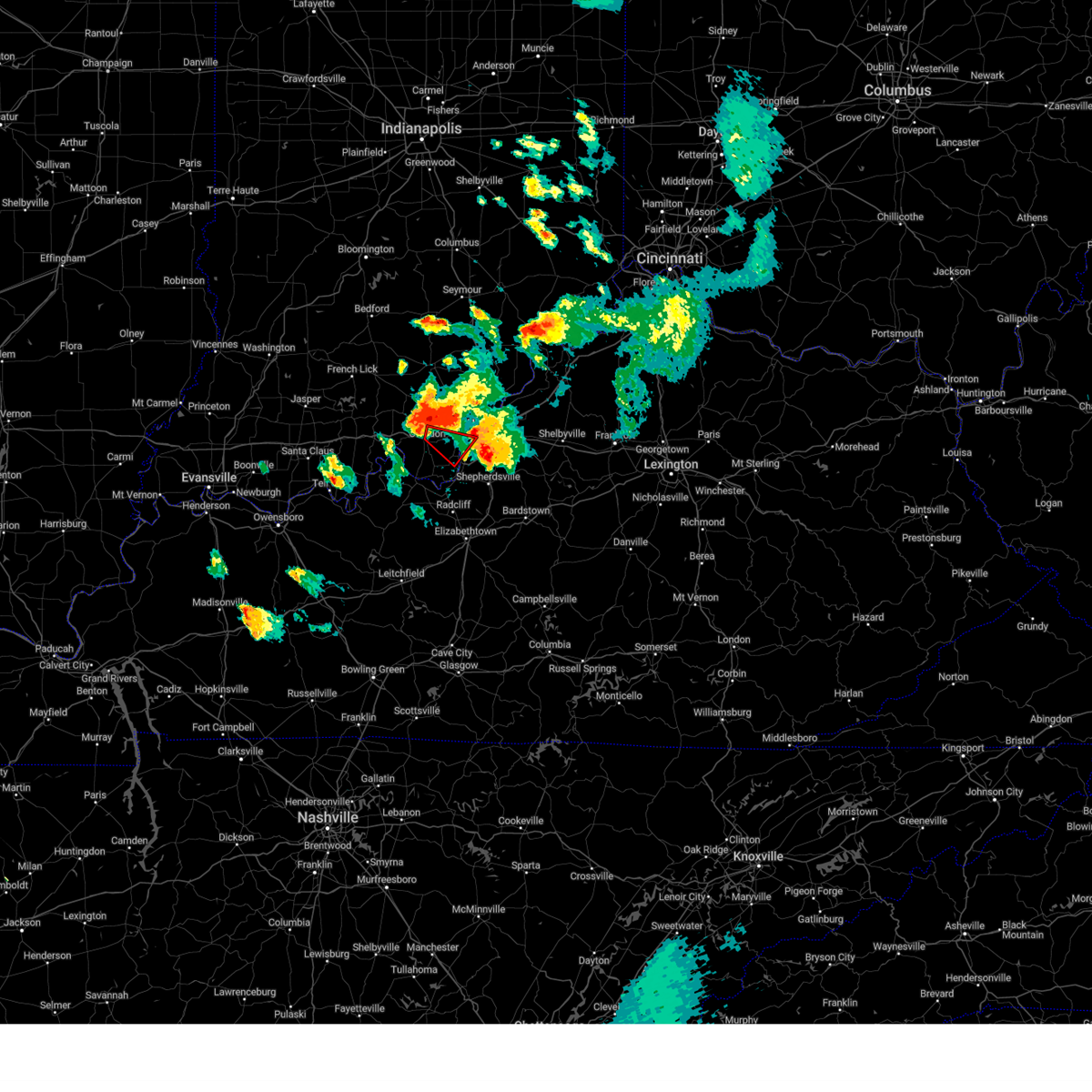 At 622 pm edt, a severe thunderstorm capable of producing a tornado was located near corydon, moving southeast at 40 mph (radar indicated rotation). Hazards include tornado and golf ball size hail. Flying debris will be dangerous to those caught without shelter. mobile homes will be damaged or destroyed. damage to roofs, windows, and vehicles will occur. tree damage is likely. locations impacted include, louisville, shively, corydon, st. Dennis, pleasure ridge park, lanesville, elizabeth, new middletown, seven springs and lottick corner. At 622 pm edt, a severe thunderstorm capable of producing a tornado was located near corydon, moving southeast at 40 mph (radar indicated rotation). Hazards include tornado and golf ball size hail. Flying debris will be dangerous to those caught without shelter. mobile homes will be damaged or destroyed. damage to roofs, windows, and vehicles will occur. tree damage is likely. locations impacted include, louisville, shively, corydon, st. Dennis, pleasure ridge park, lanesville, elizabeth, new middletown, seven springs and lottick corner.
|
| 6/25/2023 6:12 PM EDT |
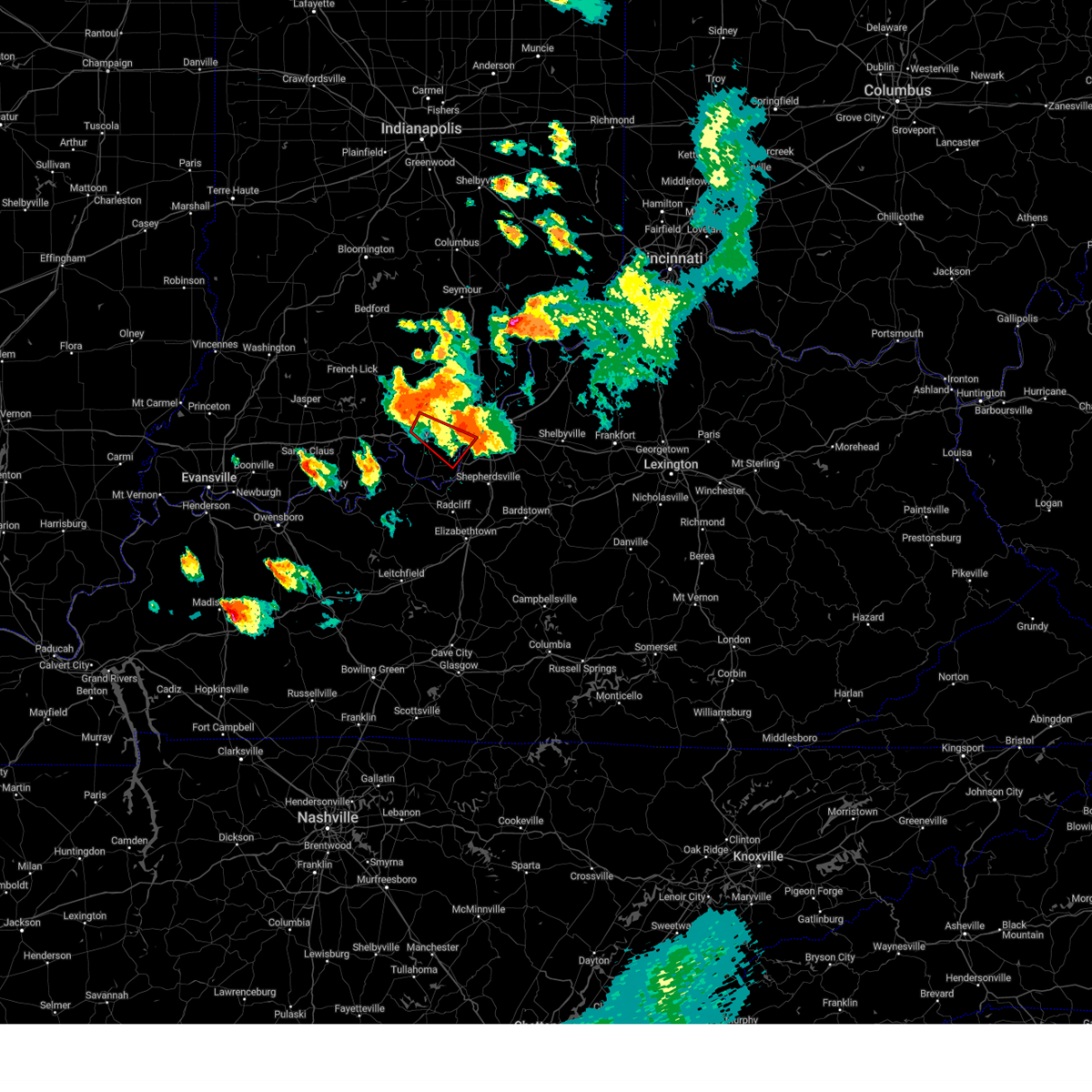 At 612 pm edt, a severe thunderstorm capable of producing a tornado was located near corydon, moving southeast at 40 mph (radar indicated rotation). Hazards include tornado and golf ball size hail. Flying debris will be dangerous to those caught without shelter. mobile homes will be damaged or destroyed. damage to roofs, windows, and vehicles will occur. Tree damage is likely. At 612 pm edt, a severe thunderstorm capable of producing a tornado was located near corydon, moving southeast at 40 mph (radar indicated rotation). Hazards include tornado and golf ball size hail. Flying debris will be dangerous to those caught without shelter. mobile homes will be damaged or destroyed. damage to roofs, windows, and vehicles will occur. Tree damage is likely.
|
| 6/25/2023 6:12 PM EDT |
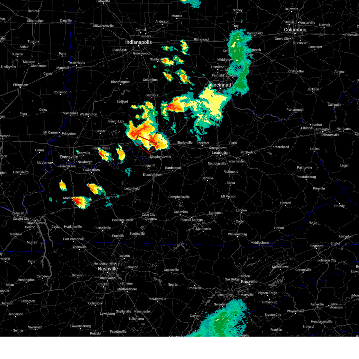 At 612 pm edt, a severe thunderstorm capable of producing a tornado was located near corydon, moving southeast at 40 mph (radar indicated rotation). Hazards include tornado and golf ball size hail. Flying debris will be dangerous to those caught without shelter. mobile homes will be damaged or destroyed. damage to roofs, windows, and vehicles will occur. Tree damage is likely. At 612 pm edt, a severe thunderstorm capable of producing a tornado was located near corydon, moving southeast at 40 mph (radar indicated rotation). Hazards include tornado and golf ball size hail. Flying debris will be dangerous to those caught without shelter. mobile homes will be damaged or destroyed. damage to roofs, windows, and vehicles will occur. Tree damage is likely.
|
| 6/25/2023 6:06 PM EDT |
 At 606 pm edt, a severe thunderstorm was located near st. dennis, moving southeast at 35 mph (radar indicated). Hazards include 60 mph wind gusts and quarter size hail. Hail damage to vehicles is expected. Expect wind damage to roofs, siding, and trees. At 606 pm edt, a severe thunderstorm was located near st. dennis, moving southeast at 35 mph (radar indicated). Hazards include 60 mph wind gusts and quarter size hail. Hail damage to vehicles is expected. Expect wind damage to roofs, siding, and trees.
|
| 6/25/2023 5:48 PM EDT |
 At 548 pm edt, a severe thunderstorm was located over corydon, moving southeast at 35 mph (radar indicated). Hazards include golf ball size hail and 60 mph wind gusts. People and animals outdoors will be injured. expect hail damage to roofs, siding, windows, and vehicles. Expect wind damage to roofs, siding, and trees. At 548 pm edt, a severe thunderstorm was located over corydon, moving southeast at 35 mph (radar indicated). Hazards include golf ball size hail and 60 mph wind gusts. People and animals outdoors will be injured. expect hail damage to roofs, siding, windows, and vehicles. Expect wind damage to roofs, siding, and trees.
|
| 5/9/2023 5:28 AM EDT |
 The severe thunderstorm warning for northeastern harrison, south central clark, floyd and northwestern jefferson counties will expire at 530 am edt, the storm which prompted the warning has weakened below severe limits, and no longer poses an immediate threat to life or property. therefore, the warning will be allowed to expire. however small hail is still possible with this thunderstorm. The severe thunderstorm warning for northeastern harrison, south central clark, floyd and northwestern jefferson counties will expire at 530 am edt, the storm which prompted the warning has weakened below severe limits, and no longer poses an immediate threat to life or property. therefore, the warning will be allowed to expire. however small hail is still possible with this thunderstorm.
|
| 5/9/2023 5:11 AM EDT |
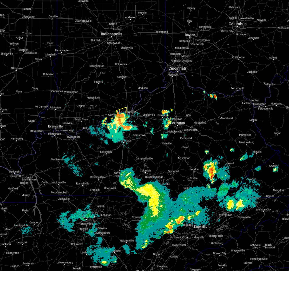 At 511 am edt, a severe thunderstorm was located 7 miles west of new albany, moving east at 30 mph (radar indicated). Hazards include quarter size hail. Damage to vehicles is expected. locations impacted include, louisville, new albany, shively, st. dennis, clarksville, sellersburg, galena, lanesville, edwardsville and breckenridge. hail threat, radar indicated max hail size, 1. 00 in wind threat, radar indicated max wind gust, <50 mph. At 511 am edt, a severe thunderstorm was located 7 miles west of new albany, moving east at 30 mph (radar indicated). Hazards include quarter size hail. Damage to vehicles is expected. locations impacted include, louisville, new albany, shively, st. dennis, clarksville, sellersburg, galena, lanesville, edwardsville and breckenridge. hail threat, radar indicated max hail size, 1. 00 in wind threat, radar indicated max wind gust, <50 mph.
|
| 5/9/2023 5:03 AM EDT |
 At 502 am edt, a severe thunderstorm was located near corydon, moving east at 30 mph (radar indicated). Hazards include quarter size hail. damage to vehicles is expected At 502 am edt, a severe thunderstorm was located near corydon, moving east at 30 mph (radar indicated). Hazards include quarter size hail. damage to vehicles is expected
|
| 5/9/2023 3:40 AM EDT |
 At 340 am edt, a severe thunderstorm was located near shively, moving east at 35 mph (radar indicated). Hazards include ping pong ball size hail and 60 mph wind gusts. People and animals outdoors will be injured. expect hail damage to roofs, siding, windows, and vehicles. expect wind damage to roofs, siding, and trees. locations impacted include, louisville, jeffersontown, st. matthews, shively, lyndon, hurstbourne, graymoor-devondale, windy hills, pioneer village and hurstbourne acres. hail threat, radar indicated max hail size, 1. 50 in wind threat, radar indicated max wind gust, 60 mph. At 340 am edt, a severe thunderstorm was located near shively, moving east at 35 mph (radar indicated). Hazards include ping pong ball size hail and 60 mph wind gusts. People and animals outdoors will be injured. expect hail damage to roofs, siding, windows, and vehicles. expect wind damage to roofs, siding, and trees. locations impacted include, louisville, jeffersontown, st. matthews, shively, lyndon, hurstbourne, graymoor-devondale, windy hills, pioneer village and hurstbourne acres. hail threat, radar indicated max hail size, 1. 50 in wind threat, radar indicated max wind gust, 60 mph.
|
| 5/9/2023 3:39 AM EDT | Golf Ball sized hail reported 1.1 miles NNW of Shively, KY |
| 5/9/2023 3:29 AM EDT |
 At 329 am edt, a severe thunderstorm was located over pleasure ridge park, moving east at 35 mph (radar indicated). Hazards include ping pong ball size hail and 60 mph wind gusts. People and animals outdoors will be injured. expect hail damage to roofs, siding, windows, and vehicles. Expect wind damage to roofs, siding, and trees. At 329 am edt, a severe thunderstorm was located over pleasure ridge park, moving east at 35 mph (radar indicated). Hazards include ping pong ball size hail and 60 mph wind gusts. People and animals outdoors will be injured. expect hail damage to roofs, siding, windows, and vehicles. Expect wind damage to roofs, siding, and trees.
|
| 5/9/2023 3:12 AM EDT |
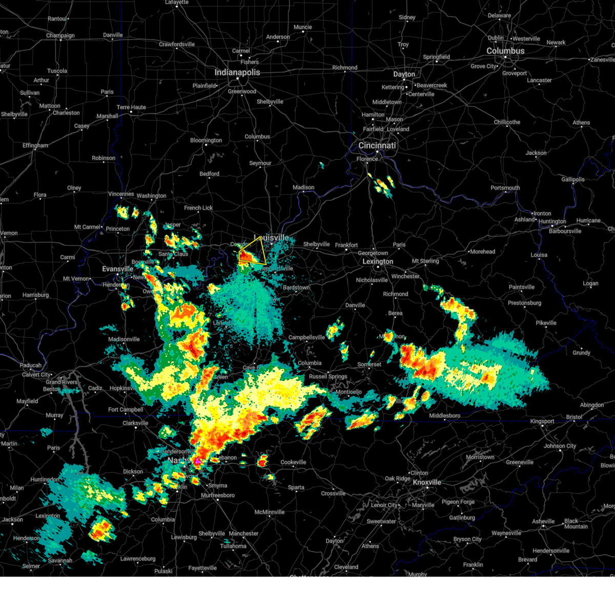 At 311 am edt, a severe thunderstorm was located near corydon, moving east at 35 mph (radar indicated). Hazards include golf ball size hail and 60 mph wind gusts. People and animals outdoors will be injured. expect hail damage to roofs, siding, windows, and vehicles. expect wind damage to roofs, siding, and trees. locations impacted include, valley station, pleasure ridge par, pleasure ridge park, st. dennis, lanesville, elizabeth, new middletown, seven springs, lottick corner and bridgeport. thunderstorm damage threat, considerable hail threat, radar indicated max hail size, 1. 75 in wind threat, radar indicated max wind gust, 60 mph. At 311 am edt, a severe thunderstorm was located near corydon, moving east at 35 mph (radar indicated). Hazards include golf ball size hail and 60 mph wind gusts. People and animals outdoors will be injured. expect hail damage to roofs, siding, windows, and vehicles. expect wind damage to roofs, siding, and trees. locations impacted include, valley station, pleasure ridge par, pleasure ridge park, st. dennis, lanesville, elizabeth, new middletown, seven springs, lottick corner and bridgeport. thunderstorm damage threat, considerable hail threat, radar indicated max hail size, 1. 75 in wind threat, radar indicated max wind gust, 60 mph.
|
| 5/9/2023 3:03 AM EDT |
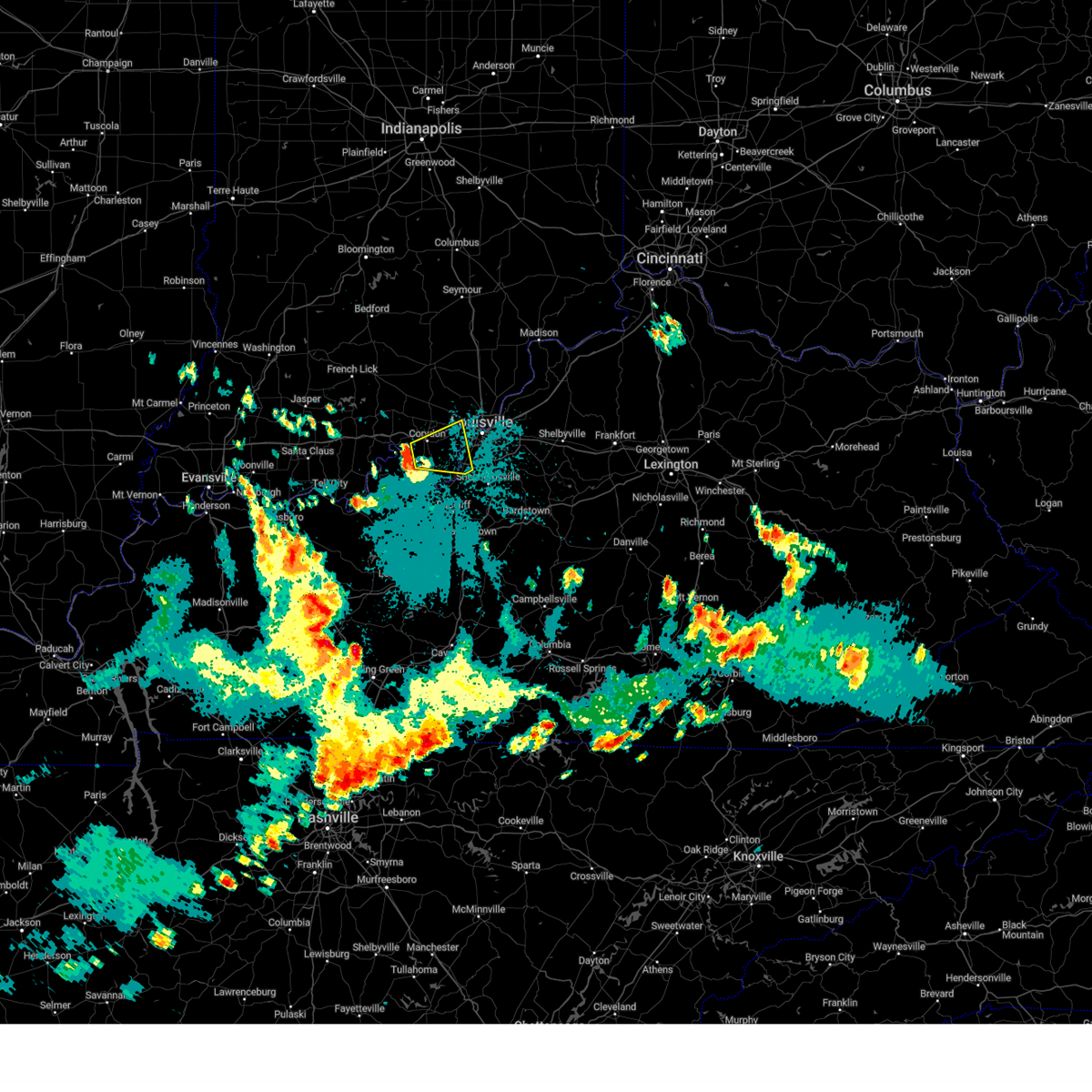 At 303 am edt, a severe thunderstorm was located near corydon, moving east at 35 mph (radar indicated). Hazards include ping pong ball size hail and 60 mph wind gusts. People and animals outdoors will be injured. expect hail damage to roofs, siding, windows, and vehicles. Expect wind damage to roofs, siding, and trees. At 303 am edt, a severe thunderstorm was located near corydon, moving east at 35 mph (radar indicated). Hazards include ping pong ball size hail and 60 mph wind gusts. People and animals outdoors will be injured. expect hail damage to roofs, siding, windows, and vehicles. Expect wind damage to roofs, siding, and trees.
|
| 5/7/2023 9:12 AM EDT |
 The severe thunderstorm warning for east central harrison, southeastern clark, southeastern floyd, oldham, northwestern shelby, southwestern henry and jefferson counties will expire at 915 am edt, the storms which prompted the warning have weakened below severe limits, and no longer pose an immediate threat to life or property. therefore, the warning will be allowed to expire. however gusty winds are still possible with these thunderstorms. The severe thunderstorm warning for east central harrison, southeastern clark, southeastern floyd, oldham, northwestern shelby, southwestern henry and jefferson counties will expire at 915 am edt, the storms which prompted the warning have weakened below severe limits, and no longer pose an immediate threat to life or property. therefore, the warning will be allowed to expire. however gusty winds are still possible with these thunderstorms.
|
| 5/7/2023 8:51 AM EDT |
 At 851 am edt, severe thunderstorms were located along a line extending from 9 miles northeast of prospect to near st. dennis, moving southeast at 45 mph (radar indicated). Hazards include 60 mph wind gusts and quarter size hail. Hail damage to vehicles is expected. Expect wind damage to roofs, siding, and trees. At 851 am edt, severe thunderstorms were located along a line extending from 9 miles northeast of prospect to near st. dennis, moving southeast at 45 mph (radar indicated). Hazards include 60 mph wind gusts and quarter size hail. Hail damage to vehicles is expected. Expect wind damage to roofs, siding, and trees.
|
| 4/5/2023 5:00 PM EDT |
 At 459 pm edt, severe thunderstorms were located along a line extending from near st. dennis to 12 miles southwest of shepherdsville to 8 miles northwest of elizabethtown, moving east at 60 mph (radar indicated). Hazards include 70 mph wind gusts. Expect considerable tree damage. damage is likely to mobile homes, roofs, and outbuildings. locations impacted include, louisville, elizabethtown, jeffersonville, new albany, jeffersontown, st. Matthews, shively, shepherdsville, lyndon and middletown. At 459 pm edt, severe thunderstorms were located along a line extending from near st. dennis to 12 miles southwest of shepherdsville to 8 miles northwest of elizabethtown, moving east at 60 mph (radar indicated). Hazards include 70 mph wind gusts. Expect considerable tree damage. damage is likely to mobile homes, roofs, and outbuildings. locations impacted include, louisville, elizabethtown, jeffersonville, new albany, jeffersontown, st. Matthews, shively, shepherdsville, lyndon and middletown.
|
| 4/5/2023 4:57 PM EDT | Report via metro safe of a structure collapsed between 6700-6800 brooklawn d in jefferson county KY, 2.4 miles N of Shively, KY |
| 4/5/2023 4:49 PM EDT |
 At 449 pm edt, severe thunderstorms were located along a line extending from near corydon to 10 miles southeast of brandenburg to 14 miles west of elizabethtown, moving east at 60 mph (radar indicated). Hazards include 60 mph wind gusts. Expect damage to roofs, siding, and trees. severe thunderstorms will be near, elizabethtown, st. dennis, pleasure ridge park and valley station around 500 pm edt. louisville, new albany, shively, audubon park, lynnview, parkway village, poplar hills, newburg and okolona around 505 pm edt. other locations in the path of these severe thunderstorms include jeffersonville, shepherdsville, st. regis park, west buechel, watterson park, woodlawn park, seneca gardens, strathmoor village, rolling fields, houston acres, jeffersontown, st. Matthews, lyndon, middletown, douglass hills, prospect, hurstbourne, graymoor-devondale, windy hills and anchorage. At 449 pm edt, severe thunderstorms were located along a line extending from near corydon to 10 miles southeast of brandenburg to 14 miles west of elizabethtown, moving east at 60 mph (radar indicated). Hazards include 60 mph wind gusts. Expect damage to roofs, siding, and trees. severe thunderstorms will be near, elizabethtown, st. dennis, pleasure ridge park and valley station around 500 pm edt. louisville, new albany, shively, audubon park, lynnview, parkway village, poplar hills, newburg and okolona around 505 pm edt. other locations in the path of these severe thunderstorms include jeffersonville, shepherdsville, st. regis park, west buechel, watterson park, woodlawn park, seneca gardens, strathmoor village, rolling fields, houston acres, jeffersontown, st. Matthews, lyndon, middletown, douglass hills, prospect, hurstbourne, graymoor-devondale, windy hills and anchorage.
|
| 4/1/2023 12:55 AM EDT | Via social media - images of a large tree blown onto a car on st. james court in louisvill in jefferson county KY, 4 miles SW of Shively, KY |
| 3/3/2023 3:12 PM EST |
 The severe thunderstorm warning for clark, floyd, scott, washington and northwestern jefferson counties will expire at 315 pm est, the storms which prompted the warning have weakened below severe limits, and no longer pose an immediate threat to life or property. therefore, the warning will be allowed to expire. a tornado watch remains in effect until 500 pm est for south central indiana, and central kentucky. The severe thunderstorm warning for clark, floyd, scott, washington and northwestern jefferson counties will expire at 315 pm est, the storms which prompted the warning have weakened below severe limits, and no longer pose an immediate threat to life or property. therefore, the warning will be allowed to expire. a tornado watch remains in effect until 500 pm est for south central indiana, and central kentucky.
|
| 3/3/2023 3:05 PM EST |
 At 304 pm est, severe thunderstorms were located along a line extending from 6 miles northeast of bedford to new albany, moving northeast at 60 mph (trained weather spotters). Hazards include 60 mph wind gusts. Expect damage to roofs, siding, and trees. These severe thunderstorms will remain over mainly rural areas of clark, floyd, scott, washington and northwestern jefferson counties, including the following locations, clarksville, campbellsburg, smedley, shorts corner, clark siding, watson, austin, floyds knobs, lexington and new liberty. At 304 pm est, severe thunderstorms were located along a line extending from 6 miles northeast of bedford to new albany, moving northeast at 60 mph (trained weather spotters). Hazards include 60 mph wind gusts. Expect damage to roofs, siding, and trees. These severe thunderstorms will remain over mainly rural areas of clark, floyd, scott, washington and northwestern jefferson counties, including the following locations, clarksville, campbellsburg, smedley, shorts corner, clark siding, watson, austin, floyds knobs, lexington and new liberty.
|
| 3/3/2023 2:45 PM EST |
 At 245 pm est, severe thunderstorms were located along a line extending from 9 miles southwest of bedford to 8 miles west of valley station, moving northeast at 70 mph (trained weather spotters and weather observing stations). Hazards include 70 mph wind gusts. Expect considerable tree damage. damage is likely to mobile homes, roofs, and outbuildings. severe thunderstorms will be near, shively around 255 pm est. Louisville, jeffersonville and new albany around 300 pm est. At 245 pm est, severe thunderstorms were located along a line extending from 9 miles southwest of bedford to 8 miles west of valley station, moving northeast at 70 mph (trained weather spotters and weather observing stations). Hazards include 70 mph wind gusts. Expect considerable tree damage. damage is likely to mobile homes, roofs, and outbuildings. severe thunderstorms will be near, shively around 255 pm est. Louisville, jeffersonville and new albany around 300 pm est.
|
| 1/12/2023 7:28 AM EST |
 The severe thunderstorm warning for east central harrison, south central floyd and southwestern jefferson counties will expire at 730 am est, the storm which prompted the warning has weakened below severe limits, and no longer poses an immediate threat to life or property. therefore, the warning will be allowed to expire. however small hail and heavy rain are still possible with this thunderstorm. a severe thunderstorm watch remains in effect until 100 pm est for south central indiana, and central kentucky. The severe thunderstorm warning for east central harrison, south central floyd and southwestern jefferson counties will expire at 730 am est, the storm which prompted the warning has weakened below severe limits, and no longer poses an immediate threat to life or property. therefore, the warning will be allowed to expire. however small hail and heavy rain are still possible with this thunderstorm. a severe thunderstorm watch remains in effect until 100 pm est for south central indiana, and central kentucky.
|
| 1/12/2023 7:28 AM EST |
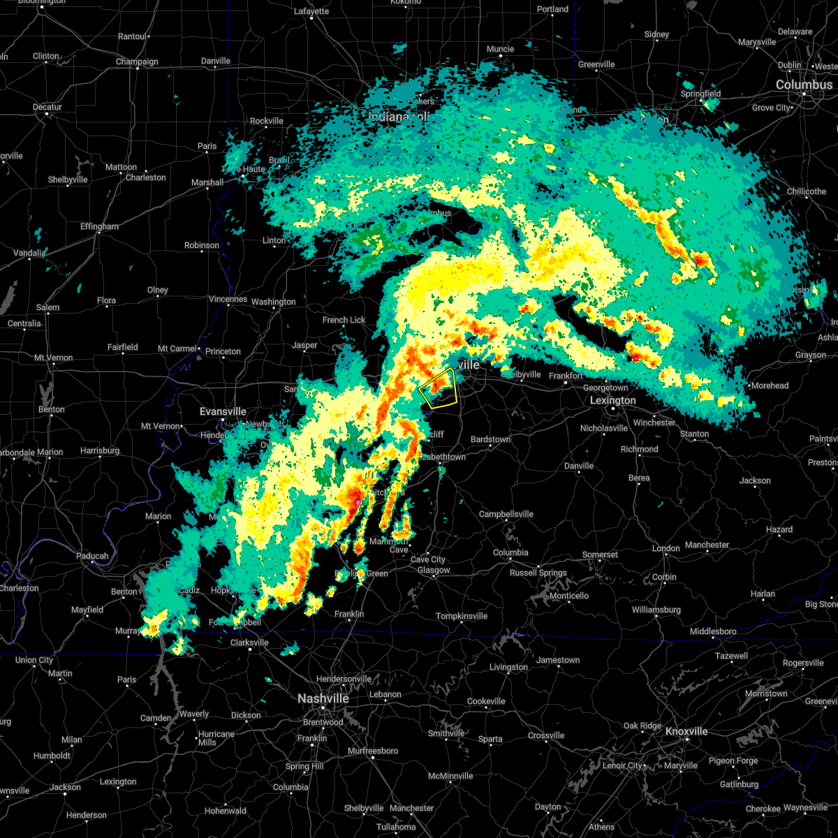 The severe thunderstorm warning for east central harrison, south central floyd and southwestern jefferson counties will expire at 730 am est, the storm which prompted the warning has weakened below severe limits, and no longer poses an immediate threat to life or property. therefore, the warning will be allowed to expire. however small hail and heavy rain are still possible with this thunderstorm. a severe thunderstorm watch remains in effect until 100 pm est for south central indiana, and central kentucky. The severe thunderstorm warning for east central harrison, south central floyd and southwestern jefferson counties will expire at 730 am est, the storm which prompted the warning has weakened below severe limits, and no longer poses an immediate threat to life or property. therefore, the warning will be allowed to expire. however small hail and heavy rain are still possible with this thunderstorm. a severe thunderstorm watch remains in effect until 100 pm est for south central indiana, and central kentucky.
|
| 1/12/2023 7:22 AM EST |
 At 721 am est, a severe thunderstorm was located over pleasure ridge park, moving northeast at 55 mph (radar indicated). Hazards include 60 mph wind gusts and quarter size hail. Hail damage to vehicles is expected. expect wind damage to roofs, siding, and trees. this severe storm will be near, hollyvilla and fairdale around 725 am est. shively around 730 am est. other locations in the path of this severe thunderstorm include louisville. hail threat, radar indicated max hail size, 1. 00 in wind threat, radar indicated max wind gust, 60 mph. At 721 am est, a severe thunderstorm was located over pleasure ridge park, moving northeast at 55 mph (radar indicated). Hazards include 60 mph wind gusts and quarter size hail. Hail damage to vehicles is expected. expect wind damage to roofs, siding, and trees. this severe storm will be near, hollyvilla and fairdale around 725 am est. shively around 730 am est. other locations in the path of this severe thunderstorm include louisville. hail threat, radar indicated max hail size, 1. 00 in wind threat, radar indicated max wind gust, 60 mph.
|
| 1/12/2023 7:22 AM EST |
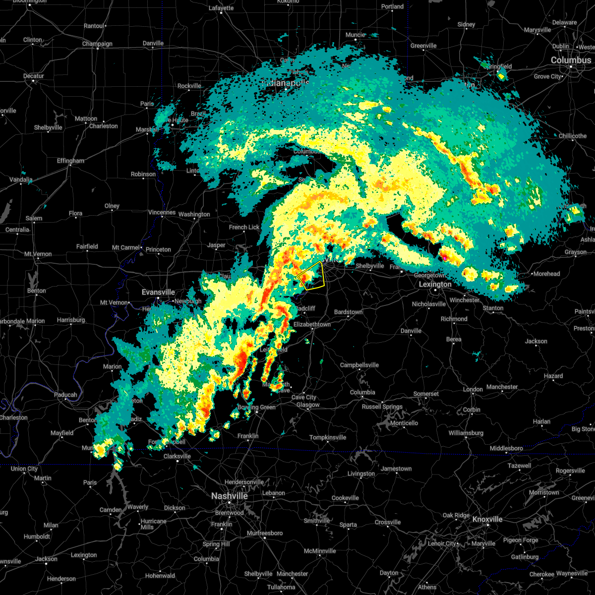 At 721 am est, a severe thunderstorm was located over pleasure ridge park, moving northeast at 55 mph (radar indicated). Hazards include 60 mph wind gusts and quarter size hail. Hail damage to vehicles is expected. expect wind damage to roofs, siding, and trees. this severe storm will be near, hollyvilla and fairdale around 725 am est. shively around 730 am est. other locations in the path of this severe thunderstorm include louisville. hail threat, radar indicated max hail size, 1. 00 in wind threat, radar indicated max wind gust, 60 mph. At 721 am est, a severe thunderstorm was located over pleasure ridge park, moving northeast at 55 mph (radar indicated). Hazards include 60 mph wind gusts and quarter size hail. Hail damage to vehicles is expected. expect wind damage to roofs, siding, and trees. this severe storm will be near, hollyvilla and fairdale around 725 am est. shively around 730 am est. other locations in the path of this severe thunderstorm include louisville. hail threat, radar indicated max hail size, 1. 00 in wind threat, radar indicated max wind gust, 60 mph.
|
| 1/12/2023 7:12 AM EST |
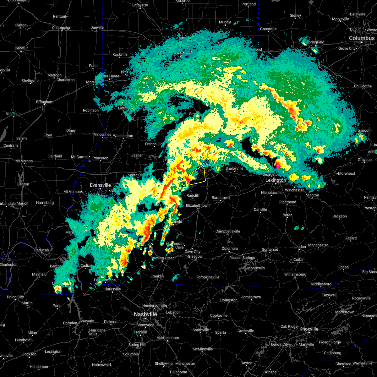 At 712 am est, a severe thunderstorm was located 9 miles southeast of corydon, moving northeast at 60 mph (radar indicated). Hazards include 60 mph wind gusts and quarter size hail. Hail damage to vehicles is expected. expect wind damage to roofs, siding, and trees. this severe storm will be near, pleasure ridge park and valley station around 720 am est. other locations in the path of this severe thunderstorm include shively, st. dennis, fairdale and louisville. hail threat, radar indicated max hail size, 1. 00 in wind threat, radar indicated max wind gust, 60 mph. At 712 am est, a severe thunderstorm was located 9 miles southeast of corydon, moving northeast at 60 mph (radar indicated). Hazards include 60 mph wind gusts and quarter size hail. Hail damage to vehicles is expected. expect wind damage to roofs, siding, and trees. this severe storm will be near, pleasure ridge park and valley station around 720 am est. other locations in the path of this severe thunderstorm include shively, st. dennis, fairdale and louisville. hail threat, radar indicated max hail size, 1. 00 in wind threat, radar indicated max wind gust, 60 mph.
|
| 1/12/2023 7:00 AM EST | At 700 am est, a severe thunderstorm was located over brandenburg, moving northeast at 55 mph (radar indicated). Hazards include quarter size hail. Damage to vehicles is expected. this severe thunderstorm will be near, valley station around 720 am est. other locations in the path of this severe thunderstorm include hollyvilla, fairdale, pleasure ridge par, st. dennis, louisville, shively and minor lane heights. hail threat, radar indicated max hail size, 1. 00 in wind threat, radar indicated max wind gust, <50 mph. |
| 1/12/2023 7:00 AM EST | At 700 am est, a severe thunderstorm was located over brandenburg, moving northeast at 55 mph (radar indicated). Hazards include quarter size hail. Damage to vehicles is expected. this severe thunderstorm will be near, valley station around 720 am est. other locations in the path of this severe thunderstorm include hollyvilla, fairdale, pleasure ridge par, st. dennis, louisville, shively and minor lane heights. hail threat, radar indicated max hail size, 1. 00 in wind threat, radar indicated max wind gust, <50 mph. |
| 7/6/2022 3:51 PM EDT |
 At 351 pm edt, a severe thunderstorm was located over fairdale, moving east at 25 mph (radar indicated). Hazards include 60 mph wind gusts and penny size hail. Expect damage to roofs, siding, and trees. this severe storm will be near, audubon park, fairdale and newburg around 355 pm edt. watterson park, lynnview, hollyvilla, poplar hills, south park view and okolona around 400 pm edt. other locations in the path of this severe thunderstorm include west buechel, hollow creek, spring mill, highview, fern creek and minor lane heights. hail threat, radar indicated max hail size, 0. 75 in wind threat, radar indicated max wind gust, 60 mph. At 351 pm edt, a severe thunderstorm was located over fairdale, moving east at 25 mph (radar indicated). Hazards include 60 mph wind gusts and penny size hail. Expect damage to roofs, siding, and trees. this severe storm will be near, audubon park, fairdale and newburg around 355 pm edt. watterson park, lynnview, hollyvilla, poplar hills, south park view and okolona around 400 pm edt. other locations in the path of this severe thunderstorm include west buechel, hollow creek, spring mill, highview, fern creek and minor lane heights. hail threat, radar indicated max hail size, 0. 75 in wind threat, radar indicated max wind gust, 60 mph.
|
| 7/6/2022 3:47 PM EDT | Powerlines down around 7500 arnoldtown roa in jefferson county KY, 3.8 miles N of Shively, KY |
| 7/6/2022 3:41 PM EDT |
 At 341 pm edt, a severe thunderstorm was located over valley station, moving east at 25 mph (radar indicated). Hazards include 70 mph wind gusts and penny size hail. Expect considerable tree damage. damage is likely to mobile homes, roofs, and outbuildings. this severe storm will be near, shively and fairdale around 350 pm edt. audubon park and parkway village around 355 pm edt. other locations in the path of this severe thunderstorm include watterson park, lynnview, hollyvilla, poplar hills, south park view, okolona, newburg, west buechel, hollow creek, spring mill, highview, fern creek and minor lane heights. thunderstorm damage threat, considerable hail threat, radar indicated max hail size, 0. 75 in wind threat, radar indicated max wind gust, 70 mph. At 341 pm edt, a severe thunderstorm was located over valley station, moving east at 25 mph (radar indicated). Hazards include 70 mph wind gusts and penny size hail. Expect considerable tree damage. damage is likely to mobile homes, roofs, and outbuildings. this severe storm will be near, shively and fairdale around 350 pm edt. audubon park and parkway village around 355 pm edt. other locations in the path of this severe thunderstorm include watterson park, lynnview, hollyvilla, poplar hills, south park view, okolona, newburg, west buechel, hollow creek, spring mill, highview, fern creek and minor lane heights. thunderstorm damage threat, considerable hail threat, radar indicated max hail size, 0. 75 in wind threat, radar indicated max wind gust, 70 mph.
|
| 7/6/2022 3:39 PM EDT |
 At 339 pm edt, a severe thunderstorm was located over pleasure ridge park, moving east at 25 mph (radar indicated). Hazards include 60 mph wind gusts and penny size hail. Expect damage to roofs, siding, and trees. this severe thunderstorm will be near, shively and fairdale around 350 pm edt. audubon park and parkway village around 355 pm edt. other locations in the path of this severe thunderstorm include watterson park, lynnview, hollyvilla, poplar hills, south park view, okolona, newburg, west buechel, hollow creek, spring mill, highview, fern creek and minor lane heights. hail threat, radar indicated max hail size, 0. 75 in wind threat, radar indicated max wind gust, 60 mph. At 339 pm edt, a severe thunderstorm was located over pleasure ridge park, moving east at 25 mph (radar indicated). Hazards include 60 mph wind gusts and penny size hail. Expect damage to roofs, siding, and trees. this severe thunderstorm will be near, shively and fairdale around 350 pm edt. audubon park and parkway village around 355 pm edt. other locations in the path of this severe thunderstorm include watterson park, lynnview, hollyvilla, poplar hills, south park view, okolona, newburg, west buechel, hollow creek, spring mill, highview, fern creek and minor lane heights. hail threat, radar indicated max hail size, 0. 75 in wind threat, radar indicated max wind gust, 60 mph.
|
| 7/6/2022 3:27 PM EDT |
 The severe thunderstorm warning for south central clark and central jefferson counties will expire at 330 pm edt, the storm which prompted the warning has weakened below severe limits, and no longer poses an immediate threat to life or property. therefore, the warning will be allowed to expire. a severe thunderstorm watch remains in effect until 700 pm edt for south central indiana, and central kentucky. remember, a severe thunderstorm warning still remains in effect for portions of northeastern jefferson county, kentucky, until 400 pm edt. The severe thunderstorm warning for south central clark and central jefferson counties will expire at 330 pm edt, the storm which prompted the warning has weakened below severe limits, and no longer poses an immediate threat to life or property. therefore, the warning will be allowed to expire. a severe thunderstorm watch remains in effect until 700 pm edt for south central indiana, and central kentucky. remember, a severe thunderstorm warning still remains in effect for portions of northeastern jefferson county, kentucky, until 400 pm edt.
|
| 7/6/2022 3:16 PM EDT |
 At 315 pm edt, a severe thunderstorm was located over louisville, moving southeast at 15 mph (radar indicated). Hazards include 60 mph wind gusts. Expect damage to roofs, siding, and trees. this severe storm will be near, louisville around 320 pm edt. other locations in the path of this severe thunderstorm include audubon park, parkway village, mockingbird valley, rolling fields, glenview, riverwood, brownsboro village, druid hills, newburg, windy hills, northfield, watterson park, lynnview, seneca gardens, strathmoor village, kingsley, strathmoor manor, bellewood, glenview hills, jeffersontown, st. matthews, lyndon, douglass hills, hurstbourne, graymoor-devondale, hurstbourne acres, st. regis park, beechwood village and west buechel. hail threat, radar indicated max hail size, <. 75 in wind threat, radar indicated max wind gust, 60 mph. At 315 pm edt, a severe thunderstorm was located over louisville, moving southeast at 15 mph (radar indicated). Hazards include 60 mph wind gusts. Expect damage to roofs, siding, and trees. this severe storm will be near, louisville around 320 pm edt. other locations in the path of this severe thunderstorm include audubon park, parkway village, mockingbird valley, rolling fields, glenview, riverwood, brownsboro village, druid hills, newburg, windy hills, northfield, watterson park, lynnview, seneca gardens, strathmoor village, kingsley, strathmoor manor, bellewood, glenview hills, jeffersontown, st. matthews, lyndon, douglass hills, hurstbourne, graymoor-devondale, hurstbourne acres, st. regis park, beechwood village and west buechel. hail threat, radar indicated max hail size, <. 75 in wind threat, radar indicated max wind gust, 60 mph.
|
| 7/6/2022 3:07 PM EDT |
 At 307 pm edt, a severe thunderstorm was located over new albany, moving southeast at 10 mph (radar indicated). Hazards include 60 mph wind gusts and penny size hail. Expect damage to roofs, siding, and trees. this severe thunderstorm will be near, jeffersonville around 310 pm edt. louisville around 315 pm edt. shively around 320 pm edt. other locations in the path of this severe thunderstorm include st. matthews, hurstbourne, graymoor-devondale, windy hills, hurstbourne acres, audubon park, st. regis park, beechwood village, west buechel and northfield. hail threat, radar indicated max hail size, 0. 75 in wind threat, radar indicated max wind gust, 60 mph. At 307 pm edt, a severe thunderstorm was located over new albany, moving southeast at 10 mph (radar indicated). Hazards include 60 mph wind gusts and penny size hail. Expect damage to roofs, siding, and trees. this severe thunderstorm will be near, jeffersonville around 310 pm edt. louisville around 315 pm edt. shively around 320 pm edt. other locations in the path of this severe thunderstorm include st. matthews, hurstbourne, graymoor-devondale, windy hills, hurstbourne acres, audubon park, st. regis park, beechwood village, west buechel and northfield. hail threat, radar indicated max hail size, 0. 75 in wind threat, radar indicated max wind gust, 60 mph.
|
| 6/22/2022 4:39 PM EDT |
 At 438 pm edt, severe thunderstorms were from graymoor-devondale to near fairdale to 6 miles southwest of valley station, moving southeast at 25 mph. multiple trees were blown down at the junction of zorn avenue and interstate 71 in louisville with these storms (radar indicated). Hazards include 60 mph wind gusts and quarter size hail. Hail damage to vehicles is expected. expect wind damage to roofs, siding, and trees. locations impacted include, louisville, jeffersonville, jeffersontown, st. matthews, shively, lyndon, middletown, douglass hills, prospect and hurstbourne. hail threat, radar indicated max hail size, 1. 00 in wind threat, radar indicated max wind gust, 60 mph. At 438 pm edt, severe thunderstorms were from graymoor-devondale to near fairdale to 6 miles southwest of valley station, moving southeast at 25 mph. multiple trees were blown down at the junction of zorn avenue and interstate 71 in louisville with these storms (radar indicated). Hazards include 60 mph wind gusts and quarter size hail. Hail damage to vehicles is expected. expect wind damage to roofs, siding, and trees. locations impacted include, louisville, jeffersonville, jeffersontown, st. matthews, shively, lyndon, middletown, douglass hills, prospect and hurstbourne. hail threat, radar indicated max hail size, 1. 00 in wind threat, radar indicated max wind gust, 60 mph.
|
| 6/22/2022 4:31 PM EDT |
 At 430 pm edt, severe thunderstorms were from glenview to shively to 7 miles southwest of valley station, moving east at 25 mph (radar indicated). Hazards include 60 mph wind gusts and quarter size hail. Hail damage to vehicles is expected. Expect wind damage to roofs, siding, and trees. At 430 pm edt, severe thunderstorms were from glenview to shively to 7 miles southwest of valley station, moving east at 25 mph (radar indicated). Hazards include 60 mph wind gusts and quarter size hail. Hail damage to vehicles is expected. Expect wind damage to roofs, siding, and trees.
|
| 6/22/2022 4:30 PM EDT | Tree down on hous in jefferson county KY, 1.5 miles NE of Shively, KY |
| 6/22/2022 4:22 PM EDT |
 At 421 pm edt, the leading edge of strong gusty winds from severe thunderstorms was from near jeffersonville to shively to 8 miles west of valley station to 8 miles south of brandenburg, moving southeast at 35 mph (radar indicated). Hazards include 60 mph wind gusts and nickel size hail. Expect damage to roofs, siding, and trees. locations impacted include, louisville, jeffersonville, new albany, shively, brandenburg, glenview, pleasure ridge park, and st. dennis. hail threat, radar indicated max hail size, 0. 88 in wind threat, radar indicated max wind gust, 60 mph. At 421 pm edt, the leading edge of strong gusty winds from severe thunderstorms was from near jeffersonville to shively to 8 miles west of valley station to 8 miles south of brandenburg, moving southeast at 35 mph (radar indicated). Hazards include 60 mph wind gusts and nickel size hail. Expect damage to roofs, siding, and trees. locations impacted include, louisville, jeffersonville, new albany, shively, brandenburg, glenview, pleasure ridge park, and st. dennis. hail threat, radar indicated max hail size, 0. 88 in wind threat, radar indicated max wind gust, 60 mph.
|
| 6/22/2022 4:13 PM EDT |
 At 413 pm edt, severe thunderstorms were from near new albany to near corydon to 9 miles southwest of brandenburg, moving east at 25 mph (radar indicated). Hazards include 60 mph wind gusts and quarter size hail. Hail damage to vehicles is expected. Expect wind damage to roofs, siding, and trees. At 413 pm edt, severe thunderstorms were from near new albany to near corydon to 9 miles southwest of brandenburg, moving east at 25 mph (radar indicated). Hazards include 60 mph wind gusts and quarter size hail. Hail damage to vehicles is expected. Expect wind damage to roofs, siding, and trees.
|
| 5/21/2022 4:53 PM EDT |
 At 452 pm edt, severe thunderstorms were located along a line extending from 8 miles west of madison, indiana, to louisville, kentucky moving east at 45 mph (radar indicated). Hazards include 60 mph wind gusts. Expect damage to roofs, siding, and trees. locations impacted include, graymoor-devondale, northfield, glenview, bancroft, old brownsboro place, glenview hills, glenview manor, thornhill, hills and dales, minor lane heights, jeffersontown, lyndon, douglass hills, hurstbourne, barbourmeade, rolling hills, langdon place, bellemeade, plantation, blue ridge manor, middletown, anchorage, worthington hills, coldstream and woodland hills. hail threat, radar indicated max hail size, <. 75 in wind threat, radar indicated max wind gust, 60 mph. At 452 pm edt, severe thunderstorms were located along a line extending from 8 miles west of madison, indiana, to louisville, kentucky moving east at 45 mph (radar indicated). Hazards include 60 mph wind gusts. Expect damage to roofs, siding, and trees. locations impacted include, graymoor-devondale, northfield, glenview, bancroft, old brownsboro place, glenview hills, glenview manor, thornhill, hills and dales, minor lane heights, jeffersontown, lyndon, douglass hills, hurstbourne, barbourmeade, rolling hills, langdon place, bellemeade, plantation, blue ridge manor, middletown, anchorage, worthington hills, coldstream and woodland hills. hail threat, radar indicated max hail size, <. 75 in wind threat, radar indicated max wind gust, 60 mph.
|
| 5/21/2022 4:24 PM EDT |
 At 423 pm edt, severe thunderstorms were located along a line extending from 9 miles west of scottsburg to near corydon, moving east at 40 mph (radar indicated). Hazards include 60 mph wind gusts. Expect damage to roofs, siding, and trees. severe thunderstorms will be near, scottsburg around 435 pm edt. other locations in the path of these severe thunderstorms include st. dennis, pleasure ridge park, valley station, shively, fairdale, louisville, audubon park, watterson park, lynnview, parkway village, poplar hills, newburg, okolona, west buechel, hollow creek, seneca gardens, strathmoor village, rolling fields, riverwood, norbourne estates, kingsley, strathmoor manor, bellewood, st. matthews, madison, hurstbourne, graymoor-devondale, windy hills, hurstbourne acres, st. regis park, beechwood village, barbourmeade, northfield, jeffersontown, lyndon, middletown, douglass hills, anchorage, worthington hills, coldstream, rolling hills, langdon place and plantation. hail threat, radar indicated max hail size, <. 75 in wind threat, radar indicated max wind gust, 60 mph. At 423 pm edt, severe thunderstorms were located along a line extending from 9 miles west of scottsburg to near corydon, moving east at 40 mph (radar indicated). Hazards include 60 mph wind gusts. Expect damage to roofs, siding, and trees. severe thunderstorms will be near, scottsburg around 435 pm edt. other locations in the path of these severe thunderstorms include st. dennis, pleasure ridge park, valley station, shively, fairdale, louisville, audubon park, watterson park, lynnview, parkway village, poplar hills, newburg, okolona, west buechel, hollow creek, seneca gardens, strathmoor village, rolling fields, riverwood, norbourne estates, kingsley, strathmoor manor, bellewood, st. matthews, madison, hurstbourne, graymoor-devondale, windy hills, hurstbourne acres, st. regis park, beechwood village, barbourmeade, northfield, jeffersontown, lyndon, middletown, douglass hills, anchorage, worthington hills, coldstream, rolling hills, langdon place and plantation. hail threat, radar indicated max hail size, <. 75 in wind threat, radar indicated max wind gust, 60 mph.
|
| 5/14/2022 3:55 PM EDT |
 The severe thunderstorm warning for south central clark, southeastern floyd and west central jefferson counties will expire at 400 pm edt, the storm which prompted the warning has weakened below severe limits, and no longer poses an immediate threat to life or property. therefore, the warning will be allowed to expire. however small hail, gusty winds and heavy rain are still possible with this thunderstorm. The severe thunderstorm warning for south central clark, southeastern floyd and west central jefferson counties will expire at 400 pm edt, the storm which prompted the warning has weakened below severe limits, and no longer poses an immediate threat to life or property. therefore, the warning will be allowed to expire. however small hail, gusty winds and heavy rain are still possible with this thunderstorm.
|
| 5/14/2022 3:41 PM EDT | Tree on a house at 28th and kentucky street in jefferson county KY, 3.3 miles SSW of Shively, KY |
| 5/14/2022 3:37 PM EDT |
 At 337 pm edt, a severe thunderstorm was located over new albany, moving south at 10 mph (radar indicated). Hazards include 60 mph wind gusts and nickel size hail. Expect damage to roofs, siding, and trees. this severe thunderstorm will be near, louisville around 345 pm edt. other locations in the path of this severe thunderstorm include shively. hail threat, radar indicated max hail size, 0. 88 in wind threat, radar indicated max wind gust, 60 mph. At 337 pm edt, a severe thunderstorm was located over new albany, moving south at 10 mph (radar indicated). Hazards include 60 mph wind gusts and nickel size hail. Expect damage to roofs, siding, and trees. this severe thunderstorm will be near, louisville around 345 pm edt. other locations in the path of this severe thunderstorm include shively. hail threat, radar indicated max hail size, 0. 88 in wind threat, radar indicated max wind gust, 60 mph.
|
| 4/13/2022 8:24 PM EDT |
 At 824 pm edt, a severe thunderstorm was located near woodland hills, moving northeast at 70 mph. this is a destructive storm for louisville (radar indicated). Hazards include 80 mph wind gusts and quarter size hail. Flying debris will be dangerous to those caught without shelter. mobile homes will be heavily damaged. expect considerable damage to roofs, windows, and vehicles. extensive tree damage and power outages are likely. This severe thunderstorm will remain over mainly rural areas of east central harrison, south central clark, southeastern floyd, northwestern spencer, southwestern oldham, southwestern shelby, jefferson, northeastern hardin and bullitt counties, including the following locations, yoder, clarksville, montclair, waterford, louisville bowman field, bardstown junction, hobbs, smithville, belmont and watson. At 824 pm edt, a severe thunderstorm was located near woodland hills, moving northeast at 70 mph. this is a destructive storm for louisville (radar indicated). Hazards include 80 mph wind gusts and quarter size hail. Flying debris will be dangerous to those caught without shelter. mobile homes will be heavily damaged. expect considerable damage to roofs, windows, and vehicles. extensive tree damage and power outages are likely. This severe thunderstorm will remain over mainly rural areas of east central harrison, south central clark, southeastern floyd, northwestern spencer, southwestern oldham, southwestern shelby, jefferson, northeastern hardin and bullitt counties, including the following locations, yoder, clarksville, montclair, waterford, louisville bowman field, bardstown junction, hobbs, smithville, belmont and watson.
|
| 4/13/2022 8:11 PM EDT |
 At 811 pm edt, a severe thunderstorm was located over hollyvilla, moving northeast at 70 mph (radar indicated). Hazards include 70 mph wind gusts and quarter size hail. Hail damage to vehicles is expected. expect considerable tree damage. wind damage is also likely to mobile homes, roofs, and outbuildings. this severe thunderstorm will be near, audubon park, lynnview, okolona and newburg around 815 pm edt. st. regis park, west buechel, watterson park, hollow creek, seneca gardens, strathmoor village, houston acres, norbourne estates, kingsley and meadowview estates around 820 pm edt. jeffersontown, lyndon, middletown, douglass hills, hurstbourne, anchorage, hurstbourne acres, beechwood village, rolling hills and langdon place around 825 pm edt. Worthington hills around 830 pm edt. At 811 pm edt, a severe thunderstorm was located over hollyvilla, moving northeast at 70 mph (radar indicated). Hazards include 70 mph wind gusts and quarter size hail. Hail damage to vehicles is expected. expect considerable tree damage. wind damage is also likely to mobile homes, roofs, and outbuildings. this severe thunderstorm will be near, audubon park, lynnview, okolona and newburg around 815 pm edt. st. regis park, west buechel, watterson park, hollow creek, seneca gardens, strathmoor village, houston acres, norbourne estates, kingsley and meadowview estates around 820 pm edt. jeffersontown, lyndon, middletown, douglass hills, hurstbourne, anchorage, hurstbourne acres, beechwood village, rolling hills and langdon place around 825 pm edt. Worthington hills around 830 pm edt.
|
| 4/13/2022 8:02 PM EDT |
 At 802 pm edt, a severe thunderstorm was located near valley station, moving east at 50 mph (radar indicated). Hazards include 70 mph wind gusts and quarter size hail. Hail damage to vehicles is expected. expect considerable tree damage. wind damage is also likely to mobile homes, roofs, and outbuildings. locations impacted include, shively, shepherdsville, valley station, pleasure ridge par, pleasure ridge park, st. Dennis, radcliff, muldraugh, west point and lanesville. At 802 pm edt, a severe thunderstorm was located near valley station, moving east at 50 mph (radar indicated). Hazards include 70 mph wind gusts and quarter size hail. Hail damage to vehicles is expected. expect considerable tree damage. wind damage is also likely to mobile homes, roofs, and outbuildings. locations impacted include, shively, shepherdsville, valley station, pleasure ridge par, pleasure ridge park, st. Dennis, radcliff, muldraugh, west point and lanesville.
|
| 4/13/2022 7:48 PM EDT |
 At 747 pm edt, a severe thunderstorm was located over brandenburg, moving east at 50 mph (radar indicated). Hazards include 70 mph wind gusts and penny size hail. Expect considerable tree damage. Damage is likely to mobile homes, roofs, and outbuildings. At 747 pm edt, a severe thunderstorm was located over brandenburg, moving east at 50 mph (radar indicated). Hazards include 70 mph wind gusts and penny size hail. Expect considerable tree damage. Damage is likely to mobile homes, roofs, and outbuildings.
|
| 8/26/2021 8:27 PM EDT |
 The severe thunderstorm warning for southern clark and west central jefferson counties will expire at 830 pm edt, the storm which prompted the warning has weakened below severe limits, and no longer poses an immediate threat to life or property. therefore, the warning will be allowed to expire. however heavy rain is still possible with this thunderstorm and may cause flash flooding. to report severe weather, contact your nearest law enforcement agency. they will relay your report to the national weather service louisville. The severe thunderstorm warning for southern clark and west central jefferson counties will expire at 830 pm edt, the storm which prompted the warning has weakened below severe limits, and no longer poses an immediate threat to life or property. therefore, the warning will be allowed to expire. however heavy rain is still possible with this thunderstorm and may cause flash flooding. to report severe weather, contact your nearest law enforcement agency. they will relay your report to the national weather service louisville.
|
| 8/26/2021 8:18 PM EDT |
 At 818 pm edt, a severe thunderstorm was located over louisville, and is nearly stationary (radar indicated). Hazards include 60 mph wind gusts and nickel size hail. Expect damage to roofs, siding, and trees. locations impacted include, louisville, shively, audubon park, west buechel, watterson park, lynnview, seneca gardens, parkway village, strathmoor village, kingsley and poplar hills. hail threat, radar indicated max hail size, 0. 88 in wind threat, radar indicated max wind gust, 60 mph. At 818 pm edt, a severe thunderstorm was located over louisville, and is nearly stationary (radar indicated). Hazards include 60 mph wind gusts and nickel size hail. Expect damage to roofs, siding, and trees. locations impacted include, louisville, shively, audubon park, west buechel, watterson park, lynnview, seneca gardens, parkway village, strathmoor village, kingsley and poplar hills. hail threat, radar indicated max hail size, 0. 88 in wind threat, radar indicated max wind gust, 60 mph.
|
| 8/26/2021 8:00 PM EDT |
 At 800 pm edt, a severe thunderstorm was located over louisville, and is nearly stationary (radar indicated). Hazards include 60 mph wind gusts and quarter size hail. Hail damage to vehicles is expected. expect wind damage to roofs, siding, and trees. this severe thunderstorm will be near, louisville around 805 pm edt. other locations in the path of this severe thunderstorm include shively, audubon park, west buechel, watterson park, lynnview, seneca gardens, parkway village, strathmoor village, kingsley and poplar hills. hail threat, radar indicated max hail size, 1. 00 in wind threat, radar indicated max wind gust, 60 mph. At 800 pm edt, a severe thunderstorm was located over louisville, and is nearly stationary (radar indicated). Hazards include 60 mph wind gusts and quarter size hail. Hail damage to vehicles is expected. expect wind damage to roofs, siding, and trees. this severe thunderstorm will be near, louisville around 805 pm edt. other locations in the path of this severe thunderstorm include shively, audubon park, west buechel, watterson park, lynnview, seneca gardens, parkway village, strathmoor village, kingsley and poplar hills. hail threat, radar indicated max hail size, 1. 00 in wind threat, radar indicated max wind gust, 60 mph.
|
| 7/10/2021 7:05 PM EDT |
 At 704 pm edt, a severe thunderstorm was located 3 miles southwest of downtown new albany, moving northeast at 20 mph (radar indicated). Hazards include 60 mph wind gusts. Expect damage to roofs, siding, and trees. locations impacted include, louisville, new albany, shively, st. Dennis and clarksville. At 704 pm edt, a severe thunderstorm was located 3 miles southwest of downtown new albany, moving northeast at 20 mph (radar indicated). Hazards include 60 mph wind gusts. Expect damage to roofs, siding, and trees. locations impacted include, louisville, new albany, shively, st. Dennis and clarksville.
|
| 7/10/2021 6:56 PM EDT |
 At 655 pm edt, a severe thunderstorm was located over st. dennis, moving northeast at 15 mph (radar indicated). Hazards include 60 mph wind gusts. expect damage to roofs, siding, and trees At 655 pm edt, a severe thunderstorm was located over st. dennis, moving northeast at 15 mph (radar indicated). Hazards include 60 mph wind gusts. expect damage to roofs, siding, and trees
|
| 7/8/2021 7:25 PM EDT |
 The severe thunderstorm warning for south central clark and northwestern jefferson counties will expire at 730 pm edt, the storm which prompted the warning has weakened below severe limits, and no longer poses an immediate threat to life or property. therefore, the warning will be allowed to expire. however heavy rain and frequent lightning are still possible with this thunderstorm. The severe thunderstorm warning for south central clark and northwestern jefferson counties will expire at 730 pm edt, the storm which prompted the warning has weakened below severe limits, and no longer poses an immediate threat to life or property. therefore, the warning will be allowed to expire. however heavy rain and frequent lightning are still possible with this thunderstorm.
|
| 7/8/2021 7:20 PM EDT |
 At 720 pm edt, a severe thunderstorm was located over windy hills, moving east at 35 mph (radar indicated). Hazards include 60 mph wind gusts and penny size hail. Expect damage to roofs, siding, and trees. This severe thunderstorm will remain over mainly rural areas of south central clark and northwestern jefferson counties, including the following locations, clarksville, louisville bowman field, oak park, watson, clark regional airport, cementville, utica and sellersburg. At 720 pm edt, a severe thunderstorm was located over windy hills, moving east at 35 mph (radar indicated). Hazards include 60 mph wind gusts and penny size hail. Expect damage to roofs, siding, and trees. This severe thunderstorm will remain over mainly rural areas of south central clark and northwestern jefferson counties, including the following locations, clarksville, louisville bowman field, oak park, watson, clark regional airport, cementville, utica and sellersburg.
|
| 7/8/2021 7:03 PM EDT |
 At 703 pm edt, a severe thunderstorm was located over new albany, moving east at 35 mph (radar indicated). Hazards include 60 mph wind gusts and penny size hail. Expect damage to roofs, siding, and trees. this severe thunderstorm will be near, louisville and jeffersonville around 710 pm edt. audubon park, parkway village, rolling fields, mockingbird valley and newburg around 715 pm edt. st. matthews, prospect, windy hills, west buechel, northfield, watterson park, woodlawn park, lynnview, green spring and seneca gardens around 720 pm edt. Other locations in the path of this severe thunderstorm include graymoor-devondale, beechwood village, barbourmeade, spring valley, brownsboro farm, meadowview estates and old brownsboro place. At 703 pm edt, a severe thunderstorm was located over new albany, moving east at 35 mph (radar indicated). Hazards include 60 mph wind gusts and penny size hail. Expect damage to roofs, siding, and trees. this severe thunderstorm will be near, louisville and jeffersonville around 710 pm edt. audubon park, parkway village, rolling fields, mockingbird valley and newburg around 715 pm edt. st. matthews, prospect, windy hills, west buechel, northfield, watterson park, woodlawn park, lynnview, green spring and seneca gardens around 720 pm edt. Other locations in the path of this severe thunderstorm include graymoor-devondale, beechwood village, barbourmeade, spring valley, brownsboro farm, meadowview estates and old brownsboro place.
|
| 6/11/2021 6:27 PM EDT |
 The severe thunderstorm warning for east central harrison, south central floyd and southwestern jefferson counties will expire at 630 pm edt, the storm which prompted the warning has weakened below severe limits, and has exited the warned area. therefore, the warning will be allowed to expire. however gusty winds and heavy rain are still possible with this thunderstorm as it moves southward through portions of bullitt and hardin counties. The severe thunderstorm warning for east central harrison, south central floyd and southwestern jefferson counties will expire at 630 pm edt, the storm which prompted the warning has weakened below severe limits, and has exited the warned area. therefore, the warning will be allowed to expire. however gusty winds and heavy rain are still possible with this thunderstorm as it moves southward through portions of bullitt and hardin counties.
|
| 6/11/2021 6:27 PM EDT |
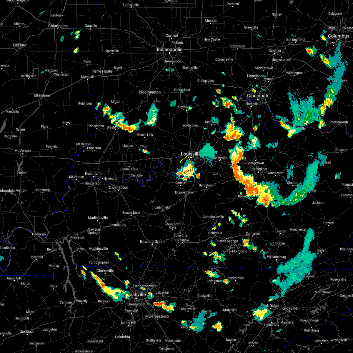 The severe thunderstorm warning for east central harrison, south central floyd and southwestern jefferson counties will expire at 630 pm edt, the storm which prompted the warning has weakened below severe limits, and has exited the warned area. therefore, the warning will be allowed to expire. however gusty winds and heavy rain are still possible with this thunderstorm as it moves southward through portions of bullitt and hardin counties. The severe thunderstorm warning for east central harrison, south central floyd and southwestern jefferson counties will expire at 630 pm edt, the storm which prompted the warning has weakened below severe limits, and has exited the warned area. therefore, the warning will be allowed to expire. however gusty winds and heavy rain are still possible with this thunderstorm as it moves southward through portions of bullitt and hardin counties.
|
| 6/11/2021 6:10 PM EDT |
 At 610 pm edt, a severe thunderstorm was located over pleasure ridge park, moving south at 20 mph (radar indicated). Hazards include 60 mph wind gusts. Expect damage to roofs, siding, and trees. this severe storm will be near, valley station around 615 pm edt. Other locations in the path of this severe thunderstorm include fairdale and hollyvilla. At 610 pm edt, a severe thunderstorm was located over pleasure ridge park, moving south at 20 mph (radar indicated). Hazards include 60 mph wind gusts. Expect damage to roofs, siding, and trees. this severe storm will be near, valley station around 615 pm edt. Other locations in the path of this severe thunderstorm include fairdale and hollyvilla.
|
| 6/11/2021 6:10 PM EDT |
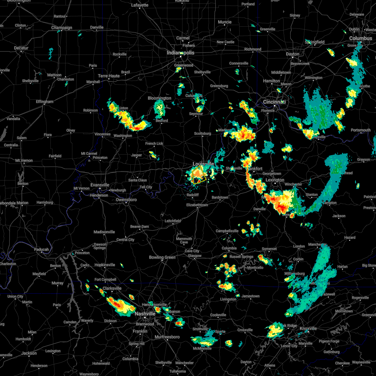 At 610 pm edt, a severe thunderstorm was located over pleasure ridge park, moving south at 20 mph (radar indicated). Hazards include 60 mph wind gusts. Expect damage to roofs, siding, and trees. this severe storm will be near, valley station around 615 pm edt. Other locations in the path of this severe thunderstorm include fairdale and hollyvilla. At 610 pm edt, a severe thunderstorm was located over pleasure ridge park, moving south at 20 mph (radar indicated). Hazards include 60 mph wind gusts. Expect damage to roofs, siding, and trees. this severe storm will be near, valley station around 615 pm edt. Other locations in the path of this severe thunderstorm include fairdale and hollyvilla.
|
| 6/11/2021 6:01 PM EDT | Tree limb down on strive ln. time estimated from rada in jefferson county KY, 3.8 miles NE of Shively, KY |
| 6/11/2021 6:01 PM EDT | Tree down grandel farms. time estimated from rada in jefferson county KY, 3.3 miles NE of Shively, KY |
| 6/11/2021 6:00 PM EDT | Social media photos of damaged metal shed blown from owners property. time estimated from rada in jefferson county KY, 2.4 miles NE of Shively, KY |
| 6/11/2021 5:59 PM EDT |
 At 559 pm edt, a severe thunderstorm was located near st. dennis, moving south at 20 mph (radar indicated). Hazards include 60 mph wind gusts. Expect damage to roofs, siding, and trees. this severe thunderstorm will be near, shively and pleasure ridge park around 605 pm edt. valley station around 615 pm edt. Other locations in the path of this severe thunderstorm include fairdale and hollyvilla. At 559 pm edt, a severe thunderstorm was located near st. dennis, moving south at 20 mph (radar indicated). Hazards include 60 mph wind gusts. Expect damage to roofs, siding, and trees. this severe thunderstorm will be near, shively and pleasure ridge park around 605 pm edt. valley station around 615 pm edt. Other locations in the path of this severe thunderstorm include fairdale and hollyvilla.
|
| 4/7/2021 6:41 PM EDT |
 The severe thunderstorm warning for south central clark, southeastern floyd and northwestern jefferson counties will expire at 645 pm edt, the storm which prompted the warning has weakened below severe limits, and no longer poses an immediate threat to life or property. therefore, the warning will be allowed to expire. however gusty winds are still possible with this thunderstorm. report severe weather to local law enforcement, post your report to the national weather service louisville facebook page, or tweet your report using hashtag l, m, k, spotter. The severe thunderstorm warning for south central clark, southeastern floyd and northwestern jefferson counties will expire at 645 pm edt, the storm which prompted the warning has weakened below severe limits, and no longer poses an immediate threat to life or property. therefore, the warning will be allowed to expire. however gusty winds are still possible with this thunderstorm. report severe weather to local law enforcement, post your report to the national weather service louisville facebook page, or tweet your report using hashtag l, m, k, spotter.
|
| 4/7/2021 6:41 PM EDT |
 At 620 pm edt, a severe thunderstorm was located over st. dennis, moving northeast at 30 mph (radar indicated). Hazards include 60 mph wind gusts and penny size hail. expect damage to roofs, siding, and trees At 620 pm edt, a severe thunderstorm was located over st. dennis, moving northeast at 30 mph (radar indicated). Hazards include 60 mph wind gusts and penny size hail. expect damage to roofs, siding, and trees
|
| 4/7/2021 6:21 PM EDT |
 At 620 pm edt, a severe thunderstorm was located over st. dennis, moving northeast at 30 mph (radar indicated). Hazards include 60 mph wind gusts and penny size hail. expect damage to roofs, siding, and trees At 620 pm edt, a severe thunderstorm was located over st. dennis, moving northeast at 30 mph (radar indicated). Hazards include 60 mph wind gusts and penny size hail. expect damage to roofs, siding, and trees
|
| 10/23/2020 6:40 PM EDT | Large limb snapped based on pictures relayed to a broadcast media meteorologis in jefferson county KY, 7.7 miles NNE of Shively, KY |
| 10/23/2020 6:38 PM EDT |
 At 638 pm edt, a severe thunderstorm was located over valley station, moving northeast at 35 mph (radar indicated). Hazards include 60 mph wind gusts. expect damage to roofs, siding, and trees At 638 pm edt, a severe thunderstorm was located over valley station, moving northeast at 35 mph (radar indicated). Hazards include 60 mph wind gusts. expect damage to roofs, siding, and trees
|
| 8/13/2020 2:00 PM EDT | Multiple trees uprooted near new cut rd and southside dr - relayed from social media post. time estimate in jefferson county KY, 4.1 miles NW of Shively, KY |
| 7/20/2020 3:56 PM EDT |
 The severe thunderstorm warning for jefferson county will expire at 400 pm edt, the storms which prompted the warning have weakened. however, gusty winds to 45 mph, heavy rain, and deadly lightning are still occurring. report severe weather to local law enforcement, post your report to the national weather service louisville facebook page, or tweet your report using hashtag l, m, k, spotter. The severe thunderstorm warning for jefferson county will expire at 400 pm edt, the storms which prompted the warning have weakened. however, gusty winds to 45 mph, heavy rain, and deadly lightning are still occurring. report severe weather to local law enforcement, post your report to the national weather service louisville facebook page, or tweet your report using hashtag l, m, k, spotter.
|
| 7/20/2020 3:39 PM EDT |
 At 338 pm edt, severe thunderstorms were from middletown to okolona, moving east at 25 mph (radar indicated). Hazards include 60 mph wind gusts and penny size hail. Expect damage to roofs, siding, and trees. locations impacted include, louisville, jeffersontown, st. Matthews, shively, lyndon, hurstbourne, windy hills, hurstbourne acres, and audubon park. At 338 pm edt, severe thunderstorms were from middletown to okolona, moving east at 25 mph (radar indicated). Hazards include 60 mph wind gusts and penny size hail. Expect damage to roofs, siding, and trees. locations impacted include, louisville, jeffersontown, st. Matthews, shively, lyndon, hurstbourne, windy hills, hurstbourne acres, and audubon park.
|
| 7/20/2020 3:26 PM EDT |
 At 325 pm edt, severe thunderstorms were from poplar hills to shively, moving east at 10 mph (radar indicated). Hazards include 60 mph wind gusts. expect damage to roofs, siding, and trees At 325 pm edt, severe thunderstorms were from poplar hills to shively, moving east at 10 mph (radar indicated). Hazards include 60 mph wind gusts. expect damage to roofs, siding, and trees
|
| 7/20/2020 3:24 PM EDT | Metrosafe said quite a few tree damage and power outage reports near dixie hwy. time estimated from downburst signal in tdwr dat in jefferson county KY, 0.6 miles WNW of Shively, KY |
| 7/11/2020 9:03 PM EDT |
 At 902 pm edt, severe thunderstorms were from near carefree town to near hollyvilla, moving southeast at 35 mph (radar indicated). Hazards include 60 mph wind gusts. Expect damage to roofs, siding, and trees. locations impacted include, louisville, jeffersonville, new albany, jeffersontown, st. Matthews, shively, shepherdsville, lyndon, hurstbourne, and corydon. At 902 pm edt, severe thunderstorms were from near carefree town to near hollyvilla, moving southeast at 35 mph (radar indicated). Hazards include 60 mph wind gusts. Expect damage to roofs, siding, and trees. locations impacted include, louisville, jeffersonville, new albany, jeffersontown, st. Matthews, shively, shepherdsville, lyndon, hurstbourne, and corydon.
|
| 7/11/2020 8:40 PM EDT |
 At 840 pm edt, severe thunderstorms were from near english to near pleasure ridge park, moving southeast at 35 mph (radar indicated). Hazards include 60 mph wind gusts and penny size hail. expect damage to roofs, siding, and trees At 840 pm edt, severe thunderstorms were from near english to near pleasure ridge park, moving southeast at 35 mph (radar indicated). Hazards include 60 mph wind gusts and penny size hail. expect damage to roofs, siding, and trees
|
| 7/11/2020 8:27 PM EDT |
 At 827 pm edt, severe thunderstorms were from near coldstream to fern creek to near corydon, moving southeast at 45 mph (radar indicated). Hazards include 60 mph wind gusts and nickel size hail. Expect damage to roofs, siding, and trees. locations impacted include, louisville, jeffersonville, new albany, jeffersontown, st. Matthews, shively, shepherdsville, lyndon, middletown, and douglass hills. At 827 pm edt, severe thunderstorms were from near coldstream to fern creek to near corydon, moving southeast at 45 mph (radar indicated). Hazards include 60 mph wind gusts and nickel size hail. Expect damage to roofs, siding, and trees. locations impacted include, louisville, jeffersonville, new albany, jeffersontown, st. Matthews, shively, shepherdsville, lyndon, middletown, and douglass hills.
|
| 7/11/2020 8:09 PM EDT |
 At 807 pm edt, severe thunderstorms were from 10 miles north of prospect to near jeffersonville to 6 miles north of corydon, moving southeast at 45 mph (radar indicated). Hazards include 60 mph wind gusts and nickel size hail. Expect damage to roofs, siding, and trees. severe thunderstorms will be near, louisville around 815 pm edt. jeffersontown around 820 pm edt. anchorage around 825 pm edt. middletown around 830 pm edt. Other locations impacted by these severe thunderstorms include crandall, clarksville, bradford, clark siding, buckner, watson, floyds knobs, and utica. At 807 pm edt, severe thunderstorms were from 10 miles north of prospect to near jeffersonville to 6 miles north of corydon, moving southeast at 45 mph (radar indicated). Hazards include 60 mph wind gusts and nickel size hail. Expect damage to roofs, siding, and trees. severe thunderstorms will be near, louisville around 815 pm edt. jeffersontown around 820 pm edt. anchorage around 825 pm edt. middletown around 830 pm edt. Other locations impacted by these severe thunderstorms include crandall, clarksville, bradford, clark siding, buckner, watson, floyds knobs, and utica.
|
| 4/8/2020 10:56 PM EDT |
 At 1055 pm edt, severe thunderstorms were located along a line extending from 8 miles north of new castle to near la grange to 8 miles east of brandenburg, moving east at 50 mph (radar indicated). Hazards include 60 mph wind gusts. Expect damage to roofs, siding, and trees. locations impacted include, louisville, jeffersonville, jeffersontown, st. Matthews, shively, shepherdsville, lyndon, la grange, middletown and douglass hills. At 1055 pm edt, severe thunderstorms were located along a line extending from 8 miles north of new castle to near la grange to 8 miles east of brandenburg, moving east at 50 mph (radar indicated). Hazards include 60 mph wind gusts. Expect damage to roofs, siding, and trees. locations impacted include, louisville, jeffersonville, jeffersontown, st. Matthews, shively, shepherdsville, lyndon, la grange, middletown and douglass hills.
|
| 4/8/2020 10:28 PM EDT |
 At 1028 pm edt, severe thunderstorms were located along a line extending from 8 miles southwest of madison to 10 miles northwest of prospect to 8 miles south of carefree town, moving east at 50 mph (radar indicated). Hazards include 70 mph wind gusts. Expect considerable tree damage. Damage is likely to mobile homes, roofs, and outbuildings. At 1028 pm edt, severe thunderstorms were located along a line extending from 8 miles southwest of madison to 10 miles northwest of prospect to 8 miles south of carefree town, moving east at 50 mph (radar indicated). Hazards include 70 mph wind gusts. Expect considerable tree damage. Damage is likely to mobile homes, roofs, and outbuildings.
|
| 3/28/2020 11:05 PM EDT |
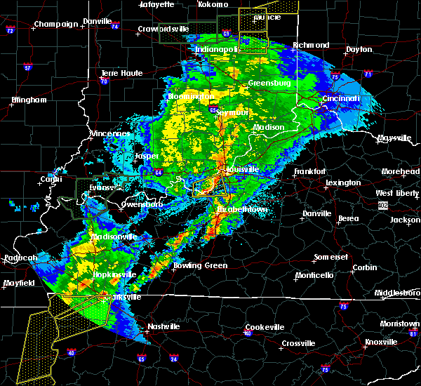 At 1104 pm edt, a severe thunderstorm was located near valley station, moving east at 45 mph (radar indicated). Hazards include 60 mph wind gusts. Expect damage to roofs, siding, and trees. locations impacted include, louisville, shively, valley station, st. Dennis, pleasure ridge par, pleasure ridge park, fairdale, cupio, rosewood and evans landing. At 1104 pm edt, a severe thunderstorm was located near valley station, moving east at 45 mph (radar indicated). Hazards include 60 mph wind gusts. Expect damage to roofs, siding, and trees. locations impacted include, louisville, shively, valley station, st. Dennis, pleasure ridge par, pleasure ridge park, fairdale, cupio, rosewood and evans landing.
|
| 3/28/2020 11:03 PM EDT | Trees down arnoldtown road at locklee roa in jefferson county KY, 3.1 miles N of Shively, KY |
| 3/28/2020 11:02 PM EDT |
 At 1101 pm edt, a severe thunderstorm was located over shively, moving east at 50 mph (radar indicated). Hazards include 60 mph wind gusts. expect damage to roofs, siding, and trees At 1101 pm edt, a severe thunderstorm was located over shively, moving east at 50 mph (radar indicated). Hazards include 60 mph wind gusts. expect damage to roofs, siding, and trees
|
| 3/28/2020 10:40 PM EDT |
 At 1040 pm edt, a severe thunderstorm was located near brandenburg, moving east at 45 mph (radar indicated). Hazards include 60 mph wind gusts. expect damage to roofs, siding, and trees At 1040 pm edt, a severe thunderstorm was located near brandenburg, moving east at 45 mph (radar indicated). Hazards include 60 mph wind gusts. expect damage to roofs, siding, and trees
|
| 6/23/2019 4:47 PM EDT |
 At 446 pm edt, severe thunderstorms were located along a line extending from 8 miles northwest of prospect to audubon park to 7 miles south of valley station, moving east at 50 mph (radar indicated). Hazards include 60 mph wind gusts and penny size hail. Expect damage to roofs, siding, and trees. locations impacted include, louisville, jeffersonville, new albany, jeffersontown, st. Matthews, shively, shepherdsville, lyndon, middletown and douglass hills. At 446 pm edt, severe thunderstorms were located along a line extending from 8 miles northwest of prospect to audubon park to 7 miles south of valley station, moving east at 50 mph (radar indicated). Hazards include 60 mph wind gusts and penny size hail. Expect damage to roofs, siding, and trees. locations impacted include, louisville, jeffersonville, new albany, jeffersontown, st. Matthews, shively, shepherdsville, lyndon, middletown and douglass hills.
|
| 6/23/2019 4:41 PM EDT | Reported at louisville international airpor in jefferson county KY, 4.2 miles ENE of Shively, KY |
| 6/23/2019 4:26 PM EDT |
 The tornado warning for east central harrison, south central floyd and west central jefferson counties will expire at 430 pm edt, the storm which prompted the warning has weakened below severe limits, and no longer appears capable of producing a tornado. therefore, the warning will be allowed to expire. however gusty winds are still possible with this thunderstorm. a severe thunderstorm watch remains in effect until 800 pm edt for south central indiana. a severe thunderstorm watch also remains in effect until 800 pm edt for central kentucky. report severe weather to local law enforcement, post your report to the national weather service louisville facebook page, or tweet your report using hashtag l, m, k, spotter. The tornado warning for east central harrison, south central floyd and west central jefferson counties will expire at 430 pm edt, the storm which prompted the warning has weakened below severe limits, and no longer appears capable of producing a tornado. therefore, the warning will be allowed to expire. however gusty winds are still possible with this thunderstorm. a severe thunderstorm watch remains in effect until 800 pm edt for south central indiana. a severe thunderstorm watch also remains in effect until 800 pm edt for central kentucky. report severe weather to local law enforcement, post your report to the national weather service louisville facebook page, or tweet your report using hashtag l, m, k, spotter.
|
| 6/23/2019 4:26 PM EDT |
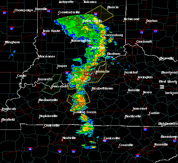 The tornado warning for east central harrison, south central floyd and west central jefferson counties will expire at 430 pm edt, the storm which prompted the warning has weakened below severe limits, and no longer appears capable of producing a tornado. therefore, the warning will be allowed to expire. however gusty winds are still possible with this thunderstorm. a severe thunderstorm watch remains in effect until 800 pm edt for south central indiana. a severe thunderstorm watch also remains in effect until 800 pm edt for central kentucky. report severe weather to local law enforcement, post your report to the national weather service louisville facebook page, or tweet your report using hashtag l, m, k, spotter. The tornado warning for east central harrison, south central floyd and west central jefferson counties will expire at 430 pm edt, the storm which prompted the warning has weakened below severe limits, and no longer appears capable of producing a tornado. therefore, the warning will be allowed to expire. however gusty winds are still possible with this thunderstorm. a severe thunderstorm watch remains in effect until 800 pm edt for south central indiana. a severe thunderstorm watch also remains in effect until 800 pm edt for central kentucky. report severe weather to local law enforcement, post your report to the national weather service louisville facebook page, or tweet your report using hashtag l, m, k, spotter.
|
| 6/23/2019 4:23 PM EDT |
 At 423 pm edt, severe thunderstorms were located along a line extending from 9 miles south of borden to 8 miles west of valley station to near brandenburg, moving east at 50 mph (radar indicated). Hazards include 60 mph wind gusts and penny size hail. expect damage to roofs, siding, and trees At 423 pm edt, severe thunderstorms were located along a line extending from 9 miles south of borden to 8 miles west of valley station to near brandenburg, moving east at 50 mph (radar indicated). Hazards include 60 mph wind gusts and penny size hail. expect damage to roofs, siding, and trees
|
| 6/23/2019 4:16 PM EDT |
 At 416 pm edt, a severe thunderstorm capable of producing a tornado was located near corydon, moving east at 40 mph (radar indicated rotation). Hazards include tornado. Flying debris will be dangerous to those caught without shelter. mobile homes will be damaged or destroyed. damage to roofs, windows, and vehicles will occur. Tree damage is likely. At 416 pm edt, a severe thunderstorm capable of producing a tornado was located near corydon, moving east at 40 mph (radar indicated rotation). Hazards include tornado. Flying debris will be dangerous to those caught without shelter. mobile homes will be damaged or destroyed. damage to roofs, windows, and vehicles will occur. Tree damage is likely.
|
| 6/23/2019 4:16 PM EDT |
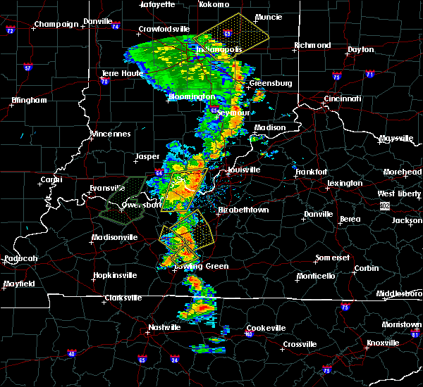 At 416 pm edt, a severe thunderstorm capable of producing a tornado was located near corydon, moving east at 40 mph (radar indicated rotation). Hazards include tornado. Flying debris will be dangerous to those caught without shelter. mobile homes will be damaged or destroyed. damage to roofs, windows, and vehicles will occur. Tree damage is likely. At 416 pm edt, a severe thunderstorm capable of producing a tornado was located near corydon, moving east at 40 mph (radar indicated rotation). Hazards include tornado. Flying debris will be dangerous to those caught without shelter. mobile homes will be damaged or destroyed. damage to roofs, windows, and vehicles will occur. Tree damage is likely.
|
| 6/5/2019 9:50 PM EDT |
 At 949 pm edt, severe thunderstorms were located along a line extending from richlawn to south park view, moving east at 40 mph (radar indicated). Hazards include 60 mph wind gusts. Expect damage to roofs, siding, and trees. locations impacted include, louisville, jeffersonville, jeffersontown, st. Matthews, shively, shepherdsville, lyndon, middletown, douglass hills and prospect. At 949 pm edt, severe thunderstorms were located along a line extending from richlawn to south park view, moving east at 40 mph (radar indicated). Hazards include 60 mph wind gusts. Expect damage to roofs, siding, and trees. locations impacted include, louisville, jeffersonville, jeffersontown, st. Matthews, shively, shepherdsville, lyndon, middletown, douglass hills and prospect.
|
| 6/5/2019 9:28 PM EDT |
 At 928 pm edt, severe thunderstorms were located along a line extending from near new albany to near st. dennis, moving southeast at 40 mph (radar indicated). Hazards include 60 mph wind gusts. expect damage to roofs, siding, and trees At 928 pm edt, severe thunderstorms were located along a line extending from near new albany to near st. dennis, moving southeast at 40 mph (radar indicated). Hazards include 60 mph wind gusts. expect damage to roofs, siding, and trees
|
| 5/26/2019 4:30 PM EDT | Large tree fell on yard near intersection of manslick and knight roa in jefferson county KY, 2 miles NNW of Shively, KY |
| 5/26/2019 2:20 PM EDT | Broadcast media relayed a public report of a tree on a building near dixie highway and noble r in jefferson county KY, 1.1 miles WSW of Shively, KY |
| 5/1/2019 7:33 PM EDT | Large branches down on deering road... damage to a fenc in jefferson county KY, 6.9 miles NNE of Shively, KY |
| 4/12/2019 6:35 AM EDT |
 At 634 am edt, a severe thunderstorm was located over strathmoor manor, moving northeast at 55 mph. louisville international airport just reported a gust to 59 mph (radar indicated). Hazards include 60 mph wind gusts. expect damage to roofs, siding, and trees At 634 am edt, a severe thunderstorm was located over strathmoor manor, moving northeast at 55 mph. louisville international airport just reported a gust to 59 mph (radar indicated). Hazards include 60 mph wind gusts. expect damage to roofs, siding, and trees
|
| 12/31/2018 3:38 PM EST |
 At 338 pm est, a severe thunderstorm was located 8 miles southeast of corydon, moving east at 55 mph (radar indicated). Hazards include 70 mph wind gusts. Expect considerable tree damage. Damage is likely to mobile homes, roofs, and outbuildings. At 338 pm est, a severe thunderstorm was located 8 miles southeast of corydon, moving east at 55 mph (radar indicated). Hazards include 70 mph wind gusts. Expect considerable tree damage. Damage is likely to mobile homes, roofs, and outbuildings.
|
| 8/15/2018 8:27 PM EDT | Trees down in the 1600 block of loney lan in jefferson county KY, 1.9 miles WSW of Shively, KY |
| 8/15/2018 8:07 PM EDT |
 At 807 pm edt, severe thunderstorms were located along a line extending from st. dennis to 11 miles north of leitchfield, moving east at 40 mph (radar indicated). Hazards include 60 mph wind gusts. expect damage to roofs, siding, and trees At 807 pm edt, severe thunderstorms were located along a line extending from st. dennis to 11 miles north of leitchfield, moving east at 40 mph (radar indicated). Hazards include 60 mph wind gusts. expect damage to roofs, siding, and trees
|
| 7/20/2018 9:52 PM EDT |
 At 952 pm edt, severe thunderstorms were located along a line extending from near shively to near valley station, moving east at 50 mph (radar indicated). Hazards include 60 mph wind gusts and quarter size hail. Hail damage to vehicles is expected. expect wind damage to roofs, siding, and trees. locations impacted include, louisville, shively, audubon park, west buechel, watterson park, lynnview, hollow creek, parkway village, hollyvilla and poplar hills. A tornado watch remains in effect until 300 am edt for south central indiana, and central kentucky. At 952 pm edt, severe thunderstorms were located along a line extending from near shively to near valley station, moving east at 50 mph (radar indicated). Hazards include 60 mph wind gusts and quarter size hail. Hail damage to vehicles is expected. expect wind damage to roofs, siding, and trees. locations impacted include, louisville, shively, audubon park, west buechel, watterson park, lynnview, hollow creek, parkway village, hollyvilla and poplar hills. A tornado watch remains in effect until 300 am edt for south central indiana, and central kentucky.
|
| 7/20/2018 9:35 PM EDT |
 At 935 pm edt, severe thunderstorms were located along a line extending from near corydon to 7 miles north of brandenburg, moving east at 50 mph (radar indicated). Hazards include 60 mph wind gusts and quarter size hail. Hail damage to vehicles is expected. Expect wind damage to roofs, siding, and trees. At 935 pm edt, severe thunderstorms were located along a line extending from near corydon to 7 miles north of brandenburg, moving east at 50 mph (radar indicated). Hazards include 60 mph wind gusts and quarter size hail. Hail damage to vehicles is expected. Expect wind damage to roofs, siding, and trees.
|
| 7/20/2018 2:51 PM EDT |
 At 245 pm edt, a severe thunderstorm was located over valley station, moving east at 30 mph (radar indicated). Hazards include golf ball size hail and 70 mph wind gusts. People and animals outdoors will be injured. expect hail damage to roofs, siding, windows, and vehicles. expect considerable tree damage. wind damage is also likely to mobile homes, roofs, and outbuildings. locations impacted include, louisville, jeffersontown, st. matthews, shively, middletown, douglass hills, hurstbourne, hurstbourne acres, audubon park and st. regis park. A tornado watch remains in effect until 900 pm edt for south central indiana, and central kentucky. At 245 pm edt, a severe thunderstorm was located over valley station, moving east at 30 mph (radar indicated). Hazards include golf ball size hail and 70 mph wind gusts. People and animals outdoors will be injured. expect hail damage to roofs, siding, windows, and vehicles. expect considerable tree damage. wind damage is also likely to mobile homes, roofs, and outbuildings. locations impacted include, louisville, jeffersontown, st. matthews, shively, middletown, douglass hills, hurstbourne, hurstbourne acres, audubon park and st. regis park. A tornado watch remains in effect until 900 pm edt for south central indiana, and central kentucky.
|
| 7/20/2018 2:50 PM EDT | Golf Ball sized hail reported 2.7 miles W of Shively, KY, golf ball size hail at churchill downs. |
| 7/20/2018 2:50 PM EDT | Golf Ball sized hail reported 3.2 miles NW of Shively, KY, large hail in iroquois park. |
| 7/20/2018 2:46 PM EDT | Golf Ball sized hail reported 0.6 miles SW of Shively, KY |
| 7/20/2018 2:45 PM EDT | Hen Egg sized hail reported 2.7 miles NW of Shively, KY |
| 7/20/2018 2:45 PM EDT |
 At 245 pm edt, a severe thunderstorm was located over valley station, moving east at 30 mph (radar indicated). Hazards include golf ball size hail and 70 mph wind gusts. People and animals outdoors will be injured. expect hail damage to roofs, siding, windows, and vehicles. expect considerable tree damage. wind damage is also likely to mobile homes, roofs, and outbuildings. locations impacted include, louisville, jeffersontown, st. matthews, shively, middletown, douglass hills, hurstbourne, hurstbourne acres, audubon park and st. regis park. A tornado watch remains in effect until 900 pm edt for south central indiana, and central kentucky. At 245 pm edt, a severe thunderstorm was located over valley station, moving east at 30 mph (radar indicated). Hazards include golf ball size hail and 70 mph wind gusts. People and animals outdoors will be injured. expect hail damage to roofs, siding, windows, and vehicles. expect considerable tree damage. wind damage is also likely to mobile homes, roofs, and outbuildings. locations impacted include, louisville, jeffersontown, st. matthews, shively, middletown, douglass hills, hurstbourne, hurstbourne acres, audubon park and st. regis park. A tornado watch remains in effect until 900 pm edt for south central indiana, and central kentucky.
|
| 7/20/2018 2:28 PM EDT | Half Dollar sized hail reported 3.5 miles NNE of Shively, KY |
| 7/20/2018 2:20 PM EDT |
 At 220 pm edt, a severe thunderstorm was located near corydon, moving east at 30 mph (radar indicated). Hazards include tennis ball size hail and 70 mph wind gusts. People and animals outdoors will be injured. expect hail damage to roofs, siding, windows, and vehicles. expect considerable tree damage. Wind damage is also likely to mobile homes, roofs, and outbuildings. At 220 pm edt, a severe thunderstorm was located near corydon, moving east at 30 mph (radar indicated). Hazards include tennis ball size hail and 70 mph wind gusts. People and animals outdoors will be injured. expect hail damage to roofs, siding, windows, and vehicles. expect considerable tree damage. Wind damage is also likely to mobile homes, roofs, and outbuildings.
|
| 6/26/2018 1:04 PM EDT |
 At 103 pm edt, severe thunderstorms were located along a line extending from near salem to 7 miles west of pleasure ridge park to 10 miles southeast of brandenburg, moving east at 40 mph (radar indicated). Hazards include 60 mph wind gusts. expect damage to roofs, siding, and trees At 103 pm edt, severe thunderstorms were located along a line extending from near salem to 7 miles west of pleasure ridge park to 10 miles southeast of brandenburg, moving east at 40 mph (radar indicated). Hazards include 60 mph wind gusts. expect damage to roofs, siding, and trees
|
| 6/9/2018 6:37 PM EDT |
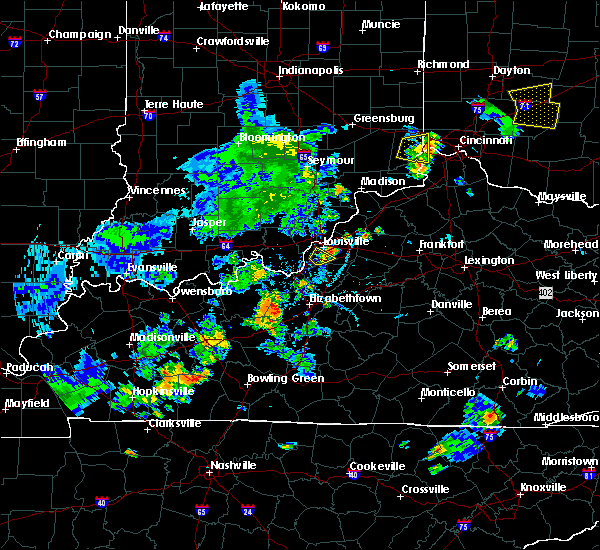 The severe thunderstorm warning for southwestern jefferson county will expire at 645 pm edt, the storm which prompted the warning has weakened below severe limits, and has exited the warned area. therefore, the warning will be allowed to expire. however gusty winds to 45 mph are still possible with this thunderstorm. report severe weather to local law enforcement, post your report to the national weather service louisville facebook page, or tweet your report using hashtag l, m, k, spotter. The severe thunderstorm warning for southwestern jefferson county will expire at 645 pm edt, the storm which prompted the warning has weakened below severe limits, and has exited the warned area. therefore, the warning will be allowed to expire. however gusty winds to 45 mph are still possible with this thunderstorm. report severe weather to local law enforcement, post your report to the national weather service louisville facebook page, or tweet your report using hashtag l, m, k, spotter.
|
| 6/9/2018 6:27 PM EDT |
 At 627 pm edt, a severe thunderstorm was located over fairdale, moving northeast at 15 mph (radar indicated). Hazards include 60 mph wind gusts and penny size hail. Expect damage to roofs, siding, and trees. Locations impacted include, louisville, shively, lynnview, hollyvilla, south park view, fairdale, minor lane heights, okolona, highview and newburg. At 627 pm edt, a severe thunderstorm was located over fairdale, moving northeast at 15 mph (radar indicated). Hazards include 60 mph wind gusts and penny size hail. Expect damage to roofs, siding, and trees. Locations impacted include, louisville, shively, lynnview, hollyvilla, south park view, fairdale, minor lane heights, okolona, highview and newburg.
|
| 6/9/2018 6:13 PM EDT |
 At 613 pm edt, a severe thunderstorm was located over valley station, moving northeast at 15 mph (radar indicated). Hazards include 60 mph wind gusts and penny size hail. expect damage to roofs, siding, and trees At 613 pm edt, a severe thunderstorm was located over valley station, moving northeast at 15 mph (radar indicated). Hazards include 60 mph wind gusts and penny size hail. expect damage to roofs, siding, and trees
|
| 5/31/2018 2:34 PM EDT | Trees down dubourg avenue at dixie highwa in jefferson county KY, 1.5 miles SW of Shively, KY |
| 5/31/2018 2:34 PM EDT | Trees down on churchman avenu in jefferson county KY, 1.9 miles WNW of Shively, KY |
| 5/31/2018 2:34 PM EDT | Trees down on south first stree in jefferson county KY, 4 miles SW of Shively, KY |
| 5/31/2018 2:33 PM EDT | Trees down west pages at devonshir in jefferson county KY, 5.2 miles NNE of Shively, KY |
| 5/31/2018 2:33 PM EDT |
 At 232 pm edt, severe thunderstorms were located along a line extending from watterson park to 10 miles south of shepherdsville, moving east at 55 mph (radar indicated). Hazards include 60 mph wind gusts. Expect damage to roofs, siding, and trees. Radar indicated rotation in these storms in northern bullitt county, moving north of shepherdsville. At 232 pm edt, severe thunderstorms were located along a line extending from watterson park to 10 miles south of shepherdsville, moving east at 55 mph (radar indicated). Hazards include 60 mph wind gusts. Expect damage to roofs, siding, and trees. Radar indicated rotation in these storms in northern bullitt county, moving north of shepherdsville.
|
| 5/31/2018 2:32 PM EDT | Trees on a buildin in jefferson county KY, 2.2 miles W of Shively, KY |
| 5/31/2018 2:27 PM EDT | Trees dow in jefferson county KY, 5.6 miles NNE of Shively, KY |
| 5/31/2018 2:14 PM EDT |
 At 214 pm edt, severe thunderstorms were located along a line extending from 6 miles west of pleasure ridge park to 13 miles northwest of elizabethtown, moving east at 50 mph (radar indicated). Hazards include 60 mph wind gusts. expect damage to roofs, siding, and trees At 214 pm edt, severe thunderstorms were located along a line extending from 6 miles west of pleasure ridge park to 13 miles northwest of elizabethtown, moving east at 50 mph (radar indicated). Hazards include 60 mph wind gusts. expect damage to roofs, siding, and trees
|
| 4/3/2018 7:53 PM EDT |
 At 753 pm edt, a severe thunderstorm was located over mockingbird valley, moving northeast at 70 mph (radar indicated). Hazards include 60 mph wind gusts and nickel size hail. expect damage to roofs, siding, and trees At 753 pm edt, a severe thunderstorm was located over mockingbird valley, moving northeast at 70 mph (radar indicated). Hazards include 60 mph wind gusts and nickel size hail. expect damage to roofs, siding, and trees
|
| 2/24/2018 10:53 PM EST |
 The severe thunderstorm warning for southern harrison, south central floyd, southeastern meade, west central jefferson and northeastern breckinridge counties will expire at 1100 pm est/1000 pm cst/, the storms which prompted the warning are moving out of the warned area. therefore, the warning will be allowed to expire at 1100 pm est. report any severe weather to local law enforcement, post your report to the national weather service louisville facebook page, or tweet your report using hashtag l, m, k, spotter. The severe thunderstorm warning for southern harrison, south central floyd, southeastern meade, west central jefferson and northeastern breckinridge counties will expire at 1100 pm est/1000 pm cst/, the storms which prompted the warning are moving out of the warned area. therefore, the warning will be allowed to expire at 1100 pm est. report any severe weather to local law enforcement, post your report to the national weather service louisville facebook page, or tweet your report using hashtag l, m, k, spotter.
|
| 2/24/2018 10:53 PM EST |
 At 1025 pm est/925 pm cst/, severe thunderstorms were located along a line extending from near corydon to 7 miles northeast of hardinsburg, moving east at 60 to 65 mph (radar indicated). Hazards include 60 mph wind gusts. expect damage to roofs, siding, and trees At 1025 pm est/925 pm cst/, severe thunderstorms were located along a line extending from near corydon to 7 miles northeast of hardinsburg, moving east at 60 to 65 mph (radar indicated). Hazards include 60 mph wind gusts. expect damage to roofs, siding, and trees
|
| 2/24/2018 10:44 PM EST |
 At 1043 pm est, severe thunderstorms were located along a line extending from st. dennis to 14 miles east of hardinsburg, moving east at 55 mph (radar indicated). Hazards include 60 mph wind gusts. expect damage to roofs, siding, and trees At 1043 pm est, severe thunderstorms were located along a line extending from st. dennis to 14 miles east of hardinsburg, moving east at 55 mph (radar indicated). Hazards include 60 mph wind gusts. expect damage to roofs, siding, and trees
|
| 2/24/2018 10:26 PM EST |
 The national weather service in louisville has issued a * severe thunderstorm warning for. southern harrison county in south central indiana. south central floyd county in south central indiana. southeastern meade county in central kentucky. West central jefferson county in central kentucky. The national weather service in louisville has issued a * severe thunderstorm warning for. southern harrison county in south central indiana. south central floyd county in south central indiana. southeastern meade county in central kentucky. West central jefferson county in central kentucky.
|
| 2/24/2018 10:26 PM EST |
 At 1025 pm est/925 pm cst/, severe thunderstorms were located along a line extending from near corydon to 7 miles northeast of hardinsburg, moving east at 60 to 65 mph (radar indicated). Hazards include 60 mph wind gusts. expect damage to roofs, siding, and trees At 1025 pm est/925 pm cst/, severe thunderstorms were located along a line extending from near corydon to 7 miles northeast of hardinsburg, moving east at 60 to 65 mph (radar indicated). Hazards include 60 mph wind gusts. expect damage to roofs, siding, and trees
|
| 7/7/2017 9:56 PM EDT |
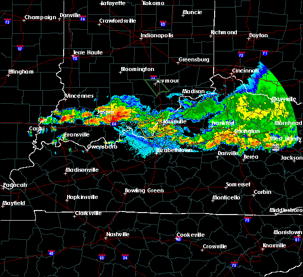 The severe thunderstorm warning for southeastern harrison, southwestern floyd, southwestern jefferson and northwestern bullitt counties will expire at 1000 pm edt, the storm which prompted the warning has weakened below severe limits, and no longer poses an immediate threat to life or property. therefore the warning will be allowed to expire. however gusty winds are still possible with this thunderstorm. a severe thunderstorm watch remains in effect until 1100 pm edt for south central indiana, and central kentucky. report severe weather to local law enforcement, post your report to the national weather service louisville facebook page, or tweet your report using hashtag l, m, k, spotter. The severe thunderstorm warning for southeastern harrison, southwestern floyd, southwestern jefferson and northwestern bullitt counties will expire at 1000 pm edt, the storm which prompted the warning has weakened below severe limits, and no longer poses an immediate threat to life or property. therefore the warning will be allowed to expire. however gusty winds are still possible with this thunderstorm. a severe thunderstorm watch remains in effect until 1100 pm edt for south central indiana, and central kentucky. report severe weather to local law enforcement, post your report to the national weather service louisville facebook page, or tweet your report using hashtag l, m, k, spotter.
|
| 7/7/2017 9:48 PM EDT |
 At 948 pm edt, a severe thunderstorm was located near pleasure ridge park, moving southeast at 40 mph (radar indicated). Hazards include 60 mph wind gusts. Expect damage to roofs, siding, and trees. Locations impacted include, louisville, new albany, shively, corydon, lynnview, hollyvilla, south park view, valley station, pleasure ridge par and pleasure ridge park. At 948 pm edt, a severe thunderstorm was located near pleasure ridge park, moving southeast at 40 mph (radar indicated). Hazards include 60 mph wind gusts. Expect damage to roofs, siding, and trees. Locations impacted include, louisville, new albany, shively, corydon, lynnview, hollyvilla, south park view, valley station, pleasure ridge par and pleasure ridge park.
|
| 7/7/2017 9:48 PM EDT |
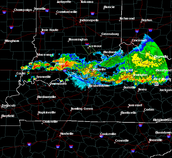 At 948 pm edt, a severe thunderstorm was located near pleasure ridge park, moving southeast at 40 mph (radar indicated). Hazards include 60 mph wind gusts. Expect damage to roofs, siding, and trees. Locations impacted include, louisville, new albany, shively, corydon, lynnview, hollyvilla, south park view, valley station, pleasure ridge par and pleasure ridge park. At 948 pm edt, a severe thunderstorm was located near pleasure ridge park, moving southeast at 40 mph (radar indicated). Hazards include 60 mph wind gusts. Expect damage to roofs, siding, and trees. Locations impacted include, louisville, new albany, shively, corydon, lynnview, hollyvilla, south park view, valley station, pleasure ridge par and pleasure ridge park.
|
| 7/7/2017 9:31 PM EDT |
 At 931 pm edt, a severe thunderstorm was located 9 miles northeast of corydon, moving southeast at 35 mph (radar indicated). Hazards include 60 mph wind gusts. expect damage to roofs, siding, and trees At 931 pm edt, a severe thunderstorm was located 9 miles northeast of corydon, moving southeast at 35 mph (radar indicated). Hazards include 60 mph wind gusts. expect damage to roofs, siding, and trees
|
| 7/7/2017 9:31 PM EDT |
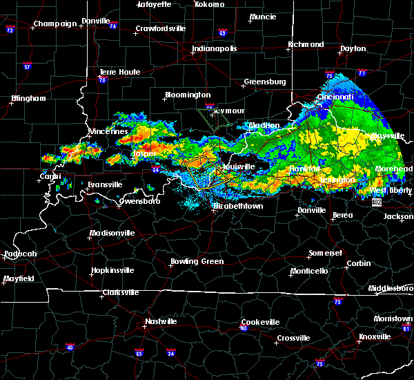 At 931 pm edt, a severe thunderstorm was located 9 miles northeast of corydon, moving southeast at 35 mph (radar indicated). Hazards include 60 mph wind gusts. expect damage to roofs, siding, and trees At 931 pm edt, a severe thunderstorm was located 9 miles northeast of corydon, moving southeast at 35 mph (radar indicated). Hazards include 60 mph wind gusts. expect damage to roofs, siding, and trees
|
| 7/7/2017 8:47 PM EDT |
 At 847 pm edt, a severe thunderstorm was located over meadowview estates, moving southeast at 55 mph (radar indicated). Hazards include 60 mph wind gusts. Expect damage to roofs, siding, and trees. locations impacted include, louisville, jeffersonville, new albany, jeffersontown, st. Matthews, shively, lyndon, middletown, douglass hills and prospect. At 847 pm edt, a severe thunderstorm was located over meadowview estates, moving southeast at 55 mph (radar indicated). Hazards include 60 mph wind gusts. Expect damage to roofs, siding, and trees. locations impacted include, louisville, jeffersonville, new albany, jeffersontown, st. Matthews, shively, lyndon, middletown, douglass hills and prospect.
|
| 7/7/2017 8:30 PM EDT |
 At 830 pm edt, a severe thunderstorm was located 7 miles east of new providence town, moving south at 40 mph (radar indicated). Hazards include 60 mph wind gusts. expect damage to roofs, siding, and trees At 830 pm edt, a severe thunderstorm was located 7 miles east of new providence town, moving south at 40 mph (radar indicated). Hazards include 60 mph wind gusts. expect damage to roofs, siding, and trees
|
| 6/5/2017 6:35 PM EDT |
 At 634 pm edt, a severe thunderstorm was located near new albany, moving south at 15 mph (radar indicated). Hazards include 60 mph wind gusts and quarter size hail. Hail damage to vehicles is expected. expect wind damage to roofs, siding, and trees. locations impacted include, louisville, jeffersonville, new albany, jeffersontown, st. Matthews, shively, lyndon, middletown, douglass hills and prospect. At 634 pm edt, a severe thunderstorm was located near new albany, moving south at 15 mph (radar indicated). Hazards include 60 mph wind gusts and quarter size hail. Hail damage to vehicles is expected. expect wind damage to roofs, siding, and trees. locations impacted include, louisville, jeffersonville, new albany, jeffersontown, st. Matthews, shively, lyndon, middletown, douglass hills and prospect.
|
| 6/5/2017 6:14 PM EDT |
 At 614 pm edt, a severe thunderstorm was located 8 miles east of new providence town, moving south at 15 mph (radar indicated). Hazards include 60 mph wind gusts and quarter size hail. Hail damage to vehicles is expected. Expect wind damage to roofs, siding, and trees. At 614 pm edt, a severe thunderstorm was located 8 miles east of new providence town, moving south at 15 mph (radar indicated). Hazards include 60 mph wind gusts and quarter size hail. Hail damage to vehicles is expected. Expect wind damage to roofs, siding, and trees.
|
| 5/20/2017 7:14 PM EDT |
 At 713 pm edt, a severe thunderstorm was located over okolona, moving northeast at 55 mph. a second thunderstorm with strong winds was located about 3 miles southeast of jeffersontown and moving northeast at 55 mph (radar indicated). Hazards include 60 mph wind gusts and penny size hail. Expect damage to roofs, siding, and trees. locations impacted include, louisville, jeffersonville, jeffersontown, st. Matthews, shively, lyndon, middletown, douglass hills, prospect and hurstbourne. At 713 pm edt, a severe thunderstorm was located over okolona, moving northeast at 55 mph. a second thunderstorm with strong winds was located about 3 miles southeast of jeffersontown and moving northeast at 55 mph (radar indicated). Hazards include 60 mph wind gusts and penny size hail. Expect damage to roofs, siding, and trees. locations impacted include, louisville, jeffersonville, jeffersontown, st. Matthews, shively, lyndon, middletown, douglass hills, prospect and hurstbourne.
|
| 5/20/2017 7:00 PM EDT |
 At 700 pm edt, a severe thunderstorm was located over valley station, moving northeast at 55 mph (radar indicated). Hazards include 60 mph wind gusts and penny size hail. expect damage to roofs, siding, and trees At 700 pm edt, a severe thunderstorm was located over valley station, moving northeast at 55 mph (radar indicated). Hazards include 60 mph wind gusts and penny size hail. expect damage to roofs, siding, and trees
|
| 4/3/2017 7:41 PM EDT |
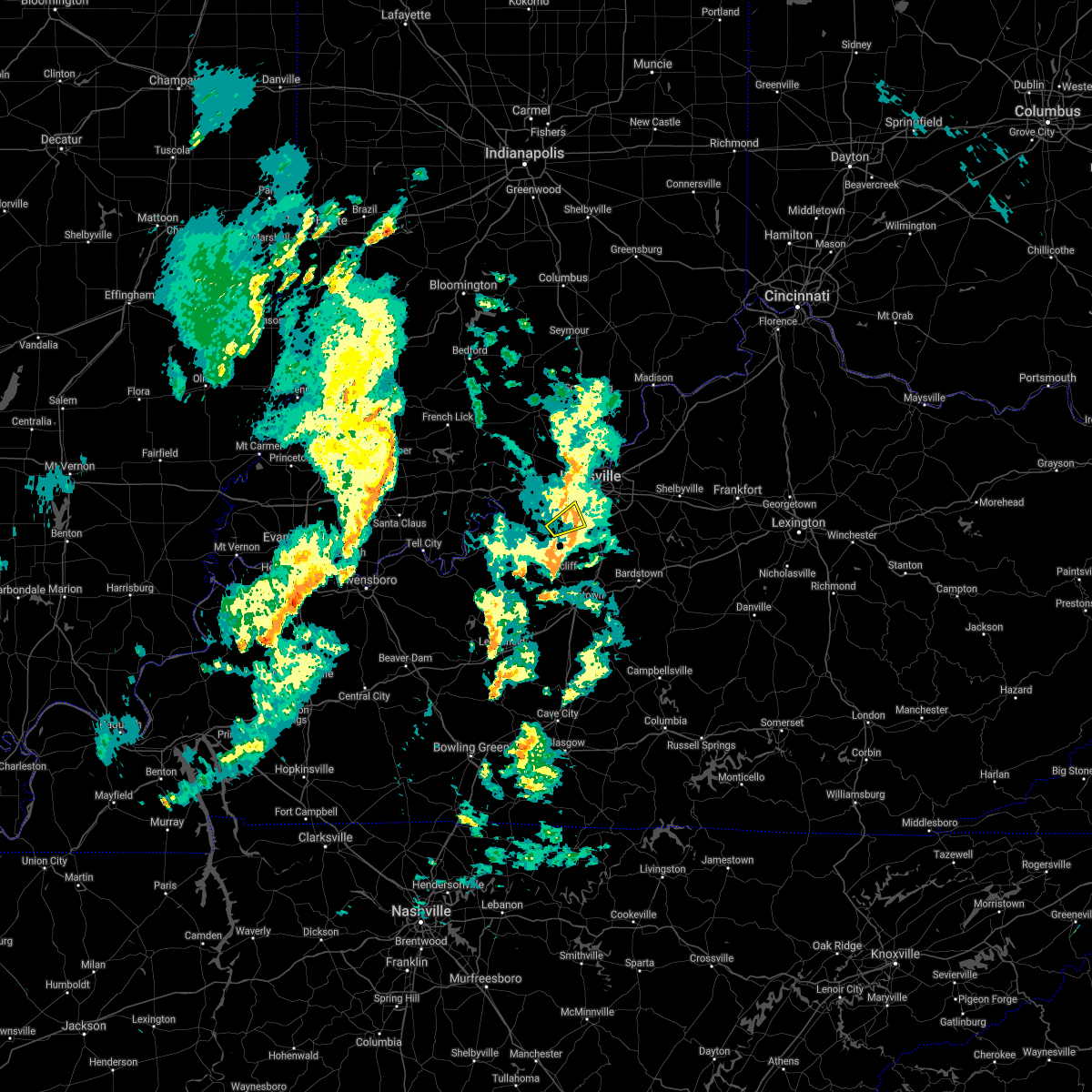 The severe thunderstorm warning for southeastern harrison and southwestern jefferson counties will expire at 745 pm edt, the storm which prompted the warning has weakened below severe limits, and no longer pose an immediate threat to life or property. therefore the warning will be allowed to expire. report severe weather to local law enforcement, post your report to the national weather service louisville facebook page, or tweet your report using hashtag l, m, k, spotter. The severe thunderstorm warning for southeastern harrison and southwestern jefferson counties will expire at 745 pm edt, the storm which prompted the warning has weakened below severe limits, and no longer pose an immediate threat to life or property. therefore the warning will be allowed to expire. report severe weather to local law enforcement, post your report to the national weather service louisville facebook page, or tweet your report using hashtag l, m, k, spotter.
|
| 4/3/2017 7:36 PM EDT |
 At 735 pm edt, a severe thunderstorm was located near valley station, moving northeast at 35 mph (radar indicated). Hazards include 60 mph wind gusts. Expect damage to roofs, siding, and trees. locations impacted include, shively, valley station, pleasure ridge par, pleasure ridge park, st. Dennis, rosewood, fishtown, sugar grove, macedonia and happy hollow. At 735 pm edt, a severe thunderstorm was located near valley station, moving northeast at 35 mph (radar indicated). Hazards include 60 mph wind gusts. Expect damage to roofs, siding, and trees. locations impacted include, shively, valley station, pleasure ridge par, pleasure ridge park, st. Dennis, rosewood, fishtown, sugar grove, macedonia and happy hollow.
|
| 4/3/2017 7:36 PM EDT |
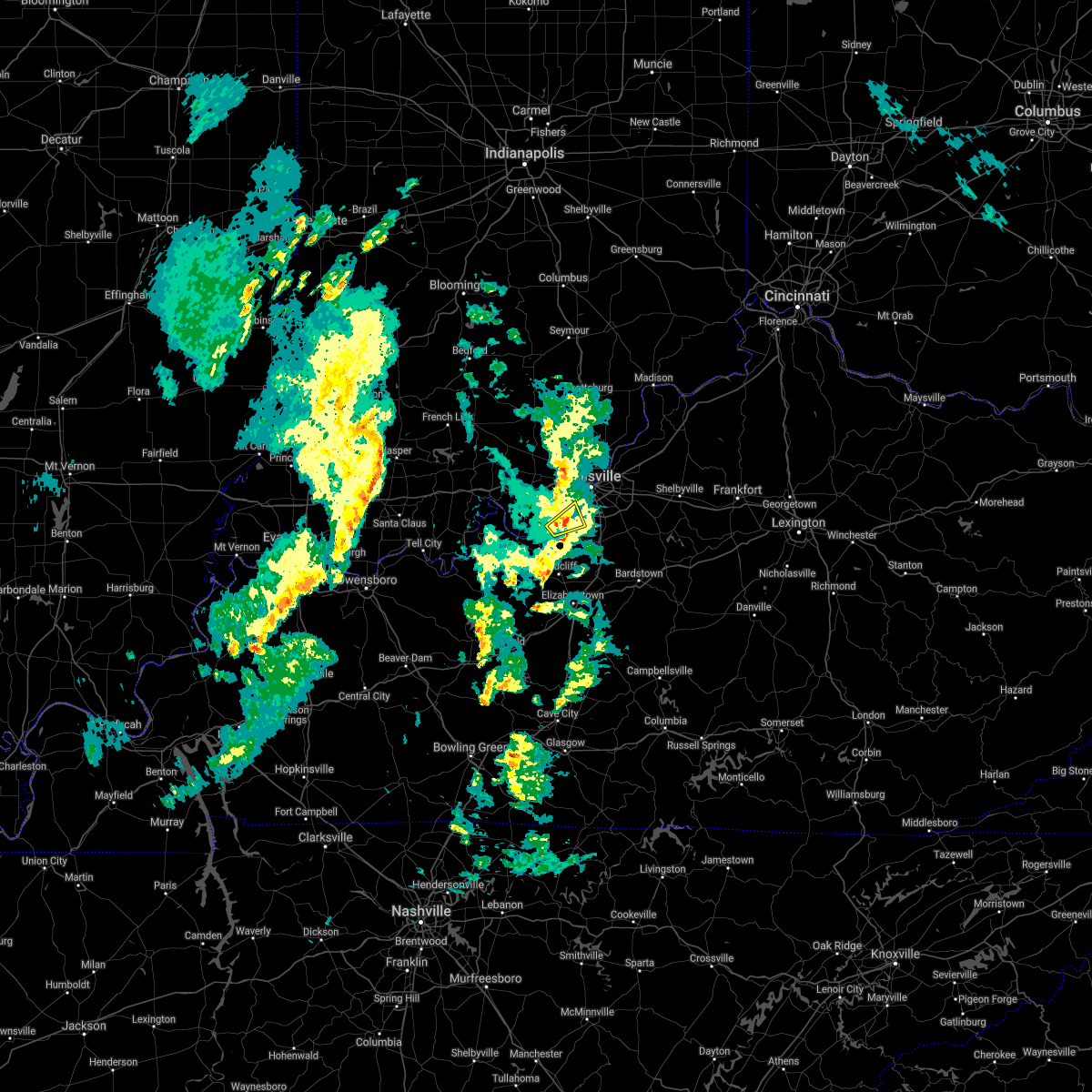 At 735 pm edt, a severe thunderstorm was located near valley station, moving northeast at 35 mph (radar indicated). Hazards include 60 mph wind gusts. Expect damage to roofs, siding, and trees. locations impacted include, shively, valley station, pleasure ridge par, pleasure ridge park, st. Dennis, rosewood, fishtown, sugar grove, macedonia and happy hollow. At 735 pm edt, a severe thunderstorm was located near valley station, moving northeast at 35 mph (radar indicated). Hazards include 60 mph wind gusts. Expect damage to roofs, siding, and trees. locations impacted include, shively, valley station, pleasure ridge par, pleasure ridge park, st. Dennis, rosewood, fishtown, sugar grove, macedonia and happy hollow.
|
| 4/3/2017 7:28 PM EDT |
 At 727 pm edt, a severe thunderstorm was located 8 miles east of brandenburg, moving northeast at 35 mph (radar indicated). Hazards include 60 mph wind gusts. Expect damage to roofs, siding, and trees. locations impacted include, shively, valley station, pleasure ridge park, st. Dennis, laconia, rosewood, evans landing, barrallton and fishtown. At 727 pm edt, a severe thunderstorm was located 8 miles east of brandenburg, moving northeast at 35 mph (radar indicated). Hazards include 60 mph wind gusts. Expect damage to roofs, siding, and trees. locations impacted include, shively, valley station, pleasure ridge park, st. Dennis, laconia, rosewood, evans landing, barrallton and fishtown.
|
| 4/3/2017 7:20 PM EDT |
 At 719 pm edt, a severe thunderstorm was located near brandenburg, moving northeast at 35 mph (radar indicated). Hazards include 60 mph wind gusts. expect damage to roofs, siding, and trees At 719 pm edt, a severe thunderstorm was located near brandenburg, moving northeast at 35 mph (radar indicated). Hazards include 60 mph wind gusts. expect damage to roofs, siding, and trees
|
| 4/3/2017 7:20 PM EDT |
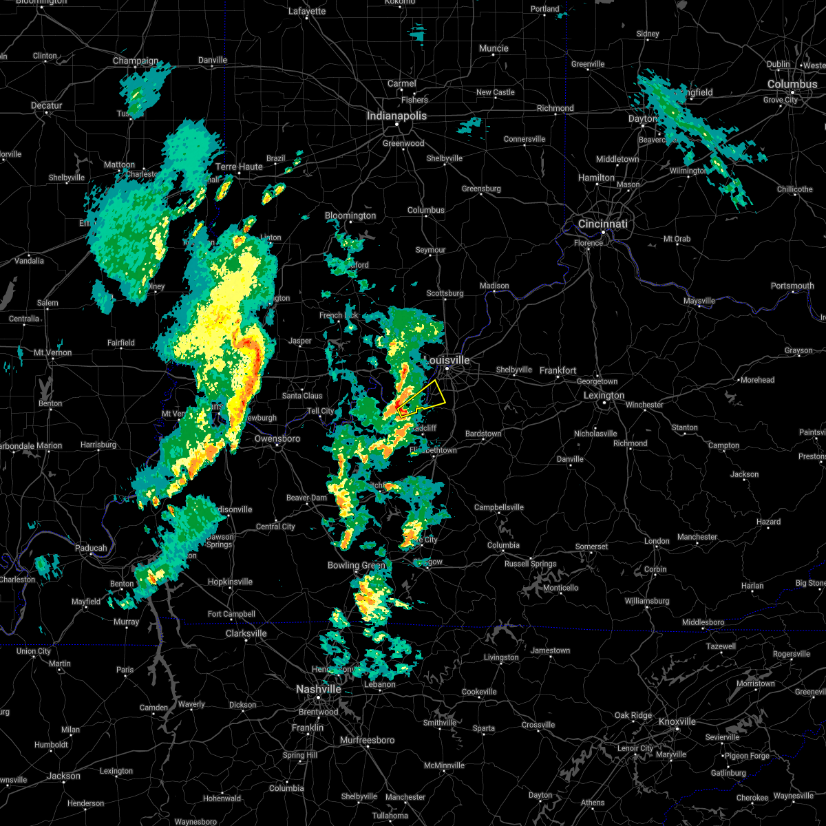 At 719 pm edt, a severe thunderstorm was located near brandenburg, moving northeast at 35 mph (radar indicated). Hazards include 60 mph wind gusts. expect damage to roofs, siding, and trees At 719 pm edt, a severe thunderstorm was located near brandenburg, moving northeast at 35 mph (radar indicated). Hazards include 60 mph wind gusts. expect damage to roofs, siding, and trees
|
| 3/30/2017 9:04 PM EDT |
 At 904 pm edt, a severe thunderstorm was located over fairdale, moving northeast at 55 mph (radar indicated). Hazards include 60 mph wind gusts and quarter size hail. Hail damage to vehicles is expected. Expect wind damage to roofs, siding, and trees. At 904 pm edt, a severe thunderstorm was located over fairdale, moving northeast at 55 mph (radar indicated). Hazards include 60 mph wind gusts and quarter size hail. Hail damage to vehicles is expected. Expect wind damage to roofs, siding, and trees.
|
| 3/1/2017 6:46 AM EST |
 At 646 am est, severe thunderstorms were located along a line extending from creekside to 10 miles south of brandenburg, moving southeast at 50 mph (radar indicated). Hazards include 60 mph wind gusts and quarter size hail. Hail damage to vehicles is expected. Expect wind damage to roofs, siding, and trees. At 646 am est, severe thunderstorms were located along a line extending from creekside to 10 miles south of brandenburg, moving southeast at 50 mph (radar indicated). Hazards include 60 mph wind gusts and quarter size hail. Hail damage to vehicles is expected. Expect wind damage to roofs, siding, and trees.
|
| 3/1/2017 6:22 AM EST |
 At 621 am est, severe thunderstorms were located along a line extending from 8 miles north of brooksburg to 7 miles southwest of brandenburg, moving east at 55 mph (radar indicated). Hazards include 60 mph wind gusts. expect damage to roofs, siding, and trees At 621 am est, severe thunderstorms were located along a line extending from 8 miles north of brooksburg to 7 miles southwest of brandenburg, moving east at 55 mph (radar indicated). Hazards include 60 mph wind gusts. expect damage to roofs, siding, and trees
|
| 3/1/2017 2:41 AM EST |
 At 240 am est, severe thunderstorms were located along a line extending from 7 miles southeast of corydon to near brandenburg to 15 miles east of hardinsburg, moving east at 55 mph (radar indicated). Hazards include 60 mph wind gusts. expect damage to roofs, siding, and trees At 240 am est, severe thunderstorms were located along a line extending from 7 miles southeast of corydon to near brandenburg to 15 miles east of hardinsburg, moving east at 55 mph (radar indicated). Hazards include 60 mph wind gusts. expect damage to roofs, siding, and trees
|
| 2/24/2017 6:44 PM EST |
 At 644 pm est, severe thunderstorms were located along a line extending from near louisville to near valley station, moving northeast at 40 mph (radar indicated). Hazards include 60 mph wind gusts and quarter size hail. Hail damage to vehicles is expected. expect wind damage to roofs, siding, and trees. locations impacted include, louisville, jeffersonville, st. Matthews, shively, windy hills, audubon park, west buechel, northfield, watterson park and lynnview. At 644 pm est, severe thunderstorms were located along a line extending from near louisville to near valley station, moving northeast at 40 mph (radar indicated). Hazards include 60 mph wind gusts and quarter size hail. Hail damage to vehicles is expected. expect wind damage to roofs, siding, and trees. locations impacted include, louisville, jeffersonville, st. Matthews, shively, windy hills, audubon park, west buechel, northfield, watterson park and lynnview.
|
| 2/24/2017 6:25 PM EST |
 At 624 pm est, severe thunderstorms were located along a line extending from near pleasure ridge park to 9 miles east of brandenburg, moving northeast at 40 mph (radar indicated). Hazards include 60 mph wind gusts and quarter size hail. Hail damage to vehicles is expected. Expect wind damage to roofs, siding, and trees. At 624 pm est, severe thunderstorms were located along a line extending from near pleasure ridge park to 9 miles east of brandenburg, moving northeast at 40 mph (radar indicated). Hazards include 60 mph wind gusts and quarter size hail. Hail damage to vehicles is expected. Expect wind damage to roofs, siding, and trees.
|
| 9/10/2016 3:21 PM EDT |
 At 321 pm edt, severe thunderstorms were located along a line extending from near corydon to 9 miles southwest of brandenburg, moving east at 35 mph (radar indicated). Hazards include 60 mph wind gusts. Expect damage to roofs. siding. And trees. At 321 pm edt, severe thunderstorms were located along a line extending from near corydon to 9 miles southwest of brandenburg, moving east at 35 mph (radar indicated). Hazards include 60 mph wind gusts. Expect damage to roofs. siding. And trees.
|
| 7/8/2016 10:37 AM EDT |
 At 1036 am edt, severe thunderstorms were located along a line extending from valley station to near hollyvilla to near shepherdsville, moving east at 35 mph (radar indicated). Hazards include 60 mph wind gusts. Expect damage to roofs. siding. and trees. Locations impacted include, louisville, shively, shepherdsville, audubon park, west buechel, watterson park, lynnview, hollow creek and strathmoor village. At 1036 am edt, severe thunderstorms were located along a line extending from valley station to near hollyvilla to near shepherdsville, moving east at 35 mph (radar indicated). Hazards include 60 mph wind gusts. Expect damage to roofs. siding. and trees. Locations impacted include, louisville, shively, shepherdsville, audubon park, west buechel, watterson park, lynnview, hollow creek and strathmoor village.
|
| 7/8/2016 10:16 AM EDT |
 At 1016 am edt, a severe thunderstorm was located 8 miles southwest of valley station, moving east at 35 mph (radar indicated). Hazards include 60 mph wind gusts. Expect damage to roofs. siding. And trees. At 1016 am edt, a severe thunderstorm was located 8 miles southwest of valley station, moving east at 35 mph (radar indicated). Hazards include 60 mph wind gusts. Expect damage to roofs. siding. And trees.
|
| 6/23/2016 5:56 PM EDT | The severe thunderstorm warning for southeastern harrison, southern jefferson, northern hardin, northern nelson and bullitt counties will expire at 600 pm edt, the storms which prompted the warning have moved out of the warned area. therefore the warning will be allowed to expire. a severe thunderstorm watch remains in effect until 1100 pm edt for south central indiana, and central kentucky. |
| 6/23/2016 5:56 PM EDT | The severe thunderstorm warning for southeastern harrison, southern jefferson, northern hardin, northern nelson and bullitt counties will expire at 600 pm edt, the storms which prompted the warning have moved out of the warned area. therefore the warning will be allowed to expire. a severe thunderstorm watch remains in effect until 1100 pm edt for south central indiana, and central kentucky. |
| 6/23/2016 5:50 PM EDT | Tree fell through roo in jefferson county KY, 6.2 miles NNE of Shively, KY |
| 6/23/2016 5:44 PM EDT |
 At 544 pm edt, severe thunderstorms were located along a line extending from 6 miles east of pioneer village to near valley station, moving southeast at 25 mph (public). Hazards include 60 mph wind gusts and half dollar size hail. Hail damage to vehicles is expected. expect wind damage to roofs, siding, and trees. Locations impacted include, louisville, shively, shepherdsville, pioneer village, hollow creek, hollyvilla, spring mill, south park view, okolona and minor lane heights. At 544 pm edt, severe thunderstorms were located along a line extending from 6 miles east of pioneer village to near valley station, moving southeast at 25 mph (public). Hazards include 60 mph wind gusts and half dollar size hail. Hail damage to vehicles is expected. expect wind damage to roofs, siding, and trees. Locations impacted include, louisville, shively, shepherdsville, pioneer village, hollow creek, hollyvilla, spring mill, south park view, okolona and minor lane heights.
|
| 6/23/2016 5:44 PM EDT |
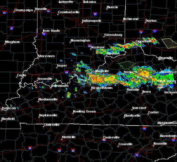 At 544 pm edt, severe thunderstorms were located along a line extending from 6 miles east of pioneer village to near valley station, moving southeast at 25 mph (public). Hazards include 60 mph wind gusts and half dollar size hail. Hail damage to vehicles is expected. expect wind damage to roofs, siding, and trees. Locations impacted include, louisville, shively, shepherdsville, pioneer village, hollow creek, hollyvilla, spring mill, south park view, okolona and minor lane heights. At 544 pm edt, severe thunderstorms were located along a line extending from 6 miles east of pioneer village to near valley station, moving southeast at 25 mph (public). Hazards include 60 mph wind gusts and half dollar size hail. Hail damage to vehicles is expected. expect wind damage to roofs, siding, and trees. Locations impacted include, louisville, shively, shepherdsville, pioneer village, hollow creek, hollyvilla, spring mill, south park view, okolona and minor lane heights.
|
| 6/23/2016 5:31 PM EDT |
 At 530 pm edt, severe thunderstorms were located along a line extending from near highview to 7 miles west of valley station, moving southeast at 25 mph (public reported trees down and dime size hail). Hazards include 60 mph wind gusts and nickel size hail. Expect damage to roofs. siding. And trees. At 530 pm edt, severe thunderstorms were located along a line extending from near highview to 7 miles west of valley station, moving southeast at 25 mph (public reported trees down and dime size hail). Hazards include 60 mph wind gusts and nickel size hail. Expect damage to roofs. siding. And trees.
|
| 6/23/2016 5:20 PM EDT | Quarter sized hail reported 2.9 miles NE of Shively, KY, . |
| 6/23/2016 5:16 PM EDT | Trees reported down in valley statio in jefferson county KY, 0.4 miles S of Shively, KY |
| 6/23/2016 5:01 PM EDT |
 At 500 pm edt, a severe thunderstorm was located over newburg, moving east at 50 mph (radar indicated). Hazards include 60 mph wind gusts and penny size hail. Expect damage to roofs. siding. and trees. locations impacted include, louisville, jeffersonville, new albany, jeffersontown, st. Matthews, shively, shepherdsville, lyndon, middletown and douglass hills. At 500 pm edt, a severe thunderstorm was located over newburg, moving east at 50 mph (radar indicated). Hazards include 60 mph wind gusts and penny size hail. Expect damage to roofs. siding. and trees. locations impacted include, louisville, jeffersonville, new albany, jeffersontown, st. Matthews, shively, shepherdsville, lyndon, middletown and douglass hills.
|
| 6/23/2016 4:49 PM EDT |
 At 449 pm edt, a severe thunderstorm was located near corydon, moving southeast at 30 mph (radar indicated). Hazards include 60 mph wind gusts and quarter size hail. Hail damage to vehicles is expected. Expect wind damage to roofs, siding, and trees. At 449 pm edt, a severe thunderstorm was located near corydon, moving southeast at 30 mph (radar indicated). Hazards include 60 mph wind gusts and quarter size hail. Hail damage to vehicles is expected. Expect wind damage to roofs, siding, and trees.
|
| 6/14/2016 5:11 PM EDT | Downed tree in central park crushed some bench seat in jefferson county KY, 4 miles SW of Shively, KY |
| 6/12/2016 6:45 PM EDT |
 At 643 pm edt, a severe thunderstorm was located over lynnview, moving south at 20 mph. the strongest winds are along interstate 65 south of louisville international airport. multiple reports of wind damage have been received from law enforcement and broadcast media (law enforcement). Hazards include 60 mph wind gusts. Expect damage to roofs. siding. and trees. locations impacted include, louisville, jeffersontown, st. matthews, shively, hurstbourne acres, audubon park, st. Regis park, west buechel, watterson park and lynnview. At 643 pm edt, a severe thunderstorm was located over lynnview, moving south at 20 mph. the strongest winds are along interstate 65 south of louisville international airport. multiple reports of wind damage have been received from law enforcement and broadcast media (law enforcement). Hazards include 60 mph wind gusts. Expect damage to roofs. siding. and trees. locations impacted include, louisville, jeffersontown, st. matthews, shively, hurstbourne acres, audubon park, st. Regis park, west buechel, watterson park and lynnview.
|
| 6/12/2016 6:25 PM EDT |
 At 624 pm edt, a severe thunderstorm was located over just north of mockingbird valley, moving south at 15 mph (radar indicated). Hazards include 60 mph wind gusts. Expect damage to roofs. siding. And trees. At 624 pm edt, a severe thunderstorm was located over just north of mockingbird valley, moving south at 15 mph (radar indicated). Hazards include 60 mph wind gusts. Expect damage to roofs. siding. And trees.
|
| 5/11/2016 8:33 PM EDT |
 At 831 pm edt, a severe thunderstorm was located 8 miles northeast of corydon, moving east at 35 mph (radar indicated). Hazards include 60 mph wind gusts and quarter size hail. Hail damage to vehicles is expected. Expect wind damage to roofs, siding, and trees. At 831 pm edt, a severe thunderstorm was located 8 miles northeast of corydon, moving east at 35 mph (radar indicated). Hazards include 60 mph wind gusts and quarter size hail. Hail damage to vehicles is expected. Expect wind damage to roofs, siding, and trees.
|
| 5/7/2016 9:55 PM EDT |
 The severe thunderstorm warning for eastern harrison, floyd, southwestern clark, jefferson, east central meade, southwestern oldham, north central hardin and bullitt counties will expire at 1000 pm edt, the storms which prompted the warning have weakened. therefore the warning will be allowed to expire. a severe thunderstorm watch remains in effect until 200 am edt for south central indiana, and central kentucky. The severe thunderstorm warning for eastern harrison, floyd, southwestern clark, jefferson, east central meade, southwestern oldham, north central hardin and bullitt counties will expire at 1000 pm edt, the storms which prompted the warning have weakened. therefore the warning will be allowed to expire. a severe thunderstorm watch remains in effect until 200 am edt for south central indiana, and central kentucky.
|
| 5/7/2016 9:55 PM EDT | The severe thunderstorm warning for eastern harrison, floyd, southwestern clark, jefferson, east central meade, southwestern oldham, north central hardin and bullitt counties will expire at 1000 pm edt, the storms which prompted the warning have weakened. therefore the warning will be allowed to expire. a severe thunderstorm watch remains in effect until 200 am edt for south central indiana, and central kentucky. |
| 5/7/2016 9:55 PM EDT |
 The severe thunderstorm warning for eastern harrison, floyd, southwestern clark, jefferson, east central meade, southwestern oldham, north central hardin and bullitt counties will expire at 1000 pm edt, the storms which prompted the warning have weakened. therefore the warning will be allowed to expire. a severe thunderstorm watch remains in effect until 200 am edt for south central indiana, and central kentucky. The severe thunderstorm warning for eastern harrison, floyd, southwestern clark, jefferson, east central meade, southwestern oldham, north central hardin and bullitt counties will expire at 1000 pm edt, the storms which prompted the warning have weakened. therefore the warning will be allowed to expire. a severe thunderstorm watch remains in effect until 200 am edt for south central indiana, and central kentucky.
|
| 5/7/2016 9:40 PM EDT |
 At 940 pm edt, severe thunderstorms were located along a line extending from 8 miles southeast of new providence town to 9 miles west of shepherdsville, moving east at 60 mph (trained weather spotters). Hazards include 60 mph wind gusts and quarter size hail. Hail damage to vehicles is expected. expect wind damage to roofs, siding, and trees. locations impacted include, louisville, jeffersonville, new albany, jeffersontown, st. Matthews, shively, shepherdsville, lyndon, middletown and douglass hills. At 940 pm edt, severe thunderstorms were located along a line extending from 8 miles southeast of new providence town to 9 miles west of shepherdsville, moving east at 60 mph (trained weather spotters). Hazards include 60 mph wind gusts and quarter size hail. Hail damage to vehicles is expected. expect wind damage to roofs, siding, and trees. locations impacted include, louisville, jeffersonville, new albany, jeffersontown, st. Matthews, shively, shepherdsville, lyndon, middletown and douglass hills.
|
| 5/7/2016 9:18 PM EDT |
 At 917 pm edt/817 pm cdt/, severe thunderstorms were located along a line extending from 9 miles southwest of salem to 10 miles northeast of hardinsburg, moving east at 60 mph (trained weather spotters. these line of storms has a history of producing wind damage and 60 mph gusts). Hazards include 60 mph wind gusts and quarter size hail. Hail damage to vehicles is expected. Expect wind damage to roofs, siding, and trees. At 917 pm edt/817 pm cdt/, severe thunderstorms were located along a line extending from 9 miles southwest of salem to 10 miles northeast of hardinsburg, moving east at 60 mph (trained weather spotters. these line of storms has a history of producing wind damage and 60 mph gusts). Hazards include 60 mph wind gusts and quarter size hail. Hail damage to vehicles is expected. Expect wind damage to roofs, siding, and trees.
|
| 5/7/2016 9:14 PM EDT |
 At 914 pm edt, a severe thunderstorm was located near taylorsville, moving east at 55 mph (radar indicated). Hazards include 60 mph wind gusts and quarter size hail. Hail damage to vehicles is expected. expect wind damage to roofs, siding, and trees. locations impacted include, louisville, jeffersonville, new albany, jeffersontown, st. Matthews, shively, shelbyville, shepherdsville, lyndon and middletown. At 914 pm edt, a severe thunderstorm was located near taylorsville, moving east at 55 mph (radar indicated). Hazards include 60 mph wind gusts and quarter size hail. Hail damage to vehicles is expected. expect wind damage to roofs, siding, and trees. locations impacted include, louisville, jeffersonville, new albany, jeffersontown, st. Matthews, shively, shelbyville, shepherdsville, lyndon and middletown.
|
| 5/7/2016 8:59 PM EDT |
 At 858 pm edt, a severe thunderstorm was located over okolona, moving east at 55 mph (radar indicated). Hazards include 60 mph wind gusts and quarter size hail. Hail damage to vehicles is expected. Expect wind damage to roofs, siding, and trees. At 858 pm edt, a severe thunderstorm was located over okolona, moving east at 55 mph (radar indicated). Hazards include 60 mph wind gusts and quarter size hail. Hail damage to vehicles is expected. Expect wind damage to roofs, siding, and trees.
|
| 5/7/2016 8:57 PM EDT | Storm damage reported in jefferson county KY, 0.6 miles WNW of Shively, KY |
| 5/7/2016 8:50 PM EDT |
 At 849 pm edt, a severe thunderstorm was located near st. dennis, moving southeast at 55 mph (radar indicated). Hazards include 60 mph wind gusts and quarter size hail. Hail damage to vehicles is expected. expect wind damage to roofs, siding, and trees. locations impacted include, louisville, jeffersonville, new albany, shively, corydon, pleasure ridge par, pleasure ridge park, st. dennis, valley station and fairdale. those attending outdoor events in the path of this storm should prepare for imminent dangerous weather conditions. Seek shelter now!. At 849 pm edt, a severe thunderstorm was located near st. dennis, moving southeast at 55 mph (radar indicated). Hazards include 60 mph wind gusts and quarter size hail. Hail damage to vehicles is expected. expect wind damage to roofs, siding, and trees. locations impacted include, louisville, jeffersonville, new albany, shively, corydon, pleasure ridge par, pleasure ridge park, st. dennis, valley station and fairdale. those attending outdoor events in the path of this storm should prepare for imminent dangerous weather conditions. Seek shelter now!.
|
| 5/7/2016 8:36 PM EDT |
 At 836 pm edt, a severe thunderstorm was located over corydon, moving southeast at 55 mph (radar indicated). Hazards include 60 mph wind gusts and quarter size hail. Hail damage to vehicles is expected. Expect wind damage to roofs, siding, and trees. At 836 pm edt, a severe thunderstorm was located over corydon, moving southeast at 55 mph (radar indicated). Hazards include 60 mph wind gusts and quarter size hail. Hail damage to vehicles is expected. Expect wind damage to roofs, siding, and trees.
|
| 4/26/2016 9:09 PM EDT |
 At 909 pm edt, severe thunderstorms were located along a line extending from near new albany to valley station, moving east at 30 mph (radar indicated). Hazards include 60 mph wind gusts and quarter size hail. Hail damage to vehicles is expected. expect wind damage to roofs, siding, and trees. locations impacted include, louisville, jeffersonville, new albany, shively, audubon park, lynnview, parkway village, pleasure ridge par, st. Dennis and pleasure ridge park. At 909 pm edt, severe thunderstorms were located along a line extending from near new albany to valley station, moving east at 30 mph (radar indicated). Hazards include 60 mph wind gusts and quarter size hail. Hail damage to vehicles is expected. expect wind damage to roofs, siding, and trees. locations impacted include, louisville, jeffersonville, new albany, shively, audubon park, lynnview, parkway village, pleasure ridge par, st. Dennis and pleasure ridge park.
|
| 4/26/2016 8:47 PM EDT |
 At 847 pm edt, severe thunderstorms were located along a line extending from 11 miles west of new albany to near corydon, moving northeast at 35 mph (radar indicated). Hazards include 60 mph wind gusts and quarter size hail. Hail damage to vehicles is expected. Expect wind damage to roofs, siding, and trees. At 847 pm edt, severe thunderstorms were located along a line extending from 11 miles west of new albany to near corydon, moving northeast at 35 mph (radar indicated). Hazards include 60 mph wind gusts and quarter size hail. Hail damage to vehicles is expected. Expect wind damage to roofs, siding, and trees.
|
| 3/31/2016 4:28 PM EDT | Power lines down on taylor blv in jefferson county KY, 2.2 miles W of Shively, KY |
| 3/31/2016 4:28 PM EDT | Tree on a mobile home on cane run roa in jefferson county KY, 5.4 miles NE of Shively, KY |
| 3/31/2016 4:28 PM EDT | Power lines down on palatka road near manslick in the iroquois park are in jefferson county KY, 2.6 miles NNW of Shively, KY |
| 3/31/2016 4:18 PM EDT | Tree blown on to a house on dubourg avenu in jefferson county KY, 1.5 miles SW of Shively, KY |
| 3/31/2016 4:15 PM EDT | Large limb down aristides drive... pr in jefferson county KY, 6.1 miles NNE of Shively, KY |
| 3/31/2016 4:12 PM EDT |
 At 412 pm edt, a severe thunderstorm was located near valley station, moving east at 65 mph (radar indicated). Hazards include 70 mph wind gusts. Expect considerable tree damage. damage is likely to mobile homes, roofs, and outbuildings. Locations impacted include, louisville, shepherdsville, pioneer village, hollyvilla, south park view, pleasure ridge par, pleasure ridge park, minor lane heights, valley station and fairdale. At 412 pm edt, a severe thunderstorm was located near valley station, moving east at 65 mph (radar indicated). Hazards include 70 mph wind gusts. Expect considerable tree damage. damage is likely to mobile homes, roofs, and outbuildings. Locations impacted include, louisville, shepherdsville, pioneer village, hollyvilla, south park view, pleasure ridge par, pleasure ridge park, minor lane heights, valley station and fairdale.
|
| 3/31/2016 4:11 PM EDT |
 At 410 pm edt, a severe thunderstorm was located near valley station, moving east at 60 mph (radar indicated). Hazards include 70 mph wind gusts. Expect considerable tree damage. Damage is likely to mobile homes, roofs, and outbuildings. At 410 pm edt, a severe thunderstorm was located near valley station, moving east at 60 mph (radar indicated). Hazards include 70 mph wind gusts. Expect considerable tree damage. Damage is likely to mobile homes, roofs, and outbuildings.
|
| 3/31/2016 3:54 PM EDT |
 At 353 pm edt, a severe thunderstorm was located near brandenburg, moving east at 65 mph (radar indicated). Hazards include 70 mph wind gusts. Expect considerable tree damage. Damage is likely to mobile homes, roofs, and outbuildings. At 353 pm edt, a severe thunderstorm was located near brandenburg, moving east at 65 mph (radar indicated). Hazards include 70 mph wind gusts. Expect considerable tree damage. Damage is likely to mobile homes, roofs, and outbuildings.
|
| 3/31/2016 3:54 PM EDT |
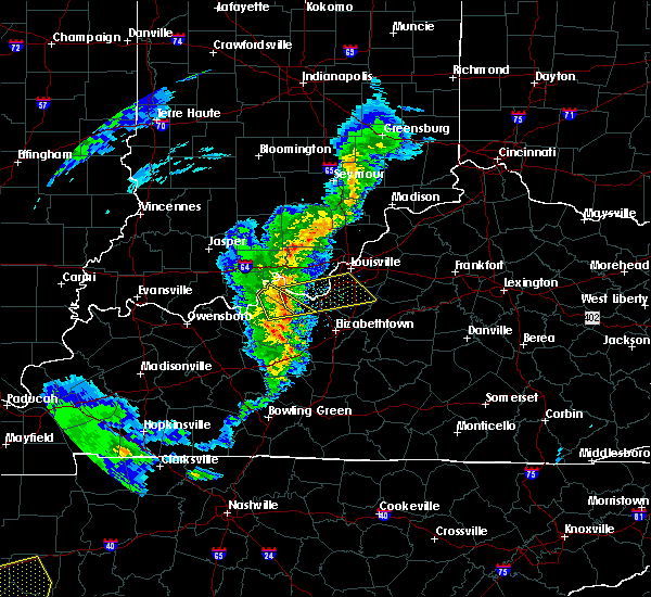 At 353 pm edt, a severe thunderstorm was located near brandenburg, moving east at 65 mph (radar indicated). Hazards include 70 mph wind gusts. Expect considerable tree damage. Damage is likely to mobile homes, roofs, and outbuildings. At 353 pm edt, a severe thunderstorm was located near brandenburg, moving east at 65 mph (radar indicated). Hazards include 70 mph wind gusts. Expect considerable tree damage. Damage is likely to mobile homes, roofs, and outbuildings.
|
| 12/23/2015 7:04 PM EST | Trees dow in jefferson county KY, 2.7 miles SSW of Shively, KY |
| 12/23/2015 6:41 PM EST | At 641 pm est, a severe thunderstorm was located 7 miles northwest of st. dennis, moving northeast at 70 mph (radar indicated). Hazards include 60 mph wind gusts. Expect damage to roofs. Siding and trees. |
| 12/23/2015 6:41 PM EST | At 641 pm est, a severe thunderstorm was located 7 miles northwest of st. dennis, moving northeast at 70 mph (radar indicated). Hazards include 60 mph wind gusts. Expect damage to roofs. Siding and trees. |
| 8/4/2015 7:46 PM EDT | Large tree snapped in jefferson county KY, 6.9 miles NNE of Shively, KY |
| 7/29/2015 6:27 PM EDT | The severe thunderstorm warning for southwestern henry, northeastern bullitt, northwestern spencer, northwestern shelby, oldham and jefferson counties will expire at 630 pm edt/530 pm cdt/, the storm which prompted the warning has weakened and moved out of the warned area. however, heavy rain is still possible with this thunderstorm. to report severe weather, contact your nearest law enforcement agency. they will relay your report to the national weather service in louisville. |
| 7/29/2015 6:12 PM EDT |
 At 611 pm edt, a severe thunderstorm was located near anchorage, and moving southeast at 25 mph (radar indicated). Hazards include 60 mph wind gusts. Expect damage to roofs. siding and trees. Locations impacted include, jeffersontown, middletown, highview, fern creek, floydsburg, centerfield, liro, tarascon, hunters hollow, ballardsville, jericho, smithfield, fisherville, thixton, todds point, l s park, conner, simpsonville, routt and wilsonville. At 611 pm edt, a severe thunderstorm was located near anchorage, and moving southeast at 25 mph (radar indicated). Hazards include 60 mph wind gusts. Expect damage to roofs. siding and trees. Locations impacted include, jeffersontown, middletown, highview, fern creek, floydsburg, centerfield, liro, tarascon, hunters hollow, ballardsville, jericho, smithfield, fisherville, thixton, todds point, l s park, conner, simpsonville, routt and wilsonville.
|
| 7/29/2015 5:52 PM EDT |
 At 550 pm edt, a severe thunderstorm was located 7 miles west of prospect, and moving southeast at 30 mph (radar indicated). Hazards include 60 mph wind gusts. Expect damage to roofs. Siding and trees. At 550 pm edt, a severe thunderstorm was located 7 miles west of prospect, and moving southeast at 30 mph (radar indicated). Hazards include 60 mph wind gusts. Expect damage to roofs. Siding and trees.
|
| 7/17/2015 10:44 PM EDT | Storm damage reported in jefferson county KY, 2.5 miles NNE of Shively, KY |
| 7/17/2015 10:35 PM EDT |
 At 1034 pm edt, severe thunderstorms were located along a line extending from 7 miles southeast of la grange to lyndon to jeffersonville, and moving southeast at 30 mph (radar indicated). Hazards include 60 mph wind gusts. Expect damage to roofs. siding and trees. Locations impacted include, louisville, todds point and louisville bowman field. At 1034 pm edt, severe thunderstorms were located along a line extending from 7 miles southeast of la grange to lyndon to jeffersonville, and moving southeast at 30 mph (radar indicated). Hazards include 60 mph wind gusts. Expect damage to roofs. siding and trees. Locations impacted include, louisville, todds point and louisville bowman field.
|
| 7/17/2015 10:23 PM EDT |
 At 1020 pm edt, severe thunderstorms were located along a line extending from la grange to prospect to new albany, and moving southeast at 30 mph (radar indicated). Hazards include 60 mph wind gusts. Expect damage to roofs. siding and trees. locations impacted include, louisville, new albany, jeffersonville, lyndon, anchorage, st. matthews, middletown, tarascon, liro, oak park, jericho, clarksville, park lake, orchard grass hills, centerfield, crestwood, pewee valley, ballardsville, smithfield and floydsburg. Everyone at forecastle event on the louisville riverfront are in the path of these storms and should prepare for dangerous weather conditions. At 1020 pm edt, severe thunderstorms were located along a line extending from la grange to prospect to new albany, and moving southeast at 30 mph (radar indicated). Hazards include 60 mph wind gusts. Expect damage to roofs. siding and trees. locations impacted include, louisville, new albany, jeffersonville, lyndon, anchorage, st. matthews, middletown, tarascon, liro, oak park, jericho, clarksville, park lake, orchard grass hills, centerfield, crestwood, pewee valley, ballardsville, smithfield and floydsburg. Everyone at forecastle event on the louisville riverfront are in the path of these storms and should prepare for dangerous weather conditions.
|
| 7/17/2015 10:08 PM EDT |
 At 1006 pm edt, severe thunderstorms were located along a line extending from 7 miles southwest of bedford to 7 miles northwest of prospect to 11 miles northwest of new albany, and moving southeast at 30 mph (radar indicated). Hazards include 60 mph wind gusts. Expect damage to roofs. Siding and trees. At 1006 pm edt, severe thunderstorms were located along a line extending from 7 miles southwest of bedford to 7 miles northwest of prospect to 11 miles northwest of new albany, and moving southeast at 30 mph (radar indicated). Hazards include 60 mph wind gusts. Expect damage to roofs. Siding and trees.
|
| 7/14/2015 7:25 PM EDT | Tree dow in jefferson county KY, 2.2 miles W of Shively, KY |
| 7/13/2015 2:13 PM EDT |
 At 212 pm edt, severe thunderstorms were located along a line extending from 7 miles east of bedford to 6 miles northwest of prospect to 8 miles south of salem, and moving southeast at 40 mph (radar indicated). Hazards include 60 mph wind gusts. Expect damage to roofs. Siding and trees. At 212 pm edt, severe thunderstorms were located along a line extending from 7 miles east of bedford to 6 miles northwest of prospect to 8 miles south of salem, and moving southeast at 40 mph (radar indicated). Hazards include 60 mph wind gusts. Expect damage to roofs. Siding and trees.
|
| 7/10/2015 10:39 AM EDT |
 At 1036 am edt, severe thunderstorms were located along a line extending from pleasure ridge park to 10 miles north of elizabethtown to 8 miles west of elizabethtown, and moving east at 55 mph (radar indicated). Hazards include 60 mph wind gusts. Expect damage to roofs. siding and trees. Locations impacted include, fairdale, shepherdsville, elizabethtown, okolona, highview, cecilia, addington field airport, gaithers, barrallton, crest, beech grove, indian hills, louisville international airport, booth, belmont, tunnel hills, lebanon junction, brooks, fox chase and gap in knob. At 1036 am edt, severe thunderstorms were located along a line extending from pleasure ridge park to 10 miles north of elizabethtown to 8 miles west of elizabethtown, and moving east at 55 mph (radar indicated). Hazards include 60 mph wind gusts. Expect damage to roofs. siding and trees. Locations impacted include, fairdale, shepherdsville, elizabethtown, okolona, highview, cecilia, addington field airport, gaithers, barrallton, crest, beech grove, indian hills, louisville international airport, booth, belmont, tunnel hills, lebanon junction, brooks, fox chase and gap in knob.
|
| 7/10/2015 10:20 AM EDT |
 At 1017 am edt, severe thunderstorms were located along a line extending from 6 miles south of corydon to 14 miles south of brandenburg to 9 miles north of leitchfield, and moving east at 55 mph (radar indicated). Hazards include 60 mph wind gusts. Expect damage to roofs. Siding and trees. At 1017 am edt, severe thunderstorms were located along a line extending from 6 miles south of corydon to 14 miles south of brandenburg to 9 miles north of leitchfield, and moving east at 55 mph (radar indicated). Hazards include 60 mph wind gusts. Expect damage to roofs. Siding and trees.
|
| 6/26/2015 5:40 PM EDT | At 537 pm edt, a severe thunderstorm was located near okolona, and moving northeast at 40 mph. at 536 pm a 58 mph wind gusts was observed by the louisville international airport by asos (radar indicated). Hazards include 60 mph wind gusts. Expect damage to roofs. siding and trees. locations impacted include, new albany, jeffersontown, jeffersonville, st. Matthews, lyndon, middletown, anchorage, prospect, louisville bowman field, floyds knobs, fisherville, clarksville, oak park, utica, watson, cementville and clark regional airport. |
| 6/26/2015 5:40 PM EDT | At 537 pm edt, a severe thunderstorm was located near okolona, and moving northeast at 40 mph. at 536 pm a 58 mph wind gusts was observed by the louisville international airport by asos (radar indicated). Hazards include 60 mph wind gusts. Expect damage to roofs. siding and trees. locations impacted include, new albany, jeffersontown, jeffersonville, st. Matthews, lyndon, middletown, anchorage, prospect, louisville bowman field, floyds knobs, fisherville, clarksville, oak park, utica, watson, cementville and clark regional airport. |
| 6/26/2015 5:22 PM EDT | At 520 pm edt, a severe thunderstorm was located 6 miles southeast of valley station, and moving northeast at 40 mph (radar indicated). Hazards include 60 mph wind gusts. Expect damage to roofs. Siding and trees. |
| 6/26/2015 5:22 PM EDT | At 520 pm edt, a severe thunderstorm was located 6 miles southeast of valley station, and moving northeast at 40 mph (radar indicated). Hazards include 60 mph wind gusts. Expect damage to roofs. Siding and trees. |
| 6/26/2015 5:11 PM EDT | At 508 pm edt, a severe thunderstorm was located 11 miles southeast of brandenburg, and moving northeast at 45 mph. this storm has brought wind damage to trees and power lines to hardin and breckinridge county. this will be moving into the louisville metro and produce winds of 65 to 70 mph (radar indicated). Hazards include 70 mph wind gusts. Expect considerable tree damage. damage is likely to mobile homes, roofs and outbuildings. Locations impacted include, valley station, pleasure ridge park, fairdale, okolona, highview, pilcher landing, new boston, evans landing, howard, west point, buena vista, macedonia, stites, rosewood, happy hollow, cupio, fishtown, sugar grove, barrallton and gap in knob. |
| 6/26/2015 5:11 PM EDT | At 508 pm edt, a severe thunderstorm was located 11 miles southeast of brandenburg, and moving northeast at 45 mph. this storm has brought wind damage to trees and power lines to hardin and breckinridge county. this will be moving into the louisville metro and produce winds of 65 to 70 mph (radar indicated). Hazards include 70 mph wind gusts. Expect considerable tree damage. damage is likely to mobile homes, roofs and outbuildings. Locations impacted include, valley station, pleasure ridge park, fairdale, okolona, highview, pilcher landing, new boston, evans landing, howard, west point, buena vista, macedonia, stites, rosewood, happy hollow, cupio, fishtown, sugar grove, barrallton and gap in knob. |
| 6/26/2015 5:01 PM EDT | At 500 pm edt, a severe thunderstorm was located 11 miles southeast of brandenburg, and moving northeast at 45 mph (radar indicated). Hazards include 70 mph wind gusts. Expect considerable tree damage. Damage is likely to mobile homes, roofs and outbuildings. |
| 6/26/2015 5:01 PM EDT | At 500 pm edt, a severe thunderstorm was located 11 miles southeast of brandenburg, and moving northeast at 45 mph (radar indicated). Hazards include 70 mph wind gusts. Expect considerable tree damage. Damage is likely to mobile homes, roofs and outbuildings. |
| 6/18/2015 5:24 PM EDT | At 521 pm edt, a severe thunderstorm was located near valley station, and moving north at 50 mph (radar indicated). Hazards include 60 mph wind gusts. Expect damage to roofs. siding and trees. Locations impacted include, mainly rural areas of western jefferson county. |
| 6/18/2015 5:09 PM EDT | At 508 pm edt, a severe thunderstorm was located 10 miles west of shepherdsville, and moving north at 50 mph (radar indicated). Hazards include 60 mph wind gusts. Expect damage to roofs. siding and trees. Locations impacted include, shepherdsville, valley station, fairdale, pleasure ridge park, west point, cupio, stites, gap in knob, barrallton, fox chase, hebron estates, brooks, zoneton and hunters hollow. |
| 6/18/2015 5:02 PM EDT | At 459 pm edt, a severe thunderstorm was located near st. matthews, and moving east at 20 mph (radar indicated). Hazards include 60 mph wind gusts. Expect damage to roofs. siding and trees. Locations impacted include, fern creek, lyndon, jeffersontown, anchorage and middletown. |
| 6/18/2015 4:59 PM EDT | At 457 pm edt, a severe thunderstorm was located 10 miles north of elizabethtown, and moving north at 50 mph (radar indicated). Hazards include 60 mph wind gusts. Expect damage to roofs. Siding and trees. |
| 6/18/2015 4:59 PM EDT | At 457 pm edt, a severe thunderstorm was located 10 miles north of elizabethtown, and moving north at 50 mph (radar indicated). Hazards include 60 mph wind gusts. Expect damage to roofs. Siding and trees. |
| 6/18/2015 4:49 PM EDT | At 447 pm edt, a severe thunderstorm was located near louisville, and moving east at 20 mph (radar indicated). Hazards include 60 mph wind gusts. Expect damage to roofs. Siding and trees. |
| 6/17/2015 5:42 PM EDT |
 At 541 pm edt, a severe thunderstorm was located near fairdale, and moving east at 30 mph (radar indicated). Hazards include 60 mph wind gusts. Expect damage to roofs. Siding and trees. At 541 pm edt, a severe thunderstorm was located near fairdale, and moving east at 30 mph (radar indicated). Hazards include 60 mph wind gusts. Expect damage to roofs. Siding and trees.
|
| 6/17/2015 5:35 PM EDT | Multiple large limbs dow in jefferson county KY, 3.5 miles NNE of Shively, KY |
| 6/17/2015 5:32 PM EDT | Large tree limb down in valley statio in jefferson county KY, 6.9 miles NNE of Shively, KY |
| 5/27/2015 2:11 PM EDT | At 210 pm edt, a severe thunderstorm was located near okolona, and moving east at 40 mph (spotter reported one inch hail in prp). Hazards include 60 mph wind gusts and quarter size hail. Hail damage to vehicles is expected. expect wind damage to roofs, siding and trees. locations impacted include, highview, st. Matthews, fern creek, jeffersontown, lyndon, prospect, middletown, anchorage, louisville bowman field and fisherville. |
| 5/27/2015 2:07 PM EDT | Quarter sized hail reported 3.5 miles NNE of Shively, KY |
| 5/27/2015 2:05 PM EDT | At 202 pm edt, a severe thunderstorm was located near pleasure ridge park, and moving east at 40 mph (radar indicated). Hazards include 60 mph wind gusts. Expect damage to roofs. siding and trees. locations impacted include, louisville, fairdale, okolona, highview, st. Matthews, fern creek, jeffersontown, lyndon, middletown, anchorage, prospect, louisville international airport, louisville bowman field and fisherville. |
| 5/27/2015 1:54 PM EDT | At 151 pm edt, a severe thunderstorm was located 5 miles west of pleasure ridge park, and moving east at 40 mph (radar indicated). Hazards include 60 mph wind gusts. Expect damage to roofs. Siding and trees. |
| 5/27/2015 1:54 PM EDT | At 151 pm edt, a severe thunderstorm was located 5 miles west of pleasure ridge park, and moving east at 40 mph (radar indicated). Hazards include 60 mph wind gusts. Expect damage to roofs. Siding and trees. |
| 5/11/2015 6:21 PM EDT | At 619 pm edt, a severe thunderstorm was located near okolona, and moving northeast at 40 mph (radar indicated). Hazards include 60 mph wind gusts. Expect damage to roofs. Siding and trees. |
| 4/25/2015 7:33 PM EDT | At 730 pm edt, a severe thunderstorm was located near jeffersonville, and moving east at 40 mph (radar indicated). Hazards include 60 mph wind gusts and quarter size hail. Hail damage to vehicles is expected. Expect wind damage to roofs, siding and trees. |
| 4/25/2015 7:33 PM EDT | At 730 pm edt, a severe thunderstorm was located near jeffersonville, and moving east at 40 mph (radar indicated). Hazards include 60 mph wind gusts and quarter size hail. Hail damage to vehicles is expected. Expect wind damage to roofs, siding and trees. |
| 4/7/2015 5:57 PM EDT | The severe thunderstorm warning for jefferson county will expire at 605 pm edt. the storm which prompted the warning has weakened below severe limits. and no longer poses an immediate threat to life or property. however. Heavy rain and flash flooding remain possible with this thunderstorm. |
| 4/7/2015 5:42 PM EDT | A severe thunderstorm warning remains in effect for jefferson county until 605 pm edt. at 540 pm edt. a severe thunderstorm was located near louisville. and moving east at 40 mph. hazard. 60 mph wind gusts. source. Radar indicated. |
| 4/7/2015 5:33 PM EDT | The national weather service in louisville has issued a * severe thunderstorm warning for. southeastern floyd county in south central indiana. east central harrison county in south central indiana. jefferson county in north central kentucky. Until 605 pm edt. |
| 4/7/2015 5:33 PM EDT | The national weather service in louisville has issued a * severe thunderstorm warning for. southeastern floyd county in south central indiana. east central harrison county in south central indiana. jefferson county in north central kentucky. Until 605 pm edt. |
| 4/2/2015 4:02 PM EDT | A severe thunderstorm warning remains in effect for jefferson and southeastern harrison counties until 425 pm edt. at 359 pm edt. severe thunderstorms were located along a line extending from 6 miles east of middletown to fern creek to fairdale to 8 miles south of valley station. and moving east at 40 mph. hazard. 60 mph wind gusts and half dollar size hail. |
| 4/2/2015 4:02 PM EDT | A severe thunderstorm warning remains in effect for jefferson and southeastern harrison counties until 425 pm edt. at 359 pm edt. severe thunderstorms were located along a line extending from 6 miles east of middletown to fern creek to fairdale to 8 miles south of valley station. and moving east at 40 mph. hazard. 60 mph wind gusts and half dollar size hail. |
| 4/2/2015 3:46 PM EDT | A severe thunderstorm warning remains in effect for jefferson. south central floyd and southeastern harrison counties until 425 pm edt. at 343 pm edt. severe thunderstorms were located along a line extending from anchorage to okolona to valley station to 9 miles east of brandenburg. And moving east at 40 mph. |
| 4/2/2015 3:46 PM EDT | A severe thunderstorm warning remains in effect for jefferson. south central floyd and southeastern harrison counties until 425 pm edt. at 343 pm edt. severe thunderstorms were located along a line extending from anchorage to okolona to valley station to 9 miles east of brandenburg. And moving east at 40 mph. |
| 4/2/2015 3:46 PM EDT | A severe thunderstorm warning remains in effect for jefferson. south central floyd and southeastern harrison counties until 425 pm edt. at 343 pm edt. severe thunderstorms were located along a line extending from anchorage to okolona to valley station to 9 miles east of brandenburg. And moving east at 40 mph. |
| 4/2/2015 3:33 PM EDT | The national weather service in louisville has issued a * severe thunderstorm warning for. south central floyd county in south central indiana. southeastern harrison county in south central indiana. jefferson county in north central kentucky. Until 425 pm edt. |
| 4/2/2015 3:33 PM EDT | The national weather service in louisville has issued a * severe thunderstorm warning for. south central floyd county in south central indiana. southeastern harrison county in south central indiana. jefferson county in north central kentucky. Until 425 pm edt. |
| 4/2/2015 3:29 PM EDT | A severe thunderstorm warning remains in effect for southwestern oldham. northern part of jefferson. southern clark. floyd and central harrison counties until 345 pm edt. at 326 pm edt. a severe thunderstorm was located near shively. and moving east at 40 mph. hazard. 60 mph wind gusts and half dollar size hail. |
| 4/2/2015 3:29 PM EDT | A severe thunderstorm warning remains in effect for southwestern oldham. northern part of jefferson. southern clark. floyd and central harrison counties until 345 pm edt. at 326 pm edt. a severe thunderstorm was located near shively. and moving east at 40 mph. hazard. 60 mph wind gusts and half dollar size hail. |
| 4/2/2015 3:29 PM EDT | A severe thunderstorm warning remains in effect for southwestern oldham. northern part of jefferson. southern clark. floyd and central harrison counties until 345 pm edt. at 326 pm edt. a severe thunderstorm was located near shively. and moving east at 40 mph. hazard. 60 mph wind gusts and half dollar size hail. |
| 4/2/2015 3:15 PM EDT | A severe thunderstorm warning remains in effect for southwestern oldham. northern part of jefferson. southern clark. floyd and central harrison counties until 345 pm edt. at 311 pm edt. a severe thunderstorm was located 8 miles east of corydon. and moving east at 50 mph. hazard. 60 mph wind gusts and half dollar size hail. |
| 4/2/2015 3:15 PM EDT | A severe thunderstorm warning remains in effect for southwestern oldham. northern part of jefferson. southern clark. floyd and central harrison counties until 345 pm edt. at 311 pm edt. a severe thunderstorm was located 8 miles east of corydon. and moving east at 50 mph. hazard. 60 mph wind gusts and half dollar size hail. |
| 4/2/2015 3:00 PM EDT | The national weather service in louisville has issued a * severe thunderstorm warning for. southern clark county in south central indiana. floyd county in south central indiana. central harrison county in south central indiana. Northern jefferson county in north central kentucky. |
| 4/2/2015 3:00 PM EDT | The national weather service in louisville has issued a * severe thunderstorm warning for. southern clark county in south central indiana. floyd county in south central indiana. central harrison county in south central indiana. Northern jefferson county in north central kentucky. |
| 7/13/2014 11:30 PM EDT | A couple of trees down in the 5700 block of nally cour in jefferson county KY, 2.2 miles E of Shively, KY |
| 7/10/2013 2:35 PM EDT | Tree reported down via twitter on dixie highway as well as power outages in the area in jefferson county KY, 0.6 miles SW of Shively, KY |
| 6/16/2013 5:24 PM EDT | Trees down on eastern parkway near bradl in jefferson county KY, 2.2 miles W of Shively, KY |
| 6/16/2013 5:11 PM EDT | Down power lines and tree in jefferson county KY, 3.5 miles NNE of Shively, KY |
| 6/16/2013 5:08 PM EDT | Trees down at greenbelt and global in jefferson county KY, 5.9 miles NE of Shively, KY |
| 1/30/2013 4:21 AM EST | Trees and power lines dow in jefferson county KY, 3.5 miles NNE of Shively, KY |
| 1/30/2013 4:19 AM EST | Pine tree snapped... lots of softwoods damaged... trampoline blown over... debris in the area in jefferson county KY, 6.4 miles NE of Shively, KY |
| 9/7/2012 11:50 PM EDT | Trained spotter measured a 62 mph gust in shivel in jefferson county KY, 0.6 miles SW of Shively, KY |
| 9/5/2012 3:56 PM EDT | Tree down blocking half of arnoldtown road in jefferson county KY, 4.5 miles N of Shively, KY |
| 8/16/2012 8:40 PM EDT | Large tree blocking lees lane and widespread downed tree branche in jefferson county KY, 0.6 miles SW of Shively, KY |
| 7/5/2012 3:35 AM EDT | Broadcast media relayed a report of an uprooted tree...limbs down and other minor damage near gageland road and sky blue avenue. quarter size hail was also observe in jefferson county KY, 4.1 miles NNE of Shively, KY |
| 7/5/2012 2:53 AM EDT | Broadcast media reported trees and lare limbs down in the st. dennis area near shively. power was out in many location in jefferson county KY, 0.7 miles ENE of Shively, KY |
| 4/28/2012 7:53 PM EDT | Quarter sized hail reported 0.6 miles SW of Shively, KY, near crums lane. |
| 1/1/0001 12:00 AM | Storm damage reported in jefferson county KY, 3.5 miles NNE of Shively, KY |
| 1/1/0001 12:00 AM | Numerous trees and power lines down in the shively area in jefferson county KY, 0.6 miles SW of Shively, KY |
| 1/1/0001 12:00 AM | Power lines on a roof at crums and burrell in jefferson county KY, 0.6 miles SW of Shively, KY |
| 1/1/0001 12:00 AM | Power lines down at dixie hwy and i-264 in jefferson county KY, 0.6 miles SW of Shively, KY |
| 1/1/0001 12:00 AM | Shed was blown about 20 feet and destroyed on flowervale lan in jefferson county KY, 6.9 miles NNE of Shively, KY |
| 1/1/0001 12:00 AM | Tree downed on the roof of a home on cedarwood driv in jefferson county KY, 6.9 miles NNE of Shively, KY |
| 1/1/0001 12:00 AM | Tree down on hous in jefferson county KY, 6.9 miles NNE of Shively, KY |
Hail Maps for Shively, KY

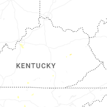


Connect with Interactive Hail Maps