

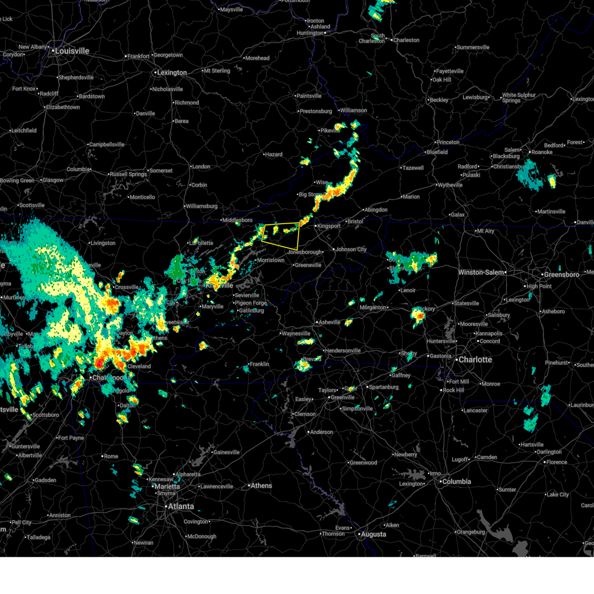
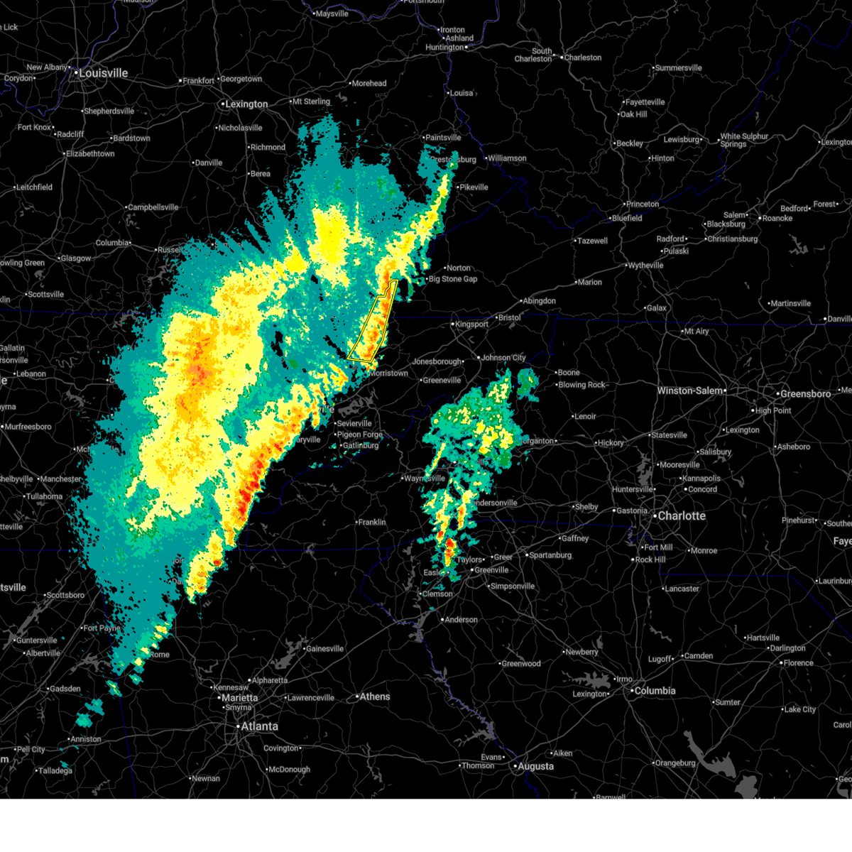
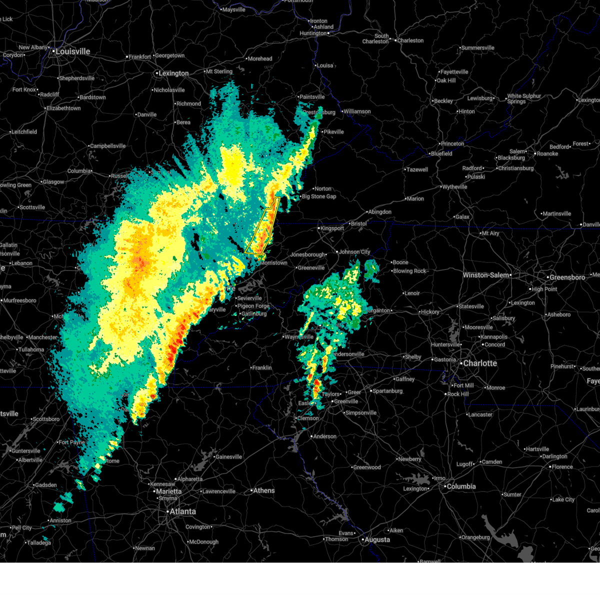
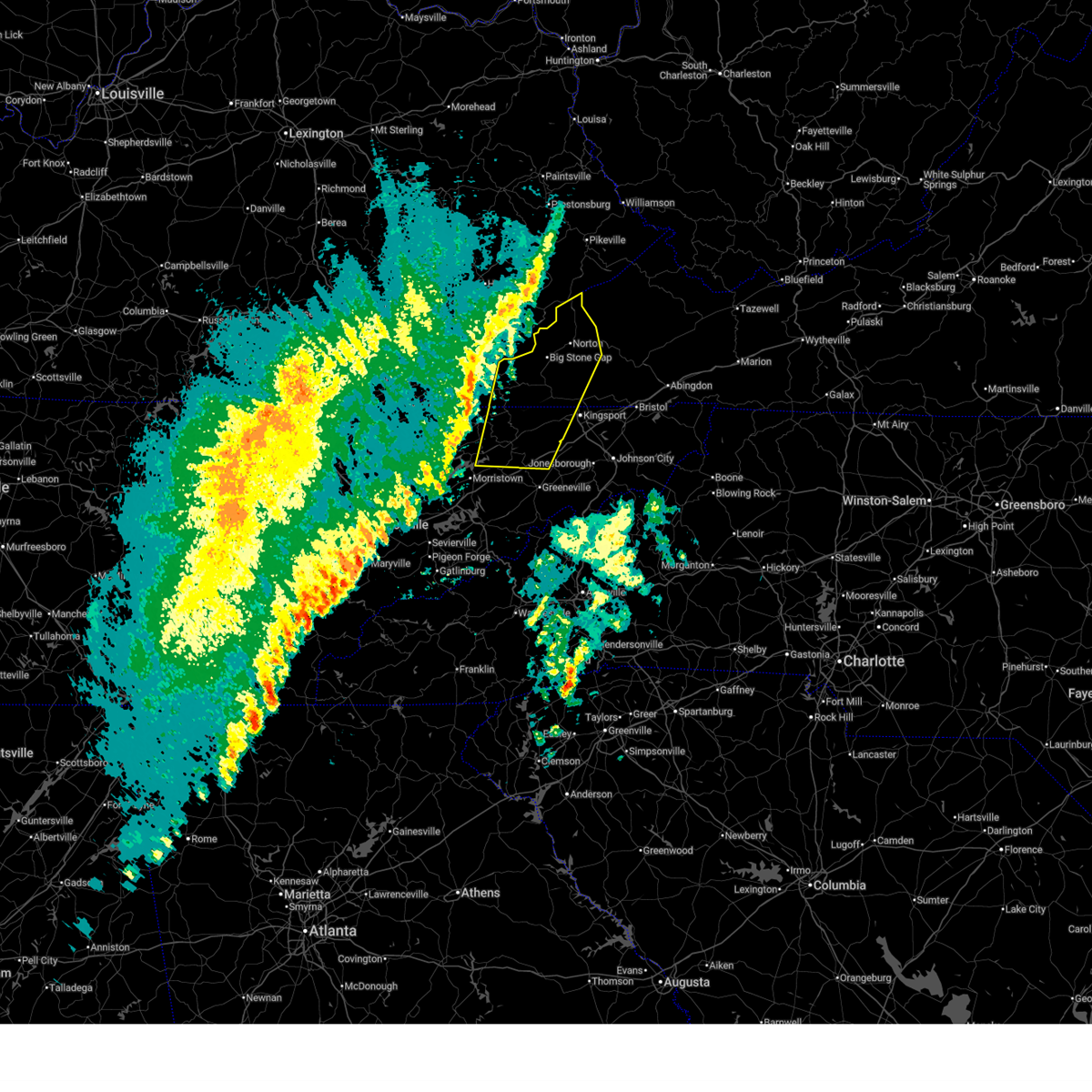
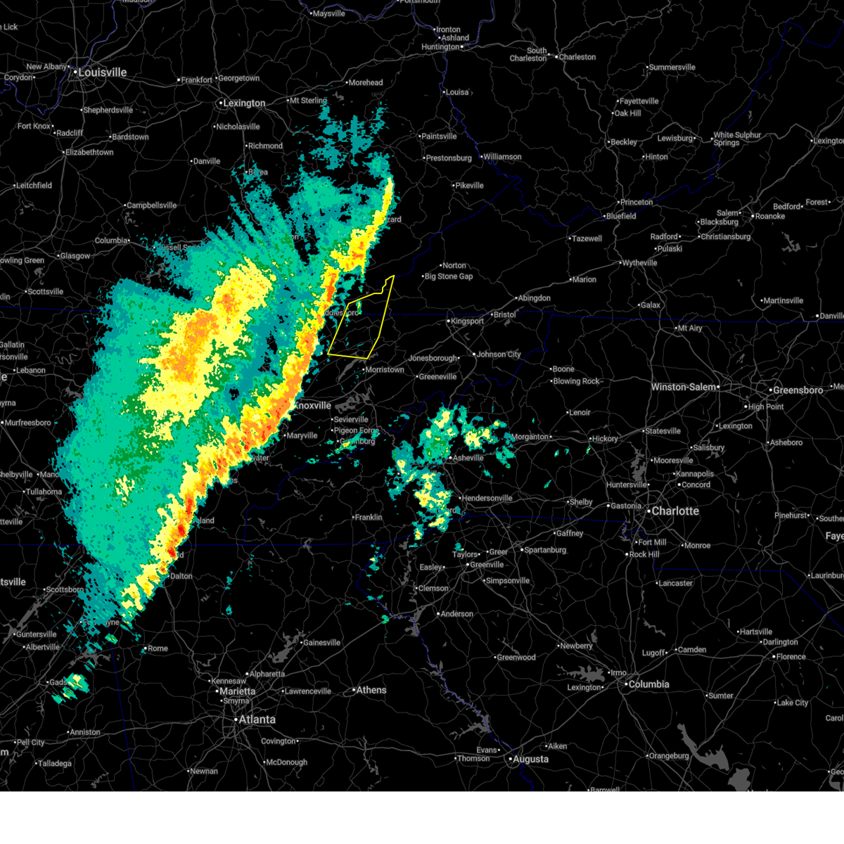
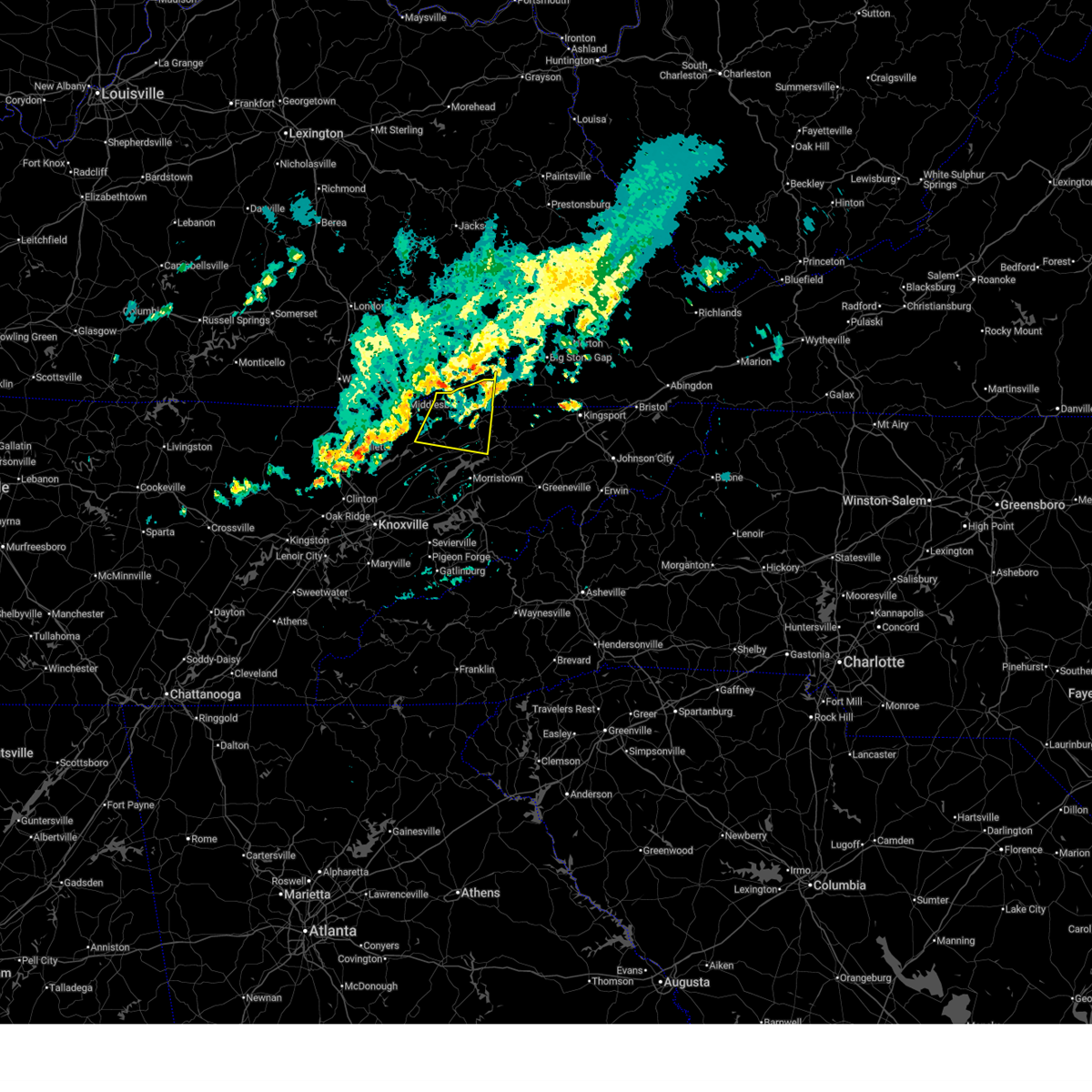
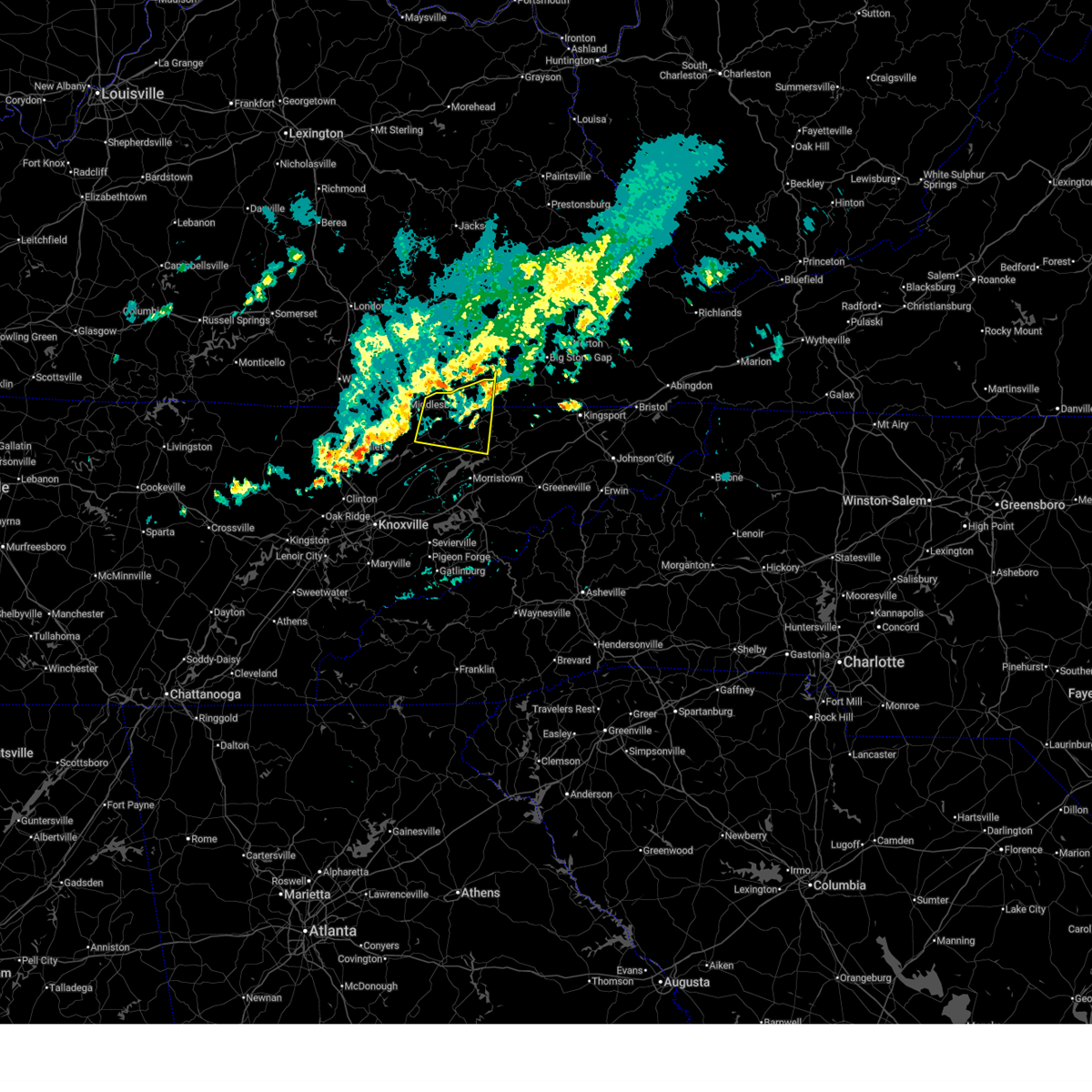
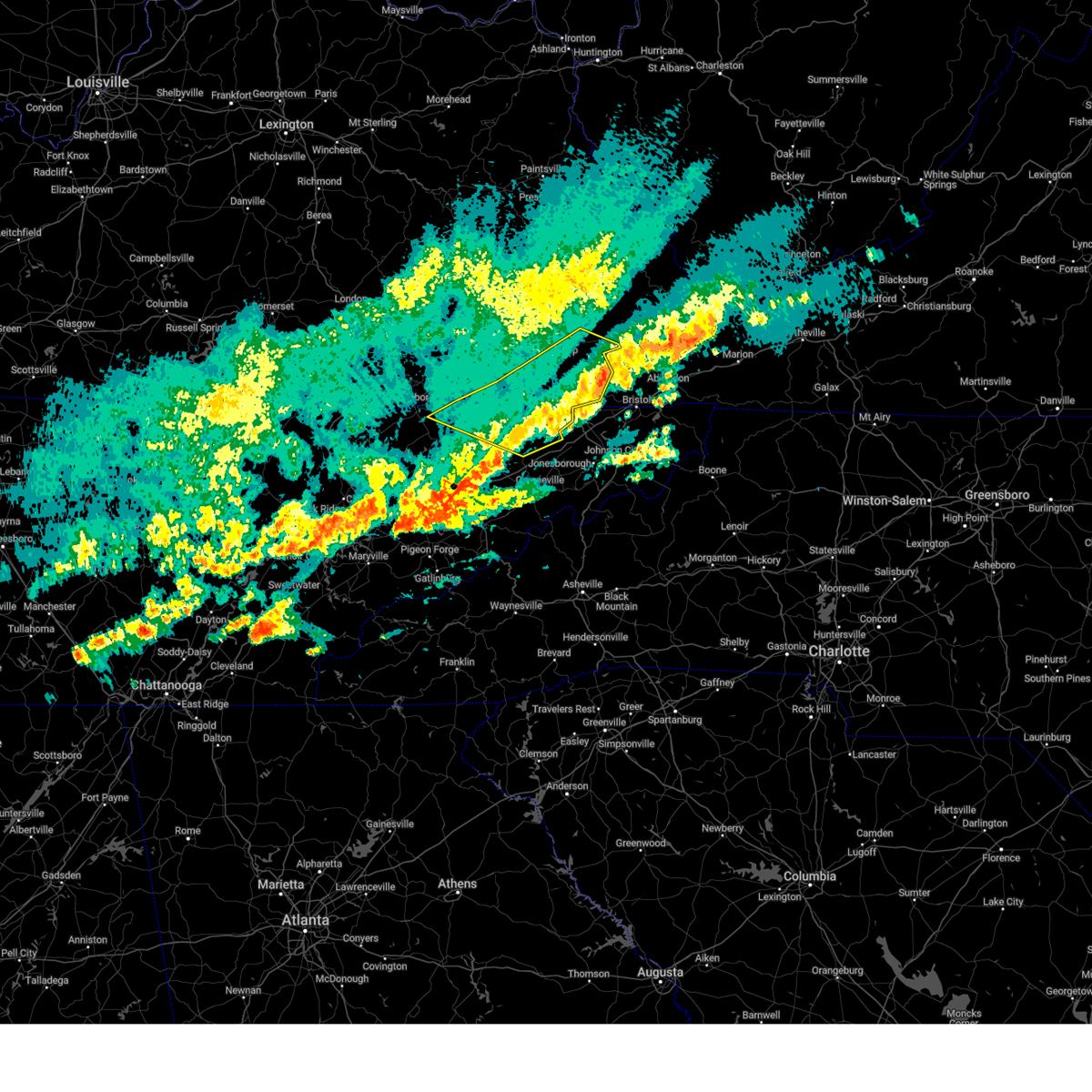
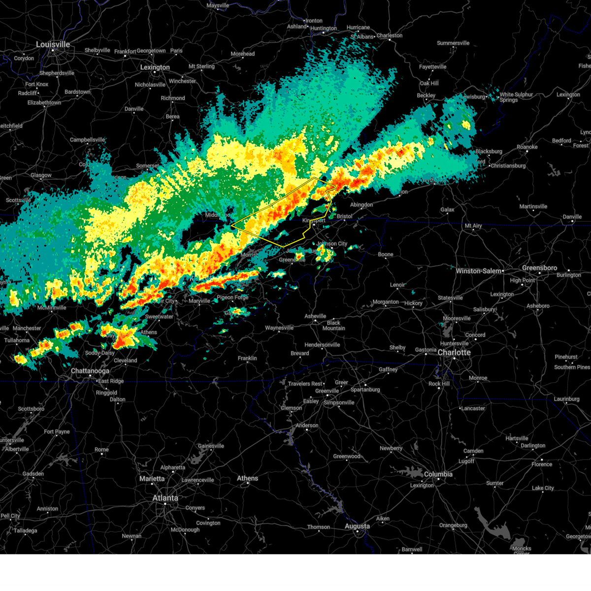
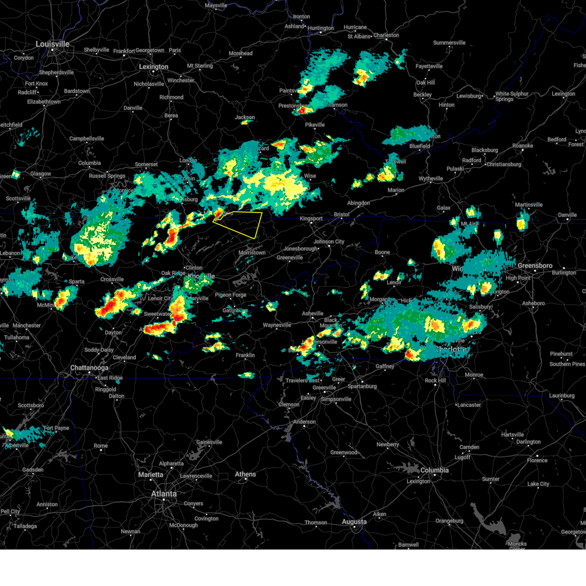
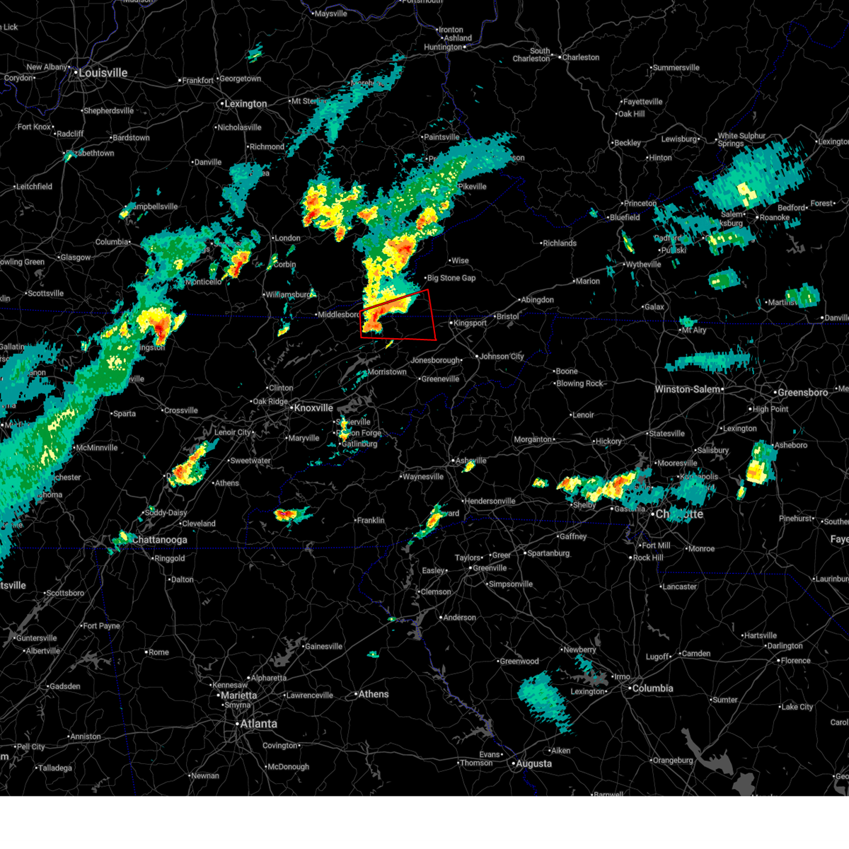
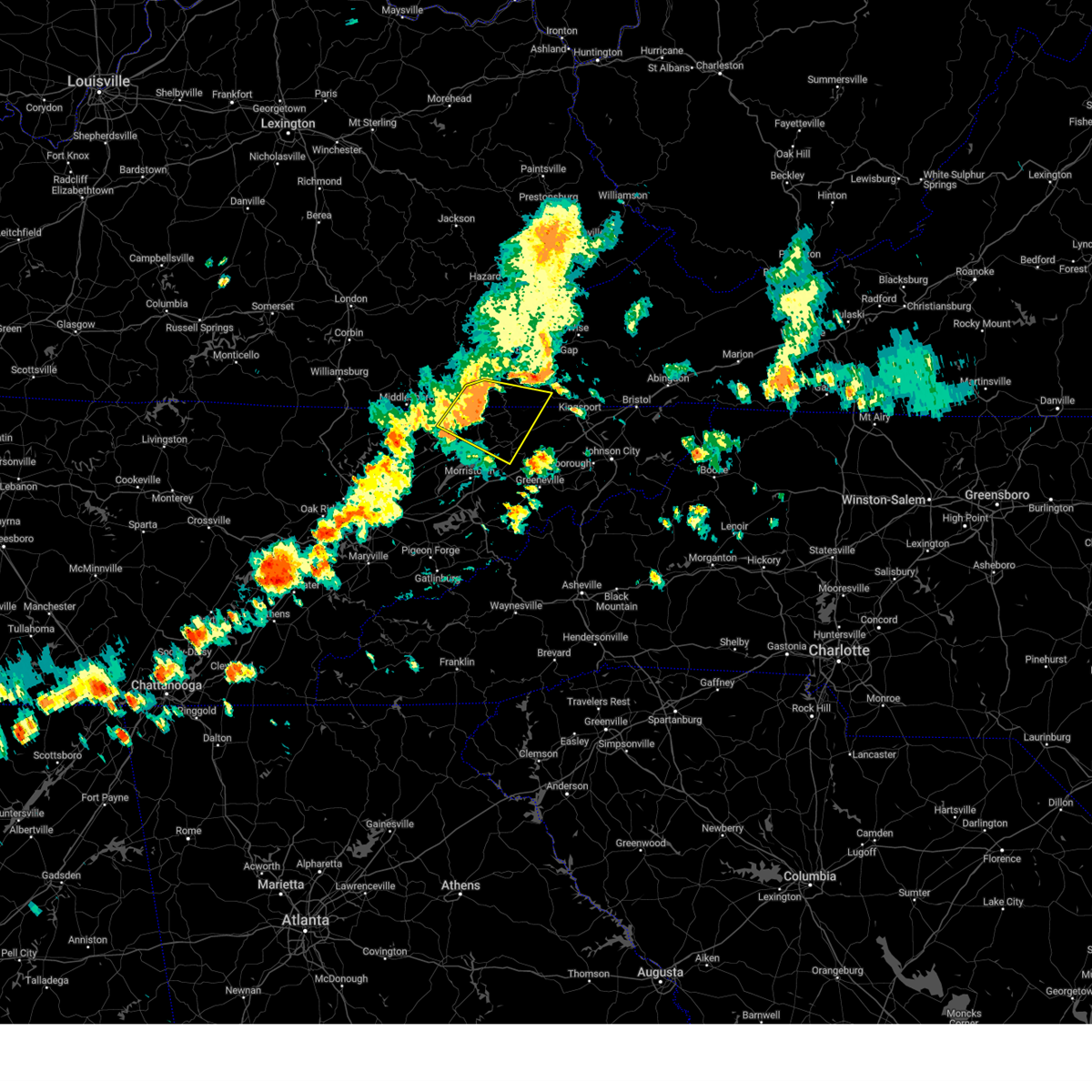
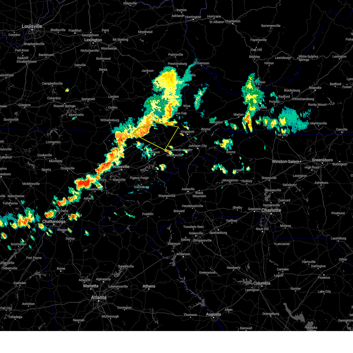
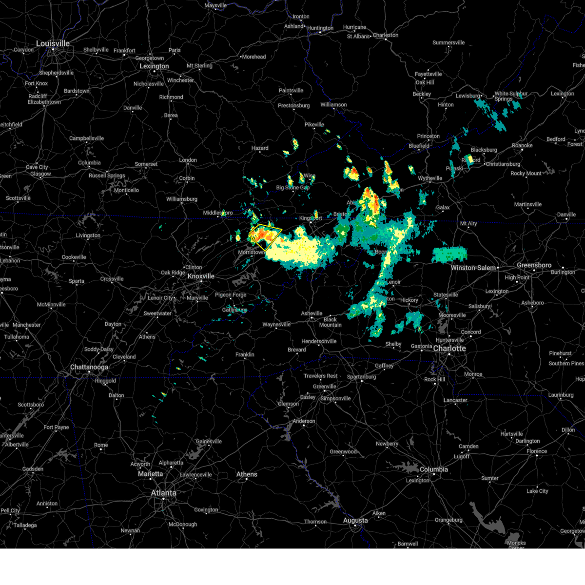
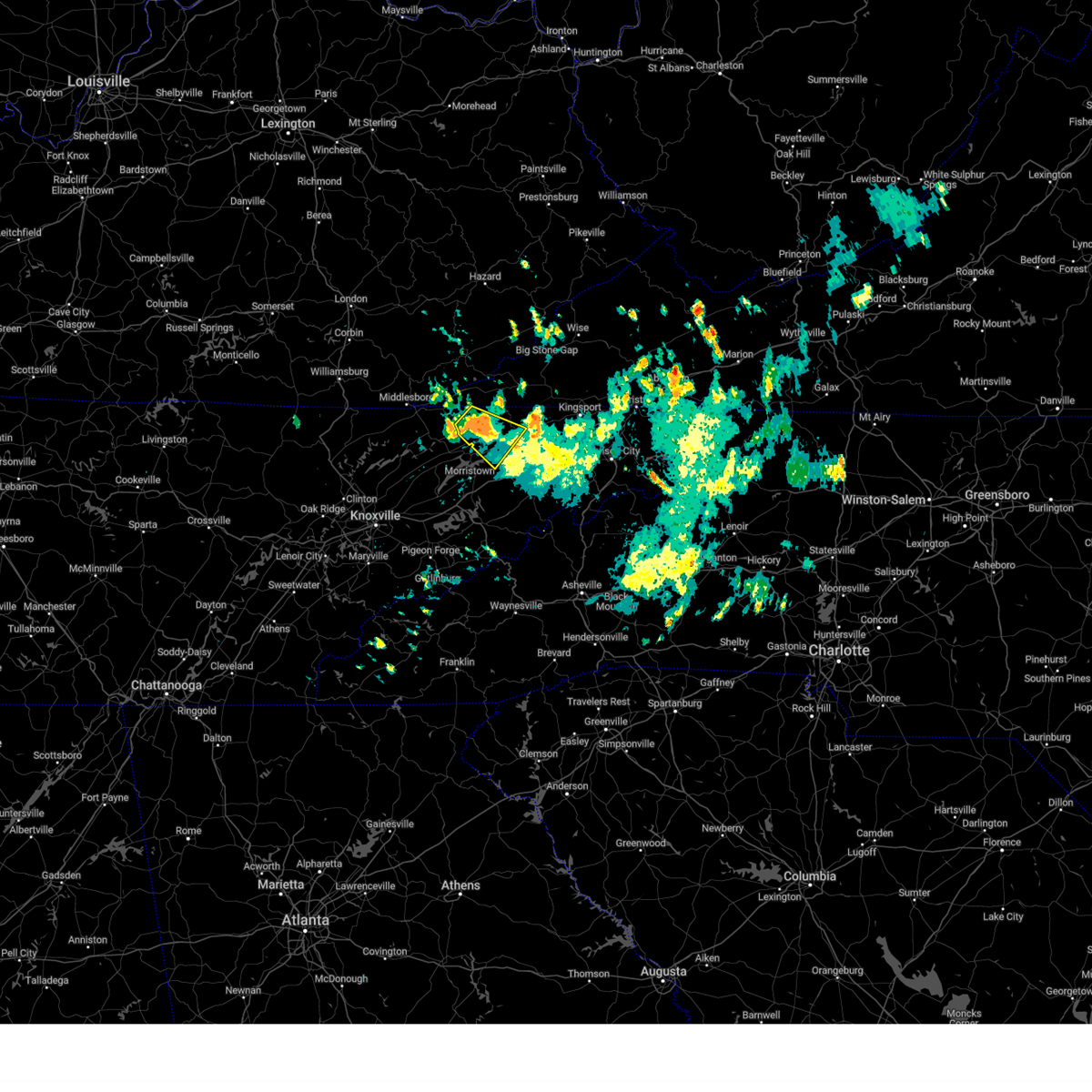
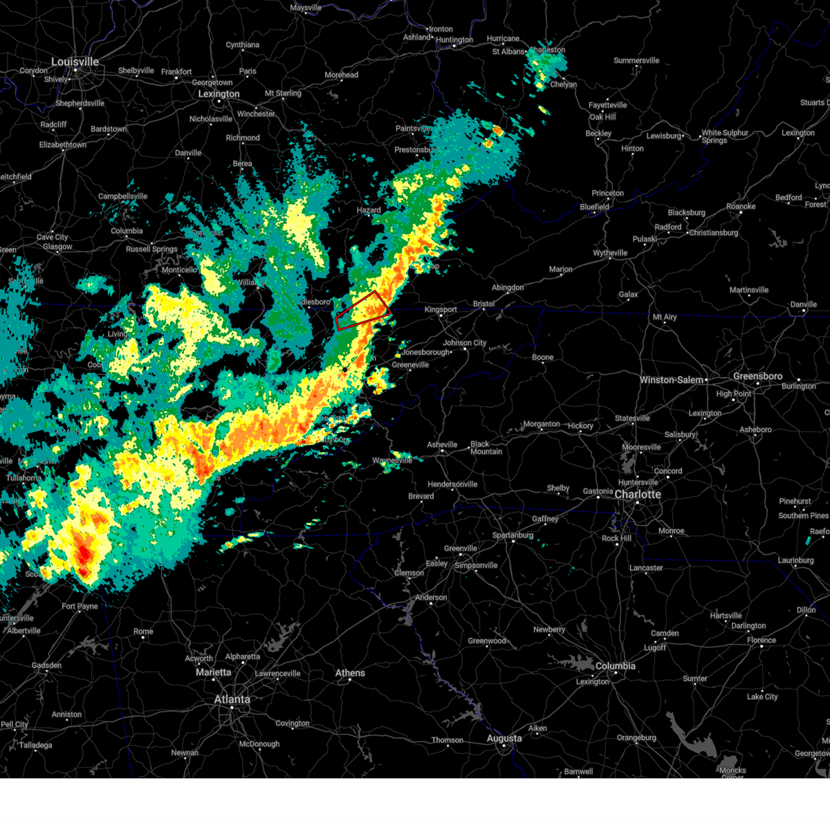
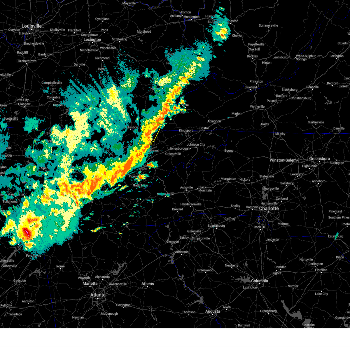
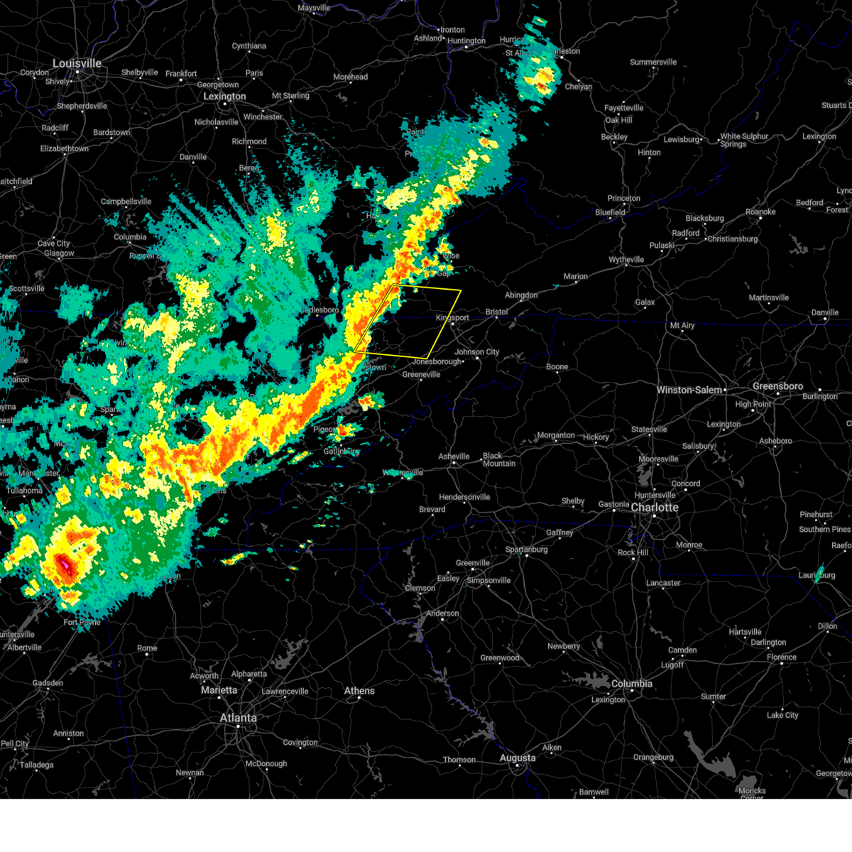
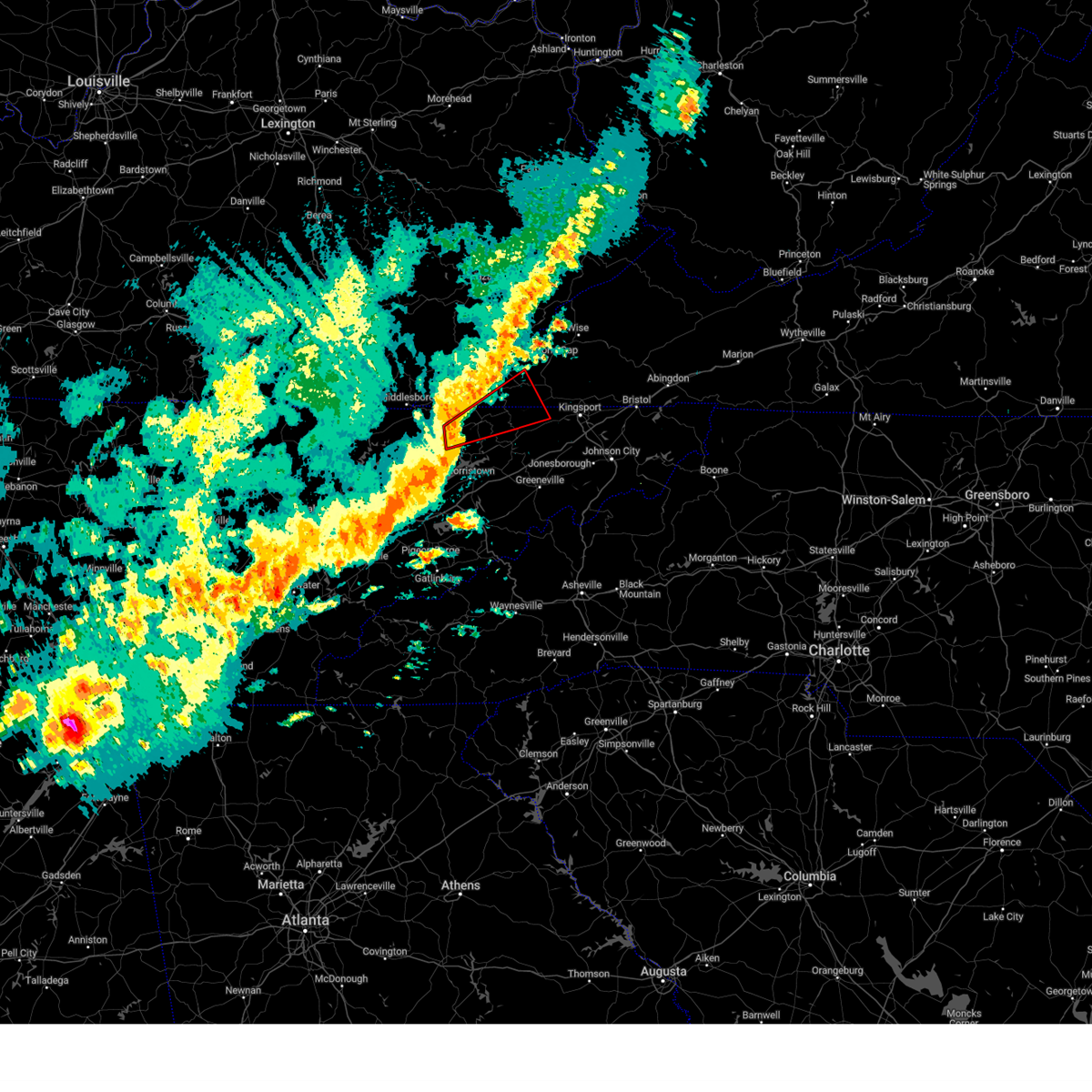
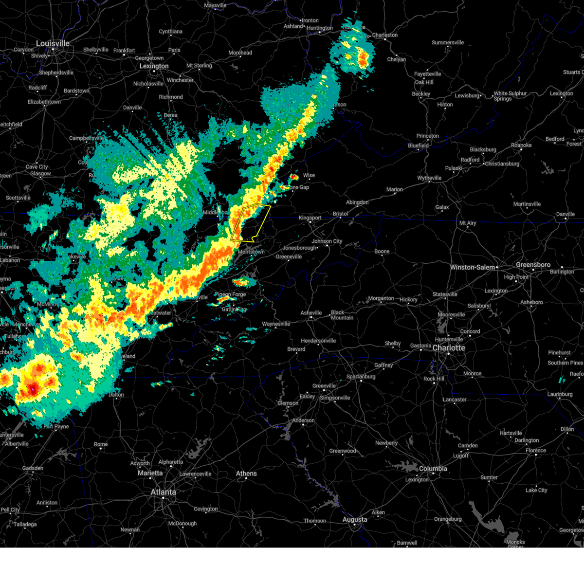
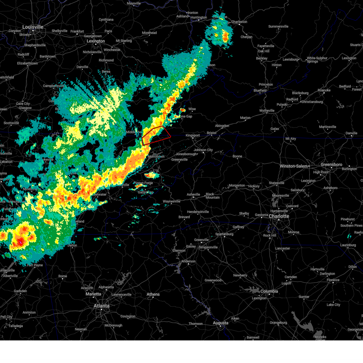
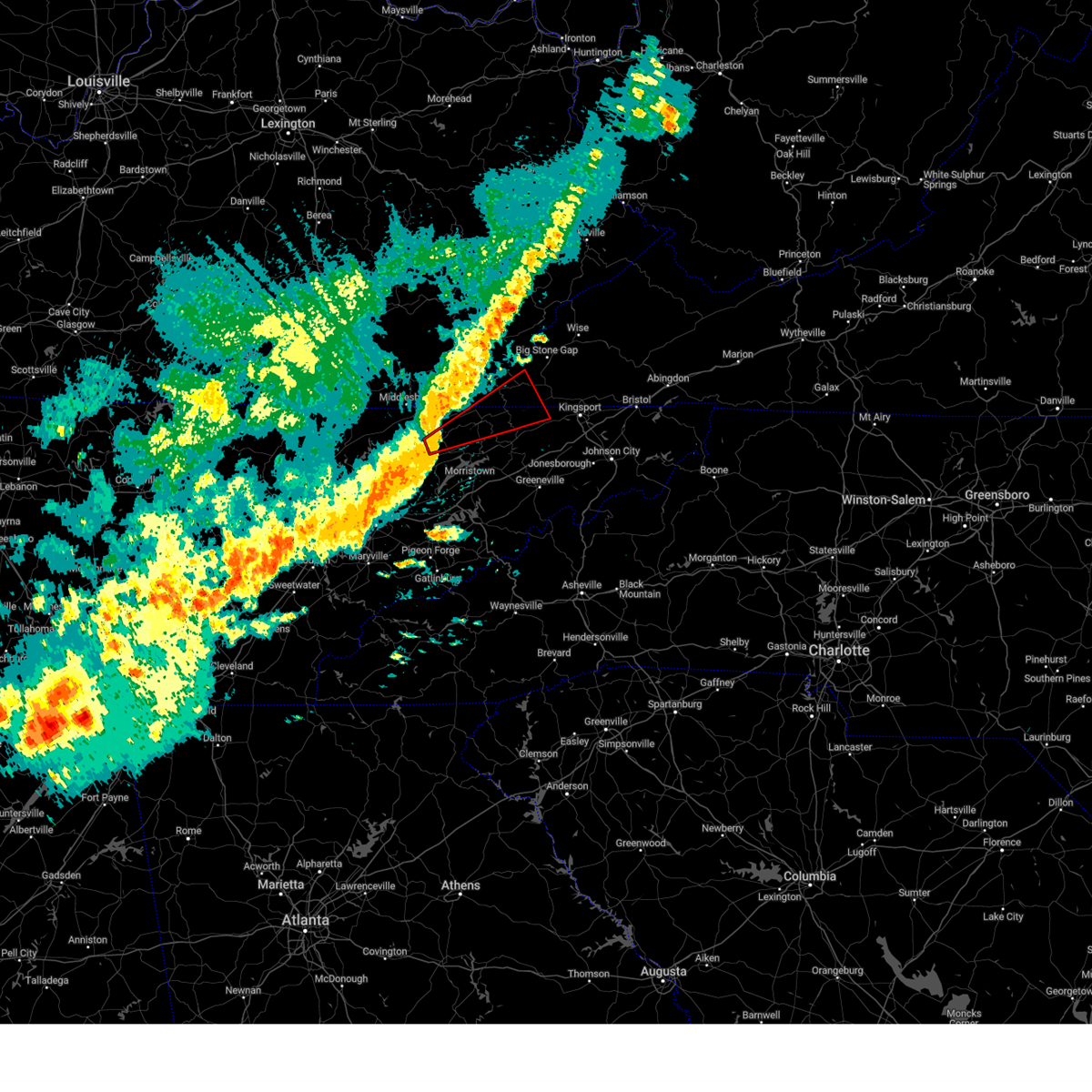
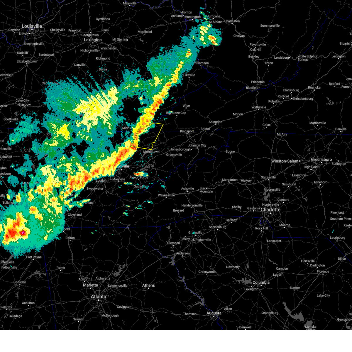
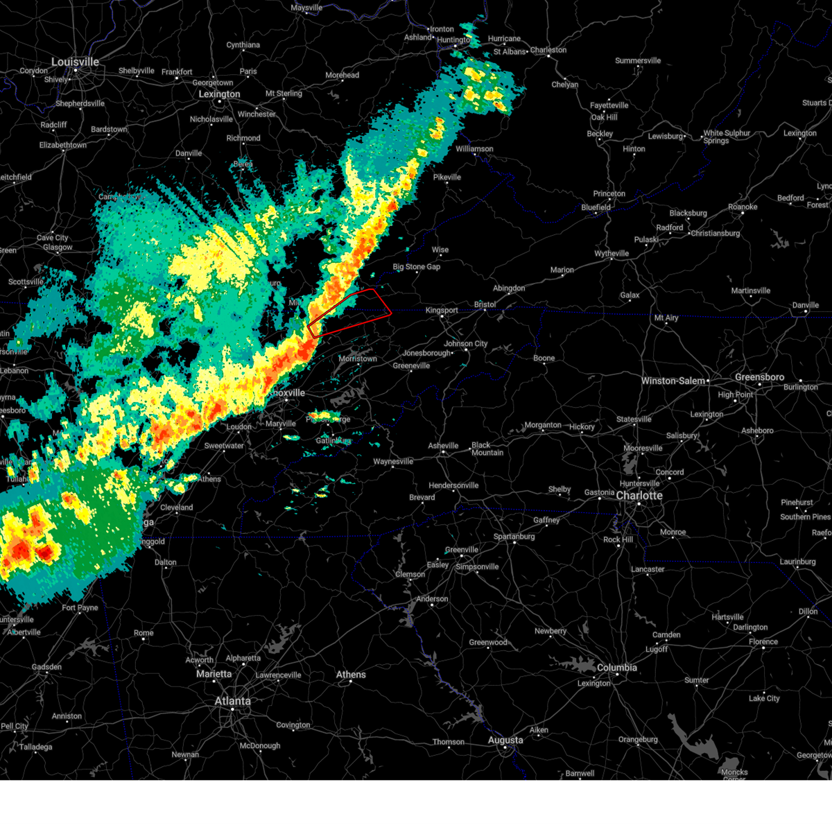
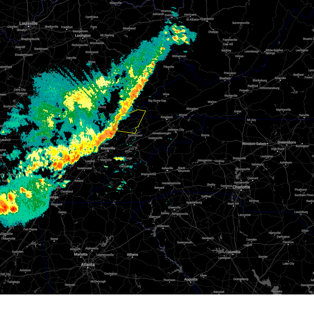
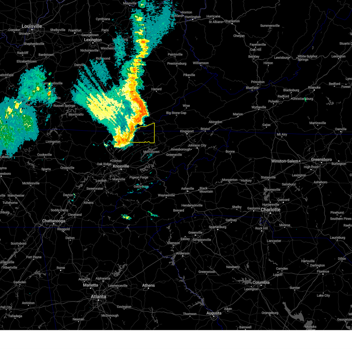
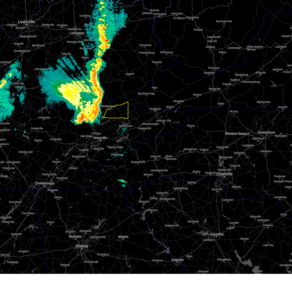
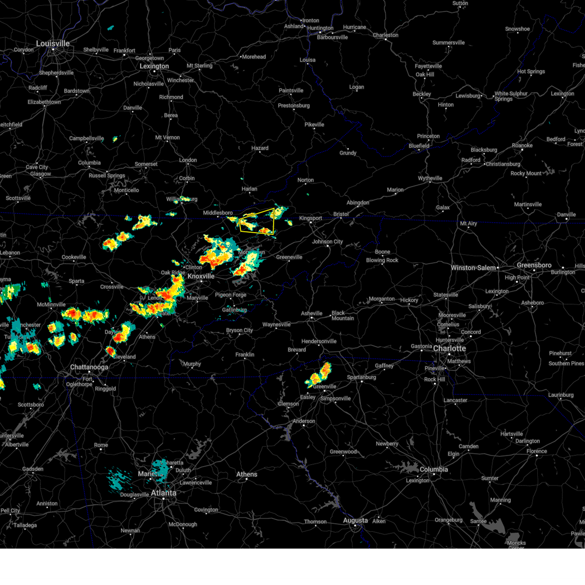
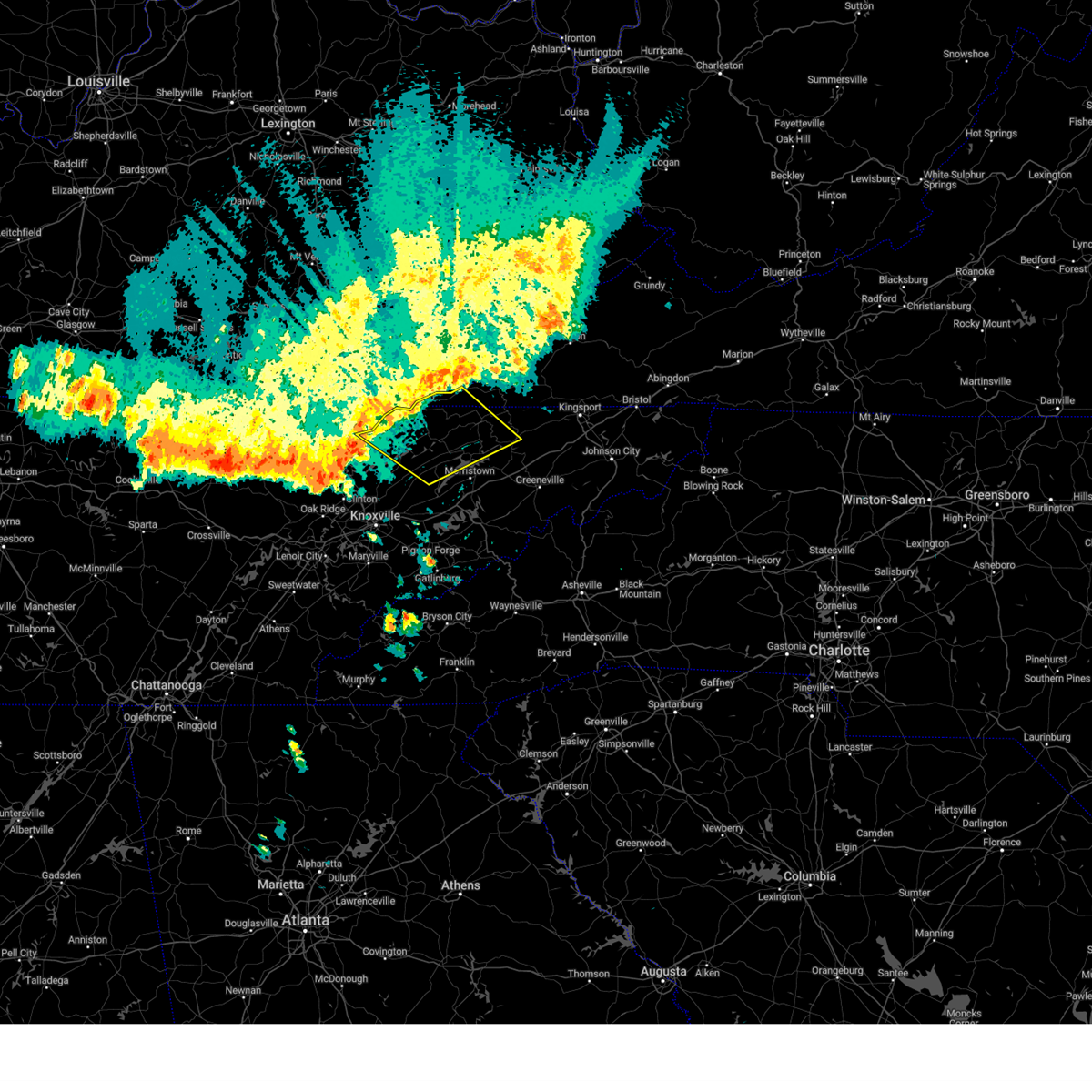
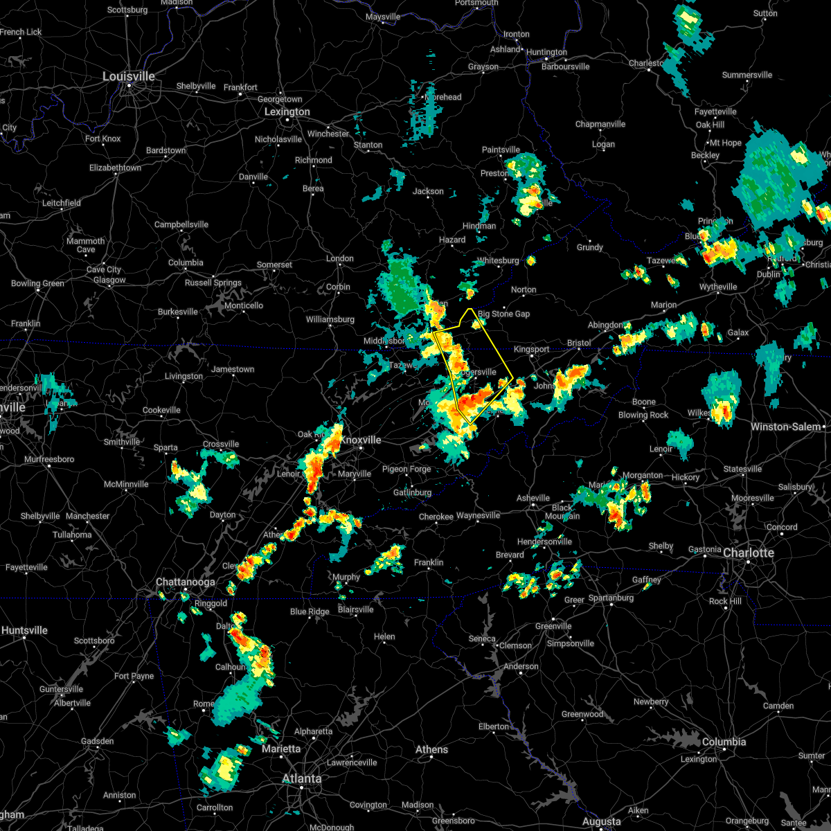
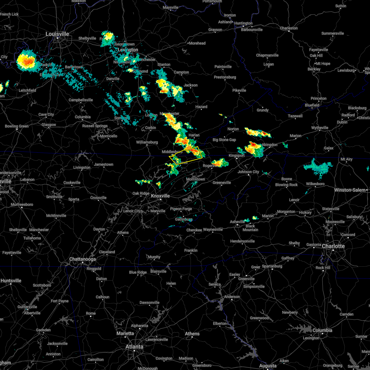
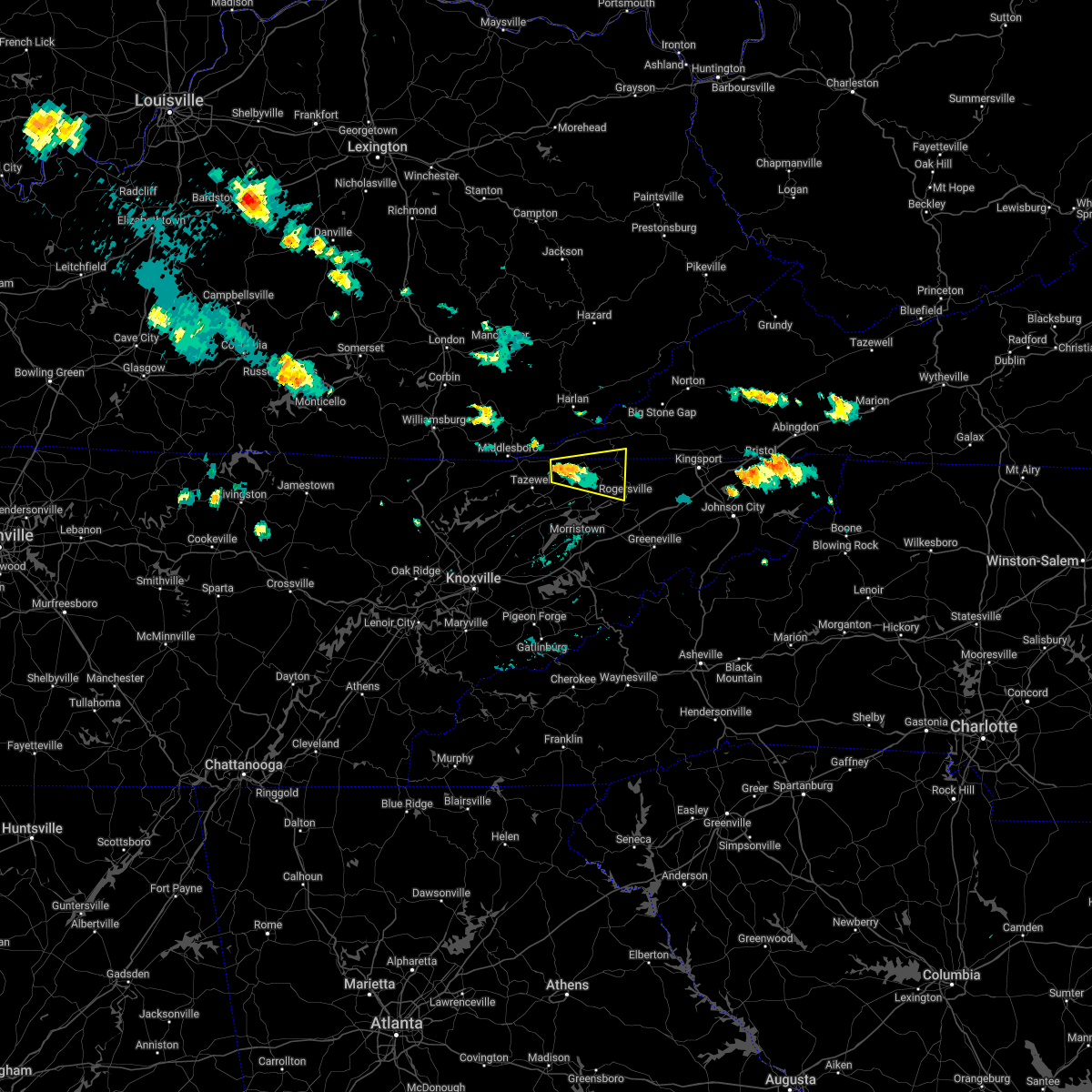
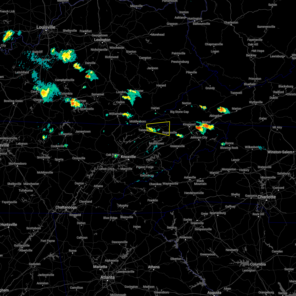
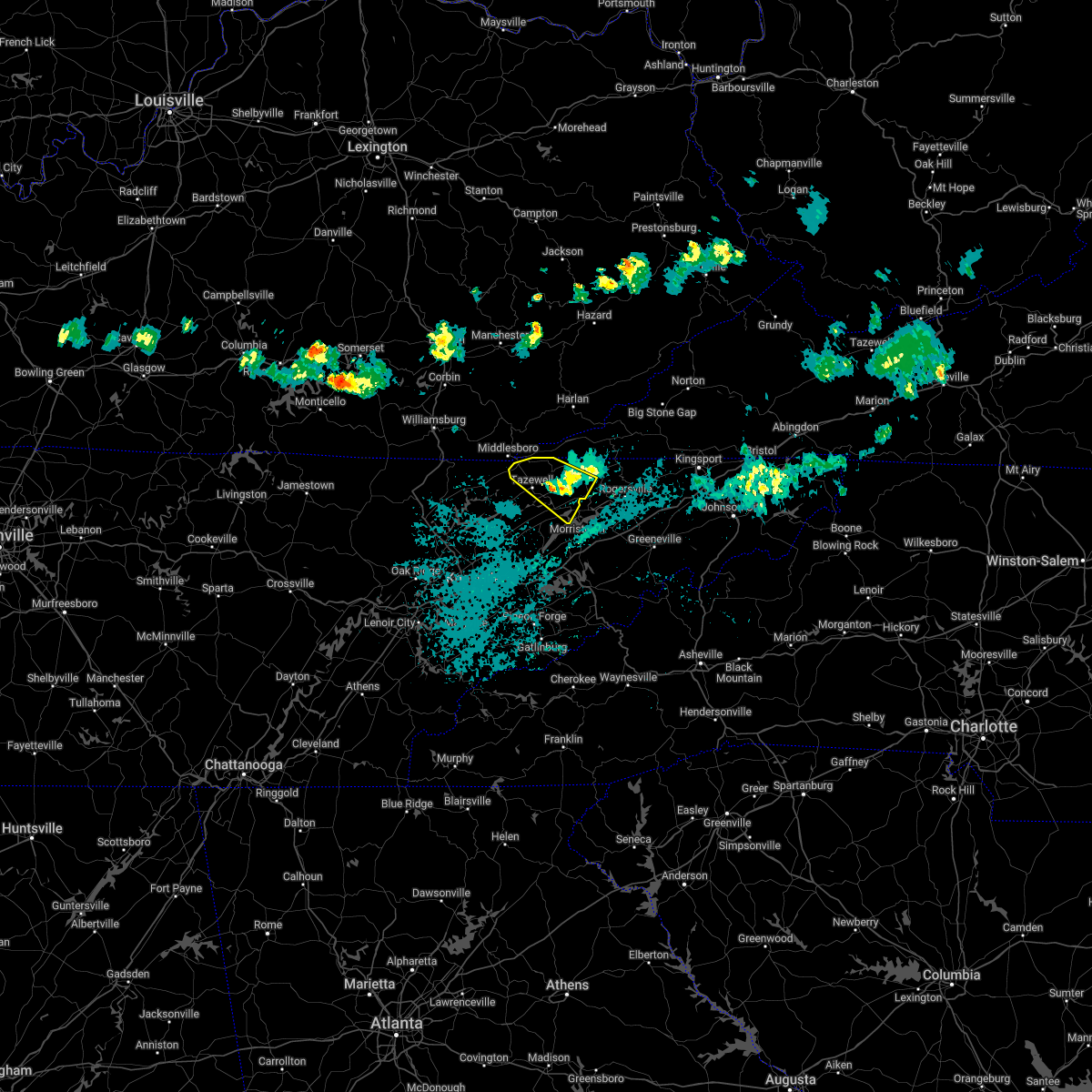
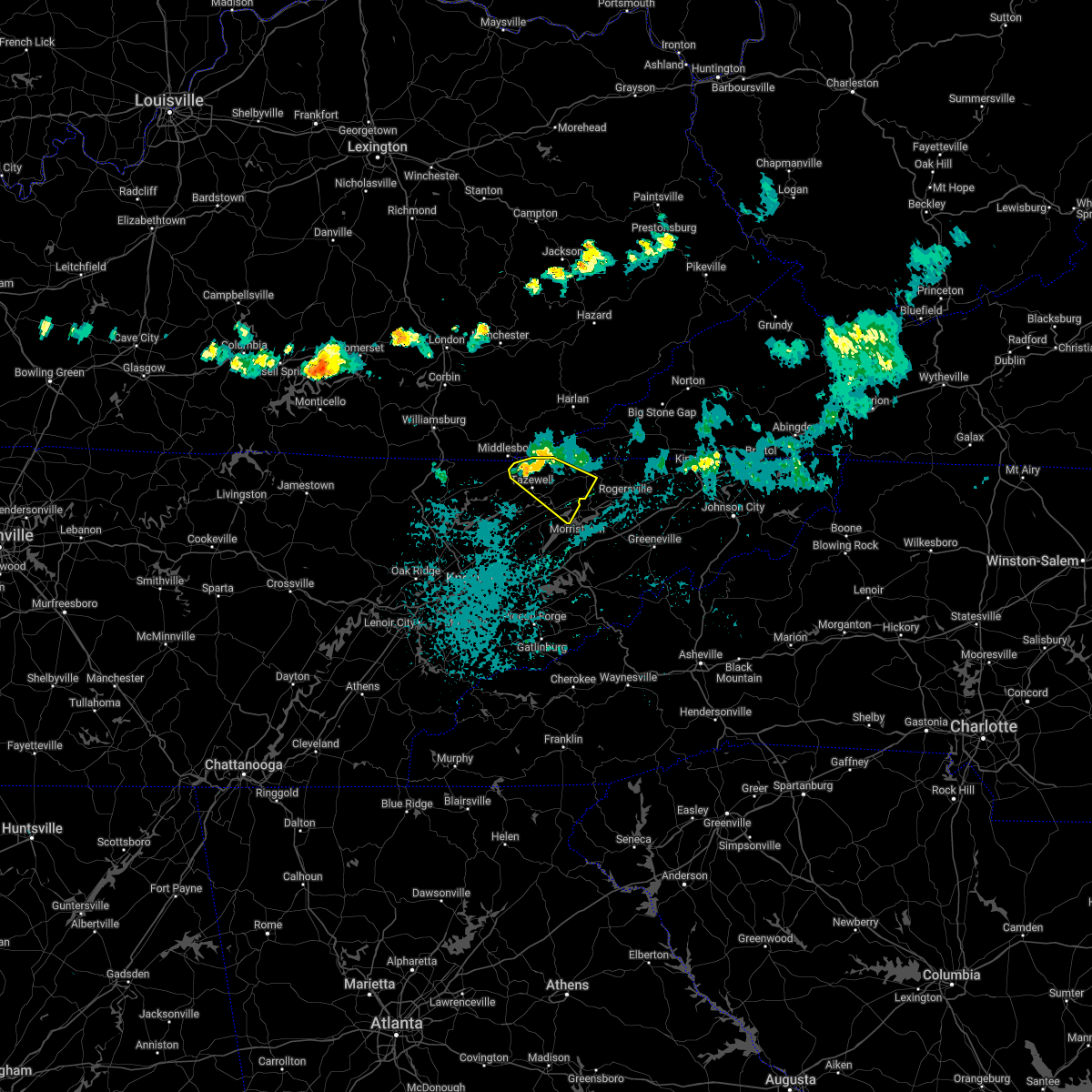
Hail Map for Sneedville, TN
The Sneedville, TN area has had 9 reports of on-the-ground hail by trained spotters, and has been under severe weather warnings 7 times during the past 12 months. Doppler radar has detected hail at or near Sneedville, TN on 28 occasions.
| Name: | Sneedville, TN |
| Where Located: | 54.7 miles W of Bristol, TN |
| Map: | Google Map for Sneedville, TN |
| Population: | 1387 |
| Housing Units: | 641 |
| More Info: | Search Google for Sneedville, TN |
1
The Top Recent Hail Date for Sneedville, TN is Tuesday, September 24, 2024 (7th out of 28)

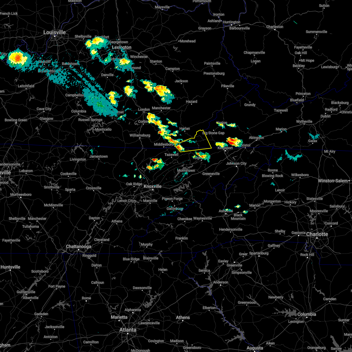
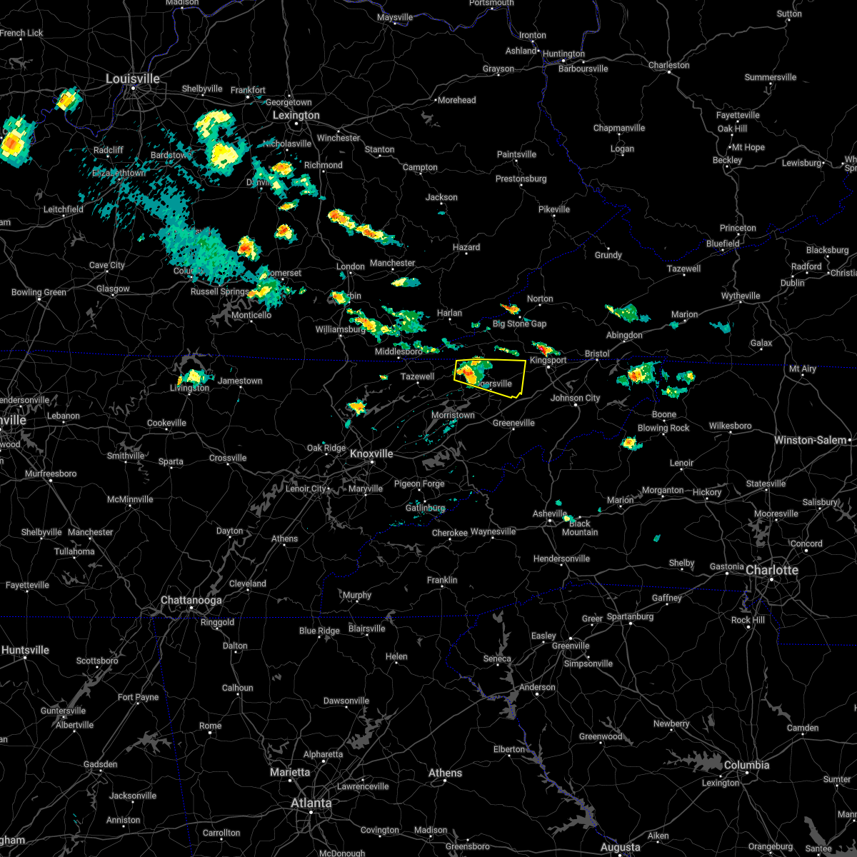
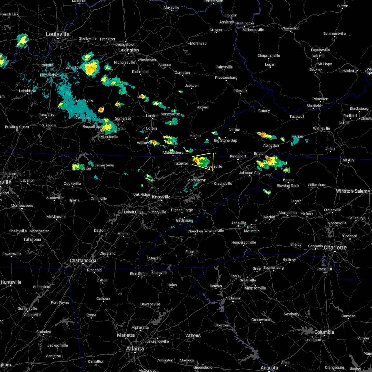
Hail and Wind Damage Spotted near Sneedville, TN
| Date / Time | Report Details |
|---|---|
| 7/5/2026 2:20 PM EDT |
 Svrmrx the national weather service in morristown has issued a * severe thunderstorm warning for, central hawkins county in east tennessee, eastern hancock county in east tennessee, north central greene county in east tennessee, * until 300 pm edt. * at 220 pm edt, a severe thunderstorm was located near rogersville, moving east at 10 mph (radar indicated). Hazards include 60 mph wind gusts. expect damage to roofs, siding, and trees Svrmrx the national weather service in morristown has issued a * severe thunderstorm warning for, central hawkins county in east tennessee, eastern hancock county in east tennessee, north central greene county in east tennessee, * until 300 pm edt. * at 220 pm edt, a severe thunderstorm was located near rogersville, moving east at 10 mph (radar indicated). Hazards include 60 mph wind gusts. expect damage to roofs, siding, and trees
|
| 3/16/2026 4:25 AM EDT |
 the severe thunderstorm warning has been cancelled and is no longer in effect the severe thunderstorm warning has been cancelled and is no longer in effect
|
| 3/16/2026 4:25 AM EDT |
 At 425 am edt, severe thunderstorms were located along a line extending from rockhouse to near big stone gap, moving northeast at 100 mph (radar indicated). Hazards include 60 mph wind gusts. Expect damage to roofs, siding, and trees. locations impacted include, sneedville, jonesville, bean station, st. Charles, thorn hill, mooresburg, evanston, and treadway. At 425 am edt, severe thunderstorms were located along a line extending from rockhouse to near big stone gap, moving northeast at 100 mph (radar indicated). Hazards include 60 mph wind gusts. Expect damage to roofs, siding, and trees. locations impacted include, sneedville, jonesville, bean station, st. Charles, thorn hill, mooresburg, evanston, and treadway.
|
| 3/16/2026 4:13 AM EDT |
 Svrmrx the national weather service in morristown has issued a * severe thunderstorm warning for, west central sullivan county in east tennessee, hawkins county in east tennessee, eastern hancock county in east tennessee, north central greene county in east tennessee, northeastern hamblen county in east tennessee, eastern lee county in southwestern virginia, the city of norton in southwestern virginia, scott county in southwestern virginia, wise county in southwestern virginia, * until 515 am edt. * at 412 am edt, a severe thunderstorm was located over sneedville, moving northeast at 40 mph (radar indicated). Hazards include 60 mph wind gusts. expect damage to roofs, siding, and trees Svrmrx the national weather service in morristown has issued a * severe thunderstorm warning for, west central sullivan county in east tennessee, hawkins county in east tennessee, eastern hancock county in east tennessee, north central greene county in east tennessee, northeastern hamblen county in east tennessee, eastern lee county in southwestern virginia, the city of norton in southwestern virginia, scott county in southwestern virginia, wise county in southwestern virginia, * until 515 am edt. * at 412 am edt, a severe thunderstorm was located over sneedville, moving northeast at 40 mph (radar indicated). Hazards include 60 mph wind gusts. expect damage to roofs, siding, and trees
|
| 3/16/2026 3:50 AM EDT |
 Svrmrx the national weather service in morristown has issued a * severe thunderstorm warning for, eastern claiborne county in east tennessee, west central hawkins county in east tennessee, hancock county in east tennessee, northeastern grainger county in east tennessee, central lee county in southwestern virginia, * until 445 am edt. * at 349 am edt, severe thunderstorms were located along a line extending from near bledsoe to near new tazewell, moving northeast at 40 mph (radar indicated). Hazards include 60 mph wind gusts. expect damage to roofs, siding, and trees Svrmrx the national weather service in morristown has issued a * severe thunderstorm warning for, eastern claiborne county in east tennessee, west central hawkins county in east tennessee, hancock county in east tennessee, northeastern grainger county in east tennessee, central lee county in southwestern virginia, * until 445 am edt. * at 349 am edt, severe thunderstorms were located along a line extending from near bledsoe to near new tazewell, moving northeast at 40 mph (radar indicated). Hazards include 60 mph wind gusts. expect damage to roofs, siding, and trees
|
| 9/4/2025 11:03 AM EDT |
 At 1103 am edt, a severe thunderstorm was located 7 miles northeast of tazewell, or 12 miles west of sneedville, moving east at 40 mph (radar indicated). Hazards include 60 mph wind gusts and penny size hail. Expect damage to roofs, siding, and trees. Locations impacted include, sneedville, new tazewell, bean station, tazewell, howard quarter, mooresburg, evanston, ewing, rose hill, and treadway. At 1103 am edt, a severe thunderstorm was located 7 miles northeast of tazewell, or 12 miles west of sneedville, moving east at 40 mph (radar indicated). Hazards include 60 mph wind gusts and penny size hail. Expect damage to roofs, siding, and trees. Locations impacted include, sneedville, new tazewell, bean station, tazewell, howard quarter, mooresburg, evanston, ewing, rose hill, and treadway.
|
| 9/4/2025 10:58 AM EDT |
 Svrmrx the national weather service in morristown has issued a * severe thunderstorm warning for, eastern claiborne county in east tennessee, west central hawkins county in east tennessee, hancock county in east tennessee, northeastern grainger county in east tennessee, southwestern lee county in southwestern virginia, * until 1130 am edt. * at 1058 am edt, a severe thunderstorm was located near tazewell, or 13 miles southeast of middlesboro, moving east at 40 mph (radar indicated). Hazards include 60 mph wind gusts and penny size hail. expect damage to roofs, siding, and trees Svrmrx the national weather service in morristown has issued a * severe thunderstorm warning for, eastern claiborne county in east tennessee, west central hawkins county in east tennessee, hancock county in east tennessee, northeastern grainger county in east tennessee, southwestern lee county in southwestern virginia, * until 1130 am edt. * at 1058 am edt, a severe thunderstorm was located near tazewell, or 13 miles southeast of middlesboro, moving east at 40 mph (radar indicated). Hazards include 60 mph wind gusts and penny size hail. expect damage to roofs, siding, and trees
|
| 5/17/2025 2:37 AM EDT |
 The storms which prompted the warning have moved out of the area. therefore, the warning will be allowed to expire. a tornado watch remains in effect until 400 am edt for east tennessee, and southwestern virginia. The storms which prompted the warning have moved out of the area. therefore, the warning will be allowed to expire. a tornado watch remains in effect until 400 am edt for east tennessee, and southwestern virginia.
|
| 5/17/2025 2:24 AM EDT |
 At 224 am edt, severe thunderstorms were located along a line extending from 8 miles west of gate city to 7 miles north of rogersville to near bean station, moving east at 50 mph (radar indicated). Hazards include 60 mph wind gusts and penny size hail. Expect damage to roofs, siding, and trees. Locations impacted include, coeburn, weber city, dungannon, pennington gap, mccloud, surgoinsville, okolona, kepler, pattonsville, and duffield. At 224 am edt, severe thunderstorms were located along a line extending from 8 miles west of gate city to 7 miles north of rogersville to near bean station, moving east at 50 mph (radar indicated). Hazards include 60 mph wind gusts and penny size hail. Expect damage to roofs, siding, and trees. Locations impacted include, coeburn, weber city, dungannon, pennington gap, mccloud, surgoinsville, okolona, kepler, pattonsville, and duffield.
|
| 5/17/2025 2:03 AM EDT |
 At 203 am edt, severe thunderstorms were located along a line extending from near pennington gap to near sneedville to near tazewell, moving east at 50 mph (radar indicated). Hazards include 70 mph wind gusts and nickel size hail. Expect considerable tree damage. damage is likely to mobile homes, roofs, and outbuildings. Locations impacted include, coeburn, weber city, dungannon, pennington gap, rose hill, mccloud, surgoinsville, ewing, appalachia, and okolona. At 203 am edt, severe thunderstorms were located along a line extending from near pennington gap to near sneedville to near tazewell, moving east at 50 mph (radar indicated). Hazards include 70 mph wind gusts and nickel size hail. Expect considerable tree damage. damage is likely to mobile homes, roofs, and outbuildings. Locations impacted include, coeburn, weber city, dungannon, pennington gap, rose hill, mccloud, surgoinsville, ewing, appalachia, and okolona.
|
| 5/17/2025 1:41 AM EDT |
 Svrmrx the national weather service in morristown has issued a * severe thunderstorm warning for, northeastern claiborne county in east tennessee, hawkins county in east tennessee, hancock county in east tennessee, lee county in southwestern virginia, the city of norton in southwestern virginia, scott county in southwestern virginia, wise county in southwestern virginia, * until 245 am edt. * at 141 am edt, severe thunderstorms were located along a line extending from ages to near cubage to near noetown, moving east at 50 mph (radar indicated). Hazards include 60 mph wind gusts and nickel size hail. expect damage to roofs, siding, and trees Svrmrx the national weather service in morristown has issued a * severe thunderstorm warning for, northeastern claiborne county in east tennessee, hawkins county in east tennessee, hancock county in east tennessee, lee county in southwestern virginia, the city of norton in southwestern virginia, scott county in southwestern virginia, wise county in southwestern virginia, * until 245 am edt. * at 141 am edt, severe thunderstorms were located along a line extending from ages to near cubage to near noetown, moving east at 50 mph (radar indicated). Hazards include 60 mph wind gusts and nickel size hail. expect damage to roofs, siding, and trees
|
| 5/8/2025 7:36 PM EDT |
 At 736 pm edt, a severe thunderstorm was located near hutch, or 11 miles east of middlesboro, moving east at 25 mph (radar indicated). Hazards include quarter size hail. Damage to vehicles is expected. Locations impacted include, ewing, evanston, and sneedville. At 736 pm edt, a severe thunderstorm was located near hutch, or 11 miles east of middlesboro, moving east at 25 mph (radar indicated). Hazards include quarter size hail. Damage to vehicles is expected. Locations impacted include, ewing, evanston, and sneedville.
|
| 5/8/2025 7:16 PM EDT |
 Svrmrx the national weather service in morristown has issued a * severe thunderstorm warning for, northeastern claiborne county in east tennessee, western hancock county in east tennessee, southwestern lee county in southwestern virginia, * until 800 pm edt. * at 716 pm edt, a severe thunderstorm was located over harrogate, or near middlesboro, moving east at 30 mph (radar indicated). Hazards include quarter size hail. damage to vehicles is expected Svrmrx the national weather service in morristown has issued a * severe thunderstorm warning for, northeastern claiborne county in east tennessee, western hancock county in east tennessee, southwestern lee county in southwestern virginia, * until 800 pm edt. * at 716 pm edt, a severe thunderstorm was located over harrogate, or near middlesboro, moving east at 30 mph (radar indicated). Hazards include quarter size hail. damage to vehicles is expected
|
| 4/30/2025 5:40 PM EDT |
 The storm which prompted the warning has weakened below severe limits, and no longer poses an immediate threat to life or property. therefore, the warning will be allowed to expire. The storm which prompted the warning has weakened below severe limits, and no longer poses an immediate threat to life or property. therefore, the warning will be allowed to expire.
|
| 4/30/2025 5:16 PM EDT |
 At 516 pm edt, a severe thunderstorm was located over sneedville, moving northeast at 10 mph (radar indicated). Hazards include 60 mph wind gusts and quarter size hail. Hail damage to vehicles is expected. expect wind damage to roofs, siding, and trees. Locations impacted include, sneedville. At 516 pm edt, a severe thunderstorm was located over sneedville, moving northeast at 10 mph (radar indicated). Hazards include 60 mph wind gusts and quarter size hail. Hail damage to vehicles is expected. expect wind damage to roofs, siding, and trees. Locations impacted include, sneedville.
|
| 4/30/2025 4:57 PM EDT |
 Svrmrx the national weather service in morristown has issued a * severe thunderstorm warning for, northwestern hawkins county in east tennessee, central hancock county in east tennessee, south central lee county in southwestern virginia, * until 545 pm edt. * at 456 pm edt, a severe thunderstorm was located near sneedville, moving northeast at 10 mph (radar indicated). Hazards include 60 mph wind gusts and quarter size hail. Hail damage to vehicles is expected. Expect wind damage to roofs, siding, and trees. Svrmrx the national weather service in morristown has issued a * severe thunderstorm warning for, northwestern hawkins county in east tennessee, central hancock county in east tennessee, south central lee county in southwestern virginia, * until 545 pm edt. * at 456 pm edt, a severe thunderstorm was located near sneedville, moving northeast at 10 mph (radar indicated). Hazards include 60 mph wind gusts and quarter size hail. Hail damage to vehicles is expected. Expect wind damage to roofs, siding, and trees.
|
| 9/24/2024 6:23 PM EDT | Em officials relay reports of wind damage... power outages... and trees down in the kyles ford vicinity. this was near a potential radar tds at 6:23pm e in hancock county TN, 6.9 miles WSW of Sneedville, TN |
| 9/24/2024 6:18 PM EDT |
 Tormrx the national weather service in morristown has issued a * tornado warning for, northern hawkins county in east tennessee, hancock county in east tennessee, southeastern lee county in southwestern virginia, southwestern scott county in southwestern virginia, * until 700 pm edt. * at 618 pm edt, a severe thunderstorm capable of producing a tornado was located over sneedville, moving east at 30 mph (radar indicated rotation). Hazards include tornado. Flying debris will be dangerous to those caught without shelter. mobile homes will be damaged or destroyed. damage to roofs, windows, and vehicles will occur. tree damage is likely. This tornadic thunderstorm will remain over mainly rural areas of northern hawkins, hancock, southeastern lee and southwestern scott counties, including the following locations, duffield, evanston, okolona, church hill, clinchport, kyles ford, and pattonsville. Tormrx the national weather service in morristown has issued a * tornado warning for, northern hawkins county in east tennessee, hancock county in east tennessee, southeastern lee county in southwestern virginia, southwestern scott county in southwestern virginia, * until 700 pm edt. * at 618 pm edt, a severe thunderstorm capable of producing a tornado was located over sneedville, moving east at 30 mph (radar indicated rotation). Hazards include tornado. Flying debris will be dangerous to those caught without shelter. mobile homes will be damaged or destroyed. damage to roofs, windows, and vehicles will occur. tree damage is likely. This tornadic thunderstorm will remain over mainly rural areas of northern hawkins, hancock, southeastern lee and southwestern scott counties, including the following locations, duffield, evanston, okolona, church hill, clinchport, kyles ford, and pattonsville.
|
| 9/24/2024 6:05 PM EDT |
 At 605 pm edt, a severe thunderstorm was located near jonesville, moving northeast at 45 mph (radar indicated). Hazards include 60 mph wind gusts and half dollar size hail. Hail damage to vehicles is expected. expect wind damage to roofs, siding, and trees. locations impacted include, sneedville, jonesville, pennington gap, st. Charles, duffield, clinchport, howard quarter, evanston, dryden, and rose hill. At 605 pm edt, a severe thunderstorm was located near jonesville, moving northeast at 45 mph (radar indicated). Hazards include 60 mph wind gusts and half dollar size hail. Hail damage to vehicles is expected. expect wind damage to roofs, siding, and trees. locations impacted include, sneedville, jonesville, pennington gap, st. Charles, duffield, clinchport, howard quarter, evanston, dryden, and rose hill.
|
| 9/24/2024 5:56 PM EDT |
 At 556 pm edt, a severe thunderstorm was located near hensley store, or 8 miles northwest of sneedville, moving northeast at 45 mph (radar indicated). Hazards include 60 mph wind gusts and quarter size hail. Hail damage to vehicles is expected. expect wind damage to roofs, siding, and trees. locations impacted include, sneedville, jonesville, pennington gap, st. Charles, duffield, clinchport, howard quarter, evanston, dryden, and rose hill. At 556 pm edt, a severe thunderstorm was located near hensley store, or 8 miles northwest of sneedville, moving northeast at 45 mph (radar indicated). Hazards include 60 mph wind gusts and quarter size hail. Hail damage to vehicles is expected. expect wind damage to roofs, siding, and trees. locations impacted include, sneedville, jonesville, pennington gap, st. Charles, duffield, clinchport, howard quarter, evanston, dryden, and rose hill.
|
| 9/24/2024 5:43 PM EDT |
 Svrmrx the national weather service in morristown has issued a * severe thunderstorm warning for, northeastern claiborne county in east tennessee, northwestern hancock county in east tennessee, lee county in southwestern virginia, southwestern scott county in southwestern virginia, * until 645 pm edt. * at 542 pm edt, a severe thunderstorm was located 8 miles northeast of tazewell, or 14 miles east of middlesboro, moving northeast at 45 mph (radar indicated). Hazards include 60 mph wind gusts and quarter size hail. Hail damage to vehicles is expected. Expect wind damage to roofs, siding, and trees. Svrmrx the national weather service in morristown has issued a * severe thunderstorm warning for, northeastern claiborne county in east tennessee, northwestern hancock county in east tennessee, lee county in southwestern virginia, southwestern scott county in southwestern virginia, * until 645 pm edt. * at 542 pm edt, a severe thunderstorm was located 8 miles northeast of tazewell, or 14 miles east of middlesboro, moving northeast at 45 mph (radar indicated). Hazards include 60 mph wind gusts and quarter size hail. Hail damage to vehicles is expected. Expect wind damage to roofs, siding, and trees.
|
| 8/17/2024 9:15 PM EDT | Social media report of trees and powerlines down in the western portion of the county; time is estimated from rada in hancock county TN, 7.8 miles ENE of Sneedville, TN |
| 8/16/2024 5:00 PM EDT |
 At 500 pm edt, a severe thunderstorm was located over sneedville, moving east at 30 mph (radar indicated). Hazards include 60 mph wind gusts and quarter size hail. Hail damage to vehicles is expected. expect wind damage to roofs, siding, and trees. locations impacted include, rogersville, sneedville, jonesville, clinchport, howard quarter, evanston, st. Clair, rose hill, kyles ford, and treadway. At 500 pm edt, a severe thunderstorm was located over sneedville, moving east at 30 mph (radar indicated). Hazards include 60 mph wind gusts and quarter size hail. Hail damage to vehicles is expected. expect wind damage to roofs, siding, and trees. locations impacted include, rogersville, sneedville, jonesville, clinchport, howard quarter, evanston, st. Clair, rose hill, kyles ford, and treadway.
|
| 8/16/2024 4:55 PM EDT | Numerous trees and powerlines down with over 1...300 power outages/nearly 270f tracked customers ou in hancock county TN, 0.5 miles ESE of Sneedville, TN |
| 8/16/2024 4:43 PM EDT |
 Svrmrx the national weather service in morristown has issued a * severe thunderstorm warning for, northeastern claiborne county in east tennessee, western hawkins county in east tennessee, hancock county in east tennessee, southern lee county in southwestern virginia, southwestern scott county in southwestern virginia, * until 530 pm edt. * at 443 pm edt, a severe thunderstorm was located near sneedville, moving east at 30 mph (radar indicated). Hazards include 60 mph wind gusts and penny size hail. expect damage to roofs, siding, and trees Svrmrx the national weather service in morristown has issued a * severe thunderstorm warning for, northeastern claiborne county in east tennessee, western hawkins county in east tennessee, hancock county in east tennessee, southern lee county in southwestern virginia, southwestern scott county in southwestern virginia, * until 530 pm edt. * at 443 pm edt, a severe thunderstorm was located near sneedville, moving east at 30 mph (radar indicated). Hazards include 60 mph wind gusts and penny size hail. expect damage to roofs, siding, and trees
|
| 8/1/2024 9:47 PM EDT |
 At 945 pm edt, severe thunderstorms were located along a line extending from pennington gap to near rutledge, moving east at 25 mph (county dispatch reported numerous trees down in the maynardville area). Hazards include 60 mph wind gusts. Expect damage to roofs, siding, and trees. Locations impacted include, sneedville, rutledge, jonesville, big stone gap, bean station, pennington gap, new market, blaine, thorn hill, and evanston. At 945 pm edt, severe thunderstorms were located along a line extending from pennington gap to near rutledge, moving east at 25 mph (county dispatch reported numerous trees down in the maynardville area). Hazards include 60 mph wind gusts. Expect damage to roofs, siding, and trees. Locations impacted include, sneedville, rutledge, jonesville, big stone gap, bean station, pennington gap, new market, blaine, thorn hill, and evanston.
|
| 8/1/2024 9:47 PM EDT |
 the severe thunderstorm warning has been cancelled and is no longer in effect the severe thunderstorm warning has been cancelled and is no longer in effect
|
| 8/1/2024 9:08 PM EDT |
 Svrmrx the national weather service in morristown has issued a * severe thunderstorm warning for, eastern claiborne county in east tennessee, hancock county in east tennessee, north central jefferson county in east tennessee, southeastern union county in east tennessee, grainger county in east tennessee, lee county in southwestern virginia, southwestern wise county in southwestern virginia, * until 1000 pm edt. * at 908 pm edt, severe thunderstorms were located along a line extending from three point to maynardville, moving east at 25 mph (radar indicated). Hazards include 60 mph wind gusts. expect damage to roofs, siding, and trees Svrmrx the national weather service in morristown has issued a * severe thunderstorm warning for, eastern claiborne county in east tennessee, hancock county in east tennessee, north central jefferson county in east tennessee, southeastern union county in east tennessee, grainger county in east tennessee, lee county in southwestern virginia, southwestern wise county in southwestern virginia, * until 1000 pm edt. * at 908 pm edt, severe thunderstorms were located along a line extending from three point to maynardville, moving east at 25 mph (radar indicated). Hazards include 60 mph wind gusts. expect damage to roofs, siding, and trees
|
| 7/30/2024 11:03 AM EDT |
 At 1103 am edt, a severe thunderstorm was located near rogersville, moving southeast at 25 mph (radar indicated). Hazards include 60 mph wind gusts and penny size hail. Expect damage to roofs, siding, and trees. locations impacted include, rogersville, sneedville, st. Clair, mooresburg, treadway, and klondike. At 1103 am edt, a severe thunderstorm was located near rogersville, moving southeast at 25 mph (radar indicated). Hazards include 60 mph wind gusts and penny size hail. Expect damage to roofs, siding, and trees. locations impacted include, rogersville, sneedville, st. Clair, mooresburg, treadway, and klondike.
|
| 7/30/2024 10:35 AM EDT |
 Svrmrx the national weather service in morristown has issued a * severe thunderstorm warning for, western hawkins county in east tennessee, hancock county in east tennessee, northeastern hamblen county in east tennessee, * until 1115 am edt. * at 1035 am edt, a severe thunderstorm was located near sneedville, moving southeast at 25 mph (radar indicated). Hazards include 60 mph wind gusts and penny size hail. expect damage to roofs, siding, and trees Svrmrx the national weather service in morristown has issued a * severe thunderstorm warning for, western hawkins county in east tennessee, hancock county in east tennessee, northeastern hamblen county in east tennessee, * until 1115 am edt. * at 1035 am edt, a severe thunderstorm was located near sneedville, moving southeast at 25 mph (radar indicated). Hazards include 60 mph wind gusts and penny size hail. expect damage to roofs, siding, and trees
|
| 7/30/2024 7:37 AM EDT |
 The storms which prompted the warning have moved out of the area. therefore, the warning will be allowed to expire. however, gusty winds and heavy rain are still possible with these thunderstorms. remember, a severe thunderstorm warning still remains in effect for portions of claiborne, hawkins, and hancock counties. The storms which prompted the warning have moved out of the area. therefore, the warning will be allowed to expire. however, gusty winds and heavy rain are still possible with these thunderstorms. remember, a severe thunderstorm warning still remains in effect for portions of claiborne, hawkins, and hancock counties.
|
| 7/30/2024 7:20 AM EDT |
 At 720 am edt, severe thunderstorms were located along a line extending from 7 miles south of jonesville to sneedville to 10 miles northwest of bean station to near tazewell, moving southeast at 40 mph (radar indicated). Hazards include 60 mph wind gusts. Expect damage to roofs, siding, and trees. Locations impacted include, sneedville, new tazewell, tazewell, harrogate, howard quarter, evanston, arthur, treadway, clairfield, and powell river preserve. At 720 am edt, severe thunderstorms were located along a line extending from 7 miles south of jonesville to sneedville to 10 miles northwest of bean station to near tazewell, moving southeast at 40 mph (radar indicated). Hazards include 60 mph wind gusts. Expect damage to roofs, siding, and trees. Locations impacted include, sneedville, new tazewell, tazewell, harrogate, howard quarter, evanston, arthur, treadway, clairfield, and powell river preserve.
|
| 7/30/2024 7:19 AM EDT |
 Svrmrx the national weather service in morristown has issued a * severe thunderstorm warning for, sullivan county in east tennessee, claiborne county in east tennessee, hawkins county in east tennessee, northern washington county in east tennessee, central hancock county in east tennessee, northern greene county in east tennessee, northeastern union county in east tennessee, grainger county in east tennessee, hamblen county in east tennessee, * until 815 am edt. * at 719 am edt, severe thunderstorms were located along a line extending from 10 miles southeast of pennington gap to 8 miles east of sneedville to 8 miles northwest of bean station to wilkerson, moving southeast at 30 mph (radar indicated). Hazards include 60 mph wind gusts. expect damage to roofs, siding, and trees Svrmrx the national weather service in morristown has issued a * severe thunderstorm warning for, sullivan county in east tennessee, claiborne county in east tennessee, hawkins county in east tennessee, northern washington county in east tennessee, central hancock county in east tennessee, northern greene county in east tennessee, northeastern union county in east tennessee, grainger county in east tennessee, hamblen county in east tennessee, * until 815 am edt. * at 719 am edt, severe thunderstorms were located along a line extending from 10 miles southeast of pennington gap to 8 miles east of sneedville to 8 miles northwest of bean station to wilkerson, moving southeast at 30 mph (radar indicated). Hazards include 60 mph wind gusts. expect damage to roofs, siding, and trees
|
| 7/30/2024 6:42 AM EDT |
 Svrmrx the national weather service in morristown has issued a * severe thunderstorm warning for, claiborne county in east tennessee, hancock county in east tennessee, lee county in southwestern virginia, southwestern scott county in southwestern virginia, * until 745 am edt. * at 642 am edt, severe thunderstorms were located along a line extending from pathfork to calvin to near meldrum to goins, moving southeast at 40 mph (radar indicated). Hazards include 60 mph wind gusts. expect damage to roofs, siding, and trees Svrmrx the national weather service in morristown has issued a * severe thunderstorm warning for, claiborne county in east tennessee, hancock county in east tennessee, lee county in southwestern virginia, southwestern scott county in southwestern virginia, * until 745 am edt. * at 642 am edt, severe thunderstorms were located along a line extending from pathfork to calvin to near meldrum to goins, moving southeast at 40 mph (radar indicated). Hazards include 60 mph wind gusts. expect damage to roofs, siding, and trees
|
| 5/27/2024 3:52 AM EDT |
 the tornado warning has been cancelled and is no longer in effect the tornado warning has been cancelled and is no longer in effect
|
| 5/27/2024 3:51 AM EDT |
 The storm which prompted the warning has weakened and no longer appears capable of producing a tornado. therefore, the warning will be allowed to expire. a tornado watch remains in effect until 600 am edt for east tennessee. a tornado watch also remains in effect until 600 am edt for southwestern virginia. The storm which prompted the warning has weakened and no longer appears capable of producing a tornado. therefore, the warning will be allowed to expire. a tornado watch remains in effect until 600 am edt for east tennessee. a tornado watch also remains in effect until 600 am edt for southwestern virginia.
|
| 5/27/2024 3:44 AM EDT |
 the severe thunderstorm warning has been cancelled and is no longer in effect the severe thunderstorm warning has been cancelled and is no longer in effect
|
| 5/27/2024 3:41 AM EDT |
 Svrmrx the national weather service in morristown has issued a * severe thunderstorm warning for, hawkins county in east tennessee, hancock county in east tennessee, north central greene county in east tennessee, northeastern grainger county in east tennessee, southeastern lee county in southwestern virginia, southwestern scott county in southwestern virginia, * until 430 am edt. * at 340 am edt, severe thunderstorms were located along a line extending from pennington gap to near bean station, moving east at 40 mph (radar indicated). Hazards include 60 mph wind gusts and quarter size hail. Hail damage to vehicles is expected. Expect wind damage to roofs, siding, and trees. Svrmrx the national weather service in morristown has issued a * severe thunderstorm warning for, hawkins county in east tennessee, hancock county in east tennessee, north central greene county in east tennessee, northeastern grainger county in east tennessee, southeastern lee county in southwestern virginia, southwestern scott county in southwestern virginia, * until 430 am edt. * at 340 am edt, severe thunderstorms were located along a line extending from pennington gap to near bean station, moving east at 40 mph (radar indicated). Hazards include 60 mph wind gusts and quarter size hail. Hail damage to vehicles is expected. Expect wind damage to roofs, siding, and trees.
|
| 5/27/2024 3:40 AM EDT | Multiple trees down on state and county roads. time estimated by rada in hancock county TN, 1.6 miles NE of Sneedville, TN |
| 5/27/2024 3:39 AM EDT |
 At 339 am edt, a severe thunderstorm capable of producing a tornado was located near sneedville, moving northeast at 45 mph (radar indicated rotation). Hazards include tornado and quarter size hail. Flying debris will be dangerous to those caught without shelter. mobile homes will be damaged or destroyed. damage to roofs, windows, and vehicles will occur. tree damage is likely. this dangerous storm will be near, sneedville around 345 am edt. jonesville around 350 am edt. Other locations impacted by this tornadic thunderstorm include evanston, kyles ford, and howard quarter. At 339 am edt, a severe thunderstorm capable of producing a tornado was located near sneedville, moving northeast at 45 mph (radar indicated rotation). Hazards include tornado and quarter size hail. Flying debris will be dangerous to those caught without shelter. mobile homes will be damaged or destroyed. damage to roofs, windows, and vehicles will occur. tree damage is likely. this dangerous storm will be near, sneedville around 345 am edt. jonesville around 350 am edt. Other locations impacted by this tornadic thunderstorm include evanston, kyles ford, and howard quarter.
|
| 5/27/2024 3:35 AM EDT |
 At 334 am edt, a severe thunderstorm capable of producing a tornado was located 7 miles southwest of sneedville, moving east at 45 mph (radar indicated rotation). Hazards include tornado and quarter size hail. Flying debris will be dangerous to those caught without shelter. mobile homes will be damaged or destroyed. damage to roofs, windows, and vehicles will occur. tree damage is likely. this dangerous storm will be near, sneedville around 340 am edt. Other locations impacted by this tornadic thunderstorm include howard quarter, dryden, evanston, kyles ford, and pattonsville. At 334 am edt, a severe thunderstorm capable of producing a tornado was located 7 miles southwest of sneedville, moving east at 45 mph (radar indicated rotation). Hazards include tornado and quarter size hail. Flying debris will be dangerous to those caught without shelter. mobile homes will be damaged or destroyed. damage to roofs, windows, and vehicles will occur. tree damage is likely. this dangerous storm will be near, sneedville around 340 am edt. Other locations impacted by this tornadic thunderstorm include howard quarter, dryden, evanston, kyles ford, and pattonsville.
|
| 5/27/2024 3:34 AM EDT |
 the severe thunderstorm warning has been cancelled and is no longer in effect the severe thunderstorm warning has been cancelled and is no longer in effect
|
| 5/27/2024 3:34 AM EDT |
 At 333 am edt, severe thunderstorms were located along a line extending from near cranks to near rutledge, moving east at 65 mph (radar indicated). Hazards include 60 mph wind gusts and quarter size hail. Hail damage to vehicles is expected. expect wind damage to roofs, siding, and trees. Locations impacted include, sneedville, jonesville, bean station, howard quarter, evanston, rose hill, treadway, ewing, and mooresburg. At 333 am edt, severe thunderstorms were located along a line extending from near cranks to near rutledge, moving east at 65 mph (radar indicated). Hazards include 60 mph wind gusts and quarter size hail. Hail damage to vehicles is expected. expect wind damage to roofs, siding, and trees. Locations impacted include, sneedville, jonesville, bean station, howard quarter, evanston, rose hill, treadway, ewing, and mooresburg.
|
| 5/27/2024 3:27 AM EDT |
 At 327 am edt, a severe thunderstorm capable of producing a tornado was located 8 miles northeast of tazewell, or 12 miles west of sneedville, moving east at 40 mph (radar indicated rotation). Hazards include tornado and quarter size hail. Flying debris will be dangerous to those caught without shelter. mobile homes will be damaged or destroyed. damage to roofs, windows, and vehicles will occur. tree damage is likely. this dangerous storm will be near, sneedville around 340 am edt. Other locations impacted by this tornadic thunderstorm include howard quarter, rose hill, ewing, evanston, and kyles ford. At 327 am edt, a severe thunderstorm capable of producing a tornado was located 8 miles northeast of tazewell, or 12 miles west of sneedville, moving east at 40 mph (radar indicated rotation). Hazards include tornado and quarter size hail. Flying debris will be dangerous to those caught without shelter. mobile homes will be damaged or destroyed. damage to roofs, windows, and vehicles will occur. tree damage is likely. this dangerous storm will be near, sneedville around 340 am edt. Other locations impacted by this tornadic thunderstorm include howard quarter, rose hill, ewing, evanston, and kyles ford.
|
| 5/27/2024 3:25 AM EDT |
 Tormrx the national weather service in morristown has issued a * tornado warning for, southeastern claiborne county in east tennessee, northwestern hawkins county in east tennessee, hancock county in east tennessee, north central grainger county in east tennessee, southeastern lee county in southwestern virginia, southwestern scott county in southwestern virginia, * until 415 am edt. * at 324 am edt, a severe thunderstorm capable of producing a tornado was located near tazewell, or 10 miles north of rutledge, moving northeast at 45 mph (radar indicated rotation). Hazards include tornado and quarter size hail. Flying debris will be dangerous to those caught without shelter. mobile homes will be damaged or destroyed. damage to roofs, windows, and vehicles will occur. tree damage is likely. this dangerous storm will be near, sneedville around 340 am edt. Other locations impacted by this tornadic thunderstorm include howard quarter, dryden, evanston, kyles ford, and pattonsville. Tormrx the national weather service in morristown has issued a * tornado warning for, southeastern claiborne county in east tennessee, northwestern hawkins county in east tennessee, hancock county in east tennessee, north central grainger county in east tennessee, southeastern lee county in southwestern virginia, southwestern scott county in southwestern virginia, * until 415 am edt. * at 324 am edt, a severe thunderstorm capable of producing a tornado was located near tazewell, or 10 miles north of rutledge, moving northeast at 45 mph (radar indicated rotation). Hazards include tornado and quarter size hail. Flying debris will be dangerous to those caught without shelter. mobile homes will be damaged or destroyed. damage to roofs, windows, and vehicles will occur. tree damage is likely. this dangerous storm will be near, sneedville around 340 am edt. Other locations impacted by this tornadic thunderstorm include howard quarter, dryden, evanston, kyles ford, and pattonsville.
|
| 5/27/2024 3:23 AM EDT |
 At 323 am edt, severe thunderstorms were located along a line extending from cubage to 7 miles northeast of maynardville, moving east at 35 mph (radar indicated). Hazards include 60 mph wind gusts and quarter size hail. Hail damage to vehicles is expected. expect wind damage to roofs, siding, and trees. Locations impacted include, sneedville, jonesville, new tazewell, bean station, tazewell, lone mountain, howard quarter, thorn hill, evanston, and rose hill. At 323 am edt, severe thunderstorms were located along a line extending from cubage to 7 miles northeast of maynardville, moving east at 35 mph (radar indicated). Hazards include 60 mph wind gusts and quarter size hail. Hail damage to vehicles is expected. expect wind damage to roofs, siding, and trees. Locations impacted include, sneedville, jonesville, new tazewell, bean station, tazewell, lone mountain, howard quarter, thorn hill, evanston, and rose hill.
|
| 5/27/2024 3:14 AM EDT |
 Tormrx the national weather service in morristown has issued a * tornado warning for, northeastern claiborne county in east tennessee, northwestern hancock county in east tennessee, south central lee county in southwestern virginia, * until 400 am edt. * at 313 am edt, a severe thunderstorm capable of producing a tornado was located over new tazewell, or 12 miles southeast of middlesboro, moving northeast at 40 mph (radar indicated rotation). Hazards include tornado and quarter size hail. Flying debris will be dangerous to those caught without shelter. mobile homes will be damaged or destroyed. damage to roofs, windows, and vehicles will occur. tree damage is likely. this dangerous storm will be near, tazewell around 320 am edt. sneedville around 340 am edt. jonesville around 350 am edt. Other locations impacted by this tornadic thunderstorm include springdale, howard quarter, ewing, evanston, powell river preserve, rose hill, and kyles ford. Tormrx the national weather service in morristown has issued a * tornado warning for, northeastern claiborne county in east tennessee, northwestern hancock county in east tennessee, south central lee county in southwestern virginia, * until 400 am edt. * at 313 am edt, a severe thunderstorm capable of producing a tornado was located over new tazewell, or 12 miles southeast of middlesboro, moving northeast at 40 mph (radar indicated rotation). Hazards include tornado and quarter size hail. Flying debris will be dangerous to those caught without shelter. mobile homes will be damaged or destroyed. damage to roofs, windows, and vehicles will occur. tree damage is likely. this dangerous storm will be near, tazewell around 320 am edt. sneedville around 340 am edt. jonesville around 350 am edt. Other locations impacted by this tornadic thunderstorm include springdale, howard quarter, ewing, evanston, powell river preserve, rose hill, and kyles ford.
|
| 5/27/2024 3:07 AM EDT |
 Svrmrx the national weather service in morristown has issued a * severe thunderstorm warning for, claiborne county in east tennessee, hancock county in east tennessee, northeastern union county in east tennessee, northern grainger county in east tennessee, southwestern lee county in southwestern virginia, * until 400 am edt. * at 306 am edt, severe thunderstorms were located along a line extending from east pineville to 9 miles northwest of maynardville, moving east at 35 mph (radar indicated). Hazards include 60 mph wind gusts and quarter size hail. Hail damage to vehicles is expected. Expect wind damage to roofs, siding, and trees. Svrmrx the national weather service in morristown has issued a * severe thunderstorm warning for, claiborne county in east tennessee, hancock county in east tennessee, northeastern union county in east tennessee, northern grainger county in east tennessee, southwestern lee county in southwestern virginia, * until 400 am edt. * at 306 am edt, severe thunderstorms were located along a line extending from east pineville to 9 miles northwest of maynardville, moving east at 35 mph (radar indicated). Hazards include 60 mph wind gusts and quarter size hail. Hail damage to vehicles is expected. Expect wind damage to roofs, siding, and trees.
|
| 5/26/2024 2:40 PM EDT | Dispatch reported large oak tree across hancock county side of snake hollow rd. time estimated by rada in hancock county TN, 10.1 miles E of Sneedville, TN |
| 5/26/2024 2:22 PM EDT |
 At 222 pm edt, a severe thunderstorm was located near harrogate, or 7 miles southeast of middlesboro, moving east at 35 mph (radar indicated). Hazards include 60 mph wind gusts. Expect damage to roofs, siding, and trees. Locations impacted include, new tazewell, tazewell, harrogate, springdale, howard quarter, cumberland gap, ewing, evanston, arthur, and powell river preserve. At 222 pm edt, a severe thunderstorm was located near harrogate, or 7 miles southeast of middlesboro, moving east at 35 mph (radar indicated). Hazards include 60 mph wind gusts. Expect damage to roofs, siding, and trees. Locations impacted include, new tazewell, tazewell, harrogate, springdale, howard quarter, cumberland gap, ewing, evanston, arthur, and powell river preserve.
|
| 5/26/2024 2:02 PM EDT |
 Svrmrx the national weather service in morristown has issued a * severe thunderstorm warning for, claiborne county in east tennessee, western hancock county in east tennessee, southwestern lee county in southwestern virginia, * until 245 pm edt. * at 201 pm edt, a severe thunderstorm was located near pruden, or 9 miles southwest of middlesboro, moving east at 45 mph (radar indicated). Hazards include 60 mph wind gusts. expect damage to roofs, siding, and trees Svrmrx the national weather service in morristown has issued a * severe thunderstorm warning for, claiborne county in east tennessee, western hancock county in east tennessee, southwestern lee county in southwestern virginia, * until 245 pm edt. * at 201 pm edt, a severe thunderstorm was located near pruden, or 9 miles southwest of middlesboro, moving east at 45 mph (radar indicated). Hazards include 60 mph wind gusts. expect damage to roofs, siding, and trees
|
| 8/14/2023 8:56 PM EDT |
 At 855 pm edt, a severe thunderstorm was located 8 miles west of sneedville, moving east at 25 mph (radar indicated). Hazards include 60 mph wind gusts and quarter size hail. Hail damage to vehicles is expected. Expect wind damage to roofs, siding, and trees. At 855 pm edt, a severe thunderstorm was located 8 miles west of sneedville, moving east at 25 mph (radar indicated). Hazards include 60 mph wind gusts and quarter size hail. Hail damage to vehicles is expected. Expect wind damage to roofs, siding, and trees.
|
| 8/12/2023 3:20 PM EDT |
 At 320 pm edt, a severe thunderstorm was located 9 miles northwest of bean station, or 12 miles southwest of sneedville, moving northeast at 30 mph (radar indicated). Hazards include 60 mph wind gusts. expect damage to roofs, siding, and trees At 320 pm edt, a severe thunderstorm was located 9 miles northwest of bean station, or 12 miles southwest of sneedville, moving northeast at 30 mph (radar indicated). Hazards include 60 mph wind gusts. expect damage to roofs, siding, and trees
|
| 7/29/2023 4:53 PM EDT |
 At 452 pm edt, a severe thunderstorm was located near lebanon, moving east at 20 mph (radar indicated). Hazards include 60 mph wind gusts and quarter size hail. Hail damage to vehicles is expected. Expect wind damage to roofs, siding, and trees. At 452 pm edt, a severe thunderstorm was located near lebanon, moving east at 20 mph (radar indicated). Hazards include 60 mph wind gusts and quarter size hail. Hail damage to vehicles is expected. Expect wind damage to roofs, siding, and trees.
|
| 7/29/2023 4:14 PM EDT |
 At 413 pm edt, a severe thunderstorm was located near tazewell, or 13 miles west of sneedville, moving southeast at 20 mph (radar indicated). Hazards include 60 mph wind gusts and half dollar size hail. Hail damage to vehicles is expected. Expect wind damage to roofs, siding, and trees. At 413 pm edt, a severe thunderstorm was located near tazewell, or 13 miles west of sneedville, moving southeast at 20 mph (radar indicated). Hazards include 60 mph wind gusts and half dollar size hail. Hail damage to vehicles is expected. Expect wind damage to roofs, siding, and trees.
|
| 6/26/2023 2:23 AM EDT |
 At 223 am edt, severe thunderstorms were located along a line extending from 6 miles east of sneedville to 7 miles west of rutledge, moving southeast at 40 mph (radar indicated). Hazards include 60 mph wind gusts. Expect damage to roofs, siding, and trees. locations impacted include, rogersville, sneedville, rutledge, new tazewell, bean station, tazewell, springdale, lone mountain, howard quarter and thorn hill. hail threat, radar indicated max hail size, <. 75 in wind threat, radar indicated max wind gust, 60 mph. At 223 am edt, severe thunderstorms were located along a line extending from 6 miles east of sneedville to 7 miles west of rutledge, moving southeast at 40 mph (radar indicated). Hazards include 60 mph wind gusts. Expect damage to roofs, siding, and trees. locations impacted include, rogersville, sneedville, rutledge, new tazewell, bean station, tazewell, springdale, lone mountain, howard quarter and thorn hill. hail threat, radar indicated max hail size, <. 75 in wind threat, radar indicated max wind gust, 60 mph.
|
| 6/26/2023 1:56 AM EDT |
 At 155 am edt, severe thunderstorms were located along a line extending from near hensley store to 12 miles north of maynardville, moving southeast at 35 mph (radar indicated). Hazards include 60 mph wind gusts. expect damage to roofs, siding, and trees At 155 am edt, severe thunderstorms were located along a line extending from near hensley store to 12 miles north of maynardville, moving southeast at 35 mph (radar indicated). Hazards include 60 mph wind gusts. expect damage to roofs, siding, and trees
|
| 6/11/2023 10:41 PM EDT |
 The severe thunderstorm warning for eastern claiborne, west central hawkins, hancock, north central jefferson, grainger, northwestern hamblen and south central lee counties will expire at 1045 pm edt, the storm which prompted the warning has weakened below severe limits, and has exited the warned area. therefore, the warning will be allowed to expire. however gusty winds are still possible with this thunderstorm. a severe thunderstorm watch remains in effect until 1100 pm edt for east tennessee, and southwestern virginia. The severe thunderstorm warning for eastern claiborne, west central hawkins, hancock, north central jefferson, grainger, northwestern hamblen and south central lee counties will expire at 1045 pm edt, the storm which prompted the warning has weakened below severe limits, and has exited the warned area. therefore, the warning will be allowed to expire. however gusty winds are still possible with this thunderstorm. a severe thunderstorm watch remains in effect until 1100 pm edt for east tennessee, and southwestern virginia.
|
| 6/11/2023 10:31 PM EDT |
 At 1031 pm edt, a severe thunderstorm was located near bean station, or 10 miles southwest of sneedville, moving east at 45 mph (radar indicated). Hazards include 60 mph wind gusts. Expect damage to roofs, siding, and trees. locations impacted include, morristown, sneedville, rutledge, bean station, blaine, howard quarter, thorn hill, panther creek state park, evanston and buffalo springs. hail threat, radar indicated max hail size, <. 75 in wind threat, radar indicated max wind gust, 60 mph. At 1031 pm edt, a severe thunderstorm was located near bean station, or 10 miles southwest of sneedville, moving east at 45 mph (radar indicated). Hazards include 60 mph wind gusts. Expect damage to roofs, siding, and trees. locations impacted include, morristown, sneedville, rutledge, bean station, blaine, howard quarter, thorn hill, panther creek state park, evanston and buffalo springs. hail threat, radar indicated max hail size, <. 75 in wind threat, radar indicated max wind gust, 60 mph.
|
| 6/11/2023 10:07 PM EDT |
 At 1006 pm edt, a severe thunderstorm was located near maynardville, moving northeast at 35 mph (radar indicated). Hazards include 60 mph wind gusts. expect damage to roofs, siding, and trees At 1006 pm edt, a severe thunderstorm was located near maynardville, moving northeast at 35 mph (radar indicated). Hazards include 60 mph wind gusts. expect damage to roofs, siding, and trees
|
| 8/5/2022 5:00 PM EDT | Corrects previous tstm wnd dmg report from 4 e sneedville. tree down on chestnut ridge road about 5 miles east of hwy 66. time estimate in hancock county TN, 4 miles W of Sneedville, TN |
| 8/5/2022 5:00 PM EDT |
 At 500 pm edt, severe thunderstorms were located along a line extending from near smith to 8 miles south of rogersville, moving northeast at 30 mph (radar indicated). Hazards include 60 mph wind gusts and nickel size hail. Expect damage to roofs, siding, and trees. locations impacted include, rogersville, sneedville, jonesville, surgoinsville, pennington gap, church hill, mosheim, bulls gap, baileyton and st. charles. this includes interstate 81 in tennessee between mile markers 18 and 39. hail threat, radar indicated max hail size, 0. 88 in wind threat, radar indicated max wind gust, 60 mph. At 500 pm edt, severe thunderstorms were located along a line extending from near smith to 8 miles south of rogersville, moving northeast at 30 mph (radar indicated). Hazards include 60 mph wind gusts and nickel size hail. Expect damage to roofs, siding, and trees. locations impacted include, rogersville, sneedville, jonesville, surgoinsville, pennington gap, church hill, mosheim, bulls gap, baileyton and st. charles. this includes interstate 81 in tennessee between mile markers 18 and 39. hail threat, radar indicated max hail size, 0. 88 in wind threat, radar indicated max wind gust, 60 mph.
|
| 8/5/2022 4:50 PM EDT | Tree down at panther creek road and hwy 33. time estimated from rada in hancock county TN, 2.8 miles SW of Sneedville, TN |
| 8/5/2022 4:38 PM EDT |
 At 438 pm edt, severe thunderstorms were located along a line extending from 8 miles south of hensley store to 7 miles southeast of russellville, moving northeast at 30 mph (radar indicated). Hazards include 60 mph wind gusts and nickel size hail. expect damage to roofs, siding, and trees At 438 pm edt, severe thunderstorms were located along a line extending from 8 miles south of hensley store to 7 miles southeast of russellville, moving northeast at 30 mph (radar indicated). Hazards include 60 mph wind gusts and nickel size hail. expect damage to roofs, siding, and trees
|
| 7/21/2022 2:06 AM EDT |
 The severe thunderstorm warning for claiborne, northwestern hawkins, hancock, northeastern campbell and southern lee counties will expire at 215 am edt, the storms which prompted the warning have weakened below severe limits, and no longer pose an immediate threat to life or property. therefore, the warning will be allowed to expire. however gusty winds and heavy rain are still possible with these thunderstorms. The severe thunderstorm warning for claiborne, northwestern hawkins, hancock, northeastern campbell and southern lee counties will expire at 215 am edt, the storms which prompted the warning have weakened below severe limits, and no longer pose an immediate threat to life or property. therefore, the warning will be allowed to expire. however gusty winds and heavy rain are still possible with these thunderstorms.
|
| 7/21/2022 2:00 AM EDT | Trees down along highway 3 in claiborne county TN, 12.2 miles ENE of Sneedville, TN |
| 7/21/2022 1:31 AM EDT |
 At 130 am edt, severe thunderstorms were located along a line extending from calvin to near binghamtown to near fonde to near wilkerson, moving east at 40 mph (radar indicated). Hazards include 60 mph wind gusts. expect damage to roofs, siding, and trees At 130 am edt, severe thunderstorms were located along a line extending from calvin to near binghamtown to near fonde to near wilkerson, moving east at 40 mph (radar indicated). Hazards include 60 mph wind gusts. expect damage to roofs, siding, and trees
|
| 5/19/2022 5:12 PM EDT |
 At 512 pm edt, a severe thunderstorm was located over harrogate, or near middlesboro, moving northeast at 20 mph (radar indicated). Hazards include 60 mph wind gusts and half dollar size hail. Hail damage to vehicles is expected. Expect wind damage to roofs, siding, and trees. At 512 pm edt, a severe thunderstorm was located over harrogate, or near middlesboro, moving northeast at 20 mph (radar indicated). Hazards include 60 mph wind gusts and half dollar size hail. Hail damage to vehicles is expected. Expect wind damage to roofs, siding, and trees.
|
| 5/19/2022 4:52 PM EDT |
 At 451 pm edt, a severe thunderstorm was located 8 miles south of hensley store, or 10 miles northwest of sneedville, moving east at 30 mph (radar indicated). Hazards include 60 mph wind gusts and quarter size hail. Hail damage to vehicles is expected. Expect wind damage to roofs, siding, and trees. At 451 pm edt, a severe thunderstorm was located 8 miles south of hensley store, or 10 miles northwest of sneedville, moving east at 30 mph (radar indicated). Hazards include 60 mph wind gusts and quarter size hail. Hail damage to vehicles is expected. Expect wind damage to roofs, siding, and trees.
|
| 5/19/2022 4:35 PM EDT | Quarter sized hail reported 4.1 miles WSW of Sneedville, TN, a few trees down. |
| 5/19/2022 4:22 PM EDT |
 At 422 pm edt, a severe thunderstorm was located over sneedville, moving east at 25 mph (radar indicated). Hazards include ping pong ball size hail and 60 mph wind gusts. People and animals outdoors will be injured. expect hail damage to roofs, siding, windows, and vehicles. Expect wind damage to roofs, siding, and trees. At 422 pm edt, a severe thunderstorm was located over sneedville, moving east at 25 mph (radar indicated). Hazards include ping pong ball size hail and 60 mph wind gusts. People and animals outdoors will be injured. expect hail damage to roofs, siding, windows, and vehicles. Expect wind damage to roofs, siding, and trees.
|
| 5/19/2022 4:15 PM EDT | Quarter sized hail reported 2.8 miles NE of Sneedville, TN |
| 5/19/2022 4:09 PM EDT |
 At 409 pm edt, a severe thunderstorm was located near sneedville, moving east at 20 mph (radar indicated). Hazards include ping pong ball size hail and 60 mph wind gusts. People and animals outdoors will be injured. expect hail damage to roofs, siding, windows, and vehicles. expect wind damage to roofs, siding, and trees. Locations impacted include, rogersville, sneedville, evanston, kyles ford and klondike. At 409 pm edt, a severe thunderstorm was located near sneedville, moving east at 20 mph (radar indicated). Hazards include ping pong ball size hail and 60 mph wind gusts. People and animals outdoors will be injured. expect hail damage to roofs, siding, windows, and vehicles. expect wind damage to roofs, siding, and trees. Locations impacted include, rogersville, sneedville, evanston, kyles ford and klondike.
|
| 5/19/2022 4:00 PM EDT |
 At 400 pm edt, a severe thunderstorm was located 10 miles west of sneedville, moving east at 20 mph (radar indicated). Hazards include ping pong ball size hail and 60 mph wind gusts. People and animals outdoors will be injured. expect hail damage to roofs, siding, windows, and vehicles. expect wind damage to roofs, siding, and trees. Locations impacted include, rogersville, sneedville, howard quarter, evanston, kyles ford and klondike. At 400 pm edt, a severe thunderstorm was located 10 miles west of sneedville, moving east at 20 mph (radar indicated). Hazards include ping pong ball size hail and 60 mph wind gusts. People and animals outdoors will be injured. expect hail damage to roofs, siding, windows, and vehicles. expect wind damage to roofs, siding, and trees. Locations impacted include, rogersville, sneedville, howard quarter, evanston, kyles ford and klondike.
|
| 5/19/2022 3:44 PM EDT |
 At 344 pm edt, a severe thunderstorm was located near tazewell, or 14 miles southeast of middlesboro, moving east at 20 mph (radar indicated). Hazards include 60 mph wind gusts and half dollar size hail. Hail damage to vehicles is expected. Expect wind damage to roofs, siding, and trees. At 344 pm edt, a severe thunderstorm was located near tazewell, or 14 miles southeast of middlesboro, moving east at 20 mph (radar indicated). Hazards include 60 mph wind gusts and half dollar size hail. Hail damage to vehicles is expected. Expect wind damage to roofs, siding, and trees.
|
| 5/18/2022 10:53 PM EDT |
 The severe thunderstorm warning for eastern claiborne, western hancock and northeastern grainger counties will expire at 1100 pm edt, the storm which prompted the warning has weakened below severe limits, and no longer poses an immediate threat to life or property. therefore, the warning will be allowed to expire. however gusty winds and heavy rain are still possible with this thunderstorm. The severe thunderstorm warning for eastern claiborne, western hancock and northeastern grainger counties will expire at 1100 pm edt, the storm which prompted the warning has weakened below severe limits, and no longer poses an immediate threat to life or property. therefore, the warning will be allowed to expire. however gusty winds and heavy rain are still possible with this thunderstorm.
|
| 5/18/2022 10:32 PM EDT |
 At 1030 pm edt, a severe thunderstorm was located near tazewell, or 11 miles southeast of middlesboro, moving southeast at 40 mph (radar indicated). Hazards include 60 mph wind gusts and quarter size hail. Hail damage to vehicles is expected. expect wind damage to roofs, siding, and trees. locations impacted include, new tazewell, bean station, tazewell, harrogate, howard quarter, thorn hill, evanston, arthur and powell river preserve. hail threat, radar indicated max hail size, 1. 00 in wind threat, radar indicated max wind gust, 60 mph. At 1030 pm edt, a severe thunderstorm was located near tazewell, or 11 miles southeast of middlesboro, moving southeast at 40 mph (radar indicated). Hazards include 60 mph wind gusts and quarter size hail. Hail damage to vehicles is expected. expect wind damage to roofs, siding, and trees. locations impacted include, new tazewell, bean station, tazewell, harrogate, howard quarter, thorn hill, evanston, arthur and powell river preserve. hail threat, radar indicated max hail size, 1. 00 in wind threat, radar indicated max wind gust, 60 mph.
|
| 5/18/2022 10:16 PM EDT |
 At 1016 pm edt, a severe thunderstorm was located over middlesboro, moving southeast at 40 mph (radar indicated). Hazards include 60 mph wind gusts and quarter size hail. Hail damage to vehicles is expected. Expect wind damage to roofs, siding, and trees. At 1016 pm edt, a severe thunderstorm was located over middlesboro, moving southeast at 40 mph (radar indicated). Hazards include 60 mph wind gusts and quarter size hail. Hail damage to vehicles is expected. Expect wind damage to roofs, siding, and trees.
|
| 5/6/2022 5:41 PM EDT |
 At 540 pm edt, severe thunderstorms were located along a line extending from 8 miles northeast of tazewell to near bean station to 7 miles north of russellville to near rogersville to near greeneville, moving northeast at 40 mph (radar indicated). Hazards include 60 mph wind gusts and quarter size hail. Hail damage to vehicles is expected. Expect wind damage to roofs, siding, and trees. At 540 pm edt, severe thunderstorms were located along a line extending from 8 miles northeast of tazewell to near bean station to 7 miles north of russellville to near rogersville to near greeneville, moving northeast at 40 mph (radar indicated). Hazards include 60 mph wind gusts and quarter size hail. Hail damage to vehicles is expected. Expect wind damage to roofs, siding, and trees.
|
| 5/6/2022 5:30 PM EDT |
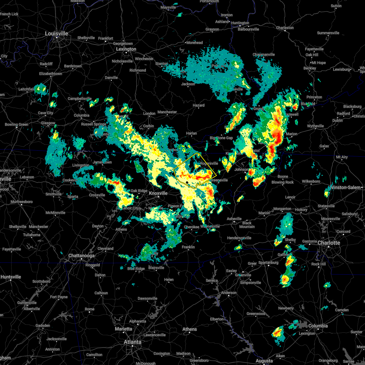 At 530 pm edt, severe thunderstorms were located along a line extending from 8 miles west of sneedville to 10 miles east of russellville, moving northeast at 55 mph (radar indicated). Hazards include 60 mph wind gusts and quarter size hail. Hail damage to vehicles is expected. expect wind damage to roofs, siding, and trees. locations impacted include, morristown, jefferson city, rogersville, sneedville, rutledge, bean station, white pine, russellville, mosheim and bulls gap. this includes interstate 81 in tennessee between mile markers 4 and 32. hail threat, radar indicated max hail size, 1. 00 in wind threat, radar indicated max wind gust, 60 mph. At 530 pm edt, severe thunderstorms were located along a line extending from 8 miles west of sneedville to 10 miles east of russellville, moving northeast at 55 mph (radar indicated). Hazards include 60 mph wind gusts and quarter size hail. Hail damage to vehicles is expected. expect wind damage to roofs, siding, and trees. locations impacted include, morristown, jefferson city, rogersville, sneedville, rutledge, bean station, white pine, russellville, mosheim and bulls gap. this includes interstate 81 in tennessee between mile markers 4 and 32. hail threat, radar indicated max hail size, 1. 00 in wind threat, radar indicated max wind gust, 60 mph.
|
| 5/6/2022 4:55 PM EDT |
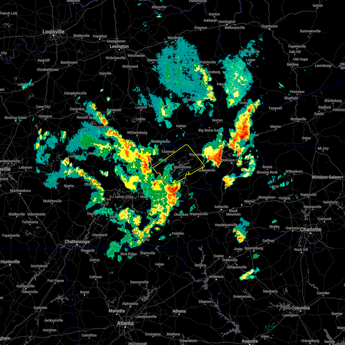 At 455 pm edt, severe thunderstorms were located along a line extending from near maynardville to near dandridge, moving northeast at 45 mph (radar indicated). Hazards include 60 mph wind gusts and quarter size hail. Hail damage to vehicles is expected. Expect wind damage to roofs, siding, and trees. At 455 pm edt, severe thunderstorms were located along a line extending from near maynardville to near dandridge, moving northeast at 45 mph (radar indicated). Hazards include 60 mph wind gusts and quarter size hail. Hail damage to vehicles is expected. Expect wind damage to roofs, siding, and trees.
|
| 5/6/2022 2:51 PM EDT |
 At 250 pm edt, a severe thunderstorm was located near sneedville, moving northeast at 35 mph (radar indicated). Hazards include 60 mph wind gusts and penny size hail. Expect damage to roofs, siding, and trees. locations impacted include, morristown, rogersville, sneedville, bean station, mooresburg, evanston, treadway and klondike. hail threat, radar indicated max hail size, 0. 75 in wind threat, radar indicated max wind gust, 60 mph. At 250 pm edt, a severe thunderstorm was located near sneedville, moving northeast at 35 mph (radar indicated). Hazards include 60 mph wind gusts and penny size hail. Expect damage to roofs, siding, and trees. locations impacted include, morristown, rogersville, sneedville, bean station, mooresburg, evanston, treadway and klondike. hail threat, radar indicated max hail size, 0. 75 in wind threat, radar indicated max wind gust, 60 mph.
|
| 5/6/2022 2:29 PM EDT |
 At 229 pm edt, a severe thunderstorm was located near bean station, or 10 miles northeast of rutledge, moving northeast at 35 mph (radar indicated). Hazards include 60 mph wind gusts and penny size hail. expect damage to roofs, siding, and trees At 229 pm edt, a severe thunderstorm was located near bean station, or 10 miles northeast of rutledge, moving northeast at 35 mph (radar indicated). Hazards include 60 mph wind gusts and penny size hail. expect damage to roofs, siding, and trees
|
| 6/21/2021 6:32 PM EDT |
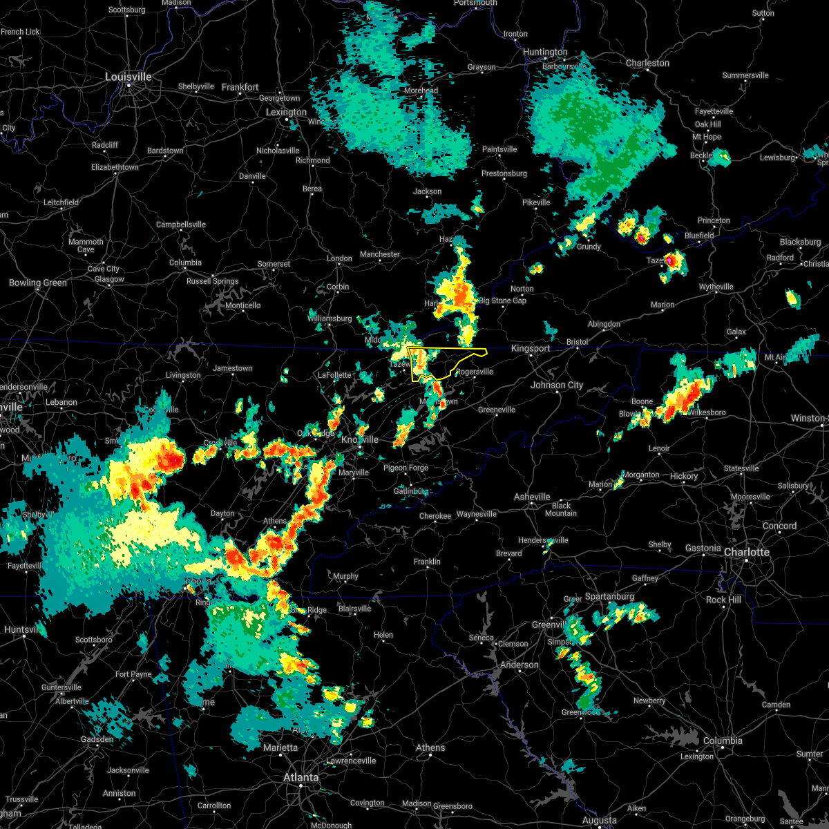 At 632 pm edt, a severe thunderstorm was located near sneedville, moving east at 40 mph (radar indicated). Hazards include 60 mph wind gusts. Expect damage to roofs, siding, and trees. Locations impacted include, sneedville, howard quarter, evanston, kyles ford and treadway. At 632 pm edt, a severe thunderstorm was located near sneedville, moving east at 40 mph (radar indicated). Hazards include 60 mph wind gusts. Expect damage to roofs, siding, and trees. Locations impacted include, sneedville, howard quarter, evanston, kyles ford and treadway.
|
| 6/21/2021 5:57 PM EDT |
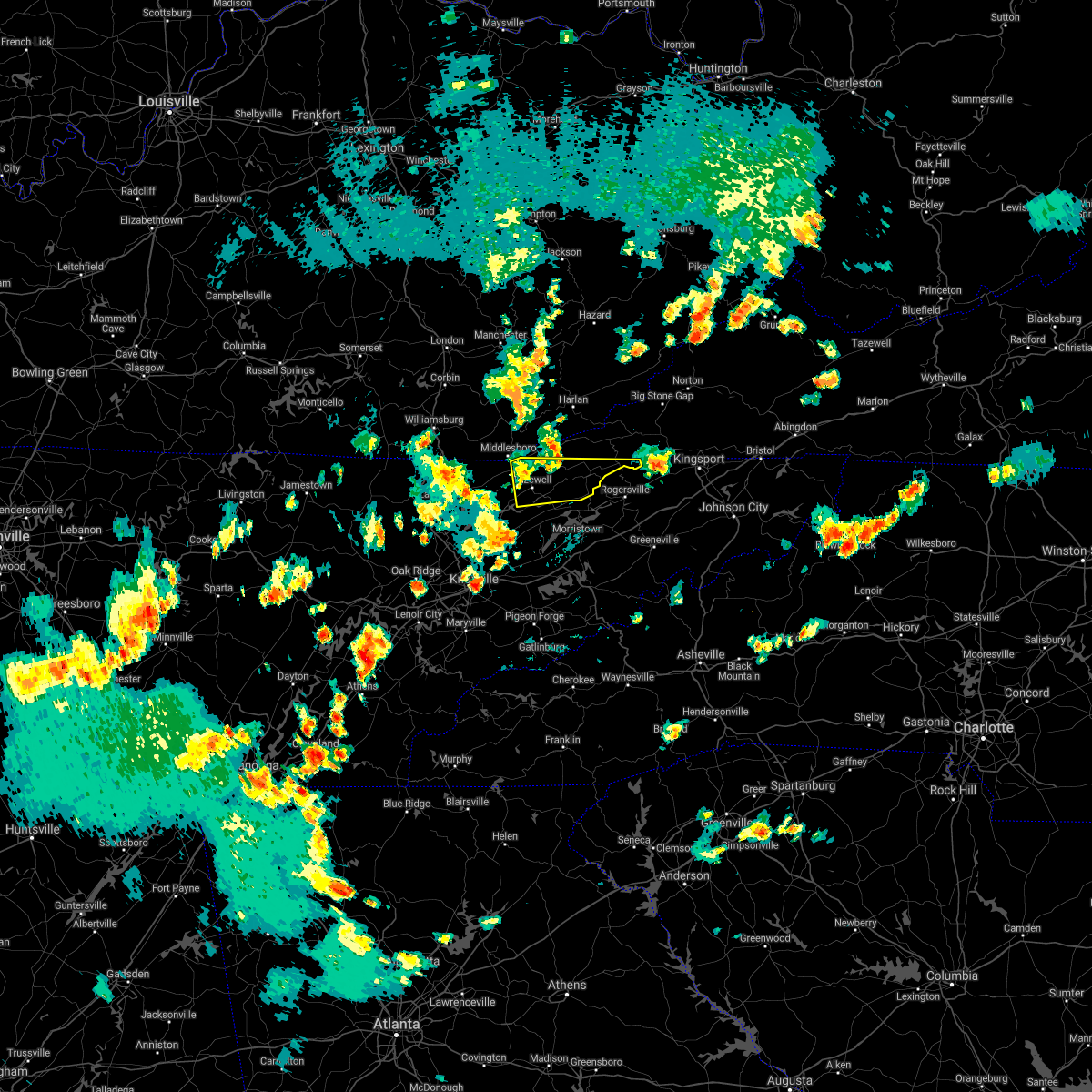 At 557 pm edt, a severe thunderstorm was located near tazewell, or 11 miles southeast of middlesboro, moving east at 40 mph (radar indicated). Hazards include 60 mph wind gusts and penny size hail. expect damage to roofs, siding, and trees At 557 pm edt, a severe thunderstorm was located near tazewell, or 11 miles southeast of middlesboro, moving east at 40 mph (radar indicated). Hazards include 60 mph wind gusts and penny size hail. expect damage to roofs, siding, and trees
|
| 6/21/2021 5:53 PM EDT |
 At 553 pm edt, a severe thunderstorm was located 8 miles southeast of cubage, or 12 miles northwest of sneedville, moving east at 40 mph (radar indicated). Hazards include 60 mph wind gusts and penny size hail. expect damage to roofs, siding, and trees At 553 pm edt, a severe thunderstorm was located 8 miles southeast of cubage, or 12 miles northwest of sneedville, moving east at 40 mph (radar indicated). Hazards include 60 mph wind gusts and penny size hail. expect damage to roofs, siding, and trees
|
| 6/21/2021 5:53 PM EDT |
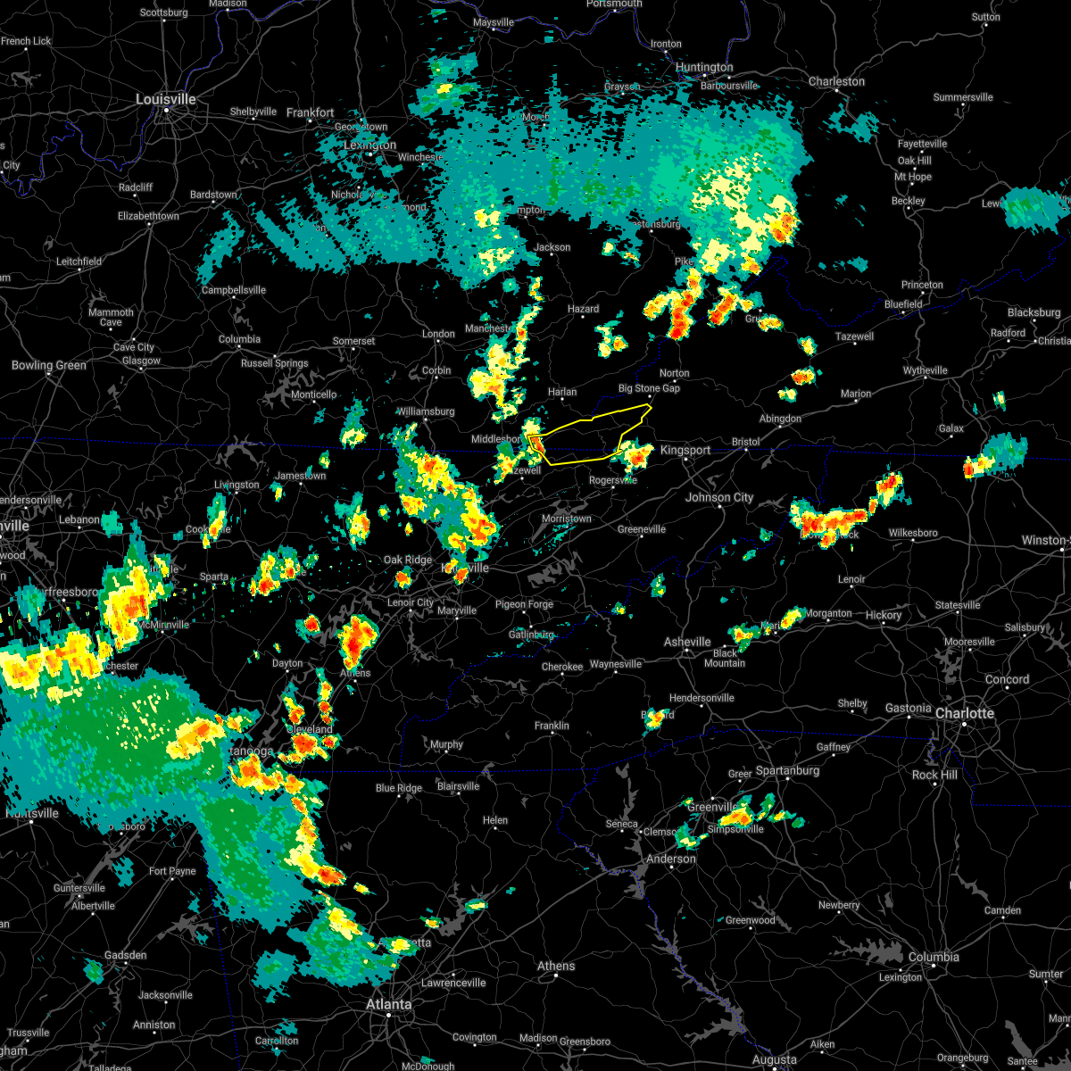 At 553 pm edt, a severe thunderstorm was located 8 miles southeast of cubage, or 12 miles northwest of sneedville, moving east at 40 mph (radar indicated). Hazards include 60 mph wind gusts and penny size hail. expect damage to roofs, siding, and trees At 553 pm edt, a severe thunderstorm was located 8 miles southeast of cubage, or 12 miles northwest of sneedville, moving east at 40 mph (radar indicated). Hazards include 60 mph wind gusts and penny size hail. expect damage to roofs, siding, and trees
|
| 6/21/2021 5:08 PM EDT | Ping Pong Ball sized hail reported 5.7 miles NNE of Sneedville, TN |
| 3/27/2021 8:43 PM EDT |
 At 843 pm edt, a severe thunderstorm was located near tazewell, or 9 miles north of rutledge, moving east at 50 mph (radar indicated). Hazards include 60 mph wind gusts and quarter size hail. Hail damage to vehicles is expected. Expect wind damage to roofs, siding, and trees. At 843 pm edt, a severe thunderstorm was located near tazewell, or 9 miles north of rutledge, moving east at 50 mph (radar indicated). Hazards include 60 mph wind gusts and quarter size hail. Hail damage to vehicles is expected. Expect wind damage to roofs, siding, and trees.
|
| 3/27/2021 8:05 PM EDT |
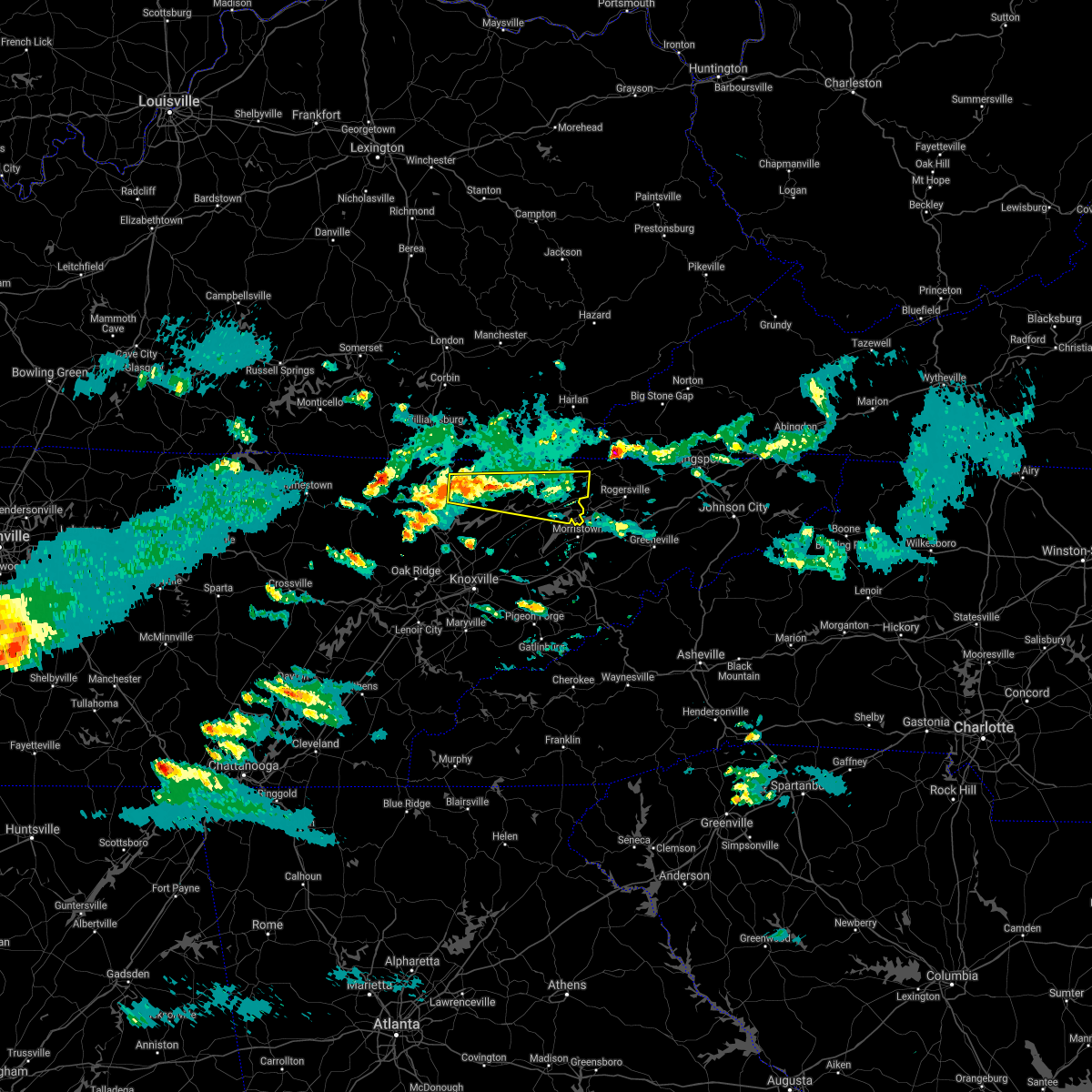 At 804 pm edt, a severe thunderstorm was located 10 miles south of pruden, or 11 miles northeast of la follette, moving east at 45 mph (radar indicated). Hazards include 60 mph wind gusts and quarter size hail. Hail damage to vehicles is expected. Expect wind damage to roofs, siding, and trees. At 804 pm edt, a severe thunderstorm was located 10 miles south of pruden, or 11 miles northeast of la follette, moving east at 45 mph (radar indicated). Hazards include 60 mph wind gusts and quarter size hail. Hail damage to vehicles is expected. Expect wind damage to roofs, siding, and trees.
|
| 3/27/2021 11:30 AM EDT |
 At 1130 am edt, a severe thunderstorm was located 8 miles northeast of tazewell, or 12 miles west of sneedville, moving northeast at 65 mph (radar indicated). Hazards include 60 mph wind gusts and quarter size hail. Hail damage to vehicles is expected. Expect wind damage to roofs, siding, and trees. At 1130 am edt, a severe thunderstorm was located 8 miles northeast of tazewell, or 12 miles west of sneedville, moving northeast at 65 mph (radar indicated). Hazards include 60 mph wind gusts and quarter size hail. Hail damage to vehicles is expected. Expect wind damage to roofs, siding, and trees.
|
| 3/18/2021 3:45 PM EDT |
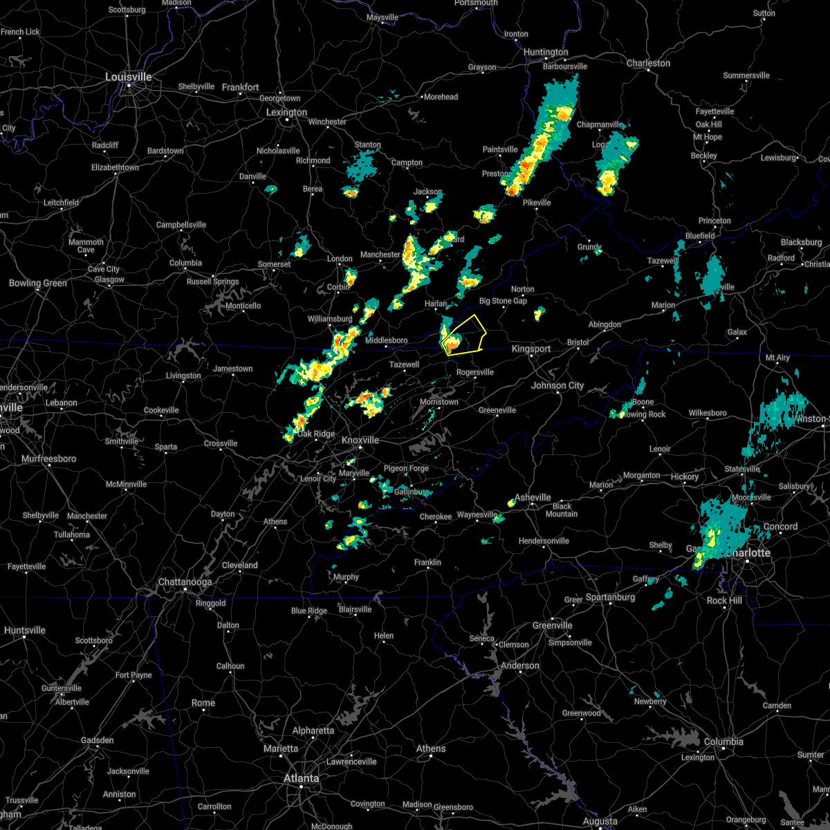 At 344 pm edt, a severe thunderstorm was located near sneedville, moving northeast at 35 mph (radar indicated). Hazards include 60 mph wind gusts and quarter size hail. Hail damage to vehicles is expected. expect wind damage to roofs, siding, and trees. Locations impacted include, sneedville, jonesville, pennington gap, pattonsville and dryden. At 344 pm edt, a severe thunderstorm was located near sneedville, moving northeast at 35 mph (radar indicated). Hazards include 60 mph wind gusts and quarter size hail. Hail damage to vehicles is expected. expect wind damage to roofs, siding, and trees. Locations impacted include, sneedville, jonesville, pennington gap, pattonsville and dryden.
|
| 3/18/2021 3:32 PM EDT |
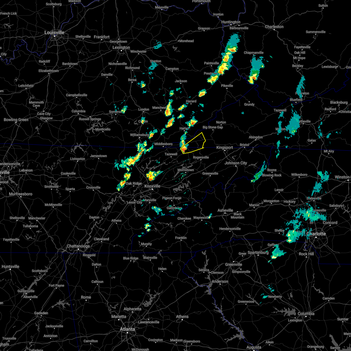 At 332 pm edt, a severe thunderstorm was located near sneedville, moving northeast at 35 mph (radar indicated). Hazards include 60 mph wind gusts and half dollar size hail. Hail damage to vehicles is expected. expect wind damage to roofs, siding, and trees. Locations impacted include, sneedville, jonesville, pennington gap, kyles ford, pattonsville and dryden. At 332 pm edt, a severe thunderstorm was located near sneedville, moving northeast at 35 mph (radar indicated). Hazards include 60 mph wind gusts and half dollar size hail. Hail damage to vehicles is expected. expect wind damage to roofs, siding, and trees. Locations impacted include, sneedville, jonesville, pennington gap, kyles ford, pattonsville and dryden.
|
| 3/18/2021 3:25 PM EDT | Quarter sized hail reported 10.8 miles ENE of Sneedville, TN, quarter sized hail estimated at the claiborne/hancock county line. |
| 3/18/2021 3:19 PM EDT |
 At 319 pm edt, a severe thunderstorm was located 7 miles northeast of tazewell, or 13 miles west of sneedville, moving northeast at 35 mph (radar indicated). Hazards include 60 mph wind gusts and quarter size hail. Hail damage to vehicles is expected. Expect wind damage to roofs, siding, and trees. At 319 pm edt, a severe thunderstorm was located 7 miles northeast of tazewell, or 13 miles west of sneedville, moving northeast at 35 mph (radar indicated). Hazards include 60 mph wind gusts and quarter size hail. Hail damage to vehicles is expected. Expect wind damage to roofs, siding, and trees.
|
| 3/18/2021 3:19 PM EDT |
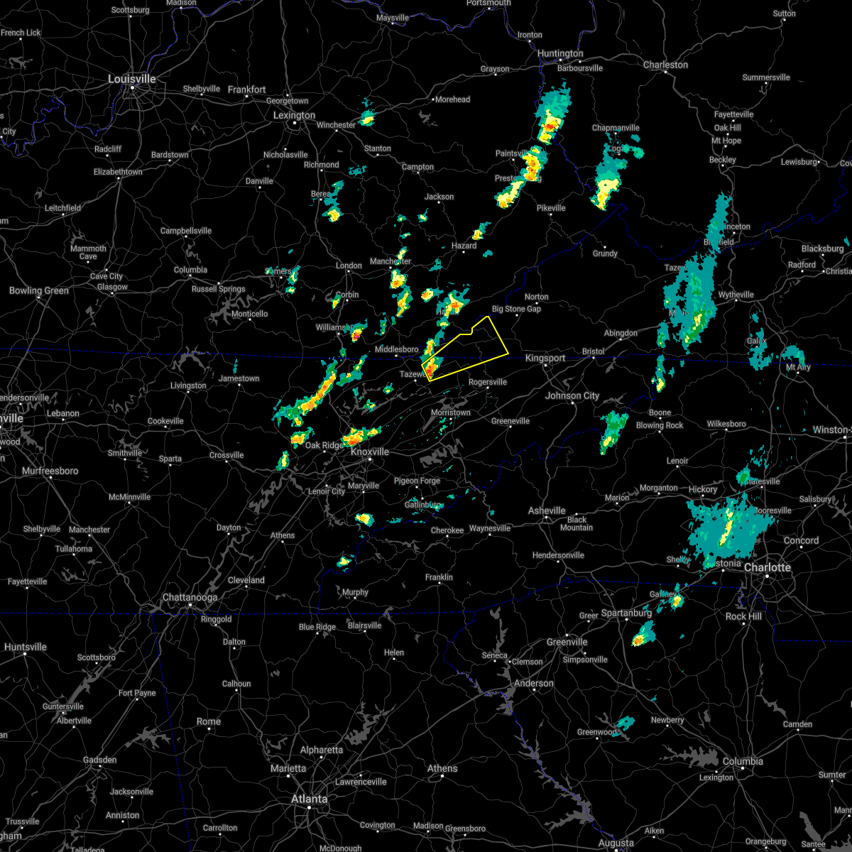 At 319 pm edt, a severe thunderstorm was located 7 miles northeast of tazewell, or 13 miles west of sneedville, moving northeast at 35 mph (radar indicated). Hazards include 60 mph wind gusts and quarter size hail. Hail damage to vehicles is expected. Expect wind damage to roofs, siding, and trees. At 319 pm edt, a severe thunderstorm was located 7 miles northeast of tazewell, or 13 miles west of sneedville, moving northeast at 35 mph (radar indicated). Hazards include 60 mph wind gusts and quarter size hail. Hail damage to vehicles is expected. Expect wind damage to roofs, siding, and trees.
|
| 7/31/2020 6:53 PM EDT |
 The severe thunderstorm warning for hawkins, east central claiborne, hancock, northwestern greene, northeastern grainger and northern hamblen counties will expire at 700 pm edt, the storms which prompted the warning have weakened below severe limits, and no longer pose an immediate threat to life or property. therefore, the warning will be allowed to expire. however gusty winds up to 50 mph will still be possible with these thunderstorms. The severe thunderstorm warning for hawkins, east central claiborne, hancock, northwestern greene, northeastern grainger and northern hamblen counties will expire at 700 pm edt, the storms which prompted the warning have weakened below severe limits, and no longer pose an immediate threat to life or property. therefore, the warning will be allowed to expire. however gusty winds up to 50 mph will still be possible with these thunderstorms.
|
| 7/31/2020 6:35 PM EDT | Several trees down in the newman ridge area north of sneedvill in hancock county TN, 1.9 miles SSE of Sneedville, TN |
| 7/31/2020 6:28 PM EDT |
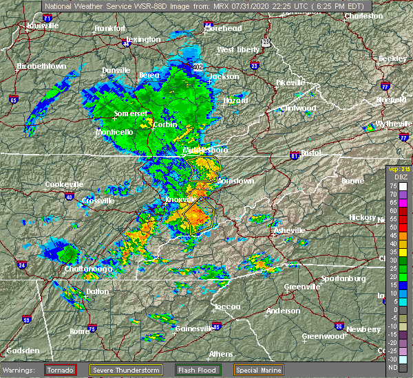 At 628 pm edt, severe thunderstorms were located along a line extending from 11 miles northeast of tazewell to near sneedville to near bean station to near morristown, moving east at 40 mph (radar indicated). Hazards include 60 mph wind gusts. expect damage to roofs, siding, and trees At 628 pm edt, severe thunderstorms were located along a line extending from 11 miles northeast of tazewell to near sneedville to near bean station to near morristown, moving east at 40 mph (radar indicated). Hazards include 60 mph wind gusts. expect damage to roofs, siding, and trees
|
| 7/25/2020 5:42 PM EDT |
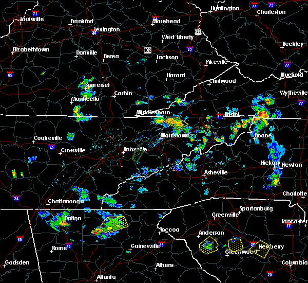 At 541 pm edt, a severe thunderstorm was located near rogersville, and is nearly stationary (radar indicated). Hazards include 60 mph wind gusts. Expect damage to roofs, siding, and trees. Locations impacted include, sneedville. At 541 pm edt, a severe thunderstorm was located near rogersville, and is nearly stationary (radar indicated). Hazards include 60 mph wind gusts. Expect damage to roofs, siding, and trees. Locations impacted include, sneedville.
|
| 7/25/2020 5:29 PM EDT |
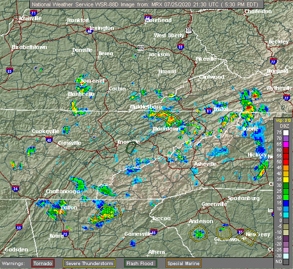 At 529 pm edt, a severe thunderstorm was located near rogersville, and is nearly stationary (radar indicated). Hazards include 60 mph wind gusts and penny size hail. Expect damage to roofs, siding, and trees. Locations impacted include, rogersville, sneedville, surgoinsville and kyles ford. At 529 pm edt, a severe thunderstorm was located near rogersville, and is nearly stationary (radar indicated). Hazards include 60 mph wind gusts and penny size hail. Expect damage to roofs, siding, and trees. Locations impacted include, rogersville, sneedville, surgoinsville and kyles ford.
|
| 7/25/2020 5:18 PM EDT |
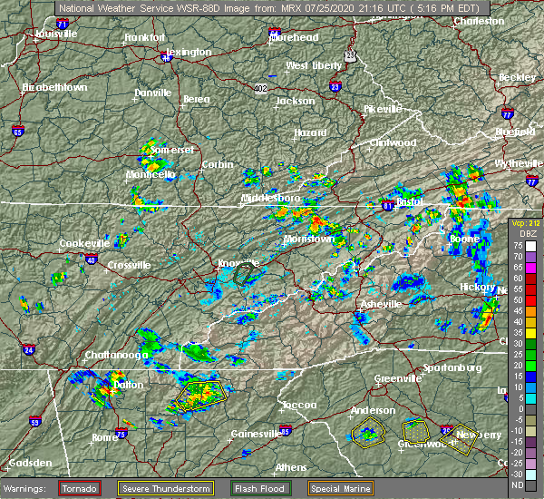 At 517 pm edt, a severe thunderstorm was located near rogersville, and is nearly stationary (radar indicated). Hazards include 60 mph wind gusts and quarter size hail. Hail damage to vehicles is expected. Expect wind damage to roofs, siding, and trees. At 517 pm edt, a severe thunderstorm was located near rogersville, and is nearly stationary (radar indicated). Hazards include 60 mph wind gusts and quarter size hail. Hail damage to vehicles is expected. Expect wind damage to roofs, siding, and trees.
|
| 7/24/2020 5:30 PM EDT | Several trees dow in hancock county TN, 2 miles WSW of Sneedville, TN |
| 7/24/2020 5:25 PM EDT |
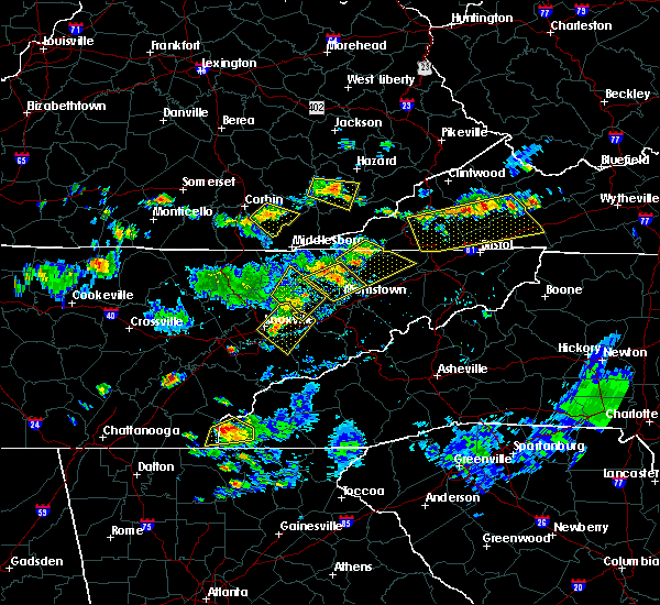 At 524 pm edt, a severe thunderstorm was located near sneedville, moving southeast at 15 mph (radar indicated). Hazards include 60 mph wind gusts. Expect damage to roofs, siding, and trees. locations impacted include, rogersville, sneedville, surgoinsville, church hill, evanston, st. Clair, kyles ford, treadway, klondike and mccloud. At 524 pm edt, a severe thunderstorm was located near sneedville, moving southeast at 15 mph (radar indicated). Hazards include 60 mph wind gusts. Expect damage to roofs, siding, and trees. locations impacted include, rogersville, sneedville, surgoinsville, church hill, evanston, st. Clair, kyles ford, treadway, klondike and mccloud.
|
| 7/24/2020 5:09 PM EDT |
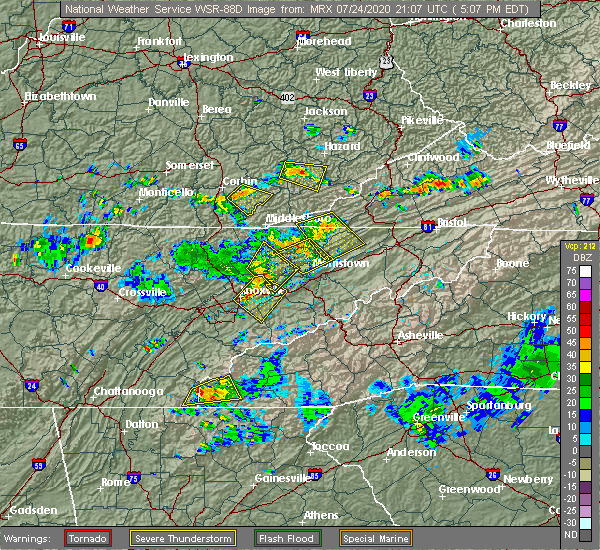 At 509 pm edt, a severe thunderstorm was located near sneedville, moving southeast at 15 mph (radar indicated). Hazards include 60 mph wind gusts. expect damage to roofs, siding, and trees At 509 pm edt, a severe thunderstorm was located near sneedville, moving southeast at 15 mph (radar indicated). Hazards include 60 mph wind gusts. expect damage to roofs, siding, and trees
|
| 7/24/2020 5:05 PM EDT | Several trees down across the are in hancock county TN, 1.7 miles SSE of Sneedville, TN |
| 7/24/2020 4:32 PM EDT |
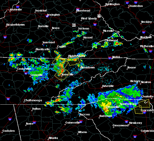 At 431 pm edt, a severe thunderstorm was located near sneedville, moving southeast at 15 mph (radar indicated). Hazards include 60 mph wind gusts. expect damage to roofs, siding, and trees At 431 pm edt, a severe thunderstorm was located near sneedville, moving southeast at 15 mph (radar indicated). Hazards include 60 mph wind gusts. expect damage to roofs, siding, and trees
|
| 7/23/2020 4:32 PM EDT |
 At 432 pm edt, severe thunderstorms were located along a line extending from 6 miles southeast of pennington gap to 9 miles south of rogersville, moving east at 15 mph (radar indicated). Hazards include 60 mph wind gusts and penny size hail. expect damage to roofs, siding, and trees At 432 pm edt, severe thunderstorms were located along a line extending from 6 miles southeast of pennington gap to 9 miles south of rogersville, moving east at 15 mph (radar indicated). Hazards include 60 mph wind gusts and penny size hail. expect damage to roofs, siding, and trees
|
| 7/23/2020 4:32 PM EDT |
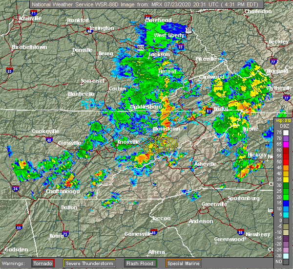 At 432 pm edt, severe thunderstorms were located along a line extending from 6 miles southeast of pennington gap to 9 miles south of rogersville, moving east at 15 mph (radar indicated). Hazards include 60 mph wind gusts and penny size hail. expect damage to roofs, siding, and trees At 432 pm edt, severe thunderstorms were located along a line extending from 6 miles southeast of pennington gap to 9 miles south of rogersville, moving east at 15 mph (radar indicated). Hazards include 60 mph wind gusts and penny size hail. expect damage to roofs, siding, and trees
|
| 6/21/2020 5:41 PM EDT |
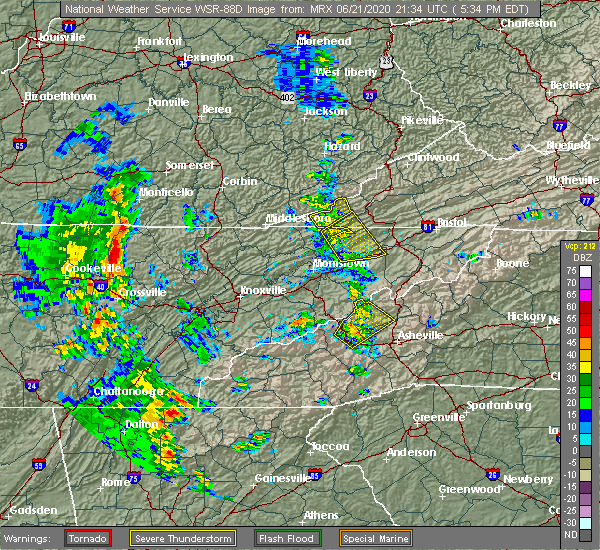 The severe thunderstorm warning for northeastern hancock county will expire at 545 pm edt, the storm which prompted the warning has weakened below severe limits, and no longer poses an immediate threat to life or property. therefore, the warning will be allowed to expire. however gusty winds and heavy rain are still possible with this thunderstorm. The severe thunderstorm warning for northeastern hancock county will expire at 545 pm edt, the storm which prompted the warning has weakened below severe limits, and no longer poses an immediate threat to life or property. therefore, the warning will be allowed to expire. however gusty winds and heavy rain are still possible with this thunderstorm.
|
| 6/21/2020 5:32 PM EDT |
 At 531 pm edt, a severe thunderstorm was located near jonesville, moving northeast at 30 mph (radar indicated). Hazards include 60 mph wind gusts and penny size hail. Expect damage to roofs, siding, and trees. Locations impacted include, sneedville and kyles ford. At 531 pm edt, a severe thunderstorm was located near jonesville, moving northeast at 30 mph (radar indicated). Hazards include 60 mph wind gusts and penny size hail. Expect damage to roofs, siding, and trees. Locations impacted include, sneedville and kyles ford.
|
| 6/21/2020 5:30 PM EDT |
 At 529 pm edt, severe thunderstorms were located along a line extending from near jonesville to near rogersville, moving northeast at 25 mph (radar indicated). Hazards include 60 mph wind gusts and penny size hail. Expect damage to roofs, siding, and trees. locations impacted include, rogersville, sneedville, surgoinsville, church hill, baileyton, kepler, kyles ford, mccloud, pattonsville and jearoldstown. This includes interstate 81 in tennessee between mile markers 36 and 47. At 529 pm edt, severe thunderstorms were located along a line extending from near jonesville to near rogersville, moving northeast at 25 mph (radar indicated). Hazards include 60 mph wind gusts and penny size hail. Expect damage to roofs, siding, and trees. locations impacted include, rogersville, sneedville, surgoinsville, church hill, baileyton, kepler, kyles ford, mccloud, pattonsville and jearoldstown. This includes interstate 81 in tennessee between mile markers 36 and 47.
|
| 6/21/2020 5:21 PM EDT | Numerous trees dow in hancock county TN, 0.5 miles ESE of Sneedville, TN |
| 6/21/2020 5:21 PM EDT |
 At 521 pm edt, severe thunderstorms were located along a line extending from peepace store to near sneedville, moving northeast at 20 mph (radar indicated). Hazards include 60 mph wind gusts and penny size hail. Expect damage to roofs, siding, and trees. locations impacted include, sneedville, jonesville, pennington gap, st. Charles, evanston, rose hill and dryden. At 521 pm edt, severe thunderstorms were located along a line extending from peepace store to near sneedville, moving northeast at 20 mph (radar indicated). Hazards include 60 mph wind gusts and penny size hail. Expect damage to roofs, siding, and trees. locations impacted include, sneedville, jonesville, pennington gap, st. Charles, evanston, rose hill and dryden.
|
| 6/21/2020 5:21 PM EDT |
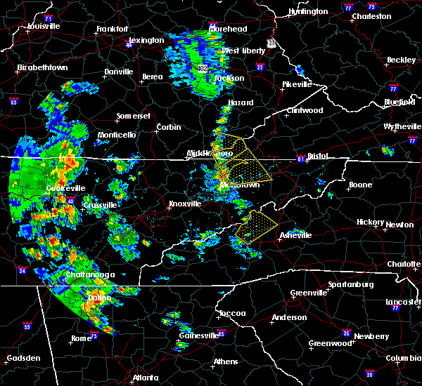 At 521 pm edt, severe thunderstorms were located along a line extending from peepace store to near sneedville, moving northeast at 20 mph (radar indicated). Hazards include 60 mph wind gusts and penny size hail. Expect damage to roofs, siding, and trees. locations impacted include, sneedville, jonesville, pennington gap, st. Charles, evanston, rose hill and dryden. At 521 pm edt, severe thunderstorms were located along a line extending from peepace store to near sneedville, moving northeast at 20 mph (radar indicated). Hazards include 60 mph wind gusts and penny size hail. Expect damage to roofs, siding, and trees. locations impacted include, sneedville, jonesville, pennington gap, st. Charles, evanston, rose hill and dryden.
|
| 6/21/2020 5:20 PM EDT | Numerous trees dow in hancock county TN, 4.5 miles SE of Sneedville, TN |
| 6/21/2020 5:18 PM EDT |
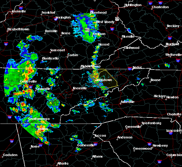 At 518 pm edt, a severe thunderstorm was located near sneedville, moving northeast at 25 mph (radar indicated). Hazards include 60 mph wind gusts and penny size hail. Expect damage to roofs, siding, and trees. Locations impacted include, sneedville, evanston and kyles ford. At 518 pm edt, a severe thunderstorm was located near sneedville, moving northeast at 25 mph (radar indicated). Hazards include 60 mph wind gusts and penny size hail. Expect damage to roofs, siding, and trees. Locations impacted include, sneedville, evanston and kyles ford.
|
| 6/21/2020 5:13 PM EDT |
 At 512 pm edt, severe thunderstorms were located along a line extending from near sneedville to 8 miles east of russellville, moving northeast at 25 mph (radar indicated). Hazards include 60 mph wind gusts and penny size hail. expect damage to roofs, siding, and trees At 512 pm edt, severe thunderstorms were located along a line extending from near sneedville to 8 miles east of russellville, moving northeast at 25 mph (radar indicated). Hazards include 60 mph wind gusts and penny size hail. expect damage to roofs, siding, and trees
|
| 6/21/2020 5:07 PM EDT |
 At 507 pm edt, severe thunderstorms were located along a line extending from near hensley store to near sneedville, moving northeast at 20 mph (radar indicated). Hazards include 60 mph wind gusts and penny size hail. expect damage to roofs, siding, and trees At 507 pm edt, severe thunderstorms were located along a line extending from near hensley store to near sneedville, moving northeast at 20 mph (radar indicated). Hazards include 60 mph wind gusts and penny size hail. expect damage to roofs, siding, and trees
|
| 6/21/2020 4:54 PM EDT |
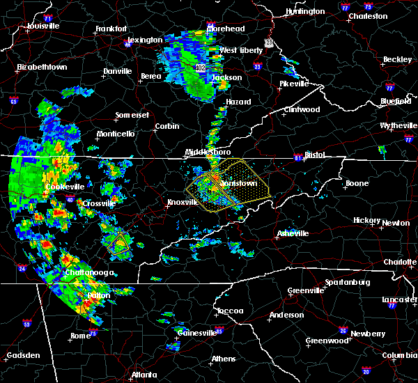 At 453 pm edt, a severe thunderstorm was located over bean station, or 11 miles south of sneedville, moving east at 35 mph (radar indicated). Hazards include 60 mph wind gusts and penny size hail. expect damage to roofs, siding, and trees At 453 pm edt, a severe thunderstorm was located over bean station, or 11 miles south of sneedville, moving east at 35 mph (radar indicated). Hazards include 60 mph wind gusts and penny size hail. expect damage to roofs, siding, and trees
|
| 6/19/2020 4:36 PM EDT |
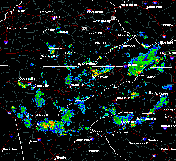 The severe thunderstorm warning for southwestern hancock county will expire at 445 pm edt, the storm which prompted the warning has weakened below severe limits, and no longer poses an immediate threat to life or property. therefore, the warning will be allowed to expire. however small hail, gusty winds and heavy rain are still possible with this thunderstorm. The severe thunderstorm warning for southwestern hancock county will expire at 445 pm edt, the storm which prompted the warning has weakened below severe limits, and no longer poses an immediate threat to life or property. therefore, the warning will be allowed to expire. however small hail, gusty winds and heavy rain are still possible with this thunderstorm.
|
| 6/19/2020 4:17 PM EDT |
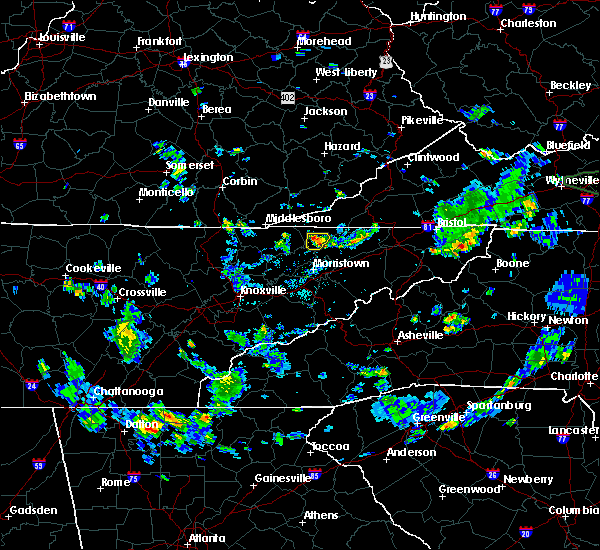 At 417 pm edt, a severe thunderstorm was located near sneedville, moving south at 5 mph (radar indicated). Hazards include 60 mph wind gusts and quarter size hail. Hail damage to vehicles is expected. expect wind damage to roofs, siding, and trees. Locations impacted include, evanston and treadway. At 417 pm edt, a severe thunderstorm was located near sneedville, moving south at 5 mph (radar indicated). Hazards include 60 mph wind gusts and quarter size hail. Hail damage to vehicles is expected. expect wind damage to roofs, siding, and trees. Locations impacted include, evanston and treadway.
|
| 6/19/2020 4:15 PM EDT | Quarter sized hail reported 5.5 miles NNE of Sneedville, TN, dime to quarter size hail. |
| 6/19/2020 4:02 PM EDT |
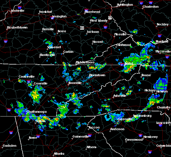 At 402 pm edt, a severe thunderstorm was located near sneedville, moving south at 15 mph (radar indicated). Hazards include 60 mph wind gusts and quarter size hail. Hail damage to vehicles is expected. Expect wind damage to roofs, siding, and trees. At 402 pm edt, a severe thunderstorm was located near sneedville, moving south at 15 mph (radar indicated). Hazards include 60 mph wind gusts and quarter size hail. Hail damage to vehicles is expected. Expect wind damage to roofs, siding, and trees.
|
| 3/29/2020 6:11 AM EDT |
 At 610 am edt, severe thunderstorms were located along a line extending from 7 miles east of tazewell to near maryville, moving northeast at 60 mph (radar indicated). Hazards include 60 mph wind gusts and penny size hail. expect damage to roofs, siding, and trees At 610 am edt, severe thunderstorms were located along a line extending from 7 miles east of tazewell to near maryville, moving northeast at 60 mph (radar indicated). Hazards include 60 mph wind gusts and penny size hail. expect damage to roofs, siding, and trees
|
| 1/11/2020 6:20 PM EST |
 At 620 pm est, a severe thunderstorm was located near sneedville, moving northeast at 55 mph (radar indicated). Hazards include 60 mph wind gusts. expect damage to roofs, siding, and trees At 620 pm est, a severe thunderstorm was located near sneedville, moving northeast at 55 mph (radar indicated). Hazards include 60 mph wind gusts. expect damage to roofs, siding, and trees
|
| 1/11/2020 6:04 PM EST |
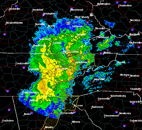 At 603 pm est, severe thunderstorms were located along a line extending from stony fork junction to 7 miles west of bean station, moving east at 60 mph (radar indicated). Hazards include 60 mph wind gusts. Expect damage to roofs, siding, and trees. Locations impacted include, rogersville, sneedville, rutledge, jonesville, new tazewell, bean station, tazewell, harrogate, lone mountain and howard quarter. At 603 pm est, severe thunderstorms were located along a line extending from stony fork junction to 7 miles west of bean station, moving east at 60 mph (radar indicated). Hazards include 60 mph wind gusts. Expect damage to roofs, siding, and trees. Locations impacted include, rogersville, sneedville, rutledge, jonesville, new tazewell, bean station, tazewell, harrogate, lone mountain and howard quarter.
|
| 1/11/2020 5:37 PM EST |
 At 536 pm est, severe thunderstorms were located along a line extending from fonde to near plainview, moving northeast at 60 mph (radar indicated). Hazards include 60 mph wind gusts. expect damage to roofs, siding, and trees At 536 pm est, severe thunderstorms were located along a line extending from fonde to near plainview, moving northeast at 60 mph (radar indicated). Hazards include 60 mph wind gusts. expect damage to roofs, siding, and trees
|
| 10/31/2019 12:13 PM EDT |
 At 1212 pm edt, a severe thunderstorm capable of producing a tornado was located near jonesville, moving northeast at 60 mph (radar indicated rotation). Hazards include tornado. Flying debris will be dangerous to those caught without shelter. mobile homes will be damaged or destroyed. damage to roofs, windows, and vehicles will occur. tree damage is likely. locations impacted include, sneedville, jonesville, pennington gap, st. Charles, duffield, jasper, dryden and pattonsville. At 1212 pm edt, a severe thunderstorm capable of producing a tornado was located near jonesville, moving northeast at 60 mph (radar indicated rotation). Hazards include tornado. Flying debris will be dangerous to those caught without shelter. mobile homes will be damaged or destroyed. damage to roofs, windows, and vehicles will occur. tree damage is likely. locations impacted include, sneedville, jonesville, pennington gap, st. Charles, duffield, jasper, dryden and pattonsville.
|
| 10/31/2019 12:12 PM EDT |
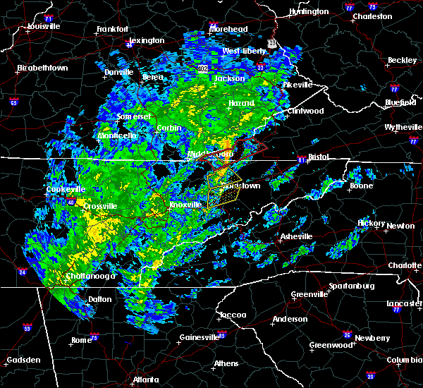 At 1211 pm edt, a severe thunderstorm was located near sneedville, moving northeast at 55 mph (radar indicated). Hazards include 60 mph wind gusts. Expect damage to roofs, siding, and trees. locations impacted include, sneedville, bean station, mooresburg, treadway, klondike and st. Clair. At 1211 pm edt, a severe thunderstorm was located near sneedville, moving northeast at 55 mph (radar indicated). Hazards include 60 mph wind gusts. Expect damage to roofs, siding, and trees. locations impacted include, sneedville, bean station, mooresburg, treadway, klondike and st. Clair.
|
| 10/31/2019 12:11 PM EDT |
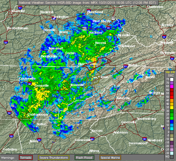 At 1210 pm edt, severe thunderstorms were located along a line extending from 7 miles southwest of jonesville to near sneedville to near bean station, moving northeast at 65 mph (radar indicated). Hazards include 60 mph wind gusts. expect damage to roofs, siding, and trees At 1210 pm edt, severe thunderstorms were located along a line extending from 7 miles southwest of jonesville to near sneedville to near bean station, moving northeast at 65 mph (radar indicated). Hazards include 60 mph wind gusts. expect damage to roofs, siding, and trees
|
| 10/31/2019 12:04 PM EDT |
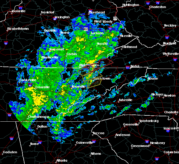 At 1204 pm edt, a severe thunderstorm was located near hensley store, or 8 miles northwest of sneedville, moving northeast at 60 mph (radar indicated). Hazards include 60 mph wind gusts. Expect damage to roofs, siding, and trees. Locations impacted include, sneedville, evanston and ewing. At 1204 pm edt, a severe thunderstorm was located near hensley store, or 8 miles northwest of sneedville, moving northeast at 60 mph (radar indicated). Hazards include 60 mph wind gusts. Expect damage to roofs, siding, and trees. Locations impacted include, sneedville, evanston and ewing.
|
| 10/31/2019 12:03 PM EDT |
 At 1202 pm edt, a severe thunderstorm was located near bean station, or 11 miles southwest of sneedville, moving northeast at 55 mph (radar indicated). Hazards include 60 mph wind gusts. Expect damage to roofs, siding, and trees. Locations impacted include, sneedville, bean station, thorn hill, mooresburg, treadway and klondike. At 1202 pm edt, a severe thunderstorm was located near bean station, or 11 miles southwest of sneedville, moving northeast at 55 mph (radar indicated). Hazards include 60 mph wind gusts. Expect damage to roofs, siding, and trees. Locations impacted include, sneedville, bean station, thorn hill, mooresburg, treadway and klondike.
|
| 10/31/2019 12:02 PM EDT |
 At 1200 pm edt, a severe thunderstorm capable of producing a tornado was located near jonesville, or 13 miles east of middlesboro, moving northeast at 60 mph (radar indicated rotation). Hazards include tornado. Flying debris will be dangerous to those caught without shelter. mobile homes will be damaged or destroyed. damage to roofs, windows, and vehicles will occur. tree damage is likely. this tornadic thunderstorm will remain over mainly rural areas of northwestern hancock, lee and west central scott counties, including the following locations, duffield, jasper, evanston, ewing, st. charles, dryden, rose hill and pattonsville. Time, mot, loc 1600z 059deg 153kt 3653 8350. At 1200 pm edt, a severe thunderstorm capable of producing a tornado was located near jonesville, or 13 miles east of middlesboro, moving northeast at 60 mph (radar indicated rotation). Hazards include tornado. Flying debris will be dangerous to those caught without shelter. mobile homes will be damaged or destroyed. damage to roofs, windows, and vehicles will occur. tree damage is likely. this tornadic thunderstorm will remain over mainly rural areas of northwestern hancock, lee and west central scott counties, including the following locations, duffield, jasper, evanston, ewing, st. charles, dryden, rose hill and pattonsville. Time, mot, loc 1600z 059deg 153kt 3653 8350.
|
| 10/31/2019 11:56 AM EDT |
 At 1156 am edt, a severe thunderstorm was located 7 miles northeast of rutledge, moving northeast at 55 mph (radar indicated). Hazards include 60 mph wind gusts. Expect damage to roofs, siding, and trees. Locations impacted include, sneedville, rutledge, bean station, thorn hill, mooresburg, evanston, buffalo springs, treadway and klondike. At 1156 am edt, a severe thunderstorm was located 7 miles northeast of rutledge, moving northeast at 55 mph (radar indicated). Hazards include 60 mph wind gusts. Expect damage to roofs, siding, and trees. Locations impacted include, sneedville, rutledge, bean station, thorn hill, mooresburg, evanston, buffalo springs, treadway and klondike.
|
| 10/31/2019 11:53 AM EDT |
 At 1153 am edt, a severe thunderstorm was located 8 miles northeast of tazewell, or 14 miles west of sneedville, moving northeast at 55 mph (radar indicated). Hazards include 60 mph wind gusts. Expect damage to roofs, siding, and trees. Locations impacted include, sneedville, new tazewell, tazewell, harrogate, lone mountain, howard quarter, evanston, ewing, arthur and powell river preserve. At 1153 am edt, a severe thunderstorm was located 8 miles northeast of tazewell, or 14 miles west of sneedville, moving northeast at 55 mph (radar indicated). Hazards include 60 mph wind gusts. Expect damage to roofs, siding, and trees. Locations impacted include, sneedville, new tazewell, tazewell, harrogate, lone mountain, howard quarter, evanston, ewing, arthur and powell river preserve.
|
| 10/31/2019 11:50 AM EDT |
 At 1150 am edt, a severe thunderstorm capable of producing a tornado was located over tazewell, or 13 miles southeast of middlesboro, moving northeast at 65 mph (radar indicated rotation). Hazards include tornado. Flying debris will be dangerous to those caught without shelter. mobile homes will be damaged or destroyed. damage to roofs, windows, and vehicles will occur. tree damage is likely. this dangerous storm will be near, jonesville around 1220 pm edt. pennington gap around 1225 pm edt. other locations impacted by this tornadic thunderstorm include duffield, lone mountain, howard quarter, jasper, ewing, st. Charles, powell river preserve, dryden, rose hill and pattonsville. At 1150 am edt, a severe thunderstorm capable of producing a tornado was located over tazewell, or 13 miles southeast of middlesboro, moving northeast at 65 mph (radar indicated rotation). Hazards include tornado. Flying debris will be dangerous to those caught without shelter. mobile homes will be damaged or destroyed. damage to roofs, windows, and vehicles will occur. tree damage is likely. this dangerous storm will be near, jonesville around 1220 pm edt. pennington gap around 1225 pm edt. other locations impacted by this tornadic thunderstorm include duffield, lone mountain, howard quarter, jasper, ewing, st. Charles, powell river preserve, dryden, rose hill and pattonsville.
|
| 10/31/2019 11:40 AM EDT |
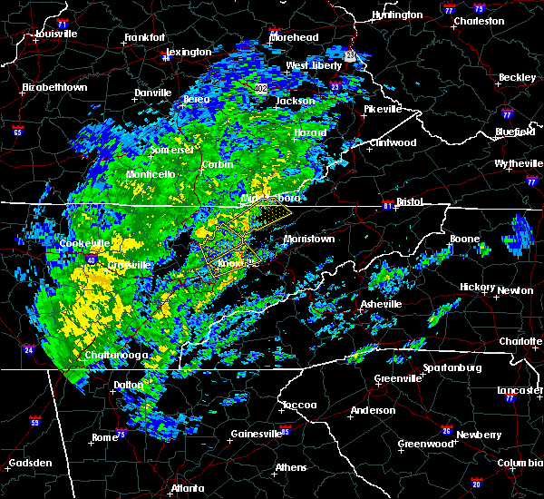 At 1140 am edt, a severe thunderstorm was located near rutledge, moving northeast at 55 mph (radar indicated). Hazards include 60 mph wind gusts. expect damage to roofs, siding, and trees At 1140 am edt, a severe thunderstorm was located near rutledge, moving northeast at 55 mph (radar indicated). Hazards include 60 mph wind gusts. expect damage to roofs, siding, and trees
|
| 10/31/2019 11:33 AM EDT |
 At 1133 am edt, a severe thunderstorm was located 7 miles southwest of new tazewell, or 10 miles northeast of maynardville, moving northeast at 55 mph (radar indicated). Hazards include 60 mph wind gusts. expect damage to roofs, siding, and trees At 1133 am edt, a severe thunderstorm was located 7 miles southwest of new tazewell, or 10 miles northeast of maynardville, moving northeast at 55 mph (radar indicated). Hazards include 60 mph wind gusts. expect damage to roofs, siding, and trees
|
| 6/24/2019 6:07 PM EDT |
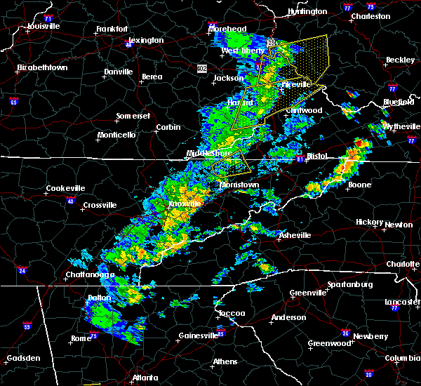 The severe thunderstorm warning for northwestern hawkins, hancock and south central lee counties will expire at 615 pm edt, the storm which prompted the warning has weakened below severe limits, and no longer poses an immediate threat to life or property. therefore, the warning will be allowed to expire. a severe thunderstorm watch remains in effect until 900 pm edt for east tennessee, and southwestern virginia. The severe thunderstorm warning for northwestern hawkins, hancock and south central lee counties will expire at 615 pm edt, the storm which prompted the warning has weakened below severe limits, and no longer poses an immediate threat to life or property. therefore, the warning will be allowed to expire. a severe thunderstorm watch remains in effect until 900 pm edt for east tennessee, and southwestern virginia.
|
| 6/24/2019 5:37 PM EDT |
 At 537 pm edt, a severe thunderstorm was located 7 miles northwest of bean station, or 11 miles southwest of sneedville, moving northeast at 45 mph (radar indicated). Hazards include 60 mph wind gusts. expect damage to roofs, siding, and trees At 537 pm edt, a severe thunderstorm was located 7 miles northwest of bean station, or 11 miles southwest of sneedville, moving northeast at 45 mph (radar indicated). Hazards include 60 mph wind gusts. expect damage to roofs, siding, and trees
|
| 6/22/2019 12:11 AM EDT |
 At 1155 pm edt, severe thunderstorms were located along a line extending from 7 miles south of hensley store to near pigeon forge, moving east at 50 mph (radar indicated). Hazards include 60 mph wind gusts. expect damage to roofs, siding, and trees At 1155 pm edt, severe thunderstorms were located along a line extending from 7 miles south of hensley store to near pigeon forge, moving east at 50 mph (radar indicated). Hazards include 60 mph wind gusts. expect damage to roofs, siding, and trees
|
| 6/22/2019 12:11 AM EDT |
 At 1211 am edt, severe thunderstorms were located along a line extending from near jonesville to gatlinburg, moving east at 45 mph (radar indicated). Hazards include 60 mph wind gusts. Expect damage to roofs, siding, and trees. Locations impacted include, morristown, sevierville, newport, rogersville, gatlinburg, dandridge, sneedville, jonesville, pigeon forge, bean station, white pine, surgoinsville, pennington gap, baneberry, parrottsville, smoky mountains-newfound gap, russellville, smoky mountains-big creek, smoky mountains-fontana area and smoky mountains-balsam mountain. At 1211 am edt, severe thunderstorms were located along a line extending from near jonesville to gatlinburg, moving east at 45 mph (radar indicated). Hazards include 60 mph wind gusts. Expect damage to roofs, siding, and trees. Locations impacted include, morristown, sevierville, newport, rogersville, gatlinburg, dandridge, sneedville, jonesville, pigeon forge, bean station, white pine, surgoinsville, pennington gap, baneberry, parrottsville, smoky mountains-newfound gap, russellville, smoky mountains-big creek, smoky mountains-fontana area and smoky mountains-balsam mountain.
|
| 6/21/2019 11:55 PM EDT |
 At 1155 pm edt, severe thunderstorms were located along a line extending from 7 miles south of hensley store to near pigeon forge, moving east at 50 mph (radar indicated). Hazards include 60 mph wind gusts. expect damage to roofs, siding, and trees At 1155 pm edt, severe thunderstorms were located along a line extending from 7 miles south of hensley store to near pigeon forge, moving east at 50 mph (radar indicated). Hazards include 60 mph wind gusts. expect damage to roofs, siding, and trees
|
| 6/20/2019 5:23 PM EDT |
 At 523 pm edt, a severe thunderstorm capable of producing a tornado was located over sneedville, moving east at 30 mph (radar indicated rotation). Hazards include tornado. Flying debris will be dangerous to those caught without shelter. mobile homes will be damaged or destroyed. damage to roofs, windows, and vehicles will occur. tree damage is likely. This tornadic thunderstorm will remain over mainly rural areas of northwestern hawkins and northeastern hancock counties, including the following locations, klondike. At 523 pm edt, a severe thunderstorm capable of producing a tornado was located over sneedville, moving east at 30 mph (radar indicated rotation). Hazards include tornado. Flying debris will be dangerous to those caught without shelter. mobile homes will be damaged or destroyed. damage to roofs, windows, and vehicles will occur. tree damage is likely. This tornadic thunderstorm will remain over mainly rural areas of northwestern hawkins and northeastern hancock counties, including the following locations, klondike.
|
| 6/20/2019 5:20 PM EDT | One tree down on newmans ridge road near mulberry ga in hancock county TN, 2.7 miles SE of Sneedville, TN |
| 6/20/2019 5:20 PM EDT | One tree down on yellowbranch roa in hancock county TN, 6.3 miles NE of Sneedville, TN |
| 6/20/2019 5:14 PM EDT |
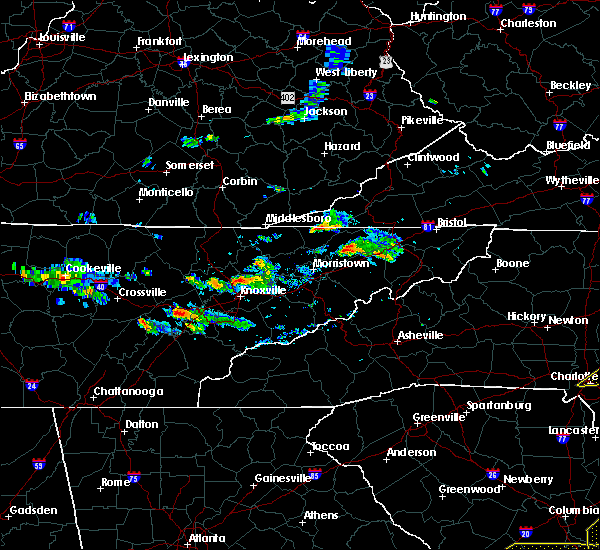 At 514 pm edt, a severe thunderstorm capable of producing a tornado was located near sneedville, moving east at 30 mph (radar indicated rotation). Hazards include tornado. Flying debris will be dangerous to those caught without shelter. mobile homes will be damaged or destroyed. damage to roofs, windows, and vehicles will occur. tree damage is likely. this dangerous storm will be near, sneedville around 525 pm edt. Other locations impacted by this tornadic thunderstorm include evanston and klondike. At 514 pm edt, a severe thunderstorm capable of producing a tornado was located near sneedville, moving east at 30 mph (radar indicated rotation). Hazards include tornado. Flying debris will be dangerous to those caught without shelter. mobile homes will be damaged or destroyed. damage to roofs, windows, and vehicles will occur. tree damage is likely. this dangerous storm will be near, sneedville around 525 pm edt. Other locations impacted by this tornadic thunderstorm include evanston and klondike.
|
| 5/18/2019 8:38 PM EDT |
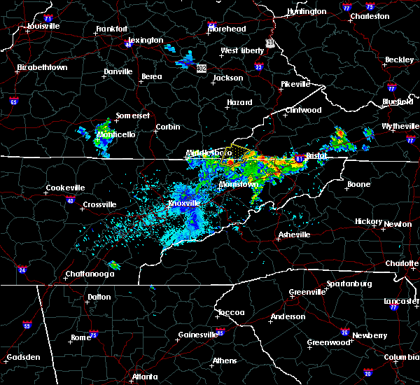 At 837 pm edt, a severe thunderstorm was located near sneedville, moving northeast at 15 mph (radar indicated). Hazards include 60 mph wind gusts and quarter size hail. Hail damage to vehicles is expected. Expect wind damage to roofs, siding, and trees. At 837 pm edt, a severe thunderstorm was located near sneedville, moving northeast at 15 mph (radar indicated). Hazards include 60 mph wind gusts and quarter size hail. Hail damage to vehicles is expected. Expect wind damage to roofs, siding, and trees.
|
| 11/6/2018 5:48 AM EST |
 At 548 am est, severe thunderstorms were located along a line extending from 7 miles east of sneedville to russellville, moving east at 55 mph (radar indicated). Hazards include 60 mph wind gusts. Expect damage to roofs, siding, and trees. locations impacted include, morristown, rogersville, sneedville, surgoinsville, russellville, church hill, bulls gap, duffield, clinchport, mccloud, okolona, st. Clair, kepler, kyles ford, jearoldstown, klondike and mooresburg. At 548 am est, severe thunderstorms were located along a line extending from 7 miles east of sneedville to russellville, moving east at 55 mph (radar indicated). Hazards include 60 mph wind gusts. Expect damage to roofs, siding, and trees. locations impacted include, morristown, rogersville, sneedville, surgoinsville, russellville, church hill, bulls gap, duffield, clinchport, mccloud, okolona, st. Clair, kepler, kyles ford, jearoldstown, klondike and mooresburg.
|
| 11/6/2018 5:29 AM EST |
 At 529 am est, severe thunderstorms were located along a line extending from 9 miles east of tazewell to near jefferson city, moving east at 55 mph (radar indicated). Hazards include 60 mph wind gusts. expect damage to roofs, siding, and trees At 529 am est, severe thunderstorms were located along a line extending from 9 miles east of tazewell to near jefferson city, moving east at 55 mph (radar indicated). Hazards include 60 mph wind gusts. expect damage to roofs, siding, and trees
|
| 9/9/2018 6:42 PM EDT |
 At 642 pm edt, severe thunderstorms were located along a line extending from near bean station to near rogersville to 7 miles north of tusculum, moving northeast at 35 mph (radar indicated). Hazards include 60 mph wind gusts and penny size hail. expect damage to roofs, siding, and trees At 642 pm edt, severe thunderstorms were located along a line extending from near bean station to near rogersville to 7 miles north of tusculum, moving northeast at 35 mph (radar indicated). Hazards include 60 mph wind gusts and penny size hail. expect damage to roofs, siding, and trees
|
| 8/8/2018 3:23 PM EDT |
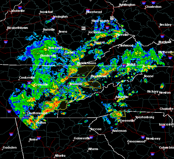 At 322 pm edt, severe thunderstorms were located along a line extending from near cubage to near plainview, moving east at 55 mph (radar indicated). Hazards include 60 mph wind gusts and penny size hail. Expect damage to roofs, siding, and trees. Locations impacted include, maynardville, sneedville, rutledge, new tazewell, tazewell, harrogate, luttrell, springdale, lone mountain, howard quarter, thorn hill, evanston, arthur, rose hill, big ridge state park, sharps chapel, sandlick, powell river preserve, joppa and norris lake. At 322 pm edt, severe thunderstorms were located along a line extending from near cubage to near plainview, moving east at 55 mph (radar indicated). Hazards include 60 mph wind gusts and penny size hail. Expect damage to roofs, siding, and trees. Locations impacted include, maynardville, sneedville, rutledge, new tazewell, tazewell, harrogate, luttrell, springdale, lone mountain, howard quarter, thorn hill, evanston, arthur, rose hill, big ridge state park, sharps chapel, sandlick, powell river preserve, joppa and norris lake.
|
| 8/8/2018 2:48 PM EDT |
 At 248 pm edt, severe thunderstorms were located along a line extending from pearl to near oliver springs, moving east at 55 mph (radar indicated). Hazards include 60 mph wind gusts and penny size hail. expect damage to roofs, siding, and trees At 248 pm edt, severe thunderstorms were located along a line extending from pearl to near oliver springs, moving east at 55 mph (radar indicated). Hazards include 60 mph wind gusts and penny size hail. expect damage to roofs, siding, and trees
|
| 7/20/2018 9:34 PM EDT |
 At 934 pm edt, a severe thunderstorm was located 9 miles west of sneedville, moving southeast at 20 mph (radar indicated). Hazards include 60 mph wind gusts and penny size hail. Expect damage to roofs, siding, and trees. locations impacted include, sneedville, jonesville, tazewell, howard quarter, evanston, ewing, powell river preserve, rose hill, kyles ford and treadway. A tornado watch remains in effect until 400 am edt for east tennessee, and southwestern virginia. At 934 pm edt, a severe thunderstorm was located 9 miles west of sneedville, moving southeast at 20 mph (radar indicated). Hazards include 60 mph wind gusts and penny size hail. Expect damage to roofs, siding, and trees. locations impacted include, sneedville, jonesville, tazewell, howard quarter, evanston, ewing, powell river preserve, rose hill, kyles ford and treadway. A tornado watch remains in effect until 400 am edt for east tennessee, and southwestern virginia.
|
| 7/20/2018 9:02 PM EDT |
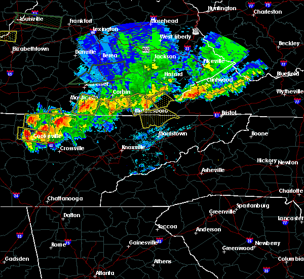 At 902 pm edt, a severe thunderstorm was located over pathfork, or 11 miles southwest of harlan, moving southeast at 40 mph (radar indicated). Hazards include 60 mph wind gusts and penny size hail. expect damage to roofs, siding, and trees At 902 pm edt, a severe thunderstorm was located over pathfork, or 11 miles southwest of harlan, moving southeast at 40 mph (radar indicated). Hazards include 60 mph wind gusts and penny size hail. expect damage to roofs, siding, and trees
|
| 7/16/2018 5:51 PM EDT |
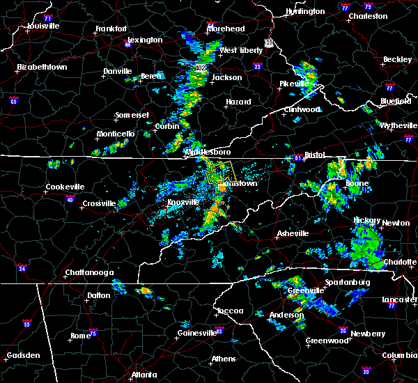 The severe thunderstorm warning for southwestern hawkins, central hancock and northeastern grainger counties will expire at 600 pm edt, the storm which prompted the warning has weakened below severe limits, and no longer poses an immediate threat to life or property. therefore, the warning will be allowed to expire. however gusty winds and heavy rain are still possible with this thunderstorm. The severe thunderstorm warning for southwestern hawkins, central hancock and northeastern grainger counties will expire at 600 pm edt, the storm which prompted the warning has weakened below severe limits, and no longer poses an immediate threat to life or property. therefore, the warning will be allowed to expire. however gusty winds and heavy rain are still possible with this thunderstorm.
|
| 7/16/2018 5:41 PM EDT |
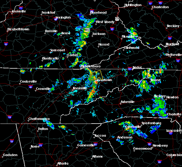 At 540 pm edt, a severe thunderstorm was located near bean station, or 11 miles northeast of rutledge, moving east at 20 mph (radar indicated). Hazards include 60 mph wind gusts. Expect damage to roofs, siding, and trees. locations impacted include, sneedville, bean station, thorn hill, mooresburg, evanston, st. Clair, treadway and klondike. At 540 pm edt, a severe thunderstorm was located near bean station, or 11 miles northeast of rutledge, moving east at 20 mph (radar indicated). Hazards include 60 mph wind gusts. Expect damage to roofs, siding, and trees. locations impacted include, sneedville, bean station, thorn hill, mooresburg, evanston, st. Clair, treadway and klondike.
|
| 7/16/2018 5:22 PM EDT |
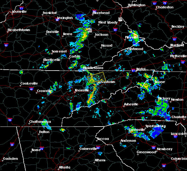 At 522 pm edt, a severe thunderstorm was located near rutledge, moving east at 20 mph (radar indicated). Hazards include 60 mph wind gusts and penny size hail. expect damage to roofs, siding, and trees At 522 pm edt, a severe thunderstorm was located near rutledge, moving east at 20 mph (radar indicated). Hazards include 60 mph wind gusts and penny size hail. expect damage to roofs, siding, and trees
|
| 5/5/2018 6:36 PM EDT |
 At 636 pm edt, a severe thunderstorm was located over diane, or 15 miles northeast of harlan, moving north at 45 mph (radar indicated). Hazards include 60 mph wind gusts and quarter size hail. Hail damage to vehicles is expected. expect wind damage to roofs, siding, and trees. locations impacted include, sneedville, jonesville, pennington gap, st. Charles, dryden, kyles ford and klondike. At 636 pm edt, a severe thunderstorm was located over diane, or 15 miles northeast of harlan, moving north at 45 mph (radar indicated). Hazards include 60 mph wind gusts and quarter size hail. Hail damage to vehicles is expected. expect wind damage to roofs, siding, and trees. locations impacted include, sneedville, jonesville, pennington gap, st. Charles, dryden, kyles ford and klondike.
|
| 5/5/2018 6:15 PM EDT | Quarter sized hail reported 0.5 miles ESE of Sneedville, TN, quater size hail reported near sneedville |
| 5/5/2018 6:07 PM EDT |
 The national weather service in morristown has issued a * severe thunderstorm warning for. northwestern hawkins county in east tennessee. central hancock county in east tennessee. lee county in southwestern virginia. Until 645 pm edt. The national weather service in morristown has issued a * severe thunderstorm warning for. northwestern hawkins county in east tennessee. central hancock county in east tennessee. lee county in southwestern virginia. Until 645 pm edt.
|
| 5/5/2018 6:07 PM EDT |
 At 607 pm edt, a severe thunderstorm was located over jonesville, moving north at 35 mph (radar indicated). Hazards include 60 mph wind gusts and quarter size hail. Hail damage to vehicles is expected. Expect wind damage to roofs, siding, and trees. At 607 pm edt, a severe thunderstorm was located over jonesville, moving north at 35 mph (radar indicated). Hazards include 60 mph wind gusts and quarter size hail. Hail damage to vehicles is expected. Expect wind damage to roofs, siding, and trees.
|
| 4/4/2018 1:40 AM EDT |
 At 140 am edt, severe thunderstorms were located along a line extending from near dizney to near sneedville, moving east at 65 mph (radar indicated). Hazards include 60 mph wind gusts. Expect damage to roofs, siding, and trees. locations impacted include, sneedville, jonesville, pennington gap, st. Charles, dryden, kyles ford and pattonsville. At 140 am edt, severe thunderstorms were located along a line extending from near dizney to near sneedville, moving east at 65 mph (radar indicated). Hazards include 60 mph wind gusts. Expect damage to roofs, siding, and trees. locations impacted include, sneedville, jonesville, pennington gap, st. Charles, dryden, kyles ford and pattonsville.
|
| 4/4/2018 1:17 AM EDT |
 At 117 am edt, severe thunderstorms were located along a line extending from near hensley store to near new tazewell, moving east at 60 mph (radar indicated). Hazards include 60 mph wind gusts. expect damage to roofs, siding, and trees At 117 am edt, severe thunderstorms were located along a line extending from near hensley store to near new tazewell, moving east at 60 mph (radar indicated). Hazards include 60 mph wind gusts. expect damage to roofs, siding, and trees
|
| 3/17/2018 7:47 PM EDT |
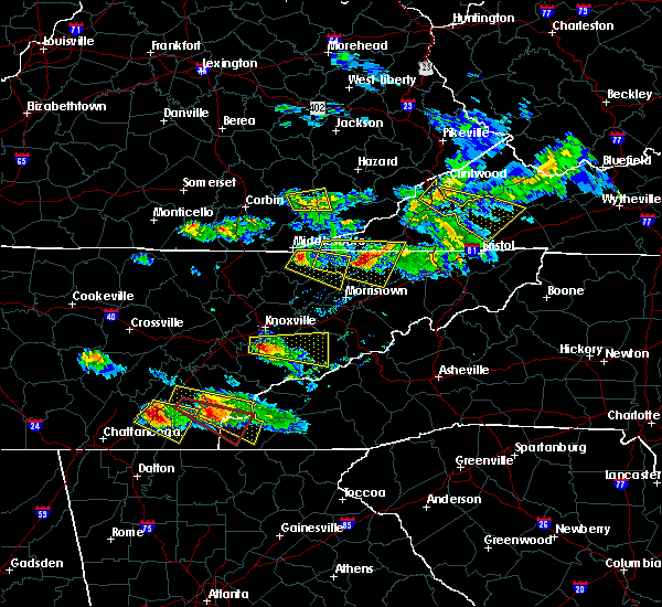 At 747 pm edt, a severe thunderstorm was located near sneedville, moving east at 30 mph (radar indicated). Hazards include 60 mph wind gusts and half dollar size hail. Hail damage to vehicles is expected. expect wind damage to roofs, siding, and trees. locations impacted include, rogersville, sneedville, surgoinsville, howard quarter, evanston, st. Clair, kyles ford, treadway, mccloud, klondike and mooresburg. At 747 pm edt, a severe thunderstorm was located near sneedville, moving east at 30 mph (radar indicated). Hazards include 60 mph wind gusts and half dollar size hail. Hail damage to vehicles is expected. expect wind damage to roofs, siding, and trees. locations impacted include, rogersville, sneedville, surgoinsville, howard quarter, evanston, st. Clair, kyles ford, treadway, mccloud, klondike and mooresburg.
|
| 3/17/2018 7:45 PM EDT | Quarter sized hail reported 0.5 miles ESE of Sneedville, TN |
| 3/17/2018 7:30 PM EDT | Half Dollar sized hail reported 2.9 miles ENE of Sneedville, TN, reported at 170 mill dam road. also reported 50 mph winds. |
| 3/17/2018 7:28 PM EDT |
 At 728 pm edt, a severe thunderstorm was located 10 miles northeast of tazewell, or 10 miles west of sneedville, moving east at 35 mph (radar indicated). Hazards include 60 mph wind gusts and half dollar size hail. Hail damage to vehicles is expected. Expect wind damage to roofs, siding, and trees. At 728 pm edt, a severe thunderstorm was located 10 miles northeast of tazewell, or 10 miles west of sneedville, moving east at 35 mph (radar indicated). Hazards include 60 mph wind gusts and half dollar size hail. Hail damage to vehicles is expected. Expect wind damage to roofs, siding, and trees.
|
| 9/1/2017 2:18 PM EDT |
 At 218 pm edt, a severe thunderstorm was located near sneedville, moving northeast at 30 mph (radar indicated). Hazards include 60 mph wind gusts. Expect damage to roofs, siding, and trees. Locations impacted include, sneedville, jonesville and pennington gap. At 218 pm edt, a severe thunderstorm was located near sneedville, moving northeast at 30 mph (radar indicated). Hazards include 60 mph wind gusts. Expect damage to roofs, siding, and trees. Locations impacted include, sneedville, jonesville and pennington gap.
|
| 9/1/2017 2:18 PM EDT |
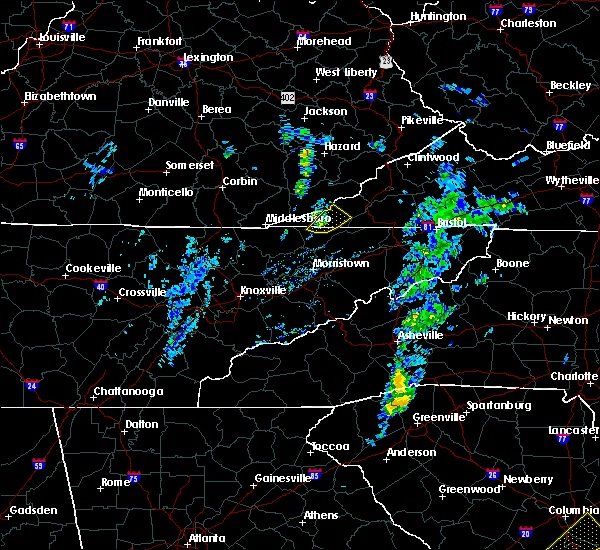 At 218 pm edt, a severe thunderstorm was located near sneedville, moving northeast at 30 mph (radar indicated). Hazards include 60 mph wind gusts. Expect damage to roofs, siding, and trees. Locations impacted include, sneedville, jonesville and pennington gap. At 218 pm edt, a severe thunderstorm was located near sneedville, moving northeast at 30 mph (radar indicated). Hazards include 60 mph wind gusts. Expect damage to roofs, siding, and trees. Locations impacted include, sneedville, jonesville and pennington gap.
|
| 9/1/2017 1:53 PM EDT |
 At 153 pm edt, a severe thunderstorm was located 7 miles southwest of sneedville, moving northeast at 30 mph (radar indicated). Hazards include 60 mph wind gusts. expect damage to roofs, siding, and trees At 153 pm edt, a severe thunderstorm was located 7 miles southwest of sneedville, moving northeast at 30 mph (radar indicated). Hazards include 60 mph wind gusts. expect damage to roofs, siding, and trees
|
| 9/1/2017 1:53 PM EDT |
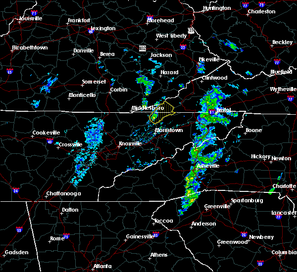 At 153 pm edt, a severe thunderstorm was located 7 miles southwest of sneedville, moving northeast at 30 mph (radar indicated). Hazards include 60 mph wind gusts. expect damage to roofs, siding, and trees At 153 pm edt, a severe thunderstorm was located 7 miles southwest of sneedville, moving northeast at 30 mph (radar indicated). Hazards include 60 mph wind gusts. expect damage to roofs, siding, and trees
|
| 7/6/2017 8:02 PM EDT |
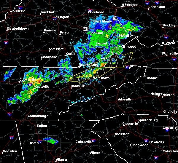 At 801 pm edt, severe thunderstorms were located along a line extending from 6 miles east of sneedville to near rutledge to 6 miles northeast of maynardville, moving northeast at 110 mph (radar indicated). Hazards include 60 mph wind gusts. Expect damage to roofs, siding, and trees. Locations impacted include, rogersville, maynardville, sneedville, rutledge, new tazewell, bean station, tazewell, plainview, surgoinsville, church hill, mount carmel, blaine, luttrell, lone mountain, howard quarter, buffalo springs, rose hill, treadway, big ridge state park and mooresburg. At 801 pm edt, severe thunderstorms were located along a line extending from 6 miles east of sneedville to near rutledge to 6 miles northeast of maynardville, moving northeast at 110 mph (radar indicated). Hazards include 60 mph wind gusts. Expect damage to roofs, siding, and trees. Locations impacted include, rogersville, maynardville, sneedville, rutledge, new tazewell, bean station, tazewell, plainview, surgoinsville, church hill, mount carmel, blaine, luttrell, lone mountain, howard quarter, buffalo springs, rose hill, treadway, big ridge state park and mooresburg.
|
| 7/6/2017 7:44 PM EDT |
 At 743 pm edt, severe thunderstorms were located along a line extending from near sneedville to near maynardville to 7 miles north of oliver springs, moving east at 35 mph (radar indicated). Hazards include 60 mph wind gusts. Expect damage to roofs, siding, and trees. Locations impacted include, knoxville, oak ridge, clinton, rogersville, maynardville, sneedville, rutledge, oliver springs, new tazewell, bean station, tazewell, plainview, surgoinsville, church hill, mount carmel, halls, blaine, lake city, norris and luttrell. At 743 pm edt, severe thunderstorms were located along a line extending from near sneedville to near maynardville to 7 miles north of oliver springs, moving east at 35 mph (radar indicated). Hazards include 60 mph wind gusts. Expect damage to roofs, siding, and trees. Locations impacted include, knoxville, oak ridge, clinton, rogersville, maynardville, sneedville, rutledge, oliver springs, new tazewell, bean station, tazewell, plainview, surgoinsville, church hill, mount carmel, halls, blaine, lake city, norris and luttrell.
|
| 7/6/2017 7:12 PM EDT |
 At 711 pm edt, severe thunderstorms were located along a line extending from near hutch to near la follette to 6 miles west of wartburg, moving east at 40 mph (radar indicated). Hazards include 60 mph wind gusts. expect damage to roofs, siding, and trees At 711 pm edt, severe thunderstorms were located along a line extending from near hutch to near la follette to 6 miles west of wartburg, moving east at 40 mph (radar indicated). Hazards include 60 mph wind gusts. expect damage to roofs, siding, and trees
|
| 7/6/2017 2:52 PM EDT |
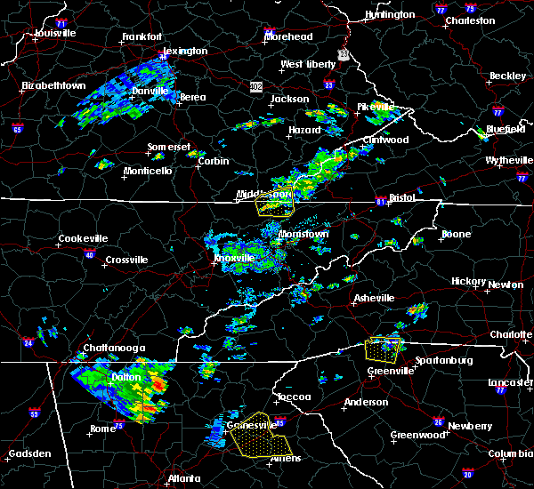 At 251 pm edt, a severe thunderstorm was located 10 miles west of sneedville, moving east at 25 mph (radar indicated). Hazards include 60 mph wind gusts and quarter size hail. Hail damage to vehicles is possible. expect wind damage to roofs, siding, and trees. Locations impacted include, sneedville, howard quarter, rose hill, evanston and ewing. At 251 pm edt, a severe thunderstorm was located 10 miles west of sneedville, moving east at 25 mph (radar indicated). Hazards include 60 mph wind gusts and quarter size hail. Hail damage to vehicles is possible. expect wind damage to roofs, siding, and trees. Locations impacted include, sneedville, howard quarter, rose hill, evanston and ewing.
|
| 7/6/2017 2:34 PM EDT |
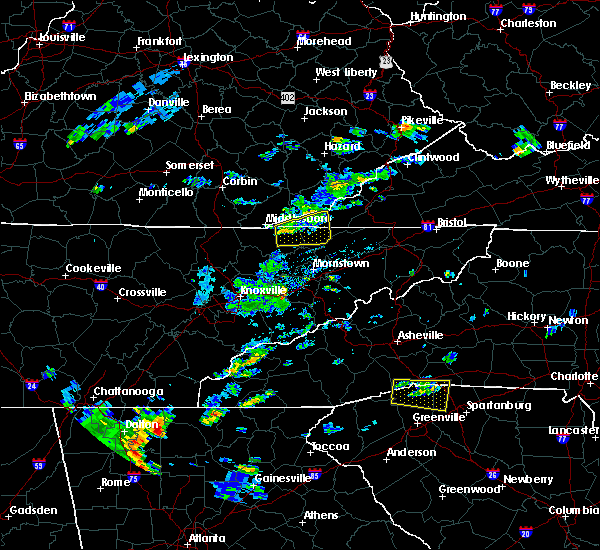 At 233 pm edt, a severe thunderstorm was located near tazewell, or 12 miles southeast of middlesboro, moving east at 25 mph (radar indicated). Hazards include 60 mph wind gusts and quarter size hail. Hail damage to vehicles is possible. Expect wind damage to roofs, siding, and trees. At 233 pm edt, a severe thunderstorm was located near tazewell, or 12 miles southeast of middlesboro, moving east at 25 mph (radar indicated). Hazards include 60 mph wind gusts and quarter size hail. Hail damage to vehicles is possible. Expect wind damage to roofs, siding, and trees.
|
| 5/11/2017 8:34 PM EDT |
 At 834 pm edt, a severe thunderstorm was located near sneedville, moving southeast at 30 mph (radar indicated). Hazards include 60 mph wind gusts and quarter size hail. Hail damage to vehicles is expected. expect wind damage to roofs, siding, and trees. Locations impacted include, sneedville, kyles ford and ewing. At 834 pm edt, a severe thunderstorm was located near sneedville, moving southeast at 30 mph (radar indicated). Hazards include 60 mph wind gusts and quarter size hail. Hail damage to vehicles is expected. expect wind damage to roofs, siding, and trees. Locations impacted include, sneedville, kyles ford and ewing.
|
| 5/11/2017 8:34 PM EDT |
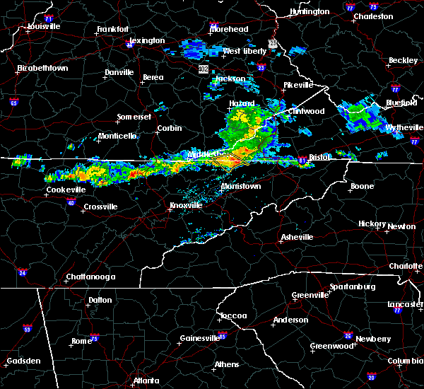 At 834 pm edt, a severe thunderstorm was located near sneedville, moving southeast at 30 mph (radar indicated). Hazards include 60 mph wind gusts and quarter size hail. Hail damage to vehicles is expected. expect wind damage to roofs, siding, and trees. Locations impacted include, sneedville, kyles ford and ewing. At 834 pm edt, a severe thunderstorm was located near sneedville, moving southeast at 30 mph (radar indicated). Hazards include 60 mph wind gusts and quarter size hail. Hail damage to vehicles is expected. expect wind damage to roofs, siding, and trees. Locations impacted include, sneedville, kyles ford and ewing.
|
| 5/11/2017 8:18 PM EDT |
 At 817 pm edt, a severe thunderstorm was located 7 miles northwest of sneedville, moving southeast at 30 mph (radar indicated). Hazards include 60 mph wind gusts and quarter size hail. Hail damage to vehicles is expected. Expect wind damage to roofs, siding, and trees. At 817 pm edt, a severe thunderstorm was located 7 miles northwest of sneedville, moving southeast at 30 mph (radar indicated). Hazards include 60 mph wind gusts and quarter size hail. Hail damage to vehicles is expected. Expect wind damage to roofs, siding, and trees.
|
| 5/4/2017 11:56 PM EDT |
 At 1155 pm edt, severe thunderstorms were located along a line extending from near smith to near rogersville, moving northeast at 55 mph (radar indicated). Hazards include 60 mph wind gusts and quarter size hail. Hail damage to vehicles is expected. expect wind damage to roofs, siding, and trees. locations impacted include, kingsport, rogersville, sneedville, jonesville, surgoinsville, pennington gap, church hill, mount carmel, st. Charles, duffield, clinchport, dryden, rose hill, mccloud, jasper, okolona, kepler, kyles ford, pattonsville and klondike. At 1155 pm edt, severe thunderstorms were located along a line extending from near smith to near rogersville, moving northeast at 55 mph (radar indicated). Hazards include 60 mph wind gusts and quarter size hail. Hail damage to vehicles is expected. expect wind damage to roofs, siding, and trees. locations impacted include, kingsport, rogersville, sneedville, jonesville, surgoinsville, pennington gap, church hill, mount carmel, st. Charles, duffield, clinchport, dryden, rose hill, mccloud, jasper, okolona, kepler, kyles ford, pattonsville and klondike.
|
| 5/4/2017 11:27 PM EDT |
 At 1126 pm edt, severe thunderstorms were located along a line extending from near harrogate to near morristown, moving northeast at 55 mph (radar indicated). Hazards include 60 mph wind gusts and quarter size hail. Hail damage to vehicles is expected. Expect wind damage to roofs, siding, and trees. At 1126 pm edt, severe thunderstorms were located along a line extending from near harrogate to near morristown, moving northeast at 55 mph (radar indicated). Hazards include 60 mph wind gusts and quarter size hail. Hail damage to vehicles is expected. Expect wind damage to roofs, siding, and trees.
|
| 3/1/2017 11:45 AM EST |
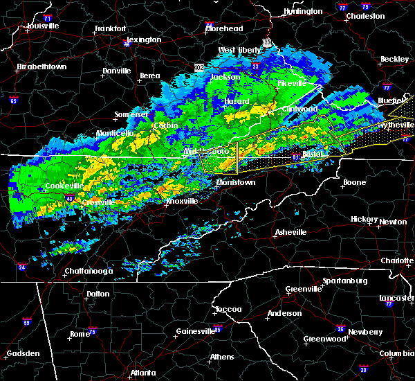 At 1144 am est, a severe thunderstorm was located near sneedville, moving east at 65 mph (radar indicated). Hazards include 70 mph wind gusts and penny size hail. Expect considerable tree damage. damage is likely to mobile homes, roofs, and outbuildings. Locations impacted include, rogersville, sneedville, jonesville, pennington gap, howard quarter, evanston, ewing, rose hill, treadway, kyles ford and klondike. At 1144 am est, a severe thunderstorm was located near sneedville, moving east at 65 mph (radar indicated). Hazards include 70 mph wind gusts and penny size hail. Expect considerable tree damage. damage is likely to mobile homes, roofs, and outbuildings. Locations impacted include, rogersville, sneedville, jonesville, pennington gap, howard quarter, evanston, ewing, rose hill, treadway, kyles ford and klondike.
|
| 3/1/2017 11:24 AM EST |
 At 1123 am est, a severe thunderstorm was located over harrogate, or near middlesboro, moving east at 50 mph (radar indicated). Hazards include 70 mph wind gusts and penny size hail. Expect considerable tree damage. damage is likely to mobile homes, roofs, and outbuildings. Locations impacted include, rogersville, sneedville, jonesville, new tazewell, tazewell, pennington gap, harrogate, springdale, howard quarter, cumberland gap, evanston, arthur, rose hill, treadway, ewing, clairfield, powell river preserve, kyles ford and klondike. At 1123 am est, a severe thunderstorm was located over harrogate, or near middlesboro, moving east at 50 mph (radar indicated). Hazards include 70 mph wind gusts and penny size hail. Expect considerable tree damage. damage is likely to mobile homes, roofs, and outbuildings. Locations impacted include, rogersville, sneedville, jonesville, new tazewell, tazewell, pennington gap, harrogate, springdale, howard quarter, cumberland gap, evanston, arthur, rose hill, treadway, ewing, clairfield, powell river preserve, kyles ford and klondike.
|
| 3/1/2017 11:06 AM EST |
 At 1105 am est, a severe thunderstorm was located near pruden, or 12 miles southwest of middlesboro, moving east at 50 mph (radar indicated). Hazards include 70 mph wind gusts and penny size hail. Expect considerable tree damage. Damage is likely to mobile homes, roofs, and outbuildings. At 1105 am est, a severe thunderstorm was located near pruden, or 12 miles southwest of middlesboro, moving east at 50 mph (radar indicated). Hazards include 70 mph wind gusts and penny size hail. Expect considerable tree damage. Damage is likely to mobile homes, roofs, and outbuildings.
|
| 2/25/2017 4:09 AM EST |
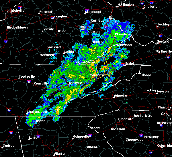 At 409 am est, severe thunderstorms were located along a line extending from sneedville to near russellville, moving northeast at 55 mph (radar indicated). Hazards include 60 mph wind gusts and quarter size hail. Hail damage to vehicles is expected. expect wind damage to roofs, siding, and trees. locations impacted include, morristown, rogersville, sneedville, jonesville, surgoinsville, pennington gap, russellville, church hill, mosheim, bulls gap, baileyton, duffield, treadway, mccloud, mooresburg, okolona, st. Clair, kepler, pattonsville and jearoldstown. At 409 am est, severe thunderstorms were located along a line extending from sneedville to near russellville, moving northeast at 55 mph (radar indicated). Hazards include 60 mph wind gusts and quarter size hail. Hail damage to vehicles is expected. expect wind damage to roofs, siding, and trees. locations impacted include, morristown, rogersville, sneedville, jonesville, surgoinsville, pennington gap, russellville, church hill, mosheim, bulls gap, baileyton, duffield, treadway, mccloud, mooresburg, okolona, st. Clair, kepler, pattonsville and jearoldstown.
|
| 2/25/2017 3:57 AM EST |
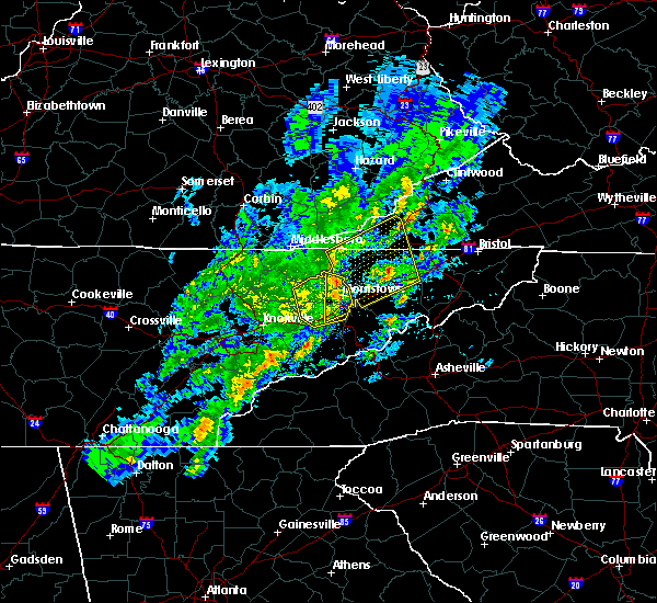 At 356 am est, severe thunderstorms were located along a line extending from 9 miles northwest of bean station to near dandridge, moving northeast at 50 mph (radar indicated). Hazards include 60 mph wind gusts and quarter size hail. Hail damage to vehicles is expected. Expect wind damage to roofs, siding, and trees. At 356 am est, severe thunderstorms were located along a line extending from 9 miles northwest of bean station to near dandridge, moving northeast at 50 mph (radar indicated). Hazards include 60 mph wind gusts and quarter size hail. Hail damage to vehicles is expected. Expect wind damage to roofs, siding, and trees.
|
| 7/27/2016 6:08 PM EDT |
 At 607 pm edt, a severe thunderstorm was located near hensley store, or 8 miles northwest of sneedville, moving north at 15 mph (radar indicated). Hazards include 60 mph wind gusts and quarter size hail. Hail damage to vehicles is expected. expect wind damage to roofs, siding, and trees. Locations impacted include, sneedville, jonesville, rose hill and ewing. At 607 pm edt, a severe thunderstorm was located near hensley store, or 8 miles northwest of sneedville, moving north at 15 mph (radar indicated). Hazards include 60 mph wind gusts and quarter size hail. Hail damage to vehicles is expected. expect wind damage to roofs, siding, and trees. Locations impacted include, sneedville, jonesville, rose hill and ewing.
|
| 7/27/2016 5:50 PM EDT |
 At 550 pm edt, a severe thunderstorm was located near hensley store, or 8 miles northwest of sneedville, moving north at 15 mph (radar indicated). Hazards include 60 mph wind gusts and quarter size hail. Hail damage to vehicles is expected. Expect wind damage to roofs, siding, and trees. At 550 pm edt, a severe thunderstorm was located near hensley store, or 8 miles northwest of sneedville, moving north at 15 mph (radar indicated). Hazards include 60 mph wind gusts and quarter size hail. Hail damage to vehicles is expected. Expect wind damage to roofs, siding, and trees.
|
| 7/27/2016 5:50 PM EDT |
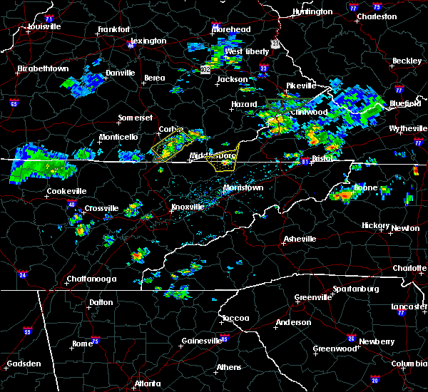 At 550 pm edt, a severe thunderstorm was located near hensley store, or 8 miles northwest of sneedville, moving north at 15 mph (radar indicated). Hazards include 60 mph wind gusts and quarter size hail. Hail damage to vehicles is expected. Expect wind damage to roofs, siding, and trees. At 550 pm edt, a severe thunderstorm was located near hensley store, or 8 miles northwest of sneedville, moving north at 15 mph (radar indicated). Hazards include 60 mph wind gusts and quarter size hail. Hail damage to vehicles is expected. Expect wind damage to roofs, siding, and trees.
|
| 7/14/2016 5:24 PM EDT |
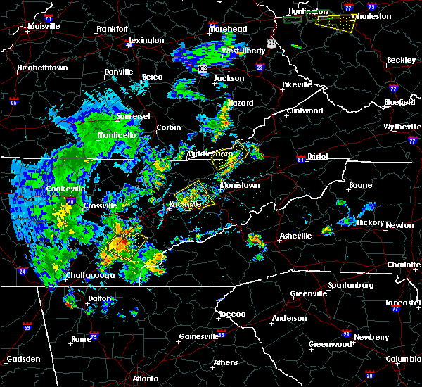 The severe thunderstorm warning for northwestern hancock and eastern lee counties will expire at 530 pm edt, the storm which prompted the warning has weakened below severe limits, and no longer pose an immediate threat to life or property. therefore, the warning will be allowed to expire. however gusty winds and heavy rain are still possible with this thunderstorm. The severe thunderstorm warning for northwestern hancock and eastern lee counties will expire at 530 pm edt, the storm which prompted the warning has weakened below severe limits, and no longer pose an immediate threat to life or property. therefore, the warning will be allowed to expire. however gusty winds and heavy rain are still possible with this thunderstorm.
|
| 7/14/2016 5:04 PM EDT |
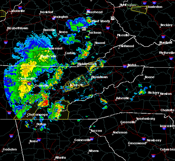 At 502 pm edt, a severe thunderstorm was located near sneedville, moving east at 20 mph. the storm has shown signs of weakening but may strengthen in the next few minutes (radar indicated). Hazards include 60 mph wind gusts and quarter size hail. Hail damage to vehicles is expected. expect wind damage to roofs, siding, and trees. locations impacted include, sneedville, jonesville, pennington gap, st. Charles, pattonsville, evanston and rose hill. At 502 pm edt, a severe thunderstorm was located near sneedville, moving east at 20 mph. the storm has shown signs of weakening but may strengthen in the next few minutes (radar indicated). Hazards include 60 mph wind gusts and quarter size hail. Hail damage to vehicles is expected. expect wind damage to roofs, siding, and trees. locations impacted include, sneedville, jonesville, pennington gap, st. Charles, pattonsville, evanston and rose hill.
|
| 7/14/2016 4:45 PM EDT |
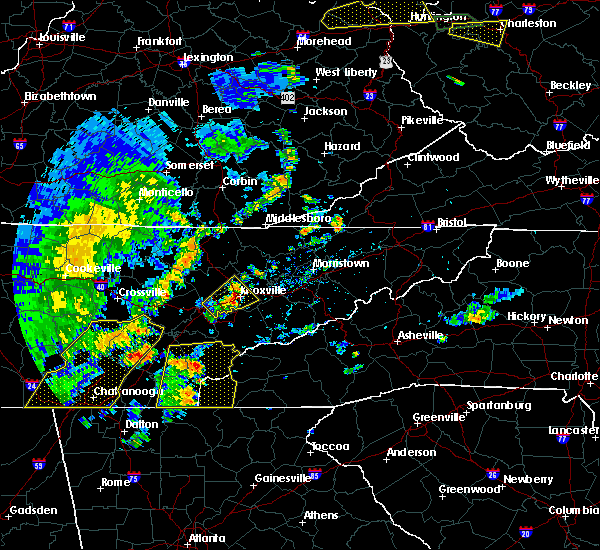 At 445 pm edt, a severe thunderstorm was located 8 miles west of sneedville, moving northeast at 25 mph (radar indicated). Hazards include 60 mph wind gusts and quarter size hail. Hail damage to vehicles is expected. Expect wind damage to roofs, siding, and trees. At 445 pm edt, a severe thunderstorm was located 8 miles west of sneedville, moving northeast at 25 mph (radar indicated). Hazards include 60 mph wind gusts and quarter size hail. Hail damage to vehicles is expected. Expect wind damage to roofs, siding, and trees.
|
| 7/8/2016 5:33 PM EDT |
 At 533 pm edt, severe thunderstorms were located along a line extending from jonesville to near sneedville to 11 miles west of rogersville to near bean station, moving east at 50 mph (radar indicated). Hazards include 60 mph wind gusts and penny size hail. Expect damage to roofs. siding. and trees. locations impacted include, sneedville, rutledge, jonesville, bean station, pennington gap, st. Charles, pattonsville, dryden, evanston, treadway, jasper, kyles ford and thorn hill. At 533 pm edt, severe thunderstorms were located along a line extending from jonesville to near sneedville to 11 miles west of rogersville to near bean station, moving east at 50 mph (radar indicated). Hazards include 60 mph wind gusts and penny size hail. Expect damage to roofs. siding. and trees. locations impacted include, sneedville, rutledge, jonesville, bean station, pennington gap, st. Charles, pattonsville, dryden, evanston, treadway, jasper, kyles ford and thorn hill.
|
| 7/8/2016 5:33 PM EDT |
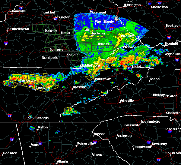 At 533 pm edt, severe thunderstorms were located along a line extending from jonesville to near sneedville to 11 miles west of rogersville to near bean station, moving east at 50 mph (radar indicated). Hazards include 60 mph wind gusts and penny size hail. Expect damage to roofs. siding. and trees. locations impacted include, sneedville, rutledge, jonesville, bean station, pennington gap, st. Charles, pattonsville, dryden, evanston, treadway, jasper, kyles ford and thorn hill. At 533 pm edt, severe thunderstorms were located along a line extending from jonesville to near sneedville to 11 miles west of rogersville to near bean station, moving east at 50 mph (radar indicated). Hazards include 60 mph wind gusts and penny size hail. Expect damage to roofs. siding. and trees. locations impacted include, sneedville, rutledge, jonesville, bean station, pennington gap, st. Charles, pattonsville, dryden, evanston, treadway, jasper, kyles ford and thorn hill.
|
| 7/8/2016 5:13 PM EDT |
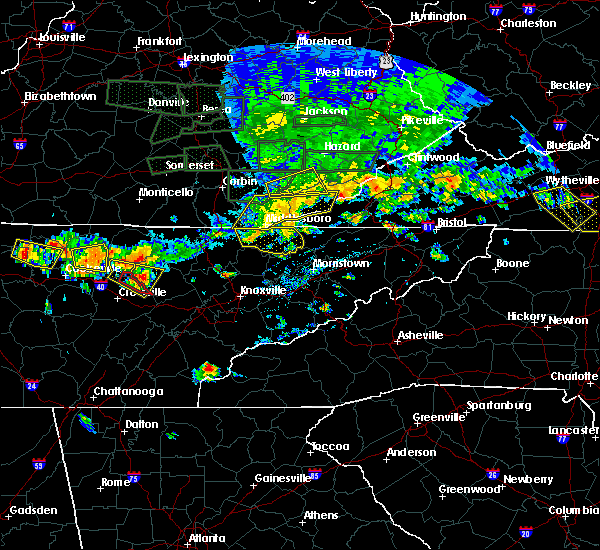 At 513 pm edt, severe thunderstorms were located along a line extending from kentenia to cubage to harrogate to 10 miles west of new tazewell, moving east at 50 mph (radar indicated). Hazards include 60 mph wind gusts and penny size hail. Expect damage to roofs. siding. And trees. At 513 pm edt, severe thunderstorms were located along a line extending from kentenia to cubage to harrogate to 10 miles west of new tazewell, moving east at 50 mph (radar indicated). Hazards include 60 mph wind gusts and penny size hail. Expect damage to roofs. siding. And trees.
|
| 7/7/2016 6:53 PM EDT |
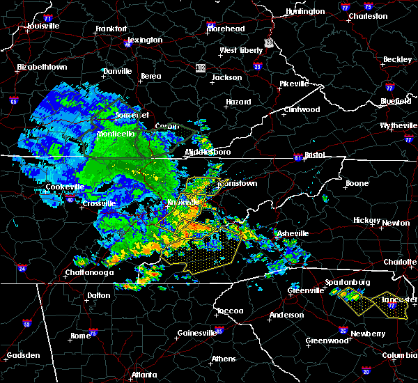 At 652 pm edt, severe thunderstorms were located along a line extending from near harrogate to 8 miles southwest of new tazewell to plainview, moving east at 45 mph (radar indicated). Hazards include 60 mph wind gusts. Expect damage to roofs. siding. And trees. At 652 pm edt, severe thunderstorms were located along a line extending from near harrogate to 8 miles southwest of new tazewell to plainview, moving east at 45 mph (radar indicated). Hazards include 60 mph wind gusts. Expect damage to roofs. siding. And trees.
|
| 7/6/2016 6:48 PM EDT |
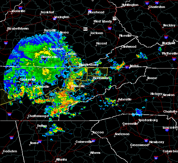 At 647 pm edt, a severe thunderstorm was located near bean station, or 8 miles south of sneedville, moving east at 15 mph (radar indicated). Hazards include 60 mph wind gusts and nickel size hail. Expect damage to roofs. siding. And trees. At 647 pm edt, a severe thunderstorm was located near bean station, or 8 miles south of sneedville, moving east at 15 mph (radar indicated). Hazards include 60 mph wind gusts and nickel size hail. Expect damage to roofs. siding. And trees.
|
| 6/23/2016 9:28 PM EDT |
 At 928 pm edt, severe thunderstorms were located along a line extending from near tazewell to 9 miles southeast of pennington gap, moving southeast at 40 mph (radar indicated). Hazards include 60 mph wind gusts. Expect damage to roofs. siding. And trees. At 928 pm edt, severe thunderstorms were located along a line extending from near tazewell to 9 miles southeast of pennington gap, moving southeast at 40 mph (radar indicated). Hazards include 60 mph wind gusts. Expect damage to roofs. siding. And trees.
|
| 6/23/2016 9:28 PM EDT |
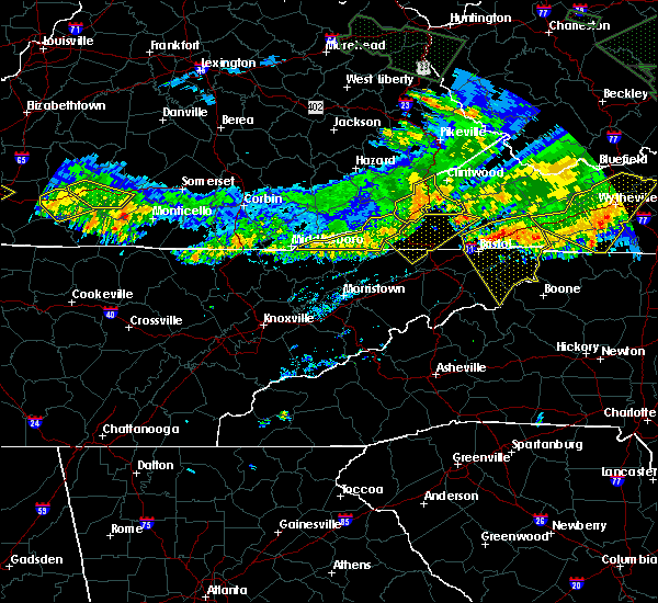 At 928 pm edt, severe thunderstorms were located along a line extending from near tazewell to 9 miles southeast of pennington gap, moving southeast at 40 mph (radar indicated). Hazards include 60 mph wind gusts. Expect damage to roofs. siding. And trees. At 928 pm edt, severe thunderstorms were located along a line extending from near tazewell to 9 miles southeast of pennington gap, moving southeast at 40 mph (radar indicated). Hazards include 60 mph wind gusts. Expect damage to roofs. siding. And trees.
|
| 6/21/2016 5:08 PM EDT |
 At 507 pm edt, a severe thunderstorm was located 10 miles southeast of cubage, or 11 miles west of sneedville, moving southeast at 25 mph (radar indicated). Hazards include 60 mph wind gusts and quarter size hail. Hail damage to vehicles is expected. expect wind damage to roofs, siding, and trees. Locations impacted include, sneedville, tazewell, harrogate, ewing, cumberland gap, powell river preserve, arthur, howard quarter, evanston and thorn hill. At 507 pm edt, a severe thunderstorm was located 10 miles southeast of cubage, or 11 miles west of sneedville, moving southeast at 25 mph (radar indicated). Hazards include 60 mph wind gusts and quarter size hail. Hail damage to vehicles is expected. expect wind damage to roofs, siding, and trees. Locations impacted include, sneedville, tazewell, harrogate, ewing, cumberland gap, powell river preserve, arthur, howard quarter, evanston and thorn hill.
|
| 6/21/2016 5:08 PM EDT |
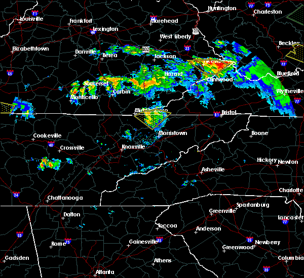 At 507 pm edt, a severe thunderstorm was located 10 miles southeast of cubage, or 11 miles west of sneedville, moving southeast at 25 mph (radar indicated). Hazards include 60 mph wind gusts and quarter size hail. Hail damage to vehicles is expected. expect wind damage to roofs, siding, and trees. Locations impacted include, sneedville, tazewell, harrogate, ewing, cumberland gap, powell river preserve, arthur, howard quarter, evanston and thorn hill. At 507 pm edt, a severe thunderstorm was located 10 miles southeast of cubage, or 11 miles west of sneedville, moving southeast at 25 mph (radar indicated). Hazards include 60 mph wind gusts and quarter size hail. Hail damage to vehicles is expected. expect wind damage to roofs, siding, and trees. Locations impacted include, sneedville, tazewell, harrogate, ewing, cumberland gap, powell river preserve, arthur, howard quarter, evanston and thorn hill.
|
| 6/21/2016 4:43 PM EDT |
 At 442 pm edt, a severe thunderstorm was located over hutch, or 8 miles east of middlesboro, moving southeast at 25 mph (radar indicated). Hazards include 60 mph wind gusts and quarter size hail. Hail damage to vehicles is expected. Expect wind damage to roofs, siding, and trees. At 442 pm edt, a severe thunderstorm was located over hutch, or 8 miles east of middlesboro, moving southeast at 25 mph (radar indicated). Hazards include 60 mph wind gusts and quarter size hail. Hail damage to vehicles is expected. Expect wind damage to roofs, siding, and trees.
|
| 6/21/2016 4:43 PM EDT |
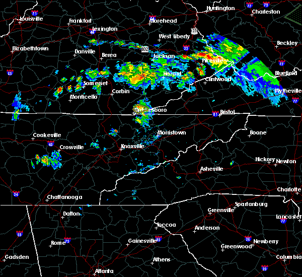 At 442 pm edt, a severe thunderstorm was located over hutch, or 8 miles east of middlesboro, moving southeast at 25 mph (radar indicated). Hazards include 60 mph wind gusts and quarter size hail. Hail damage to vehicles is expected. Expect wind damage to roofs, siding, and trees. At 442 pm edt, a severe thunderstorm was located over hutch, or 8 miles east of middlesboro, moving southeast at 25 mph (radar indicated). Hazards include 60 mph wind gusts and quarter size hail. Hail damage to vehicles is expected. Expect wind damage to roofs, siding, and trees.
|
| 6/2/2016 6:08 PM EDT |
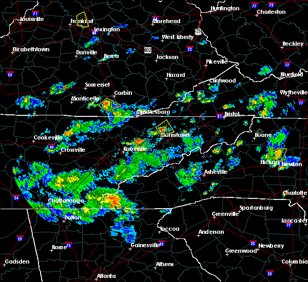 At 607 pm edt, a severe thunderstorm was located over bean station, or 10 miles north of morristown, moving northeast at 10 mph (radar indicated). Hazards include 60 mph wind gusts and quarter size hail. Hail damage to vehicles is expected. expect wind damage to roofs, siding, and trees. locations impacted include, sneedville, bean station, treadway, mooresburg, st. Clair and klondike. At 607 pm edt, a severe thunderstorm was located over bean station, or 10 miles north of morristown, moving northeast at 10 mph (radar indicated). Hazards include 60 mph wind gusts and quarter size hail. Hail damage to vehicles is expected. expect wind damage to roofs, siding, and trees. locations impacted include, sneedville, bean station, treadway, mooresburg, st. Clair and klondike.
|
| 6/2/2016 5:50 PM EDT |
 At 550 pm edt, a severe thunderstorm was located over bean station, or 8 miles north of morristown, moving northeast at 10 mph (radar indicated). Hazards include 60 mph wind gusts and quarter size hail. Hail damage to vehicles is expected. Expect wind damage to roofs, siding, and trees. At 550 pm edt, a severe thunderstorm was located over bean station, or 8 miles north of morristown, moving northeast at 10 mph (radar indicated). Hazards include 60 mph wind gusts and quarter size hail. Hail damage to vehicles is expected. Expect wind damage to roofs, siding, and trees.
|
| 5/11/2016 5:10 AM EDT |
 The severe thunderstorm warning for western hancock and south central lee counties will expire at 515 am edt, the storm which prompted the warning has weakened below severe limits, and no longer pose an immediate threat to life or property. therefore the warning will be allowed to expire. however heavy rain is still possible with this thunderstorm. a severe thunderstorm watch remains in effect until 700 am edt for eastern tennessee. to report severe weather, contact your nearest law enforcement agency. they will relay your report to the national weather service morristown. The severe thunderstorm warning for western hancock and south central lee counties will expire at 515 am edt, the storm which prompted the warning has weakened below severe limits, and no longer pose an immediate threat to life or property. therefore the warning will be allowed to expire. however heavy rain is still possible with this thunderstorm. a severe thunderstorm watch remains in effect until 700 am edt for eastern tennessee. to report severe weather, contact your nearest law enforcement agency. they will relay your report to the national weather service morristown.
|
| 5/11/2016 5:10 AM EDT | The severe thunderstorm warning for western hancock and south central lee counties will expire at 515 am edt, the storm which prompted the warning has weakened below severe limits, and no longer pose an immediate threat to life or property. therefore the warning will be allowed to expire. however heavy rain is still possible with this thunderstorm. a severe thunderstorm watch remains in effect until 700 am edt for eastern tennessee. to report severe weather, contact your nearest law enforcement agency. they will relay your report to the national weather service morristown. |
| 5/11/2016 4:55 AM EDT |
 At 454 am edt, a severe thunderstorm was located 7 miles west of sneedville, moving east at 30 mph (radar indicated). Hazards include 60 mph wind gusts and quarter size hail. Hail damage to vehicles is expected. expect wind damage to roofs, siding, and trees. Locations impacted include, sneedville and evanston. At 454 am edt, a severe thunderstorm was located 7 miles west of sneedville, moving east at 30 mph (radar indicated). Hazards include 60 mph wind gusts and quarter size hail. Hail damage to vehicles is expected. expect wind damage to roofs, siding, and trees. Locations impacted include, sneedville and evanston.
|
| 5/11/2016 4:40 AM EDT |
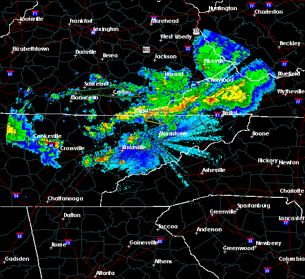 At 440 am edt, a severe thunderstorm was located 10 miles east of harrogate-shawanee, or 13 miles west of sneedville, moving east at 30 mph (radar indicated). Hazards include 60 mph wind gusts and quarter size hail. Hail damage to vehicles is expected. Expect wind damage to roofs, siding, and trees. At 440 am edt, a severe thunderstorm was located 10 miles east of harrogate-shawanee, or 13 miles west of sneedville, moving east at 30 mph (radar indicated). Hazards include 60 mph wind gusts and quarter size hail. Hail damage to vehicles is expected. Expect wind damage to roofs, siding, and trees.
|
| 5/7/2016 8:35 PM EDT |
 At 834 pm edt, severe thunderstorms were located along a line extending from 10 miles west of big stone gap to pennington gap to near jonesville to near sneedville to 9 miles east of tazewell, moving southeast at 60 mph (radar indicated). Hazards include 60 mph wind gusts. Expect damage to roofs. siding. and trees. locations impacted include, sneedville, jonesville, new tazewell, tazewell, pennington gap, harrogate-shawanee, st. Charles, dryden, kyles ford, evanston, springdale, pattonsville, howard quarter, ewing, lone mountain, rose hill, jasper, sandlick and arthur. At 834 pm edt, severe thunderstorms were located along a line extending from 10 miles west of big stone gap to pennington gap to near jonesville to near sneedville to 9 miles east of tazewell, moving southeast at 60 mph (radar indicated). Hazards include 60 mph wind gusts. Expect damage to roofs. siding. and trees. locations impacted include, sneedville, jonesville, new tazewell, tazewell, pennington gap, harrogate-shawanee, st. Charles, dryden, kyles ford, evanston, springdale, pattonsville, howard quarter, ewing, lone mountain, rose hill, jasper, sandlick and arthur.
|
| 5/7/2016 8:30 PM EDT | Multiple reports of trees down throughout the count in hancock county TN, 0.5 miles ESE of Sneedville, TN |
| 5/7/2016 8:21 PM EDT |
 At 820 pm edt, severe thunderstorms were located along a line extending from 8 miles northwest of pennington gap to 21 miles west of big stone gap to near jonesville to 9 miles northwest of sneedville to near harrogate-shawanee, moving southeast at 55 mph (radar indicated). Hazards include 60 mph wind gusts. Expect damage to roofs. siding. and trees. locations impacted include, sneedville, jonesville, new tazewell, tazewell, pennington gap, harrogate-shawanee, st. Charles, dryden, kyles ford, evanston, springdale, pattonsville, howard quarter, ewing, lone mountain, rose hill, jasper, sandlick and arthur. At 820 pm edt, severe thunderstorms were located along a line extending from 8 miles northwest of pennington gap to 21 miles west of big stone gap to near jonesville to 9 miles northwest of sneedville to near harrogate-shawanee, moving southeast at 55 mph (radar indicated). Hazards include 60 mph wind gusts. Expect damage to roofs. siding. and trees. locations impacted include, sneedville, jonesville, new tazewell, tazewell, pennington gap, harrogate-shawanee, st. Charles, dryden, kyles ford, evanston, springdale, pattonsville, howard quarter, ewing, lone mountain, rose hill, jasper, sandlick and arthur.
|
| 5/7/2016 8:03 PM EDT |
 At 802 pm edt, severe thunderstorms were located along a line extending from 21 miles northwest of pennington gap to 18 miles northwest of jonesville to 18 miles north of tazewell to 8 miles northwest of harrogate-shawanee, moving southeast at 60 mph (radar indicated). Hazards include 60 mph wind gusts. Expect damage to roofs. siding. And trees. At 802 pm edt, severe thunderstorms were located along a line extending from 21 miles northwest of pennington gap to 18 miles northwest of jonesville to 18 miles north of tazewell to 8 miles northwest of harrogate-shawanee, moving southeast at 60 mph (radar indicated). Hazards include 60 mph wind gusts. Expect damage to roofs. siding. And trees.
|
| 3/1/2016 5:16 PM EST |
 At 515 pm est, a severe thunderstorm was located over sneedville, moving east at 50 mph (radar indicated). Hazards include 60 mph wind gusts and penny size hail. Expect damage to roofs. siding. and trees. Locations impacted include, kingsport, rogersville, sneedville, surgoinsville, church hill, mount carmel, duffield, clinchport, kyles ford, evanston, okolona, treadway, klondike and pattonsville. At 515 pm est, a severe thunderstorm was located over sneedville, moving east at 50 mph (radar indicated). Hazards include 60 mph wind gusts and penny size hail. Expect damage to roofs. siding. and trees. Locations impacted include, kingsport, rogersville, sneedville, surgoinsville, church hill, mount carmel, duffield, clinchport, kyles ford, evanston, okolona, treadway, klondike and pattonsville.
|
| 3/1/2016 5:16 PM EST |
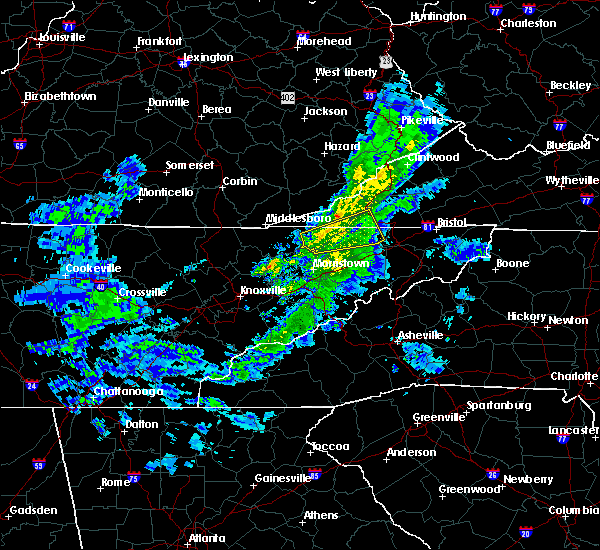 At 515 pm est, a severe thunderstorm was located over sneedville, moving east at 50 mph (radar indicated). Hazards include 60 mph wind gusts and penny size hail. Expect damage to roofs. siding. and trees. Locations impacted include, kingsport, rogersville, sneedville, surgoinsville, church hill, mount carmel, duffield, clinchport, kyles ford, evanston, okolona, treadway, klondike and pattonsville. At 515 pm est, a severe thunderstorm was located over sneedville, moving east at 50 mph (radar indicated). Hazards include 60 mph wind gusts and penny size hail. Expect damage to roofs. siding. and trees. Locations impacted include, kingsport, rogersville, sneedville, surgoinsville, church hill, mount carmel, duffield, clinchport, kyles ford, evanston, okolona, treadway, klondike and pattonsville.
|
| 3/1/2016 5:04 PM EST |
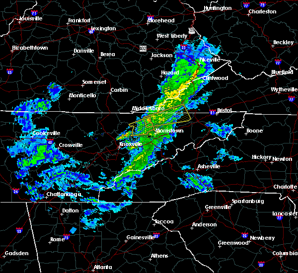 At 503 pm est, a severe thunderstorm was located 8 miles northwest of bean station, or 10 miles southwest of sneedville, moving east at 45 mph (radar indicated). Hazards include 60 mph wind gusts and penny size hail. Expect damage to roofs. siding. And trees. At 503 pm est, a severe thunderstorm was located 8 miles northwest of bean station, or 10 miles southwest of sneedville, moving east at 45 mph (radar indicated). Hazards include 60 mph wind gusts and penny size hail. Expect damage to roofs. siding. And trees.
|
| 7/14/2015 7:43 AM EDT |
 At 742 am edt, severe thunderstorms were located along a line extending from 9 miles northwest of jonesville to 11 miles west of sneedville to near harrogate-shawanee, moving southeast at 45 mph (radar indicated). Hazards include 60 mph wind gusts and nickel size hail. Expect damage to roofs. siding and trees. Locations impacted include, kingsport, morristown, rogersville, sneedville, jonesville, new tazewell, bean station, tazewell, surgoinsville, russellville, harrogate-shawanee, church hill, bulls gap, kyles ford, howard quarter, kepler, ewing, klondike, arthur and cumberland gap. At 742 am edt, severe thunderstorms were located along a line extending from 9 miles northwest of jonesville to 11 miles west of sneedville to near harrogate-shawanee, moving southeast at 45 mph (radar indicated). Hazards include 60 mph wind gusts and nickel size hail. Expect damage to roofs. siding and trees. Locations impacted include, kingsport, morristown, rogersville, sneedville, jonesville, new tazewell, bean station, tazewell, surgoinsville, russellville, harrogate-shawanee, church hill, bulls gap, kyles ford, howard quarter, kepler, ewing, klondike, arthur and cumberland gap.
|
| 7/14/2015 7:31 AM EDT |
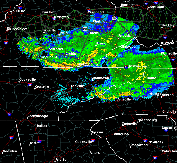 At 730 am edt, severe thunderstorms were located along a line extending from 19 miles northwest of jonesville to 9 miles northeast of harrogate-shawanee to 17 miles northwest of new tazewell, moving southeast at 55 mph (radar indicated). Hazards include 60 mph wind gusts and nickel size hail. Expect damage to roofs. Siding and trees. At 730 am edt, severe thunderstorms were located along a line extending from 19 miles northwest of jonesville to 9 miles northeast of harrogate-shawanee to 17 miles northwest of new tazewell, moving southeast at 55 mph (radar indicated). Hazards include 60 mph wind gusts and nickel size hail. Expect damage to roofs. Siding and trees.
|
| 7/13/2015 6:13 PM EDT |
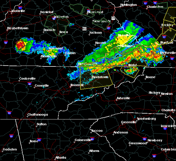 A severe thunderstorm warning remains in effect until 630 pm edt for grainger. greene. hamblen. north central sevier. eastern claiborne. hawkins. jefferson. northern cocke and hancock counties. at 611 pm edt. severe thunderstorms were located along a line extending from near surgoinsville to near tazewell. Moving south at. A severe thunderstorm warning remains in effect until 630 pm edt for grainger. greene. hamblen. north central sevier. eastern claiborne. hawkins. jefferson. northern cocke and hancock counties. at 611 pm edt. severe thunderstorms were located along a line extending from near surgoinsville to near tazewell. Moving south at.
|
| 7/13/2015 6:10 PM EDT | Trees down countywid in hancock county TN, 0.5 miles ESE of Sneedville, TN |
| 7/13/2015 5:52 PM EDT |
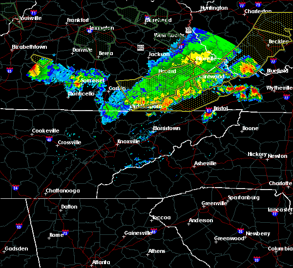 The national weather service in morristown has issued a * severe thunderstorm warning for. grainger county in east tennessee. greene county in east tennessee. hamblen county in east tennessee. North central sevier county in east tennessee. The national weather service in morristown has issued a * severe thunderstorm warning for. grainger county in east tennessee. greene county in east tennessee. hamblen county in east tennessee. North central sevier county in east tennessee.
|
| 4/26/2015 12:16 AM EDT | At 1215 am edt, a severe thunderstorm was located near rogersville, moving east at 45 mph (radar indicated). Hazards include 60 mph wind gusts and penny size hail. Expect damage to roofs. Siding and trees. |
| 4/26/2015 12:16 AM EDT | At 1215 am edt, a severe thunderstorm was located near rogersville, moving east at 45 mph (radar indicated). Hazards include 60 mph wind gusts and penny size hail. Expect damage to roofs. Siding and trees. |
| 4/25/2015 11:54 PM EDT | At 1153 pm edt, a severe thunderstorm was located near sneedville, moving east at 50 mph (radar indicated). Hazards include quarter size hail and 60 mph wind gusts. Hail damage to vehicles is expected. expect wind damage to roofs, siding and trees. locations impacted include, rogersville, sneedville, jonesville, klondike, kyles ford, evanston, rose hill, pattonsville and ewing. 1. 00in. |
| 4/25/2015 11:54 PM EDT | At 1153 pm edt, a severe thunderstorm was located near sneedville, moving east at 50 mph (radar indicated). Hazards include quarter size hail and 60 mph wind gusts. Hail damage to vehicles is expected. expect wind damage to roofs, siding and trees. locations impacted include, rogersville, sneedville, jonesville, klondike, kyles ford, evanston, rose hill, pattonsville and ewing. 1. 00in. |
| 4/25/2015 11:27 PM EDT | At 1126 pm edt, a severe thunderstorm was located near harrogate-shawanee, or 25 miles west of sneedville, moving east at 50 mph (radar indicated). Hazards include quarter size hail and 60 mph wind gusts. Hail damage to vehicles is expected. Expect wind damage to roofs, siding and trees. |
| 4/25/2015 11:27 PM EDT | At 1126 pm edt, a severe thunderstorm was located near harrogate-shawanee, or 25 miles west of sneedville, moving east at 50 mph (radar indicated). Hazards include quarter size hail and 60 mph wind gusts. Hail damage to vehicles is expected. Expect wind damage to roofs, siding and trees. |
| 4/19/2015 10:12 PM EDT | At 1011 pm edt, severe thunderstorms were located along a line extending from 6 miles south of jonesville to 9 miles southeast of russellville, moving east at 30 mph (radar indicated). Hazards include 60 mph wind gusts. Expect damage to roofs. siding and trees. locations impacted include, morristown, greeneville, rogersville, sneedville, surgoinsville, russellville, mosheim, bulls gap, kyles ford, mccloud, kepler, treadway, romeo, st. clair, klondike, mooresburg and mohawk. 75in. |
| 4/19/2015 9:56 PM EDT | At 956 pm edt, severe thunderstorms were located along a line extending from near sneedville to russellville, moving northeast at 35 mph (radar indicated). Hazards include 60 mph wind gusts. Expect damage to roofs. Siding and trees. |
| 4/19/2015 9:49 PM EDT | At 949 pm edt, severe thunderstorms were located along a line extending from 12 miles northwest of sneedville to near bean station, moving east at 60 mph (radar indicated). Hazards include 60 mph wind gusts. Expect damage to roofs. siding and trees. locations impacted include, sneedville, rutledge, new tazewell, bean station, tazewell, harrogate-shawanee, cumberland gap, evanston, springdale, howard quarter, thorn hill, ewing, treadway, lone mountain, rose hill, mooresburg, sandlick and arthur. 75in. |
| 4/19/2015 9:49 PM EDT | At 949 pm edt, severe thunderstorms were located along a line extending from 12 miles northwest of sneedville to near bean station, moving east at 60 mph (radar indicated). Hazards include 60 mph wind gusts. Expect damage to roofs. siding and trees. locations impacted include, sneedville, rutledge, new tazewell, bean station, tazewell, harrogate-shawanee, cumberland gap, evanston, springdale, howard quarter, thorn hill, ewing, treadway, lone mountain, rose hill, mooresburg, sandlick and arthur. 75in. |
| 4/19/2015 9:29 PM EDT | The national weather service in morristown has issued a * severe thunderstorm warning for. west central hawkins county in eastern tennessee. hancock county in eastern tennessee. northern grainger county in eastern tennessee. North central hamblen county in eastern tennessee. |
| 4/19/2015 9:29 PM EDT | At 928 pm edt, severe thunderstorms were located along a line extending from near harrogate-shawanee to 7 miles east of maynardville, moving northeast at 45 mph (radar indicated). Hazards include 60 mph wind gusts. Expect damage to roofs. Siding and trees. |
| 4/3/2015 7:51 PM EDT | A severe thunderstorm warning remains in effect until 815 pm edt for western washington. hawkins. central hancock. east central grainger. northeastern hamblen. northern greene and southwestern sullivan counties. at 751 pm edt. a severe thunderstorm was located near rogersville. Moving east at 45 mph. |
| 4/3/2015 7:35 PM EDT | The national weather service in morristown has issued a * severe thunderstorm warning for. western washington county in eastern tennessee. hawkins county in eastern tennessee. central hancock county in eastern tennessee. East central grainger county in eastern tennessee. |
| 10/6/2014 7:00 PM EDT | Dispatch reported 2 trees downe in hancock county TN, 0.5 miles ESE of Sneedville, TN |
| 9/2/2014 7:35 PM EDT | One tree down on highway 31 near sneedvill in hancock county TN, 0.5 miles ESE of Sneedville, TN |
| 8/20/2014 5:00 PM EDT | Trees down across count in hancock county TN, 0.5 miles ESE of Sneedville, TN |
| 6/10/2014 7:00 PM EDT | 2 trees down on powerlines in south part of county in hancock county TN, 5.3 miles ENE of Sneedville, TN |
| 4/28/2014 4:00 PM EDT | Several trees dow in hancock county TN, 0.5 miles ESE of Sneedville, TN |
| 6/13/2013 2:35 PM EDT | Trees down county-wid in hancock county TN, 0.5 miles ESE of Sneedville, TN |
| 6/13/2013 1:13 PM EDT | A few trees down 2 east of sneedville in hancock county TN, 1.2 miles W of Sneedville, TN |
| 7/31/2012 6:56 PM EDT | Dispatch reported two trees down...one off paul trent road and the other off hillside stree in hancock county TN, 0.5 miles ESE of Sneedville, TN |
| 7/19/2012 8:00 PM EDT | Couple of trees down in the duck creek are in hancock county TN, 4 miles N of Sneedville, TN |
| 1/1/0001 12:00 AM | Hen Egg sized hail reported 0.5 miles ESE of Sneedville, TN, two inch hail at sneedville and mulberry. several trees down at kylesford. reported by disatch. |
Hail Maps for Sneedville, TN


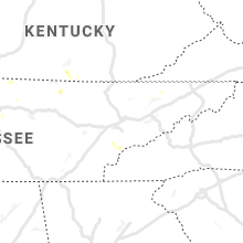


Connect with Interactive Hail Maps