

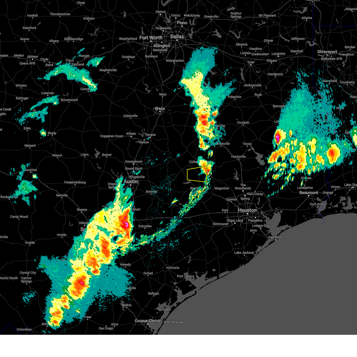
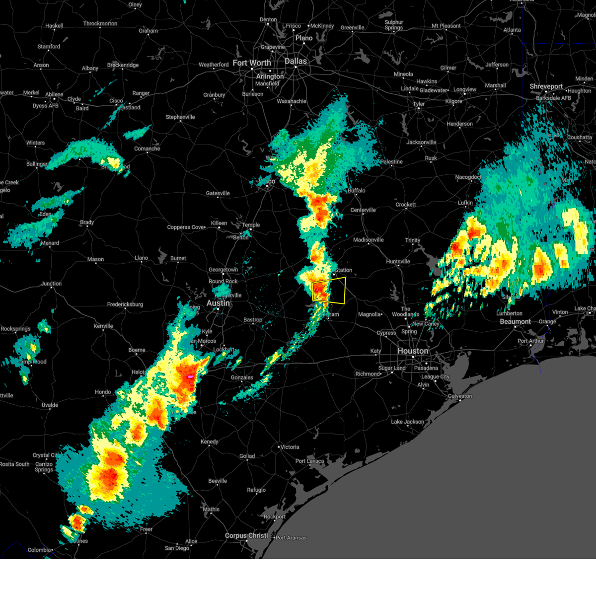
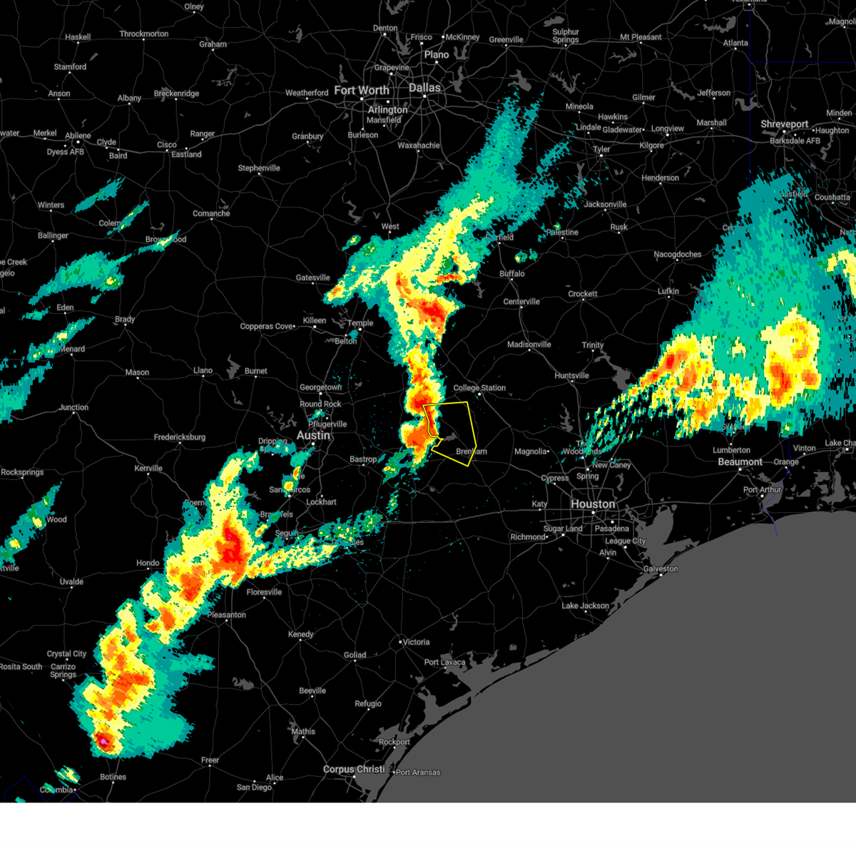
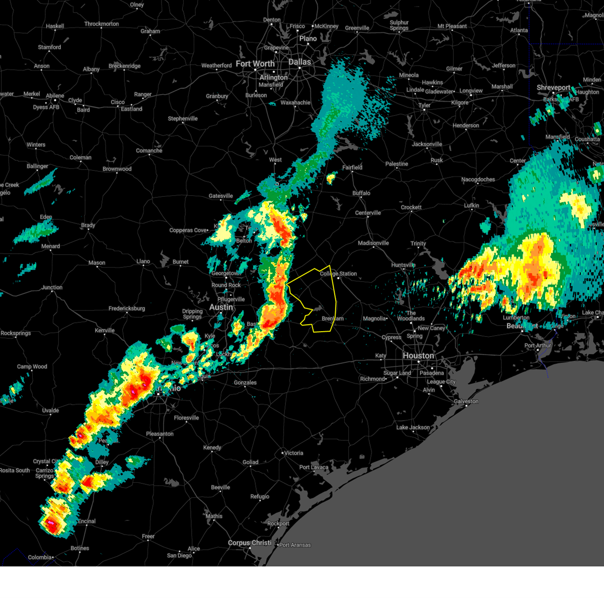
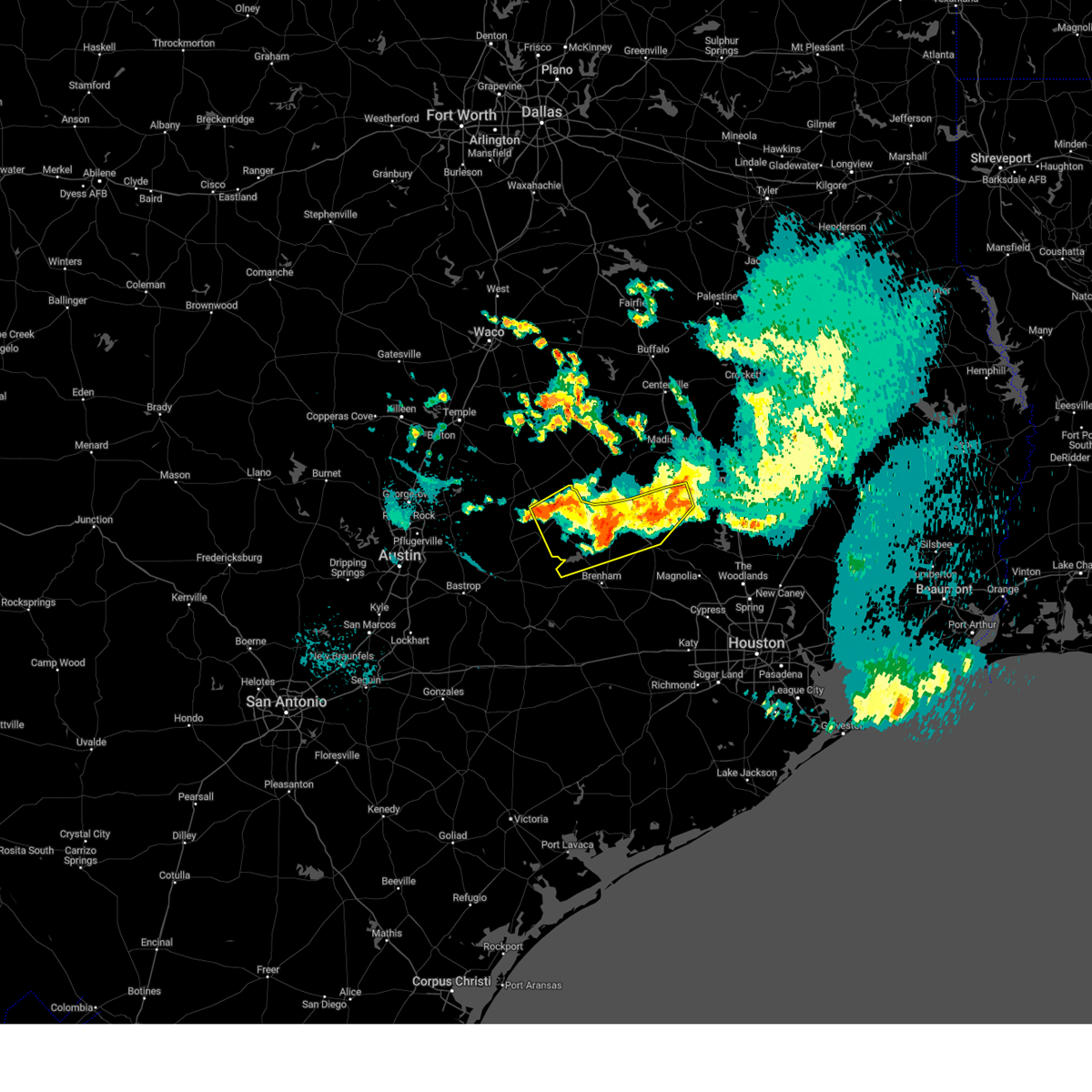
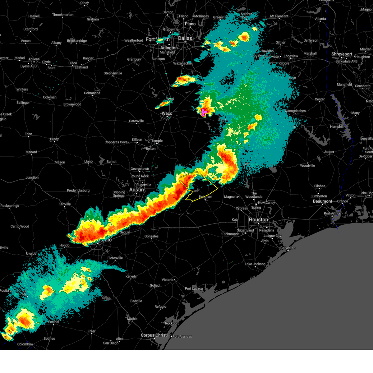
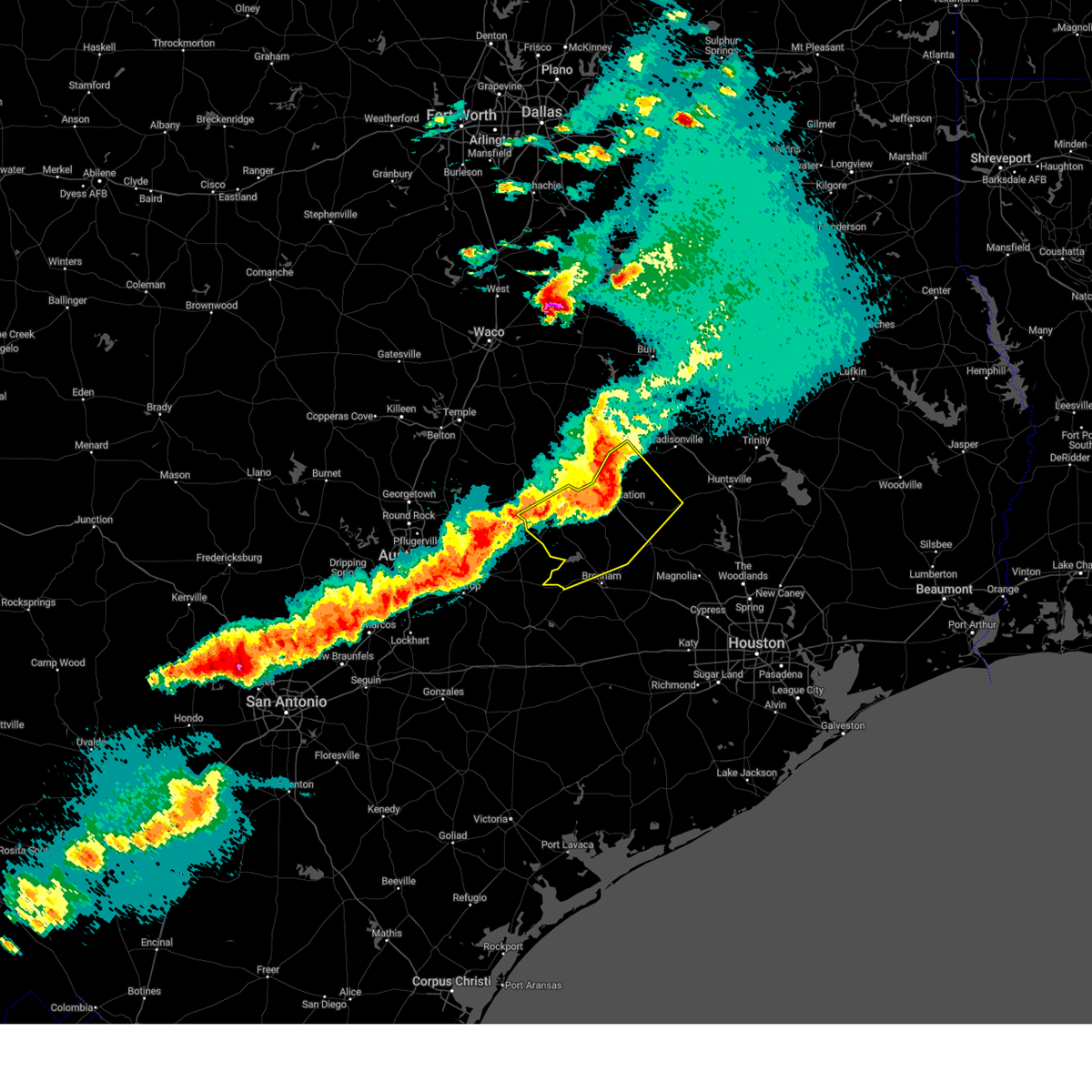
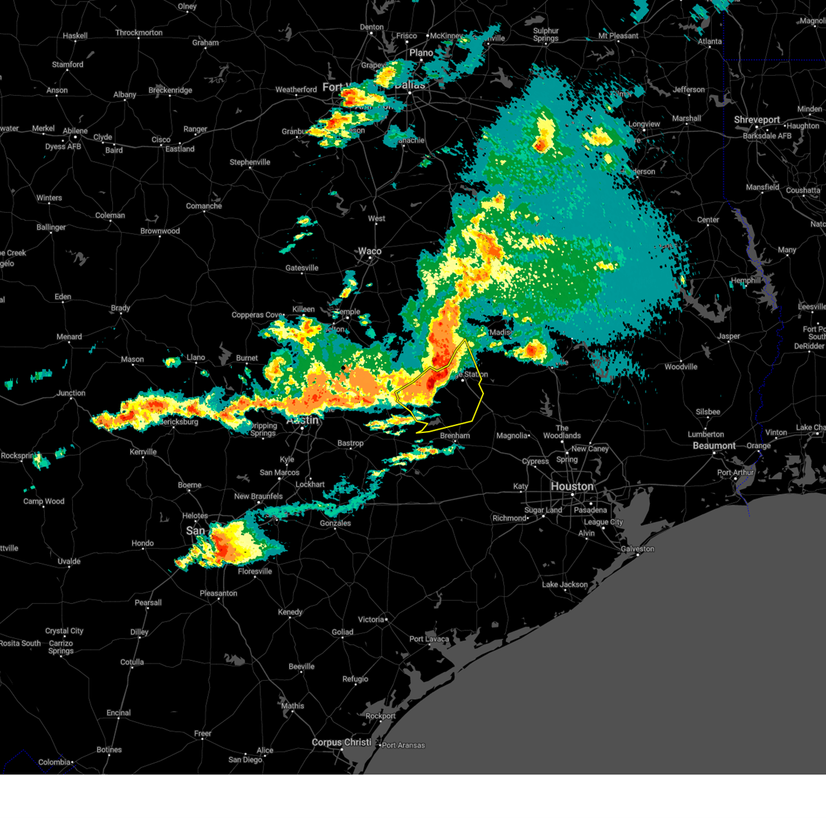
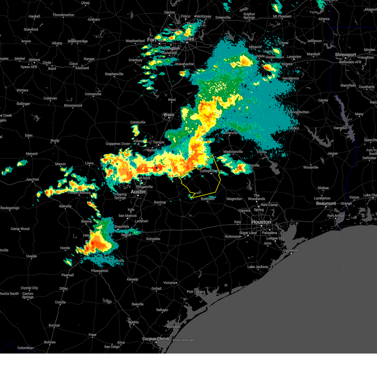
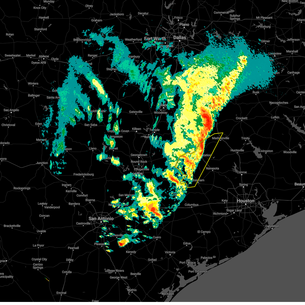
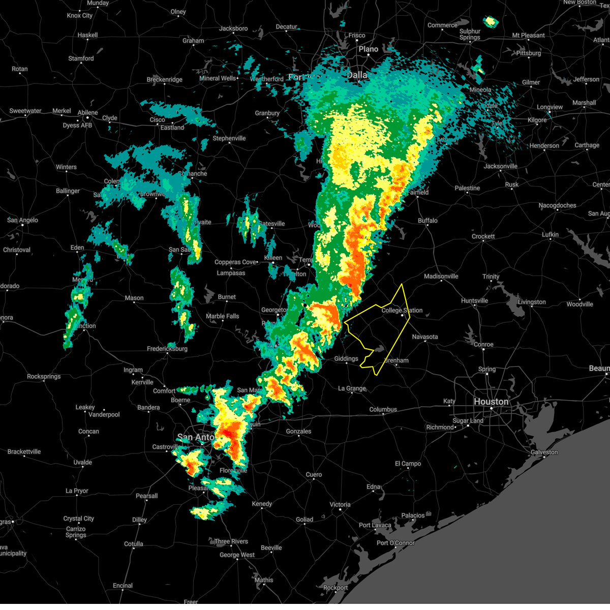
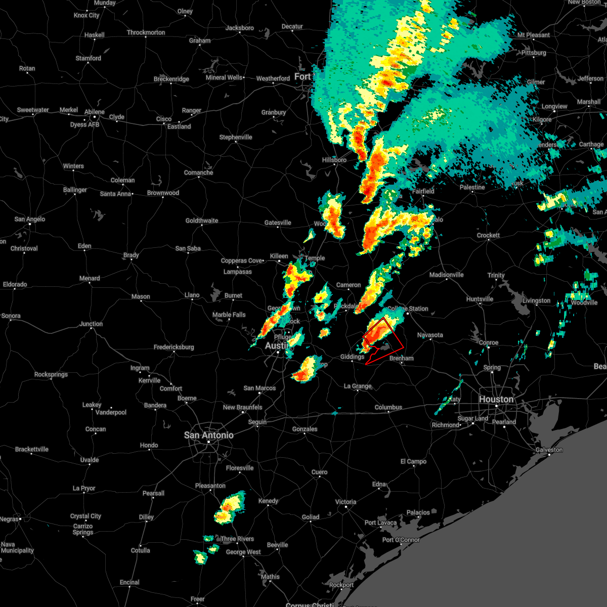
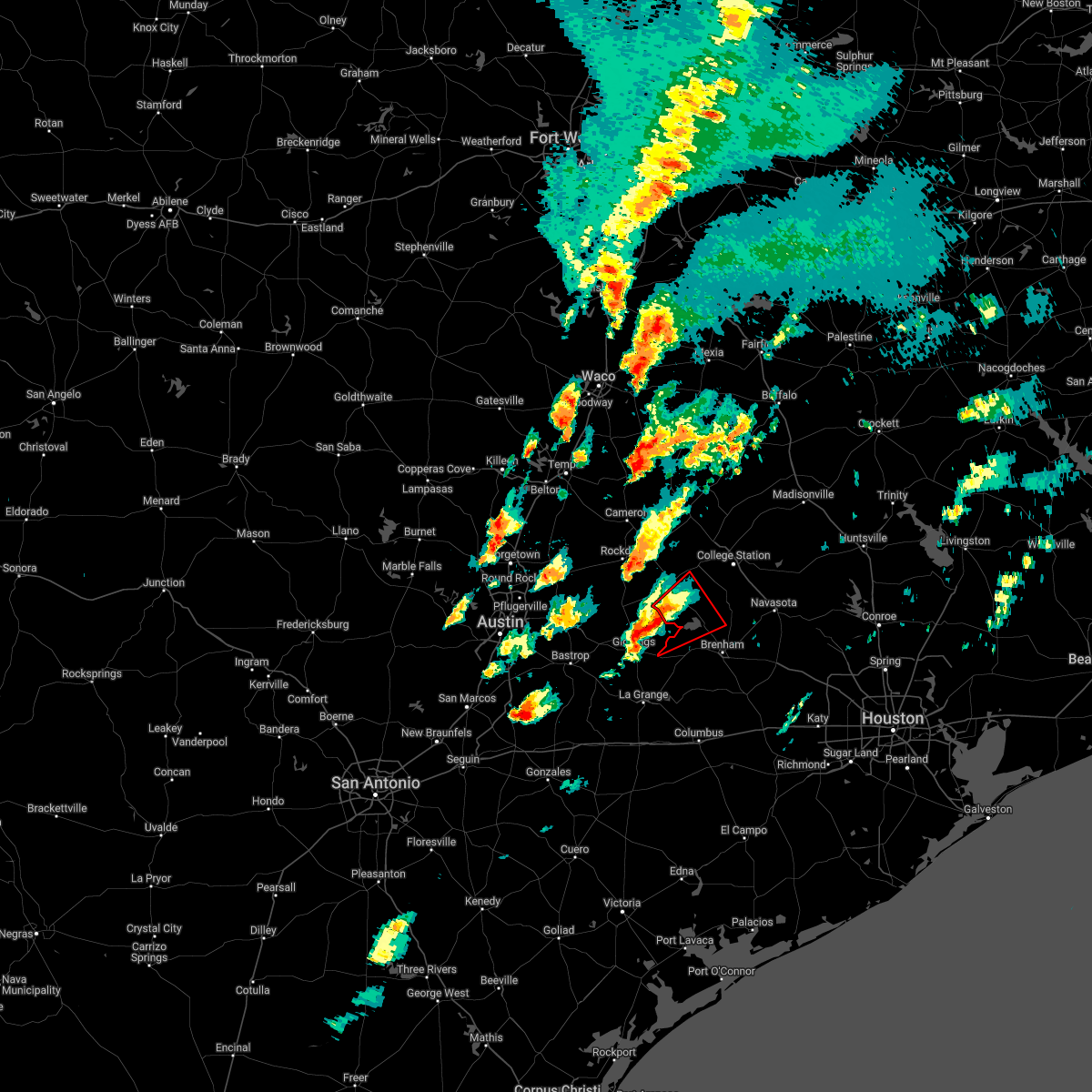
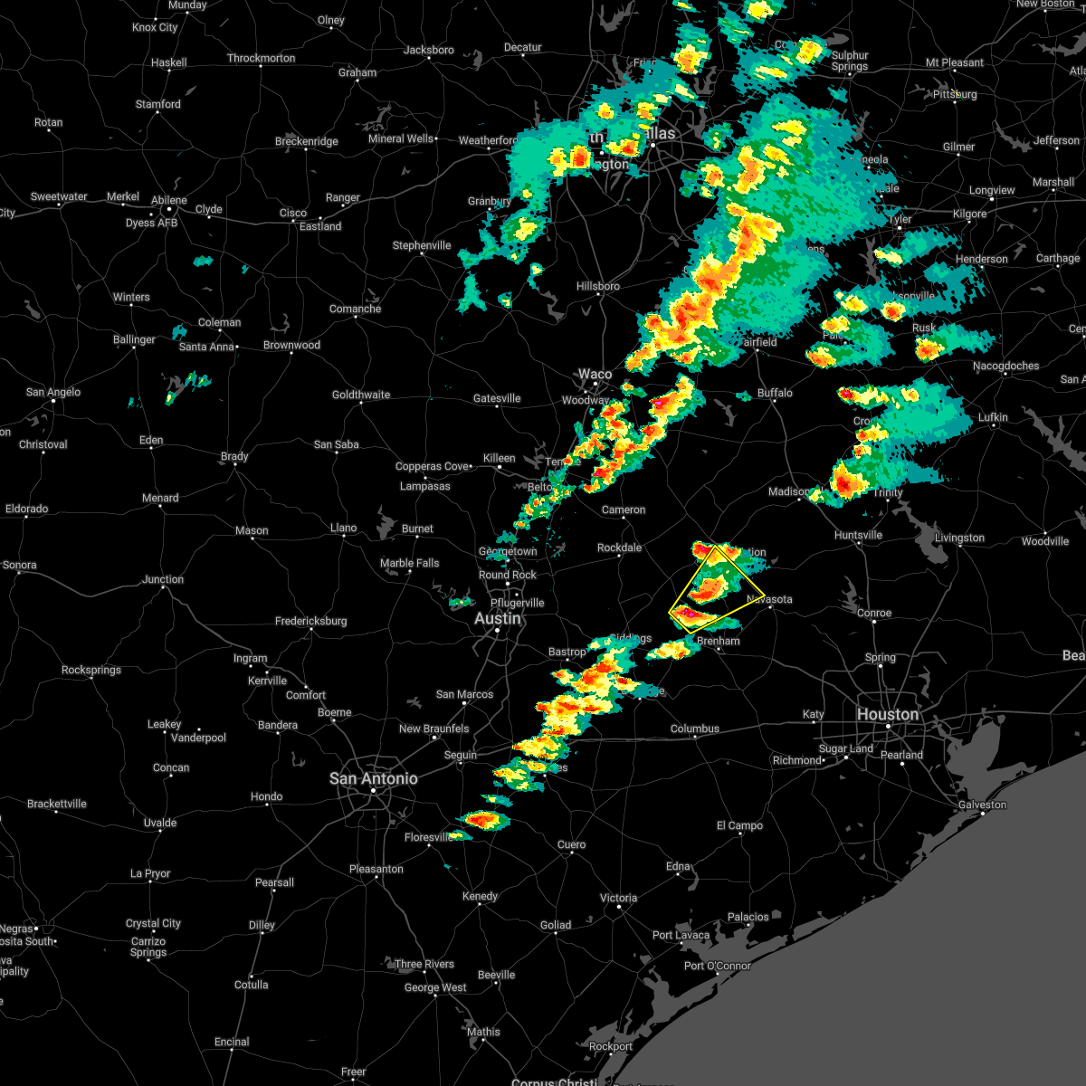
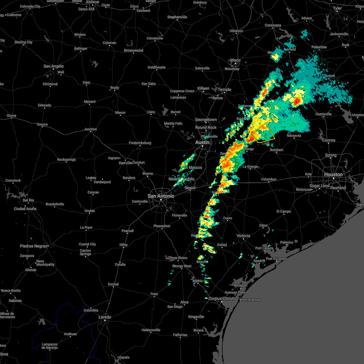
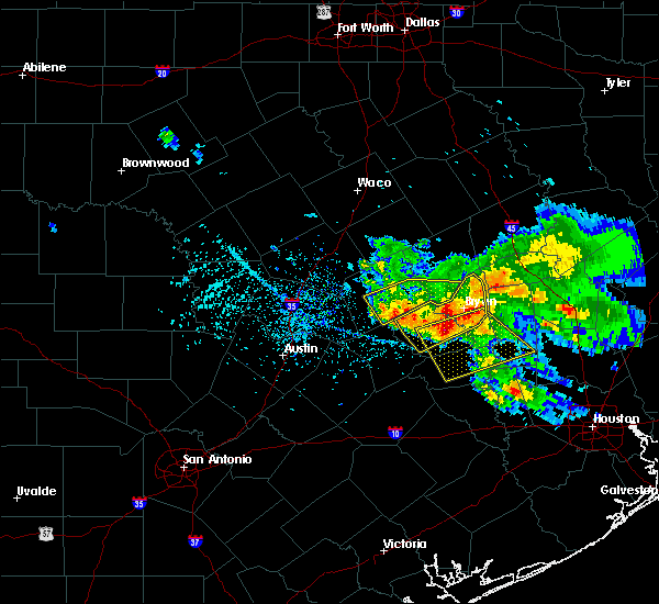
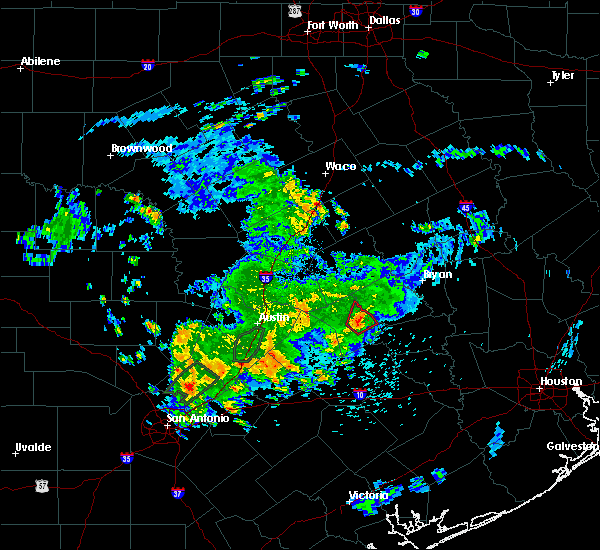
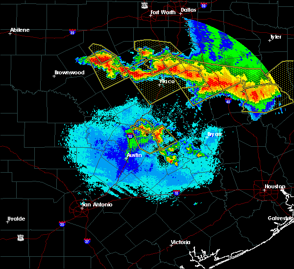
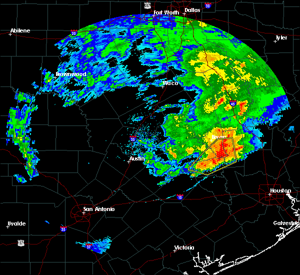
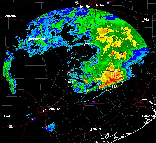
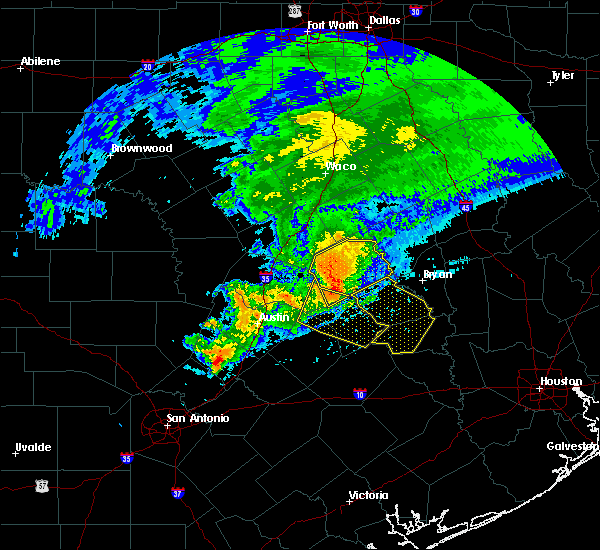
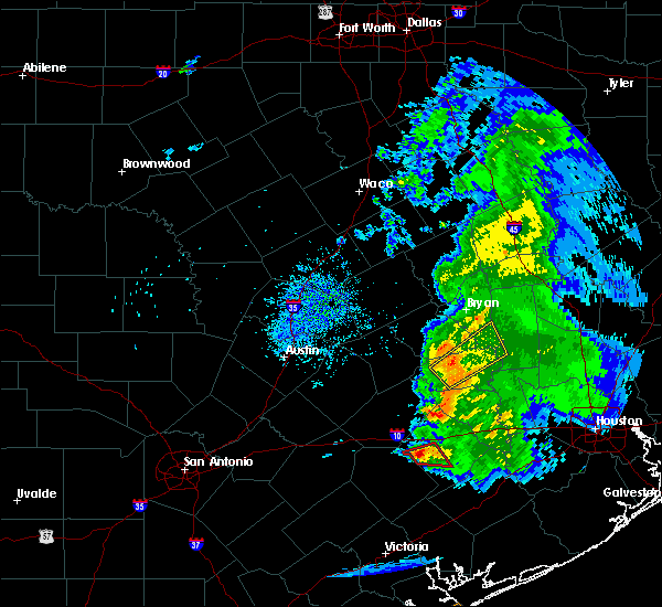
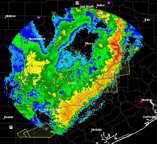
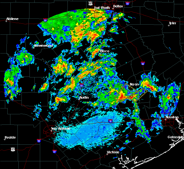
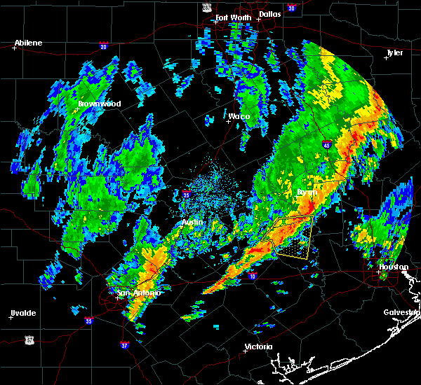
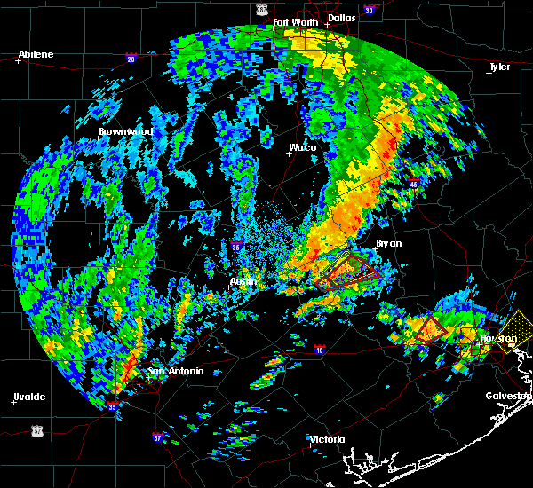
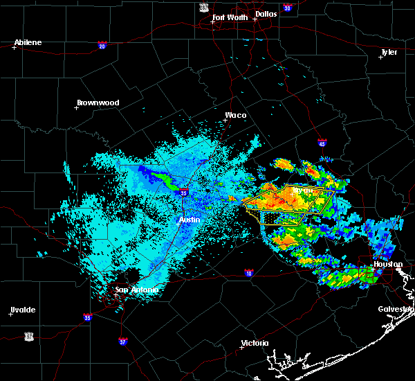
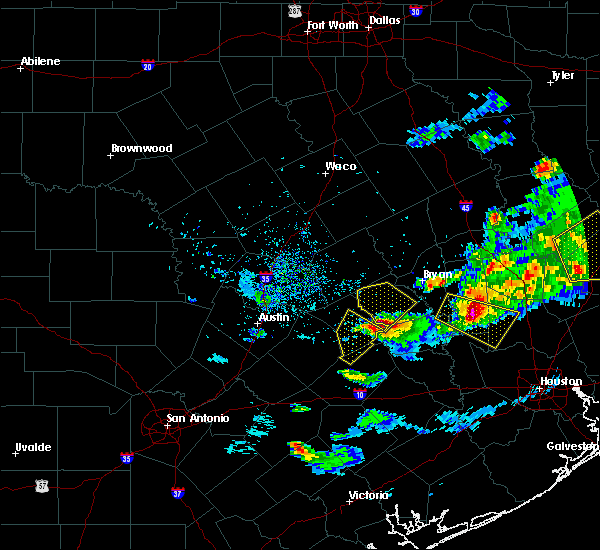
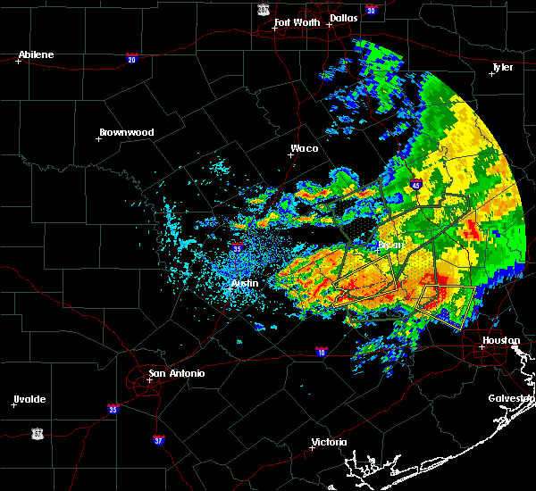
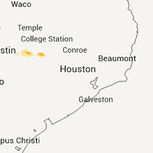
Hail Map for Somerville, TX
The Somerville, TX area has had 10 reports of on-the-ground hail by trained spotters, and has been under severe weather warnings 16 times during the past 12 months. Doppler radar has detected hail at or near Somerville, TX on 32 occasions, including 3 occasions during the past year.
| Name: | Somerville, TX |
| Where Located: | 80.6 miles WNW of Houston, TX |
| Map: | Google Map for Somerville, TX |
| Population: | 1376 |
| Housing Units: | 683 |
| More Info: | Search Google for Somerville, TX |
2
The Top Recent Hail Date for Somerville, TX is Saturday, June 10, 2023 (6th out of 32)

Hail and Wind Damage Spotted near Somerville, TX
| Date / Time | Report Details |
|---|---|
| 4/9/2024 11:44 PM CDT |
 The storm which prompted the warning has weakened below severe limits, and has exited the warned area. therefore, the warning will be allowed to expire. however, small hail is still possible with this thunderstorm. a severe thunderstorm watch remains in effect until 400 am cdt for southeastern texas. The storm which prompted the warning has weakened below severe limits, and has exited the warned area. therefore, the warning will be allowed to expire. however, small hail is still possible with this thunderstorm. a severe thunderstorm watch remains in effect until 400 am cdt for southeastern texas.
|
| 4/9/2024 11:15 PM CDT |
 Svrhgx the national weather service in league city has issued a * severe thunderstorm warning for, southeastern burleson county in southeastern texas, southeastern brazos county in southeastern texas, northeastern washington county in southeastern texas, * until 1145 pm cdt. * at 1115 pm cdt, a severe thunderstorm was located over snook, or 13 miles southwest of college station, moving east at 25 mph (radar indicated). Hazards include 60 mph wind gusts and quarter size hail. Hail damage to vehicles is expected. Expect wind damage to roofs, siding, and trees. Svrhgx the national weather service in league city has issued a * severe thunderstorm warning for, southeastern burleson county in southeastern texas, southeastern brazos county in southeastern texas, northeastern washington county in southeastern texas, * until 1145 pm cdt. * at 1115 pm cdt, a severe thunderstorm was located over snook, or 13 miles southwest of college station, moving east at 25 mph (radar indicated). Hazards include 60 mph wind gusts and quarter size hail. Hail damage to vehicles is expected. Expect wind damage to roofs, siding, and trees.
|
| 4/9/2024 11:00 PM CDT | Quarter sized hail reported 2.8 miles SSE of Somerville, TX, quarter sized hail was observed. |
| 4/9/2024 10:45 PM CDT |
 Svrhgx the national weather service in league city has issued a * severe thunderstorm warning for, southern burleson county in southeastern texas, central washington county in southeastern texas, * until 1115 pm cdt. * at 1045 pm cdt, severe thunderstorms were located along a line extending from caldwell to near lake somerville state park & trailway to 6 miles west of burton, moving east at 30 mph (radar indicated). Hazards include 60 mph wind gusts and quarter size hail. Hail damage to vehicles is expected. Expect wind damage to roofs, siding, and trees. Svrhgx the national weather service in league city has issued a * severe thunderstorm warning for, southern burleson county in southeastern texas, central washington county in southeastern texas, * until 1115 pm cdt. * at 1045 pm cdt, severe thunderstorms were located along a line extending from caldwell to near lake somerville state park & trailway to 6 miles west of burton, moving east at 30 mph (radar indicated). Hazards include 60 mph wind gusts and quarter size hail. Hail damage to vehicles is expected. Expect wind damage to roofs, siding, and trees.
|
| 4/9/2024 10:11 PM CDT |
 Svrhgx the national weather service in league city has issued a * severe thunderstorm warning for, burleson county in southeastern texas, west central brazos county in southeastern texas, western washington county in southeastern texas, * until 1045 pm cdt. * at 1008 pm cdt, severe thunderstorms were located along a line extending from near alcoa lake to near lexington to near giddings to 7 miles northeast of smithville, moving east at 40 mph (radar indicated). Hazards include 60 mph wind gusts and quarter size hail. Hail damage to vehicles is expected. Expect wind damage to roofs, siding, and trees. Svrhgx the national weather service in league city has issued a * severe thunderstorm warning for, burleson county in southeastern texas, west central brazos county in southeastern texas, western washington county in southeastern texas, * until 1045 pm cdt. * at 1008 pm cdt, severe thunderstorms were located along a line extending from near alcoa lake to near lexington to near giddings to 7 miles northeast of smithville, moving east at 40 mph (radar indicated). Hazards include 60 mph wind gusts and quarter size hail. Hail damage to vehicles is expected. Expect wind damage to roofs, siding, and trees.
|
| 6/10/2023 11:32 PM CDT |
 At 1131 pm cdt, a severe thunderstorm was located near brenham, moving east at 35 mph (trained weather spotters). Hazards include two inch hail and 70 mph wind gusts. People and animals outdoors will be injured. expect hail damage to roofs, siding, windows, and vehicles. expect considerable tree damage. wind damage is also likely to mobile homes, roofs, and outbuildings. locations impacted include, brenham, somerville, burton, lake somerville dam, lake somerville state park & trailway and quarry. thunderstorm damage threat, considerable hail threat, radar indicated max hail size, 2. 00 in wind threat, radar indicated max wind gust, 70 mph. At 1131 pm cdt, a severe thunderstorm was located near brenham, moving east at 35 mph (trained weather spotters). Hazards include two inch hail and 70 mph wind gusts. People and animals outdoors will be injured. expect hail damage to roofs, siding, windows, and vehicles. expect considerable tree damage. wind damage is also likely to mobile homes, roofs, and outbuildings. locations impacted include, brenham, somerville, burton, lake somerville dam, lake somerville state park & trailway and quarry. thunderstorm damage threat, considerable hail threat, radar indicated max hail size, 2. 00 in wind threat, radar indicated max wind gust, 70 mph.
|
| 6/10/2023 11:10 PM CDT |
 At 1109 pm cdt, a severe thunderstorm was located near lake somerville dam, or 15 miles south of caldwell, moving southeast at 35 mph (radar indicated). Hazards include two inch hail and 60 mph wind gusts. People and animals outdoors will be injured. expect hail damage to roofs, siding, windows, and vehicles. Expect wind damage to roofs, siding, and trees. At 1109 pm cdt, a severe thunderstorm was located near lake somerville dam, or 15 miles south of caldwell, moving southeast at 35 mph (radar indicated). Hazards include two inch hail and 60 mph wind gusts. People and animals outdoors will be injured. expect hail damage to roofs, siding, windows, and vehicles. Expect wind damage to roofs, siding, and trees.
|
| 6/10/2023 10:49 PM CDT |
 At 1048 pm cdt, severe thunderstorms were located along a line extending from 6 miles northwest of lake conroe dam to 7 miles southeast of washington to near dime box, moving east at 50 mph (radar indicated). Hazards include 60 mph wind gusts. areas near and south of caldwell and also near washington could have up to 2 inch hail. People and animals outdoors will be injured. expect hail damage to roofs, siding, windows, and vehicles. expect wind damage to roofs, siding, and trees. locations impacted include, southeastern college station, brenham, navasota, hempstead, caldwell, washington, somerville, montgomery, snook, burton, millican, anderson, todd mission, lake somerville dam, lake somerville state park & trailway, lyons, deanville, dobbin, independence and quarry. thunderstorm damage threat, considerable hail threat, radar indicated max hail size, 2. 00 in wind threat, radar indicated max wind gust, 60 mph. At 1048 pm cdt, severe thunderstorms were located along a line extending from 6 miles northwest of lake conroe dam to 7 miles southeast of washington to near dime box, moving east at 50 mph (radar indicated). Hazards include 60 mph wind gusts. areas near and south of caldwell and also near washington could have up to 2 inch hail. People and animals outdoors will be injured. expect hail damage to roofs, siding, windows, and vehicles. expect wind damage to roofs, siding, and trees. locations impacted include, southeastern college station, brenham, navasota, hempstead, caldwell, washington, somerville, montgomery, snook, burton, millican, anderson, todd mission, lake somerville dam, lake somerville state park & trailway, lyons, deanville, dobbin, independence and quarry. thunderstorm damage threat, considerable hail threat, radar indicated max hail size, 2. 00 in wind threat, radar indicated max wind gust, 60 mph.
|
| 6/10/2023 10:37 PM CDT |
 At 1037 pm cdt, severe thunderstorms were located along a line extending from 8 miles north of montgomery to near washington to near dime box, moving southeast at 50 mph (radar indicated). Hazards include 60 mph wind gusts and up to quarter size hail. Hail damage to vehicles is possible. Expect wind damage to roofs, siding, and trees. At 1037 pm cdt, severe thunderstorms were located along a line extending from 8 miles north of montgomery to near washington to near dime box, moving southeast at 50 mph (radar indicated). Hazards include 60 mph wind gusts and up to quarter size hail. Hail damage to vehicles is possible. Expect wind damage to roofs, siding, and trees.
|
| 6/10/2023 10:30 PM CDT |
 At 1029 pm cdt, severe thunderstorms were located along a line extending from 12 miles west of riverside to 9 miles northeast of anderson to near caldwell, moving east at 45 mph (radar indicated and reports from broadcast media). Hazards include 60 mph wind gusts and quarter size hail. Hail damage to vehicles is possible. expect wind damage to roofs, siding, and trees. locations impacted include, college station, southern bryan, navasota, caldwell, somerville, snook, millican, anderson, lake somerville dam, kyle field, lake somerville state park & trailway, lyons, deanville, independence, chriesman, wellborn, roans prairie and carlos. hail threat, radar indicated max hail size, 1. 00 in wind threat, observed max wind gust, 60 mph. At 1029 pm cdt, severe thunderstorms were located along a line extending from 12 miles west of riverside to 9 miles northeast of anderson to near caldwell, moving east at 45 mph (radar indicated and reports from broadcast media). Hazards include 60 mph wind gusts and quarter size hail. Hail damage to vehicles is possible. expect wind damage to roofs, siding, and trees. locations impacted include, college station, southern bryan, navasota, caldwell, somerville, snook, millican, anderson, lake somerville dam, kyle field, lake somerville state park & trailway, lyons, deanville, independence, chriesman, wellborn, roans prairie and carlos. hail threat, radar indicated max hail size, 1. 00 in wind threat, observed max wind gust, 60 mph.
|
| 6/10/2023 10:11 PM CDT |
 At 1011 pm cdt, severe thunderstorms were located along a line extending from 6 miles southeast of madisonville to 11 miles northeast of millican to 8 miles west of caldwell, moving east at 45 mph (radar indicated). Hazards include 60 mph wind gusts and quarter size hail. Hail damage to vehicles is expected. expect wind damage to roofs, siding, and trees. locations impacted include, college station, bryan, navasota, caldwell, somerville, snook, bedias, wixon valley, millican, anderson, lake somerville dam, kyle field, bryan utilities lake, lake somerville state park & trailway, iola, lyons, deanville, independence, chriesman and wellborn. hail threat, radar indicated max hail size, 1. 00 in wind threat, observed max wind gust, 60 mph. At 1011 pm cdt, severe thunderstorms were located along a line extending from 6 miles southeast of madisonville to 11 miles northeast of millican to 8 miles west of caldwell, moving east at 45 mph (radar indicated). Hazards include 60 mph wind gusts and quarter size hail. Hail damage to vehicles is expected. expect wind damage to roofs, siding, and trees. locations impacted include, college station, bryan, navasota, caldwell, somerville, snook, bedias, wixon valley, millican, anderson, lake somerville dam, kyle field, bryan utilities lake, lake somerville state park & trailway, iola, lyons, deanville, independence, chriesman and wellborn. hail threat, radar indicated max hail size, 1. 00 in wind threat, observed max wind gust, 60 mph.
|
| 6/10/2023 10:00 PM CDT |
 At 1000 pm cdt, severe thunderstorms were located along a line extending from near madisonville to near college station to near tanglewood, moving east at 45 mph (radar indicated). Hazards include 60 mph wind gusts and quarter size hail. Hail damage to vehicles is expected. Expect wind damage to roofs, siding, and trees. At 1000 pm cdt, severe thunderstorms were located along a line extending from near madisonville to near college station to near tanglewood, moving east at 45 mph (radar indicated). Hazards include 60 mph wind gusts and quarter size hail. Hail damage to vehicles is expected. Expect wind damage to roofs, siding, and trees.
|
| 4/28/2023 7:16 PM CDT |
 At 715 pm cdt, severe thunderstorms were located along a line extending from near washington to near brenham to 6 miles northeast of industry, moving southeast at 40 mph (radar indicated). Hazards include 60 mph wind gusts and quarter size hail. Hail damage to vehicles is expected. expect wind damage to roofs, siding, and trees. locations impacted include, brenham, navasota, washington, shelby, somerville, snook, industry, burton, lake somerville dam, lake somerville state park & trailway, carmine, lyons, independence, new ulm, quarry and frelsburg. hail threat, radar indicated max hail size, 1. 00 in wind threat, radar indicated max wind gust, 60 mph. At 715 pm cdt, severe thunderstorms were located along a line extending from near washington to near brenham to 6 miles northeast of industry, moving southeast at 40 mph (radar indicated). Hazards include 60 mph wind gusts and quarter size hail. Hail damage to vehicles is expected. expect wind damage to roofs, siding, and trees. locations impacted include, brenham, navasota, washington, shelby, somerville, snook, industry, burton, lake somerville dam, lake somerville state park & trailway, carmine, lyons, independence, new ulm, quarry and frelsburg. hail threat, radar indicated max hail size, 1. 00 in wind threat, radar indicated max wind gust, 60 mph.
|
| 4/28/2023 6:44 PM CDT |
 At 644 pm cdt, severe thunderstorms were located along a line extending from near snook to near lake somerville state park & trailway to 8 miles west of burton, moving southeast at 40 mph (radar indicated). Hazards include 60 mph wind gusts and quarter size hail. Hail damage to vehicles is expected. Expect wind damage to roofs, siding, and trees. At 644 pm cdt, severe thunderstorms were located along a line extending from near snook to near lake somerville state park & trailway to 8 miles west of burton, moving southeast at 40 mph (radar indicated). Hazards include 60 mph wind gusts and quarter size hail. Hail damage to vehicles is expected. Expect wind damage to roofs, siding, and trees.
|
| 4/28/2023 6:34 PM CDT |
 At 634 pm cdt, severe thunderstorms were located along a line extending from 10 miles southwest of bedias to 8 miles west of washington to near burton, moving east at 30 mph (radar indicated). Hazards include 60 mph wind gusts and nickel size hail. Expect damage to roofs, siding, and trees. locations impacted include, caldwell, somerville, snook, burton, lake somerville dam, lake somerville state park & trailway, carmine, lyons, deanville, independence and quarry. hail threat, radar indicated max hail size, 0. 88 in wind threat, radar indicated max wind gust, 60 mph. At 634 pm cdt, severe thunderstorms were located along a line extending from 10 miles southwest of bedias to 8 miles west of washington to near burton, moving east at 30 mph (radar indicated). Hazards include 60 mph wind gusts and nickel size hail. Expect damage to roofs, siding, and trees. locations impacted include, caldwell, somerville, snook, burton, lake somerville dam, lake somerville state park & trailway, carmine, lyons, deanville, independence and quarry. hail threat, radar indicated max hail size, 0. 88 in wind threat, radar indicated max wind gust, 60 mph.
|
| 4/28/2023 6:12 PM CDT |
 At 611 pm cdt, severe thunderstorms were located along a line extending from 6 miles east of kurten to near snook to near dime box, moving southeast at 40 mph (radar indicated. broadcast media reported power lines and trees down in northern brazos county due to the strong winds). Hazards include 60 mph wind gusts and nickel size hail. Expect damage to roofs, siding, and trees. Locations impacted include, college station, bryan, navasota, caldwell, somerville, snook, kurten, burton, wixon valley, millican, lake somerville dam, lake somerville state park & trailway, kyle field, bryan utilities lake, iola, carmine, lyons, deanville, independence and quarry. At 611 pm cdt, severe thunderstorms were located along a line extending from 6 miles east of kurten to near snook to near dime box, moving southeast at 40 mph (radar indicated. broadcast media reported power lines and trees down in northern brazos county due to the strong winds). Hazards include 60 mph wind gusts and nickel size hail. Expect damage to roofs, siding, and trees. Locations impacted include, college station, bryan, navasota, caldwell, somerville, snook, kurten, burton, wixon valley, millican, lake somerville dam, lake somerville state park & trailway, kyle field, bryan utilities lake, iola, carmine, lyons, deanville, independence and quarry.
|
| 4/28/2023 5:59 PM CDT |
 At 559 pm cdt, severe thunderstorms were located along a line extending from near kurten to near snook to near dime box, moving southeast at 40 mph (radar indicated). Hazards include 60 mph wind gusts and nickel size hail. expect damage to roofs, siding, and trees At 559 pm cdt, severe thunderstorms were located along a line extending from near kurten to near snook to near dime box, moving southeast at 40 mph (radar indicated). Hazards include 60 mph wind gusts and nickel size hail. expect damage to roofs, siding, and trees
|
| 4/20/2023 7:47 PM CDT |
 At 746 pm cdt, severe thunderstorms were located along a line extending from near hearne to 9 miles west of wixon valley to bryan utilities lake to 7 miles northeast of caldwell to 7 miles east of tanglewood, moving east southeast at 25 mph (radar indicated). Hazards include golf ball size hail and 70 mph wind gusts. People and animals outdoors will be injured. expect hail damage to roofs, siding, windows, and vehicles. expect considerable tree damage. wind damage is also likely to mobile homes, roofs, and outbuildings. locations impacted include, college station, bryan, caldwell, somerville, snook, kurten, wixon valley, millican, lake somerville dam, lake somerville state park & trailway, kyle field, bryan utilities lake, lyons, deanville, independence, chriesman and wellborn. thunderstorm damage threat, considerable hail threat, radar indicated max hail size, 1. 75 in wind threat, radar indicated max wind gust, 70 mph. At 746 pm cdt, severe thunderstorms were located along a line extending from near hearne to 9 miles west of wixon valley to bryan utilities lake to 7 miles northeast of caldwell to 7 miles east of tanglewood, moving east southeast at 25 mph (radar indicated). Hazards include golf ball size hail and 70 mph wind gusts. People and animals outdoors will be injured. expect hail damage to roofs, siding, windows, and vehicles. expect considerable tree damage. wind damage is also likely to mobile homes, roofs, and outbuildings. locations impacted include, college station, bryan, caldwell, somerville, snook, kurten, wixon valley, millican, lake somerville dam, lake somerville state park & trailway, kyle field, bryan utilities lake, lyons, deanville, independence, chriesman and wellborn. thunderstorm damage threat, considerable hail threat, radar indicated max hail size, 1. 75 in wind threat, radar indicated max wind gust, 70 mph.
|
| 4/20/2023 7:10 PM CDT |
 At 710 pm cdt, severe thunderstorms were located along a line extending from near wixon valley to 7 miles northwest of caldwell to near thorndale, moving south at 25 mph (radar indicated). Hazards include 60 mph wind gusts and quarter size hail. Hail damage to vehicles is expected. Expect wind damage to roofs, siding, and trees. At 710 pm cdt, severe thunderstorms were located along a line extending from near wixon valley to 7 miles northwest of caldwell to near thorndale, moving south at 25 mph (radar indicated). Hazards include 60 mph wind gusts and quarter size hail. Hail damage to vehicles is expected. Expect wind damage to roofs, siding, and trees.
|
| 3/2/2023 9:11 PM CST |
 At 909 pm cst, severe thunderstorms were located along a line extending from near buffalo to near centerville to near lake somerville dam, moving east at 50 mph (radar indicated). Hazards include 60 mph wind gusts. Expect damage to roofs, siding, and trees. locations impacted include, college station, bryan, caldwell, somerville, snook, kurten, burton, wixon valley, lake somerville dam, lake somerville state park & trailway, kyle field, bryan utilities lake, normangee, iola, carmine, lyons, deanville, independence, chriesman and quarry. hail threat, radar indicated max hail size, <. 75 in wind threat, radar indicated max wind gust, 60 mph. At 909 pm cst, severe thunderstorms were located along a line extending from near buffalo to near centerville to near lake somerville dam, moving east at 50 mph (radar indicated). Hazards include 60 mph wind gusts. Expect damage to roofs, siding, and trees. locations impacted include, college station, bryan, caldwell, somerville, snook, kurten, burton, wixon valley, lake somerville dam, lake somerville state park & trailway, kyle field, bryan utilities lake, normangee, iola, carmine, lyons, deanville, independence, chriesman and quarry. hail threat, radar indicated max hail size, <. 75 in wind threat, radar indicated max wind gust, 60 mph.
|
| 3/2/2023 8:42 PM CST |
 At 842 pm cst, severe thunderstorms were located along a line extending from 11 miles southwest of lake limestone to near twin oak reservoir to 7 miles east of fedor, moving east at 50 mph (radar indicated). Hazards include 60 mph wind gusts. expect damage to roofs, siding, and trees At 842 pm cst, severe thunderstorms were located along a line extending from 11 miles southwest of lake limestone to near twin oak reservoir to 7 miles east of fedor, moving east at 50 mph (radar indicated). Hazards include 60 mph wind gusts. expect damage to roofs, siding, and trees
|
| 3/2/2023 8:26 PM CST |
 At 825 pm cst, severe thunderstorms were located along a line extending from 6 miles southwest of hearne to 8 miles northwest of caldwell to near lexington, moving east at 40 mph (radar indicated). Hazards include 60 mph wind gusts and penny size hail. Expect damage to roofs, siding, and trees. locations impacted include, college station, bryan, caldwell, somerville, snook, burton, wixon valley, lake somerville dam, lake somerville state park & trailway, kyle field, bryan utilities lake, carmine, lyons, deanville, chriesman, quarry and wellborn. hail threat, radar indicated max hail size, 0. 75 in wind threat, radar indicated max wind gust, 60 mph. At 825 pm cst, severe thunderstorms were located along a line extending from 6 miles southwest of hearne to 8 miles northwest of caldwell to near lexington, moving east at 40 mph (radar indicated). Hazards include 60 mph wind gusts and penny size hail. Expect damage to roofs, siding, and trees. locations impacted include, college station, bryan, caldwell, somerville, snook, burton, wixon valley, lake somerville dam, lake somerville state park & trailway, kyle field, bryan utilities lake, carmine, lyons, deanville, chriesman, quarry and wellborn. hail threat, radar indicated max hail size, 0. 75 in wind threat, radar indicated max wind gust, 60 mph.
|
| 3/2/2023 8:05 PM CST |
 At 803 pm cst, severe thunderstorms were located along a line extending from near buckholts to rockdale to 11 miles west of lexington, moving east at 45 mph (radar indicated). Hazards include 60 mph wind gusts and penny size hail. expect damage to roofs, siding, and trees At 803 pm cst, severe thunderstorms were located along a line extending from near buckholts to rockdale to 11 miles west of lexington, moving east at 45 mph (radar indicated). Hazards include 60 mph wind gusts and penny size hail. expect damage to roofs, siding, and trees
|
| 5/25/2022 12:43 AM CDT |
 At 1242 am cdt, severe thunderstorms were located along a line extending from 7 miles southeast of hearne to 9 miles northeast of caldwell to 6 miles north of lake somerville state park & trailway to 6 miles northwest of round top to near cistern, moving east at 45 mph (radar indicated). Hazards include 70 mph wind gusts and penny size hail. Expect considerable tree damage. Damage is likely to mobile homes, roofs, and outbuildings. At 1242 am cdt, severe thunderstorms were located along a line extending from 7 miles southeast of hearne to 9 miles northeast of caldwell to 6 miles north of lake somerville state park & trailway to 6 miles northwest of round top to near cistern, moving east at 45 mph (radar indicated). Hazards include 70 mph wind gusts and penny size hail. Expect considerable tree damage. Damage is likely to mobile homes, roofs, and outbuildings.
|
| 5/25/2022 12:20 AM CDT |
 At 1219 am cdt, severe thunderstorms were located along a line extending from 8 miles southeast of cameron to near lexington to 7 miles southwest of giddings to near rosanky, moving east at 30 mph (radar indicated). Hazards include 70 mph wind gusts. Expect considerable tree damage. Damage is likely to mobile homes, roofs, and outbuildings. At 1219 am cdt, severe thunderstorms were located along a line extending from 8 miles southeast of cameron to near lexington to 7 miles southwest of giddings to near rosanky, moving east at 30 mph (radar indicated). Hazards include 70 mph wind gusts. Expect considerable tree damage. Damage is likely to mobile homes, roofs, and outbuildings.
|
| 3/21/2022 8:09 PM CDT |
 At 808 pm cdt, a severe thunderstorm capable of producing a tornado was located 7 miles northwest of somerville, or 9 miles southeast of caldwell, moving northeast at 40 mph (radar indicated rotation). Hazards include tornado and quarter size hail. Flying debris will be dangerous to those caught without shelter. mobile homes will be damaged or destroyed. damage to roofs, windows, and vehicles will occur. tree damage is likely. this dangerous storm will be near, snook around 825 pm cdt. kyle field around 840 pm cdt. college station, bryan and wixon valley around 850 pm cdt. kurten around 900 pm cdt. Other locations impacted by this tornadic thunderstorm include wellborn, lyons, deanville and carlos. At 808 pm cdt, a severe thunderstorm capable of producing a tornado was located 7 miles northwest of somerville, or 9 miles southeast of caldwell, moving northeast at 40 mph (radar indicated rotation). Hazards include tornado and quarter size hail. Flying debris will be dangerous to those caught without shelter. mobile homes will be damaged or destroyed. damage to roofs, windows, and vehicles will occur. tree damage is likely. this dangerous storm will be near, snook around 825 pm cdt. kyle field around 840 pm cdt. college station, bryan and wixon valley around 850 pm cdt. kurten around 900 pm cdt. Other locations impacted by this tornadic thunderstorm include wellborn, lyons, deanville and carlos.
|
| 3/21/2022 8:02 PM CDT |
 At 802 pm cdt, a severe thunderstorm capable of producing a tornado was located near lake somerville state park & trailway, or 10 miles south of caldwell, moving northeast at 40 mph (radar indicated rotation). Hazards include tornado and quarter size hail. Flying debris will be dangerous to those caught without shelter. mobile homes will be damaged or destroyed. damage to roofs, windows, and vehicles will occur. tree damage is likely. this dangerous storm will be near, somerville around 810 pm cdt. Other locations impacted by this tornadic thunderstorm include lyons and deanville. At 802 pm cdt, a severe thunderstorm capable of producing a tornado was located near lake somerville state park & trailway, or 10 miles south of caldwell, moving northeast at 40 mph (radar indicated rotation). Hazards include tornado and quarter size hail. Flying debris will be dangerous to those caught without shelter. mobile homes will be damaged or destroyed. damage to roofs, windows, and vehicles will occur. tree damage is likely. this dangerous storm will be near, somerville around 810 pm cdt. Other locations impacted by this tornadic thunderstorm include lyons and deanville.
|
| 3/21/2022 7:39 PM CDT |
 At 739 pm cdt, a severe thunderstorm capable of producing a tornado was located near giddings, moving northeast at 50 mph (radar indicated rotation). Hazards include tornado and quarter size hail. Flying debris will be dangerous to those caught without shelter. mobile homes will be damaged or destroyed. damage to roofs, windows, and vehicles will occur. tree damage is likely. this dangerous storm will be near, lake somerville state park & trailway around 750 pm cdt. somerville around 805 pm cdt. Other locations impacted by this tornadic thunderstorm include lyons and deanville. At 739 pm cdt, a severe thunderstorm capable of producing a tornado was located near giddings, moving northeast at 50 mph (radar indicated rotation). Hazards include tornado and quarter size hail. Flying debris will be dangerous to those caught without shelter. mobile homes will be damaged or destroyed. damage to roofs, windows, and vehicles will occur. tree damage is likely. this dangerous storm will be near, lake somerville state park & trailway around 750 pm cdt. somerville around 805 pm cdt. Other locations impacted by this tornadic thunderstorm include lyons and deanville.
|
| 3/14/2022 6:45 PM CDT |
 At 644 pm cdt, a severe thunderstorm was located over somerville, or 13 miles southeast of caldwell, moving northeast at 45 mph (radar indicated). Hazards include quarter size hail. damage to vehicles is expected At 644 pm cdt, a severe thunderstorm was located over somerville, or 13 miles southeast of caldwell, moving northeast at 45 mph (radar indicated). Hazards include quarter size hail. damage to vehicles is expected
|
| 4/15/2021 5:30 PM CDT |
 At 529 pm cdt, a severe thunderstorm was located over dime box, or 11 miles northeast of giddings, moving southeast at 45 mph (radar indicated). Hazards include 60 mph wind gusts and quarter size hail. Hail damage to vehicles is expected. Expect wind damage to roofs, siding, and trees. At 529 pm cdt, a severe thunderstorm was located over dime box, or 11 miles northeast of giddings, moving southeast at 45 mph (radar indicated). Hazards include 60 mph wind gusts and quarter size hail. Hail damage to vehicles is expected. Expect wind damage to roofs, siding, and trees.
|
| 1/6/2021 1:23 PM CST |
 At 123 pm cst, a severe thunderstorm was located over dime box, or 10 miles east of lexington, moving northeast at 35 mph (radar indicated). Hazards include 60 mph wind gusts and quarter size hail. Hail damage to vehicles is expected. Expect wind damage to roofs, siding, and trees. At 123 pm cst, a severe thunderstorm was located over dime box, or 10 miles east of lexington, moving northeast at 35 mph (radar indicated). Hazards include 60 mph wind gusts and quarter size hail. Hail damage to vehicles is expected. Expect wind damage to roofs, siding, and trees.
|
| 5/27/2020 6:55 PM CDT |
 At 655 pm cdt, a severe thunderstorm was located near somerville, or 11 miles southeast of caldwell, moving southeast at 25 mph (radar indicated). Hazards include quarter size hail. damage to vehicles is expected At 655 pm cdt, a severe thunderstorm was located near somerville, or 11 miles southeast of caldwell, moving southeast at 25 mph (radar indicated). Hazards include quarter size hail. damage to vehicles is expected
|
| 5/27/2020 2:53 PM CDT | Quarter sized hail reported 10.7 miles SSW of Somerville, TX, quarter sized hail was reported. |
| 5/27/2020 2:42 PM CDT |
 At 242 pm cdt, severe thunderstorms were located along a line extending from near college station to 6 miles east of caldwell, moving southeast at 30 mph (trained weather spotters). Hazards include ping pong ball size hail and 60 mph wind gusts. People and animals outdoors will be injured. expect hail damage to roofs, siding, windows, and vehicles. Expect wind damage to roofs, siding, and trees. At 242 pm cdt, severe thunderstorms were located along a line extending from near college station to 6 miles east of caldwell, moving southeast at 30 mph (trained weather spotters). Hazards include ping pong ball size hail and 60 mph wind gusts. People and animals outdoors will be injured. expect hail damage to roofs, siding, windows, and vehicles. Expect wind damage to roofs, siding, and trees.
|
| 5/27/2020 1:45 PM CDT |
 At 145 pm cdt, severe thunderstorms were located along a line extending from 7 miles northwest of franklin to cameron, moving southeast at 50 mph (radar indicated). Hazards include golf ball size hail and 60 mph wind gusts. People and animals outdoors will be injured. expect hail damage to roofs, siding, windows, and vehicles. Expect wind damage to roofs, siding, and trees. At 145 pm cdt, severe thunderstorms were located along a line extending from 7 miles northwest of franklin to cameron, moving southeast at 50 mph (radar indicated). Hazards include golf ball size hail and 60 mph wind gusts. People and animals outdoors will be injured. expect hail damage to roofs, siding, windows, and vehicles. Expect wind damage to roofs, siding, and trees.
|
| 5/12/2020 12:25 PM CDT |
 At 1223 pm cdt, a severe thunderstorm capable of producing a tornado was located near dime box, or 10 miles northeast of giddings, moving northeast at 15 mph. this storm has produced a tornado as it moved east to northeast across bastrop and lee counties. a funnel was spotted around noon cdt today near giddings (radar indicated rotation). Hazards include tornado and quarter size hail. Flying debris will be dangerous to those caught without shelter. mobile homes will be damaged or destroyed. damage to roofs, windows, and vehicles will occur. Tree damage is likely. At 1223 pm cdt, a severe thunderstorm capable of producing a tornado was located near dime box, or 10 miles northeast of giddings, moving northeast at 15 mph. this storm has produced a tornado as it moved east to northeast across bastrop and lee counties. a funnel was spotted around noon cdt today near giddings (radar indicated rotation). Hazards include tornado and quarter size hail. Flying debris will be dangerous to those caught without shelter. mobile homes will be damaged or destroyed. damage to roofs, windows, and vehicles will occur. Tree damage is likely.
|
| 4/29/2020 4:11 AM CDT |
 At 410 am cdt, severe thunderstorms were located along a line extending from near honey island to near splendora to near woodloch to near navasota to 9 miles north of caldwell, moving south at 40 mph (radar indicated). Hazards include 60 mph wind gusts and quarter size hail. Hail damage to vehicles is expected. Expect wind damage to roofs, siding, and trees. At 410 am cdt, severe thunderstorms were located along a line extending from near honey island to near splendora to near woodloch to near navasota to 9 miles north of caldwell, moving south at 40 mph (radar indicated). Hazards include 60 mph wind gusts and quarter size hail. Hail damage to vehicles is expected. Expect wind damage to roofs, siding, and trees.
|
| 4/29/2020 3:32 AM CDT |
 At 332 am cdt, a severe thunderstorm was located over somerville, or 14 miles northwest of brenham, moving southeast at 35 mph (radar indicated). Hazards include 60 mph wind gusts and nickel size hail. Expect damage to roofs, siding, and trees. Locations impacted include, caldwell, somerville, snook, lake somerville dam, lake somerville state park & trailway, lyons, deanville and quarry. At 332 am cdt, a severe thunderstorm was located over somerville, or 14 miles northwest of brenham, moving southeast at 35 mph (radar indicated). Hazards include 60 mph wind gusts and nickel size hail. Expect damage to roofs, siding, and trees. Locations impacted include, caldwell, somerville, snook, lake somerville dam, lake somerville state park & trailway, lyons, deanville and quarry.
|
| 4/29/2020 2:53 AM CDT |
 At 252 am cdt, a severe thunderstorm was located 8 miles west of caldwell, moving southeast at 35 mph (radar indicated). Hazards include 60 mph wind gusts and penny size hail. expect damage to roofs, siding, and trees At 252 am cdt, a severe thunderstorm was located 8 miles west of caldwell, moving southeast at 35 mph (radar indicated). Hazards include 60 mph wind gusts and penny size hail. expect damage to roofs, siding, and trees
|
| 4/9/2020 4:59 PM CDT |
 At 444 pm cdt, a cluster of severe thunderstorms was located near washington, or 9 miles southwest of navasota, moving east at 30 mph. trained weather spotter has reported quarter sized hail in 10 miles northwest of navasota (trained weather spotters). Hazards include 70 mph wind gusts and quarter size hail. Hail damage to vehicles is expected. expect considerable tree damage. wind damage is also likely to mobile homes, roofs, and outbuildings. Locations impacted include, college station, eastern bryan, brenham, navasota, washington, somerville, burton, millican, anderson, lake somerville dam, kyle field, independence, quarry, wellborn and carlos. At 444 pm cdt, a cluster of severe thunderstorms was located near washington, or 9 miles southwest of navasota, moving east at 30 mph. trained weather spotter has reported quarter sized hail in 10 miles northwest of navasota (trained weather spotters). Hazards include 70 mph wind gusts and quarter size hail. Hail damage to vehicles is expected. expect considerable tree damage. wind damage is also likely to mobile homes, roofs, and outbuildings. Locations impacted include, college station, eastern bryan, brenham, navasota, washington, somerville, burton, millican, anderson, lake somerville dam, kyle field, independence, quarry, wellborn and carlos.
|
| 4/9/2020 4:46 PM CDT |
 At 444 pm cdt, a cluster of severe thunderstorms was located near washington, or 9 miles southwest of navasota, moving east at 30 mph. trained weather spotter has reported quarter sized hail in 10 miles northwest of navasota (trained weather spotters). Hazards include 70 mph wind gusts and quarter size hail. Hail damage to vehicles is expected. expect considerable tree damage. wind damage is also likely to mobile homes, roofs, and outbuildings. Locations impacted include, college station, eastern bryan, brenham, navasota, washington, somerville, burton, millican, anderson, lake somerville dam, kyle field, independence, quarry, wellborn and carlos. At 444 pm cdt, a cluster of severe thunderstorms was located near washington, or 9 miles southwest of navasota, moving east at 30 mph. trained weather spotter has reported quarter sized hail in 10 miles northwest of navasota (trained weather spotters). Hazards include 70 mph wind gusts and quarter size hail. Hail damage to vehicles is expected. expect considerable tree damage. wind damage is also likely to mobile homes, roofs, and outbuildings. Locations impacted include, college station, eastern bryan, brenham, navasota, washington, somerville, burton, millican, anderson, lake somerville dam, kyle field, independence, quarry, wellborn and carlos.
|
| 4/9/2020 4:34 PM CDT |
 At 431 pm cdt, a severe thunderstorm was located 9 miles west of washington, or 11 miles northeast of brenham, moving east at 30 mph. trained weather spotter has reported quarter sized hail in southern college station (trained weather spotters). Hazards include 70 mph wind gusts and quarter size hail. Hail damage to vehicles is expected. expect considerable tree damage. wind damage is also likely to mobile homes, roofs, and outbuildings. Locations impacted include, college station, eastern bryan, brenham, navasota, washington, somerville, snook, burton, millican, anderson, lake somerville dam, kyle field, lake somerville state park & trailway, lyons, independence, quarry, wellborn and carlos. At 431 pm cdt, a severe thunderstorm was located 9 miles west of washington, or 11 miles northeast of brenham, moving east at 30 mph. trained weather spotter has reported quarter sized hail in southern college station (trained weather spotters). Hazards include 70 mph wind gusts and quarter size hail. Hail damage to vehicles is expected. expect considerable tree damage. wind damage is also likely to mobile homes, roofs, and outbuildings. Locations impacted include, college station, eastern bryan, brenham, navasota, washington, somerville, snook, burton, millican, anderson, lake somerville dam, kyle field, lake somerville state park & trailway, lyons, independence, quarry, wellborn and carlos.
|
| 4/9/2020 4:26 PM CDT | Quarter sized hail reported 7.3 miles S of Somerville, TX, penny to near quarter size hail near the intersection of highway 60 and fm 3058. |
| 4/9/2020 4:15 PM CDT |
 At 413 pm cdt, a severe thunderstorm was located over somerville, or 14 miles southeast of caldwell, moving east at 45 mph (radar indicated). Hazards include 70 mph wind gusts and quarter size hail. Hail damage to vehicles is expected. expect considerable tree damage. Wind damage is also likely to mobile homes, roofs, and outbuildings. At 413 pm cdt, a severe thunderstorm was located over somerville, or 14 miles southeast of caldwell, moving east at 45 mph (radar indicated). Hazards include 70 mph wind gusts and quarter size hail. Hail damage to vehicles is expected. expect considerable tree damage. Wind damage is also likely to mobile homes, roofs, and outbuildings.
|
| 4/9/2020 3:44 PM CDT |
 At 344 pm cdt, a severe thunderstorm was located near caldwell, moving southeast at 60 mph (radar indicated). Hazards include 70 mph wind gusts and quarter size hail. Hail damage to vehicles is expected. expect considerable tree damage. wind damage is also likely to mobile homes, roofs, and outbuildings. Locations impacted include, brenham, caldwell, somerville, snook, burton, lake somerville dam, lake somerville state park & trailway, carmine, lyons, deanville, independence, quarry and chriesman. At 344 pm cdt, a severe thunderstorm was located near caldwell, moving southeast at 60 mph (radar indicated). Hazards include 70 mph wind gusts and quarter size hail. Hail damage to vehicles is expected. expect considerable tree damage. wind damage is also likely to mobile homes, roofs, and outbuildings. Locations impacted include, brenham, caldwell, somerville, snook, burton, lake somerville dam, lake somerville state park & trailway, carmine, lyons, deanville, independence, quarry and chriesman.
|
| 4/9/2020 3:33 PM CDT |
 At 333 pm cdt, a severe thunderstorm was located near tanglewood, or near rockdale, moving southeast at 60 mph (radar indicated). Hazards include 70 mph wind gusts and penny size hail. Expect considerable tree damage. Damage is likely to mobile homes, roofs, and outbuildings. At 333 pm cdt, a severe thunderstorm was located near tanglewood, or near rockdale, moving southeast at 60 mph (radar indicated). Hazards include 70 mph wind gusts and penny size hail. Expect considerable tree damage. Damage is likely to mobile homes, roofs, and outbuildings.
|
| 1/10/2020 10:04 PM CST | Somerville pd reports downed trees... entire town has lost powe in burleson county TX, 0.4 miles SW of Somerville, TX |
| 1/10/2020 9:40 PM CST |
 At 940 pm cst, severe thunderstorms were located along a line extending from 7 miles southwest of hearne to 6 miles west of fayetteville, moving northeast at 60 mph. the most severe part of the line of storms is near caldwell (radar indicated). Hazards include 70 mph wind gusts. Expect considerable tree damage. damage is likely to mobile homes, roofs, and outbuildings. Locations impacted include, college station, bryan, brenham, navasota, caldwell, washington, shelby, somerville, snook, kurten, burton, wixon valley, millican, lake somerville dam, kyle field, lake somerville state park & trailway, iola, carmine, lyons and north zulch. At 940 pm cst, severe thunderstorms were located along a line extending from 7 miles southwest of hearne to 6 miles west of fayetteville, moving northeast at 60 mph. the most severe part of the line of storms is near caldwell (radar indicated). Hazards include 70 mph wind gusts. Expect considerable tree damage. damage is likely to mobile homes, roofs, and outbuildings. Locations impacted include, college station, bryan, brenham, navasota, caldwell, washington, shelby, somerville, snook, kurten, burton, wixon valley, millican, lake somerville dam, kyle field, lake somerville state park & trailway, iola, carmine, lyons and north zulch.
|
| 1/10/2020 9:25 PM CST |
 At 924 pm cst, severe thunderstorms were located along a line extending from 8 miles east of rockdale to near muldoon, moving northeast at 55 mph (radar indicated). Hazards include 60 mph wind gusts. expect damage to roofs, siding, and trees At 924 pm cst, severe thunderstorms were located along a line extending from 8 miles east of rockdale to near muldoon, moving northeast at 55 mph (radar indicated). Hazards include 60 mph wind gusts. expect damage to roofs, siding, and trees
|
| 10/20/2019 9:11 PM CDT |
 At 911 pm cdt, a severe thunderstorm was located near giddings, moving northeast at 25 mph (radar indicated). Hazards include 60 mph wind gusts and quarter size hail. Hail damage to vehicles is expected. Expect wind damage to roofs, siding, and trees. At 911 pm cdt, a severe thunderstorm was located near giddings, moving northeast at 25 mph (radar indicated). Hazards include 60 mph wind gusts and quarter size hail. Hail damage to vehicles is expected. Expect wind damage to roofs, siding, and trees.
|
| 5/3/2019 11:12 AM CDT |
 The severe thunderstorm warning for southeastern burleson, southwestern grimes, eastern washington and southeastern brazos counties will expire at 1115 am cdt, the storm which prompted the warning has weakened below severe limits, and no longer poses an immediate threat to life or property. therefore, the warning will be allowed to expire. however gusty winds are still possible with this thunderstorm. The severe thunderstorm warning for southeastern burleson, southwestern grimes, eastern washington and southeastern brazos counties will expire at 1115 am cdt, the storm which prompted the warning has weakened below severe limits, and no longer poses an immediate threat to life or property. therefore, the warning will be allowed to expire. however gusty winds are still possible with this thunderstorm.
|
| 5/3/2019 10:59 AM CDT |
 At 1046 am cdt, a severe thunderstorm was located near brenham, moving northeast at 45 mph (radar indicated). Hazards include 60 mph wind gusts and quarter size hail. Hail damage to vehicles is expected. Expect wind damage to roofs, siding, and trees. At 1046 am cdt, a severe thunderstorm was located near brenham, moving northeast at 45 mph (radar indicated). Hazards include 60 mph wind gusts and quarter size hail. Hail damage to vehicles is expected. Expect wind damage to roofs, siding, and trees.
|
| 5/3/2019 10:46 AM CDT |
 At 1046 am cdt, a severe thunderstorm was located near brenham, moving northeast at 45 mph (radar indicated). Hazards include 60 mph wind gusts and quarter size hail. Hail damage to vehicles is expected. Expect wind damage to roofs, siding, and trees. At 1046 am cdt, a severe thunderstorm was located near brenham, moving northeast at 45 mph (radar indicated). Hazards include 60 mph wind gusts and quarter size hail. Hail damage to vehicles is expected. Expect wind damage to roofs, siding, and trees.
|
| 4/18/2019 1:46 AM CDT |
 At 145 am cdt, severe thunderstorms were located along a line extending from near snook to near burton, moving east at 45 mph (radar indicated). Hazards include 60 mph wind gusts. Expect damage to roofs, siding, and trees. Locations impacted include, brenham, somerville, snook, burton, millican, lake somerville dam, lake somerville state park & trailway, carmine, lyons, deanville, independence and quarry. At 145 am cdt, severe thunderstorms were located along a line extending from near snook to near burton, moving east at 45 mph (radar indicated). Hazards include 60 mph wind gusts. Expect damage to roofs, siding, and trees. Locations impacted include, brenham, somerville, snook, burton, millican, lake somerville dam, lake somerville state park & trailway, carmine, lyons, deanville, independence and quarry.
|
| 4/18/2019 1:25 AM CDT |
 At 124 am cdt, severe thunderstorms were located along a line extending from 7 miles southeast of caldwell to 7 miles southeast of giddings, moving east at 45 mph (radar indicated). Hazards include 60 mph wind gusts. expect damage to roofs, siding, and trees At 124 am cdt, severe thunderstorms were located along a line extending from 7 miles southeast of caldwell to 7 miles southeast of giddings, moving east at 45 mph (radar indicated). Hazards include 60 mph wind gusts. expect damage to roofs, siding, and trees
|
| 4/6/2019 10:18 AM CDT |
 At 1018 am cdt, a severe thunderstorm was located over snook, or 12 miles east of caldwell, moving northeast at 25 mph (radar indicated). Hazards include quarter size hail. Damage to vehicles is expected. Locations impacted include, college station, bryan, somerville, snook, kyle field, wellborn and lyons. At 1018 am cdt, a severe thunderstorm was located over snook, or 12 miles east of caldwell, moving northeast at 25 mph (radar indicated). Hazards include quarter size hail. Damage to vehicles is expected. Locations impacted include, college station, bryan, somerville, snook, kyle field, wellborn and lyons.
|
| 4/6/2019 9:56 AM CDT |
 At 956 am cdt, a severe thunderstorm was located near somerville, or 11 miles southeast of caldwell, moving northeast at 25 mph (radar indicated). Hazards include quarter size hail. damage to vehicles is expected At 956 am cdt, a severe thunderstorm was located near somerville, or 11 miles southeast of caldwell, moving northeast at 25 mph (radar indicated). Hazards include quarter size hail. damage to vehicles is expected
|
| 10/31/2018 6:04 PM CDT |
 At 603 pm cdt, a severe thunderstorm was located over brenham, moving east at 30 mph (radar indicated). Hazards include 60 mph wind gusts. expect damage to roofs, siding, and trees At 603 pm cdt, a severe thunderstorm was located over brenham, moving east at 30 mph (radar indicated). Hazards include 60 mph wind gusts. expect damage to roofs, siding, and trees
|
| 10/31/2018 4:59 PM CDT |
 At 458 pm cdt, a severe thunderstorm capable of producing a tornado was located over dime box, or 12 miles south of caldwell, moving northeast at 25 mph (radar indicated rotation). Hazards include tornado. Flying debris will be dangerous to those caught without shelter. mobile homes will be damaged or destroyed. damage to roofs, windows, and vehicles will occur. tree damage is likely. this dangerous storm will be near, lake somerville state park & trailway around 510 pm cdt. snook around 545 pm cdt. Other locations impacted by this tornadic thunderstorm include lyons and deanville. At 458 pm cdt, a severe thunderstorm capable of producing a tornado was located over dime box, or 12 miles south of caldwell, moving northeast at 25 mph (radar indicated rotation). Hazards include tornado. Flying debris will be dangerous to those caught without shelter. mobile homes will be damaged or destroyed. damage to roofs, windows, and vehicles will occur. tree damage is likely. this dangerous storm will be near, lake somerville state park & trailway around 510 pm cdt. snook around 545 pm cdt. Other locations impacted by this tornadic thunderstorm include lyons and deanville.
|
| 6/3/2018 10:42 PM CDT |
 At 1042 pm cdt, severe thunderstorms were located along a line extending from 7 miles northeast of tanglewood to near millican, moving southwest at 15 mph (radar indicated). Hazards include 60 mph wind gusts and penny size hail. expect damage to roofs, siding, and trees At 1042 pm cdt, severe thunderstorms were located along a line extending from 7 miles northeast of tanglewood to near millican, moving southwest at 15 mph (radar indicated). Hazards include 60 mph wind gusts and penny size hail. expect damage to roofs, siding, and trees
|
| 3/18/2018 7:35 PM CDT |
 At 734 pm cdt, a severe thunderstorm was located 8 miles east of dime box, or 12 miles south of caldwell, moving northeast at 40 mph. these storms have a history of producing greater than golf ball or tennis ball size hail (radar indicated). Hazards include two inch hail and 60 mph wind gusts. People and animals outdoors will be injured. expect hail damage to roofs, siding, windows, and vehicles. Expect wind damage to roofs, siding, and trees. At 734 pm cdt, a severe thunderstorm was located 8 miles east of dime box, or 12 miles south of caldwell, moving northeast at 40 mph. these storms have a history of producing greater than golf ball or tennis ball size hail (radar indicated). Hazards include two inch hail and 60 mph wind gusts. People and animals outdoors will be injured. expect hail damage to roofs, siding, windows, and vehicles. Expect wind damage to roofs, siding, and trees.
|
| 3/18/2018 6:51 PM CDT |
 At 651 pm cdt, a severe thunderstorm was located over millican, or 8 miles northwest of navasota, moving east at 45 mph (radar indicated). Hazards include two inch hail and 60 mph wind gusts. People and animals outdoors will be injured. expect hail damage to roofs, siding, windows, and vehicles. expect wind damage to roofs, siding, and trees. Locations impacted include, college station, bryan, navasota, somerville, snook, millican, anderson, lake somerville dam, kyle field, iola, lyons, wellborn, carlos and roans prairie. At 651 pm cdt, a severe thunderstorm was located over millican, or 8 miles northwest of navasota, moving east at 45 mph (radar indicated). Hazards include two inch hail and 60 mph wind gusts. People and animals outdoors will be injured. expect hail damage to roofs, siding, windows, and vehicles. expect wind damage to roofs, siding, and trees. Locations impacted include, college station, bryan, navasota, somerville, snook, millican, anderson, lake somerville dam, kyle field, iola, lyons, wellborn, carlos and roans prairie.
|
| 3/18/2018 6:33 PM CDT |
 At 632 pm cdt, a severe thunderstorm was located over snook, or 11 miles southwest of college station, moving east at 45 mph. these storms have had a history of producing up to softball size hail (radar indicated). Hazards include ping pong ball to golf ball size hail and 60 mph wind gusts. People and animals outdoors will be injured. expect hail damage to roofs, siding, windows, and vehicles. Expect wind damage to roofs, siding, and trees. At 632 pm cdt, a severe thunderstorm was located over snook, or 11 miles southwest of college station, moving east at 45 mph. these storms have had a history of producing up to softball size hail (radar indicated). Hazards include ping pong ball to golf ball size hail and 60 mph wind gusts. People and animals outdoors will be injured. expect hail damage to roofs, siding, windows, and vehicles. Expect wind damage to roofs, siding, and trees.
|
| 5/28/2017 8:56 PM CDT |
 At 856 pm cdt, a severe thunderstorm was located near snook, or 13 miles south of college station, moving east at 30 mph (radar indicated). Hazards include 60 mph wind gusts. Expect damage to roofs, siding, and trees. Locations impacted include, western college station, southern bryan, somerville, snook, lake somerville dam, lyons and independence. At 856 pm cdt, a severe thunderstorm was located near snook, or 13 miles south of college station, moving east at 30 mph (radar indicated). Hazards include 60 mph wind gusts. Expect damage to roofs, siding, and trees. Locations impacted include, western college station, southern bryan, somerville, snook, lake somerville dam, lyons and independence.
|
| 5/28/2017 8:53 PM CDT |
 At 853 pm cdt, a severe thunderstorm was located 7 miles east of snook, or 10 miles south of college station, moving east at 50 mph (radar indicated). Hazards include 60 mph wind gusts. expect damage to roofs, siding, and trees At 853 pm cdt, a severe thunderstorm was located 7 miles east of snook, or 10 miles south of college station, moving east at 50 mph (radar indicated). Hazards include 60 mph wind gusts. expect damage to roofs, siding, and trees
|
| 5/28/2017 8:40 PM CDT |
 At 840 pm cdt, a severe thunderstorm was located near somerville, or 13 miles southeast of caldwell, moving east at 30 mph (radar indicated). Hazards include 70 mph wind gusts. Expect considerable tree damage. Damage is likely to mobile homes, roofs, and outbuildings. At 840 pm cdt, a severe thunderstorm was located near somerville, or 13 miles southeast of caldwell, moving east at 30 mph (radar indicated). Hazards include 70 mph wind gusts. Expect considerable tree damage. Damage is likely to mobile homes, roofs, and outbuildings.
|
| 5/28/2017 7:28 PM CDT |
 At 727 pm cdt, a severe thunderstorm was located 9 miles north of caldwell, moving southeast at 20 mph. dime size hail has been reported south of goldthwaite (radar indicated). Hazards include 60 mph wind gusts and quarter size hail. Hail damage to vehicles is expected. Expect wind damage to roofs, siding, and trees. At 727 pm cdt, a severe thunderstorm was located 9 miles north of caldwell, moving southeast at 20 mph. dime size hail has been reported south of goldthwaite (radar indicated). Hazards include 60 mph wind gusts and quarter size hail. Hail damage to vehicles is expected. Expect wind damage to roofs, siding, and trees.
|
| 5/3/2017 6:50 PM CDT | Quarter sized hail reported 3.2 miles SSE of Somerville, TX, spotter reported hail in lyons |
| 5/3/2017 6:46 PM CDT |
 At 644 pm cdt, a severe thunderstorm was located near somerville, or 15 miles north of brenham, moving southeast at 25 mph (radar indicated). Hazards include quarter size hail. Damage to vehicles is expected. Locations impacted include, somerville, snook, millican, lake somerville dam, lyons, independence and quarry. At 644 pm cdt, a severe thunderstorm was located near somerville, or 15 miles north of brenham, moving southeast at 25 mph (radar indicated). Hazards include quarter size hail. Damage to vehicles is expected. Locations impacted include, somerville, snook, millican, lake somerville dam, lyons, independence and quarry.
|
| 5/3/2017 6:29 PM CDT | Quarter sized hail reported 7.3 miles S of Somerville, TX |
| 5/3/2017 6:25 PM CDT |
 At 625 pm cdt, a severe thunderstorm was located near snook, or 12 miles southeast of caldwell, moving southeast at 30 mph (radar indicated). Hazards include quarter size hail. damage to vehicles is expected At 625 pm cdt, a severe thunderstorm was located near snook, or 12 miles southeast of caldwell, moving southeast at 30 mph (radar indicated). Hazards include quarter size hail. damage to vehicles is expected
|
| 3/27/2017 2:52 AM CDT |
 At 250 am cdt, a severe thunderstorm was located near kyle field, or near college station, moving southeast at 20 mph. there have been numerous reports of pea to marble size hail in the bryan and college station area between 240 am and 250 am. radar is showing a weakening trend in the storms (radar indicated). Hazards include quarter size hail. Damage to vehicles is expected. Locations impacted include, college station, bryan, caldwell, somerville, snook, millican, kyle field, wellborn and lyons. At 250 am cdt, a severe thunderstorm was located near kyle field, or near college station, moving southeast at 20 mph. there have been numerous reports of pea to marble size hail in the bryan and college station area between 240 am and 250 am. radar is showing a weakening trend in the storms (radar indicated). Hazards include quarter size hail. Damage to vehicles is expected. Locations impacted include, college station, bryan, caldwell, somerville, snook, millican, kyle field, wellborn and lyons.
|
| 3/27/2017 2:40 AM CDT |
 At 239 am cdt, a severe thunderstorm was located near kyle field, or near bryan, moving southeast at 20 mph (radar indicated). Hazards include quarter size hail. damage to vehicles is expected At 239 am cdt, a severe thunderstorm was located near kyle field, or near bryan, moving southeast at 20 mph (radar indicated). Hazards include quarter size hail. damage to vehicles is expected
|
| 1/2/2017 6:06 AM CST |
 At 606 am cst, severe thunderstorms were located along a line extending from 6 miles northeast of tanglewood to near caldwell to 7 miles east of dime box to 7 miles west of burton to near round top, moving northeast at 40 mph (radar indicated). Hazards include 60 mph wind gusts. expect damage to roofs, siding, and trees At 606 am cst, severe thunderstorms were located along a line extending from 6 miles northeast of tanglewood to near caldwell to 7 miles east of dime box to 7 miles west of burton to near round top, moving northeast at 40 mph (radar indicated). Hazards include 60 mph wind gusts. expect damage to roofs, siding, and trees
|
| 5/27/2016 2:54 AM CDT |
 At 254 am cdt, a severe thunderstorm was located near burton, or 9 miles west of brenham, moving northeast at 30 mph (radar indicated). Hazards include 60 mph wind gusts. Expect damage to roofs. siding. And trees. At 254 am cdt, a severe thunderstorm was located near burton, or 9 miles west of brenham, moving northeast at 30 mph (radar indicated). Hazards include 60 mph wind gusts. Expect damage to roofs. siding. And trees.
|
| 5/27/2016 2:36 AM CDT |
 At 236 am cdt, a severe thunderstorm capable of producing a tornado was located over burton, or 13 miles west of brenham, moving northeast at 30 mph (radar indicated rotation). Hazards include tornado. Flying debris will be dangerous to those caught without shelter. mobile homes will be damaged or destroyed. damage to roofs, windows, and vehicles will occur. Tree damage is likely. At 236 am cdt, a severe thunderstorm capable of producing a tornado was located over burton, or 13 miles west of brenham, moving northeast at 30 mph (radar indicated rotation). Hazards include tornado. Flying debris will be dangerous to those caught without shelter. mobile homes will be damaged or destroyed. damage to roofs, windows, and vehicles will occur. Tree damage is likely.
|
| 5/27/2016 2:33 AM CDT |
 At 232 am cdt, a severe thunderstorm was located near burton, or 14 miles east of giddings, moving east at 30 mph. the storm was intensifying and hail and damaging wind threat is increasing (radar indicated). Hazards include 70 mph wind gusts and quarter size hail. Hail damage to vehicles is expected. expect considerable tree damage. wind damage is also likely to mobile homes, roofs, and outbuildings. Locations impacted include, brenham, somerville, burton, lake somerville dam, quarry and lyons. At 232 am cdt, a severe thunderstorm was located near burton, or 14 miles east of giddings, moving east at 30 mph. the storm was intensifying and hail and damaging wind threat is increasing (radar indicated). Hazards include 70 mph wind gusts and quarter size hail. Hail damage to vehicles is expected. expect considerable tree damage. wind damage is also likely to mobile homes, roofs, and outbuildings. Locations impacted include, brenham, somerville, burton, lake somerville dam, quarry and lyons.
|
| 5/27/2016 2:07 AM CDT |
 At 205 am cdt, a severe thunderstorm was located near giddings, moving east at 20 mph (radar indicated). Hazards include 60 mph wind gusts and quarter size hail. the strong winds combined with the saturated soil will be capable of knocking down trees. Hail damage to vehicles is expected. Expect wind damage to roofs, siding, and trees. At 205 am cdt, a severe thunderstorm was located near giddings, moving east at 20 mph (radar indicated). Hazards include 60 mph wind gusts and quarter size hail. the strong winds combined with the saturated soil will be capable of knocking down trees. Hail damage to vehicles is expected. Expect wind damage to roofs, siding, and trees.
|
| 5/26/2016 5:01 PM CDT |
 At 501 pm cdt, a severe thunderstorm was located 7 miles north of brenham, moving northeast at 30 mph (radar indicated). Hazards include 60 mph wind gusts and quarter size hail. Hail damage to vehicles is expected. Expect wind damage to roofs, siding, and trees. At 501 pm cdt, a severe thunderstorm was located 7 miles north of brenham, moving northeast at 30 mph (radar indicated). Hazards include 60 mph wind gusts and quarter size hail. Hail damage to vehicles is expected. Expect wind damage to roofs, siding, and trees.
|
| 5/26/2016 4:35 PM CDT |
 At 435 pm cdt, a severe thunderstorm was located over lake somerville dam, or 12 miles northwest of brenham, moving east at 30 mph (radar indicated). Hazards include 60 mph wind gusts and quarter size hail. Hail damage to vehicles is expected. expect wind damage to roofs, siding, and trees. Locations impacted include, somerville, burton, lake somerville dam, quarry, lyons and independence. At 435 pm cdt, a severe thunderstorm was located over lake somerville dam, or 12 miles northwest of brenham, moving east at 30 mph (radar indicated). Hazards include 60 mph wind gusts and quarter size hail. Hail damage to vehicles is expected. expect wind damage to roofs, siding, and trees. Locations impacted include, somerville, burton, lake somerville dam, quarry, lyons and independence.
|
| 5/26/2016 4:09 PM CDT |
 At 409 pm cdt, a severe thunderstorm was located 8 miles southeast of dime box, or 14 miles northeast of giddings, moving northeast at 30 mph (radar indicated). Hazards include 60 mph wind gusts and quarter size hail. Hail damage to vehicles is expected. Expect wind damage to roofs, siding, and trees. At 409 pm cdt, a severe thunderstorm was located 8 miles southeast of dime box, or 14 miles northeast of giddings, moving northeast at 30 mph (radar indicated). Hazards include 60 mph wind gusts and quarter size hail. Hail damage to vehicles is expected. Expect wind damage to roofs, siding, and trees.
|
| 4/30/2016 6:23 AM CDT |
 At 622 am cdt, severe thunderstorms were located along a line extending from snook to industry to 7 miles northeast of sublime, moving east at 40 mph (radar indicated). Hazards include 60 mph wind gusts and quarter size hail. Downed trees. trees can topple at winds speeds under 60 mph due to saturated grounds. possible home damage from both hail and wind. Locations impacted include, college station, bryan, brenham, navasota, sealy, hempstead, prairie view, caldwell, bellville, columbus, eagle lake, washington, weimar, somerville, wallis, pine island, san felipe, snook, pattison and kurten. At 622 am cdt, severe thunderstorms were located along a line extending from snook to industry to 7 miles northeast of sublime, moving east at 40 mph (radar indicated). Hazards include 60 mph wind gusts and quarter size hail. Downed trees. trees can topple at winds speeds under 60 mph due to saturated grounds. possible home damage from both hail and wind. Locations impacted include, college station, bryan, brenham, navasota, sealy, hempstead, prairie view, caldwell, bellville, columbus, eagle lake, washington, weimar, somerville, wallis, pine island, san felipe, snook, pattison and kurten.
|
| 4/30/2016 5:51 AM CDT |
 At 548 am cdt, severe thunderstorms were located along a line extending from 7 miles east of tanglewood to near la grange to near moulton, moving east at 45 mph (radar indicated). Hazards include 60 mph wind gusts and quarter size hail. Expect possible wind damage to homes and downed trees. trees will topple more easily due to the saturated grounds. Hail damage to vehicles may occur. At 548 am cdt, severe thunderstorms were located along a line extending from 7 miles east of tanglewood to near la grange to near moulton, moving east at 45 mph (radar indicated). Hazards include 60 mph wind gusts and quarter size hail. Expect possible wind damage to homes and downed trees. trees will topple more easily due to the saturated grounds. Hail damage to vehicles may occur.
|
| 1/9/2016 12:45 AM CST | Quarter sized hail reported 7.9 miles S of Somerville, TX, dime to quarter sized hail |
| 1/9/2016 12:42 AM CST |
 At 1242 am cst, a severe thunderstorm was located near snook, or 9 miles southeast of caldwell, moving east at 35 mph (radar indicated). Hazards include quarter size hail. damage to vehicles is expected At 1242 am cst, a severe thunderstorm was located near snook, or 9 miles southeast of caldwell, moving east at 35 mph (radar indicated). Hazards include quarter size hail. damage to vehicles is expected
|
| 11/17/2015 3:39 AM CST |
 At 337 am cst, a severe thunderstorm was located over lake somerville dam, or 14 miles northwest of brenham, moving northeast at 30 to 35 mph (radar indicated). Hazards include 60 mph wind gusts. Expect damage to roofs. Siding and trees. At 337 am cst, a severe thunderstorm was located over lake somerville dam, or 14 miles northwest of brenham, moving northeast at 30 to 35 mph (radar indicated). Hazards include 60 mph wind gusts. Expect damage to roofs. Siding and trees.
|
| 5/25/2015 6:06 PM CDT | At 605 pm cdt, doppler radar indicated a severe thunderstorm capable of producing damaging winds in excess of 60 mph. this storm was located 7 miles west of somerville, or 13 miles south of caldwell, and moving east at 50 mph. |
| 5/25/2015 5:37 PM CDT | At 537 pm cdt, doppler radar indicated a severe thunderstorm capable of producing damaging winds in excess of 60 mph. this storm was located near wixon valley, or near bryan, moving east at 50 mph. locations impacted include, college station, bryan, caldwell, somerville, snook, kurten, wixon valley, millican, kyle field, iola, wellborn, deanville, chriesman, north zulch, carlos and lyons. a tornado watch remains in effect until 1000 pm cdt for southeastern texas. |
| 5/25/2015 5:37 PM CDT | At 537 pm cdt, doppler radar indicated a severe thunderstorm capable of producing damaging winds in excess of 60 mph. this storm was located near wixon valley, or near bryan, moving east at 50 mph. locations impacted include, college station, bryan, caldwell, somerville, snook, kurten, wixon valley, millican, kyle field, iola, wellborn, deanville, chriesman, north zulch, carlos and lyons. a tornado watch remains in effect until 1000 pm cdt for southeastern texas. |
| 5/25/2015 5:21 PM CDT | At 520 pm cdt, doppler radar indicated a severe thunderstorm capable of producing damaging winds in excess of 60 mph. this storm was located over northwestern bryan, and moving east at 50 mph. |
| 5/25/2015 5:21 PM CDT | At 520 pm cdt, doppler radar indicated a severe thunderstorm capable of producing damaging winds in excess of 60 mph. this storm was located over northwestern bryan, and moving east at 50 mph. |
| 5/23/2015 11:28 PM CDT | At 1127 pm cdt, doppler radar indicated a line of severe thunderstorms capable of producing damaging winds in excess of 60 mph. these storms were located along a line extending from 8 miles south of hearne to near somerville, moving northeast at 35 mph. locations impacted include, college station, bryan, caldwell, somerville, snook, wixon valley, kyle field, deanville, wellborn, chriesman and lyons. a tornado watch remains in effect until 400 am cdt for southeastern texas. |
| 5/23/2015 11:01 PM CDT | At 1101 pm cdt, doppler radar indicated a line of severe thunderstorms capable of producing damaging winds in excess of 60 mph. these storms were located along a line extending from 11 miles north of caldwell to 7 miles east of dime box, and moving northeast at 40 mph. |
| 5/23/2015 10:33 PM CDT | At 1032 pm cdt, doppler radar indicated a line of severe thunderstorms capable of producing damaging winds in excess of 60 mph. these storms were located along a line extending from near tanglewood to near giddings, and moving northeast at 50 mph. |
| 5/6/2015 5:14 AM CDT | At 513 am cdt, doppler radar indicated a severe thunderstorm capable of producing quarter size hail and damaging winds in excess of 60 mph. this storm was located near lake somerville dam, or 11 miles north of brenham, and moving east at 15 mph. |
| 5/6/2015 5:06 AM CDT | At 504 am cdt, doppler radar indicated a severe thunderstorm capable of producing a tornado. this dangerous storm was located over lake somerville dam, or 11 miles northwest of brenham, moving east at 15 mph. golfball sized hail and wind gusts around 60 mph are possible with this storm. locations impacted include, somerville, lake somerville dam, independence and lyons. |
| 5/6/2015 4:52 AM CDT | At 451 am cdt, doppler radar indicated a severe thunderstorm capable of producing a tornado. this dangerous storm was located over lake somerville dam, or 14 miles northwest of brenham, and moving east at 15 mph. |
| 5/6/2015 4:35 AM CDT | At 433 am cdt, doppler radar indicated a severe thunderstorm capable of producing a tornado. this dangerous storm was located 7 miles west of somerville, or 11 miles south of caldwell, moving east at 15 mph. this storm may produce quarter sized hail and wind gusts around 60 mph. locations impacted include, somerville, snook, deanville and lyons. |
| 5/6/2015 4:18 AM CDT | At 417 am cdt, doppler radar indicated a severe thunderstorm capable of producing a tornado. this dangerous storm was located 10 miles south of caldwell, and moving east at 15 mph. |
| 4/27/2015 3:40 AM CDT | Thunderstorm wind gusts of over 50 mph caused tree damage. downed 4 inch diameter tree limb in burleson county TX, 0.4 miles SW of Somerville, TX |
| 4/27/2015 3:38 AM CDT | At 336 am cdt, doppler radar indicated a line of severe thunderstorms capable of producing damaging winds in excess of 60 mph. these storms were located along a line extending from 13 miles northwest of snook to 6 miles southeast of caldwell to near burton to near industry to 6 miles west of columbus, moving east at 45 mph. storm spotters measured a 48 mph gust at lake somervile at 331 am. locations impacted include, college station, bryan, brenham, navasota, sealy, hempstead, bellville, columbus, eagle lake, washington, weimar, somerville, snook, kurten, industry, burton, wixon valley, millican, kyle field and lake somerville dam. a tornado watch remains in effect until 900 am cdt for southeastern texas. |
| 4/27/2015 3:21 AM CDT | At 319 am cdt, doppler radar indicated a line of severe thunderstorms capable of producing damaging winds in excess of 60 mph. these storms were located along a line extending from 15 miles east of rockdale to 6 miles south of caldwell to near burton to near fayetteville to weimar, and moving east at 45 mph. these storms have a history of downing trees as they moved through areas just west of the region. |
| 4/19/2015 4:50 PM CDT | The national weather service in league city has issued a * severe thunderstorm warning for. south central burleson county in southeastern texas. central washington county in southeastern texas. until 515 pm cdt * at 449 pm cdt. Doppler radar indicated a severe thunderstorm. |
| 4/19/2015 3:58 PM CDT | Golf Ball sized hail reported 0.4 miles SW of Somerville, TX, cr 431 |
| 4/19/2015 3:50 PM CDT | Quarter sized hail reported 1.8 miles N of Somerville, TX, public report of 1 inch size hail near lake somerville. |
| 4/19/2015 3:48 PM CDT | Tennis Ball sized hail reported 4.1 miles SE of Somerville, TX, reported in lyons |
| 4/19/2015 3:44 PM CDT | At 343 pm cdt, doppler radar indicated a severe thunderstorm capable of producing large hail up to ping pong ball size and damaging winds in excess of 60 mph. this storm was located near somerville, or 12 miles south of caldwell, and moving east southeast at 25 mph. |
| 4/19/2015 3:10 PM CDT | At 309 pm cdt, doppler radar indicated a severe thunderstorm capable of producing quarter size hail and damaging winds in excess of 60 mph. this storm was located near tanglewood, or 7 miles east of lexington, and moving east southeast at 20 mph. |
| 3/20/2013 1:08 AM CDT | Storm damage reported in burleson county TX, 6.8 miles ESE of Somerville, TX |
| 3/20/2013 1:08 AM CDT | Trained spotter estimated 60 mph wind gust nearly blowing vehicle of the roa in burleson county TX, 6.8 miles ESE of Somerville, TX |
| 3/20/2013 1:08 AM CDT | Winds were strong enough to nearly blow spotters vehicle off the roa in burleson county TX, 6.8 miles ESE of Somerville, TX |
| 1/1/0001 12:00 AM | Tin constucted tire shop on hwy 36 destroye in burleson county TX, 5.8 miles S of Somerville, TX |
| 1/1/0001 12:00 AM | Quarter sized hail reported 0.4 miles SW of Somerville, TX |
Hail Maps for Somerville, TX


Connect with Interactive Hail Maps