

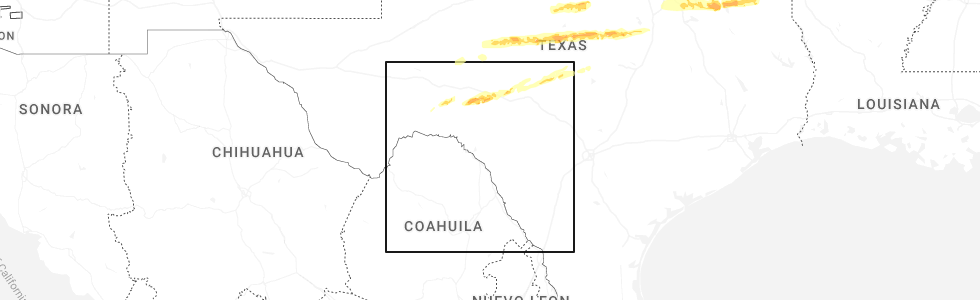
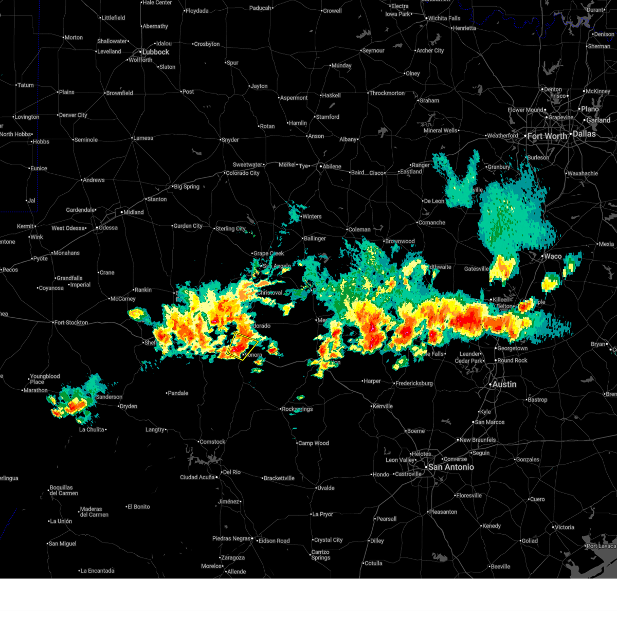
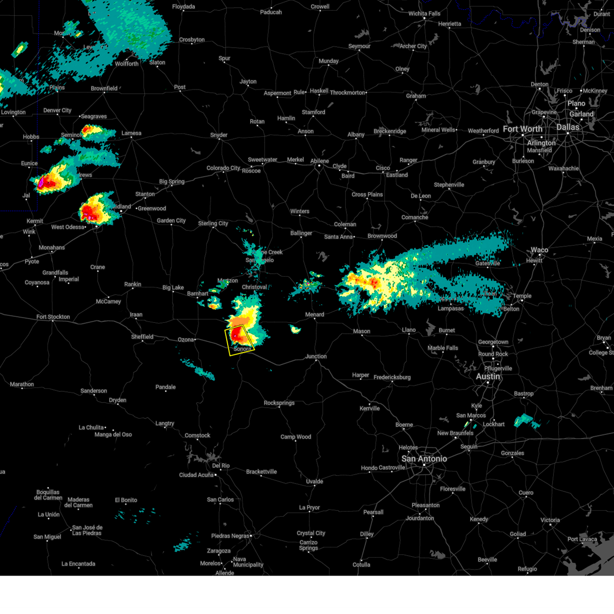
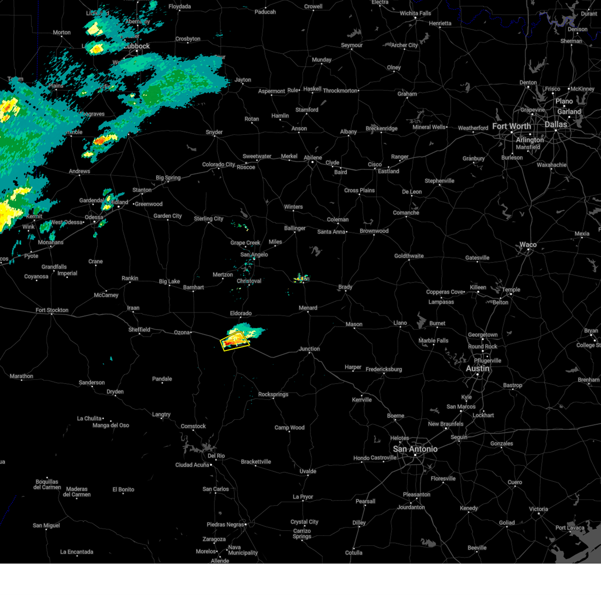
Hail Map for Sonora, TX
The Sonora, TX area has had 16 reports of on-the-ground hail by trained spotters, and has been under severe weather warnings 24 times during the past 12 months. Doppler radar has detected hail at or near Sonora, TX on 58 occasions, including 7 occasions during the past year.
| Name: | Sonora, TX |
| Where Located: | 84.3 miles N of Del Rio, TX |
| Map: | Google Map for Sonora, TX |
| Population: | 3027 |
| Housing Units: | 1323 |
| More Info: | Search Google for Sonora, TX |
2
The Top Recent Hail Date for Sonora, TX is Saturday, April 18, 2026 (3rd out of 58)
Hail and Wind Damage Spotted near Sonora, TX
| Date / Time | Report Details |
|---|---|
| 5/21/2026 5:39 PM CDT |
 At 538 pm cdt, a severe thunderstorm was located over sonora, moving east at 15 mph (radar indicated). Hazards include 60 mph wind gusts and half dollar size hail. Hail damage to vehicles is expected. expect wind damage to roofs, siding, and trees. this severe thunderstorm will remain over mainly rural areas of northwestern sutton county, including the following locations, the intersection of i-10 and ranch road 1989. This includes interstate 10 between mile markers 389 and 414. At 538 pm cdt, a severe thunderstorm was located over sonora, moving east at 15 mph (radar indicated). Hazards include 60 mph wind gusts and half dollar size hail. Hail damage to vehicles is expected. expect wind damage to roofs, siding, and trees. this severe thunderstorm will remain over mainly rural areas of northwestern sutton county, including the following locations, the intersection of i-10 and ranch road 1989. This includes interstate 10 between mile markers 389 and 414.
|
| 5/21/2026 5:35 PM CDT | Quarter sized hail reported 0.1 miles W of Sonora, TX, half-inch to one-inch size hail. |
| 5/21/2026 5:15 PM CDT |
 Svrsjt the national weather service in san angelo has issued a * severe thunderstorm warning for, south central schleicher county in west central texas, northwestern sutton county in west central texas, * until 615 pm cdt. * at 514 pm cdt, a severe thunderstorm was located over the intersection of i-10 and ranch road 1989, or near sonora, moving east at 20 mph (radar indicated). Hazards include golf ball size hail and 60 mph wind gusts. People and animals outdoors will be injured. expect hail damage to roofs, siding, windows, and vehicles. expect wind damage to roofs, siding, and trees. this severe thunderstorm will be near, sonora around 520 pm cdt. other locations impacted by this severe thunderstorm include us- 277 near the sutton-schleicher county line and the intersection of i- 10 and ranch road 1989. This includes interstate 10 between mile markers 389 and 414. Svrsjt the national weather service in san angelo has issued a * severe thunderstorm warning for, south central schleicher county in west central texas, northwestern sutton county in west central texas, * until 615 pm cdt. * at 514 pm cdt, a severe thunderstorm was located over the intersection of i-10 and ranch road 1989, or near sonora, moving east at 20 mph (radar indicated). Hazards include golf ball size hail and 60 mph wind gusts. People and animals outdoors will be injured. expect hail damage to roofs, siding, windows, and vehicles. expect wind damage to roofs, siding, and trees. this severe thunderstorm will be near, sonora around 520 pm cdt. other locations impacted by this severe thunderstorm include us- 277 near the sutton-schleicher county line and the intersection of i- 10 and ranch road 1989. This includes interstate 10 between mile markers 389 and 414.
|
| 5/19/2026 7:19 PM CDT |
 At 718 pm cdt, a severe thunderstorm was located near the intersection of i-10 and ranch road 1989, or west of sonora, moving northeast at 15 mph (radar indicated). Hazards include ping pong ball size hail and 60 mph wind gusts. People and animals outdoors will be injured. expect hail damage to roofs, siding, windows, and vehicles. expect wind damage to roofs, siding, and trees. this severe thunderstorm will remain over mainly rural areas of south central schleicher and northwestern sutton counties, including the following locations, us-277 near the sutton- schleicher county line and the intersection of i- 10 and ranch road 1989. This includes interstate 10 between mile markers 390 and 403. At 718 pm cdt, a severe thunderstorm was located near the intersection of i-10 and ranch road 1989, or west of sonora, moving northeast at 15 mph (radar indicated). Hazards include ping pong ball size hail and 60 mph wind gusts. People and animals outdoors will be injured. expect hail damage to roofs, siding, windows, and vehicles. expect wind damage to roofs, siding, and trees. this severe thunderstorm will remain over mainly rural areas of south central schleicher and northwestern sutton counties, including the following locations, us-277 near the sutton- schleicher county line and the intersection of i- 10 and ranch road 1989. This includes interstate 10 between mile markers 390 and 403.
|
| 5/19/2026 7:10 PM CDT |
 Svrsjt the national weather service in san angelo has issued a * severe thunderstorm warning for, south central schleicher county in west central texas, northwestern sutton county in west central texas, * until 745 pm cdt. * at 710 pm cdt, a severe thunderstorm was located over the intersection of i-10 and ranch road 1989, or just west of sonora, moving northeast at 15 mph (radar indicated). Hazards include 60 mph wind gusts and quarter size hail. Hail damage to vehicles is expected. expect wind damage to roofs, siding, and trees. this severe thunderstorm will be near, sonora around 715 pm cdt. other locations impacted by this severe thunderstorm include us- 277 near the sutton-schleicher county line and the intersection of i- 10 and ranch road 1989. This includes interstate 10 between mile markers 390 and 403. Svrsjt the national weather service in san angelo has issued a * severe thunderstorm warning for, south central schleicher county in west central texas, northwestern sutton county in west central texas, * until 745 pm cdt. * at 710 pm cdt, a severe thunderstorm was located over the intersection of i-10 and ranch road 1989, or just west of sonora, moving northeast at 15 mph (radar indicated). Hazards include 60 mph wind gusts and quarter size hail. Hail damage to vehicles is expected. expect wind damage to roofs, siding, and trees. this severe thunderstorm will be near, sonora around 715 pm cdt. other locations impacted by this severe thunderstorm include us- 277 near the sutton-schleicher county line and the intersection of i- 10 and ranch road 1989. This includes interstate 10 between mile markers 390 and 403.
|
| 5/6/2026 7:55 AM CDT |
 At 755 am cdt, a severe thunderstorm was located near the intersection of ranch road 2596 and ranch road 864, or 13 miles east of sonora, moving east at 50 mph (radar indicated). Hazards include 60 mph wind gusts and half dollar size hail. Hail damage to vehicles is expected. expect wind damage to roofs, siding, and trees. this severe storm will be near, roosevelt around 820 am cdt. other locations impacted by this severe thunderstorm include i- 10 near the sutton-kimble county line, us-277 near the sutton- schleicher county line, the intersection of us- 190 and ranch road 2084, and the intersection of ranch road 2596 and ranch road 864. This includes interstate 10 between mile markers 401 and 439. At 755 am cdt, a severe thunderstorm was located near the intersection of ranch road 2596 and ranch road 864, or 13 miles east of sonora, moving east at 50 mph (radar indicated). Hazards include 60 mph wind gusts and half dollar size hail. Hail damage to vehicles is expected. expect wind damage to roofs, siding, and trees. this severe storm will be near, roosevelt around 820 am cdt. other locations impacted by this severe thunderstorm include i- 10 near the sutton-kimble county line, us-277 near the sutton- schleicher county line, the intersection of us- 190 and ranch road 2084, and the intersection of ranch road 2596 and ranch road 864. This includes interstate 10 between mile markers 401 and 439.
|
| 5/6/2026 7:38 AM CDT |
 Svrsjt the national weather service in san angelo has issued a * severe thunderstorm warning for, southeastern schleicher county in west central texas, southwestern kimble county in west central texas, sutton county in west central texas, * until 830 am cdt. * at 738 am cdt, a severe thunderstorm was located over sonora, moving east at 50 mph (radar indicated). Hazards include 60 mph wind gusts and quarter size hail. Hail damage to vehicles is expected. expect wind damage to roofs, siding, and trees. this severe thunderstorm will be near, roosevelt around 815 am cdt. other locations impacted by this severe thunderstorm include i- 10 near the sutton-kimble county line, the intersection of i- 10 and ranch road 1989, us-277 near the sutton- schleicher county line, the intersection of us- 190 and ranch road 2084, and the intersection of ranch road 2596 and ranch road 864. This includes interstate 10 between mile markers 390 and 439. Svrsjt the national weather service in san angelo has issued a * severe thunderstorm warning for, southeastern schleicher county in west central texas, southwestern kimble county in west central texas, sutton county in west central texas, * until 830 am cdt. * at 738 am cdt, a severe thunderstorm was located over sonora, moving east at 50 mph (radar indicated). Hazards include 60 mph wind gusts and quarter size hail. Hail damage to vehicles is expected. expect wind damage to roofs, siding, and trees. this severe thunderstorm will be near, roosevelt around 815 am cdt. other locations impacted by this severe thunderstorm include i- 10 near the sutton-kimble county line, the intersection of i- 10 and ranch road 1989, us-277 near the sutton- schleicher county line, the intersection of us- 190 and ranch road 2084, and the intersection of ranch road 2596 and ranch road 864. This includes interstate 10 between mile markers 390 and 439.
|
| 5/6/2026 6:52 AM CDT |
 At 651 am cdt, a severe thunderstorm was located near sonora, moving northeast at 45 mph. this is a destructive storm for very large hail in sutton county, just east of sonora, along interstate 10 (radar indicated). Hazards include baseball size hail and 60 mph wind gusts. People and animals outdoors will be severely injured. expect shattered windows, extensive damage to roofs, siding, and vehicles. locations impacted include, sonora and the intersection of ranch road 2596 and ranch road 864. This includes interstate 10 between mile markers 394 and 417. At 651 am cdt, a severe thunderstorm was located near sonora, moving northeast at 45 mph. this is a destructive storm for very large hail in sutton county, just east of sonora, along interstate 10 (radar indicated). Hazards include baseball size hail and 60 mph wind gusts. People and animals outdoors will be severely injured. expect shattered windows, extensive damage to roofs, siding, and vehicles. locations impacted include, sonora and the intersection of ranch road 2596 and ranch road 864. This includes interstate 10 between mile markers 394 and 417.
|
| 5/6/2026 6:49 AM CDT |
 At 649 am cdt, a severe thunderstorm was located near sonora, moving northeast at 40 mph (radar indicated). Hazards include tennis ball size hail and 60 mph wind gusts. People and animals outdoors will be injured. expect hail damage to roofs, siding, windows, and vehicles. expect wind damage to roofs, siding, and trees. locations impacted include, sonora and the intersection of ranch road 2596 and ranch road 864. This includes interstate 10 between mile markers 394 and 417. At 649 am cdt, a severe thunderstorm was located near sonora, moving northeast at 40 mph (radar indicated). Hazards include tennis ball size hail and 60 mph wind gusts. People and animals outdoors will be injured. expect hail damage to roofs, siding, windows, and vehicles. expect wind damage to roofs, siding, and trees. locations impacted include, sonora and the intersection of ranch road 2596 and ranch road 864. This includes interstate 10 between mile markers 394 and 417.
|
| 5/6/2026 6:44 AM CDT |
 Svrsjt the national weather service in san angelo has issued a * severe thunderstorm warning for, southeastern schleicher county in west central texas, northeastern sutton county in west central texas, * until 730 am cdt. * at 644 am cdt, a severe thunderstorm was located over sonora, moving northeast at 45 mph (radar indicated). Hazards include 60 mph wind gusts and quarter size hail. Hail damage to vehicles is expected. expect wind damage to roofs, siding, and trees. this severe thunderstorm will remain over mainly rural areas of southeastern schleicher and northeastern sutton counties, including the following locations, the intersection of ranch road 2596 and ranch road 864. This includes interstate 10 between mile markers 394 and 417. Svrsjt the national weather service in san angelo has issued a * severe thunderstorm warning for, southeastern schleicher county in west central texas, northeastern sutton county in west central texas, * until 730 am cdt. * at 644 am cdt, a severe thunderstorm was located over sonora, moving northeast at 45 mph (radar indicated). Hazards include 60 mph wind gusts and quarter size hail. Hail damage to vehicles is expected. expect wind damage to roofs, siding, and trees. this severe thunderstorm will remain over mainly rural areas of southeastern schleicher and northeastern sutton counties, including the following locations, the intersection of ranch road 2596 and ranch road 864. This includes interstate 10 between mile markers 394 and 417.
|
| 5/6/2026 6:31 AM CDT |
 At 631 am cdt, a severe thunderstorm was located 8 miles northwest of the intersection of us- 277 and ranch road 189, or 9 miles southwest of sonora, moving east at 40 mph (radar indicated). Hazards include 60 mph wind gusts and quarter size hail. Hail damage to vehicles is expected. expect wind damage to roofs, siding, and trees. this severe storm will be near, sonora around 635 am cdt. This includes interstate 10 between mile markers 399 and 401. At 631 am cdt, a severe thunderstorm was located 8 miles northwest of the intersection of us- 277 and ranch road 189, or 9 miles southwest of sonora, moving east at 40 mph (radar indicated). Hazards include 60 mph wind gusts and quarter size hail. Hail damage to vehicles is expected. expect wind damage to roofs, siding, and trees. this severe storm will be near, sonora around 635 am cdt. This includes interstate 10 between mile markers 399 and 401.
|
| 5/6/2026 6:17 AM CDT |
 At 617 am cdt, a severe thunderstorm was located 14 miles west of the intersection of us- 277 and ranch road 189, or 17 miles southwest of sonora, moving east at 40 mph (radar indicated). Hazards include golf ball size hail and 60 mph wind gusts. People and animals outdoors will be injured. expect hail damage to roofs, siding, windows, and vehicles. expect wind damage to roofs, siding, and trees. this severe storm will be near, sonora around 635 am cdt. other locations impacted by this severe thunderstorm include the intersection of us-277 and ranch road 189. This includes interstate 10 between mile markers 398 and 401. At 617 am cdt, a severe thunderstorm was located 14 miles west of the intersection of us- 277 and ranch road 189, or 17 miles southwest of sonora, moving east at 40 mph (radar indicated). Hazards include golf ball size hail and 60 mph wind gusts. People and animals outdoors will be injured. expect hail damage to roofs, siding, windows, and vehicles. expect wind damage to roofs, siding, and trees. this severe storm will be near, sonora around 635 am cdt. other locations impacted by this severe thunderstorm include the intersection of us-277 and ranch road 189. This includes interstate 10 between mile markers 398 and 401.
|
| 5/6/2026 6:01 AM CDT |
 Svrsjt the national weather service in san angelo has issued a * severe thunderstorm warning for, southeastern crockett county in west central texas, southwestern sutton county in west central texas, * until 645 am cdt. * at 601 am cdt, a severe thunderstorm was located 9 miles southeast of the intersection of highway 163 and ranch road 1973, or 17 miles north of juno, moving east at 40 mph (radar indicated). Hazards include golf ball size hail and 60 mph wind gusts. People and animals outdoors will be injured. expect hail damage to roofs, siding, windows, and vehicles. expect wind damage to roofs, siding, and trees. this severe thunderstorm will be near, sonora around 635 am cdt. other locations impacted by this severe thunderstorm include the intersection of us-277 and ranch road 189. This includes interstate 10 between mile markers 398 and 401. Svrsjt the national weather service in san angelo has issued a * severe thunderstorm warning for, southeastern crockett county in west central texas, southwestern sutton county in west central texas, * until 645 am cdt. * at 601 am cdt, a severe thunderstorm was located 9 miles southeast of the intersection of highway 163 and ranch road 1973, or 17 miles north of juno, moving east at 40 mph (radar indicated). Hazards include golf ball size hail and 60 mph wind gusts. People and animals outdoors will be injured. expect hail damage to roofs, siding, windows, and vehicles. expect wind damage to roofs, siding, and trees. this severe thunderstorm will be near, sonora around 635 am cdt. other locations impacted by this severe thunderstorm include the intersection of us-277 and ranch road 189. This includes interstate 10 between mile markers 398 and 401.
|
| 4/18/2026 12:13 PM CDT |
 At 1212 pm cdt, a severe thunderstorm was located near sonora, moving northeast at 40 mph (radar indicated). Hazards include 60 mph wind gusts and half dollar size hail. Hail damage to vehicles is expected. expect wind damage to roofs, siding, and trees. this severe thunderstorm will remain over mainly rural areas of south central schleicher and central sutton counties, including the following locations, us-277 near the sutton- schleicher county line, the intersection of ranch road 2596 and ranch road 864, and the intersection of i-10 and ranch road 1989. This includes interstate 10 between mile markers 390 and 429. At 1212 pm cdt, a severe thunderstorm was located near sonora, moving northeast at 40 mph (radar indicated). Hazards include 60 mph wind gusts and half dollar size hail. Hail damage to vehicles is expected. expect wind damage to roofs, siding, and trees. this severe thunderstorm will remain over mainly rural areas of south central schleicher and central sutton counties, including the following locations, us-277 near the sutton- schleicher county line, the intersection of ranch road 2596 and ranch road 864, and the intersection of i-10 and ranch road 1989. This includes interstate 10 between mile markers 390 and 429.
|
| 4/18/2026 11:49 AM CDT |
 Svrsjt the national weather service in san angelo has issued a * severe thunderstorm warning for, south central schleicher county in west central texas, sutton county in west central texas, * until 1245 pm cdt. * at 1146 am cdt, a severe thunderstorm was located 10 miles southwest of the intersection of i-10 and ranch road 1989, or 15 miles west of sonora, moving northeast at 40 mph (radar indicated). Hazards include ping pong ball size hail and 60 mph wind gusts. People and animals outdoors will be injured. expect hail damage to roofs, siding, windows, and vehicles. expect wind damage to roofs, siding, and trees. this severe thunderstorm will be near, sonora around 1155 am cdt. other locations impacted by this severe thunderstorm include the intersection of us-277 and ranch road 189, the intersection of i- 10 and ranch road 1989, us-277 near the sutton- schleicher county line, the intersection of ranch road 2596 and ranch road 864, and us-277 near the sutton-edwards county line. This includes interstate 10 between mile markers 387 and 429. Svrsjt the national weather service in san angelo has issued a * severe thunderstorm warning for, south central schleicher county in west central texas, sutton county in west central texas, * until 1245 pm cdt. * at 1146 am cdt, a severe thunderstorm was located 10 miles southwest of the intersection of i-10 and ranch road 1989, or 15 miles west of sonora, moving northeast at 40 mph (radar indicated). Hazards include ping pong ball size hail and 60 mph wind gusts. People and animals outdoors will be injured. expect hail damage to roofs, siding, windows, and vehicles. expect wind damage to roofs, siding, and trees. this severe thunderstorm will be near, sonora around 1155 am cdt. other locations impacted by this severe thunderstorm include the intersection of us-277 and ranch road 189, the intersection of i- 10 and ranch road 1989, us-277 near the sutton- schleicher county line, the intersection of ranch road 2596 and ranch road 864, and us-277 near the sutton-edwards county line. This includes interstate 10 between mile markers 387 and 429.
|
| 3/10/2026 6:58 PM CDT |
 the severe thunderstorm warning has been cancelled and is no longer in effect the severe thunderstorm warning has been cancelled and is no longer in effect
|
| 3/10/2026 6:24 PM CDT |
 Svrsjt the national weather service in san angelo has issued a * severe thunderstorm warning for, southeastern schleicher county in west central texas, sutton county in west central texas, * until 730 pm cdt. * at 624 pm cdt, a severe thunderstorm was located near the intersection of i-10 and ranch road 1989, or near sonora, moving northeast at 55 mph (radar indicated). Hazards include 60 mph wind gusts and quarter size hail. Hail damage to vehicles is expected. expect wind damage to roofs, siding, and trees. this severe thunderstorm will be near, sonora around 630 pm cdt. other locations impacted by this severe thunderstorm include the intersection of i-10 and ranch road 1989, us-277 near the sutton- schleicher county line, the intersection of us- 190 and ranch road 2084, and the intersection of ranch road 2596 and ranch road 864. This includes interstate 10 between mile markers 386 and 423. Svrsjt the national weather service in san angelo has issued a * severe thunderstorm warning for, southeastern schleicher county in west central texas, sutton county in west central texas, * until 730 pm cdt. * at 624 pm cdt, a severe thunderstorm was located near the intersection of i-10 and ranch road 1989, or near sonora, moving northeast at 55 mph (radar indicated). Hazards include 60 mph wind gusts and quarter size hail. Hail damage to vehicles is expected. expect wind damage to roofs, siding, and trees. this severe thunderstorm will be near, sonora around 630 pm cdt. other locations impacted by this severe thunderstorm include the intersection of i-10 and ranch road 1989, us-277 near the sutton- schleicher county line, the intersection of us- 190 and ranch road 2084, and the intersection of ranch road 2596 and ranch road 864. This includes interstate 10 between mile markers 386 and 423.
|
| 10/24/2025 8:01 PM CDT | Svrsjt the national weather service in san angelo has issued a * severe thunderstorm warning for, sutton county in west central texas, * until 845 pm cdt. * at 757 pm cdt, a severe thunderstorm was located near the intersection of us-277 and ranch road 189, or 9 miles south of sonora, moving east at 45 mph (radar indicated). Hazards include 60 mph wind gusts and quarter size hail. Hail damage to vehicles is expected. expect wind damage to roofs, siding, and trees. this severe thunderstorm will remain over mainly rural areas of sutton county, including the following locations, the intersection of ranch road 2596 and ranch road 864, the intersection of us-277 and ranch road 189, and us-277 near the sutton-edwards county line. This includes interstate 10 between mile markers 397 and 433. |
| 10/24/2025 7:51 PM CDT | the severe thunderstorm warning has been cancelled and is no longer in effect |
| 10/24/2025 7:51 PM CDT | At 749 pm cdt, a severe thunderstorm was located near the intersection of us- 277 and ranch road 189, or 8 miles south of sonora, moving east at 40 mph (radar indicated). Hazards include 60 mph wind gusts and half dollar size hail. Hail damage to vehicles is expected. expect wind damage to roofs, siding, and trees. this severe thunderstorm will remain over mainly rural areas of western sutton county, including the following locations, the intersection of us-277 and ranch road 189, us- 277 near the sutton-edwards county line, and the intersection of i- 10 and ranch road 1989. This includes interstate 10 between mile markers 387 and 405. |
| 10/24/2025 7:14 PM CDT | Svrsjt the national weather service in san angelo has issued a * severe thunderstorm warning for, southeastern crockett county in west central texas, western sutton county in west central texas, * until 800 pm cdt. * at 713 pm cdt, a severe thunderstorm was located near the intersection of highway 163 and ranch road 1973, or 16 miles southeast of ozona, moving east at 45 mph (radar indicated). Hazards include ping pong ball size hail and 60 mph wind gusts. People and animals outdoors will be injured. expect hail damage to roofs, siding, windows, and vehicles. expect wind damage to roofs, siding, and trees. this severe thunderstorm will be near, sonora around 740 pm cdt. other locations impacted by this severe thunderstorm include i- 10 near the crockett-sutton county line, the intersection of us- 277 and ranch road 189, the intersection of i- 10 and ranch road 1989, the intersection of highway 163 and ranch road 1973, and us-277 near the sutton-edwards county line. This includes interstate 10 between mile markers 377 and 405. |
| 8/19/2025 5:30 PM CDT |
 At 530 pm cdt, a severe thunderstorm was located over sonora, moving west at 15 mph (radar indicated). Hazards include 60 mph wind gusts and penny size hail. Expect damage to roofs, siding, and trees. this severe storm will be near, sonora around 535 pm cdt. other locations impacted by this severe thunderstorm include the intersection of i-10 and ranch road 1989. This includes interstate 10 between mile markers 391 and 407. At 530 pm cdt, a severe thunderstorm was located over sonora, moving west at 15 mph (radar indicated). Hazards include 60 mph wind gusts and penny size hail. Expect damage to roofs, siding, and trees. this severe storm will be near, sonora around 535 pm cdt. other locations impacted by this severe thunderstorm include the intersection of i-10 and ranch road 1989. This includes interstate 10 between mile markers 391 and 407.
|
| 8/19/2025 5:14 PM CDT |
 Svrsjt the national weather service in san angelo has issued a * severe thunderstorm warning for, northwestern sutton county in west central texas, * until 600 pm cdt. * at 514 pm cdt, a severe thunderstorm was located near sonora, moving west at 20 mph (radar indicated). Hazards include 60 mph wind gusts. Expect damage to roofs, siding, and trees. this severe thunderstorm will be near, sonora around 520 pm cdt. other locations impacted by this severe thunderstorm include the intersection of i-10 and ranch road 1989. This includes interstate 10 between mile markers 391 and 407. Svrsjt the national weather service in san angelo has issued a * severe thunderstorm warning for, northwestern sutton county in west central texas, * until 600 pm cdt. * at 514 pm cdt, a severe thunderstorm was located near sonora, moving west at 20 mph (radar indicated). Hazards include 60 mph wind gusts. Expect damage to roofs, siding, and trees. this severe thunderstorm will be near, sonora around 520 pm cdt. other locations impacted by this severe thunderstorm include the intersection of i-10 and ranch road 1989. This includes interstate 10 between mile markers 391 and 407.
|
| 8/19/2025 5:09 PM CDT |
 At 509 pm cdt, a severe thunderstorm was located near the intersection of ranch road 2596 and ranch road 864, or 16 miles east of sonora, moving southwest at 5 mph (radar indicated). Hazards include 60 mph wind gusts. Expect damage to roofs, siding, and trees. locations impacted include, sonora and the intersection of ranch road 2596 and ranch road 864. This includes interstate 10 between mile markers 402 and 419. At 509 pm cdt, a severe thunderstorm was located near the intersection of ranch road 2596 and ranch road 864, or 16 miles east of sonora, moving southwest at 5 mph (radar indicated). Hazards include 60 mph wind gusts. Expect damage to roofs, siding, and trees. locations impacted include, sonora and the intersection of ranch road 2596 and ranch road 864. This includes interstate 10 between mile markers 402 and 419.
|
| 8/19/2025 5:00 PM CDT |
 Svrsjt the national weather service in san angelo has issued a * severe thunderstorm warning for, central sutton county in west central texas, * until 530 pm cdt. * at 500 pm cdt, a severe thunderstorm was located near the intersection of ranch road 2596 and ranch road 864, or 16 miles east of sonora, moving southwest at 5 mph (radar indicated). Hazards include 60 mph wind gusts. Expect damage to roofs, siding, and trees. this severe thunderstorm will remain over mainly rural areas of central sutton county, including the following locations, the intersection of ranch road 2596 and ranch road 864. This includes interstate 10 between mile markers 402 and 419. Svrsjt the national weather service in san angelo has issued a * severe thunderstorm warning for, central sutton county in west central texas, * until 530 pm cdt. * at 500 pm cdt, a severe thunderstorm was located near the intersection of ranch road 2596 and ranch road 864, or 16 miles east of sonora, moving southwest at 5 mph (radar indicated). Hazards include 60 mph wind gusts. Expect damage to roofs, siding, and trees. this severe thunderstorm will remain over mainly rural areas of central sutton county, including the following locations, the intersection of ranch road 2596 and ranch road 864. This includes interstate 10 between mile markers 402 and 419.
|
| 8/19/2025 4:20 PM CDT | The sutton county sheriffs office reported numerous roofs blown off... power poles are down... and numerous large trees are down just south of sonora off of u.s. hwy 27 in sutton county TX, 0.8 miles NNE of Sonora, TX |
| 6/9/2025 11:46 PM CDT |
 the severe thunderstorm warning has been cancelled and is no longer in effect the severe thunderstorm warning has been cancelled and is no longer in effect
|
| 6/9/2025 11:40 PM CDT |
 The storm which prompted the warning has weakened below severe limits, and no longer poses an immediate threat to life or property. therefore, the warning will be allowed to expire. a severe thunderstorm watch remains in effect until 200 am cdt for west central texas. The storm which prompted the warning has weakened below severe limits, and no longer poses an immediate threat to life or property. therefore, the warning will be allowed to expire. a severe thunderstorm watch remains in effect until 200 am cdt for west central texas.
|
| 6/9/2025 11:35 PM CDT |
 At 1134 pm cdt, a severe thunderstorm was located over sonora, moving southeast at 5 mph (radar indicated). Hazards include quarter size hail. Damage to vehicles is expected. this severe storm will be near, sonora around 1140 pm cdt. This includes interstate 10 between mile markers 393 and 412. At 1134 pm cdt, a severe thunderstorm was located over sonora, moving southeast at 5 mph (radar indicated). Hazards include quarter size hail. Damage to vehicles is expected. this severe storm will be near, sonora around 1140 pm cdt. This includes interstate 10 between mile markers 393 and 412.
|
| 6/9/2025 11:26 PM CDT |
 Svrsjt the national weather service in san angelo has issued a * severe thunderstorm warning for, central sutton county in west central texas, * until 1215 am cdt. * at 1125 pm cdt, a severe thunderstorm was located over sonora, moving south at 20 mph (radar indicated). Hazards include two inch hail and 60 mph wind gusts. People and animals outdoors will be injured. expect hail damage to roofs, siding, windows, and vehicles. expect wind damage to roofs, siding, and trees. this severe thunderstorm will be near, sonora around 1130 pm cdt. This includes interstate 10 between mile markers 393 and 412. Svrsjt the national weather service in san angelo has issued a * severe thunderstorm warning for, central sutton county in west central texas, * until 1215 am cdt. * at 1125 pm cdt, a severe thunderstorm was located over sonora, moving south at 20 mph (radar indicated). Hazards include two inch hail and 60 mph wind gusts. People and animals outdoors will be injured. expect hail damage to roofs, siding, windows, and vehicles. expect wind damage to roofs, siding, and trees. this severe thunderstorm will be near, sonora around 1130 pm cdt. This includes interstate 10 between mile markers 393 and 412.
|
| 6/9/2025 11:08 PM CDT |
 At 1107 pm cdt, a severe thunderstorm was located near sonora, moving south at 25 mph. this is a destructive storm for sonora (radar indicated). Hazards include baseball size hail and 60 mph wind gusts. People and animals outdoors will be severely injured. expect shattered windows, extensive damage to roofs, siding, and vehicles. this severe storm will be near, sonora around 1115 pm cdt. other locations impacted by this severe thunderstorm include us- 277 near the sutton-schleicher county line and the intersection of i- 10 and ranch road 1989. This includes interstate 10 between mile markers 392 and 401. At 1107 pm cdt, a severe thunderstorm was located near sonora, moving south at 25 mph. this is a destructive storm for sonora (radar indicated). Hazards include baseball size hail and 60 mph wind gusts. People and animals outdoors will be severely injured. expect shattered windows, extensive damage to roofs, siding, and vehicles. this severe storm will be near, sonora around 1115 pm cdt. other locations impacted by this severe thunderstorm include us- 277 near the sutton-schleicher county line and the intersection of i- 10 and ranch road 1989. This includes interstate 10 between mile markers 392 and 401.
|
| 6/9/2025 10:55 PM CDT |
 At 1054 pm cdt, a severe thunderstorm was located near us- 277 near the sutton- schleicher county line, or 11 miles north of sonora, moving southeast at 15 mph. this is a destructive storm for sonora (radar indicated). Hazards include three inch hail and 60 mph wind gusts. People and animals outdoors will be severely injured. expect shattered windows, extensive damage to roofs, siding, and vehicles. this severe storm will be near, sonora around 1100 pm cdt. other locations impacted by this severe thunderstorm include us- 277 near the sutton-schleicher county line and the intersection of i- 10 and ranch road 1989. This includes interstate 10 between mile markers 390 and 401. At 1054 pm cdt, a severe thunderstorm was located near us- 277 near the sutton- schleicher county line, or 11 miles north of sonora, moving southeast at 15 mph. this is a destructive storm for sonora (radar indicated). Hazards include three inch hail and 60 mph wind gusts. People and animals outdoors will be severely injured. expect shattered windows, extensive damage to roofs, siding, and vehicles. this severe storm will be near, sonora around 1100 pm cdt. other locations impacted by this severe thunderstorm include us- 277 near the sutton-schleicher county line and the intersection of i- 10 and ranch road 1989. This includes interstate 10 between mile markers 390 and 401.
|
| 6/9/2025 10:40 PM CDT |
 Svrsjt the national weather service in san angelo has issued a * severe thunderstorm warning for, southwestern schleicher county in west central texas, northwestern sutton county in west central texas, * until 1145 pm cdt. * at 1038 pm cdt, a severe thunderstorm was located near the intersection of us-190 and ranch road 1828, or 10 miles southwest of eldorado, moving southeast at 25 mph. this is a destructive storm for sonora (radar indicated). Hazards include three inch hail and 60 mph wind gusts. People and animals outdoors will be severely injured. expect shattered windows, extensive damage to roofs, siding, and vehicles. this severe thunderstorm will be near, sonora around 1105 pm cdt. other locations impacted by this severe thunderstorm include us- 277 near the sutton-schleicher county line and the intersection of i- 10 and ranch road 1989. This includes interstate 10 between mile markers 390 and 401. Svrsjt the national weather service in san angelo has issued a * severe thunderstorm warning for, southwestern schleicher county in west central texas, northwestern sutton county in west central texas, * until 1145 pm cdt. * at 1038 pm cdt, a severe thunderstorm was located near the intersection of us-190 and ranch road 1828, or 10 miles southwest of eldorado, moving southeast at 25 mph. this is a destructive storm for sonora (radar indicated). Hazards include three inch hail and 60 mph wind gusts. People and animals outdoors will be severely injured. expect shattered windows, extensive damage to roofs, siding, and vehicles. this severe thunderstorm will be near, sonora around 1105 pm cdt. other locations impacted by this severe thunderstorm include us- 277 near the sutton-schleicher county line and the intersection of i- 10 and ranch road 1989. This includes interstate 10 between mile markers 390 and 401.
|
| 5/26/2025 5:09 PM CDT |
 Svrsjt the national weather service in san angelo has issued a * severe thunderstorm warning for, sutton county in west central texas, * until 615 pm cdt. * at 508 pm cdt, a severe thunderstorm was located in far southwestern sutton county, moving northeast at 15 mph (radar indicated). Hazards include 60 mph wind gusts and quarter size hail. Hail damage to vehicles is expected. expect wind damage to roofs, siding, and trees. this severe thunderstorm will remain over mainly rural areas of sutton county, including the following locations, i-10 near the sutton-kimble county line, the intersection of us-277 and ranch road 189, the intersection of ranch road 2596 and ranch road 864, and us-277 near the sutton-edwards county line. This includes interstate 10 between mile markers 399 and 433. Svrsjt the national weather service in san angelo has issued a * severe thunderstorm warning for, sutton county in west central texas, * until 615 pm cdt. * at 508 pm cdt, a severe thunderstorm was located in far southwestern sutton county, moving northeast at 15 mph (radar indicated). Hazards include 60 mph wind gusts and quarter size hail. Hail damage to vehicles is expected. expect wind damage to roofs, siding, and trees. this severe thunderstorm will remain over mainly rural areas of sutton county, including the following locations, i-10 near the sutton-kimble county line, the intersection of us-277 and ranch road 189, the intersection of ranch road 2596 and ranch road 864, and us-277 near the sutton-edwards county line. This includes interstate 10 between mile markers 399 and 433.
|
| 5/5/2025 10:41 PM CDT |
 the severe thunderstorm warning has been cancelled and is no longer in effect the severe thunderstorm warning has been cancelled and is no longer in effect
|
| 5/5/2025 10:36 PM CDT |
 At 1036 pm cdt, a severe thunderstorm was located near the intersection of i-10 and ranch road 1989, or 7 miles west of sonora, moving northeast at 15 mph (radar indicated). Hazards include 60 mph wind gusts and quarter size hail. Hail damage to vehicles is expected. expect wind damage to roofs, siding, and trees. locations impacted include, us-277 near the sutton-schleicher county line, sonora, and the intersection of i-10 and ranch road 1989. This includes interstate 10 between mile markers 388 and 407. At 1036 pm cdt, a severe thunderstorm was located near the intersection of i-10 and ranch road 1989, or 7 miles west of sonora, moving northeast at 15 mph (radar indicated). Hazards include 60 mph wind gusts and quarter size hail. Hail damage to vehicles is expected. expect wind damage to roofs, siding, and trees. locations impacted include, us-277 near the sutton-schleicher county line, sonora, and the intersection of i-10 and ranch road 1989. This includes interstate 10 between mile markers 388 and 407.
|
| 5/5/2025 10:26 PM CDT |
 At 1026 pm cdt, a severe thunderstorm was located near the intersection of i-10 and ranch road 1989, or 10 miles west of sonora, moving northeast at 15 mph (radar indicated). Hazards include 60 mph wind gusts and quarter size hail. Hail damage to vehicles is expected. expect wind damage to roofs, siding, and trees. locations impacted include, us-277 near the sutton-schleicher county line, sonora, and the intersection of i-10 and ranch road 1989. This includes interstate 10 between mile markers 388 and 409. At 1026 pm cdt, a severe thunderstorm was located near the intersection of i-10 and ranch road 1989, or 10 miles west of sonora, moving northeast at 15 mph (radar indicated). Hazards include 60 mph wind gusts and quarter size hail. Hail damage to vehicles is expected. expect wind damage to roofs, siding, and trees. locations impacted include, us-277 near the sutton-schleicher county line, sonora, and the intersection of i-10 and ranch road 1989. This includes interstate 10 between mile markers 388 and 409.
|
| 5/5/2025 10:14 PM CDT |
 the severe thunderstorm warning has been cancelled and is no longer in effect the severe thunderstorm warning has been cancelled and is no longer in effect
|
| 5/5/2025 10:14 PM CDT |
 At 1013 pm cdt, a severe thunderstorm was located 8 miles southwest of the intersection of i-10 and ranch road 1989, or 12 miles west of sonora, moving northeast at 15 mph (radar indicated). Hazards include 60 mph wind gusts and quarter size hail. Hail damage to vehicles is expected. expect wind damage to roofs, siding, and trees. locations impacted include, us-277 near the sutton-schleicher county line, sonora, and the intersection of i-10 and ranch road 1989. This includes interstate 10 between mile markers 388 and 410. At 1013 pm cdt, a severe thunderstorm was located 8 miles southwest of the intersection of i-10 and ranch road 1989, or 12 miles west of sonora, moving northeast at 15 mph (radar indicated). Hazards include 60 mph wind gusts and quarter size hail. Hail damage to vehicles is expected. expect wind damage to roofs, siding, and trees. locations impacted include, us-277 near the sutton-schleicher county line, sonora, and the intersection of i-10 and ranch road 1989. This includes interstate 10 between mile markers 388 and 410.
|
| 5/5/2025 9:58 PM CDT |
 Svrsjt the national weather service in san angelo has issued a * severe thunderstorm warning for, south central schleicher county in west central texas, southeastern crockett county in west central texas, western sutton county in west central texas, * until 1100 pm cdt. * at 958 pm cdt, a severe thunderstorm was located 11 miles south of i-10 near the crockett-sutton county line, or 16 miles west of sonora, moving northeast at 15 mph (radar indicated). Hazards include 60 mph wind gusts and quarter size hail. Hail damage to vehicles is expected. expect wind damage to roofs, siding, and trees. this severe thunderstorm will remain over mainly rural areas of south central schleicher, southeastern crockett and western sutton counties, including the following locations, us-277 near the sutton-schleicher county line and the intersection of i-10 and ranch road 1989. This includes interstate 10 between mile markers 385 and 410. Svrsjt the national weather service in san angelo has issued a * severe thunderstorm warning for, south central schleicher county in west central texas, southeastern crockett county in west central texas, western sutton county in west central texas, * until 1100 pm cdt. * at 958 pm cdt, a severe thunderstorm was located 11 miles south of i-10 near the crockett-sutton county line, or 16 miles west of sonora, moving northeast at 15 mph (radar indicated). Hazards include 60 mph wind gusts and quarter size hail. Hail damage to vehicles is expected. expect wind damage to roofs, siding, and trees. this severe thunderstorm will remain over mainly rural areas of south central schleicher, southeastern crockett and western sutton counties, including the following locations, us-277 near the sutton-schleicher county line and the intersection of i-10 and ranch road 1989. This includes interstate 10 between mile markers 385 and 410.
|
| 4/4/2025 1:56 AM CDT |
 the severe thunderstorm warning has been cancelled and is no longer in effect the severe thunderstorm warning has been cancelled and is no longer in effect
|
| 4/4/2025 1:56 AM CDT |
 At 155 am cdt, a severe thunderstorm was located over sonora, moving northeast at 50 mph (radar indicated). Hazards include 60 mph wind gusts and nickel size hail. Expect damage to roofs, siding, and trees. this severe thunderstorm will remain over mainly rural areas of south central schleicher and central sutton counties, including the following locations, us-277 near the sutton- schleicher county line and the intersection of us- 277 and ranch road 189. This includes interstate 10 between mile markers 393 and 425. At 155 am cdt, a severe thunderstorm was located over sonora, moving northeast at 50 mph (radar indicated). Hazards include 60 mph wind gusts and nickel size hail. Expect damage to roofs, siding, and trees. this severe thunderstorm will remain over mainly rural areas of south central schleicher and central sutton counties, including the following locations, us-277 near the sutton- schleicher county line and the intersection of us- 277 and ranch road 189. This includes interstate 10 between mile markers 393 and 425.
|
| 4/4/2025 1:29 AM CDT |
 Svrsjt the national weather service in san angelo has issued a * severe thunderstorm warning for, south central schleicher county in west central texas, southeastern crockett county in west central texas, central sutton county in west central texas, * until 215 am cdt. * at 128 am cdt, a severe thunderstorm was located 15 miles west of the intersection of us-277 and ranch road 189, or 18 miles northeast of juno, moving northeast at 50 mph (radar indicated). Hazards include 60 mph wind gusts and half dollar size hail. Hail damage to vehicles is expected. expect wind damage to roofs, siding, and trees. this severe thunderstorm will be near, sonora around 145 am cdt. other locations impacted by this severe thunderstorm include us- 277 near the sutton- schleicher county line and the intersection of us- 277 and ranch road 189. This includes interstate 10 between mile markers 393 and 428. Svrsjt the national weather service in san angelo has issued a * severe thunderstorm warning for, south central schleicher county in west central texas, southeastern crockett county in west central texas, central sutton county in west central texas, * until 215 am cdt. * at 128 am cdt, a severe thunderstorm was located 15 miles west of the intersection of us-277 and ranch road 189, or 18 miles northeast of juno, moving northeast at 50 mph (radar indicated). Hazards include 60 mph wind gusts and half dollar size hail. Hail damage to vehicles is expected. expect wind damage to roofs, siding, and trees. this severe thunderstorm will be near, sonora around 145 am cdt. other locations impacted by this severe thunderstorm include us- 277 near the sutton- schleicher county line and the intersection of us- 277 and ranch road 189. This includes interstate 10 between mile markers 393 and 428.
|
| 11/7/2024 9:13 PM CST |
 A severe thunderstorm watch remains in effect until 1100 pm cst for west central texas. remember, a severe thunderstorm warning still remains in effect for north central sutton and southeastern schleicher counties. A severe thunderstorm watch remains in effect until 1100 pm cst for west central texas. remember, a severe thunderstorm warning still remains in effect for north central sutton and southeastern schleicher counties.
|
| 11/7/2024 9:00 PM CST |
 At 859 pm cst, a severe thunderstorm was located near us- 277 near the sutton- schleicher county line, or near sonora, moving northeast at 20 mph (radar indicated). Hazards include 60 mph wind gusts and half dollar size hail. Hail damage to vehicles is expected. expect wind damage to roofs, siding, and trees. this severe storm will be near, eldorado around 925 pm cst. other locations impacted by this severe thunderstorm include us- 277 near the sutton-schleicher county line and the intersection of i- 10 and ranch road 1989. This includes interstate 10 between mile markers 390 and 407. At 859 pm cst, a severe thunderstorm was located near us- 277 near the sutton- schleicher county line, or near sonora, moving northeast at 20 mph (radar indicated). Hazards include 60 mph wind gusts and half dollar size hail. Hail damage to vehicles is expected. expect wind damage to roofs, siding, and trees. this severe storm will be near, eldorado around 925 pm cst. other locations impacted by this severe thunderstorm include us- 277 near the sutton-schleicher county line and the intersection of i- 10 and ranch road 1989. This includes interstate 10 between mile markers 390 and 407.
|
| 11/7/2024 8:30 PM CST |
 Svrsjt the national weather service in san angelo has issued a * severe thunderstorm warning for, south central schleicher county in west central texas, northwestern sutton county in west central texas, * until 915 pm cst. * at 830 pm cst, a severe thunderstorm was located near the intersection of i-10 and ranch road 1989, or near sonora, moving northeast at 20 mph (radar indicated). Hazards include 60 mph wind gusts and quarter size hail. Hail damage to vehicles is expected. expect wind damage to roofs, siding, and trees. this severe thunderstorm will be near, sonora around 835 pm cst. other locations impacted by this severe thunderstorm include us- 277 near the sutton-schleicher county line and the intersection of i- 10 and ranch road 1989. This includes interstate 10 between mile markers 387 and 408. Svrsjt the national weather service in san angelo has issued a * severe thunderstorm warning for, south central schleicher county in west central texas, northwestern sutton county in west central texas, * until 915 pm cst. * at 830 pm cst, a severe thunderstorm was located near the intersection of i-10 and ranch road 1989, or near sonora, moving northeast at 20 mph (radar indicated). Hazards include 60 mph wind gusts and quarter size hail. Hail damage to vehicles is expected. expect wind damage to roofs, siding, and trees. this severe thunderstorm will be near, sonora around 835 pm cst. other locations impacted by this severe thunderstorm include us- 277 near the sutton-schleicher county line and the intersection of i- 10 and ranch road 1989. This includes interstate 10 between mile markers 387 and 408.
|
| 6/11/2024 4:28 PM CDT | Trees and large tree limbs down. shingles off roof in sutton county TX, 0.1 miles W of Sonora, TX |
| 6/11/2024 4:25 PM CDT |
 the severe thunderstorm warning has been cancelled and is no longer in effect the severe thunderstorm warning has been cancelled and is no longer in effect
|
| 6/11/2024 4:25 PM CDT |
 At 424 pm cdt, a severe thunderstorm was located over sonora, moving southeast at 25 mph (radar indicated). Hazards include 60 mph wind gusts and penny size hail. Expect damage to roofs, siding, and trees. this severe thunderstorm will remain over mainly rural areas of central sutton county, including the following locations, us- 277 near the sutton-schleicher county line and the intersection of i- 10 and ranch road 1989. This includes interstate 10 between mile markers 390 and 420. At 424 pm cdt, a severe thunderstorm was located over sonora, moving southeast at 25 mph (radar indicated). Hazards include 60 mph wind gusts and penny size hail. Expect damage to roofs, siding, and trees. this severe thunderstorm will remain over mainly rural areas of central sutton county, including the following locations, us- 277 near the sutton-schleicher county line and the intersection of i- 10 and ranch road 1989. This includes interstate 10 between mile markers 390 and 420.
|
| 6/11/2024 4:00 PM CDT |
 Svrsjt the national weather service in san angelo has issued a * severe thunderstorm warning for, south central schleicher county in west central texas, central sutton county in west central texas, * until 445 pm cdt. * at 400 pm cdt, a severe thunderstorm was located near us-277 near the sutton-schleicher county line, or 10 miles north of sonora, moving southeast at 25 mph (radar indicated). Hazards include 60 mph wind gusts and quarter size hail. Hail damage to vehicles is expected. expect wind damage to roofs, siding, and trees. this severe thunderstorm will be near, sonora around 405 pm cdt. other locations impacted by this severe thunderstorm include us- 277 near the sutton-schleicher county line and the intersection of i- 10 and ranch road 1989. This includes interstate 10 between mile markers 390 and 420. Svrsjt the national weather service in san angelo has issued a * severe thunderstorm warning for, south central schleicher county in west central texas, central sutton county in west central texas, * until 445 pm cdt. * at 400 pm cdt, a severe thunderstorm was located near us-277 near the sutton-schleicher county line, or 10 miles north of sonora, moving southeast at 25 mph (radar indicated). Hazards include 60 mph wind gusts and quarter size hail. Hail damage to vehicles is expected. expect wind damage to roofs, siding, and trees. this severe thunderstorm will be near, sonora around 405 pm cdt. other locations impacted by this severe thunderstorm include us- 277 near the sutton-schleicher county line and the intersection of i- 10 and ranch road 1989. This includes interstate 10 between mile markers 390 and 420.
|
| 6/5/2024 4:31 PM CDT |
 At 430 pm cdt, a severe thunderstorm was located near us-277 near the sutton-schleicher county line, or just north of sonora, moving west at 15 mph. this is a destructive storm for areas between sonora and the schleicher county line! (radar indicated). Hazards include baseball size hail and 70 mph wind gusts. People and animals outdoors will be severely injured. expect shattered windows, extensive damage to roofs, siding, and vehicles. this severe thunderstorm will remain over mainly rural areas of southwestern schleicher and northwestern sutton counties, including the following locations, us-277 near the sutton- schleicher county line and the intersection of i- 10 and ranch road 1989. This includes interstate 10 between mile markers 386 and 407. At 430 pm cdt, a severe thunderstorm was located near us-277 near the sutton-schleicher county line, or just north of sonora, moving west at 15 mph. this is a destructive storm for areas between sonora and the schleicher county line! (radar indicated). Hazards include baseball size hail and 70 mph wind gusts. People and animals outdoors will be severely injured. expect shattered windows, extensive damage to roofs, siding, and vehicles. this severe thunderstorm will remain over mainly rural areas of southwestern schleicher and northwestern sutton counties, including the following locations, us-277 near the sutton- schleicher county line and the intersection of i- 10 and ranch road 1989. This includes interstate 10 between mile markers 386 and 407.
|
| 6/5/2024 4:20 PM CDT | Ping Pong Ball sized hail reported 6.2 miles S of Sonora, TX |
| 6/5/2024 4:20 PM CDT | Golf Ball sized hail reported 6.2 miles S of Sonora, TX, corrects previous hail report from 6 n sonora. to golf ball instead of ping pong. |
| 6/5/2024 4:14 PM CDT |
 At 413 pm cdt, a severe thunderstorm was located near us-277 near the sutton and schleicher county line, or 7 miles northeast of sonora, moving west at 15 mph. this storm continues to strengthen and is expanding towards sonora (radar indicated). Hazards include golf ball size hail and 60 mph wind gusts. People and animals outdoors will be injured. expect hail damage to roofs, siding, windows, and vehicles. expect wind damage to roofs, siding, and trees. this severe storm will be near, sonora around 420 pm cdt. other locations impacted by this severe thunderstorm include us- 277 near the sutton-schleicher county line and the intersection of i- 10 and ranch road 1989. This includes interstate 10 between mile markers 386 and 407. At 413 pm cdt, a severe thunderstorm was located near us-277 near the sutton and schleicher county line, or 7 miles northeast of sonora, moving west at 15 mph. this storm continues to strengthen and is expanding towards sonora (radar indicated). Hazards include golf ball size hail and 60 mph wind gusts. People and animals outdoors will be injured. expect hail damage to roofs, siding, windows, and vehicles. expect wind damage to roofs, siding, and trees. this severe storm will be near, sonora around 420 pm cdt. other locations impacted by this severe thunderstorm include us- 277 near the sutton-schleicher county line and the intersection of i- 10 and ranch road 1989. This includes interstate 10 between mile markers 386 and 407.
|
| 6/5/2024 4:09 PM CDT |
 Svrsjt the national weather service in san angelo has issued a * severe thunderstorm warning for, southwestern schleicher county in west central texas, northwestern sutton county in west central texas, * until 500 pm cdt. * at 408 pm cdt, a severe thunderstorm was located near us-277 near the sutton-schleicher county line, or 8 miles northeast of sonora, moving west at 15 mph (radar indicated). Hazards include ping pong ball size hail and 60 mph wind gusts. People and animals outdoors will be injured. expect hail damage to roofs, siding, windows, and vehicles. expect wind damage to roofs, siding, and trees. this severe thunderstorm will be near, sonora around 415 pm cdt. other locations impacted by this severe thunderstorm include us- 277 near the sutton-schleicher county line and the intersection of i- 10 and ranch road 1989. This includes interstate 10 between mile markers 386 and 407. Svrsjt the national weather service in san angelo has issued a * severe thunderstorm warning for, southwestern schleicher county in west central texas, northwestern sutton county in west central texas, * until 500 pm cdt. * at 408 pm cdt, a severe thunderstorm was located near us-277 near the sutton-schleicher county line, or 8 miles northeast of sonora, moving west at 15 mph (radar indicated). Hazards include ping pong ball size hail and 60 mph wind gusts. People and animals outdoors will be injured. expect hail damage to roofs, siding, windows, and vehicles. expect wind damage to roofs, siding, and trees. this severe thunderstorm will be near, sonora around 415 pm cdt. other locations impacted by this severe thunderstorm include us- 277 near the sutton-schleicher county line and the intersection of i- 10 and ranch road 1989. This includes interstate 10 between mile markers 386 and 407.
|
| 5/16/2024 9:28 PM CDT |
 At 928 pm cdt, a severe thunderstorm was located over the intersection of i-10 and ranch road 1989, or 8 miles west of sonora, moving east at 30 mph (radar indicated). Hazards include 60 mph wind gusts and quarter size hail. Hail damage to vehicles is expected. expect wind damage to roofs, siding, and trees. locations impacted include, sonora and the intersection of i-10 and ranch road 1989. This includes interstate 10 between mile markers 383 and 401. At 928 pm cdt, a severe thunderstorm was located over the intersection of i-10 and ranch road 1989, or 8 miles west of sonora, moving east at 30 mph (radar indicated). Hazards include 60 mph wind gusts and quarter size hail. Hail damage to vehicles is expected. expect wind damage to roofs, siding, and trees. locations impacted include, sonora and the intersection of i-10 and ranch road 1989. This includes interstate 10 between mile markers 383 and 401.
|
| 5/16/2024 9:28 PM CDT |
 the severe thunderstorm warning has been cancelled and is no longer in effect the severe thunderstorm warning has been cancelled and is no longer in effect
|
| 5/16/2024 8:45 PM CDT |
 Svrsjt the national weather service in san angelo has issued a * severe thunderstorm warning for, east central crockett county in west central texas, northwestern sutton county in west central texas, * until 945 pm cdt. * at 844 pm cdt, a severe thunderstorm was located 8 miles northwest of the intersection of highway 163 and ranch road 1973, or 11 miles southwest of ozona, moving east at 35 mph (radar indicated). Hazards include 60 mph wind gusts and half dollar size hail. Hail damage to vehicles is expected. expect wind damage to roofs, siding, and trees. this severe thunderstorm will remain over mainly rural areas of east central crockett and northwestern sutton counties, including the following locations, the intersection of highway 163 and ranch road 1973 and the intersection of i-10 and ranch road 1989. This includes interstate 10 between mile markers 383 and 401. Svrsjt the national weather service in san angelo has issued a * severe thunderstorm warning for, east central crockett county in west central texas, northwestern sutton county in west central texas, * until 945 pm cdt. * at 844 pm cdt, a severe thunderstorm was located 8 miles northwest of the intersection of highway 163 and ranch road 1973, or 11 miles southwest of ozona, moving east at 35 mph (radar indicated). Hazards include 60 mph wind gusts and half dollar size hail. Hail damage to vehicles is expected. expect wind damage to roofs, siding, and trees. this severe thunderstorm will remain over mainly rural areas of east central crockett and northwestern sutton counties, including the following locations, the intersection of highway 163 and ranch road 1973 and the intersection of i-10 and ranch road 1989. This includes interstate 10 between mile markers 383 and 401.
|
| 5/4/2024 10:25 PM CDT |
 Svrsjt the national weather service in san angelo has issued a * severe thunderstorm warning for, central sutton county in west central texas, * until 1115 pm cdt. * at 1024 pm cdt, a severe thunderstorm was located near the intersection of i-10 and ranch road 1989, or 7 miles southwest of sonora, moving northeast at 30 mph (radar indicated). Hazards include 60 mph wind gusts and quarter size hail. Hail damage to vehicles is expected. expect wind damage to roofs, siding, and trees. this severe thunderstorm will be near, sonora around 1030 pm cdt. This includes interstate 10 between mile markers 394 and 419. Svrsjt the national weather service in san angelo has issued a * severe thunderstorm warning for, central sutton county in west central texas, * until 1115 pm cdt. * at 1024 pm cdt, a severe thunderstorm was located near the intersection of i-10 and ranch road 1989, or 7 miles southwest of sonora, moving northeast at 30 mph (radar indicated). Hazards include 60 mph wind gusts and quarter size hail. Hail damage to vehicles is expected. expect wind damage to roofs, siding, and trees. this severe thunderstorm will be near, sonora around 1030 pm cdt. This includes interstate 10 between mile markers 394 and 419.
|
| 5/1/2024 10:02 PM CDT |
 At 1001 pm cdt, a severe thunderstorm was located near sonora, moving northeast at 40 mph (radar indicated). Hazards include 60 mph wind gusts and penny size hail. Expect damage to roofs, siding, and trees. this severe thunderstorm will remain over mainly rural areas of central sutton county. This includes interstate 10 between mile markers 397 and 409. At 1001 pm cdt, a severe thunderstorm was located near sonora, moving northeast at 40 mph (radar indicated). Hazards include 60 mph wind gusts and penny size hail. Expect damage to roofs, siding, and trees. this severe thunderstorm will remain over mainly rural areas of central sutton county. This includes interstate 10 between mile markers 397 and 409.
|
| 5/1/2024 9:40 PM CDT |
 At 940 pm cdt, a severe thunderstorm was located 7 miles northwest of the intersection of us- 277 and ranch road 189, or 9 miles southwest of sonora, moving east at 30 mph (radar indicated). Hazards include 60 mph wind gusts and quarter size hail. Hail damage to vehicles is expected. expect wind damage to roofs, siding, and trees. this severe storm will be near, sonora around 945 pm cdt. other locations impacted by this severe thunderstorm include the intersection of us-277 and ranch road 189. This includes interstate 10 between mile markers 396 and 409. At 940 pm cdt, a severe thunderstorm was located 7 miles northwest of the intersection of us- 277 and ranch road 189, or 9 miles southwest of sonora, moving east at 30 mph (radar indicated). Hazards include 60 mph wind gusts and quarter size hail. Hail damage to vehicles is expected. expect wind damage to roofs, siding, and trees. this severe storm will be near, sonora around 945 pm cdt. other locations impacted by this severe thunderstorm include the intersection of us-277 and ranch road 189. This includes interstate 10 between mile markers 396 and 409.
|
| 5/1/2024 9:31 PM CDT |
 Svrsjt the national weather service in san angelo has issued a * severe thunderstorm warning for, western sutton county in west central texas, * until 1015 pm cdt. * at 930 pm cdt, a severe thunderstorm was located 9 miles northwest of the intersection of us-277 and ranch road 189, or 12 miles southwest of sonora, moving east at 25 mph (radar indicated). Hazards include 60 mph wind gusts and half dollar size hail. Hail damage to vehicles is expected. expect wind damage to roofs, siding, and trees. this severe thunderstorm will be near, sonora around 940 pm cdt. other locations impacted by this severe thunderstorm include the intersection of us-277 and ranch road 189. This includes interstate 10 between mile markers 396 and 409. Svrsjt the national weather service in san angelo has issued a * severe thunderstorm warning for, western sutton county in west central texas, * until 1015 pm cdt. * at 930 pm cdt, a severe thunderstorm was located 9 miles northwest of the intersection of us-277 and ranch road 189, or 12 miles southwest of sonora, moving east at 25 mph (radar indicated). Hazards include 60 mph wind gusts and half dollar size hail. Hail damage to vehicles is expected. expect wind damage to roofs, siding, and trees. this severe thunderstorm will be near, sonora around 940 pm cdt. other locations impacted by this severe thunderstorm include the intersection of us-277 and ranch road 189. This includes interstate 10 between mile markers 396 and 409.
|
| 5/1/2024 9:25 PM CDT |
 At 924 pm cdt, a severe thunderstorm was located near the intersection of i-10 and ranch road 1989, or near sonora, moving east at 40 mph (radar indicated). Hazards include ping pong ball size hail and 60 mph wind gusts. People and animals outdoors will be injured. expect hail damage to roofs, siding, windows, and vehicles. expect wind damage to roofs, siding, and trees. this severe storm will be near, sonora around 930 pm cdt. other locations impacted by this severe thunderstorm include us- 277 near the sutton-schleicher county line, the intersection of us- 277 and ranch road 189, and the intersection of i- 10 and ranch road 1989. This includes interstate 10 between mile markers 381 and 402. At 924 pm cdt, a severe thunderstorm was located near the intersection of i-10 and ranch road 1989, or near sonora, moving east at 40 mph (radar indicated). Hazards include ping pong ball size hail and 60 mph wind gusts. People and animals outdoors will be injured. expect hail damage to roofs, siding, windows, and vehicles. expect wind damage to roofs, siding, and trees. this severe storm will be near, sonora around 930 pm cdt. other locations impacted by this severe thunderstorm include us- 277 near the sutton-schleicher county line, the intersection of us- 277 and ranch road 189, and the intersection of i- 10 and ranch road 1989. This includes interstate 10 between mile markers 381 and 402.
|
| 5/1/2024 9:25 PM CDT |
 the severe thunderstorm warning has been cancelled and is no longer in effect the severe thunderstorm warning has been cancelled and is no longer in effect
|
| 5/1/2024 8:57 PM CDT |
 Svrsjt the national weather service in san angelo has issued a * severe thunderstorm warning for, southwestern schleicher county in west central texas, east central crockett county in west central texas, western sutton county in west central texas, * until 930 pm cdt. * at 856 pm cdt, a severe thunderstorm was located 7 miles southwest of i-10 near the crockett-sutton county line, or 15 miles southeast of ozona, moving east at 40 mph (radar indicated). Hazards include 60 mph wind gusts and quarter size hail. Hail damage to vehicles is expected. expect wind damage to roofs, siding, and trees. this severe thunderstorm will be near, sonora around 915 pm cdt. other locations impacted by this severe thunderstorm include i- 10 near the crockett-sutton county line, the intersection of us- 277 and ranch road 189, the intersection of i- 10 and ranch road 1989, us-277 near the sutton- schleicher county line, and the intersection of highway 163 and ranch road 1973. This includes interstate 10 between mile markers 367 and 402. Svrsjt the national weather service in san angelo has issued a * severe thunderstorm warning for, southwestern schleicher county in west central texas, east central crockett county in west central texas, western sutton county in west central texas, * until 930 pm cdt. * at 856 pm cdt, a severe thunderstorm was located 7 miles southwest of i-10 near the crockett-sutton county line, or 15 miles southeast of ozona, moving east at 40 mph (radar indicated). Hazards include 60 mph wind gusts and quarter size hail. Hail damage to vehicles is expected. expect wind damage to roofs, siding, and trees. this severe thunderstorm will be near, sonora around 915 pm cdt. other locations impacted by this severe thunderstorm include i- 10 near the crockett-sutton county line, the intersection of us- 277 and ranch road 189, the intersection of i- 10 and ranch road 1989, us-277 near the sutton- schleicher county line, and the intersection of highway 163 and ranch road 1973. This includes interstate 10 between mile markers 367 and 402.
|
| 3/15/2024 7:50 AM CDT |
 At 749 am cdt, a severe thunderstorm capable of producing a tornado was located near the intersection of ranch road 2596 and ranch road 864, or 16 miles northwest of roosevelt, moving east at 30 mph (radar indicated rotation). Hazards include tornado and ping pong ball size hail. Flying debris will be dangerous to those caught without shelter. mobile homes will be damaged or destroyed. damage to roofs, windows, and vehicles will occur. tree damage is likely. this tornadic thunderstorm will remain over mainly rural areas of central sutton county, including the following locations, the intersection of ranch road 2596 and ranch road 864. This includes interstate 10 between mile markers 396 and 421. At 749 am cdt, a severe thunderstorm capable of producing a tornado was located near the intersection of ranch road 2596 and ranch road 864, or 16 miles northwest of roosevelt, moving east at 30 mph (radar indicated rotation). Hazards include tornado and ping pong ball size hail. Flying debris will be dangerous to those caught without shelter. mobile homes will be damaged or destroyed. damage to roofs, windows, and vehicles will occur. tree damage is likely. this tornadic thunderstorm will remain over mainly rural areas of central sutton county, including the following locations, the intersection of ranch road 2596 and ranch road 864. This includes interstate 10 between mile markers 396 and 421.
|
| 3/15/2024 7:39 AM CDT |
 At 738 am cdt, a severe thunderstorm capable of producing a tornado was located near the intersection of ranch road 2596 and ranch road 864, or 13 miles east of sonora, moving east at 30 mph (radar indicated rotation). Hazards include tornado and two inch hail. Flying debris will be dangerous to those caught without shelter. mobile homes will be damaged or destroyed. damage to roofs, windows, and vehicles will occur. tree damage is likely. this tornadic thunderstorm will remain over mainly rural areas of central sutton county, including the following locations, the intersection of ranch road 2596 and ranch road 864. This includes interstate 10 between mile markers 396 and 421. At 738 am cdt, a severe thunderstorm capable of producing a tornado was located near the intersection of ranch road 2596 and ranch road 864, or 13 miles east of sonora, moving east at 30 mph (radar indicated rotation). Hazards include tornado and two inch hail. Flying debris will be dangerous to those caught without shelter. mobile homes will be damaged or destroyed. damage to roofs, windows, and vehicles will occur. tree damage is likely. this tornadic thunderstorm will remain over mainly rural areas of central sutton county, including the following locations, the intersection of ranch road 2596 and ranch road 864. This includes interstate 10 between mile markers 396 and 421.
|
| 3/15/2024 7:25 AM CDT |
 Torsjt the national weather service in san angelo has issued a * tornado warning for, central sutton county in west central texas, * until 800 am cdt. * at 721 am cdt, two merging severe thunderstorms are capable of producing a tornado and are located near sonora, moving east at 30 mph (radar indicated rotation). Hazards include tornado and hail up to two inches in diameter. Flying debris will be dangerous to those caught without shelter. mobile homes will be damaged or destroyed. damage to roofs, windows, and vehicles will occur. tree damage is likely. this dangerous storm will be near, sonora around 725 am cdt. other locations impacted by this tornadic thunderstorm include the intersection of ranch road 2596 and ranch road 864. This includes interstate 10 between mile markers 396 and 421. Torsjt the national weather service in san angelo has issued a * tornado warning for, central sutton county in west central texas, * until 800 am cdt. * at 721 am cdt, two merging severe thunderstorms are capable of producing a tornado and are located near sonora, moving east at 30 mph (radar indicated rotation). Hazards include tornado and hail up to two inches in diameter. Flying debris will be dangerous to those caught without shelter. mobile homes will be damaged or destroyed. damage to roofs, windows, and vehicles will occur. tree damage is likely. this dangerous storm will be near, sonora around 725 am cdt. other locations impacted by this tornadic thunderstorm include the intersection of ranch road 2596 and ranch road 864. This includes interstate 10 between mile markers 396 and 421.
|
| 3/15/2024 7:12 AM CDT |
 At 710 am cdt, a severe thunderstorm capable of producing a tornado was located near the intersection of i-10 and ranch road 1989, or near sonora, moving east at 25 mph (radar indicated rotation). Hazards include tornado and two inch hail. Flying debris will be dangerous to those caught without shelter. mobile homes will be damaged or destroyed. damage to roofs, windows, and vehicles will occur. tree damage is likely. this dangerous storm will be near, sonora around 715 am cdt. other locations impacted by this tornadic thunderstorm include the intersection of i-10 and ranch road 1989. This includes interstate 10 between mile markers 388 and 401. At 710 am cdt, a severe thunderstorm capable of producing a tornado was located near the intersection of i-10 and ranch road 1989, or near sonora, moving east at 25 mph (radar indicated rotation). Hazards include tornado and two inch hail. Flying debris will be dangerous to those caught without shelter. mobile homes will be damaged or destroyed. damage to roofs, windows, and vehicles will occur. tree damage is likely. this dangerous storm will be near, sonora around 715 am cdt. other locations impacted by this tornadic thunderstorm include the intersection of i-10 and ranch road 1989. This includes interstate 10 between mile markers 388 and 401.
|
| 3/15/2024 6:46 AM CDT |
 Torsjt the national weather service in san angelo has issued a * tornado warning for, northwestern sutton county in west central texas, * until 730 am cdt. * at 646 am cdt, a severe thunderstorm capable of producing a tornado was located near the intersection of i-10 and ranch road 1989, or 13 miles west of sonora, moving east at 25 mph (radar indicated rotation). Hazards include tornado and golf ball size hail. Flying debris will be dangerous to those caught without shelter. mobile homes will be damaged or destroyed. damage to roofs, windows, and vehicles will occur. tree damage is likely. this dangerous storm will be near, sonora around 700 am cdt. other locations impacted by this tornadic thunderstorm include the intersection of i-10 and ranch road 1989. This includes interstate 10 between mile markers 388 and 401. Torsjt the national weather service in san angelo has issued a * tornado warning for, northwestern sutton county in west central texas, * until 730 am cdt. * at 646 am cdt, a severe thunderstorm capable of producing a tornado was located near the intersection of i-10 and ranch road 1989, or 13 miles west of sonora, moving east at 25 mph (radar indicated rotation). Hazards include tornado and golf ball size hail. Flying debris will be dangerous to those caught without shelter. mobile homes will be damaged or destroyed. damage to roofs, windows, and vehicles will occur. tree damage is likely. this dangerous storm will be near, sonora around 700 am cdt. other locations impacted by this tornadic thunderstorm include the intersection of i-10 and ranch road 1989. This includes interstate 10 between mile markers 388 and 401.
|
| 8/27/2023 5:31 PM CDT |
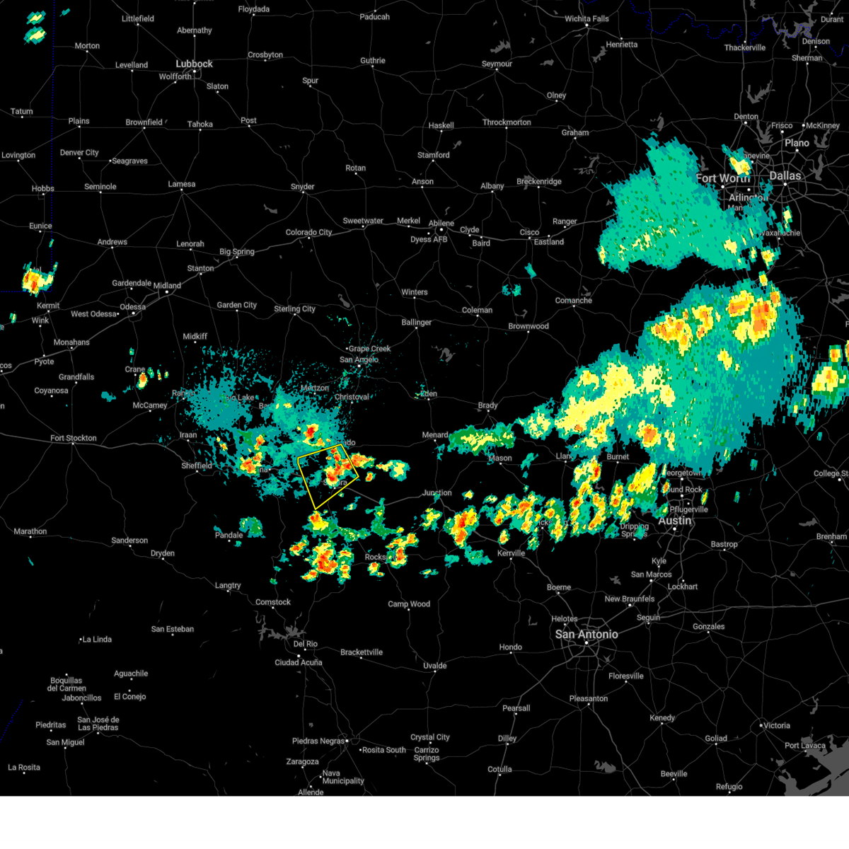 At 530 pm cdt, a severe thunderstorm was located over us-277 near the sutton-schleicher county line, or 9 miles north of sonora, moving southwest at 20 mph (radar indicated). Hazards include 60 mph wind gusts and penny size hail. Expect damage to roofs, siding, and trees. this severe thunderstorm will be near, sonora around 555 pm cdt. other locations impacted by this severe thunderstorm include us- 277 near the sutton-schleicher county line and the intersection of i- 10 and ranch road 1989. this includes interstate 10 between mile markers 383 and 404. hail threat, radar indicated max hail size, 0. 75 in wind threat, radar indicated max wind gust, 60 mph. At 530 pm cdt, a severe thunderstorm was located over us-277 near the sutton-schleicher county line, or 9 miles north of sonora, moving southwest at 20 mph (radar indicated). Hazards include 60 mph wind gusts and penny size hail. Expect damage to roofs, siding, and trees. this severe thunderstorm will be near, sonora around 555 pm cdt. other locations impacted by this severe thunderstorm include us- 277 near the sutton-schleicher county line and the intersection of i- 10 and ranch road 1989. this includes interstate 10 between mile markers 383 and 404. hail threat, radar indicated max hail size, 0. 75 in wind threat, radar indicated max wind gust, 60 mph.
|
| 5/24/2022 7:05 PM CDT | Tea Cup sized hail reported 27.7 miles N of Sonora, TX, spotter reported 3.5 diameter hail on u.s. 277. |
| 5/24/2022 5:36 PM CDT |
 The severe thunderstorm warning for south central schleicher and northwestern sutton counties will expire at 545 pm cdt, the storm which prompted the warning has weakened below severe limits, and no longer poses an immediate threat to life or property. therefore, the warning will be allowed to expire. however small hail and heavy rain are still possible with this thunderstorm. a severe thunderstorm watch remains in effect until 1000 pm cdt for west central texas. The severe thunderstorm warning for south central schleicher and northwestern sutton counties will expire at 545 pm cdt, the storm which prompted the warning has weakened below severe limits, and no longer poses an immediate threat to life or property. therefore, the warning will be allowed to expire. however small hail and heavy rain are still possible with this thunderstorm. a severe thunderstorm watch remains in effect until 1000 pm cdt for west central texas.
|
| 5/24/2022 4:59 PM CDT |
 At 458 pm cdt, a severe thunderstorm was located 13 miles west of sonora, moving east at 30 mph (radar indicated). Hazards include golf ball size hail and 60 mph wind gusts. People and animals outdoors will be injured. expect hail damage to roofs, siding, windows, and vehicles. expect wind damage to roofs, siding, and trees. this severe storm will be near, sonora around 525 pm cdt. other locations impacted by this severe thunderstorm include us- 277 near the sutton-schleicher county line, i-10 near the crockett- sutton county line and the intersection of i-10 and ranch road 1989. this includes interstate 10 between mile markers 380 and 409. thunderstorm damage threat, considerable hail threat, radar indicated max hail size, 1. 75 in wind threat, radar indicated max wind gust, 60 mph. At 458 pm cdt, a severe thunderstorm was located 13 miles west of sonora, moving east at 30 mph (radar indicated). Hazards include golf ball size hail and 60 mph wind gusts. People and animals outdoors will be injured. expect hail damage to roofs, siding, windows, and vehicles. expect wind damage to roofs, siding, and trees. this severe storm will be near, sonora around 525 pm cdt. other locations impacted by this severe thunderstorm include us- 277 near the sutton-schleicher county line, i-10 near the crockett- sutton county line and the intersection of i-10 and ranch road 1989. this includes interstate 10 between mile markers 380 and 409. thunderstorm damage threat, considerable hail threat, radar indicated max hail size, 1. 75 in wind threat, radar indicated max wind gust, 60 mph.
|
| 5/24/2022 4:45 PM CDT |
 At 444 pm cdt, a severe thunderstorm was located 14 miles southeast of ozona, moving east at 25 mph (radar indicated). Hazards include 60 mph wind gusts and half dollar size hail. Hail damage to vehicles is expected. expect wind damage to roofs, siding, and trees. this severe thunderstorm will be near, sonora around 525 pm cdt. other locations impacted by this severe thunderstorm include us- 277 near the sutton-schleicher county line, i-10 near the crockett- sutton county line and the intersection of i-10 and ranch road 1989. this includes interstate 10 between mile markers 376 and 409. hail threat, radar indicated max hail size, 1. 25 in wind threat, radar indicated max wind gust, 60 mph. At 444 pm cdt, a severe thunderstorm was located 14 miles southeast of ozona, moving east at 25 mph (radar indicated). Hazards include 60 mph wind gusts and half dollar size hail. Hail damage to vehicles is expected. expect wind damage to roofs, siding, and trees. this severe thunderstorm will be near, sonora around 525 pm cdt. other locations impacted by this severe thunderstorm include us- 277 near the sutton-schleicher county line, i-10 near the crockett- sutton county line and the intersection of i-10 and ranch road 1989. this includes interstate 10 between mile markers 376 and 409. hail threat, radar indicated max hail size, 1. 25 in wind threat, radar indicated max wind gust, 60 mph.
|
| 4/24/2022 11:07 PM CDT |
 At 1106 pm cdt, a severe thunderstorm was located along the schleicher and sutton county line, about 10 miles northwest of sonora, moving east at 35 mph (radar indicated). Hazards include golf ball size hail and 60 mph wind gusts. People and animals outdoors will be injured. expect hail damage to roofs, siding, windows, and vehicles. expect wind damage to roofs, siding, and trees. this severe thunderstorm will be near, sonora around 1120 pm cdt. other locations impacted by this severe thunderstorm include the intersection of i-10 and ranch road 1989, i-10 near the sutton- kimble county line, us-277 near the sutton- schleicher county line, the intersection of us- 190 and ranch road 2084 and the intersection of ranch road 2596 and ranch road 864. this includes interstate 10 between mile markers 389 and 433. thunderstorm damage threat, considerable hail threat, radar indicated max hail size, 1. 75 in wind threat, radar indicated max wind gust, 60 mph. At 1106 pm cdt, a severe thunderstorm was located along the schleicher and sutton county line, about 10 miles northwest of sonora, moving east at 35 mph (radar indicated). Hazards include golf ball size hail and 60 mph wind gusts. People and animals outdoors will be injured. expect hail damage to roofs, siding, windows, and vehicles. expect wind damage to roofs, siding, and trees. this severe thunderstorm will be near, sonora around 1120 pm cdt. other locations impacted by this severe thunderstorm include the intersection of i-10 and ranch road 1989, i-10 near the sutton- kimble county line, us-277 near the sutton- schleicher county line, the intersection of us- 190 and ranch road 2084 and the intersection of ranch road 2596 and ranch road 864. this includes interstate 10 between mile markers 389 and 433. thunderstorm damage threat, considerable hail threat, radar indicated max hail size, 1. 75 in wind threat, radar indicated max wind gust, 60 mph.
|
| 5/29/2021 3:24 AM CDT |
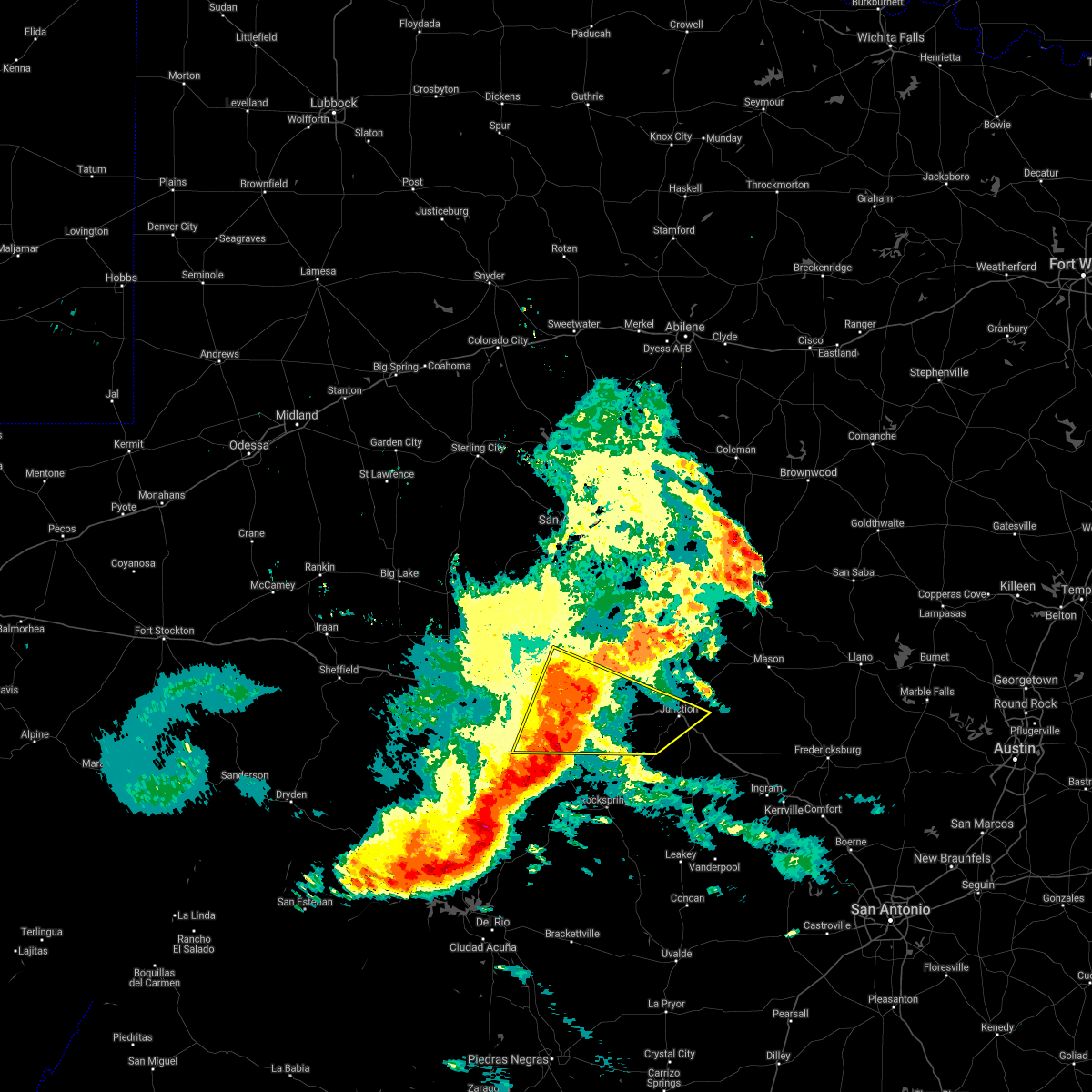 At 324 am cdt, severe thunderstorms were located along a line extending from 15 miles southwest of fort mckavett to 19 miles southeast of sonora, moving east at 35 mph (radar indicated). Hazards include 60 mph wind gusts and nickel size hail. Expect damage to roofs, siding, and trees. these severe storms will be near, roosevelt around 350 am cdt. junction and south llano river state park around 415 am cdt. other locations impacted by these severe thunderstorms include cleo, the intersection of us-277 and ranch road 189, i-10 near the sutton- kkmble county line, us-377 near the kimble- edwards county line and the intersection of ranch road 2596 and ranch road 864. This includes interstate 10 between mile markers 400 and 462. At 324 am cdt, severe thunderstorms were located along a line extending from 15 miles southwest of fort mckavett to 19 miles southeast of sonora, moving east at 35 mph (radar indicated). Hazards include 60 mph wind gusts and nickel size hail. Expect damage to roofs, siding, and trees. these severe storms will be near, roosevelt around 350 am cdt. junction and south llano river state park around 415 am cdt. other locations impacted by these severe thunderstorms include cleo, the intersection of us-277 and ranch road 189, i-10 near the sutton- kkmble county line, us-377 near the kimble- edwards county line and the intersection of ranch road 2596 and ranch road 864. This includes interstate 10 between mile markers 400 and 462.
|
| 5/29/2021 2:58 AM CDT |
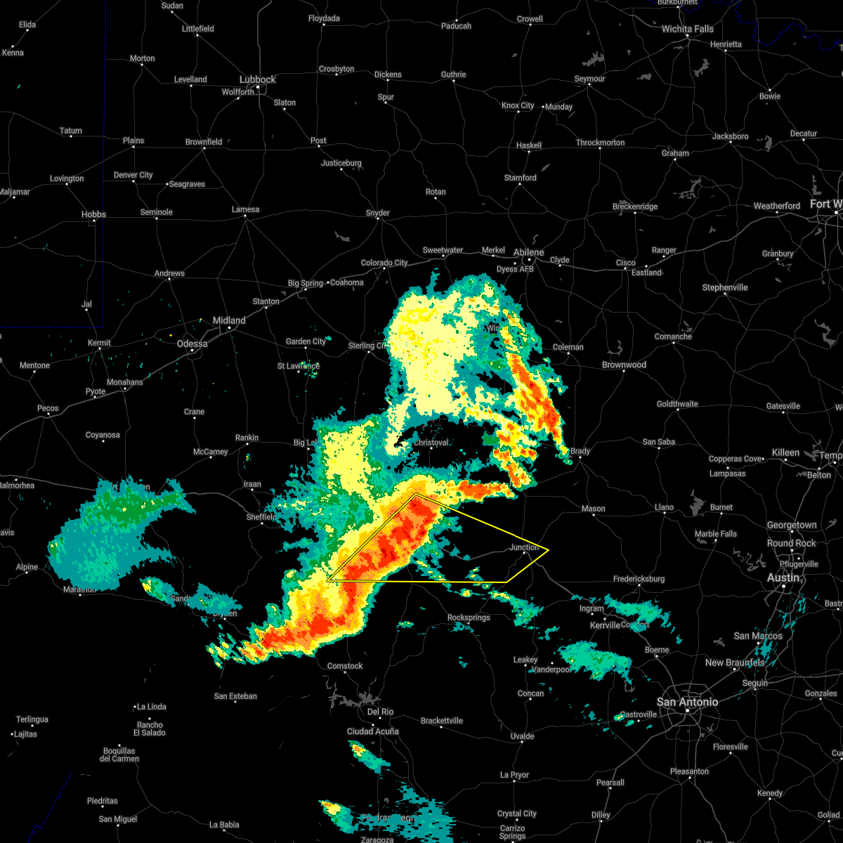 At 257 am cdt, severe thunderstorms were located along a line extending from 11 miles southeast of eldorado to 14 miles north of juno, moving east at 40 mph (radar indicated). Hazards include 70 mph wind gusts and quarter size hail. Hail damage to vehicles is expected. expect considerable tree damage. wind damage is also likely to mobile homes, roofs, and outbuildings. severe thunderstorms will be near, junction around 400 am cdt. other locations impacted by these severe thunderstorms include cleo, us-377 near the kimble-edwards county line, us-277 near the sutton- schleicher county line, the intersection of ranch road 2596 and ranch road 864, the intersection of us- 277 and ranch road 189, the intersection of i- 10 and ranch road 1989 and i-10 near the sutton-kimble county line. This includes interstate 10 between mile markers 384 and 462. At 257 am cdt, severe thunderstorms were located along a line extending from 11 miles southeast of eldorado to 14 miles north of juno, moving east at 40 mph (radar indicated). Hazards include 70 mph wind gusts and quarter size hail. Hail damage to vehicles is expected. expect considerable tree damage. wind damage is also likely to mobile homes, roofs, and outbuildings. severe thunderstorms will be near, junction around 400 am cdt. other locations impacted by these severe thunderstorms include cleo, us-377 near the kimble-edwards county line, us-277 near the sutton- schleicher county line, the intersection of ranch road 2596 and ranch road 864, the intersection of us- 277 and ranch road 189, the intersection of i- 10 and ranch road 1989 and i-10 near the sutton-kimble county line. This includes interstate 10 between mile markers 384 and 462.
|
| 5/29/2021 2:39 AM CDT |
 At 239 am cdt, severe thunderstorms were located along a line extending from near eldorado to 9 miles north of juno, moving east at 45 mph (radar indicated). Hazards include 60 mph wind gusts and nickel size hail. Expect damage to roofs, siding, and trees. locations impacted include, sonora, eldorado, ozona, the intersection of ranch road 1828 and ranch road 915, the intersection of us-190 and ranch road 1828, us- 277 near the sutton- schleicher county line, the intersection of highway 163 and ranch road 1973, the intersection of ranch road 2596 and ranch road 864, i- 10 near the crockett-sutton county line, the intersection of us- 277 and ranch road 189, the intersection of i- 10 and ranch road 1989 and us-190 near the crockett- sutton county line. This includes interstate 10 between mile markers 364 and 432. At 239 am cdt, severe thunderstorms were located along a line extending from near eldorado to 9 miles north of juno, moving east at 45 mph (radar indicated). Hazards include 60 mph wind gusts and nickel size hail. Expect damage to roofs, siding, and trees. locations impacted include, sonora, eldorado, ozona, the intersection of ranch road 1828 and ranch road 915, the intersection of us-190 and ranch road 1828, us- 277 near the sutton- schleicher county line, the intersection of highway 163 and ranch road 1973, the intersection of ranch road 2596 and ranch road 864, i- 10 near the crockett-sutton county line, the intersection of us- 277 and ranch road 189, the intersection of i- 10 and ranch road 1989 and us-190 near the crockett- sutton county line. This includes interstate 10 between mile markers 364 and 432.
|
| 5/29/2021 2:18 AM CDT |
 At 218 am cdt, severe thunderstorms were located along a line extending from 6 miles east of ozona to near pandale, moving southeast at 80 mph (radar indicated). Hazards include 60 mph wind gusts and quarter size hail. Hail damage to vehicles is expected. expect wind damage to roofs, siding, and trees. these severe thunderstorms will remain over mainly rural areas of western schleicher, southwestern kimble, southeastern crockett and sutton counties, including the following locations, the intersection of ranch road 1828 and ranch road 915, the intersection of us-190 and ranch road 1828, the intersection of ranch road 2083 and highway 405, us-277 near the sutton-schleicher county line, the intersection of highway 163 and ranch road 1973, the intersection of ranch road 2596 and ranch road 864, i-10 near the crockett-sutton county line, the intersection of us-277 and ranch road 189, the intersection of i-10 and ranch road 1989 and us-190 near the crockett-sutton county line. This includes interstate 10 between mile markers 355 and 432. At 218 am cdt, severe thunderstorms were located along a line extending from 6 miles east of ozona to near pandale, moving southeast at 80 mph (radar indicated). Hazards include 60 mph wind gusts and quarter size hail. Hail damage to vehicles is expected. expect wind damage to roofs, siding, and trees. these severe thunderstorms will remain over mainly rural areas of western schleicher, southwestern kimble, southeastern crockett and sutton counties, including the following locations, the intersection of ranch road 1828 and ranch road 915, the intersection of us-190 and ranch road 1828, the intersection of ranch road 2083 and highway 405, us-277 near the sutton-schleicher county line, the intersection of highway 163 and ranch road 1973, the intersection of ranch road 2596 and ranch road 864, i-10 near the crockett-sutton county line, the intersection of us-277 and ranch road 189, the intersection of i-10 and ranch road 1989 and us-190 near the crockett-sutton county line. This includes interstate 10 between mile markers 355 and 432.
|
| 5/10/2021 7:42 PM CDT | Tennis Ball sized hail reported 17.9 miles WNW of Sonora, TX, hail measured at least 2 1/4 inches in diameter in southern sutton county. |
| 5/10/2021 7:17 PM CDT |
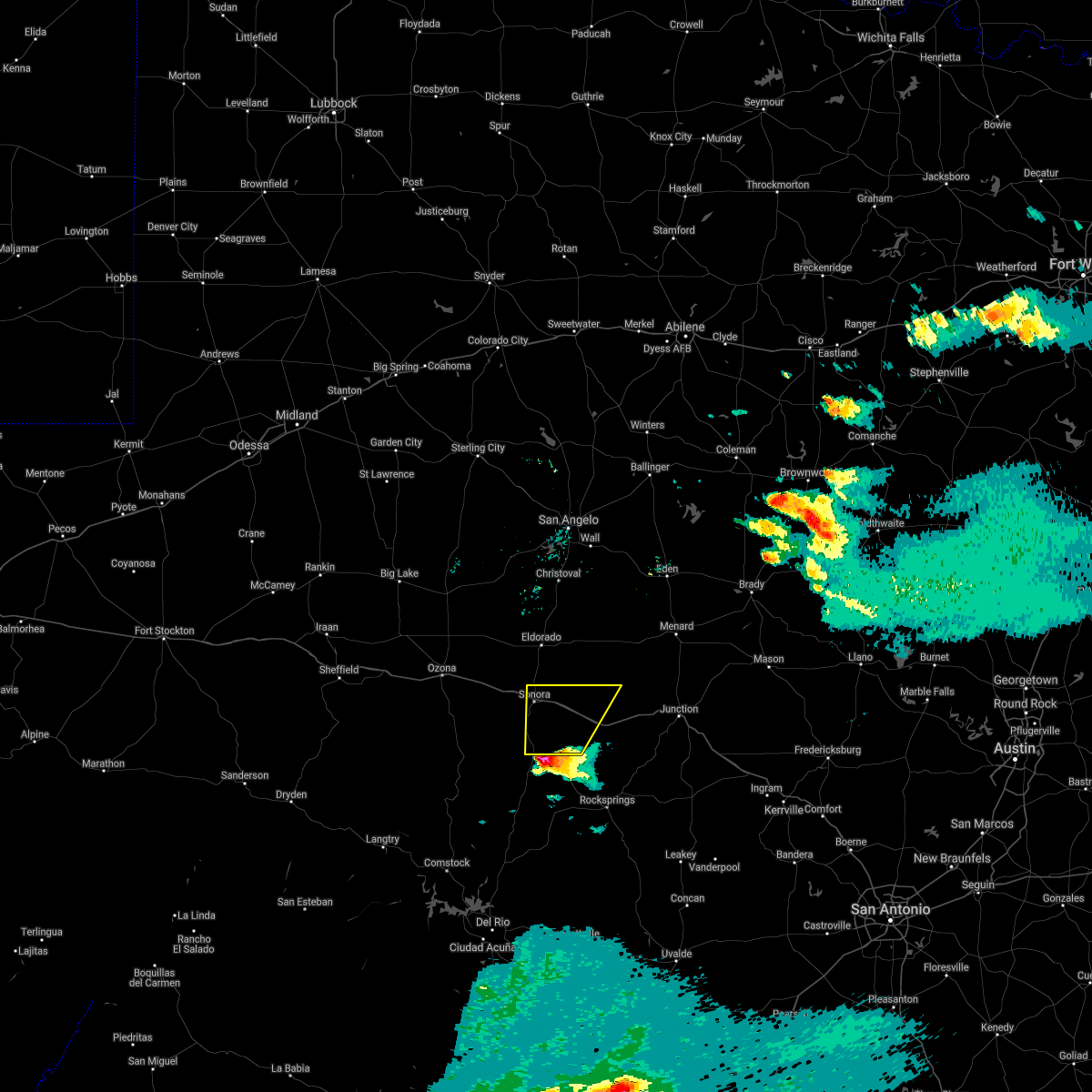 At 714 pm cdt, a severe thunderstorm was entering south-central sutton county, moving northeast at 25 mph (radar indicated). Hazards include half dollar size hail. Damage to vehicles is expected. this severe thunderstorm will remain over mainly rural areas of central sutton county, including the following locations, the intersection of ranch road 2596 and ranch road 864, the intersection of us-277 and ranch road 189 and us-277 near the sutton-edwards county line. This includes interstate 10 between mile markers 397 and 425. At 714 pm cdt, a severe thunderstorm was entering south-central sutton county, moving northeast at 25 mph (radar indicated). Hazards include half dollar size hail. Damage to vehicles is expected. this severe thunderstorm will remain over mainly rural areas of central sutton county, including the following locations, the intersection of ranch road 2596 and ranch road 864, the intersection of us-277 and ranch road 189 and us-277 near the sutton-edwards county line. This includes interstate 10 between mile markers 397 and 425.
|
| 4/15/2021 9:01 AM CDT |
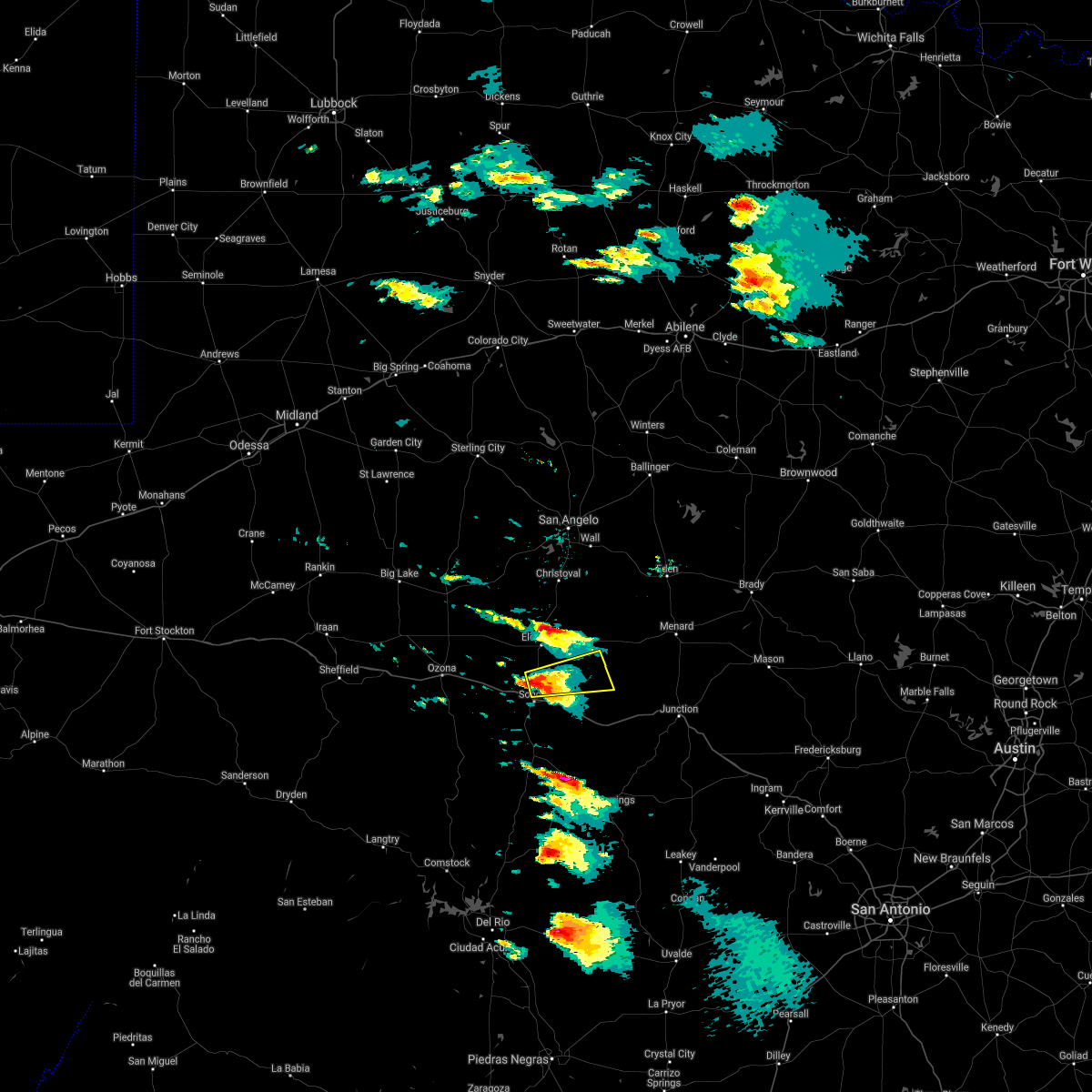 At 900 am cdt, a severe thunderstorm was located 7 miles north of sonora, moving east at 45 mph (radar indicated). Hazards include quarter size hail. Damage to vehicles is expected. This severe thunderstorm will remain over mainly rural areas of southeastern schleicher and northeastern sutton counties, including the following locations, us-277 near the sutton-schleicher county line and the intersection of ranch road 2596 and ranch road 864. At 900 am cdt, a severe thunderstorm was located 7 miles north of sonora, moving east at 45 mph (radar indicated). Hazards include quarter size hail. Damage to vehicles is expected. This severe thunderstorm will remain over mainly rural areas of southeastern schleicher and northeastern sutton counties, including the following locations, us-277 near the sutton-schleicher county line and the intersection of ranch road 2596 and ranch road 864.
|
| 4/15/2021 8:53 AM CDT | Golf Ball sized hail reported 4.8 miles S of Sonora, TX, a report from facebook indicated golf ball size hail... 5 miles north of sonora. |
| 4/15/2021 8:51 AM CDT |
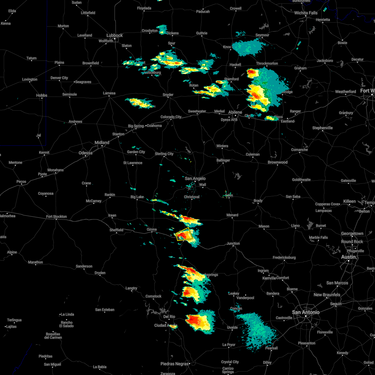 At 850 am cdt, a severe thunderstorm was located near sonora, moving east at 40 mph (radar indicated). Hazards include quarter size hail. Damage to vehicles is expected. this severe thunderstorm will remain over mainly rural areas of southwestern schleicher and north central sutton counties, including the following locations, us-277 near the sutton- schleicher county line. This includes interstate 10 between mile markers 393 and 399. At 850 am cdt, a severe thunderstorm was located near sonora, moving east at 40 mph (radar indicated). Hazards include quarter size hail. Damage to vehicles is expected. this severe thunderstorm will remain over mainly rural areas of southwestern schleicher and north central sutton counties, including the following locations, us-277 near the sutton- schleicher county line. This includes interstate 10 between mile markers 393 and 399.
|
| 4/15/2021 8:35 AM CDT |
 At 835 am cdt, a severe thunderstorm was located 11 miles northwest of sonora, moving east at 20 mph (radar indicated). Hazards include quarter size hail. Damage to vehicles is expected. this severe storm will be near, sonora around 855 am cdt. other locations impacted by this severe thunderstorm include us- 277 near the sutton-schleicher county line and the intersection of i- 10 and ranch road 1989. This includes interstate 10 between mile markers 388 and 412. At 835 am cdt, a severe thunderstorm was located 11 miles northwest of sonora, moving east at 20 mph (radar indicated). Hazards include quarter size hail. Damage to vehicles is expected. this severe storm will be near, sonora around 855 am cdt. other locations impacted by this severe thunderstorm include us- 277 near the sutton-schleicher county line and the intersection of i- 10 and ranch road 1989. This includes interstate 10 between mile markers 388 and 412.
|
| 4/15/2021 8:20 AM CDT |
 At 819 am cdt, a severe thunderstorm was located 15 miles west of sonora, moving east at 20 mph (radar indicated). Hazards include ping pong ball size hail. People and animals outdoors will be injured. expect damage to roofs, siding, windows, and vehicles. this severe thunderstorm will be near, sonora around 855 am cdt. other locations impacted by this severe thunderstorm include us- 277 near the sutton-schleicher county line, i-10 near the crockett- sutton county line and the intersection of i-10 and ranch road 1989. This includes interstate 10 between mile markers 377 and 412. At 819 am cdt, a severe thunderstorm was located 15 miles west of sonora, moving east at 20 mph (radar indicated). Hazards include ping pong ball size hail. People and animals outdoors will be injured. expect damage to roofs, siding, windows, and vehicles. this severe thunderstorm will be near, sonora around 855 am cdt. other locations impacted by this severe thunderstorm include us- 277 near the sutton-schleicher county line, i-10 near the crockett- sutton county line and the intersection of i-10 and ranch road 1989. This includes interstate 10 between mile markers 377 and 412.
|
| 4/12/2021 9:18 PM CDT |
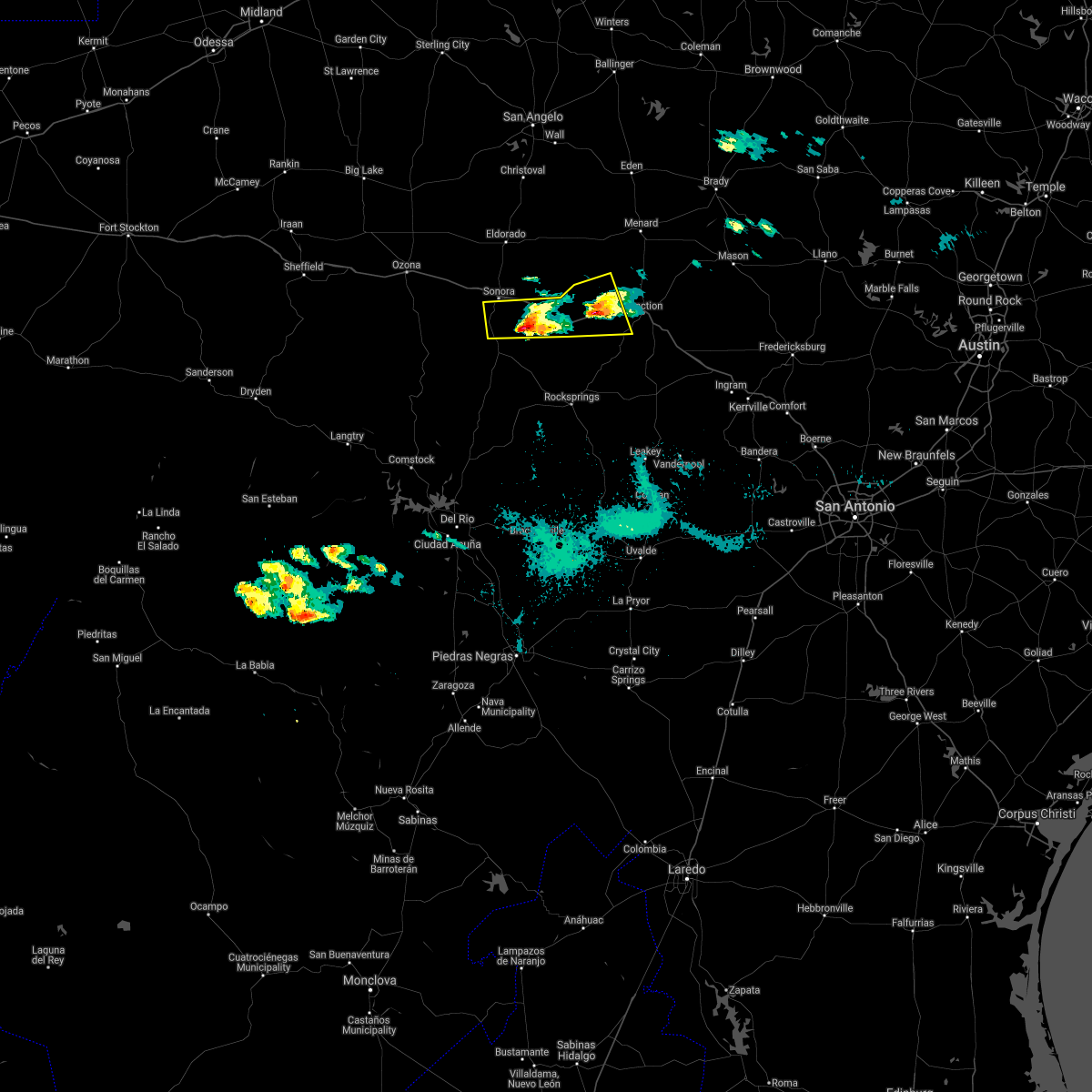 At 916 pm cdt, a severe thunderstorm was located in western kimble county over roosevelt, or 16 miles west of junction, moving east at 15 mph. a second severe thunderstorm was located in southern sutton county 10 miles southeast of sonora, and was also moving east at 15 mph (radar indicated). Hazards include half dollar size hail with both of the storms. Damage to vehicles is expected. this severe thunderstorm will remain over mainly rural areas of western kimble and southeastern sutton counties, including the following locations, i-10 near the sutton- kkmble county line and the intersection of us-277 and ranch road 189. This includes interstate 10 between mile markers 409 and 447. At 916 pm cdt, a severe thunderstorm was located in western kimble county over roosevelt, or 16 miles west of junction, moving east at 15 mph. a second severe thunderstorm was located in southern sutton county 10 miles southeast of sonora, and was also moving east at 15 mph (radar indicated). Hazards include half dollar size hail with both of the storms. Damage to vehicles is expected. this severe thunderstorm will remain over mainly rural areas of western kimble and southeastern sutton counties, including the following locations, i-10 near the sutton- kkmble county line and the intersection of us-277 and ranch road 189. This includes interstate 10 between mile markers 409 and 447.
|
| 4/12/2021 8:46 PM CDT |
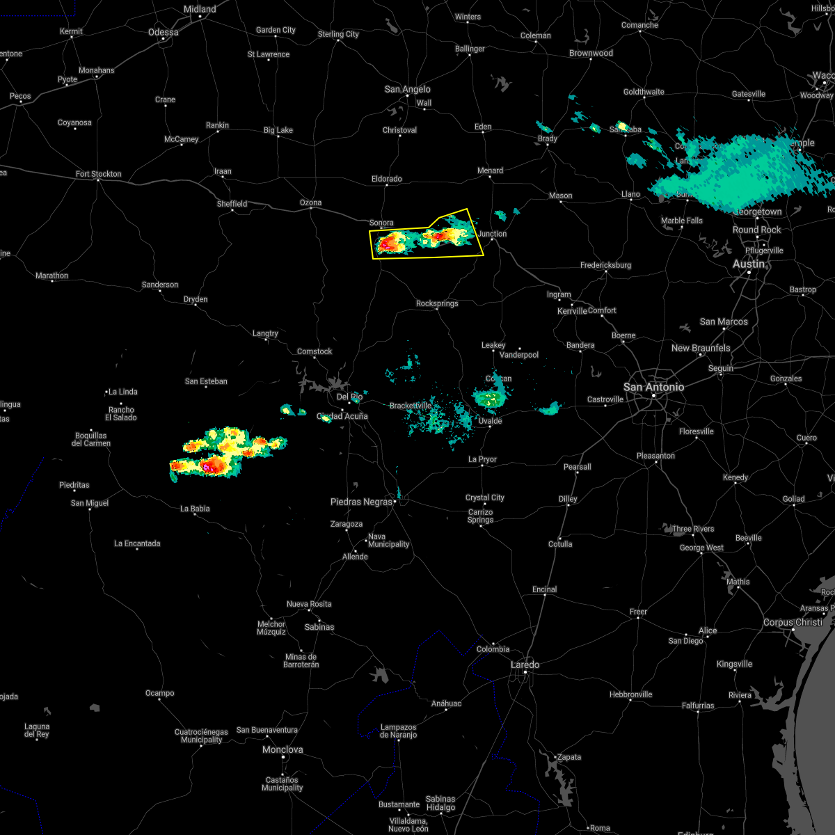 At 843 pm cdt, a severe thunderstorm was located 8 miles west of roosevelt, or 25 miles west of junction, moving northeast at 15 mph. a second severe thunderstorm was located 8 miles south of sonora, and was moving east at 15 mph (radar indicated). Hazards include ping pong ball size hail is expected with both of these storms. People and animals outdoors will be injured. expect damage to roofs, siding, windows, and vehicles. this severe thunderstorm will be near, roosevelt around 910 pm cdt. other locations impacted by this severe thunderstorm include i-10 near the sutton-kimble county line and the intersection of us-277 and ranch road 189. This includes interstate 10 between mile markers 409 and 447. At 843 pm cdt, a severe thunderstorm was located 8 miles west of roosevelt, or 25 miles west of junction, moving northeast at 15 mph. a second severe thunderstorm was located 8 miles south of sonora, and was moving east at 15 mph (radar indicated). Hazards include ping pong ball size hail is expected with both of these storms. People and animals outdoors will be injured. expect damage to roofs, siding, windows, and vehicles. this severe thunderstorm will be near, roosevelt around 910 pm cdt. other locations impacted by this severe thunderstorm include i-10 near the sutton-kimble county line and the intersection of us-277 and ranch road 189. This includes interstate 10 between mile markers 409 and 447.
|
| 3/22/2021 4:31 PM CDT |
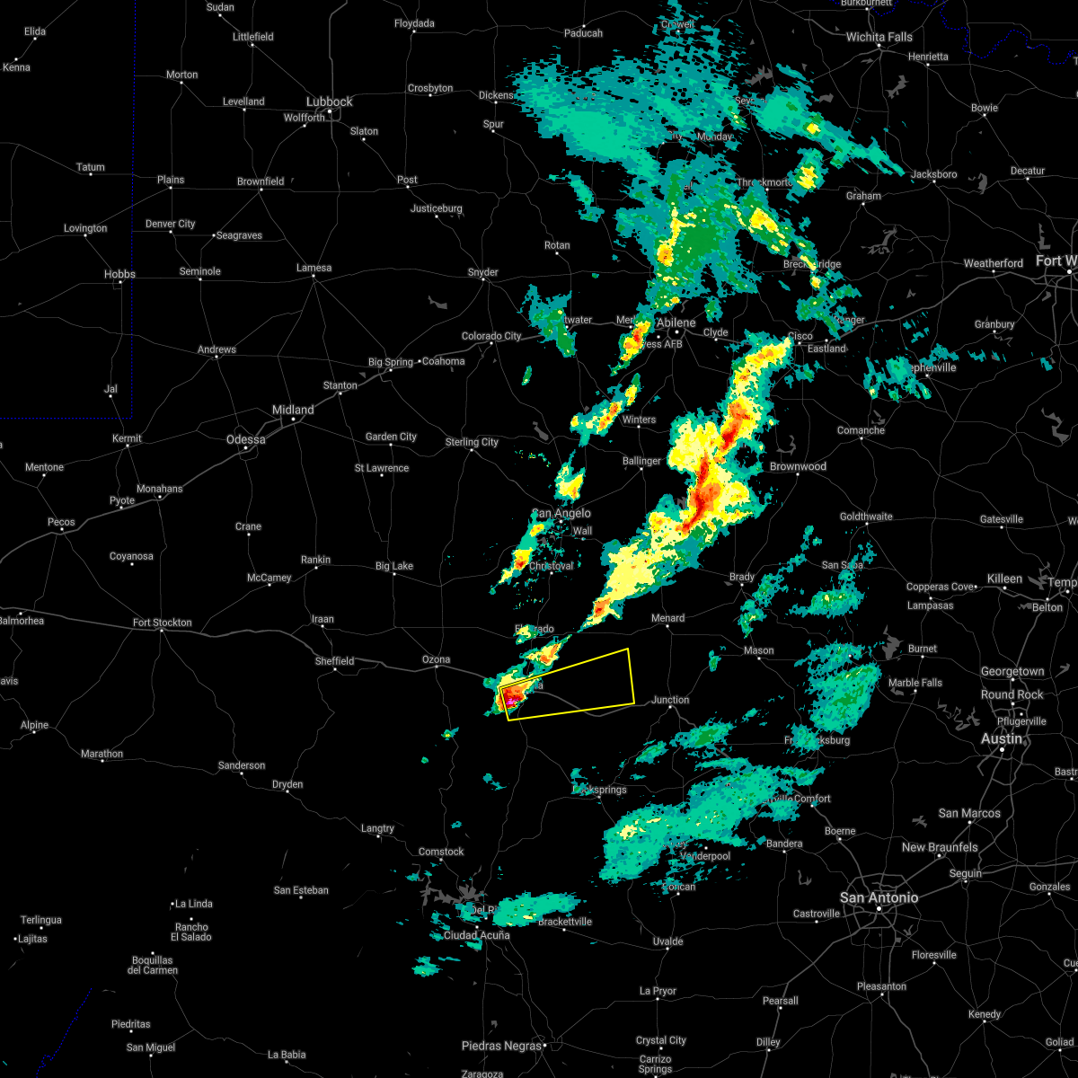 At 431 pm cdt, a severe thunderstorm was located near sonora, moving rapidly east at 65 mph (radar indicated). Hazards include 60 mph wind gusts and quarter size hail. Hail damage to vehicles is expected. expect wind damage to roofs, siding, and trees. this severe thunderstorm will remain over mainly rural areas of southeastern schleicher, northwestern kimble, southwestern menard and northern sutton counties, including the following locations, the intersection of ranch road 2596 and ranch road 864. This includes interstate 10 between mile markers 395 and 421. At 431 pm cdt, a severe thunderstorm was located near sonora, moving rapidly east at 65 mph (radar indicated). Hazards include 60 mph wind gusts and quarter size hail. Hail damage to vehicles is expected. expect wind damage to roofs, siding, and trees. this severe thunderstorm will remain over mainly rural areas of southeastern schleicher, northwestern kimble, southwestern menard and northern sutton counties, including the following locations, the intersection of ranch road 2596 and ranch road 864. This includes interstate 10 between mile markers 395 and 421.
|
| 5/15/2020 7:02 PM CDT |
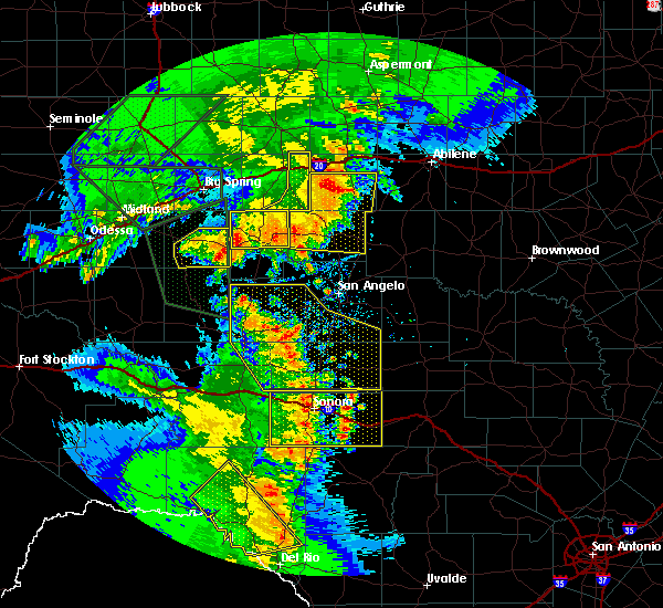 At 659 pm cdt, severe thunderstorms were located along a line extending from 10 miles northeast of sonora to 22 miles northeast of flour mills, moving east at 30 mph (radar indicated). Hazards include 60 mph wind gusts. Expect damage to roofs, siding, and trees. locations impacted include, sonora, us-277 near the sutton- schleicher county line, the intersection of ranch road 2596 and ranch road 864, i-10 near the crockett- sutton county line, the intersection of us- 277 and ranch road 189, the intersection of i- 10 and ranch road 1989, i-10 near the sutton- kimble county line and us-277 near the sutton-edwards county line. This includes interstate 10 between mile markers 380 and 434. At 659 pm cdt, severe thunderstorms were located along a line extending from 10 miles northeast of sonora to 22 miles northeast of flour mills, moving east at 30 mph (radar indicated). Hazards include 60 mph wind gusts. Expect damage to roofs, siding, and trees. locations impacted include, sonora, us-277 near the sutton- schleicher county line, the intersection of ranch road 2596 and ranch road 864, i-10 near the crockett- sutton county line, the intersection of us- 277 and ranch road 189, the intersection of i- 10 and ranch road 1989, i-10 near the sutton- kimble county line and us-277 near the sutton-edwards county line. This includes interstate 10 between mile markers 380 and 434.
|
| 5/15/2020 6:40 PM CDT |
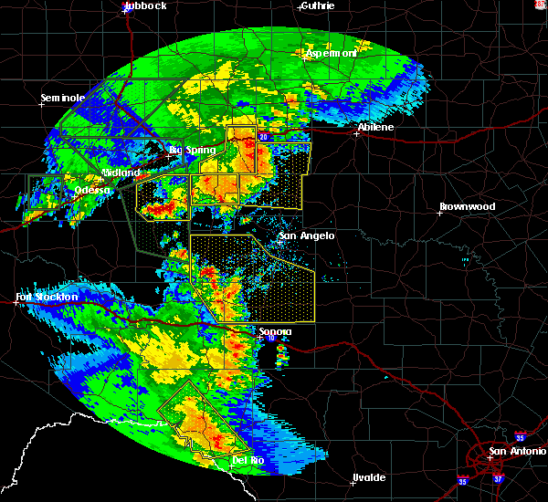 At 638 pm cdt, severe thunderstorms were located along a line extending from 9 miles northwest of sonora to 19 miles north of flour mills, moving east at 30 mph (radar indicated). Hazards include 60 mph wind gusts. Expect damage to roofs, siding, and trees. these severe thunderstorms will remain over mainly rural areas of southern schleicher and sutton counties, including the following locations, us-277 near the sutton-schleicher county line, the intersection of ranch road 2596 and ranch road 864, i-10 near the crockett-sutton county line, the intersection of us-277 and ranch road 189, the intersection of i-10 and ranch road 1989, i-10 near the sutton-kimble county line and us-277 near the sutton-edwards county line. This includes interstate 10 between mile markers 380 and 434. At 638 pm cdt, severe thunderstorms were located along a line extending from 9 miles northwest of sonora to 19 miles north of flour mills, moving east at 30 mph (radar indicated). Hazards include 60 mph wind gusts. Expect damage to roofs, siding, and trees. these severe thunderstorms will remain over mainly rural areas of southern schleicher and sutton counties, including the following locations, us-277 near the sutton-schleicher county line, the intersection of ranch road 2596 and ranch road 864, i-10 near the crockett-sutton county line, the intersection of us-277 and ranch road 189, the intersection of i-10 and ranch road 1989, i-10 near the sutton-kimble county line and us-277 near the sutton-edwards county line. This includes interstate 10 between mile markers 380 and 434.
|
| 10/20/2019 11:40 PM CDT |
 The severe thunderstorm warning for northeastern sutton county will expire at 1145 pm cdt, the storm which prompted the warning has weakened below severe limits, and no longer poses an immediate threat to life or property. therefore, the warning will be allowed to expire. however heavy rain is still possible with this thunderstorm. The severe thunderstorm warning for northeastern sutton county will expire at 1145 pm cdt, the storm which prompted the warning has weakened below severe limits, and no longer poses an immediate threat to life or property. therefore, the warning will be allowed to expire. however heavy rain is still possible with this thunderstorm.
|
| 10/20/2019 11:35 PM CDT |
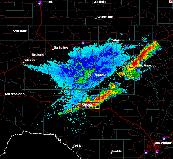 At 1134 pm cdt, a severe thunderstorm was located 16 miles southeast of eldorado, moving east at 30 mph (radar indicated). Hazards include 60 mph wind gusts and quarter size hail. Hail damage to vehicles is expected. expect wind damage to roofs, siding, and trees. locations impacted include, sonora, us-277 near the sutton- schleicher county line and the intersection of ranch road 2596 and ranch road 864. This includes interstate 10 between mile markers 394 and 412. At 1134 pm cdt, a severe thunderstorm was located 16 miles southeast of eldorado, moving east at 30 mph (radar indicated). Hazards include 60 mph wind gusts and quarter size hail. Hail damage to vehicles is expected. expect wind damage to roofs, siding, and trees. locations impacted include, sonora, us-277 near the sutton- schleicher county line and the intersection of ranch road 2596 and ranch road 864. This includes interstate 10 between mile markers 394 and 412.
|
| 10/20/2019 11:07 PM CDT |
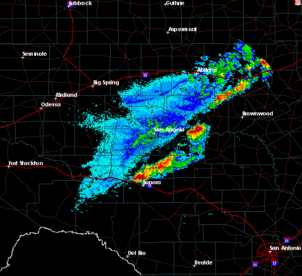 At 1107 pm cdt, a severe thunderstorm was located 10 miles north of sonora, moving east at 30 mph (radar indicated). Hazards include 60 mph wind gusts and quarter size hail. Hail damage to vehicles is expected. expect wind damage to roofs, siding, and trees. this severe thunderstorm will remain over mainly rural areas of southeastern schleicher and northern sutton counties, including the following locations, us-277 near the sutton-schleicher county line, the intersection of ranch road 2596 and ranch road 864 and the intersection of i-10 and ranch road 1989. This includes interstate 10 between mile markers 386 and 412. At 1107 pm cdt, a severe thunderstorm was located 10 miles north of sonora, moving east at 30 mph (radar indicated). Hazards include 60 mph wind gusts and quarter size hail. Hail damage to vehicles is expected. expect wind damage to roofs, siding, and trees. this severe thunderstorm will remain over mainly rural areas of southeastern schleicher and northern sutton counties, including the following locations, us-277 near the sutton-schleicher county line, the intersection of ranch road 2596 and ranch road 864 and the intersection of i-10 and ranch road 1989. This includes interstate 10 between mile markers 386 and 412.
|
| 7/9/2019 8:07 PM CDT |
 At 806 pm cdt, a severe thunderstorm was located 7 miles north of sonora, moving northwest at 10 mph (radar indicated). Hazards include 60 mph wind gusts and half dollar size hail. Hail damage to vehicles is expected. expect wind damage to roofs, siding, and trees. locations impacted include, sonora, us-277 near the sutton- schleicher county line and the intersection of ranch road 2596 and ranch road 864. This includes interstate 10 between mile markers 396 and 413. At 806 pm cdt, a severe thunderstorm was located 7 miles north of sonora, moving northwest at 10 mph (radar indicated). Hazards include 60 mph wind gusts and half dollar size hail. Hail damage to vehicles is expected. expect wind damage to roofs, siding, and trees. locations impacted include, sonora, us-277 near the sutton- schleicher county line and the intersection of ranch road 2596 and ranch road 864. This includes interstate 10 between mile markers 396 and 413.
|
| 7/9/2019 7:52 PM CDT |
 At 744 pm cdt, a severe thunderstorm was located 2 miles southeast sonora, moving northeast at 20 mph. a second storm was 2 miles north of sonora moving west at 5 mph (radar indicated). Hazards include ping pong ball size hail and 60 mph wind gusts. People and animals outdoors will be injured. expect hail damage to roofs, siding, windows, and vehicles. expect wind damage to roofs, siding, and trees. this severe thunderstorm will remain over mainly rural areas of north central sutton county, including the following locations, us-277 near the sutton-schleicher county line and the intersection of ranch road 2596 and ranch road 864. This includes interstate 10 between mile markers 396 and 413. At 744 pm cdt, a severe thunderstorm was located 2 miles southeast sonora, moving northeast at 20 mph. a second storm was 2 miles north of sonora moving west at 5 mph (radar indicated). Hazards include ping pong ball size hail and 60 mph wind gusts. People and animals outdoors will be injured. expect hail damage to roofs, siding, windows, and vehicles. expect wind damage to roofs, siding, and trees. this severe thunderstorm will remain over mainly rural areas of north central sutton county, including the following locations, us-277 near the sutton-schleicher county line and the intersection of ranch road 2596 and ranch road 864. This includes interstate 10 between mile markers 396 and 413.
|
| 7/9/2019 7:45 PM CDT |
 At 744 pm cdt, a severe thunderstorm was located 2 miles southeast sonora, moving northeast at 20 mph. a second storm was 2 miles north of sonora moving west at 5 mph (radar indicated). Hazards include ping pong ball size hail and 60 mph wind gusts. People and animals outdoors will be injured. expect hail damage to roofs, siding, windows, and vehicles. expect wind damage to roofs, siding, and trees. this severe thunderstorm will remain over mainly rural areas of north central sutton county, including the following locations, us-277 near the sutton-schleicher county line and the intersection of ranch road 2596 and ranch road 864. This includes interstate 10 between mile markers 396 and 413. At 744 pm cdt, a severe thunderstorm was located 2 miles southeast sonora, moving northeast at 20 mph. a second storm was 2 miles north of sonora moving west at 5 mph (radar indicated). Hazards include ping pong ball size hail and 60 mph wind gusts. People and animals outdoors will be injured. expect hail damage to roofs, siding, windows, and vehicles. expect wind damage to roofs, siding, and trees. this severe thunderstorm will remain over mainly rural areas of north central sutton county, including the following locations, us-277 near the sutton-schleicher county line and the intersection of ranch road 2596 and ranch road 864. This includes interstate 10 between mile markers 396 and 413.
|
| 5/30/2019 7:40 PM CDT | Golf Ball sized hail reported 26.4 miles NNW of Sonora, TX, public report on twitter showing hail covering the ground in northern edwards co along hwy 55. pictures in tweet show at least 1.25 inch hail and tweet mentions 1.75 in |
| 5/29/2019 4:31 PM CDT |
 At 430 pm cdt, a severe thunderstorm was located 7 miles north of sonora, moving east at 30 mph (radar indicated). Hazards include 60 mph wind gusts and quarter size hail. Hail damage to vehicles is expected. expect wind damage to roofs, siding, and trees. this severe storm will be near, sonora around 435 pm cdt. other locations impacted by this severe thunderstorm include us- 277 near the sutton-schleicher county line and the intersection of i- 10 and ranch road 1989. This includes interstate 10 between mile markers 391 and 410. At 430 pm cdt, a severe thunderstorm was located 7 miles north of sonora, moving east at 30 mph (radar indicated). Hazards include 60 mph wind gusts and quarter size hail. Hail damage to vehicles is expected. expect wind damage to roofs, siding, and trees. this severe storm will be near, sonora around 435 pm cdt. other locations impacted by this severe thunderstorm include us- 277 near the sutton-schleicher county line and the intersection of i- 10 and ranch road 1989. This includes interstate 10 between mile markers 391 and 410.
|
| 5/29/2019 4:15 PM CDT |
 At 414 pm cdt, a severe thunderstorm was located 13 miles northwest of sonora, moving southeast at 30 mph (radar indicated). Hazards include golf ball size hail and 60 mph wind gusts. People and animals outdoors will be injured. expect hail damage to roofs, siding, windows, and vehicles. expect wind damage to roofs, siding, and trees. this severe thunderstorm will be near, sonora around 435 pm cdt. other locations impacted by this severe thunderstorm include us- 277 near the sutton-schleicher county line and the intersection of i- 10 and ranch road 1989. This includes interstate 10 between mile markers 383 and 410. At 414 pm cdt, a severe thunderstorm was located 13 miles northwest of sonora, moving southeast at 30 mph (radar indicated). Hazards include golf ball size hail and 60 mph wind gusts. People and animals outdoors will be injured. expect hail damage to roofs, siding, windows, and vehicles. expect wind damage to roofs, siding, and trees. this severe thunderstorm will be near, sonora around 435 pm cdt. other locations impacted by this severe thunderstorm include us- 277 near the sutton-schleicher county line and the intersection of i- 10 and ranch road 1989. This includes interstate 10 between mile markers 383 and 410.
|
| 5/8/2019 1:23 AM CDT |
 At 122 am cdt, a severe thunderstorm capable of producing a tornado was located over sonora, moving east at 25 mph (radar indicated rotation). Hazards include tornado and ping pong ball size hail. Flying debris will be dangerous to those caught without shelter. mobile homes will be damaged or destroyed. damage to roofs, windows, and vehicles will occur. tree damage is likely. this tornadic thunderstorm will remain over mainly rural areas of central sutton county, including the following locations, the intersection of ranch road 2596 and ranch road 864. This includes interstate 10 between mile markers 397 and 419. At 122 am cdt, a severe thunderstorm capable of producing a tornado was located over sonora, moving east at 25 mph (radar indicated rotation). Hazards include tornado and ping pong ball size hail. Flying debris will be dangerous to those caught without shelter. mobile homes will be damaged or destroyed. damage to roofs, windows, and vehicles will occur. tree damage is likely. this tornadic thunderstorm will remain over mainly rural areas of central sutton county, including the following locations, the intersection of ranch road 2596 and ranch road 864. This includes interstate 10 between mile markers 397 and 419.
|
| 5/8/2019 1:04 AM CDT |
 At 103 am cdt, a severe thunderstorm was located 7 miles west of sonora, moving east at 25 mph (radar indicated). Hazards include ping pong ball size hail and 60 mph wind gusts. People and animals outdoors will be injured. expect hail damage to roofs, siding, windows, and vehicles. expect wind damage to roofs, siding, and trees. this severe storm will be near, sonora around 120 am cdt. other locations impacted by this severe thunderstorm include us- 277 near the sutton-schleicher county line and the intersection of i- 10 and ranch road 1989. This includes interstate 10 between mile markers 383 and 408. At 103 am cdt, a severe thunderstorm was located 7 miles west of sonora, moving east at 25 mph (radar indicated). Hazards include ping pong ball size hail and 60 mph wind gusts. People and animals outdoors will be injured. expect hail damage to roofs, siding, windows, and vehicles. expect wind damage to roofs, siding, and trees. this severe storm will be near, sonora around 120 am cdt. other locations impacted by this severe thunderstorm include us- 277 near the sutton-schleicher county line and the intersection of i- 10 and ranch road 1989. This includes interstate 10 between mile markers 383 and 408.
|
| 5/8/2019 12:51 AM CDT |
 At 1249 am cdt, a severe thunderstorm was located 12 miles west of sonora, moving east at 25 mph (radar indicated). Hazards include tennis ball size hail and 60 mph wind gusts. People and animals outdoors will be injured. expect hail damage to roofs, siding, windows, and vehicles. expect wind damage to roofs, siding, and trees. this severe storm will be near, sonora around 115 am cdt. other locations impacted by this severe thunderstorm include us- 277 near the sutton-schleicher county line and the intersection of i- 10 and ranch road 1989. This includes interstate 10 between mile markers 383 and 408. At 1249 am cdt, a severe thunderstorm was located 12 miles west of sonora, moving east at 25 mph (radar indicated). Hazards include tennis ball size hail and 60 mph wind gusts. People and animals outdoors will be injured. expect hail damage to roofs, siding, windows, and vehicles. expect wind damage to roofs, siding, and trees. this severe storm will be near, sonora around 115 am cdt. other locations impacted by this severe thunderstorm include us- 277 near the sutton-schleicher county line and the intersection of i- 10 and ranch road 1989. This includes interstate 10 between mile markers 383 and 408.
|
| 5/8/2019 12:41 AM CDT |
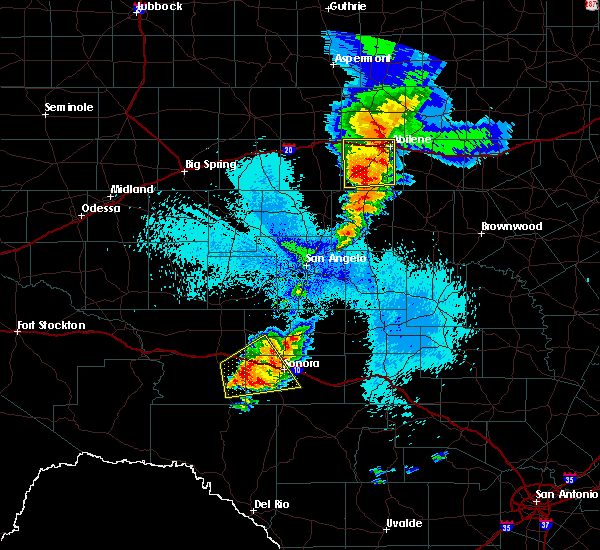 At 1241 am cdt, a severe thunderstorm was located 16 miles west of sonora, moving east at 25 mph (radar indicated). Hazards include golf ball size hail and 60 mph wind gusts. People and animals outdoors will be injured. expect hail damage to roofs, siding, windows, and vehicles. expect wind damage to roofs, siding, and trees. this severe thunderstorm will be near, sonora around 115 am cdt. other locations impacted by this severe thunderstorm include us- 277 near the sutton-schleicher county line and the intersection of i- 10 and ranch road 1989. This includes interstate 10 between mile markers 383 and 408. At 1241 am cdt, a severe thunderstorm was located 16 miles west of sonora, moving east at 25 mph (radar indicated). Hazards include golf ball size hail and 60 mph wind gusts. People and animals outdoors will be injured. expect hail damage to roofs, siding, windows, and vehicles. expect wind damage to roofs, siding, and trees. this severe thunderstorm will be near, sonora around 115 am cdt. other locations impacted by this severe thunderstorm include us- 277 near the sutton-schleicher county line and the intersection of i- 10 and ranch road 1989. This includes interstate 10 between mile markers 383 and 408.
|
| 5/8/2019 12:27 AM CDT |
 At 1226 am cdt, a severe thunderstorm was located 16 miles southeast of ozona, moving east at 25 mph (radar indicated). Hazards include 60 mph wind gusts and quarter size hail. Hail damage to vehicles is expected. expect wind damage to roofs, siding, and trees. this severe thunderstorm will remain over mainly rural areas of southwestern schleicher, southeastern crockett and northwestern sutton counties, including the following locations, i-10 near the crockett-sutton county line and the intersection of i-10 and ranch road 1989. This includes interstate 10 between mile markers 373 and 403. At 1226 am cdt, a severe thunderstorm was located 16 miles southeast of ozona, moving east at 25 mph (radar indicated). Hazards include 60 mph wind gusts and quarter size hail. Hail damage to vehicles is expected. expect wind damage to roofs, siding, and trees. this severe thunderstorm will remain over mainly rural areas of southwestern schleicher, southeastern crockett and northwestern sutton counties, including the following locations, i-10 near the crockett-sutton county line and the intersection of i-10 and ranch road 1989. This includes interstate 10 between mile markers 373 and 403.
|
| 5/8/2019 12:02 AM CDT |
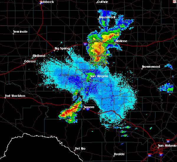 At 1200 am cdt, a severe thunderstorm was located 14 miles southeast of ozona, moving northeast at 25 mph (radar indicated). Hazards include 60 mph wind gusts and half dollar size hail. Hail damage to vehicles is expected. expect wind damage to roofs, siding, and trees. this severe thunderstorm will remain over mainly rural areas of southwestern schleicher, southeastern crockett and northwestern sutton counties, including the following locations, the intersection of highway 163 and ranch road 1973, i-10 near the crockett-sutton county line and the intersection of i-10 and ranch road 1989. This includes interstate 10 between mile markers 373 and 403. At 1200 am cdt, a severe thunderstorm was located 14 miles southeast of ozona, moving northeast at 25 mph (radar indicated). Hazards include 60 mph wind gusts and half dollar size hail. Hail damage to vehicles is expected. expect wind damage to roofs, siding, and trees. this severe thunderstorm will remain over mainly rural areas of southwestern schleicher, southeastern crockett and northwestern sutton counties, including the following locations, the intersection of highway 163 and ranch road 1973, i-10 near the crockett-sutton county line and the intersection of i-10 and ranch road 1989. This includes interstate 10 between mile markers 373 and 403.
|
| 5/2/2019 1:09 PM CDT |
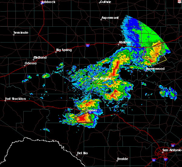 At 106 pm cdt, a severe thunderstorm was located 11 miles southwest of sonora, moving east at 5 mph (radar indicated). Hazards include ping pong ball size hail and 60 mph wind gusts. People and animals outdoors will be injured. expect hail damage to roofs, siding, windows, and vehicles. expect wind damage to roofs, siding, and trees. Locations impacted include, sonora and the intersection of us-277 and ranch road 189. At 106 pm cdt, a severe thunderstorm was located 11 miles southwest of sonora, moving east at 5 mph (radar indicated). Hazards include ping pong ball size hail and 60 mph wind gusts. People and animals outdoors will be injured. expect hail damage to roofs, siding, windows, and vehicles. expect wind damage to roofs, siding, and trees. Locations impacted include, sonora and the intersection of us-277 and ranch road 189.
|
| 5/2/2019 12:52 PM CDT |
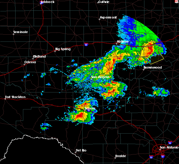 At 1251 pm cdt, a severe thunderstorm was located 13 miles southwest of sonora, moving northeast at 5 mph (radar indicated). Hazards include ping pong ball size hail and 60 mph wind gusts. People and animals outdoors will be injured. expect hail damage to roofs, siding, windows, and vehicles. expect wind damage to roofs, siding, and trees. this severe thunderstorm will remain over mainly rural areas of western sutton county, including the following locations, the intersection of us-277 and ranch road 189. This includes interstate 10 between mile markers 395 and 403. At 1251 pm cdt, a severe thunderstorm was located 13 miles southwest of sonora, moving northeast at 5 mph (radar indicated). Hazards include ping pong ball size hail and 60 mph wind gusts. People and animals outdoors will be injured. expect hail damage to roofs, siding, windows, and vehicles. expect wind damage to roofs, siding, and trees. this severe thunderstorm will remain over mainly rural areas of western sutton county, including the following locations, the intersection of us-277 and ranch road 189. This includes interstate 10 between mile markers 395 and 403.
|
| 6/3/2018 4:50 PM CDT |
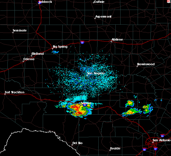 At 448 pm cdt, a severe thunderstorm was located 13 miles southwest of sonora, moving west at 10 mph (radar indicated). Hazards include two inch hail and 60 mph wind gusts. People and animals outdoors will be injured. expect hail damage to roofs, siding, windows, and vehicles. expect wind damage to roofs, siding, and trees. locations impacted include, sonora and highway 277. Drivers on 277 south of sonora should expect large hail and gusty winds. At 448 pm cdt, a severe thunderstorm was located 13 miles southwest of sonora, moving west at 10 mph (radar indicated). Hazards include two inch hail and 60 mph wind gusts. People and animals outdoors will be injured. expect hail damage to roofs, siding, windows, and vehicles. expect wind damage to roofs, siding, and trees. locations impacted include, sonora and highway 277. Drivers on 277 south of sonora should expect large hail and gusty winds.
|
| 6/3/2018 4:40 PM CDT |
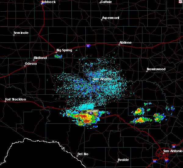 At 437 pm cdt, a severe thunderstorm was located 12 miles south of sonora, moving west at 10 mph (radar indicated). Hazards include ping pong ball size hail and 60 mph wind gusts. People and animals outdoors will be injured. expect hail damage to roofs, siding, windows, and vehicles. expect wind damage to roofs, siding, and trees. locations impacted include, sonora, and will soon cross highway 277. Motorists driving on 277 south of sonora should be prepared for large hail and gusty winds. At 437 pm cdt, a severe thunderstorm was located 12 miles south of sonora, moving west at 10 mph (radar indicated). Hazards include ping pong ball size hail and 60 mph wind gusts. People and animals outdoors will be injured. expect hail damage to roofs, siding, windows, and vehicles. expect wind damage to roofs, siding, and trees. locations impacted include, sonora, and will soon cross highway 277. Motorists driving on 277 south of sonora should be prepared for large hail and gusty winds.
|
| 6/3/2018 4:21 PM CDT |
 At 420 pm cdt, a severe thunderstorm was located 10 miles south of sonora, moving west at 10 mph (radar indicated). Hazards include 60 mph wind gusts and quarter size hail. Hail damage to vehicles is expected. expect wind damage to roofs, siding, and trees. this severe thunderstorm will remain over mainly rural areas of central sutton county, including the following locations, the intersection of us-277 and ranch road 189, us-277 near the sutton-schleicher county line, the intersection of ranch road 2596 and ranch road 864 and us-277 near the sutton-edwards county line. This includes interstate 10 between mile markers 393 and 420. At 420 pm cdt, a severe thunderstorm was located 10 miles south of sonora, moving west at 10 mph (radar indicated). Hazards include 60 mph wind gusts and quarter size hail. Hail damage to vehicles is expected. expect wind damage to roofs, siding, and trees. this severe thunderstorm will remain over mainly rural areas of central sutton county, including the following locations, the intersection of us-277 and ranch road 189, us-277 near the sutton-schleicher county line, the intersection of ranch road 2596 and ranch road 864 and us-277 near the sutton-edwards county line. This includes interstate 10 between mile markers 393 and 420.
|
| 6/2/2018 8:36 PM CDT |
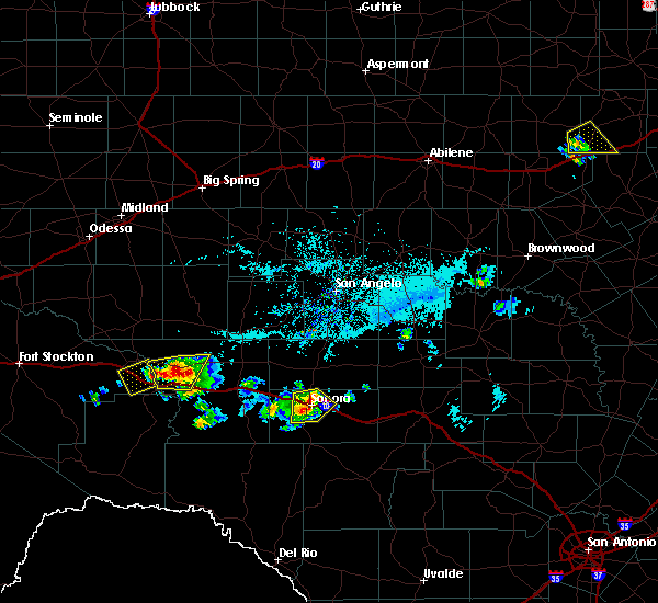 At 834 pm cdt, a severe thunderstorm was located near sonora, moving southeast at 10 mph (radar indicated). Hazards include 60 mph wind gusts and quarter size hail. Hail damage to vehicles is expected. expect wind damage to roofs, siding, and trees. this severe storm will be near, sonora around 845 pm cdt. Other locations impacted by this severe thunderstorm include the intersection of i-10 and ranch road 1989. At 834 pm cdt, a severe thunderstorm was located near sonora, moving southeast at 10 mph (radar indicated). Hazards include 60 mph wind gusts and quarter size hail. Hail damage to vehicles is expected. expect wind damage to roofs, siding, and trees. this severe storm will be near, sonora around 845 pm cdt. Other locations impacted by this severe thunderstorm include the intersection of i-10 and ranch road 1989.
|
| 6/2/2018 8:23 PM CDT |
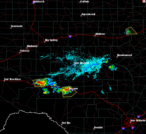 At 822 pm cdt, a severe thunderstorm was located near sonora, moving southeast at 10 mph (radar indicated). Hazards include 60 mph wind gusts and quarter size hail. Hail damage to vehicles is expected. expect wind damage to roofs, siding, and trees. this severe storm will be near, sonora around 845 pm cdt. Other locations impacted by this severe thunderstorm include the intersection of us-277 and ranch road 189 and the intersection of i- 10 and ranch road 1989. At 822 pm cdt, a severe thunderstorm was located near sonora, moving southeast at 10 mph (radar indicated). Hazards include 60 mph wind gusts and quarter size hail. Hail damage to vehicles is expected. expect wind damage to roofs, siding, and trees. this severe storm will be near, sonora around 845 pm cdt. Other locations impacted by this severe thunderstorm include the intersection of us-277 and ranch road 189 and the intersection of i- 10 and ranch road 1989.
|
| 6/2/2018 8:04 PM CDT |
 At 802 pm cdt, a severe thunderstorm was located 9 miles northwest of sonora, moving southeast at 10 mph (radar indicated). Hazards include ping pong ball size hail and 60 mph wind gusts. People and animals outdoors will be injured. expect hail damage to roofs, siding, windows, and vehicles. expect wind damage to roofs, siding, and trees. this severe thunderstorm will be near, sonora around 845 pm cdt. other locations impacted by this severe thunderstorm include i- 10 near the crockett-sutton county line, the intersection of us- 277 and ranch road 189, the intersection of i- 10 and ranch road 1989 and us-277 near the sutton- schleicher county line. This includes interstate 10 between mile markers 380 and 419. At 802 pm cdt, a severe thunderstorm was located 9 miles northwest of sonora, moving southeast at 10 mph (radar indicated). Hazards include ping pong ball size hail and 60 mph wind gusts. People and animals outdoors will be injured. expect hail damage to roofs, siding, windows, and vehicles. expect wind damage to roofs, siding, and trees. this severe thunderstorm will be near, sonora around 845 pm cdt. other locations impacted by this severe thunderstorm include i- 10 near the crockett-sutton county line, the intersection of us- 277 and ranch road 189, the intersection of i- 10 and ranch road 1989 and us-277 near the sutton- schleicher county line. This includes interstate 10 between mile markers 380 and 419.
|
| 5/3/2018 7:39 AM CDT |
 At 739 am cdt, a severe thunderstorm was located over sonora, moving east at 30 mph (radar indicated). Hazards include 60 mph wind gusts. Expect damage to roofs, siding, and trees. This severe thunderstorm will remain over mainly rural areas of south central schleicher and central sutton counties, including the following locations: us-277 near the sutton-schleicher county line and the intersection of ranch road 2596 and ranch road 864. At 739 am cdt, a severe thunderstorm was located over sonora, moving east at 30 mph (radar indicated). Hazards include 60 mph wind gusts. Expect damage to roofs, siding, and trees. This severe thunderstorm will remain over mainly rural areas of south central schleicher and central sutton counties, including the following locations: us-277 near the sutton-schleicher county line and the intersection of ranch road 2596 and ranch road 864.
|
| 5/3/2018 7:28 AM CDT |
 At 727 am cdt, a severe thunderstorm was located near sonora, moving east at 30 mph (radar indicated). Hazards include 60 mph wind gusts and penny size hail. Expect damage to roofs, siding, and trees. this severe storm will be near, sonora around 735 am cdt. Other locations impacted by this severe thunderstorm include us- 277 near the sutton- schleicher county line, the intersection of ranch road 2596 and ranch road 864 and the intersection of i-10 and ranch road 1989. At 727 am cdt, a severe thunderstorm was located near sonora, moving east at 30 mph (radar indicated). Hazards include 60 mph wind gusts and penny size hail. Expect damage to roofs, siding, and trees. this severe storm will be near, sonora around 735 am cdt. Other locations impacted by this severe thunderstorm include us- 277 near the sutton- schleicher county line, the intersection of ranch road 2596 and ranch road 864 and the intersection of i-10 and ranch road 1989.
|
| 5/3/2018 7:17 AM CDT |
 At 716 am cdt, a severe thunderstorm was located 9 miles west of sonora, moving east at 30 mph (radar indicated). Hazards include 60 mph wind gusts and quarter size hail. Hail damage to vehicles is expected. expect wind damage to roofs, siding, and trees. this severe thunderstorm will be near, sonora around 735 am cdt. other locations impacted by this severe thunderstorm include us- 277 near the sutton- schleicher county line, the intersection of ranch road 2596 and ranch road 864 and the intersection of i-10 and ranch road 1989. This includes interstate 10 between mile markers 382 and 420. At 716 am cdt, a severe thunderstorm was located 9 miles west of sonora, moving east at 30 mph (radar indicated). Hazards include 60 mph wind gusts and quarter size hail. Hail damage to vehicles is expected. expect wind damage to roofs, siding, and trees. this severe thunderstorm will be near, sonora around 735 am cdt. other locations impacted by this severe thunderstorm include us- 277 near the sutton- schleicher county line, the intersection of ranch road 2596 and ranch road 864 and the intersection of i-10 and ranch road 1989. This includes interstate 10 between mile markers 382 and 420.
|
| 5/2/2018 11:59 PM CDT |
 At 1159 pm cdt, a severe thunderstorm was located 13 miles northwest of sonora, moving northeast at 40 mph (radar indicated). Hazards include ping pong ball size hail and 60 mph wind gusts. People and animals outdoors will be injured. expect hail damage to roofs, siding, windows, and vehicles. expect wind damage to roofs, siding, and trees. This severe thunderstorm will remain over mainly rural areas of southwestern schleicher, southeastern crockett and northwestern sutton counties, including the following locations: the intersection of highway 163 and ranch road 1973, i-10 near the crockett-sutton county line and the intersection of i-10 and ranch road 1989. At 1159 pm cdt, a severe thunderstorm was located 13 miles northwest of sonora, moving northeast at 40 mph (radar indicated). Hazards include ping pong ball size hail and 60 mph wind gusts. People and animals outdoors will be injured. expect hail damage to roofs, siding, windows, and vehicles. expect wind damage to roofs, siding, and trees. This severe thunderstorm will remain over mainly rural areas of southwestern schleicher, southeastern crockett and northwestern sutton counties, including the following locations: the intersection of highway 163 and ranch road 1973, i-10 near the crockett-sutton county line and the intersection of i-10 and ranch road 1989.
|
| 5/2/2018 11:28 PM CDT |
 At 1128 pm cdt, a severe thunderstorm was located 16 miles south of ozona, moving northeast at 40 mph (radar indicated). Hazards include ping pong ball size hail and 60 mph wind gusts. People and animals outdoors will be injured. expect hail damage to roofs, siding, windows, and vehicles. expect wind damage to roofs, siding, and trees. this severe thunderstorm will remain over mainly rural areas of southwestern schleicher, southeastern crockett and northwestern sutton counties, including the following locations: the intersection of highway 163 and ranch road 1973, i-10 near the crockett-sutton county line and the intersection of i-10 and ranch road 1989. This includes interstate 10 between mile markers 362 and 401. At 1128 pm cdt, a severe thunderstorm was located 16 miles south of ozona, moving northeast at 40 mph (radar indicated). Hazards include ping pong ball size hail and 60 mph wind gusts. People and animals outdoors will be injured. expect hail damage to roofs, siding, windows, and vehicles. expect wind damage to roofs, siding, and trees. this severe thunderstorm will remain over mainly rural areas of southwestern schleicher, southeastern crockett and northwestern sutton counties, including the following locations: the intersection of highway 163 and ranch road 1973, i-10 near the crockett-sutton county line and the intersection of i-10 and ranch road 1989. This includes interstate 10 between mile markers 362 and 401.
|
| 5/2/2018 8:41 PM CDT |
 At 841 pm cdt, a severe thunderstorm was located 7 miles northwest of sonora, moving northeast at 35 mph (radar indicated). Hazards include ping pong ball size hail and 60 mph wind gusts. People and animals outdoors will be injured. expect hail damage to roofs, siding, windows, and vehicles. expect wind damage to roofs, siding, and trees. this severe thunderstorm will be near, eldorado around 910 pm cdt. other locations impacted by this severe thunderstorm include us- 277 near the sutton-schleicher county line and the intersection of i- 10 and ranch road 1989. This includes interstate 10 between mile markers 390 and 398. At 841 pm cdt, a severe thunderstorm was located 7 miles northwest of sonora, moving northeast at 35 mph (radar indicated). Hazards include ping pong ball size hail and 60 mph wind gusts. People and animals outdoors will be injured. expect hail damage to roofs, siding, windows, and vehicles. expect wind damage to roofs, siding, and trees. this severe thunderstorm will be near, eldorado around 910 pm cdt. other locations impacted by this severe thunderstorm include us- 277 near the sutton-schleicher county line and the intersection of i- 10 and ranch road 1989. This includes interstate 10 between mile markers 390 and 398.
|
| 5/2/2018 8:14 PM CDT |
 At 810 pm cdt, a severe thunderstorm was located 7 miles west of sonora, moving northeast at 20 mph (fire department reported half dollar size hail 10 miles west of sonora). Hazards include ping pong ball size hail and 60 mph wind gusts. People and animals outdoors will be injured. expect hail damage to roofs, siding, windows, and vehicles. expect wind damage to roofs, siding, and trees. this severe storm will be near, sonora around 825 pm cdt. Other locations impacted by this severe thunderstorm include us- 277 near the sutton-schleicher county line and the intersection of i- 10 and ranch road 1989. At 810 pm cdt, a severe thunderstorm was located 7 miles west of sonora, moving northeast at 20 mph (fire department reported half dollar size hail 10 miles west of sonora). Hazards include ping pong ball size hail and 60 mph wind gusts. People and animals outdoors will be injured. expect hail damage to roofs, siding, windows, and vehicles. expect wind damage to roofs, siding, and trees. this severe storm will be near, sonora around 825 pm cdt. Other locations impacted by this severe thunderstorm include us- 277 near the sutton-schleicher county line and the intersection of i- 10 and ranch road 1989.
|
| 5/2/2018 8:00 PM CDT | Half Dollar sized hail reported 10 miles E of Sonora, TX |
| 5/2/2018 7:55 PM CDT |
 At 755 pm cdt, a severe thunderstorm was located 11 miles west of sonora, moving northeast at 20 mph (radar indicated). Hazards include ping pong ball size hail and 60 mph wind gusts. People and animals outdoors will be injured. expect hail damage to roofs, siding, windows, and vehicles. expect wind damage to roofs, siding, and trees. this severe thunderstorm will be near, sonora around 825 pm cdt. other locations impacted by this severe thunderstorm include us- 277 near the sutton-schleicher county line and the intersection of i- 10 and ranch road 1989. This includes interstate 10 between mile markers 383 and 405. At 755 pm cdt, a severe thunderstorm was located 11 miles west of sonora, moving northeast at 20 mph (radar indicated). Hazards include ping pong ball size hail and 60 mph wind gusts. People and animals outdoors will be injured. expect hail damage to roofs, siding, windows, and vehicles. expect wind damage to roofs, siding, and trees. this severe thunderstorm will be near, sonora around 825 pm cdt. other locations impacted by this severe thunderstorm include us- 277 near the sutton-schleicher county line and the intersection of i- 10 and ranch road 1989. This includes interstate 10 between mile markers 383 and 405.
|
| 5/2/2018 7:29 PM CDT |
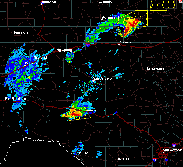 At 729 pm cdt, a severe thunderstorm was located 17 miles southwest of sonora, moving east at 35 mph (radar indicated). Hazards include two inch hail and 60 mph wind gusts. People and animals outdoors will be injured. expect hail damage to roofs, siding, windows, and vehicles. expect wind damage to roofs, siding, and trees. Locations impacted include, sonora and the intersection of i-10 and ranch road 1989. At 729 pm cdt, a severe thunderstorm was located 17 miles southwest of sonora, moving east at 35 mph (radar indicated). Hazards include two inch hail and 60 mph wind gusts. People and animals outdoors will be injured. expect hail damage to roofs, siding, windows, and vehicles. expect wind damage to roofs, siding, and trees. Locations impacted include, sonora and the intersection of i-10 and ranch road 1989.
|
| 5/2/2018 7:12 PM CDT |
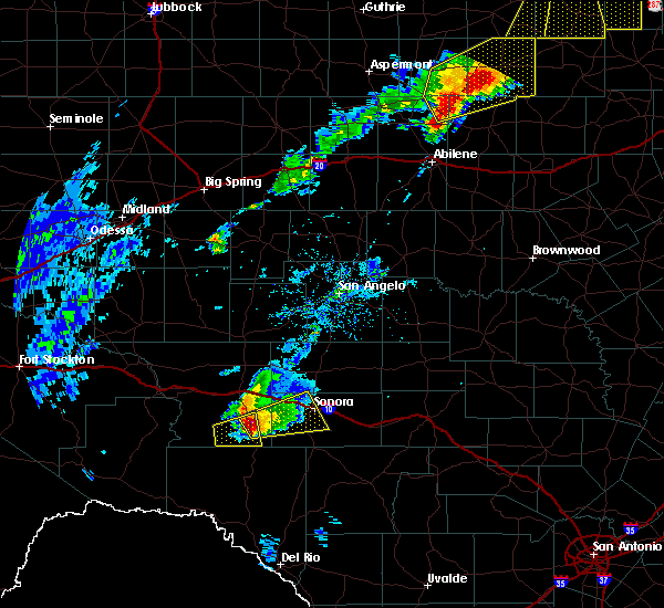 At 711 pm cdt, a severe thunderstorm was located 18 miles north of juno, moving east at 35 mph (radar indicated). Hazards include two inch hail and 60 mph wind gusts. People and animals outdoors will be injured. expect hail damage to roofs, siding, windows, and vehicles. Expect wind damage to roofs, siding, and trees. At 711 pm cdt, a severe thunderstorm was located 18 miles north of juno, moving east at 35 mph (radar indicated). Hazards include two inch hail and 60 mph wind gusts. People and animals outdoors will be injured. expect hail damage to roofs, siding, windows, and vehicles. Expect wind damage to roofs, siding, and trees.
|
| 6/23/2017 9:31 PM CDT |
 At 931 pm cdt, severe thunderstorms were located along a line extending from 13 miles southwest of fort mckavett to 15 miles northwest of sonora to 11 miles west of ozona, moving south at 45 mph (radar indicated). Hazards include 60 mph wind gusts. Expect damage to roofs, siding, and trees. these severe thunderstorms will remain over mainly rural areas of schleicher, eastern crockett and sutton counties, including the following locations: the intersection of ranch road 2083 and highway 405, the intersection of ranch road 2596 and ranch road 864, the intersection of us-190 and ranch road 2084, the intersection of u. s 190 and highway 163, the intersection of us-190 and ranch road 1828, i-10 near the crockett-sutton county line, the intersection of i-10 and ranch road 1989, the intersection of i-10 and highway 290, the intersection of us-277 and ranch road 189 and the intersection of highway 163 and ranch road 1973. This includes interstate 10 between mile markers 343 and 429. At 931 pm cdt, severe thunderstorms were located along a line extending from 13 miles southwest of fort mckavett to 15 miles northwest of sonora to 11 miles west of ozona, moving south at 45 mph (radar indicated). Hazards include 60 mph wind gusts. Expect damage to roofs, siding, and trees. these severe thunderstorms will remain over mainly rural areas of schleicher, eastern crockett and sutton counties, including the following locations: the intersection of ranch road 2083 and highway 405, the intersection of ranch road 2596 and ranch road 864, the intersection of us-190 and ranch road 2084, the intersection of u. s 190 and highway 163, the intersection of us-190 and ranch road 1828, i-10 near the crockett-sutton county line, the intersection of i-10 and ranch road 1989, the intersection of i-10 and highway 290, the intersection of us-277 and ranch road 189 and the intersection of highway 163 and ranch road 1973. This includes interstate 10 between mile markers 343 and 429.
|
| 6/23/2017 8:40 PM CDT |
 At 840 pm cdt, severe thunderstorms were located along a line extending from 12 miles southwest of eden to 8 miles northeast of eldorado to 24 miles northwest of sonora to 17 miles northwest of ozona, moving south at 30 mph (radar indicated). Hazards include 70 mph wind gusts. Expect considerable tree damage. damage is likely to mobile homes, roofs, and outbuildings. severe thunderstorms will be near, eldorado around 845 pm cdt. other locations impacted by these severe thunderstorms include the intersection of highway 163 and ranch road 1973, the intersection of ranch road 2596 and ranch road 864, the intersection of us- 190 and ranch road 2084, the intersection of u. s 190 and highway 163, camp sol mayer, the intersection of us-190 and ranch road 1828, i- 10 near the crockett-sutton county line, us-190 near the crockett- sutton county line and the intersection of i-10 and ranch road 1989. This includes interstate 10 between mile markers 350 and 415. At 840 pm cdt, severe thunderstorms were located along a line extending from 12 miles southwest of eden to 8 miles northeast of eldorado to 24 miles northwest of sonora to 17 miles northwest of ozona, moving south at 30 mph (radar indicated). Hazards include 70 mph wind gusts. Expect considerable tree damage. damage is likely to mobile homes, roofs, and outbuildings. severe thunderstorms will be near, eldorado around 845 pm cdt. other locations impacted by these severe thunderstorms include the intersection of highway 163 and ranch road 1973, the intersection of ranch road 2596 and ranch road 864, the intersection of us- 190 and ranch road 2084, the intersection of u. s 190 and highway 163, camp sol mayer, the intersection of us-190 and ranch road 1828, i- 10 near the crockett-sutton county line, us-190 near the crockett- sutton county line and the intersection of i-10 and ranch road 1989. This includes interstate 10 between mile markers 350 and 415.
|
| 4/2/2017 12:44 AM CDT |
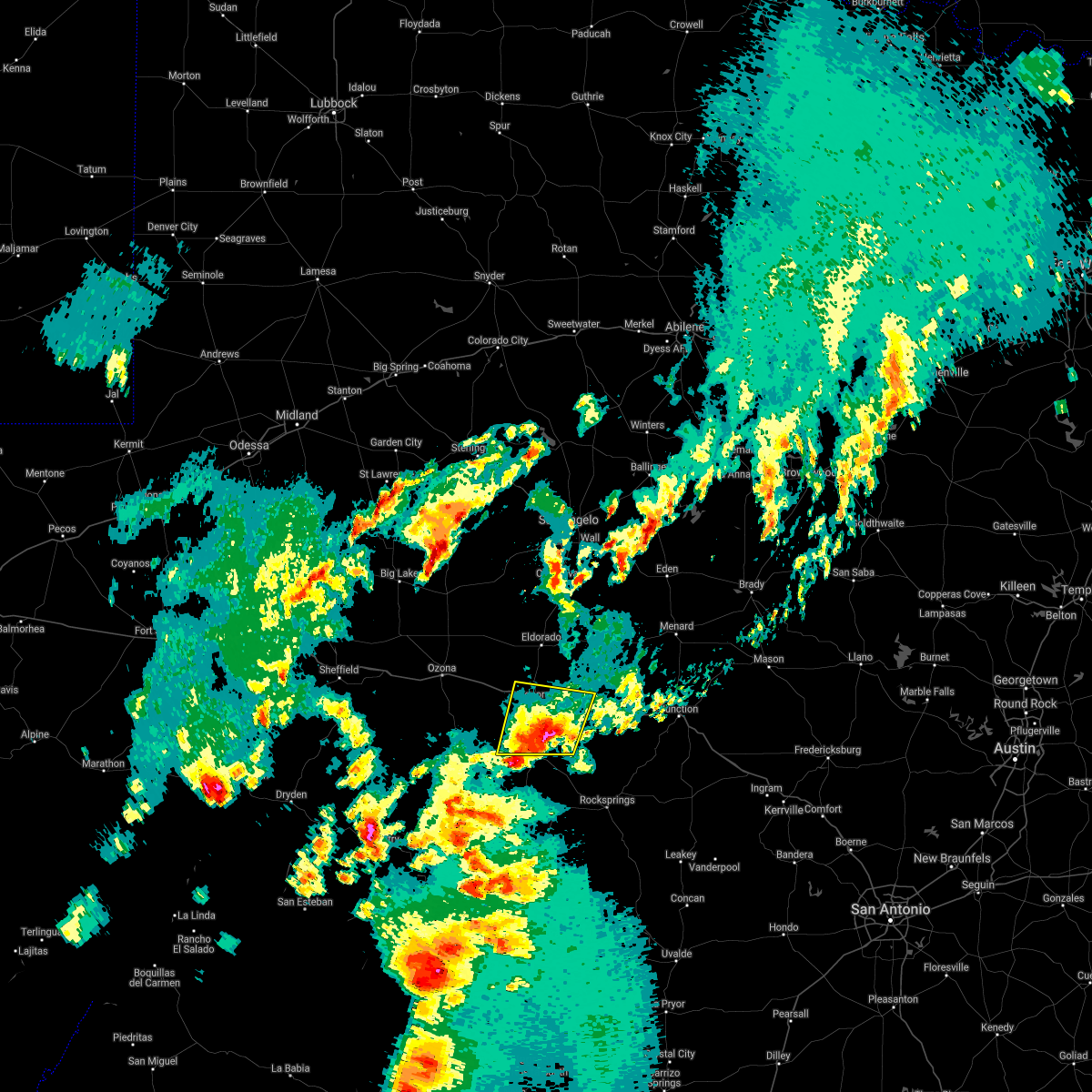 At 1243 am cdt, a severe thunderstorm was located 12 miles south of sonora, moving northeast at 25 mph (radar indicated). Hazards include 60 mph wind gusts and quarter size hail. Hail damage to vehicles is expected. expect wind damage to roofs, siding, and trees. this severe thunderstorm will remain over mainly rural areas of central sutton county, including the following locations: the intersection of us-277 and ranch road 189, the intersection of i-10 and ranch road 1989 and us-277 near the sutton-edwards county line. A tornado watch remains in effect until 600 am cdt for west central texas. At 1243 am cdt, a severe thunderstorm was located 12 miles south of sonora, moving northeast at 25 mph (radar indicated). Hazards include 60 mph wind gusts and quarter size hail. Hail damage to vehicles is expected. expect wind damage to roofs, siding, and trees. this severe thunderstorm will remain over mainly rural areas of central sutton county, including the following locations: the intersection of us-277 and ranch road 189, the intersection of i-10 and ranch road 1989 and us-277 near the sutton-edwards county line. A tornado watch remains in effect until 600 am cdt for west central texas.
|
| 4/2/2017 12:30 AM CDT |
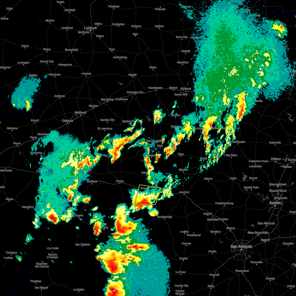 At 1230 am cdt, a severe thunderstorm was located 16 miles south of sonora, moving northeast at 20 mph (radar indicated). Hazards include 60 mph wind gusts and quarter size hail. Hail damage to vehicles is expected. expect wind damage to roofs, siding, and trees. this severe thunderstorm will be near, sonora around 115 am cdt. other locations impacted by this severe thunderstorm include the intersection of us-277 and ranch road 189, the intersection of i- 10 and ranch road 1989 and us-277 near the sutton- edwards county line. this includes interstate 10 between mile markers 392 and 419. A tornado watch remains in effect until 600 am cdt for west central texas. At 1230 am cdt, a severe thunderstorm was located 16 miles south of sonora, moving northeast at 20 mph (radar indicated). Hazards include 60 mph wind gusts and quarter size hail. Hail damage to vehicles is expected. expect wind damage to roofs, siding, and trees. this severe thunderstorm will be near, sonora around 115 am cdt. other locations impacted by this severe thunderstorm include the intersection of us-277 and ranch road 189, the intersection of i- 10 and ranch road 1989 and us-277 near the sutton- edwards county line. this includes interstate 10 between mile markers 392 and 419. A tornado watch remains in effect until 600 am cdt for west central texas.
|
| 3/28/2017 10:30 PM CDT | Measured by raws statio in edwards county TX, 20.6 miles NNW of Sonora, TX |
| 3/28/2017 9:10 PM CDT |
 At 908 pm cdt, a severe thunderstorm was located 9 miles northwest of eldorado, moving east at 45 mph (radar indicated). Hazards include 60 mph wind gusts and quarter size hail. Hail damage to vehicles is expected. expect wind damage to roofs, siding, and trees. This severe storm will be near, eldorado around 920 pm cdt. At 908 pm cdt, a severe thunderstorm was located 9 miles northwest of eldorado, moving east at 45 mph (radar indicated). Hazards include 60 mph wind gusts and quarter size hail. Hail damage to vehicles is expected. expect wind damage to roofs, siding, and trees. This severe storm will be near, eldorado around 920 pm cdt.
|
| 3/28/2017 8:42 PM CDT |
 At 841 pm cdt, a severe thunderstorm was located 14 miles southeast of barnhart, or 17 miles northeast of ozona, moving east at 45 mph (radar indicated). Hazards include 60 mph wind gusts and quarter size hail. Hail damage to vehicles is expected. expect wind damage to roofs, siding, and trees. this severe thunderstorm will be near, eldorado around 920 pm cdt. This includes interstate 10 between mile markers 336 and 405. At 841 pm cdt, a severe thunderstorm was located 14 miles southeast of barnhart, or 17 miles northeast of ozona, moving east at 45 mph (radar indicated). Hazards include 60 mph wind gusts and quarter size hail. Hail damage to vehicles is expected. expect wind damage to roofs, siding, and trees. this severe thunderstorm will be near, eldorado around 920 pm cdt. This includes interstate 10 between mile markers 336 and 405.
|
| 1/2/2017 1:23 AM CST |
 At 122 am cst, a severe thunderstorm was located 17 miles east of sonora, moving northeast at 35 mph (radar indicated). Hazards include 60 mph wind gusts and quarter size hail. Hail damage to vehicles is expected. expect wind damage to roofs, siding, and trees. Locations impacted include, sonora, roosevelt, the intersection of ranch road 2596 and ranch road 864 and i-10 near the sutton-kimble county line. At 122 am cst, a severe thunderstorm was located 17 miles east of sonora, moving northeast at 35 mph (radar indicated). Hazards include 60 mph wind gusts and quarter size hail. Hail damage to vehicles is expected. expect wind damage to roofs, siding, and trees. Locations impacted include, sonora, roosevelt, the intersection of ranch road 2596 and ranch road 864 and i-10 near the sutton-kimble county line.
|
| 1/2/2017 1:03 AM CST |
 At 102 am cst, a severe thunderstorm was located 13 miles southeast of sonora, moving northeast at 35 mph (radar indicated). Hazards include 60 mph wind gusts and quarter size hail. Hail damage to vehicles is expected. expect wind damage to roofs, siding, and trees. this severe thunderstorm will remain over mainly rural areas of eastern sutton and western kimble counties, including the following locations: i-10 near the sutton-kimble county line and the intersection of ranch road 2596 and ranch road 864. This includes interstate 10 between mile markers 401 and 442. At 102 am cst, a severe thunderstorm was located 13 miles southeast of sonora, moving northeast at 35 mph (radar indicated). Hazards include 60 mph wind gusts and quarter size hail. Hail damage to vehicles is expected. expect wind damage to roofs, siding, and trees. this severe thunderstorm will remain over mainly rural areas of eastern sutton and western kimble counties, including the following locations: i-10 near the sutton-kimble county line and the intersection of ranch road 2596 and ranch road 864. This includes interstate 10 between mile markers 401 and 442.
|
| 1/2/2017 12:35 AM CST |
 At 1234 am cst, a severe thunderstorm was located 9 miles north of sonora, moving northeast at 55 mph (radar indicated). Hazards include 60 mph wind gusts and quarter size hail. Hail damage to vehicles is expected. expect wind damage to roofs, siding, and trees. this severe thunderstorm will be near, eldorado around 1245 am cst. other locations impacted by this severe thunderstorm include the intersection of us-190 and ranch road 2084. This includes interstate 10 between mile markers 396 and 407. At 1234 am cst, a severe thunderstorm was located 9 miles north of sonora, moving northeast at 55 mph (radar indicated). Hazards include 60 mph wind gusts and quarter size hail. Hail damage to vehicles is expected. expect wind damage to roofs, siding, and trees. this severe thunderstorm will be near, eldorado around 1245 am cst. other locations impacted by this severe thunderstorm include the intersection of us-190 and ranch road 2084. This includes interstate 10 between mile markers 396 and 407.
|
| 7/9/2016 8:08 PM CDT |
 At 807 pm cdt, a severe thunderstorm was located 5 miles southwest of sonora, moving southwest at 10 mph (radar indicated). Hazards include 60 mph wind gusts and quarter size hail. Hail damage to vehicles is expected. expect wind damage to roofs, siding, and trees. Locations impacted include, sonora. At 807 pm cdt, a severe thunderstorm was located 5 miles southwest of sonora, moving southwest at 10 mph (radar indicated). Hazards include 60 mph wind gusts and quarter size hail. Hail damage to vehicles is expected. expect wind damage to roofs, siding, and trees. Locations impacted include, sonora.
|
| 7/9/2016 7:40 PM CDT |
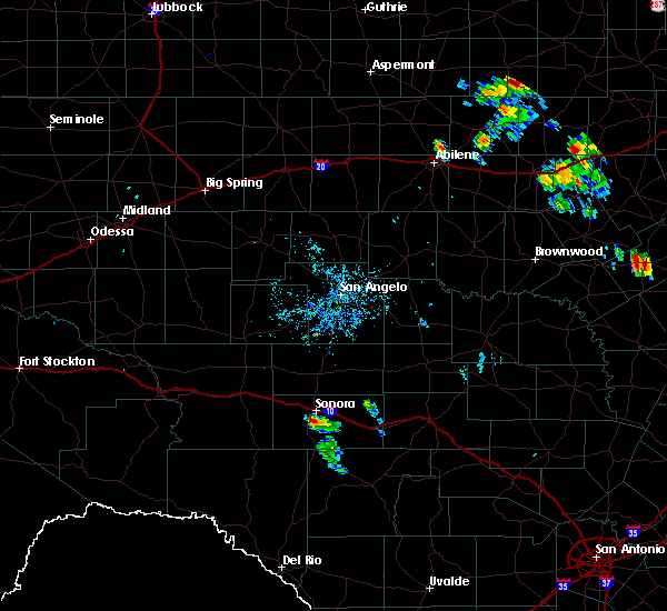 At 739 pm cdt, a severe thunderstorm was located near sonora, moving south at 15 mph (radar indicated). Hazards include 60 mph wind gusts and half dollar size hail. Hail damage to vehicles is expected. expect wind damage to roofs, siding, and trees. this severe thunderstorm will remain over mainly rural areas of southwestern sutton county. This includes interstate 10 between mile markers 396 and 403. At 739 pm cdt, a severe thunderstorm was located near sonora, moving south at 15 mph (radar indicated). Hazards include 60 mph wind gusts and half dollar size hail. Hail damage to vehicles is expected. expect wind damage to roofs, siding, and trees. this severe thunderstorm will remain over mainly rural areas of southwestern sutton county. This includes interstate 10 between mile markers 396 and 403.
|
| 6/26/2016 6:49 PM CDT |
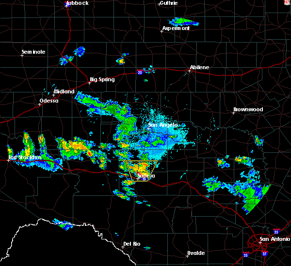 At 649 pm cdt, a severe thunderstorm was located near sonora, moving north at 10 mph. this storm has the potential to produce large hail to the size of golf balls (radar indicated). Hazards include golf ball size hail and 60 mph wind gusts. People and animals outdoors will be injured. expect hail damage to roofs, siding, windows, and vehicles. expect wind damage to roofs, siding, and trees. locations impacted include, sonora, eldorado, the intersection of us- 190 and ranch road 2084 and the intersection of us- 190 and ranch road 1828. This includes interstate 10 between mile markers 394 and 411. At 649 pm cdt, a severe thunderstorm was located near sonora, moving north at 10 mph. this storm has the potential to produce large hail to the size of golf balls (radar indicated). Hazards include golf ball size hail and 60 mph wind gusts. People and animals outdoors will be injured. expect hail damage to roofs, siding, windows, and vehicles. expect wind damage to roofs, siding, and trees. locations impacted include, sonora, eldorado, the intersection of us- 190 and ranch road 2084 and the intersection of us- 190 and ranch road 1828. This includes interstate 10 between mile markers 394 and 411.
|
| 6/26/2016 6:42 PM CDT |
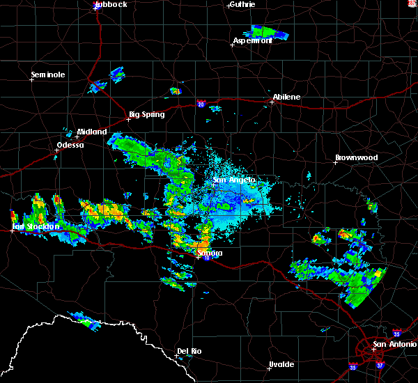 At 642 pm cdt, a severe thunderstorm was located near sonora, moving north at 10 mph (radar indicated). Hazards include 60 mph wind gusts and quarter size hail. Hail damage to vehicles is expected. expect wind damage to roofs, siding, and trees. this severe thunderstorm will remain over mainly rural areas of north central sutton and southern schleicher counties, including the following locations: the intersection of us-190 and ranch road 2084 and the intersection of us-190 and ranch road 1828. This includes interstate 10 between mile markers 394 and 411. At 642 pm cdt, a severe thunderstorm was located near sonora, moving north at 10 mph (radar indicated). Hazards include 60 mph wind gusts and quarter size hail. Hail damage to vehicles is expected. expect wind damage to roofs, siding, and trees. this severe thunderstorm will remain over mainly rural areas of north central sutton and southern schleicher counties, including the following locations: the intersection of us-190 and ranch road 2084 and the intersection of us-190 and ranch road 1828. This includes interstate 10 between mile markers 394 and 411.
|
| 5/17/2016 6:51 PM CDT |
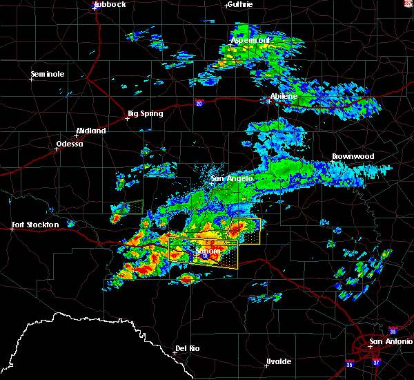 At 650 pm cdt, a severe thunderstorm was located 15 miles east of sonora, moving southeast at 30 mph (radar indicated). Hazards include golf ball size hail and 70 mph wind gusts. People and animals outdoors will be injured. expect hail damage to roofs, siding, windows, and vehicles. expect considerable tree damage. wind damage is also likely to mobile homes, roofs, and outbuildings. this severe thunderstorm will remain over mainly rural areas of northern sutton and southern schleicher counties, including the following locations: the intersection of ranch road 2596 and ranch road 864, the intersection of i-10 and ranch road 1989, i-10 near the sutton-kimble county line and i-10 near the crockett-sutton county line. This includes interstate 10 between mile markers 380 and 433. At 650 pm cdt, a severe thunderstorm was located 15 miles east of sonora, moving southeast at 30 mph (radar indicated). Hazards include golf ball size hail and 70 mph wind gusts. People and animals outdoors will be injured. expect hail damage to roofs, siding, windows, and vehicles. expect considerable tree damage. wind damage is also likely to mobile homes, roofs, and outbuildings. this severe thunderstorm will remain over mainly rural areas of northern sutton and southern schleicher counties, including the following locations: the intersection of ranch road 2596 and ranch road 864, the intersection of i-10 and ranch road 1989, i-10 near the sutton-kimble county line and i-10 near the crockett-sutton county line. This includes interstate 10 between mile markers 380 and 433.
|
| 5/17/2016 6:30 PM CDT | Four inch diameter live oak tree limbs snapped off by high wind in sutton county TX, 4.9 miles W of Sonora, TX |
| 5/17/2016 6:18 PM CDT |
 At 618 pm cdt, a severe thunderstorm was located 11 miles southeast of ozona, moving east at 30 mph (radar indicated). Hazards include golf ball size hail and 60 mph wind gusts. People and animals outdoors will be injured. expect hail damage to roofs, siding, windows, and vehicles. expect wind damage to roofs, siding, and trees. this severe thunderstorm will be near, sonora around 705 pm cdt. other locations impacted by this severe thunderstorm include i-10 near the crockett-sutton county line, the intersection of ranch road 2596 and ranch road 864, the intersection of i-10 and ranch road 1989 and i-10 near the sutton-kimble county line. This includes interstate 10 between mile markers 376 and 433. At 618 pm cdt, a severe thunderstorm was located 11 miles southeast of ozona, moving east at 30 mph (radar indicated). Hazards include golf ball size hail and 60 mph wind gusts. People and animals outdoors will be injured. expect hail damage to roofs, siding, windows, and vehicles. expect wind damage to roofs, siding, and trees. this severe thunderstorm will be near, sonora around 705 pm cdt. other locations impacted by this severe thunderstorm include i-10 near the crockett-sutton county line, the intersection of ranch road 2596 and ranch road 864, the intersection of i-10 and ranch road 1989 and i-10 near the sutton-kimble county line. This includes interstate 10 between mile markers 376 and 433.
|
| 4/26/2016 11:41 PM CDT |
 At 1140 pm cdt, a severe thunderstorm was located 10 miles east of sonora, moving east at 35 mph (trained weather spotters). Hazards include 60 mph wind gusts and half dollar size hail. Hail damage to vehicles is expected. expect wind damage to roofs, siding, and trees. locations impacted include, sonora, the intersection of ranch road 2596 and ranch road 864 and the intersection of us-277 and ranch road 189. This includes interstate 10 between mile markers 396 and 426. At 1140 pm cdt, a severe thunderstorm was located 10 miles east of sonora, moving east at 35 mph (trained weather spotters). Hazards include 60 mph wind gusts and half dollar size hail. Hail damage to vehicles is expected. expect wind damage to roofs, siding, and trees. locations impacted include, sonora, the intersection of ranch road 2596 and ranch road 864 and the intersection of us-277 and ranch road 189. This includes interstate 10 between mile markers 396 and 426.
|
| 4/26/2016 11:25 PM CDT |
 At 1124 pm cdt, a severe thunderstorm was located near sonora, moving east at 40 mph (trained weather spotters). Hazards include golf ball size hail and 60 mph wind gusts. People and animals outdoors will be injured. expect hail damage to roofs, siding, windows, and vehicles. expect wind damage to roofs, siding, and trees. locations impacted include, sonora, the intersection of us- 190 and ranch road 2084, the intersection of us- 277 and ranch road 189, the intersection of ranch road 2596 and ranch road 864 and the intersection of i-10 and ranch road 1989. This includes interstate 10 between mile markers 385 and 426. At 1124 pm cdt, a severe thunderstorm was located near sonora, moving east at 40 mph (trained weather spotters). Hazards include golf ball size hail and 60 mph wind gusts. People and animals outdoors will be injured. expect hail damage to roofs, siding, windows, and vehicles. expect wind damage to roofs, siding, and trees. locations impacted include, sonora, the intersection of us- 190 and ranch road 2084, the intersection of us- 277 and ranch road 189, the intersection of ranch road 2596 and ranch road 864 and the intersection of i-10 and ranch road 1989. This includes interstate 10 between mile markers 385 and 426.
|
| 4/26/2016 11:22 PM CDT | Quarter sized hail reported 0.1 miles W of Sonora, TX |
| 4/26/2016 11:20 PM CDT | Golf Ball sized hail reported 0.1 miles W of Sonora, TX |
| 4/26/2016 11:20 PM CDT | Tennis Ball sized hail reported 0.1 miles W of Sonora, TX |
| 4/26/2016 11:16 PM CDT |
 At 1116 pm cdt, a severe thunderstorm was located over sonora, moving east at 35 mph. another severe thunderstorm was located 20 miles west southwest of sonora, also moving east at 40 mph (radar indicated). Hazards include ping pong ball size hail and 60 mph wind gusts. People and animals outdoors will be injured. expect hail damage to roofs, siding, windows, and vehicles. expect wind damage to roofs, siding, and trees. this severe thunderstorm will remain over mainly rural areas of sutton, southeastern schleicher and southeastern crockett counties, including the following locations: the intersection of us-190 and ranch road 2084, the intersection of us-277 and ranch road 189, the intersection of ranch road 2596 and ranch road 864 and the intersection of i-10 and ranch road 1989. This includes interstate 10 between mile markers 385 and 426. At 1116 pm cdt, a severe thunderstorm was located over sonora, moving east at 35 mph. another severe thunderstorm was located 20 miles west southwest of sonora, also moving east at 40 mph (radar indicated). Hazards include ping pong ball size hail and 60 mph wind gusts. People and animals outdoors will be injured. expect hail damage to roofs, siding, windows, and vehicles. expect wind damage to roofs, siding, and trees. this severe thunderstorm will remain over mainly rural areas of sutton, southeastern schleicher and southeastern crockett counties, including the following locations: the intersection of us-190 and ranch road 2084, the intersection of us-277 and ranch road 189, the intersection of ranch road 2596 and ranch road 864 and the intersection of i-10 and ranch road 1989. This includes interstate 10 between mile markers 385 and 426.
|
| 4/26/2016 11:07 PM CDT |
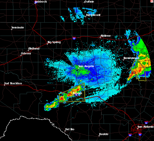 At 1107 pm cdt, a severe thunderstorm was located 21 miles west of sonora, moving east at 50 mph (radar indicated). Hazards include 60 mph wind gusts and half dollar size hail. Hail damage to vehicles is expected. expect wind damage to roofs, siding, and trees. this severe thunderstorm will be near, sonora around 1130 pm cdt. other locations impacted by this severe thunderstorm include the intersection of us-190 and ranch road 2084, the intersection of us- 277 and ranch road 189, the intersection of ranch road 2596 and ranch road 864 and the intersection of i-10 and ranch road 1989. This includes interstate 10 between mile markers 382 and 426. At 1107 pm cdt, a severe thunderstorm was located 21 miles west of sonora, moving east at 50 mph (radar indicated). Hazards include 60 mph wind gusts and half dollar size hail. Hail damage to vehicles is expected. expect wind damage to roofs, siding, and trees. this severe thunderstorm will be near, sonora around 1130 pm cdt. other locations impacted by this severe thunderstorm include the intersection of us-190 and ranch road 2084, the intersection of us- 277 and ranch road 189, the intersection of ranch road 2596 and ranch road 864 and the intersection of i-10 and ranch road 1989. This includes interstate 10 between mile markers 382 and 426.
|
| 3/8/2016 5:15 PM CST |
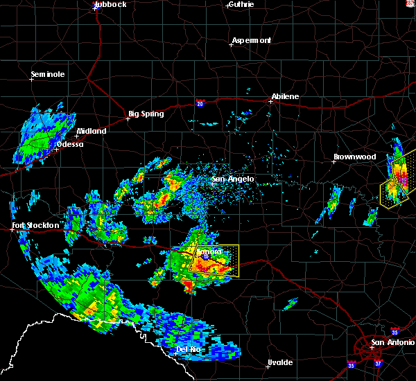 At 515 pm cst, a severe thunderstorm was located 11 miles southeast of sonora, moving northeast at 25 mph (radar indicated). Hazards include 60 mph wind gusts and quarter size hail. Hail damage to vehicles is expected. expect wind damage to roofs, siding, and trees. this severe thunderstorm will remain over mainly rural areas of eastern sutton county, including the following locations: the intersection of ranch road 2596 and ranch road 864 and i-10 near the sutton-kimble county line. This includes interstate 10 between mile markers 399 and 433. At 515 pm cst, a severe thunderstorm was located 11 miles southeast of sonora, moving northeast at 25 mph (radar indicated). Hazards include 60 mph wind gusts and quarter size hail. Hail damage to vehicles is expected. expect wind damage to roofs, siding, and trees. this severe thunderstorm will remain over mainly rural areas of eastern sutton county, including the following locations: the intersection of ranch road 2596 and ranch road 864 and i-10 near the sutton-kimble county line. This includes interstate 10 between mile markers 399 and 433.
|
| 5/28/2015 8:53 PM CDT | At 851 pm cdt, severe thunderstorms were located along a line extending from 17 miles northwest of fort mckavett to 12 miles east of the terrell gas plant, and moving southeast at 35 mph (radar indicated). Hazards include 60 mph wind gusts. Expect damage to roofs. siding and trees. severe thunderstorms will be near, sonora around 915 pm cdt. other locations in the warning include the intersection of us-190 and ranch road 2084, the intersection of highway 163 and ranch road 1973, us-277 near the sutton-schleicher county line and the intersection of i-10 and ranch road 1989. This includes interstate 10 between mile markers 342 and 428. |
| 5/28/2015 8:17 PM CDT | At 814 pm cdt, severe thunderstorms were located along a line extending from 11 miles southwest of christoval to 13 miles southeast of sheffield, moving southeast at 50 mph (radar indicated). Hazards include 60 mph wind gusts and quarter size hail. Hail damage to vehicles is expected. expect wind damage to roofs, siding and trees. severe thunderstorms will be near, eldorado around 830 pm cdt. sonora around 850 pm cdt. This also includes interstate 10 between mile markers 343 and 428. |
| 5/13/2015 5:07 PM CDT | At 507 pm cdt, a severe thunderstorm was located 15 miles west of sonora, and moving east at 25 mph (radar indicated). Hazards include 60 mph wind gusts and quarter size hail. Hail damage to vehicles is expected. expect wind damage to roofs, siding and trees. the severe thunderstorm will affect mainly rural areas of east central crockett and western sutton counties, including the following locations, the intersection of i-10 and ranch road 1989. Possible. |
| 5/13/2015 4:44 PM CDT | At 443 pm cdt, a severe thunderstorm was located 12 miles southeast of ozona, moving east at 25 mph (radar indicated). Hazards include 60 mph wind gusts and quarter size hail. Hail damage to vehicles is expected. expect wind damage to roofs, siding and trees. the severe thunderstorm will be near, sonora around 530 pm cdt. other locations in the warning include i-10 near the crockett-sutton county line and the intersection of i-10 and ranch road 1989. this also includes interstate 10 between mile markers 356 and 402. Possible. |
| 5/11/2015 11:05 AM CDT | At 1104 am cdt, a severe thunderstorm was located 10 miles northwest of sonora, and moving northeast at 15 mph (radar indicated). Hazards include 60 mph wind gusts and quarter size hail. Hail damage to vehicles is expected. expect wind damage to roofs, siding and trees. the severe thunderstorm will be near, eldorado around 1145 am cdt. other locations in the warning include us-277 near the sutton-schleicher county line. this includes interstate 10 between mile markers 381 and 398. 1. 00in. |
| 5/11/2015 10:54 AM CDT | At 1051 am cdt, a severe thunderstorm was located 8 miles northwest of sonora, moving northeast at 15 mph (radar indicated). Hazards include 60 mph wind gusts and half dollar size hail. Hail damage to vehicles is expected. expect wind damage to roofs, siding and trees. the severe thunderstorm will be near, eldorado around 1145 am cdt. other locations in the warning include us-277 near the sutton-schleicher county line. this also includes interstate 10 between mile markers 381 and 398. 1. 25in. |
| 5/10/2015 12:04 PM CDT | Golf Ball sized hail reported 16.4 miles WNW of Sonora, TX |
| 4/26/2015 9:38 PM CDT | At 936 pm cdt, severe thunderstorms were located along a line extending from salt gap to 7 miles east of fort mckavett to 17 miles southeast of sonora, moving east at 50 mph (radar indicated). Hazards include 60 mph wind gusts and quarter size hail. Hail damage to vehicles is expected. expect wind damage to roofs, siding and trees. severe thunderstorms will be near, menard and melvin around 945 pm cdt. pear valley around 950 pm cdt. lohn and roosevelt around 955 pm cdt. brady lake around 1000 pm cdt. calf creek and hext around 1005 pm cdt. placid and rochelle around 1010 pm cdt. other locations in the warning include the intersection of us-83 and highway 29, us-190 near the menard-mcculloch county line, i-10 near the sutton-kimble county line, the intersection of us-83 and ranch road 1773, us-83 near the kimble-menard county line, cleo, the intersection of us-190 and ranch road 1311, us-377 near the kimble-menard county line and erna. this also includes interstate 10 between mile markers 397 and 470. 1. 00in. |
| 4/26/2015 9:19 PM CDT | At 916 pm cdt, a severe thunderstorm was located 14 miles southwest of fort mckavett, and moving east at 55 mph (radar indicated). Hazards include 60 mph wind gusts and quarter size hail. Hail damage to vehicles is expected. expect wind damage to roofs, siding and trees. the severe thunderstorm will affect mainly rural areas of eastern schleicher and sutton counties. this includes interstate 10 between mile markers 389 and 428. 1. 00in. |
| 4/26/2015 9:16 PM CDT | Quarter sized hail reported 0.8 miles SSE of Sonora, TX |
| 4/26/2015 8:46 PM CDT | At 844 pm cdt, a severe thunderstorm was located 10 miles northwest of sonora, moving east at 45 mph (radar indicated). Hazards include 60 mph wind gusts and quarter size hail. Hail damage to vehicles is expected. expect wind damage to roofs, siding and trees. the severe thunderstorm will be near, sonora around 855 pm cdt. other locations in the warning include us-277 near the sutton-schleicher county line and the intersection of ranch road 2596 and ranch road 864. this also includes interstate 10 between mile markers 377 and 428. 1. 00in. |
| 3/19/2012 4:02 PM CDT | Golf Ball sized hail reported 20.2 miles WNW of Sonora, TX, reported by traveler via local radio station. time was estimated per radar. |
| 3/19/2012 3:12 PM CDT | Quarter sized hail reported 23.4 miles NE of Sonora, TX, quarter size hail was reported 4 miles east of the intersection of the caverns of sonora road and rr 189. |
| 1/1/0001 12:00 AM | Quarter sized hail reported 19.2 miles W of Sonora, TX |
Hail Maps for Sonora, TX
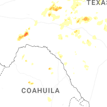
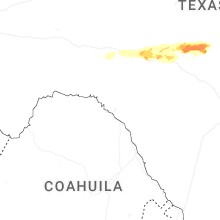
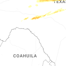
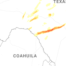
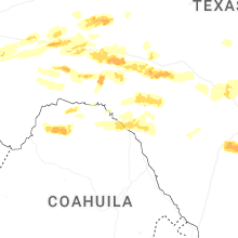
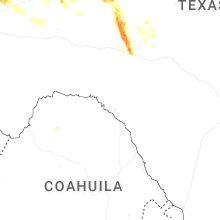
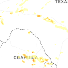
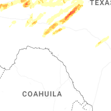
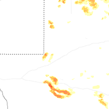
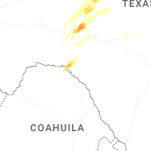
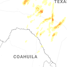
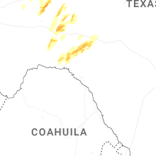
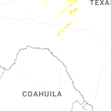


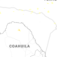


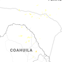

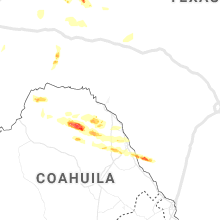

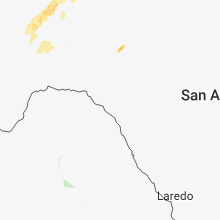


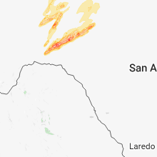


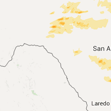
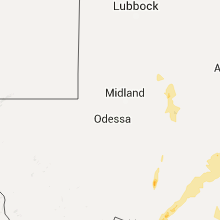
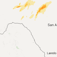

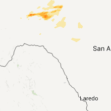

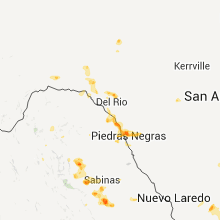

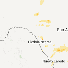


Connect with Interactive Hail Maps