

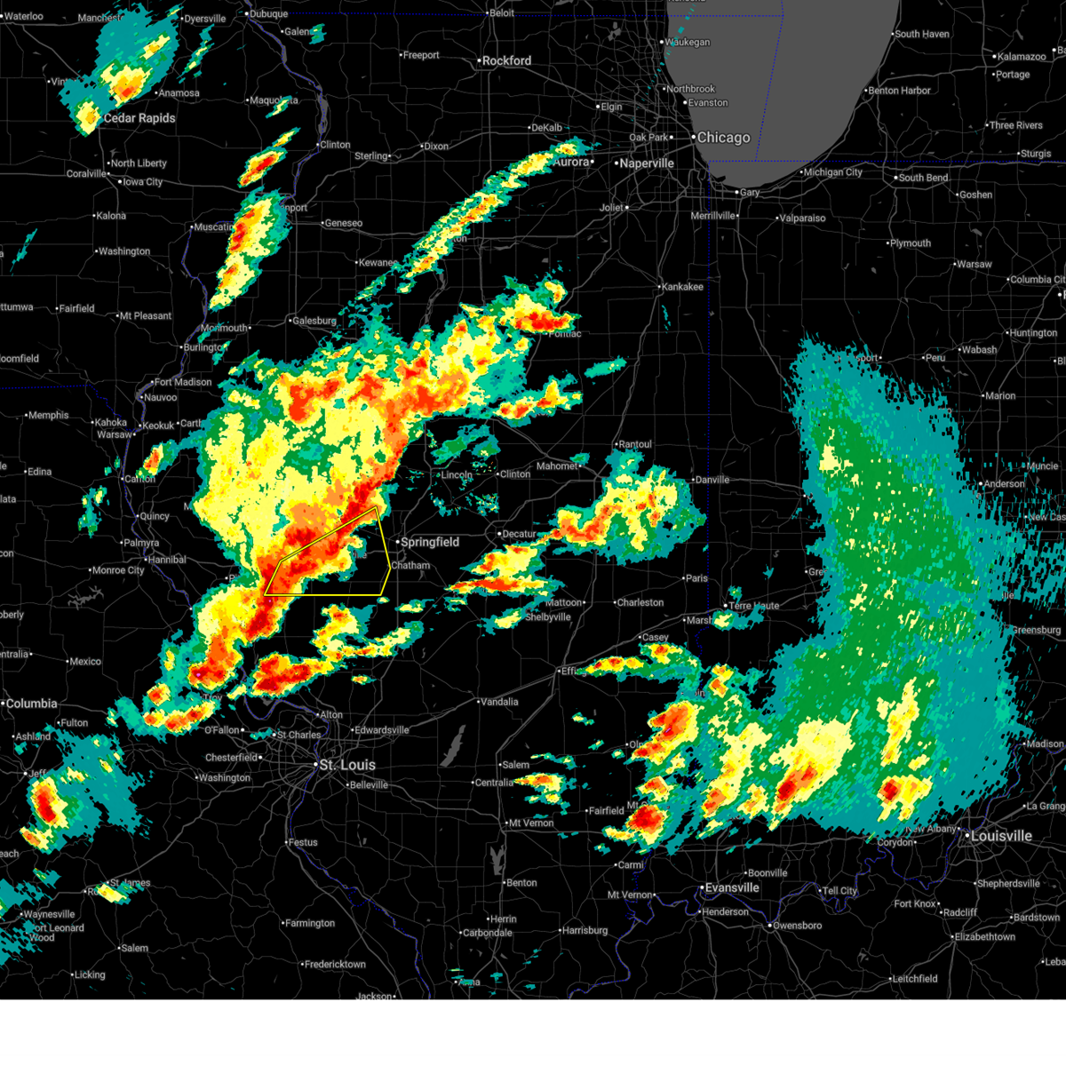
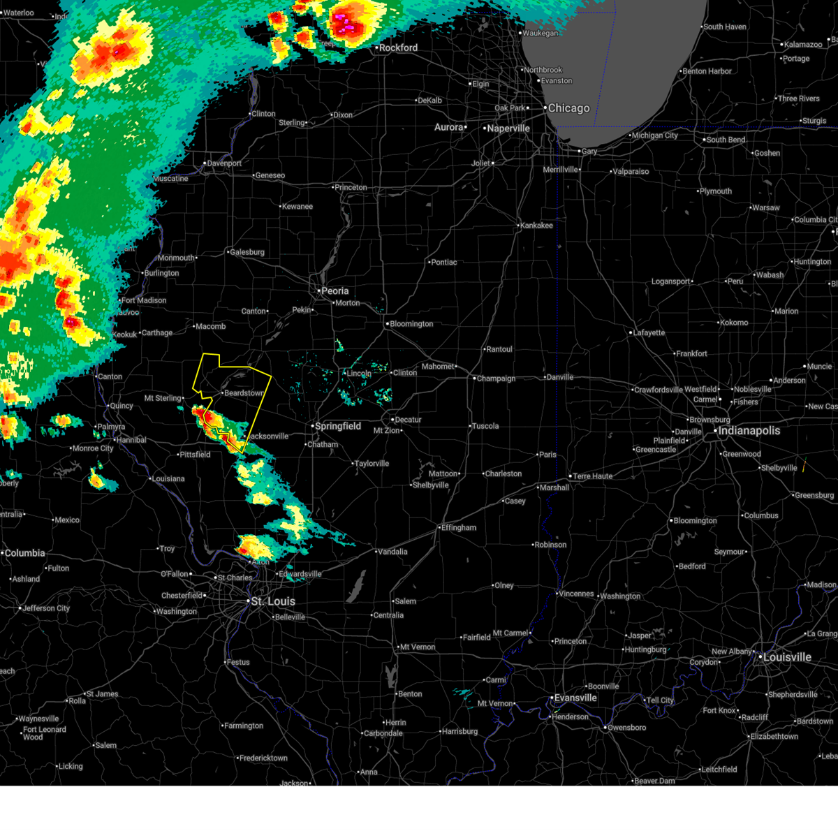
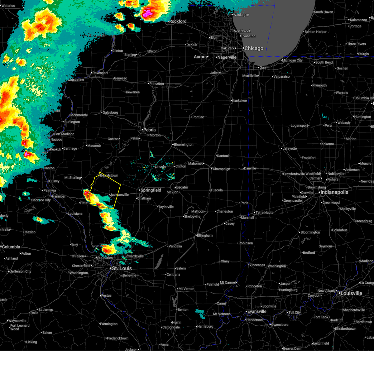
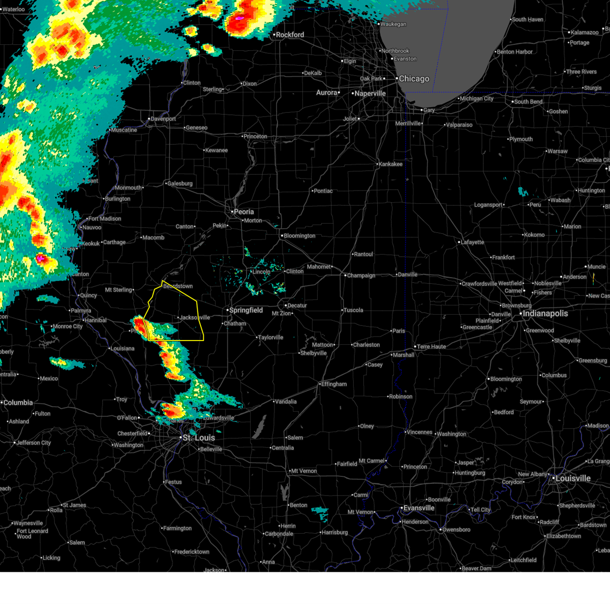
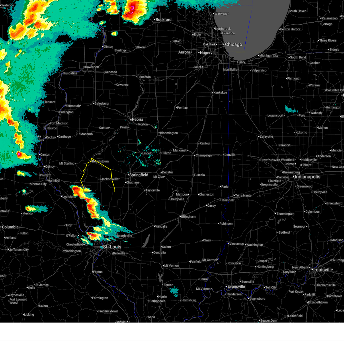
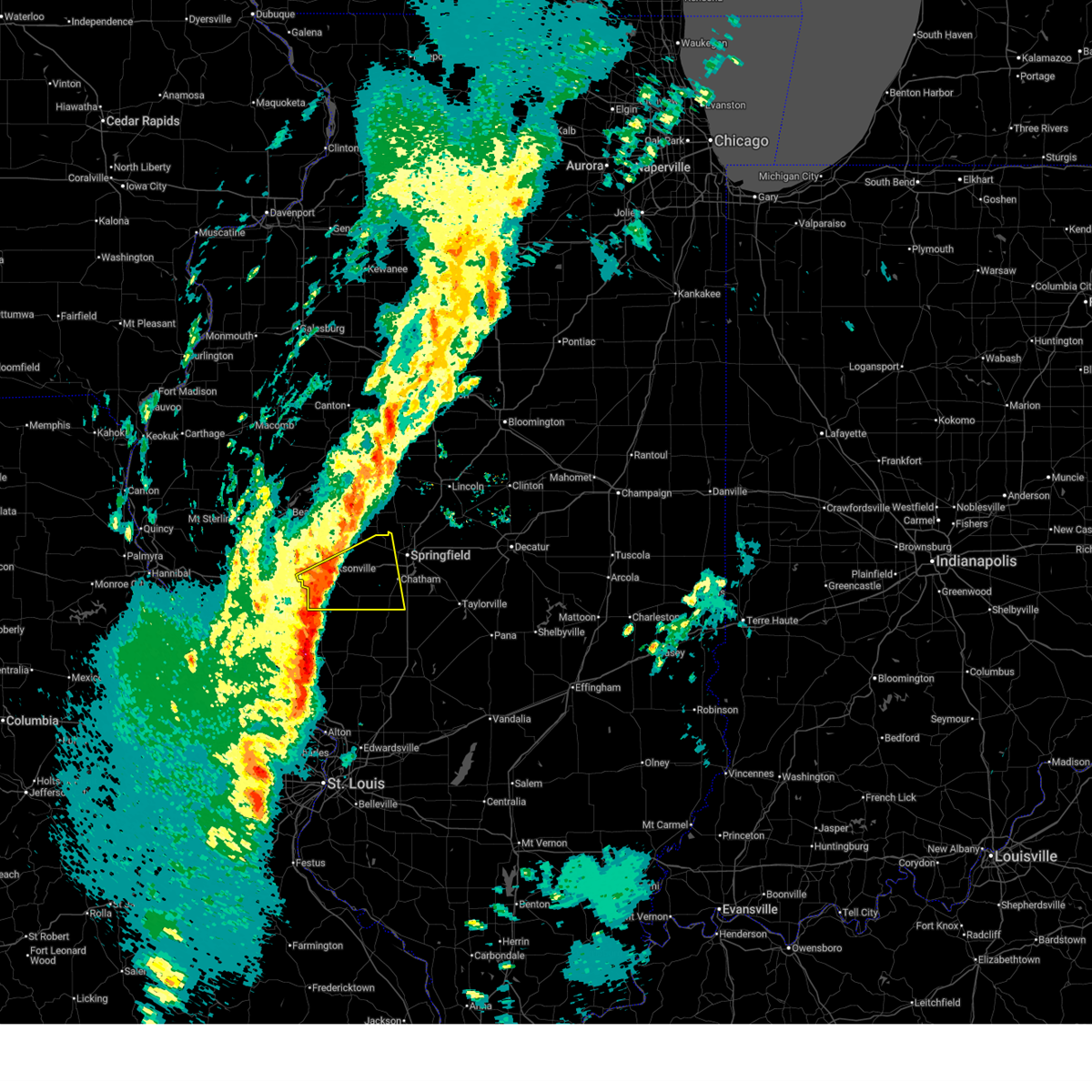
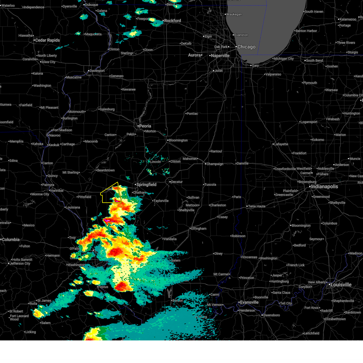
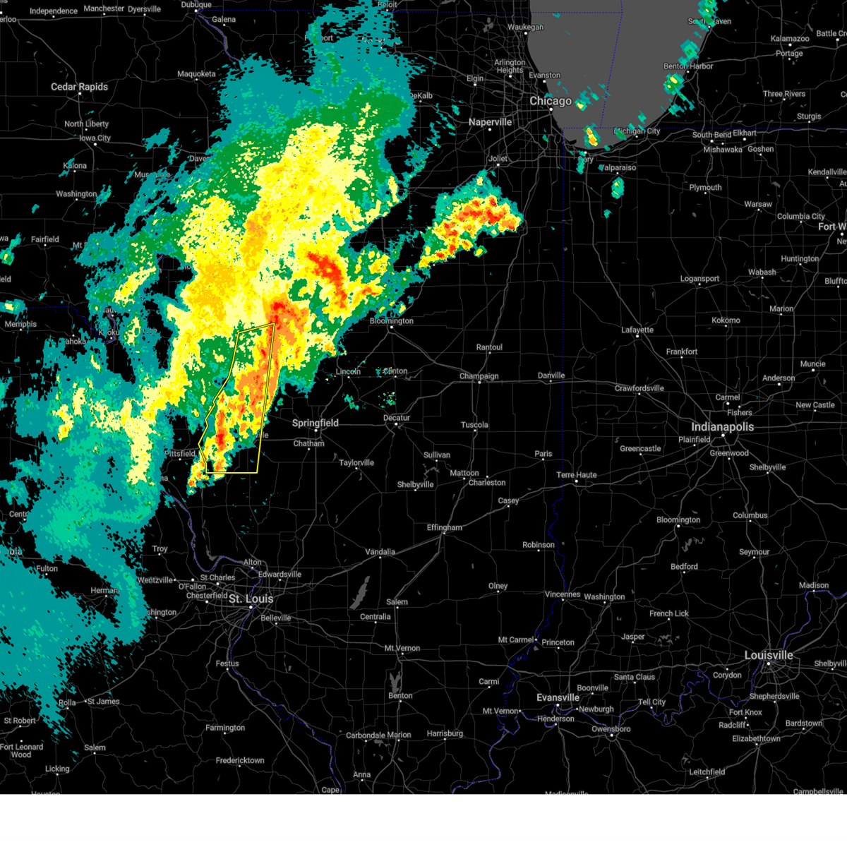
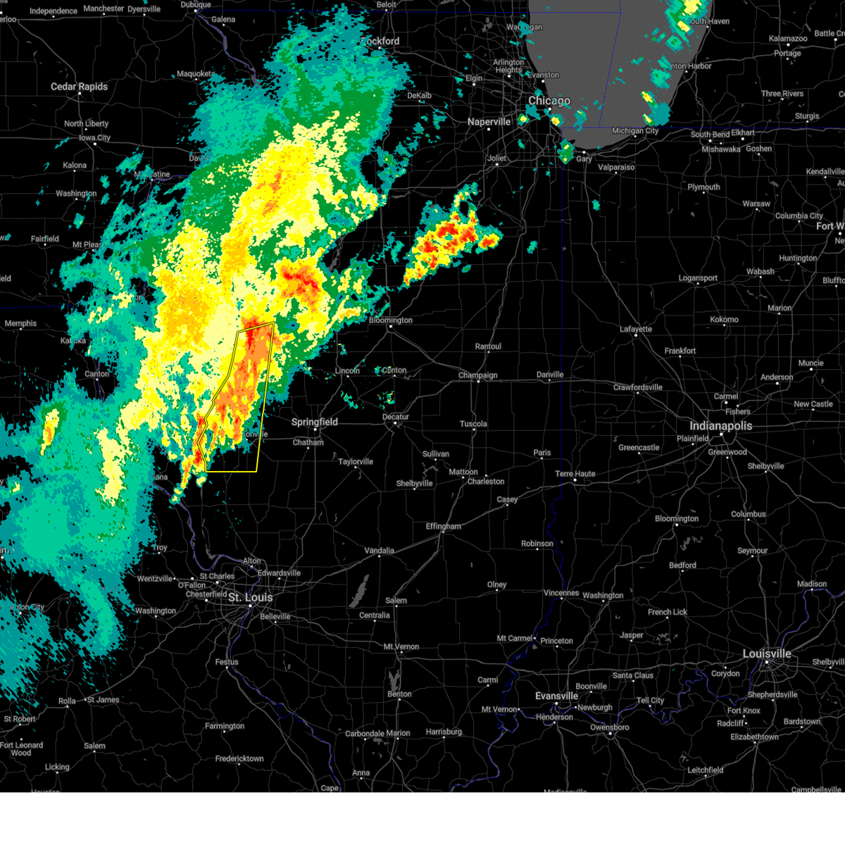
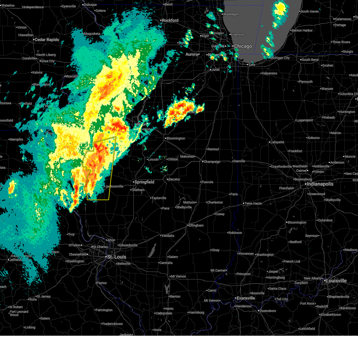
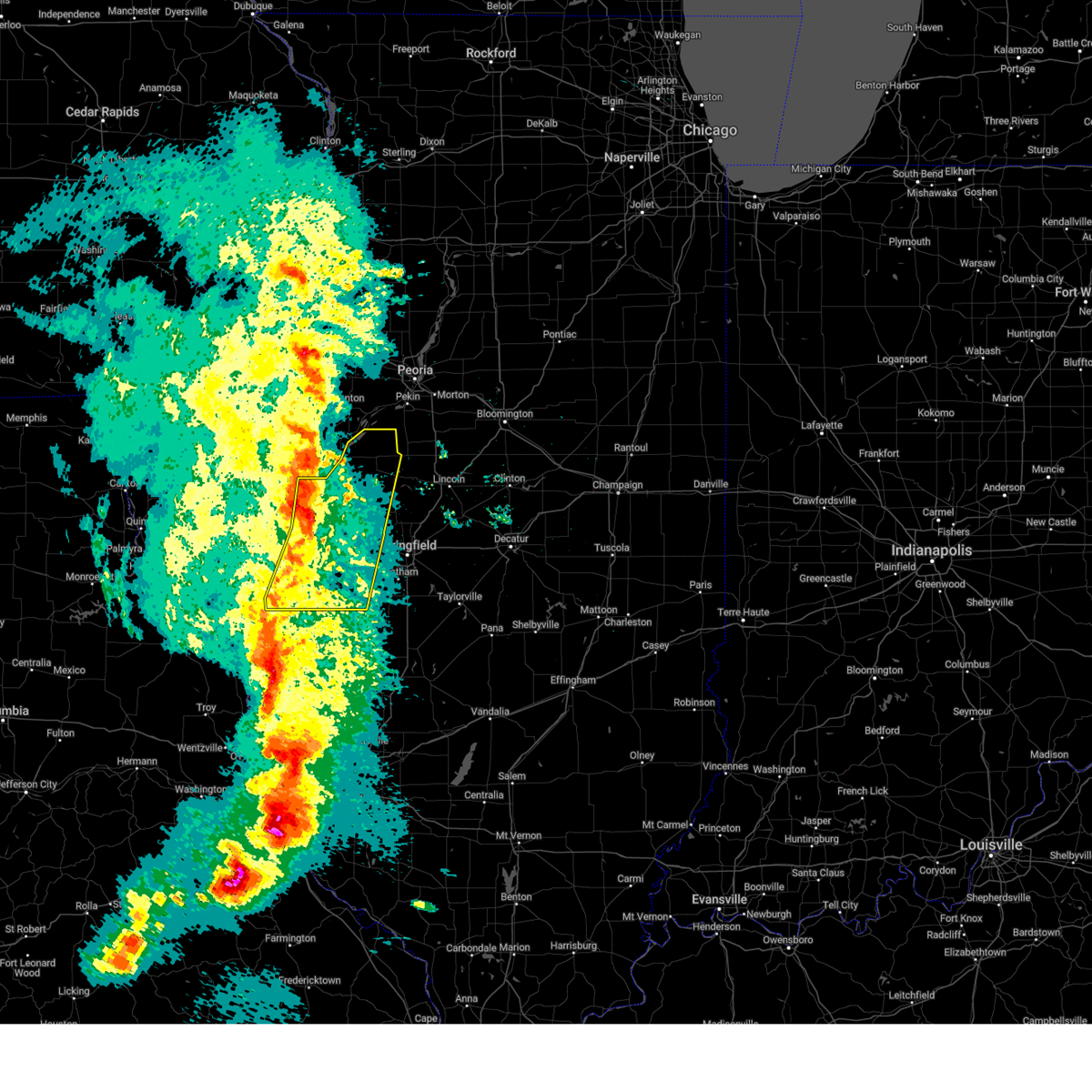
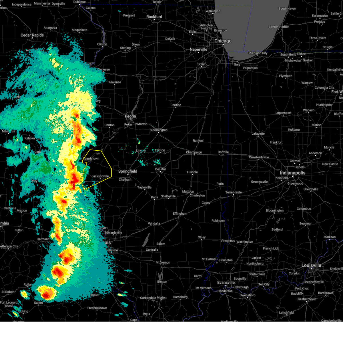
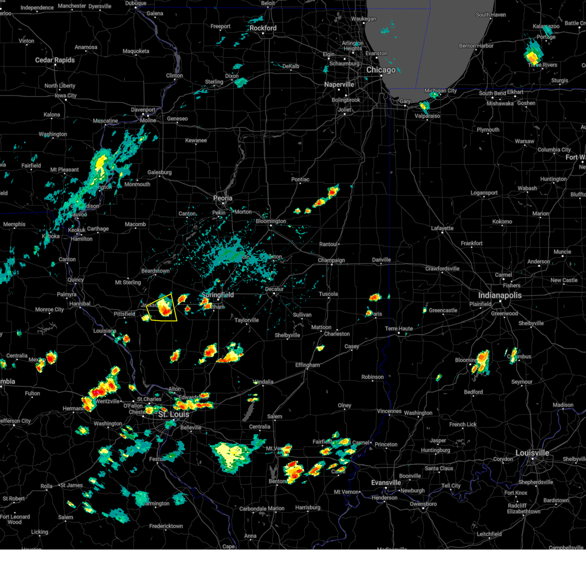
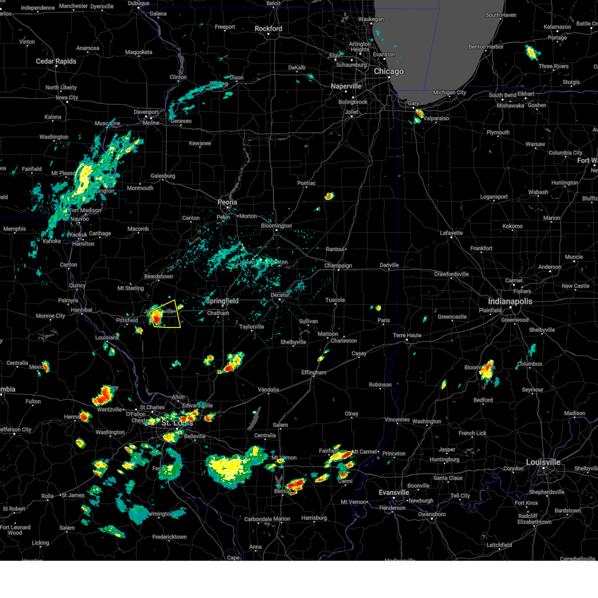
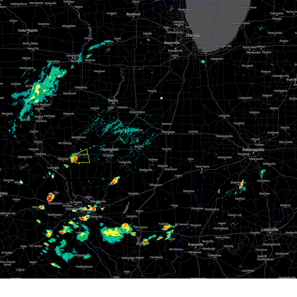
Hail Map for South Jacksonville, IL
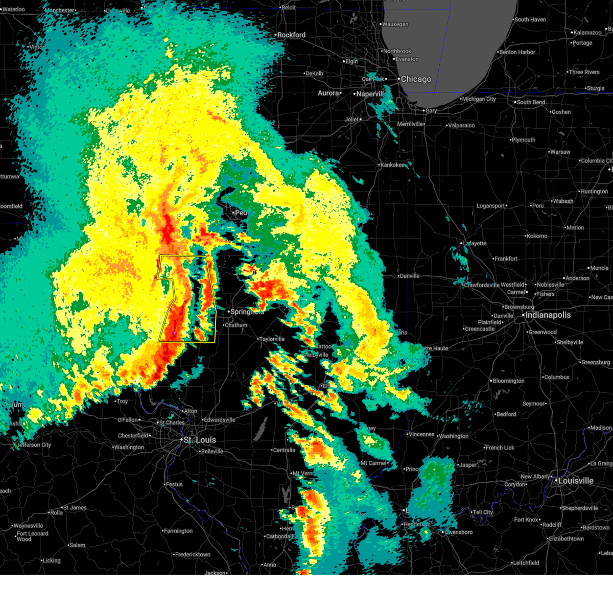
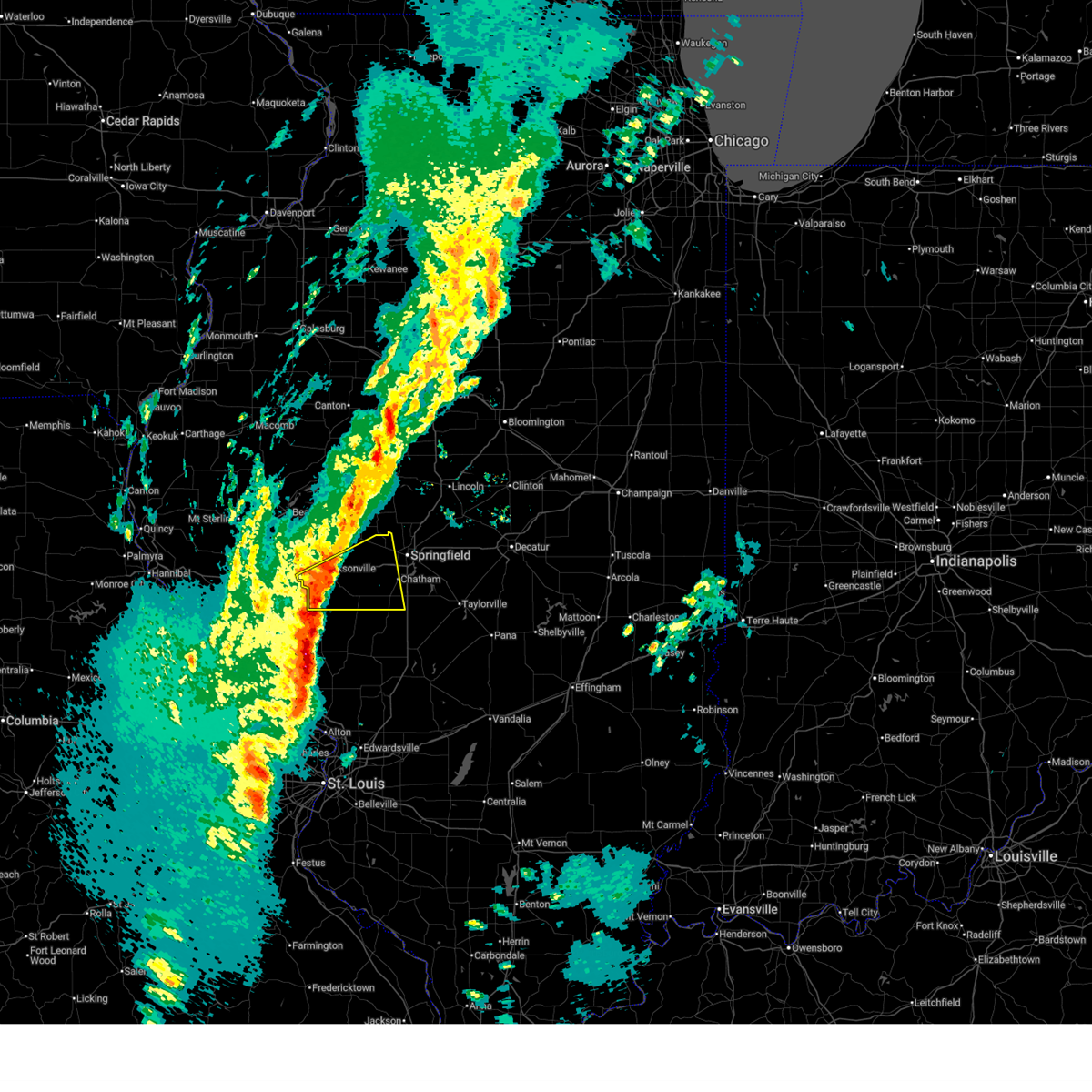
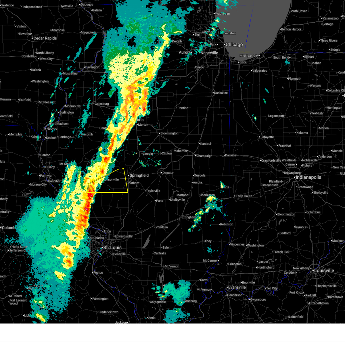
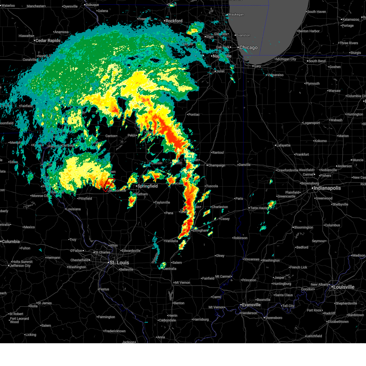
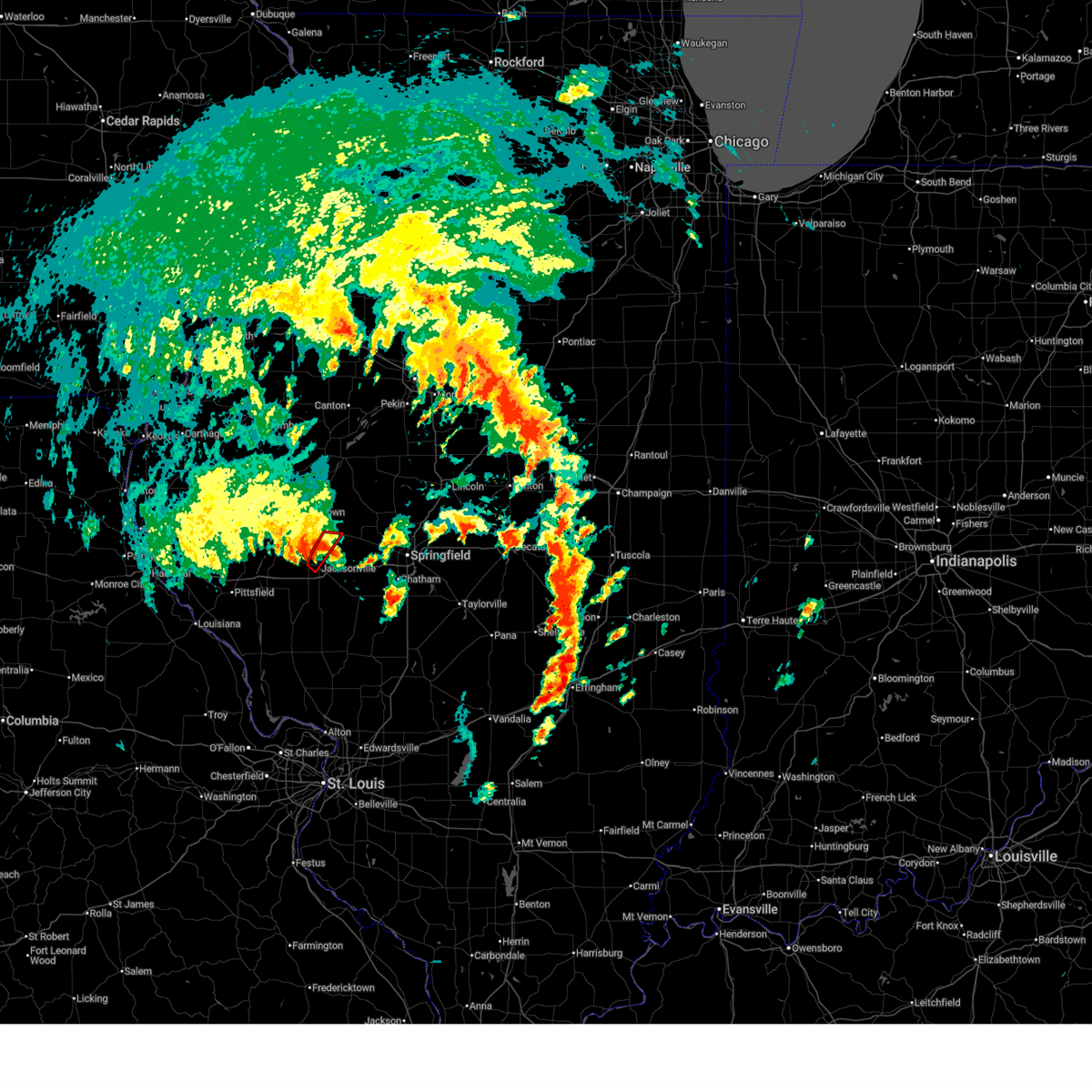
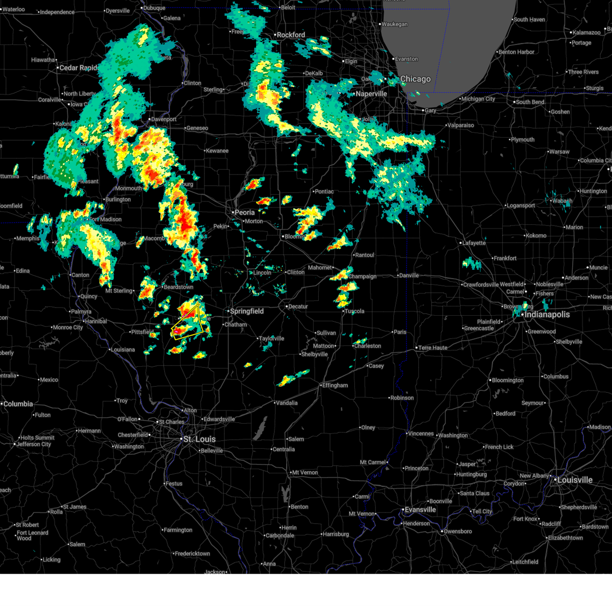
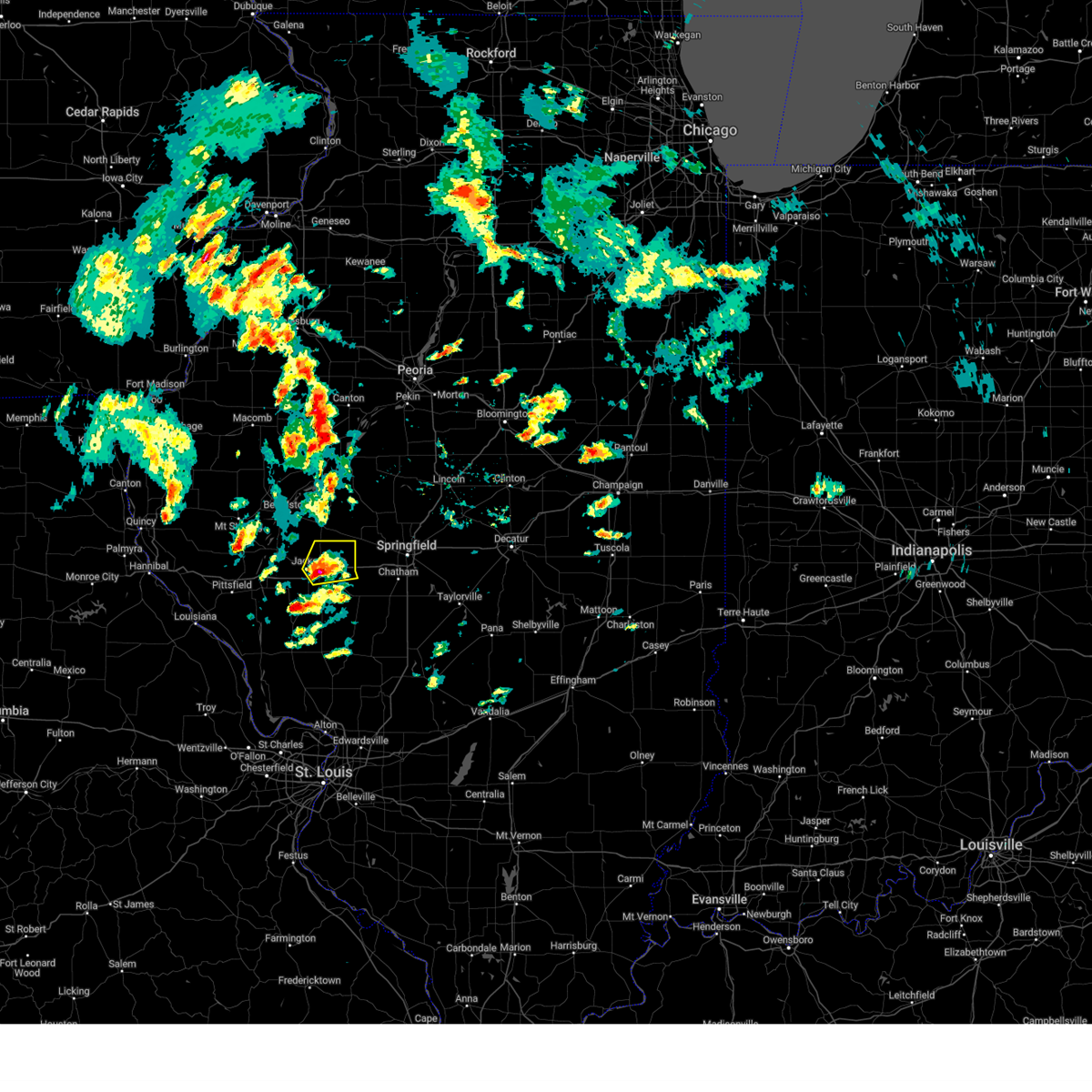
The South Jacksonville, IL area has had 0 reports of on-the-ground hail by trained spotters, and has been under severe weather warnings 23 times during the past 12 months. Doppler radar has detected hail at or near South Jacksonville, IL on 69 occasions, including 4 occasions during the past year.
| Name: | South Jacksonville, IL |
| Where Located: | 74 miles N of Saint Louis, MO |
| Map: | Google Map for South Jacksonville, IL |
| Population: | 3331 |
| Housing Units: | 1671 |
| More Info: | Search Google for South Jacksonville, IL |
3
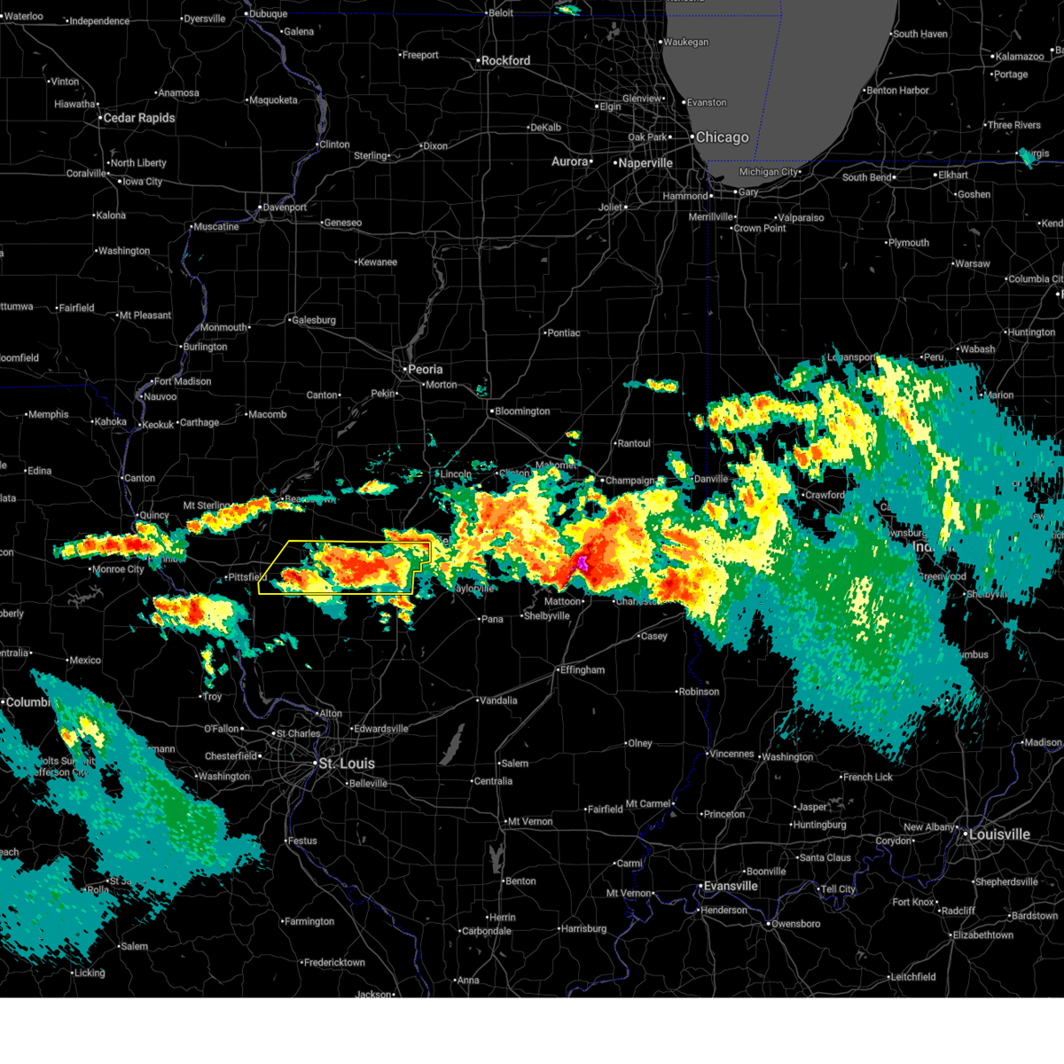
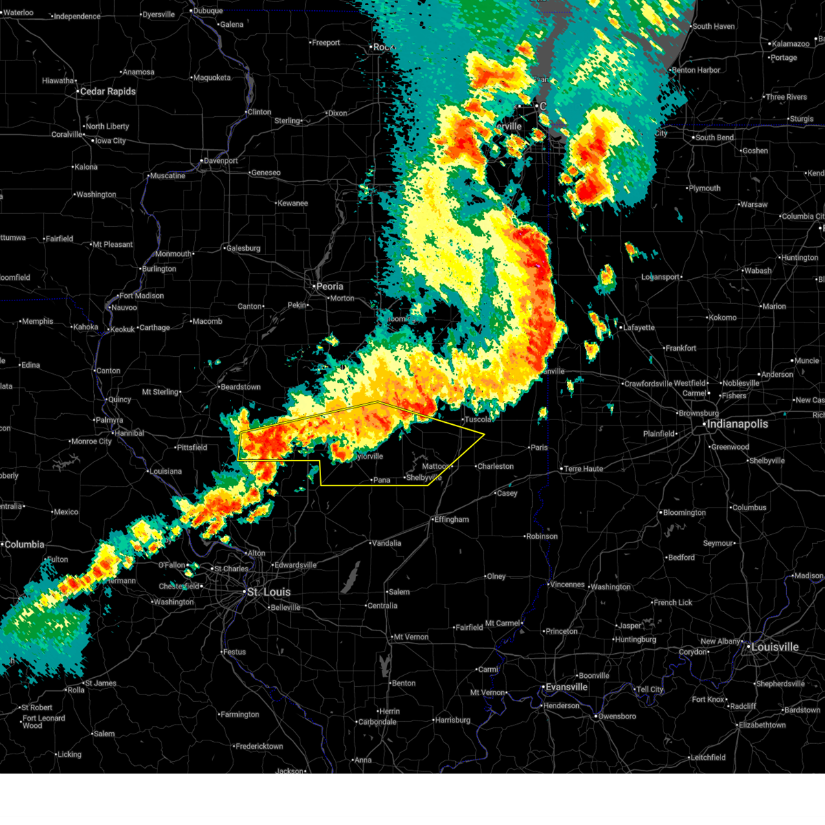
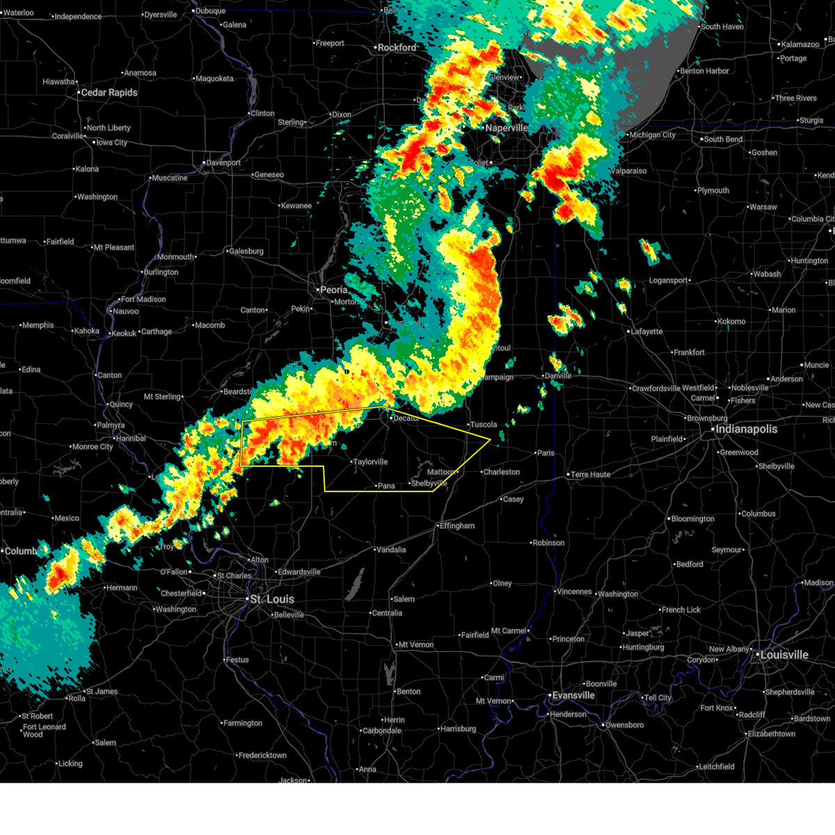
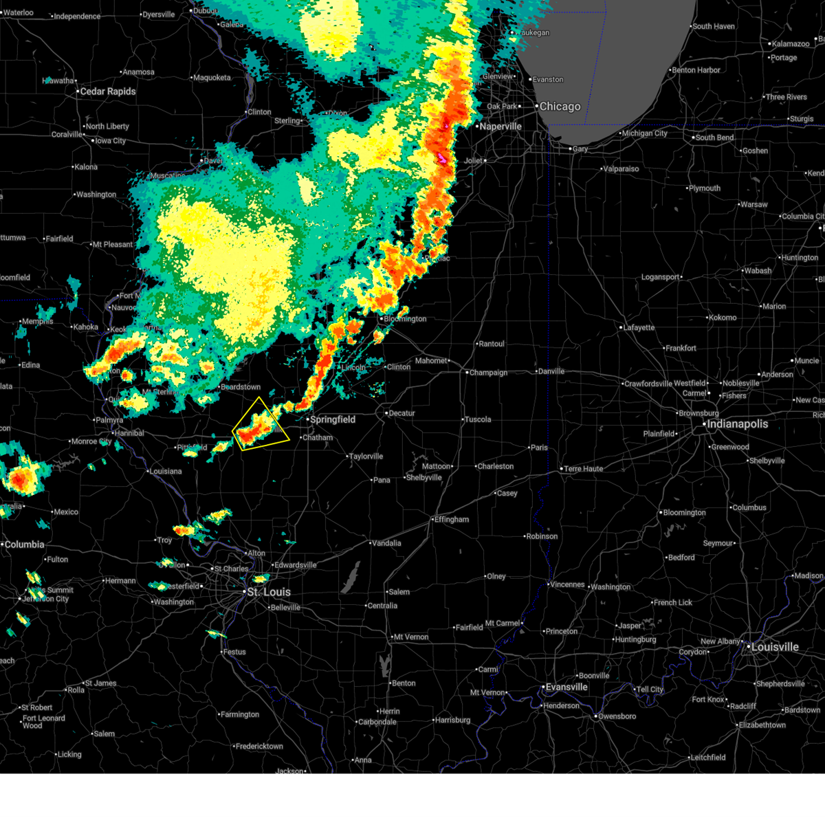
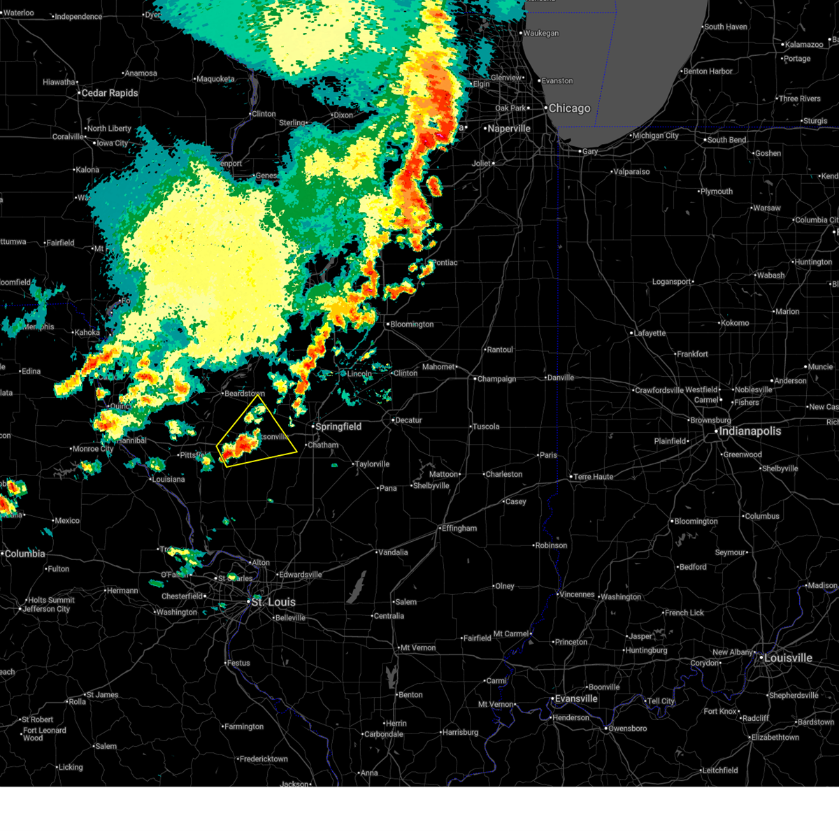
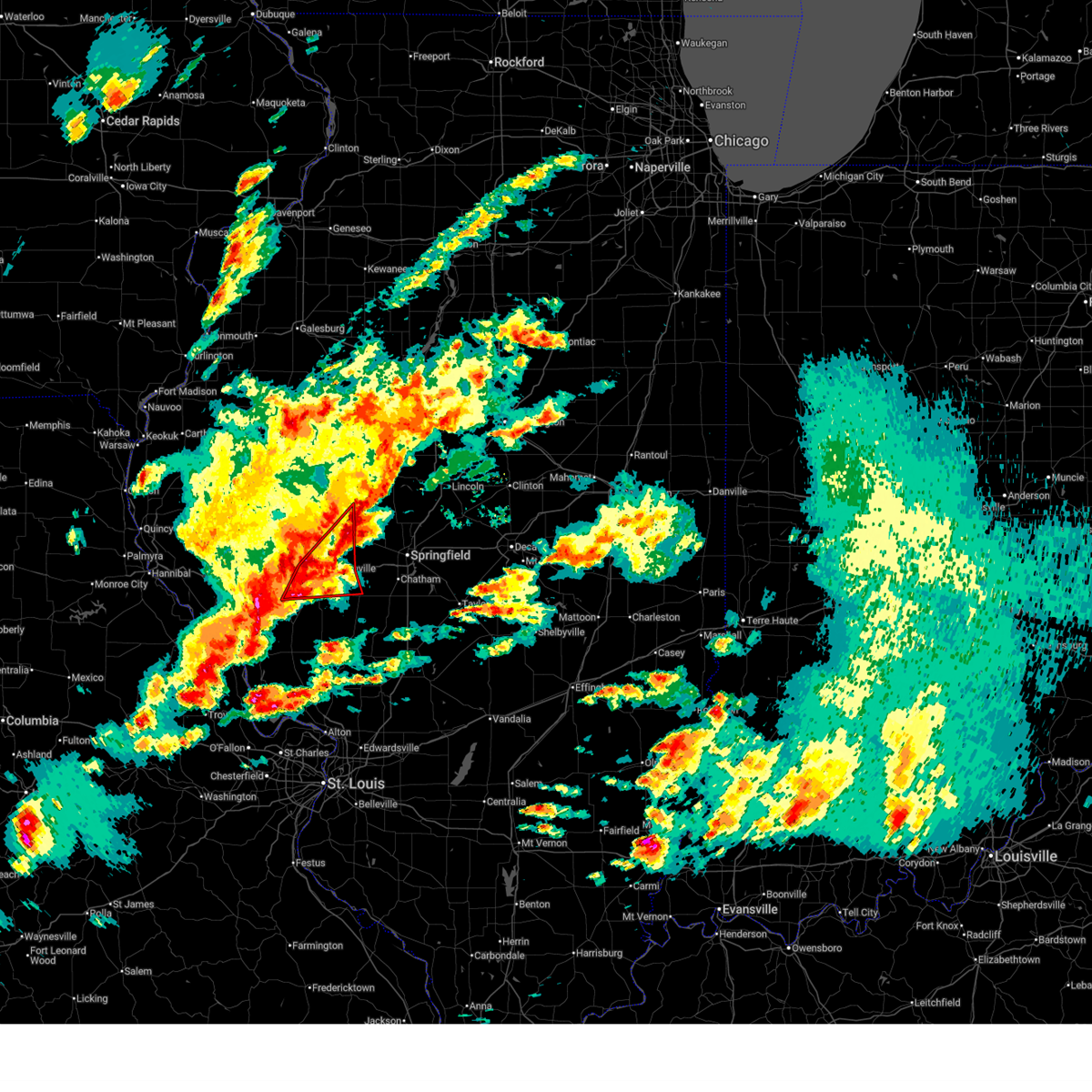
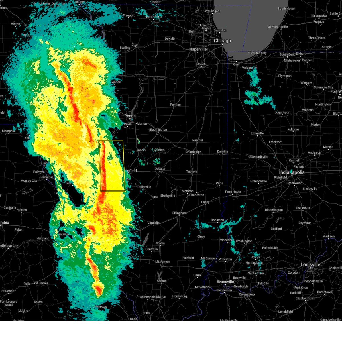
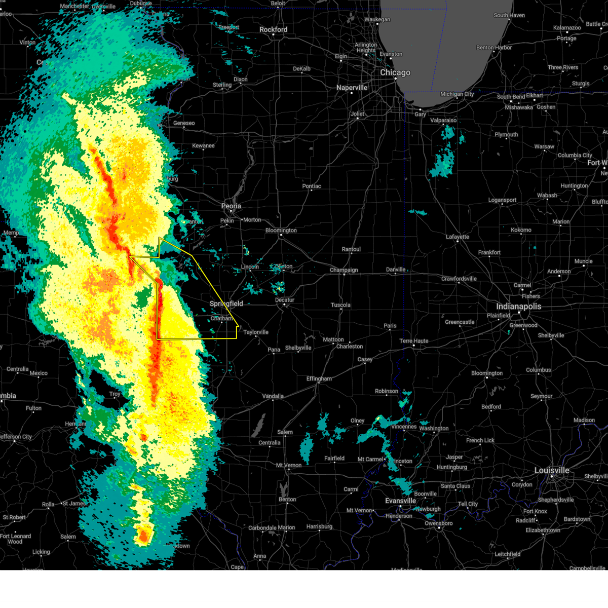
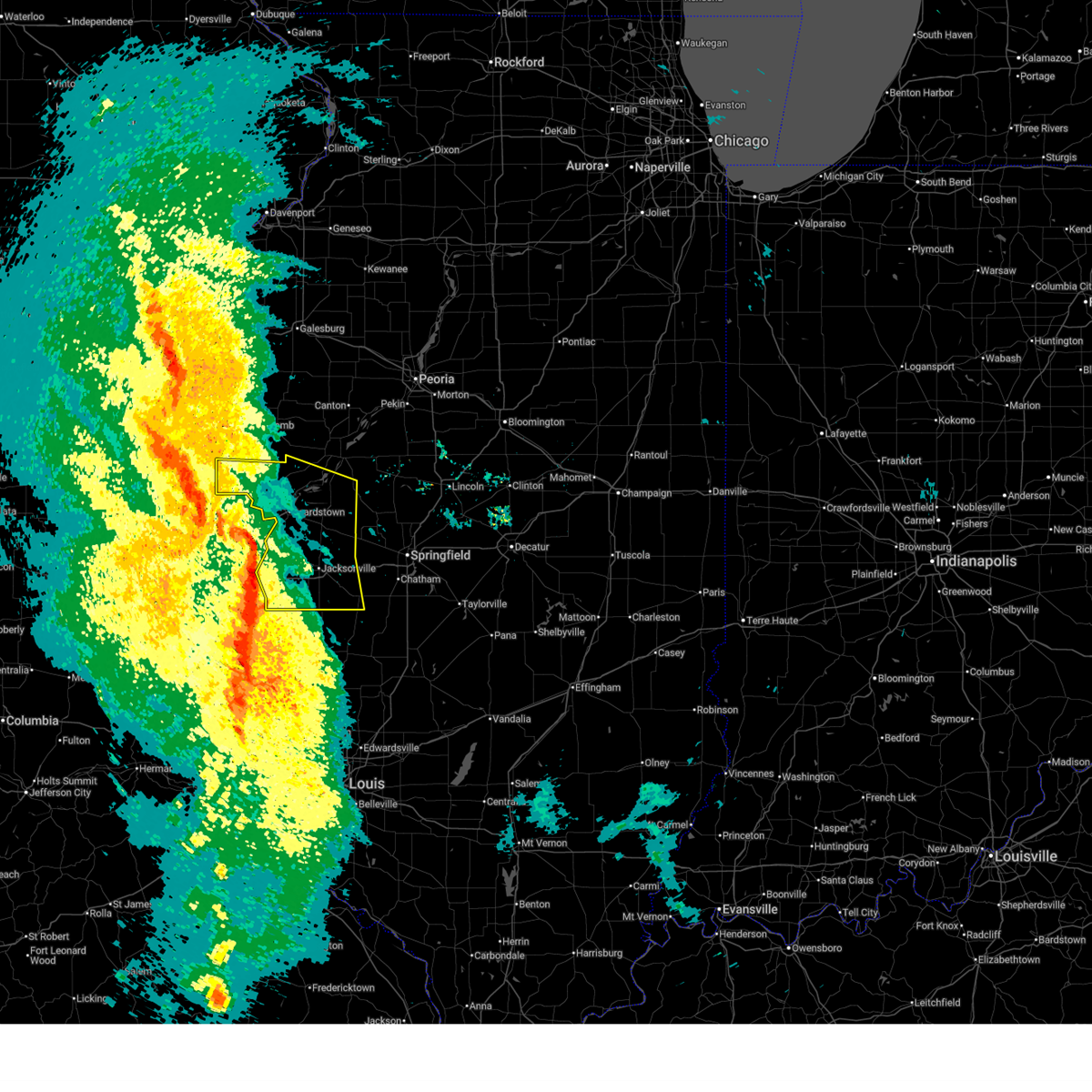
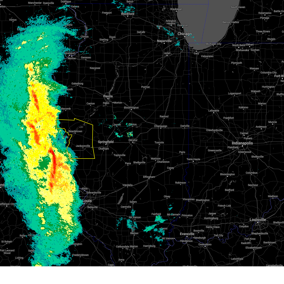
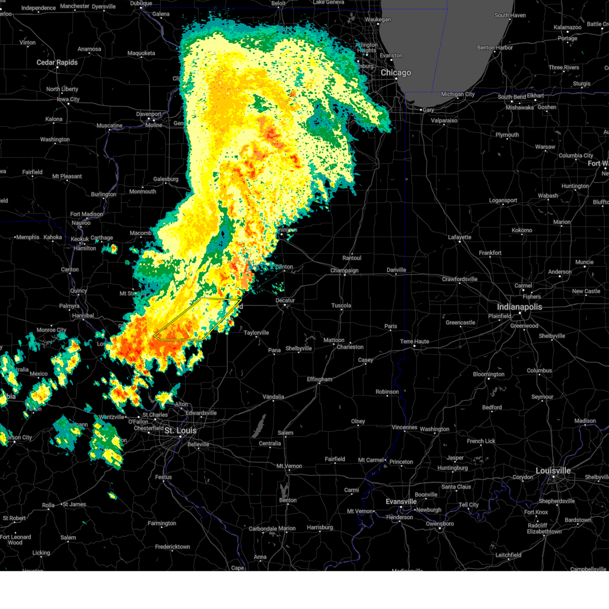
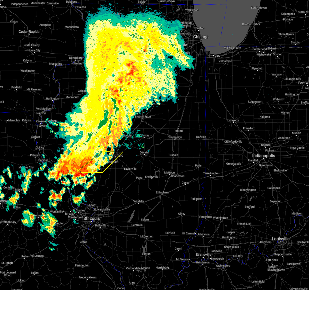
The Top Recent Hail Date for South Jacksonville, IL is Monday, April 27, 2026 (10th out of 69)

Hail and Wind Damage Spotted near South Jacksonville, IL
| Date / Time | Report Details |
|---|---|
| 6/17/2026 6:33 PM CDT |
 Svrilx the national weather service in lincoln has issued a * severe thunderstorm warning for, scott county in west central illinois, southwestern sangamon county in central illinois, morgan county in west central illinois, * until 730 pm cdt. * at 633 pm cdt, severe thunderstorms were located along a line extending from near waverly to alsey, moving east at 45 mph (radar indicated). Hazards include 60 mph wind gusts and penny size hail. Expect damage to roofs, siding, and trees. severe thunderstorms will be near, auburn, waverly, loami, franklin, murrayville, woodson, and manchester around 640 pm cdt. chatham around 645 pm cdt. springfield around 650 pm cdt. other locations in the path of these severe thunderstorms include pawnee. this includes the following highways, interstate 55 between mile markers 77 and 96. Interstate 72 between mile markers 50 and 102. Svrilx the national weather service in lincoln has issued a * severe thunderstorm warning for, scott county in west central illinois, southwestern sangamon county in central illinois, morgan county in west central illinois, * until 730 pm cdt. * at 633 pm cdt, severe thunderstorms were located along a line extending from near waverly to alsey, moving east at 45 mph (radar indicated). Hazards include 60 mph wind gusts and penny size hail. Expect damage to roofs, siding, and trees. severe thunderstorms will be near, auburn, waverly, loami, franklin, murrayville, woodson, and manchester around 640 pm cdt. chatham around 645 pm cdt. springfield around 650 pm cdt. other locations in the path of these severe thunderstorms include pawnee. this includes the following highways, interstate 55 between mile markers 77 and 96. Interstate 72 between mile markers 50 and 102.
|
| 6/11/2026 7:58 PM CDT |
 At 758 pm cdt, severe thunderstorms were located along a line extending from near atwood to near pawnee, moving east at 60 mph (radar indicated). Hazards include 60 mph wind gusts. Expect damage to roofs, siding, and trees. these severe storms will be near, taylorville, arthur, moweaqua, kincaid, bethany, macon, lovington, stonington, dalton city, and jeisyville around 805 pm cdt. arcola around 810 pm cdt. sullivan, assumption, and owaneco around 815 pm cdt. findlay, humboldt, allenville, and cooks mill around 825 pm cdt. mattoon and windsor around 840 pm cdt. other locations impacted by these severe thunderstorms include sangchris lake state park, willeys, wolf creek state park, curran, glenarm, lake city, thayer, southern view, elwin, and nortonville. this includes the following highways, interstate 55 between mile markers 77 and 98. interstate 57 between mile markers 194 and 207. Interstate 72 between mile markers 65 and 68, between mile markers 75 and 107, and between mile markers 110 and 140. At 758 pm cdt, severe thunderstorms were located along a line extending from near atwood to near pawnee, moving east at 60 mph (radar indicated). Hazards include 60 mph wind gusts. Expect damage to roofs, siding, and trees. these severe storms will be near, taylorville, arthur, moweaqua, kincaid, bethany, macon, lovington, stonington, dalton city, and jeisyville around 805 pm cdt. arcola around 810 pm cdt. sullivan, assumption, and owaneco around 815 pm cdt. findlay, humboldt, allenville, and cooks mill around 825 pm cdt. mattoon and windsor around 840 pm cdt. other locations impacted by these severe thunderstorms include sangchris lake state park, willeys, wolf creek state park, curran, glenarm, lake city, thayer, southern view, elwin, and nortonville. this includes the following highways, interstate 55 between mile markers 77 and 98. interstate 57 between mile markers 194 and 207. Interstate 72 between mile markers 65 and 68, between mile markers 75 and 107, and between mile markers 110 and 140.
|
| 6/11/2026 7:28 PM CDT |
 Svrilx the national weather service in lincoln has issued a * severe thunderstorm warning for, northwestern coles county in east central illinois, christian county in central illinois, sangamon county in central illinois, moultrie county in central illinois, central shelby county in central illinois, southwestern piatt county in central illinois, southwestern douglas county in east central illinois, macon county in central illinois, eastern morgan county in west central illinois, * until 830 pm cdt. * at 728 pm cdt, severe thunderstorms were located along a line extending from near harristown to near franklin, moving east at 60 mph (radar indicated). Hazards include 60 mph wind gusts. Expect damage to roofs, siding, and trees. severe thunderstorms will be near, springfield, decatur, chatham, mount zion, auburn, rochester, harristown, long creek, waverly, and loami around 735 pm cdt. pawnee and edinburg around 740 pm cdt. divernon, blue mound, and macon around 745 pm cdt. other locations in the path of these severe thunderstorms include kincaid, stonington, dalton city, hammond, lovington, jeisyville, taylorville, arthur, moweaqua, bethany and arcola. this includes the following highways, interstate 55 between mile markers 77 and 102. interstate 57 between mile markers 194 and 207. Interstate 72 between mile markers 64 and 140. Svrilx the national weather service in lincoln has issued a * severe thunderstorm warning for, northwestern coles county in east central illinois, christian county in central illinois, sangamon county in central illinois, moultrie county in central illinois, central shelby county in central illinois, southwestern piatt county in central illinois, southwestern douglas county in east central illinois, macon county in central illinois, eastern morgan county in west central illinois, * until 830 pm cdt. * at 728 pm cdt, severe thunderstorms were located along a line extending from near harristown to near franklin, moving east at 60 mph (radar indicated). Hazards include 60 mph wind gusts. Expect damage to roofs, siding, and trees. severe thunderstorms will be near, springfield, decatur, chatham, mount zion, auburn, rochester, harristown, long creek, waverly, and loami around 735 pm cdt. pawnee and edinburg around 740 pm cdt. divernon, blue mound, and macon around 745 pm cdt. other locations in the path of these severe thunderstorms include kincaid, stonington, dalton city, hammond, lovington, jeisyville, taylorville, arthur, moweaqua, bethany and arcola. this includes the following highways, interstate 55 between mile markers 77 and 102. interstate 57 between mile markers 194 and 207. Interstate 72 between mile markers 64 and 140.
|
| 6/10/2026 3:24 PM CDT |
 At 324 pm cdt, a severe thunderstorm was located near alexander, or near jacksonville, moving northeast at 35 mph (radar indicated). Hazards include 60 mph wind gusts and penny size hail. Expect damage to roofs, siding, and trees. this severe storm will be near, alexander around 330 pm cdt. new berlin around 335 pm cdt. other locations impacted by this severe thunderstorm include prentice, jacksonville municipal airport, and berlin. This includes interstate 72 between mile markers 62 and 85. At 324 pm cdt, a severe thunderstorm was located near alexander, or near jacksonville, moving northeast at 35 mph (radar indicated). Hazards include 60 mph wind gusts and penny size hail. Expect damage to roofs, siding, and trees. this severe storm will be near, alexander around 330 pm cdt. new berlin around 335 pm cdt. other locations impacted by this severe thunderstorm include prentice, jacksonville municipal airport, and berlin. This includes interstate 72 between mile markers 62 and 85.
|
| 6/10/2026 3:06 PM CDT |
 Svrilx the national weather service in lincoln has issued a * severe thunderstorm warning for, eastern scott county in west central illinois, southwestern sangamon county in central illinois, southeastern cass county in west central illinois, morgan county in west central illinois, * until 345 pm cdt. * at 306 pm cdt, a severe thunderstorm was located over south jacksonville, or near jacksonville, moving northeast at 30 mph (radar indicated). Hazards include 60 mph wind gusts and quarter size hail. Hail damage to vehicles is expected. expect wind damage to roofs, siding, and trees. this severe thunderstorm will be near, jacksonville and south jacksonville around 310 pm cdt. alexander around 320 pm cdt. This includes interstate 72 between mile markers 52 and 85. Svrilx the national weather service in lincoln has issued a * severe thunderstorm warning for, eastern scott county in west central illinois, southwestern sangamon county in central illinois, southeastern cass county in west central illinois, morgan county in west central illinois, * until 345 pm cdt. * at 306 pm cdt, a severe thunderstorm was located over south jacksonville, or near jacksonville, moving northeast at 30 mph (radar indicated). Hazards include 60 mph wind gusts and quarter size hail. Hail damage to vehicles is expected. expect wind damage to roofs, siding, and trees. this severe thunderstorm will be near, jacksonville and south jacksonville around 310 pm cdt. alexander around 320 pm cdt. This includes interstate 72 between mile markers 52 and 85.
|
| 5/4/2026 11:47 PM CDT |
 At 1147 pm cdt, severe thunderstorms were located along a line extending from near mount auburn to near chatham to near franklin, moving southeast at 35 mph (radar indicated). Hazards include quarter size hail. Damage to vehicles is expected. these severe storms will be near, springfield, chatham, auburn, waverly, and mount auburn around 1150 pm cdt. other locations impacted by these severe thunderstorms include nortonville, curran, glenarm, southern view, clear lake, grandview, jerome, leland grove, and berlin. this includes the following highways, interstate 55 between mile markers 83 and 100. Interstate 72 between mile markers 62 and 67, and between mile markers 79 and 125. At 1147 pm cdt, severe thunderstorms were located along a line extending from near mount auburn to near chatham to near franklin, moving southeast at 35 mph (radar indicated). Hazards include quarter size hail. Damage to vehicles is expected. these severe storms will be near, springfield, chatham, auburn, waverly, and mount auburn around 1150 pm cdt. other locations impacted by these severe thunderstorms include nortonville, curran, glenarm, southern view, clear lake, grandview, jerome, leland grove, and berlin. this includes the following highways, interstate 55 between mile markers 83 and 100. Interstate 72 between mile markers 62 and 67, and between mile markers 79 and 125.
|
| 5/4/2026 11:31 PM CDT |
 Svrilx the national weather service in lincoln has issued a * severe thunderstorm warning for, southeastern menard county in central illinois, northwestern christian county in central illinois, sangamon county in central illinois, eastern morgan county in west central illinois, * until midnight cdt. * at 1131 pm cdt, severe thunderstorms were located along a line extending from near cornland to 6 miles northeast of new berlin to near south jacksonville, moving southeast at 30 mph (radar indicated). Hazards include quarter size hail. Damage to vehicles is expected. severe thunderstorms will be near, springfield, alexander, rochester, riverton, new berlin, loami, franklin, mechanicsburg, woodson, and dawson around 1135 pm cdt. chatham and illiopolis around 1140 pm cdt. waverly around 1145 pm cdt. mount auburn around 1150 pm cdt. this includes the following highways, interstate 55 between mile markers 83 and 111. Interstate 72 between mile markers 62 and 125. Svrilx the national weather service in lincoln has issued a * severe thunderstorm warning for, southeastern menard county in central illinois, northwestern christian county in central illinois, sangamon county in central illinois, eastern morgan county in west central illinois, * until midnight cdt. * at 1131 pm cdt, severe thunderstorms were located along a line extending from near cornland to 6 miles northeast of new berlin to near south jacksonville, moving southeast at 30 mph (radar indicated). Hazards include quarter size hail. Damage to vehicles is expected. severe thunderstorms will be near, springfield, alexander, rochester, riverton, new berlin, loami, franklin, mechanicsburg, woodson, and dawson around 1135 pm cdt. chatham and illiopolis around 1140 pm cdt. waverly around 1145 pm cdt. mount auburn around 1150 pm cdt. this includes the following highways, interstate 55 between mile markers 83 and 111. Interstate 72 between mile markers 62 and 125.
|
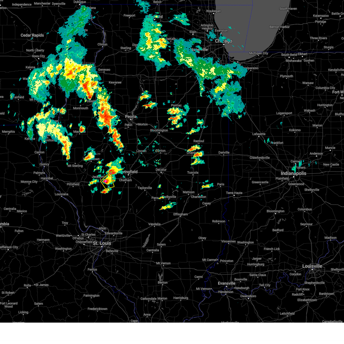
| 4/27/2026 5:56 PM CDT |
 The tornado threat has diminished and the tornado warning has been cancelled. however, large hail and damaging winds remain likely and a severe thunderstorm warning remains in effect for the area. however, gusty winds and heavy rain are still possible with this thunderstorm. a tornado watch remains in effect until 900 pm cdt for central and west central illinois. The tornado threat has diminished and the tornado warning has been cancelled. however, large hail and damaging winds remain likely and a severe thunderstorm warning remains in effect for the area. however, gusty winds and heavy rain are still possible with this thunderstorm. a tornado watch remains in effect until 900 pm cdt for central and west central illinois.
|
| 4/27/2026 5:48 PM CDT |
 Svrilx the national weather service in lincoln has issued a * severe thunderstorm warning for, southeastern scott county in west central illinois, south central menard county in central illinois, western sangamon county in central illinois, southeastern cass county in west central illinois, morgan county in west central illinois, * until 630 pm cdt. * at 547 pm cdt, severe thunderstorms were located along a line extending from near chapin to manchester to near carrollton, moving east at 55 mph (radar indicated). Hazards include 60 mph wind gusts and quarter size hail. Hail damage to vehicles is expected. expect wind damage to roofs, siding, and trees. severe thunderstorms will be near, jacksonville, south jacksonville, and woodson around 555 pm cdt. alexander and franklin around 600 pm cdt. waverly around 605 pm cdt. other locations in the path of these severe thunderstorms include new berlin, ashland, pleasant plains, loami, springfield, chatham and auburn. This includes interstate 72 between mile markers 53 and 94. Svrilx the national weather service in lincoln has issued a * severe thunderstorm warning for, southeastern scott county in west central illinois, south central menard county in central illinois, western sangamon county in central illinois, southeastern cass county in west central illinois, morgan county in west central illinois, * until 630 pm cdt. * at 547 pm cdt, severe thunderstorms were located along a line extending from near chapin to manchester to near carrollton, moving east at 55 mph (radar indicated). Hazards include 60 mph wind gusts and quarter size hail. Hail damage to vehicles is expected. expect wind damage to roofs, siding, and trees. severe thunderstorms will be near, jacksonville, south jacksonville, and woodson around 555 pm cdt. alexander and franklin around 600 pm cdt. waverly around 605 pm cdt. other locations in the path of these severe thunderstorms include new berlin, ashland, pleasant plains, loami, springfield, chatham and auburn. This includes interstate 72 between mile markers 53 and 94.
|
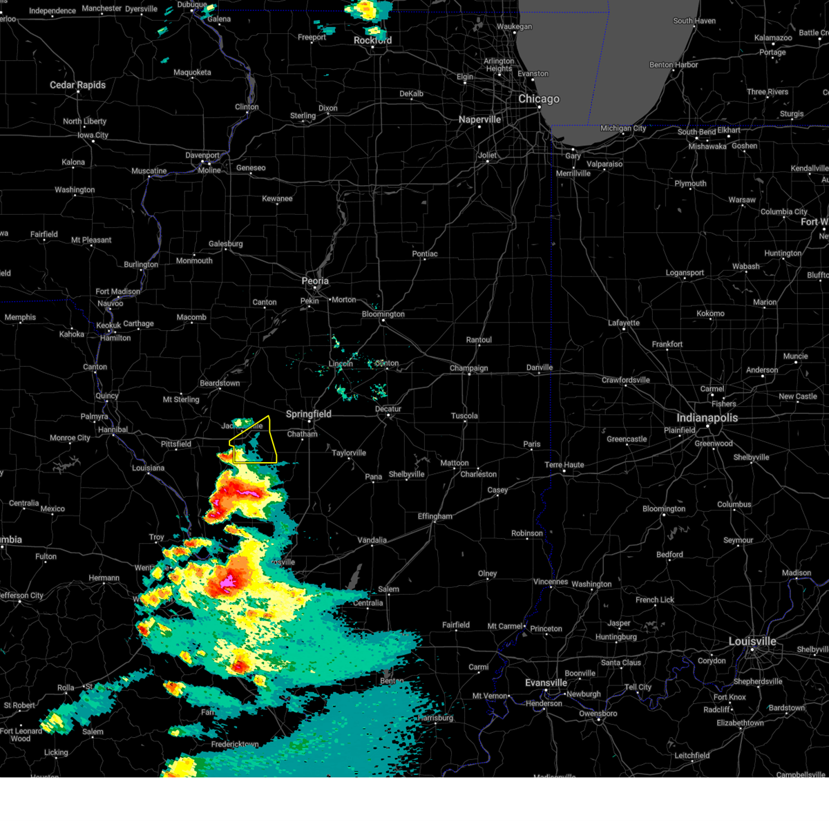
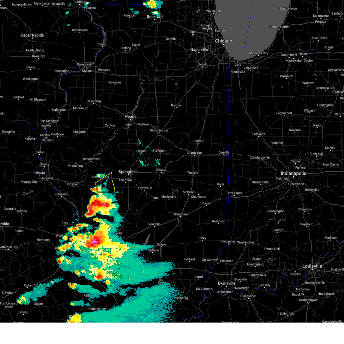
| 4/27/2026 5:37 PM CDT |
 At 537 pm cdt, a severe thunderstorm capable of producing a tornado was located near alexander, or 8 miles east of jacksonville, moving east at 40 mph (radar indicated rotation). Hazards include tornado and half dollar size hail. Flying debris will be dangerous to those caught without shelter. mobile homes will be damaged or destroyed. damage to roofs, windows, and vehicles will occur. tree damage is likely. this dangerous storm will be near, alexander around 540 pm cdt. other locations impacted by this tornadic thunderstorm include prentice, lynnville, jacksonville municipal airport, and philadelphia. This includes interstate 72 between mile markers 56 and 79. At 537 pm cdt, a severe thunderstorm capable of producing a tornado was located near alexander, or 8 miles east of jacksonville, moving east at 40 mph (radar indicated rotation). Hazards include tornado and half dollar size hail. Flying debris will be dangerous to those caught without shelter. mobile homes will be damaged or destroyed. damage to roofs, windows, and vehicles will occur. tree damage is likely. this dangerous storm will be near, alexander around 540 pm cdt. other locations impacted by this tornadic thunderstorm include prentice, lynnville, jacksonville municipal airport, and philadelphia. This includes interstate 72 between mile markers 56 and 79.
|
| 4/27/2026 5:27 PM CDT |
 At 526 pm cdt, severe thunderstorms capable of producing tornadoes were located along a line extending from near literberry to near bluffs, moving east at 45 mph (radar indicated rotation). Hazards include tornado and half dollar size hail. Flying debris will be dangerous to those caught without shelter. mobile homes will be damaged or destroyed. damage to roofs, windows, and vehicles will occur. tree damage is likely. these dangerous storms will be near, virginia, chapin, and literberry around 530 pm cdt. jacksonville around 535 pm cdt. south jacksonville and ashland around 540 pm cdt. other locations impacted by these tornadic storms include prentice, merritt, lynnville, exeter, jacksonville municipal airport, florence, concord, philadelphia, and valley city. This includes interstate 72 between mile markers 43 and 79. At 526 pm cdt, severe thunderstorms capable of producing tornadoes were located along a line extending from near literberry to near bluffs, moving east at 45 mph (radar indicated rotation). Hazards include tornado and half dollar size hail. Flying debris will be dangerous to those caught without shelter. mobile homes will be damaged or destroyed. damage to roofs, windows, and vehicles will occur. tree damage is likely. these dangerous storms will be near, virginia, chapin, and literberry around 530 pm cdt. jacksonville around 535 pm cdt. south jacksonville and ashland around 540 pm cdt. other locations impacted by these tornadic storms include prentice, merritt, lynnville, exeter, jacksonville municipal airport, florence, concord, philadelphia, and valley city. This includes interstate 72 between mile markers 43 and 79.
|
| 4/27/2026 5:18 PM CDT |
 Torilx the national weather service in lincoln has issued a * tornado warning for, scott county in west central illinois, southeastern cass county in west central illinois, morgan county in west central illinois, * until 600 pm cdt. * at 518 pm cdt, severe thunderstorms capable of producing a tornado were located along a line extending from near arenzville to near naples, moving east at 45 mph (radar indicated rotation). Hazards include tornado. Flying debris will be dangerous to those caught without shelter. mobile homes will be damaged or destroyed. damage to roofs, windows, and vehicles will occur. tree damage is likely. these dangerous storms will be near, bluffs, chapin, arenzville, and literberry around 525 pm cdt. virginia around 530 pm cdt. jacksonville around 535 pm cdt. other locations in the path of these tornadic storms include south jacksonville and ashland. This includes interstate 72 between mile markers 43 and 79. Torilx the national weather service in lincoln has issued a * tornado warning for, scott county in west central illinois, southeastern cass county in west central illinois, morgan county in west central illinois, * until 600 pm cdt. * at 518 pm cdt, severe thunderstorms capable of producing a tornado were located along a line extending from near arenzville to near naples, moving east at 45 mph (radar indicated rotation). Hazards include tornado. Flying debris will be dangerous to those caught without shelter. mobile homes will be damaged or destroyed. damage to roofs, windows, and vehicles will occur. tree damage is likely. these dangerous storms will be near, bluffs, chapin, arenzville, and literberry around 525 pm cdt. virginia around 530 pm cdt. jacksonville around 535 pm cdt. other locations in the path of these tornadic storms include south jacksonville and ashland. This includes interstate 72 between mile markers 43 and 79.
|
| 4/27/2026 9:50 AM CDT |
 At 950 am cdt, severe thunderstorms were located along a line extending from near bath to kilbourne to near pleasant plains to near franklin to near athensville to near carrollton, moving east at 65 mph (radar indicated). Hazards include 70 mph wind gusts. Expect considerable tree damage. damage is likely to mobile homes, roofs, and outbuildings. these severe storms will be near, havana, petersburg, new berlin, waverly, pleasant plains, and loami around 955 am cdt. other locations impacted by these severe thunderstorms include prentice, nortonville, oakford, lynnville, bluff city, jacksonville municipal airport, berlin, lowder, lincolns new salem, and atterberry. This includes interstate 72 between mile markers 55 and 89. At 950 am cdt, severe thunderstorms were located along a line extending from near bath to kilbourne to near pleasant plains to near franklin to near athensville to near carrollton, moving east at 65 mph (radar indicated). Hazards include 70 mph wind gusts. Expect considerable tree damage. damage is likely to mobile homes, roofs, and outbuildings. these severe storms will be near, havana, petersburg, new berlin, waverly, pleasant plains, and loami around 955 am cdt. other locations impacted by these severe thunderstorms include prentice, nortonville, oakford, lynnville, bluff city, jacksonville municipal airport, berlin, lowder, lincolns new salem, and atterberry. This includes interstate 72 between mile markers 55 and 89.
|
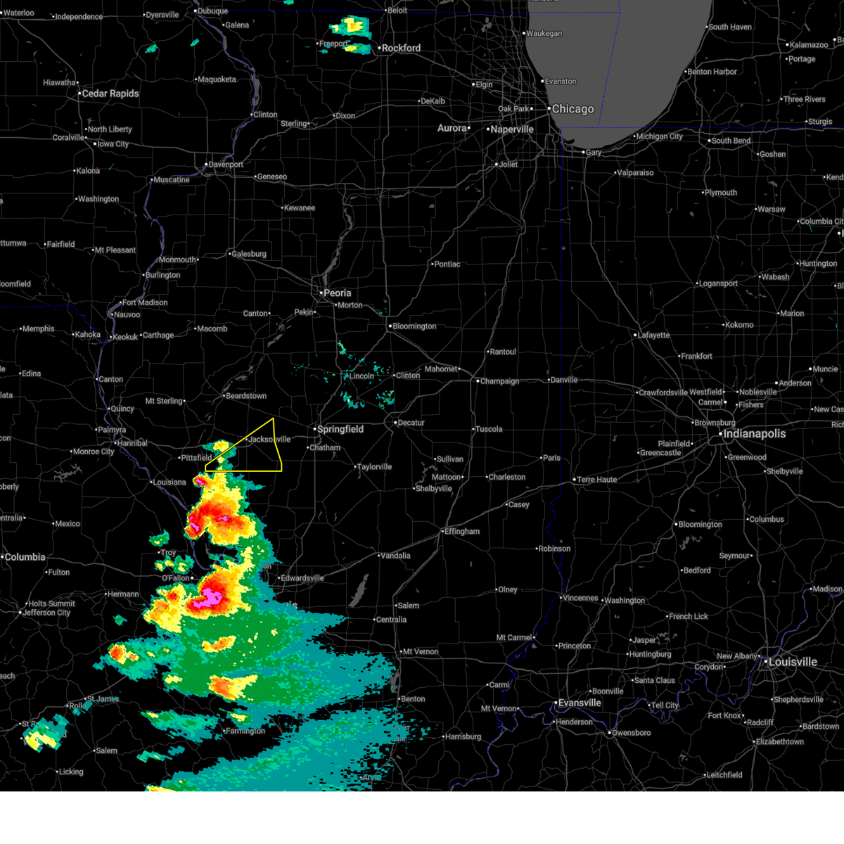
| 4/27/2026 9:16 AM CDT |
 At 916 am cdt, severe thunderstorms were located along a line extending from 7 miles northeast of clayton to near mount sterling to naples to 9 miles east of pleasant hill to belleview to near eolia, moving east at 50 mph (radar indicated). Hazards include 70 mph wind gusts. Expect considerable tree damage. damage is likely to mobile homes, roofs, and outbuildings. these severe storms will be near, meredosia, bluffs, and naples around 920 am cdt. rushville, winchester, chapin, alsey, and glasgow around 925 am cdt. beardstown and arenzville around 930 am cdt. jacksonville, south jacksonville, bluff springs, and manchester around 935 am cdt. virginia, murrayville, woodson, browning, and literberry around 940 am cdt. alexander, franklin, and chandlerville around 950 am cdt. ashland around 955 am cdt. other locations impacted by these severe thunderstorms include prentice, camden, frederick, huntsville, merritt, bluff city, exeter, berlin, concord, and atterberry. This includes interstate 72 between mile markers 43 and 89. At 916 am cdt, severe thunderstorms were located along a line extending from 7 miles northeast of clayton to near mount sterling to naples to 9 miles east of pleasant hill to belleview to near eolia, moving east at 50 mph (radar indicated). Hazards include 70 mph wind gusts. Expect considerable tree damage. damage is likely to mobile homes, roofs, and outbuildings. these severe storms will be near, meredosia, bluffs, and naples around 920 am cdt. rushville, winchester, chapin, alsey, and glasgow around 925 am cdt. beardstown and arenzville around 930 am cdt. jacksonville, south jacksonville, bluff springs, and manchester around 935 am cdt. virginia, murrayville, woodson, browning, and literberry around 940 am cdt. alexander, franklin, and chandlerville around 950 am cdt. ashland around 955 am cdt. other locations impacted by these severe thunderstorms include prentice, camden, frederick, huntsville, merritt, bluff city, exeter, berlin, concord, and atterberry. This includes interstate 72 between mile markers 43 and 89.
|
| 4/27/2026 9:09 AM CDT |
 Svrilx the national weather service in lincoln has issued a * severe thunderstorm warning for, scott county in west central illinois, western menard county in central illinois, southwestern fulton county in west central illinois, western sangamon county in central illinois, cass county in west central illinois, schuyler county in west central illinois, southwestern mason county in central illinois, morgan county in west central illinois, * until 1000 am cdt. * at 906 am cdt, severe thunderstorms were located along a line extending from near golden to near buckhorn to griggsville to near pleasant hill to clarksville to 6 miles southwest of eolia, moving east at 50 mph (radar indicated). Hazards include 70 mph wind gusts. Expect considerable tree damage. damage is likely to mobile homes, roofs, and outbuildings. severe thunderstorms will be near, naples around 910 am cdt. meredosia and bluffs around 915 am cdt. winchester and glasgow around 920 am cdt. beardstown, rushville, chapin, arenzville, and alsey around 925 am cdt. other locations in the path of these severe thunderstorms include jacksonville, bluff springs, manchester, south jacksonville, murrayville, woodson, browning, literberry, virginia, alexander and chandlerville. This includes interstate 72 between mile markers 43 and 89. Svrilx the national weather service in lincoln has issued a * severe thunderstorm warning for, scott county in west central illinois, western menard county in central illinois, southwestern fulton county in west central illinois, western sangamon county in central illinois, cass county in west central illinois, schuyler county in west central illinois, southwestern mason county in central illinois, morgan county in west central illinois, * until 1000 am cdt. * at 906 am cdt, severe thunderstorms were located along a line extending from near golden to near buckhorn to griggsville to near pleasant hill to clarksville to 6 miles southwest of eolia, moving east at 50 mph (radar indicated). Hazards include 70 mph wind gusts. Expect considerable tree damage. damage is likely to mobile homes, roofs, and outbuildings. severe thunderstorms will be near, naples around 910 am cdt. meredosia and bluffs around 915 am cdt. winchester and glasgow around 920 am cdt. beardstown, rushville, chapin, arenzville, and alsey around 925 am cdt. other locations in the path of these severe thunderstorms include jacksonville, bluff springs, manchester, south jacksonville, murrayville, woodson, browning, literberry, virginia, alexander and chandlerville. This includes interstate 72 between mile markers 43 and 89.
|
| 4/17/2026 4:50 PM CDT |
 At 449 pm cdt, severe thunderstorms were located along a line extending from 6 miles west of beardstown to near literberry, moving north at 50 mph (emergency management). Hazards include ping pong ball size hail and 60 mph wind gusts. People and animals outdoors will be injured. expect hail damage to roofs, siding, windows, and vehicles. expect wind damage to roofs, siding, and trees. these severe storms will be near, beardstown, rushville, virginia, and bluff springs around 455 pm cdt. browning around 500 pm cdt. chandlerville around 505 pm cdt. other locations impacted by these severe thunderstorms include frederick, bluff city, lynnville, jacksonville municipal airport, concord, ray, snicarte, ripley, and philadelphia. This includes interstate 72 between mile markers 59 and 65. At 449 pm cdt, severe thunderstorms were located along a line extending from 6 miles west of beardstown to near literberry, moving north at 50 mph (emergency management). Hazards include ping pong ball size hail and 60 mph wind gusts. People and animals outdoors will be injured. expect hail damage to roofs, siding, windows, and vehicles. expect wind damage to roofs, siding, and trees. these severe storms will be near, beardstown, rushville, virginia, and bluff springs around 455 pm cdt. browning around 500 pm cdt. chandlerville around 505 pm cdt. other locations impacted by these severe thunderstorms include frederick, bluff city, lynnville, jacksonville municipal airport, concord, ray, snicarte, ripley, and philadelphia. This includes interstate 72 between mile markers 59 and 65.
|
| 4/17/2026 4:45 PM CDT |
 Svrilx the national weather service in lincoln has issued a * severe thunderstorm warning for, cass county in west central illinois, central schuyler county in west central illinois, southwestern mason county in central illinois, northwestern morgan county in west central illinois, * until 530 pm cdt. * at 444 pm cdt, severe thunderstorms were located along a line extending from 8 miles west of beardstown to near jacksonville, moving northeast at 70 mph (emergency management. at 424 pm, wind damage was reported near winchester). Hazards include 60 mph wind gusts and quarter size hail. Hail damage to vehicles is expected. expect wind damage to roofs, siding, and trees. severe thunderstorms will be near, beardstown, rushville, virginia, bluff springs, arenzville, and literberry around 450 pm cdt. browning around 455 pm cdt. chandlerville around 500 pm cdt. This includes interstate 72 between mile markers 59 and 65. Svrilx the national weather service in lincoln has issued a * severe thunderstorm warning for, cass county in west central illinois, central schuyler county in west central illinois, southwestern mason county in central illinois, northwestern morgan county in west central illinois, * until 530 pm cdt. * at 444 pm cdt, severe thunderstorms were located along a line extending from 8 miles west of beardstown to near jacksonville, moving northeast at 70 mph (emergency management. at 424 pm, wind damage was reported near winchester). Hazards include 60 mph wind gusts and quarter size hail. Hail damage to vehicles is expected. expect wind damage to roofs, siding, and trees. severe thunderstorms will be near, beardstown, rushville, virginia, bluff springs, arenzville, and literberry around 450 pm cdt. browning around 455 pm cdt. chandlerville around 500 pm cdt. This includes interstate 72 between mile markers 59 and 65.
|
| 4/17/2026 4:33 PM CDT |
 At 433 pm cdt, severe thunderstorms were located along a line extending from meredosia to near murrayville, moving northeast at 60 mph (trained weather spotters). Hazards include 60 mph wind gusts and quarter size hail. Hail damage to vehicles is expected. expect wind damage to roofs, siding, and trees. these severe storms will be near, jacksonville, south jacksonville, and arenzville around 440 pm cdt. beardstown, bluff springs, and literberry around 445 pm cdt. virginia around 450 pm cdt. other locations impacted by these severe thunderstorms include prentice, nortonville, merritt, lynnville, exeter, jacksonville municipal airport, concord, philadelphia, and valley city. This includes interstate 72 between mile markers 43 and 75. At 433 pm cdt, severe thunderstorms were located along a line extending from meredosia to near murrayville, moving northeast at 60 mph (trained weather spotters). Hazards include 60 mph wind gusts and quarter size hail. Hail damage to vehicles is expected. expect wind damage to roofs, siding, and trees. these severe storms will be near, jacksonville, south jacksonville, and arenzville around 440 pm cdt. beardstown, bluff springs, and literberry around 445 pm cdt. virginia around 450 pm cdt. other locations impacted by these severe thunderstorms include prentice, nortonville, merritt, lynnville, exeter, jacksonville municipal airport, concord, philadelphia, and valley city. This includes interstate 72 between mile markers 43 and 75.
|
| 4/17/2026 4:24 PM CDT |
 At 424 pm cdt, severe thunderstorms were located along a line extending from near griggsville to roodhouse to near greenfield, moving north at 45 mph (trained weather spotters. at 415 pm, a 61 mph wind gust was reported at the pittsfield airport). Hazards include 60 mph wind gusts and quarter size hail. Hail damage to vehicles is expected. expect wind damage to roofs, siding, and trees. these severe storms will be near, winchester, bluffs, murrayville, manchester, and naples around 430 pm cdt. meredosia, woodson, and chapin around 435 pm cdt. jacksonville and south jacksonville around 440 pm cdt. arenzville around 445 pm cdt. other locations impacted by these severe thunderstorms include prentice, nortonville, merritt, lynnville, exeter, jacksonville municipal airport, concord, philadelphia, and valley city. This includes interstate 72 between mile markers 43 and 79. At 424 pm cdt, severe thunderstorms were located along a line extending from near griggsville to roodhouse to near greenfield, moving north at 45 mph (trained weather spotters. at 415 pm, a 61 mph wind gust was reported at the pittsfield airport). Hazards include 60 mph wind gusts and quarter size hail. Hail damage to vehicles is expected. expect wind damage to roofs, siding, and trees. these severe storms will be near, winchester, bluffs, murrayville, manchester, and naples around 430 pm cdt. meredosia, woodson, and chapin around 435 pm cdt. jacksonville and south jacksonville around 440 pm cdt. arenzville around 445 pm cdt. other locations impacted by these severe thunderstorms include prentice, nortonville, merritt, lynnville, exeter, jacksonville municipal airport, concord, philadelphia, and valley city. This includes interstate 72 between mile markers 43 and 79.
|
| 4/17/2026 4:11 PM CDT |
 Svrilx the national weather service in lincoln has issued a * severe thunderstorm warning for, scott county in west central illinois, southern cass county in west central illinois, morgan county in west central illinois, * until 445 pm cdt. * at 410 pm cdt, severe thunderstorms were located along a line extending from near pittsfield to near carrollton to near jerseyville, moving northeast at 50 mph (radar indicated). Hazards include 60 mph wind gusts and quarter size hail. Hail damage to vehicles is expected. expect wind damage to roofs, siding, and trees. severe thunderstorms will be near, glasgow around 415 pm cdt. winchester, manchester, and alsey around 420 pm cdt. bluffs, murrayville, and naples around 425 pm cdt. meredosia and woodson around 430 pm cdt. other locations in the path of these severe thunderstorms include jacksonville, south jacksonville and chapin. This includes interstate 72 between mile markers 43 and 79. Svrilx the national weather service in lincoln has issued a * severe thunderstorm warning for, scott county in west central illinois, southern cass county in west central illinois, morgan county in west central illinois, * until 445 pm cdt. * at 410 pm cdt, severe thunderstorms were located along a line extending from near pittsfield to near carrollton to near jerseyville, moving northeast at 50 mph (radar indicated). Hazards include 60 mph wind gusts and quarter size hail. Hail damage to vehicles is expected. expect wind damage to roofs, siding, and trees. severe thunderstorms will be near, glasgow around 415 pm cdt. winchester, manchester, and alsey around 420 pm cdt. bluffs, murrayville, and naples around 425 pm cdt. meredosia and woodson around 430 pm cdt. other locations in the path of these severe thunderstorms include jacksonville, south jacksonville and chapin. This includes interstate 72 between mile markers 43 and 79.
|
| 3/15/2026 4:36 PM CDT |
 At 435 pm cdt, a severe thunderstorm was located near franklin, or 8 miles southeast of jacksonville, moving east at 45 mph (radar indicated). Hazards include 60 mph wind gusts and nickel size hail. Expect damage to roofs, siding, and trees. this severe storm will be near, alexander and franklin around 440 pm cdt. new berlin around 445 pm cdt. springfield around 455 pm cdt. other locations impacted by this severe thunderstorm include salisbury, nortonville, lynnville, curran, berlin, thayer, and lowder. This includes interstate 72 between mile markers 58 and 94. At 435 pm cdt, a severe thunderstorm was located near franklin, or 8 miles southeast of jacksonville, moving east at 45 mph (radar indicated). Hazards include 60 mph wind gusts and nickel size hail. Expect damage to roofs, siding, and trees. this severe storm will be near, alexander and franklin around 440 pm cdt. new berlin around 445 pm cdt. springfield around 455 pm cdt. other locations impacted by this severe thunderstorm include salisbury, nortonville, lynnville, curran, berlin, thayer, and lowder. This includes interstate 72 between mile markers 58 and 94.
|
| 3/15/2026 4:36 PM CDT |
 the severe thunderstorm warning has been cancelled and is no longer in effect the severe thunderstorm warning has been cancelled and is no longer in effect
|
| 3/15/2026 4:16 PM CDT |
 Svrilx the national weather service in lincoln has issued a * severe thunderstorm warning for, southeastern scott county in west central illinois, western sangamon county in central illinois, morgan county in west central illinois, * until 500 pm cdt. * at 416 pm cdt, severe thunderstorms were located along a line extending from near winchester to near carrollton, moving northeast at 55 mph (radar indicated). Hazards include 60 mph wind gusts and quarter size hail. Hail damage to vehicles is expected. expect wind damage to roofs, siding, and trees. severe thunderstorms will be near, jacksonville, south jacksonville, murrayville, woodson, and manchester around 420 pm cdt. alexander and franklin around 435 pm cdt. other locations in the path of these severe thunderstorms include new berlin, waverly, loami, springfield, auburn and chatham. This includes interstate 72 between mile markers 54 and 94. Svrilx the national weather service in lincoln has issued a * severe thunderstorm warning for, southeastern scott county in west central illinois, western sangamon county in central illinois, morgan county in west central illinois, * until 500 pm cdt. * at 416 pm cdt, severe thunderstorms were located along a line extending from near winchester to near carrollton, moving northeast at 55 mph (radar indicated). Hazards include 60 mph wind gusts and quarter size hail. Hail damage to vehicles is expected. expect wind damage to roofs, siding, and trees. severe thunderstorms will be near, jacksonville, south jacksonville, murrayville, woodson, and manchester around 420 pm cdt. alexander and franklin around 435 pm cdt. other locations in the path of these severe thunderstorms include new berlin, waverly, loami, springfield, auburn and chatham. This includes interstate 72 between mile markers 54 and 94.
|
| 6/18/2025 12:07 PM CDT |
 At 1206 pm cdt, a confirmed tornado was located near jacksonville, moving northeast at 30 mph (emergency management confirmed tornado). Hazards include damaging tornado. Flying debris will be dangerous to those caught without shelter. mobile homes will be damaged or destroyed. damage to roofs, windows, and vehicles will occur. tree damage is likely. this tornado will be near, literberry around 1210 pm cdt. Other locations impacted by this tornadic thunderstorm include jacksonville municipal airport. At 1206 pm cdt, a confirmed tornado was located near jacksonville, moving northeast at 30 mph (emergency management confirmed tornado). Hazards include damaging tornado. Flying debris will be dangerous to those caught without shelter. mobile homes will be damaged or destroyed. damage to roofs, windows, and vehicles will occur. tree damage is likely. this tornado will be near, literberry around 1210 pm cdt. Other locations impacted by this tornadic thunderstorm include jacksonville municipal airport.
|
| 6/18/2025 12:07 PM CDT |
 the tornado warning has been cancelled and is no longer in effect the tornado warning has been cancelled and is no longer in effect
|
| 5/20/2025 1:47 PM CDT |
 At 146 pm cdt, a severe thunderstorm was located about 2 miles southeast of jacksonville, moving northeast at 30 mph (radar indicated). Hazards include 60 mph wind gusts and quarter size hail. Hail damage to vehicles is expected. expect wind damage to roofs, siding, and trees. this severe storm will be near, alexander around 150 pm cdt. This includes interstate 72 between mile markers 66 and 79. At 146 pm cdt, a severe thunderstorm was located about 2 miles southeast of jacksonville, moving northeast at 30 mph (radar indicated). Hazards include 60 mph wind gusts and quarter size hail. Hail damage to vehicles is expected. expect wind damage to roofs, siding, and trees. this severe storm will be near, alexander around 150 pm cdt. This includes interstate 72 between mile markers 66 and 79.
|
| 5/20/2025 1:32 PM CDT |
 Svrilx the national weather service in lincoln has issued a * severe thunderstorm warning for, eastern morgan county in west central illinois, * until 215 pm cdt. * at 132 pm cdt, a severe thunderstorm was located over woodson, moving northeast at 40 mph (radar indicated). Hazards include 60 mph wind gusts and quarter size hail. Hail damage to vehicles is expected. expect wind damage to roofs, siding, and trees. this severe thunderstorm will be near, jacksonville and south jacksonville around 140 pm cdt. alexander around 145 pm cdt. This includes interstate 72 between mile markers 64 and 79. Svrilx the national weather service in lincoln has issued a * severe thunderstorm warning for, eastern morgan county in west central illinois, * until 215 pm cdt. * at 132 pm cdt, a severe thunderstorm was located over woodson, moving northeast at 40 mph (radar indicated). Hazards include 60 mph wind gusts and quarter size hail. Hail damage to vehicles is expected. expect wind damage to roofs, siding, and trees. this severe thunderstorm will be near, jacksonville and south jacksonville around 140 pm cdt. alexander around 145 pm cdt. This includes interstate 72 between mile markers 64 and 79.
|
| 5/20/2025 1:19 PM CDT |
 Svrilx the national weather service in lincoln has issued a * severe thunderstorm warning for, northeastern morgan county in west central illinois, * until 200 pm cdt. * at 118 pm cdt, a severe thunderstorm was located over jacksonville, moving northeast at 35 mph (radar indicated). Hazards include 60 mph wind gusts and quarter size hail. Hail damage to vehicles is expected. expect wind damage to roofs, siding, and trees. this severe thunderstorm will remain over mainly rural areas of northeastern morgan county, including the following locations, prentice and jacksonville municipal airport. This includes interstate 72 between mile markers 62 and 79. Svrilx the national weather service in lincoln has issued a * severe thunderstorm warning for, northeastern morgan county in west central illinois, * until 200 pm cdt. * at 118 pm cdt, a severe thunderstorm was located over jacksonville, moving northeast at 35 mph (radar indicated). Hazards include 60 mph wind gusts and quarter size hail. Hail damage to vehicles is expected. expect wind damage to roofs, siding, and trees. this severe thunderstorm will remain over mainly rural areas of northeastern morgan county, including the following locations, prentice and jacksonville municipal airport. This includes interstate 72 between mile markers 62 and 79.
|
| 5/16/2025 3:03 PM CDT |
 the severe thunderstorm warning has been cancelled and is no longer in effect the severe thunderstorm warning has been cancelled and is no longer in effect
|
| 5/16/2025 2:45 PM CDT |
 the severe thunderstorm warning has been cancelled and is no longer in effect the severe thunderstorm warning has been cancelled and is no longer in effect
|
| 5/16/2025 2:45 PM CDT |
 At 244 pm cdt, a severe thunderstorm was located over woodson, or 7 miles south of jacksonville, moving northeast at 65 mph (radar indicated). Hazards include 60 mph wind gusts and quarter size hail. Hail damage to vehicles is expected. expect wind damage to roofs, siding, and trees. this severe storm will be near, jacksonville and south jacksonville around 250 pm cdt. alexander around 255 pm cdt. other locations impacted by this severe thunderstorm include nortonville. This includes interstate 72 between mile markers 61 and 79. At 244 pm cdt, a severe thunderstorm was located over woodson, or 7 miles south of jacksonville, moving northeast at 65 mph (radar indicated). Hazards include 60 mph wind gusts and quarter size hail. Hail damage to vehicles is expected. expect wind damage to roofs, siding, and trees. this severe storm will be near, jacksonville and south jacksonville around 250 pm cdt. alexander around 255 pm cdt. other locations impacted by this severe thunderstorm include nortonville. This includes interstate 72 between mile markers 61 and 79.
|
| 5/16/2025 2:32 PM CDT |
 Svrilx the national weather service in lincoln has issued a * severe thunderstorm warning for, southeastern scott county in west central illinois, morgan county in west central illinois, * until 315 pm cdt. * at 231 pm cdt, a severe thunderstorm was located near glasgow, or 7 miles northwest of white hall, moving northeast at 60 mph (radar indicated). Hazards include ping pong ball size hail and 60 mph wind gusts. People and animals outdoors will be injured. expect hail damage to roofs, siding, windows, and vehicles. expect wind damage to roofs, siding, and trees. this severe thunderstorm will be near, alsey and glasgow around 235 pm cdt. manchester around 240 pm cdt. murrayville and woodson around 245 pm cdt. south jacksonville around 250 pm cdt. other locations in the path of this severe thunderstorm include alexander. This includes interstate 72 between mile markers 59 and 79. Svrilx the national weather service in lincoln has issued a * severe thunderstorm warning for, southeastern scott county in west central illinois, morgan county in west central illinois, * until 315 pm cdt. * at 231 pm cdt, a severe thunderstorm was located near glasgow, or 7 miles northwest of white hall, moving northeast at 60 mph (radar indicated). Hazards include ping pong ball size hail and 60 mph wind gusts. People and animals outdoors will be injured. expect hail damage to roofs, siding, windows, and vehicles. expect wind damage to roofs, siding, and trees. this severe thunderstorm will be near, alsey and glasgow around 235 pm cdt. manchester around 240 pm cdt. murrayville and woodson around 245 pm cdt. south jacksonville around 250 pm cdt. other locations in the path of this severe thunderstorm include alexander. This includes interstate 72 between mile markers 59 and 79.
|
| 4/20/2025 7:56 PM CDT |
 Svrilx the national weather service in lincoln has issued a * severe thunderstorm warning for, menard county in central illinois, south central fulton county in west central illinois, western sangamon county in central illinois, eastern cass county in west central illinois, eastern schuyler county in west central illinois, mason county in central illinois, eastern morgan county in west central illinois, * until 830 pm cdt. * at 755 pm cdt, severe thunderstorms were located along a line extending from 6 miles west of havana to near athensville, moving northeast at 50 mph (radar indicated). Hazards include 70 mph wind gusts. Expect considerable tree damage. damage is likely to mobile homes, roofs, and outbuildings. severe thunderstorms will be near, ashland, bath, havana, chandlerville, franklin, alexander, and kilbourne around 800 pm cdt. waverly around 805 pm cdt. new berlin, pleasant plains, and tallula around 810 pm cdt. petersburg, easton, and loami around 815 pm cdt. other locations in the path of these severe thunderstorms include springfield, auburn, greenview and athens. This includes interstate 72 between mile markers 66 and 94. Svrilx the national weather service in lincoln has issued a * severe thunderstorm warning for, menard county in central illinois, south central fulton county in west central illinois, western sangamon county in central illinois, eastern cass county in west central illinois, eastern schuyler county in west central illinois, mason county in central illinois, eastern morgan county in west central illinois, * until 830 pm cdt. * at 755 pm cdt, severe thunderstorms were located along a line extending from 6 miles west of havana to near athensville, moving northeast at 50 mph (radar indicated). Hazards include 70 mph wind gusts. Expect considerable tree damage. damage is likely to mobile homes, roofs, and outbuildings. severe thunderstorms will be near, ashland, bath, havana, chandlerville, franklin, alexander, and kilbourne around 800 pm cdt. waverly around 805 pm cdt. new berlin, pleasant plains, and tallula around 810 pm cdt. petersburg, easton, and loami around 815 pm cdt. other locations in the path of these severe thunderstorms include springfield, auburn, greenview and athens. This includes interstate 72 between mile markers 66 and 94.
|
| 4/20/2025 7:33 PM CDT |
 Svrilx the national weather service in lincoln has issued a * severe thunderstorm warning for, western menard county in central illinois, eastern scott county in west central illinois, southwestern fulton county in west central illinois, western sangamon county in central illinois, cass county in west central illinois, central schuyler county in west central illinois, southwestern mason county in central illinois, morgan county in west central illinois, * until 800 pm cdt. * at 732 pm cdt, severe thunderstorms were located along a line extending from fandon to near browning to alsey, moving northeast at 50 mph (radar indicated). Hazards include 70 mph wind gusts. Expect considerable tree damage. damage is likely to mobile homes, roofs, and outbuildings. severe thunderstorms will be near, virginia, astoria, woodson, vermont, bluff springs, south jacksonville, and jacksonville around 740 pm cdt. bath, chandlerville, ipava, and literberry around 745 pm cdt. this includes the following highways, interstate 55 between mile markers 78 and 94. Interstate 72 between mile markers 51 and 100. Svrilx the national weather service in lincoln has issued a * severe thunderstorm warning for, western menard county in central illinois, eastern scott county in west central illinois, southwestern fulton county in west central illinois, western sangamon county in central illinois, cass county in west central illinois, central schuyler county in west central illinois, southwestern mason county in central illinois, morgan county in west central illinois, * until 800 pm cdt. * at 732 pm cdt, severe thunderstorms were located along a line extending from fandon to near browning to alsey, moving northeast at 50 mph (radar indicated). Hazards include 70 mph wind gusts. Expect considerable tree damage. damage is likely to mobile homes, roofs, and outbuildings. severe thunderstorms will be near, virginia, astoria, woodson, vermont, bluff springs, south jacksonville, and jacksonville around 740 pm cdt. bath, chandlerville, ipava, and literberry around 745 pm cdt. this includes the following highways, interstate 55 between mile markers 78 and 94. Interstate 72 between mile markers 51 and 100.
|
| 4/20/2025 7:14 PM CDT |
 At 713 pm cdt, severe thunderstorms were located along a line extending from carthage to 6 miles west of meredosia to near hardin, moving northeast at 55 mph (broadcast media. broadcast media reported extensive tree damage across southern adams county around 6:55 pm). Hazards include 70 mph wind gusts and penny size hail. Expect considerable tree damage. damage is likely to mobile homes, roofs, and outbuildings. locations impacted include, franklin, bluffs, vermont, huntsville, alexander, beardstown, glasgow, ray, snicarte, bath, arenzville, nortonville, murrayville, astoria, lynnville, meredosia, jacksonville municipal airport, woodson, naples, and kilbourne. This includes interstate 72 between mile markers 43 and 79. At 713 pm cdt, severe thunderstorms were located along a line extending from carthage to 6 miles west of meredosia to near hardin, moving northeast at 55 mph (broadcast media. broadcast media reported extensive tree damage across southern adams county around 6:55 pm). Hazards include 70 mph wind gusts and penny size hail. Expect considerable tree damage. damage is likely to mobile homes, roofs, and outbuildings. locations impacted include, franklin, bluffs, vermont, huntsville, alexander, beardstown, glasgow, ray, snicarte, bath, arenzville, nortonville, murrayville, astoria, lynnville, meredosia, jacksonville municipal airport, woodson, naples, and kilbourne. This includes interstate 72 between mile markers 43 and 79.
|
| 4/20/2025 6:45 PM CDT |
 Svrilx the national weather service in lincoln has issued a * severe thunderstorm warning for, scott county in west central illinois, southwestern fulton county in west central illinois, cass county in west central illinois, schuyler county in west central illinois, southwestern mason county in central illinois, morgan county in west central illinois, * until 730 pm cdt. * at 644 pm cdt, severe thunderstorms were located along a line extending from near canton to near atlas to moscow mills, moving northeast at 55 mph (radar indicated). Hazards include 70 mph wind gusts and penny size hail. Expect considerable tree damage. Damage is likely to mobile homes, roofs, and outbuildings. Svrilx the national weather service in lincoln has issued a * severe thunderstorm warning for, scott county in west central illinois, southwestern fulton county in west central illinois, cass county in west central illinois, schuyler county in west central illinois, southwestern mason county in central illinois, morgan county in west central illinois, * until 730 pm cdt. * at 644 pm cdt, severe thunderstorms were located along a line extending from near canton to near atlas to moscow mills, moving northeast at 55 mph (radar indicated). Hazards include 70 mph wind gusts and penny size hail. Expect considerable tree damage. Damage is likely to mobile homes, roofs, and outbuildings.
|
| 4/2/2025 9:58 AM CDT |
 The storms still within this warning which prompted it have weakened below severe limits, and the rest have both weakened and exited the warned area. therefore, the warning will be allowed to expire. however, gusty winds are still possible with these thunderstorms. The storms still within this warning which prompted it have weakened below severe limits, and the rest have both weakened and exited the warned area. therefore, the warning will be allowed to expire. however, gusty winds are still possible with these thunderstorms.
|
| 4/2/2025 9:45 AM CDT |
 At 945 am cdt, severe thunderstorms were located along a line extending from st. david to chandlerville to near glasgow, moving northeast at 65 mph (radar indicated). Hazards include 60 mph wind gusts and penny size hail. Expect damage to roofs, siding, and trees. locations impacted include, bluffs, beardstown, glasgow, dunfermline, snicarte, bath, arenzville, murrayville, astoria, lynnville, meredosia, jacksonville municipal airport, woodson, naples, ipava, havana, jacksonville, lewistown, bryant, and frederick. This includes interstate 72 between mile markers 43 and 72. At 945 am cdt, severe thunderstorms were located along a line extending from st. david to chandlerville to near glasgow, moving northeast at 65 mph (radar indicated). Hazards include 60 mph wind gusts and penny size hail. Expect damage to roofs, siding, and trees. locations impacted include, bluffs, beardstown, glasgow, dunfermline, snicarte, bath, arenzville, murrayville, astoria, lynnville, meredosia, jacksonville municipal airport, woodson, naples, ipava, havana, jacksonville, lewistown, bryant, and frederick. This includes interstate 72 between mile markers 43 and 72.
|
| 4/2/2025 9:33 AM CDT |
 Svrilx the national weather service in lincoln has issued a * severe thunderstorm warning for, scott county in west central illinois, southern fulton county in west central illinois, cass county in west central illinois, central schuyler county in west central illinois, western mason county in central illinois, morgan county in west central illinois, * until 1000 am cdt. * at 932 am cdt, severe thunderstorms were located along a line extending from 8 miles southeast of buckhorn to near pittsfield, moving northeast at 65 mph (radar indicated). Hazards include 60 mph wind gusts and penny size hail. expect damage to roofs, siding, and trees Svrilx the national weather service in lincoln has issued a * severe thunderstorm warning for, scott county in west central illinois, southern fulton county in west central illinois, cass county in west central illinois, central schuyler county in west central illinois, western mason county in central illinois, morgan county in west central illinois, * until 1000 am cdt. * at 932 am cdt, severe thunderstorms were located along a line extending from 8 miles southeast of buckhorn to near pittsfield, moving northeast at 65 mph (radar indicated). Hazards include 60 mph wind gusts and penny size hail. expect damage to roofs, siding, and trees
|
| 3/14/2025 9:27 PM CDT |
 Svrilx the national weather service in lincoln has issued a * severe thunderstorm warning for, menard county in central illinois, scott county in west central illinois, western sangamon county in central illinois, cass county in west central illinois, east central schuyler county in west central illinois, mason county in central illinois, morgan county in west central illinois, * until 1030 pm cdt. * at 927 pm cdt, severe thunderstorms were located along a line extending from near ipava to near chandlerville to near winchester, moving northeast at 65 mph (radar indicated). Hazards include 70 mph wind gusts and quarter size hail. Hail damage to vehicles is expected. expect considerable tree damage. wind damage is also likely to mobile homes, roofs, and outbuildings. severe thunderstorms will be near, bath, chandlerville, virginia, literberry, south jacksonville, and jacksonville around 930 pm cdt. havana around 935 pm cdt. kilbourne around 940 pm cdt. other locations in the path of these severe thunderstorms include ashland, easton, tallula, petersburg, manito and greenview. This includes interstate 72 between mile markers 48 and 86. Svrilx the national weather service in lincoln has issued a * severe thunderstorm warning for, menard county in central illinois, scott county in west central illinois, western sangamon county in central illinois, cass county in west central illinois, east central schuyler county in west central illinois, mason county in central illinois, morgan county in west central illinois, * until 1030 pm cdt. * at 927 pm cdt, severe thunderstorms were located along a line extending from near ipava to near chandlerville to near winchester, moving northeast at 65 mph (radar indicated). Hazards include 70 mph wind gusts and quarter size hail. Hail damage to vehicles is expected. expect considerable tree damage. wind damage is also likely to mobile homes, roofs, and outbuildings. severe thunderstorms will be near, bath, chandlerville, virginia, literberry, south jacksonville, and jacksonville around 930 pm cdt. havana around 935 pm cdt. kilbourne around 940 pm cdt. other locations in the path of these severe thunderstorms include ashland, easton, tallula, petersburg, manito and greenview. This includes interstate 72 between mile markers 48 and 86.
|
| 3/14/2025 8:51 PM CDT |
 Svrilx the national weather service in lincoln has issued a * severe thunderstorm warning for, scott county in west central illinois, cass county in west central illinois, southeastern schuyler county in west central illinois, southwestern mason county in central illinois, northern morgan county in west central illinois, * until 930 pm cdt. * at 851 pm cdt, a severe thunderstorm was located over griggsville, or near pittsfield, moving northeast at 65 mph (radar indicated). Hazards include 70 mph wind gusts and half dollar size hail. Hail damage to vehicles is expected. expect considerable tree damage. wind damage is also likely to mobile homes, roofs, and outbuildings. this severe thunderstorm will be near, naples around 855 pm cdt. meredosia around 900 pm cdt. arenzville around 910 pm cdt. other locations in the path of this severe thunderstorm include beardstown, bluff springs and chandlerville. This includes interstate 72 between mile markers 43 and 75. Svrilx the national weather service in lincoln has issued a * severe thunderstorm warning for, scott county in west central illinois, cass county in west central illinois, southeastern schuyler county in west central illinois, southwestern mason county in central illinois, northern morgan county in west central illinois, * until 930 pm cdt. * at 851 pm cdt, a severe thunderstorm was located over griggsville, or near pittsfield, moving northeast at 65 mph (radar indicated). Hazards include 70 mph wind gusts and half dollar size hail. Hail damage to vehicles is expected. expect considerable tree damage. wind damage is also likely to mobile homes, roofs, and outbuildings. this severe thunderstorm will be near, naples around 855 pm cdt. meredosia around 900 pm cdt. arenzville around 910 pm cdt. other locations in the path of this severe thunderstorm include beardstown, bluff springs and chandlerville. This includes interstate 72 between mile markers 43 and 75.
|
| 8/30/2024 3:27 PM CDT |
 The storm which prompted the warning has weakened below severe limits, and no longer poses an immediate threat to life or property. therefore, the warning will be allowed to expire. however, small hail and gusty winds are still possible with this thunderstorm. The storm which prompted the warning has weakened below severe limits, and no longer poses an immediate threat to life or property. therefore, the warning will be allowed to expire. however, small hail and gusty winds are still possible with this thunderstorm.
|
| 8/30/2024 3:07 PM CDT |
 At 305 pm cdt, a severe thunderstorm was located near winchester, moving east at 20 mph (emergency management reports several tree branches down in winchester with winds estimated at 60 mph). Hazards include 60 mph wind gusts and quarter size hail. Hail damage to vehicles is expected. expect wind damage to roofs, siding, and trees. this severe storm will be near, jacksonville and south jacksonville around 315 pm cdt. other locations impacted by this severe thunderstorm include merritt, lynnville, exeter, and jacksonville municipal airport. This includes interstate 72 between mile markers 49 and 67. At 305 pm cdt, a severe thunderstorm was located near winchester, moving east at 20 mph (emergency management reports several tree branches down in winchester with winds estimated at 60 mph). Hazards include 60 mph wind gusts and quarter size hail. Hail damage to vehicles is expected. expect wind damage to roofs, siding, and trees. this severe storm will be near, jacksonville and south jacksonville around 315 pm cdt. other locations impacted by this severe thunderstorm include merritt, lynnville, exeter, and jacksonville municipal airport. This includes interstate 72 between mile markers 49 and 67.
|
| 8/30/2024 2:56 PM CDT |
 Svrilx the national weather service in lincoln has issued a * severe thunderstorm warning for, central scott county in west central illinois, central morgan county in west central illinois, * until 330 pm cdt. * at 256 pm cdt, a severe thunderstorm was located near winchester, moving east at 30 mph (radar indicated). Hazards include 60 mph wind gusts and quarter size hail. Hail damage to vehicles is expected. expect wind damage to roofs, siding, and trees. this severe thunderstorm will be near, jacksonville around 305 pm cdt. south jacksonville around 310 pm cdt. This includes interstate 72 between mile markers 47 and 67. Svrilx the national weather service in lincoln has issued a * severe thunderstorm warning for, central scott county in west central illinois, central morgan county in west central illinois, * until 330 pm cdt. * at 256 pm cdt, a severe thunderstorm was located near winchester, moving east at 30 mph (radar indicated). Hazards include 60 mph wind gusts and quarter size hail. Hail damage to vehicles is expected. expect wind damage to roofs, siding, and trees. this severe thunderstorm will be near, jacksonville around 305 pm cdt. south jacksonville around 310 pm cdt. This includes interstate 72 between mile markers 47 and 67.
|
| 7/29/2024 6:28 AM CDT |
 The storms which prompted the warning have weakened below severe limits, and have exited the warned area. therefore, the warning will be allowed to expire. however, gusty winds and heavy rain are still possible with these thunderstorms. The storms which prompted the warning have weakened below severe limits, and have exited the warned area. therefore, the warning will be allowed to expire. however, gusty winds and heavy rain are still possible with these thunderstorms.
|
| 7/29/2024 6:18 AM CDT |
 the severe thunderstorm warning has been cancelled and is no longer in effect the severe thunderstorm warning has been cancelled and is no longer in effect
|
| 7/29/2024 6:18 AM CDT |
 At 617 am cdt, severe thunderstorms were located along a line extending from near pleasant plains to roodhouse, moving southeast at 40 mph (radar indicated). Hazards include 60 mph wind gusts. Expect damage to roofs, siding, and trees. these severe storms will be near, alexander, new berlin, and franklin around 620 am cdt. springfield, waverly, and loami around 625 am cdt. chatham around 635 am cdt. other locations impacted by these severe thunderstorms include salisbury, nortonville, spaulding, curran, berlin, clear lake, southern view, grandview, jerome, and leland grove. this includes the following highways, interstate 55 between mile markers 97 and 103. Interstate 72 between mile markers 61 and 97, and between mile markers 103 and 104. At 617 am cdt, severe thunderstorms were located along a line extending from near pleasant plains to roodhouse, moving southeast at 40 mph (radar indicated). Hazards include 60 mph wind gusts. Expect damage to roofs, siding, and trees. these severe storms will be near, alexander, new berlin, and franklin around 620 am cdt. springfield, waverly, and loami around 625 am cdt. chatham around 635 am cdt. other locations impacted by these severe thunderstorms include salisbury, nortonville, spaulding, curran, berlin, clear lake, southern view, grandview, jerome, and leland grove. this includes the following highways, interstate 55 between mile markers 97 and 103. Interstate 72 between mile markers 61 and 97, and between mile markers 103 and 104.
|
| 7/29/2024 6:13 AM CDT |
 At 612 am cdt, severe thunderstorms were located along a line extending from near petersburg to roodhouse, moving southeast at 45 mph (radar indicated. at 609 am, a 48 mph wind gust was reported at the jacksonville airport). Hazards include 60 mph wind gusts. Expect damage to roofs, siding, and trees. these severe storms will be near, springfield, new berlin, franklin, and abraham lincoln capital airport around 620 am cdt. sherman, waverly, loami, and illinois state fairgrounds around 625 am cdt. chatham and riverton around 630 am cdt. other locations impacted by these severe thunderstorms include prentice, spaulding, merritt, curran, berlin, southern view, cantrall, salisbury, nortonville, and lynnville. this includes the following highways, interstate 55 between mile markers 97 and 116. Interstate 72 between mile markers 48 and 97. At 612 am cdt, severe thunderstorms were located along a line extending from near petersburg to roodhouse, moving southeast at 45 mph (radar indicated. at 609 am, a 48 mph wind gust was reported at the jacksonville airport). Hazards include 60 mph wind gusts. Expect damage to roofs, siding, and trees. these severe storms will be near, springfield, new berlin, franklin, and abraham lincoln capital airport around 620 am cdt. sherman, waverly, loami, and illinois state fairgrounds around 625 am cdt. chatham and riverton around 630 am cdt. other locations impacted by these severe thunderstorms include prentice, spaulding, merritt, curran, berlin, southern view, cantrall, salisbury, nortonville, and lynnville. this includes the following highways, interstate 55 between mile markers 97 and 116. Interstate 72 between mile markers 48 and 97.
|
| 7/29/2024 5:56 AM CDT |
 Svrilx the national weather service in lincoln has issued a * severe thunderstorm warning for, menard county in central illinois, scott county in west central illinois, southwestern logan county in central illinois, western sangamon county in central illinois, southeastern cass county in west central illinois, morgan county in west central illinois, * until 630 am cdt. * at 556 am cdt, severe thunderstorms were located along a line extending from 7 miles south of kilbourne to near winchester, moving east at 45 mph (radar indicated). Hazards include 60 mph wind gusts. Expect damage to roofs, siding, and trees. severe thunderstorms will be near, jacksonville, petersburg, winchester, south jacksonville, ashland, tallula, alsey, glasgow, and literberry around 600 am cdt. pleasant plains around 605 am cdt. athens, alexander, murrayville, woodson, and manchester around 610 am cdt. other locations in the path of these severe thunderstorms include new berlin, franklin and abraham lincoln capital airport. this includes the following highways, interstate 55 between mile markers 97 and 116. Interstate 72 between mile markers 43 and 97, and between mile markers 103 and 104. Svrilx the national weather service in lincoln has issued a * severe thunderstorm warning for, menard county in central illinois, scott county in west central illinois, southwestern logan county in central illinois, western sangamon county in central illinois, southeastern cass county in west central illinois, morgan county in west central illinois, * until 630 am cdt. * at 556 am cdt, severe thunderstorms were located along a line extending from 7 miles south of kilbourne to near winchester, moving east at 45 mph (radar indicated). Hazards include 60 mph wind gusts. Expect damage to roofs, siding, and trees. severe thunderstorms will be near, jacksonville, petersburg, winchester, south jacksonville, ashland, tallula, alsey, glasgow, and literberry around 600 am cdt. pleasant plains around 605 am cdt. athens, alexander, murrayville, woodson, and manchester around 610 am cdt. other locations in the path of these severe thunderstorms include new berlin, franklin and abraham lincoln capital airport. this includes the following highways, interstate 55 between mile markers 97 and 116. Interstate 72 between mile markers 43 and 97, and between mile markers 103 and 104.
|
| 6/25/2024 3:42 PM CDT |
 At 342 pm cdt, a severe thunderstorm was located near murrayville, or 12 miles south of jacksonville, moving southeast at 35 mph (radar indicated). Hazards include 60 mph wind gusts and quarter size hail. Hail damage to vehicles is expected. expect wind damage to roofs, siding, and trees. this severe thunderstorm will remain over mainly rural areas of scott and southeastern morgan counties, including the following locations, nortonville, merritt, lynnville, exeter, and valley city. This includes interstate 72 between mile markers 43 and 67. At 342 pm cdt, a severe thunderstorm was located near murrayville, or 12 miles south of jacksonville, moving southeast at 35 mph (radar indicated). Hazards include 60 mph wind gusts and quarter size hail. Hail damage to vehicles is expected. expect wind damage to roofs, siding, and trees. this severe thunderstorm will remain over mainly rural areas of scott and southeastern morgan counties, including the following locations, nortonville, merritt, lynnville, exeter, and valley city. This includes interstate 72 between mile markers 43 and 67.
|
| 6/25/2024 3:29 PM CDT |
 At 328 pm cdt, a severe thunderstorm was located near winchester, moving southeast at 35 mph (radar indicated). Hazards include 60 mph wind gusts and quarter size hail. Hail damage to vehicles is expected. expect wind damage to roofs, siding, and trees. this severe storm will be near, murrayville, woodson, and manchester around 335 pm cdt. other locations impacted by this severe thunderstorm include nortonville, merritt, lynnville, and exeter. This includes interstate 72 between mile markers 43 and 67. At 328 pm cdt, a severe thunderstorm was located near winchester, moving southeast at 35 mph (radar indicated). Hazards include 60 mph wind gusts and quarter size hail. Hail damage to vehicles is expected. expect wind damage to roofs, siding, and trees. this severe storm will be near, murrayville, woodson, and manchester around 335 pm cdt. other locations impacted by this severe thunderstorm include nortonville, merritt, lynnville, and exeter. This includes interstate 72 between mile markers 43 and 67.
|
| 6/25/2024 3:29 PM CDT |
 the severe thunderstorm warning has been cancelled and is no longer in effect the severe thunderstorm warning has been cancelled and is no longer in effect
|
| 6/25/2024 3:07 PM CDT |
 Svrilx the national weather service in lincoln has issued a * severe thunderstorm warning for, scott county in west central illinois, southwestern cass county in west central illinois, morgan county in west central illinois, * until 400 pm cdt. * at 307 pm cdt, a severe thunderstorm was located over naples, or 13 miles northwest of winchester, moving southeast at 40 mph (radar indicated). Hazards include 60 mph wind gusts and quarter size hail. Hail damage to vehicles is expected. expect wind damage to roofs, siding, and trees. this severe thunderstorm will be near, bluffs and naples around 310 pm cdt. winchester around 320 pm cdt. other locations in the path of this severe thunderstorm include murrayville, woodson and manchester. This includes interstate 72 between mile markers 43 and 70. Svrilx the national weather service in lincoln has issued a * severe thunderstorm warning for, scott county in west central illinois, southwestern cass county in west central illinois, morgan county in west central illinois, * until 400 pm cdt. * at 307 pm cdt, a severe thunderstorm was located over naples, or 13 miles northwest of winchester, moving southeast at 40 mph (radar indicated). Hazards include 60 mph wind gusts and quarter size hail. Hail damage to vehicles is expected. expect wind damage to roofs, siding, and trees. this severe thunderstorm will be near, bluffs and naples around 310 pm cdt. winchester around 320 pm cdt. other locations in the path of this severe thunderstorm include murrayville, woodson and manchester. This includes interstate 72 between mile markers 43 and 70.
|
| 6/5/2024 5:08 AM CDT |
 The storm which prompted the warning has weakened below severe limits, and has exited the warned area. therefore, the warning will be allowed to expire. The storm which prompted the warning has weakened below severe limits, and has exited the warned area. therefore, the warning will be allowed to expire.
|
| 6/5/2024 4:56 AM CDT |
 At 456 am cdt, a severe thunderstorm was located near winchester, moving northeast at 35 mph (radar indicated). Hazards include 60 mph wind gusts and nickel size hail. Expect damage to roofs, siding, and trees. this severe storm will be near, jacksonville around 500 am cdt. other locations impacted by this severe thunderstorm include nortonville, merritt, lynnville, exeter, and concord. This includes interstate 72 between mile markers 44 and 64. At 456 am cdt, a severe thunderstorm was located near winchester, moving northeast at 35 mph (radar indicated). Hazards include 60 mph wind gusts and nickel size hail. Expect damage to roofs, siding, and trees. this severe storm will be near, jacksonville around 500 am cdt. other locations impacted by this severe thunderstorm include nortonville, merritt, lynnville, exeter, and concord. This includes interstate 72 between mile markers 44 and 64.
|
| 6/5/2024 4:43 AM CDT |
 Svrilx the national weather service in lincoln has issued a * severe thunderstorm warning for, scott county in west central illinois, central morgan county in west central illinois, * until 515 am cdt. * at 443 am cdt, a severe thunderstorm was located near glasgow, or near winchester, moving northeast at 30 mph (radar indicated). Hazards include 60 mph wind gusts and nickel size hail. Expect damage to roofs, siding, and trees. this severe thunderstorm will be near, winchester around 450 am cdt. This includes interstate 72 between mile markers 43 and 64. Svrilx the national weather service in lincoln has issued a * severe thunderstorm warning for, scott county in west central illinois, central morgan county in west central illinois, * until 515 am cdt. * at 443 am cdt, a severe thunderstorm was located near glasgow, or near winchester, moving northeast at 30 mph (radar indicated). Hazards include 60 mph wind gusts and nickel size hail. Expect damage to roofs, siding, and trees. this severe thunderstorm will be near, winchester around 450 am cdt. This includes interstate 72 between mile markers 43 and 64.
|
| 6/5/2024 4:34 AM CDT |
 At 434 am cdt, a severe thunderstorm was located near glasgow, or 8 miles southwest of winchester, moving northeast at 40 mph (radar indicated). Hazards include 60 mph wind gusts and quarter size hail. Hail damage to vehicles is expected. expect wind damage to roofs, siding, and trees. this severe storm will be near, winchester, alsey, and glasgow around 440 am cdt. other locations impacted by this severe thunderstorm include concord, nortonville, merritt, lynnville, exeter, and valley city. This includes interstate 72 between mile markers 43 and 68. At 434 am cdt, a severe thunderstorm was located near glasgow, or 8 miles southwest of winchester, moving northeast at 40 mph (radar indicated). Hazards include 60 mph wind gusts and quarter size hail. Hail damage to vehicles is expected. expect wind damage to roofs, siding, and trees. this severe storm will be near, winchester, alsey, and glasgow around 440 am cdt. other locations impacted by this severe thunderstorm include concord, nortonville, merritt, lynnville, exeter, and valley city. This includes interstate 72 between mile markers 43 and 68.
|
| 6/5/2024 4:19 AM CDT |
 Svrilx the national weather service in lincoln has issued a * severe thunderstorm warning for, scott county in west central illinois, central morgan county in west central illinois, * until 445 am cdt. * at 418 am cdt, a severe thunderstorm was located 9 miles northeast of belleview, or 12 miles southeast of pittsfield, moving northeast at 40 mph (radar indicated). Hazards include 60 mph wind gusts and quarter size hail. Hail damage to vehicles is expected. expect wind damage to roofs, siding, and trees. this severe thunderstorm will be near, glasgow around 430 am cdt. alsey around 435 am cdt. other locations in the path of this severe thunderstorm include winchester. This includes interstate 72 between mile markers 43 and 68. Svrilx the national weather service in lincoln has issued a * severe thunderstorm warning for, scott county in west central illinois, central morgan county in west central illinois, * until 445 am cdt. * at 418 am cdt, a severe thunderstorm was located 9 miles northeast of belleview, or 12 miles southeast of pittsfield, moving northeast at 40 mph (radar indicated). Hazards include 60 mph wind gusts and quarter size hail. Hail damage to vehicles is expected. expect wind damage to roofs, siding, and trees. this severe thunderstorm will be near, glasgow around 430 am cdt. alsey around 435 am cdt. other locations in the path of this severe thunderstorm include winchester. This includes interstate 72 between mile markers 43 and 68.
|
| 5/24/2024 3:38 PM CDT |
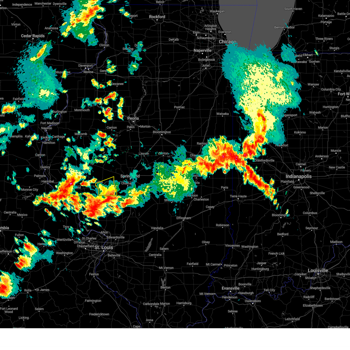 The storm which prompted the warning has weakened below severe limits, and no longer poses an immediate threat to life or property. therefore, the warning will be allowed to expire. a severe thunderstorm watch remains in effect until 900 pm cdt for central and west central illinois. The storm which prompted the warning has weakened below severe limits, and no longer poses an immediate threat to life or property. therefore, the warning will be allowed to expire. a severe thunderstorm watch remains in effect until 900 pm cdt for central and west central illinois.
|
| 5/24/2024 3:01 PM CDT |
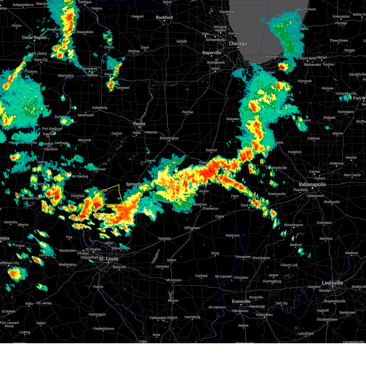 Svrilx the national weather service in lincoln has issued a * severe thunderstorm warning for, southeastern morgan county in west central illinois, * until 345 pm cdt. * at 300 pm cdt, a severe thunderstorm was located over manchester, or 8 miles northeast of white hall, moving northeast at 35 mph (radar indicated). Hazards include 60 mph wind gusts and quarter size hail. Hail damage to vehicles is expected. expect wind damage to roofs, siding, and trees. this severe thunderstorm will be near, murrayville around 305 pm cdt. woodson around 310 pm cdt. franklin around 320 pm cdt. other locations in the path of this severe thunderstorm include waverly. This includes interstate 72 between mile markers 58 and 79. Svrilx the national weather service in lincoln has issued a * severe thunderstorm warning for, southeastern morgan county in west central illinois, * until 345 pm cdt. * at 300 pm cdt, a severe thunderstorm was located over manchester, or 8 miles northeast of white hall, moving northeast at 35 mph (radar indicated). Hazards include 60 mph wind gusts and quarter size hail. Hail damage to vehicles is expected. expect wind damage to roofs, siding, and trees. this severe thunderstorm will be near, murrayville around 305 pm cdt. woodson around 310 pm cdt. franklin around 320 pm cdt. other locations in the path of this severe thunderstorm include waverly. This includes interstate 72 between mile markers 58 and 79.
|
| 5/21/2024 8:26 PM CDT |
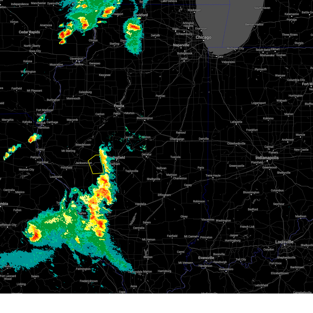 The storm which prompted the warning has weakened below severe limits, and has exited the warned area. therefore, the warning will be allowed to expire. a tornado watch remains in effect until midnight cdt for west central illinois. The storm which prompted the warning has weakened below severe limits, and has exited the warned area. therefore, the warning will be allowed to expire. a tornado watch remains in effect until midnight cdt for west central illinois.
|
| 5/21/2024 8:15 PM CDT |
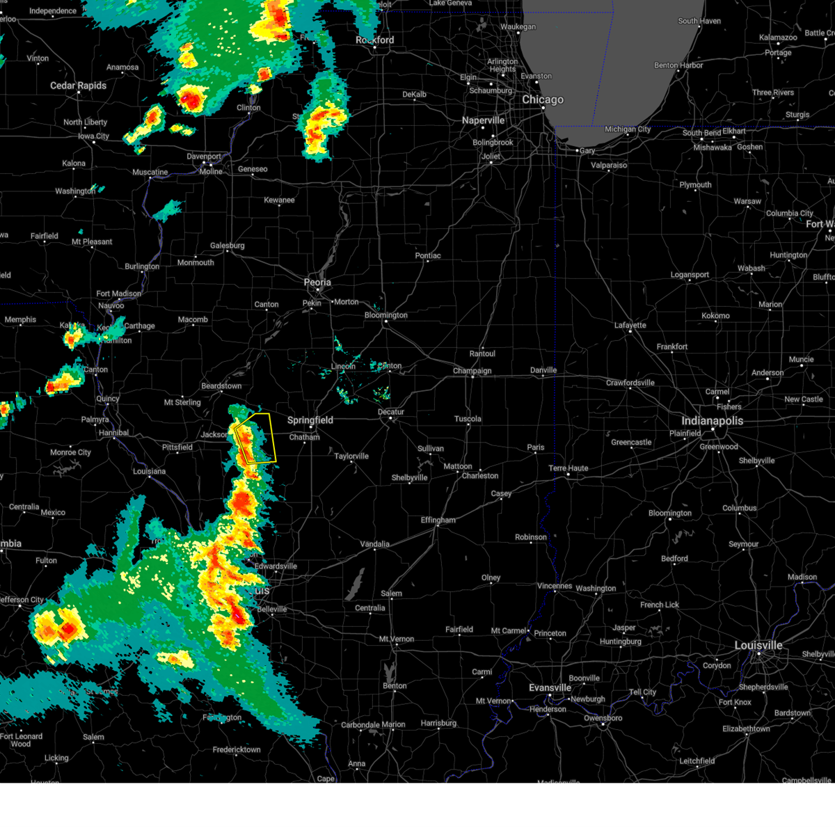 the severe thunderstorm warning has been cancelled and is no longer in effect the severe thunderstorm warning has been cancelled and is no longer in effect
|
| 5/21/2024 8:15 PM CDT |
 At 814 pm cdt, a severe thunderstorm was located over jacksonville, moving northeast at 55 mph (trained weather spotters). Hazards include 60 mph wind gusts. Expect damage to roofs, siding, and trees. locations impacted include, jacksonville, alexander, south jacksonville, waverly, franklin, woodson, prentice, nortonville, and jacksonville municipal airport. This includes interstate 72 between mile markers 63 and 79. At 814 pm cdt, a severe thunderstorm was located over jacksonville, moving northeast at 55 mph (trained weather spotters). Hazards include 60 mph wind gusts. Expect damage to roofs, siding, and trees. locations impacted include, jacksonville, alexander, south jacksonville, waverly, franklin, woodson, prentice, nortonville, and jacksonville municipal airport. This includes interstate 72 between mile markers 63 and 79.
|
| 5/21/2024 8:03 PM CDT |
 Svrilx the national weather service in lincoln has issued a * severe thunderstorm warning for, southeastern scott county in west central illinois, morgan county in west central illinois, * until 830 pm cdt. * at 803 pm cdt, a severe thunderstorm was located near winchester, moving northeast at 50 mph (trained weather spotters). Hazards include 60 mph wind gusts. expect damage to roofs, siding, and trees Svrilx the national weather service in lincoln has issued a * severe thunderstorm warning for, southeastern scott county in west central illinois, morgan county in west central illinois, * until 830 pm cdt. * at 803 pm cdt, a severe thunderstorm was located near winchester, moving northeast at 50 mph (trained weather spotters). Hazards include 60 mph wind gusts. expect damage to roofs, siding, and trees
|
| 3/14/2024 4:18 PM CDT |
 At 418 pm cdt, a severe thunderstorm was located over murrayville, or 9 miles south of jacksonville, moving east at 50 mph (radar indicated). Hazards include tennis ball size hail and 70 mph wind gusts. People and animals outdoors will be injured. expect hail damage to roofs, siding, windows, and vehicles. expect considerable tree damage. wind damage is also likely to mobile homes, roofs, and outbuildings. this severe storm will be near, franklin around 430 pm cdt. waverly around 435 pm cdt. auburn around 445 pm cdt. chatham and divernon around 455 pm cdt. other locations impacted by this severe thunderstorm include prentice, salisbury, nortonville, curran, berlin, thayer, lowder, and jacksonville municipal airport. this includes the following highways, interstate 55 between mile markers 77 and 79. Interstate 72 between mile markers 60 and 94. At 418 pm cdt, a severe thunderstorm was located over murrayville, or 9 miles south of jacksonville, moving east at 50 mph (radar indicated). Hazards include tennis ball size hail and 70 mph wind gusts. People and animals outdoors will be injured. expect hail damage to roofs, siding, windows, and vehicles. expect considerable tree damage. wind damage is also likely to mobile homes, roofs, and outbuildings. this severe storm will be near, franklin around 430 pm cdt. waverly around 435 pm cdt. auburn around 445 pm cdt. chatham and divernon around 455 pm cdt. other locations impacted by this severe thunderstorm include prentice, salisbury, nortonville, curran, berlin, thayer, lowder, and jacksonville municipal airport. this includes the following highways, interstate 55 between mile markers 77 and 79. Interstate 72 between mile markers 60 and 94.
|
| 3/14/2024 4:04 PM CDT |
 Svrilx the national weather service in lincoln has issued a * severe thunderstorm warning for, eastern scott county in west central illinois, western sangamon county in central illinois, morgan county in west central illinois, * until 500 pm cdt. * at 403 pm cdt, a severe thunderstorm was located over winchester, moving east at 50 mph (radar indicated). Hazards include golf ball size hail and 60 mph wind gusts. People and animals outdoors will be injured. expect hail damage to roofs, siding, windows, and vehicles. expect wind damage to roofs, siding, and trees. this severe thunderstorm will be near, south jacksonville, murrayville, and woodson around 415 pm cdt. other locations in the path of this severe thunderstorm include franklin, new berlin, loami, springfield and chatham. this includes the following highways, interstate 55 between mile markers 77 and 79. Interstate 72 between mile markers 60 and 94. Svrilx the national weather service in lincoln has issued a * severe thunderstorm warning for, eastern scott county in west central illinois, western sangamon county in central illinois, morgan county in west central illinois, * until 500 pm cdt. * at 403 pm cdt, a severe thunderstorm was located over winchester, moving east at 50 mph (radar indicated). Hazards include golf ball size hail and 60 mph wind gusts. People and animals outdoors will be injured. expect hail damage to roofs, siding, windows, and vehicles. expect wind damage to roofs, siding, and trees. this severe thunderstorm will be near, south jacksonville, murrayville, and woodson around 415 pm cdt. other locations in the path of this severe thunderstorm include franklin, new berlin, loami, springfield and chatham. this includes the following highways, interstate 55 between mile markers 77 and 79. Interstate 72 between mile markers 60 and 94.
|
| 7/17/2023 1:56 PM CDT |
 The severe thunderstorm warning for scott and southeastern morgan counties will expire at 200 pm cdt, the storm which prompted the warning has weakened below severe limits, and no longer poses an immediate threat to life or property. therefore, the warning will be allowed to expire. however small hail and gusty winds are still possible with this thunderstorm. The severe thunderstorm warning for scott and southeastern morgan counties will expire at 200 pm cdt, the storm which prompted the warning has weakened below severe limits, and no longer poses an immediate threat to life or property. therefore, the warning will be allowed to expire. however small hail and gusty winds are still possible with this thunderstorm.
|
| 7/17/2023 1:48 PM CDT |
 At 147 pm cdt, a severe thunderstorm was located over murrayville, or 11 miles northeast of white hall, moving southeast at 45 mph (radar indicated). Hazards include 60 mph wind gusts and quarter size hail. Hail damage to vehicles is expected. expect wind damage to roofs, siding, and trees. this severe thunderstorm will remain over mainly rural areas of scott and southeastern morgan counties, including the following locations, nortonville, riggston, merritt, lynnville, glasgow, oxville, lake jacksonville and south jacksonville. this includes interstate 72 between mile markers 47 and 66. hail threat, radar indicated max hail size, 1. 00 in wind threat, radar indicated max wind gust, 60 mph. At 147 pm cdt, a severe thunderstorm was located over murrayville, or 11 miles northeast of white hall, moving southeast at 45 mph (radar indicated). Hazards include 60 mph wind gusts and quarter size hail. Hail damage to vehicles is expected. expect wind damage to roofs, siding, and trees. this severe thunderstorm will remain over mainly rural areas of scott and southeastern morgan counties, including the following locations, nortonville, riggston, merritt, lynnville, glasgow, oxville, lake jacksonville and south jacksonville. this includes interstate 72 between mile markers 47 and 66. hail threat, radar indicated max hail size, 1. 00 in wind threat, radar indicated max wind gust, 60 mph.
|
| 7/17/2023 1:36 PM CDT |
 At 136 pm cdt, a severe thunderstorm was located over winchester, moving southeast at 45 mph (radar indicated). Hazards include 60 mph wind gusts and quarter size hail. Hail damage to vehicles is expected. expect wind damage to roofs, siding, and trees. this severe thunderstorm will be near, manchester around 145 pm cdt. murrayville and woodson around 150 pm cdt. this includes interstate 72 between mile markers 43 and 66. hail threat, radar indicated max hail size, 1. 00 in wind threat, radar indicated max wind gust, 60 mph. At 136 pm cdt, a severe thunderstorm was located over winchester, moving southeast at 45 mph (radar indicated). Hazards include 60 mph wind gusts and quarter size hail. Hail damage to vehicles is expected. expect wind damage to roofs, siding, and trees. this severe thunderstorm will be near, manchester around 145 pm cdt. murrayville and woodson around 150 pm cdt. this includes interstate 72 between mile markers 43 and 66. hail threat, radar indicated max hail size, 1. 00 in wind threat, radar indicated max wind gust, 60 mph.
|
| 6/29/2023 11:55 AM CDT |
 At 1154 am cdt, severe thunderstorms were located along a line extending from near easton to roodhouse, moving east at 65 mph (emergency management). Hazards include 70 mph wind gusts and half dollar size hail. Hail damage to vehicles is expected. expect considerable tree damage. wind damage is also likely to mobile homes, roofs, and outbuildings. locations impacted include, easton, woodson, franklin and waverly. this includes interstate 72 between mile markers 43 and 86. thunderstorm damage threat, considerable hail threat, radar indicated max hail size, 1. 25 in wind threat, observed max wind gust, 70 mph. At 1154 am cdt, severe thunderstorms were located along a line extending from near easton to roodhouse, moving east at 65 mph (emergency management). Hazards include 70 mph wind gusts and half dollar size hail. Hail damage to vehicles is expected. expect considerable tree damage. wind damage is also likely to mobile homes, roofs, and outbuildings. locations impacted include, easton, woodson, franklin and waverly. this includes interstate 72 between mile markers 43 and 86. thunderstorm damage threat, considerable hail threat, radar indicated max hail size, 1. 25 in wind threat, observed max wind gust, 70 mph.
|
| 6/29/2023 11:29 AM CDT |
 At 1128 am cdt, severe thunderstorms were located along a line extending from 6 miles southwest of astoria to near clarksville, moving east at 80 mph (radar indicated). Hazards include 70 mph wind gusts and quarter size hail. Hail damage to vehicles is expected. expect considerable tree damage. wind damage is also likely to mobile homes, roofs, and outbuildings. severe thunderstorms will be near, astoria and browning around 1135 am cdt. bath around 1140 am cdt. other locations in the path of these severe thunderstorms include kilbourne and easton. this includes interstate 72 between mile markers 43 and 86. thunderstorm damage threat, considerable hail threat, radar indicated max hail size, 1. 00 in wind threat, radar indicated max wind gust, 70 mph. At 1128 am cdt, severe thunderstorms were located along a line extending from 6 miles southwest of astoria to near clarksville, moving east at 80 mph (radar indicated). Hazards include 70 mph wind gusts and quarter size hail. Hail damage to vehicles is expected. expect considerable tree damage. wind damage is also likely to mobile homes, roofs, and outbuildings. severe thunderstorms will be near, astoria and browning around 1135 am cdt. bath around 1140 am cdt. other locations in the path of these severe thunderstorms include kilbourne and easton. this includes interstate 72 between mile markers 43 and 86. thunderstorm damage threat, considerable hail threat, radar indicated max hail size, 1. 00 in wind threat, radar indicated max wind gust, 70 mph.
|
| 5/13/2023 2:42 PM CDT |
 The severe thunderstorm warning for eastern scott and morgan counties will expire at 245 pm cdt, the storms which prompted the warning have weakened below severe limits, and no longer pose an immediate threat to life or property. therefore, the warning will be allowed to expire. however gusty winds are still possible with these thunderstorms. a severe thunderstorm watch remains in effect until 700 pm cdt for west central illinois. remember, a severe thunderstorm warning still remains in effect for southeast morgan county!. The severe thunderstorm warning for eastern scott and morgan counties will expire at 245 pm cdt, the storms which prompted the warning have weakened below severe limits, and no longer pose an immediate threat to life or property. therefore, the warning will be allowed to expire. however gusty winds are still possible with these thunderstorms. a severe thunderstorm watch remains in effect until 700 pm cdt for west central illinois. remember, a severe thunderstorm warning still remains in effect for southeast morgan county!.
|
| 5/13/2023 2:29 PM CDT |
 At 229 pm cdt, severe thunderstorms were located along a line extending from near jacksonville to 6 miles northeast of athensville, moving northeast at 30 mph (radar indicated). Hazards include 60 mph wind gusts and penny size hail. Expect damage to roofs, siding, and trees. locations impacted include, franklin, alexander and waverly. this includes interstate 72 between mile markers 56 and 78. hail threat, radar indicated max hail size, 0. 75 in wind threat, radar indicated max wind gust, 60 mph. At 229 pm cdt, severe thunderstorms were located along a line extending from near jacksonville to 6 miles northeast of athensville, moving northeast at 30 mph (radar indicated). Hazards include 60 mph wind gusts and penny size hail. Expect damage to roofs, siding, and trees. locations impacted include, franklin, alexander and waverly. this includes interstate 72 between mile markers 56 and 78. hail threat, radar indicated max hail size, 0. 75 in wind threat, radar indicated max wind gust, 60 mph.
|
| 5/13/2023 2:13 PM CDT |
 At 212 pm cdt, severe thunderstorms were located along a line extending from near chapin to near athensville, moving northeast at 30 mph (radar indicated). Hazards include 60 mph wind gusts and penny size hail. Expect damage to roofs, siding, and trees. severe thunderstorms will be near, jacksonville around 225 pm cdt. other locations in the path of these severe thunderstorms include franklin, alexander and waverly. This includes interstate 72 between mile markers 51 and 78. At 212 pm cdt, severe thunderstorms were located along a line extending from near chapin to near athensville, moving northeast at 30 mph (radar indicated). Hazards include 60 mph wind gusts and penny size hail. Expect damage to roofs, siding, and trees. severe thunderstorms will be near, jacksonville around 225 pm cdt. other locations in the path of these severe thunderstorms include franklin, alexander and waverly. This includes interstate 72 between mile markers 51 and 78.
|
| 5/13/2023 1:59 PM CDT |
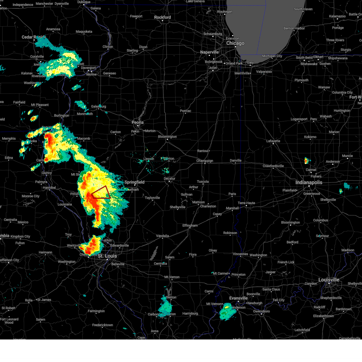 At 158 pm cdt, a severe thunderstorm capable of producing a tornado was located over winchester, moving east at 25 mph (radar indicated rotation). Hazards include tornado and quarter size hail. Flying debris will be dangerous to those caught without shelter. mobile homes will be damaged or destroyed. damage to roofs, windows, and vehicles will occur. tree damage is likely. this dangerous storm will be near, murrayville around 215 pm cdt. other locations in the path of this tornadic thunderstorm include woodson and jacksonville. This includes interstate 72 between mile markers 54 and 67. At 158 pm cdt, a severe thunderstorm capable of producing a tornado was located over winchester, moving east at 25 mph (radar indicated rotation). Hazards include tornado and quarter size hail. Flying debris will be dangerous to those caught without shelter. mobile homes will be damaged or destroyed. damage to roofs, windows, and vehicles will occur. tree damage is likely. this dangerous storm will be near, murrayville around 215 pm cdt. other locations in the path of this tornadic thunderstorm include woodson and jacksonville. This includes interstate 72 between mile markers 54 and 67.
|
| 4/20/2023 4:11 PM CDT |
 At 410 pm cdt, a severe thunderstorm was located 5 miles west of murrayville, moving northeast at 30 mph (radar indicated). Hazards include 60 mph wind gusts and quarter size hail. Hail damage to vehicles is expected. expect wind damage to roofs, siding, and trees. this severe storm will be near, murrayville around 415 pm cdt. woodson around 420 pm cdt. other locations in the path of this severe thunderstorm include franklin, alexander and waverly. This includes interstate 72 between mile markers 57 and 79. At 410 pm cdt, a severe thunderstorm was located 5 miles west of murrayville, moving northeast at 30 mph (radar indicated). Hazards include 60 mph wind gusts and quarter size hail. Hail damage to vehicles is expected. expect wind damage to roofs, siding, and trees. this severe storm will be near, murrayville around 415 pm cdt. woodson around 420 pm cdt. other locations in the path of this severe thunderstorm include franklin, alexander and waverly. This includes interstate 72 between mile markers 57 and 79.
|
| 4/20/2023 4:00 PM CDT |
 At 359 pm cdt, a severe thunderstorm was located near glasgow, moving northeast at 35 mph (radar indicated). Hazards include 60 mph wind gusts and quarter size hail. Hail damage to vehicles is expected. expect wind damage to roofs, siding, and trees. this severe thunderstorm will be near, manchester around 405 pm cdt. murrayville around 415 pm cdt. other locations in the path of this severe thunderstorm include woodson, franklin, alexander and waverly. This includes interstate 72 between mile markers 58 and 79. At 359 pm cdt, a severe thunderstorm was located near glasgow, moving northeast at 35 mph (radar indicated). Hazards include 60 mph wind gusts and quarter size hail. Hail damage to vehicles is expected. expect wind damage to roofs, siding, and trees. this severe thunderstorm will be near, manchester around 405 pm cdt. murrayville around 415 pm cdt. other locations in the path of this severe thunderstorm include woodson, franklin, alexander and waverly. This includes interstate 72 between mile markers 58 and 79.
|
| 4/20/2023 3:23 PM CDT |
 At 323 pm cdt, a severe thunderstorm was located 9 miles southeast of pittsfield, moving east at 45 mph (radar indicated). Hazards include 60 mph wind gusts and quarter size hail. Hail damage to vehicles is expected. expect wind damage to roofs, siding, and trees. this severe thunderstorm will be near, alsey around 340 pm cdt. other locations in the path of this severe thunderstorm include winchester, manchester, murrayville, woodson and jacksonville. this includes interstate 72 between mile markers 50 and 67. hail threat, radar indicated max hail size, 1. 00 in wind threat, radar indicated max wind gust, 60 mph. At 323 pm cdt, a severe thunderstorm was located 9 miles southeast of pittsfield, moving east at 45 mph (radar indicated). Hazards include 60 mph wind gusts and quarter size hail. Hail damage to vehicles is expected. expect wind damage to roofs, siding, and trees. this severe thunderstorm will be near, alsey around 340 pm cdt. other locations in the path of this severe thunderstorm include winchester, manchester, murrayville, woodson and jacksonville. this includes interstate 72 between mile markers 50 and 67. hail threat, radar indicated max hail size, 1. 00 in wind threat, radar indicated max wind gust, 60 mph.
|
| 4/15/2023 6:30 PM CDT |
 At 630 pm cdt, a severe thunderstorm was located over naples, or 10 miles northwest of winchester, moving northeast at 35 mph (radar indicated). Hazards include 60 mph wind gusts and quarter size hail. Hail damage to vehicles is expected. expect wind damage to roofs, siding, and trees. this severe thunderstorm will be near, bluffs and exeter around 635 pm cdt. meredosia around 640 pm cdt. chapin around 645 pm cdt. other locations in the path of this severe thunderstorm include arenzville and literberry. this includes interstate 72 between mile markers 43 and 73. hail threat, radar indicated max hail size, 1. 00 in wind threat, radar indicated max wind gust, 60 mph. At 630 pm cdt, a severe thunderstorm was located over naples, or 10 miles northwest of winchester, moving northeast at 35 mph (radar indicated). Hazards include 60 mph wind gusts and quarter size hail. Hail damage to vehicles is expected. expect wind damage to roofs, siding, and trees. this severe thunderstorm will be near, bluffs and exeter around 635 pm cdt. meredosia around 640 pm cdt. chapin around 645 pm cdt. other locations in the path of this severe thunderstorm include arenzville and literberry. this includes interstate 72 between mile markers 43 and 73. hail threat, radar indicated max hail size, 1. 00 in wind threat, radar indicated max wind gust, 60 mph.
|
| 4/5/2023 5:55 AM CDT |
 At 554 am cdt, a severe thunderstorm was located over mainly rural areas of morgan county, moving northeast at 60 mph (radar indicated). Hazards include 60 mph wind gusts and quarter size hail. Hail damage to vehicles is expected. expect wind damage to roofs, siding, and trees. this severe thunderstorm will remain over mainly rural areas of eastern scott, south central cass and morgan counties, including the following locations, nortonville, riggston, merritt, lynnville, south jacksonville, jacksonville municipal airport, concord and lake jacksonville. this includes interstate 72 between mile markers 51 and 73. hail threat, radar indicated max hail size, 1. 00 in wind threat, radar indicated max wind gust, 60 mph. At 554 am cdt, a severe thunderstorm was located over mainly rural areas of morgan county, moving northeast at 60 mph (radar indicated). Hazards include 60 mph wind gusts and quarter size hail. Hail damage to vehicles is expected. expect wind damage to roofs, siding, and trees. this severe thunderstorm will remain over mainly rural areas of eastern scott, south central cass and morgan counties, including the following locations, nortonville, riggston, merritt, lynnville, south jacksonville, jacksonville municipal airport, concord and lake jacksonville. this includes interstate 72 between mile markers 51 and 73. hail threat, radar indicated max hail size, 1. 00 in wind threat, radar indicated max wind gust, 60 mph.
|
| 4/5/2023 5:35 AM CDT |
 At 534 am cdt, a severe thunderstorm was located 8 miles west of alsey, or 8 miles southwest of winchester, moving northeast at 55 mph (radar indicated). Hazards include 60 mph wind gusts and quarter size hail. Hail damage to vehicles is expected. expect wind damage to roofs, siding, and trees. this severe thunderstorm will be near, alsey around 540 am cdt. winchester, manchester and exeter around 545 am cdt. chapin around 550 am cdt. other locations in the path of this severe thunderstorm include woodson, jacksonville and literberry. this includes interstate 72 between mile markers 43 and 73. hail threat, radar indicated max hail size, 1. 00 in wind threat, radar indicated max wind gust, 60 mph. At 534 am cdt, a severe thunderstorm was located 8 miles west of alsey, or 8 miles southwest of winchester, moving northeast at 55 mph (radar indicated). Hazards include 60 mph wind gusts and quarter size hail. Hail damage to vehicles is expected. expect wind damage to roofs, siding, and trees. this severe thunderstorm will be near, alsey around 540 am cdt. winchester, manchester and exeter around 545 am cdt. chapin around 550 am cdt. other locations in the path of this severe thunderstorm include woodson, jacksonville and literberry. this includes interstate 72 between mile markers 43 and 73. hail threat, radar indicated max hail size, 1. 00 in wind threat, radar indicated max wind gust, 60 mph.
|
| 6/17/2022 4:58 AM CDT |
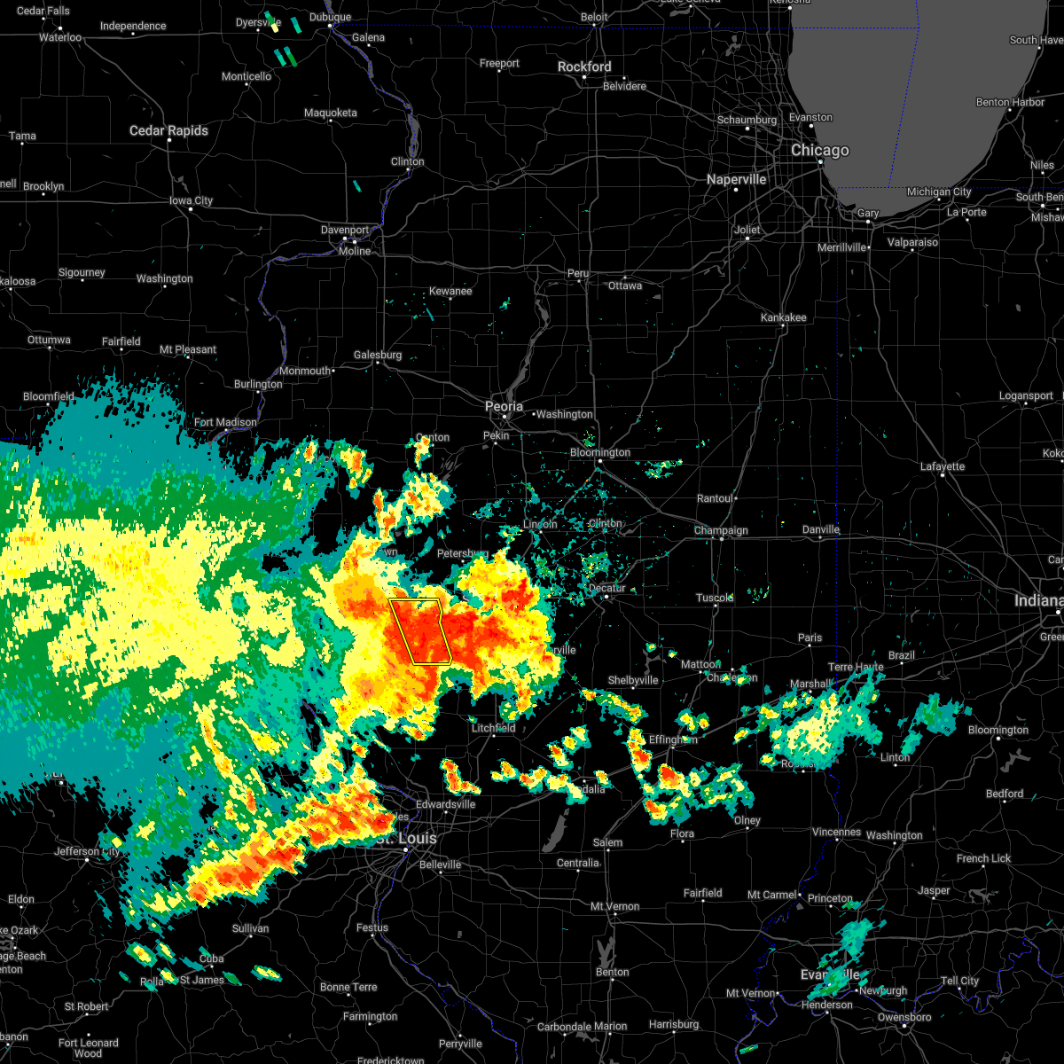 At 458 am cdt, severe thunderstorms were located along a line extending from near jacksonville to 6 miles southwest of franklin, moving east at 40 mph (radar indicated). Hazards include 60 mph wind gusts. Expect damage to roofs, siding, and trees. severe thunderstorms will be near, franklin around 505 am cdt. alexander and waverly around 510 am cdt. this includes interstate 72 between mile markers 65 and 79. hail threat, radar indicated max hail size, <. 75 in wind threat, radar indicated max wind gust, 60 mph. At 458 am cdt, severe thunderstorms were located along a line extending from near jacksonville to 6 miles southwest of franklin, moving east at 40 mph (radar indicated). Hazards include 60 mph wind gusts. Expect damage to roofs, siding, and trees. severe thunderstorms will be near, franklin around 505 am cdt. alexander and waverly around 510 am cdt. this includes interstate 72 between mile markers 65 and 79. hail threat, radar indicated max hail size, <. 75 in wind threat, radar indicated max wind gust, 60 mph.
|
| 6/17/2022 4:47 AM CDT |
 At 447 am cdt, severe thunderstorms were located along a line extending from near chapin to manchester, moving east at 35 mph (radar indicated). Hazards include 60 mph wind gusts and penny size hail. Expect damage to roofs, siding, and trees. locations impacted include, murrayville, woodson, manchester, jacksonville, waverly and alexander. this includes interstate 72 between mile markers 53 and 79. hail threat, radar indicated max hail size, 0. 75 in wind threat, radar indicated max wind gust, 60 mph. At 447 am cdt, severe thunderstorms were located along a line extending from near chapin to manchester, moving east at 35 mph (radar indicated). Hazards include 60 mph wind gusts and penny size hail. Expect damage to roofs, siding, and trees. locations impacted include, murrayville, woodson, manchester, jacksonville, waverly and alexander. this includes interstate 72 between mile markers 53 and 79. hail threat, radar indicated max hail size, 0. 75 in wind threat, radar indicated max wind gust, 60 mph.
|
| 6/17/2022 4:28 AM CDT |
 At 427 am cdt, severe thunderstorms were located along a line extending from near meredosia to 9 miles west of white hall, moving east at 50 mph. additional strong to severe storms were located between jacksonville and franklin, also moving east (radar indicated). Hazards include 60 mph wind gusts and nickel size hail. Expect damage to roofs, siding, and trees. locations impacted include, chapin, arenzville, jacksonville, literberry and alexander. this includes interstate 72 between mile markers 43 and 79. hail threat, radar indicated max hail size, 0. 88 in wind threat, radar indicated max wind gust, 60 mph. At 427 am cdt, severe thunderstorms were located along a line extending from near meredosia to 9 miles west of white hall, moving east at 50 mph. additional strong to severe storms were located between jacksonville and franklin, also moving east (radar indicated). Hazards include 60 mph wind gusts and nickel size hail. Expect damage to roofs, siding, and trees. locations impacted include, chapin, arenzville, jacksonville, literberry and alexander. this includes interstate 72 between mile markers 43 and 79. hail threat, radar indicated max hail size, 0. 88 in wind threat, radar indicated max wind gust, 60 mph.
|
| 6/17/2022 4:09 AM CDT |
 At 408 am cdt, a severe thunderstorm was located near griggsville, or 13 miles north of pittsfield, moving southeast at 40 mph (radar indicated). Hazards include 60 mph wind gusts and nickel size hail. Expect damage to roofs, siding, and trees. this severe thunderstorm will be near, meredosia and naples around 420 am cdt. bluffs around 425 am cdt. exeter around 430 am cdt. winchester and chapin around 435 am cdt. woodson and manchester around 450 am cdt. murrayville around 455 am cdt. franklin around 500 am cdt. other locations impacted by this severe thunderstorm include prentice, sinclair, riggston, merritt, concord, glasgow, oxville, nortonville, lynnville and south jacksonville. this includes interstate 72 between mile markers 43 and 79. hail threat, radar indicated max hail size, 0. 88 in wind threat, radar indicated max wind gust, 60 mph. At 408 am cdt, a severe thunderstorm was located near griggsville, or 13 miles north of pittsfield, moving southeast at 40 mph (radar indicated). Hazards include 60 mph wind gusts and nickel size hail. Expect damage to roofs, siding, and trees. this severe thunderstorm will be near, meredosia and naples around 420 am cdt. bluffs around 425 am cdt. exeter around 430 am cdt. winchester and chapin around 435 am cdt. woodson and manchester around 450 am cdt. murrayville around 455 am cdt. franklin around 500 am cdt. other locations impacted by this severe thunderstorm include prentice, sinclair, riggston, merritt, concord, glasgow, oxville, nortonville, lynnville and south jacksonville. this includes interstate 72 between mile markers 43 and 79. hail threat, radar indicated max hail size, 0. 88 in wind threat, radar indicated max wind gust, 60 mph.
|
| 6/12/2022 9:25 AM CDT |
 The severe thunderstorm warning for west central sangamon, south central cass and morgan counties will expire at 930 am cdt, the storm which prompted the warning has weakened below severe limits, and no longer poses an immediate threat to life or property. therefore, the warning will be allowed to expire. remember, a severe thunderstorm warning still remains in effect for southeastern morgan and southwestern sangamon counties until 1000 am. The severe thunderstorm warning for west central sangamon, south central cass and morgan counties will expire at 930 am cdt, the storm which prompted the warning has weakened below severe limits, and no longer poses an immediate threat to life or property. therefore, the warning will be allowed to expire. remember, a severe thunderstorm warning still remains in effect for southeastern morgan and southwestern sangamon counties until 1000 am.
|
| 6/12/2022 8:55 AM CDT |
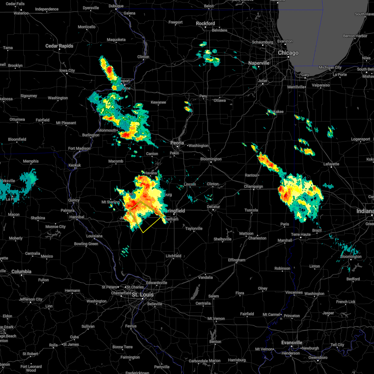 At 855 am cdt, a severe thunderstorm was located near arenzville, or 7 miles southwest of virginia, moving southeast at 30 mph (radar indicated). Hazards include 60 mph wind gusts and quarter size hail. Hail damage to vehicles is expected. expect wind damage to roofs, siding, and trees. this severe thunderstorm will be near, literberry around 900 am cdt. jacksonville around 910 am cdt. alexander around 925 am cdt. franklin around 930 am cdt. other locations impacted by this severe thunderstorm include nortonville, sinclair, south jacksonville, jacksonville municipal airport, berlin, concord and lake jacksonville. this includes interstate 72 between mile markers 61 and 85. hail threat, radar indicated max hail size, 1. 00 in wind threat, radar indicated max wind gust, 60 mph. At 855 am cdt, a severe thunderstorm was located near arenzville, or 7 miles southwest of virginia, moving southeast at 30 mph (radar indicated). Hazards include 60 mph wind gusts and quarter size hail. Hail damage to vehicles is expected. expect wind damage to roofs, siding, and trees. this severe thunderstorm will be near, literberry around 900 am cdt. jacksonville around 910 am cdt. alexander around 925 am cdt. franklin around 930 am cdt. other locations impacted by this severe thunderstorm include nortonville, sinclair, south jacksonville, jacksonville municipal airport, berlin, concord and lake jacksonville. this includes interstate 72 between mile markers 61 and 85. hail threat, radar indicated max hail size, 1. 00 in wind threat, radar indicated max wind gust, 60 mph.
|
| 10/24/2021 6:47 PM CDT |
 At 646 pm cdt, severe thunderstorms were located along a line extending from near mason city to near pleasant plains, moving northeast at 40 mph (radar indicated). Hazards include 60 mph wind gusts and quarter size hail. Hail damage to vehicles is expected. expect wind damage to roofs, siding, and trees. locations impacted include, mason city, easton, athens, san jose, sherman and williamsville. this includes the following highways, interstate 55 between mile markers 95 and 105. Interstate 72 between mile markers 68 and 93, and between mile markers 101 and 104. At 646 pm cdt, severe thunderstorms were located along a line extending from near mason city to near pleasant plains, moving northeast at 40 mph (radar indicated). Hazards include 60 mph wind gusts and quarter size hail. Hail damage to vehicles is expected. expect wind damage to roofs, siding, and trees. locations impacted include, mason city, easton, athens, san jose, sherman and williamsville. this includes the following highways, interstate 55 between mile markers 95 and 105. Interstate 72 between mile markers 68 and 93, and between mile markers 101 and 104.
|
| 10/24/2021 6:33 PM CDT |
 At 633 pm cdt, a severe thunderstorm was located near pleasant plains, or 14 miles northeast of jacksonville, moving east at 45 mph (radar indicated). Hazards include 60 mph wind gusts and quarter size hail. Hail damage to vehicles is expected. expect wind damage to roofs, siding, and trees. locations impacted include, jacksonville, alexander, ashland, literberry, south jacksonville, lynnville, prentice, sinclair and jacksonville municipal airport. this includes interstate 72 between mile markers 58 and 65, and between mile markers 67 and 79. hail threat, radar indicated max hail size, 1. 00 in wind threat, radar indicated max wind gust, 60 mph. At 633 pm cdt, a severe thunderstorm was located near pleasant plains, or 14 miles northeast of jacksonville, moving east at 45 mph (radar indicated). Hazards include 60 mph wind gusts and quarter size hail. Hail damage to vehicles is expected. expect wind damage to roofs, siding, and trees. locations impacted include, jacksonville, alexander, ashland, literberry, south jacksonville, lynnville, prentice, sinclair and jacksonville municipal airport. this includes interstate 72 between mile markers 58 and 65, and between mile markers 67 and 79. hail threat, radar indicated max hail size, 1. 00 in wind threat, radar indicated max wind gust, 60 mph.
|
| 10/24/2021 6:28 PM CDT |
 At 628 pm cdt, severe thunderstorms were located along a line extending from near kilbourne to near alexander, moving northeast at 40 mph (trained weather spotters). Hazards include golf ball size hail and 60 mph wind gusts. People and animals outdoors will be injured. expect hail damage to roofs, siding, windows, and vehicles. expect wind damage to roofs, siding, and trees. severe thunderstorms will be near, kilbourne around 635 pm cdt. greenview and easton around 640 pm cdt. other locations in the path of these severe thunderstorms include mason city, athens, san jose, sherman and williamsville. this includes the following highways, interstate 55 between mile markers 95 and 105. Interstate 72 between mile markers 68 and 93, and between mile markers 101 and 104. At 628 pm cdt, severe thunderstorms were located along a line extending from near kilbourne to near alexander, moving northeast at 40 mph (trained weather spotters). Hazards include golf ball size hail and 60 mph wind gusts. People and animals outdoors will be injured. expect hail damage to roofs, siding, windows, and vehicles. expect wind damage to roofs, siding, and trees. severe thunderstorms will be near, kilbourne around 635 pm cdt. greenview and easton around 640 pm cdt. other locations in the path of these severe thunderstorms include mason city, athens, san jose, sherman and williamsville. this includes the following highways, interstate 55 between mile markers 95 and 105. Interstate 72 between mile markers 68 and 93, and between mile markers 101 and 104.
|
| 10/24/2021 6:18 PM CDT |
 At 617 pm cdt, a severe thunderstorm was located over jacksonville, moving east at 45 mph (radar indicated). Hazards include 60 mph wind gusts and quarter size hail. Hail damage to vehicles is expected. expect wind damage to roofs, siding, and trees. locations impacted include, literberry, alexander and ashland. This includes interstate 72 between mile markers 43 and 79. At 617 pm cdt, a severe thunderstorm was located over jacksonville, moving east at 45 mph (radar indicated). Hazards include 60 mph wind gusts and quarter size hail. Hail damage to vehicles is expected. expect wind damage to roofs, siding, and trees. locations impacted include, literberry, alexander and ashland. This includes interstate 72 between mile markers 43 and 79.
|
| 10/24/2021 5:56 PM CDT |
 At 556 pm cdt, a severe thunderstorm was located near winchester, moving east at 45 mph (radar indicated). Hazards include 60 mph wind gusts and quarter size hail. Hail damage to vehicles is expected. expect wind damage to roofs, siding, and trees. this severe thunderstorm will be near, chapin around 605 pm cdt. jacksonville and woodson around 615 pm cdt. other locations in the path of this severe thunderstorm include literberry, alexander and ashland. This includes interstate 72 between mile markers 43 and 79. At 556 pm cdt, a severe thunderstorm was located near winchester, moving east at 45 mph (radar indicated). Hazards include 60 mph wind gusts and quarter size hail. Hail damage to vehicles is expected. expect wind damage to roofs, siding, and trees. this severe thunderstorm will be near, chapin around 605 pm cdt. jacksonville and woodson around 615 pm cdt. other locations in the path of this severe thunderstorm include literberry, alexander and ashland. This includes interstate 72 between mile markers 43 and 79.
|
| 8/26/2021 6:27 PM CDT |
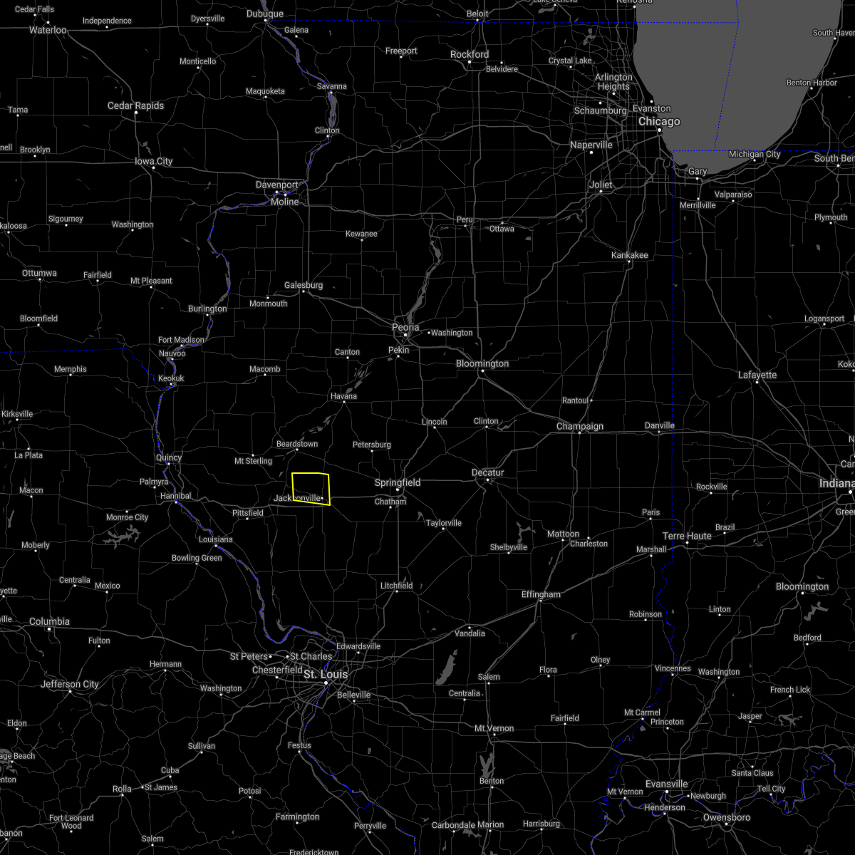 The severe thunderstorm warning for northeastern scott and northwestern morgan counties will expire at 630 pm cdt, the storm which prompted the warning has weakened below severe limits, and no longer poses an immediate threat to life or property. therefore, the warning will be allowed to expire. The severe thunderstorm warning for northeastern scott and northwestern morgan counties will expire at 630 pm cdt, the storm which prompted the warning has weakened below severe limits, and no longer poses an immediate threat to life or property. therefore, the warning will be allowed to expire.
|
| 8/26/2021 6:03 PM CDT |
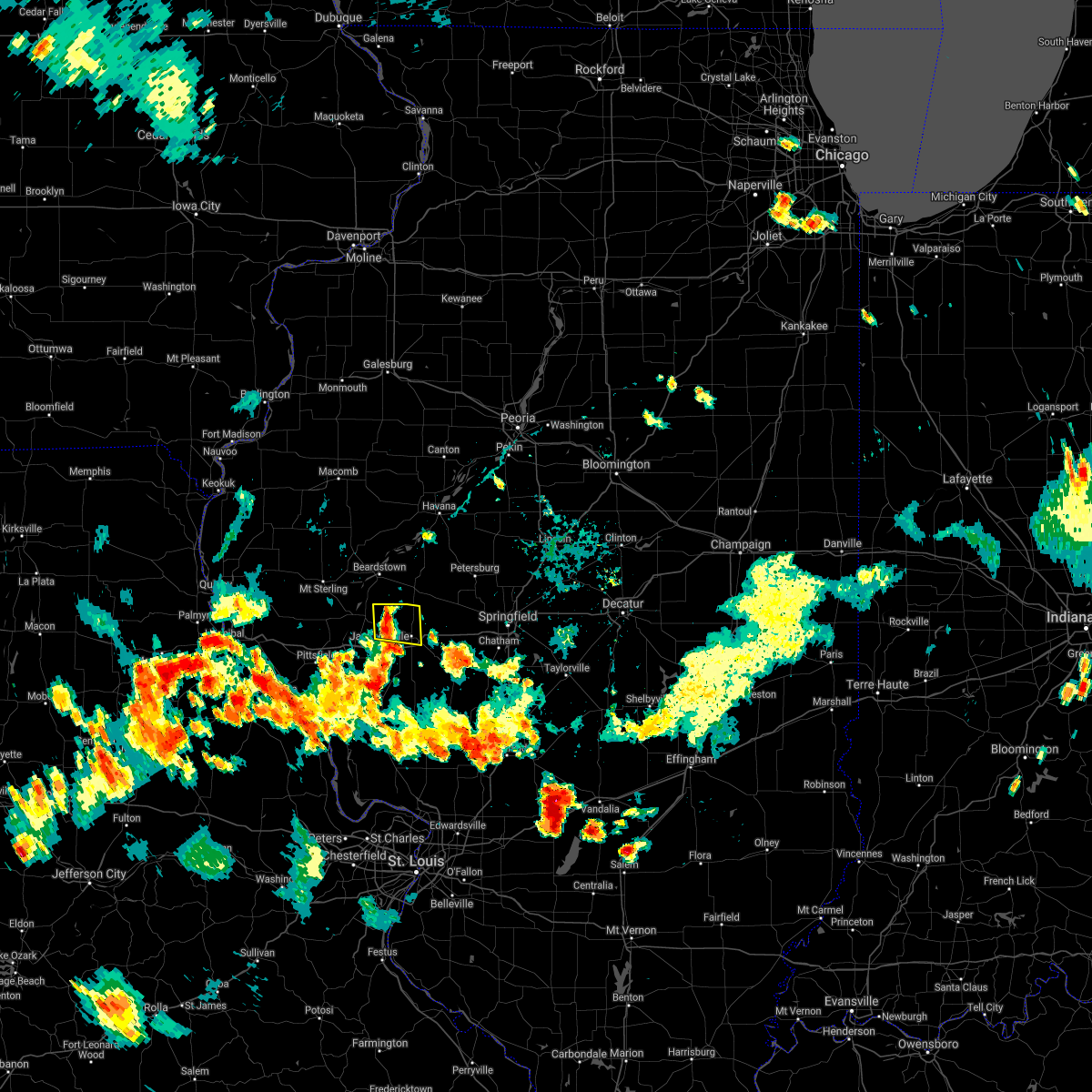 At 603 pm cdt, a severe thunderstorm was located near chapin, or 9 miles northwest of jacksonville, moving east at 5 mph (radar indicated). Hazards include 60 mph wind gusts and quarter size hail. Hail damage to vehicles is expected. Expect wind damage to roofs, siding, and trees. At 603 pm cdt, a severe thunderstorm was located near chapin, or 9 miles northwest of jacksonville, moving east at 5 mph (radar indicated). Hazards include 60 mph wind gusts and quarter size hail. Hail damage to vehicles is expected. Expect wind damage to roofs, siding, and trees.
|
| 8/12/2021 5:30 PM CDT |
 At 530 pm cdt, a severe thunderstorm was located over meredosia, or 13 miles north of winchester, moving east at 25 mph (radar indicated). Hazards include 60 mph wind gusts and quarter size hail. Hail damage to vehicles is expected. expect wind damage to roofs, siding, and trees. this severe thunderstorm will be near, exeter around 540 pm cdt. chapin and arenzville around 550 pm cdt. other locations in the path of this severe thunderstorm include jacksonville. this includes interstate 72 between mile markers 52 and 66. hail threat, radar indicated max hail size, 1. 00 in wind threat, radar indicated max wind gust, 60 mph. At 530 pm cdt, a severe thunderstorm was located over meredosia, or 13 miles north of winchester, moving east at 25 mph (radar indicated). Hazards include 60 mph wind gusts and quarter size hail. Hail damage to vehicles is expected. expect wind damage to roofs, siding, and trees. this severe thunderstorm will be near, exeter around 540 pm cdt. chapin and arenzville around 550 pm cdt. other locations in the path of this severe thunderstorm include jacksonville. this includes interstate 72 between mile markers 52 and 66. hail threat, radar indicated max hail size, 1. 00 in wind threat, radar indicated max wind gust, 60 mph.
|
| 6/25/2021 8:54 PM CDT |
 The severe thunderstorm warning for menard, western sangamon, southeastern cass and morgan counties will expire at 900 pm cdt, the storms which prompted the warning have weakened below severe limits, and have exited the warned area. therefore, the warning will be allowed to expire. a severe thunderstorm watch remains in effect until 1100 pm cdt for central and west central illinois. The severe thunderstorm warning for menard, western sangamon, southeastern cass and morgan counties will expire at 900 pm cdt, the storms which prompted the warning have weakened below severe limits, and have exited the warned area. therefore, the warning will be allowed to expire. a severe thunderstorm watch remains in effect until 1100 pm cdt for central and west central illinois.
|
| 6/25/2021 8:16 PM CDT |
 At 816 pm cdt, severe thunderstorms were located along a line extending from near virginia to near murrayville, moving northeast at 50 mph (radar indicated). Hazards include 60 mph wind gusts and penny size hail. Expect damage to roofs, siding, and trees. severe thunderstorms will be near, virginia around 820 pm cdt. ashland and franklin around 825 pm cdt. alexander, waverly and tallula around 830 pm cdt. other locations in the path of these severe thunderstorms include petersburg, new berlin, loami, chatham, springfield and greenview. this includes the following highways, interstate 55 between mile markers 78 and 92. Interstate 72 between mile markers 64 and 98. At 816 pm cdt, severe thunderstorms were located along a line extending from near virginia to near murrayville, moving northeast at 50 mph (radar indicated). Hazards include 60 mph wind gusts and penny size hail. Expect damage to roofs, siding, and trees. severe thunderstorms will be near, virginia around 820 pm cdt. ashland and franklin around 825 pm cdt. alexander, waverly and tallula around 830 pm cdt. other locations in the path of these severe thunderstorms include petersburg, new berlin, loami, chatham, springfield and greenview. this includes the following highways, interstate 55 between mile markers 78 and 92. Interstate 72 between mile markers 64 and 98.
|
| 6/25/2021 8:10 PM CDT |
 At 810 pm cdt, a severe thunderstorm was located near jacksonville, moving northeast at 40 mph (radar indicated). Hazards include 60 mph wind gusts and penny size hail. Expect damage to roofs, siding, and trees. locations impacted include, jacksonville, murrayville, chapin, woodson, manchester, south jacksonville, concord, lynnville, nortonville, jacksonville municipal airport and lake jacksonville. This includes interstate 72 between mile markers 57 and 68. At 810 pm cdt, a severe thunderstorm was located near jacksonville, moving northeast at 40 mph (radar indicated). Hazards include 60 mph wind gusts and penny size hail. Expect damage to roofs, siding, and trees. locations impacted include, jacksonville, murrayville, chapin, woodson, manchester, south jacksonville, concord, lynnville, nortonville, jacksonville municipal airport and lake jacksonville. This includes interstate 72 between mile markers 57 and 68.
|
| 6/25/2021 7:57 PM CDT |
 At 757 pm cdt, a severe thunderstorm was located near winchester, moving northeast at 35 mph (radar indicated). Hazards include 60 mph wind gusts and penny size hail. Expect damage to roofs, siding, and trees. locations impacted include, jacksonville, winchester, bluffs, murrayville, chapin, woodson, manchester, alsey, exeter, south jacksonville, concord, glasgow, lynnville, riggston, merritt, nortonville, jacksonville municipal airport and lake jacksonville. This includes interstate 72 between mile markers 47 and 68. At 757 pm cdt, a severe thunderstorm was located near winchester, moving northeast at 35 mph (radar indicated). Hazards include 60 mph wind gusts and penny size hail. Expect damage to roofs, siding, and trees. locations impacted include, jacksonville, winchester, bluffs, murrayville, chapin, woodson, manchester, alsey, exeter, south jacksonville, concord, glasgow, lynnville, riggston, merritt, nortonville, jacksonville municipal airport and lake jacksonville. This includes interstate 72 between mile markers 47 and 68.
|
| 6/25/2021 7:38 PM CDT |
 At 738 pm cdt, a severe thunderstorm was located 9 miles southeast of pittsfield, moving northeast at 35 mph (radar indicated). Hazards include 60 mph wind gusts and quarter size hail. Hail damage to vehicles is expected. Expect wind damage to roofs, siding, and trees. At 738 pm cdt, a severe thunderstorm was located 9 miles southeast of pittsfield, moving northeast at 35 mph (radar indicated). Hazards include 60 mph wind gusts and quarter size hail. Hail damage to vehicles is expected. Expect wind damage to roofs, siding, and trees.
|
| 6/25/2021 1:45 AM CDT |
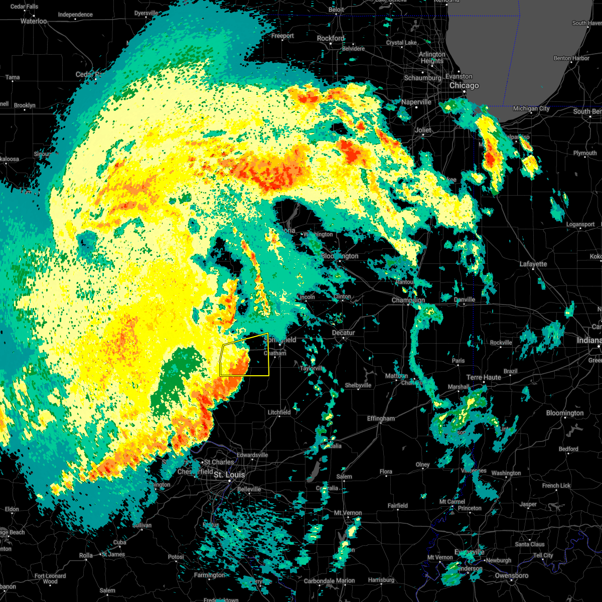 At 145 am cdt, severe thunderstorms were located along a line extending from virginia to near literberry to near alexander to 6 miles northeast of athensville, moving east at 40 mph (radar indicated). Hazards include 60 mph wind gusts. Expect damage to roofs, siding, and trees. locations impacted include, alexander, franklin, waverly, new berlin and loami. This includes interstate 72 between mile markers 62 and 90. At 145 am cdt, severe thunderstorms were located along a line extending from virginia to near literberry to near alexander to 6 miles northeast of athensville, moving east at 40 mph (radar indicated). Hazards include 60 mph wind gusts. Expect damage to roofs, siding, and trees. locations impacted include, alexander, franklin, waverly, new berlin and loami. This includes interstate 72 between mile markers 62 and 90.
|
| 6/25/2021 1:21 AM CDT |
 At 121 am cdt, severe thunderstorms were located along a line extending from near meredosia to near chapin to near winchester to roodhouse, moving east at 45 mph (radar indicated). Hazards include 60 mph wind gusts. Expect damage to roofs, siding, and trees. severe thunderstorms will be near, woodson around 130 am cdt. jacksonville and murrayville around 135 am cdt. literberry around 140 am cdt. other locations in the path of these severe thunderstorms include virginia, alexander, franklin, chandlerville, new berlin, ashland, waverly, pleasant plains, loami, tallula and petersburg. This includes interstate 72 between mile markers 61 and 91. At 121 am cdt, severe thunderstorms were located along a line extending from near meredosia to near chapin to near winchester to roodhouse, moving east at 45 mph (radar indicated). Hazards include 60 mph wind gusts. Expect damage to roofs, siding, and trees. severe thunderstorms will be near, woodson around 130 am cdt. jacksonville and murrayville around 135 am cdt. literberry around 140 am cdt. other locations in the path of these severe thunderstorms include virginia, alexander, franklin, chandlerville, new berlin, ashland, waverly, pleasant plains, loami, tallula and petersburg. This includes interstate 72 between mile markers 61 and 91.
|
| 6/19/2021 10:19 AM CDT |
 At 1019 am cdt, a severe thunderstorm was located near franklin, or 8 miles southeast of jacksonville, moving east at 35 mph (radar indicated). Hazards include 60 mph wind gusts and quarter size hail. Hail damage to vehicles is expected. expect wind damage to roofs, siding, and trees. this severe thunderstorm will be near, new berlin and waverly around 1035 am cdt. other locations in the path of this severe thunderstorm include loami, chatham, auburn, springfield, pawnee and divernon. this includes the following highways, interstate 55 between mile markers 77 and 91. Interstate 72 between mile markers 64 and 72, and between mile markers 75 and 76. At 1019 am cdt, a severe thunderstorm was located near franklin, or 8 miles southeast of jacksonville, moving east at 35 mph (radar indicated). Hazards include 60 mph wind gusts and quarter size hail. Hail damage to vehicles is expected. expect wind damage to roofs, siding, and trees. this severe thunderstorm will be near, new berlin and waverly around 1035 am cdt. other locations in the path of this severe thunderstorm include loami, chatham, auburn, springfield, pawnee and divernon. this includes the following highways, interstate 55 between mile markers 77 and 91. Interstate 72 between mile markers 64 and 72, and between mile markers 75 and 76.
|
| 5/27/2021 11:58 AM CDT |
 At 1158 am cdt, severe thunderstorms were located along a line extending from near jacksonville to athensville, moving east at 40 mph (radar indicated). Hazards include 60 mph wind gusts and quarter size hail. Hail damage to vehicles is expected. expect wind damage to roofs, siding, and trees. severe thunderstorms will be near, alexander and franklin around 1215 pm cdt. other locations in the path of these severe thunderstorms include waverly, new berlin, loami, auburn, chatham, divernon, springfield, pawnee, sherman, rochester and riverton. this includes the following highways, interstate 55 between mile markers 77 and 104. Interstate 72 between mile markers 61 and 107. At 1158 am cdt, severe thunderstorms were located along a line extending from near jacksonville to athensville, moving east at 40 mph (radar indicated). Hazards include 60 mph wind gusts and quarter size hail. Hail damage to vehicles is expected. expect wind damage to roofs, siding, and trees. severe thunderstorms will be near, alexander and franklin around 1215 pm cdt. other locations in the path of these severe thunderstorms include waverly, new berlin, loami, auburn, chatham, divernon, springfield, pawnee, sherman, rochester and riverton. this includes the following highways, interstate 55 between mile markers 77 and 104. Interstate 72 between mile markers 61 and 107.
|
| 5/3/2021 5:36 PM CDT |
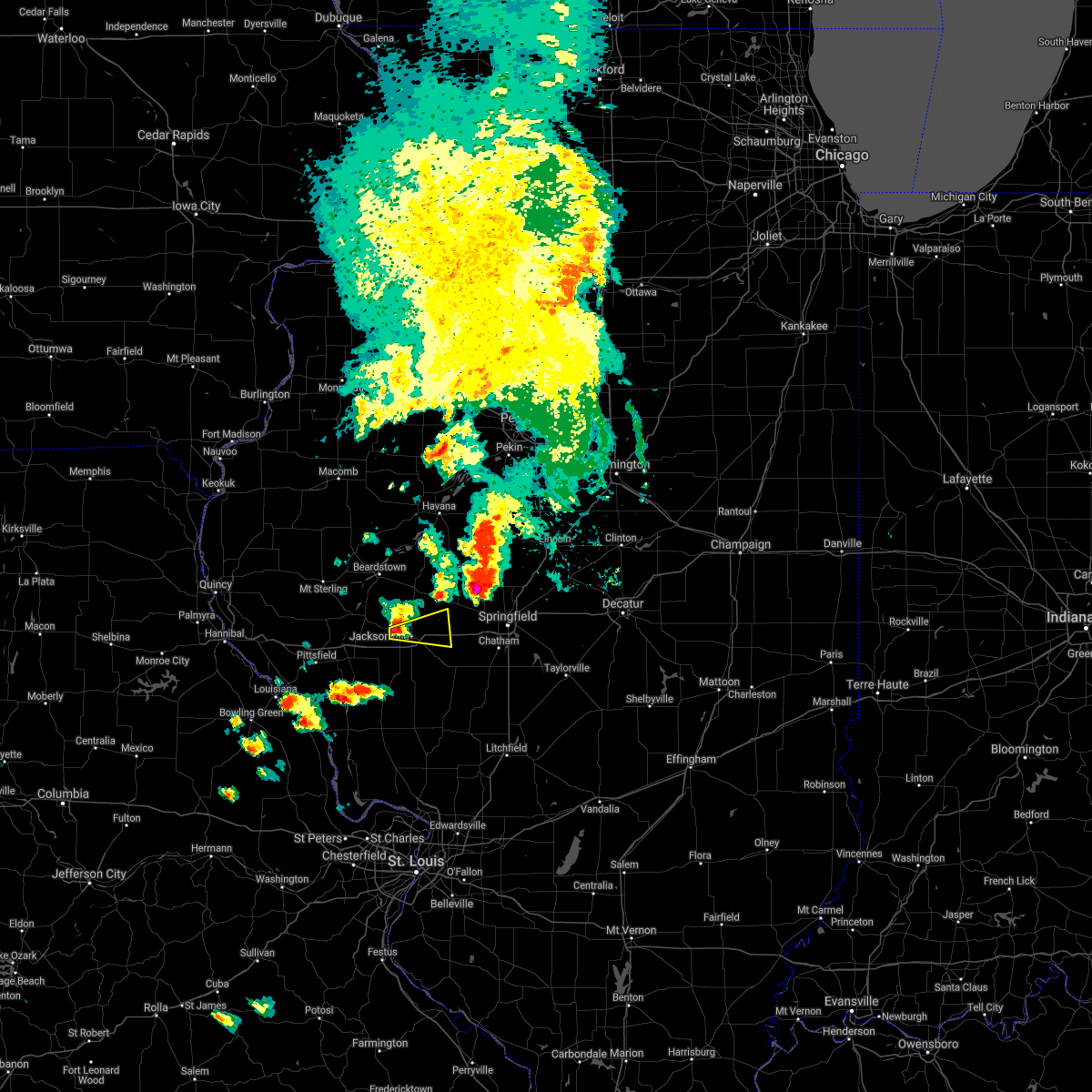 At 535 pm cdt, a severe thunderstorm was located over jacksonville, moving east at 45 mph (radar indicated). Hazards include 60 mph wind gusts and quarter size hail. Hail damage to vehicles is expected. expect wind damage to roofs, siding, and trees. locations impacted include, jacksonville, alexander, south jacksonville, sinclair and jacksonville municipal airport. This includes interstate 72 between mile markers 68 and 78. At 535 pm cdt, a severe thunderstorm was located over jacksonville, moving east at 45 mph (radar indicated). Hazards include 60 mph wind gusts and quarter size hail. Hail damage to vehicles is expected. expect wind damage to roofs, siding, and trees. locations impacted include, jacksonville, alexander, south jacksonville, sinclair and jacksonville municipal airport. This includes interstate 72 between mile markers 68 and 78.
|
| 5/3/2021 5:25 PM CDT |
 At 524 pm cdt, a severe thunderstorm was located over chapin, or 8 miles north of winchester, moving east at 45 mph (radar indicated). Hazards include 60 mph wind gusts and quarter size hail. Hail damage to vehicles is expected. Expect wind damage to roofs, siding, and trees. At 524 pm cdt, a severe thunderstorm was located over chapin, or 8 miles north of winchester, moving east at 45 mph (radar indicated). Hazards include 60 mph wind gusts and quarter size hail. Hail damage to vehicles is expected. Expect wind damage to roofs, siding, and trees.
|
| 7/21/2020 3:31 PM CDT |
 At 331 pm cdt, a severe thunderstorm was located over jacksonville, moving east at 30 mph (radar indicated). Hazards include 60 mph wind gusts and quarter size hail. Hail damage to vehicles is expected. expect wind damage to roofs, siding, and trees. locations impacted include, jacksonville, alexander, ashland, waverly, franklin, murrayville, woodson, manchester, alsey, south jacksonville, lynnville, prentice, sinclair, nortonville, jacksonville municipal airport and lake jacksonville. This includes interstate 72 between mile markers 57 and 79. At 331 pm cdt, a severe thunderstorm was located over jacksonville, moving east at 30 mph (radar indicated). Hazards include 60 mph wind gusts and quarter size hail. Hail damage to vehicles is expected. expect wind damage to roofs, siding, and trees. locations impacted include, jacksonville, alexander, ashland, waverly, franklin, murrayville, woodson, manchester, alsey, south jacksonville, lynnville, prentice, sinclair, nortonville, jacksonville municipal airport and lake jacksonville. This includes interstate 72 between mile markers 57 and 79.
|
| 7/21/2020 3:16 PM CDT |
 At 315 pm cdt, a severe thunderstorm was located near chapin, or near winchester, moving east at 45 mph (trained weather spotters). Hazards include 60 mph wind gusts and quarter size hail. Hail damage to vehicles is expected. expect wind damage to roofs, siding, and trees. locations impacted include, jacksonville, winchester, alexander, ashland, waverly, franklin, murrayville, chapin, woodson, manchester, alsey, exeter, literberry, south jacksonville, concord, glasgow, lynnville, prentice, sinclair and riggston. This includes interstate 72 between mile markers 49 and 79. At 315 pm cdt, a severe thunderstorm was located near chapin, or near winchester, moving east at 45 mph (trained weather spotters). Hazards include 60 mph wind gusts and quarter size hail. Hail damage to vehicles is expected. expect wind damage to roofs, siding, and trees. locations impacted include, jacksonville, winchester, alexander, ashland, waverly, franklin, murrayville, chapin, woodson, manchester, alsey, exeter, literberry, south jacksonville, concord, glasgow, lynnville, prentice, sinclair and riggston. This includes interstate 72 between mile markers 49 and 79.
|
| 7/21/2020 2:56 PM CDT |
 At 255 pm cdt, a severe thunderstorm was located near winchester, moving east at 30 mph (trained weather spotters). Hazards include 70 mph wind gusts and quarter size hail. Hail damage to vehicles is expected. expect considerable tree damage. wind damage is also likely to mobile homes, roofs, and outbuildings. locations impacted include, jacksonville, virginia, winchester, alexander, ashland, waverly, bluffs, franklin, murrayville, woodson, chapin, arenzville, manchester, alsey, naples, exeter, literberry, south jacksonville, philadelphia and concord. This includes interstate 72 between mile markers 43 and 79. At 255 pm cdt, a severe thunderstorm was located near winchester, moving east at 30 mph (trained weather spotters). Hazards include 70 mph wind gusts and quarter size hail. Hail damage to vehicles is expected. expect considerable tree damage. wind damage is also likely to mobile homes, roofs, and outbuildings. locations impacted include, jacksonville, virginia, winchester, alexander, ashland, waverly, bluffs, franklin, murrayville, woodson, chapin, arenzville, manchester, alsey, naples, exeter, literberry, south jacksonville, philadelphia and concord. This includes interstate 72 between mile markers 43 and 79.
|
| 7/21/2020 2:41 PM CDT |
 At 241 pm cdt, a severe thunderstorm was located near pittsfield, moving east at 35 mph (radar indicated). Hazards include 60 mph wind gusts and quarter size hail. Hail damage to vehicles is expected. Expect wind damage to roofs, siding, and trees. At 241 pm cdt, a severe thunderstorm was located near pittsfield, moving east at 35 mph (radar indicated). Hazards include 60 mph wind gusts and quarter size hail. Hail damage to vehicles is expected. Expect wind damage to roofs, siding, and trees.
|
| 4/11/2020 7:11 PM CDT |
 At 710 pm cdt, a severe thunderstorm was located near woodson, or 7 miles southeast of jacksonville, moving east at 40 mph (radar indicated). Hazards include quarter size hail. Damage to vehicles is expected. locations impacted include, jacksonville, alexander, new berlin, waverly, loami, franklin, murrayville, woodson, thayer, berlin, lowder and lake jacksonville. This includes interstate 72 between mile markers 66 and 68, and between mile markers 76 and 89. At 710 pm cdt, a severe thunderstorm was located near woodson, or 7 miles southeast of jacksonville, moving east at 40 mph (radar indicated). Hazards include quarter size hail. Damage to vehicles is expected. locations impacted include, jacksonville, alexander, new berlin, waverly, loami, franklin, murrayville, woodson, thayer, berlin, lowder and lake jacksonville. This includes interstate 72 between mile markers 66 and 68, and between mile markers 76 and 89.
|
| 4/11/2020 6:57 PM CDT |
 At 656 pm cdt, a severe thunderstorm was located near murrayville, or 7 miles east of winchester, moving east at 40 mph (radar indicated). Hazards include quarter size hail. damage to vehicles is expected At 656 pm cdt, a severe thunderstorm was located near murrayville, or 7 miles east of winchester, moving east at 40 mph (radar indicated). Hazards include quarter size hail. damage to vehicles is expected
|
| 4/8/2020 5:29 PM CDT |
 At 529 pm cdt, a severe thunderstorm was located near chapin, or near jacksonville, moving east at 55 mph (radar indicated). Hazards include 60 mph wind gusts and quarter size hail. Hail damage to vehicles is expected. Expect wind damage to roofs, siding, and trees. At 529 pm cdt, a severe thunderstorm was located near chapin, or near jacksonville, moving east at 55 mph (radar indicated). Hazards include 60 mph wind gusts and quarter size hail. Hail damage to vehicles is expected. Expect wind damage to roofs, siding, and trees.
|
| 7/17/2019 5:25 PM CDT |
 The severe thunderstorm warning for eastern cass and morgan counties will expire at 530 pm cdt, the storms which prompted the warning have weakened below severe limits, and no longer pose an immediate threat to life or property. therefore, the warning will be allowed to expire. however gusty winds are still possible with these thunderstorms. a severe thunderstorm watch remains in effect until 900 pm cdt for central and west central illinois. The severe thunderstorm warning for eastern cass and morgan counties will expire at 530 pm cdt, the storms which prompted the warning have weakened below severe limits, and no longer pose an immediate threat to life or property. therefore, the warning will be allowed to expire. however gusty winds are still possible with these thunderstorms. a severe thunderstorm watch remains in effect until 900 pm cdt for central and west central illinois.
|
| 7/17/2019 5:12 PM CDT |
 A severe thunderstorm warning remains in effect until 530 pm cdt for eastern cass and morgan counties. at 511 pm cdt, severe thunderstorms were located along a line extending from near virginia to near alexander to 6 miles northeast of athensville, moving southeast at 40 mph. hazard. 60 mph wind gusts and quarter size hail. A severe thunderstorm warning remains in effect until 530 pm cdt for eastern cass and morgan counties. at 511 pm cdt, severe thunderstorms were located along a line extending from near virginia to near alexander to 6 miles northeast of athensville, moving southeast at 40 mph. hazard. 60 mph wind gusts and quarter size hail.
|
| 7/17/2019 4:43 PM CDT |
 At 442 pm cdt, severe thunderstorms were located along a line extending from near virginia to near woodson to 9 miles east of belleview, moving southeast at 45 mph (radar indicated). Hazards include 60 mph wind gusts and quarter size hail. Hail damage to vehicles is expected. expect wind damage to roofs, siding, and trees. locations impacted include, jacksonville, beardstown, virginia, winchester, alexander, ashland, waverly, meredosia, bluff springs, bluffs, franklin, murrayville, woodson, chapin, arenzville, manchester, alsey, naples, exeter and literberry. This includes interstate 72 between mile markers 43 and 79. At 442 pm cdt, severe thunderstorms were located along a line extending from near virginia to near woodson to 9 miles east of belleview, moving southeast at 45 mph (radar indicated). Hazards include 60 mph wind gusts and quarter size hail. Hail damage to vehicles is expected. expect wind damage to roofs, siding, and trees. locations impacted include, jacksonville, beardstown, virginia, winchester, alexander, ashland, waverly, meredosia, bluff springs, bluffs, franklin, murrayville, woodson, chapin, arenzville, manchester, alsey, naples, exeter and literberry. This includes interstate 72 between mile markers 43 and 79.
|
| 7/17/2019 4:14 PM CDT |
 At 414 pm cdt, severe thunderstorms were located along a line extending from near rushville to 6 miles northwest of naples to 7 miles northeast of frankford, moving southeast at 45 mph (radar indicated). Hazards include 60 mph wind gusts and quarter size hail. Hail damage to vehicles is expected. Expect wind damage to roofs, siding, and trees. At 414 pm cdt, severe thunderstorms were located along a line extending from near rushville to 6 miles northwest of naples to 7 miles northeast of frankford, moving southeast at 45 mph (radar indicated). Hazards include 60 mph wind gusts and quarter size hail. Hail damage to vehicles is expected. Expect wind damage to roofs, siding, and trees.
|
| 6/28/2019 3:56 PM CDT |
 The severe thunderstorm warning for southwestern sangamon and eastern morgan counties will expire at 400 pm cdt, the storm which prompted the warning has weakened below severe limits, and no longer poses an immediate threat to life or property. therefore, the warning will be allowed to expire. however gusty winds are still possible with this thunderstorm. The severe thunderstorm warning for southwestern sangamon and eastern morgan counties will expire at 400 pm cdt, the storm which prompted the warning has weakened below severe limits, and no longer poses an immediate threat to life or property. therefore, the warning will be allowed to expire. however gusty winds are still possible with this thunderstorm.
|
| 6/28/2019 3:43 PM CDT |
 At 342 pm cdt, a severe thunderstorm was located near alexander, or 12 miles east of jacksonville, moving east at 35 mph (law enforcement. power lines were reported down in jacksonville from this storm). Hazards include 60 mph wind gusts and nickel size hail. Expect damage to roofs, siding, and trees. locations impacted include, springfield, jacksonville, chatham, alexander, auburn, rochester, pawnee, new berlin, waverly, divernon, loami, franklin, literberry, south jacksonville, jerome, southern view, thayer, berry, curran and berlin. this includes the following highways, interstate 55 between mile markers 77 and 93. Interstate 72 between mile markers 68 and 100. At 342 pm cdt, a severe thunderstorm was located near alexander, or 12 miles east of jacksonville, moving east at 35 mph (law enforcement. power lines were reported down in jacksonville from this storm). Hazards include 60 mph wind gusts and nickel size hail. Expect damage to roofs, siding, and trees. locations impacted include, springfield, jacksonville, chatham, alexander, auburn, rochester, pawnee, new berlin, waverly, divernon, loami, franklin, literberry, south jacksonville, jerome, southern view, thayer, berry, curran and berlin. this includes the following highways, interstate 55 between mile markers 77 and 93. Interstate 72 between mile markers 68 and 100.
|
| 6/28/2019 3:25 PM CDT |
 At 324 pm cdt, a severe thunderstorm was located near jacksonville, moving east at 25 mph (radar indicated). Hazards include 60 mph wind gusts and nickel size hail. Expect damage to roofs, siding, and trees. locations impacted include, springfield, jacksonville, chatham, alexander, auburn, rochester, pawnee, new berlin, waverly, divernon, loami, franklin, literberry, south jacksonville, jerome, southern view, thayer, berry, curran and berlin. this includes the following highways, interstate 55 between mile markers 77 and 93. Interstate 72 between mile markers 68 and 100. At 324 pm cdt, a severe thunderstorm was located near jacksonville, moving east at 25 mph (radar indicated). Hazards include 60 mph wind gusts and nickel size hail. Expect damage to roofs, siding, and trees. locations impacted include, springfield, jacksonville, chatham, alexander, auburn, rochester, pawnee, new berlin, waverly, divernon, loami, franklin, literberry, south jacksonville, jerome, southern view, thayer, berry, curran and berlin. this includes the following highways, interstate 55 between mile markers 77 and 93. Interstate 72 between mile markers 68 and 100.
|
| 6/28/2019 3:18 PM CDT |
 At 317 pm cdt, a severe thunderstorm was located over woodson, or near jacksonville, and is nearly stationary (radar indicated). Hazards include 60 mph wind gusts and penny size hail. Expect damage to roofs, siding, and trees. locations impacted include, jacksonville, murrayville, woodson, south jacksonville, nortonville and lake jacksonville. This includes interstate 72 between mile markers 63 and 68. At 317 pm cdt, a severe thunderstorm was located over woodson, or near jacksonville, and is nearly stationary (radar indicated). Hazards include 60 mph wind gusts and penny size hail. Expect damage to roofs, siding, and trees. locations impacted include, jacksonville, murrayville, woodson, south jacksonville, nortonville and lake jacksonville. This includes interstate 72 between mile markers 63 and 68.
|
| 6/28/2019 3:13 PM CDT |
 At 312 pm cdt, a severe thunderstorm was located near jacksonville, moving east at 45 mph (radar indicated). Hazards include 60 mph wind gusts and nickel size hail. expect damage to roofs, siding, and trees At 312 pm cdt, a severe thunderstorm was located near jacksonville, moving east at 45 mph (radar indicated). Hazards include 60 mph wind gusts and nickel size hail. expect damage to roofs, siding, and trees
|
| 6/28/2019 3:00 PM CDT |
 At 259 pm cdt, a severe thunderstorm was located near winchester, moving southeast at 20 mph (radar indicated). Hazards include 60 mph wind gusts and penny size hail. Expect damage to roofs, siding, and trees. locations impacted include, jacksonville, winchester, meredosia, bluffs, murrayville, chapin, woodson, manchester, alsey, naples, exeter, south jacksonville, glasgow, lynnville, valley city, riggston, merritt, oxville, nortonville and lake jacksonville. This includes interstate 72 between mile markers 43 and 68. At 259 pm cdt, a severe thunderstorm was located near winchester, moving southeast at 20 mph (radar indicated). Hazards include 60 mph wind gusts and penny size hail. Expect damage to roofs, siding, and trees. locations impacted include, jacksonville, winchester, meredosia, bluffs, murrayville, chapin, woodson, manchester, alsey, naples, exeter, south jacksonville, glasgow, lynnville, valley city, riggston, merritt, oxville, nortonville and lake jacksonville. This includes interstate 72 between mile markers 43 and 68.
|
| 6/28/2019 2:39 PM CDT |
 At 239 pm cdt, a severe thunderstorm was located over naples, or 10 miles northwest of winchester, moving southeast at 30 mph (radar indicated). Hazards include 60 mph wind gusts and penny size hail. expect damage to roofs, siding, and trees At 239 pm cdt, a severe thunderstorm was located over naples, or 10 miles northwest of winchester, moving southeast at 30 mph (radar indicated). Hazards include 60 mph wind gusts and penny size hail. expect damage to roofs, siding, and trees
|
| 6/21/2019 11:42 AM CDT |
 At 1141 am cdt, severe thunderstorms were located along a line extending from near jacksonville to near athensville to near jerseyville, moving east at 45 mph (radar indicated). Hazards include 70 mph wind gusts and penny size hail. Expect considerable tree damage. Damage is likely to mobile homes, roofs, and outbuildings. At 1141 am cdt, severe thunderstorms were located along a line extending from near jacksonville to near athensville to near jerseyville, moving east at 45 mph (radar indicated). Hazards include 70 mph wind gusts and penny size hail. Expect considerable tree damage. Damage is likely to mobile homes, roofs, and outbuildings.
|
| 6/21/2019 11:35 AM CDT |
 At 1135 am cdt, a severe squall line capable of producing both tornadoes and extensive straight line wind damage was located near winchester, moving east at 40 mph (radar indicated rotation). Hazards include tornado and quarter size hail. Flying debris will be dangerous to those caught without shelter. mobile homes will be damaged or destroyed. damage to roofs, windows, and vehicles will occur. tree damage is likely. these dangerous storms will be near, murrayville around 1140 am cdt. jacksonville and woodson around 1145 am cdt. other locations impacted by this tornadic thunderstorm include merritt, lake jacksonville, lynnville, south jacksonville and jacksonville municipal airport. This includes interstate 72 between mile markers 55 and 66. At 1135 am cdt, a severe squall line capable of producing both tornadoes and extensive straight line wind damage was located near winchester, moving east at 40 mph (radar indicated rotation). Hazards include tornado and quarter size hail. Flying debris will be dangerous to those caught without shelter. mobile homes will be damaged or destroyed. damage to roofs, windows, and vehicles will occur. tree damage is likely. these dangerous storms will be near, murrayville around 1140 am cdt. jacksonville and woodson around 1145 am cdt. other locations impacted by this tornadic thunderstorm include merritt, lake jacksonville, lynnville, south jacksonville and jacksonville municipal airport. This includes interstate 72 between mile markers 55 and 66.
|
| 6/21/2019 11:22 AM CDT |
 At 1122 am cdt, severe thunderstorms capable of producing both tornadoes and extensive straight line wind damage were located over winchester, moving east at 40 mph (radar indicated rotation). Hazards include tornado and quarter size hail. Flying debris will be dangerous to those caught without shelter. mobile homes will be damaged or destroyed. damage to roofs, windows, and vehicles will occur. tree damage is likely. these dangerous storms will be near, alsey around 1125 am cdt. murrayville and woodson around 1140 am cdt. jacksonville around 1145 am cdt. other locations impacted by this tornadic thunderstorm include riggston, merritt, lynnville, south jacksonville, jacksonville municipal airport, glasgow, oxville and lake jacksonville. This includes interstate 72 between mile markers 43 and 66. At 1122 am cdt, severe thunderstorms capable of producing both tornadoes and extensive straight line wind damage were located over winchester, moving east at 40 mph (radar indicated rotation). Hazards include tornado and quarter size hail. Flying debris will be dangerous to those caught without shelter. mobile homes will be damaged or destroyed. damage to roofs, windows, and vehicles will occur. tree damage is likely. these dangerous storms will be near, alsey around 1125 am cdt. murrayville and woodson around 1140 am cdt. jacksonville around 1145 am cdt. other locations impacted by this tornadic thunderstorm include riggston, merritt, lynnville, south jacksonville, jacksonville municipal airport, glasgow, oxville and lake jacksonville. This includes interstate 72 between mile markers 43 and 66.
|
| 6/21/2019 10:57 AM CDT |
 At 1055 am cdt, severe thunderstorms were located along a line extending from near beverly to near pittsfield to near belleview, moving east at 50 mph (emergency management. at 1040 am damaging wind was reported in the town of new canton in pike county). Hazards include 70 mph wind gusts and quarter size hail. Hail damage to vehicles is expected. expect considerable tree damage. Wind damage is also likely to mobile homes, roofs, and outbuildings. At 1055 am cdt, severe thunderstorms were located along a line extending from near beverly to near pittsfield to near belleview, moving east at 50 mph (emergency management. at 1040 am damaging wind was reported in the town of new canton in pike county). Hazards include 70 mph wind gusts and quarter size hail. Hail damage to vehicles is expected. expect considerable tree damage. Wind damage is also likely to mobile homes, roofs, and outbuildings.
|
| 6/16/2019 12:26 AM CDT |
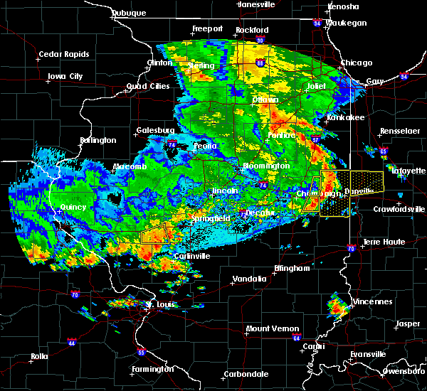 The severe thunderstorm warning for southeastern morgan county will expire at 1230 am cdt, the storm which prompted the warning has weakened below severe limits, and no longer poses an immediate threat to life or property. therefore, the warning will be allowed to expire. a severe thunderstorm watch remains in effect until 200 am cdt for central and west central illinois. The severe thunderstorm warning for southeastern morgan county will expire at 1230 am cdt, the storm which prompted the warning has weakened below severe limits, and no longer poses an immediate threat to life or property. therefore, the warning will be allowed to expire. a severe thunderstorm watch remains in effect until 200 am cdt for central and west central illinois.
|
| 6/16/2019 12:18 AM CDT |
 At 1218 am cdt, a severe thunderstorm was located over murrayville, or 8 miles south of jacksonville, moving east at 40 mph (radar indicated). Hazards include 60 mph wind gusts and quarter size hail. Hail damage to vehicles is expected. expect wind damage to roofs, siding, and trees. locations impacted include, jacksonville, alexander, waverly, franklin, murrayville, woodson, south jacksonville, nortonville and lake jacksonville. This includes interstate 72 between mile markers 63 and 68, and between mile markers 73 and 79. At 1218 am cdt, a severe thunderstorm was located over murrayville, or 8 miles south of jacksonville, moving east at 40 mph (radar indicated). Hazards include 60 mph wind gusts and quarter size hail. Hail damage to vehicles is expected. expect wind damage to roofs, siding, and trees. locations impacted include, jacksonville, alexander, waverly, franklin, murrayville, woodson, south jacksonville, nortonville and lake jacksonville. This includes interstate 72 between mile markers 63 and 68, and between mile markers 73 and 79.
|
| 6/16/2019 12:06 AM CDT |
 At 1206 am cdt, a severe thunderstorm was located over alsey, or near winchester, moving east at 45 mph (radar indicated). Hazards include 60 mph wind gusts and quarter size hail. Hail damage to vehicles is expected. Expect wind damage to roofs, siding, and trees. At 1206 am cdt, a severe thunderstorm was located over alsey, or near winchester, moving east at 45 mph (radar indicated). Hazards include 60 mph wind gusts and quarter size hail. Hail damage to vehicles is expected. Expect wind damage to roofs, siding, and trees.
|
| 6/16/2019 12:05 AM CDT |
 At 1205 am cdt, a severe thunderstorm was located over alsey, or near winchester, moving east at 45 mph (radar indicated). Hazards include 60 mph wind gusts and quarter size hail. Hail damage to vehicles is expected. Expect wind damage to roofs, siding, and trees. At 1205 am cdt, a severe thunderstorm was located over alsey, or near winchester, moving east at 45 mph (radar indicated). Hazards include 60 mph wind gusts and quarter size hail. Hail damage to vehicles is expected. Expect wind damage to roofs, siding, and trees.
|
| 6/5/2019 3:35 PM CDT |
 At 334 pm cdt, a severe thunderstorm was located near arenzville, or 8 miles southwest of virginia, moving southeast at 45 mph (radar indicated). Hazards include 60 mph wind gusts and quarter size hail. Hail damage to vehicles is expected. expect wind damage to roofs, siding, and trees. locations impacted include, jacksonville, bluffs, chapin, arenzville, exeter, literberry, south jacksonville, concord, lynnville, sinclair, riggston, merritt and jacksonville municipal airport. This includes interstate 72 between mile markers 54 and 66. At 334 pm cdt, a severe thunderstorm was located near arenzville, or 8 miles southwest of virginia, moving southeast at 45 mph (radar indicated). Hazards include 60 mph wind gusts and quarter size hail. Hail damage to vehicles is expected. expect wind damage to roofs, siding, and trees. locations impacted include, jacksonville, bluffs, chapin, arenzville, exeter, literberry, south jacksonville, concord, lynnville, sinclair, riggston, merritt and jacksonville municipal airport. This includes interstate 72 between mile markers 54 and 66.
|
| 6/5/2019 3:12 PM CDT |
 At 312 pm cdt, a severe thunderstorm was located near beardstown, moving southeast at 25 mph (radar indicated). Hazards include 60 mph wind gusts and half dollar size hail. Hail damage to vehicles is expected. Expect wind damage to roofs, siding, and trees. At 312 pm cdt, a severe thunderstorm was located near beardstown, moving southeast at 25 mph (radar indicated). Hazards include 60 mph wind gusts and half dollar size hail. Hail damage to vehicles is expected. Expect wind damage to roofs, siding, and trees.
|
| 6/1/2019 7:01 PM CDT |
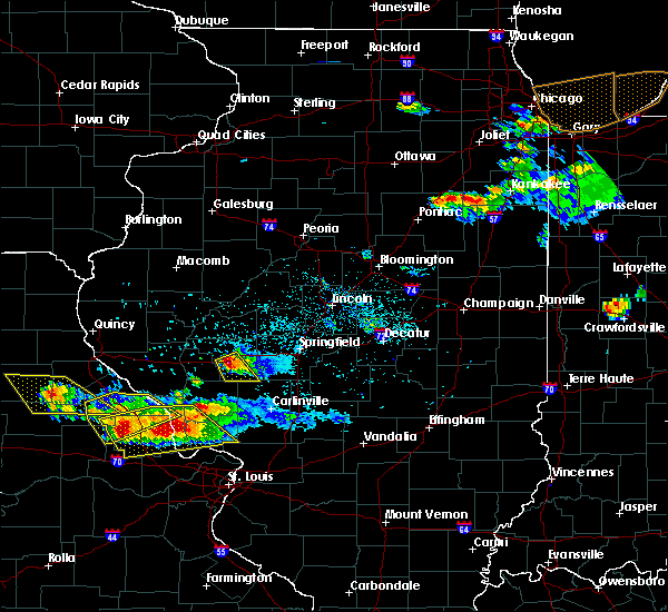 At 700 pm cdt, a severe thunderstorm was located over woodson, or near jacksonville, moving southeast at 35 mph (radar indicated). Hazards include 60 mph wind gusts and quarter size hail. Hail damage to vehicles is expected. Expect wind damage to roofs, siding, and trees. At 700 pm cdt, a severe thunderstorm was located over woodson, or near jacksonville, moving southeast at 35 mph (radar indicated). Hazards include 60 mph wind gusts and quarter size hail. Hail damage to vehicles is expected. Expect wind damage to roofs, siding, and trees.
|
| 5/23/2019 12:13 AM CDT |
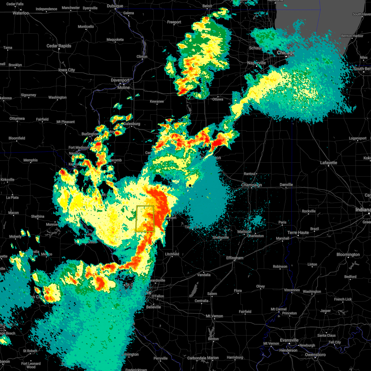 The severe thunderstorm warning for morgan county will expire at 1215 am cdt, the storm which prompted the warning has moved out of the area. therefore, the warning will be allowed to expire. a tornado watch remains in effect until 500 am cdt for central and west central illinois. The severe thunderstorm warning for morgan county will expire at 1215 am cdt, the storm which prompted the warning has moved out of the area. therefore, the warning will be allowed to expire. a tornado watch remains in effect until 500 am cdt for central and west central illinois.
|
| 5/22/2019 11:59 PM CDT |
 At 1158 pm cdt, a severe thunderstorm was located near jacksonville, moving east at 40 mph. this is a very dangerous storm (radar indicated). Hazards include 80 mph wind gusts and half dollar size hail. Flying debris will be dangerous to those caught without shelter. mobile homes will be heavily damaged. expect considerable damage to roofs, windows, and vehicles. extensive tree damage and power outages are likely. locations impacted include, jacksonville, alexander, franklin, murrayville, woodson, literberry, south jacksonville, prentice, nortonville, sinclair, jacksonville municipal airport and lake jacksonville. This includes interstate 72 between mile markers 62 and 79. At 1158 pm cdt, a severe thunderstorm was located near jacksonville, moving east at 40 mph. this is a very dangerous storm (radar indicated). Hazards include 80 mph wind gusts and half dollar size hail. Flying debris will be dangerous to those caught without shelter. mobile homes will be heavily damaged. expect considerable damage to roofs, windows, and vehicles. extensive tree damage and power outages are likely. locations impacted include, jacksonville, alexander, franklin, murrayville, woodson, literberry, south jacksonville, prentice, nortonville, sinclair, jacksonville municipal airport and lake jacksonville. This includes interstate 72 between mile markers 62 and 79.
|
| 5/22/2019 11:56 PM CDT |
 At 1155 pm cdt, a severe thunderstorm was located over alexander, or 9 miles east of jacksonville, moving east at 40 mph. this is a very dangerous storm (radar indicated). Hazards include 80 mph wind gusts and half dollar size hail. Flying debris will be dangerous to those caught without shelter. mobile homes will be heavily damaged. expect considerable damage to roofs, windows, and vehicles. Extensive tree damage and power outages are likely. At 1155 pm cdt, a severe thunderstorm was located over alexander, or 9 miles east of jacksonville, moving east at 40 mph. this is a very dangerous storm (radar indicated). Hazards include 80 mph wind gusts and half dollar size hail. Flying debris will be dangerous to those caught without shelter. mobile homes will be heavily damaged. expect considerable damage to roofs, windows, and vehicles. Extensive tree damage and power outages are likely.
|
| 5/22/2019 11:45 PM CDT |
 At 1145 pm cdt, a severe thunderstorm was located near jacksonville, moving east at 40 mph (radar indicated). Hazards include 70 mph wind gusts and half dollar size hail. Hail damage to vehicles is expected. expect considerable tree damage. wind damage is also likely to mobile homes, roofs, and outbuildings. locations impacted include, jacksonville, winchester, alexander, bluffs, franklin, murrayville, chapin, woodson, manchester, alsey, exeter, literberry, south jacksonville, concord, glasgow, lynnville, prentice, sinclair, riggston and merritt. This includes interstate 72 between mile markers 47 and 79. At 1145 pm cdt, a severe thunderstorm was located near jacksonville, moving east at 40 mph (radar indicated). Hazards include 70 mph wind gusts and half dollar size hail. Hail damage to vehicles is expected. expect considerable tree damage. wind damage is also likely to mobile homes, roofs, and outbuildings. locations impacted include, jacksonville, winchester, alexander, bluffs, franklin, murrayville, chapin, woodson, manchester, alsey, exeter, literberry, south jacksonville, concord, glasgow, lynnville, prentice, sinclair, riggston and merritt. This includes interstate 72 between mile markers 47 and 79.
|
| 5/22/2019 11:27 PM CDT |
 At 1126 pm cdt, a severe thunderstorm was located over exeter, or near winchester, moving east at 40 mph (radar indicated). Hazards include 60 mph wind gusts and quarter size hail. Hail damage to vehicles is expected. Expect wind damage to roofs, siding, and trees. At 1126 pm cdt, a severe thunderstorm was located over exeter, or near winchester, moving east at 40 mph (radar indicated). Hazards include 60 mph wind gusts and quarter size hail. Hail damage to vehicles is expected. Expect wind damage to roofs, siding, and trees.
|
| 4/7/2019 8:40 PM CDT |
 At 840 pm cdt, a severe thunderstorm was located over alsey, or near winchester, moving east at 35 mph (radar indicated). Hazards include 60 mph wind gusts and quarter size hail. Hail damage to vehicles is expected. expect wind damage to roofs, siding, and trees. locations impacted include, jacksonville, winchester, murrayville, woodson, manchester, alsey, south jacksonville and glasgow. This includes interstate 72 between mile markers 59 and 64. At 840 pm cdt, a severe thunderstorm was located over alsey, or near winchester, moving east at 35 mph (radar indicated). Hazards include 60 mph wind gusts and quarter size hail. Hail damage to vehicles is expected. expect wind damage to roofs, siding, and trees. locations impacted include, jacksonville, winchester, murrayville, woodson, manchester, alsey, south jacksonville and glasgow. This includes interstate 72 between mile markers 59 and 64.
|
| 4/7/2019 8:17 PM CDT |
 The national weather service in lincoln has issued a * severe thunderstorm warning for. scott county in west central illinois. western morgan county in west central illinois. until 900 pm cdt. At 817 pm cdt, a severe thunderstorm was located 9 miles east of. The national weather service in lincoln has issued a * severe thunderstorm warning for. scott county in west central illinois. western morgan county in west central illinois. until 900 pm cdt. At 817 pm cdt, a severe thunderstorm was located 9 miles east of.
|
| 7/14/2018 4:25 PM CDT |
 The national weather service in lincoln has issued a * severe thunderstorm warning for. southwestern menard county in central illinois. northwestern sangamon county in central illinois. southeastern cass county in west central illinois. Northeastern morgan county in west central illinois. The national weather service in lincoln has issued a * severe thunderstorm warning for. southwestern menard county in central illinois. northwestern sangamon county in central illinois. southeastern cass county in west central illinois. Northeastern morgan county in west central illinois.
|
| 6/28/2018 4:55 PM CDT |
 The severe thunderstorm warning for southeastern scott and southeastern morgan counties will expire at 500 pm cdt, the storms which prompted the warning have moved out of the area. therefore the warning will be allowed to expire. a severe thunderstorm watch remains in effect until 700 pm cdt for west central illinois. The severe thunderstorm warning for southeastern scott and southeastern morgan counties will expire at 500 pm cdt, the storms which prompted the warning have moved out of the area. therefore the warning will be allowed to expire. a severe thunderstorm watch remains in effect until 700 pm cdt for west central illinois.
|
| 6/28/2018 4:38 PM CDT |
 At 438 pm cdt, severe thunderstorms were located along a line extending from near new berlin to franklin to near roodhouse, moving southeast at 35 mph (radar indicated). Hazards include 70 mph wind gusts. Expect considerable tree damage. damage is likely to mobile homes, roofs, and outbuildings. locations impacted include, alexander, waverly, franklin, murrayville, woodson, manchester, alsey, south jacksonville, glasgow, nortonville and lake jacksonville. This includes interstate 72 between mile markers 65 and 68, and between mile markers 73 and 79. At 438 pm cdt, severe thunderstorms were located along a line extending from near new berlin to franklin to near roodhouse, moving southeast at 35 mph (radar indicated). Hazards include 70 mph wind gusts. Expect considerable tree damage. damage is likely to mobile homes, roofs, and outbuildings. locations impacted include, alexander, waverly, franklin, murrayville, woodson, manchester, alsey, south jacksonville, glasgow, nortonville and lake jacksonville. This includes interstate 72 between mile markers 65 and 68, and between mile markers 73 and 79.
|
| 6/28/2018 4:08 PM CDT |
 At 408 pm cdt, severe thunderstorms were located along a line extending from literberry to chapin to 6 miles east of pittsfield, moving east at 55 mph (radar indicated). Hazards include 70 mph wind gusts. Expect considerable tree damage. damage is likely to mobile homes, roofs, and outbuildings. locations impacted include, jacksonville, winchester, alexander, waverly, meredosia, bluffs, franklin, murrayville, woodson, chapin, arenzville, manchester, alsey, naples, exeter, literberry, south jacksonville, concord, glasgow and lynnville. This includes interstate 72 between mile markers 43 and 79. At 408 pm cdt, severe thunderstorms were located along a line extending from literberry to chapin to 6 miles east of pittsfield, moving east at 55 mph (radar indicated). Hazards include 70 mph wind gusts. Expect considerable tree damage. damage is likely to mobile homes, roofs, and outbuildings. locations impacted include, jacksonville, winchester, alexander, waverly, meredosia, bluffs, franklin, murrayville, woodson, chapin, arenzville, manchester, alsey, naples, exeter, literberry, south jacksonville, concord, glasgow and lynnville. This includes interstate 72 between mile markers 43 and 79.
|
| 6/28/2018 3:57 PM CDT |
 At 356 pm cdt, severe thunderstorms were located along a line extending from near arenzville to naples to 6 miles east of barry, moving east at 50 mph (radar indicated). Hazards include 70 mph wind gusts. Expect considerable tree damage. Damage is likely to mobile homes, roofs, and outbuildings. At 356 pm cdt, severe thunderstorms were located along a line extending from near arenzville to naples to 6 miles east of barry, moving east at 50 mph (radar indicated). Hazards include 70 mph wind gusts. Expect considerable tree damage. Damage is likely to mobile homes, roofs, and outbuildings.
|
| 6/17/2017 10:32 PM CDT |
 At 1032 pm cdt, a severe thunderstorm was located near literberry, or 9 miles southeast of virginia, moving east at 40 mph (radar indicated). Hazards include 60 mph wind gusts and quarter size hail. Hail damage to vehicles is expected. expect wind damage to roofs, siding, and trees. locations impacted include, jacksonville, virginia, alexander, ashland, franklin, literberry, south jacksonville, philadelphia, newmansville, prentice, sinclair, jacksonville municipal airport and lake jacksonville. This includes interstate 72 between mile markers 62 and 79. At 1032 pm cdt, a severe thunderstorm was located near literberry, or 9 miles southeast of virginia, moving east at 40 mph (radar indicated). Hazards include 60 mph wind gusts and quarter size hail. Hail damage to vehicles is expected. expect wind damage to roofs, siding, and trees. locations impacted include, jacksonville, virginia, alexander, ashland, franklin, literberry, south jacksonville, philadelphia, newmansville, prentice, sinclair, jacksonville municipal airport and lake jacksonville. This includes interstate 72 between mile markers 62 and 79.
|
| 6/17/2017 10:06 PM CDT |
 At 1006 pm cdt, a severe thunderstorm was located near arenzville, or near beardstown, moving east at 35 mph (radar indicated). Hazards include 60 mph wind gusts and quarter size hail. Hail damage to vehicles is expected. Expect wind damage to roofs, siding, and trees. At 1006 pm cdt, a severe thunderstorm was located near arenzville, or near beardstown, moving east at 35 mph (radar indicated). Hazards include 60 mph wind gusts and quarter size hail. Hail damage to vehicles is expected. Expect wind damage to roofs, siding, and trees.
|
| 6/14/2017 6:23 PM CDT |
 At 622 pm cdt, a severe thunderstorm was located near literberry, or near jacksonville, moving east at 25 mph (radar indicated). Hazards include 60 mph wind gusts. Expect damage to roofs, siding, and trees. locations impacted include, jacksonville, alexander, literberry, south jacksonville, prentice, sinclair, jacksonville municipal airport and lake jacksonville. This includes interstate 72 between mile markers 60 and 79. At 622 pm cdt, a severe thunderstorm was located near literberry, or near jacksonville, moving east at 25 mph (radar indicated). Hazards include 60 mph wind gusts. Expect damage to roofs, siding, and trees. locations impacted include, jacksonville, alexander, literberry, south jacksonville, prentice, sinclair, jacksonville municipal airport and lake jacksonville. This includes interstate 72 between mile markers 60 and 79.
|
| 6/14/2017 5:53 PM CDT |
 At 553 pm cdt, a severe thunderstorm was located over bluffs, or 11 miles northwest of winchester, moving east at 35 mph (radar indicated). Hazards include 60 mph wind gusts and quarter size hail. Hail damage to vehicles is expected. Expect wind damage to roofs, siding, and trees. At 553 pm cdt, a severe thunderstorm was located over bluffs, or 11 miles northwest of winchester, moving east at 35 mph (radar indicated). Hazards include 60 mph wind gusts and quarter size hail. Hail damage to vehicles is expected. Expect wind damage to roofs, siding, and trees.
|
| 5/19/2017 6:41 AM CDT |
 The severe thunderstorm warning for menard, christian, sangamon, cass and northern morgan counties will expire at 645 am cdt, the storms which prompted the warning have weakened below severe limits, and no longer pose an immediate threat to life or property. therefore the warning will be allowed to expire. however gusty winds and heavy rain are still possible with these thunderstorms. The severe thunderstorm warning for menard, christian, sangamon, cass and northern morgan counties will expire at 645 am cdt, the storms which prompted the warning have weakened below severe limits, and no longer pose an immediate threat to life or property. therefore the warning will be allowed to expire. however gusty winds and heavy rain are still possible with these thunderstorms.
|
| 5/19/2017 6:28 AM CDT |
 At 627 am cdt, severe thunderstorms were located along a line extending from near virginia to near pawnee to near schram city, moving northeast at 60 mph (radar indicated). Hazards include 60 mph wind gusts. Expect damage to roofs, siding, and trees. locations impacted include, springfield, jacksonville, taylorville, virginia, chatham, alexander, auburn, sherman, rochester, riverton, pawnee, petersburg, athens, kincaid, williamsville, new berlin, ashland, divernon, edinburg and morrisonville. this includes the following highways, interstate 55 between mile markers 79 and 109. Interstate 72 between mile markers 68 and 124. At 627 am cdt, severe thunderstorms were located along a line extending from near virginia to near pawnee to near schram city, moving northeast at 60 mph (radar indicated). Hazards include 60 mph wind gusts. Expect damage to roofs, siding, and trees. locations impacted include, springfield, jacksonville, taylorville, virginia, chatham, alexander, auburn, sherman, rochester, riverton, pawnee, petersburg, athens, kincaid, williamsville, new berlin, ashland, divernon, edinburg and morrisonville. this includes the following highways, interstate 55 between mile markers 79 and 109. Interstate 72 between mile markers 68 and 124.
|
| 5/19/2017 6:07 AM CDT |
 At 606 am cdt, severe thunderstorms were located along a line extending from near meredosia to near girard to near sorento, moving northeast at 55 mph (radar indicated). Hazards include 70 mph wind gusts. Expect considerable tree damage. damage is likely to mobile homes, roofs, and outbuildings. locations impacted include, springfield, jacksonville, taylorville, virginia, winchester, chatham, alexander, auburn, sherman, rochester, riverton, pawnee, petersburg, athens, kincaid, williamsville, new berlin, ashland, waverly and divernon. this includes the following highways, interstate 55 between mile markers 77 and 109. Interstate 72 between mile markers 46 and 124. At 606 am cdt, severe thunderstorms were located along a line extending from near meredosia to near girard to near sorento, moving northeast at 55 mph (radar indicated). Hazards include 70 mph wind gusts. Expect considerable tree damage. damage is likely to mobile homes, roofs, and outbuildings. locations impacted include, springfield, jacksonville, taylorville, virginia, winchester, chatham, alexander, auburn, sherman, rochester, riverton, pawnee, petersburg, athens, kincaid, williamsville, new berlin, ashland, waverly and divernon. this includes the following highways, interstate 55 between mile markers 77 and 109. Interstate 72 between mile markers 46 and 124.
|
| 5/19/2017 5:47 AM CDT |
 At 547 am cdt, severe thunderstorms were located along a line extending from near naples to 7 miles west of carlinville to near marine, moving northeast at 60 mph (radar indicated). Hazards include 70 mph wind gusts. Expect considerable tree damage. Damage is likely to mobile homes, roofs, and outbuildings. At 547 am cdt, severe thunderstorms were located along a line extending from near naples to 7 miles west of carlinville to near marine, moving northeast at 60 mph (radar indicated). Hazards include 70 mph wind gusts. Expect considerable tree damage. Damage is likely to mobile homes, roofs, and outbuildings.
|
| 4/10/2017 3:56 PM CDT |
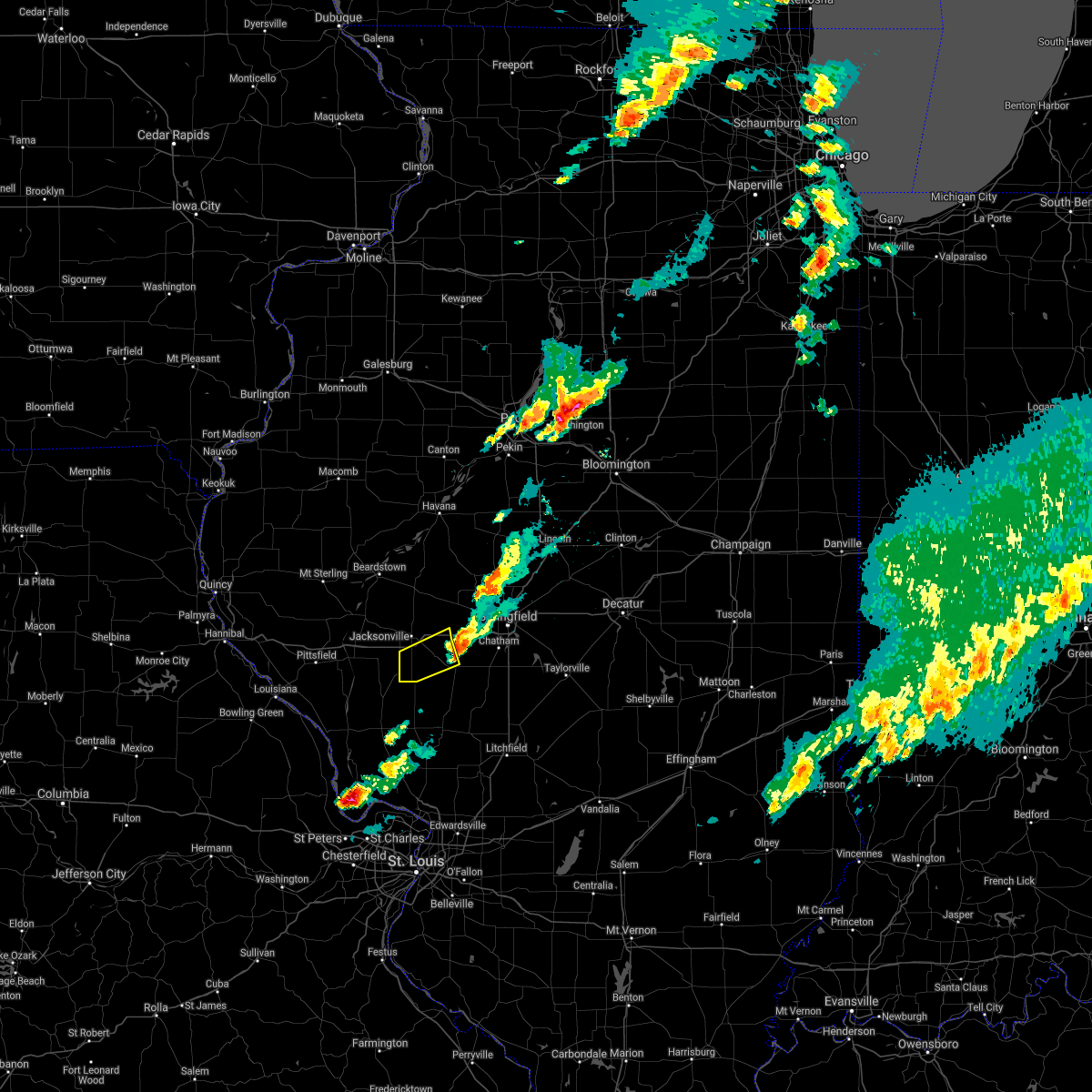 The severe thunderstorm warning for southeastern morgan county will expire at 400 pm cdt, the storm which prompted the warning has weakened below severe limits, and has exited the warned area. therefore, the warning will be allowed to expire. to report severe weather, contact your nearest law enforcement agency. they will relay your report to the national weather service lincoln. The severe thunderstorm warning for southeastern morgan county will expire at 400 pm cdt, the storm which prompted the warning has weakened below severe limits, and has exited the warned area. therefore, the warning will be allowed to expire. to report severe weather, contact your nearest law enforcement agency. they will relay your report to the national weather service lincoln.
|
| 4/10/2017 3:34 PM CDT |
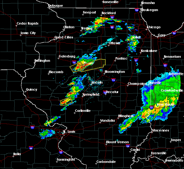 At 333 pm cdt, a severe thunderstorm was located over woodson, or 8 miles southeast of jacksonville, moving northeast at 35 mph (radar indicated). Hazards include 60 mph wind gusts and quarter size hail. Hail damage to vehicles is expected. expect wind damage to roofs, siding, and trees. locations impacted include, alexander, waverly, franklin, murrayville, woodson, nortonville and lake jacksonville. This includes interstate 72 between mile markers 66 and 67, and between mile markers 75 and 79. At 333 pm cdt, a severe thunderstorm was located over woodson, or 8 miles southeast of jacksonville, moving northeast at 35 mph (radar indicated). Hazards include 60 mph wind gusts and quarter size hail. Hail damage to vehicles is expected. expect wind damage to roofs, siding, and trees. locations impacted include, alexander, waverly, franklin, murrayville, woodson, nortonville and lake jacksonville. This includes interstate 72 between mile markers 66 and 67, and between mile markers 75 and 79.
|
| 4/10/2017 3:21 PM CDT |
 At 320 pm cdt, a severe thunderstorm was located over murrayville, or 8 miles south of jacksonville, moving northeast at 40 mph (radar indicated). Hazards include 60 mph wind gusts and quarter size hail. Hail damage to vehicles is expected. expect wind damage to roofs, siding, and trees. locations impacted include, jacksonville, alexander, waverly, franklin, murrayville, woodson, manchester, south jacksonville, lynnville, nortonville and lake jacksonville. This includes interstate 72 between mile markers 57 and 79. At 320 pm cdt, a severe thunderstorm was located over murrayville, or 8 miles south of jacksonville, moving northeast at 40 mph (radar indicated). Hazards include 60 mph wind gusts and quarter size hail. Hail damage to vehicles is expected. expect wind damage to roofs, siding, and trees. locations impacted include, jacksonville, alexander, waverly, franklin, murrayville, woodson, manchester, south jacksonville, lynnville, nortonville and lake jacksonville. This includes interstate 72 between mile markers 57 and 79.
|
| 4/10/2017 3:09 PM CDT |
 At 309 pm cdt, a severe thunderstorm was located over alsey, or near winchester, moving northeast at 40 mph (radar indicated). Hazards include 60 mph wind gusts and quarter size hail. Hail damage to vehicles is expected. Expect wind damage to roofs, siding, and trees. At 309 pm cdt, a severe thunderstorm was located over alsey, or near winchester, moving northeast at 40 mph (radar indicated). Hazards include 60 mph wind gusts and quarter size hail. Hail damage to vehicles is expected. Expect wind damage to roofs, siding, and trees.
|
| 3/7/2017 12:12 AM CST |
 The severe thunderstorm warning for scott, cass, central mason and morgan counties will expire at 1215 am cst, the storms which prompted the warning have moved out of the area. therefore the warning will be allowed to expire. a tornado watch remains in effect until 400 am cst for central and west central illinois. The severe thunderstorm warning for scott, cass, central mason and morgan counties will expire at 1215 am cst, the storms which prompted the warning have moved out of the area. therefore the warning will be allowed to expire. a tornado watch remains in effect until 400 am cst for central and west central illinois.
|
| 3/6/2017 11:38 PM CST |
 At 1137 pm cst, severe thunderstorms were located along a line extending from near st. david to near jacksonville, moving east at 65 mph (radar indicated). Hazards include 70 mph wind gusts and quarter size hail. Hail damage to vehicles is expected. expect considerable tree damage. wind damage is also likely to mobile homes, roofs, and outbuildings. locations impacted include, jacksonville, havana, virginia, winchester, alexander, ashland, bluff springs, bluffs, murrayville, chandlerville, woodson, chapin, arenzville, bath, kilbourne, manchester, alsey, exeter, literberry and south jacksonville. this includes interstate 72 between mile markers 44 and 76. A tornado watch remains in effect until 400 am cst for central and west central illinois. At 1137 pm cst, severe thunderstorms were located along a line extending from near st. david to near jacksonville, moving east at 65 mph (radar indicated). Hazards include 70 mph wind gusts and quarter size hail. Hail damage to vehicles is expected. expect considerable tree damage. wind damage is also likely to mobile homes, roofs, and outbuildings. locations impacted include, jacksonville, havana, virginia, winchester, alexander, ashland, bluff springs, bluffs, murrayville, chandlerville, woodson, chapin, arenzville, bath, kilbourne, manchester, alsey, exeter, literberry and south jacksonville. this includes interstate 72 between mile markers 44 and 76. A tornado watch remains in effect until 400 am cst for central and west central illinois.
|
| 3/6/2017 11:21 PM CST |
 At 1120 pm cst, severe thunderstorms were located along a line extending from ipava to 7 miles west of winchester, moving east at 65 mph (radar indicated). Hazards include 70 mph wind gusts and quarter size hail. Hail damage to vehicles is expected. expect considerable tree damage. Wind damage is also likely to mobile homes, roofs, and outbuildings. At 1120 pm cst, severe thunderstorms were located along a line extending from ipava to 7 miles west of winchester, moving east at 65 mph (radar indicated). Hazards include 70 mph wind gusts and quarter size hail. Hail damage to vehicles is expected. expect considerable tree damage. Wind damage is also likely to mobile homes, roofs, and outbuildings.
|
| 2/28/2017 4:55 PM CST |
 At 454 pm cst, a severe thunderstorm was located near alexander, or 7 miles east of jacksonville, moving northeast at 65 mph (radar indicated). Hazards include 60 mph wind gusts and quarter size hail. Hail damage to vehicles is expected. expect wind damage to roofs, siding, and trees. locations impacted include, jacksonville, alexander, woodson, south jacksonville, jacksonville municipal airport, lake jacksonville, sinclair and prentice. this includes interstate 72 between mile markers 63 and 79. A tornado watch remains in effect until 1000 pm cst for west central and central illinois. At 454 pm cst, a severe thunderstorm was located near alexander, or 7 miles east of jacksonville, moving northeast at 65 mph (radar indicated). Hazards include 60 mph wind gusts and quarter size hail. Hail damage to vehicles is expected. expect wind damage to roofs, siding, and trees. locations impacted include, jacksonville, alexander, woodson, south jacksonville, jacksonville municipal airport, lake jacksonville, sinclair and prentice. this includes interstate 72 between mile markers 63 and 79. A tornado watch remains in effect until 1000 pm cst for west central and central illinois.
|
| 2/28/2017 4:46 PM CST |
 At 445 pm cst, a severe thunderstorm was located over woodson, or near jacksonville, moving northeast at 75 mph (radar indicated). Hazards include golf ball size hail and 60 mph wind gusts. People and animals outdoors will be injured. expect hail damage to roofs, siding, windows, and vehicles. expect wind damage to roofs, siding, and trees. locations impacted include, jacksonville, alexander, franklin, murrayville, woodson, manchester, literberry, south jacksonville, lynnville, jacksonville municipal airport, sinclair, lake jacksonville, nortonville and prentice. this includes interstate 72 between mile markers 56 and 79. A tornado watch remains in effect until 1000 pm cst for west central and central illinois. At 445 pm cst, a severe thunderstorm was located over woodson, or near jacksonville, moving northeast at 75 mph (radar indicated). Hazards include golf ball size hail and 60 mph wind gusts. People and animals outdoors will be injured. expect hail damage to roofs, siding, windows, and vehicles. expect wind damage to roofs, siding, and trees. locations impacted include, jacksonville, alexander, franklin, murrayville, woodson, manchester, literberry, south jacksonville, lynnville, jacksonville municipal airport, sinclair, lake jacksonville, nortonville and prentice. this includes interstate 72 between mile markers 56 and 79. A tornado watch remains in effect until 1000 pm cst for west central and central illinois.
|
| 2/28/2017 4:33 PM CST |
 At 433 pm cst, a severe thunderstorm was located over alsey, or near winchester, moving northeast at 65 mph (radar indicated). Hazards include 60 mph wind gusts and quarter size hail. Hail damage to vehicles is expected. Expect wind damage to roofs, siding, and trees. At 433 pm cst, a severe thunderstorm was located over alsey, or near winchester, moving northeast at 65 mph (radar indicated). Hazards include 60 mph wind gusts and quarter size hail. Hail damage to vehicles is expected. Expect wind damage to roofs, siding, and trees.
|
| 7/13/2016 3:32 PM CDT |
 At 331 pm cdt, severe thunderstorms were located along a line extending from near virginia to jacksonville to near murrayville, moving east at 45 mph (law enforcement). Hazards include 70 mph wind gusts. Expect considerable tree damage. damage is likely to mobile homes, roofs, and outbuildings. locations impacted include, jacksonville, beardstown, virginia, winchester, alexander, ashland, waverly, meredosia, bluff springs, bluffs, franklin, murrayville, chandlerville, chapin, woodson, arenzville, manchester, alsey, exeter and literberry. This includes interstate 72 between mile markers 48 and 79. At 331 pm cdt, severe thunderstorms were located along a line extending from near virginia to jacksonville to near murrayville, moving east at 45 mph (law enforcement). Hazards include 70 mph wind gusts. Expect considerable tree damage. damage is likely to mobile homes, roofs, and outbuildings. locations impacted include, jacksonville, beardstown, virginia, winchester, alexander, ashland, waverly, meredosia, bluff springs, bluffs, franklin, murrayville, chandlerville, chapin, woodson, arenzville, manchester, alsey, exeter and literberry. This includes interstate 72 between mile markers 48 and 79.
|
| 7/13/2016 3:14 PM CDT |
 At 313 pm cdt, severe thunderstorms were located along a line extending from 7 miles north of meredosia to near chapin to near alsey, moving east at 40 mph (radar indicated). Hazards include 70 mph wind gusts and penny size hail. Expect considerable tree damage. damage is likely to mobile homes, roofs, and outbuildings. locations impacted include, jacksonville, beardstown, virginia, winchester, alexander, ashland, waverly, meredosia, bluff springs, bluffs, franklin, murrayville, chandlerville, chapin, woodson, arenzville, manchester, alsey, naples and exeter. This includes interstate 72 between mile markers 43 and 79. At 313 pm cdt, severe thunderstorms were located along a line extending from 7 miles north of meredosia to near chapin to near alsey, moving east at 40 mph (radar indicated). Hazards include 70 mph wind gusts and penny size hail. Expect considerable tree damage. damage is likely to mobile homes, roofs, and outbuildings. locations impacted include, jacksonville, beardstown, virginia, winchester, alexander, ashland, waverly, meredosia, bluff springs, bluffs, franklin, murrayville, chandlerville, chapin, woodson, arenzville, manchester, alsey, naples and exeter. This includes interstate 72 between mile markers 43 and 79.
|
| 7/13/2016 2:53 PM CDT |
 At 252 pm cdt, severe thunderstorms were located along a line extending from buckhorn to near griggsville to 10 miles northeast of belleview, moving east at 60 mph (radar indicated). Hazards include 70 mph wind gusts and penny size hail. Expect considerable tree damage. Damage is likely to mobile homes, roofs, and outbuildings. At 252 pm cdt, severe thunderstorms were located along a line extending from buckhorn to near griggsville to 10 miles northeast of belleview, moving east at 60 mph (radar indicated). Hazards include 70 mph wind gusts and penny size hail. Expect considerable tree damage. Damage is likely to mobile homes, roofs, and outbuildings.
|
| 7/10/2016 6:19 PM CDT |
 At 618 pm cdt, a severe thunderstorm was located over woodson, or near jacksonville, moving south at 10 mph (radar indicated). Hazards include 60 mph wind gusts. Expect damage to roofs. siding. and trees. locations impacted include, jacksonville, murrayville, woodson, south jacksonville and lake jacksonville. This includes interstate 72 between mile markers 61 and 69. At 618 pm cdt, a severe thunderstorm was located over woodson, or near jacksonville, moving south at 10 mph (radar indicated). Hazards include 60 mph wind gusts. Expect damage to roofs. siding. and trees. locations impacted include, jacksonville, murrayville, woodson, south jacksonville and lake jacksonville. This includes interstate 72 between mile markers 61 and 69.
|
| 7/10/2016 5:45 PM CDT |
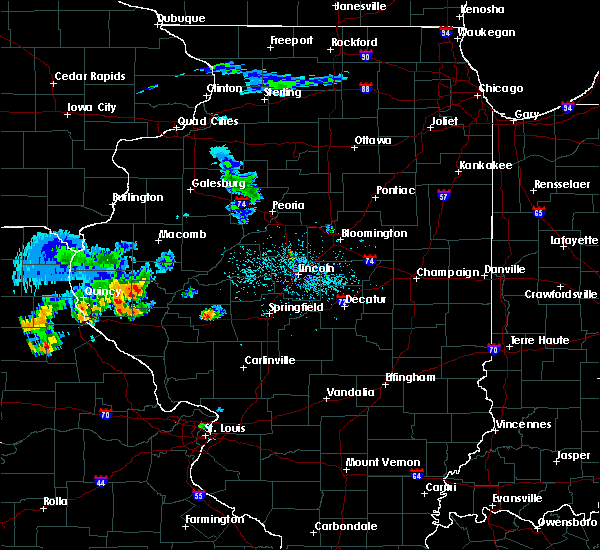 At 544 pm cdt, a severe thunderstorm was located over jacksonville, moving southeast at 15 mph (radar indicated). Hazards include 60 mph wind gusts. Expect damage to roofs. siding. And trees. At 544 pm cdt, a severe thunderstorm was located over jacksonville, moving southeast at 15 mph (radar indicated). Hazards include 60 mph wind gusts. Expect damage to roofs. siding. And trees.
|
| 7/7/2016 9:06 AM CDT |
 At 905 am cdt, severe thunderstorms were located along a line extending from near browning to near jacksonville to near roodhouse, moving east at 55 mph (radar indicated). Hazards include 60 mph wind gusts. Expect damage to roofs. siding. and trees. locations impacted include, jacksonville, beardstown, virginia, alexander, ashland, waverly, bluff springs, franklin, murrayville, chandlerville, woodson, chapin, arenzville, manchester, alsey, literberry, south jacksonville, philadelphia, concord and lynnville. those attending the morgan county fair in jacksonville are in the path of these storms and should seek shelter until the storms pass. This includes interstate 72 between mile markers 56 and 79. At 905 am cdt, severe thunderstorms were located along a line extending from near browning to near jacksonville to near roodhouse, moving east at 55 mph (radar indicated). Hazards include 60 mph wind gusts. Expect damage to roofs. siding. and trees. locations impacted include, jacksonville, beardstown, virginia, alexander, ashland, waverly, bluff springs, franklin, murrayville, chandlerville, woodson, chapin, arenzville, manchester, alsey, literberry, south jacksonville, philadelphia, concord and lynnville. those attending the morgan county fair in jacksonville are in the path of these storms and should seek shelter until the storms pass. This includes interstate 72 between mile markers 56 and 79.
|
| 7/7/2016 8:54 AM CDT |
 At 854 am cdt, severe thunderstorms were located along a line extending from near rushville to near jacksonville to near white hall, moving east at 55 mph (radar indicated). Hazards include 60 mph wind gusts. Expect damage to roofs. siding. and trees. locations impacted include, jacksonville, beardstown, virginia, winchester, alexander, ashland, waverly, meredosia, bluff springs, bluffs, franklin, murrayville, chandlerville, chapin, woodson, arenzville, manchester, alsey, naples and exeter. those attending the morgan county fair in jacksonville are in the path of these storms and should prepare for imminent dangerous weather conditions. Seek shelter now! this includes interstate 72 between mile markers 43 and 79. At 854 am cdt, severe thunderstorms were located along a line extending from near rushville to near jacksonville to near white hall, moving east at 55 mph (radar indicated). Hazards include 60 mph wind gusts. Expect damage to roofs. siding. and trees. locations impacted include, jacksonville, beardstown, virginia, winchester, alexander, ashland, waverly, meredosia, bluff springs, bluffs, franklin, murrayville, chandlerville, chapin, woodson, arenzville, manchester, alsey, naples and exeter. those attending the morgan county fair in jacksonville are in the path of these storms and should prepare for imminent dangerous weather conditions. Seek shelter now! this includes interstate 72 between mile markers 43 and 79.
|
| 7/7/2016 8:36 AM CDT |
 At 835 am cdt, severe thunderstorms were located along a line extending from near clayton to 6 miles northwest of naples to near pleasant hill, moving east at 55 mph (radar indicated). Hazards include 60 mph wind gusts. Expect damage to roofs. siding. And trees. At 835 am cdt, severe thunderstorms were located along a line extending from near clayton to 6 miles northwest of naples to near pleasant hill, moving east at 55 mph (radar indicated). Hazards include 60 mph wind gusts. Expect damage to roofs. siding. And trees.
|
| 3/30/2016 1:57 PM CDT |
 At 156 pm cdt, a severe thunderstorm was located over pleasant plains, or 15 miles west of springfield, moving northeast at 50 mph (trained weather spotters). Hazards include quarter size hail. Damage to vehicles is expected. locations impacted include, springfield, jacksonville, chatham, alexander, petersburg, athens, new berlin, ashland, pleasant plains, loami, franklin, tallula, literberry, south jacksonville, jerome, southern view, leland grove, philadelphia, curran and berlin. this includes the following highways, interstate 55 between mile markers 90 and 93. Interstate 72 between mile markers 67 and 99. At 156 pm cdt, a severe thunderstorm was located over pleasant plains, or 15 miles west of springfield, moving northeast at 50 mph (trained weather spotters). Hazards include quarter size hail. Damage to vehicles is expected. locations impacted include, springfield, jacksonville, chatham, alexander, petersburg, athens, new berlin, ashland, pleasant plains, loami, franklin, tallula, literberry, south jacksonville, jerome, southern view, leland grove, philadelphia, curran and berlin. this includes the following highways, interstate 55 between mile markers 90 and 93. Interstate 72 between mile markers 67 and 99.
|
| 3/30/2016 1:39 PM CDT |
 At 138 pm cdt, a severe thunderstorm was located over jacksonville, moving northeast at 50 mph. quarter size hail was reported in jacksonville at 135 pm (emergency management). Hazards include quarter size hail. damage to vehicles is expected At 138 pm cdt, a severe thunderstorm was located over jacksonville, moving northeast at 50 mph. quarter size hail was reported in jacksonville at 135 pm (emergency management). Hazards include quarter size hail. damage to vehicles is expected
|
| 3/15/2016 7:16 PM CDT |
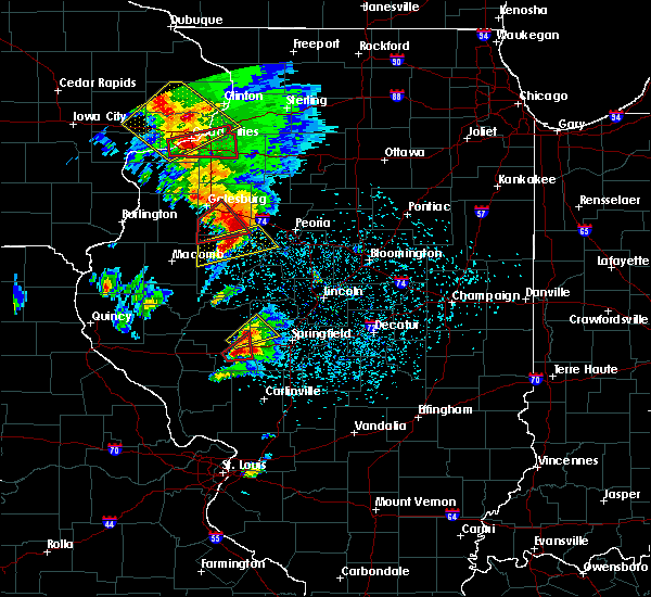 At 716 pm cdt, a severe thunderstorm capable of producing a tornado was located 6 miles southeast of jacksonville, moving northeast at 45 mph (radar indicated rotation). Hazards include tornado and ping pong ball size hail. Flying debris will be dangerous to those caught without shelter. mobile homes will be damaged or destroyed. damage to roofs, windows and vehicles will occur. tree damage is likely. this dangerous storm will be near, franklin around 720 pm cdt. alexander around 725 pm cdt. other locations impacted by this tornadic thunderstorm include lake jacksonville and south jacksonville. This includes interstate 72 between mile markers 65 and 79. At 716 pm cdt, a severe thunderstorm capable of producing a tornado was located 6 miles southeast of jacksonville, moving northeast at 45 mph (radar indicated rotation). Hazards include tornado and ping pong ball size hail. Flying debris will be dangerous to those caught without shelter. mobile homes will be damaged or destroyed. damage to roofs, windows and vehicles will occur. tree damage is likely. this dangerous storm will be near, franklin around 720 pm cdt. alexander around 725 pm cdt. other locations impacted by this tornadic thunderstorm include lake jacksonville and south jacksonville. This includes interstate 72 between mile markers 65 and 79.
|
| 3/15/2016 7:09 PM CDT |
 At 708 pm cdt, a severe thunderstorm capable of producing a tornado was located over woodson, or 5 miles southeast of jacksonville, moving northeast at 45 mph (radar indicated rotation). Hazards include tornado and ping pong ball size hail. Flying debris will be dangerous to those caught without shelter. mobile homes will be damaged or destroyed. damage to roofs, windows and vehicles will occur. tree damage is likely. this dangerous storm will be near, franklin around 715 pm cdt. alexander around 720 pm cdt. other locations impacted by this tornadic thunderstorm include lake jacksonville. This includes interstate 72 between mile markers 66 and 79. At 708 pm cdt, a severe thunderstorm capable of producing a tornado was located over woodson, or 5 miles southeast of jacksonville, moving northeast at 45 mph (radar indicated rotation). Hazards include tornado and ping pong ball size hail. Flying debris will be dangerous to those caught without shelter. mobile homes will be damaged or destroyed. damage to roofs, windows and vehicles will occur. tree damage is likely. this dangerous storm will be near, franklin around 715 pm cdt. alexander around 720 pm cdt. other locations impacted by this tornadic thunderstorm include lake jacksonville. This includes interstate 72 between mile markers 66 and 79.
|
| 3/15/2016 7:04 PM CDT |
 At 703 pm cdt, a severe thunderstorm was located 5 miles northwest of alexander, or 7 miles northeast of jacksonville, moving northeast at 40 mph (trained weather spotters. at 659 pm...a cooperative weather observer in jacksonville reported 2 inch diameter hail). Hazards include two inch hail and 60 mph wind gusts. People and animals outdoors will be injured. expect hail damage to roofs, siding, windows and vehicles. expect wind damage to roofs, siding and trees. locations impacted include, jacksonville, murrayville, woodson, south jacksonville, jacksonville municipal airport, lake jacksonville, sinclair and prentice. this includes interstate 72 between mile markers 61 and 75. A tornado watch remains in effect until 900 pm cdt for west central illinois. At 703 pm cdt, a severe thunderstorm was located 5 miles northwest of alexander, or 7 miles northeast of jacksonville, moving northeast at 40 mph (trained weather spotters. at 659 pm...a cooperative weather observer in jacksonville reported 2 inch diameter hail). Hazards include two inch hail and 60 mph wind gusts. People and animals outdoors will be injured. expect hail damage to roofs, siding, windows and vehicles. expect wind damage to roofs, siding and trees. locations impacted include, jacksonville, murrayville, woodson, south jacksonville, jacksonville municipal airport, lake jacksonville, sinclair and prentice. this includes interstate 72 between mile markers 61 and 75. A tornado watch remains in effect until 900 pm cdt for west central illinois.
|
| 3/15/2016 7:01 PM CDT |
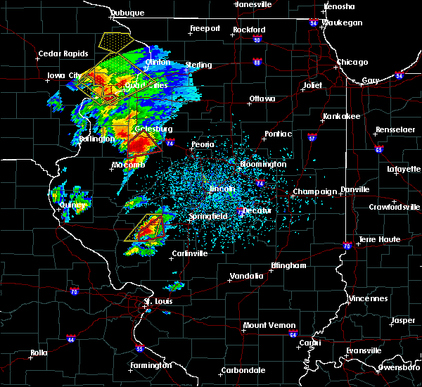 At 701 pm cdt, a severe thunderstorm capable of producing a tornado was located over murrayville, or 11 miles south of jacksonville, moving northeast at 50 mph (radar indicated rotation). Hazards include tornado and quarter size hail. Flying debris will be dangerous to those caught without shelter. mobile homes will be damaged or destroyed. damage to roofs, windows and vehicles will occur. tree damage is likely. this dangerous storm will be near, woodson around 705 pm cdt. franklin around 715 pm cdt. alexander around 720 pm cdt. other locations impacted by this tornadic thunderstorm include lake jacksonville and nortonville. This includes interstate 72 between mile markers 66 and 79. At 701 pm cdt, a severe thunderstorm capable of producing a tornado was located over murrayville, or 11 miles south of jacksonville, moving northeast at 50 mph (radar indicated rotation). Hazards include tornado and quarter size hail. Flying debris will be dangerous to those caught without shelter. mobile homes will be damaged or destroyed. damage to roofs, windows and vehicles will occur. tree damage is likely. this dangerous storm will be near, woodson around 705 pm cdt. franklin around 715 pm cdt. alexander around 720 pm cdt. other locations impacted by this tornadic thunderstorm include lake jacksonville and nortonville. This includes interstate 72 between mile markers 66 and 79.
|
| 3/15/2016 6:54 PM CDT |
 At 653 pm cdt, a severe thunderstorm was located over jacksonville, moving northeast at 40 mph. another strong thunderstorm was in southeast scott county between winchester and manchester, and was capable of becoming severe (trained weather spotters. this storm has a history of producing hail up to quarter size). Hazards include 60 mph wind gusts and quarter size hail. Hail damage to vehicles is expected. expect wind damage to roofs, siding and trees. locations impacted include, jacksonville, alexander, murrayville, woodson, manchester, alsey, literberry, south jacksonville, glasgow, lynnville, jacksonville municipal airport, sinclair, lake jacksonville, nortonville and prentice. this includes interstate 72 between mile markers 58 and 77. A tornado watch remains in effect until 900 pm cdt for west central illinois. At 653 pm cdt, a severe thunderstorm was located over jacksonville, moving northeast at 40 mph. another strong thunderstorm was in southeast scott county between winchester and manchester, and was capable of becoming severe (trained weather spotters. this storm has a history of producing hail up to quarter size). Hazards include 60 mph wind gusts and quarter size hail. Hail damage to vehicles is expected. expect wind damage to roofs, siding and trees. locations impacted include, jacksonville, alexander, murrayville, woodson, manchester, alsey, literberry, south jacksonville, glasgow, lynnville, jacksonville municipal airport, sinclair, lake jacksonville, nortonville and prentice. this includes interstate 72 between mile markers 58 and 77. A tornado watch remains in effect until 900 pm cdt for west central illinois.
|
| 3/15/2016 6:43 PM CDT |
 At 642 pm cdt, a severe thunderstorm was located 5 miles southwest of jacksonville, moving northeast at 40 mph. additional strong thunderstorms were moving northeast out of northern greene county into southern scott county, and these are also capable of producing large hail (radar indicated. at 642 pm...dime size hail was reported 4 miles west of jacksonville along i-72, by a trained spotter). Hazards include 60 mph wind gusts and quarter size hail. Hail damage to vehicles is expected. Expect wind damage to roofs, siding and trees. At 642 pm cdt, a severe thunderstorm was located 5 miles southwest of jacksonville, moving northeast at 40 mph. additional strong thunderstorms were moving northeast out of northern greene county into southern scott county, and these are also capable of producing large hail (radar indicated. at 642 pm...dime size hail was reported 4 miles west of jacksonville along i-72, by a trained spotter). Hazards include 60 mph wind gusts and quarter size hail. Hail damage to vehicles is expected. Expect wind damage to roofs, siding and trees.
|
| 7/13/2015 7:19 PM CDT |
 At 718 pm cdt, severe thunderstorms were located along a line extending from jacksonville to 4 miles southeast of murrayville to near manchester, moving east at 65 mph (trained weather spotters). Hazards include 70 mph wind gusts. Expect considerable tree damage. damage is likely to mobile homes, roofs and outbuildings. locations impacted include, jacksonville, winchester, alexander, waverly, franklin, murrayville, chapin, woodson, manchester, alsey, south jacksonville, glasgow, lynnville, exeter and lake jacksonville. this includes interstate 72 between mile markers 48 and 71. A tornado watch remains in effect until 1100 pm cdt for west central illinois. At 718 pm cdt, severe thunderstorms were located along a line extending from jacksonville to 4 miles southeast of murrayville to near manchester, moving east at 65 mph (trained weather spotters). Hazards include 70 mph wind gusts. Expect considerable tree damage. damage is likely to mobile homes, roofs and outbuildings. locations impacted include, jacksonville, winchester, alexander, waverly, franklin, murrayville, chapin, woodson, manchester, alsey, south jacksonville, glasgow, lynnville, exeter and lake jacksonville. this includes interstate 72 between mile markers 48 and 71. A tornado watch remains in effect until 1100 pm cdt for west central illinois.
|
| 7/13/2015 7:05 PM CDT |
 At 702 pm cdt, severe thunderstorms were located along a line extending from near chapin to winchester to 8 miles west of alsey, moving east at 70 mph (radar indicated). Hazards include 70 mph wind gusts. Expect considerable tree damage. damage is likely to mobile homes, roofs and outbuildings. locations impacted include, jacksonville, winchester, alexander, waverly, bluffs, franklin, murrayville, chapin, woodson, manchester, alsey, jacksonville municipal airport, south jacksonville, concord, glasgow, naples, lynnville, exeter and lake jacksonville. this includes interstate 72 between mile markers 43 and 79. A tornado watch remains in effect until 1100 pm cdt for west central illinois. At 702 pm cdt, severe thunderstorms were located along a line extending from near chapin to winchester to 8 miles west of alsey, moving east at 70 mph (radar indicated). Hazards include 70 mph wind gusts. Expect considerable tree damage. damage is likely to mobile homes, roofs and outbuildings. locations impacted include, jacksonville, winchester, alexander, waverly, bluffs, franklin, murrayville, chapin, woodson, manchester, alsey, jacksonville municipal airport, south jacksonville, concord, glasgow, naples, lynnville, exeter and lake jacksonville. this includes interstate 72 between mile markers 43 and 79. A tornado watch remains in effect until 1100 pm cdt for west central illinois.
|
| 7/13/2015 6:46 PM CDT |
 At 645 pm cdt, severe thunderstorms were located along a line extending from 10 miles west of meredosia to 11 miles west of bluffs, moving southeast at 65 mph (radar indicated). Hazards include 70 mph wind gusts. Expect considerable tree damage. Damage is likely to mobile homes, roofs and outbuildings. At 645 pm cdt, severe thunderstorms were located along a line extending from 10 miles west of meredosia to 11 miles west of bluffs, moving southeast at 65 mph (radar indicated). Hazards include 70 mph wind gusts. Expect considerable tree damage. Damage is likely to mobile homes, roofs and outbuildings.
|
| 7/11/2015 7:29 PM CDT |
 At 729 pm cdt, severe thunderstorms were located along a line extending from near jacksonville to near winchester to 8 miles southwest of bluffs, moving southeast at 25 mph (radar indicated). Hazards include 60 mph wind gusts and penny size hail. Expect damage to roofs. Siding and trees. At 729 pm cdt, severe thunderstorms were located along a line extending from near jacksonville to near winchester to 8 miles southwest of bluffs, moving southeast at 25 mph (radar indicated). Hazards include 60 mph wind gusts and penny size hail. Expect damage to roofs. Siding and trees.
|
| 7/11/2015 3:08 PM CDT |
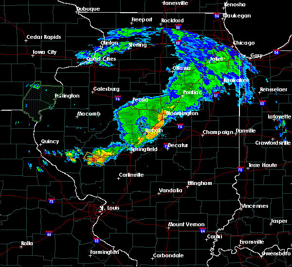 At 307 pm cdt, a severe thunderstorm was located 6 miles east of winchester, moving southeast at 20 mph (radar indicated). Hazards include 60 mph wind gusts and quarter size hail. Hail damage to vehicles is expected. expect wind damage to roofs, siding and trees. locations impacted include, murrayville, woodson, south jacksonville, lynnville and lake jacksonville. This includes interstate 72 between mile markers 57 and 64. At 307 pm cdt, a severe thunderstorm was located 6 miles east of winchester, moving southeast at 20 mph (radar indicated). Hazards include 60 mph wind gusts and quarter size hail. Hail damage to vehicles is expected. expect wind damage to roofs, siding and trees. locations impacted include, murrayville, woodson, south jacksonville, lynnville and lake jacksonville. This includes interstate 72 between mile markers 57 and 64.
|
| 7/11/2015 2:57 PM CDT |
 At 256 pm cdt, a severe thunderstorm was located near chapin, or 5 miles north of winchester, moving southeast at 20 mph (radar indicated). Hazards include 60 mph wind gusts and half dollar size hail. Hail damage to vehicles is expected. Expect wind damage to roofs, siding and trees. At 256 pm cdt, a severe thunderstorm was located near chapin, or 5 miles north of winchester, moving southeast at 20 mph (radar indicated). Hazards include 60 mph wind gusts and half dollar size hail. Hail damage to vehicles is expected. Expect wind damage to roofs, siding and trees.
|
| 7/11/2015 2:42 PM CDT |
 At 241 pm cdt, a severe thunderstorm was located near jacksonville municipal airport, .moving east at 30 mph (radar indicated). Hazards include 60 mph wind gusts and quarter size hail. Hail damage to vehicles is expected. Expect wind damage to roofs, siding and trees. At 241 pm cdt, a severe thunderstorm was located near jacksonville municipal airport, .moving east at 30 mph (radar indicated). Hazards include 60 mph wind gusts and quarter size hail. Hail damage to vehicles is expected. Expect wind damage to roofs, siding and trees.
|
| 7/11/2015 2:30 PM CDT |
 At 229 pm cdt, a severe thunderstorm was located near chapin, or 8 miles northwest of jacksonville, moving southeast at 30 mph (radar indicated). Hazards include 60 mph wind gusts and quarter size hail. Hail damage to vehicles is expected. expect wind damage to roofs, siding and trees. locations impacted include, jacksonville, meredosia, bluffs, murrayville, chapin, woodson, jacksonville municipal airport, literberry, south jacksonville, concord, lynnville, exeter and lake jacksonville. those attending the morgan county fair are in the path of this storm and should prepare for imminent dangerous weather conditions. Seek shelter now! this includes interstate 72 between mile markers 54 and 72. At 229 pm cdt, a severe thunderstorm was located near chapin, or 8 miles northwest of jacksonville, moving southeast at 30 mph (radar indicated). Hazards include 60 mph wind gusts and quarter size hail. Hail damage to vehicles is expected. expect wind damage to roofs, siding and trees. locations impacted include, jacksonville, meredosia, bluffs, murrayville, chapin, woodson, jacksonville municipal airport, literberry, south jacksonville, concord, lynnville, exeter and lake jacksonville. those attending the morgan county fair are in the path of this storm and should prepare for imminent dangerous weather conditions. Seek shelter now! this includes interstate 72 between mile markers 54 and 72.
|
| 7/11/2015 2:13 PM CDT |
 At 212 pm cdt, a severe thunderstorm was located near meredosia, or 9 miles south of beardstown, moving southeast at 30 mph (radar indicated). Hazards include 60 mph wind gusts and quarter size hail. Hail damage to vehicles is expected. Expect wind damage to roofs, siding and trees. At 212 pm cdt, a severe thunderstorm was located near meredosia, or 9 miles south of beardstown, moving southeast at 30 mph (radar indicated). Hazards include 60 mph wind gusts and quarter size hail. Hail damage to vehicles is expected. Expect wind damage to roofs, siding and trees.
|
| 6/20/2015 9:34 PM CDT |
 At 933 pm cdt, severe thunderstorms were located along a line extending from near greenview to 4 miles south of ashland to near bluffs, moving southeast at 45 mph (trained weather spotters). Hazards include 60 mph wind gusts. Expect damage to roofs. Siding and trees. At 933 pm cdt, severe thunderstorms were located along a line extending from near greenview to 4 miles south of ashland to near bluffs, moving southeast at 45 mph (trained weather spotters). Hazards include 60 mph wind gusts. Expect damage to roofs. Siding and trees.
|
| 6/13/2015 8:53 PM CDT |
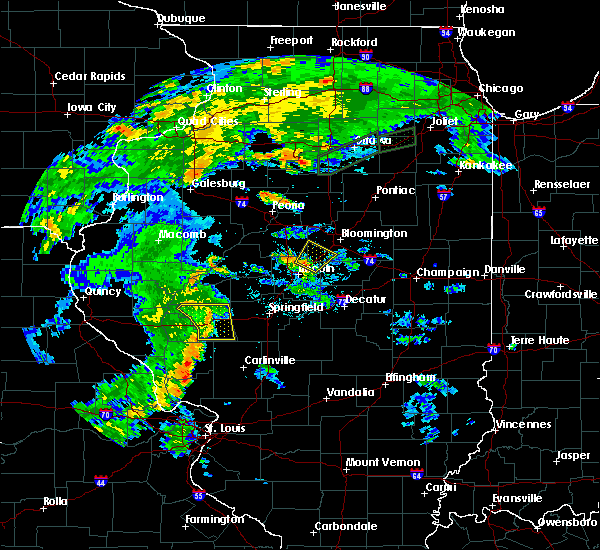 The severe thunderstorm warning for morgan county will expire at 900 pm cdt, the storm which prompted the warning has weakened below severe limits, and no longer pose an immediate threat to life or property. therefore the warning will be allowed to expire. however gusty winds and heavy rain are still possible with this thunderstorm. The severe thunderstorm warning for morgan county will expire at 900 pm cdt, the storm which prompted the warning has weakened below severe limits, and no longer pose an immediate threat to life or property. therefore the warning will be allowed to expire. however gusty winds and heavy rain are still possible with this thunderstorm.
|
| 6/13/2015 8:42 PM CDT |
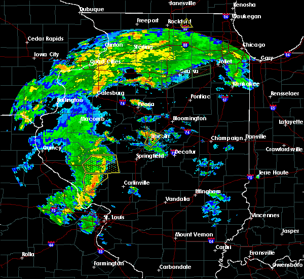 At 841 pm cdt, a severe thunderstorm was located over jacksonville municipal airport, or near jacksonville, moving northeast at 35 mph (radar indicated). Hazards include 60 mph wind gusts. Expect damage to roofs. siding and trees. locations impacted include, jacksonville, alexander, waverly, franklin, murrayville, woodson, chapin, jacksonville municipal airport, literberry, south jacksonville, concord, lake jacksonville and prentice. This includes interstate 72 between mile markers 60 and 79. At 841 pm cdt, a severe thunderstorm was located over jacksonville municipal airport, or near jacksonville, moving northeast at 35 mph (radar indicated). Hazards include 60 mph wind gusts. Expect damage to roofs. siding and trees. locations impacted include, jacksonville, alexander, waverly, franklin, murrayville, woodson, chapin, jacksonville municipal airport, literberry, south jacksonville, concord, lake jacksonville and prentice. This includes interstate 72 between mile markers 60 and 79.
|
| 6/13/2015 8:06 PM CDT |
 The national weather service in lincoln has issued a * severe thunderstorm warning for. morgan county in west central illinois. scott county in west central illinois. until 900 pm cdt * at 806 pm cdt. a severe thunderstorm was located over alsey. Or. The national weather service in lincoln has issued a * severe thunderstorm warning for. morgan county in west central illinois. scott county in west central illinois. until 900 pm cdt * at 806 pm cdt. a severe thunderstorm was located over alsey. Or.
|
| 4/9/2015 6:30 PM CDT | A severe thunderstorm warning remains in effect for southeastern scott and southeastern morgan counties until 645 pm cdt. at 626 pm cdt. a severe thunderstorm was located near manchester. and moving northeast at 50 mph. hazard. 60 mph wind gusts and quarter size hail. source. Radar indicated. |
| 4/9/2015 6:01 PM CDT | The national weather service in lincoln has issued a * severe thunderstorm warning for. morgan county in west central illinois. scott county in west central illinois. until 645 pm cdt * at 600 pm cdt. A severe thunderstorm was located 11 miles east of. |
Hail Maps for South Jacksonville, IL
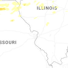
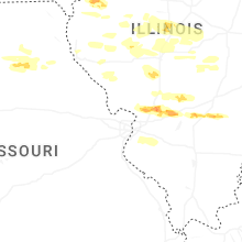

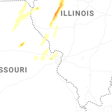
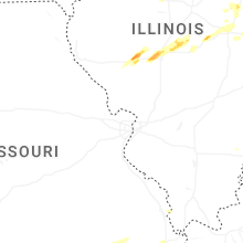


Connect with Interactive Hail Maps