

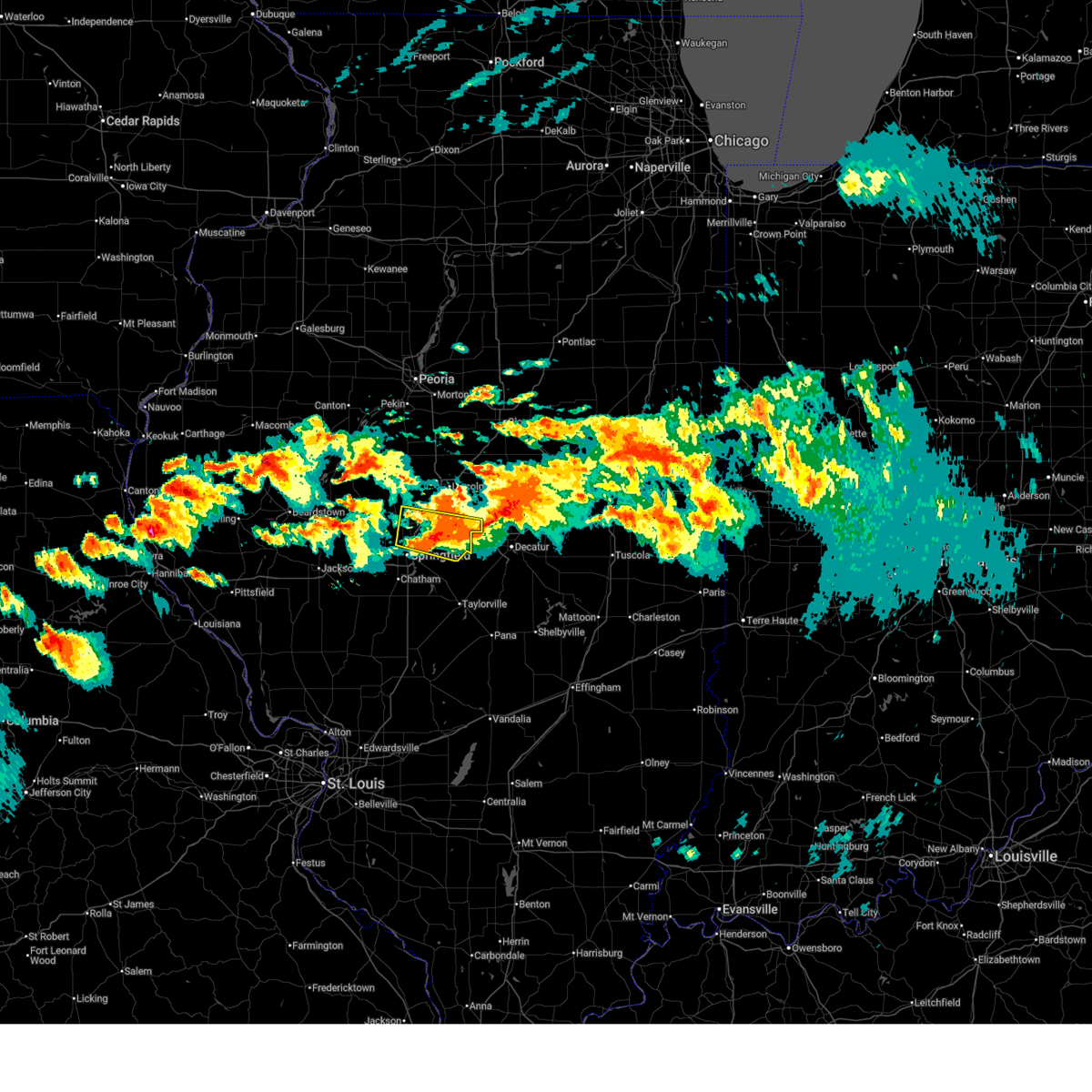
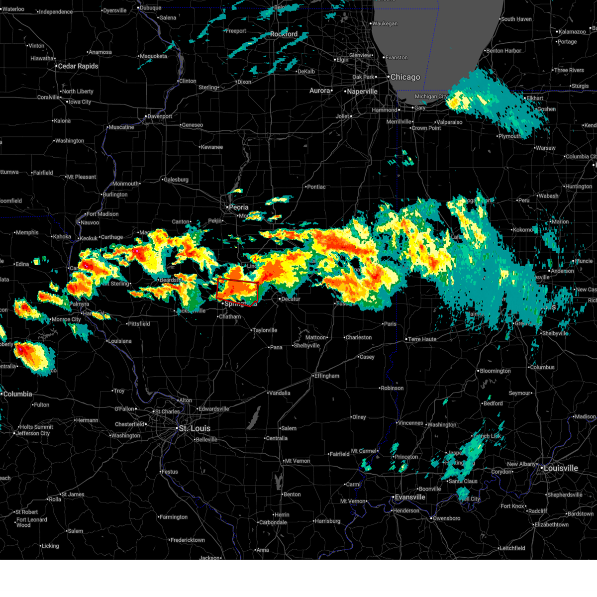
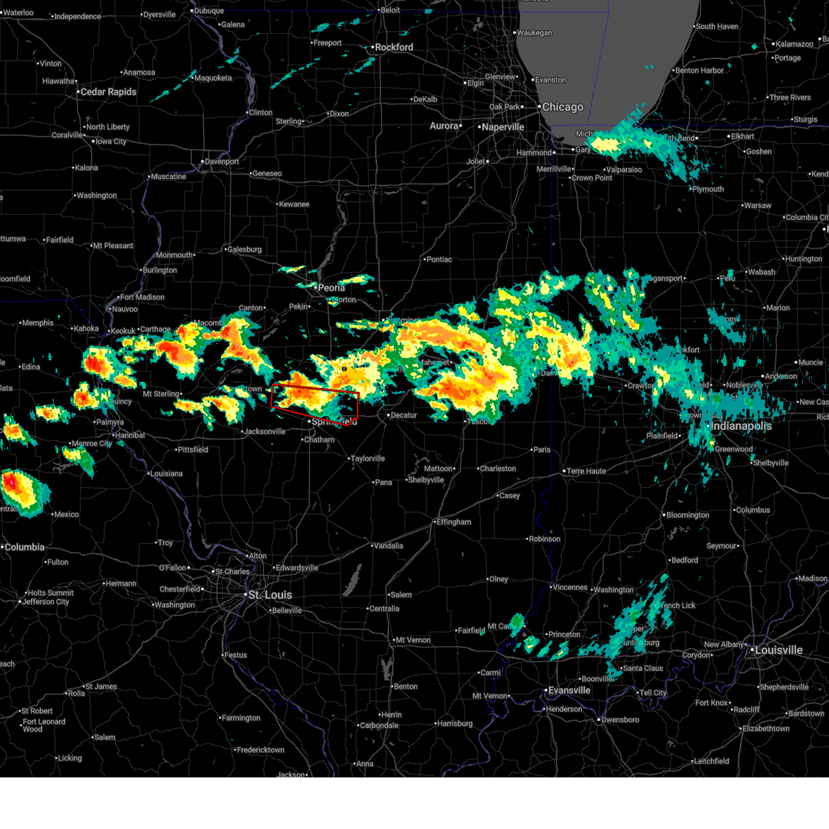
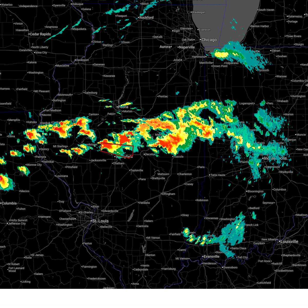
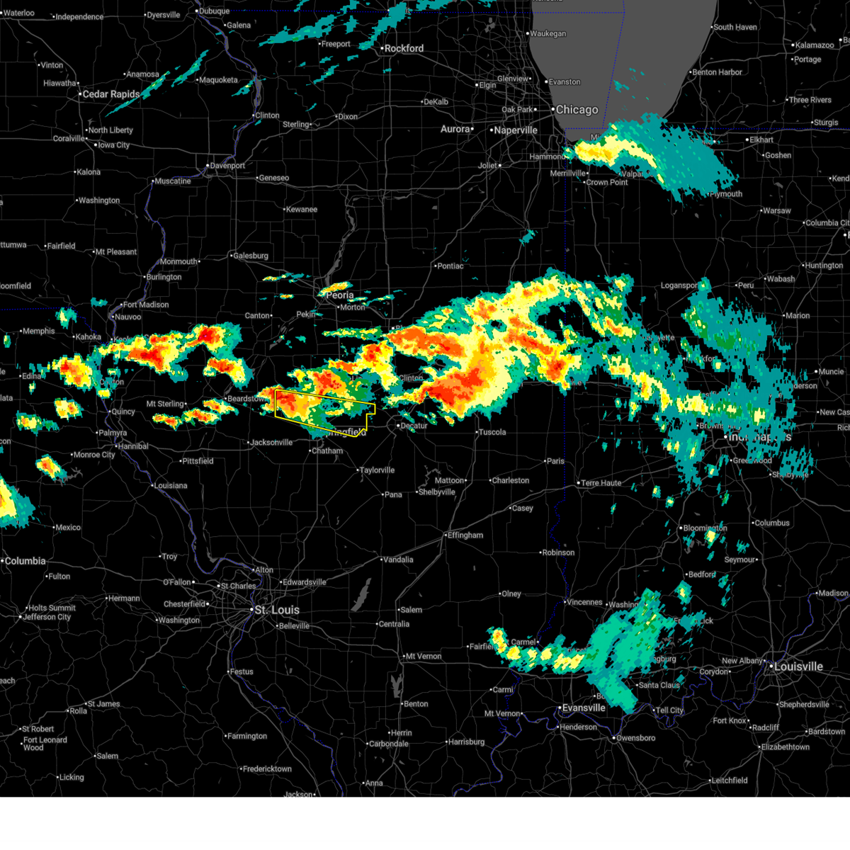
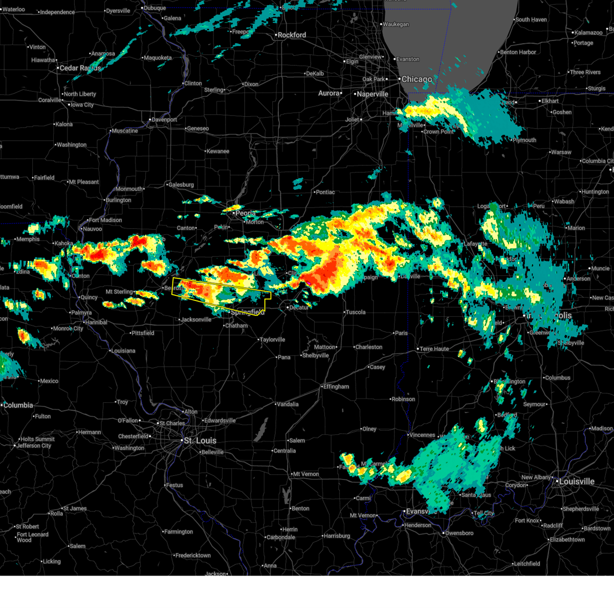
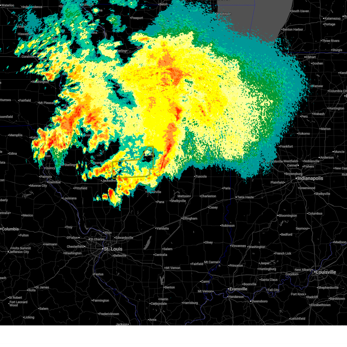
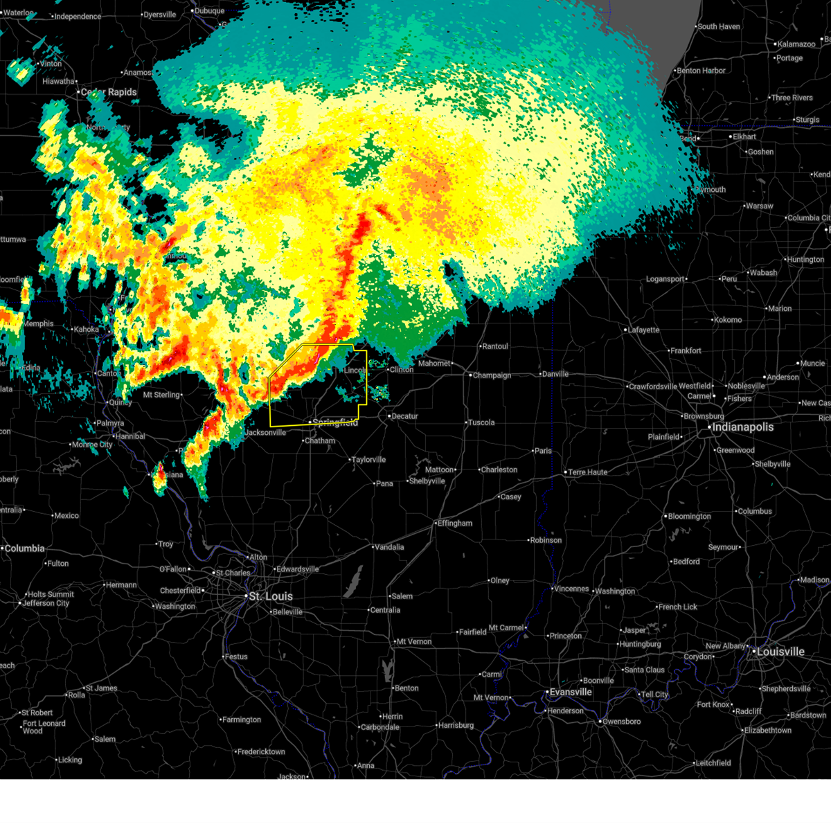
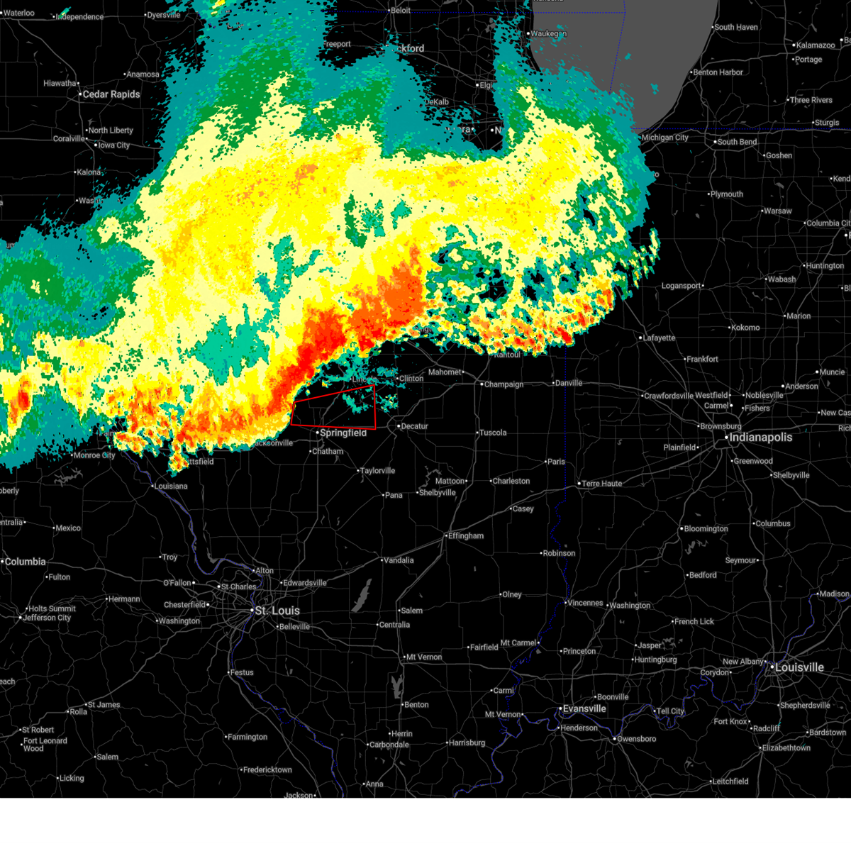
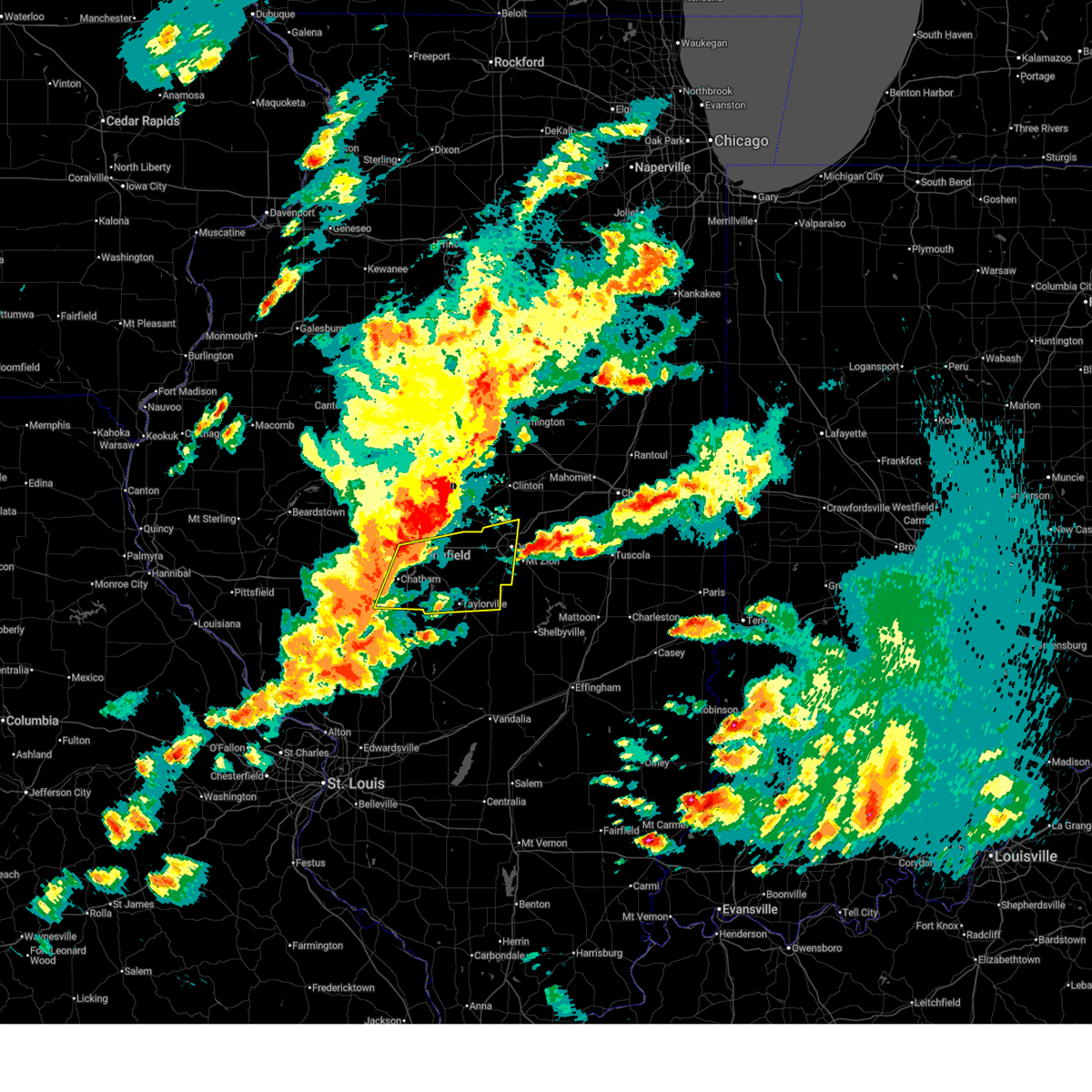
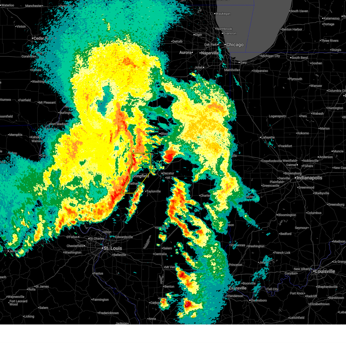
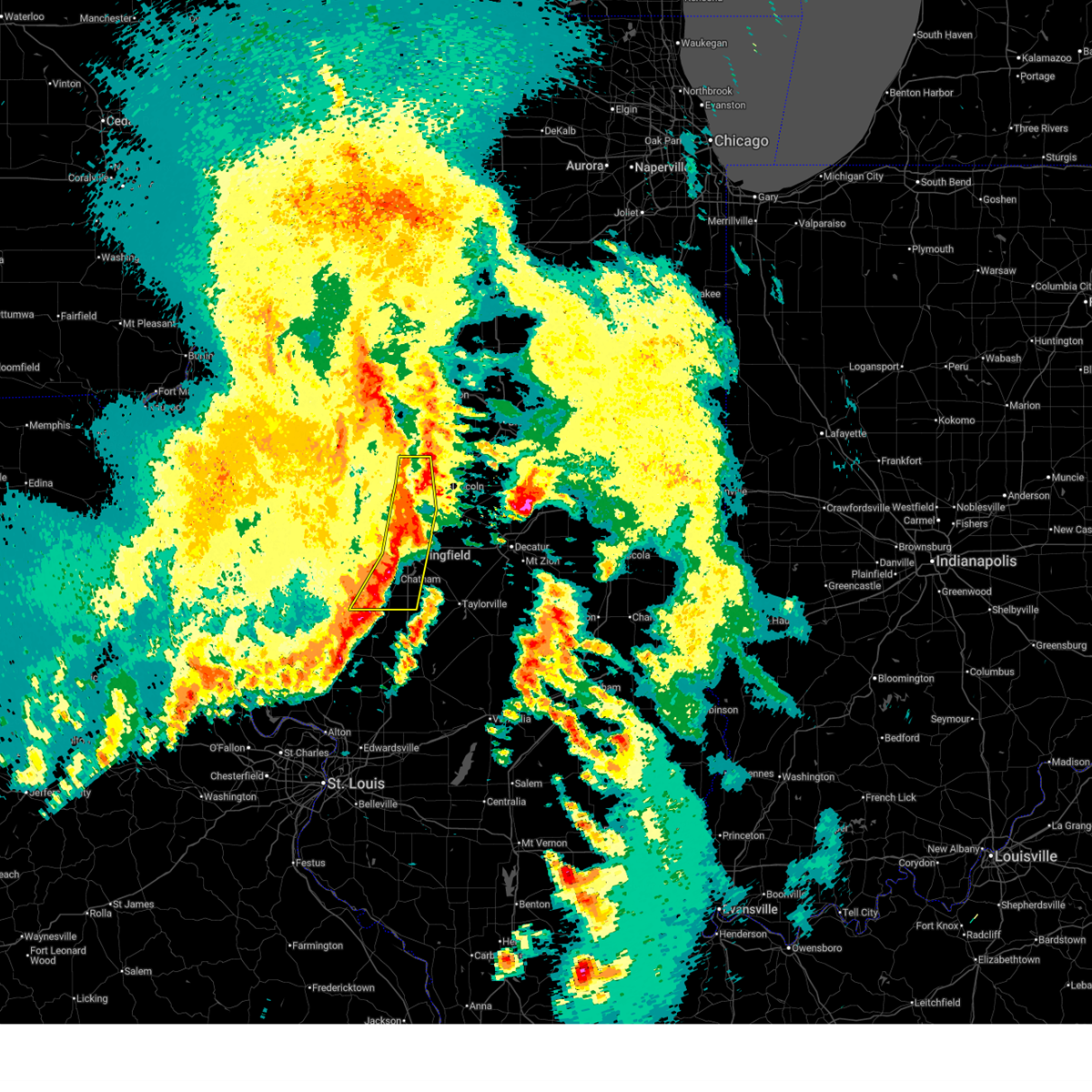
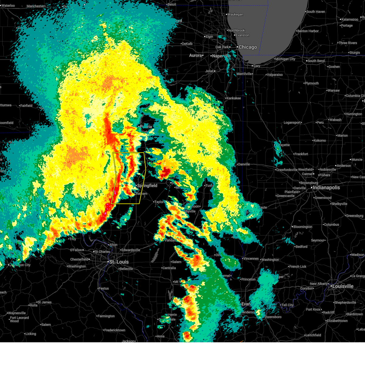
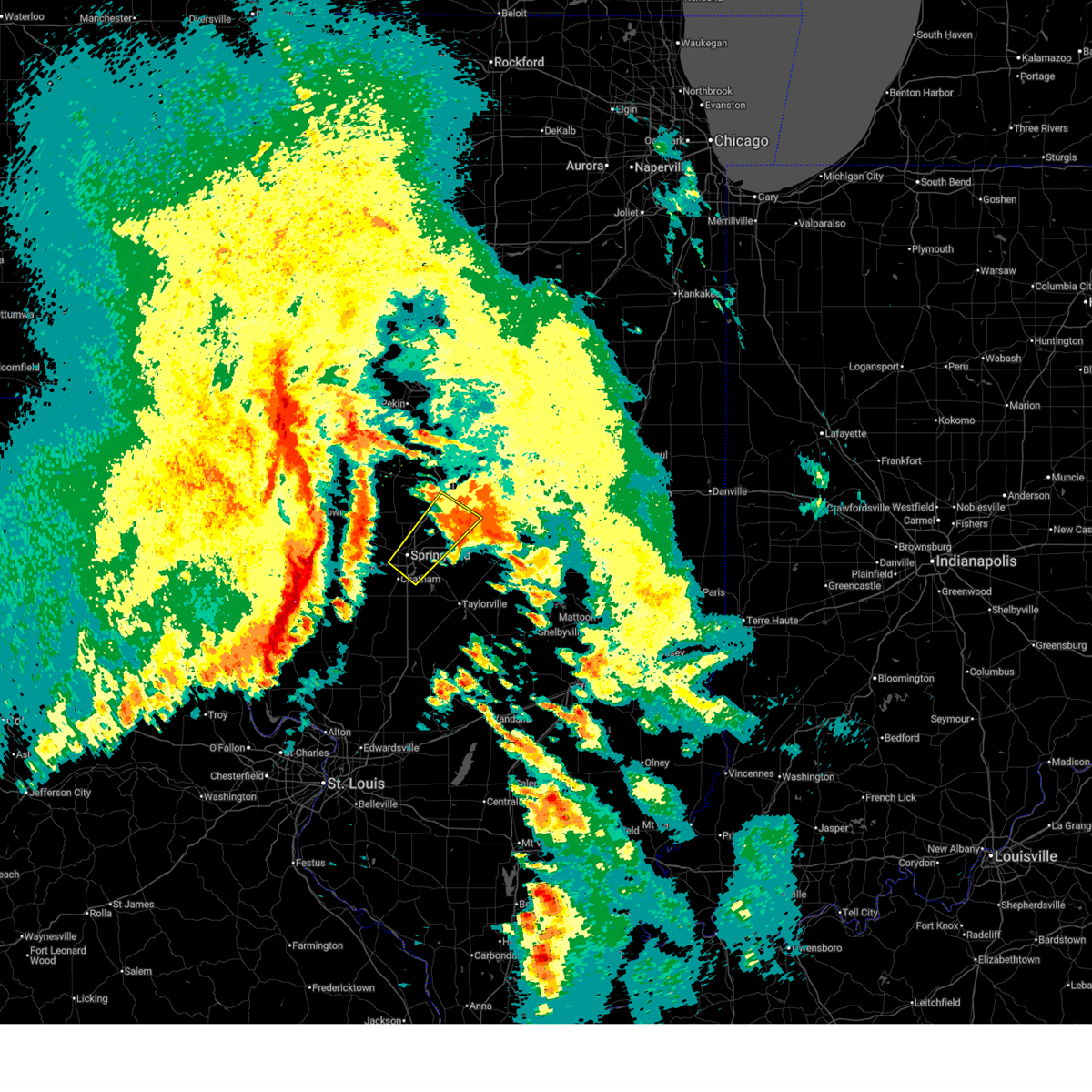
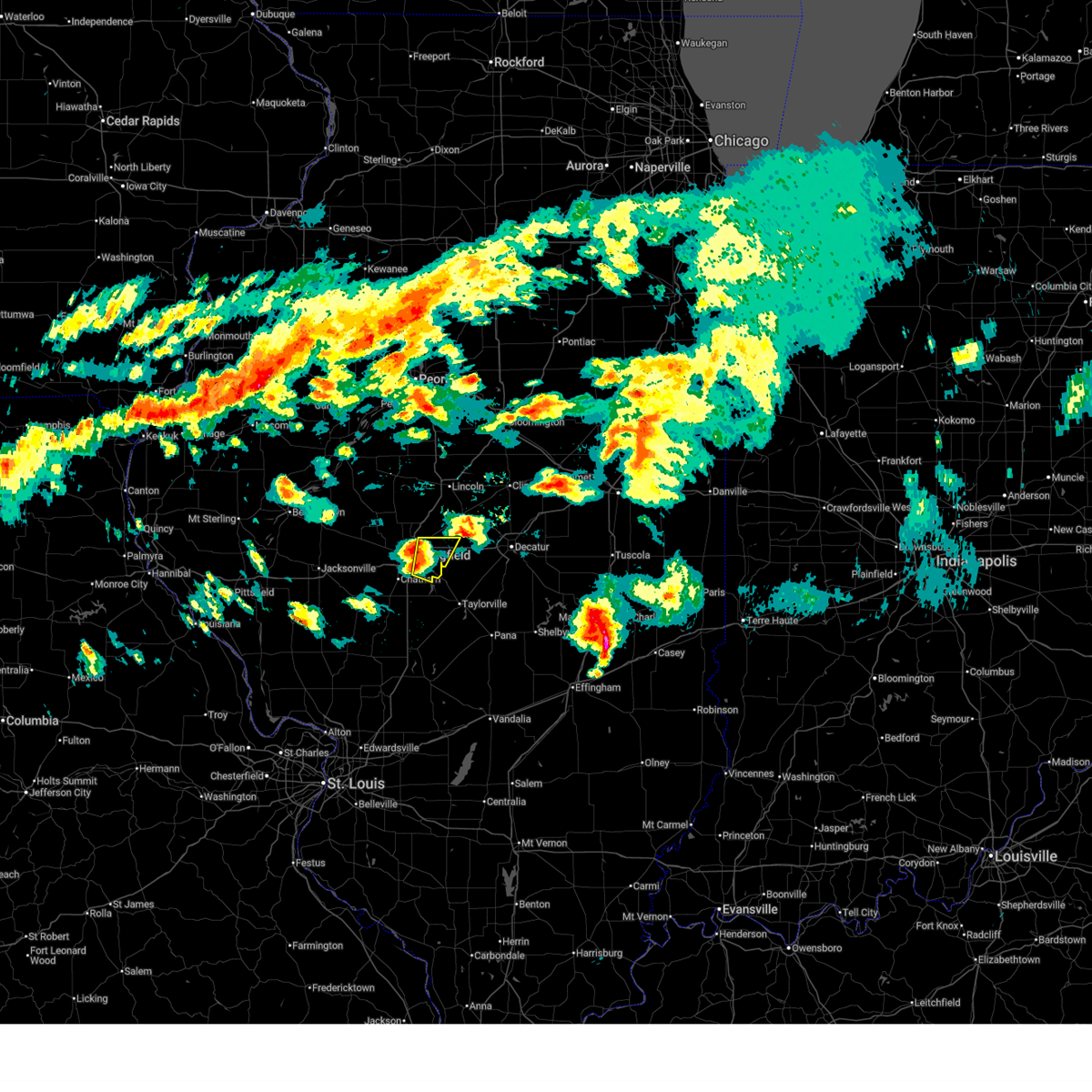
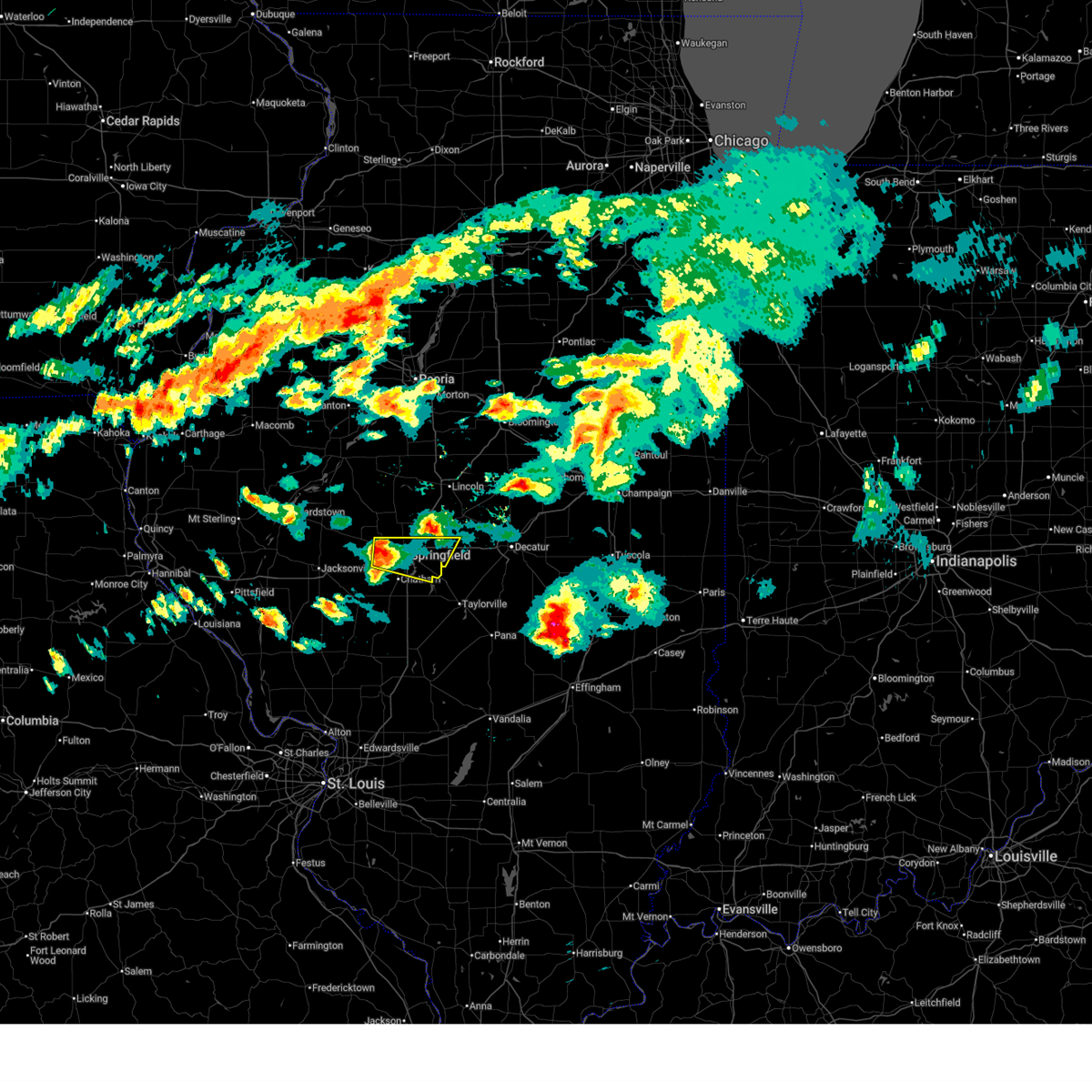
Hail Map for Springfield, IL
The Springfield, IL area has had 38 reports of on-the-ground hail by trained spotters, and has been under severe weather warnings 65 times during the past 12 months. Doppler radar has detected hail at or near Springfield, IL on 100 occasions, including 8 occasions during the past year.
| Name: | Springfield, IL |
| Where Located: | 64.3 miles S of Peoria, IL |
| Map: | Google Map for Springfield, IL |
| Population: | 116250 |
| Housing Units: | 55729 |
| More Info: | Search Google for Springfield, IL |
2
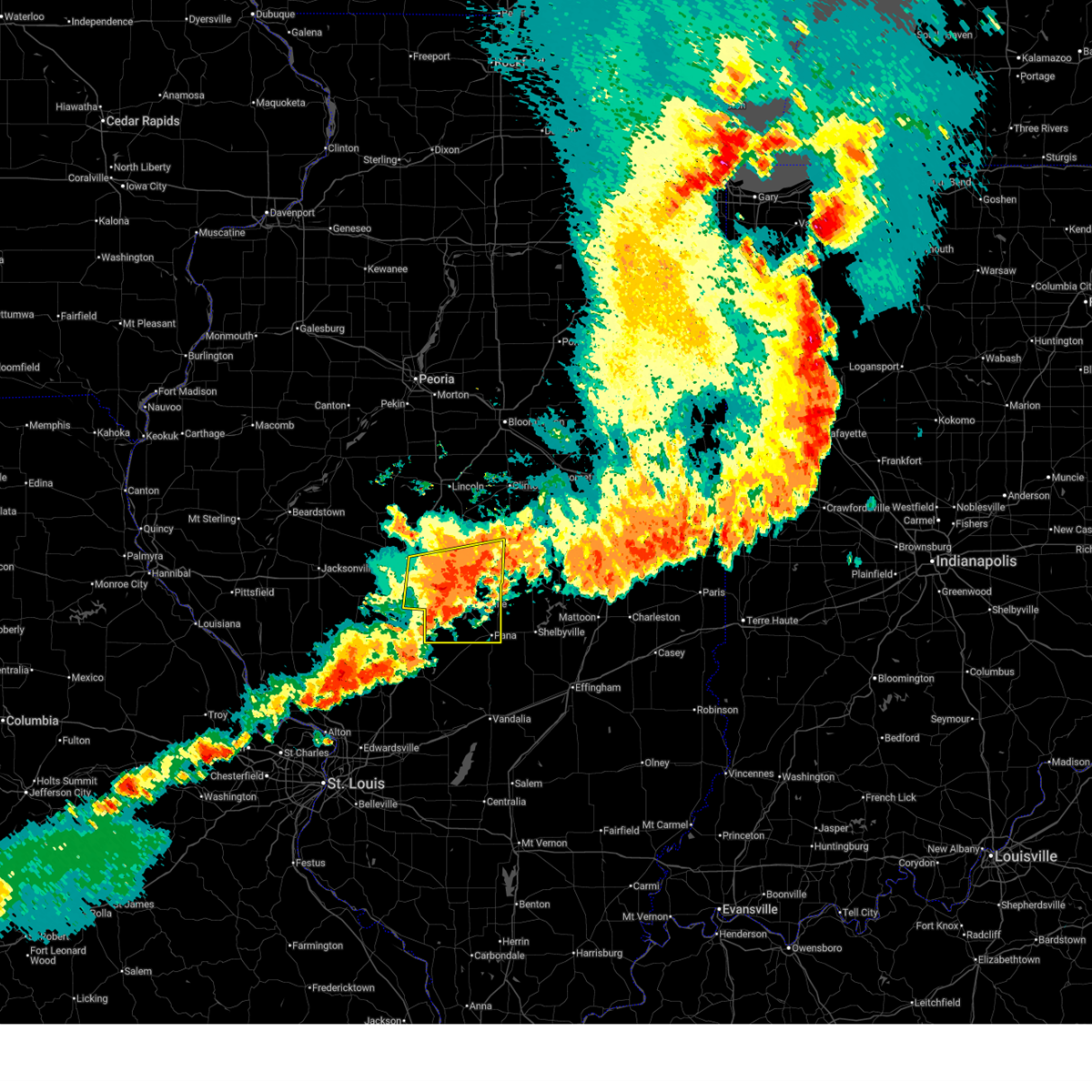
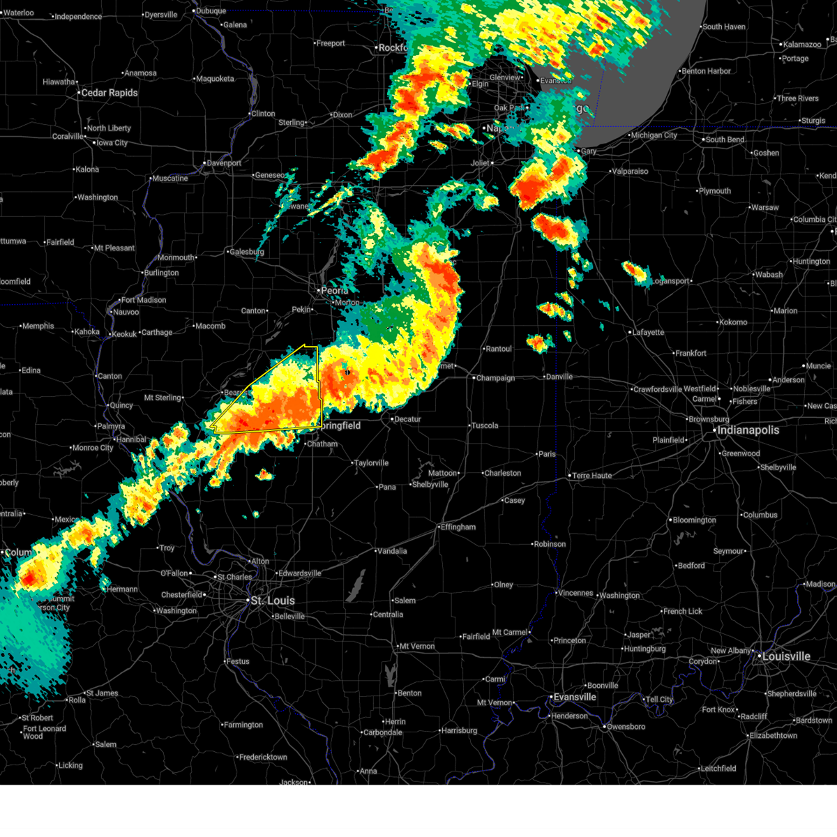
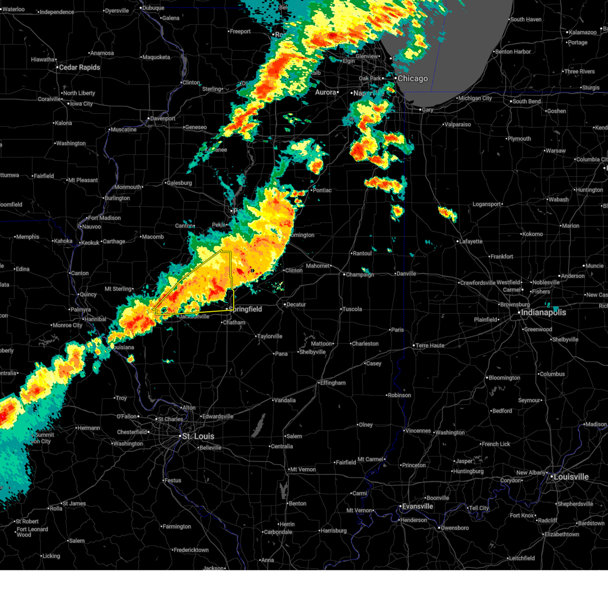
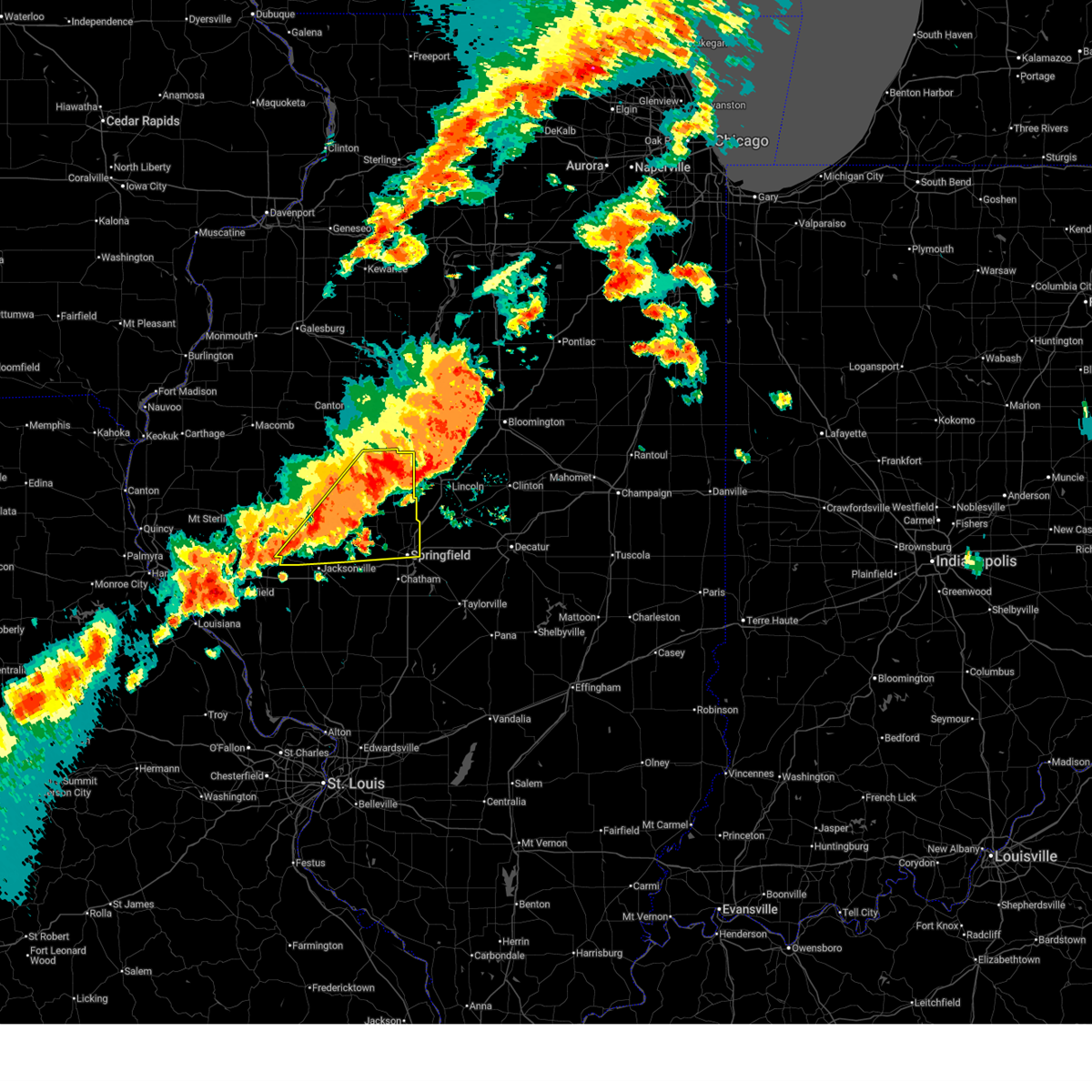
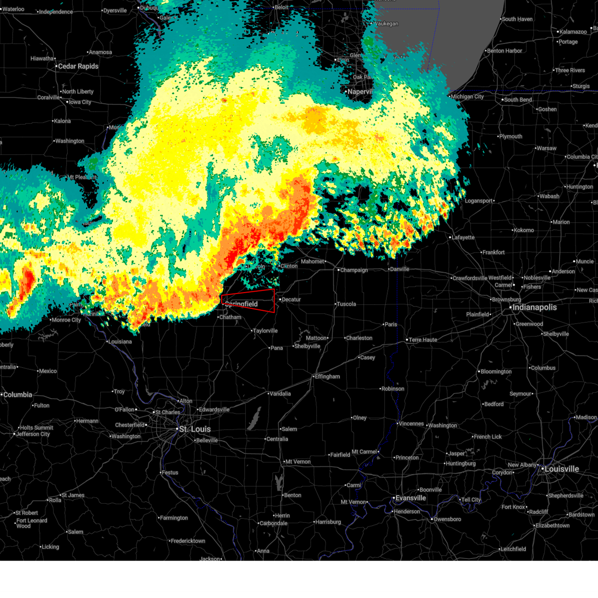
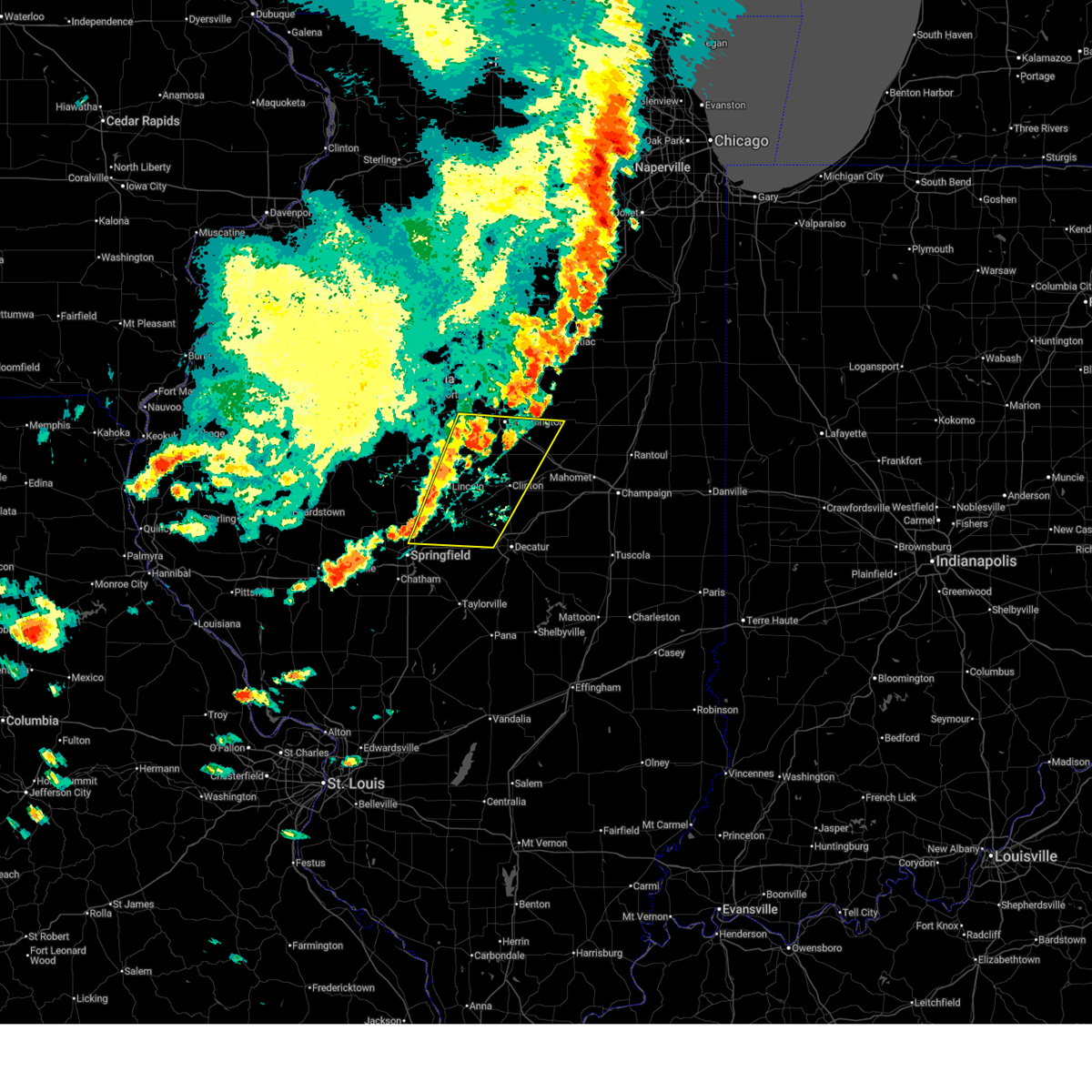
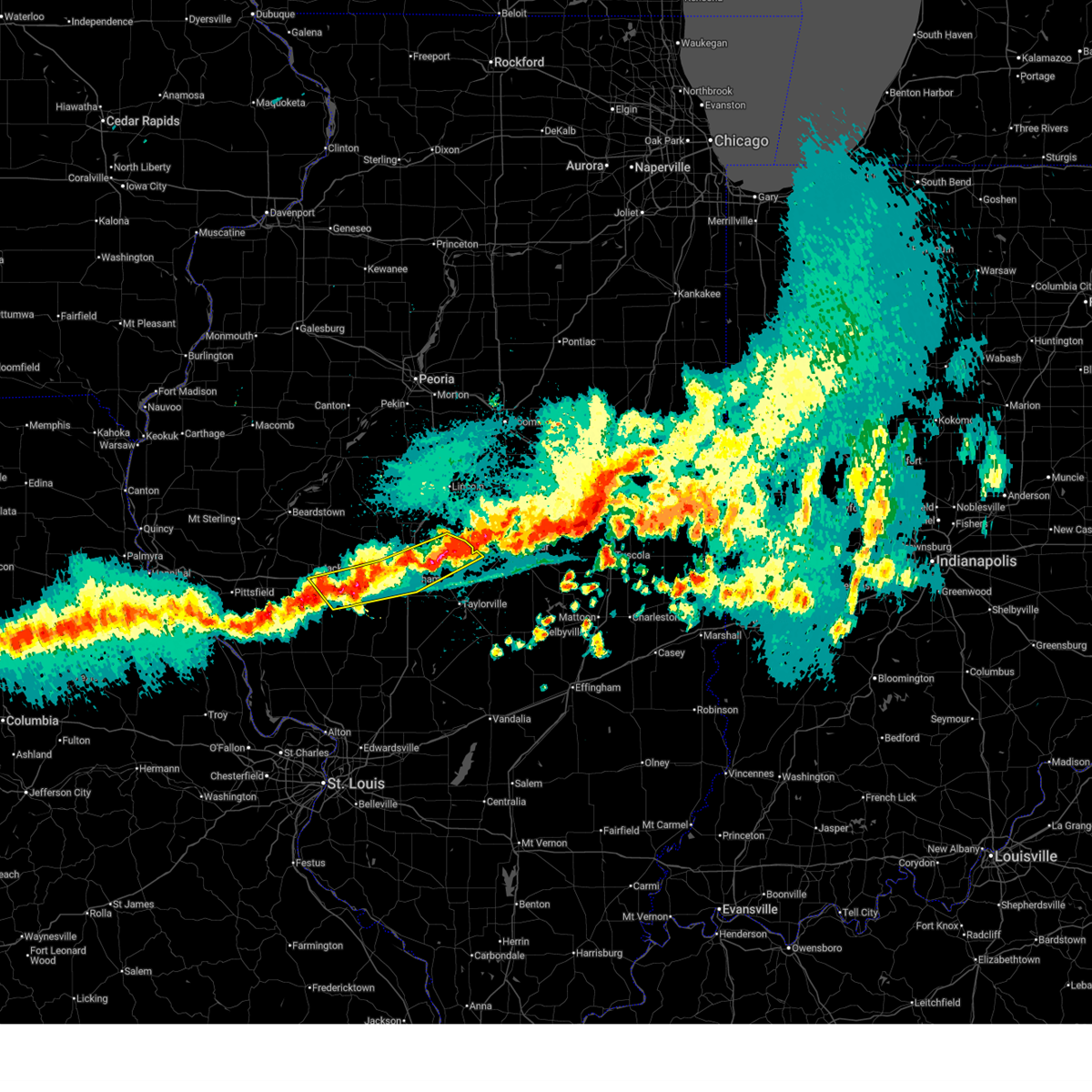
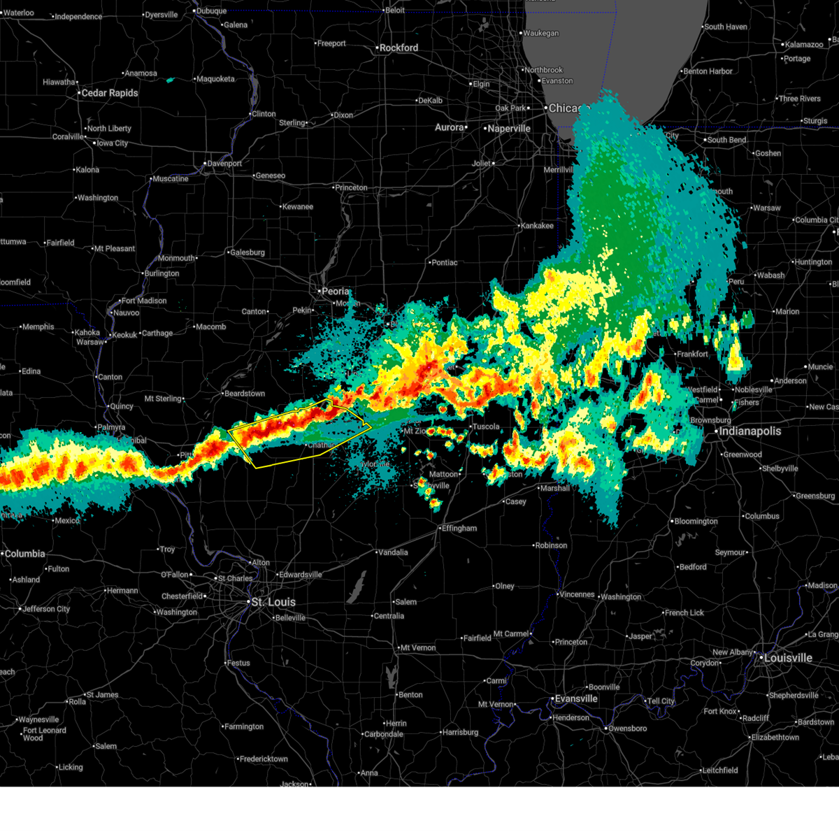
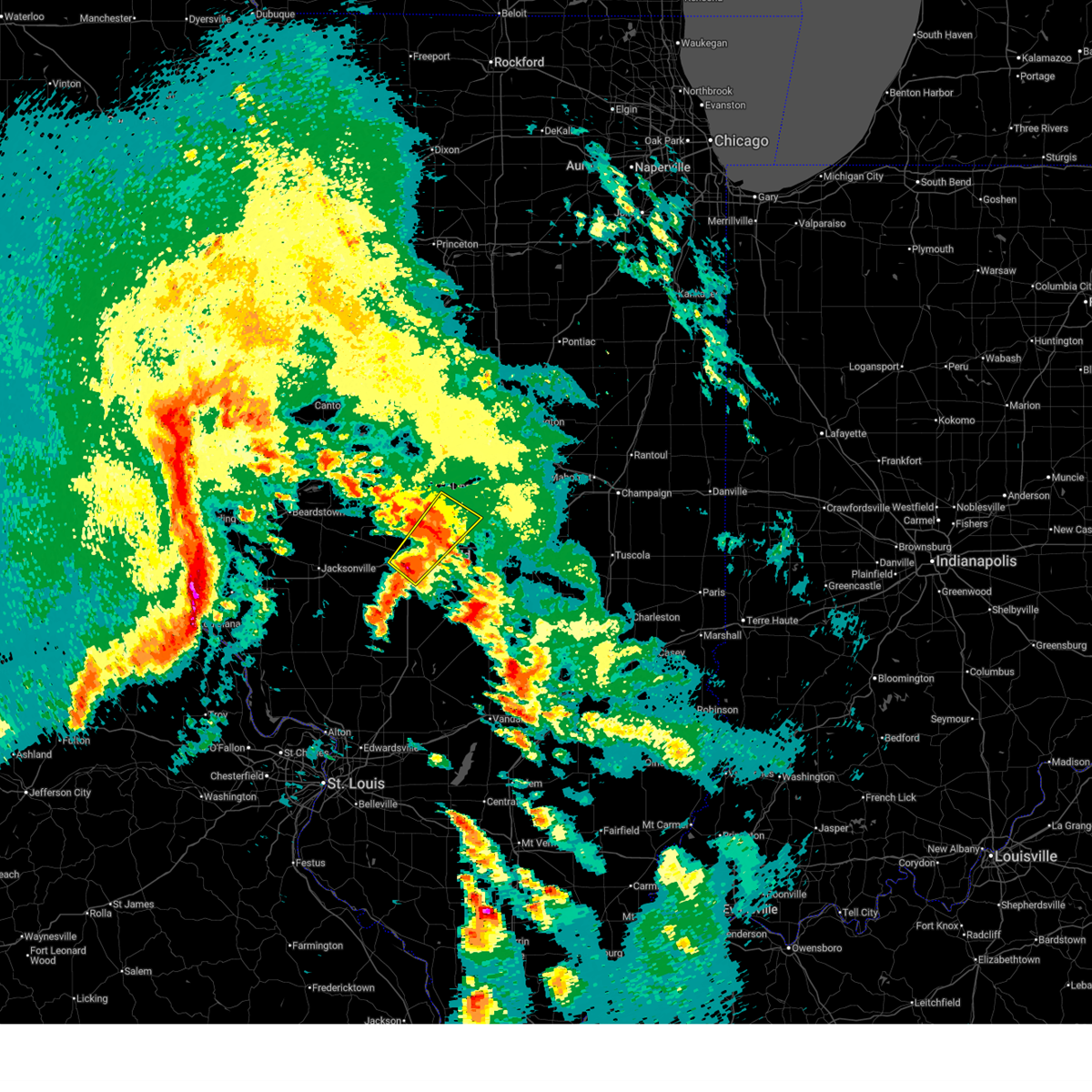
The Top Recent Hail Date for Springfield, IL is Monday, April 27, 2026 (5th out of 100)

Hail and Wind Damage Spotted near Springfield, IL
| Date / Time | Report Details |
|---|---|
| 6/17/2026 6:51 PM CDT |
 At 651 pm cdt, severe thunderstorms were located along a line extending from chatham to murrayville, moving east at 45 mph (radar indicated). Hazards include 60 mph wind gusts and quarter size hail. Hail damage to vehicles is expected. expect wind damage to roofs, siding, and trees. these severe storms will be near, springfield, chatham, auburn, pawnee, waverly, loami, and franklin around 655 pm cdt. divernon around 725 pm cdt. other locations impacted by these severe thunderstorms include nortonville, curran, glenarm, berlin, thayer, southern view, lowder, jerome, and leland grove. this includes the following highways, interstate 55 between mile markers 77 and 96. Interstate 72 between mile markers 69 and 102. At 651 pm cdt, severe thunderstorms were located along a line extending from chatham to murrayville, moving east at 45 mph (radar indicated). Hazards include 60 mph wind gusts and quarter size hail. Hail damage to vehicles is expected. expect wind damage to roofs, siding, and trees. these severe storms will be near, springfield, chatham, auburn, pawnee, waverly, loami, and franklin around 655 pm cdt. divernon around 725 pm cdt. other locations impacted by these severe thunderstorms include nortonville, curran, glenarm, berlin, thayer, southern view, lowder, jerome, and leland grove. this includes the following highways, interstate 55 between mile markers 77 and 96. Interstate 72 between mile markers 69 and 102.
|
| 6/17/2026 6:47 PM CDT |
 Torilx the national weather service in lincoln has issued a * tornado warning for, west central christian county in central illinois, south central sangamon county in central illinois, * until 730 pm cdt. * at 647 pm cdt, a severe thunderstorm capable of producing a tornado was located over divernon, or 7 miles northeast of virden, moving east at 35 mph (radar indicated rotation). Hazards include tornado and quarter size hail. Flying debris will be dangerous to those caught without shelter. mobile homes will be damaged or destroyed. damage to roofs, windows, and vehicles will occur. tree damage is likely. this dangerous storm will be near, pawnee and divernon around 650 pm cdt. kincaid around 700 pm cdt. jeisyville around 705 pm cdt. other locations in the path of this tornadic thunderstorm include taylorville. this also includes sangchris lake state park. This includes interstate 55 between mile markers 77 and 87. Torilx the national weather service in lincoln has issued a * tornado warning for, west central christian county in central illinois, south central sangamon county in central illinois, * until 730 pm cdt. * at 647 pm cdt, a severe thunderstorm capable of producing a tornado was located over divernon, or 7 miles northeast of virden, moving east at 35 mph (radar indicated rotation). Hazards include tornado and quarter size hail. Flying debris will be dangerous to those caught without shelter. mobile homes will be damaged or destroyed. damage to roofs, windows, and vehicles will occur. tree damage is likely. this dangerous storm will be near, pawnee and divernon around 650 pm cdt. kincaid around 700 pm cdt. jeisyville around 705 pm cdt. other locations in the path of this tornadic thunderstorm include taylorville. this also includes sangchris lake state park. This includes interstate 55 between mile markers 77 and 87.
|
| 6/17/2026 6:33 PM CDT |
 Svrilx the national weather service in lincoln has issued a * severe thunderstorm warning for, scott county in west central illinois, southwestern sangamon county in central illinois, morgan county in west central illinois, * until 730 pm cdt. * at 633 pm cdt, severe thunderstorms were located along a line extending from near waverly to alsey, moving east at 45 mph (radar indicated). Hazards include 60 mph wind gusts and penny size hail. Expect damage to roofs, siding, and trees. severe thunderstorms will be near, auburn, waverly, loami, franklin, murrayville, woodson, and manchester around 640 pm cdt. chatham around 645 pm cdt. springfield around 650 pm cdt. other locations in the path of these severe thunderstorms include pawnee. this includes the following highways, interstate 55 between mile markers 77 and 96. Interstate 72 between mile markers 50 and 102. Svrilx the national weather service in lincoln has issued a * severe thunderstorm warning for, scott county in west central illinois, southwestern sangamon county in central illinois, morgan county in west central illinois, * until 730 pm cdt. * at 633 pm cdt, severe thunderstorms were located along a line extending from near waverly to alsey, moving east at 45 mph (radar indicated). Hazards include 60 mph wind gusts and penny size hail. Expect damage to roofs, siding, and trees. severe thunderstorms will be near, auburn, waverly, loami, franklin, murrayville, woodson, and manchester around 640 pm cdt. chatham around 645 pm cdt. springfield around 650 pm cdt. other locations in the path of these severe thunderstorms include pawnee. this includes the following highways, interstate 55 between mile markers 77 and 96. Interstate 72 between mile markers 50 and 102.
|
| 6/17/2026 5:05 PM CDT |
 Svrilx the national weather service in lincoln has issued a * severe thunderstorm warning for, southern menard county in central illinois, southern logan county in central illinois, northern sangamon county in central illinois, * until 545 pm cdt. * at 505 pm cdt, a severe thunderstorm was located near petersburg, moving east at 55 mph (radar indicated). Hazards include 60 mph wind gusts and quarter size hail. Hail damage to vehicles is expected. expect wind damage to roofs, siding, and trees. this severe thunderstorm will be near, athens around 510 pm cdt. sherman and williamsville around 515 pm cdt. cornland around 525 pm cdt. other locations in the path of this severe thunderstorm include mount pulaski and latham. this includes the following highways, interstate 55 between mile markers 98 and 116. Interstate 72 between mile markers 104 and 124. Svrilx the national weather service in lincoln has issued a * severe thunderstorm warning for, southern menard county in central illinois, southern logan county in central illinois, northern sangamon county in central illinois, * until 545 pm cdt. * at 505 pm cdt, a severe thunderstorm was located near petersburg, moving east at 55 mph (radar indicated). Hazards include 60 mph wind gusts and quarter size hail. Hail damage to vehicles is expected. expect wind damage to roofs, siding, and trees. this severe thunderstorm will be near, athens around 510 pm cdt. sherman and williamsville around 515 pm cdt. cornland around 525 pm cdt. other locations in the path of this severe thunderstorm include mount pulaski and latham. this includes the following highways, interstate 55 between mile markers 98 and 116. Interstate 72 between mile markers 104 and 124.
|
| 6/17/2026 4:42 PM CDT |
 Svrilx the national weather service in lincoln has issued a * severe thunderstorm warning for, southeastern menard county in central illinois, southern logan county in central illinois, north central christian county in central illinois, northeastern sangamon county in central illinois, * until 545 pm cdt. * at 442 pm cdt, a severe thunderstorm was located near buffalo, or 16 miles northeast of springfield, moving east at 65 mph (radar indicated). Hazards include golf ball size hail and 60 mph wind gusts. People and animals outdoors will be injured. expect hail damage to roofs, siding, windows, and vehicles. expect wind damage to roofs, siding, and trees. this severe thunderstorm will be near, illiopolis around 450 pm cdt. other locations impacted by this severe thunderstorm include fancy prairie, spaulding, and cantrall. this includes the following highways, interstate 55 between mile markers 99 and 114. Interstate 72 between mile markers 106 and 124. Svrilx the national weather service in lincoln has issued a * severe thunderstorm warning for, southeastern menard county in central illinois, southern logan county in central illinois, north central christian county in central illinois, northeastern sangamon county in central illinois, * until 545 pm cdt. * at 442 pm cdt, a severe thunderstorm was located near buffalo, or 16 miles northeast of springfield, moving east at 65 mph (radar indicated). Hazards include golf ball size hail and 60 mph wind gusts. People and animals outdoors will be injured. expect hail damage to roofs, siding, windows, and vehicles. expect wind damage to roofs, siding, and trees. this severe thunderstorm will be near, illiopolis around 450 pm cdt. other locations impacted by this severe thunderstorm include fancy prairie, spaulding, and cantrall. this includes the following highways, interstate 55 between mile markers 99 and 114. Interstate 72 between mile markers 106 and 124.
|
| 6/17/2026 4:38 PM CDT |
 At 438 pm cdt, a confirmed tornado was located north of springfield capital airport, moving east at 45 mph (emergency management confirmed tornado). Hazards include damaging tornado and ping pong ball size hail. Flying debris will be dangerous to those caught without shelter. mobile homes will be damaged or destroyed. damage to roofs, windows, and vehicles will occur. tree damage is likely. this tornado will be near, mechanicsburg, dawson, and buffalo around 445 pm cdt. illiopolis around 455 pm cdt. other locations impacted by this tornadic thunderstorm include fancy prairie, spaulding, and cantrall. this includes the following highways, interstate 55 between mile markers 100 and 113. Interstate 72 between mile markers 107 and 124. At 438 pm cdt, a confirmed tornado was located north of springfield capital airport, moving east at 45 mph (emergency management confirmed tornado). Hazards include damaging tornado and ping pong ball size hail. Flying debris will be dangerous to those caught without shelter. mobile homes will be damaged or destroyed. damage to roofs, windows, and vehicles will occur. tree damage is likely. this tornado will be near, mechanicsburg, dawson, and buffalo around 445 pm cdt. illiopolis around 455 pm cdt. other locations impacted by this tornadic thunderstorm include fancy prairie, spaulding, and cantrall. this includes the following highways, interstate 55 between mile markers 100 and 113. Interstate 72 between mile markers 107 and 124.
|
| 6/17/2026 4:32 PM CDT |
 At 431 pm cdt, a confirmed tornado was near salisbury moving east at 55 mph (law enforcement confirmed tornado). Hazards include damaging tornado and ping pong ball size hail. Flying debris will be dangerous to those caught without shelter. mobile homes will be damaged or destroyed. damage to roofs, windows, and vehicles will occur. tree damage is likely. this tornado will be near, springfield, sherman, riverton, williamsville, and illinois state fairgrounds around 435 pm cdt. dawson and buffalo around 440 pm cdt. cornland around 445 pm cdt. illiopolis around 450 pm cdt. other locations impacted by this tornadic thunderstorm include salisbury, lincolns new salem, spaulding, cantrall, and fancy prairie. this includes the following highways, interstate 55 between mile markers 99 and 113. Interstate 72 between mile markers 107 and 124. At 431 pm cdt, a confirmed tornado was near salisbury moving east at 55 mph (law enforcement confirmed tornado). Hazards include damaging tornado and ping pong ball size hail. Flying debris will be dangerous to those caught without shelter. mobile homes will be damaged or destroyed. damage to roofs, windows, and vehicles will occur. tree damage is likely. this tornado will be near, springfield, sherman, riverton, williamsville, and illinois state fairgrounds around 435 pm cdt. dawson and buffalo around 440 pm cdt. cornland around 445 pm cdt. illiopolis around 450 pm cdt. other locations impacted by this tornadic thunderstorm include salisbury, lincolns new salem, spaulding, cantrall, and fancy prairie. this includes the following highways, interstate 55 between mile markers 99 and 113. Interstate 72 between mile markers 107 and 124.
|
| 6/17/2026 4:19 PM CDT |
 Torilx the national weather service in lincoln has issued a * tornado warning for, southern menard county in central illinois, southern logan county in central illinois, northern sangamon county in central illinois, * until 500 pm cdt. * at 419 pm cdt, a severe thunderstorm capable of producing a tornado was located near tallula, or near petersburg, moving east at 55 mph (radar indicated rotation). Hazards include tornado and ping pong ball size hail. Flying debris will be dangerous to those caught without shelter. mobile homes will be damaged or destroyed. damage to roofs, windows, and vehicles will occur. tree damage is likely. this dangerous storm will be near, athens around 425 pm cdt. sherman around 430 pm cdt. riverton and williamsville around 435 pm cdt. other locations in the path of this tornadic thunderstorm include dawson, cornland, buffalo and illiopolis. this includes the following highways, interstate 55 between mile markers 99 and 113. Interstate 72 between mile markers 107 and 124. Torilx the national weather service in lincoln has issued a * tornado warning for, southern menard county in central illinois, southern logan county in central illinois, northern sangamon county in central illinois, * until 500 pm cdt. * at 419 pm cdt, a severe thunderstorm capable of producing a tornado was located near tallula, or near petersburg, moving east at 55 mph (radar indicated rotation). Hazards include tornado and ping pong ball size hail. Flying debris will be dangerous to those caught without shelter. mobile homes will be damaged or destroyed. damage to roofs, windows, and vehicles will occur. tree damage is likely. this dangerous storm will be near, athens around 425 pm cdt. sherman around 430 pm cdt. riverton and williamsville around 435 pm cdt. other locations in the path of this tornadic thunderstorm include dawson, cornland, buffalo and illiopolis. this includes the following highways, interstate 55 between mile markers 99 and 113. Interstate 72 between mile markers 107 and 124.
|
| 6/17/2026 4:15 PM CDT |
 At 415 pm cdt, a severe thunderstorm was located over petersburg, moving east at 55 mph (radar indicated). Hazards include ping pong ball size hail and 60 mph wind gusts. People and animals outdoors will be injured. expect hail damage to roofs, siding, windows, and vehicles. expect wind damage to roofs, siding, and trees. this severe storm will be near, athens around 420 pm cdt. williamsville around 430 pm cdt. elkhart and cornland around 435 pm cdt. latham around 450 pm cdt. other locations impacted by this severe thunderstorm include salisbury, lincolns new salem, spaulding, atterberry, cantrall, and fancy prairie. this includes the following highways, interstate 55 between mile markers 99 and 114. Interstate 72 between mile markers 106 and 124. At 415 pm cdt, a severe thunderstorm was located over petersburg, moving east at 55 mph (radar indicated). Hazards include ping pong ball size hail and 60 mph wind gusts. People and animals outdoors will be injured. expect hail damage to roofs, siding, windows, and vehicles. expect wind damage to roofs, siding, and trees. this severe storm will be near, athens around 420 pm cdt. williamsville around 430 pm cdt. elkhart and cornland around 435 pm cdt. latham around 450 pm cdt. other locations impacted by this severe thunderstorm include salisbury, lincolns new salem, spaulding, atterberry, cantrall, and fancy prairie. this includes the following highways, interstate 55 between mile markers 99 and 114. Interstate 72 between mile markers 106 and 124.
|
| 6/17/2026 4:02 PM CDT |
 At 402 pm cdt, a severe thunderstorm was located near chandlerville, or 7 miles northeast of virginia, moving east at 50 mph (radar indicated). Hazards include ping pong ball size hail and 60 mph wind gusts. People and animals outdoors will be injured. expect hail damage to roofs, siding, windows, and vehicles. expect wind damage to roofs, siding, and trees. this severe storm will be near, petersburg and tallula around 410 pm cdt. athens around 420 pm cdt. williamsville around 430 pm cdt. cornland around 440 pm cdt. latham around 500 pm cdt. other locations impacted by this severe thunderstorm include salisbury, spaulding, lincolns new salem, atterberry, cantrall, fancy prairie, philadelphia, and clear lake. this also includes jim edgar panther creek fish and wildlife area. this includes the following highways, interstate 55 between mile markers 99 and 114. Interstate 72 between mile markers 106 and 124. At 402 pm cdt, a severe thunderstorm was located near chandlerville, or 7 miles northeast of virginia, moving east at 50 mph (radar indicated). Hazards include ping pong ball size hail and 60 mph wind gusts. People and animals outdoors will be injured. expect hail damage to roofs, siding, windows, and vehicles. expect wind damage to roofs, siding, and trees. this severe storm will be near, petersburg and tallula around 410 pm cdt. athens around 420 pm cdt. williamsville around 430 pm cdt. cornland around 440 pm cdt. latham around 500 pm cdt. other locations impacted by this severe thunderstorm include salisbury, spaulding, lincolns new salem, atterberry, cantrall, fancy prairie, philadelphia, and clear lake. this also includes jim edgar panther creek fish and wildlife area. this includes the following highways, interstate 55 between mile markers 99 and 114. Interstate 72 between mile markers 106 and 124.
|
| 6/17/2026 10:36 AM CDT |
 The storms which prompted the warning have weakened moved out of the warned area. therefore, the warning will be allowed to expire. however, gusty winds and heavy rain are still possible with these thunderstorms. a tornado watch remains in effect until 300 pm cdt for central and west central illinois. The storms which prompted the warning have weakened moved out of the warned area. therefore, the warning will be allowed to expire. however, gusty winds and heavy rain are still possible with these thunderstorms. a tornado watch remains in effect until 300 pm cdt for central and west central illinois.
|
| 6/17/2026 10:17 AM CDT |
 At 1016 am cdt, severe thunderstorms were located along a line extending from near latham to near illiopolis to near springfield, moving southeast at 45 mph (radar indicated). Hazards include 60 mph wind gusts and quarter size hail. Hail damage to vehicles is expected. expect wind damage to roofs, siding, and trees. these severe storms will be near, springfield, riverton, illiopolis, mechanicsburg, dawson, buffalo, and latham around 1020 am cdt. other locations impacted by these severe thunderstorms include salisbury, lawndale, spaulding, clear lake, lincolns new salem, grandview, cantrall, fancy prairie, broadwell, and leland grove. this includes the following highways, interstate 55 between mile markers 97 and 118, and between mile markers 132 and 141. Interstate 72 between mile markers 103 and 124. At 1016 am cdt, severe thunderstorms were located along a line extending from near latham to near illiopolis to near springfield, moving southeast at 45 mph (radar indicated). Hazards include 60 mph wind gusts and quarter size hail. Hail damage to vehicles is expected. expect wind damage to roofs, siding, and trees. these severe storms will be near, springfield, riverton, illiopolis, mechanicsburg, dawson, buffalo, and latham around 1020 am cdt. other locations impacted by these severe thunderstorms include salisbury, lawndale, spaulding, clear lake, lincolns new salem, grandview, cantrall, fancy prairie, broadwell, and leland grove. this includes the following highways, interstate 55 between mile markers 97 and 118, and between mile markers 132 and 141. Interstate 72 between mile markers 103 and 124.
|
| 6/17/2026 10:17 AM CDT |
 the severe thunderstorm warning has been cancelled and is no longer in effect the severe thunderstorm warning has been cancelled and is no longer in effect
|
| 6/17/2026 9:45 AM CDT |
 Svrilx the national weather service in lincoln has issued a * severe thunderstorm warning for, menard county in central illinois, logan county in central illinois, northern sangamon county in central illinois, southeastern mason county in central illinois, * until 1045 am cdt. * at 944 am cdt, severe thunderstorms were located along a line extending from near hartsburg to near greenview to near tallula, moving southeast at 55 mph (radar indicated). Hazards include 60 mph wind gusts and quarter size hail. Hail damage to vehicles is expected. expect wind damage to roofs, siding, and trees. severe thunderstorms will be near, lincoln, athens, williamsville, pleasant plains, tallula, and elkhart around 950 am cdt. springfield, sherman, and abraham lincoln capital airport around 955 am cdt. riverton, mount pulaski, dawson, illinois state fairgrounds, cornland, and beason around 1000 am cdt. other locations in the path of these severe thunderstorms include mechanicsburg, buffalo, chestnut, illiopolis and latham. this also includes edward r. Madigan state park. Svrilx the national weather service in lincoln has issued a * severe thunderstorm warning for, menard county in central illinois, logan county in central illinois, northern sangamon county in central illinois, southeastern mason county in central illinois, * until 1045 am cdt. * at 944 am cdt, severe thunderstorms were located along a line extending from near hartsburg to near greenview to near tallula, moving southeast at 55 mph (radar indicated). Hazards include 60 mph wind gusts and quarter size hail. Hail damage to vehicles is expected. expect wind damage to roofs, siding, and trees. severe thunderstorms will be near, lincoln, athens, williamsville, pleasant plains, tallula, and elkhart around 950 am cdt. springfield, sherman, and abraham lincoln capital airport around 955 am cdt. riverton, mount pulaski, dawson, illinois state fairgrounds, cornland, and beason around 1000 am cdt. other locations in the path of these severe thunderstorms include mechanicsburg, buffalo, chestnut, illiopolis and latham. this also includes edward r. Madigan state park.
|
| 6/11/2026 8:28 PM CDT |
 Svrilx the national weather service in lincoln has issued a * severe thunderstorm warning for, christian county in central illinois, central sangamon county in central illinois, southwestern macon county in central illinois, * until 915 pm cdt. * at 828 pm cdt, a severe thunderstorm was located over jeisyville, or near taylorville, moving east at 60 mph (radar indicated). Hazards include 60 mph wind gusts and quarter size hail. Hail damage to vehicles is expected. expect wind damage to roofs, siding, and trees. this severe thunderstorm will be near, taylorville and stonington around 835 pm cdt. moweaqua around 840 pm cdt. this includes the following highways, interstate 55 between mile markers 78 and 89, and between mile markers 93 and 96. Interstate 72 between mile markers 99 and 102, and between mile markers 121 and 136. Svrilx the national weather service in lincoln has issued a * severe thunderstorm warning for, christian county in central illinois, central sangamon county in central illinois, southwestern macon county in central illinois, * until 915 pm cdt. * at 828 pm cdt, a severe thunderstorm was located over jeisyville, or near taylorville, moving east at 60 mph (radar indicated). Hazards include 60 mph wind gusts and quarter size hail. Hail damage to vehicles is expected. expect wind damage to roofs, siding, and trees. this severe thunderstorm will be near, taylorville and stonington around 835 pm cdt. moweaqua around 840 pm cdt. this includes the following highways, interstate 55 between mile markers 78 and 89, and between mile markers 93 and 96. Interstate 72 between mile markers 99 and 102, and between mile markers 121 and 136.
|
| 6/11/2026 8:10 PM CDT |
 At 810 pm cdt, severe thunderstorms were located along a line extending from near tuscola to near taylorville, moving east at 60 mph (radar indicated). Hazards include 60 mph wind gusts. Expect damage to roofs, siding, and trees. these severe storms will be near, sullivan, arcola, arthur, moweaqua, bethany, assumption, lovington, and owaneco around 815 pm cdt. findlay, humboldt, allenville, and cooks mill around 825 pm cdt. mattoon and windsor around 840 pm cdt. other locations impacted by these severe thunderstorms include sangchris lake state park, willeys, wolf creek state park, curran, glenarm, lake city, thayer, southern view, elwin, and la place. this includes the following highways, interstate 55 between mile markers 77 and 98. interstate 57 between mile markers 194 and 207. Interstate 72 between mile markers 80 and 106, and between mile markers 110 and 140. At 810 pm cdt, severe thunderstorms were located along a line extending from near tuscola to near taylorville, moving east at 60 mph (radar indicated). Hazards include 60 mph wind gusts. Expect damage to roofs, siding, and trees. these severe storms will be near, sullivan, arcola, arthur, moweaqua, bethany, assumption, lovington, and owaneco around 815 pm cdt. findlay, humboldt, allenville, and cooks mill around 825 pm cdt. mattoon and windsor around 840 pm cdt. other locations impacted by these severe thunderstorms include sangchris lake state park, willeys, wolf creek state park, curran, glenarm, lake city, thayer, southern view, elwin, and la place. this includes the following highways, interstate 55 between mile markers 77 and 98. interstate 57 between mile markers 194 and 207. Interstate 72 between mile markers 80 and 106, and between mile markers 110 and 140.
|
| 6/11/2026 7:58 PM CDT |
 At 758 pm cdt, severe thunderstorms were located along a line extending from near atwood to near pawnee, moving east at 60 mph (radar indicated). Hazards include 60 mph wind gusts. Expect damage to roofs, siding, and trees. these severe storms will be near, taylorville, arthur, moweaqua, kincaid, bethany, macon, lovington, stonington, dalton city, and jeisyville around 805 pm cdt. arcola around 810 pm cdt. sullivan, assumption, and owaneco around 815 pm cdt. findlay, humboldt, allenville, and cooks mill around 825 pm cdt. mattoon and windsor around 840 pm cdt. other locations impacted by these severe thunderstorms include sangchris lake state park, willeys, wolf creek state park, curran, glenarm, lake city, thayer, southern view, elwin, and nortonville. this includes the following highways, interstate 55 between mile markers 77 and 98. interstate 57 between mile markers 194 and 207. Interstate 72 between mile markers 65 and 68, between mile markers 75 and 107, and between mile markers 110 and 140. At 758 pm cdt, severe thunderstorms were located along a line extending from near atwood to near pawnee, moving east at 60 mph (radar indicated). Hazards include 60 mph wind gusts. Expect damage to roofs, siding, and trees. these severe storms will be near, taylorville, arthur, moweaqua, kincaid, bethany, macon, lovington, stonington, dalton city, and jeisyville around 805 pm cdt. arcola around 810 pm cdt. sullivan, assumption, and owaneco around 815 pm cdt. findlay, humboldt, allenville, and cooks mill around 825 pm cdt. mattoon and windsor around 840 pm cdt. other locations impacted by these severe thunderstorms include sangchris lake state park, willeys, wolf creek state park, curran, glenarm, lake city, thayer, southern view, elwin, and nortonville. this includes the following highways, interstate 55 between mile markers 77 and 98. interstate 57 between mile markers 194 and 207. Interstate 72 between mile markers 65 and 68, between mile markers 75 and 107, and between mile markers 110 and 140.
|
| 6/11/2026 7:42 PM CDT | Social media photo shows part of a large tree blown down onto the hood of a car near the abraham lincoln historical home. time estimated by rada in sangamon county IL, 2.7 miles S of Springfield, IL |
| 6/11/2026 7:42 PM CDT | Large tree limb blown down onto house. time estimated by rada in sangamon county IL, 2.7 miles SW of Springfield, IL |
| 6/11/2026 7:37 PM CDT | Several tree branches blown dow in sangamon county IL, 2.4 miles E of Springfield, IL |
| 6/11/2026 7:35 PM CDT | Numerous tree branches and a few trees blown down... some blocking roadway in sangamon county IL, 1.9 miles NW of Springfield, IL |
| 6/11/2026 7:35 PM CDT | Storm damage reported in sangamon county IL, 5.8 miles SSE of Springfield, IL |
| 6/11/2026 7:33 PM CDT | Storm damage reported in sangamon county IL, 3.7 miles SSE of Springfield, IL |
| 6/11/2026 7:30 PM CDT | Tree damage noted on the west side of springfiel in sangamon county IL, 4.8 miles SE of Springfield, IL |
| 6/11/2026 7:28 PM CDT |
 Svrilx the national weather service in lincoln has issued a * severe thunderstorm warning for, northwestern coles county in east central illinois, christian county in central illinois, sangamon county in central illinois, moultrie county in central illinois, central shelby county in central illinois, southwestern piatt county in central illinois, southwestern douglas county in east central illinois, macon county in central illinois, eastern morgan county in west central illinois, * until 830 pm cdt. * at 728 pm cdt, severe thunderstorms were located along a line extending from near harristown to near franklin, moving east at 60 mph (radar indicated). Hazards include 60 mph wind gusts. Expect damage to roofs, siding, and trees. severe thunderstorms will be near, springfield, decatur, chatham, mount zion, auburn, rochester, harristown, long creek, waverly, and loami around 735 pm cdt. pawnee and edinburg around 740 pm cdt. divernon, blue mound, and macon around 745 pm cdt. other locations in the path of these severe thunderstorms include kincaid, stonington, dalton city, hammond, lovington, jeisyville, taylorville, arthur, moweaqua, bethany and arcola. this includes the following highways, interstate 55 between mile markers 77 and 102. interstate 57 between mile markers 194 and 207. Interstate 72 between mile markers 64 and 140. Svrilx the national weather service in lincoln has issued a * severe thunderstorm warning for, northwestern coles county in east central illinois, christian county in central illinois, sangamon county in central illinois, moultrie county in central illinois, central shelby county in central illinois, southwestern piatt county in central illinois, southwestern douglas county in east central illinois, macon county in central illinois, eastern morgan county in west central illinois, * until 830 pm cdt. * at 728 pm cdt, severe thunderstorms were located along a line extending from near harristown to near franklin, moving east at 60 mph (radar indicated). Hazards include 60 mph wind gusts. Expect damage to roofs, siding, and trees. severe thunderstorms will be near, springfield, decatur, chatham, mount zion, auburn, rochester, harristown, long creek, waverly, and loami around 735 pm cdt. pawnee and edinburg around 740 pm cdt. divernon, blue mound, and macon around 745 pm cdt. other locations in the path of these severe thunderstorms include kincaid, stonington, dalton city, hammond, lovington, jeisyville, taylorville, arthur, moweaqua, bethany and arcola. this includes the following highways, interstate 55 between mile markers 77 and 102. interstate 57 between mile markers 194 and 207. Interstate 72 between mile markers 64 and 140.
|
| 6/11/2026 7:10 PM CDT |
 The storms which prompted the warning have weakened below severe limits, and no longer pose an immediate threat to life or property. therefore, the warning will be allowed to expire. however, gusty winds and heavy rain are still possible with these thunderstorms. a tornado watch remains in effect until 900 pm cdt for central and west central illinois. The storms which prompted the warning have weakened below severe limits, and no longer pose an immediate threat to life or property. therefore, the warning will be allowed to expire. however, gusty winds and heavy rain are still possible with these thunderstorms. a tornado watch remains in effect until 900 pm cdt for central and west central illinois.
|
| 6/11/2026 6:52 PM CDT |
 At 652 pm cdt, severe thunderstorms were located along a line extending from williamsville to near alexander, moving east at 50 mph (radar indicated). Hazards include 70 mph wind gusts and quarter size hail. Hail damage to vehicles is expected. expect considerable tree damage. wind damage is also likely to mobile homes, roofs, and outbuildings. these severe storms will be near, springfield, sherman, williamsville, abraham lincoln capital airport, and illinois state fairgrounds around 655 pm cdt. other locations impacted by these severe thunderstorms include prentice, concord, atterberry, cantrall, salisbury, oakford, jacksonville municipal airport, clear lake, lincolns new salem, and grandview. this includes the following highways, interstate 55 between mile markers 97 and 107. Interstate 72 between mile markers 103 and 105. At 652 pm cdt, severe thunderstorms were located along a line extending from williamsville to near alexander, moving east at 50 mph (radar indicated). Hazards include 70 mph wind gusts and quarter size hail. Hail damage to vehicles is expected. expect considerable tree damage. wind damage is also likely to mobile homes, roofs, and outbuildings. these severe storms will be near, springfield, sherman, williamsville, abraham lincoln capital airport, and illinois state fairgrounds around 655 pm cdt. other locations impacted by these severe thunderstorms include prentice, concord, atterberry, cantrall, salisbury, oakford, jacksonville municipal airport, clear lake, lincolns new salem, and grandview. this includes the following highways, interstate 55 between mile markers 97 and 107. Interstate 72 between mile markers 103 and 105.
|
| 6/11/2026 6:30 PM CDT |
 Svrilx the national weather service in lincoln has issued a * severe thunderstorm warning for, menard county in central illinois, northwestern sangamon county in central illinois, cass county in west central illinois, mason county in central illinois, northern morgan county in west central illinois, * until 715 pm cdt. * at 630 pm cdt, severe thunderstorms were located along a line extending from mason city to near chapin, moving east at 55 mph (radar indicated). Hazards include 70 mph wind gusts and quarter size hail. Hail damage to vehicles is expected. expect considerable tree damage. wind damage is also likely to mobile homes, roofs, and outbuildings. severe thunderstorms will be near, petersburg, ashland, greenview, chapin, tallula, and literberry around 635 pm cdt. athens and pleasant plains around 640 pm cdt. williamsville around 650 pm cdt. other locations in the path of these severe thunderstorms include sherman, abraham lincoln capital airport, springfield and illinois state fairgrounds. this includes the following highways, interstate 55 between mile markers 97 and 107. Interstate 72 between mile markers 103 and 105. Svrilx the national weather service in lincoln has issued a * severe thunderstorm warning for, menard county in central illinois, northwestern sangamon county in central illinois, cass county in west central illinois, mason county in central illinois, northern morgan county in west central illinois, * until 715 pm cdt. * at 630 pm cdt, severe thunderstorms were located along a line extending from mason city to near chapin, moving east at 55 mph (radar indicated). Hazards include 70 mph wind gusts and quarter size hail. Hail damage to vehicles is expected. expect considerable tree damage. wind damage is also likely to mobile homes, roofs, and outbuildings. severe thunderstorms will be near, petersburg, ashland, greenview, chapin, tallula, and literberry around 635 pm cdt. athens and pleasant plains around 640 pm cdt. williamsville around 650 pm cdt. other locations in the path of these severe thunderstorms include sherman, abraham lincoln capital airport, springfield and illinois state fairgrounds. this includes the following highways, interstate 55 between mile markers 97 and 107. Interstate 72 between mile markers 103 and 105.
|
| 6/10/2026 11:45 PM CDT | Trees blown down at chatham road at seven pines... jefferson at first st... livingston and cook st... 5th and sangamo in sangamon county IL, 2.7 miles S of Springfield, IL |
| 6/10/2026 11:20 PM CDT | Power pole blown down with tree branches on north 5th street in springfiel in sangamon county IL, 5.5 miles S of Springfield, IL |
| 6/10/2026 11:14 PM CDT | Part of a metal building had its roof collapse in sangamon county IL, 6.2 miles SW of Springfield, IL |
| 6/10/2026 11:12 PM CDT | Power lines down on sangamon av in sangamon county IL, 5.1 miles SSW of Springfield, IL |
| 6/10/2026 11:12 PM CDT |
 Torilx the national weather service in lincoln has issued a * tornado warning for, southeastern logan county in central illinois, north central christian county in central illinois, northeastern sangamon county in central illinois, southwestern macon county in central illinois, * until midnight cdt. * at 1111 pm cdt, a tornado producing storm was located over riverton, or near springfield, moving east at 50 mph (radar confirmed tornado). Hazards include damaging tornado. Flying debris will be dangerous to those caught without shelter. mobile homes will be damaged or destroyed. damage to roofs, windows, and vehicles will occur. tree damage is likely. this tornadic storm will be near, riverton and dawson around 1115 pm cdt. mechanicsburg and buffalo around 1120 pm cdt. illiopolis around 1130 pm cdt. other locations in the path of this tornadic thunderstorm include niantic and harristown. this includes the following highways, interstate 55 between mile markers 98 and 103. Interstate 72 between mile markers 104 and 137. Torilx the national weather service in lincoln has issued a * tornado warning for, southeastern logan county in central illinois, north central christian county in central illinois, northeastern sangamon county in central illinois, southwestern macon county in central illinois, * until midnight cdt. * at 1111 pm cdt, a tornado producing storm was located over riverton, or near springfield, moving east at 50 mph (radar confirmed tornado). Hazards include damaging tornado. Flying debris will be dangerous to those caught without shelter. mobile homes will be damaged or destroyed. damage to roofs, windows, and vehicles will occur. tree damage is likely. this tornadic storm will be near, riverton and dawson around 1115 pm cdt. mechanicsburg and buffalo around 1120 pm cdt. illiopolis around 1130 pm cdt. other locations in the path of this tornadic thunderstorm include niantic and harristown. this includes the following highways, interstate 55 between mile markers 98 and 103. Interstate 72 between mile markers 104 and 137.
|
| 6/10/2026 11:10 PM CDT | Trees and power poles and lines blown down at 8th street and taintor raod on north side of il state fairgrounds in springfiel in sangamon county IL, 5.5 miles S of Springfield, IL |
| 6/10/2026 11:05 PM CDT | Trees and power poles down on taintor rd along the north edge of the state fairground in sangamon county IL, 5.5 miles S of Springfield, IL |
| 6/10/2026 11:05 PM CDT | Debris from a metal building blown on both sides of highway 29 at the airport entranc in sangamon county IL, 5.5 miles S of Springfield, IL |
| 6/10/2026 10:58 PM CDT |
 Torilx the national weather service in lincoln has issued a * tornado warning for, southeastern menard county in central illinois, southern logan county in central illinois, northern sangamon county in central illinois, west central macon county in central illinois, * until 1145 pm cdt. * at 1057 pm cdt, severe thunderstorms capable of producing both tornadoes and extensive straight line wind damage were located over athens, moving east at 50 mph (radar indicated rotation). Hazards include tornado. Flying debris will be dangerous to those caught without shelter. mobile homes will be damaged or destroyed. damage to roofs, windows, and vehicles will occur. tree damage is likely. these dangerous storms will be near, williamsville around 1105 pm cdt. elkhart around 1110 pm cdt. cornland around 1115 pm cdt. other locations in the path of this tornadic thunderstorm include mount pulaski and latham. this includes the following highways, interstate 55 between mile markers 100 and 118. Interstate 72 between mile markers 108 and 128. Torilx the national weather service in lincoln has issued a * tornado warning for, southeastern menard county in central illinois, southern logan county in central illinois, northern sangamon county in central illinois, west central macon county in central illinois, * until 1145 pm cdt. * at 1057 pm cdt, severe thunderstorms capable of producing both tornadoes and extensive straight line wind damage were located over athens, moving east at 50 mph (radar indicated rotation). Hazards include tornado. Flying debris will be dangerous to those caught without shelter. mobile homes will be damaged or destroyed. damage to roofs, windows, and vehicles will occur. tree damage is likely. these dangerous storms will be near, williamsville around 1105 pm cdt. elkhart around 1110 pm cdt. cornland around 1115 pm cdt. other locations in the path of this tornadic thunderstorm include mount pulaski and latham. this includes the following highways, interstate 55 between mile markers 100 and 118. Interstate 72 between mile markers 108 and 128.
|
| 6/10/2026 3:31 PM CDT |
 Svrilx the national weather service in lincoln has issued a * severe thunderstorm warning for, southeastern menard county in central illinois, logan county in central illinois, northeastern sangamon county in central illinois, de witt county in central illinois, southeastern tazewell county in central illinois, southern mclean county in central illinois, northwestern macon county in central illinois, * until 400 pm cdt. * at 331 pm cdt, severe thunderstorms were located along a line extending from near normal to near sherman, moving east at 30 mph (radar indicated). Hazards include 60 mph wind gusts. Expect damage to roofs, siding, and trees. severe thunderstorms will be near, bloomington, normal, lincoln, riverton, atlanta, mclean, dawson, waynesville, cornland, and beason around 335 pm cdt. mount pulaski and buffalo around 340 pm cdt. heyworth, downs, and chestnut around 345 pm cdt. kenney around 350 pm cdt. this includes the following highways, interstate 155 between mile markers 0 and 3. interstate 55 between mile markers 102 and 160. Interstate 74 between mile markers 130 and 152. Svrilx the national weather service in lincoln has issued a * severe thunderstorm warning for, southeastern menard county in central illinois, logan county in central illinois, northeastern sangamon county in central illinois, de witt county in central illinois, southeastern tazewell county in central illinois, southern mclean county in central illinois, northwestern macon county in central illinois, * until 400 pm cdt. * at 331 pm cdt, severe thunderstorms were located along a line extending from near normal to near sherman, moving east at 30 mph (radar indicated). Hazards include 60 mph wind gusts. Expect damage to roofs, siding, and trees. severe thunderstorms will be near, bloomington, normal, lincoln, riverton, atlanta, mclean, dawson, waynesville, cornland, and beason around 335 pm cdt. mount pulaski and buffalo around 340 pm cdt. heyworth, downs, and chestnut around 345 pm cdt. kenney around 350 pm cdt. this includes the following highways, interstate 155 between mile markers 0 and 3. interstate 55 between mile markers 102 and 160. Interstate 74 between mile markers 130 and 152.
|
| 5/4/2026 11:47 PM CDT |
 At 1147 pm cdt, severe thunderstorms were located along a line extending from near mount auburn to near chatham to near franklin, moving southeast at 35 mph (radar indicated). Hazards include quarter size hail. Damage to vehicles is expected. these severe storms will be near, springfield, chatham, auburn, waverly, and mount auburn around 1150 pm cdt. other locations impacted by these severe thunderstorms include nortonville, curran, glenarm, southern view, clear lake, grandview, jerome, leland grove, and berlin. this includes the following highways, interstate 55 between mile markers 83 and 100. Interstate 72 between mile markers 62 and 67, and between mile markers 79 and 125. At 1147 pm cdt, severe thunderstorms were located along a line extending from near mount auburn to near chatham to near franklin, moving southeast at 35 mph (radar indicated). Hazards include quarter size hail. Damage to vehicles is expected. these severe storms will be near, springfield, chatham, auburn, waverly, and mount auburn around 1150 pm cdt. other locations impacted by these severe thunderstorms include nortonville, curran, glenarm, southern view, clear lake, grandview, jerome, leland grove, and berlin. this includes the following highways, interstate 55 between mile markers 83 and 100. Interstate 72 between mile markers 62 and 67, and between mile markers 79 and 125.
|
| 5/4/2026 11:31 PM CDT |
 Svrilx the national weather service in lincoln has issued a * severe thunderstorm warning for, southeastern menard county in central illinois, northwestern christian county in central illinois, sangamon county in central illinois, eastern morgan county in west central illinois, * until midnight cdt. * at 1131 pm cdt, severe thunderstorms were located along a line extending from near cornland to 6 miles northeast of new berlin to near south jacksonville, moving southeast at 30 mph (radar indicated). Hazards include quarter size hail. Damage to vehicles is expected. severe thunderstorms will be near, springfield, alexander, rochester, riverton, new berlin, loami, franklin, mechanicsburg, woodson, and dawson around 1135 pm cdt. chatham and illiopolis around 1140 pm cdt. waverly around 1145 pm cdt. mount auburn around 1150 pm cdt. this includes the following highways, interstate 55 between mile markers 83 and 111. Interstate 72 between mile markers 62 and 125. Svrilx the national weather service in lincoln has issued a * severe thunderstorm warning for, southeastern menard county in central illinois, northwestern christian county in central illinois, sangamon county in central illinois, eastern morgan county in west central illinois, * until midnight cdt. * at 1131 pm cdt, severe thunderstorms were located along a line extending from near cornland to 6 miles northeast of new berlin to near south jacksonville, moving southeast at 30 mph (radar indicated). Hazards include quarter size hail. Damage to vehicles is expected. severe thunderstorms will be near, springfield, alexander, rochester, riverton, new berlin, loami, franklin, mechanicsburg, woodson, and dawson around 1135 pm cdt. chatham and illiopolis around 1140 pm cdt. waverly around 1145 pm cdt. mount auburn around 1150 pm cdt. this includes the following highways, interstate 55 between mile markers 83 and 111. Interstate 72 between mile markers 62 and 125.
|
| 4/27/2026 6:20 PM CDT |
 Svrilx the national weather service in lincoln has issued a * severe thunderstorm warning for, central christian county in central illinois, central sangamon county in central illinois, western macon county in central illinois, * until 700 pm cdt. * at 620 pm cdt, severe thunderstorms were located along a line extending from springfield to auburn, moving east at 55 mph (radar indicated). Hazards include 70 mph wind gusts and quarter size hail. Hail damage to vehicles is expected. expect considerable tree damage. wind damage is also likely to mobile homes, roofs, and outbuildings. severe thunderstorms will be near, springfield, rochester, riverton, pawnee, divernon, and dawson around 625 pm cdt. mechanicsburg and buffalo around 630 pm cdt. kincaid, edinburg, and jeisyville around 635 pm cdt. taylorville, illiopolis, and mount auburn around 640 pm cdt. other locations in the path of these severe thunderstorms include stonington, niantic, decatur, harristown and blue mound. this includes the following highways, interstate 55 between mile markers 77 and 101. Interstate 72 between mile markers 93 and 143. Svrilx the national weather service in lincoln has issued a * severe thunderstorm warning for, central christian county in central illinois, central sangamon county in central illinois, western macon county in central illinois, * until 700 pm cdt. * at 620 pm cdt, severe thunderstorms were located along a line extending from springfield to auburn, moving east at 55 mph (radar indicated). Hazards include 70 mph wind gusts and quarter size hail. Hail damage to vehicles is expected. expect considerable tree damage. wind damage is also likely to mobile homes, roofs, and outbuildings. severe thunderstorms will be near, springfield, rochester, riverton, pawnee, divernon, and dawson around 625 pm cdt. mechanicsburg and buffalo around 630 pm cdt. kincaid, edinburg, and jeisyville around 635 pm cdt. taylorville, illiopolis, and mount auburn around 640 pm cdt. other locations in the path of these severe thunderstorms include stonington, niantic, decatur, harristown and blue mound. this includes the following highways, interstate 55 between mile markers 77 and 101. Interstate 72 between mile markers 93 and 143.
|
| 4/27/2026 6:11 PM CDT |
 At 611 pm cdt, severe thunderstorms were located along a line extending from near hartsburg to near riverton, moving east at 40 mph (radar indicated). Hazards include 70 mph wind gusts and quarter size hail. Hail damage to vehicles is expected. expect considerable tree damage. wind damage is also likely to mobile homes, roofs, and outbuildings. these severe storms will be near, lincoln, dawson, buffalo, elkhart, and cornland around 615 pm cdt. atlanta and mount pulaski around 620 pm cdt. beason around 625 pm cdt. chestnut around 630 pm cdt. latham around 635 pm cdt. other locations impacted by these severe thunderstorms include lawndale, spaulding, southern view, clear lake, grandview, jerome, leland grove, and broadwell. this includes the following highways, interstate 155 between mile markers 0 and 9. interstate 55 between mile markers 95 and 144. Interstate 72 between mile markers 101 and 123. At 611 pm cdt, severe thunderstorms were located along a line extending from near hartsburg to near riverton, moving east at 40 mph (radar indicated). Hazards include 70 mph wind gusts and quarter size hail. Hail damage to vehicles is expected. expect considerable tree damage. wind damage is also likely to mobile homes, roofs, and outbuildings. these severe storms will be near, lincoln, dawson, buffalo, elkhart, and cornland around 615 pm cdt. atlanta and mount pulaski around 620 pm cdt. beason around 625 pm cdt. chestnut around 630 pm cdt. latham around 635 pm cdt. other locations impacted by these severe thunderstorms include lawndale, spaulding, southern view, clear lake, grandview, jerome, leland grove, and broadwell. this includes the following highways, interstate 155 between mile markers 0 and 9. interstate 55 between mile markers 95 and 144. Interstate 72 between mile markers 101 and 123.
|
| 4/27/2026 6:03 PM CDT |
 At 603 pm cdt, severe thunderstorms were located along a line extending from near literberry to near franklin to near greenfield, moving east at 55 mph (radar indicated). Hazards include 60 mph wind gusts and quarter size hail. Hail damage to vehicles is expected. expect wind damage to roofs, siding, and trees. these severe storms will be near, alexander, new berlin, ashland, and waverly around 610 pm cdt. pleasant plains and loami around 615 pm cdt. springfield, chatham, and auburn around 620 pm cdt. other locations impacted by these severe thunderstorms include salisbury, prentice, nortonville, curran, berlin, thayer, and lowder. This includes interstate 72 between mile markers 71 and 94. At 603 pm cdt, severe thunderstorms were located along a line extending from near literberry to near franklin to near greenfield, moving east at 55 mph (radar indicated). Hazards include 60 mph wind gusts and quarter size hail. Hail damage to vehicles is expected. expect wind damage to roofs, siding, and trees. these severe storms will be near, alexander, new berlin, ashland, and waverly around 610 pm cdt. pleasant plains and loami around 615 pm cdt. springfield, chatham, and auburn around 620 pm cdt. other locations impacted by these severe thunderstorms include salisbury, prentice, nortonville, curran, berlin, thayer, and lowder. This includes interstate 72 between mile markers 71 and 94.
|
| 4/27/2026 6:02 PM CDT |
 Svrilx the national weather service in lincoln has issued a * severe thunderstorm warning for, eastern menard county in central illinois, logan county in central illinois, northeastern sangamon county in central illinois, southwestern mclean county in central illinois, east central mason county in central illinois, * until 645 pm cdt. * at 601 pm cdt, severe thunderstorms were located along a line extending from new holland to near sherman, moving east at 40 mph (radar indicated). Hazards include 70 mph wind gusts and quarter size hail. Hail damage to vehicles is expected. expect considerable tree damage. wind damage is also likely to mobile homes, roofs, and outbuildings. severe thunderstorms will be near, springfield, sherman, riverton, williamsville, elkhart, and hartsburg around 605 pm cdt. lincoln and dawson around 610 pm cdt. cornland around 615 pm cdt. atlanta, mount pulaski, and buffalo around 620 pm cdt. other locations in the path of these severe thunderstorms include beason, chestnut and latham. this includes the following highways, interstate 155 between mile markers 0 and 8. interstate 55 between mile markers 95 and 144. Interstate 72 near mile marker 94, and between mile markers 101 and 123. Svrilx the national weather service in lincoln has issued a * severe thunderstorm warning for, eastern menard county in central illinois, logan county in central illinois, northeastern sangamon county in central illinois, southwestern mclean county in central illinois, east central mason county in central illinois, * until 645 pm cdt. * at 601 pm cdt, severe thunderstorms were located along a line extending from new holland to near sherman, moving east at 40 mph (radar indicated). Hazards include 70 mph wind gusts and quarter size hail. Hail damage to vehicles is expected. expect considerable tree damage. wind damage is also likely to mobile homes, roofs, and outbuildings. severe thunderstorms will be near, springfield, sherman, riverton, williamsville, elkhart, and hartsburg around 605 pm cdt. lincoln and dawson around 610 pm cdt. cornland around 615 pm cdt. atlanta, mount pulaski, and buffalo around 620 pm cdt. other locations in the path of these severe thunderstorms include beason, chestnut and latham. this includes the following highways, interstate 155 between mile markers 0 and 8. interstate 55 between mile markers 95 and 144. Interstate 72 near mile marker 94, and between mile markers 101 and 123.
|
| 4/27/2026 5:48 PM CDT |
 Svrilx the national weather service in lincoln has issued a * severe thunderstorm warning for, southeastern scott county in west central illinois, south central menard county in central illinois, western sangamon county in central illinois, southeastern cass county in west central illinois, morgan county in west central illinois, * until 630 pm cdt. * at 547 pm cdt, severe thunderstorms were located along a line extending from near chapin to manchester to near carrollton, moving east at 55 mph (radar indicated). Hazards include 60 mph wind gusts and quarter size hail. Hail damage to vehicles is expected. expect wind damage to roofs, siding, and trees. severe thunderstorms will be near, jacksonville, south jacksonville, and woodson around 555 pm cdt. alexander and franklin around 600 pm cdt. waverly around 605 pm cdt. other locations in the path of these severe thunderstorms include new berlin, ashland, pleasant plains, loami, springfield, chatham and auburn. This includes interstate 72 between mile markers 53 and 94. Svrilx the national weather service in lincoln has issued a * severe thunderstorm warning for, southeastern scott county in west central illinois, south central menard county in central illinois, western sangamon county in central illinois, southeastern cass county in west central illinois, morgan county in west central illinois, * until 630 pm cdt. * at 547 pm cdt, severe thunderstorms were located along a line extending from near chapin to manchester to near carrollton, moving east at 55 mph (radar indicated). Hazards include 60 mph wind gusts and quarter size hail. Hail damage to vehicles is expected. expect wind damage to roofs, siding, and trees. severe thunderstorms will be near, jacksonville, south jacksonville, and woodson around 555 pm cdt. alexander and franklin around 600 pm cdt. waverly around 605 pm cdt. other locations in the path of these severe thunderstorms include new berlin, ashland, pleasant plains, loami, springfield, chatham and auburn. This includes interstate 72 between mile markers 53 and 94.
|
| 4/27/2026 5:40 PM CDT |
 Torilx the national weather service in lincoln has issued a * tornado warning for, south central menard county in central illinois, northwestern sangamon county in central illinois, northeastern morgan county in west central illinois, * until 615 pm cdt. * at 540 pm cdt, a severe thunderstorm capable of producing a tornado was located over alexander, or 11 miles east of jacksonville, moving east at 40 mph (radar indicated rotation). Hazards include tornado and quarter size hail. Flying debris will be dangerous to those caught without shelter. mobile homes will be damaged or destroyed. damage to roofs, windows, and vehicles will occur. tree damage is likely. this dangerous storm will be near, new berlin around 545 pm cdt. This includes interstate 72 between mile markers 72 and 91. Torilx the national weather service in lincoln has issued a * tornado warning for, south central menard county in central illinois, northwestern sangamon county in central illinois, northeastern morgan county in west central illinois, * until 615 pm cdt. * at 540 pm cdt, a severe thunderstorm capable of producing a tornado was located over alexander, or 11 miles east of jacksonville, moving east at 40 mph (radar indicated rotation). Hazards include tornado and quarter size hail. Flying debris will be dangerous to those caught without shelter. mobile homes will be damaged or destroyed. damage to roofs, windows, and vehicles will occur. tree damage is likely. this dangerous storm will be near, new berlin around 545 pm cdt. This includes interstate 72 between mile markers 72 and 91.
|
| 4/27/2026 10:27 AM CDT |
 Svrilx the national weather service in lincoln has issued a * severe thunderstorm warning for, southern logan county in central illinois, northwestern christian county in central illinois, central sangamon county in central illinois, western macon county in central illinois, * until 1100 am cdt. * at 1027 am cdt, severe thunderstorms were located along a line extending from riverton to near rochester to near chatham to near divernon, moving east at 50 mph (radar indicated). Hazards include 60 mph wind gusts. Expect damage to roofs, siding, and trees. severe thunderstorms will be near, springfield, rochester, riverton, pawnee, divernon, and dawson around 1030 am cdt. mechanicsburg and buffalo around 1035 am cdt. cornland around 1040 am cdt. illiopolis around 1045 am cdt. this includes the following highways, interstate 55 between mile markers 77 and 125. Interstate 72 between mile markers 97 and 124. Svrilx the national weather service in lincoln has issued a * severe thunderstorm warning for, southern logan county in central illinois, northwestern christian county in central illinois, central sangamon county in central illinois, western macon county in central illinois, * until 1100 am cdt. * at 1027 am cdt, severe thunderstorms were located along a line extending from riverton to near rochester to near chatham to near divernon, moving east at 50 mph (radar indicated). Hazards include 60 mph wind gusts. Expect damage to roofs, siding, and trees. severe thunderstorms will be near, springfield, rochester, riverton, pawnee, divernon, and dawson around 1030 am cdt. mechanicsburg and buffalo around 1035 am cdt. cornland around 1040 am cdt. illiopolis around 1045 am cdt. this includes the following highways, interstate 55 between mile markers 77 and 125. Interstate 72 between mile markers 97 and 124.
|
| 4/27/2026 10:20 AM CDT |
 At 1020 am cdt, severe thunderstorms were located along a line extending from near bellevue to san jose to near elkhart to divernon, moving east at 50 mph (radar indicated). Hazards include 70 mph wind gusts and quarter size hail. Hail damage to vehicles is expected. expect considerable tree damage. wind damage is also likely to mobile homes, roofs, and outbuildings. these severe storms will be near, springfield, rochester, riverton, pawnee, williamsville, and elkhart around 1025 am cdt. other locations impacted by these severe thunderstorms include spaulding, curran, glenarm, thayer, southern view, cantrall, clear lake, lowder, grandview, and jerome. this includes the following highways, interstate 55 between mile markers 77 and 117. Interstate 72 between mile markers 87 and 109. At 1020 am cdt, severe thunderstorms were located along a line extending from near bellevue to san jose to near elkhart to divernon, moving east at 50 mph (radar indicated). Hazards include 70 mph wind gusts and quarter size hail. Hail damage to vehicles is expected. expect considerable tree damage. wind damage is also likely to mobile homes, roofs, and outbuildings. these severe storms will be near, springfield, rochester, riverton, pawnee, williamsville, and elkhart around 1025 am cdt. other locations impacted by these severe thunderstorms include spaulding, curran, glenarm, thayer, southern view, cantrall, clear lake, lowder, grandview, and jerome. this includes the following highways, interstate 55 between mile markers 77 and 117. Interstate 72 between mile markers 87 and 109.
|
| 4/27/2026 9:53 AM CDT |
 Svrilx the national weather service in lincoln has issued a * severe thunderstorm warning for, menard county in central illinois, western logan county in central illinois, southeastern fulton county in west central illinois, sangamon county in central illinois, eastern cass county in west central illinois, southeastern mason county in central illinois, eastern morgan county in west central illinois, * until 1030 am cdt. * at 953 am cdt, severe thunderstorms were located along a line extending from fairview to near havana to tallula to 6 miles northeast of athensville, moving east at 55 mph (radar indicated). Hazards include 70 mph wind gusts and quarter size hail. Hail damage to vehicles is expected. expect considerable tree damage. wind damage is also likely to mobile homes, roofs, and outbuildings. severe thunderstorms will be near, petersburg, athens, new berlin, waverly, pleasant plains, loami, and easton around 1000 am cdt. springfield, mason city, greenview, and abraham lincoln capital airport around 1005 am cdt. chatham, auburn, sherman, middletown, and illinois state fairgrounds around 1010 am cdt. other locations in the path of these severe thunderstorms include rochester, riverton, williamsville, divernon, san jose, elkhart, new holland and pawnee. this includes the following highways, interstate 55 between mile markers 77 and 117. Interstate 72 between mile markers 75 and 109. Svrilx the national weather service in lincoln has issued a * severe thunderstorm warning for, menard county in central illinois, western logan county in central illinois, southeastern fulton county in west central illinois, sangamon county in central illinois, eastern cass county in west central illinois, southeastern mason county in central illinois, eastern morgan county in west central illinois, * until 1030 am cdt. * at 953 am cdt, severe thunderstorms were located along a line extending from fairview to near havana to tallula to 6 miles northeast of athensville, moving east at 55 mph (radar indicated). Hazards include 70 mph wind gusts and quarter size hail. Hail damage to vehicles is expected. expect considerable tree damage. wind damage is also likely to mobile homes, roofs, and outbuildings. severe thunderstorms will be near, petersburg, athens, new berlin, waverly, pleasant plains, loami, and easton around 1000 am cdt. springfield, mason city, greenview, and abraham lincoln capital airport around 1005 am cdt. chatham, auburn, sherman, middletown, and illinois state fairgrounds around 1010 am cdt. other locations in the path of these severe thunderstorms include rochester, riverton, williamsville, divernon, san jose, elkhart, new holland and pawnee. this includes the following highways, interstate 55 between mile markers 77 and 117. Interstate 72 between mile markers 75 and 109.
|
| 4/27/2026 9:39 AM CDT |
 The storm which prompted the warning has weakened below severe limits, and no longer poses an immediate threat to life or property. therefore, the warning will be allowed to expire. however, gusty winds are still possible with this thunderstorm. a severe thunderstorm watch remains in effect until 400 pm cdt for central illinois. The storm which prompted the warning has weakened below severe limits, and no longer poses an immediate threat to life or property. therefore, the warning will be allowed to expire. however, gusty winds are still possible with this thunderstorm. a severe thunderstorm watch remains in effect until 400 pm cdt for central illinois.
|
| 4/27/2026 9:01 AM CDT | Quarter sized hail reported 2.7 miles S of Springfield, IL, report from mping: quarter (1.00 in.). |
| 4/27/2026 8:59 AM CDT | Quarter sized hail reported 2.4 miles E of Springfield, IL, report from mping: quarter (1.00 in.). |
| 4/27/2026 8:59 AM CDT | Ping Pong Ball sized hail reported 3.5 miles SSW of Springfield, IL |
| 4/27/2026 8:59 AM CDT |
 Svrilx the national weather service in lincoln has issued a * severe thunderstorm warning for, southern logan county in central illinois, northeastern sangamon county in central illinois, * until 945 am cdt. * at 859 am cdt, a severe thunderstorm was located over springfield, moving northeast at 45 mph (radar indicated). Hazards include 60 mph wind gusts and quarter size hail. Hail damage to vehicles is expected. expect wind damage to roofs, siding, and trees. this severe thunderstorm will be near, springfield, sherman, riverton, and dawson around 905 am cdt. cornland around 915 am cdt. other locations in the path of this severe thunderstorm include mount pulaski. this includes the following highways, interstate 55 between mile markers 88 and 122. Interstate 72 between mile markers 92 and 117. Svrilx the national weather service in lincoln has issued a * severe thunderstorm warning for, southern logan county in central illinois, northeastern sangamon county in central illinois, * until 945 am cdt. * at 859 am cdt, a severe thunderstorm was located over springfield, moving northeast at 45 mph (radar indicated). Hazards include 60 mph wind gusts and quarter size hail. Hail damage to vehicles is expected. expect wind damage to roofs, siding, and trees. this severe thunderstorm will be near, springfield, sherman, riverton, and dawson around 905 am cdt. cornland around 915 am cdt. other locations in the path of this severe thunderstorm include mount pulaski. this includes the following highways, interstate 55 between mile markers 88 and 122. Interstate 72 between mile markers 92 and 117.
|
| 4/27/2026 8:58 AM CDT | Half Dollar sized hail reported 2 miles S of Springfield, IL, report from mping: half dollar (1.25 in.). |
| 4/27/2026 8:57 AM CDT | Ping Pong Ball sized hail reported 2.7 miles S of Springfield, IL |
| 4/27/2026 8:56 AM CDT | Quarter sized hail reported 2.1 miles N of Springfield, IL, report from mping: quarter (1.00 in.). |
| 4/27/2026 8:56 AM CDT | Quarter sized hail reported 2.2 miles SSW of Springfield, IL |
| 4/27/2026 8:55 AM CDT | Quarter sized hail reported 0.3 miles E of Springfield, IL |
| 4/27/2026 8:54 AM CDT |
 the severe thunderstorm warning has been cancelled and is no longer in effect the severe thunderstorm warning has been cancelled and is no longer in effect
|
| 4/27/2026 8:54 AM CDT |
 At 853 am cdt, a severe thunderstorm was located near chatham, or near springfield, moving northeast at 35 mph (radar indicated). Hazards include 60 mph wind gusts and quarter size hail. Hail damage to vehicles is expected. expect wind damage to roofs, siding, and trees. this severe storm will be near, springfield and rochester around 900 am cdt. riverton and illinois state fairgrounds around 905 am cdt. sherman around 910 am cdt. dawson around 915 am cdt. other locations impacted by this severe thunderstorm include spaulding, curran, glenarm, thayer, southern view, clear lake, lowder, grandview, jerome, and cantrall. this includes the following highways, interstate 55 between mile markers 78 and 110. Interstate 72 between mile markers 89 and 115. At 853 am cdt, a severe thunderstorm was located near chatham, or near springfield, moving northeast at 35 mph (radar indicated). Hazards include 60 mph wind gusts and quarter size hail. Hail damage to vehicles is expected. expect wind damage to roofs, siding, and trees. this severe storm will be near, springfield and rochester around 900 am cdt. riverton and illinois state fairgrounds around 905 am cdt. sherman around 910 am cdt. dawson around 915 am cdt. other locations impacted by this severe thunderstorm include spaulding, curran, glenarm, thayer, southern view, clear lake, lowder, grandview, jerome, and cantrall. this includes the following highways, interstate 55 between mile markers 78 and 110. Interstate 72 between mile markers 89 and 115.
|
| 4/27/2026 8:50 AM CDT | Half Dollar sized hail reported 2 miles ESE of Springfield, IL, delayed report from morning storms. picture of quarter to half dollar size hail. |
| 4/27/2026 8:20 AM CDT |
 Svrilx the national weather service in lincoln has issued a * severe thunderstorm warning for, sangamon county in central illinois, eastern morgan county in west central illinois, * until 900 am cdt. * at 820 am cdt, a severe thunderstorm was located near palmyra, or 8 miles west of virden, moving northeast at 50 mph (radar indicated). Hazards include 60 mph wind gusts and half dollar size hail. Hail damage to vehicles is expected. expect wind damage to roofs, siding, and trees. this severe thunderstorm will be near, auburn and loami around 830 am cdt. chatham around 835 am cdt. springfield around 840 am cdt. other locations in the path of this severe thunderstorm include sherman, abraham lincoln capital airport, illinois state fairgrounds and riverton. this includes the following highways, interstate 55 between mile markers 78 and 110. Interstate 72 between mile markers 78 and 115. Svrilx the national weather service in lincoln has issued a * severe thunderstorm warning for, sangamon county in central illinois, eastern morgan county in west central illinois, * until 900 am cdt. * at 820 am cdt, a severe thunderstorm was located near palmyra, or 8 miles west of virden, moving northeast at 50 mph (radar indicated). Hazards include 60 mph wind gusts and half dollar size hail. Hail damage to vehicles is expected. expect wind damage to roofs, siding, and trees. this severe thunderstorm will be near, auburn and loami around 830 am cdt. chatham around 835 am cdt. springfield around 840 am cdt. other locations in the path of this severe thunderstorm include sherman, abraham lincoln capital airport, illinois state fairgrounds and riverton. this includes the following highways, interstate 55 between mile markers 78 and 110. Interstate 72 between mile markers 78 and 115.
|
| 4/17/2026 8:53 PM CDT |
 Svrilx the national weather service in lincoln has issued a * severe thunderstorm warning for, southern logan county in central illinois, northern christian county in central illinois, central sangamon county in central illinois, northwestern macon county in central illinois, * until 945 pm cdt. * at 853 pm cdt, severe thunderstorms were located along a line extending from near elkhart to near new berlin, moving east at 55 mph (radar indicated). Hazards include 70 mph wind gusts. Expect considerable tree damage. damage is likely to mobile homes, roofs, and outbuildings. severe thunderstorms will be near, springfield, chatham, sherman, rochester, riverton, mount pulaski, loami, dawson, buffalo, and cornland around 900 pm cdt. mechanicsburg and latham around 905 pm cdt. illiopolis around 910 pm cdt. other locations in the path of these severe thunderstorms include warrensburg, niantic, decatur, forsyth, maroa, harristown, edinburg, mount auburn, argenta, oreana and blue mound. this includes the following highways, interstate 55 between mile markers 87 and 113. Interstate 72 between mile markers 86 and 144. Svrilx the national weather service in lincoln has issued a * severe thunderstorm warning for, southern logan county in central illinois, northern christian county in central illinois, central sangamon county in central illinois, northwestern macon county in central illinois, * until 945 pm cdt. * at 853 pm cdt, severe thunderstorms were located along a line extending from near elkhart to near new berlin, moving east at 55 mph (radar indicated). Hazards include 70 mph wind gusts. Expect considerable tree damage. damage is likely to mobile homes, roofs, and outbuildings. severe thunderstorms will be near, springfield, chatham, sherman, rochester, riverton, mount pulaski, loami, dawson, buffalo, and cornland around 900 pm cdt. mechanicsburg and latham around 905 pm cdt. illiopolis around 910 pm cdt. other locations in the path of these severe thunderstorms include warrensburg, niantic, decatur, forsyth, maroa, harristown, edinburg, mount auburn, argenta, oreana and blue mound. this includes the following highways, interstate 55 between mile markers 87 and 113. Interstate 72 between mile markers 86 and 144.
|
| 3/26/2026 9:53 PM CDT |
 The storm which prompted the warning has weakened below severe limits, and has exited the warned area. therefore, the warning will be allowed to expire. a severe thunderstorm watch remains in effect until 1100 pm cdt for central illinois. to report severe weather, contact your nearest law enforcement agency. they will relay your report to the national weather service lincoln. The storm which prompted the warning has weakened below severe limits, and has exited the warned area. therefore, the warning will be allowed to expire. a severe thunderstorm watch remains in effect until 1100 pm cdt for central illinois. to report severe weather, contact your nearest law enforcement agency. they will relay your report to the national weather service lincoln.
|
| 3/26/2026 9:43 PM CDT |
 At 943 pm cdt, a severe thunderstorm was located near mechanicsburg, or 10 miles east of springfield, moving east at 55 mph (radar indicated). Hazards include quarter size hail. Damage to vehicles is expected. this severe thunderstorm will remain over mainly rural areas of northeastern sangamon county, including the following locations, clear lake and spaulding. This includes interstate 72 between mile markers 104 and 119. At 943 pm cdt, a severe thunderstorm was located near mechanicsburg, or 10 miles east of springfield, moving east at 55 mph (radar indicated). Hazards include quarter size hail. Damage to vehicles is expected. this severe thunderstorm will remain over mainly rural areas of northeastern sangamon county, including the following locations, clear lake and spaulding. This includes interstate 72 between mile markers 104 and 119.
|
| 3/26/2026 9:29 PM CDT |
 Svrilx the national weather service in lincoln has issued a * severe thunderstorm warning for, central sangamon county in central illinois, * until 1000 pm cdt. * at 929 pm cdt, a severe thunderstorm was located over springfield, moving east at 55 mph (radar indicated). Hazards include quarter size hail. Damage to vehicles is expected. this severe thunderstorm will be near, springfield, rochester, riverton, and illinois state fairgrounds around 935 pm cdt. mechanicsburg around 940 pm cdt. this includes the following highways, interstate 55 between mile markers 89 and 103. Interstate 72 between mile markers 86 and 119. Svrilx the national weather service in lincoln has issued a * severe thunderstorm warning for, central sangamon county in central illinois, * until 1000 pm cdt. * at 929 pm cdt, a severe thunderstorm was located over springfield, moving east at 55 mph (radar indicated). Hazards include quarter size hail. Damage to vehicles is expected. this severe thunderstorm will be near, springfield, rochester, riverton, and illinois state fairgrounds around 935 pm cdt. mechanicsburg around 940 pm cdt. this includes the following highways, interstate 55 between mile markers 89 and 103. Interstate 72 between mile markers 86 and 119.
|
| 3/15/2026 5:30 PM CDT |
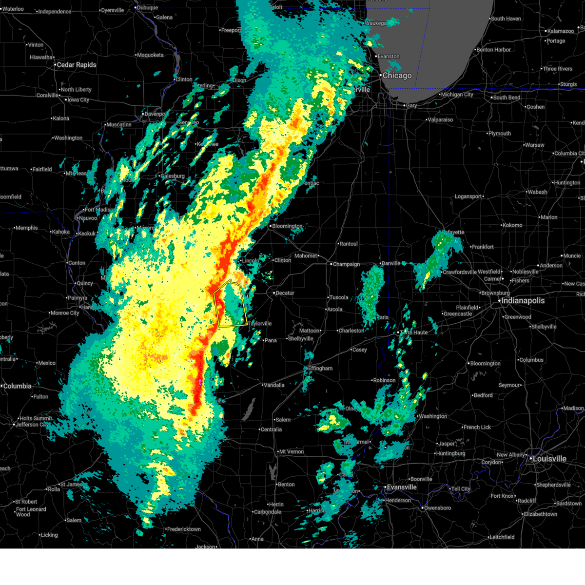 At 530 pm cdt, severe thunderstorms were located along a line extending from near springfield to white oak, moving northeast at 50 mph (radar indicated). Hazards include 70 mph wind gusts and nickel size hail. Expect considerable tree damage. damage is likely to mobile homes, roofs, and outbuildings. these severe storms will be near, springfield, rochester, riverton, kincaid, dawson, and jeisyville around 535 pm cdt. edinburg, mechanicsburg, and buffalo around 540 pm cdt. other locations impacted by these severe thunderstorms include sangchris lake state park, spaulding, glenarm, sharpsburg, southern view, clear lake, bulpitt, langleyville, grandview, and jerome. this includes the following highways, interstate 55 between mile markers 82 and 104. Interstate 72 between mile markers 97 and 117. At 530 pm cdt, severe thunderstorms were located along a line extending from near springfield to white oak, moving northeast at 50 mph (radar indicated). Hazards include 70 mph wind gusts and nickel size hail. Expect considerable tree damage. damage is likely to mobile homes, roofs, and outbuildings. these severe storms will be near, springfield, rochester, riverton, kincaid, dawson, and jeisyville around 535 pm cdt. edinburg, mechanicsburg, and buffalo around 540 pm cdt. other locations impacted by these severe thunderstorms include sangchris lake state park, spaulding, glenarm, sharpsburg, southern view, clear lake, bulpitt, langleyville, grandview, and jerome. this includes the following highways, interstate 55 between mile markers 82 and 104. Interstate 72 between mile markers 97 and 117.
|
| 3/15/2026 5:23 PM CDT |
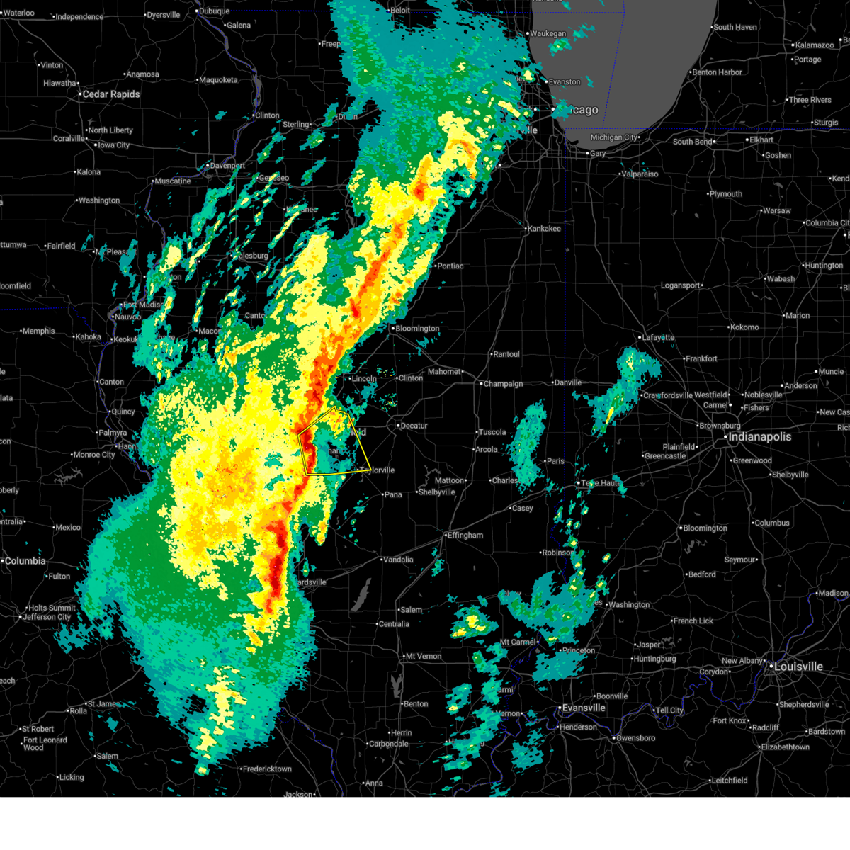 At 522 pm cdt, severe thunderstorms were located along a line extending from near springfield to near farmersville, moving northeast at 50 mph (radar indicated). Hazards include 70 mph wind gusts and nickel size hail. Expect considerable tree damage. damage is likely to mobile homes, roofs, and outbuildings. these severe storms will be near, springfield, rochester, riverton, pawnee, and illinois state fairgrounds around 530 pm cdt. kincaid, dawson, and jeisyville around 535 pm cdt. edinburg, mechanicsburg, and buffalo around 540 pm cdt. other locations impacted by these severe thunderstorms include sangchris lake state park, spaulding, willeys, curran, glenarm, sharpsburg, southern view, clear lake, bulpitt, and langleyville. this includes the following highways, interstate 55 between mile markers 77 and 104. Interstate 72 between mile markers 90 and 118. At 522 pm cdt, severe thunderstorms were located along a line extending from near springfield to near farmersville, moving northeast at 50 mph (radar indicated). Hazards include 70 mph wind gusts and nickel size hail. Expect considerable tree damage. damage is likely to mobile homes, roofs, and outbuildings. these severe storms will be near, springfield, rochester, riverton, pawnee, and illinois state fairgrounds around 530 pm cdt. kincaid, dawson, and jeisyville around 535 pm cdt. edinburg, mechanicsburg, and buffalo around 540 pm cdt. other locations impacted by these severe thunderstorms include sangchris lake state park, spaulding, willeys, curran, glenarm, sharpsburg, southern view, clear lake, bulpitt, and langleyville. this includes the following highways, interstate 55 between mile markers 77 and 104. Interstate 72 between mile markers 90 and 118.
|
| 3/15/2026 5:03 PM CDT |
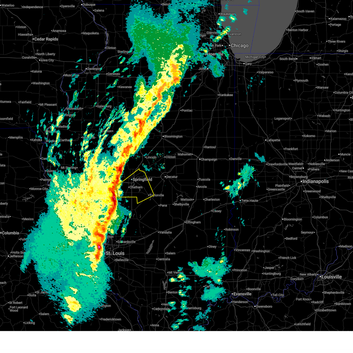 Svrilx the national weather service in lincoln has issued a * severe thunderstorm warning for, northwestern christian county in central illinois, sangamon county in central illinois, * until 545 pm cdt. * at 503 pm cdt, severe thunderstorms were located along a line extending from near waverly to 7 miles north of carlinville, moving northeast at 50 mph (radar indicated). Hazards include 60 mph wind gusts and nickel size hail. Expect damage to roofs, siding, and trees. severe thunderstorms will be near, springfield, chatham, auburn, and loami around 510 pm cdt. divernon around 515 pm cdt. pawnee around 520 pm cdt. other locations in the path of these severe thunderstorms include rochester, illinois state fairgrounds, riverton, kincaid, dawson, edinburg, mechanicsburg, buffalo and jeisyville. this includes the following highways, interstate 55 between mile markers 77 and 104. Interstate 72 between mile markers 86 and 118. Svrilx the national weather service in lincoln has issued a * severe thunderstorm warning for, northwestern christian county in central illinois, sangamon county in central illinois, * until 545 pm cdt. * at 503 pm cdt, severe thunderstorms were located along a line extending from near waverly to 7 miles north of carlinville, moving northeast at 50 mph (radar indicated). Hazards include 60 mph wind gusts and nickel size hail. Expect damage to roofs, siding, and trees. severe thunderstorms will be near, springfield, chatham, auburn, and loami around 510 pm cdt. divernon around 515 pm cdt. pawnee around 520 pm cdt. other locations in the path of these severe thunderstorms include rochester, illinois state fairgrounds, riverton, kincaid, dawson, edinburg, mechanicsburg, buffalo and jeisyville. this includes the following highways, interstate 55 between mile markers 77 and 104. Interstate 72 between mile markers 86 and 118.
|
| 3/15/2026 4:58 PM CDT |
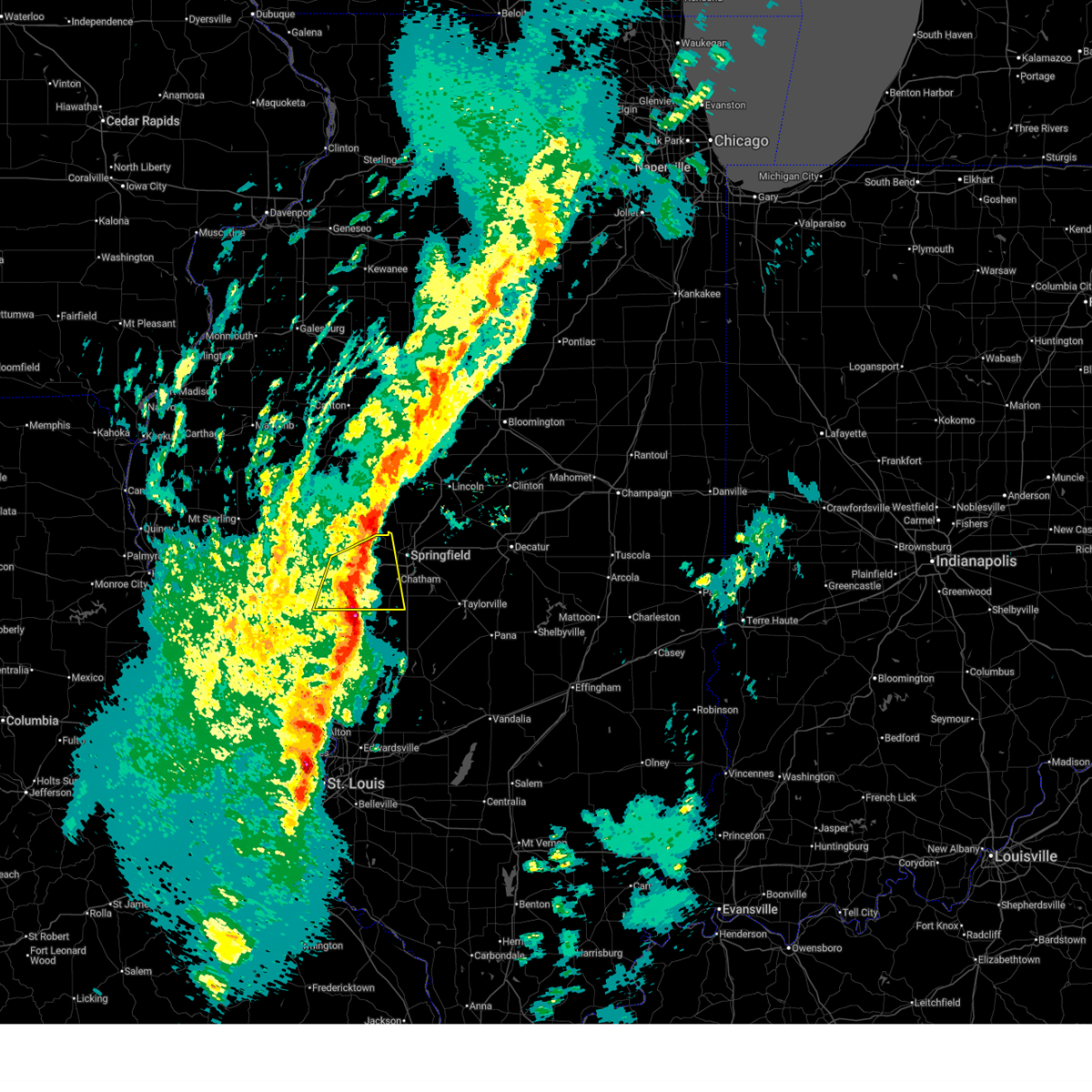 The storm which prompted the warning has weakened below severe limits, and no longer poses an immediate threat to life or property. therefore, the warning will be allowed to expire. a tornado watch remains in effect until 1000 pm cdt for central and west central illinois. remember, a severe thunderstorm warning still remains in effect for northern sangamon county until 530pm ct. The storm which prompted the warning has weakened below severe limits, and no longer poses an immediate threat to life or property. therefore, the warning will be allowed to expire. a tornado watch remains in effect until 1000 pm cdt for central and west central illinois. remember, a severe thunderstorm warning still remains in effect for northern sangamon county until 530pm ct.
|
| 3/15/2026 4:47 PM CDT |
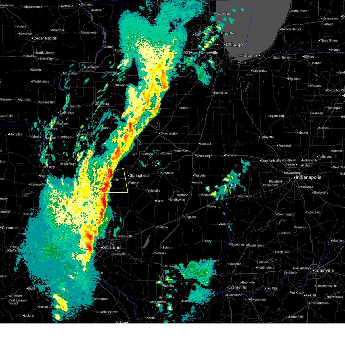 At 447 pm cdt, a severe thunderstorm was located near pleasant plains, or 15 miles east of jacksonville, moving northeast at 45 mph (radar indicated). Hazards include 60 mph wind gusts and nickel size hail. Expect damage to roofs, siding, and trees. this severe storm will be near, pleasant plains around 450 pm cdt. other locations impacted by this severe thunderstorm include salisbury, nortonville, lowder, curran, berlin, and thayer. This includes interstate 72 between mile markers 68 and 94. At 447 pm cdt, a severe thunderstorm was located near pleasant plains, or 15 miles east of jacksonville, moving northeast at 45 mph (radar indicated). Hazards include 60 mph wind gusts and nickel size hail. Expect damage to roofs, siding, and trees. this severe storm will be near, pleasant plains around 450 pm cdt. other locations impacted by this severe thunderstorm include salisbury, nortonville, lowder, curran, berlin, and thayer. This includes interstate 72 between mile markers 68 and 94.
|
| 3/15/2026 4:36 PM CDT |
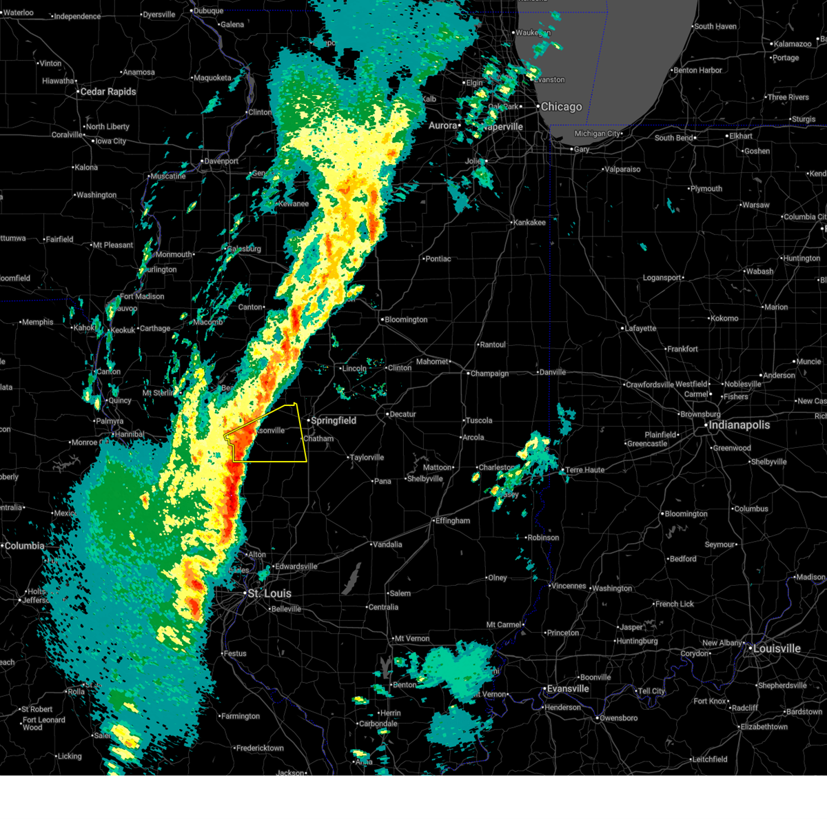 At 435 pm cdt, a severe thunderstorm was located near franklin, or 8 miles southeast of jacksonville, moving east at 45 mph (radar indicated). Hazards include 60 mph wind gusts and nickel size hail. Expect damage to roofs, siding, and trees. this severe storm will be near, alexander and franklin around 440 pm cdt. new berlin around 445 pm cdt. springfield around 455 pm cdt. other locations impacted by this severe thunderstorm include salisbury, nortonville, lynnville, curran, berlin, thayer, and lowder. This includes interstate 72 between mile markers 58 and 94. At 435 pm cdt, a severe thunderstorm was located near franklin, or 8 miles southeast of jacksonville, moving east at 45 mph (radar indicated). Hazards include 60 mph wind gusts and nickel size hail. Expect damage to roofs, siding, and trees. this severe storm will be near, alexander and franklin around 440 pm cdt. new berlin around 445 pm cdt. springfield around 455 pm cdt. other locations impacted by this severe thunderstorm include salisbury, nortonville, lynnville, curran, berlin, thayer, and lowder. This includes interstate 72 between mile markers 58 and 94.
|
| 3/15/2026 4:36 PM CDT |
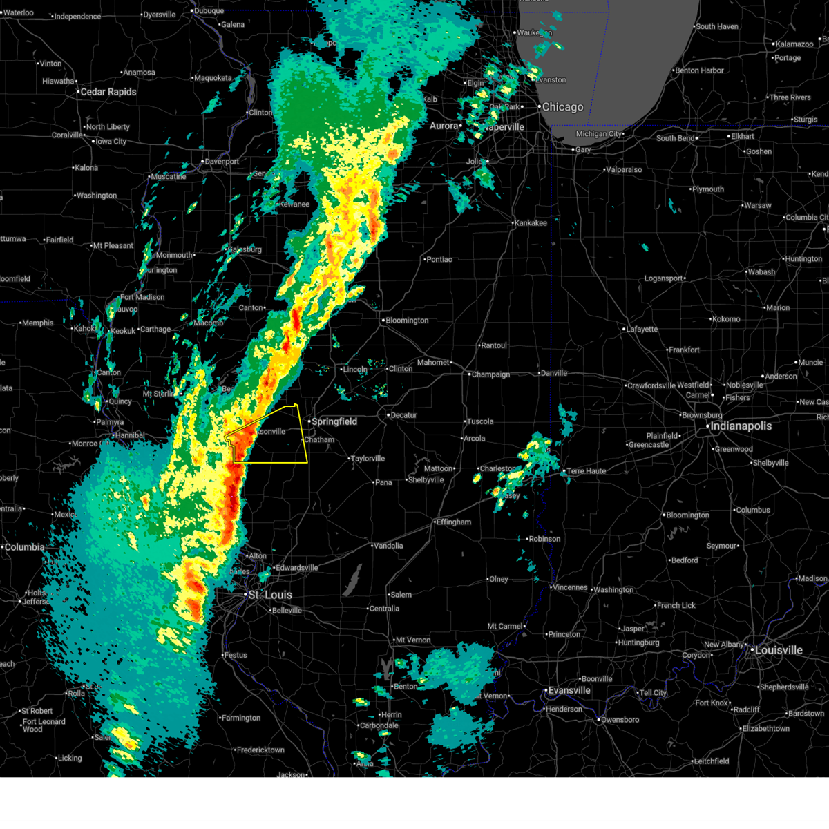 the severe thunderstorm warning has been cancelled and is no longer in effect the severe thunderstorm warning has been cancelled and is no longer in effect
|
| 3/15/2026 4:16 PM CDT |
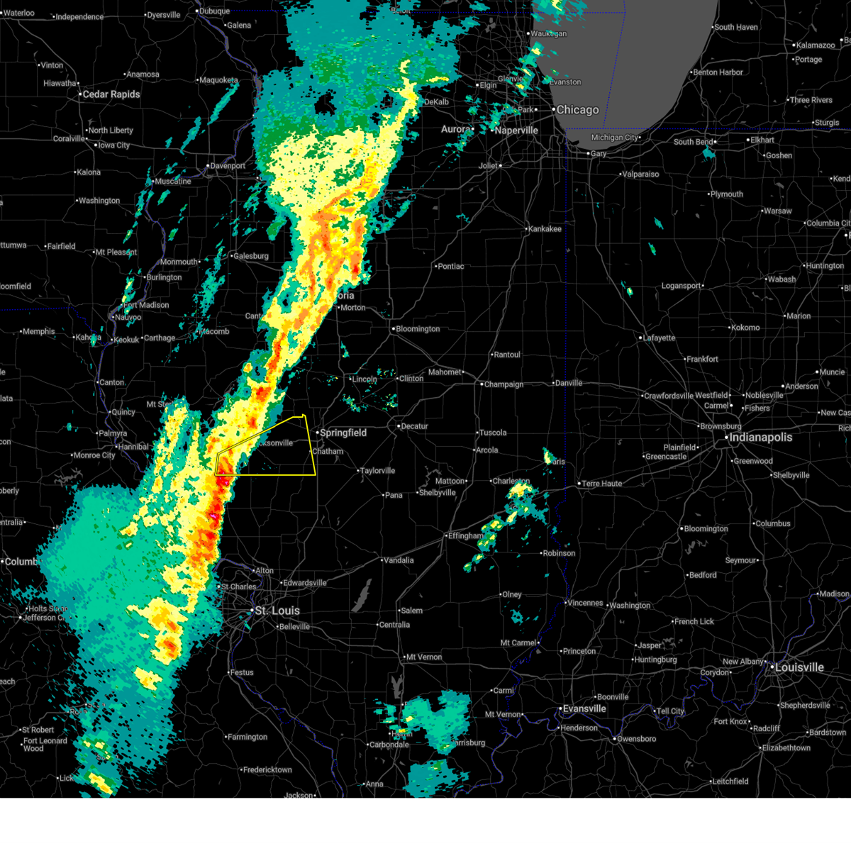 Svrilx the national weather service in lincoln has issued a * severe thunderstorm warning for, southeastern scott county in west central illinois, western sangamon county in central illinois, morgan county in west central illinois, * until 500 pm cdt. * at 416 pm cdt, severe thunderstorms were located along a line extending from near winchester to near carrollton, moving northeast at 55 mph (radar indicated). Hazards include 60 mph wind gusts and quarter size hail. Hail damage to vehicles is expected. expect wind damage to roofs, siding, and trees. severe thunderstorms will be near, jacksonville, south jacksonville, murrayville, woodson, and manchester around 420 pm cdt. alexander and franklin around 435 pm cdt. other locations in the path of these severe thunderstorms include new berlin, waverly, loami, springfield, auburn and chatham. This includes interstate 72 between mile markers 54 and 94. Svrilx the national weather service in lincoln has issued a * severe thunderstorm warning for, southeastern scott county in west central illinois, western sangamon county in central illinois, morgan county in west central illinois, * until 500 pm cdt. * at 416 pm cdt, severe thunderstorms were located along a line extending from near winchester to near carrollton, moving northeast at 55 mph (radar indicated). Hazards include 60 mph wind gusts and quarter size hail. Hail damage to vehicles is expected. expect wind damage to roofs, siding, and trees. severe thunderstorms will be near, jacksonville, south jacksonville, murrayville, woodson, and manchester around 420 pm cdt. alexander and franklin around 435 pm cdt. other locations in the path of these severe thunderstorms include new berlin, waverly, loami, springfield, auburn and chatham. This includes interstate 72 between mile markers 54 and 94.
|
| 3/15/2026 8:19 AM CDT |
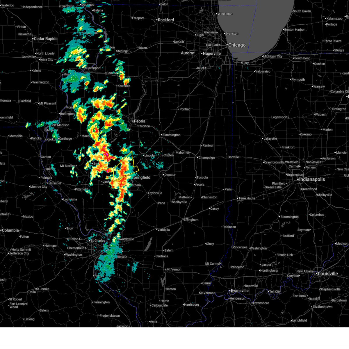 the severe thunderstorm warning has been cancelled and is no longer in effect the severe thunderstorm warning has been cancelled and is no longer in effect
|
| 3/15/2026 8:02 AM CDT |
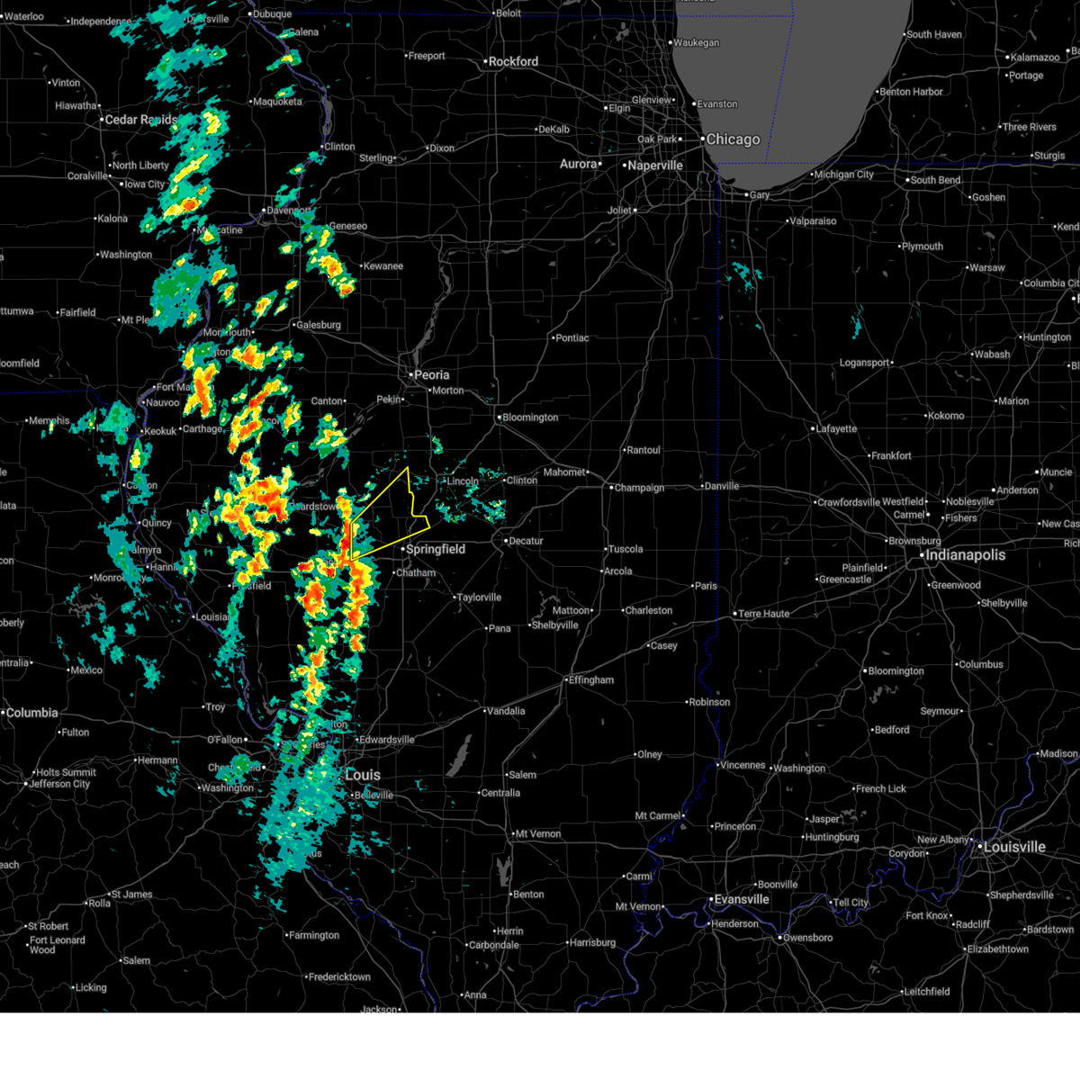 Svrilx the national weather service in lincoln has issued a * severe thunderstorm warning for, menard county in central illinois, northwestern sangamon county in central illinois, east central mason county in central illinois, * until 830 am cdt. * at 802 am cdt, a severe thunderstorm was located over pleasant plains, or 9 miles south of petersburg, moving northeast at 60 mph (radar indicated). Hazards include 60 mph wind gusts and quarter size hail. Hail damage to vehicles is expected. expect wind damage to roofs, siding, and trees. this severe thunderstorm will be near, athens around 810 am cdt. This includes interstate 55 between mile markers 102 and 110. Svrilx the national weather service in lincoln has issued a * severe thunderstorm warning for, menard county in central illinois, northwestern sangamon county in central illinois, east central mason county in central illinois, * until 830 am cdt. * at 802 am cdt, a severe thunderstorm was located over pleasant plains, or 9 miles south of petersburg, moving northeast at 60 mph (radar indicated). Hazards include 60 mph wind gusts and quarter size hail. Hail damage to vehicles is expected. expect wind damage to roofs, siding, and trees. this severe thunderstorm will be near, athens around 810 am cdt. This includes interstate 55 between mile markers 102 and 110.
|
| 3/11/2026 1:38 AM CDT |
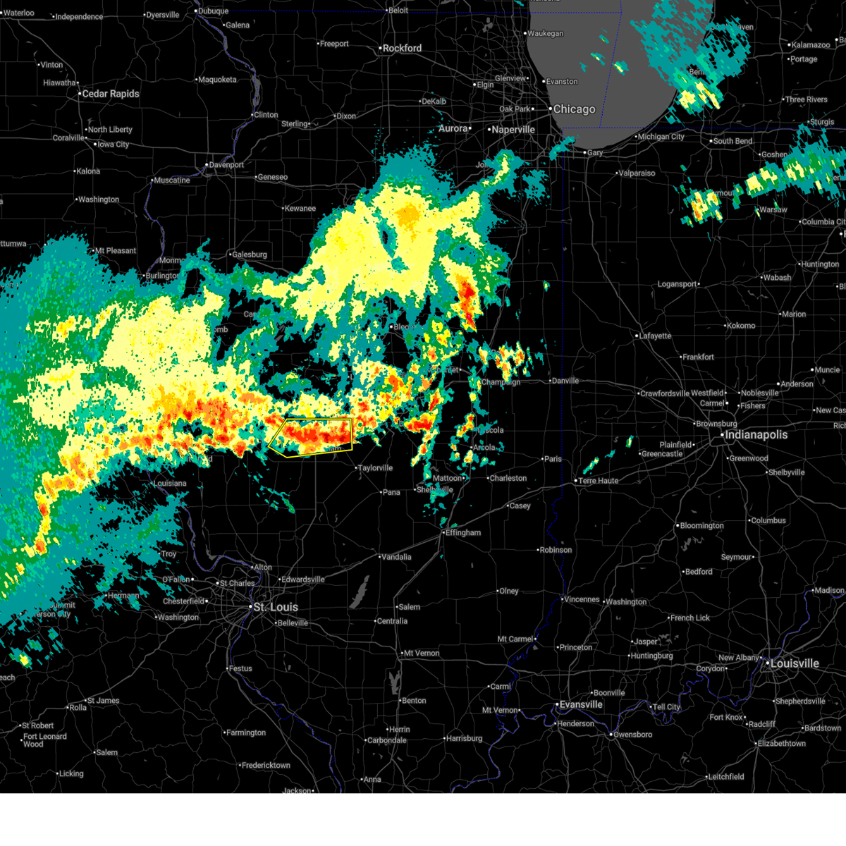 the severe thunderstorm warning has been cancelled and is no longer in effect the severe thunderstorm warning has been cancelled and is no longer in effect
|
| 3/11/2026 1:25 AM CDT |
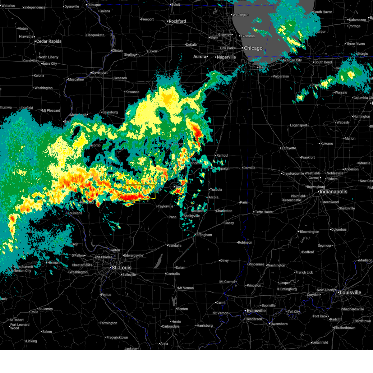 Svrilx the national weather service in lincoln has issued a * severe thunderstorm warning for, northwestern christian county in central illinois, central sangamon county in central illinois, east central morgan county in west central illinois, * until 200 am cdt. * at 124 am cdt, a severe thunderstorm was located over loami, or 12 miles north of virden, moving northeast at 45 mph (radar indicated). Hazards include quarter size hail. Damage to vehicles is expected. this severe thunderstorm will be near, springfield and chatham around 130 am cdt. abraham lincoln capital airport and illinois state fairgrounds around 140 am cdt. other locations in the path of this severe thunderstorm include riverton and dawson. this includes the following highways, interstate 55 between mile markers 86 and 102. Interstate 72 between mile markers 79 and 118. Svrilx the national weather service in lincoln has issued a * severe thunderstorm warning for, northwestern christian county in central illinois, central sangamon county in central illinois, east central morgan county in west central illinois, * until 200 am cdt. * at 124 am cdt, a severe thunderstorm was located over loami, or 12 miles north of virden, moving northeast at 45 mph (radar indicated). Hazards include quarter size hail. Damage to vehicles is expected. this severe thunderstorm will be near, springfield and chatham around 130 am cdt. abraham lincoln capital airport and illinois state fairgrounds around 140 am cdt. other locations in the path of this severe thunderstorm include riverton and dawson. this includes the following highways, interstate 55 between mile markers 86 and 102. Interstate 72 between mile markers 79 and 118.
|
| 3/3/2026 5:12 PM CST |
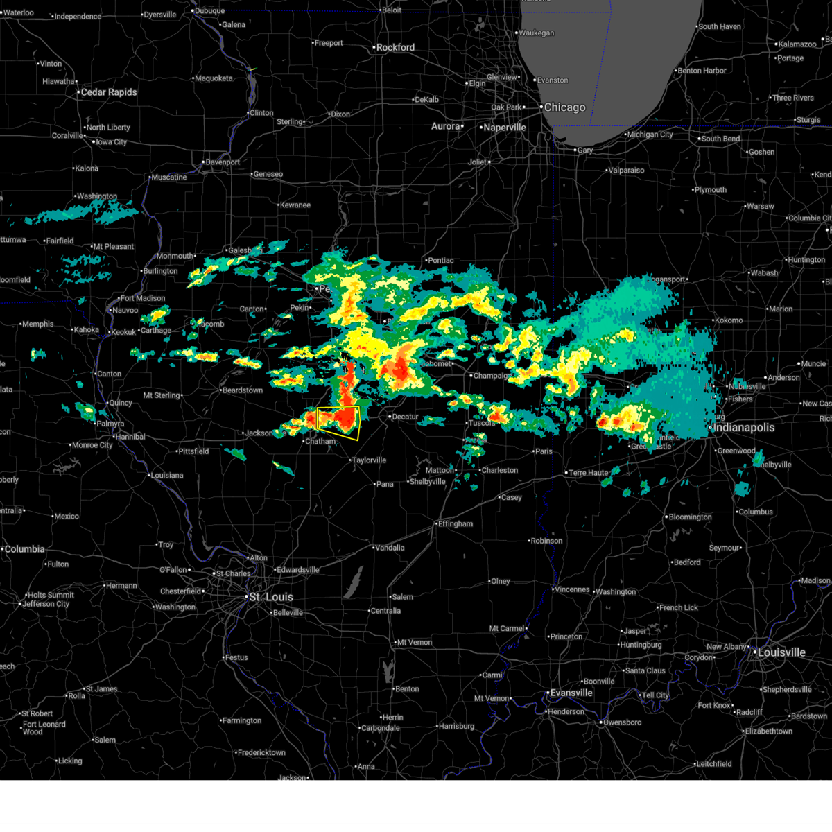 the severe thunderstorm warning has been cancelled and is no longer in effect the severe thunderstorm warning has been cancelled and is no longer in effect
|
| 3/3/2026 4:58 PM CST |
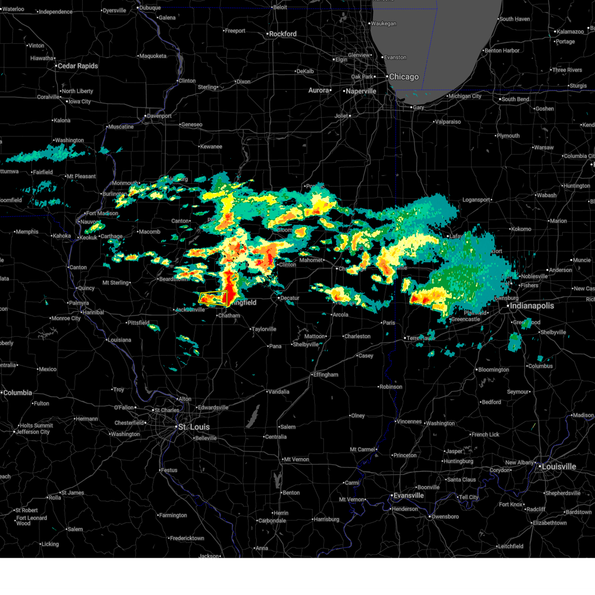 the severe thunderstorm warning has been cancelled and is no longer in effect the severe thunderstorm warning has been cancelled and is no longer in effect
|
| 3/3/2026 4:49 PM CST | Quarter sized hail reported 3.3 miles SE of Springfield, IL, report from mping: quarter (1.00 in.). |
| 3/3/2026 4:48 PM CST |
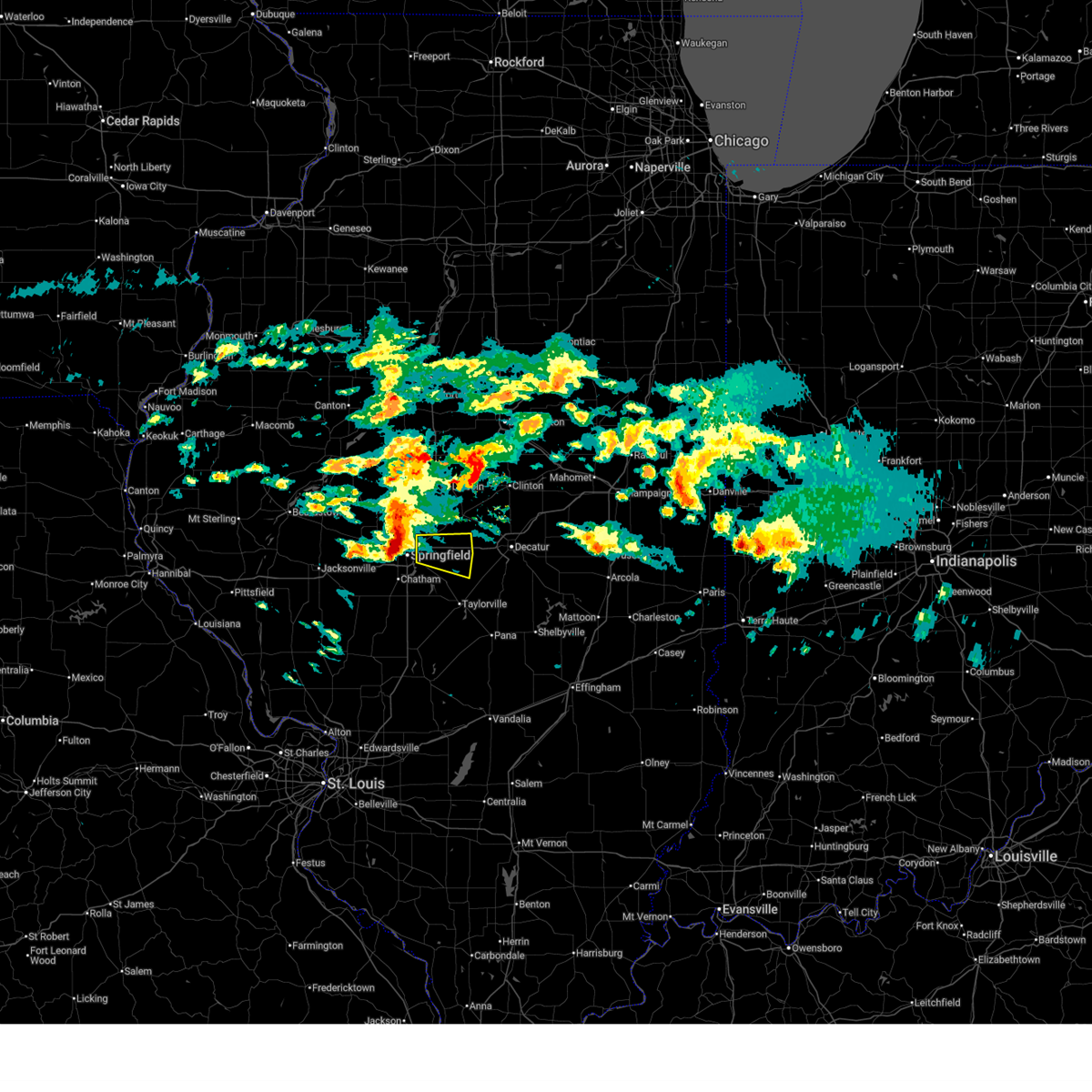 Svrilx the national weather service in lincoln has issued a * severe thunderstorm warning for, north central christian county in central illinois, northeastern sangamon county in central illinois, * until 530 pm cst. * at 448 pm cst, a severe thunderstorm was located over illinois state fairgrounds, or over springfield, moving east at 55 mph (radar indicated). Hazards include quarter size hail. Damage to vehicles is expected. this severe thunderstorm will be near, rochester, riverton, and mechanicsburg around 455 pm cst. mount auburn around 505 pm cst. This includes interstate 72 between mile markers 105 and 124. Svrilx the national weather service in lincoln has issued a * severe thunderstorm warning for, north central christian county in central illinois, northeastern sangamon county in central illinois, * until 530 pm cst. * at 448 pm cst, a severe thunderstorm was located over illinois state fairgrounds, or over springfield, moving east at 55 mph (radar indicated). Hazards include quarter size hail. Damage to vehicles is expected. this severe thunderstorm will be near, rochester, riverton, and mechanicsburg around 455 pm cst. mount auburn around 505 pm cst. This includes interstate 72 between mile markers 105 and 124.
|
| 3/3/2026 4:40 PM CST |
 the severe thunderstorm warning has been cancelled and is no longer in effect the severe thunderstorm warning has been cancelled and is no longer in effect
|
| 3/3/2026 4:40 PM CST |
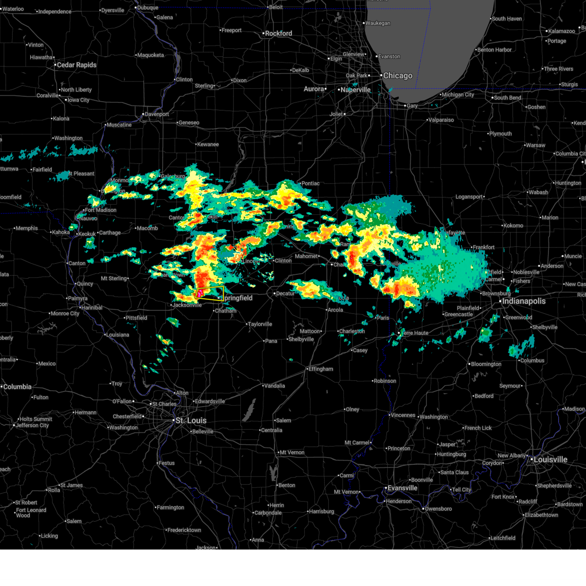 At 439 pm cst, a severe thunderstorm was located near abraham lincoln capital airport, or 7 miles northwest of springfield, moving east at 55 mph (radar indicated). Hazards include quarter size hail. Damage to vehicles is expected. this severe storm will be near, springfield, sherman, abraham lincoln capital airport, and illinois state fairgrounds around 445 pm cst. other locations impacted by this severe thunderstorm include salisbury, grandview, and leland grove. this includes the following highways, interstate 55 between mile markers 96 and 104. Interstate 72 between mile markers 102 and 104. At 439 pm cst, a severe thunderstorm was located near abraham lincoln capital airport, or 7 miles northwest of springfield, moving east at 55 mph (radar indicated). Hazards include quarter size hail. Damage to vehicles is expected. this severe storm will be near, springfield, sherman, abraham lincoln capital airport, and illinois state fairgrounds around 445 pm cst. other locations impacted by this severe thunderstorm include salisbury, grandview, and leland grove. this includes the following highways, interstate 55 between mile markers 96 and 104. Interstate 72 between mile markers 102 and 104.
|
| 3/3/2026 4:24 PM CST |
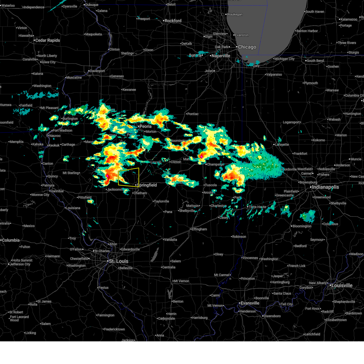 Svrilx the national weather service in lincoln has issued a * severe thunderstorm warning for, southern menard county in central illinois, northwestern sangamon county in central illinois, * until 515 pm cst. * at 423 pm cst, a severe thunderstorm was located over ashland, or 10 miles east of virginia, moving east at 55 mph (radar indicated). Hazards include half dollar size hail. Damage to vehicles is expected. this severe thunderstorm will be near, pleasant plains and tallula around 430 pm cst. athens around 435 pm cst. other locations in the path of this severe thunderstorm include sherman. this includes the following highways, interstate 55 between mile markers 96 and 106. Interstate 72 between mile markers 102 and 104. Svrilx the national weather service in lincoln has issued a * severe thunderstorm warning for, southern menard county in central illinois, northwestern sangamon county in central illinois, * until 515 pm cst. * at 423 pm cst, a severe thunderstorm was located over ashland, or 10 miles east of virginia, moving east at 55 mph (radar indicated). Hazards include half dollar size hail. Damage to vehicles is expected. this severe thunderstorm will be near, pleasant plains and tallula around 430 pm cst. athens around 435 pm cst. other locations in the path of this severe thunderstorm include sherman. this includes the following highways, interstate 55 between mile markers 96 and 106. Interstate 72 between mile markers 102 and 104.
|
| 9/21/2025 8:03 PM CDT | The storm which prompted the warning has weakened below severe limits, and has exited the warned area. therefore, the warning has been allowed to expire. |
| 9/21/2025 7:50 PM CDT | At 749 pm cdt, a severe thunderstorm was located over riverton, or 9 miles northeast of springfield, moving northeast at 40 mph (radar indicated). Hazards include 60 mph wind gusts. Expect damage to roofs, siding, and trees. this severe storm will be near, dawson around 755 pm cdt. other locations impacted by this severe thunderstorm include spaulding, clear lake, southern view, grandview, jerome, cantrall, and leland grove. this includes the following highways, interstate 55 between mile markers 88 and 111. Interstate 72 between mile markers 92 and 121. |
| 9/21/2025 7:37 PM CDT | Power outages reported in springfield at illes park... harvard park... skyline height in sangamon county IL, 2.7 miles S of Springfield, IL |
| 9/21/2025 7:27 PM CDT | Svrilx the national weather service in lincoln has issued a * severe thunderstorm warning for, northern sangamon county in central illinois, * until 800 pm cdt. * at 727 pm cdt, a severe thunderstorm was located near springfield, moving northeast at 40 mph (radar indicated). Hazards include 60 mph wind gusts. Expect damage to roofs, siding, and trees. this severe thunderstorm will be near, springfield, abraham lincoln capital airport, and illinois state fairgrounds around 730 pm cdt. sherman and riverton around 735 pm cdt. dawson around 745 pm cdt. this includes the following highways, interstate 55 between mile markers 88 and 111. Interstate 72 between mile markers 92 and 121. |
| 6/18/2025 12:27 PM CDT |
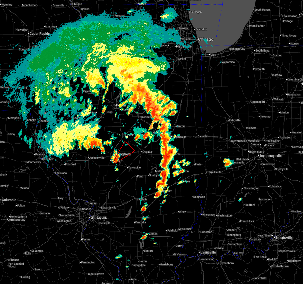 Torilx the national weather service in lincoln has issued a * tornado warning for, south central logan county in central illinois, northwestern christian county in central illinois, northeastern sangamon county in central illinois, west central macon county in central illinois, * until 100 pm cdt. * at 1227 pm cdt, a severe thunderstorm capable of producing a tornado was located near pawnee, or 7 miles southeast of springfield, moving northeast at 40 mph (radar indicated rotation). Hazards include tornado. Flying debris will be dangerous to those caught without shelter. mobile homes will be damaged or destroyed. damage to roofs, windows, and vehicles will occur. tree damage is likely. this dangerous storm will be near, springfield and rochester around 1230 pm cdt. mechanicsburg around 1240 pm cdt. dawson and buffalo around 1245 pm cdt. This includes interstate 72 between mile markers 110 and 127. Torilx the national weather service in lincoln has issued a * tornado warning for, south central logan county in central illinois, northwestern christian county in central illinois, northeastern sangamon county in central illinois, west central macon county in central illinois, * until 100 pm cdt. * at 1227 pm cdt, a severe thunderstorm capable of producing a tornado was located near pawnee, or 7 miles southeast of springfield, moving northeast at 40 mph (radar indicated rotation). Hazards include tornado. Flying debris will be dangerous to those caught without shelter. mobile homes will be damaged or destroyed. damage to roofs, windows, and vehicles will occur. tree damage is likely. this dangerous storm will be near, springfield and rochester around 1230 pm cdt. mechanicsburg around 1240 pm cdt. dawson and buffalo around 1245 pm cdt. This includes interstate 72 between mile markers 110 and 127.
|
| 6/18/2025 12:24 PM CDT |
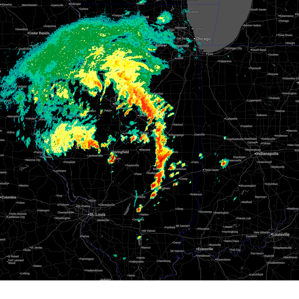 the tornado warning has been cancelled and is no longer in effect the tornado warning has been cancelled and is no longer in effect
|
| 6/18/2025 12:24 PM CDT |
 At 1223 pm cdt, a severe thunderstorm capable of producing a tornado was located near pawnee, or 8 miles southeast of springfield, moving northeast at 40 mph (radar indicated rotation). Hazards include tornado. Flying debris will be dangerous to those caught without shelter. mobile homes will be damaged or destroyed. damage to roofs, windows, and vehicles will occur. tree damage is likely. This tornadic thunderstorm will remain over mainly rural areas of south central sangamon county. At 1223 pm cdt, a severe thunderstorm capable of producing a tornado was located near pawnee, or 8 miles southeast of springfield, moving northeast at 40 mph (radar indicated rotation). Hazards include tornado. Flying debris will be dangerous to those caught without shelter. mobile homes will be damaged or destroyed. damage to roofs, windows, and vehicles will occur. tree damage is likely. This tornadic thunderstorm will remain over mainly rural areas of south central sangamon county.
|
| 6/18/2025 12:15 PM CDT |
 At 1215 pm cdt, a severe thunderstorm capable of producing a tornado was located over divernon, or 7 miles northeast of virden, moving northeast at 25 mph (radar indicated rotation). Hazards include tornado. Flying debris will be dangerous to those caught without shelter. mobile homes will be damaged or destroyed. damage to roofs, windows, and vehicles will occur. tree damage is likely. this dangerous storm will be near, pawnee around 1220 pm cdt. springfield around 1225 pm cdt. other locations impacted by this tornadic thunderstorm include glenarm. this includes the following highways, interstate 55 between mile markers 79 and 91, and near mile marker 93. Interstate 72 near mile marker 99. At 1215 pm cdt, a severe thunderstorm capable of producing a tornado was located over divernon, or 7 miles northeast of virden, moving northeast at 25 mph (radar indicated rotation). Hazards include tornado. Flying debris will be dangerous to those caught without shelter. mobile homes will be damaged or destroyed. damage to roofs, windows, and vehicles will occur. tree damage is likely. this dangerous storm will be near, pawnee around 1220 pm cdt. springfield around 1225 pm cdt. other locations impacted by this tornadic thunderstorm include glenarm. this includes the following highways, interstate 55 between mile markers 79 and 91, and near mile marker 93. Interstate 72 near mile marker 99.
|
| 6/18/2025 12:05 PM CDT |
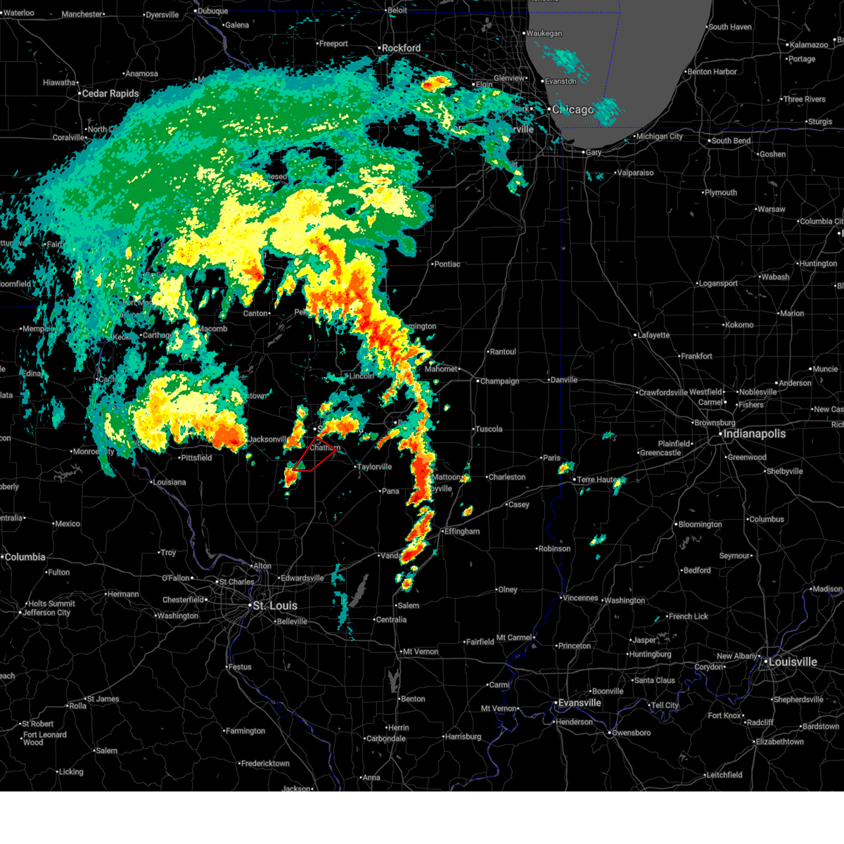 Torilx the national weather service in lincoln has issued a * tornado warning for, northwestern christian county in central illinois, south central sangamon county in central illinois, * until 1230 pm cdt. * at 1205 pm cdt, a severe thunderstorm capable of producing a tornado was located over virden, moving northeast at 30 mph (radar indicated rotation). Hazards include tornado. Flying debris will be dangerous to those caught without shelter. mobile homes will be damaged or destroyed. damage to roofs, windows, and vehicles will occur. tree damage is likely. this dangerous storm will be near, auburn and divernon around 1210 pm cdt. chatham and pawnee around 1220 pm cdt. this includes the following highways, interstate 55 between mile markers 79 and 91, and near mile marker 93. Interstate 72 near mile marker 99. Torilx the national weather service in lincoln has issued a * tornado warning for, northwestern christian county in central illinois, south central sangamon county in central illinois, * until 1230 pm cdt. * at 1205 pm cdt, a severe thunderstorm capable of producing a tornado was located over virden, moving northeast at 30 mph (radar indicated rotation). Hazards include tornado. Flying debris will be dangerous to those caught without shelter. mobile homes will be damaged or destroyed. damage to roofs, windows, and vehicles will occur. tree damage is likely. this dangerous storm will be near, auburn and divernon around 1210 pm cdt. chatham and pawnee around 1220 pm cdt. this includes the following highways, interstate 55 between mile markers 79 and 91, and near mile marker 93. Interstate 72 near mile marker 99.
|
| 6/18/2025 11:51 AM CDT |
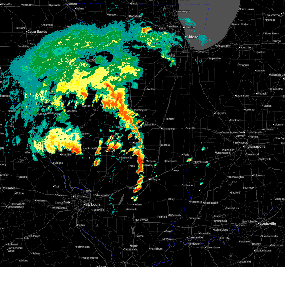 At 1151 am cdt, a severe thunderstorm capable of producing a tornado was located over rochester, or near springfield, moving northeast at 40 mph (radar indicated rotation). Hazards include tornado. Flying debris will be dangerous to those caught without shelter. mobile homes will be damaged or destroyed. damage to roofs, windows, and vehicles will occur. tree damage is likely. this dangerous storm will be near, springfield, rochester, and riverton around 1155 am cdt. dawson around 1200 pm cdt. buffalo around 1205 pm cdt. other locations impacted by this tornadic thunderstorm include clear lake and spaulding. this includes the following highways, interstate 55 near mile marker 94. Interstate 72 near mile marker 100, and between mile markers 105 and 115. At 1151 am cdt, a severe thunderstorm capable of producing a tornado was located over rochester, or near springfield, moving northeast at 40 mph (radar indicated rotation). Hazards include tornado. Flying debris will be dangerous to those caught without shelter. mobile homes will be damaged or destroyed. damage to roofs, windows, and vehicles will occur. tree damage is likely. this dangerous storm will be near, springfield, rochester, and riverton around 1155 am cdt. dawson around 1200 pm cdt. buffalo around 1205 pm cdt. other locations impacted by this tornadic thunderstorm include clear lake and spaulding. this includes the following highways, interstate 55 near mile marker 94. Interstate 72 near mile marker 100, and between mile markers 105 and 115.
|
| 6/18/2025 11:44 AM CDT |
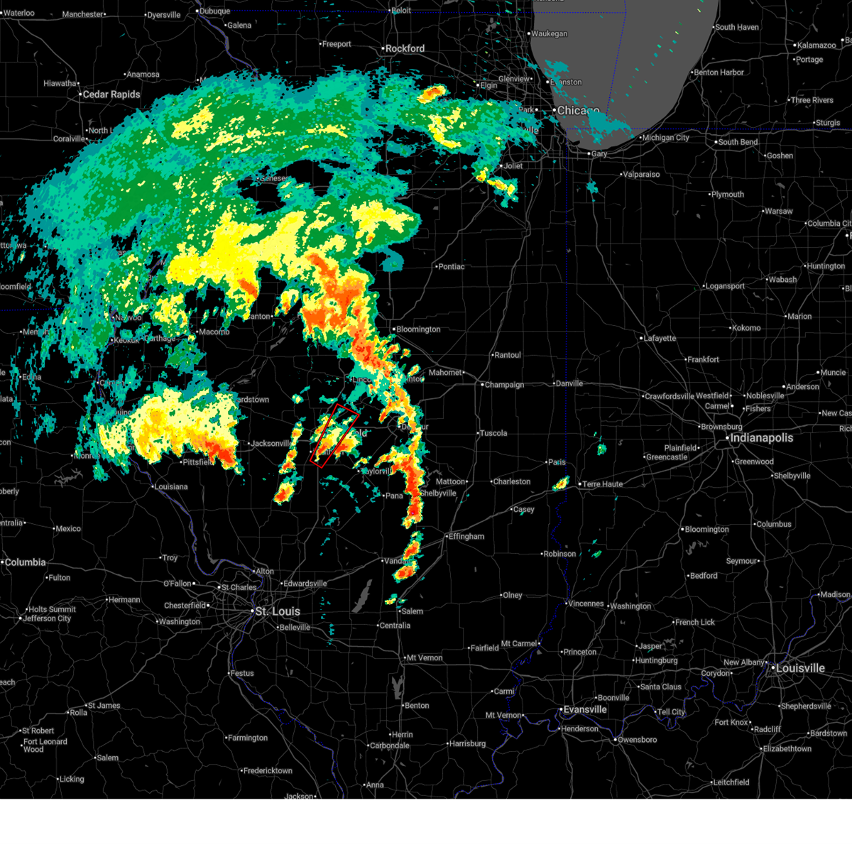 Torilx the national weather service in lincoln has issued a * tornado warning for, south central logan county in central illinois, central sangamon county in central illinois, * until 1215 pm cdt. * at 1144 am cdt, a severe thunderstorm capable of producing a tornado was located near rochester, or near springfield, moving northeast at 40 mph (radar indicated rotation). Hazards include tornado. Flying debris will be dangerous to those caught without shelter. mobile homes will be damaged or destroyed. damage to roofs, windows, and vehicles will occur. tree damage is likely. this dangerous storm will be near, springfield and rochester around 1150 am cdt. riverton around 1155 am cdt. dawson and buffalo around 1200 pm cdt. other locations in the path of this tornadic thunderstorm include cornland. this includes the following highways, interstate 55 between mile markers 82 and 90, and between mile markers 93 and 97. Interstate 72 between mile markers 99 and 116. Torilx the national weather service in lincoln has issued a * tornado warning for, south central logan county in central illinois, central sangamon county in central illinois, * until 1215 pm cdt. * at 1144 am cdt, a severe thunderstorm capable of producing a tornado was located near rochester, or near springfield, moving northeast at 40 mph (radar indicated rotation). Hazards include tornado. Flying debris will be dangerous to those caught without shelter. mobile homes will be damaged or destroyed. damage to roofs, windows, and vehicles will occur. tree damage is likely. this dangerous storm will be near, springfield and rochester around 1150 am cdt. riverton around 1155 am cdt. dawson and buffalo around 1200 pm cdt. other locations in the path of this tornadic thunderstorm include cornland. this includes the following highways, interstate 55 between mile markers 82 and 90, and between mile markers 93 and 97. Interstate 72 between mile markers 99 and 116.
|
| 6/8/2025 4:33 PM CDT |
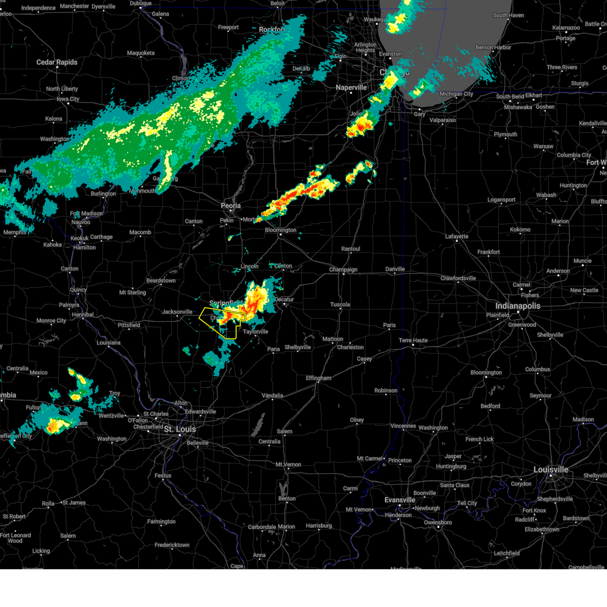 the severe thunderstorm warning has been cancelled and is no longer in effect the severe thunderstorm warning has been cancelled and is no longer in effect
|
| 6/8/2025 4:23 PM CDT |
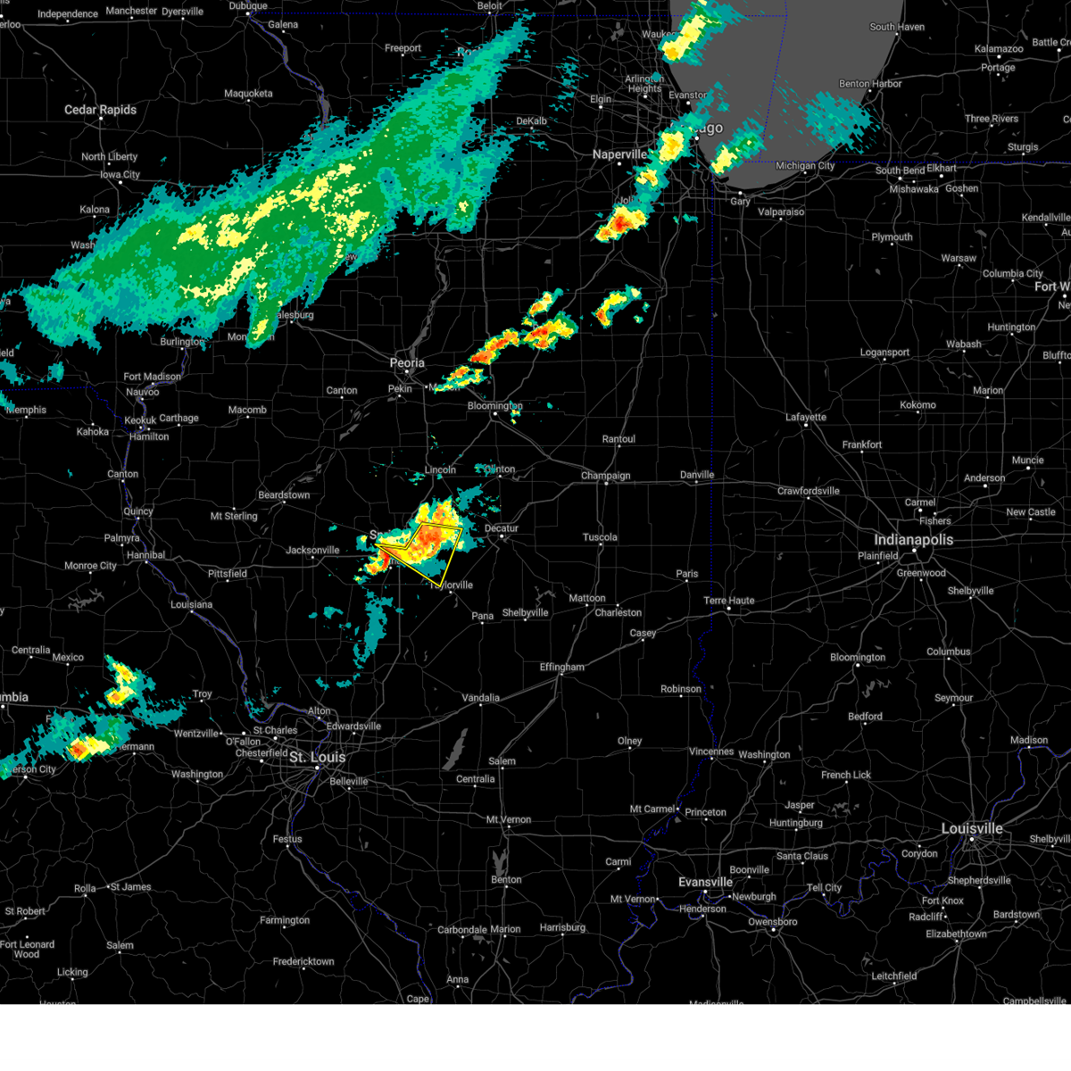 At 423 pm cdt, a severe thunderstorm was located near mount auburn, or 13 miles north of taylorville, moving east at 45 mph (broadcast media). Hazards include 60 mph wind gusts and quarter size hail. Hail damage to vehicles is expected. expect wind damage to roofs, siding, and trees. this severe thunderstorm will remain over mainly rural areas of northwestern christian and northeastern sangamon counties, including the following locations, clear lake, sangchris lake state park, southern view, jerome, and leland grove. this includes the following highways, interstate 55 between mile markers 91 and 95. Interstate 72 between mile markers 96 and 101, and between mile markers 105 and 123. At 423 pm cdt, a severe thunderstorm was located near mount auburn, or 13 miles north of taylorville, moving east at 45 mph (broadcast media). Hazards include 60 mph wind gusts and quarter size hail. Hail damage to vehicles is expected. expect wind damage to roofs, siding, and trees. this severe thunderstorm will remain over mainly rural areas of northwestern christian and northeastern sangamon counties, including the following locations, clear lake, sangchris lake state park, southern view, jerome, and leland grove. this includes the following highways, interstate 55 between mile markers 91 and 95. Interstate 72 between mile markers 96 and 101, and between mile markers 105 and 123.
|
| 6/8/2025 4:12 PM CDT |
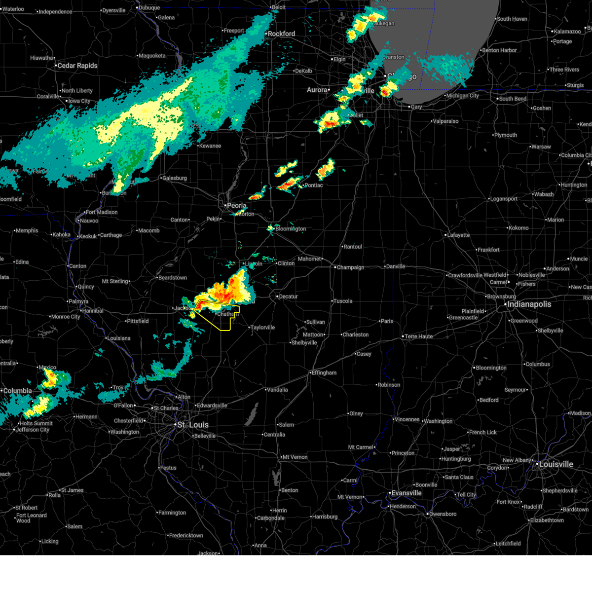 Svrilx the national weather service in lincoln has issued a * severe thunderstorm warning for, southwestern sangamon county in central illinois, * until 500 pm cdt. * at 412 pm cdt, a severe thunderstorm was located near loami, or 9 miles west of springfield, moving east at 35 mph (radar indicated). Hazards include 60 mph wind gusts and quarter size hail. Hail damage to vehicles is expected. expect wind damage to roofs, siding, and trees. this severe thunderstorm will be near, springfield and chatham around 415 pm cdt. rochester around 430 pm cdt. this includes the following highways, interstate 55 between mile markers 77 and 95. Interstate 72 between mile markers 82 and 101. Svrilx the national weather service in lincoln has issued a * severe thunderstorm warning for, southwestern sangamon county in central illinois, * until 500 pm cdt. * at 412 pm cdt, a severe thunderstorm was located near loami, or 9 miles west of springfield, moving east at 35 mph (radar indicated). Hazards include 60 mph wind gusts and quarter size hail. Hail damage to vehicles is expected. expect wind damage to roofs, siding, and trees. this severe thunderstorm will be near, springfield and chatham around 415 pm cdt. rochester around 430 pm cdt. this includes the following highways, interstate 55 between mile markers 77 and 95. Interstate 72 between mile markers 82 and 101.
|
| 6/8/2025 4:08 PM CDT |
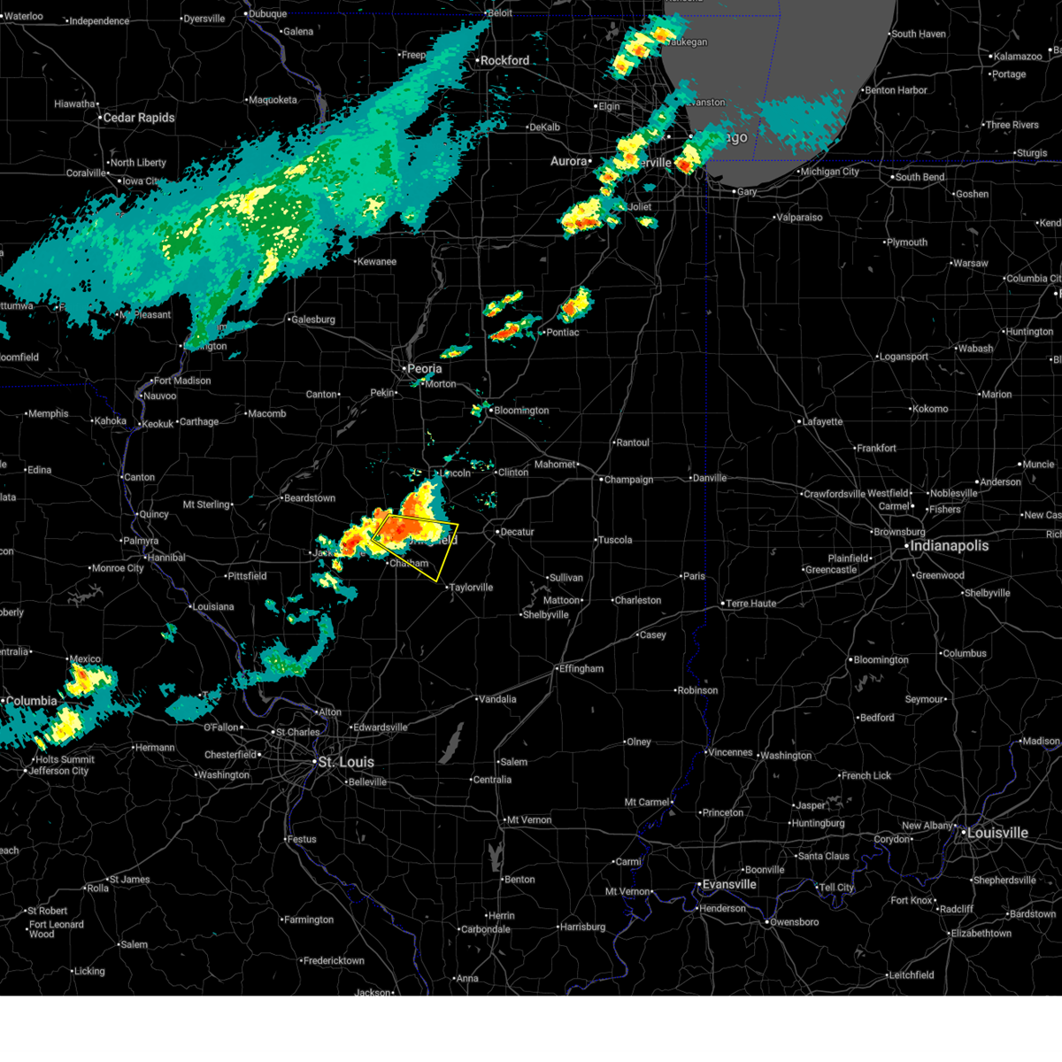 At 407 pm cdt, a severe thunderstorm was located near rochester, or 8 miles east of springfield, moving east at 45 mph (broadcast media). Hazards include 60 mph wind gusts and quarter size hail. Hail damage to vehicles is expected. expect wind damage to roofs, siding, and trees. this severe storm will be near, mechanicsburg around 415 pm cdt. other locations impacted by this severe thunderstorm include sangchris lake state park, spaulding, clear lake, southern view, grandview, jerome, and leland grove. this includes the following highways, interstate 55 between mile markers 91 and 105. Interstate 72 between mile markers 96 and 123. At 407 pm cdt, a severe thunderstorm was located near rochester, or 8 miles east of springfield, moving east at 45 mph (broadcast media). Hazards include 60 mph wind gusts and quarter size hail. Hail damage to vehicles is expected. expect wind damage to roofs, siding, and trees. this severe storm will be near, mechanicsburg around 415 pm cdt. other locations impacted by this severe thunderstorm include sangchris lake state park, spaulding, clear lake, southern view, grandview, jerome, and leland grove. this includes the following highways, interstate 55 between mile markers 91 and 105. Interstate 72 between mile markers 96 and 123.
|
| 6/8/2025 4:04 PM CDT |
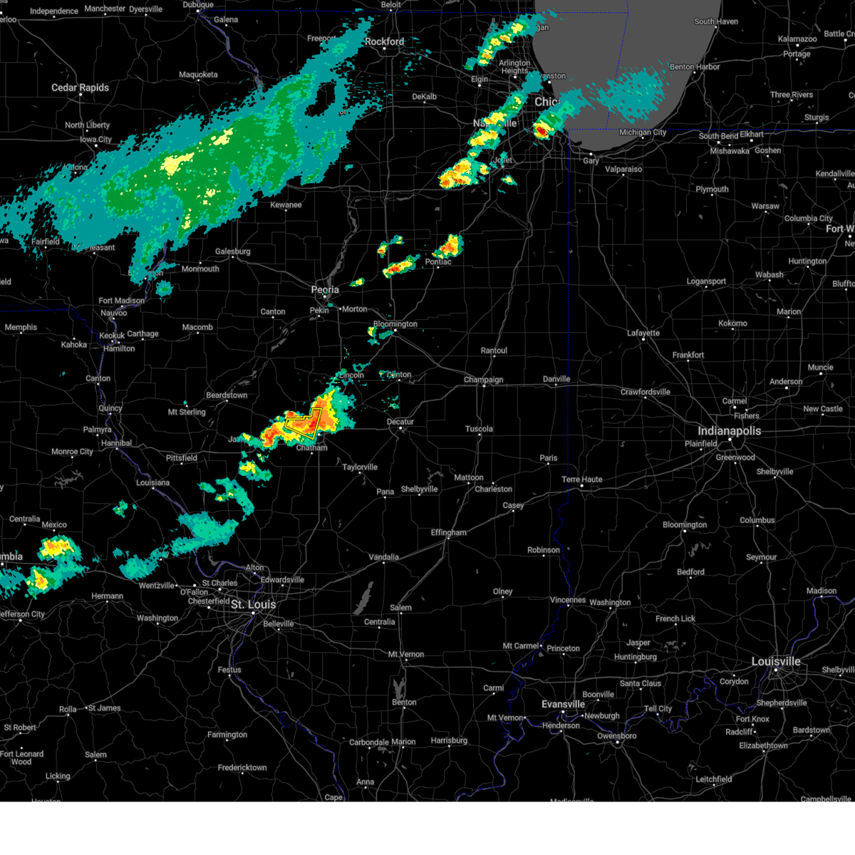 The storm which prompted the warning has moved out of the area. therefore, the warning has been allowed to expire. however, small hail and gusty winds are still possible with this thunderstorm. The storm which prompted the warning has moved out of the area. therefore, the warning has been allowed to expire. however, small hail and gusty winds are still possible with this thunderstorm.
|
| 6/8/2025 4:03 PM CDT | A large tree was damage in sangamon county IL, 5.8 miles SSW of Springfield, IL |
| 6/8/2025 3:51 PM CDT |
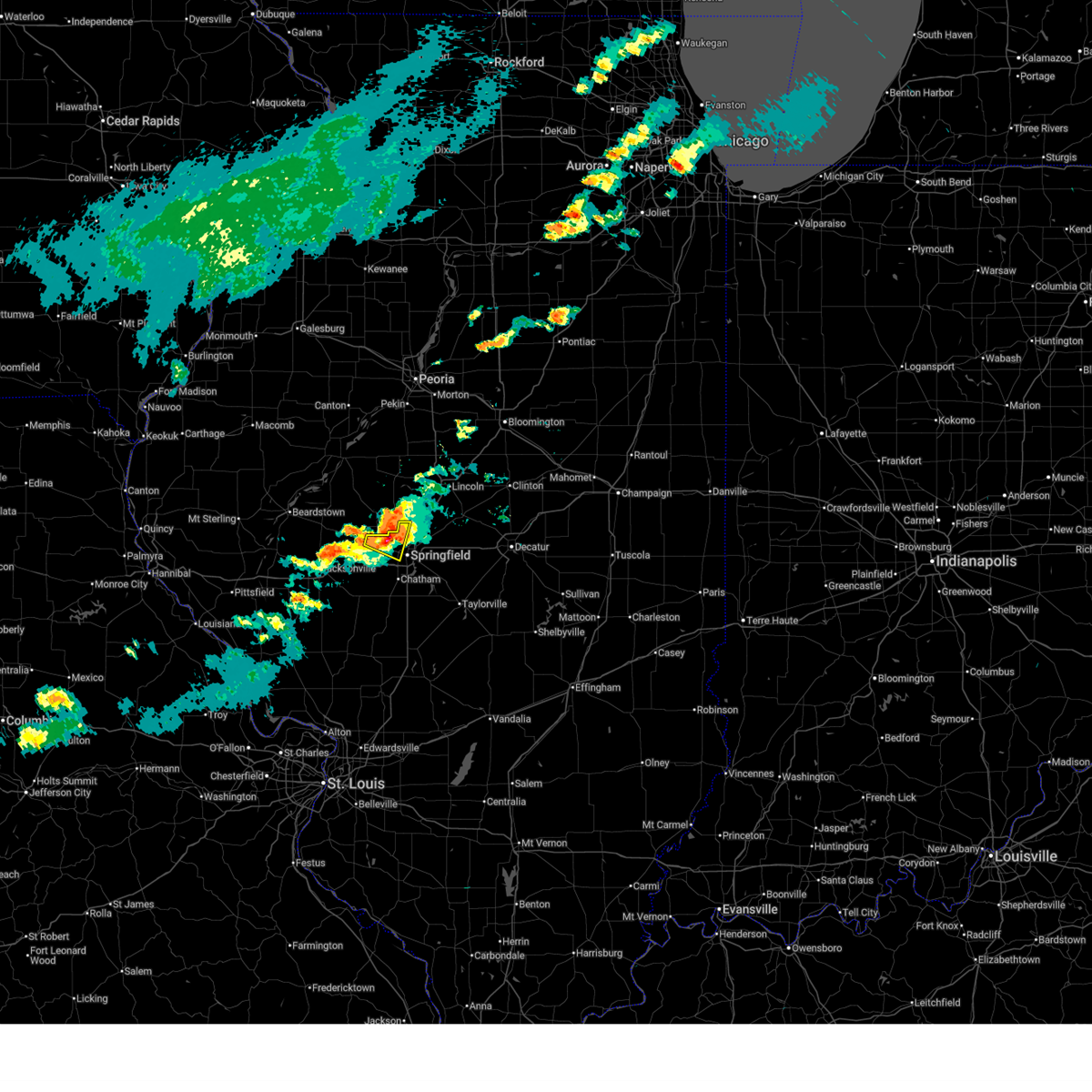 At 350 pm cdt, a severe thunderstorm was located near abraham lincoln capital airport, or near athens, moving east at 35 mph (radar indicated). Hazards include 60 mph wind gusts and half dollar size hail. Hail damage to vehicles is expected. expect wind damage to roofs, siding, and trees. this severe storm will be near, abraham lincoln capital airport around 355 pm cdt. Other locations impacted by this severe thunderstorm include salisbury, cantrall, and leland grove. At 350 pm cdt, a severe thunderstorm was located near abraham lincoln capital airport, or near athens, moving east at 35 mph (radar indicated). Hazards include 60 mph wind gusts and half dollar size hail. Hail damage to vehicles is expected. expect wind damage to roofs, siding, and trees. this severe storm will be near, abraham lincoln capital airport around 355 pm cdt. Other locations impacted by this severe thunderstorm include salisbury, cantrall, and leland grove.
|
| 6/8/2025 3:51 PM CDT |
 the severe thunderstorm warning has been cancelled and is no longer in effect the severe thunderstorm warning has been cancelled and is no longer in effect
|
| 6/8/2025 3:49 PM CDT |
 Svrilx the national weather service in lincoln has issued a * severe thunderstorm warning for, northwestern christian county in central illinois, central sangamon county in central illinois, * until 430 pm cdt. * at 349 pm cdt, a severe thunderstorm was located over abraham lincoln capital airport, or 7 miles south of athens, moving east at 40 mph (radar indicated). Hazards include 60 mph wind gusts and half dollar size hail. Hail damage to vehicles is expected. expect wind damage to roofs, siding, and trees. this severe thunderstorm will be near, springfield, sherman, abraham lincoln capital airport, and illinois state fairgrounds around 355 pm cdt. rochester and riverton around 400 pm cdt. other locations in the path of this severe thunderstorm include mechanicsburg. this includes the following highways, interstate 55 between mile markers 91 and 105. Interstate 72 between mile markers 96 and 123. Svrilx the national weather service in lincoln has issued a * severe thunderstorm warning for, northwestern christian county in central illinois, central sangamon county in central illinois, * until 430 pm cdt. * at 349 pm cdt, a severe thunderstorm was located over abraham lincoln capital airport, or 7 miles south of athens, moving east at 40 mph (radar indicated). Hazards include 60 mph wind gusts and half dollar size hail. Hail damage to vehicles is expected. expect wind damage to roofs, siding, and trees. this severe thunderstorm will be near, springfield, sherman, abraham lincoln capital airport, and illinois state fairgrounds around 355 pm cdt. rochester and riverton around 400 pm cdt. other locations in the path of this severe thunderstorm include mechanicsburg. this includes the following highways, interstate 55 between mile markers 91 and 105. Interstate 72 between mile markers 96 and 123.
|
| 6/8/2025 3:43 PM CDT |
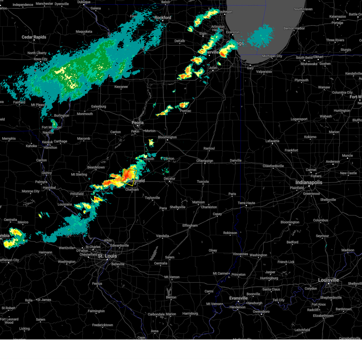 At 342 pm cdt, a severe thunderstorm was located near athens, moving east at 35 mph (radar indicated). Hazards include 60 mph wind gusts and half dollar size hail. Hail damage to vehicles is expected. expect wind damage to roofs, siding, and trees. this severe storm will be near, athens and abraham lincoln capital airport around 350 pm cdt. Other locations impacted by this severe thunderstorm include salisbury, lincolns new salem, cantrall, and leland grove. At 342 pm cdt, a severe thunderstorm was located near athens, moving east at 35 mph (radar indicated). Hazards include 60 mph wind gusts and half dollar size hail. Hail damage to vehicles is expected. expect wind damage to roofs, siding, and trees. this severe storm will be near, athens and abraham lincoln capital airport around 350 pm cdt. Other locations impacted by this severe thunderstorm include salisbury, lincolns new salem, cantrall, and leland grove.
|
| 6/8/2025 3:32 PM CDT |
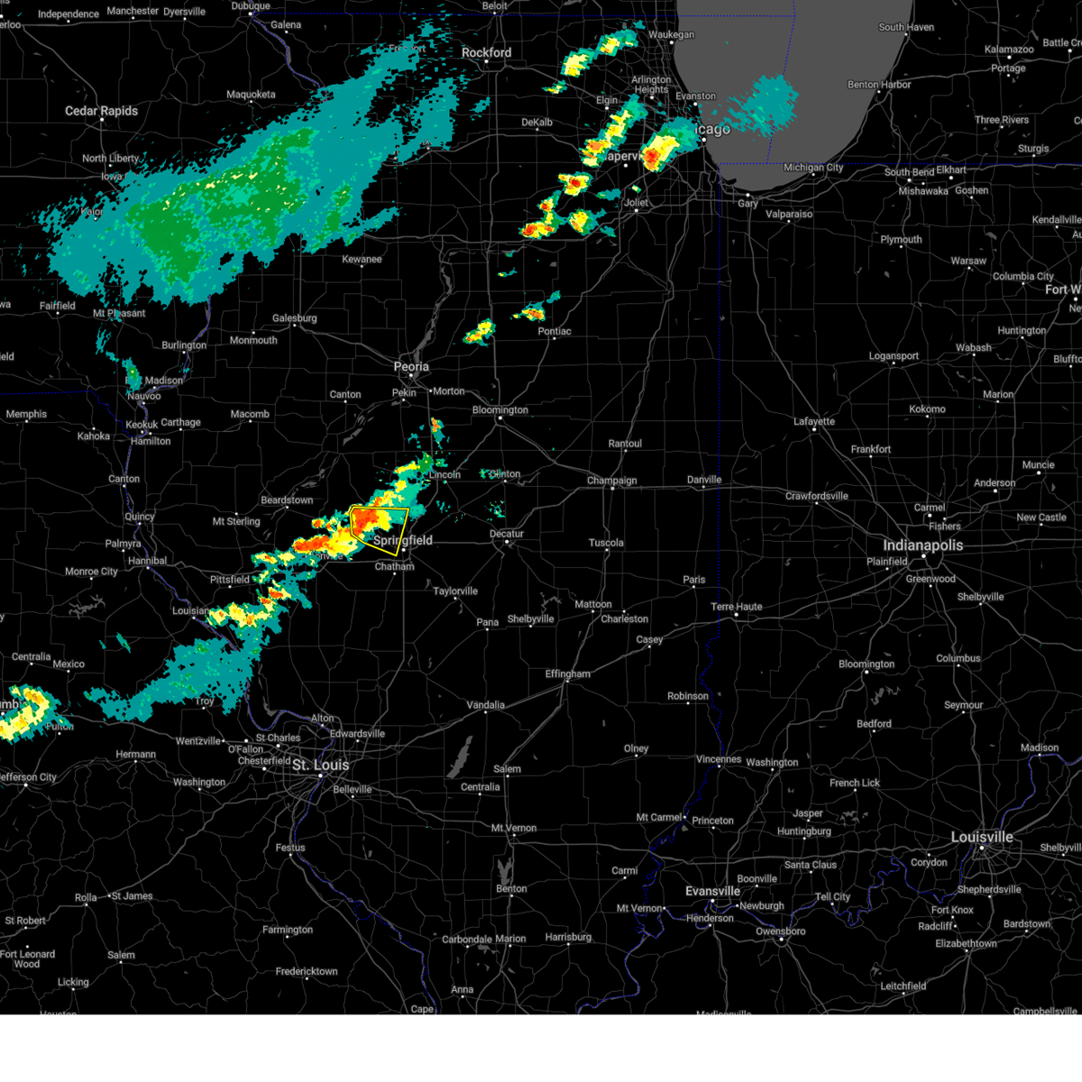 At 332 pm cdt, a severe thunderstorm was located over tallula, or near petersburg, moving east at 35 mph (radar indicated). Hazards include 60 mph wind gusts and quarter size hail. Hail damage to vehicles is expected. expect wind damage to roofs, siding, and trees. this severe storm will be near, athens around 340 pm cdt. abraham lincoln capital airport around 350 pm cdt. Other locations impacted by this severe thunderstorm include salisbury, lincolns new salem, cantrall, and leland grove. At 332 pm cdt, a severe thunderstorm was located over tallula, or near petersburg, moving east at 35 mph (radar indicated). Hazards include 60 mph wind gusts and quarter size hail. Hail damage to vehicles is expected. expect wind damage to roofs, siding, and trees. this severe storm will be near, athens around 340 pm cdt. abraham lincoln capital airport around 350 pm cdt. Other locations impacted by this severe thunderstorm include salisbury, lincolns new salem, cantrall, and leland grove.
|
| 6/8/2025 3:32 PM CDT |
 the severe thunderstorm warning has been cancelled and is no longer in effect the severe thunderstorm warning has been cancelled and is no longer in effect
|
| 6/8/2025 3:26 PM CDT |
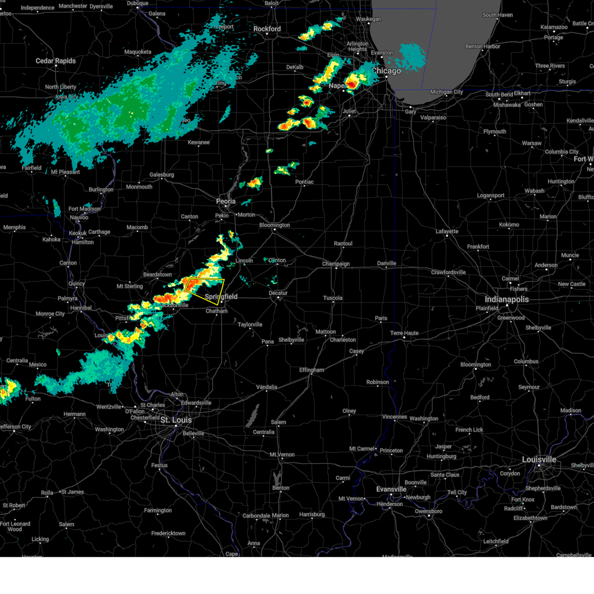 Svrilx the national weather service in lincoln has issued a * severe thunderstorm warning for, southern menard county in central illinois, northwestern sangamon county in central illinois, southeastern cass county in west central illinois, * until 400 pm cdt. * at 325 pm cdt, a severe thunderstorm was located over tallula, or 7 miles southwest of petersburg, moving east at 35 mph (radar indicated). Hazards include 60 mph wind gusts and quarter size hail. Hail damage to vehicles is expected. expect wind damage to roofs, siding, and trees. this severe thunderstorm will be near, pleasant plains and tallula around 330 pm cdt. athens around 340 pm cdt. Other locations in the path of this severe thunderstorm include abraham lincoln capital airport. Svrilx the national weather service in lincoln has issued a * severe thunderstorm warning for, southern menard county in central illinois, northwestern sangamon county in central illinois, southeastern cass county in west central illinois, * until 400 pm cdt. * at 325 pm cdt, a severe thunderstorm was located over tallula, or 7 miles southwest of petersburg, moving east at 35 mph (radar indicated). Hazards include 60 mph wind gusts and quarter size hail. Hail damage to vehicles is expected. expect wind damage to roofs, siding, and trees. this severe thunderstorm will be near, pleasant plains and tallula around 330 pm cdt. athens around 340 pm cdt. Other locations in the path of this severe thunderstorm include abraham lincoln capital airport.
|
| 5/20/2025 2:53 PM CDT |
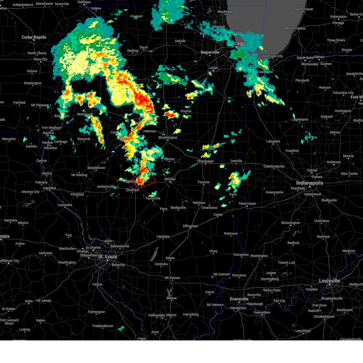 At 253 pm cdt, a severe thunderstorm capable of producing a tornado was located over riverton, moving northeast at 35 mph (radar indicated rotation). Hazards include tornado and golf ball size hail. Flying debris will be dangerous to those caught without shelter. mobile homes will be damaged or destroyed. damage to roofs, windows, and vehicles will occur. tree damage is likely. this dangerous storm will be near, riverton, dawson, and buffalo around 300 pm cdt. cornland around 305 pm cdt. other locations impacted by this tornadic thunderstorm include clear lake, spaulding, and grandview. this includes the following highways, interstate 55 between mile markers 95 and 113. Interstate 72 between mile markers 101 and 123. At 253 pm cdt, a severe thunderstorm capable of producing a tornado was located over riverton, moving northeast at 35 mph (radar indicated rotation). Hazards include tornado and golf ball size hail. Flying debris will be dangerous to those caught without shelter. mobile homes will be damaged or destroyed. damage to roofs, windows, and vehicles will occur. tree damage is likely. this dangerous storm will be near, riverton, dawson, and buffalo around 300 pm cdt. cornland around 305 pm cdt. other locations impacted by this tornadic thunderstorm include clear lake, spaulding, and grandview. this includes the following highways, interstate 55 between mile markers 95 and 113. Interstate 72 between mile markers 101 and 123.
|
| 5/20/2025 2:46 PM CDT |
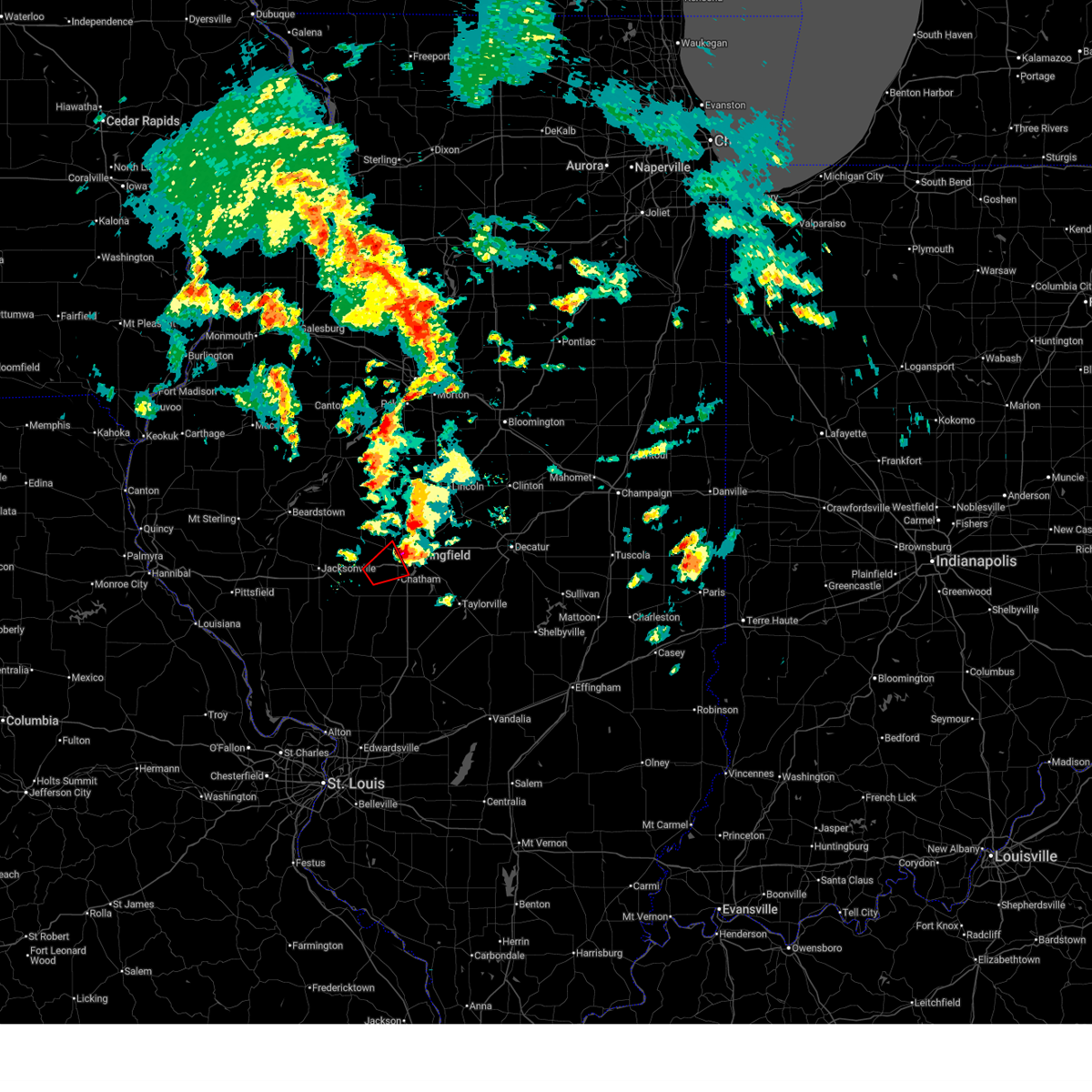 the tornado warning has been cancelled and is no longer in effect the tornado warning has been cancelled and is no longer in effect
|
| 5/20/2025 2:41 PM CDT | Half Dollar sized hail reported 3.6 miles SE of Springfield, IL |
| 5/20/2025 2:40 PM CDT | Ping Pong Ball sized hail reported 4.7 miles ESE of Springfield, IL, west side of springfield near the intersection of archer elevator and greenbriar rds. |
| 5/20/2025 2:36 PM CDT |
 Torilx the national weather service in lincoln has issued a * tornado warning for, southwestern logan county in central illinois, northern sangamon county in central illinois, * until 315 pm cdt. * at 236 pm cdt, a confirmed tornado was located near curran, moving northeast at 35 mph (weather spotters confirmed tornado). Hazards include damaging tornado and golf ball size hail. Flying debris will be dangerous to those caught without shelter. mobile homes will be damaged or destroyed. damage to roofs, windows, and vehicles will occur. tree damage is likely. the tornado will be near, springfield, abraham lincoln capital airport, and illinois state fairgrounds around 240 pm cdt. sherman and riverton around 250 pm cdt. other locations in the path of this tornadic thunderstorm include dawson, williamsville and cornland. this includes the following highways, interstate 55 between mile markers 91 and 113. Interstate 72 between mile markers 92 and 123. Torilx the national weather service in lincoln has issued a * tornado warning for, southwestern logan county in central illinois, northern sangamon county in central illinois, * until 315 pm cdt. * at 236 pm cdt, a confirmed tornado was located near curran, moving northeast at 35 mph (weather spotters confirmed tornado). Hazards include damaging tornado and golf ball size hail. Flying debris will be dangerous to those caught without shelter. mobile homes will be damaged or destroyed. damage to roofs, windows, and vehicles will occur. tree damage is likely. the tornado will be near, springfield, abraham lincoln capital airport, and illinois state fairgrounds around 240 pm cdt. sherman and riverton around 250 pm cdt. other locations in the path of this tornadic thunderstorm include dawson, williamsville and cornland. this includes the following highways, interstate 55 between mile markers 91 and 113. Interstate 72 between mile markers 92 and 123.
|
| 5/20/2025 2:34 PM CDT | Ping Pong Ball sized hail reported 4.9 miles SE of Springfield, IL, delayed report. ping pong sized hail near interchange of highway 97 and highway 4. |
| 5/20/2025 2:31 PM CDT |
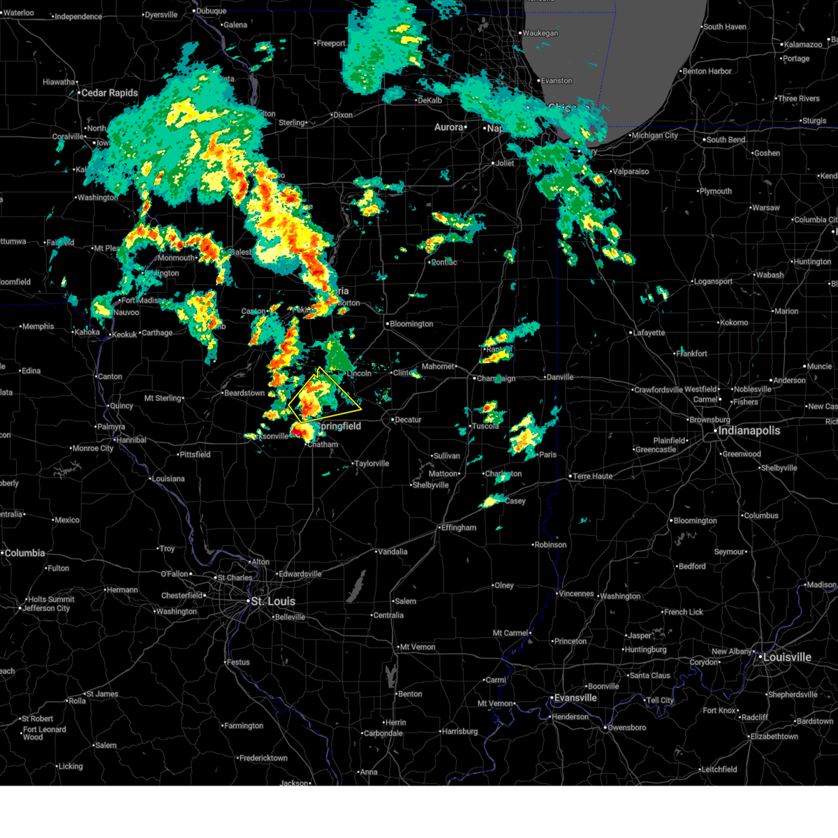 Svrilx the national weather service in lincoln has issued a * severe thunderstorm warning for, eastern menard county in central illinois, southwestern logan county in central illinois, northeastern sangamon county in central illinois, * until 315 pm cdt. * at 231 pm cdt, a severe thunderstorm was located over abraham lincoln capital airport, or near athens, moving northeast at 35 mph (radar indicated). Hazards include 60 mph wind gusts and quarter size hail. Hail damage to vehicles is expected. expect wind damage to roofs, siding, and trees. this severe thunderstorm will be near, sherman around 235 pm cdt. williamsville around 240 pm cdt. elkhart around 250 pm cdt. This includes interstate 55 between mile markers 101 and 119. Svrilx the national weather service in lincoln has issued a * severe thunderstorm warning for, eastern menard county in central illinois, southwestern logan county in central illinois, northeastern sangamon county in central illinois, * until 315 pm cdt. * at 231 pm cdt, a severe thunderstorm was located over abraham lincoln capital airport, or near athens, moving northeast at 35 mph (radar indicated). Hazards include 60 mph wind gusts and quarter size hail. Hail damage to vehicles is expected. expect wind damage to roofs, siding, and trees. this severe thunderstorm will be near, sherman around 235 pm cdt. williamsville around 240 pm cdt. elkhart around 250 pm cdt. This includes interstate 55 between mile markers 101 and 119.
|
| 5/20/2025 2:25 PM CDT |
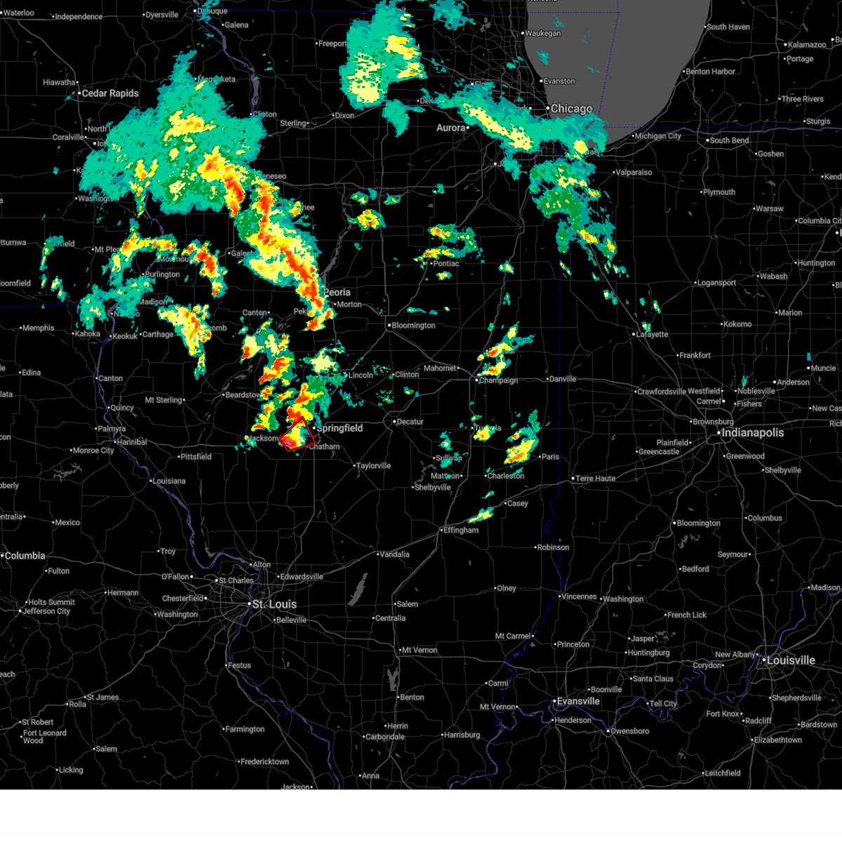 At 225 pm cdt, a severe thunderstorm capable of producing a tornado was located just north of loami, or 11 miles west of springfield, moving northeast at 35 mph (radar indicated rotation). Hazards include tornado and half dollar size hail. Flying debris will be dangerous to those caught without shelter. mobile homes will be damaged or destroyed. damage to roofs, windows, and vehicles will occur. tree damage is likely. this dangerous storm will be near, springfield around 230 pm cdt. other locations impacted by this tornadic thunderstorm include jerome, curran, leland grove, and berlin. this includes the following highways, interstate 55 between mile markers 89 and 90. Interstate 72 between mile markers 83 and 97. At 225 pm cdt, a severe thunderstorm capable of producing a tornado was located just north of loami, or 11 miles west of springfield, moving northeast at 35 mph (radar indicated rotation). Hazards include tornado and half dollar size hail. Flying debris will be dangerous to those caught without shelter. mobile homes will be damaged or destroyed. damage to roofs, windows, and vehicles will occur. tree damage is likely. this dangerous storm will be near, springfield around 230 pm cdt. other locations impacted by this tornadic thunderstorm include jerome, curran, leland grove, and berlin. this includes the following highways, interstate 55 between mile markers 89 and 90. Interstate 72 between mile markers 83 and 97.
|
| 5/20/2025 2:13 PM CDT |
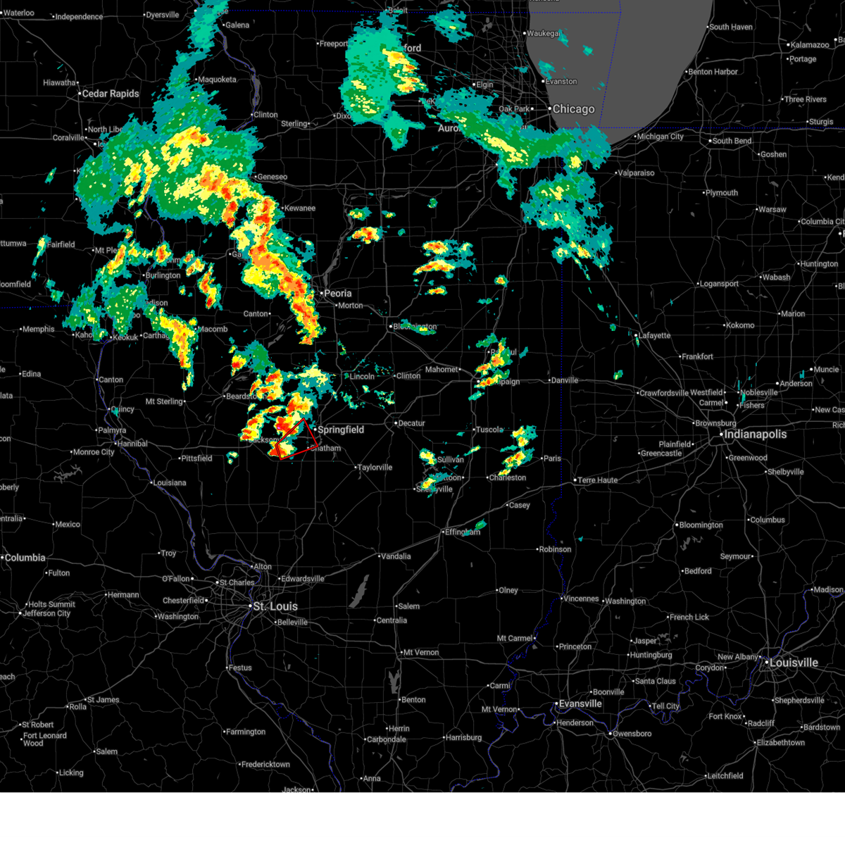 Torilx the national weather service in lincoln has issued a * tornado warning for, west central sangamon county in central illinois, * until 300 pm cdt. * at 213 pm cdt, a severe thunderstorm capable of producing a tornado was located near waverly, or 13 miles northwest of virden, moving northeast at 30 mph (radar indicated rotation). Hazards include tornado and half dollar size hail. Flying debris will be dangerous to those caught without shelter. mobile homes will be damaged or destroyed. damage to roofs, windows, and vehicles will occur. tree damage is likely. this dangerous storm will be near, new berlin and loami around 220 pm cdt. springfield around 230 pm cdt. this includes the following highways, interstate 55 between mile markers 88 and 90. Interstate 72 between mile markers 83 and 97. Torilx the national weather service in lincoln has issued a * tornado warning for, west central sangamon county in central illinois, * until 300 pm cdt. * at 213 pm cdt, a severe thunderstorm capable of producing a tornado was located near waverly, or 13 miles northwest of virden, moving northeast at 30 mph (radar indicated rotation). Hazards include tornado and half dollar size hail. Flying debris will be dangerous to those caught without shelter. mobile homes will be damaged or destroyed. damage to roofs, windows, and vehicles will occur. tree damage is likely. this dangerous storm will be near, new berlin and loami around 220 pm cdt. springfield around 230 pm cdt. this includes the following highways, interstate 55 between mile markers 88 and 90. Interstate 72 between mile markers 83 and 97.
|
| 5/20/2025 2:03 PM CDT |
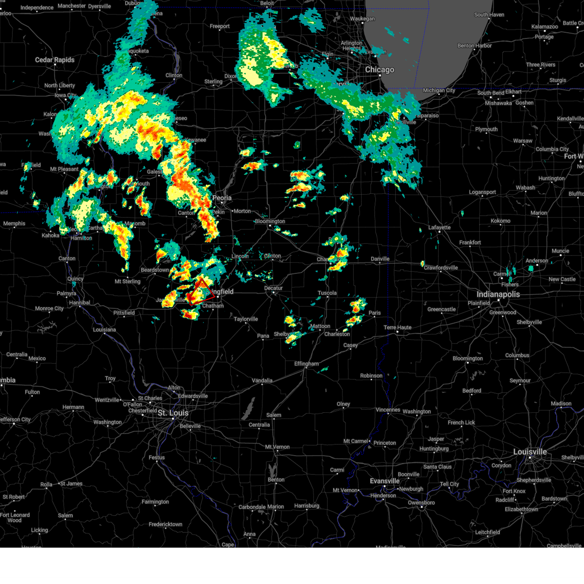 Torilx the national weather service in lincoln has issued a * tornado warning for, south central menard county in central illinois, northwestern sangamon county in central illinois, * until 245 pm cdt. * at 202 pm cdt, a severe thunderstorm capable of producing a tornado was located near new berlin, or 14 miles east of jacksonville, moving northeast at 35 mph (radar indicated rotation). Hazards include tornado and golf ball size hail. Flying debris will be dangerous to those caught without shelter. mobile homes will be damaged or destroyed. damage to roofs, windows, and vehicles will occur. tree damage is likely. this dangerous storm will be near, pleasant plains around 210 pm cdt. This includes interstate 72 between mile markers 80 and 83. Torilx the national weather service in lincoln has issued a * tornado warning for, south central menard county in central illinois, northwestern sangamon county in central illinois, * until 245 pm cdt. * at 202 pm cdt, a severe thunderstorm capable of producing a tornado was located near new berlin, or 14 miles east of jacksonville, moving northeast at 35 mph (radar indicated rotation). Hazards include tornado and golf ball size hail. Flying debris will be dangerous to those caught without shelter. mobile homes will be damaged or destroyed. damage to roofs, windows, and vehicles will occur. tree damage is likely. this dangerous storm will be near, pleasant plains around 210 pm cdt. This includes interstate 72 between mile markers 80 and 83.
|
| 5/16/2025 3:38 PM CDT |
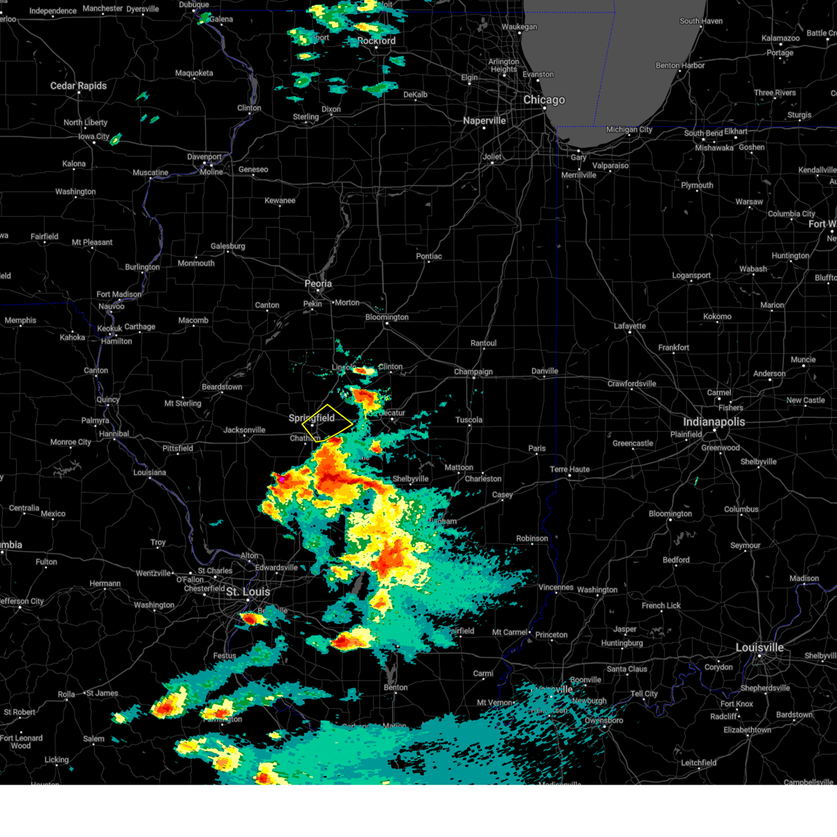 The severe thunderstorm which prompted the warning has moved out of the warned area. therefore, the warning will be allowed to expire. another severe thunderstorm warning is in effect for southeast sangamon county until 415 pm cdt. a tornado watch remains in effect until 1000 pm cdt for central illinois. The severe thunderstorm which prompted the warning has moved out of the warned area. therefore, the warning will be allowed to expire. another severe thunderstorm warning is in effect for southeast sangamon county until 415 pm cdt. a tornado watch remains in effect until 1000 pm cdt for central illinois.
|
| 5/16/2025 3:20 PM CDT | Ping Pong Ball sized hail reported 6.6 miles SW of Springfield, IL, near camp butler national cemetery. |
| 5/16/2025 3:20 PM CDT |
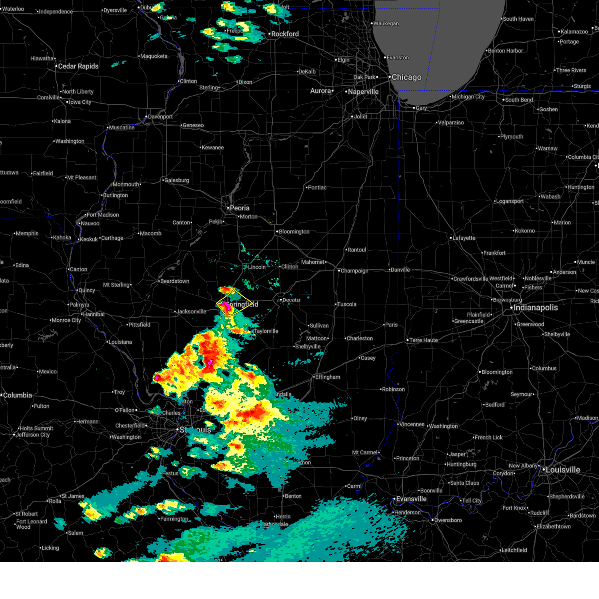 At 320 pm cdt, a severe thunderstorm was located over riverton, or 7 miles northeast of springfield, moving northeast at 70 mph (radar indicated). Hazards include two inch hail and 70 mph wind gusts. People and animals outdoors will be injured. expect hail damage to roofs, siding, windows, and vehicles. expect considerable tree damage. wind damage is also likely to mobile homes, roofs, and outbuildings. this severe storm will be near, dawson and buffalo around 325 pm cdt. other locations impacted by this severe thunderstorm include clear lake, southern view, spaulding, grandview, jerome, and leland grove. this includes the following highways, interstate 55 between mile markers 91 and 103. Interstate 72 between mile markers 98 and 118. At 320 pm cdt, a severe thunderstorm was located over riverton, or 7 miles northeast of springfield, moving northeast at 70 mph (radar indicated). Hazards include two inch hail and 70 mph wind gusts. People and animals outdoors will be injured. expect hail damage to roofs, siding, windows, and vehicles. expect considerable tree damage. wind damage is also likely to mobile homes, roofs, and outbuildings. this severe storm will be near, dawson and buffalo around 325 pm cdt. other locations impacted by this severe thunderstorm include clear lake, southern view, spaulding, grandview, jerome, and leland grove. this includes the following highways, interstate 55 between mile markers 91 and 103. Interstate 72 between mile markers 98 and 118.
|
| 5/16/2025 3:17 PM CDT | Golf Ball sized hail reported 1.3 miles W of Springfield, IL |
| 5/16/2025 3:16 PM CDT | Power poles were broken and power lines were blown down in the harvard park neighborhoo in sangamon county IL, 0.7 miles SSW of Springfield, IL |
| 5/16/2025 3:10 PM CDT |
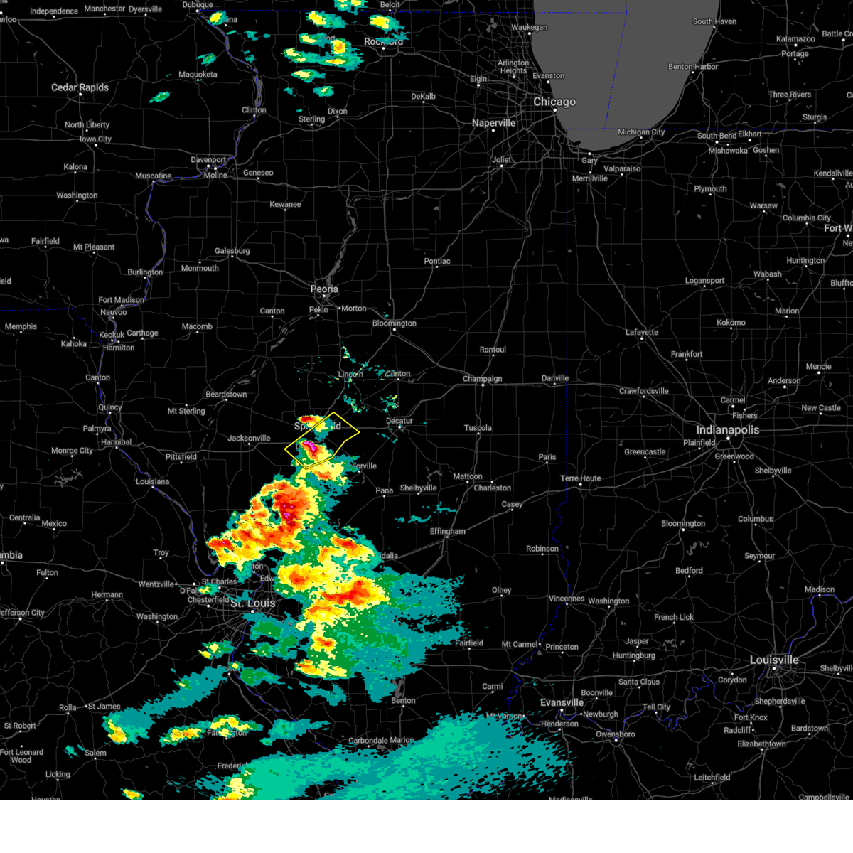 At 309 pm cdt, a severe thunderstorm was located near chatham, or near springfield, moving northeast at 65 mph (radar indicated). Hazards include 70 mph wind gusts and ping pong ball size hail. People and animals outdoors will be injured. expect hail damage to roofs, siding, windows, and vehicles. expect considerable tree damage. wind damage is also likely to mobile homes, roofs, and outbuildings. this severe storm will be near, springfield, rochester, and illinois state fairgrounds around 315 pm cdt. sherman and riverton around 320 pm cdt. dawson around 325 pm cdt. other locations impacted by this severe thunderstorm include spaulding, curran, glenarm, clear lake, southern view, grandview, jerome, and leland grove. this includes the following highways, interstate 55 between mile markers 83 and 103. Interstate 72 between mile markers 87 and 118. At 309 pm cdt, a severe thunderstorm was located near chatham, or near springfield, moving northeast at 65 mph (radar indicated). Hazards include 70 mph wind gusts and ping pong ball size hail. People and animals outdoors will be injured. expect hail damage to roofs, siding, windows, and vehicles. expect considerable tree damage. wind damage is also likely to mobile homes, roofs, and outbuildings. this severe storm will be near, springfield, rochester, and illinois state fairgrounds around 315 pm cdt. sherman and riverton around 320 pm cdt. dawson around 325 pm cdt. other locations impacted by this severe thunderstorm include spaulding, curran, glenarm, clear lake, southern view, grandview, jerome, and leland grove. this includes the following highways, interstate 55 between mile markers 83 and 103. Interstate 72 between mile markers 87 and 118.
|
| 5/16/2025 3:00 PM CDT |
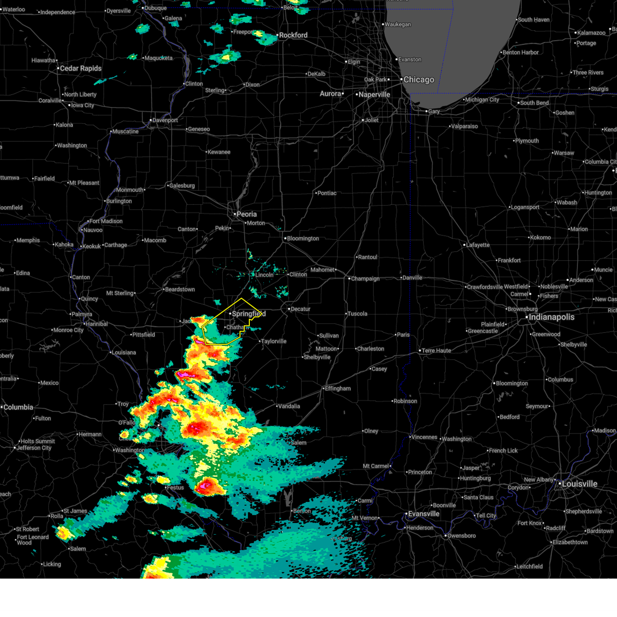 Svrilx the national weather service in lincoln has issued a * severe thunderstorm warning for, sangamon county in central illinois, * until 345 pm cdt. * at 300 pm cdt, a severe thunderstorm was located near waverly, or 8 miles northwest of virden, moving northeast at 55 mph (radar indicated). Hazards include 60 mph wind gusts and quarter size hail. Hail damage to vehicles is expected. expect wind damage to roofs, siding, and trees. this severe thunderstorm will be near, auburn around 305 pm cdt. chatham around 310 pm cdt. springfield around 315 pm cdt. rochester around 320 pm cdt. other locations in the path of this severe thunderstorm include mechanicsburg, dawson and buffalo. this includes the following highways, interstate 55 between mile markers 78 and 103. Interstate 72 between mile markers 87 and 118. Svrilx the national weather service in lincoln has issued a * severe thunderstorm warning for, sangamon county in central illinois, * until 345 pm cdt. * at 300 pm cdt, a severe thunderstorm was located near waverly, or 8 miles northwest of virden, moving northeast at 55 mph (radar indicated). Hazards include 60 mph wind gusts and quarter size hail. Hail damage to vehicles is expected. expect wind damage to roofs, siding, and trees. this severe thunderstorm will be near, auburn around 305 pm cdt. chatham around 310 pm cdt. springfield around 315 pm cdt. rochester around 320 pm cdt. other locations in the path of this severe thunderstorm include mechanicsburg, dawson and buffalo. this includes the following highways, interstate 55 between mile markers 78 and 103. Interstate 72 between mile markers 87 and 118.
|
| 5/15/2025 7:15 PM CDT |
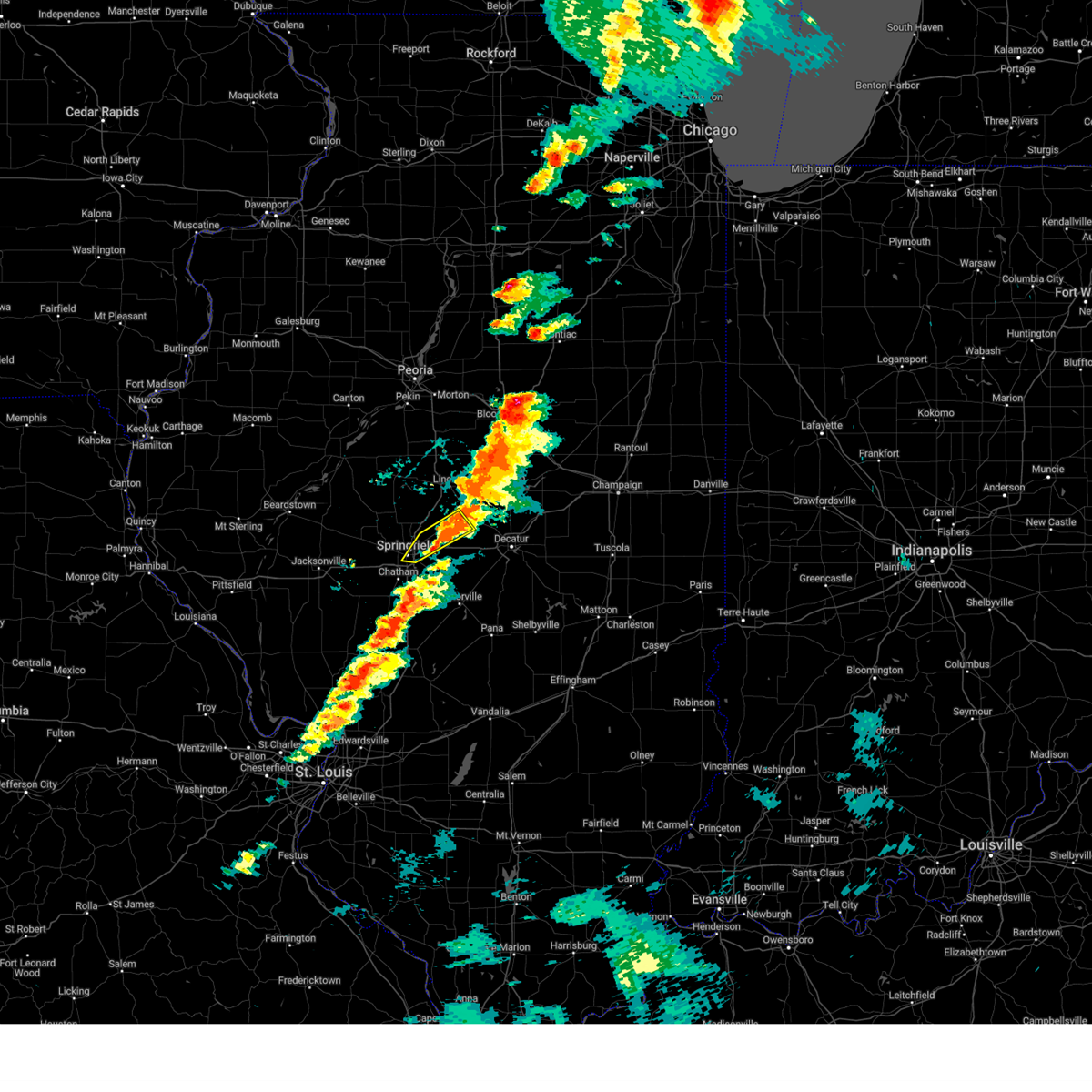 The storm which prompted the warning has moved out of the area. therefore, the warning will be allowed to expire. a tornado watch remains in effect until 1000 pm cdt for central illinois. a new severe thunderstorm warning has been issued for far eastern sangamon county. The storm which prompted the warning has moved out of the area. therefore, the warning will be allowed to expire. a tornado watch remains in effect until 1000 pm cdt for central illinois. a new severe thunderstorm warning has been issued for far eastern sangamon county.
|
| 5/15/2025 7:01 PM CDT |
 At 701 pm cdt, a severe thunderstorm was located over dawson, or 11 miles northeast of springfield, moving northeast at 45 mph (radar indicated). Hazards include 60 mph wind gusts and quarter size hail. Hail damage to vehicles is expected. expect wind damage to roofs, siding, and trees. this severe storm will be near, buffalo and cornland around 705 pm cdt. other locations impacted by this severe thunderstorm include clear lake, spaulding, grandview, jerome, and leland grove. this includes the following highways, interstate 55 between mile markers 95 and 101. Interstate 72 between mile markers 101 and 114. At 701 pm cdt, a severe thunderstorm was located over dawson, or 11 miles northeast of springfield, moving northeast at 45 mph (radar indicated). Hazards include 60 mph wind gusts and quarter size hail. Hail damage to vehicles is expected. expect wind damage to roofs, siding, and trees. this severe storm will be near, buffalo and cornland around 705 pm cdt. other locations impacted by this severe thunderstorm include clear lake, spaulding, grandview, jerome, and leland grove. this includes the following highways, interstate 55 between mile markers 95 and 101. Interstate 72 between mile markers 101 and 114.
|
| 5/15/2025 6:56 PM CDT |
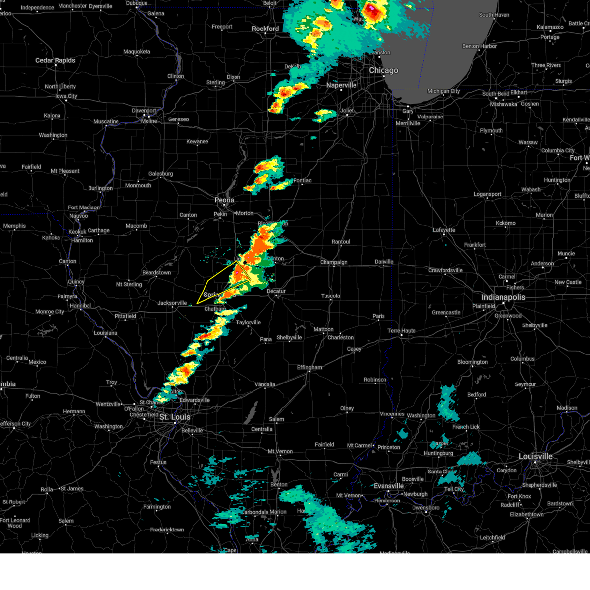 The storm which prompted the warning has moved out of the area. therefore, the warning will be allowed to expire. a tornado watch remains in effect until 1000 pm cdt for central illinois. to report severe weather, contact your nearest law enforcement agency. they will relay your report to the national weather service lincoln. severe thunderstorm warnings continue over a large part of the remainder of logan county and northeast sangamon county. The storm which prompted the warning has moved out of the area. therefore, the warning will be allowed to expire. a tornado watch remains in effect until 1000 pm cdt for central illinois. to report severe weather, contact your nearest law enforcement agency. they will relay your report to the national weather service lincoln. severe thunderstorm warnings continue over a large part of the remainder of logan county and northeast sangamon county.
|
| 5/15/2025 6:48 PM CDT |
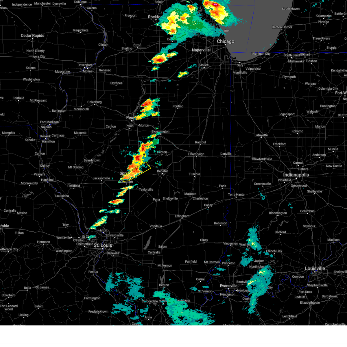 At 648 pm cdt, a severe thunderstorm was located over dawson, or 12 miles northeast of springfield, moving northeast at 55 mph (radar indicated). Hazards include 60 mph wind gusts and quarter size hail. Hail damage to vehicles is expected. expect wind damage to roofs, siding, and trees. this severe storm will be near, cornland around 655 pm cdt. mount pulaski around 700 pm cdt. other locations impacted by this severe thunderstorm include spaulding, curran, clear lake, southern view, grandview, jerome, and leland grove. this includes the following highways, interstate 55 between mile markers 92 and 103. Interstate 72 between mile markers 91 and 114. At 648 pm cdt, a severe thunderstorm was located over dawson, or 12 miles northeast of springfield, moving northeast at 55 mph (radar indicated). Hazards include 60 mph wind gusts and quarter size hail. Hail damage to vehicles is expected. expect wind damage to roofs, siding, and trees. this severe storm will be near, cornland around 655 pm cdt. mount pulaski around 700 pm cdt. other locations impacted by this severe thunderstorm include spaulding, curran, clear lake, southern view, grandview, jerome, and leland grove. this includes the following highways, interstate 55 between mile markers 92 and 103. Interstate 72 between mile markers 91 and 114.
|
| 5/15/2025 6:33 PM CDT |
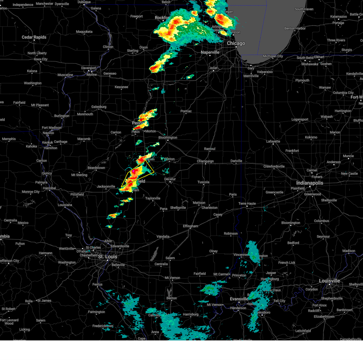 At 632 pm cdt, a severe thunderstorm was located near athens, moving northeast at 55 mph (radar indicated). Hazards include two inch hail and 60 mph wind gusts. People and animals outdoors will be injured. expect hail damage to roofs, siding, windows, and vehicles. expect wind damage to roofs, siding, and trees. this severe storm will be near, elkhart around 640 pm cdt. other locations impacted by this severe thunderstorm include salisbury, cantrall, fancy prairie, and broadwell. This includes interstate 55 between mile markers 103 and 124. At 632 pm cdt, a severe thunderstorm was located near athens, moving northeast at 55 mph (radar indicated). Hazards include two inch hail and 60 mph wind gusts. People and animals outdoors will be injured. expect hail damage to roofs, siding, windows, and vehicles. expect wind damage to roofs, siding, and trees. this severe storm will be near, elkhart around 640 pm cdt. other locations impacted by this severe thunderstorm include salisbury, cantrall, fancy prairie, and broadwell. This includes interstate 55 between mile markers 103 and 124.
|
| 5/15/2025 6:26 PM CDT |
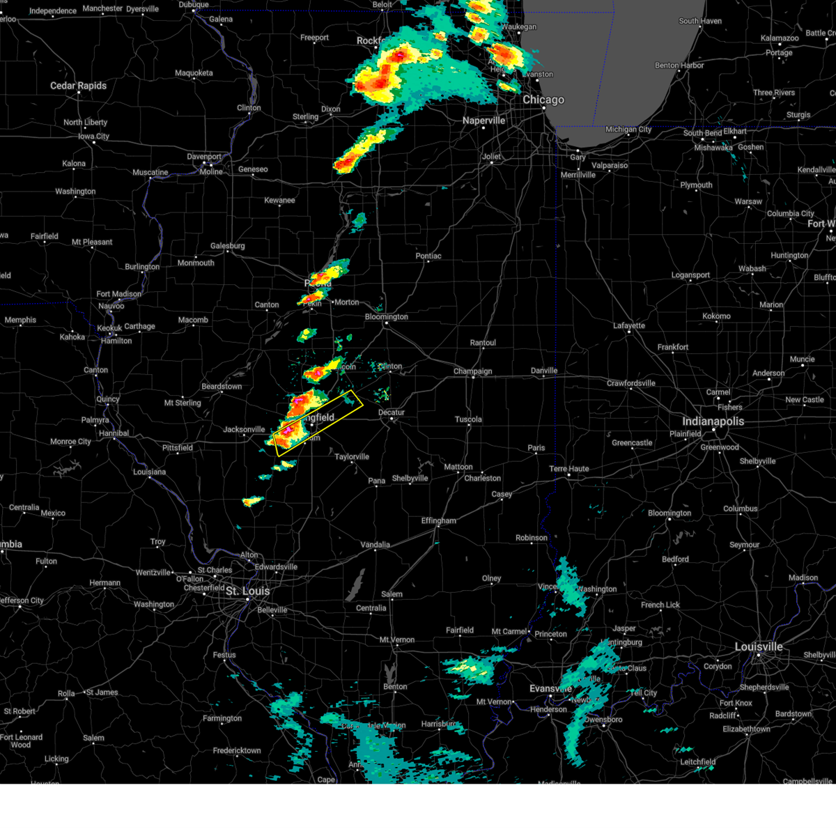 Svrilx the national weather service in lincoln has issued a * severe thunderstorm warning for, south central logan county in central illinois, central sangamon county in central illinois, * until 715 pm cdt. * at 625 pm cdt, a severe thunderstorm was located near new berlin, or 10 miles west of springfield, moving northeast at 55 mph (radar indicated). Hazards include 60 mph wind gusts and half dollar size hail. Hail damage to vehicles is expected. expect wind damage to roofs, siding, and trees. this severe thunderstorm will be near, springfield and abraham lincoln capital airport around 630 pm cdt. sherman and illinois state fairgrounds around 635 pm cdt. riverton around 640 pm cdt. other locations in the path of this severe thunderstorm include cornland and mount pulaski. this includes the following highways, interstate 55 between mile markers 91 and 104. Interstate 72 between mile markers 80 and 115. Svrilx the national weather service in lincoln has issued a * severe thunderstorm warning for, south central logan county in central illinois, central sangamon county in central illinois, * until 715 pm cdt. * at 625 pm cdt, a severe thunderstorm was located near new berlin, or 10 miles west of springfield, moving northeast at 55 mph (radar indicated). Hazards include 60 mph wind gusts and half dollar size hail. Hail damage to vehicles is expected. expect wind damage to roofs, siding, and trees. this severe thunderstorm will be near, springfield and abraham lincoln capital airport around 630 pm cdt. sherman and illinois state fairgrounds around 635 pm cdt. riverton around 640 pm cdt. other locations in the path of this severe thunderstorm include cornland and mount pulaski. this includes the following highways, interstate 55 between mile markers 91 and 104. Interstate 72 between mile markers 80 and 115.
|
| 5/15/2025 6:20 PM CDT |
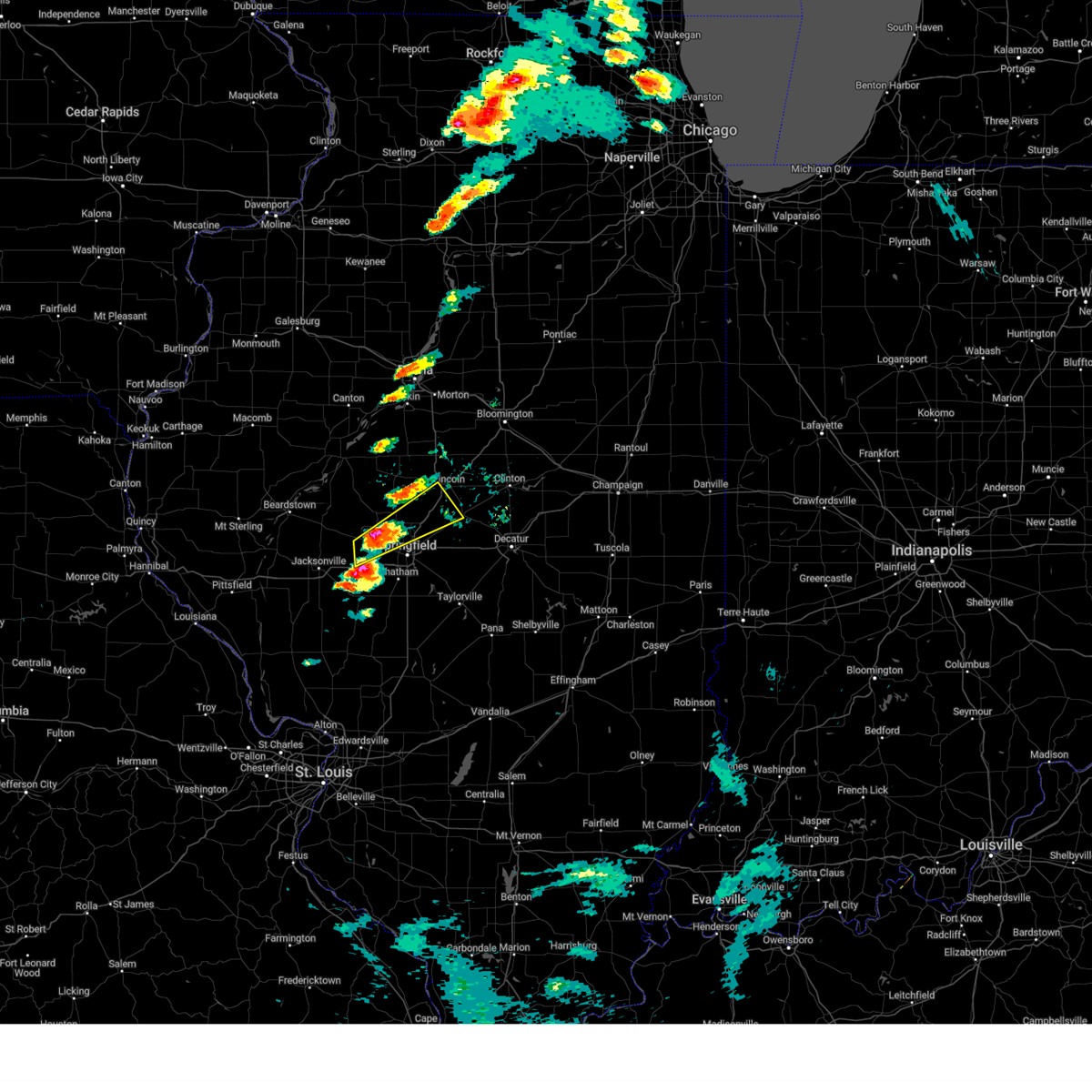 At 620 pm cdt, a severe thunderstorm was located near pleasant plains, or 7 miles southwest of athens, moving northeast at 55 mph (radar indicated. at 617 pm, dime size hail was reported in pleasant plains). Hazards include ping pong ball size hail and 60 mph wind gusts. People and animals outdoors will be injured. expect hail damage to roofs, siding, windows, and vehicles. expect wind damage to roofs, siding, and trees. this severe storm will be near, athens around 625 pm cdt. williamsville around 635 pm cdt. elkhart around 640 pm cdt. other locations impacted by this severe thunderstorm include salisbury, cantrall, fancy prairie, and broadwell. This includes interstate 55 between mile markers 103 and 124. At 620 pm cdt, a severe thunderstorm was located near pleasant plains, or 7 miles southwest of athens, moving northeast at 55 mph (radar indicated. at 617 pm, dime size hail was reported in pleasant plains). Hazards include ping pong ball size hail and 60 mph wind gusts. People and animals outdoors will be injured. expect hail damage to roofs, siding, windows, and vehicles. expect wind damage to roofs, siding, and trees. this severe storm will be near, athens around 625 pm cdt. williamsville around 635 pm cdt. elkhart around 640 pm cdt. other locations impacted by this severe thunderstorm include salisbury, cantrall, fancy prairie, and broadwell. This includes interstate 55 between mile markers 103 and 124.
|
| 5/15/2025 6:12 PM CDT |
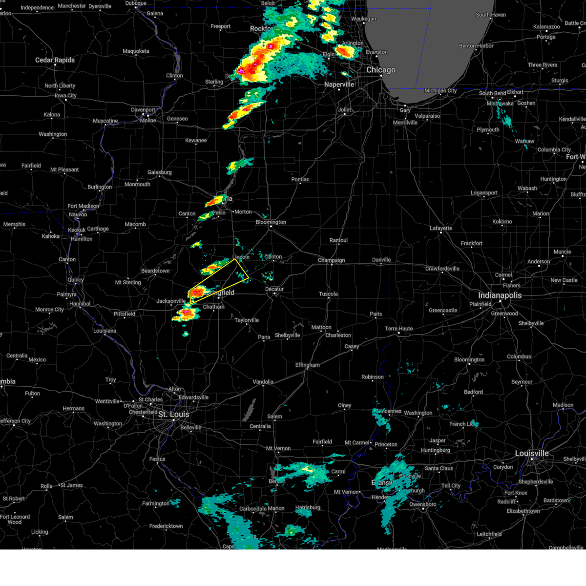 Svrilx the national weather service in lincoln has issued a * severe thunderstorm warning for, southeastern menard county in central illinois, southwestern logan county in central illinois, northwestern sangamon county in central illinois, * until 700 pm cdt. * at 612 pm cdt, a severe thunderstorm was located over pleasant plains, or 13 miles south of petersburg, moving northeast at 55 mph (radar indicated). Hazards include 60 mph wind gusts and quarter size hail. Hail damage to vehicles is expected. expect wind damage to roofs, siding, and trees. this severe thunderstorm will be near, athens around 625 pm cdt. williamsville around 630 pm cdt. other locations in the path of this severe thunderstorm include elkhart. This includes interstate 55 between mile markers 103 and 124. Svrilx the national weather service in lincoln has issued a * severe thunderstorm warning for, southeastern menard county in central illinois, southwestern logan county in central illinois, northwestern sangamon county in central illinois, * until 700 pm cdt. * at 612 pm cdt, a severe thunderstorm was located over pleasant plains, or 13 miles south of petersburg, moving northeast at 55 mph (radar indicated). Hazards include 60 mph wind gusts and quarter size hail. Hail damage to vehicles is expected. expect wind damage to roofs, siding, and trees. this severe thunderstorm will be near, athens around 625 pm cdt. williamsville around 630 pm cdt. other locations in the path of this severe thunderstorm include elkhart. This includes interstate 55 between mile markers 103 and 124.
|
| 4/20/2025 8:34 PM CDT |
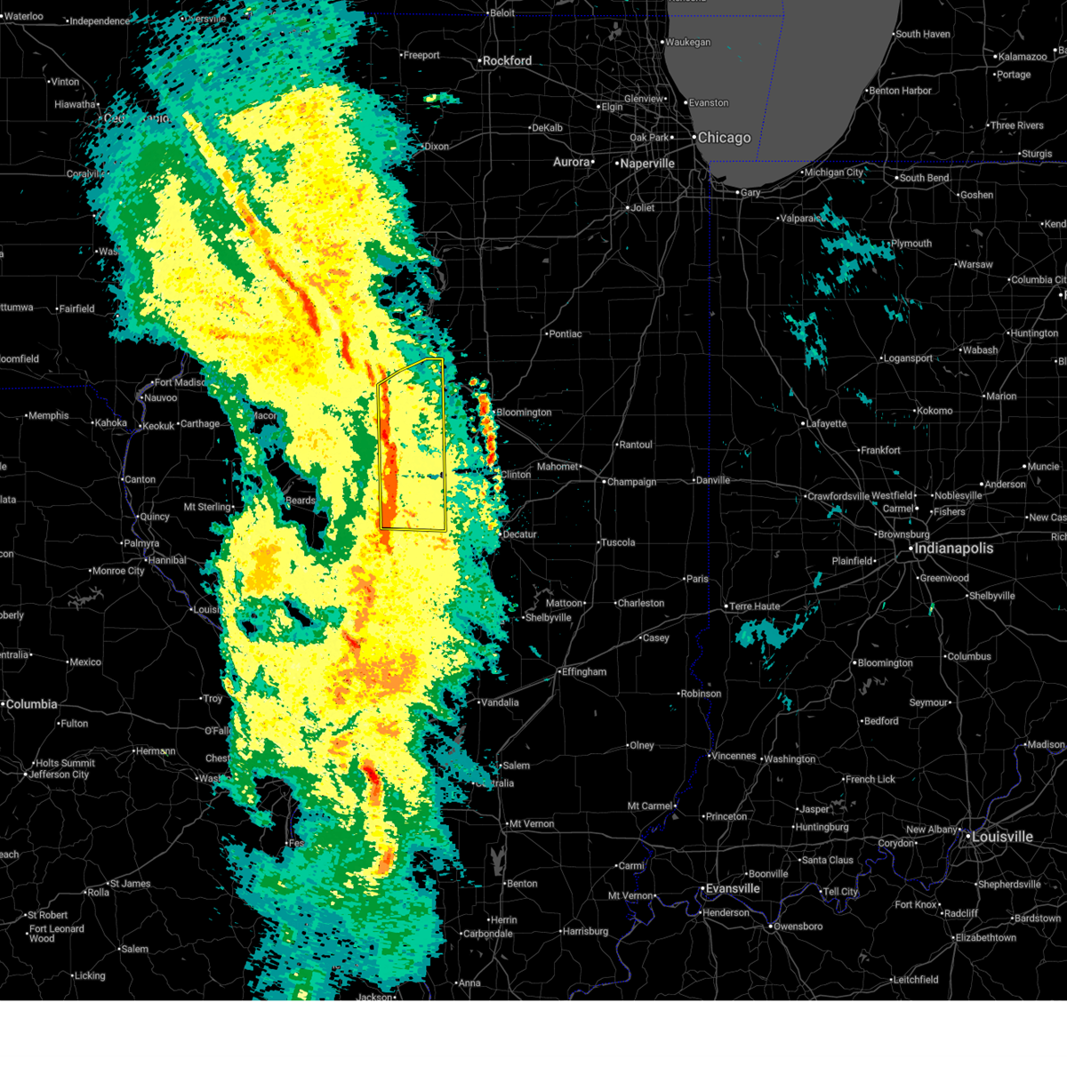 At 833 pm cdt, severe thunderstorms were located along a line extending from near mapleton to near abraham lincoln capital airport, moving east at 55 mph (radar indicated). Hazards include 60 mph wind gusts. Expect damage to roofs, siding, and trees. these severe storms will be near, williamsville, peoria, middletown, san jose, delavan, new holland, marquette heights, tremont, creve coeur, and east peoria around 840 pm cdt. hartsburg, cornland, hopedale, washington, and lincoln around 845 pm cdt. mackinaw and deer creek around 850 pm cdt. other locations impacted by these severe thunderstorms include spaulding, north pekin, dillon, powerton, cantrall, groveland, fancy prairie, broadwell, kingston mines, and sweetwater. this includes the following highways, interstate 155 between mile markers 0 and 31. interstate 474 between mile markers 6 and 14. interstate 55 between mile markers 102 and 131. Interstate 74 between mile markers 93 and 108. At 833 pm cdt, severe thunderstorms were located along a line extending from near mapleton to near abraham lincoln capital airport, moving east at 55 mph (radar indicated). Hazards include 60 mph wind gusts. Expect damage to roofs, siding, and trees. these severe storms will be near, williamsville, peoria, middletown, san jose, delavan, new holland, marquette heights, tremont, creve coeur, and east peoria around 840 pm cdt. hartsburg, cornland, hopedale, washington, and lincoln around 845 pm cdt. mackinaw and deer creek around 850 pm cdt. other locations impacted by these severe thunderstorms include spaulding, north pekin, dillon, powerton, cantrall, groveland, fancy prairie, broadwell, kingston mines, and sweetwater. this includes the following highways, interstate 155 between mile markers 0 and 31. interstate 474 between mile markers 6 and 14. interstate 55 between mile markers 102 and 131. Interstate 74 between mile markers 93 and 108.
|
| 4/20/2025 8:34 PM CDT |
 the severe thunderstorm warning has been cancelled and is no longer in effect the severe thunderstorm warning has been cancelled and is no longer in effect
|
| 4/20/2025 8:25 PM CDT |
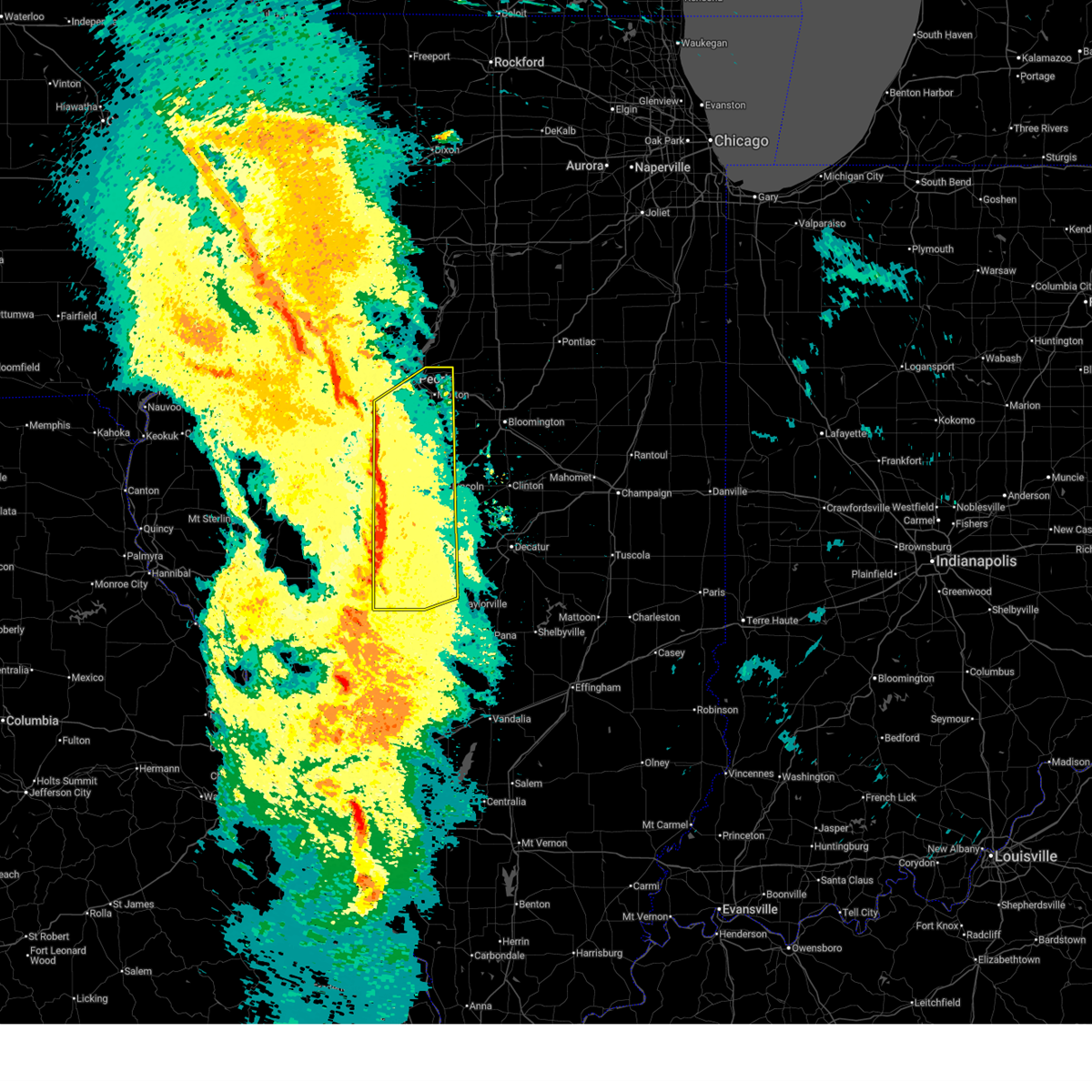 Svrilx the national weather service in lincoln has issued a * severe thunderstorm warning for, menard county in central illinois, logan county in central illinois, northwestern christian county in central illinois, sangamon county in central illinois, tazewell county in central illinois, eastern mason county in central illinois, southeastern peoria county in central illinois, * until 900 pm cdt. * at 825 pm cdt, severe thunderstorms were located along a line extending from glasford to near virden, moving northeast at 55 mph (radar indicated). Hazards include 60 mph wind gusts. Expect damage to roofs, siding, and trees. severe thunderstorms will be near, mason city, greenview, south pekin, mapleton, bartonville, chatham, peoria international airport, manito, green valley, and pekin around 830 pm cdt. west peoria, peoria, middletown, bellevue, san jose, new holland, marquette heights, creve coeur, east peoria, and sherman around 835 pm cdt. williamsville, delavan, rochester, and riverton around 840 pm cdt. tremont, morton, elkhart, emden, and washington around 845 pm cdt. other locations in the path of these severe thunderstorms include dawson, hartsburg, cornland, buffalo, hopedale, lincoln and mechanicsburg. this includes the following highways, interstate 155 between mile markers 0 and 31. interstate 474 between mile markers 6 and 14. interstate 55 between mile markers 77 and 131. interstate 72 between mile markers 86 and 119. Interstate 74 between mile markers 92 and 108. Svrilx the national weather service in lincoln has issued a * severe thunderstorm warning for, menard county in central illinois, logan county in central illinois, northwestern christian county in central illinois, sangamon county in central illinois, tazewell county in central illinois, eastern mason county in central illinois, southeastern peoria county in central illinois, * until 900 pm cdt. * at 825 pm cdt, severe thunderstorms were located along a line extending from glasford to near virden, moving northeast at 55 mph (radar indicated). Hazards include 60 mph wind gusts. Expect damage to roofs, siding, and trees. severe thunderstorms will be near, mason city, greenview, south pekin, mapleton, bartonville, chatham, peoria international airport, manito, green valley, and pekin around 830 pm cdt. west peoria, peoria, middletown, bellevue, san jose, new holland, marquette heights, creve coeur, east peoria, and sherman around 835 pm cdt. williamsville, delavan, rochester, and riverton around 840 pm cdt. tremont, morton, elkhart, emden, and washington around 845 pm cdt. other locations in the path of these severe thunderstorms include dawson, hartsburg, cornland, buffalo, hopedale, lincoln and mechanicsburg. this includes the following highways, interstate 155 between mile markers 0 and 31. interstate 474 between mile markers 6 and 14. interstate 55 between mile markers 77 and 131. interstate 72 between mile markers 86 and 119. Interstate 74 between mile markers 92 and 108.
|
| 4/20/2025 8:16 PM CDT |
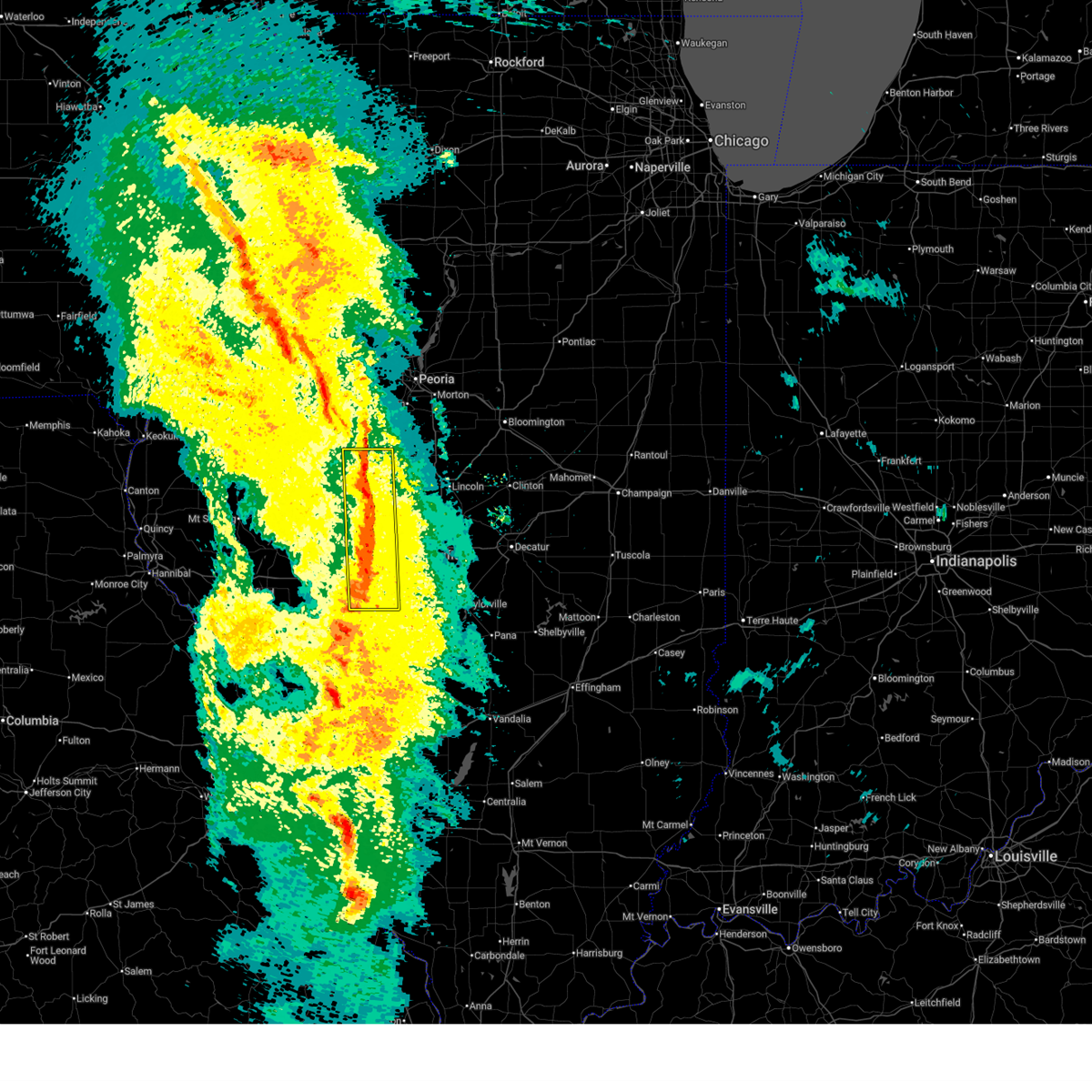 At 816 pm cdt, severe thunderstorms were located along a line extending from 6 miles southeast of st. david to near waverly, moving northeast at 45 mph (radar indicated). Hazards include 60 mph wind gusts. Expect damage to roofs, siding, and trees. these severe storms will be near, new berlin, pleasant plains, petersburg, easton, loami, and auburn around 820 pm cdt. greenview, chatham, springfield, and athens around 825 pm cdt. other locations impacted by these severe thunderstorms include prentice, salisbury, topeka, oakford, curran, berlin, chatauqua park, thayer, lincolns new salem, and lowder. This includes interstate 72 between mile markers 77 and 94. At 816 pm cdt, severe thunderstorms were located along a line extending from 6 miles southeast of st. david to near waverly, moving northeast at 45 mph (radar indicated). Hazards include 60 mph wind gusts. Expect damage to roofs, siding, and trees. these severe storms will be near, new berlin, pleasant plains, petersburg, easton, loami, and auburn around 820 pm cdt. greenview, chatham, springfield, and athens around 825 pm cdt. other locations impacted by these severe thunderstorms include prentice, salisbury, topeka, oakford, curran, berlin, chatauqua park, thayer, lincolns new salem, and lowder. This includes interstate 72 between mile markers 77 and 94.
|
| 4/20/2025 8:16 PM CDT |
 the severe thunderstorm warning has been cancelled and is no longer in effect the severe thunderstorm warning has been cancelled and is no longer in effect
|
| 4/20/2025 7:56 PM CDT |
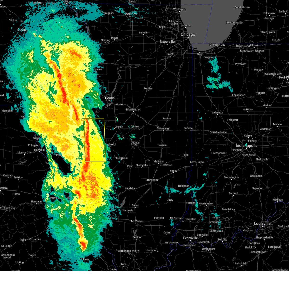 Svrilx the national weather service in lincoln has issued a * severe thunderstorm warning for, menard county in central illinois, south central fulton county in west central illinois, western sangamon county in central illinois, eastern cass county in west central illinois, eastern schuyler county in west central illinois, mason county in central illinois, eastern morgan county in west central illinois, * until 830 pm cdt. * at 755 pm cdt, severe thunderstorms were located along a line extending from 6 miles west of havana to near athensville, moving northeast at 50 mph (radar indicated). Hazards include 70 mph wind gusts. Expect considerable tree damage. damage is likely to mobile homes, roofs, and outbuildings. severe thunderstorms will be near, ashland, bath, havana, chandlerville, franklin, alexander, and kilbourne around 800 pm cdt. waverly around 805 pm cdt. new berlin, pleasant plains, and tallula around 810 pm cdt. petersburg, easton, and loami around 815 pm cdt. other locations in the path of these severe thunderstorms include springfield, auburn, greenview and athens. This includes interstate 72 between mile markers 66 and 94. Svrilx the national weather service in lincoln has issued a * severe thunderstorm warning for, menard county in central illinois, south central fulton county in west central illinois, western sangamon county in central illinois, eastern cass county in west central illinois, eastern schuyler county in west central illinois, mason county in central illinois, eastern morgan county in west central illinois, * until 830 pm cdt. * at 755 pm cdt, severe thunderstorms were located along a line extending from 6 miles west of havana to near athensville, moving northeast at 50 mph (radar indicated). Hazards include 70 mph wind gusts. Expect considerable tree damage. damage is likely to mobile homes, roofs, and outbuildings. severe thunderstorms will be near, ashland, bath, havana, chandlerville, franklin, alexander, and kilbourne around 800 pm cdt. waverly around 805 pm cdt. new berlin, pleasant plains, and tallula around 810 pm cdt. petersburg, easton, and loami around 815 pm cdt. other locations in the path of these severe thunderstorms include springfield, auburn, greenview and athens. This includes interstate 72 between mile markers 66 and 94.
|
| 4/20/2025 7:36 PM CDT |
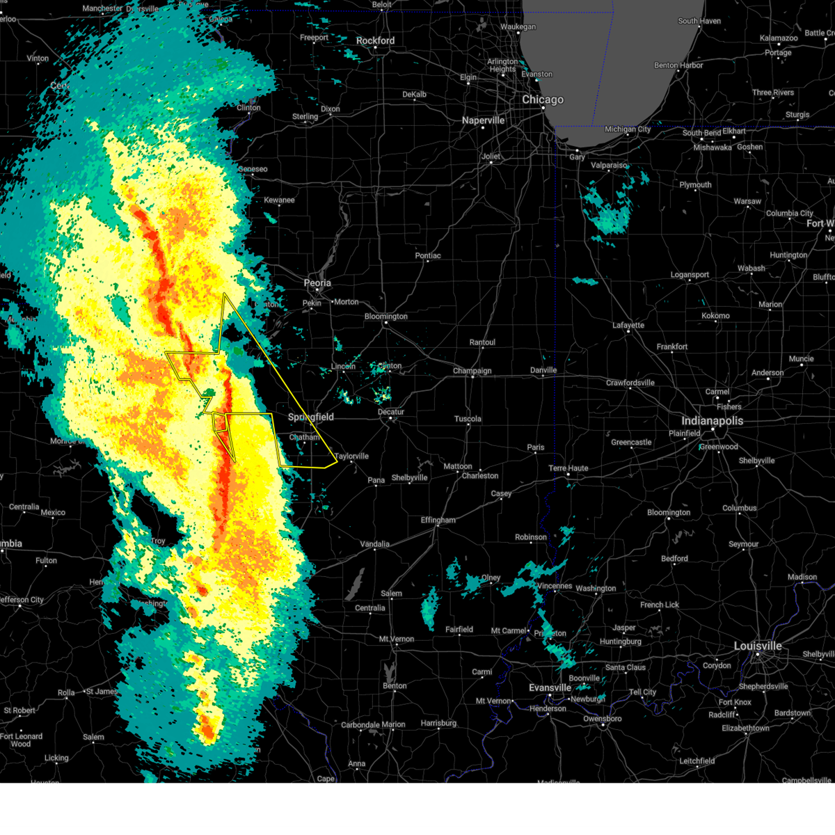 the severe thunderstorm warning has been cancelled and is no longer in effect the severe thunderstorm warning has been cancelled and is no longer in effect
|
| 4/20/2025 7:33 PM CDT |
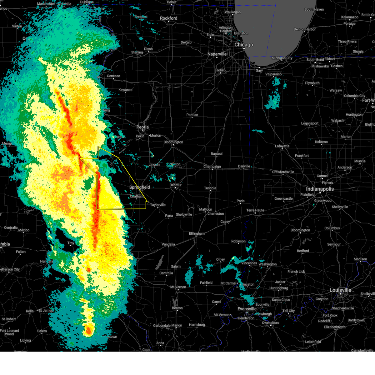 Svrilx the national weather service in lincoln has issued a * severe thunderstorm warning for, western menard county in central illinois, eastern scott county in west central illinois, southwestern fulton county in west central illinois, western sangamon county in central illinois, cass county in west central illinois, central schuyler county in west central illinois, southwestern mason county in central illinois, morgan county in west central illinois, * until 800 pm cdt. * at 732 pm cdt, severe thunderstorms were located along a line extending from fandon to near browning to alsey, moving northeast at 50 mph (radar indicated). Hazards include 70 mph wind gusts. Expect considerable tree damage. damage is likely to mobile homes, roofs, and outbuildings. severe thunderstorms will be near, virginia, astoria, woodson, vermont, bluff springs, south jacksonville, and jacksonville around 740 pm cdt. bath, chandlerville, ipava, and literberry around 745 pm cdt. this includes the following highways, interstate 55 between mile markers 78 and 94. Interstate 72 between mile markers 51 and 100. Svrilx the national weather service in lincoln has issued a * severe thunderstorm warning for, western menard county in central illinois, eastern scott county in west central illinois, southwestern fulton county in west central illinois, western sangamon county in central illinois, cass county in west central illinois, central schuyler county in west central illinois, southwestern mason county in central illinois, morgan county in west central illinois, * until 800 pm cdt. * at 732 pm cdt, severe thunderstorms were located along a line extending from fandon to near browning to alsey, moving northeast at 50 mph (radar indicated). Hazards include 70 mph wind gusts. Expect considerable tree damage. damage is likely to mobile homes, roofs, and outbuildings. severe thunderstorms will be near, virginia, astoria, woodson, vermont, bluff springs, south jacksonville, and jacksonville around 740 pm cdt. bath, chandlerville, ipava, and literberry around 745 pm cdt. this includes the following highways, interstate 55 between mile markers 78 and 94. Interstate 72 between mile markers 51 and 100.
|
| 4/20/2025 7:29 PM CDT |
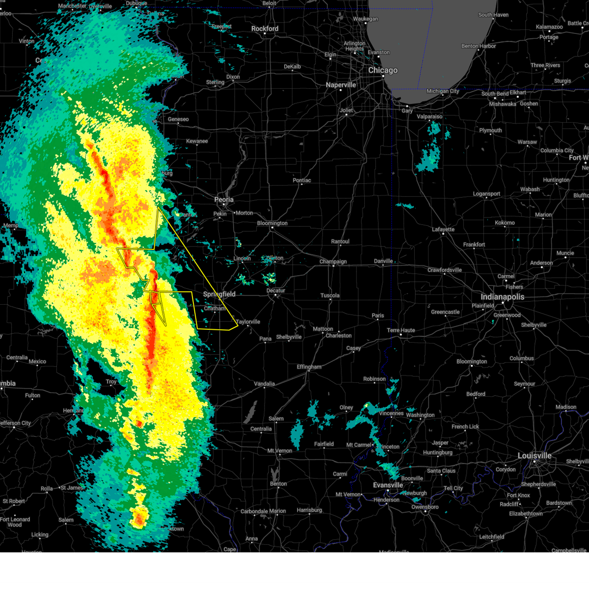 Svrilx the national weather service in lincoln has issued a * severe thunderstorm warning for, western menard county in central illinois, northeastern scott county in west central illinois, west central christian county in central illinois, western fulton county in west central illinois, western sangamon county in central illinois, cass county in west central illinois, schuyler county in west central illinois, southwestern mason county in central illinois, * until 800 pm cdt. * at 728 pm cdt, severe thunderstorms were located along a line extending from 7 miles east of augusta to near beardstown to near carrollton, moving northeast at 65 mph (radar indicated). Hazards include 70 mph wind gusts. Expect considerable tree damage. damage is likely to mobile homes, roofs, and outbuildings. severe thunderstorms will be near, astoria, littleton, arenzville, browning, and bluff springs around 735 pm cdt. virginia and vermont around 740 pm cdt. bath, chandlerville, and ipava around 745 pm cdt. other locations in the path of these severe thunderstorms include havana and lewistown. this includes the following highways, interstate 55 between mile markers 77 and 94. Interstate 72 between mile markers 55 and 58, and between mile markers 81 and 100. Svrilx the national weather service in lincoln has issued a * severe thunderstorm warning for, western menard county in central illinois, northeastern scott county in west central illinois, west central christian county in central illinois, western fulton county in west central illinois, western sangamon county in central illinois, cass county in west central illinois, schuyler county in west central illinois, southwestern mason county in central illinois, * until 800 pm cdt. * at 728 pm cdt, severe thunderstorms were located along a line extending from 7 miles east of augusta to near beardstown to near carrollton, moving northeast at 65 mph (radar indicated). Hazards include 70 mph wind gusts. Expect considerable tree damage. damage is likely to mobile homes, roofs, and outbuildings. severe thunderstorms will be near, astoria, littleton, arenzville, browning, and bluff springs around 735 pm cdt. virginia and vermont around 740 pm cdt. bath, chandlerville, and ipava around 745 pm cdt. other locations in the path of these severe thunderstorms include havana and lewistown. this includes the following highways, interstate 55 between mile markers 77 and 94. Interstate 72 between mile markers 55 and 58, and between mile markers 81 and 100.
|
| 4/2/2025 4:42 PM CDT |
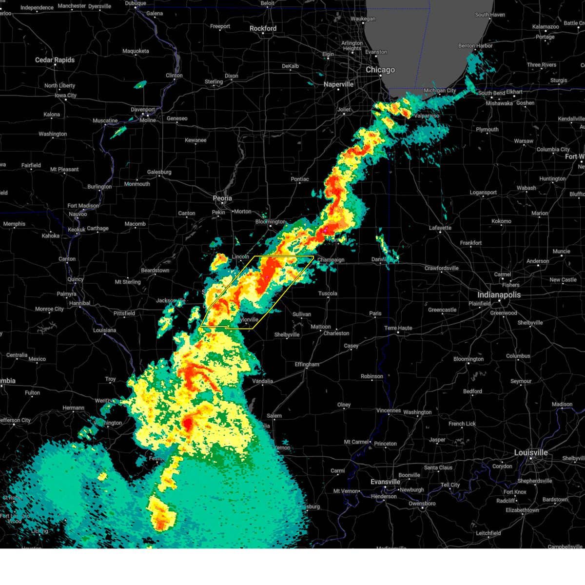 At 442 pm cdt, severe thunderstorms were located along a line extending from near weldon to near taylorville, moving northeast at 50 mph (radar indicated). Hazards include 70 mph wind gusts and quarter size hail. Hail damage to vehicles is expected. expect considerable tree damage. wind damage is also likely to mobile homes, roofs, and outbuildings. these severe storms will be near, stonington, oreana, blue mound, weldon, forsyth, taylorville, decatur, argenta, and harristown around 445 pm cdt. de land, mount zion, decatur airport, macon, and cisco around 450 pm cdt. long creek around 455 pm cdt. other locations impacted by these severe thunderstorms include sangchris lake state park, willeys, clinton power station, weldon springs state park, glenarm, thayer, southern view, elwin, clear lake, and lodge. this includes the following highways, interstate 55 between mile markers 77 and 99. Interstate 72 between mile markers 95 and 163. At 442 pm cdt, severe thunderstorms were located along a line extending from near weldon to near taylorville, moving northeast at 50 mph (radar indicated). Hazards include 70 mph wind gusts and quarter size hail. Hail damage to vehicles is expected. expect considerable tree damage. wind damage is also likely to mobile homes, roofs, and outbuildings. these severe storms will be near, stonington, oreana, blue mound, weldon, forsyth, taylorville, decatur, argenta, and harristown around 445 pm cdt. de land, mount zion, decatur airport, macon, and cisco around 450 pm cdt. long creek around 455 pm cdt. other locations impacted by these severe thunderstorms include sangchris lake state park, willeys, clinton power station, weldon springs state park, glenarm, thayer, southern view, elwin, clear lake, and lodge. this includes the following highways, interstate 55 between mile markers 77 and 99. Interstate 72 between mile markers 95 and 163.
|
| 4/2/2025 4:24 PM CDT |
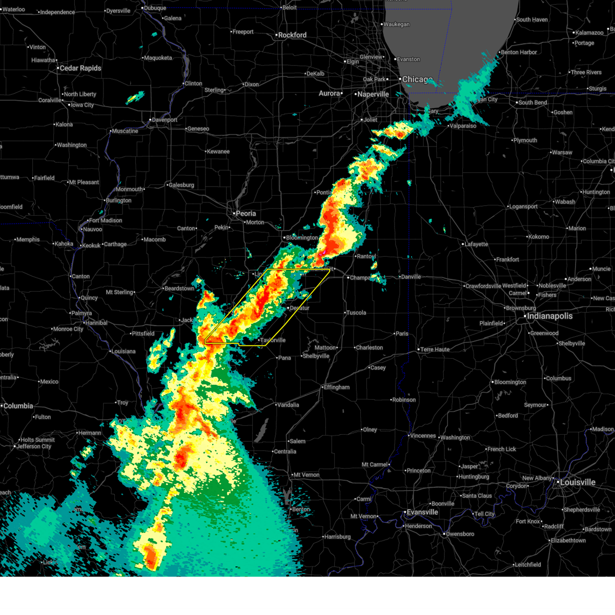 Svrilx the national weather service in lincoln has issued a * severe thunderstorm warning for, southeastern logan county in central illinois, central christian county in central illinois, central sangamon county in central illinois, central piatt county in central illinois, southern de witt county in central illinois, macon county in central illinois, * until 515 pm cdt. * at 423 pm cdt, severe thunderstorms were located along a line extending from near wapella to near pawnee, moving northeast at 65 mph (radar indicated). Hazards include 60 mph wind gusts and quarter size hail. Hail damage to vehicles is expected. expect wind damage to roofs, siding, and trees. severe thunderstorms will be near, edinburg, mount auburn, maroa, latham, clinton, warrensburg, jeisyville, niantic, kincaid, and illiopolis around 430 pm cdt. forsyth, decatur, and harristown around 435 pm cdt. weldon around 440 pm cdt. other locations in the path of these severe thunderstorms include oreana, blue mound, argenta, de land, mount zion, decatur airport, long creek and cisco. this includes the following highways, interstate 55 between mile markers 77 and 100. Interstate 72 between mile markers 95 and 163. Svrilx the national weather service in lincoln has issued a * severe thunderstorm warning for, southeastern logan county in central illinois, central christian county in central illinois, central sangamon county in central illinois, central piatt county in central illinois, southern de witt county in central illinois, macon county in central illinois, * until 515 pm cdt. * at 423 pm cdt, severe thunderstorms were located along a line extending from near wapella to near pawnee, moving northeast at 65 mph (radar indicated). Hazards include 60 mph wind gusts and quarter size hail. Hail damage to vehicles is expected. expect wind damage to roofs, siding, and trees. severe thunderstorms will be near, edinburg, mount auburn, maroa, latham, clinton, warrensburg, jeisyville, niantic, kincaid, and illiopolis around 430 pm cdt. forsyth, decatur, and harristown around 435 pm cdt. weldon around 440 pm cdt. other locations in the path of these severe thunderstorms include oreana, blue mound, argenta, de land, mount zion, decatur airport, long creek and cisco. this includes the following highways, interstate 55 between mile markers 77 and 100. Interstate 72 between mile markers 95 and 163.
|
| 4/2/2025 4:12 PM CDT |
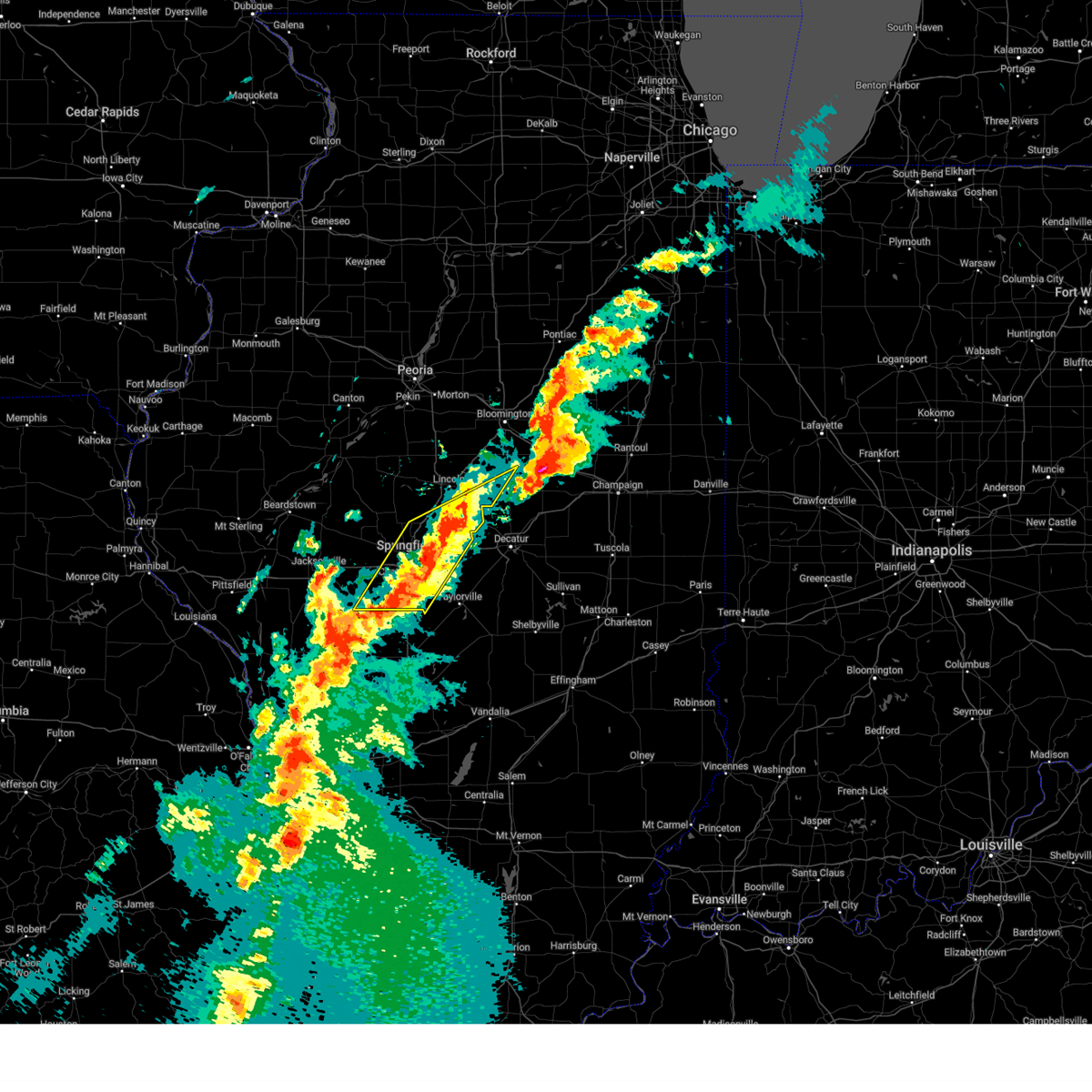 At 411 pm cdt, severe thunderstorms were located along a line extending from near mount pulaski to girard, moving northeast at 35 mph (radar indicated). Hazards include 60 mph wind gusts and quarter size hail. Hail damage to vehicles is expected. expect wind damage to roofs, siding, and trees. locations impacted include, dawson, sangchris lake state park, mechanicsburg, curran, glenarm, thayer, southern view, latham, riverton, illinois state fairgrounds, kenney, williamsville, elkhart, chestnut, clear lake, loami, sherman, lowder, chatham, and pawnee. this includes the following highways, interstate 55 between mile markers 77 and 114. Interstate 72 between mile markers 89 and 123. At 411 pm cdt, severe thunderstorms were located along a line extending from near mount pulaski to girard, moving northeast at 35 mph (radar indicated). Hazards include 60 mph wind gusts and quarter size hail. Hail damage to vehicles is expected. expect wind damage to roofs, siding, and trees. locations impacted include, dawson, sangchris lake state park, mechanicsburg, curran, glenarm, thayer, southern view, latham, riverton, illinois state fairgrounds, kenney, williamsville, elkhart, chestnut, clear lake, loami, sherman, lowder, chatham, and pawnee. this includes the following highways, interstate 55 between mile markers 77 and 114. Interstate 72 between mile markers 89 and 123.
|
| 4/2/2025 3:56 PM CDT |
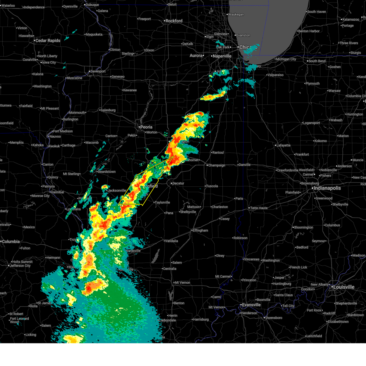 Svrilx the national weather service in lincoln has issued a * severe thunderstorm warning for, southeastern menard county in central illinois, southern logan county in central illinois, northwestern christian county in central illinois, sangamon county in central illinois, western de witt county in central illinois, southeastern morgan county in west central illinois, * until 430 pm cdt. * at 355 pm cdt, severe thunderstorms were located along a line extending from near cornland to near palmyra, moving northeast at 35 mph (radar indicated). Hazards include 60 mph wind gusts and quarter size hail. Hail damage to vehicles is expected. Expect wind damage to roofs, siding, and trees. Svrilx the national weather service in lincoln has issued a * severe thunderstorm warning for, southeastern menard county in central illinois, southern logan county in central illinois, northwestern christian county in central illinois, sangamon county in central illinois, western de witt county in central illinois, southeastern morgan county in west central illinois, * until 430 pm cdt. * at 355 pm cdt, severe thunderstorms were located along a line extending from near cornland to near palmyra, moving northeast at 35 mph (radar indicated). Hazards include 60 mph wind gusts and quarter size hail. Hail damage to vehicles is expected. Expect wind damage to roofs, siding, and trees.
|
| 4/2/2025 3:23 PM CDT |
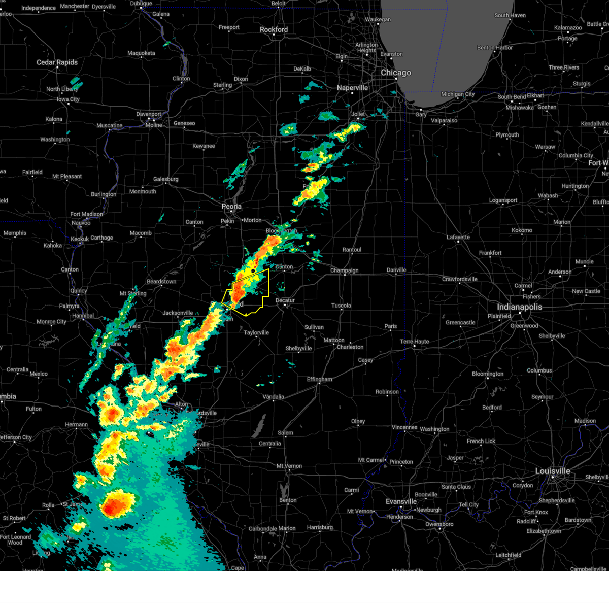 the severe thunderstorm warning has been cancelled and is no longer in effect the severe thunderstorm warning has been cancelled and is no longer in effect
|
| 4/2/2025 3:23 PM CDT |
 At 321 pm cdt, severe thunderstorms were located along a line extending from near elkhart to near riverton, moving northeast at 70 mph (broadcast media. at 319 pm golf ball hail was reported on north grand in springfield). Hazards include golf ball size hail and 60 mph wind gusts. People and animals outdoors will be injured. expect hail damage to roofs, siding, windows, and vehicles. expect wind damage to roofs, siding, and trees. these severe storms will be near, cornland and elkhart around 325 pm cdt. mount pulaski and beason around 330 pm cdt. chestnut around 335 pm cdt. other locations impacted by these severe thunderstorms include clear lake, spaulding, broadwell, grandview, and cantrall. this includes the following highways, interstate 55 between mile markers 98 and 120. Interstate 72 between mile markers 105 and 124. At 321 pm cdt, severe thunderstorms were located along a line extending from near elkhart to near riverton, moving northeast at 70 mph (broadcast media. at 319 pm golf ball hail was reported on north grand in springfield). Hazards include golf ball size hail and 60 mph wind gusts. People and animals outdoors will be injured. expect hail damage to roofs, siding, windows, and vehicles. expect wind damage to roofs, siding, and trees. these severe storms will be near, cornland and elkhart around 325 pm cdt. mount pulaski and beason around 330 pm cdt. chestnut around 335 pm cdt. other locations impacted by these severe thunderstorms include clear lake, spaulding, broadwell, grandview, and cantrall. this includes the following highways, interstate 55 between mile markers 98 and 120. Interstate 72 between mile markers 105 and 124.
|
| 4/2/2025 3:19 PM CDT | Golf Ball sized hail reported 2.7 miles S of Springfield, IL, golf ball size hail on north grand in springfield. |
| 4/2/2025 3:15 PM CDT | Quarter sized hail reported 2.7 miles S of Springfield, IL, quarter size hail at peoria rd and dirksen. |
| 4/2/2025 3:15 PM CDT | Hen Egg sized hail reported 2.7 miles S of Springfield, IL, egg size hail at 3100 block piper rd. |
| 4/2/2025 3:14 PM CDT | Quarter sized hail reported 2.7 miles S of Springfield, IL, quarter size hail at 2801 n 5th street in springfield. |
| 4/2/2025 3:14 PM CDT |
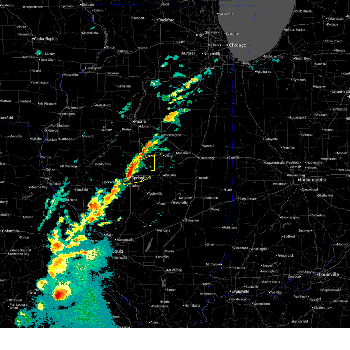 Svrilx the national weather service in lincoln has issued a * severe thunderstorm warning for, east central menard county in central illinois, southern logan county in central illinois, northeastern sangamon county in central illinois, * until 345 pm cdt. * at 314 pm cdt, severe thunderstorms were located along a line extending from near williamsville to abraham lincoln capital airport, moving northeast at 65 mph (radar indicated). Hazards include golf ball size hail and 60 mph wind gusts. People and animals outdoors will be injured. expect hail damage to roofs, siding, windows, and vehicles. expect wind damage to roofs, siding, and trees. severe thunderstorms will be near, williamsville, sherman, springfield, elkhart, and illinois state fairgrounds around 320 pm cdt. this includes the following highways, interstate 55 between mile markers 90 and 120. Interstate 72 between mile markers 92 and 124. Svrilx the national weather service in lincoln has issued a * severe thunderstorm warning for, east central menard county in central illinois, southern logan county in central illinois, northeastern sangamon county in central illinois, * until 345 pm cdt. * at 314 pm cdt, severe thunderstorms were located along a line extending from near williamsville to abraham lincoln capital airport, moving northeast at 65 mph (radar indicated). Hazards include golf ball size hail and 60 mph wind gusts. People and animals outdoors will be injured. expect hail damage to roofs, siding, windows, and vehicles. expect wind damage to roofs, siding, and trees. severe thunderstorms will be near, williamsville, sherman, springfield, elkhart, and illinois state fairgrounds around 320 pm cdt. this includes the following highways, interstate 55 between mile markers 90 and 120. Interstate 72 between mile markers 92 and 124.
|
| 4/2/2025 3:07 PM CDT |
 At 307 pm cdt, a severe thunderstorm was located over abraham lincoln capital airport, or over springfield, moving northeast at 65 mph (radar indicated). Hazards include golf ball size hail and 60 mph wind gusts. People and animals outdoors will be injured. expect hail damage to roofs, siding, windows, and vehicles. expect wind damage to roofs, siding, and trees. locations impacted include, spaulding, curran, rochester, berlin, southern view, riverton, athens, cantrall, illinois state fairgrounds, salisbury, springfield, clear lake, loami, lincolns new salem, sherman, new berlin, grandview, jerome, leland grove, and abraham lincoln capital airport. this includes the following highways, interstate 55 between mile markers 90 and 105. Interstate 72 between mile markers 80 and 109. At 307 pm cdt, a severe thunderstorm was located over abraham lincoln capital airport, or over springfield, moving northeast at 65 mph (radar indicated). Hazards include golf ball size hail and 60 mph wind gusts. People and animals outdoors will be injured. expect hail damage to roofs, siding, windows, and vehicles. expect wind damage to roofs, siding, and trees. locations impacted include, spaulding, curran, rochester, berlin, southern view, riverton, athens, cantrall, illinois state fairgrounds, salisbury, springfield, clear lake, loami, lincolns new salem, sherman, new berlin, grandview, jerome, leland grove, and abraham lincoln capital airport. this includes the following highways, interstate 55 between mile markers 90 and 105. Interstate 72 between mile markers 80 and 109.
|
| 4/2/2025 2:58 PM CDT |
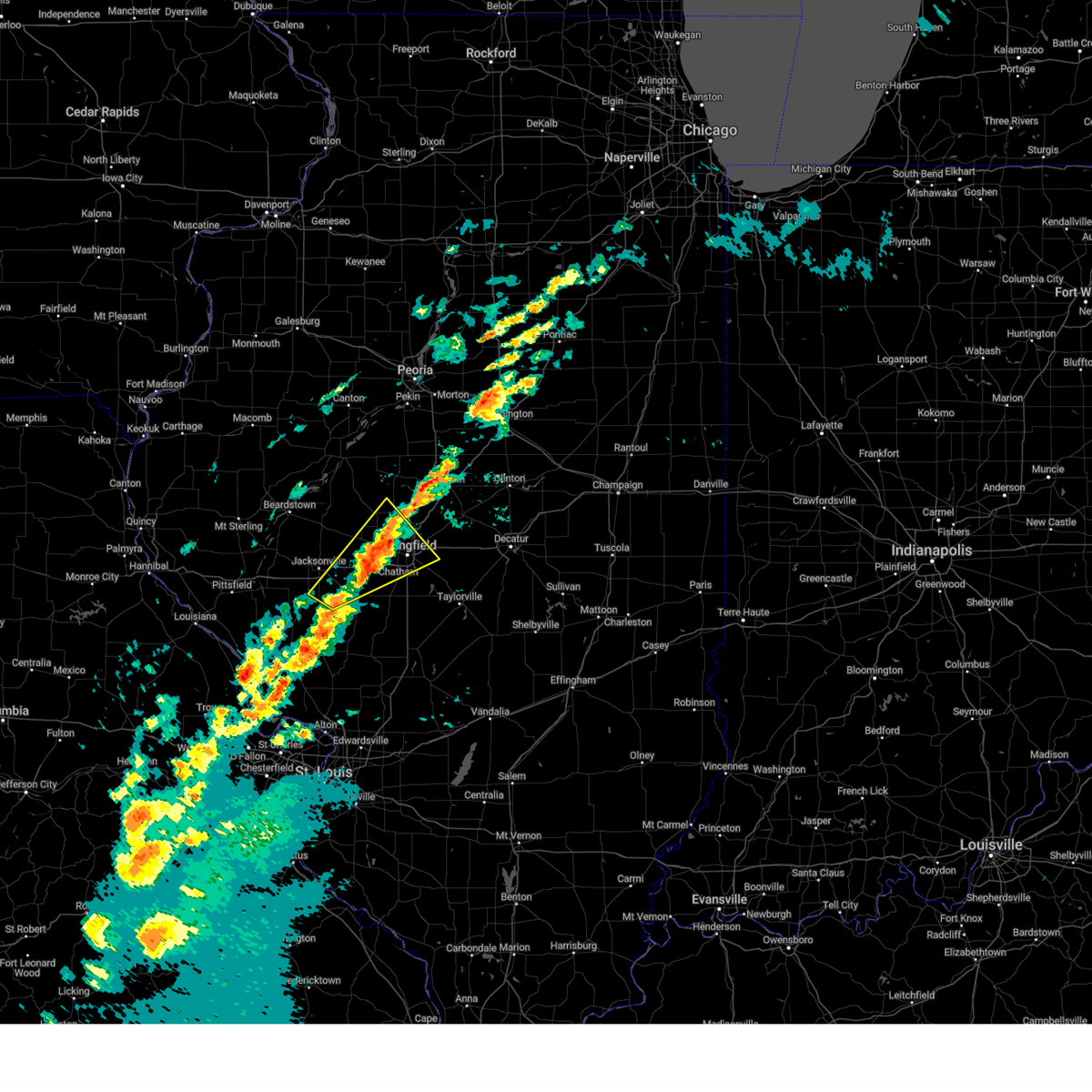 At 257 pm cdt, severe thunderstorms were located along a line extending from near athens to franklin, moving northeast at 50 mph (radar indicated). Hazards include 60 mph wind gusts and quarter size hail. Hail damage to vehicles is expected. expect wind damage to roofs, siding, and trees. locations impacted include, franklin, alexander, curran, southern view, riverton, cantrall, illinois state fairgrounds, salisbury, nortonville, murrayville, pleasant plains, petersburg, woodson, clear lake, loami, lincolns new salem, sherman, new berlin, leland grove, and abraham lincoln capital airport. this includes the following highways, interstate 55 between mile markers 90 and 105. Interstate 72 between mile markers 67 and 109. At 257 pm cdt, severe thunderstorms were located along a line extending from near athens to franklin, moving northeast at 50 mph (radar indicated). Hazards include 60 mph wind gusts and quarter size hail. Hail damage to vehicles is expected. expect wind damage to roofs, siding, and trees. locations impacted include, franklin, alexander, curran, southern view, riverton, cantrall, illinois state fairgrounds, salisbury, nortonville, murrayville, pleasant plains, petersburg, woodson, clear lake, loami, lincolns new salem, sherman, new berlin, leland grove, and abraham lincoln capital airport. this includes the following highways, interstate 55 between mile markers 90 and 105. Interstate 72 between mile markers 67 and 109.
|
| 4/2/2025 2:49 PM CDT |
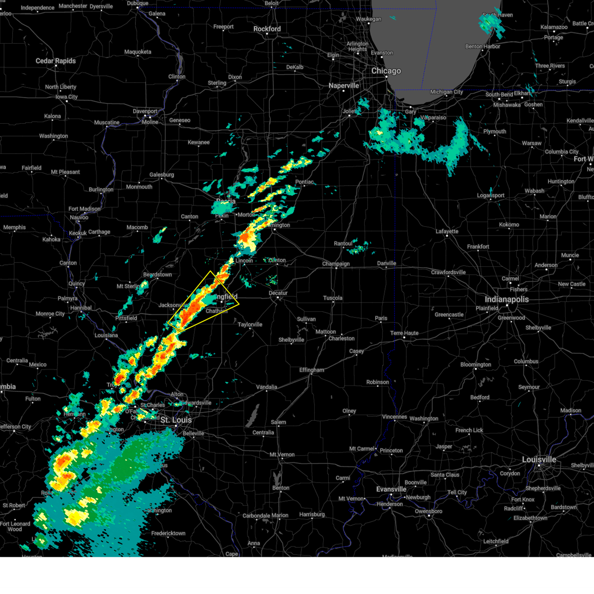 Svrilx the national weather service in lincoln has issued a * severe thunderstorm warning for, southern menard county in central illinois, northwestern sangamon county in central illinois, eastern morgan county in west central illinois, * until 315 pm cdt. * at 248 pm cdt, a severe thunderstorm was located over franklin, or 10 miles southeast of jacksonville, moving northeast at 55 mph (radar indicated). Hazards include 60 mph wind gusts and quarter size hail. Hail damage to vehicles is expected. Expect wind damage to roofs, siding, and trees. Svrilx the national weather service in lincoln has issued a * severe thunderstorm warning for, southern menard county in central illinois, northwestern sangamon county in central illinois, eastern morgan county in west central illinois, * until 315 pm cdt. * at 248 pm cdt, a severe thunderstorm was located over franklin, or 10 miles southeast of jacksonville, moving northeast at 55 mph (radar indicated). Hazards include 60 mph wind gusts and quarter size hail. Hail damage to vehicles is expected. Expect wind damage to roofs, siding, and trees.
|
| 3/19/2025 4:18 PM CDT |
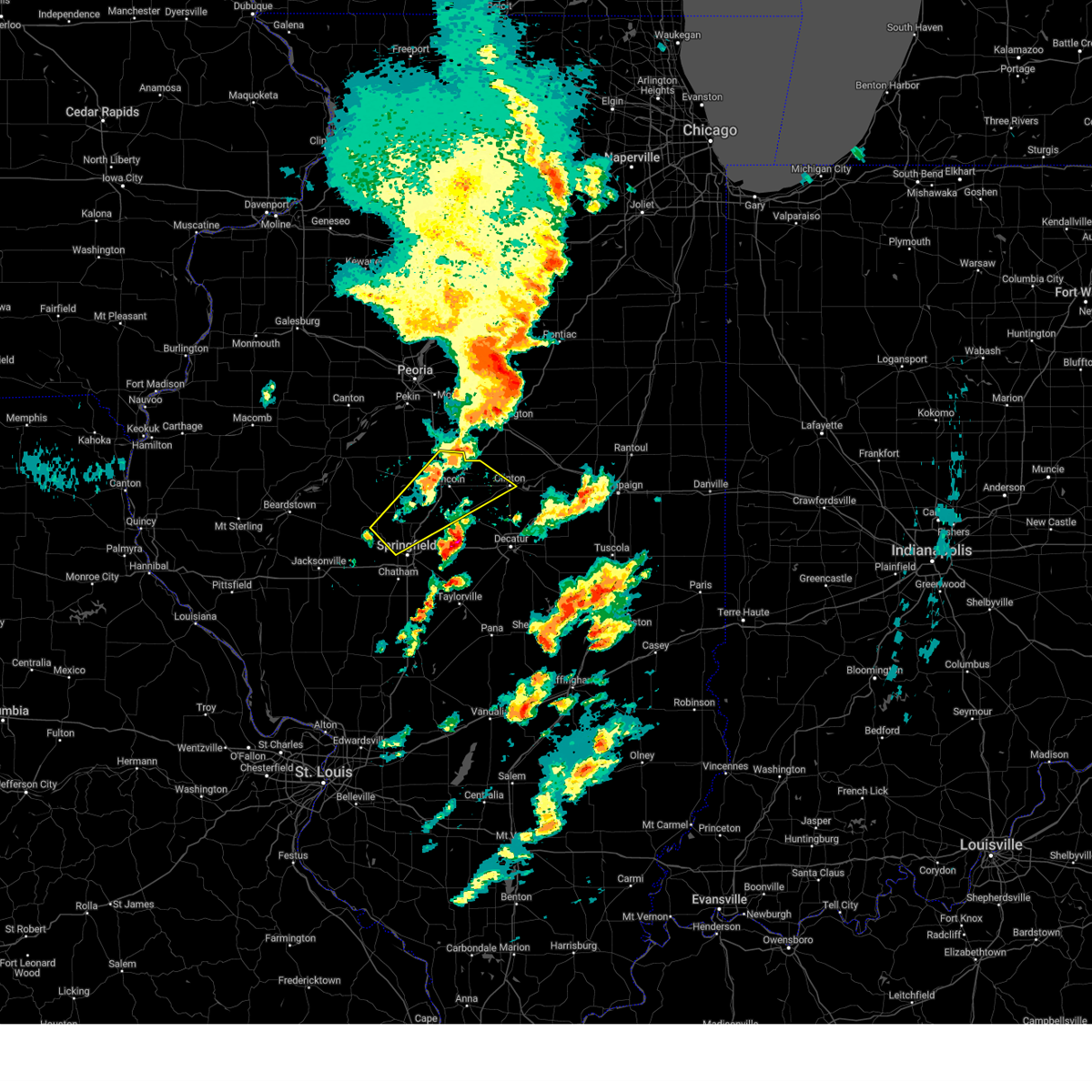 the severe thunderstorm warning has been cancelled and is no longer in effect the severe thunderstorm warning has been cancelled and is no longer in effect
|
| 3/19/2025 4:13 PM CDT |
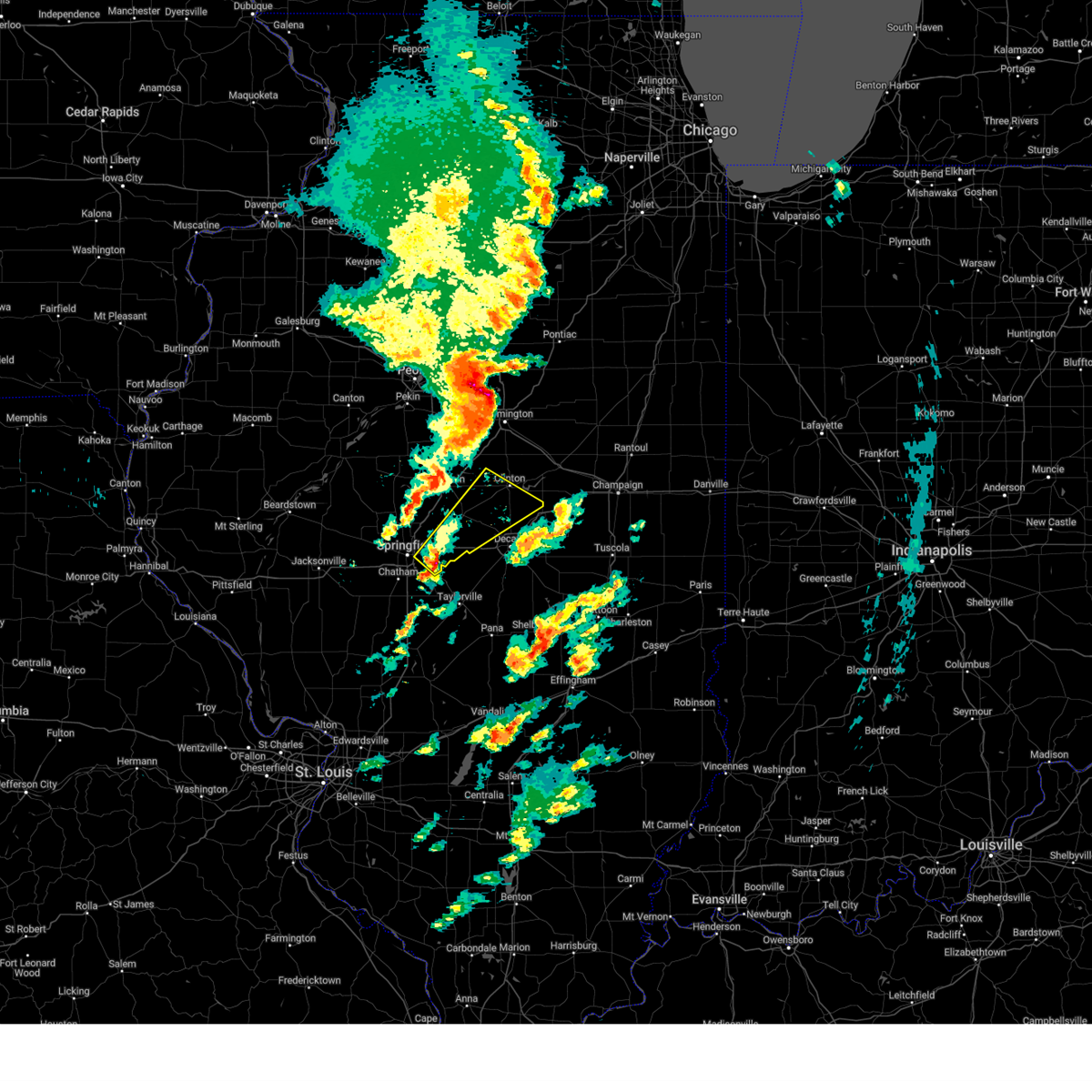 Svrilx the national weather service in lincoln has issued a * severe thunderstorm warning for, southeastern logan county in central illinois, northeastern sangamon county in central illinois, southwestern de witt county in central illinois, northern macon county in central illinois, * until 500 pm cdt. * at 413 pm cdt, a severe thunderstorm was located over mechanicsburg, or 15 miles east of springfield, moving northeast at 60 mph (radar indicated). Hazards include 70 mph wind gusts and quarter size hail. Hail damage to vehicles is expected. expect considerable tree damage. wind damage is also likely to mobile homes, roofs, and outbuildings. this severe thunderstorm will be near, illiopolis around 420 pm cdt. latham around 425 pm cdt. other locations in the path of this severe thunderstorm include kenney and clinton. This includes interstate 72 between mile markers 105 and 126. Svrilx the national weather service in lincoln has issued a * severe thunderstorm warning for, southeastern logan county in central illinois, northeastern sangamon county in central illinois, southwestern de witt county in central illinois, northern macon county in central illinois, * until 500 pm cdt. * at 413 pm cdt, a severe thunderstorm was located over mechanicsburg, or 15 miles east of springfield, moving northeast at 60 mph (radar indicated). Hazards include 70 mph wind gusts and quarter size hail. Hail damage to vehicles is expected. expect considerable tree damage. wind damage is also likely to mobile homes, roofs, and outbuildings. this severe thunderstorm will be near, illiopolis around 420 pm cdt. latham around 425 pm cdt. other locations in the path of this severe thunderstorm include kenney and clinton. This includes interstate 72 between mile markers 105 and 126.
|
| 3/19/2025 3:43 PM CDT |
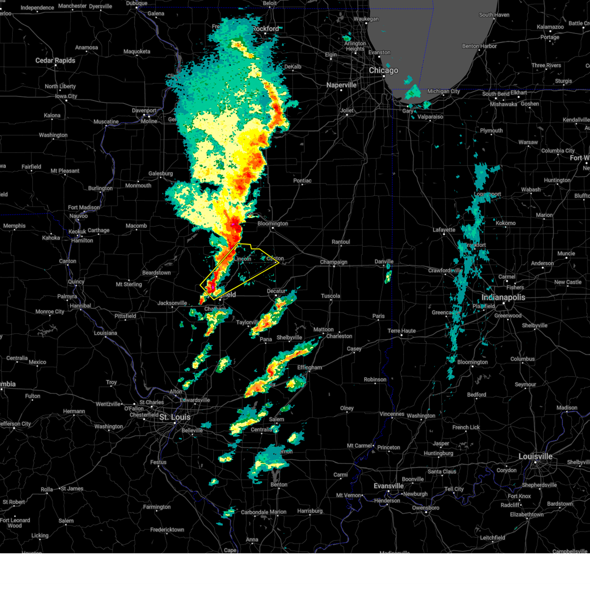 Svrilx the national weather service in lincoln has issued a * severe thunderstorm warning for, eastern menard county in central illinois, logan county in central illinois, north central sangamon county in central illinois, southwestern de witt county in central illinois, southeastern mason county in central illinois, * until 430 pm cdt. * at 343 pm cdt, a severe thunderstorm was located over athens, moving northeast at 55 mph (radar indicated). Hazards include 70 mph wind gusts and quarter size hail. Hail damage to vehicles is expected. expect considerable tree damage. wind damage is also likely to mobile homes, roofs, and outbuildings. this severe thunderstorm will be near, williamsville around 350 pm cdt. middletown and elkhart around 355 pm cdt. lincoln around 400 pm cdt. other locations in the path of this severe thunderstorm include atlanta. this includes the following highways, interstate 155 between mile markers 0 and 10. Interstate 55 between mile markers 102 and 141. Svrilx the national weather service in lincoln has issued a * severe thunderstorm warning for, eastern menard county in central illinois, logan county in central illinois, north central sangamon county in central illinois, southwestern de witt county in central illinois, southeastern mason county in central illinois, * until 430 pm cdt. * at 343 pm cdt, a severe thunderstorm was located over athens, moving northeast at 55 mph (radar indicated). Hazards include 70 mph wind gusts and quarter size hail. Hail damage to vehicles is expected. expect considerable tree damage. wind damage is also likely to mobile homes, roofs, and outbuildings. this severe thunderstorm will be near, williamsville around 350 pm cdt. middletown and elkhart around 355 pm cdt. lincoln around 400 pm cdt. other locations in the path of this severe thunderstorm include atlanta. this includes the following highways, interstate 155 between mile markers 0 and 10. Interstate 55 between mile markers 102 and 141.
|
| 3/14/2025 10:04 PM CDT |
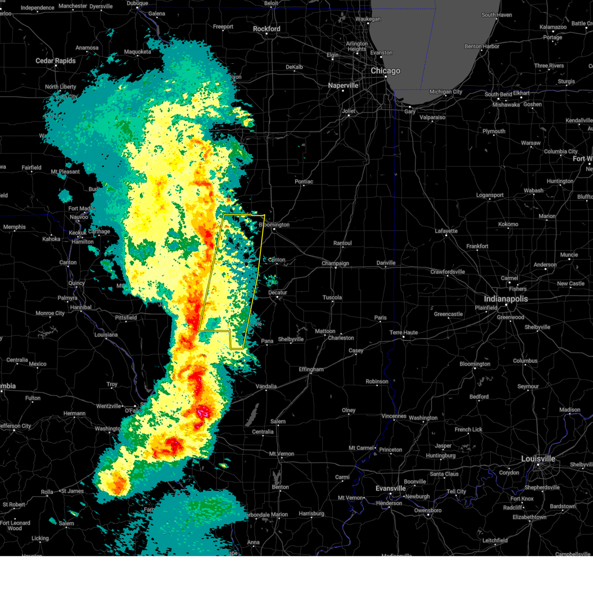 Svrilx the national weather service in lincoln has issued a * severe thunderstorm warning for, eastern menard county in central illinois, logan county in central illinois, western christian county in central illinois, sangamon county in central illinois, tazewell county in central illinois, southwestern mclean county in central illinois, east central mason county in central illinois, * until 1100 pm cdt. * at 1004 pm cdt, severe thunderstorms were located along a line extending from near manito to near greenview to near waverly, moving northeast at 60 mph (radar indicated). Hazards include 70 mph wind gusts. Expect considerable tree damage. damage is likely to mobile homes, roofs, and outbuildings. severe thunderstorms will be near, mason city, middletown, san jose, delavan, new holland, chatham, green valley, pekin, sherman, and springfield around 1010 pm cdt. williamsville, hartsburg, tremont, morton, elkhart, emden, hopedale, and riverton around 1015 pm cdt. mackinaw, rochester, and lincoln around 1020 pm cdt. other locations in the path of these severe thunderstorms include dawson, minier, buffalo, cornland, armington, mechanicsburg, mount pulaski, atlanta, stanford, danvers, beason, mclean, illiopolis and carlock. this includes the following highways, interstate 155 between mile markers 0 and 31. interstate 55 between mile markers 77 and 145. interstate 72 between mile markers 87 and 122. Interstate 74 between mile markers 119 and 121. Svrilx the national weather service in lincoln has issued a * severe thunderstorm warning for, eastern menard county in central illinois, logan county in central illinois, western christian county in central illinois, sangamon county in central illinois, tazewell county in central illinois, southwestern mclean county in central illinois, east central mason county in central illinois, * until 1100 pm cdt. * at 1004 pm cdt, severe thunderstorms were located along a line extending from near manito to near greenview to near waverly, moving northeast at 60 mph (radar indicated). Hazards include 70 mph wind gusts. Expect considerable tree damage. damage is likely to mobile homes, roofs, and outbuildings. severe thunderstorms will be near, mason city, middletown, san jose, delavan, new holland, chatham, green valley, pekin, sherman, and springfield around 1010 pm cdt. williamsville, hartsburg, tremont, morton, elkhart, emden, hopedale, and riverton around 1015 pm cdt. mackinaw, rochester, and lincoln around 1020 pm cdt. other locations in the path of these severe thunderstorms include dawson, minier, buffalo, cornland, armington, mechanicsburg, mount pulaski, atlanta, stanford, danvers, beason, mclean, illiopolis and carlock. this includes the following highways, interstate 155 between mile markers 0 and 31. interstate 55 between mile markers 77 and 145. interstate 72 between mile markers 87 and 122. Interstate 74 between mile markers 119 and 121.
|
| 8/1/2024 3:49 AM CDT |
 The storms which prompted the warning have moved out of the area. therefore, the warning has been allowed to expire. The storms which prompted the warning have moved out of the area. therefore, the warning has been allowed to expire.
|
| 8/1/2024 3:30 AM CDT |
 At 330 am cdt, severe thunderstorms were located along a line extending from near delavan to near abraham lincoln capital airport, moving east at 40 mph (radar indicated). Hazards include 60 mph wind gusts and quarter size hail. Hail damage to vehicles is expected. expect wind damage to roofs, siding, and trees. these severe storms will be near, springfield, sherman, williamsville, emden, middletown, hartsburg, new holland, abraham lincoln capital airport, and illinois state fairgrounds around 335 am cdt. lincoln, riverton, elkhart, and armington around 340 am cdt. dawson and cornland around 350 am cdt. buffalo around 355 am cdt. other locations impacted by these severe thunderstorms include salisbury, spaulding, clear lake, grandview, cantrall, fancy prairie, broadwell, leland grove, sweetwater, and lawndale. this includes the following highways, interstate 155 between mile markers 0 and 14. interstate 55 between mile markers 96 and 134. Interstate 72 between mile markers 102 and 114. At 330 am cdt, severe thunderstorms were located along a line extending from near delavan to near abraham lincoln capital airport, moving east at 40 mph (radar indicated). Hazards include 60 mph wind gusts and quarter size hail. Hail damage to vehicles is expected. expect wind damage to roofs, siding, and trees. these severe storms will be near, springfield, sherman, williamsville, emden, middletown, hartsburg, new holland, abraham lincoln capital airport, and illinois state fairgrounds around 335 am cdt. lincoln, riverton, elkhart, and armington around 340 am cdt. dawson and cornland around 350 am cdt. buffalo around 355 am cdt. other locations impacted by these severe thunderstorms include salisbury, spaulding, clear lake, grandview, cantrall, fancy prairie, broadwell, leland grove, sweetwater, and lawndale. this includes the following highways, interstate 155 between mile markers 0 and 14. interstate 55 between mile markers 96 and 134. Interstate 72 between mile markers 102 and 114.
|
| 8/1/2024 3:07 AM CDT |
 Svrilx the national weather service in lincoln has issued a * severe thunderstorm warning for, menard county in central illinois, logan county in central illinois, northwestern sangamon county in central illinois, southeastern tazewell county in central illinois, southeastern mason county in central illinois, * until 345 am cdt. * at 306 am cdt, severe thunderstorms were located along a line extending from 6 miles northeast of easton to near ashland, moving east at 40 mph (radar indicated). Hazards include 60 mph wind gusts and quarter size hail. Hail damage to vehicles is expected. expect wind damage to roofs, siding, and trees. severe thunderstorms will be near, mason city, petersburg, pleasant plains, and greenview around 310 am cdt. athens and san jose around 315 am cdt. delavan and new holland around 320 am cdt. springfield, emden, middletown, and abraham lincoln capital airport around 325 am cdt. other locations in the path of these severe thunderstorms include sherman, hartsburg, illinois state fairgrounds, williamsville and elkhart. this includes the following highways, interstate 155 between mile markers 0 and 14. interstate 55 between mile markers 96 and 134. Interstate 72 between mile markers 102 and 114. Svrilx the national weather service in lincoln has issued a * severe thunderstorm warning for, menard county in central illinois, logan county in central illinois, northwestern sangamon county in central illinois, southeastern tazewell county in central illinois, southeastern mason county in central illinois, * until 345 am cdt. * at 306 am cdt, severe thunderstorms were located along a line extending from 6 miles northeast of easton to near ashland, moving east at 40 mph (radar indicated). Hazards include 60 mph wind gusts and quarter size hail. Hail damage to vehicles is expected. expect wind damage to roofs, siding, and trees. severe thunderstorms will be near, mason city, petersburg, pleasant plains, and greenview around 310 am cdt. athens and san jose around 315 am cdt. delavan and new holland around 320 am cdt. springfield, emden, middletown, and abraham lincoln capital airport around 325 am cdt. other locations in the path of these severe thunderstorms include sherman, hartsburg, illinois state fairgrounds, williamsville and elkhart. this includes the following highways, interstate 155 between mile markers 0 and 14. interstate 55 between mile markers 96 and 134. Interstate 72 between mile markers 102 and 114.
|
| 7/30/2024 8:05 AM CDT |
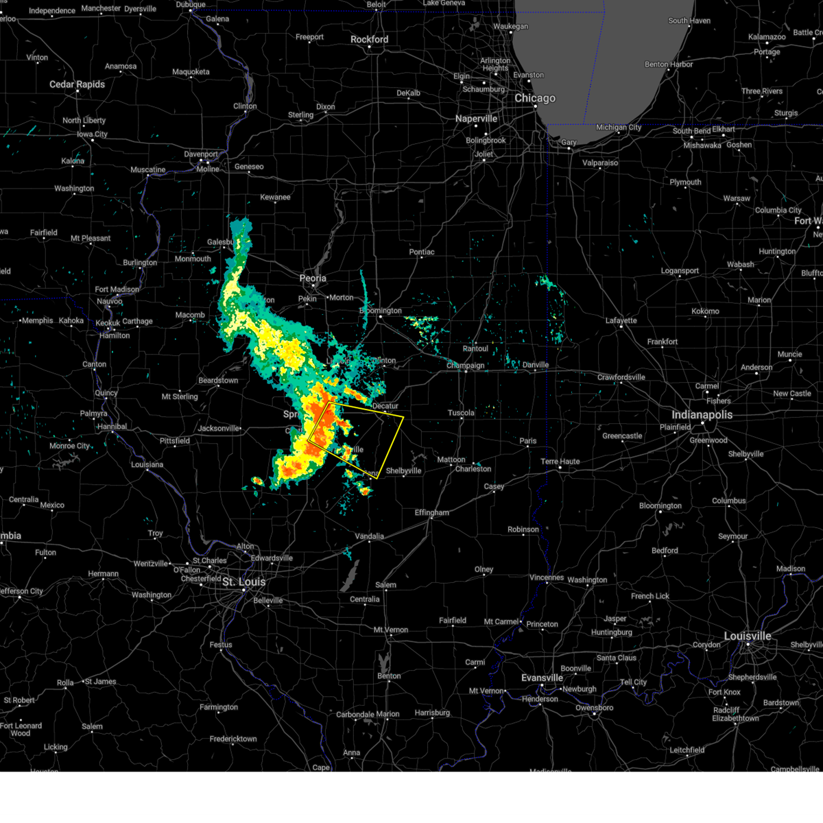 Svrilx the national weather service in lincoln has issued a * severe thunderstorm warning for, christian county in central illinois, eastern sangamon county in central illinois, northwestern shelby county in central illinois, southern macon county in central illinois, * until 845 am cdt. * at 804 am cdt, a severe thunderstorm was located near mechanicsburg, or 14 miles east of springfield, moving east at 45 mph (radar indicated). Hazards include 60 mph wind gusts. Expect damage to roofs, siding, and trees. this severe thunderstorm will be near, mount auburn around 810 am cdt. blue mound and stonington around 820 am cdt. other locations in the path of this severe thunderstorm include moweaqua and macon. This includes interstate 72 between mile markers 110 and 134. Svrilx the national weather service in lincoln has issued a * severe thunderstorm warning for, christian county in central illinois, eastern sangamon county in central illinois, northwestern shelby county in central illinois, southern macon county in central illinois, * until 845 am cdt. * at 804 am cdt, a severe thunderstorm was located near mechanicsburg, or 14 miles east of springfield, moving east at 45 mph (radar indicated). Hazards include 60 mph wind gusts. Expect damage to roofs, siding, and trees. this severe thunderstorm will be near, mount auburn around 810 am cdt. blue mound and stonington around 820 am cdt. other locations in the path of this severe thunderstorm include moweaqua and macon. This includes interstate 72 between mile markers 110 and 134.
|
| 7/30/2024 7:49 AM CDT | Report of power lines down in several spots across springfield with additional reports of tree damag in sangamon county IL, 2.7 miles S of Springfield, IL |
| 7/30/2024 7:46 AM CDT | Multiple 2" diameter tree branches down at intersection of piper rd and vincent st. one 4-6" diameter branch down on west st...just south of vincent s in sangamon county IL, 5.1 miles SSW of Springfield, IL |
| 7/29/2024 6:28 AM CDT |
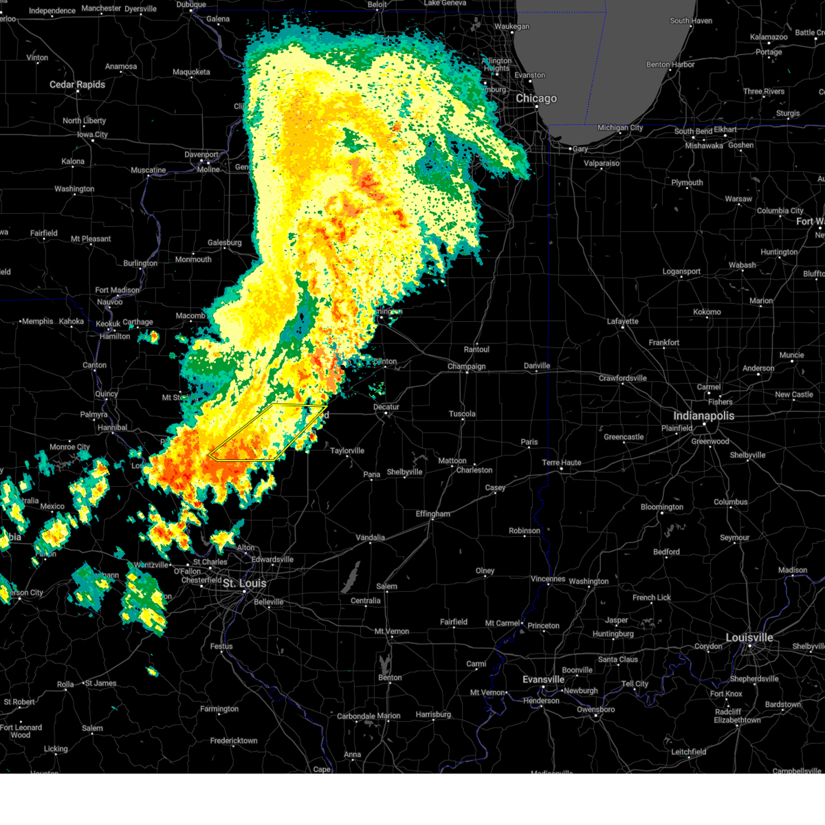 The storms which prompted the warning have weakened below severe limits, and have exited the warned area. therefore, the warning will be allowed to expire. however, gusty winds and heavy rain are still possible with these thunderstorms. The storms which prompted the warning have weakened below severe limits, and have exited the warned area. therefore, the warning will be allowed to expire. however, gusty winds and heavy rain are still possible with these thunderstorms.
|
| 7/29/2024 6:18 AM CDT |
 At 617 am cdt, severe thunderstorms were located along a line extending from near pleasant plains to roodhouse, moving southeast at 40 mph (radar indicated). Hazards include 60 mph wind gusts. Expect damage to roofs, siding, and trees. these severe storms will be near, alexander, new berlin, and franklin around 620 am cdt. springfield, waverly, and loami around 625 am cdt. chatham around 635 am cdt. other locations impacted by these severe thunderstorms include salisbury, nortonville, spaulding, curran, berlin, clear lake, southern view, grandview, jerome, and leland grove. this includes the following highways, interstate 55 between mile markers 97 and 103. Interstate 72 between mile markers 61 and 97, and between mile markers 103 and 104. At 617 am cdt, severe thunderstorms were located along a line extending from near pleasant plains to roodhouse, moving southeast at 40 mph (radar indicated). Hazards include 60 mph wind gusts. Expect damage to roofs, siding, and trees. these severe storms will be near, alexander, new berlin, and franklin around 620 am cdt. springfield, waverly, and loami around 625 am cdt. chatham around 635 am cdt. other locations impacted by these severe thunderstorms include salisbury, nortonville, spaulding, curran, berlin, clear lake, southern view, grandview, jerome, and leland grove. this includes the following highways, interstate 55 between mile markers 97 and 103. Interstate 72 between mile markers 61 and 97, and between mile markers 103 and 104.
|
| 7/29/2024 6:18 AM CDT |
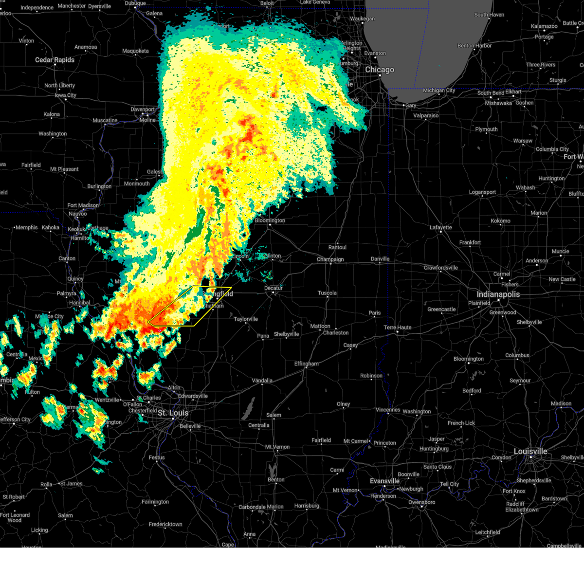 the severe thunderstorm warning has been cancelled and is no longer in effect the severe thunderstorm warning has been cancelled and is no longer in effect
|
| 7/29/2024 6:13 AM CDT |
 At 612 am cdt, severe thunderstorms were located along a line extending from near petersburg to roodhouse, moving southeast at 45 mph (radar indicated. at 609 am, a 48 mph wind gust was reported at the jacksonville airport). Hazards include 60 mph wind gusts. Expect damage to roofs, siding, and trees. these severe storms will be near, springfield, new berlin, franklin, and abraham lincoln capital airport around 620 am cdt. sherman, waverly, loami, and illinois state fairgrounds around 625 am cdt. chatham and riverton around 630 am cdt. other locations impacted by these severe thunderstorms include prentice, spaulding, merritt, curran, berlin, southern view, cantrall, salisbury, nortonville, and lynnville. this includes the following highways, interstate 55 between mile markers 97 and 116. Interstate 72 between mile markers 48 and 97. At 612 am cdt, severe thunderstorms were located along a line extending from near petersburg to roodhouse, moving southeast at 45 mph (radar indicated. at 609 am, a 48 mph wind gust was reported at the jacksonville airport). Hazards include 60 mph wind gusts. Expect damage to roofs, siding, and trees. these severe storms will be near, springfield, new berlin, franklin, and abraham lincoln capital airport around 620 am cdt. sherman, waverly, loami, and illinois state fairgrounds around 625 am cdt. chatham and riverton around 630 am cdt. other locations impacted by these severe thunderstorms include prentice, spaulding, merritt, curran, berlin, southern view, cantrall, salisbury, nortonville, and lynnville. this includes the following highways, interstate 55 between mile markers 97 and 116. Interstate 72 between mile markers 48 and 97.
|
| 7/29/2024 5:56 AM CDT |
 Svrilx the national weather service in lincoln has issued a * severe thunderstorm warning for, menard county in central illinois, scott county in west central illinois, southwestern logan county in central illinois, western sangamon county in central illinois, southeastern cass county in west central illinois, morgan county in west central illinois, * until 630 am cdt. * at 556 am cdt, severe thunderstorms were located along a line extending from 7 miles south of kilbourne to near winchester, moving east at 45 mph (radar indicated). Hazards include 60 mph wind gusts. Expect damage to roofs, siding, and trees. severe thunderstorms will be near, jacksonville, petersburg, winchester, south jacksonville, ashland, tallula, alsey, glasgow, and literberry around 600 am cdt. pleasant plains around 605 am cdt. athens, alexander, murrayville, woodson, and manchester around 610 am cdt. other locations in the path of these severe thunderstorms include new berlin, franklin and abraham lincoln capital airport. this includes the following highways, interstate 55 between mile markers 97 and 116. Interstate 72 between mile markers 43 and 97, and between mile markers 103 and 104. Svrilx the national weather service in lincoln has issued a * severe thunderstorm warning for, menard county in central illinois, scott county in west central illinois, southwestern logan county in central illinois, western sangamon county in central illinois, southeastern cass county in west central illinois, morgan county in west central illinois, * until 630 am cdt. * at 556 am cdt, severe thunderstorms were located along a line extending from 7 miles south of kilbourne to near winchester, moving east at 45 mph (radar indicated). Hazards include 60 mph wind gusts. Expect damage to roofs, siding, and trees. severe thunderstorms will be near, jacksonville, petersburg, winchester, south jacksonville, ashland, tallula, alsey, glasgow, and literberry around 600 am cdt. pleasant plains around 605 am cdt. athens, alexander, murrayville, woodson, and manchester around 610 am cdt. other locations in the path of these severe thunderstorms include new berlin, franklin and abraham lincoln capital airport. this includes the following highways, interstate 55 between mile markers 97 and 116. Interstate 72 between mile markers 43 and 97, and between mile markers 103 and 104.
|
| 6/25/2024 12:05 PM CDT | Tree fell on power pole at e kansas st and s wheeler ave and was reported by power compan in sangamon county IL, 2.2 miles SSW of Springfield, IL |
| 6/13/2024 7:26 PM CDT |
 the severe thunderstorm warning has been cancelled and is no longer in effect the severe thunderstorm warning has been cancelled and is no longer in effect
|
| 6/13/2024 7:07 PM CDT |
 Svrilx the national weather service in lincoln has issued a * severe thunderstorm warning for, southwestern menard county in central illinois, northwestern sangamon county in central illinois, southeastern cass county in west central illinois, northeastern morgan county in west central illinois, * until 745 pm cdt. * at 707 pm cdt, a severe thunderstorm was located near literberry, or near virginia, moving east at 45 mph (radar indicated). Hazards include 60 mph wind gusts and quarter size hail. Hail damage to vehicles is expected. expect wind damage to roofs, siding, and trees. this severe thunderstorm will be near, virginia and literberry around 710 pm cdt. ashland around 720 pm cdt. pleasant plains around 725 pm cdt. This includes interstate 72 between mile markers 79 and 92. Svrilx the national weather service in lincoln has issued a * severe thunderstorm warning for, southwestern menard county in central illinois, northwestern sangamon county in central illinois, southeastern cass county in west central illinois, northeastern morgan county in west central illinois, * until 745 pm cdt. * at 707 pm cdt, a severe thunderstorm was located near literberry, or near virginia, moving east at 45 mph (radar indicated). Hazards include 60 mph wind gusts and quarter size hail. Hail damage to vehicles is expected. expect wind damage to roofs, siding, and trees. this severe thunderstorm will be near, virginia and literberry around 710 pm cdt. ashland around 720 pm cdt. pleasant plains around 725 pm cdt. This includes interstate 72 between mile markers 79 and 92.
|
| 5/24/2024 2:30 PM CDT | Quarter sized hail reported 4.5 miles NE of Springfield, IL, report from mping: quarter (1.00 in.). |
| 5/24/2024 2:29 PM CDT |
 The storm which prompted the warning has weakened below severe limits, and no longer poses an immediate threat to life or property. therefore, the warning will be allowed to expire. however, small hail, gusty winds and heavy rain are still possible with this thunderstorm. The storm which prompted the warning has weakened below severe limits, and no longer poses an immediate threat to life or property. therefore, the warning will be allowed to expire. however, small hail, gusty winds and heavy rain are still possible with this thunderstorm.
|
| 5/24/2024 1:59 PM CDT |
 Svrilx the national weather service in lincoln has issued a * severe thunderstorm warning for, northwestern christian county in central illinois, central sangamon county in central illinois, * until 230 pm cdt. * at 159 pm cdt, a severe thunderstorm was located over pawnee, or 12 miles south of springfield, moving northeast at 40 mph (radar indicated). Hazards include 60 mph wind gusts and quarter size hail. Hail damage to vehicles is expected. expect wind damage to roofs, siding, and trees. this severe thunderstorm will be near, rochester around 205 pm cdt. other locations in the path of this severe thunderstorm include mechanicsburg, dawson and buffalo. this includes the following highways, interstate 55 between mile markers 77 and 111. Interstate 72 between mile markers 97 and 124. Svrilx the national weather service in lincoln has issued a * severe thunderstorm warning for, northwestern christian county in central illinois, central sangamon county in central illinois, * until 230 pm cdt. * at 159 pm cdt, a severe thunderstorm was located over pawnee, or 12 miles south of springfield, moving northeast at 40 mph (radar indicated). Hazards include 60 mph wind gusts and quarter size hail. Hail damage to vehicles is expected. expect wind damage to roofs, siding, and trees. this severe thunderstorm will be near, rochester around 205 pm cdt. other locations in the path of this severe thunderstorm include mechanicsburg, dawson and buffalo. this includes the following highways, interstate 55 between mile markers 77 and 111. Interstate 72 between mile markers 97 and 124.
|
| 5/24/2024 1:47 PM CDT |
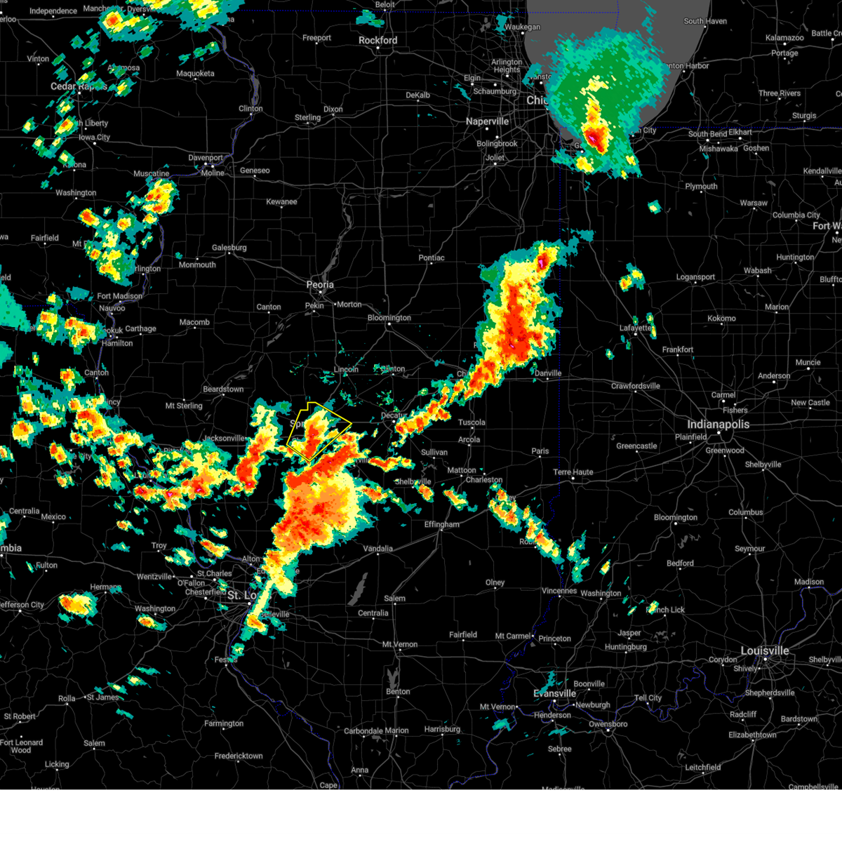 The storm which prompted the warning has weakened below severe limits, and no longer poses an immediate threat to life or property. therefore, the warning has been allowed to expire. however, small hail, gusty winds and heavy rain are still possible with this thunderstorm. The storm which prompted the warning has weakened below severe limits, and no longer poses an immediate threat to life or property. therefore, the warning has been allowed to expire. however, small hail, gusty winds and heavy rain are still possible with this thunderstorm.
|
| 5/24/2024 1:21 PM CDT |
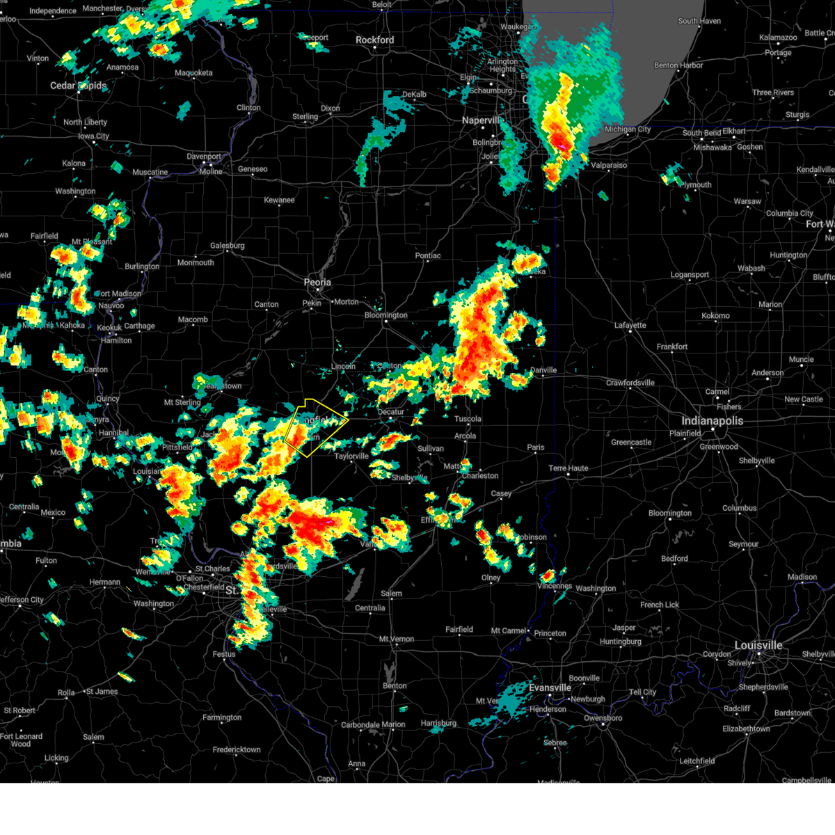 Svrilx the national weather service in lincoln has issued a * severe thunderstorm warning for, central sangamon county in central illinois, * until 145 pm cdt. * at 121 pm cdt, a severe thunderstorm was located near chatham, moving northeast at 40 mph (radar indicated). Hazards include 60 mph wind gusts and quarter size hail. Hail damage to vehicles is expected. expect wind damage to roofs, siding, and trees. this severe thunderstorm will be near, springfield and abraham lincoln capital airport around 125 pm cdt. illinois state fairgrounds around 130 pm cdt. sherman and riverton around 135 pm cdt. this includes the following highways, interstate 55 between mile markers 83 and 107. Interstate 72 between mile markers 87 and 118. Svrilx the national weather service in lincoln has issued a * severe thunderstorm warning for, central sangamon county in central illinois, * until 145 pm cdt. * at 121 pm cdt, a severe thunderstorm was located near chatham, moving northeast at 40 mph (radar indicated). Hazards include 60 mph wind gusts and quarter size hail. Hail damage to vehicles is expected. expect wind damage to roofs, siding, and trees. this severe thunderstorm will be near, springfield and abraham lincoln capital airport around 125 pm cdt. illinois state fairgrounds around 130 pm cdt. sherman and riverton around 135 pm cdt. this includes the following highways, interstate 55 between mile markers 83 and 107. Interstate 72 between mile markers 87 and 118.
|
| 5/4/2024 5:46 PM CDT |
 At 546 pm cdt, a severe thunderstorm was located over riverton, or 7 miles northeast of springfield, moving east at 25 mph (radar indicated). Hazards include 60 mph wind gusts and nickel size hail. Expect damage to roofs, siding, and trees. this severe storm will be near, riverton, dawson, and buffalo around 550 pm cdt. mechanicsburg around 555 pm cdt. illiopolis around 610 pm cdt. other locations impacted by this severe thunderstorm include sangchris lake state park, spaulding, clear lake, southern view, grandview, jerome, and leland grove. this includes the following highways, interstate 55 between mile markers 88 and 113. Interstate 72 between mile markers 96 and 124. At 546 pm cdt, a severe thunderstorm was located over riverton, or 7 miles northeast of springfield, moving east at 25 mph (radar indicated). Hazards include 60 mph wind gusts and nickel size hail. Expect damage to roofs, siding, and trees. this severe storm will be near, riverton, dawson, and buffalo around 550 pm cdt. mechanicsburg around 555 pm cdt. illiopolis around 610 pm cdt. other locations impacted by this severe thunderstorm include sangchris lake state park, spaulding, clear lake, southern view, grandview, jerome, and leland grove. this includes the following highways, interstate 55 between mile markers 88 and 113. Interstate 72 between mile markers 96 and 124.
|
| 5/4/2024 5:32 PM CDT |
 Svrilx the national weather service in lincoln has issued a * severe thunderstorm warning for, southern logan county in central illinois, northwestern christian county in central illinois, sangamon county in central illinois, western macon county in central illinois, * until 615 pm cdt. * at 531 pm cdt, a severe thunderstorm was located over illinois state fairgrounds, or near springfield, moving east at 25 mph (radar indicated). Hazards include 60 mph wind gusts and nickel size hail. Expect damage to roofs, siding, and trees. this severe thunderstorm will be near, springfield, sherman, riverton, and illinois state fairgrounds around 535 pm cdt. dawson around 545 pm cdt. buffalo around 550 pm cdt. other locations in the path of this severe thunderstorm include mechanicsburg. this includes the following highways, interstate 55 between mile markers 88 and 113. Interstate 72 between mile markers 82 and 124. Svrilx the national weather service in lincoln has issued a * severe thunderstorm warning for, southern logan county in central illinois, northwestern christian county in central illinois, sangamon county in central illinois, western macon county in central illinois, * until 615 pm cdt. * at 531 pm cdt, a severe thunderstorm was located over illinois state fairgrounds, or near springfield, moving east at 25 mph (radar indicated). Hazards include 60 mph wind gusts and nickel size hail. Expect damage to roofs, siding, and trees. this severe thunderstorm will be near, springfield, sherman, riverton, and illinois state fairgrounds around 535 pm cdt. dawson around 545 pm cdt. buffalo around 550 pm cdt. other locations in the path of this severe thunderstorm include mechanicsburg. this includes the following highways, interstate 55 between mile markers 88 and 113. Interstate 72 between mile markers 82 and 124.
|
| 3/14/2024 4:59 PM CDT |
 The storm which prompted the warning has moved out of the area. therefore, the warning will be allowed to expire. a tornado watch remains in effect until 900 pm cdt for central and west central illinois. a tornado warning is in effect for portions of southeastern sangamon county. The storm which prompted the warning has moved out of the area. therefore, the warning will be allowed to expire. a tornado watch remains in effect until 900 pm cdt for central and west central illinois. a tornado warning is in effect for portions of southeastern sangamon county.
|
| 3/14/2024 4:43 PM CDT |
 At 443 pm cdt, a severe thunderstorm was located over waverly, or 9 miles northwest of virden, moving east at 45 mph (radar indicated). Hazards include golf ball size hail and 60 mph wind gusts. People and animals outdoors will be injured. expect hail damage to roofs, siding, windows, and vehicles. expect wind damage to roofs, siding, and trees. this severe storm will be near, auburn around 450 pm cdt. chatham and divernon around 455 pm cdt. other locations impacted by this severe thunderstorm include lowder, curran, berlin, and thayer. this includes the following highways, interstate 55 between mile markers 77 and 79. Interstate 72 between mile markers 82 and 94. At 443 pm cdt, a severe thunderstorm was located over waverly, or 9 miles northwest of virden, moving east at 45 mph (radar indicated). Hazards include golf ball size hail and 60 mph wind gusts. People and animals outdoors will be injured. expect hail damage to roofs, siding, windows, and vehicles. expect wind damage to roofs, siding, and trees. this severe storm will be near, auburn around 450 pm cdt. chatham and divernon around 455 pm cdt. other locations impacted by this severe thunderstorm include lowder, curran, berlin, and thayer. this includes the following highways, interstate 55 between mile markers 77 and 79. Interstate 72 between mile markers 82 and 94.
|
| 3/14/2024 4:30 PM CDT |
 At 429 pm cdt, a severe thunderstorm was located near franklin, or 13 miles southeast of jacksonville, moving east at 50 mph (radar indicated). Hazards include two inch hail and 60 mph wind gusts. People and animals outdoors will be injured. expect hail damage to roofs, siding, windows, and vehicles. expect wind damage to roofs, siding, and trees. this severe storm will be near, waverly and franklin around 435 pm cdt. auburn around 450 pm cdt. divernon around 455 pm cdt. other locations impacted by this severe thunderstorm include salisbury, nortonville, lowder, curran, berlin, and thayer. this includes the following highways, interstate 55 between mile markers 77 and 79. Interstate 72 between mile markers 74 and 94. At 429 pm cdt, a severe thunderstorm was located near franklin, or 13 miles southeast of jacksonville, moving east at 50 mph (radar indicated). Hazards include two inch hail and 60 mph wind gusts. People and animals outdoors will be injured. expect hail damage to roofs, siding, windows, and vehicles. expect wind damage to roofs, siding, and trees. this severe storm will be near, waverly and franklin around 435 pm cdt. auburn around 450 pm cdt. divernon around 455 pm cdt. other locations impacted by this severe thunderstorm include salisbury, nortonville, lowder, curran, berlin, and thayer. this includes the following highways, interstate 55 between mile markers 77 and 79. Interstate 72 between mile markers 74 and 94.
|
| 3/14/2024 4:30 PM CDT |
 the severe thunderstorm warning has been cancelled and is no longer in effect the severe thunderstorm warning has been cancelled and is no longer in effect
|
| 3/14/2024 4:18 PM CDT |
 At 418 pm cdt, a severe thunderstorm was located over murrayville, or 9 miles south of jacksonville, moving east at 50 mph (radar indicated). Hazards include tennis ball size hail and 70 mph wind gusts. People and animals outdoors will be injured. expect hail damage to roofs, siding, windows, and vehicles. expect considerable tree damage. wind damage is also likely to mobile homes, roofs, and outbuildings. this severe storm will be near, franklin around 430 pm cdt. waverly around 435 pm cdt. auburn around 445 pm cdt. chatham and divernon around 455 pm cdt. other locations impacted by this severe thunderstorm include prentice, salisbury, nortonville, curran, berlin, thayer, lowder, and jacksonville municipal airport. this includes the following highways, interstate 55 between mile markers 77 and 79. Interstate 72 between mile markers 60 and 94. At 418 pm cdt, a severe thunderstorm was located over murrayville, or 9 miles south of jacksonville, moving east at 50 mph (radar indicated). Hazards include tennis ball size hail and 70 mph wind gusts. People and animals outdoors will be injured. expect hail damage to roofs, siding, windows, and vehicles. expect considerable tree damage. wind damage is also likely to mobile homes, roofs, and outbuildings. this severe storm will be near, franklin around 430 pm cdt. waverly around 435 pm cdt. auburn around 445 pm cdt. chatham and divernon around 455 pm cdt. other locations impacted by this severe thunderstorm include prentice, salisbury, nortonville, curran, berlin, thayer, lowder, and jacksonville municipal airport. this includes the following highways, interstate 55 between mile markers 77 and 79. Interstate 72 between mile markers 60 and 94.
|
| 3/14/2024 4:04 PM CDT |
 Svrilx the national weather service in lincoln has issued a * severe thunderstorm warning for, eastern scott county in west central illinois, western sangamon county in central illinois, morgan county in west central illinois, * until 500 pm cdt. * at 403 pm cdt, a severe thunderstorm was located over winchester, moving east at 50 mph (radar indicated). Hazards include golf ball size hail and 60 mph wind gusts. People and animals outdoors will be injured. expect hail damage to roofs, siding, windows, and vehicles. expect wind damage to roofs, siding, and trees. this severe thunderstorm will be near, south jacksonville, murrayville, and woodson around 415 pm cdt. other locations in the path of this severe thunderstorm include franklin, new berlin, loami, springfield and chatham. this includes the following highways, interstate 55 between mile markers 77 and 79. Interstate 72 between mile markers 60 and 94. Svrilx the national weather service in lincoln has issued a * severe thunderstorm warning for, eastern scott county in west central illinois, western sangamon county in central illinois, morgan county in west central illinois, * until 500 pm cdt. * at 403 pm cdt, a severe thunderstorm was located over winchester, moving east at 50 mph (radar indicated). Hazards include golf ball size hail and 60 mph wind gusts. People and animals outdoors will be injured. expect hail damage to roofs, siding, windows, and vehicles. expect wind damage to roofs, siding, and trees. this severe thunderstorm will be near, south jacksonville, murrayville, and woodson around 415 pm cdt. other locations in the path of this severe thunderstorm include franklin, new berlin, loami, springfield and chatham. this includes the following highways, interstate 55 between mile markers 77 and 79. Interstate 72 between mile markers 60 and 94.
|
| 3/14/2024 8:13 AM CDT |
 Svrilx the national weather service in lincoln has issued a * severe thunderstorm warning for, christian county in central illinois, central sangamon county in central illinois, western shelby county in central illinois, southwestern macon county in central illinois, * until 900 am cdt. * at 812 am cdt, severe thunderstorms were located along a line extending from riverton to near farmersville, moving east at 40 mph (radar indicated). Hazards include 60 mph wind gusts and quarter size hail. Hail damage to vehicles is expected. expect wind damage to roofs, siding, and trees. severe thunderstorms will be near, kincaid, edinburg, mechanicsburg, dawson, and buffalo around 820 am cdt. jeisyville around 825 am cdt. taylorville, illiopolis, and mount auburn around 830 am cdt. other locations in the path of these severe thunderstorms include blue mound, stonington, niantic, harristown and owaneco. this includes the following highways, interstate 55 between mile markers 77 and 102. Interstate 72 between mile markers 98 and 137. Svrilx the national weather service in lincoln has issued a * severe thunderstorm warning for, christian county in central illinois, central sangamon county in central illinois, western shelby county in central illinois, southwestern macon county in central illinois, * until 900 am cdt. * at 812 am cdt, severe thunderstorms were located along a line extending from riverton to near farmersville, moving east at 40 mph (radar indicated). Hazards include 60 mph wind gusts and quarter size hail. Hail damage to vehicles is expected. expect wind damage to roofs, siding, and trees. severe thunderstorms will be near, kincaid, edinburg, mechanicsburg, dawson, and buffalo around 820 am cdt. jeisyville around 825 am cdt. taylorville, illiopolis, and mount auburn around 830 am cdt. other locations in the path of these severe thunderstorms include blue mound, stonington, niantic, harristown and owaneco. this includes the following highways, interstate 55 between mile markers 77 and 102. Interstate 72 between mile markers 98 and 137.
|
| 8/11/2023 9:15 AM CDT | Report of a couple trees down...estimated winds of 45 mp in sangamon county IL, 2 miles ESE of Springfield, IL |
| 8/6/2023 6:09 PM CDT |
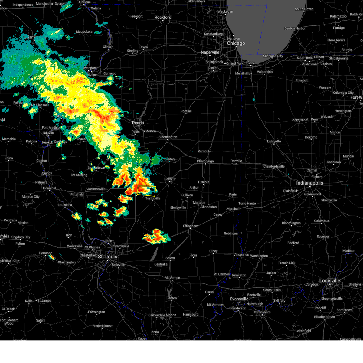 At 609 pm cdt, a severe thunderstorm was located over rochester, or 7 miles southeast of springfield, moving east at 35 mph (radar indicated). Hazards include 60 mph wind gusts and half dollar size hail. Hail damage to vehicles is expected. Expect wind damage to roofs, siding, and trees. At 609 pm cdt, a severe thunderstorm was located over rochester, or 7 miles southeast of springfield, moving east at 35 mph (radar indicated). Hazards include 60 mph wind gusts and half dollar size hail. Hail damage to vehicles is expected. Expect wind damage to roofs, siding, and trees.
|
| 8/6/2023 5:55 PM CDT | Power line down on e. lake shore dr. time estimated from rada in sangamon county IL, 2.4 miles W of Springfield, IL |
| 7/23/2023 7:59 PM CDT |
 At 758 pm cdt, a severe thunderstorm was located over bulpitt, or 11 miles northwest of taylorville, moving east at 35 mph (radar indicated). Hazards include 60 mph wind gusts and half dollar size hail. Hail damage to vehicles is expected. expect wind damage to roofs, siding, and trees. this severe thunderstorm will be near, edinburg around 805 pm cdt. taylorville around 810 pm cdt. other locations in the path of this severe thunderstorm include stonington, blue mound and moweaqua. hail threat, radar indicated max hail size, 1. 25 in wind threat, radar indicated max wind gust, 60 mph. At 758 pm cdt, a severe thunderstorm was located over bulpitt, or 11 miles northwest of taylorville, moving east at 35 mph (radar indicated). Hazards include 60 mph wind gusts and half dollar size hail. Hail damage to vehicles is expected. expect wind damage to roofs, siding, and trees. this severe thunderstorm will be near, edinburg around 805 pm cdt. taylorville around 810 pm cdt. other locations in the path of this severe thunderstorm include stonington, blue mound and moweaqua. hail threat, radar indicated max hail size, 1. 25 in wind threat, radar indicated max wind gust, 60 mph.
|
| 7/23/2023 7:50 PM CDT |
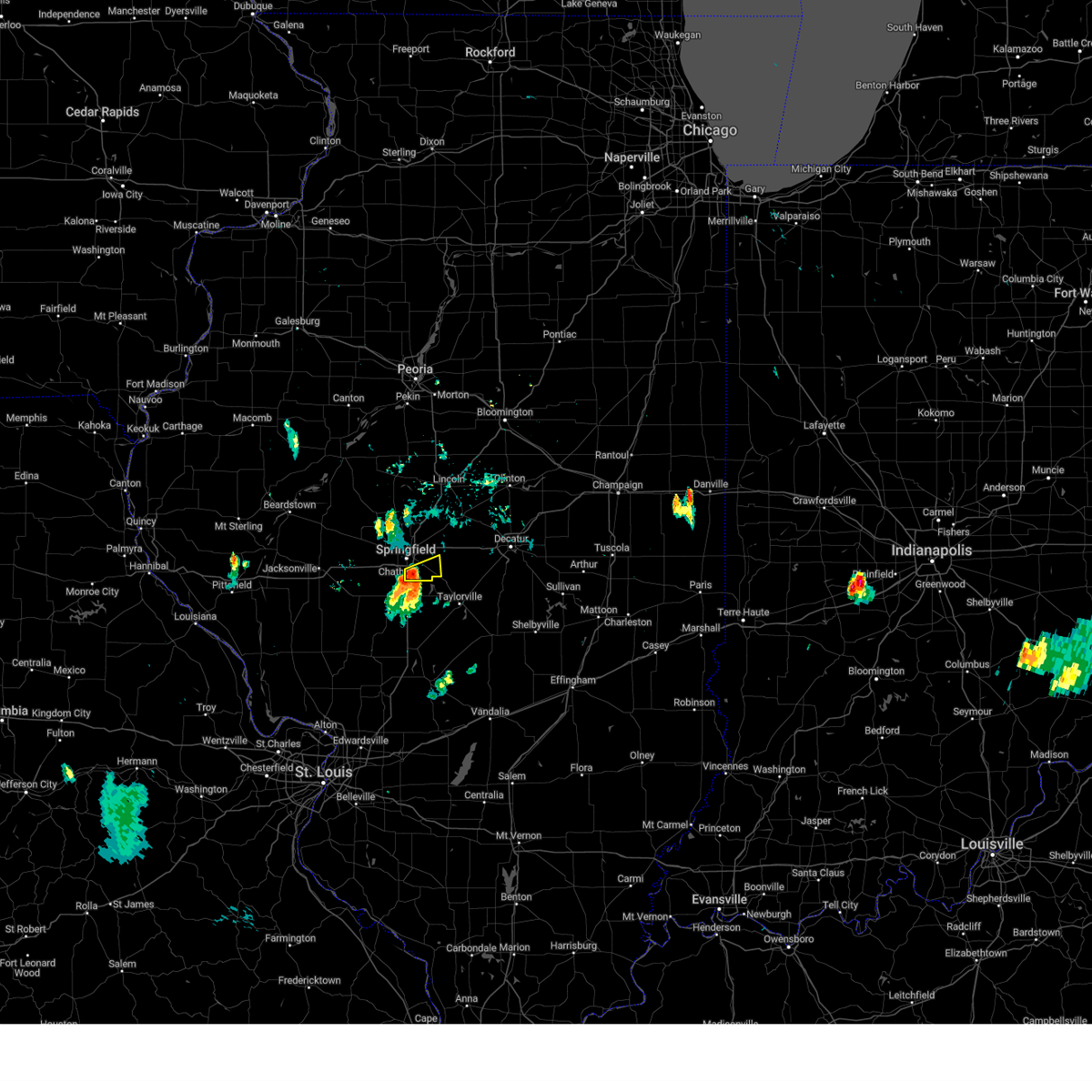 At 750 pm cdt, a severe thunderstorm was located near rochester, or near springfield, moving east at 25 mph (trained weather spotters). Hazards include quarter size hail. Damage to vehicles is expected. locations impacted include, springfield, rochester and berry. this includes interstate 55 between mile markers 87 and 91. hail threat, observed max hail size, 1. 00 in wind threat, radar indicated max wind gust, <50 mph. At 750 pm cdt, a severe thunderstorm was located near rochester, or near springfield, moving east at 25 mph (trained weather spotters). Hazards include quarter size hail. Damage to vehicles is expected. locations impacted include, springfield, rochester and berry. this includes interstate 55 between mile markers 87 and 91. hail threat, observed max hail size, 1. 00 in wind threat, radar indicated max wind gust, <50 mph.
|
| 7/23/2023 7:43 PM CDT | Quarter sized hail reported 5.1 miles NE of Springfield, IL, report from mping: quarter (1.00 in.). |
| 7/23/2023 7:42 PM CDT |
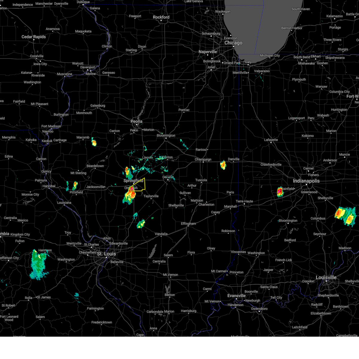 At 742 pm cdt, a severe thunderstorm was located near chatham, or near springfield, moving east at 25 mph (trained weather spotters). Hazards include two inch hail. People and animals outdoors will be injured. expect damage to roofs, siding, windows, and vehicles. locations impacted include, rochester. this includes the following highways, interstate 55 between mile markers 87 and 96. interstate 72 between mile markers 96 and 102, and between mile markers 110 and 113. thunderstorm damage threat, considerable hail threat, observed max hail size, 2. 00 in wind threat, radar indicated max wind gust, <50 mph. At 742 pm cdt, a severe thunderstorm was located near chatham, or near springfield, moving east at 25 mph (trained weather spotters). Hazards include two inch hail. People and animals outdoors will be injured. expect damage to roofs, siding, windows, and vehicles. locations impacted include, rochester. this includes the following highways, interstate 55 between mile markers 87 and 96. interstate 72 between mile markers 96 and 102, and between mile markers 110 and 113. thunderstorm damage threat, considerable hail threat, observed max hail size, 2. 00 in wind threat, radar indicated max wind gust, <50 mph.
|
| 7/23/2023 7:34 PM CDT |
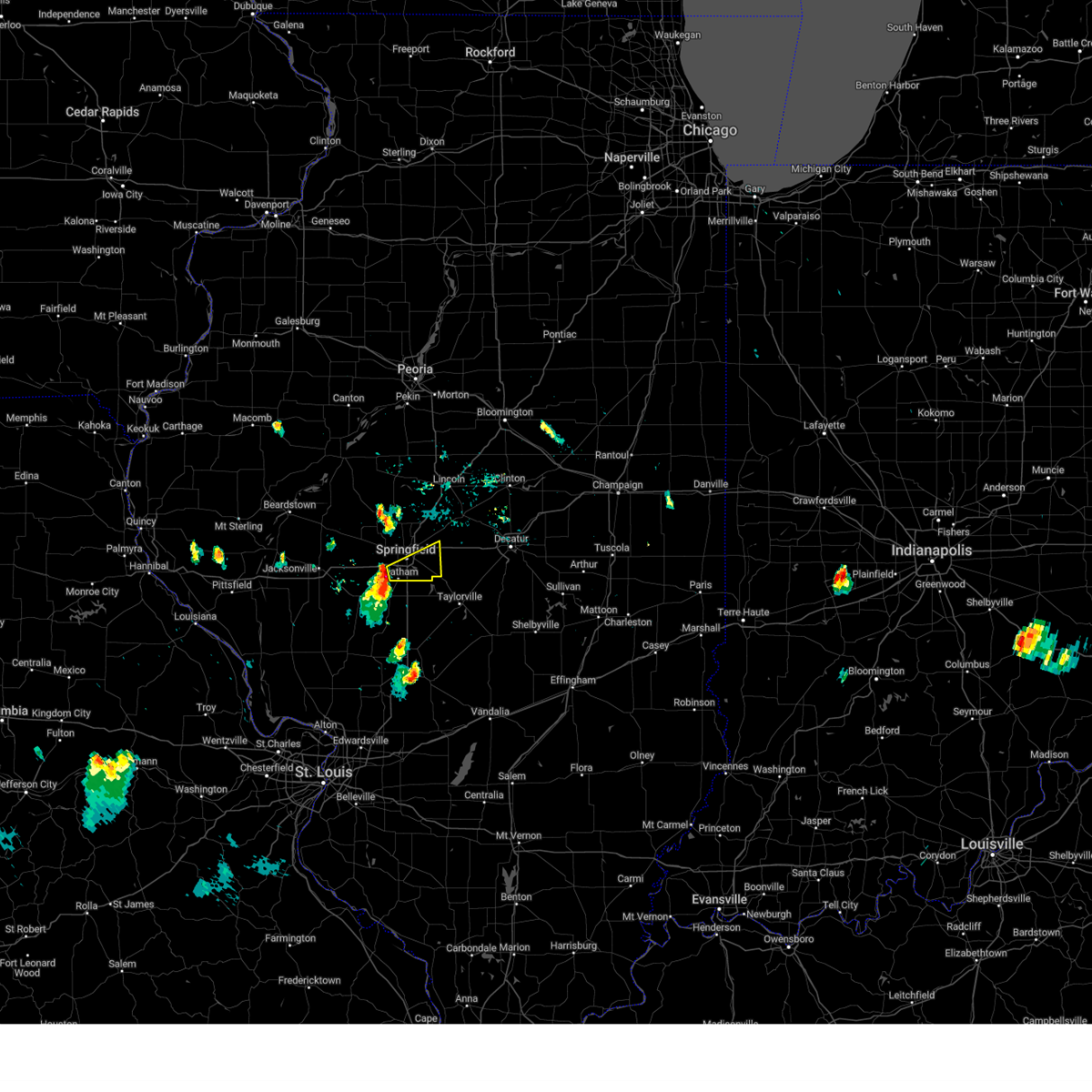 At 734 pm cdt, a severe thunderstorm was located near chatham, or near springfield, moving east at 25 mph (trained weather spotters). Hazards include ping pong ball size hail. People and animals outdoors will be injured. expect damage to roofs, siding, windows, and vehicles. this severe thunderstorm will be near, springfield around 745 pm cdt. other locations in the path of this severe thunderstorm include rochester. this includes the following highways, interstate 55 between mile markers 87 and 97. interstate 72 between mile markers 93 and 106, and between mile markers 109 and 113. hail threat, observed max hail size, 1. 50 in wind threat, radar indicated max wind gust, <50 mph. At 734 pm cdt, a severe thunderstorm was located near chatham, or near springfield, moving east at 25 mph (trained weather spotters). Hazards include ping pong ball size hail. People and animals outdoors will be injured. expect damage to roofs, siding, windows, and vehicles. this severe thunderstorm will be near, springfield around 745 pm cdt. other locations in the path of this severe thunderstorm include rochester. this includes the following highways, interstate 55 between mile markers 87 and 97. interstate 72 between mile markers 93 and 106, and between mile markers 109 and 113. hail threat, observed max hail size, 1. 50 in wind threat, radar indicated max wind gust, <50 mph.
|
| 7/23/2023 7:28 PM CDT |
 At 727 pm cdt, a severe thunderstorm was located near chatham, or 7 miles southwest of springfield, moving east at 30 mph (radar indicated). Hazards include ping pong ball size hail and 60 mph wind gusts. People and animals outdoors will be injured. expect hail damage to roofs, siding, windows, and vehicles. expect wind damage to roofs, siding, and trees. locations impacted include, springfield, chatham, auburn, pawnee, divernon and glenarm. this includes interstate 55 between mile markers 79 and 90. hail threat, radar indicated max hail size, 1. 50 in wind threat, radar indicated max wind gust, 60 mph. At 727 pm cdt, a severe thunderstorm was located near chatham, or 7 miles southwest of springfield, moving east at 30 mph (radar indicated). Hazards include ping pong ball size hail and 60 mph wind gusts. People and animals outdoors will be injured. expect hail damage to roofs, siding, windows, and vehicles. expect wind damage to roofs, siding, and trees. locations impacted include, springfield, chatham, auburn, pawnee, divernon and glenarm. this includes interstate 55 between mile markers 79 and 90. hail threat, radar indicated max hail size, 1. 50 in wind threat, radar indicated max wind gust, 60 mph.
|
| 7/23/2023 7:14 PM CDT |
 At 714 pm cdt, a severe thunderstorm was located near loami, or 10 miles northwest of virden, moving east at 30 mph (radar indicated). Hazards include 60 mph wind gusts and quarter size hail. Hail damage to vehicles is expected. expect wind damage to roofs, siding, and trees. locations impacted include, chatham, auburn, springfield, divernon and pawnee. this includes the following highways, interstate 55 between mile markers 78 and 90. interstate 72 between mile markers 80 and 84. hail threat, radar indicated max hail size, 1. 00 in wind threat, radar indicated max wind gust, 60 mph. At 714 pm cdt, a severe thunderstorm was located near loami, or 10 miles northwest of virden, moving east at 30 mph (radar indicated). Hazards include 60 mph wind gusts and quarter size hail. Hail damage to vehicles is expected. expect wind damage to roofs, siding, and trees. locations impacted include, chatham, auburn, springfield, divernon and pawnee. this includes the following highways, interstate 55 between mile markers 78 and 90. interstate 72 between mile markers 80 and 84. hail threat, radar indicated max hail size, 1. 00 in wind threat, radar indicated max wind gust, 60 mph.
|
| 7/23/2023 6:58 PM CDT |
 At 658 pm cdt, a severe thunderstorm was located over franklin, or 11 miles southeast of jacksonville, moving east at 35 mph (radar indicated). Hazards include 60 mph wind gusts and quarter size hail. Hail damage to vehicles is expected. expect wind damage to roofs, siding, and trees. this severe thunderstorm will be near, waverly around 705 pm cdt. new berlin around 710 pm cdt. loami around 715 pm cdt. other locations in the path of this severe thunderstorm include chatham, auburn, springfield, divernon and pawnee. this includes the following highways, interstate 55 between mile markers 78 and 90. interstate 72 between mile markers 73 and 84. hail threat, radar indicated max hail size, 1. 00 in wind threat, radar indicated max wind gust, 60 mph. At 658 pm cdt, a severe thunderstorm was located over franklin, or 11 miles southeast of jacksonville, moving east at 35 mph (radar indicated). Hazards include 60 mph wind gusts and quarter size hail. Hail damage to vehicles is expected. expect wind damage to roofs, siding, and trees. this severe thunderstorm will be near, waverly around 705 pm cdt. new berlin around 710 pm cdt. loami around 715 pm cdt. other locations in the path of this severe thunderstorm include chatham, auburn, springfield, divernon and pawnee. this includes the following highways, interstate 55 between mile markers 78 and 90. interstate 72 between mile markers 73 and 84. hail threat, radar indicated max hail size, 1. 00 in wind threat, radar indicated max wind gust, 60 mph.
|
| 7/20/2023 9:05 AM CDT |
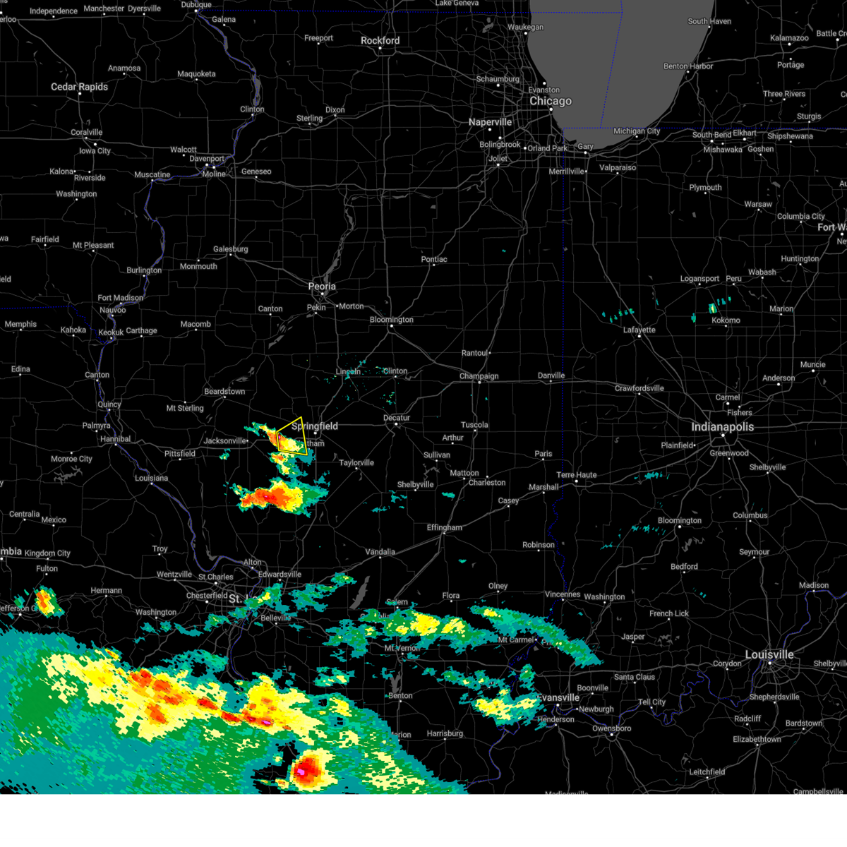 At 905 am cdt, a severe thunderstorm was located over new berlin, or 13 miles west of springfield, moving east at 20 mph (radar indicated). Hazards include 60 mph wind gusts and quarter size hail. Hail damage to vehicles is expected. expect wind damage to roofs, siding, and trees. locations impacted include, loami. this includes interstate 72 between mile markers 81 and 92. hail threat, radar indicated max hail size, 1. 00 in wind threat, radar indicated max wind gust, 60 mph. At 905 am cdt, a severe thunderstorm was located over new berlin, or 13 miles west of springfield, moving east at 20 mph (radar indicated). Hazards include 60 mph wind gusts and quarter size hail. Hail damage to vehicles is expected. expect wind damage to roofs, siding, and trees. locations impacted include, loami. this includes interstate 72 between mile markers 81 and 92. hail threat, radar indicated max hail size, 1. 00 in wind threat, radar indicated max wind gust, 60 mph.
|
| 7/20/2023 8:52 AM CDT |
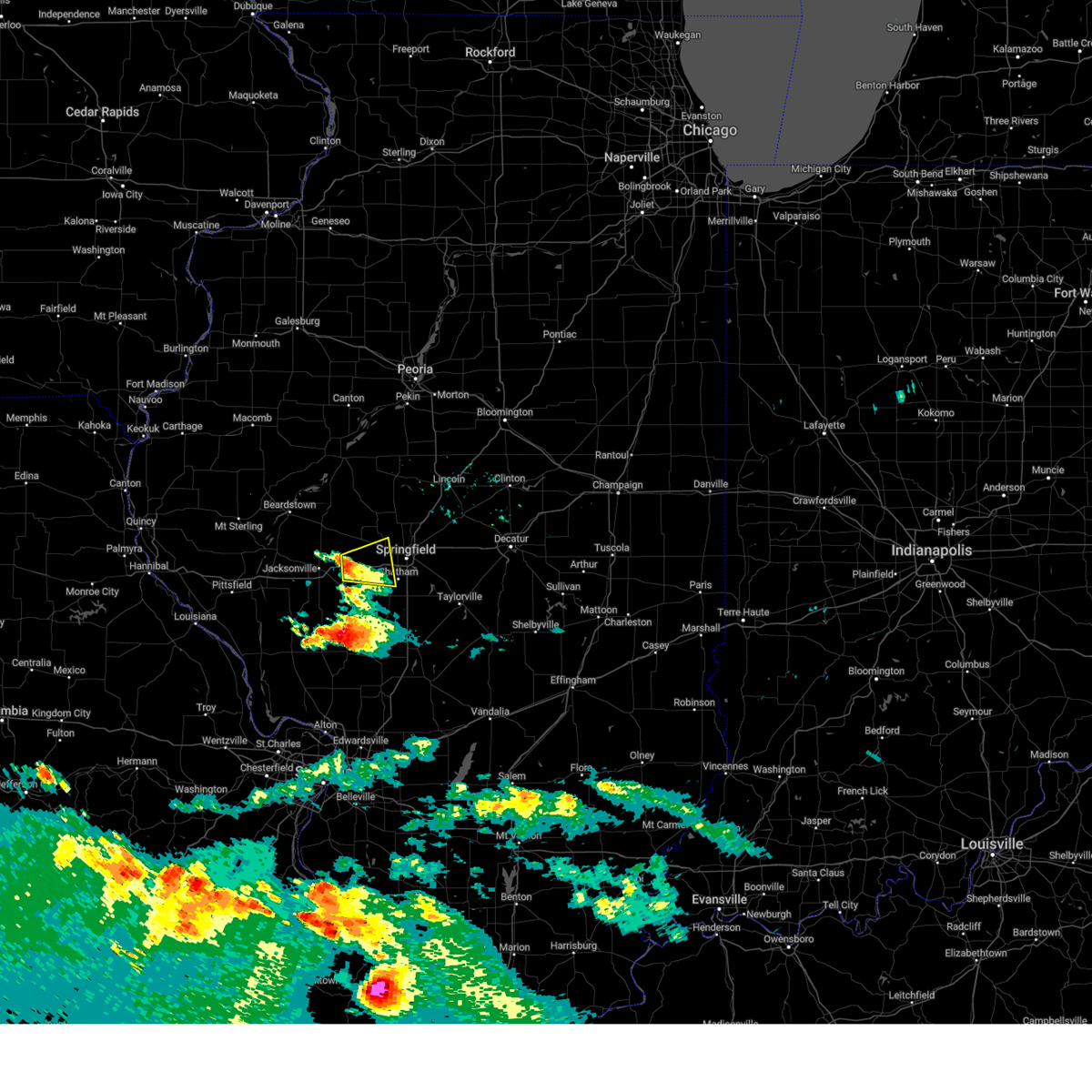 At 852 am cdt, a severe thunderstorm was located over alexander, or 12 miles east of jacksonville, moving east at 20 mph (radar indicated). Hazards include 60 mph wind gusts and quarter size hail. Hail damage to vehicles is expected. expect wind damage to roofs, siding, and trees. this severe thunderstorm will be near, new berlin around 905 am cdt. other locations in the path of this severe thunderstorm include loami. this includes interstate 72 between mile markers 75 and 92. hail threat, radar indicated max hail size, 1. 00 in wind threat, radar indicated max wind gust, 60 mph. At 852 am cdt, a severe thunderstorm was located over alexander, or 12 miles east of jacksonville, moving east at 20 mph (radar indicated). Hazards include 60 mph wind gusts and quarter size hail. Hail damage to vehicles is expected. expect wind damage to roofs, siding, and trees. this severe thunderstorm will be near, new berlin around 905 am cdt. other locations in the path of this severe thunderstorm include loami. this includes interstate 72 between mile markers 75 and 92. hail threat, radar indicated max hail size, 1. 00 in wind threat, radar indicated max wind gust, 60 mph.
|
| 6/29/2023 12:23 PM CDT |
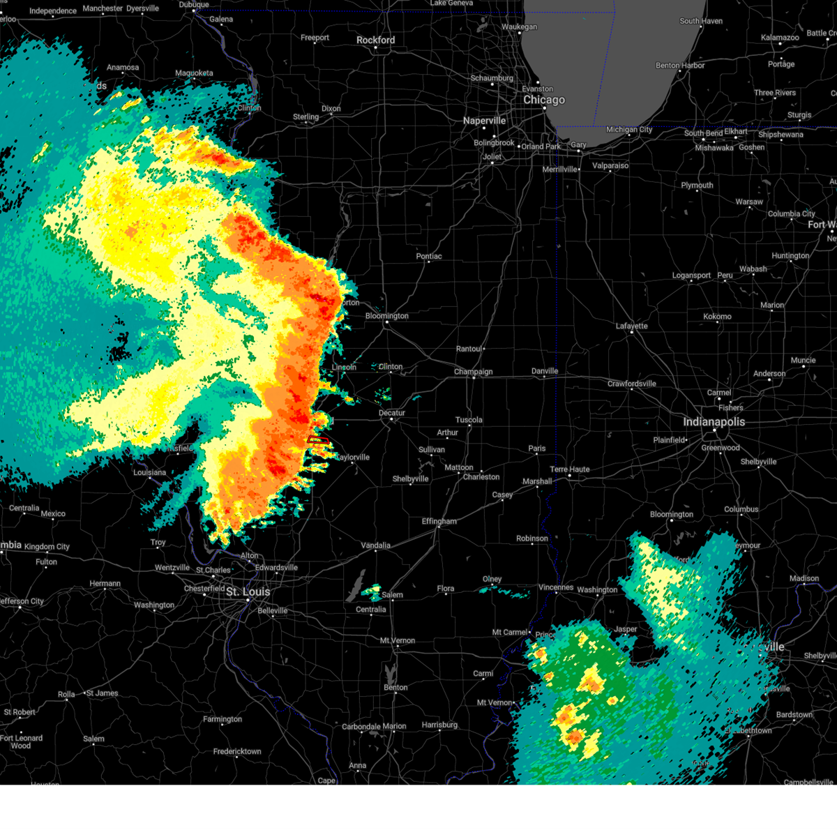 At 1222 pm cdt, a severe thunderstorm capable of producing a tornado was located near rochester, or 7 miles southeast of springfield, moving east at 60 mph (radar indicated rotation). Hazards include tornado and half dollar size hail. Flying debris will be dangerous to those caught without shelter. mobile homes will be damaged or destroyed. damage to roofs, windows, and vehicles will occur. tree damage is likely. this tornadic thunderstorm will remain over mainly rural areas of central sangamon county. This includes interstate 55 between mile markers 89 and 91. At 1222 pm cdt, a severe thunderstorm capable of producing a tornado was located near rochester, or 7 miles southeast of springfield, moving east at 60 mph (radar indicated rotation). Hazards include tornado and half dollar size hail. Flying debris will be dangerous to those caught without shelter. mobile homes will be damaged or destroyed. damage to roofs, windows, and vehicles will occur. tree damage is likely. this tornadic thunderstorm will remain over mainly rural areas of central sangamon county. This includes interstate 55 between mile markers 89 and 91.
|
| 6/29/2023 12:20 PM CDT | Large tree limbs down at intersection of spring and edwards in springfiel in sangamon county IL, 2.8 miles SSE of Springfield, IL |
| 6/29/2023 12:20 PM CDT | Large tree blown down onto a chain link fence... destroying the fence. time estimated by rada in sangamon county IL, 2.7 miles S of Springfield, IL |
| 6/29/2023 12:20 PM CDT |
 At 1220 pm cdt, a confirmed tornado was located over riverton, or 9 miles northeast of springfield, moving east at 80 mph (public confirmed tornado). Hazards include damaging tornado and half dollar size hail. Flying debris will be dangerous to those caught without shelter. mobile homes will be damaged or destroyed. damage to roofs, windows, and vehicles will occur. tree damage is likely. the tornado will be near, mechanicsburg and cornland around 1225 pm cdt. illiopolis around 1230 pm cdt. this includes the following highways, interstate 55 between mile markers 101 and 110. Interstate 72 between mile markers 108 and 123. At 1220 pm cdt, a confirmed tornado was located over riverton, or 9 miles northeast of springfield, moving east at 80 mph (public confirmed tornado). Hazards include damaging tornado and half dollar size hail. Flying debris will be dangerous to those caught without shelter. mobile homes will be damaged or destroyed. damage to roofs, windows, and vehicles will occur. tree damage is likely. the tornado will be near, mechanicsburg and cornland around 1225 pm cdt. illiopolis around 1230 pm cdt. this includes the following highways, interstate 55 between mile markers 101 and 110. Interstate 72 between mile markers 108 and 123.
|
| 6/29/2023 12:19 PM CDT | Two trees were blown ove in sangamon county IL, 1.6 miles NNW of Springfield, IL |
| 6/29/2023 12:19 PM CDT |
 At 1219 pm cdt, a severe thunderstorm capable of producing a tornado was located near chatham, or 7 miles south of springfield, moving east at 75 mph (radar indicated rotation). Hazards include tornado and half dollar size hail. Flying debris will be dangerous to those caught without shelter. mobile homes will be damaged or destroyed. damage to roofs, windows, and vehicles will occur. tree damage is likely. this dangerous storm will be near, kincaid, edinburg, bulpitt and jeisyville around 1230 pm cdt. taylorville around 1235 pm cdt. This includes interstate 55 between mile markers 83 and 91. At 1219 pm cdt, a severe thunderstorm capable of producing a tornado was located near chatham, or 7 miles south of springfield, moving east at 75 mph (radar indicated rotation). Hazards include tornado and half dollar size hail. Flying debris will be dangerous to those caught without shelter. mobile homes will be damaged or destroyed. damage to roofs, windows, and vehicles will occur. tree damage is likely. this dangerous storm will be near, kincaid, edinburg, bulpitt and jeisyville around 1230 pm cdt. taylorville around 1235 pm cdt. This includes interstate 55 between mile markers 83 and 91.
|
| 6/29/2023 12:17 PM CDT | Storm damage reported in sangamon county IL, 5.8 miles SSE of Springfield, IL |
| 6/29/2023 12:17 PM CDT |
 At 1217 pm cdt, a severe thunderstorm capable of producing a tornado was located over sherman, or 8 miles north of springfield, moving east at 80 mph (radar indicated rotation). Hazards include tornado and half dollar size hail. Flying debris will be dangerous to those caught without shelter. mobile homes will be damaged or destroyed. damage to roofs, windows, and vehicles will occur. tree damage is likely. this dangerous storm will be near, mechanicsburg and cornland around 1225 pm cdt. illiopolis around 1230 pm cdt. this includes the following highways, interstate 55 between mile markers 101 and 110. Interstate 72 between mile markers 108 and 123. At 1217 pm cdt, a severe thunderstorm capable of producing a tornado was located over sherman, or 8 miles north of springfield, moving east at 80 mph (radar indicated rotation). Hazards include tornado and half dollar size hail. Flying debris will be dangerous to those caught without shelter. mobile homes will be damaged or destroyed. damage to roofs, windows, and vehicles will occur. tree damage is likely. this dangerous storm will be near, mechanicsburg and cornland around 1225 pm cdt. illiopolis around 1230 pm cdt. this includes the following highways, interstate 55 between mile markers 101 and 110. Interstate 72 between mile markers 108 and 123.
|
| 6/29/2023 12:15 PM CDT | One foot diameter tree snapped in half... just north of i-7 in sangamon county IL, 2.4 miles NE of Springfield, IL |
| 6/29/2023 12:15 PM CDT | At least 15 power poles down. time estimated by rada in sangamon county IL, 1.8 miles W of Springfield, IL |
| 6/29/2023 12:12 PM CDT |
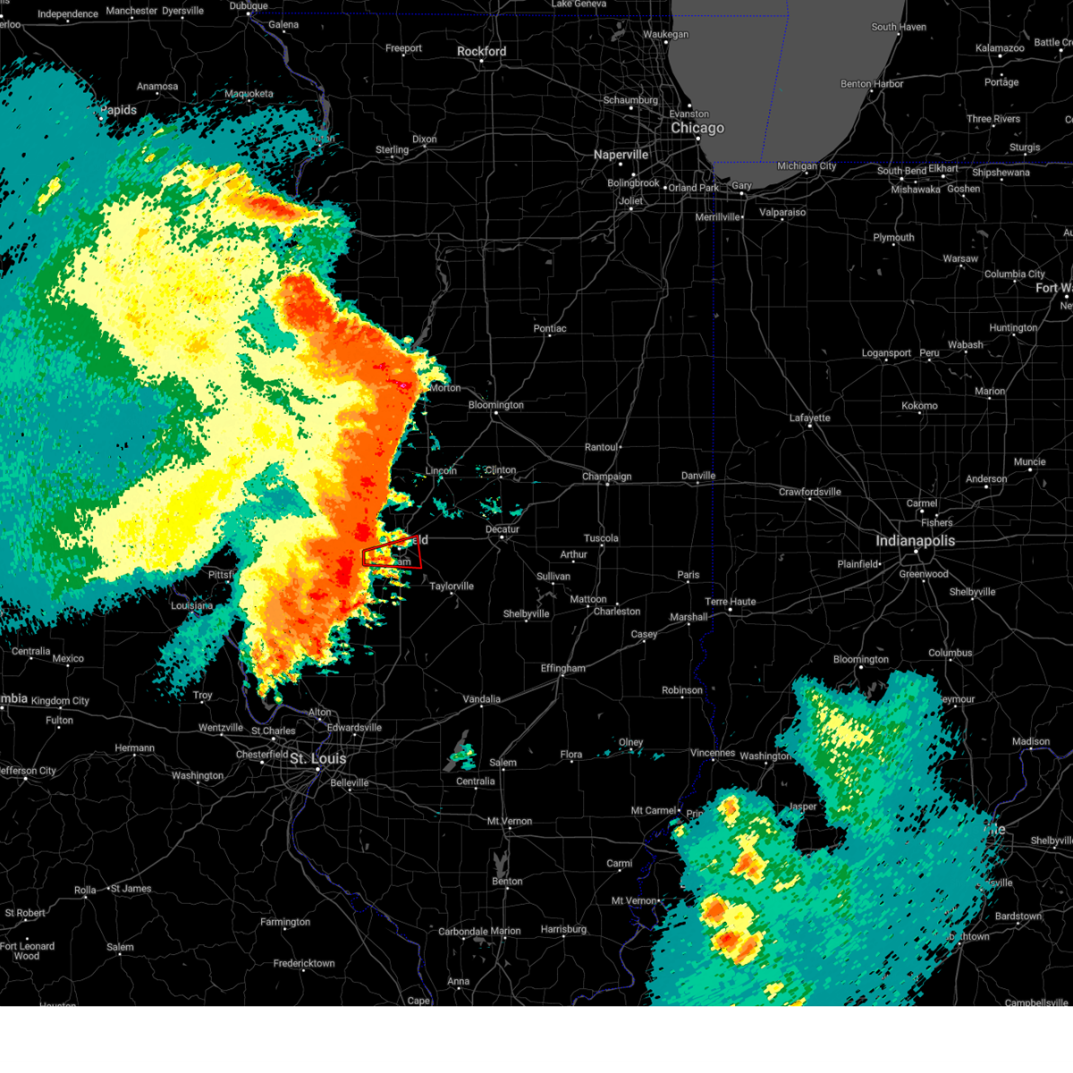 At 1212 pm cdt, a severe thunderstorm capable of producing a tornado was located near loami, or 9 miles west of springfield, moving east at 55 mph (radar indicated rotation). Hazards include tornado and half dollar size hail. Flying debris will be dangerous to those caught without shelter. mobile homes will be damaged or destroyed. damage to roofs, windows, and vehicles will occur. tree damage is likely. this dangerous storm will be near, chatham around 1220 pm cdt. springfield around 1225 pm cdt. rochester around 1230 pm cdt. this includes the following highways, interstate 55 between mile markers 89 and 99. Interstate 72 between mile markers 85 and 108. At 1212 pm cdt, a severe thunderstorm capable of producing a tornado was located near loami, or 9 miles west of springfield, moving east at 55 mph (radar indicated rotation). Hazards include tornado and half dollar size hail. Flying debris will be dangerous to those caught without shelter. mobile homes will be damaged or destroyed. damage to roofs, windows, and vehicles will occur. tree damage is likely. this dangerous storm will be near, chatham around 1220 pm cdt. springfield around 1225 pm cdt. rochester around 1230 pm cdt. this includes the following highways, interstate 55 between mile markers 89 and 99. Interstate 72 between mile markers 85 and 108.
|
| 6/29/2023 12:10 PM CDT |
 At 1209 pm cdt, severe thunderstorms were located along a line extending from san jose to near waverly, moving east at 70 mph (emergency management). Hazards include 70 mph wind gusts and half dollar size hail. Hail damage to vehicles is expected. expect considerable tree damage. wind damage is also likely to mobile homes, roofs, and outbuildings. severe thunderstorms will be near, san jose and emden around 1215 pm cdt. hartsburg around 1220 pm cdt. auburn and divernon around 1225 pm cdt. other locations in the path of these severe thunderstorms include pawnee, atlanta, waynesville, bulpitt, taylorville, kincaid, edinburg, jeisyville, stonington and moweaqua. this includes the following highways, interstate 155 between mile markers 0 and 11. interstate 55 between mile markers 77 and 141. Interstate 72 between mile markers 77 and 146. At 1209 pm cdt, severe thunderstorms were located along a line extending from san jose to near waverly, moving east at 70 mph (emergency management). Hazards include 70 mph wind gusts and half dollar size hail. Hail damage to vehicles is expected. expect considerable tree damage. wind damage is also likely to mobile homes, roofs, and outbuildings. severe thunderstorms will be near, san jose and emden around 1215 pm cdt. hartsburg around 1220 pm cdt. auburn and divernon around 1225 pm cdt. other locations in the path of these severe thunderstorms include pawnee, atlanta, waynesville, bulpitt, taylorville, kincaid, edinburg, jeisyville, stonington and moweaqua. this includes the following highways, interstate 155 between mile markers 0 and 11. interstate 55 between mile markers 77 and 141. Interstate 72 between mile markers 77 and 146.
|
| 6/29/2023 12:02 PM CDT | Swop member reported 8-10 power poles snapped along dirksen pkwy from thunderstorm wind in sangamon county IL, 2 miles WSW of Springfield, IL |
| 6/29/2023 8:19 AM CDT |
 At 819 am cdt, a severe thunderstorm was located over petersburg, or 15 miles southwest of mason city, moving southeast at 30 mph (radar indicated). Hazards include half dollar size hail. Damage to vehicles is expected. this severe thunderstorm will be near, athens around 830 am cdt. other locations in the path of this severe thunderstorm include sherman, williamsville and riverton. this includes the following highways, interstate 55 between mile markers 96 and 110. interstate 72 between mile markers 102 and 111. hail threat, radar indicated max hail size, 1. 25 in wind threat, radar indicated max wind gust, <50 mph. At 819 am cdt, a severe thunderstorm was located over petersburg, or 15 miles southwest of mason city, moving southeast at 30 mph (radar indicated). Hazards include half dollar size hail. Damage to vehicles is expected. this severe thunderstorm will be near, athens around 830 am cdt. other locations in the path of this severe thunderstorm include sherman, williamsville and riverton. this includes the following highways, interstate 55 between mile markers 96 and 110. interstate 72 between mile markers 102 and 111. hail threat, radar indicated max hail size, 1. 25 in wind threat, radar indicated max wind gust, <50 mph.
|
| 5/14/2023 4:41 PM CDT |
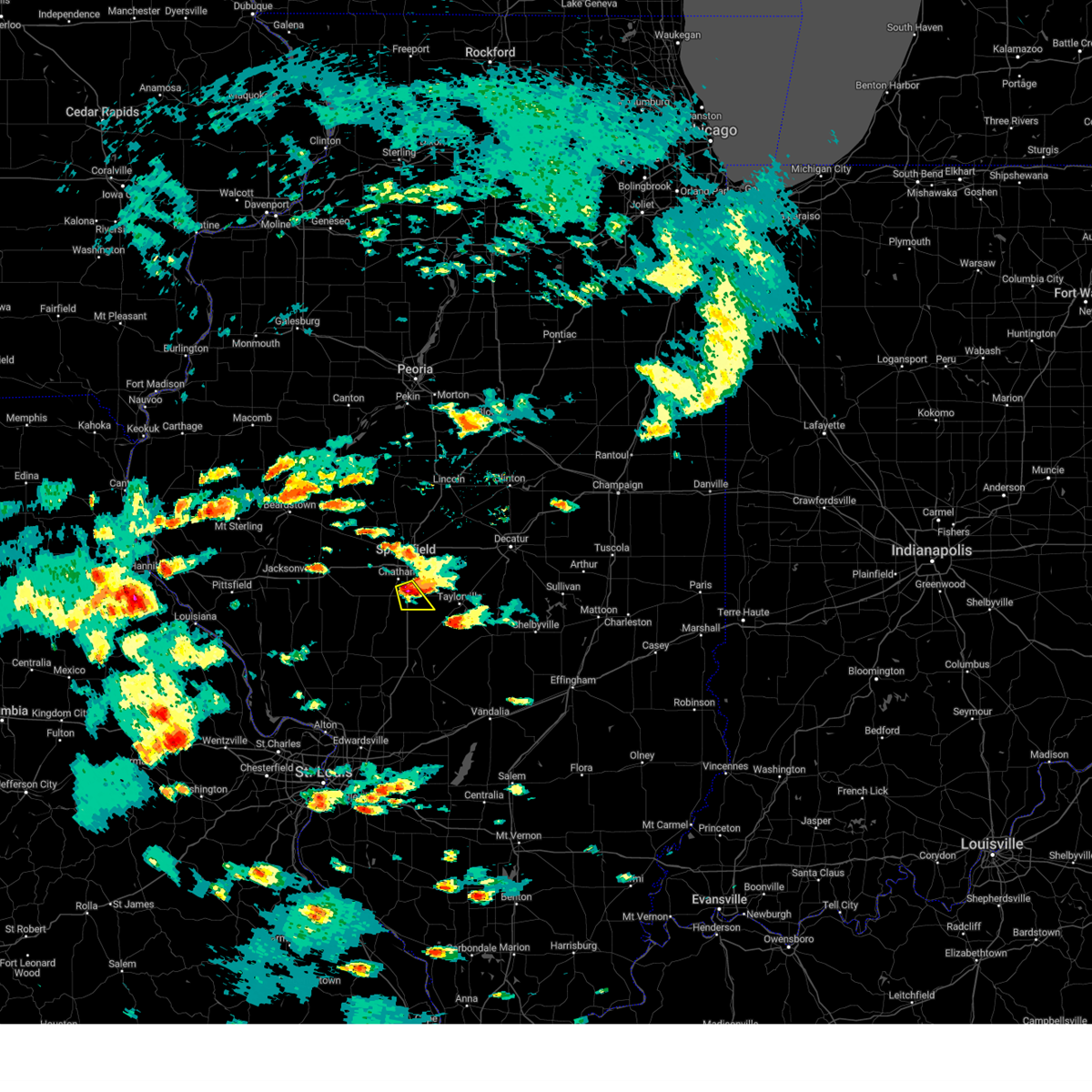 At 440 pm cdt, a severe thunderstorm was located over divernon, or 9 miles northeast of virden, moving southeast at 15 mph (radar indicated. at 4:36 pm, quarter size hail was reported by the public in glenarm. public reports also indicate tree limbs down east of chatham). Hazards include golf ball size hail and 60 mph wind gusts. People and animals outdoors will be injured. expect hail damage to roofs, siding, windows, and vehicles. expect wind damage to roofs, siding, and trees. this severe thunderstorm will remain over mainly rural areas of western christian and south central sangamon counties, including the following locations, glenarm. this includes interstate 55 between mile markers 77 and 86. thunderstorm damage threat, considerable hail threat, radar indicated max hail size, 1. 75 in wind threat, radar indicated max wind gust, 60 mph. At 440 pm cdt, a severe thunderstorm was located over divernon, or 9 miles northeast of virden, moving southeast at 15 mph (radar indicated. at 4:36 pm, quarter size hail was reported by the public in glenarm. public reports also indicate tree limbs down east of chatham). Hazards include golf ball size hail and 60 mph wind gusts. People and animals outdoors will be injured. expect hail damage to roofs, siding, windows, and vehicles. expect wind damage to roofs, siding, and trees. this severe thunderstorm will remain over mainly rural areas of western christian and south central sangamon counties, including the following locations, glenarm. this includes interstate 55 between mile markers 77 and 86. thunderstorm damage threat, considerable hail threat, radar indicated max hail size, 1. 75 in wind threat, radar indicated max wind gust, 60 mph.
|
| 5/14/2023 4:29 PM CDT |
 At 429 pm cdt, a severe thunderstorm was located near divernon, or 9 miles northeast of virden, moving southeast at 15 mph (radar indicated. at 4:23 pm, the public reported half dollar size hail in chatham). Hazards include golf ball size hail and 60 mph wind gusts. People and animals outdoors will be injured. expect hail damage to roofs, siding, windows, and vehicles. expect wind damage to roofs, siding, and trees. this severe thunderstorm will be near, pawnee and divernon around 445 pm cdt. this includes interstate 55 between mile markers 77 and 88. thunderstorm damage threat, considerable hail threat, radar indicated max hail size, 1. 75 in wind threat, radar indicated max wind gust, 60 mph. At 429 pm cdt, a severe thunderstorm was located near divernon, or 9 miles northeast of virden, moving southeast at 15 mph (radar indicated. at 4:23 pm, the public reported half dollar size hail in chatham). Hazards include golf ball size hail and 60 mph wind gusts. People and animals outdoors will be injured. expect hail damage to roofs, siding, windows, and vehicles. expect wind damage to roofs, siding, and trees. this severe thunderstorm will be near, pawnee and divernon around 445 pm cdt. this includes interstate 55 between mile markers 77 and 88. thunderstorm damage threat, considerable hail threat, radar indicated max hail size, 1. 75 in wind threat, radar indicated max wind gust, 60 mph.
|
| 5/14/2023 4:25 PM CDT |
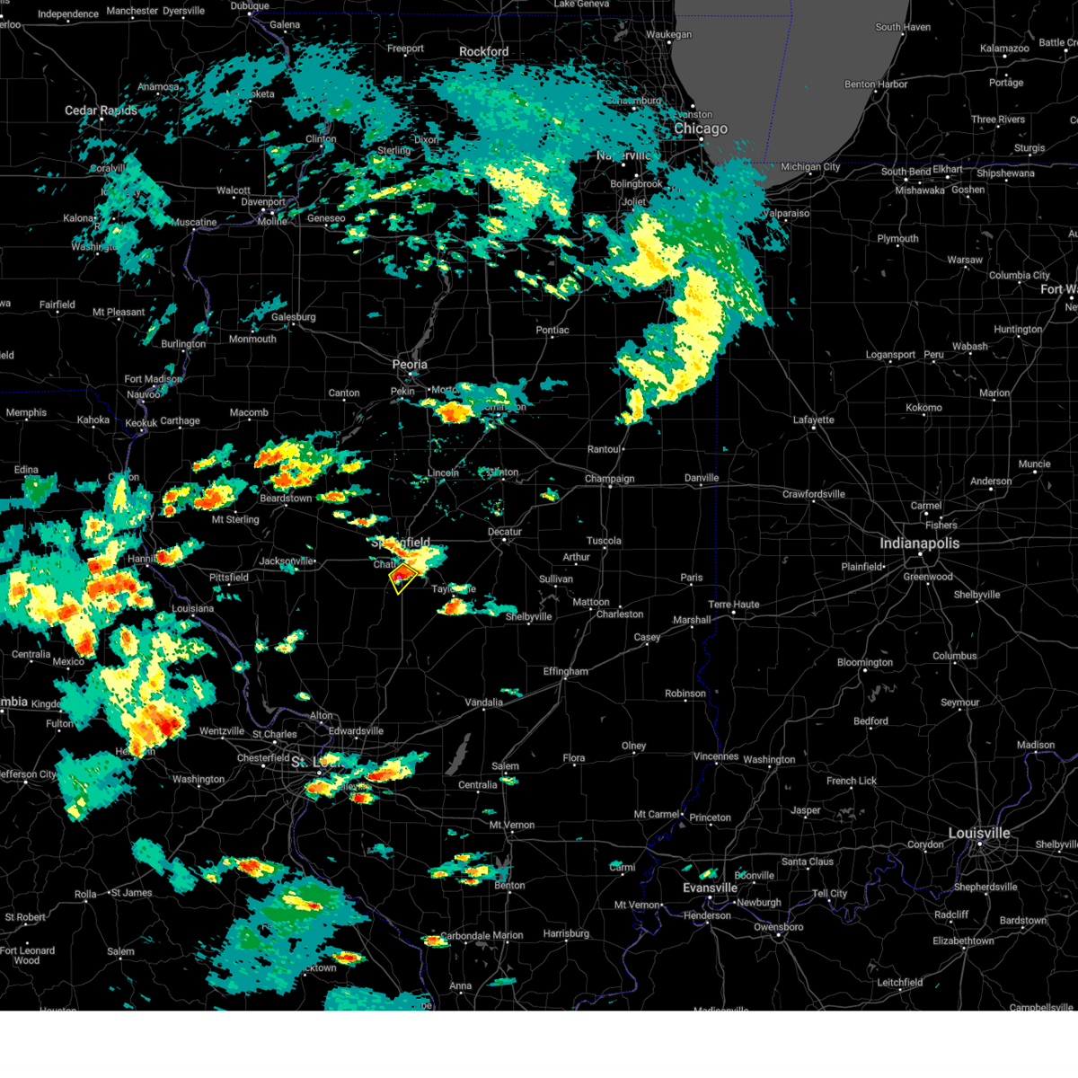 At 424 pm cdt, a severe thunderstorm was located near chatham, or 8 miles south of springfield, moving southeast at 15 mph (public. at 4:23 pm, quarter to half dollar sized hail was reported in chatham). Hazards include ping pong ball size hail and 60 mph wind gusts. People and animals outdoors will be injured. expect hail damage to roofs, siding, windows, and vehicles. expect wind damage to roofs, siding, and trees. locations impacted include, springfield, chatham, divernon and glenarm. this includes interstate 55 between mile markers 81 and 90. hail threat, observed max hail size, 1. 50 in wind threat, radar indicated max wind gust, 60 mph. At 424 pm cdt, a severe thunderstorm was located near chatham, or 8 miles south of springfield, moving southeast at 15 mph (public. at 4:23 pm, quarter to half dollar sized hail was reported in chatham). Hazards include ping pong ball size hail and 60 mph wind gusts. People and animals outdoors will be injured. expect hail damage to roofs, siding, windows, and vehicles. expect wind damage to roofs, siding, and trees. locations impacted include, springfield, chatham, divernon and glenarm. this includes interstate 55 between mile markers 81 and 90. hail threat, observed max hail size, 1. 50 in wind threat, radar indicated max wind gust, 60 mph.
|
| 5/14/2023 4:20 PM CDT |
 At 420 pm cdt, a severe thunderstorm was located over chatham, or 7 miles south of springfield, moving southeast at 15 mph (radar indicated). Hazards include ping pong ball size hail and 60 mph wind gusts. People and animals outdoors will be injured. expect hail damage to roofs, siding, windows, and vehicles. expect wind damage to roofs, siding, and trees. locations impacted include, springfield, chatham, divernon and glenarm. this includes interstate 55 between mile markers 81 and 91. hail threat, radar indicated max hail size, 1. 50 in wind threat, radar indicated max wind gust, 60 mph. At 420 pm cdt, a severe thunderstorm was located over chatham, or 7 miles south of springfield, moving southeast at 15 mph (radar indicated). Hazards include ping pong ball size hail and 60 mph wind gusts. People and animals outdoors will be injured. expect hail damage to roofs, siding, windows, and vehicles. expect wind damage to roofs, siding, and trees. locations impacted include, springfield, chatham, divernon and glenarm. this includes interstate 55 between mile markers 81 and 91. hail threat, radar indicated max hail size, 1. 50 in wind threat, radar indicated max wind gust, 60 mph.
|
| 5/14/2023 4:09 PM CDT |
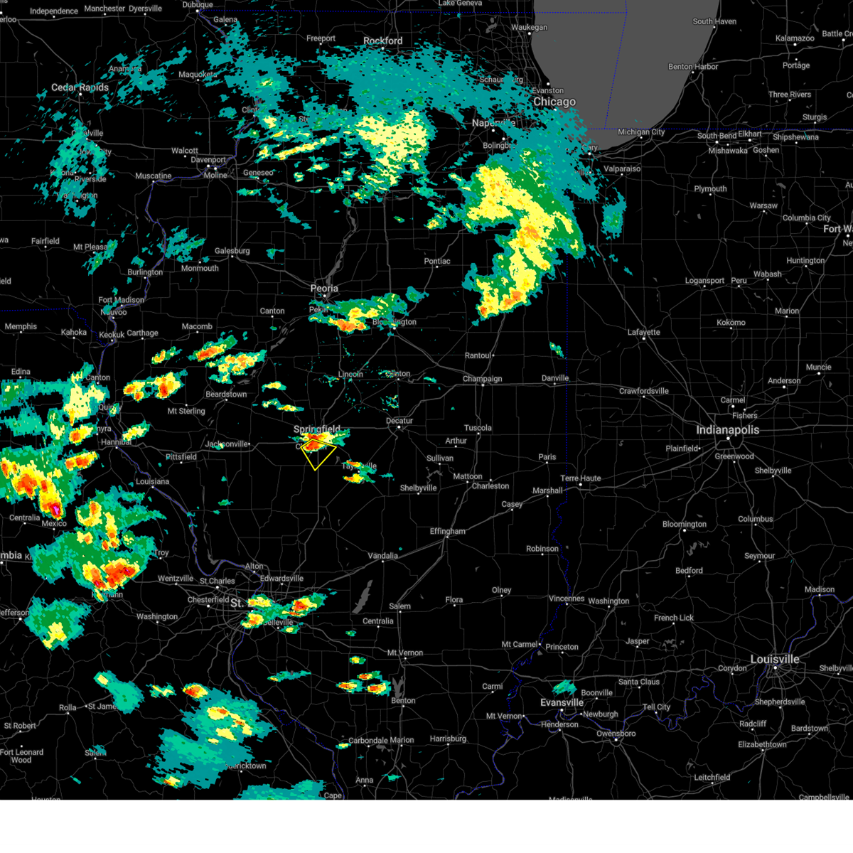 At 409 pm cdt, a severe thunderstorm was located over chatham, or near springfield, moving southeast at 15 mph (radar indicated). Hazards include 60 mph wind gusts and quarter size hail. Hail damage to vehicles is expected. Expect wind damage to roofs, siding, and trees. At 409 pm cdt, a severe thunderstorm was located over chatham, or near springfield, moving southeast at 15 mph (radar indicated). Hazards include 60 mph wind gusts and quarter size hail. Hail damage to vehicles is expected. Expect wind damage to roofs, siding, and trees.
|
| 5/7/2023 7:00 PM CDT |
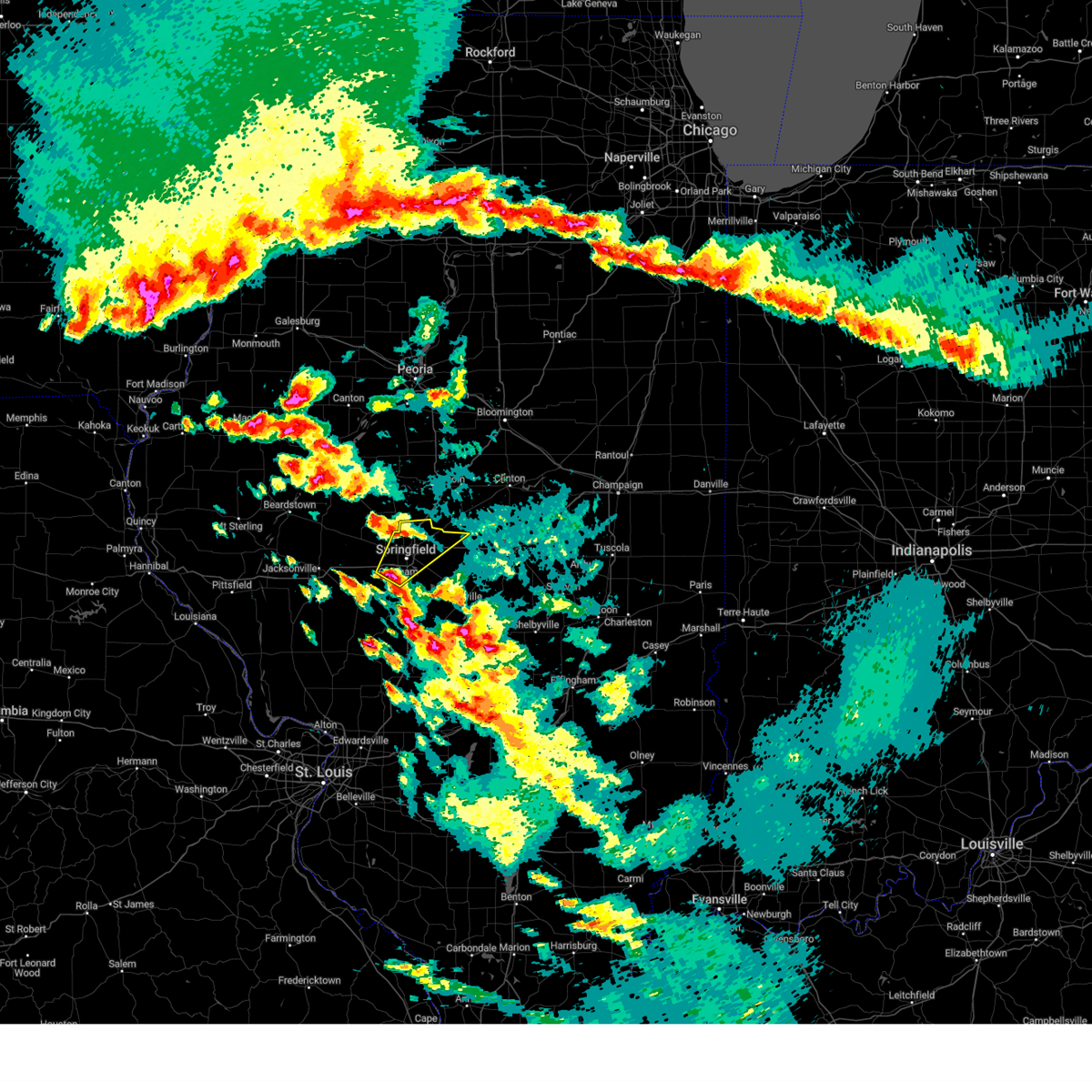 At 659 pm cdt, a severe thunderstorm was located near chatham, or near springfield, moving northeast at 35 mph (radar indicated). Hazards include golf ball size hail. People and animals outdoors will be injured. expect damage to roofs, siding, windows, and vehicles. this severe thunderstorm will be near, springfield around 705 pm cdt. rochester around 715 pm cdt. other locations in the path of this severe thunderstorm include sherman, riverton and mechanicsburg. this includes the following highways, interstate 55 between mile markers 87 and 111. interstate 72 between mile markers 88 and 117. thunderstorm damage threat, considerable hail threat, radar indicated max hail size, 1. 75 in wind threat, radar indicated max wind gust, <50 mph. At 659 pm cdt, a severe thunderstorm was located near chatham, or near springfield, moving northeast at 35 mph (radar indicated). Hazards include golf ball size hail. People and animals outdoors will be injured. expect damage to roofs, siding, windows, and vehicles. this severe thunderstorm will be near, springfield around 705 pm cdt. rochester around 715 pm cdt. other locations in the path of this severe thunderstorm include sherman, riverton and mechanicsburg. this includes the following highways, interstate 55 between mile markers 87 and 111. interstate 72 between mile markers 88 and 117. thunderstorm damage threat, considerable hail threat, radar indicated max hail size, 1. 75 in wind threat, radar indicated max wind gust, <50 mph.
|
| 5/7/2023 5:31 PM CDT |
 At 531 pm cdt, a severe thunderstorm was located near new berlin, or 11 miles west of springfield, moving east at 30 mph (radar indicated). Hazards include ping pong ball size hail. People and animals outdoors will be injured. Expect damage to roofs, siding, windows, and vehicles. At 531 pm cdt, a severe thunderstorm was located near new berlin, or 11 miles west of springfield, moving east at 30 mph (radar indicated). Hazards include ping pong ball size hail. People and animals outdoors will be injured. Expect damage to roofs, siding, windows, and vehicles.
|
| 5/7/2023 5:26 PM CDT |
 At 526 pm cdt, a severe thunderstorm was located near divernon, or 8 miles northeast of virden, moving east at 25 mph (radar indicated). Hazards include half dollar size hail. Damage to vehicles is expected. this severe thunderstorm will be near, divernon around 530 pm cdt. pawnee around 540 pm cdt. other locations in the path of this severe thunderstorm include kincaid, edinburg, bulpitt and jeisyville. this includes interstate 55 between mile markers 77 and 86. hail threat, radar indicated max hail size, 1. 25 in wind threat, radar indicated max wind gust, <50 mph. At 526 pm cdt, a severe thunderstorm was located near divernon, or 8 miles northeast of virden, moving east at 25 mph (radar indicated). Hazards include half dollar size hail. Damage to vehicles is expected. this severe thunderstorm will be near, divernon around 530 pm cdt. pawnee around 540 pm cdt. other locations in the path of this severe thunderstorm include kincaid, edinburg, bulpitt and jeisyville. this includes interstate 55 between mile markers 77 and 86. hail threat, radar indicated max hail size, 1. 25 in wind threat, radar indicated max wind gust, <50 mph.
|
| 5/7/2023 5:16 PM CDT |
 At 516 pm cdt, a severe thunderstorm was located near new berlin, or 9 miles west of springfield, moving east at 15 mph (radar indicated). Hazards include ping pong ball size hail. People and animals outdoors will be injured. expect damage to roofs, siding, windows, and vehicles. locations impacted include, chatham and springfield. this includes interstate 72 between mile markers 74 and 94. hail threat, radar indicated max hail size, 1. 50 in wind threat, radar indicated max wind gust, <50 mph. At 516 pm cdt, a severe thunderstorm was located near new berlin, or 9 miles west of springfield, moving east at 15 mph (radar indicated). Hazards include ping pong ball size hail. People and animals outdoors will be injured. expect damage to roofs, siding, windows, and vehicles. locations impacted include, chatham and springfield. this includes interstate 72 between mile markers 74 and 94. hail threat, radar indicated max hail size, 1. 50 in wind threat, radar indicated max wind gust, <50 mph.
|
| 5/7/2023 4:59 PM CDT |
 At 458 pm cdt, a severe thunderstorm was located over new berlin, or 14 miles west of springfield, moving east at 15 mph (radar indicated). Hazards include ping pong ball size hail. People and animals outdoors will be injured. expect damage to roofs, siding, windows, and vehicles. this severe thunderstorm will be near, loami around 515 pm cdt. other locations in the path of this severe thunderstorm include chatham. this includes the following highways, interstate 55 between mile markers 85 and 103. interstate 72 between mile markers 72 and 104. hail threat, radar indicated max hail size, 1. 50 in wind threat, radar indicated max wind gust, <50 mph. At 458 pm cdt, a severe thunderstorm was located over new berlin, or 14 miles west of springfield, moving east at 15 mph (radar indicated). Hazards include ping pong ball size hail. People and animals outdoors will be injured. expect damage to roofs, siding, windows, and vehicles. this severe thunderstorm will be near, loami around 515 pm cdt. other locations in the path of this severe thunderstorm include chatham. this includes the following highways, interstate 55 between mile markers 85 and 103. interstate 72 between mile markers 72 and 104. hail threat, radar indicated max hail size, 1. 50 in wind threat, radar indicated max wind gust, <50 mph.
|
| 5/7/2023 4:55 PM CDT |
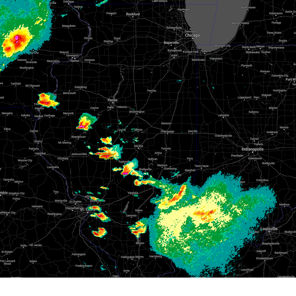 At 455 pm cdt, a severe thunderstorm was located over chatham, or near springfield, moving east at 10 mph (radar indicated). Hazards include half dollar size hail. Damage to vehicles is expected. locations impacted include, springfield. this includes interstate 55 between mile markers 86 and 91. hail threat, radar indicated max hail size, 1. 25 in wind threat, radar indicated max wind gust, <50 mph. At 455 pm cdt, a severe thunderstorm was located over chatham, or near springfield, moving east at 10 mph (radar indicated). Hazards include half dollar size hail. Damage to vehicles is expected. locations impacted include, springfield. this includes interstate 55 between mile markers 86 and 91. hail threat, radar indicated max hail size, 1. 25 in wind threat, radar indicated max wind gust, <50 mph.
|
| 5/7/2023 4:30 PM CDT |
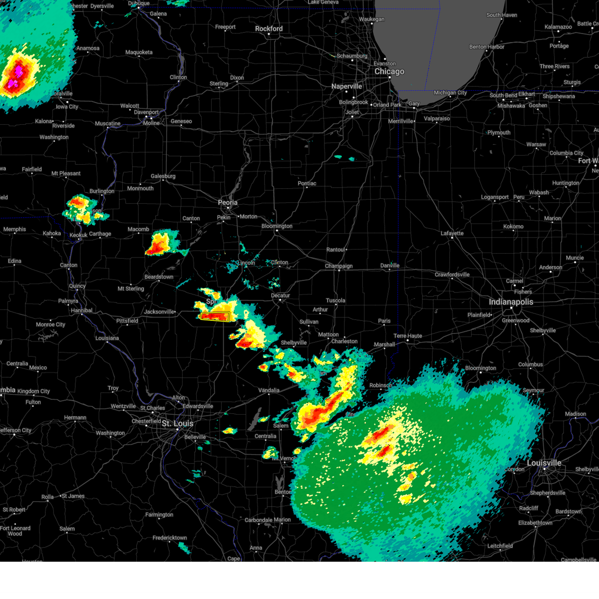 At 430 pm cdt, a severe thunderstorm was located near loami, or 8 miles southwest of springfield, moving east at 20 mph (radar indicated). Hazards include half dollar size hail. Damage to vehicles is expected. this severe thunderstorm will be near, chatham around 440 pm cdt. other locations in the path of this severe thunderstorm include springfield. this includes interstate 55 between mile markers 86 and 91. hail threat, radar indicated max hail size, 1. 25 in wind threat, radar indicated max wind gust, <50 mph. At 430 pm cdt, a severe thunderstorm was located near loami, or 8 miles southwest of springfield, moving east at 20 mph (radar indicated). Hazards include half dollar size hail. Damage to vehicles is expected. this severe thunderstorm will be near, chatham around 440 pm cdt. other locations in the path of this severe thunderstorm include springfield. this includes interstate 55 between mile markers 86 and 91. hail threat, radar indicated max hail size, 1. 25 in wind threat, radar indicated max wind gust, <50 mph.
|
| 5/7/2023 4:05 PM CDT |
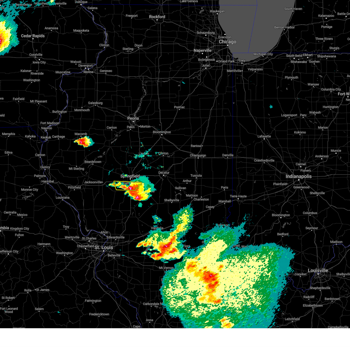 At 405 pm cdt, a severe thunderstorm was located over chatham, or 8 miles southwest of springfield, moving east at 25 mph (radar indicated). Hazards include ping pong ball size hail and 60 mph wind gusts. People and animals outdoors will be injured. expect hail damage to roofs, siding, windows, and vehicles. expect wind damage to roofs, siding, and trees. this severe thunderstorm will be near, springfield around 420 pm cdt. pawnee around 425 pm cdt. other locations in the path of this severe thunderstorm include rochester. this includes the following highways, interstate 55 between mile markers 83 and 91. interstate 72 between mile markers 80 and 88. hail threat, radar indicated max hail size, 1. 50 in wind threat, radar indicated max wind gust, 60 mph. At 405 pm cdt, a severe thunderstorm was located over chatham, or 8 miles southwest of springfield, moving east at 25 mph (radar indicated). Hazards include ping pong ball size hail and 60 mph wind gusts. People and animals outdoors will be injured. expect hail damage to roofs, siding, windows, and vehicles. expect wind damage to roofs, siding, and trees. this severe thunderstorm will be near, springfield around 420 pm cdt. pawnee around 425 pm cdt. other locations in the path of this severe thunderstorm include rochester. this includes the following highways, interstate 55 between mile markers 83 and 91. interstate 72 between mile markers 80 and 88. hail threat, radar indicated max hail size, 1. 50 in wind threat, radar indicated max wind gust, 60 mph.
|
| 5/7/2023 3:12 PM CDT |
 At 311 pm cdt, a severe thunderstorm capable of producing a tornado was located over auburn, or near virden, moving east at 15 mph (radar indicated rotation). Hazards include tornado and hail up to two inches in diameter. Flying debris will be dangerous to those caught without shelter. mobile homes will be damaged or destroyed. damage to roofs, windows, and vehicles will occur. tree damage is likely. this dangerous storm will be near, auburn around 315 pm cdt. other locations in the path of this tornadic thunderstorm include springfield, divernon and pawnee. This includes interstate 55 between mile markers 78 and 89. At 311 pm cdt, a severe thunderstorm capable of producing a tornado was located over auburn, or near virden, moving east at 15 mph (radar indicated rotation). Hazards include tornado and hail up to two inches in diameter. Flying debris will be dangerous to those caught without shelter. mobile homes will be damaged or destroyed. damage to roofs, windows, and vehicles will occur. tree damage is likely. this dangerous storm will be near, auburn around 315 pm cdt. other locations in the path of this tornadic thunderstorm include springfield, divernon and pawnee. This includes interstate 55 between mile markers 78 and 89.
|
| 5/7/2023 3:05 PM CDT |
 At 305 pm cdt, a severe thunderstorm was located over chatham, or 7 miles south of springfield, moving east at 25 mph (trained weather spotters). Hazards include golf ball size hail and 60 mph wind gusts. People and animals outdoors will be injured. expect hail damage to roofs, siding, windows, and vehicles. expect wind damage to roofs, siding, and trees. locations impacted include, springfield, pawnee and rochester. This includes interstate 55 between mile markers 80 and 91. At 305 pm cdt, a severe thunderstorm was located over chatham, or 7 miles south of springfield, moving east at 25 mph (trained weather spotters). Hazards include golf ball size hail and 60 mph wind gusts. People and animals outdoors will be injured. expect hail damage to roofs, siding, windows, and vehicles. expect wind damage to roofs, siding, and trees. locations impacted include, springfield, pawnee and rochester. This includes interstate 55 between mile markers 80 and 91.
|
| 5/7/2023 2:47 PM CDT |
 At 247 pm cdt, a severe thunderstorm was located near loami, or 9 miles north of virden, moving east at 25 mph (radar indicated). Hazards include tennis ball size hail and 60 mph wind gusts. People and animals outdoors will be injured. expect hail damage to roofs, siding, windows, and vehicles. expect wind damage to roofs, siding, and trees. this severe storm will be near, auburn around 250 pm cdt. other locations in the path of this severe thunderstorm include chatham, divernon, springfield, pawnee and rochester. this includes interstate 55 between mile markers 78 and 91. thunderstorm damage threat, considerable hail threat, radar indicated max hail size, 2. 50 in wind threat, radar indicated max wind gust, 60 mph. At 247 pm cdt, a severe thunderstorm was located near loami, or 9 miles north of virden, moving east at 25 mph (radar indicated). Hazards include tennis ball size hail and 60 mph wind gusts. People and animals outdoors will be injured. expect hail damage to roofs, siding, windows, and vehicles. expect wind damage to roofs, siding, and trees. this severe storm will be near, auburn around 250 pm cdt. other locations in the path of this severe thunderstorm include chatham, divernon, springfield, pawnee and rochester. this includes interstate 55 between mile markers 78 and 91. thunderstorm damage threat, considerable hail threat, radar indicated max hail size, 2. 50 in wind threat, radar indicated max wind gust, 60 mph.
|
| 5/7/2023 2:37 PM CDT |
 At 237 pm cdt, a severe thunderstorm was located near loami, or 9 miles northwest of virden, moving east at 20 mph (radar indicated). Hazards include ping pong ball size hail and 60 mph wind gusts. People and animals outdoors will be injured. expect hail damage to roofs, siding, windows, and vehicles. expect wind damage to roofs, siding, and trees. this severe thunderstorm will be near, loami around 245 pm cdt. auburn around 255 pm cdt. other locations in the path of this severe thunderstorm include chatham, divernon, springfield, rochester and pawnee. this includes interstate 55 between mile markers 77 and 91. hail threat, radar indicated max hail size, 1. 50 in wind threat, radar indicated max wind gust, 60 mph. At 237 pm cdt, a severe thunderstorm was located near loami, or 9 miles northwest of virden, moving east at 20 mph (radar indicated). Hazards include ping pong ball size hail and 60 mph wind gusts. People and animals outdoors will be injured. expect hail damage to roofs, siding, windows, and vehicles. expect wind damage to roofs, siding, and trees. this severe thunderstorm will be near, loami around 245 pm cdt. auburn around 255 pm cdt. other locations in the path of this severe thunderstorm include chatham, divernon, springfield, rochester and pawnee. this includes interstate 55 between mile markers 77 and 91. hail threat, radar indicated max hail size, 1. 50 in wind threat, radar indicated max wind gust, 60 mph.
|
| 5/7/2023 12:56 AM CDT |
 The severe thunderstorm warning for menard, northwestern sangamon and southeastern mason counties will expire at 100 am cdt, the storm which prompted the warning has weakened below severe limits. therefore, the warning will be allowed to expire. however heavy rain will still occur with this thunderstorm. a severe thunderstorm watch remains in effect until 500 am cdt for central illinois. to report severe weather, contact your nearest law enforcement agency. they will relay your report to the national weather service lincoln. The severe thunderstorm warning for menard, northwestern sangamon and southeastern mason counties will expire at 100 am cdt, the storm which prompted the warning has weakened below severe limits. therefore, the warning will be allowed to expire. however heavy rain will still occur with this thunderstorm. a severe thunderstorm watch remains in effect until 500 am cdt for central illinois. to report severe weather, contact your nearest law enforcement agency. they will relay your report to the national weather service lincoln.
|
| 5/7/2023 12:37 AM CDT |
 At 1236 am cdt, a severe thunderstorm was located near petersburg, moving east at 40 mph (radar indicated). Hazards include 60 mph wind gusts and quarter size hail. Hail damage to vehicles is expected. expect wind damage to roofs, siding, and trees. this severe storm will be near, athens and greenview around 1240 am cdt. this includes interstate 55 between mile markers 103 and 106. hail threat, radar indicated max hail size, 1. 00 in wind threat, radar indicated max wind gust, 60 mph. At 1236 am cdt, a severe thunderstorm was located near petersburg, moving east at 40 mph (radar indicated). Hazards include 60 mph wind gusts and quarter size hail. Hail damage to vehicles is expected. expect wind damage to roofs, siding, and trees. this severe storm will be near, athens and greenview around 1240 am cdt. this includes interstate 55 between mile markers 103 and 106. hail threat, radar indicated max hail size, 1. 00 in wind threat, radar indicated max wind gust, 60 mph.
|
| 5/7/2023 12:26 AM CDT |
 At 1225 am cdt, a severe thunderstorm was located near kilbourne, or 14 miles northeast of virginia, moving east at 45 mph (radar indicated). Hazards include 60 mph wind gusts and half dollar size hail. Hail damage to vehicles is expected. expect wind damage to roofs, siding, and trees. this severe thunderstorm will be near, petersburg around 1235 am cdt. athens and greenview around 1245 am cdt. this includes interstate 55 between mile markers 103 and 106. hail threat, radar indicated max hail size, 1. 25 in wind threat, radar indicated max wind gust, 60 mph. At 1225 am cdt, a severe thunderstorm was located near kilbourne, or 14 miles northeast of virginia, moving east at 45 mph (radar indicated). Hazards include 60 mph wind gusts and half dollar size hail. Hail damage to vehicles is expected. expect wind damage to roofs, siding, and trees. this severe thunderstorm will be near, petersburg around 1235 am cdt. athens and greenview around 1245 am cdt. this includes interstate 55 between mile markers 103 and 106. hail threat, radar indicated max hail size, 1. 25 in wind threat, radar indicated max wind gust, 60 mph.
|
| 4/20/2023 5:27 PM CDT |
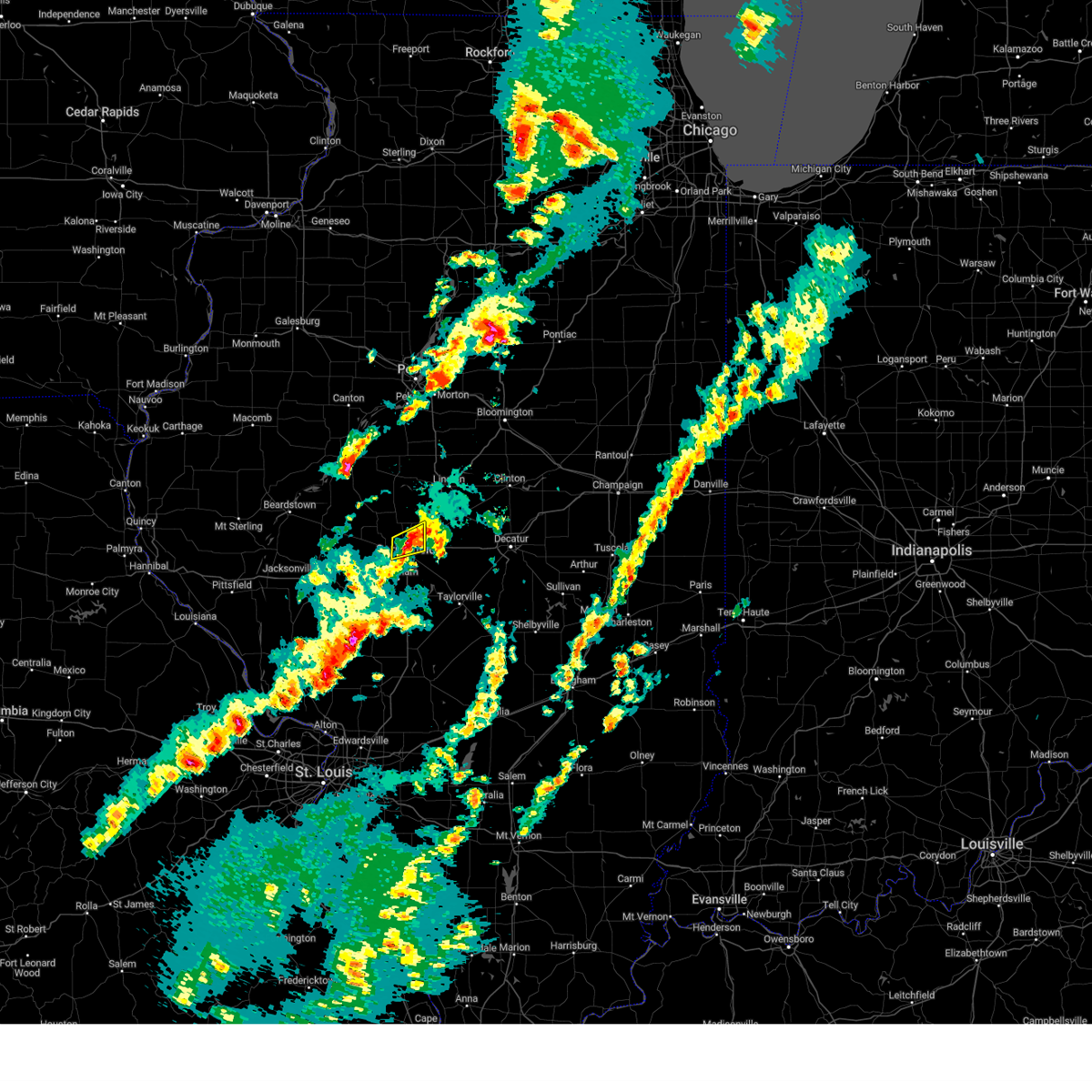 The severe thunderstorm warning for north central sangamon county will expire at 530 pm cdt, the storm which prompted the warning has weakened below severe limits, and no longer poses an immediate threat to life or property. therefore, the warning will be allowed to expire. however small hail is still possible with this thunderstorm. a severe thunderstorm watch remains in effect until 800 pm cdt for central illinois. The severe thunderstorm warning for north central sangamon county will expire at 530 pm cdt, the storm which prompted the warning has weakened below severe limits, and no longer poses an immediate threat to life or property. therefore, the warning will be allowed to expire. however small hail is still possible with this thunderstorm. a severe thunderstorm watch remains in effect until 800 pm cdt for central illinois.
|
| 4/20/2023 5:20 PM CDT |
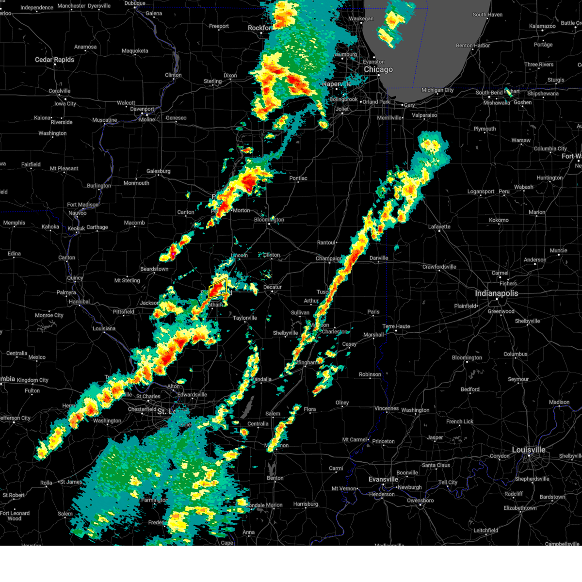 At 519 pm cdt, a severe thunderstorm was located over sherman, moving northeast at 45 mph (trained weather spotters). Hazards include quarter size hail. Damage to vehicles is expected. locations impacted include, springfield, sherman, riverton, williamsville, grandview, spaulding, clear lake and capital airport. this includes the following highways, interstate 55 between mile markers 98 and 109. interstate 72 between mile markers 106 and 107. hail threat, observed max hail size, 1. 00 in wind threat, radar indicated max wind gust, <50 mph. At 519 pm cdt, a severe thunderstorm was located over sherman, moving northeast at 45 mph (trained weather spotters). Hazards include quarter size hail. Damage to vehicles is expected. locations impacted include, springfield, sherman, riverton, williamsville, grandview, spaulding, clear lake and capital airport. this includes the following highways, interstate 55 between mile markers 98 and 109. interstate 72 between mile markers 106 and 107. hail threat, observed max hail size, 1. 00 in wind threat, radar indicated max wind gust, <50 mph.
|
| 4/20/2023 5:11 PM CDT |
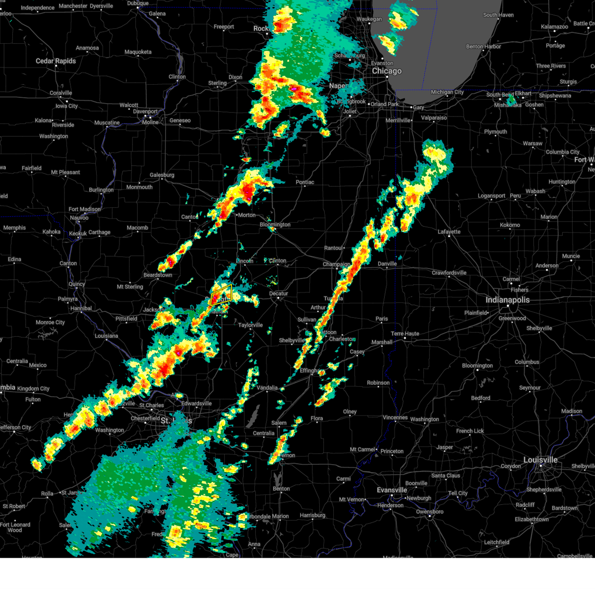 At 511 pm cdt, a severe thunderstorm was located 5 miles southwest of sherman, moving northeast at 45 mph (radar indicated). Hazards include quarter size hail. Damage to vehicles is expected. locations impacted include, springfield, sherman, riverton, williamsville, grandview, spaulding, clear lake and capital airport. this includes the following highways, interstate 55 between mile markers 98 and 109. interstate 72 between mile markers 106 and 107. hail threat, radar indicated max hail size, 1. 00 in wind threat, radar indicated max wind gust, <50 mph. At 511 pm cdt, a severe thunderstorm was located 5 miles southwest of sherman, moving northeast at 45 mph (radar indicated). Hazards include quarter size hail. Damage to vehicles is expected. locations impacted include, springfield, sherman, riverton, williamsville, grandview, spaulding, clear lake and capital airport. this includes the following highways, interstate 55 between mile markers 98 and 109. interstate 72 between mile markers 106 and 107. hail threat, radar indicated max hail size, 1. 00 in wind threat, radar indicated max wind gust, <50 mph.
|
| 4/20/2023 5:04 PM CDT |
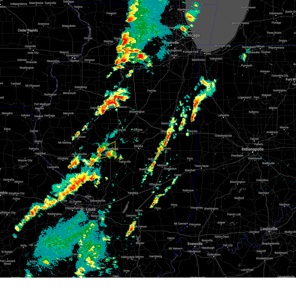 At 503 pm cdt, a severe thunderstorm was located 2 miles south of farmingdale, moving northeast at 35 mph (radar indicated). Hazards include 60 mph wind gusts. Expect damage to roofs, siding, and trees. locations impacted include, rochester, sherman, riverton and williamsville. this includes the following highways, interstate 55 between mile markers 90 and 109. interstate 72 between mile markers 84 and 107. hail threat, radar indicated max hail size, <. 75 in wind threat, radar indicated max wind gust, 60 mph. At 503 pm cdt, a severe thunderstorm was located 2 miles south of farmingdale, moving northeast at 35 mph (radar indicated). Hazards include 60 mph wind gusts. Expect damage to roofs, siding, and trees. locations impacted include, rochester, sherman, riverton and williamsville. this includes the following highways, interstate 55 between mile markers 90 and 109. interstate 72 between mile markers 84 and 107. hail threat, radar indicated max hail size, <. 75 in wind threat, radar indicated max wind gust, 60 mph.
|
| 4/20/2023 4:38 PM CDT |
 At 438 pm cdt, a severe thunderstorm was located alexander, moving northeast at 50 mph (radar indicated). Hazards include 60 mph wind gusts. Expect damage to roofs, siding, and trees. this severe thunderstorm will be near, new berlin around 445 pm cdt. loami around 450 pm cdt. other locations in the path of this severe thunderstorm include sherman, riverton and williamsville. this includes the following highways, interstate 55 between mile markers 78 and 109. interstate 72 between mile markers 69 and 70, and between mile markers 72 and 107. hail threat, radar indicated max hail size, <. 75 in wind threat, radar indicated max wind gust, 60 mph. At 438 pm cdt, a severe thunderstorm was located alexander, moving northeast at 50 mph (radar indicated). Hazards include 60 mph wind gusts. Expect damage to roofs, siding, and trees. this severe thunderstorm will be near, new berlin around 445 pm cdt. loami around 450 pm cdt. other locations in the path of this severe thunderstorm include sherman, riverton and williamsville. this includes the following highways, interstate 55 between mile markers 78 and 109. interstate 72 between mile markers 69 and 70, and between mile markers 72 and 107. hail threat, radar indicated max hail size, <. 75 in wind threat, radar indicated max wind gust, 60 mph.
|
| 3/31/2023 6:09 PM CDT | Corrected time of wind gust at springfield airpor in sangamon county IL, 5.8 miles SSE of Springfield, IL |
| 8/29/2022 7:36 PM CDT |
 The severe thunderstorm warning for western sangamon and northeastern morgan counties will expire at 745 pm cdt, the storms which prompted the warning have weakened below severe limits, and no longer pose an immediate threat to life or property. therefore, the warning will be allowed to expire. however gusty winds and heavy rain are still possible with these thunderstorms. a severe thunderstorm watch remains in effect until 1000 pm cdt for central and west central illinois. The severe thunderstorm warning for western sangamon and northeastern morgan counties will expire at 745 pm cdt, the storms which prompted the warning have weakened below severe limits, and no longer pose an immediate threat to life or property. therefore, the warning will be allowed to expire. however gusty winds and heavy rain are still possible with these thunderstorms. a severe thunderstorm watch remains in effect until 1000 pm cdt for central and west central illinois.
|
| 8/29/2022 7:20 PM CDT |
 At 719 pm cdt, severe thunderstorms were located along a line extending from riverton to near loami, moving southeast at 20 mph (radar indicated). Hazards include 60 mph wind gusts and penny size hail. Expect damage to roofs, siding, and trees. locations impacted include, springfield, chatham, auburn, sherman, rochester, riverton, new berlin, pleasant plains, loami, jerome, southern view, leland grove, grandview, spaulding, dawson, clear lake, curran, berlin, glenarm and capital airport. this includes the following highways, interstate 55 between mile markers 83 and 102. interstate 72 between mile markers 76 and 113. hail threat, radar indicated max hail size, 0. 75 in wind threat, radar indicated max wind gust, 60 mph. At 719 pm cdt, severe thunderstorms were located along a line extending from riverton to near loami, moving southeast at 20 mph (radar indicated). Hazards include 60 mph wind gusts and penny size hail. Expect damage to roofs, siding, and trees. locations impacted include, springfield, chatham, auburn, sherman, rochester, riverton, new berlin, pleasant plains, loami, jerome, southern view, leland grove, grandview, spaulding, dawson, clear lake, curran, berlin, glenarm and capital airport. this includes the following highways, interstate 55 between mile markers 83 and 102. interstate 72 between mile markers 76 and 113. hail threat, radar indicated max hail size, 0. 75 in wind threat, radar indicated max wind gust, 60 mph.
|
| 8/29/2022 7:13 PM CDT |
 At 712 pm cdt, severe thunderstorms were located along a line extending from riverton to near loami, moving east at 20 mph (radar indicated). Hazards include 60 mph wind gusts and nickel size hail. Expect damage to roofs, siding, and trees. locations impacted include, sherman, riverton, springfield and rochester. this includes the following highways, interstate 55 between mile markers 83 and 107. interstate 72 between mile markers 76 and 113. hail threat, radar indicated max hail size, 0. 88 in wind threat, radar indicated max wind gust, 60 mph. At 712 pm cdt, severe thunderstorms were located along a line extending from riverton to near loami, moving east at 20 mph (radar indicated). Hazards include 60 mph wind gusts and nickel size hail. Expect damage to roofs, siding, and trees. locations impacted include, sherman, riverton, springfield and rochester. this includes the following highways, interstate 55 between mile markers 83 and 107. interstate 72 between mile markers 76 and 113. hail threat, radar indicated max hail size, 0. 88 in wind threat, radar indicated max wind gust, 60 mph.
|
| 8/29/2022 7:04 PM CDT | Mesonet station dw9022 plainfiel in sangamon county IL, 6.2 miles ESE of Springfield, IL |
| 8/29/2022 6:56 PM CDT |
 At 655 pm cdt, severe thunderstorms were located over mainly rural areas of morgan, menard, sangamon, and cass counties moving southeast at 15 mph (radar indicated). Hazards include 60 mph wind gusts and nickel size hail. Expect damage to roofs, siding, and trees. severe thunderstorms will be near, sherman around 700 pm cdt. riverton around 715 pm cdt. other locations in the path of these severe thunderstorms include rochester, chatham, auburn and springfield. this includes the following highways, interstate 55 between mile markers 83 and 107. interstate 72 between mile markers 76 and 113. hail threat, radar indicated max hail size, 0. 88 in wind threat, radar indicated max wind gust, 60 mph. At 655 pm cdt, severe thunderstorms were located over mainly rural areas of morgan, menard, sangamon, and cass counties moving southeast at 15 mph (radar indicated). Hazards include 60 mph wind gusts and nickel size hail. Expect damage to roofs, siding, and trees. severe thunderstorms will be near, sherman around 700 pm cdt. riverton around 715 pm cdt. other locations in the path of these severe thunderstorms include rochester, chatham, auburn and springfield. this includes the following highways, interstate 55 between mile markers 83 and 107. interstate 72 between mile markers 76 and 113. hail threat, radar indicated max hail size, 0. 88 in wind threat, radar indicated max wind gust, 60 mph.
|
| 8/29/2022 6:30 PM CDT |
 At 630 pm cdt, severe thunderstorms were located over mainly rural areas of cass, morgan, menard, and sangamon counties moving east at 20 mph (radar indicated). Hazards include 60 mph wind gusts and quarter size hail. Hail damage to vehicles is expected. expect wind damage to roofs, siding, and trees. locations impacted include, petersburg, athens and sherman. this includes interstate 72 between mile markers 81 and 97. hail threat, radar indicated max hail size, 1. 00 in wind threat, radar indicated max wind gust, 60 mph. At 630 pm cdt, severe thunderstorms were located over mainly rural areas of cass, morgan, menard, and sangamon counties moving east at 20 mph (radar indicated). Hazards include 60 mph wind gusts and quarter size hail. Hail damage to vehicles is expected. expect wind damage to roofs, siding, and trees. locations impacted include, petersburg, athens and sherman. this includes interstate 72 between mile markers 81 and 97. hail threat, radar indicated max hail size, 1. 00 in wind threat, radar indicated max wind gust, 60 mph.
|
| 8/29/2022 6:11 PM CDT |
 At 610 pm cdt, severe thunderstorms were located over mainly rural areas of cass, morgan, menard, and sangamon counties moving east at 20 mph (radar indicated). Hazards include 60 mph wind gusts and penny size hail. Expect damage to roofs, siding, and trees. severe thunderstorms will be near, athens around 620 pm cdt. other locations in the path of these severe thunderstorms include sherman. this includes interstate 72 between mile markers 81 and 97. hail threat, radar indicated max hail size, 0. 75 in wind threat, radar indicated max wind gust, 60 mph. At 610 pm cdt, severe thunderstorms were located over mainly rural areas of cass, morgan, menard, and sangamon counties moving east at 20 mph (radar indicated). Hazards include 60 mph wind gusts and penny size hail. Expect damage to roofs, siding, and trees. severe thunderstorms will be near, athens around 620 pm cdt. other locations in the path of these severe thunderstorms include sherman. this includes interstate 72 between mile markers 81 and 97. hail threat, radar indicated max hail size, 0. 75 in wind threat, radar indicated max wind gust, 60 mph.
|
| 8/2/2022 8:46 AM CDT |
 At 846 am cdt, a severe thunderstorm was located near athens, or 14 miles north of springfield, moving south at 40 mph (radar indicated). Hazards include 60 mph wind gusts. expect damage to roofs, siding, and trees At 846 am cdt, a severe thunderstorm was located near athens, or 14 miles north of springfield, moving south at 40 mph (radar indicated). Hazards include 60 mph wind gusts. expect damage to roofs, siding, and trees
|
| 8/2/2022 3:42 AM CDT |
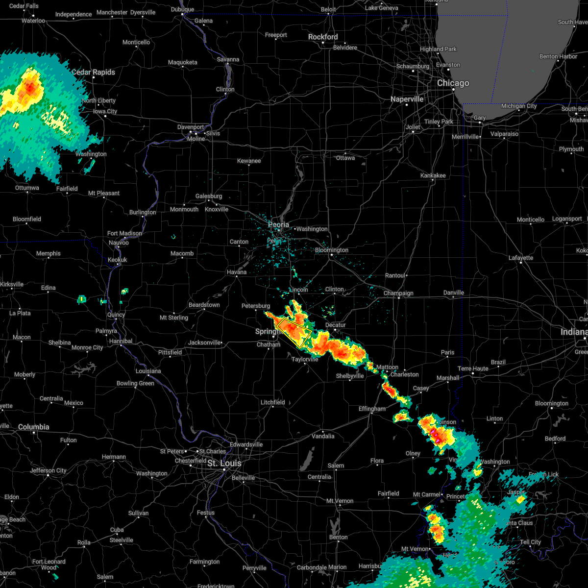 At 342 am cdt, a severe thunderstorm was located over mechanicsburg, or 11 miles east of springfield, and is nearly stationary (radar indicated). Hazards include 60 mph wind gusts and quarter size hail. Hail damage to vehicles is expected. expect wind damage to roofs, siding, and trees. locations impacted include, sherman, riverton, mechanicsburg, spaulding, dawson, buffalo and roby. this includes the following highways, interstate 55 near mile marker 102. interstate 72 between mile markers 107 and 123. hail threat, radar indicated max hail size, 1. 00 in wind threat, radar indicated max wind gust, 60 mph. At 342 am cdt, a severe thunderstorm was located over mechanicsburg, or 11 miles east of springfield, and is nearly stationary (radar indicated). Hazards include 60 mph wind gusts and quarter size hail. Hail damage to vehicles is expected. expect wind damage to roofs, siding, and trees. locations impacted include, sherman, riverton, mechanicsburg, spaulding, dawson, buffalo and roby. this includes the following highways, interstate 55 near mile marker 102. interstate 72 between mile markers 107 and 123. hail threat, radar indicated max hail size, 1. 00 in wind threat, radar indicated max wind gust, 60 mph.
|
| 8/2/2022 3:08 AM CDT |
 At 308 am cdt, a severe thunderstorm was located over riverton, or 9 miles northeast of springfield, moving southeast at 20 mph (radar indicated). Hazards include 60 mph wind gusts and quarter size hail. Hail damage to vehicles is expected. Expect wind damage to roofs, siding, and trees. At 308 am cdt, a severe thunderstorm was located over riverton, or 9 miles northeast of springfield, moving southeast at 20 mph (radar indicated). Hazards include 60 mph wind gusts and quarter size hail. Hail damage to vehicles is expected. Expect wind damage to roofs, siding, and trees.
|
| 6/25/2022 11:57 PM CDT |
 The severe thunderstorm warning for south central sangamon county will expire at midnight cdt, the storm which prompted the warning has weakened below severe limits, and has exited the warned area. therefore, the warning will be allowed to expire. however small hail, gusty winds and heavy rain are still possible with this thunderstorm. a severe thunderstorm watch remains in effect until midnight cdt for central illinois. The severe thunderstorm warning for south central sangamon county will expire at midnight cdt, the storm which prompted the warning has weakened below severe limits, and has exited the warned area. therefore, the warning will be allowed to expire. however small hail, gusty winds and heavy rain are still possible with this thunderstorm. a severe thunderstorm watch remains in effect until midnight cdt for central illinois.
|
| 6/25/2022 11:42 PM CDT |
 At 1141 pm cdt, a severe thunderstorm was located near pawnee, or 8 miles south of springfield, moving east at 30 mph (radar indicated). Hazards include 60 mph wind gusts and quarter size hail. Hail damage to vehicles is expected. expect wind damage to roofs, siding, and trees. locations impacted include, rochester. this includes interstate 55 between mile markers 77 and 91. hail threat, radar indicated max hail size, 1. 00 in wind threat, radar indicated max wind gust, 60 mph. At 1141 pm cdt, a severe thunderstorm was located near pawnee, or 8 miles south of springfield, moving east at 30 mph (radar indicated). Hazards include 60 mph wind gusts and quarter size hail. Hail damage to vehicles is expected. expect wind damage to roofs, siding, and trees. locations impacted include, rochester. this includes interstate 55 between mile markers 77 and 91. hail threat, radar indicated max hail size, 1. 00 in wind threat, radar indicated max wind gust, 60 mph.
|
| 6/25/2022 11:27 PM CDT |
 At 1127 pm cdt, a severe thunderstorm was located over auburn, or near virden, moving east at 30 mph (radar indicated). Hazards include 60 mph wind gusts and quarter size hail. Hail damage to vehicles is expected. expect wind damage to roofs, siding, and trees. this severe thunderstorm will be near, chatham around 1130 pm cdt. divernon around 1135 pm cdt. springfield around 1140 pm cdt. pawnee around 1145 pm cdt. this includes interstate 55 between mile markers 77 and 91. hail threat, radar indicated max hail size, 1. 00 in wind threat, radar indicated max wind gust, 60 mph. At 1127 pm cdt, a severe thunderstorm was located over auburn, or near virden, moving east at 30 mph (radar indicated). Hazards include 60 mph wind gusts and quarter size hail. Hail damage to vehicles is expected. expect wind damage to roofs, siding, and trees. this severe thunderstorm will be near, chatham around 1130 pm cdt. divernon around 1135 pm cdt. springfield around 1140 pm cdt. pawnee around 1145 pm cdt. this includes interstate 55 between mile markers 77 and 91. hail threat, radar indicated max hail size, 1. 00 in wind threat, radar indicated max wind gust, 60 mph.
|
| 6/25/2022 9:05 PM CDT |
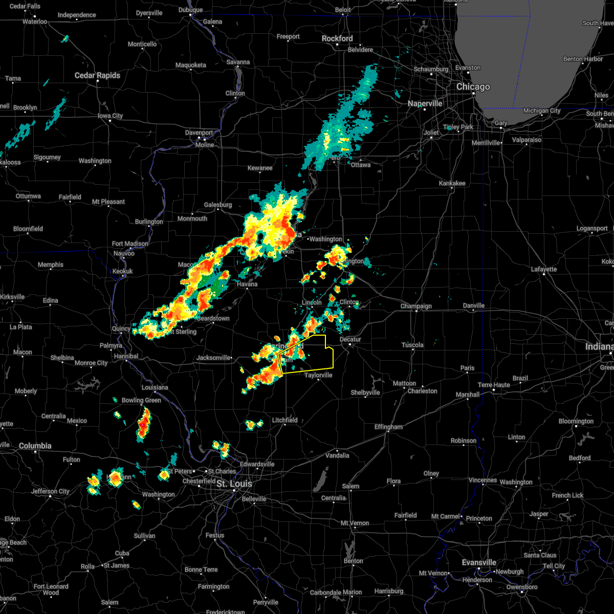 At 905 pm cdt, a severe thunderstorm was located near rochester, or near springfield, moving east at 45 mph (radar indicated). Hazards include 60 mph wind gusts and half dollar size hail. Hail damage to vehicles is expected. expect wind damage to roofs, siding, and trees. this severe thunderstorm will be near, edinburg and mechanicsburg around 920 pm cdt. other locations in the path of this severe thunderstorm include illiopolis and mount auburn. this includes the following highways, interstate 55 between mile markers 83 and 98. interstate 72 between mile markers 94 and 124. hail threat, radar indicated max hail size, 1. 25 in wind threat, radar indicated max wind gust, 60 mph. At 905 pm cdt, a severe thunderstorm was located near rochester, or near springfield, moving east at 45 mph (radar indicated). Hazards include 60 mph wind gusts and half dollar size hail. Hail damage to vehicles is expected. expect wind damage to roofs, siding, and trees. this severe thunderstorm will be near, edinburg and mechanicsburg around 920 pm cdt. other locations in the path of this severe thunderstorm include illiopolis and mount auburn. this includes the following highways, interstate 55 between mile markers 83 and 98. interstate 72 between mile markers 94 and 124. hail threat, radar indicated max hail size, 1. 25 in wind threat, radar indicated max wind gust, 60 mph.
|
| 6/17/2022 4:55 AM CDT |
 At 454 am cdt, severe thunderstorms were located along a line extending from near new berlin to near edinburg, moving east at 25 mph (radar indicated). Hazards include 60 mph wind gusts and penny size hail. Expect damage to roofs, siding, and trees. these severe storms will be near, taylorville, kincaid, edinburg, bulpitt and jeisyville around 500 am cdt. other locations in the path of these severe thunderstorms include stonington, chatham, springfield and rochester. this includes the following highways, interstate 55 between mile markers 77 and 99. interstate 72 between mile markers 80 and 110. hail threat, radar indicated max hail size, 0. 75 in wind threat, radar indicated max wind gust, 60 mph. At 454 am cdt, severe thunderstorms were located along a line extending from near new berlin to near edinburg, moving east at 25 mph (radar indicated). Hazards include 60 mph wind gusts and penny size hail. Expect damage to roofs, siding, and trees. these severe storms will be near, taylorville, kincaid, edinburg, bulpitt and jeisyville around 500 am cdt. other locations in the path of these severe thunderstorms include stonington, chatham, springfield and rochester. this includes the following highways, interstate 55 between mile markers 77 and 99. interstate 72 between mile markers 80 and 110. hail threat, radar indicated max hail size, 0. 75 in wind threat, radar indicated max wind gust, 60 mph.
|
| 6/17/2022 4:42 AM CDT |
 At 442 am cdt, severe thunderstorms were located along a line extending from new berlin to near jeisyville, moving east at 30 mph (radar indicated). Hazards include 60 mph wind gusts and nickel size hail. Expect damage to roofs, siding, and trees. severe thunderstorms will be near, taylorville, kincaid, edinburg, bulpitt and jeisyville around 445 am cdt. auburn and stonington around 500 am cdt. other locations in the path of these severe thunderstorms include chatham, springfield, rochester and pawnee. this includes the following highways, interstate 55 between mile markers 77 and 99. interstate 72 between mile markers 80 and 110. hail threat, radar indicated max hail size, 0. 88 in wind threat, radar indicated max wind gust, 60 mph. At 442 am cdt, severe thunderstorms were located along a line extending from new berlin to near jeisyville, moving east at 30 mph (radar indicated). Hazards include 60 mph wind gusts and nickel size hail. Expect damage to roofs, siding, and trees. severe thunderstorms will be near, taylorville, kincaid, edinburg, bulpitt and jeisyville around 445 am cdt. auburn and stonington around 500 am cdt. other locations in the path of these severe thunderstorms include chatham, springfield, rochester and pawnee. this includes the following highways, interstate 55 between mile markers 77 and 99. interstate 72 between mile markers 80 and 110. hail threat, radar indicated max hail size, 0. 88 in wind threat, radar indicated max wind gust, 60 mph.
|
| 6/17/2022 4:19 AM CDT |
 At 419 am cdt, a severe thunderstorm was located over pleasant plains, or 14 miles east of virginia, moving east at 15 mph (radar indicated). Hazards include 60 mph wind gusts and penny size hail. Expect damage to roofs, siding, and trees. this severe storm will be near, athens around 505 am cdt. sherman around 515 am cdt. other locations impacted by this severe thunderstorm include prentice, sinclair, atterberry, cantrall, capital airport, salisbury, farmingdale, newmansville, lincolns new salem and grandview. this includes the following highways, interstate 55 between mile markers 96 and 105. interstate 72 between mile markers 102 and 104. hail threat, radar indicated max hail size, 0. 75 in wind threat, radar indicated max wind gust, 60 mph. At 419 am cdt, a severe thunderstorm was located over pleasant plains, or 14 miles east of virginia, moving east at 15 mph (radar indicated). Hazards include 60 mph wind gusts and penny size hail. Expect damage to roofs, siding, and trees. this severe storm will be near, athens around 505 am cdt. sherman around 515 am cdt. other locations impacted by this severe thunderstorm include prentice, sinclair, atterberry, cantrall, capital airport, salisbury, farmingdale, newmansville, lincolns new salem and grandview. this includes the following highways, interstate 55 between mile markers 96 and 105. interstate 72 between mile markers 102 and 104. hail threat, radar indicated max hail size, 0. 75 in wind threat, radar indicated max wind gust, 60 mph.
|
| 6/17/2022 3:53 AM CDT |
 At 353 am cdt, a severe thunderstorm was located near ashland, or 13 miles southeast of virginia, moving east at 30 mph. additional strong to severe storms were northwest of virginia and also moving east (radar indicated). Hazards include 60 mph wind gusts and quarter size hail. Hail damage to vehicles is expected. expect wind damage to roofs, siding, and trees. this severe thunderstorm will be near, pleasant plains around 400 am cdt. athens around 420 am cdt. sherman around 435 am cdt. williamsville around 440 am cdt. other locations impacted by this severe thunderstorm include prentice, sinclair, atterberry, cantrall, capital airport, salisbury, farmingdale, newmansville, lincolns new salem and grandview. this includes the following highways, interstate 55 between mile markers 96 and 105. interstate 72 between mile markers 102 and 104. hail threat, radar indicated max hail size, 1. 00 in wind threat, radar indicated max wind gust, 60 mph. At 353 am cdt, a severe thunderstorm was located near ashland, or 13 miles southeast of virginia, moving east at 30 mph. additional strong to severe storms were northwest of virginia and also moving east (radar indicated). Hazards include 60 mph wind gusts and quarter size hail. Hail damage to vehicles is expected. expect wind damage to roofs, siding, and trees. this severe thunderstorm will be near, pleasant plains around 400 am cdt. athens around 420 am cdt. sherman around 435 am cdt. williamsville around 440 am cdt. other locations impacted by this severe thunderstorm include prentice, sinclair, atterberry, cantrall, capital airport, salisbury, farmingdale, newmansville, lincolns new salem and grandview. this includes the following highways, interstate 55 between mile markers 96 and 105. interstate 72 between mile markers 102 and 104. hail threat, radar indicated max hail size, 1. 00 in wind threat, radar indicated max wind gust, 60 mph.
|
| 5/25/2022 7:45 PM CDT | Tree reported down. relayed via county dispatch. time estimated from rada in sangamon county IL, 2.7 miles S of Springfield, IL |
| 4/30/2022 5:34 PM CDT |
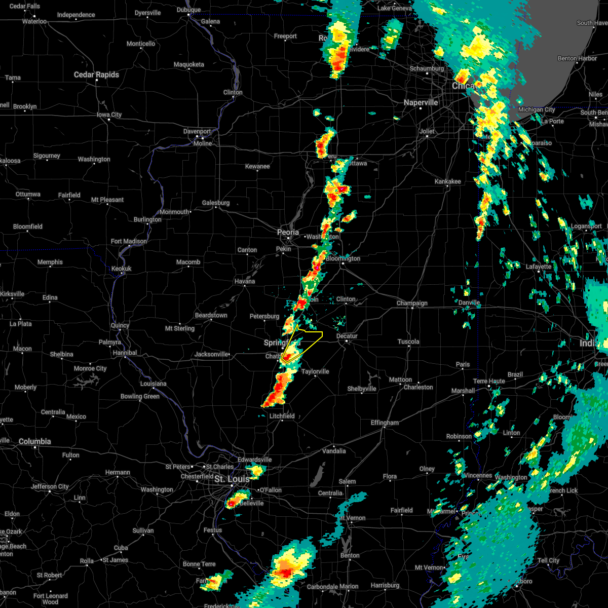 At 534 pm cdt, a severe thunderstorm was located near rochester, or near springfield, moving northeast at 45 mph (radar indicated). Hazards include 60 mph wind gusts and quarter size hail. Hail damage to vehicles is expected. expect wind damage to roofs, siding, and trees. locations impacted include, riverton and mechanicsburg. this includes the following highways, interstate 55 between mile markers 89 and 90, and between mile markers 93 and 97. interstate 72 between mile markers 99 and 121. hail threat, radar indicated max hail size, 1. 00 in wind threat, radar indicated max wind gust, 60 mph. At 534 pm cdt, a severe thunderstorm was located near rochester, or near springfield, moving northeast at 45 mph (radar indicated). Hazards include 60 mph wind gusts and quarter size hail. Hail damage to vehicles is expected. expect wind damage to roofs, siding, and trees. locations impacted include, riverton and mechanicsburg. this includes the following highways, interstate 55 between mile markers 89 and 90, and between mile markers 93 and 97. interstate 72 between mile markers 99 and 121. hail threat, radar indicated max hail size, 1. 00 in wind threat, radar indicated max wind gust, 60 mph.
|
| 4/30/2022 5:33 PM CDT | Quarter sized hail reported 5.6 miles N of Springfield, IL |
| 4/30/2022 5:24 PM CDT |
 At 524 pm cdt, a severe thunderstorm was located near chatham, or 9 miles northeast of virden, moving northeast at 45 mph (radar indicated). Hazards include 60 mph wind gusts and quarter size hail. Hail damage to vehicles is expected. expect wind damage to roofs, siding, and trees. this severe thunderstorm will be near, springfield around 530 pm cdt. rochester around 540 pm cdt. other locations in the path of this severe thunderstorm include sherman, riverton, mechanicsburg and williamsville. this includes the following highways, interstate 55 between mile markers 81 and 104, and between mile markers 106 and 111. interstate 72 between mile markers 96 and 121. hail threat, radar indicated max hail size, 1. 00 in wind threat, radar indicated max wind gust, 60 mph. At 524 pm cdt, a severe thunderstorm was located near chatham, or 9 miles northeast of virden, moving northeast at 45 mph (radar indicated). Hazards include 60 mph wind gusts and quarter size hail. Hail damage to vehicles is expected. expect wind damage to roofs, siding, and trees. this severe thunderstorm will be near, springfield around 530 pm cdt. rochester around 540 pm cdt. other locations in the path of this severe thunderstorm include sherman, riverton, mechanicsburg and williamsville. this includes the following highways, interstate 55 between mile markers 81 and 104, and between mile markers 106 and 111. interstate 72 between mile markers 96 and 121. hail threat, radar indicated max hail size, 1. 00 in wind threat, radar indicated max wind gust, 60 mph.
|
| 3/5/2022 11:21 PM CST |
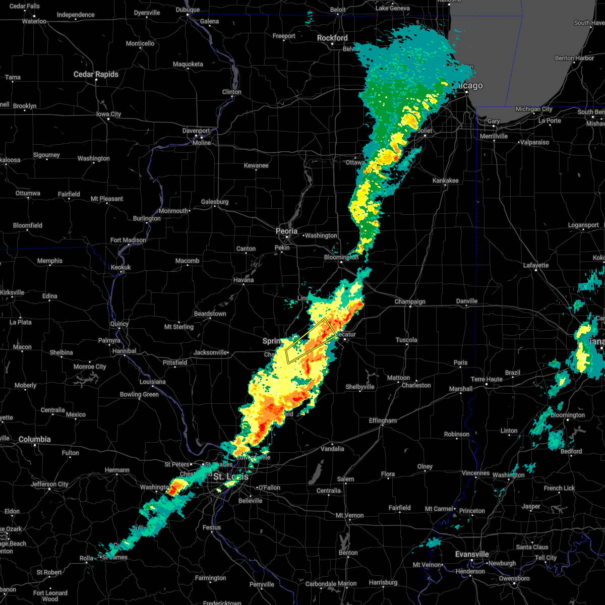 The severe thunderstorm warning for southeastern logan, northwestern christian, northeastern sangamon and west central macon counties will expire at 1130 pm cst, the storm which prompted the warning has moved out of the area. therefore, the warning will be allowed to expire. a severe thunderstorm watch remains in effect until 200 am cst for central illinois. to report severe weather, contact your nearest law enforcement agency. they will relay your report to the national weather service lincoln. The severe thunderstorm warning for southeastern logan, northwestern christian, northeastern sangamon and west central macon counties will expire at 1130 pm cst, the storm which prompted the warning has moved out of the area. therefore, the warning will be allowed to expire. a severe thunderstorm watch remains in effect until 200 am cst for central illinois. to report severe weather, contact your nearest law enforcement agency. they will relay your report to the national weather service lincoln.
|
| 3/5/2022 11:05 PM CST |
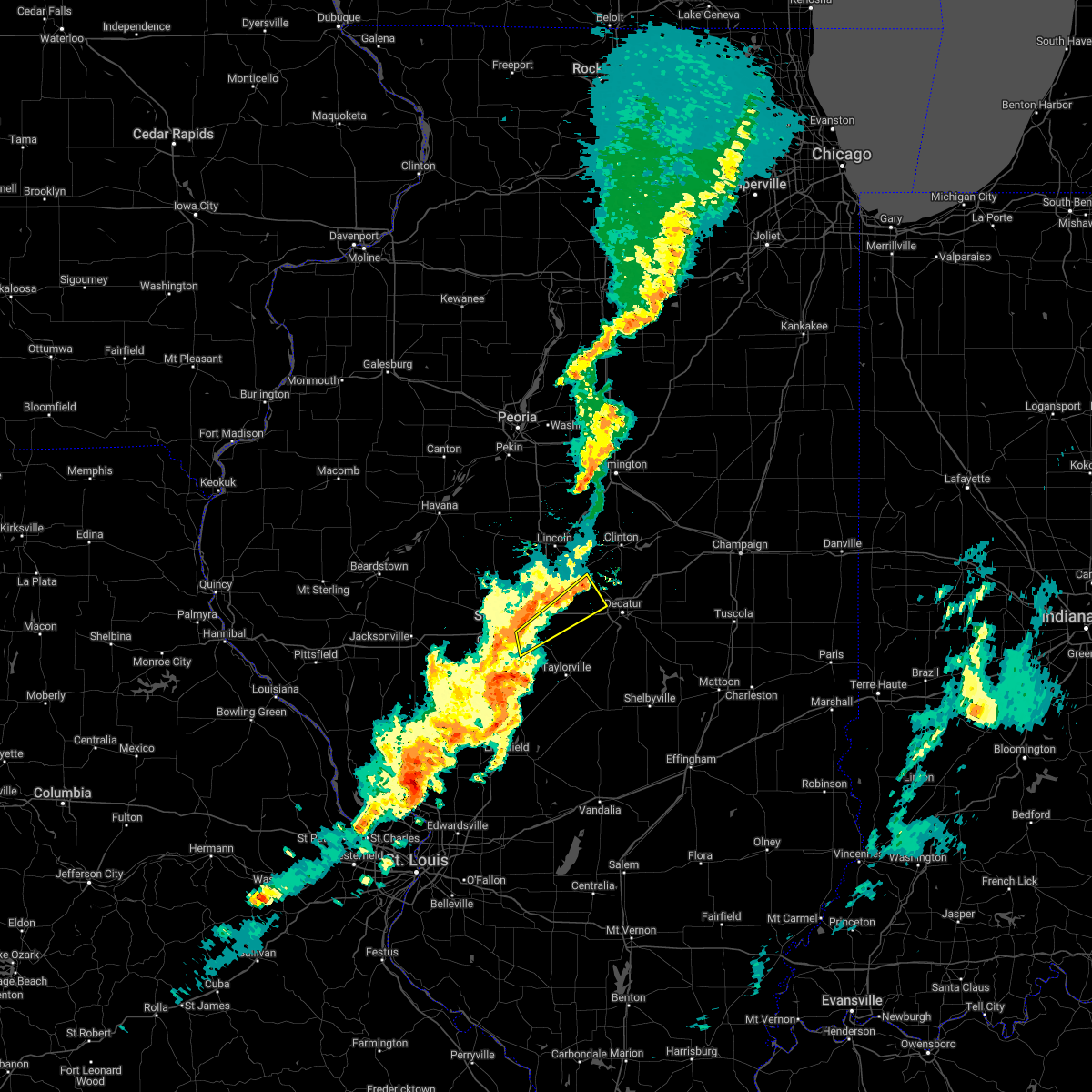 At 1105 pm cst, a severe thunderstorm was located near illiopolis, or 18 miles east of springfield, moving northeast at 60 mph (radar indicated). Hazards include 60 mph wind gusts. Expect damage to roofs, siding, and trees. locations impacted include, harristown, niantic and latham. this includes interstate 72 between mile markers 112 and 129. hail threat, radar indicated max hail size, <. 75 in wind threat, radar indicated max wind gust, 60 mph. At 1105 pm cst, a severe thunderstorm was located near illiopolis, or 18 miles east of springfield, moving northeast at 60 mph (radar indicated). Hazards include 60 mph wind gusts. Expect damage to roofs, siding, and trees. locations impacted include, harristown, niantic and latham. this includes interstate 72 between mile markers 112 and 129. hail threat, radar indicated max hail size, <. 75 in wind threat, radar indicated max wind gust, 60 mph.
|
| 3/5/2022 10:52 PM CST |
 At 1052 pm cst, a severe thunderstorm was located over riverton, or 7 miles northeast of springfield, moving northeast at 65 mph (radar indicated). Hazards include 60 mph wind gusts. Expect damage to roofs, siding, and trees. this severe thunderstorm will be near, cornland around 1100 pm cst. illiopolis around 1105 pm cst. mount pulaski and latham around 1110 pm cst. this includes the following highways, interstate 55 between mile markers 91 and 100. interstate 72 between mile markers 97 and 129. hail threat, radar indicated max hail size, <. 75 in wind threat, radar indicated max wind gust, 60 mph. At 1052 pm cst, a severe thunderstorm was located over riverton, or 7 miles northeast of springfield, moving northeast at 65 mph (radar indicated). Hazards include 60 mph wind gusts. Expect damage to roofs, siding, and trees. this severe thunderstorm will be near, cornland around 1100 pm cst. illiopolis around 1105 pm cst. mount pulaski and latham around 1110 pm cst. this includes the following highways, interstate 55 between mile markers 91 and 100. interstate 72 between mile markers 97 and 129. hail threat, radar indicated max hail size, <. 75 in wind threat, radar indicated max wind gust, 60 mph.
|
| 3/5/2022 10:43 PM CST | Asos station kspi springfield capital a in sangamon county IL, 6.4 miles SSE of Springfield, IL |
| 12/10/2021 8:52 PM CST | Asos station kspi springfield capital a in sangamon county IL, 6.4 miles SSE of Springfield, IL |
| 12/10/2021 8:33 PM CST | Corrects time on previous tstm wnd gst report from 1 nnw capital airport. asos station kspi springfield capital a in sangamon county IL, 6.4 miles SSE of Springfield, IL |
| 10/24/2021 7:43 PM CDT |
 The severe thunderstorm warning for eastern menard, logan, northeastern sangamon, western de witt, southeastern tazewell, southwestern mclean and northwestern macon counties will expire at 745 pm cdt, the storms which prompted the warning have weakened below severe limits, and no longer pose an immediate threat to life or property. therefore, the warning will be allowed to expire. however small hail, gusty winds and heavy rain are still possible with these thunderstorms. a tornado watch remains in effect until 100 am cdt for central illinois. The severe thunderstorm warning for eastern menard, logan, northeastern sangamon, western de witt, southeastern tazewell, southwestern mclean and northwestern macon counties will expire at 745 pm cdt, the storms which prompted the warning have weakened below severe limits, and no longer pose an immediate threat to life or property. therefore, the warning will be allowed to expire. however small hail, gusty winds and heavy rain are still possible with these thunderstorms. a tornado watch remains in effect until 100 am cdt for central illinois.
|
| 10/24/2021 7:24 PM CDT |
 The severe thunderstorm warning for menard, northwestern sangamon, southwestern tazewell, northeastern cass and southeastern mason counties will expire at 730 pm cdt, the storms which prompted the warning have weakened below severe limits, and no longer pose an immediate threat to life or property. therefore, the warning will be allowed to expire. however small hail, gusty winds and heavy rain are still possible with these thunderstorms. a tornado watch remains in effect until 100 am cdt for central and west central illinois. The severe thunderstorm warning for menard, northwestern sangamon, southwestern tazewell, northeastern cass and southeastern mason counties will expire at 730 pm cdt, the storms which prompted the warning have weakened below severe limits, and no longer pose an immediate threat to life or property. therefore, the warning will be allowed to expire. however small hail, gusty winds and heavy rain are still possible with these thunderstorms. a tornado watch remains in effect until 100 am cdt for central and west central illinois.
|
| 10/24/2021 7:21 PM CDT |
 At 720 pm cdt, severe thunderstorms were located along a line extending from near mclean to near cornland, moving east at 50 mph (radar indicated). Hazards include 60 mph wind gusts and penny size hail. Expect damage to roofs, siding, and trees. locations impacted include, atlanta, mclean, bloomington, beason and kenney. this includes the following highways, interstate 155 between mile markers 0 and 13. interstate 55 between mile markers 106 and 155. interstate 72 between mile markers 105 and 117. hail threat, radar indicated max hail size, 0. 75 in wind threat, radar indicated max wind gust, 60 mph. At 720 pm cdt, severe thunderstorms were located along a line extending from near mclean to near cornland, moving east at 50 mph (radar indicated). Hazards include 60 mph wind gusts and penny size hail. Expect damage to roofs, siding, and trees. locations impacted include, atlanta, mclean, bloomington, beason and kenney. this includes the following highways, interstate 155 between mile markers 0 and 13. interstate 55 between mile markers 106 and 155. interstate 72 between mile markers 105 and 117. hail threat, radar indicated max hail size, 0. 75 in wind threat, radar indicated max wind gust, 60 mph.
|
| 10/24/2021 7:07 PM CDT |
 At 707 pm cdt, severe thunderstorms were located along a line extending from hartsburg to near sherman, moving east at 50 mph (radar indicated). Hazards include 60 mph wind gusts and quarter size hail. Hail damage to vehicles is expected. expect wind damage to roofs, siding, and trees. locations impacted include, springfield, mason city, sherman, petersburg, athens, williamsville, pleasant plains, greenview, san jose, tallula, easton, leland grove, grandview, oakford, berlin, cantrall, atterberry, capital airport, salisbury and farmingdale. this includes the following highways, interstate 55 between mile markers 98 and 105. interstate 72 between mile markers 80 and 82, and near mile marker 104. hail threat, radar indicated max hail size, 1. 00 in wind threat, radar indicated max wind gust, 60 mph. At 707 pm cdt, severe thunderstorms were located along a line extending from hartsburg to near sherman, moving east at 50 mph (radar indicated). Hazards include 60 mph wind gusts and quarter size hail. Hail damage to vehicles is expected. expect wind damage to roofs, siding, and trees. locations impacted include, springfield, mason city, sherman, petersburg, athens, williamsville, pleasant plains, greenview, san jose, tallula, easton, leland grove, grandview, oakford, berlin, cantrall, atterberry, capital airport, salisbury and farmingdale. this includes the following highways, interstate 55 between mile markers 98 and 105. interstate 72 between mile markers 80 and 82, and near mile marker 104. hail threat, radar indicated max hail size, 1. 00 in wind threat, radar indicated max wind gust, 60 mph.
|
| 10/24/2021 7:04 PM CDT |
 At 704 pm cdt, severe thunderstorms were located along a line extending from near delavan to near sherman, moving northeast at 45 mph (radar indicated). Hazards include 60 mph wind gusts and quarter size hail. Hail damage to vehicles is expected. expect wind damage to roofs, siding, and trees. severe thunderstorms will be near, emden around 710 pm cdt. armington around 715 pm cdt. other locations in the path of these severe thunderstorms include mount pulaski, latham, chestnut, bloomington, beason and kenney. this includes the following highways, interstate 155 between mile markers 0 and 13. interstate 55 between mile markers 106 and 155. interstate 72 between mile markers 105 and 117. hail threat, radar indicated max hail size, 1. 00 in wind threat, radar indicated max wind gust, 60 mph. At 704 pm cdt, severe thunderstorms were located along a line extending from near delavan to near sherman, moving northeast at 45 mph (radar indicated). Hazards include 60 mph wind gusts and quarter size hail. Hail damage to vehicles is expected. expect wind damage to roofs, siding, and trees. severe thunderstorms will be near, emden around 710 pm cdt. armington around 715 pm cdt. other locations in the path of these severe thunderstorms include mount pulaski, latham, chestnut, bloomington, beason and kenney. this includes the following highways, interstate 155 between mile markers 0 and 13. interstate 55 between mile markers 106 and 155. interstate 72 between mile markers 105 and 117. hail threat, radar indicated max hail size, 1. 00 in wind threat, radar indicated max wind gust, 60 mph.
|
| 10/24/2021 6:47 PM CDT |
 At 647 pm cdt, a severe thunderstorm capable of producing a tornado was located over athens, or 10 miles northwest of springfield, moving northeast at 50 mph (radar indicated rotation). Hazards include tornado. Flying debris will be dangerous to those caught without shelter. mobile homes will be damaged or destroyed. damage to roofs, windows, and vehicles will occur. tree damage is likely. locations impacted include, williamsville. This includes interstate 55 between mile markers 103 and 107. At 647 pm cdt, a severe thunderstorm capable of producing a tornado was located over athens, or 10 miles northwest of springfield, moving northeast at 50 mph (radar indicated rotation). Hazards include tornado. Flying debris will be dangerous to those caught without shelter. mobile homes will be damaged or destroyed. damage to roofs, windows, and vehicles will occur. tree damage is likely. locations impacted include, williamsville. This includes interstate 55 between mile markers 103 and 107.
|
| 10/24/2021 6:47 PM CDT |
 At 646 pm cdt, severe thunderstorms were located along a line extending from near mason city to near pleasant plains, moving northeast at 40 mph (radar indicated). Hazards include 60 mph wind gusts and quarter size hail. Hail damage to vehicles is expected. expect wind damage to roofs, siding, and trees. locations impacted include, mason city, easton, athens, san jose, sherman and williamsville. this includes the following highways, interstate 55 between mile markers 95 and 105. Interstate 72 between mile markers 68 and 93, and between mile markers 101 and 104. At 646 pm cdt, severe thunderstorms were located along a line extending from near mason city to near pleasant plains, moving northeast at 40 mph (radar indicated). Hazards include 60 mph wind gusts and quarter size hail. Hail damage to vehicles is expected. expect wind damage to roofs, siding, and trees. locations impacted include, mason city, easton, athens, san jose, sherman and williamsville. this includes the following highways, interstate 55 between mile markers 95 and 105. Interstate 72 between mile markers 68 and 93, and between mile markers 101 and 104.
|
| 10/24/2021 6:38 PM CDT |
 At 638 pm cdt, a severe thunderstorm capable of producing a tornado was located over pleasant plains, or 13 miles northwest of springfield, moving northeast at 50 mph (radar indicated rotation). Hazards include tornado. Flying debris will be dangerous to those caught without shelter. mobile homes will be damaged or destroyed. damage to roofs, windows, and vehicles will occur. tree damage is likely. this dangerous storm will be near, athens around 650 pm cdt. sherman around 655 pm cdt. other locations in the path of this tornadic thunderstorm include williamsville. This includes interstate 55 between mile markers 103 and 107. At 638 pm cdt, a severe thunderstorm capable of producing a tornado was located over pleasant plains, or 13 miles northwest of springfield, moving northeast at 50 mph (radar indicated rotation). Hazards include tornado. Flying debris will be dangerous to those caught without shelter. mobile homes will be damaged or destroyed. damage to roofs, windows, and vehicles will occur. tree damage is likely. this dangerous storm will be near, athens around 650 pm cdt. sherman around 655 pm cdt. other locations in the path of this tornadic thunderstorm include williamsville. This includes interstate 55 between mile markers 103 and 107.
|
| 10/24/2021 6:28 PM CDT |
 At 628 pm cdt, severe thunderstorms were located along a line extending from near kilbourne to near alexander, moving northeast at 40 mph (trained weather spotters). Hazards include golf ball size hail and 60 mph wind gusts. People and animals outdoors will be injured. expect hail damage to roofs, siding, windows, and vehicles. expect wind damage to roofs, siding, and trees. severe thunderstorms will be near, kilbourne around 635 pm cdt. greenview and easton around 640 pm cdt. other locations in the path of these severe thunderstorms include mason city, athens, san jose, sherman and williamsville. this includes the following highways, interstate 55 between mile markers 95 and 105. Interstate 72 between mile markers 68 and 93, and between mile markers 101 and 104. At 628 pm cdt, severe thunderstorms were located along a line extending from near kilbourne to near alexander, moving northeast at 40 mph (trained weather spotters). Hazards include golf ball size hail and 60 mph wind gusts. People and animals outdoors will be injured. expect hail damage to roofs, siding, windows, and vehicles. expect wind damage to roofs, siding, and trees. severe thunderstorms will be near, kilbourne around 635 pm cdt. greenview and easton around 640 pm cdt. other locations in the path of these severe thunderstorms include mason city, athens, san jose, sherman and williamsville. this includes the following highways, interstate 55 between mile markers 95 and 105. Interstate 72 between mile markers 68 and 93, and between mile markers 101 and 104.
|
| 8/12/2021 3:01 PM CDT | Power outages reporte in sangamon county IL, 4.5 miles SSW of Springfield, IL |
| 8/12/2021 3:00 PM CDT |
 At 300 pm cdt, a severe thunderstorm was located near edinburg, or 12 miles southeast of springfield, moving southeast at 30 mph (trained weather spotters). Hazards include 60 mph wind gusts and penny size hail. Expect damage to roofs, siding, and trees. locations impacted include, edinburg, kincaid, bulpitt, jeisyville, taylorville and stonington. this includes the following highways, interstate 55 between mile markers 88 and 97. interstate 72 between mile markers 97 and 120. hail threat, radar indicated max hail size, 0. 75 in wind threat, radar indicated max wind gust, 60 mph. At 300 pm cdt, a severe thunderstorm was located near edinburg, or 12 miles southeast of springfield, moving southeast at 30 mph (trained weather spotters). Hazards include 60 mph wind gusts and penny size hail. Expect damage to roofs, siding, and trees. locations impacted include, edinburg, kincaid, bulpitt, jeisyville, taylorville and stonington. this includes the following highways, interstate 55 between mile markers 88 and 97. interstate 72 between mile markers 97 and 120. hail threat, radar indicated max hail size, 0. 75 in wind threat, radar indicated max wind gust, 60 mph.
|
| 8/12/2021 2:48 PM CDT | Power pole snapped and tents damaged at state fairgrounds in sangamon county IL, 5.5 miles S of Springfield, IL |
| 8/12/2021 2:48 PM CDT | Storm damage reported in sangamon county IL, 5.5 miles S of Springfield, IL |
| 8/12/2021 2:48 PM CDT | Large tree split and blown down south of toronto rd on north cotton hill r in sangamon county IL, 3.5 miles N of Springfield, IL |
| 8/12/2021 2:47 PM CDT | 16 in diameter healthy tree snapped. several branches down in the same area as well. time estimated from rada in sangamon county IL, 2 miles S of Springfield, IL |
| 8/12/2021 2:44 PM CDT | Tree limb down on north side of interstat in sangamon county IL, 0.8 miles W of Springfield, IL |
| 8/12/2021 2:44 PM CDT | Tree limb down. time estimated from rada in sangamon county IL, 5.1 miles SSW of Springfield, IL |
| 8/12/2021 2:43 PM CDT |
 At 243 pm cdt, a severe thunderstorm was located over rochester, or near springfield, moving southeast at 30 mph (radar indicated). Hazards include 60 mph wind gusts and penny size hail. Expect damage to roofs, siding, and trees. this severe thunderstorm will be near, mechanicsburg around 250 pm cdt. other locations in the path of this severe thunderstorm include edinburg, kincaid, bulpitt, jeisyville, taylorville and stonington. this includes the following highways, interstate 55 between mile markers 88 and 107. interstate 72 between mile markers 93 and 120. hail threat, radar indicated max hail size, 0. 75 in wind threat, radar indicated max wind gust, 60 mph. At 243 pm cdt, a severe thunderstorm was located over rochester, or near springfield, moving southeast at 30 mph (radar indicated). Hazards include 60 mph wind gusts and penny size hail. Expect damage to roofs, siding, and trees. this severe thunderstorm will be near, mechanicsburg around 250 pm cdt. other locations in the path of this severe thunderstorm include edinburg, kincaid, bulpitt, jeisyville, taylorville and stonington. this includes the following highways, interstate 55 between mile markers 88 and 107. interstate 72 between mile markers 93 and 120. hail threat, radar indicated max hail size, 0. 75 in wind threat, radar indicated max wind gust, 60 mph.
|
| 8/12/2021 2:40 PM CDT | Trees down on isles and leonard rd as well as leonard and ree in sangamon county IL, 2 miles ESE of Springfield, IL |
| 7/9/2021 11:15 PM CDT | Report of tree down in roadwa in sangamon county IL, 4.8 miles S of Springfield, IL |
| 6/26/2021 4:34 PM CDT | Numerous large tree limbs and branches down on north side of springfield. some have fallen onto power line in sangamon county IL, 4.1 miles S of Springfield, IL |
| 6/26/2021 3:42 PM CDT |
 The tornado warning for southwestern logan and north central sangamon counties will expire at 345 pm cdt, the storm which prompted the warning has moved out of the area. therefore, the warning will be allowed to expire. a tornado watch remains in effect until 700 pm cdt for central illinois. remember, a tornado warning still remains in effect for northeast sangamon and southeast logan counties til 415 pm cdt. The tornado warning for southwestern logan and north central sangamon counties will expire at 345 pm cdt, the storm which prompted the warning has moved out of the area. therefore, the warning will be allowed to expire. a tornado watch remains in effect until 700 pm cdt for central illinois. remember, a tornado warning still remains in effect for northeast sangamon and southeast logan counties til 415 pm cdt.
|
| 6/26/2021 3:25 PM CDT | Corrects the time of previous tstm wnd dmg report from 1 n springfield. numerous large tree limbs and branches down on north side of springfield. some have fallen onto in sangamon county IL, 4.1 miles S of Springfield, IL |
| 6/26/2021 3:25 PM CDT | Numerous large tree limbs down across town. photos shared on twitter by broadcast medi in sangamon county IL, 2.7 miles S of Springfield, IL |
| 6/26/2021 3:19 PM CDT |
 At 319 pm cdt, a severe thunderstorm capable of producing a tornado was located near sherman, or near springfield, moving northeast at 30 mph (radar indicated rotation). Hazards include tornado. Flying debris will be dangerous to those caught without shelter. mobile homes will be damaged or destroyed. damage to roofs, windows, and vehicles will occur. tree damage is likely. this dangerous storm will be near, williamsville around 335 pm cdt. other locations in the path of this tornadic thunderstorm include elkhart and cornland. This includes interstate 55 between mile markers 101 and 114. At 319 pm cdt, a severe thunderstorm capable of producing a tornado was located near sherman, or near springfield, moving northeast at 30 mph (radar indicated rotation). Hazards include tornado. Flying debris will be dangerous to those caught without shelter. mobile homes will be damaged or destroyed. damage to roofs, windows, and vehicles will occur. tree damage is likely. this dangerous storm will be near, williamsville around 335 pm cdt. other locations in the path of this tornadic thunderstorm include elkhart and cornland. This includes interstate 55 between mile markers 101 and 114.
|
| 6/26/2021 3:18 PM CDT | Heavy tree damage in the skyline subdivision. multiple downed limbs 6 inches in diameter. telephone poles down. uprooted trees up to 17 inches in diameter. time estimat in sangamon county IL, 5.5 miles S of Springfield, IL |
| 6/26/2021 3:15 PM CDT | Trees down and blocking part of peoria rd. time estimated from rada in sangamon county IL, 2.7 miles S of Springfield, IL |
| 6/25/2021 8:54 PM CDT |
 The severe thunderstorm warning for menard, western sangamon, southeastern cass and morgan counties will expire at 900 pm cdt, the storms which prompted the warning have weakened below severe limits, and have exited the warned area. therefore, the warning will be allowed to expire. a severe thunderstorm watch remains in effect until 1100 pm cdt for central and west central illinois. The severe thunderstorm warning for menard, western sangamon, southeastern cass and morgan counties will expire at 900 pm cdt, the storms which prompted the warning have weakened below severe limits, and have exited the warned area. therefore, the warning will be allowed to expire. a severe thunderstorm watch remains in effect until 1100 pm cdt for central and west central illinois.
|
| 6/25/2021 8:16 PM CDT |
 At 816 pm cdt, severe thunderstorms were located along a line extending from near virginia to near murrayville, moving northeast at 50 mph (radar indicated). Hazards include 60 mph wind gusts and penny size hail. Expect damage to roofs, siding, and trees. severe thunderstorms will be near, virginia around 820 pm cdt. ashland and franklin around 825 pm cdt. alexander, waverly and tallula around 830 pm cdt. other locations in the path of these severe thunderstorms include petersburg, new berlin, loami, chatham, springfield and greenview. this includes the following highways, interstate 55 between mile markers 78 and 92. Interstate 72 between mile markers 64 and 98. At 816 pm cdt, severe thunderstorms were located along a line extending from near virginia to near murrayville, moving northeast at 50 mph (radar indicated). Hazards include 60 mph wind gusts and penny size hail. Expect damage to roofs, siding, and trees. severe thunderstorms will be near, virginia around 820 pm cdt. ashland and franklin around 825 pm cdt. alexander, waverly and tallula around 830 pm cdt. other locations in the path of these severe thunderstorms include petersburg, new berlin, loami, chatham, springfield and greenview. this includes the following highways, interstate 55 between mile markers 78 and 92. Interstate 72 between mile markers 64 and 98.
|
| 6/25/2021 1:21 AM CDT |
 At 121 am cdt, severe thunderstorms were located along a line extending from near meredosia to near chapin to near winchester to roodhouse, moving east at 45 mph (radar indicated). Hazards include 60 mph wind gusts. Expect damage to roofs, siding, and trees. severe thunderstorms will be near, woodson around 130 am cdt. jacksonville and murrayville around 135 am cdt. literberry around 140 am cdt. other locations in the path of these severe thunderstorms include virginia, alexander, franklin, chandlerville, new berlin, ashland, waverly, pleasant plains, loami, tallula and petersburg. This includes interstate 72 between mile markers 61 and 91. At 121 am cdt, severe thunderstorms were located along a line extending from near meredosia to near chapin to near winchester to roodhouse, moving east at 45 mph (radar indicated). Hazards include 60 mph wind gusts. Expect damage to roofs, siding, and trees. severe thunderstorms will be near, woodson around 130 am cdt. jacksonville and murrayville around 135 am cdt. literberry around 140 am cdt. other locations in the path of these severe thunderstorms include virginia, alexander, franklin, chandlerville, new berlin, ashland, waverly, pleasant plains, loami, tallula and petersburg. This includes interstate 72 between mile markers 61 and 91.
|
| 6/24/2021 8:55 PM CDT |
 The severe thunderstorm warning for south central sangamon county will expire at 900 pm cdt, the storm which prompted the warning has weakened below severe limits, and no longer poses an immediate threat to life or property. therefore, the warning will be allowed to expire. however gusty winds and heavy rain are still possible with this thunderstorm. The severe thunderstorm warning for south central sangamon county will expire at 900 pm cdt, the storm which prompted the warning has weakened below severe limits, and no longer poses an immediate threat to life or property. therefore, the warning will be allowed to expire. however gusty winds and heavy rain are still possible with this thunderstorm.
|
| 6/24/2021 8:48 PM CDT |
 At 848 pm cdt, a severe thunderstorm was located near auburn, or near virden, moving east at 15 mph (radar indicated). Hazards include 60 mph wind gusts and quarter size hail. Hail damage to vehicles is expected. expect wind damage to roofs, siding, and trees. locations impacted include, chatham, auburn, pawnee, divernon, thayer and glenarm. This includes interstate 55 between mile markers 78 and 86. At 848 pm cdt, a severe thunderstorm was located near auburn, or near virden, moving east at 15 mph (radar indicated). Hazards include 60 mph wind gusts and quarter size hail. Hail damage to vehicles is expected. expect wind damage to roofs, siding, and trees. locations impacted include, chatham, auburn, pawnee, divernon, thayer and glenarm. This includes interstate 55 between mile markers 78 and 86.
|
| 6/24/2021 8:30 PM CDT |
 At 829 pm cdt, a severe thunderstorm was located over virden, moving east at 15 mph (radar indicated). Hazards include 60 mph wind gusts and quarter size hail. Hail damage to vehicles is expected. expect wind damage to roofs, siding, and trees. locations impacted include, chatham, auburn, pawnee, divernon, thayer, glenarm and lowder. This includes interstate 55 between mile markers 78 and 86. At 829 pm cdt, a severe thunderstorm was located over virden, moving east at 15 mph (radar indicated). Hazards include 60 mph wind gusts and quarter size hail. Hail damage to vehicles is expected. expect wind damage to roofs, siding, and trees. locations impacted include, chatham, auburn, pawnee, divernon, thayer, glenarm and lowder. This includes interstate 55 between mile markers 78 and 86.
|
| 6/24/2021 8:09 PM CDT |
 At 808 pm cdt, a severe thunderstorm was located near waverly, or 7 miles west of virden, moving east at 15 mph (radar indicated). Hazards include 60 mph wind gusts. expect damage to roofs, siding, and trees At 808 pm cdt, a severe thunderstorm was located near waverly, or 7 miles west of virden, moving east at 15 mph (radar indicated). Hazards include 60 mph wind gusts. expect damage to roofs, siding, and trees
|
| 6/19/2021 10:19 AM CDT |
 At 1019 am cdt, a severe thunderstorm was located near franklin, or 8 miles southeast of jacksonville, moving east at 35 mph (radar indicated). Hazards include 60 mph wind gusts and quarter size hail. Hail damage to vehicles is expected. expect wind damage to roofs, siding, and trees. this severe thunderstorm will be near, new berlin and waverly around 1035 am cdt. other locations in the path of this severe thunderstorm include loami, chatham, auburn, springfield, pawnee and divernon. this includes the following highways, interstate 55 between mile markers 77 and 91. Interstate 72 between mile markers 64 and 72, and between mile markers 75 and 76. At 1019 am cdt, a severe thunderstorm was located near franklin, or 8 miles southeast of jacksonville, moving east at 35 mph (radar indicated). Hazards include 60 mph wind gusts and quarter size hail. Hail damage to vehicles is expected. expect wind damage to roofs, siding, and trees. this severe thunderstorm will be near, new berlin and waverly around 1035 am cdt. other locations in the path of this severe thunderstorm include loami, chatham, auburn, springfield, pawnee and divernon. this includes the following highways, interstate 55 between mile markers 77 and 91. Interstate 72 between mile markers 64 and 72, and between mile markers 75 and 76.
|
| 6/19/2021 7:06 AM CDT |
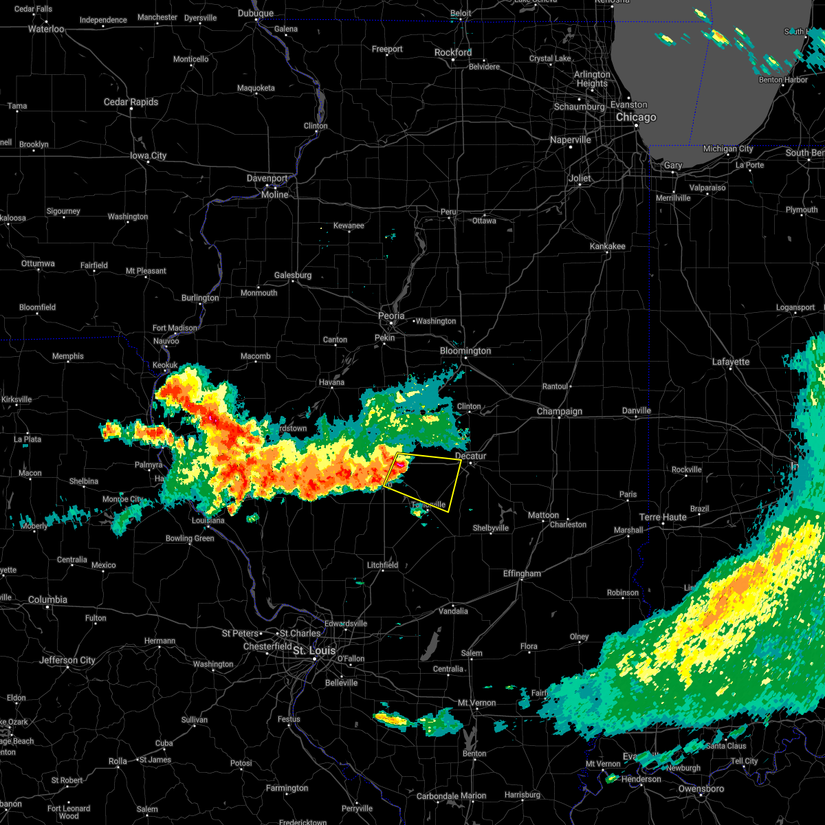 At 706 am cdt, a severe thunderstorm was located near rochester, or near springfield, moving east at 55 mph (radar indicated). Hazards include 70 mph wind gusts and nickel size hail. Expect considerable tree damage. damage is likely to mobile homes, roofs, and outbuildings. this severe thunderstorm will be near, mechanicsburg around 710 am cdt. edinburg around 715 am cdt. illiopolis and mount auburn around 720 am cdt. stonington around 725 am cdt. other locations in the path of this severe thunderstorm include blue mound. this includes the following highways, interstate 55 near mile marker 89, and between mile markers 93 and 97. Interstate 72 between mile markers 100 and 135. At 706 am cdt, a severe thunderstorm was located near rochester, or near springfield, moving east at 55 mph (radar indicated). Hazards include 70 mph wind gusts and nickel size hail. Expect considerable tree damage. damage is likely to mobile homes, roofs, and outbuildings. this severe thunderstorm will be near, mechanicsburg around 710 am cdt. edinburg around 715 am cdt. illiopolis and mount auburn around 720 am cdt. stonington around 725 am cdt. other locations in the path of this severe thunderstorm include blue mound. this includes the following highways, interstate 55 near mile marker 89, and between mile markers 93 and 97. Interstate 72 between mile markers 100 and 135.
|
| 6/18/2021 9:24 PM CDT |
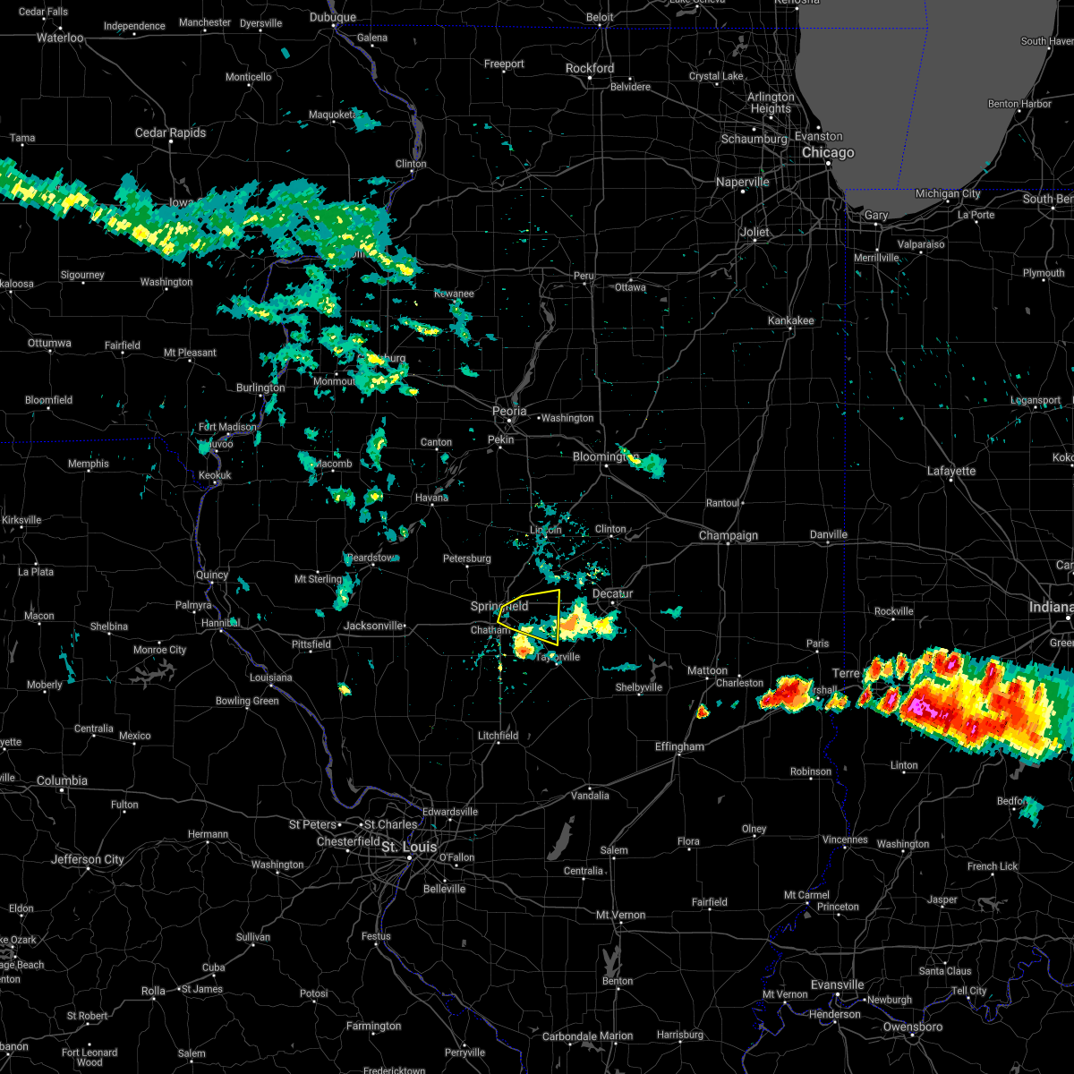 The severe thunderstorm warning for northwestern christian and northeastern sangamon counties will expire at 930 pm cdt, the storm which prompted the warning has weakened below severe limits, and has exited the warned area. therefore, the warning will be allowed to expire. a severe thunderstorm watch remains in effect until 400 am cdt for central illinois. The severe thunderstorm warning for northwestern christian and northeastern sangamon counties will expire at 930 pm cdt, the storm which prompted the warning has weakened below severe limits, and has exited the warned area. therefore, the warning will be allowed to expire. a severe thunderstorm watch remains in effect until 400 am cdt for central illinois.
|
| 6/18/2021 9:09 PM CDT |
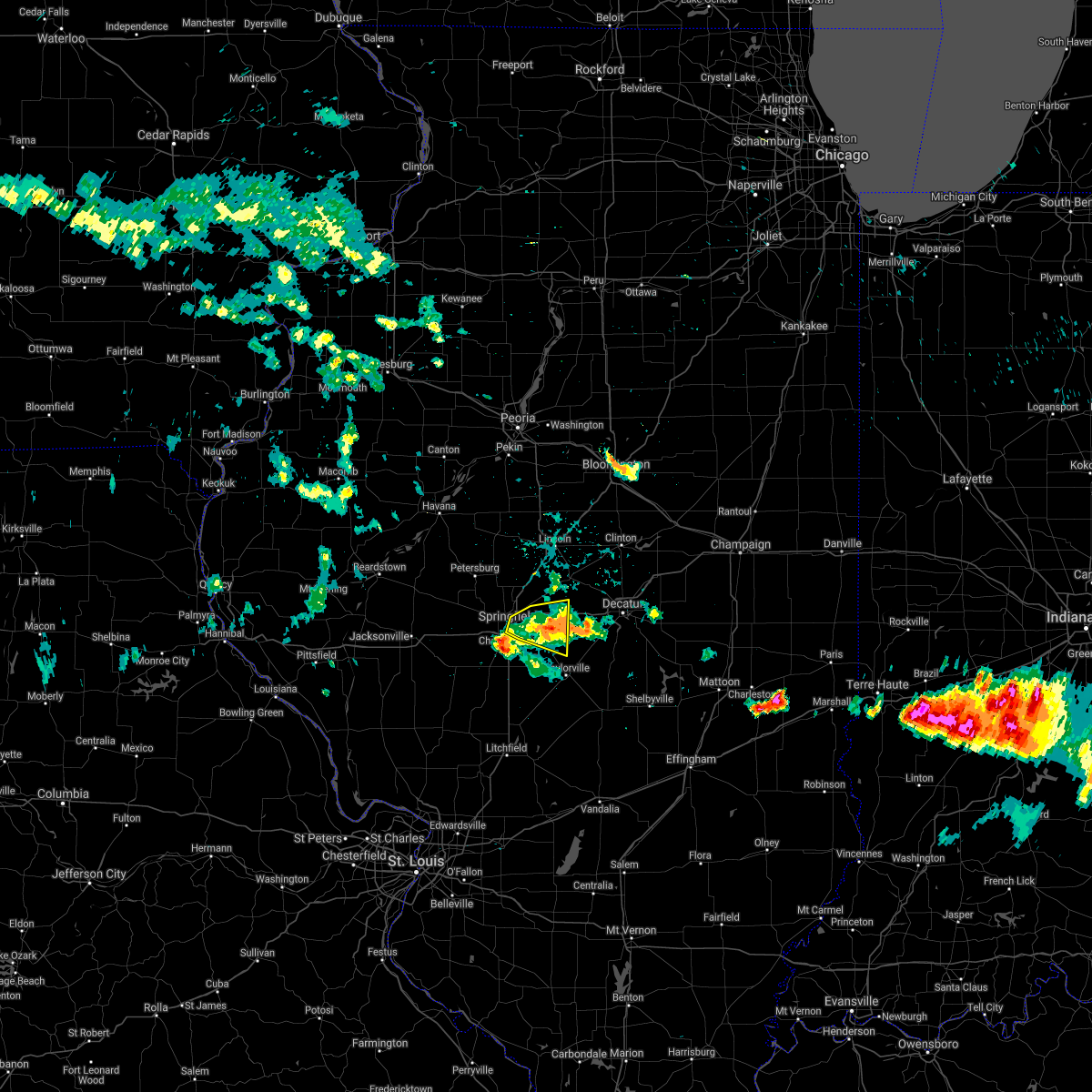 At 908 pm cdt, a severe thunderstorm was located over mechanicsburg, or 12 miles east of springfield, moving east at 35 mph (radar indicated). Hazards include 60 mph wind gusts and quarter size hail. Hail damage to vehicles is expected. expect wind damage to roofs, siding, and trees. this severe thunderstorm will remain over mainly rural areas of northwestern christian and northeastern sangamon counties, including the following locations, dawson, roby, berry, clear lake, southern view, grandview and buffalo. this includes the following highways, interstate 55 between mile markers 93 and 99. Interstate 72 between mile markers 99 and 121. At 908 pm cdt, a severe thunderstorm was located over mechanicsburg, or 12 miles east of springfield, moving east at 35 mph (radar indicated). Hazards include 60 mph wind gusts and quarter size hail. Hail damage to vehicles is expected. expect wind damage to roofs, siding, and trees. this severe thunderstorm will remain over mainly rural areas of northwestern christian and northeastern sangamon counties, including the following locations, dawson, roby, berry, clear lake, southern view, grandview and buffalo. this includes the following highways, interstate 55 between mile markers 93 and 99. Interstate 72 between mile markers 99 and 121.
|
| 6/18/2021 8:43 PM CDT |
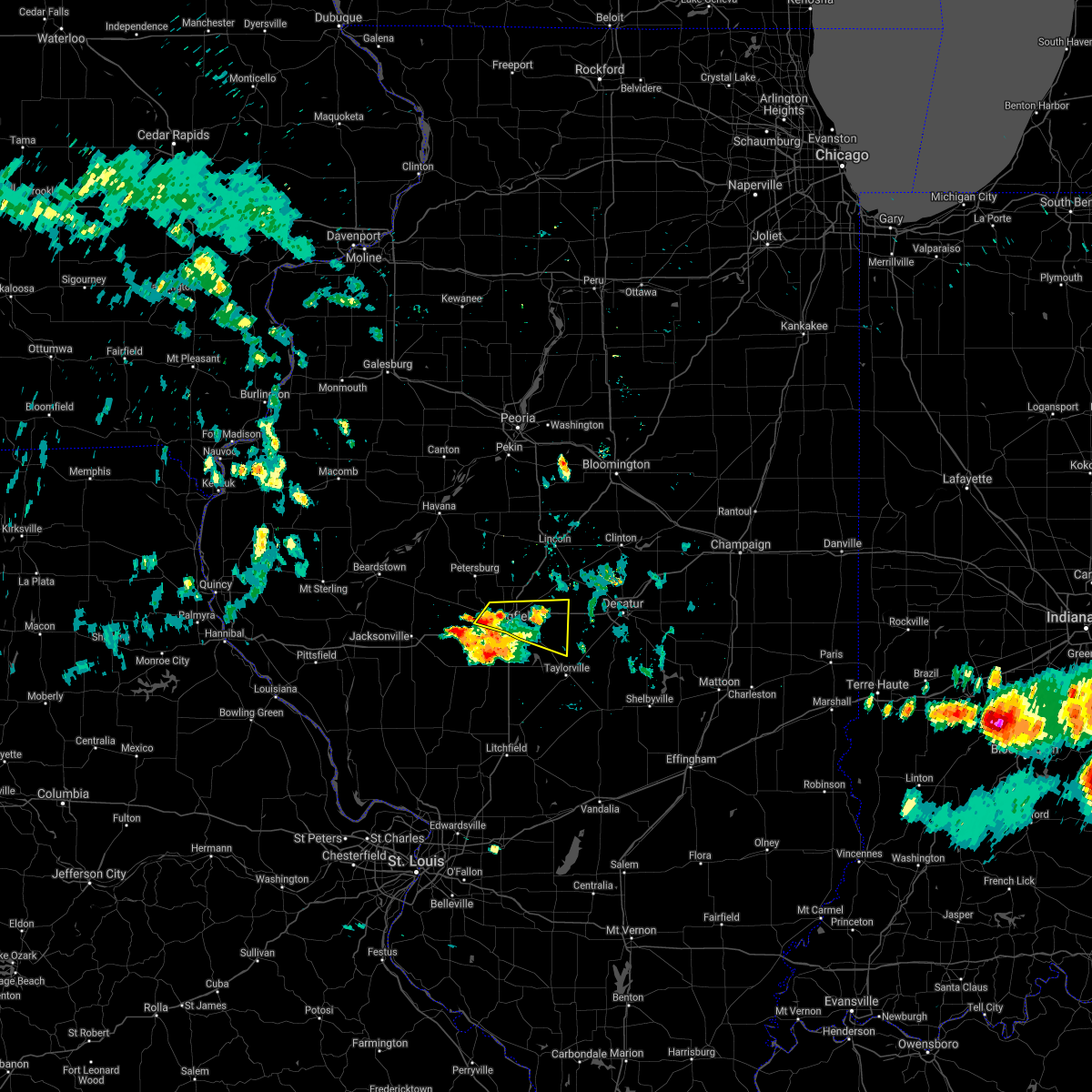 At 843 pm cdt, a severe thunderstorm was located over springfield, moving east at 35 mph (radar indicated). Hazards include 60 mph wind gusts and quarter size hail. Hail damage to vehicles is expected. expect wind damage to roofs, siding, and trees. this severe thunderstorm will be near, rochester and riverton around 855 pm cdt. other locations in the path of this severe thunderstorm include mechanicsburg. this includes the following highways, interstate 55 between mile markers 93 and 103. Interstate 72 between mile markers 99 and 121. At 843 pm cdt, a severe thunderstorm was located over springfield, moving east at 35 mph (radar indicated). Hazards include 60 mph wind gusts and quarter size hail. Hail damage to vehicles is expected. expect wind damage to roofs, siding, and trees. this severe thunderstorm will be near, rochester and riverton around 855 pm cdt. other locations in the path of this severe thunderstorm include mechanicsburg. this includes the following highways, interstate 55 between mile markers 93 and 103. Interstate 72 between mile markers 99 and 121.
|
| 6/18/2021 8:40 PM CDT |
 At 840 pm cdt, a severe thunderstorm was located near chatham, or 9 miles north of virden, moving east at 30 mph (radar indicated). Hazards include 60 mph wind gusts and quarter size hail. Hail damage to vehicles is expected. expect wind damage to roofs, siding, and trees. locations impacted include, chatham, springfield, divernon and pawnee. this includes the following highways, interstate 55 between mile markers 82 and 96. Interstate 72 between mile markers 81 and 102. At 840 pm cdt, a severe thunderstorm was located near chatham, or 9 miles north of virden, moving east at 30 mph (radar indicated). Hazards include 60 mph wind gusts and quarter size hail. Hail damage to vehicles is expected. expect wind damage to roofs, siding, and trees. locations impacted include, chatham, springfield, divernon and pawnee. this includes the following highways, interstate 55 between mile markers 82 and 96. Interstate 72 between mile markers 81 and 102.
|
| 6/18/2021 8:22 PM CDT |
 At 822 pm cdt, a severe thunderstorm was located over loami, or 13 miles southwest of springfield, moving east at 30 mph (radar indicated). Hazards include 60 mph wind gusts and quarter size hail. Hail damage to vehicles is expected. expect wind damage to roofs, siding, and trees. this severe thunderstorm will be near, auburn around 835 pm cdt. chatham around 840 pm cdt. other locations in the path of this severe thunderstorm include springfield and pawnee. this includes the following highways, interstate 55 between mile markers 82 and 96. Interstate 72 between mile markers 81 and 102. At 822 pm cdt, a severe thunderstorm was located over loami, or 13 miles southwest of springfield, moving east at 30 mph (radar indicated). Hazards include 60 mph wind gusts and quarter size hail. Hail damage to vehicles is expected. expect wind damage to roofs, siding, and trees. this severe thunderstorm will be near, auburn around 835 pm cdt. chatham around 840 pm cdt. other locations in the path of this severe thunderstorm include springfield and pawnee. this includes the following highways, interstate 55 between mile markers 82 and 96. Interstate 72 between mile markers 81 and 102.
|
| 5/27/2021 12:55 PM CDT |
 The severe thunderstorm warning for central sangamon county will expire at 100 pm cdt, the storms which prompted the warning have moved out of the area. therefore, the warning will be allowed to expire. a severe thunderstorm watch remains in effect until 700 pm cdt for central illinois. The severe thunderstorm warning for central sangamon county will expire at 100 pm cdt, the storms which prompted the warning have moved out of the area. therefore, the warning will be allowed to expire. a severe thunderstorm watch remains in effect until 700 pm cdt for central illinois.
|
| 5/27/2021 12:40 PM CDT | Numerous tree limbs down. time estimated by rada in sangamon county IL, 0.8 miles W of Springfield, IL |
| 5/27/2021 12:35 PM CDT | Power lines and trees down in roadway. time estimated by rada in sangamon county IL, 0.7 miles SSW of Springfield, IL |
| 5/27/2021 12:32 PM CDT |
 At 1232 pm cdt, severe thunderstorms were located along a line extending from near pleasant plains to near virden, moving east at 45 mph (radar indicated). Hazards include 60 mph wind gusts and quarter size hail. Hail damage to vehicles is expected. expect wind damage to roofs, siding, and trees. these severe storms will be near, auburn around 1240 pm cdt. divernon around 1245 pm cdt. springfield and pawnee around 1250 pm cdt. sherman around 1255 pm cdt. riverton around 100 pm cdt. other locations impacted by these severe thunderstorms include spaulding, curran, farmingdale, glenarm, thayer, clear lake, southern view, grandview, jerome and leland grove. this includes the following highways, interstate 55 between mile markers 77 and 103. Interstate 72 between mile markers 86 and 107. At 1232 pm cdt, severe thunderstorms were located along a line extending from near pleasant plains to near virden, moving east at 45 mph (radar indicated). Hazards include 60 mph wind gusts and quarter size hail. Hail damage to vehicles is expected. expect wind damage to roofs, siding, and trees. these severe storms will be near, auburn around 1240 pm cdt. divernon around 1245 pm cdt. springfield and pawnee around 1250 pm cdt. sherman around 1255 pm cdt. riverton around 100 pm cdt. other locations impacted by these severe thunderstorms include spaulding, curran, farmingdale, glenarm, thayer, clear lake, southern view, grandview, jerome and leland grove. this includes the following highways, interstate 55 between mile markers 77 and 103. Interstate 72 between mile markers 86 and 107.
|
| 5/27/2021 12:29 PM CDT |
 At 1228 pm cdt, severe thunderstorms were located along a line extending from pleasant plains to near virden, moving east at 45 mph (radar indicated). Hazards include 60 mph wind gusts and quarter size hail. Hail damage to vehicles is expected. expect wind damage to roofs, siding, and trees. these severe storms will be near, divernon around 1240 pm cdt. springfield and pawnee around 1245 pm cdt. sherman around 1250 pm cdt. riverton around 1255 pm cdt. other locations impacted by these severe thunderstorms include spaulding, sinclair, curran, glenarm, berlin, thayer, southern view, capital airport, farmingdale and clear lake. this includes the following highways, interstate 55 between mile markers 77 and 103. Interstate 72 between mile markers 73 and 107. At 1228 pm cdt, severe thunderstorms were located along a line extending from pleasant plains to near virden, moving east at 45 mph (radar indicated). Hazards include 60 mph wind gusts and quarter size hail. Hail damage to vehicles is expected. expect wind damage to roofs, siding, and trees. these severe storms will be near, divernon around 1240 pm cdt. springfield and pawnee around 1245 pm cdt. sherman around 1250 pm cdt. riverton around 1255 pm cdt. other locations impacted by these severe thunderstorms include spaulding, sinclair, curran, glenarm, berlin, thayer, southern view, capital airport, farmingdale and clear lake. this includes the following highways, interstate 55 between mile markers 77 and 103. Interstate 72 between mile markers 73 and 107.
|
| 5/27/2021 12:15 PM CDT |
 At 1214 pm cdt, severe thunderstorms were located along a line extending from near literberry to near palmyra, moving east at 40 mph (radar indicated). Hazards include 60 mph wind gusts and quarter size hail. Hail damage to vehicles is expected. expect wind damage to roofs, siding, and trees. these severe storms will be near, waverly around 1220 pm cdt. auburn and loami around 1235 pm cdt. divernon around 1240 pm cdt. chatham around 1245 pm cdt. springfield and pawnee around 1250 pm cdt. sherman and rochester around 1255 pm cdt. other locations impacted by these severe thunderstorms include spaulding, sinclair, curran, glenarm, berlin, thayer, southern view, capital airport, farmingdale and clear lake. this includes the following highways, interstate 55 between mile markers 77 and 104. Interstate 72 between mile markers 73 and 107. At 1214 pm cdt, severe thunderstorms were located along a line extending from near literberry to near palmyra, moving east at 40 mph (radar indicated). Hazards include 60 mph wind gusts and quarter size hail. Hail damage to vehicles is expected. expect wind damage to roofs, siding, and trees. these severe storms will be near, waverly around 1220 pm cdt. auburn and loami around 1235 pm cdt. divernon around 1240 pm cdt. chatham around 1245 pm cdt. springfield and pawnee around 1250 pm cdt. sherman and rochester around 1255 pm cdt. other locations impacted by these severe thunderstorms include spaulding, sinclair, curran, glenarm, berlin, thayer, southern view, capital airport, farmingdale and clear lake. this includes the following highways, interstate 55 between mile markers 77 and 104. Interstate 72 between mile markers 73 and 107.
|
| 5/27/2021 11:58 AM CDT |
 At 1158 am cdt, severe thunderstorms were located along a line extending from near jacksonville to athensville, moving east at 40 mph (radar indicated). Hazards include 60 mph wind gusts and quarter size hail. Hail damage to vehicles is expected. expect wind damage to roofs, siding, and trees. severe thunderstorms will be near, alexander and franklin around 1215 pm cdt. other locations in the path of these severe thunderstorms include waverly, new berlin, loami, auburn, chatham, divernon, springfield, pawnee, sherman, rochester and riverton. this includes the following highways, interstate 55 between mile markers 77 and 104. Interstate 72 between mile markers 61 and 107. At 1158 am cdt, severe thunderstorms were located along a line extending from near jacksonville to athensville, moving east at 40 mph (radar indicated). Hazards include 60 mph wind gusts and quarter size hail. Hail damage to vehicles is expected. expect wind damage to roofs, siding, and trees. severe thunderstorms will be near, alexander and franklin around 1215 pm cdt. other locations in the path of these severe thunderstorms include waverly, new berlin, loami, auburn, chatham, divernon, springfield, pawnee, sherman, rochester and riverton. this includes the following highways, interstate 55 between mile markers 77 and 104. Interstate 72 between mile markers 61 and 107.
|
| 5/3/2021 6:09 PM CDT |
 At 608 pm cdt, a severe thunderstorm capable of producing a tornado was located over cornland, or 14 miles northeast of springfield, moving east at 35 mph (radar indicated rotation). Hazards include tornado and golf ball size hail. Flying debris will be dangerous to those caught without shelter. mobile homes will be damaged or destroyed. damage to roofs, windows, and vehicles will occur. tree damage is likely. this tornadic thunderstorm will remain over mainly rural areas of south central logan and northeastern sangamon counties, including the following locations, dawson, spaulding and buffalo. this includes the following highways, interstate 55 between mile markers 101 and 108. Interstate 72 between mile markers 108 and 119. At 608 pm cdt, a severe thunderstorm capable of producing a tornado was located over cornland, or 14 miles northeast of springfield, moving east at 35 mph (radar indicated rotation). Hazards include tornado and golf ball size hail. Flying debris will be dangerous to those caught without shelter. mobile homes will be damaged or destroyed. damage to roofs, windows, and vehicles will occur. tree damage is likely. this tornadic thunderstorm will remain over mainly rural areas of south central logan and northeastern sangamon counties, including the following locations, dawson, spaulding and buffalo. this includes the following highways, interstate 55 between mile markers 101 and 108. Interstate 72 between mile markers 108 and 119.
|
| 5/3/2021 5:52 PM CDT |
 At 551 pm cdt, a severe thunderstorm capable of producing a tornado was located over sherman, or 8 miles north of springfield, moving east at 35 mph (radar indicated rotation). Hazards include tornado and golf ball size hail. Flying debris will be dangerous to those caught without shelter. mobile homes will be damaged or destroyed. damage to roofs, windows, and vehicles will occur. tree damage is likely. this dangerous storm will be near, riverton and williamsville around 600 pm cdt. mechanicsburg and cornland around 610 pm cdt. other locations impacted by this tornadic thunderstorm include dawson, spaulding, cantrall and buffalo. this includes the following highways, interstate 55 between mile markers 101 and 112. Interstate 72 between mile markers 108 and 119. At 551 pm cdt, a severe thunderstorm capable of producing a tornado was located over sherman, or 8 miles north of springfield, moving east at 35 mph (radar indicated rotation). Hazards include tornado and golf ball size hail. Flying debris will be dangerous to those caught without shelter. mobile homes will be damaged or destroyed. damage to roofs, windows, and vehicles will occur. tree damage is likely. this dangerous storm will be near, riverton and williamsville around 600 pm cdt. mechanicsburg and cornland around 610 pm cdt. other locations impacted by this tornadic thunderstorm include dawson, spaulding, cantrall and buffalo. this includes the following highways, interstate 55 between mile markers 101 and 112. Interstate 72 between mile markers 108 and 119.
|
| 5/3/2021 5:37 PM CDT |
 At 536 pm cdt, a confirmed tornado was located near pleasant plains, or 12 miles northwest of springfield, moving east at 30 mph (weather spotters confirmed tornado). Hazards include damaging tornado and tennis ball size hail. Flying debris will be dangerous to those caught without shelter. mobile homes will be damaged or destroyed. damage to roofs, windows, and vehicles will occur. tree damage is likely. this tornado will be near, athens around 545 pm cdt. Other locations impacted by this tornadic thunderstorm include salisbury, lincolns new salem, cantrall and capital airport. At 536 pm cdt, a confirmed tornado was located near pleasant plains, or 12 miles northwest of springfield, moving east at 30 mph (weather spotters confirmed tornado). Hazards include damaging tornado and tennis ball size hail. Flying debris will be dangerous to those caught without shelter. mobile homes will be damaged or destroyed. damage to roofs, windows, and vehicles will occur. tree damage is likely. this tornado will be near, athens around 545 pm cdt. Other locations impacted by this tornadic thunderstorm include salisbury, lincolns new salem, cantrall and capital airport.
|
| 5/3/2021 5:30 PM CDT |
 At 529 pm cdt, a confirmed tornado was located over pleasant plains, or 15 miles northwest of springfield, moving east at 30 mph (weather spotters confirmed tornado). Hazards include damaging tornado and hail up to two inches in diameter. Flying debris will be dangerous to those caught without shelter. mobile homes will be damaged or destroyed. damage to roofs, windows, and vehicles will occur. tree damage is likely. the tornado will be near, athens around 550 pm cdt. Other locations impacted by this tornadic thunderstorm include salisbury, lincolns new salem, cantrall and capital airport. At 529 pm cdt, a confirmed tornado was located over pleasant plains, or 15 miles northwest of springfield, moving east at 30 mph (weather spotters confirmed tornado). Hazards include damaging tornado and hail up to two inches in diameter. Flying debris will be dangerous to those caught without shelter. mobile homes will be damaged or destroyed. damage to roofs, windows, and vehicles will occur. tree damage is likely. the tornado will be near, athens around 550 pm cdt. Other locations impacted by this tornadic thunderstorm include salisbury, lincolns new salem, cantrall and capital airport.
|
| 4/7/2021 8:26 PM CDT |
 The severe thunderstorm warning for southern menard, sangamon and east central cass counties will expire at 830 pm cdt, the storms which prompted the warning have weakened below severe limits, and have exited the warned area. therefore, the warning will be allowed to expire. however gusty winds and heavy rain are still possible with these thunderstorms. The severe thunderstorm warning for southern menard, sangamon and east central cass counties will expire at 830 pm cdt, the storms which prompted the warning have weakened below severe limits, and have exited the warned area. therefore, the warning will be allowed to expire. however gusty winds and heavy rain are still possible with these thunderstorms.
|
| 4/7/2021 8:13 PM CDT |
 At 813 pm cdt, severe thunderstorms were located along a line extending from near petersburg to sherman to near rochester, moving northeast at 60 mph (radar indicated). Hazards include 60 mph wind gusts and penny size hail. Expect damage to roofs, siding, and trees. locations impacted include, springfield, chatham, auburn, sherman, rochester, riverton, pawnee, petersburg, athens, williamsville, new berlin, ashland, divernon, pleasant plains, loami, mechanicsburg, tallula, jerome, southern view and leland grove. this includes the following highways, interstate 55 between mile markers 77 and 108. Interstate 72 between mile markers 83 and 116. At 813 pm cdt, severe thunderstorms were located along a line extending from near petersburg to sherman to near rochester, moving northeast at 60 mph (radar indicated). Hazards include 60 mph wind gusts and penny size hail. Expect damage to roofs, siding, and trees. locations impacted include, springfield, chatham, auburn, sherman, rochester, riverton, pawnee, petersburg, athens, williamsville, new berlin, ashland, divernon, pleasant plains, loami, mechanicsburg, tallula, jerome, southern view and leland grove. this includes the following highways, interstate 55 between mile markers 77 and 108. Interstate 72 between mile markers 83 and 116.
|
| 4/7/2021 8:05 PM CDT | Time estimated from radar. report from mping: 1-inch tree limbs broken; shingles blown of in sangamon county IL, 3.8 miles NNE of Springfield, IL |
| 4/7/2021 7:49 PM CDT |
 At 749 pm cdt, severe thunderstorms were located along a line extending from near ashland to near waverly to virden, moving northeast at 50 mph (radar indicated). Hazards include 60 mph wind gusts and penny size hail. expect damage to roofs, siding, and trees At 749 pm cdt, severe thunderstorms were located along a line extending from near ashland to near waverly to virden, moving northeast at 50 mph (radar indicated). Hazards include 60 mph wind gusts and penny size hail. expect damage to roofs, siding, and trees
|
| 3/27/2021 5:33 PM CDT |
 At 533 pm cdt, a severe thunderstorm was located over pawnee, or 13 miles southeast of springfield, moving northeast at 55 mph (radar indicated). Hazards include 60 mph wind gusts and quarter size hail. Hail damage to vehicles is expected. expect wind damage to roofs, siding, and trees. locations impacted include, springfield, chatham, auburn, pawnee, divernon, thayer and glenarm. This includes interstate 55 between mile markers 77 and 88. At 533 pm cdt, a severe thunderstorm was located over pawnee, or 13 miles southeast of springfield, moving northeast at 55 mph (radar indicated). Hazards include 60 mph wind gusts and quarter size hail. Hail damage to vehicles is expected. expect wind damage to roofs, siding, and trees. locations impacted include, springfield, chatham, auburn, pawnee, divernon, thayer and glenarm. This includes interstate 55 between mile markers 77 and 88.
|
| 3/27/2021 5:22 PM CDT |
 At 522 pm cdt, a severe thunderstorm was located over auburn, or near virden, moving east at 55 mph (radar indicated). Hazards include 60 mph wind gusts and quarter size hail. Hail damage to vehicles is expected. expect wind damage to roofs, siding, and trees. locations impacted include, springfield, chatham, auburn, pawnee, divernon, thayer, berry, glenarm and lowder. This includes interstate 55 between mile markers 77 and 89. At 522 pm cdt, a severe thunderstorm was located over auburn, or near virden, moving east at 55 mph (radar indicated). Hazards include 60 mph wind gusts and quarter size hail. Hail damage to vehicles is expected. expect wind damage to roofs, siding, and trees. locations impacted include, springfield, chatham, auburn, pawnee, divernon, thayer, berry, glenarm and lowder. This includes interstate 55 between mile markers 77 and 89.
|
| 3/27/2021 5:12 PM CDT |
 At 511 pm cdt, a severe thunderstorm was located near waverly, or 11 miles southwest of auburn, moving northeast at 50 mph (radar indicated). Hazards include 60 mph wind gusts and quarter size hail. Hail damage to vehicles is expected. expect wind damage to roofs, siding, and trees. locations impacted include, springfield, chatham, auburn, pawnee, waverly, divernon, franklin, thayer, berry, glenarm and lowder. This includes interstate 55 between mile markers 77 and 89. At 511 pm cdt, a severe thunderstorm was located near waverly, or 11 miles southwest of auburn, moving northeast at 50 mph (radar indicated). Hazards include 60 mph wind gusts and quarter size hail. Hail damage to vehicles is expected. expect wind damage to roofs, siding, and trees. locations impacted include, springfield, chatham, auburn, pawnee, waverly, divernon, franklin, thayer, berry, glenarm and lowder. This includes interstate 55 between mile markers 77 and 89.
|
| 3/27/2021 5:03 PM CDT |
 At 453 pm cdt, a severe thunderstorm was located over athensville, or 9 miles east of white hall, moving northeast at 55 mph (radar indicated). Hazards include 60 mph wind gusts and quarter size hail. Hail damage to vehicles is expected. Expect wind damage to roofs, siding, and trees. At 453 pm cdt, a severe thunderstorm was located over athensville, or 9 miles east of white hall, moving northeast at 55 mph (radar indicated). Hazards include 60 mph wind gusts and quarter size hail. Hail damage to vehicles is expected. Expect wind damage to roofs, siding, and trees.
|
| 3/27/2021 4:54 PM CDT |
 At 453 pm cdt, a severe thunderstorm was located over athensville, or 9 miles east of white hall, moving northeast at 55 mph (radar indicated). Hazards include 60 mph wind gusts and quarter size hail. Hail damage to vehicles is expected. Expect wind damage to roofs, siding, and trees. At 453 pm cdt, a severe thunderstorm was located over athensville, or 9 miles east of white hall, moving northeast at 55 mph (radar indicated). Hazards include 60 mph wind gusts and quarter size hail. Hail damage to vehicles is expected. Expect wind damage to roofs, siding, and trees.
|
| 8/10/2020 3:50 PM CDT | Power lines down at 9th and carpenter. time estimated by rada in sangamon county IL, 2.7 miles S of Springfield, IL |
| 8/10/2020 3:45 PM CDT | Power line down due to 36 inch diameter tree being uprooted. tree was partially rotten in the middle. time estimated by rada in sangamon county IL, 4.2 miles S of Springfield, IL |
| 8/10/2020 3:45 PM CDT | 18 inch diameter tree uproote in sangamon county IL, 6.2 miles S of Springfield, IL |
| 8/10/2020 3:45 PM CDT | Storm damage reported in sangamon county IL, 2.7 miles S of Springfield, IL |
| 7/21/2020 4:18 PM CDT |
 At 418 pm cdt, severe thunderstorms capable of producing both tornadoes and extensive straight line wind damage were located over white oak, or 12 miles east of virden, moving east at 45 mph (radar indicated rotation). Hazards include tornado. Flying debris will be dangerous to those caught without shelter. mobile homes will be damaged or destroyed. damage to roofs, windows, and vehicles will occur. tree damage is likely. these dangerous storms will be near, kincaid, edinburg, bulpitt and jeisyville around 430 pm cdt. taylorville around 435 pm cdt. stonington around 445 pm cdt. other locations impacted by this tornadic thunderstorm include sangchris lake state park, sicily, willeys, roby, sharpsburg, berry, owaneco, tovey, taylorville airport and glenarm. This includes interstate 55 between mile markers 84 and 89. At 418 pm cdt, severe thunderstorms capable of producing both tornadoes and extensive straight line wind damage were located over white oak, or 12 miles east of virden, moving east at 45 mph (radar indicated rotation). Hazards include tornado. Flying debris will be dangerous to those caught without shelter. mobile homes will be damaged or destroyed. damage to roofs, windows, and vehicles will occur. tree damage is likely. these dangerous storms will be near, kincaid, edinburg, bulpitt and jeisyville around 430 pm cdt. taylorville around 435 pm cdt. stonington around 445 pm cdt. other locations impacted by this tornadic thunderstorm include sangchris lake state park, sicily, willeys, roby, sharpsburg, berry, owaneco, tovey, taylorville airport and glenarm. This includes interstate 55 between mile markers 84 and 89.
|
| 7/21/2020 4:14 PM CDT |
 At 414 pm cdt, a severe squall line capable of producing both tornadoes and extensive straight line wind damage was located near chatham, or 10 miles south of springfield, moving east at 50 mph (radar indicated rotation). Hazards include tornado. Flying debris will be dangerous to those caught without shelter. mobile homes will be damaged or destroyed. damage to roofs, windows, and vehicles will occur. tree damage is likely. these dangerous storms will be near, rochester around 425 pm cdt. other locations impacted by this tornadic thunderstorm include glenarm. This includes interstate 55 between mile markers 77 and 89. At 414 pm cdt, a severe squall line capable of producing both tornadoes and extensive straight line wind damage was located near chatham, or 10 miles south of springfield, moving east at 50 mph (radar indicated rotation). Hazards include tornado. Flying debris will be dangerous to those caught without shelter. mobile homes will be damaged or destroyed. damage to roofs, windows, and vehicles will occur. tree damage is likely. these dangerous storms will be near, rochester around 425 pm cdt. other locations impacted by this tornadic thunderstorm include glenarm. This includes interstate 55 between mile markers 77 and 89.
|
| 7/21/2020 4:11 PM CDT |
 At 410 pm cdt, severe thunderstorms were located along a line extending from 6 miles south of athens to near divernon, moving northeast at 45 mph (radar indicated). Hazards include 60 mph wind gusts and quarter size hail. Hail damage to vehicles is expected. expect wind damage to roofs, siding, and trees. locations impacted include, springfield, chatham, auburn, sherman, rochester, riverton, pawnee, williamsville, divernon, jerome, southern view, leland grove, grandview, spaulding, thayer, clear lake, curran, glenarm, capital airport and farmingdale. this includes the following highways, interstate 55 between mile markers 77 and 106. Interstate 72 between mile markers 89 and 109. At 410 pm cdt, severe thunderstorms were located along a line extending from 6 miles south of athens to near divernon, moving northeast at 45 mph (radar indicated). Hazards include 60 mph wind gusts and quarter size hail. Hail damage to vehicles is expected. expect wind damage to roofs, siding, and trees. locations impacted include, springfield, chatham, auburn, sherman, rochester, riverton, pawnee, williamsville, divernon, jerome, southern view, leland grove, grandview, spaulding, thayer, clear lake, curran, glenarm, capital airport and farmingdale. this includes the following highways, interstate 55 between mile markers 77 and 106. Interstate 72 between mile markers 89 and 109.
|
| 7/21/2020 4:03 PM CDT |
 At 403 pm cdt, a severe thunderstorm capable of producing a tornado was located over auburn, or near virden, moving east at 55 mph (radar indicated rotation). Hazards include tornado. Flying debris will be dangerous to those caught without shelter. mobile homes will be damaged or destroyed. damage to roofs, windows, and vehicles will occur. tree damage is likely. this dangerous storm will be near, divernon around 410 pm cdt. springfield and pawnee around 415 pm cdt. other locations impacted by this tornadic thunderstorm include glenarm, thayer and lowder. This includes interstate 55 between mile markers 77 and 90. At 403 pm cdt, a severe thunderstorm capable of producing a tornado was located over auburn, or near virden, moving east at 55 mph (radar indicated rotation). Hazards include tornado. Flying debris will be dangerous to those caught without shelter. mobile homes will be damaged or destroyed. damage to roofs, windows, and vehicles will occur. tree damage is likely. this dangerous storm will be near, divernon around 410 pm cdt. springfield and pawnee around 415 pm cdt. other locations impacted by this tornadic thunderstorm include glenarm, thayer and lowder. This includes interstate 55 between mile markers 77 and 90.
|
| 7/21/2020 3:48 PM CDT |
 At 347 pm cdt, a severe thunderstorm was located near sherman, or 7 miles northwest of springfield, moving east at 30 mph (radar indicated). Hazards include 60 mph wind gusts and quarter size hail. Hail damage to vehicles is expected. expect wind damage to roofs, siding, and trees. locations impacted include, springfield, sherman, riverton, williamsville, spaulding, cantrall, capital airport and salisbury. This includes interstate 55 between mile markers 100 and 107. At 347 pm cdt, a severe thunderstorm was located near sherman, or 7 miles northwest of springfield, moving east at 30 mph (radar indicated). Hazards include 60 mph wind gusts and quarter size hail. Hail damage to vehicles is expected. expect wind damage to roofs, siding, and trees. locations impacted include, springfield, sherman, riverton, williamsville, spaulding, cantrall, capital airport and salisbury. This includes interstate 55 between mile markers 100 and 107.
|
| 7/21/2020 3:45 PM CDT |
 At 344 pm cdt, severe thunderstorms were located along a line extending from near alexander to near palmyra, moving northeast at 40 mph (radar indicated). Hazards include 60 mph wind gusts and quarter size hail. Hail damage to vehicles is expected. Expect wind damage to roofs, siding, and trees. At 344 pm cdt, severe thunderstorms were located along a line extending from near alexander to near palmyra, moving northeast at 40 mph (radar indicated). Hazards include 60 mph wind gusts and quarter size hail. Hail damage to vehicles is expected. Expect wind damage to roofs, siding, and trees.
|
| 7/21/2020 3:28 PM CDT |
 At 328 pm cdt, a severe thunderstorm was located over pleasant plains, or 14 miles northwest of springfield, moving northeast at 15 mph (radar indicated). Hazards include ping pong ball size hail and 60 mph wind gusts. People and animals outdoors will be injured. expect hail damage to roofs, siding, windows, and vehicles. expect wind damage to roofs, siding, and trees. locations impacted include, springfield, sherman, riverton, athens, williamsville, pleasant plains, spaulding, berlin, cantrall, capital airport, salisbury, farmingdale and fancy prairie. this includes the following highways, interstate 55 between mile markers 100 and 107. Interstate 72 between mile markers 80 and 81. At 328 pm cdt, a severe thunderstorm was located over pleasant plains, or 14 miles northwest of springfield, moving northeast at 15 mph (radar indicated). Hazards include ping pong ball size hail and 60 mph wind gusts. People and animals outdoors will be injured. expect hail damage to roofs, siding, windows, and vehicles. expect wind damage to roofs, siding, and trees. locations impacted include, springfield, sherman, riverton, athens, williamsville, pleasant plains, spaulding, berlin, cantrall, capital airport, salisbury, farmingdale and fancy prairie. this includes the following highways, interstate 55 between mile markers 100 and 107. Interstate 72 between mile markers 80 and 81.
|
| 7/21/2020 3:12 PM CDT |
 At 312 pm cdt, a severe thunderstorm was located over pleasant plains, or 15 miles southeast of virginia, moving northeast at 30 mph (radar indicated). Hazards include 60 mph wind gusts and quarter size hail. Hail damage to vehicles is expected. Expect wind damage to roofs, siding, and trees. At 312 pm cdt, a severe thunderstorm was located over pleasant plains, or 15 miles southeast of virginia, moving northeast at 30 mph (radar indicated). Hazards include 60 mph wind gusts and quarter size hail. Hail damage to vehicles is expected. Expect wind damage to roofs, siding, and trees.
|
| 7/15/2020 5:47 PM CDT |
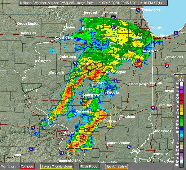 At 547 pm cdt, a severe thunderstorm capable of producing a tornado was located near pawnee, or 9 miles south of springfield, moving northeast at 30 mph (radar indicated rotation). Hazards include tornado. Flying debris will be dangerous to those caught without shelter. mobile homes will be damaged or destroyed. damage to roofs, windows, and vehicles will occur. tree damage is likely. this dangerous storm will be near, springfield around 555 pm cdt. This includes interstate 55 between mile markers 85 and 90. At 547 pm cdt, a severe thunderstorm capable of producing a tornado was located near pawnee, or 9 miles south of springfield, moving northeast at 30 mph (radar indicated rotation). Hazards include tornado. Flying debris will be dangerous to those caught without shelter. mobile homes will be damaged or destroyed. damage to roofs, windows, and vehicles will occur. tree damage is likely. this dangerous storm will be near, springfield around 555 pm cdt. This includes interstate 55 between mile markers 85 and 90.
|
| 7/15/2020 5:37 PM CDT |
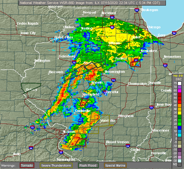 At 536 pm cdt, a confirmed tornado was located over divernon, or 8 miles northeast of virden, moving north at 20 mph (weather spotters confirmed tornado). Hazards include damaging tornado. Flying debris will be dangerous to those caught without shelter. mobile homes will be damaged or destroyed. damage to roofs, windows, and vehicles will occur. tree damage is likely. this tornado will be near, pawnee around 540 pm cdt. springfield and chatham around 555 pm cdt. other locations impacted by this tornadic thunderstorm include glenarm. This includes interstate 55 between mile markers 78 and 90. At 536 pm cdt, a confirmed tornado was located over divernon, or 8 miles northeast of virden, moving north at 20 mph (weather spotters confirmed tornado). Hazards include damaging tornado. Flying debris will be dangerous to those caught without shelter. mobile homes will be damaged or destroyed. damage to roofs, windows, and vehicles will occur. tree damage is likely. this tornado will be near, pawnee around 540 pm cdt. springfield and chatham around 555 pm cdt. other locations impacted by this tornadic thunderstorm include glenarm. This includes interstate 55 between mile markers 78 and 90.
|
| 7/15/2020 5:26 PM CDT |
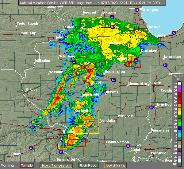 At 526 pm cdt, a confirmed tornado was located over divernon, or near virden, moving northeast at 30 mph (weather spotters confirmed tornado). Hazards include damaging tornado. Flying debris will be dangerous to those caught without shelter. mobile homes will be damaged or destroyed. damage to roofs, windows, and vehicles will occur. tree damage is likely. the tornado will be near, divernon around 530 pm cdt. pawnee around 535 pm cdt. chatham around 545 pm cdt. springfield around 550 pm cdt. other locations impacted by this tornadic thunderstorm include glenarm. This includes interstate 55 between mile markers 77 and 90. At 526 pm cdt, a confirmed tornado was located over divernon, or near virden, moving northeast at 30 mph (weather spotters confirmed tornado). Hazards include damaging tornado. Flying debris will be dangerous to those caught without shelter. mobile homes will be damaged or destroyed. damage to roofs, windows, and vehicles will occur. tree damage is likely. the tornado will be near, divernon around 530 pm cdt. pawnee around 535 pm cdt. chatham around 545 pm cdt. springfield around 550 pm cdt. other locations impacted by this tornadic thunderstorm include glenarm. This includes interstate 55 between mile markers 77 and 90.
|
| 6/22/2020 4:01 PM CDT |
 At 345 pm cdt, a severe thunderstorm was located near chatham, or near springfield, moving north at 20 mph (radar indicated). Hazards include 60 mph wind gusts. Expect damage to roofs, siding, and trees. locations impacted include, springfield, chatham, auburn, sherman, rochester, riverton, pawnee, williamsville, divernon, mechanicsburg, jerome, southern view, leland grove, grandview, spaulding, dawson, buffalo, berry, clear lake and cantrall. this includes the following highways, interstate 55 between mile markers 77 and 111. Interstate 72 between mile markers 92 and 115. At 345 pm cdt, a severe thunderstorm was located near chatham, or near springfield, moving north at 20 mph (radar indicated). Hazards include 60 mph wind gusts. Expect damage to roofs, siding, and trees. locations impacted include, springfield, chatham, auburn, sherman, rochester, riverton, pawnee, williamsville, divernon, mechanicsburg, jerome, southern view, leland grove, grandview, spaulding, dawson, buffalo, berry, clear lake and cantrall. this includes the following highways, interstate 55 between mile markers 77 and 111. Interstate 72 between mile markers 92 and 115.
|
| 6/22/2020 3:45 PM CDT |
 At 345 pm cdt, a severe thunderstorm was located near chatham, or near springfield, moving north at 20 mph (radar indicated). Hazards include 60 mph wind gusts. Expect damage to roofs, siding, and trees. locations impacted include, springfield, chatham, auburn, sherman, rochester, riverton, pawnee, williamsville, divernon, mechanicsburg, jerome, southern view, leland grove, grandview, spaulding, dawson, buffalo, berry, clear lake and cantrall. this includes the following highways, interstate 55 between mile markers 77 and 111. Interstate 72 between mile markers 92 and 115. At 345 pm cdt, a severe thunderstorm was located near chatham, or near springfield, moving north at 20 mph (radar indicated). Hazards include 60 mph wind gusts. Expect damage to roofs, siding, and trees. locations impacted include, springfield, chatham, auburn, sherman, rochester, riverton, pawnee, williamsville, divernon, mechanicsburg, jerome, southern view, leland grove, grandview, spaulding, dawson, buffalo, berry, clear lake and cantrall. this includes the following highways, interstate 55 between mile markers 77 and 111. Interstate 72 between mile markers 92 and 115.
|
| 6/22/2020 3:27 PM CDT |
 At 327 pm cdt, a severe thunderstorm was located near pawnee, or 10 miles south of springfield, moving north at 25 mph (emergency management). Hazards include 60 mph wind gusts. expect damage to roofs, siding, and trees At 327 pm cdt, a severe thunderstorm was located near pawnee, or 10 miles south of springfield, moving north at 25 mph (emergency management). Hazards include 60 mph wind gusts. expect damage to roofs, siding, and trees
|
| 5/2/2020 9:38 PM CDT |
 At 936 pm cdt, a severe thunderstorm was located near rochester, moving east at 45 mph (radar indicated. at 935 pm, 50 mph wind gusts were reported near the north edge of lake springfield, and nickel size hail occurred as the storm passed through downtown springfield). Hazards include 60 mph wind gusts and quarter size hail. Hail damage to vehicles is expected. Expect wind damage to roofs, siding, and trees. At 936 pm cdt, a severe thunderstorm was located near rochester, moving east at 45 mph (radar indicated. at 935 pm, 50 mph wind gusts were reported near the north edge of lake springfield, and nickel size hail occurred as the storm passed through downtown springfield). Hazards include 60 mph wind gusts and quarter size hail. Hail damage to vehicles is expected. Expect wind damage to roofs, siding, and trees.
|
| 5/2/2020 9:34 PM CDT | Siding damage to an apartment buildin in sangamon county IL, 1.9 miles SE of Springfield, IL |
| 4/11/2020 7:45 PM CDT |
 At 745 pm cdt, a severe thunderstorm was located over pawnee, or 11 miles south of springfield, moving east at 45 mph (radar indicated). Hazards include quarter size hail. Damage to vehicles is expected. locations impacted include, springfield, taylorville, chatham, auburn, rochester, pawnee, kincaid, divernon, edinburg, bulpitt, jeisyville, southern view, tovey, berry, sangchris lake state park, glenarm, sharpsburg, sicily, roby and taylorville airport. this includes the following highways, interstate 55 between mile markers 79 and 94. Interstate 72 between mile markers 95 and 100. At 745 pm cdt, a severe thunderstorm was located over pawnee, or 11 miles south of springfield, moving east at 45 mph (radar indicated). Hazards include quarter size hail. Damage to vehicles is expected. locations impacted include, springfield, taylorville, chatham, auburn, rochester, pawnee, kincaid, divernon, edinburg, bulpitt, jeisyville, southern view, tovey, berry, sangchris lake state park, glenarm, sharpsburg, sicily, roby and taylorville airport. this includes the following highways, interstate 55 between mile markers 79 and 94. Interstate 72 between mile markers 95 and 100.
|
| 4/11/2020 7:31 PM CDT |
 At 730 pm cdt, a severe thunderstorm was located near loami, or 9 miles north of virden, moving east at 45 mph (radar indicated). Hazards include quarter size hail. damage to vehicles is expected At 730 pm cdt, a severe thunderstorm was located near loami, or 9 miles north of virden, moving east at 45 mph (radar indicated). Hazards include quarter size hail. damage to vehicles is expected
|
| 4/8/2020 5:44 PM CDT |
 At 543 pm cdt, a severe thunderstorm was located over niantic, or 11 miles west of decatur, moving east at 50 mph (radar indicated). Hazards include 70 mph wind gusts and quarter size hail. Hail damage to vehicles is expected. expect considerable tree damage. wind damage is also likely to mobile homes, roofs, and outbuildings. locations impacted include, springfield, decatur, sherman, rochester, forsyth, riverton, harristown, warrensburg, blue mound, stonington, illiopolis, niantic, mechanicsburg, mount auburn, grandview, spaulding, dawson, buffalo, clear lake and boody. this includes the following highways, interstate 55 between mile markers 96 and 105. Interstate 72 between mile markers 102 and 141. At 543 pm cdt, a severe thunderstorm was located over niantic, or 11 miles west of decatur, moving east at 50 mph (radar indicated). Hazards include 70 mph wind gusts and quarter size hail. Hail damage to vehicles is expected. expect considerable tree damage. wind damage is also likely to mobile homes, roofs, and outbuildings. locations impacted include, springfield, decatur, sherman, rochester, forsyth, riverton, harristown, warrensburg, blue mound, stonington, illiopolis, niantic, mechanicsburg, mount auburn, grandview, spaulding, dawson, buffalo, clear lake and boody. this includes the following highways, interstate 55 between mile markers 96 and 105. Interstate 72 between mile markers 102 and 141.
|
| 4/8/2020 5:27 PM CDT |
 At 526 pm cdt, a severe thunderstorm was located over ashland, or 10 miles east of virginia, moving east at 55 mph (radar indicated). Hazards include 60 mph wind gusts and quarter size hail. Hail damage to vehicles is expected. Expect wind damage to roofs, siding, and trees. At 526 pm cdt, a severe thunderstorm was located over ashland, or 10 miles east of virginia, moving east at 55 mph (radar indicated). Hazards include 60 mph wind gusts and quarter size hail. Hail damage to vehicles is expected. Expect wind damage to roofs, siding, and trees.
|
| 4/8/2020 5:10 PM CDT |
 At 509 pm cdt, a severe thunderstorm was located over athens, or 10 miles north of springfield, moving east at 50 mph (radar indicated). Hazards include ping pong ball size hail and 60 mph wind gusts. People and animals outdoors will be injured. expect hail damage to roofs, siding, windows, and vehicles. Expect wind damage to roofs, siding, and trees. At 509 pm cdt, a severe thunderstorm was located over athens, or 10 miles north of springfield, moving east at 50 mph (radar indicated). Hazards include ping pong ball size hail and 60 mph wind gusts. People and animals outdoors will be injured. expect hail damage to roofs, siding, windows, and vehicles. Expect wind damage to roofs, siding, and trees.
|
| 4/8/2020 4:49 PM CDT |
 At 449 pm cdt, a severe thunderstorm was located near chandlerville, or 8 miles northeast of virginia, moving east at 45 mph (radar indicated). Hazards include ping pong ball size hail and 60 mph wind gusts. People and animals outdoors will be injured. expect hail damage to roofs, siding, windows, and vehicles. expect wind damage to roofs, siding, and trees. locations impacted include, springfield, petersburg, athens, ashland, pleasant plains, greenview, chandlerville, tallula, jerome, leland grove, philadelphia, cantrall, newmansville, atterberry, capital airport, salisbury, farmingdale, lincolns new salem, sweetwater and prentice. This includes interstate 72 between mile markers 92 and 96. At 449 pm cdt, a severe thunderstorm was located near chandlerville, or 8 miles northeast of virginia, moving east at 45 mph (radar indicated). Hazards include ping pong ball size hail and 60 mph wind gusts. People and animals outdoors will be injured. expect hail damage to roofs, siding, windows, and vehicles. expect wind damage to roofs, siding, and trees. locations impacted include, springfield, petersburg, athens, ashland, pleasant plains, greenview, chandlerville, tallula, jerome, leland grove, philadelphia, cantrall, newmansville, atterberry, capital airport, salisbury, farmingdale, lincolns new salem, sweetwater and prentice. This includes interstate 72 between mile markers 92 and 96.
|
| 4/8/2020 4:34 PM CDT |
 At 433 pm cdt, a severe thunderstorm was located near bluff springs, or 7 miles northwest of virginia, moving east at 45 mph (radar indicated). Hazards include golf ball size hail and 60 mph wind gusts. People and animals outdoors will be injured. expect hail damage to roofs, siding, windows, and vehicles. Expect wind damage to roofs, siding, and trees. At 433 pm cdt, a severe thunderstorm was located near bluff springs, or 7 miles northwest of virginia, moving east at 45 mph (radar indicated). Hazards include golf ball size hail and 60 mph wind gusts. People and animals outdoors will be injured. expect hail damage to roofs, siding, windows, and vehicles. Expect wind damage to roofs, siding, and trees.
|
| 3/28/2020 11:13 AM CDT |
 At 1113 am cdt, a severe thunderstorm was located near edinburg, or 8 miles northwest of taylorville, moving east at 45 mph (public). Hazards include half dollar size hail. Damage to vehicles is expected. locations impacted include, edinburg, sangchris lake state park and glenarm. This includes interstate 55 between mile markers 83 and 84. At 1113 am cdt, a severe thunderstorm was located near edinburg, or 8 miles northwest of taylorville, moving east at 45 mph (public). Hazards include half dollar size hail. Damage to vehicles is expected. locations impacted include, edinburg, sangchris lake state park and glenarm. This includes interstate 55 between mile markers 83 and 84.
|
| 3/28/2020 10:55 AM CDT |
 At 1055 am cdt, a severe thunderstorm was located over pawnee, or 11 miles south of springfield, moving east at 45 mph (trained weather spotters). Hazards include quarter size hail. damage to vehicles is expected At 1055 am cdt, a severe thunderstorm was located over pawnee, or 11 miles south of springfield, moving east at 45 mph (trained weather spotters). Hazards include quarter size hail. damage to vehicles is expected
|
| 11/26/2019 11:48 PM CST |
 At 1147 pm cst, a severe thunderstorm was located over sherman, or 7 miles north of springfield, moving northeast at 60 mph (radar indicated). Hazards include 60 mph wind gusts. Expect damage to roofs, siding, and trees. locations impacted include, springfield, sherman, riverton, athens, williamsville, elkhart, jerome, southern view, leland grove, grandview, spaulding, dawson, clear lake, curran, cantrall, capital airport and fancy prairie. this includes the following highways, interstate 55 between mile markers 96 and 115. Interstate 72 between mile markers 92 and 95, and between mile markers 102 and 112. At 1147 pm cst, a severe thunderstorm was located over sherman, or 7 miles north of springfield, moving northeast at 60 mph (radar indicated). Hazards include 60 mph wind gusts. Expect damage to roofs, siding, and trees. locations impacted include, springfield, sherman, riverton, athens, williamsville, elkhart, jerome, southern view, leland grove, grandview, spaulding, dawson, clear lake, curran, cantrall, capital airport and fancy prairie. this includes the following highways, interstate 55 between mile markers 96 and 115. Interstate 72 between mile markers 92 and 95, and between mile markers 102 and 112.
|
| 11/26/2019 11:38 PM CST |
 At 1138 pm cst, a severe thunderstorm was located 7 miles east of pleasant plains, or 8 miles northwest of springfield, moving northeast at 60 mph (radar indicated). Hazards include 60 mph wind gusts. expect damage to roofs, siding, and trees At 1138 pm cst, a severe thunderstorm was located 7 miles east of pleasant plains, or 8 miles northwest of springfield, moving northeast at 60 mph (radar indicated). Hazards include 60 mph wind gusts. expect damage to roofs, siding, and trees
|
| 8/20/2019 10:17 AM CDT |
 At 1016 am cdt, severe thunderstorms were located along a line extending from near cornland to rochester to near palmyra, moving east at 55 mph (radar indicated). Hazards include 70 mph wind gusts and quarter size hail. Hail damage to vehicles is expected. expect considerable tree damage. Wind damage is also likely to mobile homes, roofs, and outbuildings. At 1016 am cdt, severe thunderstorms were located along a line extending from near cornland to rochester to near palmyra, moving east at 55 mph (radar indicated). Hazards include 70 mph wind gusts and quarter size hail. Hail damage to vehicles is expected. expect considerable tree damage. Wind damage is also likely to mobile homes, roofs, and outbuildings.
|
| 8/20/2019 10:15 AM CDT | Large pine tree blown down on house near jefferson street and churchill road in sangamon county IL, 5.1 miles SSE of Springfield, IL |
| 8/20/2019 10:15 AM CDT | Trees down onto power lines on bel air drive in southeast springfield. from broadcast medi in sangamon county IL, 1.4 miles S of Springfield, IL |
| 8/20/2019 10:15 AM CDT | Tree down blocking street. on 2nd street between kimble and st joseph street in sangamon county IL, 0.3 miles E of Springfield, IL |
| 8/20/2019 10:15 AM CDT | Numerous trees blown down on west side of springfield in sangamon county IL, 2.7 miles S of Springfield, IL |
| 8/20/2019 10:07 AM CDT | Storm damage reported in sangamon county IL, 5.8 miles SSE of Springfield, IL |
| 8/12/2019 8:37 PM CDT |
 At 837 pm cdt, a severe thunderstorm was located over rochester, or 7 miles east of springfield, moving southeast at 25 mph (radar indicated). Hazards include 60 mph wind gusts and quarter size hail. Hail damage to vehicles is expected. Expect wind damage to roofs, siding, and trees. At 837 pm cdt, a severe thunderstorm was located over rochester, or 7 miles east of springfield, moving southeast at 25 mph (radar indicated). Hazards include 60 mph wind gusts and quarter size hail. Hail damage to vehicles is expected. Expect wind damage to roofs, siding, and trees.
|
| 6/28/2019 3:56 PM CDT |
 The severe thunderstorm warning for southwestern sangamon and eastern morgan counties will expire at 400 pm cdt, the storm which prompted the warning has weakened below severe limits, and no longer poses an immediate threat to life or property. therefore, the warning will be allowed to expire. however gusty winds are still possible with this thunderstorm. The severe thunderstorm warning for southwestern sangamon and eastern morgan counties will expire at 400 pm cdt, the storm which prompted the warning has weakened below severe limits, and no longer poses an immediate threat to life or property. therefore, the warning will be allowed to expire. however gusty winds are still possible with this thunderstorm.
|
| 6/28/2019 3:43 PM CDT |
 At 342 pm cdt, a severe thunderstorm was located near alexander, or 12 miles east of jacksonville, moving east at 35 mph (law enforcement. power lines were reported down in jacksonville from this storm). Hazards include 60 mph wind gusts and nickel size hail. Expect damage to roofs, siding, and trees. locations impacted include, springfield, jacksonville, chatham, alexander, auburn, rochester, pawnee, new berlin, waverly, divernon, loami, franklin, literberry, south jacksonville, jerome, southern view, thayer, berry, curran and berlin. this includes the following highways, interstate 55 between mile markers 77 and 93. Interstate 72 between mile markers 68 and 100. At 342 pm cdt, a severe thunderstorm was located near alexander, or 12 miles east of jacksonville, moving east at 35 mph (law enforcement. power lines were reported down in jacksonville from this storm). Hazards include 60 mph wind gusts and nickel size hail. Expect damage to roofs, siding, and trees. locations impacted include, springfield, jacksonville, chatham, alexander, auburn, rochester, pawnee, new berlin, waverly, divernon, loami, franklin, literberry, south jacksonville, jerome, southern view, thayer, berry, curran and berlin. this includes the following highways, interstate 55 between mile markers 77 and 93. Interstate 72 between mile markers 68 and 100.
|
| 6/28/2019 3:25 PM CDT |
 At 324 pm cdt, a severe thunderstorm was located near jacksonville, moving east at 25 mph (radar indicated). Hazards include 60 mph wind gusts and nickel size hail. Expect damage to roofs, siding, and trees. locations impacted include, springfield, jacksonville, chatham, alexander, auburn, rochester, pawnee, new berlin, waverly, divernon, loami, franklin, literberry, south jacksonville, jerome, southern view, thayer, berry, curran and berlin. this includes the following highways, interstate 55 between mile markers 77 and 93. Interstate 72 between mile markers 68 and 100. At 324 pm cdt, a severe thunderstorm was located near jacksonville, moving east at 25 mph (radar indicated). Hazards include 60 mph wind gusts and nickel size hail. Expect damage to roofs, siding, and trees. locations impacted include, springfield, jacksonville, chatham, alexander, auburn, rochester, pawnee, new berlin, waverly, divernon, loami, franklin, literberry, south jacksonville, jerome, southern view, thayer, berry, curran and berlin. this includes the following highways, interstate 55 between mile markers 77 and 93. Interstate 72 between mile markers 68 and 100.
|
| 6/28/2019 3:13 PM CDT |
 At 312 pm cdt, a severe thunderstorm was located near jacksonville, moving east at 45 mph (radar indicated). Hazards include 60 mph wind gusts and nickel size hail. expect damage to roofs, siding, and trees At 312 pm cdt, a severe thunderstorm was located near jacksonville, moving east at 45 mph (radar indicated). Hazards include 60 mph wind gusts and nickel size hail. expect damage to roofs, siding, and trees
|
| 1/1/0001 12:00 AM | Storm damage reported in sangamon county IL, 3.4 miles W of Springfield, IL |
| 6/21/2019 12:09 PM CDT |
 At 1207 pm cdt, severe thunderstorms were located along a line extending from near new berlin to near girard moving east-southeast at 40 mph (radar indicated). Hazards include 60 mph wind gusts and penny size hail. Expect damage to roofs, siding, and trees. locations impacted include, chatham, auburn, pawnee, new berlin, waverly, divernon, loami, thayer, glenarm and lowder. This includes interstate 55 between mile markers 77 and 91. At 1207 pm cdt, severe thunderstorms were located along a line extending from near new berlin to near girard moving east-southeast at 40 mph (radar indicated). Hazards include 60 mph wind gusts and penny size hail. Expect damage to roofs, siding, and trees. locations impacted include, chatham, auburn, pawnee, new berlin, waverly, divernon, loami, thayer, glenarm and lowder. This includes interstate 55 between mile markers 77 and 91.
|
| 6/21/2019 11:42 AM CDT |
 At 1141 am cdt, severe thunderstorms were located along a line extending from near jacksonville to near athensville to near jerseyville, moving east at 45 mph (radar indicated). Hazards include 70 mph wind gusts and penny size hail. Expect considerable tree damage. Damage is likely to mobile homes, roofs, and outbuildings. At 1141 am cdt, severe thunderstorms were located along a line extending from near jacksonville to near athensville to near jerseyville, moving east at 45 mph (radar indicated). Hazards include 70 mph wind gusts and penny size hail. Expect considerable tree damage. Damage is likely to mobile homes, roofs, and outbuildings.
|
| 6/16/2019 12:05 AM CDT |
 At 1205 am cdt, a severe thunderstorm was located over alsey, or near winchester, moving east at 45 mph (radar indicated). Hazards include 60 mph wind gusts and quarter size hail. Hail damage to vehicles is expected. Expect wind damage to roofs, siding, and trees. At 1205 am cdt, a severe thunderstorm was located over alsey, or near winchester, moving east at 45 mph (radar indicated). Hazards include 60 mph wind gusts and quarter size hail. Hail damage to vehicles is expected. Expect wind damage to roofs, siding, and trees.
|
| 6/5/2019 4:20 PM CDT |
 At 419 pm cdt, a severe thunderstorm was located over bulpitt, or 11 miles northwest of taylorville. another severe storm was about 3 miles northwest of pawnee. all of the storms were moving southeast at 30 mph (radar indicated. at 355 pm trees were blown down in rochester). Hazards include 60 mph wind gusts and quarter size hail. Hail damage to vehicles is expected. expect wind damage to roofs, siding, and trees. locations impacted include, springfield, taylorville, pawnee, kincaid, edinburg, bulpitt, jeisyville, tovey, berry, sangchris lake state park, willeys, sharpsburg, sicily and taylorville airport. This includes interstate 55 between mile markers 86 and 89. At 419 pm cdt, a severe thunderstorm was located over bulpitt, or 11 miles northwest of taylorville. another severe storm was about 3 miles northwest of pawnee. all of the storms were moving southeast at 30 mph (radar indicated. at 355 pm trees were blown down in rochester). Hazards include 60 mph wind gusts and quarter size hail. Hail damage to vehicles is expected. expect wind damage to roofs, siding, and trees. locations impacted include, springfield, taylorville, pawnee, kincaid, edinburg, bulpitt, jeisyville, tovey, berry, sangchris lake state park, willeys, sharpsburg, sicily and taylorville airport. This includes interstate 55 between mile markers 86 and 89.
|
| 6/5/2019 3:54 PM CDT |
 The national weather service in lincoln has issued a * severe thunderstorm warning for. northern christian county in central illinois. eastern sangamon county in central illinois. until 445 pm cdt. At 354 pm cdt, a severe thunderstorm was located over rochester, or. The national weather service in lincoln has issued a * severe thunderstorm warning for. northern christian county in central illinois. eastern sangamon county in central illinois. until 445 pm cdt. At 354 pm cdt, a severe thunderstorm was located over rochester, or.
|
| 5/29/2019 8:21 PM CDT |
 At 821 pm cdt, a severe thunderstorm was located near cornland, or 13 miles northeast of springfield, moving north at 40 mph (trained weather spotters). Hazards include 60 mph wind gusts. expect damage to roofs, siding, and trees At 821 pm cdt, a severe thunderstorm was located near cornland, or 13 miles northeast of springfield, moving north at 40 mph (trained weather spotters). Hazards include 60 mph wind gusts. expect damage to roofs, siding, and trees
|
| 5/29/2019 8:14 PM CDT |
 At 814 pm cdt, severe thunderstorms were located along a line extending from sherman to near mechanicsburg, moving northeast at 40 mph (radar indicated). Hazards include 60 mph wind gusts and quarter size hail. Hail damage to vehicles is expected. expect wind damage to roofs, siding, and trees. locations impacted include, springfield, sherman, rochester, riverton, williamsville, mechanicsburg, jerome, southern view, leland grove, grandview, spaulding, dawson, buffalo, berry, clear lake, sangchris lake state park and roby. this includes the following highways, interstate 55 between mile markers 91 and 106. Interstate 72 between mile markers 95 and 122. At 814 pm cdt, severe thunderstorms were located along a line extending from sherman to near mechanicsburg, moving northeast at 40 mph (radar indicated). Hazards include 60 mph wind gusts and quarter size hail. Hail damage to vehicles is expected. expect wind damage to roofs, siding, and trees. locations impacted include, springfield, sherman, rochester, riverton, williamsville, mechanicsburg, jerome, southern view, leland grove, grandview, spaulding, dawson, buffalo, berry, clear lake, sangchris lake state park and roby. this includes the following highways, interstate 55 between mile markers 91 and 106. Interstate 72 between mile markers 95 and 122.
|
| 5/29/2019 8:00 PM CDT | Large tree limbs down in sangamon county IL, 0.3 miles E of Springfield, IL |
| 5/29/2019 7:55 PM CDT |
 At 755 pm cdt, severe thunderstorms were located along a line extending from near chatham to near bulpitt, moving northeast at 40 mph (radar indicated). Hazards include 60 mph wind gusts and quarter size hail. Hail damage to vehicles is expected. Expect wind damage to roofs, siding, and trees. At 755 pm cdt, severe thunderstorms were located along a line extending from near chatham to near bulpitt, moving northeast at 40 mph (radar indicated). Hazards include 60 mph wind gusts and quarter size hail. Hail damage to vehicles is expected. Expect wind damage to roofs, siding, and trees.
|
| 5/26/2019 12:55 AM CDT |
 The severe thunderstorm warning for northwestern christian and northeastern sangamon counties will expire at 100 am cdt, the storms which prompted the warning have weakened below severe limits, and have exited the warned area. therefore, the warning will be allowed to expire. a severe thunderstorm watch remains in effect until 200 am cdt for central illinois. to report severe weather, contact your nearest law enforcement agency. they will relay your report to the national weather service lincoln. The severe thunderstorm warning for northwestern christian and northeastern sangamon counties will expire at 100 am cdt, the storms which prompted the warning have weakened below severe limits, and have exited the warned area. therefore, the warning will be allowed to expire. a severe thunderstorm watch remains in effect until 200 am cdt for central illinois. to report severe weather, contact your nearest law enforcement agency. they will relay your report to the national weather service lincoln.
|
| 5/26/2019 12:40 AM CDT |
 At 1239 am cdt, severe thunderstorms were located along a line extending from near cornland to near bulpitt, moving east at 35 mph (radar indicated). Hazards include 60 mph wind gusts. Expect damage to roofs, siding, and trees. locations impacted include, springfield, chatham, rochester, edinburg, illiopolis, mechanicsburg, mount auburn, dawson, buffalo, berry, sangchris lake state park and roby. this includes the following highways, interstate 55 between mile markers 85 and 91. Interstate 72 between mile markers 110 and 124. At 1239 am cdt, severe thunderstorms were located along a line extending from near cornland to near bulpitt, moving east at 35 mph (radar indicated). Hazards include 60 mph wind gusts. Expect damage to roofs, siding, and trees. locations impacted include, springfield, chatham, rochester, edinburg, illiopolis, mechanicsburg, mount auburn, dawson, buffalo, berry, sangchris lake state park and roby. this includes the following highways, interstate 55 between mile markers 85 and 91. Interstate 72 between mile markers 110 and 124.
|
| 5/26/2019 12:15 AM CDT |
 At 1214 am cdt, a severe thunderstorm was located over springfield, moving east at 40 mph (radar indicated. at 1204 am, a 53 mph wind gust was reported at abraham lincoln capital airport). Hazards include 60 mph wind gusts. expect damage to roofs, siding, and trees At 1214 am cdt, a severe thunderstorm was located over springfield, moving east at 40 mph (radar indicated. at 1204 am, a 53 mph wind gust was reported at abraham lincoln capital airport). Hazards include 60 mph wind gusts. expect damage to roofs, siding, and trees
|
| 5/25/2019 11:50 PM CDT |
 At 1150 pm cdt, a severe thunderstorm was located near pleasant plains, or 15 miles northwest of springfield, moving east at 50 mph (law enforcement. at 1148 pm, power lines were reported down in tallula). Hazards include 60 mph wind gusts. expect damage to roofs, siding, and trees At 1150 pm cdt, a severe thunderstorm was located near pleasant plains, or 15 miles northwest of springfield, moving east at 50 mph (law enforcement. at 1148 pm, power lines were reported down in tallula). Hazards include 60 mph wind gusts. expect damage to roofs, siding, and trees
|
| 5/23/2019 12:20 AM CDT | Powerlines bent... 1-2 inch tree limbs at chatham road and veterans pkw in sangamon county IL, 1.4 miles S of Springfield, IL |
| 5/23/2019 12:16 AM CDT | Storm damage reported in sangamon county IL, 1.4 miles S of Springfield, IL |
| 5/23/2019 12:12 AM CDT |
 A severe thunderstorm warning remains in effect until 1245 am cdt for menard and sangamon counties. at 1211 am cdt, a severe thunderstorm was located over loami, or 12 miles west of springfield, moving east at 40 mph. this is a very dangerous storm. hazard. 80 mph wind gusts and half dollar size hail. Several brief. A severe thunderstorm warning remains in effect until 1245 am cdt for menard and sangamon counties. at 1211 am cdt, a severe thunderstorm was located over loami, or 12 miles west of springfield, moving east at 40 mph. this is a very dangerous storm. hazard. 80 mph wind gusts and half dollar size hail. Several brief.
|
| 5/22/2019 11:56 PM CDT |
 At 1155 pm cdt, a severe thunderstorm was located over alexander, or 9 miles east of jacksonville, moving east at 40 mph. this is a very dangerous storm (radar indicated). Hazards include 80 mph wind gusts and half dollar size hail. Flying debris will be dangerous to those caught without shelter. mobile homes will be heavily damaged. expect considerable damage to roofs, windows, and vehicles. Extensive tree damage and power outages are likely. At 1155 pm cdt, a severe thunderstorm was located over alexander, or 9 miles east of jacksonville, moving east at 40 mph. this is a very dangerous storm (radar indicated). Hazards include 80 mph wind gusts and half dollar size hail. Flying debris will be dangerous to those caught without shelter. mobile homes will be heavily damaged. expect considerable damage to roofs, windows, and vehicles. Extensive tree damage and power outages are likely.
|
| 12/1/2018 5:34 PM CST |
 At 534 pm cst, a severe thunderstorm was located over sherman, moving northeast at 30 mph (radar indicated). Hazards include 60 mph wind gusts and quarter size hail. Hail damage to vehicles is expected. expect wind damage to roofs, siding, and trees. locations impacted include, springfield, sherman, williamsville, elkhart, spaulding, cantrall and fancy prairie. this includes interstate 55 between mile markers 101 and 114. A tornado watch remains in effect until 700 pm cst for central illinois. At 534 pm cst, a severe thunderstorm was located over sherman, moving northeast at 30 mph (radar indicated). Hazards include 60 mph wind gusts and quarter size hail. Hail damage to vehicles is expected. expect wind damage to roofs, siding, and trees. locations impacted include, springfield, sherman, williamsville, elkhart, spaulding, cantrall and fancy prairie. this includes interstate 55 between mile markers 101 and 114. A tornado watch remains in effect until 700 pm cst for central illinois.
|
| 12/1/2018 5:32 PM CST | Storm damage reported in sangamon county IL, 5.8 miles SSE of Springfield, IL |
| 12/1/2018 5:15 PM CST |
 At 515 pm cst, a severe thunderstorm was located 7 miles northwest of springfield, moving northeast at 35 mph (radar indicated). Hazards include 60 mph wind gusts and quarter size hail. Hail damage to vehicles is expected. Expect wind damage to roofs, siding, and trees. At 515 pm cst, a severe thunderstorm was located 7 miles northwest of springfield, moving northeast at 35 mph (radar indicated). Hazards include 60 mph wind gusts and quarter size hail. Hail damage to vehicles is expected. Expect wind damage to roofs, siding, and trees.
|
| 8/16/2018 11:12 PM CDT |
 The severe thunderstorm warning for central sangamon county will expire at 1115 pm cdt, the storm which prompted the warning has moved out of the area. therefore, the warning will be allowed to expire. however hail, gusty winds and heavy rain are still possible with this thunderstorm. remember, a severe thunderstorm warning still remains in effect for portions of sangamon county until midnight. The severe thunderstorm warning for central sangamon county will expire at 1115 pm cdt, the storm which prompted the warning has moved out of the area. therefore, the warning will be allowed to expire. however hail, gusty winds and heavy rain are still possible with this thunderstorm. remember, a severe thunderstorm warning still remains in effect for portions of sangamon county until midnight.
|
| 8/16/2018 11:09 PM CDT |
 At 1108 pm cdt, a severe thunderstorm was located near edinburg, or 12 miles southeast of springfield, moving southeast at 35 mph (radar indicated). Hazards include ping pong ball size hail and 60 mph wind gusts. People and animals outdoors will be injured. expect hail damage to roofs, siding, windows, and vehicles. Expect wind damage to roofs, siding, and trees. At 1108 pm cdt, a severe thunderstorm was located near edinburg, or 12 miles southeast of springfield, moving southeast at 35 mph (radar indicated). Hazards include ping pong ball size hail and 60 mph wind gusts. People and animals outdoors will be injured. expect hail damage to roofs, siding, windows, and vehicles. Expect wind damage to roofs, siding, and trees.
|
| 8/16/2018 10:49 PM CDT |
 At 1048 pm cdt, a severe thunderstorm was located over springfield, moving southeast at 30 mph (radar indicated). Hazards include 60 mph wind gusts and quarter size hail. Hail damage to vehicles is expected. expect wind damage to roofs, siding, and trees. locations impacted include, springfield, chatham, sherman, rochester, riverton, williamsville, jerome, southern view, leland grove, grandview, spaulding, dawson, clear lake, curran and capital airport. those attending the illinois state fair are in the path of this storm and should prepare for imminent dangerous weather conditions. seek shelter now! this includes the following highways, interstate 55 between mile markers 89 and 107. Interstate 72 between mile markers 91 and 112. At 1048 pm cdt, a severe thunderstorm was located over springfield, moving southeast at 30 mph (radar indicated). Hazards include 60 mph wind gusts and quarter size hail. Hail damage to vehicles is expected. expect wind damage to roofs, siding, and trees. locations impacted include, springfield, chatham, sherman, rochester, riverton, williamsville, jerome, southern view, leland grove, grandview, spaulding, dawson, clear lake, curran and capital airport. those attending the illinois state fair are in the path of this storm and should prepare for imminent dangerous weather conditions. seek shelter now! this includes the following highways, interstate 55 between mile markers 89 and 107. Interstate 72 between mile markers 91 and 112.
|
| 8/16/2018 10:40 PM CDT | A few trees blown down in springfield near intersection of lincoln and washington streets and north grant and shenandoah street in sangamon county IL, 1.4 miles S of Springfield, IL |
| 8/16/2018 10:25 PM CDT |
 At 1024 pm cdt, a severe thunderstorm was located near athens, or 11 miles northwest of springfield, moving southeast at 20 mph (radar indicated). Hazards include 60 mph wind gusts and quarter size hail. Hail damage to vehicles is expected. Expect wind damage to roofs, siding, and trees. At 1024 pm cdt, a severe thunderstorm was located near athens, or 11 miles northwest of springfield, moving southeast at 20 mph (radar indicated). Hazards include 60 mph wind gusts and quarter size hail. Hail damage to vehicles is expected. Expect wind damage to roofs, siding, and trees.
|
| 8/16/2018 9:45 PM CDT |
 At 944 pm cdt, a severe thunderstorm was located over sherman, or near springfield, moving southeast at 20 mph (radar indicated). Hazards include 60 mph wind gusts and quarter size hail. Hail damage to vehicles is expected. expect wind damage to roofs, siding, and trees. locations impacted include, springfield, sherman, williamsville, spaulding, cantrall and capital airport. those attending the illinois state fair are in the path of this storm and should prepare for imminent dangerous weather conditions. Seek shelter now! this includes interstate 55 between mile markers 100 and 106. At 944 pm cdt, a severe thunderstorm was located over sherman, or near springfield, moving southeast at 20 mph (radar indicated). Hazards include 60 mph wind gusts and quarter size hail. Hail damage to vehicles is expected. expect wind damage to roofs, siding, and trees. locations impacted include, springfield, sherman, williamsville, spaulding, cantrall and capital airport. those attending the illinois state fair are in the path of this storm and should prepare for imminent dangerous weather conditions. Seek shelter now! this includes interstate 55 between mile markers 100 and 106.
|
| 8/16/2018 9:27 PM CDT |
 At 926 pm cdt, a severe thunderstorm was located near athens, or 8 miles northwest of springfield, moving southeast at 20 mph (radar indicated). Hazards include 60 mph wind gusts and quarter size hail. Hail damage to vehicles is expected. expect wind damage to roofs, siding, and trees. locations impacted include, springfield, sherman, athens, williamsville, spaulding, cantrall, salisbury and capital airport. those attending the illinois state fair are in the path of this storm and should prepare for imminent dangerous weather conditions. Seek shelter now! this includes interstate 55 between mile markers 100 and 106. At 926 pm cdt, a severe thunderstorm was located near athens, or 8 miles northwest of springfield, moving southeast at 20 mph (radar indicated). Hazards include 60 mph wind gusts and quarter size hail. Hail damage to vehicles is expected. expect wind damage to roofs, siding, and trees. locations impacted include, springfield, sherman, athens, williamsville, spaulding, cantrall, salisbury and capital airport. those attending the illinois state fair are in the path of this storm and should prepare for imminent dangerous weather conditions. Seek shelter now! this includes interstate 55 between mile markers 100 and 106.
|
| 8/16/2018 9:15 PM CDT |
 At 914 pm cdt, a severe thunderstorm was located near pleasant plains, or 12 miles northwest of springfield, moving southeast at 15 mph (radar indicated). Hazards include 60 mph wind gusts and quarter size hail. Hail damage to vehicles is expected. expect wind damage to roofs, siding, and trees. locations impacted include, springfield, sherman, athens, williamsville, pleasant plains, spaulding, curran, cantrall, salisbury, farmingdale, lincolns new salem and capital airport. those attending the illinois state fair are in the path of this storm and should prepare for imminent dangerous weather conditions. seek shelter now! this includes the following highways, interstate 55 between mile markers 101 and 107. Interstate 72 between mile markers 88 and 92. At 914 pm cdt, a severe thunderstorm was located near pleasant plains, or 12 miles northwest of springfield, moving southeast at 15 mph (radar indicated). Hazards include 60 mph wind gusts and quarter size hail. Hail damage to vehicles is expected. expect wind damage to roofs, siding, and trees. locations impacted include, springfield, sherman, athens, williamsville, pleasant plains, spaulding, curran, cantrall, salisbury, farmingdale, lincolns new salem and capital airport. those attending the illinois state fair are in the path of this storm and should prepare for imminent dangerous weather conditions. seek shelter now! this includes the following highways, interstate 55 between mile markers 101 and 107. Interstate 72 between mile markers 88 and 92.
|
| 8/16/2018 9:10 PM CDT |
 The national weather service in lincoln has issued a * severe thunderstorm warning for. southeastern menard county in central illinois. northwestern sangamon county in central illinois. until 1000 pm cdt. At 910 pm cdt, a severe thunderstorm was located near athens, or 13. The national weather service in lincoln has issued a * severe thunderstorm warning for. southeastern menard county in central illinois. northwestern sangamon county in central illinois. until 1000 pm cdt. At 910 pm cdt, a severe thunderstorm was located near athens, or 13.
|
| 8/7/2018 3:42 AM CDT |
 The severe thunderstorm warning for central sangamon county will expire at 345 am cdt. the storm which prompted the warning has weakened below severe limits, and no longer poses an immediate threat to life or property. therefore, the warning will be allowed to expire. However gusty winds and heavy rain are still possible with this thunderstorm. The severe thunderstorm warning for central sangamon county will expire at 345 am cdt. the storm which prompted the warning has weakened below severe limits, and no longer poses an immediate threat to life or property. therefore, the warning will be allowed to expire. However gusty winds and heavy rain are still possible with this thunderstorm.
|
| 8/7/2018 3:32 AM CDT |
 At 331 am cdt, a severe thunderstorm was located over springfield, moving east at 35 mph (radar indicated). Hazards include 60 mph wind gusts and quarter size hail. Hail damage to vehicles is expected. expect wind damage to roofs, siding, and trees. locations impacted include, springfield, chatham, sherman, rochester, riverton, williamsville, jerome, southern view, leland grove, grandview, spaulding, berry, clear lake, curran, capital airport and farmingdale. this includes the following highways, interstate 55 between mile markers 86 and 108. Interstate 72 between mile markers 87 and 110. At 331 am cdt, a severe thunderstorm was located over springfield, moving east at 35 mph (radar indicated). Hazards include 60 mph wind gusts and quarter size hail. Hail damage to vehicles is expected. expect wind damage to roofs, siding, and trees. locations impacted include, springfield, chatham, sherman, rochester, riverton, williamsville, jerome, southern view, leland grove, grandview, spaulding, berry, clear lake, curran, capital airport and farmingdale. this includes the following highways, interstate 55 between mile markers 86 and 108. Interstate 72 between mile markers 87 and 110.
|
| 8/7/2018 3:21 AM CDT |
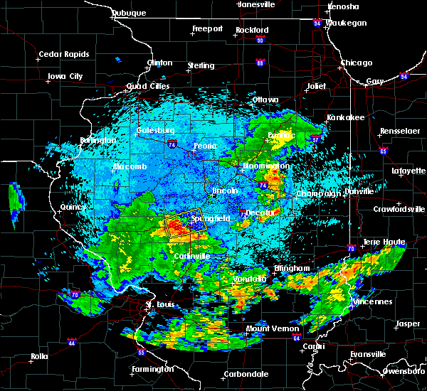 At 320 am cdt, a severe thunderstorm was located near new berlin, or 9 miles west of springfield, moving east at 25 mph (radar indicated). Hazards include 60 mph wind gusts and quarter size hail. Hail damage to vehicles is expected. expect wind damage to roofs, siding, and trees. locations impacted include, springfield, chatham, sherman, rochester, riverton, williamsville, new berlin, loami, jerome, southern view, leland grove, grandview, spaulding, berry, clear lake, curran, berlin, cantrall, capital airport and farmingdale. this includes the following highways, interstate 55 between mile markers 86 and 110. Interstate 72 between mile markers 82 and 110. At 320 am cdt, a severe thunderstorm was located near new berlin, or 9 miles west of springfield, moving east at 25 mph (radar indicated). Hazards include 60 mph wind gusts and quarter size hail. Hail damage to vehicles is expected. expect wind damage to roofs, siding, and trees. locations impacted include, springfield, chatham, sherman, rochester, riverton, williamsville, new berlin, loami, jerome, southern view, leland grove, grandview, spaulding, berry, clear lake, curran, berlin, cantrall, capital airport and farmingdale. this includes the following highways, interstate 55 between mile markers 86 and 110. Interstate 72 between mile markers 82 and 110.
|
| 8/7/2018 3:03 AM CDT |
 At 303 am cdt, a severe thunderstorm was located over alexander, or 10 miles east of jacksonville, moving east at 35 mph (radar indicated). Hazards include 60 mph wind gusts and quarter size hail. Hail damage to vehicles is expected. Expect wind damage to roofs, siding, and trees. At 303 am cdt, a severe thunderstorm was located over alexander, or 10 miles east of jacksonville, moving east at 35 mph (radar indicated). Hazards include 60 mph wind gusts and quarter size hail. Hail damage to vehicles is expected. Expect wind damage to roofs, siding, and trees.
|
| 7/14/2018 5:18 PM CDT |
 At 518 pm cdt, severe thunderstorms were located along a line extending from near mason city to springfield, moving east at 35 mph (radar indicated). Hazards include 60 mph wind gusts. Expect damage to roofs, siding, and trees. locations impacted include, springfield, mason city, sherman, riverton, athens, williamsville, greenview, jerome, southern view, leland grove, grandview, spaulding, clear lake, cantrall, capital airport, fancy prairie and sweetwater. this includes the following highways, interstate 55 between mile markers 95 and 106. Interstate 72 between mile markers 92 and 93, and between mile markers 101 and 106. At 518 pm cdt, severe thunderstorms were located along a line extending from near mason city to springfield, moving east at 35 mph (radar indicated). Hazards include 60 mph wind gusts. Expect damage to roofs, siding, and trees. locations impacted include, springfield, mason city, sherman, riverton, athens, williamsville, greenview, jerome, southern view, leland grove, grandview, spaulding, clear lake, cantrall, capital airport, fancy prairie and sweetwater. this includes the following highways, interstate 55 between mile markers 95 and 106. Interstate 72 between mile markers 92 and 93, and between mile markers 101 and 106.
|
| 7/14/2018 4:59 PM CDT |
 A severe thunderstorm warning remains in effect until 545 pm cdt for menard. northwestern sangamon and southeastern mason counties. at 459 pm cdt, severe thunderstorms were located along a line extending from kilbourne to near new berlin, moving east at 30 mph. hazard. 60 mph wind gusts. source. Radar indicated. A severe thunderstorm warning remains in effect until 545 pm cdt for menard. northwestern sangamon and southeastern mason counties. at 459 pm cdt, severe thunderstorms were located along a line extending from kilbourne to near new berlin, moving east at 30 mph. hazard. 60 mph wind gusts. source. Radar indicated.
|
| 7/14/2018 4:41 PM CDT |
 At 441 pm cdt, severe thunderstorms were located along a line extending from near chandlerville to near franklin, moving east at 25 mph (radar indicated). Hazards include 60 mph wind gusts. expect damage to roofs, siding, and trees At 441 pm cdt, severe thunderstorms were located along a line extending from near chandlerville to near franklin, moving east at 25 mph (radar indicated). Hazards include 60 mph wind gusts. expect damage to roofs, siding, and trees
|
| 6/28/2018 4:40 PM CDT | Limbs down in sangamon county IL, 1.4 miles S of Springfield, IL |
| 6/28/2018 4:39 PM CDT | 4 inch tree limb down on the 700 block of shoshoni d in sangamon county IL, 3.5 miles E of Springfield, IL |
| 6/28/2018 4:18 PM CDT |
 At 418 pm cdt, severe thunderstorms were located along a line extending from manito to petersburg to near alexander, moving east at 55 mph (radar indicated). Hazards include 70 mph wind gusts. Expect considerable tree damage. Damage is likely to mobile homes, roofs, and outbuildings. At 418 pm cdt, severe thunderstorms were located along a line extending from manito to petersburg to near alexander, moving east at 55 mph (radar indicated). Hazards include 70 mph wind gusts. Expect considerable tree damage. Damage is likely to mobile homes, roofs, and outbuildings.
|
| 6/20/2018 8:50 PM CDT | 12 inch tree limb fell on passing ca in sangamon county IL, 1.4 miles S of Springfield, IL |
| 6/10/2018 2:51 PM CDT |
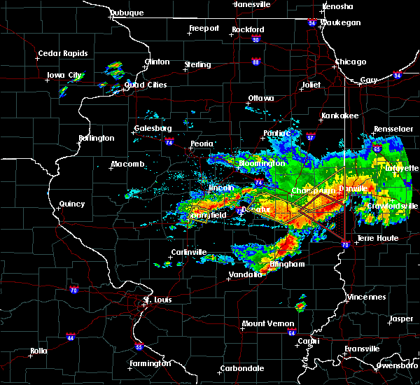 At 250 pm cdt, a severe thunderstorm was located near mechanicsburg, or 12 miles northeast of springfield, moving east at 40 mph (radar indicated). Hazards include 60 mph wind gusts and quarter size hail. Hail damage to vehicles is expected. expect wind damage to roofs, siding, and trees. locations impacted include, springfield, sherman, riverton, williamsville, mechanicsburg, grandview, spaulding, dawson, buffalo and clear lake. this includes the following highways, interstate 55 between mile markers 98 and 104, and between mile markers 106 and 110. Interstate 72 between mile markers 104 and 116. At 250 pm cdt, a severe thunderstorm was located near mechanicsburg, or 12 miles northeast of springfield, moving east at 40 mph (radar indicated). Hazards include 60 mph wind gusts and quarter size hail. Hail damage to vehicles is expected. expect wind damage to roofs, siding, and trees. locations impacted include, springfield, sherman, riverton, williamsville, mechanicsburg, grandview, spaulding, dawson, buffalo and clear lake. this includes the following highways, interstate 55 between mile markers 98 and 104, and between mile markers 106 and 110. Interstate 72 between mile markers 104 and 116.
|
| 6/10/2018 2:26 PM CDT |
 At 226 pm cdt, a severe thunderstorm was located near athens, or 10 miles northwest of springfield, moving east at 40 mph (radar indicated). Hazards include 60 mph wind gusts and quarter size hail. Hail damage to vehicles is expected. Expect wind damage to roofs, siding, and trees. At 226 pm cdt, a severe thunderstorm was located near athens, or 10 miles northwest of springfield, moving east at 40 mph (radar indicated). Hazards include 60 mph wind gusts and quarter size hail. Hail damage to vehicles is expected. Expect wind damage to roofs, siding, and trees.
|
| 6/9/2018 1:07 PM CDT |
 The severe thunderstorm warning for menard, northwestern sangamon, eastern cass and southeastern mason counties will expire at 115 pm cdt, the storm which prompted the warning has weakened below severe limits, and no longer poses an immediate threat to life or property. therefore the warning will be allowed to expire. The severe thunderstorm warning for menard, northwestern sangamon, eastern cass and southeastern mason counties will expire at 115 pm cdt, the storm which prompted the warning has weakened below severe limits, and no longer poses an immediate threat to life or property. therefore the warning will be allowed to expire.
|
| 6/9/2018 12:41 PM CDT |
 At 1240 pm cdt, a severe thunderstorm was located near kilbourne, or 13 miles northeast of virginia, moving east at 35 mph (radar indicated). Hazards include 60 mph wind gusts and nickel size hail. expect damage to roofs, siding, and trees At 1240 pm cdt, a severe thunderstorm was located near kilbourne, or 13 miles northeast of virginia, moving east at 35 mph (radar indicated). Hazards include 60 mph wind gusts and nickel size hail. expect damage to roofs, siding, and trees
|
| 5/27/2018 3:02 PM CDT |
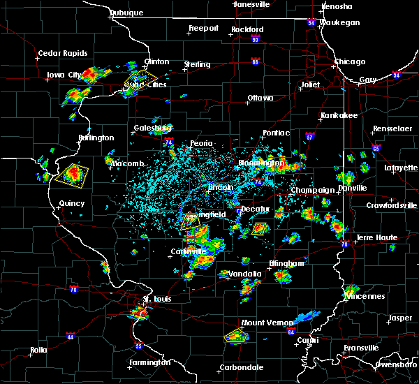 At 301 pm cdt, a severe thunderstorm was located just north of springfield, moving south at 10 to 15 mph (trained weather spotters). Hazards include quarter size hail. Damage to vehicles is expected. locations impacted include, springfield, chatham, rochester, riverton, jerome, southern view, leland grove, grandview, berry and clear lake. this includes the following highways, interstate 55 between mile markers 86 and 100. Interstate 72 between mile markers 96 and 109. At 301 pm cdt, a severe thunderstorm was located just north of springfield, moving south at 10 to 15 mph (trained weather spotters). Hazards include quarter size hail. Damage to vehicles is expected. locations impacted include, springfield, chatham, rochester, riverton, jerome, southern view, leland grove, grandview, berry and clear lake. this includes the following highways, interstate 55 between mile markers 86 and 100. Interstate 72 between mile markers 96 and 109.
|
| 5/27/2018 2:48 PM CDT |
 At 248 pm cdt, a severe thunderstorm was located near springfield, moving south at 15 mph (trained weather spotters). Hazards include quarter size hail. Damage to vehicles is expected. locations impacted include, springfield, chatham, sherman, rochester, riverton, jerome, southern view, leland grove, grandview, spaulding, berry and clear lake. this includes the following highways, interstate 55 between mile markers 86 and 103. Interstate 72 between mile markers 96 and 110. At 248 pm cdt, a severe thunderstorm was located near springfield, moving south at 15 mph (trained weather spotters). Hazards include quarter size hail. Damage to vehicles is expected. locations impacted include, springfield, chatham, sherman, rochester, riverton, jerome, southern view, leland grove, grandview, spaulding, berry and clear lake. this includes the following highways, interstate 55 between mile markers 86 and 103. Interstate 72 between mile markers 96 and 110.
|
| 5/27/2018 2:39 PM CDT |
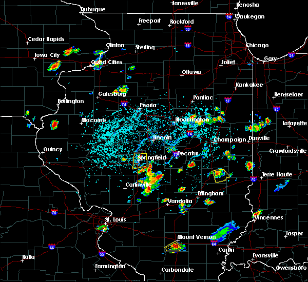 At 238 pm cdt, a severe thunderstorm was located over sherman, or near springfield, moving south at 15 mph (trained weather spotters). Hazards include quarter size hail. damage to vehicles is expected At 238 pm cdt, a severe thunderstorm was located over sherman, or near springfield, moving south at 15 mph (trained weather spotters). Hazards include quarter size hail. damage to vehicles is expected
|
| 1/22/2018 1:56 PM CST |
 At 156 pm cst, a severe thunderstorm was located near pleasant plains, or 11 miles west of springfield, moving northeast at 50 mph (trained weather spotters). Hazards include 60 mph wind gusts and quarter size hail. Hail damage to vehicles is expected. expect wind damage to roofs, siding, and trees. locations impacted include, springfield, sherman, petersburg, athens, williamsville, new berlin, greenview, loami, curran, berlin, cantrall, capital airport, salisbury, farmingdale, lincolns new salem, fancy prairie and sweetwater. this includes the following highways, interstate 55 between mile markers 102 and 110. Interstate 72 between mile markers 83 and 92. At 156 pm cst, a severe thunderstorm was located near pleasant plains, or 11 miles west of springfield, moving northeast at 50 mph (trained weather spotters). Hazards include 60 mph wind gusts and quarter size hail. Hail damage to vehicles is expected. expect wind damage to roofs, siding, and trees. locations impacted include, springfield, sherman, petersburg, athens, williamsville, new berlin, greenview, loami, curran, berlin, cantrall, capital airport, salisbury, farmingdale, lincolns new salem, fancy prairie and sweetwater. this includes the following highways, interstate 55 between mile markers 102 and 110. Interstate 72 between mile markers 83 and 92.
|
| 1/22/2018 1:41 PM CST |
 At 141 pm cst, a severe thunderstorm was located near pleasant plains, or 11 miles northwest of springfield, moving northeast at 55 mph (trained weather spotters). Hazards include 60 mph wind gusts and quarter size hail. Hail damage to vehicles is expected. expect wind damage to roofs, siding, and trees. locations impacted include, springfield, sherman, petersburg, athens, williamsville, new berlin, pleasant plains, greenview, loami, curran, berlin, cantrall, capital airport, salisbury, farmingdale, lincolns new salem, fancy prairie and sweetwater. this includes the following highways, interstate 55 between mile markers 102 and 110. Interstate 72 between mile markers 80 and 92. At 141 pm cst, a severe thunderstorm was located near pleasant plains, or 11 miles northwest of springfield, moving northeast at 55 mph (trained weather spotters). Hazards include 60 mph wind gusts and quarter size hail. Hail damage to vehicles is expected. expect wind damage to roofs, siding, and trees. locations impacted include, springfield, sherman, petersburg, athens, williamsville, new berlin, pleasant plains, greenview, loami, curran, berlin, cantrall, capital airport, salisbury, farmingdale, lincolns new salem, fancy prairie and sweetwater. this includes the following highways, interstate 55 between mile markers 102 and 110. Interstate 72 between mile markers 80 and 92.
|
| 1/22/2018 1:27 PM CST |
 At 127 pm cst, a severe thunderstorm was located near new berlin, or 9 miles west of springfield, moving northeast at 55 mph (trained weather spotters). Hazards include 60 mph wind gusts and quarter size hail. expect damage to roofs, siding, and trees At 127 pm cst, a severe thunderstorm was located near new berlin, or 9 miles west of springfield, moving northeast at 55 mph (trained weather spotters). Hazards include 60 mph wind gusts and quarter size hail. expect damage to roofs, siding, and trees
|
| 9/4/2017 4:40 PM CDT | Quarter sized hail reported 4 miles NNW of Springfield, IL, at lake springfield. relayed by sangamon co. ema |
| 9/4/2017 4:40 PM CDT |
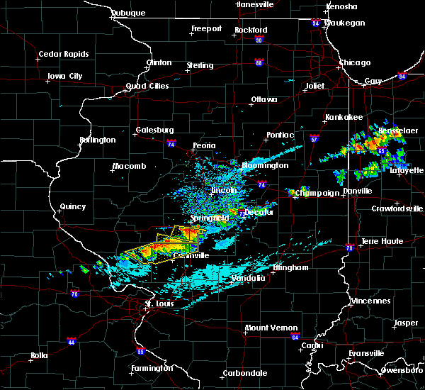 At 440 pm cdt, a severe thunderstorm was located over chatham, or 9 miles south of springfield, moving east at 30 mph (radar indicated). Hazards include 60 mph wind gusts and quarter size hail. Hail damage to vehicles is expected. expect wind damage to roofs, siding, and trees. locations impacted include, springfield, chatham, pawnee, divernon and glenarm. This includes interstate 55 between mile markers 78 and 90. At 440 pm cdt, a severe thunderstorm was located over chatham, or 9 miles south of springfield, moving east at 30 mph (radar indicated). Hazards include 60 mph wind gusts and quarter size hail. Hail damage to vehicles is expected. expect wind damage to roofs, siding, and trees. locations impacted include, springfield, chatham, pawnee, divernon and glenarm. This includes interstate 55 between mile markers 78 and 90.
|
| 9/4/2017 4:23 PM CDT |
 At 423 pm cdt, a severe thunderstorm was located over loami, or 11 miles north of virden, moving east at 30 mph (radar indicated). Hazards include 60 mph wind gusts and quarter size hail. Hail damage to vehicles is expected. Expect wind damage to roofs, siding, and trees. At 423 pm cdt, a severe thunderstorm was located over loami, or 11 miles north of virden, moving east at 30 mph (radar indicated). Hazards include 60 mph wind gusts and quarter size hail. Hail damage to vehicles is expected. Expect wind damage to roofs, siding, and trees.
|
| 7/26/2017 9:38 PM CDT |
 The severe thunderstorm warning for menard and northwestern sangamon counties will expire at 945 pm cdt, the storm which prompted the warning has weakened below severe limits, and no longer poses an immediate threat to life or property. therefore the warning will be allowed to expire. however gusty winds and heavy rain are still possible with this thunderstorm. The severe thunderstorm warning for menard and northwestern sangamon counties will expire at 945 pm cdt, the storm which prompted the warning has weakened below severe limits, and no longer poses an immediate threat to life or property. therefore the warning will be allowed to expire. however gusty winds and heavy rain are still possible with this thunderstorm.
|
| 7/26/2017 9:02 PM CDT |
 At 902 pm cdt, a severe thunderstorm was located over petersburg, or 16 miles southwest of mason city, moving east at 30 mph (radar indicated). Hazards include 60 mph wind gusts and penny size hail. expect damage to roofs, siding, and trees At 902 pm cdt, a severe thunderstorm was located over petersburg, or 16 miles southwest of mason city, moving east at 30 mph (radar indicated). Hazards include 60 mph wind gusts and penny size hail. expect damage to roofs, siding, and trees
|
| 7/10/2017 10:14 PM CDT |
 At 1014 pm cdt, severe thunderstorms were located along a line extending from near mechanicsburg to near rochester to near loami, moving southeast at 45 mph (radar indicated). Hazards include 70 mph wind gusts. Expect considerable tree damage. Damage is likely to mobile homes, roofs, and outbuildings. At 1014 pm cdt, severe thunderstorms were located along a line extending from near mechanicsburg to near rochester to near loami, moving southeast at 45 mph (radar indicated). Hazards include 70 mph wind gusts. Expect considerable tree damage. Damage is likely to mobile homes, roofs, and outbuildings.
|
| 7/10/2017 10:04 PM CDT | Power lines down in sangamon county IL, 1.4 miles S of Springfield, IL |
| 7/10/2017 10:02 PM CDT |
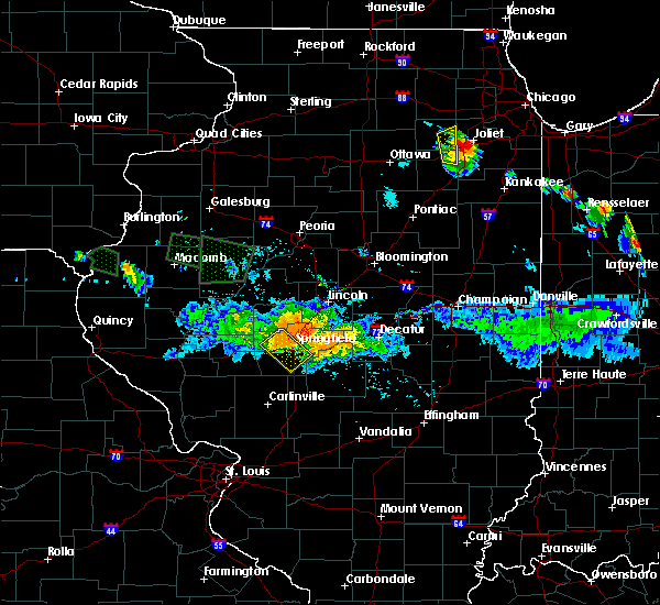 At 1002 pm cdt, a severe thunderstorm was located near springfield, moving southeast at 30 mph (radar indicated). Hazards include 70 mph wind gusts. Expect considerable tree damage. Damage is likely to mobile homes, roofs, and outbuildings. At 1002 pm cdt, a severe thunderstorm was located near springfield, moving southeast at 30 mph (radar indicated). Hazards include 70 mph wind gusts. Expect considerable tree damage. Damage is likely to mobile homes, roofs, and outbuildings.
|
| 6/17/2017 11:43 PM CDT |
 The severe thunderstorm warning for northwestern christian and southern sangamon counties will expire at 1145 pm cdt, the storm which prompted the warning has weakened below severe limits, and no longer poses an immediate threat to life or property. therefore the warning will be allowed to expire. however gusty winds and heavy rain are still possible with this thunderstorm. a severe thunderstorm watch remains in effect until 100 am cdt for central and west central illinois. a severe thunderstorm watch also remains in effect until 600 am cdt for central illinois. The severe thunderstorm warning for northwestern christian and southern sangamon counties will expire at 1145 pm cdt, the storm which prompted the warning has weakened below severe limits, and no longer poses an immediate threat to life or property. therefore the warning will be allowed to expire. however gusty winds and heavy rain are still possible with this thunderstorm. a severe thunderstorm watch remains in effect until 100 am cdt for central and west central illinois. a severe thunderstorm watch also remains in effect until 600 am cdt for central illinois.
|
| 6/17/2017 11:28 PM CDT |
 At 1126 pm cdt, a severe thunderstorm was located over chatham, or 7 miles south of springfield, moving east-southeast at 40 mph (radar indicated). Hazards include 60 mph wind gusts and quarter size hail. Hail damage to vehicles is expected. expect wind damage to roofs, siding, and trees. locations impacted include, springfield, taylorville, chatham, auburn, rochester, pawnee, kincaid, divernon, edinburg, loami, mount auburn, bulpitt, jeisyville, tovey, berry, sangchris lake state park, glenarm, sharpsburg, sicily and roby. This includes interstate 55 between mile markers 80 and 91. At 1126 pm cdt, a severe thunderstorm was located over chatham, or 7 miles south of springfield, moving east-southeast at 40 mph (radar indicated). Hazards include 60 mph wind gusts and quarter size hail. Hail damage to vehicles is expected. expect wind damage to roofs, siding, and trees. locations impacted include, springfield, taylorville, chatham, auburn, rochester, pawnee, kincaid, divernon, edinburg, loami, mount auburn, bulpitt, jeisyville, tovey, berry, sangchris lake state park, glenarm, sharpsburg, sicily and roby. This includes interstate 55 between mile markers 80 and 91.
|
| 6/17/2017 10:52 PM CDT | Powerlines blown dow in sangamon county IL, 5.7 miles E of Springfield, IL |
| 6/17/2017 10:41 PM CDT |
 At 1041 pm cdt, a severe thunderstorm was located near new berlin, or 15 miles east of jacksonville, moving east at 40 mph (radar indicated). Hazards include 60 mph wind gusts and quarter size hail. Hail damage to vehicles is expected. Expect wind damage to roofs, siding, and trees. At 1041 pm cdt, a severe thunderstorm was located near new berlin, or 15 miles east of jacksonville, moving east at 40 mph (radar indicated). Hazards include 60 mph wind gusts and quarter size hail. Hail damage to vehicles is expected. Expect wind damage to roofs, siding, and trees.
|
| 6/14/2017 7:00 PM CDT | 6 to 8 inch tree limb blown down. near cherry and as in sangamon county IL, 1.4 miles S of Springfield, IL |
| 6/14/2017 7:00 PM CDT | 6 to 8 inch tree limb blown down. near cherry and ash. corrected locatio in sangamon county IL, 3.2 miles ESE of Springfield, IL |
| 6/14/2017 6:51 PM CDT |
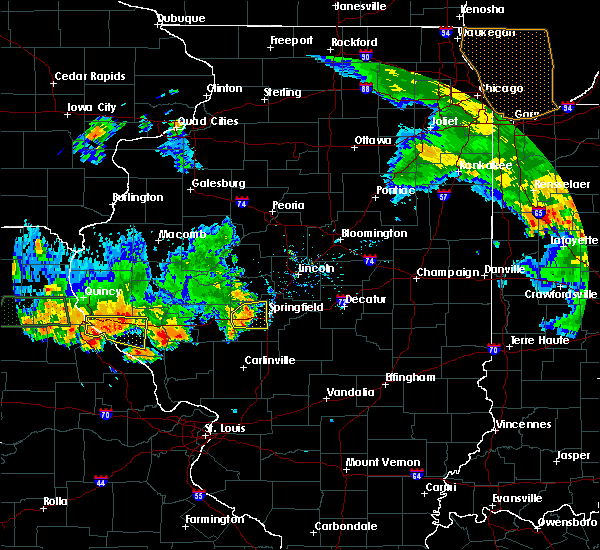 At 650 pm cdt, a severe thunderstorm was located 8 miles west of springfield, moving east at 30 mph (radar indicated). Hazards include 60 mph wind gusts. Expect damage to roofs, siding, and trees. locations impacted include, springfield, chatham, new berlin, loami, jerome, southern view, leland grove, curran, berlin, farmingdale, capital airport and salisbury. This includes interstate 72 between mile markers 80 and 97. At 650 pm cdt, a severe thunderstorm was located 8 miles west of springfield, moving east at 30 mph (radar indicated). Hazards include 60 mph wind gusts. Expect damage to roofs, siding, and trees. locations impacted include, springfield, chatham, new berlin, loami, jerome, southern view, leland grove, curran, berlin, farmingdale, capital airport and salisbury. This includes interstate 72 between mile markers 80 and 97.
|
| 6/14/2017 6:30 PM CDT |
 At 630 pm cdt, a severe thunderstorm was located near ashland, or 11 miles northeast of jacksonville, moving east at 25 mph (radar indicated). Hazards include 60 mph wind gusts. expect damage to roofs, siding, and trees At 630 pm cdt, a severe thunderstorm was located near ashland, or 11 miles northeast of jacksonville, moving east at 25 mph (radar indicated). Hazards include 60 mph wind gusts. expect damage to roofs, siding, and trees
|
| 5/19/2017 6:41 AM CDT |
 The severe thunderstorm warning for menard, christian, sangamon, cass and northern morgan counties will expire at 645 am cdt, the storms which prompted the warning have weakened below severe limits, and no longer pose an immediate threat to life or property. therefore the warning will be allowed to expire. however gusty winds and heavy rain are still possible with these thunderstorms. The severe thunderstorm warning for menard, christian, sangamon, cass and northern morgan counties will expire at 645 am cdt, the storms which prompted the warning have weakened below severe limits, and no longer pose an immediate threat to life or property. therefore the warning will be allowed to expire. however gusty winds and heavy rain are still possible with these thunderstorms.
|
| 5/19/2017 6:28 AM CDT |
 At 627 am cdt, severe thunderstorms were located along a line extending from near virginia to near pawnee to near schram city, moving northeast at 60 mph (radar indicated). Hazards include 60 mph wind gusts. Expect damage to roofs, siding, and trees. locations impacted include, springfield, jacksonville, taylorville, virginia, chatham, alexander, auburn, sherman, rochester, riverton, pawnee, petersburg, athens, kincaid, williamsville, new berlin, ashland, divernon, edinburg and morrisonville. this includes the following highways, interstate 55 between mile markers 79 and 109. Interstate 72 between mile markers 68 and 124. At 627 am cdt, severe thunderstorms were located along a line extending from near virginia to near pawnee to near schram city, moving northeast at 60 mph (radar indicated). Hazards include 60 mph wind gusts. Expect damage to roofs, siding, and trees. locations impacted include, springfield, jacksonville, taylorville, virginia, chatham, alexander, auburn, sherman, rochester, riverton, pawnee, petersburg, athens, kincaid, williamsville, new berlin, ashland, divernon, edinburg and morrisonville. this includes the following highways, interstate 55 between mile markers 79 and 109. Interstate 72 between mile markers 68 and 124.
|
| 5/19/2017 6:07 AM CDT |
 At 606 am cdt, severe thunderstorms were located along a line extending from near meredosia to near girard to near sorento, moving northeast at 55 mph (radar indicated). Hazards include 70 mph wind gusts. Expect considerable tree damage. damage is likely to mobile homes, roofs, and outbuildings. locations impacted include, springfield, jacksonville, taylorville, virginia, winchester, chatham, alexander, auburn, sherman, rochester, riverton, pawnee, petersburg, athens, kincaid, williamsville, new berlin, ashland, waverly and divernon. this includes the following highways, interstate 55 between mile markers 77 and 109. Interstate 72 between mile markers 46 and 124. At 606 am cdt, severe thunderstorms were located along a line extending from near meredosia to near girard to near sorento, moving northeast at 55 mph (radar indicated). Hazards include 70 mph wind gusts. Expect considerable tree damage. damage is likely to mobile homes, roofs, and outbuildings. locations impacted include, springfield, jacksonville, taylorville, virginia, winchester, chatham, alexander, auburn, sherman, rochester, riverton, pawnee, petersburg, athens, kincaid, williamsville, new berlin, ashland, waverly and divernon. this includes the following highways, interstate 55 between mile markers 77 and 109. Interstate 72 between mile markers 46 and 124.
|
| 5/19/2017 5:47 AM CDT |
 At 547 am cdt, severe thunderstorms were located along a line extending from near naples to 7 miles west of carlinville to near marine, moving northeast at 60 mph (radar indicated). Hazards include 70 mph wind gusts. Expect considerable tree damage. Damage is likely to mobile homes, roofs, and outbuildings. At 547 am cdt, severe thunderstorms were located along a line extending from near naples to 7 miles west of carlinville to near marine, moving northeast at 60 mph (radar indicated). Hazards include 70 mph wind gusts. Expect considerable tree damage. Damage is likely to mobile homes, roofs, and outbuildings.
|
| 5/10/2017 7:25 PM CDT | Tree downe in sangamon county IL, 2 miles ENE of Springfield, IL |
| 5/10/2017 7:25 PM CDT | Tree downe in sangamon county IL, 2 miles ENE of Springfield, IL |
| 5/10/2017 7:23 PM CDT |
 At 723 pm cdt, a severe thunderstorm was located near riverton, or near springfield, moving east at 50 mph (radar indicated). Hazards include ping pong ball size hail and 60 mph wind gusts. People and animals outdoors will be injured. expect hail damage to roofs, siding, windows, and vehicles. expect wind damage to roofs, siding, and trees. locations impacted include, springfield, sherman, rochester, riverton, jerome, southern view, leland grove, grandview, spaulding and clear lake. this includes the following highways, interstate 55 between mile markers 95 and 103. Interstate 72 between mile markers 101 and 110. At 723 pm cdt, a severe thunderstorm was located near riverton, or near springfield, moving east at 50 mph (radar indicated). Hazards include ping pong ball size hail and 60 mph wind gusts. People and animals outdoors will be injured. expect hail damage to roofs, siding, windows, and vehicles. expect wind damage to roofs, siding, and trees. locations impacted include, springfield, sherman, rochester, riverton, jerome, southern view, leland grove, grandview, spaulding and clear lake. this includes the following highways, interstate 55 between mile markers 95 and 103. Interstate 72 between mile markers 101 and 110.
|
| 5/10/2017 7:11 PM CDT | 6 inch tree limb from healthy tree downed near panera bread. relayed by logan county em in sangamon county IL, 1.4 miles S of Springfield, IL |
| 5/10/2017 7:06 PM CDT |
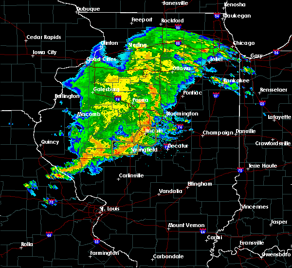 At 706 pm cdt, a severe thunderstorm was located near new berlin, or 10 miles west of springfield, moving east at 55 mph (radar indicated). Hazards include ping pong ball size hail and 60 mph wind gusts. People and animals outdoors will be injured. expect hail damage to roofs, siding, windows, and vehicles. expect wind damage to roofs, siding, and trees. locations impacted include, springfield, sherman, rochester, riverton, williamsville, jerome, southern view, leland grove, grandview, spaulding, clear lake, berlin, cantrall, capital airport and farmingdale. this includes the following highways, interstate 55 between mile markers 95 and 111. Interstate 72 between mile markers 89 and 93, and between mile markers 101 and 110. At 706 pm cdt, a severe thunderstorm was located near new berlin, or 10 miles west of springfield, moving east at 55 mph (radar indicated). Hazards include ping pong ball size hail and 60 mph wind gusts. People and animals outdoors will be injured. expect hail damage to roofs, siding, windows, and vehicles. expect wind damage to roofs, siding, and trees. locations impacted include, springfield, sherman, rochester, riverton, williamsville, jerome, southern view, leland grove, grandview, spaulding, clear lake, berlin, cantrall, capital airport and farmingdale. this includes the following highways, interstate 55 between mile markers 95 and 111. Interstate 72 between mile markers 89 and 93, and between mile markers 101 and 110.
|
| 5/10/2017 6:54 PM CDT |
 At 653 pm cdt, a severe thunderstorm was located near ashland, or 14 miles northeast of jacksonville, moving east at 50 mph. this is a very dangerous storm (radar indicated). Hazards include 80 mph wind gusts and ping pong ball size hail. Flying debris will be dangerous to those caught without shelter. mobile homes will be heavily damaged. expect considerable damage to roofs, windows, and vehicles. Extensive tree damage and power outages are likely. At 653 pm cdt, a severe thunderstorm was located near ashland, or 14 miles northeast of jacksonville, moving east at 50 mph. this is a very dangerous storm (radar indicated). Hazards include 80 mph wind gusts and ping pong ball size hail. Flying debris will be dangerous to those caught without shelter. mobile homes will be heavily damaged. expect considerable damage to roofs, windows, and vehicles. Extensive tree damage and power outages are likely.
|
| 4/10/2017 4:17 PM CDT |
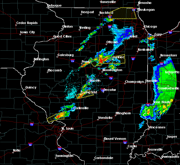 At 416 pm cdt, a severe thunderstorm was located over springfield, moving northeast at 40 mph (radar indicated. at 415 pm, trained spotters reported dime size hail on the south side of springfield). Hazards include quarter size hail. Damage to vehicles is expected. locations impacted include, springfield, chatham, rochester, riverton, mechanicsburg, mount auburn, jerome, southern view, leland grove, grandview, dawson, buffalo, berry, clear lake, curran and roby. this includes the following highways, interstate 55 between mile markers 87 and 99. Interstate 72 between mile markers 92 and 120. At 416 pm cdt, a severe thunderstorm was located over springfield, moving northeast at 40 mph (radar indicated. at 415 pm, trained spotters reported dime size hail on the south side of springfield). Hazards include quarter size hail. Damage to vehicles is expected. locations impacted include, springfield, chatham, rochester, riverton, mechanicsburg, mount auburn, jerome, southern view, leland grove, grandview, dawson, buffalo, berry, clear lake, curran and roby. this includes the following highways, interstate 55 between mile markers 87 and 99. Interstate 72 between mile markers 92 and 120.
|
| 4/10/2017 4:09 PM CDT |
 At 409 pm cdt, a severe thunderstorm was located near loami, or 9 miles southwest of springfield, moving east at 50 mph (radar indicated). Hazards include quarter size hail. damage to vehicles is expected At 409 pm cdt, a severe thunderstorm was located near loami, or 9 miles southwest of springfield, moving east at 50 mph (radar indicated). Hazards include quarter size hail. damage to vehicles is expected
|
| 3/17/2017 6:12 AM CDT |
 At 611 am cdt, a severe thunderstorm was located near new berlin, or 10 miles west of springfield, moving east at 45 mph (radar indicated). Hazards include 60 mph wind gusts and half dollar size hail. Hail damage to vehicles is expected. Expect wind damage to roofs, siding, and trees. At 611 am cdt, a severe thunderstorm was located near new berlin, or 10 miles west of springfield, moving east at 45 mph (radar indicated). Hazards include 60 mph wind gusts and half dollar size hail. Hail damage to vehicles is expected. Expect wind damage to roofs, siding, and trees.
|
| 3/7/2017 12:56 AM CST |
 At 1252 am cst, severe thunderstorms were located along a line extending from near kenney to white oak, moving east at 55 mph (radar indicated). Hazards include 70 mph wind gusts and quarter size hail. Hail damage to vehicles is expected. expect considerable tree damage. wind damage is also likely to mobile homes, roofs, and outbuildings. locations impacted include, springfield, decatur, taylorville, auburn, rochester, forsyth, pawnee, maroa, kincaid, harristown, warrensburg, divernon, blue mound, edinburg, morrisonville, stonington, illiopolis, niantic, mechanicsburg and mount auburn. this includes the following highways, interstate 55 between mile markers 77 and 85. interstate 72 between mile markers 112 and 144. A tornado watch remains in effect until 400 am cst for sangamon county, and a severe thunderstorm watch remains in effect until 500 am cst for logan county, christian county, macon county and dewitt county. At 1252 am cst, severe thunderstorms were located along a line extending from near kenney to white oak, moving east at 55 mph (radar indicated). Hazards include 70 mph wind gusts and quarter size hail. Hail damage to vehicles is expected. expect considerable tree damage. wind damage is also likely to mobile homes, roofs, and outbuildings. locations impacted include, springfield, decatur, taylorville, auburn, rochester, forsyth, pawnee, maroa, kincaid, harristown, warrensburg, divernon, blue mound, edinburg, morrisonville, stonington, illiopolis, niantic, mechanicsburg and mount auburn. this includes the following highways, interstate 55 between mile markers 77 and 85. interstate 72 between mile markers 112 and 144. A tornado watch remains in effect until 400 am cst for sangamon county, and a severe thunderstorm watch remains in effect until 500 am cst for logan county, christian county, macon county and dewitt county.
|
| 3/7/2017 12:30 AM CST |
 At 1229 am cst, severe thunderstorms were located along a line extending from near williamsville to near waverly, moving east at 65 mph (radar indicated). Hazards include 70 mph wind gusts and quarter size hail. Hail damage to vehicles is expected. expect considerable tree damage. Wind damage is also likely to mobile homes, roofs, and outbuildings. At 1229 am cst, severe thunderstorms were located along a line extending from near williamsville to near waverly, moving east at 65 mph (radar indicated). Hazards include 70 mph wind gusts and quarter size hail. Hail damage to vehicles is expected. expect considerable tree damage. Wind damage is also likely to mobile homes, roofs, and outbuildings.
|
| 3/7/2017 12:05 AM CST |
 At 1205 am cst, severe thunderstorms were located along a line extending from pleasant plains to near murrayville, moving east at 60 mph (radar indicated). Hazards include 70 mph wind gusts and quarter size hail. Hail damage to vehicles is expected. expect considerable tree damage. Wind damage is also likely to mobile homes, roofs, and outbuildings. At 1205 am cst, severe thunderstorms were located along a line extending from pleasant plains to near murrayville, moving east at 60 mph (radar indicated). Hazards include 70 mph wind gusts and quarter size hail. Hail damage to vehicles is expected. expect considerable tree damage. Wind damage is also likely to mobile homes, roofs, and outbuildings.
|
| 11/2/2016 4:25 PM CDT | Tree blown down blocking one lane os chatham road. time estimate in sangamon county IL, 1.4 miles S of Springfield, IL |
| 7/13/2016 4:31 PM CDT |
 At 431 pm cdt, severe thunderstorms were located along a line extending from near mason city to near williamsville, moving east at 40 mph (radar indicated). Hazards include 60 mph wind gusts. Expect damage to roofs. siding. And trees. At 431 pm cdt, severe thunderstorms were located along a line extending from near mason city to near williamsville, moving east at 40 mph (radar indicated). Hazards include 60 mph wind gusts. Expect damage to roofs. siding. And trees.
|
| 7/13/2016 4:24 PM CDT |
 At 423 pm cdt, severe thunderstorms were located along a line extending from near riverton to near pawnee to near litchfield, moving east at 45 mph (radar indicated). Hazards include 60 mph wind gusts. Expect damage to roofs. siding. And trees. At 423 pm cdt, severe thunderstorms were located along a line extending from near riverton to near pawnee to near litchfield, moving east at 45 mph (radar indicated). Hazards include 60 mph wind gusts. Expect damage to roofs. siding. And trees.
|
| 7/13/2016 4:23 PM CDT | Numerous small tree limbs down in sangamon county IL, 1.4 miles S of Springfield, IL |
| 7/13/2016 4:05 PM CDT |
 At 404 pm cdt, severe thunderstorms were located along a line extending from near kilbourne to pleasant plains to near virden, moving east at 40 mph (radar indicated). Hazards include 60 mph wind gusts and penny size hail. Expect damage to roofs. siding. and trees. locations impacted include, springfield, chatham, auburn, sherman, rochester, pawnee, petersburg, athens, williamsville, new berlin, ashland, waverly, divernon, pleasant plains, greenview, loami, tallula, jerome, southern view and leland grove. this includes the following highways, interstate 55 between mile markers 78 and 106. Interstate 72 between mile markers 79 and 105. At 404 pm cdt, severe thunderstorms were located along a line extending from near kilbourne to pleasant plains to near virden, moving east at 40 mph (radar indicated). Hazards include 60 mph wind gusts and penny size hail. Expect damage to roofs. siding. and trees. locations impacted include, springfield, chatham, auburn, sherman, rochester, pawnee, petersburg, athens, williamsville, new berlin, ashland, waverly, divernon, pleasant plains, greenview, loami, tallula, jerome, southern view and leland grove. this includes the following highways, interstate 55 between mile markers 78 and 106. Interstate 72 between mile markers 79 and 105.
|
| 7/13/2016 3:45 PM CDT |
 At 345 pm cdt, severe thunderstorms were located along a line extending from near bath to near literberry to 6 miles south of franklin, moving northeast at 40 mph (radar indicated). Hazards include 60 mph wind gusts and penny size hail. Expect damage to roofs. siding. And trees. At 345 pm cdt, severe thunderstorms were located along a line extending from near bath to near literberry to 6 miles south of franklin, moving northeast at 40 mph (radar indicated). Hazards include 60 mph wind gusts and penny size hail. Expect damage to roofs. siding. And trees.
|
| 5/31/2016 10:20 AM CDT | Large tree branch broken off at enos park. relayed via twitte in sangamon county IL, 3.4 miles S of Springfield, IL |
| 5/13/2016 8:28 PM CDT | The severe thunderstorm warning for southwestern sangamon county will expire at 830 pm cdt, the storm which prompted the warning has moved out of the area. therefore the warning will be allowed to expire. |
| 5/13/2016 8:10 PM CDT |
 At 810 pm cdt, a severe thunderstorm was located over auburn, or 6 miles north of virden, moving east at 50 mph (radar indicated). Hazards include 60 mph wind gusts. Expect damage to roofs. siding. and trees. locations impacted include, springfield, chatham, auburn, pawnee, divernon, loami, thayer, berry and glenarm. This includes interstate 55 between mile markers 78 and 90. At 810 pm cdt, a severe thunderstorm was located over auburn, or 6 miles north of virden, moving east at 50 mph (radar indicated). Hazards include 60 mph wind gusts. Expect damage to roofs. siding. and trees. locations impacted include, springfield, chatham, auburn, pawnee, divernon, loami, thayer, berry and glenarm. This includes interstate 55 between mile markers 78 and 90.
|
| 5/13/2016 7:49 PM CDT |
 At 748 pm cdt, a severe thunderstorm was located over franklin, or 10 miles southeast of jacksonville, moving east at 50 mph. another severe thunderstorm was located near waverly, moving east at 50 mph (radar indicated). Hazards include 60 mph wind gusts. Expect damage to roofs. siding. And trees. At 748 pm cdt, a severe thunderstorm was located over franklin, or 10 miles southeast of jacksonville, moving east at 50 mph. another severe thunderstorm was located near waverly, moving east at 50 mph (radar indicated). Hazards include 60 mph wind gusts. Expect damage to roofs. siding. And trees.
|
| 5/13/2016 7:23 PM CDT |
 At 723 pm cdt, a severe thunderstorm was located near athens, or 14 miles north of springfield, moving east at 50 mph (radar indicated). Hazards include 60 mph wind gusts. Expect damage to roofs. siding. and trees. locations impacted include, springfield, sherman, riverton, petersburg, athens, williamsville, pleasant plains, greenview, elkhart, middletown, spaulding, dawson, broadwell, cantrall, sweetwater, salisbury, lincolns new salem and fancy prairie. This includes interstate 55 between mile markers 101 and 120. At 723 pm cdt, a severe thunderstorm was located near athens, or 14 miles north of springfield, moving east at 50 mph (radar indicated). Hazards include 60 mph wind gusts. Expect damage to roofs. siding. and trees. locations impacted include, springfield, sherman, riverton, petersburg, athens, williamsville, pleasant plains, greenview, elkhart, middletown, spaulding, dawson, broadwell, cantrall, sweetwater, salisbury, lincolns new salem and fancy prairie. This includes interstate 55 between mile markers 101 and 120.
|
| 5/13/2016 6:57 PM CDT |
 At 656 pm cdt, a severe thunderstorm was located near chandlerville, or 8 miles northeast of virginia, moving east at 50 mph (trained weather spotters reported 60 mph wind gusts just southwest of beardstown). Hazards include 60 mph wind gusts. Expect damage to roofs. siding. And trees. At 656 pm cdt, a severe thunderstorm was located near chandlerville, or 8 miles northeast of virginia, moving east at 50 mph (trained weather spotters reported 60 mph wind gusts just southwest of beardstown). Hazards include 60 mph wind gusts. Expect damage to roofs. siding. And trees.
|
| 5/11/2016 2:03 PM CDT |
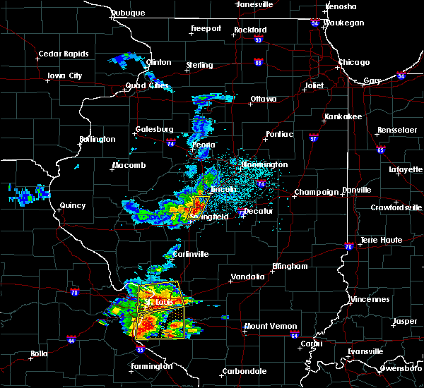 At 202 pm cdt, severe thunderstorms were located along a line extending from 4 miles east of middletown to elkhart to near sherman, moving east at 30 mph (radar indicated. at 2 pm...storm spotters reported penny size hail and 50 mph winds about 2 miles southwest of elkhart). Hazards include 60 mph wind gusts and half dollar size hail. Hail damage to vehicles is expected. expect wind damage to roofs, siding, and trees. locations impacted include, springfield, sherman, riverton, williamsville, elkhart, grandview, spaulding and broadwell. this includes the following highways, interstate 55 between mile markers 99 and 122. Interstate 72 between mile markers 107 and 109. At 202 pm cdt, severe thunderstorms were located along a line extending from 4 miles east of middletown to elkhart to near sherman, moving east at 30 mph (radar indicated. at 2 pm...storm spotters reported penny size hail and 50 mph winds about 2 miles southwest of elkhart). Hazards include 60 mph wind gusts and half dollar size hail. Hail damage to vehicles is expected. expect wind damage to roofs, siding, and trees. locations impacted include, springfield, sherman, riverton, williamsville, elkhart, grandview, spaulding and broadwell. this includes the following highways, interstate 55 between mile markers 99 and 122. Interstate 72 between mile markers 107 and 109.
|
| 5/11/2016 1:59 PM CDT |
 At 159 pm cdt, severe thunderstorms were located along a line extending from near middletown to elkhart to near sherman, moving east at 35 mph (radar indicated). Hazards include 60 mph wind gusts and half dollar size hail. Hail damage to vehicles is expected. expect wind damage to roofs, siding, and trees. locations impacted include, springfield, sherman, riverton, athens, williamsville, elkhart, middletown, grandview, spaulding, broadwell, cantrall, sweetwater, fancy prairie, capital airport and farmingdale. this includes the following highways, interstate 55 between mile markers 99 and 122. Interstate 72 between mile markers 107 and 109. At 159 pm cdt, severe thunderstorms were located along a line extending from near middletown to elkhart to near sherman, moving east at 35 mph (radar indicated). Hazards include 60 mph wind gusts and half dollar size hail. Hail damage to vehicles is expected. expect wind damage to roofs, siding, and trees. locations impacted include, springfield, sherman, riverton, athens, williamsville, elkhart, middletown, grandview, spaulding, broadwell, cantrall, sweetwater, fancy prairie, capital airport and farmingdale. this includes the following highways, interstate 55 between mile markers 99 and 122. Interstate 72 between mile markers 107 and 109.
|
| 5/11/2016 1:48 PM CDT |
 At 147 pm cdt, severe thunderstorms were located along a line extending from near middletown to 4 miles northeast of athens to 6 miles northwest of downtown springfield, moving east at 35 mph (trained weather spotters. at 128 pm...storm spotters estimated wind gusts of 60 mph just north of petersburg). Hazards include 60 mph wind gusts and half dollar size hail. Hail damage to vehicles is expected. expect wind damage to roofs, siding, and trees. locations impacted include, springfield, sherman, riverton, athens, williamsville, elkhart, middletown, grandview, spaulding, broadwell, cantrall, sweetwater, fancy prairie, capital airport and farmingdale. this includes the following highways, interstate 55 between mile markers 99 and 122. Interstate 72 between mile markers 107 and 109. At 147 pm cdt, severe thunderstorms were located along a line extending from near middletown to 4 miles northeast of athens to 6 miles northwest of downtown springfield, moving east at 35 mph (trained weather spotters. at 128 pm...storm spotters estimated wind gusts of 60 mph just north of petersburg). Hazards include 60 mph wind gusts and half dollar size hail. Hail damage to vehicles is expected. expect wind damage to roofs, siding, and trees. locations impacted include, springfield, sherman, riverton, athens, williamsville, elkhart, middletown, grandview, spaulding, broadwell, cantrall, sweetwater, fancy prairie, capital airport and farmingdale. this includes the following highways, interstate 55 between mile markers 99 and 122. Interstate 72 between mile markers 107 and 109.
|
| 5/11/2016 1:38 PM CDT |
 At 138 pm cdt, severe thunderstorms were located along a line extending from greenview to 6 miles east of pleasant plains, moving east at 30 mph (radar indicated). Hazards include 60 mph wind gusts and half dollar size hail. Hail damage to vehicles is expected. Expect wind damage to roofs, siding, and trees. At 138 pm cdt, severe thunderstorms were located along a line extending from greenview to 6 miles east of pleasant plains, moving east at 30 mph (radar indicated). Hazards include 60 mph wind gusts and half dollar size hail. Hail damage to vehicles is expected. Expect wind damage to roofs, siding, and trees.
|
| 5/11/2016 1:27 PM CDT |
 At 127 pm cdt, severe thunderstorms were located along a line extending from petersburg to pleasant plains to 5 miles south of ashland, moving east at 30 mph (radar indicated). Hazards include 60 mph wind gusts and quarter size hail. Hail damage to vehicles is expected. expect wind damage to roofs, siding, and trees. Locations impacted include, petersburg, athens, pleasant plains, tallula, lincolns new salem, salisbury and farmingdale. At 127 pm cdt, severe thunderstorms were located along a line extending from petersburg to pleasant plains to 5 miles south of ashland, moving east at 30 mph (radar indicated). Hazards include 60 mph wind gusts and quarter size hail. Hail damage to vehicles is expected. expect wind damage to roofs, siding, and trees. Locations impacted include, petersburg, athens, pleasant plains, tallula, lincolns new salem, salisbury and farmingdale.
|
| 5/11/2016 1:17 PM CDT |
 At 117 pm cdt, a severe thunderstorm was located over ashland, or 11 miles east of virginia, moving east at 35 mph (radar indicated). Hazards include 60 mph wind gusts and quarter size hail. Hail damage to vehicles is expected. Expect wind damage to roofs, siding, and trees. At 117 pm cdt, a severe thunderstorm was located over ashland, or 11 miles east of virginia, moving east at 35 mph (radar indicated). Hazards include 60 mph wind gusts and quarter size hail. Hail damage to vehicles is expected. Expect wind damage to roofs, siding, and trees.
|
| 4/27/2016 11:57 PM CDT | The severe thunderstorm warning for northeastern sangamon and northwestern christian counties will expire at 1200 am cdt. the storm which prompted the warning has weakened below severe limits. and no longer pose an immediate threat to life or property. therefore the warning will be allowed to expire. However hail up to dime size is still possible with this thunderstorm. |
| 4/27/2016 11:36 PM CDT |
 At 1135 pm cdt, a severe thunderstorm was located near edinburg, or 11 miles southeast of springfield, moving northeast at 35 mph (trained weather spotters. at 1115 pm...one inch hail was reported in pawnee). Hazards include quarter size hail. Damage to vehicles is expected. locations impacted include, springfield, rochester, riverton, edinburg, mechanicsburg, mount auburn, spaulding, dawson, buffalo, berry, sharpsburg, roby and sangchris lake state park. This includes interstate 72 between mile markers 106 and 120. At 1135 pm cdt, a severe thunderstorm was located near edinburg, or 11 miles southeast of springfield, moving northeast at 35 mph (trained weather spotters. at 1115 pm...one inch hail was reported in pawnee). Hazards include quarter size hail. Damage to vehicles is expected. locations impacted include, springfield, rochester, riverton, edinburg, mechanicsburg, mount auburn, spaulding, dawson, buffalo, berry, sharpsburg, roby and sangchris lake state park. This includes interstate 72 between mile markers 106 and 120.
|
| 4/27/2016 11:26 PM CDT |
 At 1126 pm cdt, a severe thunderstorm was located near pawnee, or 12 miles southeast of springfield, moving northeast at 35 mph (radar indicated). Hazards include quarter size hail. Damage to vehicles is expected. locations impacted include, springfield, rochester, riverton, pawnee, kincaid, edinburg, mechanicsburg, mount auburn, bulpitt, jeisyville, spaulding, tovey, dawson, buffalo, berry, sharpsburg, roby, sicily and sangchris lake state park. this includes the following highways, interstate 55 near mile marker 85. Interstate 72 between mile markers 106 and 120. At 1126 pm cdt, a severe thunderstorm was located near pawnee, or 12 miles southeast of springfield, moving northeast at 35 mph (radar indicated). Hazards include quarter size hail. Damage to vehicles is expected. locations impacted include, springfield, rochester, riverton, pawnee, kincaid, edinburg, mechanicsburg, mount auburn, bulpitt, jeisyville, spaulding, tovey, dawson, buffalo, berry, sharpsburg, roby, sicily and sangchris lake state park. this includes the following highways, interstate 55 near mile marker 85. Interstate 72 between mile markers 106 and 120.
|
| 4/27/2016 11:01 PM CDT |
 At 1101 pm cdt, a severe thunderstorm was located over farmersville, or 8 miles southeast of virden, moving northeast at 35 mph (radar indicated). Hazards include 60 mph wind gusts and quarter size hail. Hail damage to vehicles is expected. Expect wind damage to roofs, siding, and trees. At 1101 pm cdt, a severe thunderstorm was located over farmersville, or 8 miles southeast of virden, moving northeast at 35 mph (radar indicated). Hazards include 60 mph wind gusts and quarter size hail. Hail damage to vehicles is expected. Expect wind damage to roofs, siding, and trees.
|
| 4/27/2016 9:53 PM CDT |
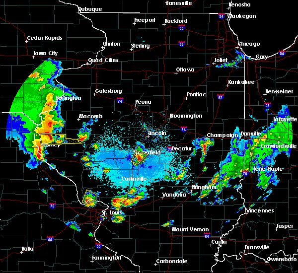 At 953 pm cdt, a severe thunderstorm was located over rochester, or 6 miles southeast of springfield, moving northeast at 20 mph (radar indicated). Hazards include 60 mph wind gusts and quarter size hail. Hail damage to vehicles is expected. expect wind damage to roofs, siding, and trees. locations impacted include, springfield, rochester, riverton, mechanicsburg, spaulding, berry and clear lake. this includes the following highways, interstate 55 between mile markers 87 and 100. Interstate 72 between mile markers 99 and 112. At 953 pm cdt, a severe thunderstorm was located over rochester, or 6 miles southeast of springfield, moving northeast at 20 mph (radar indicated). Hazards include 60 mph wind gusts and quarter size hail. Hail damage to vehicles is expected. expect wind damage to roofs, siding, and trees. locations impacted include, springfield, rochester, riverton, mechanicsburg, spaulding, berry and clear lake. this includes the following highways, interstate 55 between mile markers 87 and 100. Interstate 72 between mile markers 99 and 112.
|
| 4/27/2016 9:37 PM CDT |
 At 937 pm cdt, a severe thunderstorm was located 5 miles east of chatham, or 7 miles south of springfield, moving northeast at 15 mph (radar indicated). Hazards include 60 mph wind gusts and quarter size hail. Hail damage to vehicles is expected. expect wind damage to roofs, siding, and trees. locations impacted include, springfield, rochester, riverton, mechanicsburg, spaulding, berry and clear lake. this includes the following highways, interstate 55 between mile markers 87 and 100. Interstate 72 between mile markers 99 and 112. At 937 pm cdt, a severe thunderstorm was located 5 miles east of chatham, or 7 miles south of springfield, moving northeast at 15 mph (radar indicated). Hazards include 60 mph wind gusts and quarter size hail. Hail damage to vehicles is expected. expect wind damage to roofs, siding, and trees. locations impacted include, springfield, rochester, riverton, mechanicsburg, spaulding, berry and clear lake. this includes the following highways, interstate 55 between mile markers 87 and 100. Interstate 72 between mile markers 99 and 112.
|
| 4/27/2016 9:24 PM CDT |
 At 924 pm cdt, a severe thunderstorm was located near pawnee, or 10 miles south of springfield, moving northeast at 15 mph (radar indicated). Hazards include 60 mph wind gusts and quarter size hail. Hail damage to vehicles is expected. Expect wind damage to roofs, siding, and trees. At 924 pm cdt, a severe thunderstorm was located near pawnee, or 10 miles south of springfield, moving northeast at 15 mph (radar indicated). Hazards include 60 mph wind gusts and quarter size hail. Hail damage to vehicles is expected. Expect wind damage to roofs, siding, and trees.
|
| 3/30/2016 3:16 PM CDT |
 At 315 pm cdt, a severe thunderstorm was located over mechanicsburg, or 12 miles east of springfield, moving northeast at 50 mph (radar indicated). Hazards include quarter size hail. Damage to vehicles is expected. locations impacted include, springfield, decatur, chatham, mount zion, rochester, riverton, pawnee, mount pulaski, harristown, long creek, warrensburg, blue mound, edinburg, illiopolis, niantic, mechanicsburg, mount auburn, latham, cornland and jerome. this includes the following highways, interstate 55 between mile markers 84 and 99. Interstate 72 between mile markers 95 and 138. At 315 pm cdt, a severe thunderstorm was located over mechanicsburg, or 12 miles east of springfield, moving northeast at 50 mph (radar indicated). Hazards include quarter size hail. Damage to vehicles is expected. locations impacted include, springfield, decatur, chatham, mount zion, rochester, riverton, pawnee, mount pulaski, harristown, long creek, warrensburg, blue mound, edinburg, illiopolis, niantic, mechanicsburg, mount auburn, latham, cornland and jerome. this includes the following highways, interstate 55 between mile markers 84 and 99. Interstate 72 between mile markers 95 and 138.
|
| 3/30/2016 3:06 PM CDT |
 At 305 pm cdt, a severe thunderstorm was located near rochester, or 7 miles southeast of springfield, moving northeast at 50 mph (radar indicated). Hazards include quarter size hail. damage to vehicles is expected At 305 pm cdt, a severe thunderstorm was located near rochester, or 7 miles southeast of springfield, moving northeast at 50 mph (radar indicated). Hazards include quarter size hail. damage to vehicles is expected
|
| 3/30/2016 1:57 PM CDT |
 At 156 pm cdt, a severe thunderstorm was located over pleasant plains, or 15 miles west of springfield, moving northeast at 50 mph (trained weather spotters). Hazards include quarter size hail. Damage to vehicles is expected. locations impacted include, springfield, jacksonville, chatham, alexander, petersburg, athens, new berlin, ashland, pleasant plains, loami, franklin, tallula, literberry, south jacksonville, jerome, southern view, leland grove, philadelphia, curran and berlin. this includes the following highways, interstate 55 between mile markers 90 and 93. Interstate 72 between mile markers 67 and 99. At 156 pm cdt, a severe thunderstorm was located over pleasant plains, or 15 miles west of springfield, moving northeast at 50 mph (trained weather spotters). Hazards include quarter size hail. Damage to vehicles is expected. locations impacted include, springfield, jacksonville, chatham, alexander, petersburg, athens, new berlin, ashland, pleasant plains, loami, franklin, tallula, literberry, south jacksonville, jerome, southern view, leland grove, philadelphia, curran and berlin. this includes the following highways, interstate 55 between mile markers 90 and 93. Interstate 72 between mile markers 67 and 99.
|
| 3/30/2016 1:39 PM CDT |
 At 138 pm cdt, a severe thunderstorm was located over jacksonville, moving northeast at 50 mph. quarter size hail was reported in jacksonville at 135 pm (emergency management). Hazards include quarter size hail. damage to vehicles is expected At 138 pm cdt, a severe thunderstorm was located over jacksonville, moving northeast at 50 mph. quarter size hail was reported in jacksonville at 135 pm (emergency management). Hazards include quarter size hail. damage to vehicles is expected
|
| 3/15/2016 8:11 PM CDT |
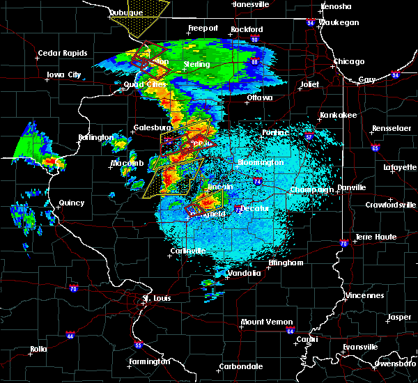 The tornado warning for northeastern sangamon county will expire at 815 pm cdt, the storm which prompted the warning has moved out of the area. therefore the warning will be allowed to expire. the tornado watch has been extended until 1100 pm cdt for central illinois. remember, a severe thunderstorm warning still remains in effect for northeast sangamon county until 830 pm. The tornado warning for northeastern sangamon county will expire at 815 pm cdt, the storm which prompted the warning has moved out of the area. therefore the warning will be allowed to expire. the tornado watch has been extended until 1100 pm cdt for central illinois. remember, a severe thunderstorm warning still remains in effect for northeast sangamon county until 830 pm.
|
| 3/15/2016 8:02 PM CDT |
 At 801 pm cdt, a severe thunderstorm capable of producing a tornado was located over sherman, moving northeast at 55 mph (radar indicated rotation. storm spotters continue to report rotation with this storm, and it has a history of producing funnel clouds and a tornado). Hazards include tornado and half dollar size hail. Flying debris will be dangerous to those caught without shelter. mobile homes will be damaged or destroyed. damage to roofs, windows and vehicles will occur. tree damage is likely. this tornadic thunderstorm will remain over mainly rural areas of northeastern sangamon county, including the following locations, dawson and spaulding. this includes the following highways, interstate 55 between mile markers 99 and 110. Interstate 72 between mile markers 107 and 109. At 801 pm cdt, a severe thunderstorm capable of producing a tornado was located over sherman, moving northeast at 55 mph (radar indicated rotation. storm spotters continue to report rotation with this storm, and it has a history of producing funnel clouds and a tornado). Hazards include tornado and half dollar size hail. Flying debris will be dangerous to those caught without shelter. mobile homes will be damaged or destroyed. damage to roofs, windows and vehicles will occur. tree damage is likely. this tornadic thunderstorm will remain over mainly rural areas of northeastern sangamon county, including the following locations, dawson and spaulding. this includes the following highways, interstate 55 between mile markers 99 and 110. Interstate 72 between mile markers 107 and 109.
|
| 3/15/2016 7:55 PM CDT |
 At 754 pm cdt, trained spotters reported a funnel cloud over downtown springfield. the severe thunderstorm is moving northeast at 50 mph (weather spotters reported a funnel cloud). Hazards include tornado and half dollar size hail. Flying debris will be dangerous to those caught without shelter. mobile homes will be damaged or destroyed. damage to roofs, windows and vehicles will occur. tree damage is likely. this dangerous storm will be near, springfield at 755 pm cdt. sherman around 800 pm cdt. riverton and williamsville around 805 pm cdt. other locations impacted by this tornadic thunderstorm include leland grove, fancy prairie, clear lake, spaulding, cantrall, grandview, dawson, capital airport and buffalo. this includes the following highways, interstate 55 between mile markers 97 and 110. Interstate 72 between mile markers 103 and 116. At 754 pm cdt, trained spotters reported a funnel cloud over downtown springfield. the severe thunderstorm is moving northeast at 50 mph (weather spotters reported a funnel cloud). Hazards include tornado and half dollar size hail. Flying debris will be dangerous to those caught without shelter. mobile homes will be damaged or destroyed. damage to roofs, windows and vehicles will occur. tree damage is likely. this dangerous storm will be near, springfield at 755 pm cdt. sherman around 800 pm cdt. riverton and williamsville around 805 pm cdt. other locations impacted by this tornadic thunderstorm include leland grove, fancy prairie, clear lake, spaulding, cantrall, grandview, dawson, capital airport and buffalo. this includes the following highways, interstate 55 between mile markers 97 and 110. Interstate 72 between mile markers 103 and 116.
|
| 3/15/2016 7:52 PM CDT | Two houses damaged on west iles. time estimate in sangamon county IL, 4.2 miles ESE of Springfield, IL |
| 3/15/2016 7:52 PM CDT |
 At 751 pm cdt, a confirmed tornado was located 6 miles west northwest of downtown springfield, moving northeast at 50 mph (weather spotters confirmed tornado. a tornado was reported near loami at 747 pm). Hazards include damaging tornado and half dollar size hail. Flying debris will be dangerous to those caught without shelter. mobile homes will be damaged or destroyed. damage to roofs, windows and vehicles will occur. tree damage is likely. this tornado will be near, springfield around 755 pm cdt. sherman around 800 pm cdt. riverton and williamsville around 805 pm cdt. other locations impacted by this tornadic thunderstorm include leland grove, fancy prairie, clear lake, spaulding, cantrall, grandview, dawson, capital airport and buffalo. this includes the following highways, interstate 55 between mile markers 97 and 110. Interstate 72 between mile markers 103 and 116. At 751 pm cdt, a confirmed tornado was located 6 miles west northwest of downtown springfield, moving northeast at 50 mph (weather spotters confirmed tornado. a tornado was reported near loami at 747 pm). Hazards include damaging tornado and half dollar size hail. Flying debris will be dangerous to those caught without shelter. mobile homes will be damaged or destroyed. damage to roofs, windows and vehicles will occur. tree damage is likely. this tornado will be near, springfield around 755 pm cdt. sherman around 800 pm cdt. riverton and williamsville around 805 pm cdt. other locations impacted by this tornadic thunderstorm include leland grove, fancy prairie, clear lake, spaulding, cantrall, grandview, dawson, capital airport and buffalo. this includes the following highways, interstate 55 between mile markers 97 and 110. Interstate 72 between mile markers 103 and 116.
|
| 3/15/2016 7:48 PM CDT |
 At 747 pm cdt, a severe thunderstorm capable of producing a tornado was located 7 miles southeast of pleasant plains, or 8 miles west of springfield, moving northeast at 50 mph (weather spotters reported funnel cloud. spotters reported a funnel cloud southwest of springfield). Hazards include tornado and half dollar size hail. Flying debris will be dangerous to those caught without shelter. mobile homes will be damaged or destroyed. damage to roofs, windows and vehicles will occur. tree damage is likely. this dangerous storm will be near, athens around 755 pm cdt. sherman and riverton around 800 pm cdt. williamsville around 805 pm cdt. other locations impacted by this tornadic thunderstorm include curran, leland grove, clear lake, spaulding, cantrall, salisbury, grandview, dawson, farmingdale and fancy prairie. this includes the following highways, interstate 55 between mile markers 96 and 110. Interstate 72 between mile markers 89 and 94, and between mile markers 102 and 116. At 747 pm cdt, a severe thunderstorm capable of producing a tornado was located 7 miles southeast of pleasant plains, or 8 miles west of springfield, moving northeast at 50 mph (weather spotters reported funnel cloud. spotters reported a funnel cloud southwest of springfield). Hazards include tornado and half dollar size hail. Flying debris will be dangerous to those caught without shelter. mobile homes will be damaged or destroyed. damage to roofs, windows and vehicles will occur. tree damage is likely. this dangerous storm will be near, athens around 755 pm cdt. sherman and riverton around 800 pm cdt. williamsville around 805 pm cdt. other locations impacted by this tornadic thunderstorm include curran, leland grove, clear lake, spaulding, cantrall, salisbury, grandview, dawson, farmingdale and fancy prairie. this includes the following highways, interstate 55 between mile markers 96 and 110. Interstate 72 between mile markers 89 and 94, and between mile markers 102 and 116.
|
| 3/15/2016 7:37 PM CDT |
 At 736 pm cdt, a severe thunderstorm capable of producing a tornado was located near new berlin, or 12 miles west of springfield, moving northeast at 50 mph (weather spotters reported a funnel cloud. at 735 pm... spotters also reported hail ranging from quarter size to golfball size in new berlin). Hazards include tornado and golf ball size hail. Flying debris will be dangerous to those caught without shelter. mobile homes will be damaged or destroyed. damage to roofs, windows and vehicles will occur. tree damage is likely. this tornadic thunderstorm will remain over mainly rural areas of northwestern sangamon county, including the following locations, curran, berlin and farmingdale. This includes interstate 72 between mile markers 81 and 91. At 736 pm cdt, a severe thunderstorm capable of producing a tornado was located near new berlin, or 12 miles west of springfield, moving northeast at 50 mph (weather spotters reported a funnel cloud. at 735 pm... spotters also reported hail ranging from quarter size to golfball size in new berlin). Hazards include tornado and golf ball size hail. Flying debris will be dangerous to those caught without shelter. mobile homes will be damaged or destroyed. damage to roofs, windows and vehicles will occur. tree damage is likely. this tornadic thunderstorm will remain over mainly rural areas of northwestern sangamon county, including the following locations, curran, berlin and farmingdale. This includes interstate 72 between mile markers 81 and 91.
|
| 3/15/2016 7:31 PM CDT |
 At 731 pm cdt, a severe thunderstorm capable of producing a tornado was located 5 miles west of new berlin, or 10 miles east of jacksonville, moving northeast at 50 mph (weather spotters reported a funnel cloud. the report was from north of waverly). Hazards include tornado and ping pong ball size hail. Flying debris will be dangerous to those caught without shelter. mobile homes will be damaged or destroyed. damage to roofs, windows and vehicles will occur. tree damage is likely. this tornadic thunderstorm will remain over mainly rural areas of northwestern sangamon and east central morgan counties, including the following locations, curran, berlin and farmingdale. This includes interstate 72 between mile markers 77 and 91. At 731 pm cdt, a severe thunderstorm capable of producing a tornado was located 5 miles west of new berlin, or 10 miles east of jacksonville, moving northeast at 50 mph (weather spotters reported a funnel cloud. the report was from north of waverly). Hazards include tornado and ping pong ball size hail. Flying debris will be dangerous to those caught without shelter. mobile homes will be damaged or destroyed. damage to roofs, windows and vehicles will occur. tree damage is likely. this tornadic thunderstorm will remain over mainly rural areas of northwestern sangamon and east central morgan counties, including the following locations, curran, berlin and farmingdale. This includes interstate 72 between mile markers 77 and 91.
|
| 3/15/2016 7:26 PM CDT |
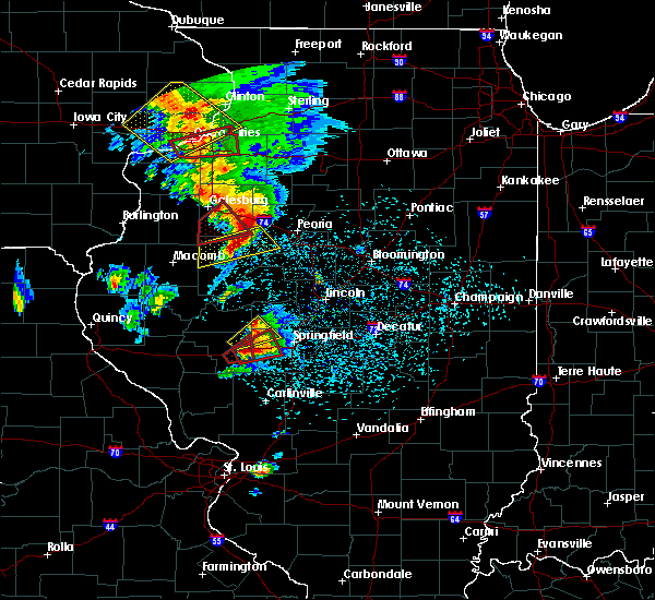 At 725 pm cdt, a severe thunderstorm capable of producing a tornado was located over alexander, or 12 miles east of jacksonville, moving northeast at 55 mph (radar indicated rotation. at 720 pm...trained spotters reported baseball size hail in alexander). Hazards include tornado and baseball size hail. Flying debris will be dangerous to those caught without shelter. mobile homes will be damaged or destroyed. damage to roofs, windows and vehicles will occur. tree damage is likely. this dangerous storm will be near, loami around 730 pm cdt. other locations impacted by this tornadic thunderstorm include curran, berlin and farmingdale. This includes interstate 72 between mile markers 73 and 91. At 725 pm cdt, a severe thunderstorm capable of producing a tornado was located over alexander, or 12 miles east of jacksonville, moving northeast at 55 mph (radar indicated rotation. at 720 pm...trained spotters reported baseball size hail in alexander). Hazards include tornado and baseball size hail. Flying debris will be dangerous to those caught without shelter. mobile homes will be damaged or destroyed. damage to roofs, windows and vehicles will occur. tree damage is likely. this dangerous storm will be near, loami around 730 pm cdt. other locations impacted by this tornadic thunderstorm include curran, berlin and farmingdale. This includes interstate 72 between mile markers 73 and 91.
|
| 9/10/2015 5:52 PM CDT |
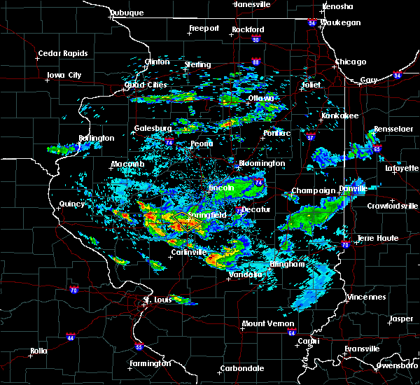 At 552 pm cdt, severe thunderstorms were located along a line extending from rochester to 4 miles northwest of chatham, moving southeast at 25 mph (radar indicated). Hazards include quarter size hail. Damage to vehicles is expected. locations impacted include, springfield, chatham, rochester, jerome and southern view. this includes the following highways, interstate 55 between mile markers 85 and 96. Interstate 72 between mile markers 93 and 102. At 552 pm cdt, severe thunderstorms were located along a line extending from rochester to 4 miles northwest of chatham, moving southeast at 25 mph (radar indicated). Hazards include quarter size hail. Damage to vehicles is expected. locations impacted include, springfield, chatham, rochester, jerome and southern view. this includes the following highways, interstate 55 between mile markers 85 and 96. Interstate 72 between mile markers 93 and 102.
|
| 9/10/2015 5:43 PM CDT |
 At 541 pm cdt, severe thunderstorms were located along a line extending from near capital airport to 7 miles northeast of new berlin, moving southeast at 45 mph (trained weather spotters. at 538 pm...golfball size hail was reported near pleasant plains). Hazards include golf ball size hail. People and animals outdoors will be injured. expect damage to roofs, siding, windows and vehicles. locations impacted include, springfield, chatham, rochester, jerome, southern view, leland grove, grandview, clear lake, capital airport and farmingdale. this includes the following highways, interstate 55 between mile markers 85 and 99. Interstate 72 between mile markers 92 and 105. At 541 pm cdt, severe thunderstorms were located along a line extending from near capital airport to 7 miles northeast of new berlin, moving southeast at 45 mph (trained weather spotters. at 538 pm...golfball size hail was reported near pleasant plains). Hazards include golf ball size hail. People and animals outdoors will be injured. expect damage to roofs, siding, windows and vehicles. locations impacted include, springfield, chatham, rochester, jerome, southern view, leland grove, grandview, clear lake, capital airport and farmingdale. this includes the following highways, interstate 55 between mile markers 85 and 99. Interstate 72 between mile markers 92 and 105.
|
| 9/10/2015 5:36 PM CDT |
 At 536 pm cdt, severe thunderstorms were located along a line extending from near sherman to 7 miles southeast of pleasant plains, moving southeast at 40 mph (radar indicated). Hazards include half dollar size hail. Damage to vehicles is expected. locations impacted include, springfield, chatham, rochester, jerome, southern view, leland grove, grandview, clear lake, capital airport and farmingdale. this includes the following highways, interstate 55 between mile markers 85 and 99. Interstate 72 between mile markers 92 and 105. At 536 pm cdt, severe thunderstorms were located along a line extending from near sherman to 7 miles southeast of pleasant plains, moving southeast at 40 mph (radar indicated). Hazards include half dollar size hail. Damage to vehicles is expected. locations impacted include, springfield, chatham, rochester, jerome, southern view, leland grove, grandview, clear lake, capital airport and farmingdale. this includes the following highways, interstate 55 between mile markers 85 and 99. Interstate 72 between mile markers 92 and 105.
|
| 9/10/2015 5:24 PM CDT |
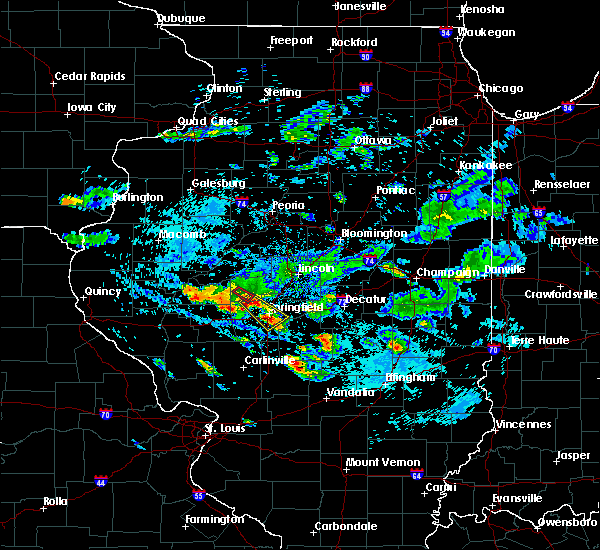 At 523 pm cdt, a severe thunderstorm was located near pleasant plains, or 12 miles northwest of springfield, moving southeast at 45 mph (law enforcement. at 523 pm...golfball size hail was reported 1 mile east of tallula, in menard county). Hazards include golf ball size hail. People and animals outdoors will be injured. expect damage to roofs, siding, windows and vehicles. this severe thunderstorm will be near, springfield around 540 pm cdt. chatham and rochester around 545 pm cdt. other locations impacted by this severe thunderstorm include southern view, leland grove, clear lake, jerome, salisbury, grandview, capital airport and farmingdale. this includes the following highways, interstate 55 between mile markers 85 and 100. Interstate 72 between mile markers 92 and 106. At 523 pm cdt, a severe thunderstorm was located near pleasant plains, or 12 miles northwest of springfield, moving southeast at 45 mph (law enforcement. at 523 pm...golfball size hail was reported 1 mile east of tallula, in menard county). Hazards include golf ball size hail. People and animals outdoors will be injured. expect damage to roofs, siding, windows and vehicles. this severe thunderstorm will be near, springfield around 540 pm cdt. chatham and rochester around 545 pm cdt. other locations impacted by this severe thunderstorm include southern view, leland grove, clear lake, jerome, salisbury, grandview, capital airport and farmingdale. this includes the following highways, interstate 55 between mile markers 85 and 100. Interstate 72 between mile markers 92 and 106.
|
| 6/28/2015 7:09 PM CDT | Quarter sized hail reported 3.9 miles SSE of Springfield, IL, relayed by local tv station |
| 6/28/2015 6:58 PM CDT |
 At 657 pm cdt, a severe thunderstorm was located near rochester, or 8 miles southeast of springfield, moving southeast at 30 mph (radar indicated). Hazards include half dollar size hail. Damage to vehicles is expected. locations impacted include, springfield, taylorville, chatham, rochester, pawnee, kincaid, edinburg, morrisonville, stonington, bulpitt, jeisyville, jerome, southern view, tovey, berry, palmer, sharpsburg, taylorville airport and sangchris lake state park. this includes the following highways, interstate 55 between mile markers 84 and 93. Interstate 72 between mile markers 95 and 99. At 657 pm cdt, a severe thunderstorm was located near rochester, or 8 miles southeast of springfield, moving southeast at 30 mph (radar indicated). Hazards include half dollar size hail. Damage to vehicles is expected. locations impacted include, springfield, taylorville, chatham, rochester, pawnee, kincaid, edinburg, morrisonville, stonington, bulpitt, jeisyville, jerome, southern view, tovey, berry, palmer, sharpsburg, taylorville airport and sangchris lake state park. this includes the following highways, interstate 55 between mile markers 84 and 93. Interstate 72 between mile markers 95 and 99.
|
| 6/28/2015 6:48 PM CDT |
 At 647 pm cdt, a severe thunderstorm was located over rochester, or 5 miles southeast of springfield, moving southeast at 40 mph (radar indicated). Hazards include half dollar size hail. damage to vehicles is expected At 647 pm cdt, a severe thunderstorm was located over rochester, or 5 miles southeast of springfield, moving southeast at 40 mph (radar indicated). Hazards include half dollar size hail. damage to vehicles is expected
|
| 6/28/2015 6:40 PM CDT | Quarter sized hail reported 3.9 miles SSE of Springfield, IL, relayed by local tv station |
| 6/28/2015 6:40 PM CDT | Quarter sized hail reported 1 miles SE of Springfield, IL, quarter sized hail near walnut and south grand ave |
| 6/28/2015 6:33 PM CDT |
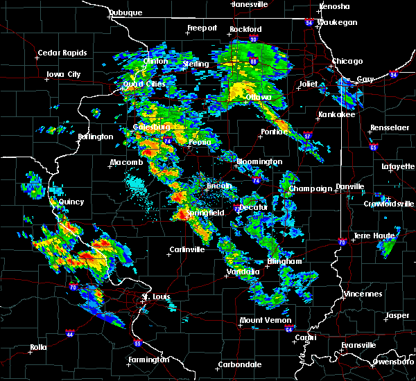 At 632 pm cdt, a severe thunderstorm was located near springfield, moving east at 20 mph (radar indicated). Hazards include quarter size hail. damage to vehicles is expected At 632 pm cdt, a severe thunderstorm was located near springfield, moving east at 20 mph (radar indicated). Hazards include quarter size hail. damage to vehicles is expected
|
| 6/20/2015 10:23 PM CDT |
 The severe thunderstorm warning for sangamon, southeastern morgan and southern scott counties will expire at 1030 pm cdt, the storms which prompted the warning have moved out of the area. therefore the warning will be allowed to expire. a tornado watch remains in effect until 1100 pm cdt for west central illinois. to report severe weather, contact your nearest law enforcement agency. they will relay your report to the national weather service lincoln. remember, a severe thunderstorm warning still remains in effect for far eastern sangamon county until 1115 pm. The severe thunderstorm warning for sangamon, southeastern morgan and southern scott counties will expire at 1030 pm cdt, the storms which prompted the warning have moved out of the area. therefore the warning will be allowed to expire. a tornado watch remains in effect until 1100 pm cdt for west central illinois. to report severe weather, contact your nearest law enforcement agency. they will relay your report to the national weather service lincoln. remember, a severe thunderstorm warning still remains in effect for far eastern sangamon county until 1115 pm.
|
| 6/20/2015 10:03 PM CDT |
 At 1002 pm cdt, severe thunderstorms were located along a line extending from riverton to near auburn to near alsey, moving southeast at 45 mph (trained weather spotters). Hazards include 60 mph wind gusts. Expect damage to roofs. siding and trees. locations impacted include, springfield, winchester, chatham, auburn, sherman, rochester, riverton, pawnee, williamsville, new berlin, waverly, divernon, loami, franklin, mechanicsburg, murrayville, woodson, manchester, alsey and jerome. this includes the following highways, interstate 55 between mile markers 78 and 110. interstate 72 between mile markers 86 and 119. A tornado watch remains in effect until 1100 pm cdt for west central illinois. At 1002 pm cdt, severe thunderstorms were located along a line extending from riverton to near auburn to near alsey, moving southeast at 45 mph (trained weather spotters). Hazards include 60 mph wind gusts. Expect damage to roofs. siding and trees. locations impacted include, springfield, winchester, chatham, auburn, sherman, rochester, riverton, pawnee, williamsville, new berlin, waverly, divernon, loami, franklin, mechanicsburg, murrayville, woodson, manchester, alsey and jerome. this includes the following highways, interstate 55 between mile markers 78 and 110. interstate 72 between mile markers 86 and 119. A tornado watch remains in effect until 1100 pm cdt for west central illinois.
|
| 6/20/2015 9:34 PM CDT |
 At 933 pm cdt, severe thunderstorms were located along a line extending from near greenview to 4 miles south of ashland to near bluffs, moving southeast at 45 mph (trained weather spotters). Hazards include 60 mph wind gusts. Expect damage to roofs. Siding and trees. At 933 pm cdt, severe thunderstorms were located along a line extending from near greenview to 4 miles south of ashland to near bluffs, moving southeast at 45 mph (trained weather spotters). Hazards include 60 mph wind gusts. Expect damage to roofs. Siding and trees.
|
| 6/7/2015 9:15 PM CDT | At 915 pm cdt, severe thunderstorms were located along a line extending from 6 miles southwest of dalton city to 6 miles southwest of auburn, moving southeast at 35 mph (radar indicated). Hazards include 60 mph wind gusts and quarter size hail. Hail damage to vehicles is expected. Expect wind damage to roofs, siding and trees. |
| 5/10/2015 7:02 PM CDT | At 702 pm cdt, a severe thunderstorm was located near mechanicsburg, or 9 miles east of springfield, moving northeast at 50 mph (radar indicated). Hazards include 60 mph wind gusts and penny size hail. Expect damage to roofs. siding and trees. locations impacted include, springfield, rochester, riverton, edinburg, bulpitt, southern view, leland grove, grandview, tovey, berry, clear lake, sharpsburg, roby, sicily and sangchris lake state park. this includes the following highways, interstate 55 between mile markers 92 and 98. interstate 72 between mile markers 98 and 111. 0. 75in. |
| 5/10/2015 6:45 PM CDT | Tree uprooted in sangamon county IL, 1.4 miles S of Springfield, IL |
| 5/10/2015 6:44 PM CDT | At 644 pm cdt, a severe thunderstorm was located over rochester, or near springfield, moving northeast at 50 mph (radar indicated). Hazards include 60 mph wind gusts and penny size hail. Expect damage to roofs. siding and trees. locations impacted include, springfield, chatham, auburn, rochester, riverton, pawnee, kincaid, divernon, edinburg, bulpitt, jerome, southern view, leland grove, grandview, tovey, berry, clear lake, curran, sharpsburg and roby. this includes the following highways, interstate 55 between mile markers 78 and 99. interstate 72 between mile markers 90 and 111. 0. 75in. |
| 5/10/2015 6:31 PM CDT | At 630 pm cdt, a severe thunderstorm was located over divernon, or 7 miles northeast of virden, moving northeast at 55 mph (radar indicated). Hazards include 60 mph wind gusts and penny size hail. Expect damage to roofs. Siding and trees. |
| 4/9/2015 7:43 PM CDT | The tornado warning for northwestern christian and central sangamon counties will expire at 745 pm cdt. the storm which prompted the warning has weakened and moved out of the warned area. additional strong thunderstorms are still possible. And a tornado watch remains in effect until 11 pm. |
| 4/9/2015 7:24 PM CDT | The national weather service in lincoln has issued a * tornado warning for. west central christian county in central illinois. central sangamon county in central illinois. until 745 pm cdt * at 721 pm cdt. A severe thunderstorm capable of producing a. |
| 4/9/2015 7:08 PM CDT | A severe thunderstorm warning remains in effect for western sangamon county until 730 pm cdt. at 706 pm cdt. a severe thunderstorm was located near chatham. and moving northeast at 55 mph. hazard. ping pong ball size hail and 60 mph wind gusts. source. Trained weather spotters. |
| 4/9/2015 6:42 PM CDT | The national weather service in lincoln has issued a * severe thunderstorm warning for. southeastern morgan county in west central illinois. western sangamon county in central illinois. until 730 pm cdt * at 640 pm cdt. A severe thunderstorm was located 5 miles northeast. |
| 11/17/2013 11:41 AM CST | Storm damage reported in sangamon county IL, 5.5 miles S of Springfield, IL |
| 6/21/2013 5:10 PM CDT | Quarter sized hail reported 1.4 miles S of Springfield, IL, report of hail from east side of the city. |
| 5/27/2013 2:55 PM CDT | Estimated 50 to 60 mph downtow in sangamon county IL, 1.4 miles S of Springfield, IL |
| 5/27/2013 2:55 PM CDT | Numerous large trees down along west lake dr. and near hanson robinson zoo. swop repor in sangamon county IL, 2.5 miles WNW of Springfield, IL |
| 5/27/2013 2:55 PM CDT | On the university of illinois at springfield campus off toronto road...tree limbs down across campus with many roads blocked. damage to greenhouse. from swop observe in sangamon county IL, 1.9 miles NW of Springfield, IL |
| 5/27/2013 2:55 PM CDT | Tree blown down near brenden gardens retirment home. public repor in sangamon county IL, 1.9 miles NW of Springfield, IL |
| 5/27/2013 2:53 PM CDT | Report of shingle damage to multiple home in sangamon county IL, 2.2 miles SSW of Springfield, IL |
| 5/27/2013 2:48 PM CDT | Shed destroyed near the intersection of ash and macarthur. relayed via wand facebook page in sangamon county IL, 1 miles SW of Springfield, IL |
| 5/27/2013 2:47 PM CDT | Tree down near krell driv in sangamon county IL, 2.5 miles NNE of Springfield, IL |
| 5/27/2013 2:45 PM CDT | Large tree limbs blown dow in sangamon county IL, 6.3 miles N of Springfield, IL |
| 4/16/2013 12:10 AM CDT | Delayed report. fruit tree snapped in half. large fence knocked down. shingles ripped from roo in sangamon county IL, 4 miles W of Springfield, IL |
| 4/16/2013 12:05 AM CDT | Delayed report. roof blown off a building on cook street. from wics-tv in sangamon county IL, 1.4 miles S of Springfield, IL |
| 3/15/2012 8:15 PM CDT | Quarter sized hail reported 8.9 miles S of Springfield, IL |
| 1/1/0001 12:00 AM | Half Dollar sized hail reported 1.4 miles S of Springfield, IL, 3 miles east southeast of springfield capital airport. |
| 1/1/0001 12:00 AM | Ping Pong Ball sized hail reported 1.4 miles S of Springfield, IL, occurred on north side of springfield. |
| 1/1/0001 12:00 AM | Golf Ball sized hail reported 1.4 miles S of Springfield, IL, northwest side of springfield |
| 1/1/0001 12:00 AM | Quarter sized hail reported 1.4 miles S of Springfield, IL, occurred at 1424 s. 2nd st. |
| 1/1/0001 12:00 AM | Quarter sized hail reported 1.4 miles S of Springfield, IL, report of 1 inch hail southwest side of springfield near the mall |
| 1/1/0001 12:00 AM | Large tree limbs down in sangamon county IL, 1.3 miles E of Springfield, IL |
| 1/1/0001 12:00 AM | Delayed report. 8 power poles snapped in half and power lines down on south 2nd street at southwind park on the south side of springfield. time estimate in sangamon county IL, 1.5 miles N of Springfield, IL |
| 1/1/0001 12:00 AM | Golf Ball sized hail reported 1.4 miles S of Springfield, IL, at abraham lincoln springfield capital airport |
| 1/1/0001 12:00 AM | Golf Ball sized hail reported 1.4 miles S of Springfield, IL, east side of lake springfield |
| 1/1/0001 12:00 AM | Golf Ball sized hail reported 1.4 miles S of Springfield, IL |
| 1/1/0001 12:00 AM | Golf Ball sized hail reported 2.8 miles N of Springfield, IL, i-55 and toronto road |
| 1/1/0001 12:00 AM | Golf Ball sized hail reported 1.4 miles S of Springfield, IL, golf ball sized hail in west side of springfield. |
Hail Maps for Springfield, IL

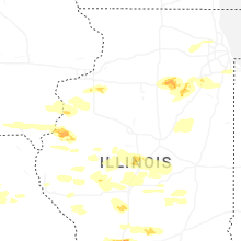

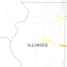
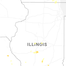
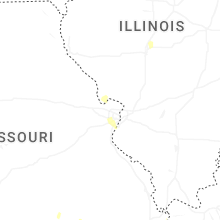
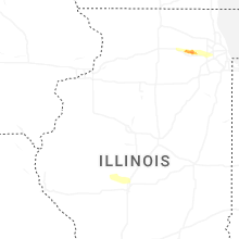
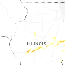


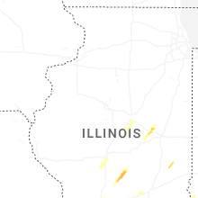
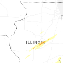


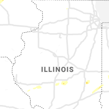


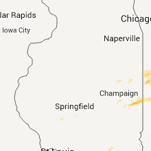


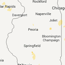


Connect with Interactive Hail Maps