

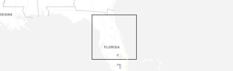
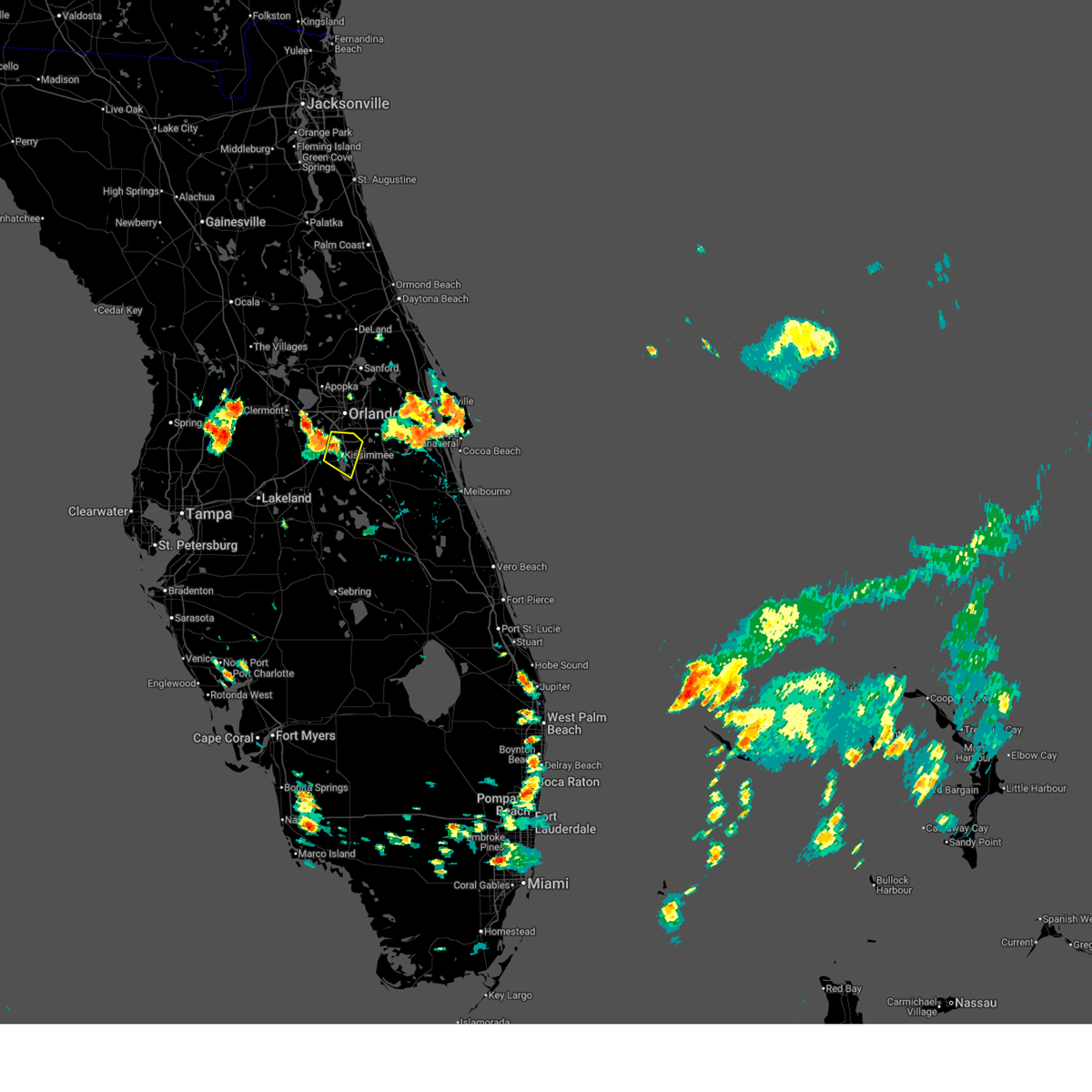
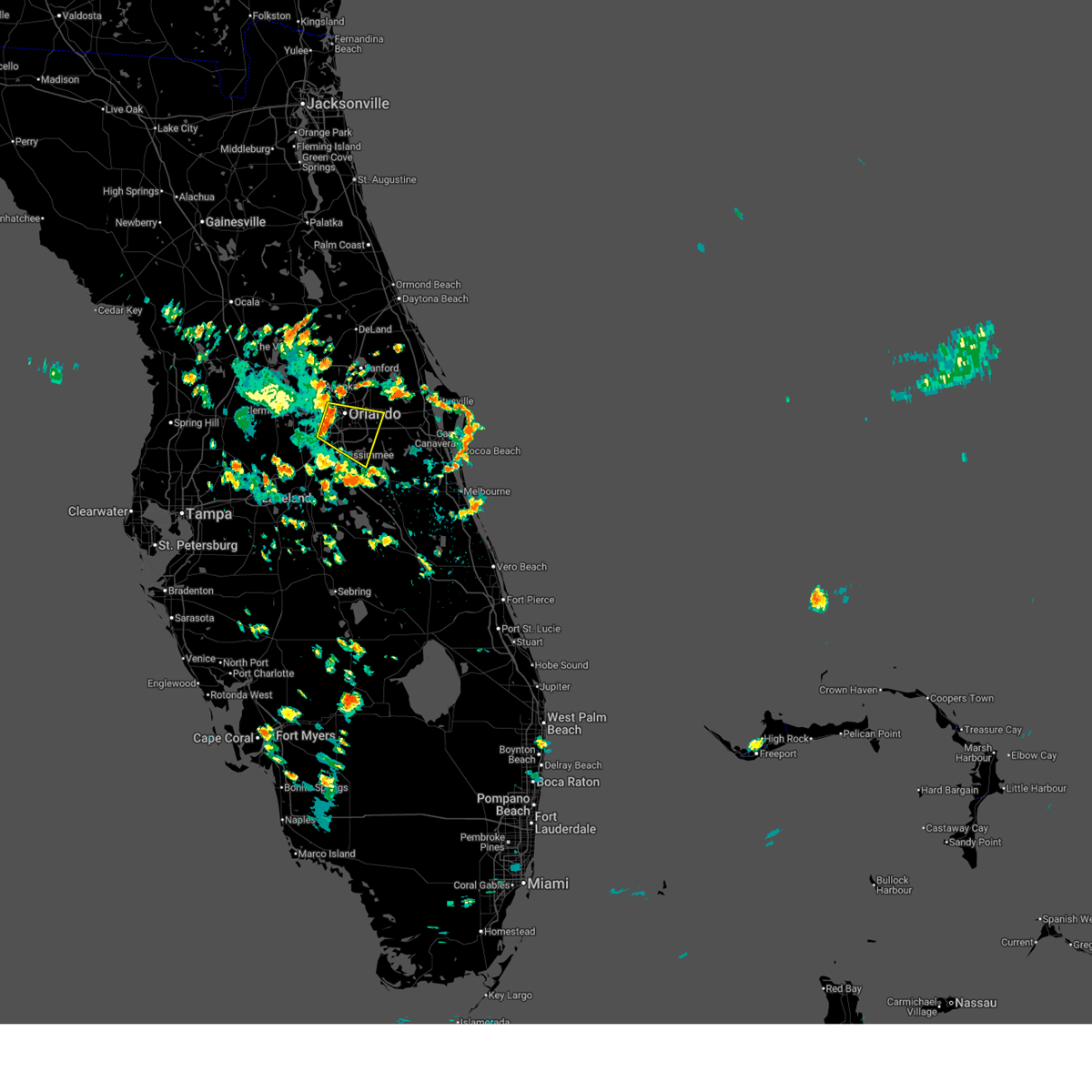
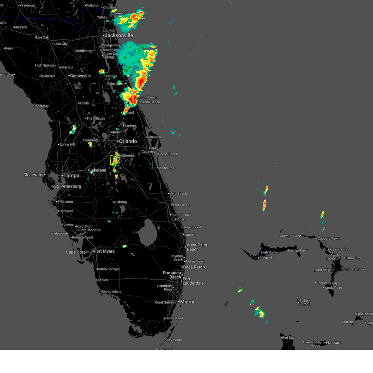
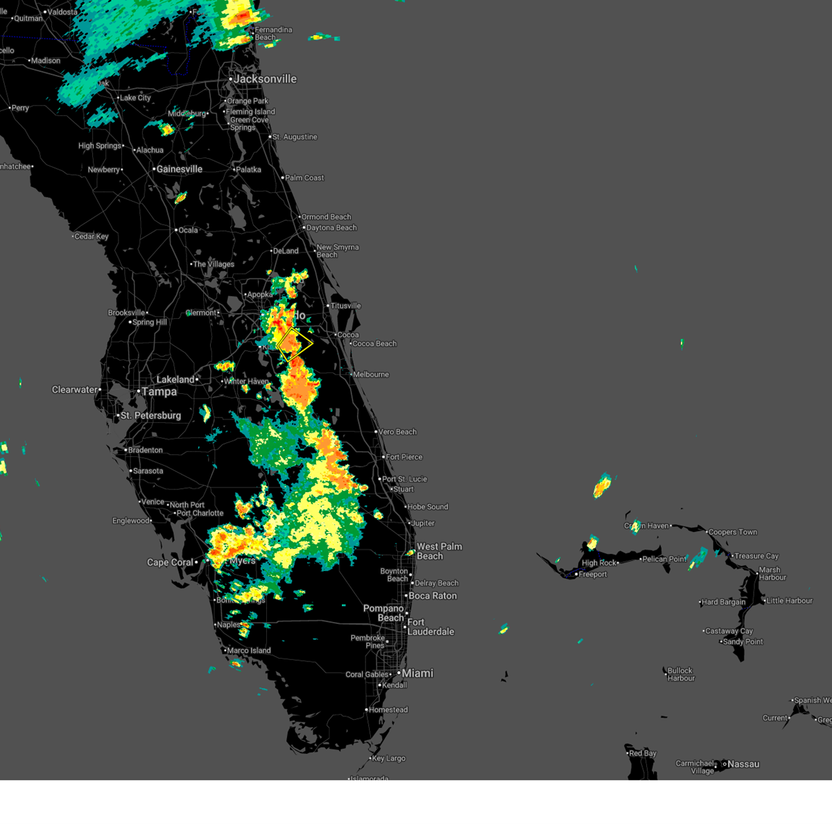
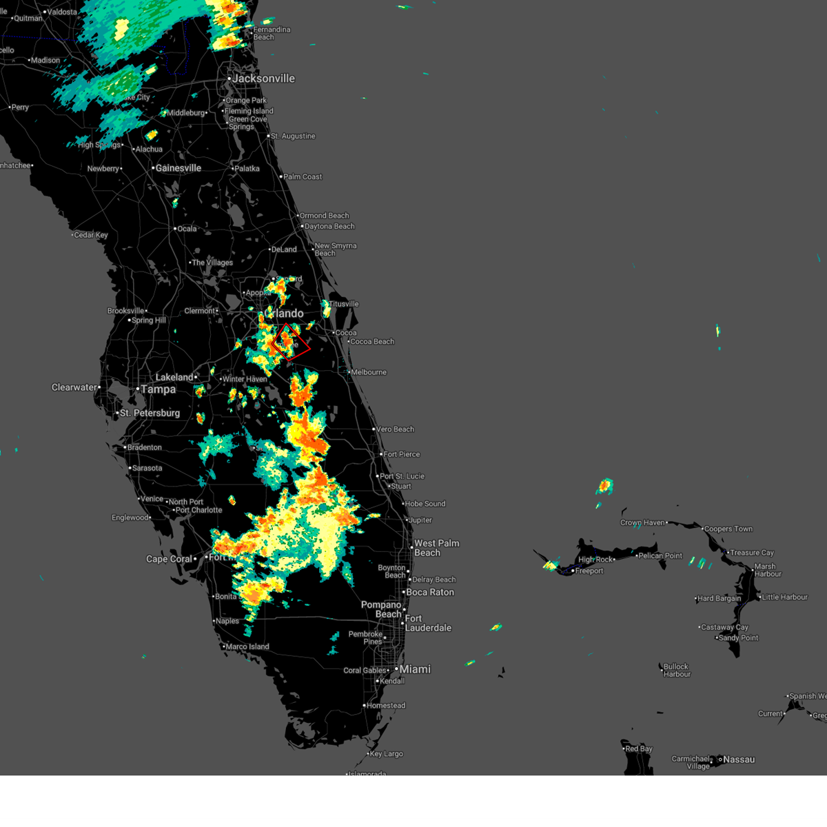
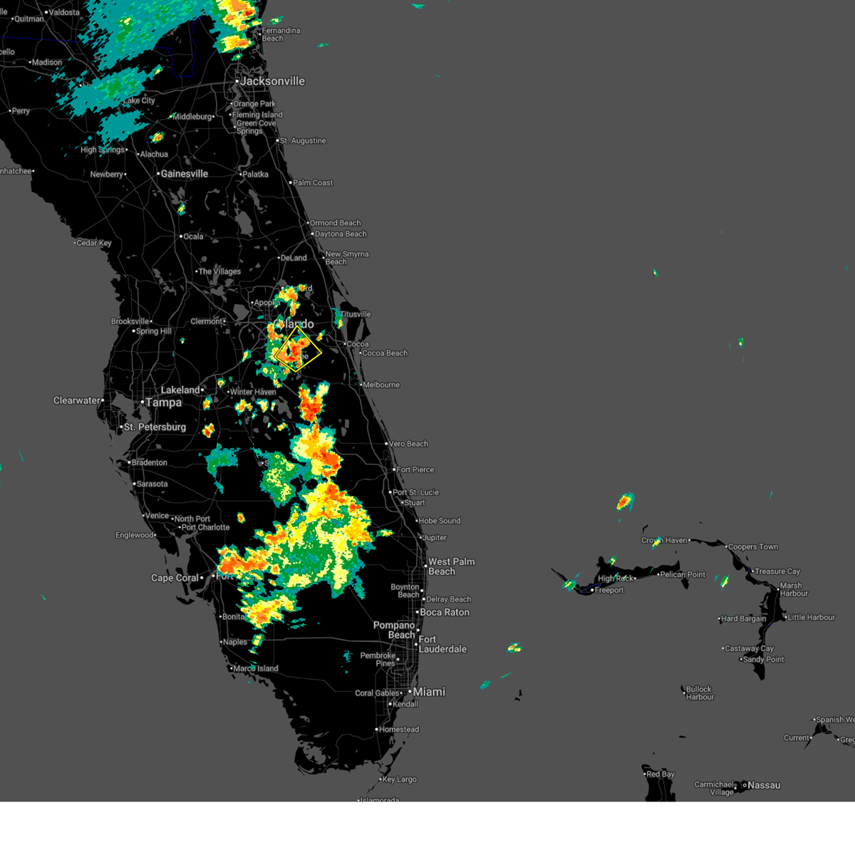
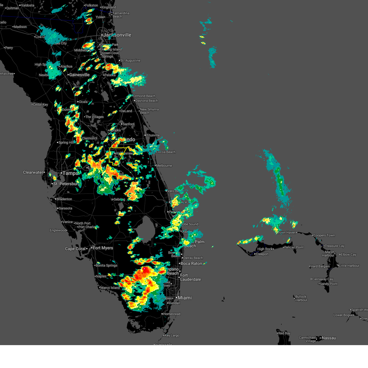
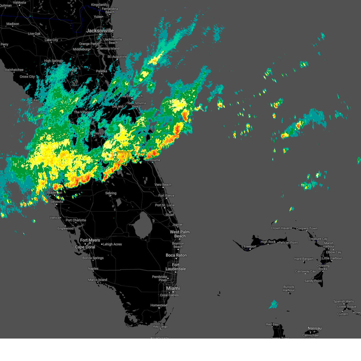
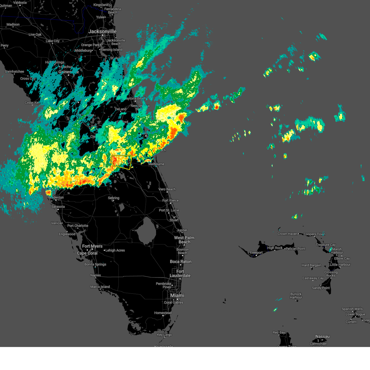
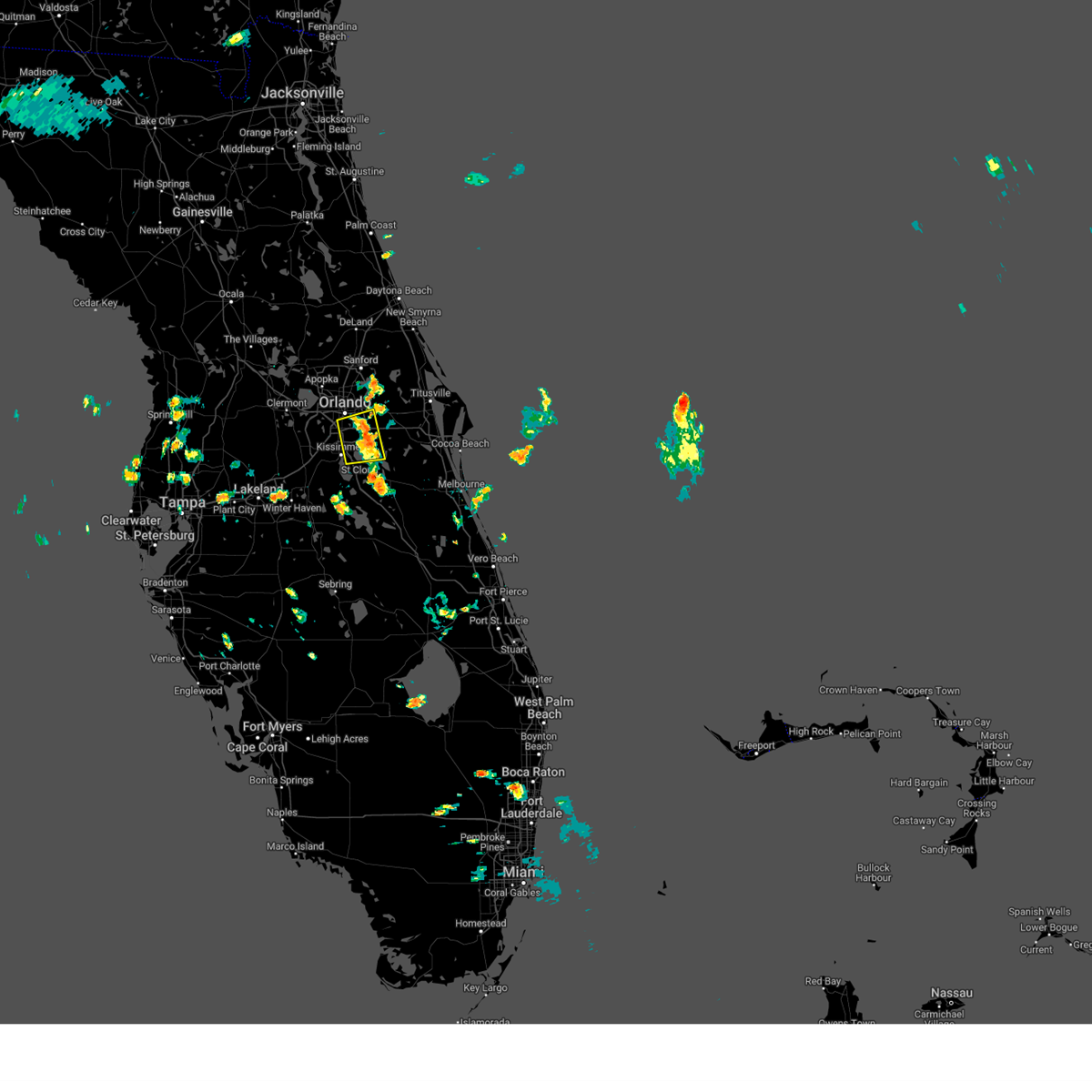
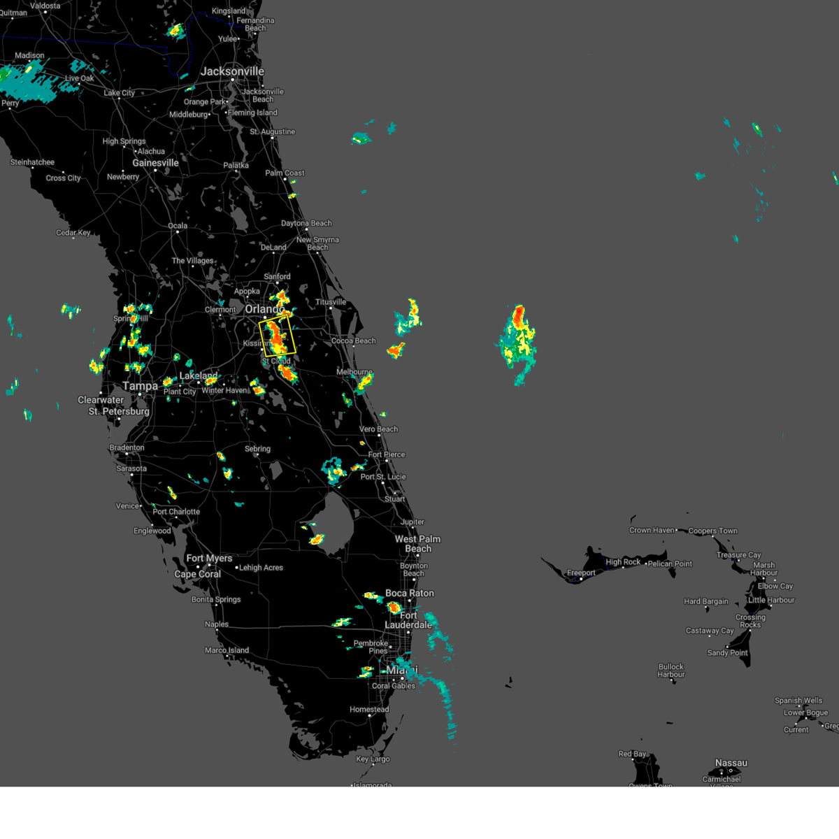
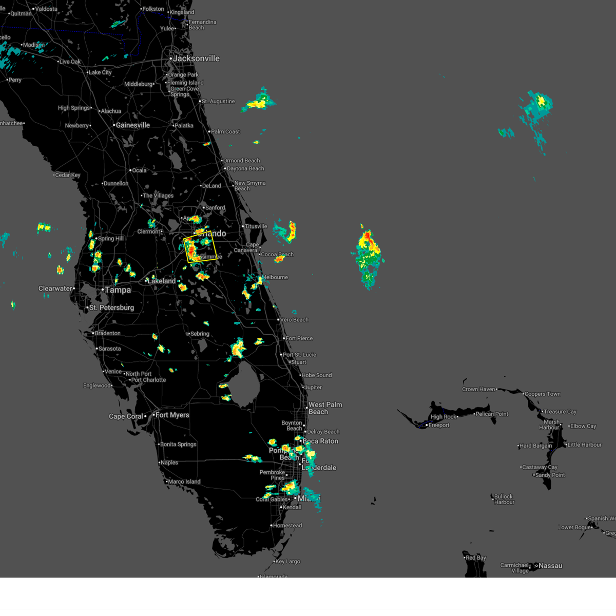
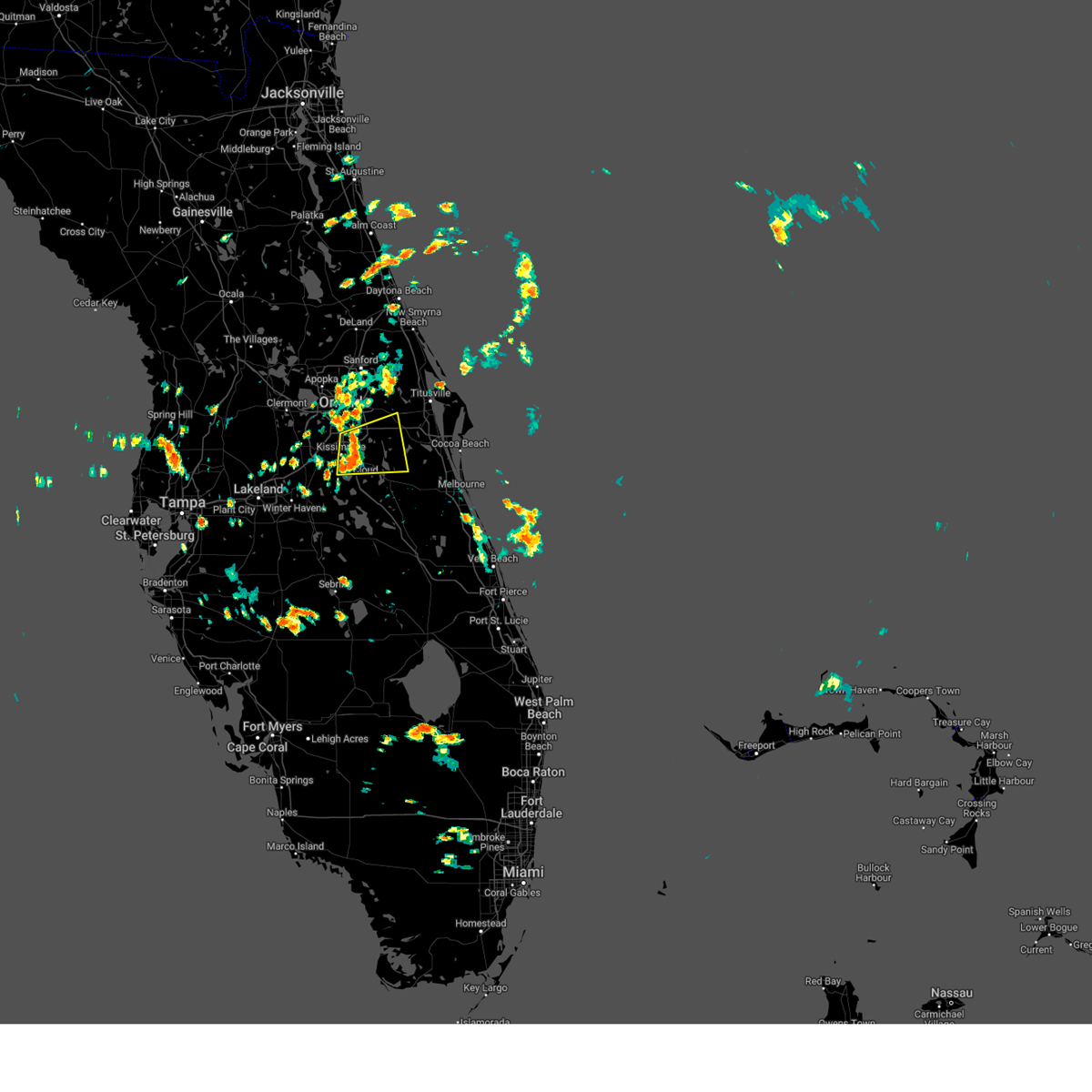
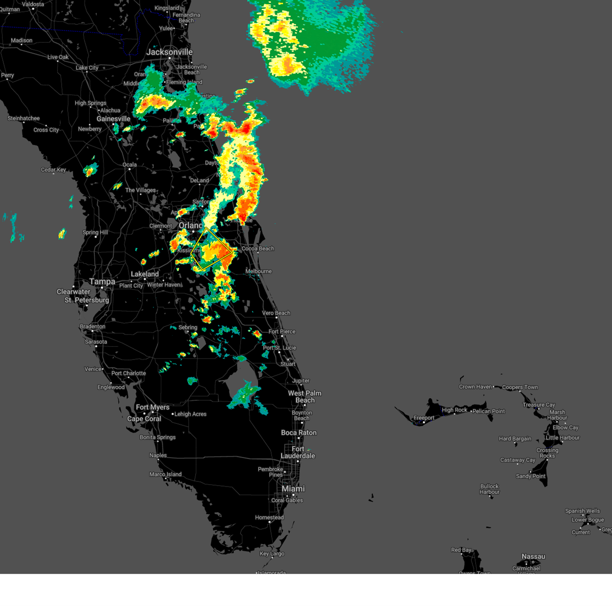
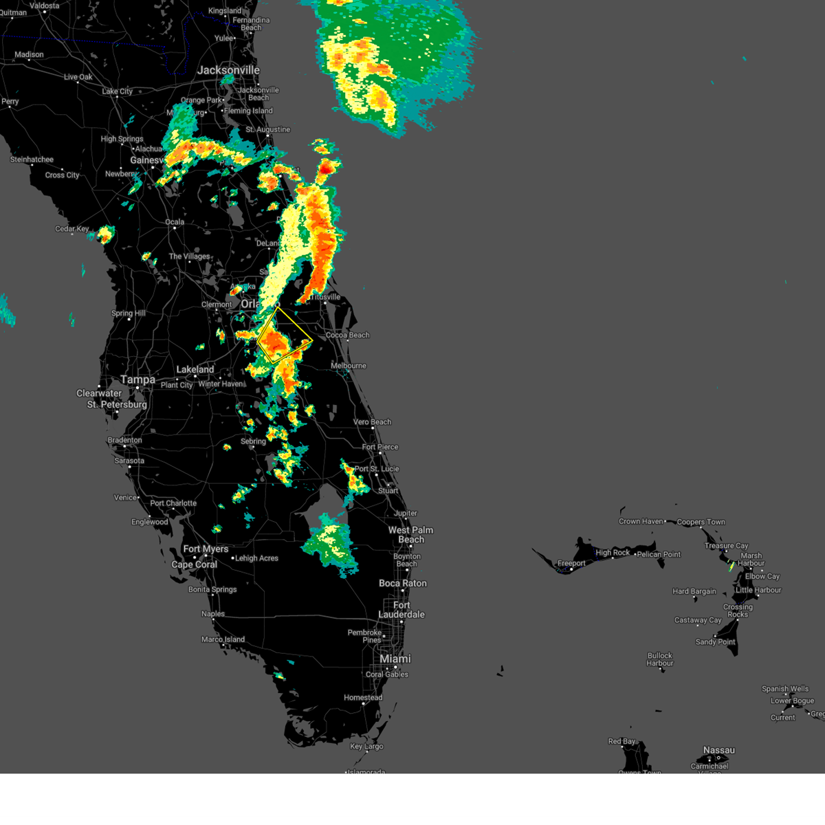
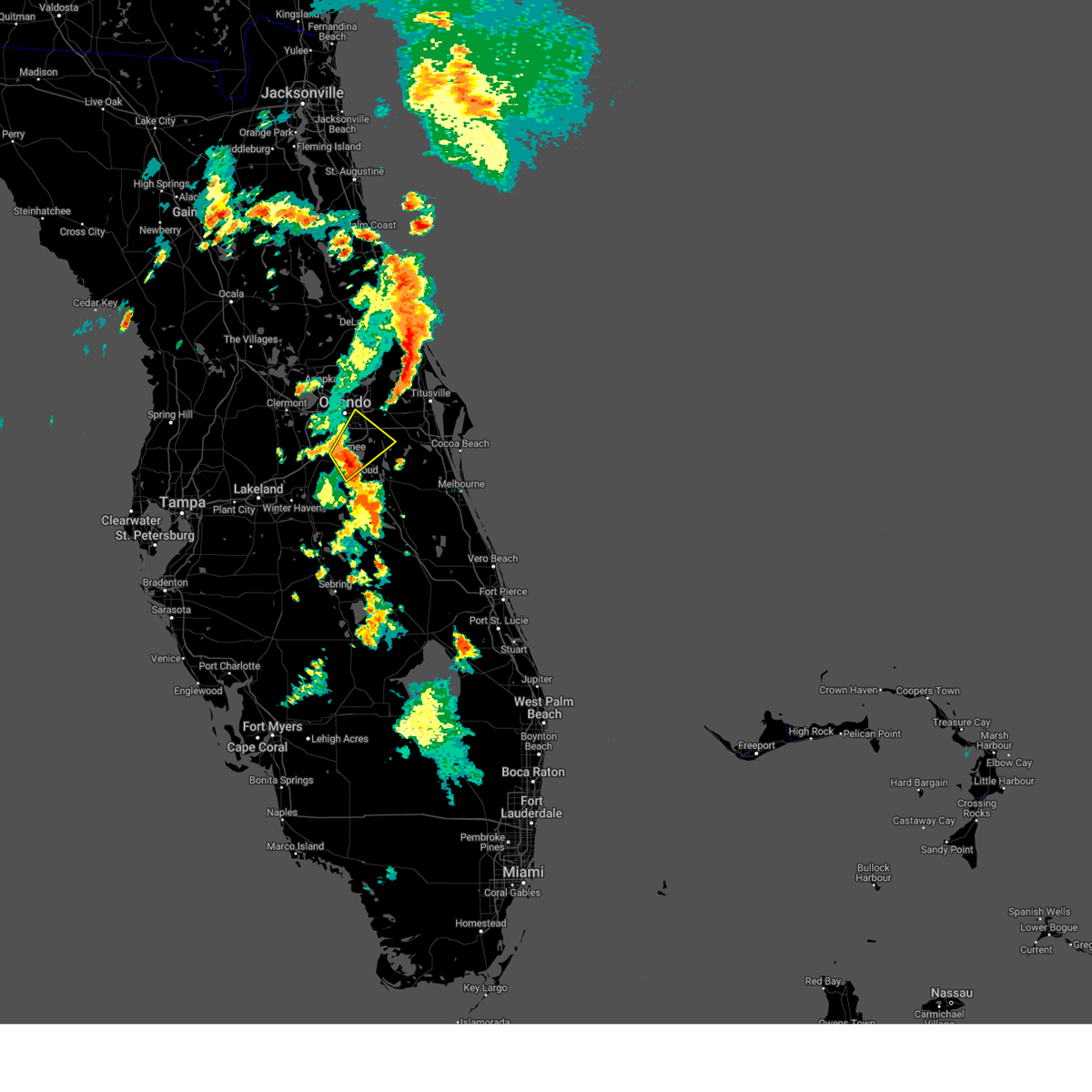
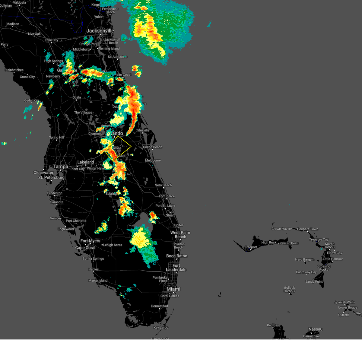
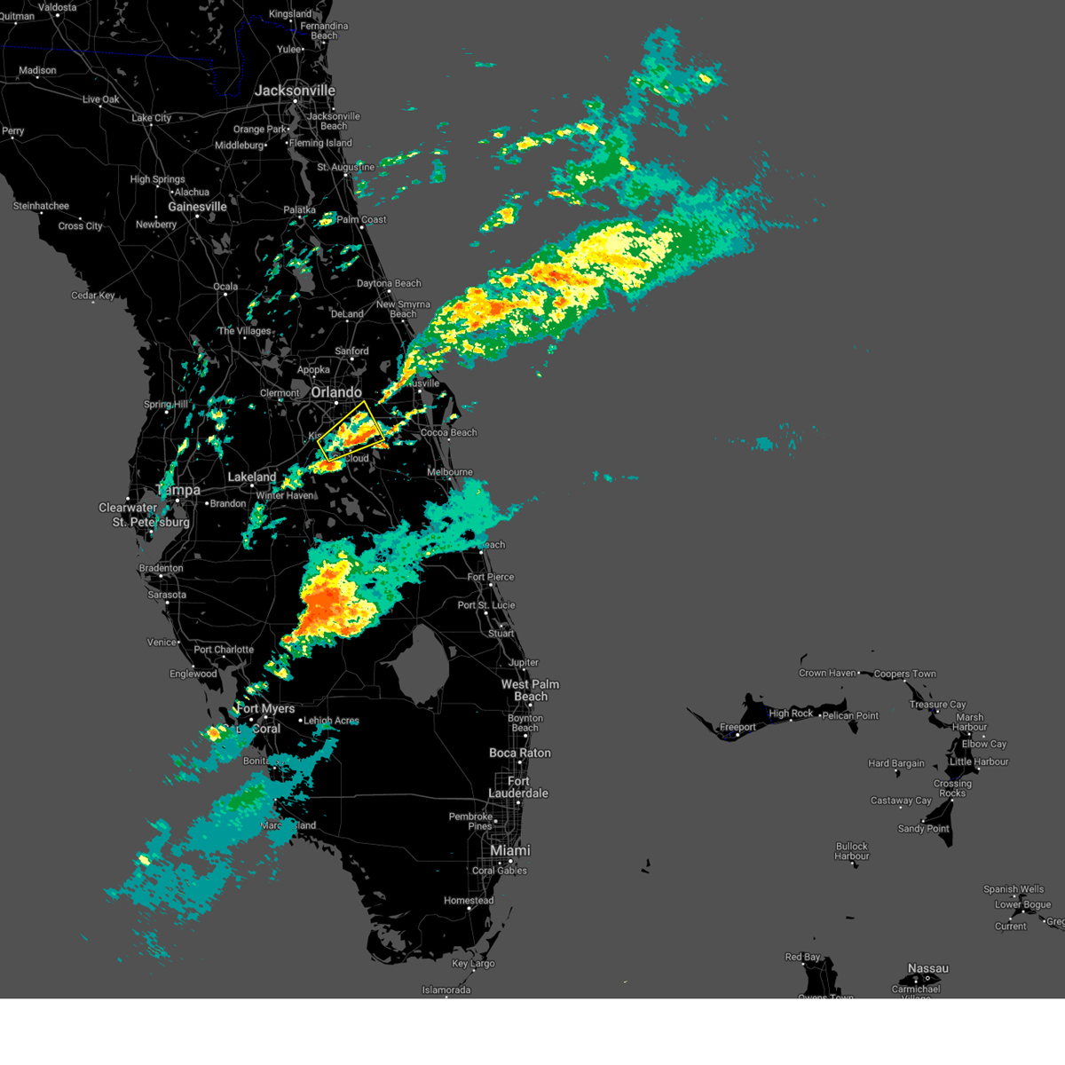
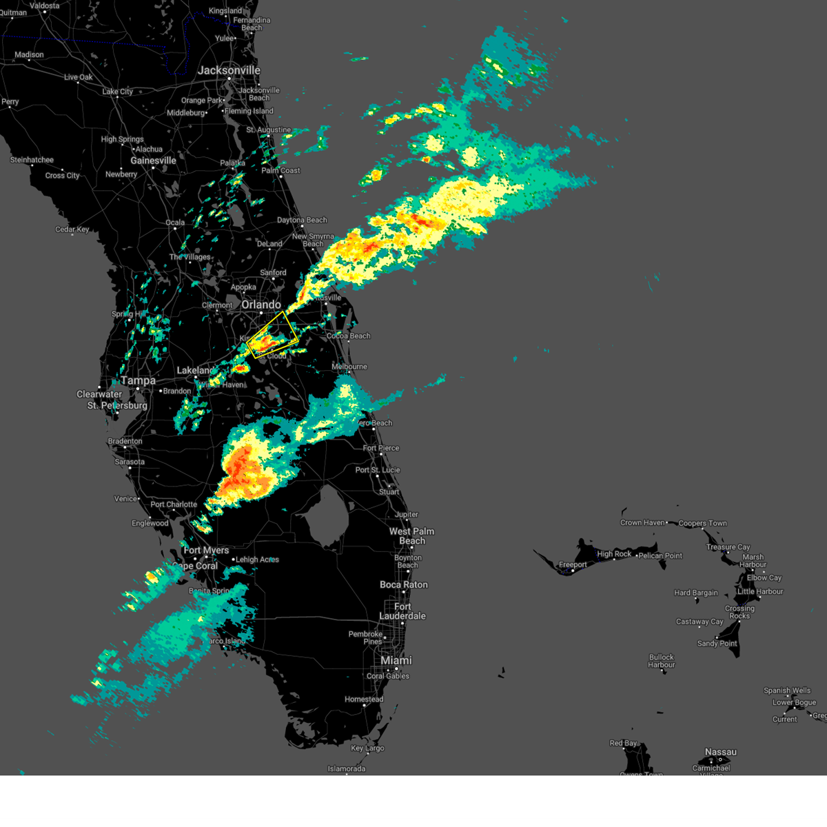
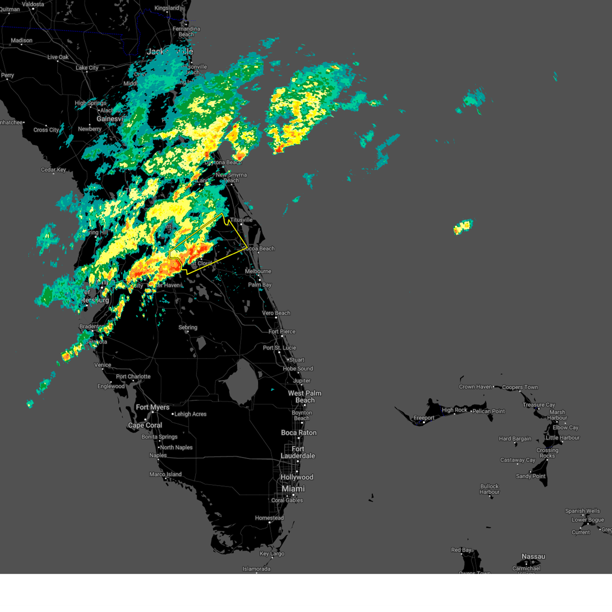
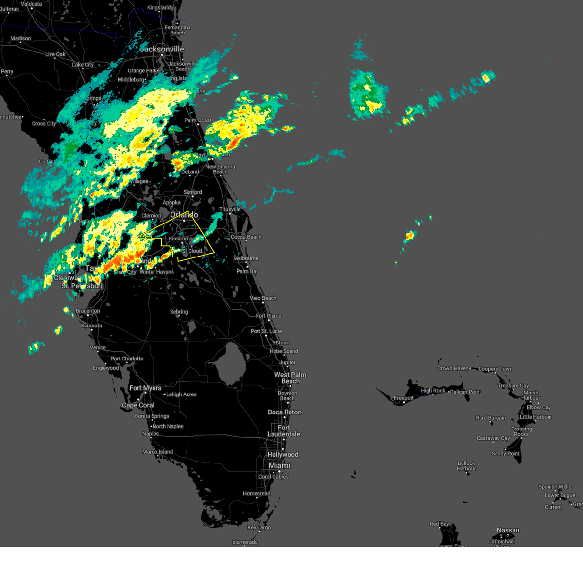
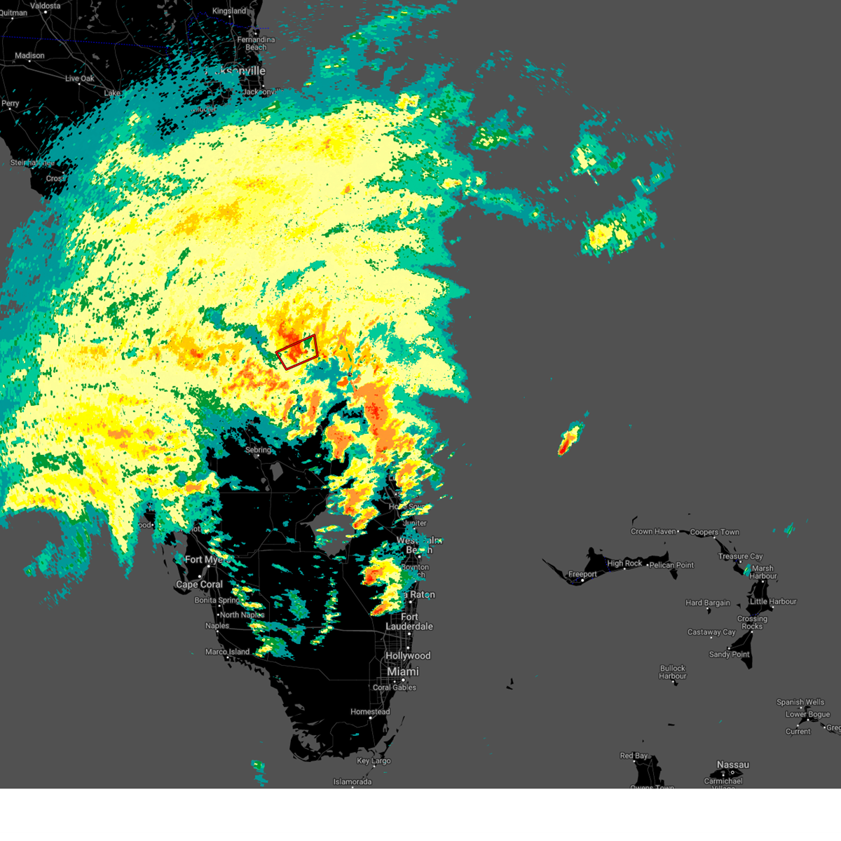
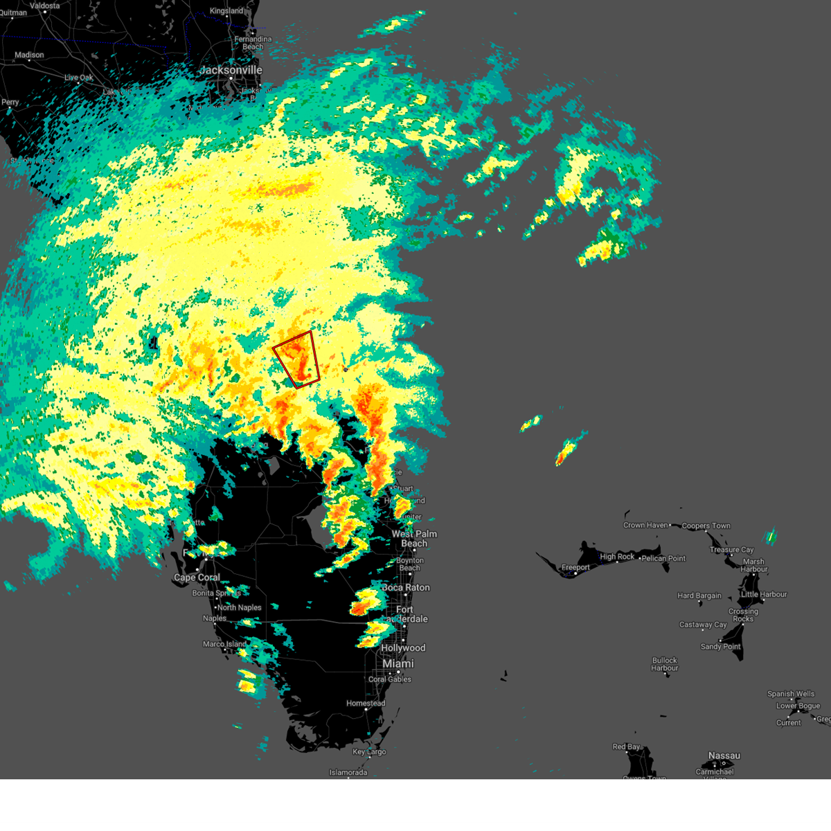
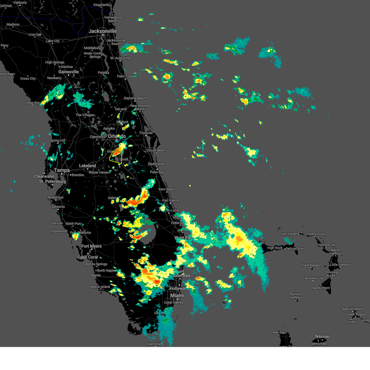
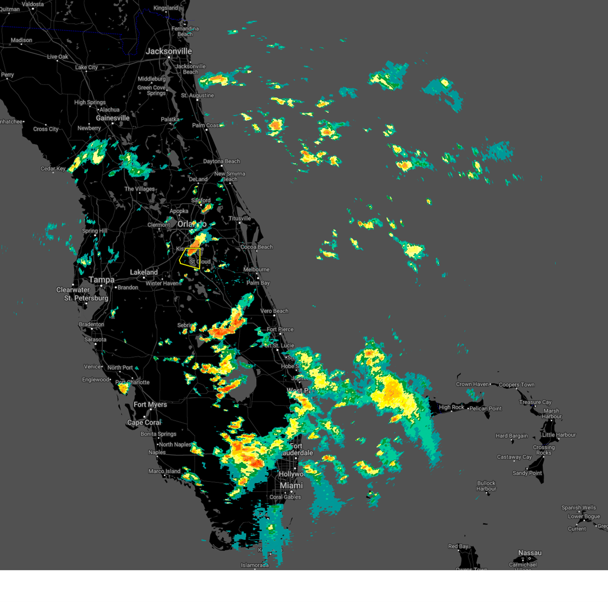
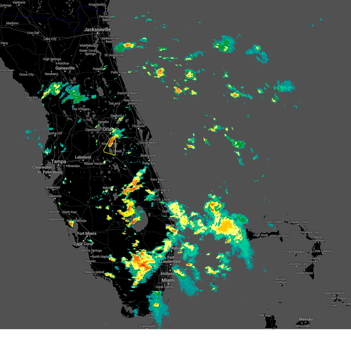
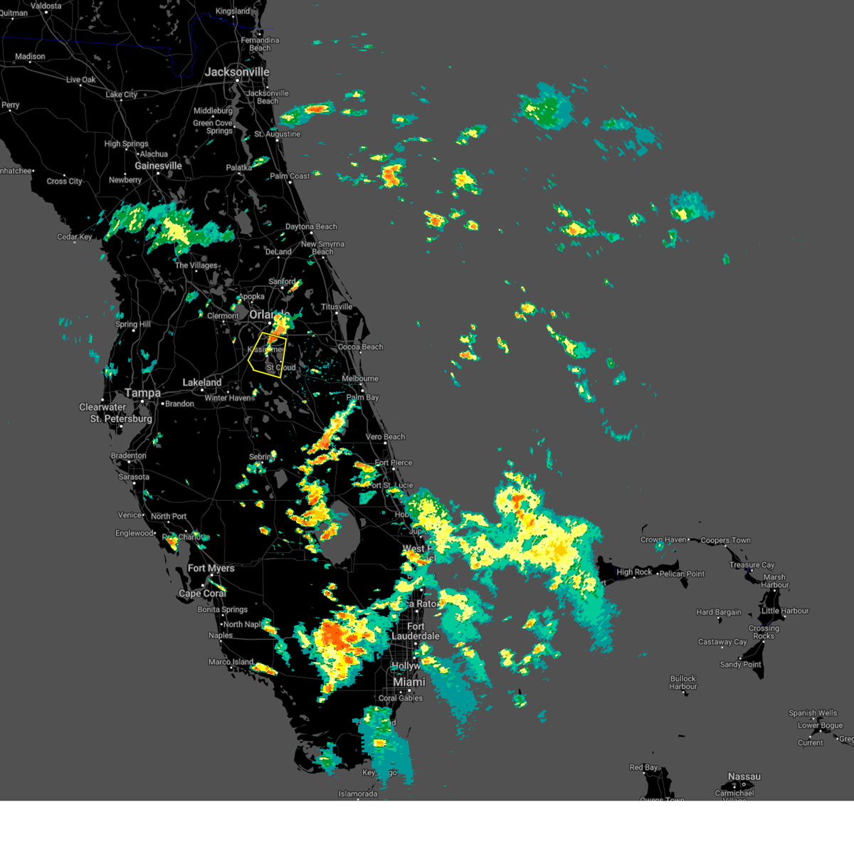
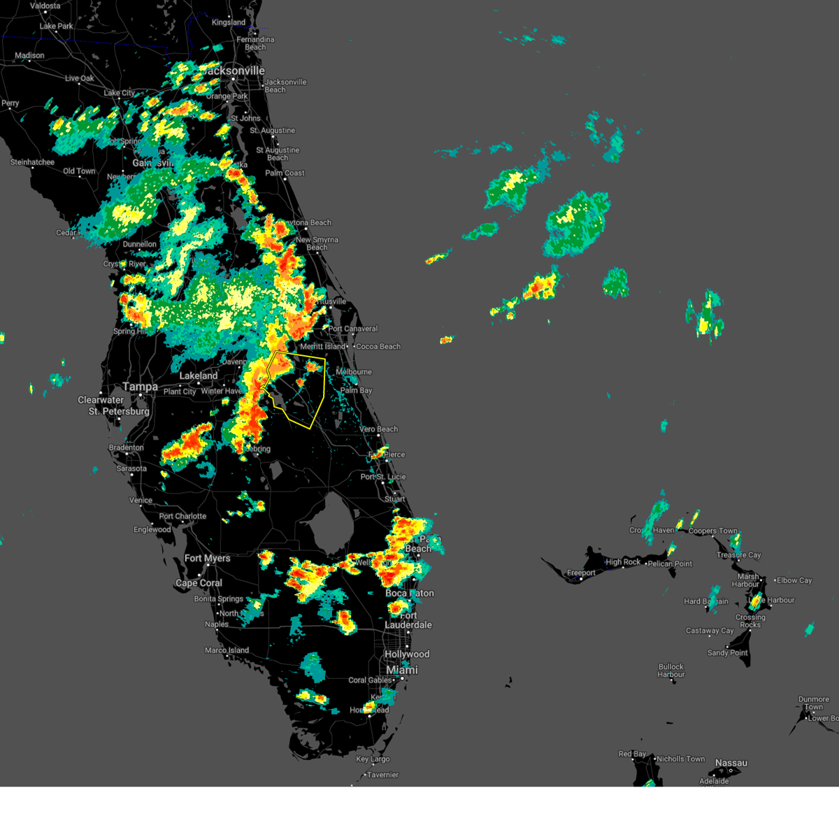
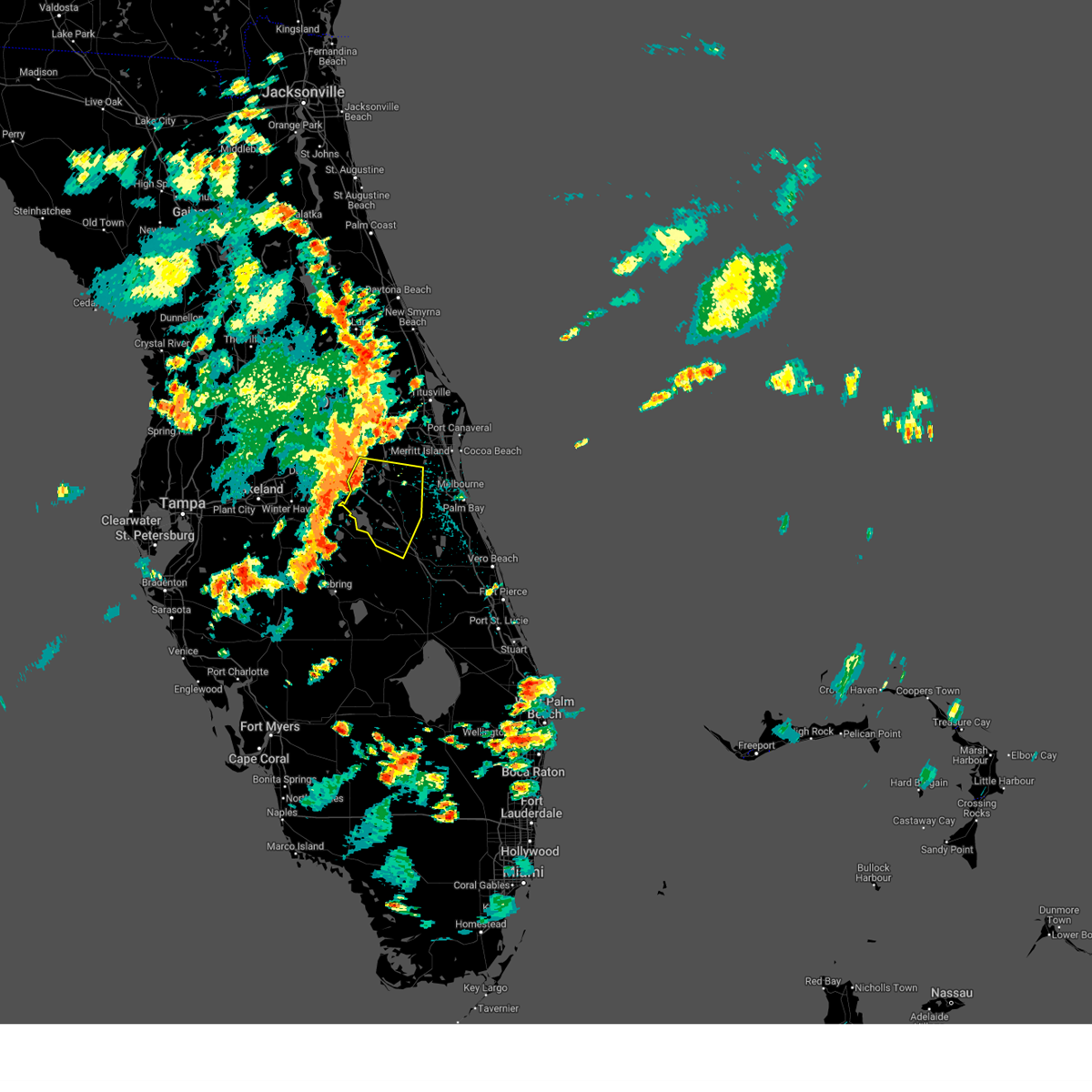
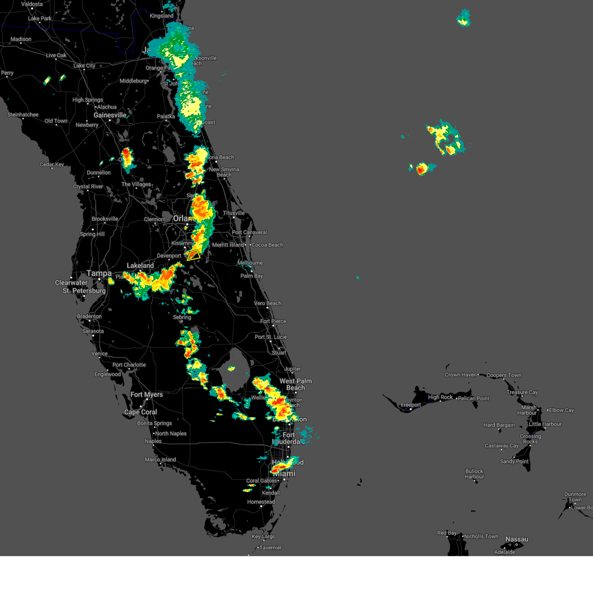
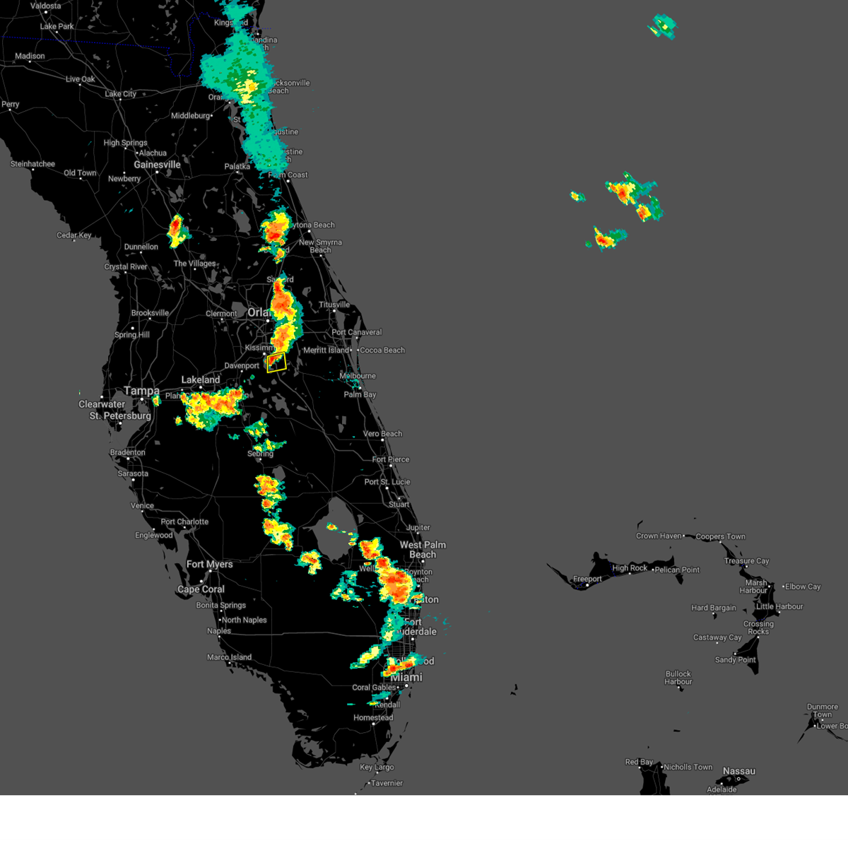
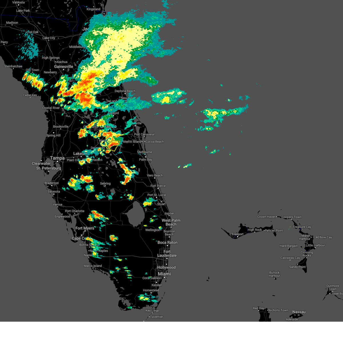
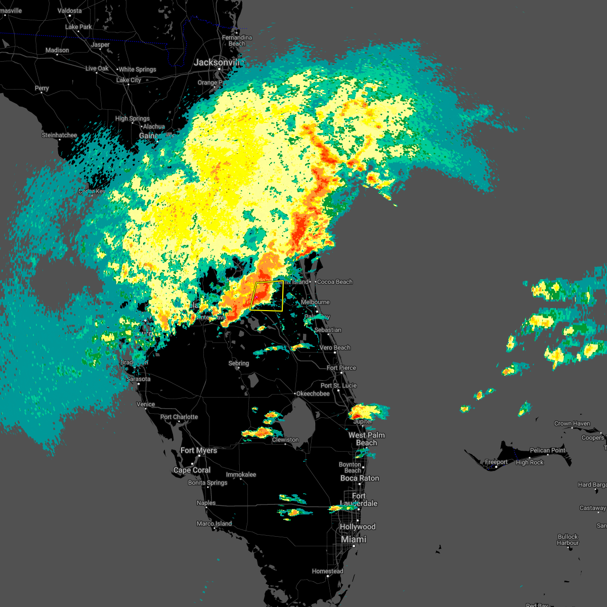
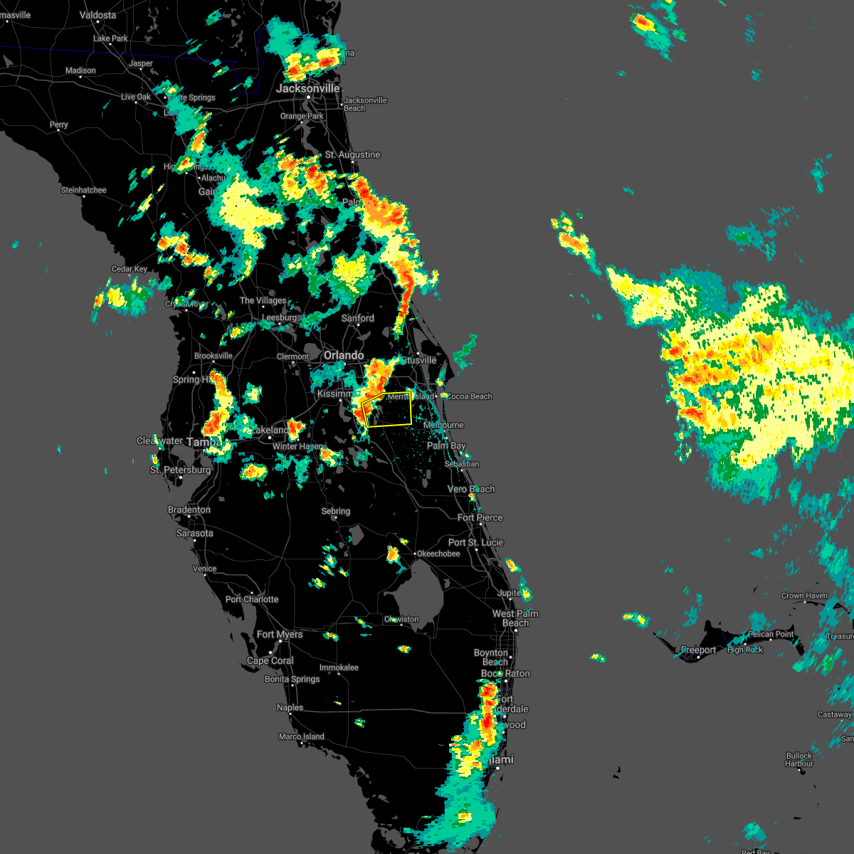
Hail Map for St. Cloud, FL
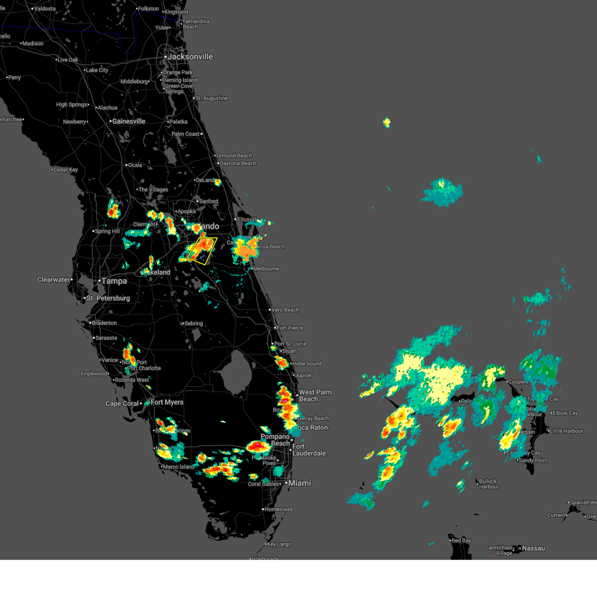
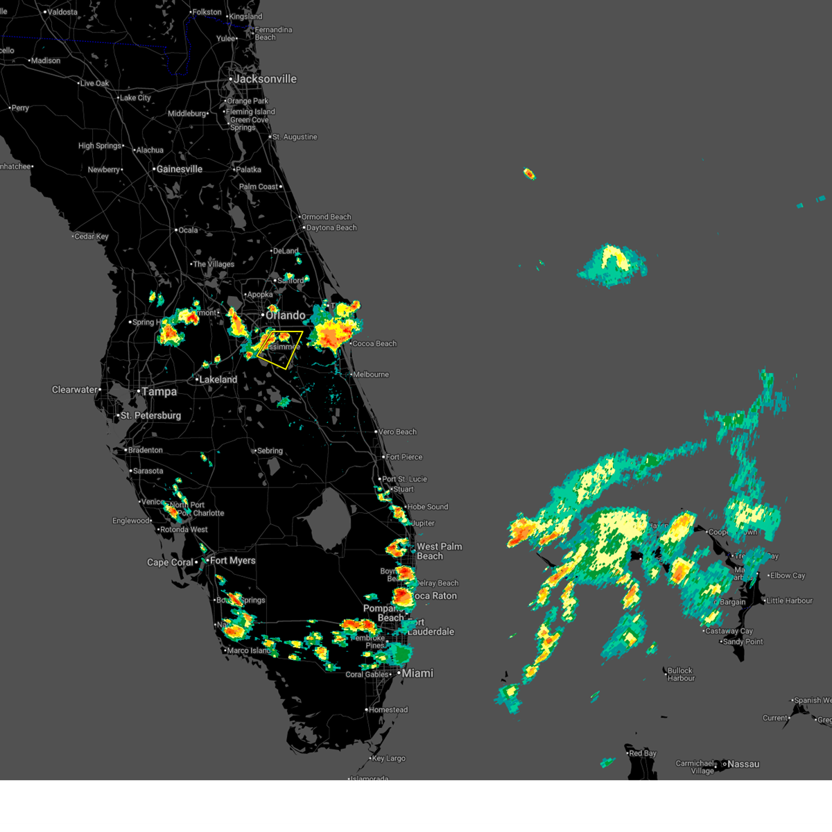
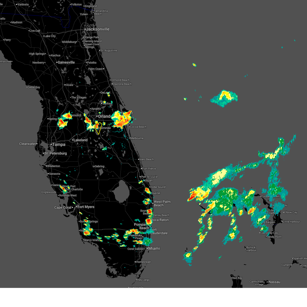
The St. Cloud, FL area has had 12 reports of on-the-ground hail by trained spotters, and has been under severe weather warnings 11 times during the past 12 months. Doppler radar has detected hail at or near St. Cloud, FL on 71 occasions, including 4 occasions during the past year.
| Name: | St. Cloud, FL |
| Where Located: | 21.3 miles SSE of Orlando, FL |
| Map: | Google Map for St. Cloud, FL |
| Population: | 35183 |
| Housing Units: | 14544 |
| More Info: | Search Google for St. Cloud, FL |
1
The Top Recent Hail Date for St. Cloud, FL is Saturday, July 12, 2025 (16th out of 71)
Hail and Wind Damage Spotted near St. Cloud, FL
| Date / Time | Report Details |
|---|---|
| 6/24/2026 2:46 PM EDT |
 At 246 pm edt, a severe thunderstorm was located near narcoossee, moving southeast at 20 mph (radar indicated). Hazards include 60 mph wind gusts and quarter size hail. Hail damage to vehicles is expected. expect wind damage to roofs, siding, and trees. Locations impacted include, orlando, saint cloud, east lake toho, narcoossee, and lake hart. At 246 pm edt, a severe thunderstorm was located near narcoossee, moving southeast at 20 mph (radar indicated). Hazards include 60 mph wind gusts and quarter size hail. Hail damage to vehicles is expected. expect wind damage to roofs, siding, and trees. Locations impacted include, orlando, saint cloud, east lake toho, narcoossee, and lake hart.
|
| 6/24/2026 2:26 PM EDT |
 Svrmlb the national weather service in melbourne has issued a * severe thunderstorm warning for, south central orange county in east central florida, north central osceola county in east central florida, * until 300 pm edt. * at 226 pm edt, a severe thunderstorm was located over narcoossee, moving southeast at 20 mph (radar indicated). Hazards include 60 mph wind gusts and penny size hail. expect damage to roofs, siding, and trees Svrmlb the national weather service in melbourne has issued a * severe thunderstorm warning for, south central orange county in east central florida, north central osceola county in east central florida, * until 300 pm edt. * at 226 pm edt, a severe thunderstorm was located over narcoossee, moving southeast at 20 mph (radar indicated). Hazards include 60 mph wind gusts and penny size hail. expect damage to roofs, siding, and trees
|
| 6/24/2026 2:16 PM EDT |
 At 215 pm edt, a severe thunderstorm was located over buena ventura lakes, moving east at 20 mph (radar indicated). Hazards include 60 mph wind gusts and penny size hail. Expect damage to roofs, siding, and trees. Locations impacted include, orlando, kissimmee, buena ventura lakes, east lake toho, and austin tindall park. At 215 pm edt, a severe thunderstorm was located over buena ventura lakes, moving east at 20 mph (radar indicated). Hazards include 60 mph wind gusts and penny size hail. Expect damage to roofs, siding, and trees. Locations impacted include, orlando, kissimmee, buena ventura lakes, east lake toho, and austin tindall park.
|
| 6/24/2026 2:00 PM EDT |
 Svrmlb the national weather service in melbourne has issued a * severe thunderstorm warning for, south central orange county in east central florida, north central osceola county in east central florida, * until 230 pm edt. * at 200 pm edt, a severe thunderstorm was located over kissimmee, moving southeast at 15 mph (radar indicated). Hazards include 60 mph wind gusts and penny size hail. expect damage to roofs, siding, and trees Svrmlb the national weather service in melbourne has issued a * severe thunderstorm warning for, south central orange county in east central florida, north central osceola county in east central florida, * until 230 pm edt. * at 200 pm edt, a severe thunderstorm was located over kissimmee, moving southeast at 15 mph (radar indicated). Hazards include 60 mph wind gusts and penny size hail. expect damage to roofs, siding, and trees
|
| 6/20/2026 1:23 PM EDT |
 Svrmlb the national weather service in melbourne has issued a * severe thunderstorm warning for, southwestern orange county in east central florida, north central osceola county in east central florida, * until 215 pm edt. * at 122 pm edt, a severe thunderstorm was located over universal studios, or over oak ridge, moving east at 20 mph (radar indicated). Hazards include 60 mph wind gusts and penny size hail. expect damage to roofs, siding, and trees Svrmlb the national weather service in melbourne has issued a * severe thunderstorm warning for, southwestern orange county in east central florida, north central osceola county in east central florida, * until 215 pm edt. * at 122 pm edt, a severe thunderstorm was located over universal studios, or over oak ridge, moving east at 20 mph (radar indicated). Hazards include 60 mph wind gusts and penny size hail. expect damage to roofs, siding, and trees
|
| 6/18/2026 6:40 PM EDT |
 The storm which prompted the warning has weakened below severe limits, and no longer poses an immediate threat to life or property. therefore, the warning will be allowed to expire. The storm which prompted the warning has weakened below severe limits, and no longer poses an immediate threat to life or property. therefore, the warning will be allowed to expire.
|
| 6/18/2026 6:28 PM EDT |
 Svrmlb the national weather service in melbourne has issued a * severe thunderstorm warning for, northwestern osceola county in east central florida, * until 645 pm edt. * at 627 pm edt, a severe thunderstorm was located over poinciana, or near west lake toho, moving north at 15 mph (radar indicated). Hazards include 60 mph wind gusts. expect damage to roofs, siding, and trees Svrmlb the national weather service in melbourne has issued a * severe thunderstorm warning for, northwestern osceola county in east central florida, * until 645 pm edt. * at 627 pm edt, a severe thunderstorm was located over poinciana, or near west lake toho, moving north at 15 mph (radar indicated). Hazards include 60 mph wind gusts. expect damage to roofs, siding, and trees
|
| 8/4/2025 7:41 PM EDT |
 The storm which prompted the warning has weakened below severe limits, and no longer poses an immediate threat to life or property. therefore, the warning will be allowed to expire. however gusty winds are still possible with this thunderstorm. to report severe weather, contact your nearest law enforcement agency. they will relay your report to the national weather service melbourne. The storm which prompted the warning has weakened below severe limits, and no longer poses an immediate threat to life or property. therefore, the warning will be allowed to expire. however gusty winds are still possible with this thunderstorm. to report severe weather, contact your nearest law enforcement agency. they will relay your report to the national weather service melbourne.
|
| 8/4/2025 7:30 PM EDT |
 At 730 pm edt, a severe thunderstorm was located near harmony, or 7 miles east of narcoossee, moving east at 10 mph (radar indicated). Hazards include 60 mph wind gusts. Expect damage to roofs, siding, and trees. Locations impacted include, narcoossee, harmony, and pine grove. At 730 pm edt, a severe thunderstorm was located near harmony, or 7 miles east of narcoossee, moving east at 10 mph (radar indicated). Hazards include 60 mph wind gusts. Expect damage to roofs, siding, and trees. Locations impacted include, narcoossee, harmony, and pine grove.
|
| 8/4/2025 7:18 PM EDT |
 Tormlb the national weather service in melbourne has issued a * tornado warning for, south central orange county in east central florida, northeastern osceola county in east central florida, * until 745 pm edt. * at 718 pm edt, a severe thunderstorm capable of producing a tornado was located near narcoossee, and is nearly stationary (radar indicated rotation). Hazards include tornado. Flying debris will be dangerous to those caught without shelter. mobile homes will be damaged or destroyed. damage to roofs, windows, and vehicles will occur. tree damage is likely. This tornadic thunderstorm will remain over mainly rural areas of south central orange and northeastern osceola counties, including the following locations, pine grove. Tormlb the national weather service in melbourne has issued a * tornado warning for, south central orange county in east central florida, northeastern osceola county in east central florida, * until 745 pm edt. * at 718 pm edt, a severe thunderstorm capable of producing a tornado was located near narcoossee, and is nearly stationary (radar indicated rotation). Hazards include tornado. Flying debris will be dangerous to those caught without shelter. mobile homes will be damaged or destroyed. damage to roofs, windows, and vehicles will occur. tree damage is likely. This tornadic thunderstorm will remain over mainly rural areas of south central orange and northeastern osceola counties, including the following locations, pine grove.
|
| 8/4/2025 7:17 PM EDT |
 Svrmlb the national weather service in melbourne has issued a * severe thunderstorm warning for, south central orange county in east central florida, north central osceola county in east central florida, * until 745 pm edt. * at 717 pm edt, a severe thunderstorm was located near narcoossee, and is nearly stationary (radar indicated). Hazards include 60 mph wind gusts and penny size hail. expect damage to roofs, siding, and trees Svrmlb the national weather service in melbourne has issued a * severe thunderstorm warning for, south central orange county in east central florida, north central osceola county in east central florida, * until 745 pm edt. * at 717 pm edt, a severe thunderstorm was located near narcoossee, and is nearly stationary (radar indicated). Hazards include 60 mph wind gusts and penny size hail. expect damage to roofs, siding, and trees
|
| 6/27/2025 4:05 PM EDT |
 Svrmlb the national weather service in melbourne has issued a * severe thunderstorm warning for, south central orange county in east central florida, northwestern osceola county in east central florida, * until 445 pm edt. * at 404 pm edt, a severe thunderstorm was located over poinciana, or 8 miles southwest of west lake toho, moving northeast at 25 mph (radar indicated). Hazards include 60 mph wind gusts. expect damage to roofs, siding, and trees Svrmlb the national weather service in melbourne has issued a * severe thunderstorm warning for, south central orange county in east central florida, northwestern osceola county in east central florida, * until 445 pm edt. * at 404 pm edt, a severe thunderstorm was located over poinciana, or 8 miles southwest of west lake toho, moving northeast at 25 mph (radar indicated). Hazards include 60 mph wind gusts. expect damage to roofs, siding, and trees
|
| 5/31/2025 7:53 AM EDT |
 At 753 am edt, a severe thunderstorm was located near harmony, or near saint cloud, moving east at 40 mph (radar indicated). Hazards include 60 mph wind gusts. Expect damage to roofs, siding, and trees. Locations impacted include, saint cloud, harmony, alligator lake, and pine grove. At 753 am edt, a severe thunderstorm was located near harmony, or near saint cloud, moving east at 40 mph (radar indicated). Hazards include 60 mph wind gusts. Expect damage to roofs, siding, and trees. Locations impacted include, saint cloud, harmony, alligator lake, and pine grove.
|
| 5/31/2025 7:38 AM EDT |
 Svrmlb the national weather service in melbourne has issued a * severe thunderstorm warning for, northwestern osceola county in east central florida, * until 815 am edt. * at 737 am edt, a severe thunderstorm was located over west lake toho, moving east at 40 mph (radar indicated). Hazards include 60 mph wind gusts. expect damage to roofs, siding, and trees Svrmlb the national weather service in melbourne has issued a * severe thunderstorm warning for, northwestern osceola county in east central florida, * until 815 am edt. * at 737 am edt, a severe thunderstorm was located over west lake toho, moving east at 40 mph (radar indicated). Hazards include 60 mph wind gusts. expect damage to roofs, siding, and trees
|
| 5/30/2025 6:16 PM EDT |
 the severe thunderstorm warning has been cancelled and is no longer in effect the severe thunderstorm warning has been cancelled and is no longer in effect
|
| 5/30/2025 6:09 PM EDT |
 At 608 pm edt, a severe thunderstorm was located near austin tindall park, or near orlando international airport, moving east at 30 mph (radar indicated). Hazards include 60 mph wind gusts. Expect damage to roofs, siding, and trees. Locations impacted include, orlando, kissimmee, orlando international airport, conway, and buena ventura lakes. At 608 pm edt, a severe thunderstorm was located near austin tindall park, or near orlando international airport, moving east at 30 mph (radar indicated). Hazards include 60 mph wind gusts. Expect damage to roofs, siding, and trees. Locations impacted include, orlando, kissimmee, orlando international airport, conway, and buena ventura lakes.
|
| 5/30/2025 5:54 PM EDT |
 Svrmlb the national weather service in melbourne has issued a * severe thunderstorm warning for, southwestern orange county in east central florida, north central osceola county in east central florida, * until 630 pm edt. * at 554 pm edt, a severe thunderstorm was located over hunters creek, or over buena ventura lakes, moving east at 30 mph (radar indicated). Hazards include 60 mph wind gusts. expect damage to roofs, siding, and trees Svrmlb the national weather service in melbourne has issued a * severe thunderstorm warning for, southwestern orange county in east central florida, north central osceola county in east central florida, * until 630 pm edt. * at 554 pm edt, a severe thunderstorm was located over hunters creek, or over buena ventura lakes, moving east at 30 mph (radar indicated). Hazards include 60 mph wind gusts. expect damage to roofs, siding, and trees
|
| 5/30/2025 4:04 PM EDT |
 At 404 pm edt, a severe thunderstorm was located near narcoossee, moving east at 30 mph (radar indicated). Hazards include 60 mph wind gusts. Expect damage to roofs, siding, and trees. Locations impacted include, orlando, kissimmee, saint cloud, wedgefield, and orlando international airport. At 404 pm edt, a severe thunderstorm was located near narcoossee, moving east at 30 mph (radar indicated). Hazards include 60 mph wind gusts. Expect damage to roofs, siding, and trees. Locations impacted include, orlando, kissimmee, saint cloud, wedgefield, and orlando international airport.
|
| 5/30/2025 3:52 PM EDT |
 Svrmlb the national weather service in melbourne has issued a * severe thunderstorm warning for, southeastern orange county in east central florida, northeastern osceola county in east central florida, * until 430 pm edt. * at 352 pm edt, a severe thunderstorm was located over east lake toho, moving east at 30 mph (radar indicated). Hazards include 60 mph wind gusts. expect damage to roofs, siding, and trees Svrmlb the national weather service in melbourne has issued a * severe thunderstorm warning for, southeastern orange county in east central florida, northeastern osceola county in east central florida, * until 430 pm edt. * at 352 pm edt, a severe thunderstorm was located over east lake toho, moving east at 30 mph (radar indicated). Hazards include 60 mph wind gusts. expect damage to roofs, siding, and trees
|
| 5/29/2025 7:27 PM EDT |
 the severe thunderstorm warning has been cancelled and is no longer in effect the severe thunderstorm warning has been cancelled and is no longer in effect
|
| 5/29/2025 7:12 PM EDT |
 Svrmlb the national weather service in melbourne has issued a * severe thunderstorm warning for, south central orange county in east central florida, north central osceola county in east central florida, * until 745 pm edt. * at 712 pm edt, a severe thunderstorm was located over narcoossee, moving northeast at 30 mph (radar indicated). Hazards include 60 mph wind gusts and nickel size hail. expect damage to roofs, siding, and trees Svrmlb the national weather service in melbourne has issued a * severe thunderstorm warning for, south central orange county in east central florida, north central osceola county in east central florida, * until 745 pm edt. * at 712 pm edt, a severe thunderstorm was located over narcoossee, moving northeast at 30 mph (radar indicated). Hazards include 60 mph wind gusts and nickel size hail. expect damage to roofs, siding, and trees
|
| 5/29/2025 7:01 PM EDT |
 At 700 pm edt, a severe thunderstorm was located over east lake toho, moving northeast at 35 mph (radar indicated). Hazards include 60 mph wind gusts and nickel size hail. Expect damage to roofs, siding, and trees. Locations impacted include, orlando, kissimmee, saint cloud, orlando international airport, and azalea park. At 700 pm edt, a severe thunderstorm was located over east lake toho, moving northeast at 35 mph (radar indicated). Hazards include 60 mph wind gusts and nickel size hail. Expect damage to roofs, siding, and trees. Locations impacted include, orlando, kissimmee, saint cloud, orlando international airport, and azalea park.
|
| 5/29/2025 6:47 PM EDT |
 Svrmlb the national weather service in melbourne has issued a * severe thunderstorm warning for, south central orange county in east central florida, northwestern osceola county in east central florida, * until 715 pm edt. * at 647 pm edt, a severe thunderstorm was located near kissimmee, moving northeast at 40 mph (radar indicated). Hazards include 60 mph wind gusts and nickel size hail. expect damage to roofs, siding, and trees Svrmlb the national weather service in melbourne has issued a * severe thunderstorm warning for, south central orange county in east central florida, northwestern osceola county in east central florida, * until 715 pm edt. * at 647 pm edt, a severe thunderstorm was located near kissimmee, moving northeast at 40 mph (radar indicated). Hazards include 60 mph wind gusts and nickel size hail. expect damage to roofs, siding, and trees
|
| 5/29/2025 6:37 PM EDT |
 Svrmlb the national weather service in melbourne has issued a * severe thunderstorm warning for, central osceola county in east central florida, * until 700 pm edt. * at 637 pm edt, a severe thunderstorm was located near lake kissimmee, moving northeast at 35 mph (radar indicated). Hazards include 60 mph wind gusts and quarter size hail. Hail damage to vehicles is expected. Expect wind damage to roofs, siding, and trees. Svrmlb the national weather service in melbourne has issued a * severe thunderstorm warning for, central osceola county in east central florida, * until 700 pm edt. * at 637 pm edt, a severe thunderstorm was located near lake kissimmee, moving northeast at 35 mph (radar indicated). Hazards include 60 mph wind gusts and quarter size hail. Hail damage to vehicles is expected. Expect wind damage to roofs, siding, and trees.
|
| 3/30/2025 6:45 PM EDT |
 Svrmlb the national weather service in melbourne has issued a * severe thunderstorm warning for, southeastern orange county in east central florida, northeastern osceola county in east central florida, * until 715 pm edt. * at 645 pm edt, a severe thunderstorm was located near harmony, or 7 miles north of holopaw, moving east at 20 mph (radar indicated). Hazards include 60 mph wind gusts. expect damage to roofs, siding, and trees Svrmlb the national weather service in melbourne has issued a * severe thunderstorm warning for, southeastern orange county in east central florida, northeastern osceola county in east central florida, * until 715 pm edt. * at 645 pm edt, a severe thunderstorm was located near harmony, or 7 miles north of holopaw, moving east at 20 mph (radar indicated). Hazards include 60 mph wind gusts. expect damage to roofs, siding, and trees
|
| 3/30/2025 6:12 PM EDT |
 the severe thunderstorm warning has been cancelled and is no longer in effect the severe thunderstorm warning has been cancelled and is no longer in effect
|
| 3/30/2025 5:49 PM EDT |
 Svrmlb the national weather service in melbourne has issued a * severe thunderstorm warning for, south central orange county in east central florida, north central osceola county in east central florida, * until 630 pm edt. * at 549 pm edt, a severe thunderstorm was located over hunters creek, or over kissimmee, moving east at 15 mph (radar indicated). Hazards include 60 mph wind gusts and quarter size hail. Hail damage to vehicles is expected. Expect wind damage to roofs, siding, and trees. Svrmlb the national weather service in melbourne has issued a * severe thunderstorm warning for, south central orange county in east central florida, north central osceola county in east central florida, * until 630 pm edt. * at 549 pm edt, a severe thunderstorm was located over hunters creek, or over kissimmee, moving east at 15 mph (radar indicated). Hazards include 60 mph wind gusts and quarter size hail. Hail damage to vehicles is expected. Expect wind damage to roofs, siding, and trees.
|
| 3/10/2025 11:34 AM EDT |
 the severe thunderstorm warning has been cancelled and is no longer in effect the severe thunderstorm warning has been cancelled and is no longer in effect
|
| 3/10/2025 11:22 AM EDT |
 Svrmlb the national weather service in melbourne has issued a * severe thunderstorm warning for, south central orange county in east central florida, north central osceola county in east central florida, * until 1145 am edt. * at 1122 am edt, a severe thunderstorm was located over yeehaw junction, or over buena ventura lakes, moving northeast at 35 mph (radar indicated). Hazards include 60 mph wind gusts. expect damage to roofs, siding, and trees Svrmlb the national weather service in melbourne has issued a * severe thunderstorm warning for, south central orange county in east central florida, north central osceola county in east central florida, * until 1145 am edt. * at 1122 am edt, a severe thunderstorm was located over yeehaw junction, or over buena ventura lakes, moving northeast at 35 mph (radar indicated). Hazards include 60 mph wind gusts. expect damage to roofs, siding, and trees
|
| 1/19/2025 12:42 PM EST |
 Svrmlb the national weather service in melbourne has issued a * severe thunderstorm warning for, southeastern seminole county in east central florida, west central brevard county in east central florida, southern orange county in east central florida, northern osceola county in east central florida, * until 130 pm est. * at 1242 pm est, a severe thunderstorm was located over campbell, or near west lake toho, moving northeast at 55 mph (radar indicated). Hazards include 60 mph wind gusts. expect damage to roofs, siding, and trees Svrmlb the national weather service in melbourne has issued a * severe thunderstorm warning for, southeastern seminole county in east central florida, west central brevard county in east central florida, southern orange county in east central florida, northern osceola county in east central florida, * until 130 pm est. * at 1242 pm est, a severe thunderstorm was located over campbell, or near west lake toho, moving northeast at 55 mph (radar indicated). Hazards include 60 mph wind gusts. expect damage to roofs, siding, and trees
|
| 1/19/2025 12:01 PM EST |
 Svrmlb the national weather service in melbourne has issued a * severe thunderstorm warning for, southwestern lake county in east central florida, southwestern orange county in east central florida, northern osceola county in east central florida, * until 1245 pm est. * at 1201 pm est, a severe thunderstorm was located 7 miles north of auburndale, moving northeast at 45 mph (radar indicated). Hazards include 60 mph wind gusts and penny size hail. expect damage to roofs, siding, and trees Svrmlb the national weather service in melbourne has issued a * severe thunderstorm warning for, southwestern lake county in east central florida, southwestern orange county in east central florida, northern osceola county in east central florida, * until 1245 pm est. * at 1201 pm est, a severe thunderstorm was located 7 miles north of auburndale, moving northeast at 45 mph (radar indicated). Hazards include 60 mph wind gusts and penny size hail. expect damage to roofs, siding, and trees
|
| 10/9/2024 4:21 PM EDT |
 At 420 pm edt, a severe thunderstorm capable of producing a tornado was located 7 miles northeast of harmony, or 8 miles east of narcoossee, moving northwest at 30 mph (radar indicated rotation). Hazards include tornado. Flying debris will be dangerous to those caught without shelter. mobile homes will be damaged or destroyed. damage to roofs, windows, and vehicles will occur. tree damage is likely. This tornadic thunderstorm will remain over mainly rural areas of southeastern orange and northeastern osceola counties, including the following locations, alligator lake. At 420 pm edt, a severe thunderstorm capable of producing a tornado was located 7 miles northeast of harmony, or 8 miles east of narcoossee, moving northwest at 30 mph (radar indicated rotation). Hazards include tornado. Flying debris will be dangerous to those caught without shelter. mobile homes will be damaged or destroyed. damage to roofs, windows, and vehicles will occur. tree damage is likely. This tornadic thunderstorm will remain over mainly rural areas of southeastern orange and northeastern osceola counties, including the following locations, alligator lake.
|
| 10/9/2024 3:52 PM EDT |
 Tormlb the national weather service in melbourne has issued a * tornado warning for, southeastern orange county in east central florida, northeastern osceola county in east central florida, * until 430 pm edt. * at 352 pm edt, a severe thunderstorm capable of producing a tornado was located near holopaw, moving northwest at 30 mph (radar indicated rotation). Hazards include tornado. Flying debris will be dangerous to those caught without shelter. mobile homes will be damaged or destroyed. damage to roofs, windows, and vehicles will occur. tree damage is likely. this dangerous storm will be near, holopaw around 400 pm edt. Other locations impacted by this tornadic thunderstorm include forever florida. Tormlb the national weather service in melbourne has issued a * tornado warning for, southeastern orange county in east central florida, northeastern osceola county in east central florida, * until 430 pm edt. * at 352 pm edt, a severe thunderstorm capable of producing a tornado was located near holopaw, moving northwest at 30 mph (radar indicated rotation). Hazards include tornado. Flying debris will be dangerous to those caught without shelter. mobile homes will be damaged or destroyed. damage to roofs, windows, and vehicles will occur. tree damage is likely. this dangerous storm will be near, holopaw around 400 pm edt. Other locations impacted by this tornadic thunderstorm include forever florida.
|
| 9/10/2024 5:13 PM EDT |
 The storm which prompted the warning has weakened below severe limits, and no longer poses an immediate threat to life or property. therefore, the warning will be allowed to expire. however gusty winds and heavy rain are still possible with this thunderstorm. to report severe weather, contact your nearest law enforcement agency. they will relay your report to the national weather service melbourne. The storm which prompted the warning has weakened below severe limits, and no longer poses an immediate threat to life or property. therefore, the warning will be allowed to expire. however gusty winds and heavy rain are still possible with this thunderstorm. to report severe weather, contact your nearest law enforcement agency. they will relay your report to the national weather service melbourne.
|
| 9/10/2024 5:08 PM EDT |
 the severe thunderstorm warning has been cancelled and is no longer in effect the severe thunderstorm warning has been cancelled and is no longer in effect
|
| 9/10/2024 5:08 PM EDT |
 At 508 pm edt, a severe thunderstorm was located over kissimmee, moving south at 15 mph (radar indicated). Hazards include 60 mph wind gusts. Expect damage to roofs, siding, and trees. Locations impacted include, kissimmee, saint cloud, buena ventura lakes, east lake toho, and west lake toho. At 508 pm edt, a severe thunderstorm was located over kissimmee, moving south at 15 mph (radar indicated). Hazards include 60 mph wind gusts. Expect damage to roofs, siding, and trees. Locations impacted include, kissimmee, saint cloud, buena ventura lakes, east lake toho, and west lake toho.
|
| 9/10/2024 4:58 PM EDT |
 At 457 pm edt, a severe thunderstorm was located over yeehaw junction, or over buena ventura lakes, moving south at 20 mph (radar indicated). Hazards include 60 mph wind gusts. Expect damage to roofs, siding, and trees. Locations impacted include, orlando, kissimmee, saint cloud, west lake toho, and buena ventura lakes. At 457 pm edt, a severe thunderstorm was located over yeehaw junction, or over buena ventura lakes, moving south at 20 mph (radar indicated). Hazards include 60 mph wind gusts. Expect damage to roofs, siding, and trees. Locations impacted include, orlando, kissimmee, saint cloud, west lake toho, and buena ventura lakes.
|
| 9/10/2024 4:48 PM EDT |
 Svrmlb the national weather service in melbourne has issued a * severe thunderstorm warning for, south central orange county in east central florida, northwestern osceola county in east central florida, * until 515 pm edt. * at 447 pm edt, a severe thunderstorm was located near buena ventura lakes, moving south at 15 mph (radar indicated). Hazards include 60 mph wind gusts. expect damage to roofs, siding, and trees Svrmlb the national weather service in melbourne has issued a * severe thunderstorm warning for, south central orange county in east central florida, northwestern osceola county in east central florida, * until 515 pm edt. * at 447 pm edt, a severe thunderstorm was located near buena ventura lakes, moving south at 15 mph (radar indicated). Hazards include 60 mph wind gusts. expect damage to roofs, siding, and trees
|
| 6/6/2024 7:02 PM EDT |
 the severe thunderstorm warning has been cancelled and is no longer in effect the severe thunderstorm warning has been cancelled and is no longer in effect
|
| 6/6/2024 7:02 PM EDT |
 At 701 pm edt, severe thunderstorms were located along a line extending from near conway to near lake hart to 6 miles north of holopaw, moving north at 40 mph (radar indicated). Hazards include 60 mph wind gusts and quarter size hail. Hail damage to vehicles is expected. expect wind damage to roofs, siding, and trees. Locations impacted include, orlando, kissimmee, saint cloud, wedgefield, and buena ventura lakes. At 701 pm edt, severe thunderstorms were located along a line extending from near conway to near lake hart to 6 miles north of holopaw, moving north at 40 mph (radar indicated). Hazards include 60 mph wind gusts and quarter size hail. Hail damage to vehicles is expected. expect wind damage to roofs, siding, and trees. Locations impacted include, orlando, kissimmee, saint cloud, wedgefield, and buena ventura lakes.
|
| 6/6/2024 6:54 PM EDT | Quarter sized hail reported 2.1 miles N of St. Cloud, FL, spotter reported quarter size hail south of st cloud. |
| 6/6/2024 6:50 PM EDT | Golf Ball sized hail reported 2.5 miles SW of St. Cloud, FL, spotter reports golf ball sized hail near st cloud. |
| 6/6/2024 6:48 PM EDT | Quarter sized hail reported 3.3 miles NW of St. Cloud, FL, [delayed report] public reports quarter size hail near st cloud. |
| 6/6/2024 6:48 PM EDT |
 At 648 pm edt, severe thunderstorms were located along a line extending from near orlando international airport to near lake hart to 10 miles northeast of kenansville, moving north at 30 mph (radar indicated). Hazards include 60 mph wind gusts and quarter size hail. Hail damage to vehicles is expected. expect wind damage to roofs, siding, and trees. Locations impacted include, orlando, palm bay, kissimmee, saint cloud, and wedgefield. At 648 pm edt, severe thunderstorms were located along a line extending from near orlando international airport to near lake hart to 10 miles northeast of kenansville, moving north at 30 mph (radar indicated). Hazards include 60 mph wind gusts and quarter size hail. Hail damage to vehicles is expected. expect wind damage to roofs, siding, and trees. Locations impacted include, orlando, palm bay, kissimmee, saint cloud, and wedgefield.
|
| 6/6/2024 6:38 PM EDT |
 Svrmlb the national weather service in melbourne has issued a * severe thunderstorm warning for, southwestern brevard county in east central florida, southeastern orange county in east central florida, osceola county in east central florida, * until 715 pm edt. * at 638 pm edt, severe thunderstorms were located along a line extending from osceola heritage park to near narcoossee to 6 miles northeast of kenansville, moving north at 30 mph (radar indicated). Hazards include 60 mph wind gusts and nickel size hail. expect damage to roofs, siding, and trees Svrmlb the national weather service in melbourne has issued a * severe thunderstorm warning for, southwestern brevard county in east central florida, southeastern orange county in east central florida, osceola county in east central florida, * until 715 pm edt. * at 638 pm edt, severe thunderstorms were located along a line extending from osceola heritage park to near narcoossee to 6 miles northeast of kenansville, moving north at 30 mph (radar indicated). Hazards include 60 mph wind gusts and nickel size hail. expect damage to roofs, siding, and trees
|
| 5/25/2024 6:49 PM EDT |
 the severe thunderstorm warning has been cancelled and is no longer in effect the severe thunderstorm warning has been cancelled and is no longer in effect
|
| 5/25/2024 6:32 PM EDT |
 Svrmlb the national weather service in melbourne has issued a * severe thunderstorm warning for, central osceola county in east central florida, * until 715 pm edt. * at 632 pm edt, a severe thunderstorm was located near west lake toho, moving southeast at 20 mph (radar indicated). Hazards include 60 mph wind gusts and quarter size hail. Hail damage to vehicles is expected. Expect wind damage to roofs, siding, and trees. Svrmlb the national weather service in melbourne has issued a * severe thunderstorm warning for, central osceola county in east central florida, * until 715 pm edt. * at 632 pm edt, a severe thunderstorm was located near west lake toho, moving southeast at 20 mph (radar indicated). Hazards include 60 mph wind gusts and quarter size hail. Hail damage to vehicles is expected. Expect wind damage to roofs, siding, and trees.
|
| 5/11/2024 3:27 AM EDT |
 The storm which prompted the warning has weakened below severe limits, and no longer poses an immediate threat to life or property. therefore, the warning will be allowed to expire. however gusty winds are still possible with this thunderstorm. to report severe weather, contact your nearest law enforcement agency. they will relay your report to the national weather service melbourne. The storm which prompted the warning has weakened below severe limits, and no longer poses an immediate threat to life or property. therefore, the warning will be allowed to expire. however gusty winds are still possible with this thunderstorm. to report severe weather, contact your nearest law enforcement agency. they will relay your report to the national weather service melbourne.
|
| 5/11/2024 3:15 AM EDT |
 At 314 am edt, a severe thunderstorm was located near narcoossee, moving southeast at 25 mph (radar indicated). Hazards include 60 mph wind gusts. Expect damage to roofs, siding, and trees. Locations impacted include, kissimmee, saint cloud, east lake toho, holopaw, and narcoossee. At 314 am edt, a severe thunderstorm was located near narcoossee, moving southeast at 25 mph (radar indicated). Hazards include 60 mph wind gusts. Expect damage to roofs, siding, and trees. Locations impacted include, kissimmee, saint cloud, east lake toho, holopaw, and narcoossee.
|
| 5/11/2024 3:15 AM EDT |
 the severe thunderstorm warning has been cancelled and is no longer in effect the severe thunderstorm warning has been cancelled and is no longer in effect
|
| 5/11/2024 2:59 AM EDT |
 Svrmlb the national weather service in melbourne has issued a * severe thunderstorm warning for, south central orange county in east central florida, northeastern osceola county in east central florida, * until 330 am edt. * at 258 am edt, a severe thunderstorm was located over austin tindall park, or near narcoossee, moving southeast at 25 mph (radar indicated). Hazards include 60 mph wind gusts. expect damage to roofs, siding, and trees Svrmlb the national weather service in melbourne has issued a * severe thunderstorm warning for, south central orange county in east central florida, northeastern osceola county in east central florida, * until 330 am edt. * at 258 am edt, a severe thunderstorm was located over austin tindall park, or near narcoossee, moving southeast at 25 mph (radar indicated). Hazards include 60 mph wind gusts. expect damage to roofs, siding, and trees
|
| 5/11/2024 2:32 AM EDT |
 At 231 am edt, a severe thunderstorm was located over orlando international airport, moving southeast at 40 mph (radar indicated). Hazards include 60 mph wind gusts. Expect damage to roofs, siding, and trees. Locations impacted include, orlando, kissimmee, saint cloud, winter park, and casselberry. At 231 am edt, a severe thunderstorm was located over orlando international airport, moving southeast at 40 mph (radar indicated). Hazards include 60 mph wind gusts. Expect damage to roofs, siding, and trees. Locations impacted include, orlando, kissimmee, saint cloud, winter park, and casselberry.
|
| 5/11/2024 2:20 AM EDT |
 At 219 am edt, a severe thunderstorm was located near oak ridge, moving southeast at 35 mph (radar indicated. orlando executive airport reported a wind gust to 56 mph). Hazards include 60 mph wind gusts. Expect damage to roofs, siding, and trees. Locations impacted include, orlando, kissimmee, altamonte springs, ocoee, and winter garden. At 219 am edt, a severe thunderstorm was located near oak ridge, moving southeast at 35 mph (radar indicated. orlando executive airport reported a wind gust to 56 mph). Hazards include 60 mph wind gusts. Expect damage to roofs, siding, and trees. Locations impacted include, orlando, kissimmee, altamonte springs, ocoee, and winter garden.
|
| 5/11/2024 2:08 AM EDT |
 Svrmlb the national weather service in melbourne has issued a * severe thunderstorm warning for, southwestern seminole county in east central florida, orange county in east central florida, north central osceola county in east central florida, * until 245 am edt. * at 207 am edt, a severe thunderstorm was located over orlovista, or over pine hills, moving southeast at 40 mph (radar indicated). Hazards include 60 mph wind gusts. expect damage to roofs, siding, and trees Svrmlb the national weather service in melbourne has issued a * severe thunderstorm warning for, southwestern seminole county in east central florida, orange county in east central florida, north central osceola county in east central florida, * until 245 am edt. * at 207 am edt, a severe thunderstorm was located over orlovista, or over pine hills, moving southeast at 40 mph (radar indicated). Hazards include 60 mph wind gusts. expect damage to roofs, siding, and trees
|
| 1/9/2024 6:28 PM EST |
 The national weather service in melbourne has issued a * severe thunderstorm warning for. osceola county in east central florida. until 715 pm est. At 628 pm est, severe thunderstorms were located along a line extending from narcoossee to near saint cloud to 8 miles southeast. The national weather service in melbourne has issued a * severe thunderstorm warning for. osceola county in east central florida. until 715 pm est. At 628 pm est, severe thunderstorms were located along a line extending from narcoossee to near saint cloud to 8 miles southeast.
|
| 1/9/2024 6:08 PM EST |
 At 607 pm est, severe thunderstorms were located along a line extending from near daytona beach shores to near geneva to near orlando international airport, moving northeast at 65 mph (radar indicated). Hazards include 60 mph wind gusts and nickel size hail. Expect damage to roofs, siding, and trees. Locations impacted include, orlando, deltona, kissimmee, port orange, and sanford. At 607 pm est, severe thunderstorms were located along a line extending from near daytona beach shores to near geneva to near orlando international airport, moving northeast at 65 mph (radar indicated). Hazards include 60 mph wind gusts and nickel size hail. Expect damage to roofs, siding, and trees. Locations impacted include, orlando, deltona, kissimmee, port orange, and sanford.
|
| 1/9/2024 5:55 PM EST |
 The national weather service in melbourne has issued a * severe thunderstorm warning for. seminole county in east central florida. orange county in east central florida. central volusia county in east central florida. northwestern osceola county in east central florida. Until 645 pm est. The national weather service in melbourne has issued a * severe thunderstorm warning for. seminole county in east central florida. orange county in east central florida. central volusia county in east central florida. northwestern osceola county in east central florida. Until 645 pm est.
|
| 9/21/2023 5:06 PM EDT |
 At 505 pm edt, a severe thunderstorm was located near poinciana, or near west lake toho, moving south at 15 mph (radar indicated). Hazards include 60 mph wind gusts. Expect damage to roofs, siding, and trees. locations impacted include, poinciana. hail threat, radar indicated max hail size, <. 75 in wind threat, radar indicated max wind gust, 60 mph. At 505 pm edt, a severe thunderstorm was located near poinciana, or near west lake toho, moving south at 15 mph (radar indicated). Hazards include 60 mph wind gusts. Expect damage to roofs, siding, and trees. locations impacted include, poinciana. hail threat, radar indicated max hail size, <. 75 in wind threat, radar indicated max wind gust, 60 mph.
|
| 9/21/2023 4:41 PM EDT |
 At 441 pm edt, a severe thunderstorm was located over west lake toho, moving south at 15 mph (radar indicated). Hazards include 60 mph wind gusts and penny size hail. expect damage to roofs, siding, and trees At 441 pm edt, a severe thunderstorm was located over west lake toho, moving south at 15 mph (radar indicated). Hazards include 60 mph wind gusts and penny size hail. expect damage to roofs, siding, and trees
|
| 8/30/2023 4:06 AM EDT |
 At 405 am edt, a severe thunderstorm capable of producing a tornado was located near narcoossee, moving north at 35 mph (radar indicated rotation). Hazards include tornado. Flying debris will be dangerous to those caught without shelter. mobile homes will be damaged or destroyed. damage to roofs, windows, and vehicles will occur. tree damage is likely. this dangerous storm will be near, narcoossee and lake hart around 410 am edt. wedgefield around 420 am edt. avalon park around 430 am edt. Other locations impacted by this tornadic thunderstorm include alligator lake. At 405 am edt, a severe thunderstorm capable of producing a tornado was located near narcoossee, moving north at 35 mph (radar indicated rotation). Hazards include tornado. Flying debris will be dangerous to those caught without shelter. mobile homes will be damaged or destroyed. damage to roofs, windows, and vehicles will occur. tree damage is likely. this dangerous storm will be near, narcoossee and lake hart around 410 am edt. wedgefield around 420 am edt. avalon park around 430 am edt. Other locations impacted by this tornadic thunderstorm include alligator lake.
|
| 8/29/2023 5:01 PM EDT |
 At 501 pm edt, a severe thunderstorm was located near west lake toho, moving north at 40 mph (radar indicated). Hazards include 60 mph wind gusts. Expect damage to roofs, siding, and trees. locations impacted include, kissimmee, saint cloud, intercession city, west lake toho, and poinciana. hail threat, radar indicated max hail size, <. 75 in wind threat, radar indicated max wind gust, 60 mph. At 501 pm edt, a severe thunderstorm was located near west lake toho, moving north at 40 mph (radar indicated). Hazards include 60 mph wind gusts. Expect damage to roofs, siding, and trees. locations impacted include, kissimmee, saint cloud, intercession city, west lake toho, and poinciana. hail threat, radar indicated max hail size, <. 75 in wind threat, radar indicated max wind gust, 60 mph.
|
| 8/29/2023 4:49 PM EDT |
 At 449 pm edt, a severe thunderstorm was located 8 miles north of lake kissimmee, moving north at 40 mph (radar indicated). Hazards include 60 mph wind gusts. expect damage to roofs, siding, and trees At 449 pm edt, a severe thunderstorm was located 8 miles north of lake kissimmee, moving north at 40 mph (radar indicated). Hazards include 60 mph wind gusts. expect damage to roofs, siding, and trees
|
| 7/31/2023 3:57 PM EDT |
 At 357 pm edt, a severe thunderstorm was located over holopaw, moving east at 40 mph (radar indicated). Hazards include 60 mph wind gusts. expect damage to roofs, siding, and trees At 357 pm edt, a severe thunderstorm was located over holopaw, moving east at 40 mph (radar indicated). Hazards include 60 mph wind gusts. expect damage to roofs, siding, and trees
|
| 7/31/2023 3:44 PM EDT |
 At 343 pm edt, severe thunderstorms were located along a line extending from near holopaw to 10 miles north of kenansville to near lake kissimmee, moving east at 40 mph (radar indicated). Hazards include 60 mph wind gusts. Expect damage to roofs, siding, and trees. locations impacted include, saint cloud, lake kissimmee, lake marian, holopaw, and kenansville. hail threat, radar indicated max hail size, <. 75 in wind threat, radar indicated max wind gust, 60 mph. At 343 pm edt, severe thunderstorms were located along a line extending from near holopaw to 10 miles north of kenansville to near lake kissimmee, moving east at 40 mph (radar indicated). Hazards include 60 mph wind gusts. Expect damage to roofs, siding, and trees. locations impacted include, saint cloud, lake kissimmee, lake marian, holopaw, and kenansville. hail threat, radar indicated max hail size, <. 75 in wind threat, radar indicated max wind gust, 60 mph.
|
| 7/31/2023 3:31 PM EDT |
 At 331 pm edt, severe thunderstorms were located along a line extending from harmony to 10 miles southwest of holopaw to near lake kissimmee, moving east at 35 mph (radar indicated). Hazards include 60 mph wind gusts. expect damage to roofs, siding, and trees At 331 pm edt, severe thunderstorms were located along a line extending from harmony to 10 miles southwest of holopaw to near lake kissimmee, moving east at 35 mph (radar indicated). Hazards include 60 mph wind gusts. expect damage to roofs, siding, and trees
|
| 7/5/2023 2:37 PM EDT |
 At 237 pm edt, a severe thunderstorm was located over campbell, or over intercession city, and is nearly stationary (radar indicated). Hazards include 60 mph wind gusts. expect damage to roofs, siding, and trees At 237 pm edt, a severe thunderstorm was located over campbell, or over intercession city, and is nearly stationary (radar indicated). Hazards include 60 mph wind gusts. expect damage to roofs, siding, and trees
|
| 6/23/2023 7:22 PM EDT |
 At 722 pm edt, a severe thunderstorm was located over west lake toho, moving east at 25 mph (radar indicated). Hazards include 60 mph wind gusts and penny size hail. expect damage to roofs, siding, and trees At 722 pm edt, a severe thunderstorm was located over west lake toho, moving east at 25 mph (radar indicated). Hazards include 60 mph wind gusts and penny size hail. expect damage to roofs, siding, and trees
|
| 6/22/2023 3:41 PM EDT |
 The severe thunderstorm warning for central osceola county will expire at 345 pm edt, the storm which prompted the warning has moved out of the area. therefore, the warning will be allowed to expire. however gusty winds are still possible with this thunderstorm. The severe thunderstorm warning for central osceola county will expire at 345 pm edt, the storm which prompted the warning has moved out of the area. therefore, the warning will be allowed to expire. however gusty winds are still possible with this thunderstorm.
|
| 6/22/2023 3:30 PM EDT |
 At 330 pm edt, a severe thunderstorm was located near harmony, or near holopaw, moving northeast at 35 mph (radar indicated). Hazards include 60 mph wind gusts. expect damage to roofs, siding, and trees At 330 pm edt, a severe thunderstorm was located near harmony, or near holopaw, moving northeast at 35 mph (radar indicated). Hazards include 60 mph wind gusts. expect damage to roofs, siding, and trees
|
| 6/22/2023 3:14 PM EDT |
 At 314 pm edt, a severe thunderstorm was located near harmony, or 9 miles southeast of saint cloud, moving northeast at 30 mph (radar indicated). Hazards include 60 mph wind gusts. Expect damage to roofs, siding, and trees. locations impacted include, lake kissimmee, holopaw, harmony, forever florida and alligator lake. hail threat, radar indicated max hail size, <. 75 in wind threat, radar indicated max wind gust, 60 mph. At 314 pm edt, a severe thunderstorm was located near harmony, or 9 miles southeast of saint cloud, moving northeast at 30 mph (radar indicated). Hazards include 60 mph wind gusts. Expect damage to roofs, siding, and trees. locations impacted include, lake kissimmee, holopaw, harmony, forever florida and alligator lake. hail threat, radar indicated max hail size, <. 75 in wind threat, radar indicated max wind gust, 60 mph.
|
| 6/22/2023 2:53 PM EDT |
 At 252 pm edt, a severe thunderstorm was located 8 miles northwest of lake kissimmee, moving northeast at 35 mph (radar indicated). Hazards include 60 mph wind gusts. expect damage to roofs, siding, and trees At 252 pm edt, a severe thunderstorm was located 8 miles northwest of lake kissimmee, moving northeast at 35 mph (radar indicated). Hazards include 60 mph wind gusts. expect damage to roofs, siding, and trees
|
| 6/20/2023 12:44 PM EDT |
 At 1244 pm edt, a severe thunderstorm was located over east lake toho, moving east at 25 mph (radar indicated). Hazards include 60 mph wind gusts. expect damage to roofs, siding, and trees At 1244 pm edt, a severe thunderstorm was located over east lake toho, moving east at 25 mph (radar indicated). Hazards include 60 mph wind gusts. expect damage to roofs, siding, and trees
|
| 6/19/2023 9:27 PM EDT |
 The severe thunderstorm warning for northwestern osceola county will expire at 930 pm edt, the storm which prompted the warning has moved out of the area. therefore, the warning will be allowed to expire. however gusty winds and heavy rain are still possible with thunderstorms in this area. to report severe weather, contact your nearest law enforcement agency. they will relay your report to the national weather service melbourne. The severe thunderstorm warning for northwestern osceola county will expire at 930 pm edt, the storm which prompted the warning has moved out of the area. therefore, the warning will be allowed to expire. however gusty winds and heavy rain are still possible with thunderstorms in this area. to report severe weather, contact your nearest law enforcement agency. they will relay your report to the national weather service melbourne.
|
| 6/19/2023 9:11 PM EDT |
 At 911 pm edt, severe thunderstorms were located along a line extending from near wedgefield to near lake hart to harmony to 9 miles southwest of holopaw, moving east at 35 mph (radar indicated). Hazards include 70 mph wind gusts and quarter size hail. Hail damage to vehicles is expected. expect considerable tree damage. Wind damage is also likely to mobile homes, roofs, and outbuildings. At 911 pm edt, severe thunderstorms were located along a line extending from near wedgefield to near lake hart to harmony to 9 miles southwest of holopaw, moving east at 35 mph (radar indicated). Hazards include 70 mph wind gusts and quarter size hail. Hail damage to vehicles is expected. expect considerable tree damage. Wind damage is also likely to mobile homes, roofs, and outbuildings.
|
| 6/19/2023 8:51 PM EDT |
 At 850 pm edt, a severe thunderstorm was located near haines city, moving east at 20 mph (radar indicated). Hazards include 70 mph wind gusts and penny size hail. Expect considerable tree damage. Damage is likely to mobile homes, roofs, and outbuildings. At 850 pm edt, a severe thunderstorm was located near haines city, moving east at 20 mph (radar indicated). Hazards include 70 mph wind gusts and penny size hail. Expect considerable tree damage. Damage is likely to mobile homes, roofs, and outbuildings.
|
| 6/17/2023 11:11 AM EDT |
 At 1110 am edt, a severe thunderstorm was south of wedgefield, along the beachline expressway moving east at 30 mph (radar indicated). Hazards include 60 mph wind gusts. Expect damage to roofs, siding, and trees. locations impacted include, wedgefield, lone cabbage fish camp, holopaw, lake hart and harmony. hail threat, radar indicated max hail size, <. 75 in wind threat, radar indicated max wind gust, 60 mph. At 1110 am edt, a severe thunderstorm was south of wedgefield, along the beachline expressway moving east at 30 mph (radar indicated). Hazards include 60 mph wind gusts. Expect damage to roofs, siding, and trees. locations impacted include, wedgefield, lone cabbage fish camp, holopaw, lake hart and harmony. hail threat, radar indicated max hail size, <. 75 in wind threat, radar indicated max wind gust, 60 mph.
|
| 6/17/2023 10:55 AM EDT |
 At 1054 am edt, a severe thunderstorm was located near harmony, or near narcoossee, moving east at 40 mph (radar indicated). Hazards include 60 mph wind gusts. expect damage to roofs, siding, and trees At 1054 am edt, a severe thunderstorm was located near harmony, or near narcoossee, moving east at 40 mph (radar indicated). Hazards include 60 mph wind gusts. expect damage to roofs, siding, and trees
|
| 6/16/2023 3:15 PM EDT |
 At 313 pm edt, a severe thunderstorm was located over east lake toho, moving east at 40 mph (radar indicated). Hazards include 60 mph wind gusts. expect damage to roofs, siding, and trees At 313 pm edt, a severe thunderstorm was located over east lake toho, moving east at 40 mph (radar indicated). Hazards include 60 mph wind gusts. expect damage to roofs, siding, and trees
|
| 6/16/2023 3:11 PM EDT |
 At 311 pm edt, a severe thunderstorm was located near saint cloud, moving east at 40 mph (radar indicated). Hazards include 60 mph wind gusts. Expect damage to roofs, siding, and trees. locations impacted include, kissimmee, saint cloud, bay lake, celebration and west lake toho. hail threat, radar indicated max hail size, <. 75 in wind threat, radar indicated max wind gust, 60 mph. At 311 pm edt, a severe thunderstorm was located near saint cloud, moving east at 40 mph (radar indicated). Hazards include 60 mph wind gusts. Expect damage to roofs, siding, and trees. locations impacted include, kissimmee, saint cloud, bay lake, celebration and west lake toho. hail threat, radar indicated max hail size, <. 75 in wind threat, radar indicated max wind gust, 60 mph.
|
| 6/16/2023 2:56 PM EDT |
 At 256 pm edt, a severe thunderstorm was located over intercession city, moving east at 40 mph (radar indicated). Hazards include 60 mph wind gusts. expect damage to roofs, siding, and trees At 256 pm edt, a severe thunderstorm was located over intercession city, moving east at 40 mph (radar indicated). Hazards include 60 mph wind gusts. expect damage to roofs, siding, and trees
|
| 6/10/2023 7:48 PM EDT |
 At 747 pm edt, a severe thunderstorm was located over saint cloud, moving southeast at 10 mph (radar indicated). Hazards include 60 mph wind gusts and nickel size hail. Expect damage to roofs, siding, and trees. Locations impacted include, saint cloud. At 747 pm edt, a severe thunderstorm was located over saint cloud, moving southeast at 10 mph (radar indicated). Hazards include 60 mph wind gusts and nickel size hail. Expect damage to roofs, siding, and trees. Locations impacted include, saint cloud.
|
| 6/10/2023 7:35 PM EDT |
 At 735 pm edt, a severe thunderstorm was located over saint cloud, moving east at 10 mph (radar indicated). Hazards include 60 mph wind gusts and nickel size hail. expect damage to roofs, siding, and trees At 735 pm edt, a severe thunderstorm was located over saint cloud, moving east at 10 mph (radar indicated). Hazards include 60 mph wind gusts and nickel size hail. expect damage to roofs, siding, and trees
|
| 5/22/2023 4:14 PM EDT | Half Dollar sized hail reported 2.4 miles ENE of St. Cloud, FL, delayed report. multiple videos posted via twitter showed hail of an estimated 1 to 1.25 inches in diameter near saint cloud. radar used to estimate time. |
| 5/22/2023 4:13 PM EDT |
 At 412 pm edt, a severe thunderstorm was located over saint cloud, moving southeast at 15 mph (radar indicated). Hazards include 60 mph wind gusts and quarter size hail. Hail damage to vehicles is expected. Expect wind damage to roofs, siding, and trees. At 412 pm edt, a severe thunderstorm was located over saint cloud, moving southeast at 15 mph (radar indicated). Hazards include 60 mph wind gusts and quarter size hail. Hail damage to vehicles is expected. Expect wind damage to roofs, siding, and trees.
|
| 5/22/2023 4:07 PM EDT |
 At 407 pm edt, a severe thunderstorm was located over saint cloud, moving southeast at 15 mph (radar indicated). Hazards include 70 mph wind gusts and quarter size hail. Hail damage to vehicles is expected. expect considerable tree damage. wind damage is also likely to mobile homes, roofs, and outbuildings. Locations impacted include, saint cloud, east lake toho, west lake toho, narcoossee and austin tindall park. At 407 pm edt, a severe thunderstorm was located over saint cloud, moving southeast at 15 mph (radar indicated). Hazards include 70 mph wind gusts and quarter size hail. Hail damage to vehicles is expected. expect considerable tree damage. wind damage is also likely to mobile homes, roofs, and outbuildings. Locations impacted include, saint cloud, east lake toho, west lake toho, narcoossee and austin tindall park.
|
| 5/22/2023 4:01 PM EDT |
 At 400 pm edt, a severe thunderstorm was located over saint cloud, moving southeast at 15 mph (radar indicated). Hazards include 60 mph wind gusts and quarter size hail. Hail damage to vehicles is expected. expect wind damage to roofs, siding, and trees. locations impacted include, kissimmee, saint cloud, east lake toho, west lake toho and narcoossee. hail threat, radar indicated max hail size, 1. 00 in wind threat, radar indicated max wind gust, 60 mph. At 400 pm edt, a severe thunderstorm was located over saint cloud, moving southeast at 15 mph (radar indicated). Hazards include 60 mph wind gusts and quarter size hail. Hail damage to vehicles is expected. expect wind damage to roofs, siding, and trees. locations impacted include, kissimmee, saint cloud, east lake toho, west lake toho and narcoossee. hail threat, radar indicated max hail size, 1. 00 in wind threat, radar indicated max wind gust, 60 mph.
|
| 5/22/2023 3:51 PM EDT |
 At 351 pm edt, a severe thunderstorm was located over osceola heritage park, or over buena ventura lakes, moving east at 15 mph (radar indicated). Hazards include 60 mph wind gusts and quarter size hail. Hail damage to vehicles is expected. Expect wind damage to roofs, siding, and trees. At 351 pm edt, a severe thunderstorm was located over osceola heritage park, or over buena ventura lakes, moving east at 15 mph (radar indicated). Hazards include 60 mph wind gusts and quarter size hail. Hail damage to vehicles is expected. Expect wind damage to roofs, siding, and trees.
|
| 4/30/2023 6:41 AM EDT |
 At 641 am edt, a severe thunderstorm was located near harmony, or near narcoossee, moving northeast at 60 mph (radar indicated). Hazards include 60 mph wind gusts and penny size hail. Expect damage to roofs, siding, and trees. Locations impacted include, orlando, kissimmee, saint cloud, wedgefield and avalon park. At 641 am edt, a severe thunderstorm was located near harmony, or near narcoossee, moving northeast at 60 mph (radar indicated). Hazards include 60 mph wind gusts and penny size hail. Expect damage to roofs, siding, and trees. Locations impacted include, orlando, kissimmee, saint cloud, wedgefield and avalon park.
|
| 4/30/2023 6:21 AM EDT |
 The national weather service in melbourne has issued a * severe thunderstorm warning for. southeastern orange county in east central florida. northern osceola county in east central florida. until 700 am edt. At 621 am edt, a severe thunderstorm was located near poinciana, or. The national weather service in melbourne has issued a * severe thunderstorm warning for. southeastern orange county in east central florida. northern osceola county in east central florida. until 700 am edt. At 621 am edt, a severe thunderstorm was located near poinciana, or.
|
| 4/29/2023 5:15 PM EDT |
 At 515 pm edt, a severe thunderstorm was located over avalon park, moving northeast at 25 mph (radar indicated). Hazards include 60 mph wind gusts and quarter size hail. Hail damage to vehicles is expected. expect wind damage to roofs, siding, and trees. locations impacted include, orlando, kissimmee, winter park, maitland and wedgefield. hail threat, radar indicated max hail size, 1. 00 in wind threat, radar indicated max wind gust, 60 mph. At 515 pm edt, a severe thunderstorm was located over avalon park, moving northeast at 25 mph (radar indicated). Hazards include 60 mph wind gusts and quarter size hail. Hail damage to vehicles is expected. expect wind damage to roofs, siding, and trees. locations impacted include, orlando, kissimmee, winter park, maitland and wedgefield. hail threat, radar indicated max hail size, 1. 00 in wind threat, radar indicated max wind gust, 60 mph.
|
| 4/29/2023 4:54 PM EDT |
 At 454 pm edt, a severe thunderstorm was located over lake nona, or near orlando international airport, moving northeast at 25 mph (radar indicated). Hazards include 60 mph wind gusts and quarter size hail. Hail damage to vehicles is expected. Expect wind damage to roofs, siding, and trees. At 454 pm edt, a severe thunderstorm was located over lake nona, or near orlando international airport, moving northeast at 25 mph (radar indicated). Hazards include 60 mph wind gusts and quarter size hail. Hail damage to vehicles is expected. Expect wind damage to roofs, siding, and trees.
|
| 4/25/2023 6:11 PM EDT |
 The severe thunderstorm warning for northwestern osceola county will expire at 615 pm edt, the storm which prompted the warning has weakened below severe limits, and has exited the warned area. therefore, the warning will be allowed to expire. however gusty winds and heavy rain are still possible with this thunderstorm. The severe thunderstorm warning for northwestern osceola county will expire at 615 pm edt, the storm which prompted the warning has weakened below severe limits, and has exited the warned area. therefore, the warning will be allowed to expire. however gusty winds and heavy rain are still possible with this thunderstorm.
|
| 4/25/2023 5:34 PM EDT |
 At 533 pm edt, a severe thunderstorm was located near intercession city, moving southeast at 20 mph (radar indicated). Hazards include golf ball size hail and 60 mph wind gusts. People and animals outdoors will be injured. expect hail damage to roofs, siding, windows, and vehicles. Expect wind damage to roofs, siding, and trees. At 533 pm edt, a severe thunderstorm was located near intercession city, moving southeast at 20 mph (radar indicated). Hazards include golf ball size hail and 60 mph wind gusts. People and animals outdoors will be injured. expect hail damage to roofs, siding, windows, and vehicles. Expect wind damage to roofs, siding, and trees.
|
| 3/13/2023 2:45 PM EDT | Quarter sized hail reported 1.5 miles NNE of St. Cloud, FL, public social media report relayed by wftv of measured 1.00 inch hail in saint cloud. |
| 7/14/2022 5:18 PM EDT |
 At 517 pm edt, a severe thunderstorm was located 9 miles southwest of harmony, or 9 miles southwest of holopaw, moving northwest at 15 mph (radar indicated). Hazards include 60 mph wind gusts and penny size hail. expect damage to roofs, siding, and trees At 517 pm edt, a severe thunderstorm was located 9 miles southwest of harmony, or 9 miles southwest of holopaw, moving northwest at 15 mph (radar indicated). Hazards include 60 mph wind gusts and penny size hail. expect damage to roofs, siding, and trees
|
| 5/20/2022 8:52 AM EDT |
 At 851 am edt, a severe thunderstorm was located near osceola heritage park, or near saint cloud, moving north at 30 mph (radar indicated). Hazards include 60 mph wind gusts. Expect damage to roofs, siding, and trees. locations impacted include, orlando, kissimmee, ocoee, saint cloud and wedgefield. hail threat, radar indicated max hail size, <. 75 in wind threat, radar indicated max wind gust, 60 mph. At 851 am edt, a severe thunderstorm was located near osceola heritage park, or near saint cloud, moving north at 30 mph (radar indicated). Hazards include 60 mph wind gusts. Expect damage to roofs, siding, and trees. locations impacted include, orlando, kissimmee, ocoee, saint cloud and wedgefield. hail threat, radar indicated max hail size, <. 75 in wind threat, radar indicated max wind gust, 60 mph.
|
| 5/20/2022 8:29 AM EDT |
 At 828 am edt, a severe thunderstorm was located 7 miles southeast of west lake toho, moving north at 30 mph (radar indicated). Hazards include 60 mph wind gusts. expect damage to roofs, siding, and trees At 828 am edt, a severe thunderstorm was located 7 miles southeast of west lake toho, moving north at 30 mph (radar indicated). Hazards include 60 mph wind gusts. expect damage to roofs, siding, and trees
|
| 4/2/2022 3:59 PM EDT |
 At 358 pm edt, a severe thunderstorm was located near harmony, or 7 miles southeast of saint cloud, moving east at 20 mph (radar indicated). Hazards include golf ball size hail and 60 mph wind gusts. People and animals outdoors will be injured. expect hail damage to roofs, siding, windows, and vehicles. expect wind damage to roofs, siding, and trees. locations impacted include, holopaw, narcoossee, harmony, alligator lake and pine grove. thunderstorm damage threat, considerable hail threat, radar indicated max hail size, 1. 75 in wind threat, radar indicated max wind gust, 60 mph. At 358 pm edt, a severe thunderstorm was located near harmony, or 7 miles southeast of saint cloud, moving east at 20 mph (radar indicated). Hazards include golf ball size hail and 60 mph wind gusts. People and animals outdoors will be injured. expect hail damage to roofs, siding, windows, and vehicles. expect wind damage to roofs, siding, and trees. locations impacted include, holopaw, narcoossee, harmony, alligator lake and pine grove. thunderstorm damage threat, considerable hail threat, radar indicated max hail size, 1. 75 in wind threat, radar indicated max wind gust, 60 mph.
|
| 4/2/2022 3:55 PM EDT | Quarter sized hail reported 10.4 miles NNW of St. Cloud, FL, report of quarter sized hail in st. cloud via social media. time and location estimated by radar. |
| 4/2/2022 3:51 PM EDT |
 At 350 pm edt, severe thunderstorms were located along a line extending from near wedgefield to 6 miles east of narcoossee to 6 miles southwest of harmony, moving east at 30 mph. the storm just south of saint cloud could produce hail up to golf ball size or larger, take cover in saint cloud (radar indicated). Hazards include golf ball size hail and 60 mph wind gusts. People and animals outdoors will be injured. expect hail damage to roofs, siding, windows, and vehicles. expect wind damage to roofs, siding, and trees. locations impacted include, orlando, saint cloud, east lake toho, holopaw and narcoossee. thunderstorm damage threat, considerable hail threat, radar indicated max hail size, 1. 75 in wind threat, radar indicated max wind gust, 60 mph. At 350 pm edt, severe thunderstorms were located along a line extending from near wedgefield to 6 miles east of narcoossee to 6 miles southwest of harmony, moving east at 30 mph. the storm just south of saint cloud could produce hail up to golf ball size or larger, take cover in saint cloud (radar indicated). Hazards include golf ball size hail and 60 mph wind gusts. People and animals outdoors will be injured. expect hail damage to roofs, siding, windows, and vehicles. expect wind damage to roofs, siding, and trees. locations impacted include, orlando, saint cloud, east lake toho, holopaw and narcoossee. thunderstorm damage threat, considerable hail threat, radar indicated max hail size, 1. 75 in wind threat, radar indicated max wind gust, 60 mph.
|
| 4/2/2022 3:49 PM EDT | Public reports flag pole bent... holes in siding... and yard damage near hickory tree rd and hickory tree ln. time estimated from rada in osceola county FL, 5.8 miles NNW of St. Cloud, FL |
| 4/2/2022 3:40 PM EDT |
 At 340 pm edt, severe thunderstorms were located along a line extending from near lake nona to narcoossee to 8 miles southeast of west lake toho, moving east at 30 mph. the strongest storm is near west lake toho and saint cloud (radar indicated). Hazards include 60 mph wind gusts and quarter size hail. Hail damage to vehicles is expected. Expect wind damage to roofs, siding, and trees. At 340 pm edt, severe thunderstorms were located along a line extending from near lake nona to narcoossee to 8 miles southeast of west lake toho, moving east at 30 mph. the strongest storm is near west lake toho and saint cloud (radar indicated). Hazards include 60 mph wind gusts and quarter size hail. Hail damage to vehicles is expected. Expect wind damage to roofs, siding, and trees.
|
| 3/16/2022 3:04 PM EDT |
 At 303 pm edt, a severe thunderstorm was located near lake kissimmee, moving east at 35 mph (radar indicated). Hazards include ping pong ball size hail and 60 mph wind gusts. People and animals outdoors will be injured. expect hail damage to roofs, siding, windows, and vehicles. expect wind damage to roofs, siding, and trees. locations impacted include, lake kissimmee, holopaw, harmony, forever florida and deer park. hail threat, radar indicated max hail size, 1. 50 in wind threat, radar indicated max wind gust, 60 mph. At 303 pm edt, a severe thunderstorm was located near lake kissimmee, moving east at 35 mph (radar indicated). Hazards include ping pong ball size hail and 60 mph wind gusts. People and animals outdoors will be injured. expect hail damage to roofs, siding, windows, and vehicles. expect wind damage to roofs, siding, and trees. locations impacted include, lake kissimmee, holopaw, harmony, forever florida and deer park. hail threat, radar indicated max hail size, 1. 50 in wind threat, radar indicated max wind gust, 60 mph.
|
| 3/16/2022 2:45 PM EDT |
 At 244 pm edt, a severe thunderstorm was located 7 miles northeast of lake wales, moving east at 45 mph (radar indicated). Hazards include ping pong ball size hail and 60 mph wind gusts. People and animals outdoors will be injured. expect hail damage to roofs, siding, windows, and vehicles. Expect wind damage to roofs, siding, and trees. At 244 pm edt, a severe thunderstorm was located 7 miles northeast of lake wales, moving east at 45 mph (radar indicated). Hazards include ping pong ball size hail and 60 mph wind gusts. People and animals outdoors will be injured. expect hail damage to roofs, siding, windows, and vehicles. Expect wind damage to roofs, siding, and trees.
|
| 3/15/2022 10:42 PM EDT |
 At 1042 pm edt, a severe thunderstorm capable of producing a tornado was located over east lake toho, moving northeast at 15 mph (radar indicated rotation). Hazards include tornado and quarter size hail. Flying debris will be dangerous to those caught without shelter. mobile homes will be damaged or destroyed. damage to roofs, windows, and vehicles will occur. tree damage is likely. this dangerous storm will be near, narcoossee around 1050 pm edt. lake hart and lake nona around 1110 pm edt. Other locations impacted by this tornadic thunderstorm include meadow woods. At 1042 pm edt, a severe thunderstorm capable of producing a tornado was located over east lake toho, moving northeast at 15 mph (radar indicated rotation). Hazards include tornado and quarter size hail. Flying debris will be dangerous to those caught without shelter. mobile homes will be damaged or destroyed. damage to roofs, windows, and vehicles will occur. tree damage is likely. this dangerous storm will be near, narcoossee around 1050 pm edt. lake hart and lake nona around 1110 pm edt. Other locations impacted by this tornadic thunderstorm include meadow woods.
|
| 3/15/2022 10:36 PM EDT |
 At 1036 pm edt, a severe thunderstorm capable of producing a tornado was located over east lake toho, moving northeast at 20 mph (radar indicated rotation). Hazards include tornado and quarter size hail. Flying debris will be dangerous to those caught without shelter. mobile homes will be damaged or destroyed. damage to roofs, windows, and vehicles will occur. tree damage is likely. this dangerous storm will be near, orlando, narcoossee and austin tindall park around 1040 pm edt. lake hart and lake nona around 1100 pm edt. Other locations impacted by this tornadic thunderstorm include meadow woods. At 1036 pm edt, a severe thunderstorm capable of producing a tornado was located over east lake toho, moving northeast at 20 mph (radar indicated rotation). Hazards include tornado and quarter size hail. Flying debris will be dangerous to those caught without shelter. mobile homes will be damaged or destroyed. damage to roofs, windows, and vehicles will occur. tree damage is likely. this dangerous storm will be near, orlando, narcoossee and austin tindall park around 1040 pm edt. lake hart and lake nona around 1100 pm edt. Other locations impacted by this tornadic thunderstorm include meadow woods.
|
| 3/15/2022 10:21 PM EDT |
 At 1021 pm edt, a severe thunderstorm capable of producing a tornado was located over osceola heritage park, or over kissimmee, moving northeast at 20 mph (radar indicated rotation). Hazards include tornado and quarter size hail. Flying debris will be dangerous to those caught without shelter. mobile homes will be damaged or destroyed. damage to roofs, windows, and vehicles will occur. tree damage is likely. this dangerous storm will be near, east lake toho and yeehaw junction around 1030 pm edt. orlando, narcoossee and austin tindall park around 1040 pm edt. Other locations impacted by this tornadic thunderstorm include meadow woods. At 1021 pm edt, a severe thunderstorm capable of producing a tornado was located over osceola heritage park, or over kissimmee, moving northeast at 20 mph (radar indicated rotation). Hazards include tornado and quarter size hail. Flying debris will be dangerous to those caught without shelter. mobile homes will be damaged or destroyed. damage to roofs, windows, and vehicles will occur. tree damage is likely. this dangerous storm will be near, east lake toho and yeehaw junction around 1030 pm edt. orlando, narcoossee and austin tindall park around 1040 pm edt. Other locations impacted by this tornadic thunderstorm include meadow woods.
|
| 3/15/2022 10:19 PM EDT |
 At 1018 pm edt, a severe thunderstorm was located over osceola heritage park, or over buena ventura lakes, moving northeast at 15 mph (radar indicated). Hazards include 60 mph wind gusts and quarter size hail. Hail damage to vehicles is expected. Expect wind damage to roofs, siding, and trees. At 1018 pm edt, a severe thunderstorm was located over osceola heritage park, or over buena ventura lakes, moving northeast at 15 mph (radar indicated). Hazards include 60 mph wind gusts and quarter size hail. Hail damage to vehicles is expected. Expect wind damage to roofs, siding, and trees.
|
| 3/12/2022 10:02 AM EST |
 At 1002 am est, a severe thunderstorm was located near four corners, or 9 miles southwest of bay lake, moving east at 70 mph (radar indicated). Hazards include 60 mph wind gusts and penny size hail. expect damage to roofs, siding, and trees At 1002 am est, a severe thunderstorm was located near four corners, or 9 miles southwest of bay lake, moving east at 70 mph (radar indicated). Hazards include 60 mph wind gusts and penny size hail. expect damage to roofs, siding, and trees
|
| 8/2/2021 3:01 PM EDT |
 At 300 pm edt, a severe thunderstorm was located near harmony, or 7 miles southeast of narcoossee, moving east at 20 mph (radar indicated). Hazards include 60 mph wind gusts. expect damage to roofs, siding, and trees At 300 pm edt, a severe thunderstorm was located near harmony, or 7 miles southeast of narcoossee, moving east at 20 mph (radar indicated). Hazards include 60 mph wind gusts. expect damage to roofs, siding, and trees
|
| 7/12/2021 4:38 PM EDT |
 At 438 pm edt, a severe thunderstorm was located near narcoossee, moving northwest at 15 mph (radar indicated). Hazards include 60 mph wind gusts and penny size hail. expect damage to roofs, siding, and trees At 438 pm edt, a severe thunderstorm was located near narcoossee, moving northwest at 15 mph (radar indicated). Hazards include 60 mph wind gusts and penny size hail. expect damage to roofs, siding, and trees
|
| 7/12/2021 2:52 PM EDT |
 At 250 pm edt, a severe thunderstorm was located over saint cloud, moving north at 35 mph (radar indicated. at 247 pm, nickel size hail was reported in saint cloud). Hazards include 60 mph wind gusts and nickel size hail. Expect damage to roofs, siding, and trees. Locations impacted include, kissimmee, saint cloud, buena ventura lakes, east lake toho and narcoossee. At 250 pm edt, a severe thunderstorm was located over saint cloud, moving north at 35 mph (radar indicated. at 247 pm, nickel size hail was reported in saint cloud). Hazards include 60 mph wind gusts and nickel size hail. Expect damage to roofs, siding, and trees. Locations impacted include, kissimmee, saint cloud, buena ventura lakes, east lake toho and narcoossee.
|
| 7/12/2021 2:41 PM EDT |
 At 241 pm edt, a severe thunderstorm was located near west lake toho, moving north at 35 mph (radar indicated). Hazards include 60 mph wind gusts and penny size hail. expect damage to roofs, siding, and trees At 241 pm edt, a severe thunderstorm was located near west lake toho, moving north at 35 mph (radar indicated). Hazards include 60 mph wind gusts and penny size hail. expect damage to roofs, siding, and trees
|
| 7/9/2021 6:54 PM EDT |
 At 654 pm edt, a severe thunderstorm was located over lake hart, or near orlando international airport, moving east at 5 mph (radar indicated). Hazards include 60 mph wind gusts and penny size hail. expect damage to roofs, siding, and trees At 654 pm edt, a severe thunderstorm was located over lake hart, or near orlando international airport, moving east at 5 mph (radar indicated). Hazards include 60 mph wind gusts and penny size hail. expect damage to roofs, siding, and trees
|
| 6/13/2021 1:21 PM EDT |
 At 119 pm edt, a severe thunderstorm was located over buena ventura lakes, moving east at 20 mph (radar indicated). Hazards include 60 mph wind gusts. expect damage to roofs, siding, and trees At 119 pm edt, a severe thunderstorm was located over buena ventura lakes, moving east at 20 mph (radar indicated). Hazards include 60 mph wind gusts. expect damage to roofs, siding, and trees
|
| 4/11/2021 1:05 PM EDT |
 The severe thunderstorm warning for southwestern orange and northwestern osceola counties will expire at 115 pm edt, the storm which prompted the warning has weakened below severe limits, and has exited the warned area. therefore, the warning will be allowed to expire. a severe thunderstorm watch remains in effect until 400 pm edt for east central florida. to report severe weather, contact your nearest law enforcement agency. they will relay your report to the national weather service melbourne. The severe thunderstorm warning for southwestern orange and northwestern osceola counties will expire at 115 pm edt, the storm which prompted the warning has weakened below severe limits, and has exited the warned area. therefore, the warning will be allowed to expire. a severe thunderstorm watch remains in effect until 400 pm edt for east central florida. to report severe weather, contact your nearest law enforcement agency. they will relay your report to the national weather service melbourne.
|
| 4/11/2021 12:45 PM EDT |
 At 1244 pm edt, a severe thunderstorm was located near orlando international airport, moving east at 60 mph (radar indicated). Hazards include 70 mph wind gusts and penny size hail. Expect considerable tree damage. damage is likely to mobile homes, roofs, and outbuildings. Locations impacted include, orlando, kissimmee, ocoee, winter garden and saint cloud. At 1244 pm edt, a severe thunderstorm was located near orlando international airport, moving east at 60 mph (radar indicated). Hazards include 70 mph wind gusts and penny size hail. Expect considerable tree damage. damage is likely to mobile homes, roofs, and outbuildings. Locations impacted include, orlando, kissimmee, ocoee, winter garden and saint cloud.
|
| 4/11/2021 12:23 PM EDT |
 At 1223 pm edt, a severe thunderstorm was located over four corners, or near celebration, moving east at 60 mph (radar indicated). Hazards include 70 mph wind gusts and penny size hail. Expect considerable tree damage. Damage is likely to mobile homes, roofs, and outbuildings. At 1223 pm edt, a severe thunderstorm was located over four corners, or near celebration, moving east at 60 mph (radar indicated). Hazards include 70 mph wind gusts and penny size hail. Expect considerable tree damage. Damage is likely to mobile homes, roofs, and outbuildings.
|
| 2/15/2021 5:59 PM EST |
 The national weather service in melbourne has issued a * severe thunderstorm warning for. southeastern orange county in east central florida. north central osceola county in east central florida. until 645 pm est. At 558 pm est, a severe thunderstorm was located over saint cloud,. The national weather service in melbourne has issued a * severe thunderstorm warning for. southeastern orange county in east central florida. north central osceola county in east central florida. until 645 pm est. At 558 pm est, a severe thunderstorm was located over saint cloud,.
|
| 8/18/2020 2:40 PM EDT |
 The national weather service in melbourne has issued a * severe thunderstorm warning for. north central osceola county in east central florida. until 315 pm edt. At 240 pm edt, a severe thunderstorm was located near west lake toho, moving north at 15 mph. The national weather service in melbourne has issued a * severe thunderstorm warning for. north central osceola county in east central florida. until 315 pm edt. At 240 pm edt, a severe thunderstorm was located near west lake toho, moving north at 15 mph.
|
| 6/20/2020 7:53 PM EDT |
 The severe thunderstorm warning for north central osceola county will expire at 800 pm edt, the storm which prompted the warning has weakened below severe limits, and no longer poses an immediate threat to life or property. therefore, the warning will be allowed to expire. however heavy rain is still possible with this thunderstorm. The severe thunderstorm warning for north central osceola county will expire at 800 pm edt, the storm which prompted the warning has weakened below severe limits, and no longer poses an immediate threat to life or property. therefore, the warning will be allowed to expire. however heavy rain is still possible with this thunderstorm.
|
| 6/20/2020 7:45 PM EDT |
 At 745 pm edt, a severe thunderstorm was located over narcoossee, moving east at 20 mph (radar indicated). Hazards include 60 mph wind gusts. Expect damage to roofs, siding, and trees. Locations impacted include, kissimmee, saint cloud, buena ventura lakes, east lake toho and narcoossee. At 745 pm edt, a severe thunderstorm was located over narcoossee, moving east at 20 mph (radar indicated). Hazards include 60 mph wind gusts. Expect damage to roofs, siding, and trees. Locations impacted include, kissimmee, saint cloud, buena ventura lakes, east lake toho and narcoossee.
|
| 6/20/2020 7:28 PM EDT |
 At 728 pm edt, a severe thunderstorm was located over osceola heritage park, or near east lake toho, moving east at 20 mph (radar indicated). Hazards include 60 mph wind gusts. expect damage to roofs, siding, and trees At 728 pm edt, a severe thunderstorm was located over osceola heritage park, or near east lake toho, moving east at 20 mph (radar indicated). Hazards include 60 mph wind gusts. expect damage to roofs, siding, and trees
|
| 6/14/2020 6:43 PM EDT | Kissimmee asst. manager reports trees down in a 1 to 3 block radius of jersey ave and cypress ave in st. cloud. time estimated by rada in osceola county FL, 1.4 miles SSE of St. Cloud, FL |
| 5/30/2020 9:25 PM EDT |
 The severe thunderstorm warning for northern osceola county will expire at 930 pm edt, the storm which prompted the warning has weakened. therefore, the warning will be allowed to expire. however gusty winds and heavy rain are still possible with this thunderstorm. The severe thunderstorm warning for northern osceola county will expire at 930 pm edt, the storm which prompted the warning has weakened. therefore, the warning will be allowed to expire. however gusty winds and heavy rain are still possible with this thunderstorm.
|
| 5/30/2020 8:56 PM EDT |
 At 855 pm edt, a severe thunderstorm was located near saint cloud, moving southeast at 15 mph (radar indicated). Hazards include 60 mph wind gusts. Expect damage to roofs, siding, and trees. Locations impacted include, kissimmee, saint cloud, holopaw, west lake toho and east lake toho. At 855 pm edt, a severe thunderstorm was located near saint cloud, moving southeast at 15 mph (radar indicated). Hazards include 60 mph wind gusts. Expect damage to roofs, siding, and trees. Locations impacted include, kissimmee, saint cloud, holopaw, west lake toho and east lake toho.
|
| 5/30/2020 8:44 PM EDT |
 At 844 pm edt, a severe thunderstorm was located near saint cloud, moving southeast at 15 mph (radar indicated). Hazards include 60 mph wind gusts. expect damage to roofs, siding, and trees At 844 pm edt, a severe thunderstorm was located near saint cloud, moving southeast at 15 mph (radar indicated). Hazards include 60 mph wind gusts. expect damage to roofs, siding, and trees
|
| 5/30/2020 8:35 PM EDT | Report of a large tree down and completely blocking the road on the corner of tohopekaliga road and kissimmee road. radar estimated time of 835 p in osceola county FL, 4 miles NE of St. Cloud, FL |
| 5/21/2020 6:44 PM EDT |
 At 643 pm edt, a severe thunderstorm was located over narcoossee, moving southeast at 10 mph (trained weather spotters). Hazards include 60 mph wind gusts and quarter size hail. Hail damage to vehicles is expected. expect wind damage to roofs, siding, and trees. Locations impacted include, kissimmee, buena ventura lakes, east lake toho, narcoossee and austin tindall park. At 643 pm edt, a severe thunderstorm was located over narcoossee, moving southeast at 10 mph (trained weather spotters). Hazards include 60 mph wind gusts and quarter size hail. Hail damage to vehicles is expected. expect wind damage to roofs, siding, and trees. Locations impacted include, kissimmee, buena ventura lakes, east lake toho, narcoossee and austin tindall park.
|
| 5/21/2020 6:37 PM EDT |
 At 637 pm edt, a severe thunderstorm was located over saint cloud, and is nearly stationary (radar indicated). Hazards include 60 mph wind gusts and half dollar size hail. Hail damage to vehicles is expected. Expect wind damage to roofs, siding, and trees. At 637 pm edt, a severe thunderstorm was located over saint cloud, and is nearly stationary (radar indicated). Hazards include 60 mph wind gusts and half dollar size hail. Hail damage to vehicles is expected. Expect wind damage to roofs, siding, and trees.
|
| 5/21/2020 6:30 PM EDT |
 At 628 pm edt, a severe thunderstorm was located over buena ventura lakes, and is nearly stationary. hail to the size of half dollars has been reported with this storm (trained weather spotters). Hazards include 60 mph wind gusts and half dollar size hail. Hail damage to vehicles is expected. expect wind damage to roofs, siding, and trees. Locations impacted include, orlando, kissimmee, orlando international airport, buena ventura lakes and east lake toho. At 628 pm edt, a severe thunderstorm was located over buena ventura lakes, and is nearly stationary. hail to the size of half dollars has been reported with this storm (trained weather spotters). Hazards include 60 mph wind gusts and half dollar size hail. Hail damage to vehicles is expected. expect wind damage to roofs, siding, and trees. Locations impacted include, orlando, kissimmee, orlando international airport, buena ventura lakes and east lake toho.
|
| 5/21/2020 6:15 PM EDT |
 At 615 pm edt, a severe thunderstorm was located over buena ventura lakes, and is nearly stationary (radar indicated). Hazards include 60 mph wind gusts and half dollar size hail. Hail damage to vehicles is expected. Expect wind damage to roofs, siding, and trees. At 615 pm edt, a severe thunderstorm was located over buena ventura lakes, and is nearly stationary (radar indicated). Hazards include 60 mph wind gusts and half dollar size hail. Hail damage to vehicles is expected. Expect wind damage to roofs, siding, and trees.
|
| 4/20/2020 1:34 PM EDT |
 At 132 pm edt, a severe thunderstorm cluster was located near harmony, and back towards the osceola county and polk county border, moving east at 35 mph (radar indicated). Hazards include 60 mph wind gusts and penny size hail. Expect damage to roofs, siding, and trees. Locations impacted include, kissimmee, saint cloud, celebration, holopaw and west lake toho. At 132 pm edt, a severe thunderstorm cluster was located near harmony, and back towards the osceola county and polk county border, moving east at 35 mph (radar indicated). Hazards include 60 mph wind gusts and penny size hail. Expect damage to roofs, siding, and trees. Locations impacted include, kissimmee, saint cloud, celebration, holopaw and west lake toho.
|
| 4/20/2020 1:05 PM EDT |
 At 104 pm edt, a severe thunderstorm was located over poinciana, or near intercession city, moving east at 40 to 45 mph (radar indicated). Hazards include 60 mph wind gusts and penny size hail. expect damage to roofs, siding, and trees At 104 pm edt, a severe thunderstorm was located over poinciana, or near intercession city, moving east at 40 to 45 mph (radar indicated). Hazards include 60 mph wind gusts and penny size hail. expect damage to roofs, siding, and trees
|
| 2/7/2020 12:54 AM EST |
 At 1253 am est, strong to severe thunderstorms were located along a line extending from edgewater to christmas and lake kissimmee, moving east at 40 mph (radar indicated). Hazards include 60 mph wind gusts. expect damage to roofs, siding, and trees At 1253 am est, strong to severe thunderstorms were located along a line extending from edgewater to christmas and lake kissimmee, moving east at 40 mph (radar indicated). Hazards include 60 mph wind gusts. expect damage to roofs, siding, and trees
|
| 2/7/2020 12:07 AM EST |
 At 1206 am est, severe thunderstorms were located along a line extending from 10 miles east of daytona beach shores to near lone cabbage fish camp, moving east at 50 mph (radar indicated). Hazards include 60 mph wind gusts. expect damage to roofs, siding, and trees At 1206 am est, severe thunderstorms were located along a line extending from 10 miles east of daytona beach shores to near lone cabbage fish camp, moving east at 50 mph (radar indicated). Hazards include 60 mph wind gusts. expect damage to roofs, siding, and trees
|
| 2/6/2020 11:50 PM EST |
 At 1149 pm est, a severe thunderstorm was located near four corners, or 12 miles west of celebration, moving east at 40 to 50 mph (radar indicated). Hazards include 70 mph wind gusts. Expect considerable tree damage. Damage is likely to mobile homes, roofs, and outbuildings. At 1149 pm est, a severe thunderstorm was located near four corners, or 12 miles west of celebration, moving east at 40 to 50 mph (radar indicated). Hazards include 70 mph wind gusts. Expect considerable tree damage. Damage is likely to mobile homes, roofs, and outbuildings.
|
| 6/19/2019 5:55 PM EDT |
 The severe thunderstorm warning for southwestern orange and northwestern osceola counties will expire at 600 pm edt, the storm which prompted the warning has weakened below severe limits, and is exiting the warned area. therefore, the warning will be allowed to expire. however strong gusty winds and heavy rain are still possible with this thunderstorm. The severe thunderstorm warning for southwestern orange and northwestern osceola counties will expire at 600 pm edt, the storm which prompted the warning has weakened below severe limits, and is exiting the warned area. therefore, the warning will be allowed to expire. however strong gusty winds and heavy rain are still possible with this thunderstorm.
|
| 6/19/2019 5:13 PM EDT |
 At 513 pm edt, a severe thunderstorm was located over four corners, or near bay lake, moving east at 40 mph (radar indicated). Hazards include 60 mph wind gusts. expect damage to roofs, siding, and trees At 513 pm edt, a severe thunderstorm was located over four corners, or near bay lake, moving east at 40 mph (radar indicated). Hazards include 60 mph wind gusts. expect damage to roofs, siding, and trees
|
| 6/19/2019 4:07 PM EDT |
 At 407 pm edt, a severe thunderstorm was located 7 miles west of lone cabbage fish camp, moving east at 35 mph (radar indicated). Hazards include 60 mph wind gusts. Expect damage to roofs, siding, and trees. Locations impacted include, orlando, titusville, rockledge, cocoa and cocoa beach. At 407 pm edt, a severe thunderstorm was located 7 miles west of lone cabbage fish camp, moving east at 35 mph (radar indicated). Hazards include 60 mph wind gusts. Expect damage to roofs, siding, and trees. Locations impacted include, orlando, titusville, rockledge, cocoa and cocoa beach.
|
| 6/19/2019 3:53 PM EDT |
 At 353 pm edt, a severe thunderstorm was located near narcoossee, moving east at 30 mph (radar indicated). Hazards include 60 mph wind gusts. expect damage to roofs, siding, and trees At 353 pm edt, a severe thunderstorm was located near narcoossee, moving east at 30 mph (radar indicated). Hazards include 60 mph wind gusts. expect damage to roofs, siding, and trees
|
| 6/19/2019 3:13 PM EDT |
 At 313 pm edt, a severe thunderstorm was located over celebration, moving northeast at 15 mph (radar indicated). Hazards include 60 mph wind gusts. expect damage to roofs, siding, and trees At 313 pm edt, a severe thunderstorm was located over celebration, moving northeast at 15 mph (radar indicated). Hazards include 60 mph wind gusts. expect damage to roofs, siding, and trees
|
| 5/5/2019 2:14 PM EDT |
 At 213 pm edt, severe thunderstorms were located along a line extending from near zellwood to near winter haven, moving east at 50 mph (radar indicated). Hazards include 60 mph wind gusts and nickel size hail. expect damage to roofs, siding, and trees At 213 pm edt, severe thunderstorms were located along a line extending from near zellwood to near winter haven, moving east at 50 mph (radar indicated). Hazards include 60 mph wind gusts and nickel size hail. expect damage to roofs, siding, and trees
|
| 4/19/2019 4:22 PM EDT |
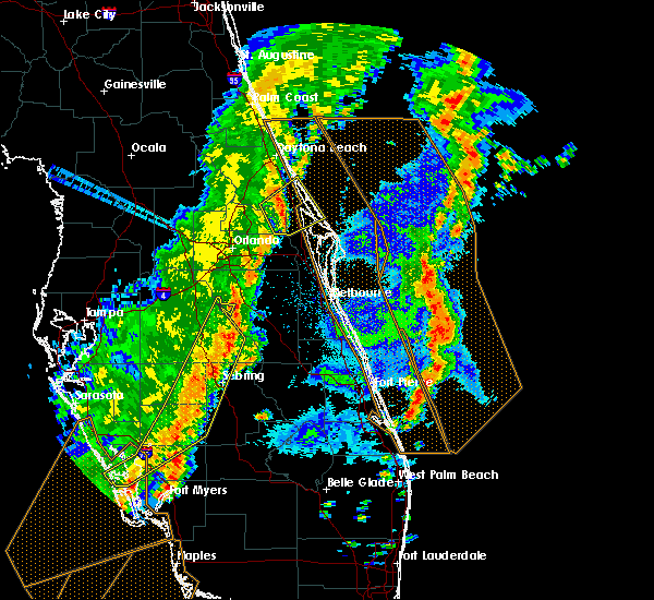 At 422 pm edt, severe thunderstorms were located along a line extending from near harmony to near lake kissimmee to 10 miles northeast of avon park, moving east at 45 mph (radar indicated). Hazards include 60 mph wind gusts. expect damage to roofs, siding, and trees At 422 pm edt, severe thunderstorms were located along a line extending from near harmony to near lake kissimmee to 10 miles northeast of avon park, moving east at 45 mph (radar indicated). Hazards include 60 mph wind gusts. expect damage to roofs, siding, and trees
|
| 12/20/2018 12:57 PM EST |
 At 1256 pm est, severe thunderstorms were located along a line extending from sea world to near lake wales, moving northeast at 50 mph (radar indicated). Hazards include 70 mph wind gusts. Expect considerable tree damage. Damage is likely to mobile homes, roofs, and outbuildings. At 1256 pm est, severe thunderstorms were located along a line extending from sea world to near lake wales, moving northeast at 50 mph (radar indicated). Hazards include 70 mph wind gusts. Expect considerable tree damage. Damage is likely to mobile homes, roofs, and outbuildings.
|
| 12/20/2018 12:24 PM EST |
 The severe thunderstorm warning for southeastern seminole, northern brevard, southeastern orange, southeastern volusia and northern osceola counties will expire at 1230 pm est, the storms which prompted the warning will be moving offshore, and will no longer pose an immediate threat to life or property. therefore, the warning will be allowed to expireas scheduled for now. a tornado watch remains in effect until 400 pm est for east central florida. The severe thunderstorm warning for southeastern seminole, northern brevard, southeastern orange, southeastern volusia and northern osceola counties will expire at 1230 pm est, the storms which prompted the warning will be moving offshore, and will no longer pose an immediate threat to life or property. therefore, the warning will be allowed to expireas scheduled for now. a tornado watch remains in effect until 400 pm est for east central florida.
|
| 12/20/2018 11:35 AM EST |
 At 1133 am est, severe thunderstorms were located along a line extending from near geneva to 7 miles southeast of poinciana, moving northeast at 40 mph (radar indicated). Hazards include 70 mph wind gusts. Expect considerable tree damage. Damage is likely to mobile homes, roofs, and outbuildings. At 1133 am est, severe thunderstorms were located along a line extending from near geneva to 7 miles southeast of poinciana, moving northeast at 40 mph (radar indicated). Hazards include 70 mph wind gusts. Expect considerable tree damage. Damage is likely to mobile homes, roofs, and outbuildings.
|
| 9/3/2018 1:24 PM EDT |
 At 124 pm edt, a severe thunderstorm was located over west lake toho, moving west at 40 mph (radar indicated). Hazards include 60 mph wind gusts. Expect damage to roofs, siding, and trees. Locations impacted include, kissimmee, saint cloud, bay lake, intercession city and celebration. At 124 pm edt, a severe thunderstorm was located over west lake toho, moving west at 40 mph (radar indicated). Hazards include 60 mph wind gusts. Expect damage to roofs, siding, and trees. Locations impacted include, kissimmee, saint cloud, bay lake, intercession city and celebration.
|
| 9/3/2018 1:15 PM EDT |
 At 115 pm edt, a severe thunderstorm was located near saint cloud, moving west at 40 mph (radar indicated). Hazards include 60 mph wind gusts. expect damage to roofs, siding, and trees At 115 pm edt, a severe thunderstorm was located near saint cloud, moving west at 40 mph (radar indicated). Hazards include 60 mph wind gusts. expect damage to roofs, siding, and trees
|
| 8/28/2018 3:18 PM EDT |
 At 316 pm edt, a severe thunderstorm was located over hunters creek, or near kissimmee, moving west at 15 mph (radar indicated). Hazards include 60 mph wind gusts. Expect damage to roofs, siding, and trees. Locations impacted include, orlando, kissimmee, saint cloud, bay lake and celebration. At 316 pm edt, a severe thunderstorm was located over hunters creek, or near kissimmee, moving west at 15 mph (radar indicated). Hazards include 60 mph wind gusts. Expect damage to roofs, siding, and trees. Locations impacted include, orlando, kissimmee, saint cloud, bay lake and celebration.
|
| 8/28/2018 3:04 PM EDT |
 At 304 pm edt, a severe thunderstorm was located over hunters creek, or near buena ventura lakes, moving west at 15 mph (radar indicated). Hazards include 60 mph wind gusts. expect damage to roofs, siding, and trees At 304 pm edt, a severe thunderstorm was located over hunters creek, or near buena ventura lakes, moving west at 15 mph (radar indicated). Hazards include 60 mph wind gusts. expect damage to roofs, siding, and trees
|
| 6/13/2018 7:44 PM EDT |
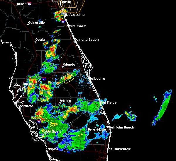 At 743 pm edt, a severe thunderstorm was located near harmony, or near saint cloud, and is nearly stationary (radar indicated). Hazards include 60 mph wind gusts and quarter size hail. Hail damage to vehicles is expected. expect wind damage to roofs, siding, and trees. Locations impacted include, saint cloud, harmony, alligator lake and pine grove. At 743 pm edt, a severe thunderstorm was located near harmony, or near saint cloud, and is nearly stationary (radar indicated). Hazards include 60 mph wind gusts and quarter size hail. Hail damage to vehicles is expected. expect wind damage to roofs, siding, and trees. Locations impacted include, saint cloud, harmony, alligator lake and pine grove.
|
| 6/13/2018 7:31 PM EDT |
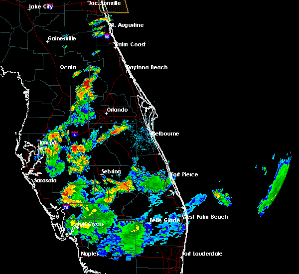 At 731 pm edt, a severe thunderstorm was located near harmony, or near saint cloud, and is nearly stationary (radar indicated). Hazards include 60 mph wind gusts and quarter size hail. Hail damage to vehicles is expected. Expect wind damage to roofs, siding, and trees. At 731 pm edt, a severe thunderstorm was located near harmony, or near saint cloud, and is nearly stationary (radar indicated). Hazards include 60 mph wind gusts and quarter size hail. Hail damage to vehicles is expected. Expect wind damage to roofs, siding, and trees.
|
| 6/5/2018 3:41 PM EDT |
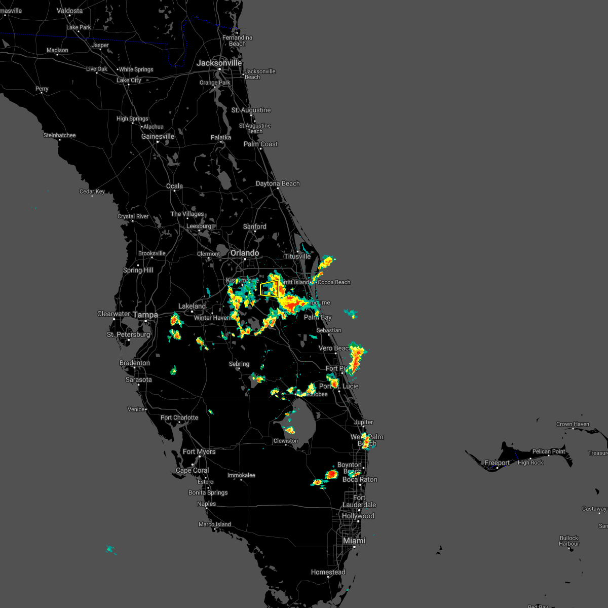 The severe thunderstorm warning for northeastern osceola county will expire at 345 pm edt, the storm which prompted the warning has moved out of the area. therefore, the warning will be allowed to expire. however gusty winds and heavy rain are still possible with this thunderstorm. The severe thunderstorm warning for northeastern osceola county will expire at 345 pm edt, the storm which prompted the warning has moved out of the area. therefore, the warning will be allowed to expire. however gusty winds and heavy rain are still possible with this thunderstorm.
|
| 6/5/2018 3:23 PM EDT | Two pine trees down... approximately 30 ft tall... 8 inch diameter. one of the trees fell on a fenc in osceola county FL, 8.2 miles W of St. Cloud, FL |
| 6/5/2018 3:22 PM EDT |
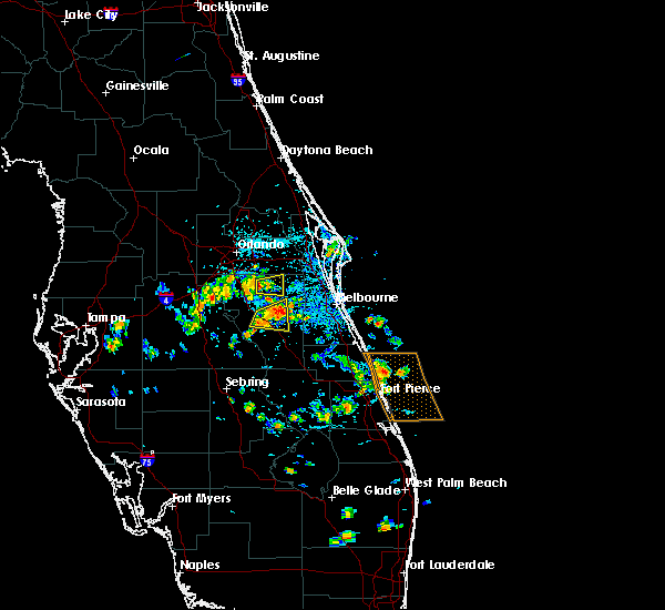 At 322 pm edt, a severe thunderstorm was located near harmony, or near narcoossee, moving east at 25 mph (radar indicated). Hazards include 60 mph wind gusts and quarter size hail. Hail damage to vehicles is expected. Expect wind damage to roofs, siding, and trees. At 322 pm edt, a severe thunderstorm was located near harmony, or near narcoossee, moving east at 25 mph (radar indicated). Hazards include 60 mph wind gusts and quarter size hail. Hail damage to vehicles is expected. Expect wind damage to roofs, siding, and trees.
|
| 4/10/2018 11:35 AM EDT |
 At 1134 am edt, a severe thunderstorm was located over lake nona, or near orlando international airport, moving east at 20 mph. there was another potentially severe thunderstorm near kissimmee and doctor phillips (radar indicated). Hazards include 60 mph wind gusts and quarter size hail. Hail damage to vehicles is expected. Expect wind damage to roofs, siding, and trees. At 1134 am edt, a severe thunderstorm was located over lake nona, or near orlando international airport, moving east at 20 mph. there was another potentially severe thunderstorm near kissimmee and doctor phillips (radar indicated). Hazards include 60 mph wind gusts and quarter size hail. Hail damage to vehicles is expected. Expect wind damage to roofs, siding, and trees.
|
| 9/10/2017 10:52 AM EDT |
 The tornado warning for northwestern osceola county will expire at 1100 am edt, the storm which prompted the warning has moved out of the area. therefore the warning will be allowed to expire. however strong winds and heavy rain will occur through tonight associated with hurricane irma. a tornado watch remains in effect until noon edt for east central florida. The tornado warning for northwestern osceola county will expire at 1100 am edt, the storm which prompted the warning has moved out of the area. therefore the warning will be allowed to expire. however strong winds and heavy rain will occur through tonight associated with hurricane irma. a tornado watch remains in effect until noon edt for east central florida.
|
| 9/10/2017 10:28 AM EDT |
 At 1028 am edt, a severe thunderstorm capable of producing a tornado was located over west lake toho, moving west at 35 mph (radar indicated rotation). Hazards include tornado. Flying debris will be dangerous to those caught without shelter. mobile homes will be damaged or destroyed. damage to roofs, windows, and vehicles will occur. tree damage is likely. this dangerous storm will be near, west lake toho around 1030 am edt. intercession city and campbell around 1040 am edt. celebration and champions gate around 1050 am edt. Other locations impacted by this tornadic thunderstorm include kissimmee airport. At 1028 am edt, a severe thunderstorm capable of producing a tornado was located over west lake toho, moving west at 35 mph (radar indicated rotation). Hazards include tornado. Flying debris will be dangerous to those caught without shelter. mobile homes will be damaged or destroyed. damage to roofs, windows, and vehicles will occur. tree damage is likely. this dangerous storm will be near, west lake toho around 1030 am edt. intercession city and campbell around 1040 am edt. celebration and champions gate around 1050 am edt. Other locations impacted by this tornadic thunderstorm include kissimmee airport.
|
| 8/17/2017 5:40 PM EDT |
 The severe thunderstorm warning for south central orange and north central osceola counties will expire at 545 pm edt. the storms which prompted the warning have weakened below severe limits, and no longer pose an immediate threat to life or property. therefore the warning will be allowed to expire. However gusty winds, heavy rain, and frequent lighting are still possible with. The severe thunderstorm warning for south central orange and north central osceola counties will expire at 545 pm edt. the storms which prompted the warning have weakened below severe limits, and no longer pose an immediate threat to life or property. therefore the warning will be allowed to expire. However gusty winds, heavy rain, and frequent lighting are still possible with.
|
| 8/17/2017 5:22 PM EDT |
 At 520 pm edt, severe thunderstorms were developing along a line between the university of central florida and west lake toho. individual storm motion was nearly southwest at 5 to 10 mph (radar indicated). Hazards include 60 mph wind gusts. expect damage to roofs, siding, and trees At 520 pm edt, severe thunderstorms were developing along a line between the university of central florida and west lake toho. individual storm motion was nearly southwest at 5 to 10 mph (radar indicated). Hazards include 60 mph wind gusts. expect damage to roofs, siding, and trees
|
| 7/17/2017 6:17 PM EDT |
 At 616 pm edt, a severe thunderstorm cluster was located over north central osceola county, moving north at 10 to 15 mph (radar indicated). Hazards include 60 mph wind gusts and quarter size hail. Hail damage to vehicles is expected. expect wind damage to roofs, siding, and trees. Locations impacted include, kissimmee, saint cloud, west lake toho, buena ventura lakes and east lake toho. At 616 pm edt, a severe thunderstorm cluster was located over north central osceola county, moving north at 10 to 15 mph (radar indicated). Hazards include 60 mph wind gusts and quarter size hail. Hail damage to vehicles is expected. expect wind damage to roofs, siding, and trees. Locations impacted include, kissimmee, saint cloud, west lake toho, buena ventura lakes and east lake toho.
|
| 7/17/2017 5:55 PM EDT | Quarter sized hail reported 1.5 miles WSW of St. Cloud, FL, trained spotter reports quarter sized hail near us 192 in st. cloud |
| 7/17/2017 5:53 PM EDT |
 At 552 pm edt, a severe thunderstorm was located near saint cloud, with little or no movement (radar indicated). Hazards include 60 mph wind gusts and quarter size hail. Hail damage to vehicles is expected. Expect wind damage to roofs, siding, and trees. At 552 pm edt, a severe thunderstorm was located near saint cloud, with little or no movement (radar indicated). Hazards include 60 mph wind gusts and quarter size hail. Hail damage to vehicles is expected. Expect wind damage to roofs, siding, and trees.
|
| 7/4/2017 6:25 PM EDT |
 The severe thunderstorm warning for south central orange and north central osceola counties will expire at 630 pm edt, the storm which prompted the warning has weakened below severe limits. therefore the warning will be allowed to expire. however gusty winds, heavy rain and cloud to ground lightning strikes are still possible with this thunderstorm. The severe thunderstorm warning for south central orange and north central osceola counties will expire at 630 pm edt, the storm which prompted the warning has weakened below severe limits. therefore the warning will be allowed to expire. however gusty winds, heavy rain and cloud to ground lightning strikes are still possible with this thunderstorm.
|
| 7/4/2017 5:58 PM EDT |
 At 558 pm edt, a severe thunderstorm was located over austin tindall park, or near buena ventura lakes, moving south at 5 mph (radar indicated). Hazards include 60 mph wind gusts. expect damage to roofs, siding, and trees At 558 pm edt, a severe thunderstorm was located over austin tindall park, or near buena ventura lakes, moving south at 5 mph (radar indicated). Hazards include 60 mph wind gusts. expect damage to roofs, siding, and trees
|
| 5/24/2017 4:12 PM EDT |
 At 410 pm edt, severe thunderstorms were located along a line extending from near cassia to oviedo to near lake hart, moving northeast at 45 mph. other strong to severe storms were moving into saint cloud and southern orange county near orlando international airport (radar indicated). Hazards include 60 mph wind gusts. Expect damage to roofs, siding, and trees. Locations impacted include, orlando, deltona, saint cloud and sanford. At 410 pm edt, severe thunderstorms were located along a line extending from near cassia to oviedo to near lake hart, moving northeast at 45 mph. other strong to severe storms were moving into saint cloud and southern orange county near orlando international airport (radar indicated). Hazards include 60 mph wind gusts. Expect damage to roofs, siding, and trees. Locations impacted include, orlando, deltona, saint cloud and sanford.
|
| 5/24/2017 3:48 PM EDT |
 At 347 pm edt, severe thunderstorms were located along a line extending from near lake apopka to near oak ridge to near west lake toho, moving northeast at 45 mph (radar indicated). Hazards include 60 mph wind gusts. expect damage to roofs, siding, and trees At 347 pm edt, severe thunderstorms were located along a line extending from near lake apopka to near oak ridge to near west lake toho, moving northeast at 45 mph (radar indicated). Hazards include 60 mph wind gusts. expect damage to roofs, siding, and trees
|
| 4/4/2017 4:08 PM EDT |
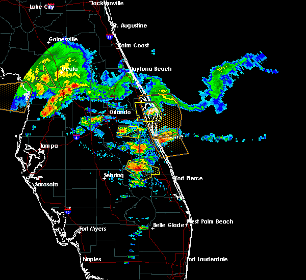 At 408 pm edt, a severe thunderstorm was located near harmony, or near narcoossee, moving east at 10 mph (radar indicated). Hazards include 60 mph wind gusts and quarter size hail. Hail damage to vehicles is expected. Expect wind damage to roofs, siding, and trees. At 408 pm edt, a severe thunderstorm was located near harmony, or near narcoossee, moving east at 10 mph (radar indicated). Hazards include 60 mph wind gusts and quarter size hail. Hail damage to vehicles is expected. Expect wind damage to roofs, siding, and trees.
|
| 2/15/2017 5:19 PM EST |
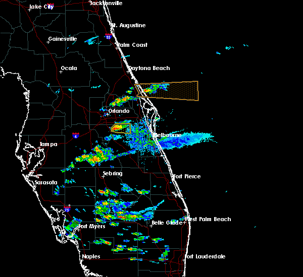 At 518 pm est, severe thunderstorms were located near narcoossee, moving east at 50 mph (radar indicated). Hazards include 60 mph wind gusts and nickel size hail. Expect damage to roofs, siding, and trees. locations impacted include, saint cloud, east lake toho, narcoossee, alligator lake and pine grove. A 57 mph wind gust occurred with this cluster of storms at the kissimmee airport. At 518 pm est, severe thunderstorms were located near narcoossee, moving east at 50 mph (radar indicated). Hazards include 60 mph wind gusts and nickel size hail. Expect damage to roofs, siding, and trees. locations impacted include, saint cloud, east lake toho, narcoossee, alligator lake and pine grove. A 57 mph wind gust occurred with this cluster of storms at the kissimmee airport.
|
| 2/15/2017 5:04 PM EST |
 At 504 pm est, a severe thunderstorm was located over osceola heritage park, or over kissimmee, moving east at 50 mph (radar indicated). Hazards include 60 mph wind gusts and quarter size hail. Hail damage to vehicles is expected. Expect wind damage to roofs, siding, and trees. At 504 pm est, a severe thunderstorm was located over osceola heritage park, or over kissimmee, moving east at 50 mph (radar indicated). Hazards include 60 mph wind gusts and quarter size hail. Hail damage to vehicles is expected. Expect wind damage to roofs, siding, and trees.
|
| 9/2/2016 5:36 AM EDT |
 At 535 am edt, a severe thunderstorm was located over four corners, moving east at 55 mph (radar indicated). Hazards include 60 mph wind gusts. Expect damage to roofs. siding. And trees. At 535 am edt, a severe thunderstorm was located over four corners, moving east at 55 mph (radar indicated). Hazards include 60 mph wind gusts. Expect damage to roofs. siding. And trees.
|
| 8/8/2016 1:15 PM EDT |
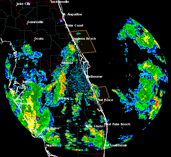 At 115 pm edt, a severe thunderstorm was located 8 miles northeast of lake kissimmee, moving northeast at 10 mph (radar indicated). Hazards include 60 mph wind gusts. Expect damage to roofs. siding. And trees. At 115 pm edt, a severe thunderstorm was located 8 miles northeast of lake kissimmee, moving northeast at 10 mph (radar indicated). Hazards include 60 mph wind gusts. Expect damage to roofs. siding. And trees.
|
| 7/14/2016 5:46 PM EDT |
 At 545 pm edt, a severe thunderstorm was located over osceola heritage park, or over kissimmee, moving northwest at 10 mph (radar indicated). Hazards include 60 mph wind gusts and penny size hail. Expect damage to roofs. siding. and trees. Locations impacted include, orlando, kissimmee, saint cloud, buena ventura lakes and narcoossee. At 545 pm edt, a severe thunderstorm was located over osceola heritage park, or over kissimmee, moving northwest at 10 mph (radar indicated). Hazards include 60 mph wind gusts and penny size hail. Expect damage to roofs. siding. and trees. Locations impacted include, orlando, kissimmee, saint cloud, buena ventura lakes and narcoossee.
|
| 7/14/2016 5:32 PM EDT |
 At 532 pm edt, a severe thunderstorm was located near saint cloud, moving northwest at 10 mph (radar indicated). Hazards include 60 mph wind gusts and quarter size hail. Hail damage to vehicles is expected. Expect wind damage to roofs, siding, and trees. At 532 pm edt, a severe thunderstorm was located near saint cloud, moving northwest at 10 mph (radar indicated). Hazards include 60 mph wind gusts and quarter size hail. Hail damage to vehicles is expected. Expect wind damage to roofs, siding, and trees.
|
| 6/14/2016 7:50 PM EDT | Quarter sized hail reported 0.4 miles E of St. Cloud, FL, quarter sized hail fell in saint cloud. pictures relayed from wftv via social media. |
| 6/1/2016 8:21 PM EDT |
 The severe thunderstorm warning for southwestern orange and northwestern osceola counties will expire at 830 pm edt, the storm which prompted the warning has weakened below severe limits, and no longer pose an immediate threat to life or property. therefore the warning will be allowed to expire. The severe thunderstorm warning for southwestern orange and northwestern osceola counties will expire at 830 pm edt, the storm which prompted the warning has weakened below severe limits, and no longer pose an immediate threat to life or property. therefore the warning will be allowed to expire.
|
| 6/1/2016 8:12 PM EDT |
 At 810 pm edt, a severe thunderstorm was located over intercession city, moving southwest at 10 mph (public reported wind damage at 5820 irlo bronson memorial highway in celebration). Hazards include 60 mph wind gusts and quarter size hail. Hail damage to vehicles is expected. expect wind damage to roofs, siding, and trees. Locations impacted include, orlando, kissimmee, bay lake, buena ventura lakes and intercession city. At 810 pm edt, a severe thunderstorm was located over intercession city, moving southwest at 10 mph (public reported wind damage at 5820 irlo bronson memorial highway in celebration). Hazards include 60 mph wind gusts and quarter size hail. Hail damage to vehicles is expected. expect wind damage to roofs, siding, and trees. Locations impacted include, orlando, kissimmee, bay lake, buena ventura lakes and intercession city.
|
| 6/1/2016 7:52 PM EDT |
 At 750 pm edt, a severe thunderstorm was located over hunters creek, or near kissimmee, moving southwest at 10 mph (public reported nickle size hail in the vicinity of sea world). Hazards include 60 mph wind gusts and quarter size hail. Hail damage to vehicles is expected. expect wind damage to roofs, siding, and trees. Locations impacted include, orlando, kissimmee, bay lake, buena ventura lakes and intercession city. At 750 pm edt, a severe thunderstorm was located over hunters creek, or near kissimmee, moving southwest at 10 mph (public reported nickle size hail in the vicinity of sea world). Hazards include 60 mph wind gusts and quarter size hail. Hail damage to vehicles is expected. expect wind damage to roofs, siding, and trees. Locations impacted include, orlando, kissimmee, bay lake, buena ventura lakes and intercession city.
|
| 6/1/2016 7:27 PM EDT |
 At 727 pm edt, a severe thunderstorm was located over hunters creek, or near oak ridge, moving southwest at 10 mph (radar indicated). Hazards include 60 mph wind gusts and quarter size hail. Hail damage to vehicles is expected. Expect wind damage to roofs, siding, and trees. At 727 pm edt, a severe thunderstorm was located over hunters creek, or near oak ridge, moving southwest at 10 mph (radar indicated). Hazards include 60 mph wind gusts and quarter size hail. Hail damage to vehicles is expected. Expect wind damage to roofs, siding, and trees.
|
| 4/14/2016 7:27 PM EDT |
 At 725 pm edt, a severe thunderstorm was located near poinciana, or 9 miles south of west lake toho, moving east at 20 mph. another severe storm was just south of st cloud moving towards harmony and holopaw (radar indicated). Hazards include 60 mph wind gusts and quarter size hail. Hail damage to vehicles is expected. Expect wind damage to roofs, siding, and trees. At 725 pm edt, a severe thunderstorm was located near poinciana, or 9 miles south of west lake toho, moving east at 20 mph. another severe storm was just south of st cloud moving towards harmony and holopaw (radar indicated). Hazards include 60 mph wind gusts and quarter size hail. Hail damage to vehicles is expected. Expect wind damage to roofs, siding, and trees.
|
| 4/14/2016 7:11 PM EDT |
 At 709 pm edt, a severe thunderstorm was located over west lake toho, moving east at 20 mph. anoteher severe storm was located near haines city. these severe storms will affect areas in north osceola county generally south of state route 192 down to near poinciana (radar indicated). Hazards include 60 mph wind gusts and quarter size hail. Hail damage to vehicles is expected. expect wind damage to roofs, siding, and trees. Locations impacted include, saint cloud, west lake toho, poinciana, campbell and alligator lake. At 709 pm edt, a severe thunderstorm was located over west lake toho, moving east at 20 mph. anoteher severe storm was located near haines city. these severe storms will affect areas in north osceola county generally south of state route 192 down to near poinciana (radar indicated). Hazards include 60 mph wind gusts and quarter size hail. Hail damage to vehicles is expected. expect wind damage to roofs, siding, and trees. Locations impacted include, saint cloud, west lake toho, poinciana, campbell and alligator lake.
|
| 4/14/2016 6:41 PM EDT |
 At 640 pm edt, a severe thunderstorm was located over intercession city, moving east at 25 mph (radar indicated). Hazards include 60 mph wind gusts and quarter size hail. Hail damage to vehicles is expected. Expect wind damage to roofs, siding, and trees. At 640 pm edt, a severe thunderstorm was located over intercession city, moving east at 25 mph (radar indicated). Hazards include 60 mph wind gusts and quarter size hail. Hail damage to vehicles is expected. Expect wind damage to roofs, siding, and trees.
|
| 4/14/2016 6:05 PM EDT |
 At 605 pm edt, a severe thunderstorm was located near four corners, or 9 miles west of celebration, moving east at 25 to 30 mph (radar indicated). Hazards include 60 mph wind gusts and quarter size hail. Hail damage to vehicles is expected. Expect wind damage to roofs, siding, and trees. At 605 pm edt, a severe thunderstorm was located near four corners, or 9 miles west of celebration, moving east at 25 to 30 mph (radar indicated). Hazards include 60 mph wind gusts and quarter size hail. Hail damage to vehicles is expected. Expect wind damage to roofs, siding, and trees.
|
| 3/26/2016 7:22 PM EDT |
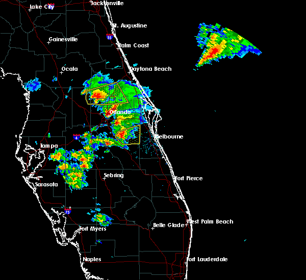 At 721 pm edt, a severe thunderstorm was located over harmony, or near holopaw, moving east at 15 mph (radar indicated). Hazards include 60 mph wind gusts and quarter size hail. Hail damage to vehicles is expected. Expect wind damage to roofs, siding, and trees. At 721 pm edt, a severe thunderstorm was located over harmony, or near holopaw, moving east at 15 mph (radar indicated). Hazards include 60 mph wind gusts and quarter size hail. Hail damage to vehicles is expected. Expect wind damage to roofs, siding, and trees.
|
| 3/26/2016 6:31 PM EDT |
 At 629 pm edt, a severe thunderstorm was located just south of lake toho, moving east at 25 mph (radar indicated). Hazards include 60 mph wind gusts and quarter size hail. Hail damage to vehicles is expected. expect wind damage to roofs, siding, and trees. Locations impacted include, kissimmee, buena ventura lakes, west lake toho, poinciana and osceola heritage park. At 629 pm edt, a severe thunderstorm was located just south of lake toho, moving east at 25 mph (radar indicated). Hazards include 60 mph wind gusts and quarter size hail. Hail damage to vehicles is expected. expect wind damage to roofs, siding, and trees. Locations impacted include, kissimmee, buena ventura lakes, west lake toho, poinciana and osceola heritage park.
|
| 3/26/2016 6:06 PM EDT |
 At 605 pm edt, a severe thunderstorm was located over poinciana, or near west lake toho, moving east at 30 mph (radar indicated). Hazards include 60 mph wind gusts and quarter size hail. Hail damage to vehicles is expected. expect wind damage to roofs, siding, and trees. Locations impacted include, kissimmee, bay lake, buena ventura lakes, intercession city and celebration. At 605 pm edt, a severe thunderstorm was located over poinciana, or near west lake toho, moving east at 30 mph (radar indicated). Hazards include 60 mph wind gusts and quarter size hail. Hail damage to vehicles is expected. expect wind damage to roofs, siding, and trees. Locations impacted include, kissimmee, bay lake, buena ventura lakes, intercession city and celebration.
|
| 3/26/2016 5:42 PM EDT |
 At 542 pm edt, a severe thunderstorm was located near champions gate, or 9 miles southwest of celebration, moving east at 25 mph (radar indicated). Hazards include 60 mph wind gusts and quarter size hail. Hail damage to vehicles is expected. Expect wind damage to roofs, siding, and trees. At 542 pm edt, a severe thunderstorm was located near champions gate, or 9 miles southwest of celebration, moving east at 25 mph (radar indicated). Hazards include 60 mph wind gusts and quarter size hail. Hail damage to vehicles is expected. Expect wind damage to roofs, siding, and trees.
|
| 3/25/2016 3:20 PM EDT |
 At 317 pm edt, the band of severe thunderstorms had expanded southward along a line extending from near harmony to 8 miles west of holopaw to 6 miles northwest of lake kissimmee, moving east at near 60 mph (radar indicated). Hazards include 60 mph wind gusts and quarter size hail. Hail damage to vehicles is expected. Expect wind damage to roofs, siding, and trees. At 317 pm edt, the band of severe thunderstorms had expanded southward along a line extending from near harmony to 8 miles west of holopaw to 6 miles northwest of lake kissimmee, moving east at near 60 mph (radar indicated). Hazards include 60 mph wind gusts and quarter size hail. Hail damage to vehicles is expected. Expect wind damage to roofs, siding, and trees.
|
| 3/25/2016 2:57 PM EDT |
 At 256 pm edt, severe thunderstorms were located along a line extending from doctor phillips to near kissimmee to near campbell, moving northeast at 60 mph (radar indicated). Hazards include 60 mph wind gusts and penny size hail. Expect damage to roofs. siding. And trees. At 256 pm edt, severe thunderstorms were located along a line extending from doctor phillips to near kissimmee to near campbell, moving northeast at 60 mph (radar indicated). Hazards include 60 mph wind gusts and penny size hail. Expect damage to roofs. siding. And trees.
|
| 3/24/2016 9:30 PM EDT |
 At 929 pm edt, a severe thunderstorm capable of producing a tornado was located near west lake toho, moving northeast at 20 mph (radar indicated rotation). Hazards include tornado. Flying debris will be dangerous to those caught without shelter. mobile homes will be damaged or destroyed. damage to roofs, windows, and vehicles will occur. tree damage is likely. this dangerous storm will be near, saint cloud around 940 pm edt. Other locations impacted by this tornadic thunderstorm include alligator lake. At 929 pm edt, a severe thunderstorm capable of producing a tornado was located near west lake toho, moving northeast at 20 mph (radar indicated rotation). Hazards include tornado. Flying debris will be dangerous to those caught without shelter. mobile homes will be damaged or destroyed. damage to roofs, windows, and vehicles will occur. tree damage is likely. this dangerous storm will be near, saint cloud around 940 pm edt. Other locations impacted by this tornadic thunderstorm include alligator lake.
|
| 3/24/2016 9:10 PM EDT |
 At 905 pm edt, a severe thunderstorm capable of producing a tornado was located over poinciana, or 7 miles southwest of west lake toho, moving northeast at 20 mph (radar indicated rotation). Hazards include tornado. Flying debris will be dangerous to those caught without shelter. mobile homes will be damaged or destroyed. damage to roofs, windows, and vehicles will occur. tree damage is likely. this dangerous storm will be near, west lake toho around 930 pm edt. saint cloud around 940 pm edt. Other locations impacted by this tornadic thunderstorm include alligator lake. At 905 pm edt, a severe thunderstorm capable of producing a tornado was located over poinciana, or 7 miles southwest of west lake toho, moving northeast at 20 mph (radar indicated rotation). Hazards include tornado. Flying debris will be dangerous to those caught without shelter. mobile homes will be damaged or destroyed. damage to roofs, windows, and vehicles will occur. tree damage is likely. this dangerous storm will be near, west lake toho around 930 pm edt. saint cloud around 940 pm edt. Other locations impacted by this tornadic thunderstorm include alligator lake.
|
| 1/15/2016 11:52 AM EST |
 The severe thunderstorm warning for orange, seminole and northwestern osceola counties will expire at 1200 pm est, the storm which prompted the warning has moved out of the area. therefore the warning will be allowed to expire. however gusty winds are still possible this afternoon. to report severe weather, contact your nearest law enforcement agency. they will relay your report to the national weather service melbourne. The severe thunderstorm warning for orange, seminole and northwestern osceola counties will expire at 1200 pm est, the storm which prompted the warning has moved out of the area. therefore the warning will be allowed to expire. however gusty winds are still possible this afternoon. to report severe weather, contact your nearest law enforcement agency. they will relay your report to the national weather service melbourne.
|
| 1/15/2016 10:54 AM EST |
 At 1053 am est, a severe thunderstorm was located near horizon west, moving east at 30 mph (radar indicated). Hazards include 60 mph wind gusts. Expect damage to roofs. Siding and trees. At 1053 am est, a severe thunderstorm was located near horizon west, moving east at 30 mph (radar indicated). Hazards include 60 mph wind gusts. Expect damage to roofs. Siding and trees.
|
| 9/5/2015 2:50 PM EDT |
 At 249 pm edt, doppler radar indicated a severe thunderstorm capable of producing damaging winds in excess of 60 mph. this storm was located over orlando international airport, and moving southwest at 15 mph. penny size hail may also accompany the damaging winds. At 249 pm edt, doppler radar indicated a severe thunderstorm capable of producing damaging winds in excess of 60 mph. this storm was located over orlando international airport, and moving southwest at 15 mph. penny size hail may also accompany the damaging winds.
|
| 9/4/2015 2:19 PM EDT |
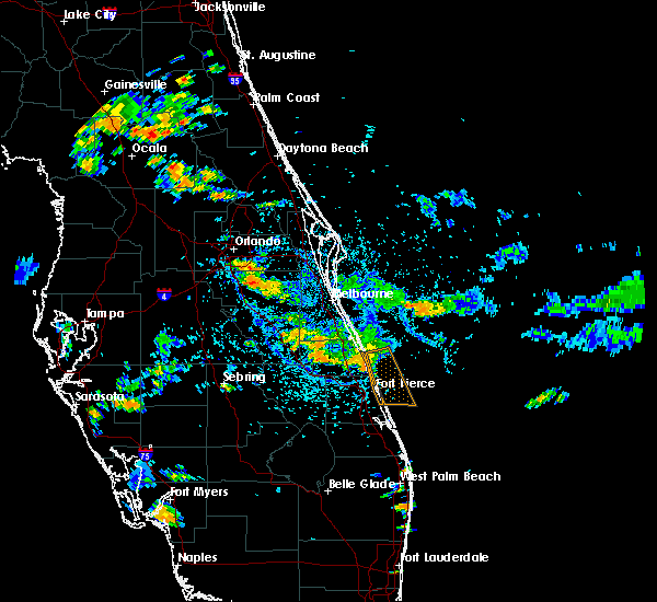 At 218 pm edt, doppler radar indicated a severe thunderstorm capable of producing quarter size hail and damaging winds in excess of 60 mph. this storm was located near narcoossee, and moving southeast at 10 mph. At 218 pm edt, doppler radar indicated a severe thunderstorm capable of producing quarter size hail and damaging winds in excess of 60 mph. this storm was located near narcoossee, and moving southeast at 10 mph.
|
| 8/26/2015 4:37 PM EDT |
 At 436 pm edt, doppler radar indicated a severe thunderstorm capable of producing quarter size hail and damaging winds in excess of 60 mph. this storm was located over campbell, or near kissimmee, moving north at 15 mph. locations impacted include, kissimmee, buena ventura lakes, east lake toho, west lake toho and intercession city. At 436 pm edt, doppler radar indicated a severe thunderstorm capable of producing quarter size hail and damaging winds in excess of 60 mph. this storm was located over campbell, or near kissimmee, moving north at 15 mph. locations impacted include, kissimmee, buena ventura lakes, east lake toho, west lake toho and intercession city.
|
| 8/26/2015 4:13 PM EDT |
 At 412 pm edt, doppler radar indicated a severe thunderstorm capable of producing quarter size hail and damaging winds in excess of 60 mph. this storm was located over poinciana, or near west lake toho, and moving north at 15 mph. At 412 pm edt, doppler radar indicated a severe thunderstorm capable of producing quarter size hail and damaging winds in excess of 60 mph. this storm was located over poinciana, or near west lake toho, and moving north at 15 mph.
|
| 8/20/2015 6:49 PM EDT |
 At 648 pm edt, the public reported quarter sized hail from a severe thunderstorm between east and west lake toho. doppler radar also was measuring winds around 60 mph with this storm coming off of east lake toho. storm motion was northwest at 15 mph. locations impacted include, kissimmee, saint cloud, buena ventura lakes, east lake toho and narcoossee. At 648 pm edt, the public reported quarter sized hail from a severe thunderstorm between east and west lake toho. doppler radar also was measuring winds around 60 mph with this storm coming off of east lake toho. storm motion was northwest at 15 mph. locations impacted include, kissimmee, saint cloud, buena ventura lakes, east lake toho and narcoossee.
|
| 8/20/2015 6:44 PM EDT | Quarter sized hail reported 0.4 miles E of St. Cloud, FL, quarter-sized hail reported at u.s. 192 and narcoosee rd. |
| 8/20/2015 6:34 PM EDT |
 At 633 pm edt, doppler radar indicated a severe thunderstorm capable of producing damaging winds in excess of 60 mph. this storm was located over saint cloud, and moving northwest at 15 mph. At 633 pm edt, doppler radar indicated a severe thunderstorm capable of producing damaging winds in excess of 60 mph. this storm was located over saint cloud, and moving northwest at 15 mph.
|
| 8/13/2015 1:44 PM EDT |
 At 144 pm edt, doppler radar indicated a severe thunderstorm capable of producing damaging winds in excess of 60 mph. this storm was located over austin tindall park, or near east lake toho, and moving east at 15 mph. penny size hail may also accompany the damaging winds. At 144 pm edt, doppler radar indicated a severe thunderstorm capable of producing damaging winds in excess of 60 mph. this storm was located over austin tindall park, or near east lake toho, and moving east at 15 mph. penny size hail may also accompany the damaging winds.
|
| 7/15/2015 3:10 PM EDT |
 The severe thunderstorm warning for southwestern brevard and northeastern osceola counties will expire at 315 pm edt, the storms which prompted the warning have weakened below severe limits and are exiting the warned area moving toward the east. therefore the warning will be allowed to expire. however gusty winds are still possible with these thunderstorms. The severe thunderstorm warning for southwestern brevard and northeastern osceola counties will expire at 315 pm edt, the storms which prompted the warning have weakened below severe limits and are exiting the warned area moving toward the east. therefore the warning will be allowed to expire. however gusty winds are still possible with these thunderstorms.
|
| 7/15/2015 2:46 PM EDT |
 At 243 pm edt, doppler radar indicated a cluster of thunderstorms producing severe wind gusts to 60 mph moving through harmony and pine grove toward holopaw and deer park. movement was east at 10 mph. wind gusts to 49 mph have already been reported in pine grove. locations impacted include, holopaw, camp holly fish camp, harmony, pine grove and deer park. At 243 pm edt, doppler radar indicated a cluster of thunderstorms producing severe wind gusts to 60 mph moving through harmony and pine grove toward holopaw and deer park. movement was east at 10 mph. wind gusts to 49 mph have already been reported in pine grove. locations impacted include, holopaw, camp holly fish camp, harmony, pine grove and deer park.
|
| 7/15/2015 2:36 PM EDT |
 At 235 pm edt, doppler radar indicated a cluster of severe thunderstorms capable of producing damaging winds in excess of 60 mph. this storm was located over saint cloud, and moving east at 10 mph. At 235 pm edt, doppler radar indicated a cluster of severe thunderstorms capable of producing damaging winds in excess of 60 mph. this storm was located over saint cloud, and moving east at 10 mph.
|
| 7/1/2015 5:29 PM EDT |
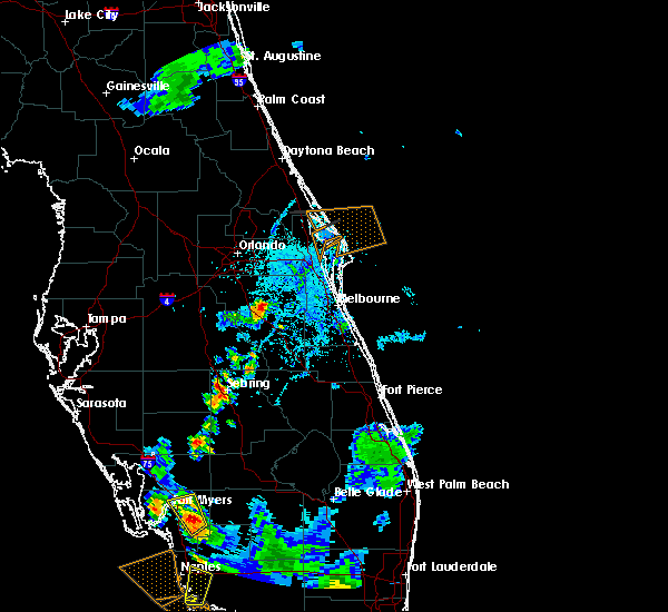 At 528 pm edt, doppler radar indicated a severe thunderstorm capable of producing quarter size hail and damaging winds in excess of 60 mph. this storm was located over harmony, or near holopaw, and moving northeast at 15 mph. At 528 pm edt, doppler radar indicated a severe thunderstorm capable of producing quarter size hail and damaging winds in excess of 60 mph. this storm was located over harmony, or near holopaw, and moving northeast at 15 mph.
|
| 6/20/2015 5:55 PM EDT | Quarter sized hail reported 7.4 miles WNW of St. Cloud, FL, harmony sunoco gas station attendant relayed report from public of quarter sized hail while driving along us 192. location estimated. |
| 6/19/2015 5:44 PM EDT |
 At 543 pm edt, doppler radar indicated a severe thunderstorm capable of producing damaging winds in excess of 60 mph. this storm was located over narcoossee, and moving northwest at 5 mph. nickel size hail may also accompany the damaging winds. At 543 pm edt, doppler radar indicated a severe thunderstorm capable of producing damaging winds in excess of 60 mph. this storm was located over narcoossee, and moving northwest at 5 mph. nickel size hail may also accompany the damaging winds.
|
| 6/12/2015 4:09 PM EDT |
 At 409 pm edt, doppler radar indicated a severe thunderstorm capable of producing damaging winds in excess of 58 mph. this storm was located 4 miles south of saint cloud, and moving north at 15 mph. At 409 pm edt, doppler radar indicated a severe thunderstorm capable of producing damaging winds in excess of 58 mph. this storm was located 4 miles south of saint cloud, and moving north at 15 mph.
|
| 6/5/2015 6:22 PM EDT | The severe thunderstorm warning for northwestern osceola county will expire at 630 pm edt, the storms which prompted the warning have weakened below severe limits, and no longer poses an immediate threat to life or property. therefore the warning will be allowed to expire. however gusty winds and heavy rain are still possible with these thunderstorms. |
| 6/5/2015 5:58 PM EDT | At 557 pm edt, doppler radar indicated a cluster of severe thunderstorms capable of producing quarter size hail and damaging winds in excess of 60 mph. these storms were located over osceola heritage park, or near east lake toho, moving east at 15 mph. locations impacted include, kissimmee, saint cloud, buena ventura lakes, narcoossee and east lake toho. |
| 6/5/2015 5:29 PM EDT | At 529 pm edt, doppler radar indicated a severe thunderstorm capable of producing quarter size hail and damaging winds in excess of 60 mph. this storm was located over campbell, or over intercession city, and moving east at 15 mph. |
| 6/1/2015 6:38 PM EDT | The severe thunderstorm warning for southern lake, southwestern orange and northwestern osceola counties will expire at 645 pm edt, the storm which prompted the warning has weakened below severe limits, and no longer poses an immediate threat to life or property. therefore the warning will be allowed to expire. however gusty winds and heavy rain are still possible with this thunderstorm. |
| 6/1/2015 6:08 PM EDT | At 607 pm edt, doppler radar indicated a severe thunderstorm capable of producing quarter size hail and damaging winds in excess of 60 mph. this storm was located over horizon west, or near windermere, and moving southeast at 20 mph. |
| 4/11/2015 8:35 PM EDT | The national weather service in melbourne has issued a * severe thunderstorm warning for. osceola county in east central florida. until 930 pm edt * at 834 pm edt. doppler radar indicated a severe thunderstorm capable of producing damaging winds in excess of 60 mph. This storm. |
| 4/11/2015 8:32 PM EDT | A tornado warning remains in effect until 845 pm edt for north central osceola county. at 831 pm edt. doppler radar indicated a severe thunderstorm capable of producing a tornado. this dangerous storm was located 8 miles southeast of saint cloud. moving east at 5 to 10 mph. Locations impacted include. |
| 4/11/2015 8:22 PM EDT | The national weather service in melbourne has issued a * tornado warning for. north central osceola county in east central florida. until 845 pm edt * at 822 pm edt. doppler radar indicated a severe thunderstorm capable of producing a tornado. This dangerous storm was located 7. |
| 6/27/2014 5:54 PM EDT | Tree blown down across orange avenue in saint cloud between 10th ave and rummel road. time estimated from rada in osceola county FL, 1.9 miles SW of St. Cloud, FL |
| 6/8/2014 7:00 PM EDT | Osceola fire rescue reported power lines down at intersection of wiggins rd. and jones road... and also on runmmel road. time estimated from rada in osceola county FL, 5.2 miles SW of St. Cloud, FL |
| 2/12/2014 6:20 PM EST | Saint cloud emergency manager reported minor roof damage to four homes in sweetwater creek subdivision. lost shingles and aw in osceola county FL, 2.1 miles NNE of St. Cloud, FL |
| 7/4/2012 2:49 PM EDT | Osceola em reported damage to carports and trailers in jade isle mobile home par in osceola county FL, 1.5 miles WSW of St. Cloud, FL |
| 4/20/2012 4:45 PM EDT | Quarter sized hail reported 2.7 miles WSW of St. Cloud, FL, nickel to quarter size hail near intersection of irlo bronson memorial highway and narcoossee road in saint cloud. |
| 1/1/0001 12:00 AM | Quarter sized hail reported 16.1 miles WNW of St. Cloud, FL, spotter reported quarter-sized hail on mercury drive in holopaw. |
| 3/30/2011 5:12 PM EDT | Tree down on powerlines on 3rd st. time estimated by rada in osceola county FL, 1.6 miles SSW of St. Cloud, FL |
| 3/30/2011 5:12 PM EDT | Screen porch roof blown off and walls blown in on vermont ave. time estimated by rada in osceola county FL, 0.8 miles SSE of St. Cloud, FL |
| 3/30/2011 5:10 PM EDT | Large tree down on a house and powerlines on delaware ave. time estimated by rada in osceola county FL, 1 miles SW of St. Cloud, FL |
| 3/30/2011 5:10 PM EDT | Aluminum canopy trim damaged at fire station. time estimated by rada in osceola county FL, 2.8 miles N of St. Cloud, FL |
Hail Maps for St. Cloud, FL
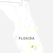
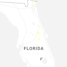
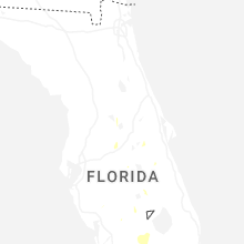
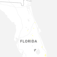
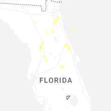

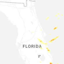
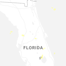
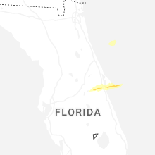


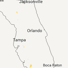


Connect with Interactive Hail Maps