

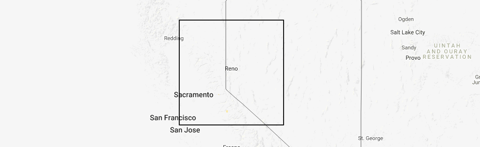
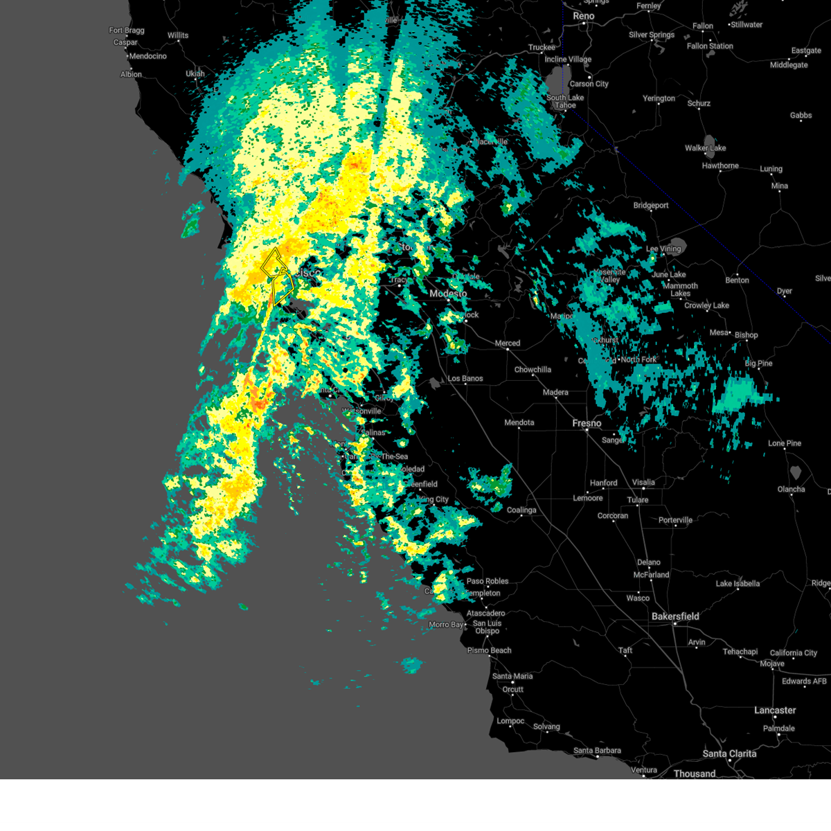
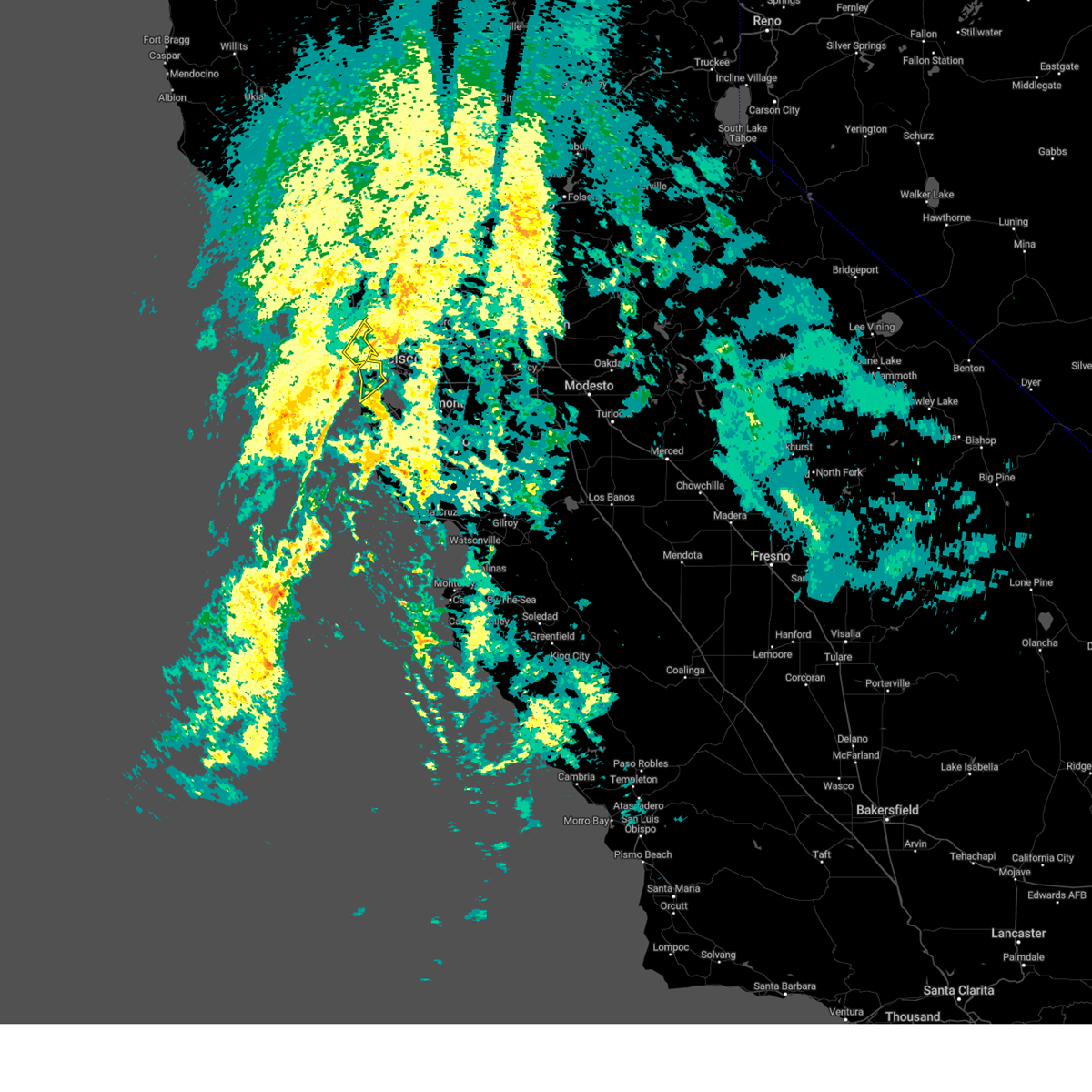
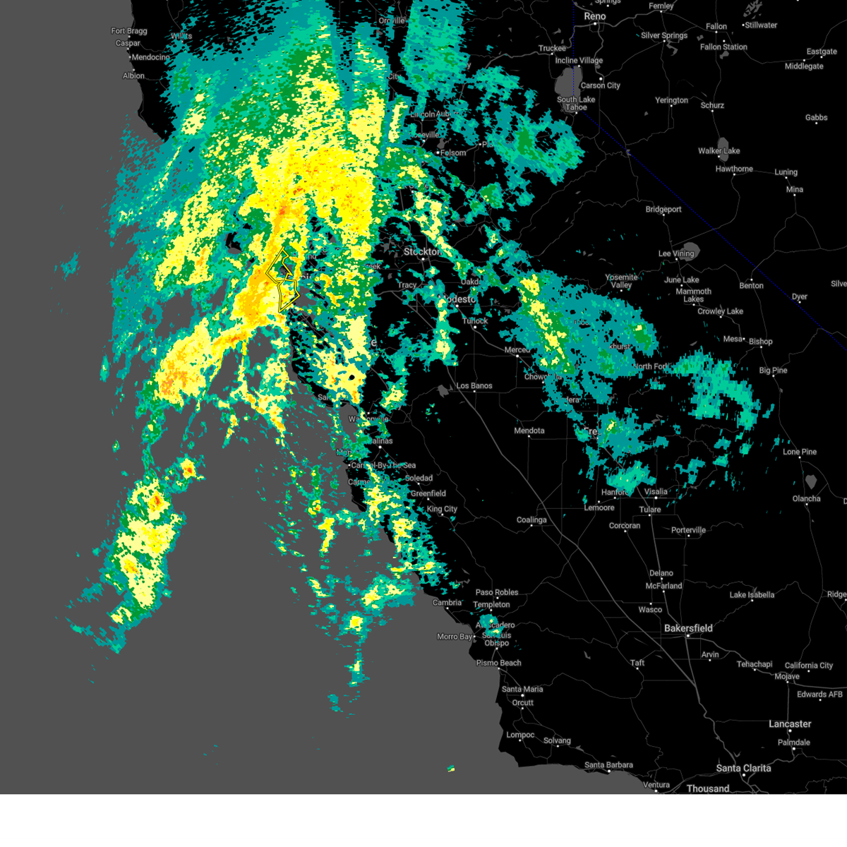
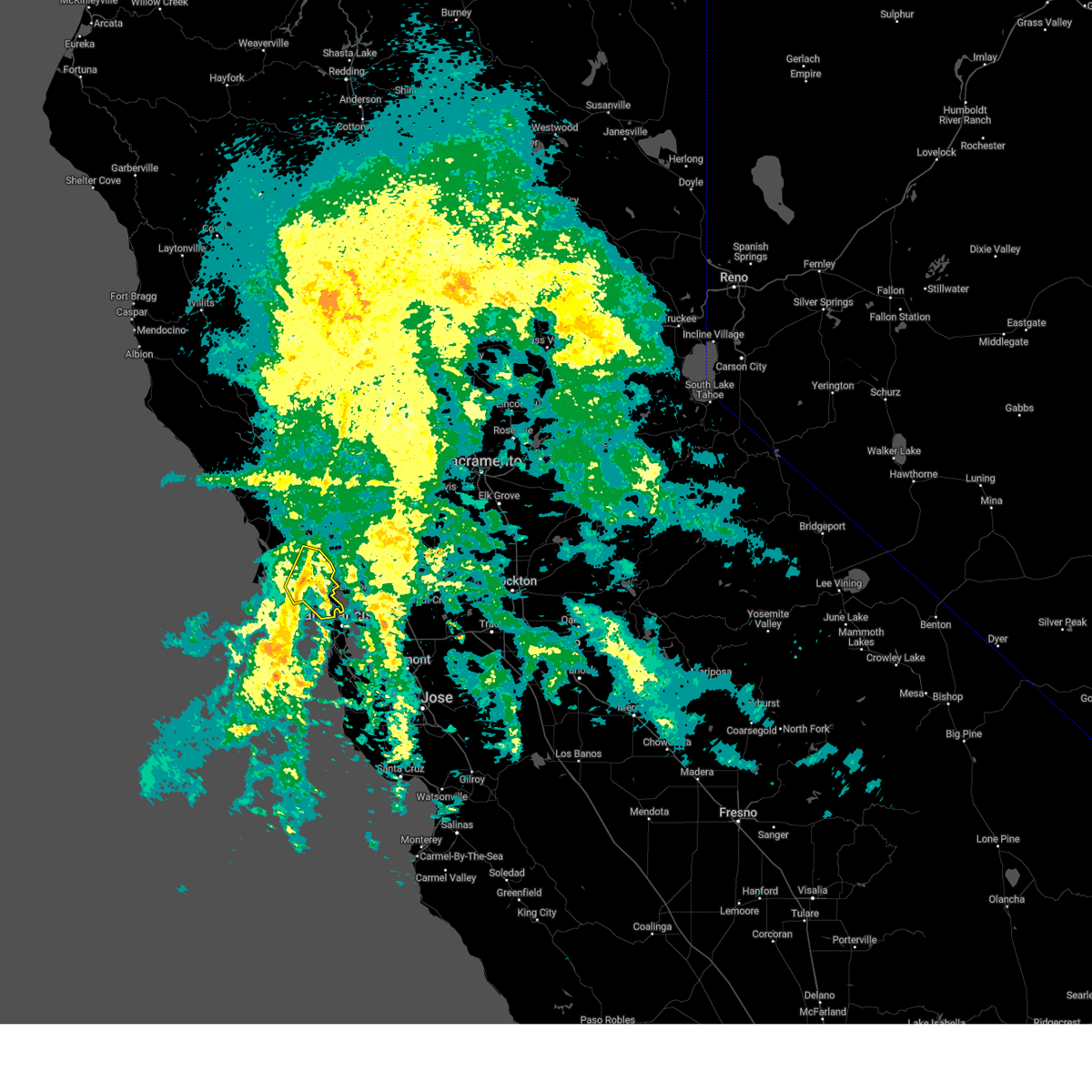
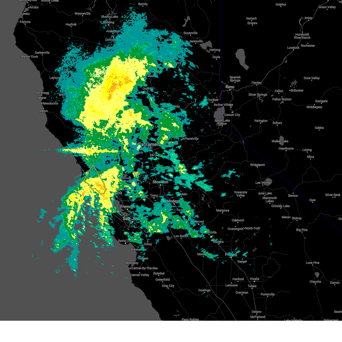
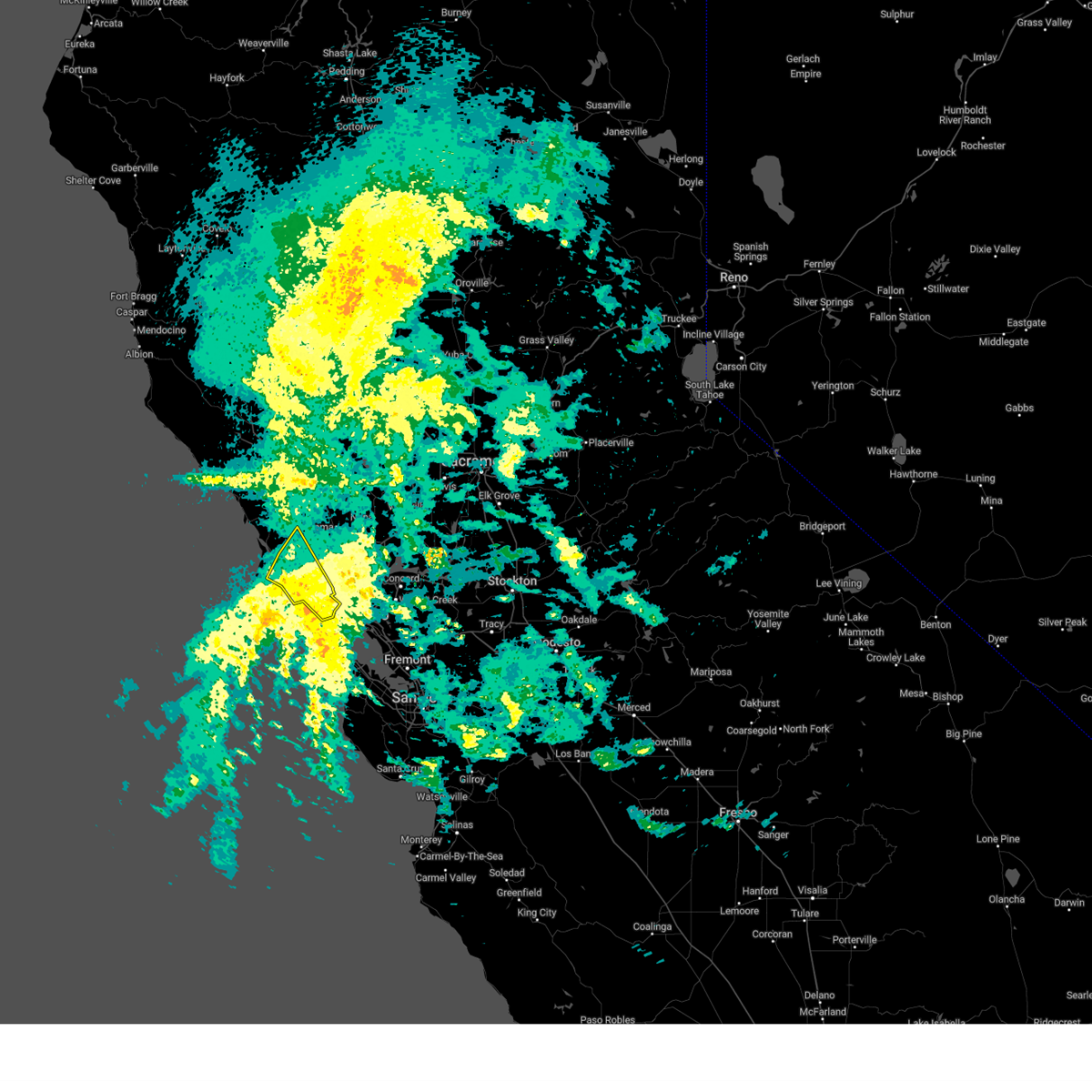
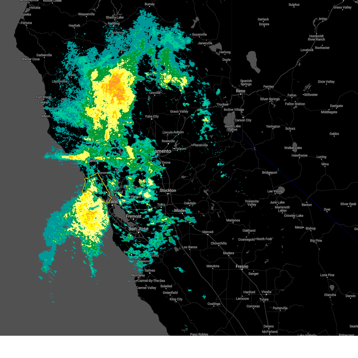
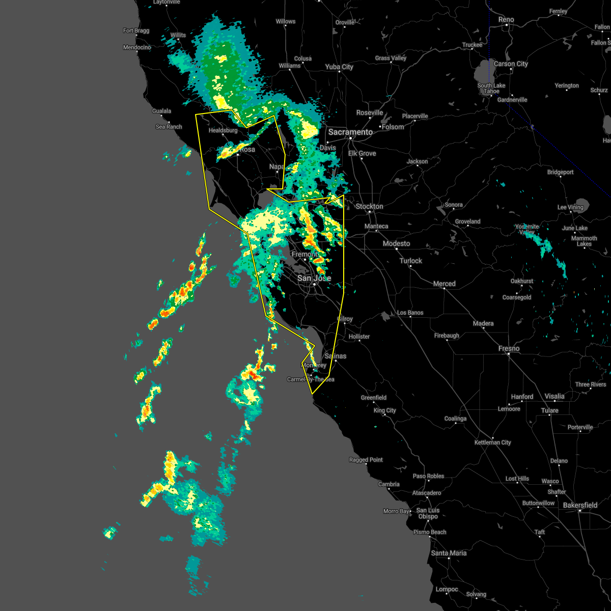
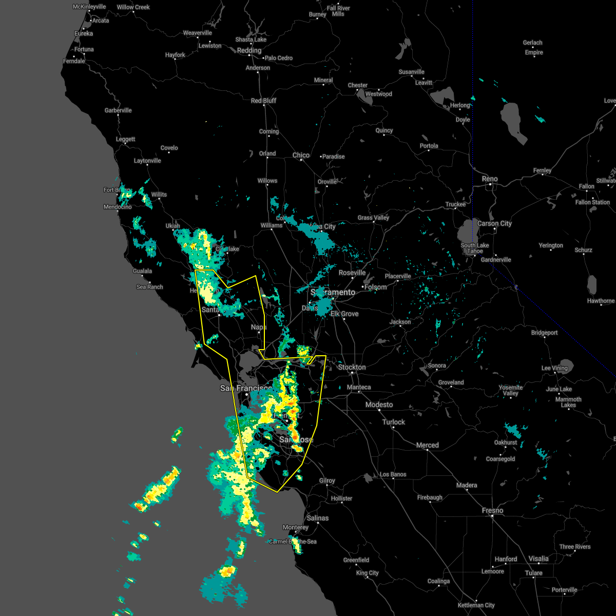
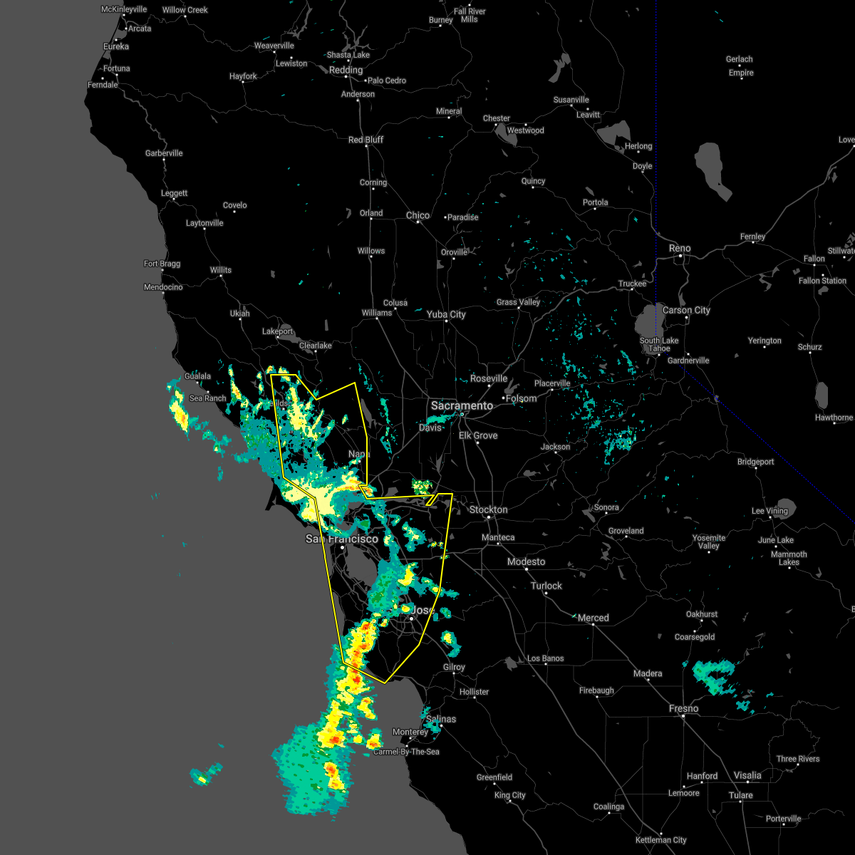
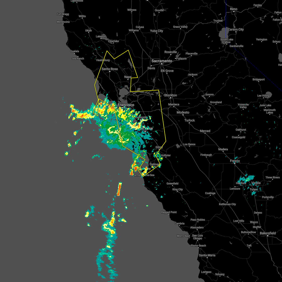
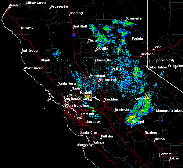
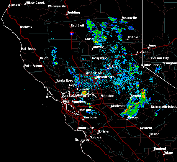
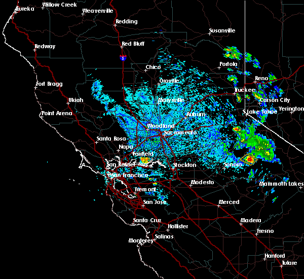
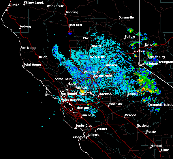
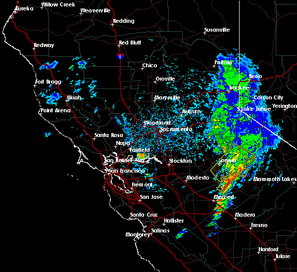
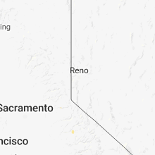
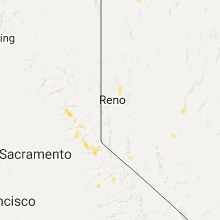
Hail Map for Strawberry, CA
The Strawberry, CA area has had 1 report of on-the-ground hail by trained spotters, and has been under severe weather warnings 3 times during the past 12 months. Doppler radar has detected hail at or near Strawberry, CA on 2 occasions.
| Name: | Strawberry, CA |
| Where Located: | 51.2 miles NW of San Jose, CA |
| Map: | Google Map for Strawberry, CA |
| Population: | 5393 |
| Housing Units: | 2729 |
| More Info: | Search Google for Strawberry, CA |
5
The Top Recent Hail Date for Strawberry, CA is Tuesday, May 1, 2018 (1st out of 2)
Hail and Wind Damage Spotted near Strawberry, CA
| Date / Time | Report Details |
|---|---|
| 12/25/2025 5:54 PM PST |
 The storm which prompted the warning has weakened below severe limits, and no longer poses an immediate threat to life or property. therefore, the warning will be allowed to expire. however, gusty winds and heavy rain are still possible with this thunderstorm. The storm which prompted the warning has weakened below severe limits, and no longer poses an immediate threat to life or property. therefore, the warning will be allowed to expire. however, gusty winds and heavy rain are still possible with this thunderstorm.
|
| 12/25/2025 5:54 PM PST |
 the severe thunderstorm warning has been cancelled and is no longer in effect the severe thunderstorm warning has been cancelled and is no longer in effect
|
| 12/25/2025 5:37 PM PST |
 Svrmtr the national weather service in san francisco has issued a * severe thunderstorm warning for, southeastern marin county in northern california, san francisco county in northern california, * until 600 pm pst. * at 537 pm pst, a severe thunderstorm was located 6 miles west of daly city, moving northeast at 60 mph (radar indicated). Hazards include 60 mph wind gusts and small hail. expect damage to roofs, siding, and trees Svrmtr the national weather service in san francisco has issued a * severe thunderstorm warning for, southeastern marin county in northern california, san francisco county in northern california, * until 600 pm pst. * at 537 pm pst, a severe thunderstorm was located 6 miles west of daly city, moving northeast at 60 mph (radar indicated). Hazards include 60 mph wind gusts and small hail. expect damage to roofs, siding, and trees
|
| 2/4/2025 4:00 PM PST |
 The severe thunderstorm warning that was previously in effect has been reissued for san francisco and san mateo counties and is in effect until 415 pm pst. please refer to that bulletin for the latest severe weather information. The severe thunderstorm warning that was previously in effect has been reissued for san francisco and san mateo counties and is in effect until 415 pm pst. please refer to that bulletin for the latest severe weather information.
|
| 2/4/2025 3:30 PM PST |
 The severe thunderstorm warning that was previously in effect has been reissued for san francisco, marin, and san mateo counties and is in effect until 400 pm pst. please refer to that bulletin for the latest severe weather information. The severe thunderstorm warning that was previously in effect has been reissued for san francisco, marin, and san mateo counties and is in effect until 400 pm pst. please refer to that bulletin for the latest severe weather information.
|
| 2/4/2025 3:29 PM PST |
 Svrmtr the national weather service in san francisco has issued a * severe thunderstorm warning for, southeastern marin county in northern california, san francisco county in northern california, northwestern san mateo county in northern california, * until 400 pm pst. * at 329 pm pst, a severe thunderstorm was located 5 miles west of daly city, moving northeast at 60 mph (radar indicated). Hazards include 70 mph wind gusts. Expect considerable tree damage. Damage is likely to mobile homes, roofs, and outbuildings. Svrmtr the national weather service in san francisco has issued a * severe thunderstorm warning for, southeastern marin county in northern california, san francisco county in northern california, northwestern san mateo county in northern california, * until 400 pm pst. * at 329 pm pst, a severe thunderstorm was located 5 miles west of daly city, moving northeast at 60 mph (radar indicated). Hazards include 70 mph wind gusts. Expect considerable tree damage. Damage is likely to mobile homes, roofs, and outbuildings.
|
| 2/4/2025 3:03 PM PST |
 Svrmtr the national weather service in san francisco has issued a * severe thunderstorm warning for, southeastern marin county in northern california, san francisco county in northern california, northwestern san mateo county in northern california, * until 330 pm pst. * at 303 pm pst, a severe thunderstorm was located 14 miles west of pacifica, moving northeast at 50 mph (radar indicated). Hazards include 70 mph wind gusts. Expect considerable tree damage. Damage is likely to mobile homes, roofs, and outbuildings. Svrmtr the national weather service in san francisco has issued a * severe thunderstorm warning for, southeastern marin county in northern california, san francisco county in northern california, northwestern san mateo county in northern california, * until 330 pm pst. * at 303 pm pst, a severe thunderstorm was located 14 miles west of pacifica, moving northeast at 50 mph (radar indicated). Hazards include 70 mph wind gusts. Expect considerable tree damage. Damage is likely to mobile homes, roofs, and outbuildings.
|
| 2/4/2025 2:43 PM PST |
 At 243 pm pst, severe thunderstorms were located along a line from near boyes hot springs to 9 miles southwest of stinson beach, moving northeast at 25 mph (radar indicated). Hazards include 70 mph wind gusts. Expect considerable tree damage. damage is likely to mobile homes, roofs, and outbuildings. Locations impacted include, san rafael, novato, mill valley, san anselmo, larkspur, corte madera, tiburon, fairfax, sausalito, lucas valley-marinwood, san geronimo, kentfield, stinson beach, tamalpais-homestead, muir beach, tamalpais-homestead valley, strawberry, black point-green point, ross and belvedere. At 243 pm pst, severe thunderstorms were located along a line from near boyes hot springs to 9 miles southwest of stinson beach, moving northeast at 25 mph (radar indicated). Hazards include 70 mph wind gusts. Expect considerable tree damage. damage is likely to mobile homes, roofs, and outbuildings. Locations impacted include, san rafael, novato, mill valley, san anselmo, larkspur, corte madera, tiburon, fairfax, sausalito, lucas valley-marinwood, san geronimo, kentfield, stinson beach, tamalpais-homestead, muir beach, tamalpais-homestead valley, strawberry, black point-green point, ross and belvedere.
|
| 2/4/2025 2:16 PM PST |
 The severe thunderstorm warning that was previously in effect has been reissued for and is in effect until 300 pm pst. please refer to that bulletin for the latest severe weather information. however, gusty winds are still possible with these thunderstorms. The severe thunderstorm warning that was previously in effect has been reissued for and is in effect until 300 pm pst. please refer to that bulletin for the latest severe weather information. however, gusty winds are still possible with these thunderstorms.
|
| 2/4/2025 2:15 PM PST |
 Svrmtr the national weather service in san francisco has issued a * severe thunderstorm warning for, marin county in northern california, * until 300 pm pst. * at 215 pm pst, severe thunderstorms were located along a line from 6 miles southwest of petaluma to near point reyes station, moving east at 25 mph (radar indicated). Hazards include 70 mph wind gusts. Expect considerable tree damage. Damage is likely to mobile homes, roofs, and outbuildings. Svrmtr the national weather service in san francisco has issued a * severe thunderstorm warning for, marin county in northern california, * until 300 pm pst. * at 215 pm pst, severe thunderstorms were located along a line from 6 miles southwest of petaluma to near point reyes station, moving east at 25 mph (radar indicated). Hazards include 70 mph wind gusts. Expect considerable tree damage. Damage is likely to mobile homes, roofs, and outbuildings.
|
| 2/4/2025 2:06 PM PST |
 At 206 pm pst, severe thunderstorms were located along a line from 7 miles south of dillon beach to 34 miles southwest of point reyes station, including tomales bay and stinson beach, moving northeast at 30 mph (radar indicated). Hazards include 70 mph wind gusts. Expect considerable tree damage. damage is likely to mobile homes, roofs, and outbuildings. Locations impacted include, san rafael, novato, mill valley, san anselmo, larkspur, corte madera, tiburon, fairfax, sausalito, san geronimo, lucas valley-marinwood, stinson beach, kentfield, point reyes station, muir beach, tamalpais-homestead, tamalpais-homestead valley, strawberry, ross and belvedere. At 206 pm pst, severe thunderstorms were located along a line from 7 miles south of dillon beach to 34 miles southwest of point reyes station, including tomales bay and stinson beach, moving northeast at 30 mph (radar indicated). Hazards include 70 mph wind gusts. Expect considerable tree damage. damage is likely to mobile homes, roofs, and outbuildings. Locations impacted include, san rafael, novato, mill valley, san anselmo, larkspur, corte madera, tiburon, fairfax, sausalito, san geronimo, lucas valley-marinwood, stinson beach, kentfield, point reyes station, muir beach, tamalpais-homestead, tamalpais-homestead valley, strawberry, ross and belvedere.
|
| 2/4/2025 1:36 PM PST |
 Svrmtr the national weather service in san francisco has issued a * severe thunderstorm warning for, marin county in northern california, south central sonoma county in northern california, * until 215 pm pst. * at 136 pm pst, severe thunderstorms were located along a line from 7 miles south of dillon beach to 34 miles southwest of point reyes station, including tomales bay and stinson beach, moving northeast at 30 mph (radar indicated). Hazards include 70 mph wind gusts. Expect considerable tree damage. Damage is likely to mobile homes, roofs, and outbuildings. Svrmtr the national weather service in san francisco has issued a * severe thunderstorm warning for, marin county in northern california, south central sonoma county in northern california, * until 215 pm pst. * at 136 pm pst, severe thunderstorms were located along a line from 7 miles south of dillon beach to 34 miles southwest of point reyes station, including tomales bay and stinson beach, moving northeast at 30 mph (radar indicated). Hazards include 70 mph wind gusts. Expect considerable tree damage. Damage is likely to mobile homes, roofs, and outbuildings.
|
| 8/16/2020 6:37 AM PDT |
 At 634 am pdt, public and radar indicate several training thunderstorms capable of producing gusty errastic winds and frequent lightning, moving north at 40 to 50mph across the region. a steady stream of new thunderstorms are expected to develop throughout the day (public). Hazards include erratic outflow wind gusts of 50 to 75 mph near thunderstorms. frequent lightning lead to new wildfire starts. expect down trees, down powerlines, power outages, wildfire starts in remote areas, difficulty driving in the winds At 634 am pdt, public and radar indicate several training thunderstorms capable of producing gusty errastic winds and frequent lightning, moving north at 40 to 50mph across the region. a steady stream of new thunderstorms are expected to develop throughout the day (public). Hazards include erratic outflow wind gusts of 50 to 75 mph near thunderstorms. frequent lightning lead to new wildfire starts. expect down trees, down powerlines, power outages, wildfire starts in remote areas, difficulty driving in the winds
|
| 8/16/2020 6:10 AM PDT |
 At 609 am pdt, several severe thunderstorms across the region were producing gusty erratic winds and frequent light, moving north at 40 to 50 mph (public). Hazards include erratic outflow wind gusts up to 60mph. frequent lightning. Expect damage to roofs, siding, and trees. wildfires may start in remote areas due to the lightning. Locations impacted include, san jose, san francisco, oakland, fremont, santa rosa, hayward, sunnyvale, concord, santa clara, berkeley, richmond, antioch, daly city, san mateo, san leandro, livermore, napa, redwood city, mountain view and alameda. At 609 am pdt, several severe thunderstorms across the region were producing gusty erratic winds and frequent light, moving north at 40 to 50 mph (public). Hazards include erratic outflow wind gusts up to 60mph. frequent lightning. Expect damage to roofs, siding, and trees. wildfires may start in remote areas due to the lightning. Locations impacted include, san jose, san francisco, oakland, fremont, santa rosa, hayward, sunnyvale, concord, santa clara, berkeley, richmond, antioch, daly city, san mateo, san leandro, livermore, napa, redwood city, mountain view and alameda.
|
| 8/16/2020 5:14 AM PDT |
 At 512 am pdt, severe thunderstorms were located along a line extending from 11 miles west of cloverdale to 8 miles west of boulder creek, moving north at 50 mph (public). Hazards include erratic outflow wind gusts of of 50-75 mph. frequent lightning. expect down trees, down powerlines, power outages, wildfire starts in remote areas, difficulty driving in the winds At 512 am pdt, severe thunderstorms were located along a line extending from 11 miles west of cloverdale to 8 miles west of boulder creek, moving north at 50 mph (public). Hazards include erratic outflow wind gusts of of 50-75 mph. frequent lightning. expect down trees, down powerlines, power outages, wildfire starts in remote areas, difficulty driving in the winds
|
| 8/16/2020 3:55 AM PDT |
 At 351 am pdt, a line of training severe thunderstorms were located over the san francisco peninsula, santa cruz mountains, and monterey bay, moving north at 45 mph (public). Hazards include erratic gusty outflow winds up to 60mph. frequent lightning which may lead to wildfire starts. Expect damage to roofs, siding, and trees. wildfire starts from the lightning. Power outages from the wind. At 351 am pdt, a line of training severe thunderstorms were located over the san francisco peninsula, santa cruz mountains, and monterey bay, moving north at 45 mph (public). Hazards include erratic gusty outflow winds up to 60mph. frequent lightning which may lead to wildfire starts. Expect damage to roofs, siding, and trees. wildfire starts from the lightning. Power outages from the wind.
|
| 5/1/2018 7:09 PM PDT |
 The severe thunderstorm warning for northern tuolumne county will expire at 715 pm pdt, the storm which prompted the warning has moved out of the area. therefore the warning will be allowed to expire. however hail up to half and inch and heavy rain are still possible with this thunderstorm. to report severe weather, contact your nearest law enforcement agency. they will relay your report to the national weather service sacramento. The severe thunderstorm warning for northern tuolumne county will expire at 715 pm pdt, the storm which prompted the warning has moved out of the area. therefore the warning will be allowed to expire. however hail up to half and inch and heavy rain are still possible with this thunderstorm. to report severe weather, contact your nearest law enforcement agency. they will relay your report to the national weather service sacramento.
|
| 5/1/2018 6:39 PM PDT |
 At 637 pm pdt, a severe thunderstorm was located over pinecrest, or 17 miles east of calaveras big trees sp, moving southwest at 5 mph (radar indicated). Hazards include quarter size hail. damage to vehicles is expected At 637 pm pdt, a severe thunderstorm was located over pinecrest, or 17 miles east of calaveras big trees sp, moving southwest at 5 mph (radar indicated). Hazards include quarter size hail. damage to vehicles is expected
|
| 8/19/2017 4:11 PM PDT |
 At 411 pm pdt, a severe thunderstorm was located near pinecrest, or 20 miles southwest of sonora pass, moving southwest at 10 mph (radar indicated). Hazards include 60 mph wind gusts and quarter size hail. Hail damage to vehicles is expected. expect wind damage to roofs, siding, and trees. Locations impacted include, pinecrest. At 411 pm pdt, a severe thunderstorm was located near pinecrest, or 20 miles southwest of sonora pass, moving southwest at 10 mph (radar indicated). Hazards include 60 mph wind gusts and quarter size hail. Hail damage to vehicles is expected. expect wind damage to roofs, siding, and trees. Locations impacted include, pinecrest.
|
| 8/19/2017 3:39 PM PDT |
 At 338 pm pdt, a severe thunderstorm was located near pinecrest, or 19 miles southwest of sonora pass, moving south at 15 mph (radar indicated). Hazards include 60 mph wind gusts and quarter size hail. Hail damage to vehicles is expected. Expect wind damage to roofs, siding, and trees. At 338 pm pdt, a severe thunderstorm was located near pinecrest, or 19 miles southwest of sonora pass, moving south at 15 mph (radar indicated). Hazards include 60 mph wind gusts and quarter size hail. Hail damage to vehicles is expected. Expect wind damage to roofs, siding, and trees.
|
| 3/21/2017 3:27 PM PDT |
 The severe thunderstorm warning for central tuolumne county will expire at 330 pm pdt, the storm which prompted the warning has weakened below severe limits, and no longer poses an immediate threat to life or property. therefore the warning will be allowed to expire. The severe thunderstorm warning for central tuolumne county will expire at 330 pm pdt, the storm which prompted the warning has weakened below severe limits, and no longer poses an immediate threat to life or property. therefore the warning will be allowed to expire.
|
| 3/21/2017 3:00 PM PDT |
 At 3 pm pdt, doppler radar continued to indicate a severe thunderstorm capable of producing quarter size hail and damaging winds in excess of 60 mph. trained spotters have reported abundant small hail in mono vista, groveland, and twain harte with this storm. this storm was located over pinecrest, or 18 miles southwest of sonora pass, moving northeast at 25 mph. locations impacted include, sonora, pinecrest, jupiter, long barn, smith station, phoenix lake- cedar, mi-wuk village, twain harte, groveland- big oak flat, mono vista, buck meadows fs, groveland- big oak, phoenix lake- cedar ridge, east sonora, tuolumne city, soulsbyville and columbia. At 3 pm pdt, doppler radar continued to indicate a severe thunderstorm capable of producing quarter size hail and damaging winds in excess of 60 mph. trained spotters have reported abundant small hail in mono vista, groveland, and twain harte with this storm. this storm was located over pinecrest, or 18 miles southwest of sonora pass, moving northeast at 25 mph. locations impacted include, sonora, pinecrest, jupiter, long barn, smith station, phoenix lake- cedar, mi-wuk village, twain harte, groveland- big oak flat, mono vista, buck meadows fs, groveland- big oak, phoenix lake- cedar ridge, east sonora, tuolumne city, soulsbyville and columbia.
|
| 3/21/2017 2:29 PM PDT |
 At 228 pm pdt, doppler radar indicated a severe thunderstorm capable of producing quarter size hail and damaging winds in excess of 60 mph. this storm was located 7 miles southeast of cedar ridge, or 10 miles east of sonora, and moving northeast at 25 mph. At 228 pm pdt, doppler radar indicated a severe thunderstorm capable of producing quarter size hail and damaging winds in excess of 60 mph. this storm was located 7 miles southeast of cedar ridge, or 10 miles east of sonora, and moving northeast at 25 mph.
|
| 8/1/2015 3:20 PM PDT | Quarter sized hail reported 13.7 miles SW of Strawberry, CA |
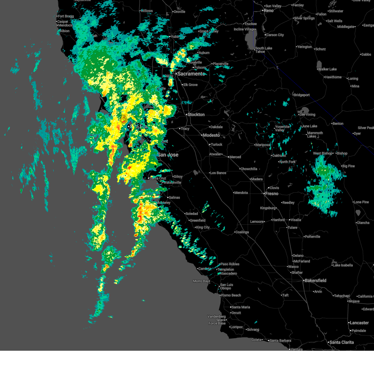
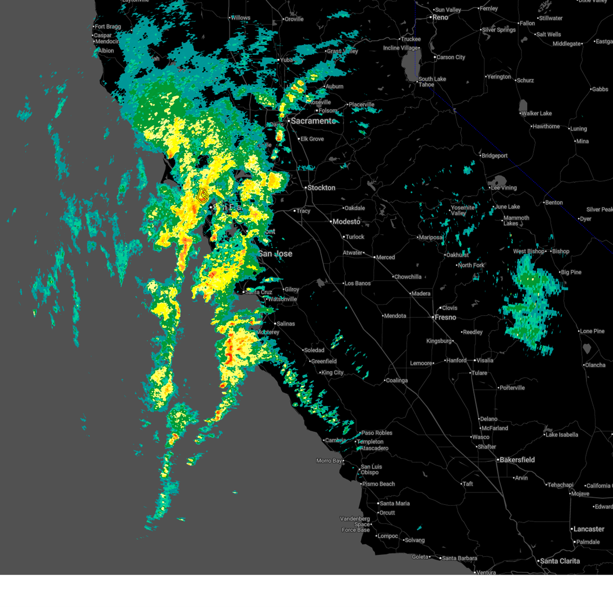
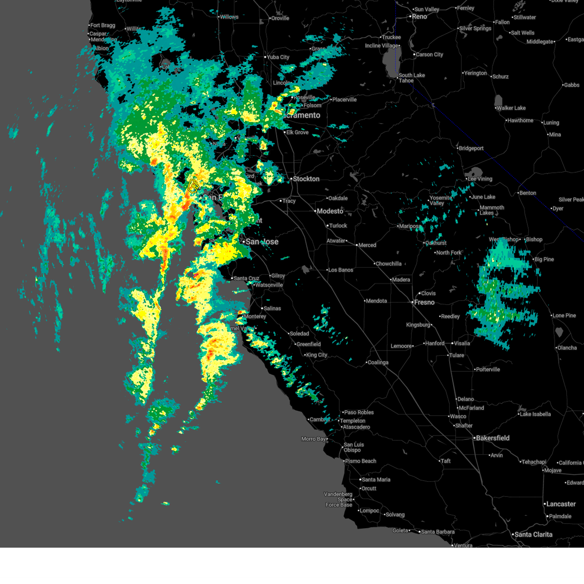
Hail Maps for Strawberry, CA
Connect with Interactive Hail Maps