

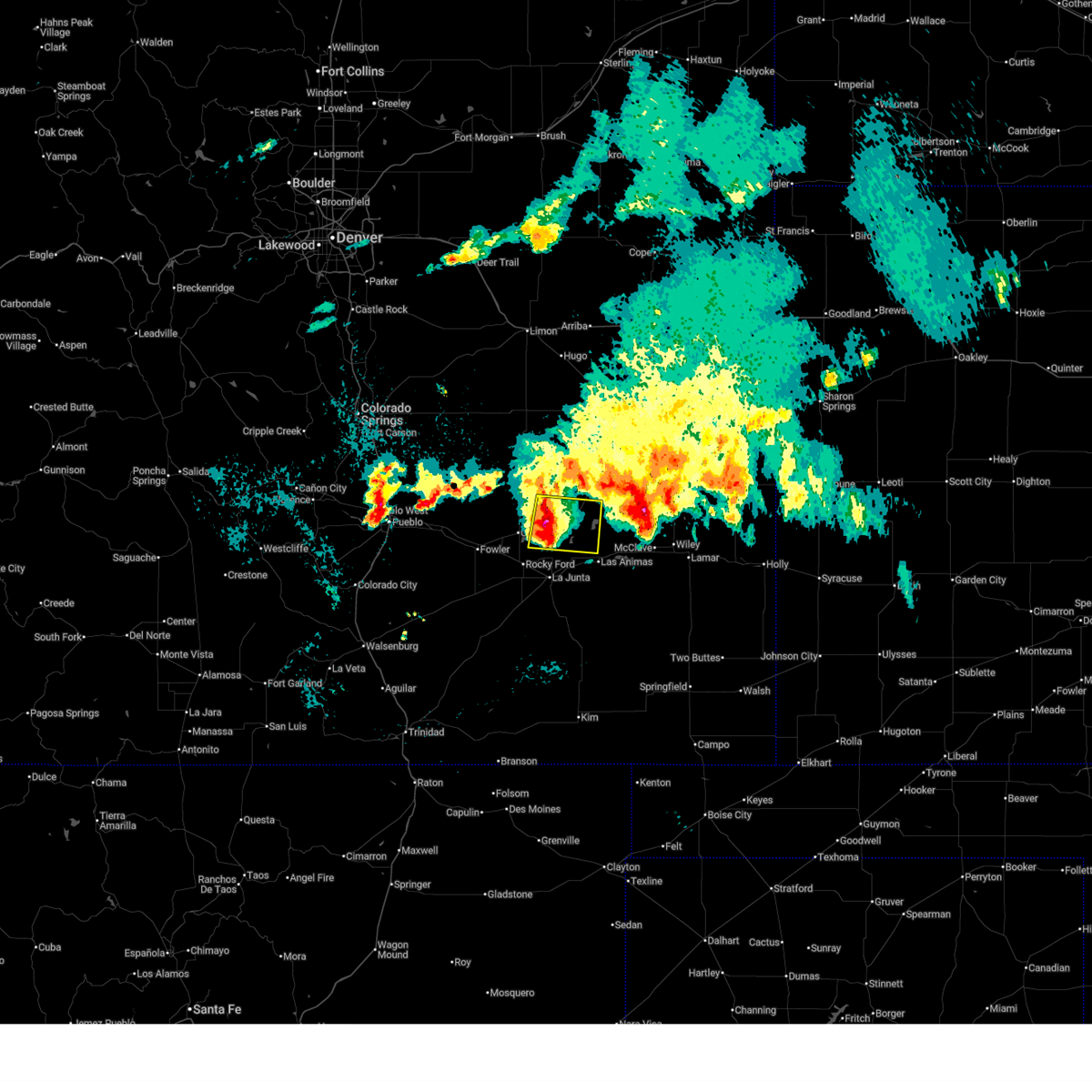
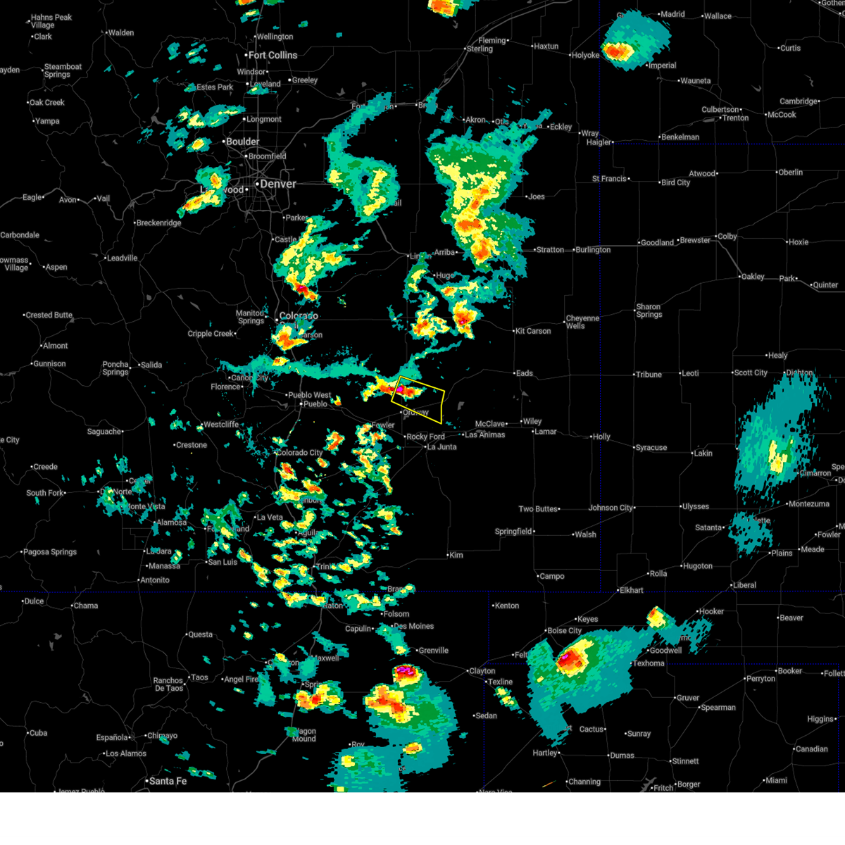
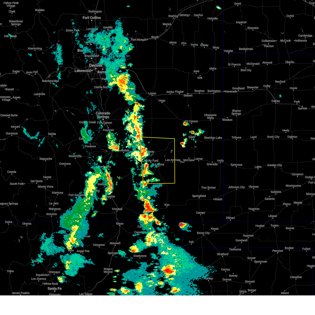
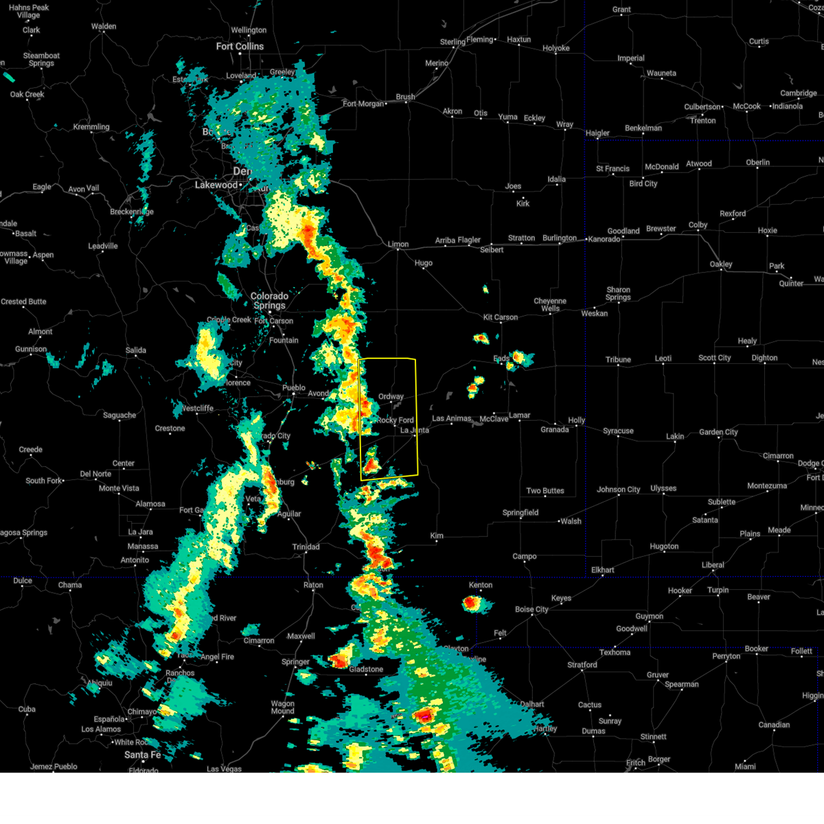
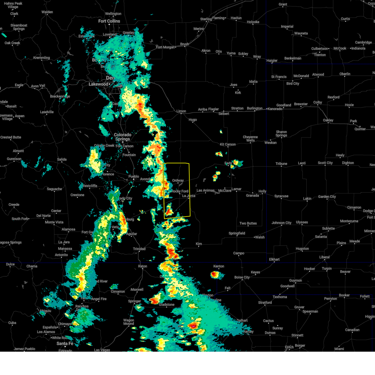
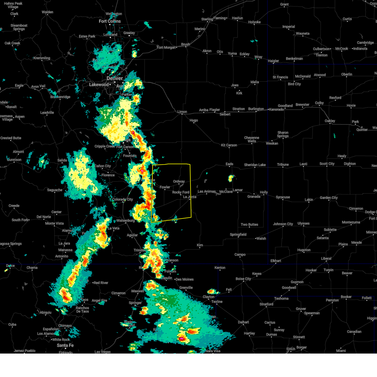
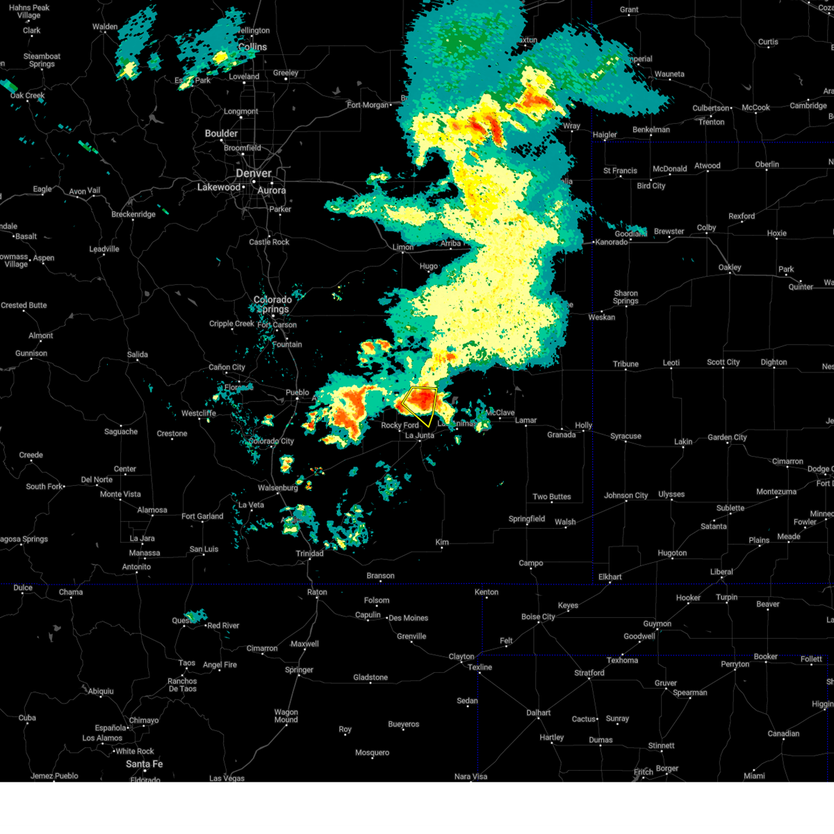
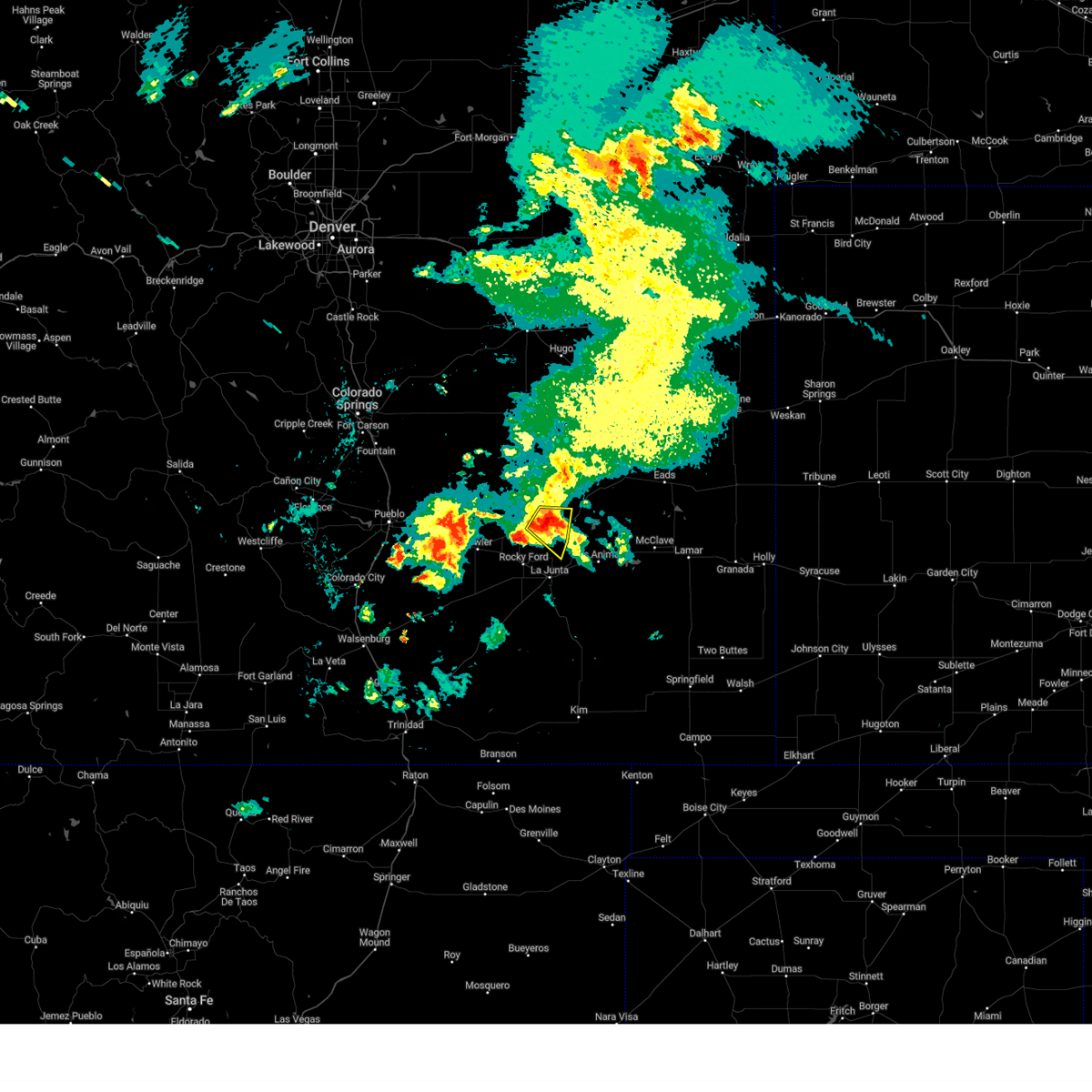
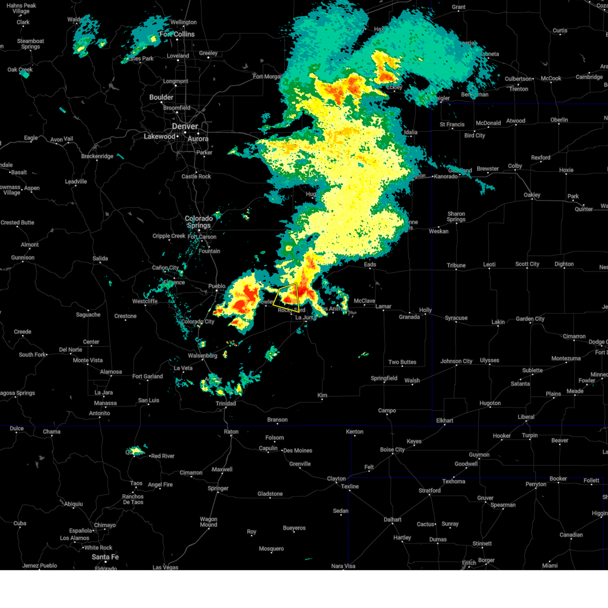
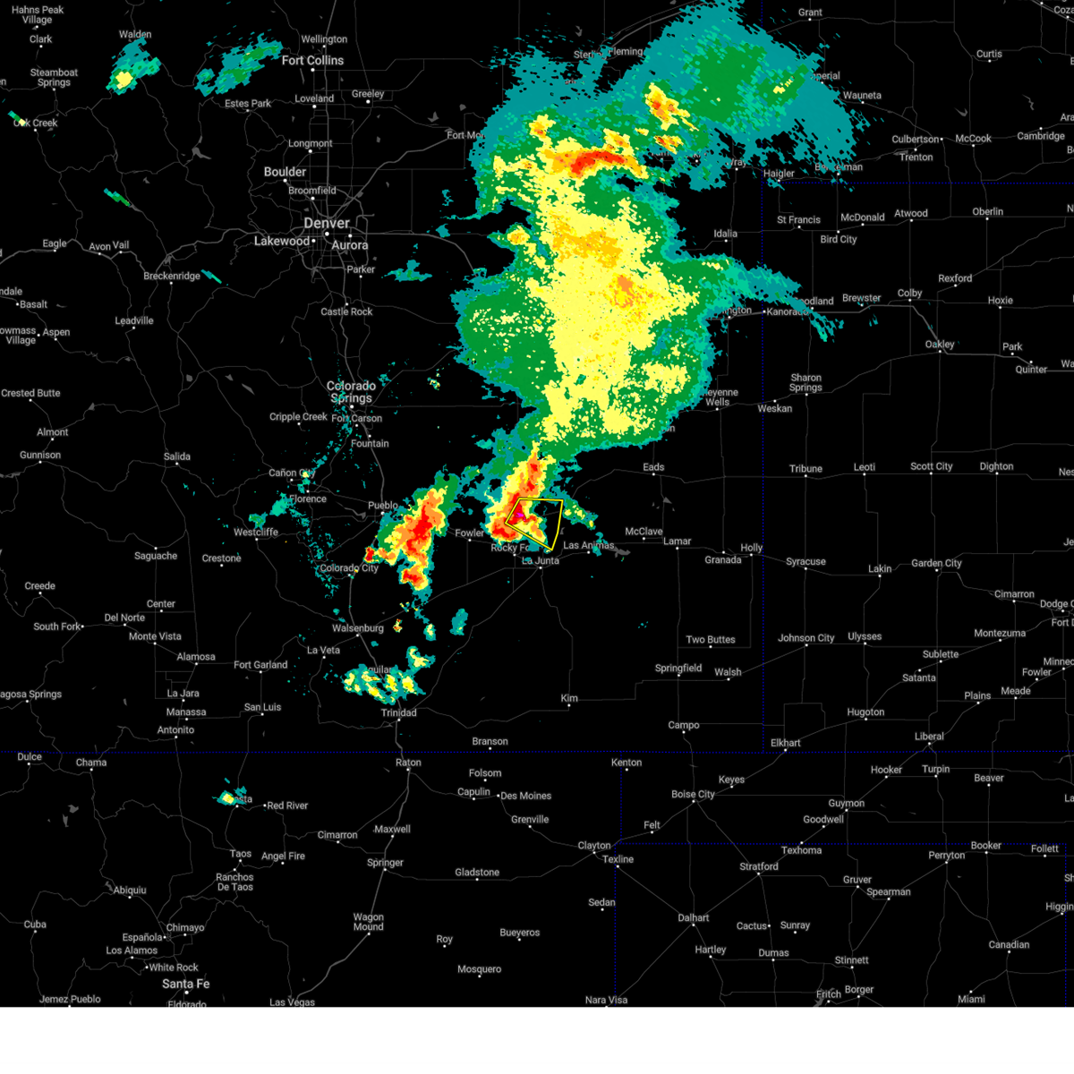
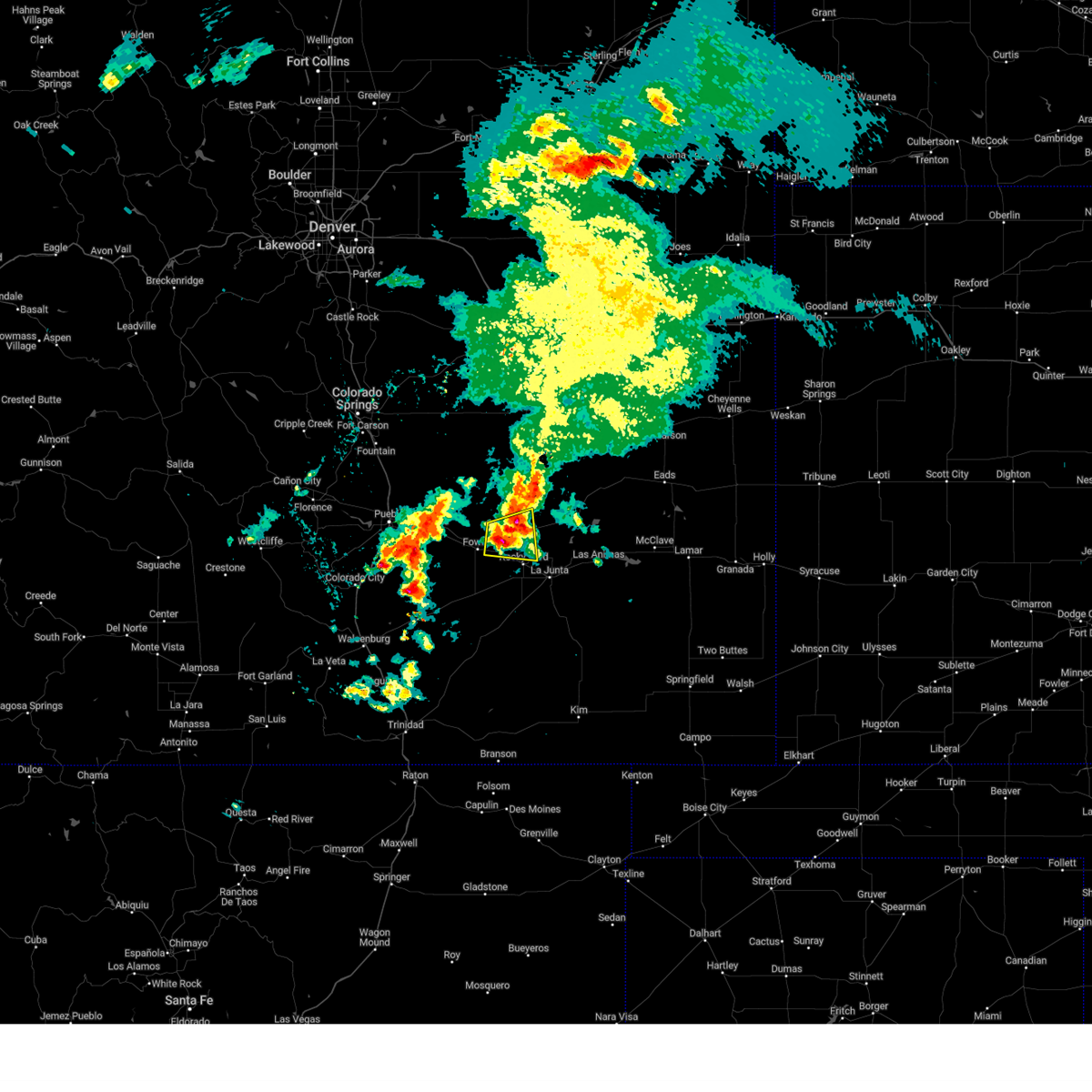
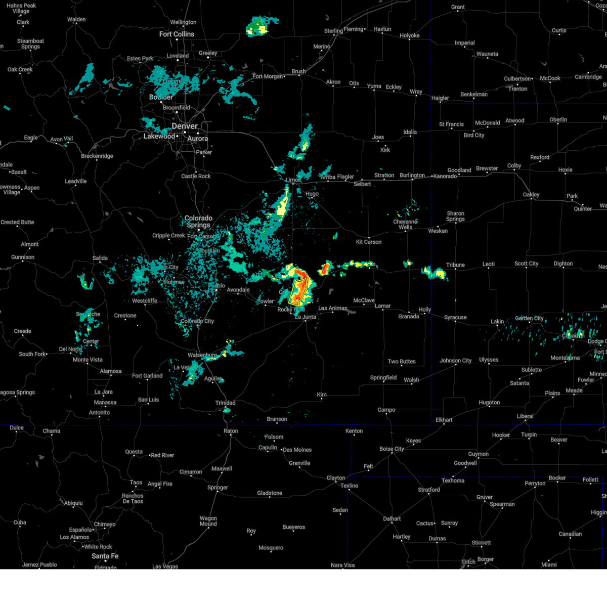
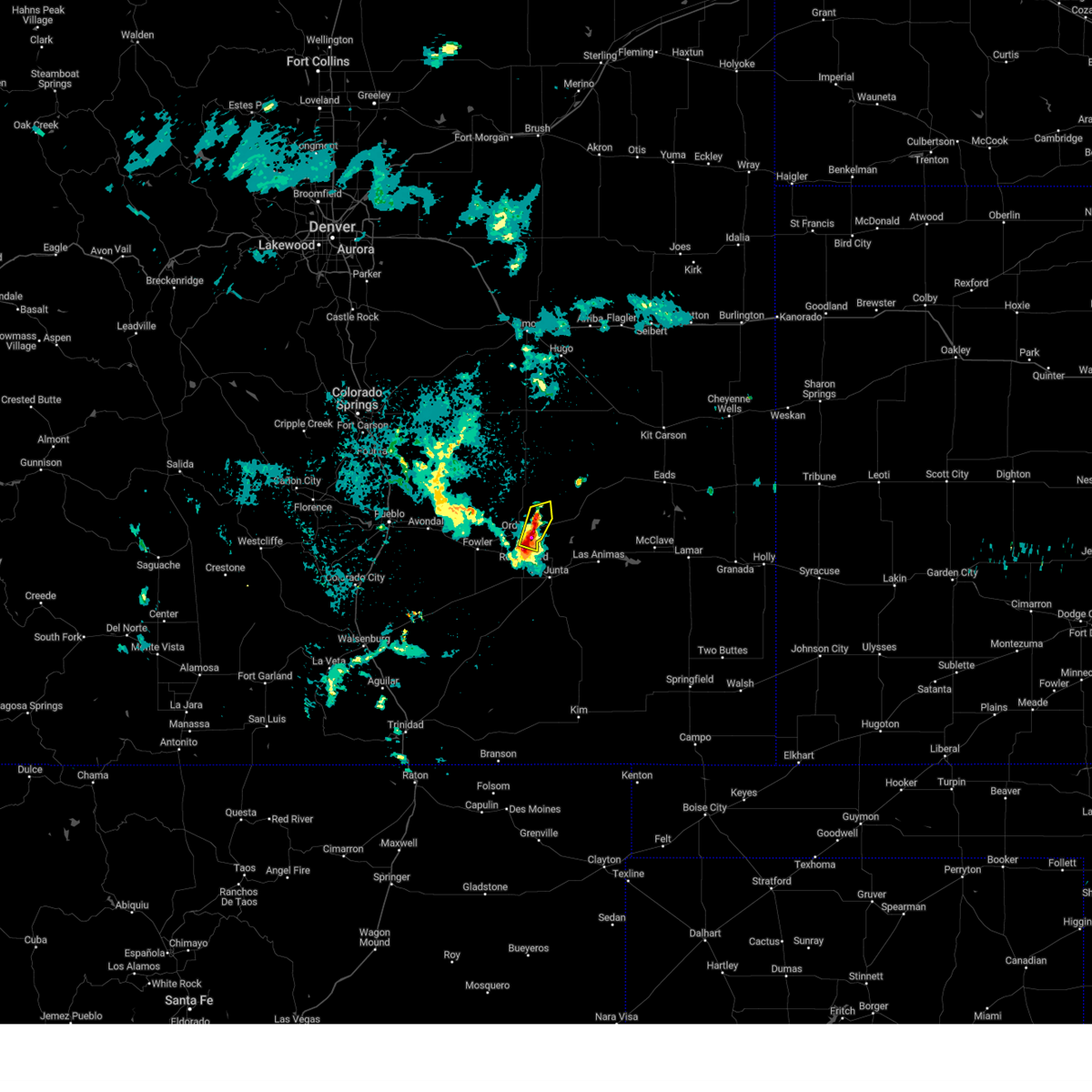
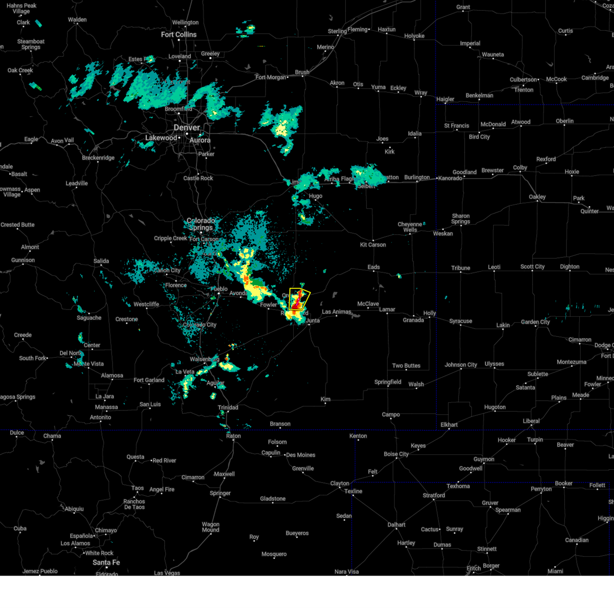
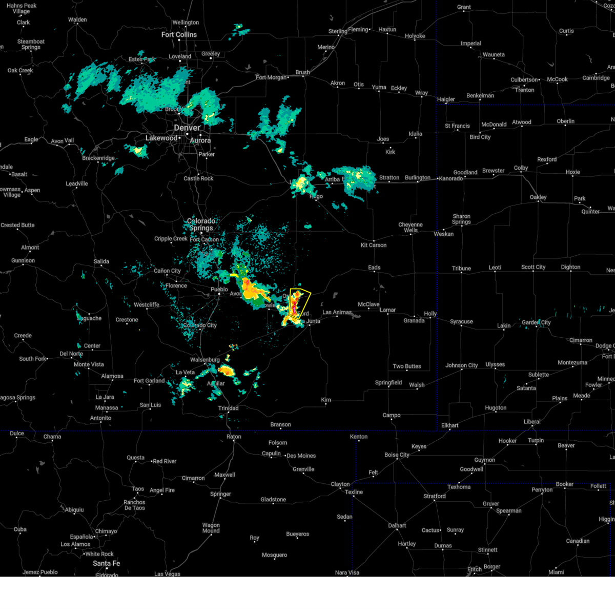
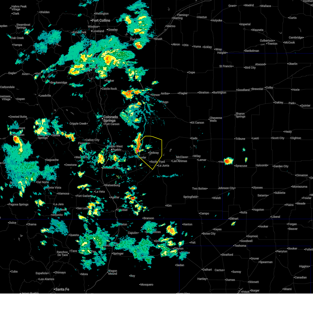
Hail Map for Sugar City, CO
The Sugar City, CO area has had 12 reports of on-the-ground hail by trained spotters, and has been under severe weather warnings 14 times during the past 12 months. Doppler radar has detected hail at or near Sugar City, CO on 88 occasions, including 6 occasions during the past year.
| Name: | Sugar City, CO |
| Where Located: | 51.5 miles E of Pueblo, CO |
| Map: | Google Map for Sugar City, CO |
| Population: | 258 |
| Housing Units: | 151 |
| More Info: | Search Google for Sugar City, CO |
2
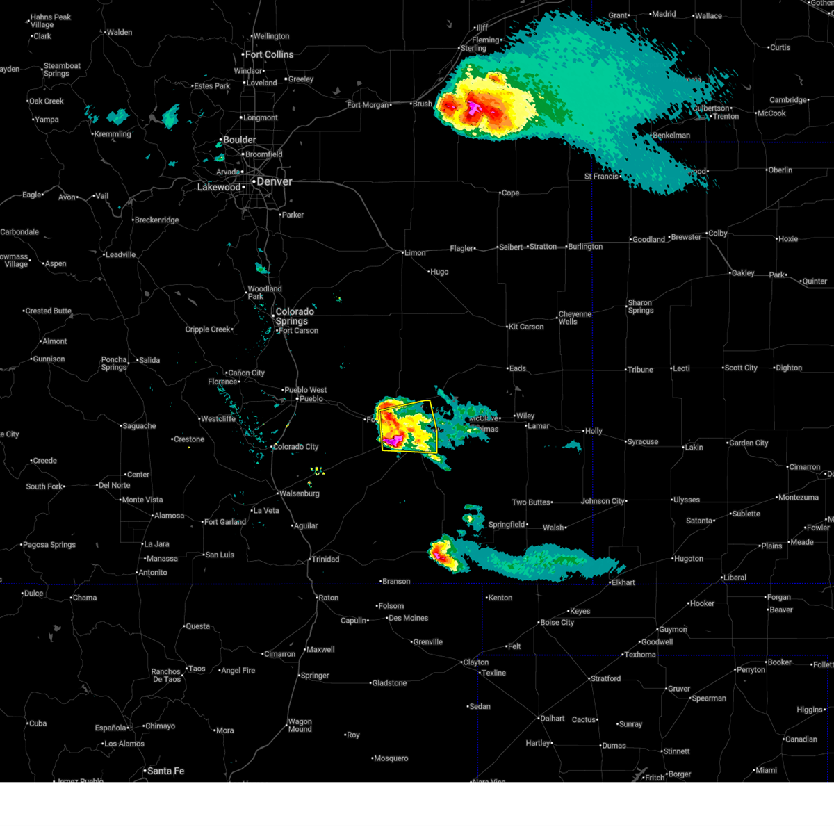
The Top Recent Hail Date for Sugar City, CO is Saturday, August 9, 2025 (3rd out of 88)

Hail and Wind Damage Spotted near Sugar City, CO
| Date / Time | Report Details |
|---|---|
| 6/22/2026 6:15 PM MDT |
 At 615 pm mdt, a severe thunderstorm was located near swink, or 8 miles west of la junta, moving east at 45 mph (radar indicated). Hazards include golf ball size hail and 70 mph wind gusts. People and animals outdoors will be injured. expect hail damage to roofs, siding, windows, and vehicles. expect considerable tree damage. wind damage is also likely to mobile homes, roofs, and outbuildings. Locations impacted include, la junta, north la junta, rocky ford, ordway, swink, manzanola, sugar city, cheraw, and crowley. At 615 pm mdt, a severe thunderstorm was located near swink, or 8 miles west of la junta, moving east at 45 mph (radar indicated). Hazards include golf ball size hail and 70 mph wind gusts. People and animals outdoors will be injured. expect hail damage to roofs, siding, windows, and vehicles. expect considerable tree damage. wind damage is also likely to mobile homes, roofs, and outbuildings. Locations impacted include, la junta, north la junta, rocky ford, ordway, swink, manzanola, sugar city, cheraw, and crowley.
|
| 6/22/2026 6:05 PM MDT |
 Svrpub the national weather service in pueblo has issued a * severe thunderstorm warning for, central otero county in southeastern colorado, southeastern crowley county in southeastern colorado, * until 645 pm mdt. * at 605 pm mdt, a severe thunderstorm was located over crowley, or 24 miles northwest of la junta, moving northeast at 25 mph (radar indicated). Hazards include 70 mph wind gusts and ping pong ball size hail. People and animals outdoors will be injured. expect hail damage to roofs, siding, windows, and vehicles. expect considerable tree damage. Wind damage is also likely to mobile homes, roofs, and outbuildings. Svrpub the national weather service in pueblo has issued a * severe thunderstorm warning for, central otero county in southeastern colorado, southeastern crowley county in southeastern colorado, * until 645 pm mdt. * at 605 pm mdt, a severe thunderstorm was located over crowley, or 24 miles northwest of la junta, moving northeast at 25 mph (radar indicated). Hazards include 70 mph wind gusts and ping pong ball size hail. People and animals outdoors will be injured. expect hail damage to roofs, siding, windows, and vehicles. expect considerable tree damage. Wind damage is also likely to mobile homes, roofs, and outbuildings.
|
| 6/9/2026 1:22 PM MDT |
 At 122 pm mdt, a severe thunderstorm was located over rocky ford, or 13 miles northwest of la junta, moving northeast at 25 mph (radar indicated). Hazards include 60 mph wind gusts. Expect damage to roofs, siding, and trees. Locations impacted include, la junta, north la junta, rocky ford, ordway, swink, manzanola, sugar city, and cheraw. At 122 pm mdt, a severe thunderstorm was located over rocky ford, or 13 miles northwest of la junta, moving northeast at 25 mph (radar indicated). Hazards include 60 mph wind gusts. Expect damage to roofs, siding, and trees. Locations impacted include, la junta, north la junta, rocky ford, ordway, swink, manzanola, sugar city, and cheraw.
|
| 6/9/2026 1:10 PM MDT |
 Svrpub the national weather service in pueblo has issued a * severe thunderstorm warning for, central otero county in southeastern colorado, southeastern crowley county in southeastern colorado, * until 145 pm mdt. * at 109 pm mdt, a severe thunderstorm was located near rocky ford, or 15 miles west of la junta, moving northeast at 25 mph (radar indicated). Hazards include 60 mph wind gusts. expect damage to roofs, siding, and trees Svrpub the national weather service in pueblo has issued a * severe thunderstorm warning for, central otero county in southeastern colorado, southeastern crowley county in southeastern colorado, * until 145 pm mdt. * at 109 pm mdt, a severe thunderstorm was located near rocky ford, or 15 miles west of la junta, moving northeast at 25 mph (radar indicated). Hazards include 60 mph wind gusts. expect damage to roofs, siding, and trees
|
| 9/17/2025 8:26 PM MDT | At 826 pm mdt, a severe thunderstorm was located near rocky ford, or 11 miles northwest of la junta, moving southeast at 25 mph (radar indicated). Hazards include 60 mph wind gusts and half dollar size hail. Hail damage to vehicles is expected. expect wind damage to roofs, siding, and trees. Locations impacted include, la junta, north la junta, rocky ford, ordway, swink, sugar city, and cheraw. |
| 9/17/2025 8:16 PM MDT | At 816 pm mdt, a severe thunderstorm was located near ordway, or 15 miles northwest of la junta, moving southeast at 25 mph (radar indicated). Hazards include 60 mph wind gusts and quarter size hail. Hail damage to vehicles is expected. expect wind damage to roofs, siding, and trees. Locations impacted include, la junta, north la junta, rocky ford, ordway, swink, manzanola, olney springs, sugar city, cheraw, and crowley. |
| 9/17/2025 7:56 PM MDT | Svrpub the national weather service in pueblo has issued a * severe thunderstorm warning for, northern otero county in southeastern colorado, southern crowley county in southeastern colorado, * until 845 pm mdt. * at 756 pm mdt, a severe thunderstorm was located over crowley, or 24 miles northwest of la junta, moving southeast at 25 mph (radar indicated). Hazards include 60 mph wind gusts and half dollar size hail. Hail damage to vehicles is expected. Expect wind damage to roofs, siding, and trees. |
| 8/9/2025 11:01 PM MDT |
 Svrpub the national weather service in pueblo has issued a * severe thunderstorm warning for, northeastern otero county in southeastern colorado, southwestern kiowa county in southeastern colorado, southeastern crowley county in southeastern colorado, northwestern bent county in southeastern colorado, * until 1130 pm mdt. * at 1101 pm mdt, a severe thunderstorm was located 8 miles east of sugar city, or 20 miles north of la junta, moving east at 20 mph (radar indicated). Hazards include ping pong ball size hail and 60 mph wind gusts. People and animals outdoors will be injured. expect hail damage to roofs, siding, windows, and vehicles. Expect wind damage to roofs, siding, and trees. Svrpub the national weather service in pueblo has issued a * severe thunderstorm warning for, northeastern otero county in southeastern colorado, southwestern kiowa county in southeastern colorado, southeastern crowley county in southeastern colorado, northwestern bent county in southeastern colorado, * until 1130 pm mdt. * at 1101 pm mdt, a severe thunderstorm was located 8 miles east of sugar city, or 20 miles north of la junta, moving east at 20 mph (radar indicated). Hazards include ping pong ball size hail and 60 mph wind gusts. People and animals outdoors will be injured. expect hail damage to roofs, siding, windows, and vehicles. Expect wind damage to roofs, siding, and trees.
|
| 8/9/2025 10:59 PM MDT |
 At 1059 pm mdt, severe thunderstorms were located along a line extending from 6 miles southeast of forder to 6 miles east of sugar city, moving east at 25 mph (radar indicated). Hazards include ping pong ball size hail and 60 mph wind gusts. People and animals outdoors will be injured. expect hail damage to roofs, siding, windows, and vehicles. expect wind damage to roofs, siding, and trees. Locations impacted include, sugar city. At 1059 pm mdt, severe thunderstorms were located along a line extending from 6 miles southeast of forder to 6 miles east of sugar city, moving east at 25 mph (radar indicated). Hazards include ping pong ball size hail and 60 mph wind gusts. People and animals outdoors will be injured. expect hail damage to roofs, siding, windows, and vehicles. expect wind damage to roofs, siding, and trees. Locations impacted include, sugar city.
|
| 8/9/2025 10:41 PM MDT |
 At 1040 pm mdt, severe thunderstorms were located along a line extending from 7 miles southwest of forder to sugar city, moving east at 15 mph (radar indicated). Hazards include two inch hail and 60 mph wind gusts. People and animals outdoors will be injured. expect hail damage to roofs, siding, windows, and vehicles. expect wind damage to roofs, siding, and trees. Locations impacted include, ordway and sugar city. At 1040 pm mdt, severe thunderstorms were located along a line extending from 7 miles southwest of forder to sugar city, moving east at 15 mph (radar indicated). Hazards include two inch hail and 60 mph wind gusts. People and animals outdoors will be injured. expect hail damage to roofs, siding, windows, and vehicles. expect wind damage to roofs, siding, and trees. Locations impacted include, ordway and sugar city.
|
| 8/9/2025 10:29 PM MDT |
 Svrpub the national weather service in pueblo has issued a * severe thunderstorm warning for, central crowley county in southeastern colorado, * until 1115 pm mdt. * at 1029 pm mdt, severe thunderstorms were located along a line extending from 9 miles southwest of forder to near sugar city, moving east at 15 mph (radar indicated). Hazards include ping pong ball size hail and 60 mph wind gusts. People and animals outdoors will be injured. expect hail damage to roofs, siding, windows, and vehicles. Expect wind damage to roofs, siding, and trees. Svrpub the national weather service in pueblo has issued a * severe thunderstorm warning for, central crowley county in southeastern colorado, * until 1115 pm mdt. * at 1029 pm mdt, severe thunderstorms were located along a line extending from 9 miles southwest of forder to near sugar city, moving east at 15 mph (radar indicated). Hazards include ping pong ball size hail and 60 mph wind gusts. People and animals outdoors will be injured. expect hail damage to roofs, siding, windows, and vehicles. Expect wind damage to roofs, siding, and trees.
|
| 7/10/2025 3:58 PM MDT |
 The storm which prompted the warning has weakened below severe limits, and no longer poses an immediate threat to life or property. therefore, the warning will be allowed to expire. however, gusty winds are still possible with this thunderstorm. a severe thunderstorm watch remains in effect until 900 pm mdt for southeastern colorado. The storm which prompted the warning has weakened below severe limits, and no longer poses an immediate threat to life or property. therefore, the warning will be allowed to expire. however, gusty winds are still possible with this thunderstorm. a severe thunderstorm watch remains in effect until 900 pm mdt for southeastern colorado.
|
| 7/10/2025 3:47 PM MDT |
 At 347 pm mdt, a severe thunderstorm was located 7 miles northeast of sugar city, or 22 miles north of la junta, moving east at 40 mph (radar indicated). Hazards include 60 mph wind gusts and nickel size hail. Expect damage to roofs, siding, and trees. Locations impacted include, sugar city. At 347 pm mdt, a severe thunderstorm was located 7 miles northeast of sugar city, or 22 miles north of la junta, moving east at 40 mph (radar indicated). Hazards include 60 mph wind gusts and nickel size hail. Expect damage to roofs, siding, and trees. Locations impacted include, sugar city.
|
| 7/10/2025 3:34 PM MDT |
 Svrpub the national weather service in pueblo has issued a * severe thunderstorm warning for, northeastern otero county in southeastern colorado, southwestern kiowa county in southeastern colorado, northeastern crowley county in southeastern colorado, * until 400 pm mdt. * at 334 pm mdt, a severe thunderstorm was located 8 miles north of sugar city, or 27 miles north of la junta, moving east at 40 mph (radar indicated). Hazards include 70 mph wind gusts and nickel size hail. Expect considerable tree damage. Damage is likely to mobile homes, roofs, and outbuildings. Svrpub the national weather service in pueblo has issued a * severe thunderstorm warning for, northeastern otero county in southeastern colorado, southwestern kiowa county in southeastern colorado, northeastern crowley county in southeastern colorado, * until 400 pm mdt. * at 334 pm mdt, a severe thunderstorm was located 8 miles north of sugar city, or 27 miles north of la junta, moving east at 40 mph (radar indicated). Hazards include 70 mph wind gusts and nickel size hail. Expect considerable tree damage. Damage is likely to mobile homes, roofs, and outbuildings.
|
| 6/13/2025 9:29 PM MDT |
 At 929 pm mdt, a severe thunderstorm was located near ordway, or 25 miles northwest of la junta, moving east at 15 mph (radar indicated). Hazards include 60 mph wind gusts and quarter size hail. Hail damage to vehicles is expected. expect wind damage to roofs, siding, and trees. Locations impacted include, ordway, sugar city, and crowley. At 929 pm mdt, a severe thunderstorm was located near ordway, or 25 miles northwest of la junta, moving east at 15 mph (radar indicated). Hazards include 60 mph wind gusts and quarter size hail. Hail damage to vehicles is expected. expect wind damage to roofs, siding, and trees. Locations impacted include, ordway, sugar city, and crowley.
|
| 6/13/2025 9:02 PM MDT |
 Svrpub the national weather service in pueblo has issued a * severe thunderstorm warning for, northeastern otero county in southeastern colorado, central crowley county in southeastern colorado, * until 945 pm mdt. * at 902 pm mdt, a severe thunderstorm was located 7 miles northwest of crowley, or 29 miles northwest of la junta, moving east at 15 mph (radar indicated). Hazards include ping pong ball size hail and 60 mph wind gusts. People and animals outdoors will be injured. expect hail damage to roofs, siding, windows, and vehicles. Expect wind damage to roofs, siding, and trees. Svrpub the national weather service in pueblo has issued a * severe thunderstorm warning for, northeastern otero county in southeastern colorado, central crowley county in southeastern colorado, * until 945 pm mdt. * at 902 pm mdt, a severe thunderstorm was located 7 miles northwest of crowley, or 29 miles northwest of la junta, moving east at 15 mph (radar indicated). Hazards include ping pong ball size hail and 60 mph wind gusts. People and animals outdoors will be injured. expect hail damage to roofs, siding, windows, and vehicles. Expect wind damage to roofs, siding, and trees.
|
| 9/17/2024 4:15 PM MDT |
 At 415 pm mdt, a severe thunderstorm was located over cheraw, or 9 miles north of la junta, moving northeast at 45 mph (radar indicated). Hazards include 60 mph wind gusts and nickel size hail. Expect damage to roofs, siding, and trees. Locations impacted include, la junta, north la junta, rocky ford, las animas, swink, sugar city, cheraw, higbee, blue lake, arlington, and john martin reservoir. At 415 pm mdt, a severe thunderstorm was located over cheraw, or 9 miles north of la junta, moving northeast at 45 mph (radar indicated). Hazards include 60 mph wind gusts and nickel size hail. Expect damage to roofs, siding, and trees. Locations impacted include, la junta, north la junta, rocky ford, las animas, swink, sugar city, cheraw, higbee, blue lake, arlington, and john martin reservoir.
|
| 9/17/2024 3:54 PM MDT |
 Svrpub the national weather service in pueblo has issued a * severe thunderstorm warning for, otero county in southeastern colorado, southwestern kiowa county in southeastern colorado, crowley county in southeastern colorado, western bent county in southeastern colorado, * until 445 pm mdt. * at 354 pm mdt, a severe thunderstorm was located near rocky ford, or 13 miles west of la junta, moving northeast at 45 mph (radar indicated). Hazards include 60 mph wind gusts and nickel size hail. expect damage to roofs, siding, and trees Svrpub the national weather service in pueblo has issued a * severe thunderstorm warning for, otero county in southeastern colorado, southwestern kiowa county in southeastern colorado, crowley county in southeastern colorado, western bent county in southeastern colorado, * until 445 pm mdt. * at 354 pm mdt, a severe thunderstorm was located near rocky ford, or 13 miles west of la junta, moving northeast at 45 mph (radar indicated). Hazards include 60 mph wind gusts and nickel size hail. expect damage to roofs, siding, and trees
|
| 9/17/2024 3:45 PM MDT |
 the severe thunderstorm warning has been cancelled and is no longer in effect the severe thunderstorm warning has been cancelled and is no longer in effect
|
| 9/17/2024 3:45 PM MDT |
 At 344 pm mdt, a severe thunderstorm was located near fowler, or 27 miles west of la junta, moving northeast at 30 mph (radar indicated). Hazards include 70 mph wind gusts and nickel size hail. Expect considerable tree damage. damage is likely to mobile homes, roofs, and outbuildings. Locations impacted include, la junta, north la junta, rocky ford, fowler, ordway, swink, manzanola, olney springs, sugar city, crowley, and timpas. At 344 pm mdt, a severe thunderstorm was located near fowler, or 27 miles west of la junta, moving northeast at 30 mph (radar indicated). Hazards include 70 mph wind gusts and nickel size hail. Expect considerable tree damage. damage is likely to mobile homes, roofs, and outbuildings. Locations impacted include, la junta, north la junta, rocky ford, fowler, ordway, swink, manzanola, olney springs, sugar city, crowley, and timpas.
|
| 9/17/2024 3:17 PM MDT |
 Svrpub the national weather service in pueblo has issued a * severe thunderstorm warning for, otero county in southeastern colorado, north central las animas county in southeastern colorado, crowley county in southeastern colorado, eastern pueblo county in southeastern colorado, * until 400 pm mdt. * at 315 pm mdt, a severe thunderstorm was located 20 miles southwest of fowler, or 28 miles southeast of pueblo airport, moving northeast at 30 mph. this storm has a history of producing damaging winds. a wind gust to 72 mph was measured with this storm at 306 pm (radar indicated). Hazards include 70 mph wind gusts and nickel size hail. Expect considerable tree damage. Damage is likely to mobile homes, roofs, and outbuildings. Svrpub the national weather service in pueblo has issued a * severe thunderstorm warning for, otero county in southeastern colorado, north central las animas county in southeastern colorado, crowley county in southeastern colorado, eastern pueblo county in southeastern colorado, * until 400 pm mdt. * at 315 pm mdt, a severe thunderstorm was located 20 miles southwest of fowler, or 28 miles southeast of pueblo airport, moving northeast at 30 mph. this storm has a history of producing damaging winds. a wind gust to 72 mph was measured with this storm at 306 pm (radar indicated). Hazards include 70 mph wind gusts and nickel size hail. Expect considerable tree damage. Damage is likely to mobile homes, roofs, and outbuildings.
|
| 8/19/2024 8:23 PM MDT |
 The storm which prompted the warning has weakened below severe limits, and no longer poses an immediate threat to life or property. therefore, the warning will be allowed to expire. however, small hail, gusty winds and heavy rain are still possible with this thunderstorm. a severe thunderstorm watch remains in effect until 900 pm mdt for southeastern colorado. The storm which prompted the warning has weakened below severe limits, and no longer poses an immediate threat to life or property. therefore, the warning will be allowed to expire. however, small hail, gusty winds and heavy rain are still possible with this thunderstorm. a severe thunderstorm watch remains in effect until 900 pm mdt for southeastern colorado.
|
| 8/19/2024 8:13 PM MDT |
 At 813 pm mdt, a severe thunderstorm was located near sugar city, or 18 miles north of la junta, moving east at 15 mph (radar indicated). Hazards include 60 mph wind gusts and quarter size hail. Hail damage to vehicles is expected. expect wind damage to roofs, siding, and trees. Locations impacted include, sugar city and cheraw. At 813 pm mdt, a severe thunderstorm was located near sugar city, or 18 miles north of la junta, moving east at 15 mph (radar indicated). Hazards include 60 mph wind gusts and quarter size hail. Hail damage to vehicles is expected. expect wind damage to roofs, siding, and trees. Locations impacted include, sugar city and cheraw.
|
| 8/19/2024 8:09 PM MDT |
 The storm which prompted the warning has weakened below severe limits, and no longer poses an immediate threat to life or property. therefore, the warning will be allowed to expire. however, small hail, gusty winds and heavy rain are still possible with this thunderstorm. a severe thunderstorm watch remains in effect until 900 pm mdt for southeastern colorado. The storm which prompted the warning has weakened below severe limits, and no longer poses an immediate threat to life or property. therefore, the warning will be allowed to expire. however, small hail, gusty winds and heavy rain are still possible with this thunderstorm. a severe thunderstorm watch remains in effect until 900 pm mdt for southeastern colorado.
|
| 8/19/2024 7:54 PM MDT |
 Svrpub the national weather service in pueblo has issued a * severe thunderstorm warning for, northeastern otero county in southeastern colorado, western kiowa county in southeastern colorado, southeastern crowley county in southeastern colorado, * until 830 pm mdt. * at 754 pm mdt, a severe thunderstorm was located over sugar city, or 20 miles north of la junta, moving east at 15 mph (trained weather spotters). Hazards include 70 mph wind gusts and ping pong ball size hail. People and animals outdoors will be injured. expect hail damage to roofs, siding, windows, and vehicles. expect considerable tree damage. Wind damage is also likely to mobile homes, roofs, and outbuildings. Svrpub the national weather service in pueblo has issued a * severe thunderstorm warning for, northeastern otero county in southeastern colorado, western kiowa county in southeastern colorado, southeastern crowley county in southeastern colorado, * until 830 pm mdt. * at 754 pm mdt, a severe thunderstorm was located over sugar city, or 20 miles north of la junta, moving east at 15 mph (trained weather spotters). Hazards include 70 mph wind gusts and ping pong ball size hail. People and animals outdoors will be injured. expect hail damage to roofs, siding, windows, and vehicles. expect considerable tree damage. Wind damage is also likely to mobile homes, roofs, and outbuildings.
|
| 8/19/2024 7:52 PM MDT |
 At 752 pm mdt, a severe thunderstorm was located over sugar city, or 20 miles north of la junta, moving east at 15 mph (trained weather spotters). Hazards include 70 mph wind gusts and half dollar size hail. Hail damage to vehicles is expected. expect considerable tree damage. wind damage is also likely to mobile homes, roofs, and outbuildings. Locations impacted include, ordway, sugar city, and crowley. At 752 pm mdt, a severe thunderstorm was located over sugar city, or 20 miles north of la junta, moving east at 15 mph (trained weather spotters). Hazards include 70 mph wind gusts and half dollar size hail. Hail damage to vehicles is expected. expect considerable tree damage. wind damage is also likely to mobile homes, roofs, and outbuildings. Locations impacted include, ordway, sugar city, and crowley.
|
| 8/19/2024 7:48 PM MDT |
 At 748 pm mdt, a severe thunderstorm was located over sugar city, or 21 miles northwest of la junta, moving east at 25 mph (radar indicated). Hazards include 60 mph wind gusts and half dollar size hail. Hail damage to vehicles is expected. expect wind damage to roofs, siding, and trees. Locations impacted include, ordway, sugar city, and crowley. At 748 pm mdt, a severe thunderstorm was located over sugar city, or 21 miles northwest of la junta, moving east at 25 mph (radar indicated). Hazards include 60 mph wind gusts and half dollar size hail. Hail damage to vehicles is expected. expect wind damage to roofs, siding, and trees. Locations impacted include, ordway, sugar city, and crowley.
|
| 8/19/2024 7:39 PM MDT |
 Svrpub the national weather service in pueblo has issued a * severe thunderstorm warning for, northwestern otero county in southeastern colorado, southwestern crowley county in southeastern colorado, * until 815 pm mdt. * at 739 pm mdt, a severe thunderstorm was located over crowley, or 23 miles northwest of la junta, moving east at 15 mph (radar indicated). Hazards include 60 mph wind gusts and quarter size hail. Hail damage to vehicles is expected. Expect wind damage to roofs, siding, and trees. Svrpub the national weather service in pueblo has issued a * severe thunderstorm warning for, northwestern otero county in southeastern colorado, southwestern crowley county in southeastern colorado, * until 815 pm mdt. * at 739 pm mdt, a severe thunderstorm was located over crowley, or 23 miles northwest of la junta, moving east at 15 mph (radar indicated). Hazards include 60 mph wind gusts and quarter size hail. Hail damage to vehicles is expected. Expect wind damage to roofs, siding, and trees.
|
| 8/18/2024 9:28 PM MDT |
 The storm which prompted the warning has weakened below severe limits, and no longer poses an immediate threat to life or property. therefore, the warning will be allowed to expire. however, small hail, gusty winds and heavy rain are still possible with this thunderstorm. The storm which prompted the warning has weakened below severe limits, and no longer poses an immediate threat to life or property. therefore, the warning will be allowed to expire. however, small hail, gusty winds and heavy rain are still possible with this thunderstorm.
|
| 8/18/2024 9:00 PM MDT |
 Svrpub the national weather service in pueblo has issued a * severe thunderstorm warning for, southeastern crowley county in southeastern colorado, * until 930 pm mdt. * at 900 pm mdt, a severe thunderstorm was located over sugar city, or 17 miles north of la junta, moving northeast at 20 mph (radar indicated). Hazards include 60 mph wind gusts and quarter size hail. Hail damage to vehicles is expected. Expect wind damage to roofs, siding, and trees. Svrpub the national weather service in pueblo has issued a * severe thunderstorm warning for, southeastern crowley county in southeastern colorado, * until 930 pm mdt. * at 900 pm mdt, a severe thunderstorm was located over sugar city, or 17 miles north of la junta, moving northeast at 20 mph (radar indicated). Hazards include 60 mph wind gusts and quarter size hail. Hail damage to vehicles is expected. Expect wind damage to roofs, siding, and trees.
|
| 8/18/2024 8:51 PM MDT |
 At 850 pm mdt, a severe thunderstorm was located near sugar city, or 16 miles northwest of la junta, moving northeast at 20 mph (radar indicated). Hazards include 60 mph wind gusts and quarter size hail. Hail damage to vehicles is expected. expect wind damage to roofs, siding, and trees. Locations impacted include, ordway and sugar city. At 850 pm mdt, a severe thunderstorm was located near sugar city, or 16 miles northwest of la junta, moving northeast at 20 mph (radar indicated). Hazards include 60 mph wind gusts and quarter size hail. Hail damage to vehicles is expected. expect wind damage to roofs, siding, and trees. Locations impacted include, ordway and sugar city.
|
| 8/18/2024 8:38 PM MDT |
 Svrpub the national weather service in pueblo has issued a * severe thunderstorm warning for, north central otero county in southeastern colorado, southeastern crowley county in southeastern colorado, * until 900 pm mdt. * at 837 pm mdt, a severe thunderstorm was located northeast of rocky ford, or 13 miles northwest of la junta, moving northeast at 20 mph (radar indicated). Hazards include 60 mph wind gusts and quarter size hail. Hail damage to vehicles is expected. Expect wind damage to roofs, siding, and trees. Svrpub the national weather service in pueblo has issued a * severe thunderstorm warning for, north central otero county in southeastern colorado, southeastern crowley county in southeastern colorado, * until 900 pm mdt. * at 837 pm mdt, a severe thunderstorm was located northeast of rocky ford, or 13 miles northwest of la junta, moving northeast at 20 mph (radar indicated). Hazards include 60 mph wind gusts and quarter size hail. Hail damage to vehicles is expected. Expect wind damage to roofs, siding, and trees.
|
| 7/16/2024 4:28 PM MDT |
 The storms which prompted the warning have weakened below severe limits, and no longer pose an immediate threat to life or property. therefore, the warning will be allowed to expire. however, gusty winds and heavy rain are still possible with these thunderstorms. The storms which prompted the warning have weakened below severe limits, and no longer pose an immediate threat to life or property. therefore, the warning will be allowed to expire. however, gusty winds and heavy rain are still possible with these thunderstorms.
|
| 7/16/2024 4:21 PM MDT |
 At 420 pm mdt, severe thunderstorms were located along a line extending from 6 miles north of cheraw to near rocky ford to 7 miles southwest of swink to near delhi, moving southeast at 35 mph (radar indicated). Hazards include 60 mph wind gusts and quarter size hail. Hail damage to vehicles is expected. expect wind damage to roofs, siding, and trees. Locations impacted include, la junta, north la junta, rocky ford, fowler, ordway, swink, manzanola, olney springs, sugar city, cheraw, crowley, delhi, and timpas. At 420 pm mdt, severe thunderstorms were located along a line extending from 6 miles north of cheraw to near rocky ford to 7 miles southwest of swink to near delhi, moving southeast at 35 mph (radar indicated). Hazards include 60 mph wind gusts and quarter size hail. Hail damage to vehicles is expected. expect wind damage to roofs, siding, and trees. Locations impacted include, la junta, north la junta, rocky ford, fowler, ordway, swink, manzanola, olney springs, sugar city, cheraw, crowley, delhi, and timpas.
|
| 7/16/2024 4:21 PM MDT |
 the severe thunderstorm warning has been cancelled and is no longer in effect the severe thunderstorm warning has been cancelled and is no longer in effect
|
| 7/16/2024 3:39 PM MDT |
 Svrpub the national weather service in pueblo has issued a * severe thunderstorm warning for, otero county in southeastern colorado, northeastern huerfano county in southeastern colorado, western kiowa county in southeastern colorado, north central las animas county in southeastern colorado, crowley county in southeastern colorado, southeastern pueblo county in southeastern colorado, northwestern bent county in southeastern colorado, * until 430 pm mdt. * at 339 pm mdt, severe thunderstorms were located along a line extending from 13 miles north of crowley to 9 miles north of olney springs to near fowler to 25 miles south of avondale, moving southeast at 35 mph (radar indicated). Hazards include 70 mph wind gusts and quarter size hail. Hail damage to vehicles is expected. expect considerable tree damage. Wind damage is also likely to mobile homes, roofs, and outbuildings. Svrpub the national weather service in pueblo has issued a * severe thunderstorm warning for, otero county in southeastern colorado, northeastern huerfano county in southeastern colorado, western kiowa county in southeastern colorado, north central las animas county in southeastern colorado, crowley county in southeastern colorado, southeastern pueblo county in southeastern colorado, northwestern bent county in southeastern colorado, * until 430 pm mdt. * at 339 pm mdt, severe thunderstorms were located along a line extending from 13 miles north of crowley to 9 miles north of olney springs to near fowler to 25 miles south of avondale, moving southeast at 35 mph (radar indicated). Hazards include 70 mph wind gusts and quarter size hail. Hail damage to vehicles is expected. expect considerable tree damage. Wind damage is also likely to mobile homes, roofs, and outbuildings.
|
| 7/15/2024 4:30 PM MDT | Storm damage reported in crowley county CO, 0.6 miles SSW of Sugar City, CO |
| 7/15/2024 4:26 PM MDT |
 Svrpub the national weather service in pueblo has issued a * severe thunderstorm warning for, northern otero county in southeastern colorado, southwestern kiowa county in southeastern colorado, crowley county in southeastern colorado, * until 500 pm mdt. * at 425 pm mdt, severe thunderstorms were located along a line extending from 13 miles southwest of wild horse point to near ordway to near manzanola, moving southeast at 25 mph (radar indicated). Hazards include 60 mph wind gusts. expect damage to roofs, siding, and trees Svrpub the national weather service in pueblo has issued a * severe thunderstorm warning for, northern otero county in southeastern colorado, southwestern kiowa county in southeastern colorado, crowley county in southeastern colorado, * until 500 pm mdt. * at 425 pm mdt, severe thunderstorms were located along a line extending from 13 miles southwest of wild horse point to near ordway to near manzanola, moving southeast at 25 mph (radar indicated). Hazards include 60 mph wind gusts. expect damage to roofs, siding, and trees
|
| 7/7/2024 8:13 PM MDT |
 At 813 pm mdt, severe thunderstorms were located along a line extending from near rocky ford to 8 miles south of manzanola to 15 miles south of fowler, moving southeast at 30 mph (radar indicated). Hazards include golf ball size hail and 60 mph wind gusts. People and animals outdoors will be injured. expect hail damage to roofs, siding, windows, and vehicles. expect wind damage to roofs, siding, and trees. Locations impacted include, rocky ford, fowler, ordway, manzanola, olney springs, sugar city, and crowley. At 813 pm mdt, severe thunderstorms were located along a line extending from near rocky ford to 8 miles south of manzanola to 15 miles south of fowler, moving southeast at 30 mph (radar indicated). Hazards include golf ball size hail and 60 mph wind gusts. People and animals outdoors will be injured. expect hail damage to roofs, siding, windows, and vehicles. expect wind damage to roofs, siding, and trees. Locations impacted include, rocky ford, fowler, ordway, manzanola, olney springs, sugar city, and crowley.
|
| 7/7/2024 8:03 PM MDT |
 At 803 pm mdt, severe thunderstorms were located along a line extending from ordway to near manzanola to 10 miles south of fowler, moving southeast at 30 mph (radar indicated). Hazards include golf ball size hail and 60 mph wind gusts. People and animals outdoors will be injured. expect hail damage to roofs, siding, windows, and vehicles. expect wind damage to roofs, siding, and trees. Locations impacted include, rocky ford, fowler, ordway, manzanola, olney springs, sugar city, and crowley. At 803 pm mdt, severe thunderstorms were located along a line extending from ordway to near manzanola to 10 miles south of fowler, moving southeast at 30 mph (radar indicated). Hazards include golf ball size hail and 60 mph wind gusts. People and animals outdoors will be injured. expect hail damage to roofs, siding, windows, and vehicles. expect wind damage to roofs, siding, and trees. Locations impacted include, rocky ford, fowler, ordway, manzanola, olney springs, sugar city, and crowley.
|
| 7/7/2024 7:47 PM MDT |
 Svrpub the national weather service in pueblo has issued a * severe thunderstorm warning for, northern otero county in southeastern colorado, southern crowley county in southeastern colorado, east central pueblo county in southeastern colorado, * until 830 pm mdt. * at 746 pm mdt, severe thunderstorms were located along a line extending from 6 miles north of crowley to olney springs to 9 miles southwest of fowler, moving southeast at 25 mph (radar indicated). Hazards include golf ball size hail and 60 mph wind gusts. People and animals outdoors will be injured. expect hail damage to roofs, siding, windows, and vehicles. Expect wind damage to roofs, siding, and trees. Svrpub the national weather service in pueblo has issued a * severe thunderstorm warning for, northern otero county in southeastern colorado, southern crowley county in southeastern colorado, east central pueblo county in southeastern colorado, * until 830 pm mdt. * at 746 pm mdt, severe thunderstorms were located along a line extending from 6 miles north of crowley to olney springs to 9 miles southwest of fowler, moving southeast at 25 mph (radar indicated). Hazards include golf ball size hail and 60 mph wind gusts. People and animals outdoors will be injured. expect hail damage to roofs, siding, windows, and vehicles. Expect wind damage to roofs, siding, and trees.
|
| 6/14/2024 4:16 PM MDT |
 The storms which prompted the warning have moved out of the area. therefore, the warning has been allowed to expire. however, small hail, gusty winds and heavy rain are still possible with these thunderstorms. a severe thunderstorm watch remains in effect until 900 pm mdt for southeastern colorado. remember, a severe thunderstorm warning still remains in effect for southwestern kiowa and northern bent counties until 430 pm mdt. The storms which prompted the warning have moved out of the area. therefore, the warning has been allowed to expire. however, small hail, gusty winds and heavy rain are still possible with these thunderstorms. a severe thunderstorm watch remains in effect until 900 pm mdt for southeastern colorado. remember, a severe thunderstorm warning still remains in effect for southwestern kiowa and northern bent counties until 430 pm mdt.
|
| 6/14/2024 3:52 PM MDT |
 At 350 pm mdt, severe thunderstorms were located along a line extending from near wild horse point to near higbee, moving east at 30 mph. at 345 pm mdt, a wind sensor at the la junta airport reported a wind gust to 73 mph (trained weather spotters). Hazards include 70 mph wind gusts and ping pong ball size hail. People and animals outdoors will be injured. expect hail damage to roofs, siding, windows, and vehicles. expect considerable tree damage. wind damage is also likely to mobile homes, roofs, and outbuildings. Locations impacted include, la junta, north la junta, rocky ford, las animas, ordway, swink, manzanola, sugar city, cheraw, crowley, higbee, blue lake, timpas, arlington, and john martin reservoir. At 350 pm mdt, severe thunderstorms were located along a line extending from near wild horse point to near higbee, moving east at 30 mph. at 345 pm mdt, a wind sensor at the la junta airport reported a wind gust to 73 mph (trained weather spotters). Hazards include 70 mph wind gusts and ping pong ball size hail. People and animals outdoors will be injured. expect hail damage to roofs, siding, windows, and vehicles. expect considerable tree damage. wind damage is also likely to mobile homes, roofs, and outbuildings. Locations impacted include, la junta, north la junta, rocky ford, las animas, ordway, swink, manzanola, sugar city, cheraw, crowley, higbee, blue lake, timpas, arlington, and john martin reservoir.
|
| 6/14/2024 3:42 PM MDT |
 At 340 pm mdt, severe thunderstorms were located along a line extending from 10 miles southwest of wild horse point to near higbee, moving northeast at 35 mph. the strongest portion of the line, with the potential for large hail, was near rocky ford and just south of la junta (radar indicated). Hazards include ping pong ball size hail and 60 mph wind gusts. People and animals outdoors will be injured. expect hail damage to roofs, siding, windows, and vehicles. expect wind damage to roofs, siding, and trees. Locations impacted include, la junta, north la junta, rocky ford, las animas, ordway, swink, manzanola, sugar city, cheraw, crowley, higbee, blue lake, timpas, arlington, and john martin reservoir. At 340 pm mdt, severe thunderstorms were located along a line extending from 10 miles southwest of wild horse point to near higbee, moving northeast at 35 mph. the strongest portion of the line, with the potential for large hail, was near rocky ford and just south of la junta (radar indicated). Hazards include ping pong ball size hail and 60 mph wind gusts. People and animals outdoors will be injured. expect hail damage to roofs, siding, windows, and vehicles. expect wind damage to roofs, siding, and trees. Locations impacted include, la junta, north la junta, rocky ford, las animas, ordway, swink, manzanola, sugar city, cheraw, crowley, higbee, blue lake, timpas, arlington, and john martin reservoir.
|
| 6/14/2024 3:29 PM MDT |
 Svrpub the national weather service in pueblo has issued a * severe thunderstorm warning for, otero county in southeastern colorado, southwestern kiowa county in southeastern colorado, crowley county in southeastern colorado, western bent county in southeastern colorado, * until 415 pm mdt. * at 328 pm mdt, severe thunderstorms were located along a line extending from 14 miles north of ordway to 9 miles southeast of timpas, moving east at 30 mph (radar indicated). Hazards include 60 mph wind gusts and quarter size hail. Hail damage to vehicles is expected. Expect wind damage to roofs, siding, and trees. Svrpub the national weather service in pueblo has issued a * severe thunderstorm warning for, otero county in southeastern colorado, southwestern kiowa county in southeastern colorado, crowley county in southeastern colorado, western bent county in southeastern colorado, * until 415 pm mdt. * at 328 pm mdt, severe thunderstorms were located along a line extending from 14 miles north of ordway to 9 miles southeast of timpas, moving east at 30 mph (radar indicated). Hazards include 60 mph wind gusts and quarter size hail. Hail damage to vehicles is expected. Expect wind damage to roofs, siding, and trees.
|
| 6/14/2024 3:07 PM MDT |
 Svrpub the national weather service in pueblo has issued a * severe thunderstorm warning for, otero county in southeastern colorado, southern crowley county in southeastern colorado, * until 330 pm mdt. * at 306 pm mdt, severe thunderstorms were located along a line extending from 15 miles northwest of crowley to 8 miles east of delhi, moving east at 40 mph (radar indicated). Hazards include 60 mph wind gusts and quarter size hail. Hail damage to vehicles is expected. Expect wind damage to roofs, siding, and trees. Svrpub the national weather service in pueblo has issued a * severe thunderstorm warning for, otero county in southeastern colorado, southern crowley county in southeastern colorado, * until 330 pm mdt. * at 306 pm mdt, severe thunderstorms were located along a line extending from 15 miles northwest of crowley to 8 miles east of delhi, moving east at 40 mph (radar indicated). Hazards include 60 mph wind gusts and quarter size hail. Hail damage to vehicles is expected. Expect wind damage to roofs, siding, and trees.
|
| 6/14/2024 2:43 PM MDT |
 The storm which prompted the warning has weakened below severe limits, and no longer poses an immediate threat to life or property. therefore, the warning will be allowed to expire. however, small hail, gusty winds and heavy rain are still possible with this thunderstorm. a severe thunderstorm watch remains in effect until 900 pm mdt for southeastern colorado. The storm which prompted the warning has weakened below severe limits, and no longer poses an immediate threat to life or property. therefore, the warning will be allowed to expire. however, small hail, gusty winds and heavy rain are still possible with this thunderstorm. a severe thunderstorm watch remains in effect until 900 pm mdt for southeastern colorado.
|
| 6/14/2024 2:36 PM MDT |
 At 234 pm mdt, a severe thunderstorm was located over sugar city, or 17 miles north of la junta, moving north at 25 mph. another severe storm was rapdily developing southwest of rocky ford, also moving north at 25 mph (radar indicated). Hazards include ping pong ball size hail and 60 mph wind gusts. People and animals outdoors will be injured. expect hail damage to roofs, siding, windows, and vehicles. expect wind damage to roofs, siding, and trees. Locations impacted include, rocky ford, ordway, swink, manzanola, sugar city, and crowley. At 234 pm mdt, a severe thunderstorm was located over sugar city, or 17 miles north of la junta, moving north at 25 mph. another severe storm was rapdily developing southwest of rocky ford, also moving north at 25 mph (radar indicated). Hazards include ping pong ball size hail and 60 mph wind gusts. People and animals outdoors will be injured. expect hail damage to roofs, siding, windows, and vehicles. expect wind damage to roofs, siding, and trees. Locations impacted include, rocky ford, ordway, swink, manzanola, sugar city, and crowley.
|
| 6/14/2024 2:24 PM MDT |
 At 223 pm mdt, a severe thunderstorm was located just north of rocky ford, or 12 miles northwest of la junta, moving north at 25 mph (radar indicated). Hazards include ping pong ball size hail and 60 mph wind gusts. People and animals outdoors will be injured. expect hail damage to roofs, siding, windows, and vehicles. expect wind damage to roofs, siding, and trees. Locations impacted include, rocky ford, ordway, swink, manzanola, sugar city, and crowley. At 223 pm mdt, a severe thunderstorm was located just north of rocky ford, or 12 miles northwest of la junta, moving north at 25 mph (radar indicated). Hazards include ping pong ball size hail and 60 mph wind gusts. People and animals outdoors will be injured. expect hail damage to roofs, siding, windows, and vehicles. expect wind damage to roofs, siding, and trees. Locations impacted include, rocky ford, ordway, swink, manzanola, sugar city, and crowley.
|
| 6/14/2024 2:12 PM MDT |
 Svrpub the national weather service in pueblo has issued a * severe thunderstorm warning for, central otero county in southeastern colorado, southeastern crowley county in southeastern colorado, * until 245 pm mdt. * at 211 pm mdt, a severe thunderstorm was located over rocky ford, or 12 miles west of la junta, moving north at 25 mph (radar indicated). Hazards include ping pong ball size hail. People and animals outdoors will be injured. Expect damage to roofs, siding, windows, and vehicles. Svrpub the national weather service in pueblo has issued a * severe thunderstorm warning for, central otero county in southeastern colorado, southeastern crowley county in southeastern colorado, * until 245 pm mdt. * at 211 pm mdt, a severe thunderstorm was located over rocky ford, or 12 miles west of la junta, moving north at 25 mph (radar indicated). Hazards include ping pong ball size hail. People and animals outdoors will be injured. Expect damage to roofs, siding, windows, and vehicles.
|
| 6/8/2024 5:12 PM MDT |
 At 511 pm mdt, severe thunderstorms were located along a line extending from near haswell to near north la junta, moving northeast at 50 mph. these are destructive storms for the las animas area! (radar indicated). Hazards include 80 mph wind gusts and ping pong ball size hail. Flying debris will be dangerous to those caught without shelter. mobile homes will be heavily damaged. expect considerable damage to roofs, windows, and vehicles. extensive tree damage and power outages are likely. Locations impacted include, la junta, north la junta, las animas, swink, eads, sugar city, cheraw, haswell, mcclave, higbee, blue lake, sweetwater reservoir, hasty, neegronda reservoir, arlington, john martin reservoir, caddoa, and fort lyon. At 511 pm mdt, severe thunderstorms were located along a line extending from near haswell to near north la junta, moving northeast at 50 mph. these are destructive storms for the las animas area! (radar indicated). Hazards include 80 mph wind gusts and ping pong ball size hail. Flying debris will be dangerous to those caught without shelter. mobile homes will be heavily damaged. expect considerable damage to roofs, windows, and vehicles. extensive tree damage and power outages are likely. Locations impacted include, la junta, north la junta, las animas, swink, eads, sugar city, cheraw, haswell, mcclave, higbee, blue lake, sweetwater reservoir, hasty, neegronda reservoir, arlington, john martin reservoir, caddoa, and fort lyon.
|
| 6/8/2024 4:57 PM MDT |
 Svrpub the national weather service in pueblo has issued a * severe thunderstorm warning for, eastern otero county in southeastern colorado, western kiowa county in southeastern colorado, southeastern crowley county in southeastern colorado, bent county in southeastern colorado, * until 545 pm mdt. * at 456 pm mdt, severe thunderstorms were located along a line extending from near arlington to 6 miles south of swink, moving northeast at 50 mph. these are destructive storms for the la junta area!! (radar indicated). Hazards include 80 mph wind gusts and ping pong ball size hail. Flying debris will be dangerous to those caught without shelter. mobile homes will be heavily damaged. expect considerable damage to roofs, windows, and vehicles. Extensive tree damage and power outages are likely. Svrpub the national weather service in pueblo has issued a * severe thunderstorm warning for, eastern otero county in southeastern colorado, western kiowa county in southeastern colorado, southeastern crowley county in southeastern colorado, bent county in southeastern colorado, * until 545 pm mdt. * at 456 pm mdt, severe thunderstorms were located along a line extending from near arlington to 6 miles south of swink, moving northeast at 50 mph. these are destructive storms for the la junta area!! (radar indicated). Hazards include 80 mph wind gusts and ping pong ball size hail. Flying debris will be dangerous to those caught without shelter. mobile homes will be heavily damaged. expect considerable damage to roofs, windows, and vehicles. Extensive tree damage and power outages are likely.
|
| 6/8/2024 4:46 PM MDT |
 At 445 pm mdt, severe thunderstorms were located along a line extending from 10 miles northeast of ordway to near sugar city to near swink, moving east at 40 mph. these are destructive storms for the la junta area! (radar indicated). Hazards include 80 mph wind gusts and ping pong ball size hail. Flying debris will be dangerous to those caught without shelter. mobile homes will be heavily damaged. expect considerable damage to roofs, windows, and vehicles. extensive tree damage and power outages are likely. Locations impacted include, la junta, north la junta, rocky ford, ordway, swink, manzanola, olney springs, sugar city, cheraw, crowley, higbee, and timpas. At 445 pm mdt, severe thunderstorms were located along a line extending from 10 miles northeast of ordway to near sugar city to near swink, moving east at 40 mph. these are destructive storms for the la junta area! (radar indicated). Hazards include 80 mph wind gusts and ping pong ball size hail. Flying debris will be dangerous to those caught without shelter. mobile homes will be heavily damaged. expect considerable damage to roofs, windows, and vehicles. extensive tree damage and power outages are likely. Locations impacted include, la junta, north la junta, rocky ford, ordway, swink, manzanola, olney springs, sugar city, cheraw, crowley, higbee, and timpas.
|
| 6/8/2024 4:41 PM MDT |
 At 440 pm mdt, severe thunderstorms were located along a line extending from 9 miles north of ordway to near sugar city to near rocky ford, moving east at 40 mph (radar indicated). Hazards include 70 mph wind gusts and ping pong ball size hail. People and animals outdoors will be injured. expect hail damage to roofs, siding, windows, and vehicles. expect considerable tree damage. wind damage is also likely to mobile homes, roofs, and outbuildings. Locations impacted include, la junta, north la junta, rocky ford, ordway, swink, manzanola, olney springs, sugar city, cheraw, crowley, higbee, and timpas. At 440 pm mdt, severe thunderstorms were located along a line extending from 9 miles north of ordway to near sugar city to near rocky ford, moving east at 40 mph (radar indicated). Hazards include 70 mph wind gusts and ping pong ball size hail. People and animals outdoors will be injured. expect hail damage to roofs, siding, windows, and vehicles. expect considerable tree damage. wind damage is also likely to mobile homes, roofs, and outbuildings. Locations impacted include, la junta, north la junta, rocky ford, ordway, swink, manzanola, olney springs, sugar city, cheraw, crowley, higbee, and timpas.
|
| 6/8/2024 4:30 PM MDT |
 The storm which prompted the warning has moved out of the area. therefore, the warning will be allowed to expire. however, another severe thunderstorm warning has been issued for this area, and hail is still a threat with this thunderstorm. a severe thunderstorm watch remains in effect until 700 pm mdt for southeastern colorado. remember, a severe thunderstorm warning still remains in effect for crowley and otero counties!. The storm which prompted the warning has moved out of the area. therefore, the warning will be allowed to expire. however, another severe thunderstorm warning has been issued for this area, and hail is still a threat with this thunderstorm. a severe thunderstorm watch remains in effect until 700 pm mdt for southeastern colorado. remember, a severe thunderstorm warning still remains in effect for crowley and otero counties!.
|
| 6/8/2024 4:28 PM MDT |
 Svrpub the national weather service in pueblo has issued a * severe thunderstorm warning for, otero county in southeastern colorado, southwestern kiowa county in southeastern colorado, crowley county in southeastern colorado, * until 515 pm mdt. * at 428 pm mdt, severe thunderstorms were located along a line extending from 10 miles northwest of sugar city to near ordway to 8 miles south of manzanola, moving east at 40 mph (radar indicated). Hazards include 70 mph wind gusts and half dollar size hail. Hail damage to vehicles is expected. expect considerable tree damage. Wind damage is also likely to mobile homes, roofs, and outbuildings. Svrpub the national weather service in pueblo has issued a * severe thunderstorm warning for, otero county in southeastern colorado, southwestern kiowa county in southeastern colorado, crowley county in southeastern colorado, * until 515 pm mdt. * at 428 pm mdt, severe thunderstorms were located along a line extending from 10 miles northwest of sugar city to near ordway to 8 miles south of manzanola, moving east at 40 mph (radar indicated). Hazards include 70 mph wind gusts and half dollar size hail. Hail damage to vehicles is expected. expect considerable tree damage. Wind damage is also likely to mobile homes, roofs, and outbuildings.
|
| 6/8/2024 4:20 PM MDT |
 At 420 pm mdt, a severe thunderstorm was located near rocky ford, or 13 miles northwest of la junta, moving east at 40 mph (radar indicated). Hazards include 70 mph wind gusts and quarter size hail. Hail damage to vehicles is expected. expect considerable tree damage. wind damage is also likely to mobile homes, roofs, and outbuildings. Locations impacted include, la junta, rocky ford, fowler, ordway, swink, manzanola, olney springs, sugar city, and crowley. At 420 pm mdt, a severe thunderstorm was located near rocky ford, or 13 miles northwest of la junta, moving east at 40 mph (radar indicated). Hazards include 70 mph wind gusts and quarter size hail. Hail damage to vehicles is expected. expect considerable tree damage. wind damage is also likely to mobile homes, roofs, and outbuildings. Locations impacted include, la junta, rocky ford, fowler, ordway, swink, manzanola, olney springs, sugar city, and crowley.
|
| 6/8/2024 4:12 PM MDT |
 At 411 pm mdt, a severe thunderstorm was located near manzanola, or 19 miles west of la junta, moving east at 40 mph (radar indicated). Hazards include 70 mph wind gusts and quarter size hail. Hail damage to vehicles is expected. expect considerable tree damage. wind damage is also likely to mobile homes, roofs, and outbuildings. Locations impacted include, la junta, rocky ford, fowler, ordway, swink, manzanola, olney springs, sugar city, crowley, and timpas. At 411 pm mdt, a severe thunderstorm was located near manzanola, or 19 miles west of la junta, moving east at 40 mph (radar indicated). Hazards include 70 mph wind gusts and quarter size hail. Hail damage to vehicles is expected. expect considerable tree damage. wind damage is also likely to mobile homes, roofs, and outbuildings. Locations impacted include, la junta, rocky ford, fowler, ordway, swink, manzanola, olney springs, sugar city, crowley, and timpas.
|
| 6/8/2024 4:12 PM MDT |
 the severe thunderstorm warning has been cancelled and is no longer in effect the severe thunderstorm warning has been cancelled and is no longer in effect
|
| 6/8/2024 4:03 PM MDT |
 At 402 pm mdt, a severe thunderstorm was located near fowler, or 25 miles west of la junta, moving east at 40 mph (radar indicated). Hazards include 70 mph wind gusts and quarter size hail. Hail damage to vehicles is expected. expect considerable tree damage. wind damage is also likely to mobile homes, roofs, and outbuildings. Locations impacted include, la junta, rocky ford, fowler, ordway, swink, manzanola, olney springs, sugar city, crowley, and timpas. At 402 pm mdt, a severe thunderstorm was located near fowler, or 25 miles west of la junta, moving east at 40 mph (radar indicated). Hazards include 70 mph wind gusts and quarter size hail. Hail damage to vehicles is expected. expect considerable tree damage. wind damage is also likely to mobile homes, roofs, and outbuildings. Locations impacted include, la junta, rocky ford, fowler, ordway, swink, manzanola, olney springs, sugar city, crowley, and timpas.
|
| 6/8/2024 4:03 PM MDT |
 the severe thunderstorm warning has been cancelled and is no longer in effect the severe thunderstorm warning has been cancelled and is no longer in effect
|
| 6/8/2024 3:51 PM MDT |
 Svrpub the national weather service in pueblo has issued a * severe thunderstorm warning for, western otero county in southeastern colorado, north central las animas county in southeastern colorado, crowley county in southeastern colorado, eastern pueblo county in southeastern colorado, * until 430 pm mdt. * at 350 pm mdt, a cluster of severe thunderstorms was located 10 miles southwest of fowler, or 26 miles southeast of pueblo airport, moving east at 40 mph (radar indicated). Hazards include 70 mph wind gusts and quarter size hail. Hail damage to vehicles is expected. expect considerable tree damage. Wind damage is also likely to mobile homes, roofs, and outbuildings. Svrpub the national weather service in pueblo has issued a * severe thunderstorm warning for, western otero county in southeastern colorado, north central las animas county in southeastern colorado, crowley county in southeastern colorado, eastern pueblo county in southeastern colorado, * until 430 pm mdt. * at 350 pm mdt, a cluster of severe thunderstorms was located 10 miles southwest of fowler, or 26 miles southeast of pueblo airport, moving east at 40 mph (radar indicated). Hazards include 70 mph wind gusts and quarter size hail. Hail damage to vehicles is expected. expect considerable tree damage. Wind damage is also likely to mobile homes, roofs, and outbuildings.
|
| 5/30/2024 5:29 PM MDT |
 At 529 pm mdt, severe thunderstorms were located along a line extending from 13 miles northeast of crowley to near sugar city to near ordway, moving east at 20 mph (radar indicated). Hazards include 60 mph wind gusts and quarter size hail. Hail damage to vehicles is expected. expect wind damage to roofs, siding, and trees. Locations impacted include, rocky ford, ordway, manzanola, sugar city, and crowley. At 529 pm mdt, severe thunderstorms were located along a line extending from 13 miles northeast of crowley to near sugar city to near ordway, moving east at 20 mph (radar indicated). Hazards include 60 mph wind gusts and quarter size hail. Hail damage to vehicles is expected. expect wind damage to roofs, siding, and trees. Locations impacted include, rocky ford, ordway, manzanola, sugar city, and crowley.
|
| 5/30/2024 5:15 PM MDT |
 Svrpub the national weather service in pueblo has issued a * severe thunderstorm warning for, northern otero county in southeastern colorado, southwestern kiowa county in southeastern colorado, southeastern crowley county in southeastern colorado, * until 545 pm mdt. * at 515 pm mdt, severe thunderstorms were located along a line extending from 9 miles northwest of sugar city to near ordway to near manzanola, moving east at 20 mph (radar indicated). Hazards include 60 mph wind gusts and quarter size hail. Hail damage to vehicles is expected. Expect wind damage to roofs, siding, and trees. Svrpub the national weather service in pueblo has issued a * severe thunderstorm warning for, northern otero county in southeastern colorado, southwestern kiowa county in southeastern colorado, southeastern crowley county in southeastern colorado, * until 545 pm mdt. * at 515 pm mdt, severe thunderstorms were located along a line extending from 9 miles northwest of sugar city to near ordway to near manzanola, moving east at 20 mph (radar indicated). Hazards include 60 mph wind gusts and quarter size hail. Hail damage to vehicles is expected. Expect wind damage to roofs, siding, and trees.
|
| 8/27/2023 10:11 PM MDT |
 The severe thunderstorm warning for central otero and southeastern crowley counties will expire at 1015 pm mdt, the storms which prompted the warning have weakened below severe limits, and no longer pose an immediate threat to life or property. therefore, the warning will be allowed to expire. however gusty winds and heavy rain are still possible with these thunderstorms. The severe thunderstorm warning for central otero and southeastern crowley counties will expire at 1015 pm mdt, the storms which prompted the warning have weakened below severe limits, and no longer pose an immediate threat to life or property. therefore, the warning will be allowed to expire. however gusty winds and heavy rain are still possible with these thunderstorms.
|
| 8/27/2023 10:02 PM MDT |
 At 1002 pm mdt, severe thunderstorms were located along a line extending from near sugar city to near la junta to timpas, moving southeast at 20 mph (radar indicated). Hazards include 60 mph wind gusts and quarter size hail. Hail damage to vehicles is expected. expect wind damage to roofs, siding, and trees. locations impacted include, la junta, north la junta, rocky ford, ordway, swink, sugar city, cheraw and timpas. hail threat, radar indicated max hail size, 1. 00 in wind threat, radar indicated max wind gust, 60 mph. At 1002 pm mdt, severe thunderstorms were located along a line extending from near sugar city to near la junta to timpas, moving southeast at 20 mph (radar indicated). Hazards include 60 mph wind gusts and quarter size hail. Hail damage to vehicles is expected. expect wind damage to roofs, siding, and trees. locations impacted include, la junta, north la junta, rocky ford, ordway, swink, sugar city, cheraw and timpas. hail threat, radar indicated max hail size, 1. 00 in wind threat, radar indicated max wind gust, 60 mph.
|
| 8/27/2023 9:54 PM MDT |
 At 954 pm mdt, severe thunderstorms were located along a line extending from near sugar city to swink to timpas, moving east at 25 mph (radar indicated). Hazards include 60 mph wind gusts and quarter size hail. Hail damage to vehicles is expected. expect wind damage to roofs, siding, and trees. locations impacted include, la junta, north la junta, rocky ford, ordway, swink, manzanola, sugar city, cheraw, crowley and timpas. hail threat, radar indicated max hail size, 1. 00 in wind threat, radar indicated max wind gust, 60 mph. At 954 pm mdt, severe thunderstorms were located along a line extending from near sugar city to swink to timpas, moving east at 25 mph (radar indicated). Hazards include 60 mph wind gusts and quarter size hail. Hail damage to vehicles is expected. expect wind damage to roofs, siding, and trees. locations impacted include, la junta, north la junta, rocky ford, ordway, swink, manzanola, sugar city, cheraw, crowley and timpas. hail threat, radar indicated max hail size, 1. 00 in wind threat, radar indicated max wind gust, 60 mph.
|
| 8/27/2023 9:42 PM MDT |
 At 942 pm mdt, severe thunderstorms were located along a line extending from near ordway to near rocky ford to 7 miles west of timpas, moving east at 20 mph (radar indicated). Hazards include 60 mph wind gusts and quarter size hail. Hail damage to vehicles is expected. Expect wind damage to roofs, siding, and trees. At 942 pm mdt, severe thunderstorms were located along a line extending from near ordway to near rocky ford to 7 miles west of timpas, moving east at 20 mph (radar indicated). Hazards include 60 mph wind gusts and quarter size hail. Hail damage to vehicles is expected. Expect wind damage to roofs, siding, and trees.
|
| 8/8/2023 7:23 PM MDT |
 At 722 pm mdt, a severe thunderstorm was located 16 miles northeast of pueblo depot, or 25 miles northeast of pueblo airport, moving southeast at 10 mph (radar indicated). Hazards include 60 mph wind gusts and penny size hail. Expect damage to roofs, siding, and trees. locations impacted include, ordway and sugar city. hail threat, radar indicated max hail size, 0. 75 in wind threat, radar indicated max wind gust, 60 mph. At 722 pm mdt, a severe thunderstorm was located 16 miles northeast of pueblo depot, or 25 miles northeast of pueblo airport, moving southeast at 10 mph (radar indicated). Hazards include 60 mph wind gusts and penny size hail. Expect damage to roofs, siding, and trees. locations impacted include, ordway and sugar city. hail threat, radar indicated max hail size, 0. 75 in wind threat, radar indicated max wind gust, 60 mph.
|
| 8/8/2023 7:10 PM MDT |
 At 709 pm mdt, a severe thunderstorm was located 15 miles northeast of pueblo depot, or 24 miles northeast of pueblo airport, moving southeast at 10 mph (radar indicated). Hazards include 60 mph wind gusts and penny size hail. Expect damage to roofs, siding, and trees. locations impacted include, ordway and sugar city. hail threat, radar indicated max hail size, 0. 75 in wind threat, radar indicated max wind gust, 60 mph. At 709 pm mdt, a severe thunderstorm was located 15 miles northeast of pueblo depot, or 24 miles northeast of pueblo airport, moving southeast at 10 mph (radar indicated). Hazards include 60 mph wind gusts and penny size hail. Expect damage to roofs, siding, and trees. locations impacted include, ordway and sugar city. hail threat, radar indicated max hail size, 0. 75 in wind threat, radar indicated max wind gust, 60 mph.
|
| 8/8/2023 6:53 PM MDT |
 At 653 pm mdt, a severe thunderstorm was located 14 miles northeast of pueblo depot, or 22 miles northeast of pueblo airport, moving southeast at 10 mph (radar indicated). Hazards include 60 mph wind gusts and half dollar size hail. Hail damage to vehicles is expected. Expect wind damage to roofs, siding, and trees. At 653 pm mdt, a severe thunderstorm was located 14 miles northeast of pueblo depot, or 22 miles northeast of pueblo airport, moving southeast at 10 mph (radar indicated). Hazards include 60 mph wind gusts and half dollar size hail. Hail damage to vehicles is expected. Expect wind damage to roofs, siding, and trees.
|
| 8/5/2023 5:27 PM MDT |
 At 526 pm mdt, a severe thunderstorm was located near cheraw, or 8 miles northeast of north la junta, moving east at 55 mph (radar indicated). Hazards include 70 mph wind gusts and ping pong ball size hail. People and animals outdoors will be injured. expect hail damage to roofs, siding, windows, and vehicles. expect considerable tree damage. wind damage is also likely to mobile homes, roofs, and outbuildings. locations impacted include, la junta, north la junta, rocky ford, ordway, swink, sugar city and cheraw. thunderstorm damage threat, considerable hail threat, radar indicated max hail size, 1. 50 in wind threat, radar indicated max wind gust, 70 mph. At 526 pm mdt, a severe thunderstorm was located near cheraw, or 8 miles northeast of north la junta, moving east at 55 mph (radar indicated). Hazards include 70 mph wind gusts and ping pong ball size hail. People and animals outdoors will be injured. expect hail damage to roofs, siding, windows, and vehicles. expect considerable tree damage. wind damage is also likely to mobile homes, roofs, and outbuildings. locations impacted include, la junta, north la junta, rocky ford, ordway, swink, sugar city and cheraw. thunderstorm damage threat, considerable hail threat, radar indicated max hail size, 1. 50 in wind threat, radar indicated max wind gust, 70 mph.
|
| 8/5/2023 5:12 PM MDT |
 At 512 pm mdt, a severe thunderstorm was located near sugar city, or 12 miles northwest of la junta, moving east at 80 mph (radar indicated). Hazards include 70 mph wind gusts and ping pong ball size hail. People and animals outdoors will be injured. expect hail damage to roofs, siding, windows, and vehicles. expect considerable tree damage. wind damage is also likely to mobile homes, roofs, and outbuildings. this severe thunderstorm will remain over mainly rural areas of northern otero, southern crowley and northwestern bent counties. thunderstorm damage threat, considerable hail threat, radar indicated max hail size, 1. 50 in wind threat, radar indicated max wind gust, 70 mph. At 512 pm mdt, a severe thunderstorm was located near sugar city, or 12 miles northwest of la junta, moving east at 80 mph (radar indicated). Hazards include 70 mph wind gusts and ping pong ball size hail. People and animals outdoors will be injured. expect hail damage to roofs, siding, windows, and vehicles. expect considerable tree damage. wind damage is also likely to mobile homes, roofs, and outbuildings. this severe thunderstorm will remain over mainly rural areas of northern otero, southern crowley and northwestern bent counties. thunderstorm damage threat, considerable hail threat, radar indicated max hail size, 1. 50 in wind threat, radar indicated max wind gust, 70 mph.
|
| 8/3/2023 7:11 PM MDT |
 The severe thunderstorm warning for northeastern otero, western kiowa, eastern crowley and northwestern bent counties will expire at 715 pm mdt, the storms which prompted the warning have weakened below severe limits, and no longer pose an immediate threat to life or property. therefore, the warning will be allowed to expire. however small hail, gusty winds and heavy rain are still possible with these thunderstorms. a severe thunderstorm watch remains in effect until 900 pm mdt for southeastern colorado. The severe thunderstorm warning for northeastern otero, western kiowa, eastern crowley and northwestern bent counties will expire at 715 pm mdt, the storms which prompted the warning have weakened below severe limits, and no longer pose an immediate threat to life or property. therefore, the warning will be allowed to expire. however small hail, gusty winds and heavy rain are still possible with these thunderstorms. a severe thunderstorm watch remains in effect until 900 pm mdt for southeastern colorado.
|
| 8/3/2023 6:42 PM MDT |
 At 642 pm mdt, severe thunderstorms were located along a line extending from 12 miles southwest of forder to 15 miles north of ordway to 7 miles north of olney springs, moving southeast at 40 mph (radar indicated). Hazards include 60 mph wind gusts and penny size hail. Expect damage to roofs, siding, and trees. locations impacted include, ordway and sugar city. hail threat, radar indicated max hail size, 0. 75 in wind threat, radar indicated max wind gust, 60 mph. At 642 pm mdt, severe thunderstorms were located along a line extending from 12 miles southwest of forder to 15 miles north of ordway to 7 miles north of olney springs, moving southeast at 40 mph (radar indicated). Hazards include 60 mph wind gusts and penny size hail. Expect damage to roofs, siding, and trees. locations impacted include, ordway and sugar city. hail threat, radar indicated max hail size, 0. 75 in wind threat, radar indicated max wind gust, 60 mph.
|
| 8/3/2023 6:39 PM MDT |
 At 639 pm mdt, severe thunderstorms were located along a line extending from near wild horse point to 11 miles north of sugar city to near ordway, moving east at 35 mph (radar indicated). Hazards include 60 mph wind gusts and penny size hail. expect damage to roofs, siding, and trees At 639 pm mdt, severe thunderstorms were located along a line extending from near wild horse point to 11 miles north of sugar city to near ordway, moving east at 35 mph (radar indicated). Hazards include 60 mph wind gusts and penny size hail. expect damage to roofs, siding, and trees
|
| 8/3/2023 6:32 PM MDT |
 At 632 pm mdt, severe thunderstorms were located along a line extending from 12 miles southeast of truckton to 17 miles southwest of forder to 12 miles north of olney springs, moving southeast at 40 mph (radar indicated). Hazards include 70 mph wind gusts and penny size hail. Expect considerable tree damage. damage is likely to mobile homes, roofs, and outbuildings. locations impacted include, ordway and sugar city. thunderstorm damage threat, considerable hail threat, radar indicated max hail size, 0. 75 in wind threat, radar indicated max wind gust, 70 mph. At 632 pm mdt, severe thunderstorms were located along a line extending from 12 miles southeast of truckton to 17 miles southwest of forder to 12 miles north of olney springs, moving southeast at 40 mph (radar indicated). Hazards include 70 mph wind gusts and penny size hail. Expect considerable tree damage. damage is likely to mobile homes, roofs, and outbuildings. locations impacted include, ordway and sugar city. thunderstorm damage threat, considerable hail threat, radar indicated max hail size, 0. 75 in wind threat, radar indicated max wind gust, 70 mph.
|
| 8/3/2023 6:23 PM MDT |
 At 623 pm mdt, severe thunderstorms were located along a line extending from 9 miles southeast of truckton to 17 miles southwest of forder to 13 miles northeast of boone, moving southeast at 40 mph (radar indicated). Hazards include 70 mph wind gusts and quarter size hail. Hail damage to vehicles is expected. expect considerable tree damage. wind damage is also likely to mobile homes, roofs, and outbuildings. locations impacted include, ordway and sugar city. thunderstorm damage threat, considerable hail threat, radar indicated max hail size, 1. 00 in wind threat, radar indicated max wind gust, 70 mph. At 623 pm mdt, severe thunderstorms were located along a line extending from 9 miles southeast of truckton to 17 miles southwest of forder to 13 miles northeast of boone, moving southeast at 40 mph (radar indicated). Hazards include 70 mph wind gusts and quarter size hail. Hail damage to vehicles is expected. expect considerable tree damage. wind damage is also likely to mobile homes, roofs, and outbuildings. locations impacted include, ordway and sugar city. thunderstorm damage threat, considerable hail threat, radar indicated max hail size, 1. 00 in wind threat, radar indicated max wind gust, 70 mph.
|
| 8/3/2023 6:03 PM MDT |
 At 603 pm mdt, severe thunderstorms were located along a line extending from near truckton to 14 miles south of rush to 14 miles northeast of pueblo depot, moving southeast at 40 mph (radar indicated). Hazards include 70 mph wind gusts and half dollar size hail. Hail damage to vehicles is expected. expect considerable tree damage. Wind damage is also likely to mobile homes, roofs, and outbuildings. At 603 pm mdt, severe thunderstorms were located along a line extending from near truckton to 14 miles south of rush to 14 miles northeast of pueblo depot, moving southeast at 40 mph (radar indicated). Hazards include 70 mph wind gusts and half dollar size hail. Hail damage to vehicles is expected. expect considerable tree damage. Wind damage is also likely to mobile homes, roofs, and outbuildings.
|
| 7/26/2023 8:11 PM MDT |
 The severe thunderstorm warning for central crowley county will expire at 815 pm mdt, the storm which prompted the warning has weakened below severe limits, and no longer poses an immediate threat to life or property. therefore, the warning will be allowed to expire. however gusty winds are still possible with this thunderstorm. The severe thunderstorm warning for central crowley county will expire at 815 pm mdt, the storm which prompted the warning has weakened below severe limits, and no longer poses an immediate threat to life or property. therefore, the warning will be allowed to expire. however gusty winds are still possible with this thunderstorm.
|
| 7/26/2023 7:59 PM MDT |
 At 759 pm mdt, a severe thunderstorm was located near ordway, or 23 miles northwest of la junta, moving east at 15 mph (radar indicated). Hazards include 60 mph wind gusts and quarter size hail. Hail damage to vehicles is expected. expect wind damage to roofs, siding, and trees. locations impacted include, ordway and sugar city. hail threat, radar indicated max hail size, 1. 00 in wind threat, radar indicated max wind gust, 60 mph. At 759 pm mdt, a severe thunderstorm was located near ordway, or 23 miles northwest of la junta, moving east at 15 mph (radar indicated). Hazards include 60 mph wind gusts and quarter size hail. Hail damage to vehicles is expected. expect wind damage to roofs, siding, and trees. locations impacted include, ordway and sugar city. hail threat, radar indicated max hail size, 1. 00 in wind threat, radar indicated max wind gust, 60 mph.
|
| 7/26/2023 7:45 PM MDT |
 At 745 pm mdt, a severe thunderstorm was located near crowley, or 25 miles northwest of la junta, moving east at 15 mph (radar indicated). Hazards include 60 mph wind gusts and quarter size hail. Hail damage to vehicles is expected. Expect wind damage to roofs, siding, and trees. At 745 pm mdt, a severe thunderstorm was located near crowley, or 25 miles northwest of la junta, moving east at 15 mph (radar indicated). Hazards include 60 mph wind gusts and quarter size hail. Hail damage to vehicles is expected. Expect wind damage to roofs, siding, and trees.
|
| 7/20/2023 6:07 PM MDT |
 At 607 pm mdt, a severe thunderstorm was located near sugar city, or 25 miles north of la junta, moving east at 30 mph (radar indicated). Hazards include two inch hail and 60 mph wind gusts. People and animals outdoors will be injured. expect hail damage to roofs, siding, windows, and vehicles. expect wind damage to roofs, siding, and trees. locations impacted include, sugar city. thunderstorm damage threat, considerable hail threat, radar indicated max hail size, 2. 00 in wind threat, radar indicated max wind gust, 60 mph. At 607 pm mdt, a severe thunderstorm was located near sugar city, or 25 miles north of la junta, moving east at 30 mph (radar indicated). Hazards include two inch hail and 60 mph wind gusts. People and animals outdoors will be injured. expect hail damage to roofs, siding, windows, and vehicles. expect wind damage to roofs, siding, and trees. locations impacted include, sugar city. thunderstorm damage threat, considerable hail threat, radar indicated max hail size, 2. 00 in wind threat, radar indicated max wind gust, 60 mph.
|
| 7/20/2023 5:59 PM MDT |
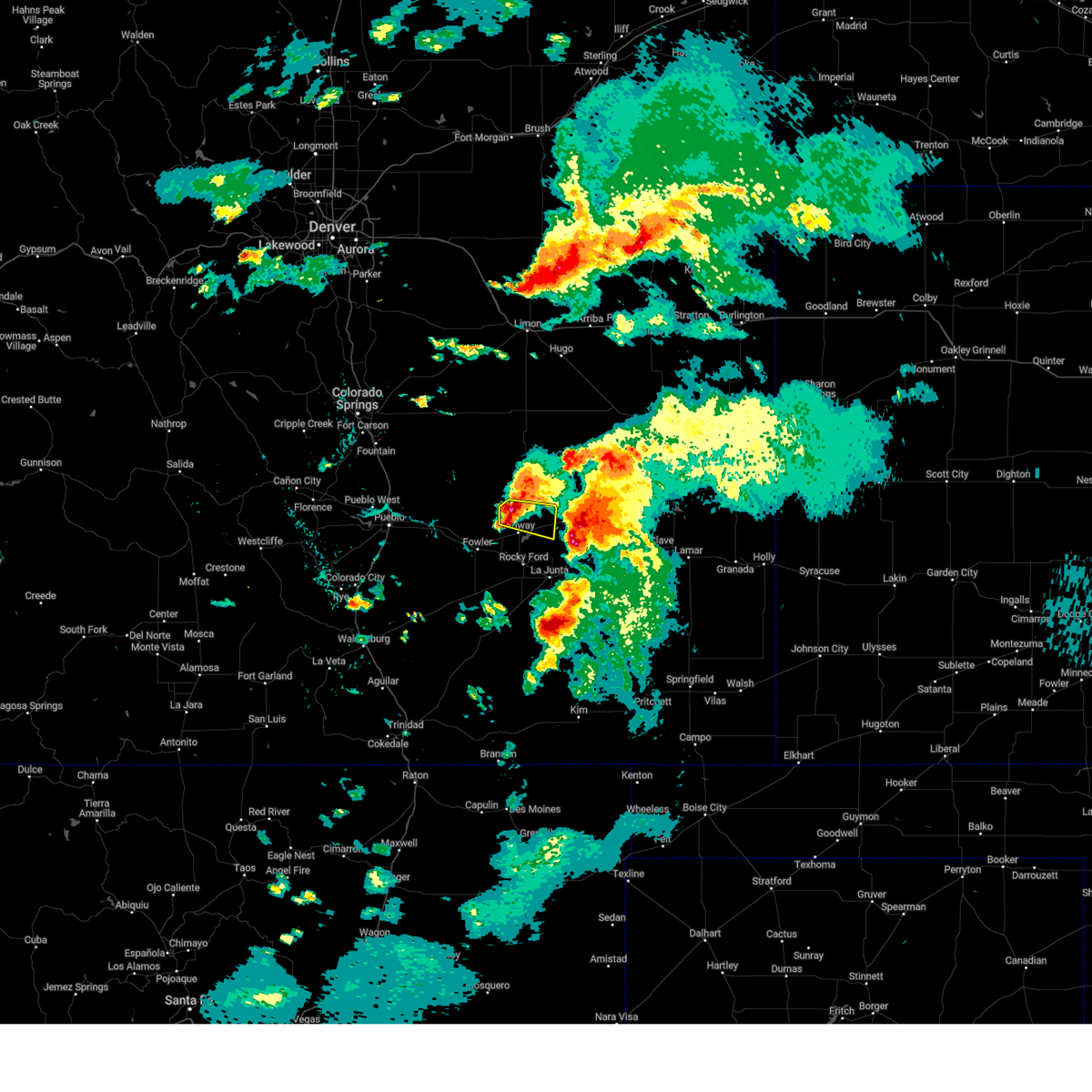 At 559 pm mdt, a severe thunderstorm was located 7 miles north of ordway, or 27 miles northwest of la junta, moving east at 30 mph (radar indicated). Hazards include ping pong ball size hail and 60 mph wind gusts. People and animals outdoors will be injured. expect hail damage to roofs, siding, windows, and vehicles. Expect wind damage to roofs, siding, and trees. At 559 pm mdt, a severe thunderstorm was located 7 miles north of ordway, or 27 miles northwest of la junta, moving east at 30 mph (radar indicated). Hazards include ping pong ball size hail and 60 mph wind gusts. People and animals outdoors will be injured. expect hail damage to roofs, siding, windows, and vehicles. Expect wind damage to roofs, siding, and trees.
|
| 7/20/2023 5:07 PM MDT |
 At 507 pm mdt, a severe thunderstorm was located 9 miles west of arlington, or 21 miles north of la junta, moving northeast at 55 mph (radar indicated). Hazards include 60 mph wind gusts and quarter size hail. Hail damage to vehicles is expected. expect wind damage to roofs, siding, and trees. locations impacted include, ordway and sugar city. hail threat, radar indicated max hail size, 1. 00 in wind threat, radar indicated max wind gust, 60 mph. At 507 pm mdt, a severe thunderstorm was located 9 miles west of arlington, or 21 miles north of la junta, moving northeast at 55 mph (radar indicated). Hazards include 60 mph wind gusts and quarter size hail. Hail damage to vehicles is expected. expect wind damage to roofs, siding, and trees. locations impacted include, ordway and sugar city. hail threat, radar indicated max hail size, 1. 00 in wind threat, radar indicated max wind gust, 60 mph.
|
| 7/20/2023 4:56 PM MDT |
 At 456 pm mdt, a severe thunderstorm was located over sugar city, or 16 miles north of la junta, moving northeast at 55 mph (radar indicated). Hazards include 60 mph wind gusts and quarter size hail. Hail damage to vehicles is expected. Expect wind damage to roofs, siding, and trees. At 456 pm mdt, a severe thunderstorm was located over sugar city, or 16 miles north of la junta, moving northeast at 55 mph (radar indicated). Hazards include 60 mph wind gusts and quarter size hail. Hail damage to vehicles is expected. Expect wind damage to roofs, siding, and trees.
|
| 7/20/2023 4:48 PM MDT |
 At 447 pm mdt, a severe thunderstorm was located near manzanola, or 17 miles northwest of la junta, moving northeast at 50 mph (trained weather spotters). Hazards include 60 mph wind gusts, torrential rainfall and quarter size hail. Hail damage to vehicles is expected. expect wind damage to roofs, siding, and trees. locations impacted include, rocky ford, ordway, manzanola, olney springs, sugar city and crowley. hail threat, radar indicated max hail size, 1. 00 in wind threat, radar indicated max wind gust, 60 mph. At 447 pm mdt, a severe thunderstorm was located near manzanola, or 17 miles northwest of la junta, moving northeast at 50 mph (trained weather spotters). Hazards include 60 mph wind gusts, torrential rainfall and quarter size hail. Hail damage to vehicles is expected. expect wind damage to roofs, siding, and trees. locations impacted include, rocky ford, ordway, manzanola, olney springs, sugar city and crowley. hail threat, radar indicated max hail size, 1. 00 in wind threat, radar indicated max wind gust, 60 mph.
|
| 7/20/2023 4:31 PM MDT |
 At 431 pm mdt, a severe thunderstorm was located near fowler, or 26 miles west of la junta, moving northeast at 55 mph (radar indicated). Hazards include ping pong ball size hail, torrential rainfall, and 60 mph wind gusts. People and animals outdoors will be injured. expect hail damage to roofs, siding, windows, and vehicles. Expect wind damage to roofs, siding, and trees. At 431 pm mdt, a severe thunderstorm was located near fowler, or 26 miles west of la junta, moving northeast at 55 mph (radar indicated). Hazards include ping pong ball size hail, torrential rainfall, and 60 mph wind gusts. People and animals outdoors will be injured. expect hail damage to roofs, siding, windows, and vehicles. Expect wind damage to roofs, siding, and trees.
|
| 7/19/2023 4:57 PM MDT |
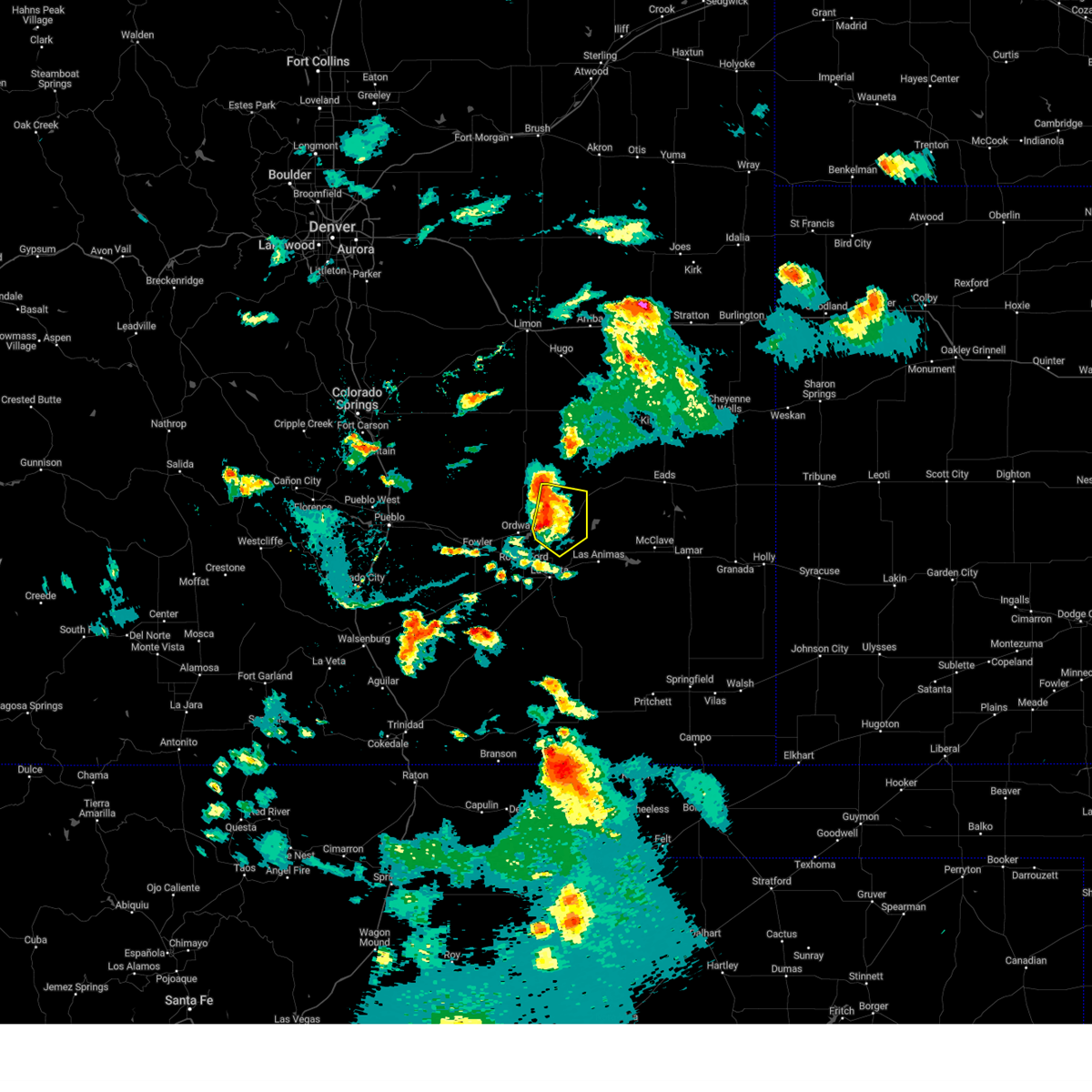 At 456 pm mdt, severe thunderstorms were located along a line extending from 10 miles northwest of arlington to 8 miles east of sugar city to near cheraw, moving east at 25 mph (radar indicated). Hazards include 60 mph wind gusts and quarter size hail. Hail damage to vehicles is expected. expect wind damage to roofs, siding, and trees. locations impacted include, sugar city, cheraw and arlington. hail threat, radar indicated max hail size, 1. 00 in wind threat, radar indicated max wind gust, 60 mph. At 456 pm mdt, severe thunderstorms were located along a line extending from 10 miles northwest of arlington to 8 miles east of sugar city to near cheraw, moving east at 25 mph (radar indicated). Hazards include 60 mph wind gusts and quarter size hail. Hail damage to vehicles is expected. expect wind damage to roofs, siding, and trees. locations impacted include, sugar city, cheraw and arlington. hail threat, radar indicated max hail size, 1. 00 in wind threat, radar indicated max wind gust, 60 mph.
|
| 7/19/2023 4:41 PM MDT |
 At 440 pm mdt, severe thunderstorms were located along a line extending from 10 miles southwest of wild horse point to 9 miles northeast of ordway to near sugar city, moving east at 25 mph (radar indicated). Hazards include 60 mph wind gusts and quarter size hail. Hail damage to vehicles is expected. Expect wind damage to roofs, siding, and trees. At 440 pm mdt, severe thunderstorms were located along a line extending from 10 miles southwest of wild horse point to 9 miles northeast of ordway to near sugar city, moving east at 25 mph (radar indicated). Hazards include 60 mph wind gusts and quarter size hail. Hail damage to vehicles is expected. Expect wind damage to roofs, siding, and trees.
|
| 7/19/2023 4:34 PM MDT |
 At 434 pm mdt, severe thunderstorms were located along a line extending from 14 miles southwest of wild horse point to 6 miles north of sugar city to near ordway, moving southeast at 45 mph (radar indicated). Hazards include 60 mph wind gusts and half dollar size hail. Hail damage to vehicles is expected. expect wind damage to roofs, siding, and trees. locations impacted include, ordway and sugar city. hail threat, radar indicated max hail size, 1. 25 in wind threat, radar indicated max wind gust, 60 mph. At 434 pm mdt, severe thunderstorms were located along a line extending from 14 miles southwest of wild horse point to 6 miles north of sugar city to near ordway, moving southeast at 45 mph (radar indicated). Hazards include 60 mph wind gusts and half dollar size hail. Hail damage to vehicles is expected. expect wind damage to roofs, siding, and trees. locations impacted include, ordway and sugar city. hail threat, radar indicated max hail size, 1. 25 in wind threat, radar indicated max wind gust, 60 mph.
|
| 7/19/2023 4:20 PM MDT |
 At 420 pm mdt, severe thunderstorms were located along a line extending from 14 miles north of sugar city to 9 miles northwest of ordway, moving southeast at 45 mph (radar indicated). Hazards include golf ball size hail and 70 mph wind gusts. People and animals outdoors will be injured. expect hail damage to roofs, siding, windows, and vehicles. expect considerable tree damage. wind damage is also likely to mobile homes, roofs, and outbuildings. locations impacted include, ordway and sugar city. thunderstorm damage threat, considerable hail threat, radar indicated max hail size, 1. 75 in wind threat, radar indicated max wind gust, 70 mph. At 420 pm mdt, severe thunderstorms were located along a line extending from 14 miles north of sugar city to 9 miles northwest of ordway, moving southeast at 45 mph (radar indicated). Hazards include golf ball size hail and 70 mph wind gusts. People and animals outdoors will be injured. expect hail damage to roofs, siding, windows, and vehicles. expect considerable tree damage. wind damage is also likely to mobile homes, roofs, and outbuildings. locations impacted include, ordway and sugar city. thunderstorm damage threat, considerable hail threat, radar indicated max hail size, 1. 75 in wind threat, radar indicated max wind gust, 70 mph.
|
| 7/19/2023 4:07 PM MDT |
 At 406 pm mdt, severe thunderstorms were located along a line extending from 17 miles southwest of forder to 16 miles north of crowley to 15 miles north of olney springs, moving southeast at 45 mph. these are destructive storms for crowley county, eastern kiowa county (radar indicated). Hazards include 80 mph wind gusts and three inch hail. Flying debris will be dangerous to those caught without shelter. mobile homes will be heavily damaged. expect considerable damage to roofs, windows, and vehicles. Extensive tree damage and power outages are likely. At 406 pm mdt, severe thunderstorms were located along a line extending from 17 miles southwest of forder to 16 miles north of crowley to 15 miles north of olney springs, moving southeast at 45 mph. these are destructive storms for crowley county, eastern kiowa county (radar indicated). Hazards include 80 mph wind gusts and three inch hail. Flying debris will be dangerous to those caught without shelter. mobile homes will be heavily damaged. expect considerable damage to roofs, windows, and vehicles. Extensive tree damage and power outages are likely.
|
| 7/18/2023 5:31 PM MDT |
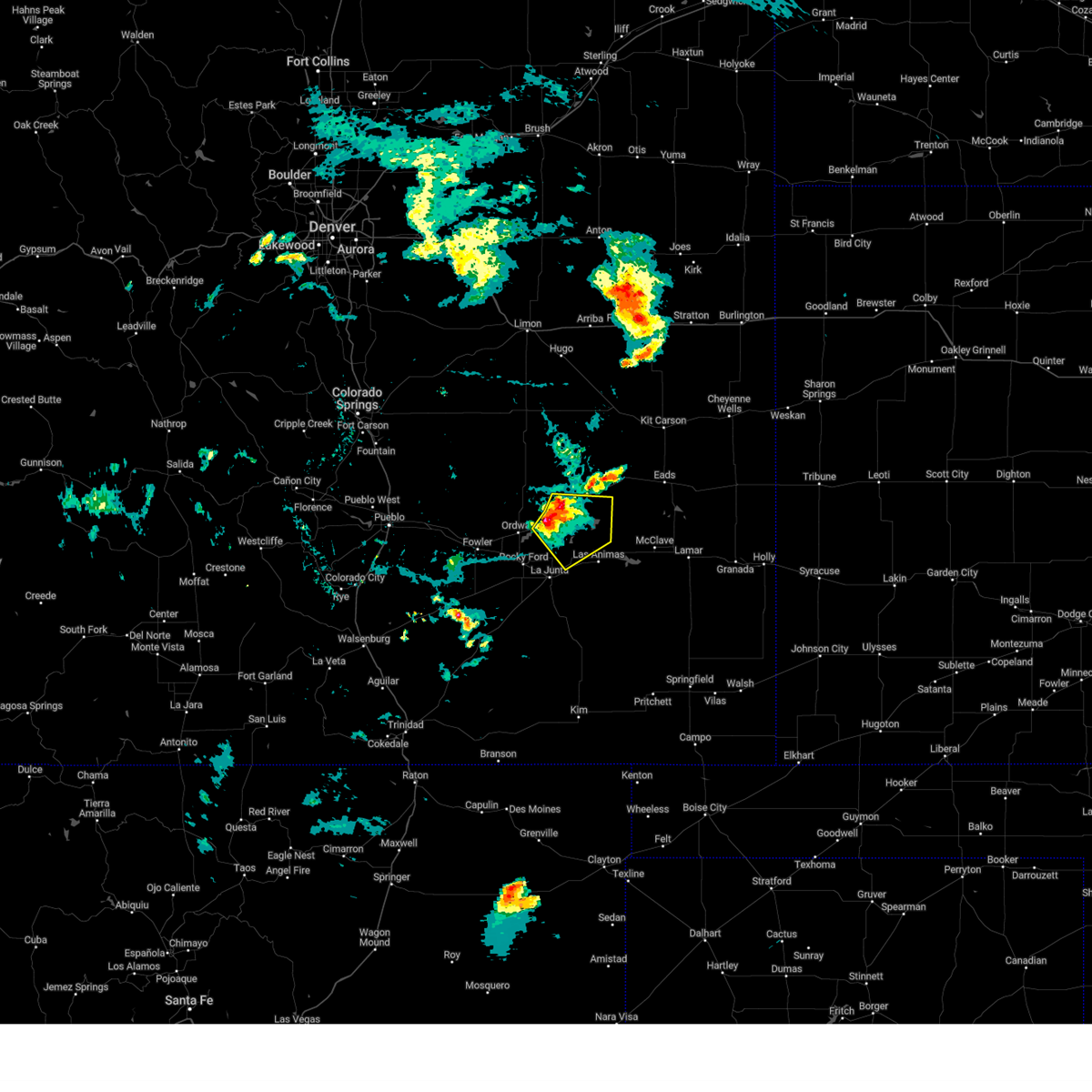 At 531 pm mdt, severe thunderstorms were located along a line extending from 7 miles west of arlington to 11 miles west of blue lake to 6 miles east of sugar city, moving southeast at 20 mph (radar indicated). Hazards include 60 mph wind gusts and quarter size hail. Hail damage to vehicles is expected. Expect wind damage to roofs, siding, and trees. At 531 pm mdt, severe thunderstorms were located along a line extending from 7 miles west of arlington to 11 miles west of blue lake to 6 miles east of sugar city, moving southeast at 20 mph (radar indicated). Hazards include 60 mph wind gusts and quarter size hail. Hail damage to vehicles is expected. Expect wind damage to roofs, siding, and trees.
|
| 7/8/2023 8:25 PM MDT |
 At 824 pm mdt, a severe thunderstorm was located over sugar city, or 18 miles north of la junta, moving southeast at 20 mph (radar indicated). Hazards include 60 mph wind gusts and half dollar size hail. Hail damage to vehicles is expected. Expect wind damage to roofs, siding, and trees. At 824 pm mdt, a severe thunderstorm was located over sugar city, or 18 miles north of la junta, moving southeast at 20 mph (radar indicated). Hazards include 60 mph wind gusts and half dollar size hail. Hail damage to vehicles is expected. Expect wind damage to roofs, siding, and trees.
|
| 7/8/2023 8:18 PM MDT |
 At 817 pm mdt, severe thunderstorms were located along a line extending from 8 miles east of wild horse point to near crowley, moving southeast at 20 mph (radar indicated). Hazards include 60 mph wind gusts and quarter size hail. Hail damage to vehicles is expected. expect wind damage to roofs, siding, and trees. locations impacted include, la junta, rocky ford, ordway, swink, manzanola, olney springs, sugar city, cheraw, crowley, haswell, blue lake and arlington. hail threat, radar indicated max hail size, 1. 00 in wind threat, radar indicated max wind gust, 60 mph. At 817 pm mdt, severe thunderstorms were located along a line extending from 8 miles east of wild horse point to near crowley, moving southeast at 20 mph (radar indicated). Hazards include 60 mph wind gusts and quarter size hail. Hail damage to vehicles is expected. expect wind damage to roofs, siding, and trees. locations impacted include, la junta, rocky ford, ordway, swink, manzanola, olney springs, sugar city, cheraw, crowley, haswell, blue lake and arlington. hail threat, radar indicated max hail size, 1. 00 in wind threat, radar indicated max wind gust, 60 mph.
|
| 7/8/2023 8:00 PM MDT |
 At 759 pm mdt, severe thunderstorms were located along a line extending from near wild horse point to near olney springs, moving southeast at 20 mph (radar indicated). Hazards include 70 mph wind gusts and half dollar size hail. Hail damage to vehicles is expected. expect considerable tree damage. wind damage is also likely to mobile homes, roofs, and outbuildings. locations impacted include, la junta, rocky ford, ordway, swink, manzanola, olney springs, sugar city, cheraw, crowley, haswell, blue lake and arlington. thunderstorm damage threat, considerable hail threat, radar indicated max hail size, 1. 25 in wind threat, radar indicated max wind gust, 70 mph. At 759 pm mdt, severe thunderstorms were located along a line extending from near wild horse point to near olney springs, moving southeast at 20 mph (radar indicated). Hazards include 70 mph wind gusts and half dollar size hail. Hail damage to vehicles is expected. expect considerable tree damage. wind damage is also likely to mobile homes, roofs, and outbuildings. locations impacted include, la junta, rocky ford, ordway, swink, manzanola, olney springs, sugar city, cheraw, crowley, haswell, blue lake and arlington. thunderstorm damage threat, considerable hail threat, radar indicated max hail size, 1. 25 in wind threat, radar indicated max wind gust, 70 mph.
|
| 7/8/2023 7:47 PM MDT |
 At 746 pm mdt, severe thunderstorms were located along a line extending from near karval to 7 miles northwest of olney springs, moving southeast at 20 mph (radar indicated). Hazards include 70 mph wind gusts and half dollar size hail. Hail damage to vehicles is expected. expect considerable tree damage. Wind damage is also likely to mobile homes, roofs, and outbuildings. At 746 pm mdt, severe thunderstorms were located along a line extending from near karval to 7 miles northwest of olney springs, moving southeast at 20 mph (radar indicated). Hazards include 70 mph wind gusts and half dollar size hail. Hail damage to vehicles is expected. expect considerable tree damage. Wind damage is also likely to mobile homes, roofs, and outbuildings.
|
| 7/8/2023 7:04 PM MDT |
 At 703 pm mdt, a severe thunderstorm was located over north la junta, moving southeast at 40 mph (radar indicated). Hazards include two inch hail and 70 mph wind gusts. People and animals outdoors will be injured. expect hail damage to roofs, siding, windows, and vehicles. expect considerable tree damage. wind damage is also likely to mobile homes, roofs, and outbuildings. Locations impacted include, la junta, north la junta, rocky ford, las animas, ordway, swink, sugar city and cheraw. At 703 pm mdt, a severe thunderstorm was located over north la junta, moving southeast at 40 mph (radar indicated). Hazards include two inch hail and 70 mph wind gusts. People and animals outdoors will be injured. expect hail damage to roofs, siding, windows, and vehicles. expect considerable tree damage. wind damage is also likely to mobile homes, roofs, and outbuildings. Locations impacted include, la junta, north la junta, rocky ford, las animas, ordway, swink, sugar city and cheraw.
|
| 7/8/2023 6:47 PM MDT |
 At 646 pm mdt, a severe thunderstorm was located near rocky ford, or 10 miles northwest of la junta, moving southeast at 40 mph (radar indicated). Hazards include 70 mph wind gusts and ping pong ball size hail. People and animals outdoors will be injured. expect hail damage to roofs, siding, windows, and vehicles. expect considerable tree damage. wind damage is also likely to mobile homes, roofs, and outbuildings. Locations impacted include, la junta, north la junta, rocky ford, las animas, ordway, swink, sugar city, cheraw, crowley and fort lyon. At 646 pm mdt, a severe thunderstorm was located near rocky ford, or 10 miles northwest of la junta, moving southeast at 40 mph (radar indicated). Hazards include 70 mph wind gusts and ping pong ball size hail. People and animals outdoors will be injured. expect hail damage to roofs, siding, windows, and vehicles. expect considerable tree damage. wind damage is also likely to mobile homes, roofs, and outbuildings. Locations impacted include, la junta, north la junta, rocky ford, las animas, ordway, swink, sugar city, cheraw, crowley and fort lyon.
|
| 7/8/2023 6:27 PM MDT |
 At 627 pm mdt, a severe thunderstorm was located over ordway, or 23 miles northwest of la junta, moving southeast at 40 mph (radar indicated). Hazards include 70 mph wind gusts and ping pong ball size hail. very heavy rain is possible. People and animals outdoors will be injured. expect hail damage to roofs, siding, windows, and vehicles. expect considerable tree damage. wind damage is also likely to mobile homes, roofs, and outbuildings. this severe thunderstorm will be near, ordway around 630 pm mdt. sugar city around 635 pm mdt. rocky ford around 645 pm mdt. Other locations in the path of this severe thunderstorm include la junta, swink, cheraw and north la junta. At 627 pm mdt, a severe thunderstorm was located over ordway, or 23 miles northwest of la junta, moving southeast at 40 mph (radar indicated). Hazards include 70 mph wind gusts and ping pong ball size hail. very heavy rain is possible. People and animals outdoors will be injured. expect hail damage to roofs, siding, windows, and vehicles. expect considerable tree damage. wind damage is also likely to mobile homes, roofs, and outbuildings. this severe thunderstorm will be near, ordway around 630 pm mdt. sugar city around 635 pm mdt. rocky ford around 645 pm mdt. Other locations in the path of this severe thunderstorm include la junta, swink, cheraw and north la junta.
|
| 7/5/2023 9:06 PM MDT |
 At 904 pm mdt, severe thunderstorms were located along a line extending from near sweetwater reservoir to near fowler, moving southeast at 25 mph. the most intense storm along this line were over western crowley and otero counties (radar indicated). Hazards include 70 mph wind gusts and ping pong ball size hail. People and animals outdoors will be injured. expect hail damage to roofs, siding, windows, and vehicles. expect considerable tree damage. wind damage is also likely to mobile homes, roofs, and outbuildings. severe thunderstorms will be near, sweetwater reservoir around 910 pm mdt. neegronda reservoir around 915 pm mdt. neeoshe reservoir around 920 pm mdt. other locations in the path of these severe thunderstorms include queens reservoir, rocky ford and swink. thunderstorm damage threat, considerable hail threat, radar indicated max hail size, 1. 50 in wind threat, radar indicated max wind gust, 70 mph. At 904 pm mdt, severe thunderstorms were located along a line extending from near sweetwater reservoir to near fowler, moving southeast at 25 mph. the most intense storm along this line were over western crowley and otero counties (radar indicated). Hazards include 70 mph wind gusts and ping pong ball size hail. People and animals outdoors will be injured. expect hail damage to roofs, siding, windows, and vehicles. expect considerable tree damage. wind damage is also likely to mobile homes, roofs, and outbuildings. severe thunderstorms will be near, sweetwater reservoir around 910 pm mdt. neegronda reservoir around 915 pm mdt. neeoshe reservoir around 920 pm mdt. other locations in the path of these severe thunderstorms include queens reservoir, rocky ford and swink. thunderstorm damage threat, considerable hail threat, radar indicated max hail size, 1. 50 in wind threat, radar indicated max wind gust, 70 mph.
|
| 7/5/2023 8:42 PM MDT |
 At 840 pm mdt, severe thunderstorms were located along a line extending from 8 miles west of eads to 6 miles northwest of olney springs, moving southeast at 20 mph. the most intense storms were over northern and western crowley county and western kiowa county (radar indicated). Hazards include ping pong ball size hail and 60 mph wind gusts. People and animals outdoors will be injured. expect hail damage to roofs, siding, windows, and vehicles. expect wind damage to roofs, siding, and trees. locations impacted include, rocky ford, fowler, ordway, eads, manzanola, olney springs, sugar city, cheraw, crowley, haswell, neeoshe reservoir, blue lake, sweetwater reservoir, neegronda reservoir, arlington and queens reservoir. hail threat, radar indicated max hail size, 1. 50 in wind threat, radar indicated max wind gust, 60 mph. At 840 pm mdt, severe thunderstorms were located along a line extending from 8 miles west of eads to 6 miles northwest of olney springs, moving southeast at 20 mph. the most intense storms were over northern and western crowley county and western kiowa county (radar indicated). Hazards include ping pong ball size hail and 60 mph wind gusts. People and animals outdoors will be injured. expect hail damage to roofs, siding, windows, and vehicles. expect wind damage to roofs, siding, and trees. locations impacted include, rocky ford, fowler, ordway, eads, manzanola, olney springs, sugar city, cheraw, crowley, haswell, neeoshe reservoir, blue lake, sweetwater reservoir, neegronda reservoir, arlington and queens reservoir. hail threat, radar indicated max hail size, 1. 50 in wind threat, radar indicated max wind gust, 60 mph.
|
| 7/5/2023 8:24 PM MDT |
 At 824 pm mdt, severe thunderstorms were located along a line extending from 9 miles west of eads to near boone, moving southeast at 20 mph (radar indicated). Hazards include ping pong ball size hail and 60 mph wind gusts. People and animals outdoors will be injured. expect hail damage to roofs, siding, windows, and vehicles. Expect wind damage to roofs, siding, and trees. At 824 pm mdt, severe thunderstorms were located along a line extending from 9 miles west of eads to near boone, moving southeast at 20 mph (radar indicated). Hazards include ping pong ball size hail and 60 mph wind gusts. People and animals outdoors will be injured. expect hail damage to roofs, siding, windows, and vehicles. Expect wind damage to roofs, siding, and trees.
|
| 7/4/2023 4:56 PM MDT |
 The severe thunderstorm warning for northeastern otero and southeastern crowley counties will expire at 500 pm mdt, the storm which prompted the warning has weakened below severe limits, and no longer poses an immediate threat to life or property. therefore, the warning will be allowed to expire. however small hail and gusty winds are still possible with this thunderstorm. a severe thunderstorm watch remains in effect until 1100 pm mdt for southeastern colorado. The severe thunderstorm warning for northeastern otero and southeastern crowley counties will expire at 500 pm mdt, the storm which prompted the warning has weakened below severe limits, and no longer poses an immediate threat to life or property. therefore, the warning will be allowed to expire. however small hail and gusty winds are still possible with this thunderstorm. a severe thunderstorm watch remains in effect until 1100 pm mdt for southeastern colorado.
|
| 7/4/2023 4:42 PM MDT |
 At 441 pm mdt, a severe thunderstorm was located near sugar city, or 13 miles northwest of la junta, moving southeast at 25 mph (radar indicated). Hazards include 60 mph wind gusts and half dollar size hail. Hail damage to vehicles is expected. expect wind damage to roofs, siding, and trees. locations impacted include, la junta, north la junta, rocky ford, ordway, swink, sugar city and cheraw. hail threat, radar indicated max hail size, 1. 25 in wind threat, radar indicated max wind gust, 60 mph. At 441 pm mdt, a severe thunderstorm was located near sugar city, or 13 miles northwest of la junta, moving southeast at 25 mph (radar indicated). Hazards include 60 mph wind gusts and half dollar size hail. Hail damage to vehicles is expected. expect wind damage to roofs, siding, and trees. locations impacted include, la junta, north la junta, rocky ford, ordway, swink, sugar city and cheraw. hail threat, radar indicated max hail size, 1. 25 in wind threat, radar indicated max wind gust, 60 mph.
|
| 7/4/2023 4:30 PM MDT |
 At 430 pm mdt, a severe thunderstorm was located over sugar city, or 17 miles northwest of la junta, moving southeast at 25 mph (radar indicated). Hazards include two inch hail and 60 mph wind gusts. People and animals outdoors will be injured. expect hail damage to roofs, siding, windows, and vehicles. expect wind damage to roofs, siding, and trees. locations impacted include, la junta, north la junta, rocky ford, ordway, swink, sugar city, cheraw and crowley. thunderstorm damage threat, considerable hail threat, radar indicated max hail size, 2. 00 in wind threat, radar indicated max wind gust, 60 mph. At 430 pm mdt, a severe thunderstorm was located over sugar city, or 17 miles northwest of la junta, moving southeast at 25 mph (radar indicated). Hazards include two inch hail and 60 mph wind gusts. People and animals outdoors will be injured. expect hail damage to roofs, siding, windows, and vehicles. expect wind damage to roofs, siding, and trees. locations impacted include, la junta, north la junta, rocky ford, ordway, swink, sugar city, cheraw and crowley. thunderstorm damage threat, considerable hail threat, radar indicated max hail size, 2. 00 in wind threat, radar indicated max wind gust, 60 mph.
|
| 7/4/2023 4:28 PM MDT | Quarter sized hail reported 0.4 miles WNW of Sugar City, CO |
| 7/4/2023 4:20 PM MDT |
 At 420 pm mdt, a severe thunderstorm was located over ordway, or 20 miles northwest of la junta, moving southeast at 25 mph (radar indicated). Hazards include golf ball size hail and 60 mph wind gusts. People and animals outdoors will be injured. expect hail damage to roofs, siding, windows, and vehicles. Expect wind damage to roofs, siding, and trees. At 420 pm mdt, a severe thunderstorm was located over ordway, or 20 miles northwest of la junta, moving southeast at 25 mph (radar indicated). Hazards include golf ball size hail and 60 mph wind gusts. People and animals outdoors will be injured. expect hail damage to roofs, siding, windows, and vehicles. Expect wind damage to roofs, siding, and trees.
|
| 7/4/2023 4:17 PM MDT |
 At 417 pm mdt, a severe thunderstorm was located near sugar city, or 22 miles northwest of la junta, moving southeast at 25 mph (radar indicated). Hazards include golf ball size hail and 60 mph wind gusts. People and animals outdoors will be injured. expect hail damage to roofs, siding, windows, and vehicles. expect wind damage to roofs, siding, and trees. locations impacted include, ordway and sugar city. thunderstorm damage threat, considerable hail threat, radar indicated max hail size, 1. 75 in wind threat, radar indicated max wind gust, 60 mph. At 417 pm mdt, a severe thunderstorm was located near sugar city, or 22 miles northwest of la junta, moving southeast at 25 mph (radar indicated). Hazards include golf ball size hail and 60 mph wind gusts. People and animals outdoors will be injured. expect hail damage to roofs, siding, windows, and vehicles. expect wind damage to roofs, siding, and trees. locations impacted include, ordway and sugar city. thunderstorm damage threat, considerable hail threat, radar indicated max hail size, 1. 75 in wind threat, radar indicated max wind gust, 60 mph.
|
| 7/4/2023 4:06 PM MDT |
 At 405 pm mdt, a severe thunderstorm was located 7 miles north of ordway, or 26 miles northwest of la junta, moving southeast at 25 mph (radar indicated). Hazards include golf ball size hail and 60 mph wind gusts. People and animals outdoors will be injured. expect hail damage to roofs, siding, windows, and vehicles. expect wind damage to roofs, siding, and trees. locations impacted include, ordway and sugar city. thunderstorm damage threat, considerable hail threat, radar indicated max hail size, 1. 75 in wind threat, radar indicated max wind gust, 60 mph. At 405 pm mdt, a severe thunderstorm was located 7 miles north of ordway, or 26 miles northwest of la junta, moving southeast at 25 mph (radar indicated). Hazards include golf ball size hail and 60 mph wind gusts. People and animals outdoors will be injured. expect hail damage to roofs, siding, windows, and vehicles. expect wind damage to roofs, siding, and trees. locations impacted include, ordway and sugar city. thunderstorm damage threat, considerable hail threat, radar indicated max hail size, 1. 75 in wind threat, radar indicated max wind gust, 60 mph.
|
| 7/4/2023 3:55 PM MDT |
 At 354 pm mdt, a severe thunderstorm was located 13 miles north of crowley, or 33 miles northwest of la junta, moving southeast at 25 mph (radar indicated). Hazards include 60 mph wind gusts and half dollar size hail. Hail damage to vehicles is expected. Expect wind damage to roofs, siding, and trees. At 354 pm mdt, a severe thunderstorm was located 13 miles north of crowley, or 33 miles northwest of la junta, moving southeast at 25 mph (radar indicated). Hazards include 60 mph wind gusts and half dollar size hail. Hail damage to vehicles is expected. Expect wind damage to roofs, siding, and trees.
|
| 6/17/2023 3:21 PM MDT |
 The severe thunderstorm warning for northeastern otero, southwestern kiowa and crowley counties will expire at 330 pm mdt, the storms which prompted the warning have weakened below severe limits, and no longer pose an immediate threat to life or property. therefore, the warning will be allowed to expire. however gusty winds and heavy rain are still possible with these thunderstorms. a severe thunderstorm watch remains in effect until 800 pm mdt for southeastern colorado. The severe thunderstorm warning for northeastern otero, southwestern kiowa and crowley counties will expire at 330 pm mdt, the storms which prompted the warning have weakened below severe limits, and no longer pose an immediate threat to life or property. therefore, the warning will be allowed to expire. however gusty winds and heavy rain are still possible with these thunderstorms. a severe thunderstorm watch remains in effect until 800 pm mdt for southeastern colorado.
|
| 6/17/2023 3:02 PM MDT |
 At 302 pm mdt, severe thunderstorms were located along a line extending from 7 miles south of forder to near sugar city, moving northeast at 45 mph (radar indicated). Hazards include 60 mph wind gusts and quarter size hail. Hail damage to vehicles is expected. expect wind damage to roofs, siding, and trees. Locations impacted include, rocky ford, ordway, sugar city and cheraw. At 302 pm mdt, severe thunderstorms were located along a line extending from 7 miles south of forder to near sugar city, moving northeast at 45 mph (radar indicated). Hazards include 60 mph wind gusts and quarter size hail. Hail damage to vehicles is expected. expect wind damage to roofs, siding, and trees. Locations impacted include, rocky ford, ordway, sugar city and cheraw.
|
| 6/17/2023 2:43 PM MDT |
 At 242 pm mdt, severe thunderstorms were located along a line extending from 16 miles southwest of forder to manzanola, moving northeast at 45 mph (radar indicated). Hazards include 70 mph wind gusts and quarter size hail. Hail damage to vehicles is expected. expect considerable tree damage. Wind damage is also likely to mobile homes, roofs, and outbuildings. At 242 pm mdt, severe thunderstorms were located along a line extending from 16 miles southwest of forder to manzanola, moving northeast at 45 mph (radar indicated). Hazards include 70 mph wind gusts and quarter size hail. Hail damage to vehicles is expected. expect considerable tree damage. Wind damage is also likely to mobile homes, roofs, and outbuildings.
|
| 6/12/2023 3:03 PM MDT |
 At 302 pm mdt, severe thunderstorms were located along a line extending from 16 miles northeast of pueblo depot to near blende to 15 miles northeast of greenhorn mountain, moving southeast at 30 mph (radar indicated). Hazards include 60 mph wind gusts and quarter size hail. Hail damage to vehicles is expected. expect wind damage to roofs, siding, and trees. the strongest storms on this line are located in southern pueblo county and far eastern crowley county. locations impacted include, pueblo, rocky ford, fowler, ordway, manzanola, olney springs, boone, sugar city, crowley, salt creek, pueblo depot, blende, avondale and colorado city. hail threat, radar indicated max hail size, 1. 00 in wind threat, radar indicated max wind gust, 60 mph. At 302 pm mdt, severe thunderstorms were located along a line extending from 16 miles northeast of pueblo depot to near blende to 15 miles northeast of greenhorn mountain, moving southeast at 30 mph (radar indicated). Hazards include 60 mph wind gusts and quarter size hail. Hail damage to vehicles is expected. expect wind damage to roofs, siding, and trees. the strongest storms on this line are located in southern pueblo county and far eastern crowley county. locations impacted include, pueblo, rocky ford, fowler, ordway, manzanola, olney springs, boone, sugar city, crowley, salt creek, pueblo depot, blende, avondale and colorado city. hail threat, radar indicated max hail size, 1. 00 in wind threat, radar indicated max wind gust, 60 mph.
|
| 6/12/2023 2:50 PM MDT |
 At 250 pm mdt, severe thunderstorms were located along a line extending from 18 miles south of truckton to near blende to 17 miles northeast of greenhorn mountain, moving southeast at 40 mph (radar indicated). Hazards include 60 mph wind gusts and quarter size hail. Hail damage to vehicles is expected. Expect wind damage to roofs, siding, and trees. At 250 pm mdt, severe thunderstorms were located along a line extending from 18 miles south of truckton to near blende to 17 miles northeast of greenhorn mountain, moving southeast at 40 mph (radar indicated). Hazards include 60 mph wind gusts and quarter size hail. Hail damage to vehicles is expected. Expect wind damage to roofs, siding, and trees.
|
| 5/29/2023 9:29 PM MDT |
 At 928 pm mdt, a severe thunderstorm was located near sugar city, or 15 miles northwest of la junta, moving east at 35 mph (radar indicated). Hazards include 60 mph wind gusts and penny size hail. Expect damage to roofs, siding, and trees. locations impacted include, rocky ford, ordway, manzanola, olney springs, sugar city and crowley. hail threat, radar indicated max hail size, 0. 75 in wind threat, radar indicated max wind gust, 60 mph. At 928 pm mdt, a severe thunderstorm was located near sugar city, or 15 miles northwest of la junta, moving east at 35 mph (radar indicated). Hazards include 60 mph wind gusts and penny size hail. Expect damage to roofs, siding, and trees. locations impacted include, rocky ford, ordway, manzanola, olney springs, sugar city and crowley. hail threat, radar indicated max hail size, 0. 75 in wind threat, radar indicated max wind gust, 60 mph.
|
| 5/29/2023 9:13 PM MDT |
 At 913 pm mdt, a severe thunderstorm was located over crowley, or 22 miles northwest of la junta, moving east at 35 mph (radar indicated). Hazards include 60 mph wind gusts and quarter size hail. Hail damage to vehicles is expected. Expect wind damage to roofs, siding, and trees. At 913 pm mdt, a severe thunderstorm was located over crowley, or 22 miles northwest of la junta, moving east at 35 mph (radar indicated). Hazards include 60 mph wind gusts and quarter size hail. Hail damage to vehicles is expected. Expect wind damage to roofs, siding, and trees.
|
| 5/27/2023 1:55 PM MDT |
 At 154 pm mdt, a severe thunderstorm was located over crowley, or 23 miles northwest of la junta, moving northeast at 30 mph (radar indicated). Hazards include 60 mph wind gusts and quarter size hail. Hail damage to vehicles is expected. expect wind damage to roofs, siding, and trees. locations impacted include, ordway, sugar city and crowley. hail threat, radar indicated max hail size, 1. 00 in wind threat, radar indicated max wind gust, 60 mph. At 154 pm mdt, a severe thunderstorm was located over crowley, or 23 miles northwest of la junta, moving northeast at 30 mph (radar indicated). Hazards include 60 mph wind gusts and quarter size hail. Hail damage to vehicles is expected. expect wind damage to roofs, siding, and trees. locations impacted include, ordway, sugar city and crowley. hail threat, radar indicated max hail size, 1. 00 in wind threat, radar indicated max wind gust, 60 mph.
|
| 5/27/2023 1:53 PM MDT |
 At 153 pm mdt, a severe thunderstorm was located over crowley, or 23 miles northwest of la junta, moving north at 20 mph (radar indicated). Hazards include 60 mph wind gusts and quarter size hail. Hail damage to vehicles is expected. expect wind damage to roofs, siding, and trees. locations impacted include, ordway. hail threat, radar indicated max hail size, 1. 00 in wind threat, radar indicated max wind gust, 60 mph. At 153 pm mdt, a severe thunderstorm was located over crowley, or 23 miles northwest of la junta, moving north at 20 mph (radar indicated). Hazards include 60 mph wind gusts and quarter size hail. Hail damage to vehicles is expected. expect wind damage to roofs, siding, and trees. locations impacted include, ordway. hail threat, radar indicated max hail size, 1. 00 in wind threat, radar indicated max wind gust, 60 mph.
|
| 5/27/2023 1:39 PM MDT |
 At 139 pm mdt, a severe thunderstorm was located over crowley, or 21 miles northwest of la junta, moving northeast at 30 mph (radar indicated). Hazards include 60 mph wind gusts and quarter size hail. Hail damage to vehicles is expected. expect wind damage to roofs, siding, and trees. this severe thunderstorm will be near, ordway around 155 pm mdt. other locations in the path of this severe thunderstorm include sugar city. hail threat, radar indicated max hail size, 1. 00 in wind threat, radar indicated max wind gust, 60 mph. At 139 pm mdt, a severe thunderstorm was located over crowley, or 21 miles northwest of la junta, moving northeast at 30 mph (radar indicated). Hazards include 60 mph wind gusts and quarter size hail. Hail damage to vehicles is expected. expect wind damage to roofs, siding, and trees. this severe thunderstorm will be near, ordway around 155 pm mdt. other locations in the path of this severe thunderstorm include sugar city. hail threat, radar indicated max hail size, 1. 00 in wind threat, radar indicated max wind gust, 60 mph.
|
| 5/24/2023 5:37 PM MDT |
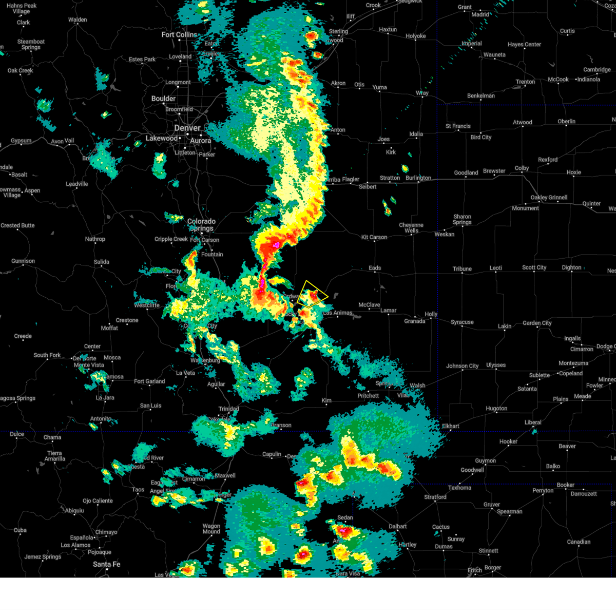 The severe thunderstorm warning for northeastern otero, western kiowa, southeastern crowley and northwestern bent counties will expire at 545 pm mdt, the storm which prompted the warning has weakened below severe limits, and no longer poses an immediate threat to life or property. therefore, the warning will be allowed to expire. however small hail and heavy rain are still possible with this thunderstorm. remember, a severe thunderstorm warning still remains in effect for western otero county until 630 pm. remember, a tornado warning still remains in effect for western otero county until 545 pm. The severe thunderstorm warning for northeastern otero, western kiowa, southeastern crowley and northwestern bent counties will expire at 545 pm mdt, the storm which prompted the warning has weakened below severe limits, and no longer poses an immediate threat to life or property. therefore, the warning will be allowed to expire. however small hail and heavy rain are still possible with this thunderstorm. remember, a severe thunderstorm warning still remains in effect for western otero county until 630 pm. remember, a tornado warning still remains in effect for western otero county until 545 pm.
|
| 5/24/2023 5:11 PM MDT |
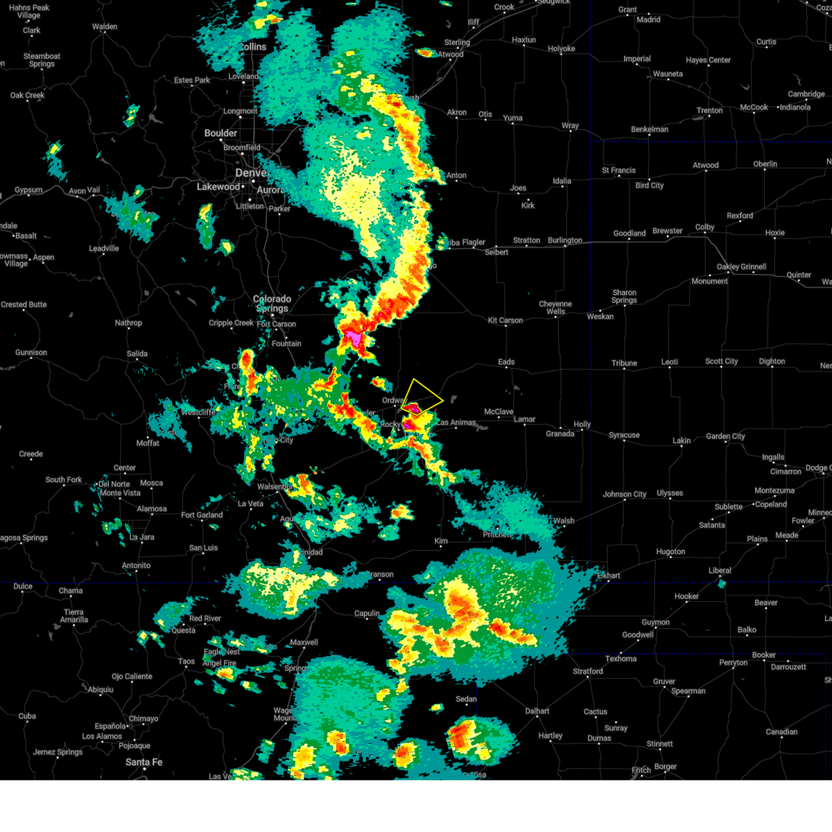 At 511 pm mdt, a severe thunderstorm was located near sugar city, or 16 miles north of la junta, moving northeast at 15 mph (radar indicated). Hazards include ping pong ball size hail and 60 mph wind gusts. People and animals outdoors will be injured. expect hail damage to roofs, siding, windows, and vehicles. Expect wind damage to roofs, siding, and trees. At 511 pm mdt, a severe thunderstorm was located near sugar city, or 16 miles north of la junta, moving northeast at 15 mph (radar indicated). Hazards include ping pong ball size hail and 60 mph wind gusts. People and animals outdoors will be injured. expect hail damage to roofs, siding, windows, and vehicles. Expect wind damage to roofs, siding, and trees.
|
| 8/7/2022 3:22 PM MDT |
 At 321 pm mdt, severe thunderstorms were located along a line extending from arlington to near ordway, moving south at 15 mph (radar indicated). Hazards include 60 mph wind gusts and quarter size hail. Hail damage to vehicles is expected. expect wind damage to roofs, siding, and trees. locations impacted include, ordway, sugar city and arlington. hail threat, radar indicated max hail size, 1. 00 in wind threat, radar indicated max wind gust, 60 mph. At 321 pm mdt, severe thunderstorms were located along a line extending from arlington to near ordway, moving south at 15 mph (radar indicated). Hazards include 60 mph wind gusts and quarter size hail. Hail damage to vehicles is expected. expect wind damage to roofs, siding, and trees. locations impacted include, ordway, sugar city and arlington. hail threat, radar indicated max hail size, 1. 00 in wind threat, radar indicated max wind gust, 60 mph.
|
| 8/7/2022 3:04 PM MDT |
 At 304 pm mdt, severe thunderstorms were located along a line extending from near arlington to near ordway, moving southeast at 10 mph (radar indicated). Hazards include 60 mph wind gusts and quarter size hail. Hail damage to vehicles is expected. expect wind damage to roofs, siding, and trees. locations impacted include, ordway, sugar city, crowley and arlington. hail threat, radar indicated max hail size, 1. 00 in wind threat, radar indicated max wind gust, 60 mph. At 304 pm mdt, severe thunderstorms were located along a line extending from near arlington to near ordway, moving southeast at 10 mph (radar indicated). Hazards include 60 mph wind gusts and quarter size hail. Hail damage to vehicles is expected. expect wind damage to roofs, siding, and trees. locations impacted include, ordway, sugar city, crowley and arlington. hail threat, radar indicated max hail size, 1. 00 in wind threat, radar indicated max wind gust, 60 mph.
|
| 8/7/2022 2:39 PM MDT |
 At 239 pm mdt, severe thunderstorms were located along a line extending from 10 miles northwest of arlington to 6 miles east of sugar city to near crowley, moving south at 15 mph (radar indicated). Hazards include golf ball size hail and 60 mph wind gusts. People and animals outdoors will be injured. expect hail damage to roofs, siding, windows, and vehicles. Expect wind damage to roofs, siding, and trees. At 239 pm mdt, severe thunderstorms were located along a line extending from 10 miles northwest of arlington to 6 miles east of sugar city to near crowley, moving south at 15 mph (radar indicated). Hazards include golf ball size hail and 60 mph wind gusts. People and animals outdoors will be injured. expect hail damage to roofs, siding, windows, and vehicles. Expect wind damage to roofs, siding, and trees.
|
| 8/6/2022 6:55 PM MDT |
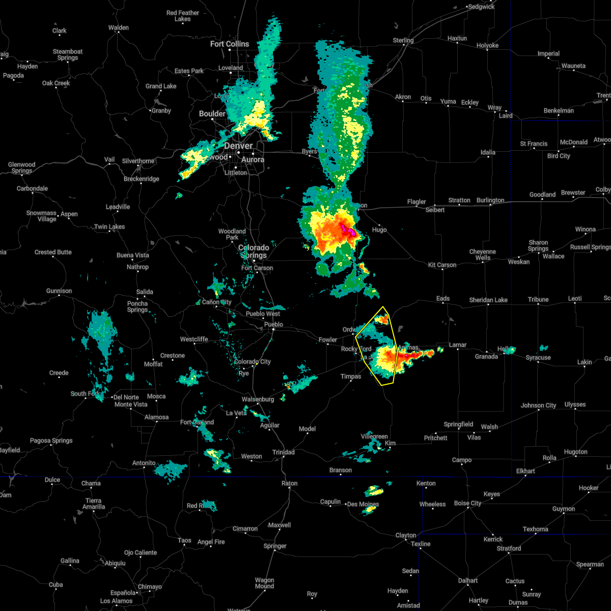 The severe thunderstorm warning for northeastern otero, southwestern kiowa, southeastern crowley and northwestern bent counties will expire at 700 pm mdt, the storms which prompted the warning have moved east of the warning area. therefore, the warning will be allowed to expire. remember, a severe thunderstorm warning still remains in effect for southwestern kiowa county and central bent until 745 pm mdt. The severe thunderstorm warning for northeastern otero, southwestern kiowa, southeastern crowley and northwestern bent counties will expire at 700 pm mdt, the storms which prompted the warning have moved east of the warning area. therefore, the warning will be allowed to expire. remember, a severe thunderstorm warning still remains in effect for southwestern kiowa county and central bent until 745 pm mdt.
|
| 8/6/2022 6:34 PM MDT |
 At 633 pm mdt, severe thunderstorms were located along a line extending from near wild horse point to near cheraw to 6 miles north of higbee, moving northeast at 15 mph (radar indicated). Hazards include 70 mph wind gusts and quarter size hail. Hail damage to vehicles is expected. expect considerable tree damage. wind damage is also likely to mobile homes, roofs, and outbuildings. locations impacted include, la junta, north la junta, swink, sugar city and cheraw. thunderstorm damage threat, considerable hail threat, radar indicated max hail size, 1. 00 in wind threat, observed max wind gust, 70 mph. At 633 pm mdt, severe thunderstorms were located along a line extending from near wild horse point to near cheraw to 6 miles north of higbee, moving northeast at 15 mph (radar indicated). Hazards include 70 mph wind gusts and quarter size hail. Hail damage to vehicles is expected. expect considerable tree damage. wind damage is also likely to mobile homes, roofs, and outbuildings. locations impacted include, la junta, north la junta, swink, sugar city and cheraw. thunderstorm damage threat, considerable hail threat, radar indicated max hail size, 1. 00 in wind threat, observed max wind gust, 70 mph.
|
| 8/6/2022 6:12 PM MDT |
 At 609 pm mdt, pueblo doppler radar indicated strong thunderstorms located along a line extending from 9 miles southwest of wild horse point to swink to near higbee, moving northeast at 15 mph. these are destructive storms for eastern otero county (la junta asos measured an 87 mph wind gust). Hazards include 90 mph wind gusts and quarter size hail. You are in a life-threatening situation. flying debris may be deadly to those caught without shelter. mobile homes will be heavily damaged or destroyed. homes and businesses will have substantial roof and window damage. expect extensive tree damage and power outages. locations impacted include, la junta, north la junta, rocky ford, ordway, swink, sugar city, cheraw and higbee. thunderstorm damage threat, destructive hail threat, radar indicated max hail size, 1. 00 in wind threat, observed max wind gust, 90 mph. At 609 pm mdt, pueblo doppler radar indicated strong thunderstorms located along a line extending from 9 miles southwest of wild horse point to swink to near higbee, moving northeast at 15 mph. these are destructive storms for eastern otero county (la junta asos measured an 87 mph wind gust). Hazards include 90 mph wind gusts and quarter size hail. You are in a life-threatening situation. flying debris may be deadly to those caught without shelter. mobile homes will be heavily damaged or destroyed. homes and businesses will have substantial roof and window damage. expect extensive tree damage and power outages. locations impacted include, la junta, north la junta, rocky ford, ordway, swink, sugar city, cheraw and higbee. thunderstorm damage threat, destructive hail threat, radar indicated max hail size, 1. 00 in wind threat, observed max wind gust, 90 mph.
|
| 8/6/2022 5:57 PM MDT |
 At 555 pm mdt, severe thunderstorms were located along a line extending from 12 miles southwest of wild horse point to near swink to near higbee, moving northeast at 15 mph (la junta automated weather system measured a 63 mph wind gust at 555 mph). Hazards include 70 mph wind gusts and quarter size hail. Hail damage to vehicles is expected. expect considerable tree damage. wind damage is also likely to mobile homes, roofs, and outbuildings. locations impacted include, la junta, north la junta, rocky ford, ordway, swink, sugar city, cheraw and higbee. thunderstorm damage threat, considerable hail threat, radar indicated max hail size, 1. 00 in wind threat, observed max wind gust, 70 mph. At 555 pm mdt, severe thunderstorms were located along a line extending from 12 miles southwest of wild horse point to near swink to near higbee, moving northeast at 15 mph (la junta automated weather system measured a 63 mph wind gust at 555 mph). Hazards include 70 mph wind gusts and quarter size hail. Hail damage to vehicles is expected. expect considerable tree damage. wind damage is also likely to mobile homes, roofs, and outbuildings. locations impacted include, la junta, north la junta, rocky ford, ordway, swink, sugar city, cheraw and higbee. thunderstorm damage threat, considerable hail threat, radar indicated max hail size, 1. 00 in wind threat, observed max wind gust, 70 mph.
|
| 8/6/2022 5:40 PM MDT |
 At 539 pm mdt, severe thunderstorms were located along a line extending from 12 miles southwest of wild horse point to near rocky ford to 7 miles south of north la junta, moving northeast at 15 mph (radar indicated). Hazards include 60 mph wind gusts and quarter size hail. Hail damage to vehicles is expected. Expect wind damage to roofs, siding, and trees. At 539 pm mdt, severe thunderstorms were located along a line extending from 12 miles southwest of wild horse point to near rocky ford to 7 miles south of north la junta, moving northeast at 15 mph (radar indicated). Hazards include 60 mph wind gusts and quarter size hail. Hail damage to vehicles is expected. Expect wind damage to roofs, siding, and trees.
|
| 7/24/2022 7:02 PM MDT |
 At 702 pm mdt, severe thunderstorms were located along a line extending from near sugar city to 8 miles northeast of higbee, moving northeast at 35 mph (radar indicated). Hazards include 60 mph wind gusts and penny size hail. Expect damage to roofs, siding, and trees. Locations impacted include, la junta, north la junta, las animas, sugar city, cheraw, hasty, john martin reservoir, blue lake, fort lyon and caddoa. At 702 pm mdt, severe thunderstorms were located along a line extending from near sugar city to 8 miles northeast of higbee, moving northeast at 35 mph (radar indicated). Hazards include 60 mph wind gusts and penny size hail. Expect damage to roofs, siding, and trees. Locations impacted include, la junta, north la junta, las animas, sugar city, cheraw, hasty, john martin reservoir, blue lake, fort lyon and caddoa.
|
| 7/24/2022 6:53 PM MDT |
 At 653 pm mdt, severe thunderstorms were located along a line extending from near sugar city to near higbee, moving northeast at 35 mph (radar indicated). Hazards include 60 mph wind gusts and penny size hail. expect damage to roofs, siding, and trees At 653 pm mdt, severe thunderstorms were located along a line extending from near sugar city to near higbee, moving northeast at 35 mph (radar indicated). Hazards include 60 mph wind gusts and penny size hail. expect damage to roofs, siding, and trees
|
| 7/20/2022 5:01 PM MDT |
 At 500 pm mdt, severe thunderstorms were located along a line extending from near cheraw to near north la junta to near la junta, moving southeast at 20 mph (radar indicated). Hazards include 60 mph wind gusts and quarter size hail. Hail damage to vehicles is expected. expect wind damage to roofs, siding, and trees. locations impacted include, la junta, north la junta, rocky ford, ordway, swink, manzanola, sugar city and cheraw. hail threat, radar indicated max hail size, 1. 00 in wind threat, radar indicated max wind gust, 60 mph. At 500 pm mdt, severe thunderstorms were located along a line extending from near cheraw to near north la junta to near la junta, moving southeast at 20 mph (radar indicated). Hazards include 60 mph wind gusts and quarter size hail. Hail damage to vehicles is expected. expect wind damage to roofs, siding, and trees. locations impacted include, la junta, north la junta, rocky ford, ordway, swink, manzanola, sugar city and cheraw. hail threat, radar indicated max hail size, 1. 00 in wind threat, radar indicated max wind gust, 60 mph.
|
| 7/20/2022 4:43 PM MDT |
 At 443 pm mdt, severe thunderstorms were located along a line extending from cheraw to near la junta to near swink, moving southeast at 30 mph (radar indicated). Hazards include 60 mph wind gusts and quarter size hail. Hail damage to vehicles is expected. expect wind damage to roofs, siding, and trees. locations impacted include, la junta, north la junta, rocky ford, ordway, swink, manzanola, sugar city, cheraw and crowley. hail threat, radar indicated max hail size, 1. 00 in wind threat, radar indicated max wind gust, 60 mph. At 443 pm mdt, severe thunderstorms were located along a line extending from cheraw to near la junta to near swink, moving southeast at 30 mph (radar indicated). Hazards include 60 mph wind gusts and quarter size hail. Hail damage to vehicles is expected. expect wind damage to roofs, siding, and trees. locations impacted include, la junta, north la junta, rocky ford, ordway, swink, manzanola, sugar city, cheraw and crowley. hail threat, radar indicated max hail size, 1. 00 in wind threat, radar indicated max wind gust, 60 mph.
|
| 7/20/2022 4:32 PM MDT |
 At 432 pm mdt, severe thunderstorms were located along a line extending from near sugar city to 6 miles north of swink to near rocky ford, moving southeast at 35 mph (radar indicated). Hazards include 60 mph wind gusts and quarter size hail. Hail damage to vehicles is expected. expect wind damage to roofs, siding, and trees. these severe storms will be near, swink and cheraw around 440 pm mdt. la junta and north la junta around 445 pm mdt. hail threat, radar indicated max hail size, 1. 00 in wind threat, radar indicated max wind gust, 60 mph. At 432 pm mdt, severe thunderstorms were located along a line extending from near sugar city to 6 miles north of swink to near rocky ford, moving southeast at 35 mph (radar indicated). Hazards include 60 mph wind gusts and quarter size hail. Hail damage to vehicles is expected. expect wind damage to roofs, siding, and trees. these severe storms will be near, swink and cheraw around 440 pm mdt. la junta and north la junta around 445 pm mdt. hail threat, radar indicated max hail size, 1. 00 in wind threat, radar indicated max wind gust, 60 mph.
|
| 7/20/2022 4:09 PM MDT |
 At 408 pm mdt, severe thunderstorms were located along a line extending from 13 miles north of ordway to near crowley to near manzanola, moving east at 35 mph (radar indicated). Hazards include 60 mph wind gusts and quarter size hail. Hail damage to vehicles is expected. expect wind damage to roofs, siding, and trees. these severe storms will be near, ordway around 415 pm mdt. rocky ford and sugar city around 425 pm mdt. swink around 435 pm mdt. la junta and cheraw around 440 pm mdt. north la junta around 445 pm mdt. hail threat, radar indicated max hail size, 1. 00 in wind threat, radar indicated max wind gust, 60 mph. At 408 pm mdt, severe thunderstorms were located along a line extending from 13 miles north of ordway to near crowley to near manzanola, moving east at 35 mph (radar indicated). Hazards include 60 mph wind gusts and quarter size hail. Hail damage to vehicles is expected. expect wind damage to roofs, siding, and trees. these severe storms will be near, ordway around 415 pm mdt. rocky ford and sugar city around 425 pm mdt. swink around 435 pm mdt. la junta and cheraw around 440 pm mdt. north la junta around 445 pm mdt. hail threat, radar indicated max hail size, 1. 00 in wind threat, radar indicated max wind gust, 60 mph.
|
| 7/20/2022 3:40 PM MDT |
 At 340 pm mdt, severe thunderstorms were located along a line extending from 18 miles southeast of truckton to 10 miles east of boone to 7 miles west of fowler, moving southeast at 30 mph (radar indicated). Hazards include 60 mph wind gusts. Expect damage to roofs, siding, and trees. severe thunderstorms will be near, fowler around 350 pm mdt. olney springs around 405 pm mdt. manzanola around 415 pm mdt. ordway and crowley around 425 pm mdt. sugar city around 430 pm mdt. rocky ford around 445 pm mdt. swink and cheraw around 455 pm mdt. la junta around 500 pm mdt. hail threat, radar indicated max hail size, <. 75 in wind threat, radar indicated max wind gust, 60 mph. At 340 pm mdt, severe thunderstorms were located along a line extending from 18 miles southeast of truckton to 10 miles east of boone to 7 miles west of fowler, moving southeast at 30 mph (radar indicated). Hazards include 60 mph wind gusts. Expect damage to roofs, siding, and trees. severe thunderstorms will be near, fowler around 350 pm mdt. olney springs around 405 pm mdt. manzanola around 415 pm mdt. ordway and crowley around 425 pm mdt. sugar city around 430 pm mdt. rocky ford around 445 pm mdt. swink and cheraw around 455 pm mdt. la junta around 500 pm mdt. hail threat, radar indicated max hail size, <. 75 in wind threat, radar indicated max wind gust, 60 mph.
|
| 7/6/2022 8:56 PM MDT |
 At 855 pm mdt, severe thunderstorms were located along a line extending from near cheraw to near higbee, moving east at 35 mph (trained weather spotters. at 839 pm, a wind gust to 76 mph was reported at the la junta airport). Hazards include 70 mph wind gusts and ping pong ball size hail. People and animals outdoors will be injured. expect hail damage to roofs, siding, windows, and vehicles. expect considerable tree damage. wind damage is also likely to mobile homes, roofs, and outbuildings. Locations impacted include, la junta, north la junta, las animas, swink, sugar city, cheraw, higbee, blue lake, arlington, john martin reservoir and fort lyon. At 855 pm mdt, severe thunderstorms were located along a line extending from near cheraw to near higbee, moving east at 35 mph (trained weather spotters. at 839 pm, a wind gust to 76 mph was reported at the la junta airport). Hazards include 70 mph wind gusts and ping pong ball size hail. People and animals outdoors will be injured. expect hail damage to roofs, siding, windows, and vehicles. expect considerable tree damage. wind damage is also likely to mobile homes, roofs, and outbuildings. Locations impacted include, la junta, north la junta, las animas, swink, sugar city, cheraw, higbee, blue lake, arlington, john martin reservoir and fort lyon.
|
| 7/6/2022 8:34 PM MDT |
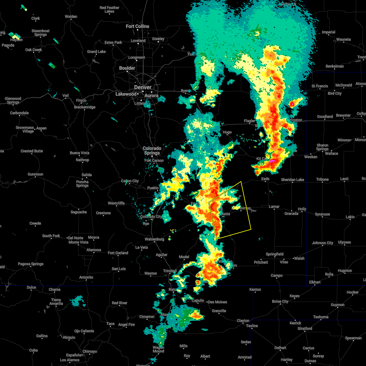 At 833 pm mdt, severe thunderstorms were located along a line extending from near rocky ford to 8 miles west of higbee, moving northeast at 30 mph (radar indicated). Hazards include ping pong ball size hail and 60 mph wind gusts. People and animals outdoors will be injured. expect hail damage to roofs, siding, windows, and vehicles. Expect wind damage to roofs, siding, and trees. At 833 pm mdt, severe thunderstorms were located along a line extending from near rocky ford to 8 miles west of higbee, moving northeast at 30 mph (radar indicated). Hazards include ping pong ball size hail and 60 mph wind gusts. People and animals outdoors will be injured. expect hail damage to roofs, siding, windows, and vehicles. Expect wind damage to roofs, siding, and trees.
|
| 7/6/2022 8:30 PM MDT |
 At 830 pm mdt, a severe thunderstorm was located near rocky ford, or 14 miles northwest of la junta, moving northeast at 10 mph (radar indicated). Hazards include ping pong ball size hail and 60 mph wind gusts. People and animals outdoors will be injured. expect hail damage to roofs, siding, windows, and vehicles. expect wind damage to roofs, siding, and trees. Locations impacted include, rocky ford, ordway, manzanola and sugar city. At 830 pm mdt, a severe thunderstorm was located near rocky ford, or 14 miles northwest of la junta, moving northeast at 10 mph (radar indicated). Hazards include ping pong ball size hail and 60 mph wind gusts. People and animals outdoors will be injured. expect hail damage to roofs, siding, windows, and vehicles. expect wind damage to roofs, siding, and trees. Locations impacted include, rocky ford, ordway, manzanola and sugar city.
|
| 7/6/2022 8:17 PM MDT |
 At 816 pm mdt, a severe thunderstorm was located near rocky ford, or 14 miles northwest of la junta, moving northeast at 10 mph (radar indicated. at 807 pm quarter size hail was reported just southeast of manzanola). Hazards include golf ball size hail and 60 mph wind gusts. People and animals outdoors will be injured. expect hail damage to roofs, siding, windows, and vehicles. expect wind damage to roofs, siding, and trees. Locations impacted include, rocky ford, ordway, manzanola, olney springs, sugar city and crowley. At 816 pm mdt, a severe thunderstorm was located near rocky ford, or 14 miles northwest of la junta, moving northeast at 10 mph (radar indicated. at 807 pm quarter size hail was reported just southeast of manzanola). Hazards include golf ball size hail and 60 mph wind gusts. People and animals outdoors will be injured. expect hail damage to roofs, siding, windows, and vehicles. expect wind damage to roofs, siding, and trees. Locations impacted include, rocky ford, ordway, manzanola, olney springs, sugar city and crowley.
|
| 7/6/2022 8:07 PM MDT |
 At 807 pm mdt, a severe thunderstorm was located near rocky ford, or 15 miles northwest of la junta, moving north at 10 mph (radar indicated). Hazards include golf ball size hail and 60 mph wind gusts. People and animals outdoors will be injured. expect hail damage to roofs, siding, windows, and vehicles. expect wind damage to roofs, siding, and trees. locations impacted include, rocky ford, ordway, manzanola, olney springs, sugar city and crowley. thunderstorm damage threat, considerable hail threat, radar indicated max hail size, 1. 75 in wind threat, radar indicated max wind gust, 60 mph. At 807 pm mdt, a severe thunderstorm was located near rocky ford, or 15 miles northwest of la junta, moving north at 10 mph (radar indicated). Hazards include golf ball size hail and 60 mph wind gusts. People and animals outdoors will be injured. expect hail damage to roofs, siding, windows, and vehicles. expect wind damage to roofs, siding, and trees. locations impacted include, rocky ford, ordway, manzanola, olney springs, sugar city and crowley. thunderstorm damage threat, considerable hail threat, radar indicated max hail size, 1. 75 in wind threat, radar indicated max wind gust, 60 mph.
|
| 7/6/2022 7:56 PM MDT |
 At 756 pm mdt, a severe thunderstorm was located over manzanola, or 17 miles northwest of la junta, moving northeast at 10 mph (radar indicated). Hazards include 60 mph wind gusts and quarter size hail. Hail damage to vehicles is expected. Expect wind damage to roofs, siding, and trees. At 756 pm mdt, a severe thunderstorm was located over manzanola, or 17 miles northwest of la junta, moving northeast at 10 mph (radar indicated). Hazards include 60 mph wind gusts and quarter size hail. Hail damage to vehicles is expected. Expect wind damage to roofs, siding, and trees.
|
| 7/2/2022 9:57 PM MDT |
 The severe thunderstorm warning for northeastern otero and southeastern crowley counties will expire at 1000 pm mdt, the storm which prompted the warning has weakened below severe limits, and no longer poses an immediate threat to life or property. therefore, the warning will be allowed to expire. however small hail, gusty winds and heavy rain are still possible with this thunderstorm. The severe thunderstorm warning for northeastern otero and southeastern crowley counties will expire at 1000 pm mdt, the storm which prompted the warning has weakened below severe limits, and no longer poses an immediate threat to life or property. therefore, the warning will be allowed to expire. however small hail, gusty winds and heavy rain are still possible with this thunderstorm.
|
| 7/2/2022 9:37 PM MDT |
 At 937 pm mdt, a severe thunderstorm was located near cheraw, or 12 miles north of la junta, moving northwest at 15 mph (radar indicated). Hazards include 60 mph wind gusts and half dollar size hail. Hail damage to vehicles is expected. Expect wind damage to roofs, siding, and trees. At 937 pm mdt, a severe thunderstorm was located near cheraw, or 12 miles north of la junta, moving northwest at 15 mph (radar indicated). Hazards include 60 mph wind gusts and half dollar size hail. Hail damage to vehicles is expected. Expect wind damage to roofs, siding, and trees.
|
| 6/30/2022 5:07 PM MDT |
 At 506 pm mdt, a severe thunderstorm was located over cheraw, or 7 miles north of la junta, moving east at 25 mph (radar indicated). Hazards include 60 mph wind gusts and quarter size hail. copious amounts of hail could accumulate on roadways creating slippery conditions. Hail damage to vehicles is expected. expect wind damage to roofs, siding, and trees. locations impacted include, la junta, north la junta, swink, sugar city, cheraw and blue lake. hail threat, radar indicated max hail size, 1. 00 in wind threat, radar indicated max wind gust, 60 mph. At 506 pm mdt, a severe thunderstorm was located over cheraw, or 7 miles north of la junta, moving east at 25 mph (radar indicated). Hazards include 60 mph wind gusts and quarter size hail. copious amounts of hail could accumulate on roadways creating slippery conditions. Hail damage to vehicles is expected. expect wind damage to roofs, siding, and trees. locations impacted include, la junta, north la junta, swink, sugar city, cheraw and blue lake. hail threat, radar indicated max hail size, 1. 00 in wind threat, radar indicated max wind gust, 60 mph.
|
| 6/30/2022 4:58 PM MDT |
 At 457 pm mdt, a severe thunderstorm was located near cheraw, or 9 miles northwest of la junta, moving east at 25 mph (radar indicated). Hazards include 60 mph wind gusts and penny size hail. Expect damage to roofs, siding, and trees. locations impacted include, la junta, north la junta, rocky ford, ordway, swink, sugar city, cheraw and blue lake. hail threat, radar indicated max hail size, 0. 75 in wind threat, radar indicated max wind gust, 60 mph. At 457 pm mdt, a severe thunderstorm was located near cheraw, or 9 miles northwest of la junta, moving east at 25 mph (radar indicated). Hazards include 60 mph wind gusts and penny size hail. Expect damage to roofs, siding, and trees. locations impacted include, la junta, north la junta, rocky ford, ordway, swink, sugar city, cheraw and blue lake. hail threat, radar indicated max hail size, 0. 75 in wind threat, radar indicated max wind gust, 60 mph.
|
| 6/30/2022 4:40 PM MDT |
 At 436 pm mdt, a severe thunderstorm was located near ordway, or 15 miles northwest of la junta, moving east at 25 mph (radar indicated). Hazards include 60 mph wind gusts and penny size hail. expect damage to roofs, siding, and trees At 436 pm mdt, a severe thunderstorm was located near ordway, or 15 miles northwest of la junta, moving east at 25 mph (radar indicated). Hazards include 60 mph wind gusts and penny size hail. expect damage to roofs, siding, and trees
|
| 6/8/2022 12:38 AM MDT |
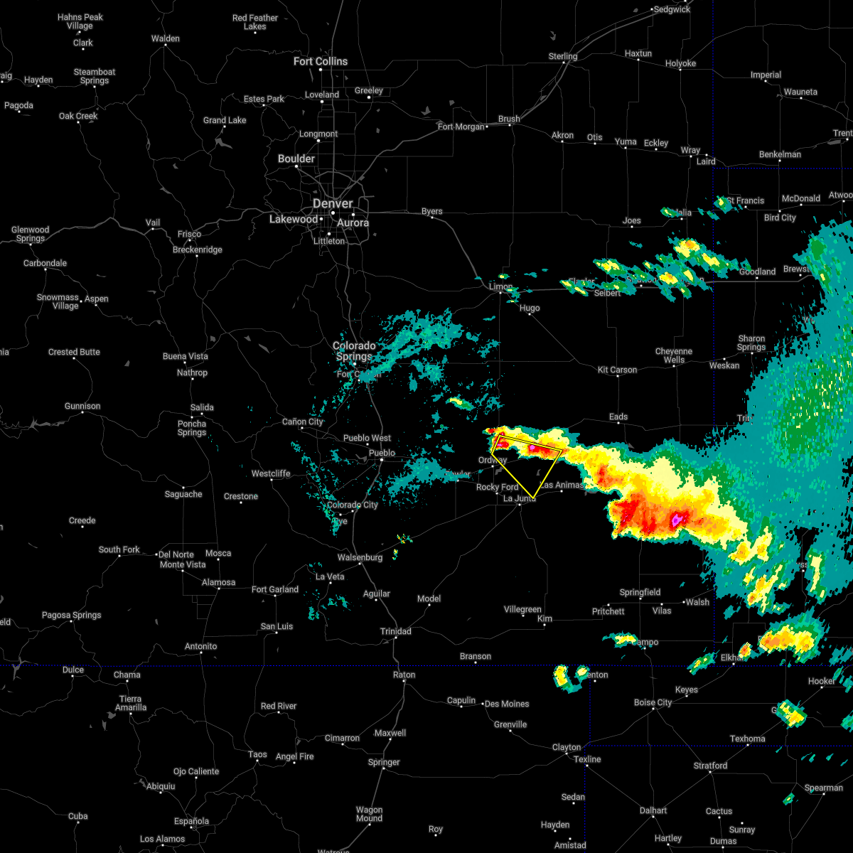 At 1237 am mdt, a severe thunderstorm was located near sugar city, or 23 miles north of la junta, moving southeast at 45 mph (radar indicated). Hazards include ping pong ball size hail and 60 mph wind gusts. People and animals outdoors will be injured. expect hail damage to roofs, siding, windows, and vehicles. expect wind damage to roofs, siding, and trees. this severe thunderstorm will remain over mainly rural areas of northeastern otero, southwestern kiowa, southeastern crowley and northwestern bent counties. hail threat, radar indicated max hail size, 1. 50 in wind threat, radar indicated max wind gust, 60 mph. At 1237 am mdt, a severe thunderstorm was located near sugar city, or 23 miles north of la junta, moving southeast at 45 mph (radar indicated). Hazards include ping pong ball size hail and 60 mph wind gusts. People and animals outdoors will be injured. expect hail damage to roofs, siding, windows, and vehicles. expect wind damage to roofs, siding, and trees. this severe thunderstorm will remain over mainly rural areas of northeastern otero, southwestern kiowa, southeastern crowley and northwestern bent counties. hail threat, radar indicated max hail size, 1. 50 in wind threat, radar indicated max wind gust, 60 mph.
|
| 6/6/2022 5:03 PM MDT | Golf Ball sized hail reported 3.1 miles W of Sugar City, CO |
| 6/6/2022 4:42 PM MDT | Ping Pong Ball sized hail reported 9 miles WNW of Sugar City, CO |
| 6/6/2022 4:40 PM MDT |
 At 440 pm mdt, a severe thunderstorm was located near sugar city, or 17 miles north of la junta, moving southeast at 25 mph (radar indicated). Hazards include tennis ball size hail and 60 mph wind gusts. People and animals outdoors will be injured. expect hail damage to roofs, siding, windows, and vehicles. expect wind damage to roofs, siding, and trees. locations impacted include, sugar city. thunderstorm damage threat, considerable hail threat, radar indicated max hail size, 2. 50 in wind threat, radar indicated max wind gust, 60 mph. At 440 pm mdt, a severe thunderstorm was located near sugar city, or 17 miles north of la junta, moving southeast at 25 mph (radar indicated). Hazards include tennis ball size hail and 60 mph wind gusts. People and animals outdoors will be injured. expect hail damage to roofs, siding, windows, and vehicles. expect wind damage to roofs, siding, and trees. locations impacted include, sugar city. thunderstorm damage threat, considerable hail threat, radar indicated max hail size, 2. 50 in wind threat, radar indicated max wind gust, 60 mph.
|
| 6/6/2022 4:39 PM MDT |
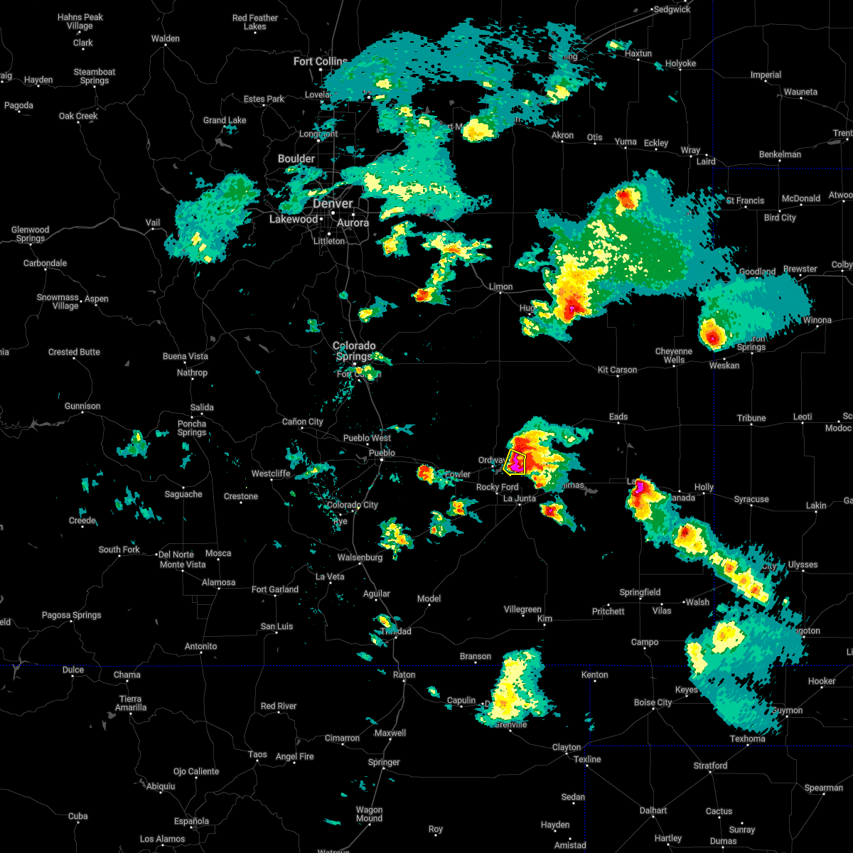 At 439 pm mdt, a severe thunderstorm was located near cheraw, or 14 miles north of la junta, moving southeast at 35 mph. this is a destructive storm for sugar city and southeast over rural portions of crowley county (radar indicated). Hazards include baseball size hail and 60 mph wind gusts. People and animals outdoors will be severely injured. expect shattered windows, extensive damage to roofs, siding, and vehicles. locations impacted include, sugar city. thunderstorm damage threat, destructive hail threat, radar indicated max hail size, 2. 75 in wind threat, radar indicated max wind gust, 60 mph. At 439 pm mdt, a severe thunderstorm was located near cheraw, or 14 miles north of la junta, moving southeast at 35 mph. this is a destructive storm for sugar city and southeast over rural portions of crowley county (radar indicated). Hazards include baseball size hail and 60 mph wind gusts. People and animals outdoors will be severely injured. expect shattered windows, extensive damage to roofs, siding, and vehicles. locations impacted include, sugar city. thunderstorm damage threat, destructive hail threat, radar indicated max hail size, 2. 75 in wind threat, radar indicated max wind gust, 60 mph.
|
| 6/6/2022 4:30 PM MDT | Golf Ball sized hail reported 3.1 miles W of Sugar City, CO, corrects previous hail report from 3 ene sugar city. |
| 6/6/2022 4:13 PM MDT |
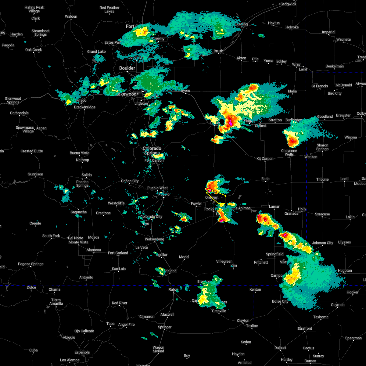 At 412 pm mdt, a severe thunderstorm was located near ordway, or 24 miles northwest of la junta, moving southeast at 35 mph. this is a destructive storm for sugar city (radar indicated). Hazards include baseball size hail and 60 mph wind gusts. People and animals outdoors will be severely injured. Expect shattered windows, extensive damage to roofs, siding, and vehicles. At 412 pm mdt, a severe thunderstorm was located near ordway, or 24 miles northwest of la junta, moving southeast at 35 mph. this is a destructive storm for sugar city (radar indicated). Hazards include baseball size hail and 60 mph wind gusts. People and animals outdoors will be severely injured. Expect shattered windows, extensive damage to roofs, siding, and vehicles.
|
| 6/6/2022 3:30 PM MDT |
 At 329 pm mdt, a severe thunderstorm was located 14 miles northeast of boone, or 30 miles east of pueblo, moving southeast at 25 mph (radar indicated). Hazards include tennis ball size hail and 60 mph wind gusts. People and animals outdoors will be injured. expect hail damage to roofs, siding, windows, and vehicles. Expect wind damage to roofs, siding, and trees. At 329 pm mdt, a severe thunderstorm was located 14 miles northeast of boone, or 30 miles east of pueblo, moving southeast at 25 mph (radar indicated). Hazards include tennis ball size hail and 60 mph wind gusts. People and animals outdoors will be injured. expect hail damage to roofs, siding, windows, and vehicles. Expect wind damage to roofs, siding, and trees.
|
| 6/3/2022 4:39 PM MDT |
 At 437 pm mdt, severe thunderstorms were located along a line extending from near arlington to 6 miles northeast of rocky ford, moving east at 35 mph (radar indicated). Hazards include two inch hail and 70 mph wind gusts. People and animals outdoors will be injured. expect hail damage to roofs, siding, windows, and vehicles. expect considerable tree damage. wind damage is also likely to mobile homes, roofs, and outbuildings. Locations impacted include, la junta, rocky ford, fowler, ordway, swink, manzanola, olney springs, sugar city and crowley. At 437 pm mdt, severe thunderstorms were located along a line extending from near arlington to 6 miles northeast of rocky ford, moving east at 35 mph (radar indicated). Hazards include two inch hail and 70 mph wind gusts. People and animals outdoors will be injured. expect hail damage to roofs, siding, windows, and vehicles. expect considerable tree damage. wind damage is also likely to mobile homes, roofs, and outbuildings. Locations impacted include, la junta, rocky ford, fowler, ordway, swink, manzanola, olney springs, sugar city and crowley.
|
| 6/3/2022 4:35 PM MDT |
 At 435 pm mdt, severe thunderstorms were located along a line extending from near arlington to 6 miles northeast of rocky ford, moving east at 35 mph (radar indicated). Hazards include two inch hail and 70 mph wind gusts. People and animals outdoors will be injured. expect hail damage to roofs, siding, windows, and vehicles. expect considerable tree damage. wind damage is also likely to mobile homes, roofs, and outbuildings. Locations impacted include, la junta, rocky ford, fowler, ordway, swink, manzanola, olney springs, sugar city and crowley. At 435 pm mdt, severe thunderstorms were located along a line extending from near arlington to 6 miles northeast of rocky ford, moving east at 35 mph (radar indicated). Hazards include two inch hail and 70 mph wind gusts. People and animals outdoors will be injured. expect hail damage to roofs, siding, windows, and vehicles. expect considerable tree damage. wind damage is also likely to mobile homes, roofs, and outbuildings. Locations impacted include, la junta, rocky ford, fowler, ordway, swink, manzanola, olney springs, sugar city and crowley.
|
| 6/3/2022 4:12 PM MDT |
 At 412 pm mdt, severe thunderstorms were located along a line extending from 8 miles south of wild horse point to olney springs, moving east at 35 mph (radar indicated). Hazards include tennis ball size hail and 70 mph wind gusts. People and animals outdoors will be injured. expect hail damage to roofs, siding, windows, and vehicles. expect considerable tree damage. wind damage is also likely to mobile homes, roofs, and outbuildings. Locations impacted include, la junta, rocky ford, fowler, ordway, swink, manzanola, olney springs, sugar city and crowley. At 412 pm mdt, severe thunderstorms were located along a line extending from 8 miles south of wild horse point to olney springs, moving east at 35 mph (radar indicated). Hazards include tennis ball size hail and 70 mph wind gusts. People and animals outdoors will be injured. expect hail damage to roofs, siding, windows, and vehicles. expect considerable tree damage. wind damage is also likely to mobile homes, roofs, and outbuildings. Locations impacted include, la junta, rocky ford, fowler, ordway, swink, manzanola, olney springs, sugar city and crowley.
|
| 6/3/2022 4:03 PM MDT |
 At 403 pm mdt, severe thunderstorms were located along a line extending from 9 miles southwest of wild horse point to near olney springs, moving east at 35 mph (radar indicated). Hazards include two inch hail and 60 mph wind gusts. People and animals outdoors will be injured. expect hail damage to roofs, siding, windows, and vehicles. expect wind damage to roofs, siding, and trees. Locations impacted include, la junta, rocky ford, fowler, ordway, swink, manzanola, olney springs, sugar city and crowley. At 403 pm mdt, severe thunderstorms were located along a line extending from 9 miles southwest of wild horse point to near olney springs, moving east at 35 mph (radar indicated). Hazards include two inch hail and 60 mph wind gusts. People and animals outdoors will be injured. expect hail damage to roofs, siding, windows, and vehicles. expect wind damage to roofs, siding, and trees. Locations impacted include, la junta, rocky ford, fowler, ordway, swink, manzanola, olney springs, sugar city and crowley.
|
| 6/3/2022 3:57 PM MDT |
 At 357 pm mdt, severe thunderstorms were located along a line extending from 10 miles southwest of wild horse point to near fowler, moving east at 35 mph (radar indicated). Hazards include golf ball size hail and 60 mph wind gusts. People and animals outdoors will be injured. expect hail damage to roofs, siding, windows, and vehicles. expect wind damage to roofs, siding, and trees. locations impacted include, la junta, rocky ford, fowler, ordway, swink, manzanola, olney springs, sugar city and crowley. thunderstorm damage threat, considerable hail threat, radar indicated max hail size, 1. 75 in wind threat, radar indicated max wind gust, 60 mph. At 357 pm mdt, severe thunderstorms were located along a line extending from 10 miles southwest of wild horse point to near fowler, moving east at 35 mph (radar indicated). Hazards include golf ball size hail and 60 mph wind gusts. People and animals outdoors will be injured. expect hail damage to roofs, siding, windows, and vehicles. expect wind damage to roofs, siding, and trees. locations impacted include, la junta, rocky ford, fowler, ordway, swink, manzanola, olney springs, sugar city and crowley. thunderstorm damage threat, considerable hail threat, radar indicated max hail size, 1. 75 in wind threat, radar indicated max wind gust, 60 mph.
|
| 6/3/2022 3:48 PM MDT |
 At 348 pm mdt, developing severe thunderstorms were located along a line extending from 13 miles south of forder to 7 miles east of boone, moving east at 35 mph (radar indicated). Hazards include 60 mph wind gusts and quarter size hail. Hail damage to vehicles is expected. Expect wind damage to roofs, siding, and trees. At 348 pm mdt, developing severe thunderstorms were located along a line extending from 13 miles south of forder to 7 miles east of boone, moving east at 35 mph (radar indicated). Hazards include 60 mph wind gusts and quarter size hail. Hail damage to vehicles is expected. Expect wind damage to roofs, siding, and trees.
|
| 4/27/2022 1:46 PM MDT |
 At 144 pm mdt, the leading edge of strong winds from dissipating showers were located along a line extending from 12 miles southwest of wild horse point to 8 miles southeast of higbee, moving northeast at 25 mph (radar indicated). Hazards include 60 mph wind gusts. Expect damage to roofs, siding, and trees. locations impacted include, la junta, north la junta, rocky ford, ordway, swink, sugar city, cheraw and higbee. hail threat, radar indicated max hail size, <. 75 in wind threat, observed max wind gust, 60 mph. At 144 pm mdt, the leading edge of strong winds from dissipating showers were located along a line extending from 12 miles southwest of wild horse point to 8 miles southeast of higbee, moving northeast at 25 mph (radar indicated). Hazards include 60 mph wind gusts. Expect damage to roofs, siding, and trees. locations impacted include, la junta, north la junta, rocky ford, ordway, swink, sugar city, cheraw and higbee. hail threat, radar indicated max hail size, <. 75 in wind threat, observed max wind gust, 60 mph.
|
| 4/27/2022 1:27 PM MDT |
 At 124 pm mdt, the leading edge of an area of strong winds from dissipating showers was located along a line extending from 18 miles northeast of boone to near higbee, moving east at 40 mph (radar indicated. earlier automated weather sensor at pueblo indicated a wind gust of 64 mph). Hazards include 60 mph wind gusts. Expect damage to roofs, siding, and trees. locations impacted include, la junta, north la junta, rocky ford, fowler, ordway, swink, manzanola, olney springs, sugar city, cheraw, crowley, higbee and timpas. hail threat, radar indicated max hail size, <. 75 in wind threat, observed max wind gust, 60 mph. At 124 pm mdt, the leading edge of an area of strong winds from dissipating showers was located along a line extending from 18 miles northeast of boone to near higbee, moving east at 40 mph (radar indicated. earlier automated weather sensor at pueblo indicated a wind gust of 64 mph). Hazards include 60 mph wind gusts. Expect damage to roofs, siding, and trees. locations impacted include, la junta, north la junta, rocky ford, fowler, ordway, swink, manzanola, olney springs, sugar city, cheraw, crowley, higbee and timpas. hail threat, radar indicated max hail size, <. 75 in wind threat, observed max wind gust, 60 mph.
|
| 4/27/2022 1:05 PM MDT |
 At 103 pm mdt, very strong winds from dissipating showers were spreading across the warning area, moving northeast at 20 mph (automated weather observation at pueblo reporting winds gusting over 60 mph). Hazards include 60 mph wind gusts. Expect damage to roofs, siding, and trees. severe thunderstorms will be near, pueblo depot around 110 pm mdt. other locations in the path of these severe thunderstorms include higbee. hail threat, radar indicated max hail size, <. 75 in wind threat, observed max wind gust, 60 mph. At 103 pm mdt, very strong winds from dissipating showers were spreading across the warning area, moving northeast at 20 mph (automated weather observation at pueblo reporting winds gusting over 60 mph). Hazards include 60 mph wind gusts. Expect damage to roofs, siding, and trees. severe thunderstorms will be near, pueblo depot around 110 pm mdt. other locations in the path of these severe thunderstorms include higbee. hail threat, radar indicated max hail size, <. 75 in wind threat, observed max wind gust, 60 mph.
|
| 9/14/2021 6:07 PM MDT |
 The severe thunderstorm warning for southeastern crowley county will expire at 615 pm mdt, the storm which prompted the warning has moved out of the area. therefore, the warning will be allowed to expire. however small hail and gusty winds are still possible with this thunderstorm. a severe thunderstorm watch remains in effect until 900 pm mdt for southeastern colorado. The severe thunderstorm warning for southeastern crowley county will expire at 615 pm mdt, the storm which prompted the warning has moved out of the area. therefore, the warning will be allowed to expire. however small hail and gusty winds are still possible with this thunderstorm. a severe thunderstorm watch remains in effect until 900 pm mdt for southeastern colorado.
|
| 9/14/2021 6:02 PM MDT |
 At 602 pm mdt, a severe thunderstorm was located near cheraw, or 11 miles north of la junta, moving southeast at 25 mph (public reported wind damage in the ordway area). Hazards include 60 mph wind gusts and quarter size hail. Hail damage to vehicles is expected. expect wind damage to roofs, siding, and trees. locations impacted include, ordway and sugar city. hail threat, radar indicated max hail size, 1. 00 in wind threat, radar indicated max wind gust, 60 mph. At 602 pm mdt, a severe thunderstorm was located near cheraw, or 11 miles north of la junta, moving southeast at 25 mph (public reported wind damage in the ordway area). Hazards include 60 mph wind gusts and quarter size hail. Hail damage to vehicles is expected. expect wind damage to roofs, siding, and trees. locations impacted include, ordway and sugar city. hail threat, radar indicated max hail size, 1. 00 in wind threat, radar indicated max wind gust, 60 mph.
|
| 9/14/2021 5:48 PM MDT |
 At 548 pm mdt, a severe thunderstorm was located over sugar city, or 16 miles northwest of la junta, moving southeast at 20 mph (radar indicated). Hazards include two inch hail and 60 mph wind gusts. People and animals outdoors will be injured. expect hail damage to roofs, siding, windows, and vehicles. expect wind damage to roofs, siding, and trees. locations impacted include, ordway and sugar city. thunderstorm damage threat, considerable hail threat, radar indicated max hail size, 2. 00 in wind threat, radar indicated max wind gust, 60 mph. At 548 pm mdt, a severe thunderstorm was located over sugar city, or 16 miles northwest of la junta, moving southeast at 20 mph (radar indicated). Hazards include two inch hail and 60 mph wind gusts. People and animals outdoors will be injured. expect hail damage to roofs, siding, windows, and vehicles. expect wind damage to roofs, siding, and trees. locations impacted include, ordway and sugar city. thunderstorm damage threat, considerable hail threat, radar indicated max hail size, 2. 00 in wind threat, radar indicated max wind gust, 60 mph.
|
| 9/14/2021 5:32 PM MDT |
 At 532 pm mdt, a severe thunderstorm was located over ordway, or 22 miles northwest of la junta, moving southeast at 25 mph (radar indicated). Hazards include tennis ball size hail and 60 mph wind gusts. People and animals outdoors will be injured. expect hail damage to roofs, siding, windows, and vehicles. expect wind damage to roofs, siding, and trees. locations impacted include, ordway, sugar city and crowley. thunderstorm damage threat, considerable hail threat, radar indicated max hail size, 2. 50 in wind threat, radar indicated max wind gust, 60 mph. At 532 pm mdt, a severe thunderstorm was located over ordway, or 22 miles northwest of la junta, moving southeast at 25 mph (radar indicated). Hazards include tennis ball size hail and 60 mph wind gusts. People and animals outdoors will be injured. expect hail damage to roofs, siding, windows, and vehicles. expect wind damage to roofs, siding, and trees. locations impacted include, ordway, sugar city and crowley. thunderstorm damage threat, considerable hail threat, radar indicated max hail size, 2. 50 in wind threat, radar indicated max wind gust, 60 mph.
|
| 9/14/2021 5:21 PM MDT |
 At 521 pm mdt, a severe thunderstorm was located near ordway, or 26 miles northwest of la junta, moving southeast at 30 mph (radar indicated). Hazards include golf ball size hail and 60 mph wind gusts. People and animals outdoors will be injured. expect hail damage to roofs, siding, windows, and vehicles. expect wind damage to roofs, siding, and trees. locations impacted include, ordway, sugar city and crowley. thunderstorm damage threat, considerable hail threat, radar indicated max hail size, 1. 75 in wind threat, radar indicated max wind gust, 60 mph. At 521 pm mdt, a severe thunderstorm was located near ordway, or 26 miles northwest of la junta, moving southeast at 30 mph (radar indicated). Hazards include golf ball size hail and 60 mph wind gusts. People and animals outdoors will be injured. expect hail damage to roofs, siding, windows, and vehicles. expect wind damage to roofs, siding, and trees. locations impacted include, ordway, sugar city and crowley. thunderstorm damage threat, considerable hail threat, radar indicated max hail size, 1. 75 in wind threat, radar indicated max wind gust, 60 mph.
|
| 9/14/2021 4:58 PM MDT |
 At 457 pm mdt, a severe thunderstorm was located 14 miles northwest of crowley, or 35 miles northwest of la junta, moving southeast at 30 mph (radar indicated). Hazards include golf ball size hail and 60 mph wind gusts. People and animals outdoors will be injured. expect hail damage to roofs, siding, windows, and vehicles. Expect wind damage to roofs, siding, and trees. At 457 pm mdt, a severe thunderstorm was located 14 miles northwest of crowley, or 35 miles northwest of la junta, moving southeast at 30 mph (radar indicated). Hazards include golf ball size hail and 60 mph wind gusts. People and animals outdoors will be injured. expect hail damage to roofs, siding, windows, and vehicles. Expect wind damage to roofs, siding, and trees.
|
| 7/15/2021 4:11 PM MDT |
 At 411 pm mdt, a severe thunderstorm was located 10 miles south of wild horse point, or 29 miles north of la junta, moving south at 35 mph (radar indicated). Hazards include two inch hail and 70 mph wind gusts. People and animals outdoors will be injured. expect hail damage to roofs, siding, windows, and vehicles. expect considerable tree damage. Wind damage is also likely to mobile homes, roofs, and outbuildings. At 411 pm mdt, a severe thunderstorm was located 10 miles south of wild horse point, or 29 miles north of la junta, moving south at 35 mph (radar indicated). Hazards include two inch hail and 70 mph wind gusts. People and animals outdoors will be injured. expect hail damage to roofs, siding, windows, and vehicles. expect considerable tree damage. Wind damage is also likely to mobile homes, roofs, and outbuildings.
|
| 7/15/2021 3:40 PM MDT |
 At 340 pm mdt, a severe thunderstorm was located near wild horse point, or 44 miles south of limon, moving south at 25 mph (radar indicated). Hazards include 70 mph wind gusts and ping pong ball size hail. People and animals outdoors will be injured. expect hail damage to roofs, siding, windows, and vehicles. expect considerable tree damage. Wind damage is also likely to mobile homes, roofs, and outbuildings. At 340 pm mdt, a severe thunderstorm was located near wild horse point, or 44 miles south of limon, moving south at 25 mph (radar indicated). Hazards include 70 mph wind gusts and ping pong ball size hail. People and animals outdoors will be injured. expect hail damage to roofs, siding, windows, and vehicles. expect considerable tree damage. Wind damage is also likely to mobile homes, roofs, and outbuildings.
|
| 6/1/2021 6:12 PM MDT |
 At 612 pm mdt, a severe thunderstorm was located over cheraw, or 10 miles north of la junta, moving southeast at 30 mph (radar indicated). Hazards include 60 mph wind gusts and quarter size hail. Hail damage to vehicles is expected. expect wind damage to roofs, siding, and trees. Locations impacted include, ordway, sugar city and cheraw. At 612 pm mdt, a severe thunderstorm was located over cheraw, or 10 miles north of la junta, moving southeast at 30 mph (radar indicated). Hazards include 60 mph wind gusts and quarter size hail. Hail damage to vehicles is expected. expect wind damage to roofs, siding, and trees. Locations impacted include, ordway, sugar city and cheraw.
|
| 6/1/2021 5:48 PM MDT |
 At 548 pm mdt, severe thunderstorms were located along a line extending from near ordway to 10 miles north of sugar city, moving east at 25 mph (radar indicated). Hazards include 60 mph wind gusts and quarter size hail. Hail damage to vehicles is expected. Expect wind damage to roofs, siding, and trees. At 548 pm mdt, severe thunderstorms were located along a line extending from near ordway to 10 miles north of sugar city, moving east at 25 mph (radar indicated). Hazards include 60 mph wind gusts and quarter size hail. Hail damage to vehicles is expected. Expect wind damage to roofs, siding, and trees.
|
| 6/1/2021 5:40 PM MDT |
 At 540 pm mdt, severe thunderstorms were located along a line extending from 11 miles north of sugar city to crowley, moving east at 30 mph (radar indicated). Hazards include 60 mph wind gusts and quarter size hail. Hail damage to vehicles is expected. expect wind damage to roofs, siding, and trees. Locations impacted include, ordway, sugar city and crowley. At 540 pm mdt, severe thunderstorms were located along a line extending from 11 miles north of sugar city to crowley, moving east at 30 mph (radar indicated). Hazards include 60 mph wind gusts and quarter size hail. Hail damage to vehicles is expected. expect wind damage to roofs, siding, and trees. Locations impacted include, ordway, sugar city and crowley.
|
| 6/1/2021 5:33 PM MDT |
 At 533 pm mdt, severe thunderstorms were located along a line extending from 13 miles north of ordway to near olney springs, moving east at 30 mph (radar indicated). Hazards include 60 mph wind gusts and quarter size hail. Hail damage to vehicles is expected. expect wind damage to roofs, siding, and trees. Locations impacted include, ordway, sugar city and crowley. At 533 pm mdt, severe thunderstorms were located along a line extending from 13 miles north of ordway to near olney springs, moving east at 30 mph (radar indicated). Hazards include 60 mph wind gusts and quarter size hail. Hail damage to vehicles is expected. expect wind damage to roofs, siding, and trees. Locations impacted include, ordway, sugar city and crowley.
|
| 6/1/2021 5:06 PM MDT |
 At 505 pm mdt, severe thunderstorms were located along a line extending from 18 miles southeast of truckton to near boone, moving east at 30 mph. another intensifying thunderstorm in northeastern crowley county could become severe, as well (radar indicated). Hazards include 60 mph wind gusts and quarter size hail. Hail damage to vehicles is expected. Expect wind damage to roofs, siding, and trees. At 505 pm mdt, severe thunderstorms were located along a line extending from 18 miles southeast of truckton to near boone, moving east at 30 mph. another intensifying thunderstorm in northeastern crowley county could become severe, as well (radar indicated). Hazards include 60 mph wind gusts and quarter size hail. Hail damage to vehicles is expected. Expect wind damage to roofs, siding, and trees.
|
| 5/16/2021 6:20 PM MDT |
 At 620 pm mdt, a severe thunderstorm was located 9 miles north of fowler, or 29 miles east of pueblo, moving southeast at 20 mph (radar indicated). Hazards include golf ball size hail and 60 mph wind gusts. People and animals outdoors will be injured. expect hail damage to roofs, siding, windows, and vehicles. Expect wind damage to roofs, siding, and trees. At 620 pm mdt, a severe thunderstorm was located 9 miles north of fowler, or 29 miles east of pueblo, moving southeast at 20 mph (radar indicated). Hazards include golf ball size hail and 60 mph wind gusts. People and animals outdoors will be injured. expect hail damage to roofs, siding, windows, and vehicles. Expect wind damage to roofs, siding, and trees.
|
| 5/15/2021 7:06 PM MDT |
 At 705 pm mdt, severe thunderstorms were located along a line extending from near ordway to 6 miles west of arlington to near las animas, moving northeast at 15 mph (radar indicated). Hazards include 60 mph wind gusts and quarter size hail. Hail damage to vehicles is expected. expect wind damage to roofs, siding, and trees. Locations impacted include, las animas, ordway, sugar city, blue lake, arlington, john martin reservoir and fort lyon. At 705 pm mdt, severe thunderstorms were located along a line extending from near ordway to 6 miles west of arlington to near las animas, moving northeast at 15 mph (radar indicated). Hazards include 60 mph wind gusts and quarter size hail. Hail damage to vehicles is expected. expect wind damage to roofs, siding, and trees. Locations impacted include, las animas, ordway, sugar city, blue lake, arlington, john martin reservoir and fort lyon.
|
| 5/15/2021 6:35 PM MDT |
 At 635 pm mdt, severe thunderstorms were located along a line extending from ordway to near john martin reservoir, moving north at 45 mph (radar indicated). Hazards include 60 mph wind gusts and quarter size hail. Hail damage to vehicles is expected. expect wind damage to roofs, siding, and trees. Locations impacted include, rocky ford, las animas, ordway, sugar city, cheraw, blue lake, arlington, john martin reservoir and fort lyon. At 635 pm mdt, severe thunderstorms were located along a line extending from ordway to near john martin reservoir, moving north at 45 mph (radar indicated). Hazards include 60 mph wind gusts and quarter size hail. Hail damage to vehicles is expected. expect wind damage to roofs, siding, and trees. Locations impacted include, rocky ford, las animas, ordway, sugar city, cheraw, blue lake, arlington, john martin reservoir and fort lyon.
|
| 5/15/2021 6:26 PM MDT |
 At 626 pm mdt, severe thunderstorms were located along a line extending from ordway to near john martin reservoir, moving north at 60 mph (radar indicated). Hazards include 60 mph wind gusts and quarter size hail. Hail damage to vehicles is expected. Expect wind damage to roofs, siding, and trees. At 626 pm mdt, severe thunderstorms were located along a line extending from ordway to near john martin reservoir, moving north at 60 mph (radar indicated). Hazards include 60 mph wind gusts and quarter size hail. Hail damage to vehicles is expected. Expect wind damage to roofs, siding, and trees.
|
| 5/2/2021 3:38 PM MDT |
 At 334 pm mdt, severe thunderstorms were located along a line extending from 11 miles east of haswell to near timpas, moving southeast at 35 mph. these storms are showing signs of intensification (a measured severe wind gust of 61 mph has been reported from the la junta automated observing system). Hazards include 70 mph wind gusts and ping pong ball size hail. brief, weak circulations could accompany the leading edge of this activity, producing locally higher wind gusts. also, blowing dust reducing visibilities to one-quarter mile is expected in some locations, producing very hazardous travel. People and animals outdoors will be injured. expect hail damage to roofs, siding, windows, and vehicles. expect considerable tree damage. wind damage is also likely to mobile homes, roofs, and outbuildings. Locations impacted include, las animas, ordway, sugar city, cheraw, crowley, haswell, blue lake, hasty, arlington, john martin reservoir and fort lyon. At 334 pm mdt, severe thunderstorms were located along a line extending from 11 miles east of haswell to near timpas, moving southeast at 35 mph. these storms are showing signs of intensification (a measured severe wind gust of 61 mph has been reported from the la junta automated observing system). Hazards include 70 mph wind gusts and ping pong ball size hail. brief, weak circulations could accompany the leading edge of this activity, producing locally higher wind gusts. also, blowing dust reducing visibilities to one-quarter mile is expected in some locations, producing very hazardous travel. People and animals outdoors will be injured. expect hail damage to roofs, siding, windows, and vehicles. expect considerable tree damage. wind damage is also likely to mobile homes, roofs, and outbuildings. Locations impacted include, las animas, ordway, sugar city, cheraw, crowley, haswell, blue lake, hasty, arlington, john martin reservoir and fort lyon.
|
| 5/2/2021 3:14 PM MDT |
 At 310 pm mdt, the leading edge of a line of severe wind gusts associated with thunderstorm activity was located along a line extending from near haswell to 7 miles south of manzanola, moving southeast at 40 mph (radar indicated). Hazards include 70 mph wind gusts and penny size hail. brief, weak circulations could accompany the leading edge of this activity, producing locally higher wind gusts. also, blowing dust reducing visibilities to one-quarter mile is expected in some locations, producing very hazardous travel. Expect considerable tree damage. damage is likely to mobile homes, roofs, and outbuildings. Locations impacted include, las animas, ordway, sugar city, cheraw, crowley, haswell, blue lake, hasty, arlington, john martin reservoir and fort lyon. At 310 pm mdt, the leading edge of a line of severe wind gusts associated with thunderstorm activity was located along a line extending from near haswell to 7 miles south of manzanola, moving southeast at 40 mph (radar indicated). Hazards include 70 mph wind gusts and penny size hail. brief, weak circulations could accompany the leading edge of this activity, producing locally higher wind gusts. also, blowing dust reducing visibilities to one-quarter mile is expected in some locations, producing very hazardous travel. Expect considerable tree damage. damage is likely to mobile homes, roofs, and outbuildings. Locations impacted include, las animas, ordway, sugar city, cheraw, crowley, haswell, blue lake, hasty, arlington, john martin reservoir and fort lyon.
|
| 5/2/2021 3:07 PM MDT |
 At 304 pm mdt, the leading edge of a line of severe wind gusts associated with thunderstorm activity was located along a line extending from 9 miles northwest of arlington to near fowler, moving southeast at 30 mph (radar indicated). Hazards include 70 mph wind gusts and penny size hail. also, blowing dust reducing visibilities to one-quarter mile is expected in some locations, producing very hazardous travel. Expect considerable tree damage. Damage is likely to mobile homes, roofs, and outbuildings. At 304 pm mdt, the leading edge of a line of severe wind gusts associated with thunderstorm activity was located along a line extending from 9 miles northwest of arlington to near fowler, moving southeast at 30 mph (radar indicated). Hazards include 70 mph wind gusts and penny size hail. also, blowing dust reducing visibilities to one-quarter mile is expected in some locations, producing very hazardous travel. Expect considerable tree damage. Damage is likely to mobile homes, roofs, and outbuildings.
|
| 5/2/2021 2:51 PM MDT |
 At 250 pm mdt, the leading edge of a line of severe wind gusts associated with thunderstorm activity was located along a line extending from 8 miles west of fowler to olney springs to 6 miles north of ordway, moving southeast at 45 mph (radar indicated). Hazards include 70 mph wind gusts and penny size hail. Expect considerable tree damage. damage is likely to mobile homes, roofs, and outbuildings. Locations impacted include, ordway, olney springs, sugar city and crowley. At 250 pm mdt, the leading edge of a line of severe wind gusts associated with thunderstorm activity was located along a line extending from 8 miles west of fowler to olney springs to 6 miles north of ordway, moving southeast at 45 mph (radar indicated). Hazards include 70 mph wind gusts and penny size hail. Expect considerable tree damage. damage is likely to mobile homes, roofs, and outbuildings. Locations impacted include, ordway, olney springs, sugar city and crowley.
|
| 5/2/2021 2:18 PM MDT |
 At 218 pm mdt, severe thunderstorms were located along a line extending from 7 miles northeast of pueblo depot to 16 miles southeast of truckton, moving southeast at 45 mph (radar indicated). Hazards include 70 mph wind gusts and penny size hail. Expect considerable tree damage. Damage is likely to mobile homes, roofs, and outbuildings. At 218 pm mdt, severe thunderstorms were located along a line extending from 7 miles northeast of pueblo depot to 16 miles southeast of truckton, moving southeast at 45 mph (radar indicated). Hazards include 70 mph wind gusts and penny size hail. Expect considerable tree damage. Damage is likely to mobile homes, roofs, and outbuildings.
|
| 8/4/2020 9:29 PM MDT |
 The severe thunderstorm warning for northwestern otero and southwestern crowley counties will expire at 930 pm mdt, the storm which prompted the warning has weakened below severe limits, and no longer poses an immediate threat to life or property. therefore, the warning will be allowed to expire. however small hail, gusty winds and heavy rain are still possible with this thunderstorm. The severe thunderstorm warning for northwestern otero and southwestern crowley counties will expire at 930 pm mdt, the storm which prompted the warning has weakened below severe limits, and no longer poses an immediate threat to life or property. therefore, the warning will be allowed to expire. however small hail, gusty winds and heavy rain are still possible with this thunderstorm.
|
| 8/4/2020 9:11 PM MDT |
 At 910 pm mdt, a severe thunderstorm was located just north of ordway, or 25 miles northwest of la junta, moving south at 25 mph (radar indicated). Hazards include ping pong ball size hail and 60 mph wind gusts. People and animals outdoors will be injured. expect hail damage to roofs, siding, windows, and vehicles. expect wind damage to roofs, siding, and trees. Locations impacted include, ordway, manzanola, olney springs, sugar city and crowley. At 910 pm mdt, a severe thunderstorm was located just north of ordway, or 25 miles northwest of la junta, moving south at 25 mph (radar indicated). Hazards include ping pong ball size hail and 60 mph wind gusts. People and animals outdoors will be injured. expect hail damage to roofs, siding, windows, and vehicles. expect wind damage to roofs, siding, and trees. Locations impacted include, ordway, manzanola, olney springs, sugar city and crowley.
|
| 8/4/2020 8:58 PM MDT |
 At 858 pm mdt, a severe thunderstorm was located 9 miles northwest of ordway, or 29 miles northwest of la junta, moving south at 25 mph (radar indicated). Hazards include ping pong ball size hail and 60 mph wind gusts. People and animals outdoors will be injured. expect hail damage to roofs, siding, windows, and vehicles. Expect wind damage to roofs, siding, and trees. At 858 pm mdt, a severe thunderstorm was located 9 miles northwest of ordway, or 29 miles northwest of la junta, moving south at 25 mph (radar indicated). Hazards include ping pong ball size hail and 60 mph wind gusts. People and animals outdoors will be injured. expect hail damage to roofs, siding, windows, and vehicles. Expect wind damage to roofs, siding, and trees.
|
| 8/4/2020 8:52 PM MDT |
 At 852 pm mdt, a severe thunderstorm was located 10 miles northwest of ordway, or 30 miles northwest of la junta, moving south at 35 mph (radar indicated). Hazards include ping pong ball size hail and 60 mph wind gusts. People and animals outdoors will be injured. expect hail damage to roofs, siding, windows, and vehicles. expect wind damage to roofs, siding, and trees. Locations impacted include, ordway, olney springs, sugar city and crowley. At 852 pm mdt, a severe thunderstorm was located 10 miles northwest of ordway, or 30 miles northwest of la junta, moving south at 35 mph (radar indicated). Hazards include ping pong ball size hail and 60 mph wind gusts. People and animals outdoors will be injured. expect hail damage to roofs, siding, windows, and vehicles. expect wind damage to roofs, siding, and trees. Locations impacted include, ordway, olney springs, sugar city and crowley.
|
| 8/4/2020 8:42 PM MDT |
 At 842 pm mdt, a severe thunderstorm was located 15 miles north of ordway, or 34 miles northwest of la junta, moving south at 35 mph (radar indicated). Hazards include golf ball size hail and 60 mph wind gusts. People and animals outdoors will be injured. expect hail damage to roofs, siding, windows, and vehicles. expect wind damage to roofs, siding, and trees. Locations impacted include, ordway, olney springs, sugar city and crowley. At 842 pm mdt, a severe thunderstorm was located 15 miles north of ordway, or 34 miles northwest of la junta, moving south at 35 mph (radar indicated). Hazards include golf ball size hail and 60 mph wind gusts. People and animals outdoors will be injured. expect hail damage to roofs, siding, windows, and vehicles. expect wind damage to roofs, siding, and trees. Locations impacted include, ordway, olney springs, sugar city and crowley.
|
| 8/4/2020 8:26 PM MDT |
 At 826 pm mdt, a severe thunderstorm was located 12 miles southwest of forder, or 42 miles northwest of la junta, moving south at 35 mph (radar indicated). Hazards include ping pong ball size hail and 60 mph wind gusts. People and animals outdoors will be injured. expect hail damage to roofs, siding, windows, and vehicles. Expect wind damage to roofs, siding, and trees. At 826 pm mdt, a severe thunderstorm was located 12 miles southwest of forder, or 42 miles northwest of la junta, moving south at 35 mph (radar indicated). Hazards include ping pong ball size hail and 60 mph wind gusts. People and animals outdoors will be injured. expect hail damage to roofs, siding, windows, and vehicles. Expect wind damage to roofs, siding, and trees.
|
| 7/15/2020 6:29 PM MDT |
 At 629 pm mdt, severe thunderstorms were located along a line extending from sugar city to near swink to near higbee, moving east at 30 mph (radar indicated). Hazards include 60 mph wind gusts and nickel size hail. Expect damage to roofs, siding, and trees. Locations impacted include, la junta, north la junta, rocky ford, las animas, ordway, swink, manzanola, olney springs, sugar city, cheraw, crowley, higbee and timpas. At 629 pm mdt, severe thunderstorms were located along a line extending from sugar city to near swink to near higbee, moving east at 30 mph (radar indicated). Hazards include 60 mph wind gusts and nickel size hail. Expect damage to roofs, siding, and trees. Locations impacted include, la junta, north la junta, rocky ford, las animas, ordway, swink, manzanola, olney springs, sugar city, cheraw, crowley, higbee and timpas.
|
| 7/15/2020 6:14 PM MDT |
 At 613 pm mdt, severe thunderstorms were located along a line extending from ordway to near rocky ford to near higbee, moving east at 30 mph (radar indicated). Hazards include 60 mph wind gusts and nickel size hail. Expect damage to roofs, siding, and trees. Locations impacted include, la junta, north la junta, rocky ford, las animas, fowler, ordway, swink, manzanola, olney springs, sugar city, cheraw, crowley, higbee and timpas. At 613 pm mdt, severe thunderstorms were located along a line extending from ordway to near rocky ford to near higbee, moving east at 30 mph (radar indicated). Hazards include 60 mph wind gusts and nickel size hail. Expect damage to roofs, siding, and trees. Locations impacted include, la junta, north la junta, rocky ford, las animas, fowler, ordway, swink, manzanola, olney springs, sugar city, cheraw, crowley, higbee and timpas.
|
| 7/15/2020 5:58 PM MDT |
 At 557 pm mdt, severe thunderstorms were located along a line extending from near olney springs to 7 miles southwest of rocky ford to near timpas, moving east at 30 mph (radar indicated). Hazards include 60 mph wind gusts and nickel size hail. expect damage to roofs, siding, and trees At 557 pm mdt, severe thunderstorms were located along a line extending from near olney springs to 7 miles southwest of rocky ford to near timpas, moving east at 30 mph (radar indicated). Hazards include 60 mph wind gusts and nickel size hail. expect damage to roofs, siding, and trees
|
| 7/14/2020 6:37 PM MDT |
 At 637 pm mdt, a severe thunderstorm capable of producing a tornado was located near cheraw, or 13 miles north of north la junta, moving southeast at 25 mph (radar indicated rotation). Hazards include tornado and hail up to two inches in diameter. Flying debris will be dangerous to those caught without shelter. mobile homes will be damaged or destroyed. damage to roofs, windows, and vehicles will occur. tree damage is likely. this dangerous storm will be near, las animas and john martin reservoir around 700 pm mdt. Other locations impacted by this tornadic thunderstorm include fort lyon. At 637 pm mdt, a severe thunderstorm capable of producing a tornado was located near cheraw, or 13 miles north of north la junta, moving southeast at 25 mph (radar indicated rotation). Hazards include tornado and hail up to two inches in diameter. Flying debris will be dangerous to those caught without shelter. mobile homes will be damaged or destroyed. damage to roofs, windows, and vehicles will occur. tree damage is likely. this dangerous storm will be near, las animas and john martin reservoir around 700 pm mdt. Other locations impacted by this tornadic thunderstorm include fort lyon.
|
| 7/14/2020 6:33 PM MDT |
 At 632 pm mdt, a severe thunderstorm capable of producing a tornado was located 8 miles north of cheraw, or 17 miles north of north la junta, moving southeast at 25 mph (radar indicated rotation). Hazards include tornado and tennis ball size hail. Flying debris will be dangerous to those caught without shelter. mobile homes will be damaged or destroyed. damage to roofs, windows, and vehicles will occur. tree damage is likely. Locations impacted include, blue lake. At 632 pm mdt, a severe thunderstorm capable of producing a tornado was located 8 miles north of cheraw, or 17 miles north of north la junta, moving southeast at 25 mph (radar indicated rotation). Hazards include tornado and tennis ball size hail. Flying debris will be dangerous to those caught without shelter. mobile homes will be damaged or destroyed. damage to roofs, windows, and vehicles will occur. tree damage is likely. Locations impacted include, blue lake.
|
| 7/14/2020 6:30 PM MDT |
 At 630 pm mdt, a severe thunderstorm capable of producing a tornado was located near ordway, or 15 miles northwest of la junta, moving southeast at 25 mph (radar indicated rotation). Hazards include tornado and tennis ball size hail. Flying debris will be dangerous to those caught without shelter. mobile homes will be damaged or destroyed. damage to roofs, windows, and vehicles will occur. tree damage is likely. this dangerous storm will be near, rocky ford around 640 pm mdt. Swink around 650 pm mdt. At 630 pm mdt, a severe thunderstorm capable of producing a tornado was located near ordway, or 15 miles northwest of la junta, moving southeast at 25 mph (radar indicated rotation). Hazards include tornado and tennis ball size hail. Flying debris will be dangerous to those caught without shelter. mobile homes will be damaged or destroyed. damage to roofs, windows, and vehicles will occur. tree damage is likely. this dangerous storm will be near, rocky ford around 640 pm mdt. Swink around 650 pm mdt.
|
| 7/14/2020 6:22 PM MDT |
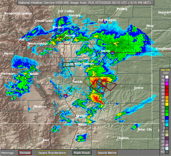 At 622 pm mdt, a severe thunderstorm capable of producing a tornado was located 7 miles east of sugar city, or 19 miles north of la junta, moving southeast at 25 mph (radar indicated rotation). Hazards include tornado. Flying debris will be dangerous to those caught without shelter. mobile homes will be damaged or destroyed. damage to roofs, windows, and vehicles will occur. tree damage is likely. Locations impacted include, blue lake. At 622 pm mdt, a severe thunderstorm capable of producing a tornado was located 7 miles east of sugar city, or 19 miles north of la junta, moving southeast at 25 mph (radar indicated rotation). Hazards include tornado. Flying debris will be dangerous to those caught without shelter. mobile homes will be damaged or destroyed. damage to roofs, windows, and vehicles will occur. tree damage is likely. Locations impacted include, blue lake.
|
| 7/14/2020 6:21 PM MDT |
 At 621 pm mdt, a severe thunderstorm capable of producing a tornado was located over crowley, or 20 miles northwest of la junta, moving southeast at 25 mph (radar indicated rotation). Hazards include tornado. Flying debris will be dangerous to those caught without shelter. mobile homes will be damaged or destroyed. damage to roofs, windows, and vehicles will occur. tree damage is likely. this dangerous storm will be near, ordway around 625 pm mdt. sugar city around 635 pm mdt. rocky ford around 640 pm mdt. Swink around 655 pm mdt. At 621 pm mdt, a severe thunderstorm capable of producing a tornado was located over crowley, or 20 miles northwest of la junta, moving southeast at 25 mph (radar indicated rotation). Hazards include tornado. Flying debris will be dangerous to those caught without shelter. mobile homes will be damaged or destroyed. damage to roofs, windows, and vehicles will occur. tree damage is likely. this dangerous storm will be near, ordway around 625 pm mdt. sugar city around 635 pm mdt. rocky ford around 640 pm mdt. Swink around 655 pm mdt.
|
| 7/14/2020 6:13 PM MDT |
 At 613 pm mdt, a severe thunderstorm capable of producing a tornado was located over crowley, or 23 miles northwest of la junta, moving southeast at 25 mph (radar indicated rotation). Hazards include tornado. Flying debris will be dangerous to those caught without shelter. mobile homes will be damaged or destroyed. damage to roofs, windows, and vehicles will occur. tree damage is likely. this dangerous storm will be near, manzanola around 620 pm mdt. ordway around 625 pm mdt. sugar city around 635 pm mdt. rocky ford around 640 pm mdt. Swink around 645 pm mdt. At 613 pm mdt, a severe thunderstorm capable of producing a tornado was located over crowley, or 23 miles northwest of la junta, moving southeast at 25 mph (radar indicated rotation). Hazards include tornado. Flying debris will be dangerous to those caught without shelter. mobile homes will be damaged or destroyed. damage to roofs, windows, and vehicles will occur. tree damage is likely. this dangerous storm will be near, manzanola around 620 pm mdt. ordway around 625 pm mdt. sugar city around 635 pm mdt. rocky ford around 640 pm mdt. Swink around 645 pm mdt.
|
| 7/14/2020 6:12 PM MDT |
 At 612 pm mdt, a severe thunderstorm capable of producing a tornado was located near sugar city, or 21 miles north of la junta, moving southeast at 25 mph (radar indicated rotation). Hazards include tornado. Flying debris will be dangerous to those caught without shelter. mobile homes will be damaged or destroyed. damage to roofs, windows, and vehicles will occur. tree damage is likely. This tornadic thunderstorm will remain over mainly rural areas of northeastern otero, southwestern kiowa, east central crowley and northwestern bent counties. At 612 pm mdt, a severe thunderstorm capable of producing a tornado was located near sugar city, or 21 miles north of la junta, moving southeast at 25 mph (radar indicated rotation). Hazards include tornado. Flying debris will be dangerous to those caught without shelter. mobile homes will be damaged or destroyed. damage to roofs, windows, and vehicles will occur. tree damage is likely. This tornadic thunderstorm will remain over mainly rural areas of northeastern otero, southwestern kiowa, east central crowley and northwestern bent counties.
|
| 7/14/2020 6:08 PM MDT |
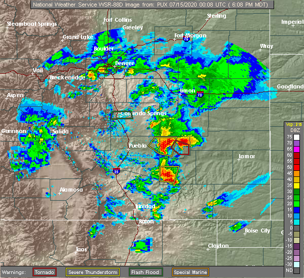 At 607 pm mdt, a severe thunderstorm capable of producing a tornado was located near sugar city, or 22 miles north of la junta, moving southeast at 25 mph (radar indicated rotation. a large rotating wall cloud was occurring with this storm). Hazards include tornado and golf ball size hail. Flying debris will be dangerous to those caught without shelter. mobile homes will be damaged or destroyed. damage to roofs, windows, and vehicles will occur. tree damage is likely. This tornadic thunderstorm will remain over mainly rural areas of eastern crowley county. At 607 pm mdt, a severe thunderstorm capable of producing a tornado was located near sugar city, or 22 miles north of la junta, moving southeast at 25 mph (radar indicated rotation. a large rotating wall cloud was occurring with this storm). Hazards include tornado and golf ball size hail. Flying debris will be dangerous to those caught without shelter. mobile homes will be damaged or destroyed. damage to roofs, windows, and vehicles will occur. tree damage is likely. This tornadic thunderstorm will remain over mainly rural areas of eastern crowley county.
|
| 7/14/2020 5:56 PM MDT |
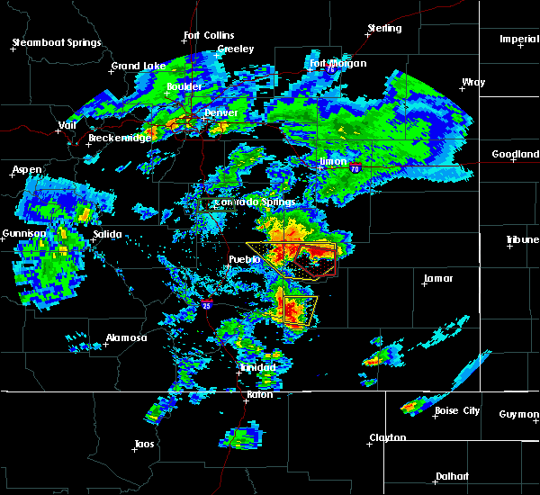 At 555 pm mdt, a severe thunderstorm capable of producing a tornado was located 7 miles northwest of sugar city, or 26 miles north of la junta, moving southeast at 25 mph (radar indicated rotation. brief spinups have been observed with this storm from storm chasers). Hazards include tornado and golf ball size hail. Flying debris will be dangerous to those caught without shelter. mobile homes will be damaged or destroyed. damage to roofs, windows, and vehicles will occur. tree damage is likely. This dangerous storm will be near, sugar city around 610 pm mdt. At 555 pm mdt, a severe thunderstorm capable of producing a tornado was located 7 miles northwest of sugar city, or 26 miles north of la junta, moving southeast at 25 mph (radar indicated rotation. brief spinups have been observed with this storm from storm chasers). Hazards include tornado and golf ball size hail. Flying debris will be dangerous to those caught without shelter. mobile homes will be damaged or destroyed. damage to roofs, windows, and vehicles will occur. tree damage is likely. This dangerous storm will be near, sugar city around 610 pm mdt.
|
| 7/14/2020 5:47 PM MDT |
 At 545 pm mdt, a severe thunderstorm was located 18 miles southwest of forder, or 38 miles northeast of pueblo, moving east at 25 mph. multipple severe storms were in the eastern pueblo county and crowley countyareas. in addition, a tornado warning remains in effect for centraly crowley county (radar indicated). Hazards include 70 mph wind gusts and ping pong ball size hail. People and animals outdoors will be injured. expect hail damage to roofs, siding, windows, and vehicles. expect considerable tree damage. wind damage is also likely to mobile homes, roofs, and outbuildings. Locations impacted include, ordway, olney springs, sugar city and crowley. At 545 pm mdt, a severe thunderstorm was located 18 miles southwest of forder, or 38 miles northeast of pueblo, moving east at 25 mph. multipple severe storms were in the eastern pueblo county and crowley countyareas. in addition, a tornado warning remains in effect for centraly crowley county (radar indicated). Hazards include 70 mph wind gusts and ping pong ball size hail. People and animals outdoors will be injured. expect hail damage to roofs, siding, windows, and vehicles. expect considerable tree damage. wind damage is also likely to mobile homes, roofs, and outbuildings. Locations impacted include, ordway, olney springs, sugar city and crowley.
|
| 7/14/2020 5:41 PM MDT |
 At 533 pm mdt, a severe thunderstorm capable of producing a tornado was located 12 miles north of ordway, or 31 miles northwest of la junta, moving east at 25 mph (radar indicated rotation). Hazards include tornado and golf ball size hail. Flying debris will be dangerous to those caught without shelter. mobile homes will be damaged or destroyed. damage to roofs, windows, and vehicles will occur. tree damage is likely. This dangerous storm will be near, sugar city around 600 pm mdt. At 533 pm mdt, a severe thunderstorm capable of producing a tornado was located 12 miles north of ordway, or 31 miles northwest of la junta, moving east at 25 mph (radar indicated rotation). Hazards include tornado and golf ball size hail. Flying debris will be dangerous to those caught without shelter. mobile homes will be damaged or destroyed. damage to roofs, windows, and vehicles will occur. tree damage is likely. This dangerous storm will be near, sugar city around 600 pm mdt.
|
| 7/14/2020 5:34 PM MDT |
 At 533 pm mdt, a severe thunderstorm capable of producing a tornado was located 12 miles north of ordway, or 31 miles northwest of la junta, moving east at 25 mph (radar indicated rotation). Hazards include tornado and golf ball size hail. Flying debris will be dangerous to those caught without shelter. mobile homes will be damaged or destroyed. damage to roofs, windows, and vehicles will occur. tree damage is likely. This dangerous storm will be near, sugar city around 600 pm mdt. At 533 pm mdt, a severe thunderstorm capable of producing a tornado was located 12 miles north of ordway, or 31 miles northwest of la junta, moving east at 25 mph (radar indicated rotation). Hazards include tornado and golf ball size hail. Flying debris will be dangerous to those caught without shelter. mobile homes will be damaged or destroyed. damage to roofs, windows, and vehicles will occur. tree damage is likely. This dangerous storm will be near, sugar city around 600 pm mdt.
|
| 7/14/2020 5:18 PM MDT |
 The national weather service in pueblo has issued a * severe thunderstorm warning for. crowley county in southeastern colorado. northeastern pueblo county in southeastern colorado. until 600 pm mdt. At 517 pm mdt, a severe thunderstorm was located 13 miles south of. The national weather service in pueblo has issued a * severe thunderstorm warning for. crowley county in southeastern colorado. northeastern pueblo county in southeastern colorado. until 600 pm mdt. At 517 pm mdt, a severe thunderstorm was located 13 miles south of.
|
| 6/27/2020 5:27 PM MDT |
 The severe thunderstorm warning for northeastern otero, southwestern kiowa, southeastern crowley and northwestern bent counties will expire at 530 pm mdt, the storm which prompted the warning has weakened below severe limits, and no longer poses an immediate threat to life or property. therefore, the warning will be allowed to expire. however gusty winds are still possible with this thunderstorm. The severe thunderstorm warning for northeastern otero, southwestern kiowa, southeastern crowley and northwestern bent counties will expire at 530 pm mdt, the storm which prompted the warning has weakened below severe limits, and no longer poses an immediate threat to life or property. therefore, the warning will be allowed to expire. however gusty winds are still possible with this thunderstorm.
|
| 6/27/2020 5:17 PM MDT |
 At 517 pm mdt, a severe thunderstorm was located over sugar city, or 20 miles north of la junta, moving east at 30 mph (radar indicated). Hazards include 60 mph wind gusts. Expect damage to roofs, siding, and trees. Locations impacted include, ordway and sugar city. At 517 pm mdt, a severe thunderstorm was located over sugar city, or 20 miles north of la junta, moving east at 30 mph (radar indicated). Hazards include 60 mph wind gusts. Expect damage to roofs, siding, and trees. Locations impacted include, ordway and sugar city.
|
| 6/27/2020 5:05 PM MDT |
 At 504 pm mdt, a severe thunderstorm was located near sugar city, or 23 miles northwest of la junta, moving east at 35 mph (radar indicated). Hazards include 60 mph wind gusts. Expect damage to roofs, siding, and trees. Locations impacted include, ordway, sugar city and crowley. At 504 pm mdt, a severe thunderstorm was located near sugar city, or 23 miles northwest of la junta, moving east at 35 mph (radar indicated). Hazards include 60 mph wind gusts. Expect damage to roofs, siding, and trees. Locations impacted include, ordway, sugar city and crowley.
|
| 6/27/2020 4:47 PM MDT |
 At 447 pm mdt, a severe thunderstorm was located 7 miles north of crowley, or 29 miles northwest of la junta, moving east at 35 mph (radar indicated). Hazards include 60 mph wind gusts. expect damage to roofs, siding, and trees At 447 pm mdt, a severe thunderstorm was located 7 miles north of crowley, or 29 miles northwest of la junta, moving east at 35 mph (radar indicated). Hazards include 60 mph wind gusts. expect damage to roofs, siding, and trees
|
| 5/19/2020 8:32 PM MDT |
 At 831 pm mdt, a severe thunderstorm was located 9 miles northeast of sugar city, or 22 miles north of la junta, moving northeast at 35 mph (radar indicated. funnel clouds have been reported with this storm earlier this evening). Hazards include 60 mph wind gusts and quarter size hail. Hail damage to vehicles is expected. Expect wind damage to roofs, siding, and trees. At 831 pm mdt, a severe thunderstorm was located 9 miles northeast of sugar city, or 22 miles north of la junta, moving northeast at 35 mph (radar indicated. funnel clouds have been reported with this storm earlier this evening). Hazards include 60 mph wind gusts and quarter size hail. Hail damage to vehicles is expected. Expect wind damage to roofs, siding, and trees.
|
| 5/19/2020 7:59 PM MDT |
 At 758 pm mdt, a severe thunderstorm was located near sugar city, or 17 miles north of la junta, moving northeast at 20 mph (radar indicated). Hazards include 60 mph wind gusts and quarter size hail. Hail damage to vehicles is expected. Expect wind damage to roofs, siding, and trees. At 758 pm mdt, a severe thunderstorm was located near sugar city, or 17 miles north of la junta, moving northeast at 20 mph (radar indicated). Hazards include 60 mph wind gusts and quarter size hail. Hail damage to vehicles is expected. Expect wind damage to roofs, siding, and trees.
|
| 5/19/2020 7:26 PM MDT |
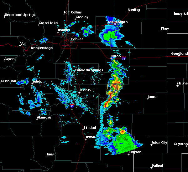 At 726 pm mdt, severe thunderstorms were located along a line extending from near sugar city to near rocky ford to 6 miles west of timpas, moving northeast at 25 mph (radar indicated). Hazards include 60 mph wind gusts and quarter size hail. Hail damage to vehicles is expected. Expect wind damage to roofs, siding, and trees. At 726 pm mdt, severe thunderstorms were located along a line extending from near sugar city to near rocky ford to 6 miles west of timpas, moving northeast at 25 mph (radar indicated). Hazards include 60 mph wind gusts and quarter size hail. Hail damage to vehicles is expected. Expect wind damage to roofs, siding, and trees.
|
| 5/19/2020 6:45 PM MDT |
 At 644 pm mdt, a severe thunderstorm was located near ordway, or 23 miles northwest of la junta, moving north at 25 mph (radar indicated). Hazards include 60 mph wind gusts and quarter size hail. Hail damage to vehicles is expected. Expect wind damage to roofs, siding, and trees. At 644 pm mdt, a severe thunderstorm was located near ordway, or 23 miles northwest of la junta, moving north at 25 mph (radar indicated). Hazards include 60 mph wind gusts and quarter size hail. Hail damage to vehicles is expected. Expect wind damage to roofs, siding, and trees.
|
| 8/13/2019 7:26 PM MDT |
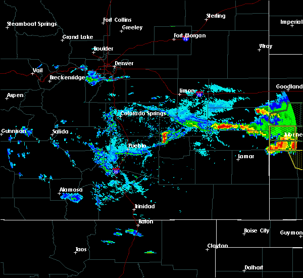 At 726 pm mdt, a severe thunderstorm was located near sugar city, or 21 miles north of la junta, moving southeast at 25 mph (radar indicated). Hazards include 60 mph wind gusts and half dollar size hail. Hail damage to vehicles is expected. expect wind damage to roofs, siding, and trees. Locations impacted include, sugar city. At 726 pm mdt, a severe thunderstorm was located near sugar city, or 21 miles north of la junta, moving southeast at 25 mph (radar indicated). Hazards include 60 mph wind gusts and half dollar size hail. Hail damage to vehicles is expected. expect wind damage to roofs, siding, and trees. Locations impacted include, sugar city.
|
| 8/13/2019 7:14 PM MDT |
 At 713 pm mdt, a severe thunderstorm was located 7 miles north of ordway, or 26 miles northwest of la junta, moving southeast at 25 mph (radar indicated). Hazards include 60 mph wind gusts and half dollar size hail. Hail damage to vehicles is expected. Expect wind damage to roofs, siding, and trees. At 713 pm mdt, a severe thunderstorm was located 7 miles north of ordway, or 26 miles northwest of la junta, moving southeast at 25 mph (radar indicated). Hazards include 60 mph wind gusts and half dollar size hail. Hail damage to vehicles is expected. Expect wind damage to roofs, siding, and trees.
|
| 7/27/2019 7:41 PM MDT |
 The severe thunderstorm warning for northeastern otero, southwestern kiowa, southeastern crowley and bent counties will expire at 745 pm mdt, the storms which prompted the warning have weakened below severe limits, and no longer pose an immediate threat to life or property. therefore, the warning will be allowed to expire. however gusty winds are still possible with these thunderstorms. The severe thunderstorm warning for northeastern otero, southwestern kiowa, southeastern crowley and bent counties will expire at 745 pm mdt, the storms which prompted the warning have weakened below severe limits, and no longer pose an immediate threat to life or property. therefore, the warning will be allowed to expire. however gusty winds are still possible with these thunderstorms.
|
| 7/27/2019 7:15 PM MDT |
 At 714 pm mdt, severe thunderstorms were located along and behind a line extending from 7 miles southwest of blue lake to 9 miles northeast of higbee, moving east at 45 mph (radar indicated and asos reported). Hazards include 60 mph wind gusts and quarter size hail. Hail damage to vehicles is expected. expect wind damage to roofs, siding, and trees. Locations impacted include, la junta, north la junta, rocky ford, las animas, ordway, swink, sugar city, cheraw, mcclave, blue lake, hasty, neegronda reservoir, john martin reservoir, sweetwater reservoir, caddoa and fort lyon. At 714 pm mdt, severe thunderstorms were located along and behind a line extending from 7 miles southwest of blue lake to 9 miles northeast of higbee, moving east at 45 mph (radar indicated and asos reported). Hazards include 60 mph wind gusts and quarter size hail. Hail damage to vehicles is expected. expect wind damage to roofs, siding, and trees. Locations impacted include, la junta, north la junta, rocky ford, las animas, ordway, swink, sugar city, cheraw, mcclave, blue lake, hasty, neegronda reservoir, john martin reservoir, sweetwater reservoir, caddoa and fort lyon.
|
| 7/27/2019 7:01 PM MDT |
 At 656 pm mdt, severe thunderstorms were located along a line extending from near sugar city to 6 miles southwest of la junta, moving east at 45 mph (radar indicated). Hazards include 60 mph wind gusts and penny size hail. expect damage to roofs, siding, and trees At 656 pm mdt, severe thunderstorms were located along a line extending from near sugar city to 6 miles southwest of la junta, moving east at 45 mph (radar indicated). Hazards include 60 mph wind gusts and penny size hail. expect damage to roofs, siding, and trees
|
| 7/27/2019 6:57 PM MDT |
 At 656 pm mdt, severe thunderstorms were located along a line extending from near sugar city to 6 miles southwest of la junta, moving east at 45 mph (radar indicated). Hazards include 60 mph wind gusts and penny size hail. expect damage to roofs, siding, and trees At 656 pm mdt, severe thunderstorms were located along a line extending from near sugar city to 6 miles southwest of la junta, moving east at 45 mph (radar indicated). Hazards include 60 mph wind gusts and penny size hail. expect damage to roofs, siding, and trees
|
| 7/20/2019 7:27 PM MDT | Extensive tree debris through town. estimated size of branches up to 8 inches in diamete in crowley county CO, 0.4 miles WNW of Sugar City, CO |
| 7/20/2019 7:12 PM MDT |
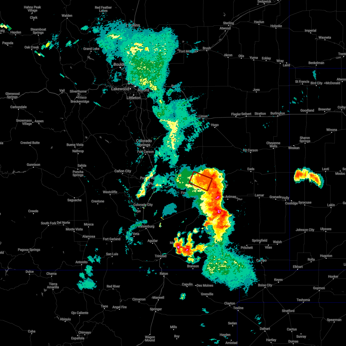 The tornado warning for central crowley county will expire at 715 pm mdt, the tornadic thunderstorm which prompted the warning has weakened. therefore, the tornado warning will be allowed to expire. however, severe straight line winds and hail up to the size of quarters will still be possible with this storm as it moves east at 40 mph. a severe thunderstorm watch remains in effect until 1100 pm mdt for southeastern colorado. The tornado warning for central crowley county will expire at 715 pm mdt, the tornadic thunderstorm which prompted the warning has weakened. therefore, the tornado warning will be allowed to expire. however, severe straight line winds and hail up to the size of quarters will still be possible with this storm as it moves east at 40 mph. a severe thunderstorm watch remains in effect until 1100 pm mdt for southeastern colorado.
|
| 7/20/2019 7:07 PM MDT |
 At 705 pm mdt, a severe thunderstorms extended from crowley county into otero and were moving east at 40 mph. strong rotation was noted with the storms in east central crowley county while strong straight lines winds were noted across southern crowley and otero counties (radar indicated). Hazards include 70 mph wind gusts and ping pong ball size hail. People and animals outdoors will be injured. expect hail damage to roofs, siding, windows, and vehicles. expect considerable tree damage. wind damage is also likely to mobile homes, roofs, and outbuildings. a new severe thunderstorm warning will be issued shortly for this region. Locations impacted include, la junta, north la junta, las animas, ordway, swink, sugar city, cheraw, crowley, higbee, blue lake, arlington, john martin reservoir and fort lyon. At 705 pm mdt, a severe thunderstorms extended from crowley county into otero and were moving east at 40 mph. strong rotation was noted with the storms in east central crowley county while strong straight lines winds were noted across southern crowley and otero counties (radar indicated). Hazards include 70 mph wind gusts and ping pong ball size hail. People and animals outdoors will be injured. expect hail damage to roofs, siding, windows, and vehicles. expect considerable tree damage. wind damage is also likely to mobile homes, roofs, and outbuildings. a new severe thunderstorm warning will be issued shortly for this region. Locations impacted include, la junta, north la junta, las animas, ordway, swink, sugar city, cheraw, crowley, higbee, blue lake, arlington, john martin reservoir and fort lyon.
|
| 7/20/2019 6:59 PM MDT |
 At 659 pm mdt, a severe thunderstorm capable of producing a tornado was located 9 miles north of sugar city, or 28 miles north of la junta, moving east at 25 mph (radar indicated rotation). Hazards include tornado and half dollar size hail. Flying debris will be dangerous to those caught without shelter. mobile homes will be damaged or destroyed. damage to roofs, windows, and vehicles will occur. tree damage is likely. This tornadic thunderstorm will remain over mainly rural areas of central crowley county. At 659 pm mdt, a severe thunderstorm capable of producing a tornado was located 9 miles north of sugar city, or 28 miles north of la junta, moving east at 25 mph (radar indicated rotation). Hazards include tornado and half dollar size hail. Flying debris will be dangerous to those caught without shelter. mobile homes will be damaged or destroyed. damage to roofs, windows, and vehicles will occur. tree damage is likely. This tornadic thunderstorm will remain over mainly rural areas of central crowley county.
|
| 7/20/2019 6:58 PM MDT |
 At 657 pm mdt, a severe thunderstorm was located near blue lake, or 22 miles northeast of north la junta, moving east at 50 mph (la junta airport weather station). Hazards include 60 to 70 mph winds. at 6:45 pm, the weather station at la junta airport measured a wind of 67 mph. Expect considerable tree damage. damage is likely to mobile homes, roofs, and outbuildings. Locations impacted include, la junta, north la junta, rocky ford, las animas, fowler, ordway, swink, manzanola, olney springs, sugar city, cheraw, crowley, higbee, blue lake, timpas, arlington, john martin reservoir and fort lyon. At 657 pm mdt, a severe thunderstorm was located near blue lake, or 22 miles northeast of north la junta, moving east at 50 mph (la junta airport weather station). Hazards include 60 to 70 mph winds. at 6:45 pm, the weather station at la junta airport measured a wind of 67 mph. Expect considerable tree damage. damage is likely to mobile homes, roofs, and outbuildings. Locations impacted include, la junta, north la junta, rocky ford, las animas, fowler, ordway, swink, manzanola, olney springs, sugar city, cheraw, crowley, higbee, blue lake, timpas, arlington, john martin reservoir and fort lyon.
|
| 7/20/2019 6:51 PM MDT |
 At 648 pm mdt, a severe thunderstorms were located over crowley and otero counties. a tornadic storm was noted over central crowley county while other severe storms were noted just west of la junta. the dangerous severe storms were moving east at 50 mph. residents in crowley and otero counties should seek shelter from these storms. locations impacted include, la junta, north la junta, rocky ford, las animas, fowler, ordway, swink, manzanola, olney springs, sugar city, cheraw, crowley, higbee, blue lake, timpas, arlington, john martin reservoir and fort lyon. At 648 pm mdt, a severe thunderstorms were located over crowley and otero counties. a tornadic storm was noted over central crowley county while other severe storms were noted just west of la junta. the dangerous severe storms were moving east at 50 mph. residents in crowley and otero counties should seek shelter from these storms. locations impacted include, la junta, north la junta, rocky ford, las animas, fowler, ordway, swink, manzanola, olney springs, sugar city, cheraw, crowley, higbee, blue lake, timpas, arlington, john martin reservoir and fort lyon.
|
| 7/20/2019 6:47 PM MDT |
 At 647 pm mdt, a severe thunderstorm capable of producing a tornado was located 9 miles north of ordway, or 28 miles north of la junta, moving east at 35 mph (radar indicated rotation). Hazards include tornado and half dollar size hail. Flying debris will be dangerous to those caught without shelter. mobile homes will be damaged or destroyed. damage to roofs, windows, and vehicles will occur. tree damage is likely. This dangerous storm will be near, sugar city around 700 pm mdt. At 647 pm mdt, a severe thunderstorm capable of producing a tornado was located 9 miles north of ordway, or 28 miles north of la junta, moving east at 35 mph (radar indicated rotation). Hazards include tornado and half dollar size hail. Flying debris will be dangerous to those caught without shelter. mobile homes will be damaged or destroyed. damage to roofs, windows, and vehicles will occur. tree damage is likely. This dangerous storm will be near, sugar city around 700 pm mdt.
|
| 7/20/2019 6:39 PM MDT |
 At 639 pm mdt, a severe thunderstorm capable of producing a tornado was located 11 miles north of ordway, or 31 miles northwest of la junta, moving southeast at 35 mph (radar indicated rotation). Hazards include tornado and half dollar size hail. Flying debris will be dangerous to those caught without shelter. mobile homes will be damaged or destroyed. damage to roofs, windows, and vehicles will occur. tree damage is likely. This dangerous storm will be near, sugar city around 700 pm mdt. At 639 pm mdt, a severe thunderstorm capable of producing a tornado was located 11 miles north of ordway, or 31 miles northwest of la junta, moving southeast at 35 mph (radar indicated rotation). Hazards include tornado and half dollar size hail. Flying debris will be dangerous to those caught without shelter. mobile homes will be damaged or destroyed. damage to roofs, windows, and vehicles will occur. tree damage is likely. This dangerous storm will be near, sugar city around 700 pm mdt.
|
| 7/20/2019 6:31 PM MDT |
 At 630 pm mdt, a severe thunderstorm was located over sugar city, or 20 miles north of la junta, moving east at 40 mph. other strong to severe storms were noted near swink and rocky ford (radar indicated). Hazards include 70 mph wind gusts and half dollar size hail. Hail damage to vehicles is expected. expect considerable tree damage. wind damage is also likely to mobile homes, roofs, and outbuildings. Locations impacted include, la junta, north la junta, rocky ford, las animas, fowler, ordway, swink, manzanola, olney springs, sugar city, cheraw, crowley, higbee, blue lake, timpas, arlington, john martin reservoir and fort lyon. At 630 pm mdt, a severe thunderstorm was located over sugar city, or 20 miles north of la junta, moving east at 40 mph. other strong to severe storms were noted near swink and rocky ford (radar indicated). Hazards include 70 mph wind gusts and half dollar size hail. Hail damage to vehicles is expected. expect considerable tree damage. wind damage is also likely to mobile homes, roofs, and outbuildings. Locations impacted include, la junta, north la junta, rocky ford, las animas, fowler, ordway, swink, manzanola, olney springs, sugar city, cheraw, crowley, higbee, blue lake, timpas, arlington, john martin reservoir and fort lyon.
|
| 7/20/2019 6:21 PM MDT |
 At 621 pm mdt, a severe thunderstorm was located near ordway, or 22 miles northwest of la junta, moving east at 50 mph (radar indicated). Hazards include 60 mph wind gusts and quarter size hail. Hail damage to vehicles is expected. expect wind damage to roofs, siding, and trees. Locations impacted include, la junta, north la junta, rocky ford, las animas, fowler, ordway, swink, manzanola, olney springs, sugar city, cheraw, crowley, higbee, blue lake, timpas, arlington, john martin reservoir and fort lyon. At 621 pm mdt, a severe thunderstorm was located near ordway, or 22 miles northwest of la junta, moving east at 50 mph (radar indicated). Hazards include 60 mph wind gusts and quarter size hail. Hail damage to vehicles is expected. expect wind damage to roofs, siding, and trees. Locations impacted include, la junta, north la junta, rocky ford, las animas, fowler, ordway, swink, manzanola, olney springs, sugar city, cheraw, crowley, higbee, blue lake, timpas, arlington, john martin reservoir and fort lyon.
|
| 7/20/2019 6:10 PM MDT |
 At 610 pm mdt, a severe thunderstorm was located 8 miles north of crowley, or 29 miles northwest of la junta, moving east at 50 mph (radar indicated). Hazards include 60 mph wind gusts and quarter size hail. Hail damage to vehicles is expected. Expect wind damage to roofs, siding, and trees. At 610 pm mdt, a severe thunderstorm was located 8 miles north of crowley, or 29 miles northwest of la junta, moving east at 50 mph (radar indicated). Hazards include 60 mph wind gusts and quarter size hail. Hail damage to vehicles is expected. Expect wind damage to roofs, siding, and trees.
|
| 7/5/2019 10:32 PM MDT |
 At 1032 pm mdt, a severe thunderstorm was located over olney springs, or 26 miles northwest of la junta, moving southeast at 35 mph (radar indicated). Hazards include ping pong ball size hail and 60 mph wind gusts. People and animals outdoors will be injured. expect hail damage to roofs, siding, windows, and vehicles. expect wind damage to roofs, siding, and trees. Locations impacted include, fowler, ordway, manzanola, olney springs, sugar city and crowley. At 1032 pm mdt, a severe thunderstorm was located over olney springs, or 26 miles northwest of la junta, moving southeast at 35 mph (radar indicated). Hazards include ping pong ball size hail and 60 mph wind gusts. People and animals outdoors will be injured. expect hail damage to roofs, siding, windows, and vehicles. expect wind damage to roofs, siding, and trees. Locations impacted include, fowler, ordway, manzanola, olney springs, sugar city and crowley.
|
| 7/5/2019 10:16 PM MDT |
 At 1015 pm mdt, a severe thunderstorm was located 9 miles east of boone, or 28 miles east of pueblo, moving southeast at 35 mph (radar indicated). Hazards include ping pong ball size hail and 60 mph wind gusts. People and animals outdoors will be injured. expect hail damage to roofs, siding, windows, and vehicles. Expect wind damage to roofs, siding, and trees. At 1015 pm mdt, a severe thunderstorm was located 9 miles east of boone, or 28 miles east of pueblo, moving southeast at 35 mph (radar indicated). Hazards include ping pong ball size hail and 60 mph wind gusts. People and animals outdoors will be injured. expect hail damage to roofs, siding, windows, and vehicles. Expect wind damage to roofs, siding, and trees.
|
| 6/15/2019 5:10 PM MDT |
 At 456 pm mdt, a severe thunderstorm was located 7 miles northwest of las animas, or 14 miles northeast of north la junta, moving east at 25 mph. 6 inch in diameter tree branches broken with gust front in cheraw, colorado (trained weather spotters). Hazards include 60 mph wind gusts and penny size hail. Expect damage to roofs, siding, and trees. Locations impacted include, la junta, north la junta, las animas, sugar city, cheraw, blue lake and arlington. At 456 pm mdt, a severe thunderstorm was located 7 miles northwest of las animas, or 14 miles northeast of north la junta, moving east at 25 mph. 6 inch in diameter tree branches broken with gust front in cheraw, colorado (trained weather spotters). Hazards include 60 mph wind gusts and penny size hail. Expect damage to roofs, siding, and trees. Locations impacted include, la junta, north la junta, las animas, sugar city, cheraw, blue lake and arlington.
|
| 6/15/2019 4:56 PM MDT |
 At 456 pm mdt, a severe thunderstorm was located 7 miles northwest of las animas, or 14 miles northeast of north la junta, moving east at 25 mph. 6 inch in diameter tree branches broken with gust front in cheraw, colorado (trained weather spotters). Hazards include 60 mph wind gusts and penny size hail. Expect damage to roofs, siding, and trees. Locations impacted include, la junta, north la junta, las animas, sugar city, cheraw, blue lake and arlington. At 456 pm mdt, a severe thunderstorm was located 7 miles northwest of las animas, or 14 miles northeast of north la junta, moving east at 25 mph. 6 inch in diameter tree branches broken with gust front in cheraw, colorado (trained weather spotters). Hazards include 60 mph wind gusts and penny size hail. Expect damage to roofs, siding, and trees. Locations impacted include, la junta, north la junta, las animas, sugar city, cheraw, blue lake and arlington.
|
| 6/15/2019 4:47 PM MDT |
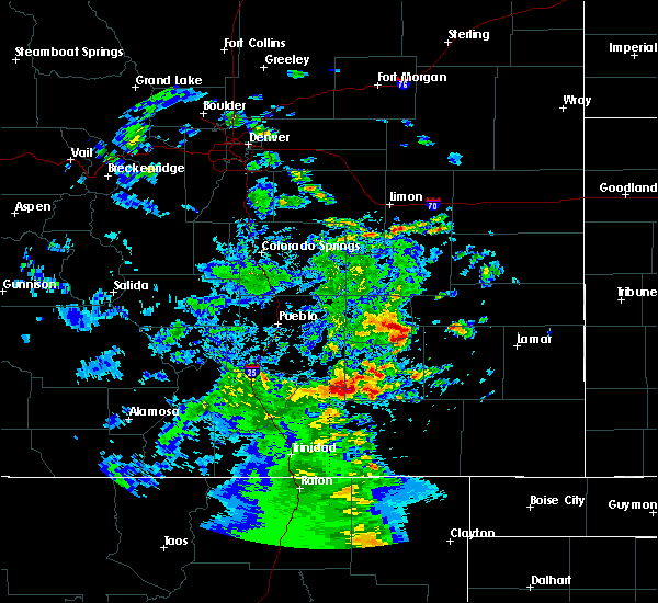 At 447 pm mdt, a severe thunderstorm was located near cheraw, or 11 miles northeast of north la junta, moving east at 25 mph. 6 inch in diameter tree branches broken with gust front in cheraw, colorado (trained weather spotters). Hazards include 60 mph wind gusts and quarter size hail. Hail damage to vehicles is expected. Expect wind damage to roofs, siding, and trees. At 447 pm mdt, a severe thunderstorm was located near cheraw, or 11 miles northeast of north la junta, moving east at 25 mph. 6 inch in diameter tree branches broken with gust front in cheraw, colorado (trained weather spotters). Hazards include 60 mph wind gusts and quarter size hail. Hail damage to vehicles is expected. Expect wind damage to roofs, siding, and trees.
|
| 8/8/2018 12:11 PM MDT |
 At 1210 pm mdt, a severe thunderstorm was located 13 miles north of crowley, or 34 miles northwest of la junta, moving southeast at 30 mph (radar indicated). Hazards include 60 mph wind gusts and quarter size hail. Hail damage to vehicles is expected. expect wind damage to roofs, siding, and trees. Locations impacted include, ordway, olney springs, sugar city and crowley. At 1210 pm mdt, a severe thunderstorm was located 13 miles north of crowley, or 34 miles northwest of la junta, moving southeast at 30 mph (radar indicated). Hazards include 60 mph wind gusts and quarter size hail. Hail damage to vehicles is expected. expect wind damage to roofs, siding, and trees. Locations impacted include, ordway, olney springs, sugar city and crowley.
|
| 8/8/2018 11:52 AM MDT |
 At 1152 am mdt, a severe thunderstorm was located 19 miles southeast of truckton, or 36 miles northeast of pueblo, moving southeast at 30 mph (radar indicated). Hazards include quarter size hail. damage to vehicles is expected At 1152 am mdt, a severe thunderstorm was located 19 miles southeast of truckton, or 36 miles northeast of pueblo, moving southeast at 30 mph (radar indicated). Hazards include quarter size hail. damage to vehicles is expected
|
| 8/6/2018 5:29 PM MDT |
 At 529 pm mdt, a severe thunderstorm was located near ordway, or 16 miles northwest of la junta, moving east at 40 mph (radar indicated). Hazards include 60 mph wind gusts and half dollar size hail. Hail damage to vehicles is expected. expect wind damage to roofs, siding, and trees. Locations impacted include, la junta, north la junta, ordway, sugar city, cheraw and crowley. At 529 pm mdt, a severe thunderstorm was located near ordway, or 16 miles northwest of la junta, moving east at 40 mph (radar indicated). Hazards include 60 mph wind gusts and half dollar size hail. Hail damage to vehicles is expected. expect wind damage to roofs, siding, and trees. Locations impacted include, la junta, north la junta, ordway, sugar city, cheraw and crowley.
|
| 8/6/2018 5:14 PM MDT |
 At 514 pm mdt, a severe thunderstorm was located over crowley, or 24 miles northwest of la junta, moving east at 25 mph (radar indicated). Hazards include two inch hail and 60 mph wind gusts. People and animals outdoors will be injured. expect hail damage to roofs, siding, windows, and vehicles. Expect wind damage to roofs, siding, and trees. At 514 pm mdt, a severe thunderstorm was located over crowley, or 24 miles northwest of la junta, moving east at 25 mph (radar indicated). Hazards include two inch hail and 60 mph wind gusts. People and animals outdoors will be injured. expect hail damage to roofs, siding, windows, and vehicles. Expect wind damage to roofs, siding, and trees.
|
| 8/6/2018 4:57 PM MDT |
 At 457 pm mdt, a severe thunderstorm was located over olney springs, or 25 miles northwest of la junta, moving southeast at 25 mph. this is a very dangerous storm (radar indicated). Hazards include three inch hail and 60 mph wind gusts. People and animals outdoors will be severely injured. expect shattered windows, extensive damage to roofs, siding, and vehicles. Locations impacted include, fowler, ordway, manzanola, olney springs, sugar city and crowley. At 457 pm mdt, a severe thunderstorm was located over olney springs, or 25 miles northwest of la junta, moving southeast at 25 mph. this is a very dangerous storm (radar indicated). Hazards include three inch hail and 60 mph wind gusts. People and animals outdoors will be severely injured. expect shattered windows, extensive damage to roofs, siding, and vehicles. Locations impacted include, fowler, ordway, manzanola, olney springs, sugar city and crowley.
|
| 8/6/2018 4:30 PM MDT |
 At 430 pm mdt, a severe thunderstorm was located 9 miles east of boone, or 29 miles east of pueblo, moving southeast at 25 mph. this is a very dangerous storm (radar indicated). Hazards include three inch hail and 60 mph wind gusts. People and animals outdoors will be severely injured. Expect shattered windows, extensive damage to roofs, siding, and vehicles. At 430 pm mdt, a severe thunderstorm was located 9 miles east of boone, or 29 miles east of pueblo, moving southeast at 25 mph. this is a very dangerous storm (radar indicated). Hazards include three inch hail and 60 mph wind gusts. People and animals outdoors will be severely injured. Expect shattered windows, extensive damage to roofs, siding, and vehicles.
|
| 7/29/2018 10:31 PM MDT |
 At 1030 pm mdt, a severe thunderstorm was located near fowler, or 28 miles northwest of la junta, moving south at 45 mph (radar indicated). Hazards include golf ball size hail and 60 mph wind gusts. People and animals outdoors will be injured. expect hail damage to roofs, siding, windows, and vehicles. expect wind damage to roofs, siding, and trees. Locations impacted include, fowler, manzanola, olney springs, and crowley. At 1030 pm mdt, a severe thunderstorm was located near fowler, or 28 miles northwest of la junta, moving south at 45 mph (radar indicated). Hazards include golf ball size hail and 60 mph wind gusts. People and animals outdoors will be injured. expect hail damage to roofs, siding, windows, and vehicles. expect wind damage to roofs, siding, and trees. Locations impacted include, fowler, manzanola, olney springs, and crowley.
|
| 7/29/2018 10:19 PM MDT |
 At 1018 pm mdt, a severe thunderstorm was located 10 miles east of boone, or 29 miles east of pueblo, moving south at 30 mph (radar indicated). Hazards include tennis ball size hail and 60 mph wind gusts. People and animals outdoors will be injured. expect hail damage to roofs, siding, windows, and vehicles. expect wind damage to roofs, siding, and trees. Locations impacted include, rocky ford, fowler, manzanola, olney springs, boone, and crowley. At 1018 pm mdt, a severe thunderstorm was located 10 miles east of boone, or 29 miles east of pueblo, moving south at 30 mph (radar indicated). Hazards include tennis ball size hail and 60 mph wind gusts. People and animals outdoors will be injured. expect hail damage to roofs, siding, windows, and vehicles. expect wind damage to roofs, siding, and trees. Locations impacted include, rocky ford, fowler, manzanola, olney springs, boone, and crowley.
|
| 7/29/2018 10:11 PM MDT |
 At 1009 pm mdt, a severe thunderstorm was located 12 miles northeast of boone, or 29 miles east of pueblo, moving south at 45 mph (radar indicated). Hazards include golf ball size hail and 60 mph wind gusts. People and animals outdoors will be injured. expect hail damage to roofs, siding, windows, and vehicles. Expect wind damage to roofs, siding, and trees. At 1009 pm mdt, a severe thunderstorm was located 12 miles northeast of boone, or 29 miles east of pueblo, moving south at 45 mph (radar indicated). Hazards include golf ball size hail and 60 mph wind gusts. People and animals outdoors will be injured. expect hail damage to roofs, siding, windows, and vehicles. Expect wind damage to roofs, siding, and trees.
|
| 8/13/2017 6:36 PM MDT |
 At 635 pm mdt, a severe thunderstorm was located over olney springs, or 26 miles northwest of la junta, moving southeast at 15 mph (radar indicated). Hazards include golf ball size hail and 60 mph wind gusts. People and animals outdoors will be injured. expect hail damage to roofs, siding, windows, and vehicles. expect wind damage to roofs, siding, and trees. Locations impacted include, rocky ford, fowler, manzanola, and olney springs. At 635 pm mdt, a severe thunderstorm was located over olney springs, or 26 miles northwest of la junta, moving southeast at 15 mph (radar indicated). Hazards include golf ball size hail and 60 mph wind gusts. People and animals outdoors will be injured. expect hail damage to roofs, siding, windows, and vehicles. expect wind damage to roofs, siding, and trees. Locations impacted include, rocky ford, fowler, manzanola, and olney springs.
|
| 8/13/2017 6:32 PM MDT |
 At 631 pm mdt, a severe thunderstorm was located over olney springs, or 27 miles northwest of la junta, moving southeast at 15 mph (radar indicated). Hazards include 60 mph wind gusts and half dollar size hail. Hail damage to vehicles is expected. expect wind damage to roofs, siding, and trees. Locations impacted include, rocky ford, fowler, ordway, manzanola, olney springs, and crowley. At 631 pm mdt, a severe thunderstorm was located over olney springs, or 27 miles northwest of la junta, moving southeast at 15 mph (radar indicated). Hazards include 60 mph wind gusts and half dollar size hail. Hail damage to vehicles is expected. expect wind damage to roofs, siding, and trees. Locations impacted include, rocky ford, fowler, ordway, manzanola, olney springs, and crowley.
|
| 8/13/2017 6:23 PM MDT |
 At 623 pm mdt, a severe thunderstorm was located near olney springs, or 29 miles northwest of la junta, moving east at 20 mph (radar indicated). Hazards include 60 mph wind gusts and quarter size hail. Hail damage to vehicles is expected. Expect wind damage to roofs, siding, and trees. At 623 pm mdt, a severe thunderstorm was located near olney springs, or 29 miles northwest of la junta, moving east at 20 mph (radar indicated). Hazards include 60 mph wind gusts and quarter size hail. Hail damage to vehicles is expected. Expect wind damage to roofs, siding, and trees.
|
| 8/10/2017 6:38 PM MDT |
 At 638 pm mdt, a severe thunderstorm was located near ordway, or 15 miles northwest of la junta, moving southeast at 40 mph (radar indicated). Hazards include 60 mph wind gusts and half dollar size hail. Hail damage to vehicles is expected. expect wind damage to roofs, siding, and trees. Locations impacted include, la junta, north la junta, rocky ford, ordway, swink, manzanola, sugar city, cheraw and crowley. At 638 pm mdt, a severe thunderstorm was located near ordway, or 15 miles northwest of la junta, moving southeast at 40 mph (radar indicated). Hazards include 60 mph wind gusts and half dollar size hail. Hail damage to vehicles is expected. expect wind damage to roofs, siding, and trees. Locations impacted include, la junta, north la junta, rocky ford, ordway, swink, manzanola, sugar city, cheraw and crowley.
|
| 8/10/2017 6:24 PM MDT |
 At 623 pm mdt, a severe thunderstorm was located near crowley, or 25 miles northwest of la junta, moving southeast at 25 mph (radar indicated). Hazards include ping pong ball size hail and 60 mph wind gusts. People and animals outdoors will be injured. expect wind and hail damage to roofs, siding, windows, and vehicles. Locations impacted include, ordway, manzanola, olney springs, and sugar city. At 623 pm mdt, a severe thunderstorm was located near crowley, or 25 miles northwest of la junta, moving southeast at 25 mph (radar indicated). Hazards include ping pong ball size hail and 60 mph wind gusts. People and animals outdoors will be injured. expect wind and hail damage to roofs, siding, windows, and vehicles. Locations impacted include, ordway, manzanola, olney springs, and sugar city.
|
| 8/10/2017 6:14 PM MDT |
 At 612 pm mdt, a severe thunderstorm was located 8 miles northwest of crowley, or 30 miles northwest of la junta, moving southeast at 40 mph (radar indicated). Hazards include 60 mph wind gusts and half dollar size hail. Hail damage to vehicles is expected. Expect wind damage to roofs, siding, and trees. At 612 pm mdt, a severe thunderstorm was located 8 miles northwest of crowley, or 30 miles northwest of la junta, moving southeast at 40 mph (radar indicated). Hazards include 60 mph wind gusts and half dollar size hail. Hail damage to vehicles is expected. Expect wind damage to roofs, siding, and trees.
|
| 7/26/2017 7:12 PM MDT |
 The severe thunderstorm warning for northern otero, southern crowley and eastern pueblo counties will expire at 715 pm mdt, the storm which prompted the warning has weakened below severe limits, and no longer poses an immediate threat to life or property. therefore the warning will be allowed to expire. however small hail and very gusty winds are still possible with this thunderstorm. heavy rain will occur with this storm. The severe thunderstorm warning for northern otero, southern crowley and eastern pueblo counties will expire at 715 pm mdt, the storm which prompted the warning has weakened below severe limits, and no longer poses an immediate threat to life or property. therefore the warning will be allowed to expire. however small hail and very gusty winds are still possible with this thunderstorm. heavy rain will occur with this storm.
|
| 7/26/2017 6:57 PM MDT |
 At 656 pm mdt, a severe thunderstorm was located over olney springs, or 24 miles northwest of la junta, moving southeast at 20 mph (radar indicated). Hazards include 60 mph wind gusts and quarter size hail. Hail damage to vehicles is expected. expect wind damage to roofs, siding, and trees. Locations impacted include, rocky ford, fowler, ordway, manzanola, olney springs, sugar city and crowley. At 656 pm mdt, a severe thunderstorm was located over olney springs, or 24 miles northwest of la junta, moving southeast at 20 mph (radar indicated). Hazards include 60 mph wind gusts and quarter size hail. Hail damage to vehicles is expected. expect wind damage to roofs, siding, and trees. Locations impacted include, rocky ford, fowler, ordway, manzanola, olney springs, sugar city and crowley.
|
| 7/26/2017 6:44 PM MDT |
 At 644 pm mdt, a severe thunderstorm was located near olney springs, or 28 miles northwest of la junta, moving southeast at 25 mph (radar indicated). Hazards include 60 mph wind gusts and quarter size hail. Hail damage to vehicles is expected. Expect wind damage to roofs, siding, and trees. At 644 pm mdt, a severe thunderstorm was located near olney springs, or 28 miles northwest of la junta, moving southeast at 25 mph (radar indicated). Hazards include 60 mph wind gusts and quarter size hail. Hail damage to vehicles is expected. Expect wind damage to roofs, siding, and trees.
|
| 6/25/2017 3:58 PM MDT |
 At 358 pm mdt, a severe thunderstorm was located near sugar city, or 14 miles north of la junta, moving south at 20 mph (radar indicated). Hazards include 60 mph wind gusts and quarter size hail. Hail damage to vehicles is expected. expect wind damage to roofs, siding, and trees. Locations impacted include, north la junta, rocky ford, ordway, swink, sugar city and cheraw. At 358 pm mdt, a severe thunderstorm was located near sugar city, or 14 miles north of la junta, moving south at 20 mph (radar indicated). Hazards include 60 mph wind gusts and quarter size hail. Hail damage to vehicles is expected. expect wind damage to roofs, siding, and trees. Locations impacted include, north la junta, rocky ford, ordway, swink, sugar city and cheraw.
|
| 6/25/2017 3:44 PM MDT |
 At 344 pm mdt, a severe thunderstorm was located over sugar city, or 19 miles north of la junta, moving south at 20 mph (radar indicated). Hazards include 60 mph wind gusts and half dollar size hail. Hail damage to vehicles is expected. Expect wind damage to roofs, siding, and trees. At 344 pm mdt, a severe thunderstorm was located over sugar city, or 19 miles north of la junta, moving south at 20 mph (radar indicated). Hazards include 60 mph wind gusts and half dollar size hail. Hail damage to vehicles is expected. Expect wind damage to roofs, siding, and trees.
|
| 6/25/2017 3:39 PM MDT |
 At 338 pm mdt, a severe thunderstorm was located near sugar city, or 21 miles north of la junta, moving south at 20 mph (trained weather spotters). Hazards include golf ball size hail and 60 mph wind gusts. People and animals outdoors will be injured. expect hail damage to roofs, siding, windows, and vehicles. expect wind damage to roofs, siding, and trees. Locations impacted include, sugar city. At 338 pm mdt, a severe thunderstorm was located near sugar city, or 21 miles north of la junta, moving south at 20 mph (trained weather spotters). Hazards include golf ball size hail and 60 mph wind gusts. People and animals outdoors will be injured. expect hail damage to roofs, siding, windows, and vehicles. expect wind damage to roofs, siding, and trees. Locations impacted include, sugar city.
|
| 6/25/2017 3:29 PM MDT |
 At 329 pm mdt, a severe thunderstorm was located near sugar city, or 18 miles north of la junta, moving southeast at 35 mph (radar indicated). Hazards include 60 mph wind gusts and half dollar size hail. Hail damage to vehicles is expected. expect wind damage to roofs, siding, and trees. Locations impacted include, sugar city. At 329 pm mdt, a severe thunderstorm was located near sugar city, or 18 miles north of la junta, moving southeast at 35 mph (radar indicated). Hazards include 60 mph wind gusts and half dollar size hail. Hail damage to vehicles is expected. expect wind damage to roofs, siding, and trees. Locations impacted include, sugar city.
|
| 6/25/2017 3:09 PM MDT |
 At 309 pm mdt, a severe thunderstorm was located 11 miles north of sugar city, or 29 miles north of la junta, moving southeast at 35 mph (radar indicated). Hazards include 60 mph wind gusts and half dollar size hail. Hail damage to vehicles is expected. expect wind damage to roofs, siding, and trees. Locations impacted include, sugar city. At 309 pm mdt, a severe thunderstorm was located 11 miles north of sugar city, or 29 miles north of la junta, moving southeast at 35 mph (radar indicated). Hazards include 60 mph wind gusts and half dollar size hail. Hail damage to vehicles is expected. expect wind damage to roofs, siding, and trees. Locations impacted include, sugar city.
|
| 6/25/2017 2:54 PM MDT |
 At 253 pm mdt, a severe thunderstorm was located 10 miles south of forder, or 38 miles north of la junta, moving southeast at 35 mph (radar indicated). Hazards include 60 mph wind gusts and half dollar size hail. Hail damage to vehicles is expected. Expect wind damage to roofs, siding, and trees. At 253 pm mdt, a severe thunderstorm was located 10 miles south of forder, or 38 miles north of la junta, moving southeast at 35 mph (radar indicated). Hazards include 60 mph wind gusts and half dollar size hail. Hail damage to vehicles is expected. Expect wind damage to roofs, siding, and trees.
|
| 5/18/2017 1:57 PM MDT |
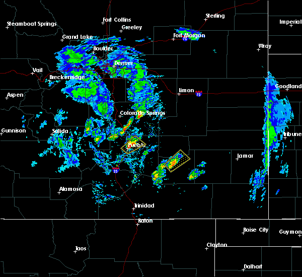 At 157 pm mdt, a severe thunderstorm was located near rocky ford, or 13 miles west of la junta, moving northeast at 25 mph (radar indicated). Hazards include quarter size hail. Damage to vehicles is expected. Locations impacted include, rocky ford, swink, sugar city and cheraw. At 157 pm mdt, a severe thunderstorm was located near rocky ford, or 13 miles west of la junta, moving northeast at 25 mph (radar indicated). Hazards include quarter size hail. Damage to vehicles is expected. Locations impacted include, rocky ford, swink, sugar city and cheraw.
|
| 5/18/2017 1:42 PM MDT |
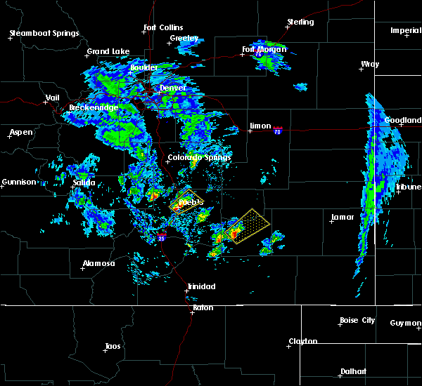 At 142 pm mdt, a severe thunderstorm was located 8 miles northwest of timpas, or 17 miles west of la junta, moving northeast at 35 mph (radar indicated). Hazards include quarter size hail. damage to vehicles is expected At 142 pm mdt, a severe thunderstorm was located 8 miles northwest of timpas, or 17 miles west of la junta, moving northeast at 35 mph (radar indicated). Hazards include quarter size hail. damage to vehicles is expected
|
| 5/10/2017 5:27 PM MDT |
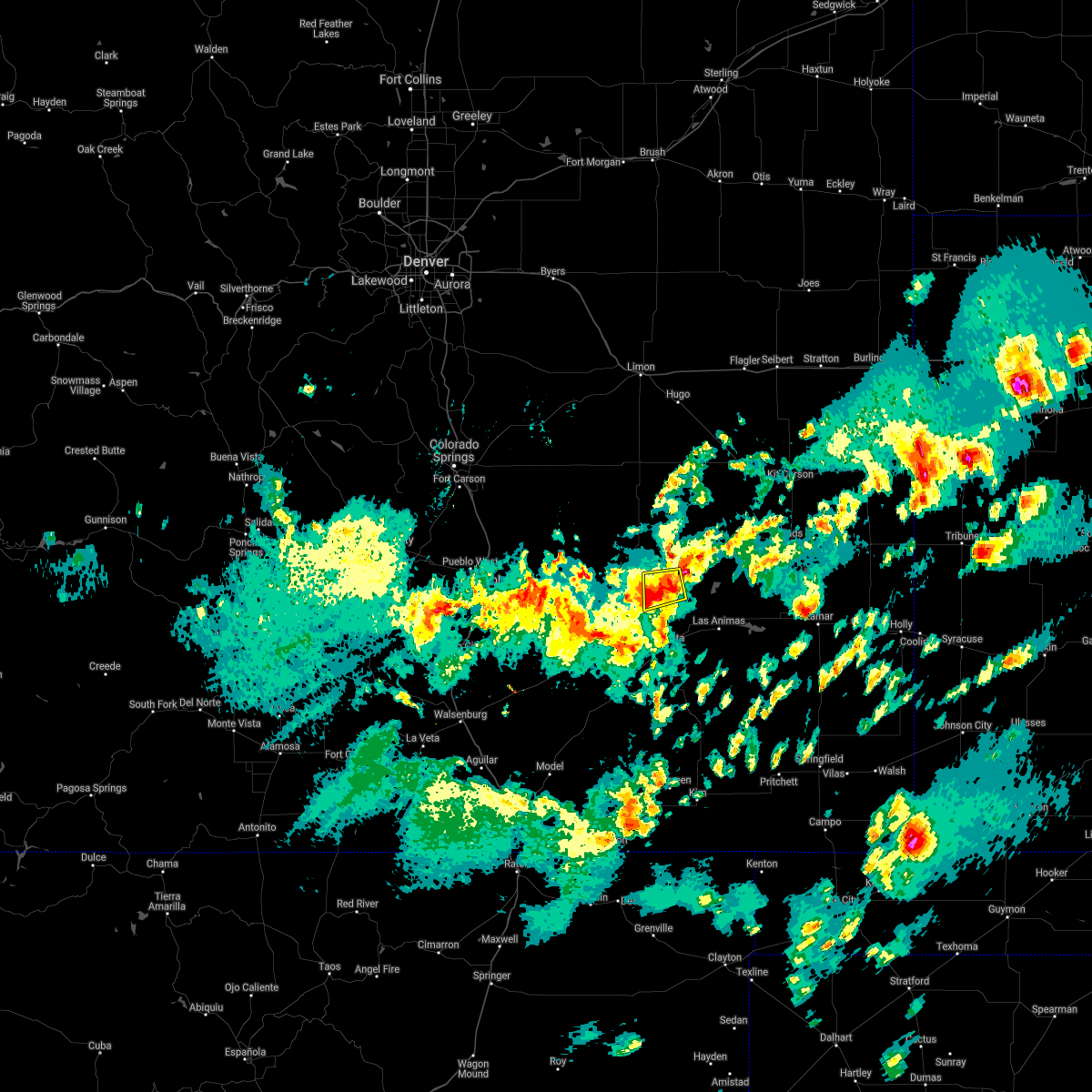 The severe thunderstorm warning for northeastern otero, western kiowa and southeastern crowley counties will expire at 530 pm mdt, the storm which prompted the warning has weakened below severe limits, and no longer pose an immediate threat to life or property. therefore the severe thunderstorm warning will be allowed to expire. however small hail and heavy rain are still possible with this thunderstorm. The severe thunderstorm warning for northeastern otero, western kiowa and southeastern crowley counties will expire at 530 pm mdt, the storm which prompted the warning has weakened below severe limits, and no longer pose an immediate threat to life or property. therefore the severe thunderstorm warning will be allowed to expire. however small hail and heavy rain are still possible with this thunderstorm.
|
| 5/10/2017 4:42 PM MDT |
 At 442 pm mdt, a severe thunderstorm was located 9 miles southwest of arlington, or 20 miles north of la junta, moving west at 15 mph (radar indicated). Hazards include 60 mph wind gusts and quarter size hail. Hail damage to vehicles is expected. Expect wind damage to roofs, siding, and trees. At 442 pm mdt, a severe thunderstorm was located 9 miles southwest of arlington, or 20 miles north of la junta, moving west at 15 mph (radar indicated). Hazards include 60 mph wind gusts and quarter size hail. Hail damage to vehicles is expected. Expect wind damage to roofs, siding, and trees.
|
| 5/10/2017 4:33 PM MDT |
 At 433 pm mdt, a severe thunderstorm was located 9 miles northeast of sugar city, or 21 miles north of la junta, moving west at 10 mph (radar indicated). Hazards include 60 mph wind gusts and half dollar size hail. Hail damage to vehicles is expected. expect wind damage to roofs, siding, and trees. Locations impacted include, sugar city. At 433 pm mdt, a severe thunderstorm was located 9 miles northeast of sugar city, or 21 miles north of la junta, moving west at 10 mph (radar indicated). Hazards include 60 mph wind gusts and half dollar size hail. Hail damage to vehicles is expected. expect wind damage to roofs, siding, and trees. Locations impacted include, sugar city.
|
| 5/10/2017 4:14 PM MDT |
 At 414 pm mdt, a severe thunderstorm was located 7 miles west of arlington, or 22 miles north of la junta, moving west at 10 mph (radar indicated). Hazards include 60 mph wind gusts and quarter size hail. Hail damage to vehicles is expected. Expect wind damage to roofs, siding, and trees. At 414 pm mdt, a severe thunderstorm was located 7 miles west of arlington, or 22 miles north of la junta, moving west at 10 mph (radar indicated). Hazards include 60 mph wind gusts and quarter size hail. Hail damage to vehicles is expected. Expect wind damage to roofs, siding, and trees.
|
| 5/9/2017 3:29 PM MDT |
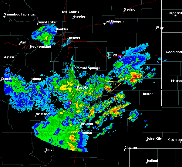 At 329 pm mdt, a severe thunderstorm was located near sugar city, or 22 miles north of la junta, moving northeast at 30 mph (radar indicated). Hazards include 60 mph wind gusts and quarter size hail. Hail damage to vehicles is expected. Expect wind damage to roofs, siding, and trees. At 329 pm mdt, a severe thunderstorm was located near sugar city, or 22 miles north of la junta, moving northeast at 30 mph (radar indicated). Hazards include 60 mph wind gusts and quarter size hail. Hail damage to vehicles is expected. Expect wind damage to roofs, siding, and trees.
|
| 5/9/2017 3:14 PM MDT |
 At 312 pm mdt, a severe thunderstorm was located over ordway, or 20 miles northwest of la junta, moving north at 30 mph (radar indicated). Hazards include 60 mph wind gusts and quarter size hail. Hail damage to vehicles is expected. expect wind damage to roofs, siding, and trees. Locations impacted include, ordway and sugar city. At 312 pm mdt, a severe thunderstorm was located over ordway, or 20 miles northwest of la junta, moving north at 30 mph (radar indicated). Hazards include 60 mph wind gusts and quarter size hail. Hail damage to vehicles is expected. expect wind damage to roofs, siding, and trees. Locations impacted include, ordway and sugar city.
|
| 5/9/2017 2:55 PM MDT |
 At 255 pm mdt, a severe thunderstorm was located over manzanola, or 16 miles northwest of la junta, moving north at 25 mph (radar indicated). Hazards include 60 mph wind gusts and quarter size hail. Hail damage to vehicles is expected. Expect wind damage to roofs, siding, and trees. At 255 pm mdt, a severe thunderstorm was located over manzanola, or 16 miles northwest of la junta, moving north at 25 mph (radar indicated). Hazards include 60 mph wind gusts and quarter size hail. Hail damage to vehicles is expected. Expect wind damage to roofs, siding, and trees.
|
| 9/14/2016 3:03 PM MDT | Golf Ball sized hail reported 0.6 miles SSW of Sugar City, CO, mostly 1.00 inch hail. |
| 9/14/2016 3:01 PM MDT |
 At 300 pm mdt, a severe thunderstorm was located 7 miles northeast of sugar city, or 22 miles north of la junta, moving east at 30 mph (radar indicated). Hazards include two inch hail and 60 mph wind gusts. People and animals outdoors will be injured. expect hail damage to roofs, siding, windows, and vehicles. expect wind damage to roofs, siding, and trees. Locations impacted include, sugar city. At 300 pm mdt, a severe thunderstorm was located 7 miles northeast of sugar city, or 22 miles north of la junta, moving east at 30 mph (radar indicated). Hazards include two inch hail and 60 mph wind gusts. People and animals outdoors will be injured. expect hail damage to roofs, siding, windows, and vehicles. expect wind damage to roofs, siding, and trees. Locations impacted include, sugar city.
|
| 9/14/2016 2:57 PM MDT | Golf Ball sized hail reported 0.4 miles WNW of Sugar City, CO, . |
| 9/14/2016 2:50 PM MDT |
 At 250 pm mdt, a severe thunderstorm was located near sugar city, or 21 miles north of la junta, moving east at 30 mph (radar indicated). Hazards include ping pong ball size hail and 60 mph wind gusts. People and animals outdoors will be injured. expect hail damage to roofs, siding, windows, and vehicles. expect wind damage to roofs, siding, and trees. Locations impacted include, ordway and sugar city. At 250 pm mdt, a severe thunderstorm was located near sugar city, or 21 miles north of la junta, moving east at 30 mph (radar indicated). Hazards include ping pong ball size hail and 60 mph wind gusts. People and animals outdoors will be injured. expect hail damage to roofs, siding, windows, and vehicles. expect wind damage to roofs, siding, and trees. Locations impacted include, ordway and sugar city.
|
| 9/14/2016 2:39 PM MDT |
 At 239 pm mdt, a severe thunderstorm was located over ordway, or 22 miles northwest of la junta, moving east at 30 mph (radar indicated). Hazards include ping pong ball size hail and 60 mph wind gusts. People and animals outdoors will be injured. expect hail damage to roofs, siding, windows, and vehicles. Expect wind damage to roofs, siding, and trees. At 239 pm mdt, a severe thunderstorm was located over ordway, or 22 miles northwest of la junta, moving east at 30 mph (radar indicated). Hazards include ping pong ball size hail and 60 mph wind gusts. People and animals outdoors will be injured. expect hail damage to roofs, siding, windows, and vehicles. Expect wind damage to roofs, siding, and trees.
|
| 9/14/2016 2:37 PM MDT |
 At 237 pm mdt, a severe thunderstorm was located over ordway, or 22 miles northwest of la junta, moving northeast at 30 mph (radar indicated). Hazards include ping pong ball size hail and 60 mph wind gusts. People and animals outdoors will be injured. expect hail damage to roofs, siding, windows, and vehicles. expect wind damage to roofs, siding, and trees. Locations impacted include, ordway, manzanola, sugar city and crowley. At 237 pm mdt, a severe thunderstorm was located over ordway, or 22 miles northwest of la junta, moving northeast at 30 mph (radar indicated). Hazards include ping pong ball size hail and 60 mph wind gusts. People and animals outdoors will be injured. expect hail damage to roofs, siding, windows, and vehicles. expect wind damage to roofs, siding, and trees. Locations impacted include, ordway, manzanola, sugar city and crowley.
|
| 9/14/2016 2:22 PM MDT |
 At 221 pm mdt, a severe thunderstorm was located over crowley, or 23 miles northwest of la junta, moving east at 35 mph (radar indicated). Hazards include ping pong ball size hail and 60 mph wind gusts. People and animals outdoors will be injured. expect hail damage to roofs, siding, windows, and vehicles. expect wind damage to roofs, siding, and trees. Locations impacted include, ordway, manzanola, olney springs, sugar city and crowley. At 221 pm mdt, a severe thunderstorm was located over crowley, or 23 miles northwest of la junta, moving east at 35 mph (radar indicated). Hazards include ping pong ball size hail and 60 mph wind gusts. People and animals outdoors will be injured. expect hail damage to roofs, siding, windows, and vehicles. expect wind damage to roofs, siding, and trees. Locations impacted include, ordway, manzanola, olney springs, sugar city and crowley.
|
| 9/14/2016 2:09 PM MDT |
 At 208 pm mdt, a severe thunderstorm was located near fowler, or 30 miles east of pueblo, moving east at 30 mph (radar indicated). Hazards include ping pong ball size hail and 60 mph wind gusts. People and animals outdoors will be injured. expect hail damage to roofs, siding, windows, and vehicles. Expect wind damage to roofs, siding, and trees. At 208 pm mdt, a severe thunderstorm was located near fowler, or 30 miles east of pueblo, moving east at 30 mph (radar indicated). Hazards include ping pong ball size hail and 60 mph wind gusts. People and animals outdoors will be injured. expect hail damage to roofs, siding, windows, and vehicles. Expect wind damage to roofs, siding, and trees.
|
| 7/30/2016 4:29 PM MDT |
 At 429 pm mdt, a severe thunderstorm was located 15 miles south of forder, or 35 miles north of la junta, moving southeast at 20 mph (radar indicated). Hazards include 60 mph wind gusts and quarter size hail. Hail damage to vehicles is expected. expect wind damage to roofs, siding, and trees. Locations impacted include, ordway and sugar city. At 429 pm mdt, a severe thunderstorm was located 15 miles south of forder, or 35 miles north of la junta, moving southeast at 20 mph (radar indicated). Hazards include 60 mph wind gusts and quarter size hail. Hail damage to vehicles is expected. expect wind damage to roofs, siding, and trees. Locations impacted include, ordway and sugar city.
|
| 7/30/2016 4:17 PM MDT |
 At 417 pm mdt, a severe thunderstorm was located 17 miles southwest of forder, or 39 miles northwest of la junta, moving southeast at 15 mph (radar indicated). Hazards include 60 mph wind gusts and quarter size hail. Hail damage to vehicles is expected. Expect wind damage to roofs, siding, and trees. At 417 pm mdt, a severe thunderstorm was located 17 miles southwest of forder, or 39 miles northwest of la junta, moving southeast at 15 mph (radar indicated). Hazards include 60 mph wind gusts and quarter size hail. Hail damage to vehicles is expected. Expect wind damage to roofs, siding, and trees.
|
| 7/28/2016 7:37 PM MDT |
 At 737 pm mdt, a severe thunderstorm was located near sugar city, or 25 miles northwest of la junta, moving south at 15 mph (radar indicated). Hazards include 60 mph wind gusts and quarter size hail. Hail damage to vehicles is expected. expect wind damage to roofs, siding, and trees. Locations impacted include, ordway and sugar city. At 737 pm mdt, a severe thunderstorm was located near sugar city, or 25 miles northwest of la junta, moving south at 15 mph (radar indicated). Hazards include 60 mph wind gusts and quarter size hail. Hail damage to vehicles is expected. expect wind damage to roofs, siding, and trees. Locations impacted include, ordway and sugar city.
|
| 7/28/2016 7:26 PM MDT |
 At 726 pm mdt, a severe thunderstorm was located 9 miles north of sugar city, or 27 miles north of la junta, moving south at 15 mph (radar indicated). Hazards include 60 mph wind gusts and half dollar size hail. Hail damage to vehicles is expected. expect wind damage to roofs, siding, and trees. Locations impacted include, ordway and sugar city. At 726 pm mdt, a severe thunderstorm was located 9 miles north of sugar city, or 27 miles north of la junta, moving south at 15 mph (radar indicated). Hazards include 60 mph wind gusts and half dollar size hail. Hail damage to vehicles is expected. expect wind damage to roofs, siding, and trees. Locations impacted include, ordway and sugar city.
|
| 7/28/2016 7:12 PM MDT |
 At 712 pm mdt, a severe thunderstorm was located 12 miles north of ordway, or 31 miles north of la junta, moving south at 15 mph (radar indicated). Hazards include 60 mph wind gusts and half dollar size hail. Hail damage to vehicles is expected. Expect wind damage to roofs, siding, and trees. At 712 pm mdt, a severe thunderstorm was located 12 miles north of ordway, or 31 miles north of la junta, moving south at 15 mph (radar indicated). Hazards include 60 mph wind gusts and half dollar size hail. Hail damage to vehicles is expected. Expect wind damage to roofs, siding, and trees.
|
| 7/27/2016 7:22 PM MDT |
 The severe thunderstorm warning for southwestern kiowa, northeastern otero, southeastern crowley and northwestern bent counties will expire at 730 pm mdt, the storm which prompted the warning has weakened below severe limits, and no longer pose an immediate threat to life or property. therefore the warning will be allowed to expire. however heavy rain is still possible with this thunderstorm. The severe thunderstorm warning for southwestern kiowa, northeastern otero, southeastern crowley and northwestern bent counties will expire at 730 pm mdt, the storm which prompted the warning has weakened below severe limits, and no longer pose an immediate threat to life or property. therefore the warning will be allowed to expire. however heavy rain is still possible with this thunderstorm.
|
| 7/27/2016 7:10 PM MDT |
 At 710 pm mdt, a severe thunderstorm was located 8 miles east of sugar city, or 20 miles north of la junta, moving south at 20 mph (radar indicated). Hazards include 60 mph wind gusts and quarter size hail. Hail damage to vehicles is expected. expect wind damage to roofs, siding, and trees. Locations impacted include, la junta, north la junta, rocky ford, swink, sugar city and cheraw. At 710 pm mdt, a severe thunderstorm was located 8 miles east of sugar city, or 20 miles north of la junta, moving south at 20 mph (radar indicated). Hazards include 60 mph wind gusts and quarter size hail. Hail damage to vehicles is expected. expect wind damage to roofs, siding, and trees. Locations impacted include, la junta, north la junta, rocky ford, swink, sugar city and cheraw.
|
| 7/27/2016 6:52 PM MDT |
 At 652 pm mdt, a severe thunderstorm was located 9 miles west of arlington, or 24 miles north of la junta, moving southwest at 30 mph (radar indicated). Hazards include ping pong ball size hail and 60 mph wind gusts. People and animals outdoors will be injured. expect hail damage to roofs, siding, windows, and vehicles. expect wind damage to roofs, siding, and trees. Locations impacted include, la junta, north la junta, rocky ford, las animas, swink, sugar city, cheraw, blue lake, arlington, john martin reservoir and fort lyon. At 652 pm mdt, a severe thunderstorm was located 9 miles west of arlington, or 24 miles north of la junta, moving southwest at 30 mph (radar indicated). Hazards include ping pong ball size hail and 60 mph wind gusts. People and animals outdoors will be injured. expect hail damage to roofs, siding, windows, and vehicles. expect wind damage to roofs, siding, and trees. Locations impacted include, la junta, north la junta, rocky ford, las animas, swink, sugar city, cheraw, blue lake, arlington, john martin reservoir and fort lyon.
|
| 7/27/2016 6:39 PM MDT |
 At 639 pm mdt, a severe thunderstorm was located 7 miles northwest of arlington, or 28 miles north of la junta, moving south at 25 mph (radar indicated). Hazards include ping pong ball size hail and 60 mph wind gusts. People and animals outdoors will be injured. expect hail damage to roofs, siding, windows, and vehicles. expect wind damage to roofs, siding, and trees. Locations impacted include, la junta, north la junta, rocky ford, las animas, swink, sugar city, cheraw, blue lake, arlington, john martin reservoir and fort lyon. At 639 pm mdt, a severe thunderstorm was located 7 miles northwest of arlington, or 28 miles north of la junta, moving south at 25 mph (radar indicated). Hazards include ping pong ball size hail and 60 mph wind gusts. People and animals outdoors will be injured. expect hail damage to roofs, siding, windows, and vehicles. expect wind damage to roofs, siding, and trees. Locations impacted include, la junta, north la junta, rocky ford, las animas, swink, sugar city, cheraw, blue lake, arlington, john martin reservoir and fort lyon.
|
| 7/27/2016 6:29 PM MDT |
 At 628 pm mdt, a severe thunderstorm was located 8 miles northwest of arlington, or 32 miles north of la junta, moving south at 30 mph (radar indicated). Hazards include 60 mph wind gusts and half dollar size hail. Hail damage to vehicles is expected. Expect wind damage to roofs, siding, and trees. At 628 pm mdt, a severe thunderstorm was located 8 miles northwest of arlington, or 32 miles north of la junta, moving south at 30 mph (radar indicated). Hazards include 60 mph wind gusts and half dollar size hail. Hail damage to vehicles is expected. Expect wind damage to roofs, siding, and trees.
|
| 7/25/2016 8:05 PM MDT |
 At 804 pm mdt, severe thunderstorms were located along a line extending from 8 miles east of sugar city to near rocky ford, moving east at 25 mph (radar indicated). Hazards include 70 mph wind gusts and quarter size hail. Hail damage to vehicles is expected. expect considerable tree damage. wind damage is also likely to mobile homes, roofs, and outbuildings. Locations impacted include, la junta, north la junta, rocky ford, las animas, ordway, swink, sugar city, cheraw, blue lake, john martin reservoir and fort lyon. At 804 pm mdt, severe thunderstorms were located along a line extending from 8 miles east of sugar city to near rocky ford, moving east at 25 mph (radar indicated). Hazards include 70 mph wind gusts and quarter size hail. Hail damage to vehicles is expected. expect considerable tree damage. wind damage is also likely to mobile homes, roofs, and outbuildings. Locations impacted include, la junta, north la junta, rocky ford, las animas, ordway, swink, sugar city, cheraw, blue lake, john martin reservoir and fort lyon.
|
| 7/25/2016 8:05 PM MDT |
 At 804 pm mdt, a severe thunderstorm was located 8 miles northwest of crowley, or 30 miles northwest of la junta, moving northeast at 15 mph (radar indicated). Hazards include 60 mph wind gusts and penny size hail. Expect damage to roofs. siding. and trees. Locations impacted include, ordway, olney springs, sugar city and crowley. At 804 pm mdt, a severe thunderstorm was located 8 miles northwest of crowley, or 30 miles northwest of la junta, moving northeast at 15 mph (radar indicated). Hazards include 60 mph wind gusts and penny size hail. Expect damage to roofs. siding. and trees. Locations impacted include, ordway, olney springs, sugar city and crowley.
|
| 7/25/2016 7:53 PM MDT |
 At 750 pm mdt, severe thunderstorms were located along a line extending from sugar city to near ordway, moving southeast at 15 mph (radar indicated). Hazards include 70 mph wind gusts and quarter size hail. Hail damage to vehicles is expected. expect considerable tree damage. wind damage is also likely to mobile homes, roofs, and outbuildings. Locations impacted include, la junta, north la junta, rocky ford, las animas, ordway, swink, sugar city, cheraw, higbee, blue lake, john martin reservoir and fort lyon. At 750 pm mdt, severe thunderstorms were located along a line extending from sugar city to near ordway, moving southeast at 15 mph (radar indicated). Hazards include 70 mph wind gusts and quarter size hail. Hail damage to vehicles is expected. expect considerable tree damage. wind damage is also likely to mobile homes, roofs, and outbuildings. Locations impacted include, la junta, north la junta, rocky ford, las animas, ordway, swink, sugar city, cheraw, higbee, blue lake, john martin reservoir and fort lyon.
|
| 7/25/2016 7:44 PM MDT |
 At 744 pm mdt, a severe thunderstorm was located near olney springs, or 30 miles northwest of la junta, moving southeast at 15 mph (radar indicated). Hazards include 60 mph wind gusts and quarter size hail. Hail damage to vehicles is expected. expect wind damage to roofs, siding, and trees. Locations impacted include, ordway, olney springs, sugar city and crowley. At 744 pm mdt, a severe thunderstorm was located near olney springs, or 30 miles northwest of la junta, moving southeast at 15 mph (radar indicated). Hazards include 60 mph wind gusts and quarter size hail. Hail damage to vehicles is expected. expect wind damage to roofs, siding, and trees. Locations impacted include, ordway, olney springs, sugar city and crowley.
|
| 7/25/2016 7:35 PM MDT |
 At 733 pm mdt, severe thunderstorms were located along a line extending from near sugar city to near crowley, moving southeast at 5 mph (radar indicated). Hazards include tennis ball size hail...70 mph winds...very heavy rain and lightning. People and animals outdoors will be injured. expect hail damage to roofs, siding, windows, and vehicles. expect considerable tree damage. wind damage is also likely to mobile homes, roofs, and outbuildings. Locations impacted include, la junta, north la junta, rocky ford, las animas, ordway, swink, sugar city, cheraw, higbee, blue lake, john martin reservoir and fort lyon. At 733 pm mdt, severe thunderstorms were located along a line extending from near sugar city to near crowley, moving southeast at 5 mph (radar indicated). Hazards include tennis ball size hail...70 mph winds...very heavy rain and lightning. People and animals outdoors will be injured. expect hail damage to roofs, siding, windows, and vehicles. expect considerable tree damage. wind damage is also likely to mobile homes, roofs, and outbuildings. Locations impacted include, la junta, north la junta, rocky ford, las animas, ordway, swink, sugar city, cheraw, higbee, blue lake, john martin reservoir and fort lyon.
|
| 7/25/2016 7:30 PM MDT |
 At 730 pm mdt, a severe thunderstorm was located near olney springs, or 30 miles northwest of la junta, moving northeast at 15 mph (radar indicated). Hazards include tennis ball size hail and 70 mph wind gusts. People and animals outdoors will be injured. expect hail damage to roofs, siding, windows, and vehicles. expect considerable tree damage. Wind damage is also likely to mobile homes, roofs, and outbuildings. At 730 pm mdt, a severe thunderstorm was located near olney springs, or 30 miles northwest of la junta, moving northeast at 15 mph (radar indicated). Hazards include tennis ball size hail and 70 mph wind gusts. People and animals outdoors will be injured. expect hail damage to roofs, siding, windows, and vehicles. expect considerable tree damage. Wind damage is also likely to mobile homes, roofs, and outbuildings.
|
| 7/25/2016 7:10 PM MDT |
 At 709 pm mdt, severe thunderstorms were located along a line extending from sugar city to near crowley, moving east at 20 mph (radar indicated). Hazards include 70 mph wind gusts...quarter size hail...torrential rainfall, lightning. Hail damage to vehicles is expected. expect considerable tree damage. Wind damage is also likely to mobile homes, roofs, and outbuildings. At 709 pm mdt, severe thunderstorms were located along a line extending from sugar city to near crowley, moving east at 20 mph (radar indicated). Hazards include 70 mph wind gusts...quarter size hail...torrential rainfall, lightning. Hail damage to vehicles is expected. expect considerable tree damage. Wind damage is also likely to mobile homes, roofs, and outbuildings.
|
| 7/17/2016 8:11 PM MDT |
 The severe thunderstorm warning for crowley county will expire at 815 pm mdt, the storm which prompted the warning has weakened below severe limits, and no longer pose an immediate threat to life or property. therefore the warning will be allowed to expire. however gusty winds are still possible with this thunderstorm. The severe thunderstorm warning for crowley county will expire at 815 pm mdt, the storm which prompted the warning has weakened below severe limits, and no longer pose an immediate threat to life or property. therefore the warning will be allowed to expire. however gusty winds are still possible with this thunderstorm.
|
| 7/17/2016 7:51 PM MDT |
 At 751 pm mdt, a severe thunderstorm was located 15 miles south of forder, or 35 miles north of la junta, moving east at 40 mph (radar indicated). Hazards include 70 mph wind gusts and nickel size hail. Expect considerable tree damage. damage is likely to mobile homes, roofs, and outbuildings. Locations impacted include, ordway and sugar city. At 751 pm mdt, a severe thunderstorm was located 15 miles south of forder, or 35 miles north of la junta, moving east at 40 mph (radar indicated). Hazards include 70 mph wind gusts and nickel size hail. Expect considerable tree damage. damage is likely to mobile homes, roofs, and outbuildings. Locations impacted include, ordway and sugar city.
|
| 7/17/2016 7:35 PM MDT |
 At 735 pm mdt, a severe thunderstorm was located 15 miles south of forder, or 36 miles northwest of la junta, moving east at 50 mph (radar indicated). Hazards include 70 mph wind gusts and nickel size hail. Expect considerable tree damage. Damage is likely to mobile homes, roofs, and outbuildings. At 735 pm mdt, a severe thunderstorm was located 15 miles south of forder, or 36 miles northwest of la junta, moving east at 50 mph (radar indicated). Hazards include 70 mph wind gusts and nickel size hail. Expect considerable tree damage. Damage is likely to mobile homes, roofs, and outbuildings.
|
| 7/8/2016 8:07 PM MDT |
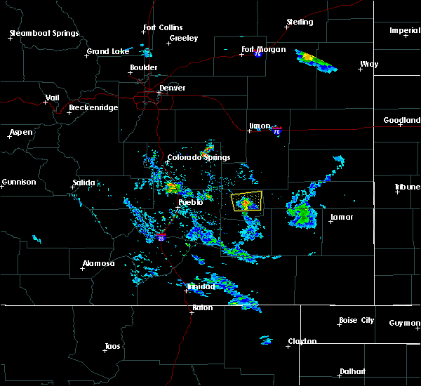 The severe thunderstorm warning for central crowley county will expire at 815 pm mdt, the storm which prompted the warning has weakened below severe limits, and no longer pose an immediate threat to life or property. therefore the warning will be allowed to expire. The severe thunderstorm warning for central crowley county will expire at 815 pm mdt, the storm which prompted the warning has weakened below severe limits, and no longer pose an immediate threat to life or property. therefore the warning will be allowed to expire.
|
| 7/8/2016 7:56 PM MDT |
 At 755 pm mdt, a severe thunderstorm was located 9 miles north of ordway, or 29 miles northwest of la junta, moving east at 25 mph (radar indicated). Hazards include 60 mph wind gusts and quarter size hail. Hail damage to vehicles is expected. expect wind damage to roofs, siding, and trees. This severe thunderstorm will remain over mainly rural areas of central crowley county. At 755 pm mdt, a severe thunderstorm was located 9 miles north of ordway, or 29 miles northwest of la junta, moving east at 25 mph (radar indicated). Hazards include 60 mph wind gusts and quarter size hail. Hail damage to vehicles is expected. expect wind damage to roofs, siding, and trees. This severe thunderstorm will remain over mainly rural areas of central crowley county.
|
| 7/8/2016 5:50 AM MDT |
 At 550 am mdt, a severe thunderstorm was located 9 miles southwest of arlington, or 18 miles north of la junta, moving east at 25 mph (radar indicated). Hazards include quarter size hail. Damage to vehicles is expected. Locations impacted include, sugar city and cheraw. At 550 am mdt, a severe thunderstorm was located 9 miles southwest of arlington, or 18 miles north of la junta, moving east at 25 mph (radar indicated). Hazards include quarter size hail. Damage to vehicles is expected. Locations impacted include, sugar city and cheraw.
|
| 7/8/2016 5:43 AM MDT |
 At 542 am mdt, a severe thunderstorm was located over sugar city, or 16 miles northwest of la junta, moving east at 20 mph (radar indicated). Hazards include half dollar size hail. Damage to vehicles is expected. Locations impacted include, rocky ford, ordway, sugar city and cheraw. At 542 am mdt, a severe thunderstorm was located over sugar city, or 16 miles northwest of la junta, moving east at 20 mph (radar indicated). Hazards include half dollar size hail. Damage to vehicles is expected. Locations impacted include, rocky ford, ordway, sugar city and cheraw.
|
| 7/8/2016 5:25 AM MDT |
 At 525 am mdt, a severe thunderstorm was located over ordway, or 19 miles northwest of la junta, moving southeast at 10 mph (radar indicated). Hazards include ping pong ball size hail. People and animals outdoors will be injured. Expect damage to roofs, siding, windows, and vehicles. At 525 am mdt, a severe thunderstorm was located over ordway, or 19 miles northwest of la junta, moving southeast at 10 mph (radar indicated). Hazards include ping pong ball size hail. People and animals outdoors will be injured. Expect damage to roofs, siding, windows, and vehicles.
|
| 7/8/2016 5:19 AM MDT |
 At 519 am mdt, a severe thunderstorm was located over ordway, or 19 miles northwest of la junta, moving east at 10 mph (radar indicated). Hazards include ping pong ball size hail. People and animals outdoors will be injured. expect damage to roofs, siding, windows, and vehicles. Locations impacted include, ordway, sugar city and crowley. At 519 am mdt, a severe thunderstorm was located over ordway, or 19 miles northwest of la junta, moving east at 10 mph (radar indicated). Hazards include ping pong ball size hail. People and animals outdoors will be injured. expect damage to roofs, siding, windows, and vehicles. Locations impacted include, ordway, sugar city and crowley.
|
| 7/8/2016 4:57 AM MDT |
 At 457 am mdt, a severe thunderstorm was located near ordway, or 25 miles northwest of la junta, moving east at 10 mph (radar indicated). Hazards include ping pong ball size hail. People and animals outdoors will be injured. Expect damage to roofs, siding, windows, and vehicles. At 457 am mdt, a severe thunderstorm was located near ordway, or 25 miles northwest of la junta, moving east at 10 mph (radar indicated). Hazards include ping pong ball size hail. People and animals outdoors will be injured. Expect damage to roofs, siding, windows, and vehicles.
|
| 7/1/2016 4:05 PM MDT |
 At 405 pm mdt, a severe thunderstorm was located 14 miles southwest of fowler, or 29 miles southeast of pueblo, moving northeast at 15 mph (radar indicated). Hazards include 60 mph wind gusts and quarter size hail. Hail damage to vehicles is expected. Expect wind damage to roofs, siding, and trees. At 405 pm mdt, a severe thunderstorm was located 14 miles southwest of fowler, or 29 miles southeast of pueblo, moving northeast at 15 mph (radar indicated). Hazards include 60 mph wind gusts and quarter size hail. Hail damage to vehicles is expected. Expect wind damage to roofs, siding, and trees.
|
| 6/29/2016 8:43 PM MDT |
 The severe thunderstorm warning for southeastern crowley county will expire at 845 pm mdt, the storm which prompted the warning has weakened below severe limits, and no longer pose an immediate threat to life or property. therefore the warning will be allowed to expire. The severe thunderstorm warning for southeastern crowley county will expire at 845 pm mdt, the storm which prompted the warning has weakened below severe limits, and no longer pose an immediate threat to life or property. therefore the warning will be allowed to expire.
|
| 6/29/2016 8:35 PM MDT | Quarter sized hail reported 1 miles WSW of Sugar City, CO |
| 6/29/2016 8:32 PM MDT |
 At 832 pm mdt, a severe thunderstorm was located over sugar city, or 18 miles northwest of la junta, moving south at 20 mph (radar indicated). Hazards include 60 mph wind gusts and quarter size hail. Hail damage to vehicles is expected. expect wind damage to roofs, siding, and trees. Locations impacted include, ordway and sugar city. At 832 pm mdt, a severe thunderstorm was located over sugar city, or 18 miles northwest of la junta, moving south at 20 mph (radar indicated). Hazards include 60 mph wind gusts and quarter size hail. Hail damage to vehicles is expected. expect wind damage to roofs, siding, and trees. Locations impacted include, ordway and sugar city.
|
| 6/29/2016 8:21 PM MDT |
 At 820 pm mdt, a severe thunderstorm was located near sugar city, or 23 miles north of la junta, moving south at 30 mph (radar indicated). Hazards include 60 mph wind gusts and quarter size hail. Hail damage to vehicles is expected. Expect wind damage to roofs, siding, and trees. At 820 pm mdt, a severe thunderstorm was located near sugar city, or 23 miles north of la junta, moving south at 30 mph (radar indicated). Hazards include 60 mph wind gusts and quarter size hail. Hail damage to vehicles is expected. Expect wind damage to roofs, siding, and trees.
|
| 6/25/2016 6:00 PM MDT |
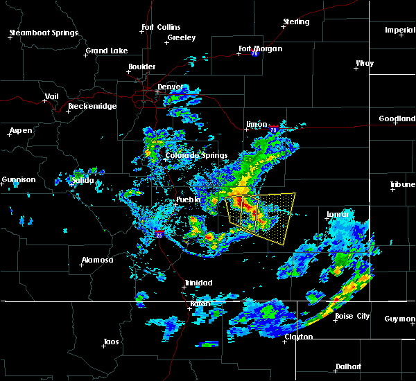 At 559 pm mdt, a severe thunderstorm was located near cheraw, or 12 miles north of la junta, moving southeast at 20 mph (trained weather spotters). Hazards include 70 mph wind gusts and quarter size hail. Hail damage to vehicles is expected. expect considerable tree damage. wind damage is also likely to mobile homes, roofs, and outbuildings. this storm has a history of producing 70 mph winds. Locations impacted include, la junta, north la junta, rocky ford, las animas, swink, sugar city, cheraw, blue lake, arlington, john martin reservoir and fort lyon. At 559 pm mdt, a severe thunderstorm was located near cheraw, or 12 miles north of la junta, moving southeast at 20 mph (trained weather spotters). Hazards include 70 mph wind gusts and quarter size hail. Hail damage to vehicles is expected. expect considerable tree damage. wind damage is also likely to mobile homes, roofs, and outbuildings. this storm has a history of producing 70 mph winds. Locations impacted include, la junta, north la junta, rocky ford, las animas, swink, sugar city, cheraw, blue lake, arlington, john martin reservoir and fort lyon.
|
| 6/25/2016 5:49 PM MDT |
 At 548 pm mdt, a severe thunderstorm was located over sugar city, or 16 miles northwest of la junta, moving east at 20 mph (trained weather spotters). Hazards include 70 mph wind gusts. winds of 70 mph were measured in swink at 545 pm. Expect considerable tree damage. Damage is likely to mobile homes, roofs, and outbuildings. At 548 pm mdt, a severe thunderstorm was located over sugar city, or 16 miles northwest of la junta, moving east at 20 mph (trained weather spotters). Hazards include 70 mph wind gusts. winds of 70 mph were measured in swink at 545 pm. Expect considerable tree damage. Damage is likely to mobile homes, roofs, and outbuildings.
|
| 6/25/2016 5:39 PM MDT |
 At 538 pm mdt, a severe thunderstorm was located over ordway, or 21 miles northwest of la junta, moving east at 20 mph (radar indicated). Hazards include 60 mph wind gusts and quarter size hail. Hail damage to vehicles is expected. expect wind damage to roofs, siding, and trees. Locations impacted include, la junta, north la junta, rocky ford, ordway, swink, manzanola, sugar city and crowley. At 538 pm mdt, a severe thunderstorm was located over ordway, or 21 miles northwest of la junta, moving east at 20 mph (radar indicated). Hazards include 60 mph wind gusts and quarter size hail. Hail damage to vehicles is expected. expect wind damage to roofs, siding, and trees. Locations impacted include, la junta, north la junta, rocky ford, ordway, swink, manzanola, sugar city and crowley.
|
| 6/25/2016 5:27 PM MDT |
 At 527 pm mdt, a severe thunderstorm was located over sugar city, or 19 miles northwest of la junta, moving southeast at 30 mph (radar indicated). Hazards include 70 mph wind gusts and quarter size hail. Hail damage to vehicles is expected. expect considerable tree damage. wind damage is also likely to mobile homes, roofs, and outbuildings. Locations impacted include, la junta, north la junta, rocky ford, ordway, swink, manzanola, sugar city and crowley. At 527 pm mdt, a severe thunderstorm was located over sugar city, or 19 miles northwest of la junta, moving southeast at 30 mph (radar indicated). Hazards include 70 mph wind gusts and quarter size hail. Hail damage to vehicles is expected. expect considerable tree damage. wind damage is also likely to mobile homes, roofs, and outbuildings. Locations impacted include, la junta, north la junta, rocky ford, ordway, swink, manzanola, sugar city and crowley.
|
| 6/25/2016 5:18 PM MDT |
 At 517 pm mdt, a severe thunderstorm was located near ordway, or 24 miles northwest of la junta, moving southeast at 30 mph (radar indicated). Hazards include 70 mph wind gusts and quarter size hail. Hail damage to vehicles is expected. expect considerable tree damage. Wind damage is also likely to mobile homes, roofs, and outbuildings. At 517 pm mdt, a severe thunderstorm was located near ordway, or 24 miles northwest of la junta, moving southeast at 30 mph (radar indicated). Hazards include 70 mph wind gusts and quarter size hail. Hail damage to vehicles is expected. expect considerable tree damage. Wind damage is also likely to mobile homes, roofs, and outbuildings.
|
| 6/12/2016 8:25 PM MDT |
 At 825 pm mdt, a severe thunderstorm was located near la junta, moving east at 45 mph (radar indicated). Hazards include 70 mph wind gusts and quarter size hail. Hail damage to vehicles is expected. expect considerable tree damage. Wind damage is also likely to mobile homes, roofs, and outbuildings. At 825 pm mdt, a severe thunderstorm was located near la junta, moving east at 45 mph (radar indicated). Hazards include 70 mph wind gusts and quarter size hail. Hail damage to vehicles is expected. expect considerable tree damage. Wind damage is also likely to mobile homes, roofs, and outbuildings.
|
| 6/12/2016 7:59 PM MDT |
 At 758 pm mdt, a severe thunderstorm was located near rocky ford, or 14 miles northwest of la junta, moving southeast at 55 mph (radar indicated). Hazards include golf ball size hail and 70 mph wind gusts. People and animals outdoors will be injured. expect hail damage to roofs, siding, windows, and vehicles. expect considerable tree damage. wind damage is also likely to mobile homes, roofs, and outbuildings. Locations impacted include, la junta, north la junta, rocky ford, ordway, swink, manzanola, olney springs, sugar city, cheraw and crowley. At 758 pm mdt, a severe thunderstorm was located near rocky ford, or 14 miles northwest of la junta, moving southeast at 55 mph (radar indicated). Hazards include golf ball size hail and 70 mph wind gusts. People and animals outdoors will be injured. expect hail damage to roofs, siding, windows, and vehicles. expect considerable tree damage. wind damage is also likely to mobile homes, roofs, and outbuildings. Locations impacted include, la junta, north la junta, rocky ford, ordway, swink, manzanola, olney springs, sugar city, cheraw and crowley.
|
| 6/12/2016 7:49 PM MDT |
 At 749 pm mdt, a severe thunderstorm was located over manzanola, or 22 miles northwest of la junta, moving southeast at 50 mph (trained weather spotters). Hazards include golf ball size hail and 70 mph wind gusts. People and animals outdoors will be injured. expect hail damage to roofs, siding, windows, and vehicles. expect considerable tree damage. wind damage is also likely to mobile homes, roofs, and outbuildings. Locations impacted include, la junta, north la junta, rocky ford, fowler, ordway, swink, manzanola, olney springs, sugar city, cheraw and crowley. At 749 pm mdt, a severe thunderstorm was located over manzanola, or 22 miles northwest of la junta, moving southeast at 50 mph (trained weather spotters). Hazards include golf ball size hail and 70 mph wind gusts. People and animals outdoors will be injured. expect hail damage to roofs, siding, windows, and vehicles. expect considerable tree damage. wind damage is also likely to mobile homes, roofs, and outbuildings. Locations impacted include, la junta, north la junta, rocky ford, fowler, ordway, swink, manzanola, olney springs, sugar city, cheraw and crowley.
|
| 6/12/2016 7:44 PM MDT |
 At 744 pm mdt, a severe thunderstorm was located over olney springs, or 23 miles northwest of la junta, moving southeast at 55 mph (trained weather spotters). Hazards include 70 mph wind gusts and ping pong ball size hail. People and animals outdoors will be injured. expect hail damage to roofs, siding, windows, and vehicles. expect considerable tree damage. Wind damage is also likely to mobile homes, roofs, and outbuildings. At 744 pm mdt, a severe thunderstorm was located over olney springs, or 23 miles northwest of la junta, moving southeast at 55 mph (trained weather spotters). Hazards include 70 mph wind gusts and ping pong ball size hail. People and animals outdoors will be injured. expect hail damage to roofs, siding, windows, and vehicles. expect considerable tree damage. Wind damage is also likely to mobile homes, roofs, and outbuildings.
|
| 6/7/2016 6:56 PM MDT |
 At 656 pm mdt, a severe thunderstorm was located near manzanola, or 19 miles west of la junta, moving east at 10 mph (radar indicated). Hazards include golf ball size hail and 60 mph wind gusts. People and animals outdoors will be injured. expect hail damage to roofs, siding, windows, and vehicles. expect wind damage to roofs, siding, and trees. Locations impacted include, la junta, north la junta, rocky ford, ordway, swink, manzanola, olney springs, sugar city and crowley. At 656 pm mdt, a severe thunderstorm was located near manzanola, or 19 miles west of la junta, moving east at 10 mph (radar indicated). Hazards include golf ball size hail and 60 mph wind gusts. People and animals outdoors will be injured. expect hail damage to roofs, siding, windows, and vehicles. expect wind damage to roofs, siding, and trees. Locations impacted include, la junta, north la junta, rocky ford, ordway, swink, manzanola, olney springs, sugar city and crowley.
|
| 6/7/2016 6:43 PM MDT |
 At 643 pm mdt, a severe thunderstorm was located over manzanola, or 21 miles northwest of la junta, moving east at 15 mph (radar indicated). Hazards include 60 mph wind gusts and quarter size hail. Hail damage to vehicles is expected. Expect wind damage to roofs, siding, and trees. At 643 pm mdt, a severe thunderstorm was located over manzanola, or 21 miles northwest of la junta, moving east at 15 mph (radar indicated). Hazards include 60 mph wind gusts and quarter size hail. Hail damage to vehicles is expected. Expect wind damage to roofs, siding, and trees.
|
| 8/17/2015 5:57 PM MDT |
 At 556 pm mdt, a severe thunderstorm was located over olney springs, or 23 miles northwest of la junta, moving east at 30 mph (trained weather spotters). Hazards include 60 mph wind gusts and quarter size hail. Hail damage to vehicles is expected. Expect wind damage to roofs, siding and trees. At 556 pm mdt, a severe thunderstorm was located over olney springs, or 23 miles northwest of la junta, moving east at 30 mph (trained weather spotters). Hazards include 60 mph wind gusts and quarter size hail. Hail damage to vehicles is expected. Expect wind damage to roofs, siding and trees.
|
| 8/7/2015 4:08 PM MDT |
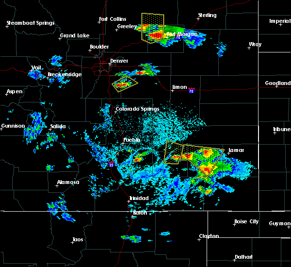 At 359 pm mdt, doppler radar indicated a severe thunderstorm capable of producing quarter size hail and damaging winds in excess of 60 mph. this storm was located near swink, or 7 miles west of la junta, moving north at 30 mph. quarter size hail was reported in la junta at 353 pm. locations impacted include, la junta, north la junta, rocky ford, ordway, swink, sugar city and cheraw. At 359 pm mdt, doppler radar indicated a severe thunderstorm capable of producing quarter size hail and damaging winds in excess of 60 mph. this storm was located near swink, or 7 miles west of la junta, moving north at 30 mph. quarter size hail was reported in la junta at 353 pm. locations impacted include, la junta, north la junta, rocky ford, ordway, swink, sugar city and cheraw.
|
| 8/7/2015 4:00 PM MDT |
 At 359 pm mdt, doppler radar indicated a severe thunderstorm capable of producing quarter size hail and damaging winds in excess of 60 mph. this storm was located near swink, or 7 miles west of la junta, moving north at 30 mph. quarter size hail was reported in la junta at 353 pm. locations impacted include, la junta, north la junta, rocky ford, ordway, swink, sugar city and cheraw. At 359 pm mdt, doppler radar indicated a severe thunderstorm capable of producing quarter size hail and damaging winds in excess of 60 mph. this storm was located near swink, or 7 miles west of la junta, moving north at 30 mph. quarter size hail was reported in la junta at 353 pm. locations impacted include, la junta, north la junta, rocky ford, ordway, swink, sugar city and cheraw.
|
| 8/7/2015 3:51 PM MDT |
 At 351 pm mdt, doppler radar indicated a severe thunderstorm capable of producing half dollar size hail and damaging winds in excess of 60 mph. this storm was located near swink, or 9 miles west of la junta, and moving north at 30 mph. At 351 pm mdt, doppler radar indicated a severe thunderstorm capable of producing half dollar size hail and damaging winds in excess of 60 mph. this storm was located near swink, or 9 miles west of la junta, and moving north at 30 mph.
|
| 6/3/2015 11:47 PM MDT | At 1147 pm mdt, a severe thunderstorm was located near sugar city, or 22 miles north of la junta, moving east at 20 mph (radar indicated). Hazards include 60 mph wind gusts and quarter size hail. Hail damage to vehicles is expected. expect wind damage to roofs, siding and trees. Locations impacted include, sugar city and arlington. |
| 6/3/2015 11:42 PM MDT | At 1142 pm mdt, a severe thunderstorm was located near sugar city, or 22 miles north of la junta, moving east at 20 mph (radar indicated). Hazards include ping pong ball size hail and 60 mph wind gusts. People and animals outdoors will be injured. expect hail damage to roofs, siding, windows and vehicles. Expect wind damage to roofs, siding and trees. |
| 6/3/2015 11:35 PM MDT | At 1135 pm mdt, a severe thunderstorm was located near sugar city, or 24 miles northwest of la junta, moving northeast at 30 mph (radar indicated). Hazards include ping pong ball size hail and 60 mph wind gusts. People and animals outdoors will be injured. expect hail damage to roofs, siding, windows and vehicles. expect wind damage to roofs, siding and trees. Locations impacted include, ordway and sugar city. |
| 6/3/2015 11:29 PM MDT | At 1128 pm mdt, a severe thunderstorm was located near ordway, or 23 miles northwest of la junta, moving northeast at 25 mph (radar indicated). Hazards include ping pong ball size hail and 60 mph wind gusts. People and animals outdoors will be injured. expect hail damage to roofs, siding, windows and vehicles. expect wind damage to roofs, siding and trees. Locations impacted include, ordway, sugar city and crowley. |
| 6/3/2015 11:22 PM MDT | At 1121 pm mdt, a severe thunderstorm was located near ordway, or 24 miles northwest of la junta, moving northeast at 30 mph (radar indicated). Hazards include golf ball size hail and 60 mph wind gusts. People and animals outdoors will be injured. expect hail damage to roofs, siding, windows and vehicles. expect wind damage to roofs, siding and trees. Locations impacted include, ordway, sugar city and crowley. |
| 6/3/2015 11:10 PM MDT | At 1109 pm mdt, a severe thunderstorm was located near crowley, or 25 miles northwest of la junta, moving northeast at 25 mph (radar indicated). Hazards include golf ball size hail and 60 mph wind gusts. People and animals outdoors will be injured. expect hail damage to roofs, siding, windows and vehicles. Expect wind damage to roofs, siding and trees. |
| 5/26/2015 8:51 PM MDT | At 851 pm mdt, a severe thunderstorm was located over swink, or near la junta, moving northeast at 25 mph (radar indicated). Hazards include 60 mph wind gusts and quarter size hail. Hail damage to vehicles is expected. expect wind damage to roofs, siding and trees. Locations impacted include, la junta, north la junta, rocky ford, swink, sugar city and cheraw. |
| 5/26/2015 8:41 PM MDT | At 841 pm mdt, a severe thunderstorm was located over swink, or 7 miles west of la junta, moving northeast at 25 mph (radar indicated). Hazards include 60 mph wind gusts and quarter size hail. Hail damage to vehicles is expected. Expect wind damage to roofs, siding and trees. |
| 5/23/2015 1:22 PM MDT | At 121 pm mdt, a severe thunderstorm was located 7 miles northeast of timpas, or 9 miles southwest of la junta, moving northeast at 40 mph. a second severe thunderstorm was located 10 miles west of timpas, and is also moving northeast at 40 mph (radar indicated). Hazards include 60 mph wind gusts and quarter size hail. Hail damage to vehicles is expected. Expect wind damage to roofs, siding and trees. |
| 5/9/2015 4:04 PM MDT | At 404 pm mdt, a severe thunderstorm was located near sugar city, or 17 miles north of la junta, moving north at 35 mph (radar indicated). Hazards include 60 mph wind gusts and quarter size hail. Hail damage to vehicles is expected. Expect wind damage to roofs, siding and trees. |
| 6/5/2014 8:42 PM MDT | Quarter sized hail reported 2.4 miles E of Sugar City, CO |
| 6/17/2013 5:15 PM MDT | Quarter sized hail reported 0.6 miles SSW of Sugar City, CO, soft hail. most hail was smaller than 1 inch. |
| 6/17/2013 5:12 PM MDT | Quarter sized hail reported 0.4 miles WNW of Sugar City, CO, soft hail. |
| 6/17/2013 5:10 PM MDT | Golf Ball sized hail reported 0.4 miles WNW of Sugar City, CO |
| 1/1/0001 12:00 AM | Golf Ball sized hail reported 2 miles S of Sugar City, CO, time estimated from radar image |
Hail Maps for Sugar City, CO
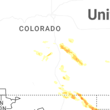
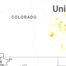
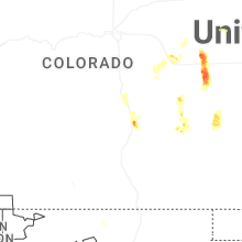
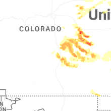
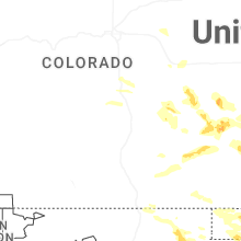
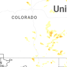
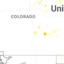


Connect with Interactive Hail Maps