

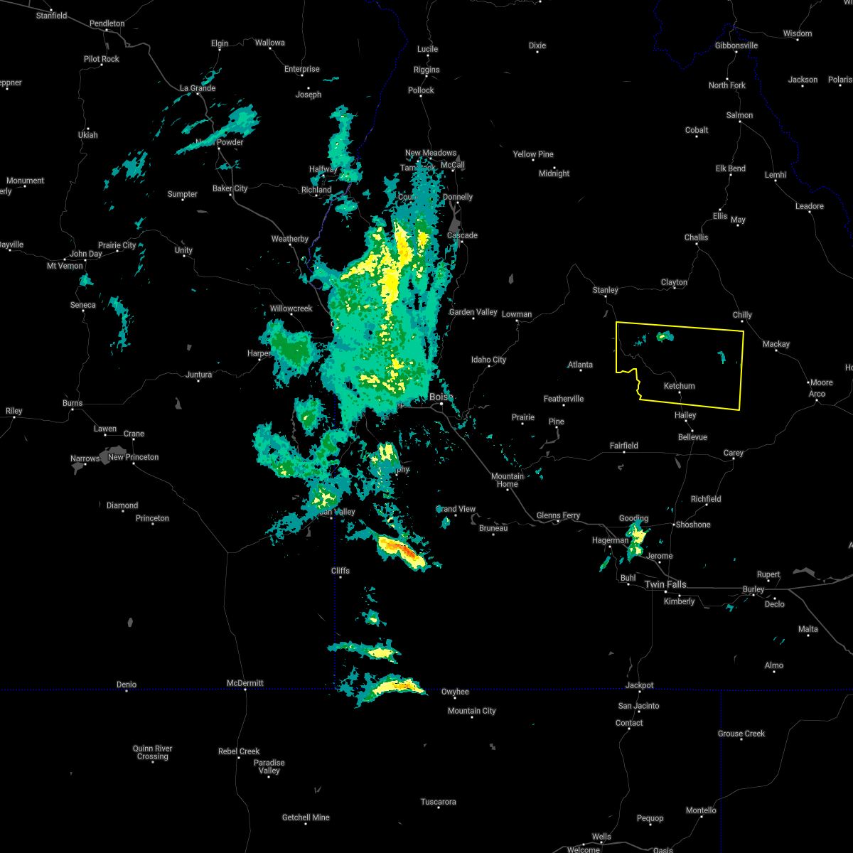
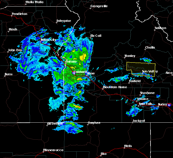
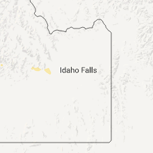
Hail Map for Sun Valley, ID
The Sun Valley, ID area has had 0 reports of on-the-ground hail by trained spotters, and has been under severe weather warnings 0 times during the past 12 months. Doppler radar has detected hail at or near Sun Valley, ID on 1 occasion.
| Name: | Sun Valley, ID |
| Where Located: | 77.5 miles N of Twin Falls, ID |
| Map: | Google Map for Sun Valley, ID |
| Population: | 1406 |
| Housing Units: | 2597 |
| More Info: | Search Google for Sun Valley, ID |
0
The Top Recent Hail Date for Sun Valley, ID is Monday, August 1, 2011 (1st out of 1)

Hail and Wind Damage Spotted near Sun Valley, ID
| Date / Time | Report Details |
|---|---|
| 6/25/2020 5:38 PM MDT |
 At 537 pm mdt, a severe thunderstorm was located near ketchum, moving south at 10 mph (radar indicated). Hazards include 60 mph wind gusts and half dollar size hail. Hail damage to vehicles is expected. Expect wind damage to roofs, siding, and trees. At 537 pm mdt, a severe thunderstorm was located near ketchum, moving south at 10 mph (radar indicated). Hazards include 60 mph wind gusts and half dollar size hail. Hail damage to vehicles is expected. Expect wind damage to roofs, siding, and trees.
|
| 6/11/2017 8:56 PM MDT |
 The severe thunderstorm warning for southwestern custer and northwestern blaine counties will expire at 900 pm mdt, the severe thunderstorm which prompted the warning has moved out of the warned area. therefore, the warning will be allowed to expire. The severe thunderstorm warning for southwestern custer and northwestern blaine counties will expire at 900 pm mdt, the severe thunderstorm which prompted the warning has moved out of the warned area. therefore, the warning will be allowed to expire.
|
| 6/11/2017 8:44 PM MDT |
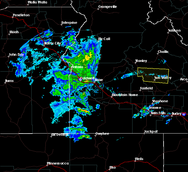 At 843 pm mdt, a severe thunderstorm was located near ketchum, moving north at 30 mph (radar indicated). Hazards include 60 mph wind gusts. Expect damage to roofs, siding, and trees. Locations impacted include, ketchum, sun valley, galena lodge, galena summit, garfield ranger station, smiley creek airport and twin bridges airport. At 843 pm mdt, a severe thunderstorm was located near ketchum, moving north at 30 mph (radar indicated). Hazards include 60 mph wind gusts. Expect damage to roofs, siding, and trees. Locations impacted include, ketchum, sun valley, galena lodge, galena summit, garfield ranger station, smiley creek airport and twin bridges airport.
|
| 6/11/2017 8:26 PM MDT |
 At 825 pm mdt, a severe thunderstorm was located near ketchum, moving north at 30 mph (radar indicated). Hazards include 60 mph wind gusts. expect damage to roofs, siding, and trees At 825 pm mdt, a severe thunderstorm was located near ketchum, moving north at 30 mph (radar indicated). Hazards include 60 mph wind gusts. expect damage to roofs, siding, and trees
|
| 6/11/2017 8:02 PM MDT |
 At 801 pm mdt, a severe thunderstorm was located near gannett, or 10 miles west of picabo, and moving north at 30 mph (radar indicated). Hazards include 60 mph wind gusts. Expect damage to roofs, siding, and trees. This severe thunderstorm will be near, hailey, little wood reservoir, bellevue and gannett around 801 pm mdt. At 801 pm mdt, a severe thunderstorm was located near gannett, or 10 miles west of picabo, and moving north at 30 mph (radar indicated). Hazards include 60 mph wind gusts. Expect damage to roofs, siding, and trees. This severe thunderstorm will be near, hailey, little wood reservoir, bellevue and gannett around 801 pm mdt.
|
| 6/30/2016 1:27 PM MDT |
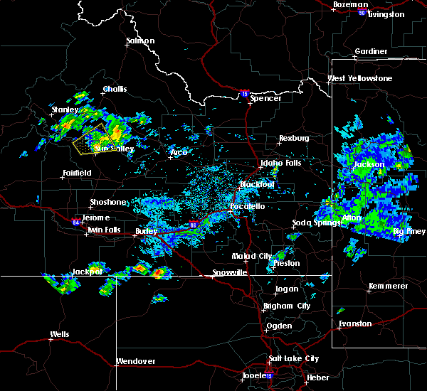 At 126 pm mdt, doppler radar indicated a severe thunderstorm capable of producing large hail up to ping pong ball size. this storm was located near sun valley, and moving east at 25 mph. At 126 pm mdt, doppler radar indicated a severe thunderstorm capable of producing large hail up to ping pong ball size. this storm was located near sun valley, and moving east at 25 mph.
|
| 6/30/2016 1:25 PM MDT | The severe thunderstorm warning for south central custer and northwestern blaine counties will expire at 130 pm mdt, a new warning will be issued shortly. |
| 6/30/2016 12:52 PM MDT |
 At 1252 pm mdt, doppler radar indicated a severe thunderstorm capable of producing quarter size hail. this storm was located 9 miles southeast of galena lodge, or 9 miles northwest of ketchum, and moving northeast at 15 mph. At 1252 pm mdt, doppler radar indicated a severe thunderstorm capable of producing quarter size hail. this storm was located 9 miles southeast of galena lodge, or 9 miles northwest of ketchum, and moving northeast at 15 mph.
|
Hail Maps for Sun Valley, ID
Connect with Interactive Hail Maps