

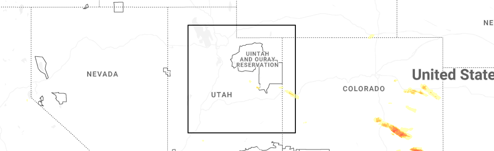
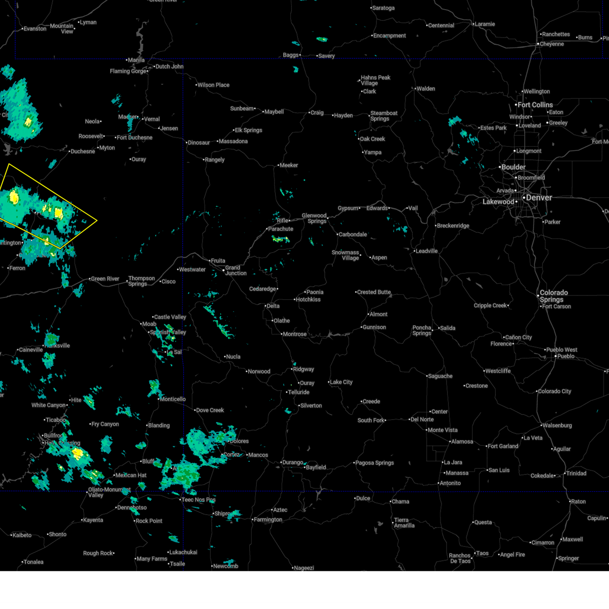
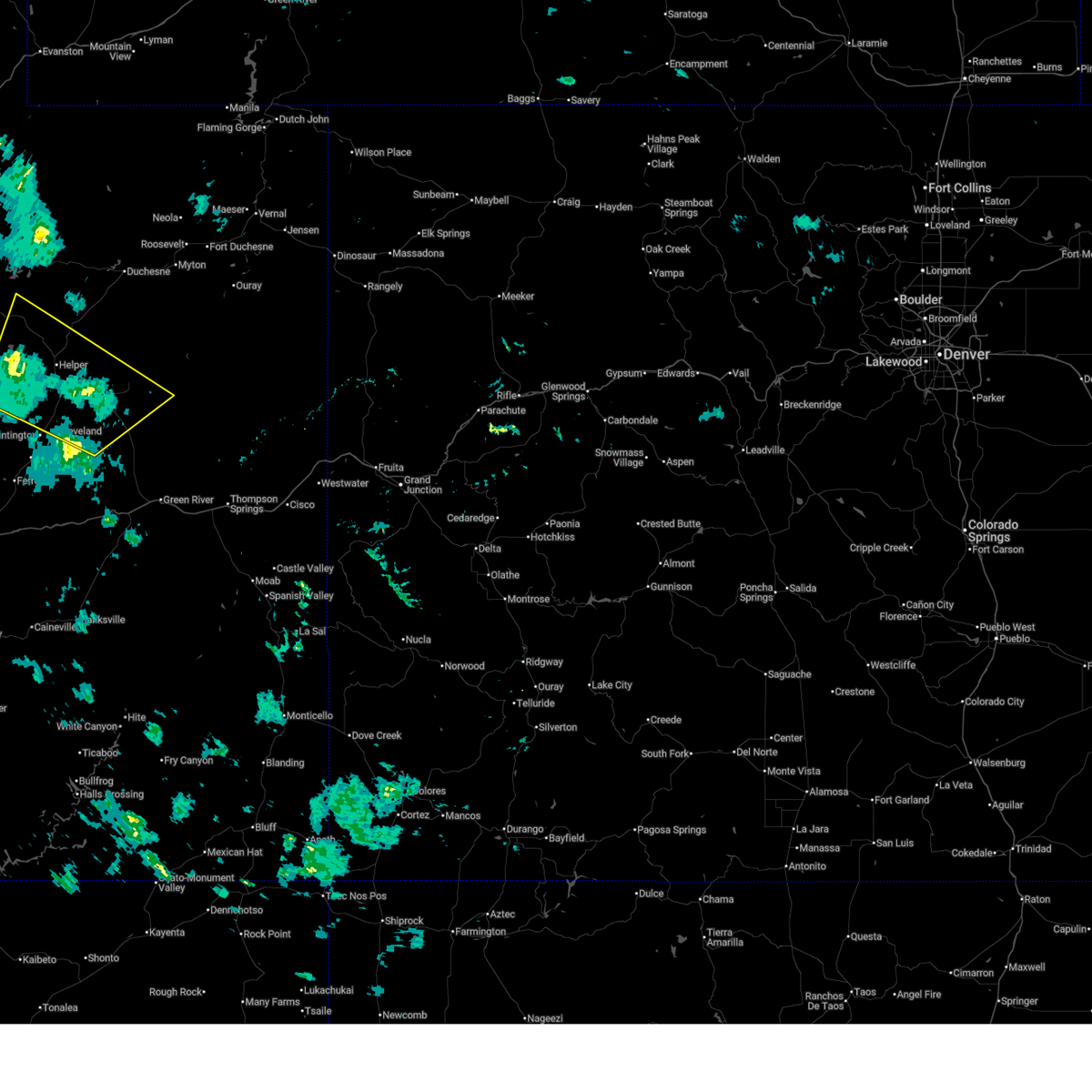
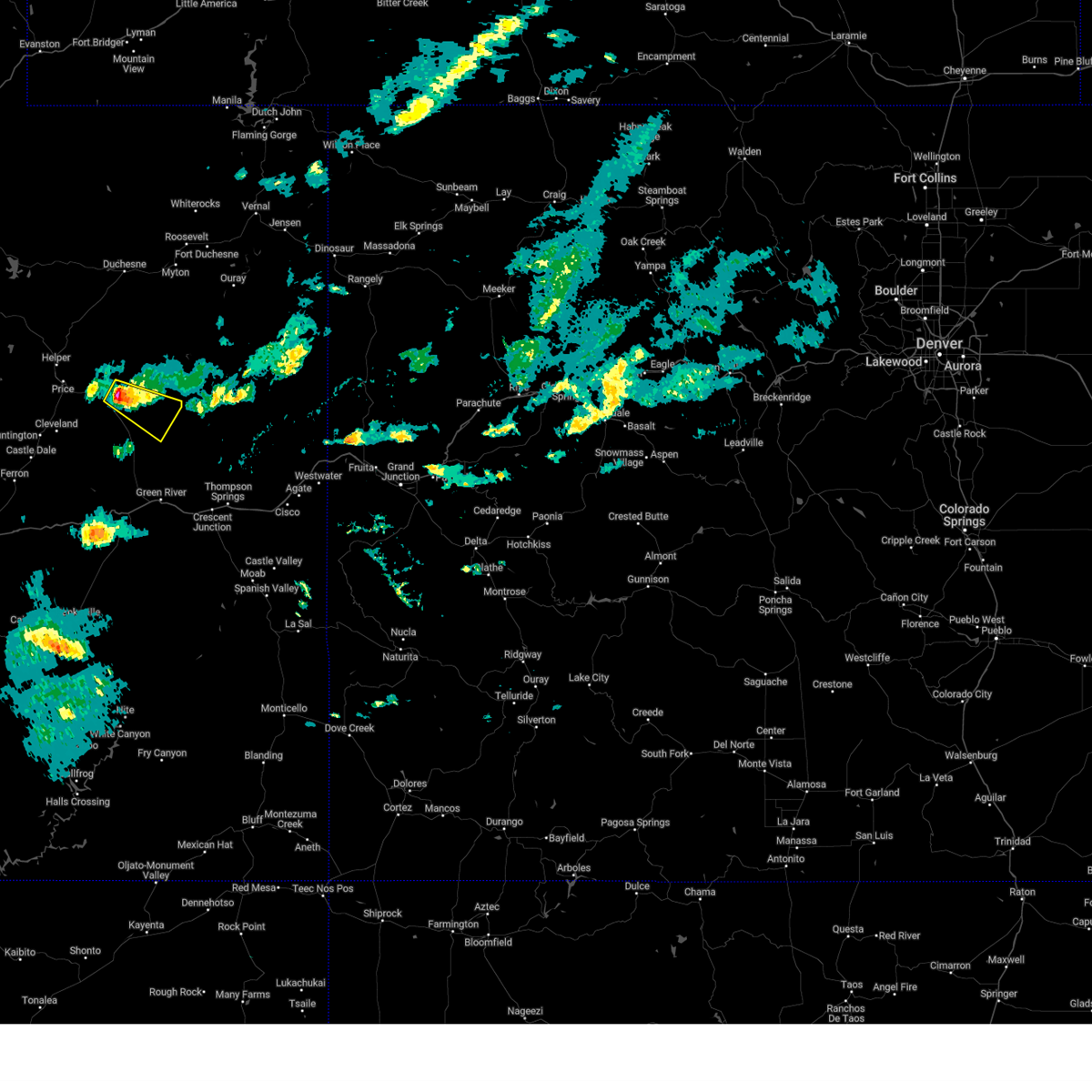
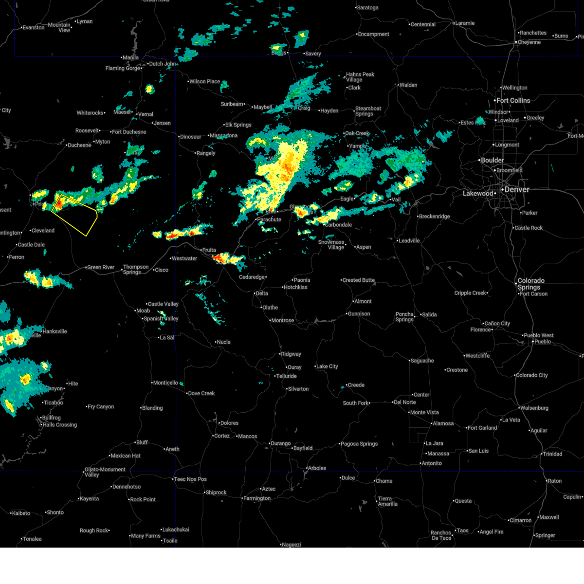
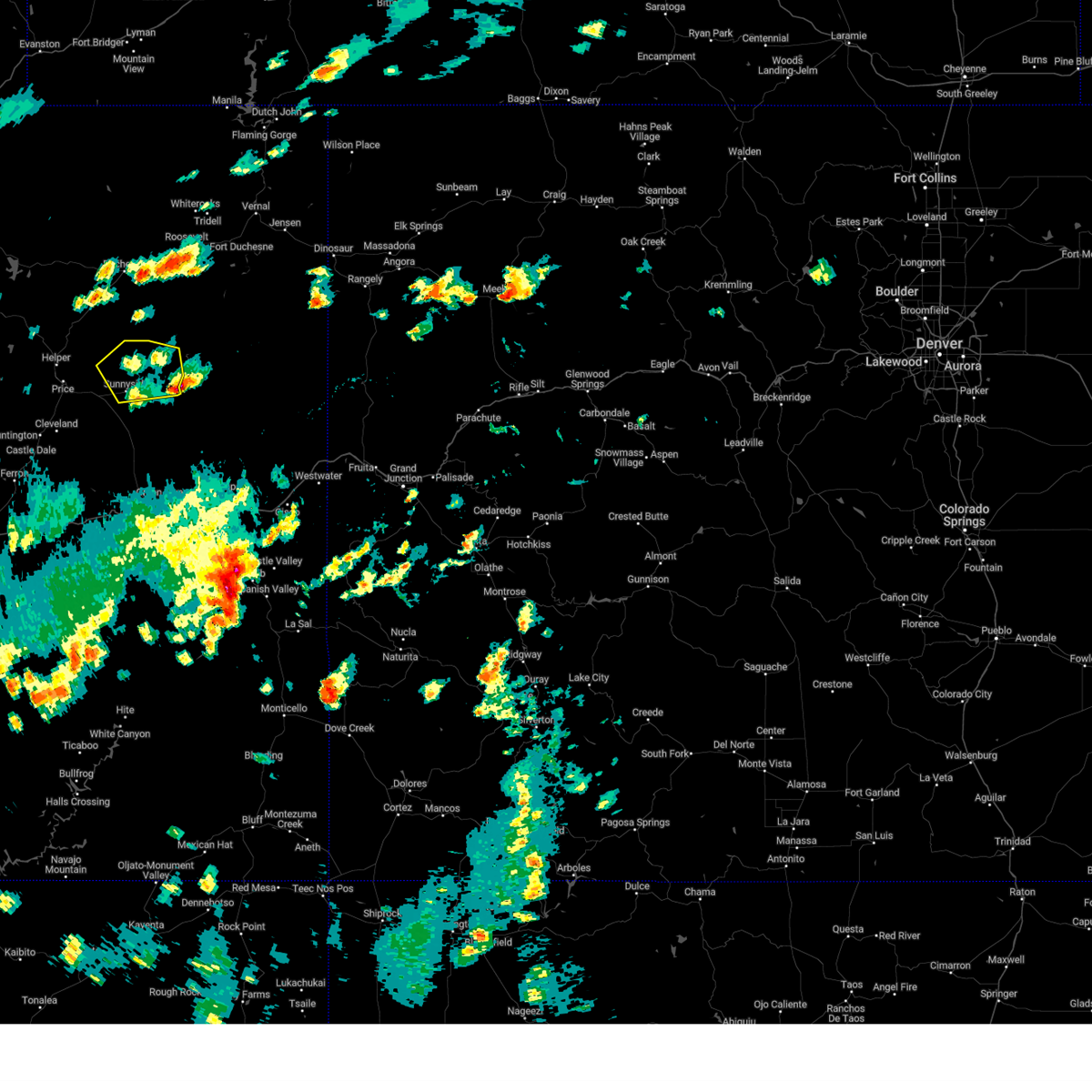
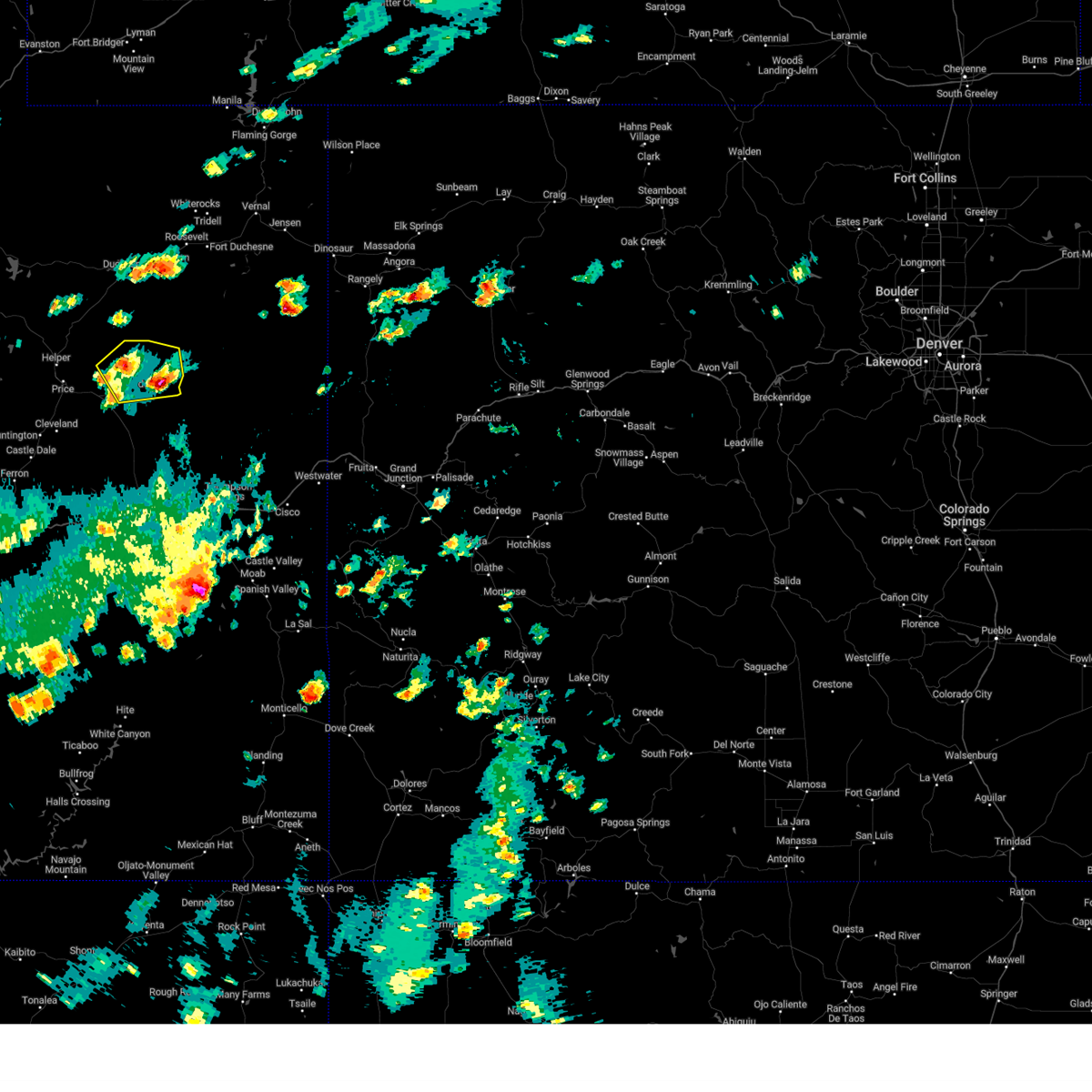
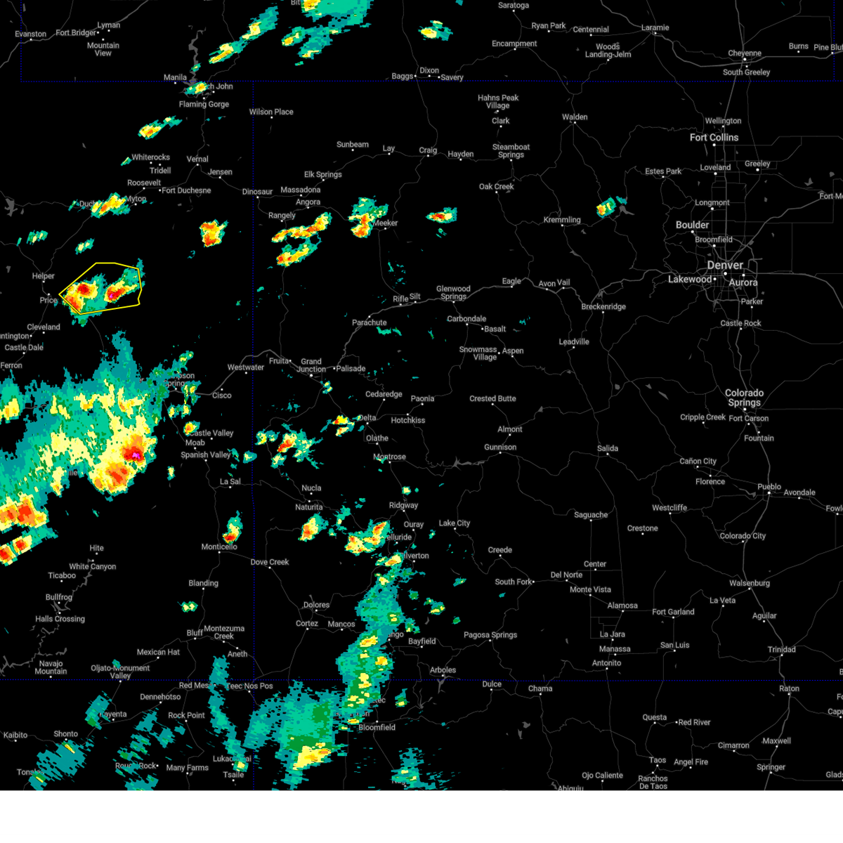
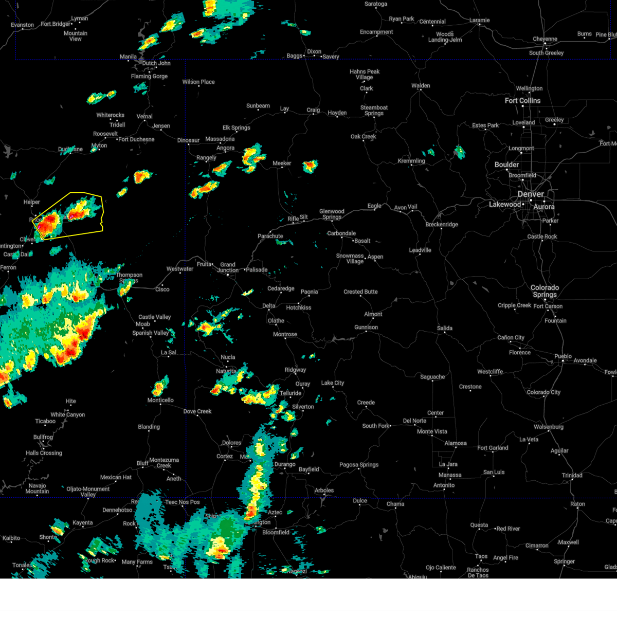
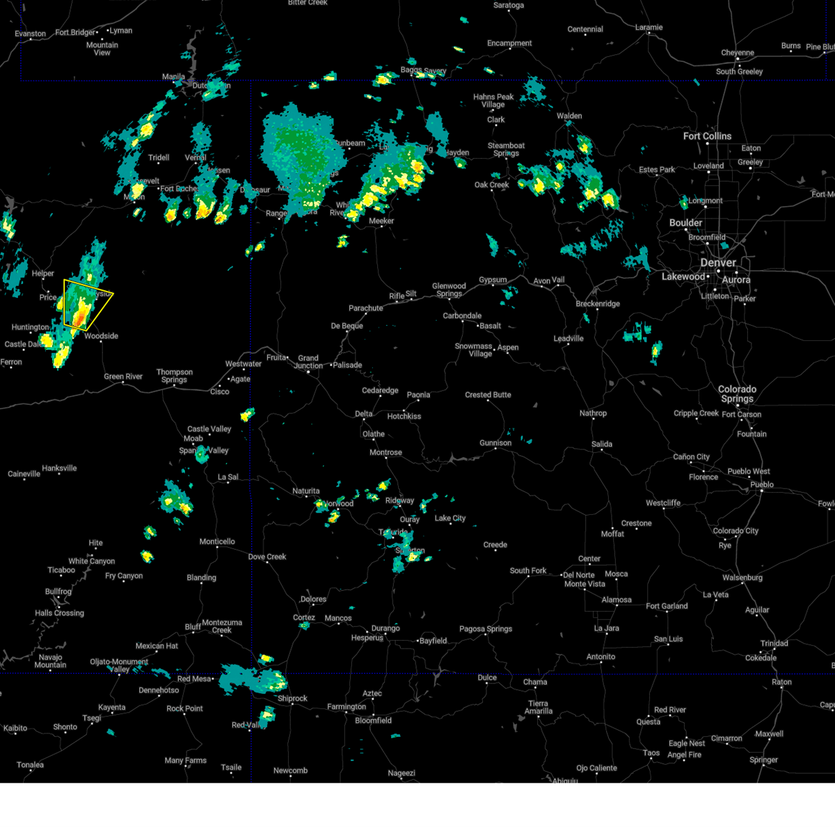
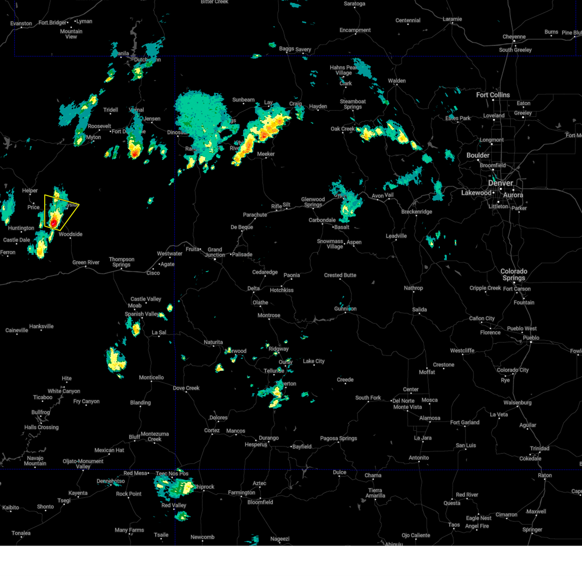
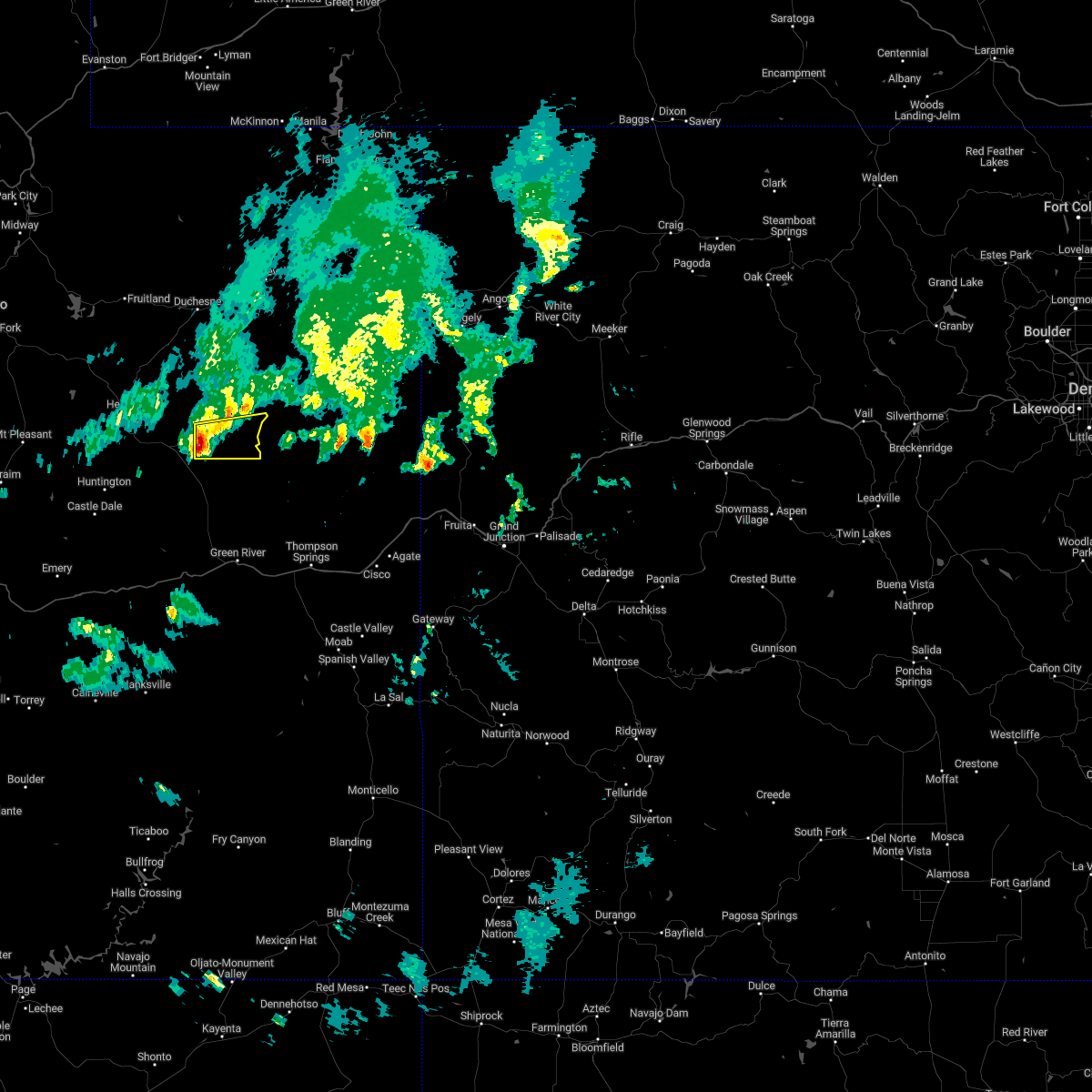
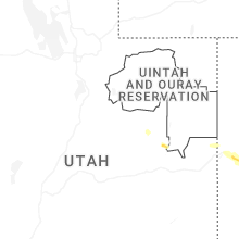
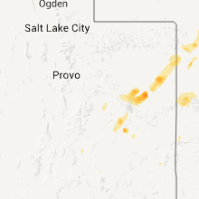
Hail Map for Sunnyside, UT
The Sunnyside, UT area has had 1 report of on-the-ground hail by trained spotters, and has been under severe weather warnings 2 times during the past 12 months. Doppler radar has detected hail at or near Sunnyside, UT on 8 occasions.
| Name: | Sunnyside, UT |
| Where Located: | 21.7 miles E of Price, UT |
| Map: | Google Map for Sunnyside, UT |
| Population: | 377 |
| Housing Units: | 176 |
| More Info: | Search Google for Sunnyside, UT |
5
The Top Recent Hail Date for Sunnyside, UT is Friday, June 6, 2025 (1st out of 8)
Hail and Wind Damage Spotted near Sunnyside, UT
| Date / Time | Report Details |
|---|---|
| 5/13/2026 4:03 PM MDT |
 At 402 pm mdt, severe thunderstorms were located along a line extending from 6 miles north of scofield to 10 miles southeast of sunnyside, moving northeast at 40 mph (radar indicated). Hazards include 60 mph wind gusts. Expect damage to roofs, siding, and trees. locations impacted include, price, helper, wellington, sunnyside, scofield, east carbon, elmo, castle gate, hiawatha, coal city, clear creek, scofield reservoir, colton, kenilworth, wattis, and soldier summit. this includes the following highways, us route 6 between mile markers 206 and 272. Utah route 10 between mile markers 56 and 68. At 402 pm mdt, severe thunderstorms were located along a line extending from 6 miles north of scofield to 10 miles southeast of sunnyside, moving northeast at 40 mph (radar indicated). Hazards include 60 mph wind gusts. Expect damage to roofs, siding, and trees. locations impacted include, price, helper, wellington, sunnyside, scofield, east carbon, elmo, castle gate, hiawatha, coal city, clear creek, scofield reservoir, colton, kenilworth, wattis, and soldier summit. this includes the following highways, us route 6 between mile markers 206 and 272. Utah route 10 between mile markers 56 and 68.
|
| 5/13/2026 3:48 PM MDT |
 Svrslc the national weather service in salt lake city has issued a * severe thunderstorm warning for, east central sanpete county in central utah, northern emery county in central utah, carbon county in central utah, southeastern wasatch county in northern utah, southwestern duchesne county in northern utah, southeastern utah county in northern utah, * until 415 pm mdt. * at 348 pm mdt, severe thunderstorms were located along a line extending from near scofield to 13 miles south of sunnyside, moving northeast at 40 mph (radar indicated). Hazards include 60 mph wind gusts. expect damage to roofs, siding, and trees Svrslc the national weather service in salt lake city has issued a * severe thunderstorm warning for, east central sanpete county in central utah, northern emery county in central utah, carbon county in central utah, southeastern wasatch county in northern utah, southwestern duchesne county in northern utah, southeastern utah county in northern utah, * until 415 pm mdt. * at 348 pm mdt, severe thunderstorms were located along a line extending from near scofield to 13 miles south of sunnyside, moving northeast at 40 mph (radar indicated). Hazards include 60 mph wind gusts. expect damage to roofs, siding, and trees
|
| 6/6/2025 3:23 PM MDT |
 At 323 pm mdt, a severe thunderstorm was located 8 miles southeast of sunnyside, or 29 miles east of price, moving southeast at 25 mph (radar indicated). Hazards include 60 mph wind gusts and quarter size hail. Hail damage to vehicles is expected. expect wind damage to roofs, siding, and trees. locations impacted include, sunnyside and east carbon. This includes us route 6 between mile markers 259 and 260. At 323 pm mdt, a severe thunderstorm was located 8 miles southeast of sunnyside, or 29 miles east of price, moving southeast at 25 mph (radar indicated). Hazards include 60 mph wind gusts and quarter size hail. Hail damage to vehicles is expected. expect wind damage to roofs, siding, and trees. locations impacted include, sunnyside and east carbon. This includes us route 6 between mile markers 259 and 260.
|
| 6/6/2025 3:20 PM MDT | Quarter sized hail reported 1 miles WNW of Sunnyside, UT, penny to quarter hail in sunnyside. |
| 6/6/2025 2:57 PM MDT |
 Svrslc the national weather service in salt lake city has issued a * severe thunderstorm warning for, northeastern emery county in central utah, southeastern carbon county in central utah, * until 330 pm mdt. * at 257 pm mdt, a severe thunderstorm was located over sunnyside, or 19 miles east of price, moving southeast at 25 mph (radar indicated). Hazards include 60 mph wind gusts and quarter size hail. Hail damage to vehicles is expected. Expect wind damage to roofs, siding, and trees. Svrslc the national weather service in salt lake city has issued a * severe thunderstorm warning for, northeastern emery county in central utah, southeastern carbon county in central utah, * until 330 pm mdt. * at 257 pm mdt, a severe thunderstorm was located over sunnyside, or 19 miles east of price, moving southeast at 25 mph (radar indicated). Hazards include 60 mph wind gusts and quarter size hail. Hail damage to vehicles is expected. Expect wind damage to roofs, siding, and trees.
|
| 6/27/2024 3:07 PM MDT |
 The storm which prompted the warning has weakened below severe limits, and has exited the warned area. therefore, the warning will be allowed to expire. a severe thunderstorm watch remains in effect until 900 pm mdt for central and northern utah. The storm which prompted the warning has weakened below severe limits, and has exited the warned area. therefore, the warning will be allowed to expire. a severe thunderstorm watch remains in effect until 900 pm mdt for central and northern utah.
|
| 6/27/2024 2:53 PM MDT |
 At 253 pm mdt, a severe thunderstorm was located near sunnyside, or 20 miles east of price, moving northeast at 35 mph (radar indicated). Hazards include 60 mph wind gusts and quarter size hail. Hail damage to vehicles is expected. expect wind damage to roofs, siding, and trees. Locations impacted include, sunnyside and east carbon. At 253 pm mdt, a severe thunderstorm was located near sunnyside, or 20 miles east of price, moving northeast at 35 mph (radar indicated). Hazards include 60 mph wind gusts and quarter size hail. Hail damage to vehicles is expected. expect wind damage to roofs, siding, and trees. Locations impacted include, sunnyside and east carbon.
|
| 6/27/2024 2:41 PM MDT |
 the severe thunderstorm warning has been cancelled and is no longer in effect the severe thunderstorm warning has been cancelled and is no longer in effect
|
| 6/27/2024 2:41 PM MDT |
 At 240 pm mdt, a severe thunderstorm was located 7 miles west of sunnyside, or 13 miles east of price, moving northeast at 35 mph (radar indicated). Hazards include 60 mph wind gusts and quarter size hail. Hail damage to vehicles is expected. expect wind damage to roofs, siding, and trees. locations impacted include, sunnyside and east carbon. This includes us route 6 between mile markers 252 and 261. At 240 pm mdt, a severe thunderstorm was located 7 miles west of sunnyside, or 13 miles east of price, moving northeast at 35 mph (radar indicated). Hazards include 60 mph wind gusts and quarter size hail. Hail damage to vehicles is expected. expect wind damage to roofs, siding, and trees. locations impacted include, sunnyside and east carbon. This includes us route 6 between mile markers 252 and 261.
|
| 6/27/2024 2:25 PM MDT |
 Svrslc the national weather service in salt lake city has issued a * severe thunderstorm warning for, northeastern emery county in central utah, eastern carbon county in central utah, * until 315 pm mdt. * at 224 pm mdt, a severe thunderstorm was located near wellington, or 8 miles southeast of price, moving northeast at 35 mph (radar indicated). Hazards include 60 mph wind gusts and quarter size hail. Hail damage to vehicles is expected. Expect wind damage to roofs, siding, and trees. Svrslc the national weather service in salt lake city has issued a * severe thunderstorm warning for, northeastern emery county in central utah, eastern carbon county in central utah, * until 315 pm mdt. * at 224 pm mdt, a severe thunderstorm was located near wellington, or 8 miles southeast of price, moving northeast at 35 mph (radar indicated). Hazards include 60 mph wind gusts and quarter size hail. Hail damage to vehicles is expected. Expect wind damage to roofs, siding, and trees.
|
| 8/18/2023 3:28 PM MDT |
 At 327 pm mdt, a severe thunderstorm was located 8 miles southwest of sunnyside, or 16 miles southeast of price, moving north at 10 mph (radar indicated). Hazards include quarter size hail. Damage to vehicles is expected. locations impacted include, sunnyside and east carbon. this includes us route 6 between mile markers 251 and 268. hail threat, radar indicated max hail size, 1. 00 in wind threat, radar indicated max wind gust, <50 mph. At 327 pm mdt, a severe thunderstorm was located 8 miles southwest of sunnyside, or 16 miles southeast of price, moving north at 10 mph (radar indicated). Hazards include quarter size hail. Damage to vehicles is expected. locations impacted include, sunnyside and east carbon. this includes us route 6 between mile markers 251 and 268. hail threat, radar indicated max hail size, 1. 00 in wind threat, radar indicated max wind gust, <50 mph.
|
| 8/18/2023 3:09 PM MDT |
 At 308 pm mdt, a severe thunderstorm was located 11 miles southwest of sunnyside, or 17 miles southeast of price, moving north at 10 mph (radar indicated). Hazards include quarter size hail. damage to vehicles is expected At 308 pm mdt, a severe thunderstorm was located 11 miles southwest of sunnyside, or 17 miles southeast of price, moving north at 10 mph (radar indicated). Hazards include quarter size hail. damage to vehicles is expected
|
| 10/1/2022 6:41 AM MDT |
 At 640 am mdt, a severe thunderstorm was located near sunnyside, or 26 miles east of price, moving east at 40 mph. trained spotters reported nickel size hail in sunnyside and the storm has since intensified (radar indicated). Hazards include quarter size hail. damage to vehicles is expected At 640 am mdt, a severe thunderstorm was located near sunnyside, or 26 miles east of price, moving east at 40 mph. trained spotters reported nickel size hail in sunnyside and the storm has since intensified (radar indicated). Hazards include quarter size hail. damage to vehicles is expected
|
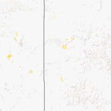
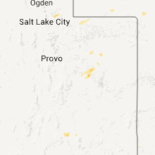
Hail Maps for Sunnyside, UT


Connect with Interactive Hail Maps