

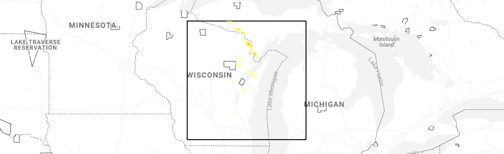
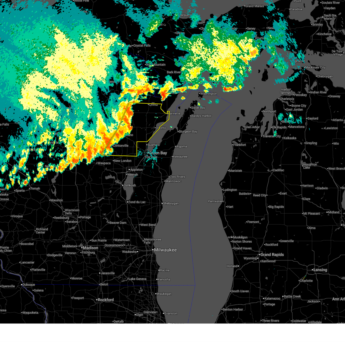
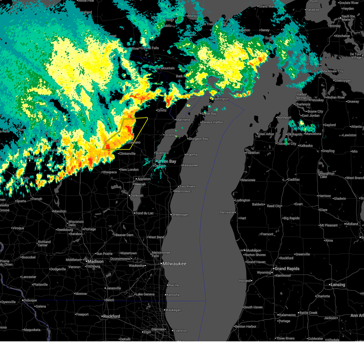
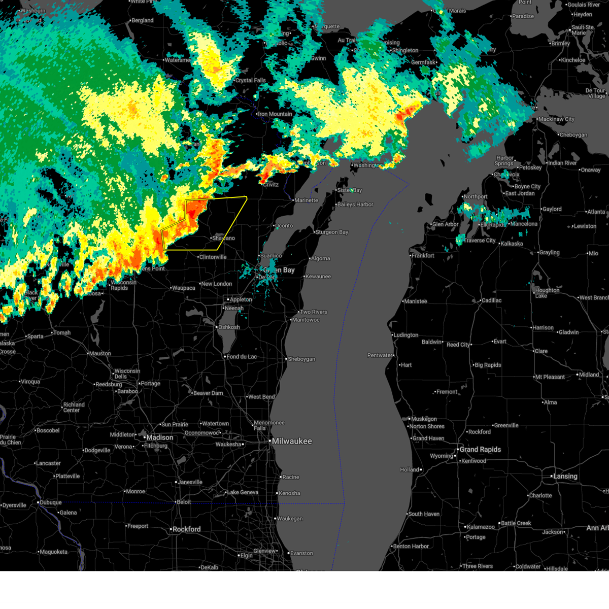
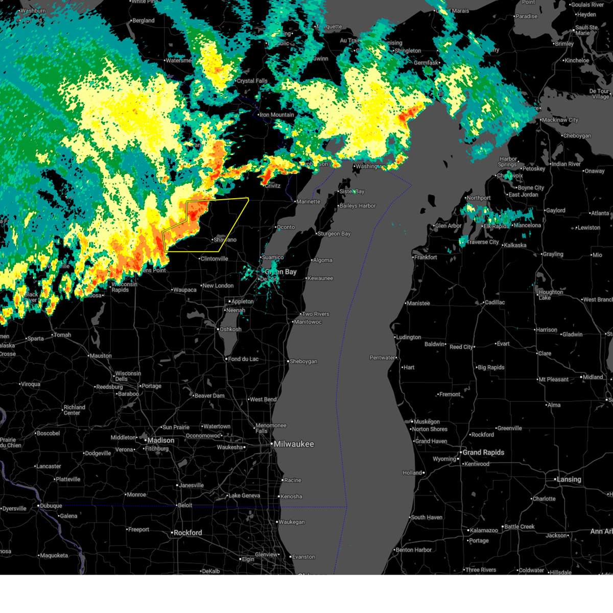
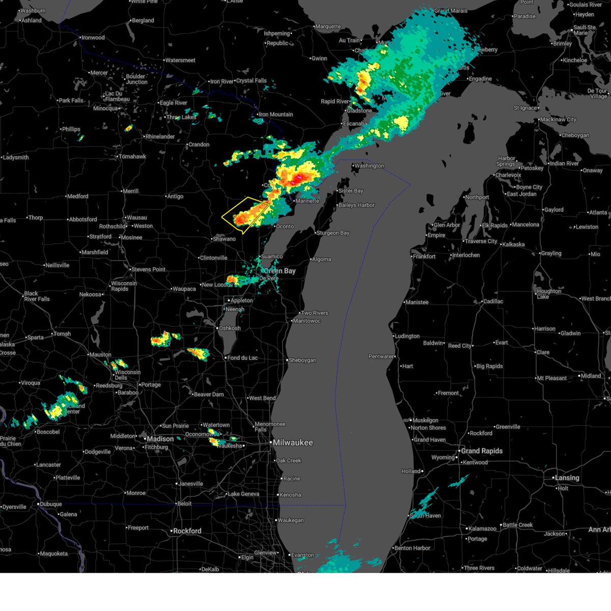
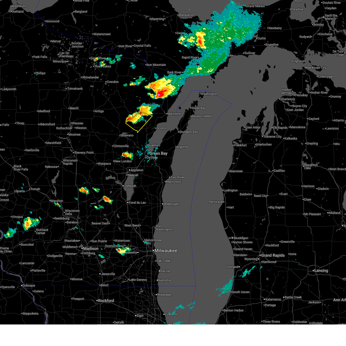
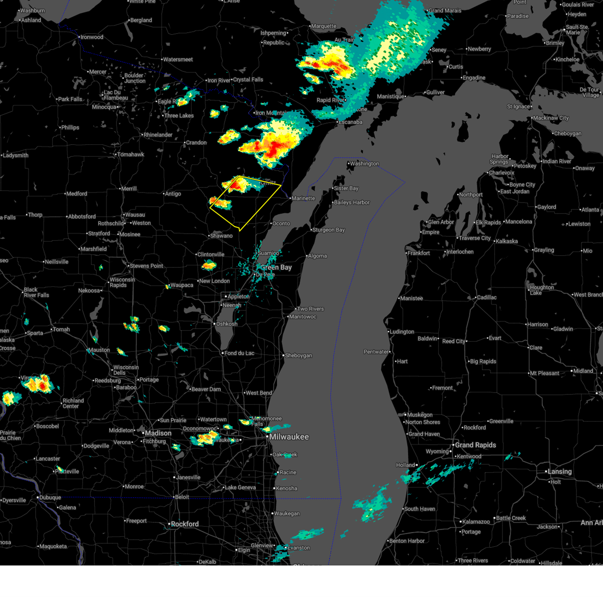
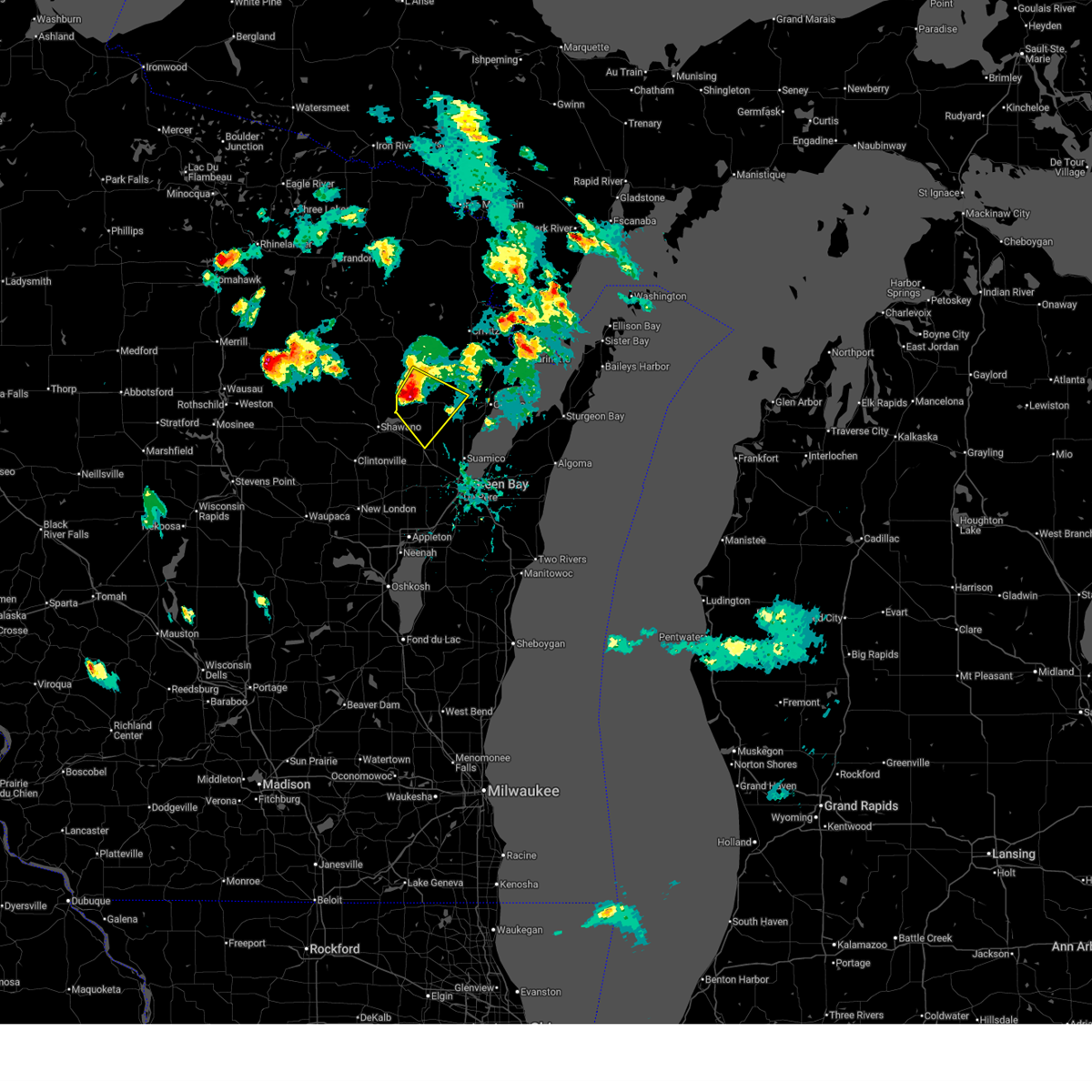
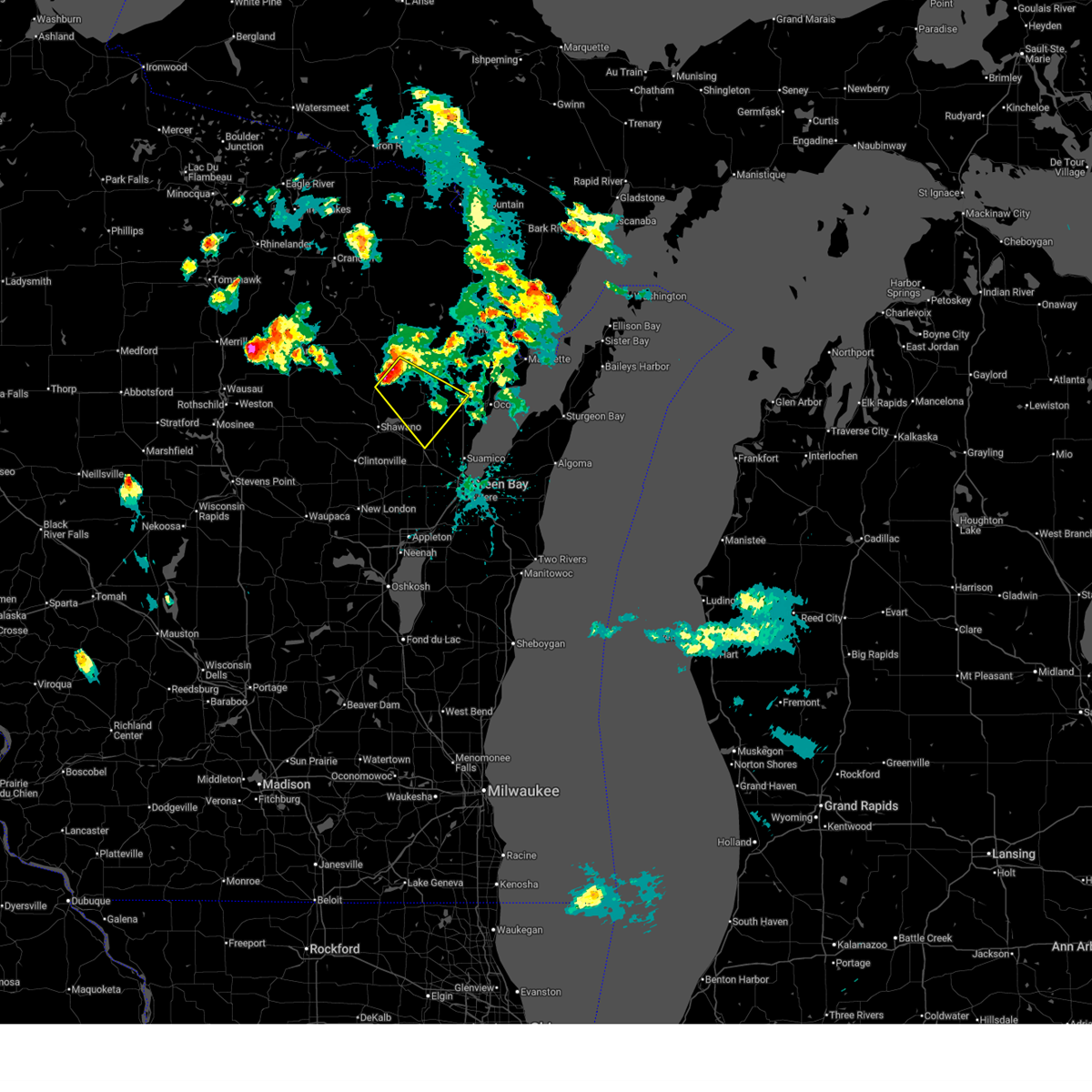
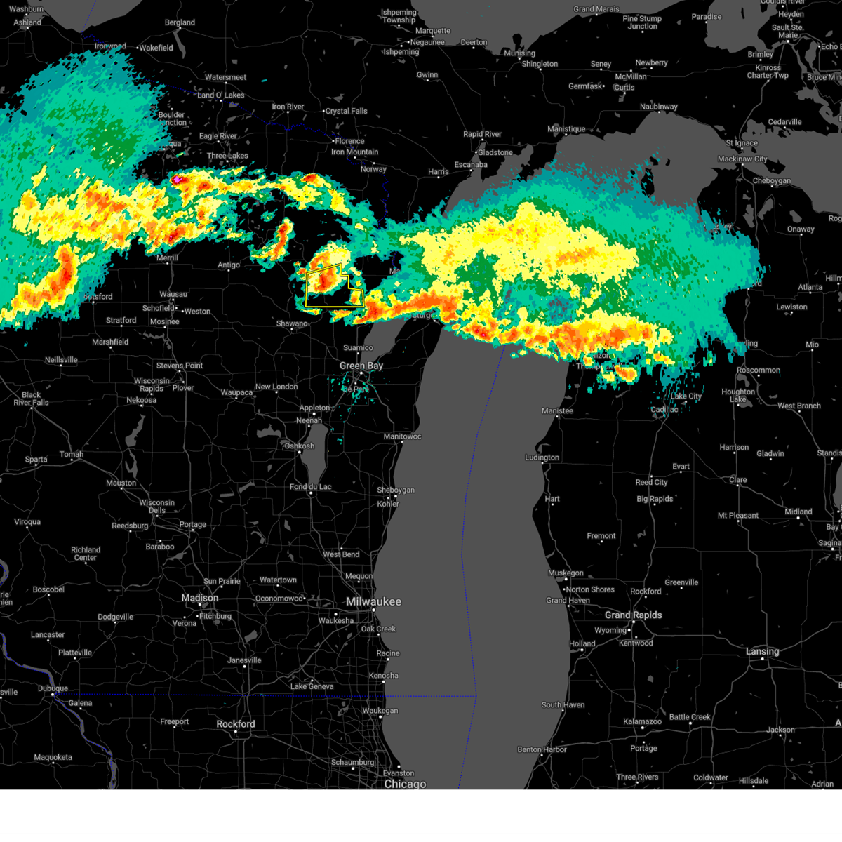
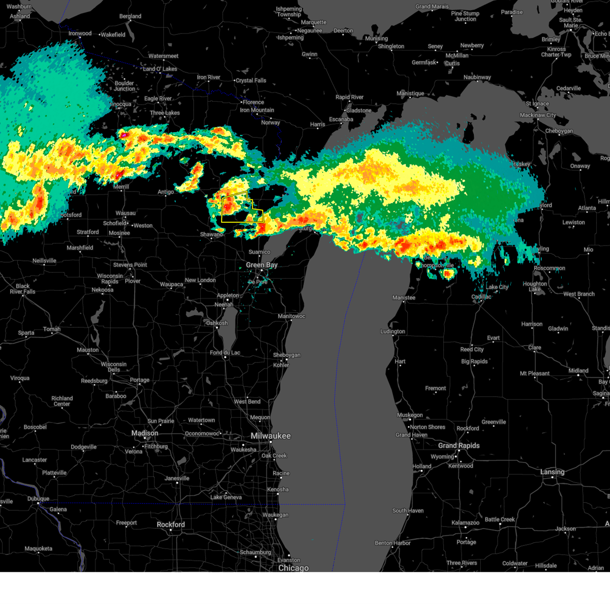
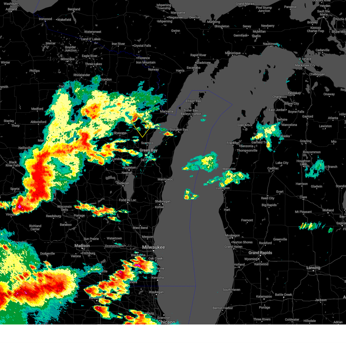
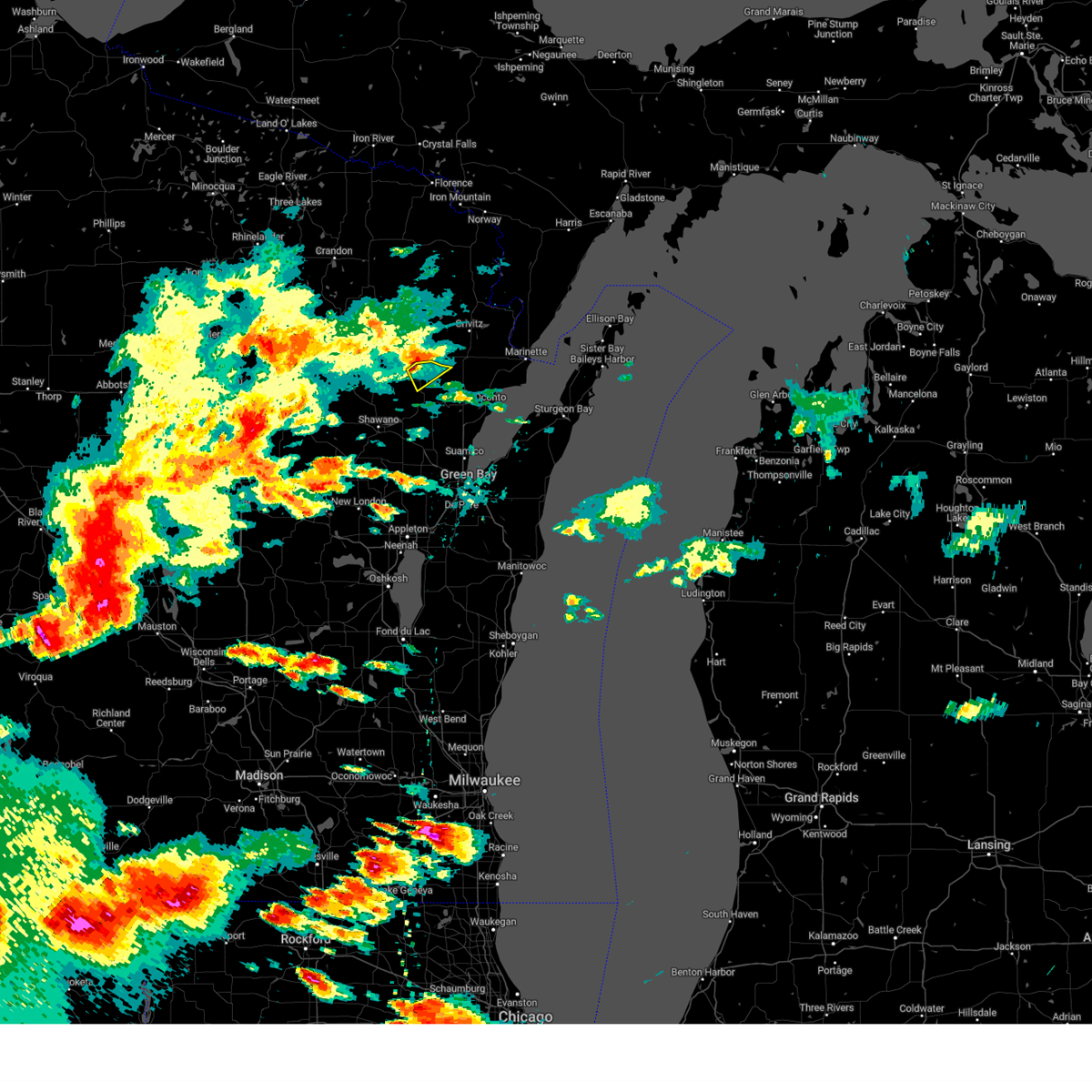
Hail Map for Suring, WI
The Suring, WI area has had 3 reports of on-the-ground hail by trained spotters, and has been under severe weather warnings 3 times during the past 12 months. Doppler radar has detected hail at or near Suring, WI on 30 occasions.
| Name: | Suring, WI |
| Where Located: | 38.2 miles NNW of Green Bay, WI |
| Map: | Google Map for Suring, WI |
| Population: | 544 |
| Housing Units: | 268 |
| More Info: | Search Google for Suring, WI |
3
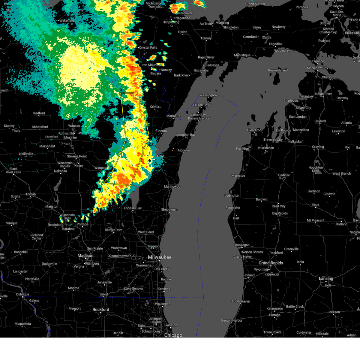
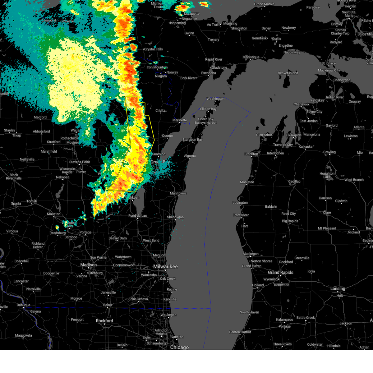
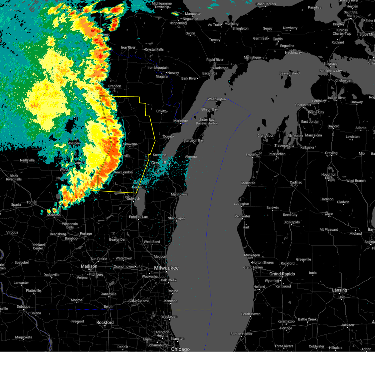
The Top Recent Hail Date for Suring, WI is Tuesday, July 8, 2025 (7th out of 30)
Hail and Wind Damage Spotted near Suring, WI
| Date / Time | Report Details |
|---|---|
| 7/27/2026 10:38 AM CDT |
 At 1038 am cdt, severe thunderstorms were located along a line from 20 miles north of marinette to over navarino wildlife area, or along a line from 20 miles north of marinette to 7 miles south of shawano, moving southeast at 65 mph (radar indicated). Hazards include 60 mph wind gusts and quarter size hail. Hail damage to vehicles is expected. expect wind damage to roofs, siding, and trees. this severe thunderstorm will be near, gillett around 1040 am cdt. Other locations impacted by the severe thunderstorm include green valley, advance, oconto falls, morgan, bonduel, porterfield, lena, pulcifer, spruce and cecil. At 1038 am cdt, severe thunderstorms were located along a line from 20 miles north of marinette to over navarino wildlife area, or along a line from 20 miles north of marinette to 7 miles south of shawano, moving southeast at 65 mph (radar indicated). Hazards include 60 mph wind gusts and quarter size hail. Hail damage to vehicles is expected. expect wind damage to roofs, siding, and trees. this severe thunderstorm will be near, gillett around 1040 am cdt. Other locations impacted by the severe thunderstorm include green valley, advance, oconto falls, morgan, bonduel, porterfield, lena, pulcifer, spruce and cecil.
|
| 7/27/2026 10:20 AM CDT |
 At 1020 am cdt, severe thunderstorms were located along a line from 8 miles north of wausaukee to 6 miles west of neopit, or along a line from 31 miles northwest of marinette to 14 miles southeast of antigo, moving southeast at 65 mph (radar indicated). Hazards include 60 mph wind gusts and quarter size hail. Hail damage to vehicles is expected. expect wind damage to roofs, siding, and trees. this severe thunderstorm will be near, neopit, big smokey falls, south branch, wausaukee and pound around 1025 am cdt. legend lake around 1035 am cdt. keshena around 1040 am cdt. gillett around 1045 am cdt. other locations impacted by the severe thunderstorm include st. Joseph lake, middle inlet, intersection of hwy 55 and county m, klondike, breed, fredenberg lake, zoar, white potato lake, lake noseum and cedarville. At 1020 am cdt, severe thunderstorms were located along a line from 8 miles north of wausaukee to 6 miles west of neopit, or along a line from 31 miles northwest of marinette to 14 miles southeast of antigo, moving southeast at 65 mph (radar indicated). Hazards include 60 mph wind gusts and quarter size hail. Hail damage to vehicles is expected. expect wind damage to roofs, siding, and trees. this severe thunderstorm will be near, neopit, big smokey falls, south branch, wausaukee and pound around 1025 am cdt. legend lake around 1035 am cdt. keshena around 1040 am cdt. gillett around 1045 am cdt. other locations impacted by the severe thunderstorm include st. Joseph lake, middle inlet, intersection of hwy 55 and county m, klondike, breed, fredenberg lake, zoar, white potato lake, lake noseum and cedarville.
|
| 7/27/2026 9:57 AM CDT |
 Svrgrb the national weather service in green bay has issued a * severe thunderstorm warning for, langlade county in north central wisconsin, southeastern forest county in northeastern wisconsin, marinette county in northeastern wisconsin, menominee county in northeastern wisconsin, oconto county in northeastern wisconsin, shawano county in northeastern wisconsin, * until 1100 am cdt. * at 957 am cdt, severe thunderstorms were located along a line from over goodman to 10 miles west of antigo, or along a line from 28 miles east of crandon to 10 miles west of antigo, moving southeast at 45 mph (radar indicated). Hazards include 60 mph wind gusts and quarter size hail. Hail damage to vehicles is expected. expect wind damage to roofs, siding, and trees. this severe thunderstorm will be near, antigo, goodman and carter around 1000 am cdt. white lake and mccaslin mountain natural area around 1005 am cdt. gardner dam scout camp around 1010 am cdt. neopit, mountain and bear paw scout camp around 1020 am cdt. south branch and big smokey falls around 1025 am cdt. wausaukee and wittenberg around 1030 am cdt. legend lake and keshena around 1035 am cdt. gillett around 1045 am cdt. Other locations impacted by the severe thunderstorm include bryant, hollister, neva, bear lake campground, deerbrook, ackley wildlife area, lawrence lake natural area, lily, wabeno and armstrong creek. Svrgrb the national weather service in green bay has issued a * severe thunderstorm warning for, langlade county in north central wisconsin, southeastern forest county in northeastern wisconsin, marinette county in northeastern wisconsin, menominee county in northeastern wisconsin, oconto county in northeastern wisconsin, shawano county in northeastern wisconsin, * until 1100 am cdt. * at 957 am cdt, severe thunderstorms were located along a line from over goodman to 10 miles west of antigo, or along a line from 28 miles east of crandon to 10 miles west of antigo, moving southeast at 45 mph (radar indicated). Hazards include 60 mph wind gusts and quarter size hail. Hail damage to vehicles is expected. expect wind damage to roofs, siding, and trees. this severe thunderstorm will be near, antigo, goodman and carter around 1000 am cdt. white lake and mccaslin mountain natural area around 1005 am cdt. gardner dam scout camp around 1010 am cdt. neopit, mountain and bear paw scout camp around 1020 am cdt. south branch and big smokey falls around 1025 am cdt. wausaukee and wittenberg around 1030 am cdt. legend lake and keshena around 1035 am cdt. gillett around 1045 am cdt. Other locations impacted by the severe thunderstorm include bryant, hollister, neva, bear lake campground, deerbrook, ackley wildlife area, lawrence lake natural area, lily, wabeno and armstrong creek.
|
| 7/23/2025 5:41 PM CDT |
 The storms which prompted the warning have moved out of the area. therefore, the warning will be allowed to expire. however, gusty winds are still possible with these thunderstorms. remember, a severe thunderstorm warning still remains in effect until 615 pm. The storms which prompted the warning have moved out of the area. therefore, the warning will be allowed to expire. however, gusty winds are still possible with these thunderstorms. remember, a severe thunderstorm warning still remains in effect until 615 pm.
|
| 7/23/2025 5:37 PM CDT |
 Svrgrb the national weather service in green bay has issued a * severe thunderstorm warning for, southern marinette county in northeastern wisconsin, eastern menominee county in northeastern wisconsin, northeastern waupaca county in northeastern wisconsin, oconto county in northeastern wisconsin, northern outagamie county in northeastern wisconsin, eastern shawano county in northeastern wisconsin, * until 615 pm cdt. * at 536 pm cdt, severe thunderstorms were located along a line extending from near bear paw scout camp to gillett to 7 miles south of clintonville, moving east at 50 mph (radar indicated). Hazards include 60 mph wind gusts. Expect damage to roofs, siding, and trees. severe thunderstorms will be near, gillett and navarino wildlife area around 540 pm cdt. pulaski, black creek, crivitz, and pound around 550 pm cdt. oconto around 555 pm cdt. Other locations impacted by these severe thunderstorms include college of menominee nation, leeman, breed, sugar bush, rose lawn, hayes, wolf river bottoms wildlife area, hickory corners, frazer corners, and angelica. Svrgrb the national weather service in green bay has issued a * severe thunderstorm warning for, southern marinette county in northeastern wisconsin, eastern menominee county in northeastern wisconsin, northeastern waupaca county in northeastern wisconsin, oconto county in northeastern wisconsin, northern outagamie county in northeastern wisconsin, eastern shawano county in northeastern wisconsin, * until 615 pm cdt. * at 536 pm cdt, severe thunderstorms were located along a line extending from near bear paw scout camp to gillett to 7 miles south of clintonville, moving east at 50 mph (radar indicated). Hazards include 60 mph wind gusts. Expect damage to roofs, siding, and trees. severe thunderstorms will be near, gillett and navarino wildlife area around 540 pm cdt. pulaski, black creek, crivitz, and pound around 550 pm cdt. oconto around 555 pm cdt. Other locations impacted by these severe thunderstorms include college of menominee nation, leeman, breed, sugar bush, rose lawn, hayes, wolf river bottoms wildlife area, hickory corners, frazer corners, and angelica.
|
| 7/23/2025 5:30 PM CDT |
 At 530 pm cdt, severe thunderstorms were located along a line extending from near bear paw scout camp to keshena, moving east at 45 mph (radar indicated). Hazards include 60 mph wind gusts and quarter size hail. Hail damage to vehicles is expected. expect wind damage to roofs, siding, and trees. these severe storms will be near, legend lake around 535 pm cdt. Other locations impacted by these severe thunderstorms include college of menominee nation, underhill, breed, hayes, lunds, thornton, gresham, middle village, belle plaine, and cecil. At 530 pm cdt, severe thunderstorms were located along a line extending from near bear paw scout camp to keshena, moving east at 45 mph (radar indicated). Hazards include 60 mph wind gusts and quarter size hail. Hail damage to vehicles is expected. expect wind damage to roofs, siding, and trees. these severe storms will be near, legend lake around 535 pm cdt. Other locations impacted by these severe thunderstorms include college of menominee nation, underhill, breed, hayes, lunds, thornton, gresham, middle village, belle plaine, and cecil.
|
| 7/23/2025 5:18 PM CDT | Tree on powerline. time estimated by rada in oconto county WI, 4.8 miles E of Suring, WI |
| 7/23/2025 5:17 PM CDT |
 the severe thunderstorm warning has been cancelled and is no longer in effect the severe thunderstorm warning has been cancelled and is no longer in effect
|
| 7/23/2025 5:17 PM CDT |
 At 517 pm cdt, severe thunderstorms were located along a line extending from near mountain to near keshena, moving east at 45 mph (radar indicated). Hazards include 60 mph wind gusts and half dollar size hail. Hail damage to vehicles is expected. expect wind damage to roofs, siding, and trees. these severe storms will be near, legend lake, keshena, and south branch around 525 pm cdt. Other locations impacted by these severe thunderstorms include college of menominee nation, underhill, breed, hayes, tigerton, lunds, whitcomb, thornton, gresham, and middle village. At 517 pm cdt, severe thunderstorms were located along a line extending from near mountain to near keshena, moving east at 45 mph (radar indicated). Hazards include 60 mph wind gusts and half dollar size hail. Hail damage to vehicles is expected. expect wind damage to roofs, siding, and trees. these severe storms will be near, legend lake, keshena, and south branch around 525 pm cdt. Other locations impacted by these severe thunderstorms include college of menominee nation, underhill, breed, hayes, tigerton, lunds, whitcomb, thornton, gresham, and middle village.
|
| 7/23/2025 5:02 PM CDT |
 Svrgrb the national weather service in green bay has issued a * severe thunderstorm warning for, southeastern marathon county in central wisconsin, menominee county in northeastern wisconsin, central oconto county in northeastern wisconsin, shawano county in northeastern wisconsin, * until 545 pm cdt. * at 502 pm cdt, severe thunderstorms were located along a line extending from near gardner dam scout camp to 9 miles southwest of neopit, moving east at 40 mph (radar indicated). Hazards include 60 mph wind gusts and half dollar size hail. Hail damage to vehicles is expected. expect wind damage to roofs, siding, and trees. severe thunderstorms will be near, neopit and big smokey falls around 505 pm cdt. keshena around 510 pm cdt. legend lake and south branch around 515 pm cdt. Other locations impacted by these severe thunderstorms include college of menominee nation, lake noseum, elderon, underhill, breed, mattoon, pike lake, upper bass lake, hayes, and holt. Svrgrb the national weather service in green bay has issued a * severe thunderstorm warning for, southeastern marathon county in central wisconsin, menominee county in northeastern wisconsin, central oconto county in northeastern wisconsin, shawano county in northeastern wisconsin, * until 545 pm cdt. * at 502 pm cdt, severe thunderstorms were located along a line extending from near gardner dam scout camp to 9 miles southwest of neopit, moving east at 40 mph (radar indicated). Hazards include 60 mph wind gusts and half dollar size hail. Hail damage to vehicles is expected. expect wind damage to roofs, siding, and trees. severe thunderstorms will be near, neopit and big smokey falls around 505 pm cdt. keshena around 510 pm cdt. legend lake and south branch around 515 pm cdt. Other locations impacted by these severe thunderstorms include college of menominee nation, lake noseum, elderon, underhill, breed, mattoon, pike lake, upper bass lake, hayes, and holt.
|
| 7/8/2025 5:27 PM CDT |
 The storm which prompted the warning has weakened below severe limits and moved out of the warned area, and no longer poses an immediate threat to life or property. therefore, the warning will be allowed to expire. however, small hail, gusty winds and heavy rain are still possible with this thunderstorm. The storm which prompted the warning has weakened below severe limits and moved out of the warned area, and no longer poses an immediate threat to life or property. therefore, the warning will be allowed to expire. however, small hail, gusty winds and heavy rain are still possible with this thunderstorm.
|
| 7/8/2025 4:58 PM CDT |
 the severe thunderstorm warning has been cancelled and is no longer in effect the severe thunderstorm warning has been cancelled and is no longer in effect
|
| 7/8/2025 4:58 PM CDT |
 At 457 pm cdt, severe thunderstorms were located along a line extending from near pound to near gillett, moving southeast at 25 mph (radar indicated). Hazards include 60 mph wind gusts and quarter size hail. Hail damage to vehicles is expected. expect wind damage to roofs, siding, and trees. These severe thunderstorms will remain over mainly rural areas of south central marinette and central oconto counties, including the following locations, spruce, coleman, hickory corners, suring, hayes, and klondike. At 457 pm cdt, severe thunderstorms were located along a line extending from near pound to near gillett, moving southeast at 25 mph (radar indicated). Hazards include 60 mph wind gusts and quarter size hail. Hail damage to vehicles is expected. expect wind damage to roofs, siding, and trees. These severe thunderstorms will remain over mainly rural areas of south central marinette and central oconto counties, including the following locations, spruce, coleman, hickory corners, suring, hayes, and klondike.
|
| 7/8/2025 4:34 PM CDT |
 Svrgrb the national weather service in green bay has issued a * severe thunderstorm warning for, southern marinette county in northeastern wisconsin, east central menominee county in northeastern wisconsin, central oconto county in northeastern wisconsin, * until 530 pm cdt. * at 434 pm cdt, severe thunderstorms were located along a line extending from 8 miles east of bear paw scout camp to near south branch, moving southeast at 20 mph (radar indicated). Hazards include 60 mph wind gusts and quarter size hail. Hail damage to vehicles is expected. expect wind damage to roofs, siding, and trees. severe thunderstorms will be near, pound around 455 pm cdt. Other locations impacted by these severe thunderstorms include spruce, hickory corners, breed, fredenberg lake, coleman, beaver, white potato lake, suring, hayes, and loomis. Svrgrb the national weather service in green bay has issued a * severe thunderstorm warning for, southern marinette county in northeastern wisconsin, east central menominee county in northeastern wisconsin, central oconto county in northeastern wisconsin, * until 530 pm cdt. * at 434 pm cdt, severe thunderstorms were located along a line extending from 8 miles east of bear paw scout camp to near south branch, moving southeast at 20 mph (radar indicated). Hazards include 60 mph wind gusts and quarter size hail. Hail damage to vehicles is expected. expect wind damage to roofs, siding, and trees. severe thunderstorms will be near, pound around 455 pm cdt. Other locations impacted by these severe thunderstorms include spruce, hickory corners, breed, fredenberg lake, coleman, beaver, white potato lake, suring, hayes, and loomis.
|
| 6/19/2025 5:50 PM CDT |
 At 550 pm cdt, a severe thunderstorm was located over gillett, or 14 miles northeast of shawano, moving southeast at 35 mph (radar indicated). Hazards include 60 mph wind gusts and quarter size hail. Hail damage to vehicles is expected. expect wind damage to roofs, siding, and trees. this severe storm will be near, gillett around 555 pm cdt. Other locations impacted by this severe thunderstorm include spruce, pulcifer, underhill, oconto falls, advance, hayes, zachow, hickory corners, morgan, and green valley. At 550 pm cdt, a severe thunderstorm was located over gillett, or 14 miles northeast of shawano, moving southeast at 35 mph (radar indicated). Hazards include 60 mph wind gusts and quarter size hail. Hail damage to vehicles is expected. expect wind damage to roofs, siding, and trees. this severe storm will be near, gillett around 555 pm cdt. Other locations impacted by this severe thunderstorm include spruce, pulcifer, underhill, oconto falls, advance, hayes, zachow, hickory corners, morgan, and green valley.
|
| 6/19/2025 5:50 PM CDT |
 the severe thunderstorm warning has been cancelled and is no longer in effect the severe thunderstorm warning has been cancelled and is no longer in effect
|
| 6/19/2025 5:39 PM CDT |
 Svrgrb the national weather service in green bay has issued a * severe thunderstorm warning for, southeastern menominee county in northeastern wisconsin, southern oconto county in northeastern wisconsin, east central shawano county in northeastern wisconsin, * until 630 pm cdt. * at 539 pm cdt, a severe thunderstorm was located near south branch, or 14 miles northeast of shawano, moving southeast at 40 mph (radar indicated). Hazards include 60 mph wind gusts and quarter size hail. Hail damage to vehicles is expected. expect wind damage to roofs, siding, and trees. this severe thunderstorm will be near, gillett around 545 pm cdt. other locations impacted by this severe thunderstorm include spruce, pulcifer, underhill, breed, oconto falls, advance, hayes, zachow, st. Joseph lake, and hickory corners. Svrgrb the national weather service in green bay has issued a * severe thunderstorm warning for, southeastern menominee county in northeastern wisconsin, southern oconto county in northeastern wisconsin, east central shawano county in northeastern wisconsin, * until 630 pm cdt. * at 539 pm cdt, a severe thunderstorm was located near south branch, or 14 miles northeast of shawano, moving southeast at 40 mph (radar indicated). Hazards include 60 mph wind gusts and quarter size hail. Hail damage to vehicles is expected. expect wind damage to roofs, siding, and trees. this severe thunderstorm will be near, gillett around 545 pm cdt. other locations impacted by this severe thunderstorm include spruce, pulcifer, underhill, breed, oconto falls, advance, hayes, zachow, st. Joseph lake, and hickory corners.
|
| 8/27/2024 12:42 AM CDT |
 The storms which prompted the warning have moved out of the area. therefore, the warning will be allowed to expire. however, heavy rain is still possible with these thunderstorms. a severe thunderstorm watch remains in effect until 400 am cdt for central, north central, northeastern and east central wisconsin. remember, a severe thunderstorm warning still remains in effect for portions of these counties until 130 am cdt. The storms which prompted the warning have moved out of the area. therefore, the warning will be allowed to expire. however, heavy rain is still possible with these thunderstorms. a severe thunderstorm watch remains in effect until 400 am cdt for central, north central, northeastern and east central wisconsin. remember, a severe thunderstorm warning still remains in effect for portions of these counties until 130 am cdt.
|
| 8/27/2024 12:34 AM CDT |
 the severe thunderstorm warning has been cancelled and is no longer in effect the severe thunderstorm warning has been cancelled and is no longer in effect
|
| 8/27/2024 12:34 AM CDT |
 At 1232 am cdt, severe thunderstorms were located along a line extending from 7 miles southeast of goodman to 6 miles west of oconto to menasha, moving east at 55 mph (radar indicated). Hazards include 60 mph wind gusts. Expect damage to roofs, siding, and trees. Locations impacted include, appleton, shawano, menasha, new london, pulaski, gillett, black creek, mountain, fremont, and carter. At 1232 am cdt, severe thunderstorms were located along a line extending from 7 miles southeast of goodman to 6 miles west of oconto to menasha, moving east at 55 mph (radar indicated). Hazards include 60 mph wind gusts. Expect damage to roofs, siding, and trees. Locations impacted include, appleton, shawano, menasha, new london, pulaski, gillett, black creek, mountain, fremont, and carter.
|
| 8/26/2024 11:53 PM CDT |
 Svrgrb the national weather service in green bay has issued a * severe thunderstorm warning for, southern forest county in northeastern wisconsin, menominee county in northeastern wisconsin, northern winnebago county in east central wisconsin, northeastern waushara county in central wisconsin, waupaca county in northeastern wisconsin, oconto county in northeastern wisconsin, outagamie county in northeastern wisconsin, central langlade county in north central wisconsin, shawano county in northeastern wisconsin, * until 1245 am cdt. * at 1153 pm cdt, severe thunderstorms were located along a line extending from near crandon to near shawano to near napowan scout camp, moving east at 55 mph (radar indicated). Hazards include 60 mph wind gusts and penny size hail. expect damage to roofs, siding, and trees Svrgrb the national weather service in green bay has issued a * severe thunderstorm warning for, southern forest county in northeastern wisconsin, menominee county in northeastern wisconsin, northern winnebago county in east central wisconsin, northeastern waushara county in central wisconsin, waupaca county in northeastern wisconsin, oconto county in northeastern wisconsin, outagamie county in northeastern wisconsin, central langlade county in north central wisconsin, shawano county in northeastern wisconsin, * until 1245 am cdt. * at 1153 pm cdt, severe thunderstorms were located along a line extending from near crandon to near shawano to near napowan scout camp, moving east at 55 mph (radar indicated). Hazards include 60 mph wind gusts and penny size hail. expect damage to roofs, siding, and trees
|
| 5/21/2024 9:27 PM CDT |
 At 926 pm cdt, severe thunderstorms were located along a line extending from mccaslin mountain natural area to near bear paw scout camp to 7 miles north of gillett to near pulaski, moving northeast at 55 mph (trained weather spotters). Hazards include 70 mph wind gusts. Expect considerable tree damage. damage is likely to mobile homes, roofs, and outbuildings. Locations impacted include, marinette, oconto, gillett, crivitz, mountain, wausaukee, pound, mccaslin mountain natural area, bear paw scout camp, and little suamico. At 926 pm cdt, severe thunderstorms were located along a line extending from mccaslin mountain natural area to near bear paw scout camp to 7 miles north of gillett to near pulaski, moving northeast at 55 mph (trained weather spotters). Hazards include 70 mph wind gusts. Expect considerable tree damage. damage is likely to mobile homes, roofs, and outbuildings. Locations impacted include, marinette, oconto, gillett, crivitz, mountain, wausaukee, pound, mccaslin mountain natural area, bear paw scout camp, and little suamico.
|
| 5/21/2024 9:27 PM CDT |
 the severe thunderstorm warning has been cancelled and is no longer in effect the severe thunderstorm warning has been cancelled and is no longer in effect
|
| 5/21/2024 9:07 PM CDT |
 Svrgrb the national weather service in green bay has issued a * severe thunderstorm warning for, southern marinette county in northeastern wisconsin, eastern menominee county in northeastern wisconsin, oconto county in northeastern wisconsin, east central langlade county in north central wisconsin, eastern shawano county in northeastern wisconsin, * until 1000 pm cdt. * at 906 pm cdt, severe thunderstorms were located along a line extending from near woodlawn to near gardner dam scout camp to keshena, moving northeast at 55 mph (trained weather spotters). Hazards include 70 mph wind gusts. Expect considerable tree damage. Damage is likely to mobile homes, roofs, and outbuildings. Svrgrb the national weather service in green bay has issued a * severe thunderstorm warning for, southern marinette county in northeastern wisconsin, eastern menominee county in northeastern wisconsin, oconto county in northeastern wisconsin, east central langlade county in north central wisconsin, eastern shawano county in northeastern wisconsin, * until 1000 pm cdt. * at 906 pm cdt, severe thunderstorms were located along a line extending from near woodlawn to near gardner dam scout camp to keshena, moving northeast at 55 mph (trained weather spotters). Hazards include 70 mph wind gusts. Expect considerable tree damage. Damage is likely to mobile homes, roofs, and outbuildings.
|
| 10/24/2023 1:37 PM CDT |
 The severe thunderstorm warning for central oconto county will expire at 145 pm cdt, the storm which prompted the warning has weakened below severe limits, and no longer poses an immediate threat to life or property. therefore, the warning will be allowed to expire. however, small hail is still possible with this thunderstorm. The severe thunderstorm warning for central oconto county will expire at 145 pm cdt, the storm which prompted the warning has weakened below severe limits, and no longer poses an immediate threat to life or property. therefore, the warning will be allowed to expire. however, small hail is still possible with this thunderstorm.
|
| 10/24/2023 1:28 PM CDT |
 At 128 pm cdt, a severe thunderstorm was located 11 miles southeast of bear paw scout camp, or 24 miles northeast of shawano, moving east at 55 mph (radar indicated). Hazards include quarter size hail. Damage to vehicles is expected. locations impacted include, spruce, breed, lena, suring, hickory corners, white potato lake, hayes, and klondike. hail threat, radar indicated max hail size, 1. 00 in wind threat, radar indicated max wind gust, <50 mph. At 128 pm cdt, a severe thunderstorm was located 11 miles southeast of bear paw scout camp, or 24 miles northeast of shawano, moving east at 55 mph (radar indicated). Hazards include quarter size hail. Damage to vehicles is expected. locations impacted include, spruce, breed, lena, suring, hickory corners, white potato lake, hayes, and klondike. hail threat, radar indicated max hail size, 1. 00 in wind threat, radar indicated max wind gust, <50 mph.
|
| 10/24/2023 1:16 PM CDT |
 At 116 pm cdt, a severe thunderstorm was located over south branch, or 16 miles north of shawano, moving east at 35 mph (radar indicated). Hazards include ping pong ball size hail. People and animals outdoors will be injured. Expect damage to roofs, siding, windows, and vehicles. At 116 pm cdt, a severe thunderstorm was located over south branch, or 16 miles north of shawano, moving east at 35 mph (radar indicated). Hazards include ping pong ball size hail. People and animals outdoors will be injured. Expect damage to roofs, siding, windows, and vehicles.
|
| 7/28/2023 8:41 PM CDT | Multiple trees dow in oconto county WI, 5.6 miles W of Suring, WI |
| 7/28/2023 8:20 PM CDT |
 At 820 pm cdt, a severe thunderstorm was located 7 miles north of gillett, or 21 miles northeast of shawano, moving southeast at 20 mph (radar indicated). Hazards include 60 mph wind gusts and half dollar size hail. Hail damage to vehicles is expected. expect wind damage to roofs, siding, and trees. this severe thunderstorm will remain over mainly rural areas of southern oconto county, including the following locations, spruce, lena, hickory corners, stiles, oconto falls and suring. this warning extends the warning already in effect for oconto county. hail threat, radar indicated max hail size, 1. 25 in wind threat, radar indicated max wind gust, 60 mph. At 820 pm cdt, a severe thunderstorm was located 7 miles north of gillett, or 21 miles northeast of shawano, moving southeast at 20 mph (radar indicated). Hazards include 60 mph wind gusts and half dollar size hail. Hail damage to vehicles is expected. expect wind damage to roofs, siding, and trees. this severe thunderstorm will remain over mainly rural areas of southern oconto county, including the following locations, spruce, lena, hickory corners, stiles, oconto falls and suring. this warning extends the warning already in effect for oconto county. hail threat, radar indicated max hail size, 1. 25 in wind threat, radar indicated max wind gust, 60 mph.
|
| 7/28/2023 8:13 PM CDT |
 At 812 pm cdt, a severe thunderstorm was located 8 miles south of bear paw scout camp, or 22 miles northeast of shawano, moving southeast at 20 mph (public). Hazards include golf ball size hail and 60 mph wind gusts. People and animals outdoors will be injured. expect hail damage to roofs, siding, windows, and vehicles. expect wind damage to roofs, siding, and trees. this severe thunderstorm will remain over mainly rural areas of central oconto county, including the following locations, hickory corners, suring and klondike. at 705 pm, the public reported golf ball size hail 5 miles southeast of mountain. thunderstorm damage threat, considerable hail threat, observed max hail size, 1. 75 in wind threat, radar indicated max wind gust, 60 mph. At 812 pm cdt, a severe thunderstorm was located 8 miles south of bear paw scout camp, or 22 miles northeast of shawano, moving southeast at 20 mph (public). Hazards include golf ball size hail and 60 mph wind gusts. People and animals outdoors will be injured. expect hail damage to roofs, siding, windows, and vehicles. expect wind damage to roofs, siding, and trees. this severe thunderstorm will remain over mainly rural areas of central oconto county, including the following locations, hickory corners, suring and klondike. at 705 pm, the public reported golf ball size hail 5 miles southeast of mountain. thunderstorm damage threat, considerable hail threat, observed max hail size, 1. 75 in wind threat, radar indicated max wind gust, 60 mph.
|
| 7/28/2023 8:05 PM CDT |
 At 805 pm cdt, a severe thunderstorm was located near bear paw scout camp, or 23 miles north of shawano, moving southeast at 20 mph (radar indicated). Hazards include ping pong ball size hail and 60 mph wind gusts. People and animals outdoors will be injured. expect hail damage to roofs, siding, windows, and vehicles. expect wind damage to roofs, siding, and trees. this severe thunderstorm will remain over mainly rural areas of central oconto county, including the following locations, hickory corners, suring, breed and klondike. hail threat, radar indicated max hail size, 1. 50 in wind threat, radar indicated max wind gust, 60 mph. At 805 pm cdt, a severe thunderstorm was located near bear paw scout camp, or 23 miles north of shawano, moving southeast at 20 mph (radar indicated). Hazards include ping pong ball size hail and 60 mph wind gusts. People and animals outdoors will be injured. expect hail damage to roofs, siding, windows, and vehicles. expect wind damage to roofs, siding, and trees. this severe thunderstorm will remain over mainly rural areas of central oconto county, including the following locations, hickory corners, suring, breed and klondike. hail threat, radar indicated max hail size, 1. 50 in wind threat, radar indicated max wind gust, 60 mph.
|
| 7/28/2023 7:53 PM CDT |
 At 753 pm cdt, a severe thunderstorm was located over mountain, or 26 miles north of shawano, moving southeast at 20 mph (radar indicated). Hazards include 60 mph wind gusts and half dollar size hail. Hail damage to vehicles is expected. expect wind damage to roofs, siding, and trees. this severe thunderstorm will remain over mainly rural areas of central oconto county, including the following locations, hickory corners, suring, breed and klondike. hail threat, radar indicated max hail size, 1. 25 in wind threat, radar indicated max wind gust, 60 mph. At 753 pm cdt, a severe thunderstorm was located over mountain, or 26 miles north of shawano, moving southeast at 20 mph (radar indicated). Hazards include 60 mph wind gusts and half dollar size hail. Hail damage to vehicles is expected. expect wind damage to roofs, siding, and trees. this severe thunderstorm will remain over mainly rural areas of central oconto county, including the following locations, hickory corners, suring, breed and klondike. hail threat, radar indicated max hail size, 1. 25 in wind threat, radar indicated max wind gust, 60 mph.
|
| 7/28/2023 7:45 PM CDT |
 At 745 pm cdt, a severe thunderstorm was located over mountain, or 28 miles north of shawano, moving southeast at 20 mph (radar indicated). Hazards include ping pong ball size hail and 60 mph wind gusts. People and animals outdoors will be injured. expect hail damage to roofs, siding, windows, and vehicles. expect wind damage to roofs, siding, and trees. this severe thunderstorm will be near, bear paw scout camp around 755 pm cdt. other locations impacted by this severe thunderstorm include hickory corners, suring, breed and klondike. hail threat, radar indicated max hail size, 1. 50 in wind threat, radar indicated max wind gust, 60 mph. At 745 pm cdt, a severe thunderstorm was located over mountain, or 28 miles north of shawano, moving southeast at 20 mph (radar indicated). Hazards include ping pong ball size hail and 60 mph wind gusts. People and animals outdoors will be injured. expect hail damage to roofs, siding, windows, and vehicles. expect wind damage to roofs, siding, and trees. this severe thunderstorm will be near, bear paw scout camp around 755 pm cdt. other locations impacted by this severe thunderstorm include hickory corners, suring, breed and klondike. hail threat, radar indicated max hail size, 1. 50 in wind threat, radar indicated max wind gust, 60 mph.
|
| 7/27/2023 8:19 PM CDT |
 At 818 pm cdt, severe thunderstorms were located along a line extending from near bear paw scout camp to near south branch to 6 miles south of big smokey falls to near keshena to 6 miles northwest of embarrass, moving southeast at 50 mph (radar indicated). Hazards include 60 mph wind gusts and penny size hail. Expect damage to roofs, siding, and trees. these severe storms will be near, gillett around 830 pm cdt. navarino wildlife area around 835 pm cdt. other locations impacted by these severe thunderstorms include college of menominee nation, lake noseum, underhill, breed, mattoon, upper bass lake, hayes, birnamwood, eland and hickory corners. hail threat, radar indicated max hail size, 0. 75 in wind threat, radar indicated max wind gust, 60 mph. At 818 pm cdt, severe thunderstorms were located along a line extending from near bear paw scout camp to near south branch to 6 miles south of big smokey falls to near keshena to 6 miles northwest of embarrass, moving southeast at 50 mph (radar indicated). Hazards include 60 mph wind gusts and penny size hail. Expect damage to roofs, siding, and trees. these severe storms will be near, gillett around 830 pm cdt. navarino wildlife area around 835 pm cdt. other locations impacted by these severe thunderstorms include college of menominee nation, lake noseum, underhill, breed, mattoon, upper bass lake, hayes, birnamwood, eland and hickory corners. hail threat, radar indicated max hail size, 0. 75 in wind threat, radar indicated max wind gust, 60 mph.
|
| 7/27/2023 8:04 PM CDT |
 At 804 pm cdt, severe thunderstorms were located along a line extending from near gardner dam scout camp to near neopit to 10 miles southwest of big smokey falls to 11 miles east of wittenberg, moving southeast at 40 mph (radar indicated). Hazards include 60 mph wind gusts and quarter size hail. Hail damage to vehicles is expected. expect wind damage to roofs, siding, and trees. these severe storms will be near, mountain and big smokey falls around 810 pm cdt. south branch around 815 pm cdt. shawano and keshena around 825 pm cdt. legend lake around 830 pm cdt. gillett and navarino wildlife area around 835 pm cdt. Other locations impacted by these severe thunderstorms include college of menominee nation, lake noseum, underhill, breed, mattoon, polar, upper bass lake, hayes, birnamwood and eland. At 804 pm cdt, severe thunderstorms were located along a line extending from near gardner dam scout camp to near neopit to 10 miles southwest of big smokey falls to 11 miles east of wittenberg, moving southeast at 40 mph (radar indicated). Hazards include 60 mph wind gusts and quarter size hail. Hail damage to vehicles is expected. expect wind damage to roofs, siding, and trees. these severe storms will be near, mountain and big smokey falls around 810 pm cdt. south branch around 815 pm cdt. shawano and keshena around 825 pm cdt. legend lake around 830 pm cdt. gillett and navarino wildlife area around 835 pm cdt. Other locations impacted by these severe thunderstorms include college of menominee nation, lake noseum, underhill, breed, mattoon, polar, upper bass lake, hayes, birnamwood and eland.
|
| 7/27/2023 7:43 PM CDT |
 At 743 pm cdt, severe thunderstorms were located along a line extending from 7 miles south of pearson to near antigo to 11 miles west of neopit to 6 miles north of wittenberg, moving southeast at 50 mph (radar indicated). Hazards include 60 mph wind gusts and quarter size hail. Hail damage to vehicles is expected. expect wind damage to roofs, siding, and trees. severe thunderstorms will be near, white lake and neopit around 755 pm cdt. gardner dam scout camp around 800 pm cdt. mountain, keshena and big smokey falls around 810 pm cdt. shawano and south branch around 815 pm cdt. legend lake and navarino wildlife area around 825 pm cdt. gillett around 830 pm cdt. Other locations impacted by these severe thunderstorms include college of menominee nation, lake noseum, underhill, breed, mattoon, polar, upper bass lake, hayes, peters marsh wildlife area and birnamwood. At 743 pm cdt, severe thunderstorms were located along a line extending from 7 miles south of pearson to near antigo to 11 miles west of neopit to 6 miles north of wittenberg, moving southeast at 50 mph (radar indicated). Hazards include 60 mph wind gusts and quarter size hail. Hail damage to vehicles is expected. expect wind damage to roofs, siding, and trees. severe thunderstorms will be near, white lake and neopit around 755 pm cdt. gardner dam scout camp around 800 pm cdt. mountain, keshena and big smokey falls around 810 pm cdt. shawano and south branch around 815 pm cdt. legend lake and navarino wildlife area around 825 pm cdt. gillett around 830 pm cdt. Other locations impacted by these severe thunderstorms include college of menominee nation, lake noseum, underhill, breed, mattoon, polar, upper bass lake, hayes, peters marsh wildlife area and birnamwood.
|
| 7/22/2023 5:55 PM CDT | Pictures on social media of several trees down in and around kelly lake. several sections of a storage shed had its roof completely blew of in oconto county WI, 7.1 miles W of Suring, WI |
| 6/15/2022 6:29 PM CDT |
 The severe thunderstorm warning for eastern menominee, northeastern waupaca, oconto, northwestern outagamie and eastern shawano counties will expire at 630 pm cdt, the storms which prompted the warning have moved out of the area. therefore, the warning will be allowed to expire. a tornado watch remains in effect until 1000 pm cdt for north central and northeastern wisconsin. remember, a severe thunderstorm warning still remains in effect for southern oconto and eastern shawano counties. The severe thunderstorm warning for eastern menominee, northeastern waupaca, oconto, northwestern outagamie and eastern shawano counties will expire at 630 pm cdt, the storms which prompted the warning have moved out of the area. therefore, the warning will be allowed to expire. a tornado watch remains in effect until 1000 pm cdt for north central and northeastern wisconsin. remember, a severe thunderstorm warning still remains in effect for southern oconto and eastern shawano counties.
|
| 6/15/2022 6:18 PM CDT |
 At 618 pm cdt, severe thunderstorms were located along a line extending from near mountain to near bear paw scout camp to 6 miles north of black creek, moving northeast at 65 mph (radar indicated). Hazards include 70 mph wind gusts. Expect considerable tree damage. damage is likely to mobile homes, roofs, and outbuildings. these severe thunderstorms will remain over mainly rural areas of eastern menominee, northeastern waupaca, oconto, northwestern outagamie and eastern shawano counties, including the following locations, college of menominee nation, leeman, underhill, breed, hayes, landstad, zachow, wolf river bottoms wildlife area, hickory corners and lunds. thunderstorm damage threat, considerable hail threat, radar indicated max hail size, <. 75 in wind threat, radar indicated max wind gust, 70 mph. At 618 pm cdt, severe thunderstorms were located along a line extending from near mountain to near bear paw scout camp to 6 miles north of black creek, moving northeast at 65 mph (radar indicated). Hazards include 70 mph wind gusts. Expect considerable tree damage. damage is likely to mobile homes, roofs, and outbuildings. these severe thunderstorms will remain over mainly rural areas of eastern menominee, northeastern waupaca, oconto, northwestern outagamie and eastern shawano counties, including the following locations, college of menominee nation, leeman, underhill, breed, hayes, landstad, zachow, wolf river bottoms wildlife area, hickory corners and lunds. thunderstorm damage threat, considerable hail threat, radar indicated max hail size, <. 75 in wind threat, radar indicated max wind gust, 70 mph.
|
| 6/15/2022 5:58 PM CDT |
 At 557 pm cdt, severe thunderstorms were located along a line extending from 6 miles northwest of neopit to near big smokey falls to near new london, moving northeast at 55 mph (radar indicated). Hazards include 70 mph wind gusts. Expect considerable tree damage. damage is likely to mobile homes, roofs, and outbuildings. severe thunderstorms will be near, white lake, south branch and big smokey falls around 605 pm cdt. gardner dam scout camp around 610 pm cdt. mountain and bear paw scout camp around 615 pm cdt. other locations in the path of these severe thunderstorms include navarino wildlife area. thunderstorm damage threat, considerable hail threat, radar indicated max hail size, <. 75 in wind threat, radar indicated max wind gust, 70 mph. At 557 pm cdt, severe thunderstorms were located along a line extending from 6 miles northwest of neopit to near big smokey falls to near new london, moving northeast at 55 mph (radar indicated). Hazards include 70 mph wind gusts. Expect considerable tree damage. damage is likely to mobile homes, roofs, and outbuildings. severe thunderstorms will be near, white lake, south branch and big smokey falls around 605 pm cdt. gardner dam scout camp around 610 pm cdt. mountain and bear paw scout camp around 615 pm cdt. other locations in the path of these severe thunderstorms include navarino wildlife area. thunderstorm damage threat, considerable hail threat, radar indicated max hail size, <. 75 in wind threat, radar indicated max wind gust, 70 mph.
|
| 5/12/2022 5:25 PM CDT | Quarter sized hail reported 1.6 miles W of Suring, WI |
| 5/12/2022 5:22 PM CDT |
 At 522 pm cdt, a severe thunderstorm was located near gillett, or 20 miles northeast of shawano, moving northeast at 25 mph (radar indicated). Hazards include 60 mph wind gusts and quarter size hail. Hail damage to vehicles is expected. Expect wind damage to roofs, siding, and trees. At 522 pm cdt, a severe thunderstorm was located near gillett, or 20 miles northeast of shawano, moving northeast at 25 mph (radar indicated). Hazards include 60 mph wind gusts and quarter size hail. Hail damage to vehicles is expected. Expect wind damage to roofs, siding, and trees.
|
| 5/12/2022 4:11 PM CDT |
 At 410 pm cdt, a cluster of severe thunderstorms were moving northeast at 30 mph (radar indicated). Hazards include quarter size hail. Damage to vehicles is expected. locations impacted include, bear paw scout camp, big smokey falls, south branch, legend lake, breed, suring, intersection of hwy 55 and county m, fredenberg lake, white potato lake and hayes. hail threat, radar indicated max hail size, 1. 00 in wind threat, radar indicated max wind gust, <50 mph. At 410 pm cdt, a cluster of severe thunderstorms were moving northeast at 30 mph (radar indicated). Hazards include quarter size hail. Damage to vehicles is expected. locations impacted include, bear paw scout camp, big smokey falls, south branch, legend lake, breed, suring, intersection of hwy 55 and county m, fredenberg lake, white potato lake and hayes. hail threat, radar indicated max hail size, 1. 00 in wind threat, radar indicated max wind gust, <50 mph.
|
| 5/12/2022 3:43 PM CDT |
 At 343 pm cdt, a severe thunderstorm was located over big smokey falls, or 19 miles north of shawano, moving northeast at 35 mph (radar indicated). Hazards include quarter size hail. damage to vehicles is expected At 343 pm cdt, a severe thunderstorm was located over big smokey falls, or 19 miles north of shawano, moving northeast at 35 mph (radar indicated). Hazards include quarter size hail. damage to vehicles is expected
|
| 7/27/2021 12:24 AM CDT |
 At 1224 am cdt, severe thunderstorms were located along a line extending from near crivitz to near pulaski to near new london, moving southeast at 55 mph (radar indicated). Hazards include 70 mph wind gusts. Expect considerable tree damage. damage is likely to mobile homes, roofs, and outbuildings. severe thunderstorms will be near, pulaski around 1230 am cdt. green bay and marinette around 1240 am cdt. Other locations in the path of these severe thunderstorms include menominee, bellevue town and bay shore park. At 1224 am cdt, severe thunderstorms were located along a line extending from near crivitz to near pulaski to near new london, moving southeast at 55 mph (radar indicated). Hazards include 70 mph wind gusts. Expect considerable tree damage. damage is likely to mobile homes, roofs, and outbuildings. severe thunderstorms will be near, pulaski around 1230 am cdt. green bay and marinette around 1240 am cdt. Other locations in the path of these severe thunderstorms include menominee, bellevue town and bay shore park.
|
| 7/27/2021 12:15 AM CDT |
 At 1214 am cdt, severe thunderstorms were located along a line extending from near crivitz to near navarino wildlife area, moving east at 60 mph (law enforcement). Hazards include 70 mph wind gusts and penny size hail. Expect considerable tree damage. damage is likely to mobile homes, roofs, and outbuildings. these severe storms will be near, crivitz around 1220 am cdt. pulaski around 1230 am cdt. marinette around 1235 am cdt. menominee around 1240 am cdt. Other locations impacted by these severe thunderstorms include college of menominee nation, breed, hayes, tigerton, high falls reservoir, hickory corners, whitcomb, mcclintock county park, caldron falls reservoir and frazer corners. At 1214 am cdt, severe thunderstorms were located along a line extending from near crivitz to near navarino wildlife area, moving east at 60 mph (law enforcement). Hazards include 70 mph wind gusts and penny size hail. Expect considerable tree damage. damage is likely to mobile homes, roofs, and outbuildings. these severe storms will be near, crivitz around 1220 am cdt. pulaski around 1230 am cdt. marinette around 1235 am cdt. menominee around 1240 am cdt. Other locations impacted by these severe thunderstorms include college of menominee nation, breed, hayes, tigerton, high falls reservoir, hickory corners, whitcomb, mcclintock county park, caldron falls reservoir and frazer corners.
|
| 7/26/2021 11:49 PM CDT |
 At 1148 pm cdt, severe thunderstorms were located along a line extending from 7 miles north of mccaslin mountain natural area to near wittenberg to near mosinee, moving southeast at 35 mph (law enforcement. at 1132 pm 58 mph winds were measured at the wausau airport). Hazards include 70 mph wind gusts and penny size hail. Expect considerable tree damage. damage is likely to mobile homes, roofs, and outbuildings. Locations impacted include, wausaukee, crivitz and navarino wildlife area. At 1148 pm cdt, severe thunderstorms were located along a line extending from 7 miles north of mccaslin mountain natural area to near wittenberg to near mosinee, moving southeast at 35 mph (law enforcement. at 1132 pm 58 mph winds were measured at the wausau airport). Hazards include 70 mph wind gusts and penny size hail. Expect considerable tree damage. damage is likely to mobile homes, roofs, and outbuildings. Locations impacted include, wausaukee, crivitz and navarino wildlife area.
|
| 7/26/2021 11:33 PM CDT |
 At 1132 pm cdt, severe thunderstorms were located along a line extending from 9 miles north of carter to 8 miles southwest of antigo to near rib mountain, moving east at 55 mph (law enforcement). Hazards include 60 mph wind gusts and penny size hail. expect damage to roofs, siding, and trees At 1132 pm cdt, severe thunderstorms were located along a line extending from 9 miles north of carter to 8 miles southwest of antigo to near rib mountain, moving east at 55 mph (law enforcement). Hazards include 60 mph wind gusts and penny size hail. expect damage to roofs, siding, and trees
|
| 6/13/2021 9:05 PM CDT | Tree down in suring area. time estimated by radar in oconto county WI, 0.3 miles ENE of Suring, WI |
| 7/19/2020 2:41 AM CDT |
 At 241 am cdt, severe thunderstorms were located along a line extending from 10 miles east of antigo to 6 miles southwest of white lake to near neopit, moving east at 60 mph (radar indicated). Hazards include 70 mph wind gusts and nickel size hail. Expect considerable tree damage. damage is likely to mobile homes, roofs, and outbuildings. these severe storms will be near, white lake, gardner dam scout camp and big smokey falls around 250 am cdt. south branch around 255 am cdt. mountain around 300 am cdt. bear paw scout camp around 305 am cdt. Other locations impacted by these severe thunderstorms include boot lake campground, lake noseum, breed, mattoon, polar, kempster, upper bass lake, choate, peters marsh wildlife area and lily. At 241 am cdt, severe thunderstorms were located along a line extending from 10 miles east of antigo to 6 miles southwest of white lake to near neopit, moving east at 60 mph (radar indicated). Hazards include 70 mph wind gusts and nickel size hail. Expect considerable tree damage. damage is likely to mobile homes, roofs, and outbuildings. these severe storms will be near, white lake, gardner dam scout camp and big smokey falls around 250 am cdt. south branch around 255 am cdt. mountain around 300 am cdt. bear paw scout camp around 305 am cdt. Other locations impacted by these severe thunderstorms include boot lake campground, lake noseum, breed, mattoon, polar, kempster, upper bass lake, choate, peters marsh wildlife area and lily.
|
| 7/19/2020 2:34 AM CDT |
 At 233 am cdt, severe thunderstorms were located along a line extending from near antigo to 11 miles southwest of white lake to 8 miles northwest of neopit, moving east at 60 mph (radar indicated). Hazards include 70 mph wind gusts and nickel size hail. Expect considerable tree damage. damage is likely to mobile homes, roofs, and outbuildings. these severe storms will be near, neopit around 240 am cdt. white lake around 245 am cdt. gardner dam scout camp and big smokey falls around 250 am cdt. south branch around 255 am cdt. mountain around 300 am cdt. bear paw scout camp around 305 am cdt. Other locations impacted by these severe thunderstorms include aniwa, boot lake campground, lake noseum, breed, ackley wildlife area, mattoon, polar, kempster, ormsby and upper bass lake. At 233 am cdt, severe thunderstorms were located along a line extending from near antigo to 11 miles southwest of white lake to 8 miles northwest of neopit, moving east at 60 mph (radar indicated). Hazards include 70 mph wind gusts and nickel size hail. Expect considerable tree damage. damage is likely to mobile homes, roofs, and outbuildings. these severe storms will be near, neopit around 240 am cdt. white lake around 245 am cdt. gardner dam scout camp and big smokey falls around 250 am cdt. south branch around 255 am cdt. mountain around 300 am cdt. bear paw scout camp around 305 am cdt. Other locations impacted by these severe thunderstorms include aniwa, boot lake campground, lake noseum, breed, ackley wildlife area, mattoon, polar, kempster, ormsby and upper bass lake.
|
| 7/19/2020 2:22 AM CDT |
 At 222 am cdt, severe thunderstorms were located along a line extending from near antigo to 18 miles south of veterans memorial county park to 14 miles north of wittenberg, moving east at 60 mph (radar indicated). Hazards include 60 mph wind gusts. expect damage to roofs, siding, and trees At 222 am cdt, severe thunderstorms were located along a line extending from near antigo to 18 miles south of veterans memorial county park to 14 miles north of wittenberg, moving east at 60 mph (radar indicated). Hazards include 60 mph wind gusts. expect damage to roofs, siding, and trees
|
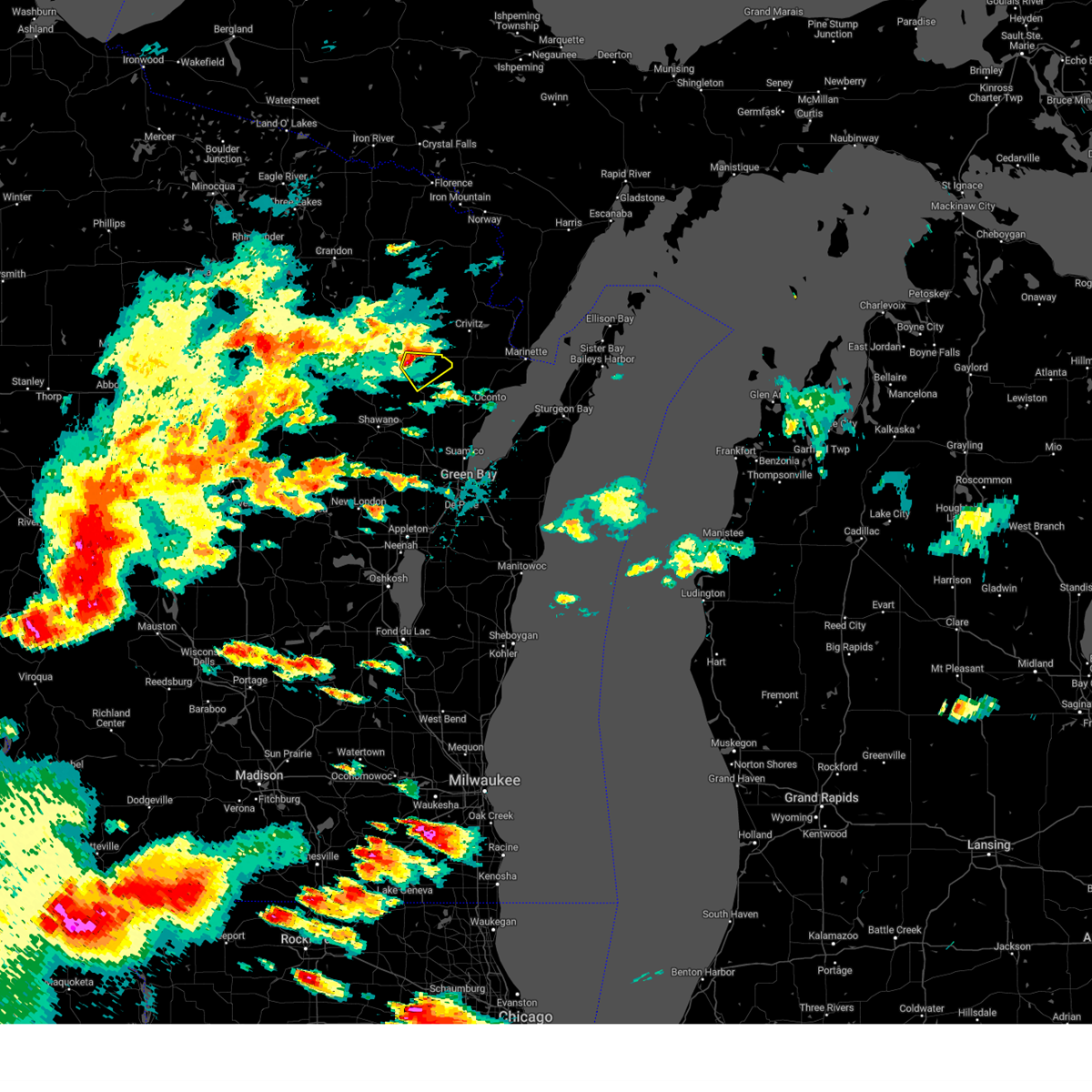
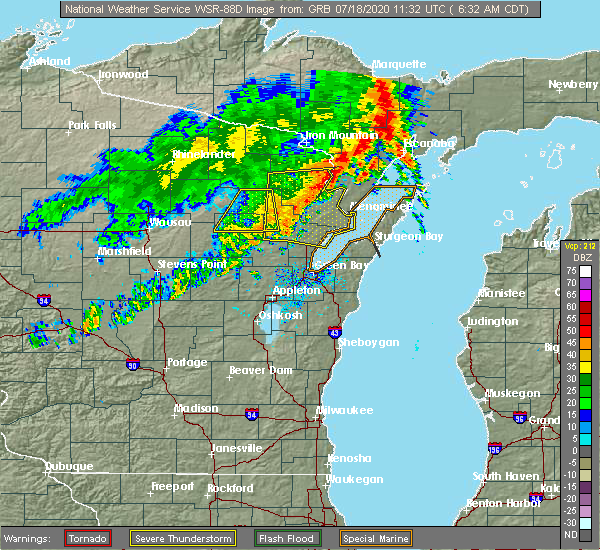
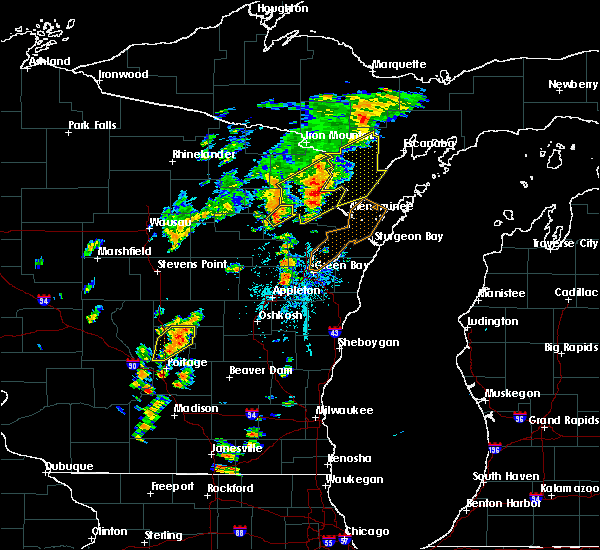
| 7/18/2020 6:40 AM CDT |
 At 638 am cdt, severe thunderstorms were located along a line extending from near stephenson to near pound to gillett, moving east at 40 mph (radar indicated). Hazards include 60 mph wind gusts. Expect damage to roofs, siding, and trees. these severe storms will be near, oconto around 655 pm cdt marinette around 700 am cdt. menominee around 705 am cdt. Other locations impacted by these severe thunderstorms include cullen, underhill, breed, middle inlet, hayes, silver cliff, pensaukee, high falls reservoir, hickory corners and porterfield. At 638 am cdt, severe thunderstorms were located along a line extending from near stephenson to near pound to gillett, moving east at 40 mph (radar indicated). Hazards include 60 mph wind gusts. Expect damage to roofs, siding, and trees. these severe storms will be near, oconto around 655 pm cdt marinette around 700 am cdt. menominee around 705 am cdt. Other locations impacted by these severe thunderstorms include cullen, underhill, breed, middle inlet, hayes, silver cliff, pensaukee, high falls reservoir, hickory corners and porterfield.
|
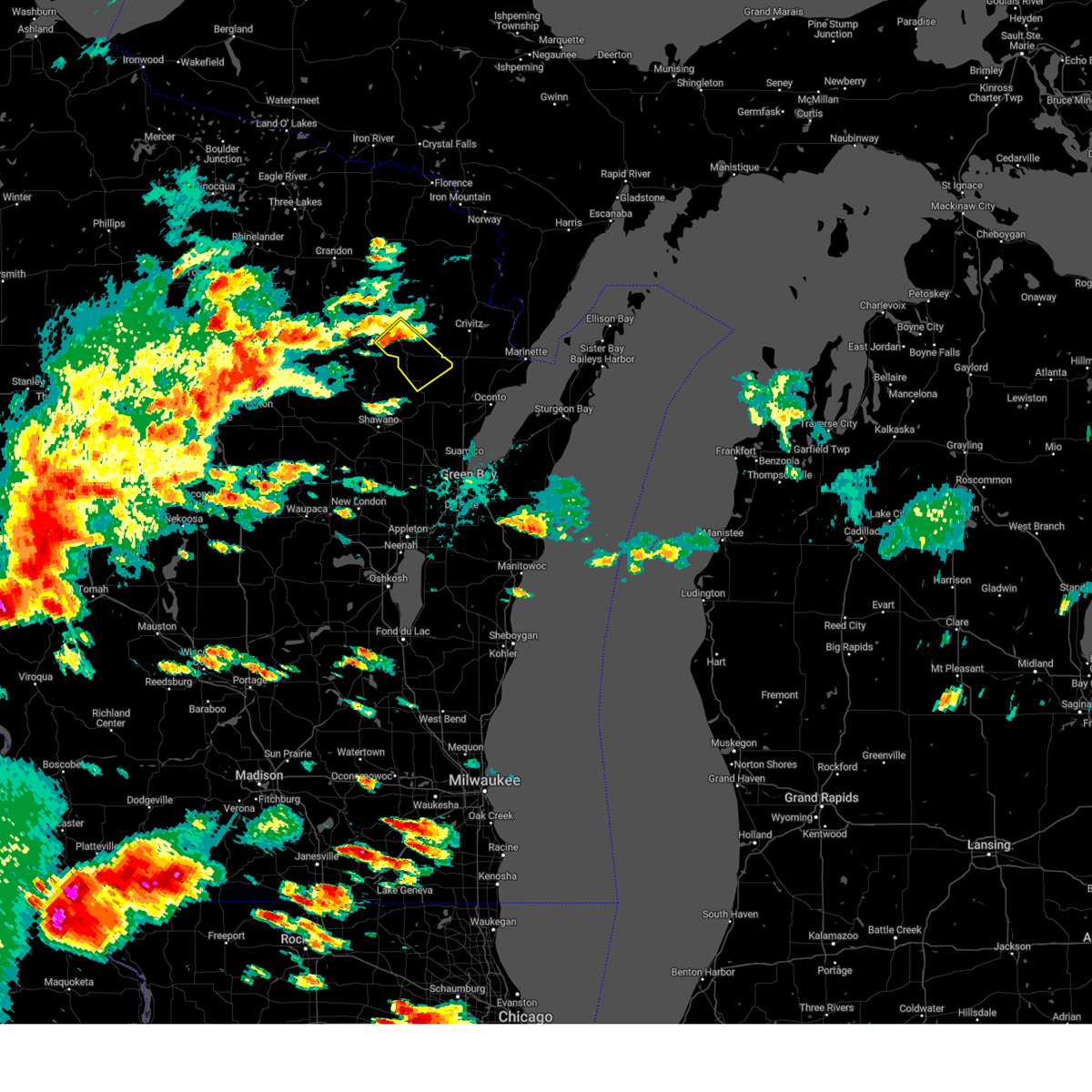
| 7/18/2020 6:35 AM CDT |
 At 634 am cdt, severe thunderstorms were located along a line extending from wausaukee to near gillett, moving east at 40 mph (radar indicated). Hazards include 60 mph wind gusts. Expect damage to roofs, siding, and trees. locations impacted include, breed, suring and hayes. Another severe thunderstorm warning remains in effect until 715 am cdt for oconto county. At 634 am cdt, severe thunderstorms were located along a line extending from wausaukee to near gillett, moving east at 40 mph (radar indicated). Hazards include 60 mph wind gusts. Expect damage to roofs, siding, and trees. locations impacted include, breed, suring and hayes. Another severe thunderstorm warning remains in effect until 715 am cdt for oconto county.
|
| 7/18/2020 6:23 AM CDT |
 At 621 am cdt, severe thunderstorms were located along a line extending from near wausaukee to near legend lake, moving east at 50 mph (radar indicated). Hazards include 60 mph wind gusts. Expect damage to roofs, siding, and trees. these severe thunderstorms will remain over mainly rural areas of menominee, northern oconto and southeastern langlade counties, including the following locations, boot lake campground, intersection of hwy 55 and county m, breed, upper bass lake, boulder lake campground, hayes, langlade, zoar, st. joseph lake and lakewood. Another severe thunderstorm warning is in effect until 715 am cdt for oconto county. At 621 am cdt, severe thunderstorms were located along a line extending from near wausaukee to near legend lake, moving east at 50 mph (radar indicated). Hazards include 60 mph wind gusts. Expect damage to roofs, siding, and trees. these severe thunderstorms will remain over mainly rural areas of menominee, northern oconto and southeastern langlade counties, including the following locations, boot lake campground, intersection of hwy 55 and county m, breed, upper bass lake, boulder lake campground, hayes, langlade, zoar, st. joseph lake and lakewood. Another severe thunderstorm warning is in effect until 715 am cdt for oconto county.
|
| 7/18/2020 6:11 AM CDT |
 At 610 am cdt, severe thunderstorms were located along a line extending from 9 miles southeast of goodman to near bear paw scout camp to 6 miles northwest of keshena, moving east at 40 mph (radar indicated). Hazards include 60 mph wind gusts. Expect damage to roofs, siding, and trees. severe thunderstorms will be near, pound around 635 am cdt. gillett and crivitz around 640 am cdt. marinette and menominee around 705 am cdt. oconto around 710 am cdt. other locations impacted by these severe thunderstorms include cullen, underhill, breed, middle inlet, hayes, silver cliff, pensaukee, high falls reservoir, hickory corners and porterfield. This warning extends the severe thunderstorm warning already in effect for oconto county. At 610 am cdt, severe thunderstorms were located along a line extending from 9 miles southeast of goodman to near bear paw scout camp to 6 miles northwest of keshena, moving east at 40 mph (radar indicated). Hazards include 60 mph wind gusts. Expect damage to roofs, siding, and trees. severe thunderstorms will be near, pound around 635 am cdt. gillett and crivitz around 640 am cdt. marinette and menominee around 705 am cdt. oconto around 710 am cdt. other locations impacted by these severe thunderstorms include cullen, underhill, breed, middle inlet, hayes, silver cliff, pensaukee, high falls reservoir, hickory corners and porterfield. This warning extends the severe thunderstorm warning already in effect for oconto county.
|
| 7/18/2020 5:53 AM CDT |
 At 553 am cdt, a severe thunderstorm was located 7 miles south of ma ka ja wan scout reservation, or 12 miles northeast of antigo, moving east at 40 mph (radar indicated). Hazards include 60 mph wind gusts. Expect damage to roofs, siding, and trees. this severe thunderstorm will be near, white lake around 605 am cdt. carter around 615 am cdt. mountain around 625 am cdt. mccaslin mountain natural area and bear paw scout camp around 630 am cdt. Other locations impacted by this severe thunderstorm include boot lake campground, lake noseum, breed, mattoon, polar, post lake, kempster, blackwell, upper bass lake and hayes. At 553 am cdt, a severe thunderstorm was located 7 miles south of ma ka ja wan scout reservation, or 12 miles northeast of antigo, moving east at 40 mph (radar indicated). Hazards include 60 mph wind gusts. Expect damage to roofs, siding, and trees. this severe thunderstorm will be near, white lake around 605 am cdt. carter around 615 am cdt. mountain around 625 am cdt. mccaslin mountain natural area and bear paw scout camp around 630 am cdt. Other locations impacted by this severe thunderstorm include boot lake campground, lake noseum, breed, mattoon, polar, post lake, kempster, blackwell, upper bass lake and hayes.
|
| 8/5/2019 7:05 PM CDT |
 The severe thunderstorm warning for eastern menominee, central oconto and eastern shawano counties will expire at 715 pm cdt, the storms which prompted the warning have moved out of the area. therefore, the warning will be allowed to expire. however gusty winds are still possible with these thunderstorms. a severe thunderstorm watch remains in effect until 1000 pm cdt for northeastern wisconsin. The severe thunderstorm warning for eastern menominee, central oconto and eastern shawano counties will expire at 715 pm cdt, the storms which prompted the warning have moved out of the area. therefore, the warning will be allowed to expire. however gusty winds are still possible with these thunderstorms. a severe thunderstorm watch remains in effect until 1000 pm cdt for northeastern wisconsin.
|
| 8/5/2019 6:52 PM CDT |
 At 651 pm cdt, severe thunderstorms were located along a line extending from 10 miles north of gillett to near navarino wildlife area, moving east at 40 mph (radar indicated). Hazards include 60 mph wind gusts. Expect damage to roofs, siding, and trees. Locations impacted include, shawano, pulaski, gillett, navarino wildlife area, south branch, legend lake, keshena, chase, oconto falls and angelica. At 651 pm cdt, severe thunderstorms were located along a line extending from 10 miles north of gillett to near navarino wildlife area, moving east at 40 mph (radar indicated). Hazards include 60 mph wind gusts. Expect damage to roofs, siding, and trees. Locations impacted include, shawano, pulaski, gillett, navarino wildlife area, south branch, legend lake, keshena, chase, oconto falls and angelica.
|
| 8/5/2019 6:21 PM CDT |
 At 620 pm cdt, severe thunderstorms were located along a line extending from near gardner dam scout camp to 6 miles northwest of clintonville, moving east at 40 mph (radar indicated). Hazards include 60 mph wind gusts. expect damage to roofs, siding, and trees At 620 pm cdt, severe thunderstorms were located along a line extending from near gardner dam scout camp to 6 miles northwest of clintonville, moving east at 40 mph (radar indicated). Hazards include 60 mph wind gusts. expect damage to roofs, siding, and trees
|
| 8/5/2019 3:09 PM CDT |
 At 309 pm cdt, severe thunderstorms were located along a line extending from 7 miles north of gillett to near keshena to 7 miles northwest of embarrass, moving southeast at 35 mph (radar indicated). Hazards include 60 mph wind gusts. Expect damage to roofs, siding, and trees. Locations impacted include, shawano, oconto, pulaski, gillett, navarino wildlife area, legend lake, keshena, chase, oconto falls and abrams. At 309 pm cdt, severe thunderstorms were located along a line extending from 7 miles north of gillett to near keshena to 7 miles northwest of embarrass, moving southeast at 35 mph (radar indicated). Hazards include 60 mph wind gusts. Expect damage to roofs, siding, and trees. Locations impacted include, shawano, oconto, pulaski, gillett, navarino wildlife area, legend lake, keshena, chase, oconto falls and abrams.
|
| 8/5/2019 2:54 PM CDT |
 At 253 pm cdt, severe thunderstorms were located along a line extending from 6 miles south of bear paw scout camp to big smokey falls to 6 miles south of neopit to 8 miles east of wittenberg, moving southeast at 35 mph (radar indicated). Hazards include 60 mph wind gusts. expect damage to roofs, siding, and trees At 253 pm cdt, severe thunderstorms were located along a line extending from 6 miles south of bear paw scout camp to big smokey falls to 6 miles south of neopit to 8 miles east of wittenberg, moving southeast at 35 mph (radar indicated). Hazards include 60 mph wind gusts. expect damage to roofs, siding, and trees
|
| 7/20/2019 12:10 PM CDT |
 The severe thunderstorm warning for menominee, oconto and eastern shawano counties will expire at 1215 pm cdt, the storms which prompted the warning have weakened. therefore, the warning will be allowed to expire. owever gusty winds and heavy rain are still possible with these thunderstorms. a severe thunderstorm watch remains in effect until 400 pm cdt for northeastern wisconsin. The severe thunderstorm warning for menominee, oconto and eastern shawano counties will expire at 1215 pm cdt, the storms which prompted the warning have weakened. therefore, the warning will be allowed to expire. owever gusty winds and heavy rain are still possible with these thunderstorms. a severe thunderstorm watch remains in effect until 400 pm cdt for northeastern wisconsin.
|
| 7/20/2019 11:53 AM CDT |
 At 1153 am cdt, severe thunderstorms were located along a line extending from near south branch to near gillett to 7 miles north of pulaski to 6 miles southwest of bellevue town to high cliff state park, moving northeast at 55 mph (radar indicated). Hazards include 70 mph wind gusts and penny size hail. Expect considerable tree damage. damage is likely to mobile homes, roofs, and outbuildings. these severe storms will be near, gillett and south branch around 1155 am cdt. other locations impacted by these severe thunderstorms include college of menominee nation, lake noseum, cullen, underhill, breed, sobieski, upper bass lake, south chase, hayes and pensaukee. People at pulaski community park should seek safe shelter immediately!. At 1153 am cdt, severe thunderstorms were located along a line extending from near south branch to near gillett to 7 miles north of pulaski to 6 miles southwest of bellevue town to high cliff state park, moving northeast at 55 mph (radar indicated). Hazards include 70 mph wind gusts and penny size hail. Expect considerable tree damage. damage is likely to mobile homes, roofs, and outbuildings. these severe storms will be near, gillett and south branch around 1155 am cdt. other locations impacted by these severe thunderstorms include college of menominee nation, lake noseum, cullen, underhill, breed, sobieski, upper bass lake, south chase, hayes and pensaukee. People at pulaski community park should seek safe shelter immediately!.
|
| 7/20/2019 11:35 AM CDT |
 At 1135 am cdt, severe thunderstorms were located along a line extending from near keshena to near navarino wildlife area to 9 miles west of pulaski to 6 miles southeast of kaukauna to central lake winnebago, moving northeast at 55 mph (radar indicated). Hazards include 60 mph wind gusts and penny size hail. Expect damage to roofs, siding, and trees. severe thunderstorms will be near, big smokey falls, keshena and legend lake around 1140 am cdt. pulaski and south branch around 1145 am cdt. gillett around 1150 am cdt. oconto around 1210 pm cdt. other locations impacted by these severe thunderstorms include college of menominee nation, lake noseum, cullen, underhill, breed, sobieski, upper bass lake, south chase, hayes and pensaukee. People at pulaski community park should seek safe shelter immediately!. At 1135 am cdt, severe thunderstorms were located along a line extending from near keshena to near navarino wildlife area to 9 miles west of pulaski to 6 miles southeast of kaukauna to central lake winnebago, moving northeast at 55 mph (radar indicated). Hazards include 60 mph wind gusts and penny size hail. Expect damage to roofs, siding, and trees. severe thunderstorms will be near, big smokey falls, keshena and legend lake around 1140 am cdt. pulaski and south branch around 1145 am cdt. gillett around 1150 am cdt. oconto around 1210 pm cdt. other locations impacted by these severe thunderstorms include college of menominee nation, lake noseum, cullen, underhill, breed, sobieski, upper bass lake, south chase, hayes and pensaukee. People at pulaski community park should seek safe shelter immediately!.
|
| 7/19/2019 8:44 PM CDT |
 At 842 pm cdt, severe thunderstorms were located along a line extending from 11 miles east of north otter creek natural area to mountain to near big smokey falls to 7 miles northeast of wittenberg, moving east at 70 mph. these are very dangerous storms (radar indicated). Hazards include 90 mph wind gusts and quarter size hail. You are in a life-threatening situation. flying debris may be deadly to those caught without shelter. mobile homes will be heavily damaged or destroyed. homes and businesses will have substantial roof and window damage. expect extensive tree damage and power outages. Locations impacted include, marinette, shawano, crandon, menominee, oconto, gillett, crivitz, mountain, wausaukee and pound. At 842 pm cdt, severe thunderstorms were located along a line extending from 11 miles east of north otter creek natural area to mountain to near big smokey falls to 7 miles northeast of wittenberg, moving east at 70 mph. these are very dangerous storms (radar indicated). Hazards include 90 mph wind gusts and quarter size hail. You are in a life-threatening situation. flying debris may be deadly to those caught without shelter. mobile homes will be heavily damaged or destroyed. homes and businesses will have substantial roof and window damage. expect extensive tree damage and power outages. Locations impacted include, marinette, shawano, crandon, menominee, oconto, gillett, crivitz, mountain, wausaukee and pound.
|
| 7/19/2019 8:33 PM CDT |
 At 832 pm cdt, severe thunderstorms were located along a line extending from near north otter creek natural area to near white lake to 8 miles northwest of neopit to 10 miles northwest of wittenberg, moving east at 70 mph. these are very dangerous storms (radar indicated). Hazards include 80 mph wind gusts and quarter size hail. Flying debris will be dangerous to those caught without shelter. mobile homes will be heavily damaged. expect considerable damage to roofs, windows, and vehicles. extensive tree damage and power outages are likely. Locations impacted include, wausau, marinette, shawano, antigo, crandon, weston, menominee, oconto, gillett and crivitz. At 832 pm cdt, severe thunderstorms were located along a line extending from near north otter creek natural area to near white lake to 8 miles northwest of neopit to 10 miles northwest of wittenberg, moving east at 70 mph. these are very dangerous storms (radar indicated). Hazards include 80 mph wind gusts and quarter size hail. Flying debris will be dangerous to those caught without shelter. mobile homes will be heavily damaged. expect considerable damage to roofs, windows, and vehicles. extensive tree damage and power outages are likely. Locations impacted include, wausau, marinette, shawano, antigo, crandon, weston, menominee, oconto, gillett and crivitz.
|
| 7/19/2019 8:19 PM CDT |
 A severe thunderstorm warning remains in effect until 915 pm cdt for southern forest. northeastern marathon. marinette. southeastern oneida. menominee. oconto. langlade and shawano counties. At 818 pm cdt, severe thunderstorms were located along a line extending from 7 miles northwest of crandon to near veterans memorial. A severe thunderstorm warning remains in effect until 915 pm cdt for southern forest. northeastern marathon. marinette. southeastern oneida. menominee. oconto. langlade and shawano counties. At 818 pm cdt, severe thunderstorms were located along a line extending from 7 miles northwest of crandon to near veterans memorial.
|
| 7/19/2019 8:12 PM CDT |
 At 811 pm cdt, severe thunderstorms were located along a line extending from 9 miles northwest of crandon to near veterans memorial county park to 7 miles west of wausau, moving east at 70 mph. these are very dangerous storms (radar indicated). Hazards include 80 mph wind gusts and ping pong ball size hail. Flying debris will be dangerous to those caught without shelter. mobile homes will be heavily damaged. expect considerable damage to roofs, windows, and vehicles. Extensive tree damage and power outages are likely. At 811 pm cdt, severe thunderstorms were located along a line extending from 9 miles northwest of crandon to near veterans memorial county park to 7 miles west of wausau, moving east at 70 mph. these are very dangerous storms (radar indicated). Hazards include 80 mph wind gusts and ping pong ball size hail. Flying debris will be dangerous to those caught without shelter. mobile homes will be heavily damaged. expect considerable damage to roofs, windows, and vehicles. Extensive tree damage and power outages are likely.
|
| 5/31/2019 5:57 PM CDT |
 The national weather service in green bay has issued a * severe thunderstorm warning for. southeastern menominee county in northeastern wisconsin. southern oconto county in northeastern wisconsin. east central shawano county in northeastern wisconsin. Until 645 pm cdt. The national weather service in green bay has issued a * severe thunderstorm warning for. southeastern menominee county in northeastern wisconsin. southern oconto county in northeastern wisconsin. east central shawano county in northeastern wisconsin. Until 645 pm cdt.
|
| 5/31/2019 4:42 PM CDT |
 At 442 pm cdt, a severe thunderstorm was located near oconto, or 17 miles northwest of bay shore park, moving southeast at 35 mph (radar indicated). Hazards include 60 mph wind gusts and quarter size hail. Hail damage to vehicles is expected. Expect wind damage to roofs, siding, and trees. At 442 pm cdt, a severe thunderstorm was located near oconto, or 17 miles northwest of bay shore park, moving southeast at 35 mph (radar indicated). Hazards include 60 mph wind gusts and quarter size hail. Hail damage to vehicles is expected. Expect wind damage to roofs, siding, and trees.
|
| 5/31/2019 4:35 PM CDT |
 At 433 pm cdt, a severe thunderstorm was located 9 miles west of oconto, or 22 miles northwest of bay shore park, moving southeast at 35 mph. a second thunderstorm was located 5 miles south of breed, moving southeast at 35 mph following a simlar path as the first storm (radar indicated). Hazards include 60 mph wind gusts and penny size hail. Expect damage to roofs, siding, and trees. Locations impacted include, oconto, gillett, little suamico, oconto falls, abrams, stiles, pensaukee, morgan, sampson and underhill. At 433 pm cdt, a severe thunderstorm was located 9 miles west of oconto, or 22 miles northwest of bay shore park, moving southeast at 35 mph. a second thunderstorm was located 5 miles south of breed, moving southeast at 35 mph following a simlar path as the first storm (radar indicated). Hazards include 60 mph wind gusts and penny size hail. Expect damage to roofs, siding, and trees. Locations impacted include, oconto, gillett, little suamico, oconto falls, abrams, stiles, pensaukee, morgan, sampson and underhill.
|
| 5/31/2019 4:20 PM CDT |
 At 420 pm cdt, a severe thunderstorm was located near gillett, or 21 miles northeast of shawano, moving southeast at 35 mph (radar indicated). Hazards include 60 mph wind gusts and penny size hail. expect damage to roofs, siding, and trees At 420 pm cdt, a severe thunderstorm was located near gillett, or 21 miles northeast of shawano, moving southeast at 35 mph (radar indicated). Hazards include 60 mph wind gusts and penny size hail. expect damage to roofs, siding, and trees
|
| 5/31/2019 4:15 PM CDT | Trees and powerlines down in cit in oconto county WI, 0.3 miles ENE of Suring, WI |
| 10/3/2018 7:41 PM CDT | Trees down. time estimated by rada in oconto county WI, 4.9 miles SE of Suring, WI |
| 10/3/2018 7:39 PM CDT |
 At 739 pm cdt, a severe thunderstorm was located 9 miles north of legend lake, or 17 miles north of shawano, moving east at 50 mph (radar indicated). Hazards include 60 mph wind gusts and quarter size hail. Hail damage to vehicles is expected. expect wind damage to roofs, siding, and trees. locations impacted include, legend lake, breed, suring and hayes. A tornado watch remains in effect until 1100 pm cdt for northeastern wisconsin. At 739 pm cdt, a severe thunderstorm was located 9 miles north of legend lake, or 17 miles north of shawano, moving east at 50 mph (radar indicated). Hazards include 60 mph wind gusts and quarter size hail. Hail damage to vehicles is expected. expect wind damage to roofs, siding, and trees. locations impacted include, legend lake, breed, suring and hayes. A tornado watch remains in effect until 1100 pm cdt for northeastern wisconsin.
|
| 10/3/2018 7:29 PM CDT |
 At 728 pm cdt, a severe thunderstorm was located near neopit, or 16 miles north of shawano, moving east at 35 mph (radar indicated). Hazards include 60 mph wind gusts and quarter size hail. Hail damage to vehicles is expected. Expect wind damage to roofs, siding, and trees. At 728 pm cdt, a severe thunderstorm was located near neopit, or 16 miles north of shawano, moving east at 35 mph (radar indicated). Hazards include 60 mph wind gusts and quarter size hail. Hail damage to vehicles is expected. Expect wind damage to roofs, siding, and trees.
|
| 7/1/2018 1:29 PM CDT |
 At 129 pm cdt, a severe thunderstorm was located 9 miles north of gillett, or 20 miles northeast of shawano, moving northeast at 40 mph (radar indicated). Hazards include 60 mph wind gusts and quarter size hail. Hail damage to vehicles is expected. expect wind damage to roofs, siding, and trees. locations impacted include, breed, suring and white potato lake. A tornado watch remains in effect until 700 pm cdt for northeastern wisconsin. At 129 pm cdt, a severe thunderstorm was located 9 miles north of gillett, or 20 miles northeast of shawano, moving northeast at 40 mph (radar indicated). Hazards include 60 mph wind gusts and quarter size hail. Hail damage to vehicles is expected. expect wind damage to roofs, siding, and trees. locations impacted include, breed, suring and white potato lake. A tornado watch remains in effect until 700 pm cdt for northeastern wisconsin.
|
| 7/1/2018 1:02 PM CDT |
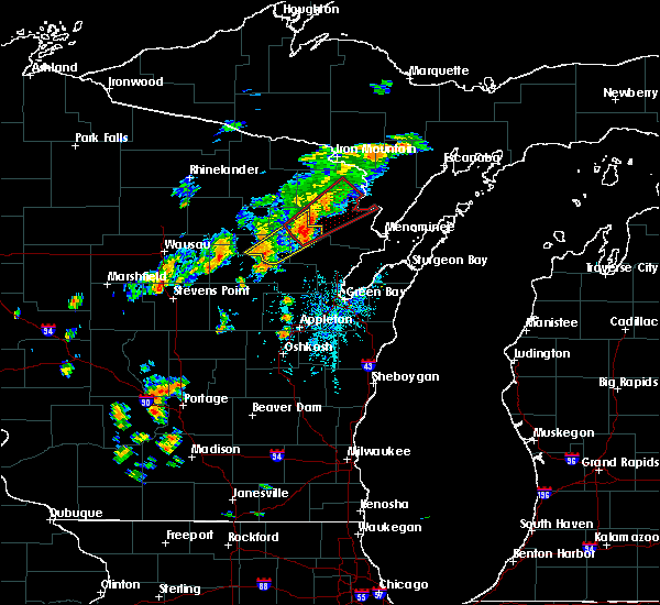 At 101 pm cdt, a severe thunderstorm was located 10 miles west of crivitz, or 30 miles west of menominee, moving northeast at 40 mph (radar indicated). Hazards include two inch hail and 60 mph wind gusts. People and animals outdoors will be injured. expect hail damage to roofs, siding, windows, and vehicles. expect wind damage to roofs, siding, and trees. locations impacted include, mountain, breed, suring, white potato lake and crooked lake. A tornado watch remains in effect until 700 pm cdt for northeastern wisconsin. At 101 pm cdt, a severe thunderstorm was located 10 miles west of crivitz, or 30 miles west of menominee, moving northeast at 40 mph (radar indicated). Hazards include two inch hail and 60 mph wind gusts. People and animals outdoors will be injured. expect hail damage to roofs, siding, windows, and vehicles. expect wind damage to roofs, siding, and trees. locations impacted include, mountain, breed, suring, white potato lake and crooked lake. A tornado watch remains in effect until 700 pm cdt for northeastern wisconsin.
|
| 7/1/2018 12:48 PM CDT | Report of multiple trees snappe in oconto county WI, 6.7 miles SSE of Suring, WI |
| 7/1/2018 12:42 PM CDT |
 At 1241 pm cdt, a severe thunderstorm was located near mountain, or 24 miles north of shawano, moving northeast at 25 mph (radar indicated). Hazards include two inch hail and 60 mph wind gusts. People and animals outdoors will be injured. expect hail damage to roofs, siding, windows, and vehicles. expect wind damage to roofs, siding, and trees. locations impacted include, mountain, legend lake, keshena, neopit, breed, suring, intersection of hwy 55 and county m, white potato lake, hayes and crooked lake. A tornado watch remains in effect until 700 pm cdt for north central and northeastern wisconsin. At 1241 pm cdt, a severe thunderstorm was located near mountain, or 24 miles north of shawano, moving northeast at 25 mph (radar indicated). Hazards include two inch hail and 60 mph wind gusts. People and animals outdoors will be injured. expect hail damage to roofs, siding, windows, and vehicles. expect wind damage to roofs, siding, and trees. locations impacted include, mountain, legend lake, keshena, neopit, breed, suring, intersection of hwy 55 and county m, white potato lake, hayes and crooked lake. A tornado watch remains in effect until 700 pm cdt for north central and northeastern wisconsin.
|
| 7/1/2018 12:38 PM CDT |
 At 1237 pm cdt, a severe thunderstorm was located near mountain, or 23 miles north of shawano, moving northeast at 30 mph (radar indicated). Hazards include 60 mph wind gusts and quarter size hail. Hail damage to vehicles is expected. expect wind damage to roofs, siding, and trees. locations impacted include, mountain, legend lake, keshena, neopit, breed, suring, intersection of hwy 55 and county m, white potato lake, hayes and crooked lake. A tornado watch remains in effect until 700 pm cdt for north central and northeastern wisconsin. At 1237 pm cdt, a severe thunderstorm was located near mountain, or 23 miles north of shawano, moving northeast at 30 mph (radar indicated). Hazards include 60 mph wind gusts and quarter size hail. Hail damage to vehicles is expected. expect wind damage to roofs, siding, and trees. locations impacted include, mountain, legend lake, keshena, neopit, breed, suring, intersection of hwy 55 and county m, white potato lake, hayes and crooked lake. A tornado watch remains in effect until 700 pm cdt for north central and northeastern wisconsin.
|
| 7/1/2018 12:23 PM CDT |
 At 1223 pm cdt, a severe thunderstorm was located 8 miles north of legend lake, or 16 miles north of shawano, moving northeast at 30 mph (radar indicated). Hazards include 60 mph wind gusts and quarter size hail. Hail damage to vehicles is expected. Expect wind damage to roofs, siding, and trees. At 1223 pm cdt, a severe thunderstorm was located 8 miles north of legend lake, or 16 miles north of shawano, moving northeast at 30 mph (radar indicated). Hazards include 60 mph wind gusts and quarter size hail. Hail damage to vehicles is expected. Expect wind damage to roofs, siding, and trees.
|
| 6/17/2018 9:31 PM CDT |
 At 931 pm cdt, severe thunderstorms were located along a line extending from near gillett to 8 miles north of pulaski to near navarino wildlife area, moving east at 40 mph (radar indicated). Hazards include 70 mph wind gusts. Expect considerable tree damage. damage is likely to mobile homes, roofs, and outbuildings. Locations impacted include, oconto, pulaski, gillett, navarino wildlife area, howard, suamico, little suamico, chase, oconto falls and pittsfield. At 931 pm cdt, severe thunderstorms were located along a line extending from near gillett to 8 miles north of pulaski to near navarino wildlife area, moving east at 40 mph (radar indicated). Hazards include 70 mph wind gusts. Expect considerable tree damage. damage is likely to mobile homes, roofs, and outbuildings. Locations impacted include, oconto, pulaski, gillett, navarino wildlife area, howard, suamico, little suamico, chase, oconto falls and pittsfield.
|
| 6/17/2018 9:12 PM CDT |
 At 912 pm cdt, severe thunderstorms were located along a line extending from near legend lake to near shawano to near embarrass, moving east at 40 mph (radar indicated). Hazards include 60 mph wind gusts. expect damage to roofs, siding, and trees At 912 pm cdt, severe thunderstorms were located along a line extending from near legend lake to near shawano to near embarrass, moving east at 40 mph (radar indicated). Hazards include 60 mph wind gusts. expect damage to roofs, siding, and trees
|
| 6/17/2018 9:00 PM CDT |
 At 859 pm cdt, severe thunderstorms were located along a line extending from 7 miles northwest of legend lake to keshena to 10 miles northwest of embarrass, moving east at 45 mph (radar indicated). Hazards include 60 mph wind gusts. Expect damage to roofs, siding, and trees. these severe storms will be near, keshena around 905 pm cdt. legend lake around 910 pm cdt. shawano and gillett around 915 pm cdt. Other locations impacted by these severe thunderstorms include college of menominee nation, underhill, breed, hayes, zachow, tigerton, lunds, hickory corners, whitcomb and thornton. At 859 pm cdt, severe thunderstorms were located along a line extending from 7 miles northwest of legend lake to keshena to 10 miles northwest of embarrass, moving east at 45 mph (radar indicated). Hazards include 60 mph wind gusts. Expect damage to roofs, siding, and trees. these severe storms will be near, keshena around 905 pm cdt. legend lake around 910 pm cdt. shawano and gillett around 915 pm cdt. Other locations impacted by these severe thunderstorms include college of menominee nation, underhill, breed, hayes, zachow, tigerton, lunds, hickory corners, whitcomb and thornton.
|
| 6/17/2018 8:44 PM CDT |
 At 844 pm cdt, severe thunderstorms were located along a line extending from 7 miles southwest of white lake to near neopit to 7 miles southeast of wittenberg, moving east at 50 mph (radar indicated). Hazards include 70 mph wind gusts. Expect considerable tree damage. damage is likely to mobile homes, roofs, and outbuildings. these severe storms will be near, white lake around 850 pm cdt. keshena around 855 pm cdt. legend lake around 900 pm cdt. shawano and mountain around 905 pm cdt. gillett around 910 pm cdt. Other locations impacted by these severe thunderstorms include college of menominee nation, breed, mattoon, polar, hayes, birnamwood, tigerton, hickory corners, whitcomb and frazer corners. At 844 pm cdt, severe thunderstorms were located along a line extending from 7 miles southwest of white lake to near neopit to 7 miles southeast of wittenberg, moving east at 50 mph (radar indicated). Hazards include 70 mph wind gusts. Expect considerable tree damage. damage is likely to mobile homes, roofs, and outbuildings. these severe storms will be near, white lake around 850 pm cdt. keshena around 855 pm cdt. legend lake around 900 pm cdt. shawano and mountain around 905 pm cdt. gillett around 910 pm cdt. Other locations impacted by these severe thunderstorms include college of menominee nation, breed, mattoon, polar, hayes, birnamwood, tigerton, hickory corners, whitcomb and frazer corners.
|
| 6/17/2018 8:24 PM CDT |
 At 816 pm cdt, severe thunderstorms were located along a line extending from 12 miles southwest of antigo to 12 miles northwest of wittenberg to 7 miles west of bevent, moving east at 65 mph (radar indicated). Hazards include 70 mph wind gusts. Expect considerable tree damage. Damage is likely to mobile homes, roofs, and outbuildings. At 816 pm cdt, severe thunderstorms were located along a line extending from 12 miles southwest of antigo to 12 miles northwest of wittenberg to 7 miles west of bevent, moving east at 65 mph (radar indicated). Hazards include 70 mph wind gusts. Expect considerable tree damage. Damage is likely to mobile homes, roofs, and outbuildings.
|
| 6/17/2018 8:16 PM CDT |
 At 816 pm cdt, severe thunderstorms were located along a line extending from 12 miles southwest of antigo to 12 miles northwest of wittenberg to 7 miles west of bevent, moving east at 65 mph (radar indicated). Hazards include 70 mph wind gusts. Expect considerable tree damage. Damage is likely to mobile homes, roofs, and outbuildings. At 816 pm cdt, severe thunderstorms were located along a line extending from 12 miles southwest of antigo to 12 miles northwest of wittenberg to 7 miles west of bevent, moving east at 65 mph (radar indicated). Hazards include 70 mph wind gusts. Expect considerable tree damage. Damage is likely to mobile homes, roofs, and outbuildings.
|
| 7/22/2017 7:00 PM CDT |
 At 700 pm cdt, a severe thunderstorm was located over underhill, or 13 miles northeast of shawano, moving southeast at 30 mph (radar indicated). Hazards include 60 mph wind gusts and quarter size hail. Hail damage to vehicles is expected. expect wind damage to roofs, siding, and trees. this severe thunderstorm will be near, gillett around 705 pm cdt. pulaski around 735 pm cdt. Other locations impacted by this severe thunderstorm include pulcifer, morgan, underhill, abrams, oconto falls, green valley, advance, krakow, suring and chase. At 700 pm cdt, a severe thunderstorm was located over underhill, or 13 miles northeast of shawano, moving southeast at 30 mph (radar indicated). Hazards include 60 mph wind gusts and quarter size hail. Hail damage to vehicles is expected. expect wind damage to roofs, siding, and trees. this severe thunderstorm will be near, gillett around 705 pm cdt. pulaski around 735 pm cdt. Other locations impacted by this severe thunderstorm include pulcifer, morgan, underhill, abrams, oconto falls, green valley, advance, krakow, suring and chase.
|
| 7/22/2017 6:46 PM CDT |
 At 646 pm cdt, a severe thunderstorm was located over suring, or 15 miles northeast of shawano, moving southeast at 30 mph (radar indicated). Hazards include 60 mph wind gusts and quarter size hail. Hail damage to vehicles is expected. expect wind damage to roofs, siding, and trees. this severe storm will be near, gillett around 700 pm cdt. Other locations impacted by this severe thunderstorm include spruce, hickory corners, underhill, breed, oconto falls, lena, suring and hayes. At 646 pm cdt, a severe thunderstorm was located over suring, or 15 miles northeast of shawano, moving southeast at 30 mph (radar indicated). Hazards include 60 mph wind gusts and quarter size hail. Hail damage to vehicles is expected. expect wind damage to roofs, siding, and trees. this severe storm will be near, gillett around 700 pm cdt. Other locations impacted by this severe thunderstorm include spruce, hickory corners, underhill, breed, oconto falls, lena, suring and hayes.
|
| 7/22/2017 6:34 PM CDT |
 At 634 pm cdt, a severe thunderstorm was located near breed, or 20 miles north of shawano, moving southeast at 30 mph (radar indicated). Hazards include 60 mph wind gusts and half dollar size hail. Hail damage to vehicles is expected. expect wind damage to roofs, siding, and trees. this severe storm will be near, gillett around 700 pm cdt. Other locations impacted by this severe thunderstorm include spruce, hickory corners, underhill, breed, oconto falls, lena, suring and hayes. At 634 pm cdt, a severe thunderstorm was located near breed, or 20 miles north of shawano, moving southeast at 30 mph (radar indicated). Hazards include 60 mph wind gusts and half dollar size hail. Hail damage to vehicles is expected. expect wind damage to roofs, siding, and trees. this severe storm will be near, gillett around 700 pm cdt. Other locations impacted by this severe thunderstorm include spruce, hickory corners, underhill, breed, oconto falls, lena, suring and hayes.
|
| 7/22/2017 6:31 PM CDT |
 At 631 pm cdt, a severe thunderstorm was located near breed, or 20 miles north of shawano, moving southeast at 30 mph (radar indicated). Hazards include 60 mph wind gusts and half dollar size hail. Hail damage to vehicles is expected. expect wind damage to roofs, siding, and trees. this severe storm will be near, gillett around 700 pm cdt. Other locations impacted by this severe thunderstorm include spruce, hickory corners, underhill, breed, oconto falls, lena, suring and hayes. At 631 pm cdt, a severe thunderstorm was located near breed, or 20 miles north of shawano, moving southeast at 30 mph (radar indicated). Hazards include 60 mph wind gusts and half dollar size hail. Hail damage to vehicles is expected. expect wind damage to roofs, siding, and trees. this severe storm will be near, gillett around 700 pm cdt. Other locations impacted by this severe thunderstorm include spruce, hickory corners, underhill, breed, oconto falls, lena, suring and hayes.
|
| 7/22/2017 6:19 PM CDT |
 At 618 pm cdt, a severe thunderstorm was located over boulder lake campground, or 25 miles north of shawano, moving southeast at 30 mph (radar indicated). Hazards include 60 mph wind gusts and quarter size hail. Hail damage to vehicles is expected. expect wind damage to roofs, siding, and trees. this severe thunderstorm will be near, mountain around 625 pm cdt. gillett around 700 pm cdt. Other locations impacted by this severe thunderstorm include spruce, hickory corners, underhill, breed, oconto falls, lena, boulder lake campground, suring, hayes and klondike. At 618 pm cdt, a severe thunderstorm was located over boulder lake campground, or 25 miles north of shawano, moving southeast at 30 mph (radar indicated). Hazards include 60 mph wind gusts and quarter size hail. Hail damage to vehicles is expected. expect wind damage to roofs, siding, and trees. this severe thunderstorm will be near, mountain around 625 pm cdt. gillett around 700 pm cdt. Other locations impacted by this severe thunderstorm include spruce, hickory corners, underhill, breed, oconto falls, lena, boulder lake campground, suring, hayes and klondike.
|
| 6/16/2017 9:46 PM CDT |
 At 946 pm cdt, severe thunderstorms were located along a line extending from 9 miles south of mountain to 7 miles east of shawano to near navarino wildlife area, moving east at 35 mph (radar indicated). Hazards include 60 mph wind gusts. Expect damage to roofs, siding, and trees. Locations impacted include, shawano, clintonville, pulaski, gillett, embarrass, navarino wildlife area, legend lake, keshena, neopit and belle plaine. At 946 pm cdt, severe thunderstorms were located along a line extending from 9 miles south of mountain to 7 miles east of shawano to near navarino wildlife area, moving east at 35 mph (radar indicated). Hazards include 60 mph wind gusts. Expect damage to roofs, siding, and trees. Locations impacted include, shawano, clintonville, pulaski, gillett, embarrass, navarino wildlife area, legend lake, keshena, neopit and belle plaine.
|
| 6/16/2017 9:31 PM CDT |
 At 931 pm cdt, severe thunderstorms were located along a line extending from 9 miles south of mountain to near randolph, moving east at 30 mph (radar indicated). Hazards include 60 mph wind gusts. Expect damage to roofs, siding, and trees. these severe storms will be near, clintonville around 1000 pm cdt. embarrass around 1005 pm cdt. shawano and navarino wildlife area around 1015 pm cdt. Other locations impacted by these severe thunderstorms include college of menominee nation, schmidt corner, underhill, breed, hofa park, hayes, landstad, zachow, tigerton and hickory corners. At 931 pm cdt, severe thunderstorms were located along a line extending from 9 miles south of mountain to near randolph, moving east at 30 mph (radar indicated). Hazards include 60 mph wind gusts. Expect damage to roofs, siding, and trees. these severe storms will be near, clintonville around 1000 pm cdt. embarrass around 1005 pm cdt. shawano and navarino wildlife area around 1015 pm cdt. Other locations impacted by these severe thunderstorms include college of menominee nation, schmidt corner, underhill, breed, hofa park, hayes, landstad, zachow, tigerton and hickory corners.
|
| 6/16/2017 9:17 PM CDT |
 At 916 pm cdt, severe thunderstorms were located along a line extending from 8 miles northeast of neopit to 8 miles northwest of randolph, moving east at 40 mph (radar indicated). Hazards include 60 mph wind gusts. Expect damage to roofs, siding, and trees. severe thunderstorms will be near, clintonville around 950 pm cdt. embarrass around 955 pm cdt. shawano and navarino wildlife area around 1005 pm cdt. Other locations impacted by these severe thunderstorms include college of menominee nation, schmidt corner, underhill, breed, hofa park, hayes, landstad, zachow, tigerton and hickory corners. At 916 pm cdt, severe thunderstorms were located along a line extending from 8 miles northeast of neopit to 8 miles northwest of randolph, moving east at 40 mph (radar indicated). Hazards include 60 mph wind gusts. Expect damage to roofs, siding, and trees. severe thunderstorms will be near, clintonville around 950 pm cdt. embarrass around 955 pm cdt. shawano and navarino wildlife area around 1005 pm cdt. Other locations impacted by these severe thunderstorms include college of menominee nation, schmidt corner, underhill, breed, hofa park, hayes, landstad, zachow, tigerton and hickory corners.
|
| 6/14/2017 2:56 PM CDT |
 The severe thunderstorm warning for central oconto county will expire at 300 pm cdt. the storm which prompted the warning has weakened below severe limits, and no longer poses an immediate threat to life or property. therefore the warning will be allowed to expire. However gusty winds and heavy rain are still possible with this thunderstorm. The severe thunderstorm warning for central oconto county will expire at 300 pm cdt. the storm which prompted the warning has weakened below severe limits, and no longer poses an immediate threat to life or property. therefore the warning will be allowed to expire. However gusty winds and heavy rain are still possible with this thunderstorm.
|
| 6/14/2017 2:45 PM CDT |
 At 245 pm cdt, a severe thunderstorm was located near gillett, or 14 miles northeast of shawano, moving northeast at 25 mph (radar indicated). Hazards include 60 mph wind gusts and penny size hail. Expect damage to roofs, siding, and trees. Locations impacted include, gillett, oconto falls, underhill, spruce, suring, hickory corners and klondike. At 245 pm cdt, a severe thunderstorm was located near gillett, or 14 miles northeast of shawano, moving northeast at 25 mph (radar indicated). Hazards include 60 mph wind gusts and penny size hail. Expect damage to roofs, siding, and trees. Locations impacted include, gillett, oconto falls, underhill, spruce, suring, hickory corners and klondike.
|
| 6/14/2017 2:35 PM CDT |
 At 235 pm cdt, a severe thunderstorm was located near gillett, or 12 miles northeast of shawano, moving northeast at 30 mph (radar indicated). Hazards include 60 mph wind gusts and penny size hail. Expect damage to roofs, siding, and trees. Locations impacted include, gillett, oconto falls, underhill, spruce, breed, suring, hickory corners, hayes and klondike. At 235 pm cdt, a severe thunderstorm was located near gillett, or 12 miles northeast of shawano, moving northeast at 30 mph (radar indicated). Hazards include 60 mph wind gusts and penny size hail. Expect damage to roofs, siding, and trees. Locations impacted include, gillett, oconto falls, underhill, spruce, breed, suring, hickory corners, hayes and klondike.
|
| 6/14/2017 2:20 PM CDT |
 At 220 pm cdt, a severe thunderstorm was located near legend lake, or 9 miles northeast of shawano, moving east at 30 mph (radar indicated). Hazards include 60 mph wind gusts and penny size hail. expect damage to roofs, siding, and trees At 220 pm cdt, a severe thunderstorm was located near legend lake, or 9 miles northeast of shawano, moving east at 30 mph (radar indicated). Hazards include 60 mph wind gusts and penny size hail. expect damage to roofs, siding, and trees
|
| 6/11/2017 1:22 PM CDT |
 At 121 pm cdt, severe thunderstorms were located along a line extending from near wausaukee to near pound to 15 miles south of crivitz to 9 miles west of oconto to 7 miles south of gillett, moving east at 65 mph (radar indicated). Hazards include 70 mph wind gusts and penny size hail. Expect considerable tree damage. damage is likely to mobile homes, roofs, and outbuildings. these severe storms will be near, crivitz and wausaukee around 125 pm cdt. oconto around 130 pm cdt. marinette and menominee around 145 pm cdt. other locations impacted by these severe thunderstorms include cullen, middle inlet, sobieski, south chase, pensaukee, zachow, high falls reservoir, hickory corners, morgan and porterfield. those attending the porterfield country music festival and copperfest are in the path of these storms and should prepare for imminent dangerous weather conditions. Seek shelter now!. At 121 pm cdt, severe thunderstorms were located along a line extending from near wausaukee to near pound to 15 miles south of crivitz to 9 miles west of oconto to 7 miles south of gillett, moving east at 65 mph (radar indicated). Hazards include 70 mph wind gusts and penny size hail. Expect considerable tree damage. damage is likely to mobile homes, roofs, and outbuildings. these severe storms will be near, crivitz and wausaukee around 125 pm cdt. oconto around 130 pm cdt. marinette and menominee around 145 pm cdt. other locations impacted by these severe thunderstorms include cullen, middle inlet, sobieski, south chase, pensaukee, zachow, high falls reservoir, hickory corners, morgan and porterfield. those attending the porterfield country music festival and copperfest are in the path of these storms and should prepare for imminent dangerous weather conditions. Seek shelter now!.
|
| 6/11/2017 1:11 PM CDT |
 At 110 pm cdt, severe thunderstorms were located along a line extending from 15 miles west of wausaukee to 7 miles southeast of mountain to 12 miles southwest of pound to gillett to near shawano, moving east at 55 mph. radar indicated rotation in central oconto county (radar indicated). Hazards include 70 mph wind gusts and quarter size hail. Hail damage to vehicles is expected. expect considerable tree damage. wind damage is also likely to mobile homes, roofs, and outbuildings. these severe storms will be near, wausaukee and pound around 125 pm cdt. crivitz around 130 pm cdt. marinette and oconto around 140 pm cdt. menominee around 145 pm cdt. other locations impacted by these severe thunderstorms include college of menominee nation, breed, hayes, high falls reservoir, hickory corners, caldron falls reservoir, belle plaine, bonduel, lake noquebay and intersection of hwy 55 and county m. those attending the porterfield country music festival or copperfest are in the path of these storms and should prepare for dangerous weather conditions. Seek shelter now!. At 110 pm cdt, severe thunderstorms were located along a line extending from 15 miles west of wausaukee to 7 miles southeast of mountain to 12 miles southwest of pound to gillett to near shawano, moving east at 55 mph. radar indicated rotation in central oconto county (radar indicated). Hazards include 70 mph wind gusts and quarter size hail. Hail damage to vehicles is expected. expect considerable tree damage. wind damage is also likely to mobile homes, roofs, and outbuildings. these severe storms will be near, wausaukee and pound around 125 pm cdt. crivitz around 130 pm cdt. marinette and oconto around 140 pm cdt. menominee around 145 pm cdt. other locations impacted by these severe thunderstorms include college of menominee nation, breed, hayes, high falls reservoir, hickory corners, caldron falls reservoir, belle plaine, bonduel, lake noquebay and intersection of hwy 55 and county m. those attending the porterfield country music festival or copperfest are in the path of these storms and should prepare for dangerous weather conditions. Seek shelter now!.
|
| 6/11/2017 1:06 PM CDT | Numerous trees and powerlines down in the cit in oconto county WI, 0.3 miles ENE of Suring, WI |
| 6/11/2017 12:59 PM CDT |
 At 1257 pm cdt, severe thunderstorms were located along a line extending from 9 miles east of carter to near mountain to 9 miles northeast of keshena to legend lake to 6 miles west of shawano, moving east at 65 mph. radar was indicating some rotation in eastern menominee county and northern oconto county (radar indicated). Hazards include 70 mph wind gusts and quarter size hail. Hail damage to vehicles is expected. expect considerable tree damage. wind damage is also likely to mobile homes, roofs, and outbuildings. locations impacted include, marinette, shawano, menominee, oconto, gillett, crivitz, mountain, wausaukee, pound and white lake. those attending copperfest or the portfield country music festival are in the path of these storms and should prepare for dangerous weather conditions. Seek shelter now!. At 1257 pm cdt, severe thunderstorms were located along a line extending from 9 miles east of carter to near mountain to 9 miles northeast of keshena to legend lake to 6 miles west of shawano, moving east at 65 mph. radar was indicating some rotation in eastern menominee county and northern oconto county (radar indicated). Hazards include 70 mph wind gusts and quarter size hail. Hail damage to vehicles is expected. expect considerable tree damage. wind damage is also likely to mobile homes, roofs, and outbuildings. locations impacted include, marinette, shawano, menominee, oconto, gillett, crivitz, mountain, wausaukee, pound and white lake. those attending copperfest or the portfield country music festival are in the path of these storms and should prepare for dangerous weather conditions. Seek shelter now!.
|
| 6/11/2017 12:48 PM CDT |
 At 1248 pm cdt, severe thunderstorms were located along a line extending from near carter to near neopit to 10 miles southeast of wittenberg, moving east at 55 mph (radar indicated). Hazards include 70 mph wind gusts and quarter size hail. Hail damage to vehicles is expected. expect considerable tree damage. Wind damage is also likely to mobile homes, roofs, and outbuildings. At 1248 pm cdt, severe thunderstorms were located along a line extending from near carter to near neopit to 10 miles southeast of wittenberg, moving east at 55 mph (radar indicated). Hazards include 70 mph wind gusts and quarter size hail. Hail damage to vehicles is expected. expect considerable tree damage. Wind damage is also likely to mobile homes, roofs, and outbuildings.
|
| 6/4/2017 11:20 PM CDT |
 At 1120 pm cdt, a severe thunderstorm was located 7 miles south of mountain, or 20 miles north of shawano, moving southeast at 20 mph (radar indicated). Hazards include 60 mph wind gusts and penny size hail. Expect damage to roofs, siding, and trees. this severe storm will be near, gillett and legend lake around 1145 pm cdt. Other locations impacted by this severe thunderstorm include hickory corners, hayes, intersection of hwy 55 and county m, suring, underhill and breed. At 1120 pm cdt, a severe thunderstorm was located 7 miles south of mountain, or 20 miles north of shawano, moving southeast at 20 mph (radar indicated). Hazards include 60 mph wind gusts and penny size hail. Expect damage to roofs, siding, and trees. this severe storm will be near, gillett and legend lake around 1145 pm cdt. Other locations impacted by this severe thunderstorm include hickory corners, hayes, intersection of hwy 55 and county m, suring, underhill and breed.
|
| 6/4/2017 11:06 PM CDT |
 At 1105 pm cdt, a severe thunderstorm was located near mountain, or 24 miles north of shawano, moving southeast at 20 mph (radar indicated). Hazards include 60 mph wind gusts and quarter size hail. Hail damage to vehicles is possible. expect wind damage to roofs, siding, and trees. this severe thunderstorm will be near, gillett and legend lake around 1145 pm cdt. Other locations impacted by this severe thunderstorm include hickory corners, intersection of hwy 55 and county m, underhill, breed, hayes, boulder lake campground and suring. At 1105 pm cdt, a severe thunderstorm was located near mountain, or 24 miles north of shawano, moving southeast at 20 mph (radar indicated). Hazards include 60 mph wind gusts and quarter size hail. Hail damage to vehicles is possible. expect wind damage to roofs, siding, and trees. this severe thunderstorm will be near, gillett and legend lake around 1145 pm cdt. Other locations impacted by this severe thunderstorm include hickory corners, intersection of hwy 55 and county m, underhill, breed, hayes, boulder lake campground and suring.
|
| 6/3/2017 7:37 PM CDT |
 At 736 pm cdt, severe thunderstorms were located along a line extending from 10 miles southeast of marinette to oconto to near legend lake, moving southeast at 45 mph (radar indicated). Hazards include 60 mph wind gusts and quarter size hail. Hail damage to vehicles is expected. expect wind damage to roofs, siding, and trees. locations impacted include, marinette, shawano, menominee, oconto, pulaski, gillett, navarino wildlife area, legend lake, keshena and little suamico. People at memorial park in shawano should seek safe shelter immediately!. At 736 pm cdt, severe thunderstorms were located along a line extending from 10 miles southeast of marinette to oconto to near legend lake, moving southeast at 45 mph (radar indicated). Hazards include 60 mph wind gusts and quarter size hail. Hail damage to vehicles is expected. expect wind damage to roofs, siding, and trees. locations impacted include, marinette, shawano, menominee, oconto, pulaski, gillett, navarino wildlife area, legend lake, keshena and little suamico. People at memorial park in shawano should seek safe shelter immediately!.
|
| 6/3/2017 7:13 PM CDT |
 At 712 pm cdt, severe thunderstorms were located along a line extending from near marinette to 8 miles southeast of pound to 8 miles south of mountain, moving southeast at 60 mph (radar indicated). Hazards include 60 mph wind gusts and quarter size hail. Hail damage to vehicles is expected. expect wind damage to roofs, siding, and trees. severe thunderstorms will be near, oconto around 720 pm cdt. other locations impacted by these severe thunderstorms include college of menominee nation, cullen, underhill, breed, hofa park, sobieski, hayes, south chase, pensaukee and landstad. People at memorial park in shawano should seek safe shelter immediately!. At 712 pm cdt, severe thunderstorms were located along a line extending from near marinette to 8 miles southeast of pound to 8 miles south of mountain, moving southeast at 60 mph (radar indicated). Hazards include 60 mph wind gusts and quarter size hail. Hail damage to vehicles is expected. expect wind damage to roofs, siding, and trees. severe thunderstorms will be near, oconto around 720 pm cdt. other locations impacted by these severe thunderstorms include college of menominee nation, cullen, underhill, breed, hofa park, sobieski, hayes, south chase, pensaukee and landstad. People at memorial park in shawano should seek safe shelter immediately!.
|
| 6/3/2017 7:09 PM CDT |
 At 708 pm cdt, severe thunderstorms were located along a line extending from near menominee to near pound to near mountain, moving southeast at 55 mph (radar indicated). Hazards include 60 mph wind gusts and quarter size hail. Hail damage to vehicles is expected. expect wind damage to roofs, siding, and trees. Locations impacted include, marinette, menominee, crivitz, mountain, pound, peshtigo, porterfield, beaver, middle inlet and spruce. At 708 pm cdt, severe thunderstorms were located along a line extending from near menominee to near pound to near mountain, moving southeast at 55 mph (radar indicated). Hazards include 60 mph wind gusts and quarter size hail. Hail damage to vehicles is expected. expect wind damage to roofs, siding, and trees. Locations impacted include, marinette, menominee, crivitz, mountain, pound, peshtigo, porterfield, beaver, middle inlet and spruce.
|
| 6/3/2017 6:47 PM CDT |
 At 647 pm cdt, severe thunderstorms were located along a line extending from 12 miles west of wausaukee to near white lake, moving southeast at 50 mph (radar indicated). Hazards include 60 mph wind gusts and quarter size hail. Hail damage to vehicles is expected. Expect wind damage to roofs, siding, and trees. At 647 pm cdt, severe thunderstorms were located along a line extending from 12 miles west of wausaukee to near white lake, moving southeast at 50 mph (radar indicated). Hazards include 60 mph wind gusts and quarter size hail. Hail damage to vehicles is expected. Expect wind damage to roofs, siding, and trees.
|
| 5/17/2017 10:41 PM CDT |
 At 1041 pm cdt, a severe thunderstorm was located 9 miles southeast of mountain, or 24 miles northeast of shawano, moving northeast at 60 mph (radar indicated). Hazards include 60 mph wind gusts and penny size hail. Expect damage to roofs, siding, and trees. locations impacted include, mountain, white lake, langlade, townsend, lakewood, breed, suring, boot lake campground, hayes and boulder lake campground. A tornado watch remains in effect until 100 am cdt for north central and northeastern wisconsin. At 1041 pm cdt, a severe thunderstorm was located 9 miles southeast of mountain, or 24 miles northeast of shawano, moving northeast at 60 mph (radar indicated). Hazards include 60 mph wind gusts and penny size hail. Expect damage to roofs, siding, and trees. locations impacted include, mountain, white lake, langlade, townsend, lakewood, breed, suring, boot lake campground, hayes and boulder lake campground. A tornado watch remains in effect until 100 am cdt for north central and northeastern wisconsin.
|
| 5/17/2017 10:29 PM CDT |
 At 1029 pm cdt, a severe thunderstorm was located near legend lake, or 13 miles north of shawano, moving northeast at 65 mph (radar indicated). Hazards include 70 mph wind gusts and quarter size hail. Hail damage to vehicles is expected. expect considerable tree damage. Wind damage is also likely to mobile homes, roofs, and outbuildings. At 1029 pm cdt, a severe thunderstorm was located near legend lake, or 13 miles north of shawano, moving northeast at 65 mph (radar indicated). Hazards include 70 mph wind gusts and quarter size hail. Hail damage to vehicles is expected. expect considerable tree damage. Wind damage is also likely to mobile homes, roofs, and outbuildings.
|
| 5/17/2017 10:25 PM CDT |
 At 1025 pm cdt, severe thunderstorms were located along a line extending from near legend lake to 10 miles west of green bay to 9 miles northeast of kaukauna to near st anna, moving northeast at 55 mph (radar indicated). Hazards include 60 mph wind gusts. Expect damage to roofs, siding, and trees. these severe storms will be near, green bay, st. nazianz and bellevue town around 1035 pm cdt. denmark, gillett and valders around 1040 pm cdt. manitowoc around 1045 pm cdt. bay shore park and luxemburg around 1050 pm cdt. kewaunee around 1100 pm cdt. other locations impacted by these severe thunderstorms include curran, wayside, gregorville, rankin, rose lawn, hayes, freedom, newtonberg, howard and st john. A tornado watch remains in effect until 100 am cdt for northeastern and east central wisconsin. At 1025 pm cdt, severe thunderstorms were located along a line extending from near legend lake to 10 miles west of green bay to 9 miles northeast of kaukauna to near st anna, moving northeast at 55 mph (radar indicated). Hazards include 60 mph wind gusts. Expect damage to roofs, siding, and trees. these severe storms will be near, green bay, st. nazianz and bellevue town around 1035 pm cdt. denmark, gillett and valders around 1040 pm cdt. manitowoc around 1045 pm cdt. bay shore park and luxemburg around 1050 pm cdt. kewaunee around 1100 pm cdt. other locations impacted by these severe thunderstorms include curran, wayside, gregorville, rankin, rose lawn, hayes, freedom, newtonberg, howard and st john. A tornado watch remains in effect until 100 am cdt for northeastern and east central wisconsin.
|
| 5/17/2017 10:14 PM CDT |
 At 1013 pm cdt, severe thunderstorms were located along a line extending from near shawano to 6 miles southeast of black creek to near st anna, moving northeast at 55 mph (radar indicated). Hazards include 60 mph wind gusts. a gust to 61 mph was reported at appleton international airport at 1005 pm. expect damage to roofs, siding, and trees At 1013 pm cdt, severe thunderstorms were located along a line extending from near shawano to 6 miles southeast of black creek to near st anna, moving northeast at 55 mph (radar indicated). Hazards include 60 mph wind gusts. a gust to 61 mph was reported at appleton international airport at 1005 pm. expect damage to roofs, siding, and trees
|
| 5/17/2017 9:03 PM CDT |
 At 902 pm cdt, a severe thunderstorm was located near white lake, or 21 miles east of antigo, moving northeast at 55 mph (radar indicated). Hazards include 60 mph wind gusts and quarter size hail. Hail damage to vehicles is expected. Expect wind damage to roofs, siding, and trees. At 902 pm cdt, a severe thunderstorm was located near white lake, or 21 miles east of antigo, moving northeast at 55 mph (radar indicated). Hazards include 60 mph wind gusts and quarter size hail. Hail damage to vehicles is expected. Expect wind damage to roofs, siding, and trees.
|
| 7/21/2016 7:57 AM CDT |
 At 756 am cdt, severe thunderstorms were located along a line extending from near crivitz to 10 miles west of oconto to embarrass, moving east at 50 mph (radar indicated). Hazards include 70 mph wind gusts and nickel size hail. Expect considerable tree damage. damage is likely to mobile homes, roofs, and outbuildings. these severe storms will be near, oconto around 805 am cdt. pulaski around 820 am cdt. Other locations impacted by these severe thunderstorms include hickory corners, caroline, pella, sobieski, leopolis, stiles, navarino, zachow, abrams and chase. At 756 am cdt, severe thunderstorms were located along a line extending from near crivitz to 10 miles west of oconto to embarrass, moving east at 50 mph (radar indicated). Hazards include 70 mph wind gusts and nickel size hail. Expect considerable tree damage. damage is likely to mobile homes, roofs, and outbuildings. these severe storms will be near, oconto around 805 am cdt. pulaski around 820 am cdt. Other locations impacted by these severe thunderstorms include hickory corners, caroline, pella, sobieski, leopolis, stiles, navarino, zachow, abrams and chase.
|
| 7/21/2016 7:44 AM CDT |
 At 742 am cdt, severe thunderstorms were located along a line extending from 8 miles west of crivitz to near gillett to 11 miles northwest of clintonville, moving east at 45 mph (radar indicated). Hazards include 70 mph wind gusts and nickel size hail. Expect considerable tree damage. damage is likely to mobile homes, roofs, and outbuildings. these severe storms will be near, gillett around 745 am cdt. navarino wildlife area around 805 am cdt. oconto around 810 am cdt. pulaski around 820 am cdt. Other locations impacted by these severe thunderstorms include shepley, college of menominee nation, pella, sobieski, stiles, navarino, abrams, whitcomb, lena and tigerton. At 742 am cdt, severe thunderstorms were located along a line extending from 8 miles west of crivitz to near gillett to 11 miles northwest of clintonville, moving east at 45 mph (radar indicated). Hazards include 70 mph wind gusts and nickel size hail. Expect considerable tree damage. damage is likely to mobile homes, roofs, and outbuildings. these severe storms will be near, gillett around 745 am cdt. navarino wildlife area around 805 am cdt. oconto around 810 am cdt. pulaski around 820 am cdt. Other locations impacted by these severe thunderstorms include shepley, college of menominee nation, pella, sobieski, stiles, navarino, abrams, whitcomb, lena and tigerton.
|
| 7/21/2016 7:24 AM CDT |
 At 724 am cdt, severe thunderstorms were located along a line extending from 7 miles north of mountain to 8 miles east of neopit to 6 miles east of bevent, moving southeast at 50 mph (radar indicated). Hazards include 70 mph wind gusts and nickel size hail. Expect considerable tree damage. damage is likely to mobile homes, roofs, and outbuildings. these severe storms will be near, mountain and keshena around 730 am cdt. legend lake around 740 am cdt. gillett around 745 am cdt. oconto around 815 am cdt. Other locations impacted by these severe thunderstorms include shepley, boulder lake campground, townsend, college of menominee nation, pella, sobieski, zoar, stiles, navarino and abrams. At 724 am cdt, severe thunderstorms were located along a line extending from 7 miles north of mountain to 8 miles east of neopit to 6 miles east of bevent, moving southeast at 50 mph (radar indicated). Hazards include 70 mph wind gusts and nickel size hail. Expect considerable tree damage. damage is likely to mobile homes, roofs, and outbuildings. these severe storms will be near, mountain and keshena around 730 am cdt. legend lake around 740 am cdt. gillett around 745 am cdt. oconto around 815 am cdt. Other locations impacted by these severe thunderstorms include shepley, boulder lake campground, townsend, college of menominee nation, pella, sobieski, zoar, stiles, navarino and abrams.
|
| 6/10/2016 7:29 PM CDT |
 At 728 pm cdt, severe thunderstorms were located along a line extending from 7 miles northwest of bay shore park to 8 miles west of keshena, moving southeast at 20 mph (radar indicated). Hazards include 60 mph wind gusts. Expect damage to roofs. siding. And trees. At 728 pm cdt, severe thunderstorms were located along a line extending from 7 miles northwest of bay shore park to 8 miles west of keshena, moving southeast at 20 mph (radar indicated). Hazards include 60 mph wind gusts. Expect damage to roofs. siding. And trees.
|
| 6/10/2016 7:15 PM CDT |
 At 715 pm cdt, severe thunderstorms were located along a line extending from near bay shore park to near shawano, moving southeast at 35 mph (radar indicated). Hazards include 60 mph wind gusts. Expect damage to roofs. siding. and trees. Locations impacted include, shawano, gillett, legend lake, keshena, oconto falls, abrams, stiles, red river, morgan and sampson. At 715 pm cdt, severe thunderstorms were located along a line extending from near bay shore park to near shawano, moving southeast at 35 mph (radar indicated). Hazards include 60 mph wind gusts. Expect damage to roofs. siding. and trees. Locations impacted include, shawano, gillett, legend lake, keshena, oconto falls, abrams, stiles, red river, morgan and sampson.
|
| 6/10/2016 6:55 PM CDT |
 The severe thunderstorm warning for eastern menominee and central oconto counties will expire at 700 pm cdt, the storms which prompted the warning continues to impact eastern menominee and central oconto counties. a new severe thunderstorm warning has been issued. a tornado watch remains in effect until 900 pm cdt for north central wisconsin. a severe thunderstorm watch remains in effect until 100 am cdt for northeastern wisconsin. remember, a severe thunderstorm warning still remains in effect for eastern menominee and central oconto counties. The severe thunderstorm warning for eastern menominee and central oconto counties will expire at 700 pm cdt, the storms which prompted the warning continues to impact eastern menominee and central oconto counties. a new severe thunderstorm warning has been issued. a tornado watch remains in effect until 900 pm cdt for north central wisconsin. a severe thunderstorm watch remains in effect until 100 am cdt for northeastern wisconsin. remember, a severe thunderstorm warning still remains in effect for eastern menominee and central oconto counties.
|
| 6/10/2016 6:53 PM CDT |
 At 652 pm cdt, severe thunderstorms were located along a line extending from near oconto to near keshena, moving southeast at 35 mph (radar indicated). Hazards include 60 mph wind gusts. Expect damage to roofs. siding. And trees. At 652 pm cdt, severe thunderstorms were located along a line extending from near oconto to near keshena, moving southeast at 35 mph (radar indicated). Hazards include 60 mph wind gusts. Expect damage to roofs. siding. And trees.
|
| 6/10/2016 6:30 PM CDT |
 At 629 pm cdt, severe thunderstorms were located along a line extending from 8 miles southeast of pound to 8 miles west of neopit, moving southeast at 40 mph (radar indicated). Hazards include 60 mph wind gusts. Expect damage to roofs. siding. And trees. At 629 pm cdt, severe thunderstorms were located along a line extending from 8 miles southeast of pound to 8 miles west of neopit, moving southeast at 40 mph (radar indicated). Hazards include 60 mph wind gusts. Expect damage to roofs. siding. And trees.
|
| 6/10/2016 6:21 PM CDT |
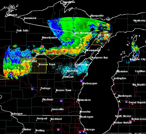 At 621 pm cdt, severe thunderstorms were located along a line extending from 9 miles southeast of la branche to 7 miles southwest of pound, moving east at 50 mph (radar indicated). Hazards include 60 mph wind gusts. Expect damage to roofs. siding. and trees. locations impacted include, crivitz, mountain, pound, white lake, langlade, porterfield, beaver, spruce, coleman and breed. A tornado watch remains in effect until 900 pm cdt for north central wisconsin. At 621 pm cdt, severe thunderstorms were located along a line extending from 9 miles southeast of la branche to 7 miles southwest of pound, moving east at 50 mph (radar indicated). Hazards include 60 mph wind gusts. Expect damage to roofs. siding. and trees. locations impacted include, crivitz, mountain, pound, white lake, langlade, porterfield, beaver, spruce, coleman and breed. A tornado watch remains in effect until 900 pm cdt for north central wisconsin.
|
| 6/10/2016 6:01 PM CDT |
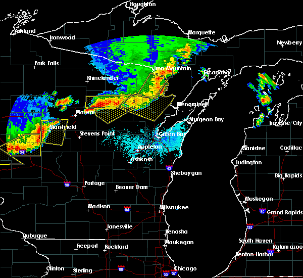 At 600 pm cdt, severe thunderstorms were located along a line extending from 9 miles southeast of foster city to 7 miles south of mountain, moving east at 50 mph (radar indicated). Hazards include 60 mph wind gusts. Expect damage to roofs. siding. and trees. locations impacted include, crivitz, mountain, wausaukee, pound, white lake, langlade, porterfield, beaver, middle inlet and spruce. A tornado watch remains in effect until 900 pm cdt for northeastern wisconsin. At 600 pm cdt, severe thunderstorms were located along a line extending from 9 miles southeast of foster city to 7 miles south of mountain, moving east at 50 mph (radar indicated). Hazards include 60 mph wind gusts. Expect damage to roofs. siding. and trees. locations impacted include, crivitz, mountain, wausaukee, pound, white lake, langlade, porterfield, beaver, middle inlet and spruce. A tornado watch remains in effect until 900 pm cdt for northeastern wisconsin.
|
| 6/10/2016 5:41 PM CDT |
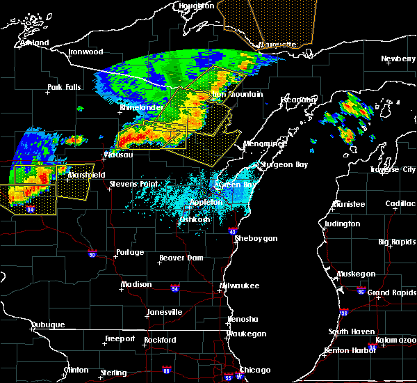 At 539 pm cdt, severe thunderstorms were located along a line extending from 7 miles northeast of iron mountain to white lake, moving east at 50 mph (radar indicated). Hazards include 60 mph wind gusts. Expect damage to roofs. siding. And trees. At 539 pm cdt, severe thunderstorms were located along a line extending from 7 miles northeast of iron mountain to white lake, moving east at 50 mph (radar indicated). Hazards include 60 mph wind gusts. Expect damage to roofs. siding. And trees.
|
| 8/14/2015 3:54 PM CDT |
 At 353 pm cdt, a severe thunderstorm was located near legend lake, or 12 miles north of shawano, moving southeast at 35 mph (radar indicated). Hazards include 60 mph wind gusts and quarter size hail. Hail damage to vehicles is expected. expect wind damage to roofs, siding and trees. Locations impacted include, gillett, legend lake, neopit, keshena, underhill, spruce, breed, lena, suring, hayes, hickory corners, intersection of hwy 55 and county m and middle village. At 353 pm cdt, a severe thunderstorm was located near legend lake, or 12 miles north of shawano, moving southeast at 35 mph (radar indicated). Hazards include 60 mph wind gusts and quarter size hail. Hail damage to vehicles is expected. expect wind damage to roofs, siding and trees. Locations impacted include, gillett, legend lake, neopit, keshena, underhill, spruce, breed, lena, suring, hayes, hickory corners, intersection of hwy 55 and county m and middle village.
|
| 8/14/2015 3:40 PM CDT |
 At 338 pm cdt, a severe thunderstorm was located 7 miles southeast of white lake, or 21 miles north of shawano, moving southeast at 35 mph (radar indicated). Hazards include 60 mph wind gusts and quarter size hail. Hail damage to vehicles is expected. Expect wind damage to roofs, siding and trees. At 338 pm cdt, a severe thunderstorm was located 7 miles southeast of white lake, or 21 miles north of shawano, moving southeast at 35 mph (radar indicated). Hazards include 60 mph wind gusts and quarter size hail. Hail damage to vehicles is expected. Expect wind damage to roofs, siding and trees.
|
| 6/19/2012 7:30 AM CDT | Ping Pong Ball sized hail reported 0.3 miles ENE of Suring, WI |
| 6/19/2012 7:24 AM CDT | Quarter sized hail reported 0.3 miles ENE of Suring, WI, also wind gusts estimated at 50-60 mph |
Hail Maps for Suring, WI
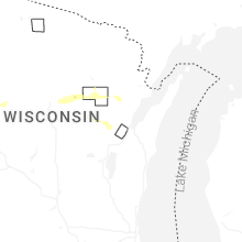
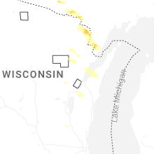
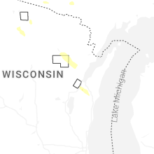
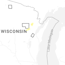
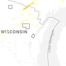


Connect with Interactive Hail Maps