

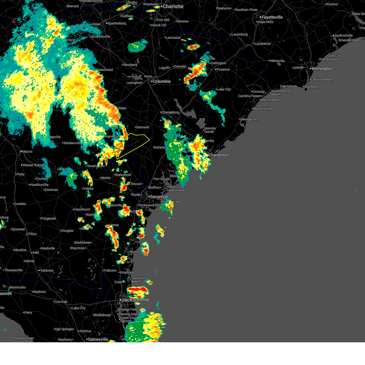
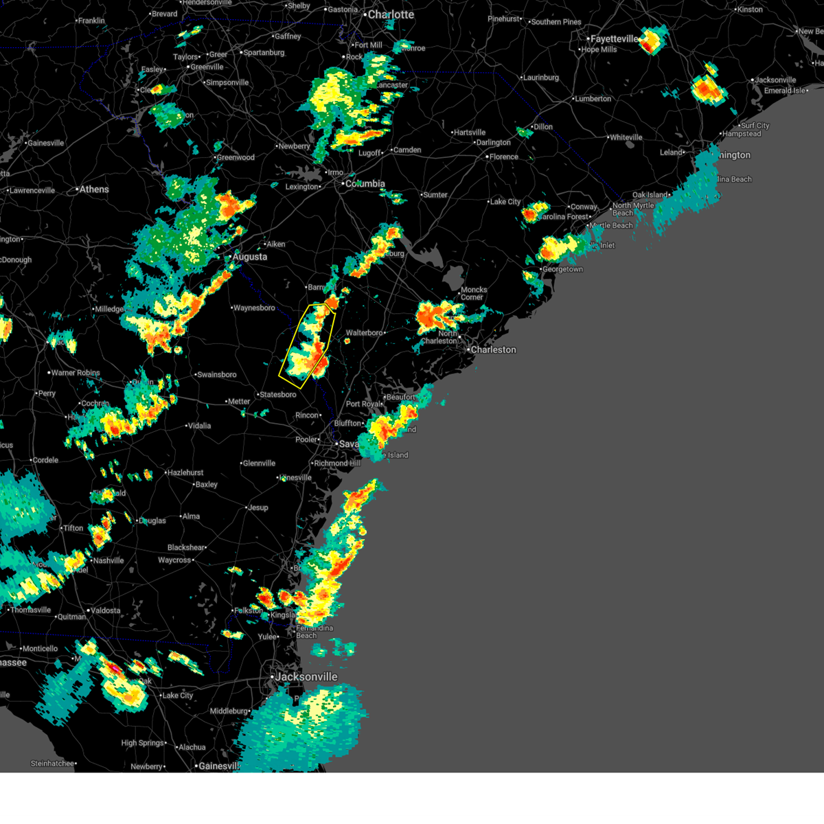
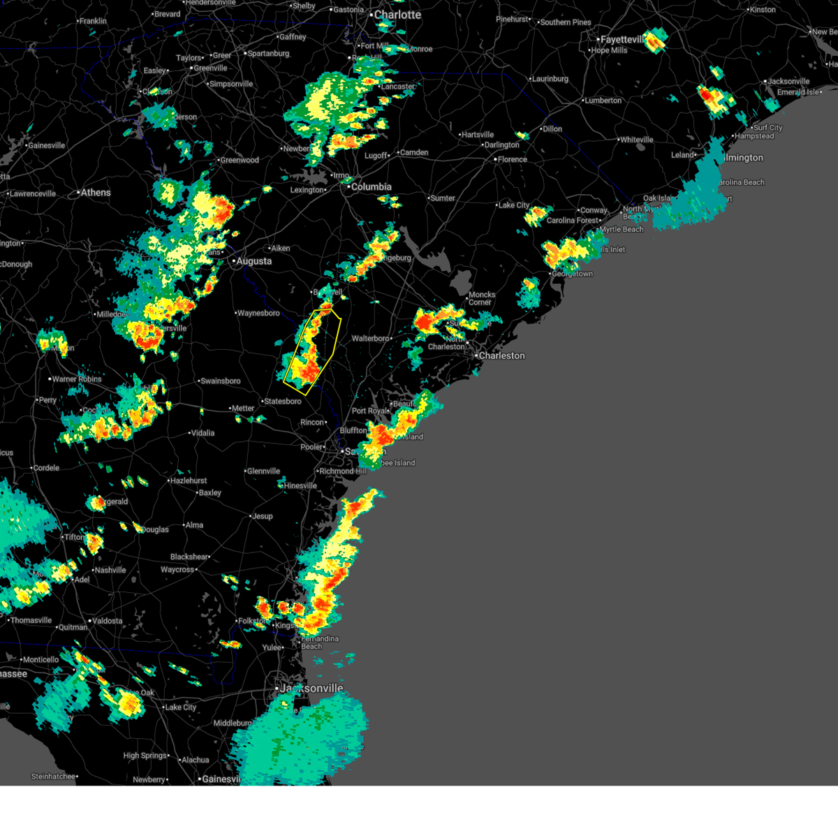
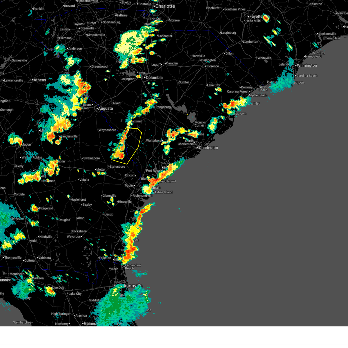
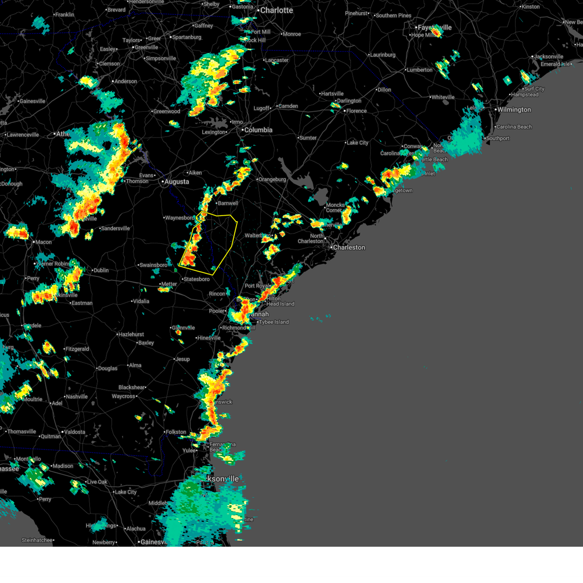
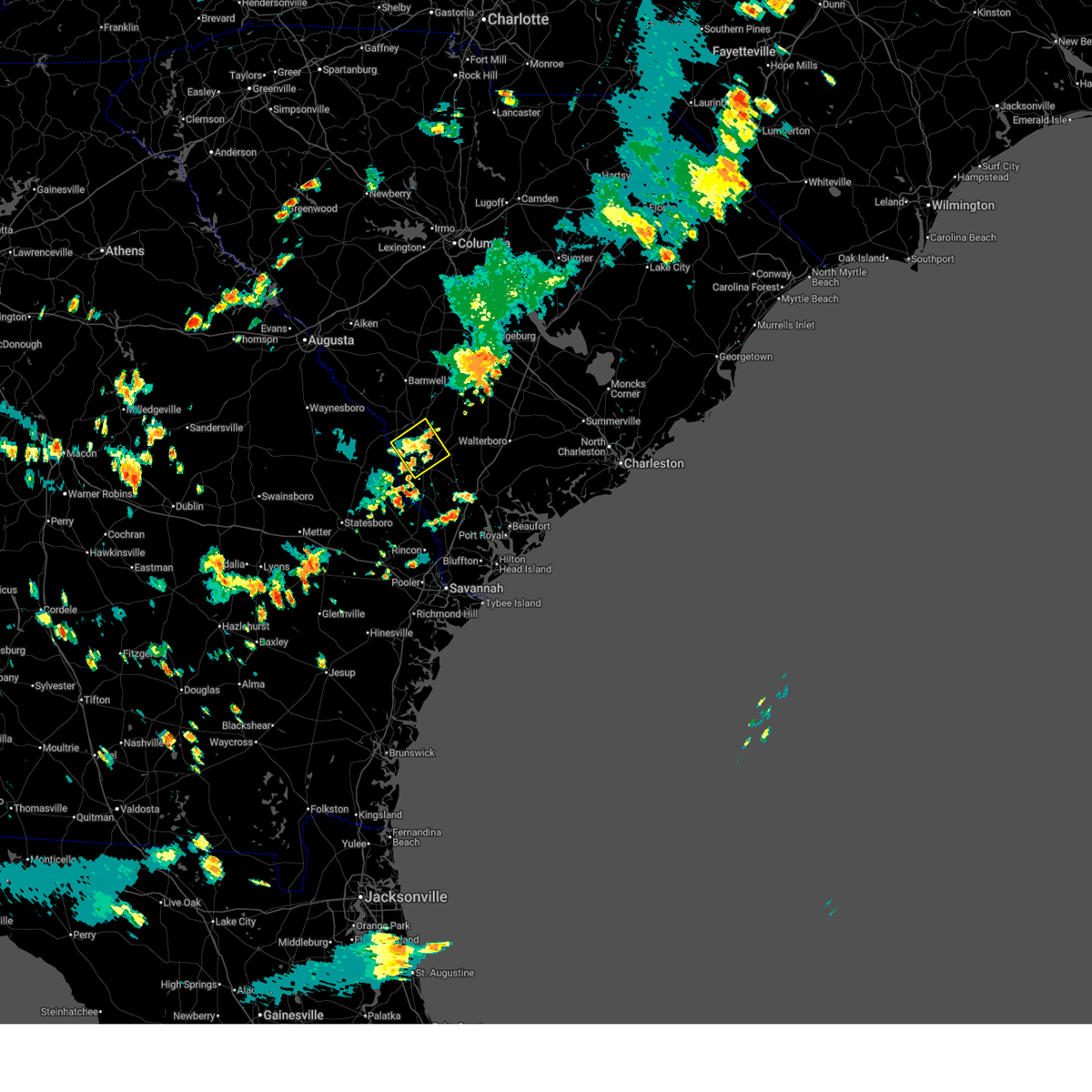
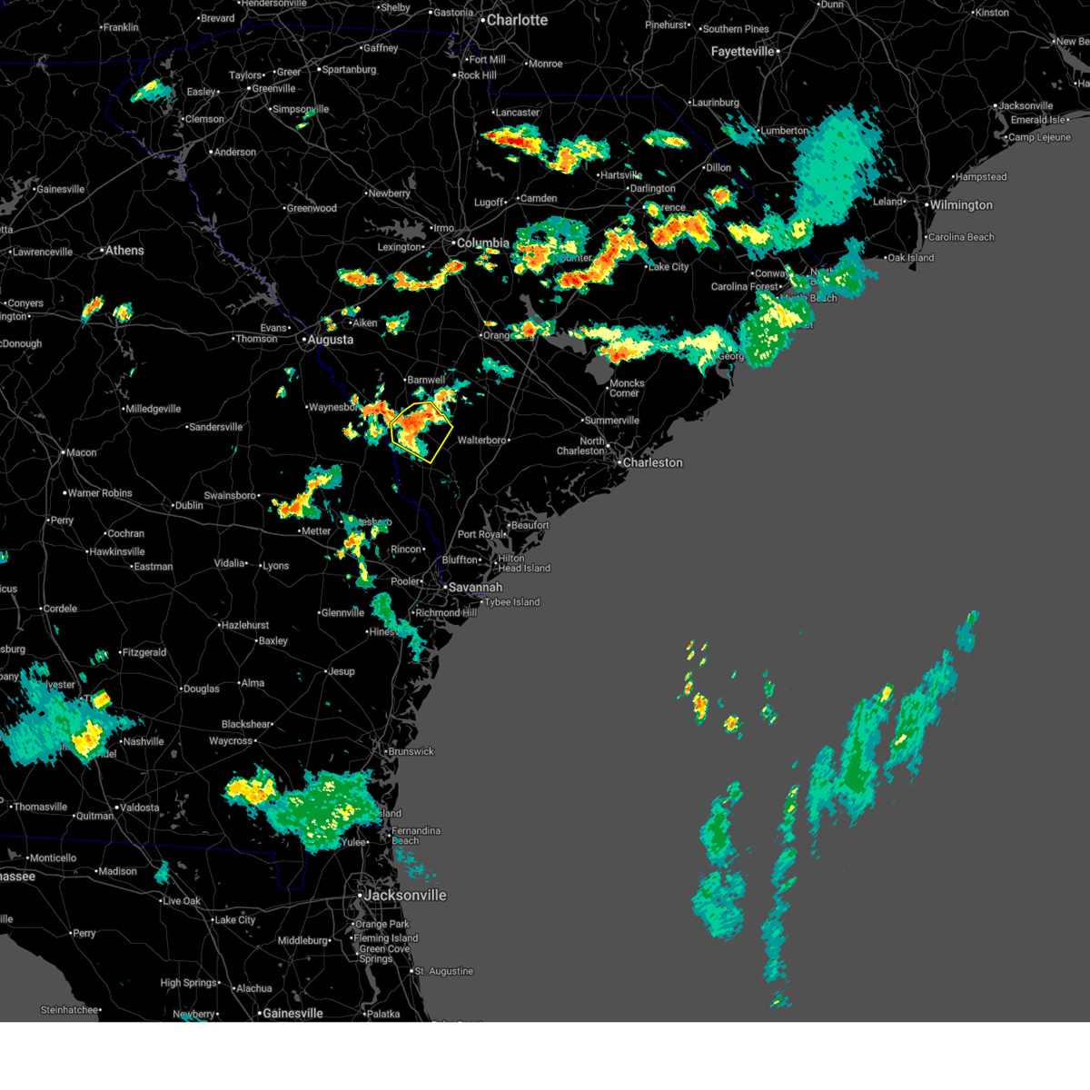
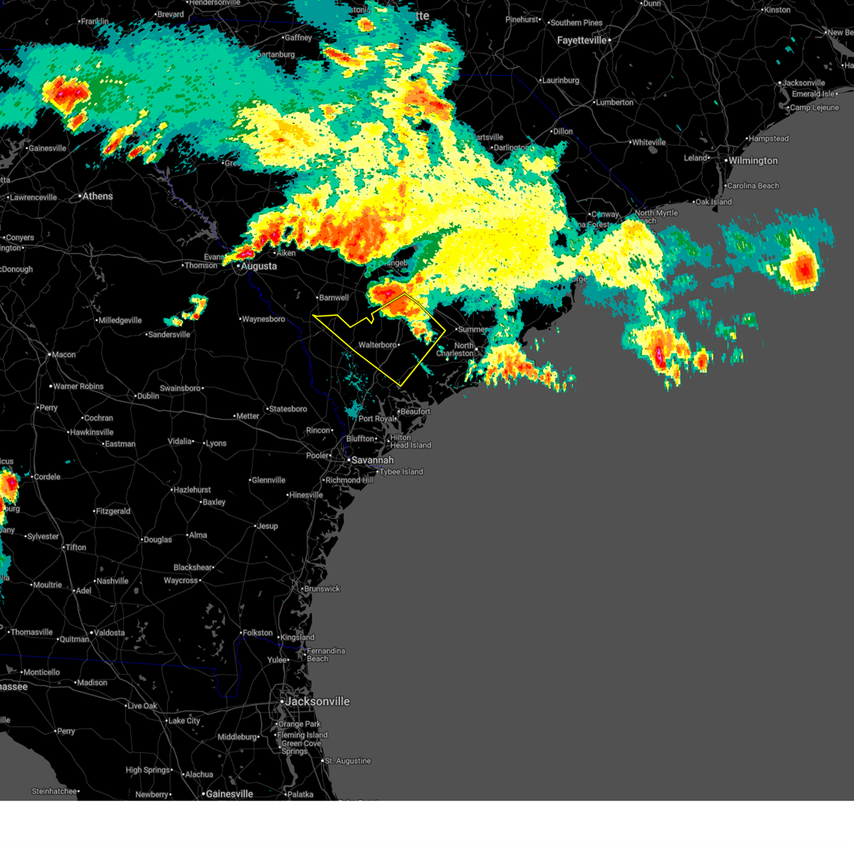
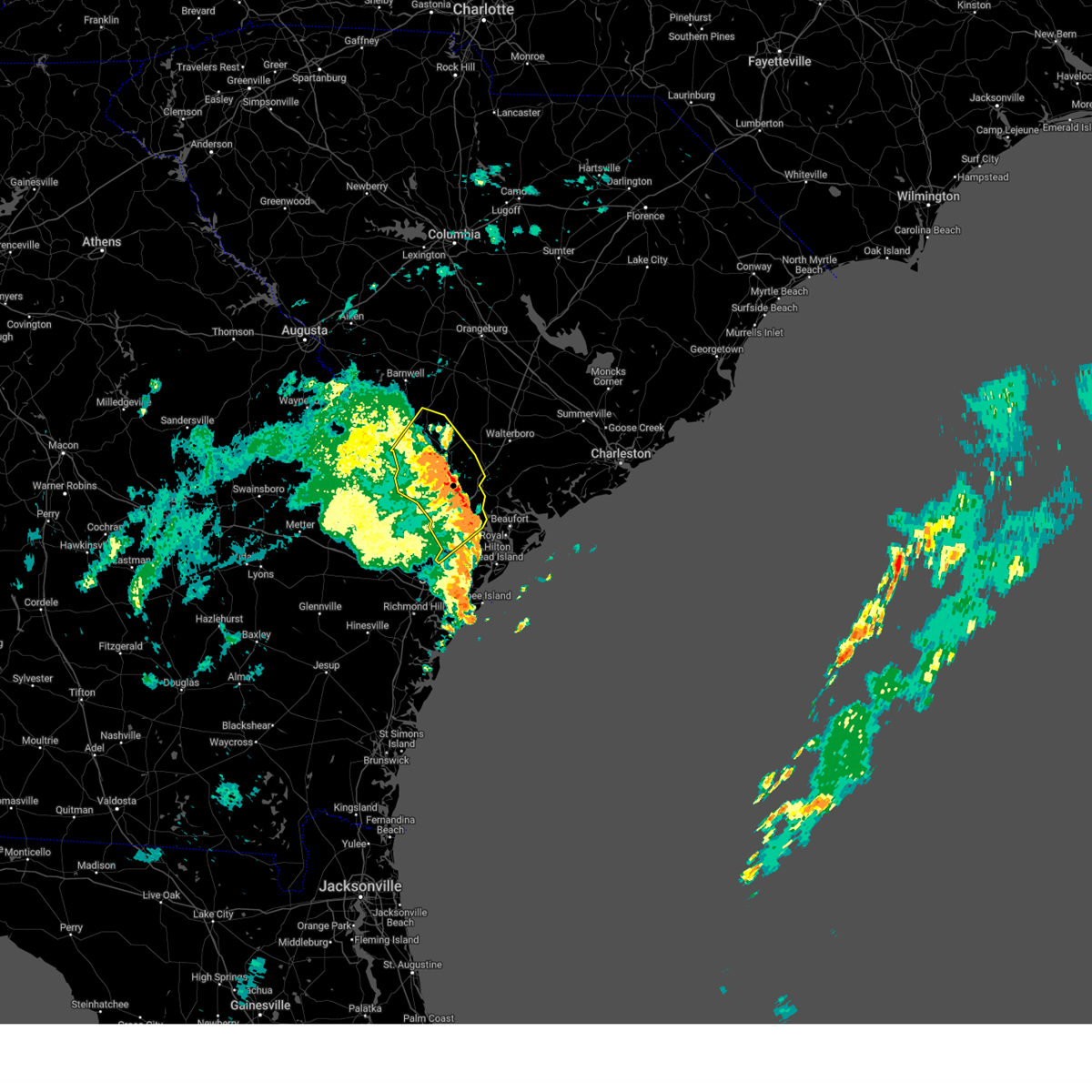
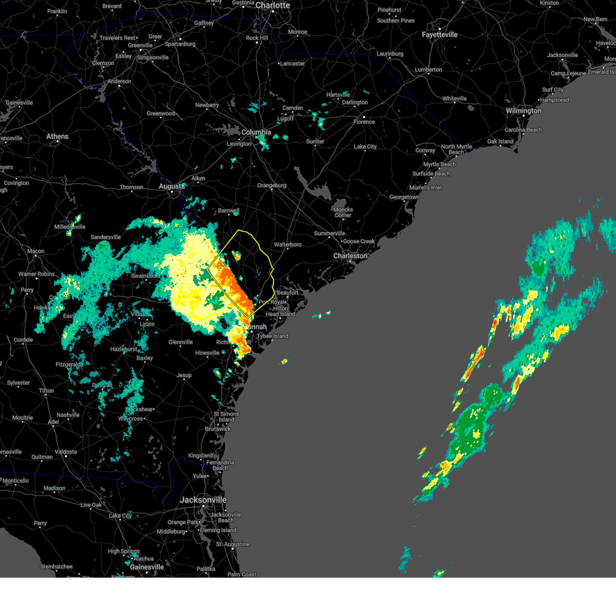
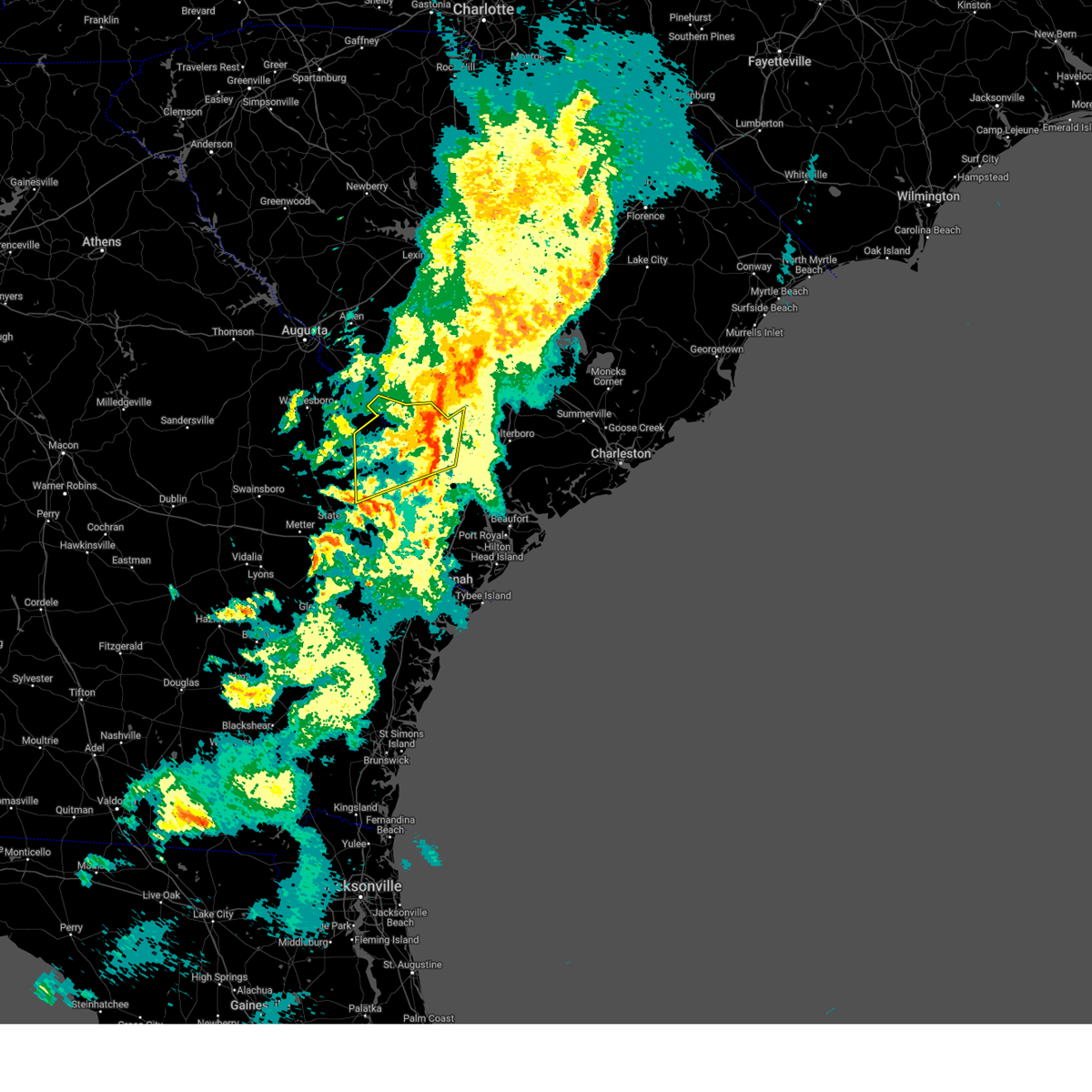
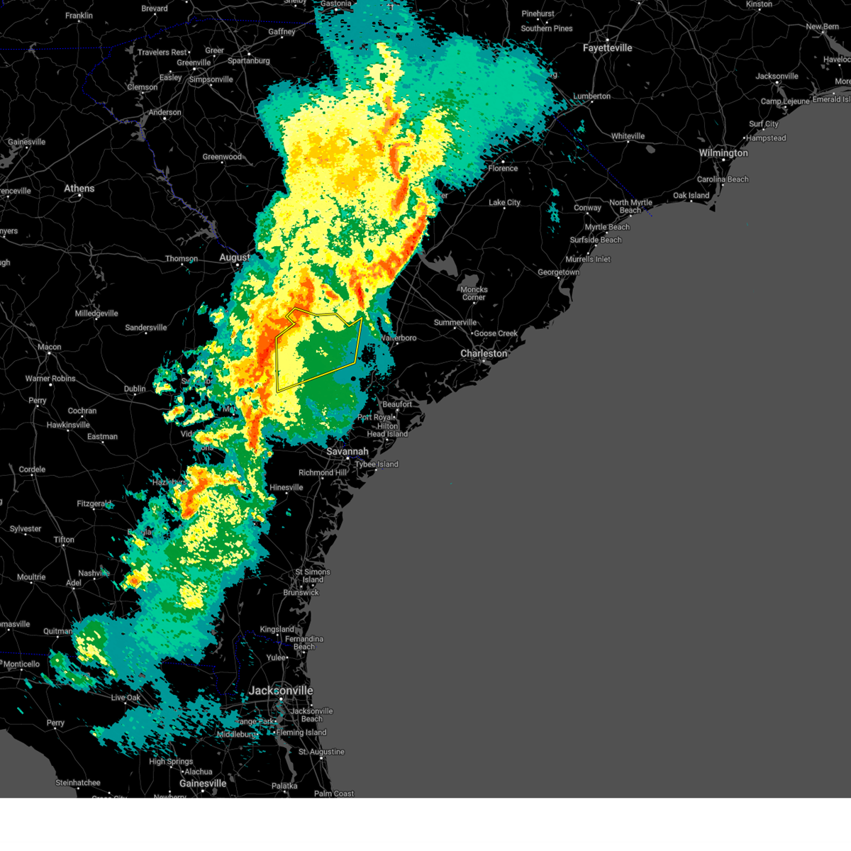
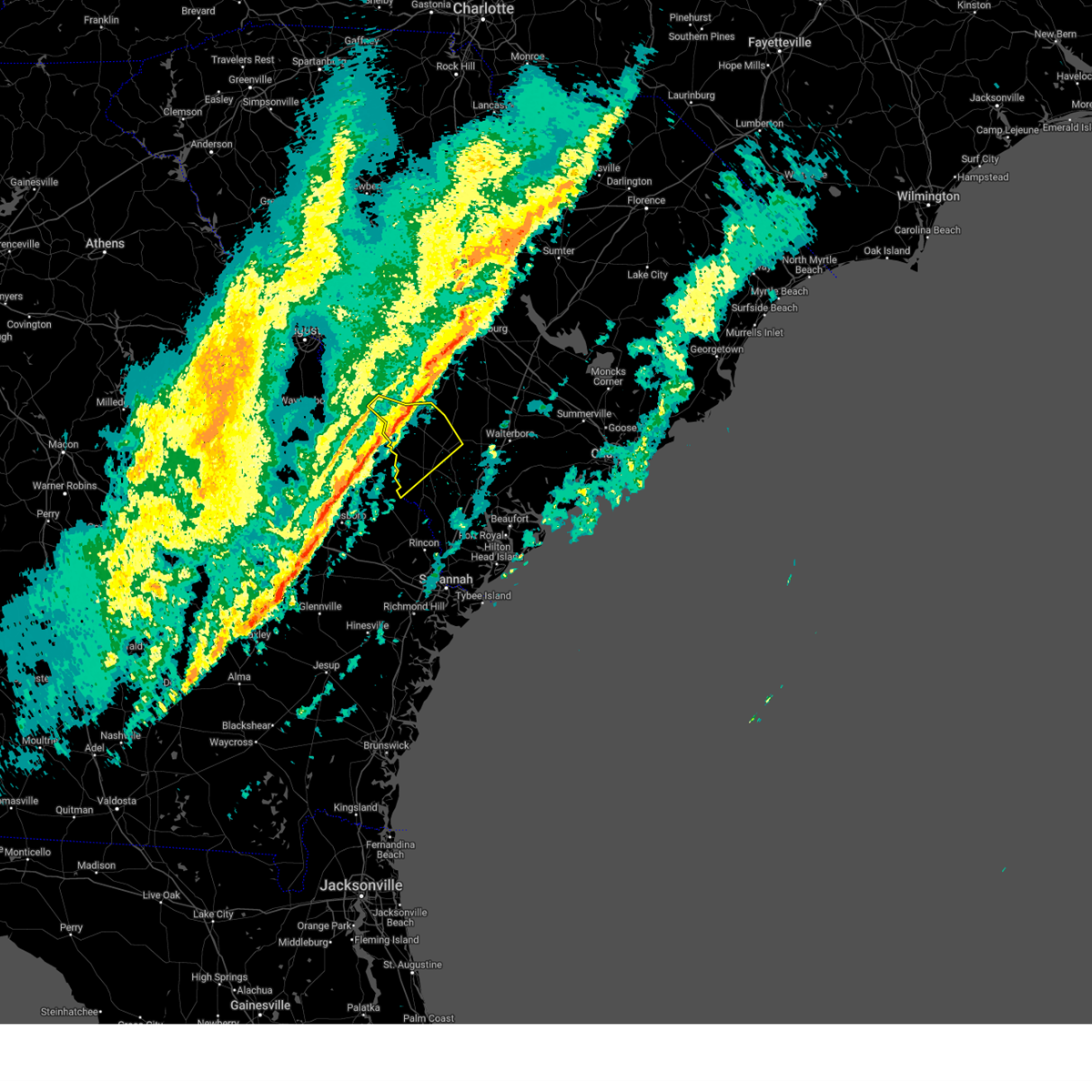
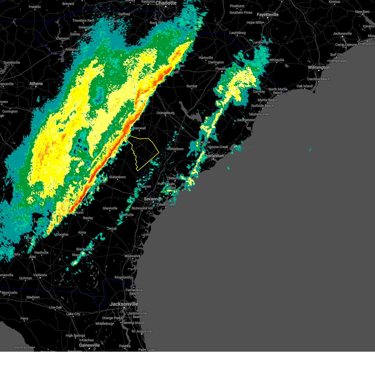
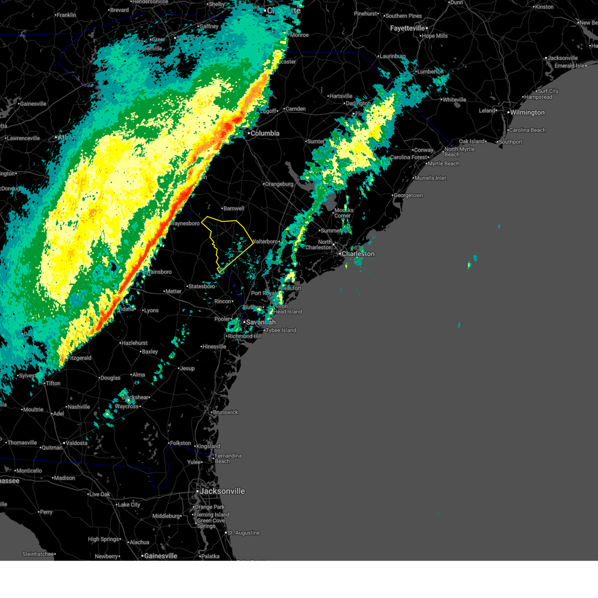
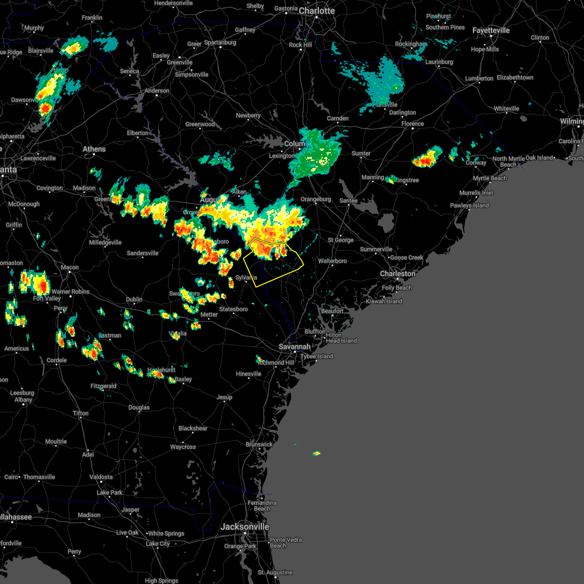
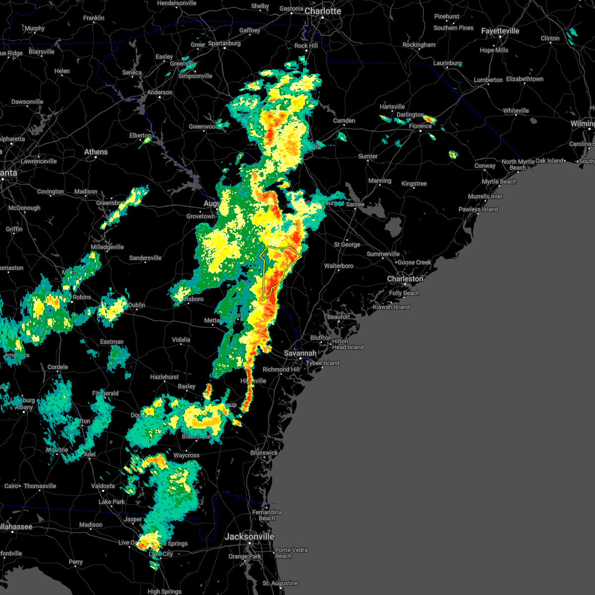
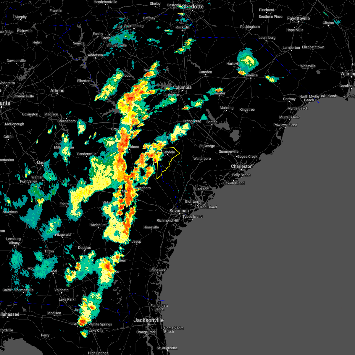
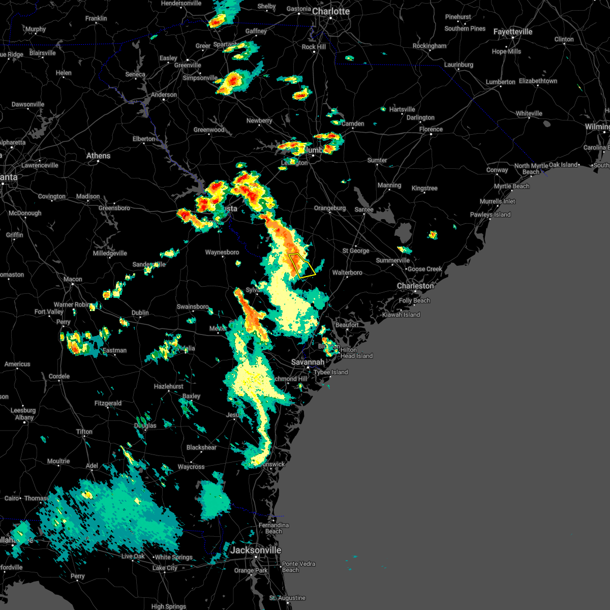
Hail Map for Sycamore, SC
The Sycamore, SC area has had 0 reports of on-the-ground hail by trained spotters, and has been under severe weather warnings 15 times during the past 12 months. Doppler radar has detected hail at or near Sycamore, SC on 28 occasions, including 1 occasion during the past year.
| Name: | Sycamore, SC |
| Where Located: | 53.2 miles SE of Augusta, GA |
| Map: | Google Map for Sycamore, SC |
| Population: | 180 |
| Housing Units: | 91 |
| More Info: | Search Google for Sycamore, SC |
0
The Top Recent Hail Date for Sycamore, SC is Wednesday, July 9, 2025 (28th out of 28)

Hail and Wind Damage Spotted near Sycamore, SC
| Date / Time | Report Details |
|---|---|
| 6/18/2026 6:14 PM EDT |
 Svrchs the national weather service in charleston has issued a * severe thunderstorm warning for portions of, screven county in southeastern georgia, allendale county in southeastern south carolina, * until 700 pm edt. * at 614 pm edt, a severe thunderstorm was located near hiltonia, moving northeast at 35 mph (radar indicated). Hazards include 60 mph wind gusts. expect damage to roofs, siding, and trees Svrchs the national weather service in charleston has issued a * severe thunderstorm warning for portions of, screven county in southeastern georgia, allendale county in southeastern south carolina, * until 700 pm edt. * at 614 pm edt, a severe thunderstorm was located near hiltonia, moving northeast at 35 mph (radar indicated). Hazards include 60 mph wind gusts. expect damage to roofs, siding, and trees
|
| 6/14/2026 4:28 PM EDT |
 The storms which prompted the warning have moved out of the area. therefore, the warning will be allowed to expire. a severe thunderstorm warning still remains in effect for hampton and allendale counties until 5 pm. The storms which prompted the warning have moved out of the area. therefore, the warning will be allowed to expire. a severe thunderstorm warning still remains in effect for hampton and allendale counties until 5 pm.
|
| 6/14/2026 4:15 PM EDT |
 At 415 pm edt, severe thunderstorms were located along a line from near ulmer to 6 miles northeast of shawnee, moving east at 35 mph (radar indicated). Hazards include 60 mph wind gusts. Expect damage to roofs, siding, and trees. Locations impacted include, allendale, lake warren state park, estill, fairfax, brunson, gifford, newington, scotia, sycamore and luray. At 415 pm edt, severe thunderstorms were located along a line from near ulmer to 6 miles northeast of shawnee, moving east at 35 mph (radar indicated). Hazards include 60 mph wind gusts. Expect damage to roofs, siding, and trees. Locations impacted include, allendale, lake warren state park, estill, fairfax, brunson, gifford, newington, scotia, sycamore and luray.
|
| 6/14/2026 3:58 PM EDT |
 At 358 pm edt, severe thunderstorms were located along a line from 7 miles north of seigling to over newington, moving east at 35 mph (radar indicated). Hazards include 60 mph wind gusts. Expect damage to roofs, siding, and trees. Locations impacted include, allendale, sylvania, lake warren state park, estill, fairfax, brunson, gifford, newington, oliver and scotia. At 358 pm edt, severe thunderstorms were located along a line from 7 miles north of seigling to over newington, moving east at 35 mph (radar indicated). Hazards include 60 mph wind gusts. Expect damage to roofs, siding, and trees. Locations impacted include, allendale, sylvania, lake warren state park, estill, fairfax, brunson, gifford, newington, oliver and scotia.
|
| 6/14/2026 3:58 PM EDT |
 the severe thunderstorm warning has been cancelled and is no longer in effect the severe thunderstorm warning has been cancelled and is no longer in effect
|
| 6/14/2026 3:42 PM EDT |
 Svrchs the national weather service in charleston has issued a * severe thunderstorm warning for portions of, bulloch county in southeastern georgia, effingham county in southeastern georgia, screven county in southeastern georgia, allendale county in southeastern south carolina, hampton county in southeastern south carolina, * until 430 pm edt. * at 342 pm edt, severe thunderstorms were located along a line from 6 miles north of martin to near dover, moving east at 35 mph (radar indicated). Hazards include 60 mph wind gusts. expect damage to roofs, siding, and trees Svrchs the national weather service in charleston has issued a * severe thunderstorm warning for portions of, bulloch county in southeastern georgia, effingham county in southeastern georgia, screven county in southeastern georgia, allendale county in southeastern south carolina, hampton county in southeastern south carolina, * until 430 pm edt. * at 342 pm edt, severe thunderstorms were located along a line from 6 miles north of martin to near dover, moving east at 35 mph (radar indicated). Hazards include 60 mph wind gusts. expect damage to roofs, siding, and trees
|
| 3/12/2026 10:12 AM EDT |
 Gusty winds still possible with this line of storms. a tornado watch remains in effect until 100 pm edt for portions of southeast georgia and southeast south carolina. Gusty winds still possible with this line of storms. a tornado watch remains in effect until 100 pm edt for portions of southeast georgia and southeast south carolina.
|
| 3/12/2026 10:03 AM EDT |
 the severe thunderstorm warning has been cancelled and is no longer in effect the severe thunderstorm warning has been cancelled and is no longer in effect
|
| 3/12/2026 10:03 AM EDT |
 At 1003 am edt, severe thunderstorms were located along a line from 22 miles north of ulmer to near barton, moving east at 55 mph (radar indicated). Hazards include 60 mph wind gusts. Expect damage to roofs, siding, and trees. Locations impacted include, allendale, fairfax, sycamore, ulmer, barton, seigling, appleton, allendale county airport and milbury. At 1003 am edt, severe thunderstorms were located along a line from 22 miles north of ulmer to near barton, moving east at 55 mph (radar indicated). Hazards include 60 mph wind gusts. Expect damage to roofs, siding, and trees. Locations impacted include, allendale, fairfax, sycamore, ulmer, barton, seigling, appleton, allendale county airport and milbury.
|
| 3/12/2026 9:34 AM EDT |
 Svrchs the national weather service in charleston has issued a * severe thunderstorm warning for portions of, jenkins county in southeastern georgia, screven county in southeastern georgia, allendale county in southeastern south carolina, colleton county in southeastern south carolina, hampton county in southeastern south carolina, * until 1015 am edt. * at 934 am edt, severe thunderstorms were located along a line from 14 miles north of millett to 6 miles west of hiltonia, moving east at 55 mph (radar indicated). Hazards include 60 mph wind gusts. expect damage to roofs, siding, and trees Svrchs the national weather service in charleston has issued a * severe thunderstorm warning for portions of, jenkins county in southeastern georgia, screven county in southeastern georgia, allendale county in southeastern south carolina, colleton county in southeastern south carolina, hampton county in southeastern south carolina, * until 1015 am edt. * at 934 am edt, severe thunderstorms were located along a line from 14 miles north of millett to 6 miles west of hiltonia, moving east at 55 mph (radar indicated). Hazards include 60 mph wind gusts. expect damage to roofs, siding, and trees
|
| 7/8/2025 5:25 PM EDT |
 the severe thunderstorm warning has been cancelled and is no longer in effect the severe thunderstorm warning has been cancelled and is no longer in effect
|
| 7/8/2025 4:45 PM EDT |
 Svrchs the national weather service in charleston has issued a * severe thunderstorm warning for portions of, allendale county in southeastern south carolina, hampton county in southeastern south carolina, * until 545 pm edt. * at 445 pm edt, a severe thunderstorm was located near barton. this storm was nearly stationary (radar indicated). Hazards include 60 mph wind gusts and quarter size hail. Hail damage to vehicles is expected. Expect wind damage to roofs, siding, and trees. Svrchs the national weather service in charleston has issued a * severe thunderstorm warning for portions of, allendale county in southeastern south carolina, hampton county in southeastern south carolina, * until 545 pm edt. * at 445 pm edt, a severe thunderstorm was located near barton. this storm was nearly stationary (radar indicated). Hazards include 60 mph wind gusts and quarter size hail. Hail damage to vehicles is expected. Expect wind damage to roofs, siding, and trees.
|
| 7/2/2025 10:29 PM EDT |
 the severe thunderstorm warning has been cancelled and is no longer in effect the severe thunderstorm warning has been cancelled and is no longer in effect
|
| 7/2/2025 10:21 PM EDT |
 At 1021 pm edt, a severe thunderstorm was located near miley, moving southeast at 15 mph (radar indicated). Hazards include 60 mph wind gusts. Expect damage to roofs, siding, and trees. Locations impacted include, hampton, fairfax, brunson, sycamore and jennys. At 1021 pm edt, a severe thunderstorm was located near miley, moving southeast at 15 mph (radar indicated). Hazards include 60 mph wind gusts. Expect damage to roofs, siding, and trees. Locations impacted include, hampton, fairfax, brunson, sycamore and jennys.
|
| 7/2/2025 9:41 PM EDT |
 Svrchs the national weather service in charleston has issued a * severe thunderstorm warning for portions of, allendale county in southeastern south carolina, hampton county in southeastern south carolina, * until 1045 pm edt. * at 941 pm edt, a severe thunderstorm was located over allendale, moving southeast at 10 mph (radar indicated). Hazards include 60 mph wind gusts. expect damage to roofs, siding, and trees Svrchs the national weather service in charleston has issued a * severe thunderstorm warning for portions of, allendale county in southeastern south carolina, hampton county in southeastern south carolina, * until 1045 pm edt. * at 941 pm edt, a severe thunderstorm was located over allendale, moving southeast at 10 mph (radar indicated). Hazards include 60 mph wind gusts. expect damage to roofs, siding, and trees
|
| 6/25/2025 10:15 PM EDT |
 At 1015 pm edt, severe thunderstorms were located along a line from over white hall to over lodge, moving southwest at 25 mph (radar indicated). Hazards include 70 mph wind gusts and ping pong ball size hail. People and animals outdoors will be injured. expect hail damage to roofs, siding, windows, and vehicles. expect considerable tree damage. wind damage is also likely to mobile homes, roofs, and outbuildings. locations impacted include, cottageville, walterboro, smoaks, williams, ruffin, colleton, lodge, islandton, sycamore and ulmer. This includes i-95 in south carolina between mile markers 42 and 68. At 1015 pm edt, severe thunderstorms were located along a line from over white hall to over lodge, moving southwest at 25 mph (radar indicated). Hazards include 70 mph wind gusts and ping pong ball size hail. People and animals outdoors will be injured. expect hail damage to roofs, siding, windows, and vehicles. expect considerable tree damage. wind damage is also likely to mobile homes, roofs, and outbuildings. locations impacted include, cottageville, walterboro, smoaks, williams, ruffin, colleton, lodge, islandton, sycamore and ulmer. This includes i-95 in south carolina between mile markers 42 and 68.
|
| 6/25/2025 10:06 PM EDT |
 At 1006 pm edt, severe thunderstorms were located along a line from over ritter to over lodge, moving southwest at 25 mph (radar indicated). Hazards include 70 mph wind gusts and quarter size hail. Hail damage to vehicles is expected. expect considerable tree damage. wind damage is also likely to mobile homes, roofs, and outbuildings. locations impacted include, cottageville, walterboro, smoaks, williams, ruffin, colleton, lodge, islandton, sycamore and ulmer. This includes i-95 in south carolina between mile markers 42 and 68. At 1006 pm edt, severe thunderstorms were located along a line from over ritter to over lodge, moving southwest at 25 mph (radar indicated). Hazards include 70 mph wind gusts and quarter size hail. Hail damage to vehicles is expected. expect considerable tree damage. wind damage is also likely to mobile homes, roofs, and outbuildings. locations impacted include, cottageville, walterboro, smoaks, williams, ruffin, colleton, lodge, islandton, sycamore and ulmer. This includes i-95 in south carolina between mile markers 42 and 68.
|
| 6/25/2025 10:01 PM EDT |
 the severe thunderstorm warning has been cancelled and is no longer in effect the severe thunderstorm warning has been cancelled and is no longer in effect
|
| 6/25/2025 10:01 PM EDT |
 At 1001 pm edt, severe thunderstorms were located along a line from over ritter to near padgetts, moving southwest at 25 mph (radar indicated). Hazards include 60 mph wind gusts and small hail. Expect damage to roofs, siding, and trees. locations impacted include, walterboro, colleton, cottageville, sycamore, smoaks, lodge, williams, ulmer, ruffin and islandton. This includes i-95 in south carolina between mile markers 42 and 68. At 1001 pm edt, severe thunderstorms were located along a line from over ritter to near padgetts, moving southwest at 25 mph (radar indicated). Hazards include 60 mph wind gusts and small hail. Expect damage to roofs, siding, and trees. locations impacted include, walterboro, colleton, cottageville, sycamore, smoaks, lodge, williams, ulmer, ruffin and islandton. This includes i-95 in south carolina between mile markers 42 and 68.
|
| 6/25/2025 9:33 PM EDT |
 Svrchs the national weather service in charleston has issued a * severe thunderstorm warning for portions of, allendale county in southeastern south carolina, beaufort county in southeastern south carolina, colleton county in southeastern south carolina, dorchester county in southeastern south carolina, hampton county in southeastern south carolina, * until 1030 pm edt. * at 933 pm edt, severe thunderstorms were located along a line from over cottageville to 12 miles north of lodge, moving southwest at 25 mph (radar indicated). Hazards include 60 mph wind gusts. expect damage to roofs, siding, and trees Svrchs the national weather service in charleston has issued a * severe thunderstorm warning for portions of, allendale county in southeastern south carolina, beaufort county in southeastern south carolina, colleton county in southeastern south carolina, dorchester county in southeastern south carolina, hampton county in southeastern south carolina, * until 1030 pm edt. * at 933 pm edt, severe thunderstorms were located along a line from over cottageville to 12 miles north of lodge, moving southwest at 25 mph (radar indicated). Hazards include 60 mph wind gusts. expect damage to roofs, siding, and trees
|
| 6/10/2025 9:26 AM EDT |
 the severe thunderstorm warning has been cancelled and is no longer in effect the severe thunderstorm warning has been cancelled and is no longer in effect
|
| 6/10/2025 9:14 AM EDT |
 the severe thunderstorm warning has been cancelled and is no longer in effect the severe thunderstorm warning has been cancelled and is no longer in effect
|
| 6/10/2025 9:14 AM EDT |
 At 914 am edt, severe thunderstorms were located along a line from over luray to over ridgeland, moving northeast at 55 mph (radar indicated). Hazards include 60 mph wind gusts and small hail. Expect damage to roofs, siding, and trees. locations impacted include, ridgeland, allendale, hampton, yemassee, lake warren state park, hardeeville, varnville, estill, fairfax and brunson. This includes i-95 in south carolina between mile markers 2 and 41. At 914 am edt, severe thunderstorms were located along a line from over luray to over ridgeland, moving northeast at 55 mph (radar indicated). Hazards include 60 mph wind gusts and small hail. Expect damage to roofs, siding, and trees. locations impacted include, ridgeland, allendale, hampton, yemassee, lake warren state park, hardeeville, varnville, estill, fairfax and brunson. This includes i-95 in south carolina between mile markers 2 and 41.
|
| 6/10/2025 9:08 AM EDT |
 the severe thunderstorm warning has been cancelled and is no longer in effect the severe thunderstorm warning has been cancelled and is no longer in effect
|
| 6/10/2025 9:08 AM EDT |
 At 908 am edt, severe thunderstorms were located along a line from 6 miles west of estill to near switzerland, moving northeast at 55 mph (radar indicated). Hazards include 60 mph wind gusts and small hail. Expect damage to roofs, siding, and trees. locations impacted include, ridgeland, allendale, springfield, hampton, yemassee, lake warren state park, rincon, hardeeville, varnville and estill. This includes i-95 in south carolina between mile markers 2 and 41. At 908 am edt, severe thunderstorms were located along a line from 6 miles west of estill to near switzerland, moving northeast at 55 mph (radar indicated). Hazards include 60 mph wind gusts and small hail. Expect damage to roofs, siding, and trees. locations impacted include, ridgeland, allendale, springfield, hampton, yemassee, lake warren state park, rincon, hardeeville, varnville and estill. This includes i-95 in south carolina between mile markers 2 and 41.
|
| 6/10/2025 8:49 AM EDT |
 Svrchs the national weather service in charleston has issued a * severe thunderstorm warning for portions of, bulloch county in southeastern georgia, effingham county in southeastern georgia, screven county in southeastern georgia, allendale county in southeastern south carolina, hampton county in southeastern south carolina, jasper county in southeastern south carolina, * until 930 am edt. * at 849 am edt, severe thunderstorms were located along a line from over newington to over rincon, moving northeast at 55 mph (radar indicated). Hazards include 60 mph wind gusts. expect damage to roofs, siding, and trees Svrchs the national weather service in charleston has issued a * severe thunderstorm warning for portions of, bulloch county in southeastern georgia, effingham county in southeastern georgia, screven county in southeastern georgia, allendale county in southeastern south carolina, hampton county in southeastern south carolina, jasper county in southeastern south carolina, * until 930 am edt. * at 849 am edt, severe thunderstorms were located along a line from over newington to over rincon, moving northeast at 55 mph (radar indicated). Hazards include 60 mph wind gusts. expect damage to roofs, siding, and trees
|
| 5/3/2025 6:07 PM EDT |
 Svrchs the national weather service in charleston has issued a * severe thunderstorm warning for portions of, allendale county in southeastern south carolina, * until 700 pm edt. * at 607 pm edt, a severe thunderstorm was located over sycamore, moving north at 25 mph (radar indicated). Hazards include 60 mph wind gusts and quarter size hail. Hail damage to vehicles is expected. Expect wind damage to roofs, siding, and trees. Svrchs the national weather service in charleston has issued a * severe thunderstorm warning for portions of, allendale county in southeastern south carolina, * until 700 pm edt. * at 607 pm edt, a severe thunderstorm was located over sycamore, moving north at 25 mph (radar indicated). Hazards include 60 mph wind gusts and quarter size hail. Hail damage to vehicles is expected. Expect wind damage to roofs, siding, and trees.
|
| 4/23/2025 2:49 PM EDT |
 Svrchs the national weather service in charleston has issued a * severe thunderstorm warning for portions of, allendale county in southeastern south carolina, colleton county in southeastern south carolina, hampton county in southeastern south carolina, * until 345 pm edt. * at 249 pm edt, a severe thunderstorm was located over brunson, moving east at 15 mph (radar indicated). Hazards include 60 mph wind gusts and quarter size hail. Hail damage to vehicles is expected. Expect wind damage to roofs, siding, and trees. Svrchs the national weather service in charleston has issued a * severe thunderstorm warning for portions of, allendale county in southeastern south carolina, colleton county in southeastern south carolina, hampton county in southeastern south carolina, * until 345 pm edt. * at 249 pm edt, a severe thunderstorm was located over brunson, moving east at 15 mph (radar indicated). Hazards include 60 mph wind gusts and quarter size hail. Hail damage to vehicles is expected. Expect wind damage to roofs, siding, and trees.
|
| 3/16/2025 9:39 AM EDT |
 The storms which prompted the warning have weakened below severe limits, and no longer pose an immediate threat to life or property. therefore, the warning will be allowed to expire. however, gusty winds are still possible with these thunderstorms. a tornado watch remains in effect until 200 pm edt sunday for portions of southeast georgia and southeast south carolina. The storms which prompted the warning have weakened below severe limits, and no longer pose an immediate threat to life or property. therefore, the warning will be allowed to expire. however, gusty winds are still possible with these thunderstorms. a tornado watch remains in effect until 200 pm edt sunday for portions of southeast georgia and southeast south carolina.
|
| 3/16/2025 9:01 AM EDT |
 Svrchs the national weather service in charleston has issued a * severe thunderstorm warning for portions of, screven county in southeastern georgia, allendale county in southeastern south carolina, colleton county in southeastern south carolina, hampton county in southeastern south carolina, * until 945 am edt. * at 901 am edt, severe thunderstorms were located along a line from near millett to near captolo, moving northeast at 55 mph (radar indicated). Hazards include 60 mph wind gusts and small hail. expect damage to roofs, siding, and trees Svrchs the national weather service in charleston has issued a * severe thunderstorm warning for portions of, screven county in southeastern georgia, allendale county in southeastern south carolina, colleton county in southeastern south carolina, hampton county in southeastern south carolina, * until 945 am edt. * at 901 am edt, severe thunderstorms were located along a line from near millett to near captolo, moving northeast at 55 mph (radar indicated). Hazards include 60 mph wind gusts and small hail. expect damage to roofs, siding, and trees
|
| 2/16/2025 8:27 AM EST |
 The severe thunderstorm warning that was previously in effect has been reissued for hampton and allendale counties and is in effect until 915 am est. please refer to that bulletin for the latest severe weather information. to report severe weather, contact your nearest law enforcement agency. they will send your report to the national weather service office. a severe thunderstorm watch remains in effect until 100 pm est for a portion of southeast south carolina. The severe thunderstorm warning that was previously in effect has been reissued for hampton and allendale counties and is in effect until 915 am est. please refer to that bulletin for the latest severe weather information. to report severe weather, contact your nearest law enforcement agency. they will send your report to the national weather service office. a severe thunderstorm watch remains in effect until 100 pm est for a portion of southeast south carolina.
|
| 2/16/2025 8:14 AM EST |
 Svrchs the national weather service in charleston has issued a * severe thunderstorm warning for portions of, bryan county in southeastern georgia, bulloch county in southeastern georgia, candler county in southeastern georgia, effingham county in southeastern georgia, evans county in southeastern georgia, jenkins county in southeastern georgia, liberty county in southeastern georgia, long county in southeastern georgia, screven county in southeastern georgia, tattnall county in southeastern georgia, allendale county in southeastern south carolina, hampton county in southeastern south carolina, jasper county in southeastern south carolina, * until 915 am est. * at 814 am est, severe thunderstorms were located along a line from near millett to 13 miles southwest of gordonia altamaha state park, moving southeast at 40 mph (radar indicated). Hazards include 60 mph wind gusts. expect damage to roofs, siding, and trees Svrchs the national weather service in charleston has issued a * severe thunderstorm warning for portions of, bryan county in southeastern georgia, bulloch county in southeastern georgia, candler county in southeastern georgia, effingham county in southeastern georgia, evans county in southeastern georgia, jenkins county in southeastern georgia, liberty county in southeastern georgia, long county in southeastern georgia, screven county in southeastern georgia, tattnall county in southeastern georgia, allendale county in southeastern south carolina, hampton county in southeastern south carolina, jasper county in southeastern south carolina, * until 915 am est. * at 814 am est, severe thunderstorms were located along a line from near millett to 13 miles southwest of gordonia altamaha state park, moving southeast at 40 mph (radar indicated). Hazards include 60 mph wind gusts. expect damage to roofs, siding, and trees
|
| 2/16/2025 8:01 AM EST |
 At 801 am est, severe thunderstorms were located along a line from 24 miles north of ulmer to near portal, moving east at 50 mph (radar indicated). Hazards include 60 mph wind gusts. Expect damage to roofs, siding, and trees. Locations impacted include, allendale, hampton, lake warren state park, varnville, estill, fairfax, brunson, gifford, scotia and sycamore. At 801 am est, severe thunderstorms were located along a line from 24 miles north of ulmer to near portal, moving east at 50 mph (radar indicated). Hazards include 60 mph wind gusts. Expect damage to roofs, siding, and trees. Locations impacted include, allendale, hampton, lake warren state park, varnville, estill, fairfax, brunson, gifford, scotia and sycamore.
|
| 2/16/2025 7:34 AM EST |
 Svrchs the national weather service in charleston has issued a * severe thunderstorm warning for portions of, allendale county in southeastern south carolina, hampton county in southeastern south carolina, * until 830 am est. * at 734 am est, severe thunderstorms were located along a line swainsboro to aiken, moving east at 50 mph (radar indicated). Hazards include 60 mph wind gusts. expect damage to roofs, siding, and trees Svrchs the national weather service in charleston has issued a * severe thunderstorm warning for portions of, allendale county in southeastern south carolina, hampton county in southeastern south carolina, * until 830 am est. * at 734 am est, severe thunderstorms were located along a line swainsboro to aiken, moving east at 50 mph (radar indicated). Hazards include 60 mph wind gusts. expect damage to roofs, siding, and trees
|
| 1/9/2024 2:32 PM EST |
 At 232 pm est, severe thunderstorms were located along a line extending from near ulmer to oliver, moving northeast at 50 mph (radar indicated). Hazards include 70 mph wind gusts. Expect considerable tree damage. damage is likely to mobile homes, roofs, and outbuildings. locations impacted include: allendale, lake warren state park, estill, fairfax, brunson, gifford, newington, oliver, scotia, sycamore, luray, ulmer, seigling, egypt, and shawnee. thunderstorm damage threat, considerable hail threat, radar indicated max hail size, <. 75 in wind threat, radar indicated max wind gust, 70 mph. At 232 pm est, severe thunderstorms were located along a line extending from near ulmer to oliver, moving northeast at 50 mph (radar indicated). Hazards include 70 mph wind gusts. Expect considerable tree damage. damage is likely to mobile homes, roofs, and outbuildings. locations impacted include: allendale, lake warren state park, estill, fairfax, brunson, gifford, newington, oliver, scotia, sycamore, luray, ulmer, seigling, egypt, and shawnee. thunderstorm damage threat, considerable hail threat, radar indicated max hail size, <. 75 in wind threat, radar indicated max wind gust, 70 mph.
|
| 1/9/2024 1:46 PM EST |
 At 146 pm est, severe thunderstorms were located along a line extending from 6 miles east of plant vogtle to near hopeulikit, moving northeast at 60 mph (radar indicated). Hazards include 70 mph wind gusts. Expect considerable tree damage. damage is likely to mobile homes, roofs, and outbuildings. locations impacted include: statesboro, allendale, sylvania, lake warren state park, estill, fairfax, brunson, hiltonia, gifford, newington, oliver, scotia, sycamore, luray, and ulmer. thunderstorm damage threat, considerable hail threat, radar indicated max hail size, <. 75 in wind threat, radar indicated max wind gust, 70 mph. At 146 pm est, severe thunderstorms were located along a line extending from 6 miles east of plant vogtle to near hopeulikit, moving northeast at 60 mph (radar indicated). Hazards include 70 mph wind gusts. Expect considerable tree damage. damage is likely to mobile homes, roofs, and outbuildings. locations impacted include: statesboro, allendale, sylvania, lake warren state park, estill, fairfax, brunson, hiltonia, gifford, newington, oliver, scotia, sycamore, luray, and ulmer. thunderstorm damage threat, considerable hail threat, radar indicated max hail size, <. 75 in wind threat, radar indicated max wind gust, 70 mph.
|
| 7/30/2023 8:19 PM EDT |
 At 819 pm edt, severe thunderstorms were located along a line extending from near rivers bridge state park to near gifford to 6 miles northwest of shirley, moving southeast at 30 mph (radar indicated). Hazards include 60 mph wind gusts. Expect damage to trees and powerlines. locations impacted include: hampton, lake warren state park, varnville, estill, fairfax, brunson, gifford, furman, sycamore, luray, ulmer, crocketville, lena, miley, and barton. hail threat, radar indicated max hail size, <. 75 in wind threat, radar indicated max wind gust, 60 mph. At 819 pm edt, severe thunderstorms were located along a line extending from near rivers bridge state park to near gifford to 6 miles northwest of shirley, moving southeast at 30 mph (radar indicated). Hazards include 60 mph wind gusts. Expect damage to trees and powerlines. locations impacted include: hampton, lake warren state park, varnville, estill, fairfax, brunson, gifford, furman, sycamore, luray, ulmer, crocketville, lena, miley, and barton. hail threat, radar indicated max hail size, <. 75 in wind threat, radar indicated max wind gust, 60 mph.
|
| 7/30/2023 8:02 PM EDT |
 At 801 pm edt, severe thunderstorms were located along a line extending from ulmer to near burtons ferry landing to 8 miles northeast of hunters, moving southeast at 25 mph (radar indicated). Hazards include 60 mph wind gusts. Expect damage to trees and powerlines. locations impacted include: hampton, lake warren state park, varnville, estill, fairfax, brunson, gifford, furman, sycamore, luray, ulmer, crocketville, lena, miley, and barton. hail threat, radar indicated max hail size, <. 75 in wind threat, radar indicated max wind gust, 60 mph. At 801 pm edt, severe thunderstorms were located along a line extending from ulmer to near burtons ferry landing to 8 miles northeast of hunters, moving southeast at 25 mph (radar indicated). Hazards include 60 mph wind gusts. Expect damage to trees and powerlines. locations impacted include: hampton, lake warren state park, varnville, estill, fairfax, brunson, gifford, furman, sycamore, luray, ulmer, crocketville, lena, miley, and barton. hail threat, radar indicated max hail size, <. 75 in wind threat, radar indicated max wind gust, 60 mph.
|
| 7/20/2023 10:24 PM EDT |
 The severe thunderstorm warning for portions of screven, bulloch, candler, tattnall, hampton, colleton and allendale counties will expire at 1030 pm edt, the storms which prompted the warning have moved out of the area. therefore, the warning will be allowed to expire. however, gusty winds are still possible with these thunderstorms. a severe thunderstorm watch remains in effect until 100 am edt for southeastern georgia, and southeastern south carolina. to report severe weather, contact your nearest law enforcement agency. they will relay your report to the national weather service charleston. The severe thunderstorm warning for portions of screven, bulloch, candler, tattnall, hampton, colleton and allendale counties will expire at 1030 pm edt, the storms which prompted the warning have moved out of the area. therefore, the warning will be allowed to expire. however, gusty winds are still possible with these thunderstorms. a severe thunderstorm watch remains in effect until 100 am edt for southeastern georgia, and southeastern south carolina. to report severe weather, contact your nearest law enforcement agency. they will relay your report to the national weather service charleston.
|
| 7/20/2023 9:54 PM EDT |
 At 954 pm edt, severe thunderstorms were located along a line extending from 8 miles north of lodge to 6 miles west of estill to near metter, moving southeast at 35 mph (radar indicated). Hazards include 60 mph wind gusts. Expect damage to trees and powerlines. these severe thunderstorms will remain over mainly rural areas of screven, bulloch, candler, tattnall, hampton, colleton and allendale counties, including the following locations, westchester, collins lake, middleground, milbury, cooperville, hunters pointe, farmdale, huntington, nixville, and cameron. this warning includes i-16 between mile markers 96 and 108. hail threat, radar indicated max hail size, <. 75 in wind threat, radar indicated max wind gust, 60 mph. At 954 pm edt, severe thunderstorms were located along a line extending from 8 miles north of lodge to 6 miles west of estill to near metter, moving southeast at 35 mph (radar indicated). Hazards include 60 mph wind gusts. Expect damage to trees and powerlines. these severe thunderstorms will remain over mainly rural areas of screven, bulloch, candler, tattnall, hampton, colleton and allendale counties, including the following locations, westchester, collins lake, middleground, milbury, cooperville, hunters pointe, farmdale, huntington, nixville, and cameron. this warning includes i-16 between mile markers 96 and 108. hail threat, radar indicated max hail size, <. 75 in wind threat, radar indicated max wind gust, 60 mph.
|
| 7/20/2023 9:22 PM EDT |
 At 922 pm edt, severe thunderstorms were located along a line extending from blackville to near hilltonia to near twin city, moving east at 60 mph (radar indicated). Hazards include 60 mph wind gusts. Expect damage to trees and powerlines. locations impacted include: statesboro, metter, allendale, millen, sylvania, hampton, lake warren state park, colleton, butts, varnville, estill, fairfax, portal, brunson, and hiltonia. this warning includes i-16 between mile markers 96 and 108. hail threat, radar indicated max hail size, <. 75 in wind threat, radar indicated max wind gust, 60 mph. At 922 pm edt, severe thunderstorms were located along a line extending from blackville to near hilltonia to near twin city, moving east at 60 mph (radar indicated). Hazards include 60 mph wind gusts. Expect damage to trees and powerlines. locations impacted include: statesboro, metter, allendale, millen, sylvania, hampton, lake warren state park, colleton, butts, varnville, estill, fairfax, portal, brunson, and hiltonia. this warning includes i-16 between mile markers 96 and 108. hail threat, radar indicated max hail size, <. 75 in wind threat, radar indicated max wind gust, 60 mph.
|
| 1/4/2023 11:11 AM EST |
 The severe thunderstorm warning for portions of hampton and allendale counties will expire at 1115 am est, the immediate risk for severe weather has ended. remember, a severe thunderstorm warning still remains in effect for southern allendale county. The severe thunderstorm warning for portions of hampton and allendale counties will expire at 1115 am est, the immediate risk for severe weather has ended. remember, a severe thunderstorm warning still remains in effect for southern allendale county.
|
| 1/4/2023 10:46 AM EST |
 At 1045 am est, severe thunderstorms were located along a line extending from 7 miles northeast of blackville to martin, moving east at 40 mph (radar indicated). Hazards include 60 mph wind gusts. Expect damage to trees and powerlines. locations impacted include: allendale, fairfax, brunson, gifford, sycamore, ulmer, seigling, martin, barton and appleton. hail threat, radar indicated max hail size, <. 75 in wind threat, radar indicated max wind gust, 60 mph. At 1045 am est, severe thunderstorms were located along a line extending from 7 miles northeast of blackville to martin, moving east at 40 mph (radar indicated). Hazards include 60 mph wind gusts. Expect damage to trees and powerlines. locations impacted include: allendale, fairfax, brunson, gifford, sycamore, ulmer, seigling, martin, barton and appleton. hail threat, radar indicated max hail size, <. 75 in wind threat, radar indicated max wind gust, 60 mph.
|
| 1/4/2023 10:20 AM EST |
 At 1020 am est, severe thunderstorms were located along a line extending from near williston to near sardis, moving east at 40 mph (radar indicated). Hazards include 60 mph wind gusts. Expect damage to trees and powerlines. locations impacted include: allendale, fairfax, brunson, gifford, sycamore, luray, ulmer, seigling, martin, barton, millett, appleton and burtons ferry landing. hail threat, radar indicated max hail size, <. 75 in wind threat, radar indicated max wind gust, 60 mph. At 1020 am est, severe thunderstorms were located along a line extending from near williston to near sardis, moving east at 40 mph (radar indicated). Hazards include 60 mph wind gusts. Expect damage to trees and powerlines. locations impacted include: allendale, fairfax, brunson, gifford, sycamore, luray, ulmer, seigling, martin, barton, millett, appleton and burtons ferry landing. hail threat, radar indicated max hail size, <. 75 in wind threat, radar indicated max wind gust, 60 mph.
|
| 8/3/2022 3:51 PM EDT |
 At 350 pm edt, severe thunderstorms were located along a line extending from near gifford to captolo, moving east at 5 mph (radar indicated). Hazards include 60 mph wind gusts and quarter size hail. Minor hail damage to vehicles is possible. expect wind damage to trees and powerlines. locations impacted include: allendale, sylvania, hampton, lake warren state park, varnville, estill, fairfax, brunson, gifford, newington, furman, scotia, sycamore, luray and captolo. hail threat, radar indicated max hail size, 1. 00 in wind threat, radar indicated max wind gust, 60 mph. At 350 pm edt, severe thunderstorms were located along a line extending from near gifford to captolo, moving east at 5 mph (radar indicated). Hazards include 60 mph wind gusts and quarter size hail. Minor hail damage to vehicles is possible. expect wind damage to trees and powerlines. locations impacted include: allendale, sylvania, hampton, lake warren state park, varnville, estill, fairfax, brunson, gifford, newington, furman, scotia, sycamore, luray and captolo. hail threat, radar indicated max hail size, 1. 00 in wind threat, radar indicated max wind gust, 60 mph.
|
| 8/3/2022 3:14 PM EDT |
 At 314 pm edt, severe thunderstorms were located along a line extending from gifford to captolo, moving northwest at 5 mph (radar indicated). Hazards include 60 mph wind gusts and quarter size hail. Minor hail damage to vehicles is possible. expect wind damage to trees and powerlines. locations impacted include: allendale, sylvania, hampton, lake warren state park, varnville, estill, fairfax, brunson, gifford, newington, furman, oliver, scotia, sycamore and luray. hail threat, radar indicated max hail size, 1. 00 in wind threat, radar indicated max wind gust, 60 mph. At 314 pm edt, severe thunderstorms were located along a line extending from gifford to captolo, moving northwest at 5 mph (radar indicated). Hazards include 60 mph wind gusts and quarter size hail. Minor hail damage to vehicles is possible. expect wind damage to trees and powerlines. locations impacted include: allendale, sylvania, hampton, lake warren state park, varnville, estill, fairfax, brunson, gifford, newington, furman, oliver, scotia, sycamore and luray. hail threat, radar indicated max hail size, 1. 00 in wind threat, radar indicated max wind gust, 60 mph.
|
| 6/17/2022 8:30 PM EDT |
 At 829 pm edt, severe thunderstorms were located along a line extending from near islandton to altman, moving southeast at 25 mph (emergency management). Hazards include 70 mph wind gusts and nickel size hail. Expect considerable tree damage. damage is likely to mobile homes, roofs, and outbuildings. locations impacted include: allendale, sylvania, hampton, yemassee, lake warren state park, varnville, estill, fairfax, brunson, gifford, newington, furman, oliver, scotia and sycamore. this warning includes i-95 in south carolina between mile markers 40 and 41. thunderstorm damage threat, considerable hail threat, radar indicated max hail size, 0. 88 in wind threat, radar indicated max wind gust, 70 mph. At 829 pm edt, severe thunderstorms were located along a line extending from near islandton to altman, moving southeast at 25 mph (emergency management). Hazards include 70 mph wind gusts and nickel size hail. Expect considerable tree damage. damage is likely to mobile homes, roofs, and outbuildings. locations impacted include: allendale, sylvania, hampton, yemassee, lake warren state park, varnville, estill, fairfax, brunson, gifford, newington, furman, oliver, scotia and sycamore. this warning includes i-95 in south carolina between mile markers 40 and 41. thunderstorm damage threat, considerable hail threat, radar indicated max hail size, 0. 88 in wind threat, radar indicated max wind gust, 70 mph.
|
| 6/17/2022 8:05 PM EDT |
 At 804 pm edt, severe thunderstorms were located along a line extending from ashton to near woodcliff, moving southeast at 25 mph (emergency management). Hazards include 70 mph wind gusts and nickel size hail. Expect considerable tree damage. damage is likely to mobile homes, roofs, and outbuildings. locations impacted include: allendale, sylvania, hampton, yemassee, lake warren state park, varnville, estill, fairfax, brunson, hiltonia, gifford, newington, furman, oliver and scotia. this warning includes i-95 in south carolina between mile markers 40 and 42. thunderstorm damage threat, considerable hail threat, radar indicated max hail size, 0. 88 in wind threat, radar indicated max wind gust, 70 mph. At 804 pm edt, severe thunderstorms were located along a line extending from ashton to near woodcliff, moving southeast at 25 mph (emergency management). Hazards include 70 mph wind gusts and nickel size hail. Expect considerable tree damage. damage is likely to mobile homes, roofs, and outbuildings. locations impacted include: allendale, sylvania, hampton, yemassee, lake warren state park, varnville, estill, fairfax, brunson, hiltonia, gifford, newington, furman, oliver and scotia. this warning includes i-95 in south carolina between mile markers 40 and 42. thunderstorm damage threat, considerable hail threat, radar indicated max hail size, 0. 88 in wind threat, radar indicated max wind gust, 70 mph.
|
| 6/17/2022 8:01 PM EDT |
 At 800 pm edt, severe thunderstorms were located along a line extending from near ashton to near woodcliff, moving southeast at 25 mph (radar indicated). Hazards include 70 mph wind gusts and nickel size hail. Expect considerable tree damage. damage is likely to mobile homes, roofs, and outbuildings. locations impacted include: allendale, sylvania, hampton, yemassee, lake warren state park, varnville, estill, fairfax, brunson, hiltonia, gifford, newington, furman, oliver and scotia. this warning includes i-95 in south carolina between mile markers 40 and 42. thunderstorm damage threat, considerable hail threat, radar indicated max hail size, 0. 88 in wind threat, radar indicated max wind gust, 70 mph. At 800 pm edt, severe thunderstorms were located along a line extending from near ashton to near woodcliff, moving southeast at 25 mph (radar indicated). Hazards include 70 mph wind gusts and nickel size hail. Expect considerable tree damage. damage is likely to mobile homes, roofs, and outbuildings. locations impacted include: allendale, sylvania, hampton, yemassee, lake warren state park, varnville, estill, fairfax, brunson, hiltonia, gifford, newington, furman, oliver and scotia. this warning includes i-95 in south carolina between mile markers 40 and 42. thunderstorm damage threat, considerable hail threat, radar indicated max hail size, 0. 88 in wind threat, radar indicated max wind gust, 70 mph.
|
| 6/17/2022 7:49 PM EDT |
 At 749 pm edt, severe thunderstorms were located along a line extending from near rivers bridge state park to 7 miles north of woodcliff, moving southeast at 25 mph (radar indicated). Hazards include 60 mph wind gusts and penny size hail. Expect damage to trees and powerlines. locations impacted include: allendale, sylvania, hampton, yemassee, lake warren state park, varnville, estill, fairfax, brunson, hiltonia, gifford, newington, furman, oliver and scotia. this warning includes i-95 in south carolina between mile markers 40 and 42. hail threat, radar indicated max hail size, 0. 75 in wind threat, radar indicated max wind gust, 60 mph. At 749 pm edt, severe thunderstorms were located along a line extending from near rivers bridge state park to 7 miles north of woodcliff, moving southeast at 25 mph (radar indicated). Hazards include 60 mph wind gusts and penny size hail. Expect damage to trees and powerlines. locations impacted include: allendale, sylvania, hampton, yemassee, lake warren state park, varnville, estill, fairfax, brunson, hiltonia, gifford, newington, furman, oliver and scotia. this warning includes i-95 in south carolina between mile markers 40 and 42. hail threat, radar indicated max hail size, 0. 75 in wind threat, radar indicated max wind gust, 60 mph.
|
| 6/14/2022 12:43 PM EDT |
 The severe thunderstorm warning for portions of screven, hampton and allendale counties will expire at 1245 pm edt, the storms which prompted the warning have weakened below severe limits, and no longer pose an immediate threat to life or property. therefore, the warning will be allowed to expire. however, gusty winds are still possible with these thunderstorms. remember, a severe thunderstorm watch remains in effect for the region until 8 pm edt. The severe thunderstorm warning for portions of screven, hampton and allendale counties will expire at 1245 pm edt, the storms which prompted the warning have weakened below severe limits, and no longer pose an immediate threat to life or property. therefore, the warning will be allowed to expire. however, gusty winds are still possible with these thunderstorms. remember, a severe thunderstorm watch remains in effect for the region until 8 pm edt.
|
| 6/14/2022 12:24 PM EDT |
 At 1223 pm edt, severe thunderstorms were located along a line extending from near rivers bridge state park to fairfax to near burtons ferry landing, moving south at 45 mph (radar indicated). Hazards include 60 mph wind gusts and penny size hail. Expect damage to trees and powerlines. locations impacted include: allendale, hampton, lake warren state park, varnville, fairfax, brunson, gifford, sycamore, luray, ulmer, crocketville, seigling, martin, miley and barton. hail threat, radar indicated max hail size, 0. 75 in wind threat, radar indicated max wind gust, 60 mph. At 1223 pm edt, severe thunderstorms were located along a line extending from near rivers bridge state park to fairfax to near burtons ferry landing, moving south at 45 mph (radar indicated). Hazards include 60 mph wind gusts and penny size hail. Expect damage to trees and powerlines. locations impacted include: allendale, hampton, lake warren state park, varnville, fairfax, brunson, gifford, sycamore, luray, ulmer, crocketville, seigling, martin, miley and barton. hail threat, radar indicated max hail size, 0. 75 in wind threat, radar indicated max wind gust, 60 mph.
|
| 6/14/2022 11:59 AM EDT |
 At 1158 am edt, severe thunderstorms were located along a line extending from near bamberg to near barnwell to near millett, moving southeast at 25 mph (radar indicated). Hazards include 60 mph wind gusts and penny size hail. Expect damage to trees and powerlines. locations impacted include: allendale, hampton, lake warren state park, colleton, varnville, fairfax, brunson, gifford, sycamore, luray, smoaks, lodge, williams, ulmer and miley. hail threat, radar indicated max hail size, 0. 75 in wind threat, radar indicated max wind gust, 60 mph. At 1158 am edt, severe thunderstorms were located along a line extending from near bamberg to near barnwell to near millett, moving southeast at 25 mph (radar indicated). Hazards include 60 mph wind gusts and penny size hail. Expect damage to trees and powerlines. locations impacted include: allendale, hampton, lake warren state park, colleton, varnville, fairfax, brunson, gifford, sycamore, luray, smoaks, lodge, williams, ulmer and miley. hail threat, radar indicated max hail size, 0. 75 in wind threat, radar indicated max wind gust, 60 mph.
|
| 5/23/2022 5:58 PM EDT |
 The severe thunderstorm warning for portions of screven and allendale counties will expire at 600 pm edt, the storm which prompted the warning has moved out of the area. therefore, the warning will be allowed to expire. however, gusty winds are still possible with this thunderstorm. The severe thunderstorm warning for portions of screven and allendale counties will expire at 600 pm edt, the storm which prompted the warning has moved out of the area. therefore, the warning will be allowed to expire. however, gusty winds are still possible with this thunderstorm.
|
| 5/23/2022 5:06 PM EDT |
 At 505 pm edt, a severe thunderstorm was located over burtons ferry landing, moving northeast at 20 mph. additional severe thunderstorms will advance into the region from the west before 6 pm edt (radar indicated). Hazards include 60 mph wind gusts and quarter size hail. Minor hail damage to vehicles is possible. expect wind damage to trees and powerlines. locations impacted include: allendale, fairfax, sycamore, ulmer, seigling, martin, barton and appleton. hail threat, radar indicated max hail size, 1. 00 in wind threat, radar indicated max wind gust, 60 mph. At 505 pm edt, a severe thunderstorm was located over burtons ferry landing, moving northeast at 20 mph. additional severe thunderstorms will advance into the region from the west before 6 pm edt (radar indicated). Hazards include 60 mph wind gusts and quarter size hail. Minor hail damage to vehicles is possible. expect wind damage to trees and powerlines. locations impacted include: allendale, fairfax, sycamore, ulmer, seigling, martin, barton and appleton. hail threat, radar indicated max hail size, 1. 00 in wind threat, radar indicated max wind gust, 60 mph.
|
| 5/6/2022 5:41 PM EDT |
 At 541 pm edt, severe thunderstorms were located along a line extending from near ulmer to near crocketville to near grays, moving northeast at 65 mph (radar indicated). Hazards include 60 mph wind gusts. Expect damage to trees and powerlines. locations impacted include: walterboro, allendale, hampton, lake warren state park, colleton, varnville, estill, fairfax, cottageville, brunson, gifford, furman, sycamore, luray and smoaks. this warning includes i-95 in south carolina between mile markers 49 and 69. hail threat, radar indicated max hail size, <. 75 in wind threat, radar indicated max wind gust, 60 mph. At 541 pm edt, severe thunderstorms were located along a line extending from near ulmer to near crocketville to near grays, moving northeast at 65 mph (radar indicated). Hazards include 60 mph wind gusts. Expect damage to trees and powerlines. locations impacted include: walterboro, allendale, hampton, lake warren state park, colleton, varnville, estill, fairfax, cottageville, brunson, gifford, furman, sycamore, luray and smoaks. this warning includes i-95 in south carolina between mile markers 49 and 69. hail threat, radar indicated max hail size, <. 75 in wind threat, radar indicated max wind gust, 60 mph.
|
| 5/6/2022 5:12 PM EDT |
 At 511 pm edt, a severe thunderstorm was located 8 miles north of rivers bridge state park, moving northeast at 65 mph (radar indicated). Hazards include 60 mph wind gusts and quarter size hail. Minor hail damage to vehicles is possible. expect wind damage to trees and powerlines. locations impacted include: brunson, sycamore, ulmer and miley. hail threat, radar indicated max hail size, 1. 00 in wind threat, radar indicated max wind gust, 60 mph. At 511 pm edt, a severe thunderstorm was located 8 miles north of rivers bridge state park, moving northeast at 65 mph (radar indicated). Hazards include 60 mph wind gusts and quarter size hail. Minor hail damage to vehicles is possible. expect wind damage to trees and powerlines. locations impacted include: brunson, sycamore, ulmer and miley. hail threat, radar indicated max hail size, 1. 00 in wind threat, radar indicated max wind gust, 60 mph.
|
| 5/6/2022 4:49 PM EDT |
 At 448 pm edt, a severe thunderstorm was located near burtons ferry landing, moving northeast at 65 mph (radar indicated). Hazards include 60 mph wind gusts and quarter size hail. Minor hail damage to vehicles is possible. expect wind damage to trees and powerlines. locations impacted include: allendale, hampton, lake warren state park, fairfax, brunson, gifford, sycamore, luray, ulmer, crocketville, seigling, martin, miley, barton and millett. hail threat, radar indicated max hail size, 1. 00 in wind threat, radar indicated max wind gust, 60 mph. At 448 pm edt, a severe thunderstorm was located near burtons ferry landing, moving northeast at 65 mph (radar indicated). Hazards include 60 mph wind gusts and quarter size hail. Minor hail damage to vehicles is possible. expect wind damage to trees and powerlines. locations impacted include: allendale, hampton, lake warren state park, fairfax, brunson, gifford, sycamore, luray, ulmer, crocketville, seigling, martin, miley, barton and millett. hail threat, radar indicated max hail size, 1. 00 in wind threat, radar indicated max wind gust, 60 mph.
|
| 4/5/2022 6:44 PM EDT |
 At 644 pm edt, a severe thunderstorm was located over rivers bridge state park, moving east at 55 mph (radar indicated). Hazards include 60 mph wind gusts. Expect damage to trees and powerlines. locations impacted include: sycamore and ulmer. hail threat, radar indicated max hail size, <. 75 in wind threat, radar indicated max wind gust, 60 mph. At 644 pm edt, a severe thunderstorm was located over rivers bridge state park, moving east at 55 mph (radar indicated). Hazards include 60 mph wind gusts. Expect damage to trees and powerlines. locations impacted include: sycamore and ulmer. hail threat, radar indicated max hail size, <. 75 in wind threat, radar indicated max wind gust, 60 mph.
|
| 4/5/2022 6:35 PM EDT |
 At 635 pm edt, a severe thunderstorm was located over sycamore, moving east at 60 mph (radar indicated). Hazards include 60 mph wind gusts and penny size hail. Expect damage to trees and powerlines. locations impacted include: allendale, sycamore, ulmer, seigling and appleton. hail threat, radar indicated max hail size, 0. 75 in wind threat, radar indicated max wind gust, 60 mph. At 635 pm edt, a severe thunderstorm was located over sycamore, moving east at 60 mph (radar indicated). Hazards include 60 mph wind gusts and penny size hail. Expect damage to trees and powerlines. locations impacted include: allendale, sycamore, ulmer, seigling and appleton. hail threat, radar indicated max hail size, 0. 75 in wind threat, radar indicated max wind gust, 60 mph.
|
| 4/5/2022 6:21 PM EDT |
 The tornado warning for portions of allendale county will expire at 630 pm edt, the storm which prompted the warning has moved out of the area. therefore, the warning will be allowed to expire. The tornado warning for portions of allendale county will expire at 630 pm edt, the storm which prompted the warning has moved out of the area. therefore, the warning will be allowed to expire.
|
| 4/5/2022 5:54 PM EDT |
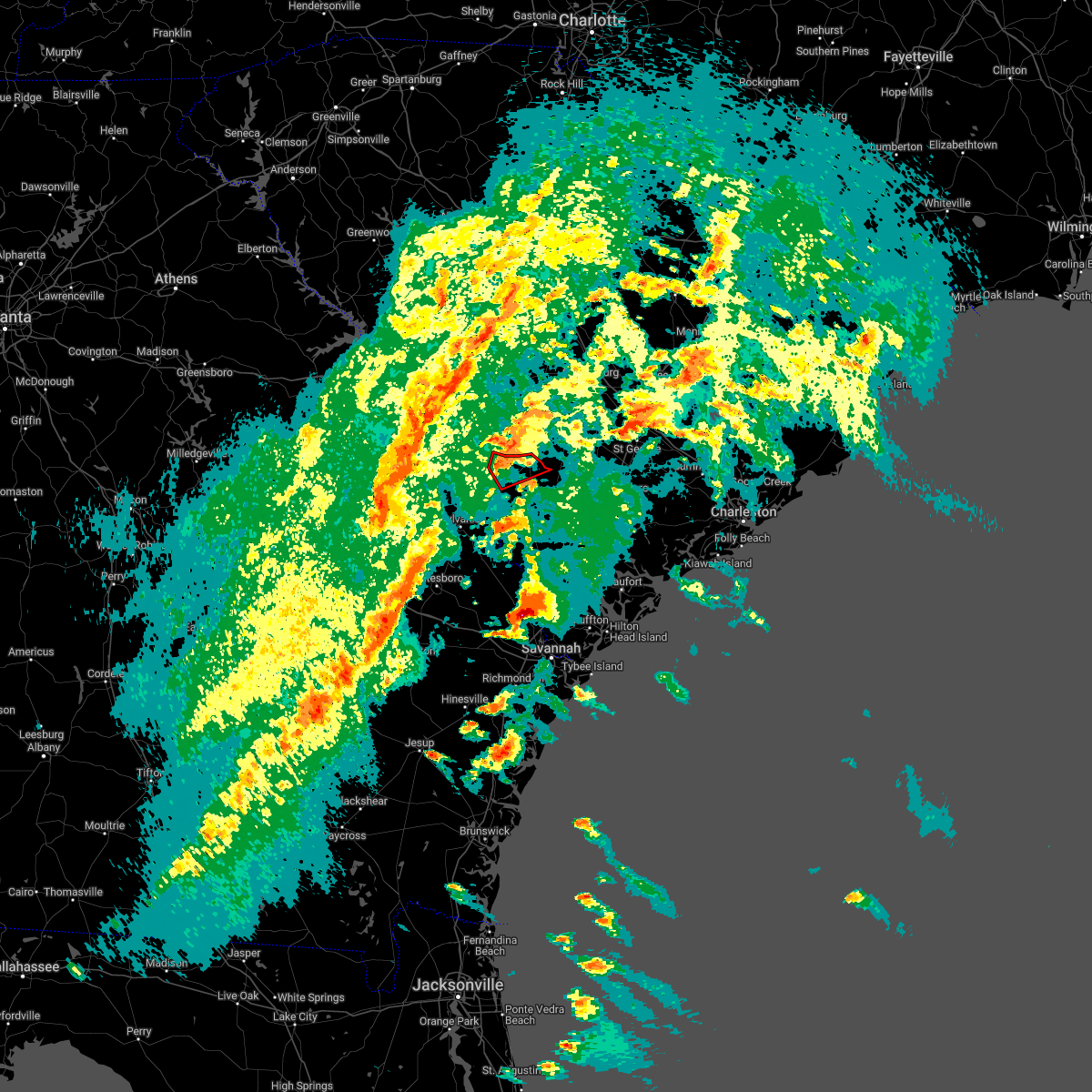 At 553 pm edt, a severe thunderstorm capable of producing a tornado was located over appleton, moving northeast at 45 mph (radar indicated rotation). Hazards include tornado. Flying debris will be dangerous to those caught without shelter. mobile homes will be damaged or destroyed. damage to roofs, windows, and vehicles will occur. tree damage is likely. Locations impacted include: allendale, sycamore, ulmer, seigling and appleton. At 553 pm edt, a severe thunderstorm capable of producing a tornado was located over appleton, moving northeast at 45 mph (radar indicated rotation). Hazards include tornado. Flying debris will be dangerous to those caught without shelter. mobile homes will be damaged or destroyed. damage to roofs, windows, and vehicles will occur. tree damage is likely. Locations impacted include: allendale, sycamore, ulmer, seigling and appleton.
|
| 4/5/2022 5:45 PM EDT |
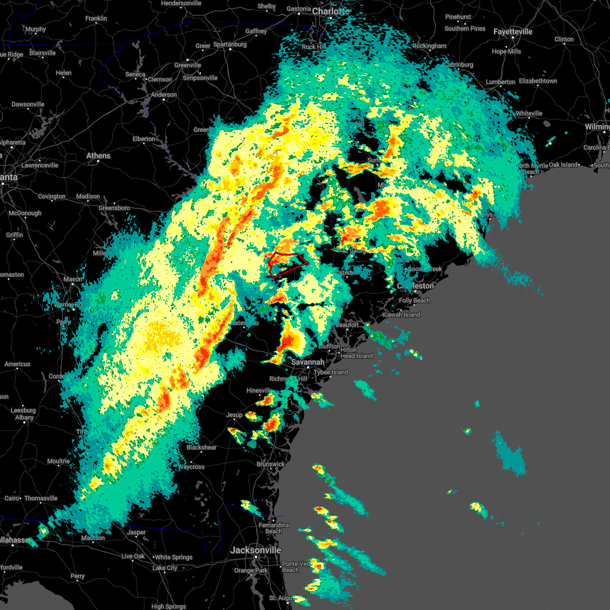 At 545 pm edt, a severe thunderstorm capable of producing a tornado was located near martin, moving northeast at 40 mph (radar indicated rotation). Hazards include tornado. Flying debris will be dangerous to those caught without shelter. mobile homes will be damaged or destroyed. damage to roofs, windows, and vehicles will occur. tree damage is likely. Locations impacted include: allendale, sycamore, ulmer, martin, seigling and appleton. At 545 pm edt, a severe thunderstorm capable of producing a tornado was located near martin, moving northeast at 40 mph (radar indicated rotation). Hazards include tornado. Flying debris will be dangerous to those caught without shelter. mobile homes will be damaged or destroyed. damage to roofs, windows, and vehicles will occur. tree damage is likely. Locations impacted include: allendale, sycamore, ulmer, martin, seigling and appleton.
|
| 4/5/2022 4:52 PM EDT |
 At 452 pm edt, a severe thunderstorm capable of producing a tornado was located over sycamore, moving northeast at 35 mph (radar indicated rotation). Hazards include tornado. Flying debris will be dangerous to those caught without shelter. mobile homes will be damaged or destroyed. damage to roofs, windows, and vehicles will occur. tree damage is likely. Locations impacted include: fairfax, sycamore, lodge, ulmer and ashton. At 452 pm edt, a severe thunderstorm capable of producing a tornado was located over sycamore, moving northeast at 35 mph (radar indicated rotation). Hazards include tornado. Flying debris will be dangerous to those caught without shelter. mobile homes will be damaged or destroyed. damage to roofs, windows, and vehicles will occur. tree damage is likely. Locations impacted include: fairfax, sycamore, lodge, ulmer and ashton.
|
| 4/5/2022 4:50 PM EDT |
 At 450 pm edt, a severe thunderstorm was located over sycamore, moving northeast at 35 mph (radar indicated). Hazards include 60 mph wind gusts and penny size hail. Expect damage to trees and powerlines. Locations impacted include: colleton, fairfax, sycamore, lodge, ulmer, padgetts and ashton. At 450 pm edt, a severe thunderstorm was located over sycamore, moving northeast at 35 mph (radar indicated). Hazards include 60 mph wind gusts and penny size hail. Expect damage to trees and powerlines. Locations impacted include: colleton, fairfax, sycamore, lodge, ulmer, padgetts and ashton.
|
| 4/5/2022 4:31 PM EDT |
 At 430 pm edt, a severe thunderstorm was located near barton, moving northeast at 35 mph (radar indicated). Hazards include 60 mph wind gusts and penny size hail. Expect damage to trees and powerlines. Locations impacted include: allendale, colleton, fairfax, brunson, sycamore, lodge, ulmer, seigling, padgetts, barton, ashton and appleton. At 430 pm edt, a severe thunderstorm was located near barton, moving northeast at 35 mph (radar indicated). Hazards include 60 mph wind gusts and penny size hail. Expect damage to trees and powerlines. Locations impacted include: allendale, colleton, fairfax, brunson, sycamore, lodge, ulmer, seigling, padgetts, barton, ashton and appleton.
|
| 4/5/2022 4:23 PM EDT |
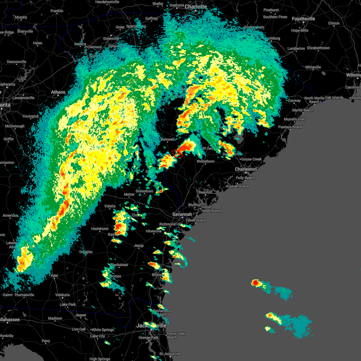 The tornado warning for portions of allendale county will expire at 430 pm edt, the storm which prompted the warning has moved out of the area. therefore, the warning will be allowed to expire. The tornado warning for portions of allendale county will expire at 430 pm edt, the storm which prompted the warning has moved out of the area. therefore, the warning will be allowed to expire.
|
| 4/5/2022 4:13 PM EDT |
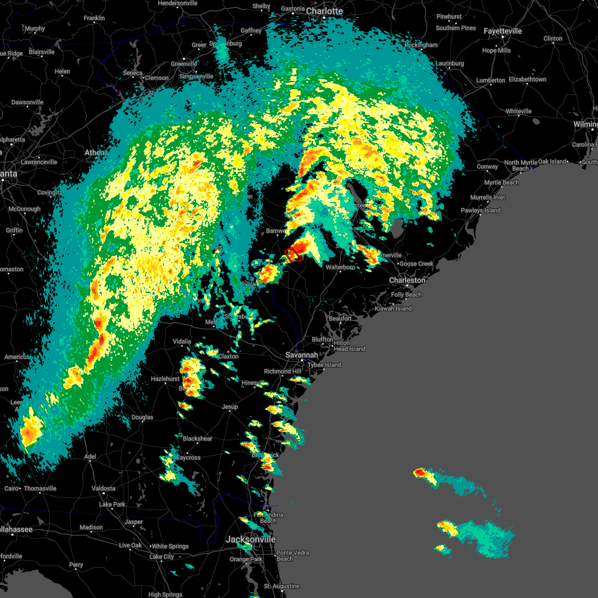 At 412 pm edt, a tornado producing storm was located near sycamore, moving east at 40 mph (radar confirmed tornado). Hazards include damaging tornado. Flying debris will be dangerous to those caught without shelter. mobile homes will be damaged or destroyed. damage to roofs, windows, and vehicles will occur. tree damage is likely. Locations impacted include: sycamore and ulmer. At 412 pm edt, a tornado producing storm was located near sycamore, moving east at 40 mph (radar confirmed tornado). Hazards include damaging tornado. Flying debris will be dangerous to those caught without shelter. mobile homes will be damaged or destroyed. damage to roofs, windows, and vehicles will occur. tree damage is likely. Locations impacted include: sycamore and ulmer.
|
| 4/5/2022 4:06 PM EDT |
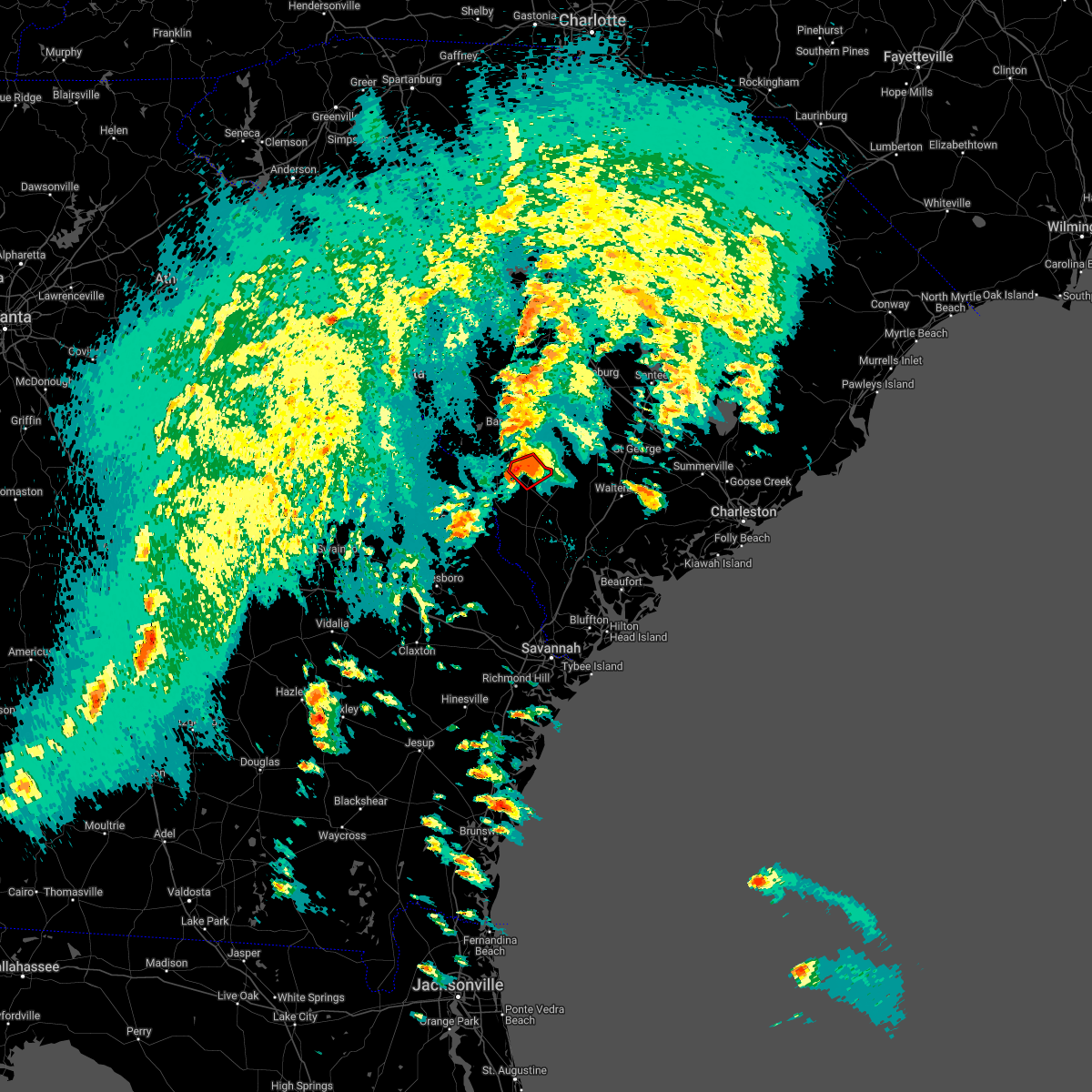 At 405 pm edt, a confirmed large and destructive tornado was located over allendale, moving northeast at 30 mph. tornado emergency for sycamore. this is a particularly dangerous situation. take cover now! (law enforcement confirmed tornado). Hazards include deadly tornado. You are in a life-threatening situation. flying debris may be deadly to those caught without shelter. mobile homes will be destroyed. considerable damage to homes, businesses, and vehicles is likely and complete destruction is possible. Locations impacted include: allendale, fairfax, sycamore, ulmer and seigling. At 405 pm edt, a confirmed large and destructive tornado was located over allendale, moving northeast at 30 mph. tornado emergency for sycamore. this is a particularly dangerous situation. take cover now! (law enforcement confirmed tornado). Hazards include deadly tornado. You are in a life-threatening situation. flying debris may be deadly to those caught without shelter. mobile homes will be destroyed. considerable damage to homes, businesses, and vehicles is likely and complete destruction is possible. Locations impacted include: allendale, fairfax, sycamore, ulmer and seigling.
|
| 4/5/2022 3:58 PM EDT |
 At 357 pm edt, a confirmed large and destructive tornado was located over allendale, moving northeast at 30 mph. tornado emergency for allendale, sycamore, and seigling. this is a particularly dangerous situation. take cover now! (law enforcement confirmed tornado). Hazards include deadly tornado. You are in a life-threatening situation. flying debris may be deadly to those caught without shelter. mobile homes will be destroyed. considerable damage to homes, businesses, and vehicles is likely and complete destruction is possible. Locations impacted include: allendale, fairfax, sycamore, ulmer, seigling, barton and appleton. At 357 pm edt, a confirmed large and destructive tornado was located over allendale, moving northeast at 30 mph. tornado emergency for allendale, sycamore, and seigling. this is a particularly dangerous situation. take cover now! (law enforcement confirmed tornado). Hazards include deadly tornado. You are in a life-threatening situation. flying debris may be deadly to those caught without shelter. mobile homes will be destroyed. considerable damage to homes, businesses, and vehicles is likely and complete destruction is possible. Locations impacted include: allendale, fairfax, sycamore, ulmer, seigling, barton and appleton.
|
| 4/5/2022 3:51 PM EDT |
 At 350 pm edt, a severe thunderstorm capable of producing a tornado was located near barton, moving northeast at 35 mph (weather spotters reported a funnel cloud). Hazards include tornado. Flying debris will be dangerous to those caught without shelter. mobile homes will be damaged or destroyed. damage to roofs, windows, and vehicles will occur. tree damage is likely. Locations impacted include: allendale, fairfax, sycamore, ulmer, seigling, millett, martin, barton, appleton and burtons ferry landing. At 350 pm edt, a severe thunderstorm capable of producing a tornado was located near barton, moving northeast at 35 mph (weather spotters reported a funnel cloud). Hazards include tornado. Flying debris will be dangerous to those caught without shelter. mobile homes will be damaged or destroyed. damage to roofs, windows, and vehicles will occur. tree damage is likely. Locations impacted include: allendale, fairfax, sycamore, ulmer, seigling, millett, martin, barton, appleton and burtons ferry landing.
|
| 4/5/2022 3:37 PM EDT |
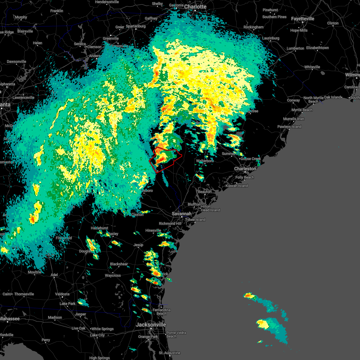 At 336 pm edt, a severe thunderstorm capable of producing a tornado was located near burtons ferry landing, moving northeast at 30 mph (radar indicated rotation). Hazards include tornado. Flying debris will be dangerous to those caught without shelter. mobile homes will be damaged or destroyed. damage to roofs, windows, and vehicles will occur. tree damage is likely. Locations impacted include: allendale, fairfax, sycamore, ulmer, seigling, millett, martin, barton, millhaven, appleton and burtons ferry landing. At 336 pm edt, a severe thunderstorm capable of producing a tornado was located near burtons ferry landing, moving northeast at 30 mph (radar indicated rotation). Hazards include tornado. Flying debris will be dangerous to those caught without shelter. mobile homes will be damaged or destroyed. damage to roofs, windows, and vehicles will occur. tree damage is likely. Locations impacted include: allendale, fairfax, sycamore, ulmer, seigling, millett, martin, barton, millhaven, appleton and burtons ferry landing.
|
| 4/5/2022 3:29 PM EDT |
 At 328 pm edt, a severe thunderstorm capable of producing a tornado was located near hilltonia, moving northeast at 30 mph (radar indicated rotation). Hazards include tornado. Flying debris will be dangerous to those caught without shelter. mobile homes will be damaged or destroyed. damage to roofs, windows, and vehicles will occur. tree damage is likely. Locations impacted include: allendale, sylvania, fairfax, hiltonia, sycamore, ulmer, altman, seigling, martin, barton, millhaven, hilltonia, millett, appleton and burtons ferry landing. At 328 pm edt, a severe thunderstorm capable of producing a tornado was located near hilltonia, moving northeast at 30 mph (radar indicated rotation). Hazards include tornado. Flying debris will be dangerous to those caught without shelter. mobile homes will be damaged or destroyed. damage to roofs, windows, and vehicles will occur. tree damage is likely. Locations impacted include: allendale, sylvania, fairfax, hiltonia, sycamore, ulmer, altman, seigling, martin, barton, millhaven, hilltonia, millett, appleton and burtons ferry landing.
|
| 3/16/2022 1:27 PM EDT |
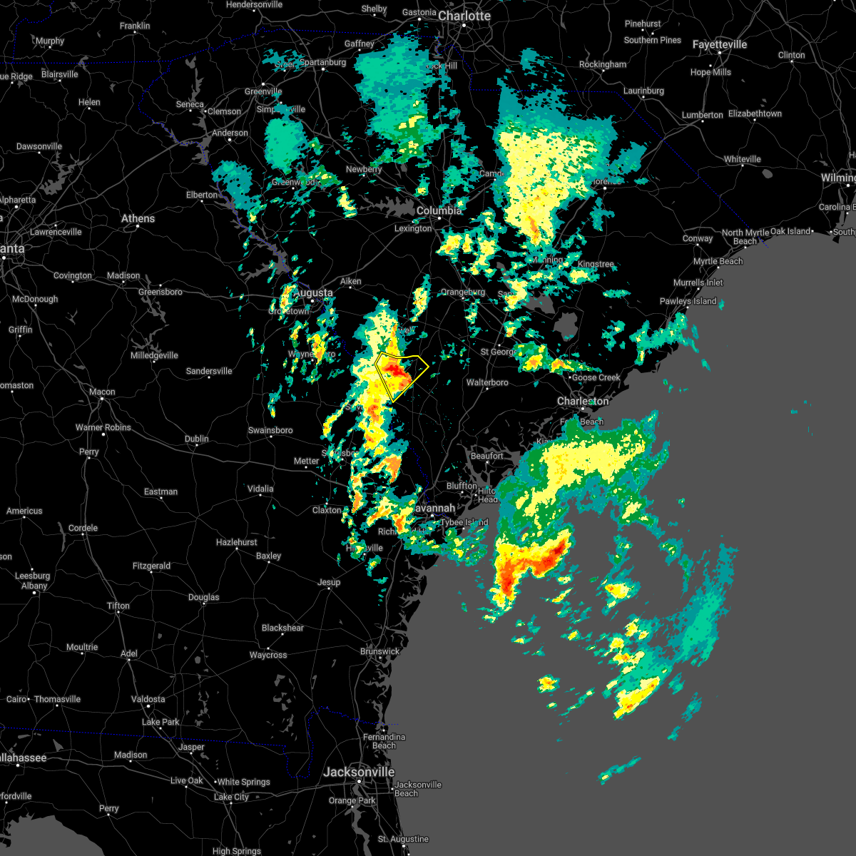 At 126 pm edt, a severe thunderstorm was located over seigling, moving northeast at 30 mph (radar indicated). Hazards include half dollar size hail. Minor damage to vehicles is possible. locations impacted include: allendale, fairfax, sycamore, ulmer, seigling, martin, barton and appleton. hail threat, radar indicated max hail size, 1. 25 in wind threat, radar indicated max wind gust, <50 mph. At 126 pm edt, a severe thunderstorm was located over seigling, moving northeast at 30 mph (radar indicated). Hazards include half dollar size hail. Minor damage to vehicles is possible. locations impacted include: allendale, fairfax, sycamore, ulmer, seigling, martin, barton and appleton. hail threat, radar indicated max hail size, 1. 25 in wind threat, radar indicated max wind gust, <50 mph.
|
| 3/16/2022 1:19 PM EDT |
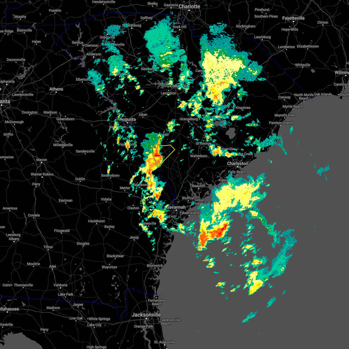 At 119 pm edt, a severe thunderstorm was located near appleton, moving northeast at 30 mph (radar indicated). Hazards include half dollar size hail. Minor damage to vehicles is possible. locations impacted include: allendale, fairfax, sycamore, ulmer, seigling, martin, barton, appleton and burtons ferry landing. hail threat, radar indicated max hail size, 1. 25 in wind threat, radar indicated max wind gust, <50 mph. At 119 pm edt, a severe thunderstorm was located near appleton, moving northeast at 30 mph (radar indicated). Hazards include half dollar size hail. Minor damage to vehicles is possible. locations impacted include: allendale, fairfax, sycamore, ulmer, seigling, martin, barton, appleton and burtons ferry landing. hail threat, radar indicated max hail size, 1. 25 in wind threat, radar indicated max wind gust, <50 mph.
|
| 3/16/2022 1:07 PM EDT |
 At 107 pm edt, a severe thunderstorm was located over burtons ferry landing, moving northeast at 20 mph (radar indicated). Hazards include half dollar size hail. Minor damage to vehicles is possible. locations impacted include: allendale, fairfax, sycamore, ulmer, seigling, millett, martin, barton, appleton and burtons ferry landing. hail threat, radar indicated max hail size, 1. 25 in wind threat, radar indicated max wind gust, <50 mph. At 107 pm edt, a severe thunderstorm was located over burtons ferry landing, moving northeast at 20 mph (radar indicated). Hazards include half dollar size hail. Minor damage to vehicles is possible. locations impacted include: allendale, fairfax, sycamore, ulmer, seigling, millett, martin, barton, appleton and burtons ferry landing. hail threat, radar indicated max hail size, 1. 25 in wind threat, radar indicated max wind gust, <50 mph.
|
| 3/16/2022 1:07 PM EDT |
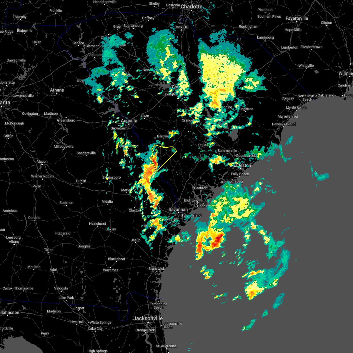 At 107 pm edt, a severe thunderstorm was located over burtons ferry landing, moving northeast at 20 mph (radar indicated). Hazards include half dollar size hail. Minor damage to vehicles is possible. locations impacted include: allendale, fairfax, sycamore, ulmer, seigling, millett, martin, barton, appleton and burtons ferry landing. hail threat, radar indicated max hail size, 1. 25 in wind threat, radar indicated max wind gust, <50 mph. At 107 pm edt, a severe thunderstorm was located over burtons ferry landing, moving northeast at 20 mph (radar indicated). Hazards include half dollar size hail. Minor damage to vehicles is possible. locations impacted include: allendale, fairfax, sycamore, ulmer, seigling, millett, martin, barton, appleton and burtons ferry landing. hail threat, radar indicated max hail size, 1. 25 in wind threat, radar indicated max wind gust, <50 mph.
|
| 3/16/2022 12:50 PM EDT |
 At 1249 pm edt, a severe thunderstorm was located near sylvania, moving northeast at 30 mph (radar indicated). Hazards include quarter size hail. Minor damage to vehicles is possible. locations impacted include: allendale, fairfax, hiltonia, sycamore, ulmer, seigling, martin, barton, millhaven, hilltonia, millett, appleton and burtons ferry landing. hail threat, radar indicated max hail size, 1. 00 in wind threat, radar indicated max wind gust, <50 mph. At 1249 pm edt, a severe thunderstorm was located near sylvania, moving northeast at 30 mph (radar indicated). Hazards include quarter size hail. Minor damage to vehicles is possible. locations impacted include: allendale, fairfax, hiltonia, sycamore, ulmer, seigling, martin, barton, millhaven, hilltonia, millett, appleton and burtons ferry landing. hail threat, radar indicated max hail size, 1. 00 in wind threat, radar indicated max wind gust, <50 mph.
|
| 5/3/2021 6:36 PM EDT |
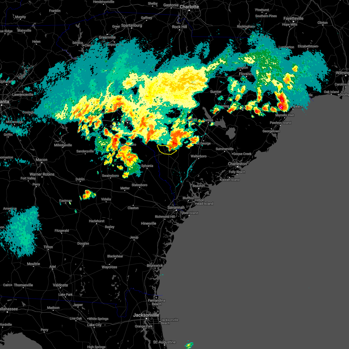 The severe thunderstorm warning for allendale county will expire at 645 pm edt, the immediate risk for severe weather has ended. The severe thunderstorm warning for allendale county will expire at 645 pm edt, the immediate risk for severe weather has ended.
|
| 5/3/2021 6:23 PM EDT |
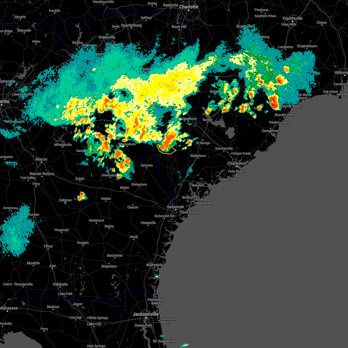 At 622 pm edt, a severe thunderstorm was located near ulmer, moving east at 30 mph (radar indicated). Hazards include 60 mph wind gusts and nickel size hail. Expect damage to trees and powerlines. Locations impacted include, allendale, sycamore, ulmer, seigling and appleton. At 622 pm edt, a severe thunderstorm was located near ulmer, moving east at 30 mph (radar indicated). Hazards include 60 mph wind gusts and nickel size hail. Expect damage to trees and powerlines. Locations impacted include, allendale, sycamore, ulmer, seigling and appleton.
|
| 5/3/2021 6:14 PM EDT |
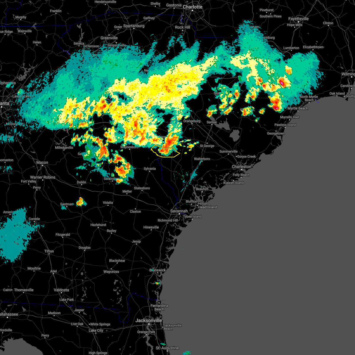 At 613 pm edt, a severe thunderstorm was located near appleton, moving east at 30 mph (radar indicated). Hazards include 60 mph wind gusts and quarter size hail. Minor hail damage to vehicles is possible. expect wind damage to trees and powerlines. Locations impacted include, allendale, fairfax, sycamore, ulmer, seigling, millett, martin and appleton. At 613 pm edt, a severe thunderstorm was located near appleton, moving east at 30 mph (radar indicated). Hazards include 60 mph wind gusts and quarter size hail. Minor hail damage to vehicles is possible. expect wind damage to trees and powerlines. Locations impacted include, allendale, fairfax, sycamore, ulmer, seigling, millett, martin and appleton.
|
| 5/3/2021 6:07 PM EDT |
 At 606 pm edt, a severe thunderstorm was located near martin, moving east at 40 mph (radar indicated). Hazards include 60 mph wind gusts and quarter size hail. Minor hail damage to vehicles is possible. expect wind damage to trees and powerlines. Locations impacted include, allendale, fairfax, sycamore, ulmer, seigling, millett, martin, appleton and burtons ferry landing. At 606 pm edt, a severe thunderstorm was located near martin, moving east at 40 mph (radar indicated). Hazards include 60 mph wind gusts and quarter size hail. Minor hail damage to vehicles is possible. expect wind damage to trees and powerlines. Locations impacted include, allendale, fairfax, sycamore, ulmer, seigling, millett, martin, appleton and burtons ferry landing.
|
| 5/3/2021 6:07 PM EDT |
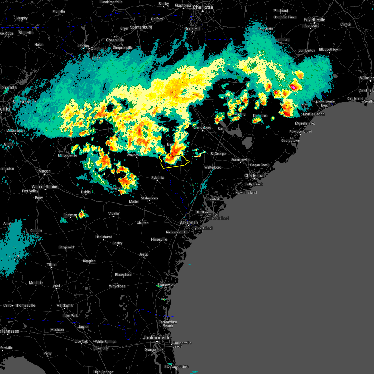 At 606 pm edt, a severe thunderstorm was located near martin, moving east at 40 mph (radar indicated). Hazards include 60 mph wind gusts and quarter size hail. Minor hail damage to vehicles is possible. expect wind damage to trees and powerlines. Locations impacted include, allendale, fairfax, sycamore, ulmer, seigling, millett, martin, appleton and burtons ferry landing. At 606 pm edt, a severe thunderstorm was located near martin, moving east at 40 mph (radar indicated). Hazards include 60 mph wind gusts and quarter size hail. Minor hail damage to vehicles is possible. expect wind damage to trees and powerlines. Locations impacted include, allendale, fairfax, sycamore, ulmer, seigling, millett, martin, appleton and burtons ferry landing.
|
| 5/3/2021 5:50 PM EDT |
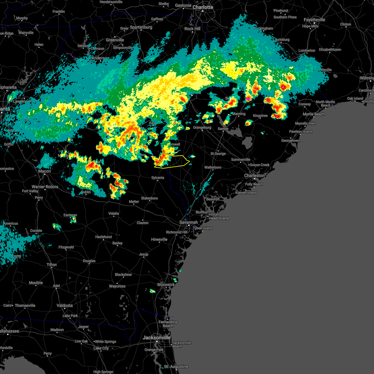 At 549 pm edt, a severe thunderstorm was located near millhaven, moving east at 30 mph (radar indicated). Hazards include 60 mph wind gusts and quarter size hail. Minor hail damage to vehicles is possible. Expect wind damage to trees and powerlines. At 549 pm edt, a severe thunderstorm was located near millhaven, moving east at 30 mph (radar indicated). Hazards include 60 mph wind gusts and quarter size hail. Minor hail damage to vehicles is possible. Expect wind damage to trees and powerlines.
|
| 7/20/2020 6:05 PM EDT |
 At 605 pm edt, a severe thunderstorm was located over appleton, moving west at 5 mph (radar indicated). Hazards include 60 mph wind gusts and quarter size hail. Minor hail damage to vehicles is possible. expect wind damage to trees and powerlines. Locations impacted include, allendale, fairfax, sycamore, seigling, millett, martin, barton, appleton and burtons ferry landing. At 605 pm edt, a severe thunderstorm was located over appleton, moving west at 5 mph (radar indicated). Hazards include 60 mph wind gusts and quarter size hail. Minor hail damage to vehicles is possible. expect wind damage to trees and powerlines. Locations impacted include, allendale, fairfax, sycamore, seigling, millett, martin, barton, appleton and burtons ferry landing.
|
| 7/20/2020 6:05 PM EDT |
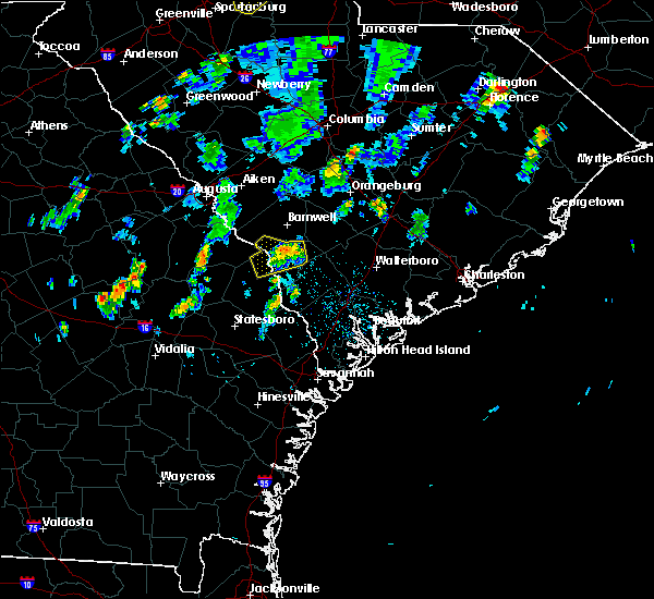 At 605 pm edt, a severe thunderstorm was located over appleton, moving west at 5 mph (radar indicated). Hazards include 60 mph wind gusts and quarter size hail. Minor hail damage to vehicles is possible. expect wind damage to trees and powerlines. Locations impacted include, allendale, fairfax, sycamore, seigling, millett, martin, barton, appleton and burtons ferry landing. At 605 pm edt, a severe thunderstorm was located over appleton, moving west at 5 mph (radar indicated). Hazards include 60 mph wind gusts and quarter size hail. Minor hail damage to vehicles is possible. expect wind damage to trees and powerlines. Locations impacted include, allendale, fairfax, sycamore, seigling, millett, martin, barton, appleton and burtons ferry landing.
|
| 7/20/2020 5:42 PM EDT |
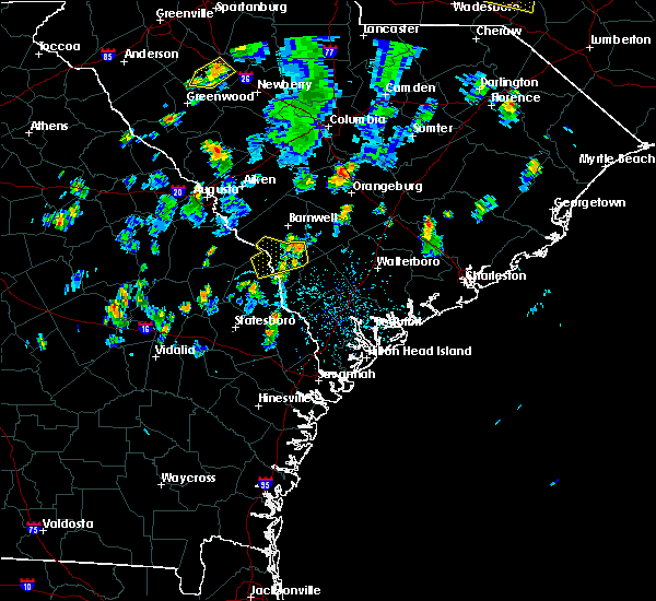 At 542 pm edt, a severe thunderstorm was located over appleton, moving west at 5 mph (radar indicated). Hazards include 60 mph wind gusts and quarter size hail. Minor hail damage to vehicles is possible. Expect wind damage to trees and powerlines. At 542 pm edt, a severe thunderstorm was located over appleton, moving west at 5 mph (radar indicated). Hazards include 60 mph wind gusts and quarter size hail. Minor hail damage to vehicles is possible. Expect wind damage to trees and powerlines.
|
| 6/27/2020 8:50 PM EDT |
 At 850 pm edt, severe thunderstorms were located along a line extending from near bowman to near colleton to 7 miles southeast of burtons ferry landing, moving east at 50 mph (radar indicated). Hazards include 60 mph wind gusts. Expect damage to trees and powerlines. locations impacted include, allendale, hampton, lake warren state park, colleton, varnville, fairfax, brunson, gifford, sycamore, luray, smoaks, lodge, williams, ulmer and crocketville. This warning includes i-95 in south carolina between mile markers 66 and 69. At 850 pm edt, severe thunderstorms were located along a line extending from near bowman to near colleton to 7 miles southeast of burtons ferry landing, moving east at 50 mph (radar indicated). Hazards include 60 mph wind gusts. Expect damage to trees and powerlines. locations impacted include, allendale, hampton, lake warren state park, colleton, varnville, fairfax, brunson, gifford, sycamore, luray, smoaks, lodge, williams, ulmer and crocketville. This warning includes i-95 in south carolina between mile markers 66 and 69.
|
| 6/27/2020 8:19 PM EDT |
 The national weather service in charleston has issued a * severe thunderstorm warning for portions of. hampton county in southeastern south carolina. colleton county in southeastern south carolina. allendale county in southeastern south carolina. Until 900 pm edt. The national weather service in charleston has issued a * severe thunderstorm warning for portions of. hampton county in southeastern south carolina. colleton county in southeastern south carolina. allendale county in southeastern south carolina. Until 900 pm edt.
|
| 5/22/2020 7:26 PM EDT |
 At 724 pm edt, severe thunderstorms were located along a line extending from near ashton to near brunson, moving south at 15 mph. golf ball sized hail was reported in fairfax from these storms (radar indicated). Hazards include 60 mph wind gusts and quarter size hail. Minor hail damage to vehicles is possible. expect wind damage to trees and powerlines. Locations impacted include, allendale, hampton, varnville, fairfax, brunson, gifford, sycamore, lodge, ulmer, crocketville, seigling, miley, barton, ashton and appleton. At 724 pm edt, severe thunderstorms were located along a line extending from near ashton to near brunson, moving south at 15 mph. golf ball sized hail was reported in fairfax from these storms (radar indicated). Hazards include 60 mph wind gusts and quarter size hail. Minor hail damage to vehicles is possible. expect wind damage to trees and powerlines. Locations impacted include, allendale, hampton, varnville, fairfax, brunson, gifford, sycamore, lodge, ulmer, crocketville, seigling, miley, barton, ashton and appleton.
|
| 5/22/2020 6:44 PM EDT |
 At 643 pm edt, severe thunderstorms were located along a line extending from seigling to 7 miles southeast of burtons ferry landing, moving east at 25 mph (radar indicated). Hazards include 60 mph wind gusts and quarter size hail. Minor hail damage to vehicles is possible. Expect wind damage to trees and powerlines. At 643 pm edt, severe thunderstorms were located along a line extending from seigling to 7 miles southeast of burtons ferry landing, moving east at 25 mph (radar indicated). Hazards include 60 mph wind gusts and quarter size hail. Minor hail damage to vehicles is possible. Expect wind damage to trees and powerlines.
|
| 5/22/2020 6:22 PM EDT |
 At 622 pm edt, a severe thunderstorm was located over martin, moving east at 20 mph (radar indicated). Hazards include 60 mph wind gusts and quarter size hail. Minor hail damage to vehicles is possible. expect wind damage to trees and powerlines. Locations impacted include, allendale, sycamore, ulmer, martin, seigling and appleton. At 622 pm edt, a severe thunderstorm was located over martin, moving east at 20 mph (radar indicated). Hazards include 60 mph wind gusts and quarter size hail. Minor hail damage to vehicles is possible. expect wind damage to trees and powerlines. Locations impacted include, allendale, sycamore, ulmer, martin, seigling and appleton.
|
| 5/22/2020 6:00 PM EDT |
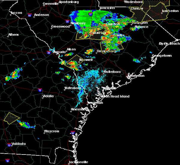 At 600 pm edt, a severe thunderstorm was located over millett, moving east at 30 mph (radar indicated). Hazards include 60 mph wind gusts and quarter size hail. Minor hail damage to vehicles is possible. Expect wind damage to trees and powerlines. At 600 pm edt, a severe thunderstorm was located over millett, moving east at 30 mph (radar indicated). Hazards include 60 mph wind gusts and quarter size hail. Minor hail damage to vehicles is possible. Expect wind damage to trees and powerlines.
|
| 4/13/2020 6:03 AM EDT |
 At 602 am edt, severe thunderstorms were located along a line extending from near bamberg to near nevils, moving east at 60 mph (radar indicated). Hazards include 60 mph wind gusts and penny size hail. Expect damage to trees and powerlines. locations impacted include, statesboro, reidsville, metter, allendale, springfield, hampton, claxton, lake warren state park, varnville, estill, fairfax, guyton, brooklet, hagan and collins. This warning includes i-16 between mile markers 106 and 139. At 602 am edt, severe thunderstorms were located along a line extending from near bamberg to near nevils, moving east at 60 mph (radar indicated). Hazards include 60 mph wind gusts and penny size hail. Expect damage to trees and powerlines. locations impacted include, statesboro, reidsville, metter, allendale, springfield, hampton, claxton, lake warren state park, varnville, estill, fairfax, guyton, brooklet, hagan and collins. This warning includes i-16 between mile markers 106 and 139.
|
| 4/13/2020 6:02 AM EDT |
 At 601 am edt, a severe thunderstorm capable of producing a tornado was located over allendale, moving northeast at 55 mph (radar indicated rotation). Hazards include tornado. Flying debris will be dangerous to those caught without shelter. mobile homes will be damaged or destroyed. damage to roofs, windows, and vehicles will occur. Tree damage is likely. At 601 am edt, a severe thunderstorm capable of producing a tornado was located over allendale, moving northeast at 55 mph (radar indicated rotation). Hazards include tornado. Flying debris will be dangerous to those caught without shelter. mobile homes will be damaged or destroyed. damage to roofs, windows, and vehicles will occur. Tree damage is likely.
|
| 4/13/2020 5:33 AM EDT |
 At 532 am edt, severe thunderstorms were located along a line extending from 6 miles west of barnwell to near santa claus, moving east at 60 mph (radar indicated). Hazards include 60 mph wind gusts and penny size hail. expect damage to trees and powerlines At 532 am edt, severe thunderstorms were located along a line extending from 6 miles west of barnwell to near santa claus, moving east at 60 mph (radar indicated). Hazards include 60 mph wind gusts and penny size hail. expect damage to trees and powerlines
|
| 3/31/2020 4:22 PM EDT |
 At 421 pm edt, severe thunderstorms were located along a line extending from fairfax to gifford, moving east at 50 mph (radar indicated). Hazards include 60 mph wind gusts and penny size hail. Expect damage to trees and powerlines. Locations impacted include, allendale, lake warren state park, estill, fairfax, brunson, gifford, sycamore, luray, ulmer and barton. At 421 pm edt, severe thunderstorms were located along a line extending from fairfax to gifford, moving east at 50 mph (radar indicated). Hazards include 60 mph wind gusts and penny size hail. Expect damage to trees and powerlines. Locations impacted include, allendale, lake warren state park, estill, fairfax, brunson, gifford, sycamore, luray, ulmer and barton.
|
| 3/31/2020 4:05 PM EDT |
 At 404 pm edt, severe thunderstorms were located along a line extending from ulmer to fairfax, moving east at 50 mph (radar indicated). Hazards include 60 mph wind gusts and penny size hail. Expect damage to trees and powerlines. Locations impacted include, allendale, lake warren state park, estill, fairfax, brunson, hiltonia, gifford, sycamore, luray, ulmer, seigling, barton, millhaven, hilltonia and appleton. At 404 pm edt, severe thunderstorms were located along a line extending from ulmer to fairfax, moving east at 50 mph (radar indicated). Hazards include 60 mph wind gusts and penny size hail. Expect damage to trees and powerlines. Locations impacted include, allendale, lake warren state park, estill, fairfax, brunson, hiltonia, gifford, sycamore, luray, ulmer, seigling, barton, millhaven, hilltonia and appleton.
|
| 3/31/2020 3:51 PM EDT |
 At 351 pm edt, severe thunderstorms were located along a line extending from near appleton to near allendale, moving east at 55 mph (radar indicated). Hazards include 70 mph wind gusts and penny size hail. Expect considerable tree damage. damage is likely to mobile homes, roofs, and outbuildings. Locations impacted include, allendale, lake warren state park, estill, fairfax, brunson, hiltonia, gifford, sycamore, luray, ulmer, seigling, martin, barton, millhaven and hilltonia. At 351 pm edt, severe thunderstorms were located along a line extending from near appleton to near allendale, moving east at 55 mph (radar indicated). Hazards include 70 mph wind gusts and penny size hail. Expect considerable tree damage. damage is likely to mobile homes, roofs, and outbuildings. Locations impacted include, allendale, lake warren state park, estill, fairfax, brunson, hiltonia, gifford, sycamore, luray, ulmer, seigling, martin, barton, millhaven and hilltonia.
|
| 3/31/2020 3:46 PM EDT |
 At 345 pm edt, severe thunderstorms were located along a line extending from near martin to near burtons ferry landing, moving east at 55 mph (radar indicated). Hazards include 60 mph wind gusts and penny size hail. expect damage to trees and powerlines At 345 pm edt, severe thunderstorms were located along a line extending from near martin to near burtons ferry landing, moving east at 55 mph (radar indicated). Hazards include 60 mph wind gusts and penny size hail. expect damage to trees and powerlines
|
| 10/31/2019 7:00 PM EDT |
 At 659 pm edt, severe thunderstorms were located along a line extending from 6 miles northeast of allendale to 12 miles southwest of lake warren state park, moving northeast at 40 mph (radar indicated). Hazards include 60 mph wind gusts. Expect damage to trees and powerlines. Locations impacted include, allendale, hampton, lake warren state park, varnville, estill, fairfax, brunson and gifford. At 659 pm edt, severe thunderstorms were located along a line extending from 6 miles northeast of allendale to 12 miles southwest of lake warren state park, moving northeast at 40 mph (radar indicated). Hazards include 60 mph wind gusts. Expect damage to trees and powerlines. Locations impacted include, allendale, hampton, lake warren state park, varnville, estill, fairfax, brunson and gifford.
|
| 10/31/2019 6:40 PM EDT |
 At 639 pm edt, severe thunderstorms were located along a line extending from 10 miles southwest of allendale to 7 miles southeast of sylvania, moving east at 55 mph (radar indicated. these storms have a history of producing damaging winds). Hazards include 60 mph wind gusts. expect damage to trees and powerlines At 639 pm edt, severe thunderstorms were located along a line extending from 10 miles southwest of allendale to 7 miles southeast of sylvania, moving east at 55 mph (radar indicated. these storms have a history of producing damaging winds). Hazards include 60 mph wind gusts. expect damage to trees and powerlines
|
| 9/9/2019 3:00 PM EDT |
 At 300 pm edt, a severe thunderstorm was located near allendale, moving southeast at 5 mph (radar indicated). Hazards include 60 mph wind gusts and quarter size hail. Minor hail damage to vehicles is possible. expect wind damage to trees and powerlines. Locations impacted include, allendale, hampton, lake warren state park, fairfax, brunson, gifford, sycamore and luray. At 300 pm edt, a severe thunderstorm was located near allendale, moving southeast at 5 mph (radar indicated). Hazards include 60 mph wind gusts and quarter size hail. Minor hail damage to vehicles is possible. expect wind damage to trees and powerlines. Locations impacted include, allendale, hampton, lake warren state park, fairfax, brunson, gifford, sycamore and luray.
|
| 9/9/2019 2:45 PM EDT |
 At 245 pm edt, a severe thunderstorm was located near allendale, moving southeast at 5 mph (radar indicated). Hazards include 60 mph wind gusts and quarter size hail. Minor hail damage to vehicles is possible. Expect wind damage to trees and powerlines. At 245 pm edt, a severe thunderstorm was located near allendale, moving southeast at 5 mph (radar indicated). Hazards include 60 mph wind gusts and quarter size hail. Minor hail damage to vehicles is possible. Expect wind damage to trees and powerlines.
|
| 8/23/2019 2:00 PM EDT |
 At 200 pm edt, a severe thunderstorm was located near allendale, moving east at 10 mph (radar indicated). Hazards include 60 mph wind gusts and quarter size hail. Minor hail damage to vehicles is possible. Expect wind damage to trees and powerlines. At 200 pm edt, a severe thunderstorm was located near allendale, moving east at 10 mph (radar indicated). Hazards include 60 mph wind gusts and quarter size hail. Minor hail damage to vehicles is possible. Expect wind damage to trees and powerlines.
|
| 6/22/2019 4:44 PM EDT |
 At 444 pm edt, severe thunderstorms were located along a line extending from 14 miles southeast of plant vogtle to 7 miles west of lake warren state park, moving east at 35 mph (radar indicated). Hazards include 60 mph wind gusts. expect damage to trees and powerlines At 444 pm edt, severe thunderstorms were located along a line extending from 14 miles southeast of plant vogtle to 7 miles west of lake warren state park, moving east at 35 mph (radar indicated). Hazards include 60 mph wind gusts. expect damage to trees and powerlines
|
| 6/22/2019 5:21 AM EDT |
 At 520 am edt, severe thunderstorms were located along a line extending from 12 miles southeast of bamberg to 6 miles northwest of allendale, moving east at 35 mph (radar indicated). Hazards include 60 mph wind gusts and quarter size hail. Minor hail damage to vehicles is possible. expect wind damage to trees and powerlines. locations impacted include, walterboro, allendale, hampton, lake warren state park, indian field, saint george, givhans ferry state park and dorchester. this warning includes, i-26 between mile markers 171 and 189. I-95 in south carolina between mile markers 51 and 85. At 520 am edt, severe thunderstorms were located along a line extending from 12 miles southeast of bamberg to 6 miles northwest of allendale, moving east at 35 mph (radar indicated). Hazards include 60 mph wind gusts and quarter size hail. Minor hail damage to vehicles is possible. expect wind damage to trees and powerlines. locations impacted include, walterboro, allendale, hampton, lake warren state park, indian field, saint george, givhans ferry state park and dorchester. this warning includes, i-26 between mile markers 171 and 189. I-95 in south carolina between mile markers 51 and 85.
|
| 6/22/2019 4:51 AM EDT |
 At 450 am edt, severe thunderstorms were located along a line extending from 6 miles south of denmark to near plant vogtle, moving east at 35 mph (radar indicated). Hazards include 60 mph wind gusts and quarter size hail. Minor hail damage to vehicles is possible. Expect wind damage to trees and powerlines. At 450 am edt, severe thunderstorms were located along a line extending from 6 miles south of denmark to near plant vogtle, moving east at 35 mph (radar indicated). Hazards include 60 mph wind gusts and quarter size hail. Minor hail damage to vehicles is possible. Expect wind damage to trees and powerlines.
|
| 6/20/2019 6:26 PM EDT |
 At 626 pm edt, severe thunderstorms were located along a line extending from 7 miles north of allendale to 9 miles east of sylvania to near westside, moving east at 60 mph (radar indicated). Hazards include 70 mph wind gusts. Expect considerable tree damage. Damage is likely to mobile homes, roofs, and outbuildings. At 626 pm edt, severe thunderstorms were located along a line extending from 7 miles north of allendale to 9 miles east of sylvania to near westside, moving east at 60 mph (radar indicated). Hazards include 70 mph wind gusts. Expect considerable tree damage. Damage is likely to mobile homes, roofs, and outbuildings.
|
| 6/20/2019 6:06 PM EDT |
 At 606 pm edt, severe thunderstorms were located along a line extending from 6 miles northeast of barnwell to near plant vogtle, moving east at 70 mph (radar indicated). Hazards include 60 mph wind gusts. expect damage to trees and powerlines At 606 pm edt, severe thunderstorms were located along a line extending from 6 miles northeast of barnwell to near plant vogtle, moving east at 70 mph (radar indicated). Hazards include 60 mph wind gusts. expect damage to trees and powerlines
|
| 5/11/2019 7:01 PM EDT |
 At 701 pm edt, severe thunderstorms were located along a line extending from 6 miles northeast of sylvania to 9 miles east of statesboro, moving east at 50 mph (radar indicated). Hazards include 60 mph wind gusts. Expect damage to trees and powerlines. Locations impacted include, allendale, sylvania, hampton, lake warren state park, estill, fairfax, brooklet and brunson. At 701 pm edt, severe thunderstorms were located along a line extending from 6 miles northeast of sylvania to 9 miles east of statesboro, moving east at 50 mph (radar indicated). Hazards include 60 mph wind gusts. Expect damage to trees and powerlines. Locations impacted include, allendale, sylvania, hampton, lake warren state park, estill, fairfax, brooklet and brunson.
|
| 5/11/2019 6:49 PM EDT |
 At 649 pm edt, severe thunderstorms were located along a line extending from near sylvania to 6 miles south of statesboro, moving east at 50 mph (radar indicated). Hazards include 60 mph wind gusts. expect damage to trees and powerlines At 649 pm edt, severe thunderstorms were located along a line extending from near sylvania to 6 miles south of statesboro, moving east at 50 mph (radar indicated). Hazards include 60 mph wind gusts. expect damage to trees and powerlines
|
| 4/19/2019 1:26 PM EDT |
 At 123 pm edt, severe thunderstorms were located along a line extending from 7 miles northeast of allendale to 8 miles northwest of beaufort, moving northeast at 55 mph (radar indicated). Hazards include 70 mph wind gusts. Expect considerable tree damage. damage is likely to mobile homes, roofs, and outbuildings. locations impacted include, hilton head island, bluffton, beaufort, port royal, walterboro, ridgeland, allendale and hampton. those attending the rbc heritage golf tournament at harbour town are in the path of this storm and should prepare for imminent, dangerous weather conditions. Seek shelter now! this warning includes i-95 in south carolina between mile markers 15 and 66. At 123 pm edt, severe thunderstorms were located along a line extending from 7 miles northeast of allendale to 8 miles northwest of beaufort, moving northeast at 55 mph (radar indicated). Hazards include 70 mph wind gusts. Expect considerable tree damage. damage is likely to mobile homes, roofs, and outbuildings. locations impacted include, hilton head island, bluffton, beaufort, port royal, walterboro, ridgeland, allendale and hampton. those attending the rbc heritage golf tournament at harbour town are in the path of this storm and should prepare for imminent, dangerous weather conditions. Seek shelter now! this warning includes i-95 in south carolina between mile markers 15 and 66.
|
| 4/19/2019 1:07 PM EDT |
 At 104 pm edt, severe thunderstorms were located along a line extending from 8 miles southwest of allendale to 7 miles northwest of bluffton, moving northeast at 55 mph (radar indicated. these thunderstorms have been producing wind damage). Hazards include 70 mph wind gusts. Expect considerable tree damage. damage is likely to mobile homes, roofs, and outbuildings. locations impacted include, hilton head island, bluffton, beaufort, port royal, walterboro, ridgeland, allendale and hampton. those attending the rbc heritage golf tournament at harbour town are in the path of this storm and should prepare for imminent, dangerous weather conditions. Seek shelter now! this warning includes i-95 in south carolina between mile markers 2 and 66. At 104 pm edt, severe thunderstorms were located along a line extending from 8 miles southwest of allendale to 7 miles northwest of bluffton, moving northeast at 55 mph (radar indicated. these thunderstorms have been producing wind damage). Hazards include 70 mph wind gusts. Expect considerable tree damage. damage is likely to mobile homes, roofs, and outbuildings. locations impacted include, hilton head island, bluffton, beaufort, port royal, walterboro, ridgeland, allendale and hampton. those attending the rbc heritage golf tournament at harbour town are in the path of this storm and should prepare for imminent, dangerous weather conditions. Seek shelter now! this warning includes i-95 in south carolina between mile markers 2 and 66.
|
| 4/19/2019 12:49 PM EDT |
 At 1247 pm edt, severe thunderstorms were located along a line extending from 6 miles east of sylvania to 6 miles north of savannah, moving northeast at 55 mph (radar indicated. at 1246 pm edt a wind gust to 66 mph was reported at the savannah airport). Hazards include 70 mph wind gusts. Expect considerable tree damage. Damage is likely to mobile homes, roofs, and outbuildings. At 1247 pm edt, severe thunderstorms were located along a line extending from 6 miles east of sylvania to 6 miles north of savannah, moving northeast at 55 mph (radar indicated. at 1246 pm edt a wind gust to 66 mph was reported at the savannah airport). Hazards include 70 mph wind gusts. Expect considerable tree damage. Damage is likely to mobile homes, roofs, and outbuildings.
|
| 3/3/2019 5:02 PM EST |
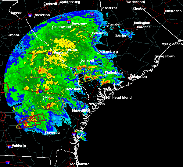 At 502 pm est, a severe thunderstorm was located near allendale, moving northeast at 40 mph (radar indicated). Hazards include 60 mph wind gusts and quarter size hail. Minor hail damage to vehicles is possible. expect wind damage to trees and powerlines. Locations impacted include, allendale, sycamore, ulmer, seigling, millett, martin and appleton. At 502 pm est, a severe thunderstorm was located near allendale, moving northeast at 40 mph (radar indicated). Hazards include 60 mph wind gusts and quarter size hail. Minor hail damage to vehicles is possible. expect wind damage to trees and powerlines. Locations impacted include, allendale, sycamore, ulmer, seigling, millett, martin and appleton.
|
| 3/3/2019 4:47 PM EST |
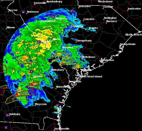 At 447 pm est, a severe thunderstorm was located 13 miles west of allendale, moving northeast at 40 mph (radar indicated). Hazards include 60 mph wind gusts and quarter size hail. Minor hail damage to vehicles is possible. Expect wind damage to trees and powerlines. At 447 pm est, a severe thunderstorm was located 13 miles west of allendale, moving northeast at 40 mph (radar indicated). Hazards include 60 mph wind gusts and quarter size hail. Minor hail damage to vehicles is possible. Expect wind damage to trees and powerlines.
|
| 8/9/2018 6:44 PM EDT |
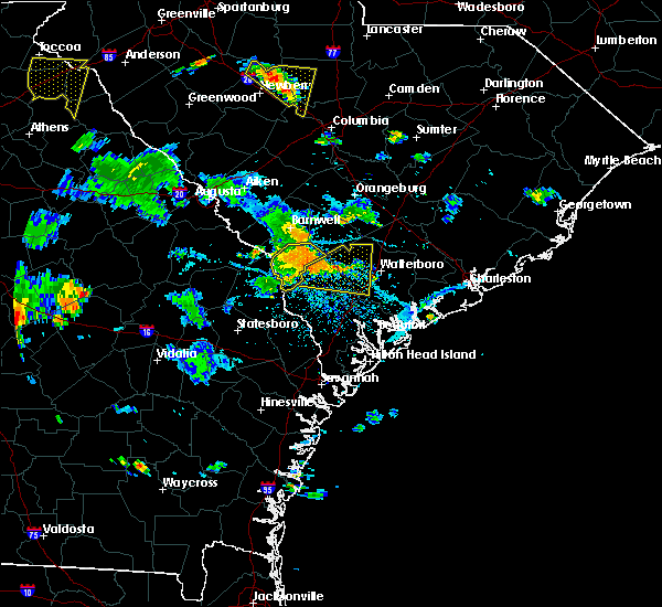 At 643 pm edt, a severe thunderstorm was located near allendale, moving southeast at 25 mph (radar indicated). Hazards include 60 mph wind gusts. Expect damage to trees and powerlines. Locations impacted include, allendale, fairfax, sycamore, ulmer, seigling, barton and appleton. At 643 pm edt, a severe thunderstorm was located near allendale, moving southeast at 25 mph (radar indicated). Hazards include 60 mph wind gusts. Expect damage to trees and powerlines. Locations impacted include, allendale, fairfax, sycamore, ulmer, seigling, barton and appleton.
|
| 8/9/2018 6:10 PM EDT |
 At 610 pm edt, a severe thunderstorm was located 10 miles southwest of barnwell, moving southeast at 30 mph (radar indicated). Hazards include 60 mph wind gusts. expect damage to trees and powerlines At 610 pm edt, a severe thunderstorm was located 10 miles southwest of barnwell, moving southeast at 30 mph (radar indicated). Hazards include 60 mph wind gusts. expect damage to trees and powerlines
|
| 6/25/2018 9:40 PM EDT |
 The severe thunderstorm warning for screven, evans, bulloch, jenkins, candler, effingham, tattnall, hampton, colleton and allendale counties will expire at 945 pm edt, the storms which prompted the warning will have weakened below severe limits by 945 pm and will no longer pose an immediate threat to life or property. therefore the warning will be allowed to expire. however gusty winds and heavy rain are still possible with these thunderstorms. to report severe weather, contact your nearest law enforcement agency. they will relay your report to the national weather service charleston. The severe thunderstorm warning for screven, evans, bulloch, jenkins, candler, effingham, tattnall, hampton, colleton and allendale counties will expire at 945 pm edt, the storms which prompted the warning will have weakened below severe limits by 945 pm and will no longer pose an immediate threat to life or property. therefore the warning will be allowed to expire. however gusty winds and heavy rain are still possible with these thunderstorms. to report severe weather, contact your nearest law enforcement agency. they will relay your report to the national weather service charleston.
|
| 6/25/2018 9:18 PM EDT |
 At 917 pm edt, severe thunderstorms were located along a line extending from near denmark to 7 miles south of lyons, moving east at 30 mph (radar indicated). Hazards include 60 mph wind gusts. Expect damage to trees and powerlines. locations impacted include, statesboro, reidsville, metter, allendale, millen, sylvania, hampton and claxton. this warning includes, i-16 between mile markers 96 and 130. I-95 in south carolina near mile marker 68. At 917 pm edt, severe thunderstorms were located along a line extending from near denmark to 7 miles south of lyons, moving east at 30 mph (radar indicated). Hazards include 60 mph wind gusts. Expect damage to trees and powerlines. locations impacted include, statesboro, reidsville, metter, allendale, millen, sylvania, hampton and claxton. this warning includes, i-16 between mile markers 96 and 130. I-95 in south carolina near mile marker 68.
|
| 6/25/2018 8:52 PM EDT |
 At 851 pm edt, severe thunderstorms were located along a line extending from 12 miles northwest of barnwell to near mount vernon, moving east at 45 mph (law enforcement reports. multiple reports of trees blown down). Hazards include 60 mph wind gusts and penny size hail. expect damage to trees and powerlines At 851 pm edt, severe thunderstorms were located along a line extending from 12 miles northwest of barnwell to near mount vernon, moving east at 45 mph (law enforcement reports. multiple reports of trees blown down). Hazards include 60 mph wind gusts and penny size hail. expect damage to trees and powerlines
|
| 6/24/2018 11:38 PM EDT |
 At 1138 pm edt, severe thunderstorms were located along a line extending from lake warren state park to 7 miles southeast of sylvania to 9 miles southwest of millen, moving south at 30 mph (radar indicated). Hazards include 60 mph wind gusts. Expect damage to trees and powerlines. Locations impacted include, allendale, millen, sylvania, butts, fairfax, brunson, hiltonia and sycamore. At 1138 pm edt, severe thunderstorms were located along a line extending from lake warren state park to 7 miles southeast of sylvania to 9 miles southwest of millen, moving south at 30 mph (radar indicated). Hazards include 60 mph wind gusts. Expect damage to trees and powerlines. Locations impacted include, allendale, millen, sylvania, butts, fairfax, brunson, hiltonia and sycamore.
|
| 6/24/2018 10:58 PM EDT |
 At 1057 pm edt, severe thunderstorms were located along a line extending from 10 miles southeast of barnwell to 14 miles northeast of millen, moving south at 35 mph (radar indicated). Hazards include 60 mph wind gusts. expect damage to trees and powerlines At 1057 pm edt, severe thunderstorms were located along a line extending from 10 miles southeast of barnwell to 14 miles northeast of millen, moving south at 35 mph (radar indicated). Hazards include 60 mph wind gusts. expect damage to trees and powerlines
|
| 3/20/2018 4:06 AM EDT |
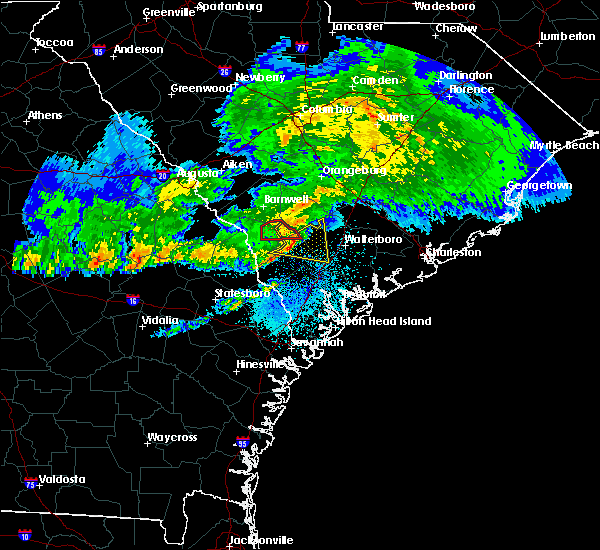 The tornado warning for hampton and allendale counties will expire at 415 am edt, the storm which prompted the warning has weakened below severe limits, and no longer appears capable of producing a tornado. therefore the warning will be allowed to expire. to report severe weather, contact your nearest law enforcement agency. they will relay your report to the national weather service charleston. The tornado warning for hampton and allendale counties will expire at 415 am edt, the storm which prompted the warning has weakened below severe limits, and no longer appears capable of producing a tornado. therefore the warning will be allowed to expire. to report severe weather, contact your nearest law enforcement agency. they will relay your report to the national weather service charleston.
|
| 3/20/2018 4:04 AM EDT |
 At 404 am edt, severe thunderstorms were located along a line extending from 9 miles northeast of hampton to near lake warren state park, moving east at 55 mph (radar indicated). Hazards include 60 mph wind gusts and penny size hail. Expect damage to trees and powerlines. locations impacted include, hampton, lake warren state park, colleton, varnville, gifford, sycamore, lodge and williams. This warning includes i-95 in south carolina near mile marker 45. At 404 am edt, severe thunderstorms were located along a line extending from 9 miles northeast of hampton to near lake warren state park, moving east at 55 mph (radar indicated). Hazards include 60 mph wind gusts and penny size hail. Expect damage to trees and powerlines. locations impacted include, hampton, lake warren state park, colleton, varnville, gifford, sycamore, lodge and williams. This warning includes i-95 in south carolina near mile marker 45.
|
| 3/20/2018 3:55 AM EDT |
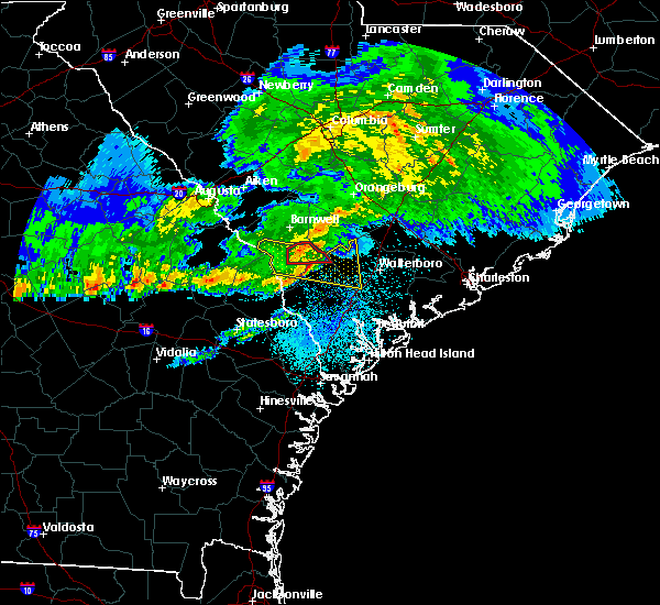 At 354 am edt, a confirmed tornado was located over allendale, moving east at 35 mph (radar confirmed tornado). Hazards include damaging tornado. Flying debris will be dangerous to those caught without shelter. mobile homes will be damaged or destroyed. damage to roofs, windows, and vehicles will occur. tree damage is likely. Locations impacted include, allendale, fairfax, sycamore, ulmer, seigling and appleton. At 354 am edt, a confirmed tornado was located over allendale, moving east at 35 mph (radar confirmed tornado). Hazards include damaging tornado. Flying debris will be dangerous to those caught without shelter. mobile homes will be damaged or destroyed. damage to roofs, windows, and vehicles will occur. tree damage is likely. Locations impacted include, allendale, fairfax, sycamore, ulmer, seigling and appleton.
|
| 3/20/2018 3:44 AM EDT |
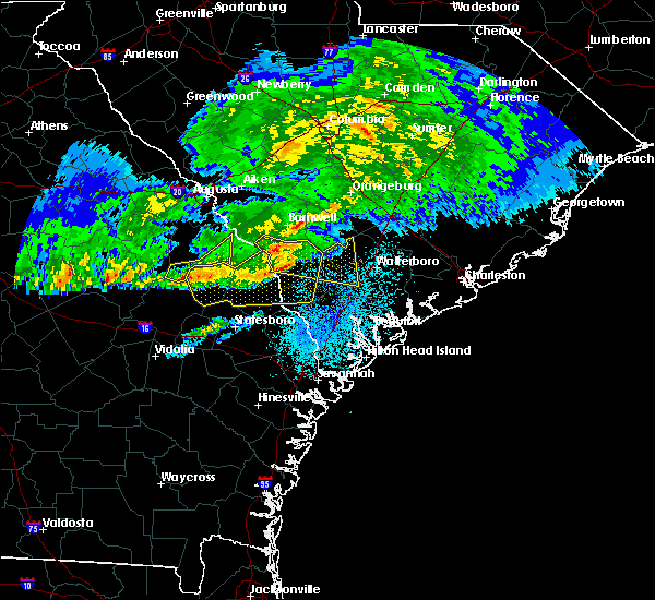 At 343 am edt, a severe thunderstorm capable of producing a tornado was located near allendale, moving east at 55 mph (radar indicated rotation). Hazards include tornado. Flying debris will be dangerous to those caught without shelter. mobile homes will be damaged or destroyed. damage to roofs, windows, and vehicles will occur. Tree damage is likely. At 343 am edt, a severe thunderstorm capable of producing a tornado was located near allendale, moving east at 55 mph (radar indicated rotation). Hazards include tornado. Flying debris will be dangerous to those caught without shelter. mobile homes will be damaged or destroyed. damage to roofs, windows, and vehicles will occur. Tree damage is likely.
|
| 3/20/2018 3:42 AM EDT |
 At 342 am edt, a severe thunderstorm was located near allendale, moving east at 55 mph (radar indicated). Hazards include 60 mph wind gusts and penny size hail. expect damage to trees and powerlines At 342 am edt, a severe thunderstorm was located near allendale, moving east at 55 mph (radar indicated). Hazards include 60 mph wind gusts and penny size hail. expect damage to trees and powerlines
|
| 3/20/2018 3:18 AM EDT |
 At 318 am edt, severe thunderstorms were located along a line extending from 13 miles west of allendale to 9 miles north of sylvania to millen, moving east at 60 mph (radar indicated). Hazards include 60 mph wind gusts and quarter size hail. Minor hail damage to vehicles is possible. expect wind damage to trees and powerlines. Locations impacted include, allendale, millen, sylvania, hampton, lake warren state park, butts, estill and fairfax. At 318 am edt, severe thunderstorms were located along a line extending from 13 miles west of allendale to 9 miles north of sylvania to millen, moving east at 60 mph (radar indicated). Hazards include 60 mph wind gusts and quarter size hail. Minor hail damage to vehicles is possible. expect wind damage to trees and powerlines. Locations impacted include, allendale, millen, sylvania, hampton, lake warren state park, butts, estill and fairfax.
|
| 3/20/2018 2:50 AM EDT |
 At 248 am edt, severe thunderstorms were located along a line extending from 12 miles west of savannah river site to 8 miles southwest of waynesboro to near louisville, moving east at 55 mph (radar indicated). Hazards include 60 mph wind gusts and quarter size hail. Minor hail damage to vehicles is possible. Expect wind damage to trees and powerlines. At 248 am edt, severe thunderstorms were located along a line extending from 12 miles west of savannah river site to 8 miles southwest of waynesboro to near louisville, moving east at 55 mph (radar indicated). Hazards include 60 mph wind gusts and quarter size hail. Minor hail damage to vehicles is possible. Expect wind damage to trees and powerlines.
|
| 5/1/2017 7:22 PM EDT |
 At 721 pm edt, severe thunderstorms were located along a line extending from 11 miles south of bamberg to hampton to 7 miles north of springfield, moving east at 40 mph (radar indicated). Hazards include 60 mph wind gusts and penny size hail. Expect damage to trees and powerlines. locations impacted include, ridgeland, hampton, yemassee, lake warren state park, colleton, varnville, estill and fairfax. This warning includes i-95 in south carolina between mile markers 19 and 20, between mile markers 22 and 30, and between mile markers 36 and 41. At 721 pm edt, severe thunderstorms were located along a line extending from 11 miles south of bamberg to hampton to 7 miles north of springfield, moving east at 40 mph (radar indicated). Hazards include 60 mph wind gusts and penny size hail. Expect damage to trees and powerlines. locations impacted include, ridgeland, hampton, yemassee, lake warren state park, colleton, varnville, estill and fairfax. This warning includes i-95 in south carolina between mile markers 19 and 20, between mile markers 22 and 30, and between mile markers 36 and 41.
|
| 5/1/2017 7:06 PM EDT |
 At 706 pm edt, severe thunderstorms were located along a line extending from 9 miles northeast of allendale to near lake warren state park to 9 miles northwest of springfield, moving east at 30 mph (radar indicated). Hazards include 60 mph wind gusts and penny size hail. expect damage to trees and powerlines At 706 pm edt, severe thunderstorms were located along a line extending from 9 miles northeast of allendale to near lake warren state park to 9 miles northwest of springfield, moving east at 30 mph (radar indicated). Hazards include 60 mph wind gusts and penny size hail. expect damage to trees and powerlines
|
| 3/22/2017 12:21 AM EDT |
 The severe thunderstorm warning for hampton and allendale counties will expire at 1230 am edt, the storms which prompted the warning have moved out of the area. therefore the warning will be allowed to expire. however gusty winds are still possible with these thunderstorms. a severe thunderstorm watch remains in effect until 200 am edt for southeastern south carolina. The severe thunderstorm warning for hampton and allendale counties will expire at 1230 am edt, the storms which prompted the warning have moved out of the area. therefore the warning will be allowed to expire. however gusty winds are still possible with these thunderstorms. a severe thunderstorm watch remains in effect until 200 am edt for southeastern south carolina.
|
| 3/22/2017 12:13 AM EDT |
 At 1213 am edt, severe thunderstorms were located along a line extending from 10 miles northeast of allendale to near lake warren state park to 13 miles southwest of hampton, moving east at 55 mph (radar indicated). Hazards include 60 mph wind gusts. Expect damage to roofs, siding, and trees. Locations impacted include, fairfax, brunson, gifford, sycamore, ulmer and barton. At 1213 am edt, severe thunderstorms were located along a line extending from 10 miles northeast of allendale to near lake warren state park to 13 miles southwest of hampton, moving east at 55 mph (radar indicated). Hazards include 60 mph wind gusts. Expect damage to roofs, siding, and trees. Locations impacted include, fairfax, brunson, gifford, sycamore, ulmer and barton.
|
| 3/22/2017 12:03 AM EDT |
 At 1203 am edt, severe thunderstorms were located along a line extending from 9 miles southeast of barnwell to 7 miles south of allendale to 13 miles east of sylvania, moving east at 55 mph (radar indicated). Hazards include 60 mph wind gusts and penny size hail. Expect damage to roofs, siding, and trees. Locations impacted include, allendale, sylvania, fairfax, brunson, gifford, sycamore, luray and ulmer. At 1203 am edt, severe thunderstorms were located along a line extending from 9 miles southeast of barnwell to 7 miles south of allendale to 13 miles east of sylvania, moving east at 55 mph (radar indicated). Hazards include 60 mph wind gusts and penny size hail. Expect damage to roofs, siding, and trees. Locations impacted include, allendale, sylvania, fairfax, brunson, gifford, sycamore, luray and ulmer.
|
| 3/21/2017 11:51 PM EDT |
 At 1151 pm edt, severe thunderstorms were located along a line extending from 7 miles south of barnwell to 8 miles southwest of allendale to sylvania, moving east at 65 mph (radar indicated). Hazards include 60 mph wind gusts and penny size hail. Expect damage to roofs, siding, and trees. Locations impacted include, allendale, sylvania, fairfax, brunson, hiltonia, gifford, sycamore and luray. At 1151 pm edt, severe thunderstorms were located along a line extending from 7 miles south of barnwell to 8 miles southwest of allendale to sylvania, moving east at 65 mph (radar indicated). Hazards include 60 mph wind gusts and penny size hail. Expect damage to roofs, siding, and trees. Locations impacted include, allendale, sylvania, fairfax, brunson, hiltonia, gifford, sycamore and luray.
|
| 3/21/2017 11:31 PM EDT |
 At 1131 pm edt, severe thunderstorms were located along a line extending from 7 miles southeast of savannah river site to 16 miles north of sylvania to 7 miles east of millen, moving east at 55 mph (radar indicated). Hazards include 60 mph wind gusts and penny size hail. expect damage to roofs, siding, and trees At 1131 pm edt, severe thunderstorms were located along a line extending from 7 miles southeast of savannah river site to 16 miles north of sylvania to 7 miles east of millen, moving east at 55 mph (radar indicated). Hazards include 60 mph wind gusts and penny size hail. expect damage to roofs, siding, and trees
|
| 1/21/2017 3:31 PM EST |
 At 330 pm est, severe thunderstorms were located along a line extending from 14 miles northeast of hampton to near ridgeland to 7 miles east of hinesville, moving east at 65 mph (radar indicated). Hazards include 60 mph wind gusts and penny size hail. Expect damage to roofs, siding, and trees. locations impacted include, hinesville, ridgeland, allendale, springfield, hampton, pembroke, ludowici and yemassee. A tornado watch remains in effect until 700 pm est for southeastern georgia, and southeastern south carolina. At 330 pm est, severe thunderstorms were located along a line extending from 14 miles northeast of hampton to near ridgeland to 7 miles east of hinesville, moving east at 65 mph (radar indicated). Hazards include 60 mph wind gusts and penny size hail. Expect damage to roofs, siding, and trees. locations impacted include, hinesville, ridgeland, allendale, springfield, hampton, pembroke, ludowici and yemassee. A tornado watch remains in effect until 700 pm est for southeastern georgia, and southeastern south carolina.
|
| 1/21/2017 3:06 PM EST |
 At 304 pm est, severe thunderstorms were located along a line extending from 9 miles west of allendale to 12 miles northwest of springfield to 14 miles northwest of ludowici, moving east at 65 mph (radar indicated). Hazards include 60 mph wind gusts and penny size hail. expect damage to roofs, siding, and trees At 304 pm est, severe thunderstorms were located along a line extending from 9 miles west of allendale to 12 miles northwest of springfield to 14 miles northwest of ludowici, moving east at 65 mph (radar indicated). Hazards include 60 mph wind gusts and penny size hail. expect damage to roofs, siding, and trees
|
| 7/9/2016 1:22 AM EDT |
 At 120 am edt, severe thunderstorms were located along a line extending from 6 miles east of indian field to near allendale, moving southeast at 40 mph (radar indicated). Hazards include 60 mph wind gusts and nickel size hail. Expect damage to roofs. siding. and trees. Locations impacted include, walterboro, allendale, hampton, saint george, indian field, lake warren state park, williams. At 120 am edt, severe thunderstorms were located along a line extending from 6 miles east of indian field to near allendale, moving southeast at 40 mph (radar indicated). Hazards include 60 mph wind gusts and nickel size hail. Expect damage to roofs. siding. and trees. Locations impacted include, walterboro, allendale, hampton, saint george, indian field, lake warren state park, williams.
|
| 7/9/2016 12:53 AM EDT |
 At 1252 am edt, a severe thunderstorm was located 11 miles south of savannah river site, moving southeast at 45 mph (radar indicated). Hazards include 60 mph wind gusts and nickel size hail. Expect damage to roofs. siding. And trees. At 1252 am edt, a severe thunderstorm was located 11 miles south of savannah river site, moving southeast at 45 mph (radar indicated). Hazards include 60 mph wind gusts and nickel size hail. Expect damage to roofs. siding. And trees.
|
| 7/6/2016 5:12 PM EDT |
 At 512 pm edt, severe thunderstorms were located along a line extending from 8 miles west of barnwell to 16 miles north of springfield, moving northeast at 40 mph (radar indicated). Hazards include 60 mph wind gusts. Expect damage to roofs. siding. And trees. At 512 pm edt, severe thunderstorms were located along a line extending from 8 miles west of barnwell to 16 miles north of springfield, moving northeast at 40 mph (radar indicated). Hazards include 60 mph wind gusts. Expect damage to roofs. siding. And trees.
|
| 7/5/2016 6:26 PM EDT |
 The severe thunderstorm warning for jenkins, screven and allendale counties will expire at 630 pm edt, the storms which prompted the warning have weakened below severe limits, and no longer pose an immediate threat to life or property. therefore the warning will be allowed to expire. however gusty winds are still possible with these thunderstorms. to report severe weather, contact your nearest law enforcement agency. they will relay your report to the national weather service charleston. The severe thunderstorm warning for jenkins, screven and allendale counties will expire at 630 pm edt, the storms which prompted the warning have weakened below severe limits, and no longer pose an immediate threat to life or property. therefore the warning will be allowed to expire. however gusty winds are still possible with these thunderstorms. to report severe weather, contact your nearest law enforcement agency. they will relay your report to the national weather service charleston.
|
| 7/5/2016 6:01 PM EDT |
 At 601 pm edt, severe thunderstorms were located along a line extending from 7 miles north of allendale to near millen, moving east at 55 mph (radar indicated). Hazards include 60 mph wind gusts. Expect damage to roofs. siding. and trees. Locations impacted include, allendale, millen, sylvania, butts, fairfax, martin, millett, hiltonia, sycamore and rocky ford. At 601 pm edt, severe thunderstorms were located along a line extending from 7 miles north of allendale to near millen, moving east at 55 mph (radar indicated). Hazards include 60 mph wind gusts. Expect damage to roofs. siding. and trees. Locations impacted include, allendale, millen, sylvania, butts, fairfax, martin, millett, hiltonia, sycamore and rocky ford.
|
| 7/5/2016 5:51 PM EDT |
 At 551 pm edt, severe thunderstorms were located along a line extending from 10 miles northwest of allendale to near millen, moving east at 40 mph (radar indicated). Hazards include 60 mph wind gusts. Expect damage to roofs. siding. and trees. Locations impacted include, allendale, millen, sylvania, butts, fairfax, hiltonia, sycamore, martin, millett and rocky ford. At 551 pm edt, severe thunderstorms were located along a line extending from 10 miles northwest of allendale to near millen, moving east at 40 mph (radar indicated). Hazards include 60 mph wind gusts. Expect damage to roofs. siding. and trees. Locations impacted include, allendale, millen, sylvania, butts, fairfax, hiltonia, sycamore, martin, millett and rocky ford.
|
| 7/5/2016 5:35 PM EDT |
 At 535 pm edt, severe thunderstorms were located along a line extending from 8 miles southwest of barnwell to 8 miles west of millen, moving east at 55 mph (radar indicated). Hazards include 60 mph wind gusts. Expect damage to roofs. siding. And trees. At 535 pm edt, severe thunderstorms were located along a line extending from 8 miles southwest of barnwell to 8 miles west of millen, moving east at 55 mph (radar indicated). Hazards include 60 mph wind gusts. Expect damage to roofs. siding. And trees.
|
| 6/17/2016 3:58 PM EDT |
 At 357 pm edt, severe thunderstorms were located along a line extending from 8 miles east of allendale to 13 miles north of sylvania, moving east at 40 mph (radar indicated). Hazards include 70 mph wind gusts and quarter size hail. Hail damage to vehicles is expected. expect considerable tree damage. wind damage is also likely to mobile homes, roofs, and outbuildings. Locations impacted include, allendale, hampton, lake warren state park, colleton, varnville, estill, fairfax, barton, rouse, dukes and brunson. At 357 pm edt, severe thunderstorms were located along a line extending from 8 miles east of allendale to 13 miles north of sylvania, moving east at 40 mph (radar indicated). Hazards include 70 mph wind gusts and quarter size hail. Hail damage to vehicles is expected. expect considerable tree damage. wind damage is also likely to mobile homes, roofs, and outbuildings. Locations impacted include, allendale, hampton, lake warren state park, colleton, varnville, estill, fairfax, barton, rouse, dukes and brunson.
|
| 6/17/2016 3:40 PM EDT |
 At 339 pm edt, a severe thunderstorm was located near allendale, moving southeast at 25 mph (radar indicated). Hazards include 60 mph wind gusts and quarter size hail. Hail damage to vehicles is expected. expect wind damage to roofs, siding, and trees. Locations impacted include, allendale, hampton, lake warren state park, colleton, varnville, estill, fairfax and brunson. At 339 pm edt, a severe thunderstorm was located near allendale, moving southeast at 25 mph (radar indicated). Hazards include 60 mph wind gusts and quarter size hail. Hail damage to vehicles is expected. expect wind damage to roofs, siding, and trees. Locations impacted include, allendale, hampton, lake warren state park, colleton, varnville, estill, fairfax and brunson.
|
| 6/17/2016 3:23 PM EDT |
 At 322 pm edt, a severe thunderstorm was located 12 miles northwest of allendale, moving southeast at 25 mph (radar indicated). Hazards include 60 mph wind gusts and quarter size hail. Hail damage to vehicles is expected. Expect wind damage to roofs, siding, and trees. At 322 pm edt, a severe thunderstorm was located 12 miles northwest of allendale, moving southeast at 25 mph (radar indicated). Hazards include 60 mph wind gusts and quarter size hail. Hail damage to vehicles is expected. Expect wind damage to roofs, siding, and trees.
|
| 6/5/2016 7:09 PM EDT |
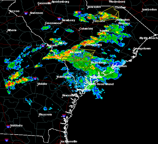 The severe thunderstorm warning for dorchester, allendale and colleton counties will expire at 715 pm edt, the storm which prompted the warning has moved out of the area. therefore the warning will be allowed to expire. to report severe weather, contact your nearest law enforcement agency. they will relay your report to the national weather service charleston. The severe thunderstorm warning for dorchester, allendale and colleton counties will expire at 715 pm edt, the storm which prompted the warning has moved out of the area. therefore the warning will be allowed to expire. to report severe weather, contact your nearest law enforcement agency. they will relay your report to the national weather service charleston.
|
| 6/5/2016 6:52 PM EDT |
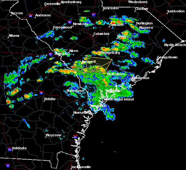 At 651 pm edt, a severe thunderstorm was located 11 miles west of saint george, moving northeast at 40 mph (radar indicated. also, these thunderstorms have a history of wind damage including downed trees). Hazards include 60 mph wind gusts and penny size hail. Expect damage to roofs. siding. and trees. Locations impacted include, allendale, colleton, reevesville, sycamore, smoaks, lodge, williams and ulmer. At 651 pm edt, a severe thunderstorm was located 11 miles west of saint george, moving northeast at 40 mph (radar indicated. also, these thunderstorms have a history of wind damage including downed trees). Hazards include 60 mph wind gusts and penny size hail. Expect damage to roofs. siding. and trees. Locations impacted include, allendale, colleton, reevesville, sycamore, smoaks, lodge, williams and ulmer.
|
| 6/5/2016 6:37 PM EDT |
 At 637 pm edt, a severe thunderstorm was located 14 miles northwest of walterboro, moving northeast at 40 mph (radar indicated). Hazards include 60 mph wind gusts and penny size hail. Expect damage to roofs. siding. and trees. Locations impacted include, allendale, colleton, fairfax, brunson, reevesville, sycamore, smoaks and lodge. At 637 pm edt, a severe thunderstorm was located 14 miles northwest of walterboro, moving northeast at 40 mph (radar indicated). Hazards include 60 mph wind gusts and penny size hail. Expect damage to roofs. siding. and trees. Locations impacted include, allendale, colleton, fairfax, brunson, reevesville, sycamore, smoaks and lodge.
|
| 6/5/2016 6:19 PM EDT |
 At 619 pm edt, severe thunderstorms were located along a line extending from near allendale to 12 miles east of hampton, moving north at 45 mph (radar indicated). Hazards include 70 mph wind gusts and quarter size hail. Hail damage to vehicles is expected. expect considerable tree damage. wind damage is also likely to mobile homes, roofs, and outbuildings. Locations impacted include, allendale, hampton, lake warren state park, colleton, varnville, fairfax, brunson and gifford. At 619 pm edt, severe thunderstorms were located along a line extending from near allendale to 12 miles east of hampton, moving north at 45 mph (radar indicated). Hazards include 70 mph wind gusts and quarter size hail. Hail damage to vehicles is expected. expect considerable tree damage. wind damage is also likely to mobile homes, roofs, and outbuildings. Locations impacted include, allendale, hampton, lake warren state park, colleton, varnville, fairfax, brunson and gifford.
|
| 6/5/2016 6:11 PM EDT |
 At 611 pm edt, severe thunderstorms were located along a line extending from near allendale to 10 miles east of hampton, moving north at 45 mph (radar indicated). Hazards include 60 mph wind gusts and penny size hail. Expect damage to roofs. siding. And trees. At 611 pm edt, severe thunderstorms were located along a line extending from near allendale to 10 miles east of hampton, moving north at 45 mph (radar indicated). Hazards include 60 mph wind gusts and penny size hail. Expect damage to roofs. siding. And trees.
|
| 6/5/2016 5:48 PM EDT |
 At 548 pm edt, a severe thunderstorm was located 11 miles south of lake warren state park, moving northeast at 35 mph (radar indicated). Hazards include 60 mph wind gusts and penny size hail. Expect damage to roofs. siding. and trees. Locations impacted include, allendale, hampton, lake warren state park, varnville, estill, fairfax, brunson and gifford. At 548 pm edt, a severe thunderstorm was located 11 miles south of lake warren state park, moving northeast at 35 mph (radar indicated). Hazards include 60 mph wind gusts and penny size hail. Expect damage to roofs. siding. and trees. Locations impacted include, allendale, hampton, lake warren state park, varnville, estill, fairfax, brunson and gifford.
|
| 6/5/2016 5:38 PM EDT |
 At 537 pm edt, a severe thunderstorm was located 13 miles north of springfield, moving northeast at 35 mph (radar indicated). Hazards include 70 mph wind gusts and quarter size hail. Hail damage to vehicles is expected. expect considerable tree damage. wind damage is also likely to mobile homes, roofs, and outbuildings. Locations impacted include, allendale, hampton, lake warren state park, varnville, estill, fairfax, brunson and gifford. At 537 pm edt, a severe thunderstorm was located 13 miles north of springfield, moving northeast at 35 mph (radar indicated). Hazards include 70 mph wind gusts and quarter size hail. Hail damage to vehicles is expected. expect considerable tree damage. wind damage is also likely to mobile homes, roofs, and outbuildings. Locations impacted include, allendale, hampton, lake warren state park, varnville, estill, fairfax, brunson and gifford.
|
| 6/5/2016 5:22 PM EDT |
 At 522 pm edt, a severe thunderstorm was located 7 miles north of springfield, moving northeast at 35 mph (radar indicated). Hazards include 70 mph wind gusts and quarter size hail. Hail damage to vehicles is expected. expect considerable tree damage. Wind damage is also likely to mobile homes, roofs, and outbuildings. At 522 pm edt, a severe thunderstorm was located 7 miles north of springfield, moving northeast at 35 mph (radar indicated). Hazards include 70 mph wind gusts and quarter size hail. Hail damage to vehicles is expected. expect considerable tree damage. Wind damage is also likely to mobile homes, roofs, and outbuildings.
|
| 5/12/2016 10:20 PM EDT |
 The severe thunderstorm warning for hampton, allendale and colleton counties will expire at 1030 pm edt, the storm which prompted the warning has weakened below severe limits, and no longer pose an immediate threat to life or property. therefore the warning will be allowed to expire. however gusty winds are still possible with this thunderstorm. to report severe weather, contact your nearest law enforcement agency. they will relay your report to the national weather service charleston. The severe thunderstorm warning for hampton, allendale and colleton counties will expire at 1030 pm edt, the storm which prompted the warning has weakened below severe limits, and no longer pose an immediate threat to life or property. therefore the warning will be allowed to expire. however gusty winds are still possible with this thunderstorm. to report severe weather, contact your nearest law enforcement agency. they will relay your report to the national weather service charleston.
|
| 5/12/2016 10:07 PM EDT |
 At 1006 pm edt, a severe thunderstorm was located over lake warren state park, moving east at 35 mph (radar indicated). Hazards include 60 mph wind gusts. Expect damage to roofs. siding. and trees. Locations impacted include, allendale, hampton, lake warren state park, colleton, varnville, estill, fairfax and brunson. At 1006 pm edt, a severe thunderstorm was located over lake warren state park, moving east at 35 mph (radar indicated). Hazards include 60 mph wind gusts. Expect damage to roofs. siding. and trees. Locations impacted include, allendale, hampton, lake warren state park, colleton, varnville, estill, fairfax and brunson.
|
| 5/12/2016 9:51 PM EDT |
 At 951 pm edt, a severe thunderstorm was located 9 miles west of lake warren state park, moving east at 40 mph (radar indicated). Hazards include 60 mph wind gusts. Expect damage to roofs. siding. And trees. At 951 pm edt, a severe thunderstorm was located 9 miles west of lake warren state park, moving east at 40 mph (radar indicated). Hazards include 60 mph wind gusts. Expect damage to roofs. siding. And trees.
|
| 5/3/2016 4:32 PM EDT |
 At 431 pm edt, a severe thunderstorm was located near allendale, moving east at 45 mph (radar indicated). Hazards include 60 mph wind gusts and quarter size hail. Hail damage to vehicles is expected. expect wind damage to roofs, siding, and trees. Locations impacted include, allendale, sycamore, ulmer and seigling. At 431 pm edt, a severe thunderstorm was located near allendale, moving east at 45 mph (radar indicated). Hazards include 60 mph wind gusts and quarter size hail. Hail damage to vehicles is expected. expect wind damage to roofs, siding, and trees. Locations impacted include, allendale, sycamore, ulmer and seigling.
|
| 5/3/2016 4:05 PM EDT |
 At 405 pm edt, a severe thunderstorm was located 11 miles south of savannah river site, moving east at 45 mph (radar indicated). Hazards include ping pong ball size hail and 60 mph wind gusts. People and animals outdoors will be injured. expect hail damage to roofs, siding, windows, and vehicles. Expect wind damage to roofs, siding, and trees. At 405 pm edt, a severe thunderstorm was located 11 miles south of savannah river site, moving east at 45 mph (radar indicated). Hazards include ping pong ball size hail and 60 mph wind gusts. People and animals outdoors will be injured. expect hail damage to roofs, siding, windows, and vehicles. Expect wind damage to roofs, siding, and trees.
|
| 3/26/2016 3:25 PM EDT |
 At 324 pm edt, a severe thunderstorm was located 10 miles east of sylvania, moving east at 15 mph (radar indicated). Hazards include 60 mph wind gusts and quarter size hail. Hail damage to vehicles is expected. Expect wind damage to roofs, siding, and trees. At 324 pm edt, a severe thunderstorm was located 10 miles east of sylvania, moving east at 15 mph (radar indicated). Hazards include 60 mph wind gusts and quarter size hail. Hail damage to vehicles is expected. Expect wind damage to roofs, siding, and trees.
|
| 8/22/2015 4:16 PM EDT |
 At 416 pm edt, severe thunderstorms were located along a line extending from 8 miles north of hampton to near lake warren state park, moving southeast at 25 mph (radar indicated). Hazards include 60 mph wind gusts. Expect damage to roofs. siding and trees. Locations impacted include, allendale, hampton, lake warren state park, colleton, varnville, fairfax, brunson and gifford. At 416 pm edt, severe thunderstorms were located along a line extending from 8 miles north of hampton to near lake warren state park, moving southeast at 25 mph (radar indicated). Hazards include 60 mph wind gusts. Expect damage to roofs. siding and trees. Locations impacted include, allendale, hampton, lake warren state park, colleton, varnville, fairfax, brunson and gifford.
|
| 8/22/2015 3:49 PM EDT |
 At 349 pm edt, severe thunderstorms were located along a line extending from 7 miles northeast of allendale to 15 miles northwest of lake warren state park, moving southeast at 25 mph (radar indicated). Hazards include 60 mph wind gusts. Expect damage to roofs. Siding and trees. At 349 pm edt, severe thunderstorms were located along a line extending from 7 miles northeast of allendale to 15 miles northwest of lake warren state park, moving southeast at 25 mph (radar indicated). Hazards include 60 mph wind gusts. Expect damage to roofs. Siding and trees.
|
| 8/6/2015 6:16 PM EDT |
 At 615 pm edt, severe thunderstorms were located along a line extending from near barnwell to 13 miles northeast of sylvania to near millen, moving east at 40 mph (radar indicated. at 614 pm...the jenkins county warning point point reported trees blown down near perkins). Hazards include 60 mph wind gusts. Expect damage to roofs. siding and trees. Locations impacted include, allendale, millen, hiltonia, ulmer, seigling, martin, hilltonia and millhaven. At 615 pm edt, severe thunderstorms were located along a line extending from near barnwell to 13 miles northeast of sylvania to near millen, moving east at 40 mph (radar indicated. at 614 pm...the jenkins county warning point point reported trees blown down near perkins). Hazards include 60 mph wind gusts. Expect damage to roofs. siding and trees. Locations impacted include, allendale, millen, hiltonia, ulmer, seigling, martin, hilltonia and millhaven.
|
| 8/6/2015 5:50 PM EDT |
 At 550 pm edt, severe thunderstorms were located along a line extending from near savannah river site to 16 miles southeast of waynesboro to near millen, moving east at 45 mph (radar indicated). Hazards include 60 mph wind gusts and nickel size hail. Expect damage to roofs. Siding and trees. At 550 pm edt, severe thunderstorms were located along a line extending from near savannah river site to 16 miles southeast of waynesboro to near millen, moving east at 45 mph (radar indicated). Hazards include 60 mph wind gusts and nickel size hail. Expect damage to roofs. Siding and trees.
|
| 7/18/2015 9:27 PM EDT |
 At 926 pm edt, severe thunderstorms were located along a line extending from 9 miles west of saint george to near allendale, moving southeast at 15 mph (radar indicated). Hazards include 60 mph wind gusts. Expect damage to roofs. siding and trees. Locations impacted include, walterboro, hampton, lake warren state park, colleton, varnville, estill, fairfax and brunson. At 926 pm edt, severe thunderstorms were located along a line extending from 9 miles west of saint george to near allendale, moving southeast at 15 mph (radar indicated). Hazards include 60 mph wind gusts. Expect damage to roofs. siding and trees. Locations impacted include, walterboro, hampton, lake warren state park, colleton, varnville, estill, fairfax and brunson.
|
| 7/18/2015 8:51 PM EDT |
 At 850 pm edt, a severe thunderstorm was located 7 miles northeast of allendale, moving southeast at 25 mph (radar indicated). Hazards include 60 mph wind gusts and nickel size hail. Expect damage to roofs. Siding and trees. At 850 pm edt, a severe thunderstorm was located 7 miles northeast of allendale, moving southeast at 25 mph (radar indicated). Hazards include 60 mph wind gusts and nickel size hail. Expect damage to roofs. Siding and trees.
|
| 7/3/2015 1:56 PM EDT |
 The severe thunderstorm warning for jenkins, screven, hampton and allendale counties will expire at 200 pm edt, the storms which prompted the warning have moved out of the area. therefore the warning will be allowed to expire. however, another severe thunderstorm warning remains in effect for portions of hampton and screven counties until 215 pm. a severe thunderstorm watch remains in effect until 600 pm edt for southeastern georgia and southeastern south carolina. The severe thunderstorm warning for jenkins, screven, hampton and allendale counties will expire at 200 pm edt, the storms which prompted the warning have moved out of the area. therefore the warning will be allowed to expire. however, another severe thunderstorm warning remains in effect for portions of hampton and screven counties until 215 pm. a severe thunderstorm watch remains in effect until 600 pm edt for southeastern georgia and southeastern south carolina.
|
| 7/3/2015 1:39 PM EDT |
 At 139 pm edt, severe thunderstorms were located along a line extending from near ashton to near woodcliff, moving east at 45 mph (radar indicated). Hazards include 60 mph wind gusts. Expect damage to roofs. siding and trees. Locations impacted include, allendale, sylvania, hampton and lake warren state park. At 139 pm edt, severe thunderstorms were located along a line extending from near ashton to near woodcliff, moving east at 45 mph (radar indicated). Hazards include 60 mph wind gusts. Expect damage to roofs. siding and trees. Locations impacted include, allendale, sylvania, hampton and lake warren state park.
|
| 7/3/2015 1:25 PM EDT |
 At 124 pm edt, severe thunderstorms were located along a line extending from near sycamore to near millen, moving east at 45 mph (radar indicated). Hazards include 60 mph wind gusts. Expect damage to roofs. siding and trees. locations impacted include, allendale, millen, sylvania, hampton and lake warren state park. At 123 pm, large branches were reported down near millen. At 124 pm edt, severe thunderstorms were located along a line extending from near sycamore to near millen, moving east at 45 mph (radar indicated). Hazards include 60 mph wind gusts. Expect damage to roofs. siding and trees. locations impacted include, allendale, millen, sylvania, hampton and lake warren state park. At 123 pm, large branches were reported down near millen.
|
| 7/3/2015 1:09 PM EDT |
 At 109 pm edt, severe thunderstorms were located along a line extending from near seigling to herndon, moving east at 45 mph (radar indicated). Hazards include 60 mph wind gusts. Expect damage to roofs. Siding and trees. At 109 pm edt, severe thunderstorms were located along a line extending from near seigling to herndon, moving east at 45 mph (radar indicated). Hazards include 60 mph wind gusts. Expect damage to roofs. Siding and trees.
|
| 7/2/2015 6:44 PM EDT |
 At 642 pm edt, severe thunderstorms were located along a line extending from ashton to scotia to near stilson, moving east at 30 mph (radar indicated). Hazards include 60 mph wind gusts. Expect damage to roofs. siding and trees. Locations impacted include, walterboro, ridgeland, springfield, hampton, yemassee, islandton, varnville, lake warren state park, ashton, kildare, oaky, shawnee and pineland. At 642 pm edt, severe thunderstorms were located along a line extending from ashton to scotia to near stilson, moving east at 30 mph (radar indicated). Hazards include 60 mph wind gusts. Expect damage to roofs. siding and trees. Locations impacted include, walterboro, ridgeland, springfield, hampton, yemassee, islandton, varnville, lake warren state park, ashton, kildare, oaky, shawnee and pineland.
|
| 7/2/2015 6:21 PM EDT |
 At 620 pm edt, severe thunderstorms were located along a line extending from near sycamore to near shirley to near denmark, moving east at 40 mph (radar indicated). Hazards include 60 mph wind gusts and penny size hail. Expect damage to roofs. Siding and trees. At 620 pm edt, severe thunderstorms were located along a line extending from near sycamore to near shirley to near denmark, moving east at 40 mph (radar indicated). Hazards include 60 mph wind gusts and penny size hail. Expect damage to roofs. Siding and trees.
|
| 7/2/2015 6:14 PM EDT |
 At 613 pm edt, severe thunderstorms were located along a line extending from appleton to hunters, moving east at 35 mph (radar indicated). Hazards include 70 mph wind gusts and penny size hail. Expect considerable tree damage. damage is likely to mobile homes, roofs and outbuildings. Locations impacted include, milbury, barton, estill, luray, allendale, sylvania, hampton and lake warren state park. At 613 pm edt, severe thunderstorms were located along a line extending from appleton to hunters, moving east at 35 mph (radar indicated). Hazards include 70 mph wind gusts and penny size hail. Expect considerable tree damage. damage is likely to mobile homes, roofs and outbuildings. Locations impacted include, milbury, barton, estill, luray, allendale, sylvania, hampton and lake warren state park.
|
| 7/2/2015 5:57 PM EDT |
 At 555 pm edt, severe thunderstorms were located along a line extending from near millett to near woodcliff, moving southeast at 30 mph (radar indicated. at 552 pm wind damage was reported with trees down in the rocky ford area). Hazards include 70 mph wind gusts and penny size hail. Expect considerable tree damage. damage is likely to mobile homes, roofs and outbuildings. Locations impacted include, lewis, millhaven, parkers, goloid, allendale, sylvania, hampton, milbury, waters and lake warren state park. At 555 pm edt, severe thunderstorms were located along a line extending from near millett to near woodcliff, moving southeast at 30 mph (radar indicated. at 552 pm wind damage was reported with trees down in the rocky ford area). Hazards include 70 mph wind gusts and penny size hail. Expect considerable tree damage. damage is likely to mobile homes, roofs and outbuildings. Locations impacted include, lewis, millhaven, parkers, goloid, allendale, sylvania, hampton, milbury, waters and lake warren state park.
|
| 7/2/2015 5:43 PM EDT |
 At 542 pm edt, severe thunderstorms were located along a line extending from near barnwell to near scarboro, moving southeast at 35 mph (radar indicated). Hazards include 70 mph wind gusts and penny size hail. Expect considerable tree damage. damage is likely to mobile homes, roofs and outbuildings. Locations impacted include, lewis, bascom, hilltonia, millhaven, allendale, sylvania, hampton and lake warren state park. At 542 pm edt, severe thunderstorms were located along a line extending from near barnwell to near scarboro, moving southeast at 35 mph (radar indicated). Hazards include 70 mph wind gusts and penny size hail. Expect considerable tree damage. damage is likely to mobile homes, roofs and outbuildings. Locations impacted include, lewis, bascom, hilltonia, millhaven, allendale, sylvania, hampton and lake warren state park.
|
| 7/2/2015 5:31 PM EDT |
 At 530 pm edt, severe thunderstorms were located along a line extending from 8 miles west of barnwell to near scarboro, moving southeast at 40 mph (radar indicated). Hazards include 60 mph wind gusts and penny size hail. Expect damage to roofs. Siding and trees. At 530 pm edt, severe thunderstorms were located along a line extending from 8 miles west of barnwell to near scarboro, moving southeast at 40 mph (radar indicated). Hazards include 60 mph wind gusts and penny size hail. Expect damage to roofs. Siding and trees.
|
| 6/30/2015 5:40 PM EDT |
 The severe thunderstorm warning for screven, effingham, hampton and allendale counties will expire at 545 pm edt, the storms which prompted the warning have moved out of the area. therefore the warning will be allowed to expire. a severe thunderstorm watch remains in effect until 800 pm edt for southeastern georgia and southeastern south carolina. The severe thunderstorm warning for screven, effingham, hampton and allendale counties will expire at 545 pm edt, the storms which prompted the warning have moved out of the area. therefore the warning will be allowed to expire. a severe thunderstorm watch remains in effect until 800 pm edt for southeastern georgia and southeastern south carolina.
|
| 6/30/2015 5:40 PM EDT | The severe thunderstorm warning for screven, effingham, hampton and allendale counties will expire at 545 pm edt, the storms which prompted the warning have moved out of the area. therefore the warning will be allowed to expire. a severe thunderstorm watch remains in effect until 800 pm edt for southeastern georgia and southeastern south carolina. |
| 6/30/2015 5:32 PM EDT |
 At 531 pm edt, severe thunderstorms were located along a line extending from near miley to guyton, moving east at 35 mph (radar indicated). Hazards include 60 mph wind gusts. Expect damage to roofs. siding and trees. Locations impacted include, allendale, springfield, hampton and lake warren state park. At 531 pm edt, severe thunderstorms were located along a line extending from near miley to guyton, moving east at 35 mph (radar indicated). Hazards include 60 mph wind gusts. Expect damage to roofs. siding and trees. Locations impacted include, allendale, springfield, hampton and lake warren state park.
|
| 6/30/2015 5:17 PM EDT |
 At 517 pm edt, severe thunderstorms were located along a line extending from near fairfax to near stilson, moving east at 35 mph (radar indicated). Hazards include 60 mph wind gusts. Expect damage to roofs. siding and trees. Locations impacted include, allendale, springfield, hampton and lake warren state park. At 517 pm edt, severe thunderstorms were located along a line extending from near fairfax to near stilson, moving east at 35 mph (radar indicated). Hazards include 60 mph wind gusts. Expect damage to roofs. siding and trees. Locations impacted include, allendale, springfield, hampton and lake warren state park.
|
| 6/30/2015 5:05 PM EDT |
 At 504 pm edt, severe thunderstorms were located along a line extending from allendale to near brooklet, moving east at 35 mph (there have been reports of wind damage south of statesboro and also in screven county with these storms). Hazards include 60 mph wind gusts. Expect damage to roofs. siding and trees. Locations impacted include, allendale, sylvania, springfield, hampton, bay and lake warren state park. At 504 pm edt, severe thunderstorms were located along a line extending from allendale to near brooklet, moving east at 35 mph (there have been reports of wind damage south of statesboro and also in screven county with these storms). Hazards include 60 mph wind gusts. Expect damage to roofs. siding and trees. Locations impacted include, allendale, sylvania, springfield, hampton, bay and lake warren state park.
|
| 6/30/2015 4:39 PM EDT |
 At 439 pm edt, severe thunderstorms were located along a line extending from near burtons ferry landing to near register, moving east at 35 mph (radar indicated). Hazards include 60 mph wind gusts. Expect damage to roofs. Siding and trees. At 439 pm edt, severe thunderstorms were located along a line extending from near burtons ferry landing to near register, moving east at 35 mph (radar indicated). Hazards include 60 mph wind gusts. Expect damage to roofs. Siding and trees.
|
| 6/1/2015 7:40 PM EDT | The severe thunderstorm warning for allendale county will expire at 745 pm edt, the storm which prompted the warning has weakened below severe limits, and no longer pose an immediate threat to life or property. therefore the warning will be allowed to expire. however small hail and gusty winds are still possible with this thunderstorm. |
| 6/1/2015 7:32 PM EDT | At 732 pm edt, a severe thunderstorm was located near sycamore, or 8 miles east of allendale, moving northeast at 30 mph (radar indicated). Hazards include 60 mph wind gusts and quarter size hail. Hail damage to vehicles is expected. expect wind damage to roofs, siding and trees. This severe thunderstorm will remain over mainly rural areas of allendale county, which includes jennys. |
| 6/1/2015 7:22 PM EDT | At 721 pm edt, a severe thunderstorm was located over sycamore, or near allendale, moving northeast at 25 mph (radar indicated. at 720 pm...the ulmer fire department reported dime sized hail). Hazards include 60 mph wind gusts and quarter size hail. Hail damage to vehicles is expected. expect wind damage to roofs, siding and trees. Locations impacted include, allendale. |
| 6/1/2015 7:11 PM EDT | At 711 pm edt, a severe thunderstorm was located over ulmer, or 8 miles northeast of allendale, moving northeast at 30 mph (radar indicated). Hazards include 60 mph wind gusts and quarter size hail. Hail damage to vehicles is expected. Expect wind damage to roofs, siding and trees. |
| 4/19/2015 4:37 PM EDT | At 437 pm edt, severe thunderstorms were located along a line extending from near ulmer to near scotia, moving northeast at 45 mph (law enforcement). Hazards include 60 mph wind gusts. Expect damage to roofs. siding and trees. locations impacted include, allendale and lake warren state park. a tornado watch remains in effect until 800 pm edt for southeastern south carolina. 75in. |
| 4/19/2015 4:35 PM EDT | At 414 pm edt, severe thunderstorms were located along a line extending from 6 miles southwest of barnwell to near hunters, moving northeast at 80 mph (radar indicated). Hazards include 60 mph wind gusts. Expect damage to roofs. Siding and trees. |
| 4/19/2015 4:35 PM EDT | At 434 pm edt, severe thunderstorms were located along a line extending from near ulmer to near shirley, moving east at 45 mph (law enforcement. at 430 pm...several trees were reported down on razor road asouth of allendale). Hazards include 60 mph wind gusts. Expect damage to roofs. siding and trees. locations impacted include, allendale and lake warren state park. a tornado watch remains in effect until 800 pm edt for southeastern georgia and southeastern south carolina. 75in. |
| 4/19/2015 4:14 PM EDT | At 414 pm edt, severe thunderstorms were located along a line extending from 6 miles southwest of barnwell to near hunters, moving northeast at 80 mph (radar indicated). Hazards include 60 mph wind gusts. Expect damage to roofs. Siding and trees. |
| 4/19/2015 4:14 PM EDT | At 414 pm edt, severe thunderstorms were located along a line extending from 6 miles southwest of barnwell to near hunters, moving northeast at 80 mph (radar indicated). Hazards include 60 mph wind gusts. Expect damage to roofs. Siding and trees. |
| 6/4/2013 4:45 PM EDT | Allendale county comms reports a tree down and blocking harmony church roa in allendale county SC, 4.4 miles NW of Sycamore, SC |
| 7/1/2012 7:57 PM EDT | An emergency manager reported one tree down in sycamore south carolin in allendale county SC, 0.3 miles SW of Sycamore, SC |
| 1/1/0001 12:00 AM | Nws employee reported several trees down along highway 301. time estimated by rada in allendale county SC, 2.8 miles SE of Sycamore, SC |
Hail Maps for Sycamore, SC


Connect with Interactive Hail Maps