

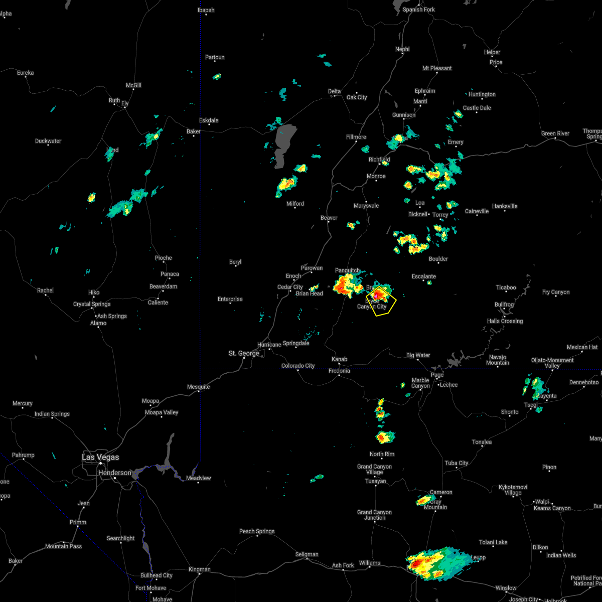
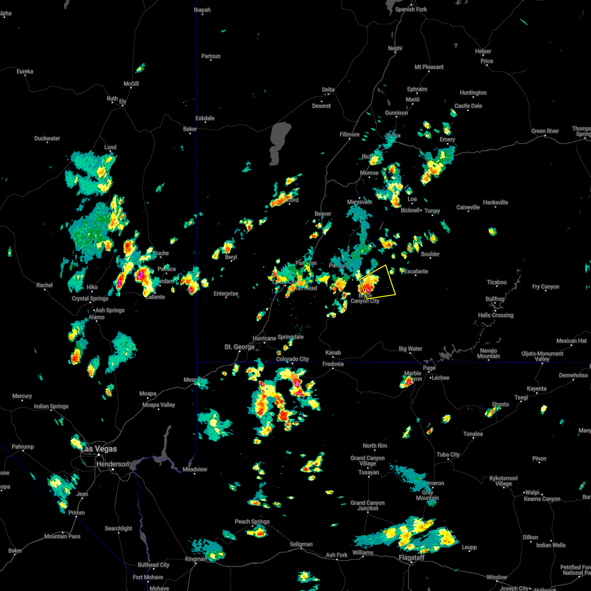
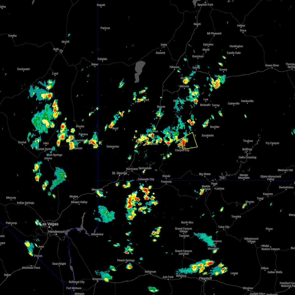
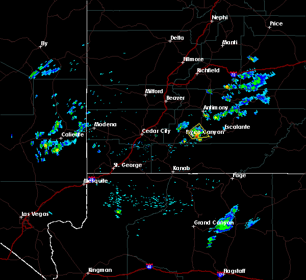
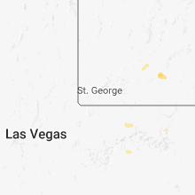
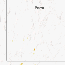
Hail Map for Tropic, UT
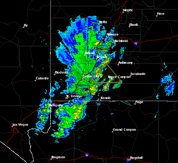
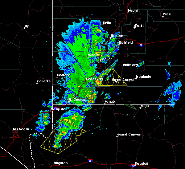
The Tropic, UT area has had 0 reports of on-the-ground hail by trained spotters, and has been under severe weather warnings 0 times during the past 12 months. Doppler radar has detected hail at or near Tropic, UT on 19 occasions.
| Name: | Tropic, UT |
| Where Located: | 69.1 miles S of Monroe, UT |
| Map: | Google Map for Tropic, UT |
| Population: | 530 |
| Housing Units: | 221 |
| More Info: | Search Google for Tropic, UT |
4
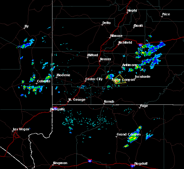
The Top Recent Hail Date for Tropic, UT is Wednesday, June 26, 2024 (2nd out of 19)

Hail and Wind Damage Spotted near Tropic, UT
| Date / Time | Report Details |
|---|---|
| 8/17/2024 2:21 PM MDT |
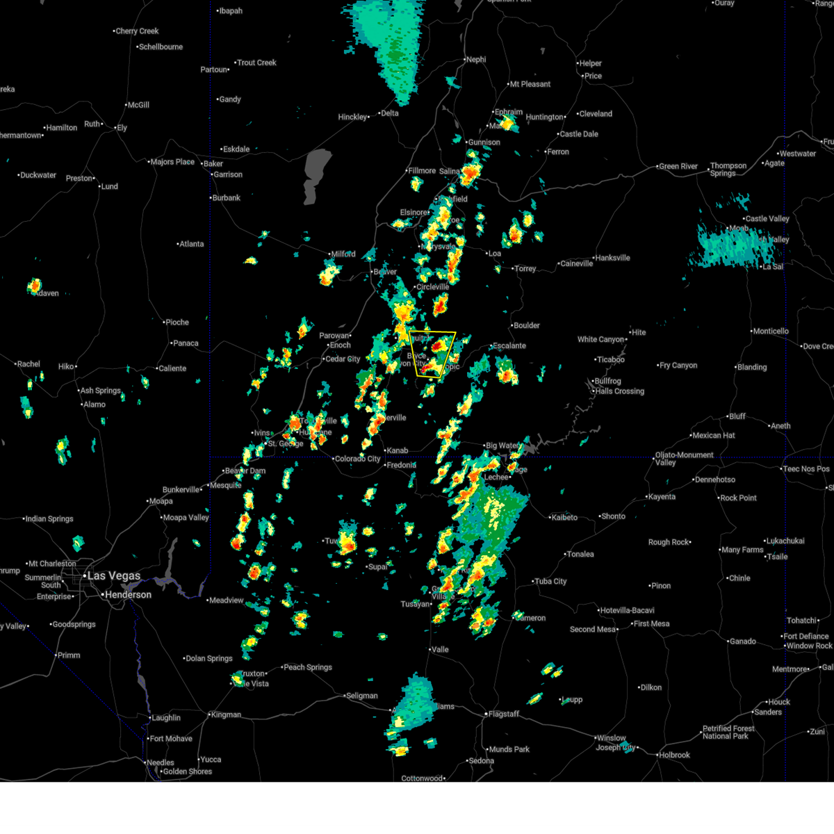 At 221 pm mdt, a severe thunderstorm was located near bryce canyon national park, or 31 miles west of escalante, moving north at 30 mph (radar indicated). Hazards include 60 mph wind gusts and quarter size hail. Hail damage to vehicles is expected. expect wind damage to roofs, siding, and trees. locations impacted include, bryce canyon national park, tropic, cannonville, and rubys inn. This includes utah route 12 between mile markers 6 and 26. At 221 pm mdt, a severe thunderstorm was located near bryce canyon national park, or 31 miles west of escalante, moving north at 30 mph (radar indicated). Hazards include 60 mph wind gusts and quarter size hail. Hail damage to vehicles is expected. expect wind damage to roofs, siding, and trees. locations impacted include, bryce canyon national park, tropic, cannonville, and rubys inn. This includes utah route 12 between mile markers 6 and 26.
|
| 8/17/2024 2:21 PM MDT |
 the severe thunderstorm warning has been cancelled and is no longer in effect the severe thunderstorm warning has been cancelled and is no longer in effect
|
| 8/17/2024 2:10 PM MDT |
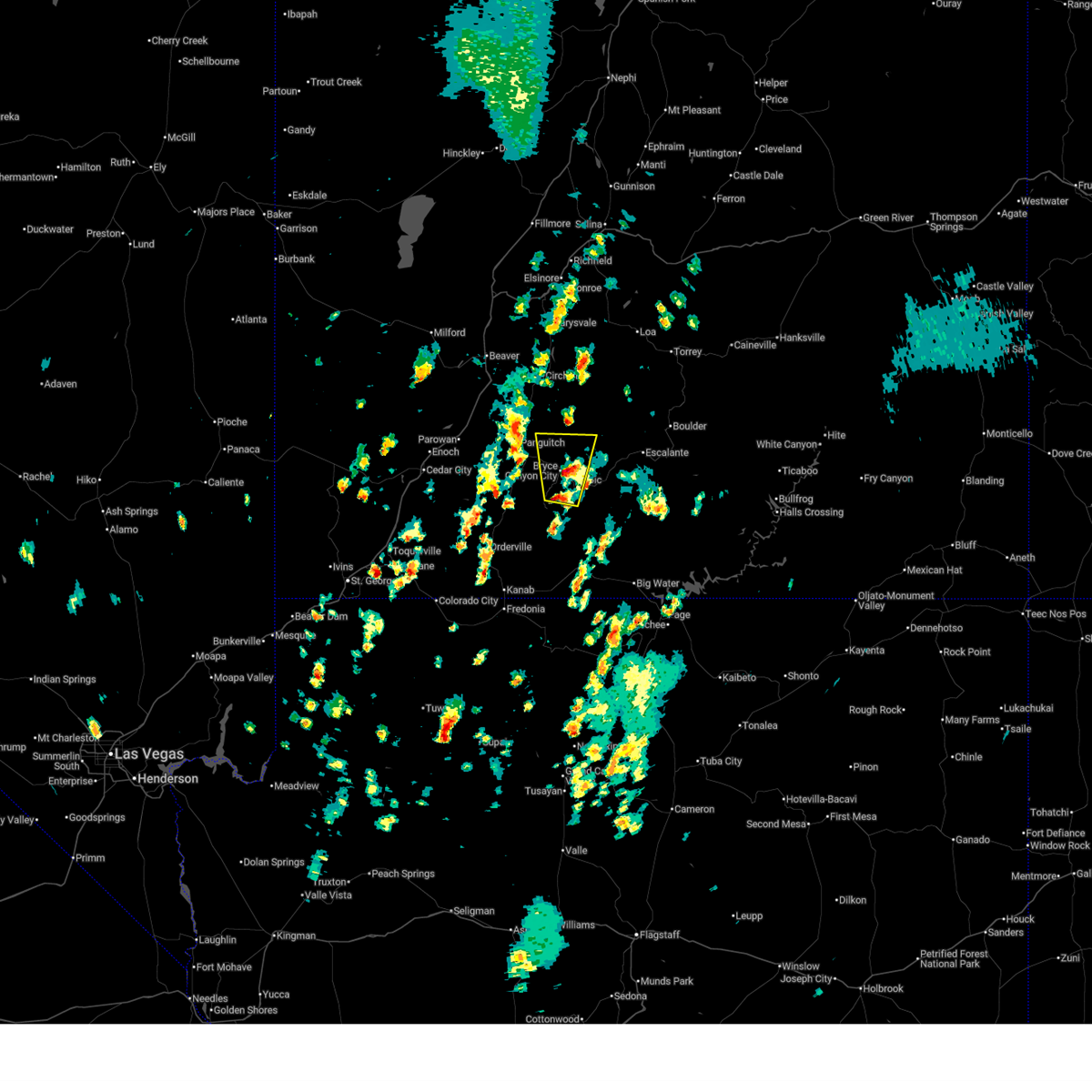 Svrslc the national weather service in salt lake city has issued a * severe thunderstorm warning for, southwestern garfield county in southern utah, north central kane county in southern utah, * until 245 pm mdt. * at 209 pm mdt, a severe thunderstorm was located over bryce canyon national park, or 33 miles southwest of escalante, moving north at 30 mph (radar indicated). Hazards include 60 mph wind gusts and quarter size hail. Hail damage to vehicles is expected. Expect wind damage to roofs, siding, and trees. Svrslc the national weather service in salt lake city has issued a * severe thunderstorm warning for, southwestern garfield county in southern utah, north central kane county in southern utah, * until 245 pm mdt. * at 209 pm mdt, a severe thunderstorm was located over bryce canyon national park, or 33 miles southwest of escalante, moving north at 30 mph (radar indicated). Hazards include 60 mph wind gusts and quarter size hail. Hail damage to vehicles is expected. Expect wind damage to roofs, siding, and trees.
|
| 8/21/2022 3:24 PM MDT |
 At 323 pm mdt, a severe thunderstorm was located over henrieville, or 26 miles southwest of escalante, moving south at 20 mph (radar indicated). Hazards include 60 mph wind gusts and half dollar size hail. Hail damage to vehicles is expected. expect wind damage to roofs, siding, and trees. locations impacted include, henrieville, cannonville and kodachrome basin state park. this includes utah route 12 between mile markers 23 and 33. hail threat, radar indicated max hail size, 1. 25 in wind threat, radar indicated max wind gust, 60 mph. At 323 pm mdt, a severe thunderstorm was located over henrieville, or 26 miles southwest of escalante, moving south at 20 mph (radar indicated). Hazards include 60 mph wind gusts and half dollar size hail. Hail damage to vehicles is expected. expect wind damage to roofs, siding, and trees. locations impacted include, henrieville, cannonville and kodachrome basin state park. this includes utah route 12 between mile markers 23 and 33. hail threat, radar indicated max hail size, 1. 25 in wind threat, radar indicated max wind gust, 60 mph.
|
| 8/21/2022 3:10 PM MDT |
 At 309 pm mdt, a severe thunderstorm was located near henrieville, or 26 miles west of escalante, moving south at 20 mph (radar indicated). Hazards include 60 mph wind gusts and quarter size hail. Hail damage to vehicles is expected. Expect wind damage to roofs, siding, and trees. At 309 pm mdt, a severe thunderstorm was located near henrieville, or 26 miles west of escalante, moving south at 20 mph (radar indicated). Hazards include 60 mph wind gusts and quarter size hail. Hail damage to vehicles is expected. Expect wind damage to roofs, siding, and trees.
|
| 8/17/2021 1:50 PM MDT |
 At 149 pm mdt, a severe thunderstorm was located near bryce canyon national park, or 30 miles west of escalante, moving southeast at 5 mph (radar indicated). Hazards include 60 mph wind gusts and quarter size hail. Hail damage to vehicles is expected. Expect wind damage to roofs, siding, and trees. At 149 pm mdt, a severe thunderstorm was located near bryce canyon national park, or 30 miles west of escalante, moving southeast at 5 mph (radar indicated). Hazards include 60 mph wind gusts and quarter size hail. Hail damage to vehicles is expected. Expect wind damage to roofs, siding, and trees.
|
| 7/22/2021 1:33 PM MDT |
 At 132 pm mdt, a severe thunderstorm was located near bryce canyon national park, or 26 miles west of escalante, moving east at 15 mph (radar indicated). Hazards include half dollar size hail. Damage to vehicles is expected. locations impacted include, bryce canyon national park, tropic, cannonville and rubys inn. This includes utah route 12 between mile markers 10 and 25, and between mile markers 31 and 40. At 132 pm mdt, a severe thunderstorm was located near bryce canyon national park, or 26 miles west of escalante, moving east at 15 mph (radar indicated). Hazards include half dollar size hail. Damage to vehicles is expected. locations impacted include, bryce canyon national park, tropic, cannonville and rubys inn. This includes utah route 12 between mile markers 10 and 25, and between mile markers 31 and 40.
|
| 7/22/2021 1:20 PM MDT |
 At 119 pm mdt, a severe thunderstorm was located over bryce canyon national park, or 29 miles west of escalante, moving east at 15 mph (radar indicated). Hazards include half dollar size hail. damage to vehicles is expected At 119 pm mdt, a severe thunderstorm was located over bryce canyon national park, or 29 miles west of escalante, moving east at 15 mph (radar indicated). Hazards include half dollar size hail. damage to vehicles is expected
|
| 7/23/2018 5:16 PM MDT |
 At 515 pm mdt, a severe thunderstorm was located near bryce canyon national park, or 26 miles west of escalante, moving east at 15 mph (radar indicated). Hazards include 60 mph wind gusts and quarter size hail. Hail damage to vehicles is expected. expect wind damage to roofs, siding, and trees. Locations impacted include, bryce canyon national park, tropic and rubys inn. At 515 pm mdt, a severe thunderstorm was located near bryce canyon national park, or 26 miles west of escalante, moving east at 15 mph (radar indicated). Hazards include 60 mph wind gusts and quarter size hail. Hail damage to vehicles is expected. expect wind damage to roofs, siding, and trees. Locations impacted include, bryce canyon national park, tropic and rubys inn.
|
| 7/23/2018 4:57 PM MDT |
 The national weather service in salt lake city has issued a * severe thunderstorm warning for. southwestern garfield county in southern utah. Until 530 pm mdt * at 456 pm mdt, a severe thunderstorm was located over bryce canyon national park, or 30 miles west of escalante, moving northeast at. The national weather service in salt lake city has issued a * severe thunderstorm warning for. southwestern garfield county in southern utah. Until 530 pm mdt * at 456 pm mdt, a severe thunderstorm was located over bryce canyon national park, or 30 miles west of escalante, moving northeast at.
|
| 9/22/2016 6:36 PM MDT |
 At 635 pm mdt, doppler radar indicated a severe thunderstorm capable of producing quarter size hail and damaging winds in excess of 60 mph. this storm was located near panguitch, or 32 miles east of cedar city, moving northeast at 50 mph. locations impacted include, panguitch, hatch, bryce canyon national park, tropic, cannonville, hillsdale and rubys inn. At 635 pm mdt, doppler radar indicated a severe thunderstorm capable of producing quarter size hail and damaging winds in excess of 60 mph. this storm was located near panguitch, or 32 miles east of cedar city, moving northeast at 50 mph. locations impacted include, panguitch, hatch, bryce canyon national park, tropic, cannonville, hillsdale and rubys inn.
|
| 9/22/2016 6:20 PM MDT |
 At 619 pm mdt, doppler radar indicated a severe thunderstorm capable of producing quarter size hail and damaging winds in excess of 60 mph. this storm was located 12 miles west of hatch, or 22 miles east of cedar city, and moving northeast at 50 mph. At 619 pm mdt, doppler radar indicated a severe thunderstorm capable of producing quarter size hail and damaging winds in excess of 60 mph. this storm was located 12 miles west of hatch, or 22 miles east of cedar city, and moving northeast at 50 mph.
|
| 6/5/2015 11:31 AM MDT | At 1129 am mdt, doppler radar indicated a severe thunderstorm capable of producing quarter size hail and damaging winds in excess of 60 mph. this storm was located over henrieville, or 23 miles southwest of escalante, moving northeast at 35 mph. at 1123 am mdt, a wind gust to 57 mph was reported at bryce canyon national park. locations impacted include, escalante, henrieville, tropic, cannonville and kodachrome basin state park. |
| 6/5/2015 11:21 AM MDT | At 1120 am mdt, doppler radar indicated a severe thunderstorm capable of producing quarter size hail and damaging winds in excess of 60 mph. this storm was located near henrieville, or 28 miles southwest of escalante, and moving northeast at 30 mph. |
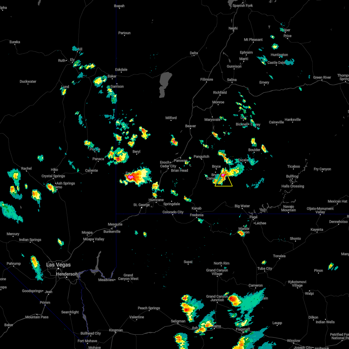
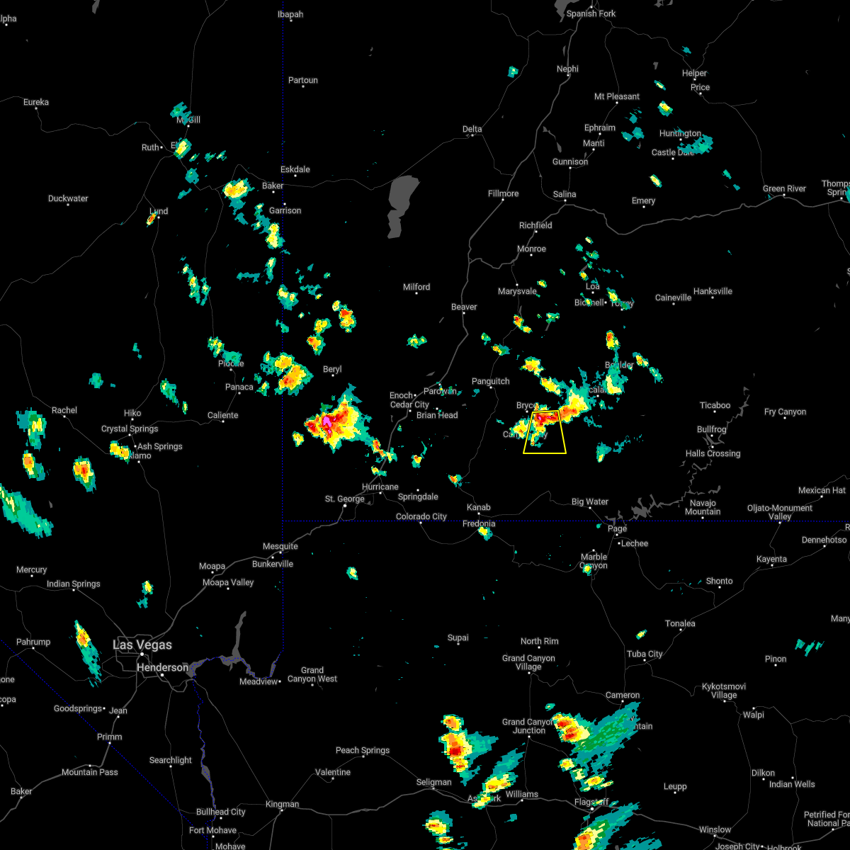
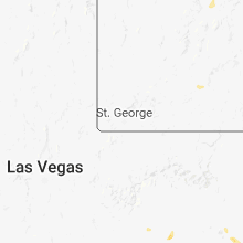
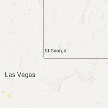
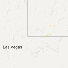
Hail Maps for Tropic, UT


Connect with Interactive Hail Maps