

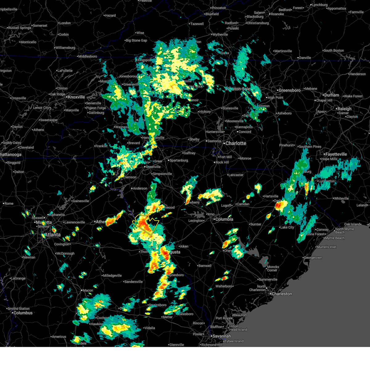
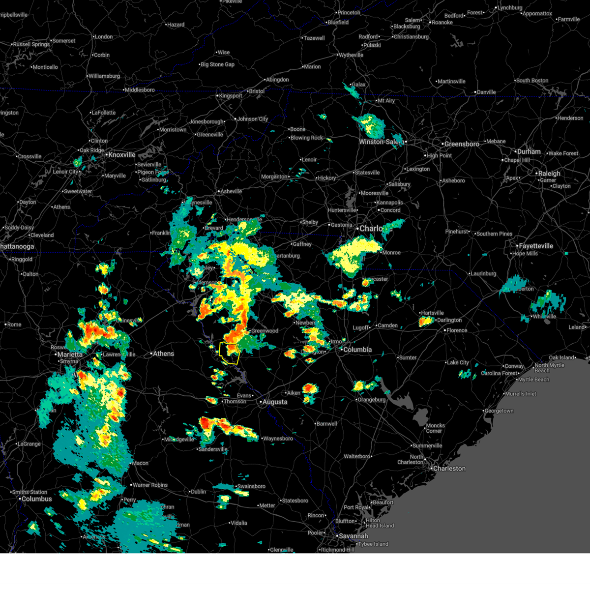
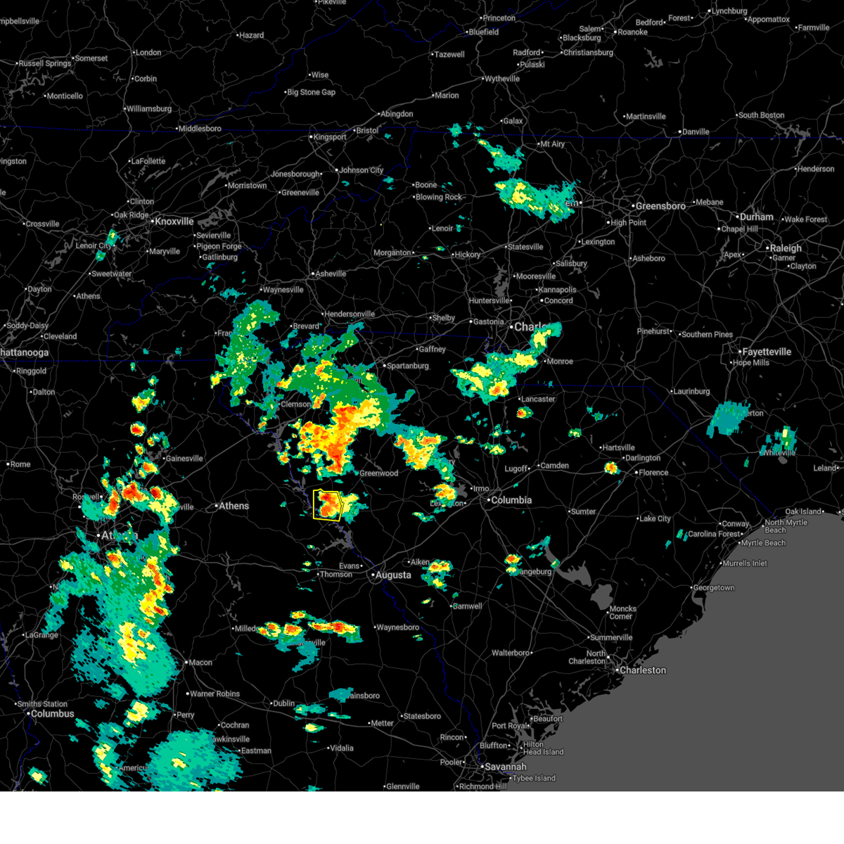
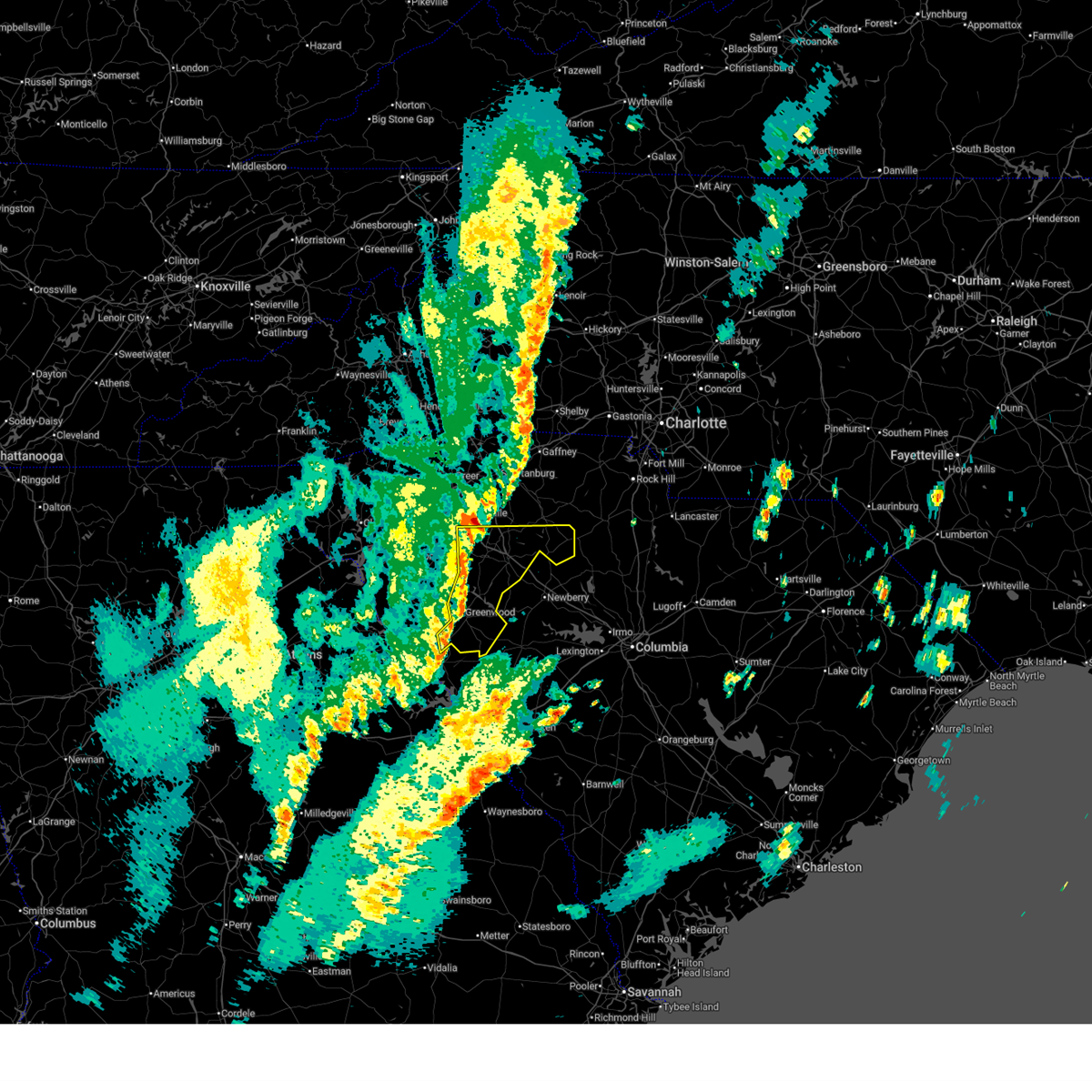
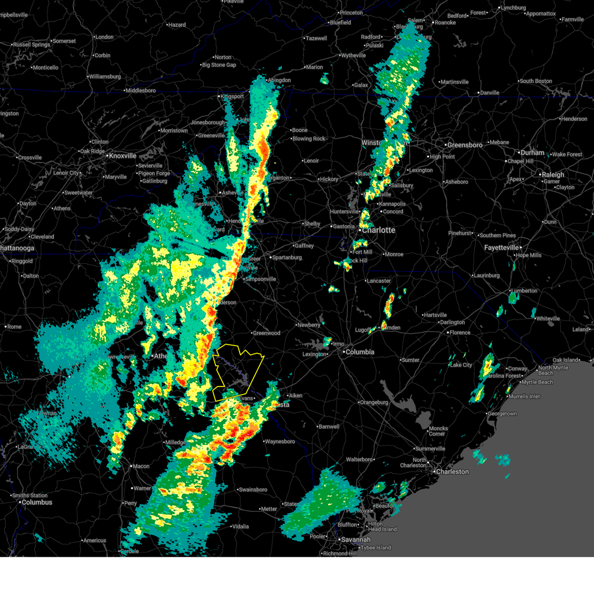
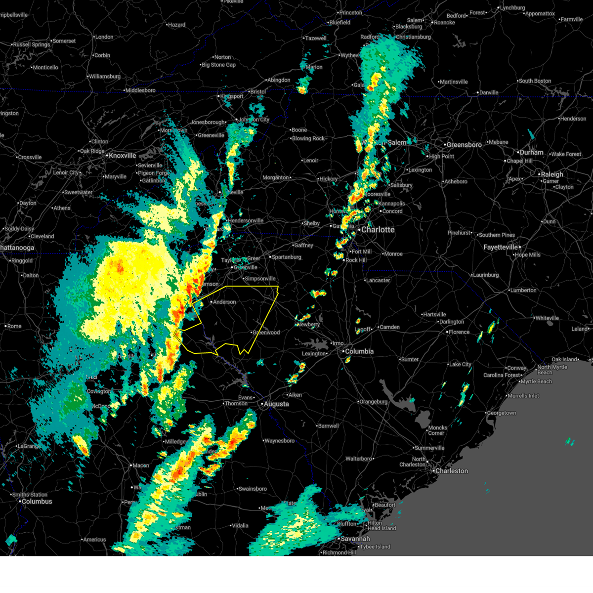
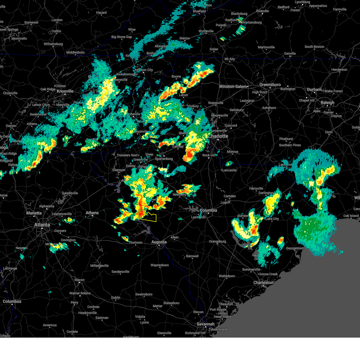
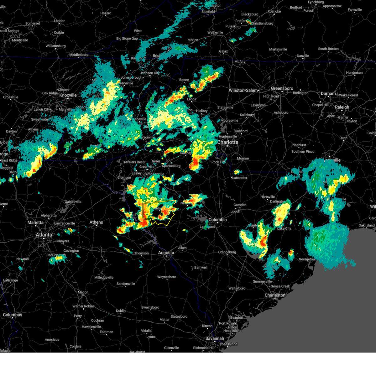
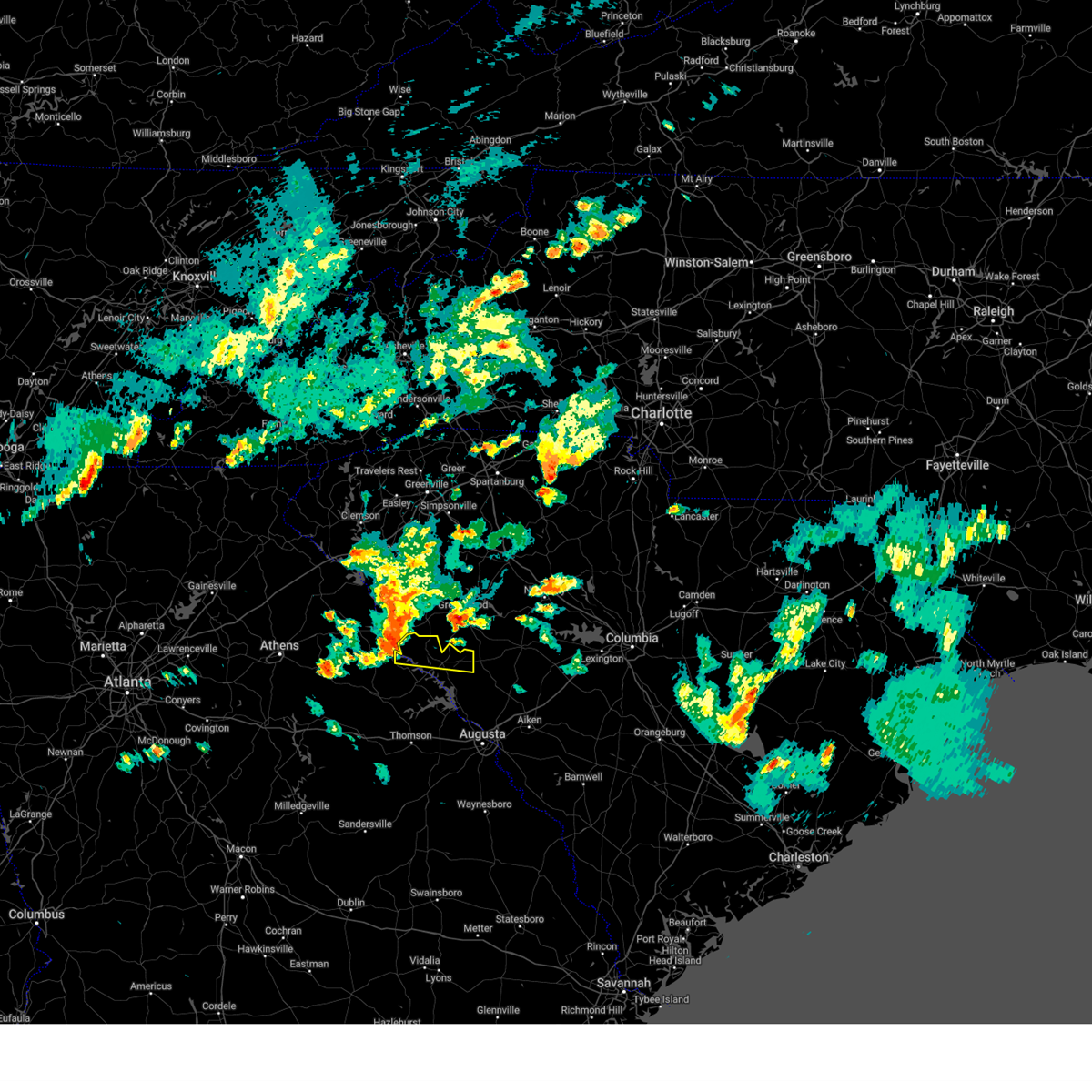
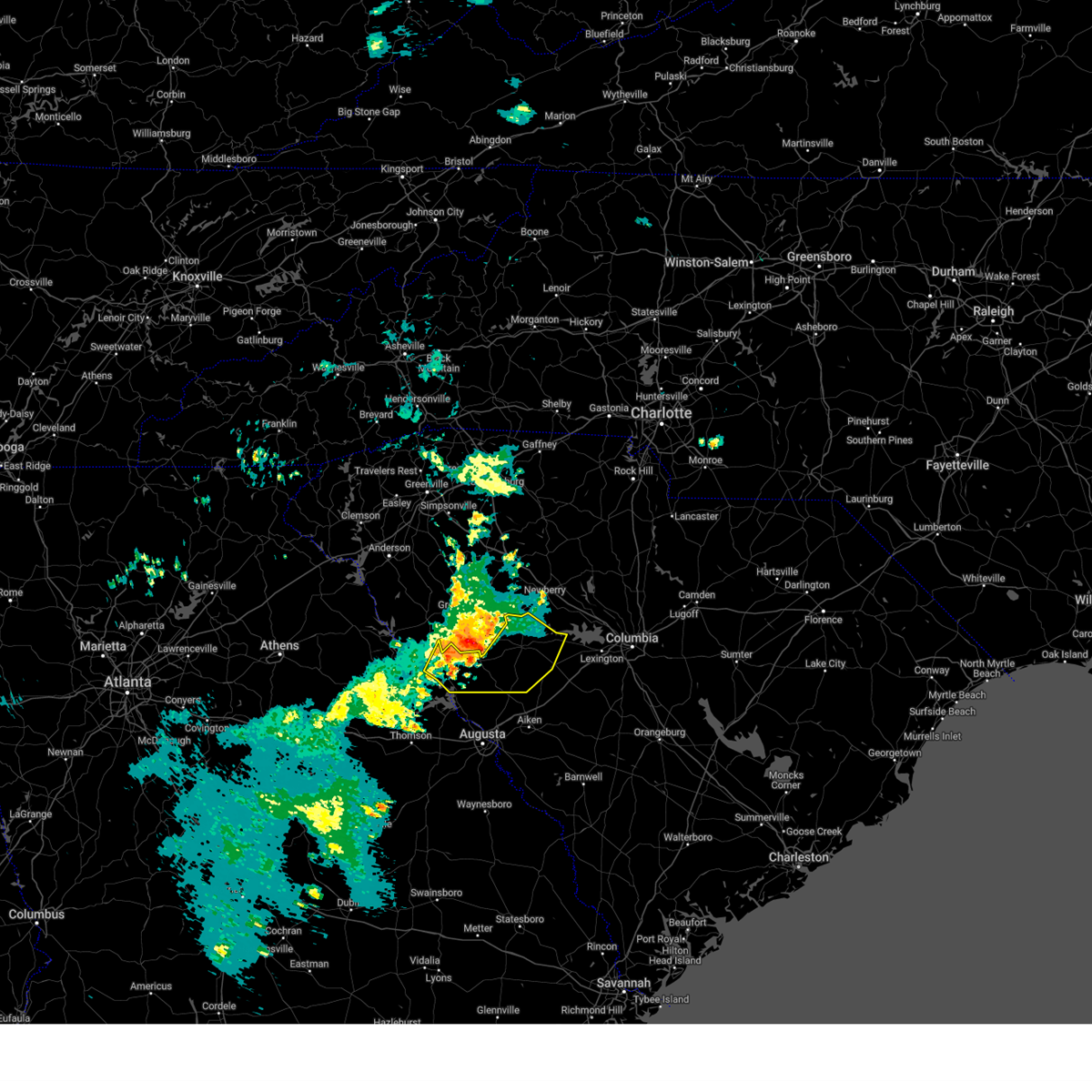
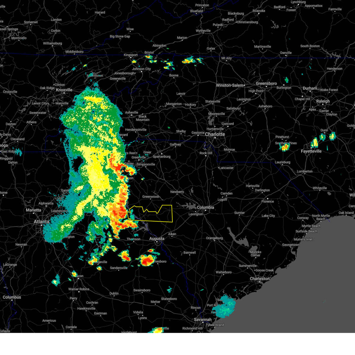
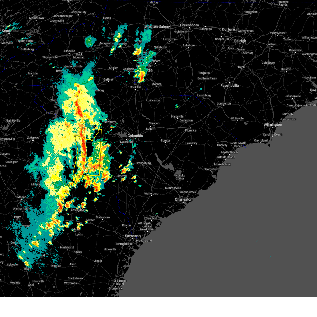
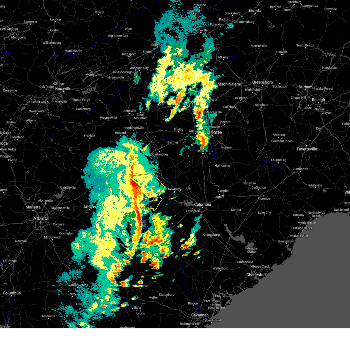
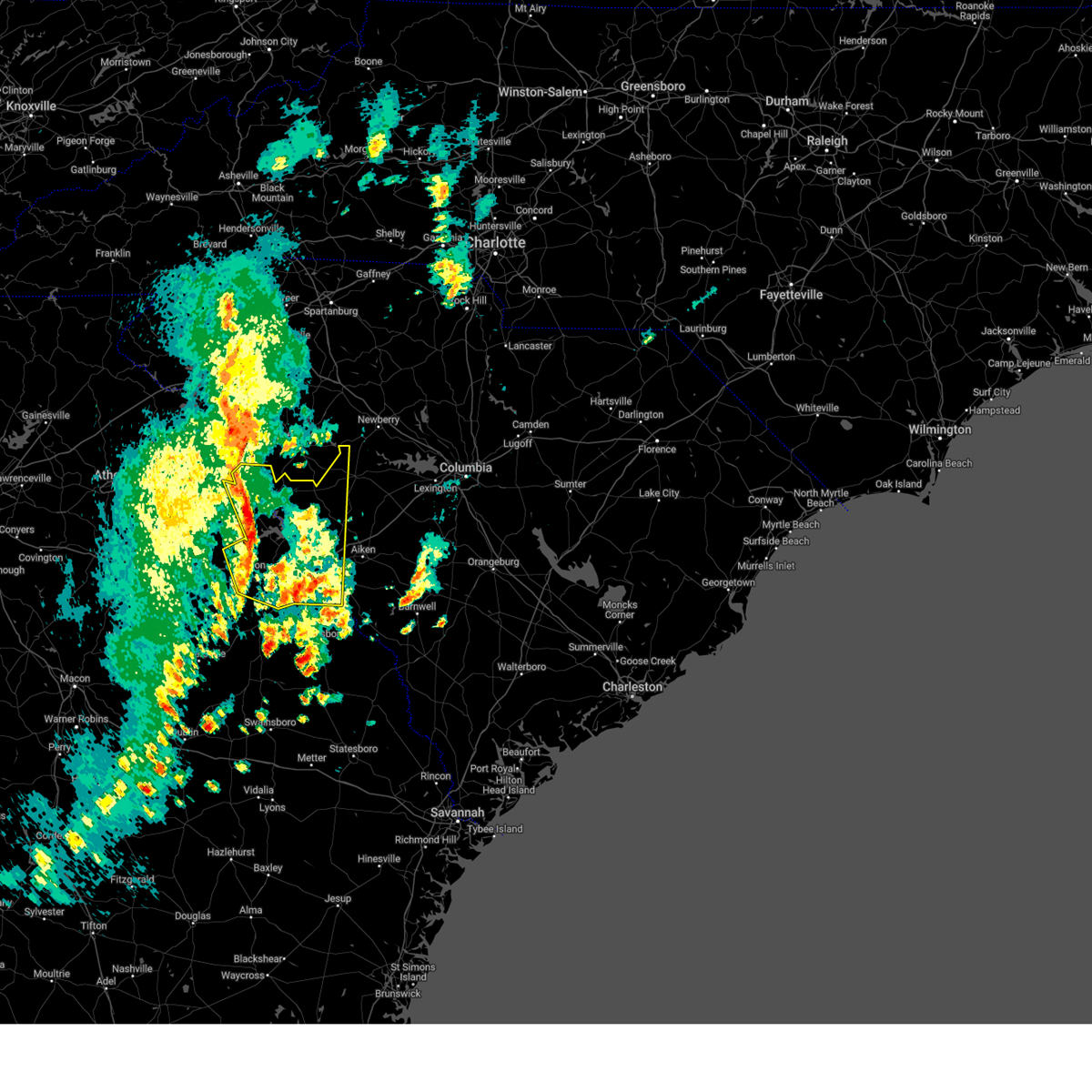
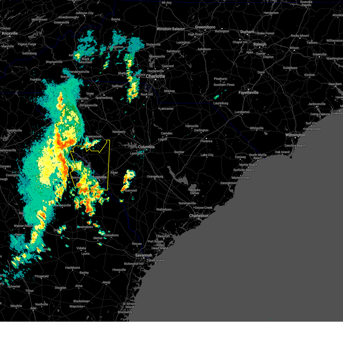
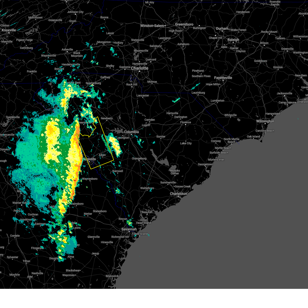
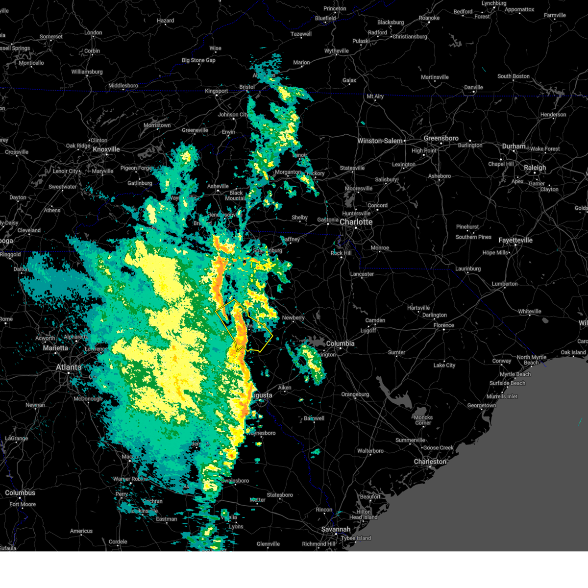
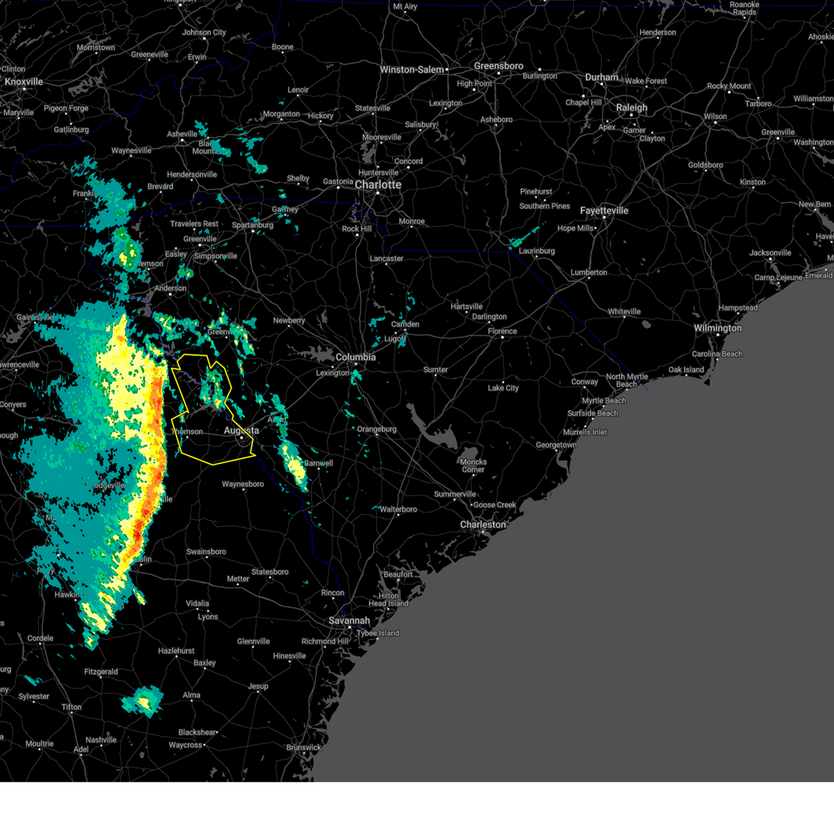
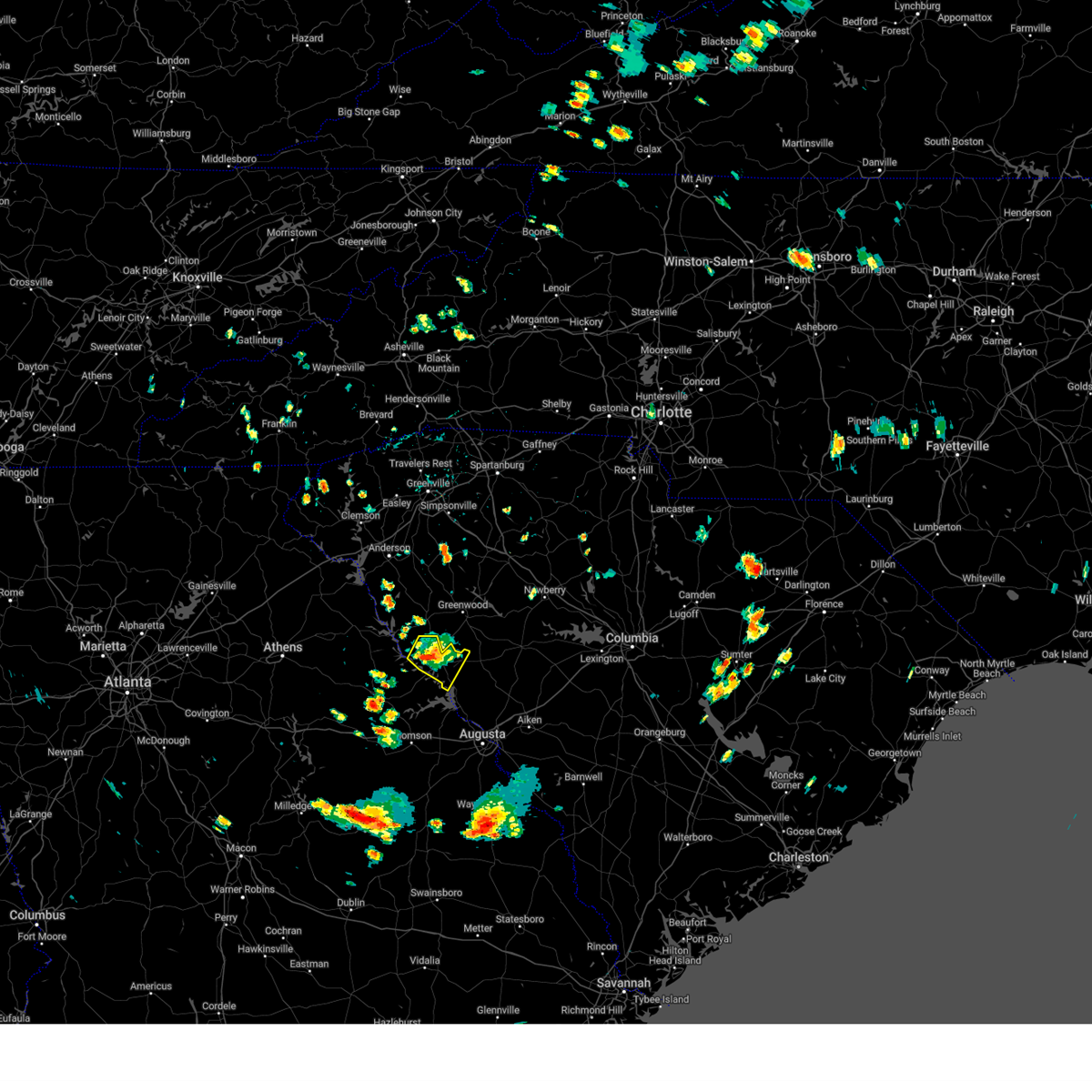
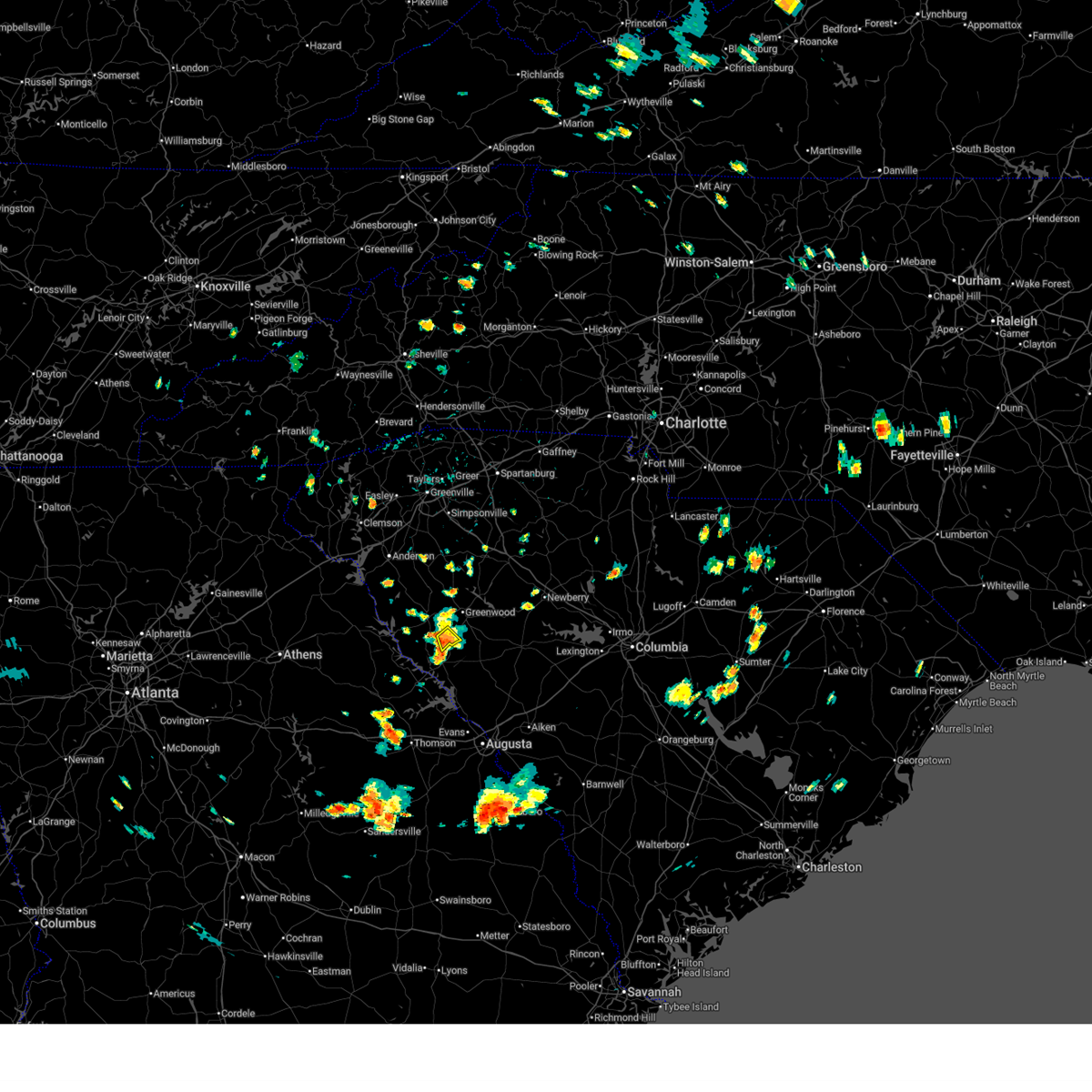
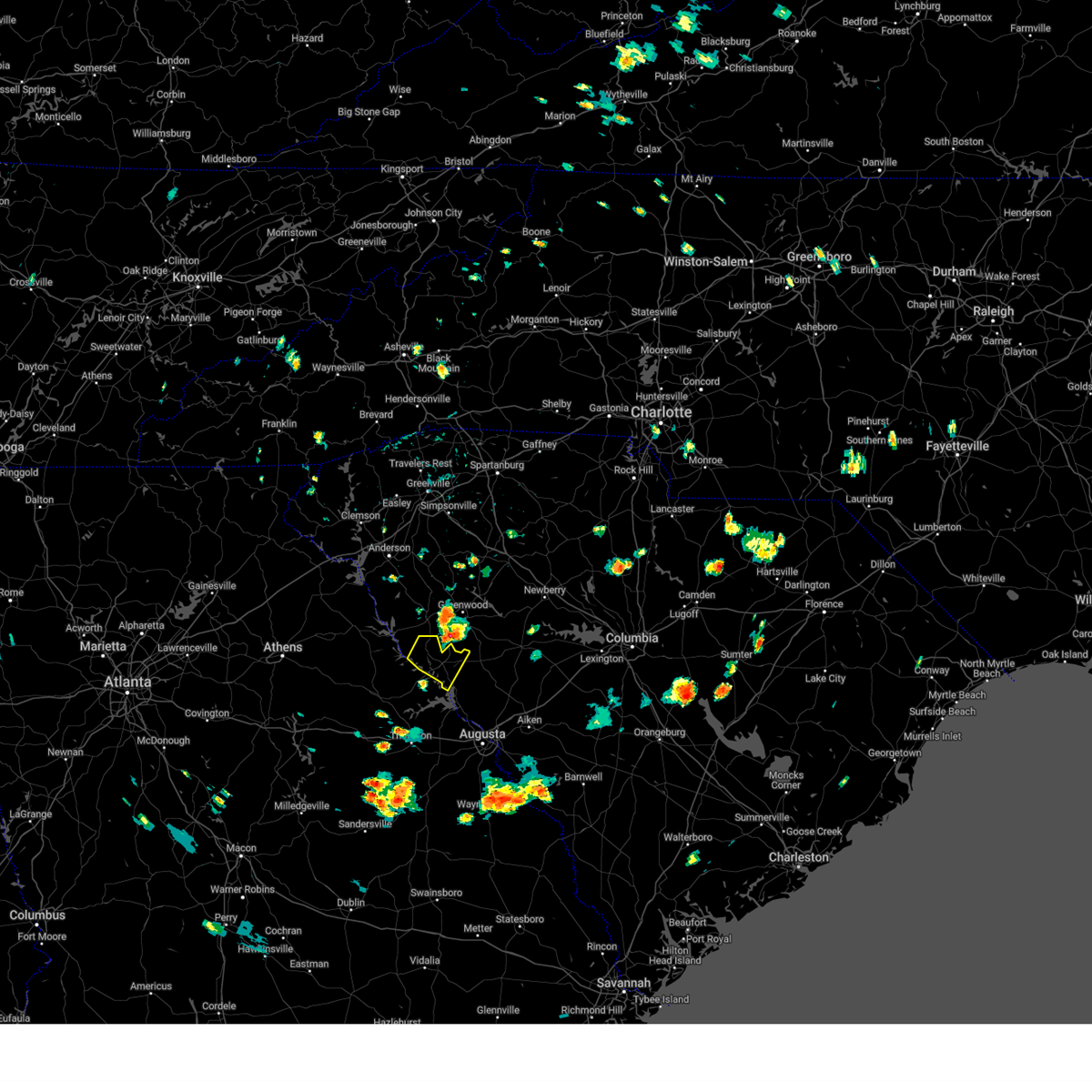
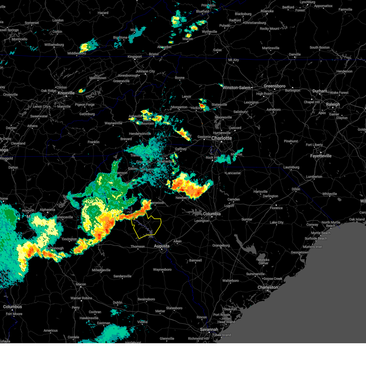
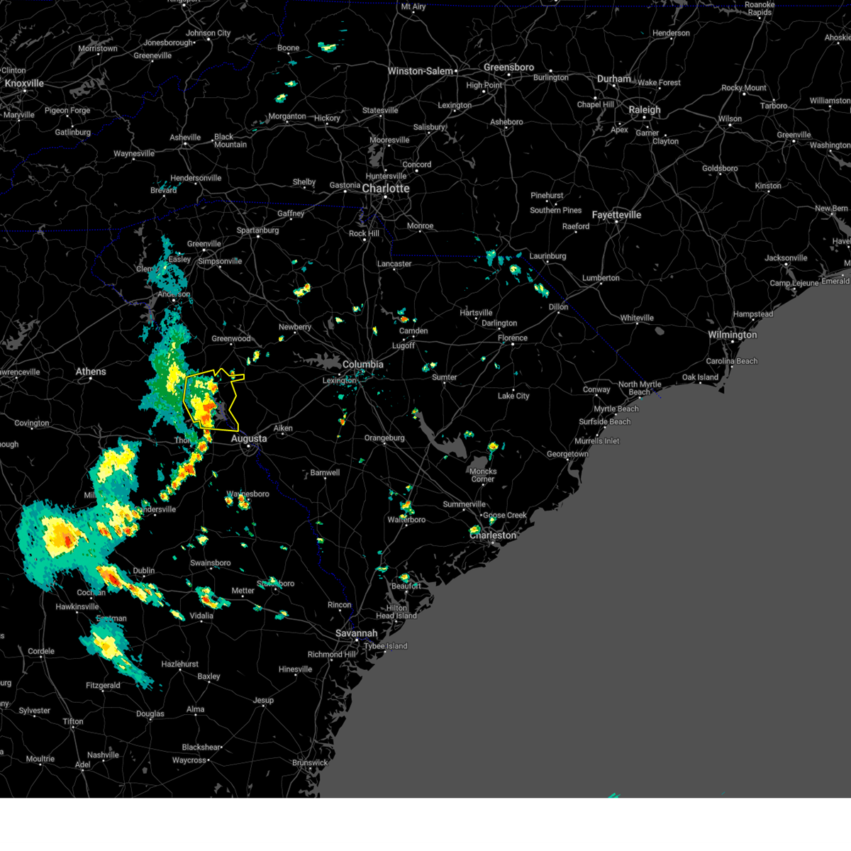
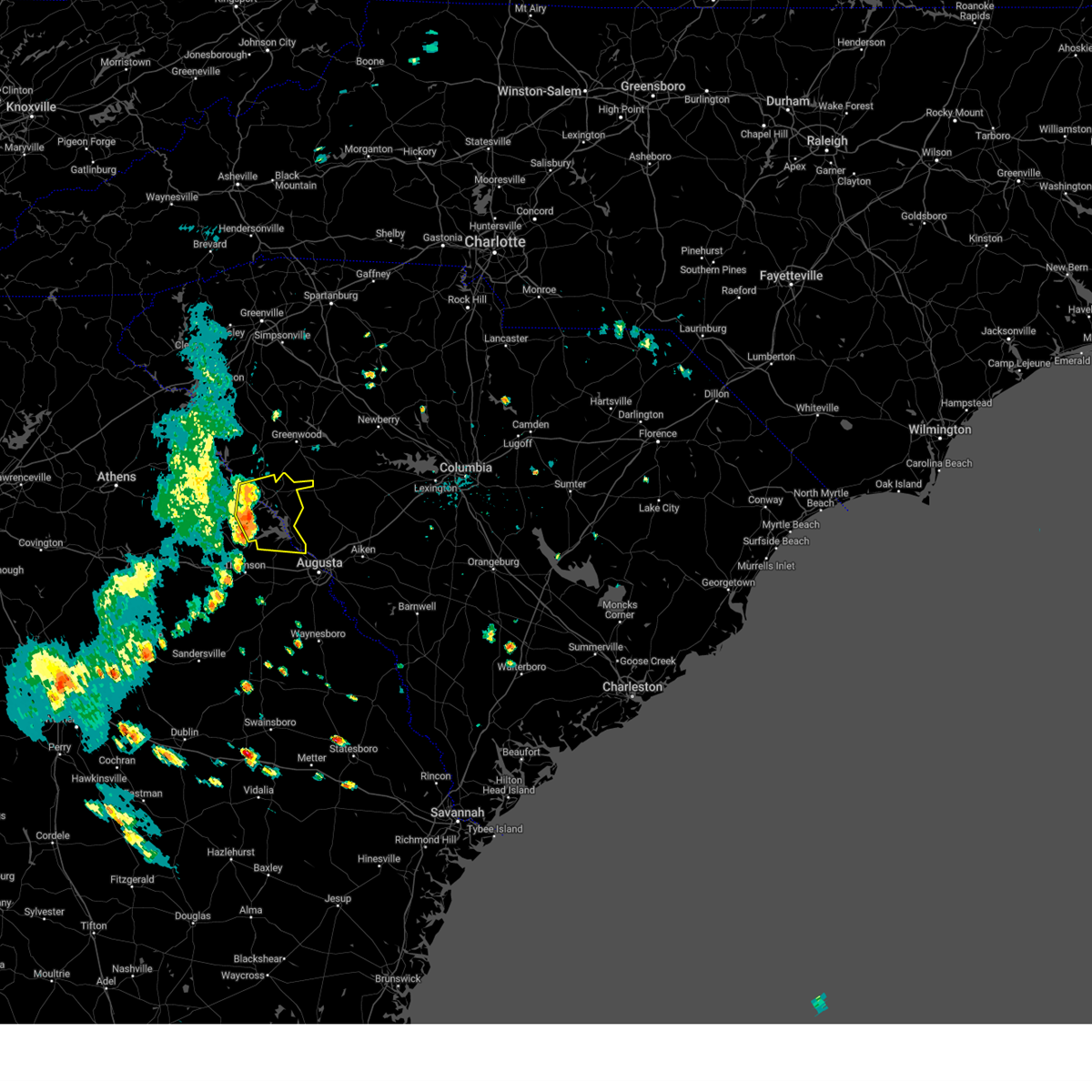
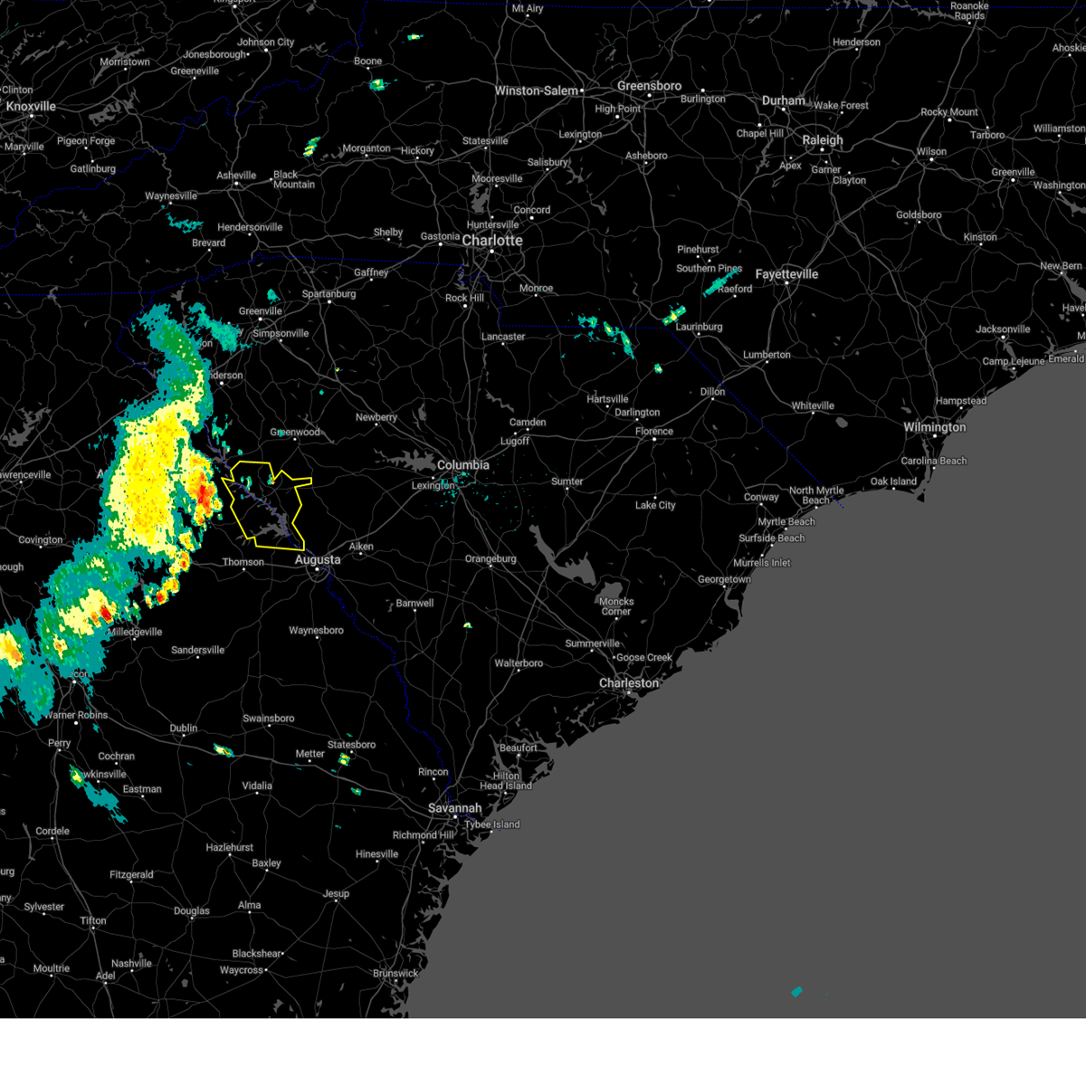
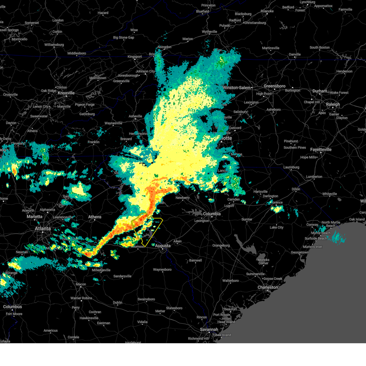
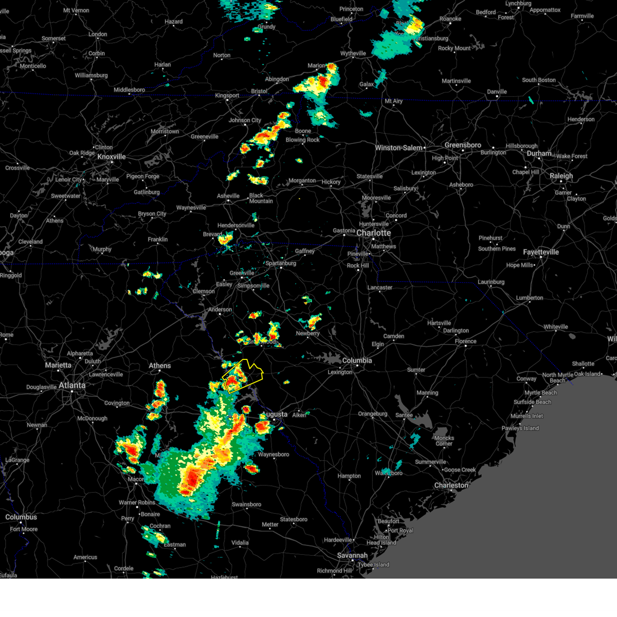
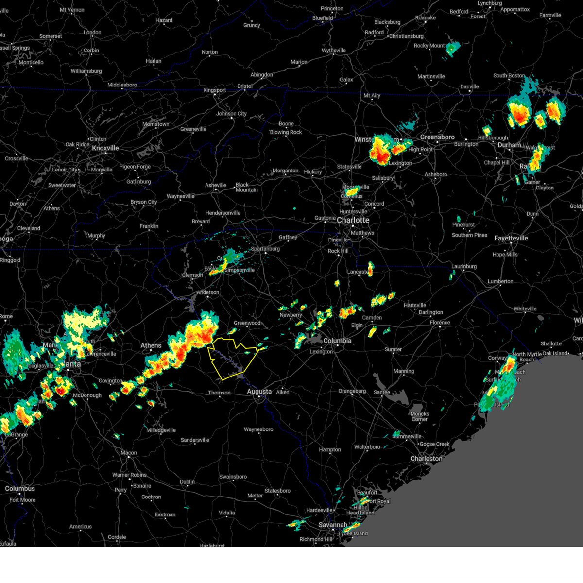
Hail Map for Troy, SC
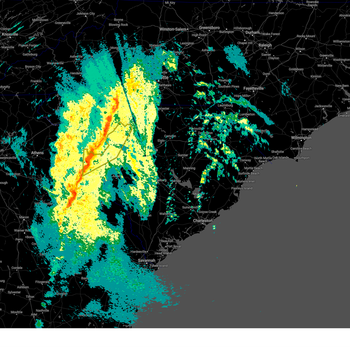
The Troy, SC area has had 0 reports of on-the-ground hail by trained spotters, and has been under severe weather warnings 22 times during the past 12 months. Doppler radar has detected hail at or near Troy, SC on 36 occasions, including 2 occasions during the past year.
| Name: | Troy, SC |
| Where Located: | 39.7 miles NNW of Augusta, GA |
| Map: | Google Map for Troy, SC |
| Population: | 93 |
| Housing Units: | 54 |
| More Info: | Search Google for Troy, SC |
0
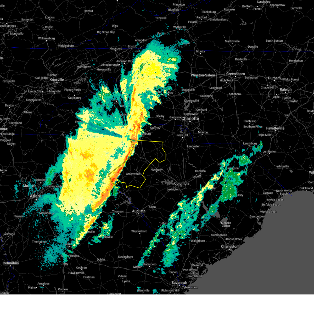
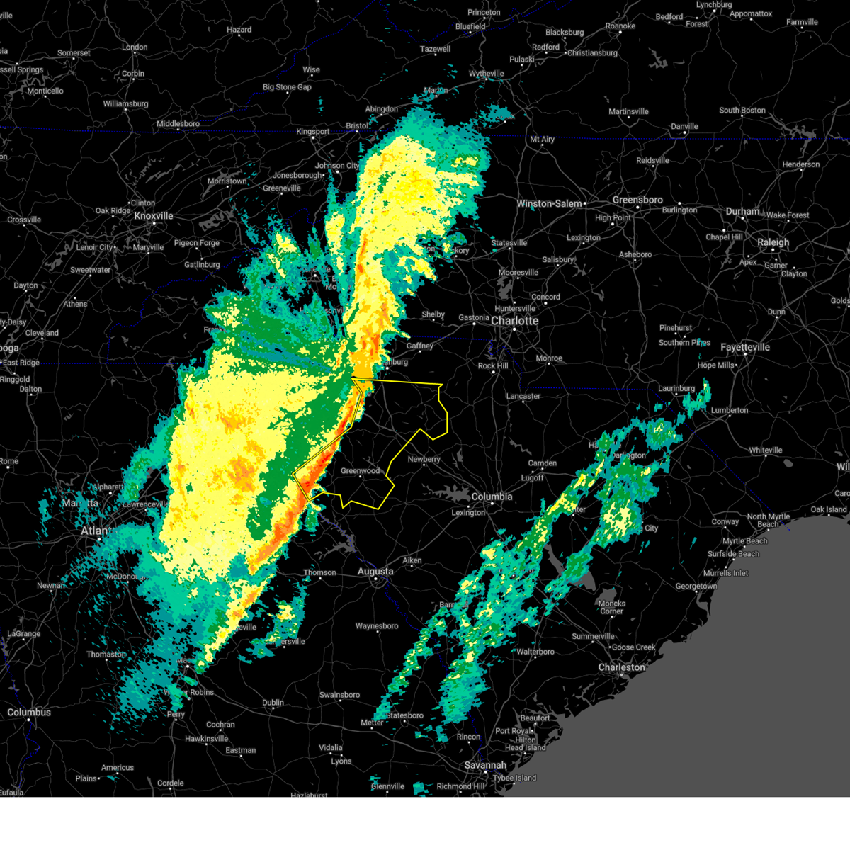
The Top Recent Hail Date for Troy, SC is Saturday, November 8, 2025 (9th out of 36)
Hail and Wind Damage Spotted near Troy, SC
| Date / Time | Report Details |
|---|---|
| 6/18/2026 6:05 PM EDT |
 At 605 pm edt, severe thunderstorms were located along a line extending from near greenwood to 7 miles east of clarks hill recreation area to near jackson, moving northeast at 55 mph (radar indicated). Hazards include 60 mph wind gusts. Expect damage to trees and powerlines. locations impacted include, aiken, north augusta, evans, augusta, clearwater, martinez, aiken mall, belvedere, edgefield, mccormick, johnston, new ellenton, jackson, glendale, clarks hill recreation area, edgefield county airport, summerville, augusta mall, daniel field, and village plaza shopping center. this includes the following highways, interstate 20 in georgia between mile markers 191 and 201. interstate 20 in south carolina between mile markers 0 and 24. interstate 520 in georgia between mile markers 1 and 15. Interstate 520 in south carolina between mile markers 16 and 23. At 605 pm edt, severe thunderstorms were located along a line extending from near greenwood to 7 miles east of clarks hill recreation area to near jackson, moving northeast at 55 mph (radar indicated). Hazards include 60 mph wind gusts. Expect damage to trees and powerlines. locations impacted include, aiken, north augusta, evans, augusta, clearwater, martinez, aiken mall, belvedere, edgefield, mccormick, johnston, new ellenton, jackson, glendale, clarks hill recreation area, edgefield county airport, summerville, augusta mall, daniel field, and village plaza shopping center. this includes the following highways, interstate 20 in georgia between mile markers 191 and 201. interstate 20 in south carolina between mile markers 0 and 24. interstate 520 in georgia between mile markers 1 and 15. Interstate 520 in south carolina between mile markers 16 and 23.
|
| 6/18/2026 5:45 PM EDT |
 Svrcae the national weather service in columbia has issued a * severe thunderstorm warning for, columbia county in east central georgia, lincoln county in east central georgia, northwestern burke county in east central georgia, richmond county in east central georgia, edgefield county in central south carolina, southwestern saluda county in central south carolina, western aiken county in central south carolina, mccormick county in central south carolina, * until 630 pm edt. * at 545 pm edt, severe thunderstorms were located along a line extending from near mistletoe state park to near mcbean, moving northeast at 45 mph (radar indicated). Hazards include 60 mph wind gusts. expect damage to trees and powerlines Svrcae the national weather service in columbia has issued a * severe thunderstorm warning for, columbia county in east central georgia, lincoln county in east central georgia, northwestern burke county in east central georgia, richmond county in east central georgia, edgefield county in central south carolina, southwestern saluda county in central south carolina, western aiken county in central south carolina, mccormick county in central south carolina, * until 630 pm edt. * at 545 pm edt, severe thunderstorms were located along a line extending from near mistletoe state park to near mcbean, moving northeast at 45 mph (radar indicated). Hazards include 60 mph wind gusts. expect damage to trees and powerlines
|
| 6/18/2026 5:27 PM EDT |
 At 526 pm edt, severe thunderstorms were located along a line extending from calhoun falls to 6 miles south of lincolnton to 7 miles north of stapleton, moving east at 40 mph (radar indicated). Hazards include 60 mph wind gusts. Expect damage to trees and powerlines. locations impacted include, evans, thomson, mccormick, lincolnton, appling, clarks hill recreation area, elijah clark state park, riverwood, mistletoe state park, wrightsboro, j. strom thurmond dam, mccormick county airport, thomson-mcduffie county airport, plum branch, bordeaux, thomson fire department, scott's landing, mcduffie regional medical center, knox scout reservation, and double branches. This includes interstate 20 in georgia between mile markers 167 and 185. At 526 pm edt, severe thunderstorms were located along a line extending from calhoun falls to 6 miles south of lincolnton to 7 miles north of stapleton, moving east at 40 mph (radar indicated). Hazards include 60 mph wind gusts. Expect damage to trees and powerlines. locations impacted include, evans, thomson, mccormick, lincolnton, appling, clarks hill recreation area, elijah clark state park, riverwood, mistletoe state park, wrightsboro, j. strom thurmond dam, mccormick county airport, thomson-mcduffie county airport, plum branch, bordeaux, thomson fire department, scott's landing, mcduffie regional medical center, knox scout reservation, and double branches. This includes interstate 20 in georgia between mile markers 167 and 185.
|
| 6/18/2026 5:05 PM EDT |
 Svrcae the national weather service in columbia has issued a * severe thunderstorm warning for, mcduffie county in east central georgia, columbia county in east central georgia, lincoln county in east central georgia, mccormick county in central south carolina, * until 545 pm edt. * at 504 pm edt, severe thunderstorms were located along a line extending from 6 miles west of nancy hart state park to near sharon to near mitchell, moving east at 40 mph (radar indicated). Hazards include 60 mph wind gusts. expect damage to trees and powerlines Svrcae the national weather service in columbia has issued a * severe thunderstorm warning for, mcduffie county in east central georgia, columbia county in east central georgia, lincoln county in east central georgia, mccormick county in central south carolina, * until 545 pm edt. * at 504 pm edt, severe thunderstorms were located along a line extending from 6 miles west of nancy hart state park to near sharon to near mitchell, moving east at 40 mph (radar indicated). Hazards include 60 mph wind gusts. expect damage to trees and powerlines
|
| 5/23/2026 3:11 PM EDT |
 Svrcae the national weather service in columbia has issued a * severe thunderstorm warning for, northern lincoln county in east central georgia, mccormick county in central south carolina, * until 400 pm edt. * at 309 pm edt, a severe thunderstorm was located near elijah clark state park, or 19 miles south of abbeville, moving northeast at 25 mph (radar indicated). Hazards include 60 mph wind gusts and quarter size hail. Hail damage to vehicles is expected. Expect wind damage to trees and powerlines. Svrcae the national weather service in columbia has issued a * severe thunderstorm warning for, northern lincoln county in east central georgia, mccormick county in central south carolina, * until 400 pm edt. * at 309 pm edt, a severe thunderstorm was located near elijah clark state park, or 19 miles south of abbeville, moving northeast at 25 mph (radar indicated). Hazards include 60 mph wind gusts and quarter size hail. Hail damage to vehicles is expected. Expect wind damage to trees and powerlines.
|
| 5/22/2026 4:49 PM EDT |
 At 448 pm edt, a severe thunderstorm was located near abbeville, moving north at 20 mph (radar indicated). Hazards include 60 mph wind gusts and quarter size hail. Hail damage to vehicles is expected. expect wind damage to trees and powerlines. Locations impacted include, mccormick, hickory knob state resort park, willington, bordeaux, mount carmel, baker creek state park, leroy's ferry recreation area, and long cane creek picnic area. At 448 pm edt, a severe thunderstorm was located near abbeville, moving north at 20 mph (radar indicated). Hazards include 60 mph wind gusts and quarter size hail. Hail damage to vehicles is expected. expect wind damage to trees and powerlines. Locations impacted include, mccormick, hickory knob state resort park, willington, bordeaux, mount carmel, baker creek state park, leroy's ferry recreation area, and long cane creek picnic area.
|
| 5/22/2026 4:31 PM EDT |
 Svrcae the national weather service in columbia has issued a * severe thunderstorm warning for, north central lincoln county in east central georgia, northwestern mccormick county in central south carolina, * until 500 pm edt. * at 430 pm edt, a severe thunderstorm was located 7 miles west of troy, or 10 miles south of abbeville, moving north at 20 mph (radar indicated). Hazards include 60 mph wind gusts and quarter size hail. Hail damage to vehicles is expected. Expect wind damage to trees and powerlines. Svrcae the national weather service in columbia has issued a * severe thunderstorm warning for, north central lincoln county in east central georgia, northwestern mccormick county in central south carolina, * until 500 pm edt. * at 430 pm edt, a severe thunderstorm was located 7 miles west of troy, or 10 miles south of abbeville, moving north at 20 mph (radar indicated). Hazards include 60 mph wind gusts and quarter size hail. Hail damage to vehicles is expected. Expect wind damage to trees and powerlines.
|
| 3/16/2026 8:25 AM EDT |
 Svrgsp the national weather service in greenville-spartanburg has issued a * severe thunderstorm warning for, laurens county in upstate south carolina, south central spartanburg county in upstate south carolina, southern union county in upstate south carolina, greenwood county in upstate south carolina, * until 930 am edt. * at 825 am edt, severe thunderstorms were located along a line extending from 16 miles southeast of greenville downtown to 9 miles southwest of laurens to 5 miles west of greenwood, moving east at 50 mph (radar indicated). Hazards include 60 mph wind gusts. expect damage to trees and power lines Svrgsp the national weather service in greenville-spartanburg has issued a * severe thunderstorm warning for, laurens county in upstate south carolina, south central spartanburg county in upstate south carolina, southern union county in upstate south carolina, greenwood county in upstate south carolina, * until 930 am edt. * at 825 am edt, severe thunderstorms were located along a line extending from 16 miles southeast of greenville downtown to 9 miles southwest of laurens to 5 miles west of greenwood, moving east at 50 mph (radar indicated). Hazards include 60 mph wind gusts. expect damage to trees and power lines
|
| 3/16/2026 8:02 AM EDT | At 802 am edt, severe thunderstorms were located along a line extending from 10 miles south of greenville downtown to 17 miles east of anderson to 9 miles west of abbeville, moving east at 50 mph (radar indicated). Hazards include 60 mph wind gusts and quarter size hail. Minor hail damage to vehicles is expected. expect wind damage to trees and power lines. Locations impacted include, greenwood, laurens, abbeville, belton, honea path, ware shoals, calhoun falls, due west, gray court, and lake secession. |
| 3/16/2026 8:02 AM EDT | the severe thunderstorm warning has been cancelled and is no longer in effect |
| 3/16/2026 7:54 AM EDT |
 Svrcae the national weather service in columbia has issued a * severe thunderstorm warning for, northwestern mcduffie county in east central georgia, northwestern columbia county in east central georgia, lincoln county in east central georgia, northwestern edgefield county in central south carolina, mccormick county in central south carolina, * until 900 am edt. * at 754 am edt, severe thunderstorms were located along a line extending from near calhoun falls to near white plains, moving east at 45 mph (radar indicated). Hazards include 60 mph wind gusts and penny size hail. expect damage to trees and powerlines Svrcae the national weather service in columbia has issued a * severe thunderstorm warning for, northwestern mcduffie county in east central georgia, northwestern columbia county in east central georgia, lincoln county in east central georgia, northwestern edgefield county in central south carolina, mccormick county in central south carolina, * until 900 am edt. * at 754 am edt, severe thunderstorms were located along a line extending from near calhoun falls to near white plains, moving east at 45 mph (radar indicated). Hazards include 60 mph wind gusts and penny size hail. expect damage to trees and powerlines
|
| 3/16/2026 7:25 AM EDT |
 Svrgsp the national weather service in greenville-spartanburg has issued a * severe thunderstorm warning for, elbert county in northeastern georgia, laurens county in upstate south carolina, southeastern greenville county in upstate south carolina, south central spartanburg county in upstate south carolina, anderson county in upstate south carolina, abbeville county in upstate south carolina, western greenwood county in upstate south carolina, * until 830 am edt. * at 725 am edt, severe thunderstorms were located along a line extending from 5 miles southwest of clemson to 11 miles northeast of hartwell to 10 miles west of elberton, moving east at 50 mph (radar indicated). Hazards include 60 mph wind gusts. expect damage to trees and power lines Svrgsp the national weather service in greenville-spartanburg has issued a * severe thunderstorm warning for, elbert county in northeastern georgia, laurens county in upstate south carolina, southeastern greenville county in upstate south carolina, south central spartanburg county in upstate south carolina, anderson county in upstate south carolina, abbeville county in upstate south carolina, western greenwood county in upstate south carolina, * until 830 am edt. * at 725 am edt, severe thunderstorms were located along a line extending from 5 miles southwest of clemson to 11 miles northeast of hartwell to 10 miles west of elberton, moving east at 50 mph (radar indicated). Hazards include 60 mph wind gusts. expect damage to trees and power lines
|
| 11/8/2025 5:59 PM EST | The storm which prompted the warning has moved out of the area. therefore, the warning will be allowed to expire. however, hail and gusty winds are still possible with this thunderstorm as it moves near the greenwood county border with mccormick county. |
| 11/8/2025 5:40 PM EST | the severe thunderstorm warning has been cancelled and is no longer in effect |
| 11/8/2025 5:40 PM EST | At 539 pm est, a severe thunderstorm was located 12 miles south of abbeville, or near troy, moving east at 30 mph (radar indicated). Hazards include golf ball size hail and 60 mph wind gusts. People and animals outdoors will be injured. expect hail damage to roofs, siding, windows, and vehicles. expect wind damage to trees and power lines. Locations impacted include, troy, bradley, callison, epworth, and kirksey. |
| 11/8/2025 5:32 PM EST | A new severe thunderstorm warning for this storm has been issued for mccormick county, lasting until 615pm. |
| 11/8/2025 5:12 PM EST | the severe thunderstorm warning has been cancelled and is no longer in effect |
| 11/8/2025 5:12 PM EST | At 512 pm est, a severe thunderstorm was located 13 miles southwest of abbeville, or near lake strom thurmond, moving east at 30 mph (radar indicated). Hazards include golf ball size hail and 60 mph wind gusts. People and animals outdoors will be injured. expect hail damage to roofs, siding, windows, and vehicles. expect wind damage to trees and power lines. Locations impacted include, calhoun falls, troy, bradley, richard b russell dam, callison, epworth, and kirksey. |
| 11/8/2025 5:04 PM EST | the severe thunderstorm warning has been cancelled and is no longer in effect |
| 11/8/2025 5:04 PM EST | At 504 pm est, a severe thunderstorm was located over lake strom thurmond, or 13 miles southwest of abbeville, moving east at 35 mph (radar indicated). Hazards include ping pong ball size hail and 60 mph wind gusts. People and animals outdoors will be injured. expect hail damage to roofs, siding, windows, and vehicles. expect wind damage to trees and powerlines. Locations impacted include, mccormick, mccormick county airport, hickory knob state resort park, willington, mount carmel park, bordeaux, mount carmel, baker creek state park, leroy's ferry recreation area, hawe creek campground, and long cane creek picnic area. |
| 11/8/2025 4:59 PM EST | Svrgsp the national weather service in greenville-spartanburg has issued a * severe thunderstorm warning for, southeastern elbert county in northeastern georgia, southern abbeville county in upstate south carolina, southwestern greenwood county in upstate south carolina, * until 600 pm est. * at 459 pm est, a severe thunderstorm was located 12 miles east of elberton, or near calhoun falls, moving east at 30 mph (radar indicated). Hazards include golf ball size hail and 60 mph wind gusts. People and animals outdoors will be injured. expect hail damage to roofs, siding, windows, and vehicles. Expect wind damage to trees and power lines. |
| 11/8/2025 4:41 PM EST | Svrcae the national weather service in columbia has issued a * severe thunderstorm warning for, northern lincoln county in east central georgia, northwestern mccormick county in central south carolina, * until 530 pm est. * at 441 pm est, a severe thunderstorm was located over middleton, or 7 miles east of elberton, moving east at 35 mph (radar indicated). Hazards include ping pong ball size hail and 60 mph wind gusts. People and animals outdoors will be injured. expect hail damage to roofs, siding, windows, and vehicles. Expect wind damage to trees and powerlines. |
| 6/9/2025 7:36 PM EDT |
 the severe thunderstorm warning has been cancelled and is no longer in effect the severe thunderstorm warning has been cancelled and is no longer in effect
|
| 6/9/2025 7:36 PM EDT |
 At 736 pm edt, a severe thunderstorm was located over troy, or 13 miles south of abbeville, moving east at 35 mph (radar indicated). Hazards include 60 mph wind gusts. Expect damage to trees and powerlines. Locations impacted include, mccormick, mccormick county airport, bordeaux, long cane creek picnic area, and willington. At 736 pm edt, a severe thunderstorm was located over troy, or 13 miles south of abbeville, moving east at 35 mph (radar indicated). Hazards include 60 mph wind gusts. Expect damage to trees and powerlines. Locations impacted include, mccormick, mccormick county airport, bordeaux, long cane creek picnic area, and willington.
|
| 6/9/2025 7:29 PM EDT |
 Svrgsp the national weather service in greenville-spartanburg has issued a * severe thunderstorm warning for, southwestern laurens county in upstate south carolina, southeastern abbeville county in upstate south carolina, greenwood county in upstate south carolina, * until 815 pm edt. * at 728 pm edt, severe thunderstorms were located along a line extending from 7 miles northwest of abbeville to 21 miles southwest of greenwood, moving east at 40 mph (radar indicated). Hazards include 60 mph wind gusts and penny size hail. expect damage to trees and power lines Svrgsp the national weather service in greenville-spartanburg has issued a * severe thunderstorm warning for, southwestern laurens county in upstate south carolina, southeastern abbeville county in upstate south carolina, greenwood county in upstate south carolina, * until 815 pm edt. * at 728 pm edt, severe thunderstorms were located along a line extending from 7 miles northwest of abbeville to 21 miles southwest of greenwood, moving east at 40 mph (radar indicated). Hazards include 60 mph wind gusts and penny size hail. expect damage to trees and power lines
|
| 6/9/2025 7:25 PM EDT | Mccormick county dispatch reported trees down along hwy 28 north. time estimated based on rada in mccormick county SC, 6.6 miles E of Troy, SC |
| 6/9/2025 7:16 PM EDT |
 Svrcae the national weather service in columbia has issued a * severe thunderstorm warning for, northwestern lincoln county in east central georgia, northwestern edgefield county in central south carolina, mccormick county in central south carolina, * until 745 pm edt. * at 716 pm edt, a severe thunderstorm was located near bobby brown state park, or 16 miles southwest of abbeville, moving east at 35 mph (radar indicated). Hazards include 60 mph wind gusts. expect damage to trees and powerlines Svrcae the national weather service in columbia has issued a * severe thunderstorm warning for, northwestern lincoln county in east central georgia, northwestern edgefield county in central south carolina, mccormick county in central south carolina, * until 745 pm edt. * at 716 pm edt, a severe thunderstorm was located near bobby brown state park, or 16 miles southwest of abbeville, moving east at 35 mph (radar indicated). Hazards include 60 mph wind gusts. expect damage to trees and powerlines
|
| 6/8/2025 9:28 AM EDT |
 Svrcae the national weather service in columbia has issued a * severe thunderstorm warning for, northern edgefield county in central south carolina, saluda county in central south carolina, central mccormick county in central south carolina, * until 1015 am edt. * at 928 am edt, a severe thunderstorm was located 10 miles south of ninety six historic site, or 14 miles southeast of greenwood, moving east at 55 mph (radar indicated). Hazards include 60 mph wind gusts and quarter size hail. Hail damage to vehicles is expected. Expect wind damage to trees and powerlines. Svrcae the national weather service in columbia has issued a * severe thunderstorm warning for, northern edgefield county in central south carolina, saluda county in central south carolina, central mccormick county in central south carolina, * until 1015 am edt. * at 928 am edt, a severe thunderstorm was located 10 miles south of ninety six historic site, or 14 miles southeast of greenwood, moving east at 55 mph (radar indicated). Hazards include 60 mph wind gusts and quarter size hail. Hail damage to vehicles is expected. Expect wind damage to trees and powerlines.
|
| 6/7/2025 7:47 PM EDT |
 Svrgsp the national weather service in greenville-spartanburg has issued a * severe thunderstorm warning for, southwestern laurens county in upstate south carolina, abbeville county in upstate south carolina, greenwood county in upstate south carolina, * until 830 pm edt. * at 747 pm edt, severe thunderstorms were located along a line extending from 14 miles southeast of anderson to 11 miles southwest of abbeville, moving east at 50 mph (radar indicated). Hazards include 60 mph wind gusts. expect damage to trees and power lines Svrgsp the national weather service in greenville-spartanburg has issued a * severe thunderstorm warning for, southwestern laurens county in upstate south carolina, abbeville county in upstate south carolina, greenwood county in upstate south carolina, * until 830 pm edt. * at 747 pm edt, severe thunderstorms were located along a line extending from 14 miles southeast of anderson to 11 miles southwest of abbeville, moving east at 50 mph (radar indicated). Hazards include 60 mph wind gusts. expect damage to trees and power lines
|
| 6/7/2025 7:38 PM EDT |
 Svrcae the national weather service in columbia has issued a * severe thunderstorm warning for, northwestern lincoln county in east central georgia, northern edgefield county in central south carolina, southwestern saluda county in central south carolina, mccormick county in central south carolina, * until 830 pm edt. * at 738 pm edt, a severe thunderstorm was located near bobby brown state park, or 17 miles northeast of washington, moving east at 60 mph (radar indicated). Hazards include 60 mph wind gusts. expect damage to trees and powerlines Svrcae the national weather service in columbia has issued a * severe thunderstorm warning for, northwestern lincoln county in east central georgia, northern edgefield county in central south carolina, southwestern saluda county in central south carolina, mccormick county in central south carolina, * until 830 pm edt. * at 738 pm edt, a severe thunderstorm was located near bobby brown state park, or 17 miles northeast of washington, moving east at 60 mph (radar indicated). Hazards include 60 mph wind gusts. expect damage to trees and powerlines
|
| 3/31/2025 3:31 PM EDT |
 At 331 pm edt, severe thunderstorms were located along a line extending from 7 miles southeast of abbeville to near hamilton branch state park to evans, moving east at 55 mph (radar indicated). Hazards include 60 mph wind gusts. Expect damage to trees and powerlines. locations impacted include, west end augusta, parksville, new savannah bluff lock & dam park, poverty hill, blythe, glenn hills, scott's landing, northside fire station main, edgefield, westover, knox scout reservation, glendale, savannah bluffs heritage preserve, cleora, south augusta, clarks hill recreation area, westmont, long cane creek picnic area, dearing, and forest hills. this includes the following highways, interstate 20 in georgia between mile markers 178 and 201. interstate 20 in south carolina between mile markers 0 and 11. interstate 520 in georgia between mile markers 1 and 15. Interstate 520 in south carolina between mile markers 16 and 23. At 331 pm edt, severe thunderstorms were located along a line extending from 7 miles southeast of abbeville to near hamilton branch state park to evans, moving east at 55 mph (radar indicated). Hazards include 60 mph wind gusts. Expect damage to trees and powerlines. locations impacted include, west end augusta, parksville, new savannah bluff lock & dam park, poverty hill, blythe, glenn hills, scott's landing, northside fire station main, edgefield, westover, knox scout reservation, glendale, savannah bluffs heritage preserve, cleora, south augusta, clarks hill recreation area, westmont, long cane creek picnic area, dearing, and forest hills. this includes the following highways, interstate 20 in georgia between mile markers 178 and 201. interstate 20 in south carolina between mile markers 0 and 11. interstate 520 in georgia between mile markers 1 and 15. Interstate 520 in south carolina between mile markers 16 and 23.
|
| 3/31/2025 3:18 PM EDT |
 Svrgsp the national weather service in greenville-spartanburg has issued a * severe thunderstorm warning for, southwestern laurens county in upstate south carolina, south central greenville county in upstate south carolina, east central anderson county in upstate south carolina, eastern abbeville county in upstate south carolina, greenwood county in upstate south carolina, * until 400 pm edt. * at 318 pm edt, severe thunderstorms were located along a line extending from 7 miles east of anderson to 23 miles southeast of clemson to near abbeville to 19 miles southwest of greenwood, moving northeast at 60 mph (radar indicated). Hazards include 70 mph wind gusts. Expect considerable tree damage. Damage is likely to mobile homes, roofs, and outbuildings. Svrgsp the national weather service in greenville-spartanburg has issued a * severe thunderstorm warning for, southwestern laurens county in upstate south carolina, south central greenville county in upstate south carolina, east central anderson county in upstate south carolina, eastern abbeville county in upstate south carolina, greenwood county in upstate south carolina, * until 400 pm edt. * at 318 pm edt, severe thunderstorms were located along a line extending from 7 miles east of anderson to 23 miles southeast of clemson to near abbeville to 19 miles southwest of greenwood, moving northeast at 60 mph (radar indicated). Hazards include 70 mph wind gusts. Expect considerable tree damage. Damage is likely to mobile homes, roofs, and outbuildings.
|
| 3/31/2025 3:12 PM EDT |
 At 310 pm edt, severe thunderstorms were located along a line extending from near lake strom thurmond to near lincolnton to near thomson, moving east at 60 mph (radar indicated). Hazards include 60 mph wind gusts. Expect damage to trees and powerlines. locations impacted include, west end augusta, bordeaux, parksville, new savannah bluff lock & dam park, poverty hill, blythe, glenn hills, thomson fire department, scott's landing, mcduffie regional medical center, northside fire station main, edgefield, westover, knox scout reservation, glendale, savannah bluffs heritage preserve, cleora, south augusta, clarks hill recreation area, and westmont. this includes the following highways, interstate 20 in georgia between mile markers 166 and 201. interstate 20 in south carolina between mile markers 0 and 11. interstate 520 in georgia between mile markers 1 and 15. Interstate 520 in south carolina between mile markers 16 and 23. At 310 pm edt, severe thunderstorms were located along a line extending from near lake strom thurmond to near lincolnton to near thomson, moving east at 60 mph (radar indicated). Hazards include 60 mph wind gusts. Expect damage to trees and powerlines. locations impacted include, west end augusta, bordeaux, parksville, new savannah bluff lock & dam park, poverty hill, blythe, glenn hills, thomson fire department, scott's landing, mcduffie regional medical center, northside fire station main, edgefield, westover, knox scout reservation, glendale, savannah bluffs heritage preserve, cleora, south augusta, clarks hill recreation area, and westmont. this includes the following highways, interstate 20 in georgia between mile markers 166 and 201. interstate 20 in south carolina between mile markers 0 and 11. interstate 520 in georgia between mile markers 1 and 15. Interstate 520 in south carolina between mile markers 16 and 23.
|
| 3/31/2025 2:50 PM EDT |
 Svrcae the national weather service in columbia has issued a * severe thunderstorm warning for, mcduffie county in east central georgia, columbia county in east central georgia, lincoln county in east central georgia, richmond county in east central georgia, edgefield county in central south carolina, western saluda county in central south carolina, southwestern aiken county in central south carolina, mccormick county in central south carolina, * until 345 pm edt. * at 250 pm edt, severe thunderstorms were located along a line extending from 7 miles west of nancy hart state park to near sparta, moving east at 50 mph (radar indicated). Hazards include 60 mph wind gusts. expect damage to trees and powerlines Svrcae the national weather service in columbia has issued a * severe thunderstorm warning for, mcduffie county in east central georgia, columbia county in east central georgia, lincoln county in east central georgia, richmond county in east central georgia, edgefield county in central south carolina, western saluda county in central south carolina, southwestern aiken county in central south carolina, mccormick county in central south carolina, * until 345 pm edt. * at 250 pm edt, severe thunderstorms were located along a line extending from 7 miles west of nancy hart state park to near sparta, moving east at 50 mph (radar indicated). Hazards include 60 mph wind gusts. expect damage to trees and powerlines
|
| 2/16/2025 6:28 AM EST |
 Svrgsp the national weather service in greenville-spartanburg has issued a * severe thunderstorm warning for, laurens county in upstate south carolina, western chester county in upstate south carolina, york county in upstate south carolina, southeastern spartanburg county in upstate south carolina, cherokee county in upstate south carolina, southeastern abbeville county in upstate south carolina, union county in upstate south carolina, greenwood county in upstate south carolina, * until 700 am est. * at 628 am est, severe thunderstorms were located along a line extending from near gaffney to 14 miles southeast of abbeville, moving east at 80 mph (radar indicated). Hazards include 60 mph wind gusts. expect damage to trees and power lines Svrgsp the national weather service in greenville-spartanburg has issued a * severe thunderstorm warning for, laurens county in upstate south carolina, western chester county in upstate south carolina, york county in upstate south carolina, southeastern spartanburg county in upstate south carolina, cherokee county in upstate south carolina, southeastern abbeville county in upstate south carolina, union county in upstate south carolina, greenwood county in upstate south carolina, * until 700 am est. * at 628 am est, severe thunderstorms were located along a line extending from near gaffney to 14 miles southeast of abbeville, moving east at 80 mph (radar indicated). Hazards include 60 mph wind gusts. expect damage to trees and power lines
|
| 2/16/2025 6:15 AM EST |
 the severe thunderstorm warning has been cancelled and is no longer in effect the severe thunderstorm warning has been cancelled and is no longer in effect
|
| 2/16/2025 6:15 AM EST |
 At 615 am est, severe thunderstorms were located along a line extending from 7 miles southwest of spartanburg to 9 miles northwest of laurens to 10 miles southwest of abbeville, moving east at 75 mph (radar indicated). Hazards include 60 mph wind gusts. Expect damage to trees and power lines. Locations impacted include, greenwood, laurens, union, abbeville, clinton, woodruff, ware shoals, calhoun falls, monarch mill, and ninety six. At 615 am est, severe thunderstorms were located along a line extending from 7 miles southwest of spartanburg to 9 miles northwest of laurens to 10 miles southwest of abbeville, moving east at 75 mph (radar indicated). Hazards include 60 mph wind gusts. Expect damage to trees and power lines. Locations impacted include, greenwood, laurens, union, abbeville, clinton, woodruff, ware shoals, calhoun falls, monarch mill, and ninety six.
|
| 2/16/2025 6:01 AM EST |
 Svrcae the national weather service in columbia has issued a * severe thunderstorm warning for, mcduffie county in east central georgia, northwestern columbia county in east central georgia, lincoln county in east central georgia, mccormick county in central south carolina, * until 645 am est. * at 601 am est, severe thunderstorms were located along a line extending from near lake secession to near white plains, moving east at 65 mph (radar indicated). Hazards include 60 mph wind gusts. expect damage to trees and powerlines Svrcae the national weather service in columbia has issued a * severe thunderstorm warning for, mcduffie county in east central georgia, northwestern columbia county in east central georgia, lincoln county in east central georgia, mccormick county in central south carolina, * until 645 am est. * at 601 am est, severe thunderstorms were located along a line extending from near lake secession to near white plains, moving east at 65 mph (radar indicated). Hazards include 60 mph wind gusts. expect damage to trees and powerlines
|
| 2/16/2025 5:58 AM EST |
 Svrgsp the national weather service in greenville-spartanburg has issued a * severe thunderstorm warning for, eastern elbert county in northeastern georgia, laurens county in upstate south carolina, southeastern greenville county in upstate south carolina, southern spartanburg county in upstate south carolina, eastern anderson county in upstate south carolina, abbeville county in upstate south carolina, union county in upstate south carolina, greenwood county in upstate south carolina, * until 630 am est. * at 558 am est, severe thunderstorms were located along a line extending from near greenville downtown to 11 miles east of anderson to 7 miles east of elberton, moving east at 105 mph (radar indicated). Hazards include 60 mph wind gusts. expect damage to trees and power lines Svrgsp the national weather service in greenville-spartanburg has issued a * severe thunderstorm warning for, eastern elbert county in northeastern georgia, laurens county in upstate south carolina, southeastern greenville county in upstate south carolina, southern spartanburg county in upstate south carolina, eastern anderson county in upstate south carolina, abbeville county in upstate south carolina, union county in upstate south carolina, greenwood county in upstate south carolina, * until 630 am est. * at 558 am est, severe thunderstorms were located along a line extending from near greenville downtown to 11 miles east of anderson to 7 miles east of elberton, moving east at 105 mph (radar indicated). Hazards include 60 mph wind gusts. expect damage to trees and power lines
|
| 12/29/2024 7:33 AM EST |
 At 733 am est, severe thunderstorms were located along a line extending from 6 miles southeast of abbeville to near harlem, moving east at 40 mph (radar indicated). Hazards include 60 mph wind gusts. Expect damage to trees and powerlines. locations impacted include, north augusta, grovetown, evans, fort eisenhower, augusta, martinez, hephzibah, mccormick, harlem, glendale, south augusta, clarks hill recreation area, elijah clark state park, summerville, augusta mall, daniel field, village plaza shopping center, augusta national golf club, j. strom thurmond dam, and appling. this includes the following highways, interstate 20 in georgia between mile markers 180 and 201. Interstate 520 in georgia between mile markers 1 and 14. At 733 am est, severe thunderstorms were located along a line extending from 6 miles southeast of abbeville to near harlem, moving east at 40 mph (radar indicated). Hazards include 60 mph wind gusts. Expect damage to trees and powerlines. locations impacted include, north augusta, grovetown, evans, fort eisenhower, augusta, martinez, hephzibah, mccormick, harlem, glendale, south augusta, clarks hill recreation area, elijah clark state park, summerville, augusta mall, daniel field, village plaza shopping center, augusta national golf club, j. strom thurmond dam, and appling. this includes the following highways, interstate 20 in georgia between mile markers 180 and 201. Interstate 520 in georgia between mile markers 1 and 14.
|
| 12/29/2024 7:29 AM EST |
 Svrcae the national weather service in columbia has issued a * severe thunderstorm warning for, east central columbia county in east central georgia, northeastern richmond county in east central georgia, southwestern newberry county in central south carolina, edgefield county in central south carolina, saluda county in central south carolina, northwestern aiken county in central south carolina, eastern mccormick county in central south carolina, * until 830 am est. * at 729 am est, severe thunderstorms were located along a line extending from near mccormick county airport to 6 miles southeast of harlem, moving east at 35 mph (radar indicated). Hazards include 60 mph wind gusts. expect damage to trees and powerlines Svrcae the national weather service in columbia has issued a * severe thunderstorm warning for, east central columbia county in east central georgia, northeastern richmond county in east central georgia, southwestern newberry county in central south carolina, edgefield county in central south carolina, saluda county in central south carolina, northwestern aiken county in central south carolina, eastern mccormick county in central south carolina, * until 830 am est. * at 729 am est, severe thunderstorms were located along a line extending from near mccormick county airport to 6 miles southeast of harlem, moving east at 35 mph (radar indicated). Hazards include 60 mph wind gusts. expect damage to trees and powerlines
|
| 12/29/2024 7:28 AM EST |
 At 728 am est, severe thunderstorms were located along a line extending from 16 miles southwest of laurens to 3 miles west of greenwood to 3 miles west of evans, moving northeast at 50 mph (radar indicated). Hazards include 60 mph wind gusts. Expect damage to trees and power lines. Locations impacted include, greenwood, abbeville, honea path, ware shoals, ninety six, due west, donalds, cokesbury, hodges, and troy. At 728 am est, severe thunderstorms were located along a line extending from 16 miles southwest of laurens to 3 miles west of greenwood to 3 miles west of evans, moving northeast at 50 mph (radar indicated). Hazards include 60 mph wind gusts. Expect damage to trees and power lines. Locations impacted include, greenwood, abbeville, honea path, ware shoals, ninety six, due west, donalds, cokesbury, hodges, and troy.
|
| 12/29/2024 7:00 AM EST | Svrgsp the national weather service in greenville-spartanburg has issued a * severe thunderstorm warning for, southeastern anderson county in upstate south carolina, abbeville county in upstate south carolina, greenwood county in upstate south carolina, * until 800 am est. * at 659 am est, severe thunderstorms were located along a line extending from 12 miles west of abbeville to 20 miles northeast of washington to 7 miles northeast of gibson, moving northeast at 50 mph (radar indicated). Hazards include 60 mph wind gusts. expect damage to trees and power lines |
| 12/29/2024 6:44 AM EST |
 Svrcae the national weather service in columbia has issued a * severe thunderstorm warning for, mcduffie county in east central georgia, columbia county in east central georgia, lincoln county in east central georgia, richmond county in east central georgia, mccormick county in central south carolina, * until 745 am est. * at 642 am est, severe thunderstorms were located along a line extending from near nancy hart state park to near mitchell, moving northeast at 40 mph (radar indicated). Hazards include 60 mph wind gusts. expect damage to trees and powerlines Svrcae the national weather service in columbia has issued a * severe thunderstorm warning for, mcduffie county in east central georgia, columbia county in east central georgia, lincoln county in east central georgia, richmond county in east central georgia, mccormick county in central south carolina, * until 745 am est. * at 642 am est, severe thunderstorms were located along a line extending from near nancy hart state park to near mitchell, moving northeast at 40 mph (radar indicated). Hazards include 60 mph wind gusts. expect damage to trees and powerlines
|
| 8/29/2024 4:25 PM EDT |
 The storm which prompted the warning has weakened below severe limits, and no longer poses an immediate threat to life or property. therefore, the warning will be allowed to expire. The storm which prompted the warning has weakened below severe limits, and no longer poses an immediate threat to life or property. therefore, the warning will be allowed to expire.
|
| 8/29/2024 4:05 PM EDT |
 The storm which prompted the warning has weakened below severe limits, and has exited the warned area. therefore, the warning will be allowed to expire. The storm which prompted the warning has weakened below severe limits, and has exited the warned area. therefore, the warning will be allowed to expire.
|
| 8/29/2024 3:49 PM EDT |
 the severe thunderstorm warning has been cancelled and is no longer in effect the severe thunderstorm warning has been cancelled and is no longer in effect
|
| 8/29/2024 3:49 PM EDT |
 At 349 pm edt, a severe thunderstorm was located 11 miles southeast of abbeville, or near troy, moving southwest at 10 mph (radar indicated). Hazards include 60 mph wind gusts and penny size hail. Expect damage to trees and power lines. Locations impacted include, troy and bradley. At 349 pm edt, a severe thunderstorm was located 11 miles southeast of abbeville, or near troy, moving southwest at 10 mph (radar indicated). Hazards include 60 mph wind gusts and penny size hail. Expect damage to trees and power lines. Locations impacted include, troy and bradley.
|
| 8/29/2024 3:36 PM EDT |
 Svrcae the national weather service in columbia has issued a * severe thunderstorm warning for, mccormick county in central south carolina, * until 430 pm edt. * at 336 pm edt, a severe thunderstorm was located over troy, or 11 miles southeast of abbeville, moving southwest at 15 mph (radar indicated). Hazards include 60 mph wind gusts. expect damage to trees and powerlines Svrcae the national weather service in columbia has issued a * severe thunderstorm warning for, mccormick county in central south carolina, * until 430 pm edt. * at 336 pm edt, a severe thunderstorm was located over troy, or 11 miles southeast of abbeville, moving southwest at 15 mph (radar indicated). Hazards include 60 mph wind gusts. expect damage to trees and powerlines
|
| 8/29/2024 3:30 PM EDT |
 At 330 pm edt, a severe thunderstorm was located 9 miles southwest of greenwood, or 6 miles northeast of troy, moving southwest at 10 mph (radar indicated). Hazards include 60 mph wind gusts and quarter size hail. Minor hail damage to vehicles is expected. expect wind damage to trees and power lines. Locations impacted include, abbeville, troy, promised land, and bradley. At 330 pm edt, a severe thunderstorm was located 9 miles southwest of greenwood, or 6 miles northeast of troy, moving southwest at 10 mph (radar indicated). Hazards include 60 mph wind gusts and quarter size hail. Minor hail damage to vehicles is expected. expect wind damage to trees and power lines. Locations impacted include, abbeville, troy, promised land, and bradley.
|
| 8/29/2024 3:12 PM EDT |
 Svrgsp the national weather service in greenville-spartanburg has issued a * severe thunderstorm warning for, southeastern abbeville county in upstate south carolina, southwestern greenwood county in upstate south carolina, * until 415 pm edt. * at 312 pm edt, a severe thunderstorm was located 4 miles east of abbeville, moving southwest at 10 mph (radar indicated). Hazards include 60 mph wind gusts and nickel size hail. expect damage to trees and power lines Svrgsp the national weather service in greenville-spartanburg has issued a * severe thunderstorm warning for, southeastern abbeville county in upstate south carolina, southwestern greenwood county in upstate south carolina, * until 415 pm edt. * at 312 pm edt, a severe thunderstorm was located 4 miles east of abbeville, moving southwest at 10 mph (radar indicated). Hazards include 60 mph wind gusts and nickel size hail. expect damage to trees and power lines
|
| 8/17/2024 8:30 PM EDT |
 Svrcae the national weather service in columbia has issued a * severe thunderstorm warning for, lincoln county in east central georgia, northwestern edgefield county in central south carolina, mccormick county in central south carolina, * until 930 pm edt. * at 830 pm edt, a severe thunderstorm was located near lake strom thurmond, or 14 miles southwest of abbeville, moving east at 55 mph (radar indicated). Hazards include 60 mph wind gusts and penny size hail. expect damage to trees and powerlines Svrcae the national weather service in columbia has issued a * severe thunderstorm warning for, lincoln county in east central georgia, northwestern edgefield county in central south carolina, mccormick county in central south carolina, * until 930 pm edt. * at 830 pm edt, a severe thunderstorm was located near lake strom thurmond, or 14 miles southwest of abbeville, moving east at 55 mph (radar indicated). Hazards include 60 mph wind gusts and penny size hail. expect damage to trees and powerlines
|
| 7/18/2024 5:26 PM EDT |
 the severe thunderstorm warning has been cancelled and is no longer in effect the severe thunderstorm warning has been cancelled and is no longer in effect
|
| 7/18/2024 5:26 PM EDT |
 At 526 pm edt, a severe thunderstorm was located over abbeville, moving southeast at 25 mph (radar indicated). Hazards include 60 mph wind gusts and quarter size hail. Minor hail damage to vehicles is expected. expect wind damage to trees and power lines. Locations impacted include, greenwood, abbeville, lake secession, lowndesville, troy, promised land, bradley, and antreville. At 526 pm edt, a severe thunderstorm was located over abbeville, moving southeast at 25 mph (radar indicated). Hazards include 60 mph wind gusts and quarter size hail. Minor hail damage to vehicles is expected. expect wind damage to trees and power lines. Locations impacted include, greenwood, abbeville, lake secession, lowndesville, troy, promised land, bradley, and antreville.
|
| 7/18/2024 4:57 PM EDT |
 Svrgsp the national weather service in greenville-spartanburg has issued a * severe thunderstorm warning for, south central anderson county in upstate south carolina, abbeville county in upstate south carolina, southwestern greenwood county in upstate south carolina, * until 600 pm edt. * at 457 pm edt, a severe thunderstorm was located 12 miles northwest of abbeville, or near lake secession, moving southeast at 25 mph (radar indicated). Hazards include 60 mph wind gusts and quarter size hail. Minor hail damage to vehicles is expected. Expect wind damage to trees and power lines. Svrgsp the national weather service in greenville-spartanburg has issued a * severe thunderstorm warning for, south central anderson county in upstate south carolina, abbeville county in upstate south carolina, southwestern greenwood county in upstate south carolina, * until 600 pm edt. * at 457 pm edt, a severe thunderstorm was located 12 miles northwest of abbeville, or near lake secession, moving southeast at 25 mph (radar indicated). Hazards include 60 mph wind gusts and quarter size hail. Minor hail damage to vehicles is expected. Expect wind damage to trees and power lines.
|
| 5/25/2024 1:41 PM EDT |
 The storm which prompted the warning has weakened below severe limits, and no longer poses an immediate threat to life or property. therefore, the warning will be allowed to expire. however, gusty winds up 50 mph are still possible with this thunderstorm. The storm which prompted the warning has weakened below severe limits, and no longer poses an immediate threat to life or property. therefore, the warning will be allowed to expire. however, gusty winds up 50 mph are still possible with this thunderstorm.
|
| 5/25/2024 1:25 PM EDT |
 At 124 pm edt, a severe thunderstorm was located over lincolnton, or 16 miles east of washington, moving east at 25 mph (radar indicated). Hazards include 60 mph wind gusts and pea size hail. Expect damage to trees and powerlines. locations impacted include, mccormick, lincolnton, clarks hill recreation area, j. Strom thurmond dam, elijah clark state park, mistletoe state park, mccormick county airport, hamilton branch state park, parksville, plum branch, bordeaux, winfield, modoc, scott's landing, knox scout reservation, double branches, curry hill, wildwood park, modoc boat ramp, and eubank-blanchard community center. At 124 pm edt, a severe thunderstorm was located over lincolnton, or 16 miles east of washington, moving east at 25 mph (radar indicated). Hazards include 60 mph wind gusts and pea size hail. Expect damage to trees and powerlines. locations impacted include, mccormick, lincolnton, clarks hill recreation area, j. Strom thurmond dam, elijah clark state park, mistletoe state park, mccormick county airport, hamilton branch state park, parksville, plum branch, bordeaux, winfield, modoc, scott's landing, knox scout reservation, double branches, curry hill, wildwood park, modoc boat ramp, and eubank-blanchard community center.
|
| 5/25/2024 12:54 PM EDT |
 Svrcae the national weather service in columbia has issued a * severe thunderstorm warning for, northern columbia county in east central georgia, lincoln county in east central georgia, mccormick county in central south carolina, * until 145 pm edt. * at 1253 pm edt, a severe thunderstorm was located near tignall, or 7 miles northeast of washington, moving east at 40 mph (radar indicated). Hazards include 60 mph wind gusts and pea size hail. expect damage to trees and powerlines Svrcae the national weather service in columbia has issued a * severe thunderstorm warning for, northern columbia county in east central georgia, lincoln county in east central georgia, mccormick county in central south carolina, * until 145 pm edt. * at 1253 pm edt, a severe thunderstorm was located near tignall, or 7 miles northeast of washington, moving east at 40 mph (radar indicated). Hazards include 60 mph wind gusts and pea size hail. expect damage to trees and powerlines
|
| 5/9/2024 9:33 AM EDT |
 At 933 am edt, severe thunderstorms were located along a line extending from 8 miles southwest of laurens to near greenwood to 18 miles south of abbeville, moving east at 50 mph (radar indicated). Hazards include 60 mph wind gusts and penny size hail. Expect damage to trees and power lines. Locations impacted include, greenwood, ware shoals, ninety six, joanna, cross hill, cokesbury, waterloo, hodges, troy, and lake greenwood state park. At 933 am edt, severe thunderstorms were located along a line extending from 8 miles southwest of laurens to near greenwood to 18 miles south of abbeville, moving east at 50 mph (radar indicated). Hazards include 60 mph wind gusts and penny size hail. Expect damage to trees and power lines. Locations impacted include, greenwood, ware shoals, ninety six, joanna, cross hill, cokesbury, waterloo, hodges, troy, and lake greenwood state park.
|
| 5/9/2024 9:33 AM EDT |
 the severe thunderstorm warning has been cancelled and is no longer in effect the severe thunderstorm warning has been cancelled and is no longer in effect
|
| 5/9/2024 9:33 AM EDT |
 At 933 am edt, severe thunderstorms were located along a line extending from near troy to near lincolnton, moving east at 45 mph (radar indicated). Hazards include 60 mph wind gusts and penny size hail. Expect damage to trees and powerlines. Locations impacted include, mccormick, lincolnton, elijah clark state park, mistletoe state park, mccormick county airport, hamilton branch state park, parksville, plum branch, bordeaux, winfield, modoc, knox scout reservation, double branches, curry hill, wildwood park, chennault, modoc boat ramp, eubank-blanchard community center, bussey point campground, and new hope. At 933 am edt, severe thunderstorms were located along a line extending from near troy to near lincolnton, moving east at 45 mph (radar indicated). Hazards include 60 mph wind gusts and penny size hail. Expect damage to trees and powerlines. Locations impacted include, mccormick, lincolnton, elijah clark state park, mistletoe state park, mccormick county airport, hamilton branch state park, parksville, plum branch, bordeaux, winfield, modoc, knox scout reservation, double branches, curry hill, wildwood park, chennault, modoc boat ramp, eubank-blanchard community center, bussey point campground, and new hope.
|
| 5/9/2024 9:32 AM EDT | Reported tree down along kennedy road just north of the town of mccormic in mccormick county SC, 4.1 miles ENE of Troy, SC |
| 5/9/2024 9:24 AM EDT |
 the severe thunderstorm warning has been cancelled and is no longer in effect the severe thunderstorm warning has been cancelled and is no longer in effect
|
| 5/9/2024 9:24 AM EDT |
 At 924 am edt, severe thunderstorms were located along a line extending from 14 miles west of laurens to 5 miles northeast of abbeville to 19 miles northeast of washington, moving east at 50 mph (radar indicated). Hazards include 60 mph wind gusts and penny size hail. Expect damage to trees and power lines. Locations impacted include, greenwood, abbeville, ware shoals, ninety six, joanna, cross hill, donalds, cokesbury, waterloo, and hodges. At 924 am edt, severe thunderstorms were located along a line extending from 14 miles west of laurens to 5 miles northeast of abbeville to 19 miles northeast of washington, moving east at 50 mph (radar indicated). Hazards include 60 mph wind gusts and penny size hail. Expect damage to trees and power lines. Locations impacted include, greenwood, abbeville, ware shoals, ninety six, joanna, cross hill, donalds, cokesbury, waterloo, and hodges.
|
| 5/9/2024 9:13 AM EDT |
 At 913 am edt, severe thunderstorms were located along a line extending from 13 miles east of anderson to 6 miles northwest of abbeville to 13 miles southeast of elberton, moving east at 50 mph (radar indicated). Hazards include 60 mph wind gusts and penny size hail. Expect damage to trees and power lines. Locations impacted include, greenwood, abbeville, honea path, ware shoals, calhoun falls, ninety six, joanna, due west, cross hill, and donalds. At 913 am edt, severe thunderstorms were located along a line extending from 13 miles east of anderson to 6 miles northwest of abbeville to 13 miles southeast of elberton, moving east at 50 mph (radar indicated). Hazards include 60 mph wind gusts and penny size hail. Expect damage to trees and power lines. Locations impacted include, greenwood, abbeville, honea path, ware shoals, calhoun falls, ninety six, joanna, due west, cross hill, and donalds.
|
| 5/9/2024 9:07 AM EDT |
 Svrcae the national weather service in columbia has issued a * severe thunderstorm warning for, northwestern columbia county in east central georgia, lincoln county in east central georgia, northwestern edgefield county in central south carolina, mccormick county in central south carolina, * until 945 am edt. * at 906 am edt, severe thunderstorms were located along a line extending from near lake secession to near nancy hart state park, moving southeast at 45 mph (radar indicated). Hazards include 60 mph wind gusts and penny size hail. expect damage to trees and powerlines Svrcae the national weather service in columbia has issued a * severe thunderstorm warning for, northwestern columbia county in east central georgia, lincoln county in east central georgia, northwestern edgefield county in central south carolina, mccormick county in central south carolina, * until 945 am edt. * at 906 am edt, severe thunderstorms were located along a line extending from near lake secession to near nancy hart state park, moving southeast at 45 mph (radar indicated). Hazards include 60 mph wind gusts and penny size hail. expect damage to trees and powerlines
|
| 5/9/2024 9:01 AM EDT |
 Svrgsp the national weather service in greenville-spartanburg has issued a * severe thunderstorm warning for, eastern elbert county in northeastern georgia, southern laurens county in upstate south carolina, southeastern anderson county in upstate south carolina, abbeville county in upstate south carolina, greenwood county in upstate south carolina, * until 1015 am edt. * at 901 am edt, severe thunderstorms were located along a line extending from 4 miles east of anderson to 14 miles northwest of abbeville to 7 miles south of elberton, moving east at 50 mph (radar indicated). Hazards include 60 mph wind gusts and penny size hail. expect damage to trees and power lines Svrgsp the national weather service in greenville-spartanburg has issued a * severe thunderstorm warning for, eastern elbert county in northeastern georgia, southern laurens county in upstate south carolina, southeastern anderson county in upstate south carolina, abbeville county in upstate south carolina, greenwood county in upstate south carolina, * until 1015 am edt. * at 901 am edt, severe thunderstorms were located along a line extending from 4 miles east of anderson to 14 miles northwest of abbeville to 7 miles south of elberton, moving east at 50 mph (radar indicated). Hazards include 60 mph wind gusts and penny size hail. expect damage to trees and power lines
|
| 5/9/2024 4:52 AM EDT |
 At 452 am edt, a severe thunderstorm was located over mccormick county airport, or 18 miles south of greenwood, moving east at 50 mph (radar indicated). Hazards include 60 mph wind gusts and quarter size hail. Hail damage to vehicles is expected. expect wind damage to trees and powerlines. Locations impacted include, mccormick, lincolnton, clarks hill recreation area, elijah clark state park, mccormick county airport, hamilton branch state park, parksville, plum branch, bordeaux, modoc, scott's landing, knox scout reservation, double branches, curry hill, cleora, modoc boat ramp, colliers, bussey point campground, new hope, and long cane creek picnic area. At 452 am edt, a severe thunderstorm was located over mccormick county airport, or 18 miles south of greenwood, moving east at 50 mph (radar indicated). Hazards include 60 mph wind gusts and quarter size hail. Hail damage to vehicles is expected. expect wind damage to trees and powerlines. Locations impacted include, mccormick, lincolnton, clarks hill recreation area, elijah clark state park, mccormick county airport, hamilton branch state park, parksville, plum branch, bordeaux, modoc, scott's landing, knox scout reservation, double branches, curry hill, cleora, modoc boat ramp, colliers, bussey point campground, new hope, and long cane creek picnic area.
|
| 5/9/2024 4:24 AM EDT |
 Svrcae the national weather service in columbia has issued a * severe thunderstorm warning for, lincoln county in east central georgia, western edgefield county in central south carolina, mccormick county in central south carolina, * until 515 am edt. * at 424 am edt, a severe thunderstorm was located over lake strom thurmond, or 15 miles southeast of elberton, moving east at 50 mph (radar indicated). Hazards include 60 mph wind gusts and quarter size hail. Hail damage to vehicles is expected. Expect wind damage to trees and powerlines. Svrcae the national weather service in columbia has issued a * severe thunderstorm warning for, lincoln county in east central georgia, western edgefield county in central south carolina, mccormick county in central south carolina, * until 515 am edt. * at 424 am edt, a severe thunderstorm was located over lake strom thurmond, or 15 miles southeast of elberton, moving east at 50 mph (radar indicated). Hazards include 60 mph wind gusts and quarter size hail. Hail damage to vehicles is expected. Expect wind damage to trees and powerlines.
|
| 2/28/2024 4:59 PM EST | At 459 pm est, severe thunderstorms were located along a line extending from near cokesbury to near maxeys, moving east at 35 mph (radar indicated). Hazards include 60 mph wind gusts. Expect damage to trees and powerlines. locations impacted include, north augusta, grovetown, evans, thomson, batesburg-leesville, martinez, edgefield, saluda, mccormick, harlem, johnston, lincolnton, ridge spring, clarks hill recreation area, edgefield county airport, elijah clark state park, mistletoe state park, wrightsboro, village plaza shopping center, and j. strom thurmond dam. this includes the following highways, interstate 20 in georgia between mile markers 166 and 201. Interstate 20 in south carolina near mile marker 0. |
| 2/28/2024 4:54 PM EST | Svrcae the national weather service in columbia has issued a * severe thunderstorm warning for, mcduffie county in east central georgia, columbia county in east central georgia, lincoln county in east central georgia, edgefield county in central south carolina, saluda county in central south carolina, mccormick county in central south carolina, * until 615 pm est. * at 452 pm est, severe thunderstorms were located along a line extending from near cokesbury to near maxeys, moving east at 35 mph (radar indicated). Hazards include 60 mph wind gusts. expect damage to trees and powerlines |
| 1/9/2024 12:14 PM EST |
 At 1214 pm est, severe thunderstorms were located along a line extending from 7 miles north of clinton to near mistletoe state park, moving northeast at 50 mph (radar indicated). Hazards include 70 mph wind gusts. Expect considerable tree damage. Damage is likely to mobile homes, roofs, and outbuildings. At 1214 pm est, severe thunderstorms were located along a line extending from 7 miles north of clinton to near mistletoe state park, moving northeast at 50 mph (radar indicated). Hazards include 70 mph wind gusts. Expect considerable tree damage. Damage is likely to mobile homes, roofs, and outbuildings.
|
| 1/9/2024 11:50 AM EST |
 At 1150 am est, severe thunderstorms were located along a line extending from near greenwood to near lincolnton, moving northeast at 45 mph (radar indicated). Hazards include 70 mph wind gusts. Expect considerable tree damage. damage is likely to mobile homes, roofs, and outbuildings. Locations impacted include, mccormick, lincolnton, elijah clark state park, mistletoe state park, mccormick county airport, wrightsboro, hamilton branch state park, parksville, plum branch, bordeaux, modoc, knox scout reservation, double branches, curry hill, cleora, modoc boat ramp, bussey point campground, new hope, long cane creek picnic area, and hickory knob state resort park. At 1150 am est, severe thunderstorms were located along a line extending from near greenwood to near lincolnton, moving northeast at 45 mph (radar indicated). Hazards include 70 mph wind gusts. Expect considerable tree damage. damage is likely to mobile homes, roofs, and outbuildings. Locations impacted include, mccormick, lincolnton, elijah clark state park, mistletoe state park, mccormick county airport, wrightsboro, hamilton branch state park, parksville, plum branch, bordeaux, modoc, knox scout reservation, double branches, curry hill, cleora, modoc boat ramp, bussey point campground, new hope, long cane creek picnic area, and hickory knob state resort park.
|
| 1/9/2024 11:48 AM EST |
 At 1148 am est, severe thunderstorms were located along a line extending from 21 miles south of spartanburg to 6 miles south of laurens to 16 miles south of abbeville, moving northeast at 70 mph (radar indicated). Hazards include 60 mph wind gusts. Expect damage to trees and power lines. locations impacted include, greenwood, ninety six, cross hill, cokesbury, waterloo, hodges, troy, lake greenwood state park, lake greenwood, and greenwood state park. hail threat, radar indicated max hail size, <. 75 in wind threat, radar indicated max wind gust, 60 mph. At 1148 am est, severe thunderstorms were located along a line extending from 21 miles south of spartanburg to 6 miles south of laurens to 16 miles south of abbeville, moving northeast at 70 mph (radar indicated). Hazards include 60 mph wind gusts. Expect damage to trees and power lines. locations impacted include, greenwood, ninety six, cross hill, cokesbury, waterloo, hodges, troy, lake greenwood state park, lake greenwood, and greenwood state park. hail threat, radar indicated max hail size, <. 75 in wind threat, radar indicated max wind gust, 60 mph.
|
| 1/9/2024 11:33 AM EST |
 At 1132 am est, severe thunderstorms were located along a line extending from 16 miles east of anderson to 6 miles northeast of abbeville to 17 miles southwest of greenwood, moving northeast at 65 mph (radar indicated). Hazards include 60 mph wind gusts. expect damage to trees and power lines At 1132 am est, severe thunderstorms were located along a line extending from 16 miles east of anderson to 6 miles northeast of abbeville to 17 miles southwest of greenwood, moving northeast at 65 mph (radar indicated). Hazards include 60 mph wind gusts. expect damage to trees and power lines
|
| 1/9/2024 11:25 AM EST |
 At 1124 am est, severe thunderstorms were located along a line extending from near lake strom thurmond to near sharon, moving northeast at 45 mph (radar indicated). Hazards include 70 mph wind gusts. Expect considerable tree damage. Damage is likely to mobile homes, roofs, and outbuildings. At 1124 am est, severe thunderstorms were located along a line extending from near lake strom thurmond to near sharon, moving northeast at 45 mph (radar indicated). Hazards include 70 mph wind gusts. Expect considerable tree damage. Damage is likely to mobile homes, roofs, and outbuildings.
|
| 9/7/2023 4:34 PM EDT | Trees and tree limbs down on power line in greenwood county SC, 9.6 miles W of Troy, SC |
| 9/7/2023 4:11 PM EDT |
 At 411 pm edt, a severe thunderstorm was located 7 miles northeast of troy, or 10 miles south of greenwood, moving northeast at 30 mph (radar indicated). Hazards include 60 mph wind gusts and quarter size hail. Minor hail damage to vehicles is expected. Expect wind damage to trees and power lines. At 411 pm edt, a severe thunderstorm was located 7 miles northeast of troy, or 10 miles south of greenwood, moving northeast at 30 mph (radar indicated). Hazards include 60 mph wind gusts and quarter size hail. Minor hail damage to vehicles is expected. Expect wind damage to trees and power lines.
|
| 9/7/2023 4:08 PM EDT |
 At 408 pm edt, a severe thunderstorm was located near mccormick, or 17 miles south of abbeville, moving northeast at 20 mph (radar indicated). Hazards include 60 mph wind gusts. Expect damage to trees and powerlines. locations impacted include, mccormick, mccormick county airport, elijah clark state park, plum branch, hickory knob state resort park, willington, bordeaux, baker creek state park, leroy`s ferry recreation area, whitetown, hawe creek campground, and long cane creek picnic area. hail threat, radar indicated max hail size, <. 75 in wind threat, radar indicated max wind gust, 60 mph. At 408 pm edt, a severe thunderstorm was located near mccormick, or 17 miles south of abbeville, moving northeast at 20 mph (radar indicated). Hazards include 60 mph wind gusts. Expect damage to trees and powerlines. locations impacted include, mccormick, mccormick county airport, elijah clark state park, plum branch, hickory knob state resort park, willington, bordeaux, baker creek state park, leroy`s ferry recreation area, whitetown, hawe creek campground, and long cane creek picnic area. hail threat, radar indicated max hail size, <. 75 in wind threat, radar indicated max wind gust, 60 mph.
|
| 9/7/2023 3:51 PM EDT |
 At 351 pm edt, a severe thunderstorm was located near lincolnton, or 17 miles northeast of washington, moving northeast at 15 mph (radar indicated). Hazards include 60 mph wind gusts. expect damage to trees and powerlines At 351 pm edt, a severe thunderstorm was located near lincolnton, or 17 miles northeast of washington, moving northeast at 15 mph (radar indicated). Hazards include 60 mph wind gusts. expect damage to trees and powerlines
|
| 8/15/2023 3:25 PM EDT |
 The severe thunderstorm warning for southeastern abbeville and greenwood counties will expire at 330 pm edt, the storm which prompted the warning has weakened below severe limits, and has exited the warned area. therefore, the warning will be allowed to expire. The severe thunderstorm warning for southeastern abbeville and greenwood counties will expire at 330 pm edt, the storm which prompted the warning has weakened below severe limits, and has exited the warned area. therefore, the warning will be allowed to expire.
|
| 8/15/2023 2:54 PM EDT |
 At 233 pm edt, a severe thunderstorm was located over calhoun falls, or 14 miles east of elberton, moving southeast at 20 mph. another severe thunderstorm was located east of lincoln county, moving east at 20 mph (radar indicated). Hazards include 60 mph wind gusts and penny size hail. expect damage to trees and powerlines At 233 pm edt, a severe thunderstorm was located over calhoun falls, or 14 miles east of elberton, moving southeast at 20 mph. another severe thunderstorm was located east of lincoln county, moving east at 20 mph (radar indicated). Hazards include 60 mph wind gusts and penny size hail. expect damage to trees and powerlines
|
| 8/15/2023 2:54 PM EDT |
 At 254 pm edt, severe thunderstorms were located along a line extending from near troy to 8 miles east of lake strom thurmond to near bobby brown state park to near washington, moving east at 30 mph (radar indicated). Hazards include 60 mph wind gusts. Expect damage to trees and powerlines. locations impacted include, mccormick, lincolnton, elijah clark state park, mccormick county airport, hamilton branch state park, parksville, plum branch, bordeaux, knox scout reservation, double branches, curry hill, chennault, modoc boat ramp, new hope, long cane creek picnic area, hickory knob state resort park, loce, gill`s point, hester`s ferry campground, and mount carmel. hail threat, radar indicated max hail size, <. 75 in wind threat, radar indicated max wind gust, 60 mph. At 254 pm edt, severe thunderstorms were located along a line extending from near troy to 8 miles east of lake strom thurmond to near bobby brown state park to near washington, moving east at 30 mph (radar indicated). Hazards include 60 mph wind gusts. Expect damage to trees and powerlines. locations impacted include, mccormick, lincolnton, elijah clark state park, mccormick county airport, hamilton branch state park, parksville, plum branch, bordeaux, knox scout reservation, double branches, curry hill, chennault, modoc boat ramp, new hope, long cane creek picnic area, hickory knob state resort park, loce, gill`s point, hester`s ferry campground, and mount carmel. hail threat, radar indicated max hail size, <. 75 in wind threat, radar indicated max wind gust, 60 mph.
|
| 8/15/2023 2:44 PM EDT |
 At 243 pm edt, a severe thunderstorm was located 10 miles southwest of abbeville, or 4 miles east of calhoun falls, moving east at 30 mph (radar indicated). Hazards include 60 mph wind gusts. expect damage to trees and power lines At 243 pm edt, a severe thunderstorm was located 10 miles southwest of abbeville, or 4 miles east of calhoun falls, moving east at 30 mph (radar indicated). Hazards include 60 mph wind gusts. expect damage to trees and power lines
|
| 8/15/2023 2:34 PM EDT |
 At 233 pm edt, a severe thunderstorm was located over calhoun falls, or 14 miles east of elberton, moving southeast at 20 mph. another severe thunderstorm was located east of lincoln county, moving east at 20 mph (radar indicated). Hazards include 60 mph wind gusts and penny size hail. expect damage to trees and powerlines At 233 pm edt, a severe thunderstorm was located over calhoun falls, or 14 miles east of elberton, moving southeast at 20 mph. another severe thunderstorm was located east of lincoln county, moving east at 20 mph (radar indicated). Hazards include 60 mph wind gusts and penny size hail. expect damage to trees and powerlines
|
| 8/7/2023 6:13 PM EDT |
 The severe thunderstorm warning for southeastern laurens and greenwood counties will expire at 615 pm edt, the storms which prompted the warning have weakened below severe limits, and have exited the warned area. therefore, the warning will be allowed to expire. a severe thunderstorm watch remains in effect until 900 pm edt for upstate south carolina. The severe thunderstorm warning for southeastern laurens and greenwood counties will expire at 615 pm edt, the storms which prompted the warning have weakened below severe limits, and have exited the warned area. therefore, the warning will be allowed to expire. a severe thunderstorm watch remains in effect until 900 pm edt for upstate south carolina.
|
| 8/7/2023 6:01 PM EDT |
 At 601 pm edt, severe thunderstorms were located along a line extending from 12 miles southeast of laurens to 11 miles southeast of greenwood to 17 miles south of abbeville, moving southeast at 40 mph (radar indicated). Hazards include 60 mph wind gusts and nickel size hail. Expect damage to trees and power lines. locations impacted include, greenwood, clinton, ninety six, joanna, cross hill, waterloo, troy, lake greenwood state park, lake greenwood and greenwood state park. hail threat, radar indicated max hail size, 0. 88 in wind threat, radar indicated max wind gust, 60 mph. At 601 pm edt, severe thunderstorms were located along a line extending from 12 miles southeast of laurens to 11 miles southeast of greenwood to 17 miles south of abbeville, moving southeast at 40 mph (radar indicated). Hazards include 60 mph wind gusts and nickel size hail. Expect damage to trees and power lines. locations impacted include, greenwood, clinton, ninety six, joanna, cross hill, waterloo, troy, lake greenwood state park, lake greenwood and greenwood state park. hail threat, radar indicated max hail size, 0. 88 in wind threat, radar indicated max wind gust, 60 mph.
|
| 8/7/2023 5:24 PM EDT |
 At 524 pm edt, severe thunderstorms were located along a line extending from 6 miles west of laurens to 6 miles northwest of greenwood to 14 miles southwest of abbeville, moving southeast at 40 mph (radar indicated). Hazards include 60 mph wind gusts and nickel size hail. expect damage to trees and power lines At 524 pm edt, severe thunderstorms were located along a line extending from 6 miles west of laurens to 6 miles northwest of greenwood to 14 miles southwest of abbeville, moving southeast at 40 mph (radar indicated). Hazards include 60 mph wind gusts and nickel size hail. expect damage to trees and power lines
|
| 8/7/2023 4:50 PM EDT |
 At 450 pm edt, severe thunderstorms were located along a line extending from 3 miles east of anderson to 17 miles northwest of abbeville to 7 miles west of elberton, moving southeast at 45 mph (radar indicated). Hazards include 60 mph wind gusts and quarter size hail. Minor hail damage to vehicles is expected. Expect wind damage to trees and power lines. At 450 pm edt, severe thunderstorms were located along a line extending from 3 miles east of anderson to 17 miles northwest of abbeville to 7 miles west of elberton, moving southeast at 45 mph (radar indicated). Hazards include 60 mph wind gusts and quarter size hail. Minor hail damage to vehicles is expected. Expect wind damage to trees and power lines.
|
| 7/20/2023 7:52 PM EDT |
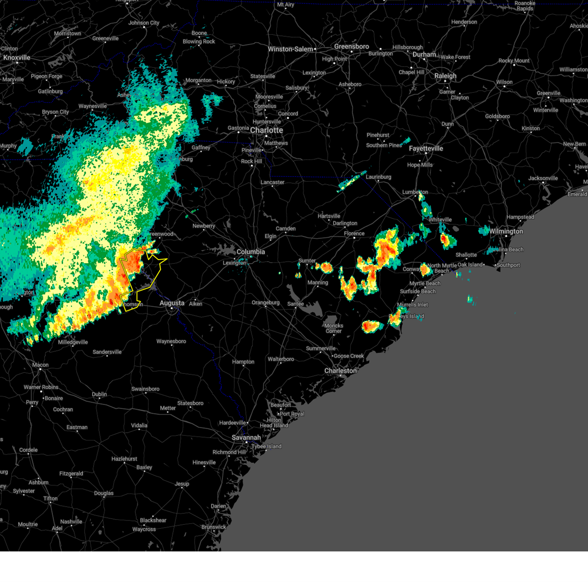 At 751 pm edt, severe thunderstorms were located along a line extending from 6 miles northwest of troy to near sharon to near eatonton, moving east at 35 mph (emergency management reported several trees down in the town of lincolnton at 7:45 pm). Hazards include 70 mph wind gusts and penny size hail. Expect considerable tree damage. damage is likely to mobile homes, roofs, and outbuildings. locations impacted include, thomson, mccormick, lincolnton, elijah clark state park, mccormick county airport, thomson-mcduffie county airport, wrightsboro, parksville, plum branch, bordeaux, sweetwater park, thomson fire department, knox scout reservation, double branches, fishing creek public hunting area, curry hill, chennault, new hope, long cane creek picnic area and hickory knob state resort park. this includes interstate 20 in georgia between mile markers 167 and 176. thunderstorm damage threat, considerable hail threat, radar indicated max hail size, 0. 75 in wind threat, radar indicated max wind gust, 70 mph. At 751 pm edt, severe thunderstorms were located along a line extending from 6 miles northwest of troy to near sharon to near eatonton, moving east at 35 mph (emergency management reported several trees down in the town of lincolnton at 7:45 pm). Hazards include 70 mph wind gusts and penny size hail. Expect considerable tree damage. damage is likely to mobile homes, roofs, and outbuildings. locations impacted include, thomson, mccormick, lincolnton, elijah clark state park, mccormick county airport, thomson-mcduffie county airport, wrightsboro, parksville, plum branch, bordeaux, sweetwater park, thomson fire department, knox scout reservation, double branches, fishing creek public hunting area, curry hill, chennault, new hope, long cane creek picnic area and hickory knob state resort park. this includes interstate 20 in georgia between mile markers 167 and 176. thunderstorm damage threat, considerable hail threat, radar indicated max hail size, 0. 75 in wind threat, radar indicated max wind gust, 70 mph.
|
| 7/20/2023 7:15 PM EDT |
 At 714 pm edt, severe thunderstorms were located along a line extending from russell state park to woodville to mansfield, moving east at 35 mph (radar indicated). Hazards include 70 mph wind gusts and penny size hail. Expect considerable tree damage. Damage is likely to mobile homes, roofs, and outbuildings. At 714 pm edt, severe thunderstorms were located along a line extending from russell state park to woodville to mansfield, moving east at 35 mph (radar indicated). Hazards include 70 mph wind gusts and penny size hail. Expect considerable tree damage. Damage is likely to mobile homes, roofs, and outbuildings.
|
| 7/20/2023 7:15 PM EDT |
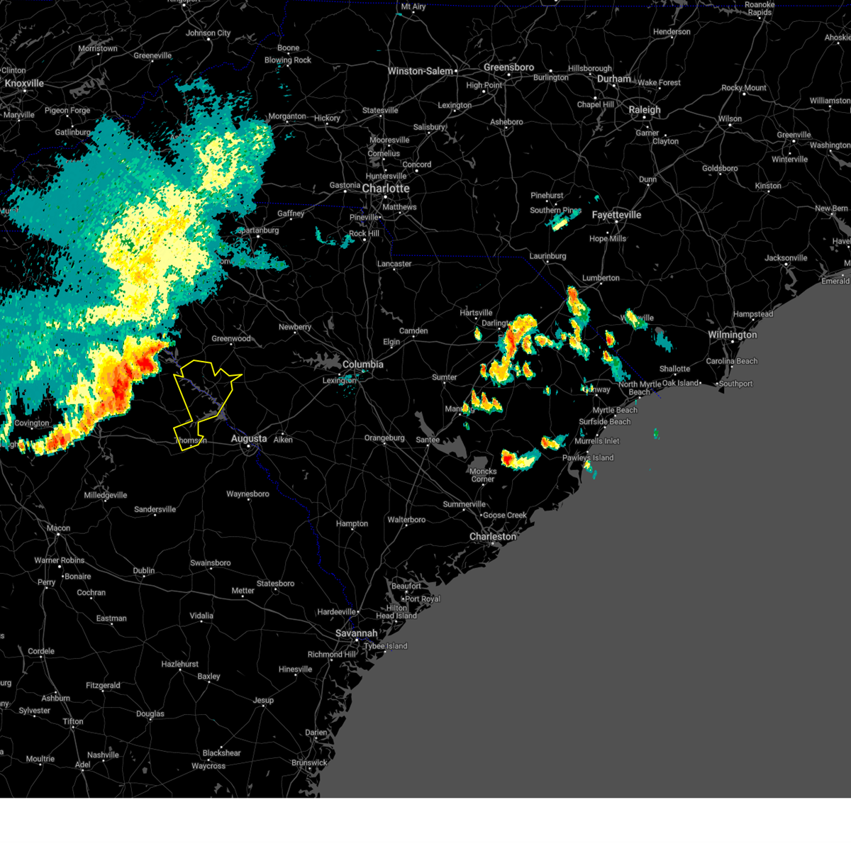 At 714 pm edt, severe thunderstorms were located along a line extending from russell state park to woodville to mansfield, moving east at 35 mph (radar indicated). Hazards include 70 mph wind gusts and penny size hail. Expect considerable tree damage. Damage is likely to mobile homes, roofs, and outbuildings. At 714 pm edt, severe thunderstorms were located along a line extending from russell state park to woodville to mansfield, moving east at 35 mph (radar indicated). Hazards include 70 mph wind gusts and penny size hail. Expect considerable tree damage. Damage is likely to mobile homes, roofs, and outbuildings.
|
| 1/12/2023 6:57 PM EST |
 The severe thunderstorm warning for southeastern laurens, southwestern chester, southern union and greenwood counties will expire at 700 pm est, the storms which prompted the warning have weakened below severe limits, and have exited the warned area. therefore, the warning will be allowed to expire. a tornado watch remains in effect until 1000 pm est for upstate south carolina. The severe thunderstorm warning for southeastern laurens, southwestern chester, southern union and greenwood counties will expire at 700 pm est, the storms which prompted the warning have weakened below severe limits, and have exited the warned area. therefore, the warning will be allowed to expire. a tornado watch remains in effect until 1000 pm est for upstate south carolina.
|
| 1/12/2023 6:32 PM EST |
 At 632 pm est, severe thunderstorms were located along a line extending from 9 miles east of laurens to 10 miles south of greenwood, moving east at 45 mph (radar indicated). Hazards include 60 mph wind gusts and nickel size hail. expect damage to trees and power lines At 632 pm est, severe thunderstorms were located along a line extending from 9 miles east of laurens to 10 miles south of greenwood, moving east at 45 mph (radar indicated). Hazards include 60 mph wind gusts and nickel size hail. expect damage to trees and power lines
|
| 1/12/2023 6:23 PM EST |
 At 623 pm est, severe thunderstorms were located along a line extending from 8 miles northwest of laurens to 5 miles south of abbeville, moving northeast at 75 mph (radar indicated). Hazards include 60 mph wind gusts and nickel size hail. Expect damage to trees and power lines. locations impacted include, greenwood, laurens, ninety six, cross hill, cokesbury, waterloo, troy, lake greenwood, ninety six historic site and promised land. hail threat, radar indicated max hail size, 0. 88 in wind threat, radar indicated max wind gust, 60 mph. At 623 pm est, severe thunderstorms were located along a line extending from 8 miles northwest of laurens to 5 miles south of abbeville, moving northeast at 75 mph (radar indicated). Hazards include 60 mph wind gusts and nickel size hail. Expect damage to trees and power lines. locations impacted include, greenwood, laurens, ninety six, cross hill, cokesbury, waterloo, troy, lake greenwood, ninety six historic site and promised land. hail threat, radar indicated max hail size, 0. 88 in wind threat, radar indicated max wind gust, 60 mph.
|
| 1/12/2023 6:03 PM EST |
 At 603 pm est, severe thunderstorms were located along a line extending from 12 miles north of abbeville to 10 miles northeast of washington, moving northeast at 75 mph (radar indicated). Hazards include 60 mph wind gusts and nickel size hail. expect damage to trees and power lines At 603 pm est, severe thunderstorms were located along a line extending from 12 miles north of abbeville to 10 miles northeast of washington, moving northeast at 75 mph (radar indicated). Hazards include 60 mph wind gusts and nickel size hail. expect damage to trees and power lines
|
| 1/12/2023 5:56 PM EST |
 At 556 pm est, severe thunderstorms were located along a line extending from near nancy hart state park to 7 miles southeast of sparta, moving east at 55 mph (radar indicated). Hazards include 60 mph wind gusts and penny size hail. expect damage to trees and powerlines At 556 pm est, severe thunderstorms were located along a line extending from near nancy hart state park to 7 miles southeast of sparta, moving east at 55 mph (radar indicated). Hazards include 60 mph wind gusts and penny size hail. expect damage to trees and powerlines
|
| 8/15/2022 6:49 PM EDT |
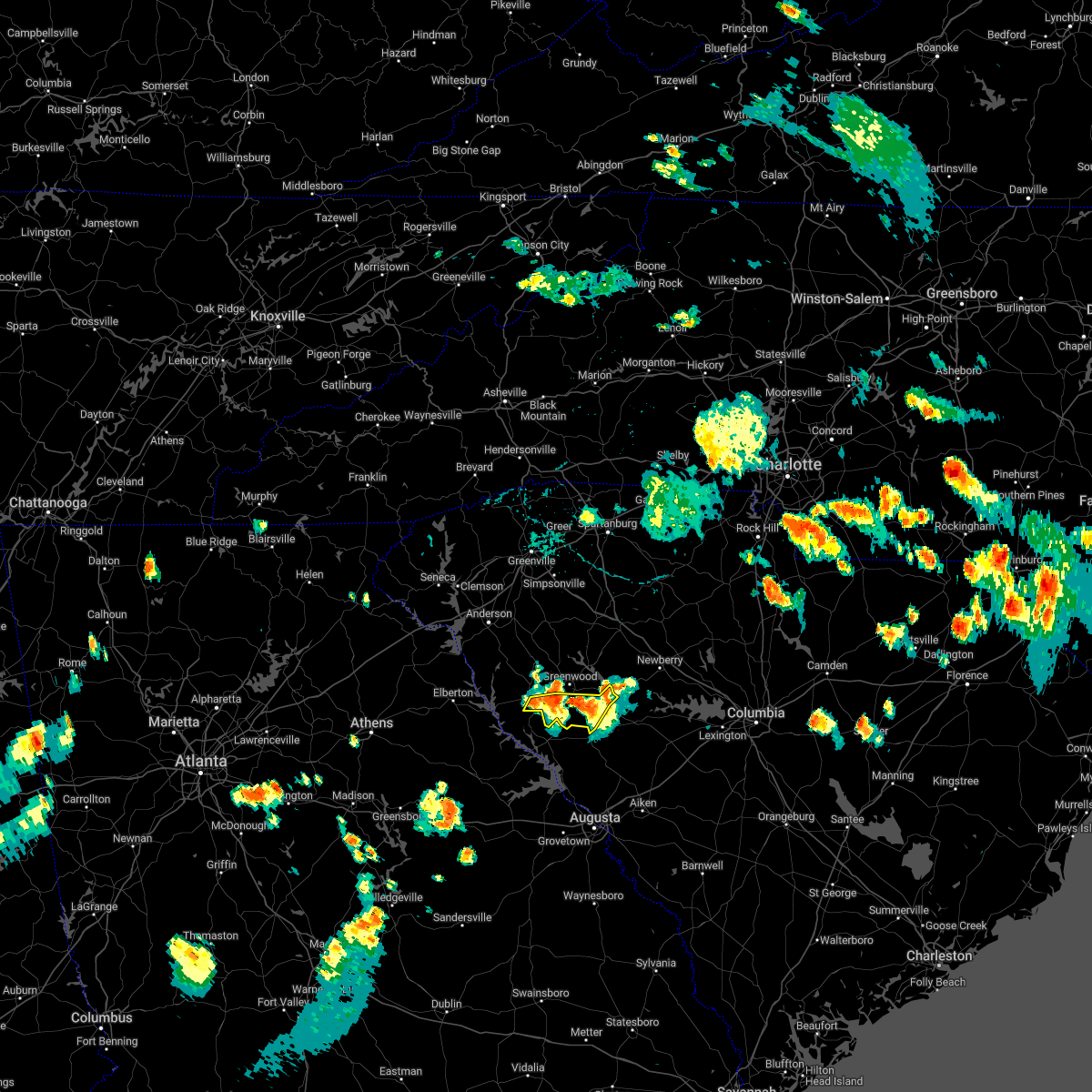 At 648 pm edt, severe thunderstorms were located along a line extending from 22 miles southwest of newberry to 12 miles southeast of greenwood to 7 miles southeast of abbeville, moving southeast at 35 mph (radar indicated). Hazards include 60 mph wind gusts and quarter size hail. Minor hail damage to vehicles is expected. expect wind damage to trees and power lines. locations impacted include, troy, promised land, bradley, kirksey, dyson, callison, epworth and ninety six historic site. hail threat, radar indicated max hail size, 1. 00 in wind threat, radar indicated max wind gust, 60 mph. At 648 pm edt, severe thunderstorms were located along a line extending from 22 miles southwest of newberry to 12 miles southeast of greenwood to 7 miles southeast of abbeville, moving southeast at 35 mph (radar indicated). Hazards include 60 mph wind gusts and quarter size hail. Minor hail damage to vehicles is expected. expect wind damage to trees and power lines. locations impacted include, troy, promised land, bradley, kirksey, dyson, callison, epworth and ninety six historic site. hail threat, radar indicated max hail size, 1. 00 in wind threat, radar indicated max wind gust, 60 mph.
|
| 8/15/2022 6:37 PM EDT |
 At 636 pm edt, severe thunderstorms were located along a line extending from 25 miles south of laurens to 7 miles southeast of greenwood to near abbeville, moving southeast at 35 mph.**! (radar indicated). Hazards include 60 mph wind gusts and quarter size hail. Minor hail damage to vehicles is expected. Expect wind damage to trees and power lines. At 636 pm edt, severe thunderstorms were located along a line extending from 25 miles south of laurens to 7 miles southeast of greenwood to near abbeville, moving southeast at 35 mph.**! (radar indicated). Hazards include 60 mph wind gusts and quarter size hail. Minor hail damage to vehicles is expected. Expect wind damage to trees and power lines.
|
| 7/7/2022 5:44 PM EDT |
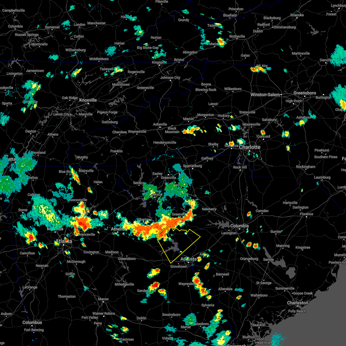 At 543 pm edt, severe thunderstorms were located along a line extending from 7 miles northeast of troy to lincolnton, moving southeast at 20 mph (radar indicated). Hazards include 60 mph wind gusts. expect damage to trees and powerlines At 543 pm edt, severe thunderstorms were located along a line extending from 7 miles northeast of troy to lincolnton, moving southeast at 20 mph (radar indicated). Hazards include 60 mph wind gusts. expect damage to trees and powerlines
|
| 5/26/2022 5:22 PM EDT |
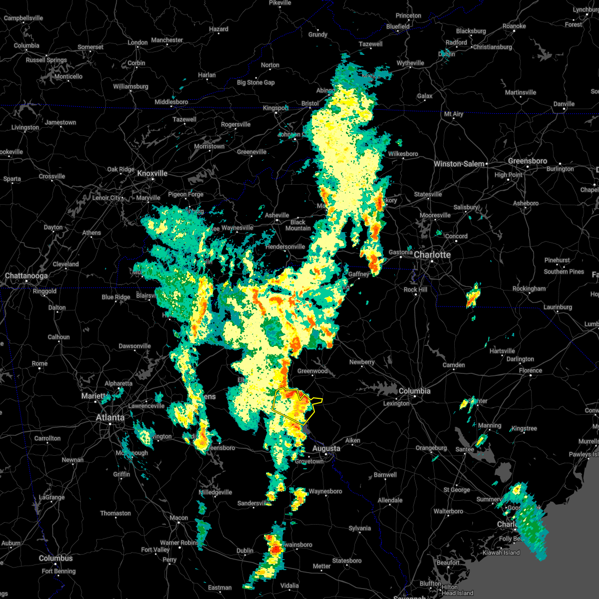 The severe thunderstorm warning for central lincoln, northwestern edgefield and mccormick counties will expire at 530 pm edt, the storms which prompted the warning are moving out of the area. therefore, the warning will be allowed to expire. however gusty winds and heavy rain are still possible with these thunderstorms. The severe thunderstorm warning for central lincoln, northwestern edgefield and mccormick counties will expire at 530 pm edt, the storms which prompted the warning are moving out of the area. therefore, the warning will be allowed to expire. however gusty winds and heavy rain are still possible with these thunderstorms.
|
| 5/26/2022 5:11 PM EDT |
 At 510 pm edt, severe thunderstorms were located along a line extending from near elijah clark state park to near hamilton branch state park, moving east at 40 mph (radar indicated). Hazards include 60 mph wind gusts. Expect damage to trees and powerlines. locations impacted include, mccormick, mccormick county airport, elijah clark state park, parksville, plum branch, hickory knob state resort park, bordeaux, hester`s ferry campground, mount carmel, baker creek state park, leroy`s ferry recreation area, knox scout reservation, willington, mount carmel park, whitetown, hawe creek campground and long cane creek picnic area. hail threat, radar indicated max hail size, <. 75 in wind threat, radar indicated max wind gust, 60 mph. At 510 pm edt, severe thunderstorms were located along a line extending from near elijah clark state park to near hamilton branch state park, moving east at 40 mph (radar indicated). Hazards include 60 mph wind gusts. Expect damage to trees and powerlines. locations impacted include, mccormick, mccormick county airport, elijah clark state park, parksville, plum branch, hickory knob state resort park, bordeaux, hester`s ferry campground, mount carmel, baker creek state park, leroy`s ferry recreation area, knox scout reservation, willington, mount carmel park, whitetown, hawe creek campground and long cane creek picnic area. hail threat, radar indicated max hail size, <. 75 in wind threat, radar indicated max wind gust, 60 mph.
|
| 5/26/2022 5:11 PM EDT |
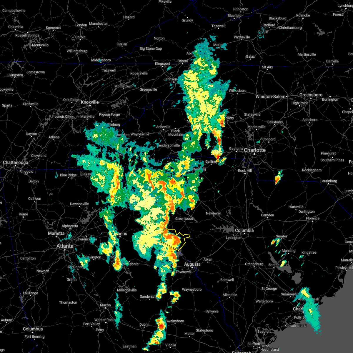 At 510 pm edt, severe thunderstorms were located along a line extending from near elijah clark state park to near hamilton branch state park, moving east at 40 mph (radar indicated). Hazards include 60 mph wind gusts. Expect damage to trees and powerlines. locations impacted include, mccormick, mccormick county airport, elijah clark state park, parksville, plum branch, hickory knob state resort park, bordeaux, hester`s ferry campground, mount carmel, baker creek state park, leroy`s ferry recreation area, knox scout reservation, willington, mount carmel park, whitetown, hawe creek campground and long cane creek picnic area. hail threat, radar indicated max hail size, <. 75 in wind threat, radar indicated max wind gust, 60 mph. At 510 pm edt, severe thunderstorms were located along a line extending from near elijah clark state park to near hamilton branch state park, moving east at 40 mph (radar indicated). Hazards include 60 mph wind gusts. Expect damage to trees and powerlines. locations impacted include, mccormick, mccormick county airport, elijah clark state park, parksville, plum branch, hickory knob state resort park, bordeaux, hester`s ferry campground, mount carmel, baker creek state park, leroy`s ferry recreation area, knox scout reservation, willington, mount carmel park, whitetown, hawe creek campground and long cane creek picnic area. hail threat, radar indicated max hail size, <. 75 in wind threat, radar indicated max wind gust, 60 mph.
|
| 5/26/2022 4:48 PM EDT |
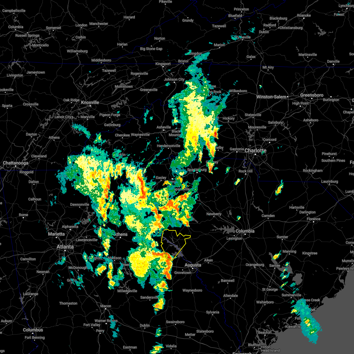 At 448 pm edt, severe thunderstorms were located along a line extending from near lincolnton to near mistletoe state park, moving northeast at 40 mph (radar indicated). Hazards include 60 mph wind gusts. expect damage to trees and powerlines At 448 pm edt, severe thunderstorms were located along a line extending from near lincolnton to near mistletoe state park, moving northeast at 40 mph (radar indicated). Hazards include 60 mph wind gusts. expect damage to trees and powerlines
|
| 4/6/2022 6:22 PM EDT |
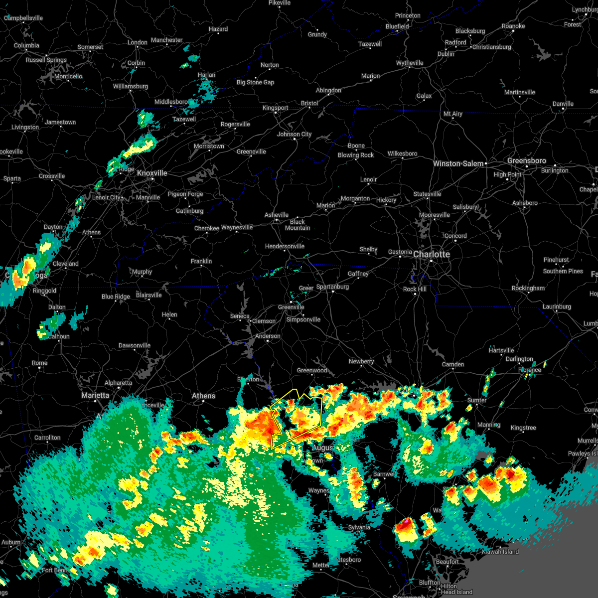 At 621 pm edt, severe thunderstorms were located along a line extending from 8 miles east of tignall to 7 miles southwest of lincolnton to wrightsboro, moving northeast at 35 mph (radar indicated). Hazards include 60 mph wind gusts. expect damage to trees and powerlines At 621 pm edt, severe thunderstorms were located along a line extending from 8 miles east of tignall to 7 miles southwest of lincolnton to wrightsboro, moving northeast at 35 mph (radar indicated). Hazards include 60 mph wind gusts. expect damage to trees and powerlines
|
| 4/5/2022 5:15 PM EDT |
 At 514 pm edt, severe thunderstorms were located along a line extending from 10 miles southwest of ninety six historic site to near appling, moving northeast at 50 mph (radar indicated). Hazards include 60 mph wind gusts. expect damage to trees and powerlines At 514 pm edt, severe thunderstorms were located along a line extending from 10 miles southwest of ninety six historic site to near appling, moving northeast at 50 mph (radar indicated). Hazards include 60 mph wind gusts. expect damage to trees and powerlines
|
| 4/5/2022 4:32 PM EDT | 911 center reports a tree blown down on powerlines near hwy 25 south and lamb roa in greenwood county SC, 14.2 miles W of Troy, SC |
| 8/31/2021 3:01 PM EDT |
 At 300 pm edt, severe thunderstorms were located along a line extending from 17 miles south of abbeville to 23 miles south of greenwood, moving northeast at 45 mph (radar indicated). Hazards include 60 mph wind gusts. expect damage to trees and power lines At 300 pm edt, severe thunderstorms were located along a line extending from 17 miles south of abbeville to 23 miles south of greenwood, moving northeast at 45 mph (radar indicated). Hazards include 60 mph wind gusts. expect damage to trees and power lines
|
| 8/17/2021 5:11 PM EDT |
 At 511 pm edt, a severe thunderstorm capable of producing a tornado was located 11 miles southeast of abbeville, or near troy, moving north at 30 mph (radar indicated rotation). Hazards include tornado. Flying debris will be dangerous to those caught without shelter. mobile homes will be damaged or destroyed. damage to roofs, windows, and vehicles will occur. tree damage is likely. this dangerous storm will be near, greenwood and hodges around 540 pm edt. cokesbury around 550 pm edt. waterloo and ware shoals around 600 pm edt. Other locations impacted by this dangerous thunderstorm include coronaca, bradley, hickory tavern and promised land. At 511 pm edt, a severe thunderstorm capable of producing a tornado was located 11 miles southeast of abbeville, or near troy, moving north at 30 mph (radar indicated rotation). Hazards include tornado. Flying debris will be dangerous to those caught without shelter. mobile homes will be damaged or destroyed. damage to roofs, windows, and vehicles will occur. tree damage is likely. this dangerous storm will be near, greenwood and hodges around 540 pm edt. cokesbury around 550 pm edt. waterloo and ware shoals around 600 pm edt. Other locations impacted by this dangerous thunderstorm include coronaca, bradley, hickory tavern and promised land.
|
| 8/14/2021 2:50 PM EDT |
 At 249 pm edt, a severe thunderstorm was located 9 miles south of greenwood, or 8 miles northeast of troy, moving west at 10 mph (radar indicated). Hazards include 60 mph wind gusts and quarter size hail. Minor hail damage to vehicles is expected. expect wind damage to trees and power lines. locations impacted include, troy, promised land, bradley, kirksey, callison, epworth, ninety six and greenwood. hail threat, radar indicated max hail size, 1. 00 in wind threat, radar indicated max wind gust, 60 mph. At 249 pm edt, a severe thunderstorm was located 9 miles south of greenwood, or 8 miles northeast of troy, moving west at 10 mph (radar indicated). Hazards include 60 mph wind gusts and quarter size hail. Minor hail damage to vehicles is expected. expect wind damage to trees and power lines. locations impacted include, troy, promised land, bradley, kirksey, callison, epworth, ninety six and greenwood. hail threat, radar indicated max hail size, 1. 00 in wind threat, radar indicated max wind gust, 60 mph.
|
| 8/14/2021 2:28 PM EDT |
 At 228 pm edt, a severe thunderstorm was located 10 miles south of greenwood, or 8 miles northeast of troy, moving west at 10 mph (radar indicated). Hazards include 60 mph wind gusts and quarter size hail. Minor hail damage to vehicles is expected. Expect wind damage to trees and power lines. At 228 pm edt, a severe thunderstorm was located 10 miles south of greenwood, or 8 miles northeast of troy, moving west at 10 mph (radar indicated). Hazards include 60 mph wind gusts and quarter size hail. Minor hail damage to vehicles is expected. Expect wind damage to trees and power lines.
|
| 5/3/2021 3:51 PM EDT |
 At 351 pm edt, a severe thunderstorm was located near tignall, or 11 miles north of washington, moving east at 40 mph (radar indicated). Hazards include 60 mph wind gusts and quarter size hail. Hail damage to vehicles is expected. Expect wind damage to roofs, siding, and trees. At 351 pm edt, a severe thunderstorm was located near tignall, or 11 miles north of washington, moving east at 40 mph (radar indicated). Hazards include 60 mph wind gusts and quarter size hail. Hail damage to vehicles is expected. Expect wind damage to roofs, siding, and trees.
|
| 5/3/2021 3:51 PM EDT |
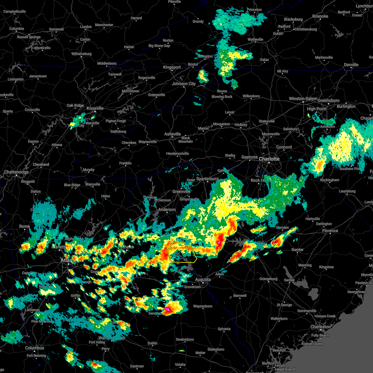 At 351 pm edt, a severe thunderstorm was located near tignall, or 11 miles north of washington, moving east at 40 mph (radar indicated). Hazards include 60 mph wind gusts and quarter size hail. Hail damage to vehicles is expected. Expect wind damage to roofs, siding, and trees. At 351 pm edt, a severe thunderstorm was located near tignall, or 11 miles north of washington, moving east at 40 mph (radar indicated). Hazards include 60 mph wind gusts and quarter size hail. Hail damage to vehicles is expected. Expect wind damage to roofs, siding, and trees.
|
| 3/26/2021 3:20 PM EDT |
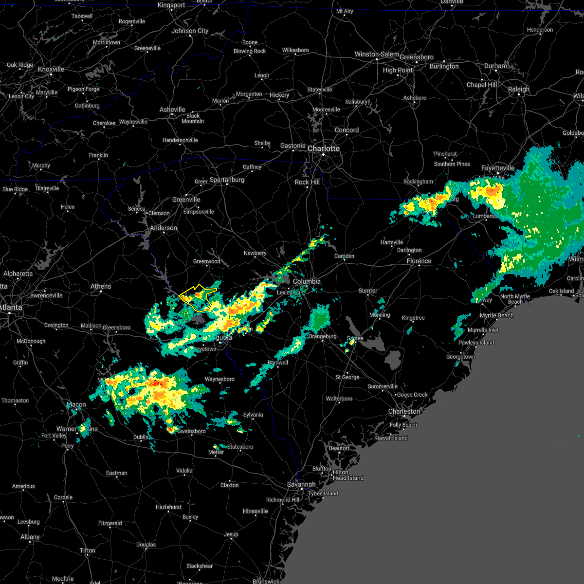 The severe thunderstorm warning for central mccormick county will expire at 330 pm edt, the storm which prompted the warning has weakened below severe limits, and no longer poses an immediate threat to life or property. therefore, the warning will be allowed to expire. The severe thunderstorm warning for central mccormick county will expire at 330 pm edt, the storm which prompted the warning has weakened below severe limits, and no longer poses an immediate threat to life or property. therefore, the warning will be allowed to expire.
|
| 3/26/2021 3:08 PM EDT |
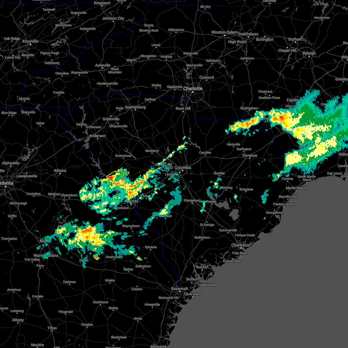 At 308 pm edt, a severe thunderstorm was located over mccormick, or 18 miles south of abbeville, moving northeast at 55 mph (radar indicated). Hazards include quarter size hail. Damage to vehicles is expected. Locations impacted include, mccormick, mccormick county airport, elijah clark state park, parksville, plum branch, hickory knob state resort park, bordeaux, baker creek state park, whitetown, hawe creek campground and long cane creek picnic area. At 308 pm edt, a severe thunderstorm was located over mccormick, or 18 miles south of abbeville, moving northeast at 55 mph (radar indicated). Hazards include quarter size hail. Damage to vehicles is expected. Locations impacted include, mccormick, mccormick county airport, elijah clark state park, parksville, plum branch, hickory knob state resort park, bordeaux, baker creek state park, whitetown, hawe creek campground and long cane creek picnic area.
|
| 3/26/2021 2:46 PM EDT |
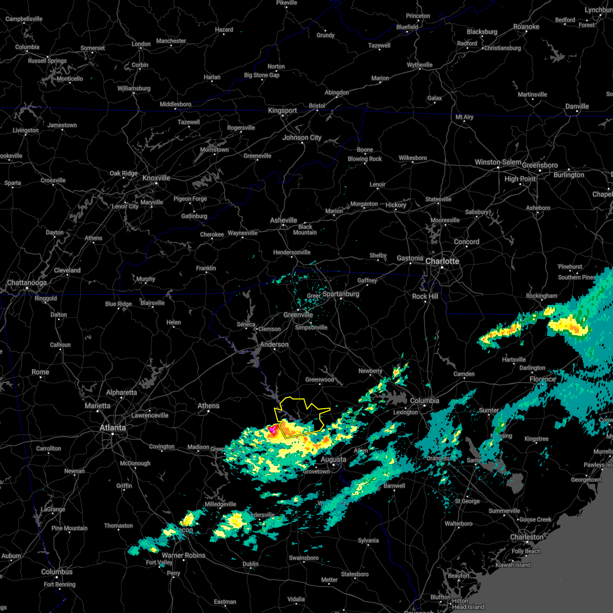 At 245 pm edt, a severe thunderstorm was located near washington, moving northeast at 65 mph (radar indicated). Hazards include 60 mph wind gusts and quarter size hail. Hail damage to vehicles is expected. Expect wind damage to roofs, siding, and trees. At 245 pm edt, a severe thunderstorm was located near washington, moving northeast at 65 mph (radar indicated). Hazards include 60 mph wind gusts and quarter size hail. Hail damage to vehicles is expected. Expect wind damage to roofs, siding, and trees.
|
| 3/26/2021 8:23 AM EDT |
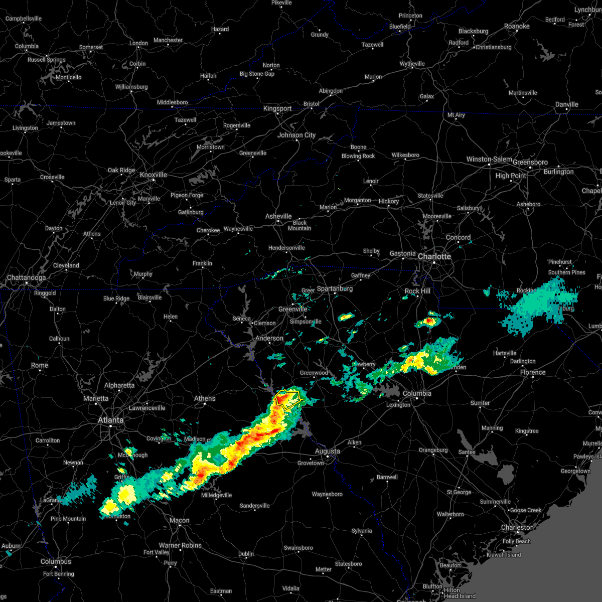 At 823 am edt, a severe thunderstorm was located over bobby brown state park, or 16 miles southwest of abbeville, moving northeast at 55 mph (radar indicated). Hazards include 60 mph wind gusts and quarter size hail. Hail damage to vehicles is expected. Expect wind damage to roofs, siding, and trees. At 823 am edt, a severe thunderstorm was located over bobby brown state park, or 16 miles southwest of abbeville, moving northeast at 55 mph (radar indicated). Hazards include 60 mph wind gusts and quarter size hail. Hail damage to vehicles is expected. Expect wind damage to roofs, siding, and trees.
|
| 6/29/2020 8:19 PM EDT |
 At 818 pm edt, severe thunderstorms were located along a line extending from 14 miles southeast of laurens to 11 miles northwest of greenwood, moving southeast at 25 mph (radar indicated). Hazards include 60 mph wind gusts and penny size hail. expect damage to trees and power lines At 818 pm edt, severe thunderstorms were located along a line extending from 14 miles southeast of laurens to 11 miles northwest of greenwood, moving southeast at 25 mph (radar indicated). Hazards include 60 mph wind gusts and penny size hail. expect damage to trees and power lines
|
| 5/22/2020 4:19 PM EDT |
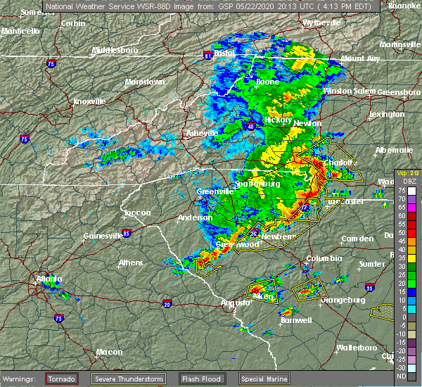 At 333 pm edt, severe thunderstorms were located along a line extending from 6 miles west of abbeville to near nancy hart state park, moving east at 40 mph (radar indicated). Hazards include 60 mph wind gusts and quarter size hail. Hail damage to vehicles is expected. Expect wind damage to roofs, siding, and trees. At 333 pm edt, severe thunderstorms were located along a line extending from 6 miles west of abbeville to near nancy hart state park, moving east at 40 mph (radar indicated). Hazards include 60 mph wind gusts and quarter size hail. Hail damage to vehicles is expected. Expect wind damage to roofs, siding, and trees.
|
| 5/22/2020 3:35 PM EDT |
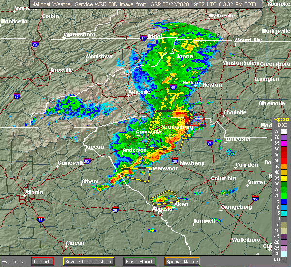 At 333 pm edt, severe thunderstorms were located along a line extending from 6 miles west of abbeville to near nancy hart state park, moving east at 40 mph (radar indicated). Hazards include 60 mph wind gusts and quarter size hail. Hail damage to vehicles is expected. Expect wind damage to roofs, siding, and trees. At 333 pm edt, severe thunderstorms were located along a line extending from 6 miles west of abbeville to near nancy hart state park, moving east at 40 mph (radar indicated). Hazards include 60 mph wind gusts and quarter size hail. Hail damage to vehicles is expected. Expect wind damage to roofs, siding, and trees.
|
| 4/13/2020 5:21 AM EDT |
 The severe thunderstorm warning for southeastern laurens and greenwood counties will expire at 530 am edt, the storm which prompted the warning has moved out of the area. therefore the warning will be allowed to expire. a tornado watch remains in effect until 800 am edt for upstate south carolina. if you observed large hail or wind damage, please report it to the national weather service greenville-spartanburg by calling toll free, 1, 800, 2 6 7, 8 1 0 1, or by posting on our facebook page, or tweet it using hashtag nwsgsp. your message should describe the event and the specific location where it occurred. The severe thunderstorm warning for southeastern laurens and greenwood counties will expire at 530 am edt, the storm which prompted the warning has moved out of the area. therefore the warning will be allowed to expire. a tornado watch remains in effect until 800 am edt for upstate south carolina. if you observed large hail or wind damage, please report it to the national weather service greenville-spartanburg by calling toll free, 1, 800, 2 6 7, 8 1 0 1, or by posting on our facebook page, or tweet it using hashtag nwsgsp. your message should describe the event and the specific location where it occurred.
|
| 4/13/2020 5:10 AM EDT |
 The severe thunderstorm warning for northeastern columbia, lincoln, southwestern newberry, edgefield, saluda and mccormick counties will expire at 515 am edt, the storms which prompted the warning have moved out of the warned area. therefore, the warning will be allowed to expire. a tornado watch remains in effect until 1100 am edt for east central georgia, and central south carolina. The severe thunderstorm warning for northeastern columbia, lincoln, southwestern newberry, edgefield, saluda and mccormick counties will expire at 515 am edt, the storms which prompted the warning have moved out of the warned area. therefore, the warning will be allowed to expire. a tornado watch remains in effect until 1100 am edt for east central georgia, and central south carolina.
|
| 4/13/2020 4:43 AM EDT |
 At 443 am edt, a severe thunderstorm was located 9 miles south of greenwood, or 7 miles northeast of troy, moving northeast at 65 mph (radar indicated). Hazards include 60 mph wind gusts. expect damage to trees and power lines At 443 am edt, a severe thunderstorm was located 9 miles south of greenwood, or 7 miles northeast of troy, moving northeast at 65 mph (radar indicated). Hazards include 60 mph wind gusts. expect damage to trees and power lines
|
| 4/13/2020 4:29 AM EDT |
 At 429 am edt, severe thunderstorms were located along a line extending from 6 miles west of troy to near thomson, moving northeast at 75 mph (radar indicated). Hazards include 70 mph wind gusts and penny size hail. Expect considerable tree damage. Damage is likely to mobile homes, roofs, and outbuildings. At 429 am edt, severe thunderstorms were located along a line extending from 6 miles west of troy to near thomson, moving northeast at 75 mph (radar indicated). Hazards include 70 mph wind gusts and penny size hail. Expect considerable tree damage. Damage is likely to mobile homes, roofs, and outbuildings.
|
| 3/24/2020 12:51 PM EDT |
 At 1251 pm edt, a severe thunderstorm was located over mccormick, or 19 miles south of abbeville, moving east at 50 mph (radar indicated). Hazards include quarter size hail. damage to vehicles is expected At 1251 pm edt, a severe thunderstorm was located over mccormick, or 19 miles south of abbeville, moving east at 50 mph (radar indicated). Hazards include quarter size hail. damage to vehicles is expected
|
| 2/13/2020 9:45 AM EST |
 At 944 am est, severe thunderstorms were located along a line extending from near troy to near lincolnton, moving east at 45 mph (radar indicated). Hazards include 60 mph wind gusts. Expect damage to roofs, siding, and trees. Locations impacted include, mccormick, lincolnton, mccormick county airport, elijah clark state park, parksville, plum branch, hickory knob state resort park, bordeaux, baker creek state park, curry hill, whitetown, hawe creek campground, long cane creek picnic area and willington. At 944 am est, severe thunderstorms were located along a line extending from near troy to near lincolnton, moving east at 45 mph (radar indicated). Hazards include 60 mph wind gusts. Expect damage to roofs, siding, and trees. Locations impacted include, mccormick, lincolnton, mccormick county airport, elijah clark state park, parksville, plum branch, hickory knob state resort park, bordeaux, baker creek state park, curry hill, whitetown, hawe creek campground, long cane creek picnic area and willington.
|
| 2/13/2020 9:29 AM EST |
 At 928 am est, severe thunderstorms were located along a line extending from near bobby brown state park to washington, moving east at 45 mph (radar indicated). Hazards include 60 mph wind gusts. expect damage to roofs, siding, and trees At 928 am est, severe thunderstorms were located along a line extending from near bobby brown state park to washington, moving east at 45 mph (radar indicated). Hazards include 60 mph wind gusts. expect damage to roofs, siding, and trees
|
| 2/6/2020 2:12 PM EST |
 At 212 pm est, severe thunderstorms were located along a line extending from near lake greenwood to near mccormick county airport, moving northeast at 60 mph (radar indicated). Hazards include 60 mph wind gusts. Expect damage to roofs, siding, and trees. Locations impacted include, mccormick, lincolnton, mccormick county airport, elijah clark state park, plum branch, hickory knob state resort park, loce, bordeaux, baker creek state park, whitetown, hawe creek campground and long cane creek picnic area. At 212 pm est, severe thunderstorms were located along a line extending from near lake greenwood to near mccormick county airport, moving northeast at 60 mph (radar indicated). Hazards include 60 mph wind gusts. Expect damage to roofs, siding, and trees. Locations impacted include, mccormick, lincolnton, mccormick county airport, elijah clark state park, plum branch, hickory knob state resort park, loce, bordeaux, baker creek state park, whitetown, hawe creek campground and long cane creek picnic area.
|
| 2/6/2020 2:12 PM EST |
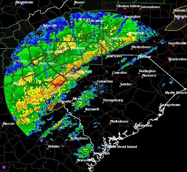 At 212 pm est, severe thunderstorms were located along a line extending from near lake greenwood to near mccormick county airport, moving northeast at 60 mph (radar indicated). Hazards include 60 mph wind gusts. Expect damage to roofs, siding, and trees. Locations impacted include, mccormick, lincolnton, mccormick county airport, elijah clark state park, plum branch, hickory knob state resort park, loce, bordeaux, baker creek state park, whitetown, hawe creek campground and long cane creek picnic area. At 212 pm est, severe thunderstorms were located along a line extending from near lake greenwood to near mccormick county airport, moving northeast at 60 mph (radar indicated). Hazards include 60 mph wind gusts. Expect damage to roofs, siding, and trees. Locations impacted include, mccormick, lincolnton, mccormick county airport, elijah clark state park, plum branch, hickory knob state resort park, loce, bordeaux, baker creek state park, whitetown, hawe creek campground and long cane creek picnic area.
|
| 2/6/2020 1:51 PM EST |
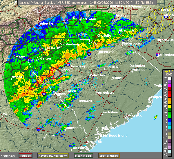 At 150 pm est, severe thunderstorms were located along a line extending from 6 miles north of troy to 8 miles east of washington, moving northeast at 60 mph (radar indicated). Hazards include 60 mph wind gusts. expect damage to roofs, siding, and trees At 150 pm est, severe thunderstorms were located along a line extending from 6 miles north of troy to 8 miles east of washington, moving northeast at 60 mph (radar indicated). Hazards include 60 mph wind gusts. expect damage to roofs, siding, and trees
|
| 2/6/2020 1:36 PM EST |
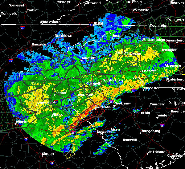 At 127 pm est, a severe thunderstorm capable of producing a tornado was located near bobby brown state park, or 15 miles southwest of abbeville, moving northeast at 40 mph (radar indicated rotation). Hazards include tornado. Flying debris will be dangerous to those caught without shelter. mobile homes will be damaged or destroyed. damage to roofs, windows, and vehicles will occur. tree damage is likely. Locations impacted include, mccormick, hickory knob state resort park, gill`s point, bordeaux, hester`s ferry campground, broad river campground, mount carmel, baker creek state park, leroy`s ferry recreation area, willington, curry hill, mount carmel park, chennault and long cane creek picnic area. At 127 pm est, a severe thunderstorm capable of producing a tornado was located near bobby brown state park, or 15 miles southwest of abbeville, moving northeast at 40 mph (radar indicated rotation). Hazards include tornado. Flying debris will be dangerous to those caught without shelter. mobile homes will be damaged or destroyed. damage to roofs, windows, and vehicles will occur. tree damage is likely. Locations impacted include, mccormick, hickory knob state resort park, gill`s point, bordeaux, hester`s ferry campground, broad river campground, mount carmel, baker creek state park, leroy`s ferry recreation area, willington, curry hill, mount carmel park, chennault and long cane creek picnic area.
|
| 2/6/2020 1:36 PM EST |
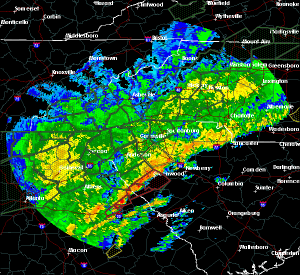 At 135 pm est, a severe thunderstorm capable of producing a tornado was located near troy, or 10 miles south of abbeville, moving northeast at 45 mph (radar indicated rotation). Hazards include tornado. Flying debris will be dangerous to those caught without shelter. mobile homes will be damaged or destroyed. damage to roofs, windows, and vehicles will occur. tree damage is likely. Locations impacted include, mccormick, hickory knob state resort park, gill`s point, bordeaux, hester`s ferry campground, broad river campground, mount carmel, baker creek state park, leroy`s ferry recreation area, willington, curry hill, mount carmel park, chennault and long cane creek picnic area. At 135 pm est, a severe thunderstorm capable of producing a tornado was located near troy, or 10 miles south of abbeville, moving northeast at 45 mph (radar indicated rotation). Hazards include tornado. Flying debris will be dangerous to those caught without shelter. mobile homes will be damaged or destroyed. damage to roofs, windows, and vehicles will occur. tree damage is likely. Locations impacted include, mccormick, hickory knob state resort park, gill`s point, bordeaux, hester`s ferry campground, broad river campground, mount carmel, baker creek state park, leroy`s ferry recreation area, willington, curry hill, mount carmel park, chennault and long cane creek picnic area.
|
| 2/6/2020 1:27 PM EST |
 At 127 pm est, a severe thunderstorm capable of producing a tornado was located near bobby brown state park, or 15 miles southwest of abbeville, moving northeast at 40 mph (radar indicated rotation). Hazards include tornado. Flying debris will be dangerous to those caught without shelter. mobile homes will be damaged or destroyed. damage to roofs, windows, and vehicles will occur. tree damage is likely. Locations impacted include, mccormick, hickory knob state resort park, gill`s point, bordeaux, hester`s ferry campground, broad river campground, mount carmel, baker creek state park, leroy`s ferry recreation area, willington, curry hill, mount carmel park, chennault and long cane creek picnic area. At 127 pm est, a severe thunderstorm capable of producing a tornado was located near bobby brown state park, or 15 miles southwest of abbeville, moving northeast at 40 mph (radar indicated rotation). Hazards include tornado. Flying debris will be dangerous to those caught without shelter. mobile homes will be damaged or destroyed. damage to roofs, windows, and vehicles will occur. tree damage is likely. Locations impacted include, mccormick, hickory knob state resort park, gill`s point, bordeaux, hester`s ferry campground, broad river campground, mount carmel, baker creek state park, leroy`s ferry recreation area, willington, curry hill, mount carmel park, chennault and long cane creek picnic area.
|
| 2/6/2020 1:27 PM EST |
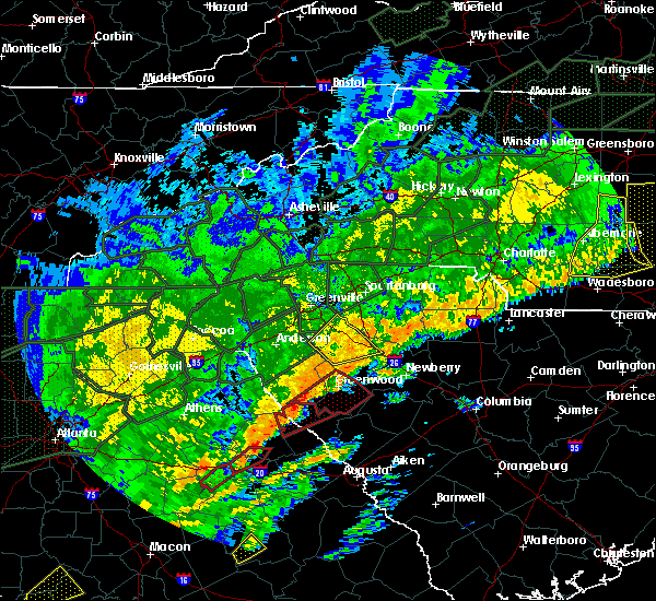 At 127 pm est, a severe thunderstorm capable of producing a tornado was located near bobby brown state park, or 15 miles southwest of abbeville, moving northeast at 40 mph (radar indicated rotation). Hazards include tornado. Flying debris will be dangerous to those caught without shelter. mobile homes will be damaged or destroyed. damage to roofs, windows, and vehicles will occur. tree damage is likely. Locations impacted include, mccormick, hickory knob state resort park, gill`s point, bordeaux, hester`s ferry campground, broad river campground, mount carmel, baker creek state park, leroy`s ferry recreation area, willington, curry hill, mount carmel park, chennault and long cane creek picnic area. At 127 pm est, a severe thunderstorm capable of producing a tornado was located near bobby brown state park, or 15 miles southwest of abbeville, moving northeast at 40 mph (radar indicated rotation). Hazards include tornado. Flying debris will be dangerous to those caught without shelter. mobile homes will be damaged or destroyed. damage to roofs, windows, and vehicles will occur. tree damage is likely. Locations impacted include, mccormick, hickory knob state resort park, gill`s point, bordeaux, hester`s ferry campground, broad river campground, mount carmel, baker creek state park, leroy`s ferry recreation area, willington, curry hill, mount carmel park, chennault and long cane creek picnic area.
|
| 2/6/2020 1:24 PM EST |
 At 123 pm est, a severe thunderstorm capable of producing a tornado was located 16 miles southwest of abbeville, or 4 miles east of bobby brown state park, moving northeast at 60 mph (radar indicated rotation). Hazards include tornado. Flying debris will be dangerous to those caught without shelter. mobile homes will be damaged or destroyed. damage to roofs, windows, and vehicles will occur. tree damage is likely. this dangerous storm will be near, greenwood and cokesbury around 150 pm est. greenwood state park, ninety six, lake greenwood state park and lake greenwood around 200 pm est. Other locations impacted by this dangerous thunderstorm include coronaca, bradley, promised land, kirksey and dyson. At 123 pm est, a severe thunderstorm capable of producing a tornado was located 16 miles southwest of abbeville, or 4 miles east of bobby brown state park, moving northeast at 60 mph (radar indicated rotation). Hazards include tornado. Flying debris will be dangerous to those caught without shelter. mobile homes will be damaged or destroyed. damage to roofs, windows, and vehicles will occur. tree damage is likely. this dangerous storm will be near, greenwood and cokesbury around 150 pm est. greenwood state park, ninety six, lake greenwood state park and lake greenwood around 200 pm est. Other locations impacted by this dangerous thunderstorm include coronaca, bradley, promised land, kirksey and dyson.
|
| 2/6/2020 1:18 PM EST |
 At 118 pm est, a severe thunderstorm capable of producing a tornado was located near bobby brown state park, or 15 miles northeast of washington, moving northeast at 40 mph (radar indicated rotation). Hazards include tornado. Flying debris will be dangerous to those caught without shelter. mobile homes will be damaged or destroyed. damage to roofs, windows, and vehicles will occur. tree damage is likely. This tornadic thunderstorm will remain over mainly rural areas of northwestern lincoln and northern mccormick counties, including the following locations, hickory knob state resort park, gill`s point, bordeaux, hester`s ferry campground, broad river campground, mount carmel, baker creek state park, leroy`s ferry recreation area, willington and curry hill. At 118 pm est, a severe thunderstorm capable of producing a tornado was located near bobby brown state park, or 15 miles northeast of washington, moving northeast at 40 mph (radar indicated rotation). Hazards include tornado. Flying debris will be dangerous to those caught without shelter. mobile homes will be damaged or destroyed. damage to roofs, windows, and vehicles will occur. tree damage is likely. This tornadic thunderstorm will remain over mainly rural areas of northwestern lincoln and northern mccormick counties, including the following locations, hickory knob state resort park, gill`s point, bordeaux, hester`s ferry campground, broad river campground, mount carmel, baker creek state park, leroy`s ferry recreation area, willington and curry hill.
|
| 2/6/2020 1:16 PM EST |
 At 116 pm est, a severe thunderstorm was located near bobby brown state park, or 14 miles northeast of washington, moving northeast at 40 mph (radar indicated). Hazards include 70 mph wind gusts. Expect considerable tree damage. Damage is likely to mobile homes, roofs, and outbuildings. At 116 pm est, a severe thunderstorm was located near bobby brown state park, or 14 miles northeast of washington, moving northeast at 40 mph (radar indicated). Hazards include 70 mph wind gusts. Expect considerable tree damage. Damage is likely to mobile homes, roofs, and outbuildings.
|
| 1/11/2020 8:21 PM EST |
 At 821 pm est, a severe thunderstorm was located 11 miles southwest of abbeville, or near calhoun falls, moving northeast at 50 mph (radar indicated). Hazards include 60 mph wind gusts. expect damage to trees and power lines At 821 pm est, a severe thunderstorm was located 11 miles southwest of abbeville, or near calhoun falls, moving northeast at 50 mph (radar indicated). Hazards include 60 mph wind gusts. expect damage to trees and power lines
|
| 10/31/2019 4:53 PM EDT |
 At 452 pm edt, a severe thunderstorm was located 7 miles south of greenwood, or 6 miles southwest of ninety six historic site, moving northeast at 55 mph (radar indicated). Hazards include 60 mph wind gusts. Expect damage to trees and power lines. locations impacted include, greenwood, clinton, ninety six, joanna, cross hill, troy, lake greenwood state park, lake greenwood, greenwood state park and ninety six historic site. A tornado watch remains in effect until 1100 pm edt for upstate south carolina. At 452 pm edt, a severe thunderstorm was located 7 miles south of greenwood, or 6 miles southwest of ninety six historic site, moving northeast at 55 mph (radar indicated). Hazards include 60 mph wind gusts. Expect damage to trees and power lines. locations impacted include, greenwood, clinton, ninety six, joanna, cross hill, troy, lake greenwood state park, lake greenwood, greenwood state park and ninety six historic site. A tornado watch remains in effect until 1100 pm edt for upstate south carolina.
|
| 10/31/2019 4:27 PM EDT |
 At 426 pm edt, a severe thunderstorm was located 10 miles north of greenwood, or 4 miles northeast of cokesbury, moving northeast at 55 mph. another strong storm will move across the middle of greenwood county at about 50 mph (radar indicated). Hazards include 60 mph wind gusts. expect damage to trees and power lines At 426 pm edt, a severe thunderstorm was located 10 miles north of greenwood, or 4 miles northeast of cokesbury, moving northeast at 55 mph. another strong storm will move across the middle of greenwood county at about 50 mph (radar indicated). Hazards include 60 mph wind gusts. expect damage to trees and power lines
|
| 6/22/2019 3:27 AM EDT |
 The severe thunderstorm warning for southern laurens, eastern abbeville and greenwood counties will expire at 330 am edt, the storm which prompted the warning has moved out of the area. therefore the warning will be allowed to expire. however gusty winds and heavy rain are still possible with this thunderstorm. a severe thunderstorm watch remains in effect until 500 am edt for upstate south carolina. The severe thunderstorm warning for southern laurens, eastern abbeville and greenwood counties will expire at 330 am edt, the storm which prompted the warning has moved out of the area. therefore the warning will be allowed to expire. however gusty winds and heavy rain are still possible with this thunderstorm. a severe thunderstorm watch remains in effect until 500 am edt for upstate south carolina.
|
| 6/22/2019 3:24 AM EDT |
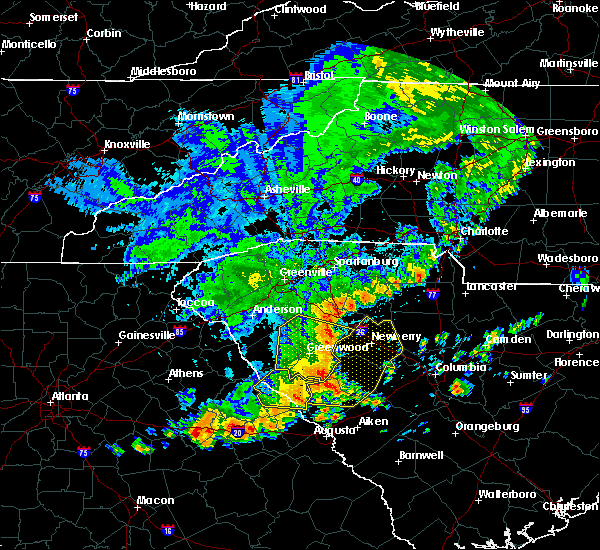 The severe thunderstorm warning for lincoln and mccormick counties will expire at 330 am edt, the storms which prompted the warning have moved out of the area. therefore, the warning will be allowed to expire. to report severe weather, contact your nearest law enforcement agency. they will relay your report to the national weather service columbia. The severe thunderstorm warning for lincoln and mccormick counties will expire at 330 am edt, the storms which prompted the warning have moved out of the area. therefore, the warning will be allowed to expire. to report severe weather, contact your nearest law enforcement agency. they will relay your report to the national weather service columbia.
|
| 6/22/2019 3:03 AM EDT |
 At 302 am edt, severe thunderstorms were located along a line extending from 9 miles east of troy to near lincolnton, moving southeast at 40 mph (radar indicated). Hazards include 60 mph wind gusts and penny size hail. Expect damage to roofs, siding, and trees. Locations impacted include, mccormick, lincolnton, elijah clark state park, mccormick county airport, hamilton branch state park, parksville, plum branch, bordeaux, modoc, knox scout reservation, double branches, curry hill, chennault, modoc boat ramp, new hope, long cane creek picnic area, hickory knob state resort park, gill`s point, hester`s ferry campground and mount carmel. At 302 am edt, severe thunderstorms were located along a line extending from 9 miles east of troy to near lincolnton, moving southeast at 40 mph (radar indicated). Hazards include 60 mph wind gusts and penny size hail. Expect damage to roofs, siding, and trees. Locations impacted include, mccormick, lincolnton, elijah clark state park, mccormick county airport, hamilton branch state park, parksville, plum branch, bordeaux, modoc, knox scout reservation, double branches, curry hill, chennault, modoc boat ramp, new hope, long cane creek picnic area, hickory knob state resort park, gill`s point, hester`s ferry campground and mount carmel.
|
| 6/22/2019 3:03 AM EDT |
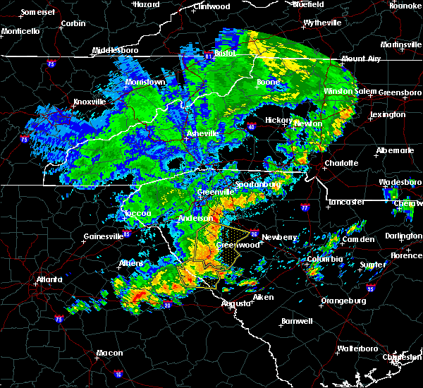 At 302 am edt, severe thunderstorms were located along a line extending from 9 miles east of troy to near lincolnton, moving southeast at 40 mph (radar indicated). Hazards include 60 mph wind gusts and penny size hail. Expect damage to roofs, siding, and trees. Locations impacted include, mccormick, lincolnton, elijah clark state park, mccormick county airport, hamilton branch state park, parksville, plum branch, bordeaux, modoc, knox scout reservation, double branches, curry hill, chennault, modoc boat ramp, new hope, long cane creek picnic area, hickory knob state resort park, gill`s point, hester`s ferry campground and mount carmel. At 302 am edt, severe thunderstorms were located along a line extending from 9 miles east of troy to near lincolnton, moving southeast at 40 mph (radar indicated). Hazards include 60 mph wind gusts and penny size hail. Expect damage to roofs, siding, and trees. Locations impacted include, mccormick, lincolnton, elijah clark state park, mccormick county airport, hamilton branch state park, parksville, plum branch, bordeaux, modoc, knox scout reservation, double branches, curry hill, chennault, modoc boat ramp, new hope, long cane creek picnic area, hickory knob state resort park, gill`s point, hester`s ferry campground and mount carmel.
|
| 6/22/2019 3:00 AM EDT |
 At 300 am edt, a severe thunderstorm was located 15 miles north of abbeville, or near donalds, moving east at 30 mph (radar indicated). Hazards include 60 mph wind gusts and quarter size hail. Minor hail damage to vehicles is expected. expect wind damage to trees and power lines. Locations impacted include, greenwood, abbeville, ware shoals, ninety six, joanna, due west, cross hill, donalds, cokesbury and waterloo. At 300 am edt, a severe thunderstorm was located 15 miles north of abbeville, or near donalds, moving east at 30 mph (radar indicated). Hazards include 60 mph wind gusts and quarter size hail. Minor hail damage to vehicles is expected. expect wind damage to trees and power lines. Locations impacted include, greenwood, abbeville, ware shoals, ninety six, joanna, due west, cross hill, donalds, cokesbury and waterloo.
|
| 6/22/2019 2:42 AM EDT |
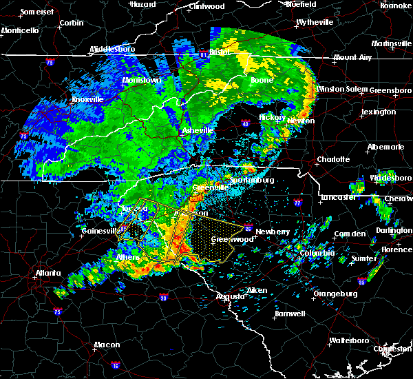 At 241 am edt, severe thunderstorms were located along a line extending from 7 miles west of abbeville to 7 miles north of elijah clark state park, moving east at 30 mph (radar indicated). Hazards include 60 mph wind gusts and penny size hail. expect damage to roofs, siding, and trees At 241 am edt, severe thunderstorms were located along a line extending from 7 miles west of abbeville to 7 miles north of elijah clark state park, moving east at 30 mph (radar indicated). Hazards include 60 mph wind gusts and penny size hail. expect damage to roofs, siding, and trees
|
| 6/22/2019 2:32 AM EDT |
 At 232 am edt, a severe thunderstorm was located 8 miles southeast of anderson, or 6 miles south of biltmore park, moving east at 30 mph (radar indicated). Hazards include 60 mph wind gusts and quarter size hail. Minor hail damage to vehicles is expected. Expect wind damage to trees and power lines. At 232 am edt, a severe thunderstorm was located 8 miles southeast of anderson, or 6 miles south of biltmore park, moving east at 30 mph (radar indicated). Hazards include 60 mph wind gusts and quarter size hail. Minor hail damage to vehicles is expected. Expect wind damage to trees and power lines.
|
| 6/20/2019 3:36 PM EDT |
 The severe thunderstorm warning for northern lincoln, northwestern edgefield and mccormick counties will expire at 345 pm edt, the storm which prompted the warning has moved out of the area. therefore, the warning will be allowed to expire. a severe thunderstorm watch remains in effect until 1000 pm edt for east central georgia, and central south carolina. The severe thunderstorm warning for northern lincoln, northwestern edgefield and mccormick counties will expire at 345 pm edt, the storm which prompted the warning has moved out of the area. therefore, the warning will be allowed to expire. a severe thunderstorm watch remains in effect until 1000 pm edt for east central georgia, and central south carolina.
|
| 6/20/2019 3:36 PM EDT |
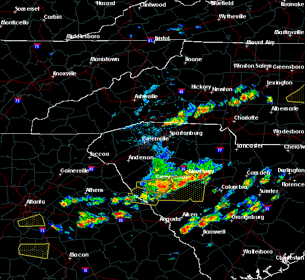 The severe thunderstorm warning for northern lincoln, northwestern edgefield and mccormick counties will expire at 345 pm edt, the storm which prompted the warning has moved out of the area. therefore, the warning will be allowed to expire. a severe thunderstorm watch remains in effect until 1000 pm edt for east central georgia, and central south carolina. The severe thunderstorm warning for northern lincoln, northwestern edgefield and mccormick counties will expire at 345 pm edt, the storm which prompted the warning has moved out of the area. therefore, the warning will be allowed to expire. a severe thunderstorm watch remains in effect until 1000 pm edt for east central georgia, and central south carolina.
|
| 6/20/2019 3:26 PM EDT |
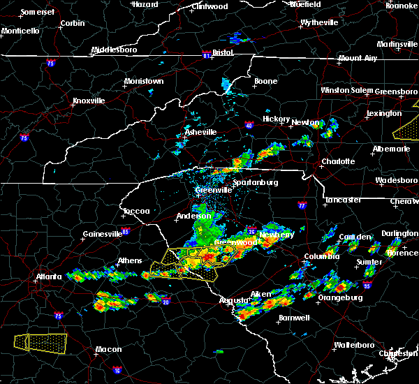 At 325 pm edt, a severe thunderstorm was located near elijah clark state park, or 18 miles northeast of washington, moving east at 45 mph (radar indicated). Hazards include 70 mph wind gusts and quarter size hail. Hail damage to vehicles is expected. expect considerable tree damage. wind damage is also likely to mobile homes, roofs, and outbuildings. Locations impacted include, mccormick, lincolnton, mccormick county airport, elijah clark state park, parksville, plum branch, hickory knob state resort park, gill`s point, hester`s ferry campground, bordeaux, mount carmel, baker creek state park, leroy`s ferry recreation area, willington, curry hill, mount carmel park, chennault, whitetown, hawe creek campground and long cane creek picnic area. At 325 pm edt, a severe thunderstorm was located near elijah clark state park, or 18 miles northeast of washington, moving east at 45 mph (radar indicated). Hazards include 70 mph wind gusts and quarter size hail. Hail damage to vehicles is expected. expect considerable tree damage. wind damage is also likely to mobile homes, roofs, and outbuildings. Locations impacted include, mccormick, lincolnton, mccormick county airport, elijah clark state park, parksville, plum branch, hickory knob state resort park, gill`s point, hester`s ferry campground, bordeaux, mount carmel, baker creek state park, leroy`s ferry recreation area, willington, curry hill, mount carmel park, chennault, whitetown, hawe creek campground and long cane creek picnic area.
|
| 6/20/2019 3:25 PM EDT | Schp reported a tree down at highway 10 and mccormick highway. time estimated from rada in greenwood county SC, 1.5 miles NNE of Troy, SC |
| 6/20/2019 3:16 PM EDT |
 At 315 pm edt, a severe thunderstorm was located 9 miles south of abbeville, or 6 miles northwest of troy, moving east at 60 mph (radar indicated). Hazards include 70 mph wind gusts and ping pong ball size hail. People and animals outdoors will be injured. expect hail damage to roofs, siding, windows, and vehicles. expect considerable tree damage. Wind damage is also likely to mobile homes, roofs, and outbuildings. At 315 pm edt, a severe thunderstorm was located 9 miles south of abbeville, or 6 miles northwest of troy, moving east at 60 mph (radar indicated). Hazards include 70 mph wind gusts and ping pong ball size hail. People and animals outdoors will be injured. expect hail damage to roofs, siding, windows, and vehicles. expect considerable tree damage. Wind damage is also likely to mobile homes, roofs, and outbuildings.
|
| 6/20/2019 3:09 PM EDT | Reported numerous trees down along tate road... which is east of the town of mount came in mccormick county SC, 9.8 miles ESE of Troy, SC |
| 6/20/2019 3:09 PM EDT |
 At 309 pm edt, a severe thunderstorm was located 7 miles east of bobby brown state park, or 13 miles southwest of abbeville, moving east at 55 mph (radar indicated). Hazards include 70 mph wind gusts and half dollar size hail. Hail damage to vehicles is expected. expect considerable tree damage. wind damage is also likely to mobile homes, roofs, and outbuildings. Locations impacted include, mccormick, lincolnton, elijah clark state park, mccormick county airport, hamilton branch state park, parksville, plum branch, bordeaux, modoc, knox scout reservation, double branches, curry hill, chennault, modoc boat ramp, new hope, long cane creek picnic area, hickory knob state resort park, gill`s point, hester`s ferry campground and mount carmel. At 309 pm edt, a severe thunderstorm was located 7 miles east of bobby brown state park, or 13 miles southwest of abbeville, moving east at 55 mph (radar indicated). Hazards include 70 mph wind gusts and half dollar size hail. Hail damage to vehicles is expected. expect considerable tree damage. wind damage is also likely to mobile homes, roofs, and outbuildings. Locations impacted include, mccormick, lincolnton, elijah clark state park, mccormick county airport, hamilton branch state park, parksville, plum branch, bordeaux, modoc, knox scout reservation, double branches, curry hill, chennault, modoc boat ramp, new hope, long cane creek picnic area, hickory knob state resort park, gill`s point, hester`s ferry campground and mount carmel.
|
| 6/20/2019 3:09 PM EDT |
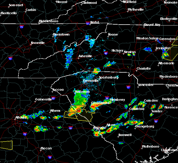 At 309 pm edt, a severe thunderstorm was located 7 miles east of bobby brown state park, or 13 miles southwest of abbeville, moving east at 55 mph (radar indicated). Hazards include 70 mph wind gusts and half dollar size hail. Hail damage to vehicles is expected. expect considerable tree damage. wind damage is also likely to mobile homes, roofs, and outbuildings. Locations impacted include, mccormick, lincolnton, elijah clark state park, mccormick county airport, hamilton branch state park, parksville, plum branch, bordeaux, modoc, knox scout reservation, double branches, curry hill, chennault, modoc boat ramp, new hope, long cane creek picnic area, hickory knob state resort park, gill`s point, hester`s ferry campground and mount carmel. At 309 pm edt, a severe thunderstorm was located 7 miles east of bobby brown state park, or 13 miles southwest of abbeville, moving east at 55 mph (radar indicated). Hazards include 70 mph wind gusts and half dollar size hail. Hail damage to vehicles is expected. expect considerable tree damage. wind damage is also likely to mobile homes, roofs, and outbuildings. Locations impacted include, mccormick, lincolnton, elijah clark state park, mccormick county airport, hamilton branch state park, parksville, plum branch, bordeaux, modoc, knox scout reservation, double branches, curry hill, chennault, modoc boat ramp, new hope, long cane creek picnic area, hickory knob state resort park, gill`s point, hester`s ferry campground and mount carmel.
|
| 6/20/2019 2:56 PM EDT |
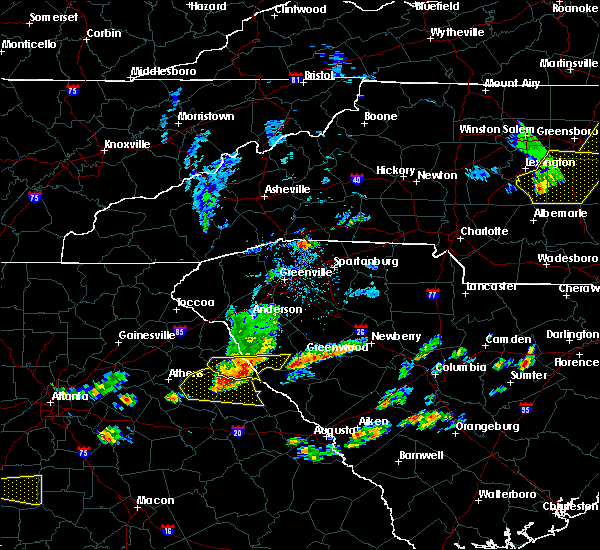 At 256 pm edt, a severe thunderstorm was located near nancy hart state park, or 13 miles southeast of elberton, moving east at 45 mph (radar indicated). Hazards include 60 mph wind gusts and quarter size hail. Hail damage to vehicles is expected. Expect wind damage to roofs, siding, and trees. At 256 pm edt, a severe thunderstorm was located near nancy hart state park, or 13 miles southeast of elberton, moving east at 45 mph (radar indicated). Hazards include 60 mph wind gusts and quarter size hail. Hail damage to vehicles is expected. Expect wind damage to roofs, siding, and trees.
|
| 4/14/2019 2:19 PM EDT |
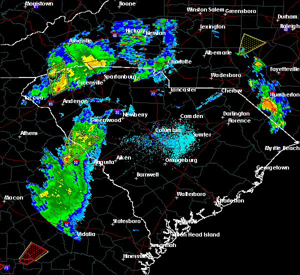 At 218 pm edt, a severe thunderstorm was located over wrightsboro, or 8 miles northwest of thomson, moving northeast at 60 mph (radar indicated). Hazards include 60 mph wind gusts. expect damage to roofs, siding, and trees At 218 pm edt, a severe thunderstorm was located over wrightsboro, or 8 miles northwest of thomson, moving northeast at 60 mph (radar indicated). Hazards include 60 mph wind gusts. expect damage to roofs, siding, and trees
|
| 4/8/2019 4:26 PM EDT |
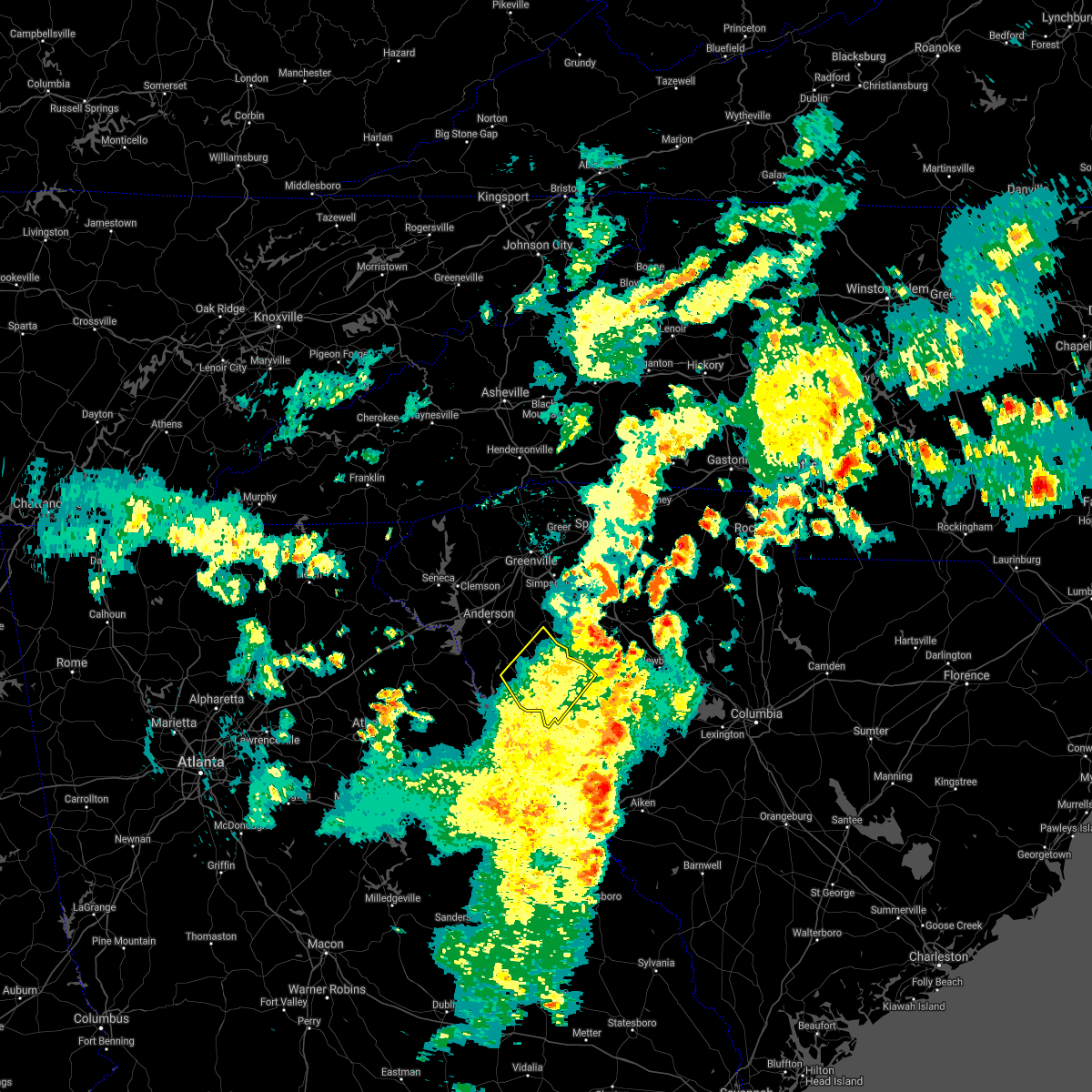 The severe thunderstorm warning for abbeville and western greenwood counties will expire at 430 pm edt, the storm which prompted the warning has moved out of the area. therefore the warning will be allowed to expire. a severe thunderstorm watch remains in effect until 1000 pm edt for upstate south carolina. The severe thunderstorm warning for abbeville and western greenwood counties will expire at 430 pm edt, the storm which prompted the warning has moved out of the area. therefore the warning will be allowed to expire. a severe thunderstorm watch remains in effect until 1000 pm edt for upstate south carolina.
|
| 4/8/2019 3:46 PM EDT |
 At 346 pm edt, a severe thunderstorm was located 5 miles southeast of abbeville, moving northeast at 55 mph (radar indicated). Hazards include 60 mph wind gusts. expect damage to trees and power lines At 346 pm edt, a severe thunderstorm was located 5 miles southeast of abbeville, moving northeast at 55 mph (radar indicated). Hazards include 60 mph wind gusts. expect damage to trees and power lines
|
| 7/22/2018 12:09 AM EDT |
 At 1208 am edt, a severe thunderstorm was located near mccormick, or 22 miles north of evans, moving east at 55 mph (radar indicated). Hazards include 60 mph wind gusts and penny size hail. expect damage to roofs, siding, and trees At 1208 am edt, a severe thunderstorm was located near mccormick, or 22 miles north of evans, moving east at 55 mph (radar indicated). Hazards include 60 mph wind gusts and penny size hail. expect damage to roofs, siding, and trees
|
| 7/22/2018 12:09 AM EDT |
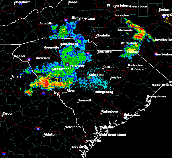 At 1208 am edt, a severe thunderstorm was located near mccormick, or 22 miles north of evans, moving east at 55 mph (radar indicated). Hazards include 60 mph wind gusts and penny size hail. expect damage to roofs, siding, and trees At 1208 am edt, a severe thunderstorm was located near mccormick, or 22 miles north of evans, moving east at 55 mph (radar indicated). Hazards include 60 mph wind gusts and penny size hail. expect damage to roofs, siding, and trees
|
| 7/21/2018 11:35 PM EDT |
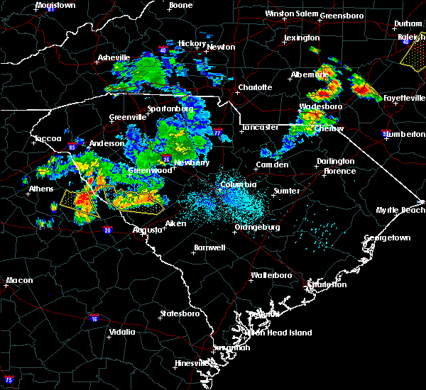 At 1134 pm edt, a severe thunderstorm was located near johnston, or 19 miles west of batesburg, moving east at 40 mph (radar indicated). Hazards include 60 mph wind gusts and quarter size hail. Hail damage to vehicles is expected. expect wind damage to roofs, siding, and trees. Locations impacted include, edgefield, mccormick, johnston, trenton, parksville, plum branch and willington. At 1134 pm edt, a severe thunderstorm was located near johnston, or 19 miles west of batesburg, moving east at 40 mph (radar indicated). Hazards include 60 mph wind gusts and quarter size hail. Hail damage to vehicles is expected. expect wind damage to roofs, siding, and trees. Locations impacted include, edgefield, mccormick, johnston, trenton, parksville, plum branch and willington.
|
| 7/21/2018 11:25 PM EDT |
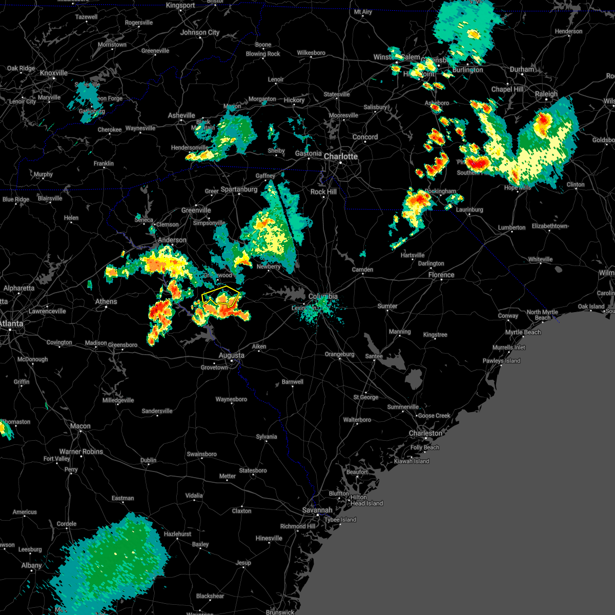 The severe thunderstorm warning for southern greenwood county will expire at 1130 pm edt, the storms which prompted the warning have weakened below severe limits, and have exited the warned area. therefore the warning will be allowed to expire. a severe thunderstorm watch remains in effect until 200 am edt for upstate south carolina. if you observed large hail or wind damage, please report it to the national weather service greenville-spartanburg by calling toll free, 1, 800, 2 6 7, 8 1 0 1, or by posting on our facebook page, or tweet it using hashtag nwsgsp. your message should describe the event and the specific location where it occurred. The severe thunderstorm warning for southern greenwood county will expire at 1130 pm edt, the storms which prompted the warning have weakened below severe limits, and have exited the warned area. therefore the warning will be allowed to expire. a severe thunderstorm watch remains in effect until 200 am edt for upstate south carolina. if you observed large hail or wind damage, please report it to the national weather service greenville-spartanburg by calling toll free, 1, 800, 2 6 7, 8 1 0 1, or by posting on our facebook page, or tweet it using hashtag nwsgsp. your message should describe the event and the specific location where it occurred.
|
| 7/21/2018 11:11 PM EDT |
 At 1110 pm edt, severe thunderstorms were located along a line extending from 8 miles south of greenwood to 13 miles southeast of abbeville, moving southeast at 40 mph (radar indicated). Hazards include 60 mph wind gusts. Expect damage to trees and power lines. Locations impacted include, troy, bradley, kirksey, callison and epworth. At 1110 pm edt, severe thunderstorms were located along a line extending from 8 miles south of greenwood to 13 miles southeast of abbeville, moving southeast at 40 mph (radar indicated). Hazards include 60 mph wind gusts. Expect damage to trees and power lines. Locations impacted include, troy, bradley, kirksey, callison and epworth.
|
| 7/21/2018 11:05 PM EDT |
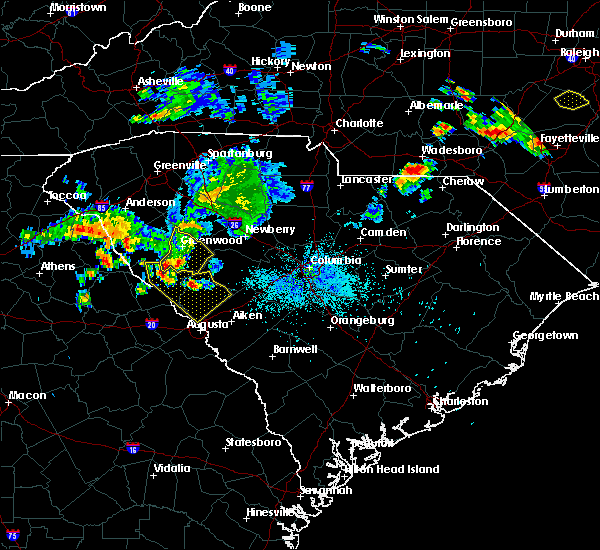 At 1104 pm edt, a severe thunderstorm was located 9 miles northwest of edgefield, or 23 miles north of martinez, moving southeast at 15 mph (radar indicated). Hazards include 60 mph wind gusts and quarter size hail. Hail damage to vehicles is expected. Expect wind damage to roofs, siding, and trees. At 1104 pm edt, a severe thunderstorm was located 9 miles northwest of edgefield, or 23 miles north of martinez, moving southeast at 15 mph (radar indicated). Hazards include 60 mph wind gusts and quarter size hail. Hail damage to vehicles is expected. Expect wind damage to roofs, siding, and trees.
|
| 7/21/2018 10:57 PM EDT |
 A severe thunderstorm warning remains in effect until 1130 pm edt for greenwood county. at 1057 pm edt, severe thunderstorms were located along a line extending from 17 miles southwest of laurens to near greenwood to 4 miles southeast of abbeville, moving southeast at 30 mph. hazard. 60 mph wind gusts and penny size hail. A severe thunderstorm warning remains in effect until 1130 pm edt for greenwood county. at 1057 pm edt, severe thunderstorms were located along a line extending from 17 miles southwest of laurens to near greenwood to 4 miles southeast of abbeville, moving southeast at 30 mph. hazard. 60 mph wind gusts and penny size hail.
|
| 7/21/2018 10:26 PM EDT |
 At 1026 pm edt, severe thunderstorms were located along a line extending from 15 miles southeast of anderson to 10 miles northwest of abbeville, moving southeast at 25 mph (radar indicated). Hazards include 70 mph wind gusts and quarter size hail. Minor hail damage to vehicles is expected. expect considerable tree damage. Wind damage is also likely to mobile homes, roofs, and outbuildings. At 1026 pm edt, severe thunderstorms were located along a line extending from 15 miles southeast of anderson to 10 miles northwest of abbeville, moving southeast at 25 mph (radar indicated). Hazards include 70 mph wind gusts and quarter size hail. Minor hail damage to vehicles is expected. expect considerable tree damage. Wind damage is also likely to mobile homes, roofs, and outbuildings.
|
| 7/3/2018 8:22 PM EDT |
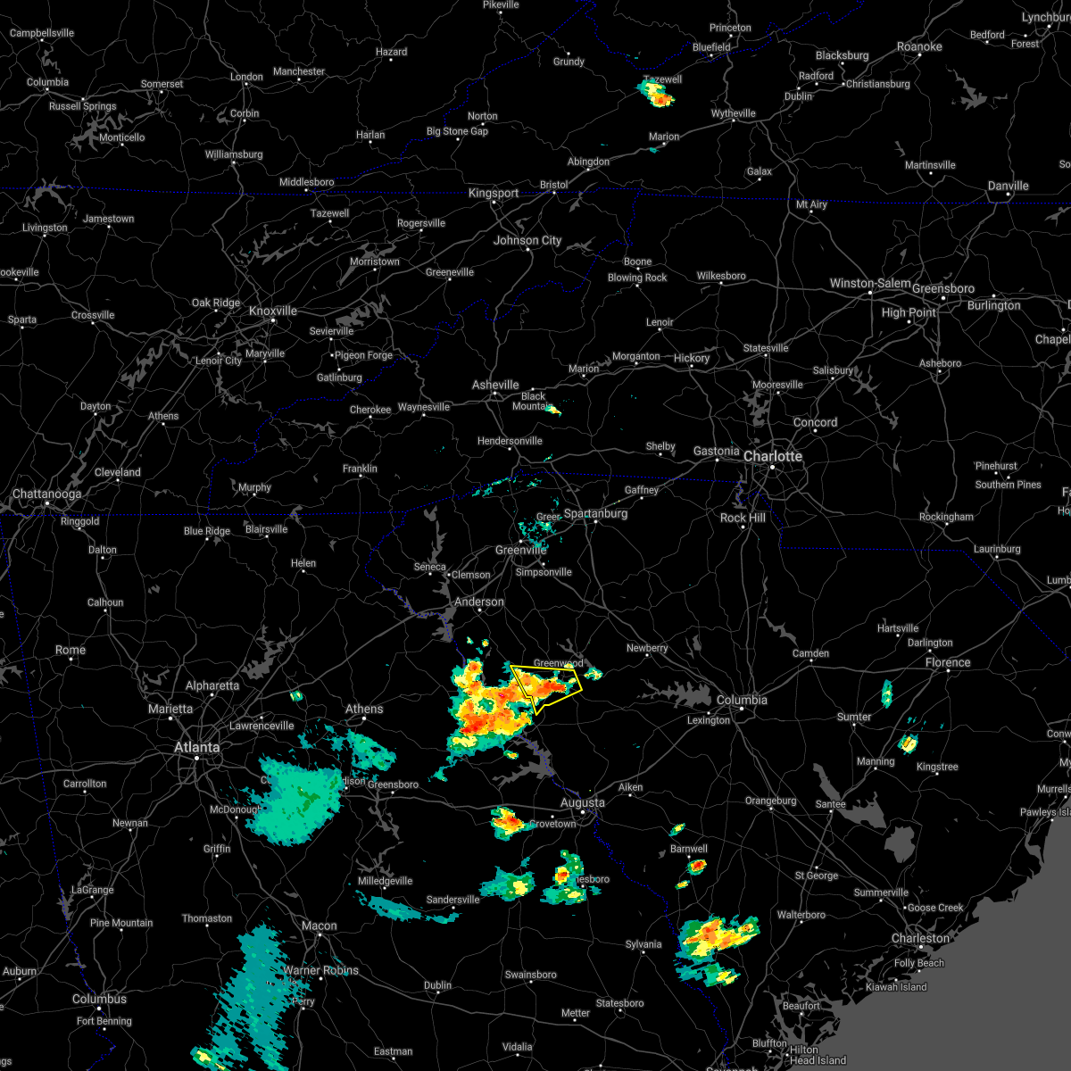 At 822 pm edt, a severe thunderstorm was located 7 miles southwest of greenwood, moving west at 25 mph (radar indicated). Hazards include 60 mph wind gusts. Expect damage to trees and power lines. Locations impacted include, greenwood, abbeville, troy, promised land, bradley and epworth. At 822 pm edt, a severe thunderstorm was located 7 miles southwest of greenwood, moving west at 25 mph (radar indicated). Hazards include 60 mph wind gusts. Expect damage to trees and power lines. Locations impacted include, greenwood, abbeville, troy, promised land, bradley and epworth.
|
| 7/3/2018 8:07 PM EDT |
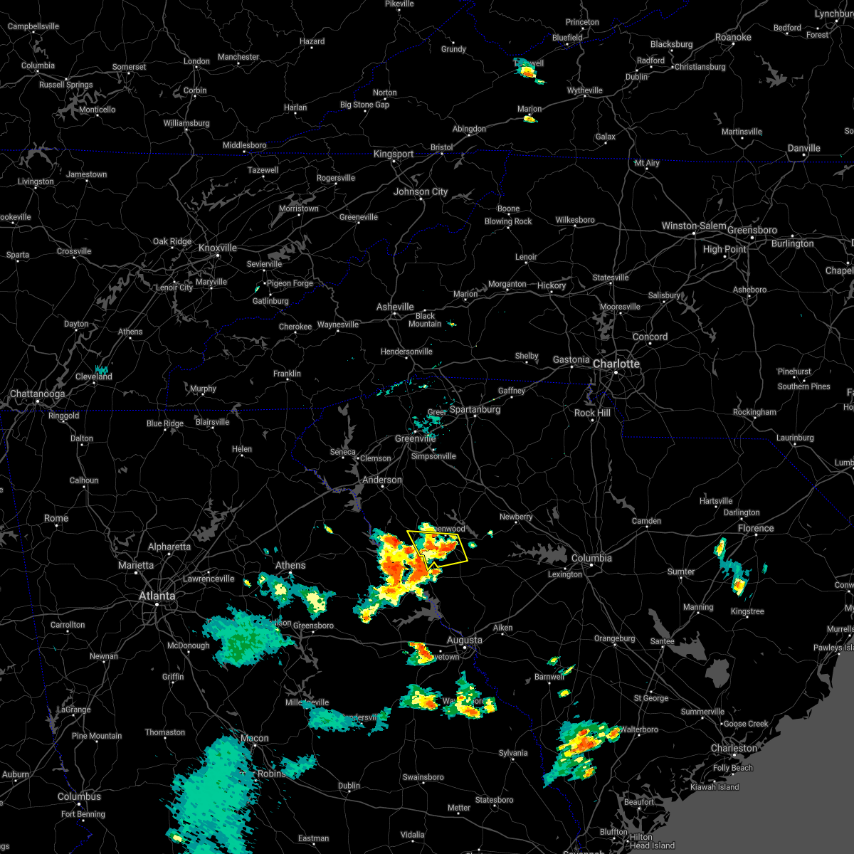 At 806 pm edt, a severe thunderstorm was located 6 miles southwest of greenwood, moving west at 25 mph (radar indicated). Hazards include 60 mph wind gusts. expect damage to trees and power lines At 806 pm edt, a severe thunderstorm was located 6 miles southwest of greenwood, moving west at 25 mph (radar indicated). Hazards include 60 mph wind gusts. expect damage to trees and power lines
|
| 6/26/2018 6:56 PM EDT |
 At 655 pm edt, a severe thunderstorm was located 8 miles north of lincolnton, or 30 miles north of thomson, moving southeast at 10 mph (radar indicated). Hazards include 60 mph wind gusts and quarter size hail. Hail damage to vehicles is expected. Expect wind damage to roofs, siding, and trees. At 655 pm edt, a severe thunderstorm was located 8 miles north of lincolnton, or 30 miles north of thomson, moving southeast at 10 mph (radar indicated). Hazards include 60 mph wind gusts and quarter size hail. Hail damage to vehicles is expected. Expect wind damage to roofs, siding, and trees.
|
| 6/26/2018 6:56 PM EDT |
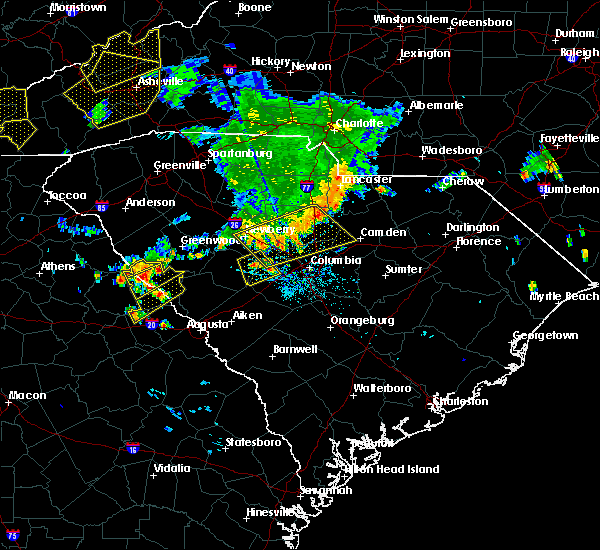 At 655 pm edt, a severe thunderstorm was located 8 miles north of lincolnton, or 30 miles north of thomson, moving southeast at 10 mph (radar indicated). Hazards include 60 mph wind gusts and quarter size hail. Hail damage to vehicles is expected. Expect wind damage to roofs, siding, and trees. At 655 pm edt, a severe thunderstorm was located 8 miles north of lincolnton, or 30 miles north of thomson, moving southeast at 10 mph (radar indicated). Hazards include 60 mph wind gusts and quarter size hail. Hail damage to vehicles is expected. Expect wind damage to roofs, siding, and trees.
|
| 6/26/2018 6:38 PM EDT |
 The severe thunderstorm warning for southeastern elbert, southern abbeville and greenwood counties will expire at 645 pm edt, the storms which prompted the warning have moved out of the area. therefore, the warning will be allowed to expire. gusty winds to 35 mph are still possible with these thunderstorms. The severe thunderstorm warning for southeastern elbert, southern abbeville and greenwood counties will expire at 645 pm edt, the storms which prompted the warning have moved out of the area. therefore, the warning will be allowed to expire. gusty winds to 35 mph are still possible with these thunderstorms.
|
| 6/26/2018 6:34 PM EDT |
 At 633 pm edt, severe thunderstorms were located along a line extending from 5 miles northeast of greenwood to 6 miles south of abbeville to 11 miles east of elberton, moving south at 10 mph (radar indicated). Hazards include 60 mph wind gusts and quarter size hail. Minor hail damage to vehicles is expected. expect wind damage to trees and power lines. Locations impacted include, greenwood, calhoun falls, ninety six, troy, lake greenwood, bobby brown state park, greenwood state park, ninety six historic site, lake strom thurmond and nancy hart state park. At 633 pm edt, severe thunderstorms were located along a line extending from 5 miles northeast of greenwood to 6 miles south of abbeville to 11 miles east of elberton, moving south at 10 mph (radar indicated). Hazards include 60 mph wind gusts and quarter size hail. Minor hail damage to vehicles is expected. expect wind damage to trees and power lines. Locations impacted include, greenwood, calhoun falls, ninety six, troy, lake greenwood, bobby brown state park, greenwood state park, ninety six historic site, lake strom thurmond and nancy hart state park.
|
| 6/26/2018 6:34 PM EDT |
 The severe thunderstorm warning for southeastern elbert, southern abbeville and greenwood counties will expire at 645 pm edt, the storms which prompted the warning have moved out of the area. therefore, the warning will be allowed to expire. gusty winds to 35 mph are still possible with these thunderstorms. The severe thunderstorm warning for southeastern elbert, southern abbeville and greenwood counties will expire at 645 pm edt, the storms which prompted the warning have moved out of the area. therefore, the warning will be allowed to expire. gusty winds to 35 mph are still possible with these thunderstorms.
|
| 6/26/2018 6:20 PM EDT |
 At 620 pm edt, severe thunderstorms were located along a line extending from 5 miles north of greenwood to 12 miles east of elberton, moving south at 15 mph (radar indicated). Hazards include 60 mph wind gusts and quarter size hail. Minor hail damage to vehicles is expected. expect wind damage to trees and power lines. Locations impacted include, greenwood, abbeville, calhoun falls, ninety six, cokesbury, hodges, troy, lake greenwood, bobby brown state park and greenwood state park. At 620 pm edt, severe thunderstorms were located along a line extending from 5 miles north of greenwood to 12 miles east of elberton, moving south at 15 mph (radar indicated). Hazards include 60 mph wind gusts and quarter size hail. Minor hail damage to vehicles is expected. expect wind damage to trees and power lines. Locations impacted include, greenwood, abbeville, calhoun falls, ninety six, cokesbury, hodges, troy, lake greenwood, bobby brown state park and greenwood state park.
|
| 6/26/2018 6:18 PM EDT |
 At 617 pm edt, a severe thunderstorm was located over calhoun falls, or 41 miles north of thomson, moving southeast at 15 mph (radar indicated). Hazards include 60 mph wind gusts and nickel size hail. expect damage to roofs, siding, and trees At 617 pm edt, a severe thunderstorm was located over calhoun falls, or 41 miles north of thomson, moving southeast at 15 mph (radar indicated). Hazards include 60 mph wind gusts and nickel size hail. expect damage to roofs, siding, and trees
|
| 6/26/2018 6:01 PM EDT |
 At 600 pm edt, severe thunderstorms were located along a line extending from 9 miles north of greenwood to 10 miles east of elberton, moving south at 15 mph (radar indicated). Hazards include 60 mph wind gusts and quarter size hail. Minor hail damage to vehicles is expected. Expect wind damage to trees and power lines. At 600 pm edt, severe thunderstorms were located along a line extending from 9 miles north of greenwood to 10 miles east of elberton, moving south at 15 mph (radar indicated). Hazards include 60 mph wind gusts and quarter size hail. Minor hail damage to vehicles is expected. Expect wind damage to trees and power lines.
|
| 6/25/2018 7:35 PM EDT |
 At 734 pm edt, severe thunderstorms were located along a line extending from 4 miles northwest of rock hill to 19 miles southeast of greenwood, moving east at 45 mph (radar indicated). Hazards include 60 mph wind gusts and quarter size hail. Minor hail damage to vehicles is expected. expect wind damage to trees and power lines. Locations impacted include, rock hill, greenwood, union, chester, clinton, lesslie, great falls, monarch mill, ninety six and joanna. At 734 pm edt, severe thunderstorms were located along a line extending from 4 miles northwest of rock hill to 19 miles southeast of greenwood, moving east at 45 mph (radar indicated). Hazards include 60 mph wind gusts and quarter size hail. Minor hail damage to vehicles is expected. expect wind damage to trees and power lines. Locations impacted include, rock hill, greenwood, union, chester, clinton, lesslie, great falls, monarch mill, ninety six and joanna.
|
| 6/25/2018 7:24 PM EDT |
 At 723 pm edt, severe thunderstorms were located along a line extending from near york to 12 miles southeast of greenwood, moving east at 45 mph (radar indicated). Hazards include 60 mph wind gusts and quarter size hail. Minor hail damage to vehicles is expected. expect wind damage to trees and power lines. Locations impacted include, rock hill, greenwood, laurens, union, york, chester, abbeville, clinton, newport and pacolet. At 723 pm edt, severe thunderstorms were located along a line extending from near york to 12 miles southeast of greenwood, moving east at 45 mph (radar indicated). Hazards include 60 mph wind gusts and quarter size hail. Minor hail damage to vehicles is expected. expect wind damage to trees and power lines. Locations impacted include, rock hill, greenwood, laurens, union, york, chester, abbeville, clinton, newport and pacolet.
|
| 6/25/2018 6:58 PM EDT |
 The national weather service in greenville-spartanburg has issued a * severe thunderstorm warning for. southeastern elbert county in northeastern georgia. laurens county in upstate south carolina. chester county in upstate south carolina. Southern york county in upstate south carolina. The national weather service in greenville-spartanburg has issued a * severe thunderstorm warning for. southeastern elbert county in northeastern georgia. laurens county in upstate south carolina. chester county in upstate south carolina. Southern york county in upstate south carolina.
|
| 6/25/2018 6:58 PM EDT |
 At 658 pm edt, severe thunderstorms were located along a line extending from 10 miles southeast of gaffney to 10 miles southeast of abbeville, moving east at 45 mph (radar indicated). Hazards include 60 mph wind gusts and quarter size hail. Minor hail damage to vehicles is expected. Expect wind damage to trees and power lines. At 658 pm edt, severe thunderstorms were located along a line extending from 10 miles southeast of gaffney to 10 miles southeast of abbeville, moving east at 45 mph (radar indicated). Hazards include 60 mph wind gusts and quarter size hail. Minor hail damage to vehicles is expected. Expect wind damage to trees and power lines.
|
| 6/25/2018 6:57 PM EDT |
 At 657 pm edt, a severe thunderstorm was located near lincolnton, or 25 miles north of thomson, moving east at 15 mph (radar indicated). Hazards include 60 mph wind gusts and quarter size hail. Hail damage to vehicles is expected. Expect wind damage to roofs, siding, and trees. At 657 pm edt, a severe thunderstorm was located near lincolnton, or 25 miles north of thomson, moving east at 15 mph (radar indicated). Hazards include 60 mph wind gusts and quarter size hail. Hail damage to vehicles is expected. Expect wind damage to roofs, siding, and trees.
|
| 6/22/2018 9:22 PM EDT |
 The severe thunderstorm warning for southern greenwood county will expire at 930 pm edt, the storm which prompted the warning has weakened below severe limits, and has exited the warned area. therefore the warning will be allowed to expire. however, gusty winds to 35 mph are still possible with this thunderstorm. The severe thunderstorm warning for southern greenwood county will expire at 930 pm edt, the storm which prompted the warning has weakened below severe limits, and has exited the warned area. therefore the warning will be allowed to expire. however, gusty winds to 35 mph are still possible with this thunderstorm.
|
| 6/22/2018 8:53 PM EDT |
 At 852 pm edt, a severe thunderstorm was located 11 miles south of greenwood, or 8 miles southwest of ninety six historic site, moving east at 40 mph (radar indicated). Hazards include 60 mph wind gusts. expect damage to trees and power lines At 852 pm edt, a severe thunderstorm was located 11 miles south of greenwood, or 8 miles southwest of ninety six historic site, moving east at 40 mph (radar indicated). Hazards include 60 mph wind gusts. expect damage to trees and power lines
|
| 6/22/2018 8:49 PM EDT |
 At 848 pm edt, a severe thunderstorm was located 8 miles northeast of troy, or 35 miles southwest of newberry, moving northeast at 35 mph (radar indicated). Hazards include 60 mph wind gusts and penny size hail. expect damage to roofs, siding, and trees At 848 pm edt, a severe thunderstorm was located 8 miles northeast of troy, or 35 miles southwest of newberry, moving northeast at 35 mph (radar indicated). Hazards include 60 mph wind gusts and penny size hail. expect damage to roofs, siding, and trees
|
| 6/1/2018 5:17 PM EDT |
 At 516 pm edt, severe thunderstorms were located along a line extending from lake strom thurmond to near washington, moving east at 15 mph (radar indicated). Hazards include 60 mph wind gusts and penny size hail. expect damage to roofs, siding, and trees At 516 pm edt, severe thunderstorms were located along a line extending from lake strom thurmond to near washington, moving east at 15 mph (radar indicated). Hazards include 60 mph wind gusts and penny size hail. expect damage to roofs, siding, and trees
|
| 11/7/2017 5:10 PM EST |
 At 508 pm est, a severe thunderstorm was located over northern mccormick county, between mccormick and troy, moving east at 30 mph (radar indicated). Hazards include 60 mph wind gusts and penny size hail. Expect damage to roofs, siding, and trees. Locations impacted include, mccormick, plum branch. At 508 pm est, a severe thunderstorm was located over northern mccormick county, between mccormick and troy, moving east at 30 mph (radar indicated). Hazards include 60 mph wind gusts and penny size hail. Expect damage to roofs, siding, and trees. Locations impacted include, mccormick, plum branch.
|
| 11/7/2017 4:42 PM EST |
 At 441 pm est, a severe thunderstorm was located just northwest of mount carmel, moving east at 40 mph (radar indicated). Hazards include 60 mph wind gusts and quarter size hail. Hail damage to vehicles is expected. Expect wind damage to roofs, siding, and trees. At 441 pm est, a severe thunderstorm was located just northwest of mount carmel, moving east at 40 mph (radar indicated). Hazards include 60 mph wind gusts and quarter size hail. Hail damage to vehicles is expected. Expect wind damage to roofs, siding, and trees.
|
| 7/23/2017 7:53 PM EDT |
 At 753 pm edt, a severe thunderstorm was located near bobby brown state park, or 35 miles north of thomson, moving southeast at 15 mph (radar indicated). Hazards include 60 mph wind gusts and quarter size hail. Minor hail damage to vehicles is expected. Expect wind damage to roofs, siding, and trees. At 753 pm edt, a severe thunderstorm was located near bobby brown state park, or 35 miles north of thomson, moving southeast at 15 mph (radar indicated). Hazards include 60 mph wind gusts and quarter size hail. Minor hail damage to vehicles is expected. Expect wind damage to roofs, siding, and trees.
|
| 7/7/2017 3:22 PM EDT |
 The severe thunderstorm warning for lincoln and northern mccormick counties will expire at 330 pm edt, the storms which prompted the warning have weakened below severe limits, and no longer pose an immediate threat to life or property. therefore the warning will be allowed to expire. however gusty winds are still possible with these thunderstorms. The severe thunderstorm warning for lincoln and northern mccormick counties will expire at 330 pm edt, the storms which prompted the warning have weakened below severe limits, and no longer pose an immediate threat to life or property. therefore the warning will be allowed to expire. however gusty winds are still possible with these thunderstorms.
|
| 7/7/2017 3:22 PM EDT |
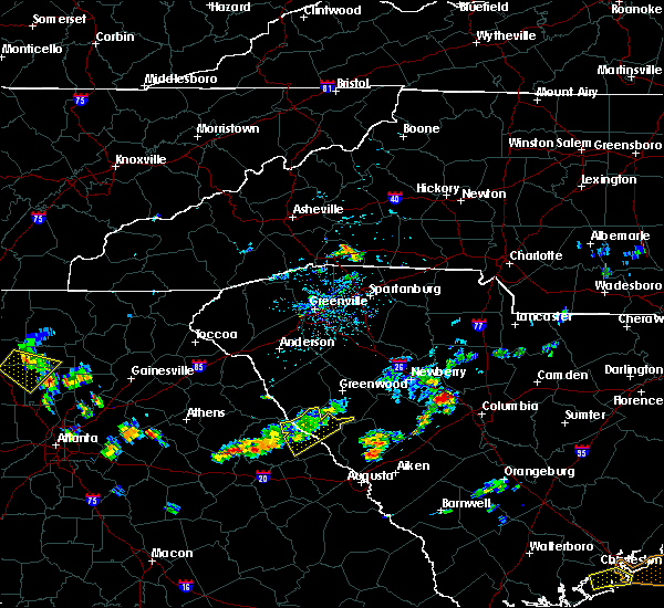 The severe thunderstorm warning for lincoln and northern mccormick counties will expire at 330 pm edt, the storms which prompted the warning have weakened below severe limits, and no longer pose an immediate threat to life or property. therefore the warning will be allowed to expire. however gusty winds are still possible with these thunderstorms. The severe thunderstorm warning for lincoln and northern mccormick counties will expire at 330 pm edt, the storms which prompted the warning have weakened below severe limits, and no longer pose an immediate threat to life or property. therefore the warning will be allowed to expire. however gusty winds are still possible with these thunderstorms.
|
| 7/7/2017 3:09 PM EDT |
 At 237 pm edt, severe thunderstorms were located along a line extending from 6 miles south of abbeville to near rayle, moving east at 25 mph (radar indicated). Hazards include 60 mph wind gusts and penny size hail. expect damage to roofs, siding, and trees At 237 pm edt, severe thunderstorms were located along a line extending from 6 miles south of abbeville to near rayle, moving east at 25 mph (radar indicated). Hazards include 60 mph wind gusts and penny size hail. expect damage to roofs, siding, and trees
|
| 7/7/2017 3:09 PM EDT |
 At 308 pm edt, severe thunderstorms were located along a line extending from 6 miles northeast of troy to washington, moving east at 25 mph (radar indicated). Hazards include 60 mph wind gusts and penny size hail. Expect damage to roofs, siding, and trees. Locations impacted include, mccormick, lincolnton, plum branch and willington. At 308 pm edt, severe thunderstorms were located along a line extending from 6 miles northeast of troy to washington, moving east at 25 mph (radar indicated). Hazards include 60 mph wind gusts and penny size hail. Expect damage to roofs, siding, and trees. Locations impacted include, mccormick, lincolnton, plum branch and willington.
|
| 7/7/2017 2:37 PM EDT |
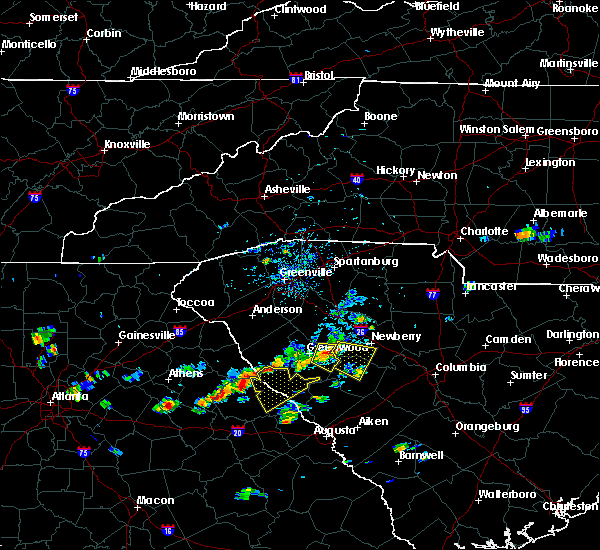 At 237 pm edt, severe thunderstorms were located along a line extending from 6 miles south of abbeville to near rayle, moving east at 25 mph (radar indicated). Hazards include 60 mph wind gusts and penny size hail. expect damage to roofs, siding, and trees At 237 pm edt, severe thunderstorms were located along a line extending from 6 miles south of abbeville to near rayle, moving east at 25 mph (radar indicated). Hazards include 60 mph wind gusts and penny size hail. expect damage to roofs, siding, and trees
|
| 7/6/2017 6:06 PM EDT |
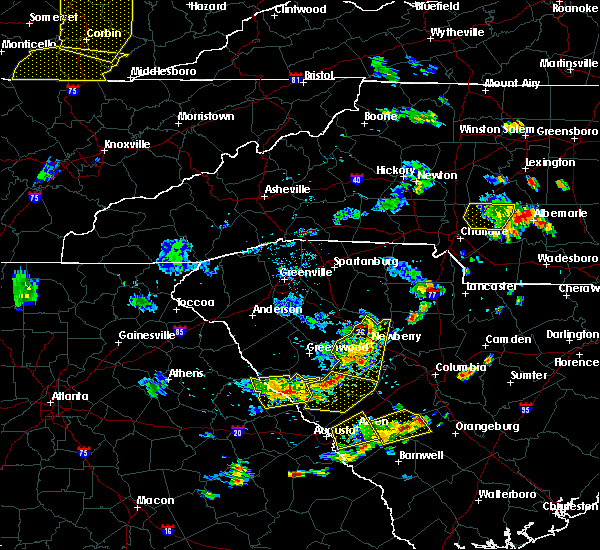 At 604 pm edt, severe thunderstorms were located along a line extending from 7 miles east of mccormick to near lincolnton, moving east at 30 mph (radar indicated). Hazards include 60 mph wind gusts and quarter size hail. Hail damage to vehicles is expected. expect wind damage to roofs, siding, and trees. Locations impacted include, mccormick, lincolnton, parksville, plum branch and willington. At 604 pm edt, severe thunderstorms were located along a line extending from 7 miles east of mccormick to near lincolnton, moving east at 30 mph (radar indicated). Hazards include 60 mph wind gusts and quarter size hail. Hail damage to vehicles is expected. expect wind damage to roofs, siding, and trees. Locations impacted include, mccormick, lincolnton, parksville, plum branch and willington.
|
| 7/6/2017 5:32 PM EDT |
 At 531 pm edt, a severe thunderstorm was located near lincolnton, or 23 miles north of thomson, moving east at 5 mph (radar indicated). Hazards include 70 mph wind gusts and quarter size hail. Hail damage to vehicles is expected. expect considerable tree damage. wind damage is also likely to mobile homes, roofs, and outbuildings. Locations impacted include, mccormick, lincolnton, parksville, plum branch, willington, mount carmel and modoc. At 531 pm edt, a severe thunderstorm was located near lincolnton, or 23 miles north of thomson, moving east at 5 mph (radar indicated). Hazards include 70 mph wind gusts and quarter size hail. Hail damage to vehicles is expected. expect considerable tree damage. wind damage is also likely to mobile homes, roofs, and outbuildings. Locations impacted include, mccormick, lincolnton, parksville, plum branch, willington, mount carmel and modoc.
|
| 7/6/2017 5:23 PM EDT |
 At 522 pm edt, a severe thunderstorm was located near lincolnton, or 23 miles north of thomson, moving east at 10 mph. additional severe thunderstorms could move into the warned area from the west (radar indicated). Hazards include 60 mph wind gusts. expect damage to roofs, siding, and trees At 522 pm edt, a severe thunderstorm was located near lincolnton, or 23 miles north of thomson, moving east at 10 mph. additional severe thunderstorms could move into the warned area from the west (radar indicated). Hazards include 60 mph wind gusts. expect damage to roofs, siding, and trees
|
| 7/6/2017 5:23 PM EDT |
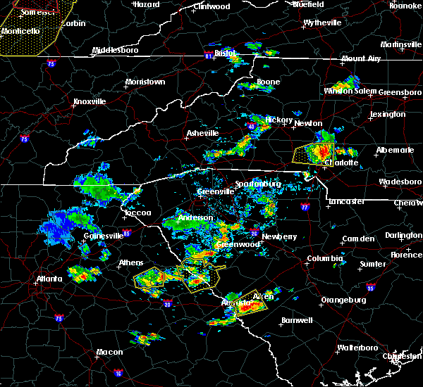 At 522 pm edt, a severe thunderstorm was located near lincolnton, or 23 miles north of thomson, moving east at 10 mph. additional severe thunderstorms could move into the warned area from the west (radar indicated). Hazards include 60 mph wind gusts. expect damage to roofs, siding, and trees At 522 pm edt, a severe thunderstorm was located near lincolnton, or 23 miles north of thomson, moving east at 10 mph. additional severe thunderstorms could move into the warned area from the west (radar indicated). Hazards include 60 mph wind gusts. expect damage to roofs, siding, and trees
|
| 5/29/2017 6:31 PM EDT |
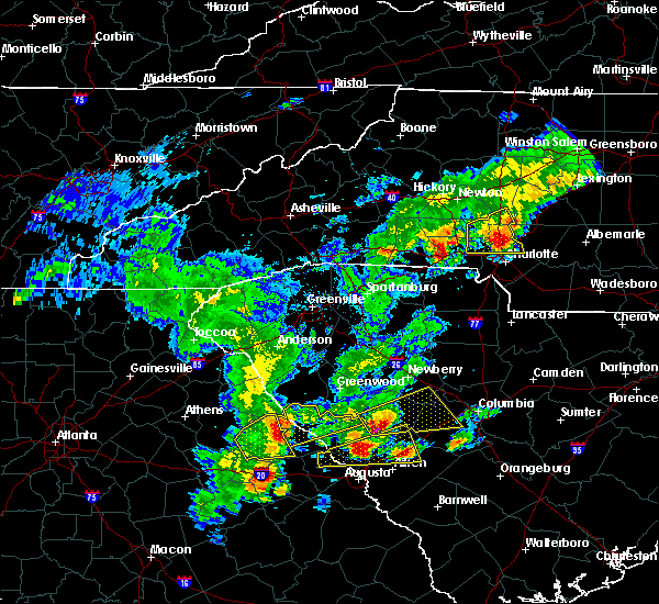 At 630 pm edt, a severe thunderstorm was located over tignall, or 30 miles northwest of thomson, moving northeast at 35 mph (radar indicated). Hazards include 60 mph wind gusts and penny size hail. expect damage to roofs, siding, and trees At 630 pm edt, a severe thunderstorm was located over tignall, or 30 miles northwest of thomson, moving northeast at 35 mph (radar indicated). Hazards include 60 mph wind gusts and penny size hail. expect damage to roofs, siding, and trees
|
| 5/29/2017 5:35 PM EDT |
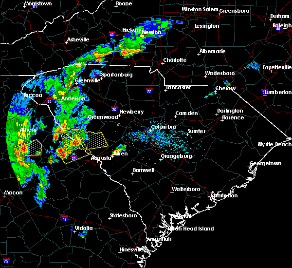 At 533 pm edt, a severe thunderstorm was located near lincolnton, or 22 miles north of thomson, moving east at 25 mph (radar indicated). Hazards include 70 mph wind gusts and quarter size hail. Hail damage to vehicles is expected. expect considerable tree damage. Wind damage is also likely to mobile homes, roofs, and outbuildings. At 533 pm edt, a severe thunderstorm was located near lincolnton, or 22 miles north of thomson, moving east at 25 mph (radar indicated). Hazards include 70 mph wind gusts and quarter size hail. Hail damage to vehicles is expected. expect considerable tree damage. Wind damage is also likely to mobile homes, roofs, and outbuildings.
|
| 5/1/2017 2:45 PM EDT |
 At 244 pm edt, a severe thunderstorm was located near lincolnton, or 25 miles north of thomson, moving northeast at 50 mph (radar indicated). Hazards include 60 mph wind gusts. expect damage to roofs, siding, and trees At 244 pm edt, a severe thunderstorm was located near lincolnton, or 25 miles north of thomson, moving northeast at 50 mph (radar indicated). Hazards include 60 mph wind gusts. expect damage to roofs, siding, and trees
|
| 5/1/2017 2:45 PM EDT |
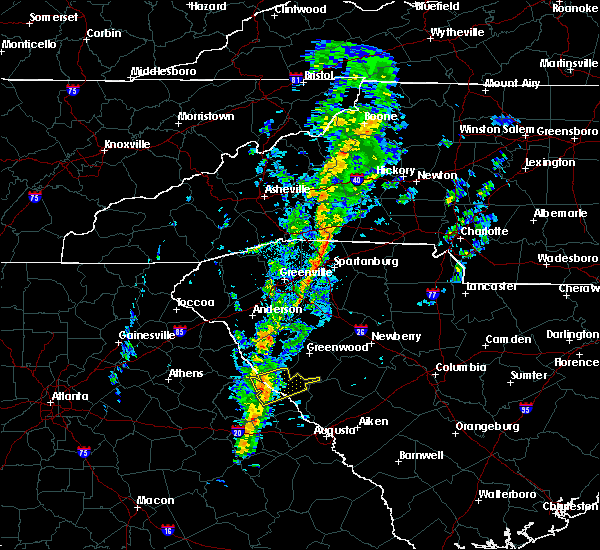 At 244 pm edt, a severe thunderstorm was located near lincolnton, or 25 miles north of thomson, moving northeast at 50 mph (radar indicated). Hazards include 60 mph wind gusts. expect damage to roofs, siding, and trees At 244 pm edt, a severe thunderstorm was located near lincolnton, or 25 miles north of thomson, moving northeast at 50 mph (radar indicated). Hazards include 60 mph wind gusts. expect damage to roofs, siding, and trees
|
| 4/5/2017 2:38 PM EDT |
 The severe thunderstorm warning for columbia, mcduffie, lincoln, southwestern edgefield and mccormick counties will expire at 245 pm edt, the storms which prompted the warning have moved out of the area. therefore the warning will be allowed to expire. however gusty winds and heavy rain are still possible with these thunderstorms. a tornado watch remains in effect until 800 pm edt for east central georgia, and central south carolina. The severe thunderstorm warning for columbia, mcduffie, lincoln, southwestern edgefield and mccormick counties will expire at 245 pm edt, the storms which prompted the warning have moved out of the area. therefore the warning will be allowed to expire. however gusty winds and heavy rain are still possible with these thunderstorms. a tornado watch remains in effect until 800 pm edt for east central georgia, and central south carolina.
|
| 4/5/2017 2:18 PM EDT |
 At 215 pm edt, severe thunderstorms were located along a line extending from near bobby brown state park to thomson, and are nearly stationary (emergency management reported golf ball sized hail at 210 pm 8 miles south of lincolnton). Hazards include golf ball size hail and 70 mph wind gusts. People and animals outdoors will be injured. expect hail damage to roofs, siding, windows, and vehicles. expect considerable tree damage. wind damage is also likely to mobile homes, roofs, and outbuildings. locations impacted include, evans, thomson, mccormick, lincolnton, dearing, parksville, plum branch, willington, mount carmel, modoc and clarks hill. A tornado watch remains in effect until 800 pm edt for east central georgia, and central south carolina. At 215 pm edt, severe thunderstorms were located along a line extending from near bobby brown state park to thomson, and are nearly stationary (emergency management reported golf ball sized hail at 210 pm 8 miles south of lincolnton). Hazards include golf ball size hail and 70 mph wind gusts. People and animals outdoors will be injured. expect hail damage to roofs, siding, windows, and vehicles. expect considerable tree damage. wind damage is also likely to mobile homes, roofs, and outbuildings. locations impacted include, evans, thomson, mccormick, lincolnton, dearing, parksville, plum branch, willington, mount carmel, modoc and clarks hill. A tornado watch remains in effect until 800 pm edt for east central georgia, and central south carolina.
|
| 4/5/2017 2:05 PM EDT |
 At 204 pm edt, severe thunderstorms were located along a line extending from near bobby brown state park to thomson, moving northeast at 55 mph (radar indicated). Hazards include golf ball size hail and 70 mph wind gusts. People and animals outdoors will be injured. expect hail damage to roofs, siding, windows, and vehicles. expect considerable tree damage. Wind damage is also likely to mobile homes, roofs, and outbuildings. At 204 pm edt, severe thunderstorms were located along a line extending from near bobby brown state park to thomson, moving northeast at 55 mph (radar indicated). Hazards include golf ball size hail and 70 mph wind gusts. People and animals outdoors will be injured. expect hail damage to roofs, siding, windows, and vehicles. expect considerable tree damage. Wind damage is also likely to mobile homes, roofs, and outbuildings.
|
| 4/5/2017 12:48 PM EDT |
 At 1247 pm edt, a severe thunderstorm was located 5 miles south of greenwood, moving northeast at 55 mph (radar indicated). Hazards include golf ball size hail and 60 mph wind gusts. People and animals outdoors will be injured. expect hail damage to roofs, siding, windows, and vehicles. expect wind damage to roofs, siding, and trees. Locations impacted include, greenwood, ninety six, troy, greenwood state park, ninety six historic site, promised land, bradley, coronaca, kirksey and dyson. At 1247 pm edt, a severe thunderstorm was located 5 miles south of greenwood, moving northeast at 55 mph (radar indicated). Hazards include golf ball size hail and 60 mph wind gusts. People and animals outdoors will be injured. expect hail damage to roofs, siding, windows, and vehicles. expect wind damage to roofs, siding, and trees. Locations impacted include, greenwood, ninety six, troy, greenwood state park, ninety six historic site, promised land, bradley, coronaca, kirksey and dyson.
|
| 4/5/2017 12:33 PM EDT |
 At 1233 pm edt, a severe thunderstorm was located 11 miles south of abbeville, or 5 miles west of troy, moving northeast at 55 mph (radar indicated). Hazards include golf ball size hail and 60 mph wind gusts. People and animals outdoors will be injured. expect hail damage to roofs, siding, windows, and vehicles. Expect wind damage to roofs, siding, and trees. At 1233 pm edt, a severe thunderstorm was located 11 miles south of abbeville, or 5 miles west of troy, moving northeast at 55 mph (radar indicated). Hazards include golf ball size hail and 60 mph wind gusts. People and animals outdoors will be injured. expect hail damage to roofs, siding, windows, and vehicles. Expect wind damage to roofs, siding, and trees.
|
| 4/5/2017 12:27 PM EDT |
 At 1225 pm edt, a severe thunderstorm was located 7 miles east of bobby brown state park, or 32 miles north of thomson, moving east at 50 mph (emergency manager). Hazards include golf ball size hail and 60 mph wind gusts. People and animals outdoors will be injured. expect hail damage to roofs, siding, windows, and vehicles. expect wind damage to roofs, siding, and trees. Locations impacted include, mccormick, lincolnton, parksville, plum branch, willington and mount carmel. At 1225 pm edt, a severe thunderstorm was located 7 miles east of bobby brown state park, or 32 miles north of thomson, moving east at 50 mph (emergency manager). Hazards include golf ball size hail and 60 mph wind gusts. People and animals outdoors will be injured. expect hail damage to roofs, siding, windows, and vehicles. expect wind damage to roofs, siding, and trees. Locations impacted include, mccormick, lincolnton, parksville, plum branch, willington and mount carmel.
|
| 4/5/2017 12:27 PM EDT |
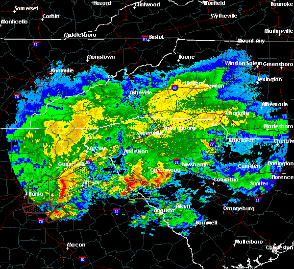 At 1225 pm edt, a severe thunderstorm was located 7 miles east of bobby brown state park, or 32 miles north of thomson, moving east at 50 mph (emergency manager). Hazards include golf ball size hail and 60 mph wind gusts. People and animals outdoors will be injured. expect hail damage to roofs, siding, windows, and vehicles. expect wind damage to roofs, siding, and trees. Locations impacted include, mccormick, lincolnton, parksville, plum branch, willington and mount carmel. At 1225 pm edt, a severe thunderstorm was located 7 miles east of bobby brown state park, or 32 miles north of thomson, moving east at 50 mph (emergency manager). Hazards include golf ball size hail and 60 mph wind gusts. People and animals outdoors will be injured. expect hail damage to roofs, siding, windows, and vehicles. expect wind damage to roofs, siding, and trees. Locations impacted include, mccormick, lincolnton, parksville, plum branch, willington and mount carmel.
|
| 4/5/2017 12:21 PM EDT |
 At 1202 pm edt, a severe thunderstorm was located over tignall, or 33 miles northwest of thomson, moving east at 55 mph (radar indicated). Hazards include 60 mph wind gusts and half dollar size hail. Hail damage to vehicles is expected. Expect wind damage to roofs, siding, and trees. At 1202 pm edt, a severe thunderstorm was located over tignall, or 33 miles northwest of thomson, moving east at 55 mph (radar indicated). Hazards include 60 mph wind gusts and half dollar size hail. Hail damage to vehicles is expected. Expect wind damage to roofs, siding, and trees.
|
| 4/5/2017 12:21 PM EDT |
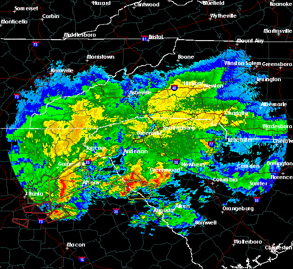 At 1220 pm edt, a severe thunderstorm was located near bobby brown state park, or 32 miles north of thomson, moving east at 50 mph (radar indicated). Hazards include 60 mph wind gusts and half dollar size hail. Hail damage to vehicles is expected. expect wind damage to roofs, siding, and trees. Locations impacted include, mccormick, lincolnton, parksville, plum branch, willington and mount carmel. At 1220 pm edt, a severe thunderstorm was located near bobby brown state park, or 32 miles north of thomson, moving east at 50 mph (radar indicated). Hazards include 60 mph wind gusts and half dollar size hail. Hail damage to vehicles is expected. expect wind damage to roofs, siding, and trees. Locations impacted include, mccormick, lincolnton, parksville, plum branch, willington and mount carmel.
|
| 4/5/2017 12:03 PM EDT |
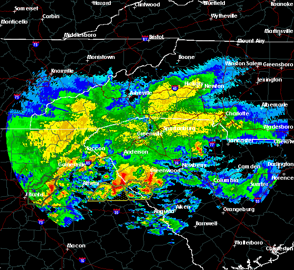 At 1202 pm edt, a severe thunderstorm was located over tignall, or 33 miles northwest of thomson, moving east at 55 mph (radar indicated). Hazards include 60 mph wind gusts and half dollar size hail. Hail damage to vehicles is expected. Expect wind damage to roofs, siding, and trees. At 1202 pm edt, a severe thunderstorm was located over tignall, or 33 miles northwest of thomson, moving east at 55 mph (radar indicated). Hazards include 60 mph wind gusts and half dollar size hail. Hail damage to vehicles is expected. Expect wind damage to roofs, siding, and trees.
|
| 4/3/2017 3:08 PM EDT |
 At 307 pm edt, severe thunderstorms were located along a line extending from near abbeville to near mitchell, moving northeast at 65 mph (radar indicated). Hazards include 70 mph wind gusts and quarter size hail. Hail damage to vehicles is expected. expect considerable tree damage. wind damage is also likely to mobile homes, roofs, and outbuildings. locations impacted include, grovetown, evans, thomson, martinez, mccormick, harlem, lincolnton, dearing, parksville, plum branch, mount carmel, modoc, willington and clarks hill. A tornado watch remains in effect until 900 pm edt for east central georgia, and central south carolina. At 307 pm edt, severe thunderstorms were located along a line extending from near abbeville to near mitchell, moving northeast at 65 mph (radar indicated). Hazards include 70 mph wind gusts and quarter size hail. Hail damage to vehicles is expected. expect considerable tree damage. wind damage is also likely to mobile homes, roofs, and outbuildings. locations impacted include, grovetown, evans, thomson, martinez, mccormick, harlem, lincolnton, dearing, parksville, plum branch, mount carmel, modoc, willington and clarks hill. A tornado watch remains in effect until 900 pm edt for east central georgia, and central south carolina.
|
| 4/3/2017 2:47 PM EDT |
 At 247 pm edt, severe thunderstorms were located along a line extending from near lake secession to 8 miles southwest of warrenton, moving east at 50 mph (radar indicated). Hazards include 60 mph wind gusts and quarter size hail. Hail damage to vehicles is expected. Expect wind damage to roofs, siding, and trees. At 247 pm edt, severe thunderstorms were located along a line extending from near lake secession to 8 miles southwest of warrenton, moving east at 50 mph (radar indicated). Hazards include 60 mph wind gusts and quarter size hail. Hail damage to vehicles is expected. Expect wind damage to roofs, siding, and trees.
|
| 4/3/2017 2:47 PM EDT |
 The national weather service in columbia has issued a * severe thunderstorm warning for. columbia county in east central georgia. mcduffie county in east central georgia. lincoln county in east central georgia. Mccormick county in central south carolina. The national weather service in columbia has issued a * severe thunderstorm warning for. columbia county in east central georgia. mcduffie county in east central georgia. lincoln county in east central georgia. Mccormick county in central south carolina.
|
| 3/21/2017 10:23 PM EDT |
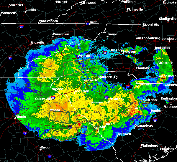 At 1022 pm edt, severe thunderstorms were located along a line extending from 7 miles east of lake strom thurmond to 10 miles southeast of lincolnton, moving east at 55 mph (radar indicated). Hazards include 60 mph wind gusts. Expect damage to roofs, siding, and trees. Locations impacted include, edgefield, mccormick, lincolnton, parksville, plum branch, willington, mount carmel and modoc. At 1022 pm edt, severe thunderstorms were located along a line extending from 7 miles east of lake strom thurmond to 10 miles southeast of lincolnton, moving east at 55 mph (radar indicated). Hazards include 60 mph wind gusts. Expect damage to roofs, siding, and trees. Locations impacted include, edgefield, mccormick, lincolnton, parksville, plum branch, willington, mount carmel and modoc.
|
| 3/21/2017 10:05 PM EDT |
 At 1005 pm edt, severe thunderstorms were located along a line extending from near lake strom thurmond to 7 miles southeast of washington, moving east at 60 mph (radar indicated). Hazards include 60 mph wind gusts. expect damage to roofs, siding, and trees At 1005 pm edt, severe thunderstorms were located along a line extending from near lake strom thurmond to 7 miles southeast of washington, moving east at 60 mph (radar indicated). Hazards include 60 mph wind gusts. expect damage to roofs, siding, and trees
|
| 11/30/2016 5:17 PM EST |
 At 517 pm est, severe thunderstorms were located along a line extending from 13 miles southeast of morganton to 4 miles northeast of spartanburg to 13 miles northwest of union to 12 miles southeast of laurens to 9 miles east of greenwood, moving east at 55 mph (radar indicated). Hazards include 60 mph wind gusts. Expect damage to roofs. siding and trees. Locations impacted include, spartanburg, greenwood, shelby, gaffney, laurens, union, forest city, rutherfordton, clinton and boiling springs sc. At 517 pm est, severe thunderstorms were located along a line extending from 13 miles southeast of morganton to 4 miles northeast of spartanburg to 13 miles northwest of union to 12 miles southeast of laurens to 9 miles east of greenwood, moving east at 55 mph (radar indicated). Hazards include 60 mph wind gusts. Expect damage to roofs. siding and trees. Locations impacted include, spartanburg, greenwood, shelby, gaffney, laurens, union, forest city, rutherfordton, clinton and boiling springs sc.
|
| 11/30/2016 4:41 PM EST |
 At 441 pm est, severe thunderstorms were located along a line extending from 7 miles west of rutherfordton to near greenville downtown to 18 miles southeast of easley to 5 miles northeast of abbeville to 21 miles northeast of washington, moving east at 55 mph (radar indicated). Hazards include 60 mph wind gusts. Expect damage to roofs. Siding and trees. At 441 pm est, severe thunderstorms were located along a line extending from 7 miles west of rutherfordton to near greenville downtown to 18 miles southeast of easley to 5 miles northeast of abbeville to 21 miles northeast of washington, moving east at 55 mph (radar indicated). Hazards include 60 mph wind gusts. Expect damage to roofs. Siding and trees.
|
| 7/17/2016 8:13 PM EDT |
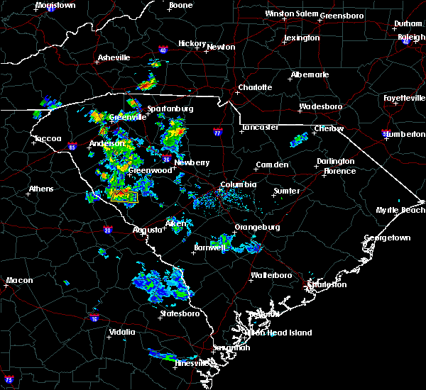 At 812 pm edt, a severe thunderstorm was located near troy, or 16 miles south of greenwood, moving south at 10 mph (radar indicated. wind damage has been reported in greenwood county with this storm). Hazards include 60 mph wind gusts and penny size hail. Expect damage to roofs. siding. and trees. Locations impacted include, mccormick. At 812 pm edt, a severe thunderstorm was located near troy, or 16 miles south of greenwood, moving south at 10 mph (radar indicated. wind damage has been reported in greenwood county with this storm). Hazards include 60 mph wind gusts and penny size hail. Expect damage to roofs. siding. and trees. Locations impacted include, mccormick.
|
| 7/17/2016 8:01 PM EDT |
 At 801 pm edt, a severe thunderstorm was located near troy, or 14 miles south of greenwood, moving south at 15 mph (radar indicated). Hazards include 60 mph wind gusts and nickel size hail. Expect damage to roofs. siding. and trees. Locations impacted include, mccormick. At 801 pm edt, a severe thunderstorm was located near troy, or 14 miles south of greenwood, moving south at 15 mph (radar indicated). Hazards include 60 mph wind gusts and nickel size hail. Expect damage to roofs. siding. and trees. Locations impacted include, mccormick.
|
| 7/17/2016 7:47 PM EDT |
 At 746 pm edt, a severe thunderstorm was located 7 miles northeast of troy, or 9 miles south of greenwood, moving south at 10 mph (radar indicated). Hazards include 60 mph wind gusts and quarter size hail. Hail damage to vehicles is expected. Expect wind damage to roofs, siding, and trees. At 746 pm edt, a severe thunderstorm was located 7 miles northeast of troy, or 9 miles south of greenwood, moving south at 10 mph (radar indicated). Hazards include 60 mph wind gusts and quarter size hail. Hail damage to vehicles is expected. Expect wind damage to roofs, siding, and trees.
|
| 7/7/2016 10:02 PM EDT |
 At 1002 pm edt, severe thunderstorms were located along a line extending from 14 miles southwest of union to 11 miles south of laurens to 8 miles north of abbeville, moving southeast at 40 mph (radar indicated). Hazards include 70 mph wind gusts and quarter size hail. Hail damage to vehicles is expected. expect considerable tree damage. wind damage is also likely to mobile homes, roofs and outbuildings. Locations impacted include, greenwood, abbeville, clinton, ninety six, joanna, due west, cross hill, cokesbury, waterloo and hodges. At 1002 pm edt, severe thunderstorms were located along a line extending from 14 miles southwest of union to 11 miles south of laurens to 8 miles north of abbeville, moving southeast at 40 mph (radar indicated). Hazards include 70 mph wind gusts and quarter size hail. Hail damage to vehicles is expected. expect considerable tree damage. wind damage is also likely to mobile homes, roofs and outbuildings. Locations impacted include, greenwood, abbeville, clinton, ninety six, joanna, due west, cross hill, cokesbury, waterloo and hodges.
|
| 7/7/2016 9:40 PM EDT |
 At 939 pm edt, severe thunderstorms were located along a line extending from 11 miles north of laurens to 12 miles southeast of anderson, moving southeast at 45 mph (radar indicated). Hazards include 60 mph wind gusts. Expect damage to roofs. Siding and trees. At 939 pm edt, severe thunderstorms were located along a line extending from 11 miles north of laurens to 12 miles southeast of anderson, moving southeast at 45 mph (radar indicated). Hazards include 60 mph wind gusts. Expect damage to roofs. Siding and trees.
|
| 7/6/2016 1:40 PM EDT |
 At 138 pm edt, radar indicate thunderstorms will affect much of mccormick and lincoln counties, especially northern sections. storm movement was east near 30 mph. some of the storms will contain wind of 40 to 60 mph (radar indicated). Hazards include 60 mph wind gusts. Expect damage to roofs. siding. And trees. At 138 pm edt, radar indicate thunderstorms will affect much of mccormick and lincoln counties, especially northern sections. storm movement was east near 30 mph. some of the storms will contain wind of 40 to 60 mph (radar indicated). Hazards include 60 mph wind gusts. Expect damage to roofs. siding. And trees.
|
| 6/17/2016 4:27 PM EDT | The severe thunderstorm warning for greenwood and southeastern abbeville counties will expire at 430 pm edt. the storms which prompted the warning have weakened below severe limits. and no longer pose an immediate threat to life or property. therefore the warning will be allowed to expire. However gusty winds are still possible with these thunderstorms. |
| 6/17/2016 4:09 PM EDT |
 At 409 pm edt, severe thunderstorms were located along a line extending from 6 miles east of abbeville to 14 miles southeast of greenwood to 20 miles southwest of newberry, moving southeast at 35 mph (radar indicated). Hazards include 60 mph wind gusts. Expect damage to roofs. siding and trees. Locations impacted include, greenwood, abbeville, ninety six, cokesbury, hodges, troy, greenwood state park, ninety six historic site, promised land and bradley. At 409 pm edt, severe thunderstorms were located along a line extending from 6 miles east of abbeville to 14 miles southeast of greenwood to 20 miles southwest of newberry, moving southeast at 35 mph (radar indicated). Hazards include 60 mph wind gusts. Expect damage to roofs. siding and trees. Locations impacted include, greenwood, abbeville, ninety six, cokesbury, hodges, troy, greenwood state park, ninety six historic site, promised land and bradley.
|
| 6/17/2016 3:49 PM EDT |
 At 349 pm edt, severe thunderstorms were located along a line extending from 6 miles north of abbeville to 6 miles southwest of greenwood to 20 miles southwest of newberry, moving southeast at 25 mph (radar indicated). Hazards include 60 mph wind gusts. Expect damage to roofs. Siding and trees. At 349 pm edt, severe thunderstorms were located along a line extending from 6 miles north of abbeville to 6 miles southwest of greenwood to 20 miles southwest of newberry, moving southeast at 25 mph (radar indicated). Hazards include 60 mph wind gusts. Expect damage to roofs. Siding and trees.
|
| 6/3/2016 12:04 AM EDT |
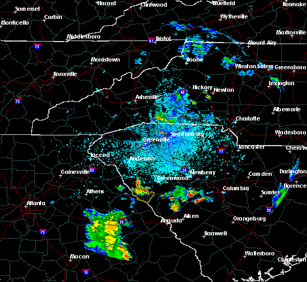 At 1201 am edt, a severe thunderstorm was located near lake strom thurmond, or 13 miles southwest of abbeville, moving southeast at 15 mph (radar indicated). Hazards include 60 mph wind gusts and quarter size hail. Hail damage to vehicles is expected. expect wind damage to roofs, siding, and trees. Locations impacted include, mccormick, lake strom thurmond, bobby brown state park, willington and mount carmel. At 1201 am edt, a severe thunderstorm was located near lake strom thurmond, or 13 miles southwest of abbeville, moving southeast at 15 mph (radar indicated). Hazards include 60 mph wind gusts and quarter size hail. Hail damage to vehicles is expected. expect wind damage to roofs, siding, and trees. Locations impacted include, mccormick, lake strom thurmond, bobby brown state park, willington and mount carmel.
|
| 6/2/2016 11:48 PM EDT |
 At 1147 pm edt, a severe thunderstorm was located near lake strom thurmond, or 13 miles southwest of abbeville, moving southeast at 15 mph (radar indicated). Hazards include 60 mph wind gusts and quarter size hail. Hail damage to vehicles is expected. Expect wind damage to roofs, siding, and trees. At 1147 pm edt, a severe thunderstorm was located near lake strom thurmond, or 13 miles southwest of abbeville, moving southeast at 15 mph (radar indicated). Hazards include 60 mph wind gusts and quarter size hail. Hail damage to vehicles is expected. Expect wind damage to roofs, siding, and trees.
|
| 5/2/2016 11:20 PM EDT |
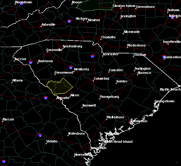 At 1119 pm edt, a line of severe thunderstorms were located near edgefield, or 16 miles north of belvedere, moving east at 35 mph (radar indicated). Hazards include 60 mph wind gusts. Expect damage to roofs. siding. And trees. At 1119 pm edt, a line of severe thunderstorms were located near edgefield, or 16 miles north of belvedere, moving east at 35 mph (radar indicated). Hazards include 60 mph wind gusts. Expect damage to roofs. siding. And trees.
|
| 8/6/2015 4:06 PM EDT |
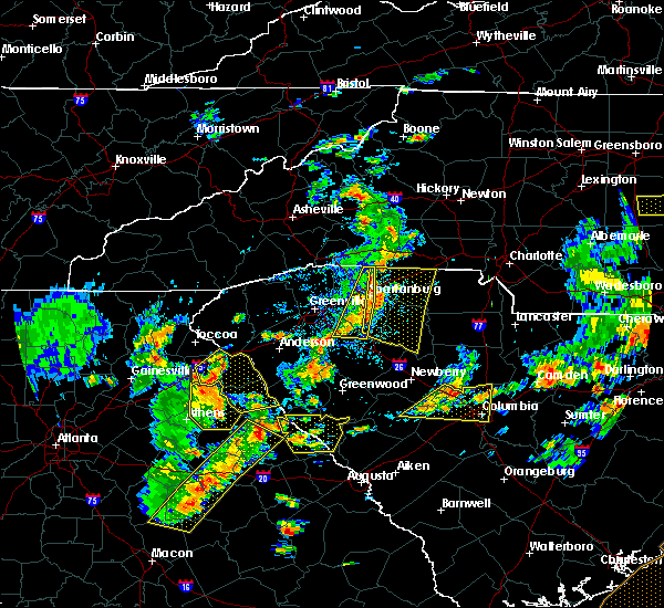 At 406 pm edt, doppler radar indicated a line of severe thunderstorms capable of producing damaging winds in excess of 60 mph. these storms were located along a line extending from near lake strom thurmond to near siloam, and moving east at 25 mph. At 406 pm edt, doppler radar indicated a line of severe thunderstorms capable of producing damaging winds in excess of 60 mph. these storms were located along a line extending from near lake strom thurmond to near siloam, and moving east at 25 mph.
|
| 7/18/2015 7:12 PM EDT |
 At 711 pm edt, doppler radar indicated a line of thunderstorms with a history of producing damaging winds in excess of 60 mph. these storms were located along a line extending from 10 miles east of greenwood to 6 miles southwest of abbeville to 12 miles east of elberton, moving south at 20 mph. locations impacted include, calhoun falls, ninety six, troy, ninety six historic site, greenwood state park, promised land, bradley, dyson, epworth and callison. At 711 pm edt, doppler radar indicated a line of thunderstorms with a history of producing damaging winds in excess of 60 mph. these storms were located along a line extending from 10 miles east of greenwood to 6 miles southwest of abbeville to 12 miles east of elberton, moving south at 20 mph. locations impacted include, calhoun falls, ninety six, troy, ninety six historic site, greenwood state park, promised land, bradley, dyson, epworth and callison.
|
| 7/18/2015 6:42 PM EDT |
 At 640 pm edt, doppler radar indicated a line of severe thunderstorms with a history of producing damaging winds in excess of 60 mph. these storms were located along a line extending from 10 miles southeast of laurens to near greenwood to near abbeville to 17 miles south of anderson, moving south at 25 mph. penny size hail may also accompany the damaging winds. this line has produced tree and power line damage from anderson to hickory tavern to ware shoals and will likely blow down numerous trees and power lines in its path. move away from rooms in your house that could be affected by falling trees. locations impacted include, greenwood, abbeville, calhoun falls, ninety six, due west, lake secession, cross hill, cokesbury, waterloo and hodges. At 640 pm edt, doppler radar indicated a line of severe thunderstorms with a history of producing damaging winds in excess of 60 mph. these storms were located along a line extending from 10 miles southeast of laurens to near greenwood to near abbeville to 17 miles south of anderson, moving south at 25 mph. penny size hail may also accompany the damaging winds. this line has produced tree and power line damage from anderson to hickory tavern to ware shoals and will likely blow down numerous trees and power lines in its path. move away from rooms in your house that could be affected by falling trees. locations impacted include, greenwood, abbeville, calhoun falls, ninety six, due west, lake secession, cross hill, cokesbury, waterloo and hodges.
|
| 7/18/2015 6:09 PM EDT |
 At 609 pm edt, doppler radar indicated a line of severe thunderstorms with a history of producing damaging winds in excess of 60 mph. these storms were located along a line extending from 4 miles south of laurens to 6 miles northwest of greenwood to 10 miles south of anderson, and moving south at 25 mph. * locations in the warning include, greenwood, abbeville, calhoun falls, ninety six, due west, lake secession, cross hill, cokesbury, waterloo and hodges. At 609 pm edt, doppler radar indicated a line of severe thunderstorms with a history of producing damaging winds in excess of 60 mph. these storms were located along a line extending from 4 miles south of laurens to 6 miles northwest of greenwood to 10 miles south of anderson, and moving south at 25 mph. * locations in the warning include, greenwood, abbeville, calhoun falls, ninety six, due west, lake secession, cross hill, cokesbury, waterloo and hodges.
|
| 7/14/2015 8:09 PM EDT |
 At 806 pm edt, doppler radar indicated a line of severe thunderstorms capable of producing damaging winds in excess of 60 mph. these storms were located along a line extending from near anderson south carolina to near danielsville georgia, and moving southeast at 35 mph. At 806 pm edt, doppler radar indicated a line of severe thunderstorms capable of producing damaging winds in excess of 60 mph. these storms were located along a line extending from near anderson south carolina to near danielsville georgia, and moving southeast at 35 mph.
|
| 4/20/2015 9:25 PM EDT | At 925 pm edt, doppler radar indicated a severe thunderstorm capable of producing quarter size hail and damaging winds in excess of 60 mph. this storm was located 12 miles south of greenwood, or near troy, and moving east at 35 mph. |
| 4/20/2015 9:13 PM EDT | At 910 pm edt, national weather service doppler radar indicated a severe thunderstorm capable of producing quarter size hail, and damaging winds in excess of 60 mph. this storm was located 12 miles northwest of mccormick, or 12 miles south of abbeville, and moving east at 40 mph. * some communities in the warning area include mccormick. |
| 7/3/2014 3:33 PM EDT | Trees dow in greenwood county SC, 0.2 miles ESE of Troy, SC |
| 7/3/2014 3:30 PM EDT | Emergency manager reported trees down due to strong straight line winds along rocky creek road near the greenwood county line. tstm wnd dmg duration 2 minutes in mccormick county SC, 0.7 miles NNW of Troy, SC |
Hail Maps for Troy, SC
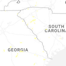


Connect with Interactive Hail Maps