

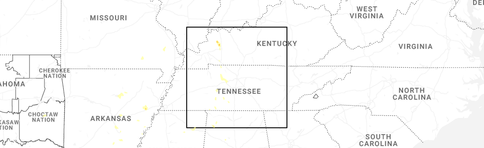
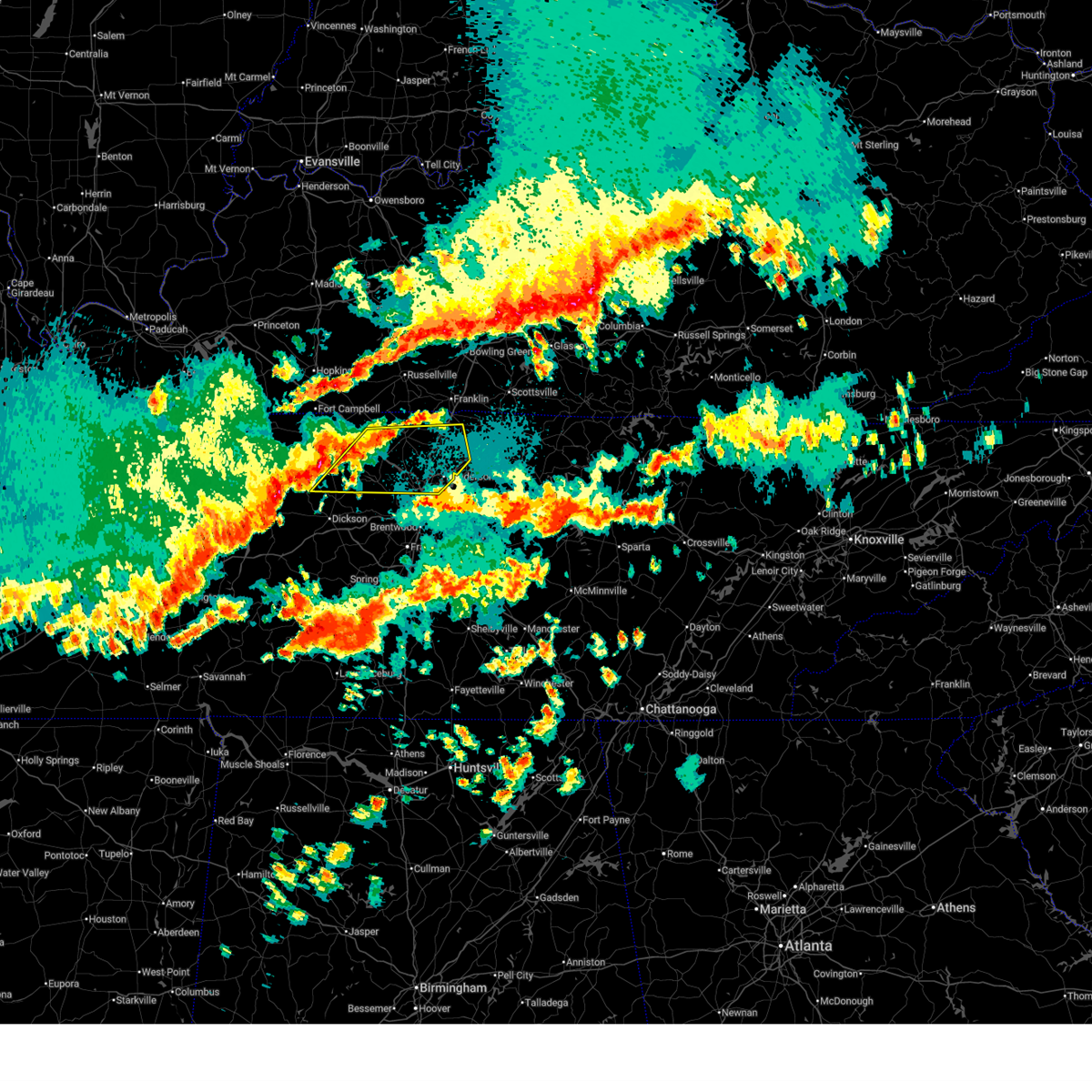
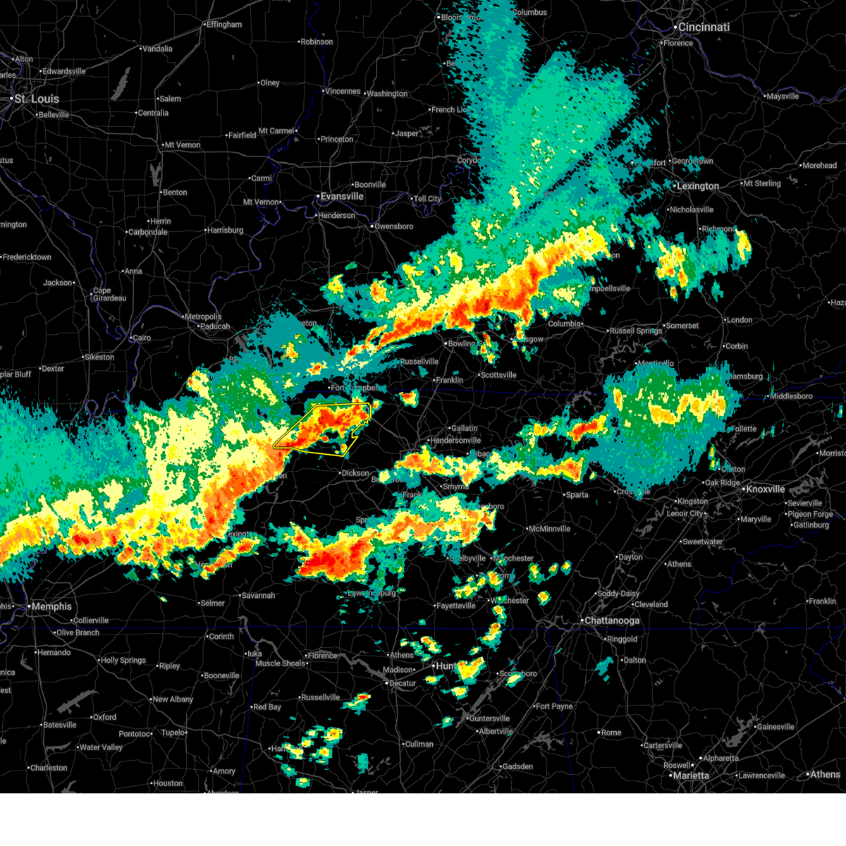
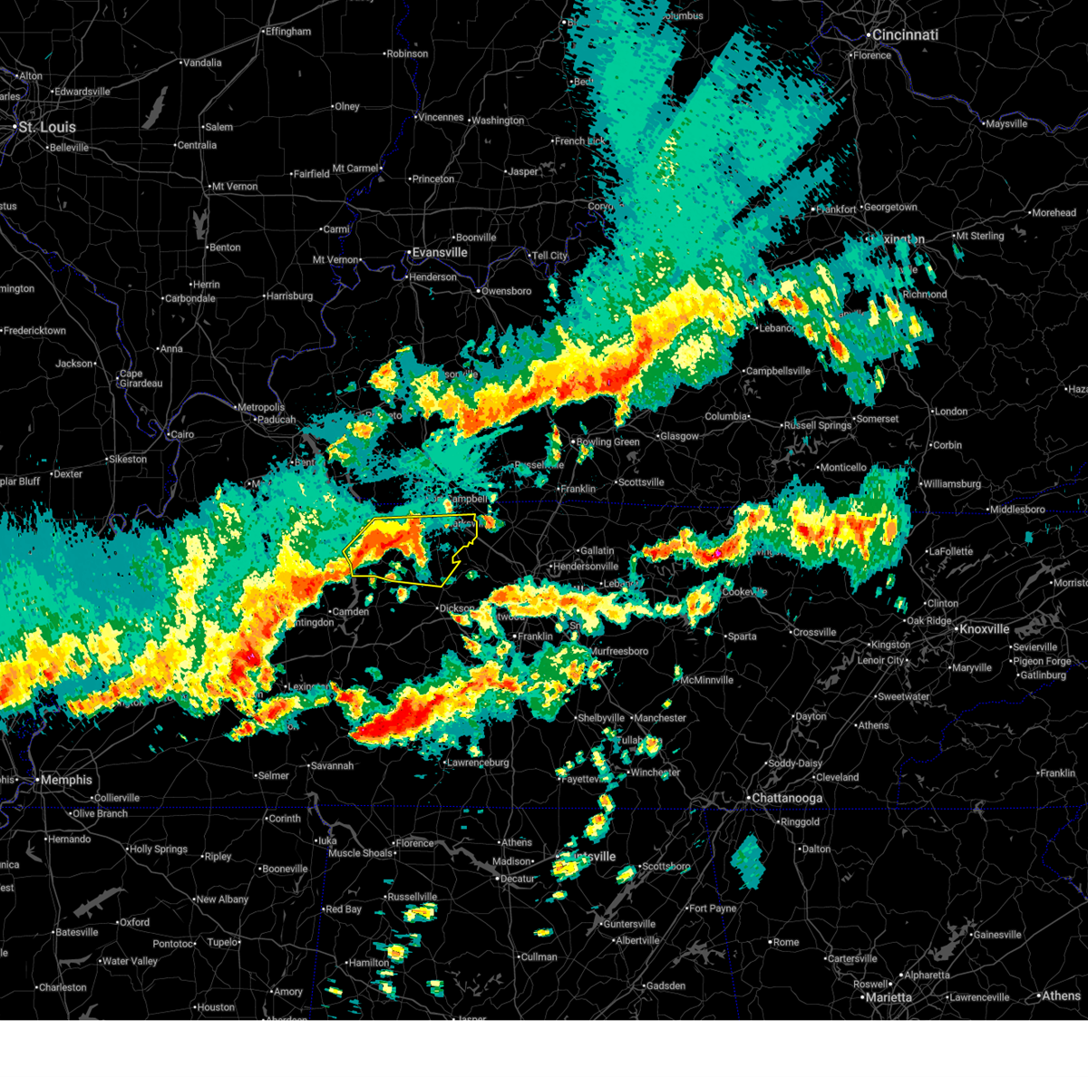
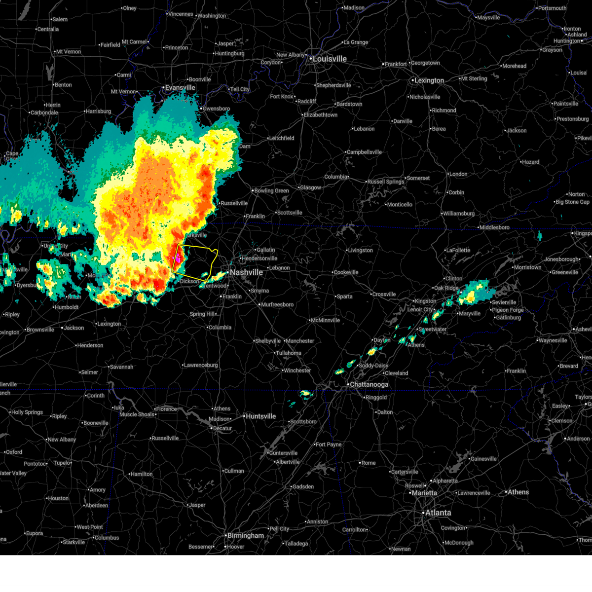
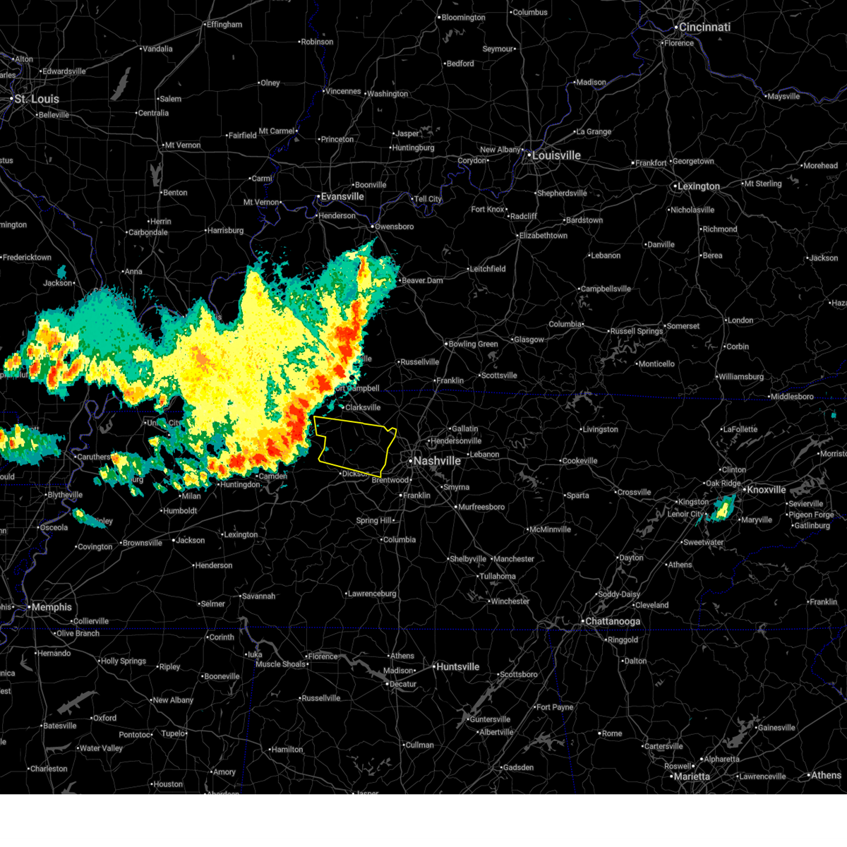
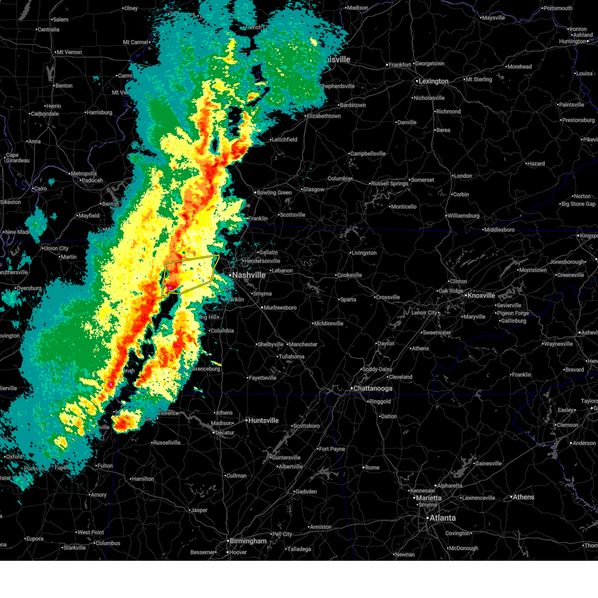
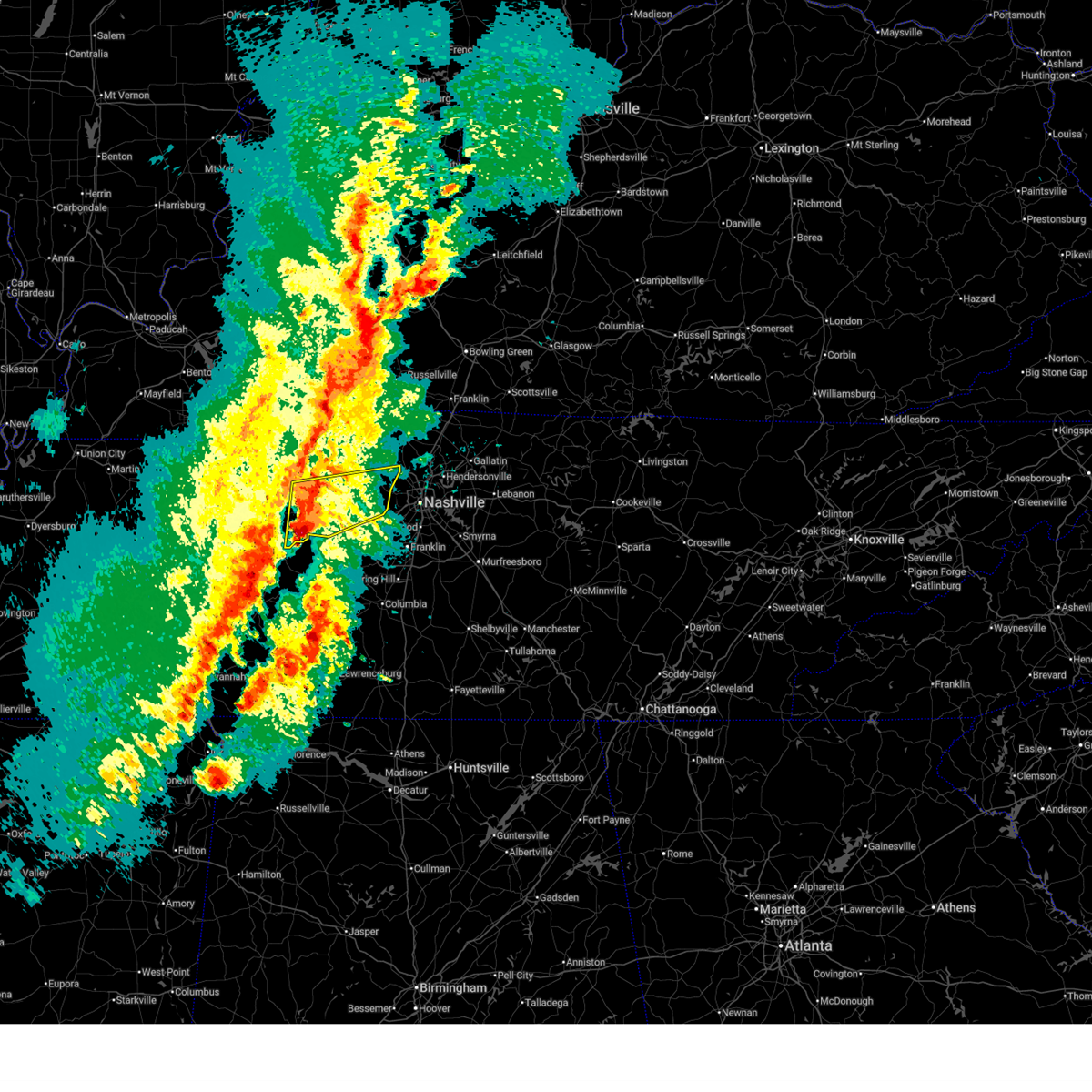
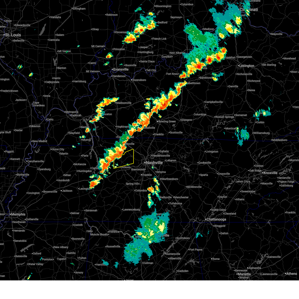
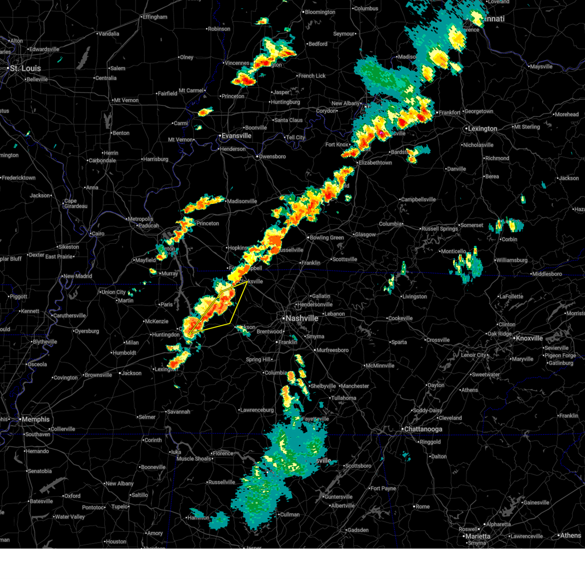
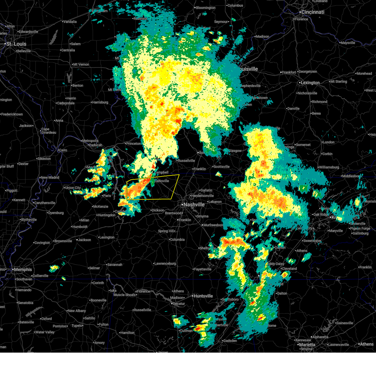
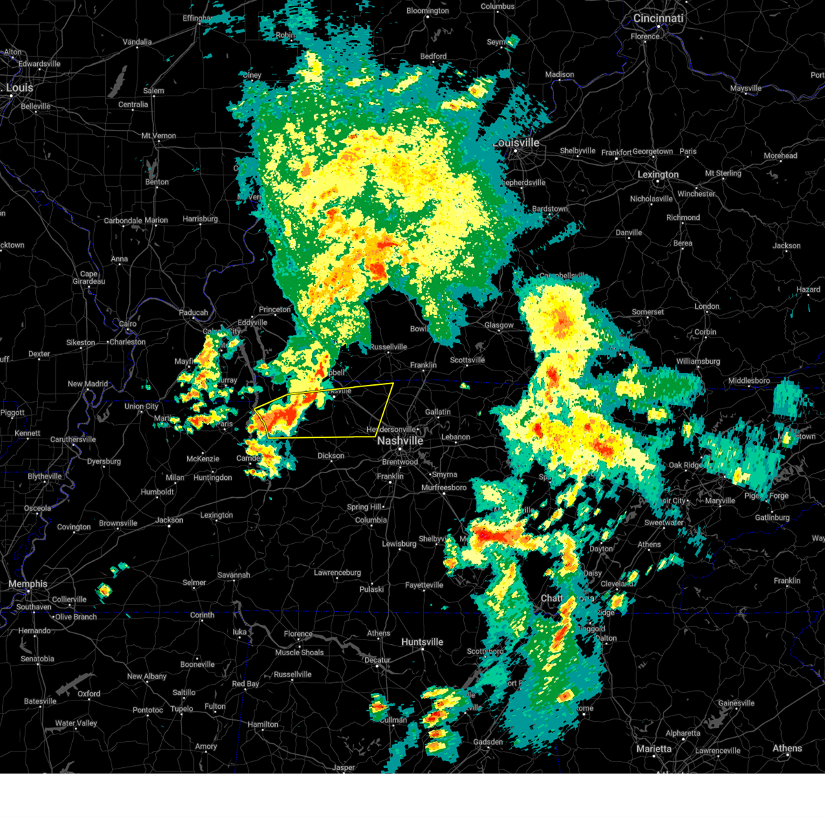
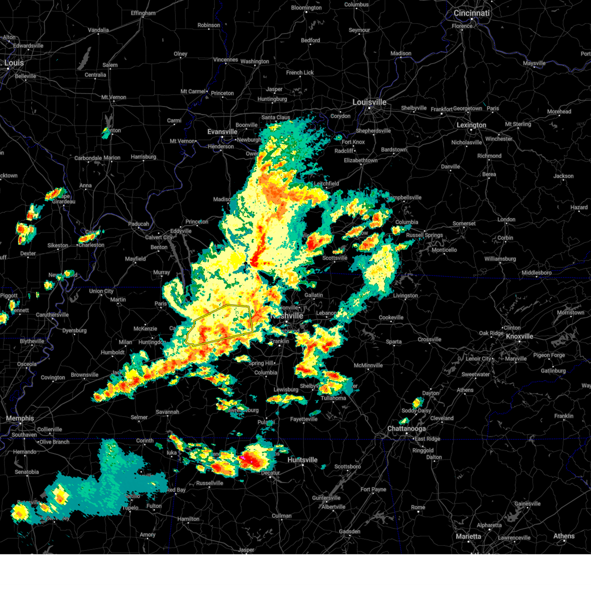
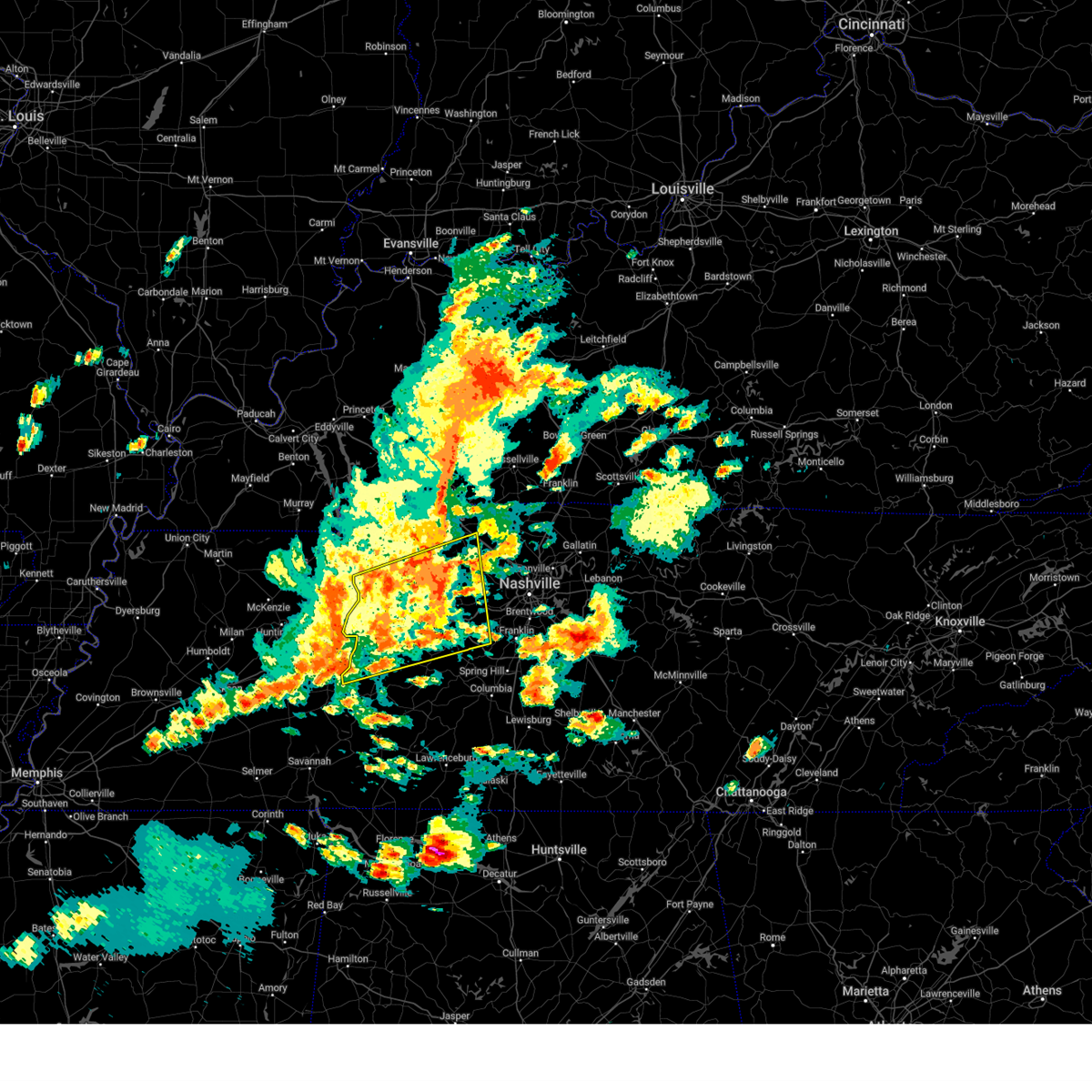
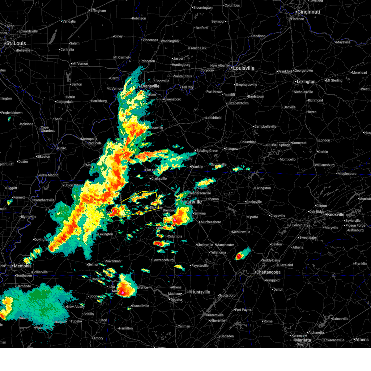
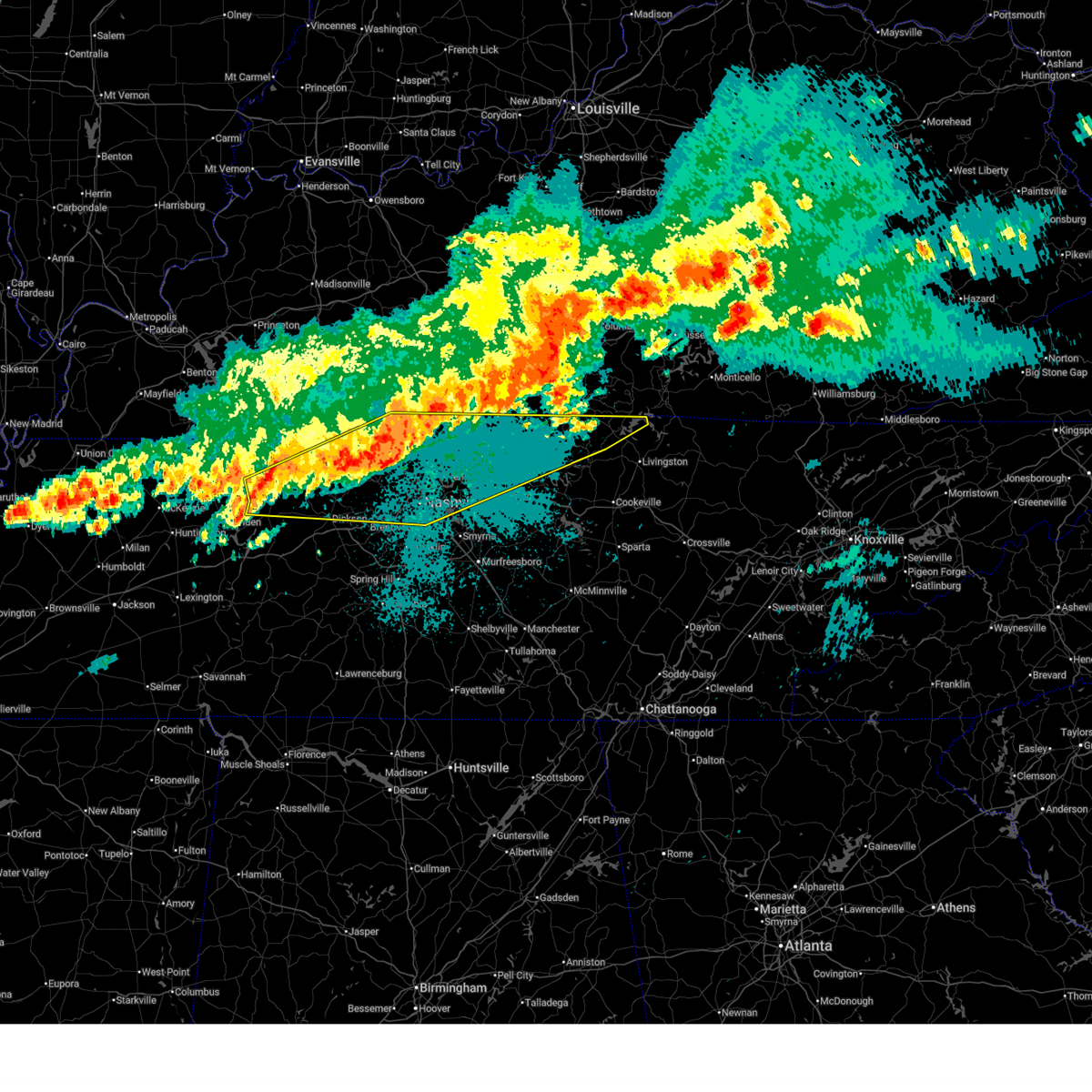
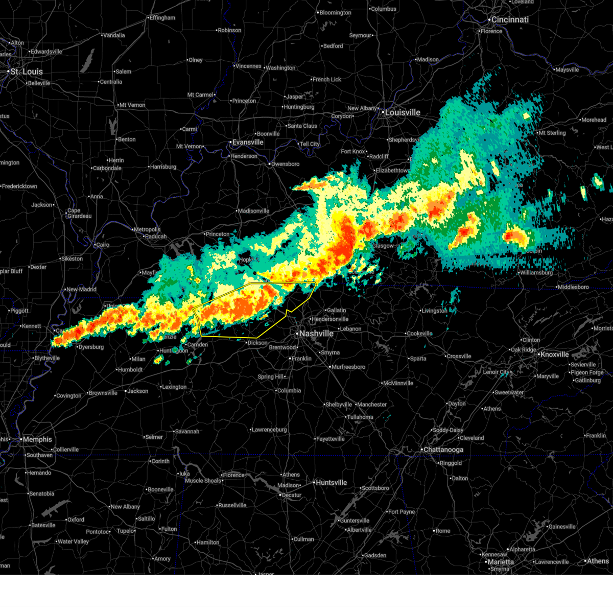
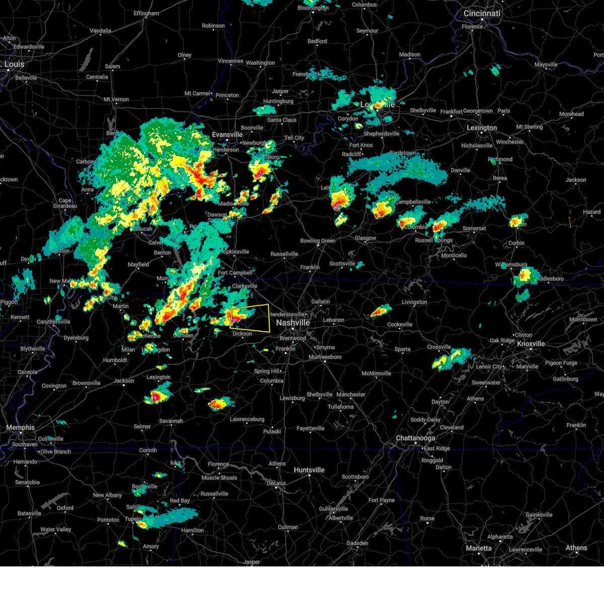
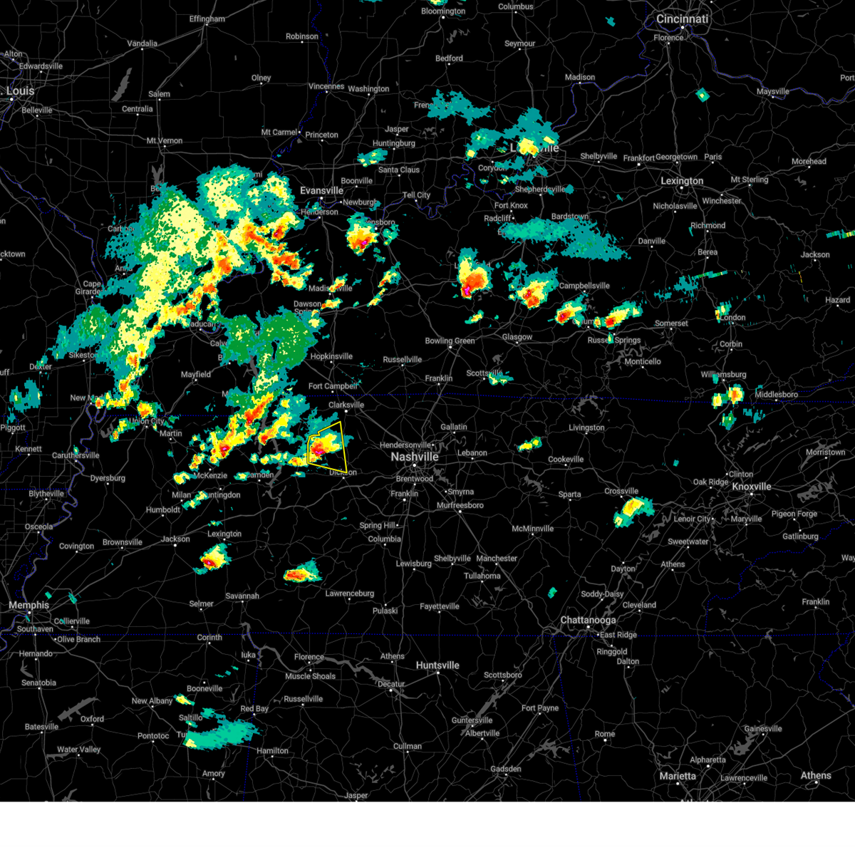
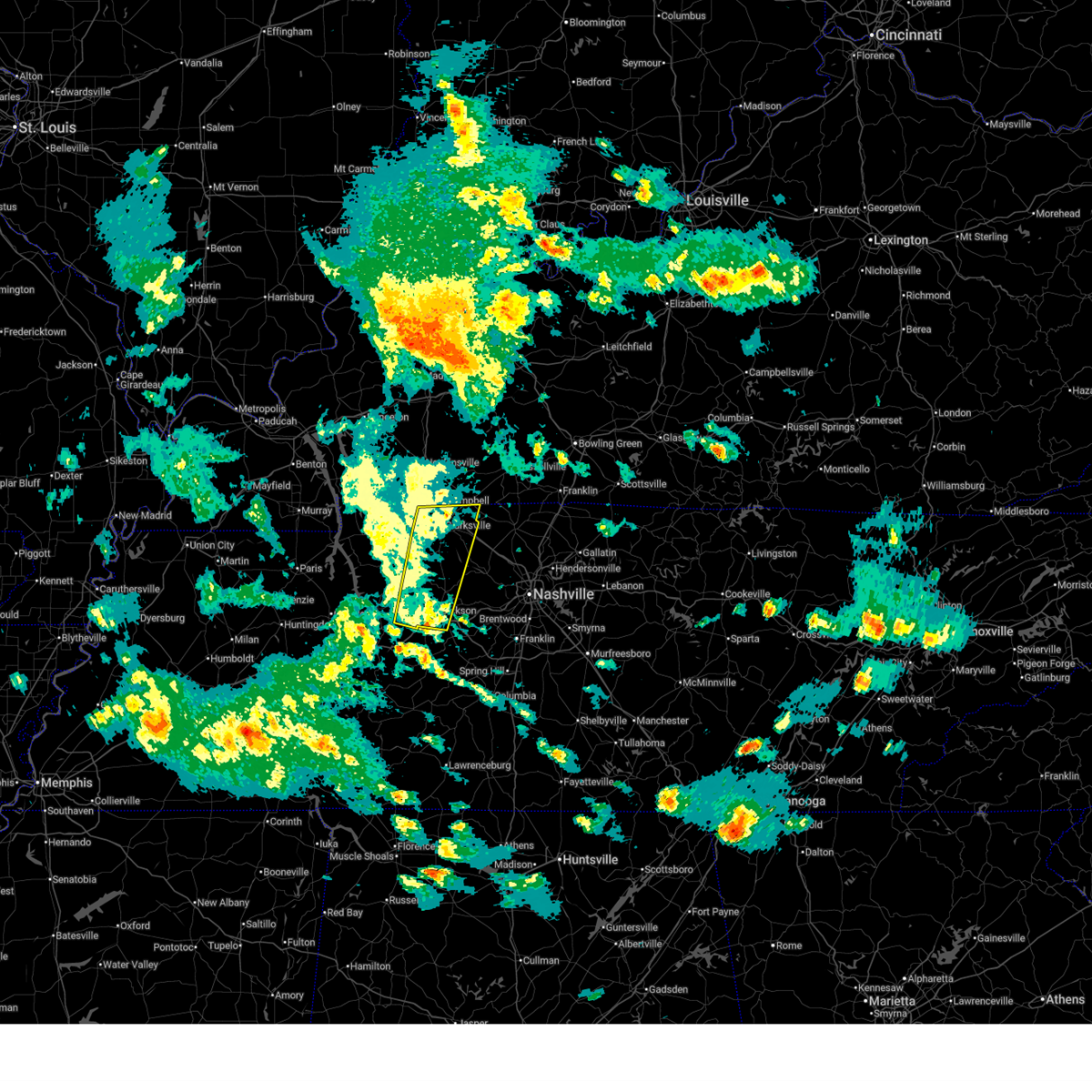
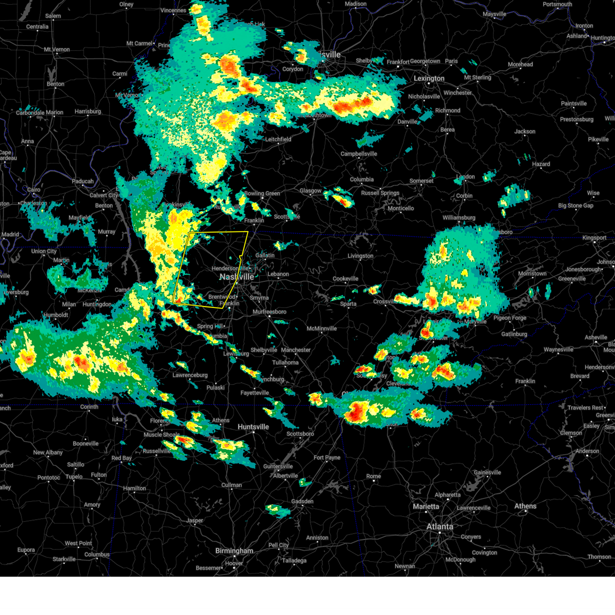
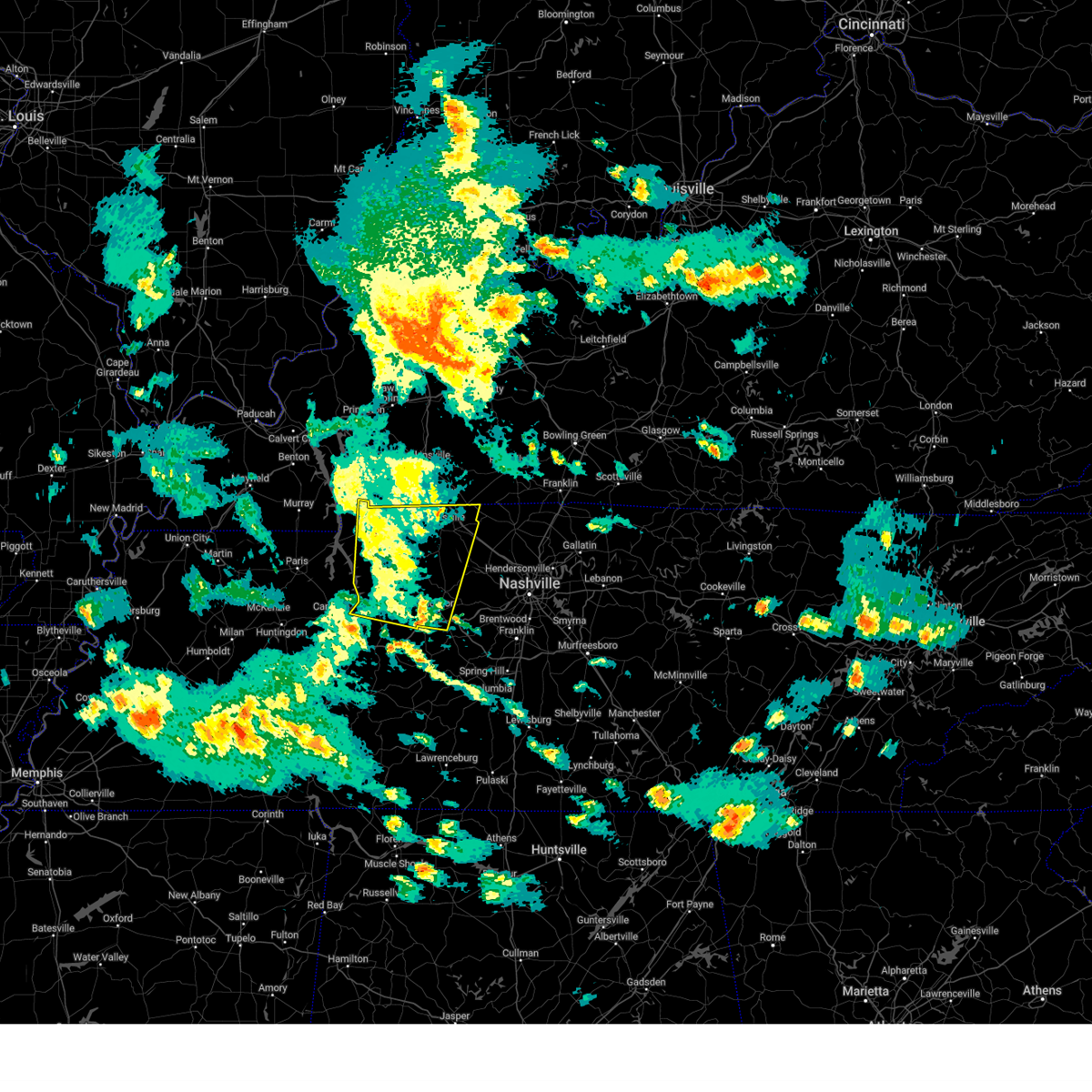
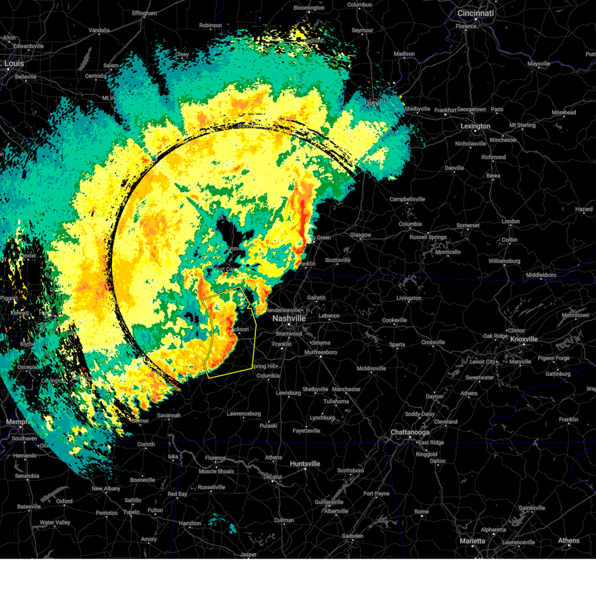
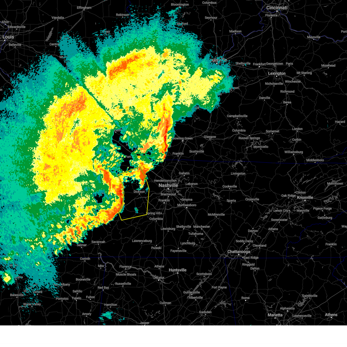
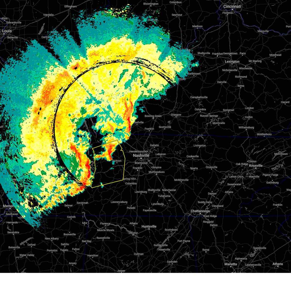
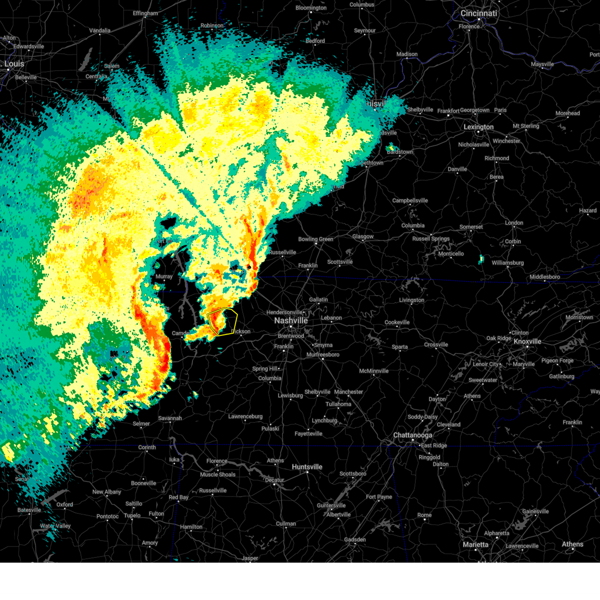
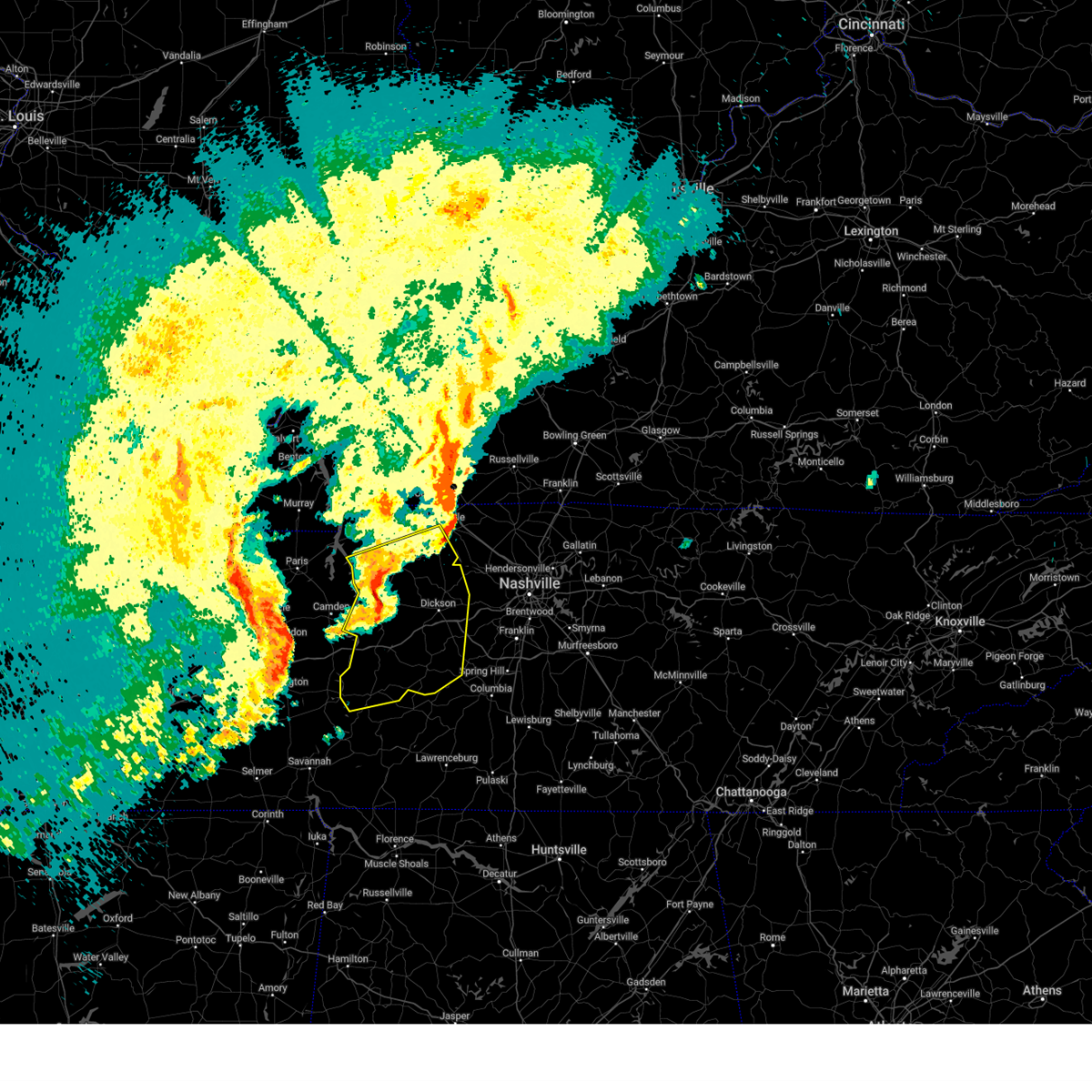
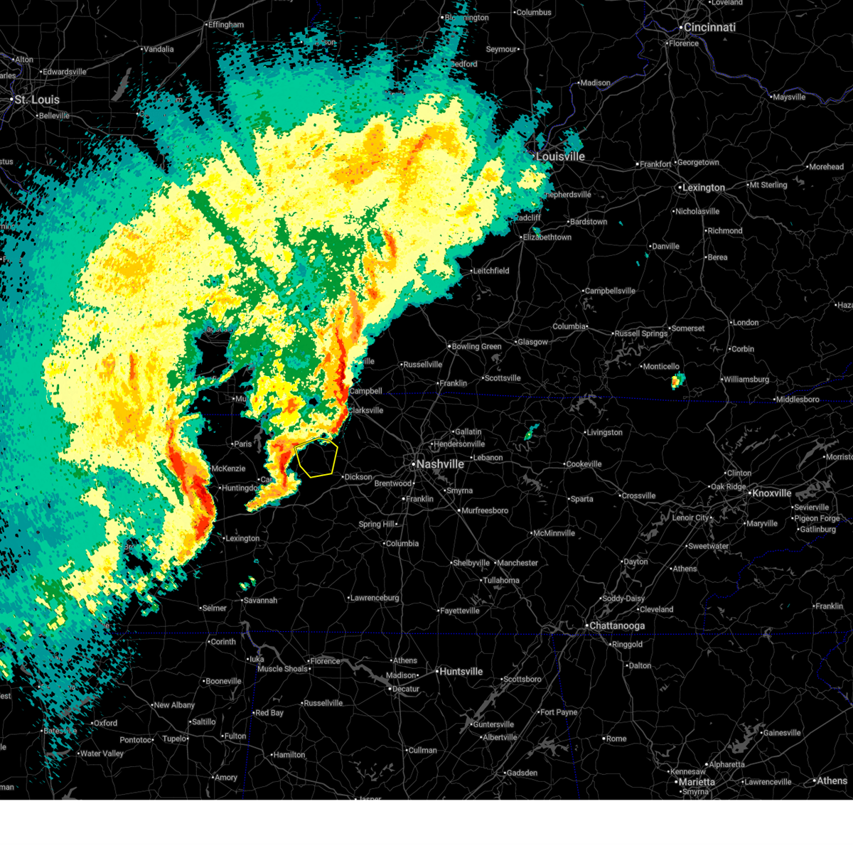
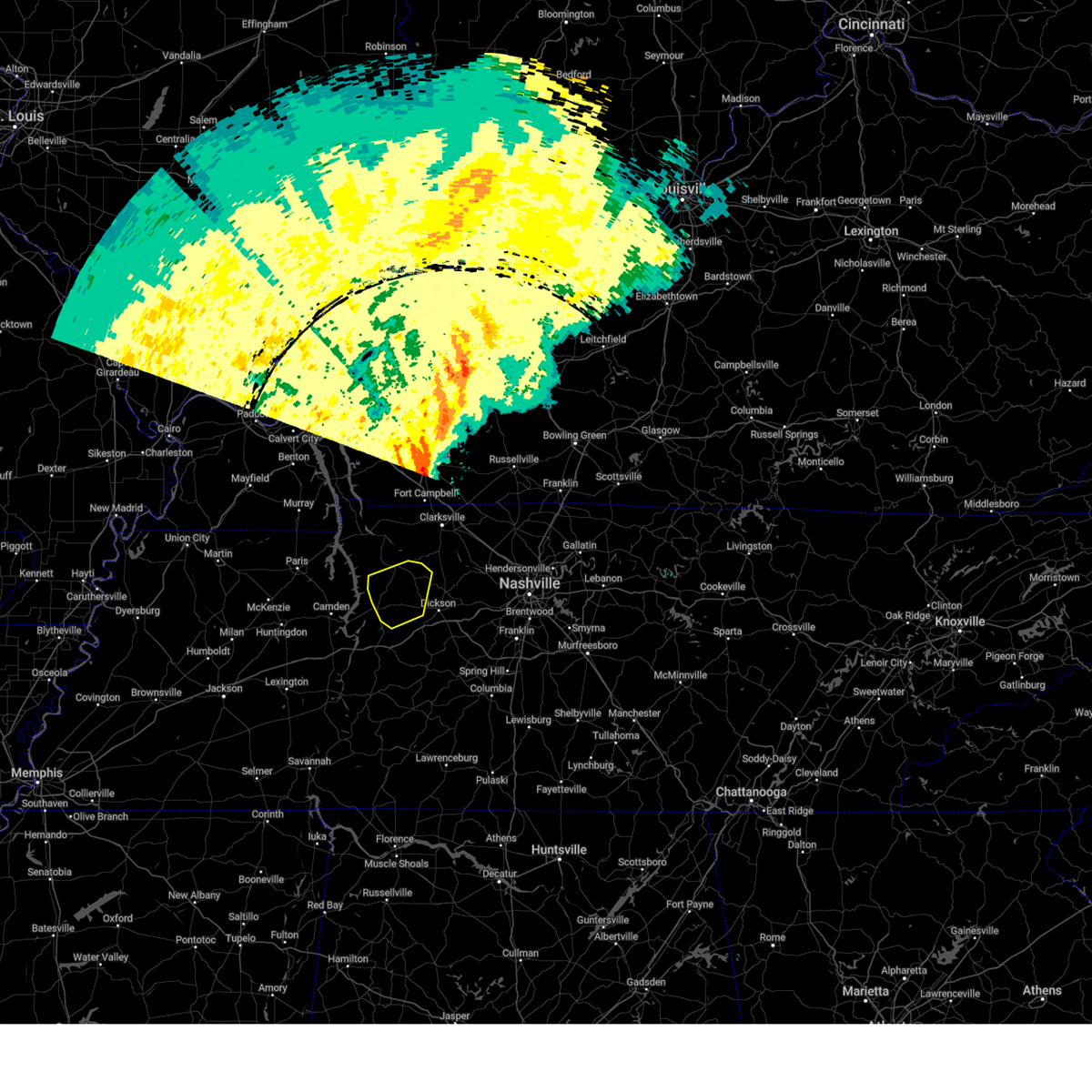
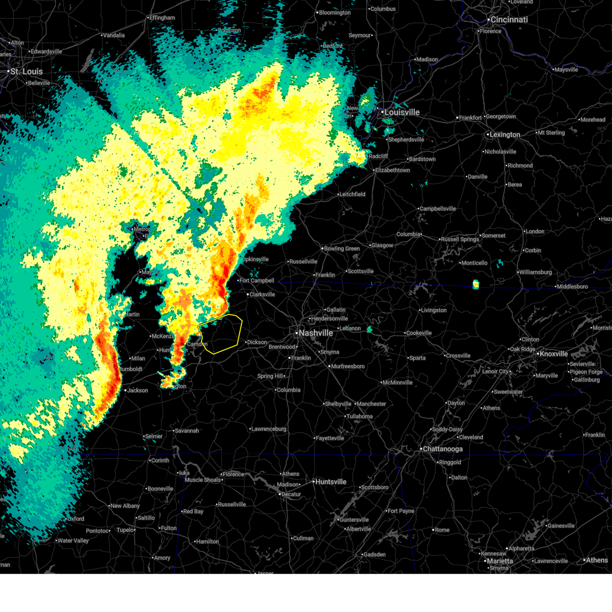
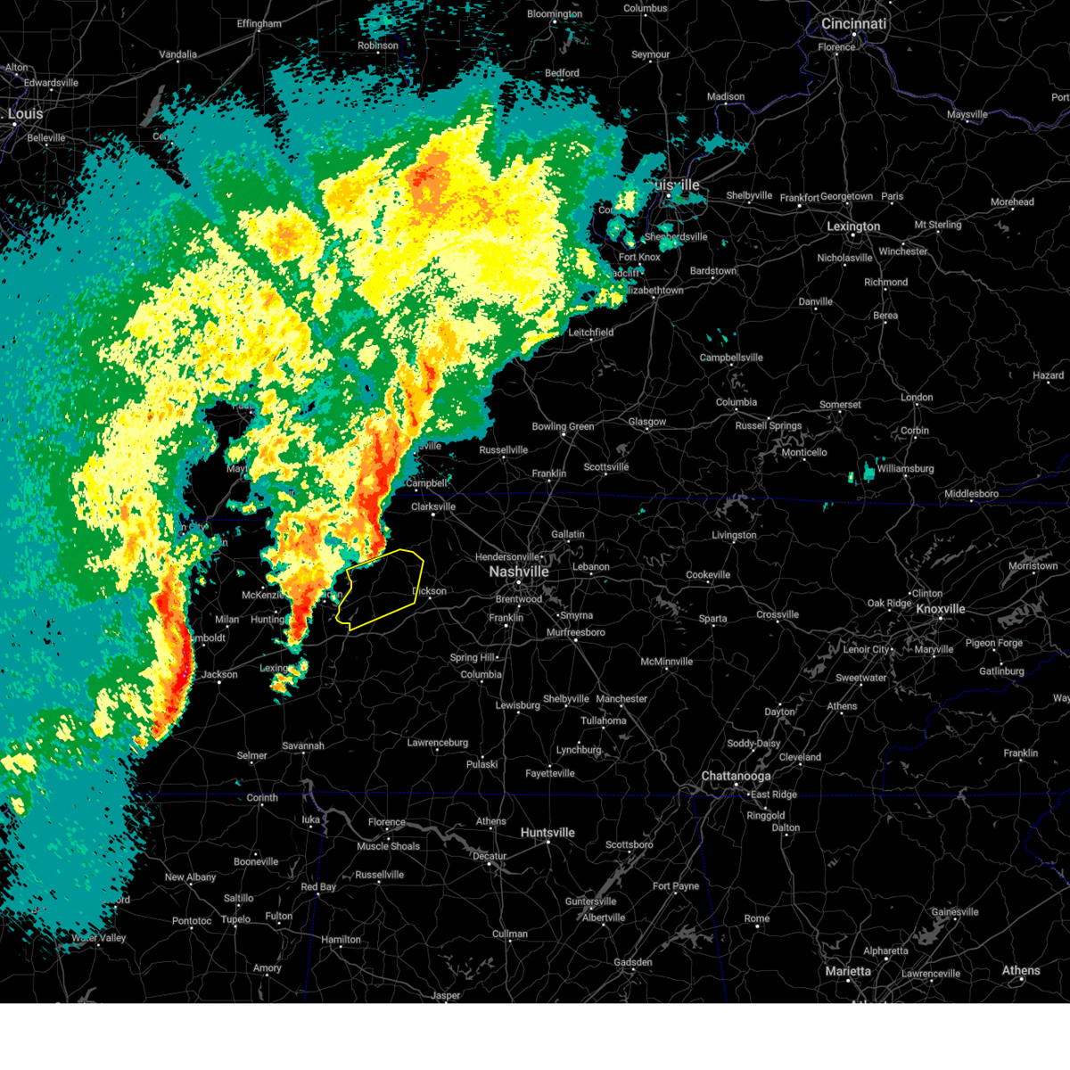
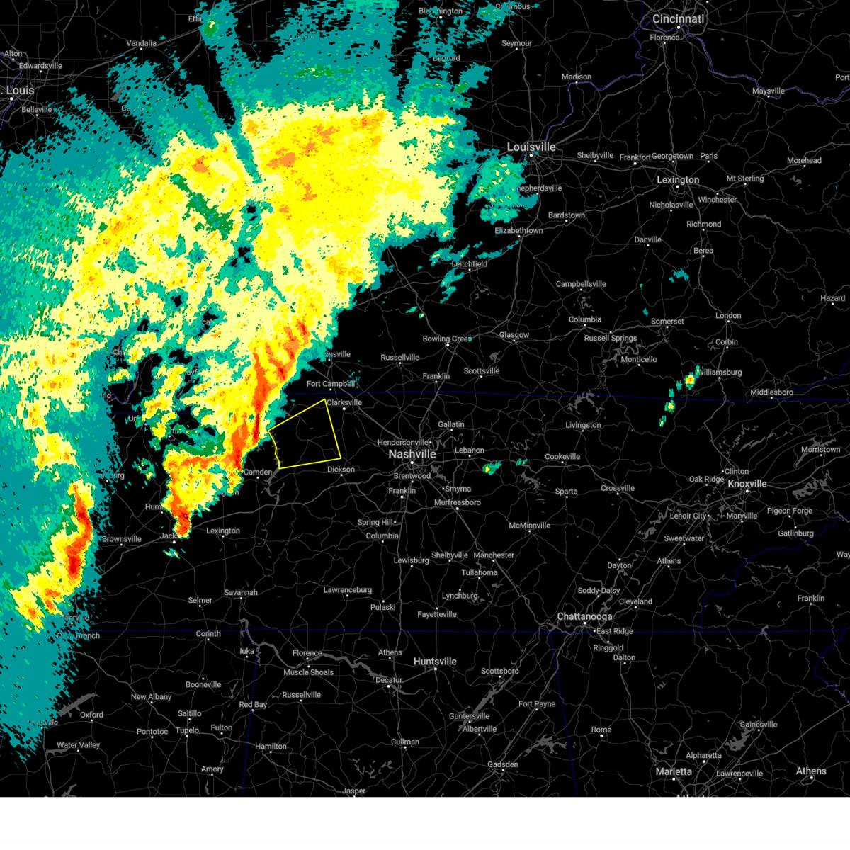
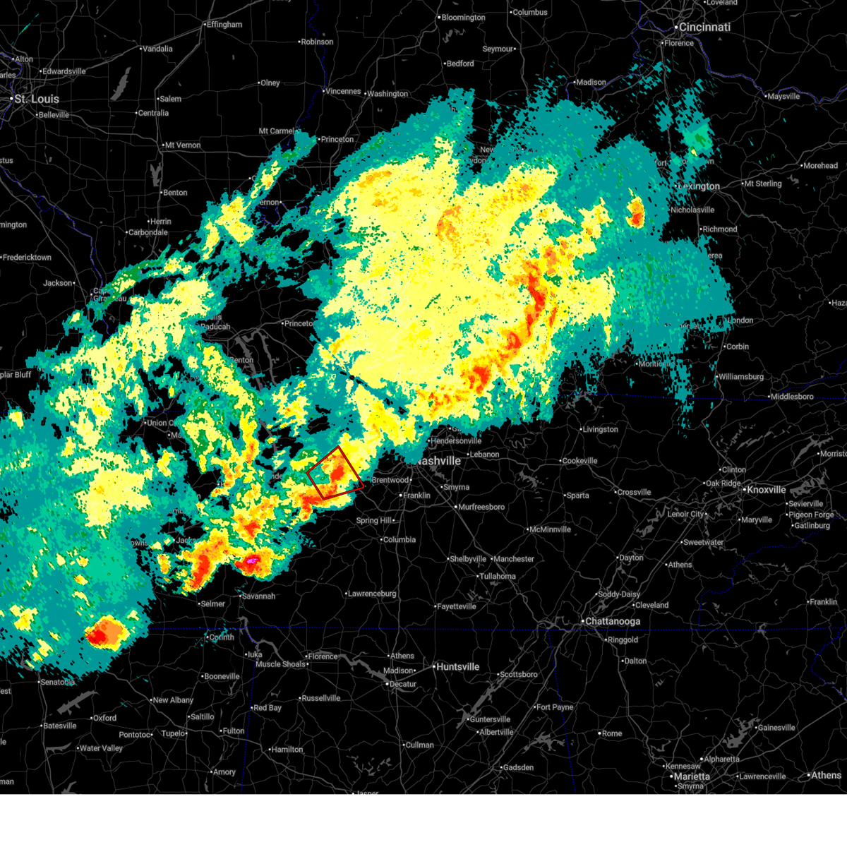
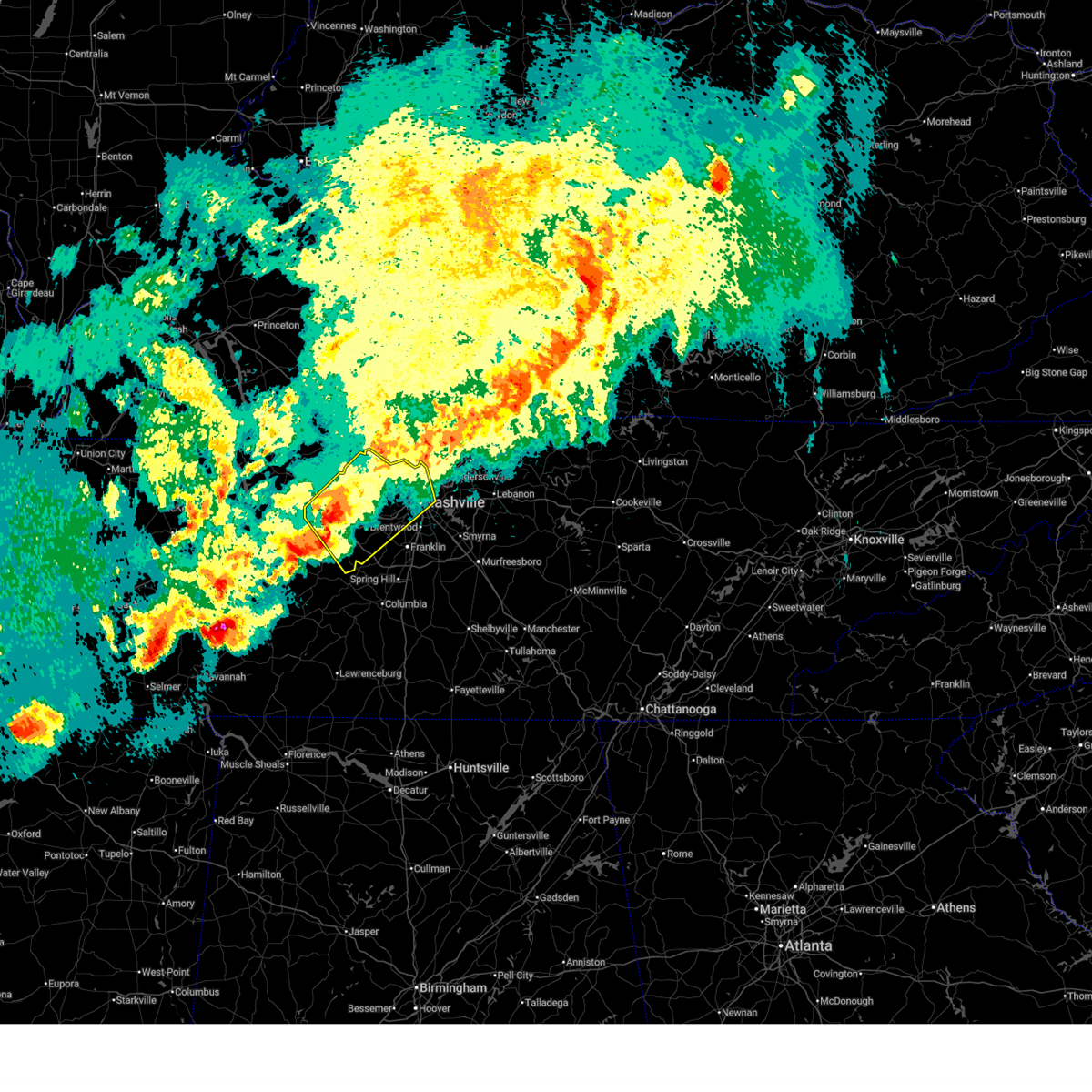
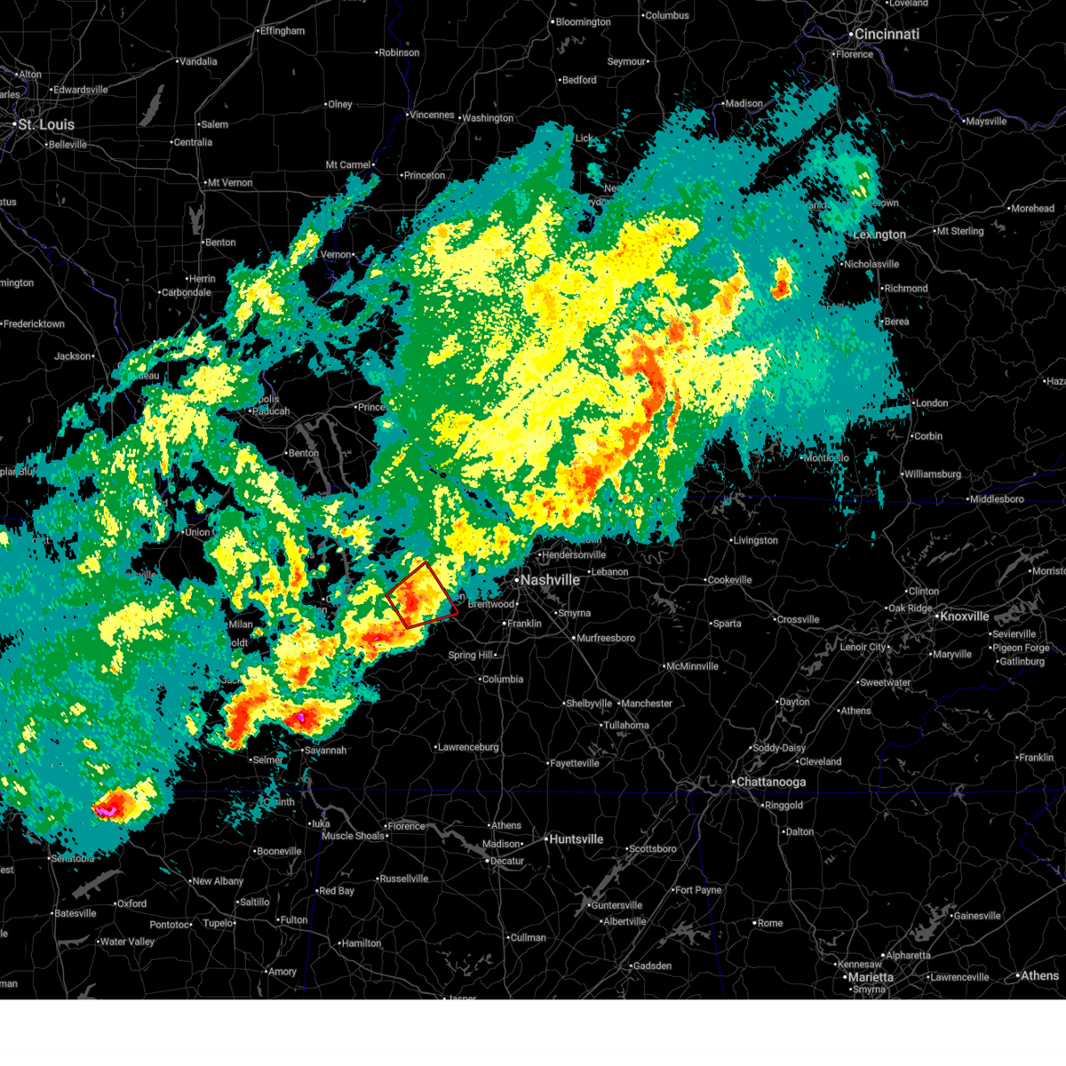
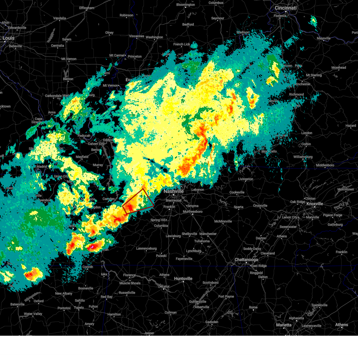
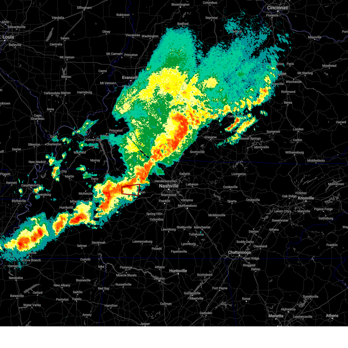
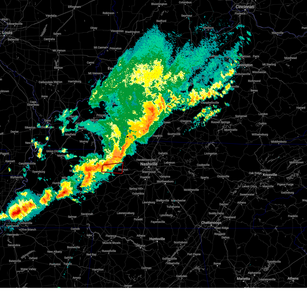
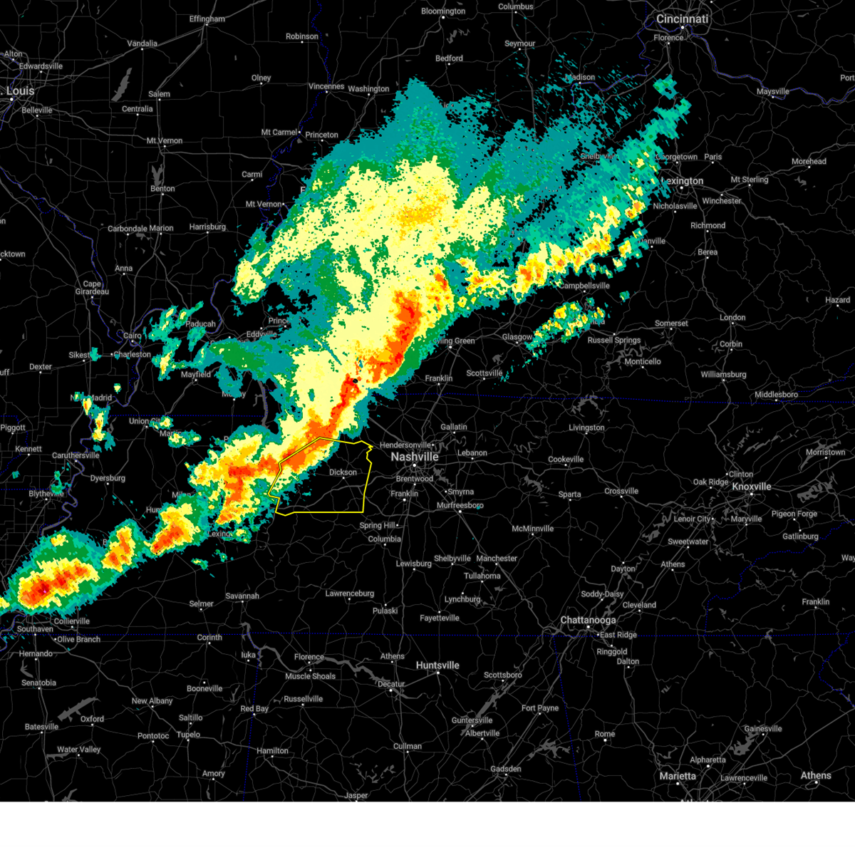
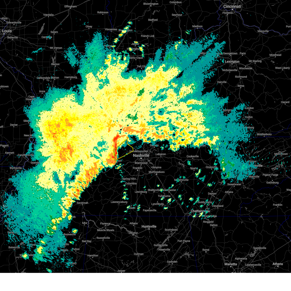
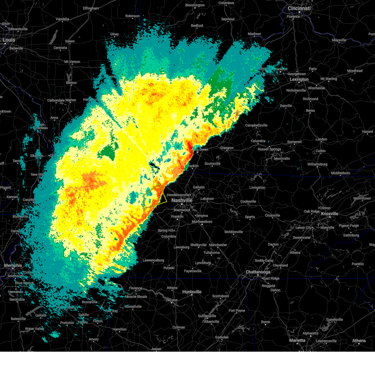
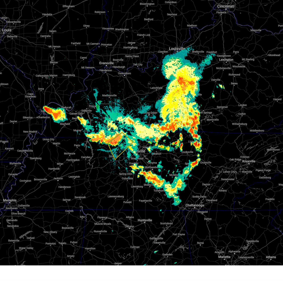
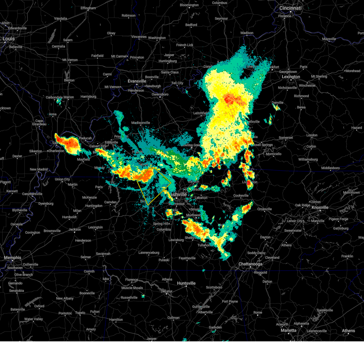
Hail Map for Vanleer, TN
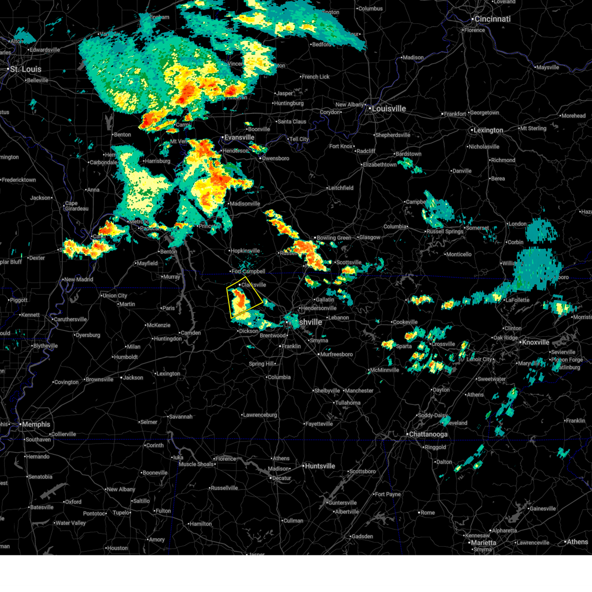
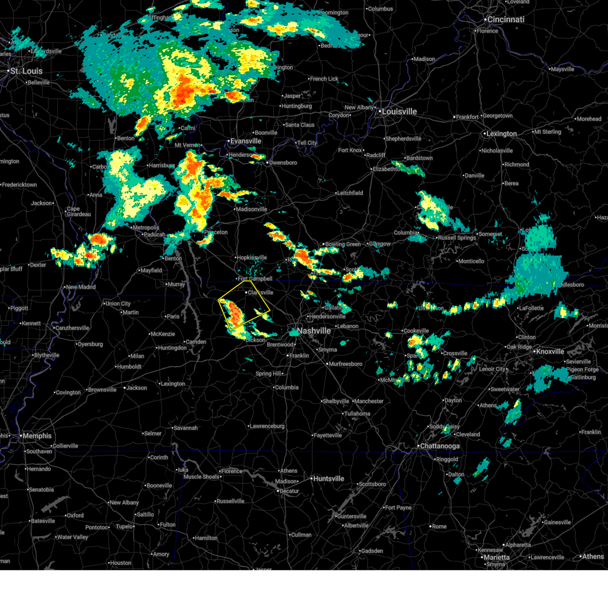
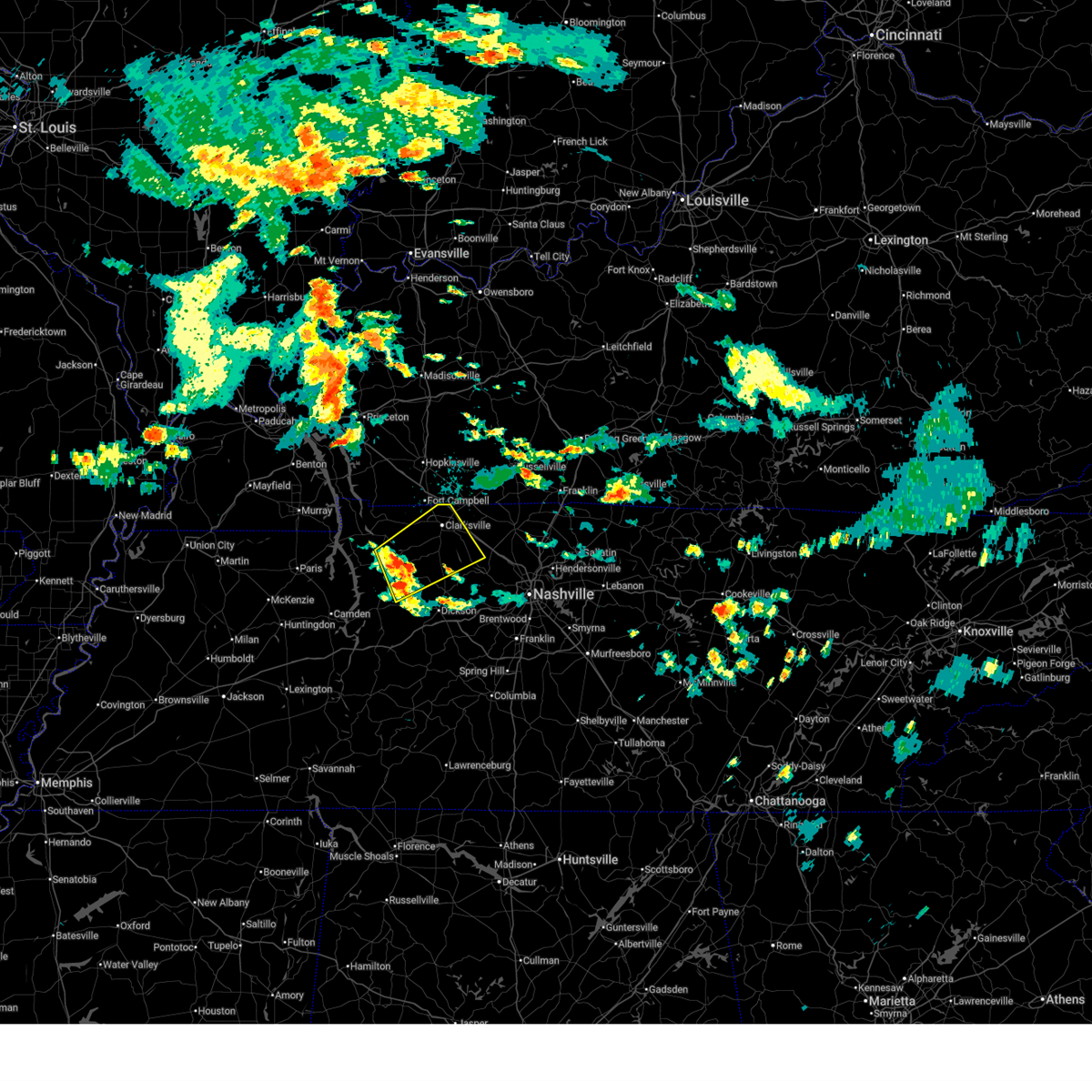
The Vanleer, TN area has had 3 reports of on-the-ground hail by trained spotters, and has been under severe weather warnings 14 times during the past 12 months. Doppler radar has detected hail at or near Vanleer, TN on 73 occasions, including 6 occasions during the past year.
| Name: | Vanleer, TN |
| Where Located: | 37.6 miles W of Nashville, TN |
| Map: | Google Map for Vanleer, TN |
| Population: | 395 |
| Housing Units: | 170 |
| More Info: | Search Google for Vanleer, TN |
2
The Top Recent Hail Date for Vanleer, TN is Friday, September 19, 2025 (16th out of 73)
Hail and Wind Damage Spotted near Vanleer, TN
| Date / Time | Report Details |
|---|---|
| 6/27/2026 2:42 PM CDT |
 At 242 pm cdt, a severe thunderstorm was located near clarksville, moving northeast at 35 mph (radar indicated). Hazards include 60 mph wind gusts and penny size hail. Expect damage to roofs, siding, and trees. locations impacted include, clarksville, vanleer, slayden, cheatham dam, palmyra, and cunningham. This includes interstate 24 between mile markers 4 and 11. At 242 pm cdt, a severe thunderstorm was located near clarksville, moving northeast at 35 mph (radar indicated). Hazards include 60 mph wind gusts and penny size hail. Expect damage to roofs, siding, and trees. locations impacted include, clarksville, vanleer, slayden, cheatham dam, palmyra, and cunningham. This includes interstate 24 between mile markers 4 and 11.
|
| 6/27/2026 2:29 PM CDT |
 At 229 pm cdt, a severe thunderstorm was located 12 miles southwest of clarksville, moving northeast at 35 mph (radar indicated). Hazards include 60 mph wind gusts and penny size hail. Expect damage to roofs, siding, and trees. locations impacted include, clarksville, vanleer, cumberland city, slayden, cheatham dam, palmyra, cunningham, and woodlawn. This includes interstate 24 between mile markers 1 and 11. At 229 pm cdt, a severe thunderstorm was located 12 miles southwest of clarksville, moving northeast at 35 mph (radar indicated). Hazards include 60 mph wind gusts and penny size hail. Expect damage to roofs, siding, and trees. locations impacted include, clarksville, vanleer, cumberland city, slayden, cheatham dam, palmyra, cunningham, and woodlawn. This includes interstate 24 between mile markers 1 and 11.
|
| 6/27/2026 2:16 PM CDT |
 Svrohx the national weather service in nashville has issued a * severe thunderstorm warning for, northwestern dickson county in middle tennessee, montgomery county in middle tennessee, southeastern stewart county in middle tennessee, northwestern cheatham county in middle tennessee, houston county in middle tennessee, northeastern humphreys county in middle tennessee, * until 300 pm cdt. * at 215 pm cdt, a severe thunderstorm was located 7 miles northeast of erin, moving northeast at 35 mph (radar indicated). Hazards include 60 mph wind gusts and penny size hail. expect damage to roofs, siding, and trees Svrohx the national weather service in nashville has issued a * severe thunderstorm warning for, northwestern dickson county in middle tennessee, montgomery county in middle tennessee, southeastern stewart county in middle tennessee, northwestern cheatham county in middle tennessee, houston county in middle tennessee, northeastern humphreys county in middle tennessee, * until 300 pm cdt. * at 215 pm cdt, a severe thunderstorm was located 7 miles northeast of erin, moving northeast at 35 mph (radar indicated). Hazards include 60 mph wind gusts and penny size hail. expect damage to roofs, siding, and trees
|
| 4/28/2026 2:02 AM CDT |
 Svrohx the national weather service in nashville has issued a * severe thunderstorm warning for, northern davidson county in middle tennessee, northern dickson county in middle tennessee, southeastern montgomery county in middle tennessee, western sumner county in middle tennessee, cheatham county in middle tennessee, robertson county in middle tennessee, * until 245 am cdt. * at 202 am cdt, a severe thunderstorm was located 11 miles northwest of ashland city, moving east at 55 mph (radar indicated). Hazards include 60 mph wind gusts and quarter size hail. Hail damage to vehicles is expected. Expect wind damage to roofs, siding, and trees. Svrohx the national weather service in nashville has issued a * severe thunderstorm warning for, northern davidson county in middle tennessee, northern dickson county in middle tennessee, southeastern montgomery county in middle tennessee, western sumner county in middle tennessee, cheatham county in middle tennessee, robertson county in middle tennessee, * until 245 am cdt. * at 202 am cdt, a severe thunderstorm was located 11 miles northwest of ashland city, moving east at 55 mph (radar indicated). Hazards include 60 mph wind gusts and quarter size hail. Hail damage to vehicles is expected. Expect wind damage to roofs, siding, and trees.
|
| 4/28/2026 1:50 AM CDT |
 At 150 am cdt, a severe thunderstorm was located 13 miles southwest of clarksville, moving east at 45 mph (radar indicated). Hazards include 60 mph wind gusts and quarter size hail. Hail damage to vehicles is expected. expect wind damage to roofs, siding, and trees. locations impacted include, erin, clarksville, tennessee ridge, charlotte, vanleer, cumberland city, slayden, palmyra, cunningham, and woodlawn. This includes interstate 24 between mile markers 9 and 17. At 150 am cdt, a severe thunderstorm was located 13 miles southwest of clarksville, moving east at 45 mph (radar indicated). Hazards include 60 mph wind gusts and quarter size hail. Hail damage to vehicles is expected. expect wind damage to roofs, siding, and trees. locations impacted include, erin, clarksville, tennessee ridge, charlotte, vanleer, cumberland city, slayden, palmyra, cunningham, and woodlawn. This includes interstate 24 between mile markers 9 and 17.
|
| 4/28/2026 1:48 AM CDT |
 Svrohx the national weather service in nashville has issued a * severe thunderstorm warning for, dickson county in middle tennessee, southern houston county in middle tennessee, northeastern perry county in middle tennessee, humphreys county in middle tennessee, northwestern hickman county in middle tennessee, * until 245 am cdt. * at 148 am cdt, severe thunderstorms were located along a line extending from 7 miles southwest of tennessee ridge to 6 miles south of bruceton, moving east at 40 mph (radar indicated). Hazards include 60 mph wind gusts and penny size hail. expect damage to roofs, siding, and trees Svrohx the national weather service in nashville has issued a * severe thunderstorm warning for, dickson county in middle tennessee, southern houston county in middle tennessee, northeastern perry county in middle tennessee, humphreys county in middle tennessee, northwestern hickman county in middle tennessee, * until 245 am cdt. * at 148 am cdt, severe thunderstorms were located along a line extending from 7 miles southwest of tennessee ridge to 6 miles south of bruceton, moving east at 40 mph (radar indicated). Hazards include 60 mph wind gusts and penny size hail. expect damage to roofs, siding, and trees
|
| 4/28/2026 1:31 AM CDT |
 Svrohx the national weather service in nashville has issued a * severe thunderstorm warning for, northwestern dickson county in middle tennessee, montgomery county in middle tennessee, southern stewart county in middle tennessee, houston county in middle tennessee, * until 215 am cdt. * at 131 am cdt, a severe thunderstorm was located 7 miles north of erin, moving east at 55 mph (radar indicated). Hazards include 60 mph wind gusts and quarter size hail. Hail damage to vehicles is expected. Expect wind damage to roofs, siding, and trees. Svrohx the national weather service in nashville has issued a * severe thunderstorm warning for, northwestern dickson county in middle tennessee, montgomery county in middle tennessee, southern stewart county in middle tennessee, houston county in middle tennessee, * until 215 am cdt. * at 131 am cdt, a severe thunderstorm was located 7 miles north of erin, moving east at 55 mph (radar indicated). Hazards include 60 mph wind gusts and quarter size hail. Hail damage to vehicles is expected. Expect wind damage to roofs, siding, and trees.
|
| 4/16/2026 6:54 PM CDT |
 At 653 pm cdt, a severe thunderstorm was located 9 miles north of white bluff, or 12 miles west of ashland city, moving east at 50 mph (radar indicated). Hazards include 60 mph wind gusts and quarter size hail. Hail damage to vehicles is expected. expect wind damage to roofs, siding, and trees. locations impacted include, ashland city, coopertown, white bluff, kingston springs, pegram, pleasant view, charlotte, vanleer, cheatham dam, and cunningham. this includes the following highways, interstate 40 between mile markers 188 and 191. Interstate 24 between mile markers 25 and 31. At 653 pm cdt, a severe thunderstorm was located 9 miles north of white bluff, or 12 miles west of ashland city, moving east at 50 mph (radar indicated). Hazards include 60 mph wind gusts and quarter size hail. Hail damage to vehicles is expected. expect wind damage to roofs, siding, and trees. locations impacted include, ashland city, coopertown, white bluff, kingston springs, pegram, pleasant view, charlotte, vanleer, cheatham dam, and cunningham. this includes the following highways, interstate 40 between mile markers 188 and 191. Interstate 24 between mile markers 25 and 31.
|
| 4/16/2026 6:45 PM CDT | Power outages in cumberland furnace. time estimated with rada in dickson county TN, 5.2 miles WSW of Vanleer, TN |
| 4/16/2026 6:42 PM CDT |
 Svrohx the national weather service in nashville has issued a * severe thunderstorm warning for, northern dickson county in middle tennessee, southern montgomery county in middle tennessee, cheatham county in middle tennessee, * until 730 pm cdt. * at 641 pm cdt, a severe thunderstorm was located 14 miles east of erin, moving east at 50 mph (radar indicated). Hazards include 60 mph wind gusts and half dollar size hail. Hail damage to vehicles is expected. Expect wind damage to roofs, siding, and trees. Svrohx the national weather service in nashville has issued a * severe thunderstorm warning for, northern dickson county in middle tennessee, southern montgomery county in middle tennessee, cheatham county in middle tennessee, * until 730 pm cdt. * at 641 pm cdt, a severe thunderstorm was located 14 miles east of erin, moving east at 50 mph (radar indicated). Hazards include 60 mph wind gusts and half dollar size hail. Hail damage to vehicles is expected. Expect wind damage to roofs, siding, and trees.
|
| 3/15/2026 9:48 PM CDT |
 At 948 pm cdt, a severe thunderstorm was located near dickson, moving northeast at 50 mph (radar indicated). Hazards include ping pong ball size hail and 60 mph wind gusts. People and animals outdoors will be injured. expect hail damage to roofs, siding, windows, and vehicles. expect wind damage to roofs, siding, and trees. locations impacted include, dickson, ashland city, white bluff, kingston springs, pegram, burns, charlotte, vanleer, slayden, and cheatham dam. this includes the following highways, interstate 40 between mile markers 159 and 160, between mile markers 164 and 176, and between mile markers 186 and 189. Interstate 24 near mile marker 31. At 948 pm cdt, a severe thunderstorm was located near dickson, moving northeast at 50 mph (radar indicated). Hazards include ping pong ball size hail and 60 mph wind gusts. People and animals outdoors will be injured. expect hail damage to roofs, siding, windows, and vehicles. expect wind damage to roofs, siding, and trees. locations impacted include, dickson, ashland city, white bluff, kingston springs, pegram, burns, charlotte, vanleer, slayden, and cheatham dam. this includes the following highways, interstate 40 between mile markers 159 and 160, between mile markers 164 and 176, and between mile markers 186 and 189. Interstate 24 near mile marker 31.
|
| 3/15/2026 9:39 PM CDT |
 Svrohx the national weather service in nashville has issued a * severe thunderstorm warning for, dickson county in middle tennessee, southeastern houston county in middle tennessee, cheatham county in middle tennessee, northeastern humphreys county in middle tennessee, * until 1045 pm cdt. * at 939 pm cdt, a severe thunderstorm was located 8 miles southeast of mcewen, or 10 miles southwest of dickson, moving northeast at 50 mph (radar indicated). Hazards include 60 mph wind gusts and quarter size hail. Hail damage to vehicles is expected. Expect wind damage to roofs, siding, and trees. Svrohx the national weather service in nashville has issued a * severe thunderstorm warning for, dickson county in middle tennessee, southeastern houston county in middle tennessee, cheatham county in middle tennessee, northeastern humphreys county in middle tennessee, * until 1045 pm cdt. * at 939 pm cdt, a severe thunderstorm was located 8 miles southeast of mcewen, or 10 miles southwest of dickson, moving northeast at 50 mph (radar indicated). Hazards include 60 mph wind gusts and quarter size hail. Hail damage to vehicles is expected. Expect wind damage to roofs, siding, and trees.
|
| 11/7/2025 3:39 PM CST | Svrohx the national weather service in nashville has issued a * severe thunderstorm warning for, dickson county in middle tennessee, northwestern williamson county in middle tennessee, cheatham county in middle tennessee, * until 430 pm cst. * at 338 pm cst, a severe thunderstorm was located 9 miles northwest of dickson, moving east at 50 mph (radar indicated). Hazards include 60 mph wind gusts and quarter size hail. Hail damage to vehicles is expected. Expect wind damage to roofs, siding, and trees. |
| 11/7/2025 3:22 PM CST | At 321 pm cst, a severe thunderstorm was located over mcewen, or near waverly, moving east at 50 mph (radar indicated). Hazards include 60 mph wind gusts and quarter size hail. Hail damage to vehicles is expected. expect wind damage to roofs, siding, and trees. Locations impacted include, dickson, waverly, erin, mcewen, tennessee ridge, charlotte, vanleer, and slayden. |
| 11/7/2025 3:08 PM CST | Svrohx the national weather service in nashville has issued a * severe thunderstorm warning for, northwestern dickson county in middle tennessee, houston county in middle tennessee, northern humphreys county in middle tennessee, * until 345 pm cst. * at 307 pm cst, a severe thunderstorm was located 7 miles northeast of camden, moving east at 50 mph (radar indicated). Hazards include 60 mph wind gusts and quarter size hail. Hail damage to vehicles is expected. Expect wind damage to roofs, siding, and trees. |
| 6/18/2025 7:15 PM CDT |
 Svrohx the national weather service in nashville has issued a * severe thunderstorm warning for, dickson county in middle tennessee, central cheatham county in middle tennessee, * until 745 pm cdt. * at 715 pm cdt, a severe thunderstorm was located 7 miles northeast of mcewen, or 10 miles northwest of dickson, moving east at 45 mph (radar indicated). Hazards include 60 mph wind gusts. expect damage to roofs, siding, and trees Svrohx the national weather service in nashville has issued a * severe thunderstorm warning for, dickson county in middle tennessee, central cheatham county in middle tennessee, * until 745 pm cdt. * at 715 pm cdt, a severe thunderstorm was located 7 miles northeast of mcewen, or 10 miles northwest of dickson, moving east at 45 mph (radar indicated). Hazards include 60 mph wind gusts. expect damage to roofs, siding, and trees
|
| 6/18/2025 6:51 PM CDT |
 Svrohx the national weather service in nashville has issued a * severe thunderstorm warning for, northwestern dickson county in middle tennessee, southern montgomery county in middle tennessee, eastern houston county in middle tennessee, northern humphreys county in middle tennessee, * until 730 pm cdt. * at 651 pm cdt, severe thunderstorms were located along a line extending from 6 miles east of erin to near waverly, moving northeast at 35 mph (radar indicated). Hazards include 60 mph wind gusts and penny size hail. expect damage to roofs, siding, and trees Svrohx the national weather service in nashville has issued a * severe thunderstorm warning for, northwestern dickson county in middle tennessee, southern montgomery county in middle tennessee, eastern houston county in middle tennessee, northern humphreys county in middle tennessee, * until 730 pm cdt. * at 651 pm cdt, severe thunderstorms were located along a line extending from 6 miles east of erin to near waverly, moving northeast at 35 mph (radar indicated). Hazards include 60 mph wind gusts and penny size hail. expect damage to roofs, siding, and trees
|
| 6/9/2025 10:33 AM CDT |
 Svrohx the national weather service in nashville has issued a * severe thunderstorm warning for, northwestern dickson county in middle tennessee, montgomery county in middle tennessee, southeastern stewart county in middle tennessee, houston county in middle tennessee, northwestern cheatham county in middle tennessee, western robertson county in middle tennessee, * until 1115 am cdt. * at 1032 am cdt, severe thunderstorms were located along a line extending from near clarksville to 8 miles east of erin to 8 miles southwest of tennessee ridge, moving east at 40 mph (radar indicated). Hazards include 60 mph wind gusts. expect damage to roofs, siding, and trees Svrohx the national weather service in nashville has issued a * severe thunderstorm warning for, northwestern dickson county in middle tennessee, montgomery county in middle tennessee, southeastern stewart county in middle tennessee, houston county in middle tennessee, northwestern cheatham county in middle tennessee, western robertson county in middle tennessee, * until 1115 am cdt. * at 1032 am cdt, severe thunderstorms were located along a line extending from near clarksville to 8 miles east of erin to 8 miles southwest of tennessee ridge, moving east at 40 mph (radar indicated). Hazards include 60 mph wind gusts. expect damage to roofs, siding, and trees
|
| 6/6/2025 5:40 PM CDT |
 The storm which prompted the warning has weakened below severe limits, and no longer poses an immediate threat to life or property. therefore, the warning will be allowed to expire. however, gusty winds are still possible with this thunderstorm. a tornado watch remains in effect until 800 pm cdt for middle tennessee. The storm which prompted the warning has weakened below severe limits, and no longer poses an immediate threat to life or property. therefore, the warning will be allowed to expire. however, gusty winds are still possible with this thunderstorm. a tornado watch remains in effect until 800 pm cdt for middle tennessee.
|
| 6/6/2025 5:26 PM CDT |
 the severe thunderstorm warning has been cancelled and is no longer in effect the severe thunderstorm warning has been cancelled and is no longer in effect
|
| 6/6/2025 5:26 PM CDT |
 At 526 pm cdt, a severe thunderstorm was located 10 miles south of clarksville, moving east at 45 mph (radar indicated). Hazards include 60 mph wind gusts and nickel size hail. Expect damage to roofs, siding, and trees. locations impacted include, clarksville, springfield, ashland city, coopertown, pleasant view, adams, vanleer, cedar hill, slayden, cheatham dam, palmyra, woodlawn, and cunningham. This includes interstate 24 between mile markers 6 and 29. At 526 pm cdt, a severe thunderstorm was located 10 miles south of clarksville, moving east at 45 mph (radar indicated). Hazards include 60 mph wind gusts and nickel size hail. Expect damage to roofs, siding, and trees. locations impacted include, clarksville, springfield, ashland city, coopertown, pleasant view, adams, vanleer, cedar hill, slayden, cheatham dam, palmyra, woodlawn, and cunningham. This includes interstate 24 between mile markers 6 and 29.
|
| 6/6/2025 5:10 PM CDT |
 At 509 pm cdt, a severe thunderstorm was located 10 miles northeast of erin, moving east at 45 mph (radar indicated). Hazards include 60 mph wind gusts and nickel size hail. Expect damage to roofs, siding, and trees. locations impacted include, clarksville, springfield, ashland city, dover, erin, coopertown, tennessee ridge, pleasant view, adams, vanleer, cedar hill, cumberland city, slayden, cheatham dam, palmyra, woodlawn, indian mound, and cunningham. This includes interstate 24 between mile markers 6 and 29. At 509 pm cdt, a severe thunderstorm was located 10 miles northeast of erin, moving east at 45 mph (radar indicated). Hazards include 60 mph wind gusts and nickel size hail. Expect damage to roofs, siding, and trees. locations impacted include, clarksville, springfield, ashland city, dover, erin, coopertown, tennessee ridge, pleasant view, adams, vanleer, cedar hill, cumberland city, slayden, cheatham dam, palmyra, woodlawn, indian mound, and cunningham. This includes interstate 24 between mile markers 6 and 29.
|
| 6/6/2025 5:01 PM CDT |
 Svrohx the national weather service in nashville has issued a * severe thunderstorm warning for, northern dickson county in middle tennessee, montgomery county in middle tennessee, southern stewart county in middle tennessee, houston county in middle tennessee, northern cheatham county in middle tennessee, western robertson county in middle tennessee, * until 545 pm cdt. * at 501 pm cdt, a severe thunderstorm was located near erin, moving east at 45 mph (radar indicated). Hazards include 60 mph wind gusts and nickel size hail. expect damage to roofs, siding, and trees Svrohx the national weather service in nashville has issued a * severe thunderstorm warning for, northern dickson county in middle tennessee, montgomery county in middle tennessee, southern stewart county in middle tennessee, houston county in middle tennessee, northern cheatham county in middle tennessee, western robertson county in middle tennessee, * until 545 pm cdt. * at 501 pm cdt, a severe thunderstorm was located near erin, moving east at 45 mph (radar indicated). Hazards include 60 mph wind gusts and nickel size hail. expect damage to roofs, siding, and trees
|
| 5/20/2025 5:34 PM CDT |
 the severe thunderstorm warning has been cancelled and is no longer in effect the severe thunderstorm warning has been cancelled and is no longer in effect
|
| 5/20/2025 5:21 PM CDT |
 Svrohx the national weather service in nashville has issued a * severe thunderstorm warning for, dickson county in middle tennessee, southern montgomery county in middle tennessee, northwestern williamson county in middle tennessee, houston county in middle tennessee, western cheatham county in middle tennessee, northern perry county in middle tennessee, humphreys county in middle tennessee, northern hickman county in middle tennessee, * until 615 pm cdt. * at 521 pm cdt, severe thunderstorms were located along a line extending from near springville to linden, moving east at 65 mph (radar indicated). Hazards include 60 mph wind gusts and quarter size hail. Hail damage to vehicles is expected. expect wind damage to roofs, siding, and trees. severe thunderstorms will be near, camden, waverly, and new johnsonville around 525 pm cdt. hurricane mills around 530 pm cdt. tennessee ridge and erin around 535 pm cdt. mcewen around 540 pm cdt. centerville around 545 pm cdt. dickson around 550 pm cdt. burns around 555 pm cdt. white bluff around 600 pm cdt. Other locations impacted by these severe thunderstorms include lobelville, charlotte, bon aqua, pinewood, cheatham dam, vanleer, lyles, slayden, nunnelly, and cunningham. Svrohx the national weather service in nashville has issued a * severe thunderstorm warning for, dickson county in middle tennessee, southern montgomery county in middle tennessee, northwestern williamson county in middle tennessee, houston county in middle tennessee, western cheatham county in middle tennessee, northern perry county in middle tennessee, humphreys county in middle tennessee, northern hickman county in middle tennessee, * until 615 pm cdt. * at 521 pm cdt, severe thunderstorms were located along a line extending from near springville to linden, moving east at 65 mph (radar indicated). Hazards include 60 mph wind gusts and quarter size hail. Hail damage to vehicles is expected. expect wind damage to roofs, siding, and trees. severe thunderstorms will be near, camden, waverly, and new johnsonville around 525 pm cdt. hurricane mills around 530 pm cdt. tennessee ridge and erin around 535 pm cdt. mcewen around 540 pm cdt. centerville around 545 pm cdt. dickson around 550 pm cdt. burns around 555 pm cdt. white bluff around 600 pm cdt. Other locations impacted by these severe thunderstorms include lobelville, charlotte, bon aqua, pinewood, cheatham dam, vanleer, lyles, slayden, nunnelly, and cunningham.
|
| 5/20/2025 4:40 PM CDT |
 Svrohx the national weather service in nashville has issued a * severe thunderstorm warning for, dickson county in middle tennessee, southeastern houston county in middle tennessee, humphreys county in middle tennessee, * until 545 pm cdt. * at 440 pm cdt, a severe thunderstorm was located over camden, moving northeast at 45 mph (radar indicated). Hazards include 60 mph wind gusts and quarter size hail. Hail damage to vehicles is expected. Expect wind damage to roofs, siding, and trees. Svrohx the national weather service in nashville has issued a * severe thunderstorm warning for, dickson county in middle tennessee, southeastern houston county in middle tennessee, humphreys county in middle tennessee, * until 545 pm cdt. * at 440 pm cdt, a severe thunderstorm was located over camden, moving northeast at 45 mph (radar indicated). Hazards include 60 mph wind gusts and quarter size hail. Hail damage to vehicles is expected. Expect wind damage to roofs, siding, and trees.
|
| 5/16/2025 11:08 PM CDT |
 the severe thunderstorm warning has been cancelled and is no longer in effect the severe thunderstorm warning has been cancelled and is no longer in effect
|
| 5/16/2025 11:08 PM CDT |
 At 1107 pm cdt, severe thunderstorms were located along a line extending from near red boiling springs to near burns, moving east at 55 mph (radar indicated). Hazards include 60 mph wind gusts and quarter size hail. Hail damage to vehicles is expected. expect wind damage to roofs, siding, and trees. locations impacted include, charlotte, black jack, hartsville, moss, pleasant shade, millersville, gallatin, bledsoe creek state park, dickerson chapel recreation area, hendersonville, cottontown, mount juliet, westmoreland, white bluff, forest hills, cheatham dam, goodlettsville, dixon springs, oak grove, and nashville. this includes the following highways, interstate 40 between mile markers 186 and 235. interstate 65 between mile markers 75 and 121. interstate 24 between mile markers 22 and 57. Interstate 840 near mile marker 76. At 1107 pm cdt, severe thunderstorms were located along a line extending from near red boiling springs to near burns, moving east at 55 mph (radar indicated). Hazards include 60 mph wind gusts and quarter size hail. Hail damage to vehicles is expected. expect wind damage to roofs, siding, and trees. locations impacted include, charlotte, black jack, hartsville, moss, pleasant shade, millersville, gallatin, bledsoe creek state park, dickerson chapel recreation area, hendersonville, cottontown, mount juliet, westmoreland, white bluff, forest hills, cheatham dam, goodlettsville, dixon springs, oak grove, and nashville. this includes the following highways, interstate 40 between mile markers 186 and 235. interstate 65 between mile markers 75 and 121. interstate 24 between mile markers 22 and 57. Interstate 840 near mile marker 76.
|
| 5/16/2025 10:40 PM CDT |
 Svrohx the national weather service in nashville has issued a * severe thunderstorm warning for, northern smith county in middle tennessee, southern montgomery county in middle tennessee, sumner county in middle tennessee, southeastern stewart county in middle tennessee, houston county in middle tennessee, northern wilson county in middle tennessee, cheatham county in middle tennessee, clay county in middle tennessee, northern humphreys county in middle tennessee, robertson county in middle tennessee, davidson county in middle tennessee, dickson county in middle tennessee, northern jackson county in middle tennessee, macon county in middle tennessee, trousdale county in middle tennessee, * until 1145 pm cdt. * at 1040 pm cdt, severe thunderstorms were located along a line extending from near westmoreland to near mcewen, moving east at 55 mph (radar indicated). Hazards include 60 mph wind gusts and quarter size hail. Hail damage to vehicles is expected. Expect wind damage to roofs, siding, and trees. Svrohx the national weather service in nashville has issued a * severe thunderstorm warning for, northern smith county in middle tennessee, southern montgomery county in middle tennessee, sumner county in middle tennessee, southeastern stewart county in middle tennessee, houston county in middle tennessee, northern wilson county in middle tennessee, cheatham county in middle tennessee, clay county in middle tennessee, northern humphreys county in middle tennessee, robertson county in middle tennessee, davidson county in middle tennessee, dickson county in middle tennessee, northern jackson county in middle tennessee, macon county in middle tennessee, trousdale county in middle tennessee, * until 1145 pm cdt. * at 1040 pm cdt, severe thunderstorms were located along a line extending from near westmoreland to near mcewen, moving east at 55 mph (radar indicated). Hazards include 60 mph wind gusts and quarter size hail. Hail damage to vehicles is expected. Expect wind damage to roofs, siding, and trees.
|
| 5/16/2025 10:28 PM CDT |
 At 1028 pm cdt, severe thunderstorms were located along a line extending from 11 miles northwest of portland to near tennessee ridge, moving east at 60 mph (radar indicated). Hazards include 60 mph wind gusts and quarter size hail. Hail damage to vehicles is expected. expect wind damage to roofs, siding, and trees. locations impacted include, clarksville, charlotte, black jack, palmyra, tennessee ridge, greenbrier, orlinda, erin, pleasant view, cedar hill, houston county airport, ashland city, cunningham, cumberland city, cheatham dam, adams, woodlawn, cross plains, springfield, and vanleer. this includes the following highways, interstate 65 between mile markers 109 and 121. Interstate 24 between mile markers 1 and 31. At 1028 pm cdt, severe thunderstorms were located along a line extending from 11 miles northwest of portland to near tennessee ridge, moving east at 60 mph (radar indicated). Hazards include 60 mph wind gusts and quarter size hail. Hail damage to vehicles is expected. expect wind damage to roofs, siding, and trees. locations impacted include, clarksville, charlotte, black jack, palmyra, tennessee ridge, greenbrier, orlinda, erin, pleasant view, cedar hill, houston county airport, ashland city, cunningham, cumberland city, cheatham dam, adams, woodlawn, cross plains, springfield, and vanleer. this includes the following highways, interstate 65 between mile markers 109 and 121. Interstate 24 between mile markers 1 and 31.
|
| 5/16/2025 9:55 PM CDT |
 Svrohx the national weather service in nashville has issued a * severe thunderstorm warning for, northern dickson county in middle tennessee, montgomery county in middle tennessee, stewart county in middle tennessee, houston county in middle tennessee, northern cheatham county in middle tennessee, northeastern humphreys county in middle tennessee, robertson county in middle tennessee, * until 1100 pm cdt. * at 955 pm cdt, severe thunderstorms were located along a line extending from near guthrie to near routon, moving east at 60 mph (radar indicated). Hazards include 60 mph wind gusts and quarter size hail. Hail damage to vehicles is expected. Expect wind damage to roofs, siding, and trees. Svrohx the national weather service in nashville has issued a * severe thunderstorm warning for, northern dickson county in middle tennessee, montgomery county in middle tennessee, stewart county in middle tennessee, houston county in middle tennessee, northern cheatham county in middle tennessee, northeastern humphreys county in middle tennessee, robertson county in middle tennessee, * until 1100 pm cdt. * at 955 pm cdt, severe thunderstorms were located along a line extending from near guthrie to near routon, moving east at 60 mph (radar indicated). Hazards include 60 mph wind gusts and quarter size hail. Hail damage to vehicles is expected. Expect wind damage to roofs, siding, and trees.
|
| 5/8/2025 2:29 PM CDT |
 Svrohx the national weather service in nashville has issued a * severe thunderstorm warning for, northern dickson county in middle tennessee, south central montgomery county in middle tennessee, central cheatham county in middle tennessee, * until 315 pm cdt. * at 228 pm cdt, a severe thunderstorm was located 12 miles east of erin, moving east at 30 mph (radar indicated). Hazards include 60 mph wind gusts and quarter size hail. Hail damage to vehicles is expected. Expect wind damage to roofs, siding, and trees. Svrohx the national weather service in nashville has issued a * severe thunderstorm warning for, northern dickson county in middle tennessee, south central montgomery county in middle tennessee, central cheatham county in middle tennessee, * until 315 pm cdt. * at 228 pm cdt, a severe thunderstorm was located 12 miles east of erin, moving east at 30 mph (radar indicated). Hazards include 60 mph wind gusts and quarter size hail. Hail damage to vehicles is expected. Expect wind damage to roofs, siding, and trees.
|
| 5/8/2025 2:13 PM CDT |
 At 213 pm cdt, a severe thunderstorm was located 7 miles southeast of erin, moving east at 35 mph (radar indicated). Hazards include 60 mph wind gusts and quarter size hail. Hail damage to vehicles is expected. expect wind damage to roofs, siding, and trees. Locations impacted include, slayden, vanleer, erin, and cumberland city. At 213 pm cdt, a severe thunderstorm was located 7 miles southeast of erin, moving east at 35 mph (radar indicated). Hazards include 60 mph wind gusts and quarter size hail. Hail damage to vehicles is expected. expect wind damage to roofs, siding, and trees. Locations impacted include, slayden, vanleer, erin, and cumberland city.
|
| 5/8/2025 2:13 PM CDT |
 the severe thunderstorm warning has been cancelled and is no longer in effect the severe thunderstorm warning has been cancelled and is no longer in effect
|
| 5/8/2025 2:00 PM CDT |
 At 200 pm cdt, a severe thunderstorm was located near erin, moving east at 30 mph (radar indicated). Hazards include 60 mph wind gusts and quarter size hail. Hail damage to vehicles is expected. expect wind damage to roofs, siding, and trees. Locations impacted include, erin, cumberland city, vanleer, palmyra, slayden, tennessee ridge, and mcewen. At 200 pm cdt, a severe thunderstorm was located near erin, moving east at 30 mph (radar indicated). Hazards include 60 mph wind gusts and quarter size hail. Hail damage to vehicles is expected. expect wind damage to roofs, siding, and trees. Locations impacted include, erin, cumberland city, vanleer, palmyra, slayden, tennessee ridge, and mcewen.
|
| 5/8/2025 1:41 PM CDT |
 Svrohx the national weather service in nashville has issued a * severe thunderstorm warning for, northwestern dickson county in middle tennessee, southwestern montgomery county in middle tennessee, southeastern stewart county in middle tennessee, houston county in middle tennessee, northeastern humphreys county in middle tennessee, * until 230 pm cdt. * at 141 pm cdt, a severe thunderstorm was located near tennessee ridge, or 7 miles southwest of erin, moving east at 30 mph (radar indicated). Hazards include 60 mph wind gusts and quarter size hail. Hail damage to vehicles is expected. Expect wind damage to roofs, siding, and trees. Svrohx the national weather service in nashville has issued a * severe thunderstorm warning for, northwestern dickson county in middle tennessee, southwestern montgomery county in middle tennessee, southeastern stewart county in middle tennessee, houston county in middle tennessee, northeastern humphreys county in middle tennessee, * until 230 pm cdt. * at 141 pm cdt, a severe thunderstorm was located near tennessee ridge, or 7 miles southwest of erin, moving east at 30 mph (radar indicated). Hazards include 60 mph wind gusts and quarter size hail. Hail damage to vehicles is expected. Expect wind damage to roofs, siding, and trees.
|
| 4/10/2025 4:39 PM CDT |
 the severe thunderstorm warning has been cancelled and is no longer in effect the severe thunderstorm warning has been cancelled and is no longer in effect
|
| 4/10/2025 4:39 PM CDT |
 At 438 pm cdt, severe thunderstorms were located along a line extending from near clarksville to near dickson, moving east at 40 mph (radar indicated). Hazards include 60 mph wind gusts. Expect damage to roofs, siding, and trees. locations impacted include, clarksville, charlotte, cheatham dam, vanleer, mcewen, palmyra, slayden, burns, cunningham, woodlawn, and dickson. this includes the following highways, interstate 40 between mile markers 164 and 173. Interstate 24 between mile markers 1 and 16. At 438 pm cdt, severe thunderstorms were located along a line extending from near clarksville to near dickson, moving east at 40 mph (radar indicated). Hazards include 60 mph wind gusts. Expect damage to roofs, siding, and trees. locations impacted include, clarksville, charlotte, cheatham dam, vanleer, mcewen, palmyra, slayden, burns, cunningham, woodlawn, and dickson. this includes the following highways, interstate 40 between mile markers 164 and 173. Interstate 24 between mile markers 1 and 16.
|
| 4/10/2025 4:36 PM CDT |
 Svrohx the national weather service in nashville has issued a * severe thunderstorm warning for, western davidson county in middle tennessee, dickson county in middle tennessee, eastern montgomery county in middle tennessee, northwestern williamson county in middle tennessee, cheatham county in middle tennessee, northeastern hickman county in middle tennessee, robertson county in middle tennessee, * until 515 pm cdt. * at 434 pm cdt, severe thunderstorms were located along a line extending from near elkton to 7 miles southwest of dickson, moving east at 45 mph (radar indicated). Hazards include 60 mph wind gusts. expect damage to roofs, siding, and trees Svrohx the national weather service in nashville has issued a * severe thunderstorm warning for, western davidson county in middle tennessee, dickson county in middle tennessee, eastern montgomery county in middle tennessee, northwestern williamson county in middle tennessee, cheatham county in middle tennessee, northeastern hickman county in middle tennessee, robertson county in middle tennessee, * until 515 pm cdt. * at 434 pm cdt, severe thunderstorms were located along a line extending from near elkton to 7 miles southwest of dickson, moving east at 45 mph (radar indicated). Hazards include 60 mph wind gusts. expect damage to roofs, siding, and trees
|
| 4/10/2025 4:27 PM CDT |
 At 427 pm cdt, severe thunderstorms were located along a line extending from near fort campbell to near waverly, moving east at 30 mph (emergency management). Hazards include 60 mph wind gusts. Expect damage to roofs, siding, and trees. locations impacted include, clarksville, charlotte, cumberland city, cheatham dam, mcewen, dover, palmyra, tennessee ridge, big rock, woodlawn, erin, waverly, vanleer, houston county airport, indian mound, slayden, burns, cunningham, dickson, and camden. this includes the following highways, interstate 40 between mile markers 164 and 173. Interstate 24 between mile markers 1 and 16. At 427 pm cdt, severe thunderstorms were located along a line extending from near fort campbell to near waverly, moving east at 30 mph (emergency management). Hazards include 60 mph wind gusts. Expect damage to roofs, siding, and trees. locations impacted include, clarksville, charlotte, cumberland city, cheatham dam, mcewen, dover, palmyra, tennessee ridge, big rock, woodlawn, erin, waverly, vanleer, houston county airport, indian mound, slayden, burns, cunningham, dickson, and camden. this includes the following highways, interstate 40 between mile markers 164 and 173. Interstate 24 between mile markers 1 and 16.
|
| 4/10/2025 4:13 PM CDT | Svrohx the national weather service in nashville has issued a * severe thunderstorm warning for, dickson county in middle tennessee, montgomery county in middle tennessee, stewart county in middle tennessee, houston county in middle tennessee, northwestern cheatham county in middle tennessee, northern humphreys county in middle tennessee, * until 500 pm cdt. * at 413 pm cdt, severe thunderstorms were located along a line extending from 7 miles east of big rock to near waverly, moving east at 30 mph (radar indicated). Hazards include 60 mph wind gusts. expect damage to roofs, siding, and trees |
| 4/5/2025 4:31 PM CDT |
 The storms which prompted the warning have moved out of the area. therefore, the warning has been allowed to expire. a tornado watch remains in effect until 900 pm cdt for middle tennessee. remember, a severe thunderstorm warning still remains in effect for dickson and hickman counties. The storms which prompted the warning have moved out of the area. therefore, the warning has been allowed to expire. a tornado watch remains in effect until 900 pm cdt for middle tennessee. remember, a severe thunderstorm warning still remains in effect for dickson and hickman counties.
|
| 4/5/2025 4:10 PM CDT |
 At 409 pm cdt, severe thunderstorms were located along a line extending from 6 miles east of erin to 8 miles southwest of dickson to 12 miles northeast of linden, moving east at 60 mph (radar indicated). Hazards include 60 mph wind gusts and quarter size hail. Hail damage to vehicles is expected. expect wind damage to roofs, siding, and trees. locations impacted include, charlotte, bon aqua, cumberland city, mcewen, primm springs, lyles, palmyra, tennessee ridge, bucksnort, centerville, lobelville, erin, pinewood, pleasantville, vanleer, white bluff, slayden, nunnelly, burns, and cunningham. this includes the following highways, interstate 40 between mile markers 146 and 180. Interstate 840 between mile markers 1 and 6. At 409 pm cdt, severe thunderstorms were located along a line extending from 6 miles east of erin to 8 miles southwest of dickson to 12 miles northeast of linden, moving east at 60 mph (radar indicated). Hazards include 60 mph wind gusts and quarter size hail. Hail damage to vehicles is expected. expect wind damage to roofs, siding, and trees. locations impacted include, charlotte, bon aqua, cumberland city, mcewen, primm springs, lyles, palmyra, tennessee ridge, bucksnort, centerville, lobelville, erin, pinewood, pleasantville, vanleer, white bluff, slayden, nunnelly, burns, and cunningham. this includes the following highways, interstate 40 between mile markers 146 and 180. Interstate 840 between mile markers 1 and 6.
|
| 4/5/2025 3:58 PM CDT |
 At 358 pm cdt, severe thunderstorms were located along a line extending from near erin to 6 miles east of hurricane mills to 6 miles north of linden, moving east at 65 mph (radar indicated). Hazards include 60 mph wind gusts and quarter size hail. Hail damage to vehicles is expected. expect wind damage to roofs, siding, and trees. locations impacted include, hurricane mills, charlotte, bon aqua, mcewen, primm springs, palmyra, tennessee ridge, bucksnort, erin, linden, pleasantville, houston county airport, white bluff, nunnelly, cunningham, dickson, cumberland city, lyles, i-40 near the tennessee river, and centerville. this includes the following highways, interstate 40 between mile markers 136 and 180. Interstate 840 between mile markers 1 and 6. At 358 pm cdt, severe thunderstorms were located along a line extending from near erin to 6 miles east of hurricane mills to 6 miles north of linden, moving east at 65 mph (radar indicated). Hazards include 60 mph wind gusts and quarter size hail. Hail damage to vehicles is expected. expect wind damage to roofs, siding, and trees. locations impacted include, hurricane mills, charlotte, bon aqua, mcewen, primm springs, palmyra, tennessee ridge, bucksnort, erin, linden, pleasantville, houston county airport, white bluff, nunnelly, cunningham, dickson, cumberland city, lyles, i-40 near the tennessee river, and centerville. this includes the following highways, interstate 40 between mile markers 136 and 180. Interstate 840 between mile markers 1 and 6.
|
| 4/5/2025 3:37 PM CDT |
 The storm which prompted the warning has weakened below severe limits, and no longer poses an immediate threat to life or property. therefore, the warning will be allowed to expire. a tornado watch remains in effect until 900 pm cdt for middle tennessee. remember, a severe thunderstorm warning still remains in effect for eastern houston, northeastern humphreys, and northwestern dickson counties until 430 pm cdt. The storm which prompted the warning has weakened below severe limits, and no longer poses an immediate threat to life or property. therefore, the warning will be allowed to expire. a tornado watch remains in effect until 900 pm cdt for middle tennessee. remember, a severe thunderstorm warning still remains in effect for eastern houston, northeastern humphreys, and northwestern dickson counties until 430 pm cdt.
|
| 4/5/2025 3:34 PM CDT |
 Svrohx the national weather service in nashville has issued a * severe thunderstorm warning for, dickson county in middle tennessee, southwestern montgomery county in middle tennessee, southeastern stewart county in middle tennessee, houston county in middle tennessee, perry county in middle tennessee, humphreys county in middle tennessee, hickman county in middle tennessee, * until 430 pm cdt. * at 334 pm cdt, severe thunderstorms were located along a line extending from 6 miles east of vale to 10 miles southwest of new johnsonville to decaturville, moving east at 60 mph (radar indicated). Hazards include 60 mph wind gusts and quarter size hail. Hail damage to vehicles is expected. Expect wind damage to roofs, siding, and trees. Svrohx the national weather service in nashville has issued a * severe thunderstorm warning for, dickson county in middle tennessee, southwestern montgomery county in middle tennessee, southeastern stewart county in middle tennessee, houston county in middle tennessee, perry county in middle tennessee, humphreys county in middle tennessee, hickman county in middle tennessee, * until 430 pm cdt. * at 334 pm cdt, severe thunderstorms were located along a line extending from 6 miles east of vale to 10 miles southwest of new johnsonville to decaturville, moving east at 60 mph (radar indicated). Hazards include 60 mph wind gusts and quarter size hail. Hail damage to vehicles is expected. Expect wind damage to roofs, siding, and trees.
|
| 4/5/2025 3:28 PM CDT |
 At 328 pm cdt, a severe thunderstorm was located near mcewen, or 9 miles south of erin, moving northeast at 45 mph (radar indicated). Hazards include 60 mph wind gusts and penny size hail. Expect damage to roofs, siding, and trees. Locations impacted include, mcewen, slayden, vanleer, and erin. At 328 pm cdt, a severe thunderstorm was located near mcewen, or 9 miles south of erin, moving northeast at 45 mph (radar indicated). Hazards include 60 mph wind gusts and penny size hail. Expect damage to roofs, siding, and trees. Locations impacted include, mcewen, slayden, vanleer, and erin.
|
| 4/5/2025 3:21 PM CDT |
 At 321 pm cdt, a severe thunderstorm was located near waverly, moving northeast at 45 mph (radar indicated). Hazards include 60 mph wind gusts and quarter size hail. Hail damage to vehicles is expected. expect wind damage to roofs, siding, and trees. Locations impacted include, mcewen, slayden, waverly, vanleer, and erin. At 321 pm cdt, a severe thunderstorm was located near waverly, moving northeast at 45 mph (radar indicated). Hazards include 60 mph wind gusts and quarter size hail. Hail damage to vehicles is expected. expect wind damage to roofs, siding, and trees. Locations impacted include, mcewen, slayden, waverly, vanleer, and erin.
|
| 4/5/2025 3:17 PM CDT |
 At 317 pm cdt, a severe thunderstorm was located over waverly, moving northeast at 45 mph (radar indicated). Hazards include 60 mph wind gusts and quarter size hail. Hail damage to vehicles is expected. expect wind damage to roofs, siding, and trees. Locations impacted include, mcewen, hurricane mills, slayden, waverly, vanleer, and erin. At 317 pm cdt, a severe thunderstorm was located over waverly, moving northeast at 45 mph (radar indicated). Hazards include 60 mph wind gusts and quarter size hail. Hail damage to vehicles is expected. expect wind damage to roofs, siding, and trees. Locations impacted include, mcewen, hurricane mills, slayden, waverly, vanleer, and erin.
|
| 4/5/2025 2:58 PM CDT |
 Svrohx the national weather service in nashville has issued a * severe thunderstorm warning for, northwestern dickson county in middle tennessee, southeastern houston county in middle tennessee, humphreys county in middle tennessee, * until 345 pm cdt. * at 258 pm cdt, a severe thunderstorm was located over camden, moving northeast at 45 mph (radar indicated). Hazards include 60 mph wind gusts and quarter size hail. Hail damage to vehicles is expected. Expect wind damage to roofs, siding, and trees. Svrohx the national weather service in nashville has issued a * severe thunderstorm warning for, northwestern dickson county in middle tennessee, southeastern houston county in middle tennessee, humphreys county in middle tennessee, * until 345 pm cdt. * at 258 pm cdt, a severe thunderstorm was located over camden, moving northeast at 45 mph (radar indicated). Hazards include 60 mph wind gusts and quarter size hail. Hail damage to vehicles is expected. Expect wind damage to roofs, siding, and trees.
|
| 4/5/2025 2:24 PM CDT |
 Svrohx the national weather service in nashville has issued a * severe thunderstorm warning for, northwestern dickson county in middle tennessee, western montgomery county in middle tennessee, southern stewart county in middle tennessee, houston county in middle tennessee, northern humphreys county in middle tennessee, * until 300 pm cdt. * at 223 pm cdt, a severe thunderstorm was located 7 miles east of springville, or 12 miles north of camden, moving east at 55 mph (radar indicated). Hazards include 60 mph wind gusts and penny size hail. expect damage to roofs, siding, and trees Svrohx the national weather service in nashville has issued a * severe thunderstorm warning for, northwestern dickson county in middle tennessee, western montgomery county in middle tennessee, southern stewart county in middle tennessee, houston county in middle tennessee, northern humphreys county in middle tennessee, * until 300 pm cdt. * at 223 pm cdt, a severe thunderstorm was located 7 miles east of springville, or 12 miles north of camden, moving east at 55 mph (radar indicated). Hazards include 60 mph wind gusts and penny size hail. expect damage to roofs, siding, and trees
|
| 4/3/2025 1:22 AM CDT |
 The storm which prompted the warning no longer appears capable of producing a tornado. therefore, the warning will be allowed to expire. however, hail, damaging winds and heavy rain are still possible with this thunderstorm. a tornado watch remains in effect until 600 am cdt for middle tennessee. The storm which prompted the warning no longer appears capable of producing a tornado. therefore, the warning will be allowed to expire. however, hail, damaging winds and heavy rain are still possible with this thunderstorm. a tornado watch remains in effect until 600 am cdt for middle tennessee.
|
| 4/3/2025 1:21 AM CDT |
 Svrohx the national weather service in nashville has issued a * severe thunderstorm warning for, davidson county in middle tennessee, dickson county in middle tennessee, northwestern williamson county in middle tennessee, cheatham county in middle tennessee, northeastern hickman county in middle tennessee, * until 200 am cdt. * at 121 am cdt, a severe thunderstorm was located over dickson, moving northeast at 50 mph (radar indicated). Hazards include 60 mph wind gusts and quarter size hail. Hail damage to vehicles is expected. Expect wind damage to roofs, siding, and trees. Svrohx the national weather service in nashville has issued a * severe thunderstorm warning for, davidson county in middle tennessee, dickson county in middle tennessee, northwestern williamson county in middle tennessee, cheatham county in middle tennessee, northeastern hickman county in middle tennessee, * until 200 am cdt. * at 121 am cdt, a severe thunderstorm was located over dickson, moving northeast at 50 mph (radar indicated). Hazards include 60 mph wind gusts and quarter size hail. Hail damage to vehicles is expected. Expect wind damage to roofs, siding, and trees.
|
| 4/3/2025 1:11 AM CDT |
 At 111 am cdt, a severe thunderstorm capable of producing a tornado was located 7 miles west of dickson, moving northeast at 50 mph (radar indicated rotation). Hazards include tornado and quarter size hail. Flying debris will be dangerous to those caught without shelter. mobile homes will be damaged or destroyed. damage to roofs, windows, and vehicles will occur. tree damage is likely. this dangerous storm will be near, dickson and burns around 115 am cdt. other locations impacted by this tornadic thunderstorm include charlotte, bon aqua, pinewood, and vanleer. this includes the following highways, interstate 40 between mile markers 158 and 179. Interstate 840 between mile markers 1 and 4. At 111 am cdt, a severe thunderstorm capable of producing a tornado was located 7 miles west of dickson, moving northeast at 50 mph (radar indicated rotation). Hazards include tornado and quarter size hail. Flying debris will be dangerous to those caught without shelter. mobile homes will be damaged or destroyed. damage to roofs, windows, and vehicles will occur. tree damage is likely. this dangerous storm will be near, dickson and burns around 115 am cdt. other locations impacted by this tornadic thunderstorm include charlotte, bon aqua, pinewood, and vanleer. this includes the following highways, interstate 40 between mile markers 158 and 179. Interstate 840 between mile markers 1 and 4.
|
| 4/3/2025 12:56 AM CDT |
 Torohx the national weather service in nashville has issued a * tornado warning for, southwestern dickson county in middle tennessee, southeastern humphreys county in middle tennessee, northwestern hickman county in middle tennessee, * until 130 am cdt. * at 1256 am cdt, a severe thunderstorm capable of producing a tornado was located near hurricane mills, or 10 miles southeast of waverly, moving northeast at 50 mph (radar indicated rotation). Hazards include tornado and quarter size hail. Flying debris will be dangerous to those caught without shelter. mobile homes will be damaged or destroyed. damage to roofs, windows, and vehicles will occur. tree damage is likely. this dangerous storm will be near, dickson and burns around 115 am cdt. other locations impacted by this tornadic thunderstorm include charlotte, bon aqua, pinewood, bucksnort, and vanleer. this includes the following highways, interstate 40 between mile markers 147 and 179. Interstate 840 between mile markers 1 and 4. Torohx the national weather service in nashville has issued a * tornado warning for, southwestern dickson county in middle tennessee, southeastern humphreys county in middle tennessee, northwestern hickman county in middle tennessee, * until 130 am cdt. * at 1256 am cdt, a severe thunderstorm capable of producing a tornado was located near hurricane mills, or 10 miles southeast of waverly, moving northeast at 50 mph (radar indicated rotation). Hazards include tornado and quarter size hail. Flying debris will be dangerous to those caught without shelter. mobile homes will be damaged or destroyed. damage to roofs, windows, and vehicles will occur. tree damage is likely. this dangerous storm will be near, dickson and burns around 115 am cdt. other locations impacted by this tornadic thunderstorm include charlotte, bon aqua, pinewood, bucksnort, and vanleer. this includes the following highways, interstate 40 between mile markers 147 and 179. Interstate 840 between mile markers 1 and 4.
|
| 4/3/2025 12:07 AM CDT |
 Svrohx the national weather service in nashville has issued a * severe thunderstorm warning for, central davidson county in middle tennessee, dickson county in middle tennessee, eastern montgomery county in middle tennessee, western sumner county in middle tennessee, cheatham county in middle tennessee, robertson county in middle tennessee, * until 100 am cdt. * at 1206 am cdt, severe thunderstorms were located along a line extending from near guthrie to 8 miles northwest of dickson, moving east at 50 mph (radar indicated). Hazards include 60 mph wind gusts and quarter size hail. Hail damage to vehicles is expected. Expect wind damage to roofs, siding, and trees. Svrohx the national weather service in nashville has issued a * severe thunderstorm warning for, central davidson county in middle tennessee, dickson county in middle tennessee, eastern montgomery county in middle tennessee, western sumner county in middle tennessee, cheatham county in middle tennessee, robertson county in middle tennessee, * until 100 am cdt. * at 1206 am cdt, severe thunderstorms were located along a line extending from near guthrie to 8 miles northwest of dickson, moving east at 50 mph (radar indicated). Hazards include 60 mph wind gusts and quarter size hail. Hail damage to vehicles is expected. Expect wind damage to roofs, siding, and trees.
|
| 4/2/2025 11:22 PM CDT |
 Svrohx the national weather service in nashville has issued a * severe thunderstorm warning for, northwestern dickson county in middle tennessee, montgomery county in middle tennessee, southeastern houston county in middle tennessee, * until 1230 am cdt. * at 1122 pm cdt, severe thunderstorms were located along a line extending from 6 miles west of fort campbell to 9 miles east of springville, moving northeast at 50 mph (radar indicated). Hazards include 60 mph wind gusts and quarter size hail. Hail damage to vehicles is expected. Expect wind damage to roofs, siding, and trees. Svrohx the national weather service in nashville has issued a * severe thunderstorm warning for, northwestern dickson county in middle tennessee, montgomery county in middle tennessee, southeastern houston county in middle tennessee, * until 1230 am cdt. * at 1122 pm cdt, severe thunderstorms were located along a line extending from 6 miles west of fort campbell to 9 miles east of springville, moving northeast at 50 mph (radar indicated). Hazards include 60 mph wind gusts and quarter size hail. Hail damage to vehicles is expected. Expect wind damage to roofs, siding, and trees.
|
| 3/30/2025 10:27 PM CDT |
 At 1026 pm cdt, a severe thunderstorm capable of producing a tornado was located 7 miles east of mcewen, or 9 miles northwest of dickson, moving east at 35 mph (radar indicated rotation). Hazards include tornado. Flying debris will be dangerous to those caught without shelter. mobile homes will be damaged or destroyed. damage to roofs, windows, and vehicles will occur. tree damage is likely. This tornadic thunderstorm will remain over mainly rural areas of west central dickson, southeastern houston and northeastern humphreys counties, including the following locations, vanleer. At 1026 pm cdt, a severe thunderstorm capable of producing a tornado was located 7 miles east of mcewen, or 9 miles northwest of dickson, moving east at 35 mph (radar indicated rotation). Hazards include tornado. Flying debris will be dangerous to those caught without shelter. mobile homes will be damaged or destroyed. damage to roofs, windows, and vehicles will occur. tree damage is likely. This tornadic thunderstorm will remain over mainly rural areas of west central dickson, southeastern houston and northeastern humphreys counties, including the following locations, vanleer.
|
| 3/30/2025 10:25 PM CDT |
 At 1025 pm cdt, severe thunderstorms were located along a line extending from 10 miles west of ashland city to near mcewen to near hurricane mills, moving east at 30 mph (radar indicated). Hazards include 60 mph wind gusts and quarter size hail. Hail damage to vehicles is expected. expect wind damage to roofs, siding, and trees. locations impacted include, hurricane mills, charlotte, bon aqua, cheatham dam, mcewen, lyles, bucksnort, waverly, pinewood, vanleer, white bluff, slayden, nunnelly, burns, dickson, new johnsonville, and centerville. this includes the following highways, interstate 40 between mile markers 139 and 180. Interstate 840 between mile markers 1 and 5. At 1025 pm cdt, severe thunderstorms were located along a line extending from 10 miles west of ashland city to near mcewen to near hurricane mills, moving east at 30 mph (radar indicated). Hazards include 60 mph wind gusts and quarter size hail. Hail damage to vehicles is expected. expect wind damage to roofs, siding, and trees. locations impacted include, hurricane mills, charlotte, bon aqua, cheatham dam, mcewen, lyles, bucksnort, waverly, pinewood, vanleer, white bluff, slayden, nunnelly, burns, dickson, new johnsonville, and centerville. this includes the following highways, interstate 40 between mile markers 139 and 180. Interstate 840 between mile markers 1 and 5.
|
| 3/30/2025 10:11 PM CDT |
 At 1011 pm cdt, a confirmed tornado was located over mcewen, or 7 miles northeast of waverly, moving east at 30 mph (radar confirmed tornado). Hazards include damaging tornado and quarter size hail. Flying debris will be dangerous to those caught without shelter. mobile homes will be damaged or destroyed. damage to roofs, windows, and vehicles will occur. tree damage is likely. this tornado will be near, mcewen around 1015 pm cdt. Other locations impacted by this tornadic thunderstorm include vanleer. At 1011 pm cdt, a confirmed tornado was located over mcewen, or 7 miles northeast of waverly, moving east at 30 mph (radar confirmed tornado). Hazards include damaging tornado and quarter size hail. Flying debris will be dangerous to those caught without shelter. mobile homes will be damaged or destroyed. damage to roofs, windows, and vehicles will occur. tree damage is likely. this tornado will be near, mcewen around 1015 pm cdt. Other locations impacted by this tornadic thunderstorm include vanleer.
|
| 3/30/2025 9:55 PM CDT |
 Torohx the national weather service in nashville has issued a * tornado warning for, southwestern dickson county in middle tennessee, southeastern houston county in middle tennessee, northeastern humphreys county in middle tennessee, * until 1045 pm cdt. * at 954 pm cdt, a severe thunderstorm capable of producing a tornado was located over waverly, moving east at 35 mph (radar indicated rotation). Hazards include tornado. Flying debris will be dangerous to those caught without shelter. mobile homes will be damaged or destroyed. damage to roofs, windows, and vehicles will occur. tree damage is likely. this dangerous storm will be near, waverly around 1000 pm cdt. mcewen around 1005 pm cdt. dickson around 1030 pm cdt. Other locations impacted by this tornadic thunderstorm include vanleer. Torohx the national weather service in nashville has issued a * tornado warning for, southwestern dickson county in middle tennessee, southeastern houston county in middle tennessee, northeastern humphreys county in middle tennessee, * until 1045 pm cdt. * at 954 pm cdt, a severe thunderstorm capable of producing a tornado was located over waverly, moving east at 35 mph (radar indicated rotation). Hazards include tornado. Flying debris will be dangerous to those caught without shelter. mobile homes will be damaged or destroyed. damage to roofs, windows, and vehicles will occur. tree damage is likely. this dangerous storm will be near, waverly around 1000 pm cdt. mcewen around 1005 pm cdt. dickson around 1030 pm cdt. Other locations impacted by this tornadic thunderstorm include vanleer.
|
| 3/30/2025 9:50 PM CDT |
 Svrohx the national weather service in nashville has issued a * severe thunderstorm warning for, dickson county in middle tennessee, eastern houston county in middle tennessee, humphreys county in middle tennessee, northern hickman county in middle tennessee, * until 1045 pm cdt. * at 950 pm cdt, severe thunderstorms were located along a line extending from 10 miles east of erin to near mcewen to near camden, moving east at 40 mph (radar indicated). Hazards include 60 mph wind gusts and quarter size hail. Hail damage to vehicles is expected. Expect wind damage to roofs, siding, and trees. Svrohx the national weather service in nashville has issued a * severe thunderstorm warning for, dickson county in middle tennessee, eastern houston county in middle tennessee, humphreys county in middle tennessee, northern hickman county in middle tennessee, * until 1045 pm cdt. * at 950 pm cdt, severe thunderstorms were located along a line extending from 10 miles east of erin to near mcewen to near camden, moving east at 40 mph (radar indicated). Hazards include 60 mph wind gusts and quarter size hail. Hail damage to vehicles is expected. Expect wind damage to roofs, siding, and trees.
|
| 3/15/2025 11:53 AM CDT |
 Svrohx the national weather service in nashville has issued a * severe thunderstorm warning for, northeastern dickson county in middle tennessee, southeastern montgomery county in middle tennessee, northern cheatham county in middle tennessee, * until 1245 pm cdt. * at 1152 am cdt, a severe thunderstorm was located 12 miles north of dickson, moving northeast at 40 mph (radar indicated). Hazards include 60 mph wind gusts. expect damage to roofs, siding, and trees Svrohx the national weather service in nashville has issued a * severe thunderstorm warning for, northeastern dickson county in middle tennessee, southeastern montgomery county in middle tennessee, northern cheatham county in middle tennessee, * until 1245 pm cdt. * at 1152 am cdt, a severe thunderstorm was located 12 miles north of dickson, moving northeast at 40 mph (radar indicated). Hazards include 60 mph wind gusts. expect damage to roofs, siding, and trees
|
| 2/15/2025 9:44 PM CST |
 the severe thunderstorm warning has been cancelled and is no longer in effect the severe thunderstorm warning has been cancelled and is no longer in effect
|
| 2/15/2025 9:31 PM CST |
 the severe thunderstorm warning has been cancelled and is no longer in effect the severe thunderstorm warning has been cancelled and is no longer in effect
|
| 2/15/2025 9:31 PM CST |
 At 930 pm cst, a severe thunderstorm was located 13 miles north of dickson, moving northeast at 60 mph (radar indicated). Hazards include 60 mph wind gusts and quarter size hail. Hail damage to vehicles is expected. expect wind damage to roofs, siding, and trees. Locations impacted include, charlotte, vanleer, slayden, and cheatham dam. At 930 pm cst, a severe thunderstorm was located 13 miles north of dickson, moving northeast at 60 mph (radar indicated). Hazards include 60 mph wind gusts and quarter size hail. Hail damage to vehicles is expected. expect wind damage to roofs, siding, and trees. Locations impacted include, charlotte, vanleer, slayden, and cheatham dam.
|
| 2/15/2025 9:27 PM CST | Quarter sized hail reported 0.3 miles ESE of Vanleer, TN |
| 2/15/2025 9:13 PM CST |
 Svrohx the national weather service in nashville has issued a * severe thunderstorm warning for, dickson county in middle tennessee, southern montgomery county in middle tennessee, eastern houston county in middle tennessee, western cheatham county in middle tennessee, * until 1000 pm cst. * at 913 pm cst, a severe thunderstorm was located 7 miles north of mcewen, or 7 miles southeast of erin, moving northeast at 60 mph (radar indicated). Hazards include 60 mph wind gusts and quarter size hail. Hail damage to vehicles is expected. Expect wind damage to roofs, siding, and trees. Svrohx the national weather service in nashville has issued a * severe thunderstorm warning for, dickson county in middle tennessee, southern montgomery county in middle tennessee, eastern houston county in middle tennessee, western cheatham county in middle tennessee, * until 1000 pm cst. * at 913 pm cst, a severe thunderstorm was located 7 miles north of mcewen, or 7 miles southeast of erin, moving northeast at 60 mph (radar indicated). Hazards include 60 mph wind gusts and quarter size hail. Hail damage to vehicles is expected. Expect wind damage to roofs, siding, and trees.
|
| 7/30/2024 9:43 PM CDT |
 At 943 pm cdt, severe thunderstorms were located along a line extending from vanleer to adam s, moving southeast at 25 mph (radar indicated). Hazards include 70 mph wind gusts and penny size hail. Expect considerable tree damage. damage is likely to mobile homes, roofs, and outbuildings. locations impacted include, dickson, ashland city, clarksville, coopertown, burns, pleasant view, charlotte, vanleer, slayden, cheatham dam, and cunningham. This includes interstate 24 between mile markers 8 and 29. At 943 pm cdt, severe thunderstorms were located along a line extending from vanleer to adam s, moving southeast at 25 mph (radar indicated). Hazards include 70 mph wind gusts and penny size hail. Expect considerable tree damage. damage is likely to mobile homes, roofs, and outbuildings. locations impacted include, dickson, ashland city, clarksville, coopertown, burns, pleasant view, charlotte, vanleer, slayden, cheatham dam, and cunningham. This includes interstate 24 between mile markers 8 and 29.
|
| 7/30/2024 9:30 PM CDT |
 Svrohx the national weather service in nashville has issued a * severe thunderstorm warning for, northeastern dickson county in middle tennessee, montgomery county in middle tennessee, northern cheatham county in middle tennessee, southwestern robertson county in middle tennessee, * until 1000 pm cdt. * at 930 pm cdt, severe thunderstorms were located along a line extending from near guthrie to slayden, moving southeast at 25 mph (radar indicated). Hazards include 60 mph wind gusts and penny size hail. expect damage to roofs, siding, and trees Svrohx the national weather service in nashville has issued a * severe thunderstorm warning for, northeastern dickson county in middle tennessee, montgomery county in middle tennessee, northern cheatham county in middle tennessee, southwestern robertson county in middle tennessee, * until 1000 pm cdt. * at 930 pm cdt, severe thunderstorms were located along a line extending from near guthrie to slayden, moving southeast at 25 mph (radar indicated). Hazards include 60 mph wind gusts and penny size hail. expect damage to roofs, siding, and trees
|
| 5/26/2024 1:55 PM CDT |
 the severe thunderstorm warning has been cancelled and is no longer in effect the severe thunderstorm warning has been cancelled and is no longer in effect
|
| 5/26/2024 1:55 PM CDT |
 At 154 pm cdt, severe thunderstorms were located along a line extending from 8 miles northwest of coopertown to near ashland city to near dickson, moving east at 45 mph (radar indicated). Hazards include 60 mph wind gusts and nickel size hail. Expect damage to roofs, siding, and trees. locations impacted include, springfield, dickson, ashland city, coopertown, white bluff, kingston springs, pegram, mcewen, burns, pleasant view, charlotte, adams, vanleer, cedar hill, slayden, and cheatham dam. this includes the following highways, interstate 40 between mile markers 161 and 181, and between mile markers 185 and 191. interstate 24 between mile markers 18 and 31. Interstate 840 between mile markers 1 and 6. At 154 pm cdt, severe thunderstorms were located along a line extending from 8 miles northwest of coopertown to near ashland city to near dickson, moving east at 45 mph (radar indicated). Hazards include 60 mph wind gusts and nickel size hail. Expect damage to roofs, siding, and trees. locations impacted include, springfield, dickson, ashland city, coopertown, white bluff, kingston springs, pegram, mcewen, burns, pleasant view, charlotte, adams, vanleer, cedar hill, slayden, and cheatham dam. this includes the following highways, interstate 40 between mile markers 161 and 181, and between mile markers 185 and 191. interstate 24 between mile markers 18 and 31. Interstate 840 between mile markers 1 and 6.
|
| 5/26/2024 1:40 PM CDT |
 At 140 pm cdt, severe thunderstorms were located along a line extending from 8 miles southeast of clarksville to 12 miles north of white bluff to near mcewen, moving east at 50 mph (radar indicated). Hazards include 60 mph wind gusts and nickel size hail. Expect damage to roofs, siding, and trees. locations impacted include, springfield, dickson, ashland city, waverly, clarksville, coopertown, white bluff, kingston springs, pegram, mcewen, burns, pleasant view, charlotte, adams, vanleer, cedar hill, slayden, cheatham dam, and cunningham. this includes the following highways, interstate 40 between mile markers 161 and 181, and between mile markers 185 and 191. interstate 24 between mile markers 11 and 31. Interstate 840 between mile markers 1 and 6. At 140 pm cdt, severe thunderstorms were located along a line extending from 8 miles southeast of clarksville to 12 miles north of white bluff to near mcewen, moving east at 50 mph (radar indicated). Hazards include 60 mph wind gusts and nickel size hail. Expect damage to roofs, siding, and trees. locations impacted include, springfield, dickson, ashland city, waverly, clarksville, coopertown, white bluff, kingston springs, pegram, mcewen, burns, pleasant view, charlotte, adams, vanleer, cedar hill, slayden, cheatham dam, and cunningham. this includes the following highways, interstate 40 between mile markers 161 and 181, and between mile markers 185 and 191. interstate 24 between mile markers 11 and 31. Interstate 840 between mile markers 1 and 6.
|
| 5/26/2024 1:25 PM CDT |
 the severe thunderstorm warning has been cancelled and is no longer in effect the severe thunderstorm warning has been cancelled and is no longer in effect
|
| 5/26/2024 1:25 PM CDT |
 At 125 pm cdt, severe thunderstorms were located along a line extending from 10 miles southwest of clarksville to 9 miles east of erin to waverly, moving east at 45 mph (radar indicated). Hazards include 60 mph wind gusts and nickel size hail. Expect damage to roofs, siding, and trees. locations impacted include, clarksville, springfield, dickson, ashland city, waverly, camden, erin, coopertown, white bluff, kingston springs, pegram, new johnsonville, mcewen, burns, pleasant view, charlotte, adams, vanleer, cedar hill, and cumberland city. this includes the following highways, interstate 40 between mile markers 161 and 181, and between mile markers 185 and 191. interstate 24 between mile markers 7 and 31. Interstate 840 between mile markers 1 and 6. At 125 pm cdt, severe thunderstorms were located along a line extending from 10 miles southwest of clarksville to 9 miles east of erin to waverly, moving east at 45 mph (radar indicated). Hazards include 60 mph wind gusts and nickel size hail. Expect damage to roofs, siding, and trees. locations impacted include, clarksville, springfield, dickson, ashland city, waverly, camden, erin, coopertown, white bluff, kingston springs, pegram, new johnsonville, mcewen, burns, pleasant view, charlotte, adams, vanleer, cedar hill, and cumberland city. this includes the following highways, interstate 40 between mile markers 161 and 181, and between mile markers 185 and 191. interstate 24 between mile markers 7 and 31. Interstate 840 between mile markers 1 and 6.
|
| 5/26/2024 1:14 PM CDT |
 Svrohx the national weather service in nashville has issued a * severe thunderstorm warning for, dickson county in middle tennessee, montgomery county in middle tennessee, southeastern stewart county in middle tennessee, houston county in middle tennessee, cheatham county in middle tennessee, humphreys county in middle tennessee, northeastern hickman county in middle tennessee, western robertson county in middle tennessee, * until 215 pm cdt. * at 114 pm cdt, severe thunderstorms were located along a line extending from 11 miles northeast of tennessee ridge to near erin to near new johnsonville, moving east at 45 mph (radar indicated). Hazards include 60 mph wind gusts and nickel size hail. expect damage to roofs, siding, and trees Svrohx the national weather service in nashville has issued a * severe thunderstorm warning for, dickson county in middle tennessee, montgomery county in middle tennessee, southeastern stewart county in middle tennessee, houston county in middle tennessee, cheatham county in middle tennessee, humphreys county in middle tennessee, northeastern hickman county in middle tennessee, western robertson county in middle tennessee, * until 215 pm cdt. * at 114 pm cdt, severe thunderstorms were located along a line extending from 11 miles northeast of tennessee ridge to near erin to near new johnsonville, moving east at 45 mph (radar indicated). Hazards include 60 mph wind gusts and nickel size hail. expect damage to roofs, siding, and trees
|
| 5/26/2024 9:22 AM CDT |
 At 921 am cdt, severe thunderstorms were located along a line extending from near dover to near springville, moving east at 60 mph (radar indicated). Hazards include 70 mph wind gusts and nickel size hail. Expect considerable tree damage. damage is likely to mobile homes, roofs, and outbuildings. Locations impacted include, clarksville, dover, erin, mcewen, tennessee ridge, big rock, vanleer, cumberland city, slayden, palmyra, woodlawn, land between the lakes, houston county airport, indian mound, and cunningham. At 921 am cdt, severe thunderstorms were located along a line extending from near dover to near springville, moving east at 60 mph (radar indicated). Hazards include 70 mph wind gusts and nickel size hail. Expect considerable tree damage. damage is likely to mobile homes, roofs, and outbuildings. Locations impacted include, clarksville, dover, erin, mcewen, tennessee ridge, big rock, vanleer, cumberland city, slayden, palmyra, woodlawn, land between the lakes, houston county airport, indian mound, and cunningham.
|
| 5/26/2024 9:10 AM CDT |
 Svrohx the national weather service in nashville has issued a * severe thunderstorm warning for, northwestern dickson county in middle tennessee, western montgomery county in middle tennessee, stewart county in middle tennessee, houston county in middle tennessee, northeastern humphreys county in middle tennessee, * until 1000 am cdt. * at 910 am cdt, severe thunderstorms were located along a line extending from near paris landing state park to near paris, moving east at 65 mph (radar indicated). Hazards include 60 mph wind gusts and nickel size hail. expect damage to roofs, siding, and trees Svrohx the national weather service in nashville has issued a * severe thunderstorm warning for, northwestern dickson county in middle tennessee, western montgomery county in middle tennessee, stewart county in middle tennessee, houston county in middle tennessee, northeastern humphreys county in middle tennessee, * until 1000 am cdt. * at 910 am cdt, severe thunderstorms were located along a line extending from near paris landing state park to near paris, moving east at 65 mph (radar indicated). Hazards include 60 mph wind gusts and nickel size hail. expect damage to roofs, siding, and trees
|
| 5/22/2024 4:21 PM CDT |
 the severe thunderstorm warning has been cancelled and is no longer in effect the severe thunderstorm warning has been cancelled and is no longer in effect
|
| 5/22/2024 3:58 PM CDT |
 Svrohx the national weather service in nashville has issued a * severe thunderstorm warning for, western dickson county in middle tennessee, southeastern houston county in middle tennessee, northern perry county in middle tennessee, humphreys county in middle tennessee, hickman county in middle tennessee, * until 445 pm cdt. * at 357 pm cdt, severe thunderstorms were located along a line extending from near camden to 6 miles south of new johnsonville to near parsons, moving northeast at 55 mph (radar indicated). Hazards include 60 mph wind gusts and penny size hail. expect damage to roofs, siding, and trees Svrohx the national weather service in nashville has issued a * severe thunderstorm warning for, western dickson county in middle tennessee, southeastern houston county in middle tennessee, northern perry county in middle tennessee, humphreys county in middle tennessee, hickman county in middle tennessee, * until 445 pm cdt. * at 357 pm cdt, severe thunderstorms were located along a line extending from near camden to 6 miles south of new johnsonville to near parsons, moving northeast at 55 mph (radar indicated). Hazards include 60 mph wind gusts and penny size hail. expect damage to roofs, siding, and trees
|
| 5/22/2024 2:01 PM CDT |
 Svrohx the national weather service in nashville has issued a * severe thunderstorm warning for, northern dickson county in middle tennessee, southeastern montgomery county in middle tennessee, northwestern cheatham county in middle tennessee, * until 245 pm cdt. * at 200 pm cdt, severe thunderstorms were located along a line extending from 13 miles southwest of clarksville to 10 miles north of dickson, moving northeast at 30 mph (radar indicated). Hazards include 60 mph wind gusts and quarter size hail. Hail damage to vehicles is expected. Expect wind damage to roofs, siding, and trees. Svrohx the national weather service in nashville has issued a * severe thunderstorm warning for, northern dickson county in middle tennessee, southeastern montgomery county in middle tennessee, northwestern cheatham county in middle tennessee, * until 245 pm cdt. * at 200 pm cdt, severe thunderstorms were located along a line extending from 13 miles southwest of clarksville to 10 miles north of dickson, moving northeast at 30 mph (radar indicated). Hazards include 60 mph wind gusts and quarter size hail. Hail damage to vehicles is expected. Expect wind damage to roofs, siding, and trees.
|
| 5/22/2024 1:48 PM CDT |
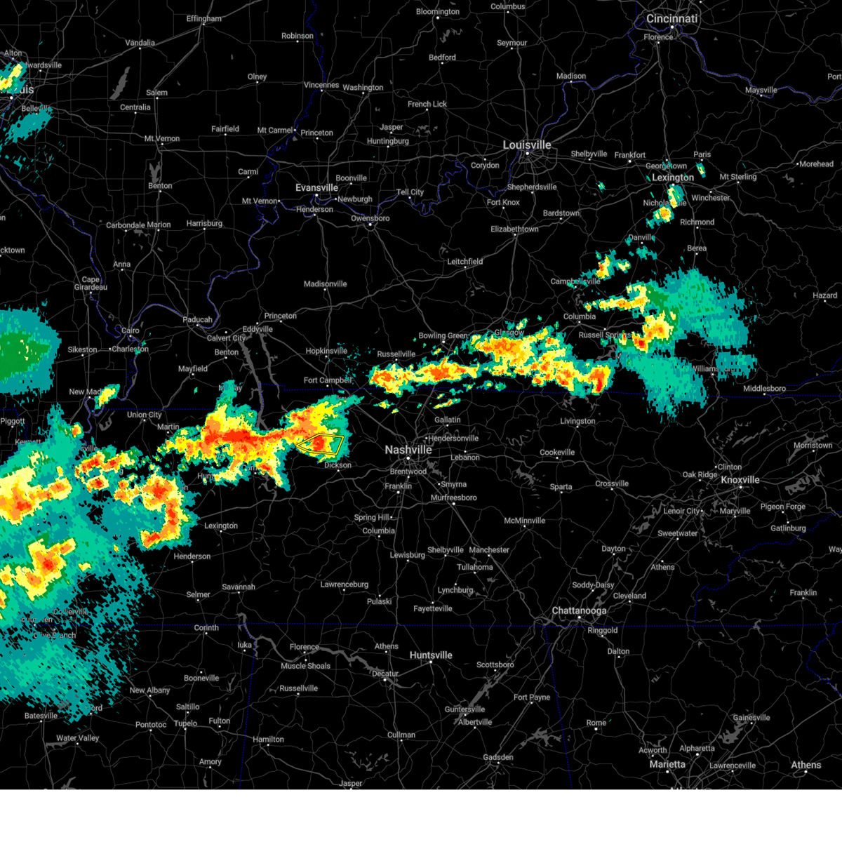 At 148 pm cdt, a severe thunderstorm was located 8 miles southeast of erin, moving northeast at 30 mph (radar indicated). Hazards include 60 mph wind gusts and quarter size hail. Hail damage to vehicles is expected. expect wind damage to roofs, siding, and trees. Locations impacted include, vanleer and slayden. At 148 pm cdt, a severe thunderstorm was located 8 miles southeast of erin, moving northeast at 30 mph (radar indicated). Hazards include 60 mph wind gusts and quarter size hail. Hail damage to vehicles is expected. expect wind damage to roofs, siding, and trees. Locations impacted include, vanleer and slayden.
|
| 5/22/2024 1:48 PM CDT |
 the severe thunderstorm warning has been cancelled and is no longer in effect the severe thunderstorm warning has been cancelled and is no longer in effect
|
| 5/22/2024 1:34 PM CDT |
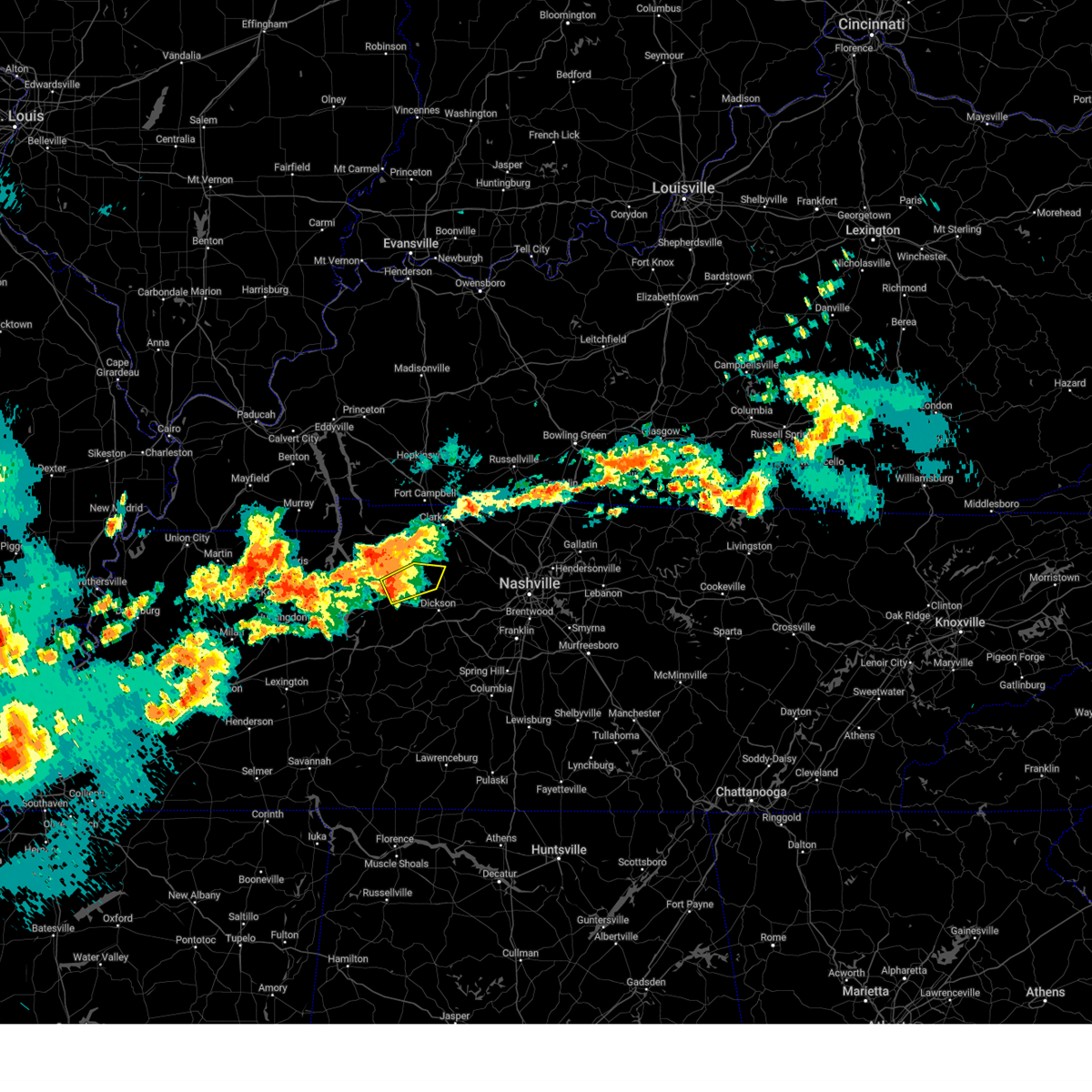 Svrohx the national weather service in nashville has issued a * severe thunderstorm warning for, northwestern dickson county in middle tennessee, southeastern houston county in middle tennessee, northeastern humphreys county in middle tennessee, * until 215 pm cdt. * at 134 pm cdt, a severe thunderstorm was located near mcewen, or 7 miles south of erin, moving northeast at 30 mph (radar indicated). Hazards include 60 mph wind gusts and quarter size hail. Hail damage to vehicles is expected. Expect wind damage to roofs, siding, and trees. Svrohx the national weather service in nashville has issued a * severe thunderstorm warning for, northwestern dickson county in middle tennessee, southeastern houston county in middle tennessee, northeastern humphreys county in middle tennessee, * until 215 pm cdt. * at 134 pm cdt, a severe thunderstorm was located near mcewen, or 7 miles south of erin, moving northeast at 30 mph (radar indicated). Hazards include 60 mph wind gusts and quarter size hail. Hail damage to vehicles is expected. Expect wind damage to roofs, siding, and trees.
|
| 5/8/2024 4:59 PM CDT |
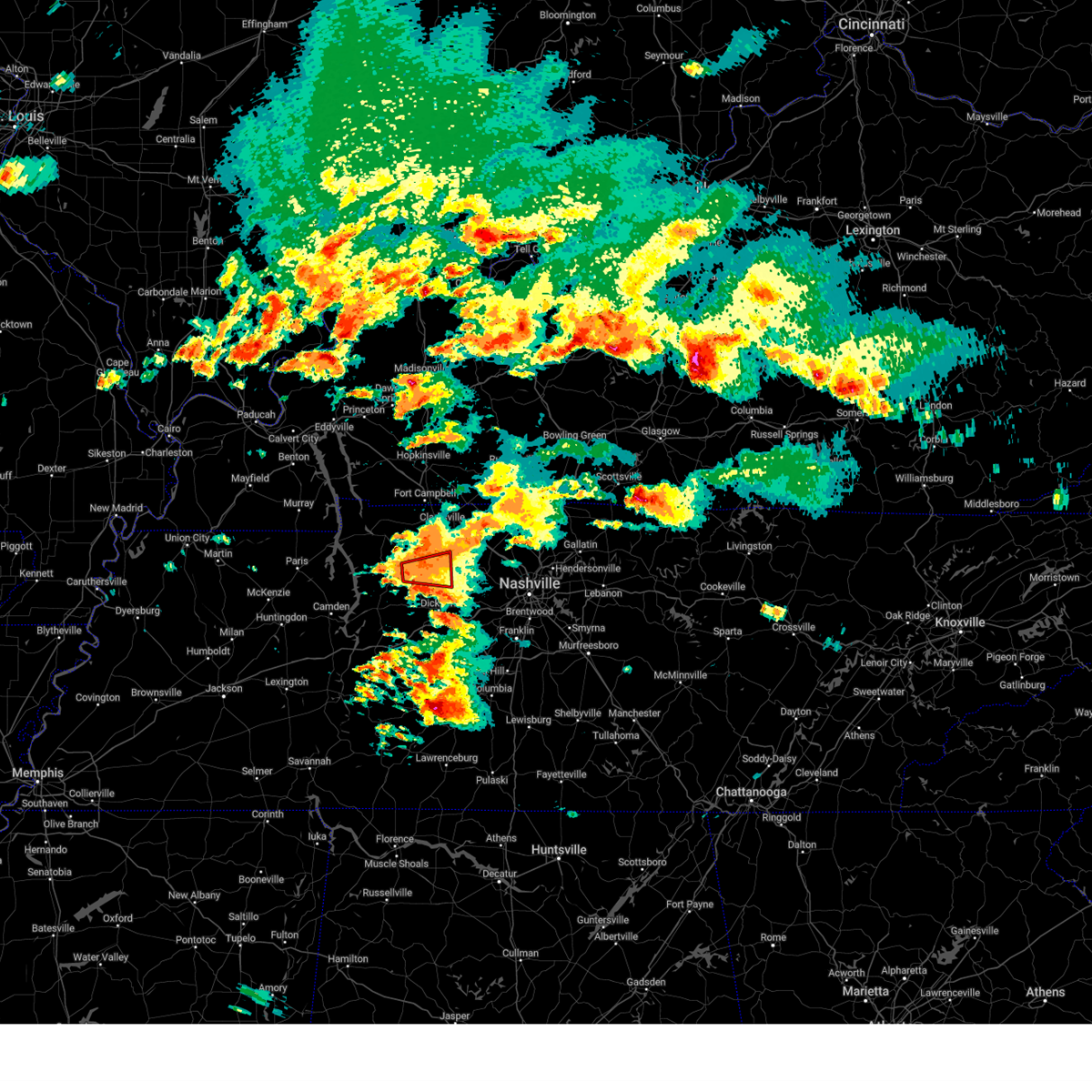 the tornado warning has been cancelled and is no longer in effect the tornado warning has been cancelled and is no longer in effect
|
| 5/8/2024 4:57 PM CDT |
 At 456 pm cdt, a severe thunderstorm was located 9 miles northwest of ashland city, moving northeast at 70 mph (radar indicated). Hazards include 60 mph wind gusts and quarter size hail. Hail damage to vehicles is expected. expect wind damage to roofs, siding, and trees. locations impacted include, dickson, ashland city, erin, white bluff, kingston springs, pegram, mcewen, tennessee ridge, pleasant view, charlotte, vanleer, slayden, cheatham dam, and cunningham. This includes interstate 24 between mile markers 16 and 17. At 456 pm cdt, a severe thunderstorm was located 9 miles northwest of ashland city, moving northeast at 70 mph (radar indicated). Hazards include 60 mph wind gusts and quarter size hail. Hail damage to vehicles is expected. expect wind damage to roofs, siding, and trees. locations impacted include, dickson, ashland city, erin, white bluff, kingston springs, pegram, mcewen, tennessee ridge, pleasant view, charlotte, vanleer, slayden, cheatham dam, and cunningham. This includes interstate 24 between mile markers 16 and 17.
|
| 5/8/2024 4:49 PM CDT |
 Torohx the national weather service in nashville has issued a * tornado warning for, northwestern dickson county in middle tennessee, south central montgomery county in middle tennessee, northeastern houston county in middle tennessee, * until 515 pm cdt. * at 449 pm cdt, a severe thunderstorm capable of producing a tornado was located 7 miles east of erin, moving east at 15 mph (radar indicated rotation). Hazards include tornado and quarter size hail. Flying debris will be dangerous to those caught without shelter. mobile homes will be damaged or destroyed. damage to roofs, windows, and vehicles will occur. tree damage is likely. This tornadic thunderstorm will remain over mainly rural areas of northwestern dickson, south central montgomery and northeastern houston counties, including the following locations, slayden and vanleer. Torohx the national weather service in nashville has issued a * tornado warning for, northwestern dickson county in middle tennessee, south central montgomery county in middle tennessee, northeastern houston county in middle tennessee, * until 515 pm cdt. * at 449 pm cdt, a severe thunderstorm capable of producing a tornado was located 7 miles east of erin, moving east at 15 mph (radar indicated rotation). Hazards include tornado and quarter size hail. Flying debris will be dangerous to those caught without shelter. mobile homes will be damaged or destroyed. damage to roofs, windows, and vehicles will occur. tree damage is likely. This tornadic thunderstorm will remain over mainly rural areas of northwestern dickson, south central montgomery and northeastern houston counties, including the following locations, slayden and vanleer.
|
| 5/8/2024 4:30 PM CDT |
 Svrohx the national weather service in nashville has issued a * severe thunderstorm warning for, dickson county in middle tennessee, southern montgomery county in middle tennessee, houston county in middle tennessee, central cheatham county in middle tennessee, northern humphreys county in middle tennessee, * until 515 pm cdt. * at 429 pm cdt, a severe thunderstorm was located near mcewen, or 9 miles south of erin, moving northeast at 70 mph (radar indicated). Hazards include 60 mph wind gusts and quarter size hail. Hail damage to vehicles is expected. Expect wind damage to roofs, siding, and trees. Svrohx the national weather service in nashville has issued a * severe thunderstorm warning for, dickson county in middle tennessee, southern montgomery county in middle tennessee, houston county in middle tennessee, central cheatham county in middle tennessee, northern humphreys county in middle tennessee, * until 515 pm cdt. * at 429 pm cdt, a severe thunderstorm was located near mcewen, or 9 miles south of erin, moving northeast at 70 mph (radar indicated). Hazards include 60 mph wind gusts and quarter size hail. Hail damage to vehicles is expected. Expect wind damage to roofs, siding, and trees.
|
| 12/9/2023 3:52 PM CST |
 At 352 pm cst, a severe thunderstorm was located near mcewen, or 8 miles southeast of waverly, moving east at 50 mph (radar indicated). Hazards include 60 mph wind gusts and nickel size hail. expect damage to roofs, siding, and trees At 352 pm cst, a severe thunderstorm was located near mcewen, or 8 miles southeast of waverly, moving east at 50 mph (radar indicated). Hazards include 60 mph wind gusts and nickel size hail. expect damage to roofs, siding, and trees
|
| 12/9/2023 3:27 PM CST |
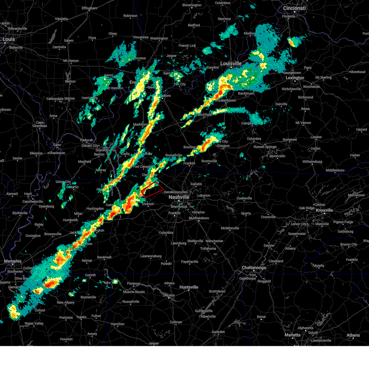 At 326 pm cst, a severe thunderstorm capable of producing a tornado was located 14 miles east of erin, moving east at 25 mph (radar indicated rotation). Hazards include tornado. Flying debris will be dangerous to those caught without shelter. mobile homes will be damaged or destroyed. damage to roofs, windows, and vehicles will occur. tree damage is likely. Locations impacted include, vanleer, slayden, and cheatham dam. At 326 pm cst, a severe thunderstorm capable of producing a tornado was located 14 miles east of erin, moving east at 25 mph (radar indicated rotation). Hazards include tornado. Flying debris will be dangerous to those caught without shelter. mobile homes will be damaged or destroyed. damage to roofs, windows, and vehicles will occur. tree damage is likely. Locations impacted include, vanleer, slayden, and cheatham dam.
|
| 12/9/2023 3:18 PM CST |
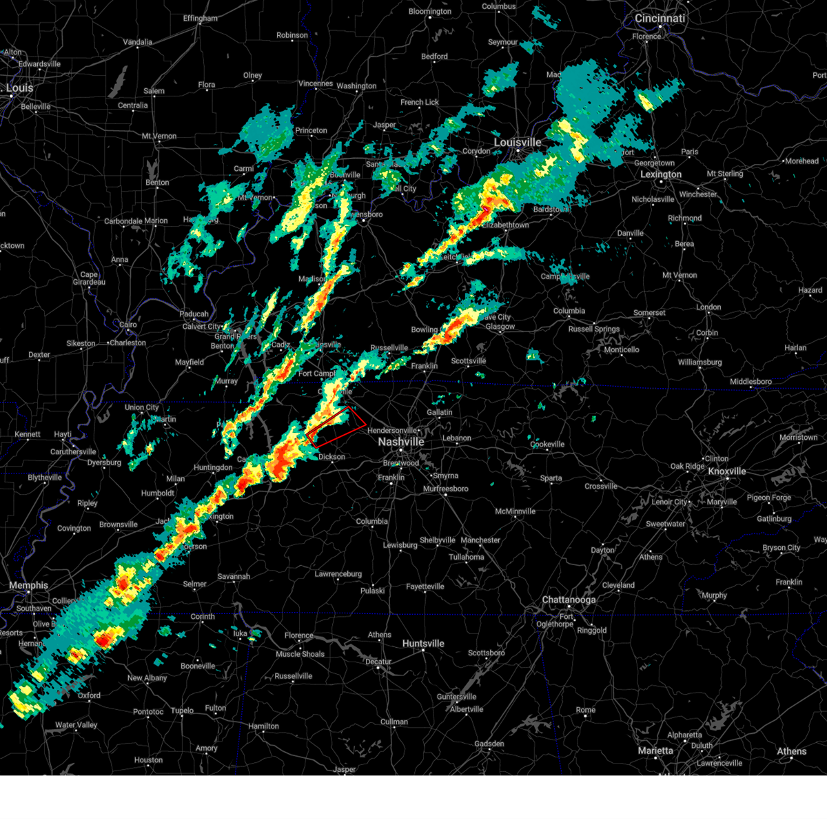 At 318 pm cst, a severe thunderstorm capable of producing a tornado was located 11 miles east of erin, moving northeast at 40 mph (radar indicated rotation). Hazards include tornado. Flying debris will be dangerous to those caught without shelter. mobile homes will be damaged or destroyed. damage to roofs, windows, and vehicles will occur. tree damage is likely. This tornadic thunderstorm will remain over mainly rural areas of northern dickson, southeastern montgomery, east central houston and northwestern cheatham counties, including the following locations, slayden, cheatham dam, and vanleer. At 318 pm cst, a severe thunderstorm capable of producing a tornado was located 11 miles east of erin, moving northeast at 40 mph (radar indicated rotation). Hazards include tornado. Flying debris will be dangerous to those caught without shelter. mobile homes will be damaged or destroyed. damage to roofs, windows, and vehicles will occur. tree damage is likely. This tornadic thunderstorm will remain over mainly rural areas of northern dickson, southeastern montgomery, east central houston and northwestern cheatham counties, including the following locations, slayden, cheatham dam, and vanleer.
|
| 12/9/2023 2:57 PM CST |
 At 257 pm cst, a severe thunderstorm was located near new johnsonville, or near camden, moving northeast at 40 mph (radar indicated). Hazards include 60 mph wind gusts and nickel size hail. expect damage to roofs, siding, and trees At 257 pm cst, a severe thunderstorm was located near new johnsonville, or near camden, moving northeast at 40 mph (radar indicated). Hazards include 60 mph wind gusts and nickel size hail. expect damage to roofs, siding, and trees
|
| 12/9/2023 2:53 PM CST |
 At 252 pm cst, a severe thunderstorm was located near waverly, moving east at 40 mph (radar indicated). Hazards include 60 mph wind gusts and penny size hail. expect damage to roofs, siding, and trees At 252 pm cst, a severe thunderstorm was located near waverly, moving east at 40 mph (radar indicated). Hazards include 60 mph wind gusts and penny size hail. expect damage to roofs, siding, and trees
|
| 8/13/2023 2:45 PM CDT |
 At 245 pm cdt, severe thunderstorms were located along a line extending from oak grove to 9 miles north of white bluff to 9 miles northeast of centerville, moving east at 40 mph (radar indicated). Hazards include 60 mph wind gusts. Expect damage to roofs, siding, and trees. locations impacted include, clarksville, springfield, dickson, oak grove, ashland city, centerville, fort campbell, coopertown, white bluff, kingston springs, pegram, burns, guthrie, fairview, pleasant view, charlotte, adams, vanleer, cedar hill and slayden. this includes the following highways, interstate 40 between mile markers 152 and 159, and between mile markers 161 and 191. interstate 24 between mile markers 1 and 31. interstate 840 between mile markers 1 and 14. hail threat, radar indicated max hail size, <. 75 in wind threat, radar indicated max wind gust, 60 mph. At 245 pm cdt, severe thunderstorms were located along a line extending from oak grove to 9 miles north of white bluff to 9 miles northeast of centerville, moving east at 40 mph (radar indicated). Hazards include 60 mph wind gusts. Expect damage to roofs, siding, and trees. locations impacted include, clarksville, springfield, dickson, oak grove, ashland city, centerville, fort campbell, coopertown, white bluff, kingston springs, pegram, burns, guthrie, fairview, pleasant view, charlotte, adams, vanleer, cedar hill and slayden. this includes the following highways, interstate 40 between mile markers 152 and 159, and between mile markers 161 and 191. interstate 24 between mile markers 1 and 31. interstate 840 between mile markers 1 and 14. hail threat, radar indicated max hail size, <. 75 in wind threat, radar indicated max wind gust, 60 mph.
|
| 8/13/2023 2:09 PM CDT |
 At 209 pm cdt, severe thunderstorms were located along a line extending from near big rock to mcewen to hurricane mills, moving east at 50 mph (radar indicated). Hazards include 60 mph wind gusts. expect damage to roofs, siding, and trees At 209 pm cdt, severe thunderstorms were located along a line extending from near big rock to mcewen to hurricane mills, moving east at 50 mph (radar indicated). Hazards include 60 mph wind gusts. expect damage to roofs, siding, and trees
|
| 7/20/2023 1:21 PM CDT |
 The severe thunderstorm warning for northwestern davidson, dickson, cheatham, northeastern hickman and southwestern robertson counties will expire at 130 pm cdt, the storms which prompted the warning have weakened below severe limits, and no longer pose an immediate threat to life or property. therefore, the warning will be allowed to expire. however gusty winds and heavy rain are still possible with these thunderstorms. a severe thunderstorm watch remains in effect until 700 pm cdt for middle tennessee. The severe thunderstorm warning for northwestern davidson, dickson, cheatham, northeastern hickman and southwestern robertson counties will expire at 130 pm cdt, the storms which prompted the warning have weakened below severe limits, and no longer pose an immediate threat to life or property. therefore, the warning will be allowed to expire. however gusty winds and heavy rain are still possible with these thunderstorms. a severe thunderstorm watch remains in effect until 700 pm cdt for middle tennessee.
|
| 7/20/2023 1:03 PM CDT |
 At 102 pm cdt, severe thunderstorms were located along a line extending from 8 miles west of coopertown to 9 miles north of dickson, moving southeast at 35 mph (radar indicated). Hazards include 60 mph wind gusts and penny size hail. Expect damage to roofs, siding, and trees. locations impacted include, dickson, ashland city, nashville, madison, forest hills, coopertown, white bluff, belle meade, kingston springs, lakewood, pegram, burns, bellevue, joelton, pleasant view, charlotte, vanleer, slayden, cheatham dam and bells bend. this includes the following highways, interstate 40 between mile markers 171 and 181, and between mile markers 185 and 211. interstate 65 between mile markers 82 and 93. interstate 24 between mile markers 18 and 49. interstate 840 between mile markers 1 and 5. hail threat, radar indicated max hail size, 0. 75 in wind threat, radar indicated max wind gust, 60 mph. At 102 pm cdt, severe thunderstorms were located along a line extending from 8 miles west of coopertown to 9 miles north of dickson, moving southeast at 35 mph (radar indicated). Hazards include 60 mph wind gusts and penny size hail. Expect damage to roofs, siding, and trees. locations impacted include, dickson, ashland city, nashville, madison, forest hills, coopertown, white bluff, belle meade, kingston springs, lakewood, pegram, burns, bellevue, joelton, pleasant view, charlotte, vanleer, slayden, cheatham dam and bells bend. this includes the following highways, interstate 40 between mile markers 171 and 181, and between mile markers 185 and 211. interstate 65 between mile markers 82 and 93. interstate 24 between mile markers 18 and 49. interstate 840 between mile markers 1 and 5. hail threat, radar indicated max hail size, 0. 75 in wind threat, radar indicated max wind gust, 60 mph.
|
| 7/20/2023 12:51 PM CDT |
 At 1250 pm cdt, severe thunderstorms were located along a line extending from 9 miles southeast of clarksville to 11 miles east of erin, moving southeast at 35 mph (radar indicated). Hazards include 60 mph wind gusts and penny size hail. expect damage to roofs, siding, and trees At 1250 pm cdt, severe thunderstorms were located along a line extending from 9 miles southeast of clarksville to 11 miles east of erin, moving southeast at 35 mph (radar indicated). Hazards include 60 mph wind gusts and penny size hail. expect damage to roofs, siding, and trees
|
| 7/18/2023 3:30 PM CDT |
 At 329 pm cdt, severe thunderstorms were located along a line extending from 6 miles north of springfield to 6 miles southeast of ashland city to 9 miles southwest of dickson, moving southeast at 50 mph (radar indicated). Hazards include 70 mph wind gusts and penny size hail. Expect considerable tree damage. damage is likely to mobile homes, roofs, and outbuildings. locations impacted include, springfield, dickson, ashland city, waverly, camden, coopertown, white bluff, new johnsonville, mcewen, burns, hurricane mills, pleasant view, charlotte, adams, vanleer, cedar hill, slayden, cheatham dam and i-40 near the tennessee river. this includes the following highways, interstate 40 near mile marker 136. interstate 24 between mile markers 18 and 31. thunderstorm damage threat, considerable hail threat, radar indicated max hail size, 0. 75 in wind threat, radar indicated max wind gust, 70 mph. At 329 pm cdt, severe thunderstorms were located along a line extending from 6 miles north of springfield to 6 miles southeast of ashland city to 9 miles southwest of dickson, moving southeast at 50 mph (radar indicated). Hazards include 70 mph wind gusts and penny size hail. Expect considerable tree damage. damage is likely to mobile homes, roofs, and outbuildings. locations impacted include, springfield, dickson, ashland city, waverly, camden, coopertown, white bluff, new johnsonville, mcewen, burns, hurricane mills, pleasant view, charlotte, adams, vanleer, cedar hill, slayden, cheatham dam and i-40 near the tennessee river. this includes the following highways, interstate 40 near mile marker 136. interstate 24 between mile markers 18 and 31. thunderstorm damage threat, considerable hail threat, radar indicated max hail size, 0. 75 in wind threat, radar indicated max wind gust, 70 mph.
|
| 7/18/2023 3:16 PM CDT |
 At 315 pm cdt, severe thunderstorms were located along a line extending from 6 miles east of guthrie to 6 miles west of ashland city to near mcewen, moving southeast at 55 mph (radar indicated). Hazards include 70 mph wind gusts and penny size hail. Expect considerable tree damage. damage is likely to mobile homes, roofs, and outbuildings. locations impacted include, springfield, dickson, ashland city, waverly, camden, erin, clarksville, coopertown, white bluff, new johnsonville, mcewen, burns, tennessee ridge, hurricane mills, pleasant view, charlotte, adams, vanleer, cedar hill and cumberland city. this includes the following highways, interstate 40 near mile marker 136. interstate 24 between mile markers 7 and 31. thunderstorm damage threat, considerable hail threat, radar indicated max hail size, 0. 75 in wind threat, radar indicated max wind gust, 70 mph. At 315 pm cdt, severe thunderstorms were located along a line extending from 6 miles east of guthrie to 6 miles west of ashland city to near mcewen, moving southeast at 55 mph (radar indicated). Hazards include 70 mph wind gusts and penny size hail. Expect considerable tree damage. damage is likely to mobile homes, roofs, and outbuildings. locations impacted include, springfield, dickson, ashland city, waverly, camden, erin, clarksville, coopertown, white bluff, new johnsonville, mcewen, burns, tennessee ridge, hurricane mills, pleasant view, charlotte, adams, vanleer, cedar hill and cumberland city. this includes the following highways, interstate 40 near mile marker 136. interstate 24 between mile markers 7 and 31. thunderstorm damage threat, considerable hail threat, radar indicated max hail size, 0. 75 in wind threat, radar indicated max wind gust, 70 mph.
|
| 7/18/2023 2:57 PM CDT |
 At 256 pm cdt, severe thunderstorms were located along a line extending from near pembroke to 13 miles south of clarksville to 8 miles northwest of waverly, moving southeast at 50 mph (radar indicated). Hazards include 70 mph wind gusts and penny size hail. Expect considerable tree damage. damage is likely to mobile homes, roofs, and outbuildings. locations impacted include, clarksville, springfield, dickson, ashland city, waverly, camden, dover, erin, coopertown, white bluff, new johnsonville, mcewen, burns, guthrie, tennessee ridge, hurricane mills, pleasant view, charlotte, adams and vanleer. this includes the following highways, interstate 40 between mile markers 134 and 136. interstate 24 between mile markers 1 and 31. thunderstorm damage threat, considerable hail threat, radar indicated max hail size, 0. 75 in wind threat, radar indicated max wind gust, 70 mph. At 256 pm cdt, severe thunderstorms were located along a line extending from near pembroke to 13 miles south of clarksville to 8 miles northwest of waverly, moving southeast at 50 mph (radar indicated). Hazards include 70 mph wind gusts and penny size hail. Expect considerable tree damage. damage is likely to mobile homes, roofs, and outbuildings. locations impacted include, clarksville, springfield, dickson, ashland city, waverly, camden, dover, erin, coopertown, white bluff, new johnsonville, mcewen, burns, guthrie, tennessee ridge, hurricane mills, pleasant view, charlotte, adams and vanleer. this includes the following highways, interstate 40 between mile markers 134 and 136. interstate 24 between mile markers 1 and 31. thunderstorm damage threat, considerable hail threat, radar indicated max hail size, 0. 75 in wind threat, radar indicated max wind gust, 70 mph.
|
| 7/18/2023 2:40 PM CDT |
 At 240 pm cdt, severe thunderstorms were located along a line extending from hopkinsville to 11 miles northeast of erin to springville, moving southeast at 50 mph (radar indicated). Hazards include 70 mph wind gusts and penny size hail. Expect considerable tree damage. Damage is likely to mobile homes, roofs, and outbuildings. At 240 pm cdt, severe thunderstorms were located along a line extending from hopkinsville to 11 miles northeast of erin to springville, moving southeast at 50 mph (radar indicated). Hazards include 70 mph wind gusts and penny size hail. Expect considerable tree damage. Damage is likely to mobile homes, roofs, and outbuildings.
|
| 7/18/2023 2:17 PM CDT |
 At 216 pm cdt, severe thunderstorms were located along a line extending from cobb to near big rock to near paris, moving southeast at 50 mph (radar indicated). Hazards include 70 mph wind gusts and penny size hail. Expect considerable tree damage. damage is likely to mobile homes, roofs, and outbuildings. locations impacted include, clarksville, waverly, dover, erin, new johnsonville, tennessee ridge, big rock, vanleer, cumberland city, slayden, palmyra, woodlawn, houston county airport, land between the lakes, indian mound and cunningham. this includes interstate 24 between mile markers 1 and 5. thunderstorm damage threat, considerable hail threat, radar indicated max hail size, 0. 75 in wind threat, radar indicated max wind gust, 70 mph. At 216 pm cdt, severe thunderstorms were located along a line extending from cobb to near big rock to near paris, moving southeast at 50 mph (radar indicated). Hazards include 70 mph wind gusts and penny size hail. Expect considerable tree damage. damage is likely to mobile homes, roofs, and outbuildings. locations impacted include, clarksville, waverly, dover, erin, new johnsonville, tennessee ridge, big rock, vanleer, cumberland city, slayden, palmyra, woodlawn, houston county airport, land between the lakes, indian mound and cunningham. this includes interstate 24 between mile markers 1 and 5. thunderstorm damage threat, considerable hail threat, radar indicated max hail size, 0. 75 in wind threat, radar indicated max wind gust, 70 mph.
|
| 7/18/2023 1:51 PM CDT |
 At 150 pm cdt, severe thunderstorms were located along a line extending from 6 miles northwest of eddyville to 8 miles west of turkey bay to near lynnville, moving southeast at 50 mph (radar indicated). Hazards include 60 mph wind gusts and nickel size hail. expect damage to roofs, siding, and trees At 150 pm cdt, severe thunderstorms were located along a line extending from 6 miles northwest of eddyville to 8 miles west of turkey bay to near lynnville, moving southeast at 50 mph (radar indicated). Hazards include 60 mph wind gusts and nickel size hail. expect damage to roofs, siding, and trees
|
| 7/2/2023 8:42 PM CDT |
 At 841 pm cdt, a severe thunderstorm was located 11 miles north of dickson, moving east at 45 mph (radar indicated). Hazards include 60 mph wind gusts and penny size hail. expect damage to roofs, siding, and trees At 841 pm cdt, a severe thunderstorm was located 11 miles north of dickson, moving east at 45 mph (radar indicated). Hazards include 60 mph wind gusts and penny size hail. expect damage to roofs, siding, and trees
|
| 7/2/2023 8:33 PM CDT |
 At 833 pm cdt, a severe thunderstorm was located 12 miles northeast of mcewen, or 13 miles southeast of erin, moving east at 50 mph (radar indicated). Hazards include 60 mph wind gusts and penny size hail. Expect damage to roofs, siding, and trees. locations impacted include, charlotte, vanleer and slayden. hail threat, radar indicated max hail size, 0. 75 in wind threat, radar indicated max wind gust, 60 mph. At 833 pm cdt, a severe thunderstorm was located 12 miles northeast of mcewen, or 13 miles southeast of erin, moving east at 50 mph (radar indicated). Hazards include 60 mph wind gusts and penny size hail. Expect damage to roofs, siding, and trees. locations impacted include, charlotte, vanleer and slayden. hail threat, radar indicated max hail size, 0. 75 in wind threat, radar indicated max wind gust, 60 mph.
|
| 7/2/2023 8:24 PM CDT |
 At 824 pm cdt, a severe thunderstorm was located 7 miles north of mcewen, or 8 miles southeast of erin, moving east at 50 mph (radar indicated). Hazards include 60 mph wind gusts and penny size hail. Expect damage to roofs, siding, and trees. locations impacted include, erin, mcewen, charlotte, vanleer, slayden and cunningham. hail threat, radar indicated max hail size, 0. 75 in wind threat, radar indicated max wind gust, 60 mph. At 824 pm cdt, a severe thunderstorm was located 7 miles north of mcewen, or 8 miles southeast of erin, moving east at 50 mph (radar indicated). Hazards include 60 mph wind gusts and penny size hail. Expect damage to roofs, siding, and trees. locations impacted include, erin, mcewen, charlotte, vanleer, slayden and cunningham. hail threat, radar indicated max hail size, 0. 75 in wind threat, radar indicated max wind gust, 60 mph.
|
| 7/2/2023 8:12 PM CDT |
 At 812 pm cdt, a severe thunderstorm was located near waverly, moving east at 50 mph (radar indicated). Hazards include 60 mph wind gusts and nickel size hail. expect damage to roofs, siding, and trees At 812 pm cdt, a severe thunderstorm was located near waverly, moving east at 50 mph (radar indicated). Hazards include 60 mph wind gusts and nickel size hail. expect damage to roofs, siding, and trees
|
| 7/2/2023 6:06 PM CDT |
 The severe thunderstorm warning for northern dickson, southeastern montgomery and northern cheatham counties will expire at 615 pm cdt, the storm which prompted the warning has weakened below severe limits, and no longer poses an immediate threat to life or property. therefore, the warning will be allowed to expire. however small hail and gusty winds are still possible with this thunderstorm and a special weather statement for strong thunderstorms is still in effect. a severe thunderstorm watch remains in effect until 800 pm cdt for middle tennessee. The severe thunderstorm warning for northern dickson, southeastern montgomery and northern cheatham counties will expire at 615 pm cdt, the storm which prompted the warning has weakened below severe limits, and no longer poses an immediate threat to life or property. therefore, the warning will be allowed to expire. however small hail and gusty winds are still possible with this thunderstorm and a special weather statement for strong thunderstorms is still in effect. a severe thunderstorm watch remains in effect until 800 pm cdt for middle tennessee.
|
| 7/2/2023 5:59 PM CDT |
 At 559 pm cdt, a severe thunderstorm was located 11 miles northwest of white bluff, or 11 miles north of dickson, moving northeast at 50 mph (radar indicated). Hazards include 60 mph wind gusts and nickel size hail. Expect damage to roofs, siding, and trees. locations impacted include, ashland city, charlotte, vanleer, slayden and cheatham dam. hail threat, radar indicated max hail size, 0. 88 in wind threat, radar indicated max wind gust, 60 mph. At 559 pm cdt, a severe thunderstorm was located 11 miles northwest of white bluff, or 11 miles north of dickson, moving northeast at 50 mph (radar indicated). Hazards include 60 mph wind gusts and nickel size hail. Expect damage to roofs, siding, and trees. locations impacted include, ashland city, charlotte, vanleer, slayden and cheatham dam. hail threat, radar indicated max hail size, 0. 88 in wind threat, radar indicated max wind gust, 60 mph.
|
| 7/2/2023 5:49 PM CDT |
 At 548 pm cdt, a severe thunderstorm was located 8 miles northwest of dickson, moving northeast at 50 mph (radar indicated). Hazards include 60 mph wind gusts and quarter size hail. Hail damage to vehicles is expected. Expect wind damage to roofs, siding, and trees. At 548 pm cdt, a severe thunderstorm was located 8 miles northwest of dickson, moving northeast at 50 mph (radar indicated). Hazards include 60 mph wind gusts and quarter size hail. Hail damage to vehicles is expected. Expect wind damage to roofs, siding, and trees.
|
| 7/1/2023 12:47 PM CDT |
 At 1247 pm cdt, severe thunderstorms were located along a line extending from 16 miles north of dickson to near burns to 8 miles south of centerville, moving east at 35 mph (radar indicated). Hazards include 70 mph wind gusts and quarter size hail. Hail damage to vehicles is expected. expect considerable tree damage. wind damage is also likely to mobile homes, roofs, and outbuildings. locations impacted include, dickson, centerville, white bluff, kingston springs, burns, fairview, charlotte, vanleer, slayden, bon aqua, primm springs, lyles and nunnelly. this includes the following highways, interstate 40 between mile markers 164 and 187. interstate 840 between mile markers 1 and 12. thunderstorm damage threat, considerable hail threat, radar indicated max hail size, 1. 00 in wind threat, radar indicated max wind gust, 70 mph. At 1247 pm cdt, severe thunderstorms were located along a line extending from 16 miles north of dickson to near burns to 8 miles south of centerville, moving east at 35 mph (radar indicated). Hazards include 70 mph wind gusts and quarter size hail. Hail damage to vehicles is expected. expect considerable tree damage. wind damage is also likely to mobile homes, roofs, and outbuildings. locations impacted include, dickson, centerville, white bluff, kingston springs, burns, fairview, charlotte, vanleer, slayden, bon aqua, primm springs, lyles and nunnelly. this includes the following highways, interstate 40 between mile markers 164 and 187. interstate 840 between mile markers 1 and 12. thunderstorm damage threat, considerable hail threat, radar indicated max hail size, 1. 00 in wind threat, radar indicated max wind gust, 70 mph.
|
| 7/1/2023 12:23 PM CDT |
 At 1223 pm cdt, severe thunderstorms were located along a line extending from near erin to 10 miles southwest of dickson to 9 miles northwest of hohenwald, moving east at 35 mph (radar indicated). Hazards include 70 mph wind gusts and quarter size hail. Hail damage to vehicles is expected. expect considerable tree damage. Wind damage is also likely to mobile homes, roofs, and outbuildings. At 1223 pm cdt, severe thunderstorms were located along a line extending from near erin to 10 miles southwest of dickson to 9 miles northwest of hohenwald, moving east at 35 mph (radar indicated). Hazards include 70 mph wind gusts and quarter size hail. Hail damage to vehicles is expected. expect considerable tree damage. Wind damage is also likely to mobile homes, roofs, and outbuildings.
|
| 5/7/2023 6:06 PM CDT |
 At 606 pm cdt, a severe thunderstorm was located 8 miles northwest of dickson, moving east at 30 mph (radar indicated). Hazards include quarter size hail. Damage to vehicles is expected. locations impacted include, dickson, mcewen, charlotte, vanleer and slayden. hail threat, radar indicated max hail size, 1. 00 in wind threat, radar indicated max wind gust, <50 mph. At 606 pm cdt, a severe thunderstorm was located 8 miles northwest of dickson, moving east at 30 mph (radar indicated). Hazards include quarter size hail. Damage to vehicles is expected. locations impacted include, dickson, mcewen, charlotte, vanleer and slayden. hail threat, radar indicated max hail size, 1. 00 in wind threat, radar indicated max wind gust, <50 mph.
|
| 5/7/2023 5:51 PM CDT |
 At 550 pm cdt, a severe thunderstorm was located near mcewen, or 11 miles southeast of erin, moving east at 30 mph (radar indicated). Hazards include 60 mph wind gusts and half dollar size hail. Hail damage to vehicles is expected. Expect wind damage to roofs, siding, and trees. At 550 pm cdt, a severe thunderstorm was located near mcewen, or 11 miles southeast of erin, moving east at 30 mph (radar indicated). Hazards include 60 mph wind gusts and half dollar size hail. Hail damage to vehicles is expected. Expect wind damage to roofs, siding, and trees.
|
| 5/7/2023 5:21 PM CDT | Quarter sized hail reported 1.7 miles SSE of Vanleer, TN, quarter size hail fell at the intersection of hwy 49 and slayton-marion rd. |
| 5/7/2023 5:21 PM CDT |
 At 520 pm cdt, a severe thunderstorm was located 14 miles east of erin, moving east at 25 mph (radar indicated). Hazards include ping pong ball size hail. People and animals outdoors will be injured. expect damage to roofs, siding, windows, and vehicles. locations impacted include, charlotte, vanleer, slayden, cheatham dam and cunningham. hail threat, radar indicated max hail size, 1. 50 in wind threat, radar indicated max wind gust, <50 mph. At 520 pm cdt, a severe thunderstorm was located 14 miles east of erin, moving east at 25 mph (radar indicated). Hazards include ping pong ball size hail. People and animals outdoors will be injured. expect damage to roofs, siding, windows, and vehicles. locations impacted include, charlotte, vanleer, slayden, cheatham dam and cunningham. hail threat, radar indicated max hail size, 1. 50 in wind threat, radar indicated max wind gust, <50 mph.
|
| 5/7/2023 5:15 PM CDT |
 At 514 pm cdt, a severe thunderstorm was located 11 miles east of erin, moving east at 25 mph (radar indicated). Hazards include quarter size hail. damage to vehicles is expected At 514 pm cdt, a severe thunderstorm was located 11 miles east of erin, moving east at 25 mph (radar indicated). Hazards include quarter size hail. damage to vehicles is expected
|
| 3/24/2023 10:15 PM CDT |
 At 1014 pm cdt, severe thunderstorms were located along a line extending from 6 miles southwest of fort campbell to 8 miles northwest of dickson, moving northeast at 50 mph (radar indicated). Hazards include 60 mph wind gusts. expect damage to roofs, siding, and trees At 1014 pm cdt, severe thunderstorms were located along a line extending from 6 miles southwest of fort campbell to 8 miles northwest of dickson, moving northeast at 50 mph (radar indicated). Hazards include 60 mph wind gusts. expect damage to roofs, siding, and trees
|
| 10/12/2022 3:36 PM CDT |
 At 336 pm cdt, severe thunderstorms were located along a line extending from 7 miles north of dickson to centerville, moving east at 40 mph (radar indicated). Hazards include 60 mph wind gusts and nickel size hail. expect damage to roofs, siding, and trees At 336 pm cdt, severe thunderstorms were located along a line extending from 7 miles north of dickson to centerville, moving east at 40 mph (radar indicated). Hazards include 60 mph wind gusts and nickel size hail. expect damage to roofs, siding, and trees
|
| 6/17/2022 9:35 AM CDT |
 At 935 am cdt, severe thunderstorms were located along a line extending from 10 miles west of coopertown to 11 miles southeast of clarksville to near tennessee ridge, moving southeast at 55 mph (radar indicated). Hazards include 60 mph wind gusts. expect damage to roofs, siding, and trees At 935 am cdt, severe thunderstorms were located along a line extending from 10 miles west of coopertown to 11 miles southeast of clarksville to near tennessee ridge, moving southeast at 55 mph (radar indicated). Hazards include 60 mph wind gusts. expect damage to roofs, siding, and trees
|
| 4/13/2022 6:40 PM CDT | A shed was blown onto a house and trees were blown dow in dickson county TN, 5.2 miles WSW of Vanleer, TN |
| 4/13/2022 6:13 PM CDT |
 At 613 pm cdt, severe thunderstorms were located along a line extending from 11 miles south of russellville to 8 miles northwest of coopertown to near dickson, moving east at 60 mph (radar indicated). Hazards include 60 mph wind gusts. expect damage to roofs, siding, and trees At 613 pm cdt, severe thunderstorms were located along a line extending from 11 miles south of russellville to 8 miles northwest of coopertown to near dickson, moving east at 60 mph (radar indicated). Hazards include 60 mph wind gusts. expect damage to roofs, siding, and trees
|
| 4/13/2022 5:58 PM CDT |
 At 558 pm cdt, severe thunderstorms were located along a line extending from near dunmor to near elkton to 9 miles south of clarksville to near waverly, moving east at 50 mph (radar indicated). Hazards include 60 mph wind gusts. Expect damage to roofs, siding, and trees. locations impacted include, dickson, waverly, erin, clarksville, new johnsonville, mcewen, tennessee ridge, pleasant view, charlotte, adams, vanleer, cedar hill, cumberland city, slayden, cheatham dam, palmyra, woodlawn and cunningham. this includes interstate 24 between mile markers 1 and 22. hail threat, radar indicated max hail size, <. 75 in wind threat, radar indicated max wind gust, 60 mph. At 558 pm cdt, severe thunderstorms were located along a line extending from near dunmor to near elkton to 9 miles south of clarksville to near waverly, moving east at 50 mph (radar indicated). Hazards include 60 mph wind gusts. Expect damage to roofs, siding, and trees. locations impacted include, dickson, waverly, erin, clarksville, new johnsonville, mcewen, tennessee ridge, pleasant view, charlotte, adams, vanleer, cedar hill, cumberland city, slayden, cheatham dam, palmyra, woodlawn and cunningham. this includes interstate 24 between mile markers 1 and 22. hail threat, radar indicated max hail size, <. 75 in wind threat, radar indicated max wind gust, 60 mph.
|
| 4/13/2022 5:29 PM CDT |
 At 529 pm cdt, severe thunderstorms were located along a line extending from near crofton to 7 miles southeast of big rock to 6 miles southeast of springville, moving east at 55 mph (radar indicated). Hazards include 60 mph wind gusts. expect damage to roofs, siding, and trees At 529 pm cdt, severe thunderstorms were located along a line extending from near crofton to 7 miles southeast of big rock to 6 miles southeast of springville, moving east at 55 mph (radar indicated). Hazards include 60 mph wind gusts. expect damage to roofs, siding, and trees
|
| 3/30/2022 7:45 PM CDT |
 At 745 pm cdt, severe thunderstorms were located along a line extending from big rock to near mcewen, moving northeast at 55 mph (radar indicated). Hazards include 60 mph wind gusts. expect damage to roofs, siding, and trees At 745 pm cdt, severe thunderstorms were located along a line extending from big rock to near mcewen, moving northeast at 55 mph (radar indicated). Hazards include 60 mph wind gusts. expect damage to roofs, siding, and trees
|
| 2/22/2022 8:52 AM CST |
 At 852 am cst, a severe thunderstorm was located 12 miles southeast of clarksville, moving east at 55 mph (radar indicated). Hazards include 60 mph wind gusts and penny size hail. Expect damage to roofs, siding, and trees. locations impacted include, pleasant view, vanleer, cedar hill, slayden, cunningham and cheatham dam. this includes interstate 24 between mile markers 15 and 22. hail threat, radar indicated max hail size, 0. 75 in wind threat, radar indicated max wind gust, 60 mph. At 852 am cst, a severe thunderstorm was located 12 miles southeast of clarksville, moving east at 55 mph (radar indicated). Hazards include 60 mph wind gusts and penny size hail. Expect damage to roofs, siding, and trees. locations impacted include, pleasant view, vanleer, cedar hill, slayden, cunningham and cheatham dam. this includes interstate 24 between mile markers 15 and 22. hail threat, radar indicated max hail size, 0. 75 in wind threat, radar indicated max wind gust, 60 mph.
|
| 2/22/2022 8:34 AM CST |
 At 834 am cst, a severe thunderstorm was located 8 miles east of erin, moving east at 55 mph (radar indicated). Hazards include 60 mph wind gusts and penny size hail. expect damage to roofs, siding, and trees At 834 am cst, a severe thunderstorm was located 8 miles east of erin, moving east at 55 mph (radar indicated). Hazards include 60 mph wind gusts and penny size hail. expect damage to roofs, siding, and trees
|
| 12/6/2021 5:01 AM CST |
 At 500 am cst, severe thunderstorms were located along a line extending from adairville to ashland city to dickson, moving east at 55 mph (radar indicated). Hazards include 60 mph wind gusts. Expect damage to roofs, siding, and trees. locations impacted include, springfield, ashland city, coopertown, kingston springs, pegram, pleasant view, charlotte, adams, vanleer, cedar hill and cheatham dam. This includes interstate 24 between mile markers 20 and 31. At 500 am cst, severe thunderstorms were located along a line extending from adairville to ashland city to dickson, moving east at 55 mph (radar indicated). Hazards include 60 mph wind gusts. Expect damage to roofs, siding, and trees. locations impacted include, springfield, ashland city, coopertown, kingston springs, pegram, pleasant view, charlotte, adams, vanleer, cedar hill and cheatham dam. This includes interstate 24 between mile markers 20 and 31.
|
| 12/6/2021 4:39 AM CST |
 At 439 am cst, severe thunderstorms were located along a line extending from clarksville to erin, moving east at 55 mph (radar indicated). Hazards include 60 mph wind gusts. expect damage to roofs, siding, and trees At 439 am cst, severe thunderstorms were located along a line extending from clarksville to erin, moving east at 55 mph (radar indicated). Hazards include 60 mph wind gusts. expect damage to roofs, siding, and trees
|
| 12/6/2021 4:38 AM CST | Tree down on house w/limb through window in the 1200 block of upper creek roa in dickson county TN, 2 miles N of Vanleer, TN |
| 8/21/2021 6:02 PM CDT |
 At 602 pm cdt, a confirmed tornado was located 8 miles north of dickson, moving southeast at 15 mph (radar confirmed tornado). Hazards include damaging tornado. Flying debris will be dangerous to those caught without shelter. mobile homes will be damaged or destroyed. damage to roofs, windows, and vehicles will occur. tree damage is likely. this tornado will be near, dickson around 610 pm cdt. burns around 630 pm cdt. other locations impacted by this tornadic thunderstorm include charlotte and vanleer. This includes interstate 40 near mile marker 173. At 602 pm cdt, a confirmed tornado was located 8 miles north of dickson, moving southeast at 15 mph (radar confirmed tornado). Hazards include damaging tornado. Flying debris will be dangerous to those caught without shelter. mobile homes will be damaged or destroyed. damage to roofs, windows, and vehicles will occur. tree damage is likely. this tornado will be near, dickson around 610 pm cdt. burns around 630 pm cdt. other locations impacted by this tornadic thunderstorm include charlotte and vanleer. This includes interstate 40 near mile marker 173.
|
| 8/21/2021 5:57 PM CDT |
 At 557 pm cdt, a severe thunderstorm capable of producing a tornado was located 9 miles north of dickson, moving southeast at 15 mph (radar indicated rotation). Hazards include tornado. Flying debris will be dangerous to those caught without shelter. mobile homes will be damaged or destroyed. damage to roofs, windows, and vehicles will occur. tree damage is likely. this dangerous storm will be near, dickson around 610 pm cdt. burns around 630 pm cdt. other locations impacted by this tornadic thunderstorm include charlotte and vanleer. This includes interstate 40 near mile marker 173. At 557 pm cdt, a severe thunderstorm capable of producing a tornado was located 9 miles north of dickson, moving southeast at 15 mph (radar indicated rotation). Hazards include tornado. Flying debris will be dangerous to those caught without shelter. mobile homes will be damaged or destroyed. damage to roofs, windows, and vehicles will occur. tree damage is likely. this dangerous storm will be near, dickson around 610 pm cdt. burns around 630 pm cdt. other locations impacted by this tornadic thunderstorm include charlotte and vanleer. This includes interstate 40 near mile marker 173.
|
| 7/31/2021 9:57 PM CDT |
 The national weather service in nashville has issued a * severe thunderstorm warning for. dickson county in middle tennessee. southeastern montgomery county in middle tennessee. northwestern williamson county in middle tennessee. Cheatham county in middle tennessee. The national weather service in nashville has issued a * severe thunderstorm warning for. dickson county in middle tennessee. southeastern montgomery county in middle tennessee. northwestern williamson county in middle tennessee. Cheatham county in middle tennessee.
|
| 6/21/2021 2:22 PM CDT |
 At 222 pm cdt, severe thunderstorms were located along a line extending from 15 miles south of clarksville to near mcewen, moving east at 30 mph (radar indicated). Hazards include 60 mph wind gusts. Expect damage to roofs, siding, and trees. Locations impacted include, dickson, mcewen, burns, charlotte, vanleer, slayden and cheatham dam. At 222 pm cdt, severe thunderstorms were located along a line extending from 15 miles south of clarksville to near mcewen, moving east at 30 mph (radar indicated). Hazards include 60 mph wind gusts. Expect damage to roofs, siding, and trees. Locations impacted include, dickson, mcewen, burns, charlotte, vanleer, slayden and cheatham dam.
|
| 6/21/2021 2:05 PM CDT |
 At 205 pm cdt, severe thunderstorms were located along a line extending from 13 miles east of erin to near waverly, moving east at 30 mph (radar indicated). Hazards include 60 mph wind gusts. expect damage to roofs, siding, and trees At 205 pm cdt, severe thunderstorms were located along a line extending from 13 miles east of erin to near waverly, moving east at 30 mph (radar indicated). Hazards include 60 mph wind gusts. expect damage to roofs, siding, and trees
|
| 5/6/2021 4:48 PM CDT |
 At 447 pm cdt, severe thunderstorms were located along a line extending from 10 miles east of guthrie to 9 miles northwest of dickson, moving east at 30 mph (radar indicated). Hazards include 60 mph wind gusts. Expect damage to roofs, siding, and trees. locations impacted include, springfield, ashland city, clarksville, coopertown, pleasant view, adams, vanleer, cedar hill, slayden, cheatham dam and cunningham. This includes interstate 24 between mile markers 5 and 28. At 447 pm cdt, severe thunderstorms were located along a line extending from 10 miles east of guthrie to 9 miles northwest of dickson, moving east at 30 mph (radar indicated). Hazards include 60 mph wind gusts. Expect damage to roofs, siding, and trees. locations impacted include, springfield, ashland city, clarksville, coopertown, pleasant view, adams, vanleer, cedar hill, slayden, cheatham dam and cunningham. This includes interstate 24 between mile markers 5 and 28.
|
| 5/6/2021 4:44 PM CDT |
 At 443 pm cdt, severe thunderstorms were located along a line extending from 12 miles south of clarksville to 7 miles northwest of dickson to 13 miles north of linden, moving east at 45 mph (radar indicated). Hazards include 60 mph wind gusts. expect damage to roofs, siding, and trees At 443 pm cdt, severe thunderstorms were located along a line extending from 12 miles south of clarksville to 7 miles northwest of dickson to 13 miles north of linden, moving east at 45 mph (radar indicated). Hazards include 60 mph wind gusts. expect damage to roofs, siding, and trees
|
| 5/6/2021 4:27 PM CDT |
 At 427 pm cdt, severe thunderstorms were located along a line extending from near elkton to 6 miles north of mcewen, moving east at 30 mph (radar indicated). Hazards include 60 mph wind gusts. expect damage to roofs, siding, and trees At 427 pm cdt, severe thunderstorms were located along a line extending from near elkton to 6 miles north of mcewen, moving east at 30 mph (radar indicated). Hazards include 60 mph wind gusts. expect damage to roofs, siding, and trees
|
| 5/4/2021 5:52 AM CDT |
 The severe thunderstorm warning for dickson, southeastern cheatham, northern perry, southern humphreys and central hickman counties will expire at 600 am cdt, the storms which prompted the warning have weakened below severe limits, and no longer pose an immediate threat to life or property. therefore, the warning will be allowed to expire. however gusty winds over 50 mph are still possible with these thunderstorms. a severe thunderstorm watch also remains in effect until 1100 am cdt for middle tennessee. to report severe weather, contact your nearest law enforcement agency. they will relay your report to the national weather service nashville. The severe thunderstorm warning for dickson, southeastern cheatham, northern perry, southern humphreys and central hickman counties will expire at 600 am cdt, the storms which prompted the warning have weakened below severe limits, and no longer pose an immediate threat to life or property. therefore, the warning will be allowed to expire. however gusty winds over 50 mph are still possible with these thunderstorms. a severe thunderstorm watch also remains in effect until 1100 am cdt for middle tennessee. to report severe weather, contact your nearest law enforcement agency. they will relay your report to the national weather service nashville.
|
| 5/4/2021 5:29 AM CDT |
 At 528 am cdt, severe thunderstorms were located along a line extending from cumberland furnace to lobelville, moving east at 40 mph (radar indicated). Hazards include 60 mph wind gusts and quarter size hail. Hail damage to vehicles is expected. expect wind damage to roofs, siding, and trees. locations impacted include, dickson, ashland city, centerville, white bluff, kingston springs, mcewen, burns, hurricane mills, charlotte, lobelville, vanleer, bon aqua, lyles, bucksnort, pinewood, nunnelly and i-40 near the tennessee river. this includes the following highways, interstate 40 between mile markers 136 and 180. Interstate 840 between mile markers 1 and 3. At 528 am cdt, severe thunderstorms were located along a line extending from cumberland furnace to lobelville, moving east at 40 mph (radar indicated). Hazards include 60 mph wind gusts and quarter size hail. Hail damage to vehicles is expected. expect wind damage to roofs, siding, and trees. locations impacted include, dickson, ashland city, centerville, white bluff, kingston springs, mcewen, burns, hurricane mills, charlotte, lobelville, vanleer, bon aqua, lyles, bucksnort, pinewood, nunnelly and i-40 near the tennessee river. this includes the following highways, interstate 40 between mile markers 136 and 180. Interstate 840 between mile markers 1 and 3.
|
| 5/4/2021 5:10 AM CDT |
 At 509 am cdt, severe thunderstorms were located along a line extending from oak grove to slayden, moving east at 50 mph (radar indicated). Hazards include 70 mph wind gusts and penny size hail. Expect considerable tree damage. damage is likely to mobile homes, roofs, and outbuildings. locations impacted include, springfield, ashland city, clarksville, coopertown, guthrie, pleasant view, adams, vanleer, cedar hill, slayden, cheatham dam, palmyra, woodlawn and cunningham. This includes interstate 24 between mile markers 1 and 29. At 509 am cdt, severe thunderstorms were located along a line extending from oak grove to slayden, moving east at 50 mph (radar indicated). Hazards include 70 mph wind gusts and penny size hail. Expect considerable tree damage. damage is likely to mobile homes, roofs, and outbuildings. locations impacted include, springfield, ashland city, clarksville, coopertown, guthrie, pleasant view, adams, vanleer, cedar hill, slayden, cheatham dam, palmyra, woodlawn and cunningham. This includes interstate 24 between mile markers 1 and 29.
|
| 5/4/2021 5:02 AM CDT |
 At 501 am cdt, severe thunderstorms were located along a line extending from mcewen to parsons, moving east at 50 mph (radar indicated). Hazards include 60 mph wind gusts and quarter size hail. Hail damage to vehicles is expected. Expect wind damage to roofs, siding, and trees. At 501 am cdt, severe thunderstorms were located along a line extending from mcewen to parsons, moving east at 50 mph (radar indicated). Hazards include 60 mph wind gusts and quarter size hail. Hail damage to vehicles is expected. Expect wind damage to roofs, siding, and trees.
|
| 5/4/2021 4:50 AM CDT |
 At 450 am cdt, severe thunderstorms were located along a line extending from 9 miles southeast of cadiz to tennessee ridge, moving east at 55 mph (radar indicated). Hazards include 60 mph wind gusts and penny size hail. expect damage to roofs, siding, and trees At 450 am cdt, severe thunderstorms were located along a line extending from 9 miles southeast of cadiz to tennessee ridge, moving east at 55 mph (radar indicated). Hazards include 60 mph wind gusts and penny size hail. expect damage to roofs, siding, and trees
|
| 2/28/2021 7:01 PM CST |
 At 701 pm cst, severe thunderstorms were located along a line extending from 13 miles south of clarksville to 9 miles southeast of mcewen, moving east at 60 mph (radar indicated). Hazards include 60 mph wind gusts and penny size hail. Expect damage to roofs, siding, and trees. Locations impacted include, dickson, white bluff, burns, charlotte, vanleer, slayden and cunningham. At 701 pm cst, severe thunderstorms were located along a line extending from 13 miles south of clarksville to 9 miles southeast of mcewen, moving east at 60 mph (radar indicated). Hazards include 60 mph wind gusts and penny size hail. Expect damage to roofs, siding, and trees. Locations impacted include, dickson, white bluff, burns, charlotte, vanleer, slayden and cunningham.
|
| 2/28/2021 6:40 PM CST |
 At 640 pm cst, severe thunderstorms were located along a line extending from near erin to near hurricane mills, moving east at 55 mph (radar indicated). Hazards include 60 mph wind gusts and penny size hail. expect damage to roofs, siding, and trees At 640 pm cst, severe thunderstorms were located along a line extending from near erin to near hurricane mills, moving east at 55 mph (radar indicated). Hazards include 60 mph wind gusts and penny size hail. expect damage to roofs, siding, and trees
|
| 2/28/2021 6:17 PM CST |
 At 616 pm cst, a severe thunderstorm was located 15 miles east of erin, moving northeast at 55 mph (radar indicated). Hazards include 60 mph wind gusts. Expect damage to roofs, siding, and trees. Locations impacted include, vanleer, slayden and cunningham. At 616 pm cst, a severe thunderstorm was located 15 miles east of erin, moving northeast at 55 mph (radar indicated). Hazards include 60 mph wind gusts. Expect damage to roofs, siding, and trees. Locations impacted include, vanleer, slayden and cunningham.
|
| 2/28/2021 6:01 PM CST |
 At 600 pm cst, a severe thunderstorm was located near erin, moving northeast at 55 mph (radar indicated). Hazards include 60 mph wind gusts. expect damage to roofs, siding, and trees At 600 pm cst, a severe thunderstorm was located near erin, moving northeast at 55 mph (radar indicated). Hazards include 60 mph wind gusts. expect damage to roofs, siding, and trees
|
| 8/28/2020 11:47 AM CDT |
 At 1146 am cdt, severe thunderstorms were located along a line extending from 11 miles east of erin to near dickson, moving northeast at 40 mph (radar indicated). Hazards include 60 mph wind gusts. Expect damage to roofs, siding, and trees. locations impacted include, dickson, white bluff, kingston springs, pegram, burns, charlotte, vanleer, slayden, cheatham dam and cunningham. this includes the following highways, interstate 40 between mile markers 164 and 176, and between mile markers 185 and 191. Interstate 24 between mile markers 14 and 17. At 1146 am cdt, severe thunderstorms were located along a line extending from 11 miles east of erin to near dickson, moving northeast at 40 mph (radar indicated). Hazards include 60 mph wind gusts. Expect damage to roofs, siding, and trees. locations impacted include, dickson, white bluff, kingston springs, pegram, burns, charlotte, vanleer, slayden, cheatham dam and cunningham. this includes the following highways, interstate 40 between mile markers 164 and 176, and between mile markers 185 and 191. Interstate 24 between mile markers 14 and 17.
|
| 8/28/2020 11:37 AM CDT |
 At 1137 am cdt, severe thunderstorms were located along a line extending from 7 miles east of erin to 8 miles southwest of dickson, moving northeast at 40 mph (radar indicated). Hazards include 60 mph wind gusts. expect damage to roofs, siding, and trees At 1137 am cdt, severe thunderstorms were located along a line extending from 7 miles east of erin to 8 miles southwest of dickson, moving northeast at 40 mph (radar indicated). Hazards include 60 mph wind gusts. expect damage to roofs, siding, and trees
|
| 7/12/2020 3:50 AM CDT |
 At 350 am cdt, a severe thunderstorm was located 8 miles northeast of mcewen, or 10 miles southeast of erin, moving southeast at 25 mph (radar indicated). Hazards include 60 mph wind gusts and quarter size hail. Hail damage to vehicles is expected. expect wind damage to roofs, siding, and trees. Locations impacted include, waverly, erin, mcewen, tennessee ridge, charlotte, vanleer, cumberland city and slayden. At 350 am cdt, a severe thunderstorm was located 8 miles northeast of mcewen, or 10 miles southeast of erin, moving southeast at 25 mph (radar indicated). Hazards include 60 mph wind gusts and quarter size hail. Hail damage to vehicles is expected. expect wind damage to roofs, siding, and trees. Locations impacted include, waverly, erin, mcewen, tennessee ridge, charlotte, vanleer, cumberland city and slayden.
|
| 7/12/2020 3:40 AM CDT |
 At 339 am cdt, a severe thunderstorm was located near erin, moving southeast at 25 mph (radar indicated). Hazards include 60 mph wind gusts. expect damage to roofs, siding, and trees At 339 am cdt, a severe thunderstorm was located near erin, moving southeast at 25 mph (radar indicated). Hazards include 60 mph wind gusts. expect damage to roofs, siding, and trees
|
| 6/4/2020 7:15 PM CDT |
 At 714 pm cdt, a severe thunderstorm was located near erin, moving east at 35 mph (radar indicated). Hazards include 60 mph wind gusts. expect damage to roofs, siding, and trees At 714 pm cdt, a severe thunderstorm was located near erin, moving east at 35 mph (radar indicated). Hazards include 60 mph wind gusts. expect damage to roofs, siding, and trees
|
| 5/3/2020 3:44 PM CDT |
 At 343 pm cdt, severe thunderstorms were located along a line extending from 7 miles west of big rock to near tennessee ridge to near waverly, moving east at 50 mph. these are very dangerous storms (radar indicated). Hazards include 80 mph wind gusts and nickel size hail. Flying debris will be dangerous to those caught without shelter. mobile homes will be heavily damaged. expect considerable damage to roofs, windows, and vehicles. Extensive tree damage and power outages are likely. At 343 pm cdt, severe thunderstorms were located along a line extending from 7 miles west of big rock to near tennessee ridge to near waverly, moving east at 50 mph. these are very dangerous storms (radar indicated). Hazards include 80 mph wind gusts and nickel size hail. Flying debris will be dangerous to those caught without shelter. mobile homes will be heavily damaged. expect considerable damage to roofs, windows, and vehicles. Extensive tree damage and power outages are likely.
|
| 5/3/2020 3:22 PM CDT |
 At 321 pm cdt, severe thunderstorms were located along a line extending from near paris to vale to huntingdon, moving east at 65 mph (radar indicated). Hazards include 70 mph wind gusts and penny size hail. Expect considerable tree damage. Damage is likely to mobile homes, roofs, and outbuildings. At 321 pm cdt, severe thunderstorms were located along a line extending from near paris to vale to huntingdon, moving east at 65 mph (radar indicated). Hazards include 70 mph wind gusts and penny size hail. Expect considerable tree damage. Damage is likely to mobile homes, roofs, and outbuildings.
|
| 3/28/2020 10:48 PM CDT |
 At 1048 pm cdt, severe thunderstorms were located along a line extending from cumberland furnace to hohenwald, moving east at 50 mph (radar indicated). Hazards include 60 mph wind gusts. Expect damage to roofs, siding, and trees. locations impacted include, dickson, hohenwald, centerville, burns, charlotte, gordonsburg, kimmins, pinewood, lyles and nunnelly. This includes interstate 40 between mile markers 161 and 173. At 1048 pm cdt, severe thunderstorms were located along a line extending from cumberland furnace to hohenwald, moving east at 50 mph (radar indicated). Hazards include 60 mph wind gusts. Expect damage to roofs, siding, and trees. locations impacted include, dickson, hohenwald, centerville, burns, charlotte, gordonsburg, kimmins, pinewood, lyles and nunnelly. This includes interstate 40 between mile markers 161 and 173.
|
| 3/28/2020 10:37 PM CDT |
 At 1037 pm cdt, severe thunderstorms were located along a line extending from near clarksville to near slayden, moving northeast at 65 mph (radar indicated). Hazards include 70 mph wind gusts. Expect considerable tree damage. Damage is likely to mobile homes, roofs, and outbuildings. At 1037 pm cdt, severe thunderstorms were located along a line extending from near clarksville to near slayden, moving northeast at 65 mph (radar indicated). Hazards include 70 mph wind gusts. Expect considerable tree damage. Damage is likely to mobile homes, roofs, and outbuildings.
|
| 3/28/2020 10:28 PM CDT |
 At 1027 pm cdt, severe thunderstorms were located along a line extending from near fort campbell north to erin, moving northeast at 70 mph (radar indicated). Hazards include 70 mph wind gusts and penny size hail. Expect considerable tree damage. damage is likely to mobile homes, roofs, and outbuildings. locations impacted include, clarksville, erin, tennessee ridge, vanleer, cumberland city, slayden, palmyra, cunningham and woodlawn. This includes interstate 24 between mile markers 1 and 8. At 1027 pm cdt, severe thunderstorms were located along a line extending from near fort campbell north to erin, moving northeast at 70 mph (radar indicated). Hazards include 70 mph wind gusts and penny size hail. Expect considerable tree damage. damage is likely to mobile homes, roofs, and outbuildings. locations impacted include, clarksville, erin, tennessee ridge, vanleer, cumberland city, slayden, palmyra, cunningham and woodlawn. This includes interstate 24 between mile markers 1 and 8.
|
| 3/28/2020 10:16 PM CDT |
 At 1016 pm cdt, severe thunderstorms were located along a line extending from cumberland city to waverly, moving northeast at 70 mph (radar indicated). Hazards include 70 mph wind gusts and penny size hail. Expect considerable tree damage. damage is likely to mobile homes, roofs, and outbuildings. locations impacted include, clarksville, erin, tennessee ridge, vanleer, cumberland city, slayden, indian mound, palmyra, cunningham and woodlawn. This includes interstate 24 between mile markers 1 and 8. At 1016 pm cdt, severe thunderstorms were located along a line extending from cumberland city to waverly, moving northeast at 70 mph (radar indicated). Hazards include 70 mph wind gusts and penny size hail. Expect considerable tree damage. damage is likely to mobile homes, roofs, and outbuildings. locations impacted include, clarksville, erin, tennessee ridge, vanleer, cumberland city, slayden, indian mound, palmyra, cunningham and woodlawn. This includes interstate 24 between mile markers 1 and 8.
|
| 3/28/2020 10:03 PM CDT |
 At 1003 pm cdt, severe thunderstorms were located along a line extending from near camden to olive hill, moving northeast at 55 mph (radar indicated). Hazards include 60 mph wind gusts. expect damage to roofs, siding, and trees At 1003 pm cdt, severe thunderstorms were located along a line extending from near camden to olive hill, moving northeast at 55 mph (radar indicated). Hazards include 60 mph wind gusts. expect damage to roofs, siding, and trees
|
| 3/28/2020 9:58 PM CDT |
 At 958 pm cdt, severe thunderstorms were located along a line extending from springville to near camden, moving northeast at 70 mph (radar indicated). Hazards include 70 mph wind gusts and penny size hail. Expect considerable tree damage. Damage is likely to mobile homes, roofs, and outbuildings. At 958 pm cdt, severe thunderstorms were located along a line extending from springville to near camden, moving northeast at 70 mph (radar indicated). Hazards include 70 mph wind gusts and penny size hail. Expect considerable tree damage. Damage is likely to mobile homes, roofs, and outbuildings.
|
| 3/3/2020 12:26 AM CST |
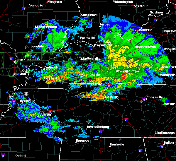 The severe thunderstorm warning for northwestern dickson, south central montgomery and east central houston counties will expire at 1230 am cst, the storm which prompted the warning has moved out of the area. therefore, the warning will be allowed to expire. a tornado watch remains in effect until 300 am cst for middle tennessee. The severe thunderstorm warning for northwestern dickson, south central montgomery and east central houston counties will expire at 1230 am cst, the storm which prompted the warning has moved out of the area. therefore, the warning will be allowed to expire. a tornado watch remains in effect until 300 am cst for middle tennessee.
|
| 3/3/2020 12:14 AM CST |
 At 1213 am cst, a severe thunderstorm was located 12 miles east of erin, moving east at 35 mph (radar indicated). Hazards include 60 mph wind gusts and quarter size hail. Hail damage to vehicles is expected. expect wind damage to roofs, siding, and trees. Locations impacted include, vanleer and slayden. At 1213 am cst, a severe thunderstorm was located 12 miles east of erin, moving east at 35 mph (radar indicated). Hazards include 60 mph wind gusts and quarter size hail. Hail damage to vehicles is expected. expect wind damage to roofs, siding, and trees. Locations impacted include, vanleer and slayden.
|
| 3/3/2020 12:07 AM CST | Quarter sized hail reported 0.3 miles WSW of Vanleer, TN, tspotter report of hail larger than quarters falling in vanleer. |
| 3/3/2020 12:03 AM CST |
 At 1203 am cst, a severe thunderstorm was located near erin, moving east at 50 mph (radar indicated). Hazards include 60 mph wind gusts and half dollar size hail. Hail damage to vehicles is expected. expect wind damage to roofs, siding, and trees. Locations impacted include, erin, tennessee ridge, vanleer, slayden and cunningham. At 1203 am cst, a severe thunderstorm was located near erin, moving east at 50 mph (radar indicated). Hazards include 60 mph wind gusts and half dollar size hail. Hail damage to vehicles is expected. expect wind damage to roofs, siding, and trees. Locations impacted include, erin, tennessee ridge, vanleer, slayden and cunningham.
|
| 3/3/2020 12:00 AM CST |
 At 1159 pm cst, a severe thunderstorm capable of producing a tornado was located 8 miles north of dickson, moving east at 45 mph (radar indicated rotation). Hazards include tornado and ping pong ball size hail. Flying debris will be dangerous to those caught without shelter. mobile homes will be damaged or destroyed. damage to roofs, windows, and vehicles will occur. tree damage is likely. this dangerous storm will be near, white bluff around 1205 am cst. Other locations impacted by this tornadic thunderstorm include charlotte and vanleer. At 1159 pm cst, a severe thunderstorm capable of producing a tornado was located 8 miles north of dickson, moving east at 45 mph (radar indicated rotation). Hazards include tornado and ping pong ball size hail. Flying debris will be dangerous to those caught without shelter. mobile homes will be damaged or destroyed. damage to roofs, windows, and vehicles will occur. tree damage is likely. this dangerous storm will be near, white bluff around 1205 am cst. Other locations impacted by this tornadic thunderstorm include charlotte and vanleer.
|
| 3/2/2020 11:43 PM CST |
 At 1143 pm cst, a severe thunderstorm was located near tennessee ridge, or 10 miles west of erin, moving east at 50 mph (radar indicated). Hazards include 60 mph wind gusts and half dollar size hail. Hail damage to vehicles is expected. Expect wind damage to roofs, siding, and trees. At 1143 pm cst, a severe thunderstorm was located near tennessee ridge, or 10 miles west of erin, moving east at 50 mph (radar indicated). Hazards include 60 mph wind gusts and half dollar size hail. Hail damage to vehicles is expected. Expect wind damage to roofs, siding, and trees.
|
| 3/2/2020 11:40 PM CST |
 At 1140 pm cst, a severe thunderstorm capable of producing a tornado was located near mcewen, or 11 miles northeast of waverly, moving east at 45 mph (radar indicated rotation). Hazards include tornado and ping pong ball size hail. Flying debris will be dangerous to those caught without shelter. mobile homes will be damaged or destroyed. damage to roofs, windows, and vehicles will occur. tree damage is likely. this dangerous storm will be near, dickson around 1155 pm cst. white bluff around 1205 am cst. Other locations impacted by this tornadic thunderstorm include charlotte and vanleer. At 1140 pm cst, a severe thunderstorm capable of producing a tornado was located near mcewen, or 11 miles northeast of waverly, moving east at 45 mph (radar indicated rotation). Hazards include tornado and ping pong ball size hail. Flying debris will be dangerous to those caught without shelter. mobile homes will be damaged or destroyed. damage to roofs, windows, and vehicles will occur. tree damage is likely. this dangerous storm will be near, dickson around 1155 pm cst. white bluff around 1205 am cst. Other locations impacted by this tornadic thunderstorm include charlotte and vanleer.
|
| 1/11/2020 8:08 AM CST |
 At 808 am cst, severe thunderstorms were located along a line extending from near elkton to 10 miles north of dickson, moving northeast at 60 mph (radar indicated). Hazards include 60 mph wind gusts. Expect damage to roofs, siding, and trees. locations impacted include, clarksville, springfield, ashland city, greenbrier, coopertown, pleasant view, charlotte, adams, vanleer, cedar hill, slayden, cheatham dam and cunningham. This includes interstate 24 between mile markers 1 and 31. At 808 am cst, severe thunderstorms were located along a line extending from near elkton to 10 miles north of dickson, moving northeast at 60 mph (radar indicated). Hazards include 60 mph wind gusts. Expect damage to roofs, siding, and trees. locations impacted include, clarksville, springfield, ashland city, greenbrier, coopertown, pleasant view, charlotte, adams, vanleer, cedar hill, slayden, cheatham dam and cunningham. This includes interstate 24 between mile markers 1 and 31.
|
| 1/11/2020 7:40 AM CST |
 At 739 am cst, severe thunderstorms were located along a line extending from fort campbell north to near waverly, moving northeast at 40 mph (radar indicated). Hazards include 60 mph wind gusts. expect damage to roofs, siding, and trees At 739 am cst, severe thunderstorms were located along a line extending from fort campbell north to near waverly, moving northeast at 40 mph (radar indicated). Hazards include 60 mph wind gusts. expect damage to roofs, siding, and trees
|
| 10/26/2019 2:46 PM CDT |
 At 243 pm cdt, a severe thunderstorm was located near erin, moving northeast at 60 mph (radar indicated. damage has been reported from this storm throughout humphreys county). Hazards include 70 mph wind gusts. Expect considerable tree damage. damage is likely to mobile homes, roofs, and outbuildings. locations impacted include, clarksville, erin, tennessee ridge, cumberland city, slayden, indian mound, palmyra, cunningham and woodlawn. farmers and artisan market will also be impacted. This includes interstate 24 between mile markers 1 and 10. At 243 pm cdt, a severe thunderstorm was located near erin, moving northeast at 60 mph (radar indicated. damage has been reported from this storm throughout humphreys county). Hazards include 70 mph wind gusts. Expect considerable tree damage. damage is likely to mobile homes, roofs, and outbuildings. locations impacted include, clarksville, erin, tennessee ridge, cumberland city, slayden, indian mound, palmyra, cunningham and woodlawn. farmers and artisan market will also be impacted. This includes interstate 24 between mile markers 1 and 10.
|
| 10/26/2019 2:30 PM CDT |
 At 229 pm cdt, a severe thunderstorm was located over waverly, moving northeast at 60 mph (radar indicated). Hazards include 70 mph wind gusts. Expect considerable tree damage. Damage is likely to mobile homes, roofs, and outbuildings. At 229 pm cdt, a severe thunderstorm was located over waverly, moving northeast at 60 mph (radar indicated). Hazards include 70 mph wind gusts. Expect considerable tree damage. Damage is likely to mobile homes, roofs, and outbuildings.
|
| 7/17/2019 10:14 PM CDT |
 At 1014 pm cdt, severe thunderstorms were located along a line extending from near erin to near tennessee ridge to near waverly, moving southeast at 35 mph (radar indicated). Hazards include 60 mph wind gusts. Expect damage to roofs, siding, and trees. Locations impacted include, waverly, erin, mcewen, tennessee ridge, hurricane mills, vanleer, cumberland city and slayden. At 1014 pm cdt, severe thunderstorms were located along a line extending from near erin to near tennessee ridge to near waverly, moving southeast at 35 mph (radar indicated). Hazards include 60 mph wind gusts. Expect damage to roofs, siding, and trees. Locations impacted include, waverly, erin, mcewen, tennessee ridge, hurricane mills, vanleer, cumberland city and slayden.
|
| 7/17/2019 9:57 PM CDT |
 At 956 pm cdt, severe thunderstorms were located along a line extending from near dover to near tennessee ridge to 10 miles east of springville, moving southeast at 35 mph. this storm does have a history of producing damaging wind gusts (radar indicated). Hazards include 60 mph wind gusts. expect damage to roofs, siding, and trees At 956 pm cdt, severe thunderstorms were located along a line extending from near dover to near tennessee ridge to 10 miles east of springville, moving southeast at 35 mph. this storm does have a history of producing damaging wind gusts (radar indicated). Hazards include 60 mph wind gusts. expect damage to roofs, siding, and trees
|
| 7/16/2019 3:27 PM CDT |
 At 327 pm cdt, a severe thunderstorm was located near waverly, moving northeast at 45 mph (radar indicated). Hazards include 70 mph wind gusts. Expect considerable tree damage. damage is likely to mobile homes, roofs, and outbuildings. Locations impacted include, waverly, erin, mcewen, tennessee ridge, vanleer and slayden. At 327 pm cdt, a severe thunderstorm was located near waverly, moving northeast at 45 mph (radar indicated). Hazards include 70 mph wind gusts. Expect considerable tree damage. damage is likely to mobile homes, roofs, and outbuildings. Locations impacted include, waverly, erin, mcewen, tennessee ridge, vanleer and slayden.
|
| 7/16/2019 3:10 PM CDT |
 At 310 pm cdt, a severe thunderstorm was located near hurricane mills, or near waverly, moving northeast at 45 mph (radar indicated). Hazards include 70 mph wind gusts. Expect considerable tree damage. Damage is likely to mobile homes, roofs, and outbuildings. At 310 pm cdt, a severe thunderstorm was located near hurricane mills, or near waverly, moving northeast at 45 mph (radar indicated). Hazards include 70 mph wind gusts. Expect considerable tree damage. Damage is likely to mobile homes, roofs, and outbuildings.
|
| 6/21/2019 7:08 PM CDT |
 At 708 pm cdt, severe thunderstorms were located along a line extending from 8 miles northeast of mcewen to waverly to 9 miles southwest of new johnsonville, moving southeast at 40 mph (radar indicated). Hazards include 60 mph wind gusts and nickel size hail. Expect damage to roofs, siding, and trees. locations impacted include, dickson, waverly, centerville, linden, white bluff, new johnsonville, mcewen, burns, hurricane mills, charlotte, lobelville, vanleer, slayden, bon aqua, lyles, bucksnort, mousetail landing state park, pinewood and nunnelly. this includes the following highways, interstate 40 between mile markers 136 and 181. Interstate 840 between mile markers 1 and 4. At 708 pm cdt, severe thunderstorms were located along a line extending from 8 miles northeast of mcewen to waverly to 9 miles southwest of new johnsonville, moving southeast at 40 mph (radar indicated). Hazards include 60 mph wind gusts and nickel size hail. Expect damage to roofs, siding, and trees. locations impacted include, dickson, waverly, centerville, linden, white bluff, new johnsonville, mcewen, burns, hurricane mills, charlotte, lobelville, vanleer, slayden, bon aqua, lyles, bucksnort, mousetail landing state park, pinewood and nunnelly. this includes the following highways, interstate 40 between mile markers 136 and 181. Interstate 840 between mile markers 1 and 4.
|
| 6/21/2019 6:54 PM CDT |
 At 653 pm cdt, severe thunderstorms were located along a line extending from erin to 7 miles northwest of waverly to near bruceton, moving southeast at 40 mph (radar indicated). Hazards include 60 mph wind gusts and nickel size hail. expect damage to roofs, siding, and trees At 653 pm cdt, severe thunderstorms were located along a line extending from erin to 7 miles northwest of waverly to near bruceton, moving southeast at 40 mph (radar indicated). Hazards include 60 mph wind gusts and nickel size hail. expect damage to roofs, siding, and trees
|
| 12/31/2018 1:35 PM CST | Report of tree in the road in cumberland furnace. time estimated via rada in dickson county TN, 5.2 miles WSW of Vanleer, TN |
| 12/31/2018 1:34 PM CST |
 At 134 pm cst, a severe thunderstorm was located 11 miles north of dickson, moving northeast at 70 mph (radar indicated). Hazards include 60 mph wind gusts. expect damage to roofs, siding, and trees At 134 pm cst, a severe thunderstorm was located 11 miles north of dickson, moving northeast at 70 mph (radar indicated). Hazards include 60 mph wind gusts. expect damage to roofs, siding, and trees
|
| 12/31/2018 1:23 PM CST |
 At 122 pm cst, a severe thunderstorm was located 8 miles east of erin, moving northeast at 45 mph (radar indicated). Hazards include 60 mph wind gusts. Expect damage to roofs, siding, and trees. Locations impacted include, erin, mcewen, vanleer, cumberland city, slayden and palmyra. At 122 pm cst, a severe thunderstorm was located 8 miles east of erin, moving northeast at 45 mph (radar indicated). Hazards include 60 mph wind gusts. Expect damage to roofs, siding, and trees. Locations impacted include, erin, mcewen, vanleer, cumberland city, slayden and palmyra.
|
| 12/31/2018 1:08 PM CST |
 At 108 pm cst, a severe thunderstorm was located 7 miles north of waverly, moving northeast at 45 mph (radar indicated). Hazards include 60 mph wind gusts. expect damage to roofs, siding, and trees At 108 pm cst, a severe thunderstorm was located 7 miles north of waverly, moving northeast at 45 mph (radar indicated). Hazards include 60 mph wind gusts. expect damage to roofs, siding, and trees
|
| 11/5/2018 9:18 PM CST |
 At 916 pm cst, a severe thunderstorm capable of producing a tornado was located 12 miles east of erin, or near slayden, moving northeast at 55 mph (radar indicated rotation). Hazards include tornado. Flying debris will be dangerous to those caught without shelter. mobile homes will be damaged or destroyed. damage to roofs, windows, and vehicles will occur. tree damage is likely. other locations impacted by this tornadic thunderstorm include cunningham, cheatham dam, vanleer and pleasant view. This includes interstate 24 between mile markers 9 and 16. At 916 pm cst, a severe thunderstorm capable of producing a tornado was located 12 miles east of erin, or near slayden, moving northeast at 55 mph (radar indicated rotation). Hazards include tornado. Flying debris will be dangerous to those caught without shelter. mobile homes will be damaged or destroyed. damage to roofs, windows, and vehicles will occur. tree damage is likely. other locations impacted by this tornadic thunderstorm include cunningham, cheatham dam, vanleer and pleasant view. This includes interstate 24 between mile markers 9 and 16.
|
| 6/28/2018 9:39 PM CDT |
 At 938 pm cdt, a severe thunderstorm was located near mcewen, or near waverly, moving south at 50 mph (radar indicated). Hazards include 60 mph wind gusts. Expect damage to roofs, siding, and trees. Locations impacted include, dickson, waverly, camden, erin, new johnsonville, mcewen, tennessee ridge, vanleer, slayden and houston county airport. At 938 pm cdt, a severe thunderstorm was located near mcewen, or near waverly, moving south at 50 mph (radar indicated). Hazards include 60 mph wind gusts. Expect damage to roofs, siding, and trees. Locations impacted include, dickson, waverly, camden, erin, new johnsonville, mcewen, tennessee ridge, vanleer, slayden and houston county airport.
|
| 6/28/2018 9:15 PM CDT |
 At 915 pm cdt, a severe thunderstorm was located near tennessee ridge, or near dover, moving south at 50 mph (radar indicated). Hazards include 60 mph wind gusts. expect damage to roofs, siding, and trees At 915 pm cdt, a severe thunderstorm was located near tennessee ridge, or near dover, moving south at 50 mph (radar indicated). Hazards include 60 mph wind gusts. expect damage to roofs, siding, and trees
|
| 6/28/2018 12:33 PM CDT |
 At 1232 pm cdt, severe thunderstorms were located along a line extending from near dickson to near centerville to hurricane mills, moving southeast at 55 mph (radar indicated). Hazards include 70 mph wind gusts and quarter size hail. Hail damage to vehicles is expected. expect considerable tree damage. wind damage is also likely to mobile homes, roofs, and outbuildings. locations impacted include, dickson, centerville, white bluff, burns, charlotte, vanleer, slayden, bon aqua, primm springs, lyles, bucksnort, pinewood and nunnelly. this includes the following highways, interstate 40 between mile markers 147 and 180. Interstate 840 between mile markers 1 and 5. At 1232 pm cdt, severe thunderstorms were located along a line extending from near dickson to near centerville to hurricane mills, moving southeast at 55 mph (radar indicated). Hazards include 70 mph wind gusts and quarter size hail. Hail damage to vehicles is expected. expect considerable tree damage. wind damage is also likely to mobile homes, roofs, and outbuildings. locations impacted include, dickson, centerville, white bluff, burns, charlotte, vanleer, slayden, bon aqua, primm springs, lyles, bucksnort, pinewood and nunnelly. this includes the following highways, interstate 40 between mile markers 147 and 180. Interstate 840 between mile markers 1 and 5.
|
| 6/28/2018 12:11 PM CDT |
 At 1210 pm cdt, severe thunderstorms were located along a line extending from vanleer to hurricane mills, moving southeast at 35 mph (radar indicated). Hazards include 60 mph wind gusts and quarter size hail. Hail damage to vehicles is expected. Expect wind damage to roofs, siding, and trees. At 1210 pm cdt, severe thunderstorms were located along a line extending from vanleer to hurricane mills, moving southeast at 35 mph (radar indicated). Hazards include 60 mph wind gusts and quarter size hail. Hail damage to vehicles is expected. Expect wind damage to roofs, siding, and trees.
|
| 5/20/2018 6:00 PM CDT |
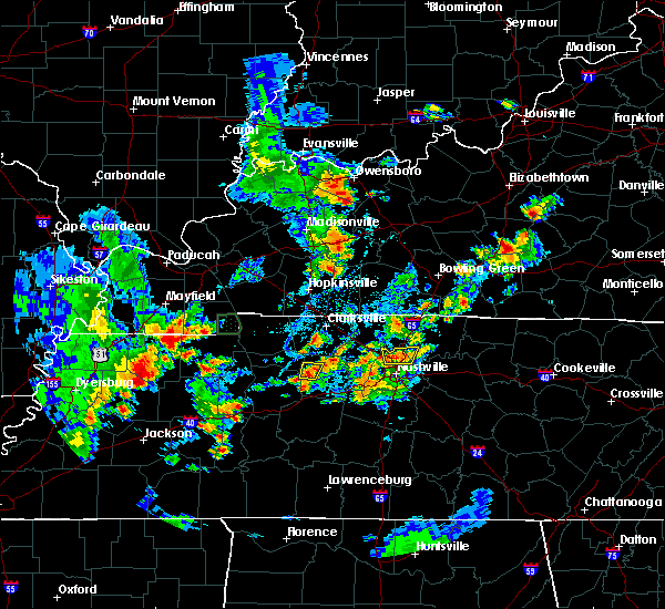 At 600 pm cdt, a severe thunderstorm was located 10 miles northwest of dickson, moving northeast at 5 mph (radar indicated). Hazards include 60 mph wind gusts...quarter size hail...and torrential downpours. Hail damage to vehicles is expected. expect wind damage to roofs, siding, and trees. Localized flooding is also possible due to the slow movement of the storm. At 600 pm cdt, a severe thunderstorm was located 10 miles northwest of dickson, moving northeast at 5 mph (radar indicated). Hazards include 60 mph wind gusts...quarter size hail...and torrential downpours. Hail damage to vehicles is expected. expect wind damage to roofs, siding, and trees. Localized flooding is also possible due to the slow movement of the storm.
|
| 4/3/2018 8:47 PM CDT |
 At 846 pm cdt, severe thunderstorms were located along a line extending from near fort campbell north to 8 miles southeast of mcewen, moving east at 70 mph (radar indicated). Hazards include 60 mph wind gusts and penny size hail. Expect damage to roofs, siding, and trees. locations impacted include, clarksville, dickson, burns, charlotte, vanleer, slayden, palmyra, cunningham and woodlawn. This includes interstate 24 between mile markers 1 and 9. At 846 pm cdt, severe thunderstorms were located along a line extending from near fort campbell north to 8 miles southeast of mcewen, moving east at 70 mph (radar indicated). Hazards include 60 mph wind gusts and penny size hail. Expect damage to roofs, siding, and trees. locations impacted include, clarksville, dickson, burns, charlotte, vanleer, slayden, palmyra, cunningham and woodlawn. This includes interstate 24 between mile markers 1 and 9.
|
| 4/3/2018 8:34 PM CDT |
 At 833 pm cdt, severe thunderstorms were located along a line extending from near big rock to hurricane mills, moving east at 55 mph (radar indicated). Hazards include 60 mph wind gusts and penny size hail. expect damage to roofs, siding, and trees At 833 pm cdt, severe thunderstorms were located along a line extending from near big rock to hurricane mills, moving east at 55 mph (radar indicated). Hazards include 60 mph wind gusts and penny size hail. expect damage to roofs, siding, and trees
|
| 11/18/2017 4:00 PM CST |
 At 359 pm cst, severe thunderstorms were located along a line extending from guthrie to centerville, moving east at 60 mph (radar indicated). Hazards include 70 mph wind gusts. Expect considerable tree damage. Damage is likely to mobile homes, roofs, and outbuildings. At 359 pm cst, severe thunderstorms were located along a line extending from guthrie to centerville, moving east at 60 mph (radar indicated). Hazards include 70 mph wind gusts. Expect considerable tree damage. Damage is likely to mobile homes, roofs, and outbuildings.
|
| 11/18/2017 3:45 PM CST |
 At 345 pm cst, severe thunderstorms were located along a line extending from near fort campbell to mcewen, moving east at 55 mph (radar indicated). Hazards include 70 mph wind gusts. Expect considerable tree damage. damage is likely to mobile homes, roofs, and outbuildings. Locations impacted include, clarksville, dickson, mcewen, charlotte, vanleer, cumberland city, slayden, palmyra, cunningham and woodlawn. At 345 pm cst, severe thunderstorms were located along a line extending from near fort campbell to mcewen, moving east at 55 mph (radar indicated). Hazards include 70 mph wind gusts. Expect considerable tree damage. damage is likely to mobile homes, roofs, and outbuildings. Locations impacted include, clarksville, dickson, mcewen, charlotte, vanleer, cumberland city, slayden, palmyra, cunningham and woodlawn.
|
| 11/18/2017 3:30 PM CST |
 At 330 pm cst, severe thunderstorms were located along a line extending from near big rock to near waverly, moving east at 50 mph (radar indicated). Hazards include 70 mph wind gusts. Expect considerable tree damage. Damage is likely to mobile homes, roofs, and outbuildings. At 330 pm cst, severe thunderstorms were located along a line extending from near big rock to near waverly, moving east at 50 mph (radar indicated). Hazards include 70 mph wind gusts. Expect considerable tree damage. Damage is likely to mobile homes, roofs, and outbuildings.
|
| 7/5/2017 9:09 PM CDT |
 At 909 pm cdt, a cluster of severe thunderstorms was located near dickson, moving northeast at 40 mph (radar indicated). Hazards include 60 mph wind gusts. expect damage to roofs, siding, and trees At 909 pm cdt, a cluster of severe thunderstorms was located near dickson, moving northeast at 40 mph (radar indicated). Hazards include 60 mph wind gusts. expect damage to roofs, siding, and trees
|
| 5/27/2017 8:02 PM CDT |
 At 801 pm cdt, a severe thunderstorm was located 14 miles south of clarksville, moving east at 60 mph (radar indicated). Hazards include 70 mph wind gusts and quarter size hail. Hail damage to vehicles is expected. expect considerable tree damage. wind damage is also likely to mobile homes, roofs, and outbuildings. Locations impacted include, waverly, erin, clarksville, mcewen, tennessee ridge, pleasant view, vanleer, slayden, cheatham dam and cunningham. At 801 pm cdt, a severe thunderstorm was located 14 miles south of clarksville, moving east at 60 mph (radar indicated). Hazards include 70 mph wind gusts and quarter size hail. Hail damage to vehicles is expected. expect considerable tree damage. wind damage is also likely to mobile homes, roofs, and outbuildings. Locations impacted include, waverly, erin, clarksville, mcewen, tennessee ridge, pleasant view, vanleer, slayden, cheatham dam and cunningham.
|
| 5/27/2017 7:55 PM CDT |
 At 754 pm cdt, a severe thunderstorm was located 14 miles south of clarksville, moving east at 55 mph (radar indicated). Hazards include 70 mph wind gusts and quarter size hail. Hail damage to vehicles is expected. expect considerable tree damage. wind damage is also likely to mobile homes, roofs, and outbuildings. Locations impacted include, waverly, erin, clarksville, mcewen, tennessee ridge, pleasant view, adams, vanleer, cumberland city, slayden, cheatham dam, palmyra, houston county airport and cunningham. At 754 pm cdt, a severe thunderstorm was located 14 miles south of clarksville, moving east at 55 mph (radar indicated). Hazards include 70 mph wind gusts and quarter size hail. Hail damage to vehicles is expected. expect considerable tree damage. wind damage is also likely to mobile homes, roofs, and outbuildings. Locations impacted include, waverly, erin, clarksville, mcewen, tennessee ridge, pleasant view, adams, vanleer, cumberland city, slayden, cheatham dam, palmyra, houston county airport and cunningham.
|
| 5/27/2017 7:41 PM CDT |
 At 741 pm cdt, a severe thunderstorm was located 10 miles east of erin, moving east at 45 mph (radar indicated). Hazards include 70 mph wind gusts and quarter size hail. Hail damage to vehicles is expected. expect considerable tree damage. Wind damage is also likely to mobile homes, roofs, and outbuildings. At 741 pm cdt, a severe thunderstorm was located 10 miles east of erin, moving east at 45 mph (radar indicated). Hazards include 70 mph wind gusts and quarter size hail. Hail damage to vehicles is expected. expect considerable tree damage. Wind damage is also likely to mobile homes, roofs, and outbuildings.
|
| 5/27/2017 7:20 PM CDT |
 At 720 pm cdt, a severe thunderstorm was located over dickson, moving southeast at 55 mph (radar indicated). Hazards include 70 mph wind gusts and quarter size hail. Hail damage to vehicles is expected. expect considerable tree damage. Wind damage is also likely to mobile homes, roofs, and outbuildings. At 720 pm cdt, a severe thunderstorm was located over dickson, moving southeast at 55 mph (radar indicated). Hazards include 70 mph wind gusts and quarter size hail. Hail damage to vehicles is expected. expect considerable tree damage. Wind damage is also likely to mobile homes, roofs, and outbuildings.
|
| 5/27/2017 6:58 PM CDT |
 At 657 pm cdt, a line of severe thunderstorm was centered at 11 miles east of erin, moving southeast at 35 mph (radar indicated). Hazards include 70 mph wind gusts and quarter size hail. Hail damage to vehicles is expected. expect considerable tree damage. Wind damage is also likely to mobile homes, roofs, and outbuildings. At 657 pm cdt, a line of severe thunderstorm was centered at 11 miles east of erin, moving southeast at 35 mph (radar indicated). Hazards include 70 mph wind gusts and quarter size hail. Hail damage to vehicles is expected. expect considerable tree damage. Wind damage is also likely to mobile homes, roofs, and outbuildings.
|
| 5/27/2017 6:40 PM CDT |
 At 640 pm cdt, a severe thunderstorm was located near erin, moving southeast at 30 mph (radar indicated). Hazards include 70 mph wind gusts and quarter size hail. Hail damage to vehicles is expected. expect considerable tree damage. wind damage is also likely to mobile homes, roofs, and outbuildings. Locations impacted include, waverly, erin, clarksville, mcewen, tennessee ridge, charlotte, vanleer, cumberland city, slayden, cheatham dam, palmyra, woodlawn, houston county airport, indian mound and cunningham. At 640 pm cdt, a severe thunderstorm was located near erin, moving southeast at 30 mph (radar indicated). Hazards include 70 mph wind gusts and quarter size hail. Hail damage to vehicles is expected. expect considerable tree damage. wind damage is also likely to mobile homes, roofs, and outbuildings. Locations impacted include, waverly, erin, clarksville, mcewen, tennessee ridge, charlotte, vanleer, cumberland city, slayden, cheatham dam, palmyra, woodlawn, houston county airport, indian mound and cunningham.
|
| 5/27/2017 6:31 PM CDT |
 At 631 pm cdt, a severe thunderstorm was located near erin, moving east at 55 mph (radar indicated). Hazards include 70 mph wind gusts and quarter size hail. Hail damage to vehicles is expected. expect considerable tree damage. Wind damage is also likely to mobile homes, roofs, and outbuildings. At 631 pm cdt, a severe thunderstorm was located near erin, moving east at 55 mph (radar indicated). Hazards include 70 mph wind gusts and quarter size hail. Hail damage to vehicles is expected. expect considerable tree damage. Wind damage is also likely to mobile homes, roofs, and outbuildings.
|
| 5/27/2017 6:04 PM CDT |
 At 604 pm cdt, an line of severe thunderstorms was centered near dover, moving southeast at 55 mph (radar indicated). Hazards include 70 mph wind gusts and quarter size hail. Hail damage to vehicles is expected. expect considerable tree damage. Wind damage is also likely to mobile homes, roofs, and outbuildings. At 604 pm cdt, an line of severe thunderstorms was centered near dover, moving southeast at 55 mph (radar indicated). Hazards include 70 mph wind gusts and quarter size hail. Hail damage to vehicles is expected. expect considerable tree damage. Wind damage is also likely to mobile homes, roofs, and outbuildings.
|
| 3/27/2017 6:01 PM CDT |
 At 600 pm cdt, a severe thunderstorm was located 7 miles south of tennessee ridge, or 7 miles north of waverly, moving east at 40 mph (radar indicated). Hazards include 60 mph wind gusts and penny size hail. expect damage to roofs, siding, and trees At 600 pm cdt, a severe thunderstorm was located 7 miles south of tennessee ridge, or 7 miles north of waverly, moving east at 40 mph (radar indicated). Hazards include 60 mph wind gusts and penny size hail. expect damage to roofs, siding, and trees
|
| 3/9/2017 10:16 PM CST |
 At 1016 pm cst, a severe thunderstorm was located 13 miles east of erin, moving east at 55 mph (radar indicated). Hazards include 60 mph wind gusts. expect damage to roofs, siding, and trees At 1016 pm cst, a severe thunderstorm was located 13 miles east of erin, moving east at 55 mph (radar indicated). Hazards include 60 mph wind gusts. expect damage to roofs, siding, and trees
|
| 3/9/2017 10:03 PM CST |
 At 1003 pm cst, a severe thunderstorm was located 7 miles east of erin, moving east at 55 mph (radar indicated). Hazards include 60 mph wind gusts and nickel size hail. expect damage to roofs, siding, and trees At 1003 pm cst, a severe thunderstorm was located 7 miles east of erin, moving east at 55 mph (radar indicated). Hazards include 60 mph wind gusts and nickel size hail. expect damage to roofs, siding, and trees
|
| 3/1/2017 6:39 AM CST |
 At 638 am cst, severe thunderstorms were located along a line extending from 12 miles south of clarksville to white bluff to near centerville, moving east at 70 mph (radar indicated). Hazards include 70 mph wind gusts and quarter size hail. Hail damage to vehicles is expected. expect considerable tree damage. wind damage is also likely to mobile homes, roofs, and outbuildings. locations impacted include, franklin, springfield, dickson, ashland city, centerville, nashville, brentwood, goodlettsville, greenbrier, forest hills, oak hill, coopertown, white bluff, belle meade, kingston springs, pegram, ridgetop, burns, fairview and bellevue. A tornado watch remains in effect until 1000 am cst for middle tennessee. At 638 am cst, severe thunderstorms were located along a line extending from 12 miles south of clarksville to white bluff to near centerville, moving east at 70 mph (radar indicated). Hazards include 70 mph wind gusts and quarter size hail. Hail damage to vehicles is expected. expect considerable tree damage. wind damage is also likely to mobile homes, roofs, and outbuildings. locations impacted include, franklin, springfield, dickson, ashland city, centerville, nashville, brentwood, goodlettsville, greenbrier, forest hills, oak hill, coopertown, white bluff, belle meade, kingston springs, pegram, ridgetop, burns, fairview and bellevue. A tornado watch remains in effect until 1000 am cst for middle tennessee.
|
| 3/1/2017 6:24 AM CST |
 At 624 am cst, severe thunderstorms were located along a line extending from 8 miles east of erin to near dickson to 11 miles west of centerville, moving east at 70 mph (radar indicated). Hazards include 70 mph wind gusts. Expect considerable tree damage. Damage is likely to mobile homes, roofs, and outbuildings. At 624 am cst, severe thunderstorms were located along a line extending from 8 miles east of erin to near dickson to 11 miles west of centerville, moving east at 70 mph (radar indicated). Hazards include 70 mph wind gusts. Expect considerable tree damage. Damage is likely to mobile homes, roofs, and outbuildings.
|
| 3/1/2017 6:17 AM CST |
 At 616 am cst, severe thunderstorms were located along a line extending from 7 miles east of big rock to near mcewen to 12 miles northeast of linden, moving east at 60 mph (radar indicated). Hazards include 70 mph wind gusts. Expect considerable tree damage. damage is likely to mobile homes, roofs, and outbuildings. locations impacted include, clarksville, dickson, waverly, centerville, dover, erin, mcewen, burns, tennessee ridge, hurricane mills, big rock, charlotte, lobelville, vanleer, cumberland city, slayden, bon aqua, palmyra, bucksnort and nunnelly. A tornado watch remains in effect until 1000 am cst for middle tennessee. At 616 am cst, severe thunderstorms were located along a line extending from 7 miles east of big rock to near mcewen to 12 miles northeast of linden, moving east at 60 mph (radar indicated). Hazards include 70 mph wind gusts. Expect considerable tree damage. damage is likely to mobile homes, roofs, and outbuildings. locations impacted include, clarksville, dickson, waverly, centerville, dover, erin, mcewen, burns, tennessee ridge, hurricane mills, big rock, charlotte, lobelville, vanleer, cumberland city, slayden, bon aqua, palmyra, bucksnort and nunnelly. A tornado watch remains in effect until 1000 am cst for middle tennessee.
|
| 3/1/2017 5:54 AM CST |
 At 553 am cst, severe thunderstorms were located along a line extending from 10 miles north of paris landing state park to near new johnsonville to 6 miles east of natchez trace state park, moving east at 70 mph (radar indicated). Hazards include 70 mph wind gusts. Expect considerable tree damage. Damage is likely to mobile homes, roofs, and outbuildings. At 553 am cst, severe thunderstorms were located along a line extending from 10 miles north of paris landing state park to near new johnsonville to 6 miles east of natchez trace state park, moving east at 70 mph (radar indicated). Hazards include 70 mph wind gusts. Expect considerable tree damage. Damage is likely to mobile homes, roofs, and outbuildings.
|
| 12/28/2016 4:46 PM CST |
 At 446 pm cst, a severe thunderstorm was located 7 miles northwest of dickson, moving northeast at 60 mph (radar indicated). Hazards include 60 mph wind gusts and quarter size hail. Hail damage to vehicles is expected. expect wind damage to roofs, siding, and trees. this thunderstorm has had a history of producing large hail between one to two inches. Locations impacted include, dickson, charlotte and vanleer. At 446 pm cst, a severe thunderstorm was located 7 miles northwest of dickson, moving northeast at 60 mph (radar indicated). Hazards include 60 mph wind gusts and quarter size hail. Hail damage to vehicles is expected. expect wind damage to roofs, siding, and trees. this thunderstorm has had a history of producing large hail between one to two inches. Locations impacted include, dickson, charlotte and vanleer.
|
| 12/28/2016 4:39 PM CST |
 At 438 pm cst, a severe thunderstorm was located near mcewen, or 10 miles east of waverly, moving northeast at 55 mph (radar indicated). Hazards include 60 mph wind gusts. Expect damage to roofs, siding, and trees. This thunderstorm has had a history of producing large hail of between one to two inches. At 438 pm cst, a severe thunderstorm was located near mcewen, or 10 miles east of waverly, moving northeast at 55 mph (radar indicated). Hazards include 60 mph wind gusts. Expect damage to roofs, siding, and trees. This thunderstorm has had a history of producing large hail of between one to two inches.
|
| 8/26/2016 9:20 PM CDT |
 At 919 pm cdt, a severe thunderstorm was located 7 miles northwest of dickson, moving northwest at 35 mph (radar indicated). Hazards include 70 mph wind gusts. Expect considerable tree damage. damage is likely to mobile homes, roofs, and outbuildings. Locations impacted include, dickson, mcewen, charlotte, vanleer and slayden. At 919 pm cdt, a severe thunderstorm was located 7 miles northwest of dickson, moving northwest at 35 mph (radar indicated). Hazards include 70 mph wind gusts. Expect considerable tree damage. damage is likely to mobile homes, roofs, and outbuildings. Locations impacted include, dickson, mcewen, charlotte, vanleer and slayden.
|
| 8/26/2016 9:05 PM CDT |
 At 905 pm cdt, a severe thunderstorm was located over dickson, moving northwest at 35 mph (radar indicated). Hazards include 70 mph wind gusts. Expect considerable tree damage. Damage is likely to mobile homes, roofs, and outbuildings. At 905 pm cdt, a severe thunderstorm was located over dickson, moving northwest at 35 mph (radar indicated). Hazards include 70 mph wind gusts. Expect considerable tree damage. Damage is likely to mobile homes, roofs, and outbuildings.
|
| 7/8/2016 8:18 PM CDT |
 At 818 pm cdt, severe thunderstorms were located along a line extending from 10 miles east of guthrie to near dickson, moving east at 55 mph (radar indicated). Hazards include 60 mph wind gusts and quarter size hail. Hail damage to vehicles is expected. expect wind damage to roofs, siding, and trees. Locations impacted include, clarksville, springfield, dickson, ashland city, coopertown, white bluff, kingston springs, pegram, burns, pleasant view, charlotte, adams, vanleer, cedar hill, slayden, cheatham dam and cunningham. At 818 pm cdt, severe thunderstorms were located along a line extending from 10 miles east of guthrie to near dickson, moving east at 55 mph (radar indicated). Hazards include 60 mph wind gusts and quarter size hail. Hail damage to vehicles is expected. expect wind damage to roofs, siding, and trees. Locations impacted include, clarksville, springfield, dickson, ashland city, coopertown, white bluff, kingston springs, pegram, burns, pleasant view, charlotte, adams, vanleer, cedar hill, slayden, cheatham dam and cunningham.
|
| 7/8/2016 8:00 PM CDT |
 At 800 pm cdt, severe thunderstorms were located along a line extending from near clarksville to near mcewen, moving east at 50 mph (radar indicated). Hazards include 60 mph wind gusts and penny size hail. Expect damage to roofs. siding. And trees. At 800 pm cdt, severe thunderstorms were located along a line extending from near clarksville to near mcewen, moving east at 50 mph (radar indicated). Hazards include 60 mph wind gusts and penny size hail. Expect damage to roofs. siding. And trees.
|
| 7/8/2016 7:56 PM CDT |
 At 756 pm cdt, severe thunderstorms were located along a line extending from near oak grove to mcewen, moving east at 45 mph (emergency management. at 750 pm cdt...numerous trees and power lines were blown down across stewart county with these storms). Hazards include 60 mph wind gusts and penny size hail. Expect damage to roofs. siding. and trees. Locations impacted include, clarksville, waverly, camden, dover, erin, new johnsonville, mcewen, tennessee ridge, hurricane mills, vanleer, cumberland city, slayden, houston county airport, indian mound, palmyra, woodlawn and cunningham. At 756 pm cdt, severe thunderstorms were located along a line extending from near oak grove to mcewen, moving east at 45 mph (emergency management. at 750 pm cdt...numerous trees and power lines were blown down across stewart county with these storms). Hazards include 60 mph wind gusts and penny size hail. Expect damage to roofs. siding. and trees. Locations impacted include, clarksville, waverly, camden, dover, erin, new johnsonville, mcewen, tennessee ridge, hurricane mills, vanleer, cumberland city, slayden, houston county airport, indian mound, palmyra, woodlawn and cunningham.
|
| 7/8/2016 7:48 PM CDT |
 At 746 pm cdt, severe thunderstorms were located along a line extending from near fort campbell to waverly, moving east at 45 mph (emergency management. at 725 pm cdt...trees and power lines were blown down on highway 232 in stewart county with these storms). Hazards include 60 mph wind gusts and penny size hail. Expect damage to roofs. siding. and trees. Locations impacted include, clarksville, waverly, camden, dover, erin, new johnsonville, mcewen, tennessee ridge, hurricane mills, big rock, vanleer, cumberland city, slayden, houston county airport, indian mound, land between the lakes, palmyra, woodlawn and cunningham. At 746 pm cdt, severe thunderstorms were located along a line extending from near fort campbell to waverly, moving east at 45 mph (emergency management. at 725 pm cdt...trees and power lines were blown down on highway 232 in stewart county with these storms). Hazards include 60 mph wind gusts and penny size hail. Expect damage to roofs. siding. and trees. Locations impacted include, clarksville, waverly, camden, dover, erin, new johnsonville, mcewen, tennessee ridge, hurricane mills, big rock, vanleer, cumberland city, slayden, houston county airport, indian mound, land between the lakes, palmyra, woodlawn and cunningham.
|
| 7/8/2016 7:34 PM CDT |
 At 733 pm cdt, severe thunderstorms were located along a line extending from big rock to waverly, moving east at 35 mph (radar indicated). Hazards include 60 mph wind gusts and penny size hail. Expect damage to roofs. siding. And trees. At 733 pm cdt, severe thunderstorms were located along a line extending from big rock to waverly, moving east at 35 mph (radar indicated). Hazards include 60 mph wind gusts and penny size hail. Expect damage to roofs. siding. And trees.
|
| 7/6/2016 3:25 PM CDT |
 At 324 pm cdt, severe thunderstorms were located along a line extending from guthrie to near dickson, moving east at 45 mph (radar indicated and law enforcement reported. at 311 pm cdt, a wind gust of 54 mph was measured at clarksville outlaw field with these storms. in addition, numerous trees have been blown down across montgomery and stewart counties with these storms). Hazards include 60 mph wind gusts and penny size hail. Expect damage to roofs. siding. and trees. Locations impacted include, clarksville, springfield, dickson, ashland city, coopertown, white bluff, kingston springs, pegram, mcewen, burns, pleasant view, charlotte, adams, vanleer, cedar hill, slayden, cheatham dam and cunningham. At 324 pm cdt, severe thunderstorms were located along a line extending from guthrie to near dickson, moving east at 45 mph (radar indicated and law enforcement reported. at 311 pm cdt, a wind gust of 54 mph was measured at clarksville outlaw field with these storms. in addition, numerous trees have been blown down across montgomery and stewart counties with these storms). Hazards include 60 mph wind gusts and penny size hail. Expect damage to roofs. siding. and trees. Locations impacted include, clarksville, springfield, dickson, ashland city, coopertown, white bluff, kingston springs, pegram, mcewen, burns, pleasant view, charlotte, adams, vanleer, cedar hill, slayden, cheatham dam and cunningham.
|
| 7/6/2016 3:23 PM CDT |
 The severe thunderstorm warning for western dickson, houston and northern humphreys counties will expire at 330 pm cdt, the storms which prompted the warning have moved out of the area, and a new severe thunderstorm warning has been issued. a severe thunderstorm watch remains in effect until 900 pm cdt for middle tennessee. to report severe weather, contact your nearest law enforcement agency. they will relay your report to the national weather service nashville. The severe thunderstorm warning for western dickson, houston and northern humphreys counties will expire at 330 pm cdt, the storms which prompted the warning have moved out of the area, and a new severe thunderstorm warning has been issued. a severe thunderstorm watch remains in effect until 900 pm cdt for middle tennessee. to report severe weather, contact your nearest law enforcement agency. they will relay your report to the national weather service nashville.
|
| 7/6/2016 3:20 PM CDT |
 At 320 pm cdt, severe thunderstorms were located along a line extending from clarksville to near mcewen, moving east at 45 mph (radar indicated). Hazards include 60 mph wind gusts and nickel size hail. Expect damage to roofs. siding. And trees. At 320 pm cdt, severe thunderstorms were located along a line extending from clarksville to near mcewen, moving east at 45 mph (radar indicated). Hazards include 60 mph wind gusts and nickel size hail. Expect damage to roofs. siding. And trees.
|
| 7/6/2016 3:15 PM CDT |
 At 314 pm cdt, severe thunderstorms were located along a line extending from near oak grove to mcewen, moving east at 40 mph (radar indicated. at 300 pm cdt...numerous trees were reported down in stewart county with these storms). Hazards include 60 mph wind gusts and penny size hail. Expect damage to roofs. siding. And trees. At 314 pm cdt, severe thunderstorms were located along a line extending from near oak grove to mcewen, moving east at 40 mph (radar indicated. at 300 pm cdt...numerous trees were reported down in stewart county with these storms). Hazards include 60 mph wind gusts and penny size hail. Expect damage to roofs. siding. And trees.
|
| 7/6/2016 3:04 PM CDT |
 At 304 pm cdt, severe thunderstorms were located along a line extending from near erin to 6 miles west of waverly, moving east at 45 mph (radar indicated). Hazards include 60 mph wind gusts and nickel size hail. Expect damage to roofs. siding. and trees. Locations impacted include, dickson, waverly, erin, mcewen, tennessee ridge, vanleer, cumberland city, slayden and houston county airport. At 304 pm cdt, severe thunderstorms were located along a line extending from near erin to 6 miles west of waverly, moving east at 45 mph (radar indicated). Hazards include 60 mph wind gusts and nickel size hail. Expect damage to roofs. siding. and trees. Locations impacted include, dickson, waverly, erin, mcewen, tennessee ridge, vanleer, cumberland city, slayden and houston county airport.
|
| 7/6/2016 2:49 PM CDT |
 At 248 pm cdt, severe thunderstorms were located along a line extending from dover to camden, moving east at 35 mph (radar indicated). Hazards include 60 mph wind gusts and nickel size hail. Expect damage to roofs. siding. And trees. At 248 pm cdt, severe thunderstorms were located along a line extending from dover to camden, moving east at 35 mph (radar indicated). Hazards include 60 mph wind gusts and nickel size hail. Expect damage to roofs. siding. And trees.
|
| 6/28/2016 4:20 PM CDT | 100 year old oak tree blown down in cumberland furnace in dickson county TN, 5.2 miles WSW of Vanleer, TN |
| 6/15/2016 3:29 PM CDT |
 At 328 pm cdt, severe thunderstorms were located along a line extending from near mcewen to 8 miles west of ashland city, moving southeast at 40 mph (radar indicated). Hazards include 60 mph wind gusts. Expect damage to roofs. siding. And trees. At 328 pm cdt, severe thunderstorms were located along a line extending from near mcewen to 8 miles west of ashland city, moving southeast at 40 mph (radar indicated). Hazards include 60 mph wind gusts. Expect damage to roofs. siding. And trees.
|
| 5/26/2016 5:38 PM CDT |
 The severe thunderstorm warning for northeastern dickson county will expire at 545 pm cdt, the storm which prompted the warning has moved out of the area. therefore the warning will be allowed to expire. The severe thunderstorm warning for northeastern dickson county will expire at 545 pm cdt, the storm which prompted the warning has moved out of the area. therefore the warning will be allowed to expire.
|
| 5/26/2016 5:09 PM CDT |
 At 509 pm cdt, a severe thunderstorm was located 11 miles north of white bluff, or 12 miles west of ashland city, moving east at 30 mph (radar indicated). Hazards include 60 mph wind gusts and quarter size hail. Hail damage to vehicles is expected. Expect wind damage to roofs, siding, and trees. At 509 pm cdt, a severe thunderstorm was located 11 miles north of white bluff, or 12 miles west of ashland city, moving east at 30 mph (radar indicated). Hazards include 60 mph wind gusts and quarter size hail. Hail damage to vehicles is expected. Expect wind damage to roofs, siding, and trees.
|
| 5/10/2016 9:13 PM CDT |
 At 913 pm cdt, a severe thunderstorm was located 12 miles south of clarksville, moving east at 35 mph (radar indicated). Hazards include quarter size hail. damage to vehicles is expected At 913 pm cdt, a severe thunderstorm was located 12 miles south of clarksville, moving east at 35 mph (radar indicated). Hazards include quarter size hail. damage to vehicles is expected
|
| 5/10/2016 9:03 PM CDT |
 At 902 pm cdt, a severe thunderstorm was located 14 miles east of erin, moving east at 40 mph (radar indicated). Hazards include 60 mph wind gusts and quarter size hail. Hail damage to vehicles is expected. expect wind damage to roofs, siding, and trees. locations impacted include, clarksville, charlotte, vanleer, slayden, palmyra and cunningham. A tornado watch remains in effect until 1100 pm cdt for central tennessee. At 902 pm cdt, a severe thunderstorm was located 14 miles east of erin, moving east at 40 mph (radar indicated). Hazards include 60 mph wind gusts and quarter size hail. Hail damage to vehicles is expected. expect wind damage to roofs, siding, and trees. locations impacted include, clarksville, charlotte, vanleer, slayden, palmyra and cunningham. A tornado watch remains in effect until 1100 pm cdt for central tennessee.
|
| 5/10/2016 8:41 PM CDT |
 At 840 pm cdt, a severe thunderstorm was located near erin, moving east at 40 mph (radar indicated). Hazards include 60 mph wind gusts and quarter size hail. Hail damage to vehicles is expected. Expect wind damage to roofs, siding, and trees. At 840 pm cdt, a severe thunderstorm was located near erin, moving east at 40 mph (radar indicated). Hazards include 60 mph wind gusts and quarter size hail. Hail damage to vehicles is expected. Expect wind damage to roofs, siding, and trees.
|
| 5/2/2016 9:55 AM CDT |
 At 954 am cdt, a severe thunderstorm was located 9 miles north of dickson, or near charlotte, moving northeast at 30 mph (radar indicated). Hazards include 60 mph wind gusts and quarter size hail. Hail damage to vehicles is expected. expect wind damage to roofs, siding, and trees. Locations impacted include, ashland city, charlotte, vanleer and cheatham dam. At 954 am cdt, a severe thunderstorm was located 9 miles north of dickson, or near charlotte, moving northeast at 30 mph (radar indicated). Hazards include 60 mph wind gusts and quarter size hail. Hail damage to vehicles is expected. expect wind damage to roofs, siding, and trees. Locations impacted include, ashland city, charlotte, vanleer and cheatham dam.
|
| 5/2/2016 9:43 AM CDT |
 At 943 am cdt, a severe thunderstorm was located 9 miles northwest of dickson, moving east at 30 mph (radar indicated). Hazards include 60 mph wind gusts and quarter size hail. Hail damage to vehicles is expected. Expect wind damage to roofs, siding, and trees. At 943 am cdt, a severe thunderstorm was located 9 miles northwest of dickson, moving east at 30 mph (radar indicated). Hazards include 60 mph wind gusts and quarter size hail. Hail damage to vehicles is expected. Expect wind damage to roofs, siding, and trees.
|
| 4/27/2016 4:54 PM CDT |
 At 453 pm cdt, severe thunderstorms were located along a line extending from 8 miles southwest of dover to 7 miles northeast of mcewen, moving northeast at 40 mph (radar indicated). Hazards include 60 mph wind gusts and quarter size hail. Hail damage to vehicles is expected. Expect wind damage to roofs, siding, and trees. At 453 pm cdt, severe thunderstorms were located along a line extending from 8 miles southwest of dover to 7 miles northeast of mcewen, moving northeast at 40 mph (radar indicated). Hazards include 60 mph wind gusts and quarter size hail. Hail damage to vehicles is expected. Expect wind damage to roofs, siding, and trees.
|
| 3/31/2016 4:34 PM CDT |
 At 432 pm cdt, severe thunderstorms were located along a line extending from 8 miles west of ashland city to near kingston springs to near burns, moving east at 55 mph (radar indicated). Hazards include 60 mph wind gusts and penny size hail. Expect damage to roofs. siding. and trees. Locations impacted include, dickson, white bluff, mcewen, burns, charlotte, vanleer, slayden, lyles and bon aqua. At 432 pm cdt, severe thunderstorms were located along a line extending from 8 miles west of ashland city to near kingston springs to near burns, moving east at 55 mph (radar indicated). Hazards include 60 mph wind gusts and penny size hail. Expect damage to roofs. siding. and trees. Locations impacted include, dickson, white bluff, mcewen, burns, charlotte, vanleer, slayden, lyles and bon aqua.
|
| 3/31/2016 4:14 PM CDT |
 At 414 pm cdt, severe thunderstorms were located along a line extending from 9 miles southeast of erin to near mcewen to near hurricane mills, moving east at 55 mph (radar indicated). Hazards include 60 mph wind gusts and penny size hail. Expect damage to roofs. siding. and trees. Locations impacted include, dickson, waverly, white bluff, mcewen, burns, hurricane mills, charlotte, lobelville, vanleer, slayden, pinewood, bon aqua, nunnelly, lyles and bucksnort. At 414 pm cdt, severe thunderstorms were located along a line extending from 9 miles southeast of erin to near mcewen to near hurricane mills, moving east at 55 mph (radar indicated). Hazards include 60 mph wind gusts and penny size hail. Expect damage to roofs. siding. and trees. Locations impacted include, dickson, waverly, white bluff, mcewen, burns, hurricane mills, charlotte, lobelville, vanleer, slayden, pinewood, bon aqua, nunnelly, lyles and bucksnort.
|
| 3/31/2016 4:06 PM CDT |
 At 405 pm cdt, severe thunderstorms were located along a line extending from 6 miles north of waverly to near mcewen to 7 miles southwest of hurricane mills, moving east at 55 mph (radar indicated). Hazards include 60 mph wind gusts and penny size hail. Expect damage to roofs. siding. And trees. At 405 pm cdt, severe thunderstorms were located along a line extending from 6 miles north of waverly to near mcewen to 7 miles southwest of hurricane mills, moving east at 55 mph (radar indicated). Hazards include 60 mph wind gusts and penny size hail. Expect damage to roofs. siding. And trees.
|
| 12/23/2015 6:50 PM CST | At 650 pm cst, a severe thunderstorm was located 12 miles north of dickson, moving northeast at 60 mph (radar indicated). Hazards include 60 mph wind gusts and penny size hail. Expect damage to roofs. Siding and trees. |
| 12/23/2015 6:43 PM CST | At 642 pm cst, a severe thunderstorm was located 10 miles northeast of mcewen, or 11 miles southeast of erin, moving northeast at 60 mph (radar indicated). Hazards include 60 mph wind gusts and nickel size hail. Expect damage to roofs. siding and trees. locations impacted include, charlotte, vanleer and slayden. A tornado watch remains in effect until 1100 pm cst for central tennessee. |
| 12/23/2015 6:30 PM CST | The national weather service in nashville has issued a * severe thunderstorm warning for. northeastern humphreys county in middle tennessee. southeastern houston county in middle tennessee. south central montgomery county in middle tennessee. Northwestern dickson county in middle tennessee. |
| 7/7/2015 6:16 PM CDT |
 At 616 pm cdt, a severe thunderstorm was located 7 miles north of white bluff, or 11 miles southwest of ashland city, moving east at 45 mph (radar indicated). Hazards include 60 mph wind gusts. Expect damage to roofs. siding and trees. This severe thunderstorm will remain over mainly rural areas of central dickson county, including the following locations, slayden, vanleer, charlotte and cheatham dam. At 616 pm cdt, a severe thunderstorm was located 7 miles north of white bluff, or 11 miles southwest of ashland city, moving east at 45 mph (radar indicated). Hazards include 60 mph wind gusts. Expect damage to roofs. siding and trees. This severe thunderstorm will remain over mainly rural areas of central dickson county, including the following locations, slayden, vanleer, charlotte and cheatham dam.
|
| 7/7/2015 5:55 PM CDT |
 At 554 pm cdt, a severe thunderstorm was located near mcewen, or 12 miles southeast of erin, moving east at 45 mph (radar indicated). Hazards include 60 mph wind gusts. Expect damage to roofs. siding and trees. this severe thunderstorm will be near, dickson around 605 pm cdt. white bluff around 615 pm cdt. Other locations impacted by this severe thunderstorm include slayden, vanleer, charlotte and cheatham dam. At 554 pm cdt, a severe thunderstorm was located near mcewen, or 12 miles southeast of erin, moving east at 45 mph (radar indicated). Hazards include 60 mph wind gusts. Expect damage to roofs. siding and trees. this severe thunderstorm will be near, dickson around 605 pm cdt. white bluff around 615 pm cdt. Other locations impacted by this severe thunderstorm include slayden, vanleer, charlotte and cheatham dam.
|
| 7/7/2015 5:33 PM CDT |
 At 533 pm cdt, a severe thunderstorm was located near waverly, moving east at 45 mph (radar indicated). Hazards include 60 mph wind gusts. Expect damage to roofs. siding and trees. this severe thunderstorm will be near, mcewen around 550 pm cdt. dickson around 600 pm cdt. Other locations impacted by this severe thunderstorm include slayden and vanleer. At 533 pm cdt, a severe thunderstorm was located near waverly, moving east at 45 mph (radar indicated). Hazards include 60 mph wind gusts. Expect damage to roofs. siding and trees. this severe thunderstorm will be near, mcewen around 550 pm cdt. dickson around 600 pm cdt. Other locations impacted by this severe thunderstorm include slayden and vanleer.
|
| 7/1/2015 11:22 AM CDT |
 At 1121 am cdt, a severe thunderstorm was located near mcewen, or 9 miles southeast of erin, moving east at 65 mph (radar indicated). Hazards include 60 mph wind gusts. Expect damage to roofs. siding and trees. This severe thunderstorm will remain over mainly rural areas of southeastern houston, northeastern humphreys and central dickson counties, including the following locations, charlotte and vanleer. At 1121 am cdt, a severe thunderstorm was located near mcewen, or 9 miles southeast of erin, moving east at 65 mph (radar indicated). Hazards include 60 mph wind gusts. Expect damage to roofs. siding and trees. This severe thunderstorm will remain over mainly rural areas of southeastern houston, northeastern humphreys and central dickson counties, including the following locations, charlotte and vanleer.
|
| 6/29/2015 8:31 PM CDT |
 At 830 pm cdt, a severe thunderstorm was located 12 miles north of dickson, moving east at 25 mph (radar indicated). Hazards include 60 mph wind gusts and quarter size hail. Hail damage to vehicles is expected. expect wind damage to roofs, siding and trees. this severe thunderstorm will be near, white bluff around 900 pm cdt. Other locations impacted by this severe thunderstorm include slayden, vanleer and charlotte. At 830 pm cdt, a severe thunderstorm was located 12 miles north of dickson, moving east at 25 mph (radar indicated). Hazards include 60 mph wind gusts and quarter size hail. Hail damage to vehicles is expected. expect wind damage to roofs, siding and trees. this severe thunderstorm will be near, white bluff around 900 pm cdt. Other locations impacted by this severe thunderstorm include slayden, vanleer and charlotte.
|
| 5/30/2015 4:52 PM CDT | At 449 pm cdt, a severe thunderstorm was located near burns, and moving northeast at 30 mph (radar indicated). Hazards include 60 mph wind gusts and nickel size hail. Expect damage to roofs. siding and trees. The severe thunderstorm will be near, white bluff around 500 pm cdt. |
| 5/30/2015 4:45 PM CDT | At 441 pm cdt, a severe thunderstorm was located near dickson, and moving northeast at 35 mph (radar indicated). Hazards include 60 mph wind gusts and nickel size hail. Expect damage to roofs. siding and trees. the severe thunderstorm will be near, white bluff around 455 pm cdt. other locations in the warning include charlotte. another storm has developed in far southern dickson county, also capable of producing 60 mph. Towns in the path of this cell include burns and white bluff. |
| 5/30/2015 4:27 PM CDT | At 425 pm cdt, a severe thunderstorm was located 12 miles southeast of mcewen, and moving northeast at 35 mph (radar indicated). Hazards include 60 mph wind gusts and nickel size hail. Expect damage to roofs. siding and trees. the severe thunderstorm will be near, dickson and burns around 445 pm cdt. white bluff around 455 pm cdt. Other locations in the warning include charlotte. |
| 4/19/2015 7:31 PM CDT | At 729 pm cdt, a severe thunderstorm was located 14 miles north of dickson, and moving east at 30 mph (radar indicated). Hazards include 60 mph wind gusts and penny size hail. Expect damage to roofs. siding and trees. the severe thunderstorm will affect mainly rural areas of northern dickson and southeastern houston counties. 0. 75in. |
| 4/19/2015 7:22 PM CDT | At 719 pm cdt, a severe thunderstorm was located 12 miles east of erin, and moving east at 30 mph (radar indicated). Hazards include 60 mph wind gusts and penny size hail. Expect damage to roofs. siding and trees. the severe thunderstorm will affect mainly rural areas of northern dickson and southeastern houston counties. 0. 75in. |
| 3/18/2013 7:53 AM CDT | Tree down along halliburton rd and cedar creek rd in dickson county TN, 1.1 miles NW of Vanleer, TN |
| 3/18/2013 7:53 AM CDT | Tree down along halliburton rd and cedar creek rd. also a mobile home possibly blown ove in dickson county TN, 1.3 miles NNE of Vanleer, TN |
| 3/18/2013 7:49 AM CDT | Mobile home roof blown off and trees down along hill rd. possible tornado damag in dickson county TN, 3.3 miles ENE of Vanleer, TN |
Hail Maps for Vanleer, TN
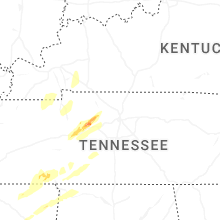
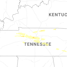
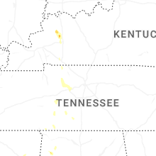
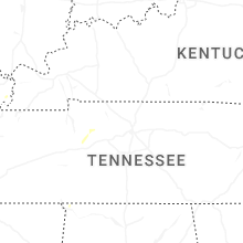


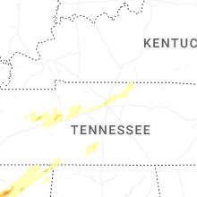

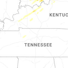


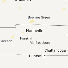
Connect with Interactive Hail Maps