

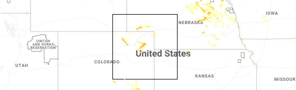
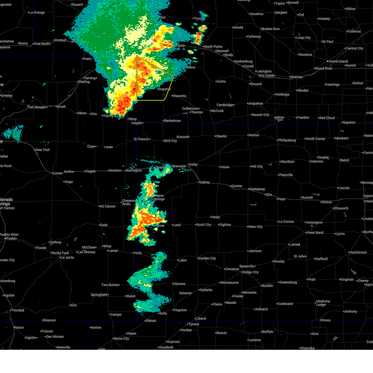
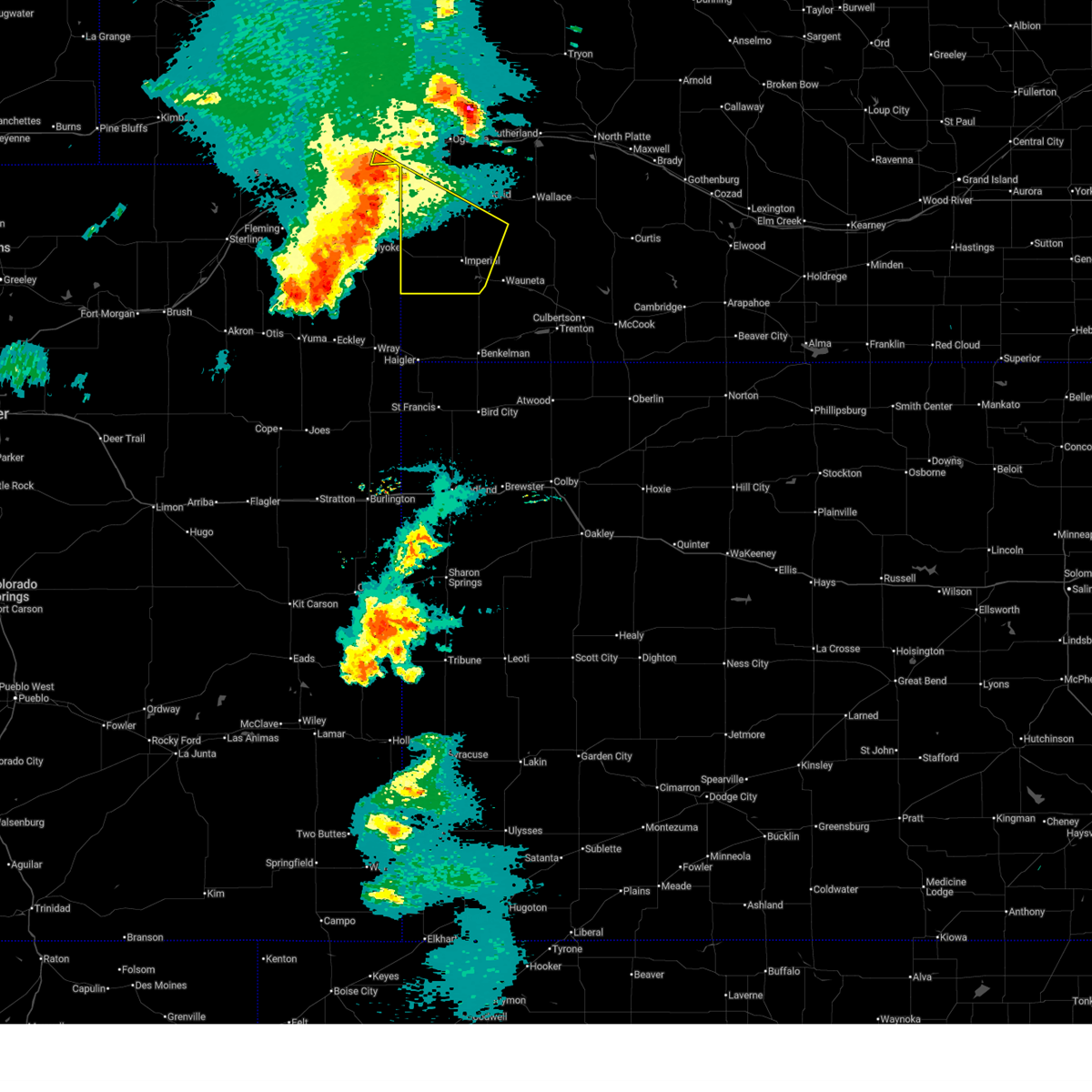
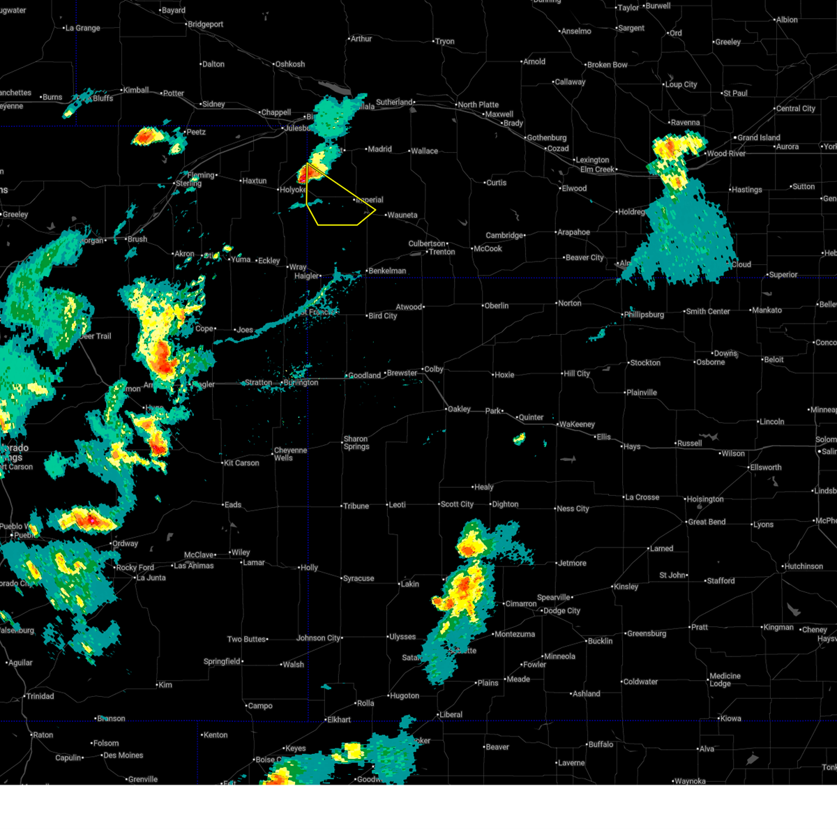
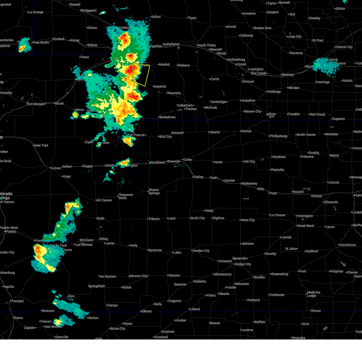
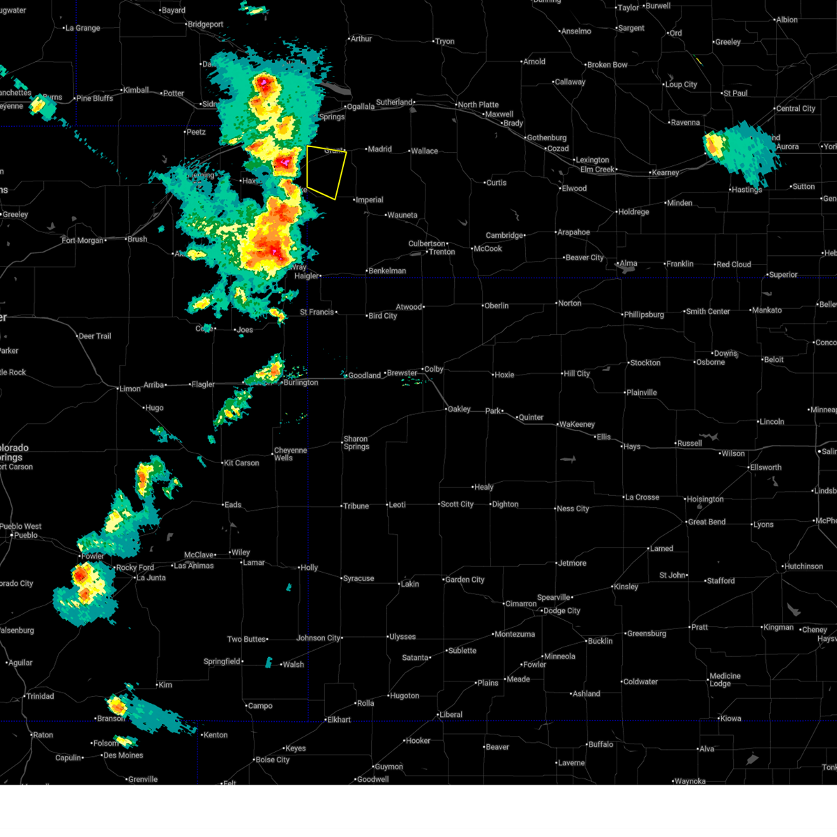
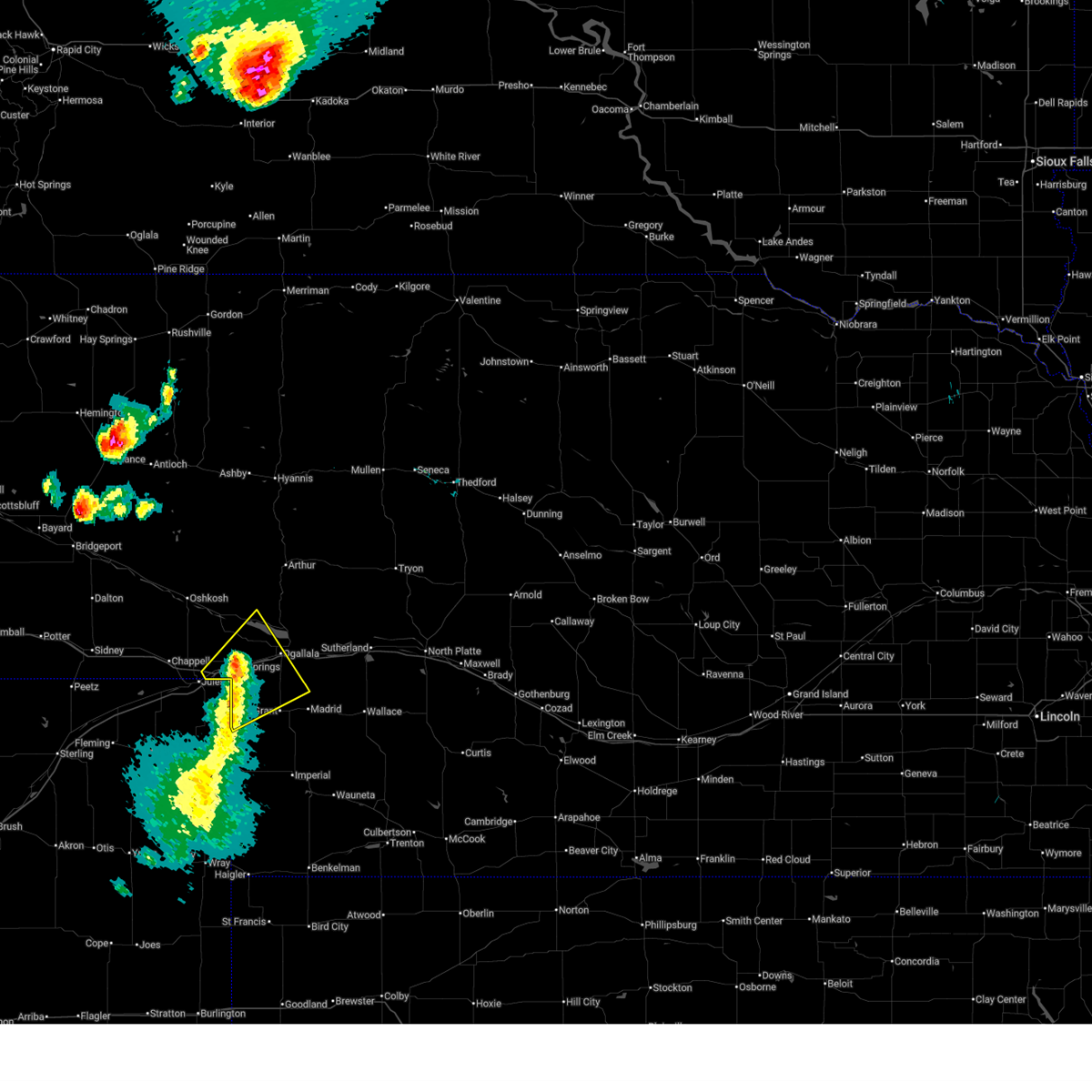
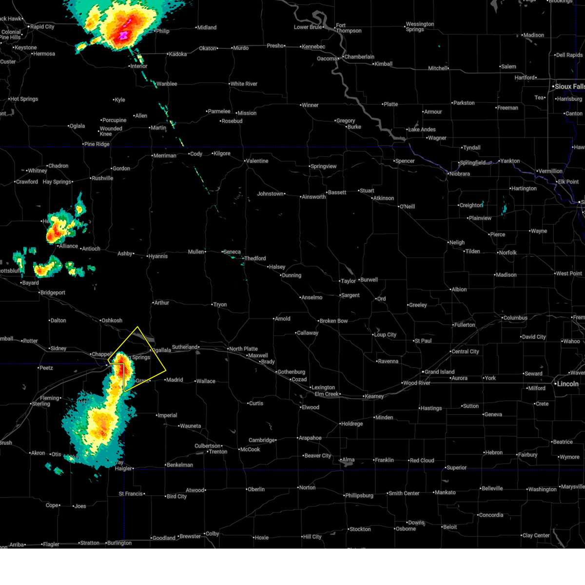
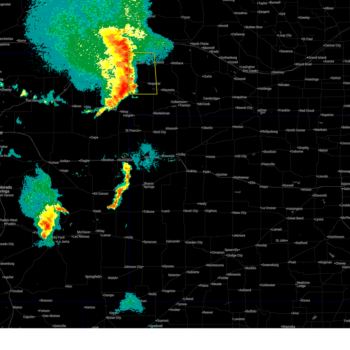
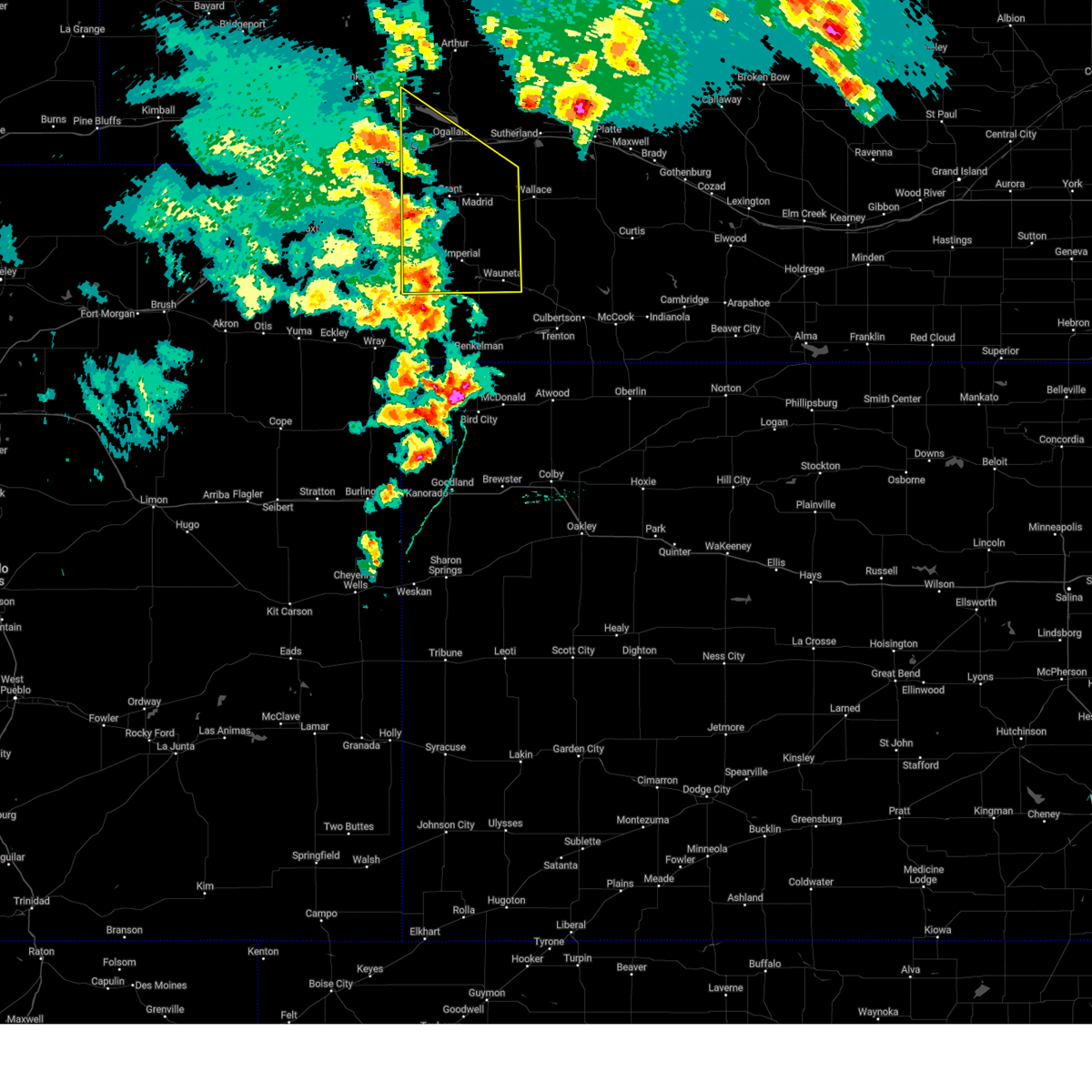
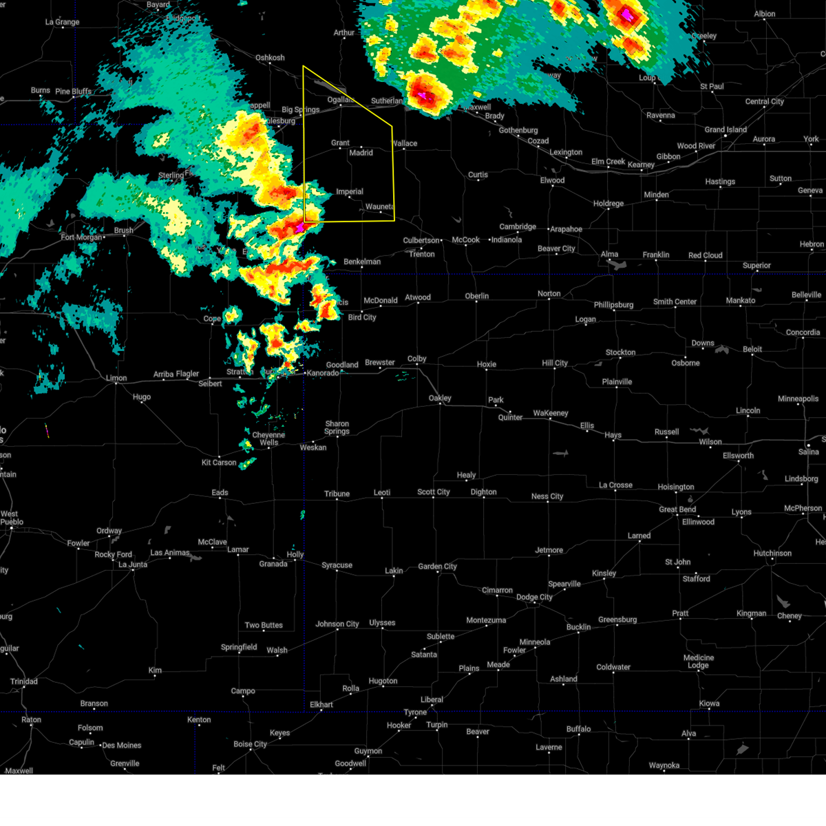
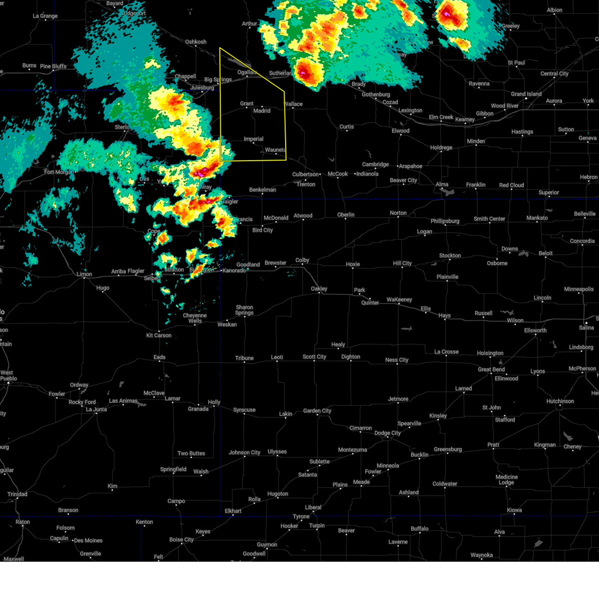
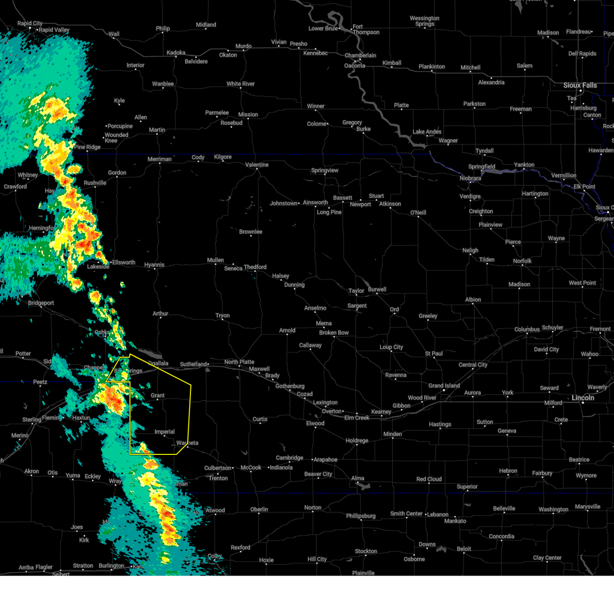
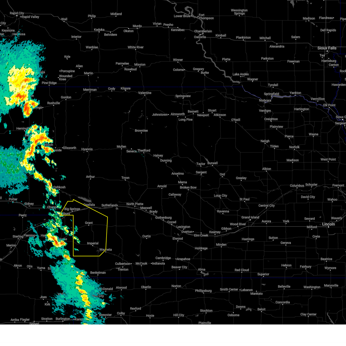
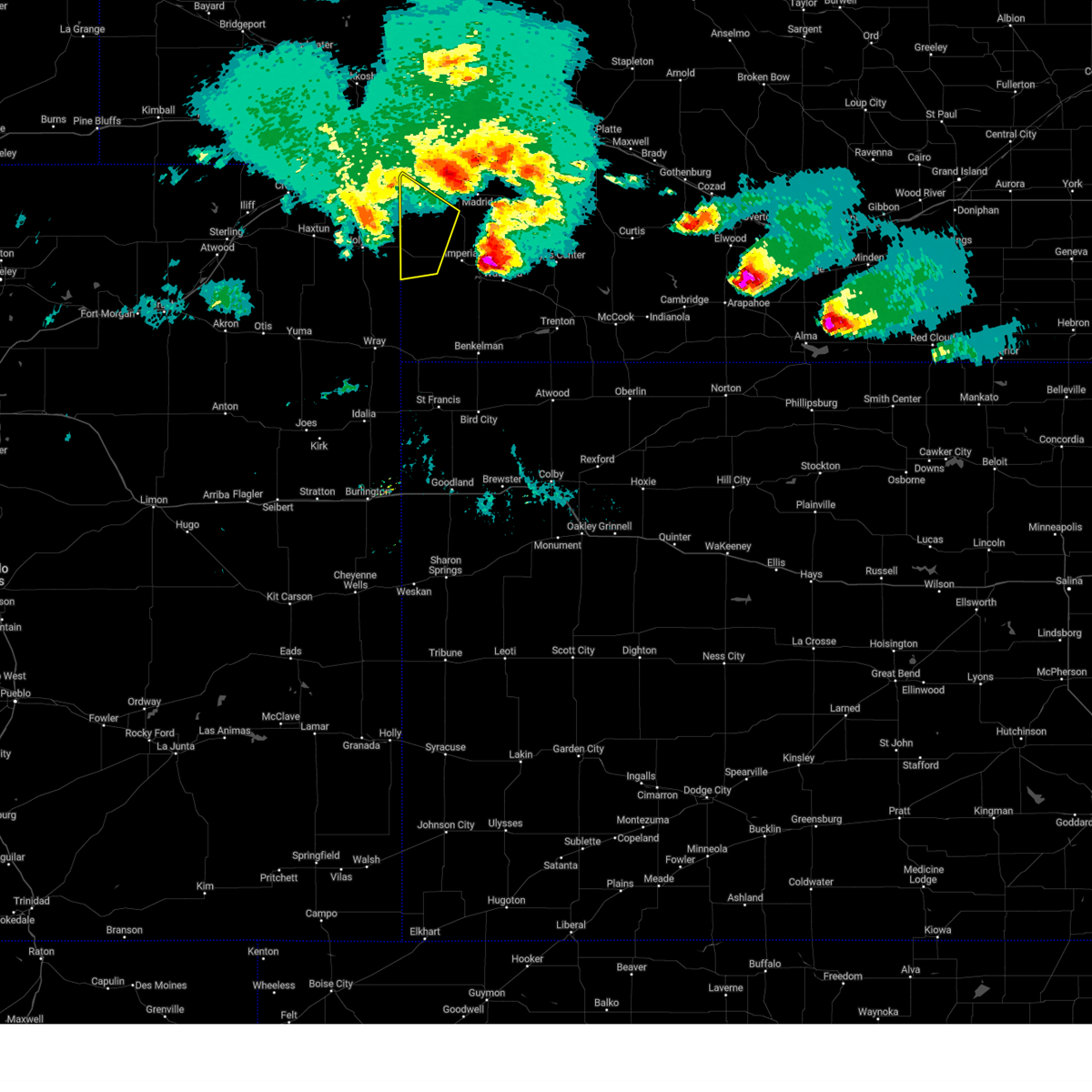
Hail Map for Venango, NE
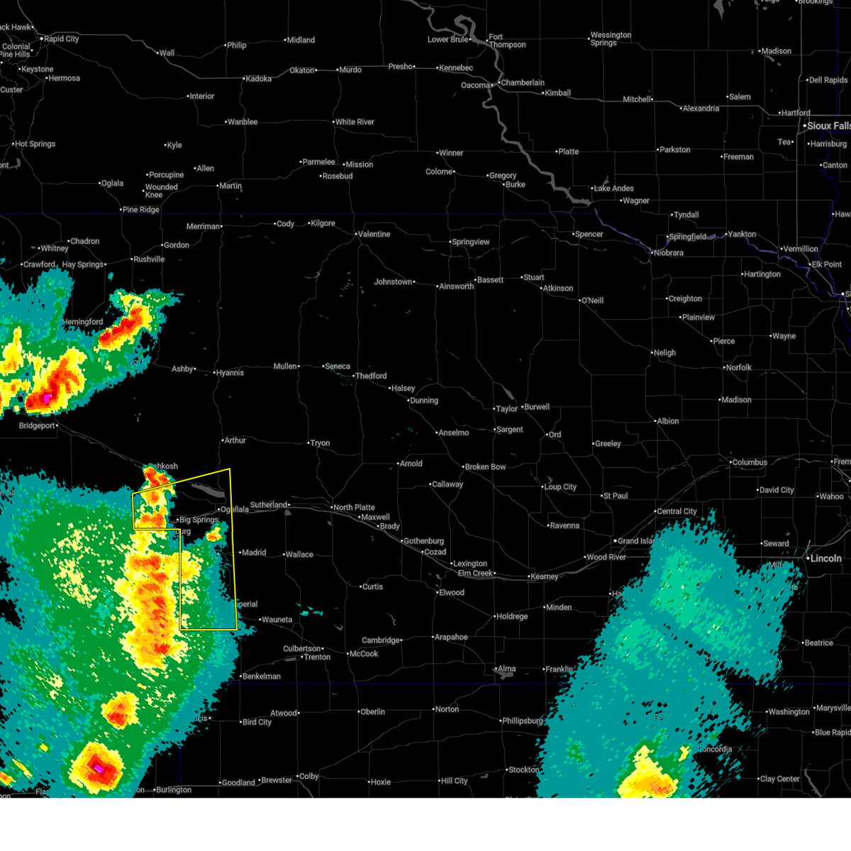
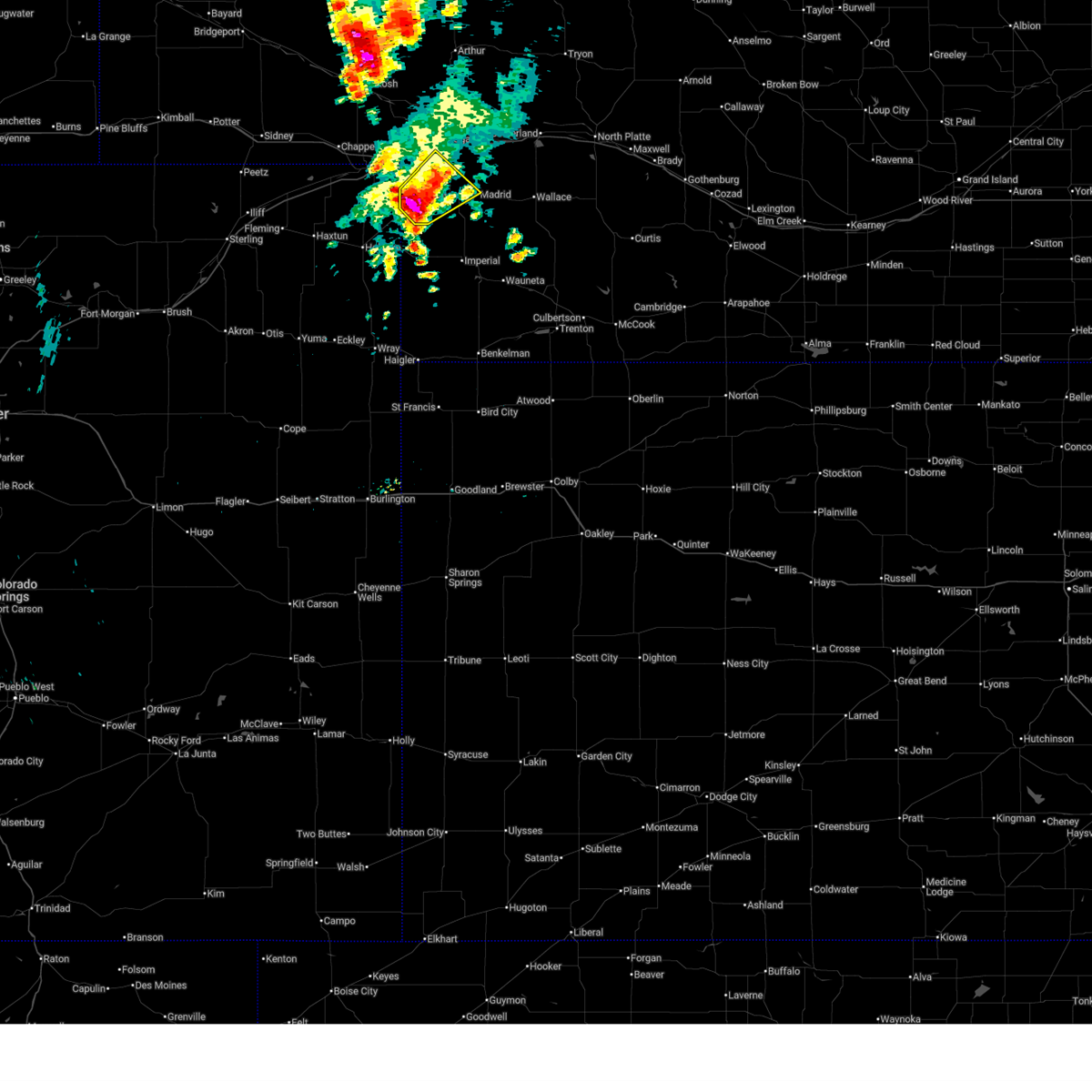
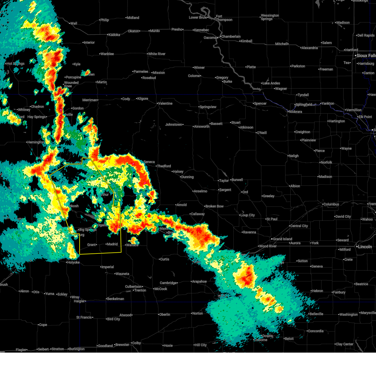
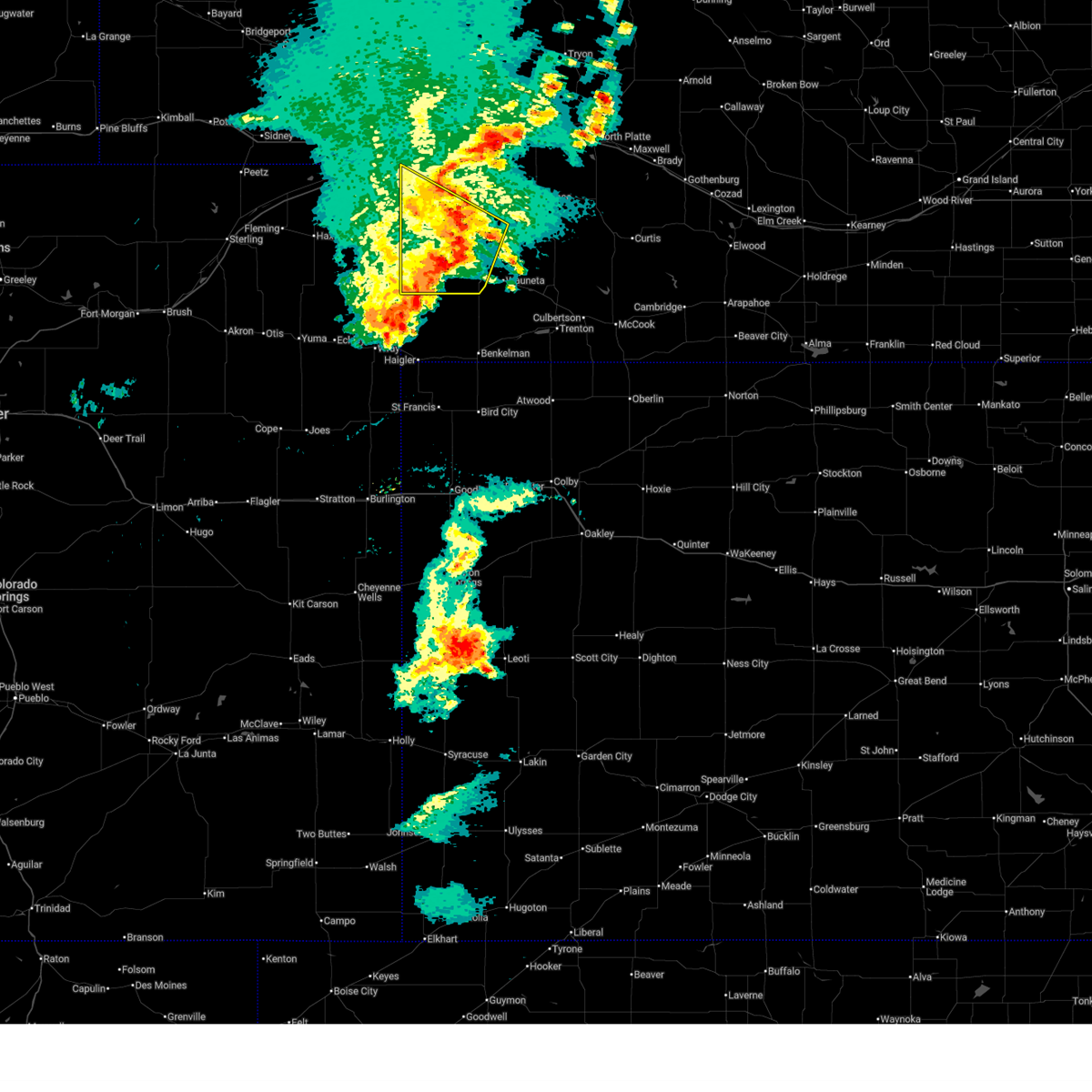
The Venango, NE area has had 23 reports of on-the-ground hail by trained spotters, and has been under severe weather warnings 13 times during the past 12 months. Doppler radar has detected hail at or near Venango, NE on 112 occasions, including 7 occasions during the past year.
| Name: | Venango, NE |
| Where Located: | 57.2 miles NE of Yuma, CO |
| Map: | Google Map for Venango, NE |
| Population: | 164 |
| Housing Units: | 89 |
| More Info: | Search Google for Venango, NE |
1
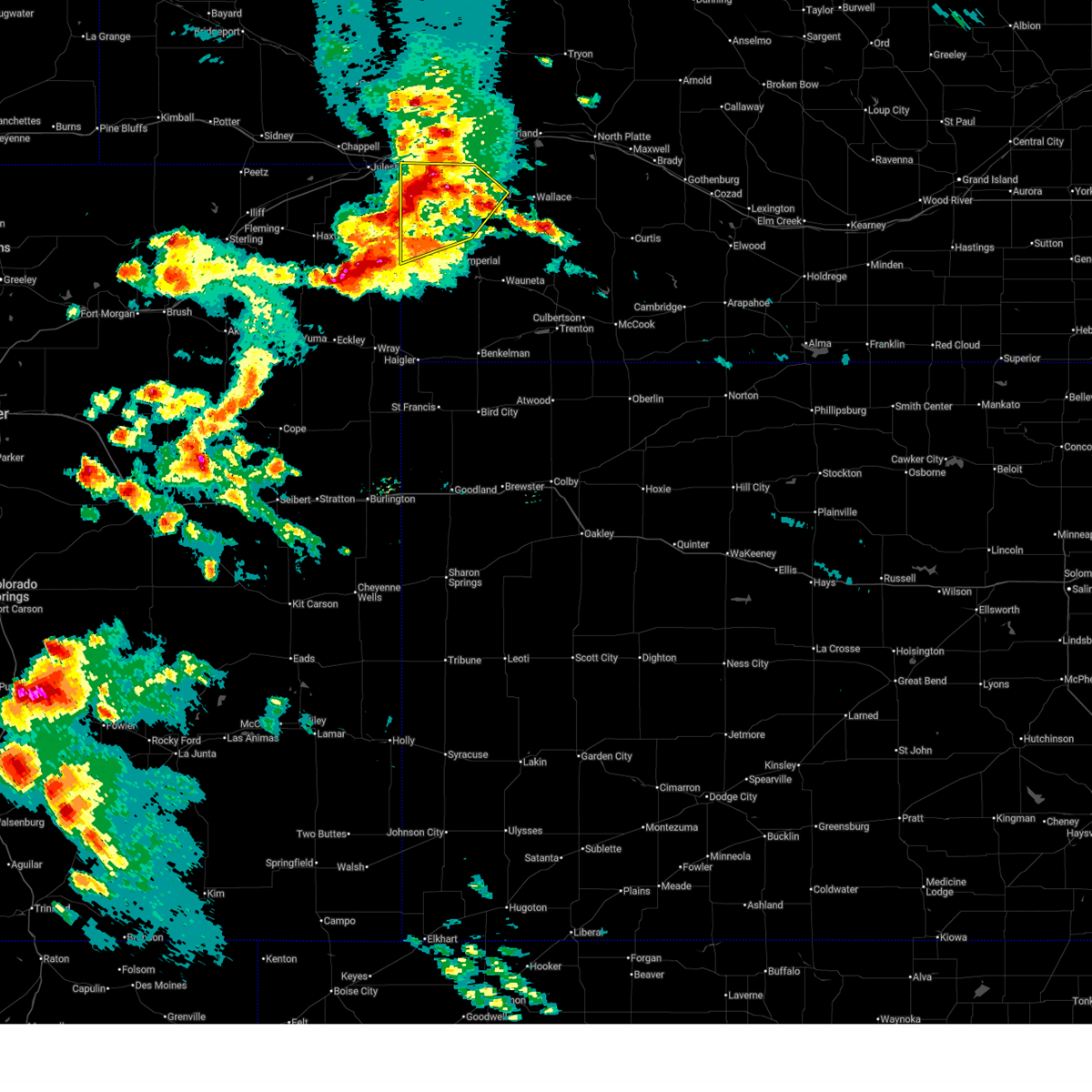
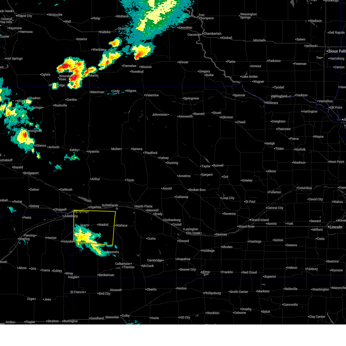
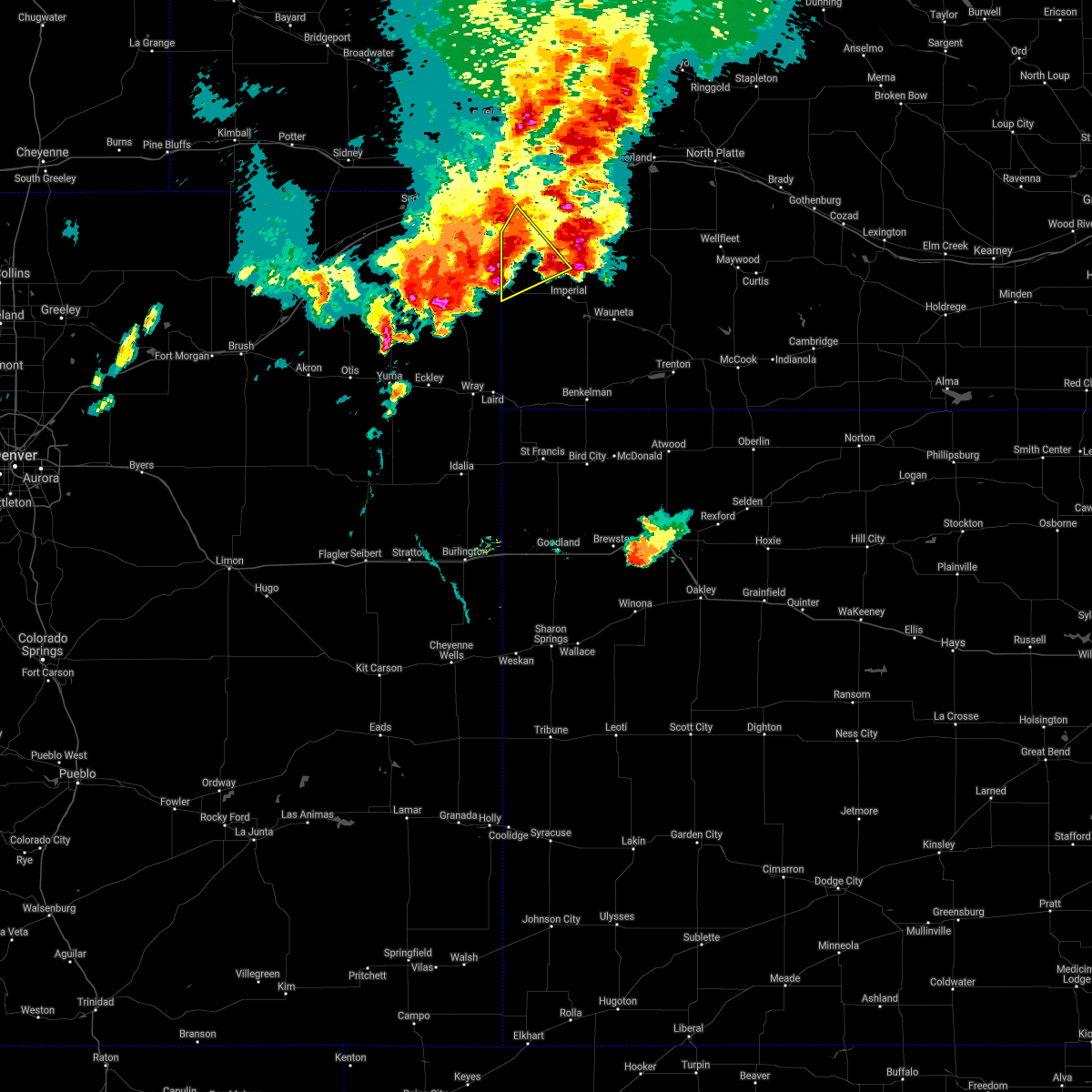
The Top Recent Hail Date for Venango, NE is Monday, July 7, 2025 (34th out of 112)
Hail and Wind Damage Spotted near Venango, NE
| Date / Time | Report Details |
|---|---|
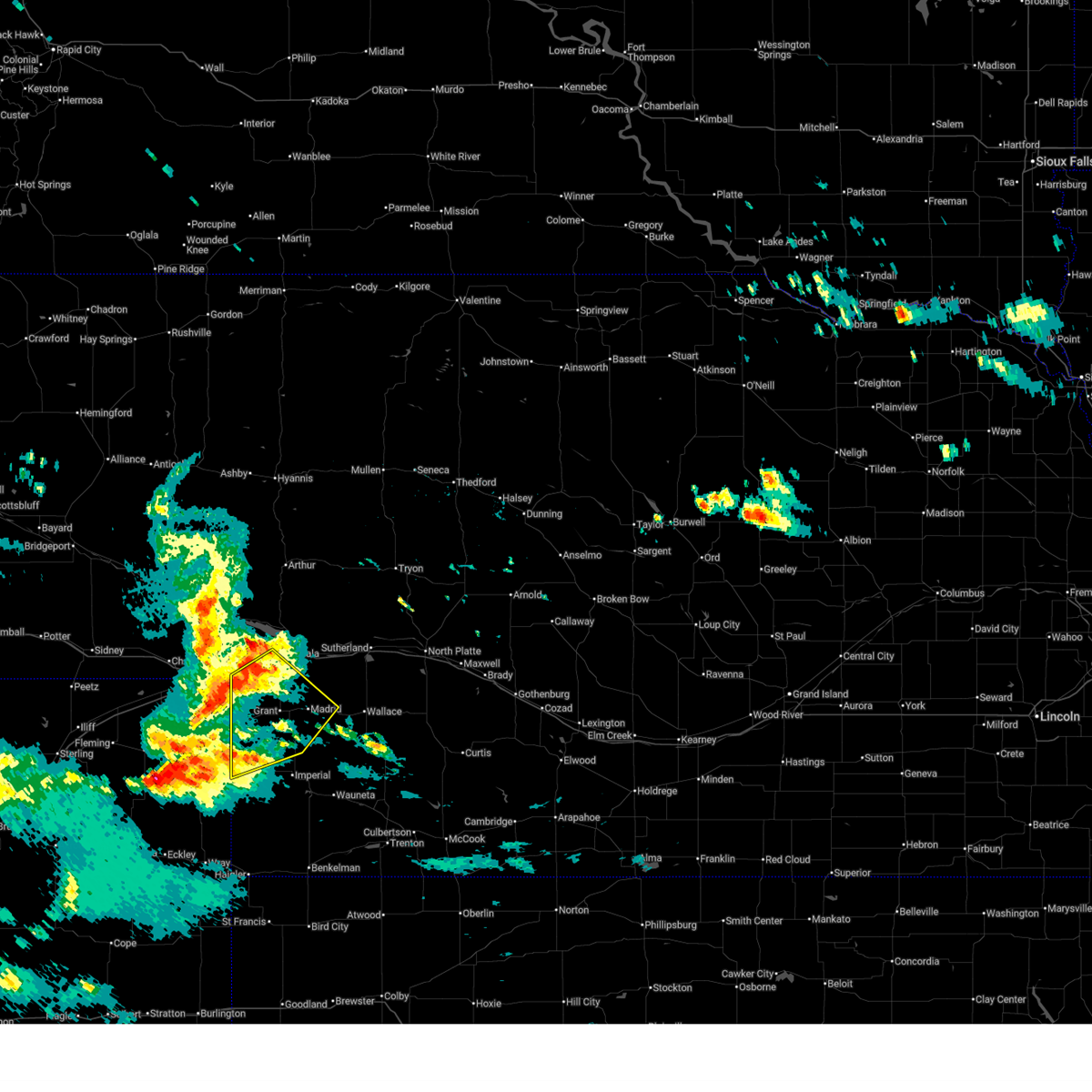
| 6/23/2026 10:25 PM MDT |
 At 1025 pm mdt, severe thunderstorms were located along a line extending from 8 miles northwest of madrid to near grant to near venango, moving southeast at 25 mph (radar indicated). Hazards include 60 mph wind gusts and nickel size hail. Expect damage to roofs, siding, and trees. locations impacted include, grant, madrid, venango, elsie, lamar, chase, wild horse spring, and brandon. This includes highway 61 between mile markers 48 and 78. At 1025 pm mdt, severe thunderstorms were located along a line extending from 8 miles northwest of madrid to near grant to near venango, moving southeast at 25 mph (radar indicated). Hazards include 60 mph wind gusts and nickel size hail. Expect damage to roofs, siding, and trees. locations impacted include, grant, madrid, venango, elsie, lamar, chase, wild horse spring, and brandon. This includes highway 61 between mile markers 48 and 78.
|
| 6/23/2026 10:07 PM MDT |
 Svrlbf the national weather service in north platte has issued a * severe thunderstorm warning for, perkins county in southwestern nebraska, southwestern keith county in southwestern nebraska, northwestern chase county in southwestern nebraska, * until 1045 pm mdt. * at 1007 pm mdt, severe thunderstorms were located along a line extending from 6 miles south of ogallala to 10 miles northwest of grant to near sixteen-mile corner, moving southeast at 30 mph (radar indicated). Hazards include 60 mph wind gusts and quarter size hail. Hail damage to vehicles is expected. Expect wind damage to roofs, siding, and trees. Svrlbf the national weather service in north platte has issued a * severe thunderstorm warning for, perkins county in southwestern nebraska, southwestern keith county in southwestern nebraska, northwestern chase county in southwestern nebraska, * until 1045 pm mdt. * at 1007 pm mdt, severe thunderstorms were located along a line extending from 6 miles south of ogallala to 10 miles northwest of grant to near sixteen-mile corner, moving southeast at 30 mph (radar indicated). Hazards include 60 mph wind gusts and quarter size hail. Hail damage to vehicles is expected. Expect wind damage to roofs, siding, and trees.
|
| 6/8/2026 8:10 PM MDT |
 At 809 pm mdt, severe thunderstorms were located along a line extending from 9 miles northwest of brule to 6 miles south of lamar, moving east at 25 mph (radar indicated). Hazards include 60 mph wind gusts. Expect damage to roofs, siding, and trees. locations impacted include, ogallala, imperial, grant, big springs, brule, venango, lamar, kingsley dam, barton, lemoyne, champion, crete, chase, megeath, wanamaker state wildfire management area, eagle gulch campground, ruthon, clear creek state wildlife management area, brandon, and otter creek campground. this includes the following highways, highway 61 between mile markers 41 and 108. highway 92 between mile markers 122 and 138. Interstate 80 in nebraska between mile markers 102 and 131. At 809 pm mdt, severe thunderstorms were located along a line extending from 9 miles northwest of brule to 6 miles south of lamar, moving east at 25 mph (radar indicated). Hazards include 60 mph wind gusts. Expect damage to roofs, siding, and trees. locations impacted include, ogallala, imperial, grant, big springs, brule, venango, lamar, kingsley dam, barton, lemoyne, champion, crete, chase, megeath, wanamaker state wildfire management area, eagle gulch campground, ruthon, clear creek state wildlife management area, brandon, and otter creek campground. this includes the following highways, highway 61 between mile markers 41 and 108. highway 92 between mile markers 122 and 138. Interstate 80 in nebraska between mile markers 102 and 131.
|
| 6/8/2026 7:48 PM MDT |
 Svrlbf the national weather service in north platte has issued a * severe thunderstorm warning for, western perkins county in southwestern nebraska, western keith county in southwestern nebraska, chase county in southwestern nebraska, south central garden county in the panhandle of nebraska, deuel county in the panhandle of nebraska, * until 845 pm mdt. * at 747 pm mdt, severe thunderstorms were located along a line extending from 8 miles northeast of chappell to 10 miles south of holyoke, moving east at 25 mph (radar indicated. at 733 pm mdt, 73 mph winds were reported 3 mile west of julesburg). Hazards include 70 mph wind gusts and quarter size hail. Hail damage to vehicles is expected. expect considerable tree damage. Wind damage is also likely to mobile homes, roofs, and outbuildings. Svrlbf the national weather service in north platte has issued a * severe thunderstorm warning for, western perkins county in southwestern nebraska, western keith county in southwestern nebraska, chase county in southwestern nebraska, south central garden county in the panhandle of nebraska, deuel county in the panhandle of nebraska, * until 845 pm mdt. * at 747 pm mdt, severe thunderstorms were located along a line extending from 8 miles northeast of chappell to 10 miles south of holyoke, moving east at 25 mph (radar indicated. at 733 pm mdt, 73 mph winds were reported 3 mile west of julesburg). Hazards include 70 mph wind gusts and quarter size hail. Hail damage to vehicles is expected. expect considerable tree damage. Wind damage is also likely to mobile homes, roofs, and outbuildings.
|
| 6/8/2026 2:40 AM MDT |
 Svrlbf the national weather service in north platte has issued a * severe thunderstorm warning for, western perkins county in southwestern nebraska, south central keith county in southwestern nebraska, * until 330 am mdt. * at 240 am mdt, a severe thunderstorm was located near venango, or 11 miles west of grant, moving northeast at 20 mph (radar indicated). Hazards include 60 mph wind gusts and quarter size hail. Hail damage to vehicles is expected. expect wind damage to roofs, siding, and trees. this severe thunderstorm will remain over mainly rural areas of western perkins and south central keith counties, including the following locations, brandon and wild horse spring. This includes highway 61 between mile markers 61 and 78. Svrlbf the national weather service in north platte has issued a * severe thunderstorm warning for, western perkins county in southwestern nebraska, south central keith county in southwestern nebraska, * until 330 am mdt. * at 240 am mdt, a severe thunderstorm was located near venango, or 11 miles west of grant, moving northeast at 20 mph (radar indicated). Hazards include 60 mph wind gusts and quarter size hail. Hail damage to vehicles is expected. expect wind damage to roofs, siding, and trees. this severe thunderstorm will remain over mainly rural areas of western perkins and south central keith counties, including the following locations, brandon and wild horse spring. This includes highway 61 between mile markers 61 and 78.
|
| 5/30/2026 7:14 PM MDT |
 Svrlbf the national weather service in north platte has issued a * severe thunderstorm warning for, arthur county in west central nebraska, perkins county in southwestern nebraska, western grant county in west central nebraska, keith county in southwestern nebraska, garden county in the panhandle of nebraska, eastern deuel county in the panhandle of nebraska, * until 800 pm mdt. * at 713 pm mdt, severe thunderstorms were located along a line extending from 9 miles south of antioch to 6 miles south of madrid, moving northeast at 35 mph (radar indicated). Hazards include 60 mph wind gusts. expect damage to roofs, siding, and trees Svrlbf the national weather service in north platte has issued a * severe thunderstorm warning for, arthur county in west central nebraska, perkins county in southwestern nebraska, western grant county in west central nebraska, keith county in southwestern nebraska, garden county in the panhandle of nebraska, eastern deuel county in the panhandle of nebraska, * until 800 pm mdt. * at 713 pm mdt, severe thunderstorms were located along a line extending from 9 miles south of antioch to 6 miles south of madrid, moving northeast at 35 mph (radar indicated). Hazards include 60 mph wind gusts. expect damage to roofs, siding, and trees
|
| 8/1/2025 10:14 PM MDT |
 The storms which prompted the warning have weakened below severe limits, and no longer pose an immediate threat to life or property. therefore, the warning will be allowed to expire. to report severe weather, contact your nearest law enforcement agency. they will relay your report to the national weather service north platte. The storms which prompted the warning have weakened below severe limits, and no longer pose an immediate threat to life or property. therefore, the warning will be allowed to expire. to report severe weather, contact your nearest law enforcement agency. they will relay your report to the national weather service north platte.
|
| 8/1/2025 9:51 PM MDT |
 At 951 pm mdt, severe thunderstorms were located along a line extending from 7 miles northeast of lamar to near wray, moving southeast at 30 mph (radar indicated). Hazards include 70 mph wind gusts and penny size hail. Expect considerable tree damage. damage is likely to mobile homes, roofs, and outbuildings. locations impacted include, imperial, grant, venango, lamar, enders, enders reservoir state recreation area, champion, crete, chase, center dam campground, brandon, wanamaker state wildfire management area, area a campground, and church grove campground. This includes highway 61 between mile markers 25 and 63, and near mile marker 68. At 951 pm mdt, severe thunderstorms were located along a line extending from 7 miles northeast of lamar to near wray, moving southeast at 30 mph (radar indicated). Hazards include 70 mph wind gusts and penny size hail. Expect considerable tree damage. damage is likely to mobile homes, roofs, and outbuildings. locations impacted include, imperial, grant, venango, lamar, enders, enders reservoir state recreation area, champion, crete, chase, center dam campground, brandon, wanamaker state wildfire management area, area a campground, and church grove campground. This includes highway 61 between mile markers 25 and 63, and near mile marker 68.
|
| 8/1/2025 9:51 PM MDT |
 the severe thunderstorm warning has been cancelled and is no longer in effect the severe thunderstorm warning has been cancelled and is no longer in effect
|
| 8/1/2025 9:20 PM MDT |
 Svrlbf the national weather service in north platte has issued a * severe thunderstorm warning for, western perkins county in southwestern nebraska, chase county in southwestern nebraska, south central deuel county in the panhandle of nebraska, * until 1015 pm mdt. * at 919 pm mdt, severe thunderstorms were located along a line extending from near sixteen-mile corner to 12 miles north of eckley, moving southeast at 25 mph (radar indicated. at around 910 pm mdt, a 70 mph wind gust was reported near holyoke). Hazards include 70 mph wind gusts and penny size hail. Expect considerable tree damage. Damage is likely to mobile homes, roofs, and outbuildings. Svrlbf the national weather service in north platte has issued a * severe thunderstorm warning for, western perkins county in southwestern nebraska, chase county in southwestern nebraska, south central deuel county in the panhandle of nebraska, * until 1015 pm mdt. * at 919 pm mdt, severe thunderstorms were located along a line extending from near sixteen-mile corner to 12 miles north of eckley, moving southeast at 25 mph (radar indicated. at around 910 pm mdt, a 70 mph wind gust was reported near holyoke). Hazards include 70 mph wind gusts and penny size hail. Expect considerable tree damage. Damage is likely to mobile homes, roofs, and outbuildings.
|
| 7/10/2025 3:21 PM MDT |
 Svrlbf the national weather service in north platte has issued a * severe thunderstorm warning for, southwestern perkins county in southwestern nebraska, southwestern chase county in southwestern nebraska, * until 400 pm mdt. * at 320 pm mdt, a severe thunderstorm was located near lamar, or 14 miles east of holyoke, moving southeast at 35 mph (radar indicated). Hazards include ping pong ball size hail and 60 mph wind gusts. People and animals outdoors will be injured. expect hail damage to roofs, siding, windows, and vehicles. Expect wind damage to roofs, siding, and trees. Svrlbf the national weather service in north platte has issued a * severe thunderstorm warning for, southwestern perkins county in southwestern nebraska, southwestern chase county in southwestern nebraska, * until 400 pm mdt. * at 320 pm mdt, a severe thunderstorm was located near lamar, or 14 miles east of holyoke, moving southeast at 35 mph (radar indicated). Hazards include ping pong ball size hail and 60 mph wind gusts. People and animals outdoors will be injured. expect hail damage to roofs, siding, windows, and vehicles. Expect wind damage to roofs, siding, and trees.
|
| 7/7/2025 5:49 PM MDT |
 At 549 pm mdt, a severe thunderstorm was located near venango, or 15 miles southwest of grant, moving east at 30 mph (radar indicated). Hazards include ping pong ball size hail and 60 mph wind gusts. People and animals outdoors will be injured. expect hail damage to roofs, siding, windows, and vehicles. expect wind damage to roofs, siding, and trees. Locations impacted include, venango, chase, and brandon. At 549 pm mdt, a severe thunderstorm was located near venango, or 15 miles southwest of grant, moving east at 30 mph (radar indicated). Hazards include ping pong ball size hail and 60 mph wind gusts. People and animals outdoors will be injured. expect hail damage to roofs, siding, windows, and vehicles. expect wind damage to roofs, siding, and trees. Locations impacted include, venango, chase, and brandon.
|
| 7/7/2025 5:31 PM MDT |
 Svrlbf the national weather service in north platte has issued a * severe thunderstorm warning for, southwestern perkins county in southwestern nebraska, northwestern chase county in southwestern nebraska, * until 615 pm mdt. * at 530 pm mdt, a severe thunderstorm was located near sixteen-mile corner, or 13 miles northeast of holyoke, moving east at 30 mph (radar indicated). Hazards include ping pong ball size hail and 60 mph wind gusts. People and animals outdoors will be injured. expect hail damage to roofs, siding, windows, and vehicles. Expect wind damage to roofs, siding, and trees. Svrlbf the national weather service in north platte has issued a * severe thunderstorm warning for, southwestern perkins county in southwestern nebraska, northwestern chase county in southwestern nebraska, * until 615 pm mdt. * at 530 pm mdt, a severe thunderstorm was located near sixteen-mile corner, or 13 miles northeast of holyoke, moving east at 30 mph (radar indicated). Hazards include ping pong ball size hail and 60 mph wind gusts. People and animals outdoors will be injured. expect hail damage to roofs, siding, windows, and vehicles. Expect wind damage to roofs, siding, and trees.
|
| 6/28/2025 8:21 PM MDT |
 Svrlbf the national weather service in north platte has issued a * severe thunderstorm warning for, perkins county in southwestern nebraska, southern keith county in southwestern nebraska, northern chase county in southwestern nebraska, southwestern lincoln county in southwestern nebraska, northwestern hayes county in southwestern nebraska, * until 945 pm cdt/845 pm mdt/. * at 919 pm cdt/819 pm mdt/, collapsing showers were located along a line extending from 9 miles northeast of venango to near grant to 13 miles south of wallace, moving north at 20 mph (trained weather spotters). Hazards include 70 mph wind gusts. Expect considerable tree damage. Damage is likely to mobile homes, roofs, and outbuildings. Svrlbf the national weather service in north platte has issued a * severe thunderstorm warning for, perkins county in southwestern nebraska, southern keith county in southwestern nebraska, northern chase county in southwestern nebraska, southwestern lincoln county in southwestern nebraska, northwestern hayes county in southwestern nebraska, * until 945 pm cdt/845 pm mdt/. * at 919 pm cdt/819 pm mdt/, collapsing showers were located along a line extending from 9 miles northeast of venango to near grant to 13 miles south of wallace, moving north at 20 mph (trained weather spotters). Hazards include 70 mph wind gusts. Expect considerable tree damage. Damage is likely to mobile homes, roofs, and outbuildings.
|
| 6/28/2025 6:59 PM MDT |
 The storm which prompted the warning has weakened below severe limits, and no longer poses an immediate threat to life or property. therefore, the warning will be allowed to expire. to report severe weather, contact your nearest law enforcement agency. they will relay your report to the national weather service north platte. The storm which prompted the warning has weakened below severe limits, and no longer poses an immediate threat to life or property. therefore, the warning will be allowed to expire. to report severe weather, contact your nearest law enforcement agency. they will relay your report to the national weather service north platte.
|
| 6/28/2025 6:35 PM MDT |
 At 635 pm mdt, a severe thunderstorm was located near brule, or 7 miles northeast of big springs, moving northeast at 20 mph (radar indicated). Hazards include 60 mph wind gusts and half dollar size hail. Hail damage to vehicles is expected. expect wind damage to roofs, siding, and trees. locations impacted include, ogallala, big springs, brule, venango, barton, eagle gulch campground, brandon, megeath, otter creek campground, lake view campground, wild horse spring, belmar, and goldeneye state wildlife management area. this includes the following highways, highway 61 between mile markers 69 and 89. highway 92 between mile markers 126 and 131. Interstate 80 in nebraska between mile markers 98 and 128. At 635 pm mdt, a severe thunderstorm was located near brule, or 7 miles northeast of big springs, moving northeast at 20 mph (radar indicated). Hazards include 60 mph wind gusts and half dollar size hail. Hail damage to vehicles is expected. expect wind damage to roofs, siding, and trees. locations impacted include, ogallala, big springs, brule, venango, barton, eagle gulch campground, brandon, megeath, otter creek campground, lake view campground, wild horse spring, belmar, and goldeneye state wildlife management area. this includes the following highways, highway 61 between mile markers 69 and 89. highway 92 between mile markers 126 and 131. Interstate 80 in nebraska between mile markers 98 and 128.
|
| 6/28/2025 6:24 PM MDT |
 At 623 pm mdt, a severe thunderstorm was located near big springs, moving northeast at 25 mph (trained weather spotters). Hazards include 60 mph wind gusts and quarter size hail. Hail damage to vehicles is expected. expect wind damage to roofs, siding, and trees. locations impacted include, ogallala, big springs, brule, venango, barton, eagle gulch campground, brandon, megeath, otter creek campground, lake view campground, wild horse spring, belmar, and goldeneye state wildlife management area. this includes the following highways, highway 61 between mile markers 69 and 89. highway 92 between mile markers 126 and 131. Interstate 80 in nebraska between mile markers 98 and 128. At 623 pm mdt, a severe thunderstorm was located near big springs, moving northeast at 25 mph (trained weather spotters). Hazards include 60 mph wind gusts and quarter size hail. Hail damage to vehicles is expected. expect wind damage to roofs, siding, and trees. locations impacted include, ogallala, big springs, brule, venango, barton, eagle gulch campground, brandon, megeath, otter creek campground, lake view campground, wild horse spring, belmar, and goldeneye state wildlife management area. this includes the following highways, highway 61 between mile markers 69 and 89. highway 92 between mile markers 126 and 131. Interstate 80 in nebraska between mile markers 98 and 128.
|
| 6/28/2025 6:10 PM MDT |
 Svrlbf the national weather service in north platte has issued a * severe thunderstorm warning for, northwestern perkins county in southwestern nebraska, western keith county in southwestern nebraska, southeastern deuel county in the panhandle of nebraska, * until 700 pm mdt. * at 609 pm mdt, a severe thunderstorm was located near big springs, moving northeast at 25 mph (radar indicated). Hazards include 60 mph wind gusts and half dollar size hail. Hail damage to vehicles is expected. Expect wind damage to roofs, siding, and trees. Svrlbf the national weather service in north platte has issued a * severe thunderstorm warning for, northwestern perkins county in southwestern nebraska, western keith county in southwestern nebraska, southeastern deuel county in the panhandle of nebraska, * until 700 pm mdt. * at 609 pm mdt, a severe thunderstorm was located near big springs, moving northeast at 25 mph (radar indicated). Hazards include 60 mph wind gusts and half dollar size hail. Hail damage to vehicles is expected. Expect wind damage to roofs, siding, and trees.
|
| 6/13/2025 9:31 PM MDT |
 Svrlbf the national weather service in north platte has issued a * severe thunderstorm warning for, perkins county in southwestern nebraska, chase county in southwestern nebraska, * until 1000 pm mdt. * at 930 pm mdt, severe thunderstorms were located along a line extending from near big springs to near lamar, moving east at 30 mph (radar indicated). Hazards include 70 mph wind gusts and quarter size hail. Hail damage to vehicles is expected. expect considerable tree damage. Wind damage is also likely to mobile homes, roofs, and outbuildings. Svrlbf the national weather service in north platte has issued a * severe thunderstorm warning for, perkins county in southwestern nebraska, chase county in southwestern nebraska, * until 1000 pm mdt. * at 930 pm mdt, severe thunderstorms were located along a line extending from near big springs to near lamar, moving east at 30 mph (radar indicated). Hazards include 70 mph wind gusts and quarter size hail. Hail damage to vehicles is expected. expect considerable tree damage. Wind damage is also likely to mobile homes, roofs, and outbuildings.
|
| 6/13/2025 9:26 PM MDT | Pws-knevenan in perkins county NE, 4.7 miles SW of Venango, NE |
| 5/14/2025 7:16 PM MDT |
 At 816 pm cdt/716 pm mdt/, severe thunderstorms were located along a line extending from brule to near enders, moving east at 65 mph (radar indicated). Hazards include 70 mph wind gusts. Expect considerable tree damage. damage is likely to mobile homes, roofs, and outbuildings. locations impacted include, ogallala, imperial, grant, wauneta, brule, madrid, venango, elsie, lamar, enders reservoir state recreation area, enders, champion, roscoe. this includes the following highways, highway 61 between mile markers 25 and 94. highway 92 between mile markers 119 and 130. Interstate 80 in nebraska between mile markers 109 and 138. At 816 pm cdt/716 pm mdt/, severe thunderstorms were located along a line extending from brule to near enders, moving east at 65 mph (radar indicated). Hazards include 70 mph wind gusts. Expect considerable tree damage. damage is likely to mobile homes, roofs, and outbuildings. locations impacted include, ogallala, imperial, grant, wauneta, brule, madrid, venango, elsie, lamar, enders reservoir state recreation area, enders, champion, roscoe. this includes the following highways, highway 61 between mile markers 25 and 94. highway 92 between mile markers 119 and 130. Interstate 80 in nebraska between mile markers 109 and 138.
|
| 5/14/2025 6:50 PM MDT |
 At 749 pm cdt/649 pm mdt/, severe thunderstorms were located along a line extending from near julesburg to 11 miles south of champion, moving east at 55 mph (radar indicated). Hazards include 70 mph wind gusts. Expect considerable tree damage. damage is likely to mobile homes, roofs, and outbuildings. locations impacted include, ogallala, imperial, grant, wauneta, brule, madrid, venango, elsie, lamar, enders reservoir state recreation area, enders, champion, roscoe, crete, chase, center dam campground, megeath, wanamaker state wildfire management area, eagle gulch campground, and ruthon. this includes the following highways, highway 61 between mile markers 25 and 94. highway 92 between mile markers 119 and 130. Interstate 80 in nebraska between mile markers 109 and 138. At 749 pm cdt/649 pm mdt/, severe thunderstorms were located along a line extending from near julesburg to 11 miles south of champion, moving east at 55 mph (radar indicated). Hazards include 70 mph wind gusts. Expect considerable tree damage. damage is likely to mobile homes, roofs, and outbuildings. locations impacted include, ogallala, imperial, grant, wauneta, brule, madrid, venango, elsie, lamar, enders reservoir state recreation area, enders, champion, roscoe, crete, chase, center dam campground, megeath, wanamaker state wildfire management area, eagle gulch campground, and ruthon. this includes the following highways, highway 61 between mile markers 25 and 94. highway 92 between mile markers 119 and 130. Interstate 80 in nebraska between mile markers 109 and 138.
|
| 5/14/2025 6:38 PM MDT |
 Svrlbf the national weather service in north platte has issued a * severe thunderstorm warning for, perkins county in southwestern nebraska, western keith county in southwestern nebraska, chase county in southwestern nebraska, western hayes county in southwestern nebraska, * until 845 pm cdt/745 pm mdt/. * at 738 pm cdt/638 pm mdt/, severe thunderstorms were located along a line extending from near sedgwick to 15 miles southwest of champion, moving east at 55 mph (radar indicated). Hazards include 60 mph wind gusts. expect damage to roofs, siding, and trees Svrlbf the national weather service in north platte has issued a * severe thunderstorm warning for, perkins county in southwestern nebraska, western keith county in southwestern nebraska, chase county in southwestern nebraska, western hayes county in southwestern nebraska, * until 845 pm cdt/745 pm mdt/. * at 738 pm cdt/638 pm mdt/, severe thunderstorms were located along a line extending from near sedgwick to 15 miles southwest of champion, moving east at 55 mph (radar indicated). Hazards include 60 mph wind gusts. expect damage to roofs, siding, and trees
|
| 9/17/2024 7:04 PM MDT |
 At 702 pm mdt, severe thunderstorms were located along a line extending from near barton to near venango to near champion, moving north at 40 mph (radar indicated). Hazards include 60 mph wind gusts. Expect damage to roofs, siding, and trees. locations impacted include, ogallala, imperial, grant, big springs, brule, madrid, venango, elsie, lamar, barton, enders, enders reservoir state recreation area, champion, crete, chase, center dam campground, brandon, megeath, wild horse spring, and goldeneye state wildlife management area. this includes the following highways, highway 61 between mile markers 25 and 86. Interstate 80 in nebraska between mile markers 95 and 127. At 702 pm mdt, severe thunderstorms were located along a line extending from near barton to near venango to near champion, moving north at 40 mph (radar indicated). Hazards include 60 mph wind gusts. Expect damage to roofs, siding, and trees. locations impacted include, ogallala, imperial, grant, big springs, brule, madrid, venango, elsie, lamar, barton, enders, enders reservoir state recreation area, champion, crete, chase, center dam campground, brandon, megeath, wild horse spring, and goldeneye state wildlife management area. this includes the following highways, highway 61 between mile markers 25 and 86. Interstate 80 in nebraska between mile markers 95 and 127.
|
| 9/17/2024 6:33 PM MDT |
 Svrlbf the national weather service in north platte has issued a * severe thunderstorm warning for, perkins county in southwestern nebraska, southwestern keith county in southwestern nebraska, chase county in southwestern nebraska, eastern deuel county in the panhandle of nebraska, * until 715 pm mdt. * at 631 pm mdt, severe thunderstorms were located along a line extending from near fairfield to 6 miles south of pleasant valley to 10 miles north of haigler, moving northeast at 45 mph (radar indicated). Hazards include 60 mph wind gusts. expect damage to roofs, siding, and trees Svrlbf the national weather service in north platte has issued a * severe thunderstorm warning for, perkins county in southwestern nebraska, southwestern keith county in southwestern nebraska, chase county in southwestern nebraska, eastern deuel county in the panhandle of nebraska, * until 715 pm mdt. * at 631 pm mdt, severe thunderstorms were located along a line extending from near fairfield to 6 miles south of pleasant valley to 10 miles north of haigler, moving northeast at 45 mph (radar indicated). Hazards include 60 mph wind gusts. expect damage to roofs, siding, and trees
|
| 7/19/2024 7:26 PM MDT | Tennis Ball sized hail reported 3.9 miles NW of Venango, NE |
| 7/19/2024 7:19 PM MDT |
 At 717 pm mdt, a severe thunderstorm was located 8 miles east of venango, or 9 miles west of grant, moving southwest at 35 mph. this is a destructive storm for southwest perkins county! (radar indicated). Hazards include baseball size hail and 60 mph wind gusts. People and animals outdoors will be severely injured. expect shattered windows, extensive damage to roofs, siding, and vehicles. locations impacted include, grant, venango, brandon, and wild horse spring. This includes highway 61 between mile markers 58 and 80. At 717 pm mdt, a severe thunderstorm was located 8 miles east of venango, or 9 miles west of grant, moving southwest at 35 mph. this is a destructive storm for southwest perkins county! (radar indicated). Hazards include baseball size hail and 60 mph wind gusts. People and animals outdoors will be severely injured. expect shattered windows, extensive damage to roofs, siding, and vehicles. locations impacted include, grant, venango, brandon, and wild horse spring. This includes highway 61 between mile markers 58 and 80.
|
| 7/19/2024 7:05 PM MDT |
 At 703 pm mdt, a severe thunderstorm was located 7 miles northwest of grant, moving southwest at 35 mph. this is a destructive storm for the town of grant and northwest perkins county (radar indicated). Hazards include baseball size hail and 60 mph wind gusts. People and animals outdoors will be severely injured. expect shattered windows, extensive damage to roofs, siding, and vehicles. locations impacted include, grant, venango, brandon, and wild horse spring. This includes highway 61 between mile markers 58 and 80. At 703 pm mdt, a severe thunderstorm was located 7 miles northwest of grant, moving southwest at 35 mph. this is a destructive storm for the town of grant and northwest perkins county (radar indicated). Hazards include baseball size hail and 60 mph wind gusts. People and animals outdoors will be severely injured. expect shattered windows, extensive damage to roofs, siding, and vehicles. locations impacted include, grant, venango, brandon, and wild horse spring. This includes highway 61 between mile markers 58 and 80.
|
| 7/19/2024 6:51 PM MDT |
 Svrlbf the national weather service in north platte has issued a * severe thunderstorm warning for, western perkins county in southwestern nebraska, southwestern keith county in southwestern nebraska, * until 730 pm mdt. * at 650 pm mdt, a severe thunderstorm was located near brule, or 7 miles southwest of ogallala, moving southwest at 30 mph. this is a destructive storm for keith and perkins county (radar indicated). Hazards include baseball size hail and 60 mph wind gusts. People and animals outdoors will be severely injured. Expect shattered windows, extensive damage to roofs, siding, and vehicles. Svrlbf the national weather service in north platte has issued a * severe thunderstorm warning for, western perkins county in southwestern nebraska, southwestern keith county in southwestern nebraska, * until 730 pm mdt. * at 650 pm mdt, a severe thunderstorm was located near brule, or 7 miles southwest of ogallala, moving southwest at 30 mph. this is a destructive storm for keith and perkins county (radar indicated). Hazards include baseball size hail and 60 mph wind gusts. People and animals outdoors will be severely injured. Expect shattered windows, extensive damage to roofs, siding, and vehicles.
|
| 7/3/2024 6:09 PM MDT |
 The storm which prompted the warning has weakened below severe limits, and no longer poses an immediate threat to life or property. therefore, the warning will be allowed to expire. a severe thunderstorm watch remains in effect until 800 pm cdt/700 pm mdt/ for southwestern nebraska. to report severe weather, contact your nearest law enforcement agency. they will relay your report to the national weather service north platte. The storm which prompted the warning has weakened below severe limits, and no longer poses an immediate threat to life or property. therefore, the warning will be allowed to expire. a severe thunderstorm watch remains in effect until 800 pm cdt/700 pm mdt/ for southwestern nebraska. to report severe weather, contact your nearest law enforcement agency. they will relay your report to the national weather service north platte.
|
| 7/3/2024 5:57 PM MDT |
 At 657 pm cdt/557 pm mdt/, a severe thunderstorm was located 10 miles north of imperial, moving east at 25 mph (radar indicated). Hazards include 60 mph wind gusts and half dollar size hail. Hail damage to vehicles is expected. expect wind damage to roofs, siding, and trees. locations impacted include, venango, chase, brandon, and wanamaker state wildfire management area. This includes highway 61 between mile markers 42 and 63. At 657 pm cdt/557 pm mdt/, a severe thunderstorm was located 10 miles north of imperial, moving east at 25 mph (radar indicated). Hazards include 60 mph wind gusts and half dollar size hail. Hail damage to vehicles is expected. expect wind damage to roofs, siding, and trees. locations impacted include, venango, chase, brandon, and wanamaker state wildfire management area. This includes highway 61 between mile markers 42 and 63.
|
| 7/3/2024 5:41 PM MDT |
 At 641 pm cdt/541 pm mdt/, a severe thunderstorm was located 12 miles south of grant, moving southeast at 40 mph (radar indicated). Hazards include two inch hail and 60 mph wind gusts. People and animals outdoors will be injured. expect hail damage to roofs, siding, windows, and vehicles. expect wind damage to roofs, siding, and trees. locations impacted include, imperial, venango, lamar, enders, enders reservoir state recreation area, champion, chase, center dam campground, brandon, wanamaker state wildfire management area, area a campground, and church grove campground. This includes highway 61 between mile markers 25 and 63. At 641 pm cdt/541 pm mdt/, a severe thunderstorm was located 12 miles south of grant, moving southeast at 40 mph (radar indicated). Hazards include two inch hail and 60 mph wind gusts. People and animals outdoors will be injured. expect hail damage to roofs, siding, windows, and vehicles. expect wind damage to roofs, siding, and trees. locations impacted include, imperial, venango, lamar, enders, enders reservoir state recreation area, champion, chase, center dam campground, brandon, wanamaker state wildfire management area, area a campground, and church grove campground. This includes highway 61 between mile markers 25 and 63.
|
| 7/3/2024 5:23 PM MDT |
 Svrlbf the national weather service in north platte has issued a * severe thunderstorm warning for, southern perkins county in southwestern nebraska, chase county in southwestern nebraska, northwestern hayes county in southwestern nebraska, * until 715 pm cdt/615 pm mdt/. * at 623 pm cdt/523 pm mdt/, a severe thunderstorm was located near venango, or 14 miles southwest of grant, moving southeast at 40 mph (radar indicated. at 514 pm mdt, trained spotters reported ping pong ball size hail in brandon). Hazards include two inch hail and 60 mph wind gusts. People and animals outdoors will be injured. expect hail damage to roofs, siding, windows, and vehicles. Expect wind damage to roofs, siding, and trees. Svrlbf the national weather service in north platte has issued a * severe thunderstorm warning for, southern perkins county in southwestern nebraska, chase county in southwestern nebraska, northwestern hayes county in southwestern nebraska, * until 715 pm cdt/615 pm mdt/. * at 623 pm cdt/523 pm mdt/, a severe thunderstorm was located near venango, or 14 miles southwest of grant, moving southeast at 40 mph (radar indicated. at 514 pm mdt, trained spotters reported ping pong ball size hail in brandon). Hazards include two inch hail and 60 mph wind gusts. People and animals outdoors will be injured. expect hail damage to roofs, siding, windows, and vehicles. Expect wind damage to roofs, siding, and trees.
|
| 7/3/2024 5:14 PM MDT | Ping Pong Ball sized hail reported 4.2 miles WSW of Venango, NE, spotter report of ping pong ball sized hail. |
| 7/3/2024 5:12 PM MDT |
 At 512 pm mdt, a severe thunderstorm was located near venango, or 11 miles west of grant, moving east at 30 mph (radar indicated). Hazards include two inch hail and 60 mph wind gusts. People and animals outdoors will be injured. expect hail damage to roofs, siding, windows, and vehicles. expect wind damage to roofs, siding, and trees. locations impacted include, grant, venango, brandon, and wild horse spring. This includes highway 61 between mile markers 49 and 76. At 512 pm mdt, a severe thunderstorm was located near venango, or 11 miles west of grant, moving east at 30 mph (radar indicated). Hazards include two inch hail and 60 mph wind gusts. People and animals outdoors will be injured. expect hail damage to roofs, siding, windows, and vehicles. expect wind damage to roofs, siding, and trees. locations impacted include, grant, venango, brandon, and wild horse spring. This includes highway 61 between mile markers 49 and 76.
|
| 7/3/2024 4:55 PM MDT |
 At 455 pm mdt, a severe thunderstorm was located near venango, or 15 miles southeast of julesburg, moving east at 20 mph (radar indicated). Hazards include golf ball size hail and 60 mph wind gusts. People and animals outdoors will be injured. expect hail damage to roofs, siding, windows, and vehicles. expect wind damage to roofs, siding, and trees. locations impacted include, grant, venango, brandon, and wild horse spring. This includes highway 61 between mile markers 48 and 76. At 455 pm mdt, a severe thunderstorm was located near venango, or 15 miles southeast of julesburg, moving east at 20 mph (radar indicated). Hazards include golf ball size hail and 60 mph wind gusts. People and animals outdoors will be injured. expect hail damage to roofs, siding, windows, and vehicles. expect wind damage to roofs, siding, and trees. locations impacted include, grant, venango, brandon, and wild horse spring. This includes highway 61 between mile markers 48 and 76.
|
| 7/3/2024 4:37 PM MDT |
 Svrlbf the national weather service in north platte has issued a * severe thunderstorm warning for, perkins county in southwestern nebraska, northwestern chase county in southwestern nebraska, * until 530 pm mdt. * at 437 pm mdt, a severe thunderstorm was located 7 miles northwest of venango, or 12 miles southeast of julesburg, moving east at 25 mph (radar indicated). Hazards include golf ball size hail and 60 mph wind gusts. People and animals outdoors will be injured. expect hail damage to roofs, siding, windows, and vehicles. Expect wind damage to roofs, siding, and trees. Svrlbf the national weather service in north platte has issued a * severe thunderstorm warning for, perkins county in southwestern nebraska, northwestern chase county in southwestern nebraska, * until 530 pm mdt. * at 437 pm mdt, a severe thunderstorm was located 7 miles northwest of venango, or 12 miles southeast of julesburg, moving east at 25 mph (radar indicated). Hazards include golf ball size hail and 60 mph wind gusts. People and animals outdoors will be injured. expect hail damage to roofs, siding, windows, and vehicles. Expect wind damage to roofs, siding, and trees.
|
| 6/2/2024 5:10 PM MDT |
 The storm which prompted the warning remains severe so a new warning has been issued. a severe thunderstorm watch remains in effect until 1000 pm mdt for southwestern nebraska. The storm which prompted the warning remains severe so a new warning has been issued. a severe thunderstorm watch remains in effect until 1000 pm mdt for southwestern nebraska.
|
| 6/2/2024 4:58 PM MDT | Golf ball size hail with the 60 mph win in perkins county NE, 5.1 miles WSW of Venango, NE |
| 6/2/2024 4:58 PM MDT |
 At 458 pm mdt, a severe thunderstorm was located 7 miles northeast of venango, or 10 miles west of grant, moving east at 45 mph (trained weather spotters). Hazards include golf ball size hail and 60 mph wind gusts. People and animals outdoors will be injured. expect hail damage to roofs, siding, windows, and vehicles. expect wind damage to roofs, siding, and trees. locations impacted include, grant, madrid, venango, chase, wild horse spring, brandon, and wanamaker state wildfire management area. This includes highway 61 between mile markers 45 and 76. At 458 pm mdt, a severe thunderstorm was located 7 miles northeast of venango, or 10 miles west of grant, moving east at 45 mph (trained weather spotters). Hazards include golf ball size hail and 60 mph wind gusts. People and animals outdoors will be injured. expect hail damage to roofs, siding, windows, and vehicles. expect wind damage to roofs, siding, and trees. locations impacted include, grant, madrid, venango, chase, wild horse spring, brandon, and wanamaker state wildfire management area. This includes highway 61 between mile markers 45 and 76.
|
| 6/2/2024 4:50 PM MDT | Powerline down in venang in perkins county NE, 0.2 miles NNW of Venango, NE |
| 6/2/2024 4:50 PM MDT |
 At 450 pm mdt, a severe thunderstorm was located near venango, or 16 miles southeast of julesburg, moving southeast at 35 mph (radar indicated). Hazards include 60 mph wind gusts and quarter size hail. Hail damage to vehicles is expected. expect wind damage to roofs, siding, and trees. locations impacted include, grant, madrid, venango, chase, wild horse spring, brandon, and wanamaker state wildfire management area. This includes highway 61 between mile markers 45 and 76. At 450 pm mdt, a severe thunderstorm was located near venango, or 16 miles southeast of julesburg, moving southeast at 35 mph (radar indicated). Hazards include 60 mph wind gusts and quarter size hail. Hail damage to vehicles is expected. expect wind damage to roofs, siding, and trees. locations impacted include, grant, madrid, venango, chase, wild horse spring, brandon, and wanamaker state wildfire management area. This includes highway 61 between mile markers 45 and 76.
|
| 6/2/2024 4:25 PM MDT |
 Svrlbf the national weather service in north platte has issued a * severe thunderstorm warning for, perkins county in southwestern nebraska, northwestern chase county in southwestern nebraska, * until 515 pm mdt. * at 425 pm mdt, a severe thunderstorm was located 8 miles northeast of sixteen-mile corner, or 9 miles southeast of julesburg, moving southeast at 40 mph (radar indicated). Hazards include 60 mph wind gusts and quarter size hail. Hail damage to vehicles is expected. Expect wind damage to roofs, siding, and trees. Svrlbf the national weather service in north platte has issued a * severe thunderstorm warning for, perkins county in southwestern nebraska, northwestern chase county in southwestern nebraska, * until 515 pm mdt. * at 425 pm mdt, a severe thunderstorm was located 8 miles northeast of sixteen-mile corner, or 9 miles southeast of julesburg, moving southeast at 40 mph (radar indicated). Hazards include 60 mph wind gusts and quarter size hail. Hail damage to vehicles is expected. Expect wind damage to roofs, siding, and trees.
|
| 8/4/2023 6:26 PM MDT |
 The severe thunderstorm warning for perkins and western chase counties will expire at 630 pm mdt, the storms which prompted the warning have moved out of the area. therefore, the warning will be allowed to expire. however gusty winds are still possible with these thunderstorms. a severe thunderstorm watch remains in effect until midnight mdt for southwestern nebraska. remember, a severe thunderstorm warning still remains in effect for southeastern perkins and eastern chase county until 7 pm mdt. The severe thunderstorm warning for perkins and western chase counties will expire at 630 pm mdt, the storms which prompted the warning have moved out of the area. therefore, the warning will be allowed to expire. however gusty winds are still possible with these thunderstorms. a severe thunderstorm watch remains in effect until midnight mdt for southwestern nebraska. remember, a severe thunderstorm warning still remains in effect for southeastern perkins and eastern chase county until 7 pm mdt.
|
| 8/4/2023 5:59 PM MDT |
 At 559 pm mdt, severe thunderstorms were located along a line extending from 7 miles south of brule to 12 miles southeast of venango to 6 miles south of lamar, moving east-southeast at 35 mph (radar indicated). Hazards include 60 mph wind gusts and nickel size hail. Expect damage to roofs, siding, and trees. locations impacted include, grant, madrid, venango, lamar, crete, chase, wild horse spring, brandon and wanamaker state wildfire management area. this includes highway 61 between mile markers 44 and 77. hail threat, radar indicated max hail size, 0. 88 in wind threat, radar indicated max wind gust, 60 mph. At 559 pm mdt, severe thunderstorms were located along a line extending from 7 miles south of brule to 12 miles southeast of venango to 6 miles south of lamar, moving east-southeast at 35 mph (radar indicated). Hazards include 60 mph wind gusts and nickel size hail. Expect damage to roofs, siding, and trees. locations impacted include, grant, madrid, venango, lamar, crete, chase, wild horse spring, brandon and wanamaker state wildfire management area. this includes highway 61 between mile markers 44 and 77. hail threat, radar indicated max hail size, 0. 88 in wind threat, radar indicated max wind gust, 60 mph.
|
| 8/4/2023 5:39 PM MDT |
 At 539 pm mdt, severe thunderstorms were located along a line extending from near big springs to near venango to 11 miles southwest of holyoke, moving east at 40 mph (radar indicated). Hazards include 70 mph wind gusts and quarter size hail. Hail damage to vehicles is expected. expect considerable tree damage. Wind damage is also likely to mobile homes, roofs, and outbuildings. At 539 pm mdt, severe thunderstorms were located along a line extending from near big springs to near venango to 11 miles southwest of holyoke, moving east at 40 mph (radar indicated). Hazards include 70 mph wind gusts and quarter size hail. Hail damage to vehicles is expected. expect considerable tree damage. Wind damage is also likely to mobile homes, roofs, and outbuildings.
|
| 6/28/2023 10:45 PM MDT |
 At 1045 pm mdt, a severe thunderstorm was located near pleasant valley, or 8 miles east of holyoke, moving east at 20 mph (radar indicated). Hazards include two inch hail and 60 mph wind gusts. People and animals outdoors will be injured. expect hail damage to roofs, siding, windows, and vehicles. Expect wind damage to roofs, siding, and trees. At 1045 pm mdt, a severe thunderstorm was located near pleasant valley, or 8 miles east of holyoke, moving east at 20 mph (radar indicated). Hazards include two inch hail and 60 mph wind gusts. People and animals outdoors will be injured. expect hail damage to roofs, siding, windows, and vehicles. Expect wind damage to roofs, siding, and trees.
|
| 6/27/2023 5:36 PM MDT |
 At 535 pm mdt, a severe thunderstorm was located 7 miles northeast of venango, or 10 miles west of grant, moving east at 45 mph (radar indicated). Hazards include 60 mph wind gusts and quarter size hail. Hail damage to vehicles is expected. expect wind damage to roofs, siding, and trees. locations impacted include, grant, madrid, venango, brandon and wild horse spring. this includes highway 61 between mile markers 55 and 78. hail threat, radar indicated max hail size, 1. 00 in wind threat, radar indicated max wind gust, 60 mph. At 535 pm mdt, a severe thunderstorm was located 7 miles northeast of venango, or 10 miles west of grant, moving east at 45 mph (radar indicated). Hazards include 60 mph wind gusts and quarter size hail. Hail damage to vehicles is expected. expect wind damage to roofs, siding, and trees. locations impacted include, grant, madrid, venango, brandon and wild horse spring. this includes highway 61 between mile markers 55 and 78. hail threat, radar indicated max hail size, 1. 00 in wind threat, radar indicated max wind gust, 60 mph.
|
| 6/27/2023 5:19 PM MDT |
 At 518 pm mdt, a severe thunderstorm was located over venango, or 16 miles northeast of holyoke, moving northeast at 55 mph (radar indicated). Hazards include 60 mph wind gusts and quarter size hail. Hail damage to vehicles is expected. Expect wind damage to roofs, siding, and trees. At 518 pm mdt, a severe thunderstorm was located over venango, or 16 miles northeast of holyoke, moving northeast at 55 mph (radar indicated). Hazards include 60 mph wind gusts and quarter size hail. Hail damage to vehicles is expected. Expect wind damage to roofs, siding, and trees.
|
| 6/27/2023 12:08 AM MDT | Report relayed from county dispatch. time estimated from rada in perkins county NE, 0.2 miles NNW of Venango, NE |
| 6/26/2023 11:55 PM MDT |
 At 1155 pm mdt, a severe thunderstorm was located near sixteen-mile corner, or 10 miles southeast of julesburg, moving southeast at 35 mph (radar indicated). Hazards include golf ball size hail and 60 mph wind gusts. People and animals outdoors will be injured. expect hail damage to roofs, siding, windows, and vehicles. Expect wind damage to roofs, siding, and trees. At 1155 pm mdt, a severe thunderstorm was located near sixteen-mile corner, or 10 miles southeast of julesburg, moving southeast at 35 mph (radar indicated). Hazards include golf ball size hail and 60 mph wind gusts. People and animals outdoors will be injured. expect hail damage to roofs, siding, windows, and vehicles. Expect wind damage to roofs, siding, and trees.
|
| 5/30/2023 8:09 PM MDT |
 At 808 pm mdt, severe thunderstorms were located along a line extending from near sixteen-mile corner to pleasant valley to 15 miles southwest of champion, moving northeast at 25 mph (radar indicated). Hazards include 60 mph wind gusts and quarter size hail. Hail damage to vehicles is expected. Expect wind damage to roofs, siding, and trees. At 808 pm mdt, severe thunderstorms were located along a line extending from near sixteen-mile corner to pleasant valley to 15 miles southwest of champion, moving northeast at 25 mph (radar indicated). Hazards include 60 mph wind gusts and quarter size hail. Hail damage to vehicles is expected. Expect wind damage to roofs, siding, and trees.
|
| 5/29/2023 6:27 PM MDT |
 The severe thunderstorm warning for western perkins and southeastern keith counties will expire at 630 pm mdt, the storms which prompted the warning remain severe so a new warning has been issued. a severe thunderstorm watch remains in effect until 900 pm mdt for southwestern nebraska. The severe thunderstorm warning for western perkins and southeastern keith counties will expire at 630 pm mdt, the storms which prompted the warning remain severe so a new warning has been issued. a severe thunderstorm watch remains in effect until 900 pm mdt for southwestern nebraska.
|
| 5/29/2023 5:54 PM MDT |
 At 553 pm mdt, severe thunderstorms were located along a line extending from near big springs to amherst, moving east at 30 mph (radar indicated). Hazards include 60 mph wind gusts and quarter size hail. Hail damage to vehicles is expected. Expect wind damage to roofs, siding, and trees. At 553 pm mdt, severe thunderstorms were located along a line extending from near big springs to amherst, moving east at 30 mph (radar indicated). Hazards include 60 mph wind gusts and quarter size hail. Hail damage to vehicles is expected. Expect wind damage to roofs, siding, and trees.
|
| 5/5/2023 7:21 PM MDT |
 At 721 pm mdt, severe thunderstorms were located along a line extending from 6 miles north of venango to near lamar, moving east at 30 mph (radar indicated). Hazards include 70 mph wind gusts. Expect considerable tree damage. damage is likely to mobile homes, roofs, and outbuildings. locations impacted include, venango, lamar, crete, chase and brandon. thunderstorm damage threat, considerable hail threat, radar indicated max hail size, <. 75 in wind threat, radar indicated max wind gust, 70 mph. At 721 pm mdt, severe thunderstorms were located along a line extending from 6 miles north of venango to near lamar, moving east at 30 mph (radar indicated). Hazards include 70 mph wind gusts. Expect considerable tree damage. damage is likely to mobile homes, roofs, and outbuildings. locations impacted include, venango, lamar, crete, chase and brandon. thunderstorm damage threat, considerable hail threat, radar indicated max hail size, <. 75 in wind threat, radar indicated max wind gust, 70 mph.
|
| 5/5/2023 6:57 PM MDT |
 At 657 pm mdt, severe thunderstorms were located along a line extending from near sixteen-mile corner to pleasant valley, moving northeast at 25 mph (radar indicated). Hazards include 70 mph wind gusts and penny size hail. Expect considerable tree damage. Damage is likely to mobile homes, roofs, and outbuildings. At 657 pm mdt, severe thunderstorms were located along a line extending from near sixteen-mile corner to pleasant valley, moving northeast at 25 mph (radar indicated). Hazards include 70 mph wind gusts and penny size hail. Expect considerable tree damage. Damage is likely to mobile homes, roofs, and outbuildings.
|
| 7/27/2022 8:40 PM MDT |
 The severe thunderstorm warning for western perkins county will expire at 845 pm mdt, the storm which prompted the warning has weakened below severe limits, and no longer poses an immediate threat to life or property. therefore, the warning will be allowed to expire. however small hail and gusty winds are still possible with this thunderstorm. a severe thunderstorm watch remains in effect until 100 am mdt for southwestern nebraska. remember, a severe thunderstorm warning still remains in effect for portions of southeastern perkins county until 915 pm mdt. The severe thunderstorm warning for western perkins county will expire at 845 pm mdt, the storm which prompted the warning has weakened below severe limits, and no longer poses an immediate threat to life or property. therefore, the warning will be allowed to expire. however small hail and gusty winds are still possible with this thunderstorm. a severe thunderstorm watch remains in effect until 100 am mdt for southwestern nebraska. remember, a severe thunderstorm warning still remains in effect for portions of southeastern perkins county until 915 pm mdt.
|
| 7/27/2022 8:15 PM MDT |
 At 815 pm mdt, a severe thunderstorm was located 9 miles southeast of big springs, moving southeast at 35 mph (radar indicated). Hazards include 60 mph wind gusts and quarter size hail. Hail damage to vehicles is expected. expect wind damage to roofs, siding, and trees. locations impacted include, venango and brandon. hail threat, radar indicated max hail size, 1. 00 in wind threat, radar indicated max wind gust, 60 mph. At 815 pm mdt, a severe thunderstorm was located 9 miles southeast of big springs, moving southeast at 35 mph (radar indicated). Hazards include 60 mph wind gusts and quarter size hail. Hail damage to vehicles is expected. expect wind damage to roofs, siding, and trees. locations impacted include, venango and brandon. hail threat, radar indicated max hail size, 1. 00 in wind threat, radar indicated max wind gust, 60 mph.
|
| 7/27/2022 8:03 PM MDT |
 At 803 pm mdt, a severe thunderstorm was located over big springs, moving southeast at 35 mph (radar indicated). Hazards include 60 mph wind gusts and half dollar size hail. Hail damage to vehicles is expected. Expect wind damage to roofs, siding, and trees. At 803 pm mdt, a severe thunderstorm was located over big springs, moving southeast at 35 mph (radar indicated). Hazards include 60 mph wind gusts and half dollar size hail. Hail damage to vehicles is expected. Expect wind damage to roofs, siding, and trees.
|
| 6/12/2022 9:54 PM MDT |
 At 953 pm mdt, a severe thunderstorm was located 9 miles northwest of grant, moving northeast at 50 mph (radar indicated). Hazards include 60 mph wind gusts and quarter size hail. Hail damage to vehicles is expected. expect wind damage to roofs, siding, and trees. locations impacted include, grant, brule, venango, brandon and wild horse spring. this includes the following highways, highway 61 between mile markers 63 and 86. interstate 80 in nebraska between mile markers 114 and 125. hail threat, radar indicated max hail size, 1. 00 in wind threat, radar indicated max wind gust, 60 mph. At 953 pm mdt, a severe thunderstorm was located 9 miles northwest of grant, moving northeast at 50 mph (radar indicated). Hazards include 60 mph wind gusts and quarter size hail. Hail damage to vehicles is expected. expect wind damage to roofs, siding, and trees. locations impacted include, grant, brule, venango, brandon and wild horse spring. this includes the following highways, highway 61 between mile markers 63 and 86. interstate 80 in nebraska between mile markers 114 and 125. hail threat, radar indicated max hail size, 1. 00 in wind threat, radar indicated max wind gust, 60 mph.
|
| 6/12/2022 9:36 PM MDT |
 At 936 pm mdt, a severe thunderstorm was located near venango, or 15 miles southeast of julesburg, moving northeast at 45 mph (radar indicated). Hazards include 60 mph wind gusts and quarter size hail. Hail damage to vehicles is expected. Expect wind damage to roofs, siding, and trees. At 936 pm mdt, a severe thunderstorm was located near venango, or 15 miles southeast of julesburg, moving northeast at 45 mph (radar indicated). Hazards include 60 mph wind gusts and quarter size hail. Hail damage to vehicles is expected. Expect wind damage to roofs, siding, and trees.
|
| 6/7/2022 5:54 PM MDT |
 At 554 pm mdt, a severe thunderstorm was located 8 miles northeast of lamar, or 14 miles southwest of grant, moving southeast at 35 mph (radar indicated). Hazards include tennis ball size hail. People and animals outdoors will be injured. expect damage to roofs, siding, windows, and vehicles. locations impacted include, imperial, venango, lamar, crete, chase, brandon and wanamaker state wildfire management area. This includes highway 61 between mile markers 43 and 59. At 554 pm mdt, a severe thunderstorm was located 8 miles northeast of lamar, or 14 miles southwest of grant, moving southeast at 35 mph (radar indicated). Hazards include tennis ball size hail. People and animals outdoors will be injured. expect damage to roofs, siding, windows, and vehicles. locations impacted include, imperial, venango, lamar, crete, chase, brandon and wanamaker state wildfire management area. This includes highway 61 between mile markers 43 and 59.
|
| 6/7/2022 5:53 PM MDT | Tennis Ball sized hail reported 11.6 miles NW of Venango, NE, storm chaser reported tennis ball sized hail. gustnadoes also reported. |
| 6/7/2022 5:40 PM MDT | Quarter sized hail reported 0.2 miles NNW of Venango, NE, quarter size hail in venango. |
| 6/7/2022 5:38 PM MDT |
 At 538 pm mdt, a severe thunderstorm was located over venango, or 15 miles southwest of grant, moving southeast at 40 mph (radar indicated). Hazards include two inch hail. People and animals outdoors will be injured. expect damage to roofs, siding, windows, and vehicles. locations impacted include, imperial, venango, lamar, crete, chase, brandon and wanamaker state wildfire management area. This includes highway 61 between mile markers 43 and 59. At 538 pm mdt, a severe thunderstorm was located over venango, or 15 miles southwest of grant, moving southeast at 40 mph (radar indicated). Hazards include two inch hail. People and animals outdoors will be injured. expect damage to roofs, siding, windows, and vehicles. locations impacted include, imperial, venango, lamar, crete, chase, brandon and wanamaker state wildfire management area. This includes highway 61 between mile markers 43 and 59.
|
| 6/7/2022 5:27 PM MDT |
 At 527 pm mdt, a severe thunderstorm was located near venango, or 13 miles southeast of julesburg, moving southeast at 35 mph (radar indicated). Hazards include two inch hail. People and animals outdoors will be injured. Expect damage to roofs, siding, windows, and vehicles. At 527 pm mdt, a severe thunderstorm was located near venango, or 13 miles southeast of julesburg, moving southeast at 35 mph (radar indicated). Hazards include two inch hail. People and animals outdoors will be injured. Expect damage to roofs, siding, windows, and vehicles.
|
| 4/22/2022 11:42 PM MDT |
 The severe thunderstorm warning for perkins and chase counties will expire at 1145 pm mdt, the storms which prompted the warning have weakened below severe limits, and no longer pose an immediate threat to life or property. therefore, the warning will be allowed to expire. however gusty winds are still possible with these thunderstorms. a severe thunderstorm watch remains in effect until 400 am mdt for southwestern nebraska. The severe thunderstorm warning for perkins and chase counties will expire at 1145 pm mdt, the storms which prompted the warning have weakened below severe limits, and no longer pose an immediate threat to life or property. therefore, the warning will be allowed to expire. however gusty winds are still possible with these thunderstorms. a severe thunderstorm watch remains in effect until 400 am mdt for southwestern nebraska.
|
| 4/22/2022 11:27 PM MDT |
 At 1127 pm mdt, severe thunderstorms were located along a line extending from 9 miles north of grant to near champion, moving east at 30 mph (radar indicated). Hazards include 70 mph wind gusts. Expect considerable tree damage. damage is likely to mobile homes, roofs, and outbuildings. locations impacted include, imperial, grant, wauneta, madrid, venango, elsie, lamar, enders, enders reservoir state recreation area, champion, crete, chase, center dam campground, brandon, wild horse spring, wanamaker state wildfire management area, area a campground and church grove campground. this includes highway 61 between mile markers 27 and 77. thunderstorm damage threat, considerable hail threat, radar indicated max hail size, <. 75 in wind threat, radar indicated max wind gust, 70 mph. At 1127 pm mdt, severe thunderstorms were located along a line extending from 9 miles north of grant to near champion, moving east at 30 mph (radar indicated). Hazards include 70 mph wind gusts. Expect considerable tree damage. damage is likely to mobile homes, roofs, and outbuildings. locations impacted include, imperial, grant, wauneta, madrid, venango, elsie, lamar, enders, enders reservoir state recreation area, champion, crete, chase, center dam campground, brandon, wild horse spring, wanamaker state wildfire management area, area a campground and church grove campground. this includes highway 61 between mile markers 27 and 77. thunderstorm damage threat, considerable hail threat, radar indicated max hail size, <. 75 in wind threat, radar indicated max wind gust, 70 mph.
|
| 4/22/2022 10:47 PM MDT |
 At 1047 pm mdt, severe thunderstorms were located along a line extending from 6 miles south of big springs to 9 miles southeast of holyoke, moving east at 30 mph (radar indicated). Hazards include 70 mph wind gusts and penny size hail. Expect considerable tree damage. Damage is likely to mobile homes, roofs, and outbuildings. At 1047 pm mdt, severe thunderstorms were located along a line extending from 6 miles south of big springs to 9 miles southeast of holyoke, moving east at 30 mph (radar indicated). Hazards include 70 mph wind gusts and penny size hail. Expect considerable tree damage. Damage is likely to mobile homes, roofs, and outbuildings.
|
| 10/12/2021 6:57 PM MDT |
 The severe thunderstorm warning for western perkins and western chase counties will expire at 700 pm mdt, the storms which prompted the warning have weakened below severe limits, and no longer pose an immediate threat to life or property. therefore, the warning will be allowed to expire. however gusty winds are still possible with these thunderstorms. a tornado watch remains in effect until 1000 pm mdt for southwestern nebraska. to report severe weather, contact your nearest law enforcement agency. they will relay your report to the national weather service north platte. The severe thunderstorm warning for western perkins and western chase counties will expire at 700 pm mdt, the storms which prompted the warning have weakened below severe limits, and no longer pose an immediate threat to life or property. therefore, the warning will be allowed to expire. however gusty winds are still possible with these thunderstorms. a tornado watch remains in effect until 1000 pm mdt for southwestern nebraska. to report severe weather, contact your nearest law enforcement agency. they will relay your report to the national weather service north platte.
|
| 10/12/2021 6:28 PM MDT |
 At 628 pm mdt, severe thunderstorms were located along a line extending from near venango to near lamar to 17 miles southwest of champion, moving northeast at 35 mph (radar indicated). Hazards include 60 mph wind gusts and quarter size hail. Hail damage to vehicles is expected. expect wind damage to roofs, siding, and trees. locations impacted include, imperial, grant, venango, lamar, crete, chase, brandon and wanamaker state wildfire management area. this includes highway 61 between mile markers 42 and 69. hail threat, radar indicated max hail size, 1. 00 in wind threat, radar indicated max wind gust, 60 mph. At 628 pm mdt, severe thunderstorms were located along a line extending from near venango to near lamar to 17 miles southwest of champion, moving northeast at 35 mph (radar indicated). Hazards include 60 mph wind gusts and quarter size hail. Hail damage to vehicles is expected. expect wind damage to roofs, siding, and trees. locations impacted include, imperial, grant, venango, lamar, crete, chase, brandon and wanamaker state wildfire management area. this includes highway 61 between mile markers 42 and 69. hail threat, radar indicated max hail size, 1. 00 in wind threat, radar indicated max wind gust, 60 mph.
|
| 10/12/2021 6:02 PM MDT |
 At 601 pm mdt, severe thunderstorms were located along a line extending from 6 miles southwest of holyoke to 14 miles south of pleasant valley to 19 miles southwest of lamar to near wray, moving northeast at 45 mph (radar indicated). Hazards include 70 mph wind gusts and quarter size hail. Hail damage to vehicles is expected. expect considerable tree damage. Wind damage is also likely to mobile homes, roofs, and outbuildings. At 601 pm mdt, severe thunderstorms were located along a line extending from 6 miles southwest of holyoke to 14 miles south of pleasant valley to 19 miles southwest of lamar to near wray, moving northeast at 45 mph (radar indicated). Hazards include 70 mph wind gusts and quarter size hail. Hail damage to vehicles is expected. expect considerable tree damage. Wind damage is also likely to mobile homes, roofs, and outbuildings.
|
| 8/19/2021 7:01 PM MDT |
 At 701 pm mdt, a severe thunderstorm was located 7 miles southeast of venango, or 13 miles southwest of grant, moving northeast at 30 mph (radar indicated). Hazards include 60 mph wind gusts and half dollar size hail. Hail damage to vehicles is expected. expect wind damage to roofs, siding, and trees. locations impacted include, venango, lamar and brandon. hail threat, radar indicated max hail size, 1. 25 in wind threat, radar indicated max wind gust, 60 mph. At 701 pm mdt, a severe thunderstorm was located 7 miles southeast of venango, or 13 miles southwest of grant, moving northeast at 30 mph (radar indicated). Hazards include 60 mph wind gusts and half dollar size hail. Hail damage to vehicles is expected. expect wind damage to roofs, siding, and trees. locations impacted include, venango, lamar and brandon. hail threat, radar indicated max hail size, 1. 25 in wind threat, radar indicated max wind gust, 60 mph.
|
| 8/19/2021 7:00 PM MDT | Hen Egg sized hail reported 9.7 miles NNW of Venango, NE |
| 8/19/2021 6:42 PM MDT |
 At 642 pm mdt, a severe thunderstorm was located near pleasant valley, or 14 miles east of holyoke, moving northeast at 15 mph (radar indicated). Hazards include 60 mph wind gusts and quarter size hail. Hail damage to vehicles is expected. Expect wind damage to roofs, siding, and trees. At 642 pm mdt, a severe thunderstorm was located near pleasant valley, or 14 miles east of holyoke, moving northeast at 15 mph (radar indicated). Hazards include 60 mph wind gusts and quarter size hail. Hail damage to vehicles is expected. Expect wind damage to roofs, siding, and trees.
|
| 8/19/2021 5:43 PM MDT |
 At 543 pm mdt, a severe thunderstorm capable of producing a tornado was located near lamar, or 16 miles northwest of imperial, moving northeast at 15 mph (radar indicated rotation). Hazards include tornado and ping pong ball size hail. Flying debris will be dangerous to those caught without shelter. mobile homes will be damaged or destroyed. damage to roofs, windows, and vehicles will occur. tree damage is likely. locations impacted include, venango, lamar, chase and brandon. This includes highway 61 between mile markers 47 and 50. At 543 pm mdt, a severe thunderstorm capable of producing a tornado was located near lamar, or 16 miles northwest of imperial, moving northeast at 15 mph (radar indicated rotation). Hazards include tornado and ping pong ball size hail. Flying debris will be dangerous to those caught without shelter. mobile homes will be damaged or destroyed. damage to roofs, windows, and vehicles will occur. tree damage is likely. locations impacted include, venango, lamar, chase and brandon. This includes highway 61 between mile markers 47 and 50.
|
| 8/19/2021 5:27 PM MDT |
 At 526 pm mdt, a severe thunderstorm capable of producing a tornado was located near lamar, or 15 miles east of holyoke, moving northeast at 15 mph (radar indicated rotation). Hazards include tornado and ping pong ball size hail. Flying debris will be dangerous to those caught without shelter. mobile homes will be damaged or destroyed. damage to roofs, windows, and vehicles will occur. tree damage is likely. locations impacted include, venango, lamar, chase and brandon. This includes highway 61 between mile markers 47 and 50. At 526 pm mdt, a severe thunderstorm capable of producing a tornado was located near lamar, or 15 miles east of holyoke, moving northeast at 15 mph (radar indicated rotation). Hazards include tornado and ping pong ball size hail. Flying debris will be dangerous to those caught without shelter. mobile homes will be damaged or destroyed. damage to roofs, windows, and vehicles will occur. tree damage is likely. locations impacted include, venango, lamar, chase and brandon. This includes highway 61 between mile markers 47 and 50.
|
| 8/19/2021 5:10 PM MDT |
 At 509 pm mdt, a severe thunderstorm capable of producing a tornado was located near pleasant valley, or 11 miles east of holyoke, moving northeast at 20 mph (radar indicated rotation). Hazards include tornado and ping pong ball size hail. Flying debris will be dangerous to those caught without shelter. mobile homes will be damaged or destroyed. damage to roofs, windows, and vehicles will occur. Tree damage is likely. At 509 pm mdt, a severe thunderstorm capable of producing a tornado was located near pleasant valley, or 11 miles east of holyoke, moving northeast at 20 mph (radar indicated rotation). Hazards include tornado and ping pong ball size hail. Flying debris will be dangerous to those caught without shelter. mobile homes will be damaged or destroyed. damage to roofs, windows, and vehicles will occur. Tree damage is likely.
|
| 6/19/2021 6:07 PM MDT |
 At 606 pm mdt, severe thunderstorms were located along a line extending from 6 miles northwest of imperial to 12 miles southwest of champion, moving southeast at 40 mph (radar indicated). Hazards include 60 mph wind gusts. Expect damage to roofs, siding, and trees. locations impacted include, imperial, grant, madrid, venango, elsie, lamar, enders, enders reservoir state recreation area, champion, crete, chase, center dam campground, brandon, wild horse spring, wanamaker state wildfire management area, area a campground and church grove campground. This includes highway 61 between mile markers 25 and 76. At 606 pm mdt, severe thunderstorms were located along a line extending from 6 miles northwest of imperial to 12 miles southwest of champion, moving southeast at 40 mph (radar indicated). Hazards include 60 mph wind gusts. Expect damage to roofs, siding, and trees. locations impacted include, imperial, grant, madrid, venango, elsie, lamar, enders, enders reservoir state recreation area, champion, crete, chase, center dam campground, brandon, wild horse spring, wanamaker state wildfire management area, area a campground and church grove campground. This includes highway 61 between mile markers 25 and 76.
|
| 6/19/2021 5:24 PM MDT |
 At 522 pm mdt, severe thunderstorms were located along a line extending from 8 miles north of venango to 13 miles south of pleasant valley, moving southeast at 35 mph (radar indicated). Hazards include 60 mph wind gusts. expect damage to roofs, siding, and trees At 522 pm mdt, severe thunderstorms were located along a line extending from 8 miles north of venango to 13 miles south of pleasant valley, moving southeast at 35 mph (radar indicated). Hazards include 60 mph wind gusts. expect damage to roofs, siding, and trees
|
| 5/23/2021 7:25 PM MDT | Quarter sized hail reported 3.9 miles WSW of Venango, NE, also high winds |
| 5/23/2021 6:44 PM MDT |
 At 643 pm mdt, severe thunderstorms were located along a line extending from near lemoyne to near amherst, moving northeast at 45 mph (radar indicated). Hazards include 60 mph wind gusts and quarter size hail. Hail damage to vehicles is expected. expect wind damage to roofs, siding, and trees. locations impacted include, ogallala, brule, venango, lemoyne, roscoe, kingsley dam, eagle gulch campground, wild horse spring, brandon, megeath and lake view campground. this includes the following highways, highway 61 between mile markers 71 and 108. highway 92 between mile markers 129 and 138. Interstate 80 in nebraska between mile markers 109 and 136. At 643 pm mdt, severe thunderstorms were located along a line extending from near lemoyne to near amherst, moving northeast at 45 mph (radar indicated). Hazards include 60 mph wind gusts and quarter size hail. Hail damage to vehicles is expected. expect wind damage to roofs, siding, and trees. locations impacted include, ogallala, brule, venango, lemoyne, roscoe, kingsley dam, eagle gulch campground, wild horse spring, brandon, megeath and lake view campground. this includes the following highways, highway 61 between mile markers 71 and 108. highway 92 between mile markers 129 and 138. Interstate 80 in nebraska between mile markers 109 and 136.
|
| 5/23/2021 6:18 PM MDT |
 At 618 pm mdt, severe thunderstorms were located along a line extending from 6 miles northwest of big springs to near amherst, moving northeast at 50 mph (radar indicated). Hazards include 60 mph wind gusts and half dollar size hail. Hail damage to vehicles is expected. Expect wind damage to roofs, siding, and trees. At 618 pm mdt, severe thunderstorms were located along a line extending from 6 miles northwest of big springs to near amherst, moving northeast at 50 mph (radar indicated). Hazards include 60 mph wind gusts and half dollar size hail. Hail damage to vehicles is expected. Expect wind damage to roofs, siding, and trees.
|
| 8/13/2020 12:36 AM MDT |
 At 135 am cdt/1235 am mdt/, a severe thunderstorm was located near champion, or near imperial, moving east at 30 mph (radar indicated). Hazards include 60 mph wind gusts. Expect damage to roofs, siding, and trees. locations impacted include, imperial, wauneta, venango, lamar, enders, enders reservoir state recreation area, champion, crete, chase, hamlet, center dam campground, wanamaker state wildfire management area, area a campground and church grove campground. This includes highway 61 between mile markers 25 and 55. At 135 am cdt/1235 am mdt/, a severe thunderstorm was located near champion, or near imperial, moving east at 30 mph (radar indicated). Hazards include 60 mph wind gusts. Expect damage to roofs, siding, and trees. locations impacted include, imperial, wauneta, venango, lamar, enders, enders reservoir state recreation area, champion, crete, chase, hamlet, center dam campground, wanamaker state wildfire management area, area a campground and church grove campground. This includes highway 61 between mile markers 25 and 55.
|
| 8/13/2020 12:04 AM MDT |
 At 103 am cdt/1203 am mdt/, a severe thunderstorm was located near pleasant valley, or 12 miles east of holyoke, moving east at 30 mph (radar indicated). Hazards include 60 mph wind gusts. expect damage to roofs, siding, and trees At 103 am cdt/1203 am mdt/, a severe thunderstorm was located near pleasant valley, or 12 miles east of holyoke, moving east at 30 mph (radar indicated). Hazards include 60 mph wind gusts. expect damage to roofs, siding, and trees
|
| 8/11/2020 4:23 PM MDT |
 At 422 pm mdt, a severe thunderstorm was located 7 miles northeast of lamar, or 15 miles southwest of grant, moving east at 25 mph (radar indicated). Hazards include 60 mph wind gusts. Expect damage to roofs, siding, and trees. locations impacted include, grant, venango, lamar, champion, chase and brandon. This includes highway 61 between mile markers 53 and 63, and between mile markers 68 and 69. At 422 pm mdt, a severe thunderstorm was located 7 miles northeast of lamar, or 15 miles southwest of grant, moving east at 25 mph (radar indicated). Hazards include 60 mph wind gusts. Expect damage to roofs, siding, and trees. locations impacted include, grant, venango, lamar, champion, chase and brandon. This includes highway 61 between mile markers 53 and 63, and between mile markers 68 and 69.
|
| 8/11/2020 3:57 PM MDT |
 The national weather service in north platte has issued a * severe thunderstorm warning for. southwestern perkins county in southwestern nebraska. northwestern chase county in southwestern nebraska. until 500 pm mdt. At 356 pm mdt, a severe thunderstorm was located over amherst, or 9. The national weather service in north platte has issued a * severe thunderstorm warning for. southwestern perkins county in southwestern nebraska. northwestern chase county in southwestern nebraska. until 500 pm mdt. At 356 pm mdt, a severe thunderstorm was located over amherst, or 9.
|
| 7/25/2020 7:34 PM MDT |
 At 734 pm mdt, a severe thunderstorm was located over venango, or 14 miles southwest of grant, moving northeast at 25 mph. this is a very dangerous storm (fire department). Hazards include 80 mph wind gusts. Flying debris will be dangerous to those caught without shelter. mobile homes will be heavily damaged. expect considerable damage to roofs, windows, and vehicles. Extensive tree damage and power outages are likely. At 734 pm mdt, a severe thunderstorm was located over venango, or 14 miles southwest of grant, moving northeast at 25 mph. this is a very dangerous storm (fire department). Hazards include 80 mph wind gusts. Flying debris will be dangerous to those caught without shelter. mobile homes will be heavily damaged. expect considerable damage to roofs, windows, and vehicles. Extensive tree damage and power outages are likely.
|
| 7/19/2020 7:09 PM MDT |
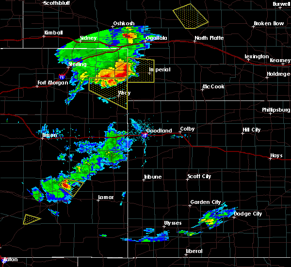 At 708 pm mdt, a severe thunderstorm was located over lamar, or 17 miles east of holyoke, moving east at 35 mph (radar indicated). Hazards include 70 mph wind gusts and quarter size hail. Hail damage to vehicles is expected. expect considerable tree damage. wind damage is also likely to mobile homes, roofs, and outbuildings. locations impacted include, imperial, venango, lamar, champion, enders reservoir state recreation area, crete, chase, wanamaker state wildfire management area and church grove campground. This includes highway 61 between mile markers 41 and 57. At 708 pm mdt, a severe thunderstorm was located over lamar, or 17 miles east of holyoke, moving east at 35 mph (radar indicated). Hazards include 70 mph wind gusts and quarter size hail. Hail damage to vehicles is expected. expect considerable tree damage. wind damage is also likely to mobile homes, roofs, and outbuildings. locations impacted include, imperial, venango, lamar, champion, enders reservoir state recreation area, crete, chase, wanamaker state wildfire management area and church grove campground. This includes highway 61 between mile markers 41 and 57.
|
| 7/19/2020 6:47 PM MDT |
 At 647 pm mdt, a severe thunderstorm was located over pleasant valley, or 7 miles east of holyoke, moving east at 40 mph (radar indicated). Hazards include 70 mph wind gusts and quarter size hail. Hail damage to vehicles is expected. expect considerable tree damage. Wind damage is also likely to mobile homes, roofs, and outbuildings. At 647 pm mdt, a severe thunderstorm was located over pleasant valley, or 7 miles east of holyoke, moving east at 40 mph (radar indicated). Hazards include 70 mph wind gusts and quarter size hail. Hail damage to vehicles is expected. expect considerable tree damage. Wind damage is also likely to mobile homes, roofs, and outbuildings.
|
| 7/16/2020 7:16 PM MDT |
 At 716 pm mdt, a severe thunderstorm was located near venango, or 14 miles west of grant, moving northeast at 20 mph (radar indicated). Hazards include 60 mph wind gusts and quarter size hail. Hail damage to vehicles is expected. expect wind damage to roofs, siding, and trees. this severe storm will be near, grant around 755 pm mdt. other locations impacted by this severe thunderstorm include brandon and wild horse spring. This includes highway 61 between mile markers 54 and 63, and between mile markers 68 and 76. At 716 pm mdt, a severe thunderstorm was located near venango, or 14 miles west of grant, moving northeast at 20 mph (radar indicated). Hazards include 60 mph wind gusts and quarter size hail. Hail damage to vehicles is expected. expect wind damage to roofs, siding, and trees. this severe storm will be near, grant around 755 pm mdt. other locations impacted by this severe thunderstorm include brandon and wild horse spring. This includes highway 61 between mile markers 54 and 63, and between mile markers 68 and 76.
|
| 7/16/2020 6:59 PM MDT |
 At 658 pm mdt, a severe thunderstorm was located near venango, or 15 miles southeast of julesburg, moving northeast at 30 mph (radar indicated). Hazards include 60 mph wind gusts and half dollar size hail. Hail damage to vehicles is expected. expect wind damage to roofs, siding, and trees. this severe thunderstorm will be near, venango around 705 pm mdt. grant around 740 pm mdt. other locations impacted by this severe thunderstorm include brandon and wild horse spring. This includes highway 61 between mile markers 54 and 63, and between mile markers 68 and 76. At 658 pm mdt, a severe thunderstorm was located near venango, or 15 miles southeast of julesburg, moving northeast at 30 mph (radar indicated). Hazards include 60 mph wind gusts and half dollar size hail. Hail damage to vehicles is expected. expect wind damage to roofs, siding, and trees. this severe thunderstorm will be near, venango around 705 pm mdt. grant around 740 pm mdt. other locations impacted by this severe thunderstorm include brandon and wild horse spring. This includes highway 61 between mile markers 54 and 63, and between mile markers 68 and 76.
|
| 7/8/2020 7:06 PM MDT |
 The severe thunderstorm warning for perkins, south central keith and northwestern chase counties will expire at 715 pm mdt, the storms which prompted the warning have weakened below severe limits, and no longer pose an immediate threat to life or property. therefore, the warning will be allowed to expire. however gusty winds are still possible with these thunderstorms. a severe thunderstorm watch remains in effect until 1000 pm mdt for southwestern nebraska. The severe thunderstorm warning for perkins, south central keith and northwestern chase counties will expire at 715 pm mdt, the storms which prompted the warning have weakened below severe limits, and no longer pose an immediate threat to life or property. therefore, the warning will be allowed to expire. however gusty winds are still possible with these thunderstorms. a severe thunderstorm watch remains in effect until 1000 pm mdt for southwestern nebraska.
|
| 7/8/2020 6:54 PM MDT |
 At 654 pm mdt, severe thunderstorms were located along a line extending from 8 miles north of grant to 8 miles northeast of lamar, moving east at 30 mph (radar indicated). Hazards include 60 mph wind gusts. Expect damage to roofs, siding, and trees. locations impacted include, grant, madrid, venango, brandon and wild horse spring. This includes highway 61 between mile markers 51 and 79. At 654 pm mdt, severe thunderstorms were located along a line extending from 8 miles north of grant to 8 miles northeast of lamar, moving east at 30 mph (radar indicated). Hazards include 60 mph wind gusts. Expect damage to roofs, siding, and trees. locations impacted include, grant, madrid, venango, brandon and wild horse spring. This includes highway 61 between mile markers 51 and 79.
|
| 7/8/2020 6:37 PM MDT |
 The tornado warning for southwestern perkins county will expire at 645 pm mdt, the tornadic thunderstorm which prompted the warning has been replaced with a severe thunderstorm warning. a severe thunderstorm watch remains in effect until 1000 pm mdt for southwestern nebraska. The tornado warning for southwestern perkins county will expire at 645 pm mdt, the tornadic thunderstorm which prompted the warning has been replaced with a severe thunderstorm warning. a severe thunderstorm watch remains in effect until 1000 pm mdt for southwestern nebraska.
|
| 7/8/2020 6:33 PM MDT |
 At 633 pm mdt, severe thunderstorms were located along a line extending from 7 miles south of brule to near venango, moving east at 15 mph (radar indicated). Hazards include 60 mph wind gusts and quarter size hail. Hail damage to vehicles is expected. Expect wind damage to roofs, siding, and trees. At 633 pm mdt, severe thunderstorms were located along a line extending from 7 miles south of brule to near venango, moving east at 15 mph (radar indicated). Hazards include 60 mph wind gusts and quarter size hail. Hail damage to vehicles is expected. Expect wind damage to roofs, siding, and trees.
|
| 7/8/2020 6:15 PM MDT |
 At 612 pm mdt, a line of thunderstorms capable of producing landspout type tornadoes was located along a line from near venango to grant. remain vigilant for development of these landspout type tornadoes (radar indicated rotation). Hazards include landspout type tornado. Flying debris will be dangerous to those caught without shelter. mobile homes will be damaged or destroyed. damage to roofs, windows, and vehicles will occur. tree damage is likely. this dangerous storm will be near, grant around 655 pm mdt. other locations impacted by this tornadic thunderstorm include brandon. This includes highway 61 between mile markers 57 and 71. At 612 pm mdt, a line of thunderstorms capable of producing landspout type tornadoes was located along a line from near venango to grant. remain vigilant for development of these landspout type tornadoes (radar indicated rotation). Hazards include landspout type tornado. Flying debris will be dangerous to those caught without shelter. mobile homes will be damaged or destroyed. damage to roofs, windows, and vehicles will occur. tree damage is likely. this dangerous storm will be near, grant around 655 pm mdt. other locations impacted by this tornadic thunderstorm include brandon. This includes highway 61 between mile markers 57 and 71.
|
| 7/8/2020 6:00 PM MDT |
 At 558 pm mdt, a line of thunderstorm capable of producing landspouts tornadoes was located along a long from near venango to near grant. the storms are nearly stationary (radar indicated rotation). Hazards include tornado. Flying debris will be dangerous to those caught without shelter. mobile homes will be damaged or destroyed. damage to roofs, windows, and vehicles will occur. tree damage is likely. this dangerous storm will be near, grant around 645 pm mdt. other locations impacted by this tornadic thunderstorm include brandon. This includes highway 61 between mile markers 57 and 71. At 558 pm mdt, a line of thunderstorm capable of producing landspouts tornadoes was located along a long from near venango to near grant. the storms are nearly stationary (radar indicated rotation). Hazards include tornado. Flying debris will be dangerous to those caught without shelter. mobile homes will be damaged or destroyed. damage to roofs, windows, and vehicles will occur. tree damage is likely. this dangerous storm will be near, grant around 645 pm mdt. other locations impacted by this tornadic thunderstorm include brandon. This includes highway 61 between mile markers 57 and 71.
|
| 6/6/2020 6:19 PM MDT |
 At 618 pm mdt, severe thunderstorms were located along a line extending from 13 miles south of antioch to 9 miles west of oshkosh to near ovid, moving east at 60 mph (radar indicated). Hazards include 70 mph wind gusts. Expect considerable tree damage. damage is likely to mobile homes, roofs, and outbuildings. locations impacted include, chappell, oshkosh, big springs, brule, lewellen, venango, lisco, barton, crescent lake national wildlife refuge, dogtown flats, deer lake, britton lake, megeath, richardson lake, miles lake, mumper, mount vernon, herman lake, adams flats and sugar loaf hill. this includes the following highways, highway 2 between mile markers 123 and 130. highway 92 between mile markers 115 and 126. Interstate 80 in nebraska between mile markers 78 and 119. At 618 pm mdt, severe thunderstorms were located along a line extending from 13 miles south of antioch to 9 miles west of oshkosh to near ovid, moving east at 60 mph (radar indicated). Hazards include 70 mph wind gusts. Expect considerable tree damage. damage is likely to mobile homes, roofs, and outbuildings. locations impacted include, chappell, oshkosh, big springs, brule, lewellen, venango, lisco, barton, crescent lake national wildlife refuge, dogtown flats, deer lake, britton lake, megeath, richardson lake, miles lake, mumper, mount vernon, herman lake, adams flats and sugar loaf hill. this includes the following highways, highway 2 between mile markers 123 and 130. highway 92 between mile markers 115 and 126. Interstate 80 in nebraska between mile markers 78 and 119.
|
| 6/6/2020 5:57 PM MDT |
 At 555 pm mdt, severe thunderstorms were located along a line extending from near the intersection of highway 385 and 92 to near colton to near crook, moving northeast at 60 mph (radar indicated). Hazards include 70 mph wind gusts. Expect considerable tree damage. Damage is likely to mobile homes, roofs, and outbuildings. At 555 pm mdt, severe thunderstorms were located along a line extending from near the intersection of highway 385 and 92 to near colton to near crook, moving northeast at 60 mph (radar indicated). Hazards include 70 mph wind gusts. Expect considerable tree damage. Damage is likely to mobile homes, roofs, and outbuildings.
|
| 9/11/2019 8:09 PM MDT | Golf Ball sized hail reported 0.2 miles NNW of Venango, NE |
| 9/11/2019 6:10 PM MDT |
 At 610 pm mdt, a severe thunderstorm was located 11 miles south of brule, or 12 miles southeast of big springs, moving north at 35 mph (radar indicated). Hazards include golf ball size hail. People and animals outdoors will be injured. expect damage to roofs, siding, windows, and vehicles. locations impacted include, grant, brule, venango, brandon, wild horse spring and megeath. this includes the following highways, highway 61 between mile markers 68 and 86. Interstate 80 in nebraska between mile markers 109 and 125. At 610 pm mdt, a severe thunderstorm was located 11 miles south of brule, or 12 miles southeast of big springs, moving north at 35 mph (radar indicated). Hazards include golf ball size hail. People and animals outdoors will be injured. expect damage to roofs, siding, windows, and vehicles. locations impacted include, grant, brule, venango, brandon, wild horse spring and megeath. this includes the following highways, highway 61 between mile markers 68 and 86. Interstate 80 in nebraska between mile markers 109 and 125.
|
| 9/11/2019 5:53 PM MDT |
 At 553 pm mdt, a severe thunderstorm was located over venango, or 15 miles west of grant, moving northeast at 45 mph (radar indicated). Hazards include golf ball size hail. People and animals outdoors will be injured. Expect damage to roofs, siding, windows, and vehicles. At 553 pm mdt, a severe thunderstorm was located over venango, or 15 miles west of grant, moving northeast at 45 mph (radar indicated). Hazards include golf ball size hail. People and animals outdoors will be injured. Expect damage to roofs, siding, windows, and vehicles.
|
| 7/7/2019 12:50 AM MDT |
 At 149 am cdt/1249 am mdt/, severe thunderstorms were located along a line extending from 11 miles north of sutherland to near elsie to 11 miles south of grant, moving southeast at 40 mph (radar indicated). Hazards include 60 mph wind gusts and penny size hail. Expect damage to roofs, siding, and trees. locations impacted include, imperial, grant, sutherland, hershey, paxton, wallace, madrid, venango, elsie, lamar, dickens, sarben, sutherland reservoir state recreation area, chase, o`fallons, wanamaker state wildfire management area, somerset, grainton, brandon and coker. this includes the following highways, highway 61 between mile markers 41 and 75. highway 97 between mile markers 5 and 9. Interstate 80 in nebraska between mile markers 134 and 174. At 149 am cdt/1249 am mdt/, severe thunderstorms were located along a line extending from 11 miles north of sutherland to near elsie to 11 miles south of grant, moving southeast at 40 mph (radar indicated). Hazards include 60 mph wind gusts and penny size hail. Expect damage to roofs, siding, and trees. locations impacted include, imperial, grant, sutherland, hershey, paxton, wallace, madrid, venango, elsie, lamar, dickens, sarben, sutherland reservoir state recreation area, chase, o`fallons, wanamaker state wildfire management area, somerset, grainton, brandon and coker. this includes the following highways, highway 61 between mile markers 41 and 75. highway 97 between mile markers 5 and 9. Interstate 80 in nebraska between mile markers 134 and 174.
|
| 7/7/2019 12:22 AM MDT |
 At 121 am cdt/1221 am mdt/, severe thunderstorms were located along a line extending from 14 miles north of keystone to 6 miles north of madrid to near venango, moving east at 40 mph (radar indicated). Hazards include 60 mph wind gusts and penny size hail. expect damage to roofs, siding, and trees At 121 am cdt/1221 am mdt/, severe thunderstorms were located along a line extending from 14 miles north of keystone to 6 miles north of madrid to near venango, moving east at 40 mph (radar indicated). Hazards include 60 mph wind gusts and penny size hail. expect damage to roofs, siding, and trees
|
| 7/7/2019 12:06 AM MDT |
 At 106 am cdt/1206 am mdt/, severe thunderstorms were located along a line extending from 7 miles south of arthur to 6 miles south of ogallala to near venango, moving southeast at 40 mph (radar indicated). Hazards include 70 mph wind gusts and penny size hail. Expect considerable tree damage. damage is likely to mobile homes, roofs, and outbuildings. locations impacted include, ogallala, grant, brule, venango, lemoyne, keystone, roscoe, kingsley dam, brandon, nevens, megeath, broganville, mckeag, otter creek campground, lake view campground, big bald hill, wild horse spring and belmar. this includes the following highways, highway 61 between mile markers 58 and 117. highway 92 between mile markers 126 and 138. Interstate 80 in nebraska between mile markers 106 and 144. At 106 am cdt/1206 am mdt/, severe thunderstorms were located along a line extending from 7 miles south of arthur to 6 miles south of ogallala to near venango, moving southeast at 40 mph (radar indicated). Hazards include 70 mph wind gusts and penny size hail. Expect considerable tree damage. damage is likely to mobile homes, roofs, and outbuildings. locations impacted include, ogallala, grant, brule, venango, lemoyne, keystone, roscoe, kingsley dam, brandon, nevens, megeath, broganville, mckeag, otter creek campground, lake view campground, big bald hill, wild horse spring and belmar. this includes the following highways, highway 61 between mile markers 58 and 117. highway 92 between mile markers 126 and 138. Interstate 80 in nebraska between mile markers 106 and 144.
|
| 7/6/2019 11:44 PM MDT |
 At 1243 am cdt/1143 pm mdt/, severe thunderstorms were located along a line extending from 11 miles southwest of arthur to 7 miles northwest of brule to 7 miles northwest of sixteen-mile corner, moving southeast at 30 mph (radar indicated). Hazards include 60 mph wind gusts and penny size hail. expect damage to roofs, siding, and trees At 1243 am cdt/1143 pm mdt/, severe thunderstorms were located along a line extending from 11 miles southwest of arthur to 7 miles northwest of brule to 7 miles northwest of sixteen-mile corner, moving southeast at 30 mph (radar indicated). Hazards include 60 mph wind gusts and penny size hail. expect damage to roofs, siding, and trees
|
| 7/6/2019 1:11 AM MDT |
 The severe thunderstorm warning for perkins, southeastern keith and northwestern lincoln counties will expire at 215 am cdt/115 am mdt/, the storms which prompted the warning have moved out of the area. therefore, the warning will be allowed to expire. however gusty winds and heavy rain are still possible with these thunderstorms. a severe thunderstorm watch remains in effect until 400 am cdt/300 am mdt/ for southwestern nebraska. The severe thunderstorm warning for perkins, southeastern keith and northwestern lincoln counties will expire at 215 am cdt/115 am mdt/, the storms which prompted the warning have moved out of the area. therefore, the warning will be allowed to expire. however gusty winds and heavy rain are still possible with these thunderstorms. a severe thunderstorm watch remains in effect until 400 am cdt/300 am mdt/ for southwestern nebraska.
|
| 7/6/2019 12:47 AM MDT |
 At 146 am cdt/1246 am mdt/, severe thunderstorms were located along a line extending from 12 miles north of sarben to 8 miles southwest of paxton to 7 miles southwest of grant, moving southeast at 30 mph (radar indicated). Hazards include 60 mph wind gusts. Expect damage to roofs, siding, and trees. locations impacted include, ogallala, grant, sutherland, paxton, madrid, venango, elsie, sarben, keystone, sutherland reservoir, roscoe, kingsley dam, grainton, brandon, coker, o`fallons, nevens, broganville, big bald hill and wild horse spring. this includes the following highways, highway 61 between mile markers 56 and 99. Interstate 80 in nebraska between mile markers 117 and 161. At 146 am cdt/1246 am mdt/, severe thunderstorms were located along a line extending from 12 miles north of sarben to 8 miles southwest of paxton to 7 miles southwest of grant, moving southeast at 30 mph (radar indicated). Hazards include 60 mph wind gusts. Expect damage to roofs, siding, and trees. locations impacted include, ogallala, grant, sutherland, paxton, madrid, venango, elsie, sarben, keystone, sutherland reservoir, roscoe, kingsley dam, grainton, brandon, coker, o`fallons, nevens, broganville, big bald hill and wild horse spring. this includes the following highways, highway 61 between mile markers 56 and 99. Interstate 80 in nebraska between mile markers 117 and 161.
|
| 7/6/2019 12:20 AM MDT |
 At 120 am cdt/1220 am mdt/, severe thunderstorms were located along a line extending from 13 miles southeast of arthur to 9 miles south of brule, moving southeast at 20 mph (radar indicated). Hazards include 60 mph wind gusts. expect damage to roofs, siding, and trees At 120 am cdt/1220 am mdt/, severe thunderstorms were located along a line extending from 13 miles southeast of arthur to 9 miles south of brule, moving southeast at 20 mph (radar indicated). Hazards include 60 mph wind gusts. expect damage to roofs, siding, and trees
|
| 4/28/2019 3:48 PM MDT |
 At 348 pm mdt, a severe thunderstorm was located near venango, or 16 miles southwest of grant, moving east at 30 mph (radar indicated). Hazards include 60 mph wind gusts and penny size hail. expect damage to roofs, siding, and trees At 348 pm mdt, a severe thunderstorm was located near venango, or 16 miles southwest of grant, moving east at 30 mph (radar indicated). Hazards include 60 mph wind gusts and penny size hail. expect damage to roofs, siding, and trees
|
| 7/28/2018 8:49 PM MDT |
 At 848 pm mdt, a severe thunderstorm was located over lamar, or 17 miles east of holyoke, moving southeast at 40 mph. this is a very dangerous storm (radar indicated). Hazards include 80 mph wind gusts and baseball size hail. Flying debris will be dangerous to those caught without shelter. mobile homes will be heavily damaged. expect considerable damage to roofs, windows, and vehicles. extensive tree damage and power outages are likely. Locations impacted include, imperial, venango, lamar, champion, crete, chase and wanamaker state wildfire management area. At 848 pm mdt, a severe thunderstorm was located over lamar, or 17 miles east of holyoke, moving southeast at 40 mph. this is a very dangerous storm (radar indicated). Hazards include 80 mph wind gusts and baseball size hail. Flying debris will be dangerous to those caught without shelter. mobile homes will be heavily damaged. expect considerable damage to roofs, windows, and vehicles. extensive tree damage and power outages are likely. Locations impacted include, imperial, venango, lamar, champion, crete, chase and wanamaker state wildfire management area.
|
| 7/28/2018 8:32 PM MDT | Baseball sized hail reported 0.9 miles N of Venango, NE |
| 7/28/2018 8:31 PM MDT |
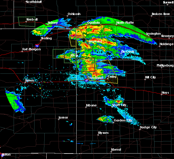 At 830 pm mdt, a severe thunderstorm was located over venango, or 16 miles southwest of grant, moving southeast at 35 mph. this is a very dangerous storm (radar indicated). Hazards include 80 mph wind gusts and baseball size hail. Flying debris will be dangerous to those caught without shelter. mobile homes will be heavily damaged. expect considerable damage to roofs, windows, and vehicles. Extensive tree damage and power outages are likely. At 830 pm mdt, a severe thunderstorm was located over venango, or 16 miles southwest of grant, moving southeast at 35 mph. this is a very dangerous storm (radar indicated). Hazards include 80 mph wind gusts and baseball size hail. Flying debris will be dangerous to those caught without shelter. mobile homes will be heavily damaged. expect considerable damage to roofs, windows, and vehicles. Extensive tree damage and power outages are likely.
|
| 7/28/2018 8:17 PM MDT |
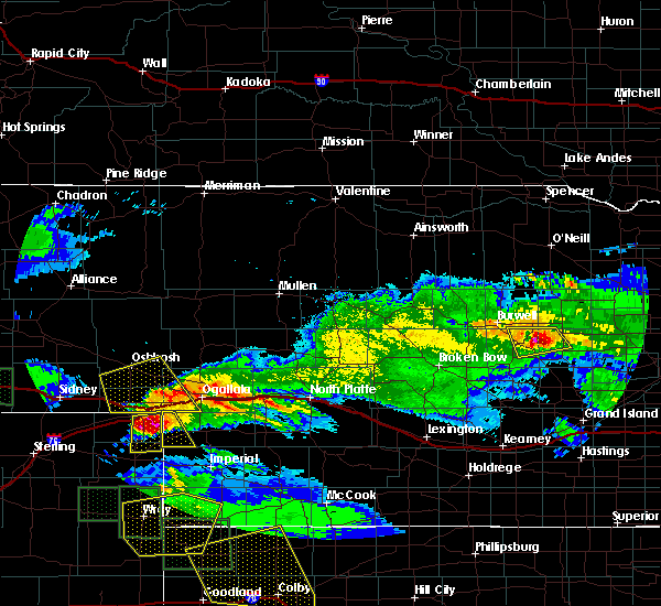 At 758 pm mdt, a severe thunderstorm was located over barton, or near big springs, moving south at 40 mph. this is a very dangerous storm (radar indicated). Hazards include 80 mph wind gusts and baseball size hail. Flying debris will be dangerous to those caught without shelter. mobile homes will be heavily damaged. expect considerable damage to roofs, windows, and vehicles. Extensive tree damage and power outages are likely. At 758 pm mdt, a severe thunderstorm was located over barton, or near big springs, moving south at 40 mph. this is a very dangerous storm (radar indicated). Hazards include 80 mph wind gusts and baseball size hail. Flying debris will be dangerous to those caught without shelter. mobile homes will be heavily damaged. expect considerable damage to roofs, windows, and vehicles. Extensive tree damage and power outages are likely.
|
| 7/28/2018 7:59 PM MDT |
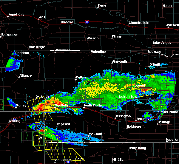 At 758 pm mdt, a severe thunderstorm was located over barton, or near big springs, moving south at 40 mph. this is a very dangerous storm (radar indicated). Hazards include 80 mph wind gusts and baseball size hail. Flying debris will be dangerous to those caught without shelter. mobile homes will be heavily damaged. expect considerable damage to roofs, windows, and vehicles. Extensive tree damage and power outages are likely. At 758 pm mdt, a severe thunderstorm was located over barton, or near big springs, moving south at 40 mph. this is a very dangerous storm (radar indicated). Hazards include 80 mph wind gusts and baseball size hail. Flying debris will be dangerous to those caught without shelter. mobile homes will be heavily damaged. expect considerable damage to roofs, windows, and vehicles. Extensive tree damage and power outages are likely.
|
| 6/23/2018 9:37 PM MDT |
 At 1037 pm cdt/937 pm mdt/, severe thunderstorms were located along a line extending from 14 miles north of sarben to 10 miles southeast of roscoe to near venango, moving east at 30 mph (radar indicated). Hazards include 60 mph wind gusts and penny size hail. Expect damage to roofs, siding, and trees. locations impacted include, ogallala, grant, paxton, madrid, venango, elsie, sarben, keystone, roscoe, kingsley dam, brandon, nevens, broganville, big bald hill and wild horse spring. this includes the following highways, highway 61 between mile markers 56 and 86, and between mile markers 91 and 96. Interstate 80 in nebraska between mile markers 126 and 155. At 1037 pm cdt/937 pm mdt/, severe thunderstorms were located along a line extending from 14 miles north of sarben to 10 miles southeast of roscoe to near venango, moving east at 30 mph (radar indicated). Hazards include 60 mph wind gusts and penny size hail. Expect damage to roofs, siding, and trees. locations impacted include, ogallala, grant, paxton, madrid, venango, elsie, sarben, keystone, roscoe, kingsley dam, brandon, nevens, broganville, big bald hill and wild horse spring. this includes the following highways, highway 61 between mile markers 56 and 86, and between mile markers 91 and 96. Interstate 80 in nebraska between mile markers 126 and 155.
|
| 6/23/2018 9:14 PM MDT |
 At 1014 pm cdt/914 pm mdt/, severe thunderstorms were located along a line extending from 10 miles north of keystone to near ogallala to 9 miles north of venango, moving east at 30 mph (radar indicated). Hazards include 60 mph wind gusts and penny size hail. expect damage to roofs, siding, and trees At 1014 pm cdt/914 pm mdt/, severe thunderstorms were located along a line extending from 10 miles north of keystone to near ogallala to 9 miles north of venango, moving east at 30 mph (radar indicated). Hazards include 60 mph wind gusts and penny size hail. expect damage to roofs, siding, and trees
|
| 5/27/2018 6:07 PM MDT |
 At 607 pm mdt, a severe thunderstorm was located 9 miles east of venango, or 10 miles southwest of grant, moving north at 50 mph (radar indicated). Hazards include 60 mph wind gusts and quarter size hail. Hail damage to vehicles is expected. Expect wind damage to roofs, siding, and trees. At 607 pm mdt, a severe thunderstorm was located 9 miles east of venango, or 10 miles southwest of grant, moving north at 50 mph (radar indicated). Hazards include 60 mph wind gusts and quarter size hail. Hail damage to vehicles is expected. Expect wind damage to roofs, siding, and trees.
|
| 5/27/2018 3:46 PM MDT |
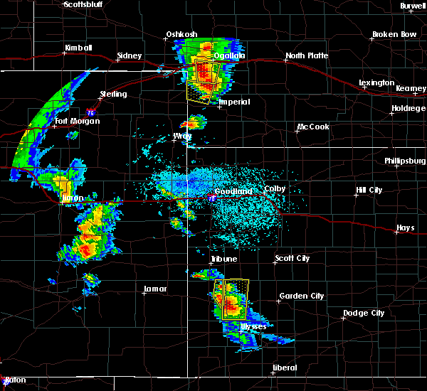 At 346 pm mdt, a severe thunderstorm was located near grant, moving north at 30 mph (radar indicated). Hazards include 60 mph wind gusts and quarter size hail. Hail damage to vehicles is expected. Expect wind damage to roofs, siding, and trees. At 346 pm mdt, a severe thunderstorm was located near grant, moving north at 30 mph (radar indicated). Hazards include 60 mph wind gusts and quarter size hail. Hail damage to vehicles is expected. Expect wind damage to roofs, siding, and trees.
|
| 5/27/2018 3:35 PM MDT | Quarter sized hail reported 3.7 miles SW of Venango, NE |
| 5/27/2018 3:26 PM MDT |
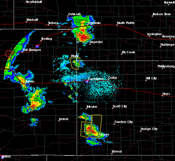 At 326 pm mdt, a severe thunderstorm was located 8 miles southwest of grant, moving northeast at 45 mph (radar indicated). Hazards include ping pong ball size hail and 60 mph wind gusts. People and animals outdoors will be injured. expect hail damage to roofs, siding, windows, and vehicles. expect wind damage to roofs, siding, and trees. Locations impacted include, venango and brandon. At 326 pm mdt, a severe thunderstorm was located 8 miles southwest of grant, moving northeast at 45 mph (radar indicated). Hazards include ping pong ball size hail and 60 mph wind gusts. People and animals outdoors will be injured. expect hail damage to roofs, siding, windows, and vehicles. expect wind damage to roofs, siding, and trees. Locations impacted include, venango and brandon.
|
| 5/27/2018 3:03 PM MDT |
 The national weather service in north platte has issued a * severe thunderstorm warning for. southwestern perkins county in southwestern nebraska. northwestern chase county in southwestern nebraska. until 345 pm mdt. At 303 pm mdt, a severe thunderstorm was located over lamar, or 16. The national weather service in north platte has issued a * severe thunderstorm warning for. southwestern perkins county in southwestern nebraska. northwestern chase county in southwestern nebraska. until 345 pm mdt. At 303 pm mdt, a severe thunderstorm was located over lamar, or 16.
|
| 7/18/2017 6:01 PM MDT |
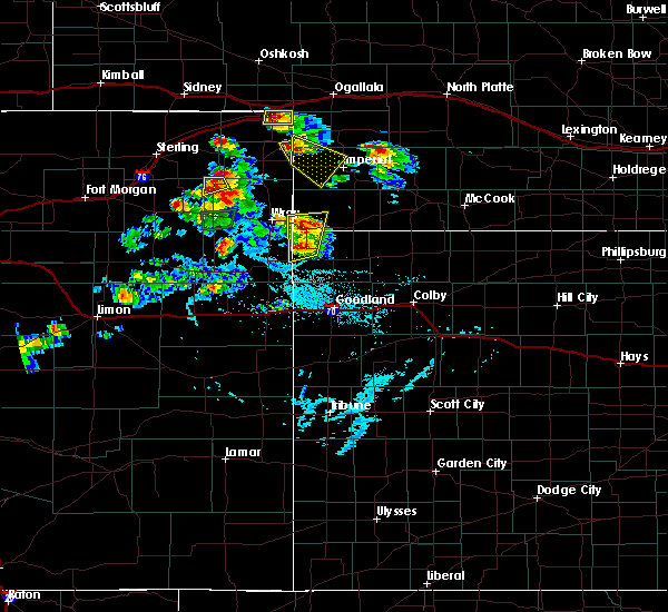 At 601 pm mdt, a severe thunderstorm was located near venango, or 15 miles northeast of holyoke, moving southeast at 25 mph (radar indicated). Hazards include 60 mph wind gusts and quarter size hail. Hail damage to vehicles is expected. Expect wind damage to roofs, siding, and trees. At 601 pm mdt, a severe thunderstorm was located near venango, or 15 miles northeast of holyoke, moving southeast at 25 mph (radar indicated). Hazards include 60 mph wind gusts and quarter size hail. Hail damage to vehicles is expected. Expect wind damage to roofs, siding, and trees.
|
| 5/16/2017 5:37 PM MDT |
 At 536 pm mdt, a severe thunderstorm was located over venango, or 15 miles west of grant, moving northeast at 15 mph (radar indicated). Hazards include 60 mph wind gusts and penny size hail. Expect damage to roofs, siding, and trees. Locations impacted include, venango and brandon. At 536 pm mdt, a severe thunderstorm was located over venango, or 15 miles west of grant, moving northeast at 15 mph (radar indicated). Hazards include 60 mph wind gusts and penny size hail. Expect damage to roofs, siding, and trees. Locations impacted include, venango and brandon.
|
| 5/16/2017 5:13 PM MDT |
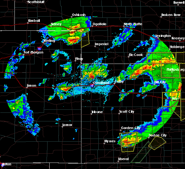 At 512 pm mdt, a severe thunderstorm was located near venango, or 14 miles northeast of holyoke, moving northeast at 15 mph (radar indicated). Hazards include 60 mph wind gusts and quarter size hail. Hail damage to vehicles is expected. Expect wind damage to roofs, siding, and trees. At 512 pm mdt, a severe thunderstorm was located near venango, or 14 miles northeast of holyoke, moving northeast at 15 mph (radar indicated). Hazards include 60 mph wind gusts and quarter size hail. Hail damage to vehicles is expected. Expect wind damage to roofs, siding, and trees.
|
| 9/4/2016 4:44 PM MDT |
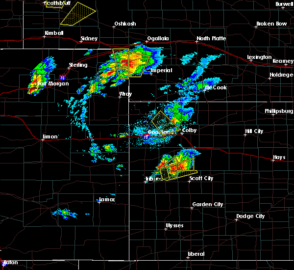 At 444 pm mdt, a severe thunderstorm was located over venango, or 17 miles west of grant, moving north at 45 mph (radar indicated). Hazards include 60 mph wind gusts and quarter size hail. Hail damage to vehicles is expected. expect wind damage to roofs, siding, and trees. Locations impacted include, venango and brandon. At 444 pm mdt, a severe thunderstorm was located over venango, or 17 miles west of grant, moving north at 45 mph (radar indicated). Hazards include 60 mph wind gusts and quarter size hail. Hail damage to vehicles is expected. expect wind damage to roofs, siding, and trees. Locations impacted include, venango and brandon.
|
| 9/4/2016 4:25 PM MDT |
 At 425 pm mdt, a severe thunderstorm was located near lamar, or 14 miles east of holyoke, moving north at 40 mph (radar indicated). Hazards include ping pong ball size hail and 60 mph wind gusts. People and animals outdoors will be injured. expect hail damage to roofs, siding, windows, and vehicles. Expect wind damage to roofs, siding, and trees. At 425 pm mdt, a severe thunderstorm was located near lamar, or 14 miles east of holyoke, moving north at 40 mph (radar indicated). Hazards include ping pong ball size hail and 60 mph wind gusts. People and animals outdoors will be injured. expect hail damage to roofs, siding, windows, and vehicles. Expect wind damage to roofs, siding, and trees.
|
| 6/28/2016 8:27 PM MDT |
 At 927 pm cdt/827 pm mdt/, severe thunderstorms were located along a line extending from 6 miles northwest of sutherland to near venango, moving southeast at 75 mph (radar indicated). Hazards include 60 mph wind gusts and nickel size hail. Expect damage to roofs. siding. And trees. At 927 pm cdt/827 pm mdt/, severe thunderstorms were located along a line extending from 6 miles northwest of sutherland to near venango, moving southeast at 75 mph (radar indicated). Hazards include 60 mph wind gusts and nickel size hail. Expect damage to roofs. siding. And trees.
|
| 6/27/2016 5:15 PM MDT | Golf Ball sized hail reported 0.2 miles NNW of Venango, NE |
| 6/27/2016 5:15 PM MDT | Ping Pong Ball sized hail reported 2.3 miles N of Venango, NE, ground is covered in ping pong size hail. skylight in the residents house was knocked out. wheat fields have been severely...if not completely wiped out. |
| 6/27/2016 5:15 PM MDT | In addition to estimated 60 mph winds...wind driven ping pong size hai in perkins county NE, 2.3 miles N of Venango, NE |
| 6/27/2016 5:15 PM MDT | Hen Egg sized hail reported 0.2 miles NNW of Venango, NE, ground covered...relayed via social media |
| 6/27/2016 5:14 PM MDT |
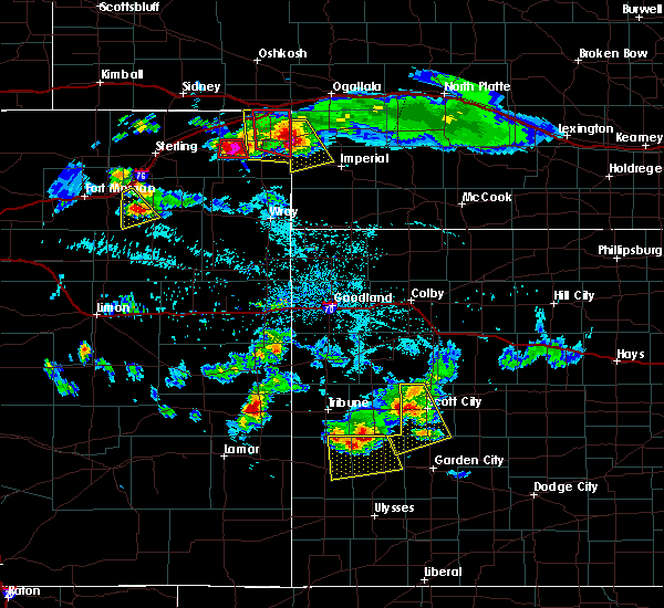 At 513 pm mdt, a severe thunderstorm was located near venango, or 16 miles northeast of holyoke, moving southeast at 40 mph (radar indicated). Hazards include two inch hail and 60 mph wind gusts. People and animals outdoors will be injured. expect hail damage to roofs, siding, windows, and vehicles. expect wind damage to roofs, siding, and trees. Locations impacted include, venango, lamar, chase and brandon. At 513 pm mdt, a severe thunderstorm was located near venango, or 16 miles northeast of holyoke, moving southeast at 40 mph (radar indicated). Hazards include two inch hail and 60 mph wind gusts. People and animals outdoors will be injured. expect hail damage to roofs, siding, windows, and vehicles. expect wind damage to roofs, siding, and trees. Locations impacted include, venango, lamar, chase and brandon.
|
| 6/27/2016 4:44 PM MDT |
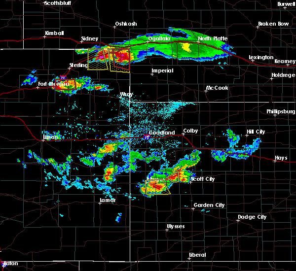 At 443 pm mdt, a severe thunderstorm was located near venango, or 14 miles southeast of julesburg, moving southeast at 25 mph (radar indicated). Hazards include golf ball size hail and 60 mph wind gusts. People and animals outdoors will be injured. expect hail damage to roofs, siding, windows, and vehicles. Expect wind damage to roofs, siding, and trees. At 443 pm mdt, a severe thunderstorm was located near venango, or 14 miles southeast of julesburg, moving southeast at 25 mph (radar indicated). Hazards include golf ball size hail and 60 mph wind gusts. People and animals outdoors will be injured. expect hail damage to roofs, siding, windows, and vehicles. Expect wind damage to roofs, siding, and trees.
|
| 9/7/2015 6:25 PM MDT |
 The severe thunderstorm warning for southeastern keith, northwestern chase and perkins counties will expire at 630 pm mdt, the storms which prompted the warning have weakened below severe limits, and no longer pose an immediate threat to life or property. therefore the warning will be allowed to expire. however gusty winds are still possible with these thunderstorms. a severe thunderstorm watch remains in effect until midnight mdt for southwestern nebraska. to report severe weather, contact your nearest law enforcement agency. they will relay your report to the national weather service north platte. The severe thunderstorm warning for southeastern keith, northwestern chase and perkins counties will expire at 630 pm mdt, the storms which prompted the warning have weakened below severe limits, and no longer pose an immediate threat to life or property. therefore the warning will be allowed to expire. however gusty winds are still possible with these thunderstorms. a severe thunderstorm watch remains in effect until midnight mdt for southwestern nebraska. to report severe weather, contact your nearest law enforcement agency. they will relay your report to the national weather service north platte.
|
| 9/7/2015 6:10 PM MDT |
 At 610 pm mdt, severe thunderstorms were located along a line extending from 8 miles south of roscoe to near lamar, moving east at 35 mph (radar indicated). Hazards include 60 mph wind gusts and quarter size hail. Hail damage to vehicles is expected. expect wind damage to roofs, siding and trees. this includes the following highways, highway 61 between mile markers 52 and 86. interstate 80 in nebraska between mile markers 120 and 124, and between mile markers 138 and 145. Locations impacted include, lamar, chase, grant, crete, brandon, madrid, venango and wild horse spring. At 610 pm mdt, severe thunderstorms were located along a line extending from 8 miles south of roscoe to near lamar, moving east at 35 mph (radar indicated). Hazards include 60 mph wind gusts and quarter size hail. Hail damage to vehicles is expected. expect wind damage to roofs, siding and trees. this includes the following highways, highway 61 between mile markers 52 and 86. interstate 80 in nebraska between mile markers 120 and 124, and between mile markers 138 and 145. Locations impacted include, lamar, chase, grant, crete, brandon, madrid, venango and wild horse spring.
|
| 9/7/2015 5:48 PM MDT |
 At 547 pm mdt, severe thunderstorms were located along a line extending from near brule to near pleasant valley, moving east at 35 mph (radar indicated). Hazards include 60 mph wind gusts and quarter size hail. Hail damage to vehicles is expected. Expect wind damage to roofs, siding and trees. At 547 pm mdt, severe thunderstorms were located along a line extending from near brule to near pleasant valley, moving east at 35 mph (radar indicated). Hazards include 60 mph wind gusts and quarter size hail. Hail damage to vehicles is expected. Expect wind damage to roofs, siding and trees.
|
| 8/7/2015 8:28 PM MDT | The severe thunderstorm warning for chase and western perkins counties will expire at 830 pm mdt, the storms which prompted the warning have moved out of the area. therefore the warning will be allowed to expire. however gusty winds and heavy rain are still possible with these thunderstorms. a severe thunderstorm watch remains in effect until 1100 pm mdt for southwestern nebraska. remember, a severe thunderstorm warning still remains in effect for eastern chase county. |
| 8/7/2015 8:10 PM MDT |
 At 809 pm mdt, severe thunderstorms were located along a line extending from near grant to 6 miles southwest of champion, moving east at 35 mph (radar indicated). Hazards include 60 mph wind gusts and penny size hail. Expect damage to roofs. siding and trees. this includes highway 61 between mile markers 41 and 75. Locations impacted include, champion, lamar, chase, grant, crete, church grove campground, brandon, madrid, imperial, wild horse spring, venango and wanamaker state wildfire management area. At 809 pm mdt, severe thunderstorms were located along a line extending from near grant to 6 miles southwest of champion, moving east at 35 mph (radar indicated). Hazards include 60 mph wind gusts and penny size hail. Expect damage to roofs. siding and trees. this includes highway 61 between mile markers 41 and 75. Locations impacted include, champion, lamar, chase, grant, crete, church grove campground, brandon, madrid, imperial, wild horse spring, venango and wanamaker state wildfire management area.
|
| 8/7/2015 7:49 PM MDT |
 At 749 pm mdt, severe thunderstorms were located along a line extending from 9 miles north of venango to 14 miles south of lamar, moving east at 35 mph (radar indicated). Hazards include 60 mph wind gusts and penny size hail. Expect damage to roofs. Siding and trees. At 749 pm mdt, severe thunderstorms were located along a line extending from 9 miles north of venango to 14 miles south of lamar, moving east at 35 mph (radar indicated). Hazards include 60 mph wind gusts and penny size hail. Expect damage to roofs. Siding and trees.
|
| 8/7/2015 7:20 PM MDT | Half Dollar sized hail reported 1.2 miles S of Venango, NE, small tree branches downed |
| 8/7/2015 7:12 PM MDT |
 At 712 pm mdt, a severe thunderstorm was located over venango, or 16 miles west of grant, moving north at 35 mph (radar indicated). Hazards include 60 mph wind gusts and quarter size hail. Hail damage to vehicles is expected. Expect wind damage to roofs, siding and trees. At 712 pm mdt, a severe thunderstorm was located over venango, or 16 miles west of grant, moving north at 35 mph (radar indicated). Hazards include 60 mph wind gusts and quarter size hail. Hail damage to vehicles is expected. Expect wind damage to roofs, siding and trees.
|
| 8/7/2015 7:05 PM MDT | Dime size hail also reported in perkins county NE, 0.9 miles N of Venango, NE |
| 8/7/2015 7:02 PM MDT |
 At 702 pm mdt, a severe thunderstorm was located near venango, or 16 miles east of holyoke, moving north at 35 mph (public). Hazards include golf ball size hail and 60 mph wind gusts. People and animals outdoors will be injured. expect hail damage to roofs, siding, windows and vehicles. expect wind damage to roofs, siding and trees. Locations impacted include, brandon and venango. At 702 pm mdt, a severe thunderstorm was located near venango, or 16 miles east of holyoke, moving north at 35 mph (public). Hazards include golf ball size hail and 60 mph wind gusts. People and animals outdoors will be injured. expect hail damage to roofs, siding, windows and vehicles. expect wind damage to roofs, siding and trees. Locations impacted include, brandon and venango.
|
| 8/7/2015 6:55 PM MDT |
 At 655 pm mdt, a severe thunderstorm was located near lamar, or 15 miles east of holyoke, moving north at 35 mph (public). Hazards include golf ball size hail and 60 mph wind gusts. People and animals outdoors will be injured. expect hail damage to roofs, siding, windows and vehicles. expect wind damage to roofs, siding and trees. Locations impacted include, brandon, lamar and venango. At 655 pm mdt, a severe thunderstorm was located near lamar, or 15 miles east of holyoke, moving north at 35 mph (public). Hazards include golf ball size hail and 60 mph wind gusts. People and animals outdoors will be injured. expect hail damage to roofs, siding, windows and vehicles. expect wind damage to roofs, siding and trees. Locations impacted include, brandon, lamar and venango.
|
| 8/7/2015 6:51 PM MDT |
 At 651 pm mdt, a severe thunderstorm was located over lamar, or 14 miles east of holyoke, moving north at 35 mph (radar indicated). Hazards include 60 mph wind gusts and quarter size hail. Hail damage to vehicles is expected. Expect wind damage to roofs, siding and trees. At 651 pm mdt, a severe thunderstorm was located over lamar, or 14 miles east of holyoke, moving north at 35 mph (radar indicated). Hazards include 60 mph wind gusts and quarter size hail. Hail damage to vehicles is expected. Expect wind damage to roofs, siding and trees.
|
| 6/25/2015 8:13 PM MDT |
 At 810 pm mdt, severe thunderstorms were located along a line extending from 7 miles north of brandon to brandon to 5 miles north of lamar, and moving southeast at 50 mph (trained weather spotters). Hazards include 70 mph wind gusts. Expect considerable tree damage. damage is likely to mobile homes, roofs and outbuildings. locations impacted include, grant, imperial, madrid, enders, wauneta, elsie, chase, wild horse spring, wanamaker state wildfire management area and center dam campground. This includes highway 61 between mile markers 30 and 73. At 810 pm mdt, severe thunderstorms were located along a line extending from 7 miles north of brandon to brandon to 5 miles north of lamar, and moving southeast at 50 mph (trained weather spotters). Hazards include 70 mph wind gusts. Expect considerable tree damage. damage is likely to mobile homes, roofs and outbuildings. locations impacted include, grant, imperial, madrid, enders, wauneta, elsie, chase, wild horse spring, wanamaker state wildfire management area and center dam campground. This includes highway 61 between mile markers 30 and 73.
|
| 6/25/2015 8:08 PM MDT | Storm damage reported in perkins county NE, 0.2 miles NNW of Venango, NE |
| 6/25/2015 8:04 PM MDT |
 At 802 pm mdt, severe thunderstorms were located along a line extending from 9 miles northwest of brandon to brandon to venango, and moving southeast at 50 mph (law enforcement). Hazards include 60 mph wind gusts. Expect damage to roofs. Siding and trees. At 802 pm mdt, severe thunderstorms were located along a line extending from 9 miles northwest of brandon to brandon to venango, and moving southeast at 50 mph (law enforcement). Hazards include 60 mph wind gusts. Expect damage to roofs. Siding and trees.
|
| 6/25/2015 8:01 PM MDT | Storm damage reported in perkins county NE, 0.2 miles NNW of Venango, NE |
| 6/5/2015 8:19 PM MDT | At 818 pm mdt, a severe thunderstorm was located near brandon, and moving southeast at 15 mph (radar indicated). Hazards include 70 mph wind gusts and nickel size hail. Expect considerable tree damage. damage is likely to mobile homes, roofs and outbuildings. the severe thunderstorm will affect mainly rural areas of western perkins county. This includes highway 61 between mile markers 54 and 75. |
| 6/5/2015 7:50 PM MDT | At 749 pm mdt, a severe thunderstorm was located near venango, and moving east at 15 mph (radar indicated). Hazards include 60 mph wind gusts and quarter size hail. Hail damage to vehicles is expected. expect wind damage to roofs, siding and trees. the severe thunderstorm will be near, brandon around 810 pm mdt. grant around 845 pm mdt. other locations in the warning include wild horse spring. This includes highway 61 between mile markers 54 and 75. |
| 5/15/2015 7:45 PM MDT | At 742 pm mdt, a severe thunderstorm was located 5 miles north of brandon, and moving northeast at 30 mph (radar indicated). Hazards include 60 mph wind gusts and half dollar size hail. Hail damage to vehicles is expected. expect wind damage to roofs, siding and trees. locations impacted include, grant, ogallala, madrid and wild horse spring. this includes interstate 80 between mile markers 120 and 131. this includes highway 61 between mile markers 60 and 93. 1. 25in. |
| 5/15/2015 7:30 PM MDT | Quarter sized hail reported 4.6 miles S of Venango, NE |
| 5/15/2015 7:21 PM MDT | At 720 pm mdt, a severe thunderstorm was located 6 miles northwest of venango, and moving northeast at 30 mph (radar indicated). Hazards include golf ball size hail and 60 mph wind gusts. People and animals outdoors will be injured. expect hail damage to roofs, siding, windows and vehicles. Expect wind damage to roofs, siding and trees. |
| 4/23/2015 7:23 PM MDT | The severe thunderstorm warning for western perkins and southwestern keith counties will expire at 830 pm cdt, the line of storms which prompted the warning has weakened below severe limits, and no longer poses an immediate threat to life or property. however, gusty winds and heavy rain are still possible with these thunderstorms. |
| 4/23/2015 7:03 PM MDT | At 701 pm mdt, severe thunderstorms were located along a line extending from 9 miles northwest of brandon to venango, and moving northeast at 15 mph (radar indicated). Hazards include 60 mph wind gusts and quarter size hail. Hail damage to vehicles is expected. expect wind damage to roofs, siding and trees. locations impacted include, brandon and megeath. this includes interstate 80 between mile markers 109 and 114. 1. 00in. |
| 4/23/2015 6:45 PM MDT | At 643 pm mdt, severe thunderstorms were located along a line extending from 7 miles south of big springs to amherst, and moving northeast at 15 mph (radar indicated). Hazards include 60 mph wind gusts and quarter size hail. Hail damage to vehicles is expected. Expect wind damage to roofs, siding and trees. |
| 10/10/2013 7:00 PM MDT | Storm damage reported in perkins county NE, 2.3 miles N of Venango, NE |
| 5/24/2013 6:04 PM MDT | Half Dollar sized hail reported 0.2 miles NNW of Venango, NE |
| 8/2/2012 7:04 PM MDT | Half Dollar sized hail reported 8.8 miles S of Venango, NE |
| 4/12/2012 5:33 PM MDT | Quarter sized hail reported 3 miles SSW of Venango, NE |
| 1/1/0001 12:00 AM | Quarter sized hail reported 13.7 miles SW of Venango, NE |
| 1/1/0001 12:00 AM | Golf Ball sized hail reported 0.2 miles NNW of Venango, NE, sheriff reported ping pong ball and golf ball sized hail in venango. |
| 1/1/0001 12:00 AM | Quarter sized hail reported 0.2 miles NNW of Venango, NE |
| 1/1/0001 12:00 AM | Power lines down just north of venang in perkins county NE, 1.2 miles WSW of Venango, NE |
| 1/1/0001 12:00 AM | Quonset was damaged near venango from thunderstorm wind in perkins county NE, 1.2 miles WSW of Venango, NE |
| 1/1/0001 12:00 AM | Power lines reported down just north of venang in sedgwick county CO, 0.5 miles ENE of Venango, NE |
| 1/1/0001 12:00 AM | Golf Ball sized hail reported 1.9 miles S of Venango, NE, ground was covered with hail with the largest the size of golfballs. |
| 1/1/0001 12:00 AM | Quarter sized hail reported 1.6 miles W of Venango, NE |
| 1/1/0001 12:00 AM | Quarter sized hail reported 14.6 miles WSW of Venango, NE |
Hail Maps for Venango, NE
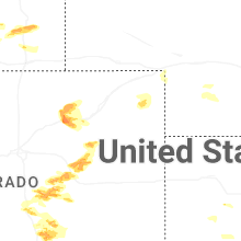


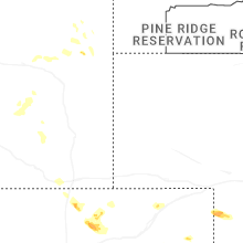
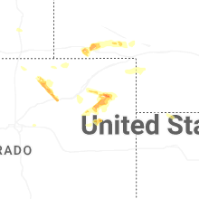
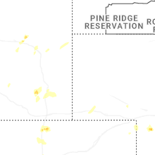
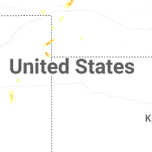
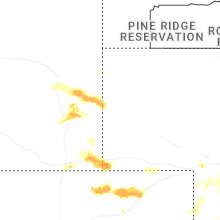
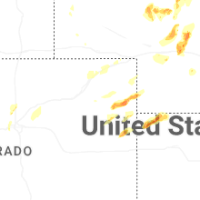


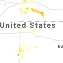


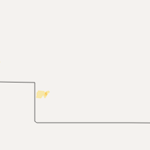


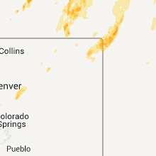


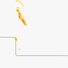

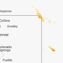


Connect with Interactive Hail Maps