

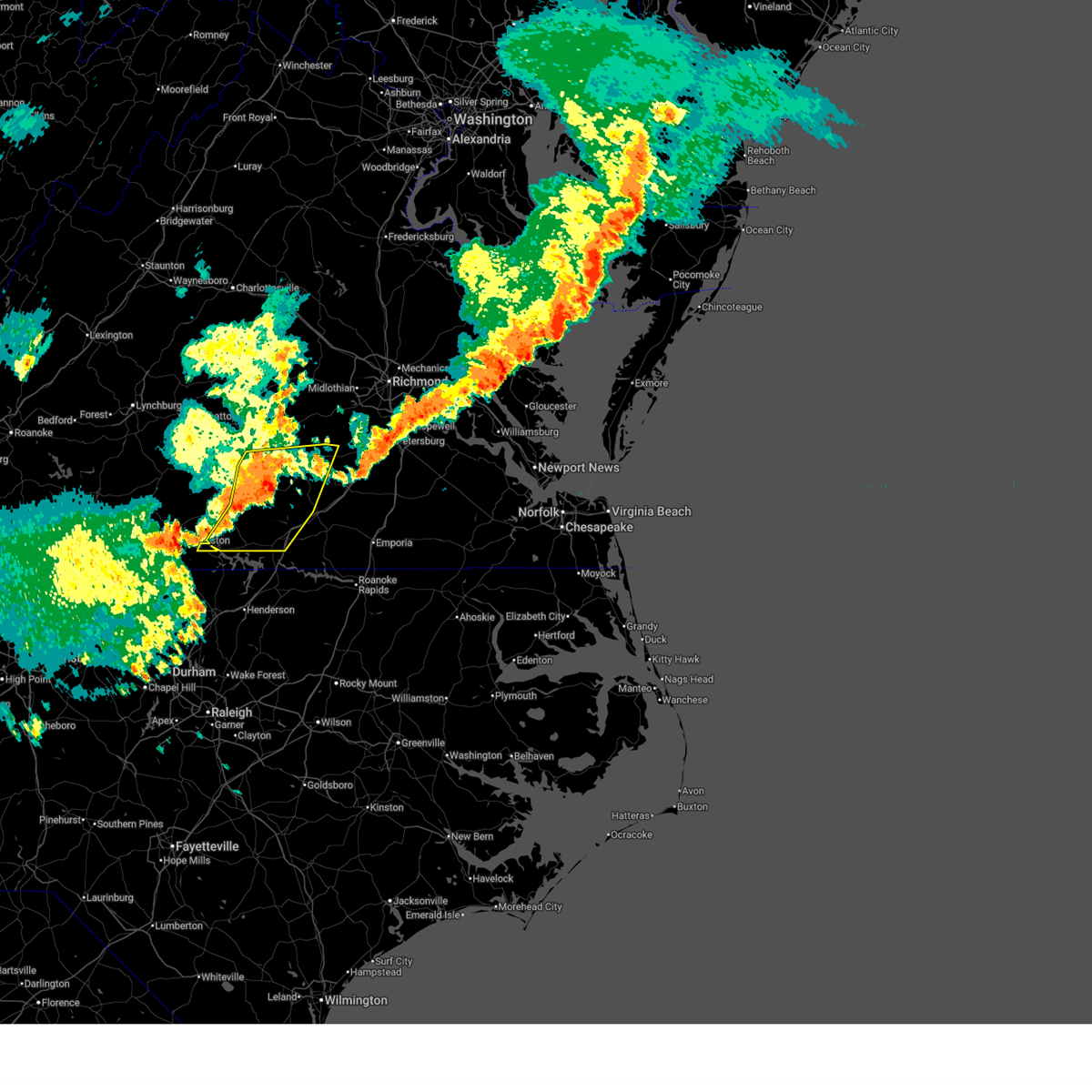
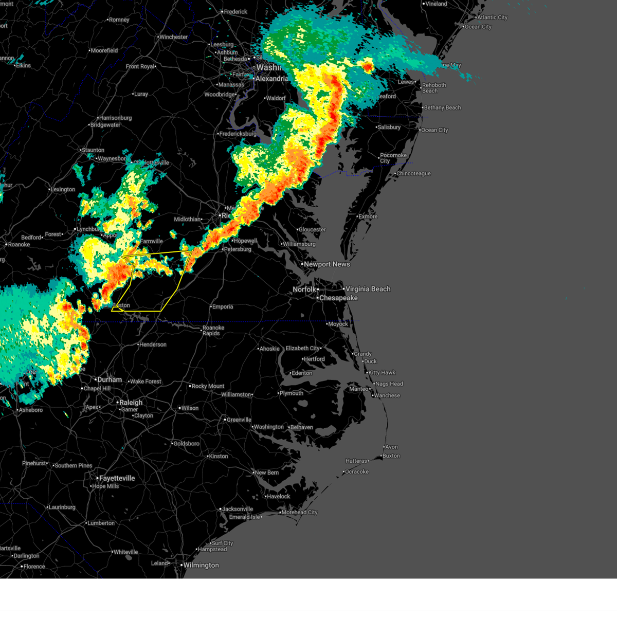
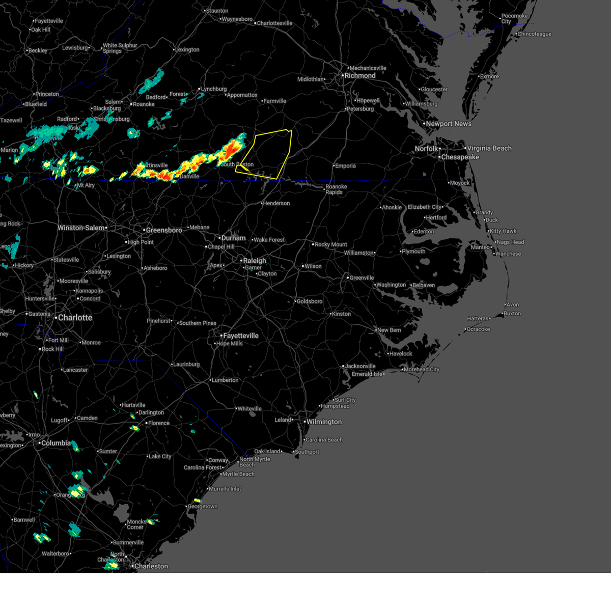
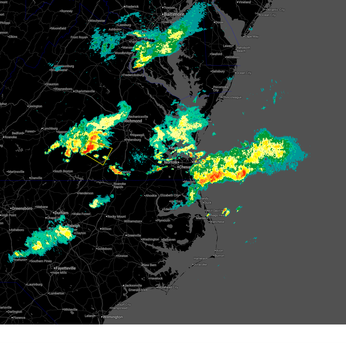
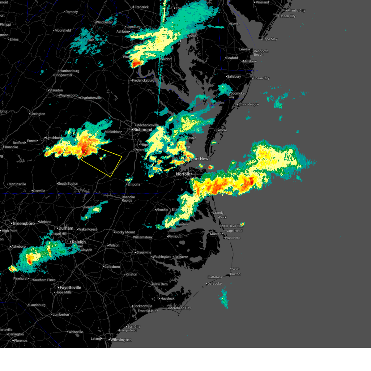
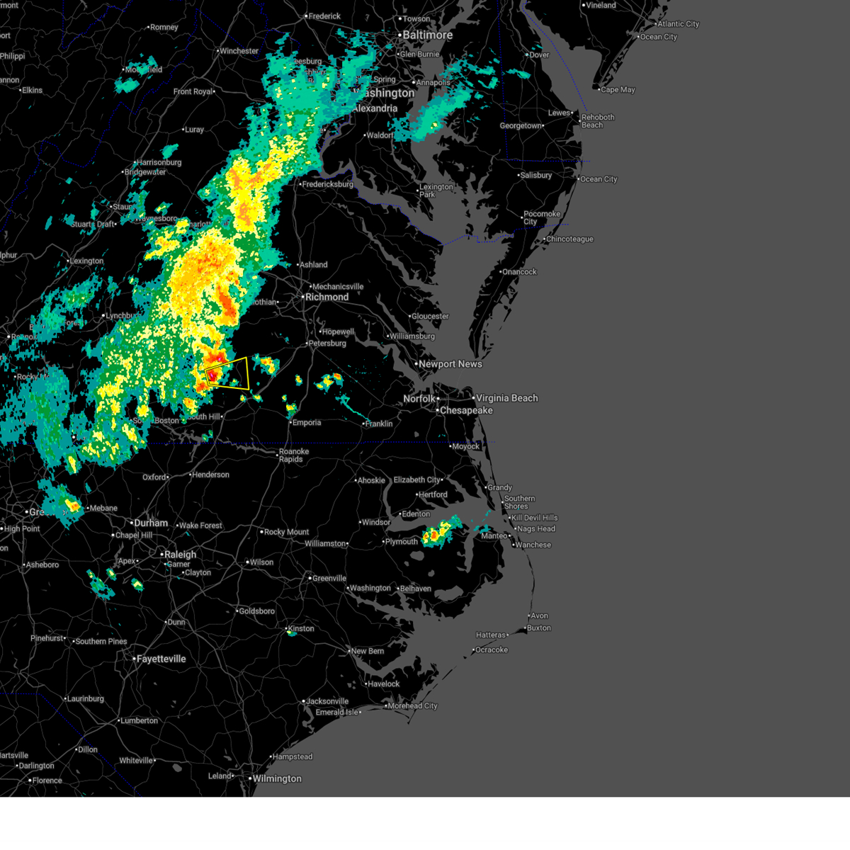
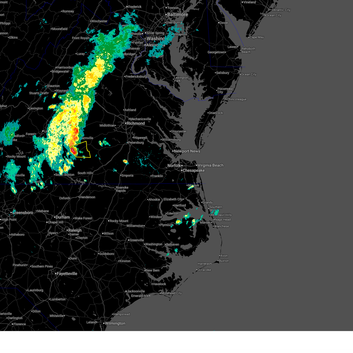
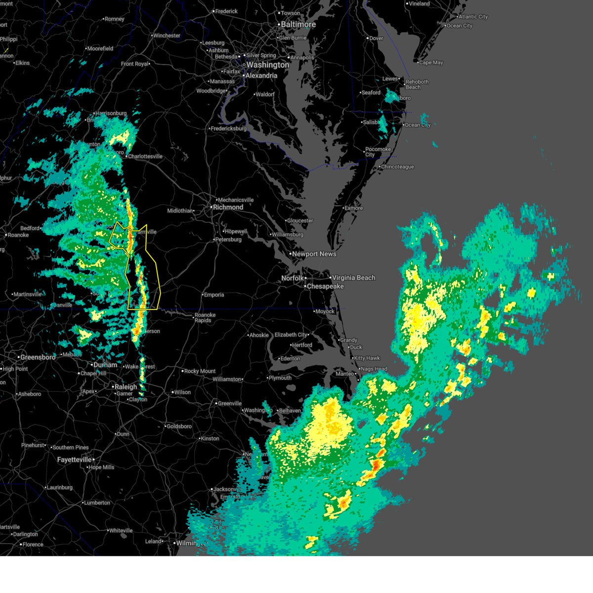
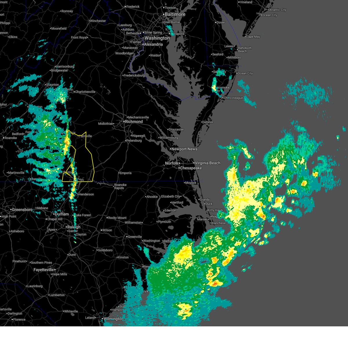
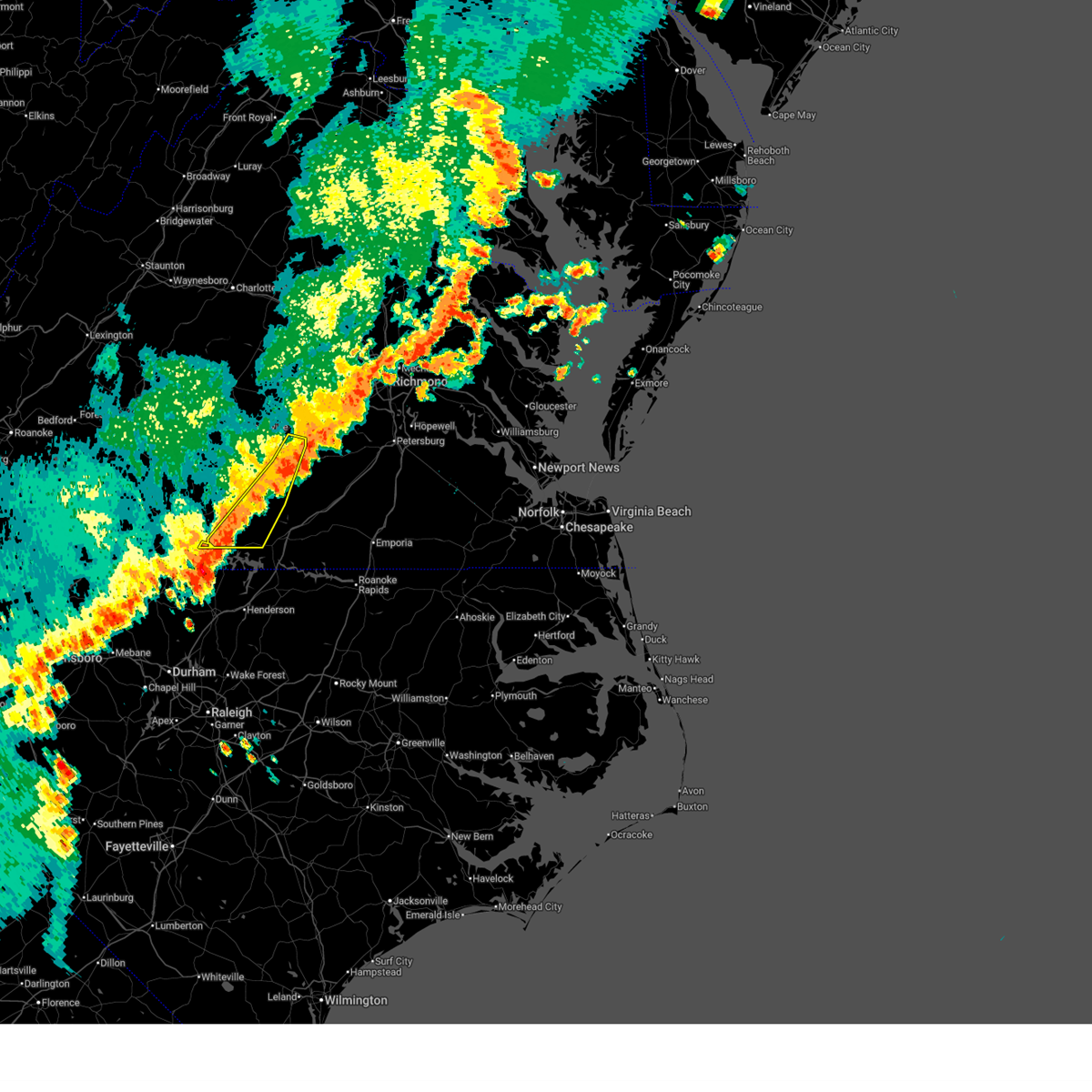
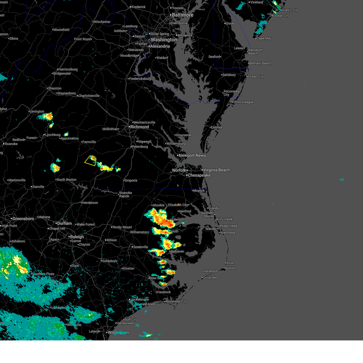
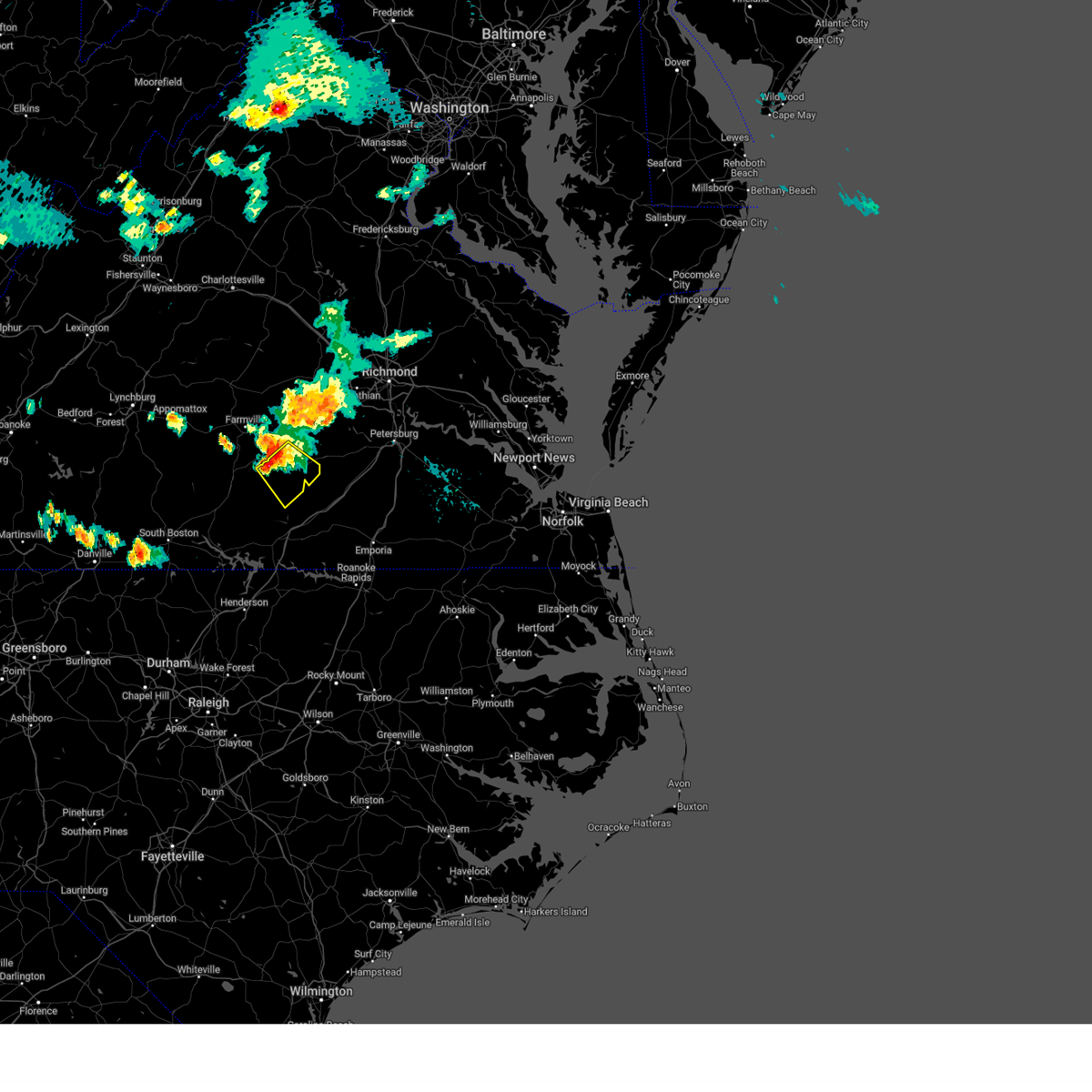
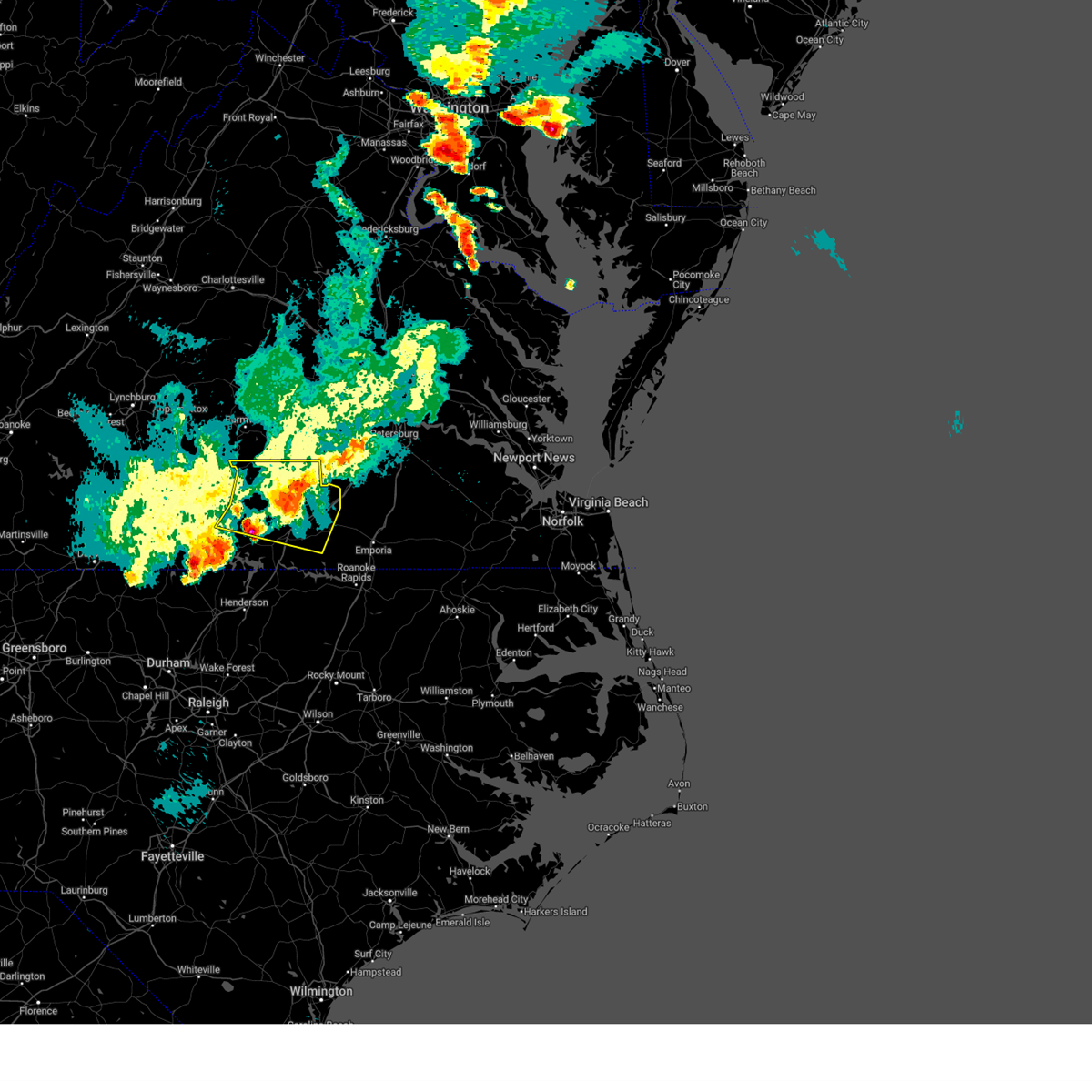
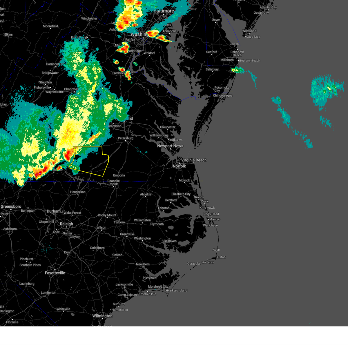
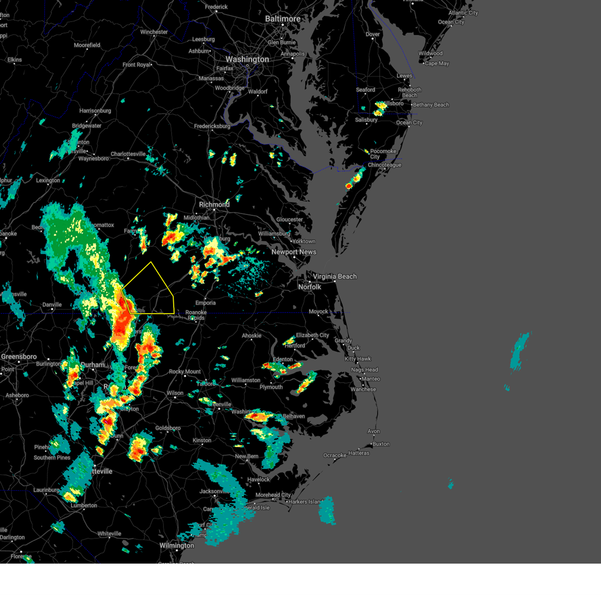
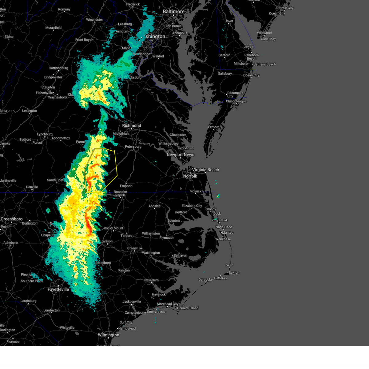
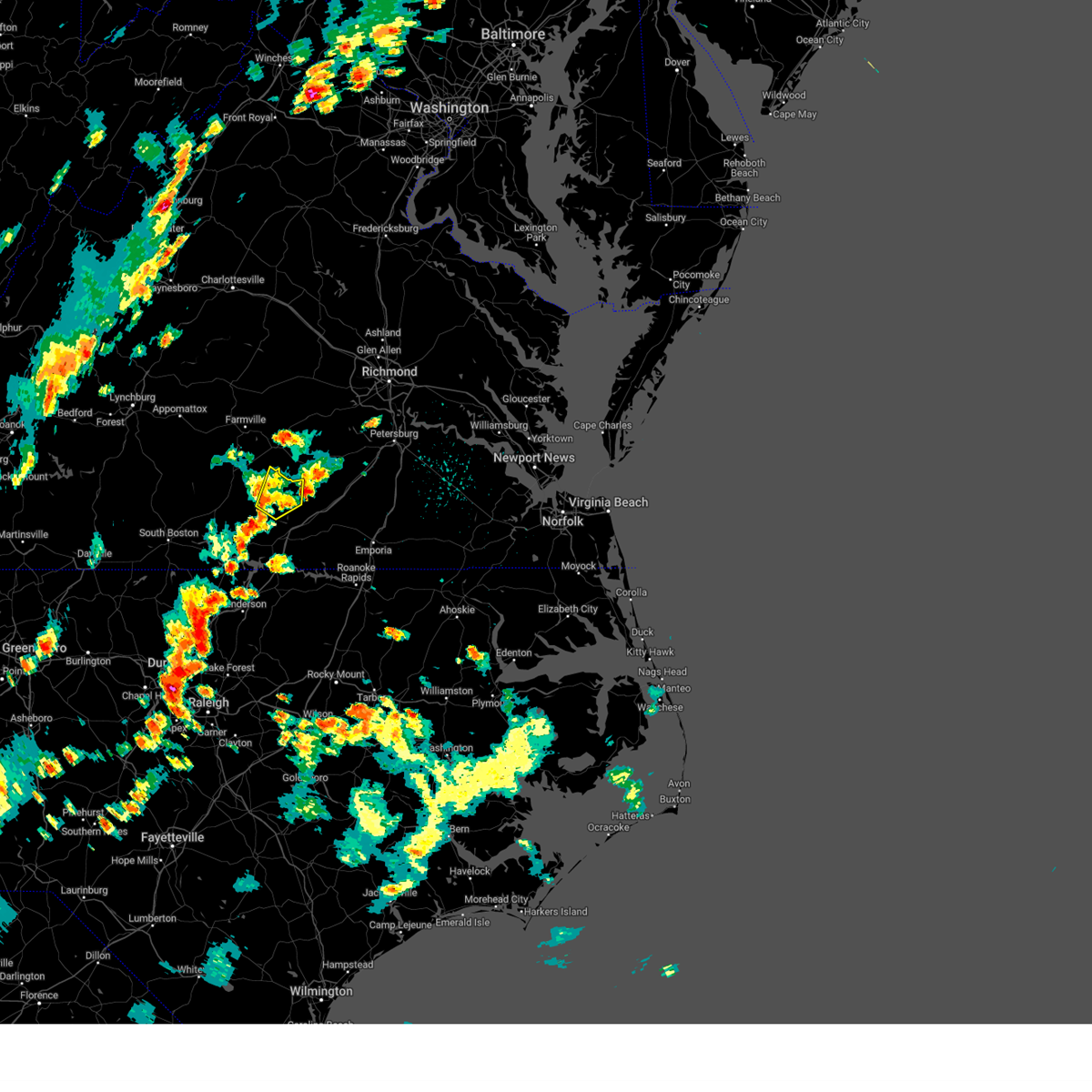
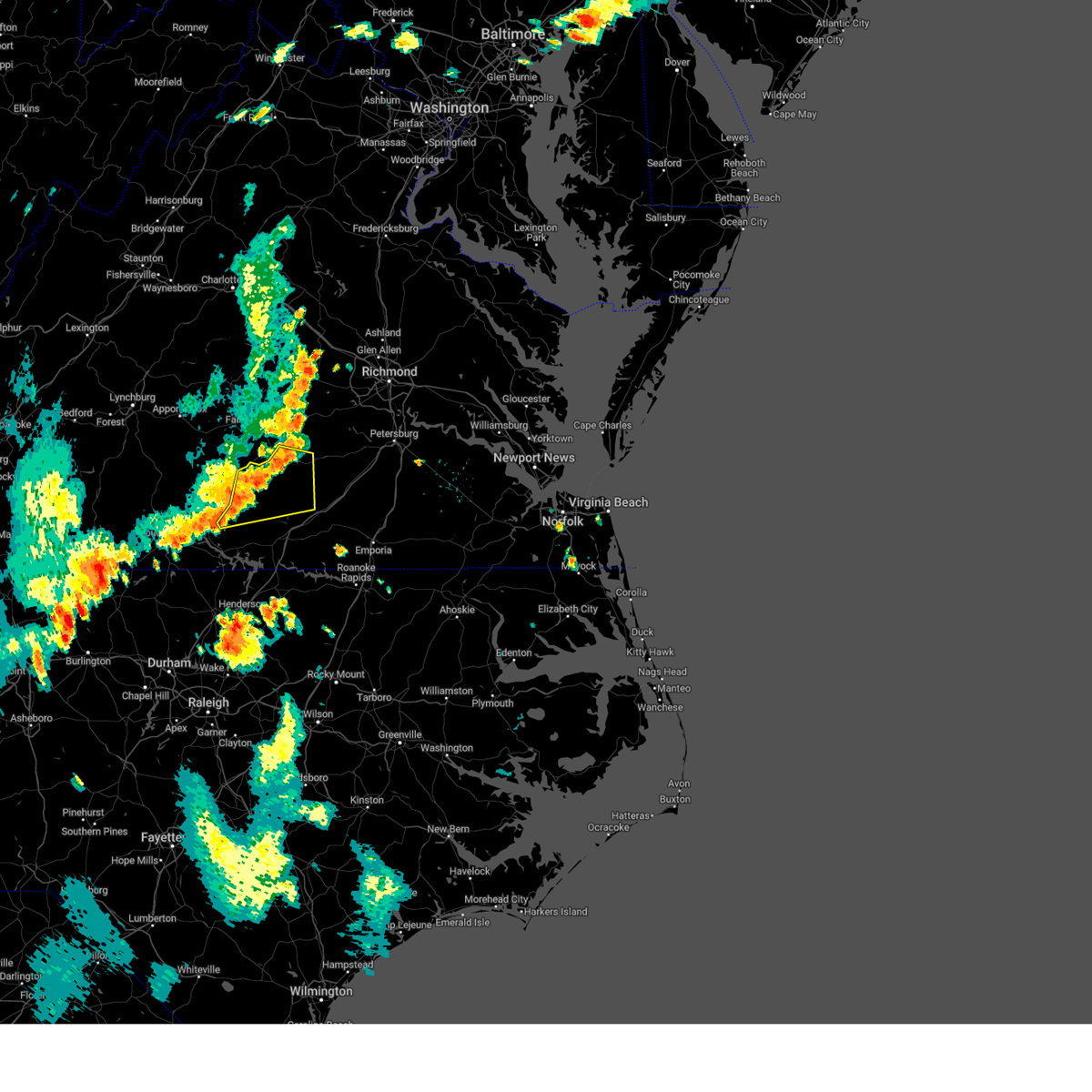
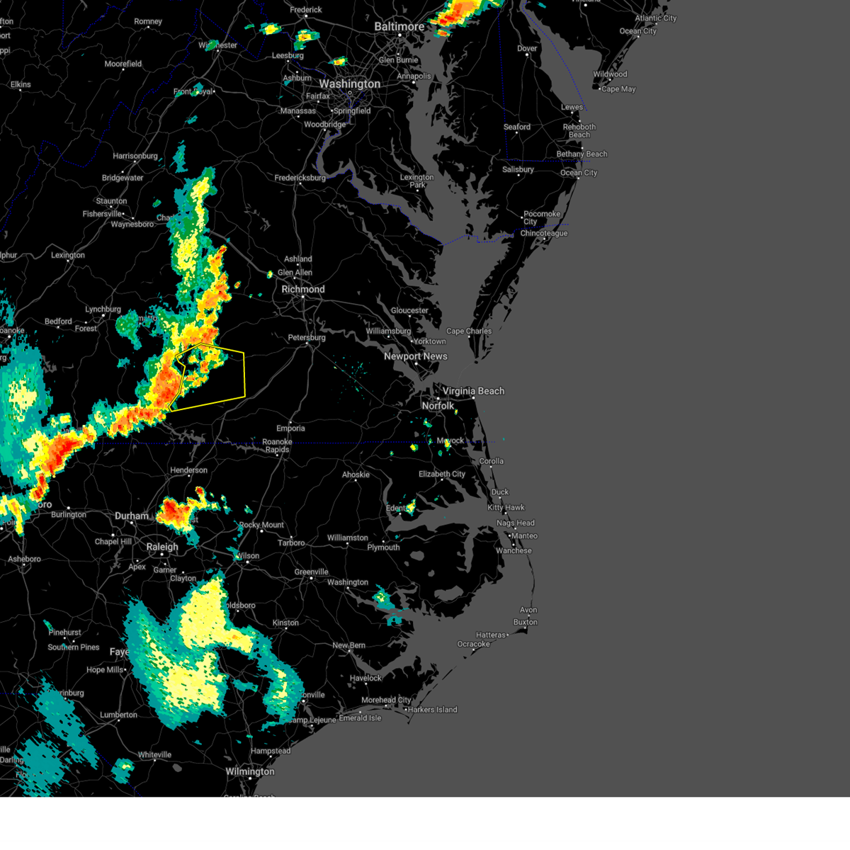
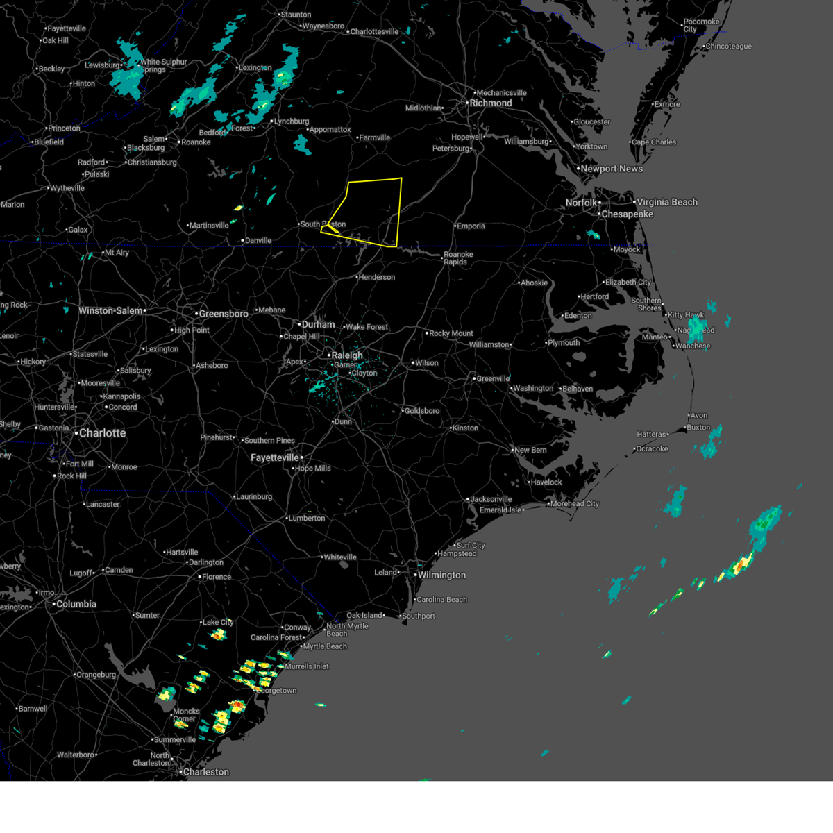
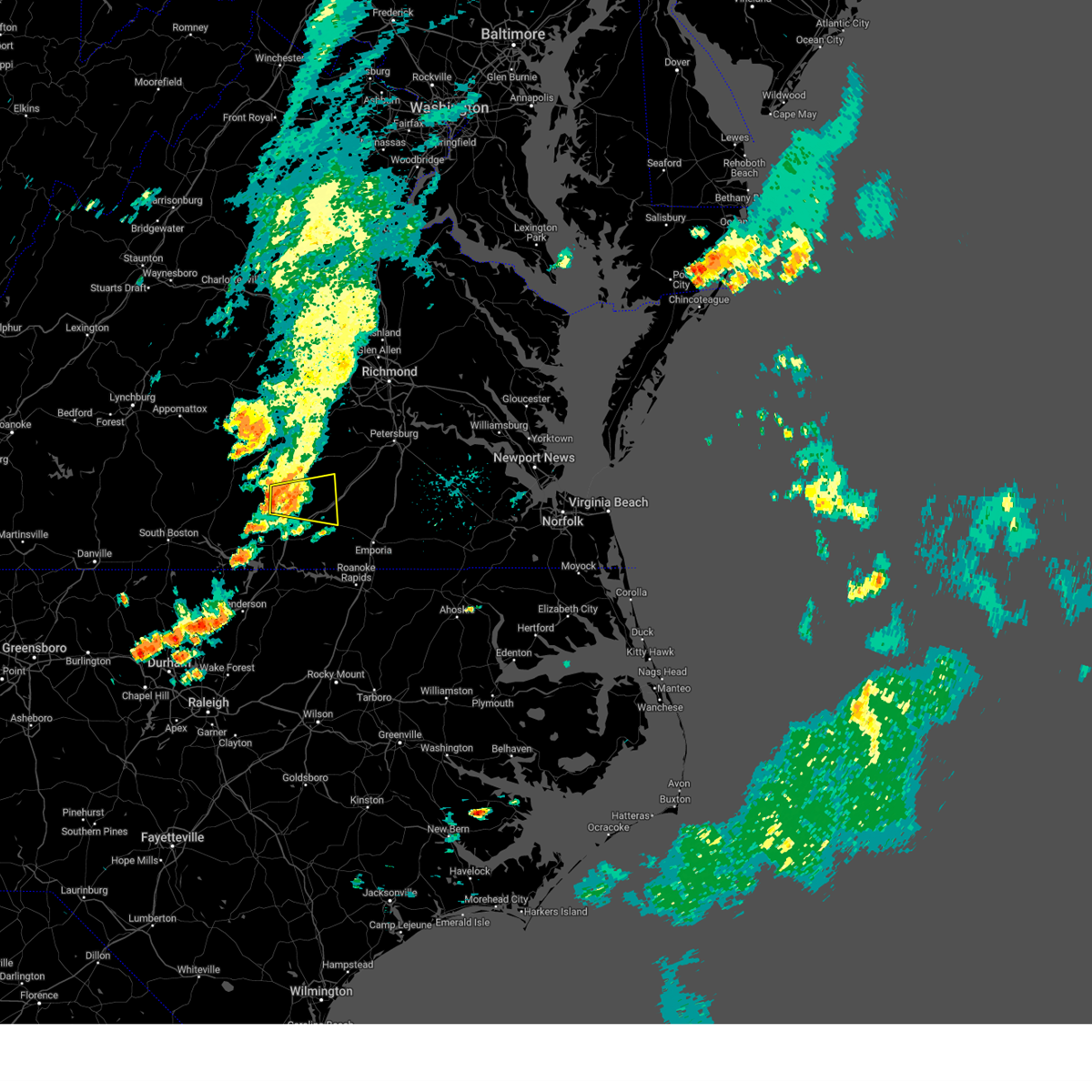
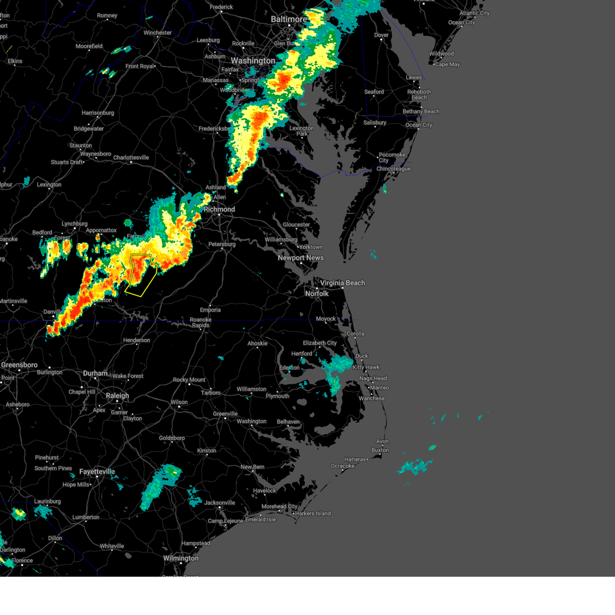
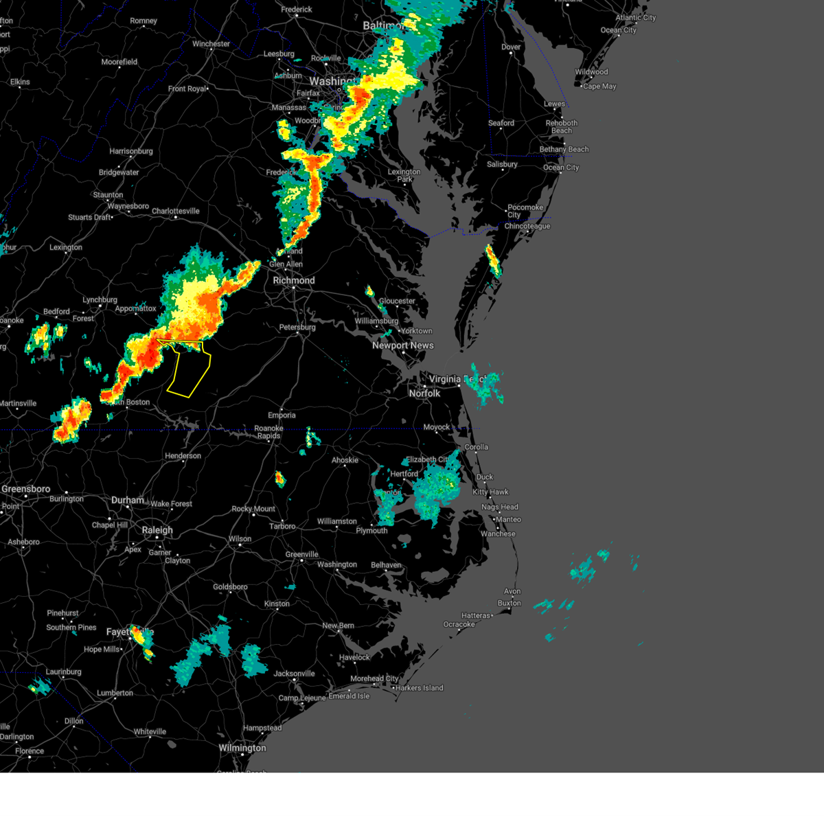
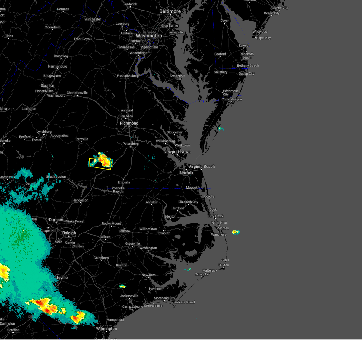
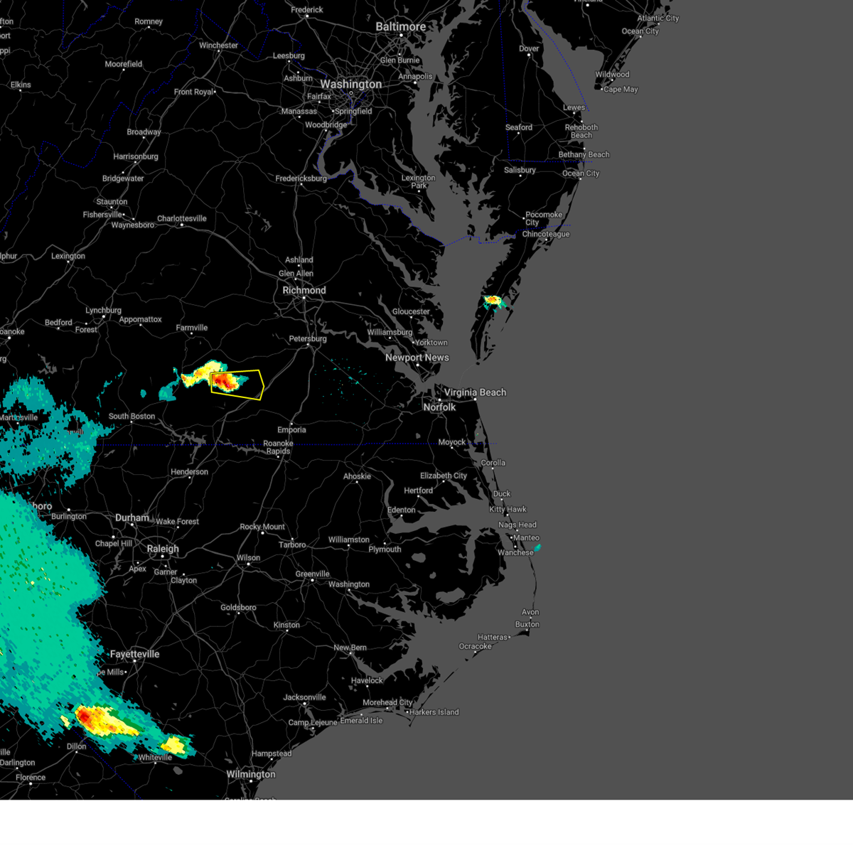
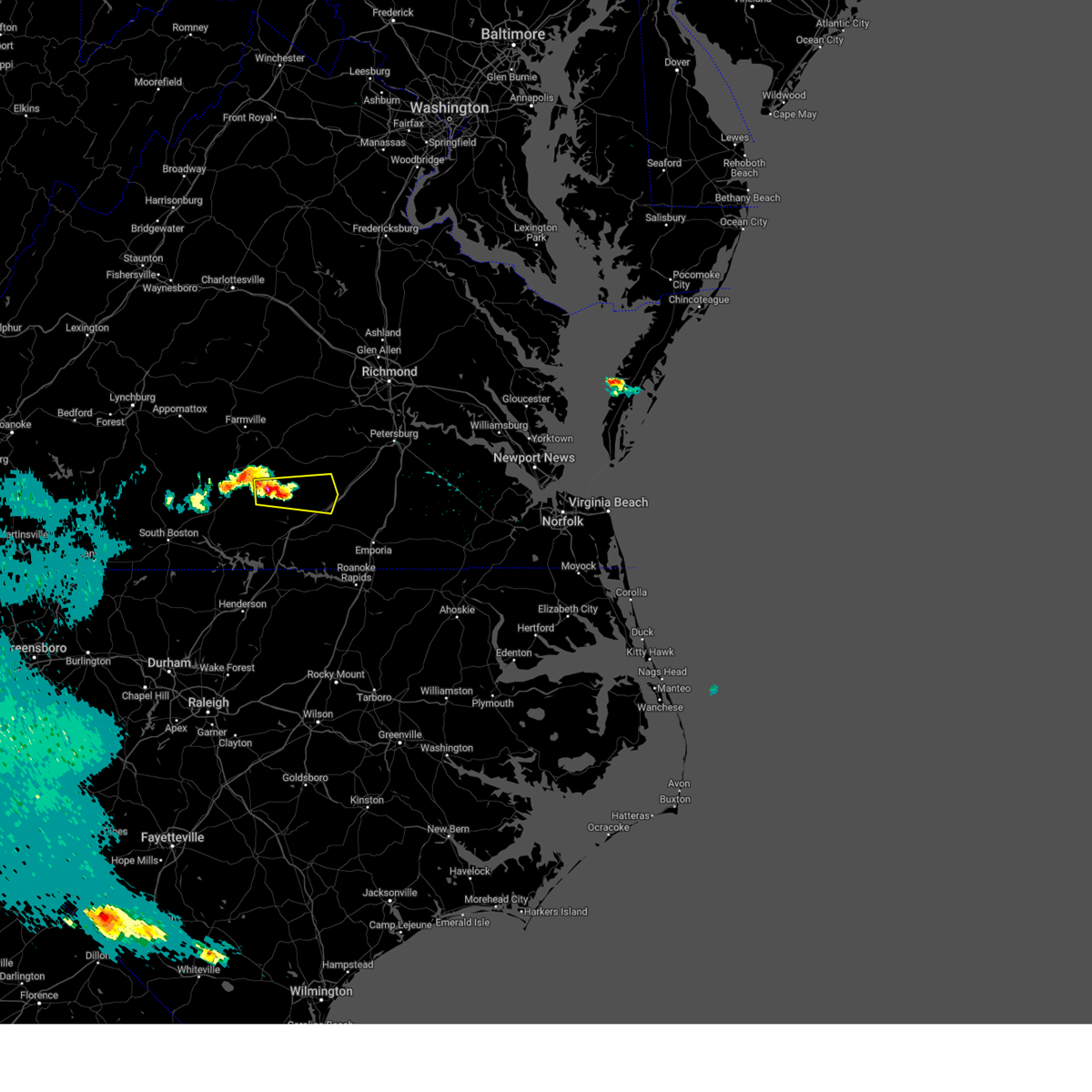
Hail Map for Victoria, VA
The Victoria, VA area has had 2 reports of on-the-ground hail by trained spotters, and has been under severe weather warnings 25 times during the past 12 months. Doppler radar has detected hail at or near Victoria, VA on 48 occasions, including 3 occasions during the past year.
| Name: | Victoria, VA |
| Where Located: | 47.3 miles SW of Richmond, VA |
| Map: | Google Map for Victoria, VA |
| Population: | 1725 |
| Housing Units: | 888 |
| More Info: | Search Google for Victoria, VA |
4
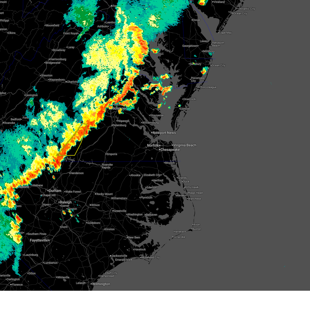
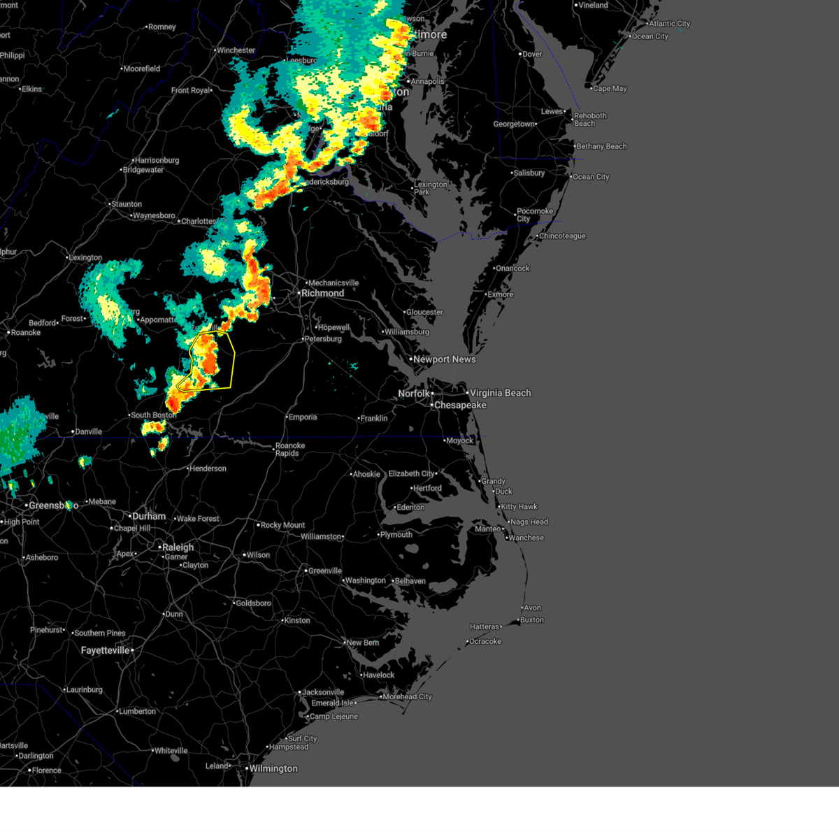
The Top Recent Hail Date for Victoria, VA is Wednesday, May 27, 2026 (5th out of 48)

Hail and Wind Damage Spotted near Victoria, VA
| Date / Time | Report Details |
|---|---|
| 6/22/2026 8:17 PM EDT |
 At 817 pm edt, severe thunderstorms were located along a line extending from near nottoway to 6 miles south of lunenburg to near staunton river state park, moving east at 55 mph (radar indicated). Hazards include 60 mph wind gusts. Expect damage to trees and powerlines. these severe storms will be near, blackstone, kenbridge, boydton, dundas, and fort barfoot around 825 pm edt. south hill and wilsons around 830 pm edt. la crosse around 840 pm edt. Other locations impacted by these severe thunderstorms include bacons fork, north wellville, wilburn, irby, prince edward station, spanish grove, gills corner, arvins store, murdocks, and twin lakes state park. At 817 pm edt, severe thunderstorms were located along a line extending from near nottoway to 6 miles south of lunenburg to near staunton river state park, moving east at 55 mph (radar indicated). Hazards include 60 mph wind gusts. Expect damage to trees and powerlines. these severe storms will be near, blackstone, kenbridge, boydton, dundas, and fort barfoot around 825 pm edt. south hill and wilsons around 830 pm edt. la crosse around 840 pm edt. Other locations impacted by these severe thunderstorms include bacons fork, north wellville, wilburn, irby, prince edward station, spanish grove, gills corner, arvins store, murdocks, and twin lakes state park.
|
| 6/22/2026 7:51 PM EDT |
 Svrakq the national weather service in wakefield has issued a * severe thunderstorm warning for, central mecklenburg county in south central virginia, southern prince edward county in central virginia, lunenburg county in south central virginia, nottoway county in south central virginia, northwestern dinwiddie county in south central virginia, northwestern brunswick county in south central virginia, * until 830 pm edt. * at 751 pm edt, severe thunderstorms were located along a line extending from near abilene to wylliesburg to near hitesburg, moving east at 55 mph (radar indicated). Hazards include 60 mph wind gusts. Expect damage to trees and powerlines. severe thunderstorms will be near, buffalo springs around 755 pm edt. chase city, kells corner, green bay, and rehoboth around 800 pm edt. victoria and lunenburg around 805 pm edt. kenbridge and boydton around 810 pm edt. nottoway around 815 pm edt. south hill, blackstone, and dundas around 820 pm edt. fort barfoot around 825 pm edt. Other locations impacted by these severe thunderstorms include bacons fork, north wellville, wilburn, irby, prince edward station, spanish grove, briery, gills corner, arvins store, and murdocks. Svrakq the national weather service in wakefield has issued a * severe thunderstorm warning for, central mecklenburg county in south central virginia, southern prince edward county in central virginia, lunenburg county in south central virginia, nottoway county in south central virginia, northwestern dinwiddie county in south central virginia, northwestern brunswick county in south central virginia, * until 830 pm edt. * at 751 pm edt, severe thunderstorms were located along a line extending from near abilene to wylliesburg to near hitesburg, moving east at 55 mph (radar indicated). Hazards include 60 mph wind gusts. Expect damage to trees and powerlines. severe thunderstorms will be near, buffalo springs around 755 pm edt. chase city, kells corner, green bay, and rehoboth around 800 pm edt. victoria and lunenburg around 805 pm edt. kenbridge and boydton around 810 pm edt. nottoway around 815 pm edt. south hill, blackstone, and dundas around 820 pm edt. fort barfoot around 825 pm edt. Other locations impacted by these severe thunderstorms include bacons fork, north wellville, wilburn, irby, prince edward station, spanish grove, briery, gills corner, arvins store, and murdocks.
|
| 6/18/2026 12:38 PM EDT |
 Svrakq the national weather service in wakefield has issued a * severe thunderstorm warning for, mecklenburg county in south central virginia, lunenburg county in south central virginia, * until 130 pm edt. * at 1237 pm edt, a severe thunderstorm was located over clover, moving east at 40 mph (radar indicated). Hazards include 60 mph wind gusts. Expect damage to trees and powerlines. this severe thunderstorm will be near, chase city around 1250 pm edt. kells corner around 1255 pm edt. Other locations impacted by this severe thunderstorm include gary, wilburn, spanish grove, beechwood, loves mill, john h kerr dam, north view, finchley, finneywood, and skipwith. Svrakq the national weather service in wakefield has issued a * severe thunderstorm warning for, mecklenburg county in south central virginia, lunenburg county in south central virginia, * until 130 pm edt. * at 1237 pm edt, a severe thunderstorm was located over clover, moving east at 40 mph (radar indicated). Hazards include 60 mph wind gusts. Expect damage to trees and powerlines. this severe thunderstorm will be near, chase city around 1250 pm edt. kells corner around 1255 pm edt. Other locations impacted by this severe thunderstorm include gary, wilburn, spanish grove, beechwood, loves mill, john h kerr dam, north view, finchley, finneywood, and skipwith.
|
| 5/27/2026 9:16 PM EDT |
 At 915 pm edt, a severe thunderstorm was located near blackstone, moving east at 40 mph (radar indicated). Hazards include 60 mph wind gusts and quarter size hail. Minor damage to vehicles is possible. expect wind damage to trees and powerlines. this severe storm will be near, blackstone around 920 pm edt. fort barfoot around 925 pm edt. Other locations impacted by this severe thunderstorm include cochran, irby, rawlings, barrows store, murdocks, forkland, nutbush, darvills, the falls, and lafoon corner. At 915 pm edt, a severe thunderstorm was located near blackstone, moving east at 40 mph (radar indicated). Hazards include 60 mph wind gusts and quarter size hail. Minor damage to vehicles is possible. expect wind damage to trees and powerlines. this severe storm will be near, blackstone around 920 pm edt. fort barfoot around 925 pm edt. Other locations impacted by this severe thunderstorm include cochran, irby, rawlings, barrows store, murdocks, forkland, nutbush, darvills, the falls, and lafoon corner.
|
| 5/27/2026 9:16 PM EDT |
 the severe thunderstorm warning has been cancelled and is no longer in effect the severe thunderstorm warning has been cancelled and is no longer in effect
|
| 5/27/2026 8:50 PM EDT |
 Svrakq the national weather service in wakefield has issued a * severe thunderstorm warning for, southeastern prince edward county in central virginia, northern lunenburg county in south central virginia, nottoway county in south central virginia, southwestern dinwiddie county in south central virginia, northwestern brunswick county in south central virginia, * until 930 pm edt. * at 850 pm edt, a severe thunderstorm was located over green bay, or 7 miles west of crewe, moving east at 45 mph (radar indicated). Hazards include 60 mph wind gusts and quarter size hail. Minor damage to vehicles is possible. expect wind damage to trees and powerlines. this severe thunderstorm will be near, burkeville around 855 pm edt. nottoway around 900 pm edt. blackstone around 905 pm edt. fort barfoot around 910 pm edt. Other locations impacted by this severe thunderstorm include cochran, north wellville, irby, prince edward station, murdocks, twin lakes state park, forkland, nutbush, darvills, and the falls. Svrakq the national weather service in wakefield has issued a * severe thunderstorm warning for, southeastern prince edward county in central virginia, northern lunenburg county in south central virginia, nottoway county in south central virginia, southwestern dinwiddie county in south central virginia, northwestern brunswick county in south central virginia, * until 930 pm edt. * at 850 pm edt, a severe thunderstorm was located over green bay, or 7 miles west of crewe, moving east at 45 mph (radar indicated). Hazards include 60 mph wind gusts and quarter size hail. Minor damage to vehicles is possible. expect wind damage to trees and powerlines. this severe thunderstorm will be near, burkeville around 855 pm edt. nottoway around 900 pm edt. blackstone around 905 pm edt. fort barfoot around 910 pm edt. Other locations impacted by this severe thunderstorm include cochran, north wellville, irby, prince edward station, murdocks, twin lakes state park, forkland, nutbush, darvills, and the falls.
|
| 4/25/2026 5:29 PM EDT |
 Svrakq the national weather service in wakefield has issued a * severe thunderstorm warning for, northeastern lunenburg county in south central virginia, southwestern nottoway county in south central virginia, northwestern brunswick county in south central virginia, * until 615 pm edt. * at 529 pm edt, a severe thunderstorm was located over victoria, moving east at 20 mph (radar indicated). Hazards include 60 mph wind gusts and quarter size hail. Minor damage to vehicles is possible. expect wind damage to trees and powerlines. this severe thunderstorm will be near, kenbridge around 535 pm edt. blackstone around 550 pm edt. fort barfoot around 600 pm edt. Other locations impacted by this severe thunderstorm include wellville, irby, dominy corner, barrows store, murdocks, forkland, blackstone airport, and the falls. Svrakq the national weather service in wakefield has issued a * severe thunderstorm warning for, northeastern lunenburg county in south central virginia, southwestern nottoway county in south central virginia, northwestern brunswick county in south central virginia, * until 615 pm edt. * at 529 pm edt, a severe thunderstorm was located over victoria, moving east at 20 mph (radar indicated). Hazards include 60 mph wind gusts and quarter size hail. Minor damage to vehicles is possible. expect wind damage to trees and powerlines. this severe thunderstorm will be near, kenbridge around 535 pm edt. blackstone around 550 pm edt. fort barfoot around 600 pm edt. Other locations impacted by this severe thunderstorm include wellville, irby, dominy corner, barrows store, murdocks, forkland, blackstone airport, and the falls.
|
| 4/25/2026 4:46 PM EDT |
 Svrakq the national weather service in wakefield has issued a * severe thunderstorm warning for, southern prince edward county in central virginia, northwestern lunenburg county in south central virginia, * until 530 pm edt. * at 446 pm edt, a severe thunderstorm was located near keysville, moving east at 20 mph (radar indicated). Hazards include 60 mph wind gusts and quarter size hail. Minor damage to vehicles is possible. expect wind damage to trees and powerlines. this severe thunderstorm will be near, green bay around 500 pm edt. Other locations impacted by this severe thunderstorm include prince edward station, briery, arvins store, twin lakes state park, nutbush, burkes tavern, scholfield, moran, pleasant grove, and virso. Svrakq the national weather service in wakefield has issued a * severe thunderstorm warning for, southern prince edward county in central virginia, northwestern lunenburg county in south central virginia, * until 530 pm edt. * at 446 pm edt, a severe thunderstorm was located near keysville, moving east at 20 mph (radar indicated). Hazards include 60 mph wind gusts and quarter size hail. Minor damage to vehicles is possible. expect wind damage to trees and powerlines. this severe thunderstorm will be near, green bay around 500 pm edt. Other locations impacted by this severe thunderstorm include prince edward station, briery, arvins store, twin lakes state park, nutbush, burkes tavern, scholfield, moran, pleasant grove, and virso.
|
| 3/16/2026 7:33 PM EDT |
 At 732 pm edt, severe thunderstorms were located along a line extending from near abilene to near kells corner to 7 miles southeast of boydton to 7 miles west of norlina, moving northeast at 50 mph (radar indicated). Hazards include 60 mph wind gusts. Expect damage to trees and powerlines. these severe storms will be near, south hill, victoria, hampden sydney college, lunenburg, and green bay around 740 pm edt. kenbridge, la crosse, and rice around 745 pm edt. Other locations impacted by these severe thunderstorms include tuggle, wilburn, prince edward station, briery, beechwood, arvins store, twin lakes state park, nutbush, finneywood, and kingsville. At 732 pm edt, severe thunderstorms were located along a line extending from near abilene to near kells corner to 7 miles southeast of boydton to 7 miles west of norlina, moving northeast at 50 mph (radar indicated). Hazards include 60 mph wind gusts. Expect damage to trees and powerlines. these severe storms will be near, south hill, victoria, hampden sydney college, lunenburg, and green bay around 740 pm edt. kenbridge, la crosse, and rice around 745 pm edt. Other locations impacted by these severe thunderstorms include tuggle, wilburn, prince edward station, briery, beechwood, arvins store, twin lakes state park, nutbush, finneywood, and kingsville.
|
| 3/16/2026 7:15 PM EDT |
 At 714 pm edt, severe thunderstorms were located along a line extending from near phenix to near staunton river state park to 9 miles south of clarksville to near oxford, moving northeast at 50 mph (radar indicated). Hazards include 60 mph wind gusts. Expect damage to trees and powerlines. these severe storms will be near, chase city and boydton around 720 pm edt. kells corner around 725 pm edt. rehoboth around 730 pm edt. hampden sydney college, hampden sydney, and lunenburg around 735 pm edt. south hill, victoria, la crosse, and green bay around 740 pm edt. kenbridge and rice around 745 pm edt. Other locations impacted by these severe thunderstorms include tuggle, wilburn, prince edward station, spanish grove, briery, beechwood, arvins store, twin lakes state park, finchley, and nutbush. At 714 pm edt, severe thunderstorms were located along a line extending from near phenix to near staunton river state park to 9 miles south of clarksville to near oxford, moving northeast at 50 mph (radar indicated). Hazards include 60 mph wind gusts. Expect damage to trees and powerlines. these severe storms will be near, chase city and boydton around 720 pm edt. kells corner around 725 pm edt. rehoboth around 730 pm edt. hampden sydney college, hampden sydney, and lunenburg around 735 pm edt. south hill, victoria, la crosse, and green bay around 740 pm edt. kenbridge and rice around 745 pm edt. Other locations impacted by these severe thunderstorms include tuggle, wilburn, prince edward station, spanish grove, briery, beechwood, arvins store, twin lakes state park, finchley, and nutbush.
|
| 3/16/2026 6:48 PM EDT |
 Svrakq the national weather service in wakefield has issued a * severe thunderstorm warning for, mecklenburg county in south central virginia, prince edward county in central virginia, lunenburg county in south central virginia, * until 745 pm edt. * at 647 pm edt, severe thunderstorms were located along a line extending from near leda to near cluster springs to 9 miles southeast of roxboro to near rougemont, moving northeast at 50 mph (radar indicated). Hazards include 60 mph wind gusts. Expect damage to trees and powerlines. severe thunderstorms will be near, buffalo springs around 700 pm edt. clarksville around 705 pm edt. chase city and boydton around 715 pm edt. kells corner around 720 pm edt. rehoboth around 725 pm edt. hampden sydney college and hampden sydney around 730 pm edt. south hill, victoria, lunenburg, and green bay around 735 pm edt. la crosse around 740 pm edt. Other locations impacted by these severe thunderstorms include tuggle, wilburn, prince edward station, spanish grove, briery, beechwood, arvins store, twin lakes state park, finchley, and nutbush. Svrakq the national weather service in wakefield has issued a * severe thunderstorm warning for, mecklenburg county in south central virginia, prince edward county in central virginia, lunenburg county in south central virginia, * until 745 pm edt. * at 647 pm edt, severe thunderstorms were located along a line extending from near leda to near cluster springs to 9 miles southeast of roxboro to near rougemont, moving northeast at 50 mph (radar indicated). Hazards include 60 mph wind gusts. Expect damage to trees and powerlines. severe thunderstorms will be near, buffalo springs around 700 pm edt. clarksville around 705 pm edt. chase city and boydton around 715 pm edt. kells corner around 720 pm edt. rehoboth around 725 pm edt. hampden sydney college and hampden sydney around 730 pm edt. south hill, victoria, lunenburg, and green bay around 735 pm edt. la crosse around 740 pm edt. Other locations impacted by these severe thunderstorms include tuggle, wilburn, prince edward station, spanish grove, briery, beechwood, arvins store, twin lakes state park, finchley, and nutbush.
|
| 9/26/2025 1:53 AM EDT | The storm which prompted the warning has weakened below severe limits, and has exited the warned area. therefore, the warning will be allowed to expire. however, gusty winds and heavy rain are still possible with this thunderstorm. to report severe weather, contact your nearest law enforcement agency. they will relay your report to the national weather service wakefield. |
| 9/26/2025 1:27 AM EDT | Svrakq the national weather service in wakefield has issued a * severe thunderstorm warning for, northeastern lunenburg county in south central virginia, nottoway county in south central virginia, northwestern brunswick county in south central virginia, * until 200 am edt. * at 127 am edt, a severe thunderstorm was located near victoria, moving east at 35 mph (radar indicated). Hazards include 60 mph wind gusts and quarter size hail. Minor damage to vehicles is possible. Expect wind damage to trees and powerlines. |
| 9/26/2025 1:16 AM EDT | At 116 am edt, severe thunderstorms were located along a line extending from near green bay to near lunenburg to 6 miles north of boydton, moving east at 35 mph (radar indicated). Hazards include 60 mph wind gusts. Expect damage to trees and powerlines. these severe storms will be near, victoria and kenbridge around 120 am edt. Other locations impacted by these severe thunderstorms include gary, wilburn, spanish grove, loves mill, arvins store, nutbush, finneywood, the falls, lafoon corner, and fairview. |
| 9/26/2025 1:16 AM EDT | the severe thunderstorm warning has been cancelled and is no longer in effect |
| 9/26/2025 12:46 AM EDT | Svrakq the national weather service in wakefield has issued a * severe thunderstorm warning for, northern mecklenburg county in south central virginia, southeastern prince edward county in central virginia, lunenburg county in south central virginia, southwestern nottoway county in south central virginia, * until 130 am edt. * at 1246 am edt, severe thunderstorms were located along a line extending from near charlotte court house to near wylliesburg to staunton river state park, moving east at 40 mph (radar indicated). Hazards include 60 mph wind gusts. Expect damage to trees and powerlines. severe thunderstorms will be near, chase city around 1255 am edt. kells corner around 100 am edt. rehoboth around 105 am edt. lunenburg around 110 am edt. victoria and green bay around 115 am edt. kenbridge around 120 am edt. Other locations impacted by these severe thunderstorms include wilburn, spanish grove, briery, arvins store, twin lakes state park, nutbush, finneywood, the falls, fairview, and plantersville. |
| 9/24/2025 5:37 PM EDT | Svrakq the national weather service in wakefield has issued a * severe thunderstorm warning for, lunenburg county in south central virginia, * until 615 pm edt. * at 537 pm edt, a severe thunderstorm was located over rehoboth, or 8 miles southeast of keysville, moving east at 30 mph (radar indicated). Hazards include 60 mph wind gusts. Expect damage to trees and powerlines. this severe thunderstorm will be near, lunenburg and rehoboth around 540 pm edt. victoria around 545 pm edt. kenbridge around 555 pm edt. dundas around 610 pm edt. Other locations impacted by this severe thunderstorm include lafoon corner, gary, bacons fork, plantersville, wilburn, blevins corner, pleasant grove, gills corner, loves mill, and oral oaks. |
| 9/6/2025 4:14 PM EDT |
 the severe thunderstorm warning has been cancelled and is no longer in effect the severe thunderstorm warning has been cancelled and is no longer in effect
|
| 9/6/2025 3:38 PM EDT |
 Svrakq the national weather service in wakefield has issued a * severe thunderstorm warning for, eastern lunenburg county in south central virginia, southwestern nottoway county in south central virginia, northwestern brunswick county in south central virginia, * until 430 pm edt. * at 337 pm edt, a severe thunderstorm was located over lunenburg, or near victoria, moving east at 25 mph (radar indicated). Hazards include 60 mph wind gusts. Expect damage to trees and powerlines. this severe thunderstorm will be near, kenbridge around 345 pm edt. fort barfoot around 410 pm edt. Other locations impacted by this severe thunderstorm include gary, wilburn, irby, loves mill, barrows store, murdocks, forkland, the falls, lafoon corner, and danieltown. Svrakq the national weather service in wakefield has issued a * severe thunderstorm warning for, eastern lunenburg county in south central virginia, southwestern nottoway county in south central virginia, northwestern brunswick county in south central virginia, * until 430 pm edt. * at 337 pm edt, a severe thunderstorm was located over lunenburg, or near victoria, moving east at 25 mph (radar indicated). Hazards include 60 mph wind gusts. Expect damage to trees and powerlines. this severe thunderstorm will be near, kenbridge around 345 pm edt. fort barfoot around 410 pm edt. Other locations impacted by this severe thunderstorm include gary, wilburn, irby, loves mill, barrows store, murdocks, forkland, the falls, lafoon corner, and danieltown.
|
| 7/31/2025 5:15 PM EDT | Vdot reported a tree down across the roadway on route 635 in the vicinity of gallion town road. all north and south lanes were closed. time estimated from rada in lunenburg county VA, 2.4 miles NNW of Victoria, VA |
| 7/31/2025 5:07 PM EDT | Vdot reported a tree down across the roadway on route 670 in the vicinity of couches creek road. all north and south lanes were closed. time estimated from rada in lunenburg county VA, 3.1 miles E of Victoria, VA |
| 7/9/2025 7:31 PM EDT |
 The storms which prompted the warning have moved out of the area. therefore, the warning has been allowed to expire. however, gusty winds and heavy rain are still possible with these thunderstorms. a severe thunderstorm watch remains in effect until 1000 pm edt for south central virginia. The storms which prompted the warning have moved out of the area. therefore, the warning has been allowed to expire. however, gusty winds and heavy rain are still possible with these thunderstorms. a severe thunderstorm watch remains in effect until 1000 pm edt for south central virginia.
|
| 7/9/2025 7:09 PM EDT |
 the severe thunderstorm warning has been cancelled and is no longer in effect the severe thunderstorm warning has been cancelled and is no longer in effect
|
| 7/9/2025 7:09 PM EDT |
 At 709 pm edt, severe thunderstorms were located along a line extending from near nottoway to near lunenburg to near boydton, moving east at 20 mph (radar indicated). Hazards include 60 mph wind gusts. Expect damage to trees and powerlines. these severe storms will be near, kenbridge and boydton around 715 pm edt. Other locations impacted by these severe thunderstorms include gary, wilburn, spanish grove, loves mill, north view, nutbush, skipwith, the falls, fairview, and rogers corner. At 709 pm edt, severe thunderstorms were located along a line extending from near nottoway to near lunenburg to near boydton, moving east at 20 mph (radar indicated). Hazards include 60 mph wind gusts. Expect damage to trees and powerlines. these severe storms will be near, kenbridge and boydton around 715 pm edt. Other locations impacted by these severe thunderstorms include gary, wilburn, spanish grove, loves mill, north view, nutbush, skipwith, the falls, fairview, and rogers corner.
|
| 7/9/2025 6:29 PM EDT |
 Svrakq the national weather service in wakefield has issued a * severe thunderstorm warning for, central mecklenburg county in south central virginia, southeastern prince edward county in central virginia, lunenburg county in south central virginia, western nottoway county in south central virginia, south central amelia county in central virginia, * until 730 pm edt. * at 629 pm edt, severe thunderstorms were located along a line extending from near keysville to near wylliesburg to staunton river state park, moving east at 20 mph (radar indicated). Hazards include 60 mph wind gusts. Expect damage to trees and powerlines. severe thunderstorms will be near, chase city and kells corner around 640 pm edt. rehoboth around 645 pm edt. green bay around 650 pm edt. victoria and lunenburg around 700 pm edt. Other locations impacted by these severe thunderstorms include wilburn, prince edward station, spanish grove, briery, arvins store, twin lakes state park, finneywood, nutbush, the falls, and fairview. Svrakq the national weather service in wakefield has issued a * severe thunderstorm warning for, central mecklenburg county in south central virginia, southeastern prince edward county in central virginia, lunenburg county in south central virginia, western nottoway county in south central virginia, south central amelia county in central virginia, * until 730 pm edt. * at 629 pm edt, severe thunderstorms were located along a line extending from near keysville to near wylliesburg to staunton river state park, moving east at 20 mph (radar indicated). Hazards include 60 mph wind gusts. Expect damage to trees and powerlines. severe thunderstorms will be near, chase city and kells corner around 640 pm edt. rehoboth around 645 pm edt. green bay around 650 pm edt. victoria and lunenburg around 700 pm edt. Other locations impacted by these severe thunderstorms include wilburn, prince edward station, spanish grove, briery, arvins store, twin lakes state park, finneywood, nutbush, the falls, and fairview.
|
| 6/25/2025 8:08 PM EDT |
 the severe thunderstorm warning has been cancelled and is no longer in effect the severe thunderstorm warning has been cancelled and is no longer in effect
|
| 6/25/2025 7:48 PM EDT |
 Svrakq the national weather service in wakefield has issued a * severe thunderstorm warning for, central lunenburg county in south central virginia, * until 830 pm edt. * at 748 pm edt, a severe thunderstorm was located near victoria, moving south at 5 mph (radar indicated). Hazards include 60 mph wind gusts. Expect damage to trees and powerlines. this severe thunderstorm will be near, victoria and kenbridge around 755 pm edt. Other locations impacted by this severe thunderstorm include rubermount. Svrakq the national weather service in wakefield has issued a * severe thunderstorm warning for, central lunenburg county in south central virginia, * until 830 pm edt. * at 748 pm edt, a severe thunderstorm was located near victoria, moving south at 5 mph (radar indicated). Hazards include 60 mph wind gusts. Expect damage to trees and powerlines. this severe thunderstorm will be near, victoria and kenbridge around 755 pm edt. Other locations impacted by this severe thunderstorm include rubermount.
|
| 6/19/2025 4:51 PM EDT |
 At 451 pm edt, severe thunderstorms were located along a line extending from near burkeville to near nottoway to near victoria, moving east at 45 mph (radar indicated). Hazards include 60 mph wind gusts and penny size hail. Expect damage to trees and powerlines. these severe storms will be near, blackstone, crewe, kenbridge, nottoway, and burkeville around 455 pm edt. Other locations impacted by these severe thunderstorms include irby, prince edward station, loves mill, arvins store, murdocks, twin lakes state park, nutbush, burkes tavern, scholfield, and moran. At 451 pm edt, severe thunderstorms were located along a line extending from near burkeville to near nottoway to near victoria, moving east at 45 mph (radar indicated). Hazards include 60 mph wind gusts and penny size hail. Expect damage to trees and powerlines. these severe storms will be near, blackstone, crewe, kenbridge, nottoway, and burkeville around 455 pm edt. Other locations impacted by these severe thunderstorms include irby, prince edward station, loves mill, arvins store, murdocks, twin lakes state park, nutbush, burkes tavern, scholfield, and moran.
|
| 6/19/2025 4:47 PM EDT | Tree down blocking the road in victoria... va. time estimated from rada in lunenburg county VA, 0.4 miles ENE of Victoria, VA |
| 6/19/2025 4:35 PM EDT |
 At 434 pm edt, severe thunderstorms were located along a line extending from near hampden sydney college to near keysville to near rehoboth, moving east at 45 mph (radar indicated). Hazards include 60 mph wind gusts and penny size hail. Expect damage to trees and powerlines. these severe storms will be near, victoria, lunenburg, rehoboth, and green bay around 440 pm edt. burkeville around 445 pm edt. crewe and kenbridge around 450 pm edt. nottoway around 455 pm edt. blackstone around 500 pm edt. Other locations impacted by these severe thunderstorms include irby, prince edward station, briery, arvins store, murdocks, twin lakes state park, nutbush, the falls, plantersville, and blevins corner. At 434 pm edt, severe thunderstorms were located along a line extending from near hampden sydney college to near keysville to near rehoboth, moving east at 45 mph (radar indicated). Hazards include 60 mph wind gusts and penny size hail. Expect damage to trees and powerlines. these severe storms will be near, victoria, lunenburg, rehoboth, and green bay around 440 pm edt. burkeville around 445 pm edt. crewe and kenbridge around 450 pm edt. nottoway around 455 pm edt. blackstone around 500 pm edt. Other locations impacted by these severe thunderstorms include irby, prince edward station, briery, arvins store, murdocks, twin lakes state park, nutbush, the falls, plantersville, and blevins corner.
|
| 6/19/2025 4:20 PM EDT |
 Svrakq the national weather service in wakefield has issued a * severe thunderstorm warning for, southern prince edward county in central virginia, lunenburg county in south central virginia, nottoway county in south central virginia, * until 500 pm edt. * at 419 pm edt, severe thunderstorms were located along a line extending from near cullen to near drakes branch to near wylliesburg, moving east at 45 mph (radar indicated). Hazards include 60 mph wind gusts. Expect damage to trees and powerlines. severe thunderstorms will be near, hampden sydney college, hampden sydney, and kells corner around 430 pm edt. rehoboth and green bay around 435 pm edt. victoria and lunenburg around 440 pm edt. burkeville around 445 pm edt. crewe and kenbridge around 450 pm edt. Other locations impacted by these severe thunderstorms include irby, prince edward station, briery, arvins store, murdocks, twin lakes state park, nutbush, the falls, plantersville, and blevins corner. Svrakq the national weather service in wakefield has issued a * severe thunderstorm warning for, southern prince edward county in central virginia, lunenburg county in south central virginia, nottoway county in south central virginia, * until 500 pm edt. * at 419 pm edt, severe thunderstorms were located along a line extending from near cullen to near drakes branch to near wylliesburg, moving east at 45 mph (radar indicated). Hazards include 60 mph wind gusts. Expect damage to trees and powerlines. severe thunderstorms will be near, hampden sydney college, hampden sydney, and kells corner around 430 pm edt. rehoboth and green bay around 435 pm edt. victoria and lunenburg around 440 pm edt. burkeville around 445 pm edt. crewe and kenbridge around 450 pm edt. Other locations impacted by these severe thunderstorms include irby, prince edward station, briery, arvins store, murdocks, twin lakes state park, nutbush, the falls, plantersville, and blevins corner.
|
| 6/6/2025 6:18 PM EDT |
 Svrakq the national weather service in wakefield has issued a * severe thunderstorm warning for, northeastern lunenburg county in south central virginia, southwestern nottoway county in south central virginia, * until 700 pm edt. * at 617 pm edt, a severe thunderstorm was located near burkeville, or near crewe, moving southeast at 20 mph (radar indicated). Hazards include 60 mph wind gusts and quarter size hail. Minor damage to vehicles is possible. expect wind damage to trees and powerlines. this severe thunderstorm will be near, nottoway around 630 pm edt. blackstone around 640 pm edt. Other locations impacted by this severe thunderstorm include lafoon corner, irby, dominy corner, murdocks, forkland, nutbush, blackstone airport, the falls, and rubermount. Svrakq the national weather service in wakefield has issued a * severe thunderstorm warning for, northeastern lunenburg county in south central virginia, southwestern nottoway county in south central virginia, * until 700 pm edt. * at 617 pm edt, a severe thunderstorm was located near burkeville, or near crewe, moving southeast at 20 mph (radar indicated). Hazards include 60 mph wind gusts and quarter size hail. Minor damage to vehicles is possible. expect wind damage to trees and powerlines. this severe thunderstorm will be near, nottoway around 630 pm edt. blackstone around 640 pm edt. Other locations impacted by this severe thunderstorm include lafoon corner, irby, dominy corner, murdocks, forkland, nutbush, blackstone airport, the falls, and rubermount.
|
| 5/16/2025 5:44 PM EDT |
 At 544 pm edt, severe thunderstorms were located along a line extending from near fort barfoot to near dundas to 6 miles northeast of boydton, moving east at 50 mph (radar indicated). Hazards include two inch hail and 70 mph wind gusts. People and animals outdoors will be injured. expect hail damage to roofs, siding, windows, and vehicles. expect considerable tree damage. wind damage is also likely to mobile homes, roofs, and outbuildings. these severe storms will be near, south hill and dundas around 550 pm edt. la crosse and alberta around 555 pm edt. brodnax around 600 pm edt. lawrenceville around 605 pm edt. Other locations impacted by these severe thunderstorms include bacons fork, cochran, irby, wilburn, spanish grove, briery, gills corner, arvins store, dolphin, and murdocks. At 544 pm edt, severe thunderstorms were located along a line extending from near fort barfoot to near dundas to 6 miles northeast of boydton, moving east at 50 mph (radar indicated). Hazards include two inch hail and 70 mph wind gusts. People and animals outdoors will be injured. expect hail damage to roofs, siding, windows, and vehicles. expect considerable tree damage. wind damage is also likely to mobile homes, roofs, and outbuildings. these severe storms will be near, south hill and dundas around 550 pm edt. la crosse and alberta around 555 pm edt. brodnax around 600 pm edt. lawrenceville around 605 pm edt. Other locations impacted by these severe thunderstorms include bacons fork, cochran, irby, wilburn, spanish grove, briery, gills corner, arvins store, dolphin, and murdocks.
|
| 5/16/2025 5:25 PM EDT | Tree down blocking the road on rehoboth r in lunenburg county VA, 9.4 miles NE of Victoria, VA |
| 5/16/2025 5:23 PM EDT | Several trees down in the vicinity of courthouse rd. time estimate in lunenburg county VA, 10.7 miles NE of Victoria, VA |
| 5/16/2025 5:10 PM EDT |
 Svrakq the national weather service in wakefield has issued a * severe thunderstorm warning for, northern mecklenburg county in south central virginia, southeastern prince edward county in central virginia, lunenburg county in south central virginia, southern nottoway county in south central virginia, western brunswick county in south central virginia, * until 600 pm edt. * at 510 pm edt, severe thunderstorms were located along a line extending from near charlotte court house to near drakes branch to wylliesburg, moving east at 45 mph (radar indicated). Hazards include 60 mph wind gusts and penny size hail. Expect damage to trees and powerlines. severe thunderstorms will be near, chase city and kells corner around 515 pm edt. rehoboth around 520 pm edt. victoria and lunenburg around 525 pm edt. kenbridge around 535 pm edt. south hill and dundas around 540 pm edt. alberta and fort barfoot around 550 pm edt. Other locations impacted by these severe thunderstorms include bacons fork, cochran, irby, wilburn, spanish grove, briery, gills corner, arvins store, dolphin, and murdocks. Svrakq the national weather service in wakefield has issued a * severe thunderstorm warning for, northern mecklenburg county in south central virginia, southeastern prince edward county in central virginia, lunenburg county in south central virginia, southern nottoway county in south central virginia, western brunswick county in south central virginia, * until 600 pm edt. * at 510 pm edt, severe thunderstorms were located along a line extending from near charlotte court house to near drakes branch to wylliesburg, moving east at 45 mph (radar indicated). Hazards include 60 mph wind gusts and penny size hail. Expect damage to trees and powerlines. severe thunderstorms will be near, chase city and kells corner around 515 pm edt. rehoboth around 520 pm edt. victoria and lunenburg around 525 pm edt. kenbridge around 535 pm edt. south hill and dundas around 540 pm edt. alberta and fort barfoot around 550 pm edt. Other locations impacted by these severe thunderstorms include bacons fork, cochran, irby, wilburn, spanish grove, briery, gills corner, arvins store, dolphin, and murdocks.
|
| 5/14/2025 2:41 PM EDT |
 Svrakq the national weather service in wakefield has issued a * severe thunderstorm warning for, mecklenburg county in south central virginia, southern lunenburg county in south central virginia, southwestern brunswick county in south central virginia, * until 330 pm edt. * at 241 pm edt, a severe thunderstorm was located over boydton, or 10 miles south of chase city, moving northeast at 30 mph (radar indicated). Hazards include 60 mph wind gusts and quarter size hail. Minor damage to vehicles is possible. expect wind damage to trees and powerlines. this severe thunderstorm will be near, boydton around 245 pm edt. south hill around 300 pm edt. Other locations impacted by this severe thunderstorm include gary, bacons fork, wilburn, beechwood, loves mill, bowens corner, john h kerr dam, north view, finchley, and skipwith. Svrakq the national weather service in wakefield has issued a * severe thunderstorm warning for, mecklenburg county in south central virginia, southern lunenburg county in south central virginia, southwestern brunswick county in south central virginia, * until 330 pm edt. * at 241 pm edt, a severe thunderstorm was located over boydton, or 10 miles south of chase city, moving northeast at 30 mph (radar indicated). Hazards include 60 mph wind gusts and quarter size hail. Minor damage to vehicles is possible. expect wind damage to trees and powerlines. this severe thunderstorm will be near, boydton around 245 pm edt. south hill around 300 pm edt. Other locations impacted by this severe thunderstorm include gary, bacons fork, wilburn, beechwood, loves mill, bowens corner, john h kerr dam, north view, finchley, and skipwith.
|
| 3/16/2025 12:32 PM EDT |
 Svrakq the national weather service in wakefield has issued a * severe thunderstorm warning for, eastern mecklenburg county in south central virginia, lunenburg county in south central virginia, nottoway county in south central virginia, western dinwiddie county in south central virginia, brunswick county in south central virginia, * until 115 pm edt. * at 1231 pm edt, severe thunderstorms were located along a line extending from lunenburg to 6 miles northwest of south hill to 7 miles east of boydton, moving north northeast at 50 mph (radar indicated). Hazards include 60 mph wind gusts. expect damage to trees and powerlines Svrakq the national weather service in wakefield has issued a * severe thunderstorm warning for, eastern mecklenburg county in south central virginia, lunenburg county in south central virginia, nottoway county in south central virginia, western dinwiddie county in south central virginia, brunswick county in south central virginia, * until 115 pm edt. * at 1231 pm edt, severe thunderstorms were located along a line extending from lunenburg to 6 miles northwest of south hill to 7 miles east of boydton, moving north northeast at 50 mph (radar indicated). Hazards include 60 mph wind gusts. expect damage to trees and powerlines
|
| 3/5/2025 11:55 AM EST | Tree down on rt. 723 in the vicinity of rubermont rd north of victoria. time estimate in lunenburg county VA, 3.4 miles SSW of Victoria, VA |
| 3/5/2025 11:43 AM EST |
 Svrakq the national weather service in wakefield has issued a * severe thunderstorm warning for, mecklenburg county in south central virginia, lunenburg county in south central virginia, southern nottoway county in south central virginia, northwestern dinwiddie county in south central virginia, northwestern brunswick county in south central virginia, * until 1230 pm est. * at 1143 am est, severe thunderstorms were located along a line extending from near lunenburg to 7 miles southeast of kells corner to near clarksville, moving northeast at 45 mph (radar indicated). Hazards include 60 mph wind gusts. Expect damage to trees and powerlines. severe thunderstorms will be near, boydton, victoria, and kenbridge around 1150 am est. dundas around 1200 pm est. fort barfoot around 1210 pm est. wilsons around 1215 pm est. Other locations impacted by these severe thunderstorms include bacons fork, irby, wilburn, gills corner, beechwood, murdocks, forkland, finchley, nutbush, and darvills. Svrakq the national weather service in wakefield has issued a * severe thunderstorm warning for, mecklenburg county in south central virginia, lunenburg county in south central virginia, southern nottoway county in south central virginia, northwestern dinwiddie county in south central virginia, northwestern brunswick county in south central virginia, * until 1230 pm est. * at 1143 am est, severe thunderstorms were located along a line extending from near lunenburg to 7 miles southeast of kells corner to near clarksville, moving northeast at 45 mph (radar indicated). Hazards include 60 mph wind gusts. Expect damage to trees and powerlines. severe thunderstorms will be near, boydton, victoria, and kenbridge around 1150 am est. dundas around 1200 pm est. fort barfoot around 1210 pm est. wilsons around 1215 pm est. Other locations impacted by these severe thunderstorms include bacons fork, irby, wilburn, gills corner, beechwood, murdocks, forkland, finchley, nutbush, and darvills.
|
| 3/5/2025 11:14 AM EST |
 At 1114 am est, severe thunderstorms were located along a line extending from near longwood university to near keysville to near wylliesburg to near staunton river state park to 9 miles south of virgilina, moving northeast at 45 mph (radar indicated). Hazards include 60 mph wind gusts. Expect damage to trees and powerlines. these severe storms will be near, rice, kells corner, burkeville, green bay, buffalo springs, chase city, rehoboth, and clarksville around 1120 am est. crewe, lunenburg, and victoria around 1125 am est. boydton around 1135 am est. kenbridge around 1145 am est. Other locations impacted by these severe thunderstorms include tuggle, wilburn, prince edward station, spanish grove, briery, arvins store, twin lakes state park, finchley, nutbush, and finneywood. At 1114 am est, severe thunderstorms were located along a line extending from near longwood university to near keysville to near wylliesburg to near staunton river state park to 9 miles south of virgilina, moving northeast at 45 mph (radar indicated). Hazards include 60 mph wind gusts. Expect damage to trees and powerlines. these severe storms will be near, rice, kells corner, burkeville, green bay, buffalo springs, chase city, rehoboth, and clarksville around 1120 am est. crewe, lunenburg, and victoria around 1125 am est. boydton around 1135 am est. kenbridge around 1145 am est. Other locations impacted by these severe thunderstorms include tuggle, wilburn, prince edward station, spanish grove, briery, arvins store, twin lakes state park, finchley, nutbush, and finneywood.
|
| 3/5/2025 10:56 AM EST |
 Svrakq the national weather service in wakefield has issued a * severe thunderstorm warning for, mecklenburg county in south central virginia, prince edward county in central virginia, lunenburg county in south central virginia, western nottoway county in south central virginia, * until 1145 am est. * at 1056 am est, severe thunderstorms were located along a line extending from near darlington heights to near wylliesburg to near dryburg to near virgilina to 6 miles north of rougemont, moving northeast at 45 mph (radar indicated). Hazards include 60 mph wind gusts. Expect damage to trees and powerlines. severe thunderstorms will be near, hampden sydney college, buffalo springs, and hampden sydney around 1100 am est. longwood university and farmville around 1105 am est. rice and chase city around 1110 am est. kells corner, green bay, rehoboth, and clarksville around 1115 am est. burkeville around 1120 am est. crewe, lunenburg, and victoria around 1125 am est. boydton around 1135 am est. Other locations impacted by these severe thunderstorms include tuggle, wilburn, prince edward station, spanish grove, briery, arvins store, twin lakes state park, finchley, nutbush, and finneywood. Svrakq the national weather service in wakefield has issued a * severe thunderstorm warning for, mecklenburg county in south central virginia, prince edward county in central virginia, lunenburg county in south central virginia, western nottoway county in south central virginia, * until 1145 am est. * at 1056 am est, severe thunderstorms were located along a line extending from near darlington heights to near wylliesburg to near dryburg to near virgilina to 6 miles north of rougemont, moving northeast at 45 mph (radar indicated). Hazards include 60 mph wind gusts. Expect damage to trees and powerlines. severe thunderstorms will be near, hampden sydney college, buffalo springs, and hampden sydney around 1100 am est. longwood university and farmville around 1105 am est. rice and chase city around 1110 am est. kells corner, green bay, rehoboth, and clarksville around 1115 am est. burkeville around 1120 am est. crewe, lunenburg, and victoria around 1125 am est. boydton around 1135 am est. Other locations impacted by these severe thunderstorms include tuggle, wilburn, prince edward station, spanish grove, briery, arvins store, twin lakes state park, finchley, nutbush, and finneywood.
|
| 8/3/2024 4:43 PM EDT | Tree down along kings road. time estimated by rada in lunenburg county VA, 5.4 miles S of Victoria, VA |
| 8/3/2024 3:31 PM EDT |
 The storm which prompted the warning has weakened below severe limits, and has exited the warned area. therefore, the warning has been allowed to expire. a severe thunderstorm watch remains in effect until 900 pm edt for south central virginia. The storm which prompted the warning has weakened below severe limits, and has exited the warned area. therefore, the warning has been allowed to expire. a severe thunderstorm watch remains in effect until 900 pm edt for south central virginia.
|
| 8/3/2024 3:03 PM EDT | Corrects previous tstm wnd dmg report from 1 wnw rubermount. tree down along kings road. time estimated by rada in lunenburg county VA, 5.4 miles S of Victoria, VA |
| 8/3/2024 3:00 PM EDT |
 the severe thunderstorm warning has been cancelled and is no longer in effect the severe thunderstorm warning has been cancelled and is no longer in effect
|
| 8/3/2024 3:00 PM EDT |
 At 300 pm edt, a severe thunderstorm was located near lunenburg, or 7 miles south of victoria, moving northeast at 25 mph (radar indicated). Hazards include 60 mph wind gusts and penny size hail. Expect damage to trees and powerlines. this severe storm will be near, kenbridge around 305 pm edt. Other locations impacted by this severe thunderstorm include lafoon corner, gary, oral oaks, wilburn, loves mill, and rubermount. At 300 pm edt, a severe thunderstorm was located near lunenburg, or 7 miles south of victoria, moving northeast at 25 mph (radar indicated). Hazards include 60 mph wind gusts and penny size hail. Expect damage to trees and powerlines. this severe storm will be near, kenbridge around 305 pm edt. Other locations impacted by this severe thunderstorm include lafoon corner, gary, oral oaks, wilburn, loves mill, and rubermount.
|
| 8/3/2024 2:44 PM EDT |
 Svrakq the national weather service in wakefield has issued a * severe thunderstorm warning for, north central mecklenburg county in south central virginia, lunenburg county in south central virginia, * until 330 pm edt. * at 243 pm edt, a severe thunderstorm was located near rehoboth, or 9 miles east of chase city, moving northeast at 25 mph (radar indicated). Hazards include 60 mph wind gusts. Expect damage to trees and powerlines. this severe thunderstorm will be near, kenbridge around 300 pm edt. Other locations impacted by this severe thunderstorm include lafoon corner, gary, wilburn, loves mill, oral oaks, wightman, and rubermount. Svrakq the national weather service in wakefield has issued a * severe thunderstorm warning for, north central mecklenburg county in south central virginia, lunenburg county in south central virginia, * until 330 pm edt. * at 243 pm edt, a severe thunderstorm was located near rehoboth, or 9 miles east of chase city, moving northeast at 25 mph (radar indicated). Hazards include 60 mph wind gusts. Expect damage to trees and powerlines. this severe thunderstorm will be near, kenbridge around 300 pm edt. Other locations impacted by this severe thunderstorm include lafoon corner, gary, wilburn, loves mill, oral oaks, wightman, and rubermount.
|
| 8/2/2024 6:20 PM EDT | Multiple trees down across lunenburg count in lunenburg county VA, 0.3 miles WNW of Victoria, VA |
| 8/2/2024 6:14 PM EDT |
 At 614 pm edt, a severe thunderstorm was located near nottoway, or near blackstone, moving northeast at 45 mph (radar indicated). Hazards include 60 mph wind gusts. Expect damage to trees and powerlines. this severe storm will be near, blackstone around 620 pm edt. fort barfoot around 625 pm edt. Other locations impacted by this severe thunderstorm include gary, bacons fork, irby, wilburn, spanish grove, gills corner, loves mill, barrows store, murdocks, and forkland. At 614 pm edt, a severe thunderstorm was located near nottoway, or near blackstone, moving northeast at 45 mph (radar indicated). Hazards include 60 mph wind gusts. Expect damage to trees and powerlines. this severe storm will be near, blackstone around 620 pm edt. fort barfoot around 625 pm edt. Other locations impacted by this severe thunderstorm include gary, bacons fork, irby, wilburn, spanish grove, gills corner, loves mill, barrows store, murdocks, and forkland.
|
| 8/2/2024 5:59 PM EDT |
 the severe thunderstorm warning has been cancelled and is no longer in effect the severe thunderstorm warning has been cancelled and is no longer in effect
|
| 8/2/2024 5:59 PM EDT |
 At 559 pm edt, a severe thunderstorm was located over lunenburg, or near victoria, moving east at 35 mph (radar indicated). Hazards include 60 mph wind gusts. Expect damage to trees and powerlines. this severe storm will be near, victoria and kenbridge around 605 pm edt. blackstone around 620 pm edt. fort barfoot around 630 pm edt. Other locations impacted by this severe thunderstorm include bacons fork, irby, wilburn, spanish grove, gills corner, arvins store, murdocks, forkland, nutbush, and finneywood. At 559 pm edt, a severe thunderstorm was located over lunenburg, or near victoria, moving east at 35 mph (radar indicated). Hazards include 60 mph wind gusts. Expect damage to trees and powerlines. this severe storm will be near, victoria and kenbridge around 605 pm edt. blackstone around 620 pm edt. fort barfoot around 630 pm edt. Other locations impacted by this severe thunderstorm include bacons fork, irby, wilburn, spanish grove, gills corner, arvins store, murdocks, forkland, nutbush, and finneywood.
|
| 8/2/2024 5:39 PM EDT |
 Svrakq the national weather service in wakefield has issued a * severe thunderstorm warning for, north central mecklenburg county in south central virginia, southeastern prince edward county in central virginia, lunenburg county in south central virginia, southwestern nottoway county in south central virginia, northwestern brunswick county in south central virginia, * until 630 pm edt. * at 539 pm edt, a severe thunderstorm was located near wylliesburg, or 7 miles northwest of chase city, moving northeast at 45 mph (radar indicated). Hazards include 60 mph wind gusts. Expect damage to trees and powerlines. this severe thunderstorm will be near, kells corner and rehoboth around 545 pm edt. victoria and lunenburg around 555 pm edt. kenbridge around 605 pm edt. blackstone around 615 pm edt. fort barfoot around 620 pm edt. Other locations impacted by this severe thunderstorm include bacons fork, irby, wilburn, prince edward station, spanish grove, briery, gills corner, arvins store, murdocks, and twin lakes state park. Svrakq the national weather service in wakefield has issued a * severe thunderstorm warning for, north central mecklenburg county in south central virginia, southeastern prince edward county in central virginia, lunenburg county in south central virginia, southwestern nottoway county in south central virginia, northwestern brunswick county in south central virginia, * until 630 pm edt. * at 539 pm edt, a severe thunderstorm was located near wylliesburg, or 7 miles northwest of chase city, moving northeast at 45 mph (radar indicated). Hazards include 60 mph wind gusts. Expect damage to trees and powerlines. this severe thunderstorm will be near, kells corner and rehoboth around 545 pm edt. victoria and lunenburg around 555 pm edt. kenbridge around 605 pm edt. blackstone around 615 pm edt. fort barfoot around 620 pm edt. Other locations impacted by this severe thunderstorm include bacons fork, irby, wilburn, prince edward station, spanish grove, briery, gills corner, arvins store, murdocks, and twin lakes state park.
|
| 7/24/2024 7:09 PM EDT |
 At 709 pm edt, a severe thunderstorm was located over chase city, moving east at 30 mph (radar indicated). Hazards include 60 mph wind gusts and quarter size hail. Minor damage to vehicles is possible. expect wind damage to trees and powerlines. this severe storm will be near, south hill around 745 pm edt. Other locations impacted by this severe thunderstorm include bacons fork, wilburn, spanish grove, beechwood, gills corner, finchley, finneywood, forksville, fairview, and plantersville. At 709 pm edt, a severe thunderstorm was located over chase city, moving east at 30 mph (radar indicated). Hazards include 60 mph wind gusts and quarter size hail. Minor damage to vehicles is possible. expect wind damage to trees and powerlines. this severe storm will be near, south hill around 745 pm edt. Other locations impacted by this severe thunderstorm include bacons fork, wilburn, spanish grove, beechwood, gills corner, finchley, finneywood, forksville, fairview, and plantersville.
|
| 7/24/2024 6:47 PM EDT |
 Svrakq the national weather service in wakefield has issued a * severe thunderstorm warning for, mecklenburg county in south central virginia, lunenburg county in south central virginia, * until 745 pm edt. * at 646 pm edt, a severe thunderstorm was located near clover, moving east at 30 mph (radar indicated). Hazards include 60 mph wind gusts. Expect damage to trees and powerlines. this severe thunderstorm will be near, chase city around 700 pm edt. kells corner around 715 pm edt. Other locations impacted by this severe thunderstorm include bacons fork, wilburn, spanish grove, beechwood, gills corner, arvins store, finchley, finneywood, forksville, and fairview. Svrakq the national weather service in wakefield has issued a * severe thunderstorm warning for, mecklenburg county in south central virginia, lunenburg county in south central virginia, * until 745 pm edt. * at 646 pm edt, a severe thunderstorm was located near clover, moving east at 30 mph (radar indicated). Hazards include 60 mph wind gusts. Expect damage to trees and powerlines. this severe thunderstorm will be near, chase city around 700 pm edt. kells corner around 715 pm edt. Other locations impacted by this severe thunderstorm include bacons fork, wilburn, spanish grove, beechwood, gills corner, arvins store, finchley, finneywood, forksville, and fairview.
|
| 7/18/2024 2:03 PM EDT |
 Svrakq the national weather service in wakefield has issued a * severe thunderstorm warning for, southeastern lunenburg county in south central virginia, south central nottoway county in south central virginia, west central dinwiddie county in south central virginia, northwestern brunswick county in south central virginia, * until 245 pm edt. * at 202 pm edt, a severe thunderstorm was located near kenbridge, moving east at 30 mph (radar indicated). Hazards include 60 mph wind gusts. Expect damage to trees and powerlines. this severe thunderstorm will be near, kenbridge and dundas around 210 pm edt. alberta around 225 pm edt. Other locations impacted by this severe thunderstorm include lafoon corner, gary, bacons fork, ordsburg, danieltown, cochran, gills corner, dolphin, barrows store, and oral oaks. Svrakq the national weather service in wakefield has issued a * severe thunderstorm warning for, southeastern lunenburg county in south central virginia, south central nottoway county in south central virginia, west central dinwiddie county in south central virginia, northwestern brunswick county in south central virginia, * until 245 pm edt. * at 202 pm edt, a severe thunderstorm was located near kenbridge, moving east at 30 mph (radar indicated). Hazards include 60 mph wind gusts. Expect damage to trees and powerlines. this severe thunderstorm will be near, kenbridge and dundas around 210 pm edt. alberta around 225 pm edt. Other locations impacted by this severe thunderstorm include lafoon corner, gary, bacons fork, ordsburg, danieltown, cochran, gills corner, dolphin, barrows store, and oral oaks.
|
| 7/17/2024 7:28 PM EDT |
 Svrakq the national weather service in wakefield has issued a * severe thunderstorm warning for, northeastern mecklenburg county in south central virginia, lunenburg county in south central virginia, west central brunswick county in south central virginia, * until 800 pm edt. * at 728 pm edt, a severe thunderstorm was located near lunenburg, or near victoria, moving southeast at 30 mph (radar indicated). Hazards include 60 mph wind gusts. Expect damage to trees and powerlines. This severe thunderstorm will remain over mainly rural areas of northeastern mecklenburg, lunenburg and west central brunswick counties, including the following locations, gary, bacons fork, cochran, wilburn, gills corner, loves mill, north view, meredithville, forksville, and lafoon corner. Svrakq the national weather service in wakefield has issued a * severe thunderstorm warning for, northeastern mecklenburg county in south central virginia, lunenburg county in south central virginia, west central brunswick county in south central virginia, * until 800 pm edt. * at 728 pm edt, a severe thunderstorm was located near lunenburg, or near victoria, moving southeast at 30 mph (radar indicated). Hazards include 60 mph wind gusts. Expect damage to trees and powerlines. This severe thunderstorm will remain over mainly rural areas of northeastern mecklenburg, lunenburg and west central brunswick counties, including the following locations, gary, bacons fork, cochran, wilburn, gills corner, loves mill, north view, meredithville, forksville, and lafoon corner.
|
| 7/17/2024 7:16 PM EDT |
 At 716 pm edt, severe thunderstorms were located along a line extending from near green bay to near lunenburg to kells corner, moving east at 30 mph (radar indicated). Hazards include 60 mph wind gusts. Expect damage to trees and powerlines. these severe storms will be near, victoria, lunenburg, kells corner, and rehoboth around 720 pm edt. Other locations impacted by these severe thunderstorms include briery, loves mill, arvins store, nutbush, finneywood, scholfield, fairview, plantersville, blevins corner, and pleasant grove. At 716 pm edt, severe thunderstorms were located along a line extending from near green bay to near lunenburg to kells corner, moving east at 30 mph (radar indicated). Hazards include 60 mph wind gusts. Expect damage to trees and powerlines. these severe storms will be near, victoria, lunenburg, kells corner, and rehoboth around 720 pm edt. Other locations impacted by these severe thunderstorms include briery, loves mill, arvins store, nutbush, finneywood, scholfield, fairview, plantersville, blevins corner, and pleasant grove.
|
| 7/17/2024 6:44 PM EDT |
 Svrakq the national weather service in wakefield has issued a * severe thunderstorm warning for, north central mecklenburg county in south central virginia, southern prince edward county in central virginia, western lunenburg county in south central virginia, * until 730 pm edt. * at 643 pm edt, severe thunderstorms were located along a line extending from near cullen to drakes branch to near saxe, moving east at 30 mph (radar indicated). Hazards include 60 mph wind gusts. Expect damage to trees and powerlines. severe thunderstorms will be near, kells corner, green bay, and rehoboth around 710 pm edt. victoria and lunenburg around 715 pm edt. Other locations impacted by these severe thunderstorms include briery, loves mill, arvins store, nutbush, finneywood, scholfield, fairview, plantersville, blevins corner, and pleasant grove. Svrakq the national weather service in wakefield has issued a * severe thunderstorm warning for, north central mecklenburg county in south central virginia, southern prince edward county in central virginia, western lunenburg county in south central virginia, * until 730 pm edt. * at 643 pm edt, severe thunderstorms were located along a line extending from near cullen to drakes branch to near saxe, moving east at 30 mph (radar indicated). Hazards include 60 mph wind gusts. Expect damage to trees and powerlines. severe thunderstorms will be near, kells corner, green bay, and rehoboth around 710 pm edt. victoria and lunenburg around 715 pm edt. Other locations impacted by these severe thunderstorms include briery, loves mill, arvins store, nutbush, finneywood, scholfield, fairview, plantersville, blevins corner, and pleasant grove.
|
| 6/30/2024 5:30 PM EDT | Corrects time and description of previous tstm wnd dmg report from 1 sse victoria. multiple trees down near the intersection of route 663 and tomlinson road near victor in lunenburg county VA, 0.9 miles NNW of Victoria, VA |
| 6/30/2024 4:30 PM EDT | Multiple trees down near the intersection of route 663 and tomlinson road near victoria. time estimate in lunenburg county VA, 0.9 miles NNW of Victoria, VA |
| 6/6/2024 4:42 PM EDT |
 Svrakq the national weather service in wakefield has issued a * severe thunderstorm warning for, southern chesterfield county in central virginia, central lunenburg county in south central virginia, nottoway county in south central virginia, dinwiddie county in south central virginia, southeastern amelia county in central virginia, northwestern brunswick county in south central virginia, * until 530 pm edt. * at 442 pm edt, severe thunderstorms were located along a line extending from near scotts fork to near nottoway to lunenburg, moving east at 35 mph (radar indicated). Hazards include 60 mph wind gusts. Expect damage to trees and powerlines. severe thunderstorms will be near, blackstone, kenbridge, mannboro, wilsons, fort barfoot, and spainville around 450 pm edt. dundas around 500 pm edt. chester, matoaca, sutherland, and chesterfield court house around 515 pm edt. Other locations impacted by these severe thunderstorms include north wellville, irby, addison, earls, ammon, murdocks, forkland, nutbush, darvills, and the falls. Svrakq the national weather service in wakefield has issued a * severe thunderstorm warning for, southern chesterfield county in central virginia, central lunenburg county in south central virginia, nottoway county in south central virginia, dinwiddie county in south central virginia, southeastern amelia county in central virginia, northwestern brunswick county in south central virginia, * until 530 pm edt. * at 442 pm edt, severe thunderstorms were located along a line extending from near scotts fork to near nottoway to lunenburg, moving east at 35 mph (radar indicated). Hazards include 60 mph wind gusts. Expect damage to trees and powerlines. severe thunderstorms will be near, blackstone, kenbridge, mannboro, wilsons, fort barfoot, and spainville around 450 pm edt. dundas around 500 pm edt. chester, matoaca, sutherland, and chesterfield court house around 515 pm edt. Other locations impacted by these severe thunderstorms include north wellville, irby, addison, earls, ammon, murdocks, forkland, nutbush, darvills, and the falls.
|
| 5/26/2024 9:10 PM EDT |
 The storms which prompted the warning have weakened below severe limits, and no longer pose an immediate threat to life or property. therefore, the warning will be allowed to expire. however, gusty winds to 45 mph and heavy rain are still possible with these thunderstorms. a severe thunderstorm watch remains in effect until 1100 pm edt for central and south central virginia. a severe thunderstorm watch also remains in effect until midnight edt for central and south central virginia. The storms which prompted the warning have weakened below severe limits, and no longer pose an immediate threat to life or property. therefore, the warning will be allowed to expire. however, gusty winds to 45 mph and heavy rain are still possible with these thunderstorms. a severe thunderstorm watch remains in effect until 1100 pm edt for central and south central virginia. a severe thunderstorm watch also remains in effect until midnight edt for central and south central virginia.
|
| 5/26/2024 8:47 PM EDT |
 At 847 pm edt, severe thunderstorms were located along a line extending from fork union to near cumberland to near keysville, moving east northeast at 35 mph (radar indicated). Hazards include 60 mph wind gusts. Expect damage to trees and powerlines. Locations impacted include, cumberland, farmville, blackstone, crewe, victoria, kenbridge, amelia courthouse, cartersville, hampden sydney college, longwood university, hampden sydney, nottoway, lunenburg, burkeville, columbia, guinea mills, tobaccoville, trenholm, morven, and lakeside village. At 847 pm edt, severe thunderstorms were located along a line extending from fork union to near cumberland to near keysville, moving east northeast at 35 mph (radar indicated). Hazards include 60 mph wind gusts. Expect damage to trees and powerlines. Locations impacted include, cumberland, farmville, blackstone, crewe, victoria, kenbridge, amelia courthouse, cartersville, hampden sydney college, longwood university, hampden sydney, nottoway, lunenburg, burkeville, columbia, guinea mills, tobaccoville, trenholm, morven, and lakeside village.
|
| 5/26/2024 8:06 PM EDT |
 Svrakq the national weather service in wakefield has issued a * severe thunderstorm warning for, cumberland county in central virginia, prince edward county in central virginia, lunenburg county in south central virginia, nottoway county in south central virginia, western amelia county in central virginia, western powhatan county in central virginia, * until 915 pm edt. * at 805 pm edt, severe thunderstorms were located along a line extending from 6 miles south of shipman to near tower hill to near cody, moving east northeast at 35 mph (radar indicated). Hazards include 60 mph wind gusts. Expect damage to trees and powerlines. severe thunderstorms will be near, prospect and darlington heights around 830 pm edt. hampden sydney around 835 pm edt. farmville around 840 pm edt. longwood university, hampden sydney college, and guinea mills around 845 pm edt. cumberland around 850 pm edt. rice around 855 pm edt. sunnyside, duncan, green bay, and lakeside village around 900 pm edt. cartersville, burkeville, ballsville, and tobaccoville around 905 pm edt. Other locations impacted by these severe thunderstorms include bacons fork, tuggle, angola, arvins store, murdocks, nutbush, hawk, plantersville, elam, and whiteville. Svrakq the national weather service in wakefield has issued a * severe thunderstorm warning for, cumberland county in central virginia, prince edward county in central virginia, lunenburg county in south central virginia, nottoway county in south central virginia, western amelia county in central virginia, western powhatan county in central virginia, * until 915 pm edt. * at 805 pm edt, severe thunderstorms were located along a line extending from 6 miles south of shipman to near tower hill to near cody, moving east northeast at 35 mph (radar indicated). Hazards include 60 mph wind gusts. Expect damage to trees and powerlines. severe thunderstorms will be near, prospect and darlington heights around 830 pm edt. hampden sydney around 835 pm edt. farmville around 840 pm edt. longwood university, hampden sydney college, and guinea mills around 845 pm edt. cumberland around 850 pm edt. rice around 855 pm edt. sunnyside, duncan, green bay, and lakeside village around 900 pm edt. cartersville, burkeville, ballsville, and tobaccoville around 905 pm edt. Other locations impacted by these severe thunderstorms include bacons fork, tuggle, angola, arvins store, murdocks, nutbush, hawk, plantersville, elam, and whiteville.
|
| 5/8/2024 5:36 PM EDT |
 The storm which prompted the warning has weakened below severe limits, and no longer poses an immediate threat to life or property. therefore, the warning will be allowed to expire. The storm which prompted the warning has weakened below severe limits, and no longer poses an immediate threat to life or property. therefore, the warning will be allowed to expire.
|
| 5/8/2024 5:19 PM EDT |
 At 519 pm edt, a severe thunderstorm was located near kenbridge, moving east at 30 mph (radar indicated). Hazards include 60 mph wind gusts and quarter size hail. Minor damage to vehicles is possible. expect wind damage to trees and powerlines. Locations impacted include, victoria, kenbridge, alberta, dundas, lafoon corner, ordsburg, danieltown, irby, barrows store, murdocks, oral oaks, and forkland. At 519 pm edt, a severe thunderstorm was located near kenbridge, moving east at 30 mph (radar indicated). Hazards include 60 mph wind gusts and quarter size hail. Minor damage to vehicles is possible. expect wind damage to trees and powerlines. Locations impacted include, victoria, kenbridge, alberta, dundas, lafoon corner, ordsburg, danieltown, irby, barrows store, murdocks, oral oaks, and forkland.
|
| 5/8/2024 5:05 PM EDT |
 Svrakq the national weather service in wakefield has issued a * severe thunderstorm warning for, east central lunenburg county in south central virginia, south central nottoway county in south central virginia, west central dinwiddie county in south central virginia, northwestern brunswick county in south central virginia, * until 545 pm edt. * at 502 pm edt, a severe thunderstorm was located over lunenburg, or over victoria, moving east at 30 mph (radar indicated). Hazards include 60 mph wind gusts and quarter size hail. Minor damage to vehicles is possible. expect wind damage to trees and powerlines. this severe thunderstorm will be near, victoria and kenbridge around 505 pm edt. dundas around 520 pm edt. Other locations impacted by this severe thunderstorm include lafoon corner, ordsburg, danieltown, irby, loves mill, barrows store, murdocks, oral oaks, forkland, and gills corner. Svrakq the national weather service in wakefield has issued a * severe thunderstorm warning for, east central lunenburg county in south central virginia, south central nottoway county in south central virginia, west central dinwiddie county in south central virginia, northwestern brunswick county in south central virginia, * until 545 pm edt. * at 502 pm edt, a severe thunderstorm was located over lunenburg, or over victoria, moving east at 30 mph (radar indicated). Hazards include 60 mph wind gusts and quarter size hail. Minor damage to vehicles is possible. expect wind damage to trees and powerlines. this severe thunderstorm will be near, victoria and kenbridge around 505 pm edt. dundas around 520 pm edt. Other locations impacted by this severe thunderstorm include lafoon corner, ordsburg, danieltown, irby, loves mill, barrows store, murdocks, oral oaks, forkland, and gills corner.
|
| 4/11/2024 11:45 PM EDT |
 Svrakq the national weather service in wakefield has issued a * severe thunderstorm warning for, the western city of richmond in central virginia, chesterfield county in central virginia, eastern cumberland county in central virginia, eastern lunenburg county in south central virginia, nottoway county in south central virginia, northwestern henrico county in central virginia, dinwiddie county in south central virginia, amelia county in central virginia, powhatan county in central virginia, northern brunswick county in south central virginia, * until 1245 am edt. * at 1145 pm edt, severe thunderstorms were located along a line extending from near hadensville to near goochland to near spainville to near alberta, moving northeast at 45 mph (radar indicated). Hazards include 60 mph wind gusts. expect damage to roofs, siding, and trees Svrakq the national weather service in wakefield has issued a * severe thunderstorm warning for, the western city of richmond in central virginia, chesterfield county in central virginia, eastern cumberland county in central virginia, eastern lunenburg county in south central virginia, nottoway county in south central virginia, northwestern henrico county in central virginia, dinwiddie county in south central virginia, amelia county in central virginia, powhatan county in central virginia, northern brunswick county in south central virginia, * until 1245 am edt. * at 1145 pm edt, severe thunderstorms were located along a line extending from near hadensville to near goochland to near spainville to near alberta, moving northeast at 45 mph (radar indicated). Hazards include 60 mph wind gusts. expect damage to roofs, siding, and trees
|
| 4/11/2024 10:40 PM EDT |
 Svrakq the national weather service in wakefield has issued a * severe thunderstorm warning for, mecklenburg county in south central virginia, cumberland county in central virginia, prince edward county in central virginia, lunenburg county in south central virginia, nottoway county in south central virginia, amelia county in central virginia, western powhatan county in central virginia, * until 1145 pm edt. * at 1040 pm edt, severe thunderstorms were located along a line extending from near shipman to cullen to near virgilina, moving east at 35 mph (radar indicated). Hazards include 60 mph wind gusts. Expect damage to trees and powerlines. severe thunderstorms will be near, darlington heights, buffalo springs, and abilene around 1045 pm edt. clarksville and prospect around 1050 pm edt. chase city and hampden sydney around 1055 pm edt. farmville, hampden sydney college, and kells corner around 1100 pm edt. longwood university, boydton, and rehoboth around 1105 pm edt. green bay around 1110 pm edt. victoria, lunenburg, guinea mills, and rice around 1115 pm edt. burkeville around 1120 pm edt. Other locations impacted by these severe thunderstorms include bacons fork, tuggle, wilburn, angola, arvins store, murdocks, nutbush, finneywood, forksville, and hawk. Svrakq the national weather service in wakefield has issued a * severe thunderstorm warning for, mecklenburg county in south central virginia, cumberland county in central virginia, prince edward county in central virginia, lunenburg county in south central virginia, nottoway county in south central virginia, amelia county in central virginia, western powhatan county in central virginia, * until 1145 pm edt. * at 1040 pm edt, severe thunderstorms were located along a line extending from near shipman to cullen to near virgilina, moving east at 35 mph (radar indicated). Hazards include 60 mph wind gusts. Expect damage to trees and powerlines. severe thunderstorms will be near, darlington heights, buffalo springs, and abilene around 1045 pm edt. clarksville and prospect around 1050 pm edt. chase city and hampden sydney around 1055 pm edt. farmville, hampden sydney college, and kells corner around 1100 pm edt. longwood university, boydton, and rehoboth around 1105 pm edt. green bay around 1110 pm edt. victoria, lunenburg, guinea mills, and rice around 1115 pm edt. burkeville around 1120 pm edt. Other locations impacted by these severe thunderstorms include bacons fork, tuggle, wilburn, angola, arvins store, murdocks, nutbush, finneywood, forksville, and hawk.
|
| 1/9/2024 5:14 PM EST |
 At 513 pm est, severe thunderstorms were located along a line extending from near red house to near clover to near virgilina, and are nearly stationary (radar indicated). Hazards include 60 mph wind gusts. Expect damage to trees and powerlines. these severe storms will be near, clarksville and buffalo springs around 520 pm est. chase city, darlington heights, and abilene around 525 pm est. hampden sydney, prospect, and kells corner around 530 pm est. farmville, longwood university, hampden sydney college, boydton, and rehoboth around 535 pm est. victoria, lunenburg, rice, and green bay around 540 pm est. burkeville and guinea mills around 545 pm est. cumberland, crewe, kenbridge, and nottoway around 550 pm est. blackstone, sunnyside, morven, tobaccoville, and jetersville around 555 pm est. Other locations impacted by these severe thunderstorms include bacons fork, wilburn, angola, arvins store, murdocks, maidens, finneywood, skinquarter, wellville, and elam. At 513 pm est, severe thunderstorms were located along a line extending from near red house to near clover to near virgilina, and are nearly stationary (radar indicated). Hazards include 60 mph wind gusts. Expect damage to trees and powerlines. these severe storms will be near, clarksville and buffalo springs around 520 pm est. chase city, darlington heights, and abilene around 525 pm est. hampden sydney, prospect, and kells corner around 530 pm est. farmville, longwood university, hampden sydney college, boydton, and rehoboth around 535 pm est. victoria, lunenburg, rice, and green bay around 540 pm est. burkeville and guinea mills around 545 pm est. cumberland, crewe, kenbridge, and nottoway around 550 pm est. blackstone, sunnyside, morven, tobaccoville, and jetersville around 555 pm est. Other locations impacted by these severe thunderstorms include bacons fork, wilburn, angola, arvins store, murdocks, maidens, finneywood, skinquarter, wellville, and elam.
|
| 1/9/2024 5:08 PM EST |
 At 507 pm est, severe thunderstorms were located along a line extending from near red house to near clover to near virgilina, moving northeast at 60 mph (radar indicated). Hazards include 60 mph wind gusts. Expect damage to trees and powerlines. severe thunderstorms will be near, clarksville, darlington heights, and buffalo springs around 515 pm est. chase city, prospect, and abilene around 520 pm est. hampden sydney college, hampden sydney, kells corner, and rehoboth around 525 pm est. farmville, longwood university, boydton, and green bay around 530 pm est. victoria, lunenburg, guinea mills, and rice around 535 pm est. crewe, kenbridge, and burkeville around 540 pm est. cumberland, nottoway, and jetersville around 545 pm est. blackstone, sunnyside, morven, and tobaccoville around 550 pm est. other locations impacted by these severe thunderstorms include bacons fork, wilburn, angola, arvins store, murdocks, maidens, finneywood, skinquarter, wellville, and elam. hail threat, radar indicated max hail size, <. 75 in wind threat, radar indicated max wind gust, 60 mph. At 507 pm est, severe thunderstorms were located along a line extending from near red house to near clover to near virgilina, moving northeast at 60 mph (radar indicated). Hazards include 60 mph wind gusts. Expect damage to trees and powerlines. severe thunderstorms will be near, clarksville, darlington heights, and buffalo springs around 515 pm est. chase city, prospect, and abilene around 520 pm est. hampden sydney college, hampden sydney, kells corner, and rehoboth around 525 pm est. farmville, longwood university, boydton, and green bay around 530 pm est. victoria, lunenburg, guinea mills, and rice around 535 pm est. crewe, kenbridge, and burkeville around 540 pm est. cumberland, nottoway, and jetersville around 545 pm est. blackstone, sunnyside, morven, and tobaccoville around 550 pm est. other locations impacted by these severe thunderstorms include bacons fork, wilburn, angola, arvins store, murdocks, maidens, finneywood, skinquarter, wellville, and elam. hail threat, radar indicated max hail size, <. 75 in wind threat, radar indicated max wind gust, 60 mph.
|
| 1/9/2024 4:22 PM EST |
 At 421 pm est, severe thunderstorms were located along a line extending from cumberland to near rice to chase city, moving northeast at 65 mph (radar indicated). Hazards include 60 mph wind gusts. Expect damage to trees and powerlines. these severe storms will be near, cumberland, crewe, victoria, lunenburg, burkeville, sunnyside, kells corner, green bay, and rehoboth around 425 pm est. morven and jetersville around 430 pm est. kenbridge, amelia courthouse, and nottoway around 435 pm est. other locations impacted by these severe thunderstorms include tuggle, wilburn, angola, arvins store, nutbush, finneywood, hawk, fairview, plantersville, and elam. hail threat, radar indicated max hail size, <. 75 in wind threat, radar indicated max wind gust, 60 mph. At 421 pm est, severe thunderstorms were located along a line extending from cumberland to near rice to chase city, moving northeast at 65 mph (radar indicated). Hazards include 60 mph wind gusts. Expect damage to trees and powerlines. these severe storms will be near, cumberland, crewe, victoria, lunenburg, burkeville, sunnyside, kells corner, green bay, and rehoboth around 425 pm est. morven and jetersville around 430 pm est. kenbridge, amelia courthouse, and nottoway around 435 pm est. other locations impacted by these severe thunderstorms include tuggle, wilburn, angola, arvins store, nutbush, finneywood, hawk, fairview, plantersville, and elam. hail threat, radar indicated max hail size, <. 75 in wind threat, radar indicated max wind gust, 60 mph.
|
| 1/9/2024 4:08 PM EST |
 At 407 pm est, severe thunderstorms were located along a line extending from near farmville to near keysville to near buffalo springs, moving northeast at 65 mph (radar indicated). Hazards include 60 mph wind gusts. Expect damage to trees and powerlines. these severe storms will be near, cumberland, farmville, chase city, guinea mills, rice, kells corner, green bay, and rehoboth around 415 pm est. burkeville and sunnyside around 420 pm est. crewe, victoria, lunenburg, and morven around 425 pm est. jetersville around 430 pm est. amelia courthouse and nottoway around 440 pm est. other locations impacted by these severe thunderstorms include tuggle, wilburn, angola, arvins store, nutbush, finneywood, hawk, fairview, plantersville, and elam. hail threat, radar indicated max hail size, <. 75 in wind threat, radar indicated max wind gust, 60 mph. At 407 pm est, severe thunderstorms were located along a line extending from near farmville to near keysville to near buffalo springs, moving northeast at 65 mph (radar indicated). Hazards include 60 mph wind gusts. Expect damage to trees and powerlines. these severe storms will be near, cumberland, farmville, chase city, guinea mills, rice, kells corner, green bay, and rehoboth around 415 pm est. burkeville and sunnyside around 420 pm est. crewe, victoria, lunenburg, and morven around 425 pm est. jetersville around 430 pm est. amelia courthouse and nottoway around 440 pm est. other locations impacted by these severe thunderstorms include tuggle, wilburn, angola, arvins store, nutbush, finneywood, hawk, fairview, plantersville, and elam. hail threat, radar indicated max hail size, <. 75 in wind threat, radar indicated max wind gust, 60 mph.
|
| 1/9/2024 3:42 PM EST |
 At 341 pm est, severe thunderstorms were located along a line extending from aspen to scottsburg to roxboro, moving northeast at 60 mph (radar indicated). Hazards include 60 mph wind gusts. Expect damage to trees and powerlines. severe thunderstorms will be near, darlington heights, buffalo springs, and abilene around 355 pm est. hampden sydney around 400 pm est. farmville, chase city, longwood university, hampden sydney college, and clarksville around 405 pm est. kells corner, green bay, and rehoboth around 410 pm est. guinea mills and rice around 415 pm est. cumberland, crewe, victoria, lunenburg, and burkeville around 420 pm est. sunnyside, morven, and jetersville around 425 pm est. kenbridge and nottoway around 430 pm est. other locations impacted by these severe thunderstorms include tuggle, wilburn, angola, arvins store, nutbush, finneywood, hawk, fairview, plantersville, and elam. hail threat, radar indicated max hail size, <. 75 in wind threat, radar indicated max wind gust, 60 mph. At 341 pm est, severe thunderstorms were located along a line extending from aspen to scottsburg to roxboro, moving northeast at 60 mph (radar indicated). Hazards include 60 mph wind gusts. Expect damage to trees and powerlines. severe thunderstorms will be near, darlington heights, buffalo springs, and abilene around 355 pm est. hampden sydney around 400 pm est. farmville, chase city, longwood university, hampden sydney college, and clarksville around 405 pm est. kells corner, green bay, and rehoboth around 410 pm est. guinea mills and rice around 415 pm est. cumberland, crewe, victoria, lunenburg, and burkeville around 420 pm est. sunnyside, morven, and jetersville around 425 pm est. kenbridge and nottoway around 430 pm est. other locations impacted by these severe thunderstorms include tuggle, wilburn, angola, arvins store, nutbush, finneywood, hawk, fairview, plantersville, and elam. hail threat, radar indicated max hail size, <. 75 in wind threat, radar indicated max wind gust, 60 mph.
|
| 9/12/2023 7:07 PM EDT | Multiple reports of trees down near and north of kenbridge. time estimated via rada in lunenburg county VA, 6.1 miles WSW of Victoria, VA |
| 7/1/2023 6:55 PM EDT |
 At 655 pm edt, a severe thunderstorm was located over victoria, moving southeast at 40 mph (radar indicated). Hazards include 60 mph wind gusts and quarter size hail. Minor damage to vehicles is possible. expect wind damage to trees and powerlines. this severe thunderstorm will be near, kenbridge around 700 pm edt. dundas around 710 pm edt. alberta around 720 pm edt. other locations impacted by this severe thunderstorm include gary, bacons fork, cochran, irby, gills corner, loves mill, rawlings, barrows store, murdocks and forkland. hail threat, radar indicated max hail size, 1. 00 in wind threat, radar indicated max wind gust, 60 mph. At 655 pm edt, a severe thunderstorm was located over victoria, moving southeast at 40 mph (radar indicated). Hazards include 60 mph wind gusts and quarter size hail. Minor damage to vehicles is possible. expect wind damage to trees and powerlines. this severe thunderstorm will be near, kenbridge around 700 pm edt. dundas around 710 pm edt. alberta around 720 pm edt. other locations impacted by this severe thunderstorm include gary, bacons fork, cochran, irby, gills corner, loves mill, rawlings, barrows store, murdocks and forkland. hail threat, radar indicated max hail size, 1. 00 in wind threat, radar indicated max wind gust, 60 mph.
|
| 7/1/2023 6:36 PM EDT |
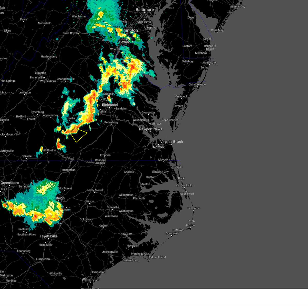 At 636 pm edt, a severe thunderstorm was located near green bay, or near victoria, moving southeast at 25 mph (radar indicated). Hazards include 60 mph wind gusts. Expect damage to trees and powerlines. this severe thunderstorm will be near, victoria around 645 pm edt. kenbridge around 655 pm edt. blackstone around 700 pm edt. other locations impacted by this severe thunderstorm include irby, murdocks, oral oaks, oliveville, nutbush, scholfield, the falls and rubermount. hail threat, radar indicated max hail size, <. 75 in wind threat, radar indicated max wind gust, 60 mph. At 636 pm edt, a severe thunderstorm was located near green bay, or near victoria, moving southeast at 25 mph (radar indicated). Hazards include 60 mph wind gusts. Expect damage to trees and powerlines. this severe thunderstorm will be near, victoria around 645 pm edt. kenbridge around 655 pm edt. blackstone around 700 pm edt. other locations impacted by this severe thunderstorm include irby, murdocks, oral oaks, oliveville, nutbush, scholfield, the falls and rubermount. hail threat, radar indicated max hail size, <. 75 in wind threat, radar indicated max wind gust, 60 mph.
|
| 6/26/2023 10:37 PM EDT |
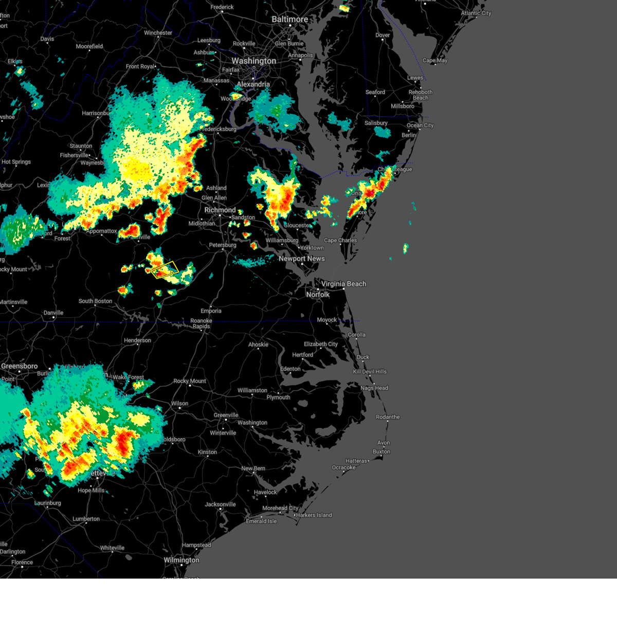 At 1037 pm edt, a severe thunderstorm was located over kenbridge, moving northeast at 25 mph (radar indicated). Hazards include 60 mph wind gusts. Expect damage to trees and powerlines. this severe storm will be near, blackstone around 1100 pm edt. other locations impacted by this severe thunderstorm include forkland, irby, the falls, murdocks and dominy corner. hail threat, radar indicated max hail size, <. 75 in wind threat, radar indicated max wind gust, 60 mph. At 1037 pm edt, a severe thunderstorm was located over kenbridge, moving northeast at 25 mph (radar indicated). Hazards include 60 mph wind gusts. Expect damage to trees and powerlines. this severe storm will be near, blackstone around 1100 pm edt. other locations impacted by this severe thunderstorm include forkland, irby, the falls, murdocks and dominy corner. hail threat, radar indicated max hail size, <. 75 in wind threat, radar indicated max wind gust, 60 mph.
|
| 6/26/2023 10:20 PM EDT |
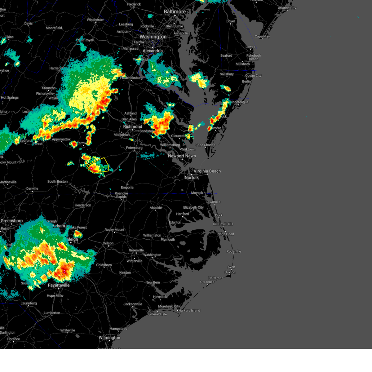 At 1020 pm edt, a severe thunderstorm was located over lunenburg, or near victoria, moving northeast at 20 mph (radar indicated). Hazards include 60 mph wind gusts and quarter size hail. Minor damage to vehicles is possible. expect wind damage to trees and powerlines. this severe storm will be near, kenbridge around 1030 pm edt. dundas around 1045 pm edt. blackstone around 1105 pm edt. other locations impacted by this severe thunderstorm include lafoon corner, danieltown, irby, barrows store, murdocks, oral oaks, forkland, the falls and dominy corner. hail threat, radar indicated max hail size, 1. 00 in wind threat, radar indicated max wind gust, 60 mph. At 1020 pm edt, a severe thunderstorm was located over lunenburg, or near victoria, moving northeast at 20 mph (radar indicated). Hazards include 60 mph wind gusts and quarter size hail. Minor damage to vehicles is possible. expect wind damage to trees and powerlines. this severe storm will be near, kenbridge around 1030 pm edt. dundas around 1045 pm edt. blackstone around 1105 pm edt. other locations impacted by this severe thunderstorm include lafoon corner, danieltown, irby, barrows store, murdocks, oral oaks, forkland, the falls and dominy corner. hail threat, radar indicated max hail size, 1. 00 in wind threat, radar indicated max wind gust, 60 mph.
|
| 6/26/2023 10:11 PM EDT |
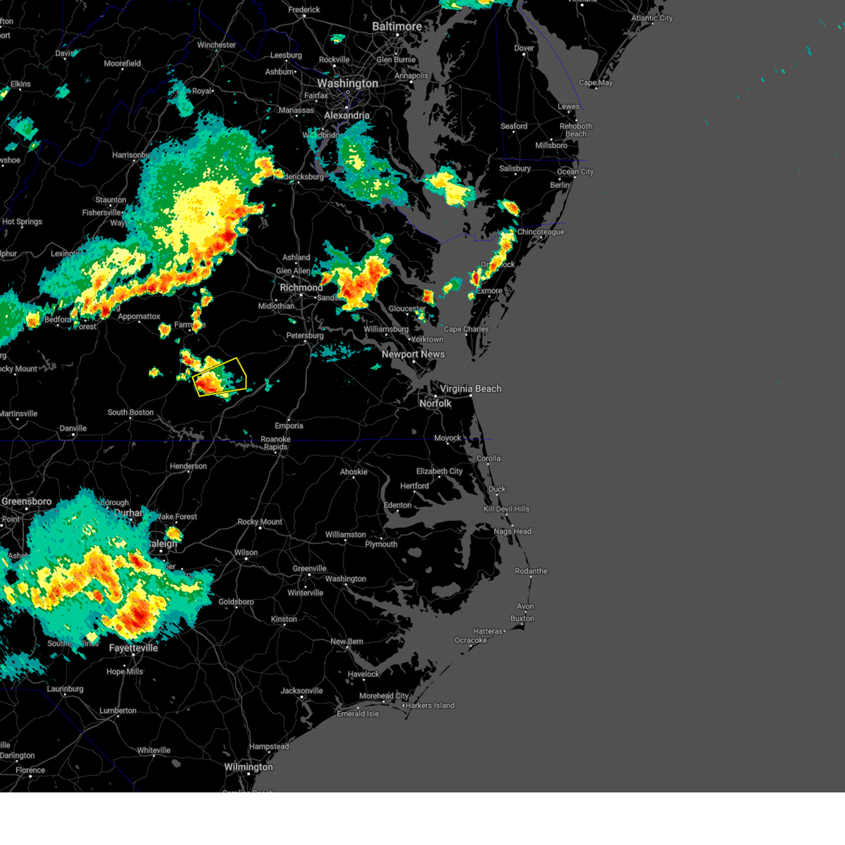 At 1011 pm edt, a severe thunderstorm was located near lunenburg, or near victoria, moving east at 25 mph (radar indicated). Hazards include 60 mph wind gusts and quarter size hail. Minor damage to vehicles is possible. expect wind damage to trees and powerlines. this severe thunderstorm will be near, victoria around 1020 pm edt. kenbridge around 1030 pm edt. dundas around 1045 pm edt. blackstone around 1100 pm edt. other locations impacted by this severe thunderstorm include lafoon corner, gary, danieltown, irby, wilburn, loves mill, barrows store, murdocks, oral oaks and forkland. hail threat, radar indicated max hail size, 1. 00 in wind threat, radar indicated max wind gust, 60 mph. At 1011 pm edt, a severe thunderstorm was located near lunenburg, or near victoria, moving east at 25 mph (radar indicated). Hazards include 60 mph wind gusts and quarter size hail. Minor damage to vehicles is possible. expect wind damage to trees and powerlines. this severe thunderstorm will be near, victoria around 1020 pm edt. kenbridge around 1030 pm edt. dundas around 1045 pm edt. blackstone around 1100 pm edt. other locations impacted by this severe thunderstorm include lafoon corner, gary, danieltown, irby, wilburn, loves mill, barrows store, murdocks, oral oaks and forkland. hail threat, radar indicated max hail size, 1. 00 in wind threat, radar indicated max wind gust, 60 mph.
|
| 6/26/2023 9:53 PM EDT |
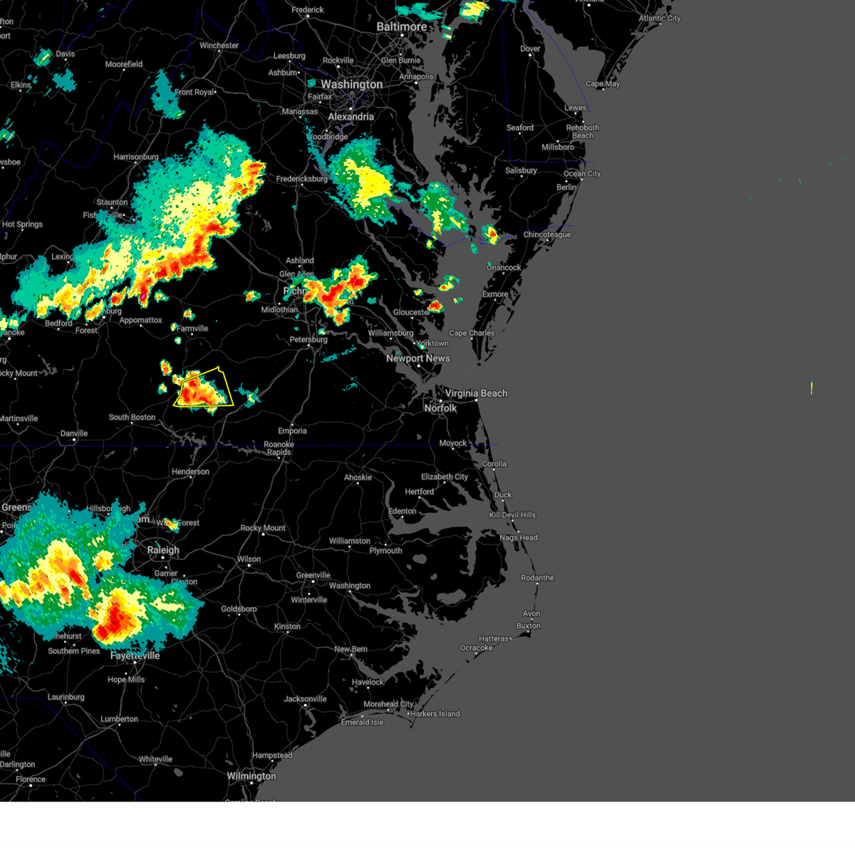 The severe thunderstorm warning for north central mecklenburg and lunenburg counties will expire at 1000 pm edt, the storms which prompted the warning have weakened below severe limits, and no longer pose an immediate threat to life or property. therefore, the warning will be allowed to expire. however small hail and gusty winds are still possible with these thunderstorms. a severe thunderstorm watch remains in effect until 1000 pm edt for south central virginia. The severe thunderstorm warning for north central mecklenburg and lunenburg counties will expire at 1000 pm edt, the storms which prompted the warning have weakened below severe limits, and no longer pose an immediate threat to life or property. therefore, the warning will be allowed to expire. however small hail and gusty winds are still possible with these thunderstorms. a severe thunderstorm watch remains in effect until 1000 pm edt for south central virginia.
|
| 6/26/2023 9:46 PM EDT |
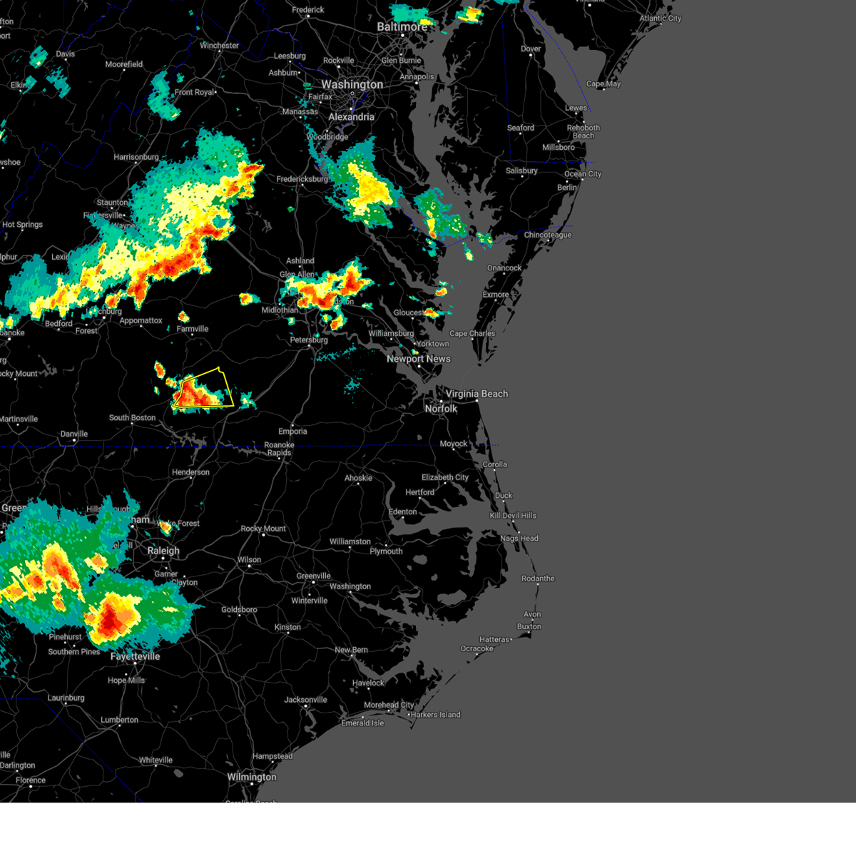 At 946 pm edt, severe thunderstorms were located along a line extending from near keysville to 8 miles northwest of south hill, moving east at 20 mph (radar indicated). Hazards include 60 mph wind gusts and quarter size hail. Minor damage to vehicles is possible. expect wind damage to trees and powerlines. these severe storms will be near, lunenburg around 1020 pm edt. victoria around 1025 pm edt. kenbridge around 1030 pm edt. other locations impacted by these severe thunderstorms include gary, bacons fork, wilburn, loves mill, arvins store, finneywood, the falls, lafoon corner, fairview and plantersville. hail threat, radar indicated max hail size, 1. 00 in wind threat, radar indicated max wind gust, 60 mph. At 946 pm edt, severe thunderstorms were located along a line extending from near keysville to 8 miles northwest of south hill, moving east at 20 mph (radar indicated). Hazards include 60 mph wind gusts and quarter size hail. Minor damage to vehicles is possible. expect wind damage to trees and powerlines. these severe storms will be near, lunenburg around 1020 pm edt. victoria around 1025 pm edt. kenbridge around 1030 pm edt. other locations impacted by these severe thunderstorms include gary, bacons fork, wilburn, loves mill, arvins store, finneywood, the falls, lafoon corner, fairview and plantersville. hail threat, radar indicated max hail size, 1. 00 in wind threat, radar indicated max wind gust, 60 mph.
|
| 6/26/2023 9:35 PM EDT |
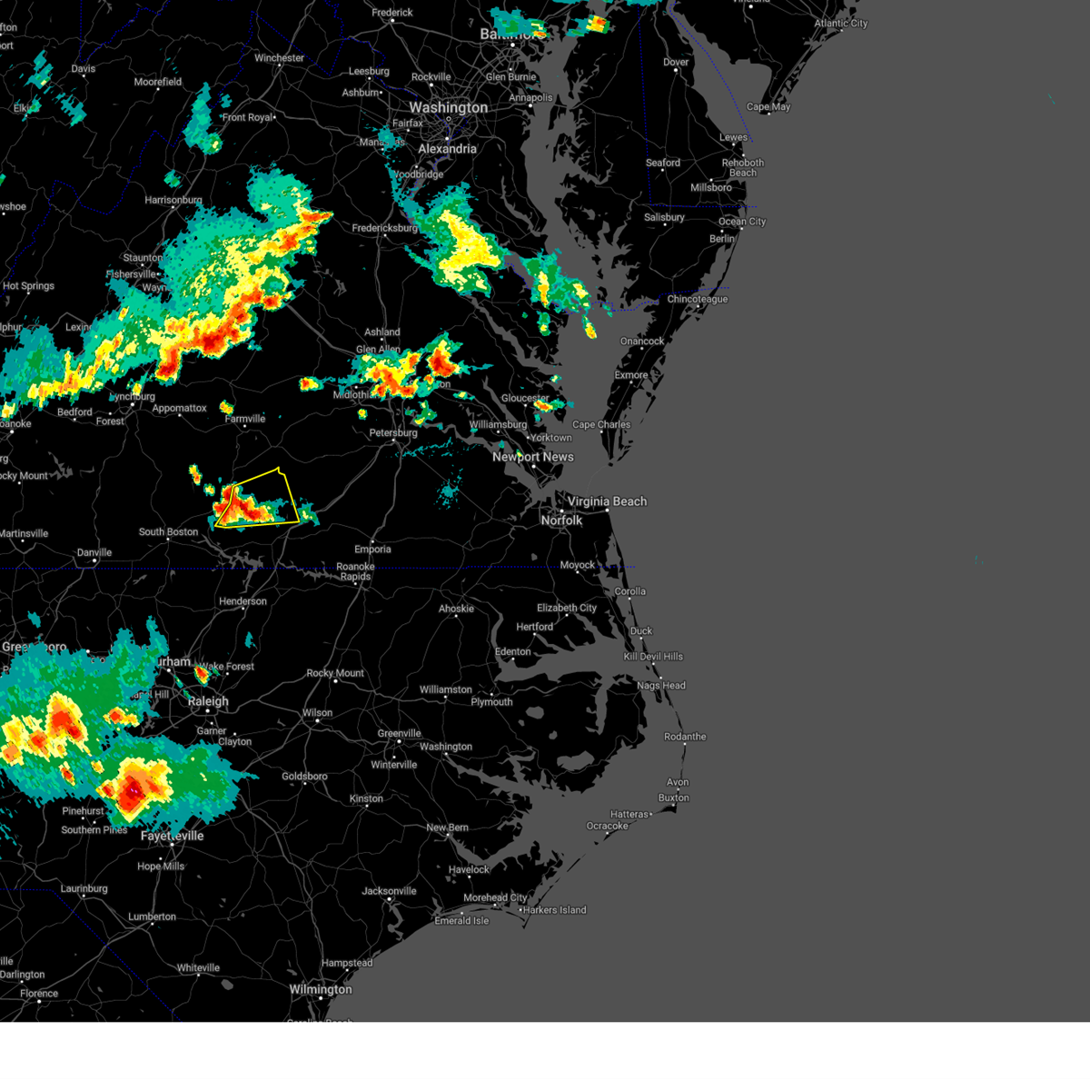 At 935 pm edt, severe thunderstorms were located along a line extending from near drakes branch to 8 miles southeast of kells corner, moving northeast at 30 mph (radar indicated). Hazards include 60 mph wind gusts and quarter size hail. Minor damage to vehicles is possible. expect wind damage to trees and powerlines. these severe storms will be near, lunenburg and rehoboth around 950 pm edt. victoria around 1000 pm edt. kenbridge around 1005 pm edt. other locations impacted by these severe thunderstorms include gary, bacons fork, wilburn, spanish grove, loves mill, arvins store, north view, finneywood, the falls and lafoon corner. hail threat, radar indicated max hail size, 1. 00 in wind threat, radar indicated max wind gust, 60 mph. At 935 pm edt, severe thunderstorms were located along a line extending from near drakes branch to 8 miles southeast of kells corner, moving northeast at 30 mph (radar indicated). Hazards include 60 mph wind gusts and quarter size hail. Minor damage to vehicles is possible. expect wind damage to trees and powerlines. these severe storms will be near, lunenburg and rehoboth around 950 pm edt. victoria around 1000 pm edt. kenbridge around 1005 pm edt. other locations impacted by these severe thunderstorms include gary, bacons fork, wilburn, spanish grove, loves mill, arvins store, north view, finneywood, the falls and lafoon corner. hail threat, radar indicated max hail size, 1. 00 in wind threat, radar indicated max wind gust, 60 mph.
|
| 6/26/2023 9:21 PM EDT |
 At 920 pm edt, a severe thunderstorm was located near chase city, moving northeast at 20 mph (radar indicated). Hazards include 60 mph wind gusts and quarter size hail. Minor damage to vehicles is possible. expect wind damage to trees and powerlines. this severe thunderstorm will be near, kells corner around 930 pm edt. rehoboth around 940 pm edt. kenbridge around 1000 pm edt. other locations impacted by this severe thunderstorm include gary, bacons fork, wilburn, spanish grove, loves mill, arvins store, north view, finneywood, skipwith and the falls. hail threat, radar indicated max hail size, 1. 00 in wind threat, radar indicated max wind gust, 60 mph. At 920 pm edt, a severe thunderstorm was located near chase city, moving northeast at 20 mph (radar indicated). Hazards include 60 mph wind gusts and quarter size hail. Minor damage to vehicles is possible. expect wind damage to trees and powerlines. this severe thunderstorm will be near, kells corner around 930 pm edt. rehoboth around 940 pm edt. kenbridge around 1000 pm edt. other locations impacted by this severe thunderstorm include gary, bacons fork, wilburn, spanish grove, loves mill, arvins store, north view, finneywood, skipwith and the falls. hail threat, radar indicated max hail size, 1. 00 in wind threat, radar indicated max wind gust, 60 mph.
|
| 4/22/2023 11:54 AM EDT |
 At 1153 am edt, a severe thunderstorm was located near green bay, or near victoria, moving northeast at 50 mph (radar indicated). Hazards include 60 mph wind gusts and penny size hail. Expect damage to trees and powerlines. this severe thunderstorm will be near, burkeville around 1205 pm edt. crewe and rice around 1210 pm edt. jetersville around 1220 pm edt. amelia courthouse around 1225 pm edt. other locations impacted by this severe thunderstorm include prince edward station, arvins store, twin lakes state park, rodophil, nutbush, burkes tavern, scholfield, moran, paineville and maplewood. hail threat, radar indicated max hail size, 0. 75 in wind threat, radar indicated max wind gust, 60 mph. At 1153 am edt, a severe thunderstorm was located near green bay, or near victoria, moving northeast at 50 mph (radar indicated). Hazards include 60 mph wind gusts and penny size hail. Expect damage to trees and powerlines. this severe thunderstorm will be near, burkeville around 1205 pm edt. crewe and rice around 1210 pm edt. jetersville around 1220 pm edt. amelia courthouse around 1225 pm edt. other locations impacted by this severe thunderstorm include prince edward station, arvins store, twin lakes state park, rodophil, nutbush, burkes tavern, scholfield, moran, paineville and maplewood. hail threat, radar indicated max hail size, 0. 75 in wind threat, radar indicated max wind gust, 60 mph.
|
| 4/6/2023 6:30 PM EDT |
 At 629 pm edt, severe thunderstorms were located along a line extending from scotts fork to spainville to near blackstone, moving east at 20 mph (radar indicated). Hazards include 60 mph wind gusts and penny size hail. Expect damage to trees and powerlines. these severe storms will be near, scotts fork, spainville and chula around 635 pm edt. other locations impacted by these severe thunderstorms include north wellville, irby, arvins store, earls, murdocks, nutbush, the falls, winterham, maplewood and dominy corner. hail threat, radar indicated max hail size, 0. 75 in wind threat, radar indicated max wind gust, 60 mph. At 629 pm edt, severe thunderstorms were located along a line extending from scotts fork to spainville to near blackstone, moving east at 20 mph (radar indicated). Hazards include 60 mph wind gusts and penny size hail. Expect damage to trees and powerlines. these severe storms will be near, scotts fork, spainville and chula around 635 pm edt. other locations impacted by these severe thunderstorms include north wellville, irby, arvins store, earls, murdocks, nutbush, the falls, winterham, maplewood and dominy corner. hail threat, radar indicated max hail size, 0. 75 in wind threat, radar indicated max wind gust, 60 mph.
|
| 4/6/2023 6:16 PM EDT |
 At 616 pm edt, severe thunderstorms were located along a line extending from amelia courthouse to near spainville to 6 miles southwest of nottoway, moving east at 30 mph (radar indicated). Hazards include 60 mph wind gusts and penny size hail. Expect damage to trees and powerlines. these severe storms will be near, amelia courthouse around 620 pm edt. scotts fork, spainville and chula around 625 pm edt. Other locations impacted by these severe thunderstorms include north wellville, irby, arvins store, earls, murdocks, nutbush, the falls, winterham, maplewood and dominy corner. At 616 pm edt, severe thunderstorms were located along a line extending from amelia courthouse to near spainville to 6 miles southwest of nottoway, moving east at 30 mph (radar indicated). Hazards include 60 mph wind gusts and penny size hail. Expect damage to trees and powerlines. these severe storms will be near, amelia courthouse around 620 pm edt. scotts fork, spainville and chula around 625 pm edt. Other locations impacted by these severe thunderstorms include north wellville, irby, arvins store, earls, murdocks, nutbush, the falls, winterham, maplewood and dominy corner.
|
| 4/6/2023 5:56 PM EDT |
 At 556 pm edt, severe thunderstorms were located along a line extending from near jetersville to near crewe to near green bay, moving east at 20 mph (radar indicated). Hazards include 60 mph wind gusts and quarter size hail. Minor damage to vehicles is possible. expect wind damage to trees and powerlines. severe thunderstorms will be near, crewe and jetersville around 600 pm edt. kenbridge and amelia courthouse around 620 pm edt. nottoway, scotts fork, spainville and chula around 635 pm edt. blackstone around 645 pm edt. other locations impacted by these severe thunderstorms include north wellville, irby, arvins store, earls, murdocks, rodophil, nutbush, scholfield, the falls and winterham. hail threat, radar indicated max hail size, 1. 00 in wind threat, radar indicated max wind gust, 60 mph. At 556 pm edt, severe thunderstorms were located along a line extending from near jetersville to near crewe to near green bay, moving east at 20 mph (radar indicated). Hazards include 60 mph wind gusts and quarter size hail. Minor damage to vehicles is possible. expect wind damage to trees and powerlines. severe thunderstorms will be near, crewe and jetersville around 600 pm edt. kenbridge and amelia courthouse around 620 pm edt. nottoway, scotts fork, spainville and chula around 635 pm edt. blackstone around 645 pm edt. other locations impacted by these severe thunderstorms include north wellville, irby, arvins store, earls, murdocks, rodophil, nutbush, scholfield, the falls and winterham. hail threat, radar indicated max hail size, 1. 00 in wind threat, radar indicated max wind gust, 60 mph.
|
| 7/25/2022 4:26 PM EDT |
 At 425 pm edt, severe thunderstorms were located along a line extending from 7 miles southwest of morven to near green bay to near keysville, moving northeast at 50 mph (radar indicated). Hazards include 60 mph wind gusts and quarter size hail. Minor damage to vehicles is possible. expect wind damage to trees and powerlines. these severe storms will be near, burkeville around 430 pm edt. crewe, lunenburg and morven around 435 pm edt. victoria around 440 pm edt. jetersville around 445 pm edt. amelia courthouse around 450 pm edt. nottoway around 455 pm edt. blackstone and chula around 500 pm edt. spainville around 505 pm edt. other locations impacted by these severe thunderstorms include north wellville, irby, prince edward station, angola, briery, arvins store, murdocks, twin lakes state park, forkland and nutbush. hail threat, radar indicated max hail size, 1. 00 in wind threat, radar indicated max wind gust, 60 mph. At 425 pm edt, severe thunderstorms were located along a line extending from 7 miles southwest of morven to near green bay to near keysville, moving northeast at 50 mph (radar indicated). Hazards include 60 mph wind gusts and quarter size hail. Minor damage to vehicles is possible. expect wind damage to trees and powerlines. these severe storms will be near, burkeville around 430 pm edt. crewe, lunenburg and morven around 435 pm edt. victoria around 440 pm edt. jetersville around 445 pm edt. amelia courthouse around 450 pm edt. nottoway around 455 pm edt. blackstone and chula around 500 pm edt. spainville around 505 pm edt. other locations impacted by these severe thunderstorms include north wellville, irby, prince edward station, angola, briery, arvins store, murdocks, twin lakes state park, forkland and nutbush. hail threat, radar indicated max hail size, 1. 00 in wind threat, radar indicated max wind gust, 60 mph.
|
| 7/25/2022 3:58 PM EDT |
 At 358 pm edt, a severe thunderstorm was located over hampden sydney college, moving east at 40 mph (radar indicated). Hazards include 60 mph wind gusts and quarter size hail. Minor damage to vehicles is possible. expect wind damage to trees and powerlines. this severe thunderstorm will be near, farmville, longwood university and green bay around 405 pm edt. burkeville and rice around 415 pm edt. crewe around 420 pm edt. jetersville around 430 pm edt. morven around 435 pm edt. amelia courthouse around 440 pm edt. chula around 445 pm edt. other locations impacted by this severe thunderstorm include raines tavern, north wellville, tuggle, irby, prince edward station, angola, briery, arvins store, murdocks and twin lakes state park. hail threat, radar indicated max hail size, 1. 00 in wind threat, radar indicated max wind gust, 60 mph. At 358 pm edt, a severe thunderstorm was located over hampden sydney college, moving east at 40 mph (radar indicated). Hazards include 60 mph wind gusts and quarter size hail. Minor damage to vehicles is possible. expect wind damage to trees and powerlines. this severe thunderstorm will be near, farmville, longwood university and green bay around 405 pm edt. burkeville and rice around 415 pm edt. crewe around 420 pm edt. jetersville around 430 pm edt. morven around 435 pm edt. amelia courthouse around 440 pm edt. chula around 445 pm edt. other locations impacted by this severe thunderstorm include raines tavern, north wellville, tuggle, irby, prince edward station, angola, briery, arvins store, murdocks and twin lakes state park. hail threat, radar indicated max hail size, 1. 00 in wind threat, radar indicated max wind gust, 60 mph.
|
| 7/6/2022 6:43 PM EDT | Trees down on burkeville r in lunenburg county VA, 5.5 miles SSW of Victoria, VA |
| 7/6/2022 6:35 PM EDT |
 At 634 pm edt, severe thunderstorms were located along a line extending from near morven to crewe to near lunenburg, moving southeast at 40 mph (radar indicated). Hazards include 60 mph wind gusts and quarter size hail. Minor damage to vehicles is possible. expect wind damage to trees and powerlines. these severe storms will be near, nottoway around 640 pm edt. victoria and amelia courthouse around 645 pm edt. blackstone and kenbridge around 650 pm edt. fort pickett and scotts fork around 655 pm edt. mannboro, spainville and dundas around 700 pm edt. wilsons around 705 pm edt. mckenney around 710 pm edt. dewitt around 715 pm edt. other locations impacted by these severe thunderstorms include north wellville, irby, gills corner, earls, ammon, murdocks, forkland, nutbush, darvills and the falls. hail threat, radar indicated max hail size, 1. 00 in wind threat, radar indicated max wind gust, 60 mph. At 634 pm edt, severe thunderstorms were located along a line extending from near morven to crewe to near lunenburg, moving southeast at 40 mph (radar indicated). Hazards include 60 mph wind gusts and quarter size hail. Minor damage to vehicles is possible. expect wind damage to trees and powerlines. these severe storms will be near, nottoway around 640 pm edt. victoria and amelia courthouse around 645 pm edt. blackstone and kenbridge around 650 pm edt. fort pickett and scotts fork around 655 pm edt. mannboro, spainville and dundas around 700 pm edt. wilsons around 705 pm edt. mckenney around 710 pm edt. dewitt around 715 pm edt. other locations impacted by these severe thunderstorms include north wellville, irby, gills corner, earls, ammon, murdocks, forkland, nutbush, darvills and the falls. hail threat, radar indicated max hail size, 1. 00 in wind threat, radar indicated max wind gust, 60 mph.
|
| 7/6/2022 6:06 PM EDT |
 At 605 pm edt, severe thunderstorms were located along a line extending from cumberland to near rice to near abilene, moving southeast at 45 mph. an additional isolated storm has also developed out ahead of the line across northeastern nottoway county (radar indicated). Hazards include 60 mph wind gusts and quarter size hail. Minor damage to vehicles is possible. expect wind damage to trees and powerlines. severe thunderstorms will be near, rice around 610 pm edt. burkeville and sunnyside around 615 pm edt. crewe, morven and jetersville around 620 pm edt. green bay around 625 pm edt. amelia courthouse and nottoway around 630 pm edt. blackstone, victoria, spainville, scotts fork and chula around 635 pm edt. kenbridge, wilsons and fort pickett around 640 pm edt. mannboro and dundas around 645 pm edt. other locations impacted by these severe thunderstorms include north wellville, angola, ammon, murdocks, nutbush, wellville, blackstone airport, denaro, rawlings and barrows store. hail threat, radar indicated max hail size, 1. 00 in wind threat, radar indicated max wind gust, 60 mph. At 605 pm edt, severe thunderstorms were located along a line extending from cumberland to near rice to near abilene, moving southeast at 45 mph. an additional isolated storm has also developed out ahead of the line across northeastern nottoway county (radar indicated). Hazards include 60 mph wind gusts and quarter size hail. Minor damage to vehicles is possible. expect wind damage to trees and powerlines. severe thunderstorms will be near, rice around 610 pm edt. burkeville and sunnyside around 615 pm edt. crewe, morven and jetersville around 620 pm edt. green bay around 625 pm edt. amelia courthouse and nottoway around 630 pm edt. blackstone, victoria, spainville, scotts fork and chula around 635 pm edt. kenbridge, wilsons and fort pickett around 640 pm edt. mannboro and dundas around 645 pm edt. other locations impacted by these severe thunderstorms include north wellville, angola, ammon, murdocks, nutbush, wellville, blackstone airport, denaro, rawlings and barrows store. hail threat, radar indicated max hail size, 1. 00 in wind threat, radar indicated max wind gust, 60 mph.
|
| 6/17/2022 6:15 PM EDT | Corrects previous tstm wnd dmg report from 1 ese nutbush. trained spotter reports numerous large trees downed... including a couple onto outbuildings near battes roads in lunenburg county VA, 3.6 miles SSE of Victoria, VA |
| 6/17/2022 6:15 PM EDT | Corrects previous tstm wnd dmg report from 1 ese nutbush. trained spotter reports numerous large trees downed... including a couple onto outbuildings near battes roads in lunenburg county VA, 3.6 miles SSE of Victoria, VA |
| 6/17/2022 6:10 PM EDT | Large tree uprooted on tomlinson road in victoria. time estimated from rada in lunenburg county VA, 1.4 miles W of Victoria, VA |
| 6/17/2022 5:50 PM EDT |
 At 550 pm edt, severe thunderstorms were located along a line extending from near hampden sydney college to near keysville to near cluster springs to prospect hill, moving southeast at 40 mph (radar indicated). Hazards include 60 mph wind gusts. Expect damage to trees and powerlines. severe thunderstorms will be near, rehoboth around 605 pm edt. victoria and lunenburg around 610 pm edt. kenbridge around 615 pm edt. dundas around 630 pm edt. south hill and la crosse around 635 pm edt. brodnax around 640 pm edt. other locations impacted by these severe thunderstorms include bacons fork, wilburn, spanish grove, gills corner, beechwood, arvins store, finchley, nutbush, finneywood and forksville. hail threat, radar indicated max hail size, <. 75 in wind threat, radar indicated max wind gust, 60 mph. At 550 pm edt, severe thunderstorms were located along a line extending from near hampden sydney college to near keysville to near cluster springs to prospect hill, moving southeast at 40 mph (radar indicated). Hazards include 60 mph wind gusts. Expect damage to trees and powerlines. severe thunderstorms will be near, rehoboth around 605 pm edt. victoria and lunenburg around 610 pm edt. kenbridge around 615 pm edt. dundas around 630 pm edt. south hill and la crosse around 635 pm edt. brodnax around 640 pm edt. other locations impacted by these severe thunderstorms include bacons fork, wilburn, spanish grove, gills corner, beechwood, arvins store, finchley, nutbush, finneywood and forksville. hail threat, radar indicated max hail size, <. 75 in wind threat, radar indicated max wind gust, 60 mph.
|
| 5/6/2022 10:24 PM EDT |
 At 1024 pm edt, a severe thunderstorm was located near kenbridge, moving northeast at 55 mph (radar indicated). Hazards include 60 mph wind gusts. Expect damage to trees and powerlines. this severe storm will be near, dundas around 1030 pm edt. fort pickett around 1040 pm edt. mckenney and wilsons around 1050 pm edt. Other locations impacted by this severe thunderstorm include bacons fork, north wellville, cochran, irby, wilburn, prince edward station, gills corner, dolphin, earls and ammon. At 1024 pm edt, a severe thunderstorm was located near kenbridge, moving northeast at 55 mph (radar indicated). Hazards include 60 mph wind gusts. Expect damage to trees and powerlines. this severe storm will be near, dundas around 1030 pm edt. fort pickett around 1040 pm edt. mckenney and wilsons around 1050 pm edt. Other locations impacted by this severe thunderstorm include bacons fork, north wellville, cochran, irby, wilburn, prince edward station, gills corner, dolphin, earls and ammon.
|
| 5/6/2022 10:11 PM EDT |
 At 1011 pm edt, a severe thunderstorm was located near kells corner, or 8 miles east of chase city, moving northeast at 50 mph (radar indicated). Hazards include 60 mph wind gusts and quarter size hail. Minor damage to vehicles is possible. expect wind damage to trees and powerlines. this severe thunderstorm will be near, lunenburg around 1020 pm edt. victoria and kenbridge around 1025 pm edt. dundas around 1030 pm edt. fort pickett around 1040 pm edt. mckenney and wilsons around 1050 pm edt. Other locations impacted by this severe thunderstorm include bacons fork, north wellville, wilburn, arvins store, dolphin, ammon, murdocks, nutbush, plantersville and wellville. At 1011 pm edt, a severe thunderstorm was located near kells corner, or 8 miles east of chase city, moving northeast at 50 mph (radar indicated). Hazards include 60 mph wind gusts and quarter size hail. Minor damage to vehicles is possible. expect wind damage to trees and powerlines. this severe thunderstorm will be near, lunenburg around 1020 pm edt. victoria and kenbridge around 1025 pm edt. dundas around 1030 pm edt. fort pickett around 1040 pm edt. mckenney and wilsons around 1050 pm edt. Other locations impacted by this severe thunderstorm include bacons fork, north wellville, wilburn, arvins store, dolphin, ammon, murdocks, nutbush, plantersville and wellville.
|
| 5/3/2022 5:56 PM EDT |
 The severe thunderstorm warning for northeastern mecklenburg and south central lunenburg counties will expire at 600 pm edt, the storm which prompted the warning has weakened below severe limits, and has exited the warned area. therefore, the warning will be allowed to expire. however small hail and gusty winds are still possible with this thunderstorm. The severe thunderstorm warning for northeastern mecklenburg and south central lunenburg counties will expire at 600 pm edt, the storm which prompted the warning has weakened below severe limits, and has exited the warned area. therefore, the warning will be allowed to expire. however small hail and gusty winds are still possible with this thunderstorm.
|
| 5/3/2022 5:48 PM EDT |
 At 547 pm edt, a severe thunderstorm was located 8 miles southeast of rehoboth, or 10 miles northwest of south hill, moving east at 25 mph (radar indicated). Hazards include 60 mph wind gusts and quarter size hail. Minor damage to vehicles is possible. expect wind damage to trees and powerlines. this severe thunderstorm will remain over mainly rural areas of northeastern mecklenburg and south central lunenburg counties, including the following locations, loves mill, wightman and wilburn. hail threat, radar indicated max hail size, 1. 00 in wind threat, radar indicated max wind gust, 60 mph. At 547 pm edt, a severe thunderstorm was located 8 miles southeast of rehoboth, or 10 miles northwest of south hill, moving east at 25 mph (radar indicated). Hazards include 60 mph wind gusts and quarter size hail. Minor damage to vehicles is possible. expect wind damage to trees and powerlines. this severe thunderstorm will remain over mainly rural areas of northeastern mecklenburg and south central lunenburg counties, including the following locations, loves mill, wightman and wilburn. hail threat, radar indicated max hail size, 1. 00 in wind threat, radar indicated max wind gust, 60 mph.
|
| 5/3/2022 5:20 PM EDT |
 At 520 pm edt, a severe thunderstorm was located over chase city, moving northeast at 25 mph (radar indicated). Hazards include 60 mph wind gusts and quarter size hail. Minor damage to vehicles is possible. expect wind damage to trees and powerlines. this severe thunderstorm will be near, kells corner around 540 pm edt. rehoboth around 550 pm edt. victoria and lunenburg around 600 pm edt. other locations impacted by this severe thunderstorm include fairview, plantersville, wilburn, loves mill, fort mitchell, finneywood and wightman. hail threat, radar indicated max hail size, 1. 00 in wind threat, radar indicated max wind gust, 60 mph. At 520 pm edt, a severe thunderstorm was located over chase city, moving northeast at 25 mph (radar indicated). Hazards include 60 mph wind gusts and quarter size hail. Minor damage to vehicles is possible. expect wind damage to trees and powerlines. this severe thunderstorm will be near, kells corner around 540 pm edt. rehoboth around 550 pm edt. victoria and lunenburg around 600 pm edt. other locations impacted by this severe thunderstorm include fairview, plantersville, wilburn, loves mill, fort mitchell, finneywood and wightman. hail threat, radar indicated max hail size, 1. 00 in wind threat, radar indicated max wind gust, 60 mph.
|
| 3/31/2022 1:31 PM EDT |
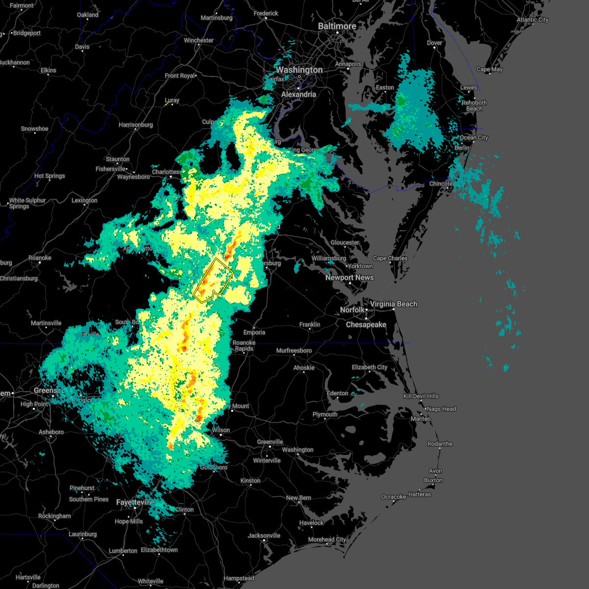 At 130 pm edt, a severe thunderstorm was located over kenbridge, moving northeast at 50 mph (radar indicated). Hazards include 60 mph wind gusts. Expect damage to trees and powerlines. this severe thunderstorm will be near, nottoway and fort pickett around 140 pm edt. blackstone around 145 pm edt. spainville and wilsons around 150 pm edt. other locations impacted by this severe thunderstorm include north wellville, irby, earls, murdocks, forkland, the falls, wellville, dominy corner, clay store and blackstone airport. hail threat, radar indicated max hail size, <. 75 in wind threat, radar indicated max wind gust, 60 mph. At 130 pm edt, a severe thunderstorm was located over kenbridge, moving northeast at 50 mph (radar indicated). Hazards include 60 mph wind gusts. Expect damage to trees and powerlines. this severe thunderstorm will be near, nottoway and fort pickett around 140 pm edt. blackstone around 145 pm edt. spainville and wilsons around 150 pm edt. other locations impacted by this severe thunderstorm include north wellville, irby, earls, murdocks, forkland, the falls, wellville, dominy corner, clay store and blackstone airport. hail threat, radar indicated max hail size, <. 75 in wind threat, radar indicated max wind gust, 60 mph.
|
| 10/25/2021 8:44 PM EDT |
 At 844 pm edt, a severe thunderstorm was located over dryburg, or near clover, moving east at 35 mph (radar indicated). Hazards include 60 mph wind gusts. Expect damage to trees and powerlines. this severe thunderstorm will be near, chase city around 910 pm edt. kells corner around 915 pm edt. south hill and dundas around 945 pm edt. other locations impacted by this severe thunderstorm include bacons fork, wilburn, spanish grove, beechwood, gills corner, finchley, finneywood, forksville, fairview and plantersville. hail threat, radar indicated max hail size, <. 75 in wind threat, radar indicated max wind gust, 60 mph. At 844 pm edt, a severe thunderstorm was located over dryburg, or near clover, moving east at 35 mph (radar indicated). Hazards include 60 mph wind gusts. Expect damage to trees and powerlines. this severe thunderstorm will be near, chase city around 910 pm edt. kells corner around 915 pm edt. south hill and dundas around 945 pm edt. other locations impacted by this severe thunderstorm include bacons fork, wilburn, spanish grove, beechwood, gills corner, finchley, finneywood, forksville, fairview and plantersville. hail threat, radar indicated max hail size, <. 75 in wind threat, radar indicated max wind gust, 60 mph.
|
| 8/22/2021 3:04 PM EDT |
 At 303 pm edt, a severe thunderstorm was located over victoria, moving southeast at 10 mph (radar indicated). Hazards include 60 mph wind gusts and quarter size hail. Minor damage to vehicles is possible. expect wind damage to trees and powerlines. locations impacted include, victoria, kenbridge, lunenburg, dundas, lafoon corner, gary, wilburn, loves mill, oral oaks and rubermount. hail threat, radar indicated max hail size, 1. 00 in wind threat, radar indicated max wind gust, 60 mph. At 303 pm edt, a severe thunderstorm was located over victoria, moving southeast at 10 mph (radar indicated). Hazards include 60 mph wind gusts and quarter size hail. Minor damage to vehicles is possible. expect wind damage to trees and powerlines. locations impacted include, victoria, kenbridge, lunenburg, dundas, lafoon corner, gary, wilburn, loves mill, oral oaks and rubermount. hail threat, radar indicated max hail size, 1. 00 in wind threat, radar indicated max wind gust, 60 mph.
|
| 8/22/2021 2:41 PM EDT |
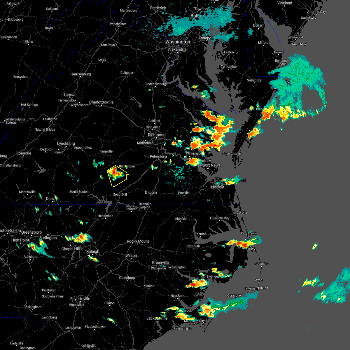 At 241 pm edt, a severe thunderstorm was located over victoria, moving southeast at 10 mph (radar indicated). Hazards include 60 mph wind gusts and quarter size hail. Minor damage to vehicles is possible. Expect wind damage to trees and powerlines. At 241 pm edt, a severe thunderstorm was located over victoria, moving southeast at 10 mph (radar indicated). Hazards include 60 mph wind gusts and quarter size hail. Minor damage to vehicles is possible. Expect wind damage to trees and powerlines.
|
| 8/10/2021 6:15 PM EDT |
 At 614 pm edt, a severe thunderstorm was located over green bay, or 7 miles southeast of hampden sydney college, moving east at 20 mph (radar indicated). Hazards include 60 mph wind gusts. expect damage to trees and powerlines At 614 pm edt, a severe thunderstorm was located over green bay, or 7 miles southeast of hampden sydney college, moving east at 20 mph (radar indicated). Hazards include 60 mph wind gusts. expect damage to trees and powerlines
|
| 7/24/2021 5:51 PM EDT |
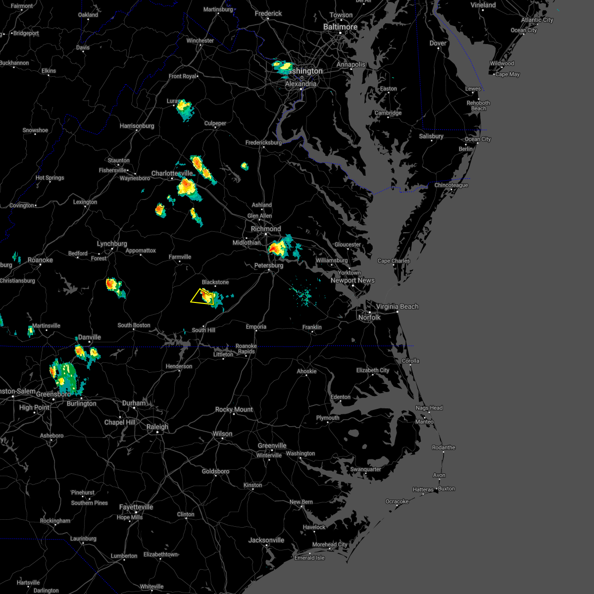 At 550 pm edt, a severe thunderstorm was located over kenbridge, moving south at 15 mph (radar indicated). Hazards include 60 mph wind gusts and penny size hail. Expect damage to trees and powerlines. This severe storm will be near, kenbridge around 600 pm edt. At 550 pm edt, a severe thunderstorm was located over kenbridge, moving south at 15 mph (radar indicated). Hazards include 60 mph wind gusts and penny size hail. Expect damage to trees and powerlines. This severe storm will be near, kenbridge around 600 pm edt.
|
| 7/24/2021 5:35 PM EDT |
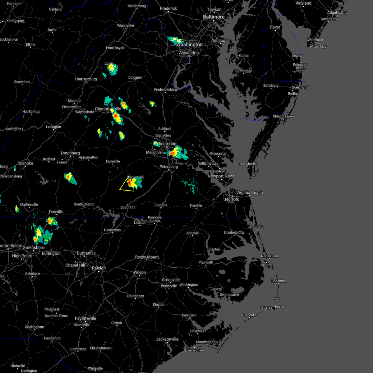 At 535 pm edt, a severe thunderstorm was located near kenbridge, moving south at 15 mph (radar indicated). Hazards include 60 mph wind gusts and quarter size hail. Minor damage to vehicles is possible. expect wind damage to trees and powerlines. this severe storm will be near, victoria around 550 pm edt. kenbridge around 555 pm edt. Other locations impacted by this severe thunderstorm include the falls, irby and murdocks. At 535 pm edt, a severe thunderstorm was located near kenbridge, moving south at 15 mph (radar indicated). Hazards include 60 mph wind gusts and quarter size hail. Minor damage to vehicles is possible. expect wind damage to trees and powerlines. this severe storm will be near, victoria around 550 pm edt. kenbridge around 555 pm edt. Other locations impacted by this severe thunderstorm include the falls, irby and murdocks.
|
| 7/24/2021 5:13 PM EDT |
 At 512 pm edt, a severe thunderstorm was located over nottoway, or near blackstone, moving south at 15 mph (radar indicated). Hazards include 60 mph wind gusts and quarter size hail. Minor damage to vehicles is possible. expect wind damage to trees and powerlines. this severe thunderstorm will be near, victoria around 550 pm edt. kenbridge around 555 pm edt. Other locations impacted by this severe thunderstorm include the falls, irby and murdocks. At 512 pm edt, a severe thunderstorm was located over nottoway, or near blackstone, moving south at 15 mph (radar indicated). Hazards include 60 mph wind gusts and quarter size hail. Minor damage to vehicles is possible. expect wind damage to trees and powerlines. this severe thunderstorm will be near, victoria around 550 pm edt. kenbridge around 555 pm edt. Other locations impacted by this severe thunderstorm include the falls, irby and murdocks.
|
| 7/18/2021 7:28 PM EDT |
 At 727 pm edt, severe thunderstorms were located along a line extending from 7 miles southeast of lunenburg to near boydton, moving southeast at 25 mph (radar indicated). Hazards include 60 mph wind gusts. Expect damage to trees and powerlines. Locations impacted include, south hill, chase city, victoria, kenbridge, brodnax, lunenburg, clarksville, la crosse, boydton, kells corner, rehoboth, dundas, bacons fork, wilburn, beechwood, gills corner, finchley, forksville, fairview and rogers corner. At 727 pm edt, severe thunderstorms were located along a line extending from 7 miles southeast of lunenburg to near boydton, moving southeast at 25 mph (radar indicated). Hazards include 60 mph wind gusts. Expect damage to trees and powerlines. Locations impacted include, south hill, chase city, victoria, kenbridge, brodnax, lunenburg, clarksville, la crosse, boydton, kells corner, rehoboth, dundas, bacons fork, wilburn, beechwood, gills corner, finchley, forksville, fairview and rogers corner.
|
| 7/18/2021 7:15 PM EDT | Trees down across courthouse road and traffic road. time estimated by rada in lunenburg county VA, 10.6 miles NE of Victoria, VA |
| 7/18/2021 7:10 PM EDT |
 At 710 pm edt, severe thunderstorms were located along a line extending from rehoboth to near clarksville, moving southeast at 30 mph (radar indicated). Hazards include 60 mph wind gusts and penny size hail. expect damage to trees and powerlines At 710 pm edt, severe thunderstorms were located along a line extending from rehoboth to near clarksville, moving southeast at 30 mph (radar indicated). Hazards include 60 mph wind gusts and penny size hail. expect damage to trees and powerlines
|
| 4/7/2020 1:45 PM EDT | Quarter sized hail reported 2.1 miles NE of Victoria, VA, report of hail up to the size of quarters covering the ground between victoria and lunenburg.time estimated from radar. |
| 4/7/2020 1:43 PM EDT |
 At 142 pm edt, a severe thunderstorm was located over lunenburg, or over victoria, moving southeast at 25 mph (radar indicated). Hazards include 60 mph wind gusts and quarter size hail. Minor damage to vehicles is possible. expect wind damage to trees and powerlines. this severe thunderstorm will be near, kenbridge around 155 pm edt. dundas around 215 pm edt. south hill around 225 pm edt. brodnax and la crosse around 230 pm edt. other locations impacted by this severe thunderstorm include gary, bacons fork, cochran, wilburn, gills corner, loves mill, meredithville, forksville, lafoon corner and danieltown. People at south hill family medicine should seek safe shelter immediately!. At 142 pm edt, a severe thunderstorm was located over lunenburg, or over victoria, moving southeast at 25 mph (radar indicated). Hazards include 60 mph wind gusts and quarter size hail. Minor damage to vehicles is possible. expect wind damage to trees and powerlines. this severe thunderstorm will be near, kenbridge around 155 pm edt. dundas around 215 pm edt. south hill around 225 pm edt. brodnax and la crosse around 230 pm edt. other locations impacted by this severe thunderstorm include gary, bacons fork, cochran, wilburn, gills corner, loves mill, meredithville, forksville, lafoon corner and danieltown. People at south hill family medicine should seek safe shelter immediately!.
|
| 1/12/2020 1:01 AM EST |
 At 101 am est, a severe thunderstorm was located over nottoway, or near blackstone, moving northeast at 45 mph (radar indicated). Hazards include 60 mph wind gusts. Expect damage to trees and powerlines. Locations impacted include, blackstone, crewe, victoria, kenbridge, nottoway, wilsons, fort pickett, spainville, dundas, north wellville, irby, murdocks, forkland, the falls, darvills, wellville, dominy corner, oral oaks, blackstone airport and rubermount. At 101 am est, a severe thunderstorm was located over nottoway, or near blackstone, moving northeast at 45 mph (radar indicated). Hazards include 60 mph wind gusts. Expect damage to trees and powerlines. Locations impacted include, blackstone, crewe, victoria, kenbridge, nottoway, wilsons, fort pickett, spainville, dundas, north wellville, irby, murdocks, forkland, the falls, darvills, wellville, dominy corner, oral oaks, blackstone airport and rubermount.
|
| 1/12/2020 12:43 AM EST |
 At 1243 am est, a severe thunderstorm was located near rehoboth, or 7 miles west of victoria, moving northeast at 65 mph (radar indicated). Hazards include 60 mph wind gusts. expect damage to trees and powerlines At 1243 am est, a severe thunderstorm was located near rehoboth, or 7 miles west of victoria, moving northeast at 65 mph (radar indicated). Hazards include 60 mph wind gusts. expect damage to trees and powerlines
|
| 1/12/2020 12:35 AM EST |
 At 1235 am est, severe thunderstorms were located along a line extending from near trenholm to jetersville to wylliesburg, moving northeast at 60 mph (radar indicated). Hazards include 60 mph wind gusts. Expect damage to trees and powerlines. these severe storms will be near, amelia courthouse and jetersville around 1240 am est. chula around 1245 am est. rehoboth around 1250 am est. lunenburg around 1255 am est. kenbridge around 100 am est. Other locations impacted by these severe thunderstorms include wilburn, arvins store, murdocks, three square, nutbush, finneywood, fairview, plantersville, rogers corner and michaux. At 1235 am est, severe thunderstorms were located along a line extending from near trenholm to jetersville to wylliesburg, moving northeast at 60 mph (radar indicated). Hazards include 60 mph wind gusts. Expect damage to trees and powerlines. these severe storms will be near, amelia courthouse and jetersville around 1240 am est. chula around 1245 am est. rehoboth around 1250 am est. lunenburg around 1255 am est. kenbridge around 100 am est. Other locations impacted by these severe thunderstorms include wilburn, arvins store, murdocks, three square, nutbush, finneywood, fairview, plantersville, rogers corner and michaux.
|
| 1/12/2020 12:19 AM EST |
 At 1219 am est, severe thunderstorms were located along a line extending from near cumberland to near green bay to near scottsburg, moving northeast at 65 mph (radar indicated). Hazards include 60 mph wind gusts. Expect damage to trees and powerlines. these severe storms will be near, crewe, burkeville, rice, ballsville, tobaccoville and sunnyside around 1225 am est. trenholm and jetersville around 1230 am est. chase city around 1235 am est. amelia courthouse and kells corner around 1240 am est. lunenburg, rehoboth and chula around 1245 am est. Other locations impacted by these severe thunderstorms include wilburn, angola, arvins store, murdocks, nutbush, finneywood, hawk, fairview, plantersville and rogers corner. At 1219 am est, severe thunderstorms were located along a line extending from near cumberland to near green bay to near scottsburg, moving northeast at 65 mph (radar indicated). Hazards include 60 mph wind gusts. Expect damage to trees and powerlines. these severe storms will be near, crewe, burkeville, rice, ballsville, tobaccoville and sunnyside around 1225 am est. trenholm and jetersville around 1230 am est. chase city around 1235 am est. amelia courthouse and kells corner around 1240 am est. lunenburg, rehoboth and chula around 1245 am est. Other locations impacted by these severe thunderstorms include wilburn, angola, arvins store, murdocks, nutbush, finneywood, hawk, fairview, plantersville and rogers corner.
|
| 1/11/2020 11:54 PM EST |
 At 1153 pm est, severe thunderstorms were located along a line extending from near hixburg to near charlotte court house to semora, moving northeast at 60 mph (radar indicated). Hazards include 60 mph wind gusts. Expect damage to trees and powerlines. severe thunderstorms will be near, prospect around 1200 am est. farmville around 1205 am est. hampden sydney college, hampden sydney, guinea mills and green bay around 1215 am est. cumberland and longwood university around 1220 am est. crewe, burkeville, rice, sunnyside and tobaccoville around 1225 am est. trenholm and ballsville around 1230 am est. jetersville around 1235 am est. chase city, amelia courthouse and morven around 1240 am est. Other locations impacted by these severe thunderstorms include tuggle, wilburn, angola, arvins store, murdocks, nutbush, finneywood, hawk, fairview and plantersville. At 1153 pm est, severe thunderstorms were located along a line extending from near hixburg to near charlotte court house to semora, moving northeast at 60 mph (radar indicated). Hazards include 60 mph wind gusts. Expect damage to trees and powerlines. severe thunderstorms will be near, prospect around 1200 am est. farmville around 1205 am est. hampden sydney college, hampden sydney, guinea mills and green bay around 1215 am est. cumberland and longwood university around 1220 am est. crewe, burkeville, rice, sunnyside and tobaccoville around 1225 am est. trenholm and ballsville around 1230 am est. jetersville around 1235 am est. chase city, amelia courthouse and morven around 1240 am est. Other locations impacted by these severe thunderstorms include tuggle, wilburn, angola, arvins store, murdocks, nutbush, finneywood, hawk, fairview and plantersville.
|
| 10/31/2019 8:43 PM EDT |
 At 842 pm edt, severe thunderstorms were located along a line extending from near chula to near dundas to 7 miles southeast of boydton, moving east at 50 mph (radar indicated). Hazards include 60 mph wind gusts. Expect damage to trees and powerlines. these severe storms will be near, chula, fort pickett and scotts fork around 850 pm edt. moseley around 855 pm edt. mckenney and la crosse around 900 pm edt. brodnax, dewitt and ebony around 905 pm edt. gasburg around 910 pm edt. lawrenceville and brunswick around 915 pm edt. Other locations impacted by these severe thunderstorms include bacons fork, north wellville, wilburn, dolphin, bowens corner, ammon, murdocks, forksville, skinquarter and wellville. At 842 pm edt, severe thunderstorms were located along a line extending from near chula to near dundas to 7 miles southeast of boydton, moving east at 50 mph (radar indicated). Hazards include 60 mph wind gusts. Expect damage to trees and powerlines. these severe storms will be near, chula, fort pickett and scotts fork around 850 pm edt. moseley around 855 pm edt. mckenney and la crosse around 900 pm edt. brodnax, dewitt and ebony around 905 pm edt. gasburg around 910 pm edt. lawrenceville and brunswick around 915 pm edt. Other locations impacted by these severe thunderstorms include bacons fork, north wellville, wilburn, dolphin, bowens corner, ammon, murdocks, forksville, skinquarter and wellville.
|
| 10/31/2019 8:13 PM EDT |
 At 812 pm edt, severe thunderstorms were located along a line extending from near rice to near kells corner to near clarksville, moving east at 55 mph (radar indicated). Hazards include 60 mph wind gusts. Expect damage to trees and powerlines. severe thunderstorms will be near, rice around 820 pm edt. lunenburg and jetersville around 825 pm edt. kenbridge around 830 pm edt. amelia courthouse and dundas around 835 pm edt. alberta and chula around 840 pm edt. south hill, moseley, la crosse and fort pickett around 845 pm edt. brodnax around 850 pm edt. mckenney around 855 pm edt. other locations impacted by these severe thunderstorms include bacons fork, north wellville, wilburn, arvins store, dolphin, bowens corner, ammon, murdocks, nutbush and finneywood. A tornado watch remains in effect until 1100 pm edt for northeastern north carolina, and central and south central virginia. At 812 pm edt, severe thunderstorms were located along a line extending from near rice to near kells corner to near clarksville, moving east at 55 mph (radar indicated). Hazards include 60 mph wind gusts. Expect damage to trees and powerlines. severe thunderstorms will be near, rice around 820 pm edt. lunenburg and jetersville around 825 pm edt. kenbridge around 830 pm edt. amelia courthouse and dundas around 835 pm edt. alberta and chula around 840 pm edt. south hill, moseley, la crosse and fort pickett around 845 pm edt. brodnax around 850 pm edt. mckenney around 855 pm edt. other locations impacted by these severe thunderstorms include bacons fork, north wellville, wilburn, arvins store, dolphin, bowens corner, ammon, murdocks, nutbush and finneywood. A tornado watch remains in effect until 1100 pm edt for northeastern north carolina, and central and south central virginia.
|
| 10/31/2019 7:34 PM EDT |
 The national weather service in wakefield has issued a * severe thunderstorm warning for. mecklenburg county in south central virginia. lunenburg county in south central virginia. southwestern nottoway county in south central virginia. Until 815 pm edt. The national weather service in wakefield has issued a * severe thunderstorm warning for. mecklenburg county in south central virginia. lunenburg county in south central virginia. southwestern nottoway county in south central virginia. Until 815 pm edt.
|
| 8/19/2019 6:53 PM EDT | Numerous trees down across northern lunenburg county. many without power in victoria. time estimated via rada in lunenburg county VA, 5.4 miles S of Victoria, VA |
| 8/19/2019 6:49 PM EDT |
 At 648 pm edt, a severe thunderstorm was located near meherrin, or 7 miles east of keysville, and is nearly stationary (radar indicated). Hazards include 60 mph wind gusts and quarter size hail. Minor damage to vehicles is possible. expect wind damage to trees and powerlines. Locations impacted include, victoria, lunenburg, green bay, pleasant grove, arvins store, virso, meherrin, nutbush, scholfield, simplicity and rubermount. At 648 pm edt, a severe thunderstorm was located near meherrin, or 7 miles east of keysville, and is nearly stationary (radar indicated). Hazards include 60 mph wind gusts and quarter size hail. Minor damage to vehicles is possible. expect wind damage to trees and powerlines. Locations impacted include, victoria, lunenburg, green bay, pleasant grove, arvins store, virso, meherrin, nutbush, scholfield, simplicity and rubermount.
|
| 8/19/2019 6:47 PM EDT |
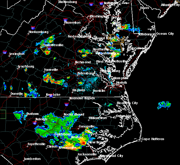 The national weather service in wakefield has issued a * severe thunderstorm warning for. northeastern lunenburg county in south central virginia. southwestern nottoway county in south central virginia. until 715 pm edt. At 647 pm edt, a severe thunderstorm was located near kenbridge,. The national weather service in wakefield has issued a * severe thunderstorm warning for. northeastern lunenburg county in south central virginia. southwestern nottoway county in south central virginia. until 715 pm edt. At 647 pm edt, a severe thunderstorm was located near kenbridge,.
|
| 8/19/2019 6:37 PM EDT |
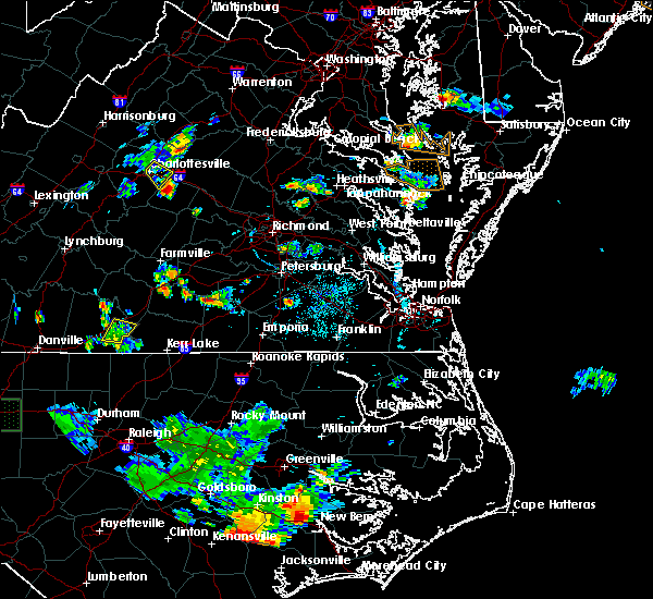 The national weather service in wakefield has issued a * severe thunderstorm warning for. southeastern prince edward county in central virginia. northwestern lunenburg county in south central virginia. western nottoway county in south central virginia. Until 715 pm edt. The national weather service in wakefield has issued a * severe thunderstorm warning for. southeastern prince edward county in central virginia. northwestern lunenburg county in south central virginia. western nottoway county in south central virginia. Until 715 pm edt.
|
| 8/13/2019 4:23 PM EDT |
 At 422 pm edt, severe thunderstorms were located along a line extending from crewe to near nottoway to near lunenburg, moving east at 30 mph (radar indicated). Hazards include 60 mph wind gusts and penny size hail. Expect damage to trees and powerlines. Locations impacted include, blackstone, crewe, victoria, kenbridge, nottoway, lunenburg, burkeville, fort pickett, dundas, bacons fork, irby, wilburn, gills corner, murdocks, forkland, meredithville, the falls, wellville, dominy corner and oral oaks. At 422 pm edt, severe thunderstorms were located along a line extending from crewe to near nottoway to near lunenburg, moving east at 30 mph (radar indicated). Hazards include 60 mph wind gusts and penny size hail. Expect damage to trees and powerlines. Locations impacted include, blackstone, crewe, victoria, kenbridge, nottoway, lunenburg, burkeville, fort pickett, dundas, bacons fork, irby, wilburn, gills corner, murdocks, forkland, meredithville, the falls, wellville, dominy corner and oral oaks.
|
| 8/13/2019 4:16 PM EDT |
 At 358 pm edt, severe thunderstorms were located along a line extending from 6 miles southeast of hampden sydney college to near green bay to near rehoboth, moving east at 30 mph (radar indicated). Hazards include 60 mph wind gusts and penny size hail. Expect damage to trees and powerlines. severe thunderstorms will be near, lunenburg around 410 pm edt. burkeville around 415 pm edt. crewe and victoria around 420 pm edt. kenbridge around 425 pm edt. nottoway around 430 pm edt. blackstone, fort pickett and dundas around 440 pm edt. Other locations impacted by these severe thunderstorms include bacons fork, irby, wilburn, prince edward station, gills corner, arvins store, murdocks, twin lakes state park, forkland and nutbush. At 358 pm edt, severe thunderstorms were located along a line extending from 6 miles southeast of hampden sydney college to near green bay to near rehoboth, moving east at 30 mph (radar indicated). Hazards include 60 mph wind gusts and penny size hail. Expect damage to trees and powerlines. severe thunderstorms will be near, lunenburg around 410 pm edt. burkeville around 415 pm edt. crewe and victoria around 420 pm edt. kenbridge around 425 pm edt. nottoway around 430 pm edt. blackstone, fort pickett and dundas around 440 pm edt. Other locations impacted by these severe thunderstorms include bacons fork, irby, wilburn, prince edward station, gills corner, arvins store, murdocks, twin lakes state park, forkland and nutbush.
|
| 8/13/2019 3:59 PM EDT |
 The national weather service in wakefield has issued a * severe thunderstorm warning for. southeastern prince edward county in central virginia. lunenburg county in south central virginia. nottoway county in south central virginia. Northwestern brunswick county in south central virginia. The national weather service in wakefield has issued a * severe thunderstorm warning for. southeastern prince edward county in central virginia. lunenburg county in south central virginia. nottoway county in south central virginia. Northwestern brunswick county in south central virginia.
|
| 7/22/2019 8:53 PM EDT |
 The severe thunderstorm warning for eastern lunenburg, southern nottoway and northwestern brunswick counties will expire at 900 pm edt, the storms which prompted the warning have moved out of the area. therefore, the warning will be allowed to expire. to report severe weather, contact your nearest law enforcement agency. they will relay your report to the national weather service wakefield. The severe thunderstorm warning for eastern lunenburg, southern nottoway and northwestern brunswick counties will expire at 900 pm edt, the storms which prompted the warning have moved out of the area. therefore, the warning will be allowed to expire. to report severe weather, contact your nearest law enforcement agency. they will relay your report to the national weather service wakefield.
|
| 7/22/2019 8:38 PM EDT |
 At 837 pm edt, severe thunderstorms were located along a line extending from near lunenburg to near kenbridge to near brodnax, moving northeast at 25 mph (radar indicated). Hazards include 60 mph wind gusts. Expect damage to trees and powerlines. these severe storms will be near, kenbridge and dundas around 845 pm edt. blackstone, nottoway, alberta and fort pickett around 900 pm edt. Other locations impacted by these severe thunderstorms include gary, bacons fork, cochran, irby, wilburn, gills corner, loves mill, barrows store, murdocks and forkland. At 837 pm edt, severe thunderstorms were located along a line extending from near lunenburg to near kenbridge to near brodnax, moving northeast at 25 mph (radar indicated). Hazards include 60 mph wind gusts. Expect damage to trees and powerlines. these severe storms will be near, kenbridge and dundas around 845 pm edt. blackstone, nottoway, alberta and fort pickett around 900 pm edt. Other locations impacted by these severe thunderstorms include gary, bacons fork, cochran, irby, wilburn, gills corner, loves mill, barrows store, murdocks and forkland.
|
| 7/22/2019 8:28 PM EDT |
 At 827 pm edt, severe thunderstorms were located along a line extending from rehoboth to near kenbridge to south hill, moving northeast at 25 mph (radar indicated). Hazards include 60 mph wind gusts. Expect damage to trees and powerlines. these severe storms will be near, kenbridge around 840 pm edt. dundas around 845 pm edt. victoria around 850 pm edt. blackstone, nottoway, alberta and fort pickett around 900 pm edt. Other locations impacted by these severe thunderstorms include bacons fork, cochran, irby, wilburn, gills corner, dolphin, murdocks, forkland, nutbush and meredithville. At 827 pm edt, severe thunderstorms were located along a line extending from rehoboth to near kenbridge to south hill, moving northeast at 25 mph (radar indicated). Hazards include 60 mph wind gusts. Expect damage to trees and powerlines. these severe storms will be near, kenbridge around 840 pm edt. dundas around 845 pm edt. victoria around 850 pm edt. blackstone, nottoway, alberta and fort pickett around 900 pm edt. Other locations impacted by these severe thunderstorms include bacons fork, cochran, irby, wilburn, gills corner, dolphin, murdocks, forkland, nutbush and meredithville.
|
| 7/22/2019 8:15 PM EDT |
 At 815 pm edt, severe thunderstorms were located along a line extending from near kells corner to 8 miles southeast of rehoboth to 6 miles southwest of south hill, moving northeast at 40 mph (radar indicated). Hazards include 60 mph wind gusts and penny size hail. Expect damage to trees and powerlines. severe thunderstorms will be near, la crosse around 825 pm edt. south hill and kenbridge around 830 pm edt. lunenburg and dundas around 835 pm edt. victoria around 840 pm edt. alberta and fort pickett around 850 pm edt. nottoway around 855 pm edt. blackstone around 900 pm edt. Other locations impacted by these severe thunderstorms include bacons fork, cochran, irby, wilburn, spanish grove, gills corner, arvins store, dolphin, murdocks and forkland. At 815 pm edt, severe thunderstorms were located along a line extending from near kells corner to 8 miles southeast of rehoboth to 6 miles southwest of south hill, moving northeast at 40 mph (radar indicated). Hazards include 60 mph wind gusts and penny size hail. Expect damage to trees and powerlines. severe thunderstorms will be near, la crosse around 825 pm edt. south hill and kenbridge around 830 pm edt. lunenburg and dundas around 835 pm edt. victoria around 840 pm edt. alberta and fort pickett around 850 pm edt. nottoway around 855 pm edt. blackstone around 900 pm edt. Other locations impacted by these severe thunderstorms include bacons fork, cochran, irby, wilburn, spanish grove, gills corner, arvins store, dolphin, murdocks and forkland.
|
| 6/28/2019 3:37 PM EDT |
 At 337 pm edt, severe thunderstorms were located along a line extending from near kenbridge to near victoria, moving southeast at 10 mph (radar indicated). Hazards include 60 mph wind gusts and penny size hail. Expect damage to trees and powerlines. severe thunderstorms will be near, kenbridge around 345 pm edt. dundas around 415 pm edt. Other locations impacted by these severe thunderstorms include lafoon corner, bacons fork, danieltown, irby, gills corner, barrows store, murdocks, oral oaks, forkland and the falls. At 337 pm edt, severe thunderstorms were located along a line extending from near kenbridge to near victoria, moving southeast at 10 mph (radar indicated). Hazards include 60 mph wind gusts and penny size hail. Expect damage to trees and powerlines. severe thunderstorms will be near, kenbridge around 345 pm edt. dundas around 415 pm edt. Other locations impacted by these severe thunderstorms include lafoon corner, bacons fork, danieltown, irby, gills corner, barrows store, murdocks, oral oaks, forkland and the falls.
|
| 6/28/2019 3:30 PM EDT | Trees down on burkeville r in lunenburg county VA, 5.5 miles SSW of Victoria, VA |
| 6/10/2019 9:56 PM EDT |
 At 955 pm edt, severe thunderstorms were located along a line extending from near burkeville to near nottoway to near lunenburg, moving east at 25 mph (radar indicated). Hazards include 60 mph wind gusts. expect damage to trees and powerlines At 955 pm edt, severe thunderstorms were located along a line extending from near burkeville to near nottoway to near lunenburg, moving east at 25 mph (radar indicated). Hazards include 60 mph wind gusts. expect damage to trees and powerlines
|
| 5/26/2019 12:46 AM EDT |
 At 1246 am edt, severe thunderstorms were located along a line extending from near lunenburg to rehoboth to chase city, moving east at 35 mph (radar indicated). Hazards include 60 mph wind gusts and quarter size hail. Minor damage to vehicles is possible. expect wind damage to trees and powerlines. severe thunderstorms will be near, victoria and lunenburg around 1255 am edt. kenbridge around 100 am edt. dundas around 115 am edt. south hill and la crosse around 120 am edt. brodnax and alberta around 125 am edt. Other locations impacted by these severe thunderstorms include bacons fork, cochran, wilburn, spanish grove, gills corner, arvins store, dolphin, nutbush, finneywood and meredithville. At 1246 am edt, severe thunderstorms were located along a line extending from near lunenburg to rehoboth to chase city, moving east at 35 mph (radar indicated). Hazards include 60 mph wind gusts and quarter size hail. Minor damage to vehicles is possible. expect wind damage to trees and powerlines. severe thunderstorms will be near, victoria and lunenburg around 1255 am edt. kenbridge around 100 am edt. dundas around 115 am edt. south hill and la crosse around 120 am edt. brodnax and alberta around 125 am edt. Other locations impacted by these severe thunderstorms include bacons fork, cochran, wilburn, spanish grove, gills corner, arvins store, dolphin, nutbush, finneywood and meredithville.
|
| 5/12/2019 9:08 PM EDT |
 At 907 pm edt, a severe thunderstorm was located near kenbridge, moving east at 25 mph (radar indicated). Hazards include 60 mph wind gusts and quarter size hail. Minor damage to vehicles is possible. expect wind damage to trees and powerlines. this severe thunderstorm will be near, kenbridge around 915 pm edt. dundas around 930 pm edt. alberta around 950 pm edt. Other locations impacted by this severe thunderstorm include lafoon corner, gary, bacons fork, ordsburg, danieltown, cochran, gills corner, barrows store, oral oaks and meredithville. At 907 pm edt, a severe thunderstorm was located near kenbridge, moving east at 25 mph (radar indicated). Hazards include 60 mph wind gusts and quarter size hail. Minor damage to vehicles is possible. expect wind damage to trees and powerlines. this severe thunderstorm will be near, kenbridge around 915 pm edt. dundas around 930 pm edt. alberta around 950 pm edt. Other locations impacted by this severe thunderstorm include lafoon corner, gary, bacons fork, ordsburg, danieltown, cochran, gills corner, barrows store, oral oaks and meredithville.
|
| 5/4/2019 9:41 PM EDT |
 At 915 pm edt, severe thunderstorms were located along a line extending from rehoboth to near wylliesburg to near chase city to near redoak to staunton river state park, moving east at 30 mph (radar indicated). Hazards include 60 mph wind gusts. Expect damage to trees and powerlines. these severe storms will be near, chase city and rehoboth around 920 pm edt. kells corner around 925 pm edt. lunenburg around 930 pm edt. victoria around 935 pm edt. kenbridge around 940 pm edt. boydton around 945 pm edt. Other locations impacted by these severe thunderstorms include gary, wilburn, spanish grove, loves mill, arvins store, north view, finchley, nutbush, finneywood and skipwith. At 915 pm edt, severe thunderstorms were located along a line extending from rehoboth to near wylliesburg to near chase city to near redoak to staunton river state park, moving east at 30 mph (radar indicated). Hazards include 60 mph wind gusts. Expect damage to trees and powerlines. these severe storms will be near, chase city and rehoboth around 920 pm edt. kells corner around 925 pm edt. lunenburg around 930 pm edt. victoria around 935 pm edt. kenbridge around 940 pm edt. boydton around 945 pm edt. Other locations impacted by these severe thunderstorms include gary, wilburn, spanish grove, loves mill, arvins store, north view, finchley, nutbush, finneywood and skipwith.
|
| 5/4/2019 9:15 PM EDT |
 At 915 pm edt, severe thunderstorms were located along a line extending from rehoboth to near wylliesburg to near chase city to near redoak to staunton river state park, moving east at 30 mph (radar indicated). Hazards include 60 mph wind gusts. Expect damage to trees and powerlines. these severe storms will be near, chase city and rehoboth around 920 pm edt. kells corner around 925 pm edt. lunenburg around 930 pm edt. victoria around 935 pm edt. kenbridge around 940 pm edt. boydton around 945 pm edt. Other locations impacted by these severe thunderstorms include gary, wilburn, spanish grove, loves mill, arvins store, north view, finchley, nutbush, finneywood and skipwith. At 915 pm edt, severe thunderstorms were located along a line extending from rehoboth to near wylliesburg to near chase city to near redoak to staunton river state park, moving east at 30 mph (radar indicated). Hazards include 60 mph wind gusts. Expect damage to trees and powerlines. these severe storms will be near, chase city and rehoboth around 920 pm edt. kells corner around 925 pm edt. lunenburg around 930 pm edt. victoria around 935 pm edt. kenbridge around 940 pm edt. boydton around 945 pm edt. Other locations impacted by these severe thunderstorms include gary, wilburn, spanish grove, loves mill, arvins store, north view, finchley, nutbush, finneywood and skipwith.
|
| 5/4/2019 8:49 PM EDT |
 At 848 pm edt, severe thunderstorms were located along a line extending from near wylliesburg to clover to dryburg to near scottsburg to near south boston, moving east at 30 mph (radar indicated). Hazards include 60 mph wind gusts. Expect damage to trees and powerlines. severe thunderstorms will be near, rehoboth around 915 pm edt. chase city around 920 pm edt. lunenburg and kells corner around 925 pm edt. victoria around 935 pm edt. kenbridge and boydton around 940 pm edt. Other locations impacted by these severe thunderstorms include gary, wilburn, spanish grove, loves mill, arvins store, north view, finchley, nutbush, finneywood and skipwith. At 848 pm edt, severe thunderstorms were located along a line extending from near wylliesburg to clover to dryburg to near scottsburg to near south boston, moving east at 30 mph (radar indicated). Hazards include 60 mph wind gusts. Expect damage to trees and powerlines. severe thunderstorms will be near, rehoboth around 915 pm edt. chase city around 920 pm edt. lunenburg and kells corner around 925 pm edt. victoria around 935 pm edt. kenbridge and boydton around 940 pm edt. Other locations impacted by these severe thunderstorms include gary, wilburn, spanish grove, loves mill, arvins store, north view, finchley, nutbush, finneywood and skipwith.
|
| 4/19/2019 6:40 PM EDT |
 The tornado warning for northeastern mecklenburg and southeastern lunenburg counties will expire at 645 pm edt, the storm which prompted the warning has weakened below severe limits, and no longer appears capable of producing a tornado. therefore, the warning will be allowed to expire. however heavy rain is still possible with this thunderstorm. a tornado watch remains in effect until midnight edt for south central virginia. The tornado warning for northeastern mecklenburg and southeastern lunenburg counties will expire at 645 pm edt, the storm which prompted the warning has weakened below severe limits, and no longer appears capable of producing a tornado. therefore, the warning will be allowed to expire. however heavy rain is still possible with this thunderstorm. a tornado watch remains in effect until midnight edt for south central virginia.
|
| 4/19/2019 6:33 PM EDT |
 At 632 pm edt, a severe thunderstorm capable of producing a tornado was located near south hill, moving northeast at 50 mph (radar indicated rotation). Hazards include tornado. Flying debris will be dangerous to those caught without shelter. mobile homes will be damaged or destroyed. damage to roofs, windows, and vehicles will occur. tree damage is likely. this dangerous storm will be near, kenbridge and dundas around 645 pm edt. Other locations impacted by this tornadic thunderstorm include lafoon corner, gary, bacons fork, wilburn, oral oaks, north view and baskerville. At 632 pm edt, a severe thunderstorm capable of producing a tornado was located near south hill, moving northeast at 50 mph (radar indicated rotation). Hazards include tornado. Flying debris will be dangerous to those caught without shelter. mobile homes will be damaged or destroyed. damage to roofs, windows, and vehicles will occur. tree damage is likely. this dangerous storm will be near, kenbridge and dundas around 645 pm edt. Other locations impacted by this tornadic thunderstorm include lafoon corner, gary, bacons fork, wilburn, oral oaks, north view and baskerville.
|
| 4/19/2019 6:22 PM EDT |
 At 622 pm edt, a severe thunderstorm capable of producing a tornado was located near boydton, or 12 miles southwest of south hill, moving northeast at 50 mph (radar indicated rotation). Hazards include tornado. Flying debris will be dangerous to those caught without shelter. mobile homes will be damaged or destroyed. damage to roofs, windows, and vehicles will occur. tree damage is likely. this dangerous storm will be near, victoria and kenbridge around 645 pm edt. Other locations impacted by this tornadic thunderstorm include lafoon corner, gary, bacons fork, wilburn, oral oaks, john h kerr dam, north view, baskerville, wightman and john h kerr reservoir. At 622 pm edt, a severe thunderstorm capable of producing a tornado was located near boydton, or 12 miles southwest of south hill, moving northeast at 50 mph (radar indicated rotation). Hazards include tornado. Flying debris will be dangerous to those caught without shelter. mobile homes will be damaged or destroyed. damage to roofs, windows, and vehicles will occur. tree damage is likely. this dangerous storm will be near, victoria and kenbridge around 645 pm edt. Other locations impacted by this tornadic thunderstorm include lafoon corner, gary, bacons fork, wilburn, oral oaks, john h kerr dam, north view, baskerville, wightman and john h kerr reservoir.
|
| 4/19/2019 12:38 PM EDT | Reported at 13123 curthouse road 2397 in lunenburg county VA, 1.2 miles NE of Victoria, VA |
| 4/19/2019 12:09 PM EDT |
 At 1209 pm edt, a severe thunderstorm capable of producing a tornado was located over kenbridge, moving north at 40 mph (radar indicated rotation). Hazards include tornado. Flying debris will be dangerous to those caught without shelter. mobile homes will be damaged or destroyed. damage to roofs, windows, and vehicles will occur. tree damage is likely. this dangerous storm will be near, blackstone and nottoway around 1230 pm edt. crewe and burkeville around 1235 pm edt. Other locations impacted by this tornadic thunderstorm include lafoon corner, north wellville, irby, dominy corner, jennings ordinary, murdocks, oral oaks, clay store, blackstone airport and the falls. At 1209 pm edt, a severe thunderstorm capable of producing a tornado was located over kenbridge, moving north at 40 mph (radar indicated rotation). Hazards include tornado. Flying debris will be dangerous to those caught without shelter. mobile homes will be damaged or destroyed. damage to roofs, windows, and vehicles will occur. tree damage is likely. this dangerous storm will be near, blackstone and nottoway around 1230 pm edt. crewe and burkeville around 1235 pm edt. Other locations impacted by this tornadic thunderstorm include lafoon corner, north wellville, irby, dominy corner, jennings ordinary, murdocks, oral oaks, clay store, blackstone airport and the falls.
|
| 4/15/2019 1:17 AM EDT |
 At 117 am edt, a severe thunderstorm was located over lunenburg, or near victoria, moving northeast at 30 mph (radar indicated). Hazards include 60 mph wind gusts. Expect damage to trees and powerlines. this severe storm will be near, victoria around 125 am edt. kenbridge around 130 am edt. blackstone, crewe and nottoway around 145 am edt. other locations impacted by this severe thunderstorm include irby, wilburn, loves mill, jennings ordinary, murdocks, oral oaks, forkland, oliveville, nutbush and the falls. A tornado watch remains in effect until 700 am edt for south central and central virginia. At 117 am edt, a severe thunderstorm was located over lunenburg, or near victoria, moving northeast at 30 mph (radar indicated). Hazards include 60 mph wind gusts. Expect damage to trees and powerlines. this severe storm will be near, victoria around 125 am edt. kenbridge around 130 am edt. blackstone, crewe and nottoway around 145 am edt. other locations impacted by this severe thunderstorm include irby, wilburn, loves mill, jennings ordinary, murdocks, oral oaks, forkland, oliveville, nutbush and the falls. A tornado watch remains in effect until 700 am edt for south central and central virginia.
|
| 4/15/2019 1:13 AM EDT | Trees and power lines dow in lunenburg county VA, 0.3 miles WNW of Victoria, VA |
| 4/15/2019 1:00 AM EDT |
 At 100 am edt, a severe thunderstorm was located over kells corner, or near chase city, moving northeast at 35 mph (radar indicated). Hazards include 60 mph wind gusts. Expect damage to trees and powerlines. this severe thunderstorm will be near, rehoboth around 110 am edt. lunenburg around 120 am edt. victoria around 125 am edt. kenbridge around 130 am edt. blackstone, crewe and nottoway around 145 am edt. other locations impacted by this severe thunderstorm include irby, wilburn, loves mill, arvins store, murdocks, forkland, nutbush, finneywood, scholfield and the falls. A tornado watch remains in effect until 700 am edt for south central and central virginia. At 100 am edt, a severe thunderstorm was located over kells corner, or near chase city, moving northeast at 35 mph (radar indicated). Hazards include 60 mph wind gusts. Expect damage to trees and powerlines. this severe thunderstorm will be near, rehoboth around 110 am edt. lunenburg around 120 am edt. victoria around 125 am edt. kenbridge around 130 am edt. blackstone, crewe and nottoway around 145 am edt. other locations impacted by this severe thunderstorm include irby, wilburn, loves mill, arvins store, murdocks, forkland, nutbush, finneywood, scholfield and the falls. A tornado watch remains in effect until 700 am edt for south central and central virginia.
|
| 9/17/2018 11:47 AM EDT |
 At 1146 am edt, a severe thunderstorm was located near kells corner, or near chase city, moving northeast at 45 mph (radar indicated). Hazards include 60 mph wind gusts and quarter size hail. Minor damage to vehicles is possible. expect wind damage to trees and powerlines. this severe thunderstorm will be near, rehoboth around 1155 am edt. lunenburg around 1200 pm edt. victoria and kenbridge around 1205 pm edt. Other locations impacted by this severe thunderstorm include lafoon corner, gary, fairview, wilburn, pleasant grove, loves mill, arvins store, oral oaks, north view and nutbush. At 1146 am edt, a severe thunderstorm was located near kells corner, or near chase city, moving northeast at 45 mph (radar indicated). Hazards include 60 mph wind gusts and quarter size hail. Minor damage to vehicles is possible. expect wind damage to trees and powerlines. this severe thunderstorm will be near, rehoboth around 1155 am edt. lunenburg around 1200 pm edt. victoria and kenbridge around 1205 pm edt. Other locations impacted by this severe thunderstorm include lafoon corner, gary, fairview, wilburn, pleasant grove, loves mill, arvins store, oral oaks, north view and nutbush.
|
| 9/17/2018 11:20 AM EDT |
 At 1120 am edt, a severe thunderstorm was located over victoria, moving northeast at 40 mph (radar indicated). Hazards include 60 mph wind gusts. Minor damage to vehicles is possible. expect wind damage to trees and powerlines. this severe thunderstorm will be near, burkeville around 1130 am edt. blackstone, crewe and nottoway around 1135 am edt. spainville and jetersville around 1145 am edt. mannboro around 1155 am edt. Other locations impacted by this severe thunderstorm include north wellville, irby, earls, murdocks, forkland, nutbush, the falls, lafoon corner, wellville and maplewood. At 1120 am edt, a severe thunderstorm was located over victoria, moving northeast at 40 mph (radar indicated). Hazards include 60 mph wind gusts. Minor damage to vehicles is possible. expect wind damage to trees and powerlines. this severe thunderstorm will be near, burkeville around 1130 am edt. blackstone, crewe and nottoway around 1135 am edt. spainville and jetersville around 1145 am edt. mannboro around 1155 am edt. Other locations impacted by this severe thunderstorm include north wellville, irby, earls, murdocks, forkland, nutbush, the falls, lafoon corner, wellville and maplewood.
|
| 9/17/2018 11:13 AM EDT |
 At 1112 am edt, a severe thunderstorm was located near victoria, moving northeast at 40 mph (radar indicated). Hazards include 70 mph wind gusts. Expect considerable tree damage. Damage is likely to mobile homes, roofs, and outbuildings. At 1112 am edt, a severe thunderstorm was located near victoria, moving northeast at 40 mph (radar indicated). Hazards include 70 mph wind gusts. Expect considerable tree damage. Damage is likely to mobile homes, roofs, and outbuildings.
|
| 9/17/2018 10:57 AM EDT |
 The national weather service in wakefield has issued a * severe thunderstorm warning for. northeastern mecklenburg county in south central virginia. lunenburg county in south central virginia. southwestern nottoway county in south central virginia. Northwestern brunswick county in south central virginia. The national weather service in wakefield has issued a * severe thunderstorm warning for. northeastern mecklenburg county in south central virginia. lunenburg county in south central virginia. southwestern nottoway county in south central virginia. Northwestern brunswick county in south central virginia.
|
| 8/8/2018 6:25 PM EDT |
 The severe thunderstorm warning for northern mecklenburg and southern lunenburg counties will expire at 630 pm edt, the storm which prompted the warning has weakened below severe limits, and no longer poses an immediate threat to life or property. therefore, the warning will be allowed to expire. The severe thunderstorm warning for northern mecklenburg and southern lunenburg counties will expire at 630 pm edt, the storm which prompted the warning has weakened below severe limits, and no longer poses an immediate threat to life or property. therefore, the warning will be allowed to expire.
|
| 8/8/2018 6:09 PM EDT |
 At 607 pm edt, a severe thunderstorm was located near wilburn, moving east at 25 mph (radar indicated). Hazards include 60 mph wind gusts. Expect damage to trees and powerlines. this severe storm will be near, gary around 620 pm edt. Other locations impacted by this severe thunderstorm include lafoon corner, bacons fork, gary, wilburn, gills corner, loves mill, oral oaks and north view. At 607 pm edt, a severe thunderstorm was located near wilburn, moving east at 25 mph (radar indicated). Hazards include 60 mph wind gusts. Expect damage to trees and powerlines. this severe storm will be near, gary around 620 pm edt. Other locations impacted by this severe thunderstorm include lafoon corner, bacons fork, gary, wilburn, gills corner, loves mill, oral oaks and north view.
|
| 8/8/2018 5:44 PM EDT |
 At 543 pm edt, a severe thunderstorm was located near kells corner, or near keysville, moving east at 25 mph (radar indicated). Hazards include 60 mph wind gusts and nickel size hail. Expect damage to trees and powerlines. this severe thunderstorm will be near, kells corner around 555 pm edt. rehoboth around 600 pm edt. lunenburg around 610 pm edt. victoria around 615 pm edt. kenbridge around 620 pm edt. dundas around 630 pm edt. Other locations impacted by this severe thunderstorm include bacons fork, gary, wilburn, gills corner, loves mill, north view, finneywood, lafoon corner, plantersville and blevins corner. At 543 pm edt, a severe thunderstorm was located near kells corner, or near keysville, moving east at 25 mph (radar indicated). Hazards include 60 mph wind gusts and nickel size hail. Expect damage to trees and powerlines. this severe thunderstorm will be near, kells corner around 555 pm edt. rehoboth around 600 pm edt. lunenburg around 610 pm edt. victoria around 615 pm edt. kenbridge around 620 pm edt. dundas around 630 pm edt. Other locations impacted by this severe thunderstorm include bacons fork, gary, wilburn, gills corner, loves mill, north view, finneywood, lafoon corner, plantersville and blevins corner.
|
| 6/22/2018 9:30 PM EDT |
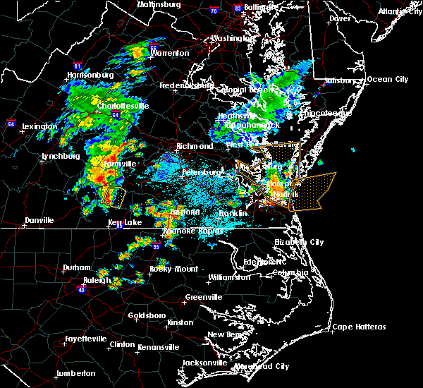 At 929 pm edt, severe thunderstorms were located along a line extending from near victoria to near kells corner, moving east at 30 mph (radar indicated). Hazards include 60 mph wind gusts and quarter size hail. Minor damage to vehicles is possible. expect wind damage to trees and powerlines. these severe storms will be near, victoria and kenbridge around 935 pm edt. Other locations impacted by these severe thunderstorms include gary, wilburn, loves mill, oral oaks, nutbush, rubermount and the falls. At 929 pm edt, severe thunderstorms were located along a line extending from near victoria to near kells corner, moving east at 30 mph (radar indicated). Hazards include 60 mph wind gusts and quarter size hail. Minor damage to vehicles is possible. expect wind damage to trees and powerlines. these severe storms will be near, victoria and kenbridge around 935 pm edt. Other locations impacted by these severe thunderstorms include gary, wilburn, loves mill, oral oaks, nutbush, rubermount and the falls.
|
| 6/22/2018 9:02 PM EDT |
 At 902 pm edt, severe thunderstorms were located along a line extending from keysville to redoak, moving east at 30 mph (radar indicated). Hazards include 60 mph wind gusts and quarter size hail. Minor damage to vehicles is possible. expect wind damage to trees and powerlines. severe thunderstorms will be near, lunenburg around 925 pm edt. victoria and kells corner around 930 pm edt. kenbridge around 935 pm edt. Other locations impacted by these severe thunderstorms include gary, wilburn, spanish grove, loves mill, arvins store, north view, nutbush, finneywood, fairview and plantersville. At 902 pm edt, severe thunderstorms were located along a line extending from keysville to redoak, moving east at 30 mph (radar indicated). Hazards include 60 mph wind gusts and quarter size hail. Minor damage to vehicles is possible. expect wind damage to trees and powerlines. severe thunderstorms will be near, lunenburg around 925 pm edt. victoria and kells corner around 930 pm edt. kenbridge around 935 pm edt. Other locations impacted by these severe thunderstorms include gary, wilburn, spanish grove, loves mill, arvins store, north view, nutbush, finneywood, fairview and plantersville.
|
| 5/22/2018 9:20 PM EDT |
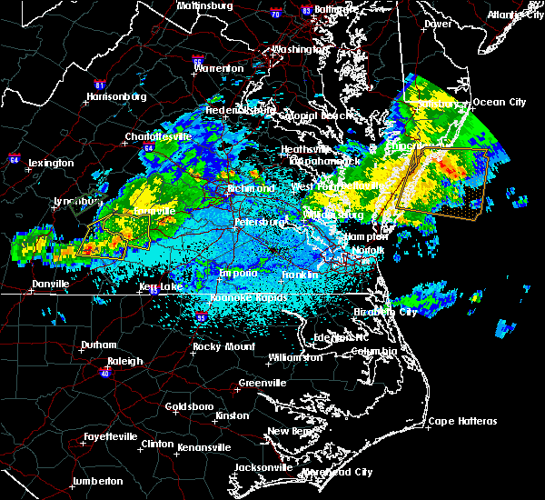 The severe thunderstorm warning for prince edward and northwestern lunenburg counties will expire at 930 pm edt, the storm which prompted the warning has weakened below severe limits, and no longer poses an immediate threat to life or property. therefore the warning will be allowed to expire. The severe thunderstorm warning for prince edward and northwestern lunenburg counties will expire at 930 pm edt, the storm which prompted the warning has weakened below severe limits, and no longer poses an immediate threat to life or property. therefore the warning will be allowed to expire.
|
| 5/22/2018 8:43 PM EDT |
 At 842 pm edt, a severe thunderstorm was located over madisonville, or near red house, moving east at 35 mph (radar indicated). Hazards include 60 mph wind gusts. Expect damage to trees and powerlines. this severe thunderstorm will be near, hampden sydney around 900 pm edt. hampden sydney college around 905 pm edt. green bay around 915 pm edt. Other locations impacted by this severe thunderstorm include briery creek lake, tuggle, prince edward station, briery, arvins store, twin lakes state park, allens mill, nutbush, burkes tavern and scholfield. At 842 pm edt, a severe thunderstorm was located over madisonville, or near red house, moving east at 35 mph (radar indicated). Hazards include 60 mph wind gusts. Expect damage to trees and powerlines. this severe thunderstorm will be near, hampden sydney around 900 pm edt. hampden sydney college around 905 pm edt. green bay around 915 pm edt. Other locations impacted by this severe thunderstorm include briery creek lake, tuggle, prince edward station, briery, arvins store, twin lakes state park, allens mill, nutbush, burkes tavern and scholfield.
|
| 1/12/2018 9:35 PM EST |
 At 933 pm est, severe thunderstorms were located along a line extending from near nottoway to alberta to near ebony, moving northeast at 55 mph (radar indicated). Hazards include 60 mph wind gusts. Expect damage to trees and powerlines. severe thunderstorms will be near, nottoway around 940 pm est. blackstone, brunswick and alberta around 945 pm est. lawrenceville and spainville around 950 pm est. mckenney, wilsons and scotts fork around 955 pm est. mannboro and radium around 1000 pm est. emporia, purdy and dewitt around 1005 pm est. dinwiddie, green plain and sutherland around 1010 pm est. jarratt and stony creek around 1015 pm est. Other locations impacted by these severe thunderstorms include bacons fork, north wellville, grizzard, dolphin, bowens corner, ammon, murdocks, pleasant shade, wharfs store and forksville. At 933 pm est, severe thunderstorms were located along a line extending from near nottoway to alberta to near ebony, moving northeast at 55 mph (radar indicated). Hazards include 60 mph wind gusts. Expect damage to trees and powerlines. severe thunderstorms will be near, nottoway around 940 pm est. blackstone, brunswick and alberta around 945 pm est. lawrenceville and spainville around 950 pm est. mckenney, wilsons and scotts fork around 955 pm est. mannboro and radium around 1000 pm est. emporia, purdy and dewitt around 1005 pm est. dinwiddie, green plain and sutherland around 1010 pm est. jarratt and stony creek around 1015 pm est. Other locations impacted by these severe thunderstorms include bacons fork, north wellville, grizzard, dolphin, bowens corner, ammon, murdocks, pleasant shade, wharfs store and forksville.
|
| 6/19/2017 8:07 PM EDT |
 The severe thunderstorm warning for north central mecklenburg, lunenburg, southwestern nottoway and northwestern brunswick counties will expire at 815 pm edt, the storm which prompted the warning has moved out of the area. therefore the warning will be allowed to expire. a severe thunderstorm watch remains in effect until 1000 pm edt for south central virginia. The severe thunderstorm warning for north central mecklenburg, lunenburg, southwestern nottoway and northwestern brunswick counties will expire at 815 pm edt, the storm which prompted the warning has moved out of the area. therefore the warning will be allowed to expire. a severe thunderstorm watch remains in effect until 1000 pm edt for south central virginia.
|
| 6/19/2017 7:29 PM EDT |
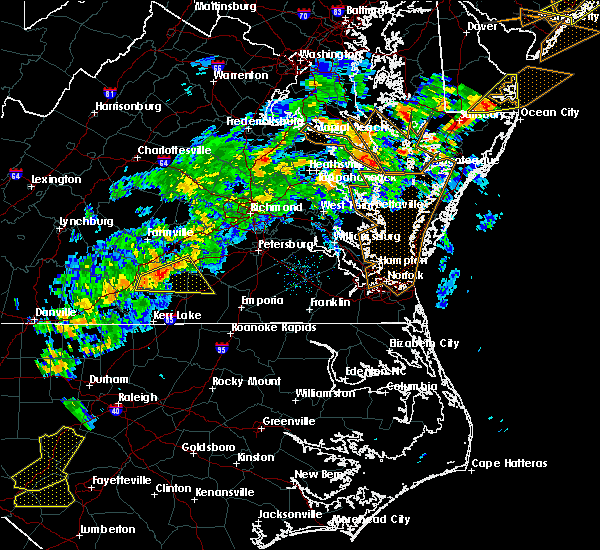 At 728 pm edt, a severe thunderstorm was located over rehoboth, or 7 miles southwest of victoria, moving east at 40 mph (radar indicated). Hazards include 60 mph wind gusts and quarter size hail. Minor damage to vehicles is possible. expect wind damage to trees and powerlines. this severe thunderstorm will be near, victoria around 740 pm edt. kenbridge around 745 pm edt. dundas around 755 pm edt. fort pickett around 805 pm edt. Other locations impacted by this severe thunderstorm include bacons fork, gary, cochran, irby, wilburn, gills corner, loves mill, dolphin, barrows store and murdocks. At 728 pm edt, a severe thunderstorm was located over rehoboth, or 7 miles southwest of victoria, moving east at 40 mph (radar indicated). Hazards include 60 mph wind gusts and quarter size hail. Minor damage to vehicles is possible. expect wind damage to trees and powerlines. this severe thunderstorm will be near, victoria around 740 pm edt. kenbridge around 745 pm edt. dundas around 755 pm edt. fort pickett around 805 pm edt. Other locations impacted by this severe thunderstorm include bacons fork, gary, cochran, irby, wilburn, gills corner, loves mill, dolphin, barrows store and murdocks.
|
| 6/19/2017 6:37 PM EDT |
 At 636 pm edt, a severe thunderstorm was located near nottoway, or near crewe, moving east at 40 mph. additional thunderstorms were throughout the warned area (radar indicated). Hazards include 60 mph wind gusts. Expect damage to trees and powerlines. this severe storm will be near, nottoway around 640 pm edt. blackstone around 650 pm edt. Other locations impacted by this severe thunderstorm include irby, prince edward station, briery, arvins store, murdocks, twin lakes state park, forkland, nutbush, burkes tavern and scholfield. At 636 pm edt, a severe thunderstorm was located near nottoway, or near crewe, moving east at 40 mph. additional thunderstorms were throughout the warned area (radar indicated). Hazards include 60 mph wind gusts. Expect damage to trees and powerlines. this severe storm will be near, nottoway around 640 pm edt. blackstone around 650 pm edt. Other locations impacted by this severe thunderstorm include irby, prince edward station, briery, arvins store, murdocks, twin lakes state park, forkland, nutbush, burkes tavern and scholfield.
|
| 6/19/2017 6:16 PM EDT |
 At 615 pm edt, a severe thunderstorm was located near keysville, moving east at 35 mph (radar indicated). Hazards include 60 mph wind gusts. Expect damage to trees and powerlines. this severe thunderstorm will be near, green bay around 625 pm edt. burkeville around 635 pm edt. crewe and nottoway around 645 pm edt. blackstone around 655 pm edt. Other locations impacted by this severe thunderstorm include irby, prince edward station, briery, arvins store, murdocks, twin lakes state park, forkland, nutbush, burkes tavern and scholfield. At 615 pm edt, a severe thunderstorm was located near keysville, moving east at 35 mph (radar indicated). Hazards include 60 mph wind gusts. Expect damage to trees and powerlines. this severe thunderstorm will be near, green bay around 625 pm edt. burkeville around 635 pm edt. crewe and nottoway around 645 pm edt. blackstone around 655 pm edt. Other locations impacted by this severe thunderstorm include irby, prince edward station, briery, arvins store, murdocks, twin lakes state park, forkland, nutbush, burkes tavern and scholfield.
|
| 5/10/2017 10:42 PM EDT |
 At 1042 pm edt, a severe thunderstorm was located near keysville, moving south at 35 mph (radar indicated). Hazards include 60 mph wind gusts and quarter size hail. Minor damage to vehicles is possible. expect wind damage to trees and powerlines. this severe thunderstorm will be near, kells corner and rehoboth around 1055 pm edt. chase city around 1105 pm edt. boydton around 1120 pm edt. Other locations impacted by this severe thunderstorm include bacons fork, wilburn, spanish grove, beechwood, arvins store, finchley, nutbush, finneywood, forksville and fairview. At 1042 pm edt, a severe thunderstorm was located near keysville, moving south at 35 mph (radar indicated). Hazards include 60 mph wind gusts and quarter size hail. Minor damage to vehicles is possible. expect wind damage to trees and powerlines. this severe thunderstorm will be near, kells corner and rehoboth around 1055 pm edt. chase city around 1105 pm edt. boydton around 1120 pm edt. Other locations impacted by this severe thunderstorm include bacons fork, wilburn, spanish grove, beechwood, arvins store, finchley, nutbush, finneywood, forksville and fairview.
|
| 5/5/2017 6:06 AM EDT |
 The severe thunderstorm warning for northwestern mecklenburg, cumberland, prince edward, northwestern lunenburg, nottoway and western amelia counties will expire at 615 am edt, the storms which prompted the warning have weakened below severe limits, and no longer pose an immediate threat to life or property. therefore the warning will be allowed to expire. The severe thunderstorm warning for northwestern mecklenburg, cumberland, prince edward, northwestern lunenburg, nottoway and western amelia counties will expire at 615 am edt, the storms which prompted the warning have weakened below severe limits, and no longer pose an immediate threat to life or property. therefore the warning will be allowed to expire.
|
| 5/5/2017 5:50 AM EDT |
 At 549 am edt, severe thunderstorms were located along a line extending from near sheppards to near green bay to near rehoboth, moving northeast at 45 mph (radar indicated). Hazards include 60 mph wind gusts. Expect damage to roofs, siding, and trees. these severe storms will be near, burkeville and guinea mills around 555 am edt. crewe around 600 am edt. cumberland, jetersville and sunnyside around 605 am edt. blackstone, nottoway and morven around 615 am edt. Other locations impacted by these severe thunderstorms include tuggle, angola, arvins store, nutbush, finneywood, hawk, fairview, plantersville, elam and pleasant grove. At 549 am edt, severe thunderstorms were located along a line extending from near sheppards to near green bay to near rehoboth, moving northeast at 45 mph (radar indicated). Hazards include 60 mph wind gusts. Expect damage to roofs, siding, and trees. these severe storms will be near, burkeville and guinea mills around 555 am edt. crewe around 600 am edt. cumberland, jetersville and sunnyside around 605 am edt. blackstone, nottoway and morven around 615 am edt. Other locations impacted by these severe thunderstorms include tuggle, angola, arvins store, nutbush, finneywood, hawk, fairview, plantersville, elam and pleasant grove.
|
| 5/5/2017 5:27 AM EDT |
 At 526 am edt, severe thunderstorms were located along a line extending from near darlington heights to near kells corner to near redoak, moving northeast at 50 mph (radar indicated). Hazards include 60 mph wind gusts. Expect damage to roofs, siding, and trees. severe thunderstorms will be near, darlington heights around 530 am edt. hampden sydney, hampden sydney college and prospect around 535 am edt. farmville, longwood university, rehoboth and green bay around 545 am edt. victoria, lunenburg, burkeville and guinea mills around 555 am edt. crewe around 600 am edt. cumberland, jetersville and sunnyside around 605 am edt. blackstone and nottoway around 615 am edt. Other locations impacted by these severe thunderstorms include tuggle, angola, arvins store, nutbush, finneywood, hawk, fairview, plantersville, elam and pleasant grove. At 526 am edt, severe thunderstorms were located along a line extending from near darlington heights to near kells corner to near redoak, moving northeast at 50 mph (radar indicated). Hazards include 60 mph wind gusts. Expect damage to roofs, siding, and trees. severe thunderstorms will be near, darlington heights around 530 am edt. hampden sydney, hampden sydney college and prospect around 535 am edt. farmville, longwood university, rehoboth and green bay around 545 am edt. victoria, lunenburg, burkeville and guinea mills around 555 am edt. crewe around 600 am edt. cumberland, jetersville and sunnyside around 605 am edt. blackstone and nottoway around 615 am edt. Other locations impacted by these severe thunderstorms include tuggle, angola, arvins store, nutbush, finneywood, hawk, fairview, plantersville, elam and pleasant grove.
|
| 3/31/2017 5:10 PM EDT |
 At 510 pm edt, severe thunderstorms were located along a line extending from near blackstone to near kenbridge to 7 miles northeast of boydton, moving northeast at 35 mph (radar indicated). Hazards include 60 mph wind gusts and quarter size hail. Hail damage to vehicles is expected. expect wind damage to roofs, siding, and trees. locations impacted include, south hill, blackstone, victoria, kenbridge, la crosse, bacons fork, gary, irby, wilburn, beechwood, murdocks, john h kerr dam, north view, the falls, lafoon corner, bracey, oral oaks, baskerville, wightman and john h kerr reservoir. precautionary/preparedness actions, a tornado watch remains in effect for the warned area. tornadoes can develop quickly from severe thunderstorms. although a tornado is not immediately likely, if one is spotted act quickly and move to a place of safety inside a sturdy structure, such as a basement or small interior room. for your protection move to an interior room on the lowest floor of a building. please send your reports of hail and or wind damage, including trees or large limbs downed, by calling noaa`s national weather service in wakefield at , 7 5 7, 8 9 9, 2 4 1 5. A tornado watch remains in effect until 1000 pm edt for south central virginia. At 510 pm edt, severe thunderstorms were located along a line extending from near blackstone to near kenbridge to 7 miles northeast of boydton, moving northeast at 35 mph (radar indicated). Hazards include 60 mph wind gusts and quarter size hail. Hail damage to vehicles is expected. expect wind damage to roofs, siding, and trees. locations impacted include, south hill, blackstone, victoria, kenbridge, la crosse, bacons fork, gary, irby, wilburn, beechwood, murdocks, john h kerr dam, north view, the falls, lafoon corner, bracey, oral oaks, baskerville, wightman and john h kerr reservoir. precautionary/preparedness actions, a tornado watch remains in effect for the warned area. tornadoes can develop quickly from severe thunderstorms. although a tornado is not immediately likely, if one is spotted act quickly and move to a place of safety inside a sturdy structure, such as a basement or small interior room. for your protection move to an interior room on the lowest floor of a building. please send your reports of hail and or wind damage, including trees or large limbs downed, by calling noaa`s national weather service in wakefield at , 7 5 7, 8 9 9, 2 4 1 5. A tornado watch remains in effect until 1000 pm edt for south central virginia.
|
| 3/31/2017 4:55 PM EDT |
 At 454 pm edt, severe thunderstorms were located along a line extending from near nottoway to near lunenburg to near rehoboth to near boydton, moving northeast at 35 mph (radar indicated). Hazards include 60 mph wind gusts and quarter size hail. Hail damage to vehicles is expected. expect wind damage to roofs, siding, and trees. locations impacted include, south hill, blackstone, chase city, victoria, kenbridge, lunenburg, clarksville, la crosse, boydton, kells corner, rehoboth, bacons fork, irby, wilburn, beechwood, murdocks, finchley, nutbush, the falls and rogers corner. precautionary/preparedness actions, remain alert for a possible tornado! tornadoes can develop quickly from severe thunderstorms. if you spot a tornado go at once into the basement or small central room in a sturdy structure. for your protection move to an interior room on the lowest floor of a building. please send your reports of hail and or wind damage, including trees or large limbs downed, by calling noaa`s national weather service in wakefield at , 7 5 7, 8 9 9, 2 4 1 5. A tornado watch remains in effect until 1000 pm edt for south central virginia. At 454 pm edt, severe thunderstorms were located along a line extending from near nottoway to near lunenburg to near rehoboth to near boydton, moving northeast at 35 mph (radar indicated). Hazards include 60 mph wind gusts and quarter size hail. Hail damage to vehicles is expected. expect wind damage to roofs, siding, and trees. locations impacted include, south hill, blackstone, chase city, victoria, kenbridge, lunenburg, clarksville, la crosse, boydton, kells corner, rehoboth, bacons fork, irby, wilburn, beechwood, murdocks, finchley, nutbush, the falls and rogers corner. precautionary/preparedness actions, remain alert for a possible tornado! tornadoes can develop quickly from severe thunderstorms. if you spot a tornado go at once into the basement or small central room in a sturdy structure. for your protection move to an interior room on the lowest floor of a building. please send your reports of hail and or wind damage, including trees or large limbs downed, by calling noaa`s national weather service in wakefield at , 7 5 7, 8 9 9, 2 4 1 5. A tornado watch remains in effect until 1000 pm edt for south central virginia.
|
| 3/31/2017 4:40 PM EDT |
 At 440 pm edt, severe thunderstorms were located along a line extending from near victoria to rehoboth to near kells corner to clarksville, moving northeast at 35 mph (radar indicated). Hazards include 60 mph wind gusts and quarter size hail. Hail damage to vehicles is expected. Expect wind damage to roofs, siding, and trees. At 440 pm edt, severe thunderstorms were located along a line extending from near victoria to rehoboth to near kells corner to clarksville, moving northeast at 35 mph (radar indicated). Hazards include 60 mph wind gusts and quarter size hail. Hail damage to vehicles is expected. Expect wind damage to roofs, siding, and trees.
|
| 3/31/2017 4:25 PM EDT |
 At 425 pm edt, a severe thunderstorm was located near kells corner, or 8 miles north of chase city, moving east at 35 mph (radar indicated). Hazards include 60 mph wind gusts and quarter size hail. Hail damage to vehicles is expected. expect wind damage to roofs, siding, and trees. locations impacted include, chase city, victoria, kenbridge, lunenburg, rehoboth, kells corner, bacons fork, gary, wilburn, loves mill, arvins store, nutbush, finneywood, the falls, lafoon corner, fairview, plantersville, blevins corner, pleasant grove and oral oaks. precautionary/preparedness actions, remain alert for a possible tornado! tornadoes can develop quickly from severe thunderstorms. if you spot a tornado go at once into the basement or small central room in a sturdy structure. for your protection move to an interior room on the lowest floor of a building. please send your reports of hail and or wind damage, including trees or large limbs downed, by calling noaa`s national weather service in wakefield at , 7 5 7, 8 9 9, 2 4 1 5. A tornado watch remains in effect until 1000 pm edt for south central virginia. At 425 pm edt, a severe thunderstorm was located near kells corner, or 8 miles north of chase city, moving east at 35 mph (radar indicated). Hazards include 60 mph wind gusts and quarter size hail. Hail damage to vehicles is expected. expect wind damage to roofs, siding, and trees. locations impacted include, chase city, victoria, kenbridge, lunenburg, rehoboth, kells corner, bacons fork, gary, wilburn, loves mill, arvins store, nutbush, finneywood, the falls, lafoon corner, fairview, plantersville, blevins corner, pleasant grove and oral oaks. precautionary/preparedness actions, remain alert for a possible tornado! tornadoes can develop quickly from severe thunderstorms. if you spot a tornado go at once into the basement or small central room in a sturdy structure. for your protection move to an interior room on the lowest floor of a building. please send your reports of hail and or wind damage, including trees or large limbs downed, by calling noaa`s national weather service in wakefield at , 7 5 7, 8 9 9, 2 4 1 5. A tornado watch remains in effect until 1000 pm edt for south central virginia.
|
| 3/31/2017 4:06 PM EDT |
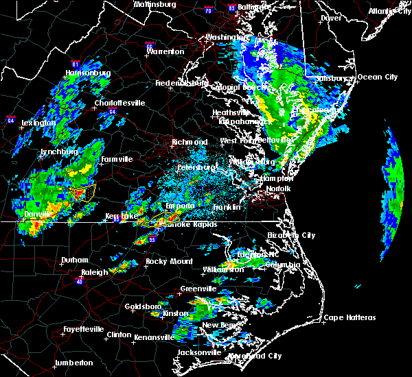 At 405 pm edt, a severe thunderstorm was located over saxe, or 7 miles northeast of clover, moving east at 45 mph (radar indicated). Hazards include 60 mph wind gusts and quarter size hail. Hail damage to vehicles is expected. Expect wind damage to roofs, siding, and trees. At 405 pm edt, a severe thunderstorm was located over saxe, or 7 miles northeast of clover, moving east at 45 mph (radar indicated). Hazards include 60 mph wind gusts and quarter size hail. Hail damage to vehicles is expected. Expect wind damage to roofs, siding, and trees.
|
| 2/25/2017 2:43 PM EST |
 At 243 pm est, a severe thunderstorm was located near spainville, or 7 miles east of crewe, moving northeast at 55 mph (radar indicated). Hazards include 60 mph wind gusts and quarter size hail. Hail damage to vehicles is expected. expect wind damage to roofs, siding, and trees. precautionary/preparedness actions, for your protection move to an interior room on the lowest floor of a building. please send your reports of hail and or wind damage, including trees or large limbs downed, by calling noaa`s national weather service in wakefield at , 7 5 7, 8 9 9, 2 4 1 5. At 243 pm est, a severe thunderstorm was located near spainville, or 7 miles east of crewe, moving northeast at 55 mph (radar indicated). Hazards include 60 mph wind gusts and quarter size hail. Hail damage to vehicles is expected. expect wind damage to roofs, siding, and trees. precautionary/preparedness actions, for your protection move to an interior room on the lowest floor of a building. please send your reports of hail and or wind damage, including trees or large limbs downed, by calling noaa`s national weather service in wakefield at , 7 5 7, 8 9 9, 2 4 1 5.
|
| 2/25/2017 2:18 PM EST |
 At 218 pm est, a severe thunderstorm was located near keysville, moving northeast at 50 mph (radar indicated). Hazards include 60 mph wind gusts and quarter size hail. Hail damage to vehicles is expected. expect wind damage to roofs, siding, and trees. this severe thunderstorm will be near, burkeville around 230 pm est. crewe and nottoway around 235 pm est. blackstone around 240 pm est. Other locations impacted by this severe thunderstorm include irby, prince edward station, briery, arvins store, murdocks, twin lakes state park, nutbush, burkes tavern, scholfield and the falls. At 218 pm est, a severe thunderstorm was located near keysville, moving northeast at 50 mph (radar indicated). Hazards include 60 mph wind gusts and quarter size hail. Hail damage to vehicles is expected. expect wind damage to roofs, siding, and trees. this severe thunderstorm will be near, burkeville around 230 pm est. crewe and nottoway around 235 pm est. blackstone around 240 pm est. Other locations impacted by this severe thunderstorm include irby, prince edward station, briery, arvins store, murdocks, twin lakes state park, nutbush, burkes tavern, scholfield and the falls.
|
| 2/24/2016 4:49 PM EST |
 At 448 pm est, doppler radar indicated a severe thunderstorm capable of producing destructive winds in excess of 80 mph. this storm was located near keysville, and moving northeast at 80 mph. * this severe thunderstorm will be near, green bay around 455 pm est. burkeville and rice around 500 pm est. crewe around 505 pm est. other locations impacted by this severe thunderstorm include burkes tavern, oliveville, simplicity, spanish grove, rubermount, arvins store, loves mill, blevins corner, scholfield and fairview. a tornado watch remains in effect until 900 pm est for south central virginia. At 448 pm est, doppler radar indicated a severe thunderstorm capable of producing destructive winds in excess of 80 mph. this storm was located near keysville, and moving northeast at 80 mph. * this severe thunderstorm will be near, green bay around 455 pm est. burkeville and rice around 500 pm est. crewe around 505 pm est. other locations impacted by this severe thunderstorm include burkes tavern, oliveville, simplicity, spanish grove, rubermount, arvins store, loves mill, blevins corner, scholfield and fairview. a tornado watch remains in effect until 900 pm est for south central virginia.
|
| 2/24/2016 4:22 PM EST |
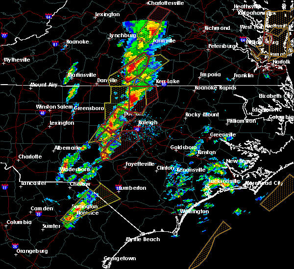 At 422 pm est, doppler radar indicated a severe thunderstorm capable of producing destructive winds in excess of 80 mph. this storm was located over dryburg, or 8 miles southwest of redoak, and moving northeast at 75 mph. * this severe thunderstorm will be near, chase city around 435 pm est. kells corner around 440 pm est. lunenburg and rehoboth around 445 pm est. other locations impacted by this severe thunderstorm include simplicity, plantersville, finneywood, spanish grove, rubermount, arvins store, loves mill, blevins corner, nutbush and pleasant grove. a tornado watch remains in effect until 900 pm est for south central virginia. At 422 pm est, doppler radar indicated a severe thunderstorm capable of producing destructive winds in excess of 80 mph. this storm was located over dryburg, or 8 miles southwest of redoak, and moving northeast at 75 mph. * this severe thunderstorm will be near, chase city around 435 pm est. kells corner around 440 pm est. lunenburg and rehoboth around 445 pm est. other locations impacted by this severe thunderstorm include simplicity, plantersville, finneywood, spanish grove, rubermount, arvins store, loves mill, blevins corner, nutbush and pleasant grove. a tornado watch remains in effect until 900 pm est for south central virginia.
|
| 7/13/2015 10:49 PM EDT |
 At 1049 pm edt, doppler radar indicated a line of severe thunderstorms capable of producing damaging winds in excess of 60 mph. these storms were located along a line extending from rice to near boydton, moving east at 30 mph. these severe storms will be near, burkeville around 1100 pm edt. south hill and crewe around 1110 pm edt. nottoway and la crosse around 1115 pm edt. other locations impacted by these severe thunderstorms include burkes tavern, nelson, bacons fork, buffalo junction, briery creek lake, arvins store, loves mill, elam, scholfield and keats. At 1049 pm edt, doppler radar indicated a line of severe thunderstorms capable of producing damaging winds in excess of 60 mph. these storms were located along a line extending from rice to near boydton, moving east at 30 mph. these severe storms will be near, burkeville around 1100 pm edt. south hill and crewe around 1110 pm edt. nottoway and la crosse around 1115 pm edt. other locations impacted by these severe thunderstorms include burkes tavern, nelson, bacons fork, buffalo junction, briery creek lake, arvins store, loves mill, elam, scholfield and keats.
|
| 7/13/2015 10:11 PM EDT |
 At 1011 pm edt, doppler radar indicated a line of severe thunderstorms capable of producing damaging winds in excess of 60 mph. these storms were located along a line extending from near toga to near hitesburg, and moving east at 35 mph. * severe thunderstorms will be near, boydton around 1035 pm edt. south hill and la crosse around 1100 pm edt. other locations impacted by these severe thunderstorms include burkes tavern, nelson, bacons fork, buffalo junction, briery creek lake, arvins store, loves mill, elam, scholfield and keats. At 1011 pm edt, doppler radar indicated a line of severe thunderstorms capable of producing damaging winds in excess of 60 mph. these storms were located along a line extending from near toga to near hitesburg, and moving east at 35 mph. * severe thunderstorms will be near, boydton around 1035 pm edt. south hill and la crosse around 1100 pm edt. other locations impacted by these severe thunderstorms include burkes tavern, nelson, bacons fork, buffalo junction, briery creek lake, arvins store, loves mill, elam, scholfield and keats.
|
| 6/20/2015 8:31 PM EDT | Numerous trees and power lines down around victoria reported with the second thunderstorm in lunenburg county VA, 0.3 miles WNW of Victoria, VA |
| 6/20/2015 8:25 PM EDT |
 At 824 pm edt, doppler radar indicated a line of severe thunderstorms capable of producing quarter size hail and damaging winds in excess of 60 mph. these storms were located along a line extending from keysville to near lunenburg to 6 miles southwest of la crosse, and moving northeast at 45 mph. * severe thunderstorms will be near, lunenburg around 830 pm edt. victoria and kenbridge around 835 pm edt. green bay around 840 pm edt. crewe, lawrenceville, nottoway, burkeville, fort pickett and dundas around 850 pm edt. blackstone and alberta around 855 pm edt. spainville, wilsons and jetersville around 900 pm edt. other locations impacted by these severe thunderstorms include wellville, burkes tavern, edgerton, bacons fork, dominy corner, arvins store, loves mill, meredithville, scholfield and earls. At 824 pm edt, doppler radar indicated a line of severe thunderstorms capable of producing quarter size hail and damaging winds in excess of 60 mph. these storms were located along a line extending from keysville to near lunenburg to 6 miles southwest of la crosse, and moving northeast at 45 mph. * severe thunderstorms will be near, lunenburg around 830 pm edt. victoria and kenbridge around 835 pm edt. green bay around 840 pm edt. crewe, lawrenceville, nottoway, burkeville, fort pickett and dundas around 850 pm edt. blackstone and alberta around 855 pm edt. spainville, wilsons and jetersville around 900 pm edt. other locations impacted by these severe thunderstorms include wellville, burkes tavern, edgerton, bacons fork, dominy corner, arvins store, loves mill, meredithville, scholfield and earls.
|
| 6/20/2015 7:28 PM EDT |
 At 727 pm edt, doppler radar indicated a line of severe thunderstorms capable of producing damaging winds in excess of 60 mph. these storms were located along a line extending from sunnyside to near kenbridge, and moving northeast at 50 mph. * severe thunderstorms will be near, ballsville, tobaccoville and sunnyside around 735 pm edt. macon around 740 pm edt. powhatan, blackstone, nottoway and fort pickett around 745 pm edt. spainville and wilsons around 755 pm edt. mannboro and scotts fork around 805 pm edt. moseley around 815 pm edt. other locations impacted by these severe thunderstorms include angola, winterpock, crozier, wellville, rodophil, burkes tavern, jefferson, hebron, goodwins store and dominy corner. At 727 pm edt, doppler radar indicated a line of severe thunderstorms capable of producing damaging winds in excess of 60 mph. these storms were located along a line extending from sunnyside to near kenbridge, and moving northeast at 50 mph. * severe thunderstorms will be near, ballsville, tobaccoville and sunnyside around 735 pm edt. macon around 740 pm edt. powhatan, blackstone, nottoway and fort pickett around 745 pm edt. spainville and wilsons around 755 pm edt. mannboro and scotts fork around 805 pm edt. moseley around 815 pm edt. other locations impacted by these severe thunderstorms include angola, winterpock, crozier, wellville, rodophil, burkes tavern, jefferson, hebron, goodwins store and dominy corner.
|
| 6/20/2015 7:18 PM EDT | Trees down alomg poorhouse road near victori in lunenburg county VA, 0.8 miles WNW of Victoria, VA |
| 6/20/2015 7:09 PM EDT |
 At 708 pm edt, doppler radar indicated a line of severe thunderstorms capable of producing damaging winds in excess of 60 mph. these storms were located along a line extending from near longwood university to 6 miles east of chase city, moving northeast at 50 mph. these severe storms will be near, farmville, longwood university and rice around 715 pm edt. guinea mills around 720 pm edt. victoria and lunenburg around 725 pm edt. kenbridge, sunnyside and morven around 730 pm edt. other locations impacted by these severe thunderstorms include angola, rodophil, burkes tavern, briery creek lake, loves mill, arvins store, scholfield, hawk, mcrae and worsham. At 708 pm edt, doppler radar indicated a line of severe thunderstorms capable of producing damaging winds in excess of 60 mph. these storms were located along a line extending from near longwood university to 6 miles east of chase city, moving northeast at 50 mph. these severe storms will be near, farmville, longwood university and rice around 715 pm edt. guinea mills around 720 pm edt. victoria and lunenburg around 725 pm edt. kenbridge, sunnyside and morven around 730 pm edt. other locations impacted by these severe thunderstorms include angola, rodophil, burkes tavern, briery creek lake, loves mill, arvins store, scholfield, hawk, mcrae and worsham.
|
| 6/20/2015 6:48 PM EDT |
 At 647 pm edt, doppler radar indicated a line of severe thunderstorms capable of producing damaging winds in excess of 60 mph. these storms were located along a line extending from abilene to near clarksville, and moving northeast at 50 mph. * severe thunderstorms will be near, darlington heights around 655 pm edt. hampden sydney college and hampden sydney around 700 pm edt. farmville, chase city and longwood university around 705 pm edt. rice and kells corner around 710 pm edt. rehoboth around 715 pm edt. guinea mills around 720 pm edt. lunenburg around 725 pm edt. victoria, kenbridge, sunnyside and morven around 730 pm edt. other locations impacted by these severe thunderstorms include angola, rodophil, burkes tavern, nelson, bacons fork, buffalo junction, briery creek lake, arvins store, loves mill and scholfield. At 647 pm edt, doppler radar indicated a line of severe thunderstorms capable of producing damaging winds in excess of 60 mph. these storms were located along a line extending from abilene to near clarksville, and moving northeast at 50 mph. * severe thunderstorms will be near, darlington heights around 655 pm edt. hampden sydney college and hampden sydney around 700 pm edt. farmville, chase city and longwood university around 705 pm edt. rice and kells corner around 710 pm edt. rehoboth around 715 pm edt. guinea mills around 720 pm edt. lunenburg around 725 pm edt. victoria, kenbridge, sunnyside and morven around 730 pm edt. other locations impacted by these severe thunderstorms include angola, rodophil, burkes tavern, nelson, bacons fork, buffalo junction, briery creek lake, arvins store, loves mill and scholfield.
|
| 6/18/2015 6:06 PM EDT | At 605 pm edt, doppler radar indicated a severe thunderstorm capable of producing damaging winds in excess of 60 mph. this storm was located over blackstone, moving southeast at 30 mph. penny size hail may also accompany the damaging winds. locations impacted include, blackstone, victoria, kenbridge, nottoway, spainville, the falls, wellville, irby, clay store, north wellville, pattersons store, dominy corner and murdocks. |
| 6/18/2015 5:33 PM EDT | At 533 pm edt, doppler radar indicated a severe thunderstorm capable of producing damaging winds in excess of 60 mph. this storm was located near rice, or 7 miles southeast of longwood university, and moving southeast at 25 mph. penny size hail may also accompany the damaging winds. |
| 6/28/2013 4:12 PM EDT | Trees down around victoria in lunenburg county VA, 0.3 miles WNW of Victoria, VA |
| 8/1/2012 6:20 PM EDT | Quarter sized hail reported 5.5 miles SSW of Victoria, VA |
| 7/9/2012 6:00 PM EDT | Trees down in victori in lunenburg county VA, 0.3 miles WNW of Victoria, VA |
| 1/1/0001 12:00 AM | Several large treens dow in lunenburg county VA, 3.1 miles W of Victoria, VA |
| 1/1/0001 12:00 AM | Several large trees dow in lunenburg county VA, 3.1 miles W of Victoria, VA |
| 1/1/0001 12:00 AM | Wind damage. possible tornad in lunenburg county VA, 0.8 miles WNW of Victoria, VA |
Hail Maps for Victoria, VA
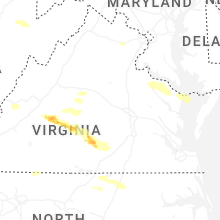


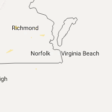


Connect with Interactive Hail Maps