

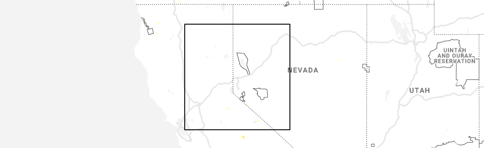
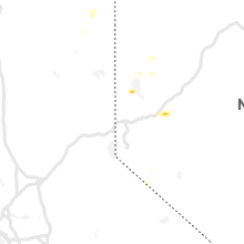
Hail Map for Walker, CA
The Walker, CA area has had 0 reports of on-the-ground hail by trained spotters, and has been under severe weather warnings 0 times during the past 12 months. Doppler radar has detected hail at or near Walker, CA on 4 occasions, including 1 occasion during the past year.
| Name: | Walker, CA |
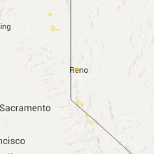
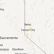
| Where Located: | 70.7 miles SSE of Reno, NV |
| Map: | Google Map for Walker, CA |
| Population: | 721 |
| Housing Units: | 445 |
| More Info: | Search Google for Walker, CA |
0
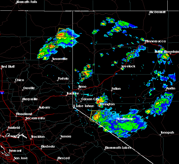
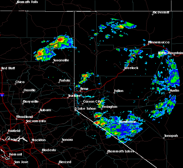
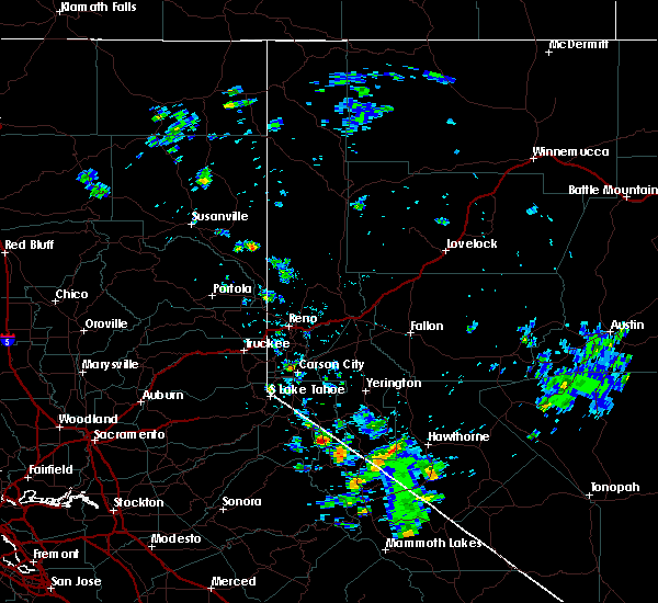
The Top Recent Hail Date for Walker, CA is Monday, June 5, 2023 (4th out of 4)
Hail and Wind Damage Spotted near Walker, CA
| Date / Time | Report Details |
|---|---|
| 6/6/2023 1:27 PM PDT | Mesonet station xmlc1 mill canyo in mono county CA, 6 miles NNE of Walker, CA |
| 6/24/2020 4:47 PM PDT |
 At 418 pm pdt, a severe thunderstorm was located near wellington, in smith valley (radar indicated). Hazards include 60 mph wind gusts and half dollar size hail. Hail damage to vehicles is possible. Winds may damage siding, fencing, roof and trees. At 418 pm pdt, a severe thunderstorm was located near wellington, in smith valley (radar indicated). Hazards include 60 mph wind gusts and half dollar size hail. Hail damage to vehicles is possible. Winds may damage siding, fencing, roof and trees.
|
| 6/24/2020 4:47 PM PDT |
 At 444 pm pdt, a severe thunderstorm was located near wellington, or 13 miles east of topaz lake, and is nearly stationary (radar indicated). Hazards include 60 mph wind gusts and half dollar size hail. Torrential rain is occurring with this storm. blinding downpours are impacting nv338 south of smith valley. strong outflow winds and hail are expected. Locations impacted include, smith valley along nv 338 south of wellington. At 444 pm pdt, a severe thunderstorm was located near wellington, or 13 miles east of topaz lake, and is nearly stationary (radar indicated). Hazards include 60 mph wind gusts and half dollar size hail. Torrential rain is occurring with this storm. blinding downpours are impacting nv338 south of smith valley. strong outflow winds and hail are expected. Locations impacted include, smith valley along nv 338 south of wellington.
|
| 6/24/2020 4:19 PM PDT |
 At 418 pm pdt, a severe thunderstorm was located near wellington, in smith valley (radar indicated). Hazards include 60 mph wind gusts and half dollar size hail. Hail damage to vehicles is possible. Winds may damage siding, fencing, roof and trees. At 418 pm pdt, a severe thunderstorm was located near wellington, in smith valley (radar indicated). Hazards include 60 mph wind gusts and half dollar size hail. Hail damage to vehicles is possible. Winds may damage siding, fencing, roof and trees.
|
| 7/6/2015 2:31 PM PDT |
 At 230 pm pdt, doppler radar indicated a severe thunderstorm capable of producing quarter size hail, torrential rainfall and damaging winds in excess of 60 mph. this storm was located over coleville, and moving north at 10 mph. At 230 pm pdt, doppler radar indicated a severe thunderstorm capable of producing quarter size hail, torrential rainfall and damaging winds in excess of 60 mph. this storm was located over coleville, and moving north at 10 mph.
|
| 7/1/2015 4:39 PM PDT |
 A severe thunderstorm warning remains in effect until 500 pm pdt for alpine and mono counties, * at 437 pm pdt, doppler radar indicated a line of severe thunderstorms capable of producing damaging winds in excess of 60 mph. these storms were located along a line extending from near walker to near topaz lake, moving northwest at 15 mph. penny size hail may also accompany the damaging winds. A severe thunderstorm warning remains in effect until 500 pm pdt for alpine and mono counties, * at 437 pm pdt, doppler radar indicated a line of severe thunderstorms capable of producing damaging winds in excess of 60 mph. these storms were located along a line extending from near walker to near topaz lake, moving northwest at 15 mph. penny size hail may also accompany the damaging winds.
|
| 7/1/2015 4:19 PM PDT |
 At 417 pm pdt, doppler radar indicated a severe thunderstorm capable of producing damaging winds in excess of 60 mph. this storm was located near devils gate summit along highway 395, or 11 miles southeast of coleville, and moving west at 15 mph. penny size hail may also accompany the damaging winds and frequent lightning. At 417 pm pdt, doppler radar indicated a severe thunderstorm capable of producing damaging winds in excess of 60 mph. this storm was located near devils gate summit along highway 395, or 11 miles southeast of coleville, and moving west at 15 mph. penny size hail may also accompany the damaging winds and frequent lightning.
|
Hail Maps for Walker, CA

Connect with Interactive Hail Maps