

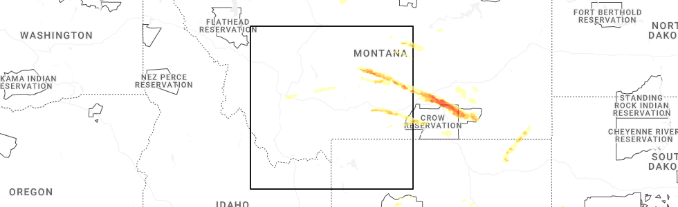
Hail Map for Walkerville, MT
The Walkerville, MT area has had 13 reports of on-the-ground hail by trained spotters, and has been under severe weather warnings 0 times during the past 12 months. Doppler radar has detected hail at or near Walkerville, MT on 9 occasions.
| Name: | Walkerville, MT |
| Where Located: | 76.7 miles WNW of Bozeman, MT |
| Map: | Google Map for Walkerville, MT |
| Population: | 675 |
| Housing Units: | 344 |
| More Info: | Search Google for Walkerville, MT |
0
The Top Recent Hail Date for Walkerville, MT is Friday, June 13, 2025 (5th out of 9)
Hail and Wind Damage Spotted near Walkerville, MT
| Date / Time | Report Details |
|---|---|
| 7/26/2025 5:46 PM MDT | Asos station kbtm butte-mooney a in silver bow county MT, 4.8 miles NNW of Walkerville, MT |
| 9/11/2024 5:08 PM MDT |
 The severe thunderstorm which prompted the warning has moved out of the warned area. therefore, the warning will be allowed to expire. The severe thunderstorm which prompted the warning has moved out of the warned area. therefore, the warning will be allowed to expire.
|
| 9/11/2024 4:52 PM MDT |
 Svrmso the national weather service in missoula has issued a * severe thunderstorm warning for, northeastern deer lodge county in west central montana, north central silver bow county in west central montana, * until 515 pm mdt. * at 452 pm mdt, a severe thunderstorm was located over walkerville, or near butte, moving northeast at 35 mph (radar indicated). Hazards include 60 mph wind gusts. expect damage to roofs, siding, and trees Svrmso the national weather service in missoula has issued a * severe thunderstorm warning for, northeastern deer lodge county in west central montana, north central silver bow county in west central montana, * until 515 pm mdt. * at 452 pm mdt, a severe thunderstorm was located over walkerville, or near butte, moving northeast at 35 mph (radar indicated). Hazards include 60 mph wind gusts. expect damage to roofs, siding, and trees
|
| 9/11/2024 4:50 PM MDT | Asos station kbtm butte-mooney a in silver bow county MT, 4.8 miles NNW of Walkerville, MT |
| 7/10/2023 5:20 PM MDT | A downed tree... taking out a power pole was shared on social media on excelsior ave in butte... mt. time of the damage is estimated. a wind gust of 47mph was observed in silver bow county MT, 1.7 miles NNE of Walkerville, MT |
| 7/15/2022 4:41 PM MDT |
 At 441 pm mdt, a severe thunderstorm was located near warm springs, or 13 miles east of anaconda, moving east at 20 mph (radar indicated). Hazards include 60 mph wind gusts. Expect damage to roofs, siding, and trees. locations impacted include, walkerville and warm springs. hail threat, radar indicated max hail size, <. 75 in wind threat, radar indicated max wind gust, 60 mph. At 441 pm mdt, a severe thunderstorm was located near warm springs, or 13 miles east of anaconda, moving east at 20 mph (radar indicated). Hazards include 60 mph wind gusts. Expect damage to roofs, siding, and trees. locations impacted include, walkerville and warm springs. hail threat, radar indicated max hail size, <. 75 in wind threat, radar indicated max wind gust, 60 mph.
|
| 7/15/2022 4:30 PM MDT |
 At 430 pm mdt, a severe thunderstorm was located over warm springs, or 9 miles east of anaconda, moving east at 20 mph (radar indicated). Hazards include 60 mph wind gusts. expect damage to roofs, siding, and trees At 430 pm mdt, a severe thunderstorm was located over warm springs, or 9 miles east of anaconda, moving east at 20 mph (radar indicated). Hazards include 60 mph wind gusts. expect damage to roofs, siding, and trees
|
| 8/10/2019 5:30 PM MDT | Quarter sized hail reported 7.7 miles SW of Walkerville, MT, quarter sized hail reported for a short period but mostly dime sized afterward. |
| 8/10/2019 5:05 PM MDT | Quarter sized hail reported 2.5 miles NNW of Walkerville, MT |
| 8/10/2019 5:00 PM MDT | Quarter sized hail reported 1.9 miles NNE of Walkerville, MT, photo retrieved from social media. |
| 8/10/2019 4:53 PM MDT |
 At 453 pm mdt, a severe thunderstorm was located over butte, moving northeast at 35 mph (radar indicated). Hazards include golf ball size hail and 60 mph wind gusts. People and animals outdoors will be injured. expect hail damage to roofs, siding, windows, and vehicles. Expect wind damage to roofs, siding, and trees. At 453 pm mdt, a severe thunderstorm was located over butte, moving northeast at 35 mph (radar indicated). Hazards include golf ball size hail and 60 mph wind gusts. People and animals outdoors will be injured. expect hail damage to roofs, siding, windows, and vehicles. Expect wind damage to roofs, siding, and trees.
|
| 8/10/2019 3:50 PM MDT | Ping Pong Ball sized hail reported 8.8 miles E of Walkerville, MT |
| 8/10/2019 3:45 PM MDT | Quarter sized hail reported 7 miles ENE of Walkerville, MT |
| 8/1/2019 1:25 PM MDT | Recorded on the butte aso in silver bow county MT, 5.4 miles NNW of Walkerville, MT |
| 7/30/2019 5:02 PM MDT | Quarter sized hail reported 9.2 miles N of Walkerville, MT |
| 7/10/2017 4:39 PM MDT |
 At 439 pm mdt, a severe thunderstorm was located near butte, moving northeast at 35 mph (trained weather spotters). Hazards include quarter size hail. Damage to vehicles is expected. Locations impacted include, butte, silver bow, walkerville, janney, newcomb and nissler. At 439 pm mdt, a severe thunderstorm was located near butte, moving northeast at 35 mph (trained weather spotters). Hazards include quarter size hail. Damage to vehicles is expected. Locations impacted include, butte, silver bow, walkerville, janney, newcomb and nissler.
|
| 7/10/2017 4:30 PM MDT | Quarter sized hail reported 9.2 miles N of Walkerville, MT, over one inch hail occurring at time of call from trained spotter. |
| 7/10/2017 4:22 PM MDT |
 At 422 pm mdt, a severe thunderstorm was located near silver bow, or near butte, moving northeast at 35 mph (radar indicated). Hazards include 60 mph wind gusts and quarter size hail. Hail damage to vehicles is expected. Expect wind damage to roofs, siding, and trees. At 422 pm mdt, a severe thunderstorm was located near silver bow, or near butte, moving northeast at 35 mph (radar indicated). Hazards include 60 mph wind gusts and quarter size hail. Hail damage to vehicles is expected. Expect wind damage to roofs, siding, and trees.
|
| 8/7/2016 4:36 PM MDT |
 The severe thunderstorm warning for central silver bow county will expire at 445 pm mdt, the storm which prompted the warning has moved out of the area. therefore the warning will be allowed to expire. however, heavy rain and lightning are still possible with this thunderstorm. The severe thunderstorm warning for central silver bow county will expire at 445 pm mdt, the storm which prompted the warning has moved out of the area. therefore the warning will be allowed to expire. however, heavy rain and lightning are still possible with this thunderstorm.
|
| 8/7/2016 4:16 PM MDT |
 At 416 pm mdt, trained weather spotters reported a severe thunderstorm producing quarter size hail. this storm was located near butte, moving northeast at 30 mph. locations impacted include, butte, silver bow, walkerville, janney, nissler, ramsay and newcomb. At 416 pm mdt, trained weather spotters reported a severe thunderstorm producing quarter size hail. this storm was located near butte, moving northeast at 30 mph. locations impacted include, butte, silver bow, walkerville, janney, nissler, ramsay and newcomb.
|
| 8/7/2016 4:06 PM MDT | Quarter sized hail reported 9.2 miles N of Walkerville, MT, over 1 inch hail falling starting at 4:06pm mdt. still falling at 4:11pm. |
| 8/7/2016 4:06 PM MDT | Half Dollar sized hail reported 9.2 miles N of Walkerville, MT, after lightning stopped... spotter measured hail up to 1.25 inches in diameter. this supersedes the previous report of estimated 1 inch hail for this location. |
| 8/7/2016 3:59 PM MDT |
 At 359 pm mdt, doppler radar indicated a severe thunderstorm capable of producing quarter size hail. this storm was located 8 miles northeast of divide, or 11 miles southwest of butte, and moving northeast at 30 mph. * torrential rainfall is also occurring with this storm, and may lead to flash flooding. urban flooding of the city of butte is also likely. do not drive your vehicle through flooded roadways. At 359 pm mdt, doppler radar indicated a severe thunderstorm capable of producing quarter size hail. this storm was located 8 miles northeast of divide, or 11 miles southwest of butte, and moving northeast at 30 mph. * torrential rainfall is also occurring with this storm, and may lead to flash flooding. urban flooding of the city of butte is also likely. do not drive your vehicle through flooded roadways.
|
| 6/8/2016 9:14 PM MDT | Received reports of trees and tree branches down in anaconda from a strong wind gust. also trees were reported down along montana 1... in the same area. in deer lodge county MT, 20.4 miles ESE of Walkerville, MT |
| 6/8/2016 9:12 PM MDT |
 At 910 pm mdt, doppler radar indicated a line of severe thunderstorms capable of producing damaging winds in excess of 60 mph. these storms were located along a line extending from 12 miles southwest of drummond to 11 miles west of deer lodge to butte, and moving northeast at 35 mph. cross winds along the i-90 corridor from drummond to butte could be severe at times, gusting to 60 mph. At 910 pm mdt, doppler radar indicated a line of severe thunderstorms capable of producing damaging winds in excess of 60 mph. these storms were located along a line extending from 12 miles southwest of drummond to 11 miles west of deer lodge to butte, and moving northeast at 35 mph. cross winds along the i-90 corridor from drummond to butte could be severe at times, gusting to 60 mph.
|
| 7/23/2015 4:05 PM MDT | A tree fell on the house and damaged the homes power bo in silver bow county MT, 3.5 miles NNW of Walkerville, MT |
| 7/23/2015 4:05 PM MDT | A large tree fell and downed multiple power poles. the power outage affected 5000 home in silver bow county MT, 3.8 miles NW of Walkerville, MT |
| 7/23/2015 3:59 PM MDT |
 At 358 pm mdt, doppler radar indicated a severe thunderstorm capable of producing quarter size hail and damaging winds in excess of 60 mph. this storm was located over butte, and moving east at 45 mph. At 358 pm mdt, doppler radar indicated a severe thunderstorm capable of producing quarter size hail and damaging winds in excess of 60 mph. this storm was located over butte, and moving east at 45 mph.
|
| 8/15/2014 12:54 PM MDT | Quarter sized hail reported 3.8 miles NNW of Walkerville, MT |
| 7/23/2014 8:07 PM MDT | Quarter sized hail reported 1.7 miles NNE of Walkerville, MT |
| 7/23/2014 7:53 PM MDT | Quarter sized hail reported 9.2 miles N of Walkerville, MT |
| 6/12/2013 2:40 PM MDT | Quarter sized hail reported 12.5 miles E of Walkerville, MT |
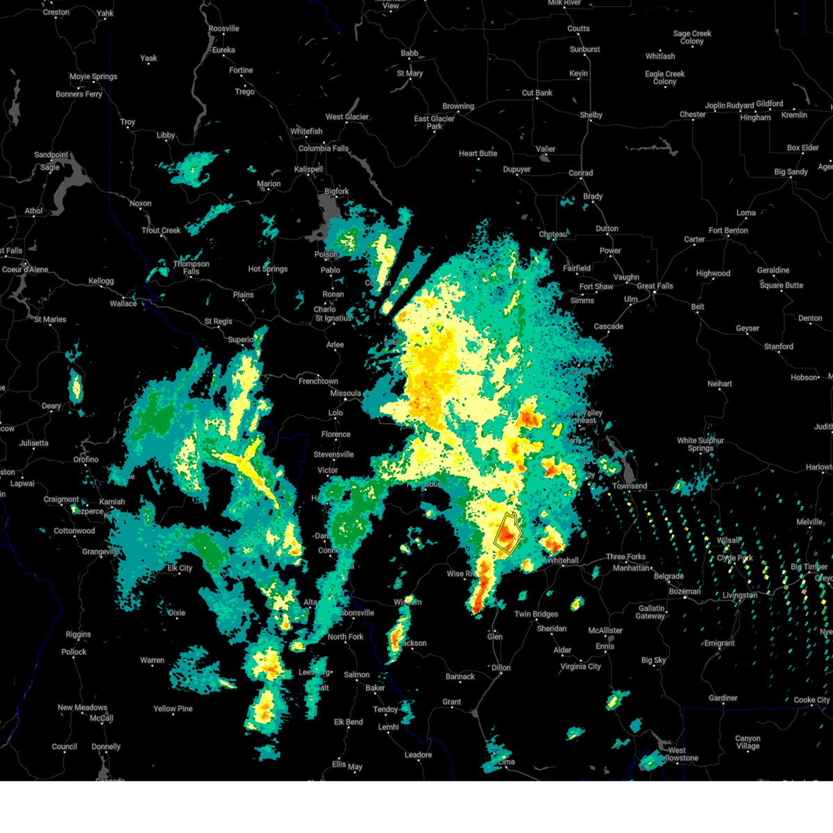
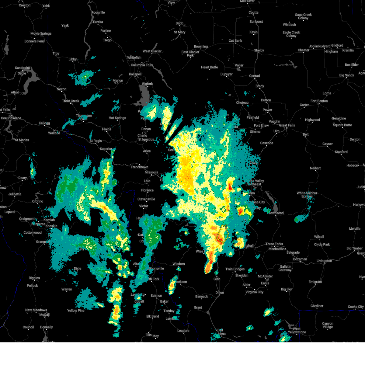
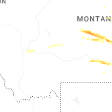
Hail Maps for Walkerville, MT


Connect with Interactive Hail Maps