

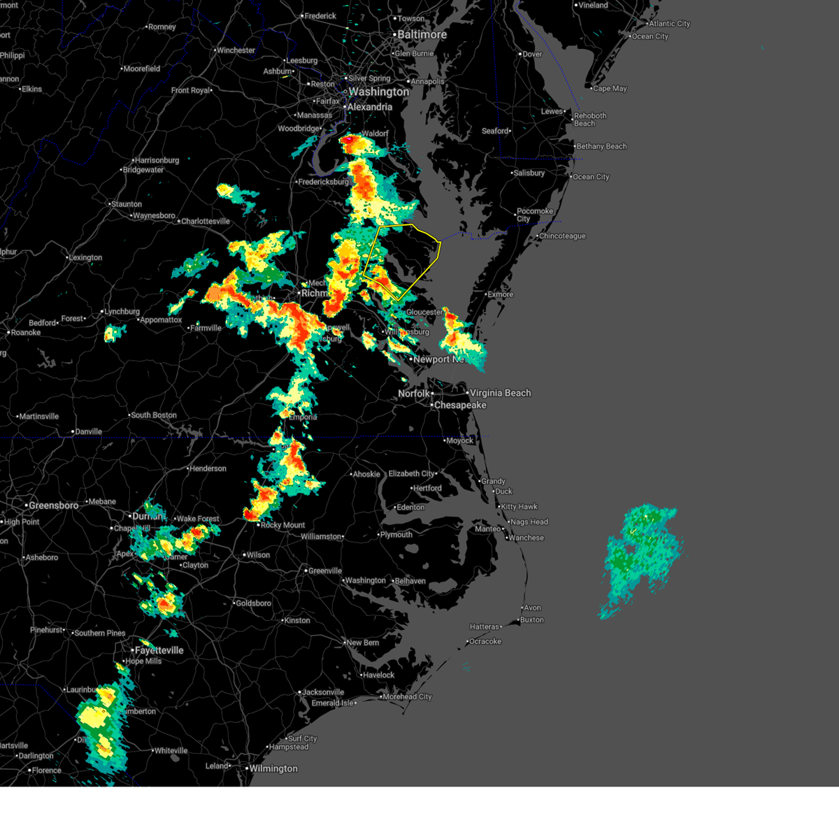
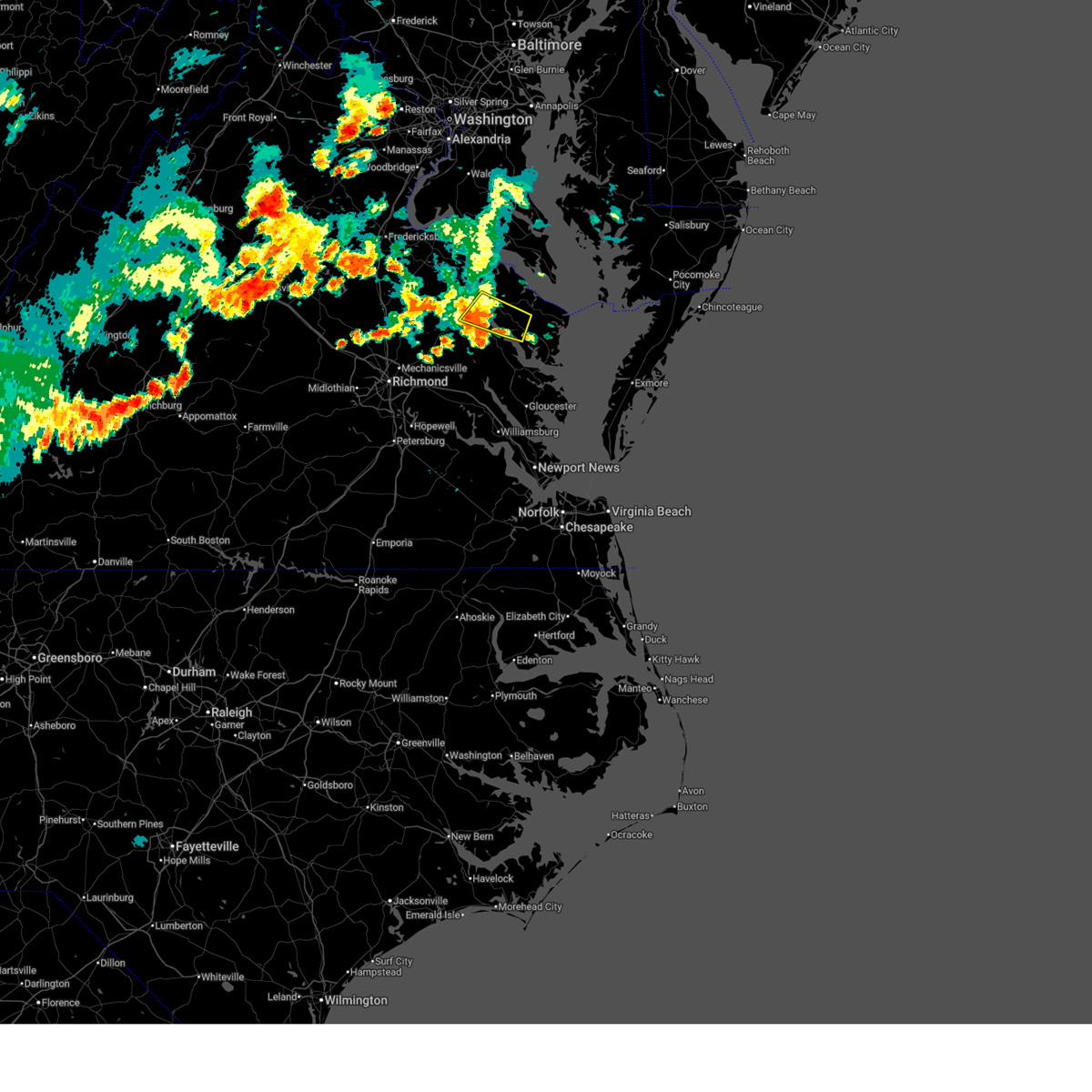
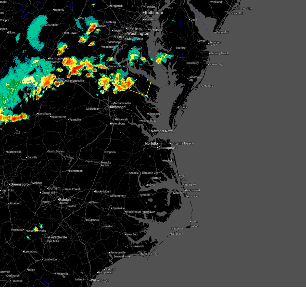
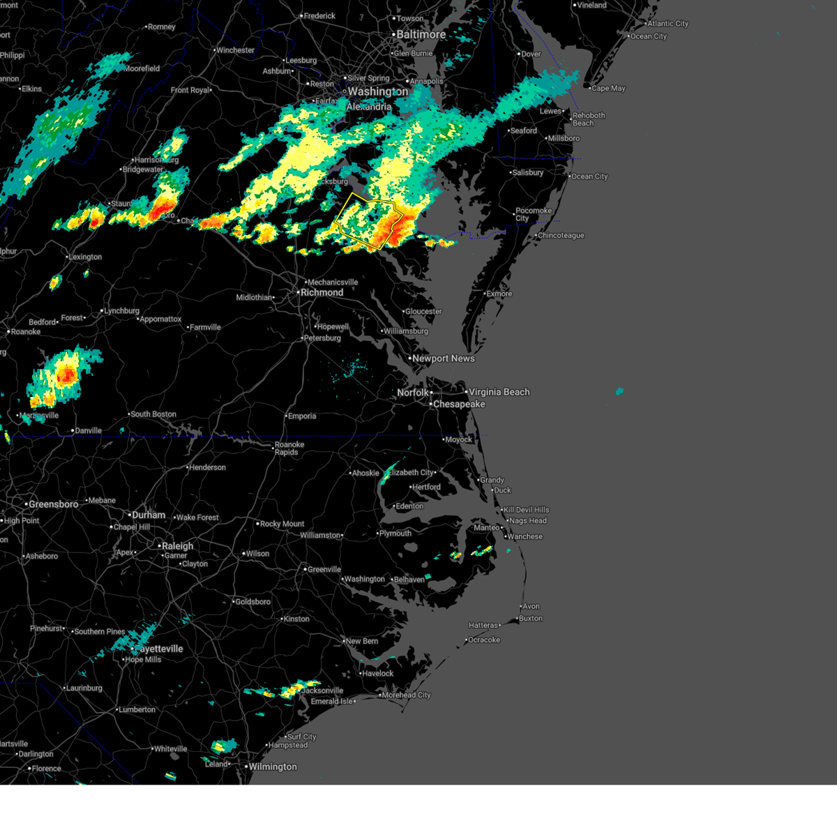
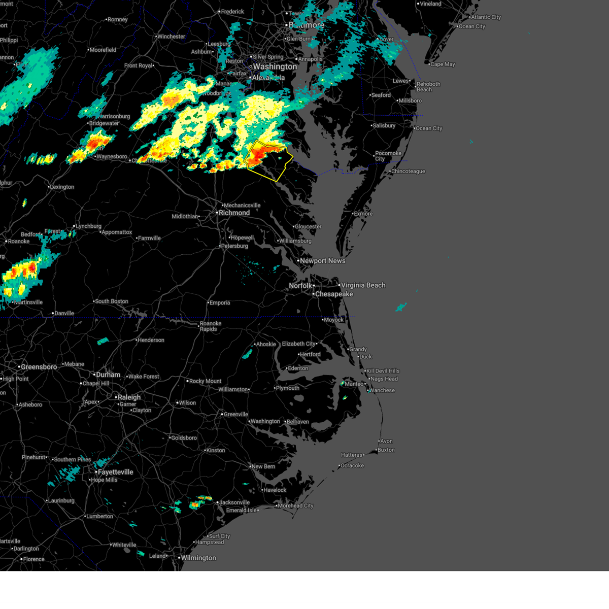
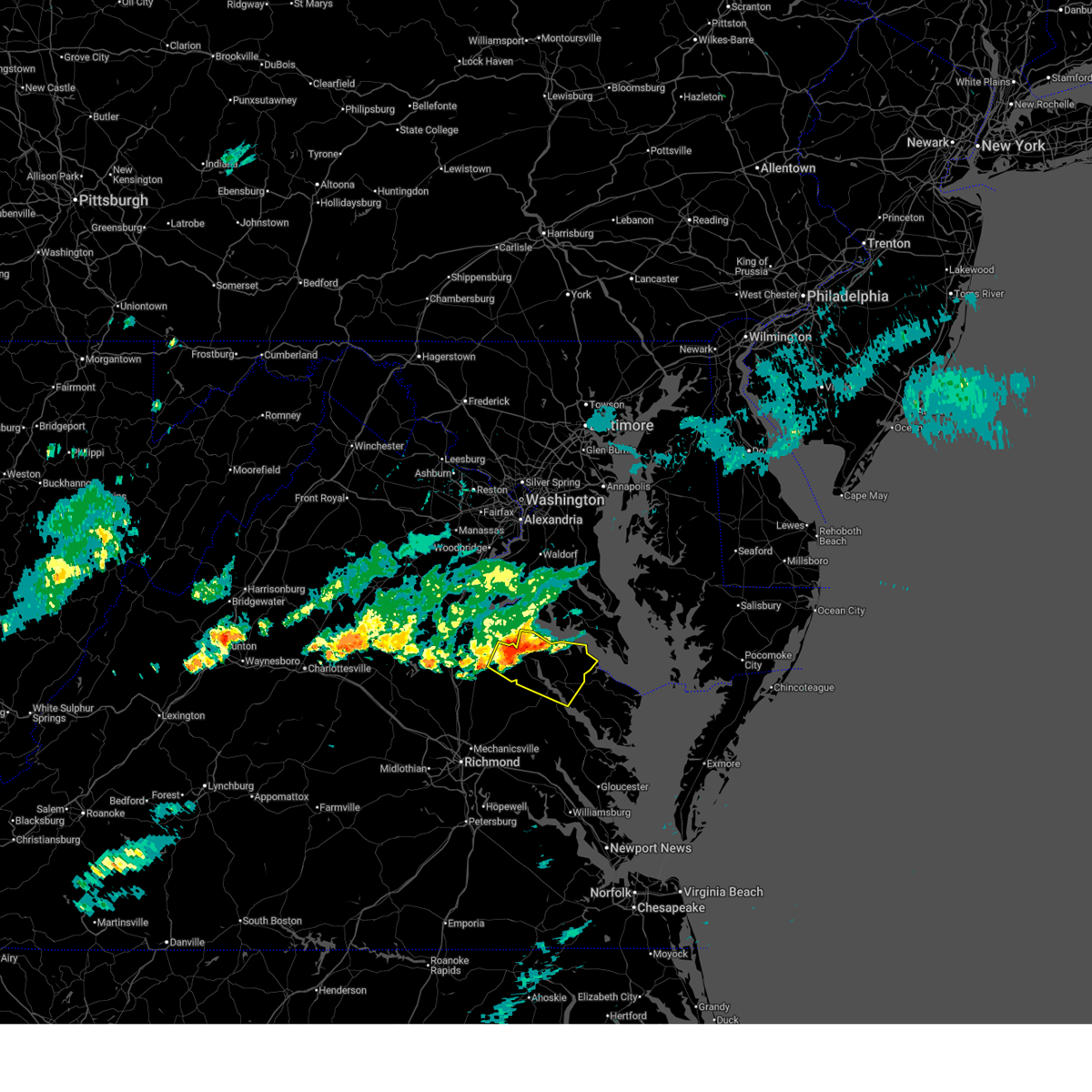
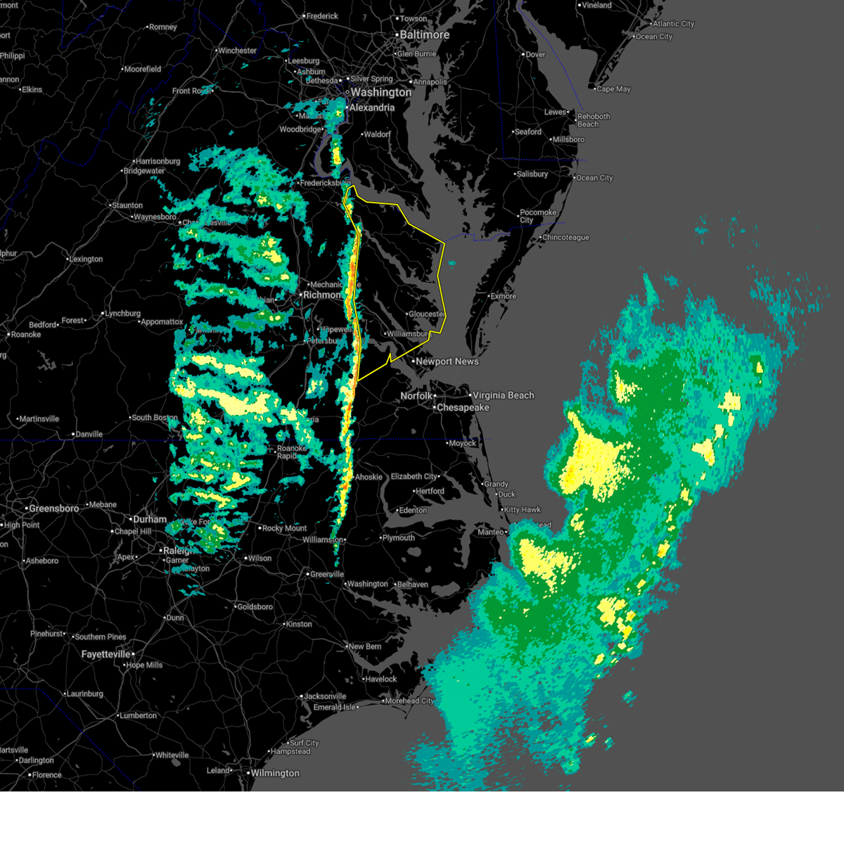
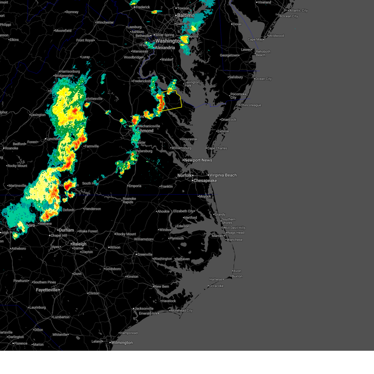
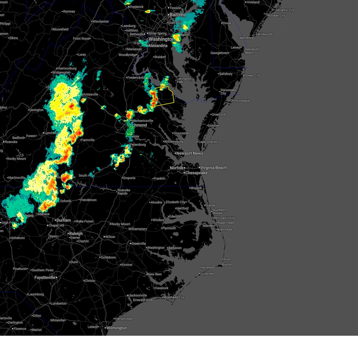
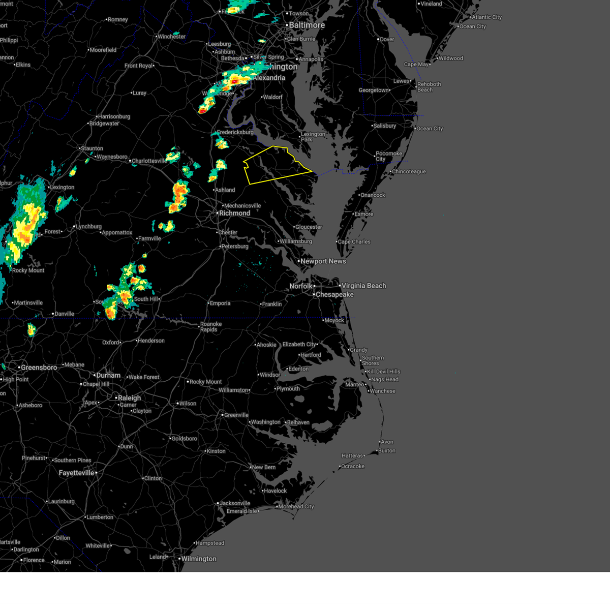
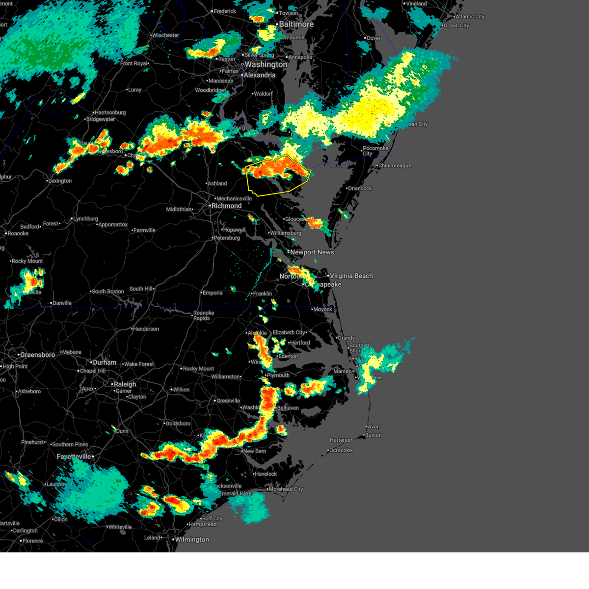
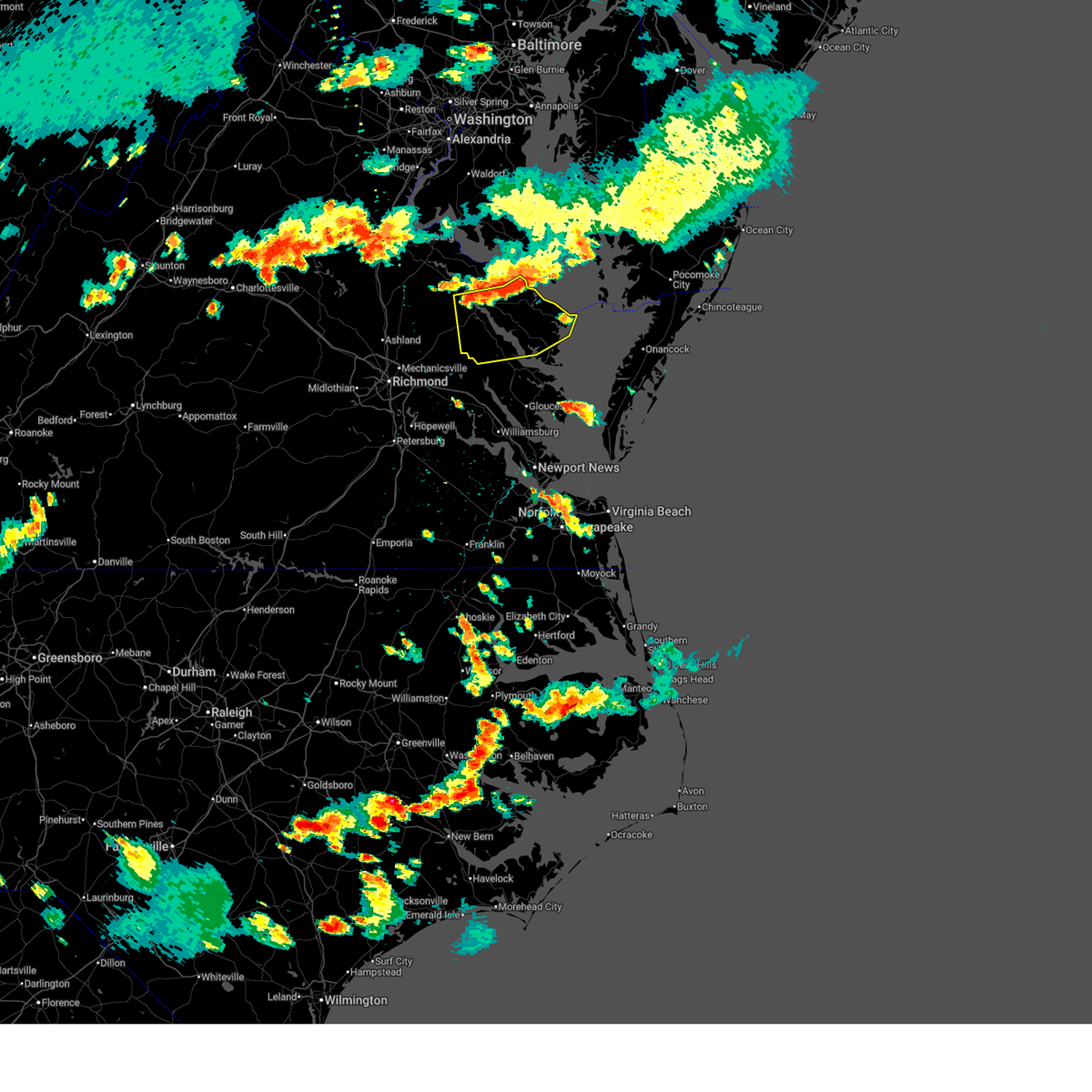
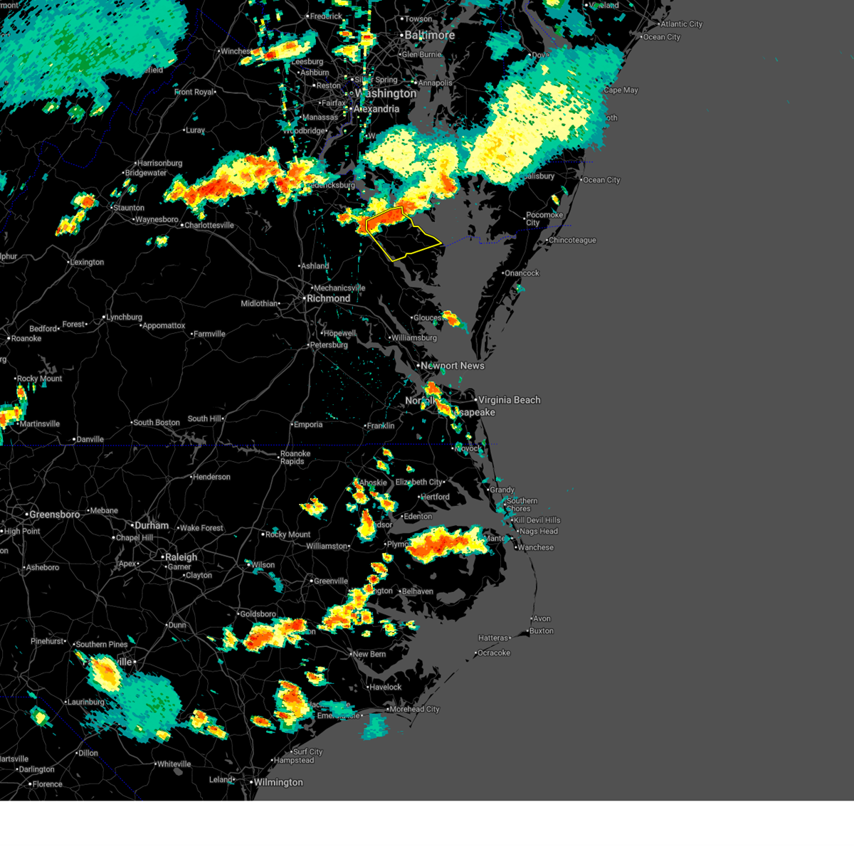
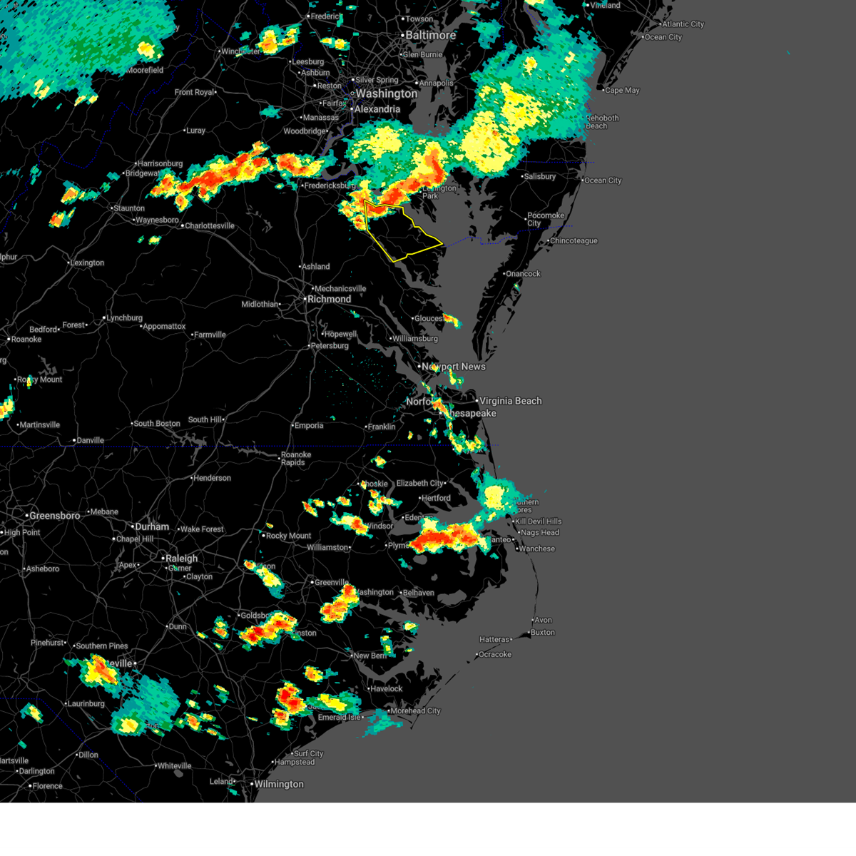
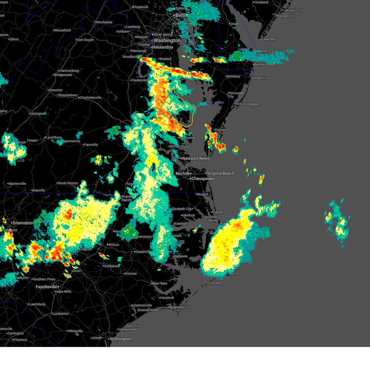
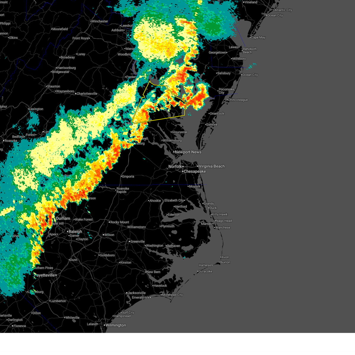
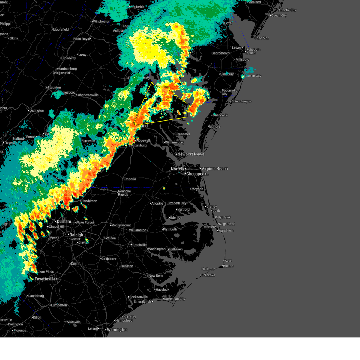
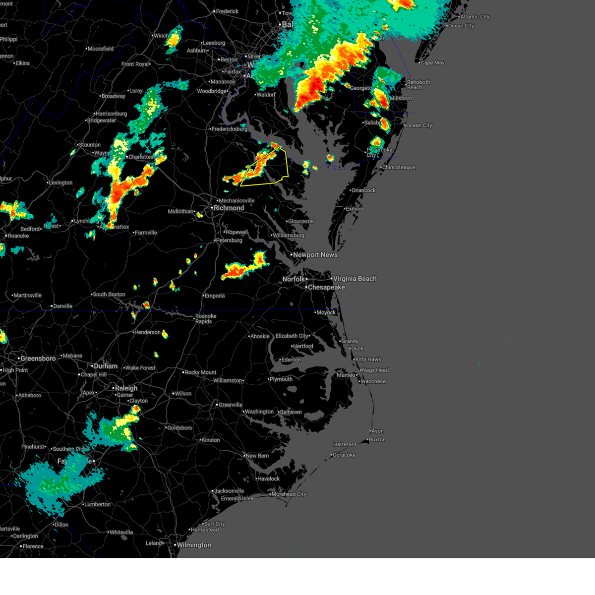
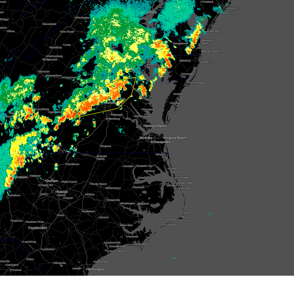
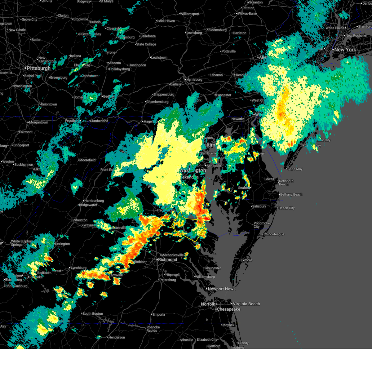
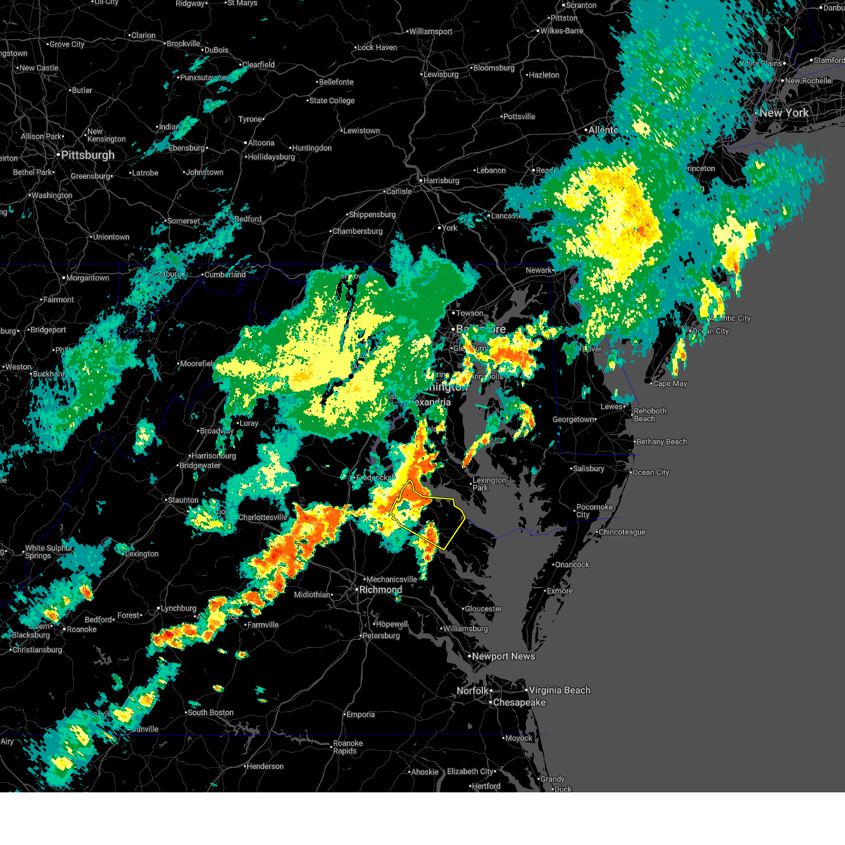
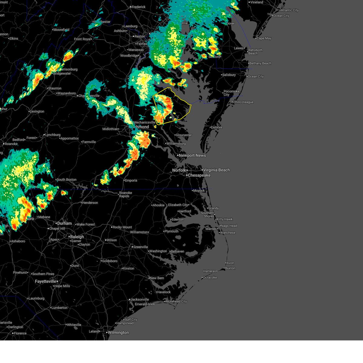
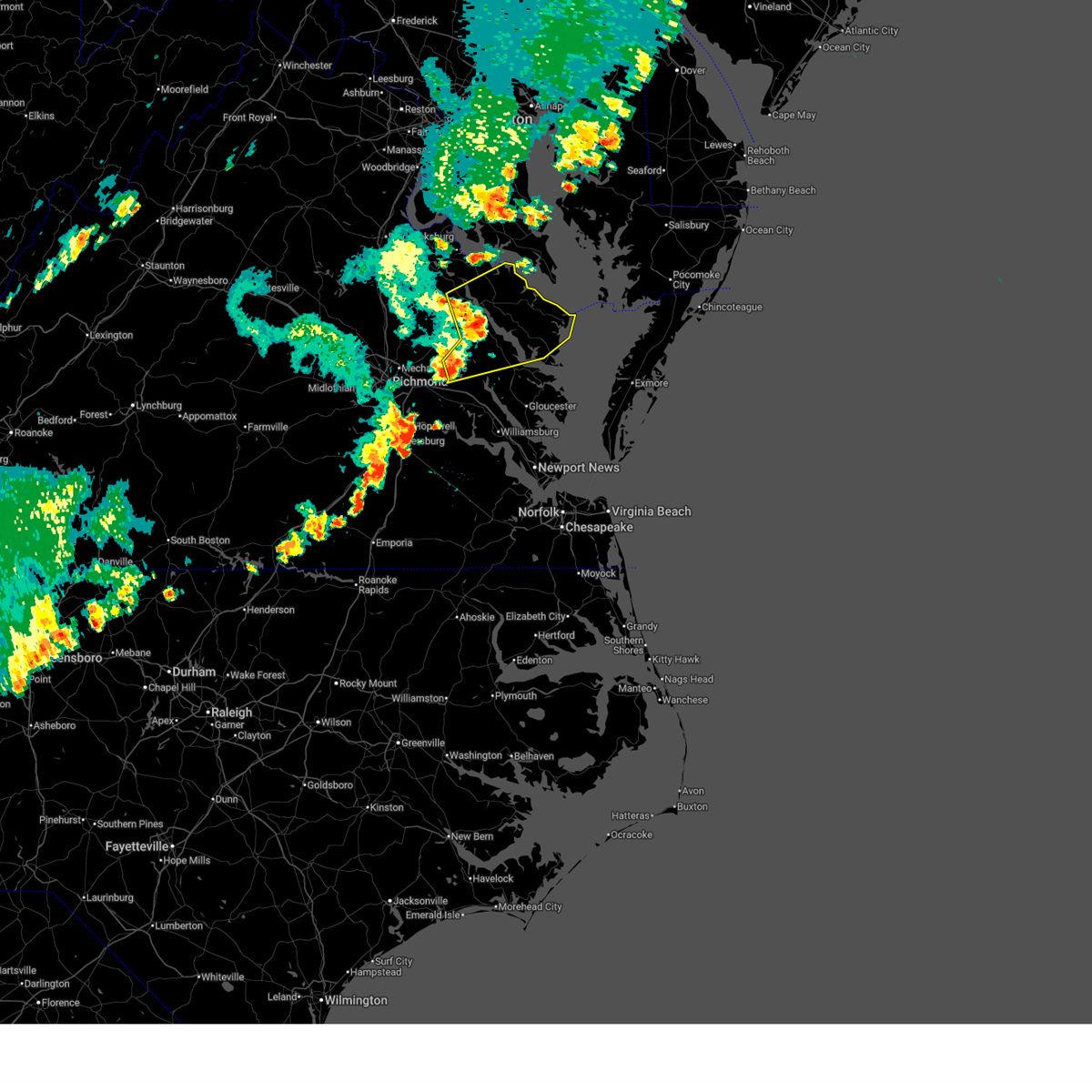
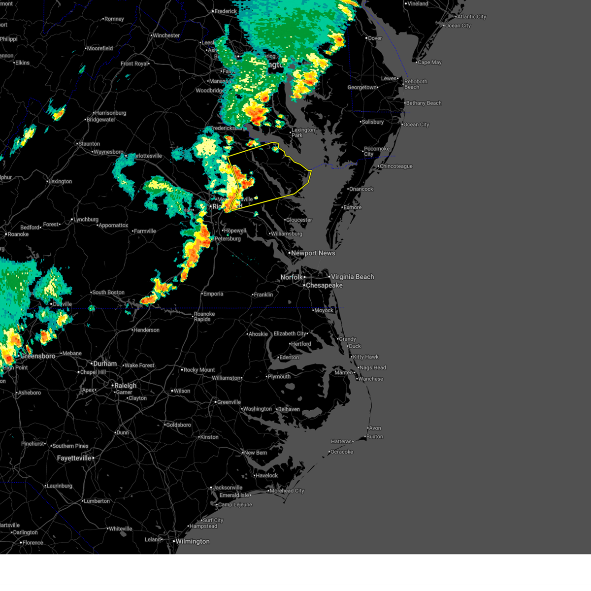
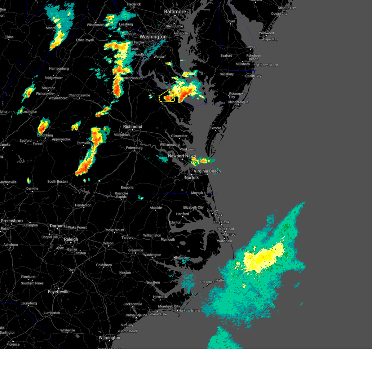
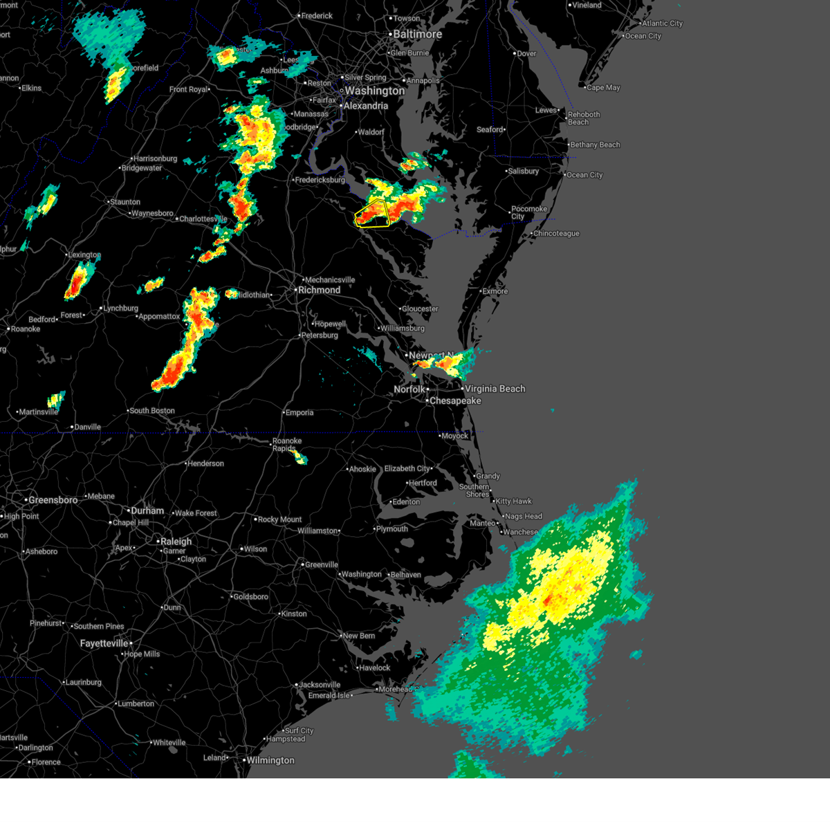
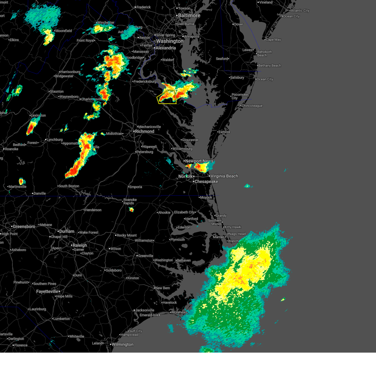
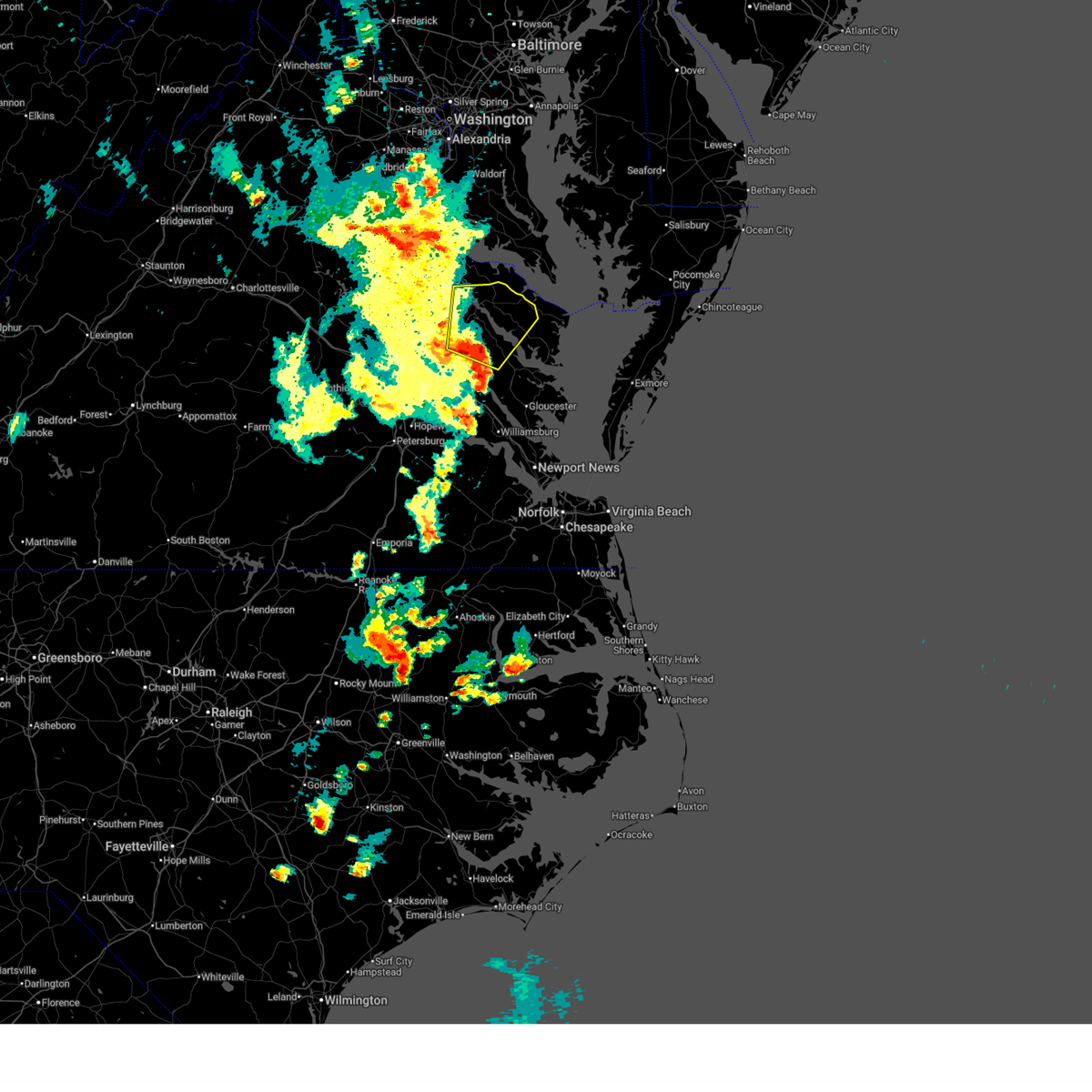
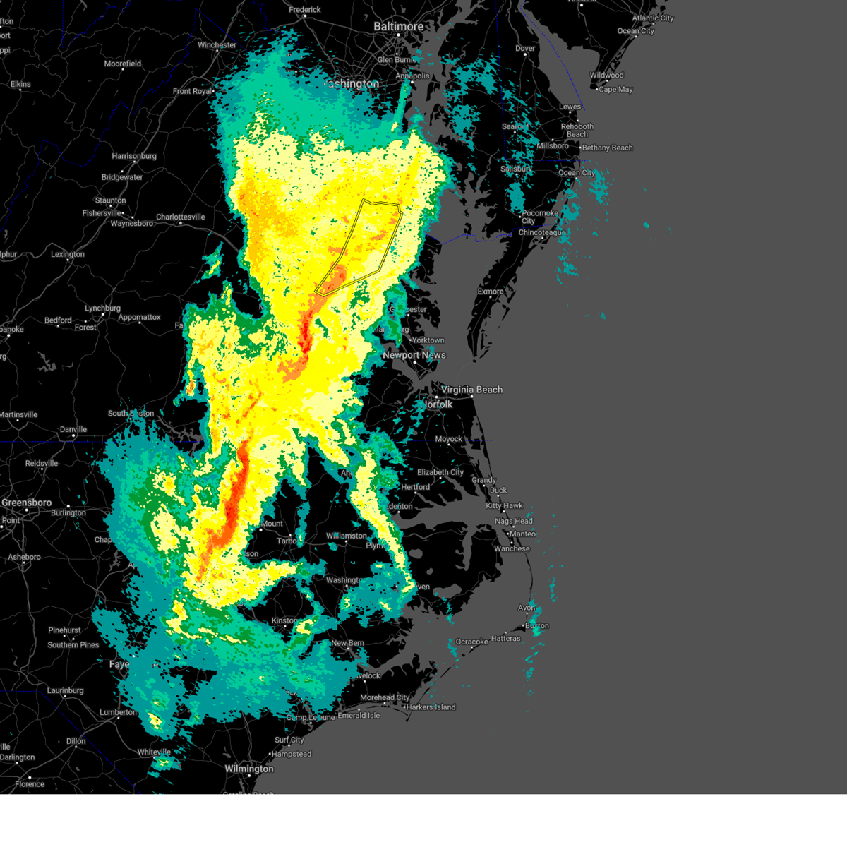
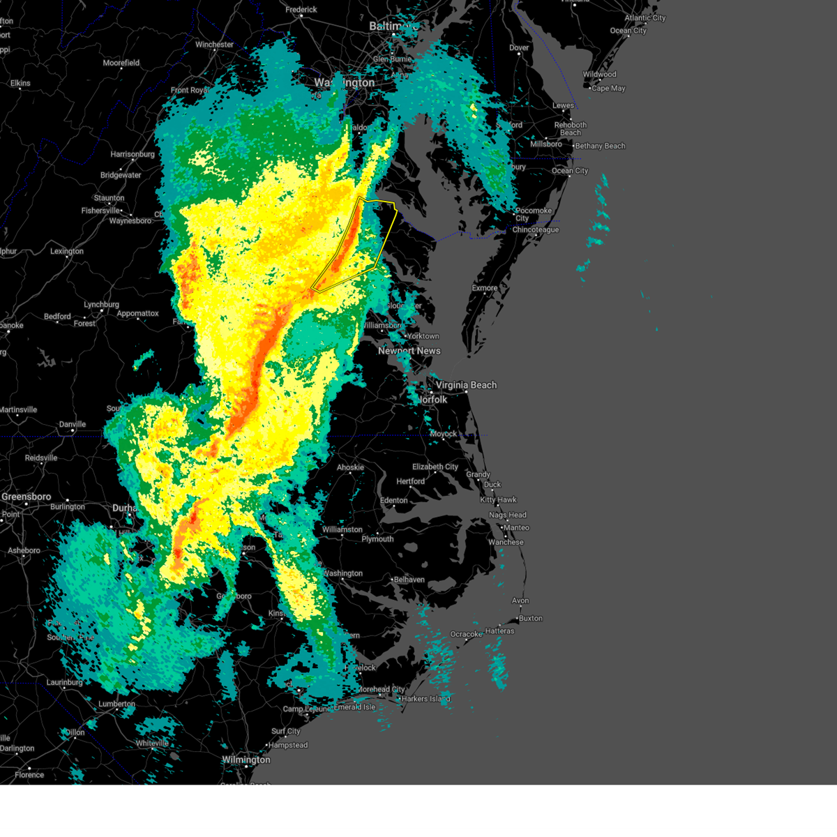
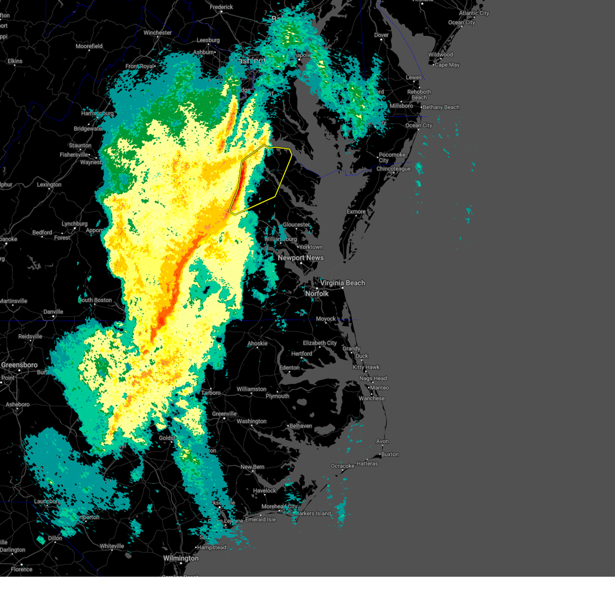
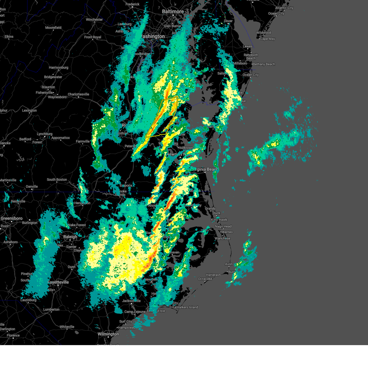
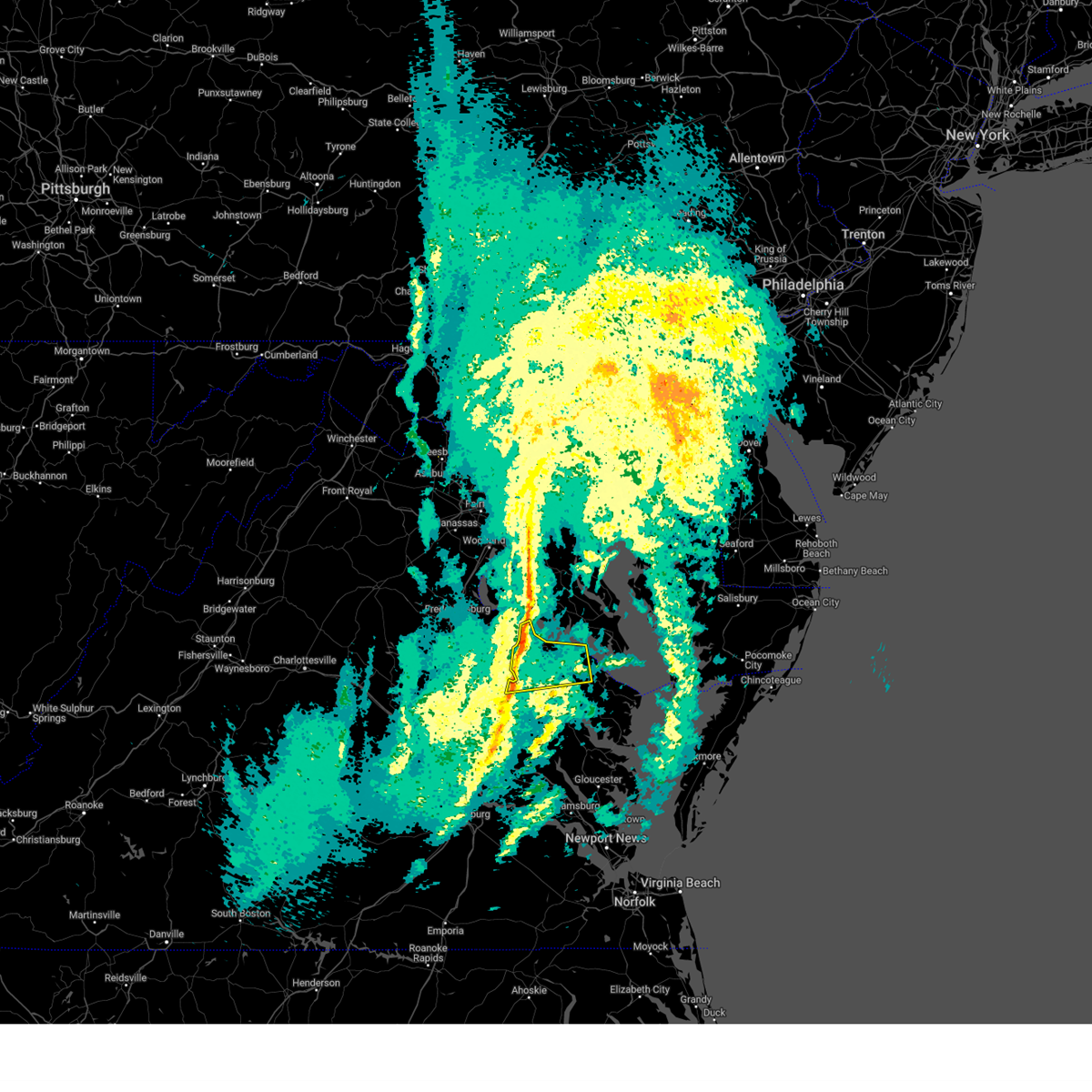
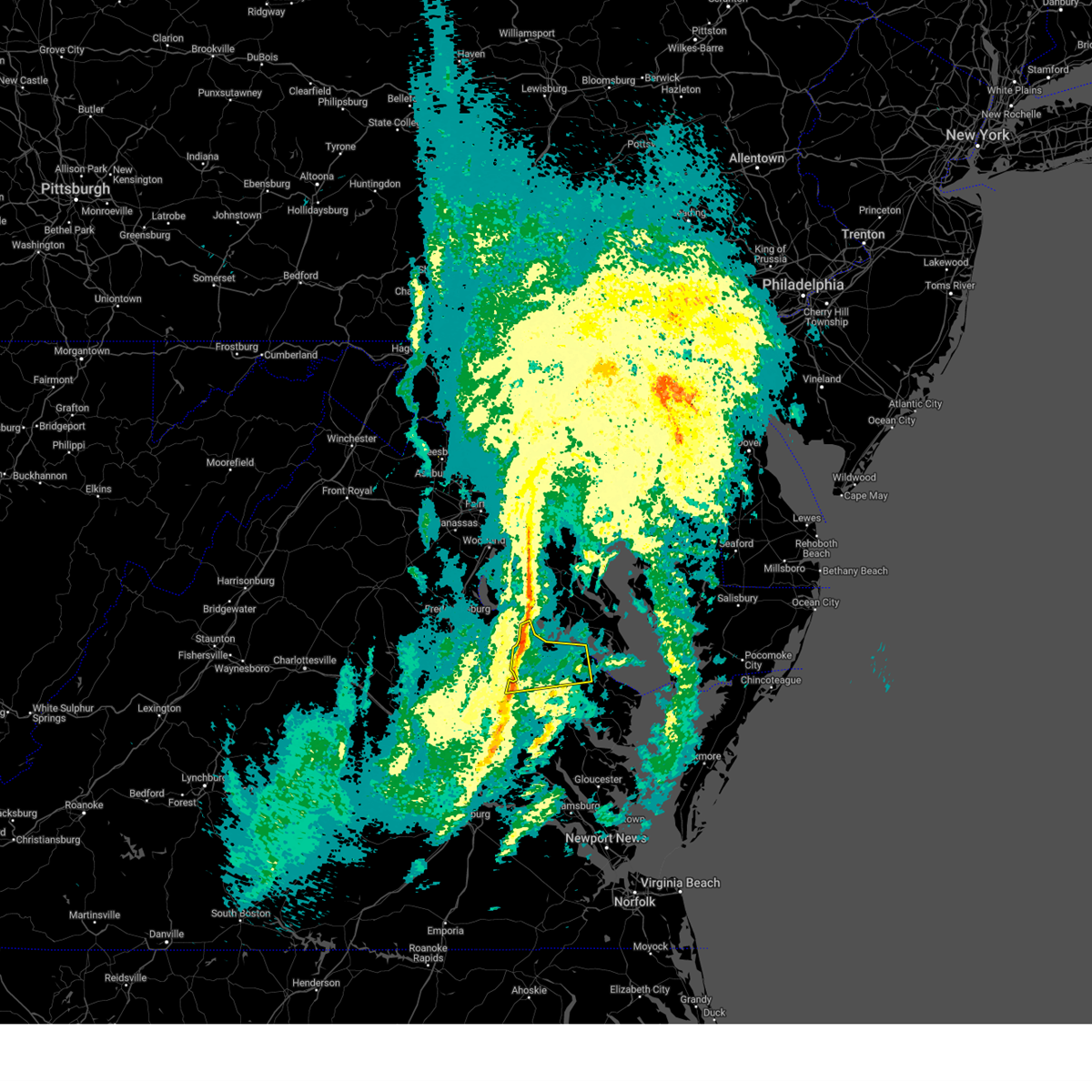
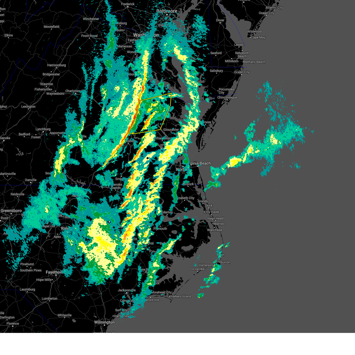
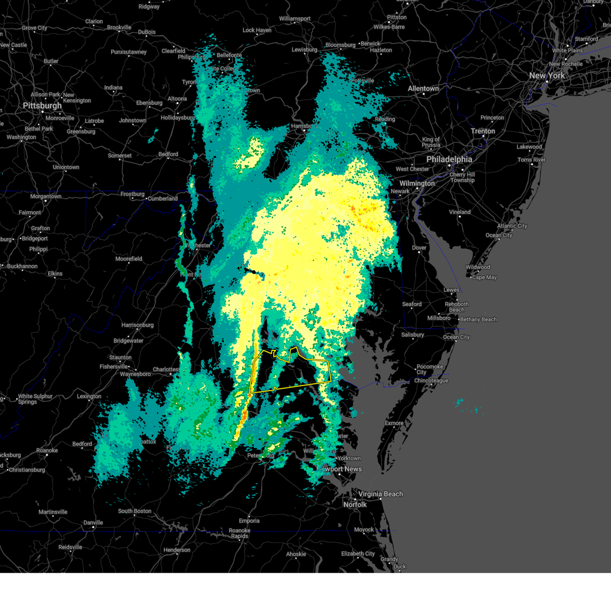
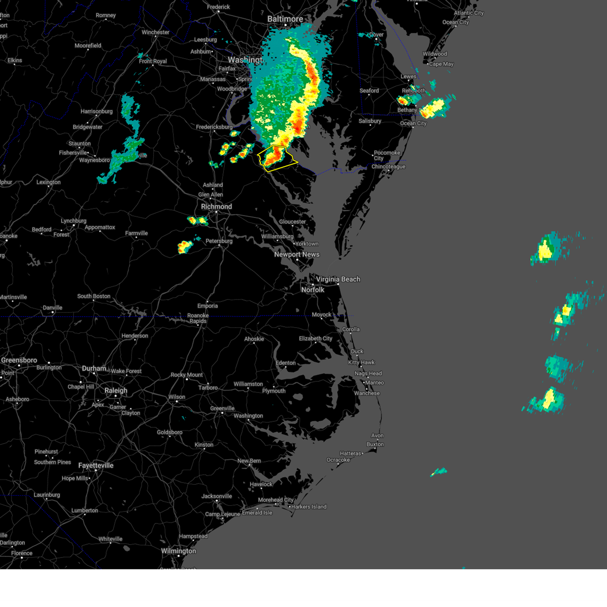
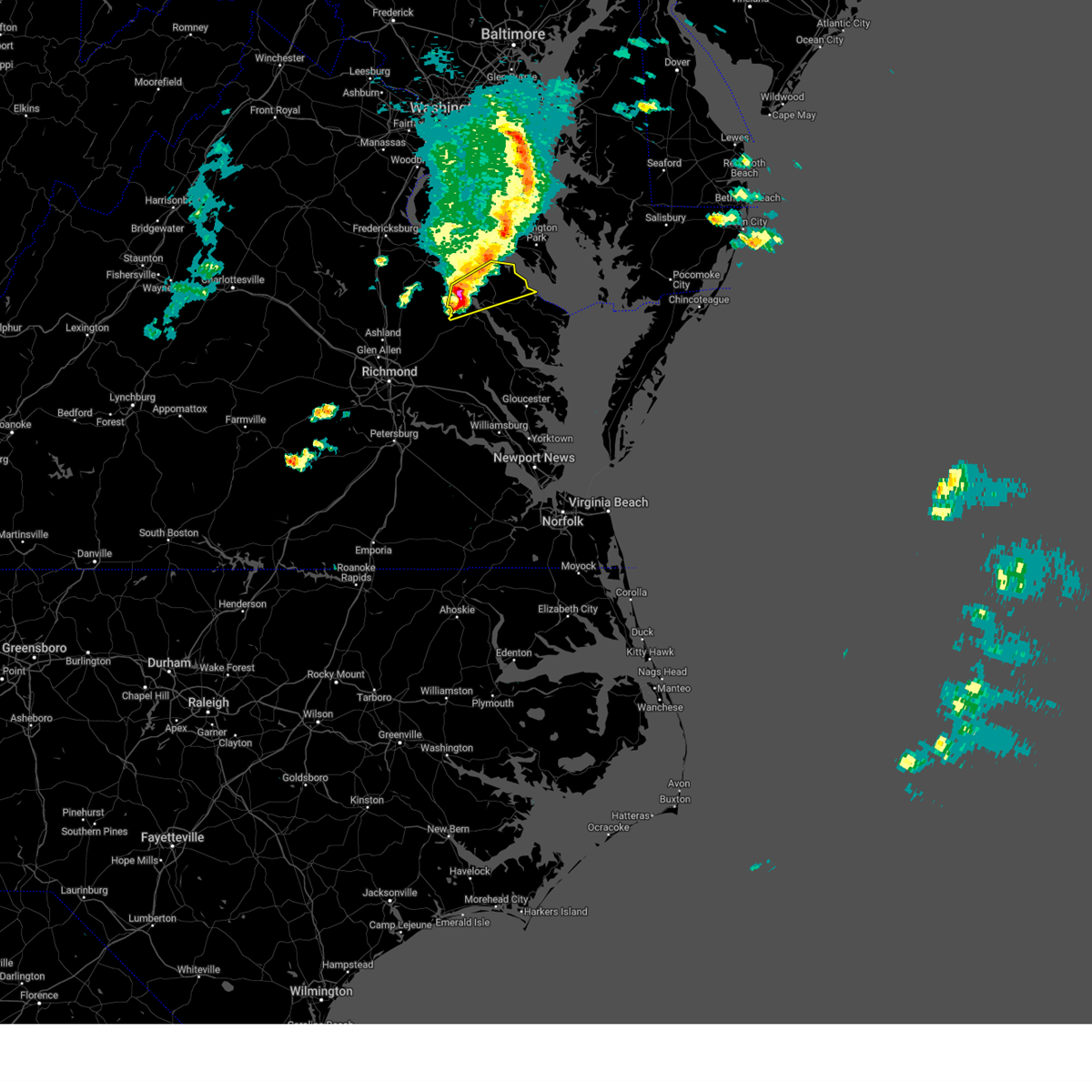
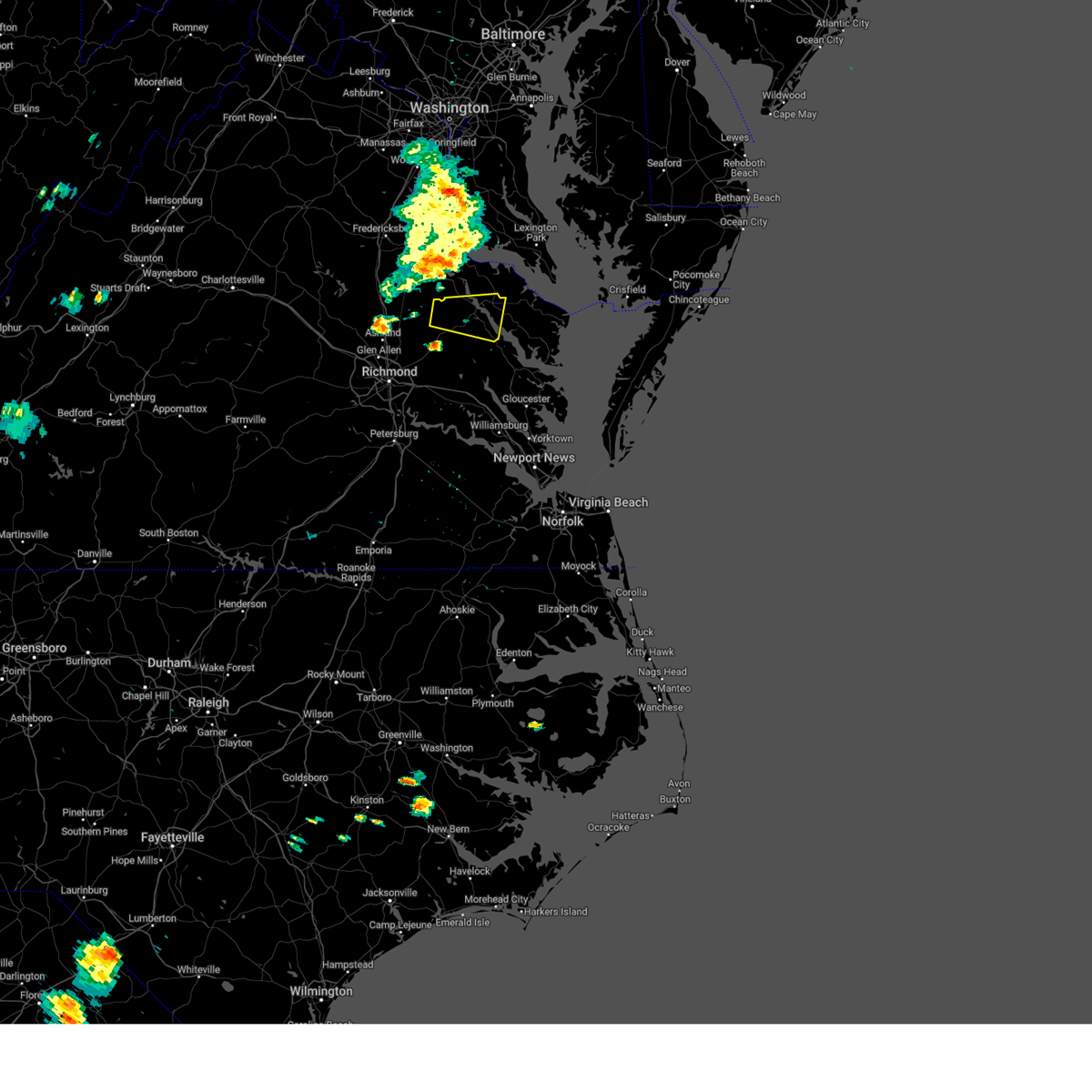
Hail Map for Warsaw, VA
The Warsaw, VA area has had 3 reports of on-the-ground hail by trained spotters, and has been under severe weather warnings 33 times during the past 12 months. Doppler radar has detected hail at or near Warsaw, VA on 46 occasions, including 2 occasions during the past year.
| Name: | Warsaw, VA |
| Where Located: | 57.9 miles ENE of Richmond, VA |
| Map: | Google Map for Warsaw, VA |
| Population: | 1512 |
| Housing Units: | 555 |
| More Info: | Search Google for Warsaw, VA |
1
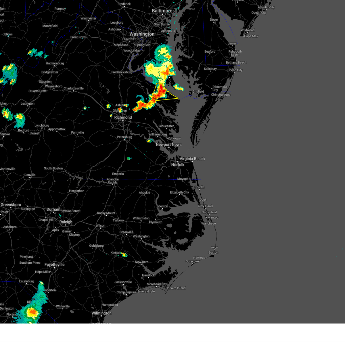
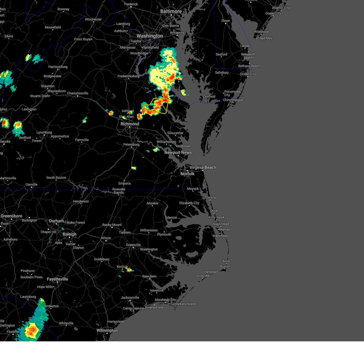
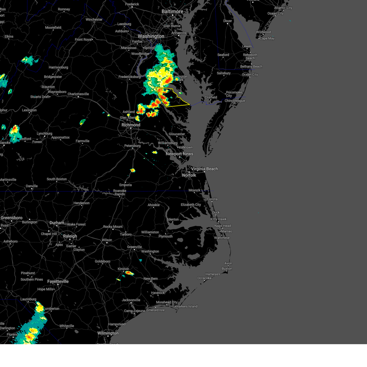
The Top Recent Hail Date for Warsaw, VA is Wednesday, May 27, 2026 (11th out of 46)

Hail and Wind Damage Spotted near Warsaw, VA
| Date / Time | Report Details |
|---|---|
| 6/14/2026 7:50 PM EDT | Tree downed along mulberry road at moores mil in richmond county VA, 6.3 miles WNW of Warsaw, VA |
| 6/14/2026 7:21 PM EDT |
 Svrakq the national weather service in wakefield has issued a * severe thunderstorm warning for, northwestern gloucester county in southeastern virginia, middlesex county in eastern virginia, east central king and queen county in east central virginia, northumberland county in eastern virginia, richmond county in east central virginia, south central westmoreland county in east central virginia, southeastern essex county in east central virginia, lancaster county in eastern virginia, * until 815 pm edt. * at 720 pm edt, severe thunderstorms were located along a line extending from near king and queen court house to near church view to glenns, moving northeast at 30 mph (radar indicated). Hazards include 60 mph wind gusts and quarter size hail. Minor damage to vehicles is possible. expect wind damage to trees and powerlines. severe thunderstorms will be near, urbanna, saluda, church view, and jamaica around 725 pm edt. morattico and center cross around 735 pm edt. sharps around 740 pm edt. kilmarnock, robley, lancaster, and farnham around 745 pm edt. haynesville, wicomico church, and heathsville around 755 pm edt. callao around 800 pm edt. fair port around 805 pm edt. Other locations impacted by these severe thunderstorms include byrdton, lottsburg, threeway, avalon, brook vale, bertrand, reedville, belle isle state park, millenbeck, and mascot. Svrakq the national weather service in wakefield has issued a * severe thunderstorm warning for, northwestern gloucester county in southeastern virginia, middlesex county in eastern virginia, east central king and queen county in east central virginia, northumberland county in eastern virginia, richmond county in east central virginia, south central westmoreland county in east central virginia, southeastern essex county in east central virginia, lancaster county in eastern virginia, * until 815 pm edt. * at 720 pm edt, severe thunderstorms were located along a line extending from near king and queen court house to near church view to glenns, moving northeast at 30 mph (radar indicated). Hazards include 60 mph wind gusts and quarter size hail. Minor damage to vehicles is possible. expect wind damage to trees and powerlines. severe thunderstorms will be near, urbanna, saluda, church view, and jamaica around 725 pm edt. morattico and center cross around 735 pm edt. sharps around 740 pm edt. kilmarnock, robley, lancaster, and farnham around 745 pm edt. haynesville, wicomico church, and heathsville around 755 pm edt. callao around 800 pm edt. fair port around 805 pm edt. Other locations impacted by these severe thunderstorms include byrdton, lottsburg, threeway, avalon, brook vale, bertrand, reedville, belle isle state park, millenbeck, and mascot.
|
| 6/12/2026 6:57 PM EDT |
 The storm which prompted the warning has weakened below severe limits, and no longer poses an immediate threat to life or property. therefore, the warning will be allowed to expire. however, gusty winds are still possible with this thunderstorm. a severe thunderstorm watch remains in effect until 900 pm edt for eastern and east central virginia. The storm which prompted the warning has weakened below severe limits, and no longer poses an immediate threat to life or property. therefore, the warning will be allowed to expire. however, gusty winds are still possible with this thunderstorm. a severe thunderstorm watch remains in effect until 900 pm edt for eastern and east central virginia.
|
| 6/12/2026 6:22 PM EDT |
 Svrakq the national weather service in wakefield has issued a * severe thunderstorm warning for, northwestern northumberland county in eastern virginia, richmond county in east central virginia, southeastern westmoreland county in east central virginia, southeastern essex county in east central virginia, northwestern lancaster county in eastern virginia, * until 700 pm edt. * at 621 pm edt, a severe thunderstorm was located over tappahannock, moving east at 20 mph (radar indicated). Hazards include 60 mph wind gusts. Expect damage to trees and powerlines. this severe thunderstorm will be near, tappahannock and warsaw around 625 pm edt. haynesville around 645 pm edt. farnham around 650 pm edt. Other locations impacted by this severe thunderstorm include lara, wellford, ethel, lottsburg, threeway, somers, village, bowlers wharf, moon corner, and nuttsville. Svrakq the national weather service in wakefield has issued a * severe thunderstorm warning for, northwestern northumberland county in eastern virginia, richmond county in east central virginia, southeastern westmoreland county in east central virginia, southeastern essex county in east central virginia, northwestern lancaster county in eastern virginia, * until 700 pm edt. * at 621 pm edt, a severe thunderstorm was located over tappahannock, moving east at 20 mph (radar indicated). Hazards include 60 mph wind gusts. Expect damage to trees and powerlines. this severe thunderstorm will be near, tappahannock and warsaw around 625 pm edt. haynesville around 645 pm edt. farnham around 650 pm edt. Other locations impacted by this severe thunderstorm include lara, wellford, ethel, lottsburg, threeway, somers, village, bowlers wharf, moon corner, and nuttsville.
|
| 5/27/2026 2:44 PM EDT |
 The severe thunderstorm which prompted the warning has moved out of the warned area. therefore, the warning will be allowed to expire. however, gusty winds and heavy rain are still possible with this thunderstorm. a severe thunderstorm watch remains in effect until 900 pm edt for eastern, north central and east central virginia. The severe thunderstorm which prompted the warning has moved out of the warned area. therefore, the warning will be allowed to expire. however, gusty winds and heavy rain are still possible with this thunderstorm. a severe thunderstorm watch remains in effect until 900 pm edt for eastern, north central and east central virginia.
|
| 5/27/2026 2:36 PM EDT | Tree down on mulberry road in richmond county. time estimated from rada in richmond county VA, 6 miles WNW of Warsaw, VA |
| 5/27/2026 2:36 PM EDT | Tree down on kings mill road in westmoreland county. time estimated from rada in westmoreland county VA, 7.1 miles WSW of Warsaw, VA |
| 5/27/2026 2:29 PM EDT | Tree down on kellys lane in richmond county. time estimated from rada in richmond county VA, 3.5 miles S of Warsaw, VA |
| 5/27/2026 2:24 PM EDT | Tree down on menokin road in richmond county. time estimated from rada in richmond county VA, 3.8 miles SSE of Warsaw, VA |
| 5/27/2026 2:20 PM EDT | Tree down on newland roa in richmond county VA, 7.2 miles SE of Warsaw, VA |
| 5/27/2026 2:12 PM EDT |
 At 211 pm edt, a severe thunderstorm was located near newland, or near champlain, moving east at 30 mph (radar indicated). Hazards include 60 mph wind gusts and quarter size hail. Minor damage to vehicles is possible. expect wind damage to trees and powerlines. this severe storm will be near, montross and newland around 215 pm edt. hague around 240 pm edt. kinsale around 245 pm edt. Other locations impacted by this severe thunderstorm include beazley, currioman landing, threeway, hustle, elevon, mount holly, stratford hall, lyells, kennard, and westmoreland. At 211 pm edt, a severe thunderstorm was located near newland, or near champlain, moving east at 30 mph (radar indicated). Hazards include 60 mph wind gusts and quarter size hail. Minor damage to vehicles is possible. expect wind damage to trees and powerlines. this severe storm will be near, montross and newland around 215 pm edt. hague around 240 pm edt. kinsale around 245 pm edt. Other locations impacted by this severe thunderstorm include beazley, currioman landing, threeway, hustle, elevon, mount holly, stratford hall, lyells, kennard, and westmoreland.
|
| 5/27/2026 2:12 PM EDT |
 the severe thunderstorm warning has been cancelled and is no longer in effect the severe thunderstorm warning has been cancelled and is no longer in effect
|
| 5/27/2026 1:57 PM EDT |
 Svrakq the national weather service in wakefield has issued a * severe thunderstorm warning for, richmond county in east central virginia, westmoreland county in east central virginia, northeastern caroline county in north central virginia, essex county in east central virginia, * until 245 pm edt. * at 157 pm edt, a severe thunderstorm was located over loretto, or near champlain, moving east at 30 mph (radar indicated). Hazards include 60 mph wind gusts. Expect damage to trees and powerlines. this severe thunderstorm will be near, leedstown and loretto around 200 pm edt. newland around 210 pm edt. montross around 215 pm edt. hague around 240 pm edt. Other locations impacted by this severe thunderstorm include currioman landing, threeway, hustle, elevon, supply, mount holly, stratford hall, lyells, kennard, and westmoreland. Svrakq the national weather service in wakefield has issued a * severe thunderstorm warning for, richmond county in east central virginia, westmoreland county in east central virginia, northeastern caroline county in north central virginia, essex county in east central virginia, * until 245 pm edt. * at 157 pm edt, a severe thunderstorm was located over loretto, or near champlain, moving east at 30 mph (radar indicated). Hazards include 60 mph wind gusts. Expect damage to trees and powerlines. this severe thunderstorm will be near, leedstown and loretto around 200 pm edt. newland around 210 pm edt. montross around 215 pm edt. hague around 240 pm edt. Other locations impacted by this severe thunderstorm include currioman landing, threeway, hustle, elevon, supply, mount holly, stratford hall, lyells, kennard, and westmoreland.
|
| 3/16/2026 9:11 PM EDT |
 Svrakq the national weather service in wakefield has issued a * severe thunderstorm warning for, middlesex county in eastern virginia, northumberland county in eastern virginia, york county in southeastern virginia, the northern city of newport news in southeastern virginia, james city county in southeastern virginia, gloucester county in eastern virginia, king and queen county in east central virginia, southeastern charles city county in east central virginia, richmond county in east central virginia, eastern new kent county in east central virginia, mathews county in eastern virginia, westmoreland county in east central virginia, southeastern king william county in east central virginia, eastern surry county in southeastern virginia, central essex county in east central virginia, the city of williamsburg in southeastern virginia, lancaster county in eastern virginia, * until 1030 pm edt. * at 910 pm edt, severe thunderstorms were located along a line extending from leedstown to near tappahannock to near new kent to rustic to near wakefield, moving northeast at 50 mph (radar indicated). Hazards include 60 mph wind gusts. Expect damage to trees and powerlines. severe thunderstorms will be near, west point, tappahannock, warsaw, montross, surry, toano, king and queen court house, dendron, stevensville, and scotland around 915 pm edt. williamsburg, college of william and mary, norge, jamestown, little plymouth, and center cross around 920 pm edt. queens lake, haynesville, hague, jamaica, kings point, york terrace, sharps, carver gardens, and shacklefords around 925 pm edt. newport news, grove, church view, coles point, kinsale, farnham, morattico, glenns, and busch gardens around 930 pm edt. gloucester courthouse, urbanna, callao, gloucester point, robley, saluda, fort eustis, and lee hall around 935 pm edt. virginia institute for marine sciences, hayes, wicomico, and heathsville around 940 pm edt. seaford, lancaster, hartfield, and achilles around 945 pm edt. kilmarnock, deltaville, white stone, mobjack, wicomico church, and blakes around 950 pm edt. Other locations impacted by these severe thunderstorms include eltham, currioman landing, threeway, croaker, lackey, moon, laban, camp peary, brook vale, and grafton. Svrakq the national weather service in wakefield has issued a * severe thunderstorm warning for, middlesex county in eastern virginia, northumberland county in eastern virginia, york county in southeastern virginia, the northern city of newport news in southeastern virginia, james city county in southeastern virginia, gloucester county in eastern virginia, king and queen county in east central virginia, southeastern charles city county in east central virginia, richmond county in east central virginia, eastern new kent county in east central virginia, mathews county in eastern virginia, westmoreland county in east central virginia, southeastern king william county in east central virginia, eastern surry county in southeastern virginia, central essex county in east central virginia, the city of williamsburg in southeastern virginia, lancaster county in eastern virginia, * until 1030 pm edt. * at 910 pm edt, severe thunderstorms were located along a line extending from leedstown to near tappahannock to near new kent to rustic to near wakefield, moving northeast at 50 mph (radar indicated). Hazards include 60 mph wind gusts. Expect damage to trees and powerlines. severe thunderstorms will be near, west point, tappahannock, warsaw, montross, surry, toano, king and queen court house, dendron, stevensville, and scotland around 915 pm edt. williamsburg, college of william and mary, norge, jamestown, little plymouth, and center cross around 920 pm edt. queens lake, haynesville, hague, jamaica, kings point, york terrace, sharps, carver gardens, and shacklefords around 925 pm edt. newport news, grove, church view, coles point, kinsale, farnham, morattico, glenns, and busch gardens around 930 pm edt. gloucester courthouse, urbanna, callao, gloucester point, robley, saluda, fort eustis, and lee hall around 935 pm edt. virginia institute for marine sciences, hayes, wicomico, and heathsville around 940 pm edt. seaford, lancaster, hartfield, and achilles around 945 pm edt. kilmarnock, deltaville, white stone, mobjack, wicomico church, and blakes around 950 pm edt. Other locations impacted by these severe thunderstorms include eltham, currioman landing, threeway, croaker, lackey, moon, laban, camp peary, brook vale, and grafton.
|
| 9/4/2025 5:44 PM EDT |
 The storm which prompted the warning has weakened below severe limits, and no longer poses an immediate threat to life or property. therefore, the warning will be allowed to expire. however, gusty winds are still possible with this thunderstorm. The storm which prompted the warning has weakened below severe limits, and no longer poses an immediate threat to life or property. therefore, the warning will be allowed to expire. however, gusty winds are still possible with this thunderstorm.
|
| 9/4/2025 5:30 PM EDT |
 At 530 pm edt, a severe thunderstorm was located over warsaw, moving east at 30 mph (radar indicated). Hazards include 60 mph wind gusts. Expect damage to trees and powerlines. this severe storm will be near, haynesville around 535 pm edt. callao and kinsale around 540 pm edt. Other locations impacted by this severe thunderstorm include wellford, ethel, lottsburg, threeway, village, mount holly, oldhams, lyells, naylors beach, and kennard. At 530 pm edt, a severe thunderstorm was located over warsaw, moving east at 30 mph (radar indicated). Hazards include 60 mph wind gusts. Expect damage to trees and powerlines. this severe storm will be near, haynesville around 535 pm edt. callao and kinsale around 540 pm edt. Other locations impacted by this severe thunderstorm include wellford, ethel, lottsburg, threeway, village, mount holly, oldhams, lyells, naylors beach, and kennard.
|
| 9/4/2025 5:16 PM EDT |
 At 516 pm edt, a severe thunderstorm was located near newland, or near warsaw, moving east at 35 mph (radar indicated). Hazards include 60 mph wind gusts. Expect damage to trees and powerlines. this severe storm will be near, warsaw around 520 pm edt. hague around 530 pm edt. kinsale around 535 pm edt. Other locations impacted by this severe thunderstorm include currioman landing, lottsburg, threeway, mount holly, stratford hall, lyells, middletons corner, kennard, westmoreland, and mount landing. At 516 pm edt, a severe thunderstorm was located near newland, or near warsaw, moving east at 35 mph (radar indicated). Hazards include 60 mph wind gusts. Expect damage to trees and powerlines. this severe storm will be near, warsaw around 520 pm edt. hague around 530 pm edt. kinsale around 535 pm edt. Other locations impacted by this severe thunderstorm include currioman landing, lottsburg, threeway, mount holly, stratford hall, lyells, middletons corner, kennard, westmoreland, and mount landing.
|
| 9/4/2025 5:16 PM EDT |
 the severe thunderstorm warning has been cancelled and is no longer in effect the severe thunderstorm warning has been cancelled and is no longer in effect
|
| 9/4/2025 5:04 PM EDT |
 Svrakq the national weather service in wakefield has issued a * severe thunderstorm warning for, northwestern king and queen county in east central virginia, northern northumberland county in eastern virginia, richmond county in east central virginia, westmoreland county in east central virginia, essex county in east central virginia, * until 545 pm edt. * at 503 pm edt, a severe thunderstorm was located near champlain, moving east at 40 mph (radar indicated). Hazards include 60 mph wind gusts. Expect damage to trees and powerlines. this severe thunderstorm will be near, tappahannock and newland around 510 pm edt. warsaw around 515 pm edt. hague around 525 pm edt. kinsale around 530 pm edt. Other locations impacted by this severe thunderstorm include beazley, currioman landing, lottsburg, threeway, hustle, elevon, mount holly, stratford hall, lyells, and middletons corner. Svrakq the national weather service in wakefield has issued a * severe thunderstorm warning for, northwestern king and queen county in east central virginia, northern northumberland county in eastern virginia, richmond county in east central virginia, westmoreland county in east central virginia, essex county in east central virginia, * until 545 pm edt. * at 503 pm edt, a severe thunderstorm was located near champlain, moving east at 40 mph (radar indicated). Hazards include 60 mph wind gusts. Expect damage to trees and powerlines. this severe thunderstorm will be near, tappahannock and newland around 510 pm edt. warsaw around 515 pm edt. hague around 525 pm edt. kinsale around 530 pm edt. Other locations impacted by this severe thunderstorm include beazley, currioman landing, lottsburg, threeway, hustle, elevon, mount holly, stratford hall, lyells, and middletons corner.
|
| 7/27/2025 4:32 PM EDT |
 the severe thunderstorm warning has been cancelled and is no longer in effect the severe thunderstorm warning has been cancelled and is no longer in effect
|
| 7/27/2025 4:32 PM EDT |
 At 431 pm edt, severe thunderstorms were located along a line extending from near lewisetta to near farnham to near millers tavern, moving southeast at 20 mph (radar indicated). Hazards include 60 mph wind gusts. Expect damage to trees and powerlines. these severe storms will be near, robley, farnham, heathsville, millers tavern, dunnsville, and sharps around 435 pm edt. center cross around 440 pm edt. morattico around 445 pm edt. lancaster and wicomico church around 500 pm edt. Other locations impacted by these severe thunderstorms include lottsburg, avalon, brook vale, reedville, belle isle state park, crouch, mount landing, dodlyt, rehoboth church, and dunbrooke. At 431 pm edt, severe thunderstorms were located along a line extending from near lewisetta to near farnham to near millers tavern, moving southeast at 20 mph (radar indicated). Hazards include 60 mph wind gusts. Expect damage to trees and powerlines. these severe storms will be near, robley, farnham, heathsville, millers tavern, dunnsville, and sharps around 435 pm edt. center cross around 440 pm edt. morattico around 445 pm edt. lancaster and wicomico church around 500 pm edt. Other locations impacted by these severe thunderstorms include lottsburg, avalon, brook vale, reedville, belle isle state park, crouch, mount landing, dodlyt, rehoboth church, and dunbrooke.
|
| 7/27/2025 4:25 PM EDT | Tree blocking havelock rd in richmond county. time estimated from rada in richmond county VA, 5.9 miles SE of Warsaw, VA |
| 7/27/2025 4:09 PM EDT |
 Svrakq the national weather service in wakefield has issued a * severe thunderstorm warning for, northwestern middlesex county in eastern virginia, central king and queen county in east central virginia, northumberland county in eastern virginia, richmond county in east central virginia, southeastern westmoreland county in east central virginia, southeastern essex county in east central virginia, lancaster county in eastern virginia, * until 500 pm edt. * at 409 pm edt, severe thunderstorms were located along a line extending from near saint george island to near haynesville to near champlain, moving southeast at 20 mph (radar indicated). Hazards include 60 mph wind gusts. Expect damage to trees and powerlines. severe thunderstorms will be near, tappahannock, warsaw, callao, haynesville, and lewisetta around 415 pm edt. farnham and dunnsville around 420 pm edt. heathsville and millers tavern around 425 pm edt. robley and sharps around 430 pm edt. center cross around 435 pm edt. morattico around 440 pm edt. Other locations impacted by these severe thunderstorms include lottsburg, threeway, avalon, brook vale, reedville, belle isle state park, lyells, crouch, westmoreland, and mount landing. Svrakq the national weather service in wakefield has issued a * severe thunderstorm warning for, northwestern middlesex county in eastern virginia, central king and queen county in east central virginia, northumberland county in eastern virginia, richmond county in east central virginia, southeastern westmoreland county in east central virginia, southeastern essex county in east central virginia, lancaster county in eastern virginia, * until 500 pm edt. * at 409 pm edt, severe thunderstorms were located along a line extending from near saint george island to near haynesville to near champlain, moving southeast at 20 mph (radar indicated). Hazards include 60 mph wind gusts. Expect damage to trees and powerlines. severe thunderstorms will be near, tappahannock, warsaw, callao, haynesville, and lewisetta around 415 pm edt. farnham and dunnsville around 420 pm edt. heathsville and millers tavern around 425 pm edt. robley and sharps around 430 pm edt. center cross around 435 pm edt. morattico around 440 pm edt. Other locations impacted by these severe thunderstorms include lottsburg, threeway, avalon, brook vale, reedville, belle isle state park, lyells, crouch, westmoreland, and mount landing.
|
| 7/27/2025 4:02 PM EDT |
 At 402 pm edt, severe thunderstorms were located along a line extending from saint inigoes creek to near newland, moving southeast at 25 mph (radar indicated). Hazards include 60 mph wind gusts. Expect damage to trees and powerlines. these severe storms will be near, warsaw, haynesville, and kinsale around 410 pm edt. callao and lewisetta around 415 pm edt. farnham and heathsville around 425 pm edt. sharps around 430 pm edt. Other locations impacted by these severe thunderstorms include lottsburg, threeway, avalon, mount holly, edwardsville, tidewater, lyells, middletons corner, kennard, and westmoreland. At 402 pm edt, severe thunderstorms were located along a line extending from saint inigoes creek to near newland, moving southeast at 25 mph (radar indicated). Hazards include 60 mph wind gusts. Expect damage to trees and powerlines. these severe storms will be near, warsaw, haynesville, and kinsale around 410 pm edt. callao and lewisetta around 415 pm edt. farnham and heathsville around 425 pm edt. sharps around 430 pm edt. Other locations impacted by these severe thunderstorms include lottsburg, threeway, avalon, mount holly, edwardsville, tidewater, lyells, middletons corner, kennard, and westmoreland.
|
| 7/27/2025 3:37 PM EDT |
 Svrakq the national weather service in wakefield has issued a * severe thunderstorm warning for, northumberland county in eastern virginia, richmond county in east central virginia, westmoreland county in east central virginia, east central essex county in east central virginia, * until 415 pm edt. * at 337 pm edt, severe thunderstorms were located along a line extending from california to near leedstown, moving southeast at 25 mph (radar indicated). Hazards include 60 mph wind gusts. Expect damage to trees and powerlines. severe thunderstorms will be near, montross and coles point around 340 pm edt. newland around 345 pm edt. hague around 355 pm edt. warsaw and kinsale around 405 pm edt. Other locations impacted by these severe thunderstorms include currioman landing, lottsburg, threeway, avalon, mount holly, edwardsville, stratford hall, tidewater, lyells, and middletons corner. Svrakq the national weather service in wakefield has issued a * severe thunderstorm warning for, northumberland county in eastern virginia, richmond county in east central virginia, westmoreland county in east central virginia, east central essex county in east central virginia, * until 415 pm edt. * at 337 pm edt, severe thunderstorms were located along a line extending from california to near leedstown, moving southeast at 25 mph (radar indicated). Hazards include 60 mph wind gusts. Expect damage to trees and powerlines. severe thunderstorms will be near, montross and coles point around 340 pm edt. newland around 345 pm edt. hague around 355 pm edt. warsaw and kinsale around 405 pm edt. Other locations impacted by these severe thunderstorms include currioman landing, lottsburg, threeway, avalon, mount holly, edwardsville, stratford hall, tidewater, lyells, and middletons corner.
|
| 7/19/2025 8:19 PM EDT |
 Svrakq the national weather service in wakefield has issued a * severe thunderstorm warning for, central middlesex county in eastern virginia, east central king and queen county in east central virginia, northumberland county in eastern virginia, richmond county in east central virginia, southeastern westmoreland county in east central virginia, southeastern essex county in east central virginia, lancaster county in eastern virginia, * until 900 pm edt. * at 818 pm edt, a severe thunderstorm was located over morattico, or near robley, moving northeast at 45 mph (radar indicated). Hazards include 60 mph wind gusts. Expect damage to trees and powerlines. this severe thunderstorm will be near, robley around 825 pm edt. heathsville around 830 pm edt. Other locations impacted by this severe thunderstorm include byrdton, lottsburg, threeway, avalon, brook vale, bertrand, reedville, belle isle state park, millenbeck, and lyells. Svrakq the national weather service in wakefield has issued a * severe thunderstorm warning for, central middlesex county in eastern virginia, east central king and queen county in east central virginia, northumberland county in eastern virginia, richmond county in east central virginia, southeastern westmoreland county in east central virginia, southeastern essex county in east central virginia, lancaster county in eastern virginia, * until 900 pm edt. * at 818 pm edt, a severe thunderstorm was located over morattico, or near robley, moving northeast at 45 mph (radar indicated). Hazards include 60 mph wind gusts. Expect damage to trees and powerlines. this severe thunderstorm will be near, robley around 825 pm edt. heathsville around 830 pm edt. Other locations impacted by this severe thunderstorm include byrdton, lottsburg, threeway, avalon, brook vale, bertrand, reedville, belle isle state park, millenbeck, and lyells.
|
| 7/9/2025 8:02 PM EDT |
 The storms which prompted the warning have weakened below severe limits, and no longer pose an immediate threat to life or property. therefore, the warning has been allowed to expire. a severe thunderstorm watch remains in effect until 1000 pm edt for east central virginia. The storms which prompted the warning have weakened below severe limits, and no longer pose an immediate threat to life or property. therefore, the warning has been allowed to expire. a severe thunderstorm watch remains in effect until 1000 pm edt for east central virginia.
|
| 7/9/2025 7:41 PM EDT |
 At 741 pm edt, severe thunderstorms were located along a line extending from saint marys river to near robley to near king and queen court house, moving east at 35 mph (radar indicated). Hazards include 60 mph wind gusts. Expect damage to trees and powerlines. these severe storms will be near, robley, heathsville, lewisetta, church view, jamaica, morattico, and little plymouth around 745 pm edt. lancaster around 750 pm edt. urbanna and wicomico church around 755 pm edt. kilmarnock and fair port around 800 pm edt. Other locations impacted by these severe thunderstorms include currioman landing, threeway, brook vale, belle isle state park, rose garden, lyells, crouch, westmoreland, mount landing, and mascot. At 741 pm edt, severe thunderstorms were located along a line extending from saint marys river to near robley to near king and queen court house, moving east at 35 mph (radar indicated). Hazards include 60 mph wind gusts. Expect damage to trees and powerlines. these severe storms will be near, robley, heathsville, lewisetta, church view, jamaica, morattico, and little plymouth around 745 pm edt. lancaster around 750 pm edt. urbanna and wicomico church around 755 pm edt. kilmarnock and fair port around 800 pm edt. Other locations impacted by these severe thunderstorms include currioman landing, threeway, brook vale, belle isle state park, rose garden, lyells, crouch, westmoreland, mount landing, and mascot.
|
| 7/9/2025 7:23 PM EDT | Tree reported down at the intersection of oak row rd. and rosehill drive. radar estimated tim in richmond county VA, 9 miles SE of Warsaw, VA |
| 7/9/2025 7:16 PM EDT |
 Svrakq the national weather service in wakefield has issued a * severe thunderstorm warning for, northwestern middlesex county in eastern virginia, king and queen county in east central virginia, northumberland county in eastern virginia, richmond county in east central virginia, northwestern new kent county in east central virginia, westmoreland county in east central virginia, southeastern hanover county in central virginia, king william county in east central virginia, essex county in east central virginia, lancaster county in eastern virginia, * until 800 pm edt. * at 715 pm edt, severe thunderstorms were located along a line extending from near montross to near tappahannock to near tunstall, moving east at 40 mph (radar indicated). Hazards include 60 mph wind gusts. Expect damage to trees and powerlines. severe thunderstorms will be near, king william, warsaw, stevensville, hague, coles point, dunnsville, tunstall, and center cross around 720 pm edt. king and queen court house, haynesville, and sharps around 725 pm edt. callao, kinsale, and farnham around 730 pm edt. robley, jamaica, and morattico around 735 pm edt. church view, lewisetta, little plymouth, and heathsville around 740 pm edt. lancaster around 750 pm edt. Other locations impacted by these severe thunderstorms include currioman landing, threeway, brook vale, belle isle state park, rose garden, lyells, crouch, westmoreland, mount landing, and mascot. Svrakq the national weather service in wakefield has issued a * severe thunderstorm warning for, northwestern middlesex county in eastern virginia, king and queen county in east central virginia, northumberland county in eastern virginia, richmond county in east central virginia, northwestern new kent county in east central virginia, westmoreland county in east central virginia, southeastern hanover county in central virginia, king william county in east central virginia, essex county in east central virginia, lancaster county in eastern virginia, * until 800 pm edt. * at 715 pm edt, severe thunderstorms were located along a line extending from near montross to near tappahannock to near tunstall, moving east at 40 mph (radar indicated). Hazards include 60 mph wind gusts. Expect damage to trees and powerlines. severe thunderstorms will be near, king william, warsaw, stevensville, hague, coles point, dunnsville, tunstall, and center cross around 720 pm edt. king and queen court house, haynesville, and sharps around 725 pm edt. callao, kinsale, and farnham around 730 pm edt. robley, jamaica, and morattico around 735 pm edt. church view, lewisetta, little plymouth, and heathsville around 740 pm edt. lancaster around 750 pm edt. Other locations impacted by these severe thunderstorms include currioman landing, threeway, brook vale, belle isle state park, rose garden, lyells, crouch, westmoreland, mount landing, and mascot.
|
| 7/8/2025 8:10 PM EDT |
 The storm which prompted the warning has weakened below severe limits, and no longer poses an immediate threat to life or property. therefore, the warning will be allowed to expire. a severe thunderstorm watch remains in effect until 900 pm edt for eastern and east central virginia. The storm which prompted the warning has weakened below severe limits, and no longer poses an immediate threat to life or property. therefore, the warning will be allowed to expire. a severe thunderstorm watch remains in effect until 900 pm edt for eastern and east central virginia.
|
| 7/8/2025 7:55 PM EDT | A tree was knocked down along settlers landing r in richmond county VA, 3.6 miles NW of Warsaw, VA |
| 7/8/2025 7:54 PM EDT |
 At 754 pm edt, a severe thunderstorm was located over dunnsville, or near tappahannock, moving east at 20 mph (radar indicated). Hazards include 60 mph wind gusts. Expect damage to trees and powerlines. this severe storm will be near, sharps around 800 pm edt. farnham around 810 pm edt. robley around 825 pm edt. Other locations impacted by this severe thunderstorm include howertons, lara, wellford, threeway, village, moon corner, upright, bowlers wharf, oldhams, and downing. At 754 pm edt, a severe thunderstorm was located over dunnsville, or near tappahannock, moving east at 20 mph (radar indicated). Hazards include 60 mph wind gusts. Expect damage to trees and powerlines. this severe storm will be near, sharps around 800 pm edt. farnham around 810 pm edt. robley around 825 pm edt. Other locations impacted by this severe thunderstorm include howertons, lara, wellford, threeway, village, moon corner, upright, bowlers wharf, oldhams, and downing.
|
| 7/8/2025 7:30 PM EDT |
 Svrakq the national weather service in wakefield has issued a * severe thunderstorm warning for, northwestern king and queen county in east central virginia, northwestern northumberland county in eastern virginia, richmond county in east central virginia, southeastern westmoreland county in east central virginia, southeastern essex county in east central virginia, * until 815 pm edt. * at 730 pm edt, a severe thunderstorm was located near dunnsville, or near tappahannock, moving east at 20 mph (radar indicated). Hazards include 60 mph wind gusts. Expect damage to trees and powerlines. this severe thunderstorm will be near, tappahannock and dunnsville around 735 pm edt. warsaw around 745 pm edt. haynesville around 755 pm edt. farnham around 800 pm edt. Other locations impacted by this severe thunderstorm include threeway, upright, tidewater, lyells, kennard, westmoreland, mount landing, piney grove, dunbrooke, and howertons. Svrakq the national weather service in wakefield has issued a * severe thunderstorm warning for, northwestern king and queen county in east central virginia, northwestern northumberland county in eastern virginia, richmond county in east central virginia, southeastern westmoreland county in east central virginia, southeastern essex county in east central virginia, * until 815 pm edt. * at 730 pm edt, a severe thunderstorm was located near dunnsville, or near tappahannock, moving east at 20 mph (radar indicated). Hazards include 60 mph wind gusts. Expect damage to trees and powerlines. this severe thunderstorm will be near, tappahannock and dunnsville around 735 pm edt. warsaw around 745 pm edt. haynesville around 755 pm edt. farnham around 800 pm edt. Other locations impacted by this severe thunderstorm include threeway, upright, tidewater, lyells, kennard, westmoreland, mount landing, piney grove, dunbrooke, and howertons.
|
| 7/1/2025 8:44 PM EDT |
 Svrakq the national weather service in wakefield has issued a * severe thunderstorm warning for, northwestern nottoway county in south central virginia, southeastern goochland county in central virginia, hanover county in central virginia, central powhatan county in central virginia, the city of richmond in central virginia, chesterfield county in central virginia, king and queen county in east central virginia, northwestern charles city county in east central virginia, southwestern richmond county in east central virginia, northwestern new kent county in east central virginia, henrico county in central virginia, south central westmoreland county in east central virginia, southeastern caroline county in north central virginia, king william county in east central virginia, central amelia county in central virginia, essex county in east central virginia, * until 945 pm edt. * at 843 pm edt, severe thunderstorms were located along a line extending from near millers tavern to near amelia courthouse, moving east at 40 mph (radar indicated). Hazards include 60 mph wind gusts. Expect damage to trees and powerlines. severe thunderstorms will be near, richmond, tappahannock, virginia union university, mechanicsville, highland springs, downtown richmond, bon air, saint stephens church, virginia commonwealth university, and millers tavern around 850 pm edt. bellwood and chesterfield court house around 855 pm edt. king william, warsaw, stevensville, and tunstall around 900 pm edt. chester and center cross around 905 pm edt. bottoms bridge around 915 pm edt. king and queen court house around 920 pm edt. talleysville around 925 pm edt. roxbury around 930 pm edt. Other locations impacted by these severe thunderstorms include beazley, threeway, gum tree, etna mills, cohoke, montrose, sandston, glendale, rose garden, and pocahontas state park. Svrakq the national weather service in wakefield has issued a * severe thunderstorm warning for, northwestern nottoway county in south central virginia, southeastern goochland county in central virginia, hanover county in central virginia, central powhatan county in central virginia, the city of richmond in central virginia, chesterfield county in central virginia, king and queen county in east central virginia, northwestern charles city county in east central virginia, southwestern richmond county in east central virginia, northwestern new kent county in east central virginia, henrico county in central virginia, south central westmoreland county in east central virginia, southeastern caroline county in north central virginia, king william county in east central virginia, central amelia county in central virginia, essex county in east central virginia, * until 945 pm edt. * at 843 pm edt, severe thunderstorms were located along a line extending from near millers tavern to near amelia courthouse, moving east at 40 mph (radar indicated). Hazards include 60 mph wind gusts. Expect damage to trees and powerlines. severe thunderstorms will be near, richmond, tappahannock, virginia union university, mechanicsville, highland springs, downtown richmond, bon air, saint stephens church, virginia commonwealth university, and millers tavern around 850 pm edt. bellwood and chesterfield court house around 855 pm edt. king william, warsaw, stevensville, and tunstall around 900 pm edt. chester and center cross around 905 pm edt. bottoms bridge around 915 pm edt. king and queen court house around 920 pm edt. talleysville around 925 pm edt. roxbury around 930 pm edt. Other locations impacted by these severe thunderstorms include beazley, threeway, gum tree, etna mills, cohoke, montrose, sandston, glendale, rose garden, and pocahontas state park.
|
| 7/1/2025 7:59 PM EDT |
 The storm which prompted the warning has weakened below severe limits, and no longer poses an immediate threat to life or property. therefore, the warning will be allowed to expire. however, gusty winds and heavy rain are still possible with this thunderstorm. a severe thunderstorm watch remains in effect until 900 pm edt for eastern, north central and east central virginia. to report severe weather, contact your nearest law enforcement agency. they will relay your report to the national weather service wakefield. The storm which prompted the warning has weakened below severe limits, and no longer poses an immediate threat to life or property. therefore, the warning will be allowed to expire. however, gusty winds and heavy rain are still possible with this thunderstorm. a severe thunderstorm watch remains in effect until 900 pm edt for eastern, north central and east central virginia. to report severe weather, contact your nearest law enforcement agency. they will relay your report to the national weather service wakefield.
|
| 7/1/2025 7:24 PM EDT |
 Svrakq the national weather service in wakefield has issued a * severe thunderstorm warning for, northwestern northumberland county in eastern virginia, richmond county in east central virginia, westmoreland county in east central virginia, central essex county in east central virginia, * until 800 pm edt. * at 723 pm edt, a severe thunderstorm was located near wicomico river, moving northeast at 30 mph (radar indicated). Hazards include 60 mph wind gusts. Expect damage to trees and powerlines. This severe thunderstorm will remain over mainly rural areas of northwestern northumberland, richmond, westmoreland and central essex counties, including the following locations, currioman landing, threeway, hustle, elevon, mount holly, stratford hall, tidewater, lyells, kennard, and westmoreland. Svrakq the national weather service in wakefield has issued a * severe thunderstorm warning for, northwestern northumberland county in eastern virginia, richmond county in east central virginia, westmoreland county in east central virginia, central essex county in east central virginia, * until 800 pm edt. * at 723 pm edt, a severe thunderstorm was located near wicomico river, moving northeast at 30 mph (radar indicated). Hazards include 60 mph wind gusts. Expect damage to trees and powerlines. This severe thunderstorm will remain over mainly rural areas of northwestern northumberland, richmond, westmoreland and central essex counties, including the following locations, currioman landing, threeway, hustle, elevon, mount holly, stratford hall, tidewater, lyells, kennard, and westmoreland.
|
| 6/19/2025 6:31 PM EDT | Tree down in roadway on rt. 628 in the vicinity of richmond rd and us 360 via va 51 in richmond county VA, 2 miles WNW of Warsaw, VA |
| 6/19/2025 6:07 PM EDT |
 At 606 pm edt, severe thunderstorms were located along a line extending from near montross to near robley to near little plymouth, moving east at 55 mph (radar indicated). Hazards include 60 mph wind gusts. Expect damage to trees and powerlines. these severe storms will be near, callao, lancaster, wicomico church, heathsville, hague, kinsale, church view, jamaica, morattico, and little plymouth around 610 pm edt. urbanna, fair port, coles point, and lewisetta around 615 pm edt. kilmarnock around 620 pm edt. Other locations impacted by these severe thunderstorms include lottsburg, threeway, avalon, brook vale, bertrand, reedville, belle isle state park, millenbeck, lyells, and westmoreland. At 606 pm edt, severe thunderstorms were located along a line extending from near montross to near robley to near little plymouth, moving east at 55 mph (radar indicated). Hazards include 60 mph wind gusts. Expect damage to trees and powerlines. these severe storms will be near, callao, lancaster, wicomico church, heathsville, hague, kinsale, church view, jamaica, morattico, and little plymouth around 610 pm edt. urbanna, fair port, coles point, and lewisetta around 615 pm edt. kilmarnock around 620 pm edt. Other locations impacted by these severe thunderstorms include lottsburg, threeway, avalon, brook vale, bertrand, reedville, belle isle state park, millenbeck, lyells, and westmoreland.
|
| 6/19/2025 6:07 PM EDT |
 the severe thunderstorm warning has been cancelled and is no longer in effect the severe thunderstorm warning has been cancelled and is no longer in effect
|
| 6/19/2025 5:56 PM EDT |
 the severe thunderstorm warning has been cancelled and is no longer in effect the severe thunderstorm warning has been cancelled and is no longer in effect
|
| 6/19/2025 5:56 PM EDT |
 At 556 pm edt, severe thunderstorms were located along a line extending from near newland to near morattico to near new kent, moving east at 55 mph (radar indicated). Hazards include 60 mph wind gusts. Expect damage to trees and powerlines. these severe storms will be near, warsaw, montross, robley, haynesville, newland, farnham, church view, jamaica, morattico, and little plymouth around 600 pm edt. callao, lancaster, heathsville, hague, and kinsale around 605 pm edt. urbanna, wicomico church, coles point, and lewisetta around 610 pm edt. kilmarnock and fair port around 615 pm edt. Other locations impacted by these severe thunderstorms include lottsburg, threeway, avalon, brook vale, bertrand, cohoke, reedville, belle isle state park, millenbeck, and rose garden. At 556 pm edt, severe thunderstorms were located along a line extending from near newland to near morattico to near new kent, moving east at 55 mph (radar indicated). Hazards include 60 mph wind gusts. Expect damage to trees and powerlines. these severe storms will be near, warsaw, montross, robley, haynesville, newland, farnham, church view, jamaica, morattico, and little plymouth around 600 pm edt. callao, lancaster, heathsville, hague, and kinsale around 605 pm edt. urbanna, wicomico church, coles point, and lewisetta around 610 pm edt. kilmarnock and fair port around 615 pm edt. Other locations impacted by these severe thunderstorms include lottsburg, threeway, avalon, brook vale, bertrand, cohoke, reedville, belle isle state park, millenbeck, and rose garden.
|
| 6/19/2025 5:40 PM EDT |
 Svrakq the national weather service in wakefield has issued a * severe thunderstorm warning for, northwestern middlesex county in eastern virginia, king and queen county in east central virginia, northumberland county in eastern virginia, richmond county in east central virginia, northern new kent county in east central virginia, southern westmoreland county in east central virginia, east central caroline county in north central virginia, eastern king william county in east central virginia, essex county in east central virginia, lancaster county in eastern virginia, * until 630 pm edt. * at 540 pm edt, severe thunderstorms were located along a line extending from near newtown to near stevensville to bottoms bridge, moving east at 55 mph (radar indicated). Hazards include 60 mph wind gusts. Expect damage to trees and powerlines. severe thunderstorms will be near, king william, tappahannock, champlain, king and queen court house, talleysville, millers tavern, stevensville, dunnsville, and center cross around 545 pm edt. sharps around 550 pm edt. warsaw, robley, jamaica, newland, farnham, morattico, and little plymouth around 555 pm edt. west point, montross, haynesville, and church view around 600 pm edt. callao, lancaster, hague, kinsale, and heathsville around 605 pm edt. urbanna, lewisetta, and wicomico church around 610 pm edt. kilmarnock, fair port, and coles point around 615 pm edt. Other locations impacted by these severe thunderstorms include beazley, lottsburg, threeway, avalon, brook vale, bertrand, cohoke, reedville, belle isle state park, and millenbeck. Svrakq the national weather service in wakefield has issued a * severe thunderstorm warning for, northwestern middlesex county in eastern virginia, king and queen county in east central virginia, northumberland county in eastern virginia, richmond county in east central virginia, northern new kent county in east central virginia, southern westmoreland county in east central virginia, east central caroline county in north central virginia, eastern king william county in east central virginia, essex county in east central virginia, lancaster county in eastern virginia, * until 630 pm edt. * at 540 pm edt, severe thunderstorms were located along a line extending from near newtown to near stevensville to bottoms bridge, moving east at 55 mph (radar indicated). Hazards include 60 mph wind gusts. Expect damage to trees and powerlines. severe thunderstorms will be near, king william, tappahannock, champlain, king and queen court house, talleysville, millers tavern, stevensville, dunnsville, and center cross around 545 pm edt. sharps around 550 pm edt. warsaw, robley, jamaica, newland, farnham, morattico, and little plymouth around 555 pm edt. west point, montross, haynesville, and church view around 600 pm edt. callao, lancaster, hague, kinsale, and heathsville around 605 pm edt. urbanna, lewisetta, and wicomico church around 610 pm edt. kilmarnock, fair port, and coles point around 615 pm edt. Other locations impacted by these severe thunderstorms include beazley, lottsburg, threeway, avalon, brook vale, bertrand, cohoke, reedville, belle isle state park, and millenbeck.
|
| 6/8/2025 6:58 PM EDT |
 the severe thunderstorm warning has been cancelled and is no longer in effect the severe thunderstorm warning has been cancelled and is no longer in effect
|
| 6/8/2025 6:36 PM EDT |
 the severe thunderstorm warning has been cancelled and is no longer in effect the severe thunderstorm warning has been cancelled and is no longer in effect
|
| 6/8/2025 6:36 PM EDT |
 At 636 pm edt, a severe thunderstorm was located near newland, or near montross, moving east at 15 mph (radar indicated). Hazards include 60 mph wind gusts and nickel size hail. Expect damage to trees and powerlines. this severe storm will be near, montross around 640 pm edt. hague around 655 pm edt. Other locations impacted by this severe thunderstorm include ethel, lyells, threeway, naylors beach, mount holly, erica, piney grove, kremlin, oldhams, and templeman. At 636 pm edt, a severe thunderstorm was located near newland, or near montross, moving east at 15 mph (radar indicated). Hazards include 60 mph wind gusts and nickel size hail. Expect damage to trees and powerlines. this severe storm will be near, montross around 640 pm edt. hague around 655 pm edt. Other locations impacted by this severe thunderstorm include ethel, lyells, threeway, naylors beach, mount holly, erica, piney grove, kremlin, oldhams, and templeman.
|
| 6/8/2025 6:23 PM EDT |
 Svrakq the national weather service in wakefield has issued a * severe thunderstorm warning for, northwestern richmond county in east central virginia, southern westmoreland county in east central virginia, north central essex county in east central virginia, * until 715 pm edt. * at 622 pm edt, a severe thunderstorm was located over newland, or near champlain, moving east at 20 mph (radar indicated). Hazards include 60 mph wind gusts and quarter size hail. Minor damage to vehicles is possible. expect wind damage to trees and powerlines. this severe thunderstorm will be near, newland around 630 pm edt. montross around 635 pm edt. hague around 655 pm edt. Other locations impacted by this severe thunderstorm include ethel, currioman landing, threeway, singerly, mount holly, foneswood, oldhams, lyells, naylors beach, and erica. Svrakq the national weather service in wakefield has issued a * severe thunderstorm warning for, northwestern richmond county in east central virginia, southern westmoreland county in east central virginia, north central essex county in east central virginia, * until 715 pm edt. * at 622 pm edt, a severe thunderstorm was located over newland, or near champlain, moving east at 20 mph (radar indicated). Hazards include 60 mph wind gusts and quarter size hail. Minor damage to vehicles is possible. expect wind damage to trees and powerlines. this severe thunderstorm will be near, newland around 630 pm edt. montross around 635 pm edt. hague around 655 pm edt. Other locations impacted by this severe thunderstorm include ethel, currioman landing, threeway, singerly, mount holly, foneswood, oldhams, lyells, naylors beach, and erica.
|
| 5/5/2025 7:02 PM EDT | A large tree was knocked down along menokin r in richmond county VA, 3.1 miles SSE of Warsaw, VA |
| 5/5/2025 6:28 PM EDT |
 Svrakq the national weather service in wakefield has issued a * severe thunderstorm warning for, northwestern middlesex county in eastern virginia, central king and queen county in east central virginia, northwestern northumberland county in eastern virginia, richmond county in east central virginia, south central westmoreland county in east central virginia, central king william county in east central virginia, essex county in east central virginia, northwestern lancaster county in eastern virginia, * until 715 pm edt. * at 628 pm edt, severe thunderstorms were located along a line extending from near shacklefords to near center cross to near king william, moving north at 30 mph (radar indicated). Hazards include 60 mph wind gusts. expect damage to trees and powerlines Svrakq the national weather service in wakefield has issued a * severe thunderstorm warning for, northwestern middlesex county in eastern virginia, central king and queen county in east central virginia, northwestern northumberland county in eastern virginia, richmond county in east central virginia, south central westmoreland county in east central virginia, central king william county in east central virginia, essex county in east central virginia, northwestern lancaster county in eastern virginia, * until 715 pm edt. * at 628 pm edt, severe thunderstorms were located along a line extending from near shacklefords to near center cross to near king william, moving north at 30 mph (radar indicated). Hazards include 60 mph wind gusts. expect damage to trees and powerlines
|
| 3/5/2025 1:52 PM EST |
 The storms which prompted the warning have weakened below severe limits, and no longer pose an immediate threat to life or property. therefore, the warning will be allowed to expire. however, gusty winds to 45 mph and heavy rain are still possible with these thunderstorms. a severe thunderstorm watch remains in effect until 600 pm est for central and east central virginia. The storms which prompted the warning have weakened below severe limits, and no longer pose an immediate threat to life or property. therefore, the warning will be allowed to expire. however, gusty winds to 45 mph and heavy rain are still possible with these thunderstorms. a severe thunderstorm watch remains in effect until 600 pm est for central and east central virginia.
|
| 3/5/2025 1:16 PM EST |
 Svrakq the national weather service in wakefield has issued a * severe thunderstorm warning for, central king and queen county in east central virginia, richmond county in east central virginia, northwestern new kent county in east central virginia, westmoreland county in east central virginia, central king william county in east central virginia, southeastern hanover county in central virginia, essex county in east central virginia, * until 200 pm est. * at 116 pm est, severe thunderstorms were located along a line extending from near montross to tappahannock to near king william, moving northeast at 35 mph (radar indicated). Hazards include 60 mph wind gusts. Expect damage to trees and powerlines. severe thunderstorms will be near, stevensville, millers tavern, montross, tappahannock, king william, dunnsville, and warsaw around 120 pm est. hague and coles point around 130 pm est. haynesville and center cross around 135 pm est. Other locations impacted by these severe thunderstorms include currioman landing, threeway, upright, mount holly, ino, westwood, biscoe, stratford hall, lyells, and crouch. Svrakq the national weather service in wakefield has issued a * severe thunderstorm warning for, central king and queen county in east central virginia, richmond county in east central virginia, northwestern new kent county in east central virginia, westmoreland county in east central virginia, central king william county in east central virginia, southeastern hanover county in central virginia, essex county in east central virginia, * until 200 pm est. * at 116 pm est, severe thunderstorms were located along a line extending from near montross to tappahannock to near king william, moving northeast at 35 mph (radar indicated). Hazards include 60 mph wind gusts. Expect damage to trees and powerlines. severe thunderstorms will be near, stevensville, millers tavern, montross, tappahannock, king william, dunnsville, and warsaw around 120 pm est. hague and coles point around 130 pm est. haynesville and center cross around 135 pm est. Other locations impacted by these severe thunderstorms include currioman landing, threeway, upright, mount holly, ino, westwood, biscoe, stratford hall, lyells, and crouch.
|
| 3/5/2025 12:50 PM EST |
 Svrakq the national weather service in wakefield has issued a * severe thunderstorm warning for, northern king and queen county in east central virginia, richmond county in east central virginia, northwestern new kent county in east central virginia, east central caroline county in north central virginia, westmoreland county in east central virginia, central king william county in east central virginia, southeastern hanover county in central virginia, essex county in east central virginia, * until 130 pm est. * at 1250 pm est, severe thunderstorms were located along a line extending from near loretto to near aylett to near highland springs, moving northeast at 50 mph (radar indicated). Hazards include 60 mph wind gusts. Expect damage to trees and powerlines. severe thunderstorms will be near, champlain, loretto, manquin, tunstall, leedstown, saint stephens church, and aylett around 1255 pm est. millers tavern, montross, tappahannock, king william, and newland around 105 pm est. stevensville around 110 pm est. dunnsville and warsaw around 115 pm est. Other locations impacted by these severe thunderstorms include beazley, currioman landing, threeway, biscoe, lyells, crouch, mount landing, erica, piney grove, and dunbrooke. Svrakq the national weather service in wakefield has issued a * severe thunderstorm warning for, northern king and queen county in east central virginia, richmond county in east central virginia, northwestern new kent county in east central virginia, east central caroline county in north central virginia, westmoreland county in east central virginia, central king william county in east central virginia, southeastern hanover county in central virginia, essex county in east central virginia, * until 130 pm est. * at 1250 pm est, severe thunderstorms were located along a line extending from near loretto to near aylett to near highland springs, moving northeast at 50 mph (radar indicated). Hazards include 60 mph wind gusts. Expect damage to trees and powerlines. severe thunderstorms will be near, champlain, loretto, manquin, tunstall, leedstown, saint stephens church, and aylett around 1255 pm est. millers tavern, montross, tappahannock, king william, and newland around 105 pm est. stevensville around 110 pm est. dunnsville and warsaw around 115 pm est. Other locations impacted by these severe thunderstorms include beazley, currioman landing, threeway, biscoe, lyells, crouch, mount landing, erica, piney grove, and dunbrooke.
|
| 2/16/2025 11:05 AM EST |
 At 1105 am est, severe thunderstorms were located along a line extending from near hague to near stevensville to providence forge, moving east at 55 mph (radar indicated). Hazards include 60 mph wind gusts. Expect damage to trees and powerlines. these severe storms will be near, haynesville, west point, new kent, farnham, sharps, king and queen court house, little plymouth, center cross, and warsaw around 1110 am est. church view, jamaica, callao, morattico, robley, and barhamsville around 1115 am est. shacklefords around 1120 am est. Other locations impacted by these severe thunderstorms include eltham, threeway, mountcastle, upright, ino, cohoke, dragonville, belle isle state park, rose garden, and mattaponi. At 1105 am est, severe thunderstorms were located along a line extending from near hague to near stevensville to providence forge, moving east at 55 mph (radar indicated). Hazards include 60 mph wind gusts. Expect damage to trees and powerlines. these severe storms will be near, haynesville, west point, new kent, farnham, sharps, king and queen court house, little plymouth, center cross, and warsaw around 1110 am est. church view, jamaica, callao, morattico, robley, and barhamsville around 1115 am est. shacklefords around 1120 am est. Other locations impacted by these severe thunderstorms include eltham, threeway, mountcastle, upright, ino, cohoke, dragonville, belle isle state park, rose garden, and mattaponi.
|
| 2/16/2025 11:05 AM EST |
 the severe thunderstorm warning has been cancelled and is no longer in effect the severe thunderstorm warning has been cancelled and is no longer in effect
|
| 2/16/2025 10:45 AM EST |
 the severe thunderstorm warning has been cancelled and is no longer in effect the severe thunderstorm warning has been cancelled and is no longer in effect
|
| 2/16/2025 10:45 AM EST |
 At 1045 am est, severe thunderstorms were located along a line extending from colonial beach to near leedstown to near newtown, moving east at 60 mph (radar indicated). Hazards include 60 mph wind gusts. Expect damage to trees and powerlines. these severe storms will be near, montross, tappahannock, and newland around 1050 am est. warsaw around 1055 am est. haynesville, hague, and coles point around 1100 am est. Other locations impacted by these severe thunderstorms include beazley, currioman landing, threeway, hustle, potomac beach, elevon, mount holly, stratford hall, lyells, and mount landing. At 1045 am est, severe thunderstorms were located along a line extending from colonial beach to near leedstown to near newtown, moving east at 60 mph (radar indicated). Hazards include 60 mph wind gusts. Expect damage to trees and powerlines. these severe storms will be near, montross, tappahannock, and newland around 1050 am est. warsaw around 1055 am est. haynesville, hague, and coles point around 1100 am est. Other locations impacted by these severe thunderstorms include beazley, currioman landing, threeway, hustle, potomac beach, elevon, mount holly, stratford hall, lyells, and mount landing.
|
| 2/16/2025 10:40 AM EST |
 Svrakq the national weather service in wakefield has issued a * severe thunderstorm warning for, northwestern middlesex county in eastern virginia, northwestern northumberland county in eastern virginia, southeastern hanover county in central virginia, northwestern james city county in southeastern virginia, king and queen county in east central virginia, northwestern charles city county in east central virginia, richmond county in east central virginia, new kent county in east central virginia, southeastern westmoreland county in east central virginia, southeastern henrico county in central virginia, king william county in east central virginia, southeastern essex county in east central virginia, northwestern lancaster county in eastern virginia, * until 1130 am est. * at 1040 am est, severe thunderstorms were located along a line extending from near newtown to near studley to chester, moving east at 50 mph (radar indicated). Hazards include 60 mph wind gusts. Expect damage to trees and powerlines. severe thunderstorms will be near, newtown, highland springs, manquin, tunstall, bottoms bridge, saint stephens church, and aylett around 1045 am est. king william and roxbury around 1050 am est. stevensville, millers tavern, tappahannock, and talleysville around 1055 am est. new kent, dunnsville, king and queen court house, warsaw, and providence forge around 1100 am est. center cross around 1105 am est. haynesville, west point, sharps, and little plymouth around 1110 am est. jamaica, farnham, and barhamsville around 1115 am est. church view, callao, morattico, robley, and shacklefords around 1120 am est. Other locations impacted by these severe thunderstorms include eltham, threeway, cohoke, belle isle state park, sandston, glendale, rose garden, mattaponi, biscoe, and lyells. Svrakq the national weather service in wakefield has issued a * severe thunderstorm warning for, northwestern middlesex county in eastern virginia, northwestern northumberland county in eastern virginia, southeastern hanover county in central virginia, northwestern james city county in southeastern virginia, king and queen county in east central virginia, northwestern charles city county in east central virginia, richmond county in east central virginia, new kent county in east central virginia, southeastern westmoreland county in east central virginia, southeastern henrico county in central virginia, king william county in east central virginia, southeastern essex county in east central virginia, northwestern lancaster county in eastern virginia, * until 1130 am est. * at 1040 am est, severe thunderstorms were located along a line extending from near newtown to near studley to chester, moving east at 50 mph (radar indicated). Hazards include 60 mph wind gusts. Expect damage to trees and powerlines. severe thunderstorms will be near, newtown, highland springs, manquin, tunstall, bottoms bridge, saint stephens church, and aylett around 1045 am est. king william and roxbury around 1050 am est. stevensville, millers tavern, tappahannock, and talleysville around 1055 am est. new kent, dunnsville, king and queen court house, warsaw, and providence forge around 1100 am est. center cross around 1105 am est. haynesville, west point, sharps, and little plymouth around 1110 am est. jamaica, farnham, and barhamsville around 1115 am est. church view, callao, morattico, robley, and shacklefords around 1120 am est. Other locations impacted by these severe thunderstorms include eltham, threeway, cohoke, belle isle state park, sandston, glendale, rose garden, mattaponi, biscoe, and lyells.
|
| 2/16/2025 10:18 AM EST |
 Svrakq the national weather service in wakefield has issued a * severe thunderstorm warning for, northwestern king and queen county in east central virginia, northwestern northumberland county in eastern virginia, northwestern richmond county in east central virginia, caroline county in north central virginia, westmoreland county in east central virginia, north central hanover county in central virginia, northwestern essex county in east central virginia, * until 1100 am est. * at 1017 am est, severe thunderstorms were located along a line extending from near massaponax to near ladysmith to near kings dominion, moving east at 60 mph (radar indicated). Hazards include 60 mph wind gusts. Expect damage to trees and powerlines. severe thunderstorms will be near, bowling green, port royal, and fort walker around 1025 am est. newtown and loretto around 1035 am est. champlain, leedstown, and colonial beach around 1040 am est. newland around 1045 am est. montross around 1050 am est. Other locations impacted by these severe thunderstorms include beazley, golansville, currioman landing, threeway, hustle, potomac beach, guinea, corbin, elevon, and supply. Svrakq the national weather service in wakefield has issued a * severe thunderstorm warning for, northwestern king and queen county in east central virginia, northwestern northumberland county in eastern virginia, northwestern richmond county in east central virginia, caroline county in north central virginia, westmoreland county in east central virginia, north central hanover county in central virginia, northwestern essex county in east central virginia, * until 1100 am est. * at 1017 am est, severe thunderstorms were located along a line extending from near massaponax to near ladysmith to near kings dominion, moving east at 60 mph (radar indicated). Hazards include 60 mph wind gusts. Expect damage to trees and powerlines. severe thunderstorms will be near, bowling green, port royal, and fort walker around 1025 am est. newtown and loretto around 1035 am est. champlain, leedstown, and colonial beach around 1040 am est. newland around 1045 am est. montross around 1050 am est. Other locations impacted by these severe thunderstorms include beazley, golansville, currioman landing, threeway, hustle, potomac beach, guinea, corbin, elevon, and supply.
|
| 12/31/2024 6:36 PM EST |
 the severe thunderstorm warning has been cancelled and is no longer in effect the severe thunderstorm warning has been cancelled and is no longer in effect
|
| 12/31/2024 6:36 PM EST |
 At 636 pm est, severe thunderstorms were located along a line extending from near coles point to hague to near warsaw, moving northeast at 50 mph (radar indicated). Hazards include 60 mph wind gusts and penny size hail. Expect damage to trees and powerlines. these severe storms will be near, hague, coles point, and kinsale around 640 pm est. Other locations impacted by these severe thunderstorms include ethel, currioman landing, threeway, singerly, mount holly, oldhams, lyells, naylors beach, westmoreland, and sandy point. At 636 pm est, severe thunderstorms were located along a line extending from near coles point to hague to near warsaw, moving northeast at 50 mph (radar indicated). Hazards include 60 mph wind gusts and penny size hail. Expect damage to trees and powerlines. these severe storms will be near, hague, coles point, and kinsale around 640 pm est. Other locations impacted by these severe thunderstorms include ethel, currioman landing, threeway, singerly, mount holly, oldhams, lyells, naylors beach, westmoreland, and sandy point.
|
| 12/31/2024 6:18 PM EST |
 Svrakq the national weather service in wakefield has issued a * severe thunderstorm warning for, northwestern northumberland county in eastern virginia, northwestern richmond county in east central virginia, westmoreland county in east central virginia, central essex county in east central virginia, * until 700 pm est. * at 617 pm est, severe thunderstorms were located along a line extending from near champlain to near tappahannock to near millers tavern, moving northeast at 50 mph (radar indicated). Hazards include 60 mph wind gusts and quarter size hail. Minor damage to vehicles is possible. expect wind damage to trees and powerlines. severe thunderstorms will be near, montross, tappahannock, newland, and warsaw around 625 pm est. hague around 630 pm est. coles point around 635 pm est. kinsale around 640 pm est. Other locations impacted by these severe thunderstorms include ethel, currioman landing, threeway, singerly, mount holly, rexburg, foneswood, oldhams, lyells, and naylors beach. Svrakq the national weather service in wakefield has issued a * severe thunderstorm warning for, northwestern northumberland county in eastern virginia, northwestern richmond county in east central virginia, westmoreland county in east central virginia, central essex county in east central virginia, * until 700 pm est. * at 617 pm est, severe thunderstorms were located along a line extending from near champlain to near tappahannock to near millers tavern, moving northeast at 50 mph (radar indicated). Hazards include 60 mph wind gusts and quarter size hail. Minor damage to vehicles is possible. expect wind damage to trees and powerlines. severe thunderstorms will be near, montross, tappahannock, newland, and warsaw around 625 pm est. hague around 630 pm est. coles point around 635 pm est. kinsale around 640 pm est. Other locations impacted by these severe thunderstorms include ethel, currioman landing, threeway, singerly, mount holly, rexburg, foneswood, oldhams, lyells, and naylors beach.
|
| 6/26/2024 6:19 PM EDT | The 911 call center reported numerous trees and powerlines down across richmond county including the farnham area and canal road. time estimated from rada in richmond county VA, 8.8 miles WNW of Warsaw, VA |
| 6/26/2024 6:02 PM EDT |
 At 602 pm edt, severe thunderstorms were located along a line extending from coles point to callao to near farnham, moving east at 30 mph (radar indicated). Hazards include 60 mph wind gusts. Expect damage to trees and powerlines. these severe storms will be near, callao, coles point, kinsale, and farnham around 605 pm edt. lewisetta and heathsville around 610 pm edt. Other locations impacted by these severe thunderstorms include wellford, ethel, lottsburg, threeway, village, avalon, mount holly, oldhams, hull neck, and edwardsville. At 602 pm edt, severe thunderstorms were located along a line extending from coles point to callao to near farnham, moving east at 30 mph (radar indicated). Hazards include 60 mph wind gusts. Expect damage to trees and powerlines. these severe storms will be near, callao, coles point, kinsale, and farnham around 605 pm edt. lewisetta and heathsville around 610 pm edt. Other locations impacted by these severe thunderstorms include wellford, ethel, lottsburg, threeway, village, avalon, mount holly, oldhams, hull neck, and edwardsville.
|
| 6/26/2024 5:53 PM EDT |
 At 553 pm edt, a severe thunderstorm was located over dunnsville, or over tappahannock, moving east at 35 mph (radar indicated). Hazards include 60 mph wind gusts. Expect damage to trees and powerlines. this severe storm will be near, sharps around 600 pm edt. Other locations impacted by this severe thunderstorm include laneview, howertons, wellford, ethel, owenton, upright, bowlers wharf, ino, rexburg, and montague. At 553 pm edt, a severe thunderstorm was located over dunnsville, or over tappahannock, moving east at 35 mph (radar indicated). Hazards include 60 mph wind gusts. Expect damage to trees and powerlines. this severe storm will be near, sharps around 600 pm edt. Other locations impacted by this severe thunderstorm include laneview, howertons, wellford, ethel, owenton, upright, bowlers wharf, ino, rexburg, and montague.
|
| 6/26/2024 5:45 PM EDT |
 Svrakq the national weather service in wakefield has issued a * severe thunderstorm warning for, northern northumberland county in eastern virginia, central richmond county in east central virginia, westmoreland county in east central virginia, * until 630 pm edt. * at 545 pm edt, severe thunderstorms were located along a line extending from near montross to haynesville to near sharps, moving east at 30 mph (radar indicated). Hazards include 60 mph wind gusts. Expect damage to trees and powerlines. severe thunderstorms will be near, callao, haynesville, hague, kinsale, and farnham around 550 pm edt. coles point around 555 pm edt. lewisetta and heathsville around 600 pm edt. Other locations impacted by these severe thunderstorms include currioman landing, lottsburg, threeway, avalon, mount holly, edwardsville, stratford hall, lyells, middletons corner, and kennard. Svrakq the national weather service in wakefield has issued a * severe thunderstorm warning for, northern northumberland county in eastern virginia, central richmond county in east central virginia, westmoreland county in east central virginia, * until 630 pm edt. * at 545 pm edt, severe thunderstorms were located along a line extending from near montross to haynesville to near sharps, moving east at 30 mph (radar indicated). Hazards include 60 mph wind gusts. Expect damage to trees and powerlines. severe thunderstorms will be near, callao, haynesville, hague, kinsale, and farnham around 550 pm edt. coles point around 555 pm edt. lewisetta and heathsville around 600 pm edt. Other locations impacted by these severe thunderstorms include currioman landing, lottsburg, threeway, avalon, mount holly, edwardsville, stratford hall, lyells, middletons corner, and kennard.
|
| 6/26/2024 5:36 PM EDT |
 Svrakq the national weather service in wakefield has issued a * severe thunderstorm warning for, northern king and queen county in east central virginia, central richmond county in east central virginia, north central king william county in east central virginia, essex county in east central virginia, * until 600 pm edt. * at 536 pm edt, a severe thunderstorm was located near newtown, or near saint stephens church, moving east at 35 mph (radar indicated). Hazards include 60 mph wind gusts. Expect damage to trees and powerlines. this severe thunderstorm will be near, millers tavern around 540 pm edt. tappahannock around 545 pm edt. dunnsville around 550 pm edt. Other locations impacted by this severe thunderstorm include laneview, howertons, beazley, wellford, ethel, owenton, upright, bowlers wharf, ino, and rexburg. Svrakq the national weather service in wakefield has issued a * severe thunderstorm warning for, northern king and queen county in east central virginia, central richmond county in east central virginia, north central king william county in east central virginia, essex county in east central virginia, * until 600 pm edt. * at 536 pm edt, a severe thunderstorm was located near newtown, or near saint stephens church, moving east at 35 mph (radar indicated). Hazards include 60 mph wind gusts. Expect damage to trees and powerlines. this severe thunderstorm will be near, millers tavern around 540 pm edt. tappahannock around 545 pm edt. dunnsville around 550 pm edt. Other locations impacted by this severe thunderstorm include laneview, howertons, beazley, wellford, ethel, owenton, upright, bowlers wharf, ino, and rexburg.
|
| 5/26/2024 3:28 PM EDT |
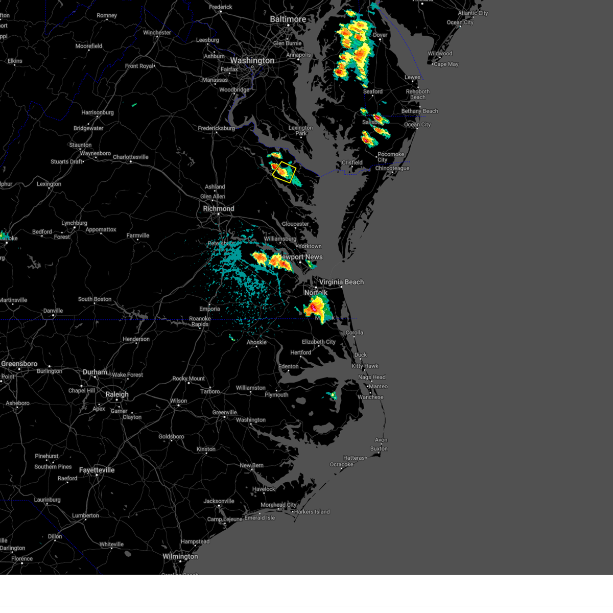 the severe thunderstorm warning has been cancelled and is no longer in effect the severe thunderstorm warning has been cancelled and is no longer in effect
|
| 5/26/2024 3:17 PM EDT |
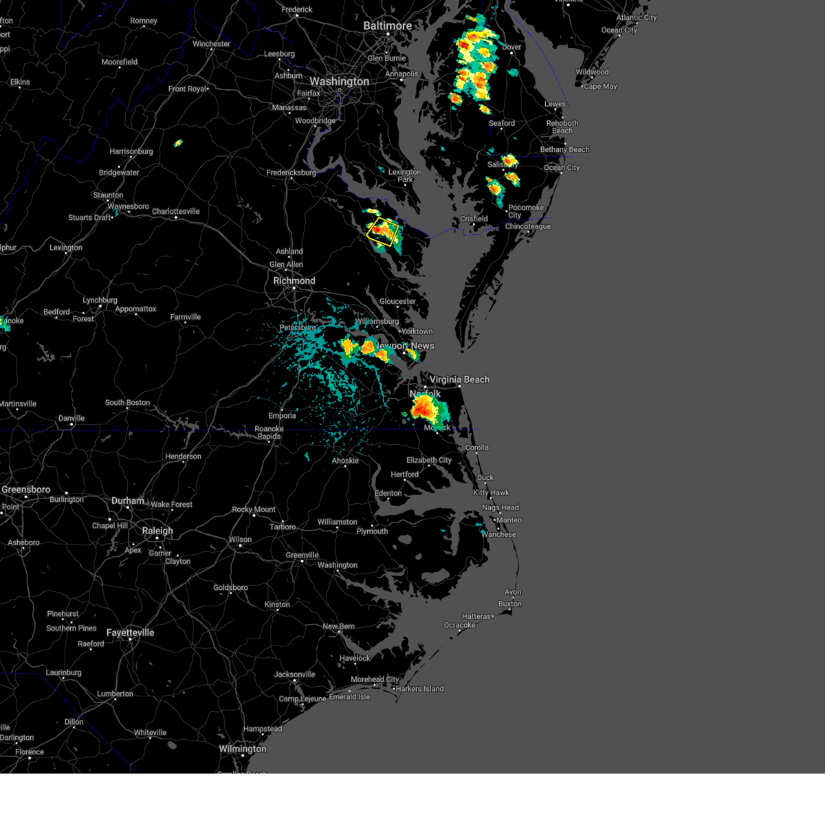 At 316 pm edt, a severe thunderstorm was located over haynesville, or near warsaw, and is nearly stationary (radar indicated). Hazards include 60 mph wind gusts and penny size hail. Expect damage to trees and powerlines. this severe storm will be near, warsaw around 320 pm edt. Other locations impacted by this severe thunderstorm include wellford, downing, threeway, village, kennard, gibeon, mulch, emmerton, oldhams, and kremlin. At 316 pm edt, a severe thunderstorm was located over haynesville, or near warsaw, and is nearly stationary (radar indicated). Hazards include 60 mph wind gusts and penny size hail. Expect damage to trees and powerlines. this severe storm will be near, warsaw around 320 pm edt. Other locations impacted by this severe thunderstorm include wellford, downing, threeway, village, kennard, gibeon, mulch, emmerton, oldhams, and kremlin.
|
| 5/26/2024 3:11 PM EDT | Cluster of power outages due to storm damage near haynesvill in richmond county VA, 5.2 miles W of Warsaw, VA |
| 5/26/2024 3:04 PM EDT |
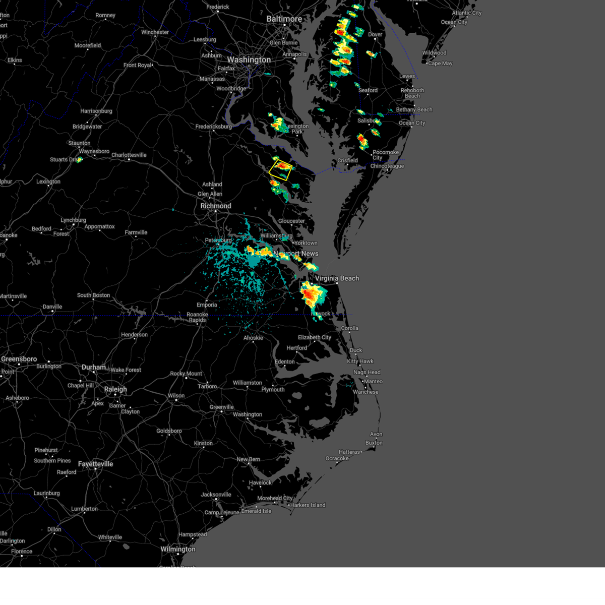 Svrakq the national weather service in wakefield has issued a * severe thunderstorm warning for, northwestern northumberland county in eastern virginia, central richmond county in east central virginia, south central westmoreland county in east central virginia, * until 345 pm edt. * at 303 pm edt, a severe thunderstorm was located over haynesville, or near callao, and is nearly stationary (radar indicated). Hazards include 60 mph wind gusts and penny size hail. Expect damage to trees and powerlines. this severe thunderstorm will be near, haynesville around 310 pm edt. warsaw around 320 pm edt. Other locations impacted by this severe thunderstorm include wellford, downing, threeway, village, kennard, gibeon, mulch, emmerton, oldhams, and kremlin. Svrakq the national weather service in wakefield has issued a * severe thunderstorm warning for, northwestern northumberland county in eastern virginia, central richmond county in east central virginia, south central westmoreland county in east central virginia, * until 345 pm edt. * at 303 pm edt, a severe thunderstorm was located over haynesville, or near callao, and is nearly stationary (radar indicated). Hazards include 60 mph wind gusts and penny size hail. Expect damage to trees and powerlines. this severe thunderstorm will be near, haynesville around 310 pm edt. warsaw around 320 pm edt. Other locations impacted by this severe thunderstorm include wellford, downing, threeway, village, kennard, gibeon, mulch, emmerton, oldhams, and kremlin.
|
| 4/15/2024 5:35 PM EDT |
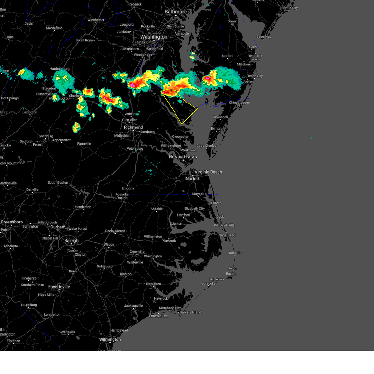 Svrakq the national weather service in wakefield has issued a * severe thunderstorm warning for, northumberland county in eastern virginia, eastern richmond county in east central virginia, westmoreland county in east central virginia, lancaster county in eastern virginia, * until 615 pm edt. * at 535 pm edt, a severe thunderstorm was located near hague, or near montross, moving southeast at 30 mph (radar indicated). Hazards include 60 mph wind gusts and quarter size hail. Minor damage to vehicles is possible. expect wind damage to trees and powerlines. this severe thunderstorm will be near, hague around 540 pm edt. haynesville around 545 pm edt. callao around 550 pm edt. farnham around 555 pm edt. robley around 605 pm edt. Other locations impacted by this severe thunderstorm include currioman landing, lottsburg, threeway, regina, mollusk, senora, avalon, brook vale, mount holly, and nuttsville. Svrakq the national weather service in wakefield has issued a * severe thunderstorm warning for, northumberland county in eastern virginia, eastern richmond county in east central virginia, westmoreland county in east central virginia, lancaster county in eastern virginia, * until 615 pm edt. * at 535 pm edt, a severe thunderstorm was located near hague, or near montross, moving southeast at 30 mph (radar indicated). Hazards include 60 mph wind gusts and quarter size hail. Minor damage to vehicles is possible. expect wind damage to trees and powerlines. this severe thunderstorm will be near, hague around 540 pm edt. haynesville around 545 pm edt. callao around 550 pm edt. farnham around 555 pm edt. robley around 605 pm edt. Other locations impacted by this severe thunderstorm include currioman landing, lottsburg, threeway, regina, mollusk, senora, avalon, brook vale, mount holly, and nuttsville.
|
| 4/15/2024 5:24 PM EDT |
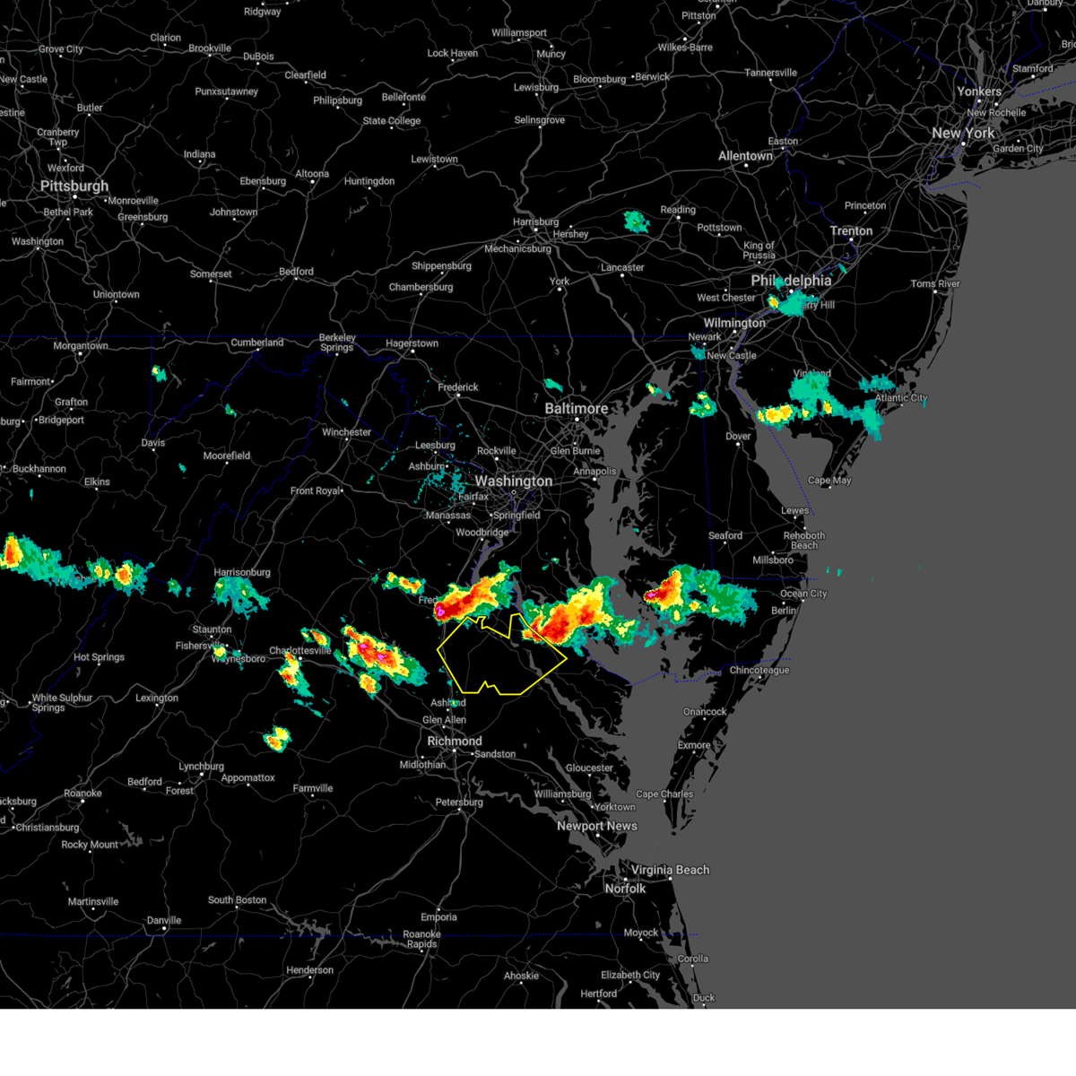 Svrakq the national weather service in wakefield has issued a * severe thunderstorm warning for, northwestern king and queen county in east central virginia, northwestern richmond county in east central virginia, caroline county in north central virginia, western westmoreland county in east central virginia, essex county in east central virginia, * until 615 pm edt. * at 524 pm edt, severe thunderstorms were located along a line extending from near fairview beach to 7 miles southeast of fredericksburg to near spotsylvania, moving southeast at 35 mph (radar indicated). Hazards include 60 mph wind gusts and half dollar size hail. Minor damage to vehicles is possible. expect wind damage to trees and powerlines. severe thunderstorms will be near, port royal around 535 pm edt. fort walker around 540 pm edt. bowling green around 545 pm edt. milford, loretto, and leedstown around 550 pm edt. champlain around 600 pm edt. Other locations impacted by these severe thunderstorms include beazley, hustle, guinea, corbin, elevon, supply, penola, nancy wrights corner, mount landing, and piney grove. Svrakq the national weather service in wakefield has issued a * severe thunderstorm warning for, northwestern king and queen county in east central virginia, northwestern richmond county in east central virginia, caroline county in north central virginia, western westmoreland county in east central virginia, essex county in east central virginia, * until 615 pm edt. * at 524 pm edt, severe thunderstorms were located along a line extending from near fairview beach to 7 miles southeast of fredericksburg to near spotsylvania, moving southeast at 35 mph (radar indicated). Hazards include 60 mph wind gusts and half dollar size hail. Minor damage to vehicles is possible. expect wind damage to trees and powerlines. severe thunderstorms will be near, port royal around 535 pm edt. fort walker around 540 pm edt. bowling green around 545 pm edt. milford, loretto, and leedstown around 550 pm edt. champlain around 600 pm edt. Other locations impacted by these severe thunderstorms include beazley, hustle, guinea, corbin, elevon, supply, penola, nancy wrights corner, mount landing, and piney grove.
|
| 4/15/2024 5:21 PM EDT |
 the severe thunderstorm warning has been cancelled and is no longer in effect the severe thunderstorm warning has been cancelled and is no longer in effect
|
| 4/15/2024 5:21 PM EDT |
 At 521 pm edt, severe thunderstorms were located along a line extending from tall timbers to near port royal, moving southeast at 30 mph (radar indicated). Hazards include 60 mph wind gusts and half dollar size hail. Minor damage to vehicles is possible. expect wind damage to trees and powerlines. these severe storms will be near, montross, coles point, and leedstown around 525 pm edt. hague around 530 pm edt. newland around 535 pm edt. kinsale around 540 pm edt. Other locations impacted by these severe thunderstorms include lerty, ethel, currioman landing, threeway, potomac beach, oak grove, singerly, mount holly, peeds, and foneswood. At 521 pm edt, severe thunderstorms were located along a line extending from tall timbers to near port royal, moving southeast at 30 mph (radar indicated). Hazards include 60 mph wind gusts and half dollar size hail. Minor damage to vehicles is possible. expect wind damage to trees and powerlines. these severe storms will be near, montross, coles point, and leedstown around 525 pm edt. hague around 530 pm edt. newland around 535 pm edt. kinsale around 540 pm edt. Other locations impacted by these severe thunderstorms include lerty, ethel, currioman landing, threeway, potomac beach, oak grove, singerly, mount holly, peeds, and foneswood.
|
| 4/3/2024 4:26 PM EDT |
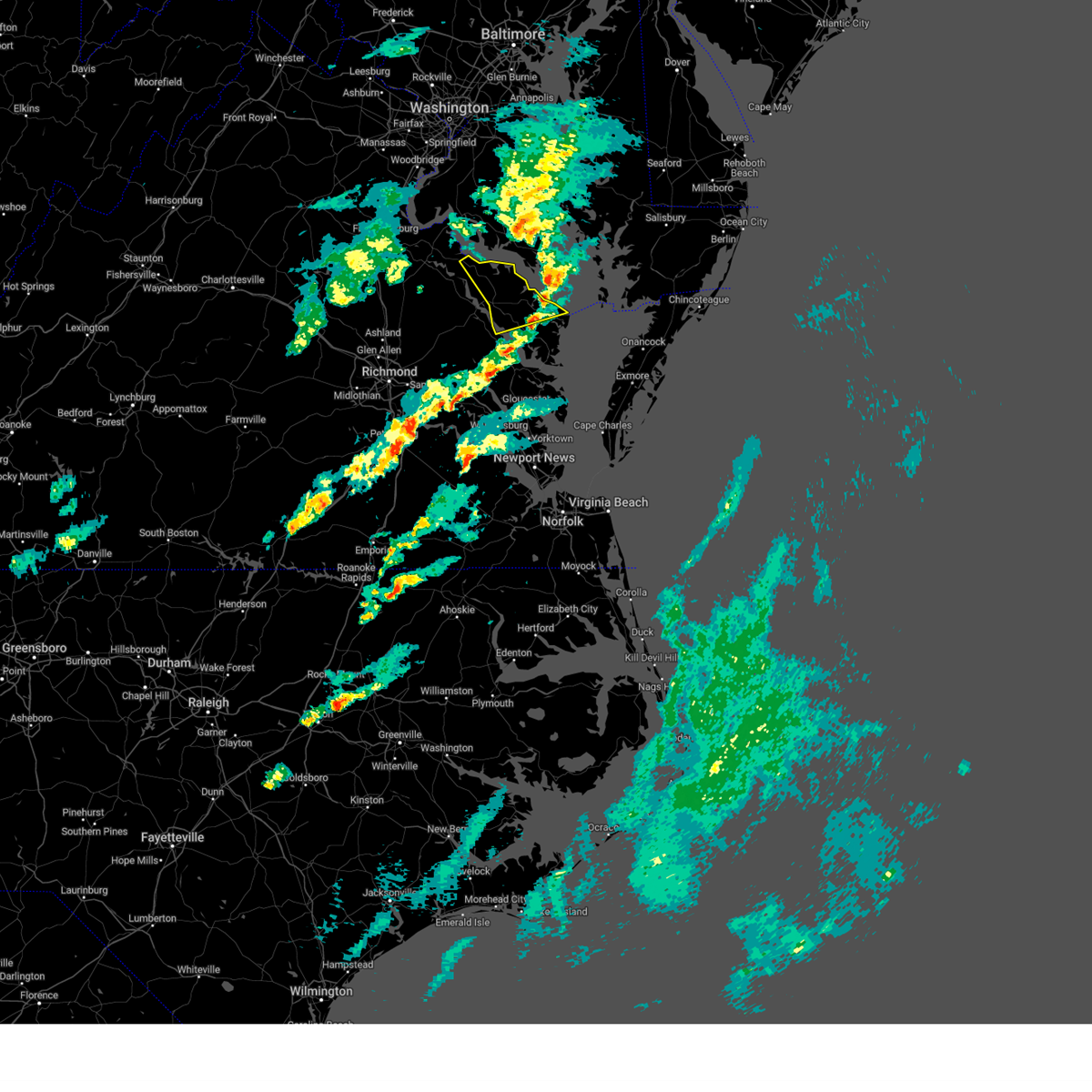 the severe thunderstorm warning has been cancelled and is no longer in effect the severe thunderstorm warning has been cancelled and is no longer in effect
|
| 4/3/2024 4:11 PM EDT |
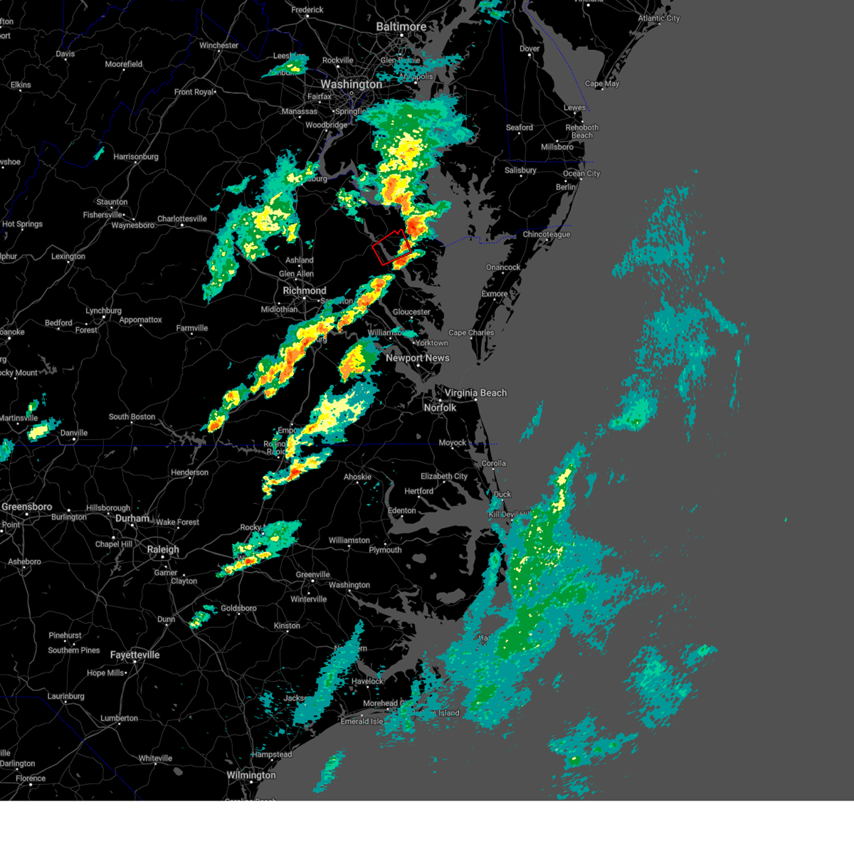 The storm which prompted the warning has moved out of the area. therefore, the warning will be allowed to expire. a tornado watch remains in effect until 700 pm edt for eastern and east central virginia. The storm which prompted the warning has moved out of the area. therefore, the warning will be allowed to expire. a tornado watch remains in effect until 700 pm edt for eastern and east central virginia.
|
| 4/3/2024 3:55 PM EDT |
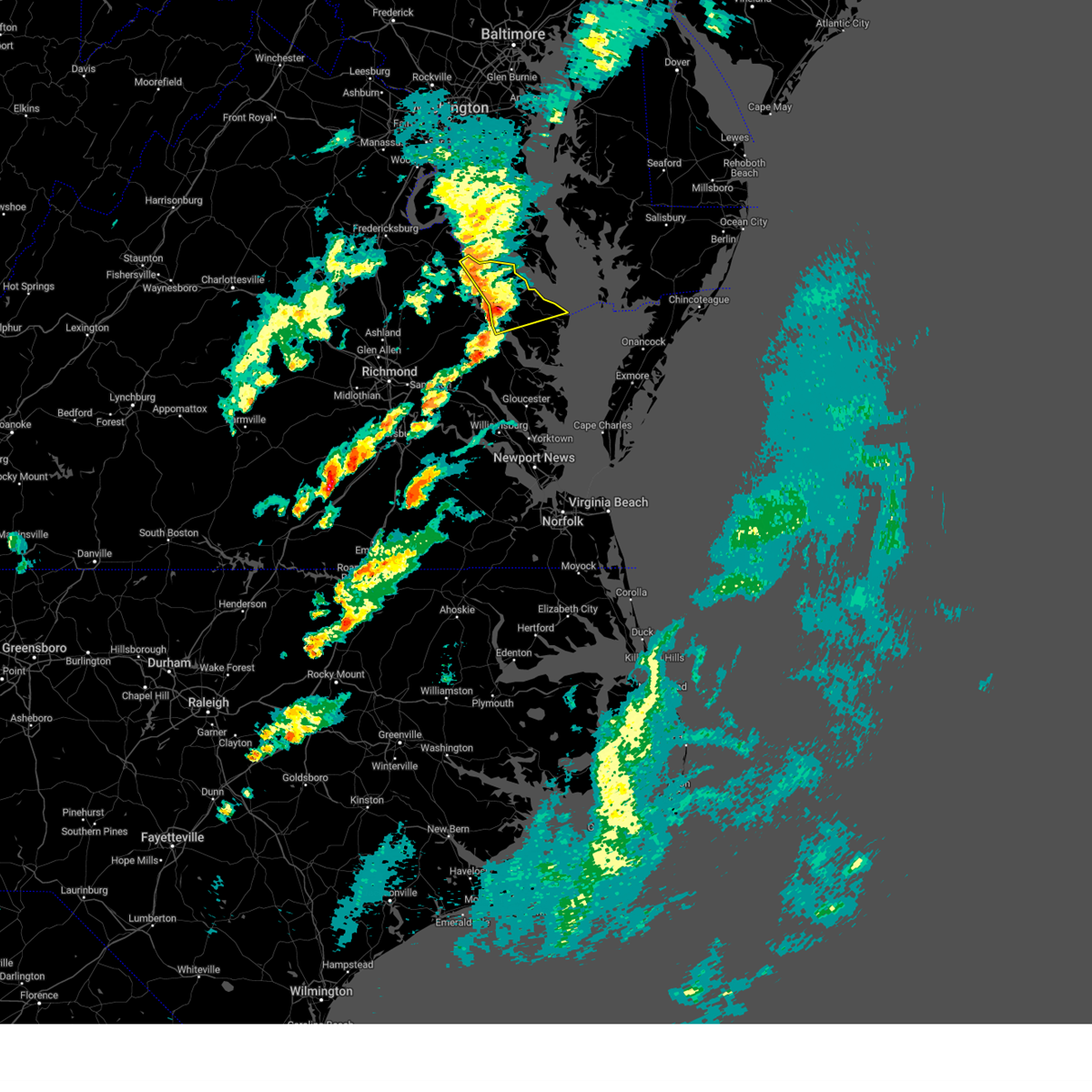 Svrakq the national weather service in wakefield has issued a * severe thunderstorm warning for, northumberland county in eastern virginia, richmond county in east central virginia, westmoreland county in east central virginia, eastern essex county in east central virginia, * until 445 pm edt. * at 355 pm edt, severe thunderstorms were located along a line extending from near montross to warsaw to near center cross, moving east at 75 mph (radar indicated). Hazards include 60 mph wind gusts and quarter size hail. Minor damage to vehicles is possible. expect wind damage to trees and powerlines. severe thunderstorms will be near, montross, callao, robley, haynesville, hague, coles point, kinsale, and farnham around 400 pm edt. lewisetta and heathsville around 405 pm edt. Other locations impacted by these severe thunderstorms include currioman landing, lottsburg, threeway, avalon, mount holly, edwardsville, stratford hall, tidewater, lyells, and middletons corner. Svrakq the national weather service in wakefield has issued a * severe thunderstorm warning for, northumberland county in eastern virginia, richmond county in east central virginia, westmoreland county in east central virginia, eastern essex county in east central virginia, * until 445 pm edt. * at 355 pm edt, severe thunderstorms were located along a line extending from near montross to warsaw to near center cross, moving east at 75 mph (radar indicated). Hazards include 60 mph wind gusts and quarter size hail. Minor damage to vehicles is possible. expect wind damage to trees and powerlines. severe thunderstorms will be near, montross, callao, robley, haynesville, hague, coles point, kinsale, and farnham around 400 pm edt. lewisetta and heathsville around 405 pm edt. Other locations impacted by these severe thunderstorms include currioman landing, lottsburg, threeway, avalon, mount holly, edwardsville, stratford hall, tidewater, lyells, and middletons corner.
|
| 4/3/2024 3:53 PM EDT |
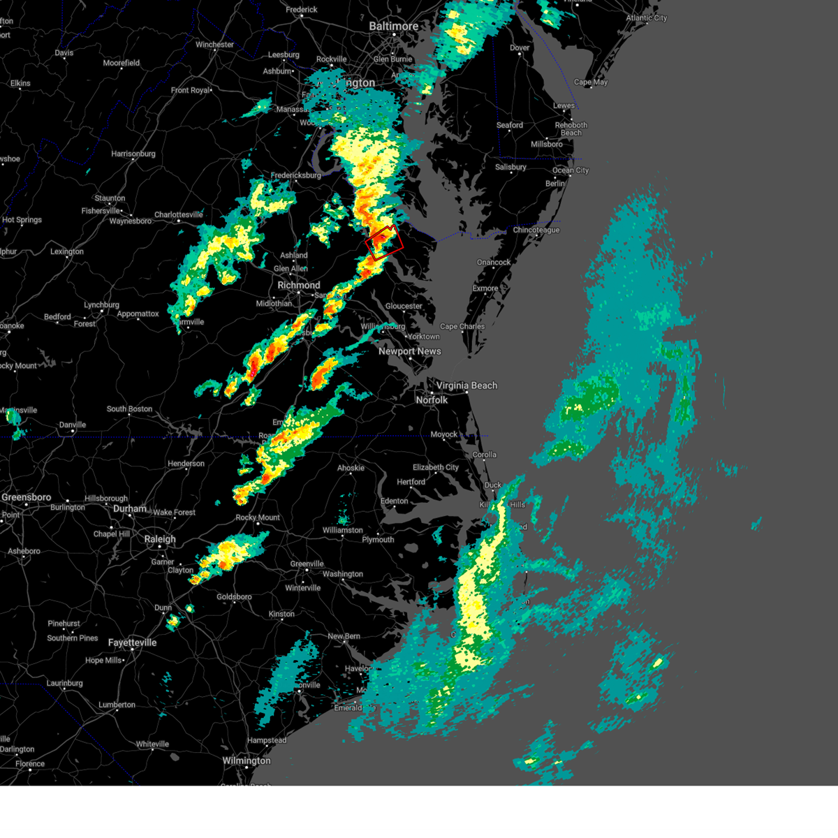 At 352 pm edt, a severe thunderstorm capable of producing a tornado was located over sharps, or near warsaw, moving northeast at 60 mph (radar indicated rotation). Hazards include tornado. Flying debris will be dangerous to those caught without shelter. mobile homes will be damaged or destroyed. damage to roofs, windows, and vehicles will occur. tree damage is likely. this dangerous storm will be near, haynesville and farnham around 400 pm edt. Other locations impacted by this tornadic thunderstorm include wellford, downing, tidewater, village, kennard, bowlers wharf, moon corner, gibeon, mulch, and emmerton. At 352 pm edt, a severe thunderstorm capable of producing a tornado was located over sharps, or near warsaw, moving northeast at 60 mph (radar indicated rotation). Hazards include tornado. Flying debris will be dangerous to those caught without shelter. mobile homes will be damaged or destroyed. damage to roofs, windows, and vehicles will occur. tree damage is likely. this dangerous storm will be near, haynesville and farnham around 400 pm edt. Other locations impacted by this tornadic thunderstorm include wellford, downing, tidewater, village, kennard, bowlers wharf, moon corner, gibeon, mulch, and emmerton.
|
| 4/3/2024 3:53 PM EDT |
 the tornado warning has been cancelled and is no longer in effect the tornado warning has been cancelled and is no longer in effect
|
| 4/3/2024 3:43 PM EDT |
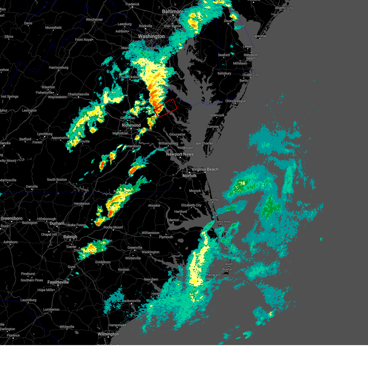 Torakq the national weather service in wakefield has issued a * tornado warning for, central king and queen county in east central virginia, western northumberland county in eastern virginia, southeastern richmond county in east central virginia, southeastern essex county in east central virginia, * until 415 pm edt. * at 343 pm edt, a severe thunderstorm capable of producing a tornado was located near center cross, or 8 miles north of king and queen court house, moving northeast at 60 mph (radar indicated rotation). Hazards include tornado. Flying debris will be dangerous to those caught without shelter. mobile homes will be damaged or destroyed. damage to roofs, windows, and vehicles will occur. tree damage is likely. this dangerous storm will be near, dunnsville, sharps, and center cross around 350 pm edt. farnham around 355 pm edt. Other locations impacted by this tornadic thunderstorm include howertons, wellford, village, upright, bowlers wharf, moon corner, ino, downing, tidewater, and crouch. Torakq the national weather service in wakefield has issued a * tornado warning for, central king and queen county in east central virginia, western northumberland county in eastern virginia, southeastern richmond county in east central virginia, southeastern essex county in east central virginia, * until 415 pm edt. * at 343 pm edt, a severe thunderstorm capable of producing a tornado was located near center cross, or 8 miles north of king and queen court house, moving northeast at 60 mph (radar indicated rotation). Hazards include tornado. Flying debris will be dangerous to those caught without shelter. mobile homes will be damaged or destroyed. damage to roofs, windows, and vehicles will occur. tree damage is likely. this dangerous storm will be near, dunnsville, sharps, and center cross around 350 pm edt. farnham around 355 pm edt. Other locations impacted by this tornadic thunderstorm include howertons, wellford, village, upright, bowlers wharf, moon corner, ino, downing, tidewater, and crouch.
|
| 4/3/2024 3:39 PM EDT |
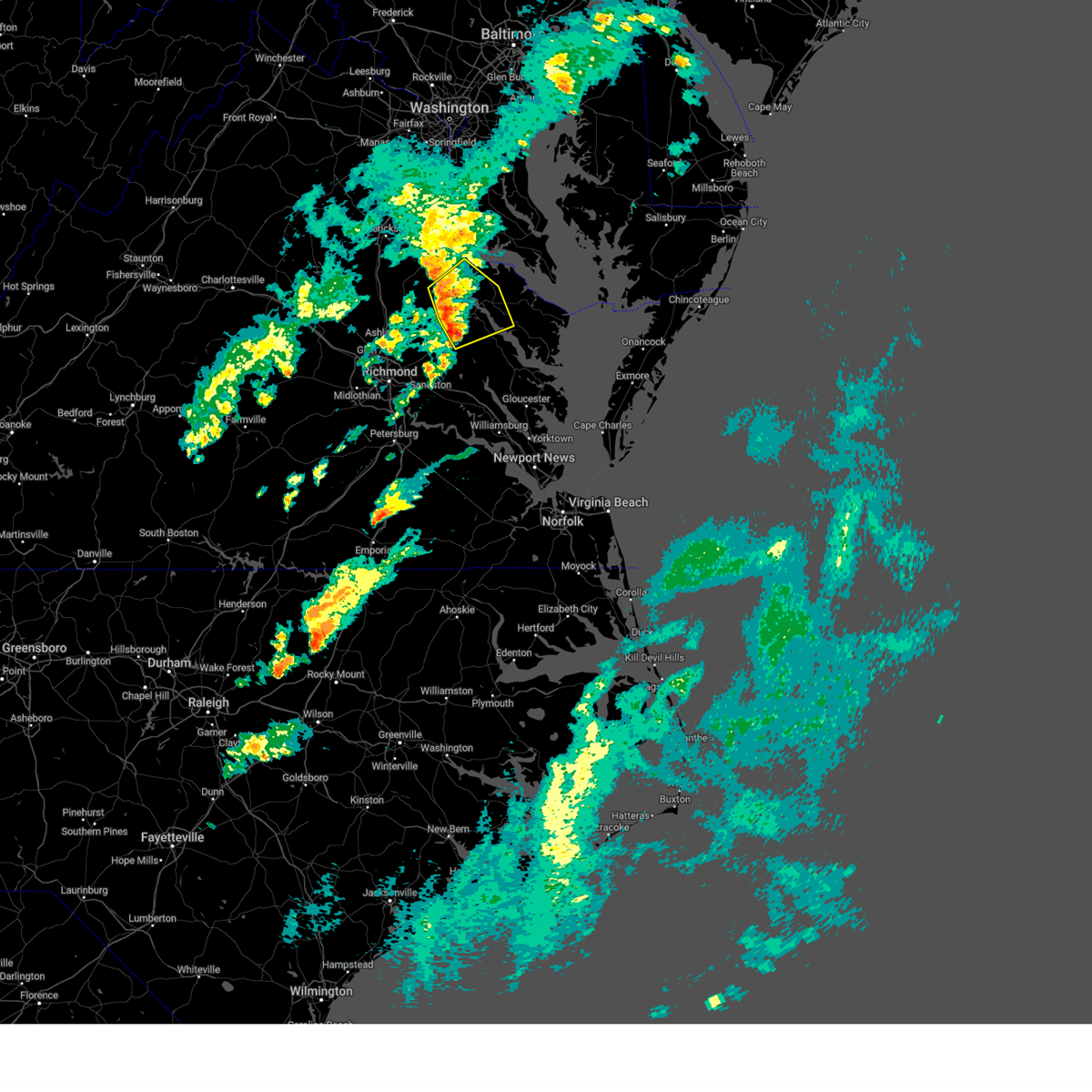 At 338 pm edt, severe thunderstorms were located along a line extending from near loretto to 6 miles east of newtown to near millers tavern, moving northeast at 60 mph (radar indicated). Hazards include 60 mph wind gusts and quarter size hail. Minor damage to vehicles is possible. expect wind damage to trees and powerlines. these severe storms will be near, tappahannock, champlain, dunnsville, newland, leedstown, and center cross around 345 pm edt. warsaw, montross, and sharps around 350 pm edt. Other locations impacted by these severe thunderstorms include beazley, threeway, hustle, elevon, upright, biscoe, tidewater, lyells, crouch, and kennard. At 338 pm edt, severe thunderstorms were located along a line extending from near loretto to 6 miles east of newtown to near millers tavern, moving northeast at 60 mph (radar indicated). Hazards include 60 mph wind gusts and quarter size hail. Minor damage to vehicles is possible. expect wind damage to trees and powerlines. these severe storms will be near, tappahannock, champlain, dunnsville, newland, leedstown, and center cross around 345 pm edt. warsaw, montross, and sharps around 350 pm edt. Other locations impacted by these severe thunderstorms include beazley, threeway, hustle, elevon, upright, biscoe, tidewater, lyells, crouch, and kennard.
|
| 4/3/2024 3:28 PM EDT |
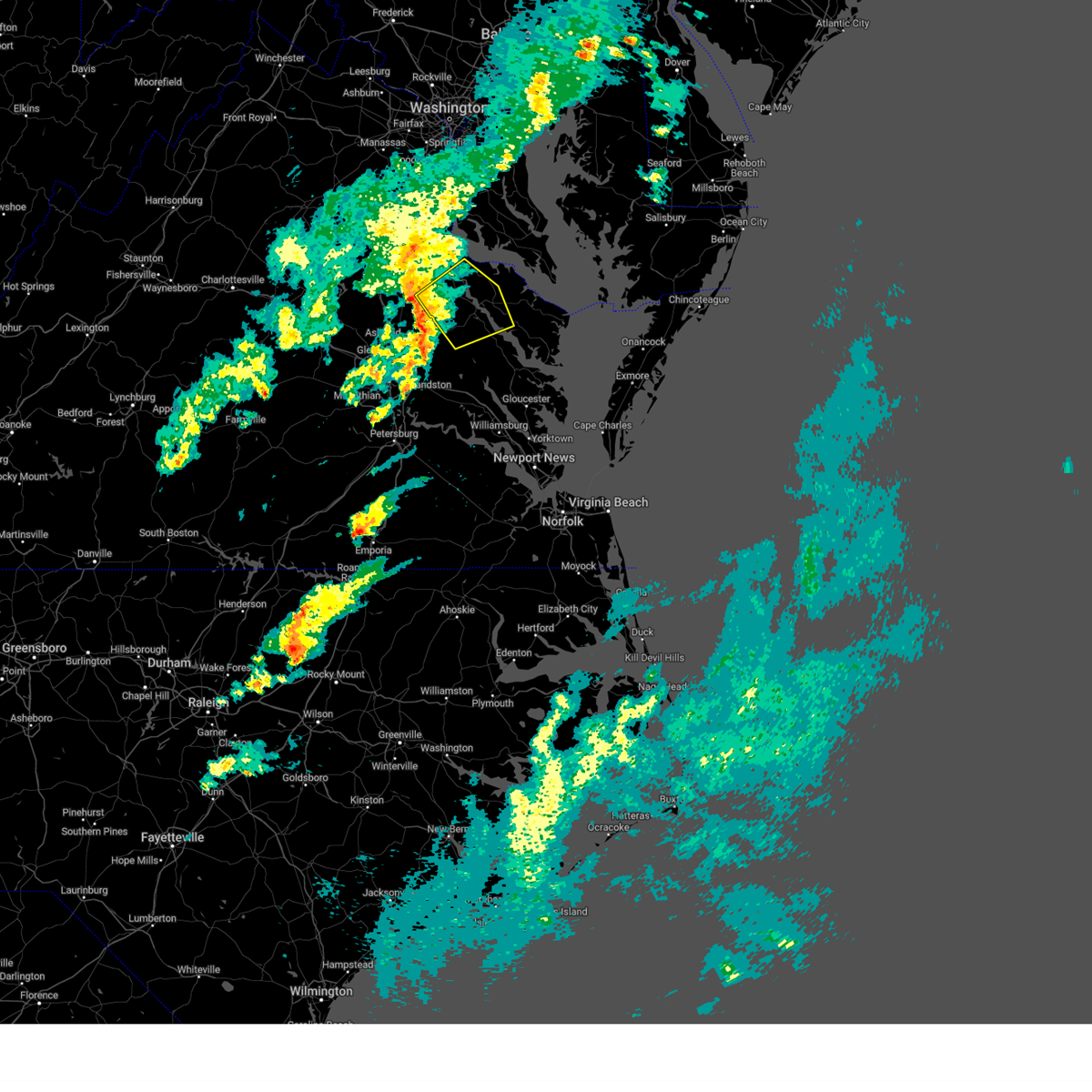 At 328 pm edt, severe thunderstorms were located along a line extending from 6 miles northwest of newtown to near beulahville to manquin, moving northeast at 60 mph (radar indicated). Hazards include 60 mph wind gusts and quarter size hail. Minor damage to vehicles is possible. expect wind damage to trees and powerlines. these severe storms will be near, champlain, saint stephens church, millers tavern, and loretto around 335 pm edt. tappahannock and leedstown around 340 pm edt. warsaw, montross, dunnsville, and newland around 345 pm edt. center cross around 350 pm edt. Other locations impacted by these severe thunderstorms include beazley, threeway, hustle, elevon, upright, biscoe, tidewater, lyells, crouch, and kennard. At 328 pm edt, severe thunderstorms were located along a line extending from 6 miles northwest of newtown to near beulahville to manquin, moving northeast at 60 mph (radar indicated). Hazards include 60 mph wind gusts and quarter size hail. Minor damage to vehicles is possible. expect wind damage to trees and powerlines. these severe storms will be near, champlain, saint stephens church, millers tavern, and loretto around 335 pm edt. tappahannock and leedstown around 340 pm edt. warsaw, montross, dunnsville, and newland around 345 pm edt. center cross around 350 pm edt. Other locations impacted by these severe thunderstorms include beazley, threeway, hustle, elevon, upright, biscoe, tidewater, lyells, crouch, and kennard.
|
| 4/3/2024 3:19 PM EDT |
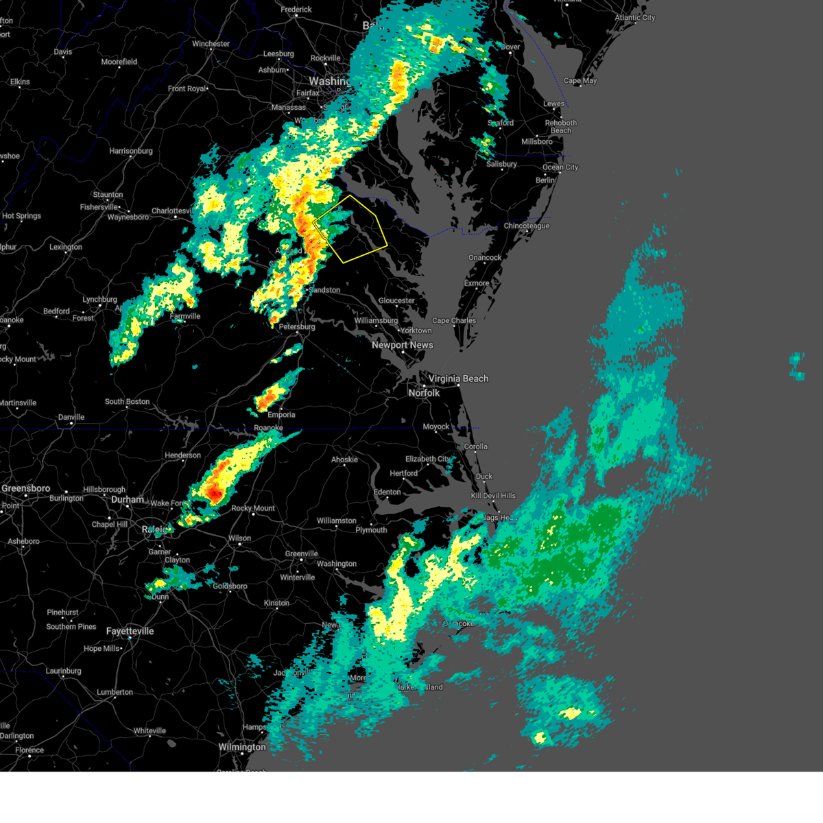 Svrakq the national weather service in wakefield has issued a * severe thunderstorm warning for, northwestern king and queen county in east central virginia, richmond county in east central virginia, east central caroline county in north central virginia, southwestern westmoreland county in east central virginia, essex county in east central virginia, * until 400 pm edt. * at 318 pm edt, severe thunderstorms were located along a line extending from 6 miles north of dawn to near mangohick to near studley, moving northeast at 60 mph (radar indicated). Hazards include 60 mph wind gusts and quarter size hail. Minor damage to vehicles is possible. expect wind damage to trees and powerlines. severe thunderstorms will be near, saint stephens church and newtown around 325 pm edt. champlain, millers tavern, loretto, and leedstown around 335 pm edt. tappahannock and newland around 340 pm edt. warsaw, montross, dunnsville, and center cross around 345 pm edt. Other locations impacted by these severe thunderstorms include beazley, threeway, hustle, elevon, upright, biscoe, tidewater, lyells, crouch, and kennard. Svrakq the national weather service in wakefield has issued a * severe thunderstorm warning for, northwestern king and queen county in east central virginia, richmond county in east central virginia, east central caroline county in north central virginia, southwestern westmoreland county in east central virginia, essex county in east central virginia, * until 400 pm edt. * at 318 pm edt, severe thunderstorms were located along a line extending from 6 miles north of dawn to near mangohick to near studley, moving northeast at 60 mph (radar indicated). Hazards include 60 mph wind gusts and quarter size hail. Minor damage to vehicles is possible. expect wind damage to trees and powerlines. severe thunderstorms will be near, saint stephens church and newtown around 325 pm edt. champlain, millers tavern, loretto, and leedstown around 335 pm edt. tappahannock and newland around 340 pm edt. warsaw, montross, dunnsville, and center cross around 345 pm edt. Other locations impacted by these severe thunderstorms include beazley, threeway, hustle, elevon, upright, biscoe, tidewater, lyells, crouch, and kennard.
|
| 1/9/2024 7:28 PM EST |
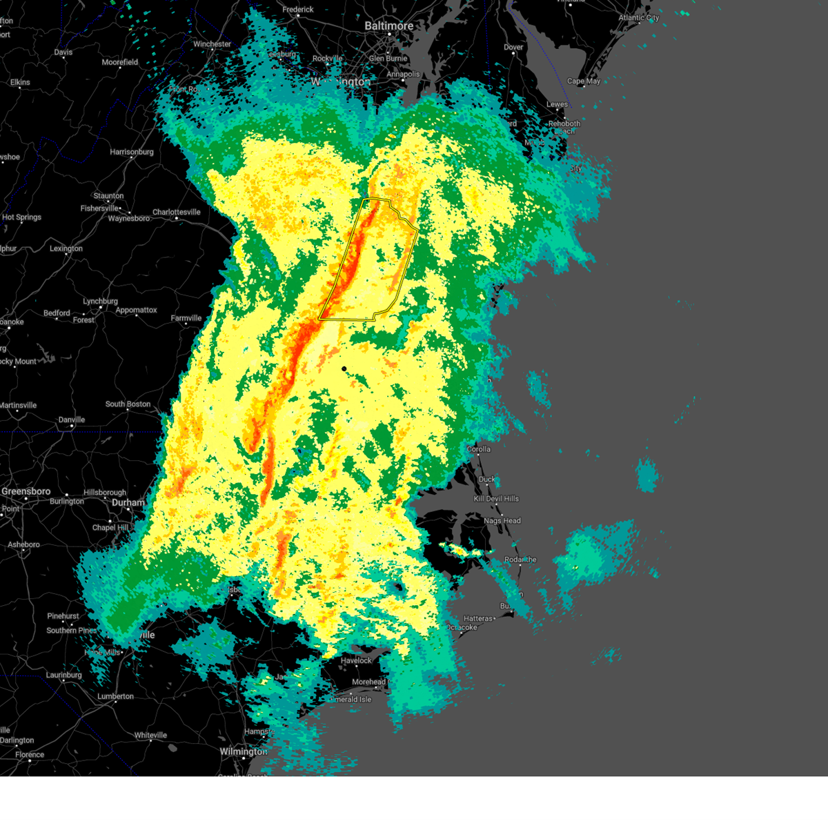 At 728 pm est, severe thunderstorms were located along a line extending from near tappahannock to near new kent to adkins store, moving east at 30 mph (radar indicated). Hazards include 60 mph wind gusts. Expect damage to trees and powerlines. severe thunderstorms will be near, new kent, charles city, warsaw, king and queen court house, dunnsville, ruthville, and center cross around 735 pm est. west point, haynesville, holdcroft, sharps, and little plymouth around 740 pm est. jamaica, farnham, and barhamsville around 745 pm est. toano, church view, morattico, and shacklefords around 750 pm est. robley and norge around 755 pm est. Other locations impacted by these severe thunderstorms include eltham, currioman landing, threeway, croaker, wayside, belle isle state park, rose garden, lyells, crouch, and westmoreland. At 728 pm est, severe thunderstorms were located along a line extending from near tappahannock to near new kent to adkins store, moving east at 30 mph (radar indicated). Hazards include 60 mph wind gusts. Expect damage to trees and powerlines. severe thunderstorms will be near, new kent, charles city, warsaw, king and queen court house, dunnsville, ruthville, and center cross around 735 pm est. west point, haynesville, holdcroft, sharps, and little plymouth around 740 pm est. jamaica, farnham, and barhamsville around 745 pm est. toano, church view, morattico, and shacklefords around 750 pm est. robley and norge around 755 pm est. Other locations impacted by these severe thunderstorms include eltham, currioman landing, threeway, croaker, wayside, belle isle state park, rose garden, lyells, crouch, and westmoreland.
|
| 8/7/2023 7:12 PM EDT |
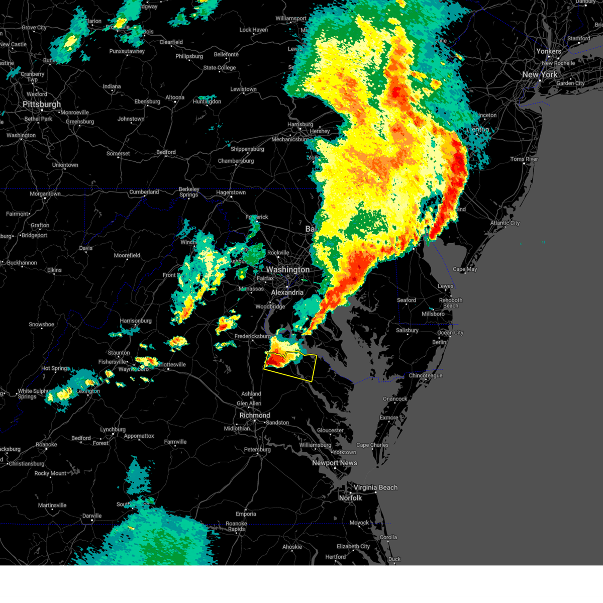 At 712 pm edt, a severe thunderstorm was located near fort a.p. hill, or near bowling green, moving east at 30 mph (radar indicated). Hazards include two inch hail and 70 mph wind gusts. People and animals outdoors will be injured. expect hail damage to roofs, siding, windows, and vehicles. expect considerable tree damage. wind damage is also likely to mobile homes, roofs, and outbuildings. this severe thunderstorm will be near, loretto around 725 pm edt. champlain around 730 pm edt. newland around 745 pm edt. montross around 750 pm edt. Other locations impacted by this severe thunderstorm include lerty, ethel, currioman landing, hustle, elevon, oak grove, supply, singerly, mount holly, and peeds. At 712 pm edt, a severe thunderstorm was located near fort a.p. hill, or near bowling green, moving east at 30 mph (radar indicated). Hazards include two inch hail and 70 mph wind gusts. People and animals outdoors will be injured. expect hail damage to roofs, siding, windows, and vehicles. expect considerable tree damage. wind damage is also likely to mobile homes, roofs, and outbuildings. this severe thunderstorm will be near, loretto around 725 pm edt. champlain around 730 pm edt. newland around 745 pm edt. montross around 750 pm edt. Other locations impacted by this severe thunderstorm include lerty, ethel, currioman landing, hustle, elevon, oak grove, supply, singerly, mount holly, and peeds.
|
| 7/29/2023 7:11 PM EDT |
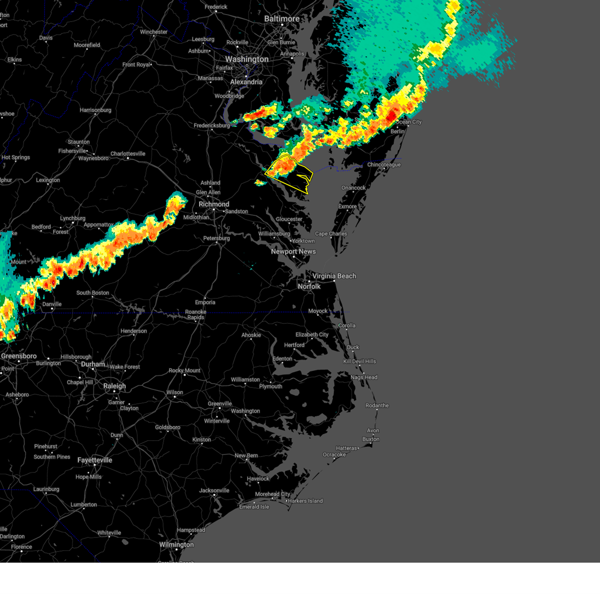 At 711 pm edt, severe thunderstorms were located along a line extending from near saint inigoes creek to heathsville to farnham, moving southeast at 30 mph (radar indicated). Hazards include 60 mph wind gusts and penny size hail. Expect damage to trees and powerlines. these severe storms will be near, robley and heathsville around 715 pm edt. wicomico church around 720 pm edt. fair port and lancaster around 725 pm edt. other locations impacted by these severe thunderstorms include lottsburg, threeway, regina, avalon, brook vale, nuttsville, reedville, edwardsville, tidewater, and middletons corner. hail threat, radar indicated max hail size, 0. 75 in wind threat, radar indicated max wind gust, 60 mph. At 711 pm edt, severe thunderstorms were located along a line extending from near saint inigoes creek to heathsville to farnham, moving southeast at 30 mph (radar indicated). Hazards include 60 mph wind gusts and penny size hail. Expect damage to trees and powerlines. these severe storms will be near, robley and heathsville around 715 pm edt. wicomico church around 720 pm edt. fair port and lancaster around 725 pm edt. other locations impacted by these severe thunderstorms include lottsburg, threeway, regina, avalon, brook vale, nuttsville, reedville, edwardsville, tidewater, and middletons corner. hail threat, radar indicated max hail size, 0. 75 in wind threat, radar indicated max wind gust, 60 mph.
|
| 7/29/2023 6:54 PM EDT |
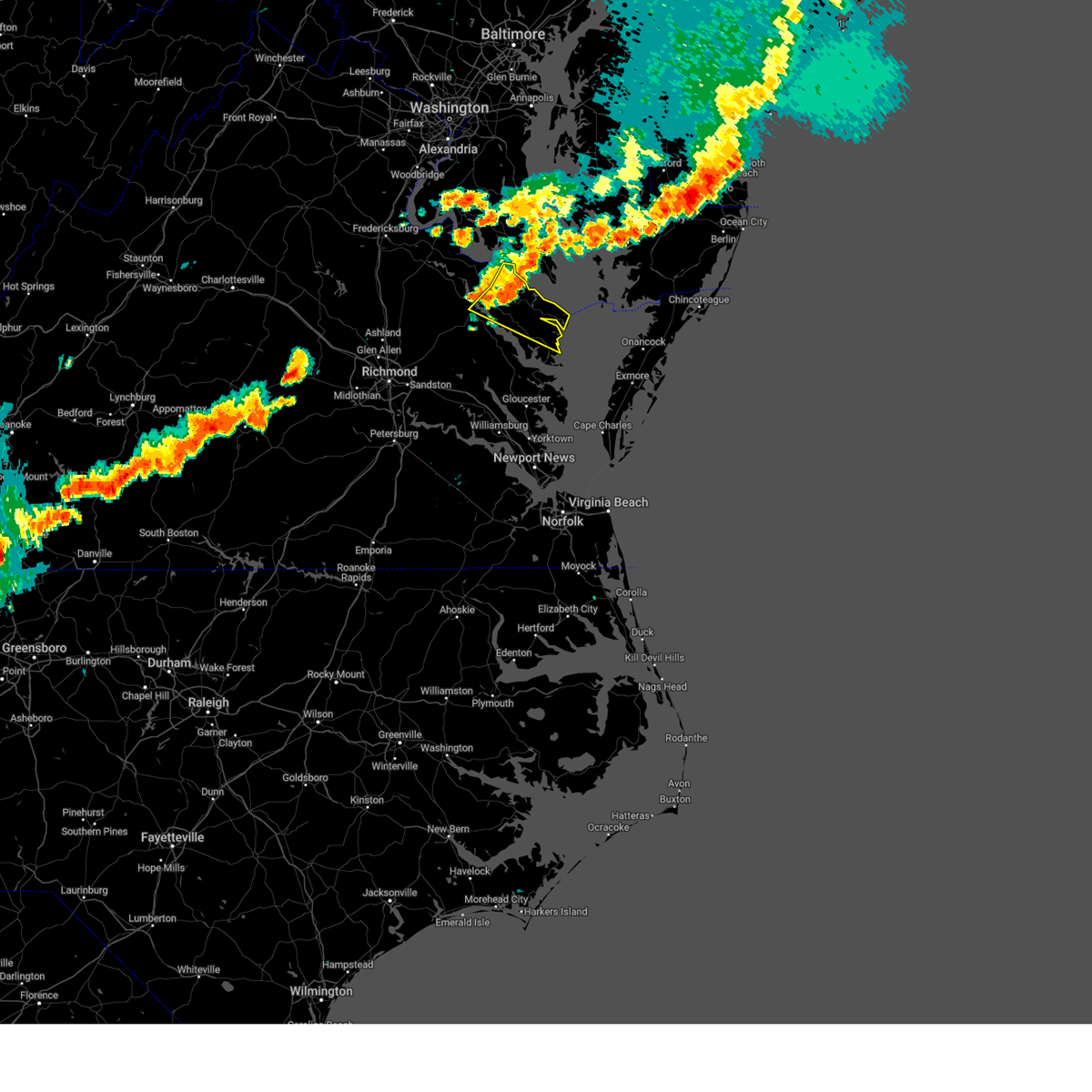 At 654 pm edt, severe thunderstorms were located along a line extending from piney point to callao to near warsaw, moving southeast at 30 mph (radar indicated). Hazards include 60 mph wind gusts. Expect damage to trees and powerlines. severe thunderstorms will be near, callao, lewisetta, farnham, and heathsville around 700 pm edt. robley around 705 pm edt. wicomico church around 720 pm edt. fair port and lancaster around 725 pm edt. other locations impacted by these severe thunderstorms include lottsburg, threeway, regina, avalon, brook vale, mount holly, nuttsville, reedville, edwardsville, and tidewater. hail threat, radar indicated max hail size, <. 75 in wind threat, radar indicated max wind gust, 60 mph. At 654 pm edt, severe thunderstorms were located along a line extending from piney point to callao to near warsaw, moving southeast at 30 mph (radar indicated). Hazards include 60 mph wind gusts. Expect damage to trees and powerlines. severe thunderstorms will be near, callao, lewisetta, farnham, and heathsville around 700 pm edt. robley around 705 pm edt. wicomico church around 720 pm edt. fair port and lancaster around 725 pm edt. other locations impacted by these severe thunderstorms include lottsburg, threeway, regina, avalon, brook vale, mount holly, nuttsville, reedville, edwardsville, and tidewater. hail threat, radar indicated max hail size, <. 75 in wind threat, radar indicated max wind gust, 60 mph.
|
| 7/29/2023 6:46 PM EDT |
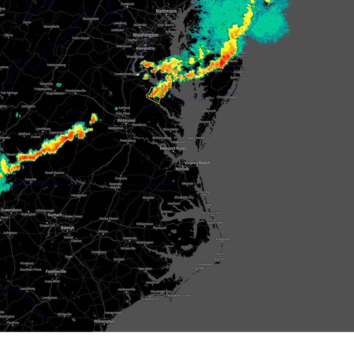 At 645 pm edt, a severe thunderstorm was located near newland, or near warsaw, moving east at 30 mph (radar indicated). Hazards include 60 mph wind gusts. Expect damage to trees and powerlines. locations impacted include, tappahannock, warsaw, montross, champlain, newland, ethel, singerly, mount holly, peeds, foneswood, lyells, naylors beach, mount landing, piney grove, caret, templeman, and kennard. hail threat, radar indicated max hail size, <. 75 in wind threat, radar indicated max wind gust, 60 mph. At 645 pm edt, a severe thunderstorm was located near newland, or near warsaw, moving east at 30 mph (radar indicated). Hazards include 60 mph wind gusts. Expect damage to trees and powerlines. locations impacted include, tappahannock, warsaw, montross, champlain, newland, ethel, singerly, mount holly, peeds, foneswood, lyells, naylors beach, mount landing, piney grove, caret, templeman, and kennard. hail threat, radar indicated max hail size, <. 75 in wind threat, radar indicated max wind gust, 60 mph.
|
| 7/29/2023 6:30 PM EDT | Numerous trees down along newland rd. newland road completely closed due to down tree in richmond county VA, 5.8 miles SE of Warsaw, VA |
| 7/29/2023 6:28 PM EDT |
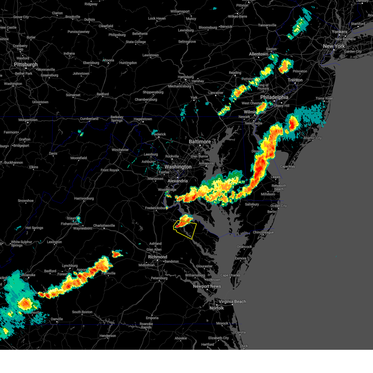 At 627 pm edt, a severe thunderstorm was located over champlain, moving east at 25 mph (radar indicated). Hazards include 60 mph wind gusts and penny size hail. Expect damage to trees and powerlines. locations impacted include, tappahannock, warsaw, montross, champlain, loretto, leedstown, newland, ethel, hustle, singerly, mount holly, peeds, foneswood, chance, lyells, naylors beach, mount landing, piney grove, caret, and templeman. hail threat, radar indicated max hail size, 0. 75 in wind threat, radar indicated max wind gust, 60 mph. At 627 pm edt, a severe thunderstorm was located over champlain, moving east at 25 mph (radar indicated). Hazards include 60 mph wind gusts and penny size hail. Expect damage to trees and powerlines. locations impacted include, tappahannock, warsaw, montross, champlain, loretto, leedstown, newland, ethel, hustle, singerly, mount holly, peeds, foneswood, chance, lyells, naylors beach, mount landing, piney grove, caret, and templeman. hail threat, radar indicated max hail size, 0. 75 in wind threat, radar indicated max wind gust, 60 mph.
|
| 7/29/2023 6:25 PM EDT | Trees down near carter town r in richmond county VA, 11 miles SE of Warsaw, VA |
| 7/29/2023 6:11 PM EDT |
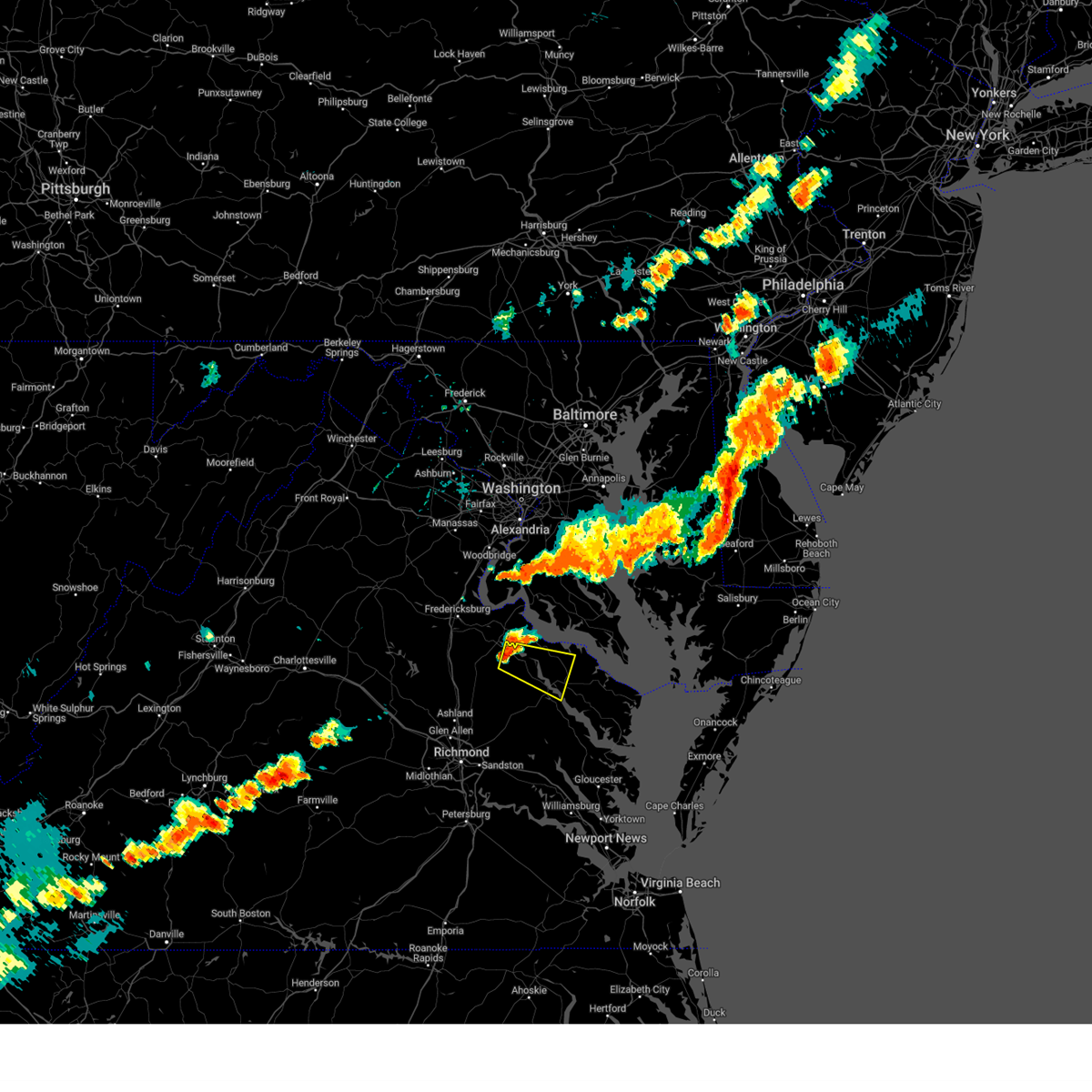 At 611 pm edt, a severe thunderstorm was located near loretto, or 8 miles northwest of champlain, moving east at 30 mph (radar indicated). Hazards include 60 mph wind gusts and penny size hail. expect damage to trees and powerlines At 611 pm edt, a severe thunderstorm was located near loretto, or 8 miles northwest of champlain, moving east at 30 mph (radar indicated). Hazards include 60 mph wind gusts and penny size hail. expect damage to trees and powerlines
|
| 7/25/2023 9:57 PM EDT |
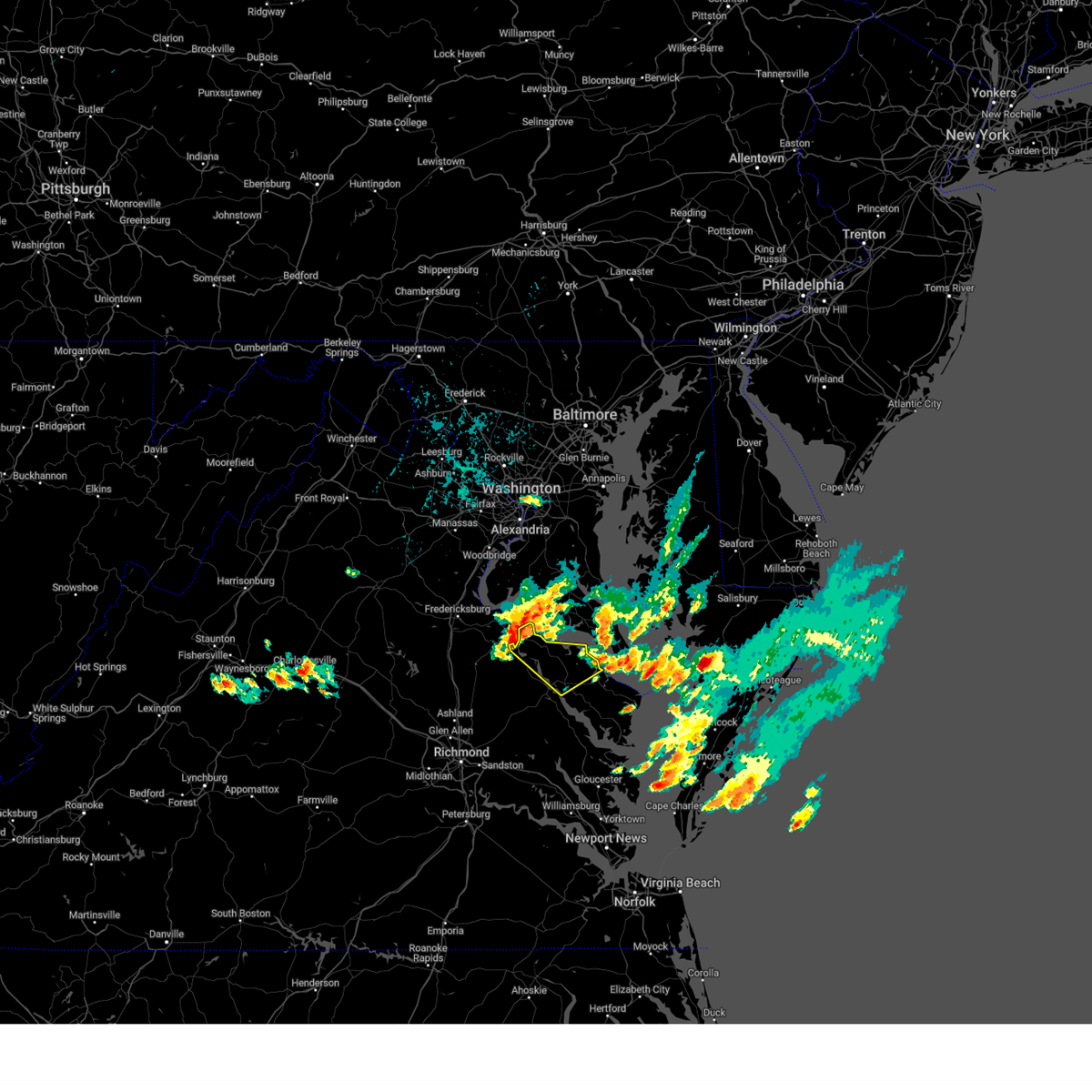 At 956 pm edt, severe thunderstorms were located along a line extending from near leedstown to colonial beach, moving southeast at 25 mph (radar indicated). Hazards include 60 mph wind gusts and penny size hail. Expect damage to trees and powerlines. severe thunderstorms will be near, leedstown around 1010 pm edt. newland around 1025 pm edt. montross around 1030 pm edt. coles point around 1040 pm edt. warsaw, hague and kinsale around 1045 pm edt. other locations impacted by these severe thunderstorms include currioman landing, threeway, mount holly, stratford hall, lyells, kennard, westmoreland, erica, piney grove and templeman. hail threat, radar indicated max hail size, 0. 75 in wind threat, radar indicated max wind gust, 60 mph. At 956 pm edt, severe thunderstorms were located along a line extending from near leedstown to colonial beach, moving southeast at 25 mph (radar indicated). Hazards include 60 mph wind gusts and penny size hail. Expect damage to trees and powerlines. severe thunderstorms will be near, leedstown around 1010 pm edt. newland around 1025 pm edt. montross around 1030 pm edt. coles point around 1040 pm edt. warsaw, hague and kinsale around 1045 pm edt. other locations impacted by these severe thunderstorms include currioman landing, threeway, mount holly, stratford hall, lyells, kennard, westmoreland, erica, piney grove and templeman. hail threat, radar indicated max hail size, 0. 75 in wind threat, radar indicated max wind gust, 60 mph.
|
| 7/7/2023 5:08 PM EDT |
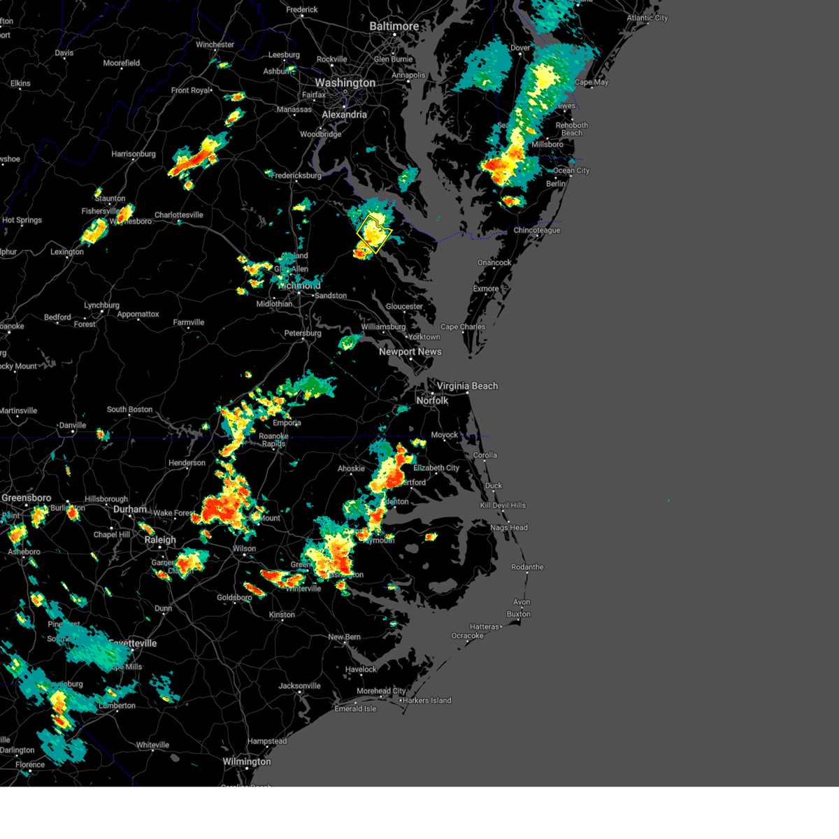 The severe thunderstorm warning for western richmond and southeastern essex counties will expire at 515 pm edt, the storm which prompted the warning has weakened below severe limits, and no longer poses an immediate threat to life or property. therefore, the warning will be allowed to expire. however heavy rain is still possible with this thunderstorm. The severe thunderstorm warning for western richmond and southeastern essex counties will expire at 515 pm edt, the storm which prompted the warning has weakened below severe limits, and no longer poses an immediate threat to life or property. therefore, the warning will be allowed to expire. however heavy rain is still possible with this thunderstorm.
|
| 7/7/2023 4:48 PM EDT |
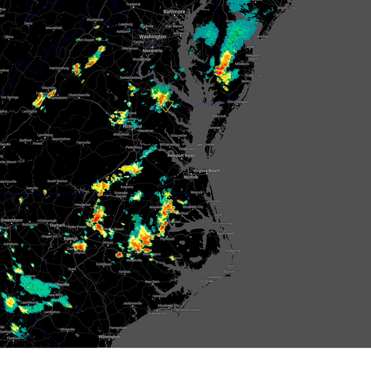 At 448 pm edt, a severe thunderstorm was located near newland, or near tappahannock, moving southeast at 10 mph (radar indicated). Hazards include 60 mph wind gusts. Expect damage to trees and powerlines. this severe storm will be near, tappahannock around 505 pm edt. warsaw around 525 pm edt. haynesville and dunnsville around 530 pm edt. other locations impacted by this severe thunderstorm include wellford, ethel, lyells, naylors beach, kennard, mount landing, brays fork and piney grove. hail threat, radar indicated max hail size, <. 75 in wind threat, radar indicated max wind gust, 60 mph. At 448 pm edt, a severe thunderstorm was located near newland, or near tappahannock, moving southeast at 10 mph (radar indicated). Hazards include 60 mph wind gusts. Expect damage to trees and powerlines. this severe storm will be near, tappahannock around 505 pm edt. warsaw around 525 pm edt. haynesville and dunnsville around 530 pm edt. other locations impacted by this severe thunderstorm include wellford, ethel, lyells, naylors beach, kennard, mount landing, brays fork and piney grove. hail threat, radar indicated max hail size, <. 75 in wind threat, radar indicated max wind gust, 60 mph.
|
| 7/7/2023 4:37 PM EDT |
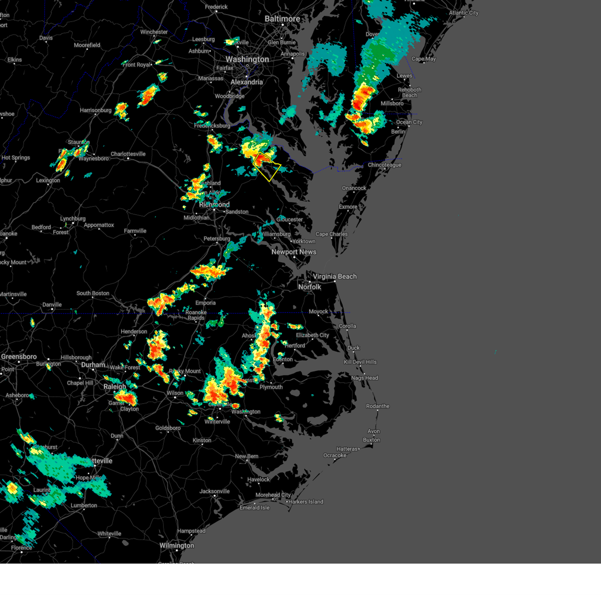 At 436 pm edt, a severe thunderstorm was located over newland, or near champlain, moving southeast at 10 mph (radar indicated). Hazards include 60 mph wind gusts and penny size hail. Expect damage to trees and powerlines. this severe thunderstorm will be near, tappahannock around 505 pm edt. warsaw, haynesville and dunnsville around 515 pm edt. other locations impacted by this severe thunderstorm include wellford, ethel, lyells, naylors beach, kennard, mount landing, singerly, piney grove, caret and brays fork. hail threat, radar indicated max hail size, 0. 75 in wind threat, radar indicated max wind gust, 60 mph. At 436 pm edt, a severe thunderstorm was located over newland, or near champlain, moving southeast at 10 mph (radar indicated). Hazards include 60 mph wind gusts and penny size hail. Expect damage to trees and powerlines. this severe thunderstorm will be near, tappahannock around 505 pm edt. warsaw, haynesville and dunnsville around 515 pm edt. other locations impacted by this severe thunderstorm include wellford, ethel, lyells, naylors beach, kennard, mount landing, singerly, piney grove, caret and brays fork. hail threat, radar indicated max hail size, 0. 75 in wind threat, radar indicated max wind gust, 60 mph.
|
| 7/3/2023 6:02 PM EDT | Emergency manager reported structural/roof damage to 6 homes along little florida rd... including a buckled roof that allowed water to enter the hom in richmond county VA, 10.3 miles NNW of Warsaw, VA |
| 6/16/2023 7:29 PM EDT |
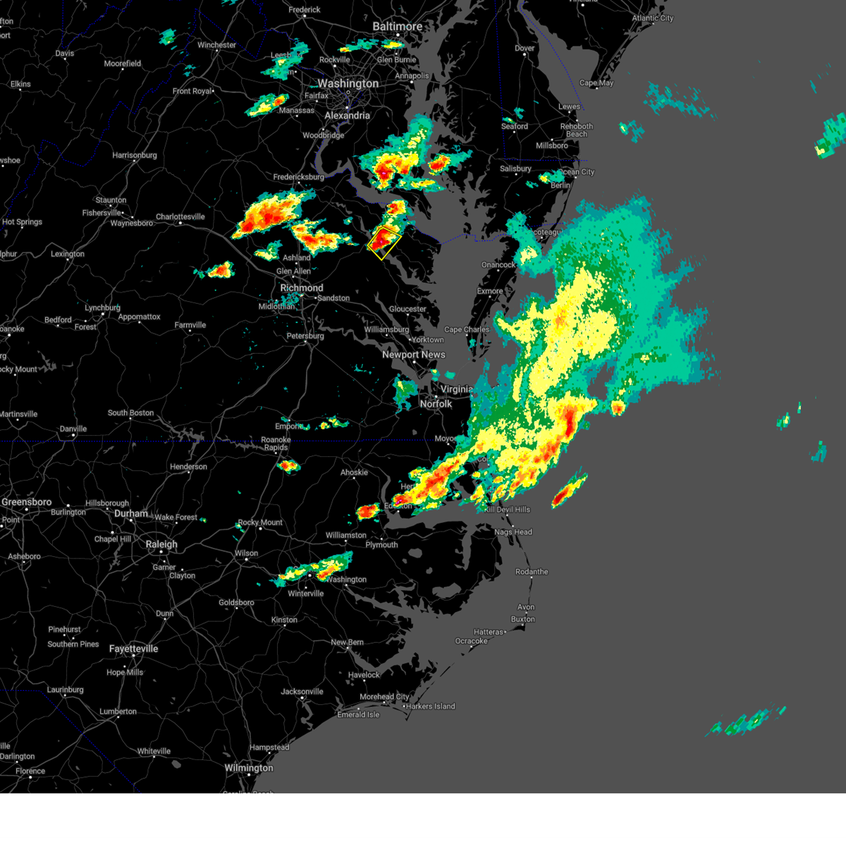 At 729 pm edt, a severe thunderstorm was located near sharps, or near warsaw, moving southeast at 35 mph (public). Hazards include 60 mph wind gusts and quarter size hail. Minor damage to vehicles is possible. expect wind damage to trees and powerlines. this severe thunderstorm will remain over mainly rural areas of central richmond and southeastern essex counties, including the following locations, wellford, tidewater, village, kennard, bowlers wharf, emmerton and lyells. hail threat, radar indicated max hail size, 1. 00 in wind threat, radar indicated max wind gust, 60 mph. At 729 pm edt, a severe thunderstorm was located near sharps, or near warsaw, moving southeast at 35 mph (public). Hazards include 60 mph wind gusts and quarter size hail. Minor damage to vehicles is possible. expect wind damage to trees and powerlines. this severe thunderstorm will remain over mainly rural areas of central richmond and southeastern essex counties, including the following locations, wellford, tidewater, village, kennard, bowlers wharf, emmerton and lyells. hail threat, radar indicated max hail size, 1. 00 in wind threat, radar indicated max wind gust, 60 mph.
|
| 6/16/2023 7:05 PM EDT |
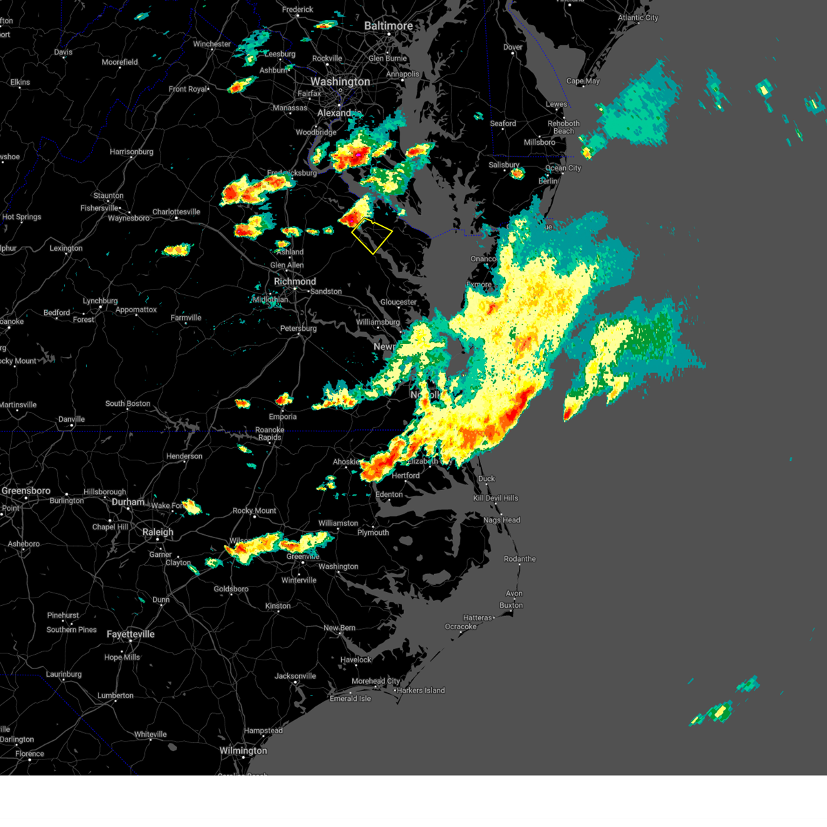 At 704 pm edt, a severe thunderstorm was located near champlain, moving southeast at 15 mph (radar indicated). Hazards include 60 mph wind gusts and quarter size hail. Minor damage to vehicles is possible. expect wind damage to trees and powerlines. this severe thunderstorm will be near, tappahannock around 725 pm edt. warsaw around 735 pm edt. dunnsville around 740 pm edt. sharps, haynesville and center cross around 745 pm edt. other locations impacted by this severe thunderstorm include wellford, ethel, tidewater, village, naylors beach, kennard, mount landing, bowlers wharf, brays fork and emmerton. hail threat, radar indicated max hail size, 1. 00 in wind threat, radar indicated max wind gust, 60 mph. At 704 pm edt, a severe thunderstorm was located near champlain, moving southeast at 15 mph (radar indicated). Hazards include 60 mph wind gusts and quarter size hail. Minor damage to vehicles is possible. expect wind damage to trees and powerlines. this severe thunderstorm will be near, tappahannock around 725 pm edt. warsaw around 735 pm edt. dunnsville around 740 pm edt. sharps, haynesville and center cross around 745 pm edt. other locations impacted by this severe thunderstorm include wellford, ethel, tidewater, village, naylors beach, kennard, mount landing, bowlers wharf, brays fork and emmerton. hail threat, radar indicated max hail size, 1. 00 in wind threat, radar indicated max wind gust, 60 mph.
|
| 4/6/2023 7:19 PM EDT |
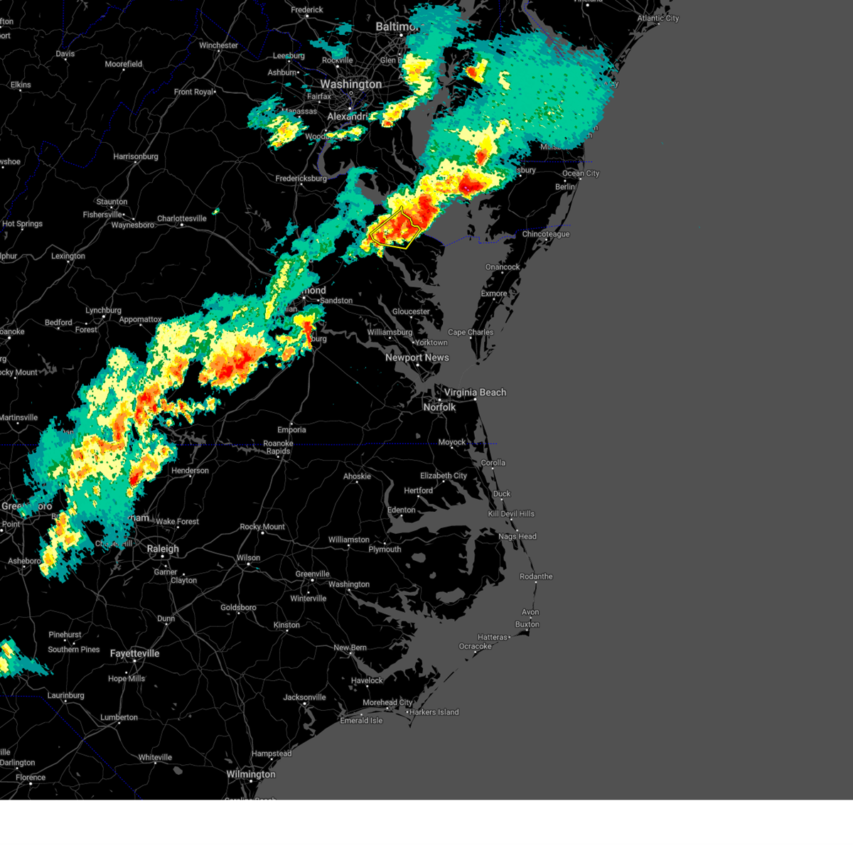 At 718 pm edt, severe thunderstorms were located along a line extending from saint marys city to near lewisetta to near warsaw, moving east at 45 mph (radar indicated). Hazards include 60 mph wind gusts and penny size hail. Expect damage to trees and powerlines. locations impacted include, warsaw, callao, farnham, kinsale, haynesville, hague, lewisetta, westmoreland, wellford, ethel, lottsburg, threeway, village, oldhams, lyells, kennard, gibeon, mulch, sandy point and emmerton. hail threat, radar indicated max hail size, 0. 75 in wind threat, radar indicated max wind gust, 60 mph. At 718 pm edt, severe thunderstorms were located along a line extending from saint marys city to near lewisetta to near warsaw, moving east at 45 mph (radar indicated). Hazards include 60 mph wind gusts and penny size hail. Expect damage to trees and powerlines. locations impacted include, warsaw, callao, farnham, kinsale, haynesville, hague, lewisetta, westmoreland, wellford, ethel, lottsburg, threeway, village, oldhams, lyells, kennard, gibeon, mulch, sandy point and emmerton. hail threat, radar indicated max hail size, 0. 75 in wind threat, radar indicated max wind gust, 60 mph.
|
| 4/6/2023 6:59 PM EDT |
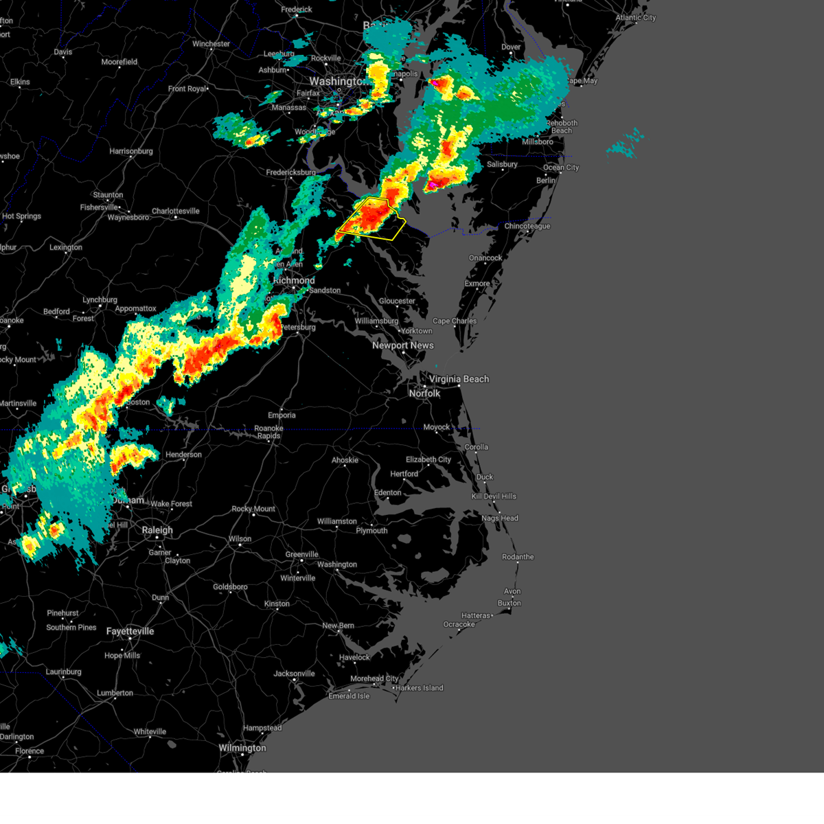 At 659 pm edt, severe thunderstorms were located along a line extending from near tall timbers to hague to near warsaw, moving east at 35 mph (radar indicated). Hazards include 60 mph wind gusts and penny size hail. Expect damage to trees and powerlines. these severe storms will be near, farnham around 715 pm edt. callao and kinsale around 720 pm edt. lewisetta around 730 pm edt. other locations impacted by these severe thunderstorms include wellford, ethel, currioman landing, lottsburg, threeway, village, mount holly, rexburg, oldhams and lyells. hail threat, radar indicated max hail size, 0. 75 in wind threat, radar indicated max wind gust, 60 mph. At 659 pm edt, severe thunderstorms were located along a line extending from near tall timbers to hague to near warsaw, moving east at 35 mph (radar indicated). Hazards include 60 mph wind gusts and penny size hail. Expect damage to trees and powerlines. these severe storms will be near, farnham around 715 pm edt. callao and kinsale around 720 pm edt. lewisetta around 730 pm edt. other locations impacted by these severe thunderstorms include wellford, ethel, currioman landing, lottsburg, threeway, village, mount holly, rexburg, oldhams and lyells. hail threat, radar indicated max hail size, 0. 75 in wind threat, radar indicated max wind gust, 60 mph.
|
| 4/6/2023 6:44 PM EDT |
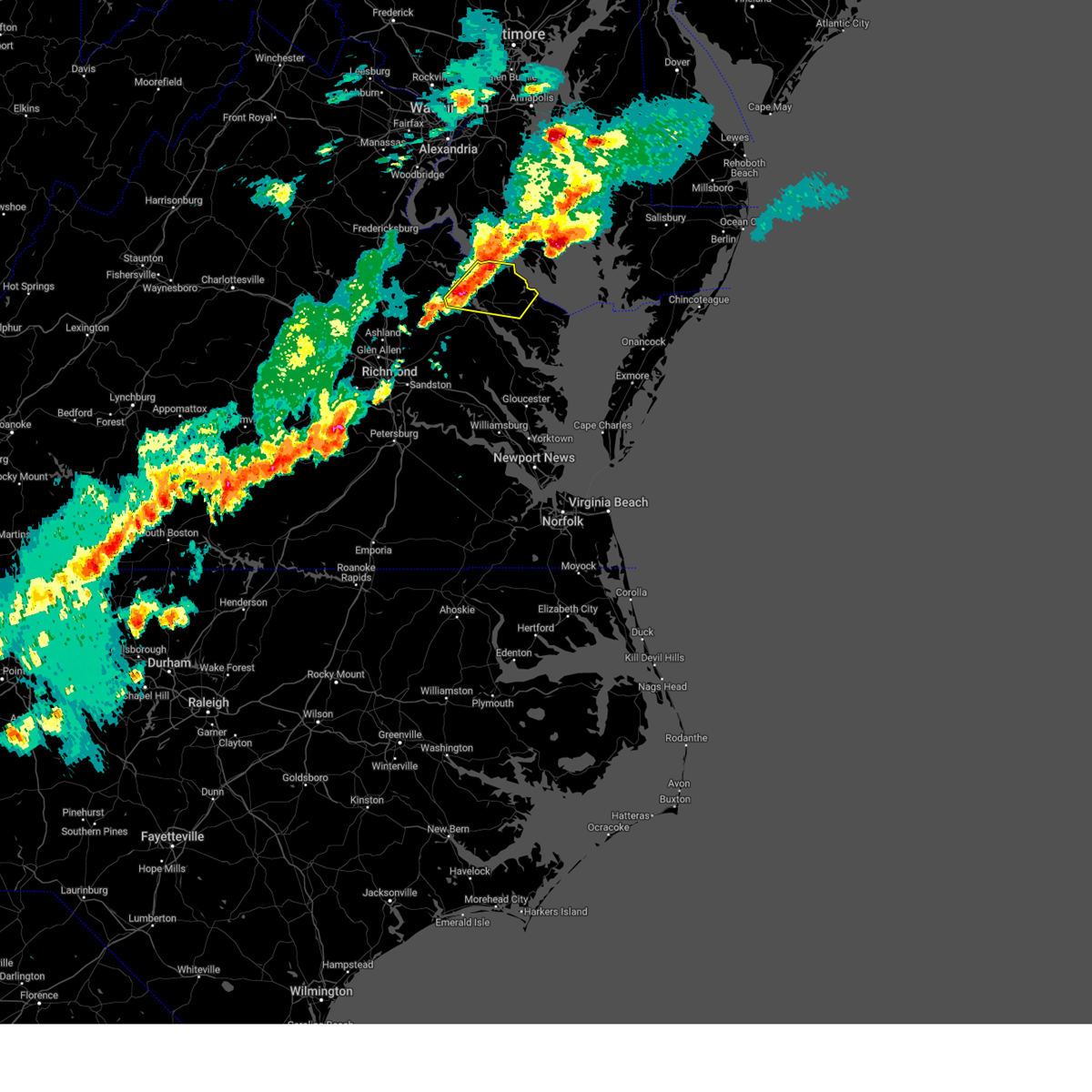 At 644 pm edt, severe thunderstorms were located along a line extending from near saint clements bay to montross to near champlain, moving east at 30 mph (radar indicated). Hazards include 60 mph wind gusts and penny size hail. Expect damage to trees and powerlines. severe thunderstorms will be near, coles point around 655 pm edt. hague around 700 pm edt. haynesville around 710 pm edt. kinsale around 720 pm edt. callao around 725 pm edt. lewisetta around 730 pm edt. other locations impacted by these severe thunderstorms include currioman landing, lottsburg, threeway, mount holly, stratford hall, lyells, kennard, westmoreland, mount landing and erica. hail threat, radar indicated max hail size, 0. 75 in wind threat, radar indicated max wind gust, 60 mph. At 644 pm edt, severe thunderstorms were located along a line extending from near saint clements bay to montross to near champlain, moving east at 30 mph (radar indicated). Hazards include 60 mph wind gusts and penny size hail. Expect damage to trees and powerlines. severe thunderstorms will be near, coles point around 655 pm edt. hague around 700 pm edt. haynesville around 710 pm edt. kinsale around 720 pm edt. callao around 725 pm edt. lewisetta around 730 pm edt. other locations impacted by these severe thunderstorms include currioman landing, lottsburg, threeway, mount holly, stratford hall, lyells, kennard, westmoreland, mount landing and erica. hail threat, radar indicated max hail size, 0. 75 in wind threat, radar indicated max wind gust, 60 mph.
|
| 4/1/2023 8:13 PM EDT |
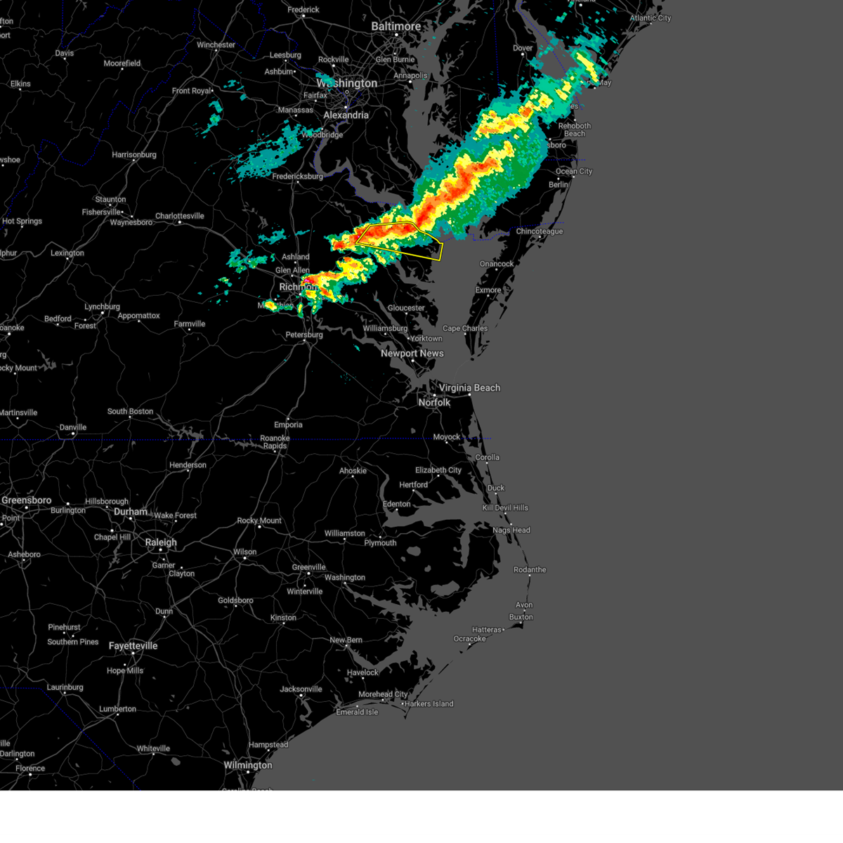 At 813 pm edt, a severe thunderstorm was located over lewisetta, or near callao, moving east at 45 mph (radar indicated). Hazards include 60 mph wind gusts and quarter size hail. Minor damage to vehicles is possible. expect wind damage to trees and powerlines. this severe thunderstorm will remain over mainly rural areas of northumberland, richmond, southeastern westmoreland, central essex and north central lancaster counties, including the following locations, lottsburg, threeway, regina, avalon, reedville, edwardsville, tidewater, lyells, middletons corner and kennard. hail threat, radar indicated max hail size, 1. 00 in wind threat, radar indicated max wind gust, 60 mph. At 813 pm edt, a severe thunderstorm was located over lewisetta, or near callao, moving east at 45 mph (radar indicated). Hazards include 60 mph wind gusts and quarter size hail. Minor damage to vehicles is possible. expect wind damage to trees and powerlines. this severe thunderstorm will remain over mainly rural areas of northumberland, richmond, southeastern westmoreland, central essex and north central lancaster counties, including the following locations, lottsburg, threeway, regina, avalon, reedville, edwardsville, tidewater, lyells, middletons corner and kennard. hail threat, radar indicated max hail size, 1. 00 in wind threat, radar indicated max wind gust, 60 mph.
|
| 7/29/2022 2:58 PM EDT |
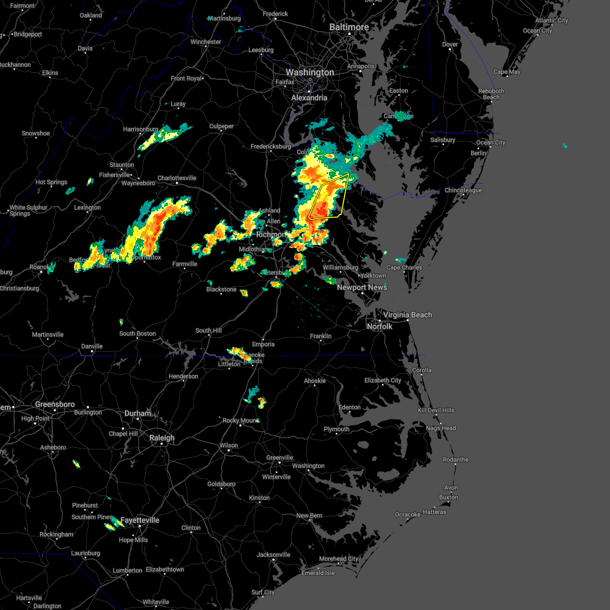 At 258 pm edt, severe thunderstorms were located along a line extending from near warsaw to near stevensville, moving northeast at 25 mph (radar indicated). Hazards include 60 mph wind gusts. Expect damage to trees and powerlines. these severe storms will be near, warsaw around 305 pm edt. haynesville around 315 pm edt. sharps and hague around 320 pm edt. other locations impacted by these severe thunderstorms include laneview, howertons, wellford, ethel, threeway, upright, bowlers wharf, ino, walkerton and montague. hail threat, radar indicated max hail size, <. 75 in wind threat, radar indicated max wind gust, 60 mph. At 258 pm edt, severe thunderstorms were located along a line extending from near warsaw to near stevensville, moving northeast at 25 mph (radar indicated). Hazards include 60 mph wind gusts. Expect damage to trees and powerlines. these severe storms will be near, warsaw around 305 pm edt. haynesville around 315 pm edt. sharps and hague around 320 pm edt. other locations impacted by these severe thunderstorms include laneview, howertons, wellford, ethel, threeway, upright, bowlers wharf, ino, walkerton and montague. hail threat, radar indicated max hail size, <. 75 in wind threat, radar indicated max wind gust, 60 mph.
|
| 7/29/2022 2:49 PM EDT |
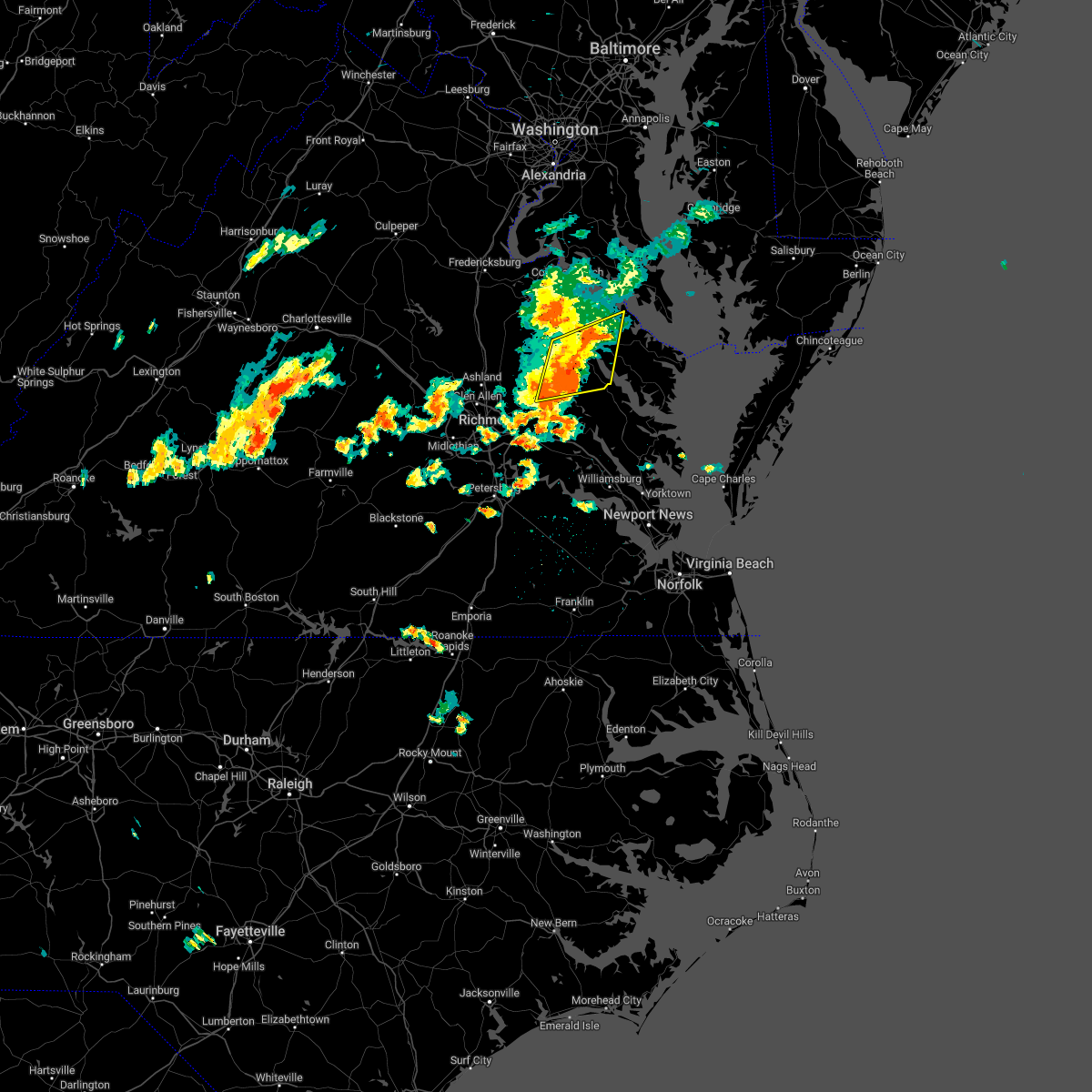 At 249 pm edt, severe thunderstorms were located along a line extending from near tappahannock to stevensville, moving east at 30 mph (radar indicated). Hazards include 60 mph wind gusts. Expect damage to trees and powerlines. these severe storms will be near, warsaw around 300 pm edt. dunnsville around 305 pm edt. center cross and haynesville around 310 pm edt. sharps and hague around 320 pm edt. other locations impacted by these severe thunderstorms include threeway, upright, ino, biscoe, tidewater, lyells, crouch, kennard, mount landing and piney grove. hail threat, radar indicated max hail size, <. 75 in wind threat, radar indicated max wind gust, 60 mph. At 249 pm edt, severe thunderstorms were located along a line extending from near tappahannock to stevensville, moving east at 30 mph (radar indicated). Hazards include 60 mph wind gusts. Expect damage to trees and powerlines. these severe storms will be near, warsaw around 300 pm edt. dunnsville around 305 pm edt. center cross and haynesville around 310 pm edt. sharps and hague around 320 pm edt. other locations impacted by these severe thunderstorms include threeway, upright, ino, biscoe, tidewater, lyells, crouch, kennard, mount landing and piney grove. hail threat, radar indicated max hail size, <. 75 in wind threat, radar indicated max wind gust, 60 mph.
|
| 7/29/2022 2:31 PM EDT |
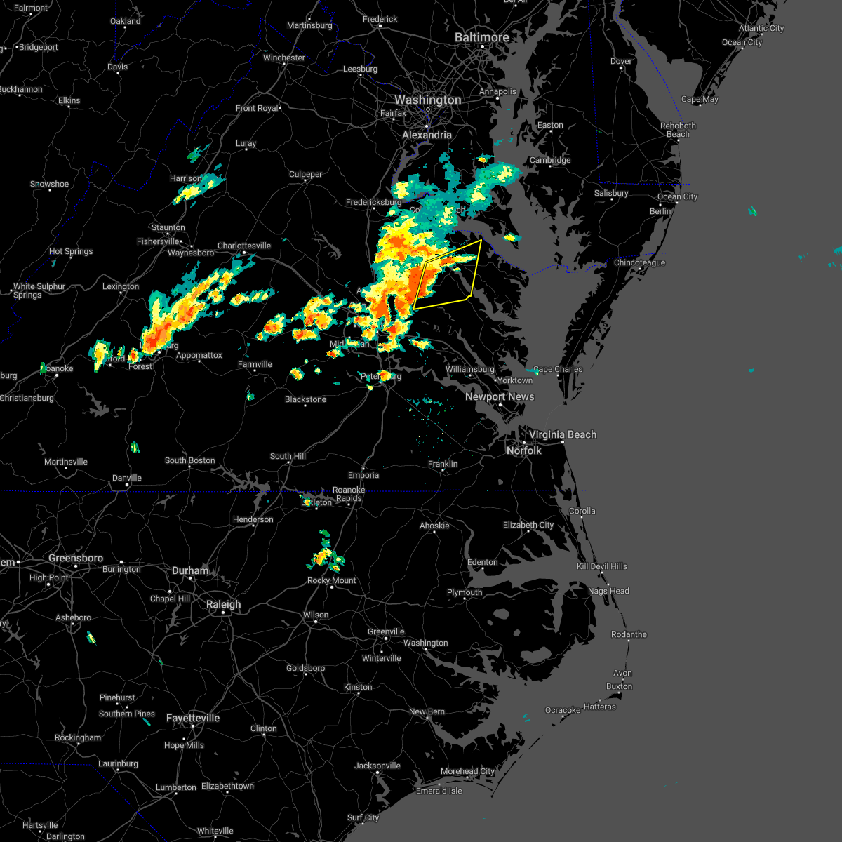 At 231 pm edt, severe thunderstorms were located along a line extending from near champlain to manquin, moving northeast at 25 mph (radar indicated). Hazards include 60 mph wind gusts. Expect damage to trees and powerlines. severe thunderstorms will be near, tappahannock around 245 pm edt. stevensville around 255 pm edt. warsaw and millers tavern around 300 pm edt. haynesville around 310 pm edt. center cross, hague, dunnsville and sharps around 315 pm edt. other locations impacted by these severe thunderstorms include threeway, upright, ino, biscoe, tidewater, lyells, crouch, kennard, mount landing and piney grove. hail threat, radar indicated max hail size, <. 75 in wind threat, radar indicated max wind gust, 60 mph. At 231 pm edt, severe thunderstorms were located along a line extending from near champlain to manquin, moving northeast at 25 mph (radar indicated). Hazards include 60 mph wind gusts. Expect damage to trees and powerlines. severe thunderstorms will be near, tappahannock around 245 pm edt. stevensville around 255 pm edt. warsaw and millers tavern around 300 pm edt. haynesville around 310 pm edt. center cross, hague, dunnsville and sharps around 315 pm edt. other locations impacted by these severe thunderstorms include threeway, upright, ino, biscoe, tidewater, lyells, crouch, kennard, mount landing and piney grove. hail threat, radar indicated max hail size, <. 75 in wind threat, radar indicated max wind gust, 60 mph.
|
| 7/25/2022 6:44 PM EDT |
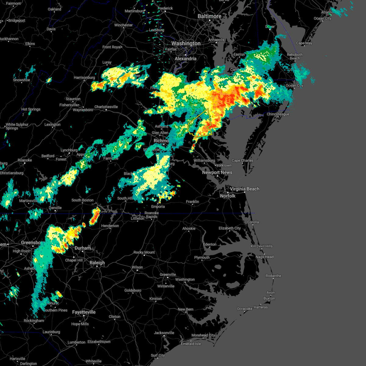 The severe thunderstorm warning for northwestern middlesex, central king and queen, southern richmond, southeastern westmoreland and southeastern essex counties will expire at 645 pm edt, the storm which prompted the warning has moved out of the area. therefore, the warning will be allowed to expire. a severe thunderstorm watch remains in effect until 1000 pm edt for eastern and east central virginia. The severe thunderstorm warning for northwestern middlesex, central king and queen, southern richmond, southeastern westmoreland and southeastern essex counties will expire at 645 pm edt, the storm which prompted the warning has moved out of the area. therefore, the warning will be allowed to expire. a severe thunderstorm watch remains in effect until 1000 pm edt for eastern and east central virginia.
|
| 7/25/2022 6:20 PM EDT | Vdot reports lane closure due to tree in roadwa in richmond county VA, 6.2 miles NNW of Warsaw, VA |
| 7/25/2022 6:18 PM EDT |
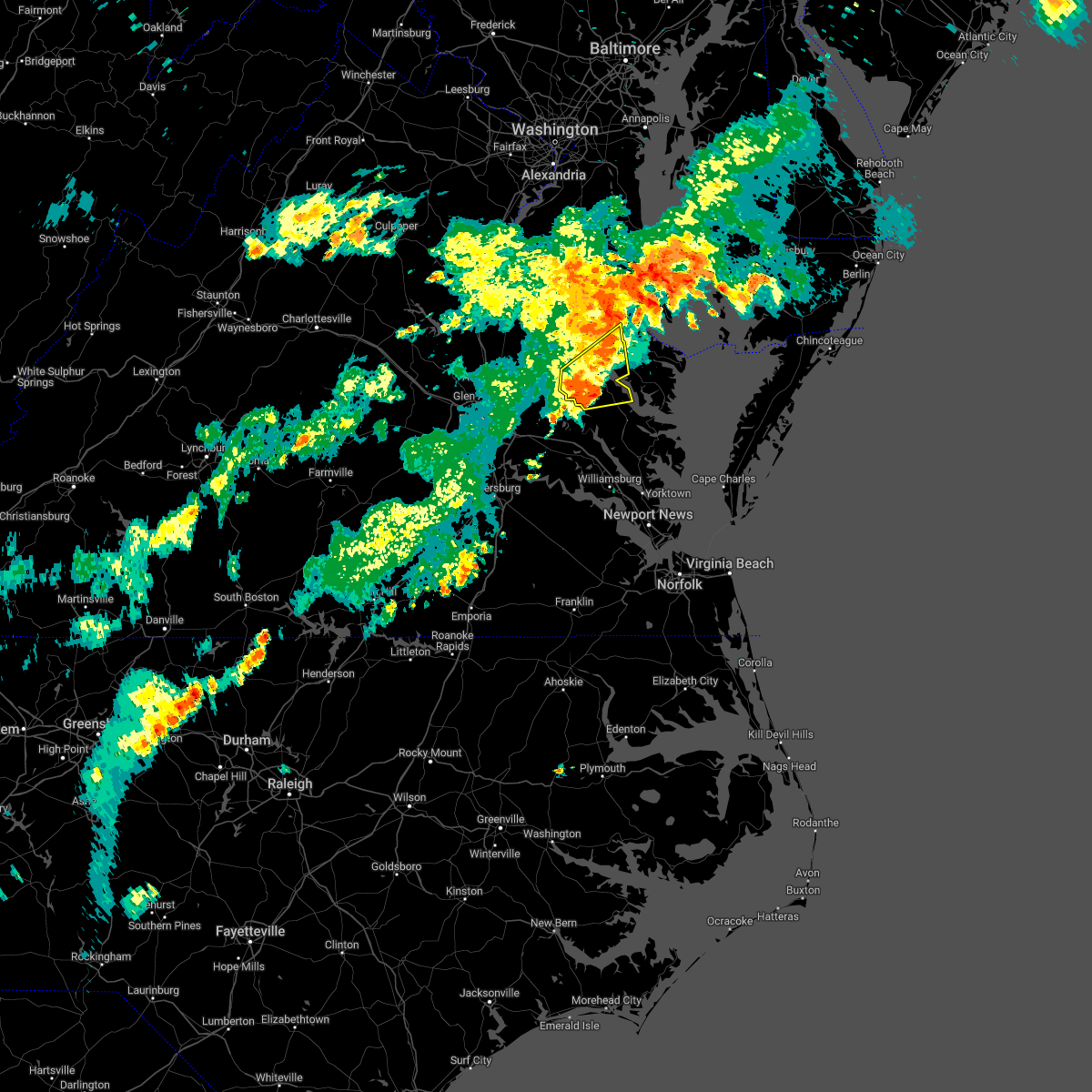 At 617 pm edt, a severe thunderstorm was located near center cross, or 8 miles northeast of king and queen court house, moving northeast at 45 mph (radar indicated). Hazards include 60 mph wind gusts and penny size hail. Expect damage to trees and powerlines. this severe storm will be near, farnham around 630 pm edt. other locations impacted by this severe thunderstorm include laneview, howertons, nesting, wellford, threeway, upright, bowlers wharf, ino, dragonville and montague. hail threat, radar indicated max hail size, 0. 75 in wind threat, radar indicated max wind gust, 60 mph. At 617 pm edt, a severe thunderstorm was located near center cross, or 8 miles northeast of king and queen court house, moving northeast at 45 mph (radar indicated). Hazards include 60 mph wind gusts and penny size hail. Expect damage to trees and powerlines. this severe storm will be near, farnham around 630 pm edt. other locations impacted by this severe thunderstorm include laneview, howertons, nesting, wellford, threeway, upright, bowlers wharf, ino, dragonville and montague. hail threat, radar indicated max hail size, 0. 75 in wind threat, radar indicated max wind gust, 60 mph.
|
| 7/25/2022 6:15 PM EDT |
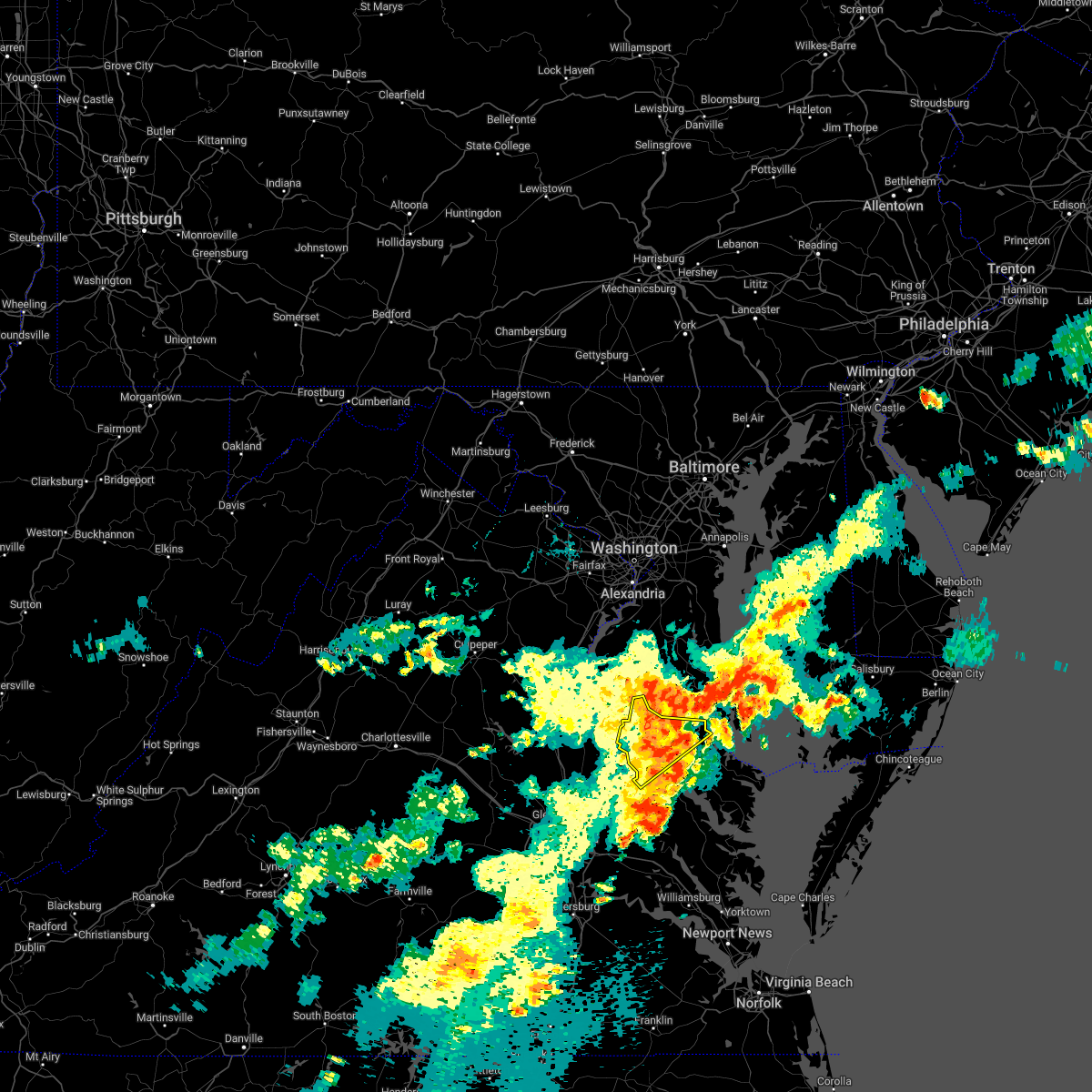 At 614 pm edt, severe thunderstorms were located along a line extending from near sheridan point to near white point beach to near hague, moving northeast at 30 mph (radar indicated). Hazards include 60 mph wind gusts. Expect damage to trees and powerlines. locations impacted include, tappahannock, warsaw, montross, champlain, newland, coles point, hague, loretto, leedstown, beazley, currioman landing, hustle, elevon, mount holly, stratford hall, lyells, mount landing, erica, piney grove and dunbrooke. hail threat, radar indicated max hail size, <. 75 in wind threat, radar indicated max wind gust, 60 mph. At 614 pm edt, severe thunderstorms were located along a line extending from near sheridan point to near white point beach to near hague, moving northeast at 30 mph (radar indicated). Hazards include 60 mph wind gusts. Expect damage to trees and powerlines. locations impacted include, tappahannock, warsaw, montross, champlain, newland, coles point, hague, loretto, leedstown, beazley, currioman landing, hustle, elevon, mount holly, stratford hall, lyells, mount landing, erica, piney grove and dunbrooke. hail threat, radar indicated max hail size, <. 75 in wind threat, radar indicated max wind gust, 60 mph.
|
| 7/25/2022 6:10 PM EDT | Vdot reports lane closure due to tree in roadwa in richmond county VA, 2 miles WNW of Warsaw, VA |
| 7/25/2022 6:05 PM EDT | Vdot reports road closure due to downed trees blocking roa in richmond county VA, 3.7 miles SE of Warsaw, VA |
| 7/25/2022 5:59 PM EDT |
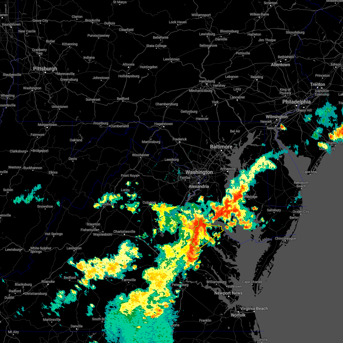 At 559 pm edt, severe thunderstorms were located along a line extending from near colonial beach to champlain to near millers tavern, moving east at 35 mph (radar indicated). Hazards include 60 mph wind gusts. Expect damage to trees and powerlines. locations impacted include, tappahannock, colonial beach, warsaw, montross, champlain, saint stephens church, newtown, newland, coles point, hague, loretto, leedstown, beazley, currioman landing, hustle, elevon, mount holly, biscoe, stratford hall, lyells and mount landing. hail threat, radar indicated max hail size, <. 75 in wind threat, radar indicated max wind gust, 60 mph. At 559 pm edt, severe thunderstorms were located along a line extending from near colonial beach to champlain to near millers tavern, moving east at 35 mph (radar indicated). Hazards include 60 mph wind gusts. Expect damage to trees and powerlines. locations impacted include, tappahannock, colonial beach, warsaw, montross, champlain, saint stephens church, newtown, newland, coles point, hague, loretto, leedstown, beazley, currioman landing, hustle, elevon, mount holly, biscoe, stratford hall, lyells and mount landing. hail threat, radar indicated max hail size, <. 75 in wind threat, radar indicated max wind gust, 60 mph.
|
| 7/25/2022 5:55 PM EDT |
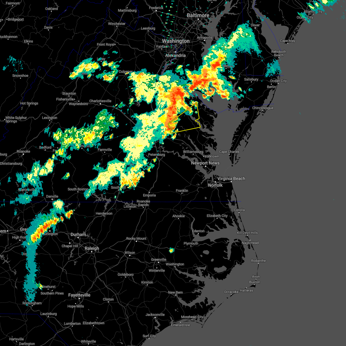 At 554 pm edt, a severe thunderstorm was located over manquin, or near king william, moving northeast at 40 mph (radar indicated). Hazards include 60 mph wind gusts and penny size hail. Expect damage to trees and powerlines. this severe thunderstorm will be near, king william around 605 pm edt. saint stephens church and stevensville around 610 pm edt. millers tavern around 615 pm edt. tappahannock, dunnsville and center cross around 625 pm edt. sharps around 635 pm edt. warsaw, haynesville and farnham around 640 pm edt. other locations impacted by this severe thunderstorm include threeway, upright, ino, dragonville, rose garden, tidewater, lyells, crouch, palls and kennard. hail threat, radar indicated max hail size, 0. 75 in wind threat, radar indicated max wind gust, 60 mph. At 554 pm edt, a severe thunderstorm was located over manquin, or near king william, moving northeast at 40 mph (radar indicated). Hazards include 60 mph wind gusts and penny size hail. Expect damage to trees and powerlines. this severe thunderstorm will be near, king william around 605 pm edt. saint stephens church and stevensville around 610 pm edt. millers tavern around 615 pm edt. tappahannock, dunnsville and center cross around 625 pm edt. sharps around 635 pm edt. warsaw, haynesville and farnham around 640 pm edt. other locations impacted by this severe thunderstorm include threeway, upright, ino, dragonville, rose garden, tidewater, lyells, crouch, palls and kennard. hail threat, radar indicated max hail size, 0. 75 in wind threat, radar indicated max wind gust, 60 mph.
|
| 7/25/2022 5:41 PM EDT |
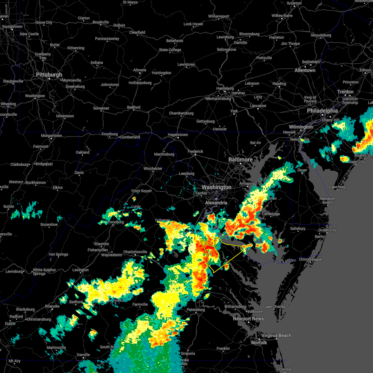 At 541 pm edt, severe thunderstorms were located along a line extending from near king george to leedstown to near champlain, moving northeast at 35 mph (radar indicated). Hazards include 60 mph wind gusts. expect damage to trees and powerlines At 541 pm edt, severe thunderstorms were located along a line extending from near king george to leedstown to near champlain, moving northeast at 35 mph (radar indicated). Hazards include 60 mph wind gusts. expect damage to trees and powerlines
|
| 6/2/2022 6:37 PM EDT |
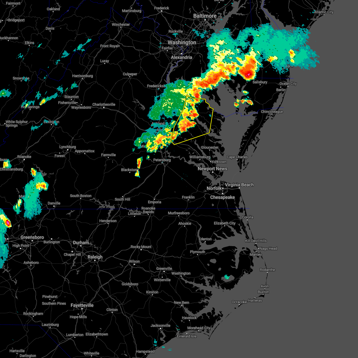 At 636 pm edt, severe thunderstorms were located along a line extending from near saint clements bay to near farnham to little plymouth, moving east at 45 mph (radar indicated). Hazards include 60 mph wind gusts and penny size hail. Expect damage to trees and powerlines. these severe storms will be near, farnham, coles point, haynesville, morattico and hague around 640 pm edt. robley and callao around 645 pm edt. lewisetta around 655 pm edt. other locations impacted by these severe thunderstorms include currioman landing, lottsburg, threeway, cohoke, belle isle state park, rose garden, biscoe, lyells, crouch and westmoreland. hail threat, radar indicated max hail size, 0. 75 in wind threat, radar indicated max wind gust, 60 mph. At 636 pm edt, severe thunderstorms were located along a line extending from near saint clements bay to near farnham to little plymouth, moving east at 45 mph (radar indicated). Hazards include 60 mph wind gusts and penny size hail. Expect damage to trees and powerlines. these severe storms will be near, farnham, coles point, haynesville, morattico and hague around 640 pm edt. robley and callao around 645 pm edt. lewisetta around 655 pm edt. other locations impacted by these severe thunderstorms include currioman landing, lottsburg, threeway, cohoke, belle isle state park, rose garden, biscoe, lyells, crouch and westmoreland. hail threat, radar indicated max hail size, 0. 75 in wind threat, radar indicated max wind gust, 60 mph.
|
| 6/2/2022 6:28 PM EDT |
 At 627 pm edt, severe thunderstorms were located along a line extending from near wicomico river to dunnsville to near king and queen court house, moving east at 45 mph (radar indicated). Hazards include 60 mph wind gusts and penny size hail. Expect damage to trees and powerlines. these severe storms will be near, sharps around 635 pm edt. farnham, coles point, haynesville, morattico and hague around 640 pm edt. robley, callao, church view and jamaica around 645 pm edt. lewisetta around 655 pm edt. other locations impacted by these severe thunderstorms include beazley, currioman landing, lottsburg, threeway, cohoke, belle isle state park, rose garden, biscoe, lyells and crouch. hail threat, radar indicated max hail size, 0. 75 in wind threat, radar indicated max wind gust, 60 mph. At 627 pm edt, severe thunderstorms were located along a line extending from near wicomico river to dunnsville to near king and queen court house, moving east at 45 mph (radar indicated). Hazards include 60 mph wind gusts and penny size hail. Expect damage to trees and powerlines. these severe storms will be near, sharps around 635 pm edt. farnham, coles point, haynesville, morattico and hague around 640 pm edt. robley, callao, church view and jamaica around 645 pm edt. lewisetta around 655 pm edt. other locations impacted by these severe thunderstorms include beazley, currioman landing, lottsburg, threeway, cohoke, belle isle state park, rose garden, biscoe, lyells and crouch. hail threat, radar indicated max hail size, 0. 75 in wind threat, radar indicated max wind gust, 60 mph.
|
| 6/2/2022 6:04 PM EDT |
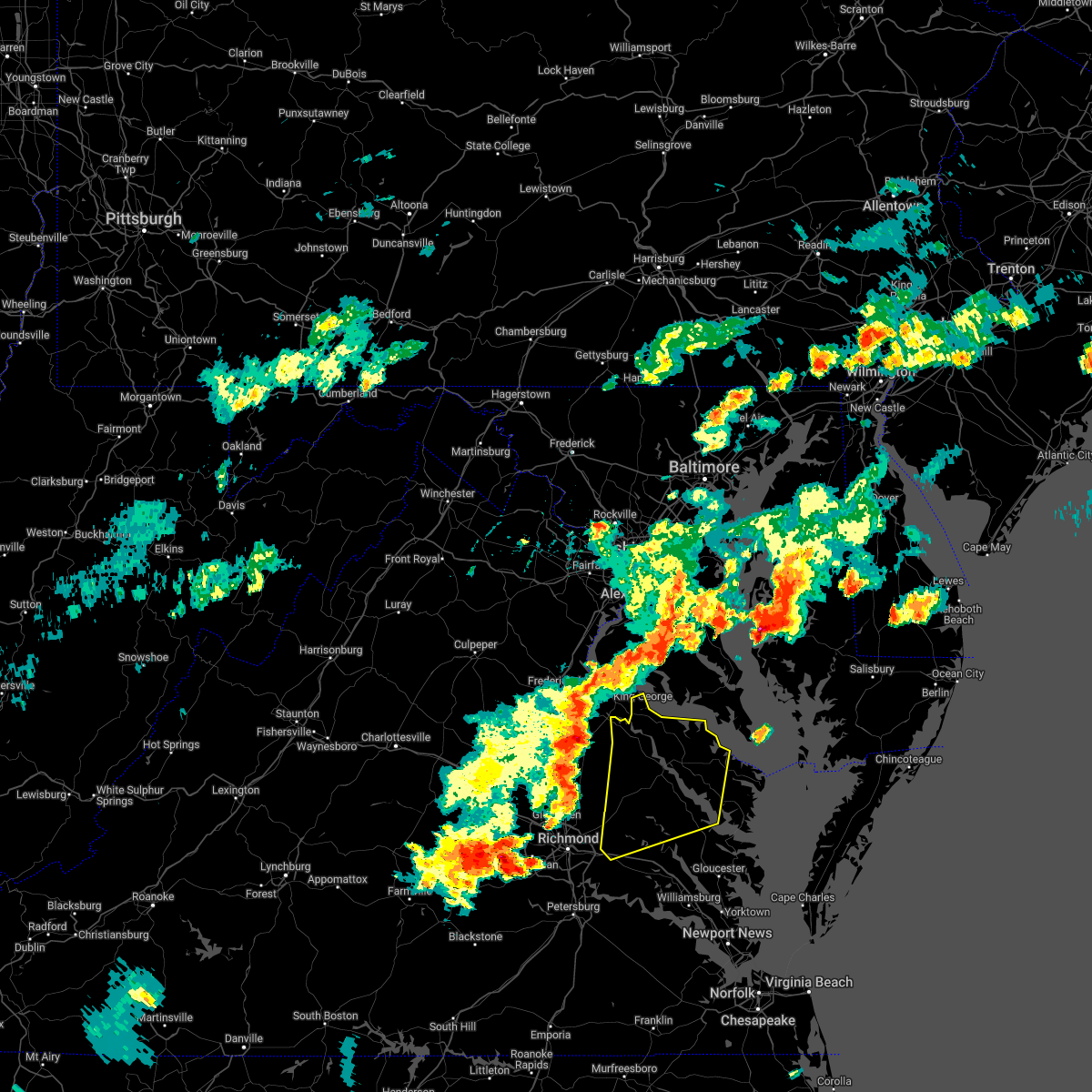 At 604 pm edt, severe thunderstorms were located along a line extending from king george to near loretto to near aylett, moving east at 45 mph (radar indicated). Hazards include 60 mph wind gusts and penny size hail. Expect damage to trees and powerlines. severe thunderstorms will be near, champlain, loretto and leedstown around 610 pm edt. king william around 615 pm edt. colonial beach, newland, stevensville and millers tavern around 620 pm edt. montross and king and queen court house around 625 pm edt. warsaw, center cross and dunnsville around 630 pm edt. hague around 635 pm edt. jamaica, kinsale, coles point, sharps and church view around 640 pm edt. robley, morattico and lewisetta around 645 pm edt. other locations impacted by these severe thunderstorms include beazley, currioman landing, lottsburg, threeway, cohoke, belle isle state park, rose garden, biscoe, lyells and crouch. hail threat, radar indicated max hail size, 0. 75 in wind threat, radar indicated max wind gust, 60 mph. At 604 pm edt, severe thunderstorms were located along a line extending from king george to near loretto to near aylett, moving east at 45 mph (radar indicated). Hazards include 60 mph wind gusts and penny size hail. Expect damage to trees and powerlines. severe thunderstorms will be near, champlain, loretto and leedstown around 610 pm edt. king william around 615 pm edt. colonial beach, newland, stevensville and millers tavern around 620 pm edt. montross and king and queen court house around 625 pm edt. warsaw, center cross and dunnsville around 630 pm edt. hague around 635 pm edt. jamaica, kinsale, coles point, sharps and church view around 640 pm edt. robley, morattico and lewisetta around 645 pm edt. other locations impacted by these severe thunderstorms include beazley, currioman landing, lottsburg, threeway, cohoke, belle isle state park, rose garden, biscoe, lyells and crouch. hail threat, radar indicated max hail size, 0. 75 in wind threat, radar indicated max wind gust, 60 mph.
|
| 7/14/2021 7:12 PM EDT |
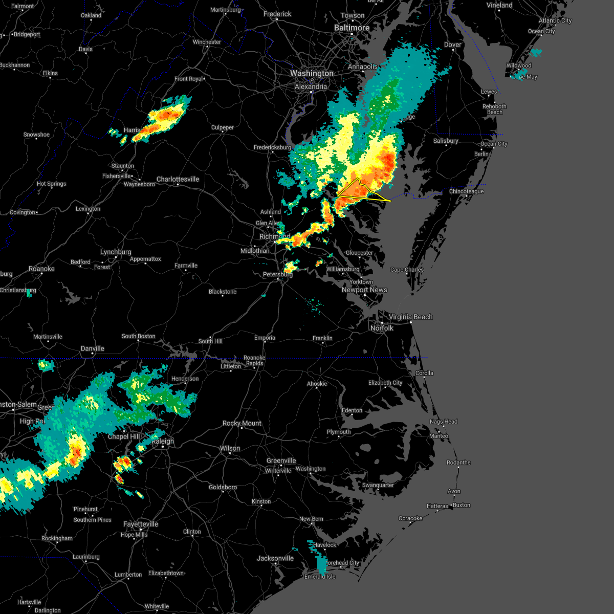 At 712 pm edt, a severe thunderstorm was located over heathsville, or near callao, moving southeast at 25 mph (radar indicated). Hazards include 60 mph wind gusts and penny size hail. Expect damage to trees and powerlines. This severe thunderstorm will remain over mainly rural areas of northern northumberland, east central richmond and southeastern westmoreland counties, including the following locations, edwardsville, lottsburg, opheila, village, middletons corner, westmoreland, gibeon, sandy point, hull neck and avalon. At 712 pm edt, a severe thunderstorm was located over heathsville, or near callao, moving southeast at 25 mph (radar indicated). Hazards include 60 mph wind gusts and penny size hail. Expect damage to trees and powerlines. This severe thunderstorm will remain over mainly rural areas of northern northumberland, east central richmond and southeastern westmoreland counties, including the following locations, edwardsville, lottsburg, opheila, village, middletons corner, westmoreland, gibeon, sandy point, hull neck and avalon.
|
| 7/14/2021 6:47 PM EDT |
 At 646 pm edt, a severe thunderstorm was located over kinsale, or near callao, moving east at 30 mph (radar indicated). Hazards include 60 mph wind gusts and penny size hail. Expect damage to trees and powerlines. this severe thunderstorm will be near, callao around 650 pm edt. lewisetta around 700 pm edt. Other locations impacted by this severe thunderstorm include ethel, currioman landing, lottsburg, threeway, village, mount holly, oldhams, hull neck, edwardsville and lyells. At 646 pm edt, a severe thunderstorm was located over kinsale, or near callao, moving east at 30 mph (radar indicated). Hazards include 60 mph wind gusts and penny size hail. Expect damage to trees and powerlines. this severe thunderstorm will be near, callao around 650 pm edt. lewisetta around 700 pm edt. Other locations impacted by this severe thunderstorm include ethel, currioman landing, lottsburg, threeway, village, mount holly, oldhams, hull neck, edwardsville and lyells.
|
| 6/4/2021 4:21 PM EDT |
 At 421 pm edt, severe thunderstorms were located along a line extending from near saint inigoes creek to near sharps, moving east at 30 mph (radar indicated). Hazards include 60 mph wind gusts. Expect damage to trees and powerlines. Locations impacted include, tappahannock, warsaw, kilmarnock, fair port, robley, callao, lancaster, white stone, morattico, heathsville, wicomico church, farnham, haynesville, lewisetta, sharps, byrdton, lottsburg, avalon, brook vale and bertrand. At 421 pm edt, severe thunderstorms were located along a line extending from near saint inigoes creek to near sharps, moving east at 30 mph (radar indicated). Hazards include 60 mph wind gusts. Expect damage to trees and powerlines. Locations impacted include, tappahannock, warsaw, kilmarnock, fair port, robley, callao, lancaster, white stone, morattico, heathsville, wicomico church, farnham, haynesville, lewisetta, sharps, byrdton, lottsburg, avalon, brook vale and bertrand.
|
| 6/4/2021 3:59 PM EDT |
 The national weather service in wakefield has issued a * severe thunderstorm warning for. northumberland county in eastern virginia. richmond county in east central virginia. southeastern westmoreland county in east central virginia. East central essex county in east central virginia. The national weather service in wakefield has issued a * severe thunderstorm warning for. northumberland county in eastern virginia. richmond county in east central virginia. southeastern westmoreland county in east central virginia. East central essex county in east central virginia.
|
| 6/4/2021 3:39 PM EDT |
 At 339 pm edt, severe thunderstorms were located along a line extending from near coles point to near champlain, moving east at 30 mph (radar indicated). Hazards include 60 mph wind gusts. Expect damage to trees and powerlines. Locations impacted include, tappahannock, warsaw, montross, champlain, callao, kinsale, newland, coles point, hague, lewisetta, farnham, haynesville, westmoreland, currioman landing, lottsburg, threeway, mount holly, stratford hall, tidewater and lyells. At 339 pm edt, severe thunderstorms were located along a line extending from near coles point to near champlain, moving east at 30 mph (radar indicated). Hazards include 60 mph wind gusts. Expect damage to trees and powerlines. Locations impacted include, tappahannock, warsaw, montross, champlain, callao, kinsale, newland, coles point, hague, lewisetta, farnham, haynesville, westmoreland, currioman landing, lottsburg, threeway, mount holly, stratford hall, tidewater and lyells.
|
| 6/4/2021 3:18 PM EDT |
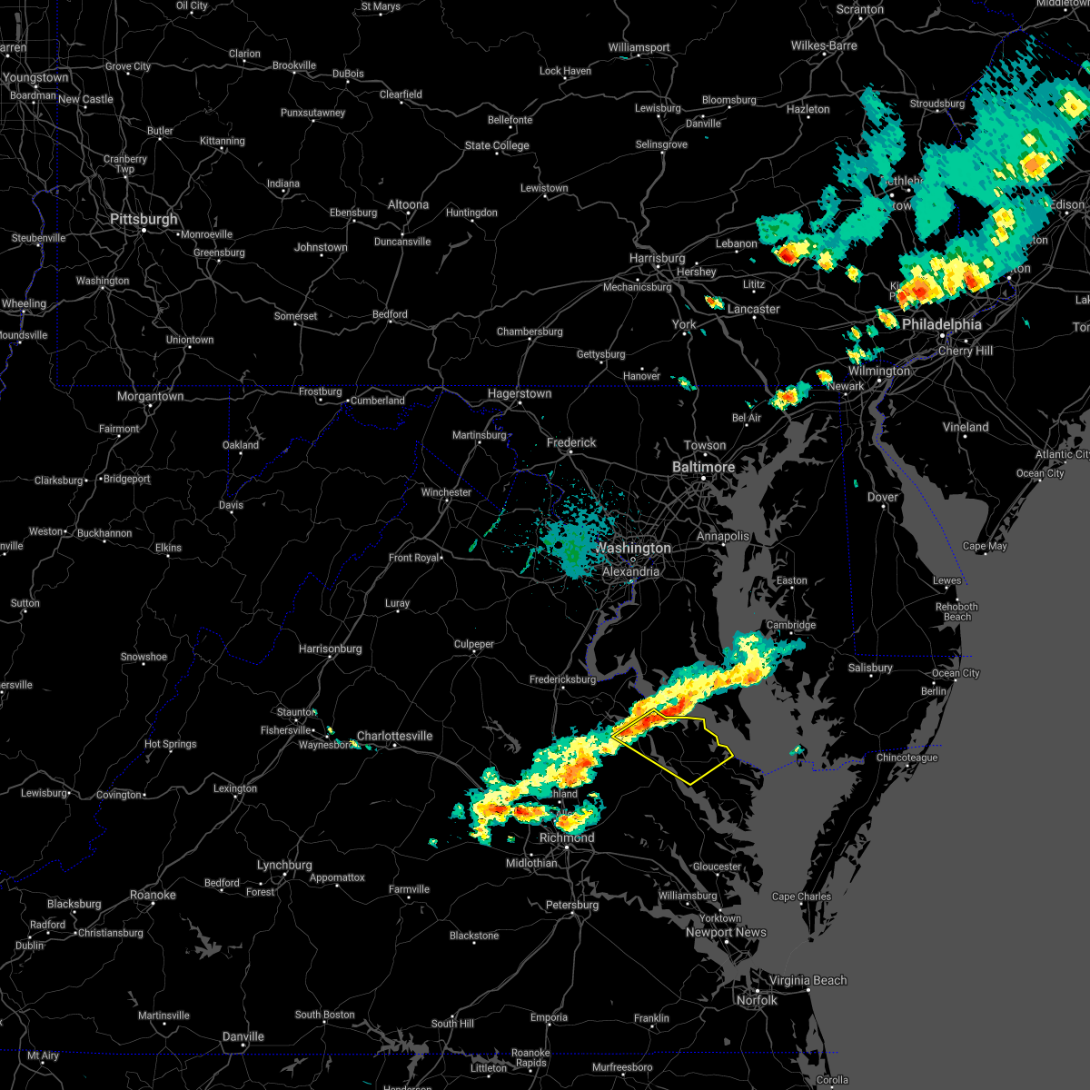 At 318 pm edt, severe thunderstorms were located along a line extending from near white point beach to near champlain, moving southeast at 30 mph (radar indicated). Hazards include 60 mph wind gusts. expect damage to trees and powerlines At 318 pm edt, severe thunderstorms were located along a line extending from near white point beach to near champlain, moving southeast at 30 mph (radar indicated). Hazards include 60 mph wind gusts. expect damage to trees and powerlines
|
| 5/28/2021 7:54 PM EDT |
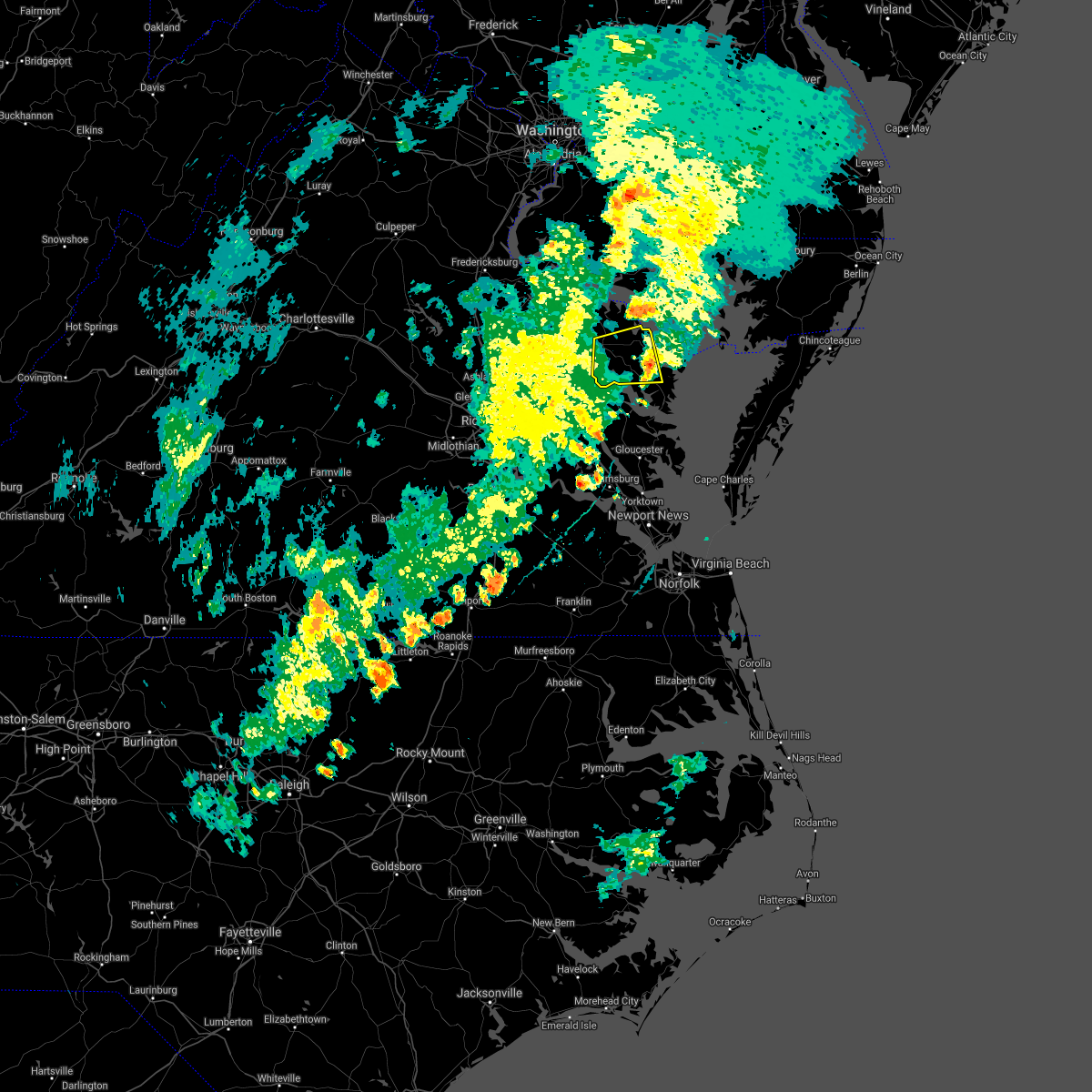 The severe thunderstorm warning for northwestern middlesex, northwestern northumberland, richmond, southeastern westmoreland, southeastern essex and northwestern lancaster counties will expire at 800 pm edt, the storm which prompted the warning has weakened below severe limits, and no longer poses an immediate threat to life or property. therefore, the warning will be allowed to expire. however gusty winds to 45 mph and heavy rain are still possible with this thunderstorm. The severe thunderstorm warning for northwestern middlesex, northwestern northumberland, richmond, southeastern westmoreland, southeastern essex and northwestern lancaster counties will expire at 800 pm edt, the storm which prompted the warning has weakened below severe limits, and no longer poses an immediate threat to life or property. therefore, the warning will be allowed to expire. however gusty winds to 45 mph and heavy rain are still possible with this thunderstorm.
|
| 5/28/2021 7:32 PM EDT |
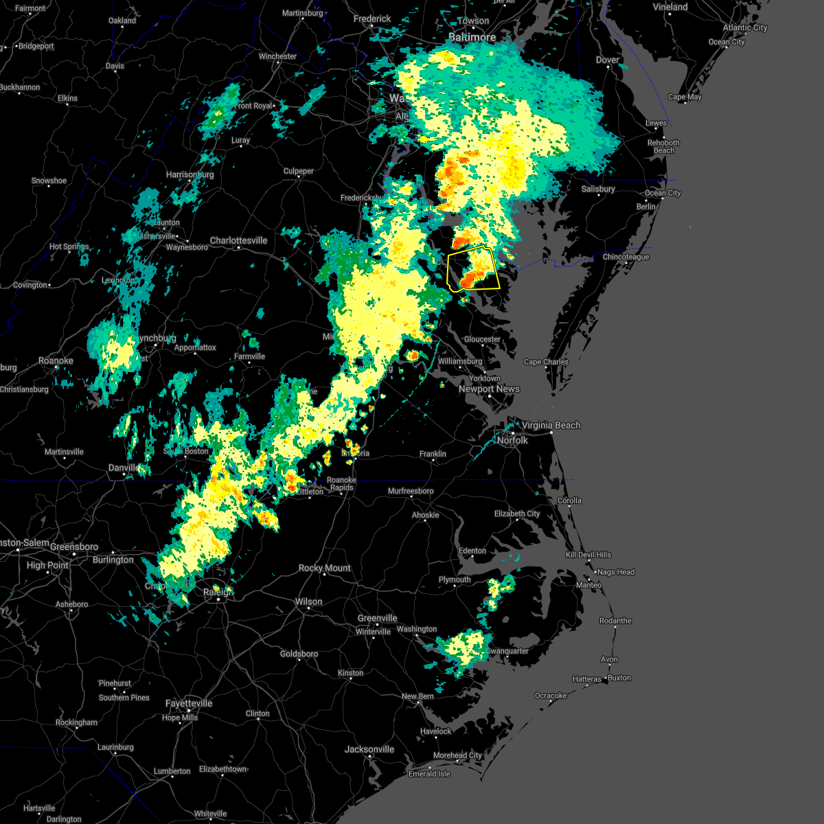 At 732 pm edt, a severe thunderstorm was located over farnham, or near robley, moving east at 30 mph (radar indicated). Hazards include 60 mph wind gusts and penny size hail. Expect damage to trees and powerlines. this severe storm will be near, morattico around 735 pm edt. robley around 740 pm edt. heathsville around 750 pm edt. lancaster around 755 pm edt. Other locations impacted by this severe thunderstorm include lottsburg, threeway, regina, nuttsville, belle isle state park, tidewater, middletons corner, kennard, dodlyt and laneview. At 732 pm edt, a severe thunderstorm was located over farnham, or near robley, moving east at 30 mph (radar indicated). Hazards include 60 mph wind gusts and penny size hail. Expect damage to trees and powerlines. this severe storm will be near, morattico around 735 pm edt. robley around 740 pm edt. heathsville around 750 pm edt. lancaster around 755 pm edt. Other locations impacted by this severe thunderstorm include lottsburg, threeway, regina, nuttsville, belle isle state park, tidewater, middletons corner, kennard, dodlyt and laneview.
|
| 5/28/2021 7:10 PM EDT |
 At 709 pm edt, a severe thunderstorm was located over dunnsville, or near tappahannock, moving east at 30 mph (radar indicated). Hazards include 60 mph wind gusts and penny size hail. Expect damage to trees and powerlines. this severe thunderstorm will be near, center cross around 715 pm edt. warsaw and sharps around 725 pm edt. haynesville and morattico around 730 pm edt. robley and farnham around 735 pm edt. callao and kinsale around 740 pm edt. heathsville and lewisetta around 750 pm edt. Other locations impacted by this severe thunderstorm include lottsburg, threeway, regina, upright, nuttsville, ino, belle isle state park, tidewater, lyells and crouch. At 709 pm edt, a severe thunderstorm was located over dunnsville, or near tappahannock, moving east at 30 mph (radar indicated). Hazards include 60 mph wind gusts and penny size hail. Expect damage to trees and powerlines. this severe thunderstorm will be near, center cross around 715 pm edt. warsaw and sharps around 725 pm edt. haynesville and morattico around 730 pm edt. robley and farnham around 735 pm edt. callao and kinsale around 740 pm edt. heathsville and lewisetta around 750 pm edt. Other locations impacted by this severe thunderstorm include lottsburg, threeway, regina, upright, nuttsville, ino, belle isle state park, tidewater, lyells and crouch.
|
| 5/28/2021 2:51 PM EDT |
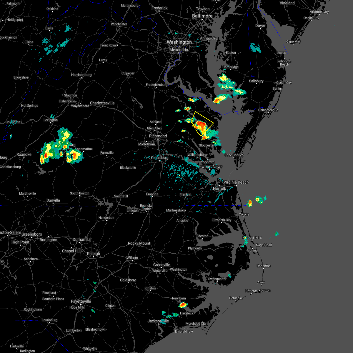 At 251 pm edt, a severe thunderstorm was located over morattico, or near robley, moving northeast at 35 mph (radar indicated). Hazards include 60 mph wind gusts and quarter size hail. Minor damage to vehicles is possible. expect wind damage to trees and powerlines. this severe storm will be near, robley, lancaster and farnham around 300 pm edt. Other locations impacted by this severe thunderstorm include laneview, nesting, wellford, somers, mollusk, alfonso, bowlers wharf, nuttsville, belle isle state park and montague. At 251 pm edt, a severe thunderstorm was located over morattico, or near robley, moving northeast at 35 mph (radar indicated). Hazards include 60 mph wind gusts and quarter size hail. Minor damage to vehicles is possible. expect wind damage to trees and powerlines. this severe storm will be near, robley, lancaster and farnham around 300 pm edt. Other locations impacted by this severe thunderstorm include laneview, nesting, wellford, somers, mollusk, alfonso, bowlers wharf, nuttsville, belle isle state park and montague.
|
| 5/28/2021 2:39 PM EDT |
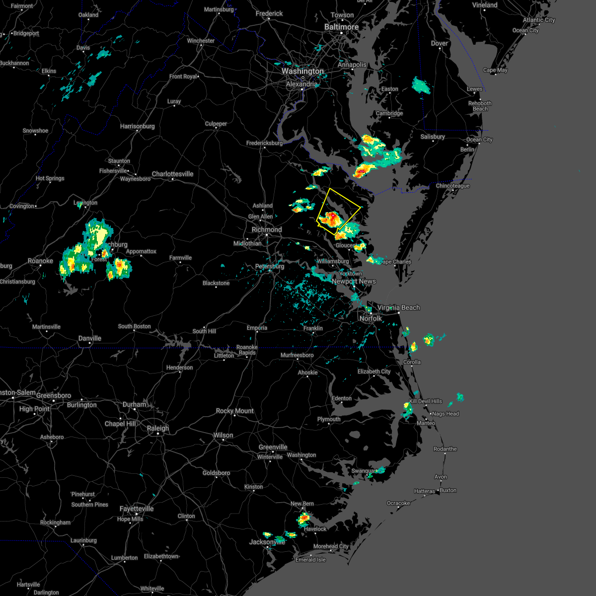 At 238 pm edt, a severe thunderstorm was located over little plymouth, or near west point, moving northeast at 20 mph (radar indicated). Hazards include 60 mph wind gusts and quarter size hail. Minor damage to vehicles is possible. expect wind damage to trees and powerlines. this severe thunderstorm will be near, church view around 250 pm edt. jamaica around 255 pm edt. center cross around 300 pm edt. morattico and sharps around 315 pm edt. robley and farnham around 325 pm edt. Other locations impacted by this severe thunderstorm include laneview, nesting, wellford, somers, mollusk, alfonso, bowlers wharf, nuttsville, ino and dragonville. At 238 pm edt, a severe thunderstorm was located over little plymouth, or near west point, moving northeast at 20 mph (radar indicated). Hazards include 60 mph wind gusts and quarter size hail. Minor damage to vehicles is possible. expect wind damage to trees and powerlines. this severe thunderstorm will be near, church view around 250 pm edt. jamaica around 255 pm edt. center cross around 300 pm edt. morattico and sharps around 315 pm edt. robley and farnham around 325 pm edt. Other locations impacted by this severe thunderstorm include laneview, nesting, wellford, somers, mollusk, alfonso, bowlers wharf, nuttsville, ino and dragonville.
|
| 5/4/2021 6:37 PM EDT |
 At 635 pm edt, severe thunderstorms were located along a line extending from saint george island to near little plymouth, moving east at 40 mph (radar indicated). Hazards include 60 mph wind gusts. Expect damage to trees and powerlines. these severe storms will be near, lewisetta around 640 pm edt. jamaica around 650 pm edt. church view around 655 pm edt. urbanna and saluda around 700 pm edt. Other locations impacted by these severe thunderstorms include eltham, currioman landing, lottsburg, threeway, avalon, cohoke, belle isle state park, rose garden, mattaponi and lyells. At 635 pm edt, severe thunderstorms were located along a line extending from saint george island to near little plymouth, moving east at 40 mph (radar indicated). Hazards include 60 mph wind gusts. Expect damage to trees and powerlines. these severe storms will be near, lewisetta around 640 pm edt. jamaica around 650 pm edt. church view around 655 pm edt. urbanna and saluda around 700 pm edt. Other locations impacted by these severe thunderstorms include eltham, currioman landing, lottsburg, threeway, avalon, cohoke, belle isle state park, rose garden, mattaponi and lyells.
|
| 5/4/2021 6:37 PM EDT |
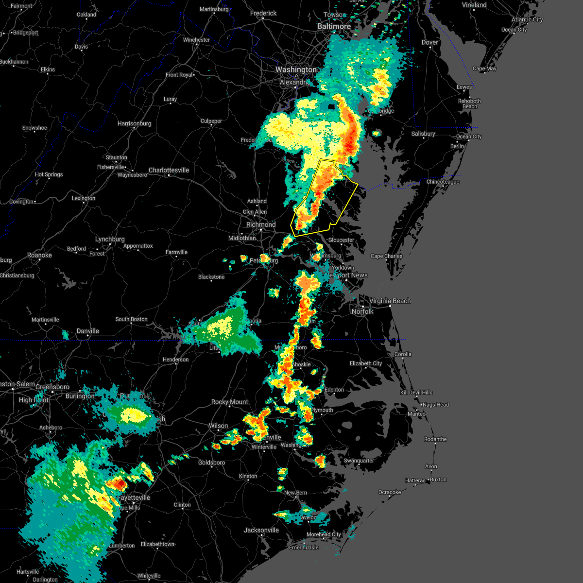 At 635 pm edt, severe thunderstorms were located along a line extending from saint george island to near little plymouth, moving east at 40 mph (radar indicated). Hazards include 60 mph wind gusts. Expect damage to trees and powerlines. these severe storms will be near, lewisetta around 640 pm edt. jamaica around 650 pm edt. church view around 655 pm edt. urbanna and saluda around 700 pm edt. Other locations impacted by these severe thunderstorms include eltham, currioman landing, lottsburg, threeway, avalon, cohoke, belle isle state park, rose garden, mattaponi and lyells. At 635 pm edt, severe thunderstorms were located along a line extending from saint george island to near little plymouth, moving east at 40 mph (radar indicated). Hazards include 60 mph wind gusts. Expect damage to trees and powerlines. these severe storms will be near, lewisetta around 640 pm edt. jamaica around 650 pm edt. church view around 655 pm edt. urbanna and saluda around 700 pm edt. Other locations impacted by these severe thunderstorms include eltham, currioman landing, lottsburg, threeway, avalon, cohoke, belle isle state park, rose garden, mattaponi and lyells.
|
| 5/4/2021 6:11 PM EDT |
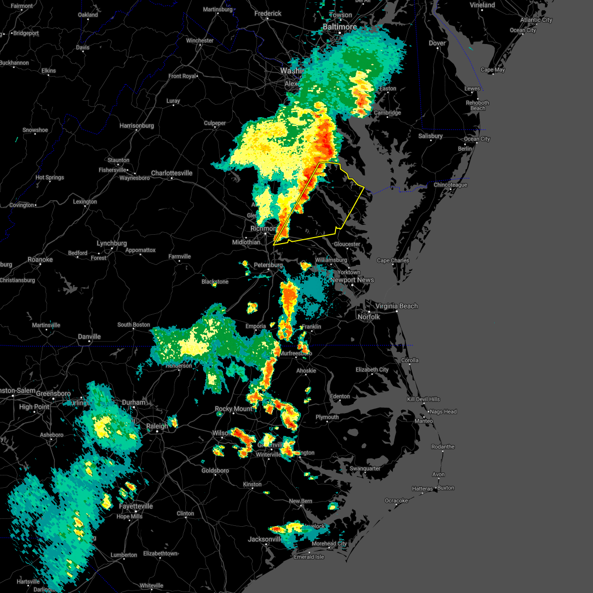 At 609 pm edt, severe thunderstorms were located along a line extending from near saint clements bay to bottoms bridge, moving east at 50 mph (radar indicated). Hazards include 60 mph wind gusts. Expect damage to trees and powerlines. severe thunderstorms will be near, new kent and king william around 625 pm edt. west point, king and queen court house and little plymouth around 635 pm edt. shacklefords around 640 pm edt. church view and jamaica around 645 pm edt. urbanna and saluda around 650 pm edt. lancaster around 700 pm edt. Other locations impacted by these severe thunderstorms include eltham, currioman landing, lottsburg, threeway, avalon, cohoke, belle isle state park, sandston, rose garden and mattaponi. At 609 pm edt, severe thunderstorms were located along a line extending from near saint clements bay to bottoms bridge, moving east at 50 mph (radar indicated). Hazards include 60 mph wind gusts. Expect damage to trees and powerlines. severe thunderstorms will be near, new kent and king william around 625 pm edt. west point, king and queen court house and little plymouth around 635 pm edt. shacklefords around 640 pm edt. church view and jamaica around 645 pm edt. urbanna and saluda around 650 pm edt. lancaster around 700 pm edt. Other locations impacted by these severe thunderstorms include eltham, currioman landing, lottsburg, threeway, avalon, cohoke, belle isle state park, sandston, rose garden and mattaponi.
|
| 11/30/2020 1:57 PM EST |
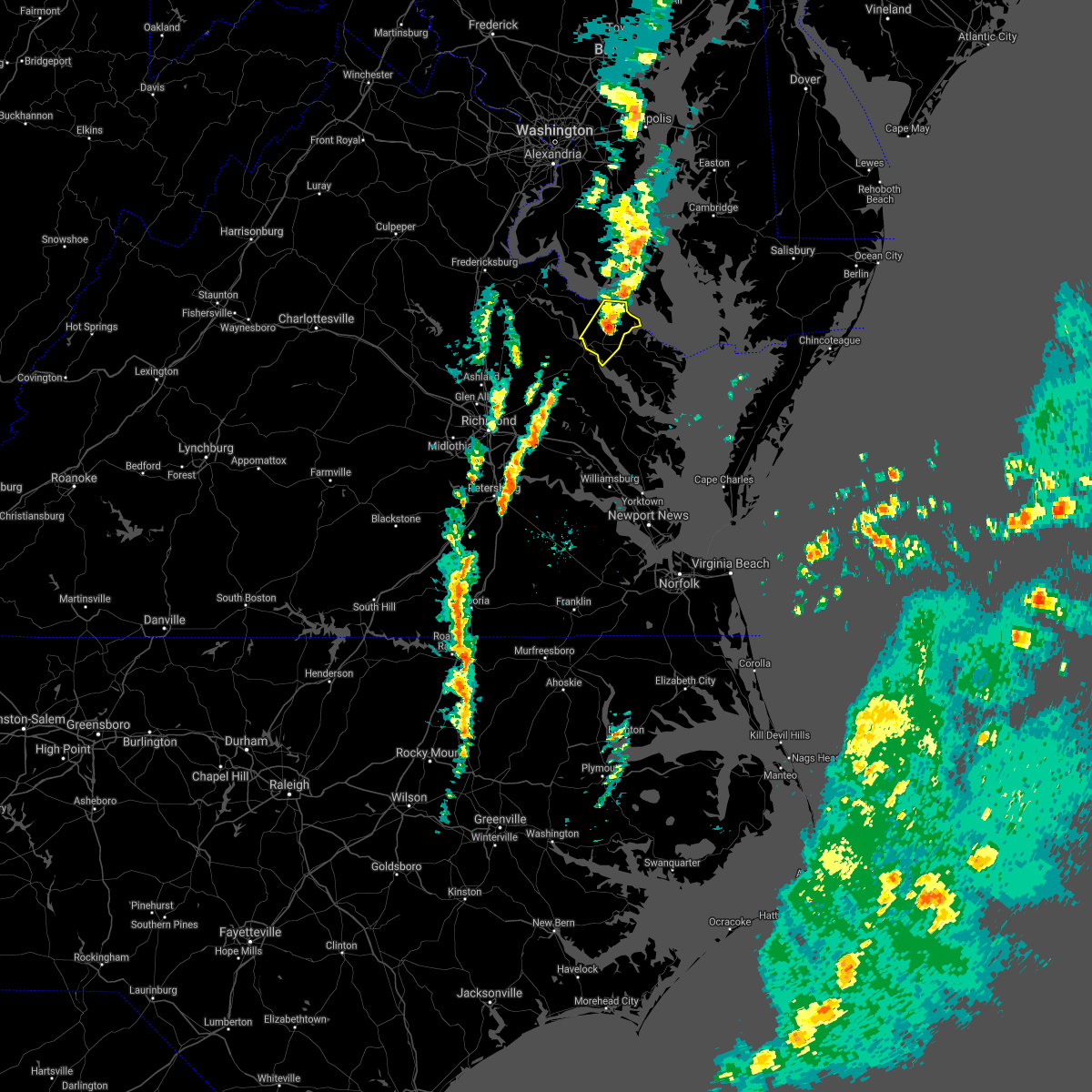 The severe thunderstorm warning for central richmond and southeastern westmoreland counties will expire at 200 pm est, the storm which prompted the warning has weakened below severe limits, and is exiting the warned area. therefore, the warning will be allowed to expire. however, gusty winds are still possible with this thunderstorm. a tornado watch remains in effect until 700 pm est for eastern and east central virginia. to report severe weather, contact your nearest law enforcement agency. they will relay your report to the national weather service wakefield. The severe thunderstorm warning for central richmond and southeastern westmoreland counties will expire at 200 pm est, the storm which prompted the warning has weakened below severe limits, and is exiting the warned area. therefore, the warning will be allowed to expire. however, gusty winds are still possible with this thunderstorm. a tornado watch remains in effect until 700 pm est for eastern and east central virginia. to report severe weather, contact your nearest law enforcement agency. they will relay your report to the national weather service wakefield.
|
| 11/30/2020 1:48 PM EST |
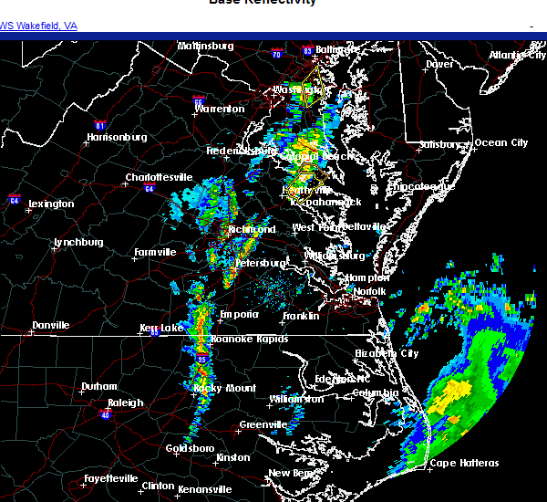 At 146 pm est, a severe thunderstorm was located over warsaw, moving northeast at 50 mph (radar indicated). Hazards include 60 mph wind gusts. Expect damage to trees and powerlines. Locations impacted include, warsaw, kinsale, haynesville, coles point, hague, westmoreland, wellford, ethel, threeway, mount holly, oldhams, lyells, naylors beach, kennard, sandy point, erica, piney grove, kremlin and templeman. At 146 pm est, a severe thunderstorm was located over warsaw, moving northeast at 50 mph (radar indicated). Hazards include 60 mph wind gusts. Expect damage to trees and powerlines. Locations impacted include, warsaw, kinsale, haynesville, coles point, hague, westmoreland, wellford, ethel, threeway, mount holly, oldhams, lyells, naylors beach, kennard, sandy point, erica, piney grove, kremlin and templeman.
|
| 11/30/2020 1:38 PM EST |
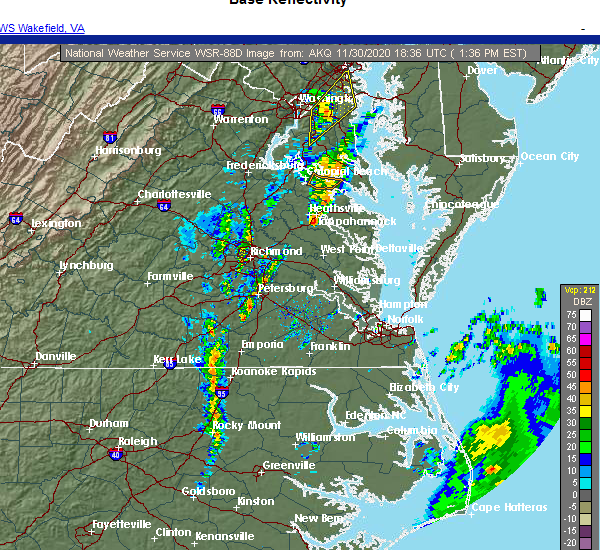 At 137 pm est, a severe thunderstorm was located over dunnsville, or over tappahannock, moving northeast at 50 mph (radar indicated). Hazards include 60 mph wind gusts. Expect damage to trees and powerlines. this severe thunderstorm will be near, warsaw around 145 pm est. haynesville around 150 pm est. hague, kinsale and coles point around 200 pm est. other locations impacted by this severe thunderstorm include howertons, wellford, ethel, threeway, upright, mount holly, oldhams, lyells, naylors beach and kennard. A tornado watch remains in effect until 700 pm est for eastern and east central virginia. At 137 pm est, a severe thunderstorm was located over dunnsville, or over tappahannock, moving northeast at 50 mph (radar indicated). Hazards include 60 mph wind gusts. Expect damage to trees and powerlines. this severe thunderstorm will be near, warsaw around 145 pm est. haynesville around 150 pm est. hague, kinsale and coles point around 200 pm est. other locations impacted by this severe thunderstorm include howertons, wellford, ethel, threeway, upright, mount holly, oldhams, lyells, naylors beach and kennard. A tornado watch remains in effect until 700 pm est for eastern and east central virginia.
|
| 8/4/2020 5:54 AM EDT |
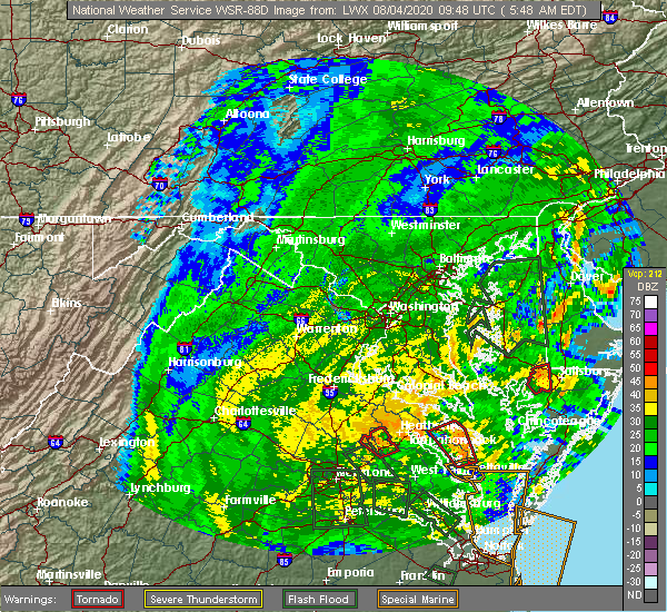 At 553 am edt, a severe thunderstorm capable of producing a tornado was located over warsaw, moving northwest at 65 mph (radar indicated rotation). Hazards include tornado. Flying debris will be dangerous to those caught without shelter. mobile homes will be damaged or destroyed. damage to roofs, windows, and vehicles will occur. tree damage is likely. this dangerous storm will be near, newland around 600 am edt. montross around 605 am edt. leedstown around 610 am edt. colonial beach around 615 am edt. Other locations impacted by this tornadic thunderstorm include lerty, wellford, ethel, potomac beach, oak grove, singerly, peeds, foneswood, chance and stratford hall. At 553 am edt, a severe thunderstorm capable of producing a tornado was located over warsaw, moving northwest at 65 mph (radar indicated rotation). Hazards include tornado. Flying debris will be dangerous to those caught without shelter. mobile homes will be damaged or destroyed. damage to roofs, windows, and vehicles will occur. tree damage is likely. this dangerous storm will be near, newland around 600 am edt. montross around 605 am edt. leedstown around 610 am edt. colonial beach around 615 am edt. Other locations impacted by this tornadic thunderstorm include lerty, wellford, ethel, potomac beach, oak grove, singerly, peeds, foneswood, chance and stratford hall.
|
| 7/28/2020 8:12 PM EDT |
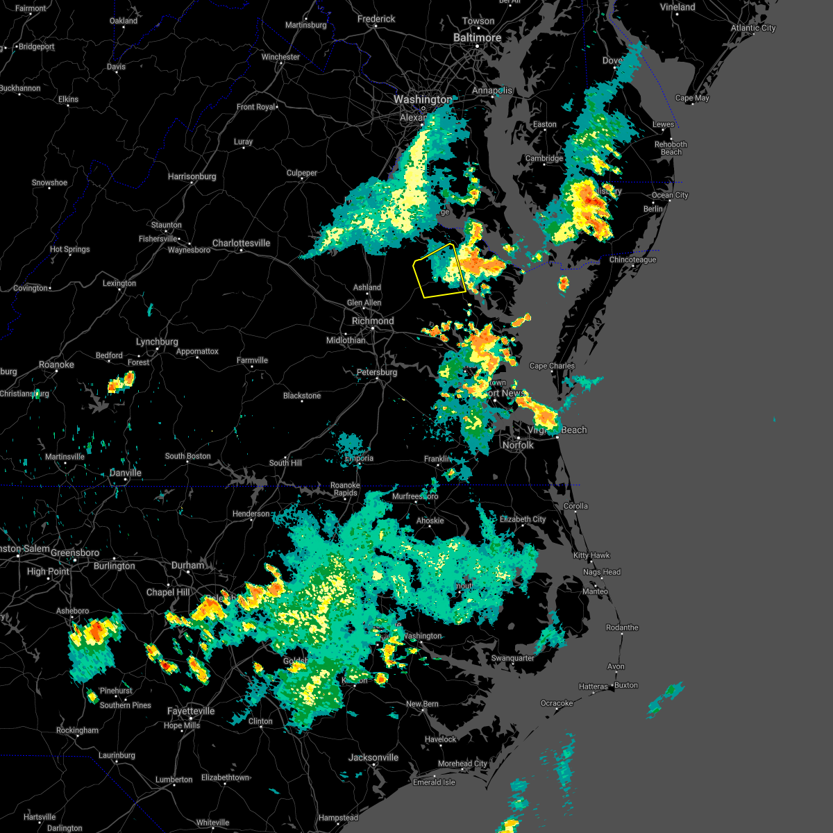 The severe thunderstorm warning for northwestern king and queen, western richmond and essex counties will expire at 815 pm edt, the storms which prompted the warning have moved out of the area. therefore, the warning will be allowed to expire. The severe thunderstorm warning for northwestern king and queen, western richmond and essex counties will expire at 815 pm edt, the storms which prompted the warning have moved out of the area. therefore, the warning will be allowed to expire.
|
| 7/28/2020 8:01 PM EDT |
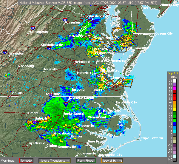 At 801 pm edt, severe thunderstorms were located along a line extending from near newland to warsaw to near sharps, moving east at 25 mph (radar indicated). Hazards include 60 mph wind gusts. Expect damage to trees and powerlines. severe thunderstorms will be near, haynesville around 810 pm edt. farnham around 815 pm edt. robley and hague around 820 pm edt. callao and kinsale around 825 pm edt. heathsville around 835 pm edt. lewisetta around 840 pm edt. Other locations impacted by these severe thunderstorms include lottsburg, threeway, avalon, mount holly, reedville, edwardsville, tidewater, lyells, middletons corner and kennard. At 801 pm edt, severe thunderstorms were located along a line extending from near newland to warsaw to near sharps, moving east at 25 mph (radar indicated). Hazards include 60 mph wind gusts. Expect damage to trees and powerlines. severe thunderstorms will be near, haynesville around 810 pm edt. farnham around 815 pm edt. robley and hague around 820 pm edt. callao and kinsale around 825 pm edt. heathsville around 835 pm edt. lewisetta around 840 pm edt. Other locations impacted by these severe thunderstorms include lottsburg, threeway, avalon, mount holly, reedville, edwardsville, tidewater, lyells, middletons corner and kennard.
|
| 7/28/2020 7:53 PM EDT |
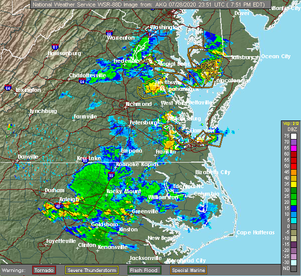 At 753 pm edt, severe thunderstorms were located along a line extending from near newland to tappahannock to near center cross, moving northeast at 25 mph (radar indicated). Hazards include 60 mph wind gusts. Expect damage to trees and powerlines. these severe storms will be near, newland around 800 pm edt. warsaw around 810 pm edt. Other locations impacted by these severe thunderstorms include howertons, laneview, beazley, wellford, ethel, bowlers wharf, upright, ino, rexburg and montague. At 753 pm edt, severe thunderstorms were located along a line extending from near newland to tappahannock to near center cross, moving northeast at 25 mph (radar indicated). Hazards include 60 mph wind gusts. Expect damage to trees and powerlines. these severe storms will be near, newland around 800 pm edt. warsaw around 810 pm edt. Other locations impacted by these severe thunderstorms include howertons, laneview, beazley, wellford, ethel, bowlers wharf, upright, ino, rexburg and montague.
|
| 7/28/2020 7:26 PM EDT |
 At 726 pm edt, severe thunderstorms were located along a line extending from 8 miles southwest of loretto to near newtown to near king william, moving northeast at 25 mph (radar indicated). Hazards include 60 mph wind gusts. Expect damage to trees and powerlines. severe thunderstorms will be near, champlain and millers tavern around 745 pm edt. tappahannock, dunnsville and center cross around 800 pm edt. newland around 805 pm edt. warsaw around 815 pm edt. Other locations impacted by these severe thunderstorms include beazley, elevon, upright, ino, epworth, biscoe, crouch, globe, mount landing and duane fork. At 726 pm edt, severe thunderstorms were located along a line extending from 8 miles southwest of loretto to near newtown to near king william, moving northeast at 25 mph (radar indicated). Hazards include 60 mph wind gusts. Expect damage to trees and powerlines. severe thunderstorms will be near, champlain and millers tavern around 745 pm edt. tappahannock, dunnsville and center cross around 800 pm edt. newland around 805 pm edt. warsaw around 815 pm edt. Other locations impacted by these severe thunderstorms include beazley, elevon, upright, ino, epworth, biscoe, crouch, globe, mount landing and duane fork.
|
| 6/25/2020 6:45 PM EDT |
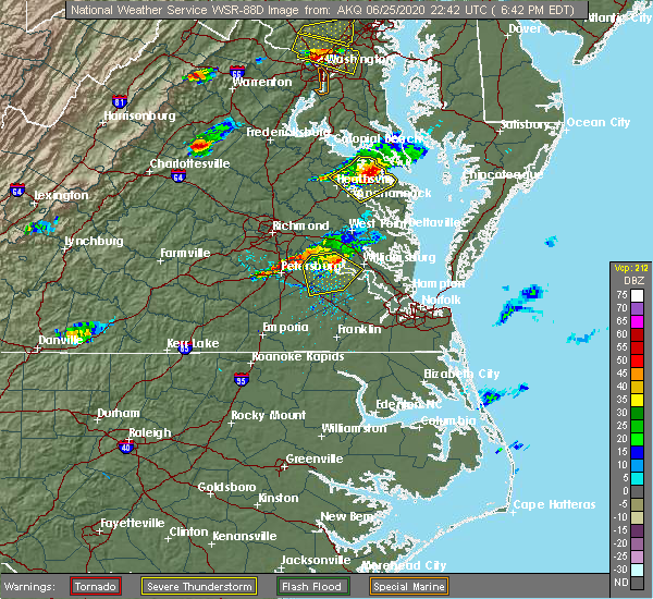 At 645 pm edt, a severe thunderstorm was located near kinsale, or near callao, moving east southeast at 20 mph (radar indicated). Hazards include 60 mph wind gusts and penny size hail. Expect damage to trees and powerlines. Locations impacted include, warsaw, callao, kinsale, coles point, lewisetta, hague, sharps, farnham, haynesville, westmoreland, lottsburg, threeway, mount holly, tidewater, lyells, kennard, erica, piney grove, wellford and ethel. At 645 pm edt, a severe thunderstorm was located near kinsale, or near callao, moving east southeast at 20 mph (radar indicated). Hazards include 60 mph wind gusts and penny size hail. Expect damage to trees and powerlines. Locations impacted include, warsaw, callao, kinsale, coles point, lewisetta, hague, sharps, farnham, haynesville, westmoreland, lottsburg, threeway, mount holly, tidewater, lyells, kennard, erica, piney grove, wellford and ethel.
|
| 6/25/2020 6:20 PM EDT |
 At 620 pm edt, severe thunderstorms were located along a line extending from near hague to near newland to near champlain, moving east at 25 mph (radar indicated). Hazards include 60 mph wind gusts and penny size hail. Expect damage to trees and powerlines. severe thunderstorms will be near, coles point around 625 pm edt. hague around 630 pm edt. warsaw and kinsale around 640 pm edt. callao and haynesville around 650 pm edt. lewisetta and sharps around 655 pm edt. farnham around 700 pm edt. Other locations impacted by these severe thunderstorms include wellford, ethel, currioman landing, lottsburg, threeway, village, bowlers wharf, mount holly, oldhams and tidewater. At 620 pm edt, severe thunderstorms were located along a line extending from near hague to near newland to near champlain, moving east at 25 mph (radar indicated). Hazards include 60 mph wind gusts and penny size hail. Expect damage to trees and powerlines. severe thunderstorms will be near, coles point around 625 pm edt. hague around 630 pm edt. warsaw and kinsale around 640 pm edt. callao and haynesville around 650 pm edt. lewisetta and sharps around 655 pm edt. farnham around 700 pm edt. Other locations impacted by these severe thunderstorms include wellford, ethel, currioman landing, lottsburg, threeway, village, bowlers wharf, mount holly, oldhams and tidewater.
|
| 6/25/2020 5:55 PM EDT |
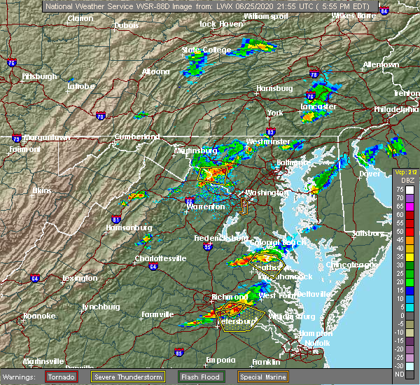 The severe thunderstorm warning for northwestern northumberland, richmond, westmoreland and north central essex counties will expire at 600 pm edt, the storm which prompted the warning has weakened below severe limits, and no longer poses an immediate threat to life or property. therefore, the warning will be allowed to expire. however gusty winds to 45 mph and heavy rain are still possible with this thunderstorm. The severe thunderstorm warning for northwestern northumberland, richmond, westmoreland and north central essex counties will expire at 600 pm edt, the storm which prompted the warning has weakened below severe limits, and no longer poses an immediate threat to life or property. therefore, the warning will be allowed to expire. however gusty winds to 45 mph and heavy rain are still possible with this thunderstorm.
|
| 6/25/2020 5:34 PM EDT |
 At 534 pm edt, a severe thunderstorm was located over montross, moving southeast at 15 mph (radar indicated). Hazards include 60 mph wind gusts and penny size hail. Expect damage to trees and powerlines. this severe storm will be near, warsaw around 610 pm edt. callao, haynesville, hague and kinsale around 615 pm edt. Other locations impacted by this severe thunderstorm include lerty, ethel, currioman landing, threeway, village, mount holly, singerly, peeds, foneswood and oldhams. At 534 pm edt, a severe thunderstorm was located over montross, moving southeast at 15 mph (radar indicated). Hazards include 60 mph wind gusts and penny size hail. Expect damage to trees and powerlines. this severe storm will be near, warsaw around 610 pm edt. callao, haynesville, hague and kinsale around 615 pm edt. Other locations impacted by this severe thunderstorm include lerty, ethel, currioman landing, threeway, village, mount holly, singerly, peeds, foneswood and oldhams.
|
| 6/25/2020 5:15 PM EDT |
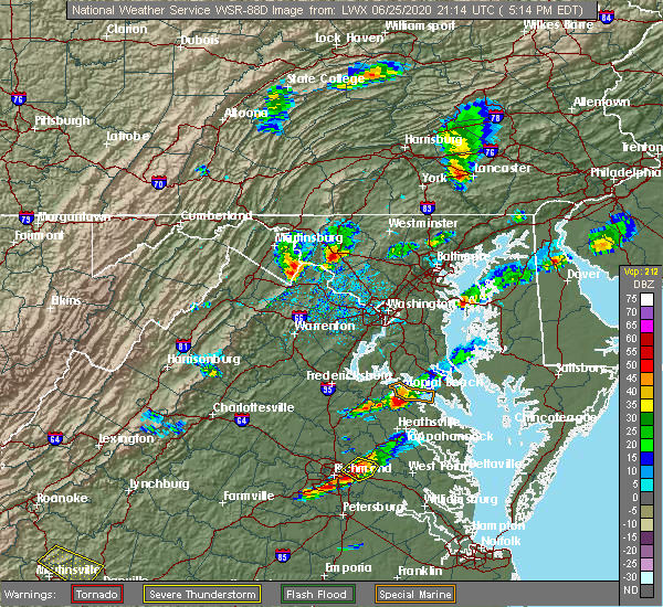 At 515 pm edt, a severe thunderstorm was located near leedstown, or about 5 miles northwest of montross, moving southeast at 30 mph (radar indicated). Hazards include 60 mph wind gusts and penny size hail. Expect damage to trees and powerlines. this severe thunderstorm will be near, montross and newland around 525 pm edt. warsaw and coles point around 540 pm edt. hague around 545 pm edt. kinsale and haynesville around 550 pm edt. callao around 600 pm edt. Other locations impacted by this severe thunderstorm include lerty, ethel, currioman landing, threeway, village, mount holly, singerly, peeds, foneswood and oldhams. At 515 pm edt, a severe thunderstorm was located near leedstown, or about 5 miles northwest of montross, moving southeast at 30 mph (radar indicated). Hazards include 60 mph wind gusts and penny size hail. Expect damage to trees and powerlines. this severe thunderstorm will be near, montross and newland around 525 pm edt. warsaw and coles point around 540 pm edt. hague around 545 pm edt. kinsale and haynesville around 550 pm edt. callao around 600 pm edt. Other locations impacted by this severe thunderstorm include lerty, ethel, currioman landing, threeway, village, mount holly, singerly, peeds, foneswood and oldhams.
|
| 6/22/2020 4:24 PM EDT |
 The severe thunderstorm warning for northwestern northumberland, richmond and westmoreland counties will expire at 430 pm edt, the storms which prompted the warning have weakened. moved out of the warned area.therefore, the warning will be allowed to expire. The severe thunderstorm warning for northwestern northumberland, richmond and westmoreland counties will expire at 430 pm edt, the storms which prompted the warning have weakened. moved out of the warned area.therefore, the warning will be allowed to expire.
|
| 6/22/2020 4:13 PM EDT |
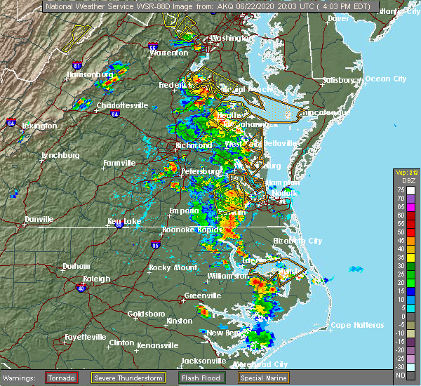 At 412 pm edt, severe thunderstorms were located along a line extending from newland to near haynesville, moving northeast at 35 mph (radar indicated). Hazards include 60 mph wind gusts. Expect damage to trees and powerlines. these severe storms will be near, haynesville around 415 pm edt. montross around 420 pm edt. callao, kinsale and hague around 425 pm edt. coles point around 435 pm edt. Other locations impacted by these severe thunderstorms include lerty, wellford, ethel, currioman landing, threeway, village, mount holly, singerly, foneswood and oldhams. At 412 pm edt, severe thunderstorms were located along a line extending from newland to near haynesville, moving northeast at 35 mph (radar indicated). Hazards include 60 mph wind gusts. Expect damage to trees and powerlines. these severe storms will be near, haynesville around 415 pm edt. montross around 420 pm edt. callao, kinsale and hague around 425 pm edt. coles point around 435 pm edt. Other locations impacted by these severe thunderstorms include lerty, wellford, ethel, currioman landing, threeway, village, mount holly, singerly, foneswood and oldhams.
|
| 6/22/2020 4:05 PM EDT | Trees down across western richmond count in richmond county VA, 0.3 miles ESE of Warsaw, VA |
| 6/22/2020 3:57 PM EDT |
 A severe thunderstorm warning remains in effect until 430 pm edt for northwestern northumberland. richmond. westmoreland and central essex counties. At 356 pm edt, severe thunderstorms were located along a line extending from near newland to near tappahannock, moving northeast at 40 mph. A severe thunderstorm warning remains in effect until 430 pm edt for northwestern northumberland. richmond. westmoreland and central essex counties. At 356 pm edt, severe thunderstorms were located along a line extending from near newland to near tappahannock, moving northeast at 40 mph.
|
| 6/22/2020 3:41 PM EDT |
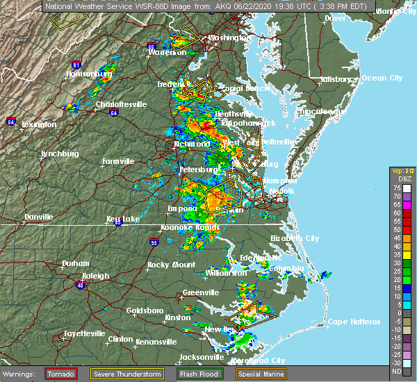 At 341 pm edt, severe thunderstorms were located along a line extending from near saint stephens church to millers tavern, moving northeast at 40 mph (radar indicated). Hazards include 60 mph wind gusts and penny size hail. Expect damage to trees and powerlines. severe thunderstorms will be near, tappahannock and dunnsville around 350 pm edt. champlain around 355 pm edt. warsaw and newland around 400 pm edt. haynesville around 405 pm edt. montross around 410 pm edt. hague and kinsale around 415 pm edt. coles point around 420 pm edt. Other locations impacted by these severe thunderstorms include currioman landing, threeway, mount holly, upright, biscoe, stratford hall, lyells, crouch, kennard and westmoreland. At 341 pm edt, severe thunderstorms were located along a line extending from near saint stephens church to millers tavern, moving northeast at 40 mph (radar indicated). Hazards include 60 mph wind gusts and penny size hail. Expect damage to trees and powerlines. severe thunderstorms will be near, tappahannock and dunnsville around 350 pm edt. champlain around 355 pm edt. warsaw and newland around 400 pm edt. haynesville around 405 pm edt. montross around 410 pm edt. hague and kinsale around 415 pm edt. coles point around 420 pm edt. Other locations impacted by these severe thunderstorms include currioman landing, threeway, mount holly, upright, biscoe, stratford hall, lyells, crouch, kennard and westmoreland.
|
| 6/19/2020 5:10 PM EDT | Power lines and multiple trees down in farnha in richmond county VA, 8.8 miles WNW of Warsaw, VA |
| 6/6/2020 8:06 PM EDT |
 At 806 pm edt, a severe thunderstorm was located over newland, or near montross, moving southeast at 20 mph (radar indicated). Hazards include 60 mph wind gusts and quarter size hail. Minor damage to vehicles is possible. expect wind damage to trees and powerlines. this severe thunderstorm will be near, montross and newland around 815 pm edt. hague around 840 pm edt. warsaw and haynesville around 845 pm edt. Other locations impacted by this severe thunderstorm include lerty, wellford, ethel, threeway, village, mount holly, singerly, peeds, foneswood and oldhams. At 806 pm edt, a severe thunderstorm was located over newland, or near montross, moving southeast at 20 mph (radar indicated). Hazards include 60 mph wind gusts and quarter size hail. Minor damage to vehicles is possible. expect wind damage to trees and powerlines. this severe thunderstorm will be near, montross and newland around 815 pm edt. hague around 840 pm edt. warsaw and haynesville around 845 pm edt. Other locations impacted by this severe thunderstorm include lerty, wellford, ethel, threeway, village, mount holly, singerly, peeds, foneswood and oldhams.
|
| 4/7/2020 4:47 PM EDT | Numerous trees down in the town of farnha in richmond county VA, 8.8 miles WNW of Warsaw, VA |
| 4/7/2020 4:42 PM EDT | Quarter sized hail reported 0.2 miles WSW of Warsaw, VA, nickel to quarter size haill at the 911 center. |
| 4/7/2020 4:36 PM EDT |
 At 435 pm edt, severe thunderstorms were located along a line extending from chesapeake ranch estates to near coles point to near newtown, moving east at 40 mph (radar indicated). Hazards include 60 mph wind gusts and quarter size hail. Minor damage to vehicles is possible. expect wind damage to trees and powerlines. these severe storms will be near, coles point and hague around 440 pm edt. kinsale around 445 pm edt. tappahannock and newland around 455 pm edt. warsaw, haynesville and dunnsville around 500 pm edt. Other locations impacted by these severe thunderstorms include beazley, currioman landing, lottsburg, threeway, avalon, brook vale, bertrand, reedville, belle isle state park and millenbeck. At 435 pm edt, severe thunderstorms were located along a line extending from chesapeake ranch estates to near coles point to near newtown, moving east at 40 mph (radar indicated). Hazards include 60 mph wind gusts and quarter size hail. Minor damage to vehicles is possible. expect wind damage to trees and powerlines. these severe storms will be near, coles point and hague around 440 pm edt. kinsale around 445 pm edt. tappahannock and newland around 455 pm edt. warsaw, haynesville and dunnsville around 500 pm edt. Other locations impacted by these severe thunderstorms include beazley, currioman landing, lottsburg, threeway, avalon, brook vale, bertrand, reedville, belle isle state park and millenbeck.
|
| 4/7/2020 4:30 PM EDT |
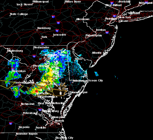 At 430 pm edt, severe thunderstorms were located along a line extending from lusby to near coles point to near newtown, moving southeast at 40 mph (radar indicated). Hazards include 60 mph wind gusts and quarter size hail. Minor damage to vehicles is possible. expect wind damage to trees and powerlines. severe thunderstorms will be near, lexington park and coles point around 435 pm edt. piney point and hague around 440 pm edt. saint george island and kinsale around 445 pm edt. tappahannock and callao around 450 pm edt. lewisetta and millers tavern around 455 pm edt. dunnsville, heathsville and stevensville around 500 pm edt. center cross around 505 pm edt. sharps around 510 pm edt. other locations impacted by these severe thunderstorms include beazley, currioman landing, lottsburg, threeway, valley lee, avalon, brook vale, bertrand, reedville and belle isle state park. People at rappahannock general hospital should seek safe shelter immediately!. At 430 pm edt, severe thunderstorms were located along a line extending from lusby to near coles point to near newtown, moving southeast at 40 mph (radar indicated). Hazards include 60 mph wind gusts and quarter size hail. Minor damage to vehicles is possible. expect wind damage to trees and powerlines. severe thunderstorms will be near, lexington park and coles point around 435 pm edt. piney point and hague around 440 pm edt. saint george island and kinsale around 445 pm edt. tappahannock and callao around 450 pm edt. lewisetta and millers tavern around 455 pm edt. dunnsville, heathsville and stevensville around 500 pm edt. center cross around 505 pm edt. sharps around 510 pm edt. other locations impacted by these severe thunderstorms include beazley, currioman landing, lottsburg, threeway, valley lee, avalon, brook vale, bertrand, reedville and belle isle state park. People at rappahannock general hospital should seek safe shelter immediately!.
|
| 4/7/2020 4:19 PM EDT |
 At 419 pm edt, severe thunderstorms were located along a line extending from near hollywood to near saint clements bay to near wicomico river to near port royal, moving southeast at 40 mph (radar indicated). Hazards include 60 mph wind gusts and nickel size hail. Expect damage to trees and powerlines. these severe storms will be near, montross around 425 pm edt. coles point around 435 pm edt. champlain and hague around 440 pm edt. tappahannock, callao, kinsale and newland around 445 pm edt. Other locations impacted by these severe thunderstorms include currioman landing, lottsburg, threeway, hustle, potomac beach, elevon, supply, mount holly, stratford hall and lyells. At 419 pm edt, severe thunderstorms were located along a line extending from near hollywood to near saint clements bay to near wicomico river to near port royal, moving southeast at 40 mph (radar indicated). Hazards include 60 mph wind gusts and nickel size hail. Expect damage to trees and powerlines. these severe storms will be near, montross around 425 pm edt. coles point around 435 pm edt. champlain and hague around 440 pm edt. tappahannock, callao, kinsale and newland around 445 pm edt. Other locations impacted by these severe thunderstorms include currioman landing, lottsburg, threeway, hustle, potomac beach, elevon, supply, mount holly, stratford hall and lyells.
|
| 4/7/2020 3:57 PM EDT |
 At 357 pm edt, severe thunderstorms were located along a line extending from near golden beach to 7 miles northwest of wicomico river to near colonial beach to 7 miles east of massaponax, moving southeast at 40 mph (radar indicated). Hazards include 60 mph wind gusts and nickel size hail. Expect damage to trees and powerlines. severe thunderstorms will be near, colonial beach around 400 pm edt. port royal around 415 pm edt. montross around 420 pm edt. loretto, coles point and leedstown around 430 pm edt. champlain and hague around 435 pm edt. kinsale and newland around 440 pm edt. tappahannock and callao around 445 pm edt. Other locations impacted by these severe thunderstorms include currioman landing, lottsburg, threeway, hustle, potomac beach, corbin, elevon, supply, mount holly and stratford hall. At 357 pm edt, severe thunderstorms were located along a line extending from near golden beach to 7 miles northwest of wicomico river to near colonial beach to 7 miles east of massaponax, moving southeast at 40 mph (radar indicated). Hazards include 60 mph wind gusts and nickel size hail. Expect damage to trees and powerlines. severe thunderstorms will be near, colonial beach around 400 pm edt. port royal around 415 pm edt. montross around 420 pm edt. loretto, coles point and leedstown around 430 pm edt. champlain and hague around 435 pm edt. kinsale and newland around 440 pm edt. tappahannock and callao around 445 pm edt. Other locations impacted by these severe thunderstorms include currioman landing, lottsburg, threeway, hustle, potomac beach, corbin, elevon, supply, mount holly and stratford hall.
|
| 8/20/2019 7:09 PM EDT |
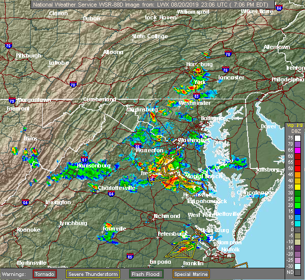 The severe thunderstorm warning for northwestern richmond and westmoreland counties will expire at 715 pm edt, the storms which prompted the warning have weakened below severe limits, and no longer pose an immediate threat to life or property. therefore, the warning will be allowed to expire. however small hail, gusty winds and heavy rain are still possible with these thunderstorms. The severe thunderstorm warning for northwestern richmond and westmoreland counties will expire at 715 pm edt, the storms which prompted the warning have weakened below severe limits, and no longer pose an immediate threat to life or property. therefore, the warning will be allowed to expire. however small hail, gusty winds and heavy rain are still possible with these thunderstorms.
|
| 8/20/2019 6:36 PM EDT |
 At 636 pm edt, severe thunderstorms were located along a line extending from near leedstown to montross to near warsaw, moving northeast at 5 mph (radar indicated). Hazards include 60 mph wind gusts and quarter size hail. Minor damage to vehicles is possible. Expect wind damage to trees and powerlines. At 636 pm edt, severe thunderstorms were located along a line extending from near leedstown to montross to near warsaw, moving northeast at 5 mph (radar indicated). Hazards include 60 mph wind gusts and quarter size hail. Minor damage to vehicles is possible. Expect wind damage to trees and powerlines.
|
| 8/20/2019 6:32 PM EDT |
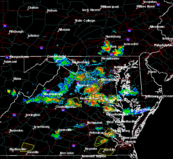 At 631 pm edt, a severe thunderstorm was located near newland, or near montross, moving northeast at 5 mph (radar indicated). Hazards include 60 mph wind gusts and quarter size hail. Minor damage to vehicles is possible. expect wind damage to trees and powerlines. Locations impacted include, warsaw, montross, newland, ethel, lyells, naylors beach, mount holly, kremlin, piney grove, templeman and stratford hall. At 631 pm edt, a severe thunderstorm was located near newland, or near montross, moving northeast at 5 mph (radar indicated). Hazards include 60 mph wind gusts and quarter size hail. Minor damage to vehicles is possible. expect wind damage to trees and powerlines. Locations impacted include, warsaw, montross, newland, ethel, lyells, naylors beach, mount holly, kremlin, piney grove, templeman and stratford hall.
|
| 8/20/2019 6:20 PM EDT | Tree down in newland. in addition... four homes were struck by lightning. time estimated from rada in richmond county VA, 8.5 miles SE of Warsaw, VA |
| 8/20/2019 6:07 PM EDT |
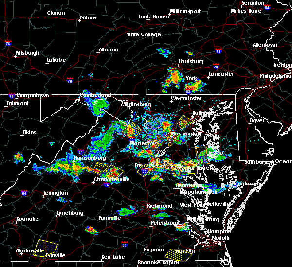 The national weather service in wakefield has issued a * severe thunderstorm warning for. northwestern richmond county in east central virginia. southeastern westmoreland county in east central virginia. central essex county in east central virginia. Until 645 pm edt. The national weather service in wakefield has issued a * severe thunderstorm warning for. northwestern richmond county in east central virginia. southeastern westmoreland county in east central virginia. central essex county in east central virginia. Until 645 pm edt.
|
| 7/11/2019 7:25 PM EDT | Tree down on sharps road in farnha in richmond county VA, 7.4 miles NNW of Warsaw, VA |
| 6/5/2019 5:53 PM EDT |
 The severe thunderstorm warning for northumberland, richmond, southern westmoreland and northern essex counties will expire at 600 pm edt, the storms which prompted the warning have weakened below severe limits, and have exited the warned area. therefore, the warning will be allowed to expire. a severe thunderstorm watch remains in effect until 1000 pm edt for eastern and east central virginia. The severe thunderstorm warning for northumberland, richmond, southern westmoreland and northern essex counties will expire at 600 pm edt, the storms which prompted the warning have weakened below severe limits, and have exited the warned area. therefore, the warning will be allowed to expire. a severe thunderstorm watch remains in effect until 1000 pm edt for eastern and east central virginia.
|
| 6/5/2019 5:15 PM EDT |
 At 514 pm edt, severe thunderstorms were located along a line extending from near newland to near warsaw to near sharps, moving east at 45 mph (radar indicated). Hazards include 60 mph wind gusts and penny size hail. Expect damage to trees and powerlines. severe thunderstorms will be near, farnham and haynesville around 520 pm edt. callao and kinsale around 525 pm edt. heathsville around 530 pm edt. hague, coles point and lewisetta around 535 pm edt. Other locations impacted by these severe thunderstorms include lottsburg, threeway, avalon, mount holly, edwardsville, tidewater, lyells, middletons corner, kennard and westmoreland. At 514 pm edt, severe thunderstorms were located along a line extending from near newland to near warsaw to near sharps, moving east at 45 mph (radar indicated). Hazards include 60 mph wind gusts and penny size hail. Expect damage to trees and powerlines. severe thunderstorms will be near, farnham and haynesville around 520 pm edt. callao and kinsale around 525 pm edt. heathsville around 530 pm edt. hague, coles point and lewisetta around 535 pm edt. Other locations impacted by these severe thunderstorms include lottsburg, threeway, avalon, mount holly, edwardsville, tidewater, lyells, middletons corner, kennard and westmoreland.
|
| 4/15/2019 2:50 AM EDT |
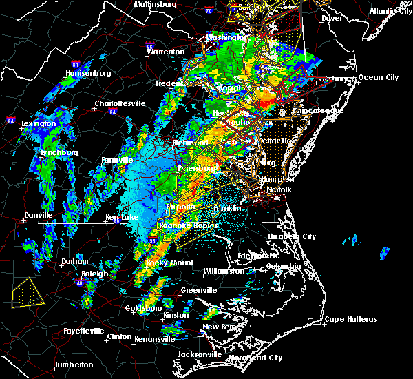 At 250 am edt, a severe thunderstorm was located over sharps, or 7 miles west of robley, moving northeast at 65 mph (radar indicated). Hazards include 60 mph wind gusts and quarter size hail. Minor damage to vehicles is possible. expect wind damage to trees and powerlines. this severe thunderstorm will be near, robley, farnham and haynesville around 255 am edt. callao and heathsville around 300 am edt. lewisetta and kinsale around 305 am edt. other locations impacted by this severe thunderstorm include lottsburg, threeway, avalon, nuttsville, belle isle state park, edwardsville, tidewater, middletons corner, kennard and westmoreland. A tornado watch remains in effect until 700 am edt for eastern and east central virginia. At 250 am edt, a severe thunderstorm was located over sharps, or 7 miles west of robley, moving northeast at 65 mph (radar indicated). Hazards include 60 mph wind gusts and quarter size hail. Minor damage to vehicles is possible. expect wind damage to trees and powerlines. this severe thunderstorm will be near, robley, farnham and haynesville around 255 am edt. callao and heathsville around 300 am edt. lewisetta and kinsale around 305 am edt. other locations impacted by this severe thunderstorm include lottsburg, threeway, avalon, nuttsville, belle isle state park, edwardsville, tidewater, middletons corner, kennard and westmoreland. A tornado watch remains in effect until 700 am edt for eastern and east central virginia.
|
| 4/15/2019 2:21 AM EDT |
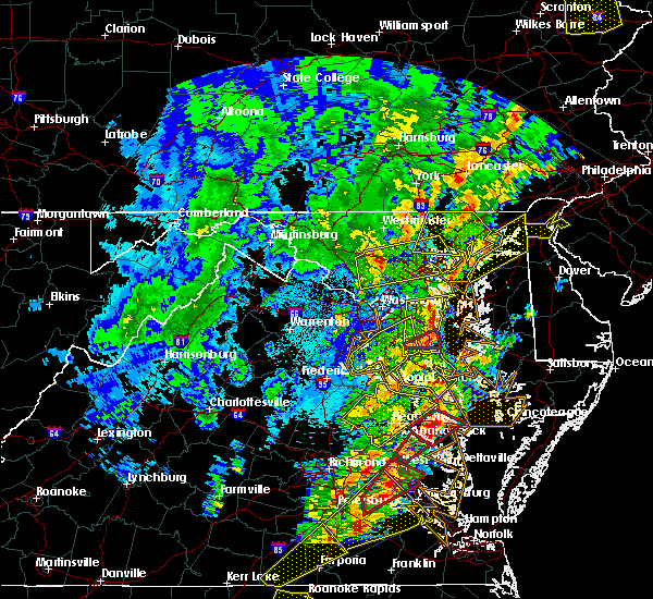 At 220 am edt, a severe thunderstorm was located near champlain, moving northeast at 65 mph (radar indicated). Hazards include 60 mph wind gusts. Expect damage to trees and powerlines. this severe storm will be near, montross around 230 am edt. other locations impacted by this severe thunderstorm include beazley, currioman landing, threeway, hustle, elevon, supply, mount holly, biscoe, stratford hall and lyells. A tornado watch remains in effect until 700 am edt for north central and east central virginia. At 220 am edt, a severe thunderstorm was located near champlain, moving northeast at 65 mph (radar indicated). Hazards include 60 mph wind gusts. Expect damage to trees and powerlines. this severe storm will be near, montross around 230 am edt. other locations impacted by this severe thunderstorm include beazley, currioman landing, threeway, hustle, elevon, supply, mount holly, biscoe, stratford hall and lyells. A tornado watch remains in effect until 700 am edt for north central and east central virginia.
|
| 4/15/2019 1:50 AM EDT |
 At 150 am edt, a severe thunderstorm was located over virginia union university, moving northeast at 80 mph (radar indicated). Hazards include 60 mph wind gusts and penny size hail. Expect damage to trees and powerlines. this severe thunderstorm will be near, hanover and studley around 200 am edt. aylett, mangohick and manquin around 205 am edt. saint stephens church, beulahville and newtown around 210 am edt. tappahannock and champlain around 220 am edt. newland around 225 am edt. montross around 230 am edt. other locations impacted by this severe thunderstorm include beazley, currioman landing, threeway, gum tree, etna mills, montrose, biscoe, lyells, chamberlayne and atlee. A tornado watch remains in effect until 700 am edt for central, north central and east central virginia. At 150 am edt, a severe thunderstorm was located over virginia union university, moving northeast at 80 mph (radar indicated). Hazards include 60 mph wind gusts and penny size hail. Expect damage to trees and powerlines. this severe thunderstorm will be near, hanover and studley around 200 am edt. aylett, mangohick and manquin around 205 am edt. saint stephens church, beulahville and newtown around 210 am edt. tappahannock and champlain around 220 am edt. newland around 225 am edt. montross around 230 am edt. other locations impacted by this severe thunderstorm include beazley, currioman landing, threeway, gum tree, etna mills, montrose, biscoe, lyells, chamberlayne and atlee. A tornado watch remains in effect until 700 am edt for central, north central and east central virginia.
|
| 3/22/2019 5:55 PM EDT |
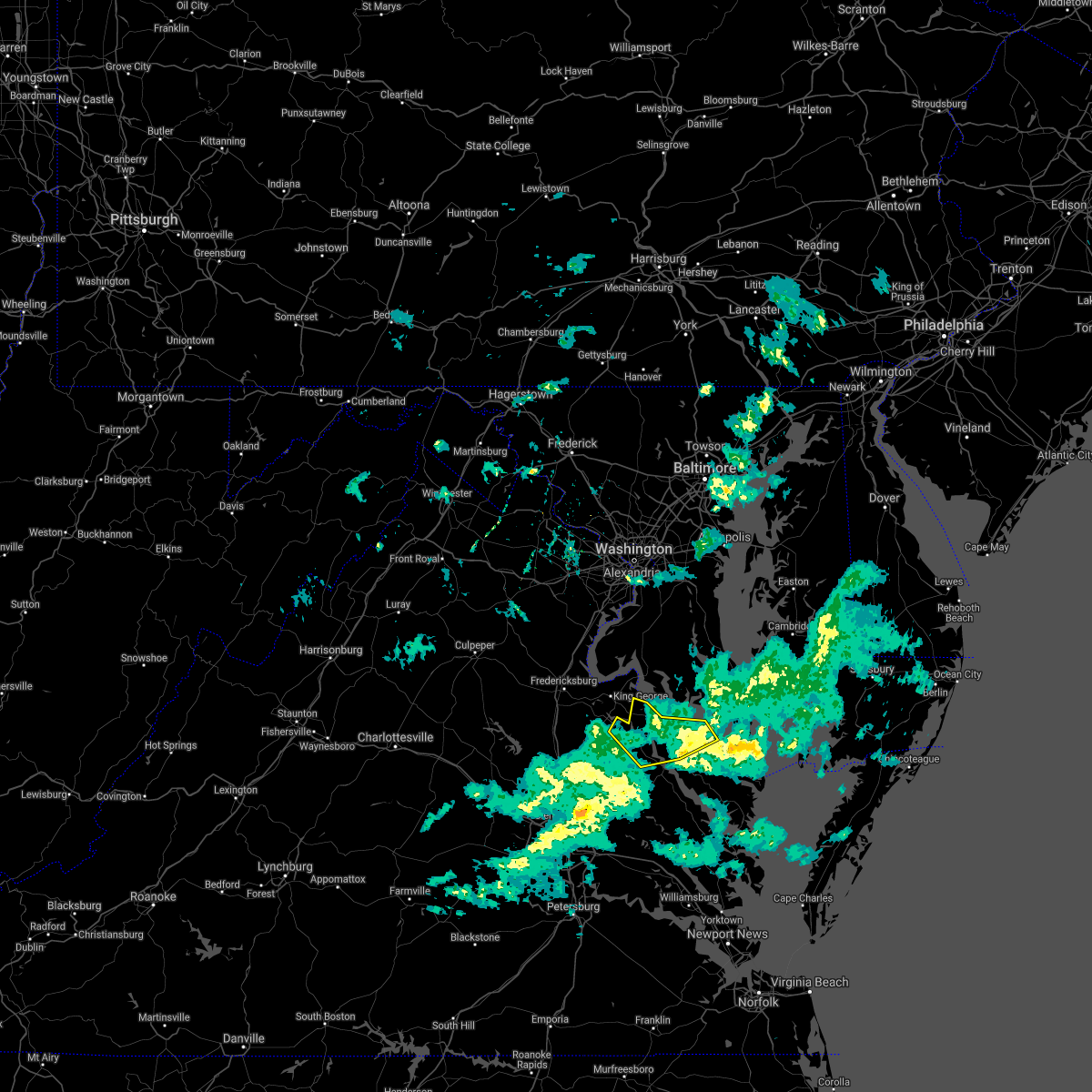 The severe thunderstorm warning for northwestern richmond, east central caroline, westmoreland and northwestern essex counties will expire at 600 pm edt, the storm which prompted the warning has weakened below severe limits, and no longer poses an immediate threat to life or property. therefore, the warning will be allowed to expire. The severe thunderstorm warning for northwestern richmond, east central caroline, westmoreland and northwestern essex counties will expire at 600 pm edt, the storm which prompted the warning has weakened below severe limits, and no longer poses an immediate threat to life or property. therefore, the warning will be allowed to expire.
|
| 3/22/2019 5:31 PM EDT |
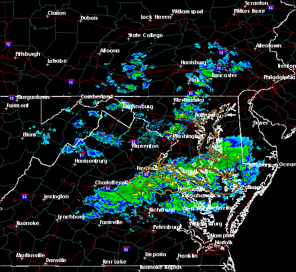 At 530 pm edt, a severe thunderstorm was located over leedstown, or 8 miles north of champlain, moving southeast at 50 mph (radar indicated). Hazards include 60 mph wind gusts and penny size hail. Expect damage to trees and powerlines. this severe storm will be near, champlain around 535 pm edt. newland around 540 pm edt. montross around 545 pm edt. warsaw around 550 pm edt. hague around 555 pm edt. Other locations impacted by this severe thunderstorm include currioman landing, hustle, supply, mount holly, stratford hall, lyells, westmoreland, erica, piney grove and templeman. At 530 pm edt, a severe thunderstorm was located over leedstown, or 8 miles north of champlain, moving southeast at 50 mph (radar indicated). Hazards include 60 mph wind gusts and penny size hail. Expect damage to trees and powerlines. this severe storm will be near, champlain around 535 pm edt. newland around 540 pm edt. montross around 545 pm edt. warsaw around 550 pm edt. hague around 555 pm edt. Other locations impacted by this severe thunderstorm include currioman landing, hustle, supply, mount holly, stratford hall, lyells, westmoreland, erica, piney grove and templeman.
|
| 3/22/2019 5:11 PM EDT |
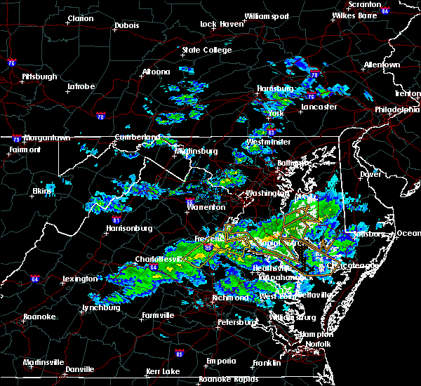 At 510 pm edt, a severe thunderstorm was located near fredericksburg, moving southeast at 50 mph (radar indicated). Hazards include 60 mph wind gusts and penny size hail. Expect damage to trees and powerlines. this severe thunderstorm will be near, port royal and fort a. p. hill around 525 pm edt. leedstown and loretto around 535 pm edt. champlain around 540 pm edt. montross and newland around 545 pm edt. warsaw and hague around 555 pm edt. Other locations impacted by this severe thunderstorm include currioman landing, hustle, guinea, corbin, elevon, supply, mount holly, penola, stratford hall and lyells. At 510 pm edt, a severe thunderstorm was located near fredericksburg, moving southeast at 50 mph (radar indicated). Hazards include 60 mph wind gusts and penny size hail. Expect damage to trees and powerlines. this severe thunderstorm will be near, port royal and fort a. p. hill around 525 pm edt. leedstown and loretto around 535 pm edt. champlain around 540 pm edt. montross and newland around 545 pm edt. warsaw and hague around 555 pm edt. Other locations impacted by this severe thunderstorm include currioman landing, hustle, guinea, corbin, elevon, supply, mount holly, penola, stratford hall and lyells.
|
| 6/24/2018 5:26 PM EDT |
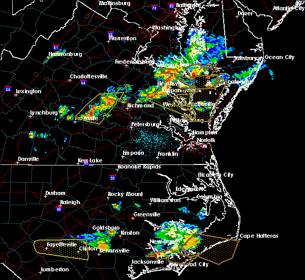 At 525 pm edt, severe thunderstorms were located along a line extending from near haynesville to sharps to near king and queen court house, moving east at 40 mph (radar indicated). Hazards include 60 mph wind gusts and penny size hail. Expect damage to trees and powerlines. Locations impacted include, king william, mathews, west point, tappahannock, warsaw, kilmarnock, urbanna, robley, king and queen court house, deltaville, callao, lancaster, white stone, kinsale, saluda, farnham, jamaica, dunnsville, hague and sharps. At 525 pm edt, severe thunderstorms were located along a line extending from near haynesville to sharps to near king and queen court house, moving east at 40 mph (radar indicated). Hazards include 60 mph wind gusts and penny size hail. Expect damage to trees and powerlines. Locations impacted include, king william, mathews, west point, tappahannock, warsaw, kilmarnock, urbanna, robley, king and queen court house, deltaville, callao, lancaster, white stone, kinsale, saluda, farnham, jamaica, dunnsville, hague and sharps.
|
| 6/24/2018 5:08 PM EDT |
 At 507 pm edt, severe thunderstorms were located along a line extending from near newland to near tappahannock to near king william, moving east at 40 mph (radar indicated). Hazards include 60 mph wind gusts. expect damage to trees and powerlines At 507 pm edt, severe thunderstorms were located along a line extending from near newland to near tappahannock to near king william, moving east at 40 mph (radar indicated). Hazards include 60 mph wind gusts. expect damage to trees and powerlines
|
| 6/24/2018 4:58 PM EDT |
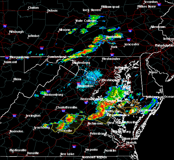 At 457 pm edt, severe thunderstorms were located along a line extending from near champlain to near millers tavern to near manquin, moving east at 45 mph (radar indicated). Hazards include 60 mph wind gusts. Expect damage to trees and powerlines. Locations impacted include, king william, tappahannock, warsaw, montross, champlain, saint stephens church, king and queen court house, manquin, beulahville, center cross, kinsale, loretto, leedstown, mangohick, haynesville, millers tavern, newtown, newland, coles point and dunnsville. At 457 pm edt, severe thunderstorms were located along a line extending from near champlain to near millers tavern to near manquin, moving east at 45 mph (radar indicated). Hazards include 60 mph wind gusts. Expect damage to trees and powerlines. Locations impacted include, king william, tappahannock, warsaw, montross, champlain, saint stephens church, king and queen court house, manquin, beulahville, center cross, kinsale, loretto, leedstown, mangohick, haynesville, millers tavern, newtown, newland, coles point and dunnsville.
|
| 6/24/2018 4:45 PM EDT |
 At 443 pm edt, severe thunderstorms were located along a line extending from near port royal to 7 miles northwest of newtown to dawn, moving east at 40 mph (radar indicated). Hazards include 60 mph wind gusts and penny size hail. Expect damage to trees and powerlines. locations impacted include, king william, tappahannock, warsaw, montross, champlain, saint stephens church, colonial beach, king and queen court house, port royal, manquin, beulahville, center cross, kinsale, dawn, loretto, leedstown, mangohick, haynesville, fort a. p. Hill, millers tavern and newtown. At 443 pm edt, severe thunderstorms were located along a line extending from near port royal to 7 miles northwest of newtown to dawn, moving east at 40 mph (radar indicated). Hazards include 60 mph wind gusts and penny size hail. Expect damage to trees and powerlines. locations impacted include, king william, tappahannock, warsaw, montross, champlain, saint stephens church, colonial beach, king and queen court house, port royal, manquin, beulahville, center cross, kinsale, dawn, loretto, leedstown, mangohick, haynesville, fort a. p. Hill, millers tavern and newtown.
|
| 6/24/2018 4:33 PM EDT |
 At 432 pm edt, severe thunderstorms were located along a line extending from near fort a.p. hill to near milford to near kings dominion, moving east at 40 mph (radar indicated). Hazards include 60 mph wind gusts and penny size hail. expect damage to trees and powerlines At 432 pm edt, severe thunderstorms were located along a line extending from near fort a.p. hill to near milford to near kings dominion, moving east at 40 mph (radar indicated). Hazards include 60 mph wind gusts and penny size hail. expect damage to trees and powerlines
|
| 5/14/2018 8:05 PM EDT |
 At 804 pm edt, severe thunderstorms were located along a line extending from near saint marys river to morattico, moving east at 40 mph (radar indicated). Hazards include 70 mph wind gusts and quarter size hail. Minor damage to vehicles is possible. expect considerable tree damage. wind damage is also likely to mobile homes, roofs, and outbuildings. Locations impacted include, tappahannock, warsaw, montross, fair port, robley, callao, lancaster, center cross, kinsale, morattico, heathsville, wicomico church, farnham, haynesville, coles point, dunnsville, hague, lewisetta, sharps and westmoreland. At 804 pm edt, severe thunderstorms were located along a line extending from near saint marys river to morattico, moving east at 40 mph (radar indicated). Hazards include 70 mph wind gusts and quarter size hail. Minor damage to vehicles is possible. expect considerable tree damage. wind damage is also likely to mobile homes, roofs, and outbuildings. Locations impacted include, tappahannock, warsaw, montross, fair port, robley, callao, lancaster, center cross, kinsale, morattico, heathsville, wicomico church, farnham, haynesville, coles point, dunnsville, hague, lewisetta, sharps and westmoreland.
|
| 5/14/2018 7:43 PM EDT |
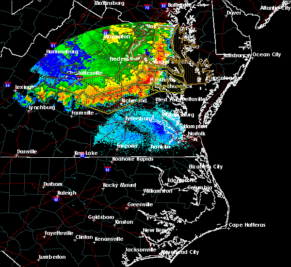 At 742 pm edt, severe thunderstorms were located along a line extending from near saint clements bay to dunnsville, moving east at 65 mph (radar indicated). Hazards include 60 mph wind gusts and quarter size hail. Minor damage to vehicles is possible. expect wind damage to trees and powerlines. severe thunderstorms will be near, farnham around 750 pm edt. robley and morattico around 755 pm edt. lancaster and heathsville around 800 pm edt. wicomico church around 805 pm edt. fair port around 810 pm edt. Other locations impacted by these severe thunderstorms include currioman landing, lottsburg, threeway, regina, avalon, mount holly, brook vale, upright, nuttsville and reedville. At 742 pm edt, severe thunderstorms were located along a line extending from near saint clements bay to dunnsville, moving east at 65 mph (radar indicated). Hazards include 60 mph wind gusts and quarter size hail. Minor damage to vehicles is possible. expect wind damage to trees and powerlines. severe thunderstorms will be near, farnham around 750 pm edt. robley and morattico around 755 pm edt. lancaster and heathsville around 800 pm edt. wicomico church around 805 pm edt. fair port around 810 pm edt. Other locations impacted by these severe thunderstorms include currioman landing, lottsburg, threeway, regina, avalon, mount holly, brook vale, upright, nuttsville and reedville.
|
| 5/14/2018 7:10 PM EDT |
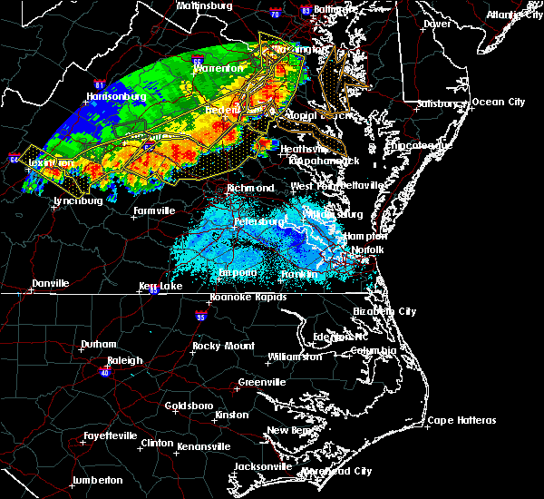 At 709 pm edt, a severe thunderstorm was located near loretto, or near champlain, moving east at 50 mph (radar indicated). Hazards include 60 mph wind gusts and quarter size hail. Minor damage to vehicles is possible. expect wind damage to trees and powerlines. this severe thunderstorm will be near, champlain and leedstown around 715 pm edt. montross and newland around 725 pm edt. warsaw around 730 pm edt. haynesville around 735 pm edt. hague and coles point around 740 pm edt. Other locations impacted by this severe thunderstorm include beazley, currioman landing, threeway, hustle, elevon, supply, mount holly, stratford hall, lyells and kennard. At 709 pm edt, a severe thunderstorm was located near loretto, or near champlain, moving east at 50 mph (radar indicated). Hazards include 60 mph wind gusts and quarter size hail. Minor damage to vehicles is possible. expect wind damage to trees and powerlines. this severe thunderstorm will be near, champlain and leedstown around 715 pm edt. montross and newland around 725 pm edt. warsaw around 730 pm edt. haynesville around 735 pm edt. hague and coles point around 740 pm edt. Other locations impacted by this severe thunderstorm include beazley, currioman landing, threeway, hustle, elevon, supply, mount holly, stratford hall, lyells and kennard.
|
| 5/10/2018 4:55 PM EDT |
 At 455 pm edt, a severe thunderstorm was located over millers tavern, or near tappahannock, moving east at 35 mph (radar indicated). Hazards include 60 mph wind gusts and quarter size hail. Minor damage to vehicles is possible. expect wind damage to trees and powerlines. this severe thunderstorm will be near, tappahannock around 505 pm edt. dunnsville around 510 pm edt. warsaw and center cross around 515 pm edt. sharps around 520 pm edt. farnham and haynesville around 525 pm edt. robley and morattico around 530 pm edt. heathsville around 540 pm edt. lancaster around 545 pm edt. Other locations impacted by this severe thunderstorm include lottsburg, regina, avalon, brook vale, upright, nuttsville, reedville, belle isle state park, biscoe and edwardsville. At 455 pm edt, a severe thunderstorm was located over millers tavern, or near tappahannock, moving east at 35 mph (radar indicated). Hazards include 60 mph wind gusts and quarter size hail. Minor damage to vehicles is possible. expect wind damage to trees and powerlines. this severe thunderstorm will be near, tappahannock around 505 pm edt. dunnsville around 510 pm edt. warsaw and center cross around 515 pm edt. sharps around 520 pm edt. farnham and haynesville around 525 pm edt. robley and morattico around 530 pm edt. heathsville around 540 pm edt. lancaster around 545 pm edt. Other locations impacted by this severe thunderstorm include lottsburg, regina, avalon, brook vale, upright, nuttsville, reedville, belle isle state park, biscoe and edwardsville.
|
| 8/18/2017 8:30 PM EDT |
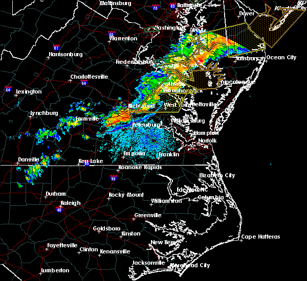 At 829 pm edt, a severe thunderstorm was located near saint george island, moving east at 50 mph (radar indicated). Hazards include 60 mph wind gusts. Expect damage to trees and powerlines. This severe thunderstorm will remain over mainly rural areas of northumberland, richmond, southeastern westmoreland, east central essex and north central lancaster counties, including the following locations: lottsburg, threeway, avalon, mount holly, reedville, edwardsville, tidewater, lyells, middletons corner and kennard. At 829 pm edt, a severe thunderstorm was located near saint george island, moving east at 50 mph (radar indicated). Hazards include 60 mph wind gusts. Expect damage to trees and powerlines. This severe thunderstorm will remain over mainly rural areas of northumberland, richmond, southeastern westmoreland, east central essex and north central lancaster counties, including the following locations: lottsburg, threeway, avalon, mount holly, reedville, edwardsville, tidewater, lyells, middletons corner and kennard.
|
| 8/18/2017 8:12 PM EDT | Quarter sized hail reported 0.2 miles WSW of Warsaw, VA |
| 8/18/2017 8:10 PM EDT | Trees down along highway 360 and mill pond r in richmond county VA, 3.6 miles W of Warsaw, VA |
| 8/18/2017 7:53 PM EDT |
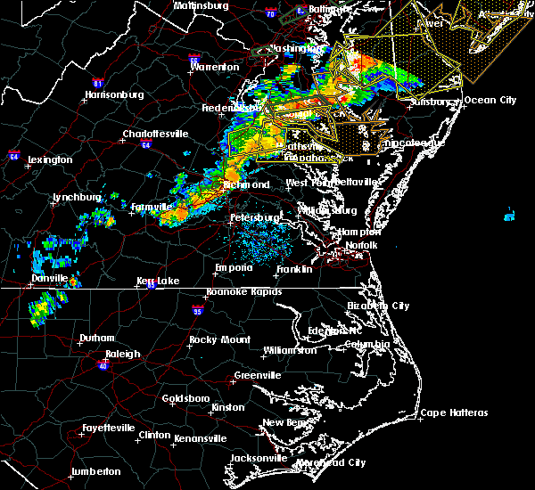 At 752 pm edt, a severe thunderstorm was located over champlain, moving east at 50 mph (radar indicated). Hazards include 60 mph wind gusts. Expect damage to trees and powerlines. this severe thunderstorm will be near, champlain and leedstown around 755 pm edt. tappahannock around 800 pm edt. montross and newland around 805 pm edt. warsaw around 810 pm edt. hague and haynesville around 815 pm edt. callao, kinsale and coles point around 820 pm edt. lewisetta around 830 pm edt. Other locations impacted by this severe thunderstorm include beazley, currioman landing, lottsburg, threeway, avalon, reedville, lyells, westmoreland, mount landing and dodlyt. At 752 pm edt, a severe thunderstorm was located over champlain, moving east at 50 mph (radar indicated). Hazards include 60 mph wind gusts. Expect damage to trees and powerlines. this severe thunderstorm will be near, champlain and leedstown around 755 pm edt. tappahannock around 800 pm edt. montross and newland around 805 pm edt. warsaw around 810 pm edt. hague and haynesville around 815 pm edt. callao, kinsale and coles point around 820 pm edt. lewisetta around 830 pm edt. Other locations impacted by this severe thunderstorm include beazley, currioman landing, lottsburg, threeway, avalon, reedville, lyells, westmoreland, mount landing and dodlyt.
|
| 7/22/2017 8:00 PM EDT | Several trees down on rt. 360 near haynesville correctional cente in richmond county VA, 5.2 miles W of Warsaw, VA |
| 7/22/2017 7:45 PM EDT |
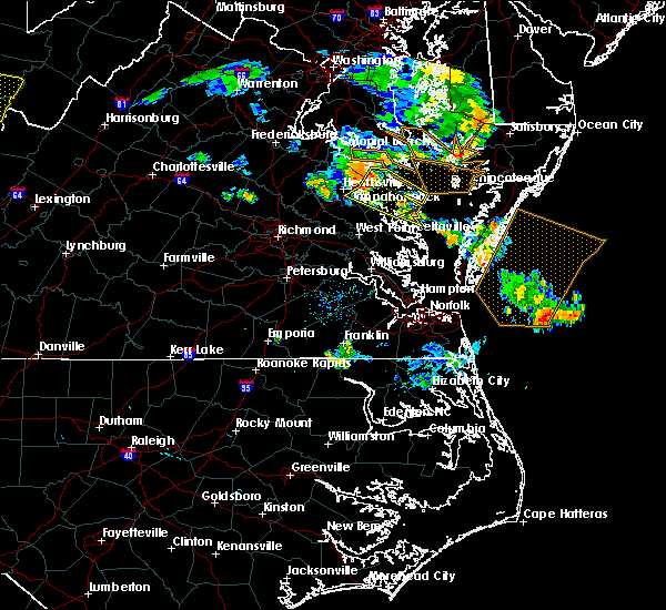 At 744 pm edt, severe thunderstorms were located along a line extending from near hague to near haynesville to dunnsville, moving east at 30 mph (radar indicated). Hazards include 60 mph wind gusts. Expect damage to trees and powerlines. severe thunderstorms will be near, haynesville around 750 pm edt. callao, kinsale and farnham around 755 pm edt. lewisetta around 805 pm edt. robley, heathsville and morattico around 810 pm edt. lancaster around 825 pm edt. kilmarnock and wicomico church around 830 pm edt. fair port around 840 pm edt. Other locations impacted by these severe thunderstorms include byrdton, lottsburg, threeway, regina, mollusk, avalon, brook vale, nuttsville, reedville and belle isle state park. At 744 pm edt, severe thunderstorms were located along a line extending from near hague to near haynesville to dunnsville, moving east at 30 mph (radar indicated). Hazards include 60 mph wind gusts. Expect damage to trees and powerlines. severe thunderstorms will be near, haynesville around 750 pm edt. callao, kinsale and farnham around 755 pm edt. lewisetta around 805 pm edt. robley, heathsville and morattico around 810 pm edt. lancaster around 825 pm edt. kilmarnock and wicomico church around 830 pm edt. fair port around 840 pm edt. Other locations impacted by these severe thunderstorms include byrdton, lottsburg, threeway, regina, mollusk, avalon, brook vale, nuttsville, reedville and belle isle state park.
|
| 7/22/2017 7:20 PM EDT |
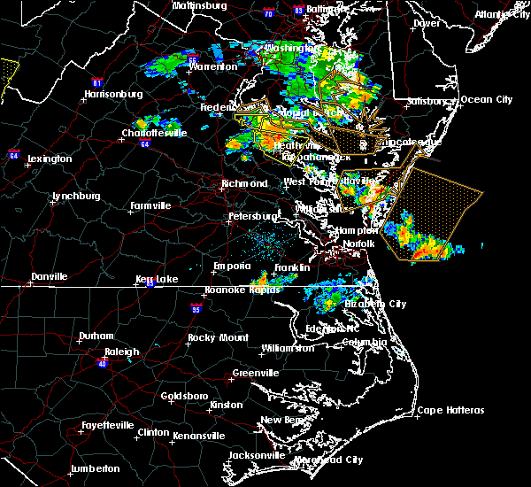 At 719 pm edt, a severe thunderstorm was located near tappahannock, moving southeast at 25 mph (radar indicated). Hazards include 60 mph wind gusts. Expect damage to trees and powerlines. this severe storm will be near, tappahannock around 730 pm edt. warsaw and dunnsville around 740 pm edt. haynesville and center cross around 745 pm edt. Other locations impacted by this severe thunderstorm include wellford, ethel, threeway, hustle, elevon, peeds, bowlers wharf, singerly, upright and rexburg. At 719 pm edt, a severe thunderstorm was located near tappahannock, moving southeast at 25 mph (radar indicated). Hazards include 60 mph wind gusts. Expect damage to trees and powerlines. this severe storm will be near, tappahannock around 730 pm edt. warsaw and dunnsville around 740 pm edt. haynesville and center cross around 745 pm edt. Other locations impacted by this severe thunderstorm include wellford, ethel, threeway, hustle, elevon, peeds, bowlers wharf, singerly, upright and rexburg.
|
| 7/22/2017 7:04 PM EDT |
 At 704 pm edt, a severe thunderstorm was located over champlain, moving southeast at 25 mph (radar indicated). Hazards include 60 mph wind gusts. Expect damage to trees and powerlines. this severe thunderstorm will be near, newland around 720 pm edt. tappahannock around 730 pm edt. warsaw and dunnsville around 740 pm edt. haynesville and center cross around 745 pm edt. Other locations impacted by this severe thunderstorm include beazley, threeway, hustle, elevon, supply, upright, lyells, kennard, mount landing and piney grove. At 704 pm edt, a severe thunderstorm was located over champlain, moving southeast at 25 mph (radar indicated). Hazards include 60 mph wind gusts. Expect damage to trees and powerlines. this severe thunderstorm will be near, newland around 720 pm edt. tappahannock around 730 pm edt. warsaw and dunnsville around 740 pm edt. haynesville and center cross around 745 pm edt. Other locations impacted by this severe thunderstorm include beazley, threeway, hustle, elevon, supply, upright, lyells, kennard, mount landing and piney grove.
|
| 7/6/2017 9:02 PM EDT |
 At 901 pm edt, severe thunderstorms were located along a line extending from near saint george island to haynesville, moving east at 35 mph (radar indicated). Hazards include 60 mph wind gusts. Expect damage to trees and powerlines. Locations impacted include, warsaw, callao, kinsale, lewisetta, heathsville, wicomico church, farnham, haynesville, westmoreland, lottsburg, threeway, avalon, reedville, edwardsville, middletons corner, kennard, dodlyt, lara, village and moon corner. At 901 pm edt, severe thunderstorms were located along a line extending from near saint george island to haynesville, moving east at 35 mph (radar indicated). Hazards include 60 mph wind gusts. Expect damage to trees and powerlines. Locations impacted include, warsaw, callao, kinsale, lewisetta, heathsville, wicomico church, farnham, haynesville, westmoreland, lottsburg, threeway, avalon, reedville, edwardsville, middletons corner, kennard, dodlyt, lara, village and moon corner.
|
| 7/6/2017 8:44 PM EDT |
 At 843 pm edt, severe thunderstorms were located along a line extending from near hague to near tappahannock, moving east at 35 mph (radar indicated). Hazards include 60 mph wind gusts. expect damage to trees and powerlines At 843 pm edt, severe thunderstorms were located along a line extending from near hague to near tappahannock, moving east at 35 mph (radar indicated). Hazards include 60 mph wind gusts. expect damage to trees and powerlines
|
| 7/6/2017 8:17 PM EDT |
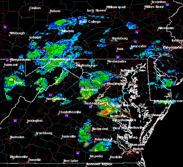 At 816 pm edt, severe thunderstorms were located along a line extending from near colonial beach to loretto to 7 miles northwest of newtown, moving east at 30 mph (radar indicated). Hazards include 60 mph wind gusts and quarter size hail. Minor damage to vehicles is possible. expect wind damage to trees and powerlines. Locations impacted include, colonial beach, tappahannock, warsaw, montross, champlain, newland, coles point, hague, loretto, leedstown, currioman landing, threeway, hustle, potomac beach, elevon, supply, mount holly, stratford hall, lyells and mount landing. At 816 pm edt, severe thunderstorms were located along a line extending from near colonial beach to loretto to 7 miles northwest of newtown, moving east at 30 mph (radar indicated). Hazards include 60 mph wind gusts and quarter size hail. Minor damage to vehicles is possible. expect wind damage to trees and powerlines. Locations impacted include, colonial beach, tappahannock, warsaw, montross, champlain, newland, coles point, hague, loretto, leedstown, currioman landing, threeway, hustle, potomac beach, elevon, supply, mount holly, stratford hall, lyells and mount landing.
|
| 7/6/2017 8:01 PM EDT |
 At 758 pm edt, severe thunderstorms were located along a line extending from near king george to near port royal to bowling green, moving east at 30 mph (radar indicated). Hazards include 70 mph wind gusts and quarter size hail. Minor damage to vehicles is possible. expect considerable tree damage. Wind damage is also likely to mobile homes, roofs, and outbuildings. At 758 pm edt, severe thunderstorms were located along a line extending from near king george to near port royal to bowling green, moving east at 30 mph (radar indicated). Hazards include 70 mph wind gusts and quarter size hail. Minor damage to vehicles is possible. expect considerable tree damage. Wind damage is also likely to mobile homes, roofs, and outbuildings.
|
| 6/19/2017 7:07 PM EDT |
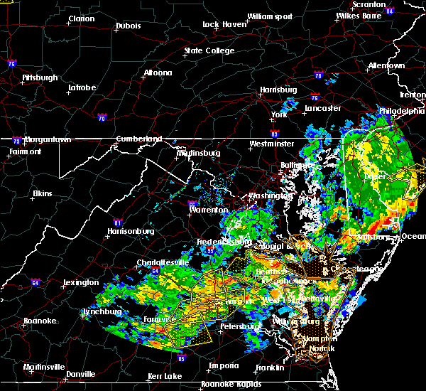 At 705 pm edt, severe thunderstorms were located along a line extending from near leedstown to newland to near sharps, moving east, northeast at 20 mph (radar indicated). Hazards include 60 mph wind gusts. Expect damage to trees and powerlines. Locations impacted include, warsaw and newland. At 705 pm edt, severe thunderstorms were located along a line extending from near leedstown to newland to near sharps, moving east, northeast at 20 mph (radar indicated). Hazards include 60 mph wind gusts. Expect damage to trees and powerlines. Locations impacted include, warsaw and newland.
|
| 6/19/2017 6:42 PM EDT |
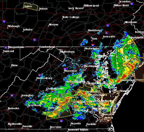 At 641 pm edt, severe thunderstorms were located along a line extending from near bowling green to near champlain to near millers tavern, moving northeast at 45 mph (radar indicated). Hazards include 60 mph wind gusts. Expect damage to trees and powerlines. severe thunderstorms will be near, tappahannock, champlain, loretto and dunnsville around 645 pm edt. leedstown around 650 pm edt. warsaw and newland around 655 pm edt. montross and haynesville around 700 pm edt. hague and kinsale around 710 pm edt. colonial beach and coles point around 715 pm edt. Other locations impacted by these severe thunderstorms include beazley, currioman landing, lottsburg, threeway, hustle, potomac beach, elevon, supply, mount holly and upright. At 641 pm edt, severe thunderstorms were located along a line extending from near bowling green to near champlain to near millers tavern, moving northeast at 45 mph (radar indicated). Hazards include 60 mph wind gusts. Expect damage to trees and powerlines. severe thunderstorms will be near, tappahannock, champlain, loretto and dunnsville around 645 pm edt. leedstown around 650 pm edt. warsaw and newland around 655 pm edt. montross and haynesville around 700 pm edt. hague and kinsale around 710 pm edt. colonial beach and coles point around 715 pm edt. Other locations impacted by these severe thunderstorms include beazley, currioman landing, lottsburg, threeway, hustle, potomac beach, elevon, supply, mount holly and upright.
|
| 5/29/2017 7:51 PM EDT |
 At 751 pm edt, a severe thunderstorm was located near tappahannock, moving east at 20 mph (radar indicated). Hazards include 60 mph wind gusts and quarter size hail. Minor damage to vehicles is possible. expect wind damage to trees and powerlines. this severe thunderstorm will be near, tappahannock around 800 pm edt. dunnsville around 810 pm edt. center cross around 815 pm edt. sharps around 825 pm edt. farnham and morattico around 830 pm edt. Other locations impacted by this severe thunderstorm include laneview, nesting, wellford, bowlers wharf, montague, downing, tidewater, kennard, mount landing and brays fork. At 751 pm edt, a severe thunderstorm was located near tappahannock, moving east at 20 mph (radar indicated). Hazards include 60 mph wind gusts and quarter size hail. Minor damage to vehicles is possible. expect wind damage to trees and powerlines. this severe thunderstorm will be near, tappahannock around 800 pm edt. dunnsville around 810 pm edt. center cross around 815 pm edt. sharps around 825 pm edt. farnham and morattico around 830 pm edt. Other locations impacted by this severe thunderstorm include laneview, nesting, wellford, bowlers wharf, montague, downing, tidewater, kennard, mount landing and brays fork.
|
| 5/19/2017 7:00 PM EDT |
 A severe thunderstorm warning remains in effect until 715 pm edt for northwestern northumberland. richmond and westmoreland counties. at 700 pm edt, a severe thunderstorm was located over piney point, moving east at 20 mph. hazard. 60 mph wind gusts and quarter size hail. A severe thunderstorm warning remains in effect until 715 pm edt for northwestern northumberland. richmond and westmoreland counties. at 700 pm edt, a severe thunderstorm was located over piney point, moving east at 20 mph. hazard. 60 mph wind gusts and quarter size hail.
|
| 5/19/2017 6:57 PM EDT | A tree down on finchs hill r in richmond county VA, 11.6 miles SSE of Warsaw, VA |
| 5/19/2017 6:37 PM EDT |
 At 636 pm edt, a severe thunderstorm was located over hague, or 7 miles south of white point beach, moving east at 20 mph (radar indicated). Hazards include 60 mph wind gusts and quarter size hail. Minor damage to vehicles is possible. expect wind damage to trees and powerlines. this severe thunderstorm will be near, coles point and kinsale around 645 pm edt. Other locations impacted by this severe thunderstorm include currioman landing, lottsburg, threeway, hustle, mount holly, stratford hall, lyells, middletons corner, kennard and westmoreland. At 636 pm edt, a severe thunderstorm was located over hague, or 7 miles south of white point beach, moving east at 20 mph (radar indicated). Hazards include 60 mph wind gusts and quarter size hail. Minor damage to vehicles is possible. expect wind damage to trees and powerlines. this severe thunderstorm will be near, coles point and kinsale around 645 pm edt. Other locations impacted by this severe thunderstorm include currioman landing, lottsburg, threeway, hustle, mount holly, stratford hall, lyells, middletons corner, kennard and westmoreland.
|
| 5/5/2017 8:43 AM EDT |
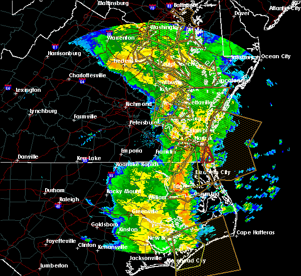 At 842 am edt, severe thunderstorms were located along a line extending from 6 miles southwest of golden beach to near coles point to sharps, moving east at 40 mph (radar indicated). Hazards include 60 mph wind gusts. Expect damage to roofs, siding, and trees. these severe storms will be near, heathsville around 900 am edt. Other locations impacted by these severe thunderstorms include currioman landing, lottsburg, threeway, avalon, mount holly, stratford hall, tidewater, lyells, middletons corner and kennard. At 842 am edt, severe thunderstorms were located along a line extending from 6 miles southwest of golden beach to near coles point to sharps, moving east at 40 mph (radar indicated). Hazards include 60 mph wind gusts. Expect damage to roofs, siding, and trees. these severe storms will be near, heathsville around 900 am edt. Other locations impacted by these severe thunderstorms include currioman landing, lottsburg, threeway, avalon, mount holly, stratford hall, tidewater, lyells, middletons corner and kennard.
|
| 5/5/2017 8:28 AM EDT |
 At 828 am edt, severe thunderstorms were located along a line extending from 7 miles southeast of popes creek to near hague to near center cross, moving northeast at 40 mph (radar indicated). Hazards include 60 mph wind gusts. Expect damage to roofs, siding, and trees. severe thunderstorms will be near, hague and kinsale around 835 am edt. coles point around 840 am edt. robley, farnham and haynesville around 850 am edt. callao around 855 am edt. heathsville around 900 am edt. lewisetta around 905 am edt. Other locations impacted by these severe thunderstorms include currioman landing, lottsburg, threeway, avalon, mount holly, upright, ino, stratford hall, tidewater and lyells. At 828 am edt, severe thunderstorms were located along a line extending from 7 miles southeast of popes creek to near hague to near center cross, moving northeast at 40 mph (radar indicated). Hazards include 60 mph wind gusts. Expect damage to roofs, siding, and trees. severe thunderstorms will be near, hague and kinsale around 835 am edt. coles point around 840 am edt. robley, farnham and haynesville around 850 am edt. callao around 855 am edt. heathsville around 900 am edt. lewisetta around 905 am edt. Other locations impacted by these severe thunderstorms include currioman landing, lottsburg, threeway, avalon, mount holly, upright, ino, stratford hall, tidewater and lyells.
|
| 5/5/2017 8:13 AM EDT |
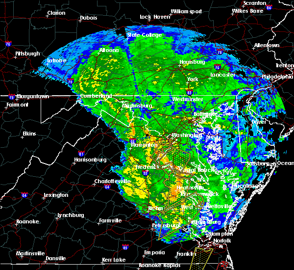 At 812 am edt, severe thunderstorms were located along a line extending from near dahlgren to near newland to near king william, moving northeast at 40 mph (radar indicated). Hazards include 60 mph wind gusts. Expect damage to roofs, siding, and trees. these severe storms will be near, colonial beach, warsaw, montross and newland around 820 am edt. millers tavern around 825 am edt. center cross and dunnsville around 830 am edt. other locations impacted by these severe thunderstorms include currioman landing, threeway, hustle, potomac beach, elevon, supply, mount holly, upright, ino and rose garden. A tornado watch remains in effect until 100 pm edt for east central virginia. At 812 am edt, severe thunderstorms were located along a line extending from near dahlgren to near newland to near king william, moving northeast at 40 mph (radar indicated). Hazards include 60 mph wind gusts. Expect damage to roofs, siding, and trees. these severe storms will be near, colonial beach, warsaw, montross and newland around 820 am edt. millers tavern around 825 am edt. center cross and dunnsville around 830 am edt. other locations impacted by these severe thunderstorms include currioman landing, threeway, hustle, potomac beach, elevon, supply, mount holly, upright, ino and rose garden. A tornado watch remains in effect until 100 pm edt for east central virginia.
|
| 5/5/2017 7:39 AM EDT |
 At 738 am edt, severe thunderstorms were located along a line extending from near bowling green to near mangohick to near highland springs, moving northeast at 40 mph (radar indicated). Hazards include 60 mph wind gusts. Expect damage to roofs, siding, and trees. severe thunderstorms will be near, bowling green, beulahville and aylett around 745 am edt. saint stephens church, newtown and fort a. p. hill around 750 am edt. port royal and tunstall around 755 am edt. manquin and millers tavern around 800 am edt. tappahannock and champlain around 805 am edt. king william around 810 am edt. colonial beach, king and queen court house, stevensville and newland around 815 am edt. warsaw and montross around 820 am edt. other locations impacted by these severe thunderstorms include beazley, currioman landing, threeway, etna mills, montrose, sandston, biscoe, lyells, chamberlayne and atlee. A tornado watch remains in effect until 100 pm edt for east central virginia. At 738 am edt, severe thunderstorms were located along a line extending from near bowling green to near mangohick to near highland springs, moving northeast at 40 mph (radar indicated). Hazards include 60 mph wind gusts. Expect damage to roofs, siding, and trees. severe thunderstorms will be near, bowling green, beulahville and aylett around 745 am edt. saint stephens church, newtown and fort a. p. hill around 750 am edt. port royal and tunstall around 755 am edt. manquin and millers tavern around 800 am edt. tappahannock and champlain around 805 am edt. king william around 810 am edt. colonial beach, king and queen court house, stevensville and newland around 815 am edt. warsaw and montross around 820 am edt. other locations impacted by these severe thunderstorms include beazley, currioman landing, threeway, etna mills, montrose, sandston, biscoe, lyells, chamberlayne and atlee. A tornado watch remains in effect until 100 pm edt for east central virginia.
|
| 3/1/2017 2:39 PM EST |
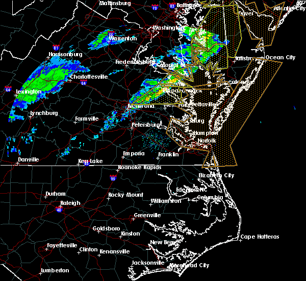 At 239 pm est, severe thunderstorms were located along a line extending from kinsale to near studley, moving east at 55 mph (radar indicated). Hazards include 60 mph wind gusts. Expect damage to roofs, siding, and trees. locations impacted include, king william, tappahannock, warsaw, urbanna, saint stephens church, robley, king and queen court house, mechanicsville, manquin, center cross, morattico, farnham, haynesville, jamaica, millers tavern, dunnsville, church view, aylett, sharps and studley. precautionary/preparedness actions, for your protection move to an interior room on the lowest floor of a building. please send your reports of hail and or wind damage, including trees or large limbs downed, by calling noaa`s national weather service in wakefield at , 7 5 7, 8 9 9, 2 4 1 5. At 239 pm est, severe thunderstorms were located along a line extending from kinsale to near studley, moving east at 55 mph (radar indicated). Hazards include 60 mph wind gusts. Expect damage to roofs, siding, and trees. locations impacted include, king william, tappahannock, warsaw, urbanna, saint stephens church, robley, king and queen court house, mechanicsville, manquin, center cross, morattico, farnham, haynesville, jamaica, millers tavern, dunnsville, church view, aylett, sharps and studley. precautionary/preparedness actions, for your protection move to an interior room on the lowest floor of a building. please send your reports of hail and or wind damage, including trees or large limbs downed, by calling noaa`s national weather service in wakefield at , 7 5 7, 8 9 9, 2 4 1 5.
|
| 3/1/2017 2:34 PM EST |
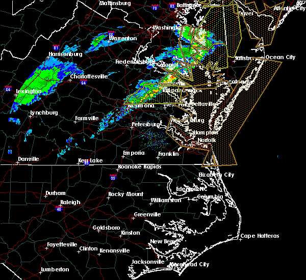 At 234 pm est, a severe thunderstorm was located over hague, or 7 miles northwest of callao, moving east at 60 mph (radar indicated). Hazards include 60 mph wind gusts. Expect damage to roofs, siding, and trees. this severe storm will be near, lewisetta around 240 pm est. other locations impacted by this severe thunderstorm include ethel, lottsburg, threeway, village, mount holly, oldhams, hull neck, lyells, naylors beach and middletons corner. precautionary/preparedness actions, for your protection move to an interior room on the lowest floor of a building. please send your reports of hail and or wind damage, including trees or large limbs downed, by calling noaa`s national weather service in wakefield at , 7 5 7, 8 9 9, 2 4 1 5. At 234 pm est, a severe thunderstorm was located over hague, or 7 miles northwest of callao, moving east at 60 mph (radar indicated). Hazards include 60 mph wind gusts. Expect damage to roofs, siding, and trees. this severe storm will be near, lewisetta around 240 pm est. other locations impacted by this severe thunderstorm include ethel, lottsburg, threeway, village, mount holly, oldhams, hull neck, lyells, naylors beach and middletons corner. precautionary/preparedness actions, for your protection move to an interior room on the lowest floor of a building. please send your reports of hail and or wind damage, including trees or large limbs downed, by calling noaa`s national weather service in wakefield at , 7 5 7, 8 9 9, 2 4 1 5.
|
| 3/1/2017 2:21 PM EST |
 At 220 pm est, severe thunderstorms were located along a line extending from near champlain to near studley, moving east at 70 mph (radar indicated). Hazards include 60 mph wind gusts. expect damage to roofs, siding, and trees At 220 pm est, severe thunderstorms were located along a line extending from near champlain to near studley, moving east at 70 mph (radar indicated). Hazards include 60 mph wind gusts. expect damage to roofs, siding, and trees
|
| 3/1/2017 2:07 PM EST |
 At 206 pm est, a severe thunderstorm was located near loretto, or 8 miles northwest of champlain, moving east at 50 mph (radar indicated). Hazards include 60 mph wind gusts. Expect damage to roofs, siding, and trees. this severe thunderstorm will be near, loretto around 210 pm est. champlain and leedstown around 215 pm est. newland around 220 pm est. montross around 225 pm est. warsaw around 230 pm est. hague, kinsale and coles point around 235 pm est. callao around 240 pm est. lewisetta around 245 pm est. Other locations impacted by this severe thunderstorm include beazley, currioman landing, lottsburg, threeway, hustle, elevon, supply, mount holly, stratford hall and lyells. At 206 pm est, a severe thunderstorm was located near loretto, or 8 miles northwest of champlain, moving east at 50 mph (radar indicated). Hazards include 60 mph wind gusts. Expect damage to roofs, siding, and trees. this severe thunderstorm will be near, loretto around 210 pm est. champlain and leedstown around 215 pm est. newland around 220 pm est. montross around 225 pm est. warsaw around 230 pm est. hague, kinsale and coles point around 235 pm est. callao around 240 pm est. lewisetta around 245 pm est. Other locations impacted by this severe thunderstorm include beazley, currioman landing, lottsburg, threeway, hustle, elevon, supply, mount holly, stratford hall and lyells.
|
| 8/17/2016 9:26 PM EDT |
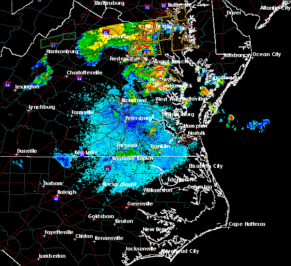 The severe thunderstorm warning for central richmond and essex counties will expire at 930 pm edt, the storms which prompted the warning have moved out of the area. therefore the warning will be allowed to expire. however heavy rain and frequent lightning are still possible with these thunderstorms. The severe thunderstorm warning for central richmond and essex counties will expire at 930 pm edt, the storms which prompted the warning have moved out of the area. therefore the warning will be allowed to expire. however heavy rain and frequent lightning are still possible with these thunderstorms.
|
| 8/17/2016 9:14 PM EDT |
 At 913 pm edt, severe thunderstorms were located along a line extending from near port royal to near leedstown to near sharps, moving northeast at 30 mph (law enforcement). Hazards include 60 mph wind gusts. Expect damage to roofs. siding. and trees. Locations impacted include, tappahannock, warsaw, champlain, millers tavern, loretto, dunnsville, rexburg, supply, elevon, brays fork, hustle, chance, emmerton, howertons, wellford, naylors beach, ethel, dunbrooke, mount landing and caret. At 913 pm edt, severe thunderstorms were located along a line extending from near port royal to near leedstown to near sharps, moving northeast at 30 mph (law enforcement). Hazards include 60 mph wind gusts. Expect damage to roofs. siding. and trees. Locations impacted include, tappahannock, warsaw, champlain, millers tavern, loretto, dunnsville, rexburg, supply, elevon, brays fork, hustle, chance, emmerton, howertons, wellford, naylors beach, ethel, dunbrooke, mount landing and caret.
|
| 8/17/2016 9:04 PM EDT |
 At 902 pm edt, severe thunderstorms were located along a line extending from near fort a.p. hill to near loretto to near dunnsville, moving northeast at 30 mph (law enforcement). Hazards include 60 mph wind gusts. Expect damage to roofs. siding. and trees. locations impacted include, tappahannock, warsaw, saint stephens church, champlain, dunnsville, fort a. p. hill, millers tavern, newtown, loretto, supply, elevon, hustle, sparta, henley fork, emmerton, howertons, salvia, naylors beach, indian neck and dunbrooke. precautionary/preparedness actions, continuous cloud to ground lightning is occurring with these storms. move indoors immediately. lightning is one of nature`s leading killers. remember, if you can hear thunder, you are close enough to be struck by lightning. please send your reports of hail and or wind damage, including trees or large limbs downed, by calling noaa`s national weather service in wakefield at, 7 5 7, 8 9 9, 2 4 1 5. At 902 pm edt, severe thunderstorms were located along a line extending from near fort a.p. hill to near loretto to near dunnsville, moving northeast at 30 mph (law enforcement). Hazards include 60 mph wind gusts. Expect damage to roofs. siding. and trees. locations impacted include, tappahannock, warsaw, saint stephens church, champlain, dunnsville, fort a. p. hill, millers tavern, newtown, loretto, supply, elevon, hustle, sparta, henley fork, emmerton, howertons, salvia, naylors beach, indian neck and dunbrooke. precautionary/preparedness actions, continuous cloud to ground lightning is occurring with these storms. move indoors immediately. lightning is one of nature`s leading killers. remember, if you can hear thunder, you are close enough to be struck by lightning. please send your reports of hail and or wind damage, including trees or large limbs downed, by calling noaa`s national weather service in wakefield at, 7 5 7, 8 9 9, 2 4 1 5.
|
| 8/17/2016 8:46 PM EDT |
 At 846 pm edt, severe thunderstorms were located along a line extending from milford to 7 miles northwest of newtown to near millers tavern, moving northeast at 25 mph (law enforcement). Hazards include 60 mph wind gusts. Expect damage to roofs. siding. And trees. At 846 pm edt, severe thunderstorms were located along a line extending from milford to 7 miles northwest of newtown to near millers tavern, moving northeast at 25 mph (law enforcement). Hazards include 60 mph wind gusts. Expect damage to roofs. siding. And trees.
|
| 7/28/2016 10:22 PM EDT |
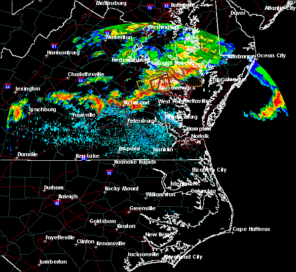 At 1021 pm edt, a severe thunderstorm capable of producing a tornado was located over sharps, or near warsaw, moving east at 30 mph (radar indicated rotation). Hazards include tornado and quarter size hail. Flying debris will be dangerous to those caught without shelter. mobile homes will be damaged or destroyed. damage to roofs, windows, and vehicles will occur. tree damage is likely. this dangerous storm will be near, farnham, haynesville and morattico around 1030 pm edt. robley around 1035 pm edt. callao around 1040 pm edt. heathsville and lewisetta around 1050 pm edt. wicomico church around 1055 pm edt. fair port around 1105 pm edt. Other locations impacted by this tornadic thunderstorm include lara, lilian, downing, montague, browns store, piney grove, nuttsville, village, lyells and gibeon. At 1021 pm edt, a severe thunderstorm capable of producing a tornado was located over sharps, or near warsaw, moving east at 30 mph (radar indicated rotation). Hazards include tornado and quarter size hail. Flying debris will be dangerous to those caught without shelter. mobile homes will be damaged or destroyed. damage to roofs, windows, and vehicles will occur. tree damage is likely. this dangerous storm will be near, farnham, haynesville and morattico around 1030 pm edt. robley around 1035 pm edt. callao around 1040 pm edt. heathsville and lewisetta around 1050 pm edt. wicomico church around 1055 pm edt. fair port around 1105 pm edt. Other locations impacted by this tornadic thunderstorm include lara, lilian, downing, montague, browns store, piney grove, nuttsville, village, lyells and gibeon.
|
| 7/28/2016 10:08 PM EDT |
 At 1008 pm edt, a severe thunderstorm capable of producing a tornado was located over dunnsville, or over tappahannock, moving east at 35 mph (radar indicated rotation). Hazards include tornado and quarter size hail. Flying debris will be dangerous to those caught without shelter. mobile homes will be damaged or destroyed. damage to roofs, windows, and vehicles will occur. tree damage is likely. this dangerous storm will be near, warsaw and sharps around 1015 pm edt. haynesville and farnham around 1025 pm edt. other locations impacted by this tornadic thunderstorm include tidewater, templeman, brays fork, downing, piney grove, kremlin, lyells, threeway, emmerton and oldhams. precautionary/preparedness actions, take cover now! move to a basement or an interior room on the lowest floor of a sturdy building. avoid windows. if you are outdoors, in a mobile home, or in a vehicle, move to the closest substantial shelter and protect yourself from flying debris. tornadoes are extremely difficult to see and confirm at night. do not wait to see or hear the tornado. take cover now! please send your reports of hail and or wind damage, including trees or large limbs downed, by calling noaa`s national weather service in wakefield at , 7 5 7, 8 9 9, 2 4 1 5. At 1008 pm edt, a severe thunderstorm capable of producing a tornado was located over dunnsville, or over tappahannock, moving east at 35 mph (radar indicated rotation). Hazards include tornado and quarter size hail. Flying debris will be dangerous to those caught without shelter. mobile homes will be damaged or destroyed. damage to roofs, windows, and vehicles will occur. tree damage is likely. this dangerous storm will be near, warsaw and sharps around 1015 pm edt. haynesville and farnham around 1025 pm edt. other locations impacted by this tornadic thunderstorm include tidewater, templeman, brays fork, downing, piney grove, kremlin, lyells, threeway, emmerton and oldhams. precautionary/preparedness actions, take cover now! move to a basement or an interior room on the lowest floor of a sturdy building. avoid windows. if you are outdoors, in a mobile home, or in a vehicle, move to the closest substantial shelter and protect yourself from flying debris. tornadoes are extremely difficult to see and confirm at night. do not wait to see or hear the tornado. take cover now! please send your reports of hail and or wind damage, including trees or large limbs downed, by calling noaa`s national weather service in wakefield at , 7 5 7, 8 9 9, 2 4 1 5.
|
| 7/28/2016 9:50 PM EDT |
 At 950 pm edt, a severe thunderstorm capable of producing a tornado was located near millers tavern, or 7 miles west of tappahannock, moving east at 30 mph (radar indicated rotation). Hazards include tornado and quarter size hail. Flying debris will be dangerous to those caught without shelter. mobile homes will be damaged or destroyed. damage to roofs, windows, and vehicles will occur. tree damage is likely. this dangerous storm will be near, millers tavern around 955 pm edt. tappahannock around 1005 pm edt. dunnsville around 1010 pm edt. warsaw around 1020 pm edt. haynesville, farnham and hague around 1030 pm edt. Other locations impacted by this tornadic thunderstorm include templeman, elevon, downing, piney grove, lyells, threeway, emmerton, oldhams, howertons and salvia. At 950 pm edt, a severe thunderstorm capable of producing a tornado was located near millers tavern, or 7 miles west of tappahannock, moving east at 30 mph (radar indicated rotation). Hazards include tornado and quarter size hail. Flying debris will be dangerous to those caught without shelter. mobile homes will be damaged or destroyed. damage to roofs, windows, and vehicles will occur. tree damage is likely. this dangerous storm will be near, millers tavern around 955 pm edt. tappahannock around 1005 pm edt. dunnsville around 1010 pm edt. warsaw around 1020 pm edt. haynesville, farnham and hague around 1030 pm edt. Other locations impacted by this tornadic thunderstorm include templeman, elevon, downing, piney grove, lyells, threeway, emmerton, oldhams, howertons and salvia.
|
| 7/28/2016 9:43 PM EDT |
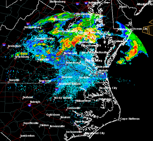 At 942 pm edt, a severe thunderstorm was located near newtown, or near saint stephens church, moving east at 25 mph (radar indicated). Hazards include 60 mph wind gusts and quarter size hail. Hail damage to vehicles is expected. expect wind damage to roofs, siding, and trees. this severe thunderstorm will be near, millers tavern around 955 pm edt. tappahannock around 1005 pm edt. dunnsville around 1010 pm edt. warsaw around 1020 pm edt. sharps around 1025 pm edt. Other locations impacted by this severe thunderstorm include rexburg, tidewater, templeman, elevon, brays fork, piney grove, lyells, emmerton, owenton and howertons. At 942 pm edt, a severe thunderstorm was located near newtown, or near saint stephens church, moving east at 25 mph (radar indicated). Hazards include 60 mph wind gusts and quarter size hail. Hail damage to vehicles is expected. expect wind damage to roofs, siding, and trees. this severe thunderstorm will be near, millers tavern around 955 pm edt. tappahannock around 1005 pm edt. dunnsville around 1010 pm edt. warsaw around 1020 pm edt. sharps around 1025 pm edt. Other locations impacted by this severe thunderstorm include rexburg, tidewater, templeman, elevon, brays fork, piney grove, lyells, emmerton, owenton and howertons.
|
| 6/16/2016 10:28 PM EDT |
 At 1027 pm edt, severe thunderstorms were located along a line extending from near hague to near haynesville to near center cross to near king and queen court house to barhamsville to near charles city, moving southeast at 35 mph (radar indicated). Hazards include 60 mph wind gusts and quarter size hail. Hail damage to vehicles is expected. expect wind damage to roofs, siding, and trees. severe thunderstorms will be near, callao, toano and robley around 1035 pm edt. norge, heathsville, morattico, jamaica and church view around 1040 pm edt. williamsburg and shacklefords around 1045 pm edt. queens lake, glenns, wicomico church and saluda around 1050 pm edt. gloucester courthouse, urbanna, college of william and mary and lancaster around 1055 pm edt. fair port, hayes and kings point around 1100 pm edt. kilmarnock, gloucester point, virginia institute for marine sciences, white stone, wicomico, hartfield and carver gardens around 1105 pm edt. achilles around 1110 pm edt. Other locations impacted by these severe thunderstorms include water view, diggs, foxwells, nuttsville, stampers, lyells, ark, fleeton, threeway and henley fork. At 1027 pm edt, severe thunderstorms were located along a line extending from near hague to near haynesville to near center cross to near king and queen court house to barhamsville to near charles city, moving southeast at 35 mph (radar indicated). Hazards include 60 mph wind gusts and quarter size hail. Hail damage to vehicles is expected. expect wind damage to roofs, siding, and trees. severe thunderstorms will be near, callao, toano and robley around 1035 pm edt. norge, heathsville, morattico, jamaica and church view around 1040 pm edt. williamsburg and shacklefords around 1045 pm edt. queens lake, glenns, wicomico church and saluda around 1050 pm edt. gloucester courthouse, urbanna, college of william and mary and lancaster around 1055 pm edt. fair port, hayes and kings point around 1100 pm edt. kilmarnock, gloucester point, virginia institute for marine sciences, white stone, wicomico, hartfield and carver gardens around 1105 pm edt. achilles around 1110 pm edt. Other locations impacted by these severe thunderstorms include water view, diggs, foxwells, nuttsville, stampers, lyells, ark, fleeton, threeway and henley fork.
|
| 6/16/2016 9:37 PM EDT |
 At 937 pm edt, severe thunderstorms were located along a line extending from near popes creek to near newtown to wyndham, moving east at 50 mph (radar indicated). Hazards include 70 mph wind gusts and half dollar size hail. Hail damage to vehicles is expected. expect considerable tree damage. wind damage is also likely to mobile homes, roofs, and outbuildings. severe thunderstorms will be near, newtown and beulahville around 940 pm edt. mechanicsville, champlain and hanover around 950 pm edt. tappahannock, studley and millers tavern around 955 pm edt. dunnsville and manquin around 1000 pm edt. warsaw, sharps and center cross around 1005 pm edt. king william, farnham, morattico and haynesville around 1010 pm edt. robley, king and queen court house, callao and stevensville around 1015 pm edt. lancaster and heathsville around 1020 pm edt. Other locations impacted by these severe thunderstorms include supply, singerly, water view, elevon, hustle, epworth, nuttsville, lyells, sparta and threeway. At 937 pm edt, severe thunderstorms were located along a line extending from near popes creek to near newtown to wyndham, moving east at 50 mph (radar indicated). Hazards include 70 mph wind gusts and half dollar size hail. Hail damage to vehicles is expected. expect considerable tree damage. wind damage is also likely to mobile homes, roofs, and outbuildings. severe thunderstorms will be near, newtown and beulahville around 940 pm edt. mechanicsville, champlain and hanover around 950 pm edt. tappahannock, studley and millers tavern around 955 pm edt. dunnsville and manquin around 1000 pm edt. warsaw, sharps and center cross around 1005 pm edt. king william, farnham, morattico and haynesville around 1010 pm edt. robley, king and queen court house, callao and stevensville around 1015 pm edt. lancaster and heathsville around 1020 pm edt. Other locations impacted by these severe thunderstorms include supply, singerly, water view, elevon, hustle, epworth, nuttsville, lyells, sparta and threeway.
|
| 2/24/2016 8:55 PM EST |
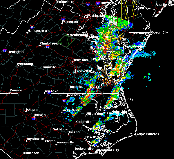 The tornado warning for northumberland, northwestern lancaster, southeastern richmond, southeastern essex, northwestern middlesex and southeastern westmoreland counties will expire at 900 pm est, the tornadic thunderstorm which prompted the warning has weakened. therefore the warning will be allowed to expire. The tornado warning for northumberland, northwestern lancaster, southeastern richmond, southeastern essex, northwestern middlesex and southeastern westmoreland counties will expire at 900 pm est, the tornadic thunderstorm which prompted the warning has weakened. therefore the warning will be allowed to expire.
|
| 2/24/2016 8:23 PM EST |
 At 823 pm est, doppler radar indicated a tornado. this dangerous storm was located over center cross, or 9 miles southwest of robley, and moving northeast at 55 mph. * this dangerous storm will be near, robley around 830 pm est. warsaw, farnham and haynesville around 835 pm est. callao and heathsville around 840 pm est. kinsale, lewisetta and hague around 845 pm est. other locations impacted by this tornadic thunderstorm include water view, lara, downing, montague, nuttsville, village, gibeon, threeway, emmerton and belle isle state park. At 823 pm est, doppler radar indicated a tornado. this dangerous storm was located over center cross, or 9 miles southwest of robley, and moving northeast at 55 mph. * this dangerous storm will be near, robley around 830 pm est. warsaw, farnham and haynesville around 835 pm est. callao and heathsville around 840 pm est. kinsale, lewisetta and hague around 845 pm est. other locations impacted by this tornadic thunderstorm include water view, lara, downing, montague, nuttsville, village, gibeon, threeway, emmerton and belle isle state park.
|
| 2/24/2016 8:05 PM EST |
 At 804 pm est, doppler radar indicated a possible tornado. this dangerous storm was located over haynesville, or near callao, and moving northeast at 60 mph. * this dangerous storm will be near, kinsale and hague around 810 pm est. lewisetta and coles point around 815 pm est. other locations impacted by this tornadic thunderstorm include wellford, lottsburg, kremlin, sandy point, village, westmoreland, gibeon, threeway, kennard and emmerton. At 804 pm est, doppler radar indicated a possible tornado. this dangerous storm was located over haynesville, or near callao, and moving northeast at 60 mph. * this dangerous storm will be near, kinsale and hague around 810 pm est. lewisetta and coles point around 815 pm est. other locations impacted by this tornadic thunderstorm include wellford, lottsburg, kremlin, sandy point, village, westmoreland, gibeon, threeway, kennard and emmerton.
|
| 2/24/2016 7:52 PM EST |
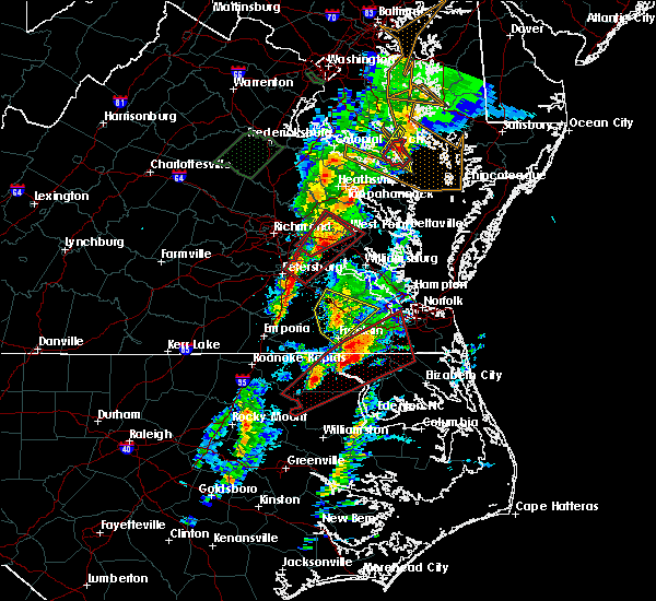 At 751 pm est, doppler radar indicated a severe thunderstorm capable of producing quarter size hail and damaging winds in excess of 60 mph. this storm was located near center cross, or 7 miles northeast of king and queen court house, and moving northeast at 50 mph. * this severe thunderstorm will be near, center cross and jamaica around 755 pm est. sharps and dunnsville around 800 pm est. morattico around 805 pm est. warsaw, robley, haynesville and farnham around 810 pm est. callao around 815 pm est. kinsale and hague around 820 pm est. lewisetta around 825 pm est. other locations impacted by this severe thunderstorm include lara, downing, montague, village, lyells, gibeon, threeway, emmerton, belle isle state park and oldhams. a tornado watch remains in effect until 900 pm est for eastern virginia. At 751 pm est, doppler radar indicated a severe thunderstorm capable of producing quarter size hail and damaging winds in excess of 60 mph. this storm was located near center cross, or 7 miles northeast of king and queen court house, and moving northeast at 50 mph. * this severe thunderstorm will be near, center cross and jamaica around 755 pm est. sharps and dunnsville around 800 pm est. morattico around 805 pm est. warsaw, robley, haynesville and farnham around 810 pm est. callao around 815 pm est. kinsale and hague around 820 pm est. lewisetta around 825 pm est. other locations impacted by this severe thunderstorm include lara, downing, montague, village, lyells, gibeon, threeway, emmerton, belle isle state park and oldhams. a tornado watch remains in effect until 900 pm est for eastern virginia.
|
| 2/24/2016 7:18 PM EST |
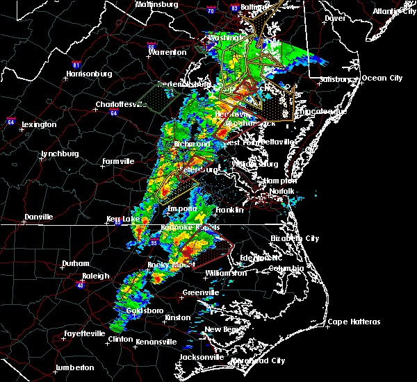 At 717 pm est, doppler radar indicated a severe thunderstorm capable of producing a tornado. this dangerous storm was located near king and queen court house, moving northeast at 60 mph. this dangerous storm will be near, jamaica and church view around 720 pm est. center cross and dunnsville around 725 pm est. robley, sharps and morattico around 730 pm est. warsaw, haynesville and farnham around 735 pm est. callao, kinsale, hague and heathsville around 740 pm est. lewisetta around 745 pm est. other locations impacted by this tornadic thunderstorm include water view, lara, downing, montague, browns store, nuttsville, village, gibeon, threeway and hull neck. At 717 pm est, doppler radar indicated a severe thunderstorm capable of producing a tornado. this dangerous storm was located near king and queen court house, moving northeast at 60 mph. this dangerous storm will be near, jamaica and church view around 720 pm est. center cross and dunnsville around 725 pm est. robley, sharps and morattico around 730 pm est. warsaw, haynesville and farnham around 735 pm est. callao, kinsale, hague and heathsville around 740 pm est. lewisetta around 745 pm est. other locations impacted by this tornadic thunderstorm include water view, lara, downing, montague, browns store, nuttsville, village, gibeon, threeway and hull neck.
|
| 2/24/2016 7:01 PM EST |
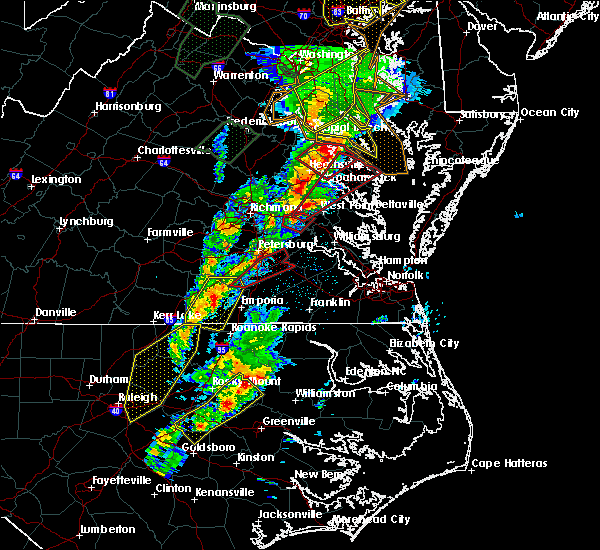 At 701 pm est, doppler radar indicated a possible tornado. this dangerous storm was located over new kent, and moving northeast at 55 mph. * this dangerous storm will be near, west point, king and queen court house, little plymouth and stevensville around 715 pm est. center cross, jamaica and church view around 725 pm est. sharps and dunnsville around 730 pm est. robley, farnham and morattico around 735 pm est. haynesville around 740 pm est. callao, kinsale, lewisetta and heathsville around 745 pm est. other locations impacted by this tornadic thunderstorm include water view, lara, downing, montague, browns store, nuttsville, village, gibeon, threeway and hull neck. At 701 pm est, doppler radar indicated a possible tornado. this dangerous storm was located over new kent, and moving northeast at 55 mph. * this dangerous storm will be near, west point, king and queen court house, little plymouth and stevensville around 715 pm est. center cross, jamaica and church view around 725 pm est. sharps and dunnsville around 730 pm est. robley, farnham and morattico around 735 pm est. haynesville around 740 pm est. callao, kinsale, lewisetta and heathsville around 745 pm est. other locations impacted by this tornadic thunderstorm include water view, lara, downing, montague, browns store, nuttsville, village, gibeon, threeway and hull neck.
|
| 2/24/2016 6:38 PM EST |
 At 638 pm est, doppler radar indicated a tornado. this dangerous storm was located near millers tavern, or near tappahannock, and moving northeast at 50 mph. * this dangerous storm will be near, warsaw and newland around 650 pm est. montross around 655 pm est. hague around 700 pm est. coles point and kinsale around 705 pm est. other locations impacted by this tornadic thunderstorm include singerly, templeman, westmoreland state, piney grove, kremlin, village, lyells, gibeon, threeway and foneswood. At 638 pm est, doppler radar indicated a tornado. this dangerous storm was located near millers tavern, or near tappahannock, and moving northeast at 50 mph. * this dangerous storm will be near, warsaw and newland around 650 pm est. montross around 655 pm est. hague around 700 pm est. coles point and kinsale around 705 pm est. other locations impacted by this tornadic thunderstorm include singerly, templeman, westmoreland state, piney grove, kremlin, village, lyells, gibeon, threeway and foneswood.
|
| 6/23/2015 9:54 PM EDT |
 The severe thunderstorm warning for northwestern richmond, northwestern essex, westmoreland and northeastern caroline counties will expire at 1000 pm edt, the storm which prompted the warning has weakened below severe limits, and no longer poses an immediate threat to life or property. therefore the warning will be allowed to expire. The severe thunderstorm warning for northwestern richmond, northwestern essex, westmoreland and northeastern caroline counties will expire at 1000 pm edt, the storm which prompted the warning has weakened below severe limits, and no longer poses an immediate threat to life or property. therefore the warning will be allowed to expire.
|
| 6/23/2015 9:34 PM EDT |
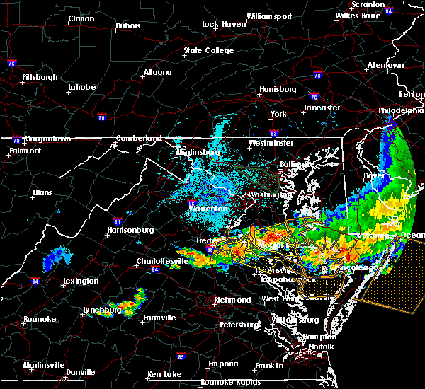 At 934 pm edt, doppler radar indicated a severe thunderstorm capable of producing quarter size hail and damaging winds in excess of 60 mph. this storm was located near port royal, or 8 miles south of king george, moving east at 30 mph. this severe storm will be near, leedstown and loretto around 945 pm edt. montross and newland around 1000 pm edt. other locations impacted by this severe thunderstorm include supply, singerly, templeman, westmoreland state, piney grove, chance, kremlin, lyells, threeway and foneswood. At 934 pm edt, doppler radar indicated a severe thunderstorm capable of producing quarter size hail and damaging winds in excess of 60 mph. this storm was located near port royal, or 8 miles south of king george, moving east at 30 mph. this severe storm will be near, leedstown and loretto around 945 pm edt. montross and newland around 1000 pm edt. other locations impacted by this severe thunderstorm include supply, singerly, templeman, westmoreland state, piney grove, chance, kremlin, lyells, threeway and foneswood.
|
| 6/23/2015 9:15 PM EDT |
 At 914 pm edt, doppler radar indicated a severe thunderstorm capable of producing quarter size hail and damaging winds in excess of 60 mph. this storm was located near port royal, or near king george, and moving east at 40 mph. * this severe thunderstorm will be near, leedstown and loretto around 930 pm edt. champlain around 935 pm edt. montross and newland around 940 pm edt. warsaw around 950 pm edt. hague around 955 pm edt. other locations impacted by this severe thunderstorm include supply, singerly, templeman, rappahannock academy, westmoreland state, hustle, piney grove, chance, kremlin and lyells. At 914 pm edt, doppler radar indicated a severe thunderstorm capable of producing quarter size hail and damaging winds in excess of 60 mph. this storm was located near port royal, or near king george, and moving east at 40 mph. * this severe thunderstorm will be near, leedstown and loretto around 930 pm edt. champlain around 935 pm edt. montross and newland around 940 pm edt. warsaw around 950 pm edt. hague around 955 pm edt. other locations impacted by this severe thunderstorm include supply, singerly, templeman, rappahannock academy, westmoreland state, hustle, piney grove, chance, kremlin and lyells.
|
| 6/20/2015 10:27 PM EDT |
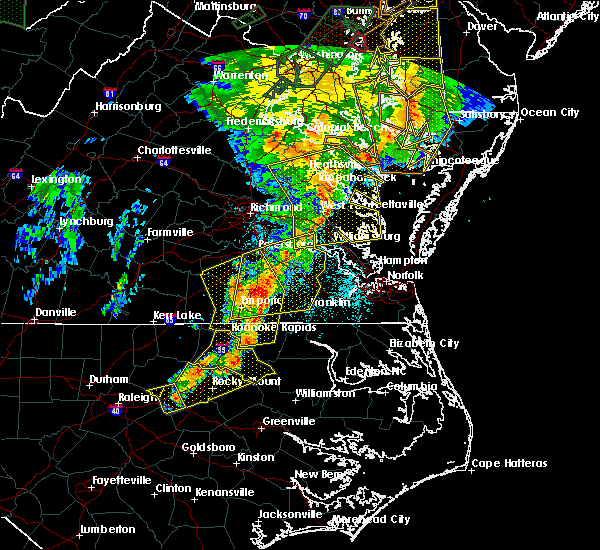 At 1026 pm edt, doppler radar indicated a line of severe thunderstorms capable of producing quarter size hail and damaging winds in excess of 60 mph. these storms were located along a line extending from newland to church view to near norge, moving east at 40 mph. these severe storms will be near, church view, jamaica, saluda and glenns around 1030 pm edt. urbanna around 1035 pm edt. haynesville around 1040 pm edt. gloucester courthouse, kilmarnock, gloucester point, lancaster, hague, kinsale, wicomico and hayes around 1045 pm edt. other locations impacted by these severe thunderstorms include water view, nuttsville, stampers, lyells, ark, threeway, camp peary, naylors beach, samos and oaktree. At 1026 pm edt, doppler radar indicated a line of severe thunderstorms capable of producing quarter size hail and damaging winds in excess of 60 mph. these storms were located along a line extending from newland to church view to near norge, moving east at 40 mph. these severe storms will be near, church view, jamaica, saluda and glenns around 1030 pm edt. urbanna around 1035 pm edt. haynesville around 1040 pm edt. gloucester courthouse, kilmarnock, gloucester point, lancaster, hague, kinsale, wicomico and hayes around 1045 pm edt. other locations impacted by these severe thunderstorms include water view, nuttsville, stampers, lyells, ark, threeway, camp peary, naylors beach, samos and oaktree.
|
| 6/20/2015 10:25 PM EDT | Trees down from naylor beach to warsaw in richmond county VA, 0.2 miles WSW of Warsaw, VA |
| 6/20/2015 9:58 PM EDT |
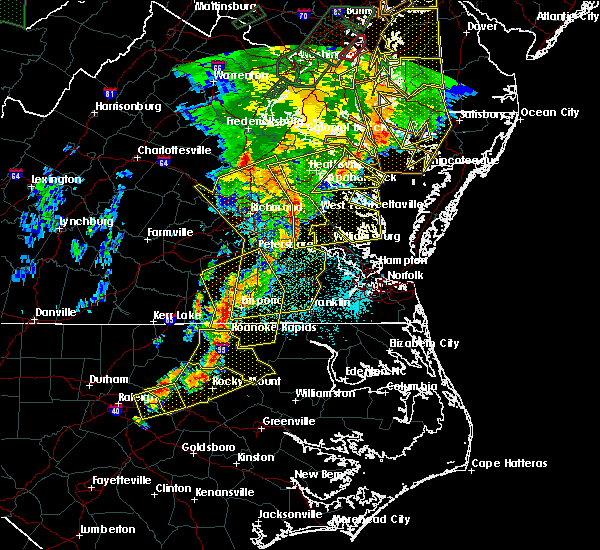 At 957 pm edt, doppler radar indicated a line of severe thunderstorms capable of producing quarter size hail and damaging winds in excess of 60 mph. these storms were located along a line extending from 6 miles northwest of newtown to near king william to near claremont, and moving east at 40 mph. * severe thunderstorms will be near, west point, king and queen court house and stevensville around 1005 pm edt. williamsburg, champlain, norge, toano, college of william and mary, little plymouth and center cross around 1010 pm edt. queens lake, newland, jamaica and church view around 1015 pm edt. gloucester courthouse, warsaw, urbanna, montross, gloucester point, robley, morattico and wicomico around 1020 pm edt. kilmarnock, lancaster, hague and hayes around 1025 pm edt. mathews, mobjack, wicomico church, kinsale, blakes and bavon around 1030 pm edt. fair port around 1035 pm edt. At 957 pm edt, doppler radar indicated a line of severe thunderstorms capable of producing quarter size hail and damaging winds in excess of 60 mph. these storms were located along a line extending from 6 miles northwest of newtown to near king william to near claremont, and moving east at 40 mph. * severe thunderstorms will be near, west point, king and queen court house and stevensville around 1005 pm edt. williamsburg, champlain, norge, toano, college of william and mary, little plymouth and center cross around 1010 pm edt. queens lake, newland, jamaica and church view around 1015 pm edt. gloucester courthouse, warsaw, urbanna, montross, gloucester point, robley, morattico and wicomico around 1020 pm edt. kilmarnock, lancaster, hague and hayes around 1025 pm edt. mathews, mobjack, wicomico church, kinsale, blakes and bavon around 1030 pm edt. fair port around 1035 pm edt.
|
| 6/20/2015 9:27 PM EDT |
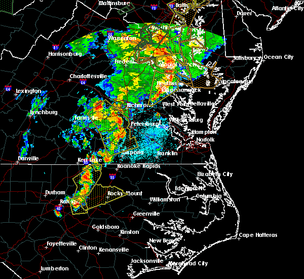 At 926 pm edt, doppler radar indicated a line of severe thunderstorms capable of producing damaging winds in excess of 60 mph. these storms were located along a line extending from prince frederick to near callao to near stevensville, and moving northeast at 40 mph. * severe thunderstorms will be near, lewisetta, jamaica and dunnsville around 940 pm edt. sharps around 945 pm edt. morattico around 950 pm edt. robley and farnham around 955 pm edt. heathsville around 1010 pm edt. other locations impacted by these severe thunderstorms include water view, lara, nuttsville, lyells, gibeon, fleeton, threeway, alfonso, naylors beach and samos. At 926 pm edt, doppler radar indicated a line of severe thunderstorms capable of producing damaging winds in excess of 60 mph. these storms were located along a line extending from prince frederick to near callao to near stevensville, and moving northeast at 40 mph. * severe thunderstorms will be near, lewisetta, jamaica and dunnsville around 940 pm edt. sharps around 945 pm edt. morattico around 950 pm edt. robley and farnham around 955 pm edt. heathsville around 1010 pm edt. other locations impacted by these severe thunderstorms include water view, lara, nuttsville, lyells, gibeon, fleeton, threeway, alfonso, naylors beach and samos.
|
| 6/20/2015 9:23 PM EDT |
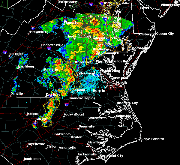 At 923 pm edt, doppler radar indicated a line of severe thunderstorms capable of producing damaging winds in excess of 60 mph. these storms were located along a line extending from near hallowing point to haynesville to near stevensville, moving northeast at 40 mph. these severe thunderstorms will remain over mainly rural areas of richmond, essex, westmoreland, northwestern northumberland, southeastern king william and central king and queen counties, including the following locations, singerly, templeman, downing, westmoreland state, montague, piney grove, village, lyells, gibeon and palls. At 923 pm edt, doppler radar indicated a line of severe thunderstorms capable of producing damaging winds in excess of 60 mph. these storms were located along a line extending from near hallowing point to haynesville to near stevensville, moving northeast at 40 mph. these severe thunderstorms will remain over mainly rural areas of richmond, essex, westmoreland, northwestern northumberland, southeastern king william and central king and queen counties, including the following locations, singerly, templeman, downing, westmoreland state, montague, piney grove, village, lyells, gibeon and palls.
|
| 6/20/2015 9:15 PM EDT |
 At 914 pm edt, doppler radar indicated a line of severe thunderstorms capable of producing damaging winds in excess of 60 mph. these storms were located along a line extending from near golden beach to near warsaw to near king william, moving east at 35 mph. these severe storms will be near, robley, haynesville and farnham around 925 pm edt. callao and kinsale around 930 pm edt. other locations impacted by these severe thunderstorms include singerly, elevon, hustle, lyells, gibeon, threeway, henley fork, naylors beach, indian neck and ino. At 914 pm edt, doppler radar indicated a line of severe thunderstorms capable of producing damaging winds in excess of 60 mph. these storms were located along a line extending from near golden beach to near warsaw to near king william, moving east at 35 mph. these severe storms will be near, robley, haynesville and farnham around 925 pm edt. callao and kinsale around 930 pm edt. other locations impacted by these severe thunderstorms include singerly, elevon, hustle, lyells, gibeon, threeway, henley fork, naylors beach, indian neck and ino.
|
| 6/20/2015 9:15 PM EDT |
 At 923 pm edt, doppler radar indicated a line of severe thunderstorms capable of producing damaging winds in excess of 60 mph. these storms were located along a line extending from near hallowing point to haynesville to near stevensville, moving northeast at 40 mph. these severe thunderstorms will remain over mainly rural areas of richmond, essex, westmoreland, northwestern northumberland, southeastern king william and central king and queen counties, including the following locations, singerly, templeman, downing, westmoreland state, montague, piney grove, village, lyells, gibeon and palls. At 923 pm edt, doppler radar indicated a line of severe thunderstorms capable of producing damaging winds in excess of 60 mph. these storms were located along a line extending from near hallowing point to haynesville to near stevensville, moving northeast at 40 mph. these severe thunderstorms will remain over mainly rural areas of richmond, essex, westmoreland, northwestern northumberland, southeastern king william and central king and queen counties, including the following locations, singerly, templeman, downing, westmoreland state, montague, piney grove, village, lyells, gibeon and palls.
|
| 6/20/2015 8:38 PM EDT |
 At 837 pm edt, doppler radar indicated a line of severe thunderstorms capable of producing damaging winds in excess of 60 mph. these storms were located along a line extending from near colonial beach to near king william, and moving northeast at 40 mph. * severe thunderstorms will be near, colonial beach around 845 pm edt. millers tavern around 900 pm edt. center cross and dunnsville around 905 pm edt. tappahannock around 910 pm edt. sharps around 915 pm edt. warsaw, robley and farnham around 920 pm edt. haynesville around 925 pm edt. callao, kinsale and hague around 930 pm edt. other locations impacted by these severe thunderstorms include singerly, elevon, hustle, lyells, gibeon, threeway, henley fork, naylors beach, indian neck and ino. At 837 pm edt, doppler radar indicated a line of severe thunderstorms capable of producing damaging winds in excess of 60 mph. these storms were located along a line extending from near colonial beach to near king william, and moving northeast at 40 mph. * severe thunderstorms will be near, colonial beach around 845 pm edt. millers tavern around 900 pm edt. center cross and dunnsville around 905 pm edt. tappahannock around 910 pm edt. sharps around 915 pm edt. warsaw, robley and farnham around 920 pm edt. haynesville around 925 pm edt. callao, kinsale and hague around 930 pm edt. other locations impacted by these severe thunderstorms include singerly, elevon, hustle, lyells, gibeon, threeway, henley fork, naylors beach, indian neck and ino.
|
| 6/18/2015 9:07 PM EDT | At 907 pm edt, doppler radar indicated a severe thunderstorm capable of producing large hail up to ping pong ball size and destructive winds in excess of 70 mph. this storm was located over warsaw, moving southeast at 20 mph. locations impacted include, warsaw, haynesville, sharps, farnham, tidewater, piney grove, kremlin, village, lyells, threeway, emmerton, oldhams, wellford, ethel and kennard. |
| 6/18/2015 9:05 PM EDT | Very strong winds...several trees down in warsaw in richmond county VA, 0.2 miles WSW of Warsaw, VA |
| 6/18/2015 8:50 PM EDT | At 850 pm edt, doppler radar indicated a tornado. this dangerous storm was located near tappahannock, and moving southeast at 15 mph. |
| 6/18/2015 8:47 PM EDT | At 847 pm edt, doppler radar indicated a severe thunderstorm capable of producing quarter size hail and damaging winds in excess of 60 mph. this storm was located near newland, or near tappahannock, and moving east at 30 mph. |
| 5/22/2014 5:48 PM EDT | Quarter sized hail reported 0.2 miles WSW of Warsaw, VA |
| 5/22/2014 5:48 PM EDT | Tree down on a car in richmond county VA, 0.2 miles WSW of Warsaw, VA |
| 6/13/2013 4:10 PM EDT | Trees dow in richmond county VA, 0.2 miles WSW of Warsaw, VA |
| 7/15/2012 4:15 PM EDT | Tree knocked down power line in richmond county VA, 0.2 miles WSW of Warsaw, VA |
Hail Maps for Warsaw, VA
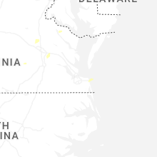


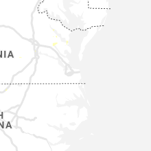


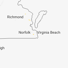


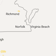


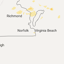

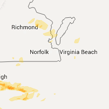

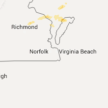


Connect with Interactive Hail Maps