

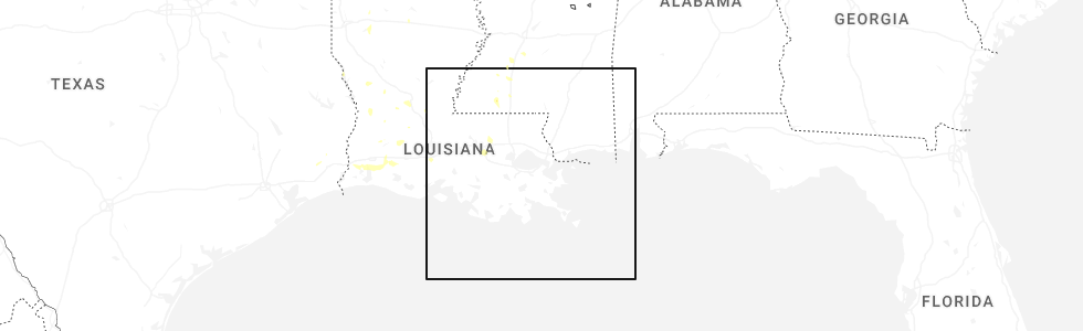
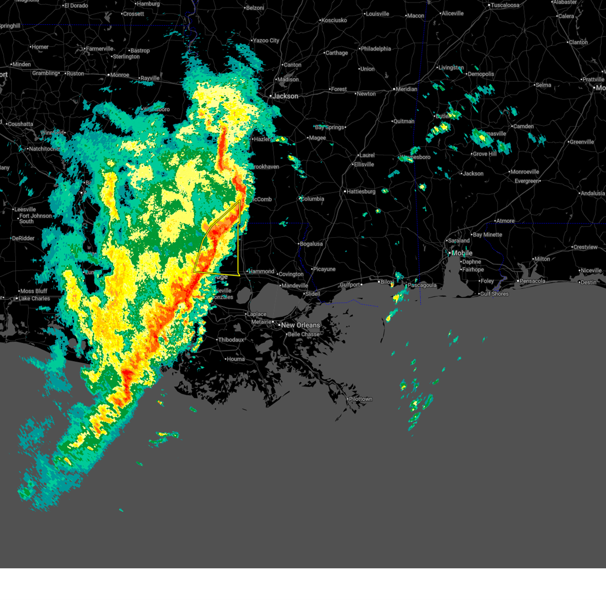
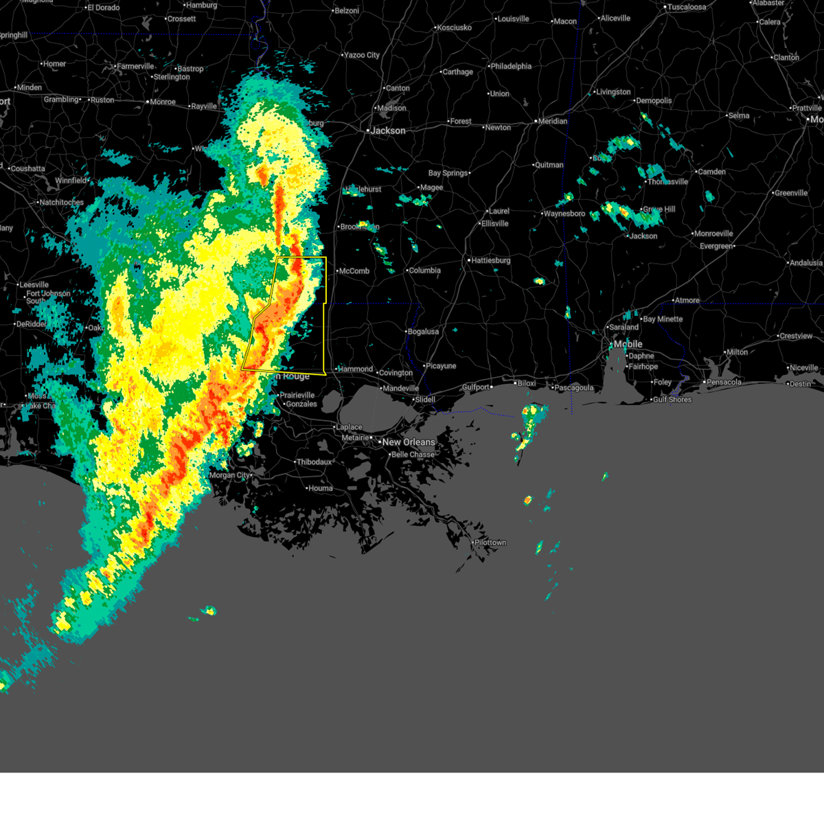
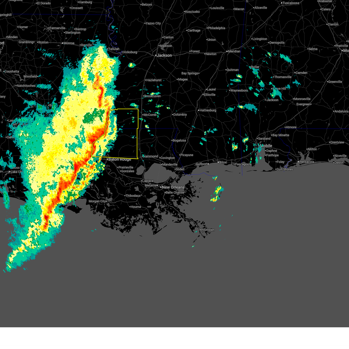
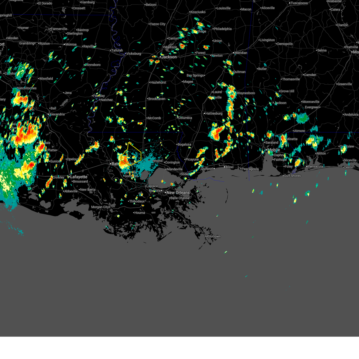
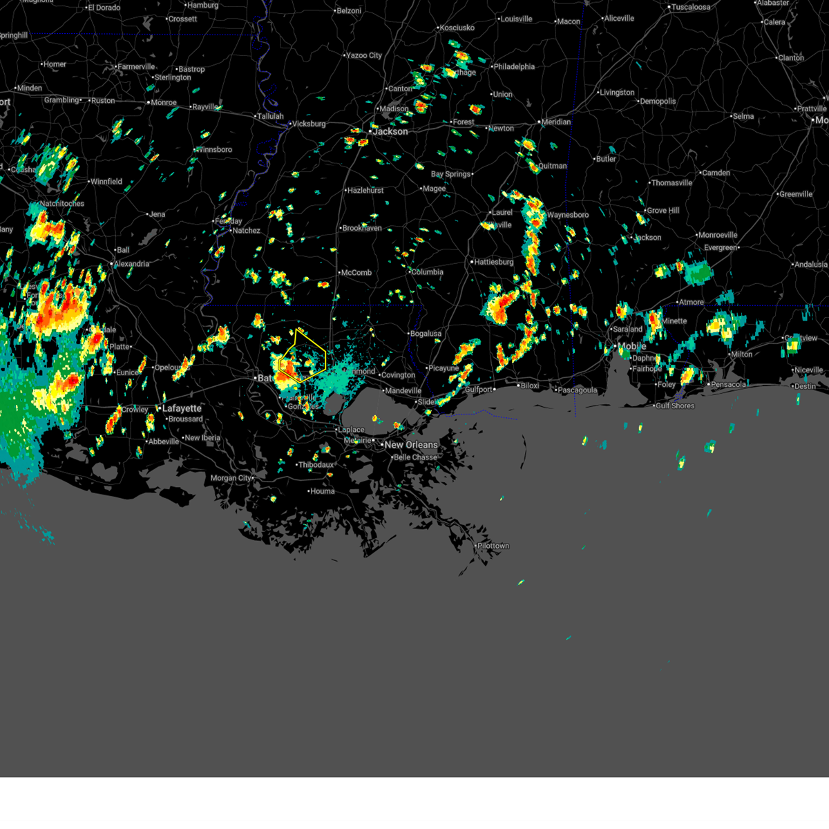
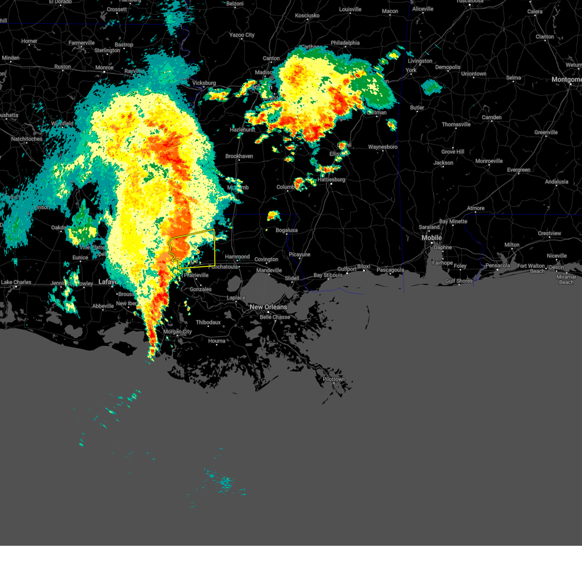
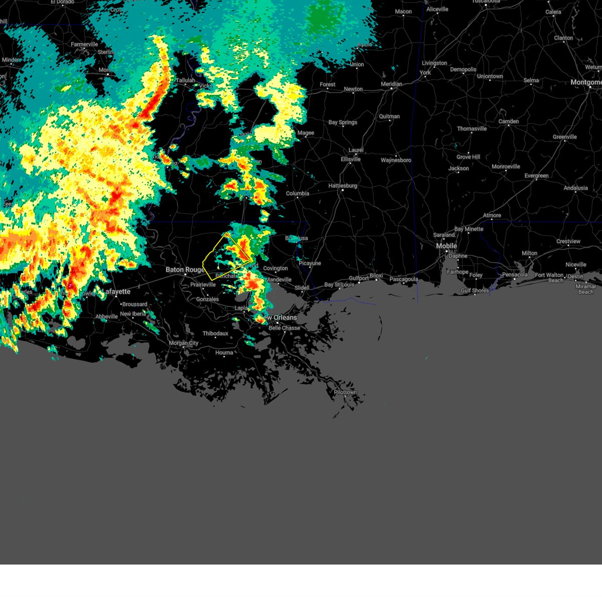
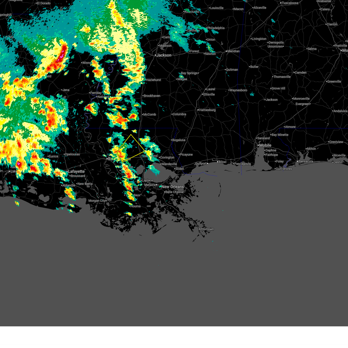
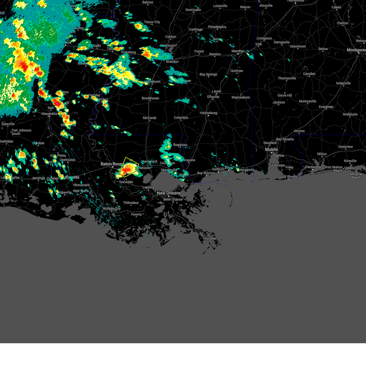
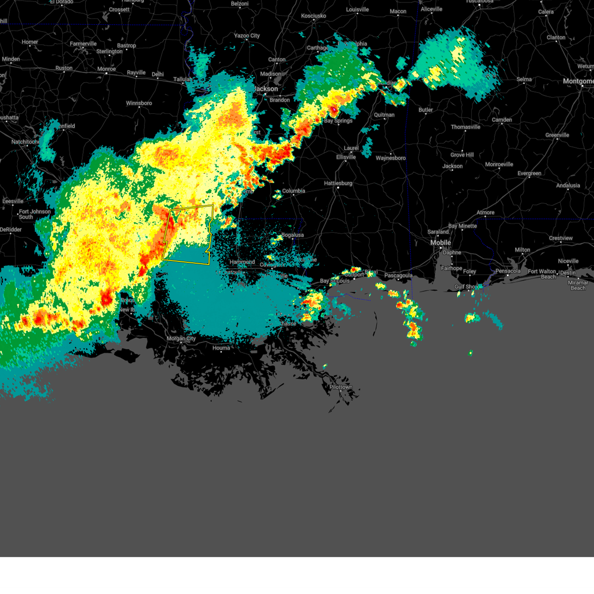
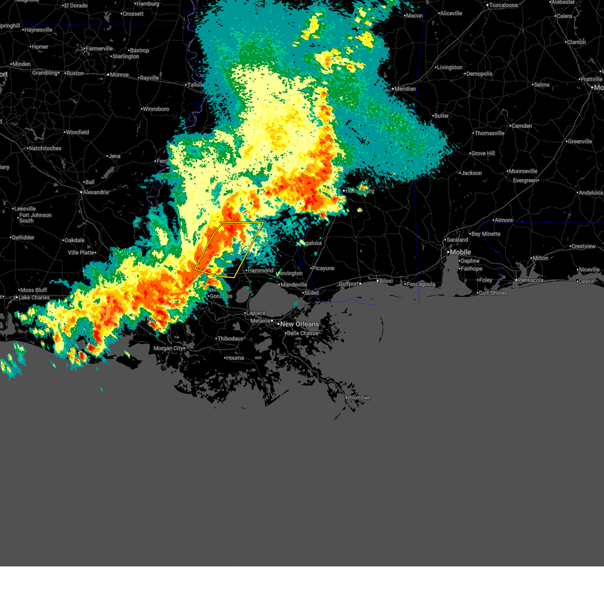
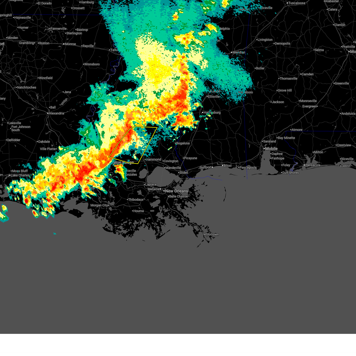
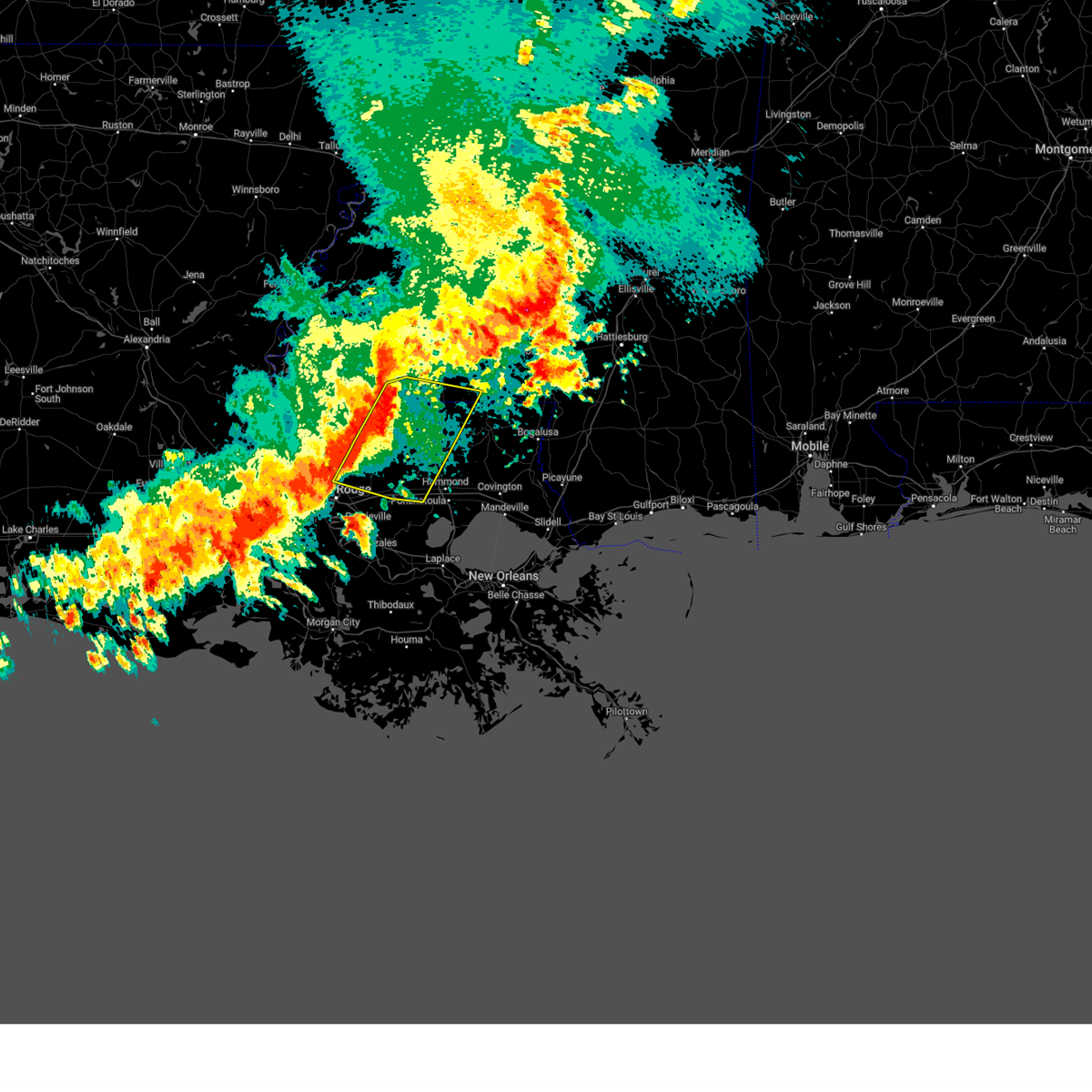
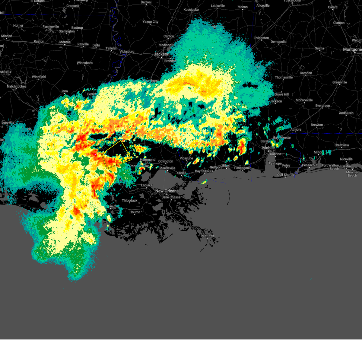
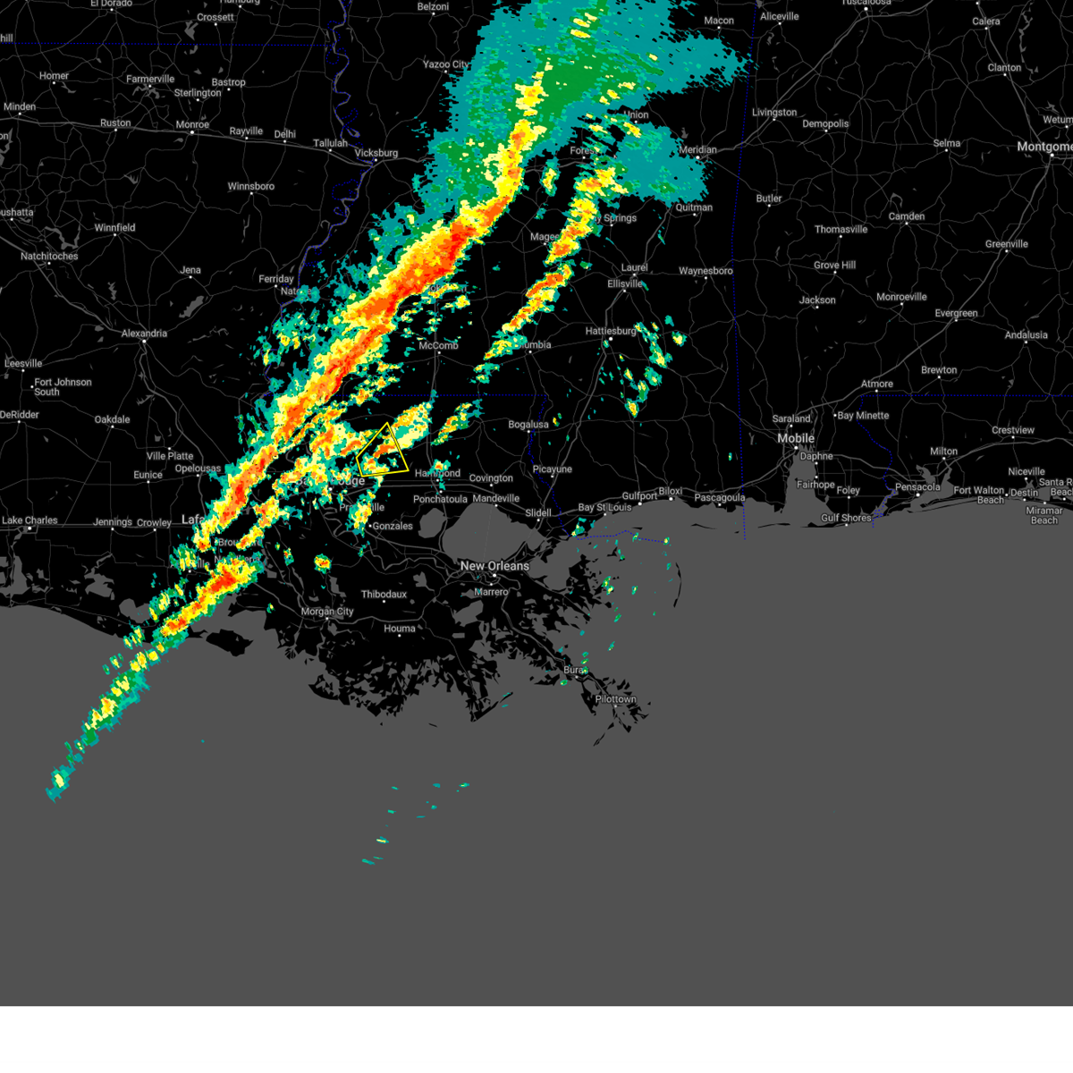
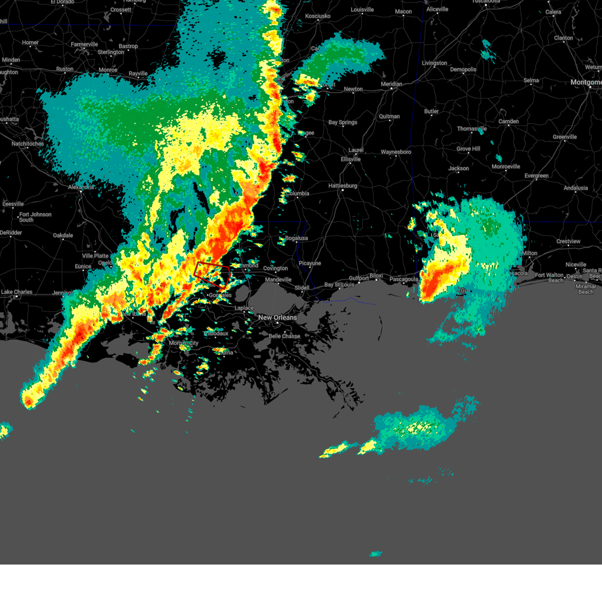
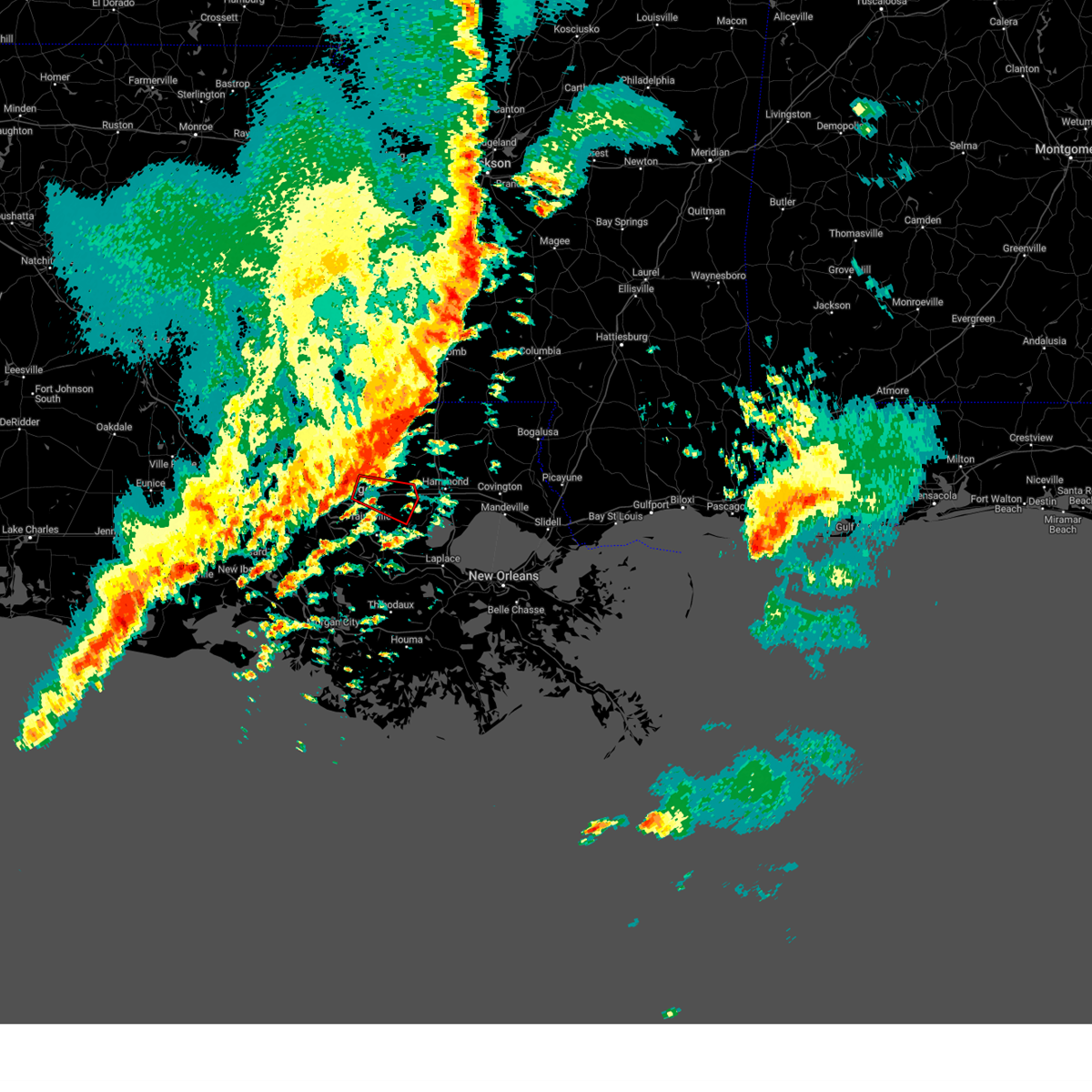
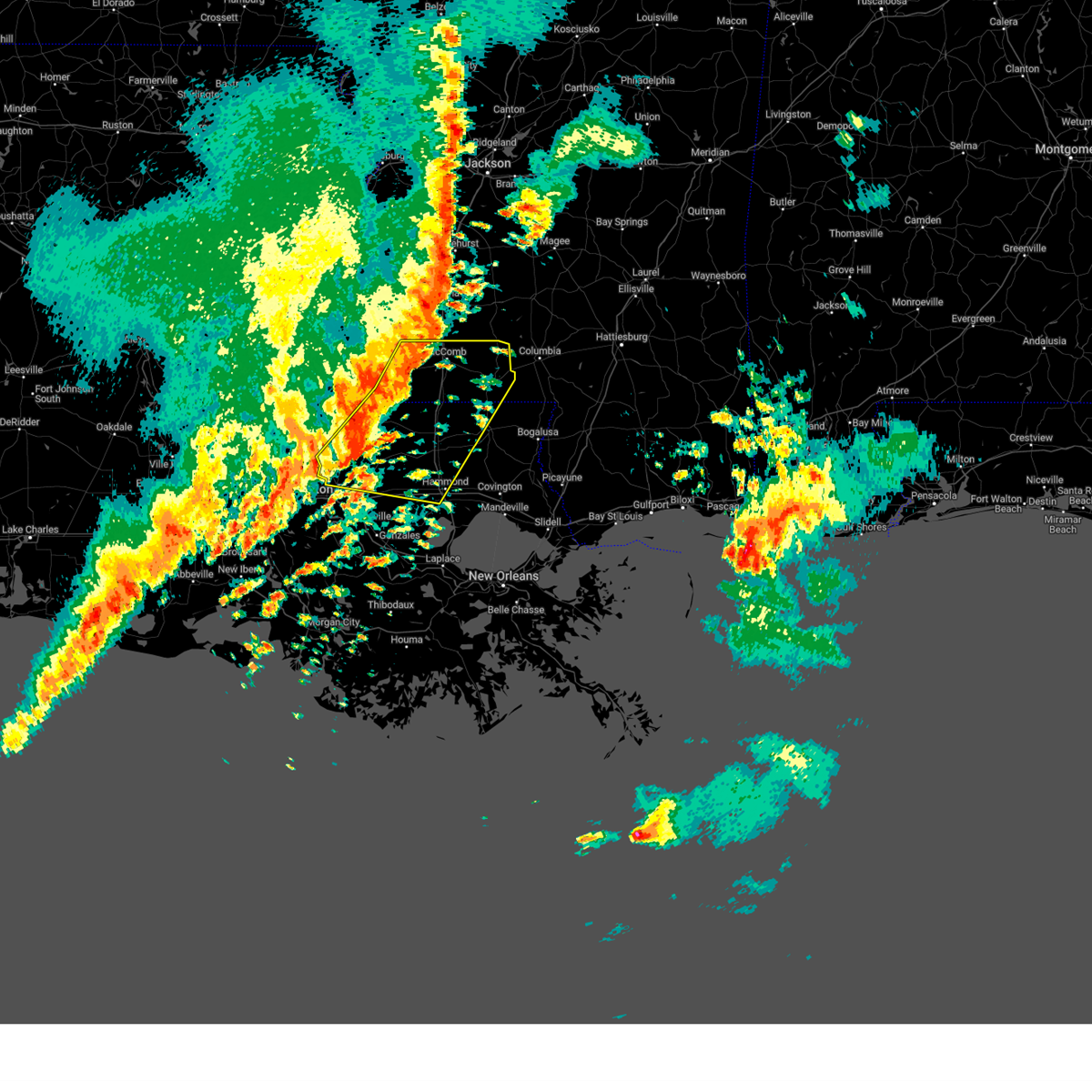
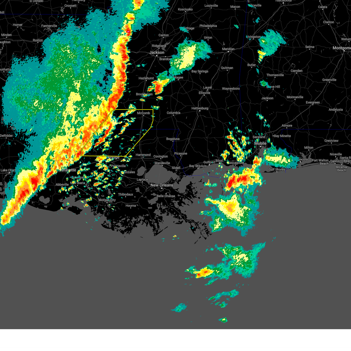
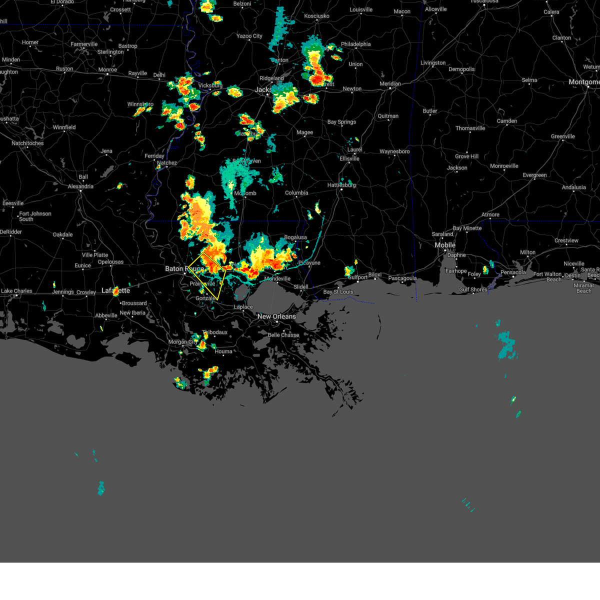
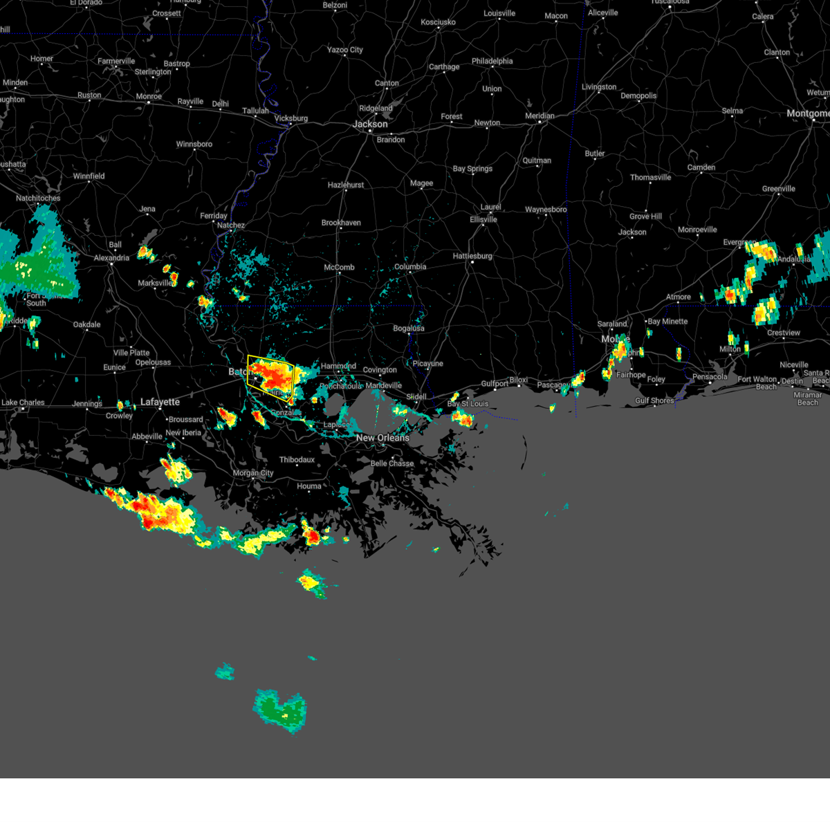
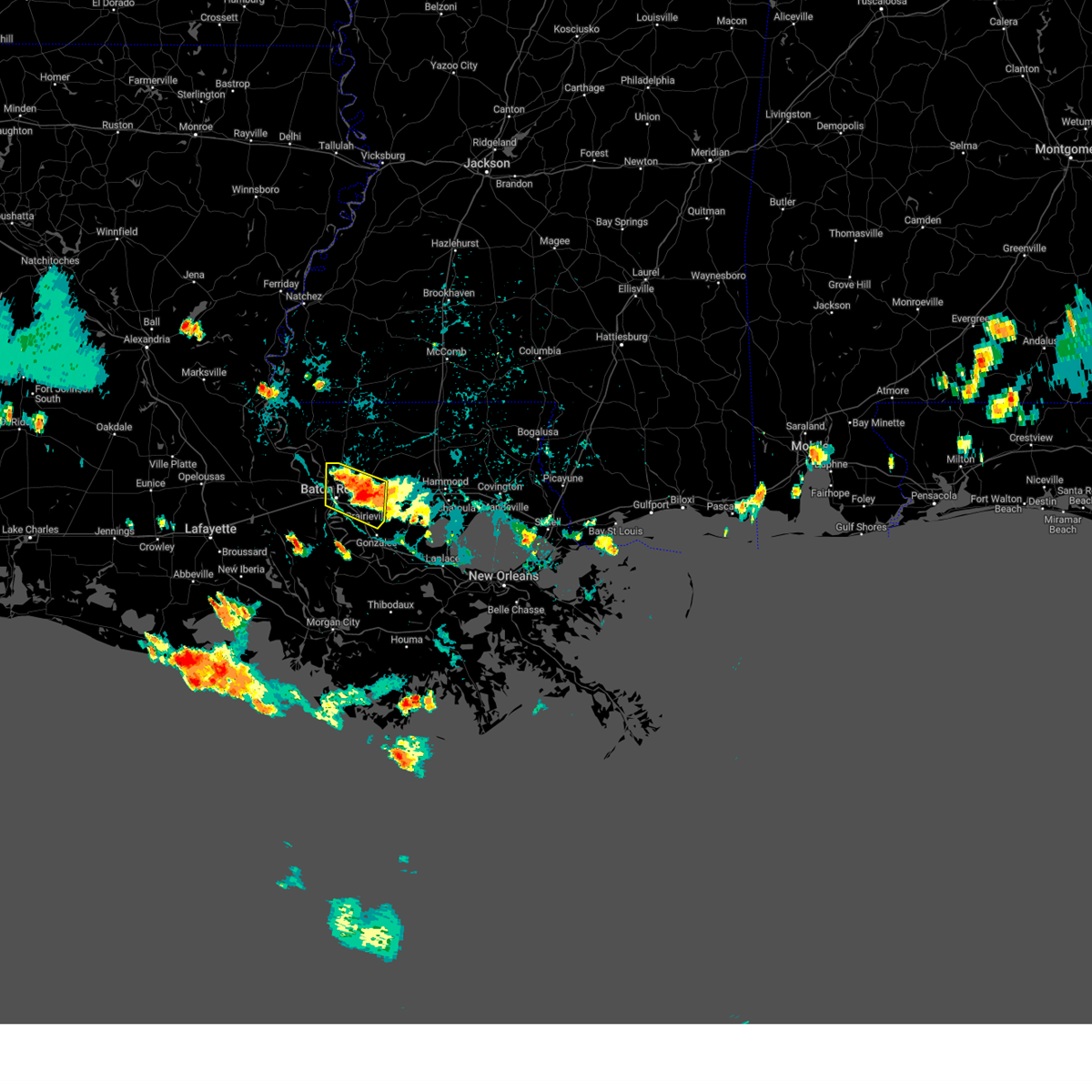
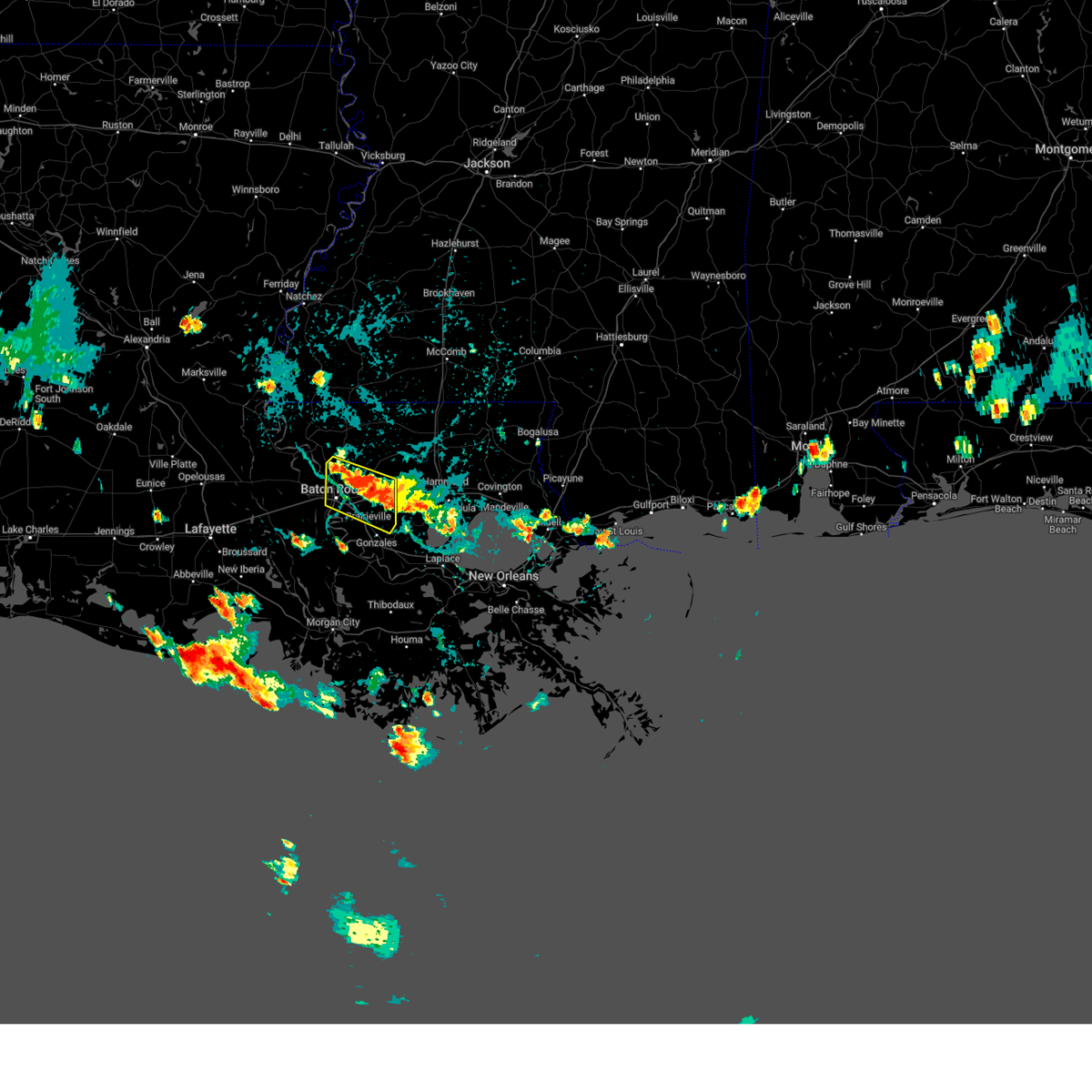
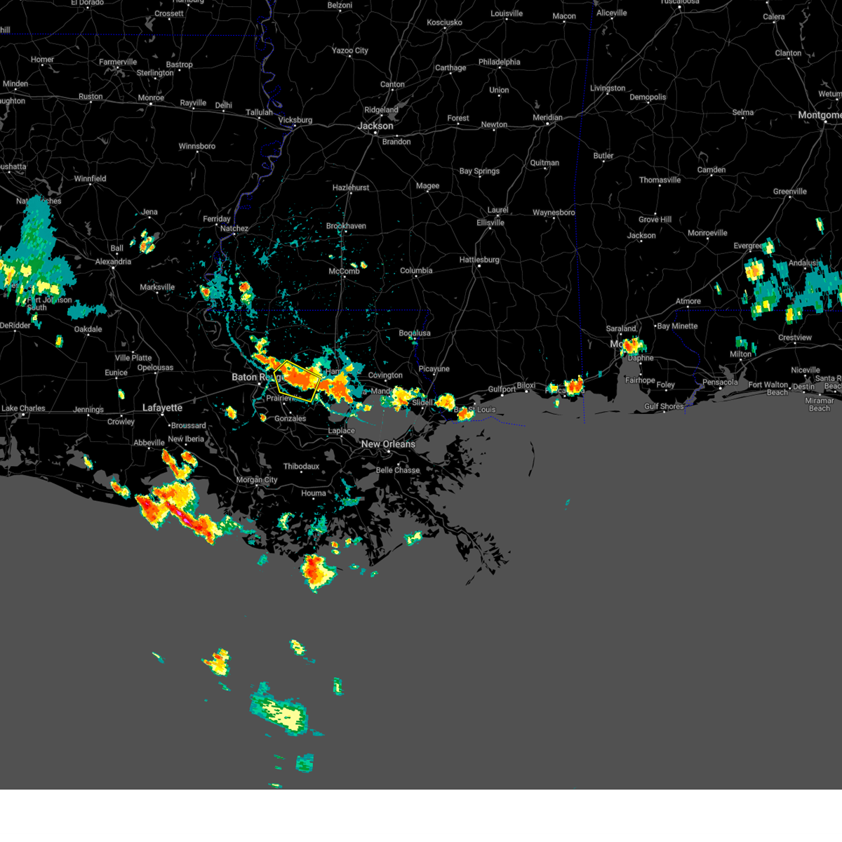
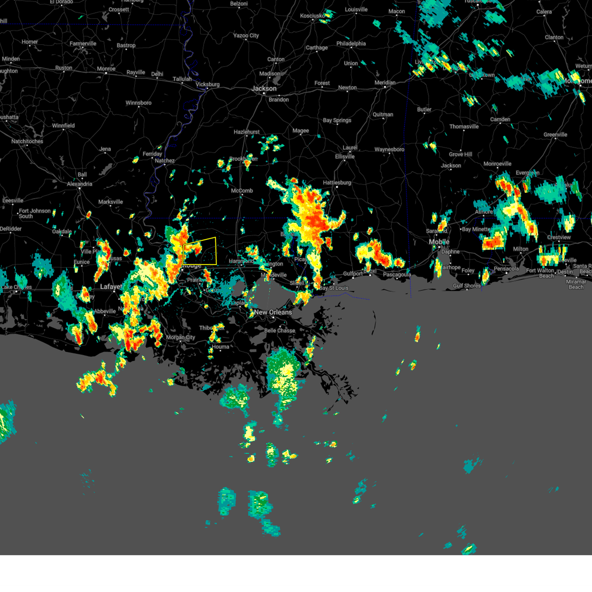
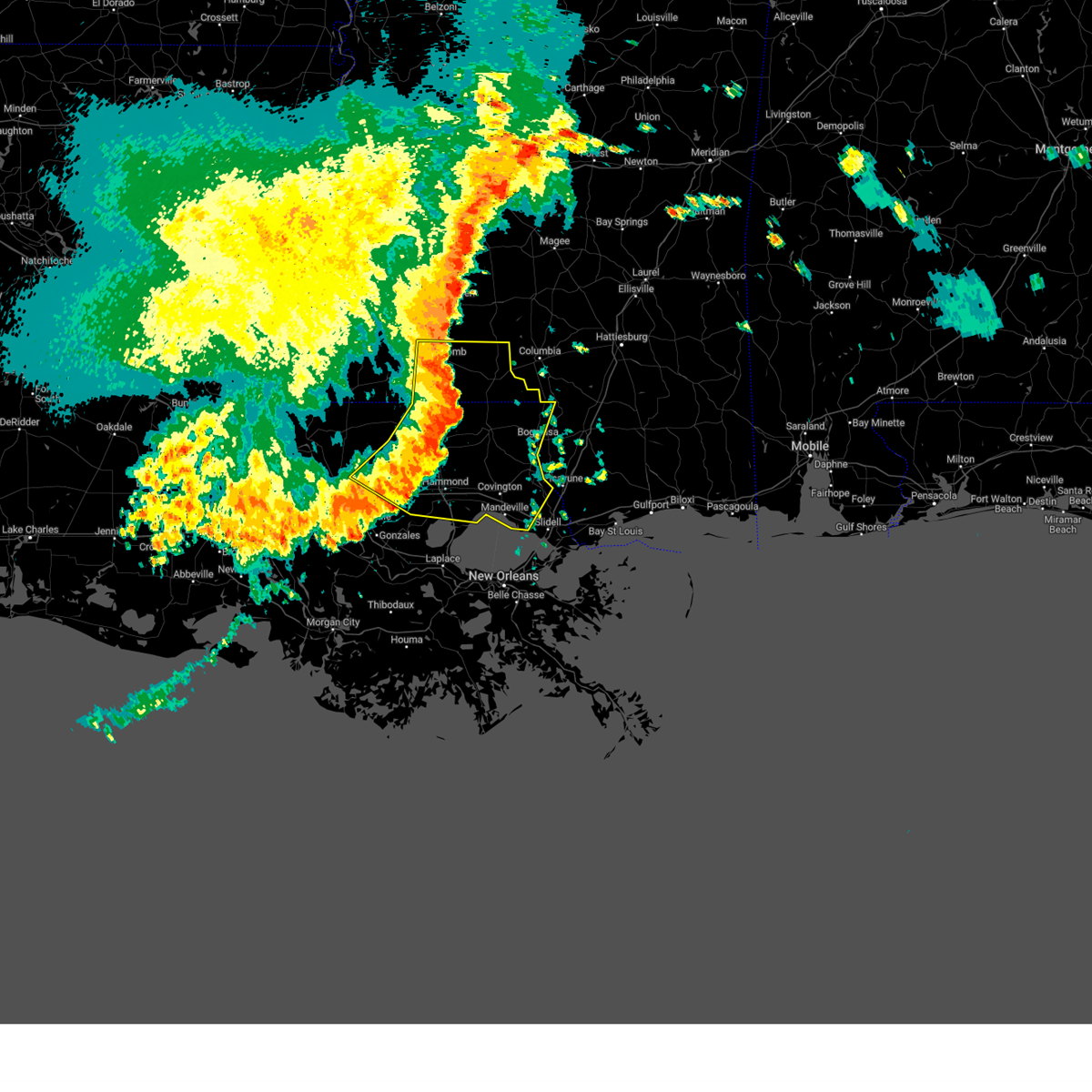
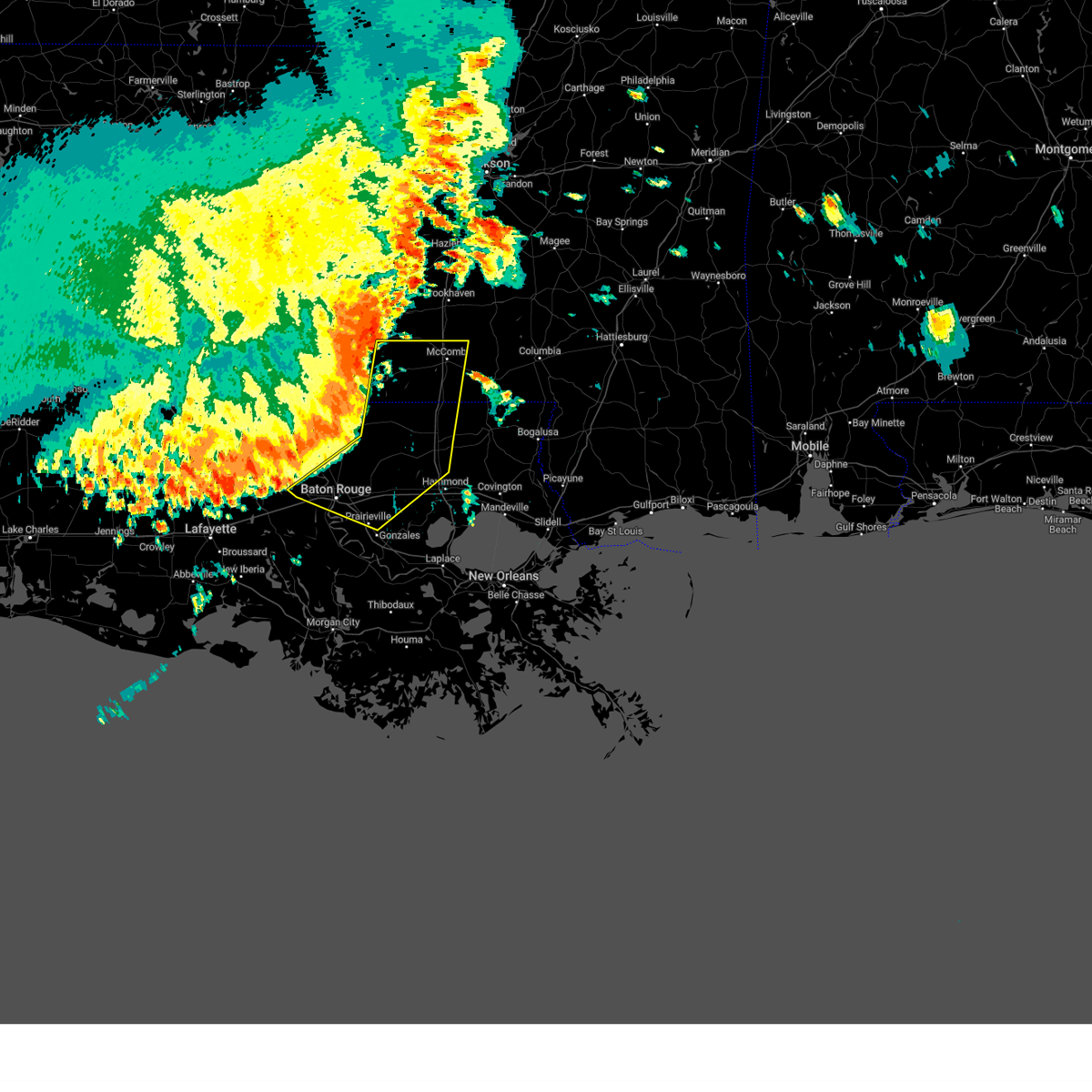
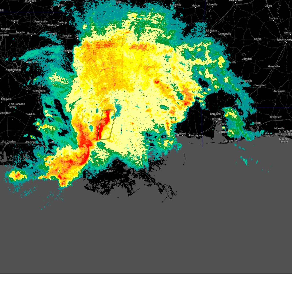
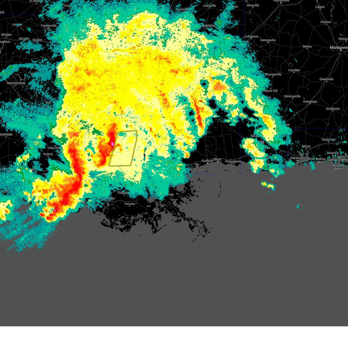
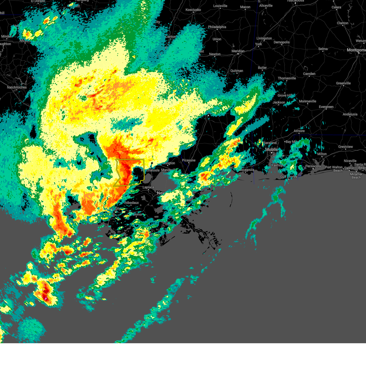
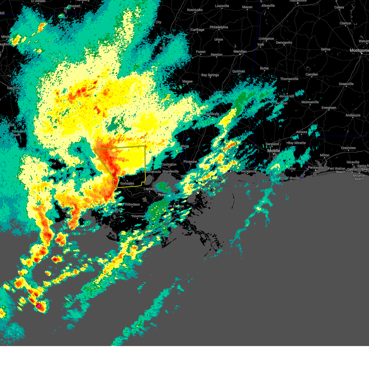
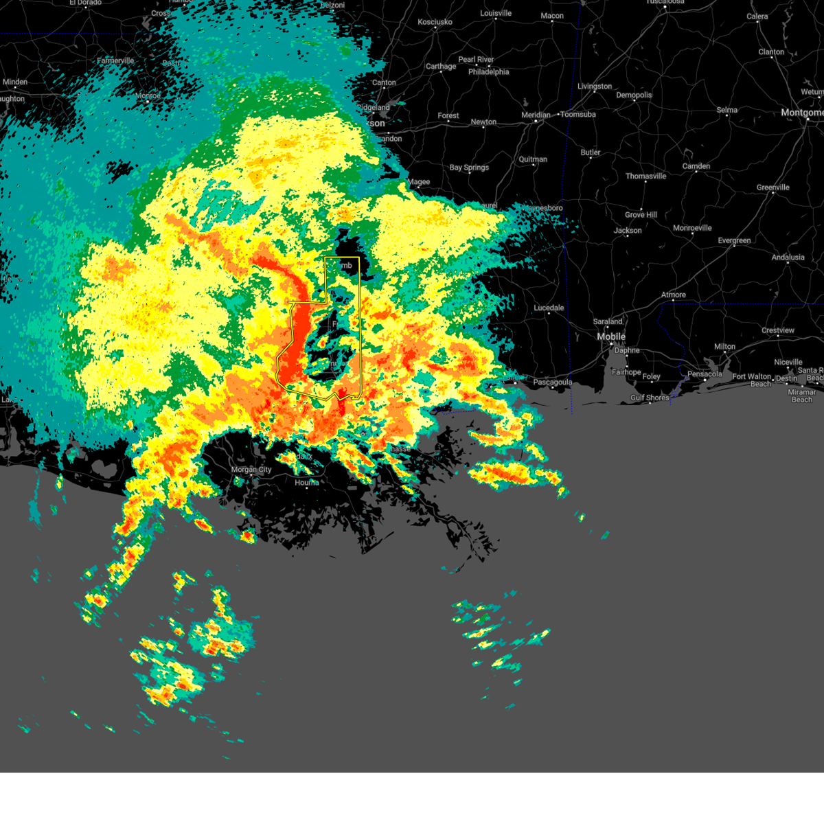
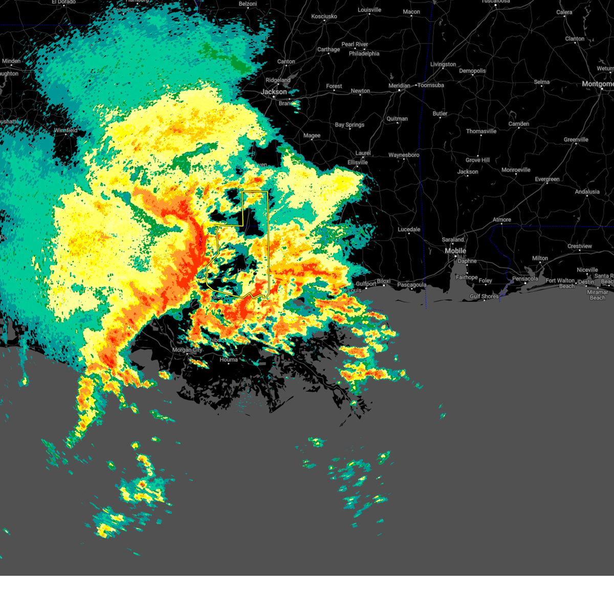
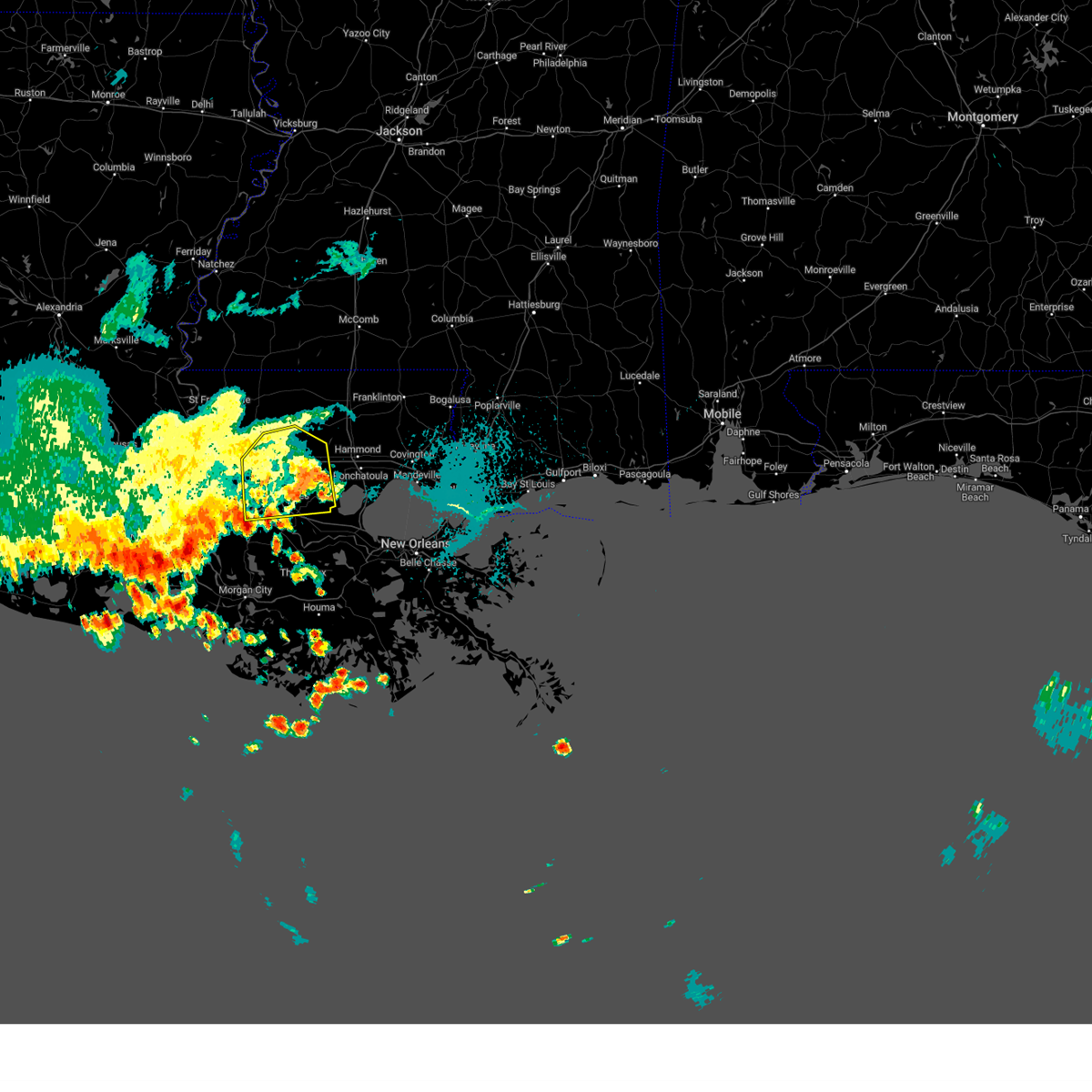
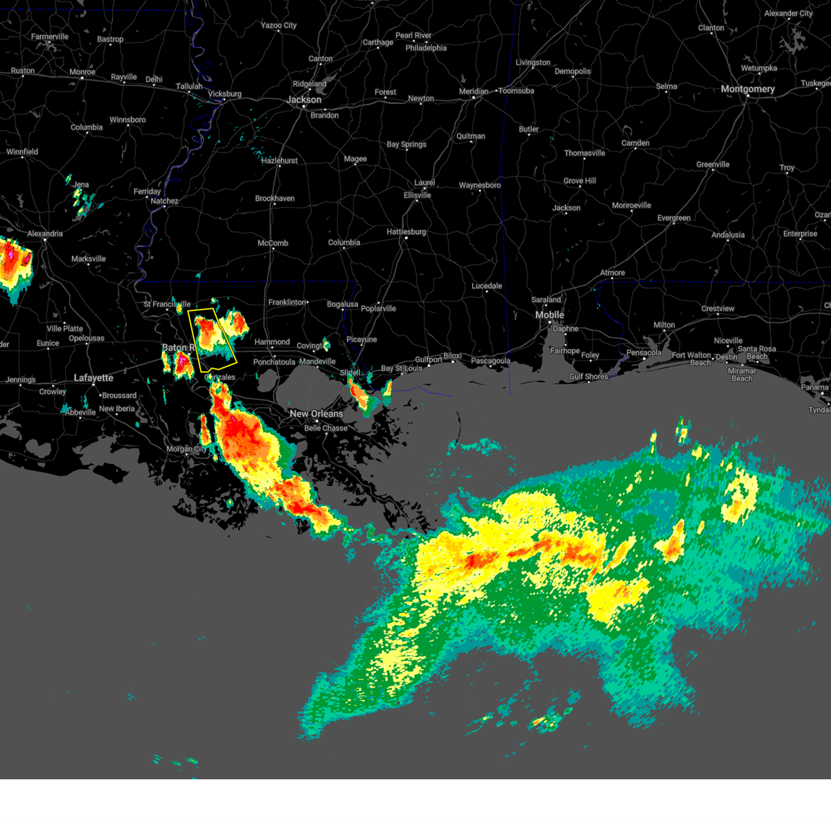
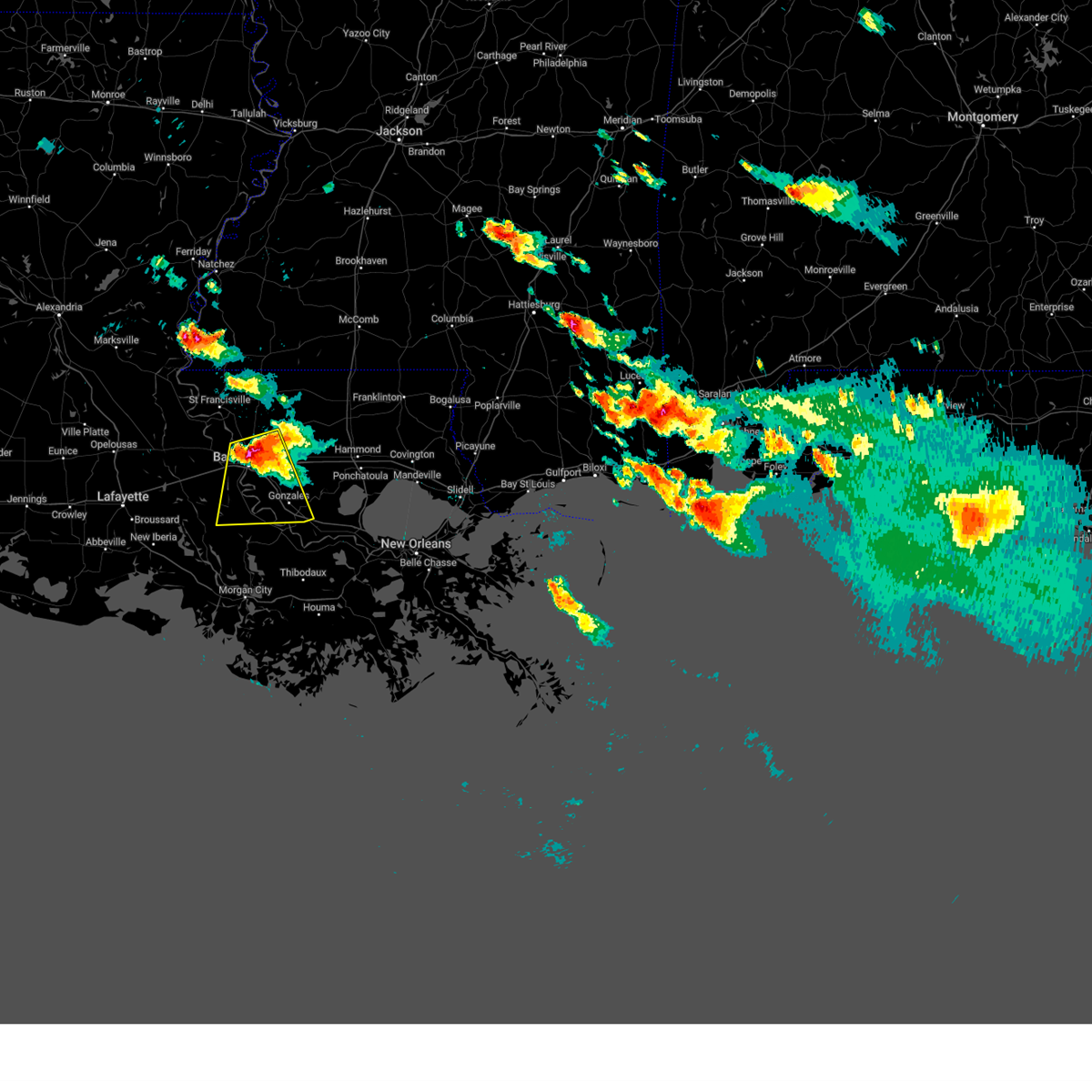
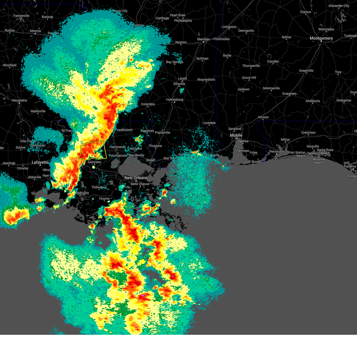
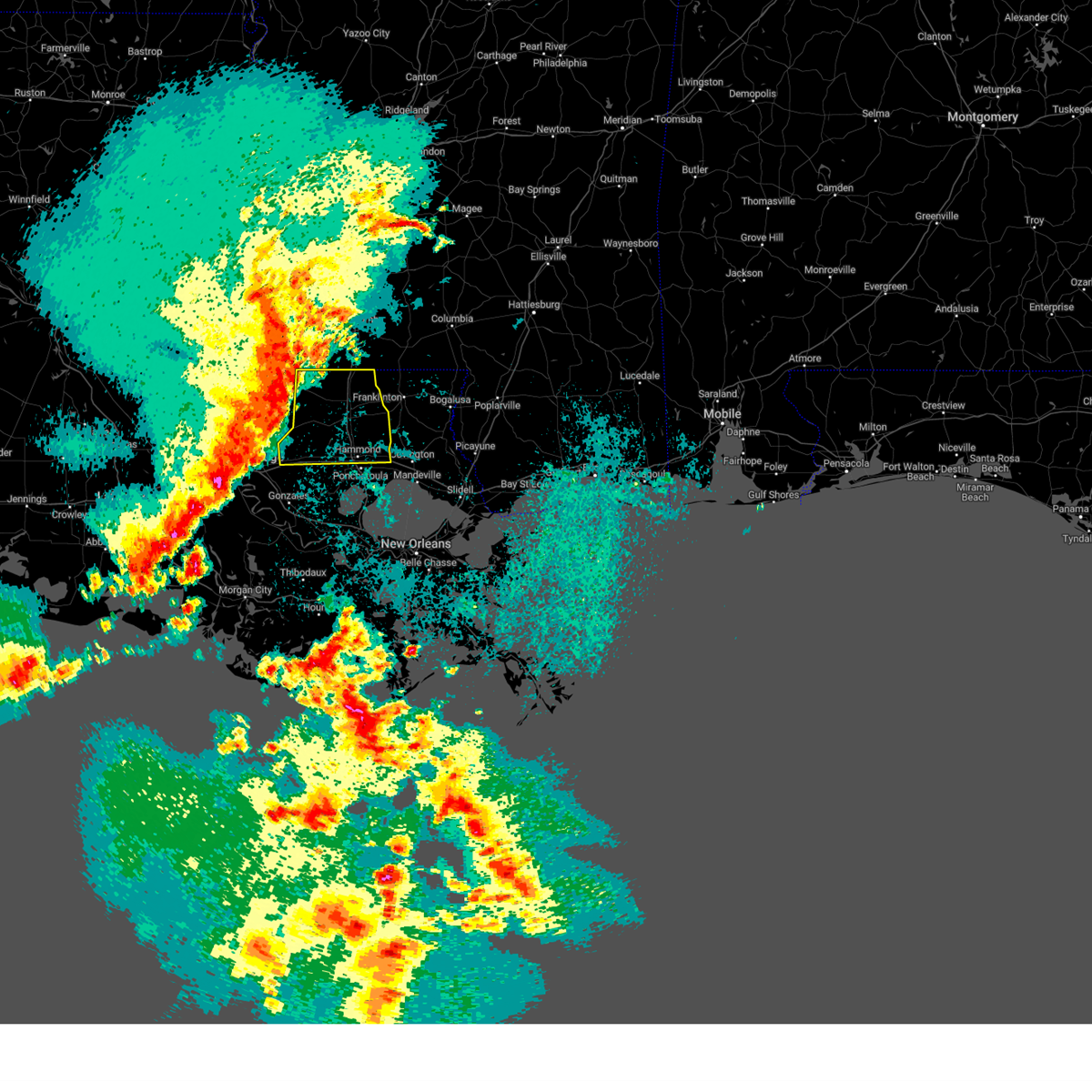
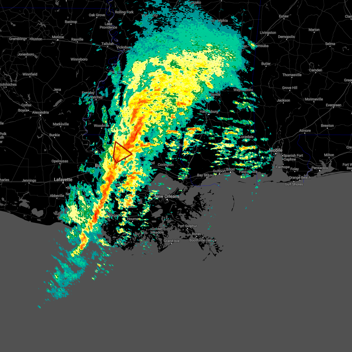
Hail Map for Watson, LA
The Watson, LA area has had 0 reports of on-the-ground hail by trained spotters, and has been under severe weather warnings 7 times during the past 12 months. Doppler radar has detected hail at or near Watson, LA on 58 occasions, including 1 occasion during the past year.
| Name: | Watson, LA |
| Where Located: | 67.7 miles NW of New Orleans, LA |
| Map: | Google Map for Watson, LA |
| Population: | 1047 |
| Housing Units: | 389 |
| More Info: | Search Google for Watson, LA |
0
The Top Recent Hail Date for Watson, LA is Wednesday, September 17, 2025 (58th out of 58)
Hail and Wind Damage Spotted near Watson, LA
| Date / Time | Report Details |
|---|---|
| 4/25/2026 4:31 AM CDT |
 Svrlix the national weather service in new orleans has issued a * severe thunderstorm warning for, southern st. helena parish in southeastern louisiana, northwestern livingston parish in southeastern louisiana, northeastern east baton rouge parish in southeastern louisiana, * until 515 am cdt. * at 430 am cdt, severe thunderstorms were located along a line extending from near clinton to near slaughter to near zachary, moving southeast at 45 mph (radar indicated). Hazards include 60 mph wind gusts and penny size hail. expect damage to roofs, siding, and trees Svrlix the national weather service in new orleans has issued a * severe thunderstorm warning for, southern st. helena parish in southeastern louisiana, northwestern livingston parish in southeastern louisiana, northeastern east baton rouge parish in southeastern louisiana, * until 515 am cdt. * at 430 am cdt, severe thunderstorms were located along a line extending from near clinton to near slaughter to near zachary, moving southeast at 45 mph (radar indicated). Hazards include 60 mph wind gusts and penny size hail. expect damage to roofs, siding, and trees
|
| 2/14/2026 11:58 PM CST |
 Svrlix the national weather service in new orleans has issued a * severe thunderstorm warning for, central st. john the baptist parish in southeastern louisiana, ascension parish in southeastern louisiana, st. james parish in southeastern louisiana, southeastern west baton rouge parish in southeastern louisiana, southern st. helena parish in southeastern louisiana, livingston parish in southeastern louisiana, southeastern iberville parish in southeastern louisiana, tangipahoa parish in southeastern louisiana, eastern east baton rouge parish in southeastern louisiana, northern assumption parish in southeastern louisiana, * until 1245 am cst. * at 1158 pm cst, severe thunderstorms were located along a line extending from easleyville to near livingston to near white castle, moving east at 35 mph (radar indicated). Hazards include 60 mph wind gusts and penny size hail. expect damage to roofs, siding, and trees Svrlix the national weather service in new orleans has issued a * severe thunderstorm warning for, central st. john the baptist parish in southeastern louisiana, ascension parish in southeastern louisiana, st. james parish in southeastern louisiana, southeastern west baton rouge parish in southeastern louisiana, southern st. helena parish in southeastern louisiana, livingston parish in southeastern louisiana, southeastern iberville parish in southeastern louisiana, tangipahoa parish in southeastern louisiana, eastern east baton rouge parish in southeastern louisiana, northern assumption parish in southeastern louisiana, * until 1245 am cst. * at 1158 pm cst, severe thunderstorms were located along a line extending from easleyville to near livingston to near white castle, moving east at 35 mph (radar indicated). Hazards include 60 mph wind gusts and penny size hail. expect damage to roofs, siding, and trees
|
| 2/14/2026 11:50 PM CST |
 the severe thunderstorm warning has been cancelled and is no longer in effect the severe thunderstorm warning has been cancelled and is no longer in effect
|
| 2/14/2026 11:50 PM CST |
 At 1150 pm cst, severe thunderstorms were located along a line extending from near summit to near gillsburg to near darlington to 8 miles northwest of montpelier, moving east at 45 mph (radar indicated). Hazards include 60 mph wind gusts and penny size hail. Expect damage to roofs, siding, and trees. locations impacted include, denham springs, greensburg, walker, livingston, albany, montpelier, central, watson, darlington, pride, greenwell spring, gillsburg, easleyville, and merrydale. This includes interstate 12 between mile markers 24 and 34. At 1150 pm cst, severe thunderstorms were located along a line extending from near summit to near gillsburg to near darlington to 8 miles northwest of montpelier, moving east at 45 mph (radar indicated). Hazards include 60 mph wind gusts and penny size hail. Expect damage to roofs, siding, and trees. locations impacted include, denham springs, greensburg, walker, livingston, albany, montpelier, central, watson, darlington, pride, greenwell spring, gillsburg, easleyville, and merrydale. This includes interstate 12 between mile markers 24 and 34.
|
| 2/14/2026 11:28 PM CST |
 At 1128 pm cst, severe thunderstorms were located along a line extending from near smithdale to 6 miles east of felps to near clinton to near pride, moving east at 45 mph (radar indicated). Hazards include 60 mph wind gusts and penny size hail. Expect damage to roofs, siding, and trees. locations impacted include, baton rouge, zachary, baker, denham springs, jackson, clinton, liberty, greensburg, walker, livingston, albany, slaughter, gloster, wilson, montpelier, smithdale, central, watson, darlington, and pride. this includes the following interstates, interstate 12 between mile markers 21 and 34. Interstate 110 in louisiana between mile markers 5 and 8. At 1128 pm cst, severe thunderstorms were located along a line extending from near smithdale to 6 miles east of felps to near clinton to near pride, moving east at 45 mph (radar indicated). Hazards include 60 mph wind gusts and penny size hail. Expect damage to roofs, siding, and trees. locations impacted include, baton rouge, zachary, baker, denham springs, jackson, clinton, liberty, greensburg, walker, livingston, albany, slaughter, gloster, wilson, montpelier, smithdale, central, watson, darlington, and pride. this includes the following interstates, interstate 12 between mile markers 21 and 34. Interstate 110 in louisiana between mile markers 5 and 8.
|
| 2/14/2026 11:28 PM CST |
 the severe thunderstorm warning has been cancelled and is no longer in effect the severe thunderstorm warning has been cancelled and is no longer in effect
|
| 2/14/2026 10:57 PM CST |
 Svrlix the national weather service in new orleans has issued a * severe thunderstorm warning for, northern west baton rouge parish in southeastern louisiana, st. helena parish in southeastern louisiana, southeastern west feliciana parish in southeastern louisiana, southeastern pointe coupee parish in southeastern louisiana, northern livingston parish in southeastern louisiana, east feliciana parish in southeastern louisiana, east baton rouge parish in southeastern louisiana, eastern wilkinson county in southern mississippi, amite county in southern mississippi, * until midnight cst. * at 1056 pm cst, severe thunderstorms were located along a line extending from near garden city to near wilson to near new roads to 7 miles north of erwinville, moving east at 45 mph (radar indicated). Hazards include 60 mph wind gusts and penny size hail. expect damage to roofs, siding, and trees Svrlix the national weather service in new orleans has issued a * severe thunderstorm warning for, northern west baton rouge parish in southeastern louisiana, st. helena parish in southeastern louisiana, southeastern west feliciana parish in southeastern louisiana, southeastern pointe coupee parish in southeastern louisiana, northern livingston parish in southeastern louisiana, east feliciana parish in southeastern louisiana, east baton rouge parish in southeastern louisiana, eastern wilkinson county in southern mississippi, amite county in southern mississippi, * until midnight cst. * at 1056 pm cst, severe thunderstorms were located along a line extending from near garden city to near wilson to near new roads to 7 miles north of erwinville, moving east at 45 mph (radar indicated). Hazards include 60 mph wind gusts and penny size hail. expect damage to roofs, siding, and trees
|
| 6/14/2025 12:04 PM CDT |
 At 1203 pm cdt, a severe thunderstorm was located near walker, or 7 miles northeast of denham springs, moving northeast at 25 mph (radar indicated). Hazards include 60 mph wind gusts and penny size hail. Expect damage to roofs, siding, and trees. locations impacted include, denham springs, walker, livingston, albany, montpelier, and watson. This includes interstate 12 between mile markers 15 and 27. At 1203 pm cdt, a severe thunderstorm was located near walker, or 7 miles northeast of denham springs, moving northeast at 25 mph (radar indicated). Hazards include 60 mph wind gusts and penny size hail. Expect damage to roofs, siding, and trees. locations impacted include, denham springs, walker, livingston, albany, montpelier, and watson. This includes interstate 12 between mile markers 15 and 27.
|
| 6/14/2025 12:04 PM CDT |
 the severe thunderstorm warning has been cancelled and is no longer in effect the severe thunderstorm warning has been cancelled and is no longer in effect
|
| 6/14/2025 11:50 AM CDT |
 Svrlix the national weather service in new orleans has issued a * severe thunderstorm warning for, southwestern st. helena parish in southeastern louisiana, northern livingston parish in southeastern louisiana, northeastern east baton rouge parish in southeastern louisiana, * until 1230 pm cdt. * at 1150 am cdt, a severe thunderstorm was located over walker, or near denham springs, moving northeast at 25 mph (radar indicated). Hazards include 60 mph wind gusts and quarter size hail. Hail damage to vehicles is expected. Expect wind damage to roofs, siding, and trees. Svrlix the national weather service in new orleans has issued a * severe thunderstorm warning for, southwestern st. helena parish in southeastern louisiana, northern livingston parish in southeastern louisiana, northeastern east baton rouge parish in southeastern louisiana, * until 1230 pm cdt. * at 1150 am cdt, a severe thunderstorm was located over walker, or near denham springs, moving northeast at 25 mph (radar indicated). Hazards include 60 mph wind gusts and quarter size hail. Hail damage to vehicles is expected. Expect wind damage to roofs, siding, and trees.
|
| 6/10/2025 3:06 PM CDT |
 Svrlix the national weather service in new orleans has issued a * severe thunderstorm warning for, southern st. helena parish in southeastern louisiana, northern livingston parish in southeastern louisiana, * until 400 pm cdt. * at 306 pm cdt, a severe thunderstorm was located near walker, or 10 miles northeast of denham springs, moving east at 30 mph (radar indicated). Hazards include 60 mph wind gusts and nickel size hail. expect damage to roofs, siding, and trees Svrlix the national weather service in new orleans has issued a * severe thunderstorm warning for, southern st. helena parish in southeastern louisiana, northern livingston parish in southeastern louisiana, * until 400 pm cdt. * at 306 pm cdt, a severe thunderstorm was located near walker, or 10 miles northeast of denham springs, moving east at 30 mph (radar indicated). Hazards include 60 mph wind gusts and nickel size hail. expect damage to roofs, siding, and trees
|
| 5/27/2025 6:53 AM CDT |
 At 653 am cdt, a severe thunderstorm was located 8 miles east of pride, or 13 miles southwest of greensburg, moving east at 40 mph (radar indicated). Hazards include 60 mph wind gusts. Expect damage to roofs, siding, and trees. Locations impacted include, pride, greenwell spring, and watson. At 653 am cdt, a severe thunderstorm was located 8 miles east of pride, or 13 miles southwest of greensburg, moving east at 40 mph (radar indicated). Hazards include 60 mph wind gusts. Expect damage to roofs, siding, and trees. Locations impacted include, pride, greenwell spring, and watson.
|
| 5/27/2025 6:37 AM CDT |
 At 636 am cdt, a severe thunderstorm was located near pride, or 7 miles east of zachary, moving east at 40 mph (radar indicated). Hazards include 60 mph wind gusts. Expect damage to roofs, siding, and trees. locations impacted include, pride, zachary, baker, watson, baton rouge airport, brownfields, greenwell spring, slaughter, merrydale, and baton rouge. This includes interstate 110 in louisiana between mile markers 6 and 8. At 636 am cdt, a severe thunderstorm was located near pride, or 7 miles east of zachary, moving east at 40 mph (radar indicated). Hazards include 60 mph wind gusts. Expect damage to roofs, siding, and trees. locations impacted include, pride, zachary, baker, watson, baton rouge airport, brownfields, greenwell spring, slaughter, merrydale, and baton rouge. This includes interstate 110 in louisiana between mile markers 6 and 8.
|
| 5/27/2025 6:37 AM CDT |
 the severe thunderstorm warning has been cancelled and is no longer in effect the severe thunderstorm warning has been cancelled and is no longer in effect
|
| 5/27/2025 6:33 AM CDT |
 At 633 am cdt, a severe thunderstorm was located near zachary, moving east at 40 mph (radar indicated). Hazards include 60 mph wind gusts. Expect damage to roofs, siding, and trees. locations impacted include, baton rouge, merrydale, zachary, livingston, walker, watson, baton rouge airport, pride, baker, brownfields, greenwell spring, denham springs, slaughter, and port allen. this includes the following interstates, interstate 10 in louisiana between mile markers 155 and 158. interstate 12 between mile markers 5 and 23. Interstate 110 in louisiana between mile markers 1 and 8. At 633 am cdt, a severe thunderstorm was located near zachary, moving east at 40 mph (radar indicated). Hazards include 60 mph wind gusts. Expect damage to roofs, siding, and trees. locations impacted include, baton rouge, merrydale, zachary, livingston, walker, watson, baton rouge airport, pride, baker, brownfields, greenwell spring, denham springs, slaughter, and port allen. this includes the following interstates, interstate 10 in louisiana between mile markers 155 and 158. interstate 12 between mile markers 5 and 23. Interstate 110 in louisiana between mile markers 1 and 8.
|
| 5/27/2025 6:09 AM CDT |
 Svrlix the national weather service in new orleans has issued a * severe thunderstorm warning for, northeastern west baton rouge parish in southeastern louisiana, southwestern st. helena parish in southeastern louisiana, northwestern livingston parish in southeastern louisiana, southern east feliciana parish in southeastern louisiana, east baton rouge parish in southeastern louisiana, * until 715 am cdt. * at 608 am cdt, a severe thunderstorm was located near erwinville, or 9 miles west of baker, moving east at 40 mph (radar indicated). Hazards include 60 mph wind gusts. expect damage to roofs, siding, and trees Svrlix the national weather service in new orleans has issued a * severe thunderstorm warning for, northeastern west baton rouge parish in southeastern louisiana, southwestern st. helena parish in southeastern louisiana, northwestern livingston parish in southeastern louisiana, southern east feliciana parish in southeastern louisiana, east baton rouge parish in southeastern louisiana, * until 715 am cdt. * at 608 am cdt, a severe thunderstorm was located near erwinville, or 9 miles west of baker, moving east at 40 mph (radar indicated). Hazards include 60 mph wind gusts. expect damage to roofs, siding, and trees
|
| 5/21/2025 11:04 AM CDT |
 the severe thunderstorm warning has been cancelled and is no longer in effect the severe thunderstorm warning has been cancelled and is no longer in effect
|
| 5/21/2025 10:43 AM CDT |
 Svrlix the national weather service in new orleans has issued a * severe thunderstorm warning for, southern st. helena parish in southeastern louisiana, northern livingston parish in southeastern louisiana, southeastern east feliciana parish in southeastern louisiana, northwestern tangipahoa parish in southeastern louisiana, northeastern east baton rouge parish in southeastern louisiana, * until 1130 am cdt. * at 1043 am cdt, a severe thunderstorm was located near pride, or 15 miles southeast of clinton, moving east at 40 mph (radar indicated). Hazards include 60 mph wind gusts and quarter size hail. Hail damage to vehicles is expected. Expect wind damage to roofs, siding, and trees. Svrlix the national weather service in new orleans has issued a * severe thunderstorm warning for, southern st. helena parish in southeastern louisiana, northern livingston parish in southeastern louisiana, southeastern east feliciana parish in southeastern louisiana, northwestern tangipahoa parish in southeastern louisiana, northeastern east baton rouge parish in southeastern louisiana, * until 1130 am cdt. * at 1043 am cdt, a severe thunderstorm was located near pride, or 15 miles southeast of clinton, moving east at 40 mph (radar indicated). Hazards include 60 mph wind gusts and quarter size hail. Hail damage to vehicles is expected. Expect wind damage to roofs, siding, and trees.
|
| 5/6/2025 6:11 PM CDT |
 The storm which prompted the warning has weakened below severe limits, and has exited the warned area. therefore, the warning will be allowed to expire. a tornado watch remains in effect until 100 am cdt for southeastern louisiana. The storm which prompted the warning has weakened below severe limits, and has exited the warned area. therefore, the warning will be allowed to expire. a tornado watch remains in effect until 100 am cdt for southeastern louisiana.
|
| 5/6/2025 5:31 PM CDT |
 Svrlix the national weather service in new orleans has issued a * severe thunderstorm warning for, southern st. helena parish in southeastern louisiana, northern livingston parish in southeastern louisiana, west central tangipahoa parish in southeastern louisiana, * until 615 pm cdt. * at 531 pm cdt, a severe thunderstorm was located near walker, or near denham springs, moving northeast at 40 mph (radar indicated). Hazards include ping pong ball size hail and 60 mph wind gusts. People and animals outdoors will be injured. expect hail damage to roofs, siding, windows, and vehicles. Expect wind damage to roofs, siding, and trees. Svrlix the national weather service in new orleans has issued a * severe thunderstorm warning for, southern st. helena parish in southeastern louisiana, northern livingston parish in southeastern louisiana, west central tangipahoa parish in southeastern louisiana, * until 615 pm cdt. * at 531 pm cdt, a severe thunderstorm was located near walker, or near denham springs, moving northeast at 40 mph (radar indicated). Hazards include ping pong ball size hail and 60 mph wind gusts. People and animals outdoors will be injured. expect hail damage to roofs, siding, windows, and vehicles. Expect wind damage to roofs, siding, and trees.
|
| 5/6/2025 3:11 PM CDT |
 Svrlix the national weather service in new orleans has issued a * severe thunderstorm warning for, north central ascension parish in southeastern louisiana, northwestern livingston parish in southeastern louisiana, south central east baton rouge parish in southeastern louisiana, * until 400 pm cdt. * at 311 pm cdt, a severe thunderstorm was located over old jefferson, or 7 miles south of denham springs, moving northeast at 15 mph (radar indicated). Hazards include 60 mph wind gusts and quarter size hail. Hail damage to vehicles is expected. Expect wind damage to roofs, siding, and trees. Svrlix the national weather service in new orleans has issued a * severe thunderstorm warning for, north central ascension parish in southeastern louisiana, northwestern livingston parish in southeastern louisiana, south central east baton rouge parish in southeastern louisiana, * until 400 pm cdt. * at 311 pm cdt, a severe thunderstorm was located over old jefferson, or 7 miles south of denham springs, moving northeast at 15 mph (radar indicated). Hazards include 60 mph wind gusts and quarter size hail. Hail damage to vehicles is expected. Expect wind damage to roofs, siding, and trees.
|
| 5/2/2025 9:38 PM CDT |
 Svrlix the national weather service in new orleans has issued a * severe thunderstorm warning for, north central west baton rouge parish in southeastern louisiana, eastern west feliciana parish in southeastern louisiana, southeastern pointe coupee parish in southeastern louisiana, northwestern livingston parish in southeastern louisiana, east feliciana parish in southeastern louisiana, northern east baton rouge parish in southeastern louisiana, southeastern wilkinson county in southern mississippi, southwestern amite county in southern mississippi, * until 1030 pm cdt. * at 937 pm cdt, severe thunderstorms were located along a line extending from near woodville to near atchafalaya national wildlife refuge, moving east at 30 mph (radar indicated). Hazards include 60 mph wind gusts and penny size hail. expect damage to roofs, siding, and trees Svrlix the national weather service in new orleans has issued a * severe thunderstorm warning for, north central west baton rouge parish in southeastern louisiana, eastern west feliciana parish in southeastern louisiana, southeastern pointe coupee parish in southeastern louisiana, northwestern livingston parish in southeastern louisiana, east feliciana parish in southeastern louisiana, northern east baton rouge parish in southeastern louisiana, southeastern wilkinson county in southern mississippi, southwestern amite county in southern mississippi, * until 1030 pm cdt. * at 937 pm cdt, severe thunderstorms were located along a line extending from near woodville to near atchafalaya national wildlife refuge, moving east at 30 mph (radar indicated). Hazards include 60 mph wind gusts and penny size hail. expect damage to roofs, siding, and trees
|
| 3/31/2025 6:36 AM CDT |
 the severe thunderstorm warning has been cancelled and is no longer in effect the severe thunderstorm warning has been cancelled and is no longer in effect
|
| 3/31/2025 6:36 AM CDT |
 At 636 am cdt, severe thunderstorms were located along a line extending from gillsburg to near watson, moving southeast at 30 mph (radar indicated). Hazards include 70 mph wind gusts and quarter size hail. Hail damage to vehicles is expected. expect considerable tree damage. wind damage is also likely to mobile homes, roofs, and outbuildings. locations impacted include, greensburg, livingston, independence, roseland, walker, amite, tangipahoa, watson, darlington, amite city, mount herman, kentwood, greenwell spring, easleyville, albany, montpelier, osyka, and denham springs. this includes the following interstates, interstate 12 between mile markers 15 and 33. Interstate 55 in louisiana between mile markers 38 and 66. At 636 am cdt, severe thunderstorms were located along a line extending from gillsburg to near watson, moving southeast at 30 mph (radar indicated). Hazards include 70 mph wind gusts and quarter size hail. Hail damage to vehicles is expected. expect considerable tree damage. wind damage is also likely to mobile homes, roofs, and outbuildings. locations impacted include, greensburg, livingston, independence, roseland, walker, amite, tangipahoa, watson, darlington, amite city, mount herman, kentwood, greenwell spring, easleyville, albany, montpelier, osyka, and denham springs. this includes the following interstates, interstate 12 between mile markers 15 and 33. Interstate 55 in louisiana between mile markers 38 and 66.
|
| 3/31/2025 6:23 AM CDT |
 At 623 am cdt, severe thunderstorms were located along a line extending from 6 miles northwest of gillsburg to greenwell spring, moving southeast at 30 mph (radar indicated). Hazards include 70 mph wind gusts and quarter size hail. Hail damage to vehicles is expected. expect considerable tree damage. wind damage is also likely to mobile homes, roofs, and outbuildings. locations impacted include, greensburg, osyka, livingston, independence, roseland, walker, amite, tangipahoa, watson, darlington, amite city, mount herman, kentwood, pride, baker, brownfields, greenwell spring, gillsburg, easleyville, and albany. this includes the following interstates, interstate 12 between mile markers 15 and 33. interstate 55 in louisiana between mile markers 38 and 66. Interstate 55 in mississippi between mile markers 1 and 5. At 623 am cdt, severe thunderstorms were located along a line extending from 6 miles northwest of gillsburg to greenwell spring, moving southeast at 30 mph (radar indicated). Hazards include 70 mph wind gusts and quarter size hail. Hail damage to vehicles is expected. expect considerable tree damage. wind damage is also likely to mobile homes, roofs, and outbuildings. locations impacted include, greensburg, osyka, livingston, independence, roseland, walker, amite, tangipahoa, watson, darlington, amite city, mount herman, kentwood, pride, baker, brownfields, greenwell spring, gillsburg, easleyville, and albany. this includes the following interstates, interstate 12 between mile markers 15 and 33. interstate 55 in louisiana between mile markers 38 and 66. Interstate 55 in mississippi between mile markers 1 and 5.
|
| 3/31/2025 6:13 AM CDT |
 Svrlix the national weather service in new orleans has issued a * severe thunderstorm warning for, st. helena parish in southeastern louisiana, northern livingston parish in southeastern louisiana, eastern east feliciana parish in southeastern louisiana, northwestern tangipahoa parish in southeastern louisiana, northeastern east baton rouge parish in southeastern louisiana, northwestern washington parish in southeastern louisiana, southwestern walthall county in southern mississippi, southern pike county in southern mississippi, southeastern amite county in southern mississippi, * until 715 am cdt. * at 613 am cdt, severe thunderstorms were located along a line extending from near liberty to near baker, moving southeast at 30 mph (radar indicated). Hazards include 60 mph wind gusts and quarter size hail. Hail damage to vehicles is expected. Expect wind damage to roofs, siding, and trees. Svrlix the national weather service in new orleans has issued a * severe thunderstorm warning for, st. helena parish in southeastern louisiana, northern livingston parish in southeastern louisiana, eastern east feliciana parish in southeastern louisiana, northwestern tangipahoa parish in southeastern louisiana, northeastern east baton rouge parish in southeastern louisiana, northwestern washington parish in southeastern louisiana, southwestern walthall county in southern mississippi, southern pike county in southern mississippi, southeastern amite county in southern mississippi, * until 715 am cdt. * at 613 am cdt, severe thunderstorms were located along a line extending from near liberty to near baker, moving southeast at 30 mph (radar indicated). Hazards include 60 mph wind gusts and quarter size hail. Hail damage to vehicles is expected. Expect wind damage to roofs, siding, and trees.
|
| 3/24/2025 7:18 AM CDT |
 Svrlix the national weather service in new orleans has issued a * severe thunderstorm warning for, central west baton rouge parish in southeastern louisiana, southwestern st. helena parish in southeastern louisiana, southeastern pointe coupee parish in southeastern louisiana, northwestern livingston parish in southeastern louisiana, southern east feliciana parish in southeastern louisiana, east baton rouge parish in southeastern louisiana, * until 800 am cdt. * at 718 am cdt, a severe thunderstorm was located near port allen, moving northeast at 45 mph (radar indicated). Hazards include 60 mph wind gusts and quarter size hail. Hail damage to vehicles is expected. Expect wind damage to roofs, siding, and trees. Svrlix the national weather service in new orleans has issued a * severe thunderstorm warning for, central west baton rouge parish in southeastern louisiana, southwestern st. helena parish in southeastern louisiana, southeastern pointe coupee parish in southeastern louisiana, northwestern livingston parish in southeastern louisiana, southern east feliciana parish in southeastern louisiana, east baton rouge parish in southeastern louisiana, * until 800 am cdt. * at 718 am cdt, a severe thunderstorm was located near port allen, moving northeast at 45 mph (radar indicated). Hazards include 60 mph wind gusts and quarter size hail. Hail damage to vehicles is expected. Expect wind damage to roofs, siding, and trees.
|
| 2/15/2025 10:42 PM CST |
 the severe thunderstorm warning has been cancelled and is no longer in effect the severe thunderstorm warning has been cancelled and is no longer in effect
|
| 2/15/2025 10:30 PM CST |
 At 1030 pm cst, a severe thunderstorm was located over watson, or 8 miles north of denham springs, moving northeast at 45 mph (radar indicated). Hazards include 60 mph wind gusts. Expect damage to roofs, siding, and trees. Locations impacted include, watson. At 1030 pm cst, a severe thunderstorm was located over watson, or 8 miles north of denham springs, moving northeast at 45 mph (radar indicated). Hazards include 60 mph wind gusts. Expect damage to roofs, siding, and trees. Locations impacted include, watson.
|
| 2/15/2025 10:20 PM CST |
 At 1019 pm cst, a severe thunderstorm was located near greenwell spring, or near denham springs, moving northeast at 40 mph (radar indicated). Hazards include 60 mph wind gusts. Expect damage to roofs, siding, and trees. locations impacted include, baton rouge, baker, denham springs, walker, livingston, pride, merrydale, watson, brownfields, and greenwell spring. This includes interstate 12 between mile markers 15 and 18. At 1019 pm cst, a severe thunderstorm was located near greenwell spring, or near denham springs, moving northeast at 40 mph (radar indicated). Hazards include 60 mph wind gusts. Expect damage to roofs, siding, and trees. locations impacted include, baton rouge, baker, denham springs, walker, livingston, pride, merrydale, watson, brownfields, and greenwell spring. This includes interstate 12 between mile markers 15 and 18.
|
| 2/15/2025 10:20 PM CST |
 the severe thunderstorm warning has been cancelled and is no longer in effect the severe thunderstorm warning has been cancelled and is no longer in effect
|
| 2/15/2025 10:08 PM CST |
 Svrlix the national weather service in new orleans has issued a * severe thunderstorm warning for, east central west baton rouge parish in southeastern louisiana, southwestern st. helena parish in southeastern louisiana, northwestern livingston parish in southeastern louisiana, southeastern east feliciana parish in southeastern louisiana, central east baton rouge parish in southeastern louisiana, * until 1100 pm cst. * at 1007 pm cst, a severe thunderstorm was located over baton rouge, moving northeast at 45 mph (radar indicated). Hazards include 60 mph wind gusts. expect damage to roofs, siding, and trees Svrlix the national weather service in new orleans has issued a * severe thunderstorm warning for, east central west baton rouge parish in southeastern louisiana, southwestern st. helena parish in southeastern louisiana, northwestern livingston parish in southeastern louisiana, southeastern east feliciana parish in southeastern louisiana, central east baton rouge parish in southeastern louisiana, * until 1100 pm cst. * at 1007 pm cst, a severe thunderstorm was located over baton rouge, moving northeast at 45 mph (radar indicated). Hazards include 60 mph wind gusts. expect damage to roofs, siding, and trees
|
| 12/28/2024 7:11 PM CST |
 At 710 pm cst, severe thunderstorms were located along a line extending from near tilton to 6 miles west of tylertown to near montpelier, moving east at 55 mph (radar indicated). Hazards include 60 mph wind gusts and nickel size hail. Expect damage to roofs, siding, and trees. locations impacted include, baton rouge, hammond, zachary, baker, mccomb, denham springs, greensburg, amite, walker, amite city, magnolia, kentwood, livingston, summit, independence, tylertown, roseland, albany, springfield, and osyka. this includes the following interstates, interstate 12 between mile markers 17 and 40. interstate 55 in louisiana between mile markers 28 and 66. interstate 55 in mississippi between mile markers 1 and 23. Interstate 110 in louisiana between mile markers 7 and 8. At 710 pm cst, severe thunderstorms were located along a line extending from near tilton to 6 miles west of tylertown to near montpelier, moving east at 55 mph (radar indicated). Hazards include 60 mph wind gusts and nickel size hail. Expect damage to roofs, siding, and trees. locations impacted include, baton rouge, hammond, zachary, baker, mccomb, denham springs, greensburg, amite, walker, amite city, magnolia, kentwood, livingston, summit, independence, tylertown, roseland, albany, springfield, and osyka. this includes the following interstates, interstate 12 between mile markers 17 and 40. interstate 55 in louisiana between mile markers 28 and 66. interstate 55 in mississippi between mile markers 1 and 23. Interstate 110 in louisiana between mile markers 7 and 8.
|
| 12/28/2024 7:10 PM CST |
 the tornado warning has been cancelled and is no longer in effect the tornado warning has been cancelled and is no longer in effect
|
| 12/28/2024 6:59 PM CST |
 Torlix the national weather service in new orleans has issued a * tornado warning for, northwestern livingston parish in southeastern louisiana, central east baton rouge parish in southeastern louisiana, * until 745 pm cst. * at 659 pm cst, a severe thunderstorm capable of producing a tornado was located over denham springs, moving east at 35 mph (radar indicated rotation). Hazards include tornado. Flying debris will be dangerous to those caught without shelter. mobile homes will be damaged or destroyed. damage to roofs, windows, and vehicles will occur. tree damage is likely. this dangerous storm will be near, denham springs and walker around 705 pm cst. livingston around 720 pm cst. This includes interstate 12 between mile markers 6 and 29. Torlix the national weather service in new orleans has issued a * tornado warning for, northwestern livingston parish in southeastern louisiana, central east baton rouge parish in southeastern louisiana, * until 745 pm cst. * at 659 pm cst, a severe thunderstorm capable of producing a tornado was located over denham springs, moving east at 35 mph (radar indicated rotation). Hazards include tornado. Flying debris will be dangerous to those caught without shelter. mobile homes will be damaged or destroyed. damage to roofs, windows, and vehicles will occur. tree damage is likely. this dangerous storm will be near, denham springs and walker around 705 pm cst. livingston around 720 pm cst. This includes interstate 12 between mile markers 6 and 29.
|
| 12/28/2024 6:43 PM CST |
 Svrlix the national weather service in new orleans has issued a * severe thunderstorm warning for, st. helena parish in southeastern louisiana, northern livingston parish in southeastern louisiana, east feliciana parish in southeastern louisiana, tangipahoa parish in southeastern louisiana, east baton rouge parish in southeastern louisiana, northwestern washington parish in southeastern louisiana, walthall county in southern mississippi, pike county in southern mississippi, amite county in southern mississippi, * until 730 pm cst. * at 642 pm cst, severe thunderstorms were located along a line extending from near summit to gillsburg to near pride, moving east at 50 mph (radar indicated). Hazards include 70 mph wind gusts and nickel size hail. Expect considerable tree damage. Damage is likely to mobile homes, roofs, and outbuildings. Svrlix the national weather service in new orleans has issued a * severe thunderstorm warning for, st. helena parish in southeastern louisiana, northern livingston parish in southeastern louisiana, east feliciana parish in southeastern louisiana, tangipahoa parish in southeastern louisiana, east baton rouge parish in southeastern louisiana, northwestern washington parish in southeastern louisiana, walthall county in southern mississippi, pike county in southern mississippi, amite county in southern mississippi, * until 730 pm cst. * at 642 pm cst, severe thunderstorms were located along a line extending from near summit to gillsburg to near pride, moving east at 50 mph (radar indicated). Hazards include 70 mph wind gusts and nickel size hail. Expect considerable tree damage. Damage is likely to mobile homes, roofs, and outbuildings.
|
| 12/28/2024 6:07 PM CST |
 Svrlix the national weather service in new orleans has issued a * severe thunderstorm warning for, west feliciana parish in southeastern louisiana, north central west baton rouge parish in southeastern louisiana, st. helena parish in southeastern louisiana, southern pointe coupee parish in southeastern louisiana, northwestern livingston parish in southeastern louisiana, east feliciana parish in southeastern louisiana, northwestern tangipahoa parish in southeastern louisiana, northern east baton rouge parish in southeastern louisiana, pike county in southern mississippi, southeastern wilkinson county in southern mississippi, amite county in southern mississippi, * until 645 pm cst. * at 606 pm cst, severe thunderstorms were located along a line extending from 6 miles east of garden city to 6 miles northwest of norwood to near krotz springs, moving east at 60 mph (radar indicated). Hazards include 70 mph wind gusts and penny size hail. Expect considerable tree damage. Damage is likely to mobile homes, roofs, and outbuildings. Svrlix the national weather service in new orleans has issued a * severe thunderstorm warning for, west feliciana parish in southeastern louisiana, north central west baton rouge parish in southeastern louisiana, st. helena parish in southeastern louisiana, southern pointe coupee parish in southeastern louisiana, northwestern livingston parish in southeastern louisiana, east feliciana parish in southeastern louisiana, northwestern tangipahoa parish in southeastern louisiana, northern east baton rouge parish in southeastern louisiana, pike county in southern mississippi, southeastern wilkinson county in southern mississippi, amite county in southern mississippi, * until 645 pm cst. * at 606 pm cst, severe thunderstorms were located along a line extending from 6 miles east of garden city to 6 miles northwest of norwood to near krotz springs, moving east at 60 mph (radar indicated). Hazards include 70 mph wind gusts and penny size hail. Expect considerable tree damage. Damage is likely to mobile homes, roofs, and outbuildings.
|
| 8/15/2024 4:42 PM CDT |
 Svrlix the national weather service in new orleans has issued a * severe thunderstorm warning for, north central ascension parish in southeastern louisiana, western livingston parish in southeastern louisiana, central east baton rouge parish in southeastern louisiana, * until 530 pm cdt. * at 442 pm cdt, severe thunderstorms were located along a line extending from watson to 6 miles southeast of walker, moving south at 10 mph (radar indicated). Hazards include 60 mph wind gusts and penny size hail. expect damage to roofs, siding, and trees Svrlix the national weather service in new orleans has issued a * severe thunderstorm warning for, north central ascension parish in southeastern louisiana, western livingston parish in southeastern louisiana, central east baton rouge parish in southeastern louisiana, * until 530 pm cdt. * at 442 pm cdt, severe thunderstorms were located along a line extending from watson to 6 miles southeast of walker, moving south at 10 mph (radar indicated). Hazards include 60 mph wind gusts and penny size hail. expect damage to roofs, siding, and trees
|
| 8/3/2024 4:17 PM CDT |
 At 417 pm cdt, severe thunderstorms were located along a line extending from near walker to baker, moving southeast at 10 mph (radar indicated). Hazards include 60 mph wind gusts and quarter size hail. Hail damage to vehicles is expected. expect wind damage to roofs, siding, and trees. locations impacted include, baton rouge, baker, denham springs, port allen, oak hills place, walker, westminster, old jefferson, merrydale, inniswold, watson, village st. george, shenandoah, brownfields, greenwell spring, prairieville, gardere, and baton rouge airport. this includes the following interstates, interstate 10 in louisiana between mile markers 151 and 170. interstate 12 between mile markers 1 and 16. Interstate 110 in louisiana between mile markers 1 and 8. At 417 pm cdt, severe thunderstorms were located along a line extending from near walker to baker, moving southeast at 10 mph (radar indicated). Hazards include 60 mph wind gusts and quarter size hail. Hail damage to vehicles is expected. expect wind damage to roofs, siding, and trees. locations impacted include, baton rouge, baker, denham springs, port allen, oak hills place, walker, westminster, old jefferson, merrydale, inniswold, watson, village st. george, shenandoah, brownfields, greenwell spring, prairieville, gardere, and baton rouge airport. this includes the following interstates, interstate 10 in louisiana between mile markers 151 and 170. interstate 12 between mile markers 1 and 16. Interstate 110 in louisiana between mile markers 1 and 8.
|
| 8/3/2024 4:07 PM CDT |
 At 407 pm cdt, severe thunderstorms were located along a line extending from near walker to baker, moving southeast at 10 mph (radar indicated). Hazards include 60 mph wind gusts and penny size hail. Expect damage to roofs, siding, and trees. locations impacted include, baton rouge, zachary, baker, denham springs, port allen, oak hills place, walker, westminster, old jefferson, merrydale, inniswold, watson, village st. george, shenandoah, brownfields, greenwell spring, prairieville, gardere, and baton rouge airport. this includes the following interstates, interstate 10 in louisiana between mile markers 151 and 170. interstate 12 between mile markers 1 and 16. Interstate 110 in louisiana between mile markers 1 and 8. At 407 pm cdt, severe thunderstorms were located along a line extending from near walker to baker, moving southeast at 10 mph (radar indicated). Hazards include 60 mph wind gusts and penny size hail. Expect damage to roofs, siding, and trees. locations impacted include, baton rouge, zachary, baker, denham springs, port allen, oak hills place, walker, westminster, old jefferson, merrydale, inniswold, watson, village st. george, shenandoah, brownfields, greenwell spring, prairieville, gardere, and baton rouge airport. this includes the following interstates, interstate 10 in louisiana between mile markers 151 and 170. interstate 12 between mile markers 1 and 16. Interstate 110 in louisiana between mile markers 1 and 8.
|
| 8/3/2024 3:59 PM CDT |
 Svrlix the national weather service in new orleans has issued a * severe thunderstorm warning for, north central ascension parish in southeastern louisiana, east central west baton rouge parish in southeastern louisiana, western livingston parish in southeastern louisiana, east baton rouge parish in southeastern louisiana, * until 445 pm cdt. * at 358 pm cdt, severe thunderstorms were located along a line extending from near walker to near baker, moving southeast at 10 mph (radar indicated). Hazards include 60 mph wind gusts. expect damage to roofs, siding, and trees Svrlix the national weather service in new orleans has issued a * severe thunderstorm warning for, north central ascension parish in southeastern louisiana, east central west baton rouge parish in southeastern louisiana, western livingston parish in southeastern louisiana, east baton rouge parish in southeastern louisiana, * until 445 pm cdt. * at 358 pm cdt, severe thunderstorms were located along a line extending from near walker to near baker, moving southeast at 10 mph (radar indicated). Hazards include 60 mph wind gusts. expect damage to roofs, siding, and trees
|
| 8/3/2024 3:43 PM CDT |
 At 343 pm cdt, a severe thunderstorm was located near denham springs, moving southwest at 25 mph (radar indicated). Hazards include 60 mph wind gusts. Expect damage to roofs, siding, and trees. locations impacted include, baton rouge, denham springs, walker, livingston, french settlement, port vincent, shenandoah, watson, greenwell spring, and old jefferson. This includes interstate 12 between mile markers 7 and 27. At 343 pm cdt, a severe thunderstorm was located near denham springs, moving southwest at 25 mph (radar indicated). Hazards include 60 mph wind gusts. Expect damage to roofs, siding, and trees. locations impacted include, baton rouge, denham springs, walker, livingston, french settlement, port vincent, shenandoah, watson, greenwell spring, and old jefferson. This includes interstate 12 between mile markers 7 and 27.
|
| 8/3/2024 3:21 PM CDT |
 Svrlix the national weather service in new orleans has issued a * severe thunderstorm warning for, northwestern livingston parish in southeastern louisiana, southeastern east baton rouge parish in southeastern louisiana, * until 400 pm cdt. * at 321 pm cdt, a severe thunderstorm was located near walker, or near denham springs, moving southwest at 25 mph (radar indicated). Hazards include 60 mph wind gusts. expect damage to roofs, siding, and trees Svrlix the national weather service in new orleans has issued a * severe thunderstorm warning for, northwestern livingston parish in southeastern louisiana, southeastern east baton rouge parish in southeastern louisiana, * until 400 pm cdt. * at 321 pm cdt, a severe thunderstorm was located near walker, or near denham springs, moving southwest at 25 mph (radar indicated). Hazards include 60 mph wind gusts. expect damage to roofs, siding, and trees
|
| 7/17/2024 1:53 PM CDT |
 The storm which prompted the warning has moved out of the area. therefore, the warning will be allowed to expire. to report severe weather, contact your nearest law enforcement agency. they will relay your report to the national weather service new orleans. remember, a severe thunderstorm warning still remains in effect for southeastern east feliciana, central and southern st. helena, and northern livingston parishes. The storm which prompted the warning has moved out of the area. therefore, the warning will be allowed to expire. to report severe weather, contact your nearest law enforcement agency. they will relay your report to the national weather service new orleans. remember, a severe thunderstorm warning still remains in effect for southeastern east feliciana, central and southern st. helena, and northern livingston parishes.
|
| 7/17/2024 1:26 PM CDT |
 At 126 pm cdt, a severe thunderstorm was located near greenwell spring, or 10 miles east of zachary, moving east at 20 mph (radar indicated). Hazards include 60 mph wind gusts and quarter size hail. Hail damage to vehicles is expected. expect wind damage to roofs, siding, and trees. Locations impacted include, slaughter, watson, greenwell spring, and pride. At 126 pm cdt, a severe thunderstorm was located near greenwell spring, or 10 miles east of zachary, moving east at 20 mph (radar indicated). Hazards include 60 mph wind gusts and quarter size hail. Hail damage to vehicles is expected. expect wind damage to roofs, siding, and trees. Locations impacted include, slaughter, watson, greenwell spring, and pride.
|
| 7/17/2024 1:09 PM CDT |
 Svrlix the national weather service in new orleans has issued a * severe thunderstorm warning for, southwestern st. helena parish in southeastern louisiana, northwestern livingston parish in southeastern louisiana, southeastern east feliciana parish in southeastern louisiana, northeastern east baton rouge parish in southeastern louisiana, * until 200 pm cdt. * at 109 pm cdt, a severe thunderstorm was located near zachary, moving east at 20 mph (radar indicated). Hazards include 60 mph wind gusts and quarter size hail. Hail damage to vehicles is expected. Expect wind damage to roofs, siding, and trees. Svrlix the national weather service in new orleans has issued a * severe thunderstorm warning for, southwestern st. helena parish in southeastern louisiana, northwestern livingston parish in southeastern louisiana, southeastern east feliciana parish in southeastern louisiana, northeastern east baton rouge parish in southeastern louisiana, * until 200 pm cdt. * at 109 pm cdt, a severe thunderstorm was located near zachary, moving east at 20 mph (radar indicated). Hazards include 60 mph wind gusts and quarter size hail. Hail damage to vehicles is expected. Expect wind damage to roofs, siding, and trees.
|
| 6/4/2024 5:24 PM CDT |
 Svrlix the national weather service in new orleans has issued a * severe thunderstorm warning for, st. helena parish in southeastern louisiana, st. tammany parish in southeastern louisiana, livingston parish in southeastern louisiana, southeastern east feliciana parish in southeastern louisiana, tangipahoa parish in southeastern louisiana, northeastern east baton rouge parish in southeastern louisiana, washington parish in southeastern louisiana, walthall county in southern mississippi, pike county in southern mississippi, eastern amite county in southern mississippi, * until 615 pm cdt. * at 524 pm cdt, severe thunderstorms were located along a line extending from near ruth to near mount herman to near independence to springfield, moving east at 45 mph (radar indicated). Hazards include 60 mph wind gusts and penny size hail. expect damage to roofs, siding, and trees Svrlix the national weather service in new orleans has issued a * severe thunderstorm warning for, st. helena parish in southeastern louisiana, st. tammany parish in southeastern louisiana, livingston parish in southeastern louisiana, southeastern east feliciana parish in southeastern louisiana, tangipahoa parish in southeastern louisiana, northeastern east baton rouge parish in southeastern louisiana, washington parish in southeastern louisiana, walthall county in southern mississippi, pike county in southern mississippi, eastern amite county in southern mississippi, * until 615 pm cdt. * at 524 pm cdt, severe thunderstorms were located along a line extending from near ruth to near mount herman to near independence to springfield, moving east at 45 mph (radar indicated). Hazards include 60 mph wind gusts and penny size hail. expect damage to roofs, siding, and trees
|
| 6/4/2024 4:34 PM CDT |
 Svrlix the national weather service in new orleans has issued a * severe thunderstorm warning for, north central ascension parish in southeastern louisiana, west baton rouge parish in southeastern louisiana, st. helena parish in southeastern louisiana, southeastern pointe coupee parish in southeastern louisiana, livingston parish in southeastern louisiana, eastern east feliciana parish in southeastern louisiana, northwestern tangipahoa parish in southeastern louisiana, east baton rouge parish in southeastern louisiana, pike county in southern mississippi, amite county in southern mississippi, * until 515 pm cdt. * at 433 pm cdt, severe thunderstorms were located along a line extending from 6 miles northeast of gloster to near clinton to erwinville, moving east at 45 mph (radar indicated). Hazards include 60 mph wind gusts and penny size hail. expect damage to roofs, siding, and trees Svrlix the national weather service in new orleans has issued a * severe thunderstorm warning for, north central ascension parish in southeastern louisiana, west baton rouge parish in southeastern louisiana, st. helena parish in southeastern louisiana, southeastern pointe coupee parish in southeastern louisiana, livingston parish in southeastern louisiana, eastern east feliciana parish in southeastern louisiana, northwestern tangipahoa parish in southeastern louisiana, east baton rouge parish in southeastern louisiana, pike county in southern mississippi, amite county in southern mississippi, * until 515 pm cdt. * at 433 pm cdt, severe thunderstorms were located along a line extending from 6 miles northeast of gloster to near clinton to erwinville, moving east at 45 mph (radar indicated). Hazards include 60 mph wind gusts and penny size hail. expect damage to roofs, siding, and trees
|
| 5/16/2024 10:27 PM CDT |
 At 1026 pm cdt, severe thunderstorms were located along a line extending from near darlington to near denham springs, moving east at 35 mph (radar indicated). Hazards include 60 mph wind gusts and penny size hail. Expect damage to roofs, siding, and trees. locations impacted include, denham springs, greensburg, walker, livingston, french settlement, port vincent, montpelier, darlington, easleyville, and shenandoah. This includes interstate 12 between mile markers 9 and 28. At 1026 pm cdt, severe thunderstorms were located along a line extending from near darlington to near denham springs, moving east at 35 mph (radar indicated). Hazards include 60 mph wind gusts and penny size hail. Expect damage to roofs, siding, and trees. locations impacted include, denham springs, greensburg, walker, livingston, french settlement, port vincent, montpelier, darlington, easleyville, and shenandoah. This includes interstate 12 between mile markers 9 and 28.
|
| 5/16/2024 10:00 PM CDT |
 Svrlix the national weather service in new orleans has issued a * severe thunderstorm warning for, north central ascension parish in southeastern louisiana, st. helena parish in southeastern louisiana, livingston parish in southeastern louisiana, eastern east feliciana parish in southeastern louisiana, central east baton rouge parish in southeastern louisiana, * until 1045 pm cdt. * at 1000 pm cdt, severe thunderstorms were located along a line extending from near clinton to near baton rouge, moving east at 35 mph (radar indicated). Hazards include 60 mph wind gusts and penny size hail. expect damage to roofs, siding, and trees Svrlix the national weather service in new orleans has issued a * severe thunderstorm warning for, north central ascension parish in southeastern louisiana, st. helena parish in southeastern louisiana, livingston parish in southeastern louisiana, eastern east feliciana parish in southeastern louisiana, central east baton rouge parish in southeastern louisiana, * until 1045 pm cdt. * at 1000 pm cdt, severe thunderstorms were located along a line extending from near clinton to near baton rouge, moving east at 35 mph (radar indicated). Hazards include 60 mph wind gusts and penny size hail. expect damage to roofs, siding, and trees
|
| 5/13/2024 7:26 PM CDT |
 At 725 pm cdt, severe thunderstorms were located along a line extending from 8 miles northeast of pride to near paincourtville, moving east at 55 mph. these are destructive storms for hurricane force winds (radar indicated). Hazards include 80 mph wind gusts and ping pong ball size hail. Flying debris will be dangerous to those caught without shelter. mobile homes will be heavily damaged. expect considerable damage to roofs, windows, and vehicles. extensive tree damage and power outages are likely. locations impacted include, baton rouge, baker, denham springs, gonzales, oak hills place, st. gabriel, walker, livingston, sorrento, french settlement, albany, port vincent, westminster, geismar, watson, shenandoah, greenwell spring, whitehall, old jefferson, and inniswold. this includes the following interstates, interstate 10 in louisiana between mile markers 161 and 189. Interstate 12 between mile markers 1 and 33. At 725 pm cdt, severe thunderstorms were located along a line extending from 8 miles northeast of pride to near paincourtville, moving east at 55 mph. these are destructive storms for hurricane force winds (radar indicated). Hazards include 80 mph wind gusts and ping pong ball size hail. Flying debris will be dangerous to those caught without shelter. mobile homes will be heavily damaged. expect considerable damage to roofs, windows, and vehicles. extensive tree damage and power outages are likely. locations impacted include, baton rouge, baker, denham springs, gonzales, oak hills place, st. gabriel, walker, livingston, sorrento, french settlement, albany, port vincent, westminster, geismar, watson, shenandoah, greenwell spring, whitehall, old jefferson, and inniswold. this includes the following interstates, interstate 10 in louisiana between mile markers 161 and 189. Interstate 12 between mile markers 1 and 33.
|
| 5/13/2024 7:26 PM CDT |
 the severe thunderstorm warning has been cancelled and is no longer in effect the severe thunderstorm warning has been cancelled and is no longer in effect
|
| 5/13/2024 7:13 PM CDT |
 Svrlix the national weather service in new orleans has issued a * severe thunderstorm warning for, ascension parish in southeastern louisiana, southeastern west feliciana parish in southeastern louisiana, central west baton rouge parish in southeastern louisiana, southern st. helena parish in southeastern louisiana, southeastern pointe coupee parish in southeastern louisiana, livingston parish in southeastern louisiana, southern east feliciana parish in southeastern louisiana, southeastern iberville parish in southeastern louisiana, east baton rouge parish in southeastern louisiana, * until 800 pm cdt. * at 712 pm cdt, severe thunderstorms were located along a line extending from near pride to near pierre part, moving east at 55 mph. these are destructive storms for hurricane force winds (radar indicated). Hazards include 80 mph wind gusts and ping pong ball size hail. Flying debris will be dangerous to those caught without shelter. mobile homes will be heavily damaged. expect considerable damage to roofs, windows, and vehicles. Extensive tree damage and power outages are likely. Svrlix the national weather service in new orleans has issued a * severe thunderstorm warning for, ascension parish in southeastern louisiana, southeastern west feliciana parish in southeastern louisiana, central west baton rouge parish in southeastern louisiana, southern st. helena parish in southeastern louisiana, southeastern pointe coupee parish in southeastern louisiana, livingston parish in southeastern louisiana, southern east feliciana parish in southeastern louisiana, southeastern iberville parish in southeastern louisiana, east baton rouge parish in southeastern louisiana, * until 800 pm cdt. * at 712 pm cdt, severe thunderstorms were located along a line extending from near pride to near pierre part, moving east at 55 mph. these are destructive storms for hurricane force winds (radar indicated). Hazards include 80 mph wind gusts and ping pong ball size hail. Flying debris will be dangerous to those caught without shelter. mobile homes will be heavily damaged. expect considerable damage to roofs, windows, and vehicles. Extensive tree damage and power outages are likely.
|
| 4/10/2024 8:56 AM CDT |
 At 855 am cdt, severe thunderstorms were located along a line extending from 6 miles east of liberty to gillsburg to greensburg to near montpelier to near livingston to near port vincent, moving east at 65 mph. these are destructive storms for hurricane force winds! (radar indicated). Hazards include 80 mph wind gusts. Flying debris will be dangerous to those caught without shelter. mobile homes will be heavily damaged. expect considerable damage to roofs, windows, and vehicles. extensive tree damage and power outages are likely. locations impacted include, hammond, mccomb, denham springs, greensburg, amite, ponchatoula, walker, amite city, magnolia, kentwood, livingston, summit, independence, roseland, french settlement, albany, port vincent, springfield, osyka, and montpelier. this includes the following interstates, interstate 12 between mile markers 10 and 52. interstate 55 in louisiana between mile markers 15 and 66. Interstate 55 in mississippi between mile markers 1 and 24. At 855 am cdt, severe thunderstorms were located along a line extending from 6 miles east of liberty to gillsburg to greensburg to near montpelier to near livingston to near port vincent, moving east at 65 mph. these are destructive storms for hurricane force winds! (radar indicated). Hazards include 80 mph wind gusts. Flying debris will be dangerous to those caught without shelter. mobile homes will be heavily damaged. expect considerable damage to roofs, windows, and vehicles. extensive tree damage and power outages are likely. locations impacted include, hammond, mccomb, denham springs, greensburg, amite, ponchatoula, walker, amite city, magnolia, kentwood, livingston, summit, independence, roseland, french settlement, albany, port vincent, springfield, osyka, and montpelier. this includes the following interstates, interstate 12 between mile markers 10 and 52. interstate 55 in louisiana between mile markers 15 and 66. Interstate 55 in mississippi between mile markers 1 and 24.
|
| 4/10/2024 8:35 AM CDT |
 Svrlix the national weather service in new orleans has issued a * severe thunderstorm warning for, st. helena parish in southeastern louisiana, livingston parish in southeastern louisiana, tangipahoa parish in southeastern louisiana, western washington parish in southeastern louisiana, pike county in southern mississippi, southeastern amite county in southern mississippi, * until 930 am cdt. * at 834 am cdt, severe thunderstorms were located along a line extending from near norwood to near wilson to clinton to near pride to brownfields to near gardere, moving east at 65 mph. these are destructive storms for hurricane force winds! (radar indicated). Hazards include 80 mph wind gusts. Flying debris will be dangerous to those caught without shelter. mobile homes will be heavily damaged. expect considerable damage to roofs, windows, and vehicles. Extensive tree damage and power outages are likely. Svrlix the national weather service in new orleans has issued a * severe thunderstorm warning for, st. helena parish in southeastern louisiana, livingston parish in southeastern louisiana, tangipahoa parish in southeastern louisiana, western washington parish in southeastern louisiana, pike county in southern mississippi, southeastern amite county in southern mississippi, * until 930 am cdt. * at 834 am cdt, severe thunderstorms were located along a line extending from near norwood to near wilson to clinton to near pride to brownfields to near gardere, moving east at 65 mph. these are destructive storms for hurricane force winds! (radar indicated). Hazards include 80 mph wind gusts. Flying debris will be dangerous to those caught without shelter. mobile homes will be heavily damaged. expect considerable damage to roofs, windows, and vehicles. Extensive tree damage and power outages are likely.
|
| 2/11/2024 11:07 PM CST |
 At 1107 pm cst, a severe thunderstorm was located over port allen, moving northeast at 50 mph (radar indicated). Hazards include 60 mph wind gusts and quarter size hail. Hail damage to vehicles is expected. Expect wind damage to roofs, siding, and trees. At 1107 pm cst, a severe thunderstorm was located over port allen, moving northeast at 50 mph (radar indicated). Hazards include 60 mph wind gusts and quarter size hail. Hail damage to vehicles is expected. Expect wind damage to roofs, siding, and trees.
|
| 2/11/2024 10:38 PM CST |
 The severe thunderstorm warning for southern st. helena, northwestern livingston, southeastern east feliciana and northeastern east baton rouge parishes will expire at 1045 pm cst, the storm which prompted the warning has weakened below severe limits, and no longer poses an immediate threat to life or property. therefore, the warning will be allowed to expire. however, gusty winds are still possible with this thunderstorm. a tornado watch remains in effect until 100 am cst for southeastern louisiana. &&. The severe thunderstorm warning for southern st. helena, northwestern livingston, southeastern east feliciana and northeastern east baton rouge parishes will expire at 1045 pm cst, the storm which prompted the warning has weakened below severe limits, and no longer poses an immediate threat to life or property. therefore, the warning will be allowed to expire. however, gusty winds are still possible with this thunderstorm. a tornado watch remains in effect until 100 am cst for southeastern louisiana. &&.
|
| 2/11/2024 10:17 PM CST |
 At 1017 pm cst, a severe thunderstorm was located over greenwell spring, or near denham springs, moving northeast at 60 mph (radar indicated). Hazards include 60 mph wind gusts and quarter size hail. Hail damage to vehicles is expected. Expect wind damage to roofs, siding, and trees. At 1017 pm cst, a severe thunderstorm was located over greenwell spring, or near denham springs, moving northeast at 60 mph (radar indicated). Hazards include 60 mph wind gusts and quarter size hail. Hail damage to vehicles is expected. Expect wind damage to roofs, siding, and trees.
|
| 9/8/2023 2:41 PM CDT |
 The severe thunderstorm warning for ascension, southeastern west baton rouge, southwestern st. helena, livingston, east central iberville and east baton rouge parishes will expire at 245 pm cdt, the storm which prompted the warning has weakened below severe limits, and has exited the warned area. therefore, the warning will be allowed to expire. however, gusty winds are still possible with this thunderstorm. The severe thunderstorm warning for ascension, southeastern west baton rouge, southwestern st. helena, livingston, east central iberville and east baton rouge parishes will expire at 245 pm cdt, the storm which prompted the warning has weakened below severe limits, and has exited the warned area. therefore, the warning will be allowed to expire. however, gusty winds are still possible with this thunderstorm.
|
| 9/8/2023 2:21 PM CDT |
 At 221 pm cdt, a severe thunderstorm was located near port vincent, or 8 miles southeast of denham springs, moving south at 30 mph (radar indicated). Hazards include 60 mph wind gusts and quarter size hail. Hail damage to vehicles is expected. expect wind damage to roofs, siding, and trees. locations impacted include, baton rouge, baker, denham springs, gonzales, port allen, oak hills place, st. gabriel, walker, white castle, livingston, sorrento, french settlement, port vincent, westminster, geismar, watson, shenandoah, greenwell spring, whitehall, and old jefferson. this includes the following interstates, interstate 10 in louisiana between mile markers 153 and 183. interstate 12 between mile markers 1 and 28. interstate 110 in louisiana between mile markers 1 and 8. hail threat, radar indicated max hail size, 1. 00 in wind threat, radar indicated max wind gust, 60 mph. At 221 pm cdt, a severe thunderstorm was located near port vincent, or 8 miles southeast of denham springs, moving south at 30 mph (radar indicated). Hazards include 60 mph wind gusts and quarter size hail. Hail damage to vehicles is expected. expect wind damage to roofs, siding, and trees. locations impacted include, baton rouge, baker, denham springs, gonzales, port allen, oak hills place, st. gabriel, walker, white castle, livingston, sorrento, french settlement, port vincent, westminster, geismar, watson, shenandoah, greenwell spring, whitehall, and old jefferson. this includes the following interstates, interstate 10 in louisiana between mile markers 153 and 183. interstate 12 between mile markers 1 and 28. interstate 110 in louisiana between mile markers 1 and 8. hail threat, radar indicated max hail size, 1. 00 in wind threat, radar indicated max wind gust, 60 mph.
|
| 9/8/2023 1:53 PM CDT |
 At 153 pm cdt, a severe thunderstorm was located near watson, or 10 miles northeast of denham springs, moving south at 25 mph (radar indicated). Hazards include 60 mph wind gusts and quarter size hail. Hail damage to vehicles is expected. Expect wind damage to roofs, siding, and trees. At 153 pm cdt, a severe thunderstorm was located near watson, or 10 miles northeast of denham springs, moving south at 25 mph (radar indicated). Hazards include 60 mph wind gusts and quarter size hail. Hail damage to vehicles is expected. Expect wind damage to roofs, siding, and trees.
|
| 6/20/2023 5:37 PM CDT |
 At 537 pm cdt, a severe thunderstorm was located over greenwell spring, or 8 miles east of baker, moving south at 25 mph (radar indicated). Hazards include 60 mph wind gusts and quarter size hail. Hail damage to vehicles is expected. expect wind damage to roofs, siding, and trees. locations impacted include, baton rouge, zachary, baker, denham springs, oak hills place, walker, slaughter, westminster, old jefferson, merrydale, inniswold, watson, pride, village st. george, shenandoah, brownfields and greenwell spring. this includes the following interstates, interstate 10 in louisiana between mile markers 161 and 168. interstate 12 between mile markers 1 and 18. hail threat, radar indicated max hail size, 1. 00 in wind threat, radar indicated max wind gust, 60 mph. At 537 pm cdt, a severe thunderstorm was located over greenwell spring, or 8 miles east of baker, moving south at 25 mph (radar indicated). Hazards include 60 mph wind gusts and quarter size hail. Hail damage to vehicles is expected. expect wind damage to roofs, siding, and trees. locations impacted include, baton rouge, zachary, baker, denham springs, oak hills place, walker, slaughter, westminster, old jefferson, merrydale, inniswold, watson, pride, village st. george, shenandoah, brownfields and greenwell spring. this includes the following interstates, interstate 10 in louisiana between mile markers 161 and 168. interstate 12 between mile markers 1 and 18. hail threat, radar indicated max hail size, 1. 00 in wind threat, radar indicated max wind gust, 60 mph.
|
| 6/20/2023 5:25 PM CDT |
 At 525 pm cdt, a severe thunderstorm was located near pride, or near zachary, moving south at 25 mph (radar indicated). Hazards include 60 mph wind gusts and quarter size hail. Hail damage to vehicles is expected. Expect wind damage to roofs, siding, and trees. At 525 pm cdt, a severe thunderstorm was located near pride, or near zachary, moving south at 25 mph (radar indicated). Hazards include 60 mph wind gusts and quarter size hail. Hail damage to vehicles is expected. Expect wind damage to roofs, siding, and trees.
|
| 6/17/2023 5:11 PM CDT |
 At 509 pm cdt, a severe thunderstorm was located over brownfields, or near baker, moving southeast at 35 mph (public and automated weather station. at 449 pm cdt, the baton rouge airport automated weather station reported a wind gust to 67 mph. wind damage was reported in baker. large hail up to quarter size has been reported with this storm as well). Hazards include 70 mph wind gusts and half dollar size hail. Hail damage to vehicles is expected. expect considerable tree damage. Wind damage is also likely to mobile homes, roofs, and outbuildings. At 509 pm cdt, a severe thunderstorm was located over brownfields, or near baker, moving southeast at 35 mph (public and automated weather station. at 449 pm cdt, the baton rouge airport automated weather station reported a wind gust to 67 mph. wind damage was reported in baker. large hail up to quarter size has been reported with this storm as well). Hazards include 70 mph wind gusts and half dollar size hail. Hail damage to vehicles is expected. expect considerable tree damage. Wind damage is also likely to mobile homes, roofs, and outbuildings.
|
| 6/17/2023 4:52 PM CDT |
 At 450 pm cdt, a severe thunderstorm was located over baker, moving south at 30 mph (public. at 425 pm cdt, large hail the size of quarters and wind damage was reported over jackson, louisiana). Hazards include ping pong ball size hail and 60 mph wind gusts. People and animals outdoors will be injured. expect wind and hail damage to roofs, siding, windows, and vehicles. locations impacted include, baton rouge, zachary, baker, denham springs, port allen, oak hills place, walker, slaughter, westminster, old jefferson, merrydale, inniswold, watson, pride, shenandoah, brownfields, greenwell spring, village st. george and baton rouge airport. this includes the following interstates, interstate 10 in louisiana between mile markers 150 and 165. interstate 12 between mile markers 1 and 21. interstate 110 in louisiana between mile markers 1 and 8. hail threat, observed max hail size, 1. 50 in wind threat, radar indicated max wind gust, 60 mph. At 450 pm cdt, a severe thunderstorm was located over baker, moving south at 30 mph (public. at 425 pm cdt, large hail the size of quarters and wind damage was reported over jackson, louisiana). Hazards include ping pong ball size hail and 60 mph wind gusts. People and animals outdoors will be injured. expect wind and hail damage to roofs, siding, windows, and vehicles. locations impacted include, baton rouge, zachary, baker, denham springs, port allen, oak hills place, walker, slaughter, westminster, old jefferson, merrydale, inniswold, watson, pride, shenandoah, brownfields, greenwell spring, village st. george and baton rouge airport. this includes the following interstates, interstate 10 in louisiana between mile markers 150 and 165. interstate 12 between mile markers 1 and 21. interstate 110 in louisiana between mile markers 1 and 8. hail threat, observed max hail size, 1. 50 in wind threat, radar indicated max wind gust, 60 mph.
|
| 6/17/2023 4:21 PM CDT |
 At 419 pm cdt, a severe thunderstorm was located near jackson, moving southeast at 30 mph (radar indicated. at 350 pm cdt, quarter sized hail was reported in woodville). Hazards include ping pong ball size hail and 60 mph wind gusts. People and animals outdoors will be injured. expect hail damage to roofs, siding, windows, and vehicles. Expect wind damage to roofs, siding, and trees. At 419 pm cdt, a severe thunderstorm was located near jackson, moving southeast at 30 mph (radar indicated. at 350 pm cdt, quarter sized hail was reported in woodville). Hazards include ping pong ball size hail and 60 mph wind gusts. People and animals outdoors will be injured. expect hail damage to roofs, siding, windows, and vehicles. Expect wind damage to roofs, siding, and trees.
|
| 4/15/2023 11:40 AM CDT |
 At 1140 am cdt, a severe thunderstorm was located over gardere, or near oak hills place, moving east at 30 mph (radar indicated). Hazards include 60 mph wind gusts and quarter size hail. Hail damage to vehicles is expected. Expect wind damage to roofs, siding, and trees. At 1140 am cdt, a severe thunderstorm was located over gardere, or near oak hills place, moving east at 30 mph (radar indicated). Hazards include 60 mph wind gusts and quarter size hail. Hail damage to vehicles is expected. Expect wind damage to roofs, siding, and trees.
|
| 4/15/2023 11:16 AM CDT |
 At 1115 am cdt, a severe thunderstorm was located 8 miles northeast of pride, or 9 miles southeast of clinton, moving east at 55 mph (radar indicated). Hazards include 70 mph wind gusts and quarter size hail. Hail damage to vehicles is expected. expect considerable tree damage. Wind damage is also likely to mobile homes, roofs, and outbuildings. At 1115 am cdt, a severe thunderstorm was located 8 miles northeast of pride, or 9 miles southeast of clinton, moving east at 55 mph (radar indicated). Hazards include 70 mph wind gusts and quarter size hail. Hail damage to vehicles is expected. expect considerable tree damage. Wind damage is also likely to mobile homes, roofs, and outbuildings.
|
| 1/24/2023 8:59 PM CST |
 At 859 pm cst, severe thunderstorms were located along a line extending from near walker to near paincourtville, moving northeast at 70 mph (radar indicated). Hazards include 60 mph wind gusts and penny size hail. expect damage to roofs, siding, and trees At 859 pm cst, severe thunderstorms were located along a line extending from near walker to near paincourtville, moving northeast at 70 mph (radar indicated). Hazards include 60 mph wind gusts and penny size hail. expect damage to roofs, siding, and trees
|
| 1/24/2023 8:46 PM CST |
 At 846 pm cst, a severe thunderstorm capable of producing a tornado was located near pride, or 8 miles southeast of clinton, moving northeast at 45 mph (radar indicated rotation). Hazards include tornado. Flying debris will be dangerous to those caught without shelter. mobile homes will be damaged or destroyed. damage to roofs, windows, and vehicles will occur. tree damage is likely. this tornadic thunderstorm will remain over mainly rural areas of southwestern st. Helena, northwestern livingston, southeastern east feliciana and northeastern east baton rouge parishes. At 846 pm cst, a severe thunderstorm capable of producing a tornado was located near pride, or 8 miles southeast of clinton, moving northeast at 45 mph (radar indicated rotation). Hazards include tornado. Flying debris will be dangerous to those caught without shelter. mobile homes will be damaged or destroyed. damage to roofs, windows, and vehicles will occur. tree damage is likely. this tornadic thunderstorm will remain over mainly rural areas of southwestern st. Helena, northwestern livingston, southeastern east feliciana and northeastern east baton rouge parishes.
|
| 1/24/2023 8:33 PM CST |
 At 833 pm cst, a severe thunderstorm capable of producing a tornado was located over brownfields, or near baker, moving northeast at 65 mph (radar indicated rotation). Hazards include tornado. Flying debris will be dangerous to those caught without shelter. mobile homes will be damaged or destroyed. damage to roofs, windows, and vehicles will occur. tree damage is likely. this dangerous storm will be near, pride around 845 pm cst. Other locations impacted by this tornadic thunderstorm include baton rouge airport. At 833 pm cst, a severe thunderstorm capable of producing a tornado was located over brownfields, or near baker, moving northeast at 65 mph (radar indicated rotation). Hazards include tornado. Flying debris will be dangerous to those caught without shelter. mobile homes will be damaged or destroyed. damage to roofs, windows, and vehicles will occur. tree damage is likely. this dangerous storm will be near, pride around 845 pm cst. Other locations impacted by this tornadic thunderstorm include baton rouge airport.
|
| 1/24/2023 8:20 PM CST |
 At 819 pm cst, severe thunderstorms were located along a line extending from near port allen to 10 miles west of pierre part, moving northeast at 50 mph (radar indicated). Hazards include 60 mph wind gusts. expect damage to roofs, siding, and trees At 819 pm cst, severe thunderstorms were located along a line extending from near port allen to 10 miles west of pierre part, moving northeast at 50 mph (radar indicated). Hazards include 60 mph wind gusts. expect damage to roofs, siding, and trees
|
| 1/24/2023 7:48 PM CST |
 At 748 pm cst, a severe thunderstorm was located over wakefield, or near st. francisville, moving northeast at 50 mph (radar indicated). Hazards include 60 mph wind gusts. expect damage to roofs, siding, and trees At 748 pm cst, a severe thunderstorm was located over wakefield, or near st. francisville, moving northeast at 50 mph (radar indicated). Hazards include 60 mph wind gusts. expect damage to roofs, siding, and trees
|
| 7/21/2022 5:55 PM CDT |
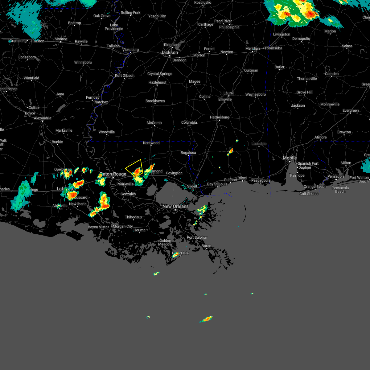 At 554 pm cdt, a severe thunderstorm was located near livingston, or 12 miles northeast of denham springs, and is nearly stationary (radar indicated). Hazards include 60 mph wind gusts and nickel size hail. expect damage to roofs, siding, and trees At 554 pm cdt, a severe thunderstorm was located near livingston, or 12 miles northeast of denham springs, and is nearly stationary (radar indicated). Hazards include 60 mph wind gusts and nickel size hail. expect damage to roofs, siding, and trees
|
| 5/12/2022 9:27 PM CDT |
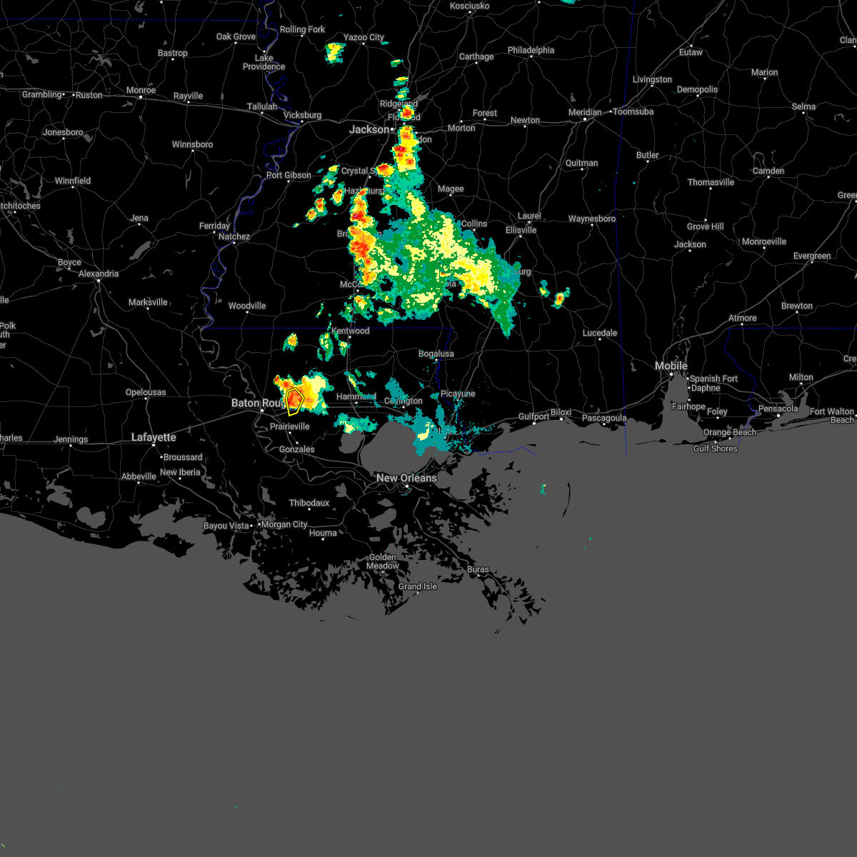 At 927 pm cdt, a severe thunderstorm was located near denham springs, moving southwest at 20 mph (radar indicated). Hazards include 60 mph wind gusts and nickel size hail. Expect damage to roofs, siding, and trees. locations impacted include, denham springs and watson. this includes interstate 12 between mile markers 10 and 13. hail threat, radar indicated max hail size, 0. 88 in wind threat, radar indicated max wind gust, 60 mph. At 927 pm cdt, a severe thunderstorm was located near denham springs, moving southwest at 20 mph (radar indicated). Hazards include 60 mph wind gusts and nickel size hail. Expect damage to roofs, siding, and trees. locations impacted include, denham springs and watson. this includes interstate 12 between mile markers 10 and 13. hail threat, radar indicated max hail size, 0. 88 in wind threat, radar indicated max wind gust, 60 mph.
|
| 5/12/2022 9:16 PM CDT |
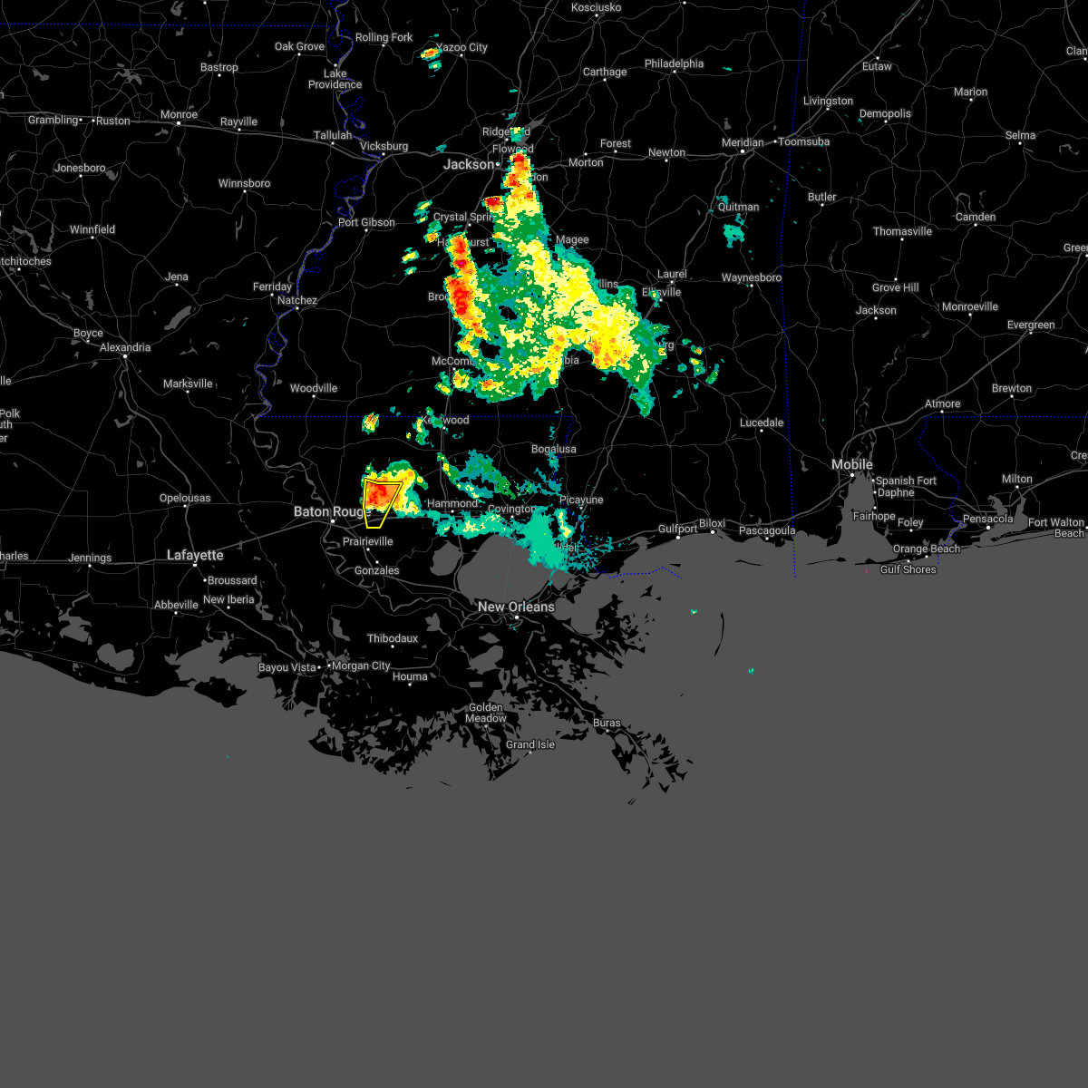 At 915 pm cdt, a severe thunderstorm was located over watson, or near denham springs, moving southwest at 20 mph (radar indicated). Hazards include 60 mph wind gusts and quarter size hail. Hail damage to vehicles is expected. expect wind damage to roofs, siding, and trees. locations impacted include, denham springs, walker, watson and greenwell spring. this includes interstate 12 between mile markers 10 and 15. hail threat, radar indicated max hail size, 1. 00 in wind threat, radar indicated max wind gust, 60 mph. At 915 pm cdt, a severe thunderstorm was located over watson, or near denham springs, moving southwest at 20 mph (radar indicated). Hazards include 60 mph wind gusts and quarter size hail. Hail damage to vehicles is expected. expect wind damage to roofs, siding, and trees. locations impacted include, denham springs, walker, watson and greenwell spring. this includes interstate 12 between mile markers 10 and 15. hail threat, radar indicated max hail size, 1. 00 in wind threat, radar indicated max wind gust, 60 mph.
|
| 5/12/2022 9:07 PM CDT |
 At 907 pm cdt, a severe thunderstorm was located near watson, or 10 miles northeast of denham springs, moving southwest at 25 mph (radar indicated). Hazards include 60 mph wind gusts and quarter size hail. Hail damage to vehicles is expected. expect wind damage to roofs, siding, and trees. locations impacted include, denham springs, walker, watson and greenwell spring. this includes interstate 12 between mile markers 10 and 19. hail threat, radar indicated max hail size, 1. 00 in wind threat, radar indicated max wind gust, 60 mph. At 907 pm cdt, a severe thunderstorm was located near watson, or 10 miles northeast of denham springs, moving southwest at 25 mph (radar indicated). Hazards include 60 mph wind gusts and quarter size hail. Hail damage to vehicles is expected. expect wind damage to roofs, siding, and trees. locations impacted include, denham springs, walker, watson and greenwell spring. this includes interstate 12 between mile markers 10 and 19. hail threat, radar indicated max hail size, 1. 00 in wind threat, radar indicated max wind gust, 60 mph.
|
| 5/12/2022 9:00 PM CDT |
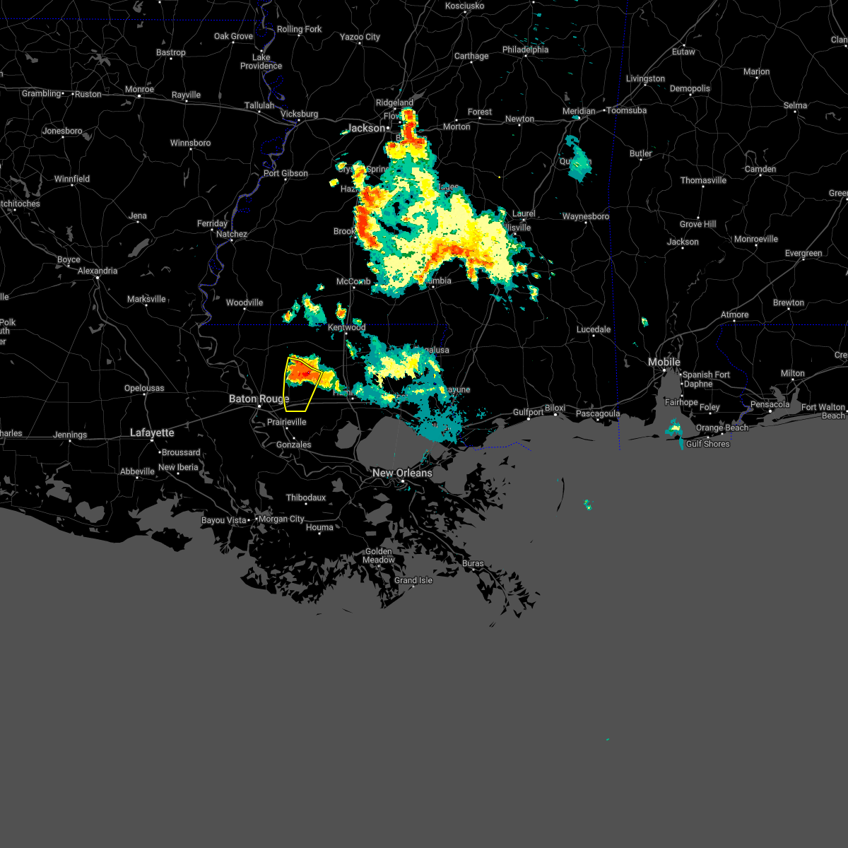 At 900 pm cdt, a severe thunderstorm was located 9 miles northeast of watson, or 14 miles northeast of denham springs, moving southwest at 20 mph (radar indicated). Hazards include 60 mph wind gusts and quarter size hail. Hail damage to vehicles is expected. Expect wind damage to roofs, siding, and trees. At 900 pm cdt, a severe thunderstorm was located 9 miles northeast of watson, or 14 miles northeast of denham springs, moving southwest at 20 mph (radar indicated). Hazards include 60 mph wind gusts and quarter size hail. Hail damage to vehicles is expected. Expect wind damage to roofs, siding, and trees.
|
| 3/30/2022 5:40 PM CDT |
 At 539 pm cdt, a severe thunderstorm was located near pride, or 13 miles southeast of clinton, moving northeast at 60 mph (radar indicated). Hazards include 60 mph wind gusts. Expect damage to roofs, siding, and trees. locations impacted include, baton rouge, denham springs, greensburg, montpelier, merrydale, watson, darlington, greenwell spring, easleyville, brownfields and westminster. this includes the following interstates, interstate 10 in louisiana between mile markers 155 and 160. interstate 12 near mile marker 1. Interstate 110 in louisiana between mile markers 1 and 6. At 539 pm cdt, a severe thunderstorm was located near pride, or 13 miles southeast of clinton, moving northeast at 60 mph (radar indicated). Hazards include 60 mph wind gusts. Expect damage to roofs, siding, and trees. locations impacted include, baton rouge, denham springs, greensburg, montpelier, merrydale, watson, darlington, greenwell spring, easleyville, brownfields and westminster. this includes the following interstates, interstate 10 in louisiana between mile markers 155 and 160. interstate 12 near mile marker 1. Interstate 110 in louisiana between mile markers 1 and 6.
|
| 3/30/2022 5:18 PM CDT |
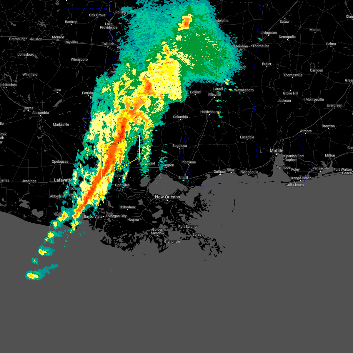 At 518 pm cdt, a severe thunderstorm was located near baker, moving northeast at 60 mph (radar indicated). Hazards include 60 mph wind gusts. expect damage to roofs, siding, and trees At 518 pm cdt, a severe thunderstorm was located near baker, moving northeast at 60 mph (radar indicated). Hazards include 60 mph wind gusts. expect damage to roofs, siding, and trees
|
| 10/27/2021 4:23 PM CDT |
 At 422 pm cdt, severe thunderstorms were located along a line extending from little springs to near smithdale to near darlington to near watson, moving east at 40 mph (radar indicated). Hazards include 60 mph wind gusts. Expect damage to roofs, siding, and trees. locations impacted include, baton rouge, mccomb, denham springs, port allen, liberty, greensburg, oak hills place, addis, brusly, summit, smithdale, westminster, merrydale, inniswold, watson, darlington, gillsberg, pride, gardere and brownfields. this includes the following interstates, interstate 10 in louisiana between mile markers 153 and 163. interstate 12 between mile markers 1 and 7. interstate 55 in mississippi between mile markers 14 and 24. interstate 110 in louisiana between mile markers 1 and 6. hail threat, radar indicated max hail size, <. 75 in wind threat, radar indicated max wind gust, 60 mph. At 422 pm cdt, severe thunderstorms were located along a line extending from little springs to near smithdale to near darlington to near watson, moving east at 40 mph (radar indicated). Hazards include 60 mph wind gusts. Expect damage to roofs, siding, and trees. locations impacted include, baton rouge, mccomb, denham springs, port allen, liberty, greensburg, oak hills place, addis, brusly, summit, smithdale, westminster, merrydale, inniswold, watson, darlington, gillsberg, pride, gardere and brownfields. this includes the following interstates, interstate 10 in louisiana between mile markers 153 and 163. interstate 12 between mile markers 1 and 7. interstate 55 in mississippi between mile markers 14 and 24. interstate 110 in louisiana between mile markers 1 and 6. hail threat, radar indicated max hail size, <. 75 in wind threat, radar indicated max wind gust, 60 mph.
|
| 10/27/2021 3:56 PM CDT |
 At 355 pm cdt, severe thunderstorms were located along a line extending from 7 miles southeast of garden city to near gloster to near jackson to near port allen, moving northeast at 40 mph (radar indicated). Hazards include 60 mph wind gusts. expect damage to roofs, siding, and trees At 355 pm cdt, severe thunderstorms were located along a line extending from 7 miles southeast of garden city to near gloster to near jackson to near port allen, moving northeast at 40 mph (radar indicated). Hazards include 60 mph wind gusts. expect damage to roofs, siding, and trees
|
| 5/20/2021 11:26 AM CDT |
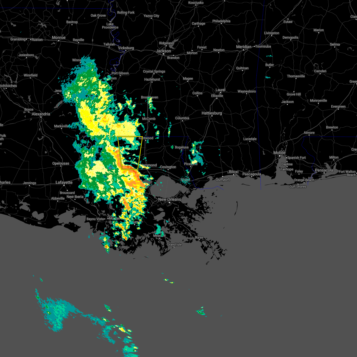 At 1126 am cdt, a severe thunderstorm was located near livingston, or 10 miles northeast of denham springs, moving north at 25 mph (radar indicated). Hazards include 60 mph wind gusts. expect damage to roofs, siding, and trees At 1126 am cdt, a severe thunderstorm was located near livingston, or 10 miles northeast of denham springs, moving north at 25 mph (radar indicated). Hazards include 60 mph wind gusts. expect damage to roofs, siding, and trees
|
| 5/11/2021 9:17 AM CDT |
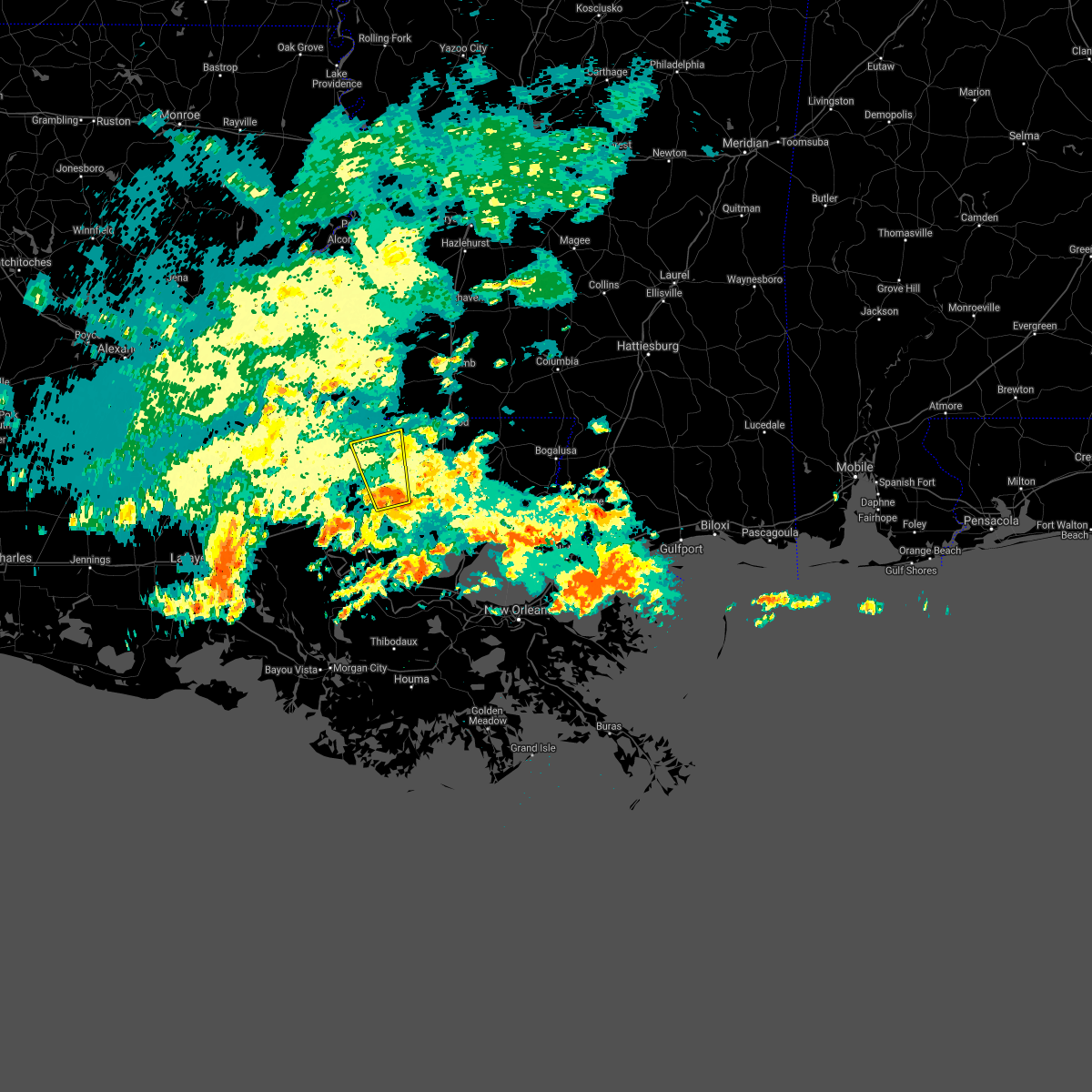 At 917 am cdt, a severe thunderstorm was located near watson, or 11 miles northeast of denham springs, moving north at 20 mph (radar indicated). Hazards include 60 mph wind gusts. expect damage to roofs, siding, and trees At 917 am cdt, a severe thunderstorm was located near watson, or 11 miles northeast of denham springs, moving north at 20 mph (radar indicated). Hazards include 60 mph wind gusts. expect damage to roofs, siding, and trees
|
| 4/23/2021 11:03 PM CDT |
 At 1103 pm cdt, a severe thunderstorm capable of producing a tornado was located near denham springs, moving east at 50 mph (radar indicated rotation). Hazards include tornado. Flying debris will be dangerous to those caught without shelter. mobile homes will be damaged or destroyed. damage to roofs, windows, and vehicles will occur. tree damage is likely. this dangerous storm will be near, livingston around 1115 pm cdt. other locations impacted by this tornadic thunderstorm include baton rouge airport. this includes the following interstates, interstate 10 in louisiana between mile markers 155 and 165. interstate 12 between mile markers 1 and 28. Interstate 110 in louisiana between mile markers 1 and 8. At 1103 pm cdt, a severe thunderstorm capable of producing a tornado was located near denham springs, moving east at 50 mph (radar indicated rotation). Hazards include tornado. Flying debris will be dangerous to those caught without shelter. mobile homes will be damaged or destroyed. damage to roofs, windows, and vehicles will occur. tree damage is likely. this dangerous storm will be near, livingston around 1115 pm cdt. other locations impacted by this tornadic thunderstorm include baton rouge airport. this includes the following interstates, interstate 10 in louisiana between mile markers 155 and 165. interstate 12 between mile markers 1 and 28. Interstate 110 in louisiana between mile markers 1 and 8.
|
| 4/23/2021 10:47 PM CDT |
 At 1047 pm cdt, a severe thunderstorm capable of producing a tornado was located over baton rouge, moving northeast at 50 mph (radar indicated rotation). Hazards include tornado. Flying debris will be dangerous to those caught without shelter. mobile homes will be damaged or destroyed. damage to roofs, windows, and vehicles will occur. tree damage is likely. this dangerous storm will be near, merrydale and old jefferson around 1050 pm cdt. brownfields and shenandoah around 1055 pm cdt. denham springs and greenwell spring around 1100 pm cdt. watson around 1105 pm cdt. walker around 1110 pm cdt. other locations impacted by this tornadic thunderstorm include baton rouge airport. this includes the following interstates, interstate 10 in louisiana between mile markers 153 and 165. interstate 12 between mile markers 1 and 28. Interstate 110 in louisiana between mile markers 1 and 8. At 1047 pm cdt, a severe thunderstorm capable of producing a tornado was located over baton rouge, moving northeast at 50 mph (radar indicated rotation). Hazards include tornado. Flying debris will be dangerous to those caught without shelter. mobile homes will be damaged or destroyed. damage to roofs, windows, and vehicles will occur. tree damage is likely. this dangerous storm will be near, merrydale and old jefferson around 1050 pm cdt. brownfields and shenandoah around 1055 pm cdt. denham springs and greenwell spring around 1100 pm cdt. watson around 1105 pm cdt. walker around 1110 pm cdt. other locations impacted by this tornadic thunderstorm include baton rouge airport. this includes the following interstates, interstate 10 in louisiana between mile markers 153 and 165. interstate 12 between mile markers 1 and 28. Interstate 110 in louisiana between mile markers 1 and 8.
|
| 4/23/2021 10:34 PM CDT |
 At 1034 pm cdt, a severe thunderstorm was located over merrydale, or near baton rouge, moving east at 45 mph (radar indicated). Hazards include 60 mph wind gusts and nickel size hail. expect damage to roofs, siding, and trees At 1034 pm cdt, a severe thunderstorm was located over merrydale, or near baton rouge, moving east at 45 mph (radar indicated). Hazards include 60 mph wind gusts and nickel size hail. expect damage to roofs, siding, and trees
|
| 4/14/2021 9:42 AM CDT |
 The severe thunderstorm warning for southeastern west baton rouge, northwestern livingston, east central iberville and east baton rouge parishes will expire at 945 am cdt, the storm which prompted the warning has weakened below severe limits, and has exited the warned area. therefore, the warning will be allowed to expire. to report severe weather, contact your nearest law enforcement agency. they will relay your report to the national weather service new orleans. The severe thunderstorm warning for southeastern west baton rouge, northwestern livingston, east central iberville and east baton rouge parishes will expire at 945 am cdt, the storm which prompted the warning has weakened below severe limits, and has exited the warned area. therefore, the warning will be allowed to expire. to report severe weather, contact your nearest law enforcement agency. they will relay your report to the national weather service new orleans.
|
| 4/14/2021 9:09 AM CDT |
 At 909 am cdt, a severe thunderstorm was located near addis, or near plaquemine, moving northeast at 50 mph (radar indicated). Hazards include 60 mph wind gusts and quarter size hail. Hail damage to vehicles is expected. Expect wind damage to roofs, siding, and trees. At 909 am cdt, a severe thunderstorm was located near addis, or near plaquemine, moving northeast at 50 mph (radar indicated). Hazards include 60 mph wind gusts and quarter size hail. Hail damage to vehicles is expected. Expect wind damage to roofs, siding, and trees.
|
| 3/23/2021 10:14 AM CDT |
 At 1013 am cdt, a severe thunderstorm was located over greenwell spring, or 7 miles northwest of denham springs, moving east at 40 mph (radar indicated). Hazards include 60 mph wind gusts. Expect damage to roofs, siding, and trees. Locations impacted include, baton rouge, zachary, baker, denham springs, port allen, pride, merrydale, watson, brownfields, greenwell spring, shenandoah and baton rouge airport. At 1013 am cdt, a severe thunderstorm was located over greenwell spring, or 7 miles northwest of denham springs, moving east at 40 mph (radar indicated). Hazards include 60 mph wind gusts. Expect damage to roofs, siding, and trees. Locations impacted include, baton rouge, zachary, baker, denham springs, port allen, pride, merrydale, watson, brownfields, greenwell spring, shenandoah and baton rouge airport.
|
| 3/23/2021 9:42 AM CDT |
 At 939 am cdt, a severe thunderstorm was located over erwinville, or 12 miles south of new roads, moving east at 40 mph (radar indicated). Hazards include 60 mph wind gusts and penny size hail. expect damage to roofs, siding, and trees At 939 am cdt, a severe thunderstorm was located over erwinville, or 12 miles south of new roads, moving east at 40 mph (radar indicated). Hazards include 60 mph wind gusts and penny size hail. expect damage to roofs, siding, and trees
|
| 3/17/2021 4:44 PM CDT |
 At 443 pm cdt, severe thunderstorms were located along a line extending from near pride to near shenandoah, moving northeast at 70 mph (radar indicated). Hazards include 60 mph wind gusts. expect damage to roofs, siding, and trees At 443 pm cdt, severe thunderstorms were located along a line extending from near pride to near shenandoah, moving northeast at 70 mph (radar indicated). Hazards include 60 mph wind gusts. expect damage to roofs, siding, and trees
|
| 3/17/2021 4:29 PM CDT |
 At 429 pm cdt, severe thunderstorms were located along a line extending from baton rouge to 8 miles northwest of pierre part, moving northeast at 75 mph (radar indicated). Hazards include 70 mph wind gusts and penny size hail. Expect considerable tree damage. damage is likely to mobile homes, roofs, and outbuildings. locations impacted include, baton rouge, denham springs, gonzales, donaldsonville, plaquemine, port allen, oak hills place, st. Gabriel, walker, addis, brusly, white castle, westminster, geismar, watson, bayou sorrel, shenandoah, greenwell spring, old jefferson and merrydale. At 429 pm cdt, severe thunderstorms were located along a line extending from baton rouge to 8 miles northwest of pierre part, moving northeast at 75 mph (radar indicated). Hazards include 70 mph wind gusts and penny size hail. Expect considerable tree damage. damage is likely to mobile homes, roofs, and outbuildings. locations impacted include, baton rouge, denham springs, gonzales, donaldsonville, plaquemine, port allen, oak hills place, st. Gabriel, walker, addis, brusly, white castle, westminster, geismar, watson, bayou sorrel, shenandoah, greenwell spring, old jefferson and merrydale.
|
| 3/17/2021 4:05 PM CDT |
 At 405 pm cdt, severe thunderstorms were located along a line extending from near butte la rose to near glencoe, moving northeast at 70 mph (radar indicated). Hazards include 70 mph wind gusts. Expect considerable tree damage. Damage is likely to mobile homes, roofs, and outbuildings. At 405 pm cdt, severe thunderstorms were located along a line extending from near butte la rose to near glencoe, moving northeast at 70 mph (radar indicated). Hazards include 70 mph wind gusts. Expect considerable tree damage. Damage is likely to mobile homes, roofs, and outbuildings.
|
| 10/8/2020 10:39 PM CDT |
 At 1039 pm cdt, a severe thunderstorm was located over walker, or 7 miles east of denham springs, moving north at 20 mph (radar indicated). Hazards include 60 mph wind gusts. expect damage to roofs, siding, and trees At 1039 pm cdt, a severe thunderstorm was located over walker, or 7 miles east of denham springs, moving north at 20 mph (radar indicated). Hazards include 60 mph wind gusts. expect damage to roofs, siding, and trees
|
| 8/26/2020 7:11 PM CDT |
 At 710 pm cdt, a severe thunderstorm capable of producing a tornado was located near watson, or 8 miles northeast of denham springs, moving northwest at 30 mph (radar indicated rotation). Hazards include tornado. Flying debris will be dangerous to those caught without shelter. mobile homes will be damaged or destroyed. damage to roofs, windows, and vehicles will occur. tree damage is likely. this dangerous storm will be near, pride around 725 pm cdt. zachary around 740 pm cdt. slaughter around 745 pm cdt. jackson and wilson around 800 pm cdt. spillman around 810 pm cdt. Wakefield around 815 pm cdt. At 710 pm cdt, a severe thunderstorm capable of producing a tornado was located near watson, or 8 miles northeast of denham springs, moving northwest at 30 mph (radar indicated rotation). Hazards include tornado. Flying debris will be dangerous to those caught without shelter. mobile homes will be damaged or destroyed. damage to roofs, windows, and vehicles will occur. tree damage is likely. this dangerous storm will be near, pride around 725 pm cdt. zachary around 740 pm cdt. slaughter around 745 pm cdt. jackson and wilson around 800 pm cdt. spillman around 810 pm cdt. Wakefield around 815 pm cdt.
|
| 8/26/2020 4:22 PM CDT |
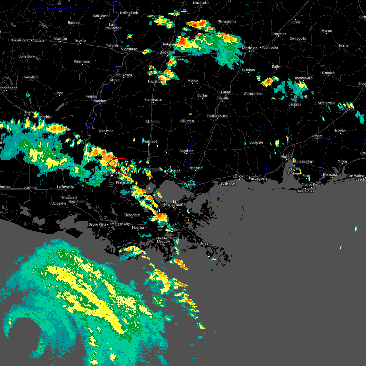 At 422 pm cdt, a severe thunderstorm capable of producing a tornado was located near denham springs, moving northwest at 25 mph (radar indicated rotation). Hazards include tornado. Flying debris will be dangerous to those caught without shelter. mobile homes will be damaged or destroyed. damage to roofs, windows, and vehicles will occur. tree damage is likely. this dangerous storm will be near, watson around 430 pm cdt. greenwell spring around 435 pm cdt. Zachary, baker, pride and brownfields around 445 pm cdt. At 422 pm cdt, a severe thunderstorm capable of producing a tornado was located near denham springs, moving northwest at 25 mph (radar indicated rotation). Hazards include tornado. Flying debris will be dangerous to those caught without shelter. mobile homes will be damaged or destroyed. damage to roofs, windows, and vehicles will occur. tree damage is likely. this dangerous storm will be near, watson around 430 pm cdt. greenwell spring around 435 pm cdt. Zachary, baker, pride and brownfields around 445 pm cdt.
|
| 8/26/2020 4:05 PM CDT |
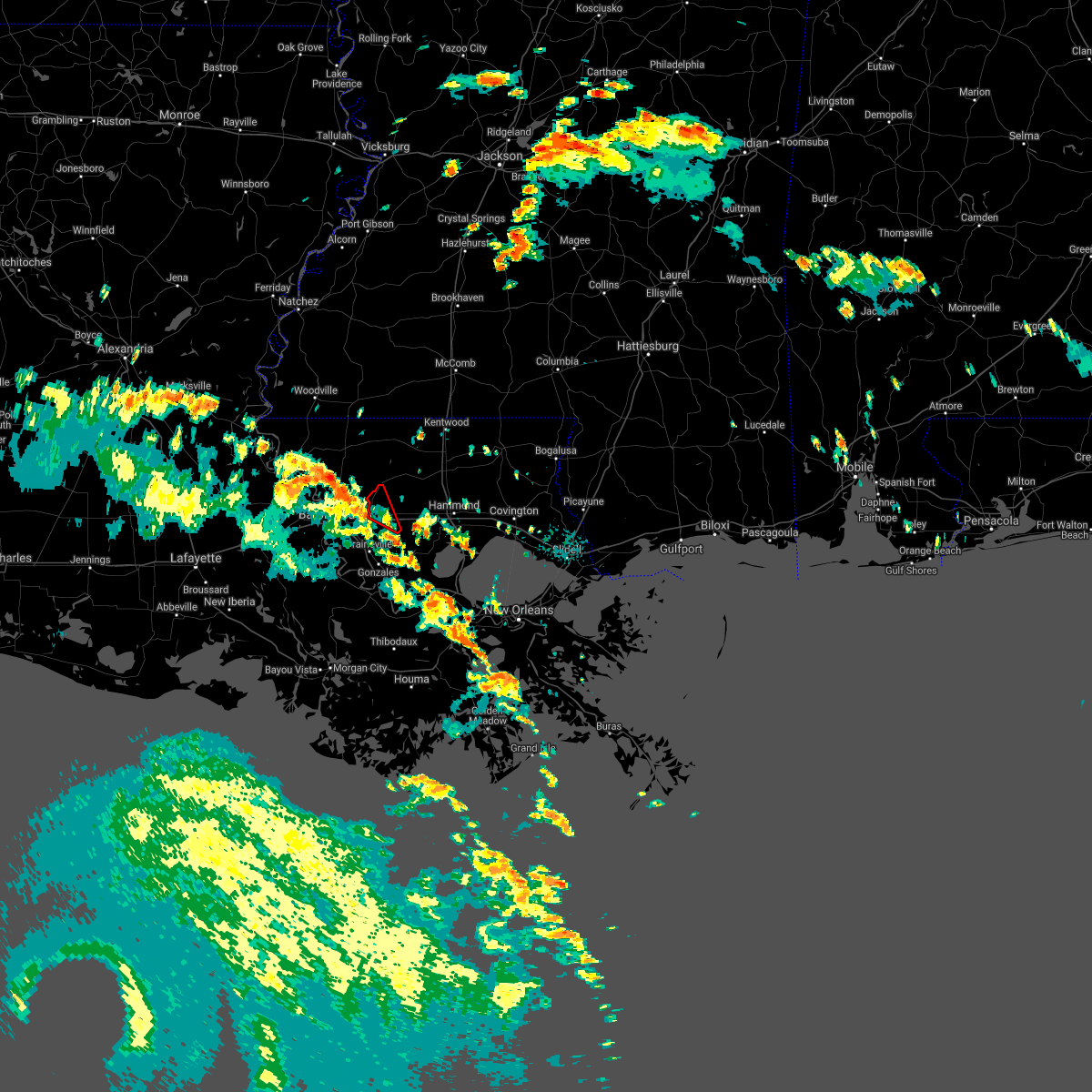 At 405 pm cdt, a severe thunderstorm capable of producing a tornado was located near walker, or 8 miles east of denham springs, moving northwest at 30 mph (radar indicated rotation). Hazards include tornado. Flying debris will be dangerous to those caught without shelter. mobile homes will be damaged or destroyed. damage to roofs, windows, and vehicles will occur. tree damage is likely. this dangerous storm will be near, walker around 415 pm cdt. denham springs around 420 pm cdt. Watson around 430 pm cdt. At 405 pm cdt, a severe thunderstorm capable of producing a tornado was located near walker, or 8 miles east of denham springs, moving northwest at 30 mph (radar indicated rotation). Hazards include tornado. Flying debris will be dangerous to those caught without shelter. mobile homes will be damaged or destroyed. damage to roofs, windows, and vehicles will occur. tree damage is likely. this dangerous storm will be near, walker around 415 pm cdt. denham springs around 420 pm cdt. Watson around 430 pm cdt.
|
| 8/26/2020 4:00 PM CDT |
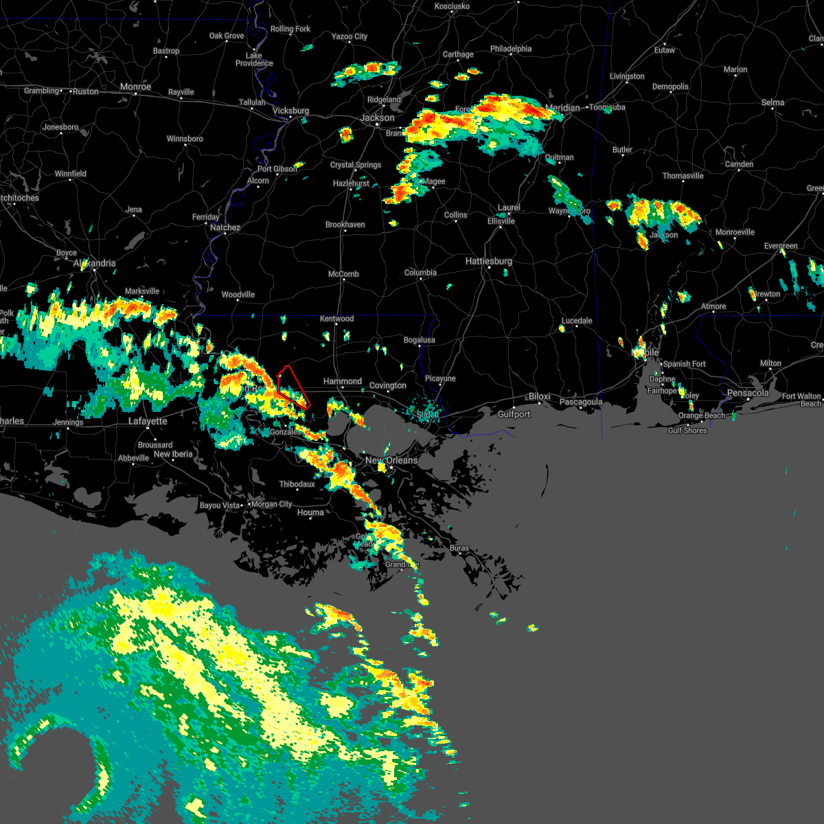 At 400 pm cdt, a severe thunderstorm capable of producing a tornado was located near walker, or 9 miles southeast of denham springs, moving northwest at 35 mph (radar indicated rotation). Hazards include tornado. Flying debris will be dangerous to those caught without shelter. mobile homes will be damaged or destroyed. damage to roofs, windows, and vehicles will occur. tree damage is likely. this dangerous storm will be near, walker around 410 pm cdt. denham springs around 415 pm cdt. Watson around 425 pm cdt. At 400 pm cdt, a severe thunderstorm capable of producing a tornado was located near walker, or 9 miles southeast of denham springs, moving northwest at 35 mph (radar indicated rotation). Hazards include tornado. Flying debris will be dangerous to those caught without shelter. mobile homes will be damaged or destroyed. damage to roofs, windows, and vehicles will occur. tree damage is likely. this dangerous storm will be near, walker around 410 pm cdt. denham springs around 415 pm cdt. Watson around 425 pm cdt.
|
| 8/26/2020 3:48 PM CDT |
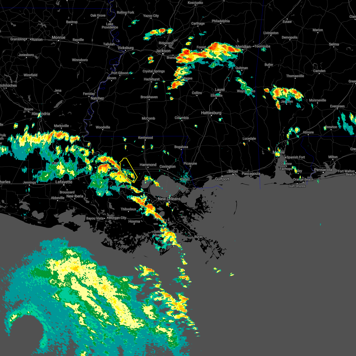 At 348 pm cdt, a severe thunderstorm was located near french settlement, or 14 miles northeast of gonzales, moving northwest at 35 mph (radar indicated). Hazards include 60 mph wind gusts. expect damage to roofs, siding, and trees At 348 pm cdt, a severe thunderstorm was located near french settlement, or 14 miles northeast of gonzales, moving northwest at 35 mph (radar indicated). Hazards include 60 mph wind gusts. expect damage to roofs, siding, and trees
|
| 6/25/2020 3:14 PM CDT |
 At 313 pm cdt, severe thunderstorms were located along a line extending from near kingston to 6 miles west of darlington, moving northeast at 65 mph (radar indicated). Hazards include 60 mph wind gusts. Expect damage to roofs, siding, and trees. Locations impacted include, jackson, clinton, greensburg, centreville, woodville, slaughter, gloster, wilson, norwood, montpelier, spillman, darlington, pride, fort adams, dolorosa, felps, greenwell spring and crosby. At 313 pm cdt, severe thunderstorms were located along a line extending from near kingston to 6 miles west of darlington, moving northeast at 65 mph (radar indicated). Hazards include 60 mph wind gusts. Expect damage to roofs, siding, and trees. Locations impacted include, jackson, clinton, greensburg, centreville, woodville, slaughter, gloster, wilson, norwood, montpelier, spillman, darlington, pride, fort adams, dolorosa, felps, greenwell spring and crosby.
|
| 6/25/2020 3:05 PM CDT |
 At 305 pm cdt, severe thunderstorms were located along a line extending from near greenwell spring to near convent, moving northeast at 30 mph (radar indicated). Hazards include 60 mph wind gusts. Expect damage to roofs, siding, and trees. Locations impacted include, baton rouge, denham springs, gonzales, reserve, oak hills place, walker, gramercy, lutcher, livingston, sorrento, french settlement, port vincent, watson, garyville, chackbay, shenandoah, whitehall, old jefferson, edgard and south vacherie. At 305 pm cdt, severe thunderstorms were located along a line extending from near greenwell spring to near convent, moving northeast at 30 mph (radar indicated). Hazards include 60 mph wind gusts. Expect damage to roofs, siding, and trees. Locations impacted include, baton rouge, denham springs, gonzales, reserve, oak hills place, walker, gramercy, lutcher, livingston, sorrento, french settlement, port vincent, watson, garyville, chackbay, shenandoah, whitehall, old jefferson, edgard and south vacherie.
|
| 6/25/2020 2:58 PM CDT |
 At 257 pm cdt, severe thunderstorms were located along a line extending from 7 miles northeast of fort adams to near pride, moving northeast at 60 mph (radar indicated). Hazards include 60 mph wind gusts. expect damage to roofs, siding, and trees At 257 pm cdt, severe thunderstorms were located along a line extending from 7 miles northeast of fort adams to near pride, moving northeast at 60 mph (radar indicated). Hazards include 60 mph wind gusts. expect damage to roofs, siding, and trees
|
| 6/25/2020 2:47 PM CDT |
 At 247 pm cdt, severe thunderstorms were located along a line extending from baton rouge to near convent, moving northeast at 30 mph (radar indicated). Hazards include 60 mph wind gusts. expect damage to roofs, siding, and trees At 247 pm cdt, severe thunderstorms were located along a line extending from baton rouge to near convent, moving northeast at 30 mph (radar indicated). Hazards include 60 mph wind gusts. expect damage to roofs, siding, and trees
|
| 6/25/2020 2:34 PM CDT |
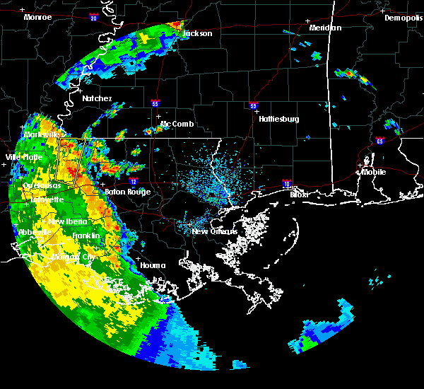 At 234 pm cdt, a severe thunderstorm was located near pride, or near zachary, moving north at 25 mph (radar indicated). Hazards include 60 mph wind gusts. expect damage to roofs, siding, and trees At 234 pm cdt, a severe thunderstorm was located near pride, or near zachary, moving north at 25 mph (radar indicated). Hazards include 60 mph wind gusts. expect damage to roofs, siding, and trees
|
| 6/24/2020 4:54 AM CDT |
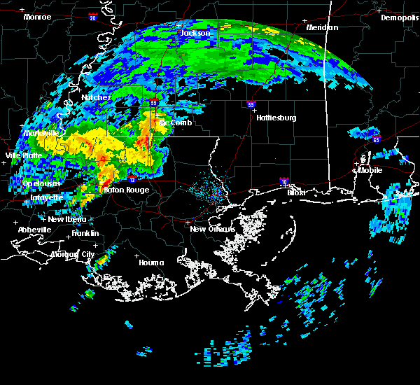 At 454 am cdt, a severe thunderstorm capable of producing a tornado was located over westminster, or near baton rouge, moving northeast at 25 mph (radar indicated rotation). Hazards include tornado. Flying debris will be dangerous to those caught without shelter. mobile homes will be damaged or destroyed. damage to roofs, windows, and vehicles will occur. tree damage is likely. this dangerous storm will be near, denham springs around 515 am cdt. greenwell spring around 520 am cdt. Walker and watson around 525 am cdt. At 454 am cdt, a severe thunderstorm capable of producing a tornado was located over westminster, or near baton rouge, moving northeast at 25 mph (radar indicated rotation). Hazards include tornado. Flying debris will be dangerous to those caught without shelter. mobile homes will be damaged or destroyed. damage to roofs, windows, and vehicles will occur. tree damage is likely. this dangerous storm will be near, denham springs around 515 am cdt. greenwell spring around 520 am cdt. Walker and watson around 525 am cdt.
|
| 4/23/2020 3:44 AM CDT |
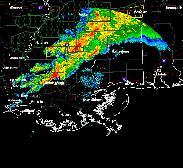 At 344 am cdt, a severe thunderstorm was located near livingston, or 11 miles northeast of denham springs, moving east at 55 mph (radar indicated). Hazards include 70 mph wind gusts and half dollar size hail. Hail damage to vehicles is expected. expect considerable tree damage. wind damage is also likely to mobile homes, roofs, and outbuildings. Locations impacted include, denham springs, walker, livingston, french settlement, albany, port vincent, montpelier, watson and killian. At 344 am cdt, a severe thunderstorm was located near livingston, or 11 miles northeast of denham springs, moving east at 55 mph (radar indicated). Hazards include 70 mph wind gusts and half dollar size hail. Hail damage to vehicles is expected. expect considerable tree damage. wind damage is also likely to mobile homes, roofs, and outbuildings. Locations impacted include, denham springs, walker, livingston, french settlement, albany, port vincent, montpelier, watson and killian.
|
| 4/23/2020 3:38 AM CDT |
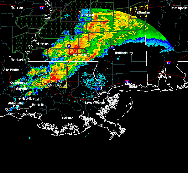 At 338 am cdt, a severe thunderstorm was located near walker, or near denham springs, moving east at 50 mph (radar indicated). Hazards include golf ball size hail and 70 mph wind gusts. People and animals outdoors will be injured. expect hail damage to roofs, siding, windows, and vehicles. expect considerable tree damage. wind damage is also likely to mobile homes, roofs, and outbuildings. locations impacted include, baton rouge, denham springs, oak hills place, walker, livingston, french settlement, albany, port vincent, montpelier, westminster, old jefferson, merrydale, inniswold, watson, village st. George, shenandoah, gardere, greenwell spring, brownfields and killian. At 338 am cdt, a severe thunderstorm was located near walker, or near denham springs, moving east at 50 mph (radar indicated). Hazards include golf ball size hail and 70 mph wind gusts. People and animals outdoors will be injured. expect hail damage to roofs, siding, windows, and vehicles. expect considerable tree damage. wind damage is also likely to mobile homes, roofs, and outbuildings. locations impacted include, baton rouge, denham springs, oak hills place, walker, livingston, french settlement, albany, port vincent, montpelier, westminster, old jefferson, merrydale, inniswold, watson, village st. George, shenandoah, gardere, greenwell spring, brownfields and killian.
|
| 4/23/2020 3:23 AM CDT |
 At 321 am cdt, a severe thunderstorm was located over merrydale, or near baton rouge, moving east at 50 mph (radar indicated). Hazards include two inch hail and 70 mph wind gusts. People and animals outdoors will be injured. expect hail damage to roofs, siding, windows, and vehicles. expect considerable tree damage. wind damage is also likely to mobile homes, roofs, and outbuildings. Locations impacted include, baton rouge, zachary, baker, denham springs, port allen, oak hills place, walker, livingston, french settlement, albany, port vincent, montpelier, westminster, watson, pride, shenandoah, greenwell spring, old jefferson, merrydale and inniswold. At 321 am cdt, a severe thunderstorm was located over merrydale, or near baton rouge, moving east at 50 mph (radar indicated). Hazards include two inch hail and 70 mph wind gusts. People and animals outdoors will be injured. expect hail damage to roofs, siding, windows, and vehicles. expect considerable tree damage. wind damage is also likely to mobile homes, roofs, and outbuildings. Locations impacted include, baton rouge, zachary, baker, denham springs, port allen, oak hills place, walker, livingston, french settlement, albany, port vincent, montpelier, westminster, watson, pride, shenandoah, greenwell spring, old jefferson, merrydale and inniswold.
|
| 4/23/2020 3:03 AM CDT |
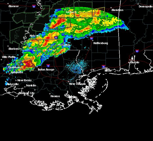 At 302 am cdt, a severe thunderstorm was located near erwinville, or 11 miles west of port allen, moving east at 50 mph (radar indicated). Hazards include two inch hail and 70 mph wind gusts. People and animals outdoors will be injured. expect hail damage to roofs, siding, windows, and vehicles. expect considerable tree damage. Wind damage is also likely to mobile homes, roofs, and outbuildings. At 302 am cdt, a severe thunderstorm was located near erwinville, or 11 miles west of port allen, moving east at 50 mph (radar indicated). Hazards include two inch hail and 70 mph wind gusts. People and animals outdoors will be injured. expect hail damage to roofs, siding, windows, and vehicles. expect considerable tree damage. Wind damage is also likely to mobile homes, roofs, and outbuildings.
|
| 2/5/2020 11:58 PM CST |
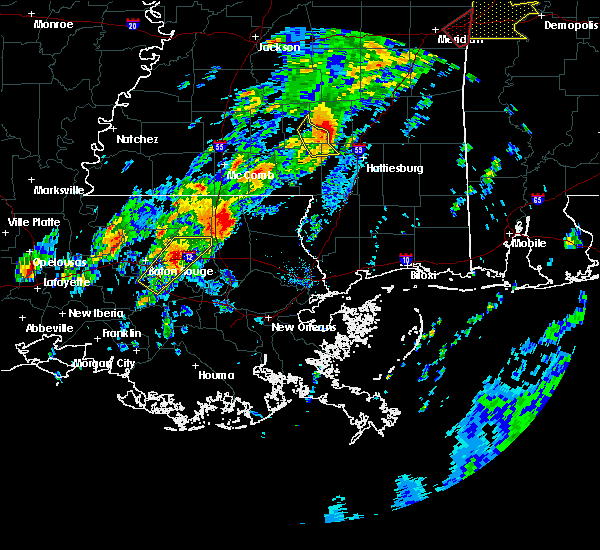 At 1157 pm cst, a severe thunderstorm was located over walker, or 7 miles east of denham springs, moving northeast at 60 mph (radar indicated). Hazards include 60 mph wind gusts and quarter size hail. Hail damage to vehicles is expected. expect wind damage to roofs, siding, and trees. Locations impacted include, baton rouge, denham springs, walker, livingston, port vincent, old jefferson, inniswold, shenandoah and westminster. At 1157 pm cst, a severe thunderstorm was located over walker, or 7 miles east of denham springs, moving northeast at 60 mph (radar indicated). Hazards include 60 mph wind gusts and quarter size hail. Hail damage to vehicles is expected. expect wind damage to roofs, siding, and trees. Locations impacted include, baton rouge, denham springs, walker, livingston, port vincent, old jefferson, inniswold, shenandoah and westminster.
|
| 2/5/2020 11:39 PM CST |
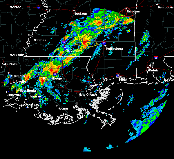 At 1139 pm cst, a severe thunderstorm was located near st. gabriel, or near oak hills place, moving northeast at 60 mph (radar indicated). Hazards include 60 mph wind gusts and quarter size hail. Hail damage to vehicles is expected. Expect wind damage to roofs, siding, and trees. At 1139 pm cst, a severe thunderstorm was located near st. gabriel, or near oak hills place, moving northeast at 60 mph (radar indicated). Hazards include 60 mph wind gusts and quarter size hail. Hail damage to vehicles is expected. Expect wind damage to roofs, siding, and trees.
|
| 2/5/2020 2:40 PM CST |
 At 239 pm cst, a severe thunderstorm was located over port allen, moving northeast at 55 mph (radar indicated). Hazards include 60 mph wind gusts and quarter size hail. Hail damage to vehicles is expected. expect wind damage to roofs, siding, and trees. Locations impacted include, baton rouge, zachary, baker, denham springs, port allen, brusly, westminster, merrydale, watson, pride, gardere, brownfields, greenwell spring, inniswold and baton rouge airport. At 239 pm cst, a severe thunderstorm was located over port allen, moving northeast at 55 mph (radar indicated). Hazards include 60 mph wind gusts and quarter size hail. Hail damage to vehicles is expected. expect wind damage to roofs, siding, and trees. Locations impacted include, baton rouge, zachary, baker, denham springs, port allen, brusly, westminster, merrydale, watson, pride, gardere, brownfields, greenwell spring, inniswold and baton rouge airport.
|
| 2/5/2020 2:27 PM CST |
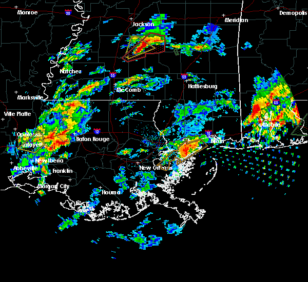 At 227 pm cst, a severe thunderstorm was located near addis, or near plaquemine, moving northeast at 55 mph (radar indicated). Hazards include 60 mph wind gusts and quarter size hail. Hail damage to vehicles is expected. Expect wind damage to roofs, siding, and trees. At 227 pm cst, a severe thunderstorm was located near addis, or near plaquemine, moving northeast at 55 mph (radar indicated). Hazards include 60 mph wind gusts and quarter size hail. Hail damage to vehicles is expected. Expect wind damage to roofs, siding, and trees.
|
| 7/14/2019 12:44 PM CDT |
 At 1244 pm cdt, a severe thunderstorm was located near watson, or 11 miles northeast of denham springs, moving northeast at 30 mph (radar indicated). Hazards include 60 mph wind gusts. Expect damage to roofs, siding, and trees. Locations impacted include, denham springs, greensburg, walker, watson, darlington and greenwell spring. At 1244 pm cdt, a severe thunderstorm was located near watson, or 11 miles northeast of denham springs, moving northeast at 30 mph (radar indicated). Hazards include 60 mph wind gusts. Expect damage to roofs, siding, and trees. Locations impacted include, denham springs, greensburg, walker, watson, darlington and greenwell spring.
|
| 7/14/2019 12:28 PM CDT |
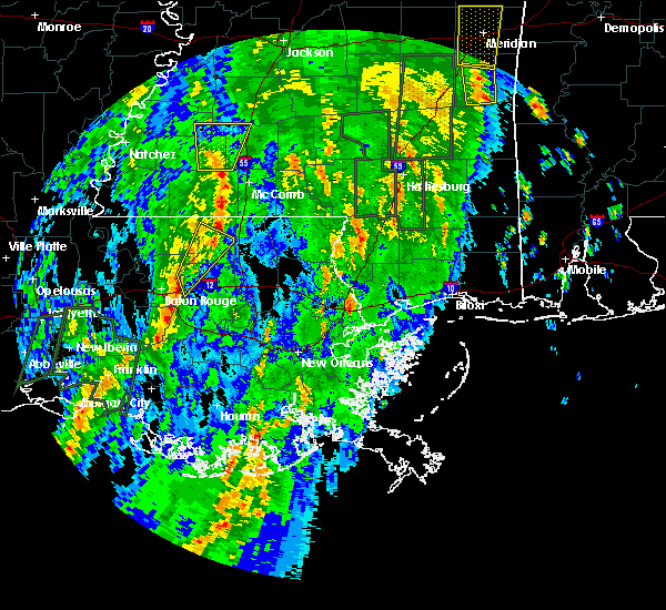 At 1227 pm cdt, a severe thunderstorm was located near denham springs, moving northeast at 45 mph (radar indicated). Hazards include 60 mph wind gusts. expect damage to roofs, siding, and trees At 1227 pm cdt, a severe thunderstorm was located near denham springs, moving northeast at 45 mph (radar indicated). Hazards include 60 mph wind gusts. expect damage to roofs, siding, and trees
|
| 7/14/2019 11:21 AM CDT |
 At 1120 am cdt, severe thunderstorms were located along a line extending from 8 miles southwest of darlington to near shenandoah, moving northeast at 20 mph (radar indicated). Hazards include 60 mph wind gusts. expect damage to roofs, siding, and trees At 1120 am cdt, severe thunderstorms were located along a line extending from 8 miles southwest of darlington to near shenandoah, moving northeast at 20 mph (radar indicated). Hazards include 60 mph wind gusts. expect damage to roofs, siding, and trees
|
| 7/14/2019 11:11 AM CDT |
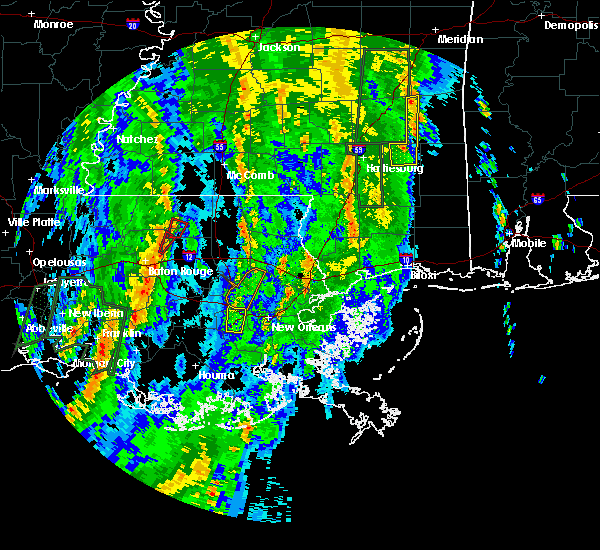 At 1110 am cdt, a severe thunderstorm capable of producing a tornado was located over watson, or 7 miles north of denham springs, moving northeast at 35 mph (radar indicated rotation). Hazards include tornado. Flying debris will be dangerous to those caught without shelter. mobile homes will be damaged or destroyed. damage to roofs, windows, and vehicles will occur. tree damage is likely. This tornadic thunderstorm will remain over mainly rural areas of northwestern livingston and northeastern east baton rouge parishes. At 1110 am cdt, a severe thunderstorm capable of producing a tornado was located over watson, or 7 miles north of denham springs, moving northeast at 35 mph (radar indicated rotation). Hazards include tornado. Flying debris will be dangerous to those caught without shelter. mobile homes will be damaged or destroyed. damage to roofs, windows, and vehicles will occur. tree damage is likely. This tornadic thunderstorm will remain over mainly rural areas of northwestern livingston and northeastern east baton rouge parishes.
|
| 7/14/2019 11:04 AM CDT |
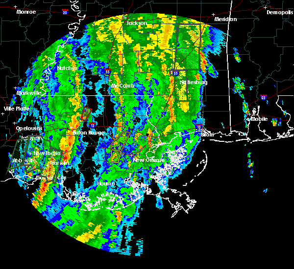 At 1104 am cdt, a severe thunderstorm capable of producing a tornado was located near greenwell spring, or near denham springs, moving northeast at 35 mph (radar indicated rotation). Hazards include tornado. Flying debris will be dangerous to those caught without shelter. mobile homes will be damaged or destroyed. damage to roofs, windows, and vehicles will occur. tree damage is likely. This dangerous storm will be near, watson around 1110 am cdt. At 1104 am cdt, a severe thunderstorm capable of producing a tornado was located near greenwell spring, or near denham springs, moving northeast at 35 mph (radar indicated rotation). Hazards include tornado. Flying debris will be dangerous to those caught without shelter. mobile homes will be damaged or destroyed. damage to roofs, windows, and vehicles will occur. tree damage is likely. This dangerous storm will be near, watson around 1110 am cdt.
|
| 7/14/2019 10:53 AM CDT |
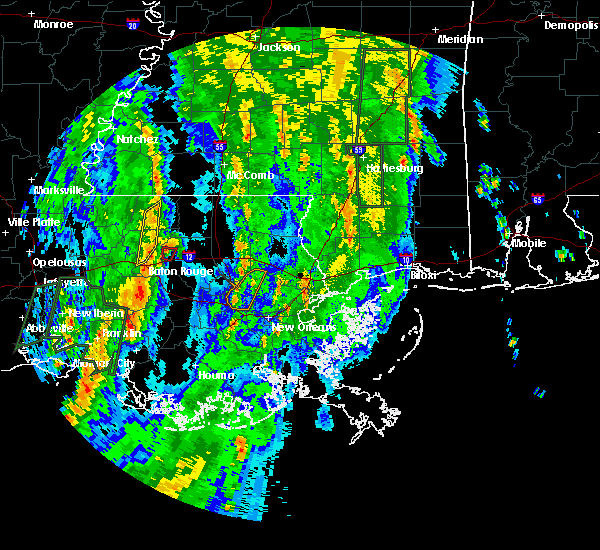 At 1053 am cdt, a severe thunderstorm capable of producing a tornado was located over watson, or near denham springs, moving north at 40 mph (radar indicated rotation). Hazards include tornado. Flying debris will be dangerous to those caught without shelter. mobile homes will be damaged or destroyed. damage to roofs, windows, and vehicles will occur. Tree damage is likely. At 1053 am cdt, a severe thunderstorm capable of producing a tornado was located over watson, or near denham springs, moving north at 40 mph (radar indicated rotation). Hazards include tornado. Flying debris will be dangerous to those caught without shelter. mobile homes will be damaged or destroyed. damage to roofs, windows, and vehicles will occur. Tree damage is likely.
|
| 7/14/2019 10:45 AM CDT |
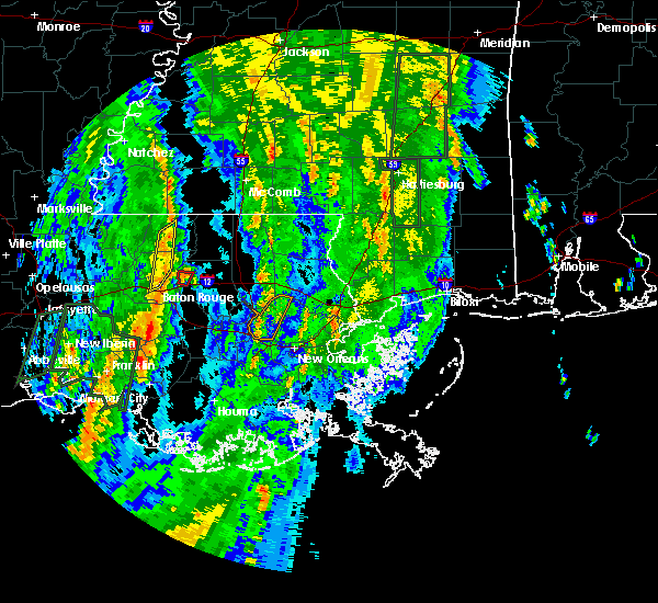 At 1044 am cdt, a severe thunderstorm capable of producing a tornado was located over denham springs, moving north at 35 mph (radar indicated rotation). Hazards include tornado. Flying debris will be dangerous to those caught without shelter. mobile homes will be damaged or destroyed. damage to roofs, windows, and vehicles will occur. tree damage is likely. Locations impacted include, denham springs. At 1044 am cdt, a severe thunderstorm capable of producing a tornado was located over denham springs, moving north at 35 mph (radar indicated rotation). Hazards include tornado. Flying debris will be dangerous to those caught without shelter. mobile homes will be damaged or destroyed. damage to roofs, windows, and vehicles will occur. tree damage is likely. Locations impacted include, denham springs.
|
| 7/14/2019 10:38 AM CDT |
 At 1038 am cdt, a severe thunderstorm capable of producing a tornado was located over denham springs, moving north at 40 mph (radar indicated rotation). Hazards include tornado. Flying debris will be dangerous to those caught without shelter. mobile homes will be damaged or destroyed. damage to roofs, windows, and vehicles will occur. tree damage is likely. Locations impacted include, denham springs and walker. At 1038 am cdt, a severe thunderstorm capable of producing a tornado was located over denham springs, moving north at 40 mph (radar indicated rotation). Hazards include tornado. Flying debris will be dangerous to those caught without shelter. mobile homes will be damaged or destroyed. damage to roofs, windows, and vehicles will occur. tree damage is likely. Locations impacted include, denham springs and walker.
|
| 7/14/2019 10:32 AM CDT |
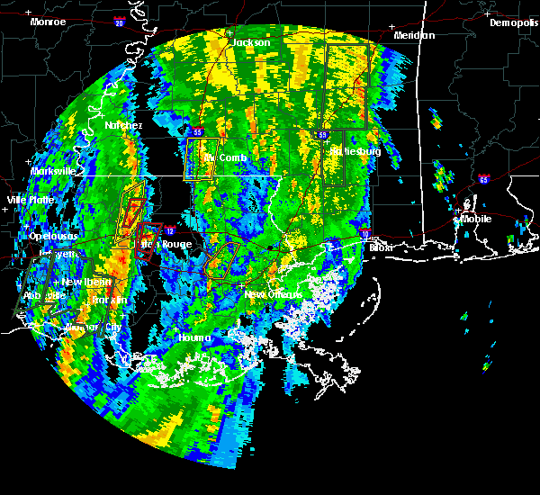 At 1031 am cdt, a severe thunderstorm capable of producing a tornado was located over old jefferson, or near oak hills place, moving north at 35 mph (radar indicated rotation). Hazards include tornado. Flying debris will be dangerous to those caught without shelter. mobile homes will be damaged or destroyed. damage to roofs, windows, and vehicles will occur. tree damage is likely. Locations impacted include, baton rouge, denham springs, walker, shenandoah and old jefferson. At 1031 am cdt, a severe thunderstorm capable of producing a tornado was located over old jefferson, or near oak hills place, moving north at 35 mph (radar indicated rotation). Hazards include tornado. Flying debris will be dangerous to those caught without shelter. mobile homes will be damaged or destroyed. damage to roofs, windows, and vehicles will occur. tree damage is likely. Locations impacted include, baton rouge, denham springs, walker, shenandoah and old jefferson.
|
| 7/14/2019 10:27 AM CDT |
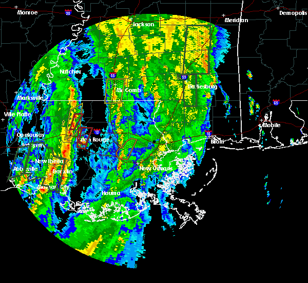 At 1026 am cdt, a severe thunderstorm capable of producing a tornado was located over old jefferson, or near oak hills place, moving north at 40 mph (radar indicated rotation). Hazards include tornado. Flying debris will be dangerous to those caught without shelter. mobile homes will be damaged or destroyed. damage to roofs, windows, and vehicles will occur. Tree damage is likely. At 1026 am cdt, a severe thunderstorm capable of producing a tornado was located over old jefferson, or near oak hills place, moving north at 40 mph (radar indicated rotation). Hazards include tornado. Flying debris will be dangerous to those caught without shelter. mobile homes will be damaged or destroyed. damage to roofs, windows, and vehicles will occur. Tree damage is likely.
|
| 7/14/2019 9:08 AM CDT |
 At 908 am cdt, a severe thunderstorm capable of producing a tornado was located near denham springs, moving north at 30 mph (radar indicated rotation). Hazards include tornado. Flying debris will be dangerous to those caught without shelter. mobile homes will be damaged or destroyed. damage to roofs, windows, and vehicles will occur. tree damage is likely. This tornadic thunderstorm will remain over mainly rural areas of northwestern livingston parish. At 908 am cdt, a severe thunderstorm capable of producing a tornado was located near denham springs, moving north at 30 mph (radar indicated rotation). Hazards include tornado. Flying debris will be dangerous to those caught without shelter. mobile homes will be damaged or destroyed. damage to roofs, windows, and vehicles will occur. tree damage is likely. This tornadic thunderstorm will remain over mainly rural areas of northwestern livingston parish.
|
| 7/14/2019 8:28 AM CDT |
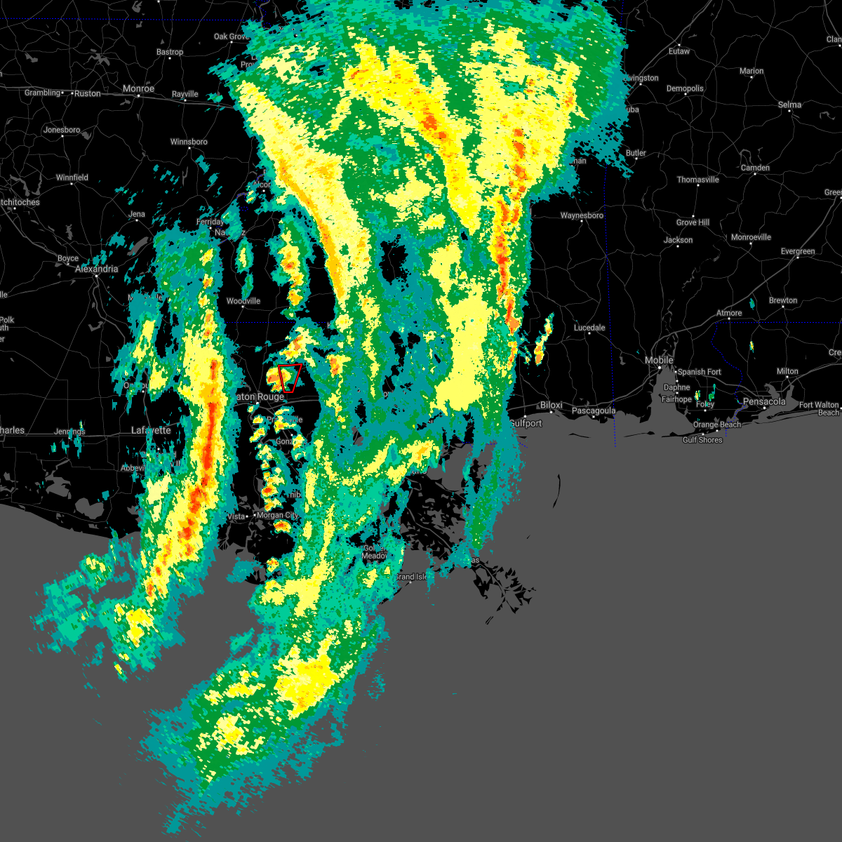 The tornado warning for southwestern st. helena, northwestern livingston and northeastern east baton rouge parishes will expire at 830 am cdt, the storm which prompted the tornado warning has weakened below severe limits, and has exited the warned area. therefore, the warning will be allowed to expire. The tornado warning for southwestern st. helena, northwestern livingston and northeastern east baton rouge parishes will expire at 830 am cdt, the storm which prompted the tornado warning has weakened below severe limits, and has exited the warned area. therefore, the warning will be allowed to expire.
|
| 7/14/2019 8:28 AM CDT |
 The severe thunderstorm warning for western st. helena, northwestern livingston, eastern east feliciana and northeastern east baton rouge parishes will expire at 830 am cdt, the storm which prompted the warning has weakened below severe limits, and no longer poses an immediate threat to life or property. therefore, the warning will be allowed to expire. The severe thunderstorm warning for western st. helena, northwestern livingston, eastern east feliciana and northeastern east baton rouge parishes will expire at 830 am cdt, the storm which prompted the warning has weakened below severe limits, and no longer poses an immediate threat to life or property. therefore, the warning will be allowed to expire.
|
| 7/14/2019 8:10 AM CDT |
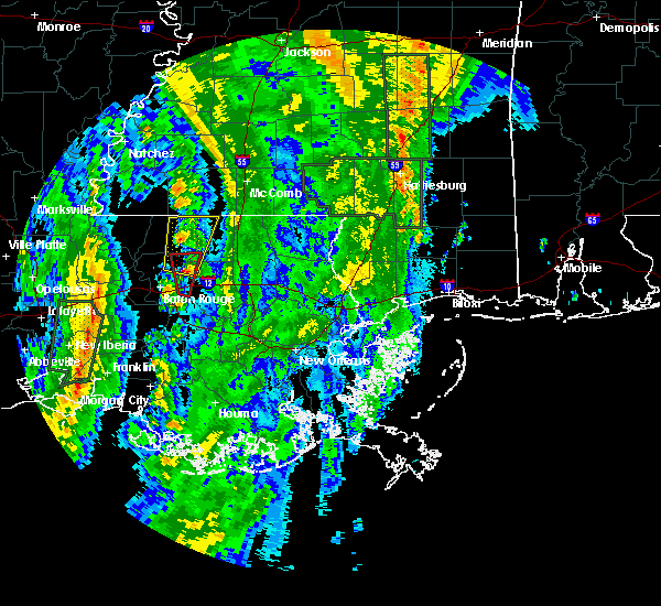 At 809 am cdt, a severe thunderstorm capable of producing a tornado was located over watson, or near denham springs, moving north at 30 mph (radar indicated rotation). Hazards include tornado. Flying debris will be dangerous to those caught without shelter. mobile homes will be damaged or destroyed. damage to roofs, windows, and vehicles will occur. tree damage is likely. This dangerous storm will be near, pride around 830 am cdt. At 809 am cdt, a severe thunderstorm capable of producing a tornado was located over watson, or near denham springs, moving north at 30 mph (radar indicated rotation). Hazards include tornado. Flying debris will be dangerous to those caught without shelter. mobile homes will be damaged or destroyed. damage to roofs, windows, and vehicles will occur. tree damage is likely. This dangerous storm will be near, pride around 830 am cdt.
|
| 7/14/2019 7:57 AM CDT |
 At 757 am cdt, a severe thunderstorm capable of producing a tornado was located over denham springs, moving north at 25 mph (radar indicated rotation). Hazards include tornado. Flying debris will be dangerous to those caught without shelter. mobile homes will be damaged or destroyed. damage to roofs, windows, and vehicles will occur. tree damage is likely. this dangerous storm will be near, denham springs and walker around 805 am cdt. watson and greenwell spring around 820 am cdt. Pride around 830 am cdt. At 757 am cdt, a severe thunderstorm capable of producing a tornado was located over denham springs, moving north at 25 mph (radar indicated rotation). Hazards include tornado. Flying debris will be dangerous to those caught without shelter. mobile homes will be damaged or destroyed. damage to roofs, windows, and vehicles will occur. tree damage is likely. this dangerous storm will be near, denham springs and walker around 805 am cdt. watson and greenwell spring around 820 am cdt. Pride around 830 am cdt.
|
| 7/14/2019 7:54 AM CDT |
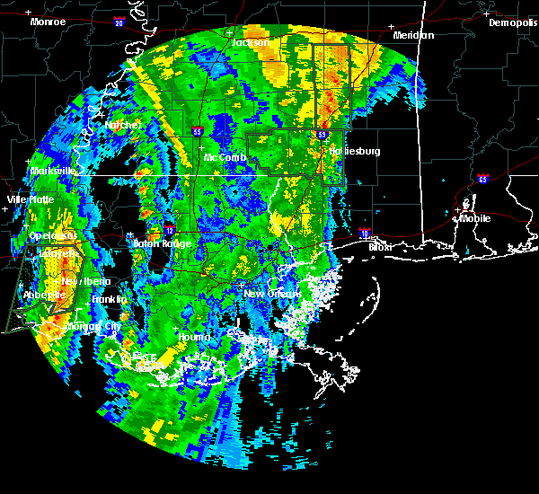 The national weather service in new orleans has issued a * severe thunderstorm warning for. western st. helena parish in southeastern louisiana. northwestern livingston parish in southeastern louisiana. eastern east feliciana parish in southeastern louisiana. Northeastern east baton rouge parish in southeastern louisiana. The national weather service in new orleans has issued a * severe thunderstorm warning for. western st. helena parish in southeastern louisiana. northwestern livingston parish in southeastern louisiana. eastern east feliciana parish in southeastern louisiana. Northeastern east baton rouge parish in southeastern louisiana.
|
| 6/28/2019 4:04 PM CDT |
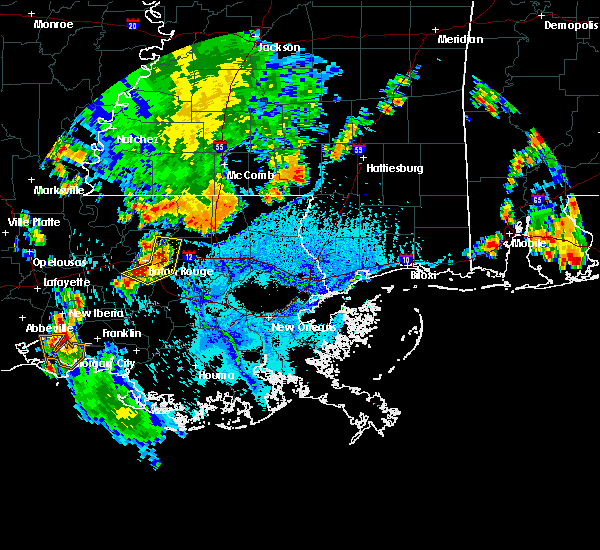 At 404 pm cdt, severe thunderstorms were located along a line extending from watson to near shenandoah to gardere, moving east at 10 mph (radar indicated). Hazards include 60 mph wind gusts and quarter size hail. Hail damage to vehicles is expected. expect wind damage to roofs, siding, and trees. locations impacted include, baton rouge, denham springs, oak hills place, st. gabriel, walker, addis, westminster, old jefferson, inniswold, watson, village st. George, shenandoah, gardere and greenwell spring. At 404 pm cdt, severe thunderstorms were located along a line extending from watson to near shenandoah to gardere, moving east at 10 mph (radar indicated). Hazards include 60 mph wind gusts and quarter size hail. Hail damage to vehicles is expected. expect wind damage to roofs, siding, and trees. locations impacted include, baton rouge, denham springs, oak hills place, st. gabriel, walker, addis, westminster, old jefferson, inniswold, watson, village st. George, shenandoah, gardere and greenwell spring.
|
| 6/28/2019 3:52 PM CDT |
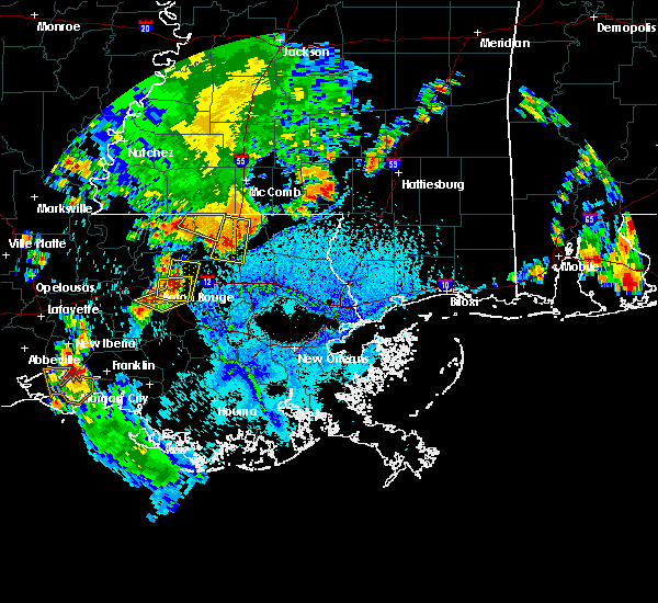 The national weather service in new orleans has issued a * severe thunderstorm warning for. northwestern ascension parish in southeastern louisiana. southeastern west baton rouge parish in southeastern louisiana. northwestern livingston parish in southeastern louisiana. East central iberville parish in southeastern louisiana. The national weather service in new orleans has issued a * severe thunderstorm warning for. northwestern ascension parish in southeastern louisiana. southeastern west baton rouge parish in southeastern louisiana. northwestern livingston parish in southeastern louisiana. East central iberville parish in southeastern louisiana.
|
| 6/24/2019 5:09 AM CDT |
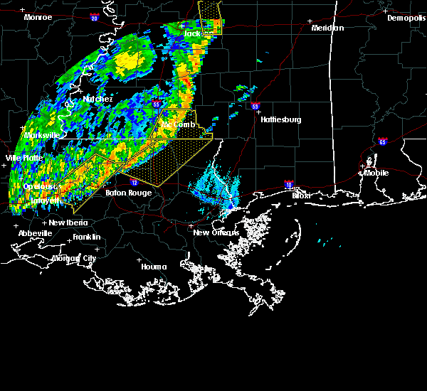 At 509 am cdt, severe thunderstorms were located along a line extending from near watson to 7 miles east of butte la rose, moving south at 40 mph (radar indicated). Hazards include 60 mph wind gusts. expect damage to roofs, siding, and trees At 509 am cdt, severe thunderstorms were located along a line extending from near watson to 7 miles east of butte la rose, moving south at 40 mph (radar indicated). Hazards include 60 mph wind gusts. expect damage to roofs, siding, and trees
|
| 5/19/2019 8:04 AM CDT |
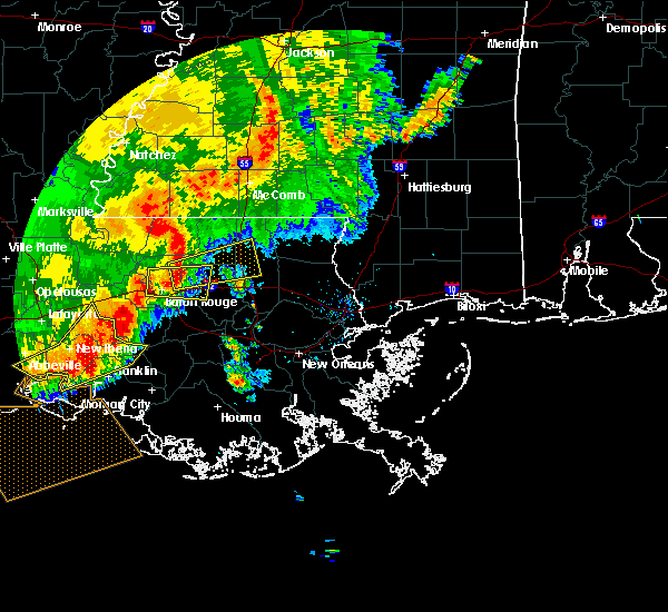 At 803 am cdt, a severe thunderstorm was located over watson, or 8 miles north of denham springs, moving east at 35 mph (radar indicated). Hazards include 60 mph wind gusts. Expect damage to roofs, siding, and trees. this severe thunderstorm will be near, montpelier around 835 am cdt. amite, amite city, independence and roseland around 845 am cdt. Other locations impacted by this severe thunderstorm include tickfaw. At 803 am cdt, a severe thunderstorm was located over watson, or 8 miles north of denham springs, moving east at 35 mph (radar indicated). Hazards include 60 mph wind gusts. Expect damage to roofs, siding, and trees. this severe thunderstorm will be near, montpelier around 835 am cdt. amite, amite city, independence and roseland around 845 am cdt. Other locations impacted by this severe thunderstorm include tickfaw.
|
| 5/19/2019 7:43 AM CDT |
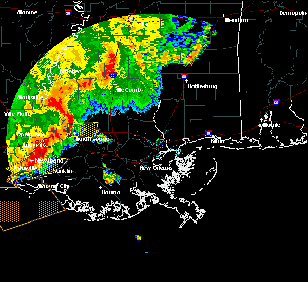 At 741 am cdt, a severe thunderstorm was located over merrydale, or over baton rouge, moving east at 35 mph (radar indicated). Hazards include 60 mph wind gusts. lafayette measured 61 mph gust with this squall line. Expect damage to roofs, siding, and trees. this severe storm will be near, westminster around 745 am cdt. inniswold around 750 am cdt. shenandoah and greenwell spring around 755 am cdt. denham springs and watson around 800 am cdt. walker around 810 am cdt. livingston around 815 am cdt. Other locations impacted by this severe thunderstorm include baton rouge airport. At 741 am cdt, a severe thunderstorm was located over merrydale, or over baton rouge, moving east at 35 mph (radar indicated). Hazards include 60 mph wind gusts. lafayette measured 61 mph gust with this squall line. Expect damage to roofs, siding, and trees. this severe storm will be near, westminster around 745 am cdt. inniswold around 750 am cdt. shenandoah and greenwell spring around 755 am cdt. denham springs and watson around 800 am cdt. walker around 810 am cdt. livingston around 815 am cdt. Other locations impacted by this severe thunderstorm include baton rouge airport.
|
| 5/19/2019 7:11 AM CDT |
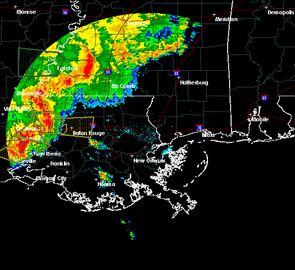 At 711 am cdt, a severe thunderstorm was located over erwinville, or 12 miles south of new roads, moving east at 35 mph (radar indicated). Hazards include 60 mph wind gusts. Expect damage to roofs, siding, and trees. this severe thunderstorm will be near, brusly around 730 am cdt. baton rouge and port allen around 735 am cdt. merrydale and brownfields around 740 am cdt. westminster and gardere around 745 am cdt. oak hills place, inniswold and village st. george around 750 am cdt. shenandoah and old jefferson around 755 am cdt. denham springs around 800 am cdt. walker around 810 am cdt. Other locations impacted by this severe thunderstorm include baton rouge airport. At 711 am cdt, a severe thunderstorm was located over erwinville, or 12 miles south of new roads, moving east at 35 mph (radar indicated). Hazards include 60 mph wind gusts. Expect damage to roofs, siding, and trees. this severe thunderstorm will be near, brusly around 730 am cdt. baton rouge and port allen around 735 am cdt. merrydale and brownfields around 740 am cdt. westminster and gardere around 745 am cdt. oak hills place, inniswold and village st. george around 750 am cdt. shenandoah and old jefferson around 755 am cdt. denham springs around 800 am cdt. walker around 810 am cdt. Other locations impacted by this severe thunderstorm include baton rouge airport.
|
| 4/18/2019 4:45 PM CDT | Tree across jim price road at greenwell spring in east baton rouge county LA, 8.2 miles SSW of Watson, LA |
| 4/7/2019 7:26 PM CDT |
 At 726 pm cdt, severe thunderstorms were located along a line extending from near zachary to watson to near denham springs, moving northeast at 30 mph (radar indicated). Hazards include 70 mph wind gusts. Expect considerable tree damage. Damage is likely to mobile homes, roofs, and outbuildings. At 726 pm cdt, severe thunderstorms were located along a line extending from near zachary to watson to near denham springs, moving northeast at 30 mph (radar indicated). Hazards include 70 mph wind gusts. Expect considerable tree damage. Damage is likely to mobile homes, roofs, and outbuildings.
|
| 4/7/2019 7:19 PM CDT |
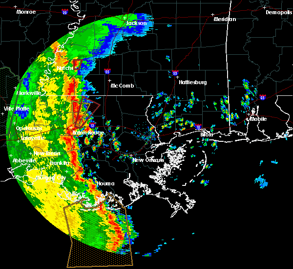 At 718 pm cdt, a severe thunderstorm capable of producing a tornado was located over watson, or near denham springs, moving northeast at 70 mph (radar indicated rotation). Hazards include tornado and quarter size hail. Flying debris will be dangerous to those caught without shelter. mobile homes will be damaged or destroyed. damage to roofs, windows, and vehicles will occur. tree damage is likely. this dangerous storm will be near, pride around 725 pm cdt. Greensburg and darlington around 740 pm cdt. At 718 pm cdt, a severe thunderstorm capable of producing a tornado was located over watson, or near denham springs, moving northeast at 70 mph (radar indicated rotation). Hazards include tornado and quarter size hail. Flying debris will be dangerous to those caught without shelter. mobile homes will be damaged or destroyed. damage to roofs, windows, and vehicles will occur. tree damage is likely. this dangerous storm will be near, pride around 725 pm cdt. Greensburg and darlington around 740 pm cdt.
|
| 4/7/2019 7:10 PM CDT |
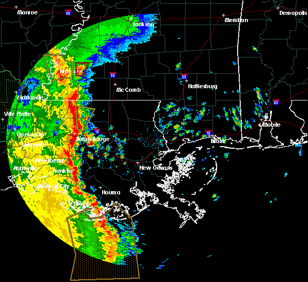 At 709 pm cdt, a severe thunderstorm was located over greenwell spring, or near denham springs, moving north at 35 mph (radar indicated). Hazards include quarter size hail. damage to vehicles is expected At 709 pm cdt, a severe thunderstorm was located over greenwell spring, or near denham springs, moving north at 35 mph (radar indicated). Hazards include quarter size hail. damage to vehicles is expected
|
| 1/19/2019 8:06 AM CST |
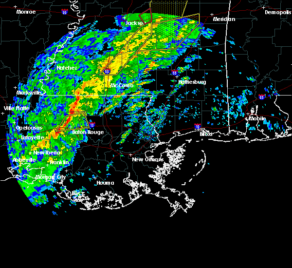 At 805 am cst, a severe thunderstorm was located over greenwell spring, or 7 miles east of baker, moving east at 65 mph (radar indicated). Hazards include 60 mph wind gusts. Expect damage to roofs, siding, and trees. locations impacted include, baton rouge, zachary, baker, denham springs, port allen, walker, brusly, merrydale, watson, brownfields, greenwell spring, pride and baton rouge airport. A tornado watch remains in effect until 100 pm cst for southeastern louisiana. At 805 am cst, a severe thunderstorm was located over greenwell spring, or 7 miles east of baker, moving east at 65 mph (radar indicated). Hazards include 60 mph wind gusts. Expect damage to roofs, siding, and trees. locations impacted include, baton rouge, zachary, baker, denham springs, port allen, walker, brusly, merrydale, watson, brownfields, greenwell spring, pride and baton rouge airport. A tornado watch remains in effect until 100 pm cst for southeastern louisiana.
|
| 1/19/2019 7:50 AM CST |
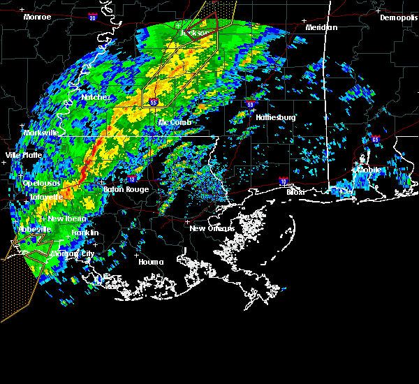 At 750 am cst, a severe thunderstorm was located near erwinville, or 7 miles northwest of port allen, moving east at 65 mph (radar indicated). Hazards include 60 mph wind gusts. expect damage to roofs, siding, and trees At 750 am cst, a severe thunderstorm was located near erwinville, or 7 miles northwest of port allen, moving east at 65 mph (radar indicated). Hazards include 60 mph wind gusts. expect damage to roofs, siding, and trees
|
| 11/1/2018 3:05 AM CDT |
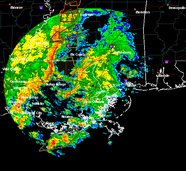 At 304 am cdt, severe thunderstorms were located along a line extending from felps to 6 miles east of pride to watson, moving east at 50 mph (radar indicated). Hazards include 60 mph wind gusts. expect damage to roofs, siding, and trees At 304 am cdt, severe thunderstorms were located along a line extending from felps to 6 miles east of pride to watson, moving east at 50 mph (radar indicated). Hazards include 60 mph wind gusts. expect damage to roofs, siding, and trees
|
| 6/11/2018 1:35 PM CDT |
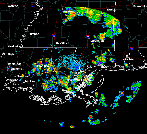 At 134 pm cdt, a severe thunderstorm was located over denham springs, moving east at 15 mph (radar indicated). Hazards include 60 mph wind gusts. expect damage to roofs, siding, and trees At 134 pm cdt, a severe thunderstorm was located over denham springs, moving east at 15 mph (radar indicated). Hazards include 60 mph wind gusts. expect damage to roofs, siding, and trees
|
| 6/5/2018 1:12 PM CDT |
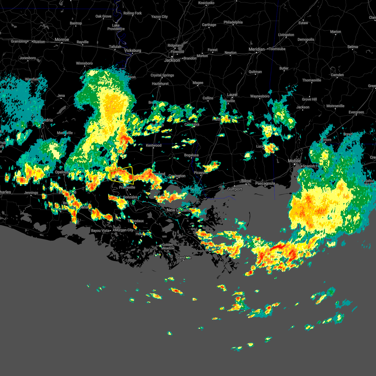 The severe thunderstorm warning for east central west baton rouge, northwestern livingston and central east baton rouge parishes will expire at 115 pm cdt, the storm which prompted the warning has weakened below severe limits, and no longer poses an immediate threat to life or property. therefore, the warning will be allowed to expire. however heavy rain is still possible with this thunderstorm. The severe thunderstorm warning for east central west baton rouge, northwestern livingston and central east baton rouge parishes will expire at 115 pm cdt, the storm which prompted the warning has weakened below severe limits, and no longer poses an immediate threat to life or property. therefore, the warning will be allowed to expire. however heavy rain is still possible with this thunderstorm.
|
| 6/5/2018 12:59 PM CDT |
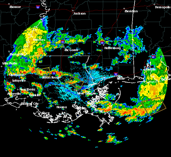 At 1258 pm cdt, a severe thunderstorm was located over merrydale, or near baton rouge, moving east at 25 mph (radar indicated). Hazards include 60 mph wind gusts and quarter size hail. Hail damage to vehicles is expected. expect wind damage to roofs, siding, and trees. Locations impacted include, baton rouge, baker, denham springs, port allen, walker, merrydale, watson, brownfields, greenwell spring, shenandoah and baton rouge airport. At 1258 pm cdt, a severe thunderstorm was located over merrydale, or near baton rouge, moving east at 25 mph (radar indicated). Hazards include 60 mph wind gusts and quarter size hail. Hail damage to vehicles is expected. expect wind damage to roofs, siding, and trees. Locations impacted include, baton rouge, baker, denham springs, port allen, walker, merrydale, watson, brownfields, greenwell spring, shenandoah and baton rouge airport.
|
| 6/5/2018 12:50 PM CDT |
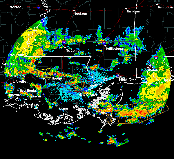 At 1250 pm cdt, a severe thunderstorm was located near brownfields, or near port allen, moving east at 25 mph (radar indicated). Hazards include 60 mph wind gusts and quarter size hail. Hail damage to vehicles is expected. Expect wind damage to roofs, siding, and trees. At 1250 pm cdt, a severe thunderstorm was located near brownfields, or near port allen, moving east at 25 mph (radar indicated). Hazards include 60 mph wind gusts and quarter size hail. Hail damage to vehicles is expected. Expect wind damage to roofs, siding, and trees.
|
| 4/14/2018 8:30 AM CDT |
 At 830 am cdt, severe thunderstorms were located along a line extending from near easleyville to near montpelier to near watson, moving east at 15 mph (radar indicated). Hazards include 60 mph wind gusts. expect damage to roofs, siding, and trees At 830 am cdt, severe thunderstorms were located along a line extending from near easleyville to near montpelier to near watson, moving east at 15 mph (radar indicated). Hazards include 60 mph wind gusts. expect damage to roofs, siding, and trees
|
| 4/14/2018 8:23 AM CDT |
 At 822 am cdt, a severe squall line capable of producing both tornadoes and extensive straight line wind damage was located along a line extending from 6 miles northwest of montpelier to near pride to near brownfields, moving northeast at 30 mph (radar indicated rotation). Hazards include tornado. Flying debris will be dangerous to those caught without shelter. mobile homes will be damaged or destroyed. damage to roofs, windows, and vehicles will occur. tree damage is likely. Locations impacted include, zachary, baker, greensburg, montpelier, pride, merrydale, watson, brownfields and greenwell spring. At 822 am cdt, a severe squall line capable of producing both tornadoes and extensive straight line wind damage was located along a line extending from 6 miles northwest of montpelier to near pride to near brownfields, moving northeast at 30 mph (radar indicated rotation). Hazards include tornado. Flying debris will be dangerous to those caught without shelter. mobile homes will be damaged or destroyed. damage to roofs, windows, and vehicles will occur. tree damage is likely. Locations impacted include, zachary, baker, greensburg, montpelier, pride, merrydale, watson, brownfields and greenwell spring.
|
| 4/14/2018 7:57 AM CDT |
 At 757 am cdt, a severe thunderstorm capable of producing a tornado was located over baker, moving northeast at 45 mph (radar indicated rotation). Hazards include tornado. Flying debris will be dangerous to those caught without shelter. mobile homes will be damaged or destroyed. damage to roofs, windows, and vehicles will occur. tree damage is likely. this dangerous storm will be near, brownfields and merrydale around 800 am cdt. zachary around 805 am cdt. greenwell spring around 810 am cdt. pride and watson around 815 am cdt. montpelier around 840 am cdt. greensburg around 845 am cdt. Other locations impacted by this tornadic thunderstorm include baton rouge airport. At 757 am cdt, a severe thunderstorm capable of producing a tornado was located over baker, moving northeast at 45 mph (radar indicated rotation). Hazards include tornado. Flying debris will be dangerous to those caught without shelter. mobile homes will be damaged or destroyed. damage to roofs, windows, and vehicles will occur. tree damage is likely. this dangerous storm will be near, brownfields and merrydale around 800 am cdt. zachary around 805 am cdt. greenwell spring around 810 am cdt. pride and watson around 815 am cdt. montpelier around 840 am cdt. greensburg around 845 am cdt. Other locations impacted by this tornadic thunderstorm include baton rouge airport.
|
| 4/4/2018 1:12 AM CDT |
 The severe thunderstorm warning for north central ascension, southeastern west baton rouge, st. helena, livingston, east feliciana, northwestern tangipahoa and east baton rouge parishes, southwestern pike, southeastern wilkinson and southern amite counties will expire at 115 am cdt, the storms which prompted the warning have weakened below severe limits, and no longer pose an immediate threat to life or property. therefore the warning will be allowed to expire. however small hail and gusty winds are still possible with these thunderstorms. The severe thunderstorm warning for north central ascension, southeastern west baton rouge, st. helena, livingston, east feliciana, northwestern tangipahoa and east baton rouge parishes, southwestern pike, southeastern wilkinson and southern amite counties will expire at 115 am cdt, the storms which prompted the warning have weakened below severe limits, and no longer pose an immediate threat to life or property. therefore the warning will be allowed to expire. however small hail and gusty winds are still possible with these thunderstorms.
|
| 4/4/2018 12:41 AM CDT |
 At 1240 am cdt, severe thunderstorms were located along a line extending from centreville to near pride to slaughter to near port allen, moving east at 45 mph (radar indicated). Hazards include 60 mph wind gusts and quarter size hail. Hail damage to vehicles is expected. expect wind damage to roofs, siding, and trees. severe thunderstorms will be near, felps and brownfields around 1250 am cdt. oak hills place, pride, westminster, inniswold, village st. george and greenwell spring around 1255 am cdt. shenandoah, old jefferson and watson around 100 am cdt. denham springs around 105 am cdt. walker, montpelier, gillsberg and easleyville around 110 am cdt. amite, amite city, kentwood, livingston, roseland, french settlement and port vincent around 115 am cdt. Other locations impacted by these severe thunderstorms include tangipahoa and baton rouge airport. At 1240 am cdt, severe thunderstorms were located along a line extending from centreville to near pride to slaughter to near port allen, moving east at 45 mph (radar indicated). Hazards include 60 mph wind gusts and quarter size hail. Hail damage to vehicles is expected. expect wind damage to roofs, siding, and trees. severe thunderstorms will be near, felps and brownfields around 1250 am cdt. oak hills place, pride, westminster, inniswold, village st. george and greenwell spring around 1255 am cdt. shenandoah, old jefferson and watson around 100 am cdt. denham springs around 105 am cdt. walker, montpelier, gillsberg and easleyville around 110 am cdt. amite, amite city, kentwood, livingston, roseland, french settlement and port vincent around 115 am cdt. Other locations impacted by these severe thunderstorms include tangipahoa and baton rouge airport.
|
| 5/12/2017 3:18 PM CDT |
 At 318 pm cdt, a severe thunderstorm was located near walker, or 9 miles northeast of denham springs, moving east at 40 mph (radar indicated). Hazards include golf ball size hail and 70 mph wind gusts. People and animals outdoors will be injured. expect hail damage to roofs, siding, windows, and vehicles. expect considerable tree damage. wind damage is also likely to mobile homes, roofs, and outbuildings. Locations impacted include, denham springs, walker, livingston and watson. At 318 pm cdt, a severe thunderstorm was located near walker, or 9 miles northeast of denham springs, moving east at 40 mph (radar indicated). Hazards include golf ball size hail and 70 mph wind gusts. People and animals outdoors will be injured. expect hail damage to roofs, siding, windows, and vehicles. expect considerable tree damage. wind damage is also likely to mobile homes, roofs, and outbuildings. Locations impacted include, denham springs, walker, livingston and watson.
|
| 5/12/2017 3:13 PM CDT |
 At 313 pm cdt, a severe thunderstorm was located over watson, or near denham springs, moving east at 30 mph (radar indicated). Hazards include golf ball size hail and 60 mph wind gusts. People and animals outdoors will be injured. expect hail damage to roofs, siding, windows, and vehicles. expect wind damage to roofs, siding, and trees. Locations impacted include, denham springs, walker, livingston and watson. At 313 pm cdt, a severe thunderstorm was located over watson, or near denham springs, moving east at 30 mph (radar indicated). Hazards include golf ball size hail and 60 mph wind gusts. People and animals outdoors will be injured. expect hail damage to roofs, siding, windows, and vehicles. expect wind damage to roofs, siding, and trees. Locations impacted include, denham springs, walker, livingston and watson.
|
| 5/12/2017 3:10 PM CDT |
 At 310 pm cdt, a severe thunderstorm was located over watson, or near denham springs, moving east at 30 mph (radar indicated). Hazards include half dollar size hail. damage to vehicles is expected At 310 pm cdt, a severe thunderstorm was located over watson, or near denham springs, moving east at 30 mph (radar indicated). Hazards include half dollar size hail. damage to vehicles is expected
|
| 4/30/2017 8:40 AM CDT |
 At 839 am cdt, a severe squall line capable of producing both tornadoes and extensive straight line wind damage was located along a line extending from near liberty to 7 miles west of montpelier to near white castle, moving east at 30 mph (radar indicated rotation). Hazards include tornado and quarter size hail. Flying debris will be dangerous to those caught without shelter. mobile homes will be damaged or destroyed. damage to roofs, windows, and vehicles will occur. tree damage is likely. these dangerous storms will be near, liberty around 845 am cdt. montpelier around 855 am cdt. gonzales, greensburg, magnolia and prairieville around 900 am cdt. Other locations impacted by these tornadic storms include tangipahoa and mccomb airport. At 839 am cdt, a severe squall line capable of producing both tornadoes and extensive straight line wind damage was located along a line extending from near liberty to 7 miles west of montpelier to near white castle, moving east at 30 mph (radar indicated rotation). Hazards include tornado and quarter size hail. Flying debris will be dangerous to those caught without shelter. mobile homes will be damaged or destroyed. damage to roofs, windows, and vehicles will occur. tree damage is likely. these dangerous storms will be near, liberty around 845 am cdt. montpelier around 855 am cdt. gonzales, greensburg, magnolia and prairieville around 900 am cdt. Other locations impacted by these tornadic storms include tangipahoa and mccomb airport.
|
| 4/30/2017 8:26 AM CDT |
 At 825 am cdt, severe thunderstorms capable of producing both tornadoes and extensive straight line wind damage were located along a line extending from liberty to near pride to near plaquemine, moving east at 25 mph (radar indicated rotation). Hazards include tornado and quarter size hail. Flying debris will be dangerous to those caught without shelter. mobile homes will be damaged or destroyed. damage to roofs, windows, and vehicles will occur. tree damage is likely. these dangerous storms will be near, liberty and watson around 830 am cdt. gillsberg around 855 am cdt. gonzales, donaldsonville, montpelier, geismer and prairieville around 900 am cdt. Other locations impacted by these tornadic storms include mccomb airport and tangipahoa. At 825 am cdt, severe thunderstorms capable of producing both tornadoes and extensive straight line wind damage were located along a line extending from liberty to near pride to near plaquemine, moving east at 25 mph (radar indicated rotation). Hazards include tornado and quarter size hail. Flying debris will be dangerous to those caught without shelter. mobile homes will be damaged or destroyed. damage to roofs, windows, and vehicles will occur. tree damage is likely. these dangerous storms will be near, liberty and watson around 830 am cdt. gillsberg around 855 am cdt. gonzales, donaldsonville, montpelier, geismer and prairieville around 900 am cdt. Other locations impacted by these tornadic storms include mccomb airport and tangipahoa.
|
| 4/30/2017 8:26 AM CDT |
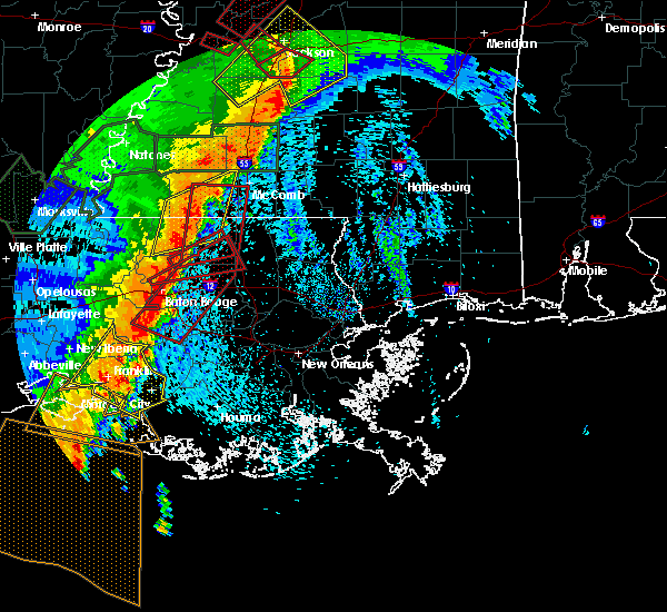 At 825 am cdt, severe thunderstorms capable of producing both tornadoes and extensive straight line wind damage were located along a line extending from liberty to near pride to near plaquemine, moving east at 25 mph (radar indicated rotation). Hazards include tornado and quarter size hail. Flying debris will be dangerous to those caught without shelter. mobile homes will be damaged or destroyed. damage to roofs, windows, and vehicles will occur. tree damage is likely. these dangerous storms will be near, liberty and watson around 830 am cdt. gillsberg around 855 am cdt. gonzales, donaldsonville, montpelier, geismer and prairieville around 900 am cdt. Other locations impacted by these tornadic storms include mccomb airport and tangipahoa. At 825 am cdt, severe thunderstorms capable of producing both tornadoes and extensive straight line wind damage were located along a line extending from liberty to near pride to near plaquemine, moving east at 25 mph (radar indicated rotation). Hazards include tornado and quarter size hail. Flying debris will be dangerous to those caught without shelter. mobile homes will be damaged or destroyed. damage to roofs, windows, and vehicles will occur. tree damage is likely. these dangerous storms will be near, liberty and watson around 830 am cdt. gillsberg around 855 am cdt. gonzales, donaldsonville, montpelier, geismer and prairieville around 900 am cdt. Other locations impacted by these tornadic storms include mccomb airport and tangipahoa.
|
| 4/30/2017 7:59 AM CDT |
 At 759 am cdt, a severe thunderstorm capable of producing a tornado was located over brownfields, or near baker, moving northeast at 65 mph (radar indicated rotation). Hazards include tornado. Flying debris will be dangerous to those caught without shelter. mobile homes will be damaged or destroyed. damage to roofs, windows, and vehicles will occur. tree damage is likely. this dangerous storm will be near, greenwell spring around 805 am cdt. watson around 810 am cdt. montpelier around 830 am cdt. Other locations impacted by this tornadic thunderstorm include baton rouge airport. At 759 am cdt, a severe thunderstorm capable of producing a tornado was located over brownfields, or near baker, moving northeast at 65 mph (radar indicated rotation). Hazards include tornado. Flying debris will be dangerous to those caught without shelter. mobile homes will be damaged or destroyed. damage to roofs, windows, and vehicles will occur. tree damage is likely. this dangerous storm will be near, greenwell spring around 805 am cdt. watson around 810 am cdt. montpelier around 830 am cdt. Other locations impacted by this tornadic thunderstorm include baton rouge airport.
|
| 4/3/2017 2:19 AM CDT |
 At 218 am cdt, severe thunderstorms were located along a line extending from near watson to 6 miles north of pierre part, moving east at 25 mph (radar indicated). Hazards include 60 mph wind gusts. expect damage to roofs, siding, and trees At 218 am cdt, severe thunderstorms were located along a line extending from near watson to 6 miles north of pierre part, moving east at 25 mph (radar indicated). Hazards include 60 mph wind gusts. expect damage to roofs, siding, and trees
|
| 2/7/2017 11:43 AM CST |
 At 1143 am cst, a severe thunderstorm capable of producing a tornado was located near watson, or 10 miles north of denham springs, moving east at 30 mph (radar indicated rotation). Hazards include tornado and golf ball size hail. Flying debris will be dangerous to those caught without shelter. mobile homes will be damaged or destroyed. damage to roofs, windows, and vehicles will occur. tree damage is likely. Locations impacted include, zachary, baker, walker, livingston, slaughter, pride, greenwell spring and watson. At 1143 am cst, a severe thunderstorm capable of producing a tornado was located near watson, or 10 miles north of denham springs, moving east at 30 mph (radar indicated rotation). Hazards include tornado and golf ball size hail. Flying debris will be dangerous to those caught without shelter. mobile homes will be damaged or destroyed. damage to roofs, windows, and vehicles will occur. tree damage is likely. Locations impacted include, zachary, baker, walker, livingston, slaughter, pride, greenwell spring and watson.
|
| 2/7/2017 11:29 AM CST |
 At 1128 am cst, a severe thunderstorm capable of producing a tornado was located near zachary, moving east at 25 mph (radar indicated rotation). Hazards include tornado and quarter size hail. Flying debris will be dangerous to those caught without shelter. mobile homes will be damaged or destroyed. damage to roofs, windows, and vehicles will occur. Tree damage is likely. At 1128 am cst, a severe thunderstorm capable of producing a tornado was located near zachary, moving east at 25 mph (radar indicated rotation). Hazards include tornado and quarter size hail. Flying debris will be dangerous to those caught without shelter. mobile homes will be damaged or destroyed. damage to roofs, windows, and vehicles will occur. Tree damage is likely.
|
| 2/7/2017 10:12 AM CST |
 At 1012 am cst, a severe thunderstorm capable of producing a tornado was located over brownfields, or near baker, moving east at 40 mph (radar indicated rotation). Hazards include tornado and golf ball size hail. Flying debris will be dangerous to those caught without shelter. mobile homes will be damaged or destroyed. damage to roofs, windows, and vehicles will occur. Tree damage is likely. At 1012 am cst, a severe thunderstorm capable of producing a tornado was located over brownfields, or near baker, moving east at 40 mph (radar indicated rotation). Hazards include tornado and golf ball size hail. Flying debris will be dangerous to those caught without shelter. mobile homes will be damaged or destroyed. damage to roofs, windows, and vehicles will occur. Tree damage is likely.
|
| 2/7/2017 9:28 AM CST |
 At 927 am cst, a severe thunderstorm capable of producing a tornado was located 9 miles west of montpelier, or 12 miles southwest of greensburg, moving east at 30 mph (radar indicated rotation). Hazards include tornado and quarter size hail. Flying debris will be dangerous to those caught without shelter. mobile homes will be damaged or destroyed. damage to roofs, windows, and vehicles will occur. tree damage is likely. Locations impacted include, greensburg, montpelier and watson. At 927 am cst, a severe thunderstorm capable of producing a tornado was located 9 miles west of montpelier, or 12 miles southwest of greensburg, moving east at 30 mph (radar indicated rotation). Hazards include tornado and quarter size hail. Flying debris will be dangerous to those caught without shelter. mobile homes will be damaged or destroyed. damage to roofs, windows, and vehicles will occur. tree damage is likely. Locations impacted include, greensburg, montpelier and watson.
|
| 2/7/2017 9:09 AM CST |
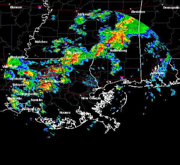 At 909 am cst, a severe thunderstorm capable of producing a tornado was located near pride, or 11 miles east of zachary, moving east at 30 mph (radar indicated rotation). Hazards include tornado and quarter size hail. Flying debris will be dangerous to those caught without shelter. mobile homes will be damaged or destroyed. damage to roofs, windows, and vehicles will occur. Tree damage is likely. At 909 am cst, a severe thunderstorm capable of producing a tornado was located near pride, or 11 miles east of zachary, moving east at 30 mph (radar indicated rotation). Hazards include tornado and quarter size hail. Flying debris will be dangerous to those caught without shelter. mobile homes will be damaged or destroyed. damage to roofs, windows, and vehicles will occur. Tree damage is likely.
|
| 2/7/2017 8:58 AM CST |
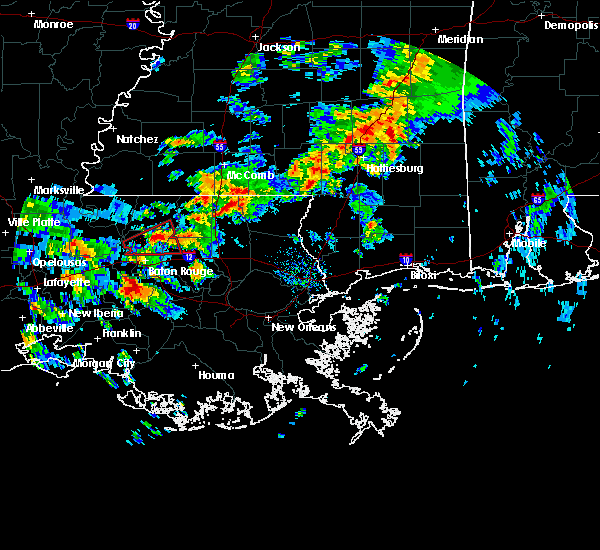 At 857 am cst, a severe thunderstorm capable of producing a tornado was located near baker, moving east at 30 mph (weather spotters reported a funnel cloud). Hazards include tornado. Flying debris will be dangerous to those caught without shelter. mobile homes will be damaged or destroyed. damage to roofs, windows, and vehicles will occur. tree damage is likely. Locations impacted include, baton rouge, zachary, baker, pride, greenwell spring, watson, brownfields, merrydale and baton rouge airport. At 857 am cst, a severe thunderstorm capable of producing a tornado was located near baker, moving east at 30 mph (weather spotters reported a funnel cloud). Hazards include tornado. Flying debris will be dangerous to those caught without shelter. mobile homes will be damaged or destroyed. damage to roofs, windows, and vehicles will occur. tree damage is likely. Locations impacted include, baton rouge, zachary, baker, pride, greenwell spring, watson, brownfields, merrydale and baton rouge airport.
|
| 2/7/2017 8:41 AM CST |
 At 840 am cst, a severe thunderstorm capable of producing a tornado was located near baker, moving east at 30 mph (radar indicated rotation). Hazards include tornado. Flying debris will be dangerous to those caught without shelter. mobile homes will be damaged or destroyed. damage to roofs, windows, and vehicles will occur. Tree damage is likely. At 840 am cst, a severe thunderstorm capable of producing a tornado was located near baker, moving east at 30 mph (radar indicated rotation). Hazards include tornado. Flying debris will be dangerous to those caught without shelter. mobile homes will be damaged or destroyed. damage to roofs, windows, and vehicles will occur. Tree damage is likely.
|
| 1/2/2017 2:03 PM CST |
 At 203 pm cst, severe thunderstorms were located along a line extending from near ruth to near greensburg to near plaquemine, moving east at 20 mph (radar indicated). Hazards include 60 mph wind gusts. Expect damage to roofs, siding, and trees. locations impacted include, baton rouge, mccomb, denham springs, plaquemine, port allen, greensburg, amite, oak hills place, st. gabriel, walker, amite city, addis, brusly, magnolia, kentwood, white castle, livingston, summit, independence and roseland. A tornado watch remains in effect until 800 pm cst for southeastern louisiana, and southern mississippi. At 203 pm cst, severe thunderstorms were located along a line extending from near ruth to near greensburg to near plaquemine, moving east at 20 mph (radar indicated). Hazards include 60 mph wind gusts. Expect damage to roofs, siding, and trees. locations impacted include, baton rouge, mccomb, denham springs, plaquemine, port allen, greensburg, amite, oak hills place, st. gabriel, walker, amite city, addis, brusly, magnolia, kentwood, white castle, livingston, summit, independence and roseland. A tornado watch remains in effect until 800 pm cst for southeastern louisiana, and southern mississippi.
|
| 1/2/2017 2:03 PM CST |
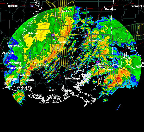 At 203 pm cst, severe thunderstorms were located along a line extending from near ruth to near greensburg to near plaquemine, moving east at 20 mph (radar indicated). Hazards include 60 mph wind gusts. Expect damage to roofs, siding, and trees. locations impacted include, baton rouge, mccomb, denham springs, plaquemine, port allen, greensburg, amite, oak hills place, st. gabriel, walker, amite city, addis, brusly, magnolia, kentwood, white castle, livingston, summit, independence and roseland. A tornado watch remains in effect until 800 pm cst for southeastern louisiana, and southern mississippi. At 203 pm cst, severe thunderstorms were located along a line extending from near ruth to near greensburg to near plaquemine, moving east at 20 mph (radar indicated). Hazards include 60 mph wind gusts. Expect damage to roofs, siding, and trees. locations impacted include, baton rouge, mccomb, denham springs, plaquemine, port allen, greensburg, amite, oak hills place, st. gabriel, walker, amite city, addis, brusly, magnolia, kentwood, white castle, livingston, summit, independence and roseland. A tornado watch remains in effect until 800 pm cst for southeastern louisiana, and southern mississippi.
|
| 1/2/2017 1:20 PM CST |
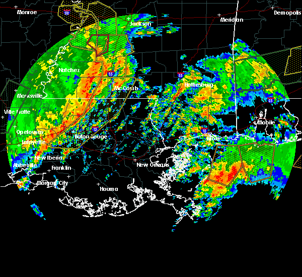 At 120 pm cst, severe thunderstorms were located along a line extending from near smithdale to 7 miles northeast of pride to 9 miles northwest of bayou sorrel, moving east at 20 mph (radar indicated). Hazards include 60 mph wind gusts. expect damage to roofs, siding, and trees At 120 pm cst, severe thunderstorms were located along a line extending from near smithdale to 7 miles northeast of pride to 9 miles northwest of bayou sorrel, moving east at 20 mph (radar indicated). Hazards include 60 mph wind gusts. expect damage to roofs, siding, and trees
|
| 1/2/2017 1:20 PM CST |
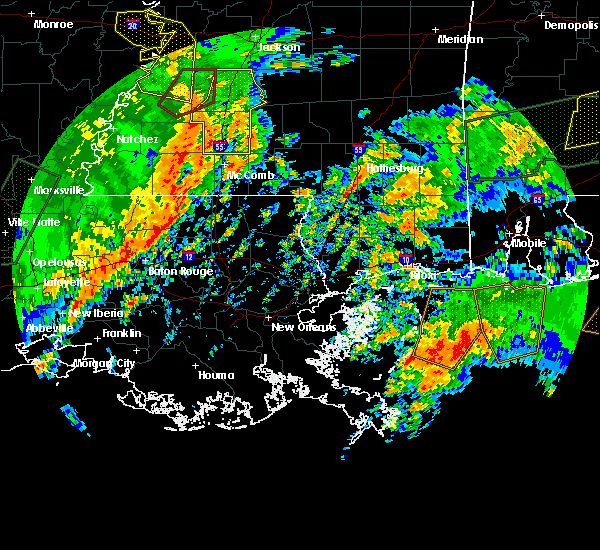 At 120 pm cst, severe thunderstorms were located along a line extending from near smithdale to 7 miles northeast of pride to 9 miles northwest of bayou sorrel, moving east at 20 mph (radar indicated). Hazards include 60 mph wind gusts. expect damage to roofs, siding, and trees At 120 pm cst, severe thunderstorms were located along a line extending from near smithdale to 7 miles northeast of pride to 9 miles northwest of bayou sorrel, moving east at 20 mph (radar indicated). Hazards include 60 mph wind gusts. expect damage to roofs, siding, and trees
|
| 5/19/2016 10:22 PM CDT |
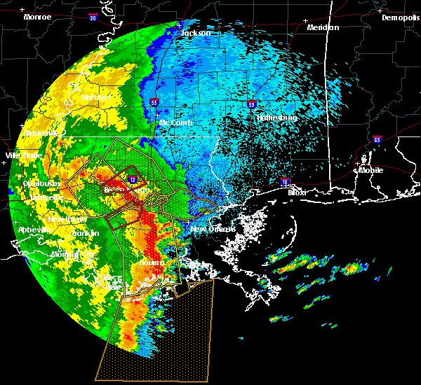 At 1022 pm cdt, severe thunderstorms were located along a line extending from brownfields to near port vincent to near whitehall, moving northeast at 40 mph (radar indicated). Hazards include 70 mph wind gusts and penny size hail. Expect considerable tree damage. Damage is likely to mobile homes, roofs, and outbuildings. At 1022 pm cdt, severe thunderstorms were located along a line extending from brownfields to near port vincent to near whitehall, moving northeast at 40 mph (radar indicated). Hazards include 70 mph wind gusts and penny size hail. Expect considerable tree damage. Damage is likely to mobile homes, roofs, and outbuildings.
|
| 5/19/2016 9:50 PM CDT |
 At 949 pm cdt, severe thunderstorms were located along a line extending from rosedale to 7 miles north of pierre part, moving northeast at 35 mph (radar indicated). Hazards include 70 mph wind gusts and penny size hail. Expect considerable tree damage. Damage is likely to mobile homes, roofs, and outbuildings. At 949 pm cdt, severe thunderstorms were located along a line extending from rosedale to 7 miles north of pierre part, moving northeast at 35 mph (radar indicated). Hazards include 70 mph wind gusts and penny size hail. Expect considerable tree damage. Damage is likely to mobile homes, roofs, and outbuildings.
|
| 4/30/2016 12:55 PM CDT |
 At 1253 pm cdt, severe thunderstorms were located along a line extending from spillman to erwinville, moving east at 35 mph (radar indicated). Hazards include 60 mph wind gusts. Expect damage to roofs. siding. And trees. At 1253 pm cdt, severe thunderstorms were located along a line extending from spillman to erwinville, moving east at 35 mph (radar indicated). Hazards include 60 mph wind gusts. Expect damage to roofs. siding. And trees.
|
| 3/17/2016 6:20 PM CDT |
 At 619 pm cdt, severe thunderstorms were located along a line extending from near kentwood to lake pelba, moving southeast at 25 mph (radar indicated). Hazards include 60 mph wind gusts. Expect damage to roofs. Siding and trees. At 619 pm cdt, severe thunderstorms were located along a line extending from near kentwood to lake pelba, moving southeast at 25 mph (radar indicated). Hazards include 60 mph wind gusts. Expect damage to roofs. Siding and trees.
|
| 2/15/2016 2:21 PM CST |
 At 221 pm cst, a severe thunderstorm was located near zachary, moving east at 50 mph (radar indicated). Hazards include 60 mph wind gusts and quarter size hail. Hail damage to vehicles is expected. Expect wind damage to roofs, siding and trees. At 221 pm cst, a severe thunderstorm was located near zachary, moving east at 50 mph (radar indicated). Hazards include 60 mph wind gusts and quarter size hail. Hail damage to vehicles is expected. Expect wind damage to roofs, siding and trees.
|
| 1/21/2016 5:29 PM CST | At 529 pm cst, a severe thunderstorm was located near brusly, or near port allen, moving northeast at 50 mph (radar indicated). Hazards include 60 mph wind gusts and quarter size hail. Hail damage to vehicles is expected. Expect wind damage to roofs, siding and trees. |
| 12/28/2015 2:41 AM CST |
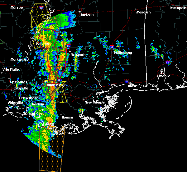 At 241 am cst, a severe thunderstorm capable of producing a tornado was located over watson, or near denham springs, moving north at 50 mph (radar indicated rotation). Hazards include tornado. Flying debris will be dangerous to those caught without shelter. mobile homes will be damaged or destroyed. damage to roofs, windows and vehicles will occur. tree damage is likely. This dangerous storm will be near, pride around 255 am cst. At 241 am cst, a severe thunderstorm capable of producing a tornado was located over watson, or near denham springs, moving north at 50 mph (radar indicated rotation). Hazards include tornado. Flying debris will be dangerous to those caught without shelter. mobile homes will be damaged or destroyed. damage to roofs, windows and vehicles will occur. tree damage is likely. This dangerous storm will be near, pride around 255 am cst.
|
| 7/5/2015 4:36 PM CDT | Large oak tree fell blocking a driveway on arnold road. time estimated by rada in livingston county LA, 4.3 miles W of Watson, LA |
| 7/5/2015 4:34 PM CDT |
 At 434 pm cdt, doppler radar indicated a severe thunderstorm capable of producing damaging winds in excess of 60 mph. this storm was located near walker, or 7 miles northeast of denham springs, and moving northeast at 20 mph. At 434 pm cdt, doppler radar indicated a severe thunderstorm capable of producing damaging winds in excess of 60 mph. this storm was located near walker, or 7 miles northeast of denham springs, and moving northeast at 20 mph.
|
| 7/4/2015 1:07 PM CDT |
 At 101 pm cdt, doppler radar indicated a severe thunderstorm capable of producing damaging winds in excess of 60 mph. this storm was located near montpelier, or 11 miles south of greensburg, and moving northeast at 35 mph. At 101 pm cdt, doppler radar indicated a severe thunderstorm capable of producing damaging winds in excess of 60 mph. this storm was located near montpelier, or 11 miles south of greensburg, and moving northeast at 35 mph.
|
| 7/4/2015 12:28 PM CDT |
 At 1228 pm cdt, doppler radar indicated a severe thunderstorm capable of producing damaging winds in excess of 60 mph. this storm was located near brownfields, or near baker, and moving northeast at 30 mph. At 1228 pm cdt, doppler radar indicated a severe thunderstorm capable of producing damaging winds in excess of 60 mph. this storm was located near brownfields, or near baker, and moving northeast at 30 mph.
|
| 5/31/2015 2:42 PM CDT | At 242 pm cdt, doppler radar indicated a line of severe thunderstorms capable of producing damaging winds in excess of 60 mph. these storms were located along a line extending from near pride to port allen, and moving east at 15 mph. |
| 5/26/2015 1:59 AM CDT | At 158 am cdt, doppler radar indicated a line of severe thunderstorms capable of producing damaging winds in excess of 60 mph. these storms were located along a line extending from near smithdale to merrydale, and moving east at 35 mph. |
| 5/26/2015 1:59 AM CDT | At 158 am cdt, doppler radar indicated a line of severe thunderstorms capable of producing damaging winds in excess of 60 mph. these storms were located along a line extending from near smithdale to merrydale, and moving east at 35 mph. |
| 4/27/2015 6:02 PM CDT | At 602 pm cdt, doppler radar indicated a line of severe thunderstorms capable of producing quarter size hail and damaging winds in excess of 60 mph. these storms were located along a line extending from zachary to near st. gabriel, and moving east at 45 mph. |
| 4/27/2015 9:49 AM CDT | At 948 am cdt, doppler radar indicated a line of severe thunderstorms capable of producing quarter size hail and destructive winds in excess of 70 mph. these storms were located along a line extending from 7 miles northeast of felps to near edgard, moving east at 60 mph. locations impacted include, baton rouge, hammond, zachary, baker, denham springs, gonzales, oak hills place, amite, st. gabriel, ponchatoula, walker, amite city, livingston, independence, roseland, french settlement, albany, slaughter, port vincent and springfield. a tornado watch remains in effect until 100 pm cdt for southeastern louisiana. |
| 4/27/2015 9:40 AM CDT | At 939 am cdt, doppler radar indicated a line of severe thunderstorms capable of producing quarter size hail and destructive winds in excess of 70 mph. these storms were located along a line extending from near felps to north vacherie. these storms were nearly stationary. locations impacted include, baton rouge, hammond, zachary, baker, denham springs, gonzales, plaquemine, port allen, jackson, clinton, greensburg, oak hills place, amite, st. gabriel, ponchatoula, walker, amite city, addis, brusly and kentwood. a tornado watch remains in effect until 100 pm cdt for southeastern louisiana. |
| 4/27/2015 9:17 AM CDT | At 917 am cdt, doppler radar indicated a line of severe thunderstorms capable of producing quarter size hail and destructive winds in excess of 70 mph. these storms were located along a line extending from near felps to north vacherie, and moving east at 60 mph. |
| 4/27/2015 9:17 AM CDT | The national weather service in new orleans has issued a * severe thunderstorm warning for. east central iberville parish in southeastern louisiana. northwestern washington parish in southeastern louisiana. tangipahoa parish in southeastern louisiana. East baton rouge parish in southeastern louisiana. |
| 4/27/2015 9:17 AM CDT | The national weather service in new orleans has issued a * severe thunderstorm warning for. east central iberville parish in southeastern louisiana. northwestern washington parish in southeastern louisiana. tangipahoa parish in southeastern louisiana. East baton rouge parish in southeastern louisiana. |
| 4/27/2015 9:17 AM CDT | At 917 am cdt, doppler radar indicated a line of severe thunderstorms capable of producing quarter size hail and destructive winds in excess of 70 mph. these storms were located along a line extending from near felps to north vacherie, and moving east at 60 mph. |
| 4/27/2015 8:51 AM CDT | At 849 am cdt, doppler radar indicated a line of severe thunderstorms capable of producing destructive winds in excess of 70 mph. these storms were located along a line extending from woodville to near ramah, and moving east at 55 mph. nickel size hail may also accompany the damaging winds. |
| 4/27/2015 8:51 AM CDT | At 849 am cdt, doppler radar indicated a line of severe thunderstorms capable of producing destructive winds in excess of 70 mph. these storms were located along a line extending from woodville to near ramah, and moving east at 55 mph. nickel size hail may also accompany the damaging winds. |
| 4/10/2015 1:12 PM CDT | The national weather service in new orleans has issued a * severe thunderstorm warning for. west central tangipahoa parish in southeastern louisiana. northeastern east baton rouge parish in southeastern louisiana. northern livingston parish in southeastern louisiana. southeastern st. Helena parish in southeastern louisiana. |
Hail Maps for Watson, LA
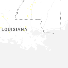
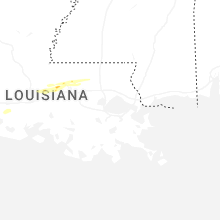
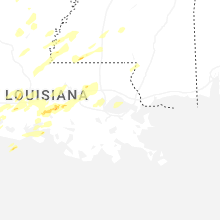
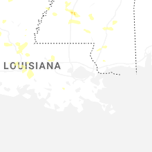


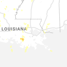
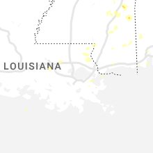


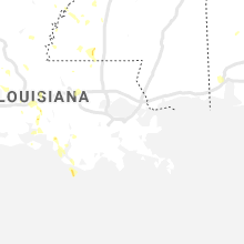
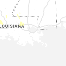
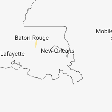
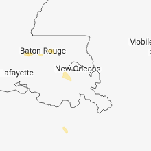

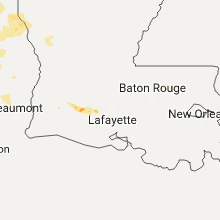


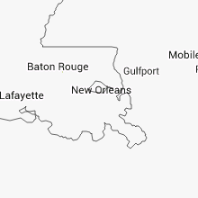


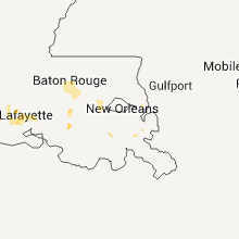


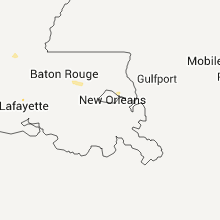


Connect with Interactive Hail Maps