

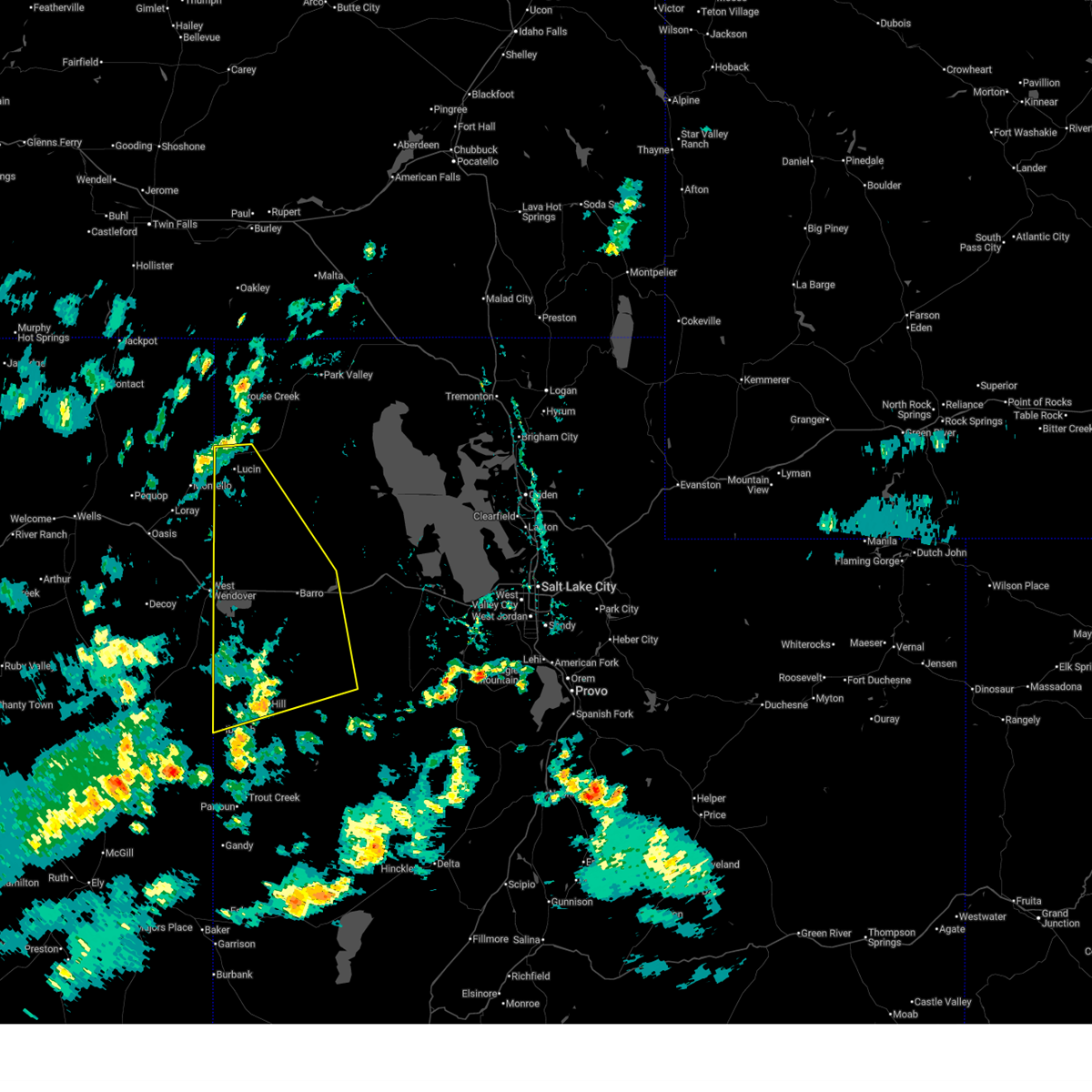
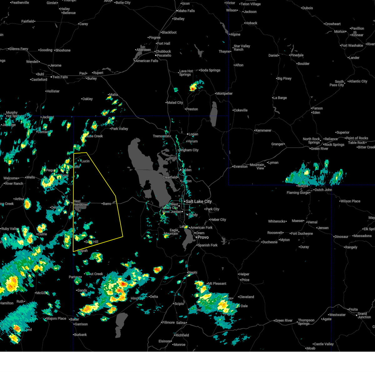
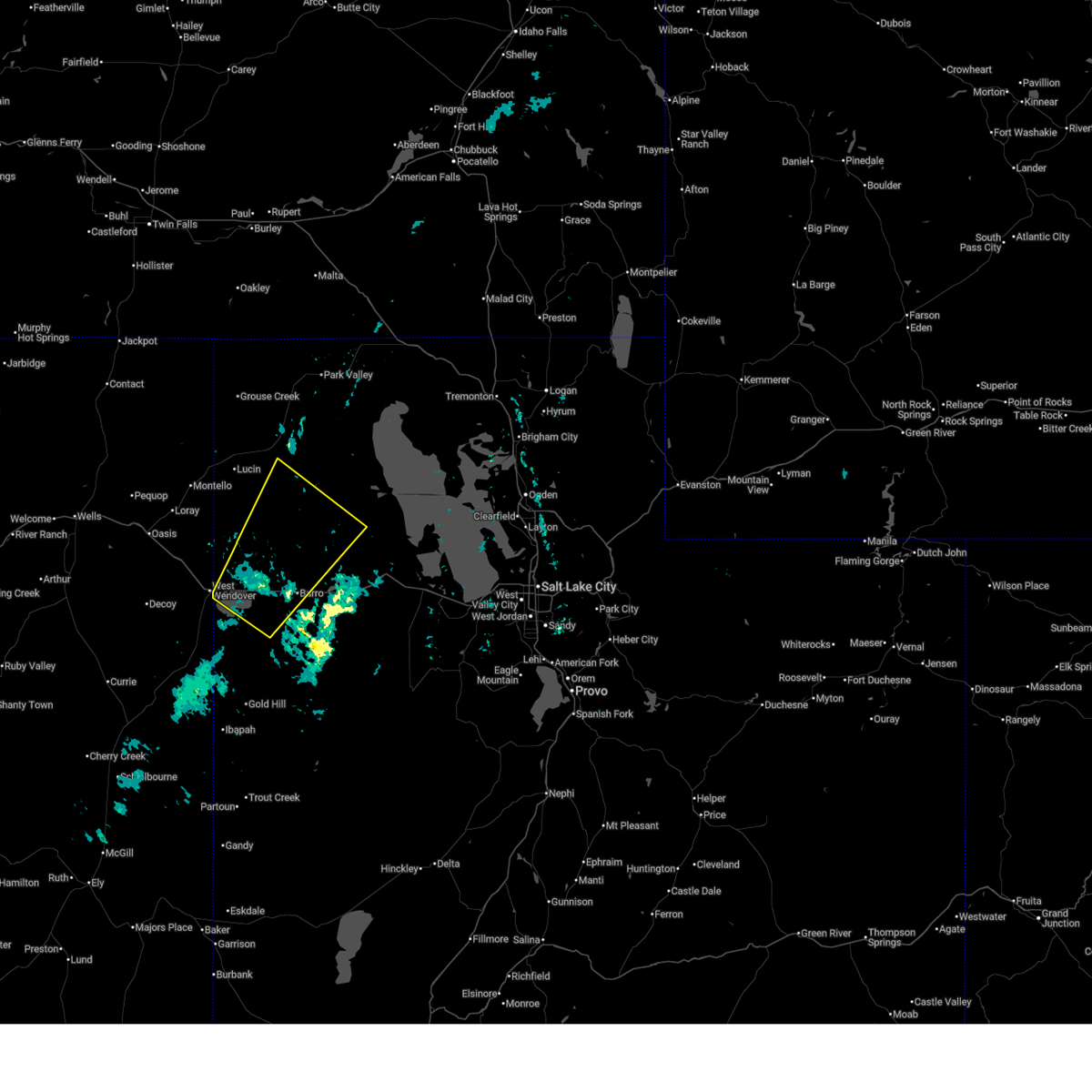
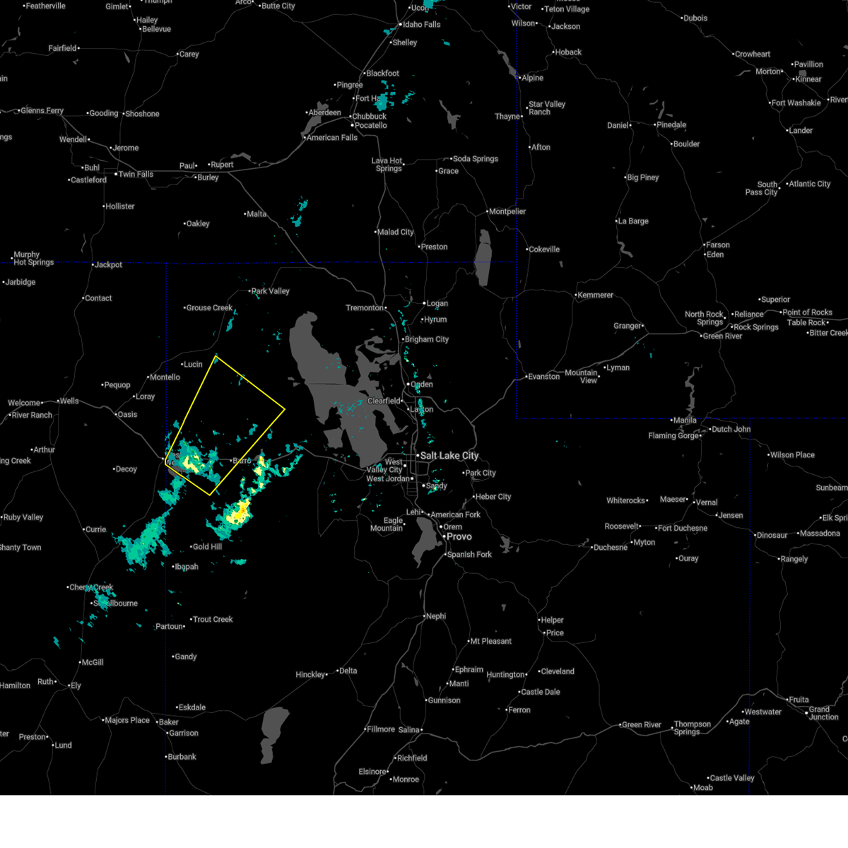
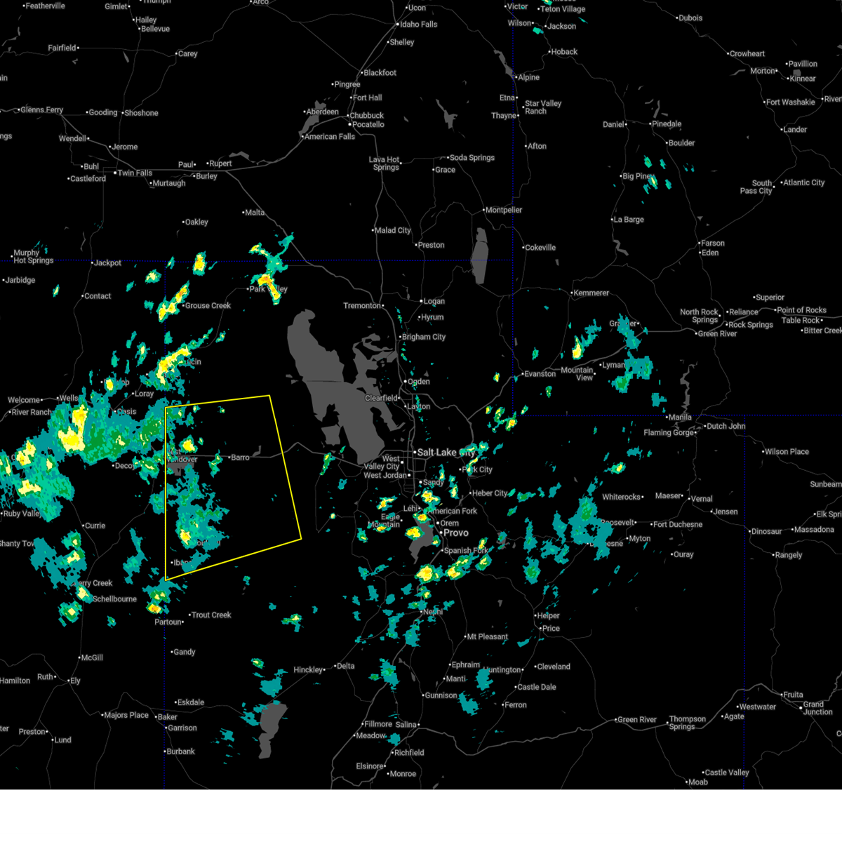
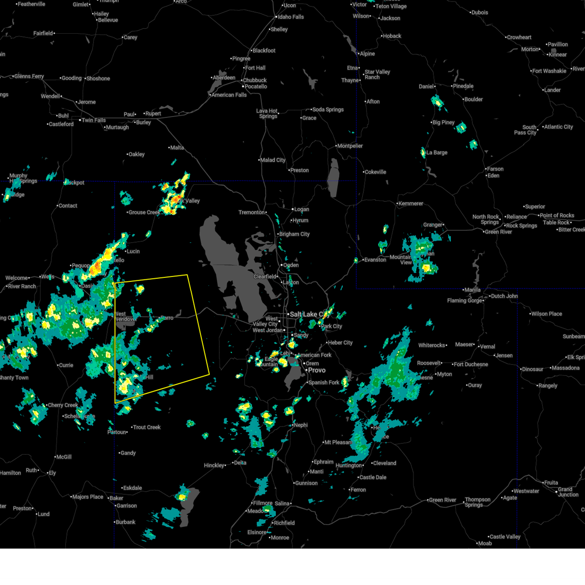
Hail Map for Wendover, UT
The Wendover, UT area has had 1 report of on-the-ground hail by trained spotters, and has been under severe weather warnings 6 times during the past 12 months. Doppler radar has detected hail at or near Wendover, UT on 3 occasions.
| Name: | Wendover, UT |
| Where Located: | 91.1 miles E of Elko, NV |
| Map: | Google Map for Wendover, UT |
| Population: | 1400 |
| Housing Units: | 589 |
| More Info: | Search Google for Wendover, UT |
5
The Top Recent Hail Date for Wendover, UT is Monday, June 13, 2016 (1st out of 3)

Hail and Wind Damage Spotted near Wendover, UT
| Date / Time | Report Details |
|---|---|
| 7/2/2026 3:00 PM MDT | Mesonet station wpk wendover pea in tooele county UT, 1.8 miles SSW of Wendover, UT |
| 6/24/2026 4:14 PM MDT |
 The storms which prompted the warning have weakened below severe limits, and no longer pose an immediate threat to life or property. therefore, the warning will be allowed to expire. however gusty winds are still possible with these thunderstorms. The storms which prompted the warning have weakened below severe limits, and no longer pose an immediate threat to life or property. therefore, the warning will be allowed to expire. however gusty winds are still possible with these thunderstorms.
|
| 6/24/2026 3:36 PM MDT |
 Svrslc the national weather service in salt lake city has issued a * severe thunderstorm warning for, southwestern box elder county in northern utah, western tooele county in northern utah, * until 415 pm mdt. * at 336 pm mdt, severe thunderstorms were located along a line extending from 14 miles northeast of west wendover to 8 miles northwest of dugway proving ground test range, moving northeast at 20 mph (radar indicated). Hazards include 60 mph wind gusts. expect damage to roofs, siding, and trees Svrslc the national weather service in salt lake city has issued a * severe thunderstorm warning for, southwestern box elder county in northern utah, western tooele county in northern utah, * until 415 pm mdt. * at 336 pm mdt, severe thunderstorms were located along a line extending from 14 miles northeast of west wendover to 8 miles northwest of dugway proving ground test range, moving northeast at 20 mph (radar indicated). Hazards include 60 mph wind gusts. expect damage to roofs, siding, and trees
|
| 6/24/2026 3:28 PM MDT | Wendover awos (kenv) measured wind gust of 66 mph due to nearby showers and thunderstorm in tooele county UT, 0.5 miles NNE of Wendover, UT |
| 6/6/2026 6:24 PM MDT |
 At 624 pm mdt, severe thunderstorms were located along a line extending from 14 miles northeast of wendover to 13 miles west of knolls, moving northeast at 40 mph (radar indicated). Hazards include 60 mph wind gusts. Expect damage to roofs, siding, and trees. locations impacted include, wendover, utah test and training range north, utah test and training range south, and bonneville salt flats. This includes interstate 80 in utah between mile markers 0 and 33. At 624 pm mdt, severe thunderstorms were located along a line extending from 14 miles northeast of wendover to 13 miles west of knolls, moving northeast at 40 mph (radar indicated). Hazards include 60 mph wind gusts. Expect damage to roofs, siding, and trees. locations impacted include, wendover, utah test and training range north, utah test and training range south, and bonneville salt flats. This includes interstate 80 in utah between mile markers 0 and 33.
|
| 6/6/2026 6:07 PM MDT |
 Svrslc the national weather service in salt lake city has issued a * severe thunderstorm warning for, southwestern box elder county in northern utah, northwestern tooele county in northern utah, * until 645 pm mdt. * at 607 pm mdt, severe thunderstorms were located along a line extending from near wendover to 7 miles northwest of utah test and training range south, moving northeast at 40 mph (radar indicated). Hazards include 60 mph wind gusts. expect damage to roofs, siding, and trees Svrslc the national weather service in salt lake city has issued a * severe thunderstorm warning for, southwestern box elder county in northern utah, northwestern tooele county in northern utah, * until 645 pm mdt. * at 607 pm mdt, severe thunderstorms were located along a line extending from near wendover to 7 miles northwest of utah test and training range south, moving northeast at 40 mph (radar indicated). Hazards include 60 mph wind gusts. expect damage to roofs, siding, and trees
|
| 10/3/2025 9:53 PM MDT | Mesonet station ur305 27.0 e luci in box elder county UT, 50.8 miles SW of Wendover, UT |
| 8/14/2025 4:11 PM MDT | Mesonet station ur308 2.5 nw luci in box elder county UT, 44.6 miles S of Wendover, UT |
| 8/14/2025 4:07 PM MDT |
 At 406 pm mdt, doppler radar was tracking a cluster of thunderstorms located roughly along a line from ibapah to wendover, moving northeast at 10 mph (weather station observed). Hazards include 60 mph wind gusts. Expect damage to roofs, siding, and trees. locations impacted include, wendover, dugway proving ground test range, utah test and training range south, knolls, ibapah, utah test and training range north, clive, and bonneville salt flats. This includes interstate 80 in utah between mile markers 1 and 53. At 406 pm mdt, doppler radar was tracking a cluster of thunderstorms located roughly along a line from ibapah to wendover, moving northeast at 10 mph (weather station observed). Hazards include 60 mph wind gusts. Expect damage to roofs, siding, and trees. locations impacted include, wendover, dugway proving ground test range, utah test and training range south, knolls, ibapah, utah test and training range north, clive, and bonneville salt flats. This includes interstate 80 in utah between mile markers 1 and 53.
|
| 8/14/2025 3:38 PM MDT |
 Svrslc the national weather service in salt lake city has issued a * severe thunderstorm warning for, southwestern box elder county in northern utah, western tooele county in northern utah, * until 430 pm mdt. * at 336 pm mdt, doppler radar was tracking a cluster of thunderstorms located roughly along a line from ibapah to wendover, moving northeast at 10 mph (radar indicated). Hazards include 60 mph wind gusts. expect damage to roofs, siding, and trees Svrslc the national weather service in salt lake city has issued a * severe thunderstorm warning for, southwestern box elder county in northern utah, western tooele county in northern utah, * until 430 pm mdt. * at 336 pm mdt, doppler radar was tracking a cluster of thunderstorms located roughly along a line from ibapah to wendover, moving northeast at 10 mph (radar indicated). Hazards include 60 mph wind gusts. expect damage to roofs, siding, and trees
|
| 8/14/2025 3:30 PM MDT | Mesonet station bflat bonneville salt flats. peak gust over prior 30 mi in tooele county UT, 11.4 miles WSW of Wendover, UT |
| 8/14/2025 3:27 PM MDT | Semi blower on i-80 mile marker 8. time estimated from rada in tooele county UT, 6.7 miles W of Wendover, UT |
| 8/14/2025 3:15 PM MDT | Mesonet station bflat bonneville salt flat in tooele county UT, 11.4 miles WSW of Wendover, UT |
| 7/21/2025 4:20 PM MDT | Mesonet station utkno i-80 at mp 40 knoll in tooele county UT, 39.7 miles W of Wendover, UT |
| 5/11/2025 3:10 PM MDT | Mesonet station utkno i-80 at mp 40 knoll in tooele county UT, 39.7 miles W of Wendover, UT |
| 5/11/2025 2:50 PM MDT | Mesonet station utkno i-80 at mp 40 knoll in tooele county UT, 39.7 miles W of Wendover, UT |
| 5/11/2025 2:40 PM MDT | Mesonet station utkno i-80 at mp 40 knoll in tooele county UT, 39.7 miles W of Wendover, UT |
| 5/11/2025 2:10 PM MDT | Mesonet station utkno i-80 at mp 40 knoll in tooele county UT, 39.7 miles W of Wendover, UT |
| 5/11/2025 1:37 PM MDT | Mesonet station ur305 27.0 e luci in box elder county UT, 50.8 miles SW of Wendover, UT |
| 5/11/2025 12:00 PM MDT | Mesonet station utkno i-80 at mp 40 knoll in tooele county UT, 39.7 miles W of Wendover, UT |
| 5/11/2025 12:00 PM MDT | Semi roll over reported near mp 3 in tooele county UT, 36.6 miles W of Wendover, UT |
| 7/25/2024 7:30 PM MDT | Mesonet station utkno i-80 at mp 40 knoll in tooele county UT, 39.7 miles W of Wendover, UT |
| 7/25/2024 6:30 PM MDT | Measured at the bonneville salt flats uunet sit in tooele county UT, 11.4 miles WSW of Wendover, UT |
| 7/25/2024 6:30 PM MDT |
 Svrslc the national weather service in salt lake city has issued a * severe thunderstorm warning for, southwestern box elder county in northern utah, northwestern tooele county in northern utah, * until 715 pm mdt. * at 629 pm mdt, severe thunderstorms were located along a line extending from 19 miles southeast of montello to 14 miles east of wendover, moving northeast at 15 mph (radar indicated). Hazards include 60 mph wind gusts and penny size hail. expect damage to roofs, siding, and trees Svrslc the national weather service in salt lake city has issued a * severe thunderstorm warning for, southwestern box elder county in northern utah, northwestern tooele county in northern utah, * until 715 pm mdt. * at 629 pm mdt, severe thunderstorms were located along a line extending from 19 miles southeast of montello to 14 miles east of wendover, moving northeast at 15 mph (radar indicated). Hazards include 60 mph wind gusts and penny size hail. expect damage to roofs, siding, and trees
|
| 7/14/2024 10:30 PM MDT | Mesonet station wpk wendover pea in tooele county UT, 1.8 miles SSW of Wendover, UT |
| 7/14/2024 9:45 PM MDT | Mesonet station wpk wendover pea in tooele county UT, 1.8 miles SSW of Wendover, UT |
| 7/14/2024 9:10 PM MDT | Mesonet station ut32 i-80 at mp in tooele county UT, 1.2 miles SW of Wendover, UT |
| 7/14/2024 9:05 PM MDT | Mesonet station wpoe wendover port of entr in tooele county UT, 2.9 miles WSW of Wendover, UT |
| 7/14/2024 8:20 PM MDT | Mesonet station uttp2 i-80 at mp 2 tripo in tooele county UT, 2.1 miles SW of Wendover, UT |
| 6/12/2024 9:30 PM MDT | Mesonet station bflat bonneville salt flat in tooele county UT, 11.4 miles WSW of Wendover, UT |
| 4/12/2024 6:34 PM MDT | Mesonet station ur308 2.5 nw luci in box elder county UT, 44.6 miles S of Wendover, UT |
| 3/2/2024 10:50 AM MST | Mesonet station utkno i-80 at mp 40 knoll in tooele county UT, 39.7 miles W of Wendover, UT |
| 9/20/2023 6:30 PM MDT | Storm damage reported in tooele county UT, 39.7 miles W of Wendover, UT |
| 9/3/2023 2:49 PM MDT |
 At 249 pm mdt, a severe thunderstorm was located 10 miles southeast of wendover, moving northeast at 30 mph (radar indicated). Hazards include 60 mph wind gusts and half dollar size hail. Hail damage to vehicles is expected. expect wind damage to roofs, siding, and trees. locations impacted include, wendover and bonneville salt flats. this includes interstate 80 in utah between mile markers 0 and 21. hail threat, radar indicated max hail size, 1. 25 in wind threat, radar indicated max wind gust, 60 mph. At 249 pm mdt, a severe thunderstorm was located 10 miles southeast of wendover, moving northeast at 30 mph (radar indicated). Hazards include 60 mph wind gusts and half dollar size hail. Hail damage to vehicles is expected. expect wind damage to roofs, siding, and trees. locations impacted include, wendover and bonneville salt flats. this includes interstate 80 in utah between mile markers 0 and 21. hail threat, radar indicated max hail size, 1. 25 in wind threat, radar indicated max wind gust, 60 mph.
|
| 9/3/2023 2:46 PM MDT |
 At 246 pm mdt, a severe thunderstorm was located 10 miles southeast of wendover, moving northeast at 35 mph (radar indicated). Hazards include 60 mph wind gusts and quarter size hail. Hail damage to vehicles is expected. expect wind damage to roofs, siding, and trees. locations impacted include, wendover and bonneville salt flats. this includes interstate 80 in utah between mile markers 0 and 21. hail threat, radar indicated max hail size, 1. 00 in wind threat, radar indicated max wind gust, 60 mph. At 246 pm mdt, a severe thunderstorm was located 10 miles southeast of wendover, moving northeast at 35 mph (radar indicated). Hazards include 60 mph wind gusts and quarter size hail. Hail damage to vehicles is expected. expect wind damage to roofs, siding, and trees. locations impacted include, wendover and bonneville salt flats. this includes interstate 80 in utah between mile markers 0 and 21. hail threat, radar indicated max hail size, 1. 00 in wind threat, radar indicated max wind gust, 60 mph.
|
| 9/3/2023 2:37 PM MDT |
 At 237 pm mdt, a severe thunderstorm was located 10 miles south of wendover, moving north at 20 mph (radar indicated). Hazards include 60 mph wind gusts and quarter size hail. Hail damage to vehicles is expected. Expect wind damage to roofs, siding, and trees. At 237 pm mdt, a severe thunderstorm was located 10 miles south of wendover, moving north at 20 mph (radar indicated). Hazards include 60 mph wind gusts and quarter size hail. Hail damage to vehicles is expected. Expect wind damage to roofs, siding, and trees.
|
| 8/9/2023 9:20 PM MDT | Mesonet station ut32 i-80 at mp in tooele county UT, 1.2 miles SW of Wendover, UT |
| 8/9/2023 9:20 PM MDT | Mesonet station uttp2 i-80 at mp 2 tripo in tooele county UT, 2.1 miles SW of Wendover, UT |
| 7/24/2023 5:36 PM MDT | Measured at the groome upr mesonet site. (site ur305 in box elder county UT, 50.8 miles SW of Wendover, UT |
| 7/24/2023 5:30 PM MDT | Measured at the udot rwis site located on i80 at mp 40 knolls. site id utkn in tooele county UT, 39.7 miles W of Wendover, UT |
| 7/24/2023 5:20 PM MDT | Measured at the lucin upr mesonet site (site lucin2 in box elder county UT, 44.6 miles S of Wendover, UT |
| 7/22/2023 6:40 PM MDT | Measured at the i80 at mp1 udot rwis site. site id ut 3 in tooele county UT, 0.9 miles SSE of Wendover, UT |
| 7/18/2023 2:29 PM MDT | Awos station kenv wendover airpor in tooele county UT, 1 miles WNW of Wendover, UT |
| 7/3/2023 6:30 PM MDT | Mesonet station utkno i-80 at mp 40 knolls station elevation: 4243 f in tooele county UT, 39.7 miles W of Wendover, UT |
| 6/6/2023 4:49 PM MDT | Mesonet station ur308 2.5 nw lucin (upr in box elder county UT, 44.6 miles S of Wendover, UT |
| 6/6/2023 4:23 PM MDT | Mesonet station ur305 27.0 e lucin (upr in box elder county UT, 50.8 miles SW of Wendover, UT |
| 6/6/2023 4:10 PM MDT | Wendover port of entry - 4227 ft in tooele county UT, 2.9 miles WSW of Wendover, UT |
| 6/6/2023 3:45 PM MDT | Bonneville salt flats - 4218 ft in tooele county UT, 11.4 miles WSW of Wendover, UT |
| 5/3/2023 7:41 PM MDT |
 The severe thunderstorm warning for northwestern tooele county will expire at 745 pm mdt, the storms which prompted the warning have weakened below severe limits, and no longer pose an immediate threat to life or property. therefore, the warning will be allowed to expire. however gusty winds are still possible with these thunderstorms. The severe thunderstorm warning for northwestern tooele county will expire at 745 pm mdt, the storms which prompted the warning have weakened below severe limits, and no longer pose an immediate threat to life or property. therefore, the warning will be allowed to expire. however gusty winds are still possible with these thunderstorms.
|
| 5/3/2023 7:27 PM MDT |
 At 727 pm mdt, severe thunderstorms were located along a line extending from 12 miles northeast of west wendover to near clive, moving north at 45 mph (radar indicated). Hazards include 60 mph wind gusts. Expect strong cross winds along i-80 between mile marker 56 and the nevada state line. damage is likely to mobile homes, roofs, and outbuildings. blowing dust and salt will reduce visibility to less than one half mile at times. locations impacted include, wendover, utah test and training range south, knolls, clive, utah test and training range north and bonneville salt flats. this includes interstate 80 in utah between mile markers 1 and 56. hail threat, radar indicated max hail size, <. 75 in wind threat, observed max wind gust, 60 mph. At 727 pm mdt, severe thunderstorms were located along a line extending from 12 miles northeast of west wendover to near clive, moving north at 45 mph (radar indicated). Hazards include 60 mph wind gusts. Expect strong cross winds along i-80 between mile marker 56 and the nevada state line. damage is likely to mobile homes, roofs, and outbuildings. blowing dust and salt will reduce visibility to less than one half mile at times. locations impacted include, wendover, utah test and training range south, knolls, clive, utah test and training range north and bonneville salt flats. this includes interstate 80 in utah between mile markers 1 and 56. hail threat, radar indicated max hail size, <. 75 in wind threat, observed max wind gust, 60 mph.
|
| 5/3/2023 7:13 PM MDT |
 At 712 pm mdt, severe thunderstorms were located along a line extending from near wendover to 10 miles south of clive, moving north at 45 mph (radar indicated). Hazards include 60 mph wind gusts. Expect strong cross winds along i-80 between mile marker 56 and the nevada state line. damage is likely to mobile homes, roofs, and outbuildings. Blowing dust and salt will reduce visibility to less than one half mile at times. At 712 pm mdt, severe thunderstorms were located along a line extending from near wendover to 10 miles south of clive, moving north at 45 mph (radar indicated). Hazards include 60 mph wind gusts. Expect strong cross winds along i-80 between mile marker 56 and the nevada state line. damage is likely to mobile homes, roofs, and outbuildings. Blowing dust and salt will reduce visibility to less than one half mile at times.
|
| 5/3/2023 6:59 PM MDT |
 At 658 pm mdt, severe thunderstorms were located along a line extending from near wendover to 19 miles northeast of dugway proving ground test range, moving north at 50 mph (radar indicated). Hazards include 70 mph wind gusts. Expect strong cross winds along i-80 between mile marker 60 and the nevada state line. damage is likely to mobile homes, roofs, and outbuildings. blowing dust and salt will reduce visibility to less than one half mile at times. locations impacted include, wendover, utah test and training range south, knolls, clive, utah test and training range north, dugway proving ground test range and bonneville salt flats. this includes interstate 80 in utah between mile markers 1 and 60. thunderstorm damage threat, considerable hail threat, radar indicated max hail size, <. 75 in wind threat, observed max wind gust, 70 mph. At 658 pm mdt, severe thunderstorms were located along a line extending from near wendover to 19 miles northeast of dugway proving ground test range, moving north at 50 mph (radar indicated). Hazards include 70 mph wind gusts. Expect strong cross winds along i-80 between mile marker 60 and the nevada state line. damage is likely to mobile homes, roofs, and outbuildings. blowing dust and salt will reduce visibility to less than one half mile at times. locations impacted include, wendover, utah test and training range south, knolls, clive, utah test and training range north, dugway proving ground test range and bonneville salt flats. this includes interstate 80 in utah between mile markers 1 and 60. thunderstorm damage threat, considerable hail threat, radar indicated max hail size, <. 75 in wind threat, observed max wind gust, 70 mph.
|
| 5/3/2023 6:47 PM MDT |
 At 646 pm mdt, severe thunderstorms were located along a line extending from 8 miles south of wendover to 12 miles northeast of dugway proving ground test range, moving north at 50 mph (radar indicated). Hazards include 70 mph wind gusts. Expect strong cross winds along i-80 between mile marker 60 and the nevada state line. damage is likely to mobile homes, roofs, and outbuildings. Blowing dust and salt will reduce visibility to less than one half mile at times. At 646 pm mdt, severe thunderstorms were located along a line extending from 8 miles south of wendover to 12 miles northeast of dugway proving ground test range, moving north at 50 mph (radar indicated). Hazards include 70 mph wind gusts. Expect strong cross winds along i-80 between mile marker 60 and the nevada state line. damage is likely to mobile homes, roofs, and outbuildings. Blowing dust and salt will reduce visibility to less than one half mile at times.
|
| 9/21/2022 6:44 PM MDT | Measured from groome site... ur30 in box elder county UT, 50.8 miles SW of Wendover, UT |
| 7/14/2022 4:30 PM MDT | Utah dot weather station on i80 at mile post 40 knoll in tooele county UT, 39.7 miles W of Wendover, UT |
| 6/28/2022 5:40 PM MDT | I-80 mile post 40 - knolls in tooele county UT, 39.7 miles W of Wendover, UT |
| 6/23/2022 3:51 PM MDT | Wind gust recorded by union pacific railroad senso in box elder county UT, 43.4 miles S of Wendover, UT |
| 5/2/2022 7:50 PM MDT | Mesonet station utkno i-80 at mp 40 knoll in tooele county UT, 39.7 miles W of Wendover, UT |
| 5/2/2022 6:35 PM MDT | Mesonet station bflat 10.6 e wendover (uunet in tooele county UT, 11.4 miles WSW of Wendover, UT |
| 5/2/2022 6:35 PM MDT | Mesonet station wpoe 1.7 e wendover (utah dot in tooele county UT, 2.9 miles WSW of Wendover, UT |
| 5/2/2022 6:17 PM MDT | Awos station kenv wendove in tooele county UT, 1 miles WNW of Wendover, UT |
| 9/10/2021 4:16 PM MDT | Slduro in tooele county UT, 10.3 miles W of Wendover, UT |
| 8/21/2021 4:40 PM MDT | Measured at the udot site along interstate 80 at mp1 in tooele county UT, 1.2 miles SW of Wendover, UT |
| 7/21/2021 7:55 PM MDT | Wendover port of entry thunderstorm wind gust to 64 mp in tooele county UT, 1.2 miles SW of Wendover, UT |
| 7/15/2021 5:00 PM MDT | I-80 at mile post in tooele county UT, 2.1 miles SW of Wendover, UT |
| 7/15/2021 5:00 PM MDT | Wendover point of entry in tooele county UT, 2.9 miles WSW of Wendover, UT |
| 7/27/2020 8:45 PM MDT |
 At 843 pm mdt, severe thunderstorms were located 17 miles north and east of wendover, moving east to northeast at 25 mph (radar indicated). Hazards include 70 mph wind gusts. Damage is likely to mobile homes, roofs, and outbuildings. locations impacted include, wendover, utah test and training range north, lucin and bonneville salt flats. this includes the following highways, interstate 80 in utah between mile markers 1 and 31. Utah route 30 between mile markers 0 and 27. At 843 pm mdt, severe thunderstorms were located 17 miles north and east of wendover, moving east to northeast at 25 mph (radar indicated). Hazards include 70 mph wind gusts. Damage is likely to mobile homes, roofs, and outbuildings. locations impacted include, wendover, utah test and training range north, lucin and bonneville salt flats. this includes the following highways, interstate 80 in utah between mile markers 1 and 31. Utah route 30 between mile markers 0 and 27.
|
| 7/27/2020 8:23 PM MDT |
 At 822 pm mdt, a severe thunderstorm was located 8 miles northeast of wendover, moving north at 30 mph (radar indicated). Hazards include 70 mph wind gusts. damage is likely to mobile homes, roofs, and outbuildings At 822 pm mdt, a severe thunderstorm was located 8 miles northeast of wendover, moving north at 30 mph (radar indicated). Hazards include 70 mph wind gusts. damage is likely to mobile homes, roofs, and outbuildings
|
| 5/30/2020 3:26 PM MDT |
 At 326 pm mdt, a severe thunderstorm was located over wendover, moving north at 30 mph (radar indicated). Hazards include 70 mph wind gusts. Expect considerable tree damage. damage is likely to mobile homes, roofs, and outbuildings. locations impacted include, wendover and bonneville salt flats. This includes interstate 80 in utah between mile markers 1 and 13. At 326 pm mdt, a severe thunderstorm was located over wendover, moving north at 30 mph (radar indicated). Hazards include 70 mph wind gusts. Expect considerable tree damage. damage is likely to mobile homes, roofs, and outbuildings. locations impacted include, wendover and bonneville salt flats. This includes interstate 80 in utah between mile markers 1 and 13.
|
| 5/30/2020 3:20 PM MDT | Estimate based on 55mph gust at wendover airport and 65mph gust several miles to the west on the nevada sid in tooele county UT, 0.3 miles SE of Wendover, UT |
| 5/30/2020 3:12 PM MDT |
 At 312 pm mdt, a severe thunderstorm was located 8 miles southwest of wendover, moving north at 30 mph (radar indicated). Hazards include 70 mph wind gusts. Expect considerable tree damage. Damage is likely to mobile homes, roofs, and outbuildings. At 312 pm mdt, a severe thunderstorm was located 8 miles southwest of wendover, moving north at 30 mph (radar indicated). Hazards include 70 mph wind gusts. Expect considerable tree damage. Damage is likely to mobile homes, roofs, and outbuildings.
|
| 8/1/2019 2:13 PM PDT |
 The severe thunderstorm warning for southeastern elko county will expire at 215 pm pdt, the storm which prompted the warning has weakened below severe limits, and no longer poses an immediate threat to life or property. therefore, the warning will be allowed to expire. however small hail and gusty winds are still possible with this thunderstorm. The severe thunderstorm warning for southeastern elko county will expire at 215 pm pdt, the storm which prompted the warning has weakened below severe limits, and no longer poses an immediate threat to life or property. therefore, the warning will be allowed to expire. however small hail and gusty winds are still possible with this thunderstorm.
|
| 8/1/2019 2:06 PM PDT |
 At 206 pm pdt, a severe thunderstorm was located 9 miles southwest of west wendover, moving east at 25 mph (radar indicated). Hazards include 60 mph wind gusts and penny size hail. Expect damage to roofs, siding, and trees. Locations impacted include, west wendover. At 206 pm pdt, a severe thunderstorm was located 9 miles southwest of west wendover, moving east at 25 mph (radar indicated). Hazards include 60 mph wind gusts and penny size hail. Expect damage to roofs, siding, and trees. Locations impacted include, west wendover.
|
| 8/1/2019 1:50 PM PDT |
 At 149 pm pdt, a severe thunderstorm was located 14 miles southwest of west wendover, moving east at 25 mph (radar indicated). Hazards include 60 mph wind gusts and penny size hail. expect damage to roofs, siding, and trees At 149 pm pdt, a severe thunderstorm was located 14 miles southwest of west wendover, moving east at 25 mph (radar indicated). Hazards include 60 mph wind gusts and penny size hail. expect damage to roofs, siding, and trees
|
| 7/31/2019 3:45 PM MDT | Wendover awos in tooele county UT, 1.2 miles SW of Wendover, UT |
| 6/13/2019 5:40 PM MDT | Mp 2 on i-80 in tooele county UT, 3.1 miles WSW of Wendover, UT |
| 8/9/2017 3:46 PM PDT |
 At 346 pm pdt, a severe thunderstorm was located 10 miles southwest of wendover, moving northeast at 15 mph (radar indicated). Hazards include 60 mph wind gusts. Expect damage to roofs, siding, and trees. Locations impacted include, west wendover. At 346 pm pdt, a severe thunderstorm was located 10 miles southwest of wendover, moving northeast at 15 mph (radar indicated). Hazards include 60 mph wind gusts. Expect damage to roofs, siding, and trees. Locations impacted include, west wendover.
|
| 8/9/2017 3:32 PM PDT |
 At 330 pm pdt, a severe thunderstorm was located 14 miles south of west wendover, moving northeast at 15 mph (radar indicated). Hazards include 60 mph wind gusts and penny size hail. Expect minor damage to roofs, siding, and trees. Locations impacted include, west wendover. At 330 pm pdt, a severe thunderstorm was located 14 miles south of west wendover, moving northeast at 15 mph (radar indicated). Hazards include 60 mph wind gusts and penny size hail. Expect minor damage to roofs, siding, and trees. Locations impacted include, west wendover.
|
| 8/9/2017 3:12 PM PDT |
 At 310 pm pdt, a severe thunderstorm was located 18 miles south of west wendover, moving northeast at 15 mph (radar indicated). Hazards include 60 mph wind gusts and quarter size hail. Hail damage to vehicles is expected. Expect wind damage to roofs, siding, and trees. At 310 pm pdt, a severe thunderstorm was located 18 miles south of west wendover, moving northeast at 15 mph (radar indicated). Hazards include 60 mph wind gusts and quarter size hail. Hail damage to vehicles is expected. Expect wind damage to roofs, siding, and trees.
|
| 6/20/2017 4:01 PM MDT |
 At 400 pm mdt, severe thunderstorms were located along a line extending from 7 miles northeast of wendover to 28 miles northwest of delta, moving northeast at 25 mph (radar indicated). Hazards include 60 mph wind gusts. Expect damage to roofs and siding. Locations impacted include, wendover, fish springs wildlife refuge and bonneville salt flats. At 400 pm mdt, severe thunderstorms were located along a line extending from 7 miles northeast of wendover to 28 miles northwest of delta, moving northeast at 25 mph (radar indicated). Hazards include 60 mph wind gusts. Expect damage to roofs and siding. Locations impacted include, wendover, fish springs wildlife refuge and bonneville salt flats.
|
| 6/20/2017 3:42 PM MDT |
 At 340 pm mdt, severe thunderstorms were located along a line extending from wendover to 25 miles southeast of fish springs wildlife refuge, moving east at 40 mph (radar indicated). Hazards include 70 mph wind gusts. Damage is likely to mobile homes, roofs, and outbuildings. Locations impacted include, wendover, partoun, fish springs wildlife refuge, ibapah, callao, trout creek and bonneville salt flats. At 340 pm mdt, severe thunderstorms were located along a line extending from wendover to 25 miles southeast of fish springs wildlife refuge, moving east at 40 mph (radar indicated). Hazards include 70 mph wind gusts. Damage is likely to mobile homes, roofs, and outbuildings. Locations impacted include, wendover, partoun, fish springs wildlife refuge, ibapah, callao, trout creek and bonneville salt flats.
|
| 6/20/2017 3:15 PM MDT |
 At 315 pm mdt, severe thunderstorms were located along a line extending from 6 miles west of west wendover to 8 miles south of fish springs wildlife refuge, moving northeast at 25 mph (radar indicated). Hazards include 70 mph wind gusts. damage is likely to mobile homes, roofs, and outbuildings At 315 pm mdt, severe thunderstorms were located along a line extending from 6 miles west of west wendover to 8 miles south of fish springs wildlife refuge, moving northeast at 25 mph (radar indicated). Hazards include 70 mph wind gusts. damage is likely to mobile homes, roofs, and outbuildings
|
| 5/24/2017 6:00 PM MDT | Storm damage reported in tooele county UT, 2.9 miles WSW of Wendover, UT |
| 5/24/2017 5:56 PM MDT | Storm damage reported in tooele county UT, 0.5 miles NNE of Wendover, UT |
| 9/22/2016 12:55 PM MDT | Storm damage reported in tooele county UT, 1.2 miles SW of Wendover, UT |
| 8/31/2016 8:20 PM MDT | Gusty winds due to virga. north salt flats sensor... dpg2 in tooele county UT, 20.8 miles NW of Wendover, UT |
| 8/2/2016 4:08 PM MDT |
 At 405 pm mdt, doppler radar indicated that the severe thunderstorm was weakening over the warned area. strong wind gusts approaching 60 mph are still possible across the salt flats through 430pm mdt. blowing salt and dust will restrict visibilities along interstate 80. locations impacted include, clive, knolls and bonneville salt flats. At 405 pm mdt, doppler radar indicated that the severe thunderstorm was weakening over the warned area. strong wind gusts approaching 60 mph are still possible across the salt flats through 430pm mdt. blowing salt and dust will restrict visibilities along interstate 80. locations impacted include, clive, knolls and bonneville salt flats.
|
| 8/2/2016 3:44 PM MDT |
 At 343 pm mdt, doppler radar indicated a severe thunderstorm capable of producing wind gusts to 70 mph. this storm was located 10 miles east of wendover, and moving northeast at 30 mph. At 343 pm mdt, doppler radar indicated a severe thunderstorm capable of producing wind gusts to 70 mph. this storm was located 10 miles east of wendover, and moving northeast at 30 mph.
|
| 8/2/2016 3:35 PM MDT | Measured at the wendover awo in tooele county UT, 1.2 miles SW of Wendover, UT |
| 6/8/2016 9:30 PM MDT | Wendover port of entry mesonet site in tooele county UT, 2.9 miles WSW of Wendover, UT |
| 6/8/2016 8:54 PM MDT |
 At 853 pm mdt, doppler radar indicated severe thunderstorms capable of producing damaging winds in excess of 60 mph. these storms were located along a line extending from near knolls to 14 miles southeast of fish springs wildlife refuge. an additional storm was located 10 miles west of wendover. these storms are moving northeast at 30 mph. locations impacted include, wendover, dugway, knolls, clive, fish springs wildlife refuge and bonneville salt flats. At 853 pm mdt, doppler radar indicated severe thunderstorms capable of producing damaging winds in excess of 60 mph. these storms were located along a line extending from near knolls to 14 miles southeast of fish springs wildlife refuge. an additional storm was located 10 miles west of wendover. these storms are moving northeast at 30 mph. locations impacted include, wendover, dugway, knolls, clive, fish springs wildlife refuge and bonneville salt flats.
|
| 6/8/2016 8:34 PM MDT |
 At 832 pm mdt, doppler radar indicated severe thunderstorms capable of producing damaging winds in excess of 60 mph. these storms were located along a line extending from near wendover to 8 miles east of fish springs wildlife refuge, moving northeast at 25 mph. in addition, at 755 pm a wind gust of 67 mph was recorded 18 miles northeast of calleo. locations impacted include, wendover, dugway, knolls, clive, fish springs wildlife refuge and bonneville salt flats. At 832 pm mdt, doppler radar indicated severe thunderstorms capable of producing damaging winds in excess of 60 mph. these storms were located along a line extending from near wendover to 8 miles east of fish springs wildlife refuge, moving northeast at 25 mph. in addition, at 755 pm a wind gust of 67 mph was recorded 18 miles northeast of calleo. locations impacted include, wendover, dugway, knolls, clive, fish springs wildlife refuge and bonneville salt flats.
|
| 6/8/2016 8:11 PM MDT |
 At 808 pm mdt, doppler radar indicated a line of severe thunderstorms capable of producing destructive microburst winds in excess of 70 mph. these storms were located along a line extending from near west wendover to near fish springs wildlife refuge, and moving northeast at 25 mph. At 808 pm mdt, doppler radar indicated a line of severe thunderstorms capable of producing destructive microburst winds in excess of 70 mph. these storms were located along a line extending from near west wendover to near fish springs wildlife refuge, and moving northeast at 25 mph.
|
| 5/19/2016 4:50 PM MDT | North salt flats mesonet sit in tooele county UT, 20.8 miles NW of Wendover, UT |
| 5/15/2016 5:15 PM MDT | Storm damage reported in tooele county UT, 0.9 miles WSW of Wendover, UT |
| 10/18/2015 3:15 PM MDT | Wendover airport awos in tooele county UT, 1.2 miles SW of Wendover, UT |
| 10/18/2015 3:12 PM MDT |
 At 312 pm mdt, doppler radar indicated a severe thunderstorm capable of producing damaging winds in excess of 60 mph. this storm was located near wendover, and moving north at 30 mph. At 312 pm mdt, doppler radar indicated a severe thunderstorm capable of producing damaging winds in excess of 60 mph. this storm was located near wendover, and moving north at 30 mph.
|
| 10/1/2015 11:55 PM MDT | Storm damage reported in tooele county UT, 20.8 miles NW of Wendover, UT |
| 8/7/2015 4:45 PM MDT | North salt flats sensor dpg25 in tooele county UT, 20.8 miles NW of Wendover, UT |
| 8/7/2015 4:40 PM MDT | North salt flats sensor dpg25 in tooele county UT, 20.8 miles NW of Wendover, UT |
| 8/7/2015 4:20 PM MDT | Wendover awos in tooele county UT, 0.5 miles NNE of Wendover, UT |
| 7/8/2015 8:54 PM MDT |
 The severe thunderstorm warning for southwestern box elder and central tooele counties will expire at 900 pm mdt, the line of storms which prompted the warning have weakened below severe limits, so the warning will be allowed to expire. however gusty winds of 40 to 55 mph are still possible across interstate 80 with these thunderstorms. The severe thunderstorm warning for southwestern box elder and central tooele counties will expire at 900 pm mdt, the line of storms which prompted the warning have weakened below severe limits, so the warning will be allowed to expire. however gusty winds of 40 to 55 mph are still possible across interstate 80 with these thunderstorms.
|
| 7/8/2015 8:22 PM MDT |
 At 806 pm mdt, doppler radar indicated a line of severe thunderstorms capable of producing damaging winds in excess of 60 mph. these storms were located along a line extending from near wendover to 21 miles west of dugway, and moving north at 15 mph. this thunderstorm will produce strong crosswinds on interstate 80 between wendover and 70 miles east of wendover. At 806 pm mdt, doppler radar indicated a line of severe thunderstorms capable of producing damaging winds in excess of 60 mph. these storms were located along a line extending from near wendover to 21 miles west of dugway, and moving north at 15 mph. this thunderstorm will produce strong crosswinds on interstate 80 between wendover and 70 miles east of wendover.
|
| 7/8/2015 8:15 PM MDT | Wendover airport awos...kenv in tooele county UT, 0.5 miles NNE of Wendover, UT |
| 7/8/2015 8:07 PM MDT |
 At 806 pm mdt, doppler radar indicated a line of severe thunderstorms capable of producing damaging winds in excess of 60 mph. these storms were located along a line extending from near wendover to 21 miles west of dugway, and moving north at 15 mph. this thunderstorm will produce strong crosswinds on interstate 80 between wendover and 70 miles east of wendover. At 806 pm mdt, doppler radar indicated a line of severe thunderstorms capable of producing damaging winds in excess of 60 mph. these storms were located along a line extending from near wendover to 21 miles west of dugway, and moving north at 15 mph. this thunderstorm will produce strong crosswinds on interstate 80 between wendover and 70 miles east of wendover.
|
| 6/3/2015 5:40 PM MDT | North salt flats sensor dpg25 in tooele county UT, 20.8 miles NW of Wendover, UT |
| 6/1/2015 2:30 PM MDT | Slduro mesonet site in tooele county UT, 8.8 miles W of Wendover, UT |
| 5/7/2015 2:54 PM MDT | At 254 pm mdt, doppler radar indicated a severe thunderstorm capable of producing quarter size hail and damaging winds in excess of 60 mph. this storm was located 7 miles southeast of wendover, moving north at 20 mph. locations impacted include, wendover and bonneville salt flats. |
| 5/7/2015 2:37 PM MDT | At 237 pm mdt, doppler radar indicated a severe thunderstorm capable of producing quarter size hail and damaging winds in excess of 60 mph. this storm was located 10 miles southeast of wendover, and moving north at 20 mph. |
| 7/3/2014 6:10 PM MDT | North salt flats sensor...dpg2 in tooele county UT, 20.8 miles NW of Wendover, UT |
| 7/3/2014 2:05 PM MDT | North salt flats sensor...dpg2 in tooele county UT, 20.8 miles NW of Wendover, UT |
| 6/25/2014 11:01 PM MDT | Kenv wendover awos 4236 ft in tooele county UT, 0.5 miles NNE of Wendover, UT |
| 6/25/2014 8:55 PM MDT | Kenv wendover awos 4236 ft in tooele county UT, 0.5 miles NNE of Wendover, UT |
| 6/12/2014 3:50 PM MDT | Semi blown over on interstate 80 at mm16 in tooele county UT, 16.6 miles W of Wendover, UT |
| 9/3/2013 1:15 PM MDT | Measured at the wendover airport in tooele county UT, 1.2 miles SW of Wendover, UT |
| 8/29/2013 3:45 PM MDT | Wendover peak sensor wpk in tooele county UT, 1.8 miles SSW of Wendover, UT |
| 8/29/2013 3:32 PM MDT | Mp1 sensor via udot in tooele county UT, 1.2 miles SW of Wendover, UT |
| 8/29/2013 3:31 PM MDT | Wendover awos in tooele county UT, 1.2 miles SW of Wendover, UT |
| 8/29/2013 3:28 PM MDT | Wendover awos in tooele county UT, 1.2 miles SW of Wendover, UT |
| 8/28/2013 3:34 PM MDT | Storm damage reported in tooele county UT, 0.9 miles WSW of Wendover, UT |
| 7/16/2013 9:45 PM MDT | Wendover peak mesonet site in tooele county UT, 3.1 miles SSW of Wendover, UT |
| 7/4/2013 10:35 PM MDT | Wendover airport awos in tooele county UT, 0.4 miles WSW of Wendover, UT |
| 6/12/2013 10:15 PM MDT | Wendover peak in tooele county UT, 1.8 miles SSW of Wendover, UT |
| 6/12/2013 10:05 PM MDT | I-80 mile post 1 in tooele county UT, 1.2 miles SW of Wendover, UT |
| 6/12/2013 8:00 PM MDT | Wendover point of entry in tooele county UT, 2.9 miles WSW of Wendover, UT |
| 6/9/2013 8:00 PM MDT | North salt flat in tooele county UT, 20.8 miles NW of Wendover, UT |
| 9/1/2012 3:35 PM MDT | Quarter sized hail reported 20.8 miles W of Wendover, UT, marble to quarter sized hail along interstate 80 near mile post 20. |
| 8/31/2012 8:35 PM MDT | Wendover field - 4236 ft in tooele county UT, 0.4 miles WSW of Wendover, UT |
| 8/31/2012 8:20 PM MDT | North salt flats - 4218 ft in tooele county UT, 20.8 miles NW of Wendover, UT |
| 8/31/2012 8:15 PM MDT | Wendover peak - 5087 ft in tooele county UT, 1.8 miles SSW of Wendover, UT |
| 1/1/0001 12:00 AM | Wendover peak - 5087 ft in tooele county UT, 1.8 miles SSW of Wendover, UT |
| 1/1/0001 12:00 AM | Wendover port of entry - 4227 ft in tooele county UT, 2.9 miles WSW of Wendover, UT |
| 1/1/0001 12:00 AM | Dugway mesonet north salt flats in tooele county UT, 20.3 miles NW of Wendover, UT |
| 1/1/0001 12:00 AM | North salt flats s in tooele county UT, 20.8 miles NW of Wendover, UT |
| 1/1/0001 12:00 AM | North salt flats sensor in tooele county UT, 20.8 miles NW of Wendover, UT |
| 1/1/0001 12:00 AM | Wendover peak sensor in tooele county UT, 1.8 miles SSW of Wendover, UT |
| 1/1/0001 12:00 AM | I-80 mp 1 sensor in tooele county UT, 1.2 miles SW of Wendover, UT |
| 1/1/0001 12:00 AM | Reported at wendover point of entry in tooele county UT, 1.2 miles SW of Wendover, UT |
Hail Maps for Wendover, UT


Connect with Interactive Hail Maps