

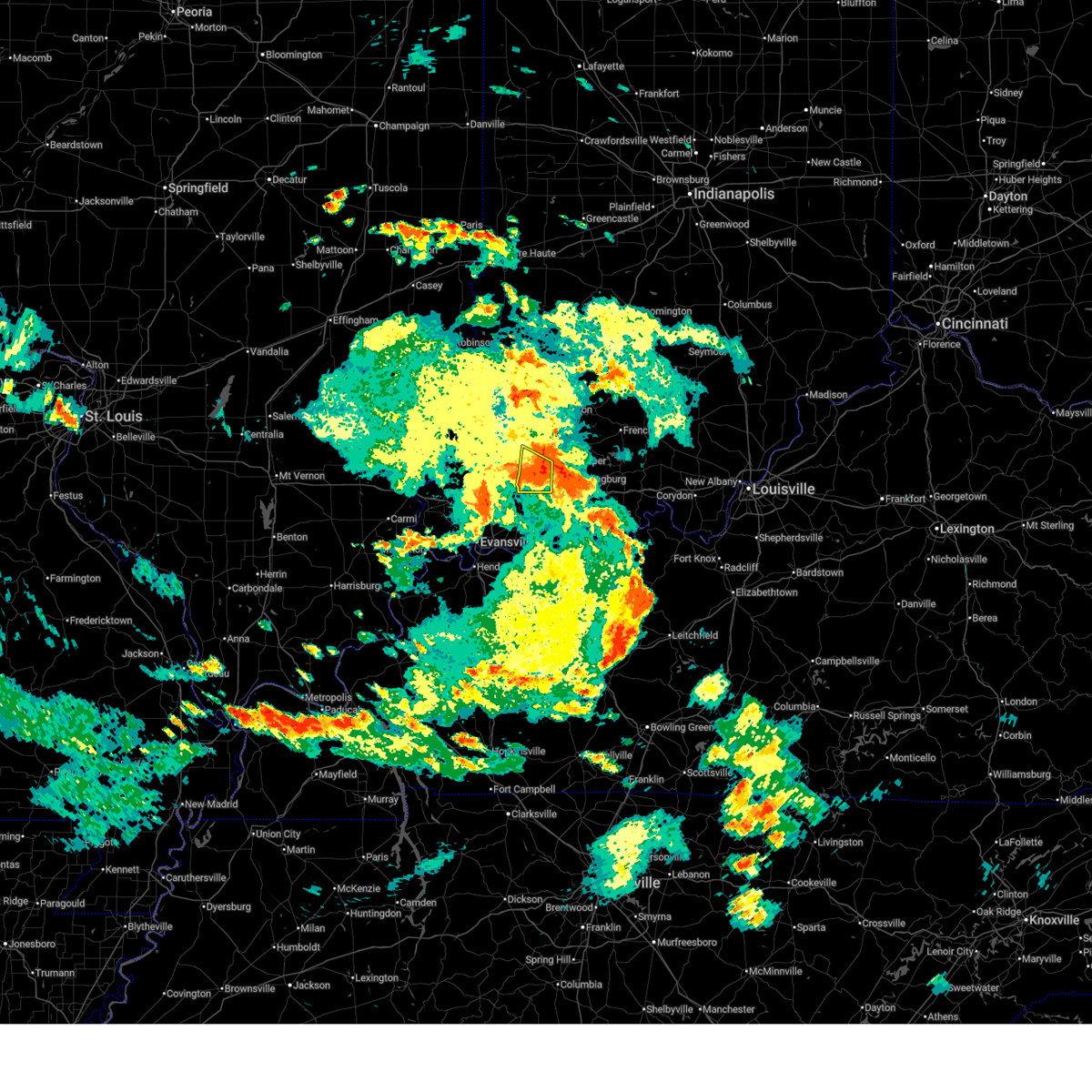
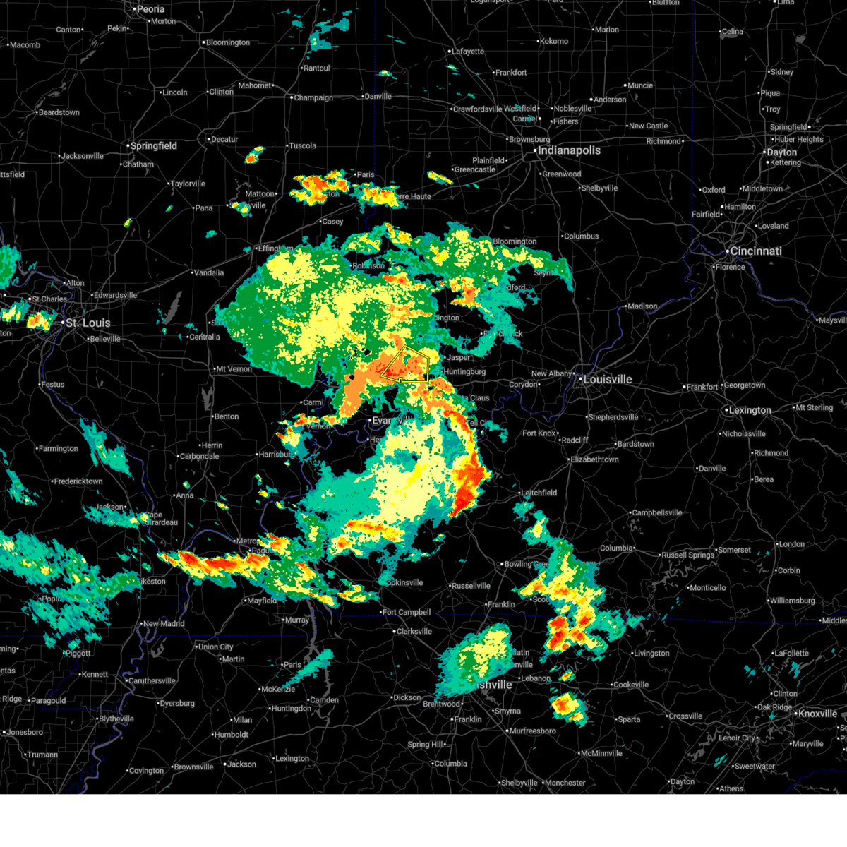
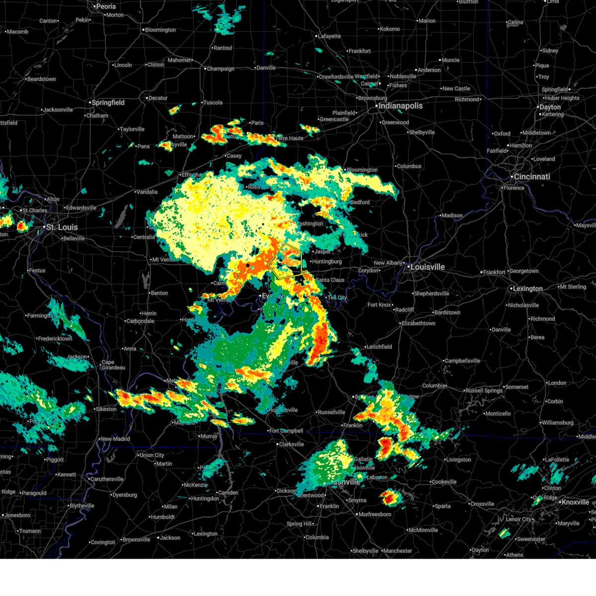
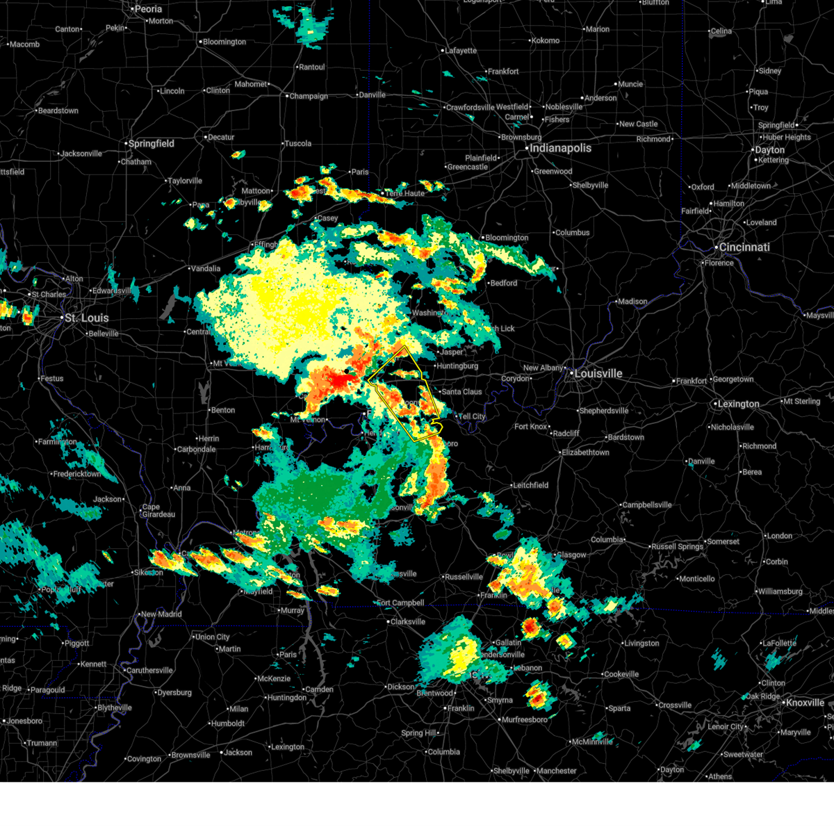
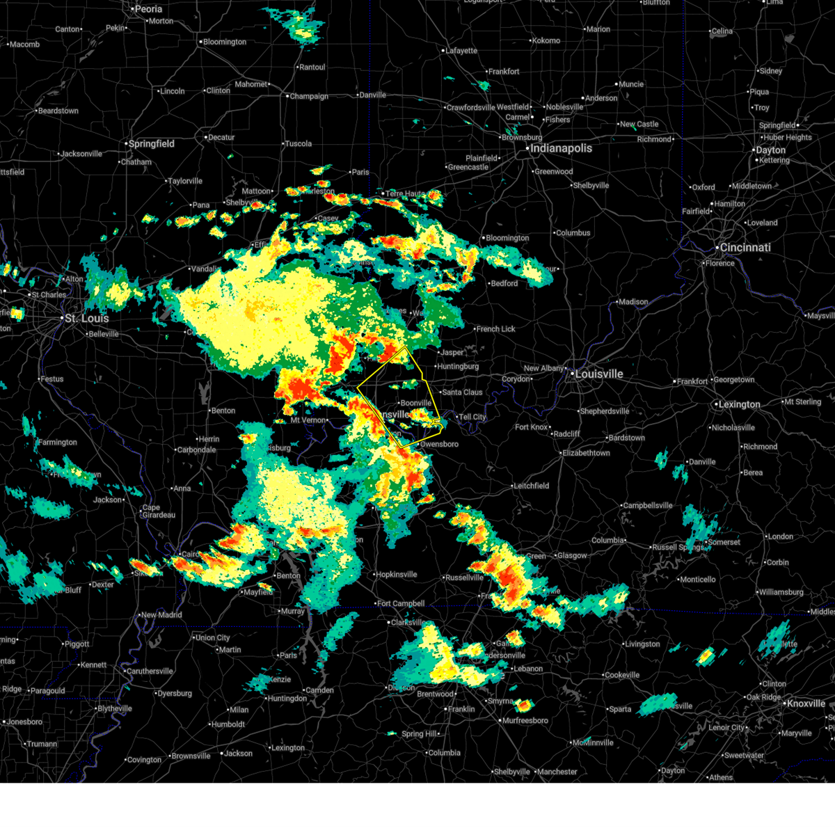
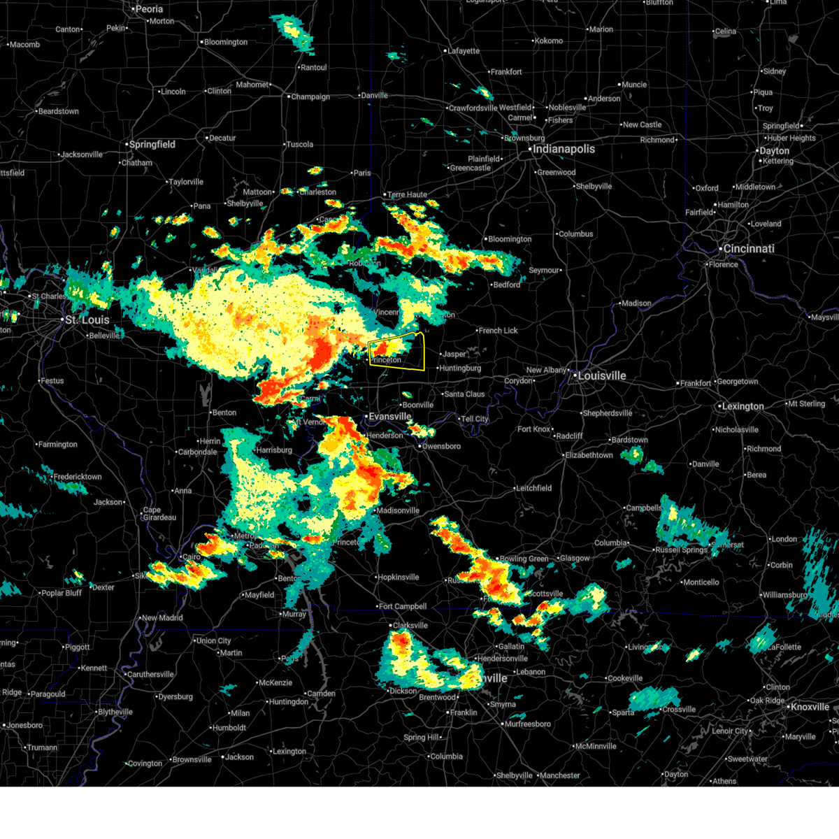
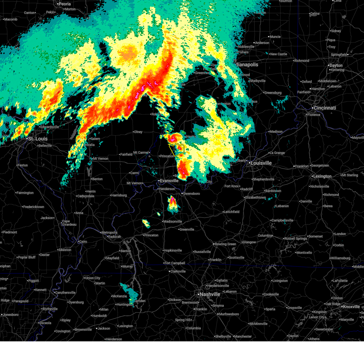
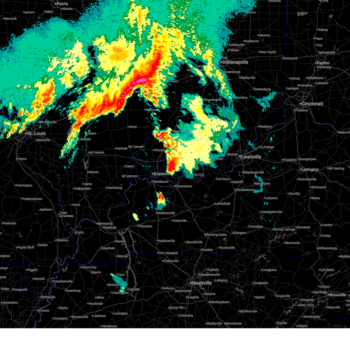
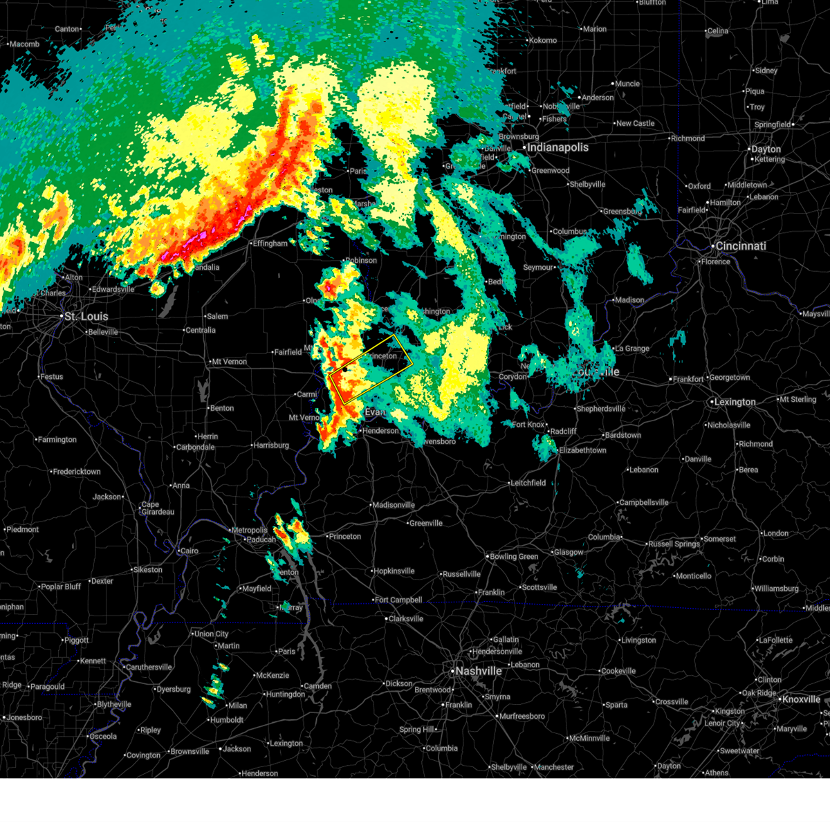
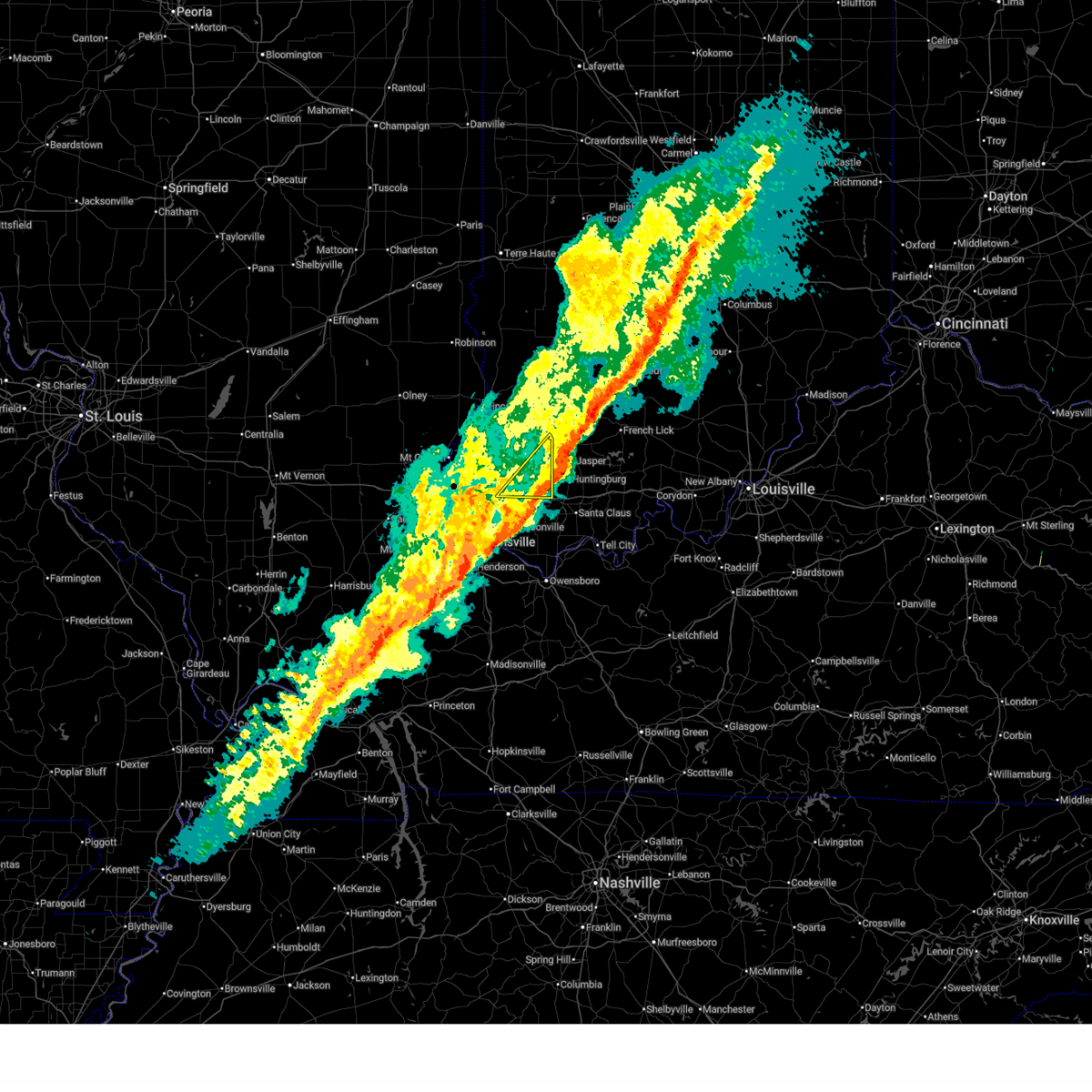
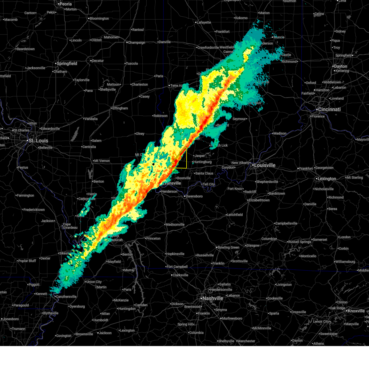
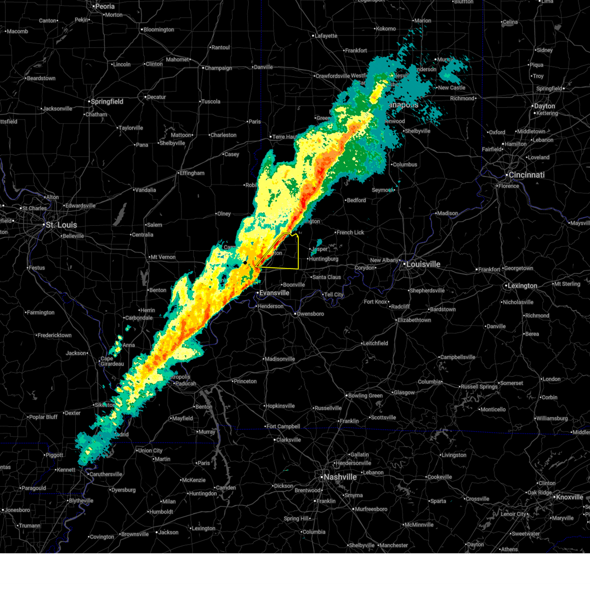
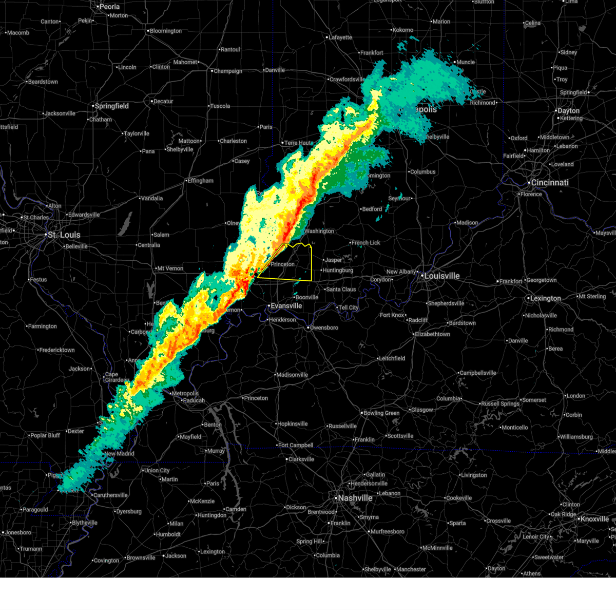
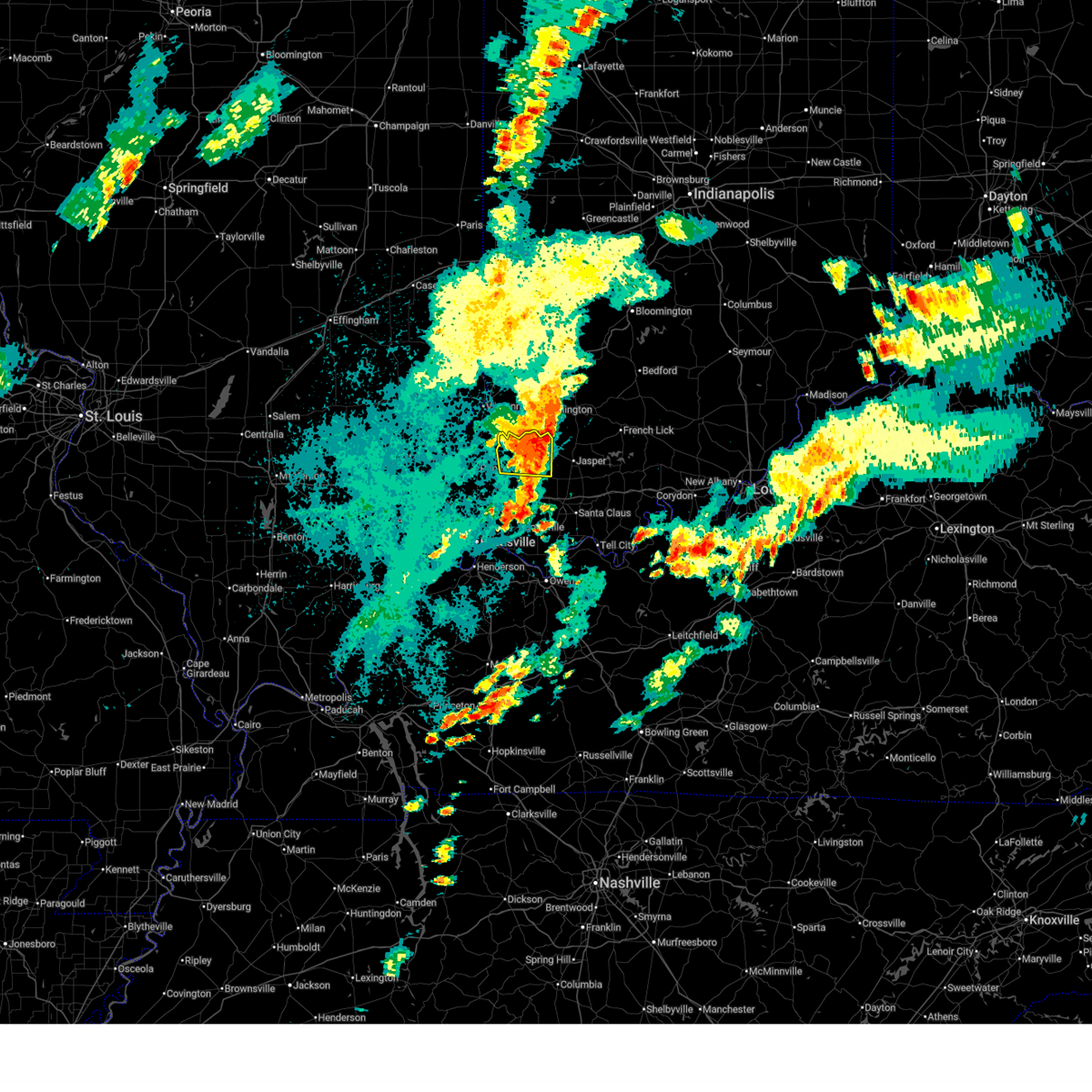
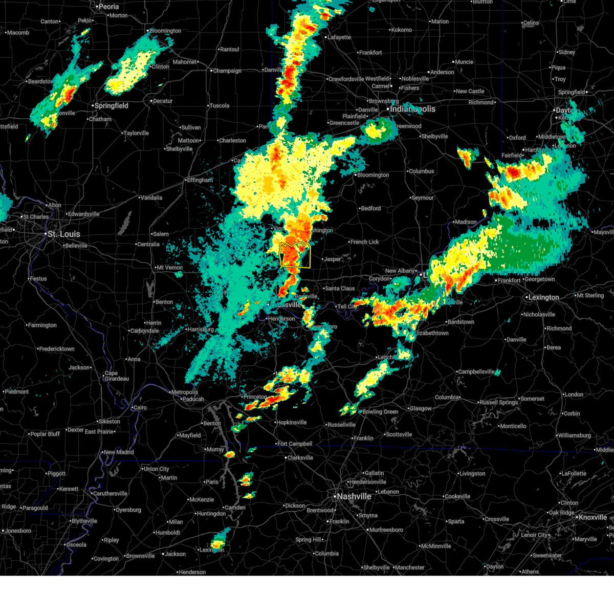
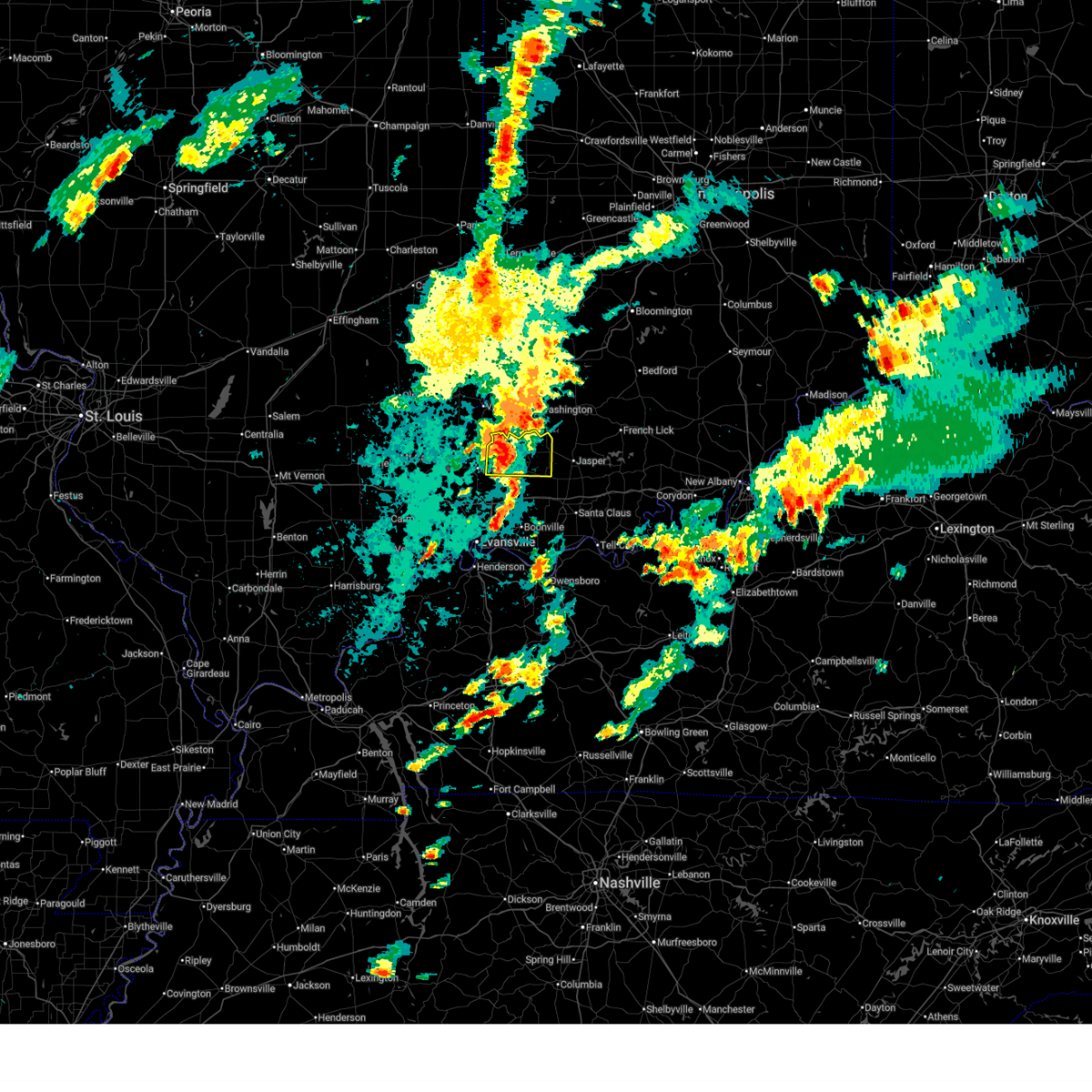
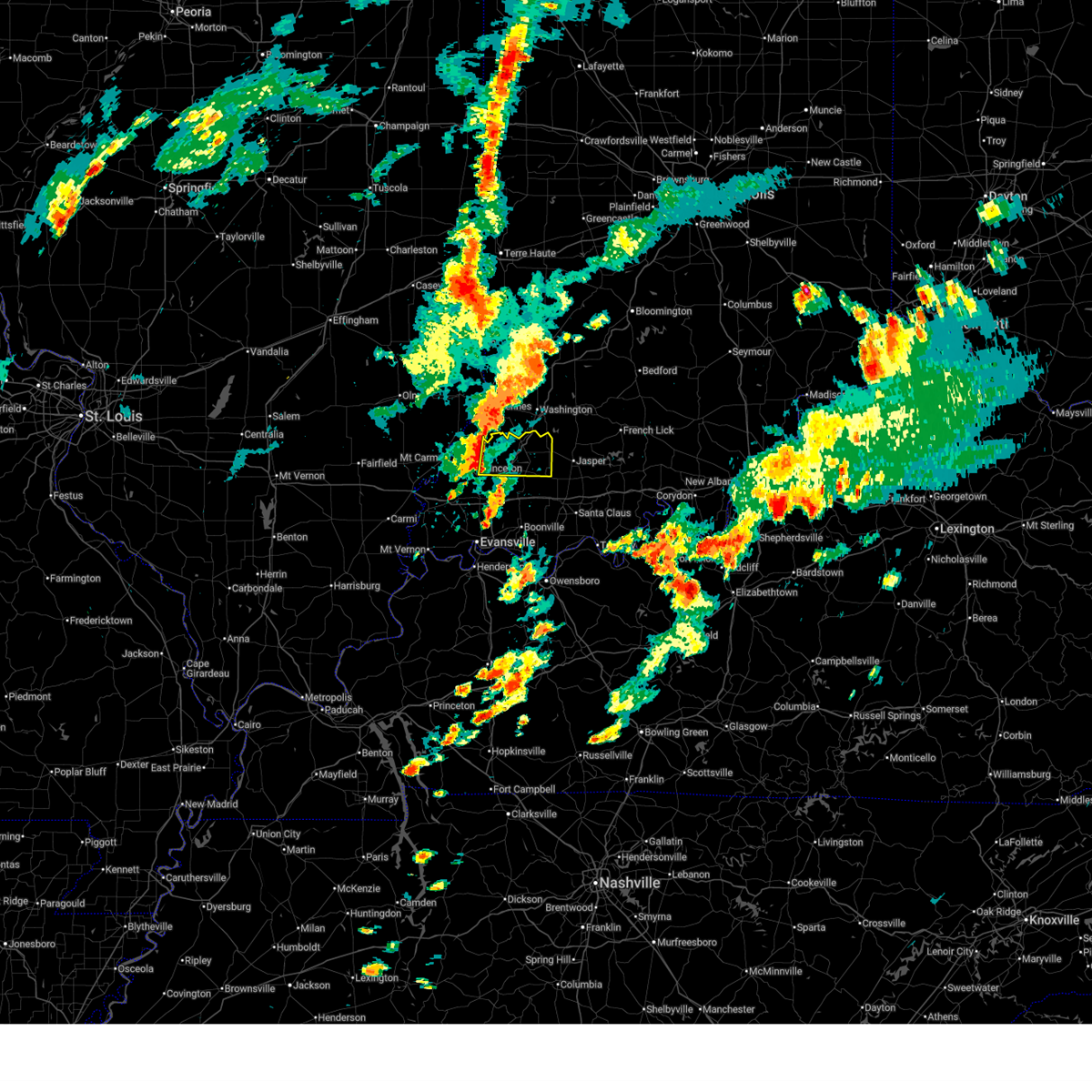
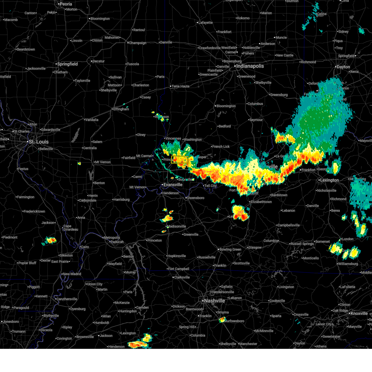
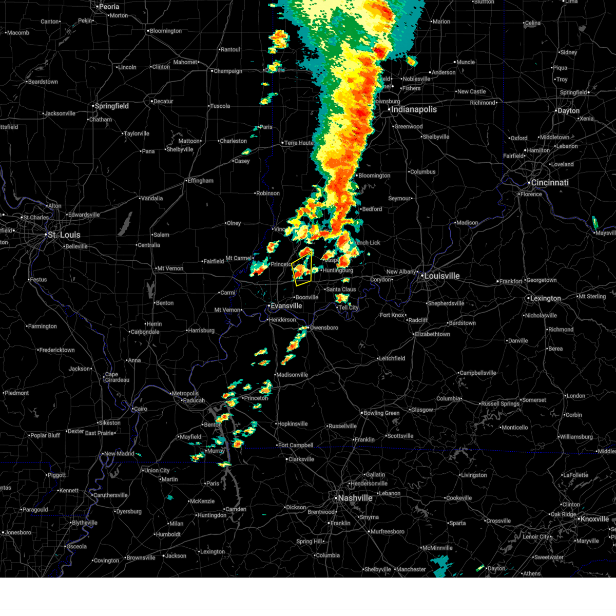
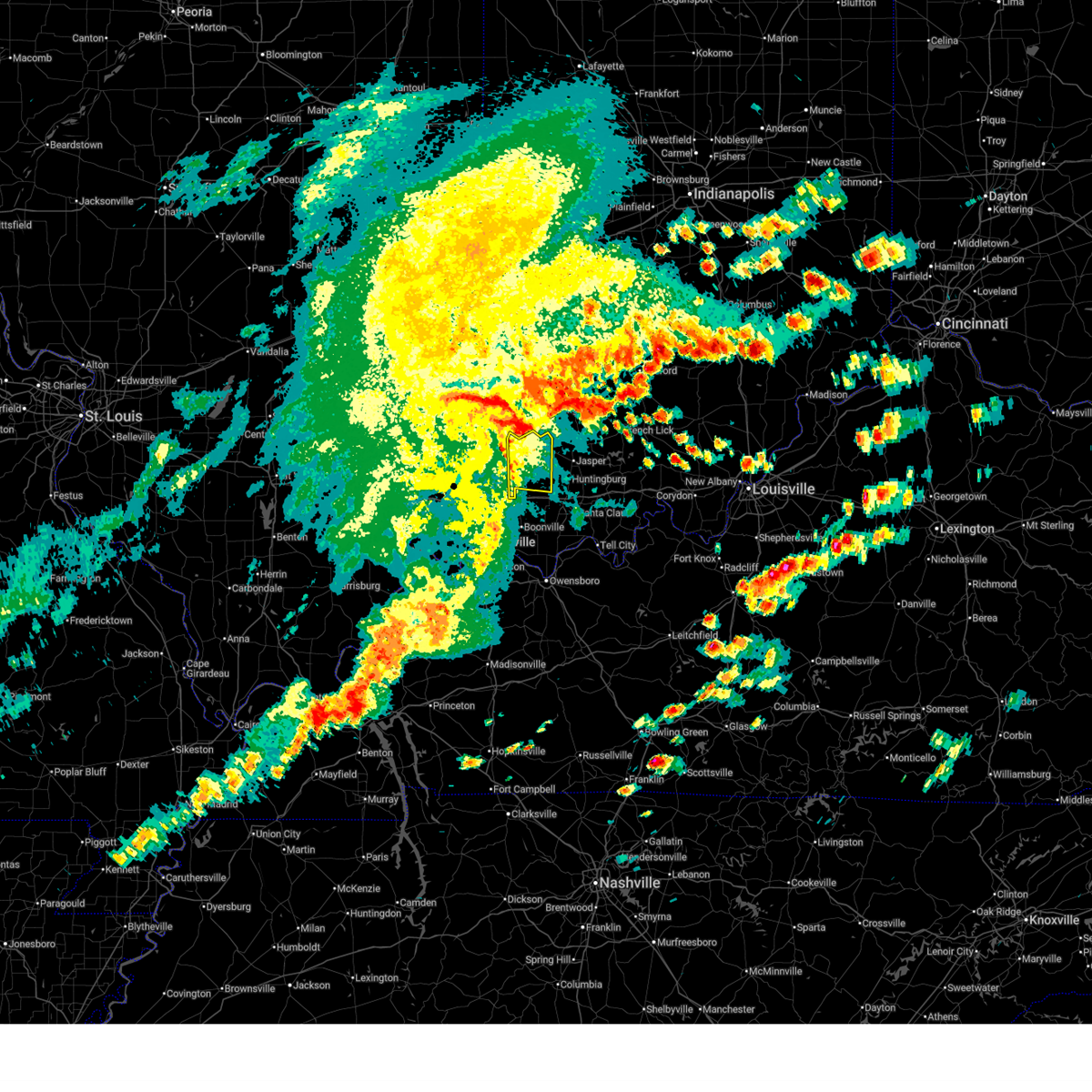
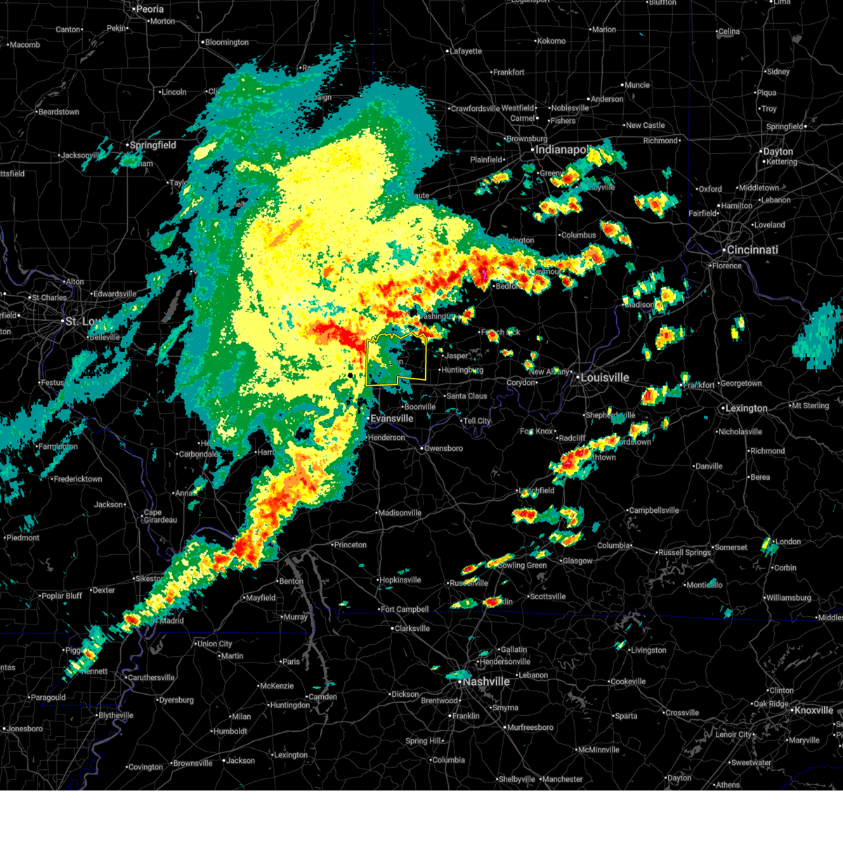
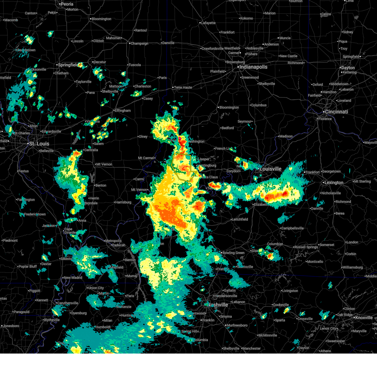
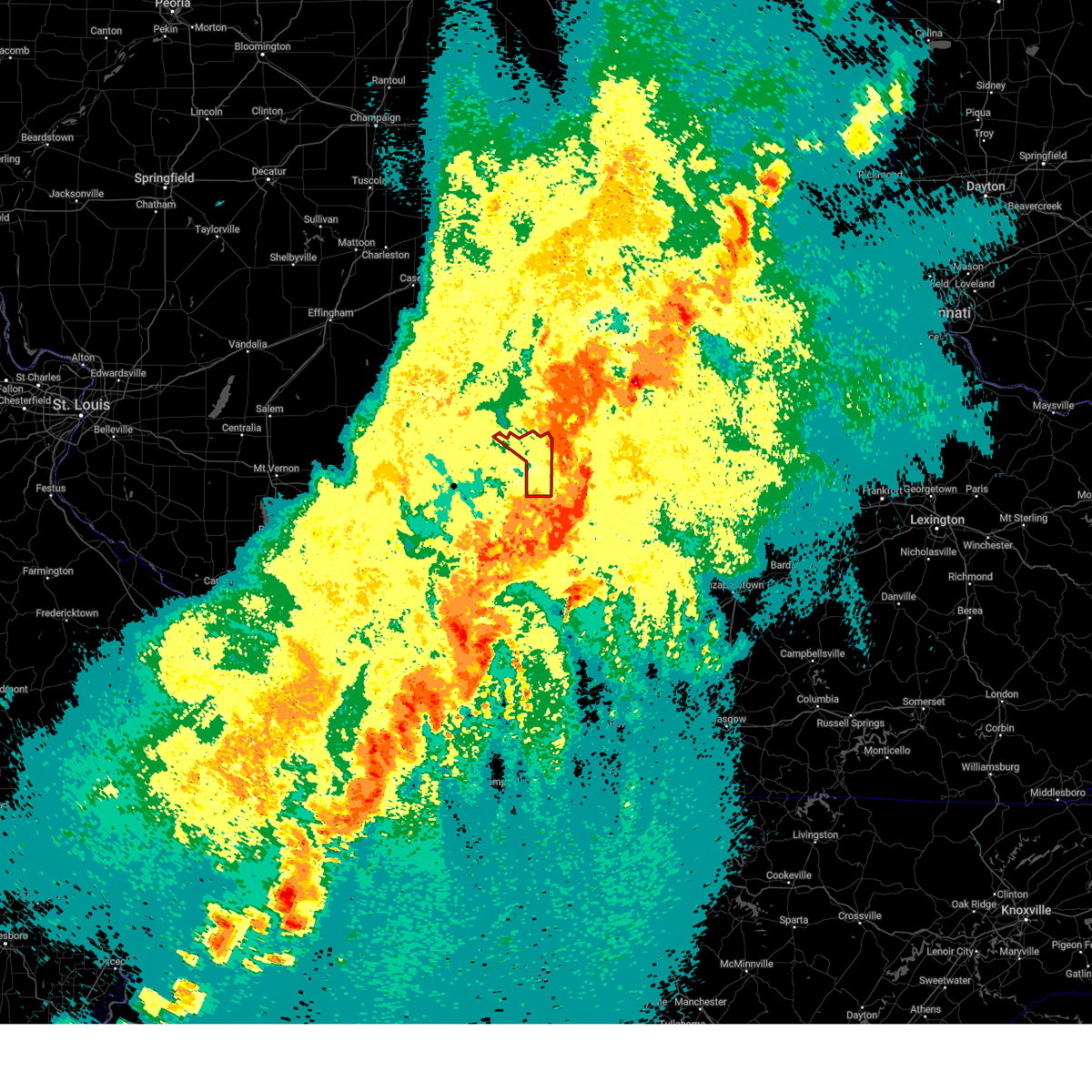
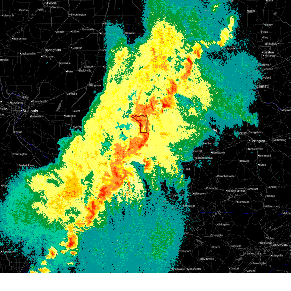
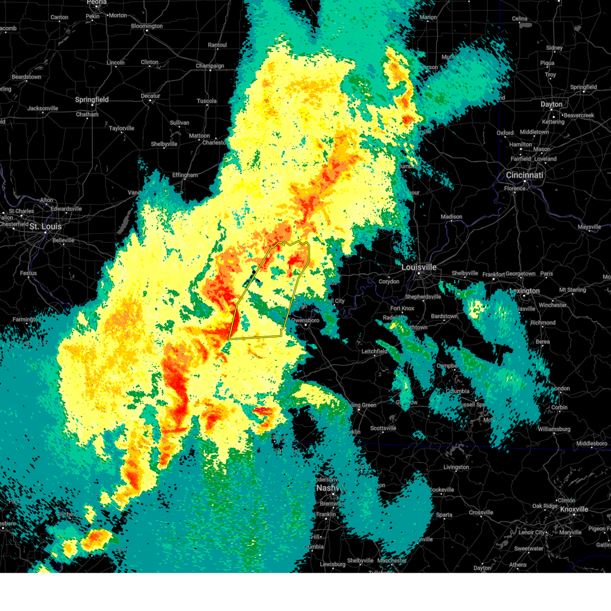
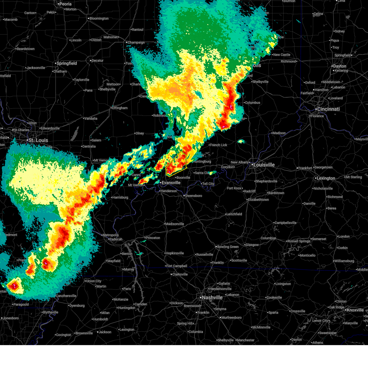
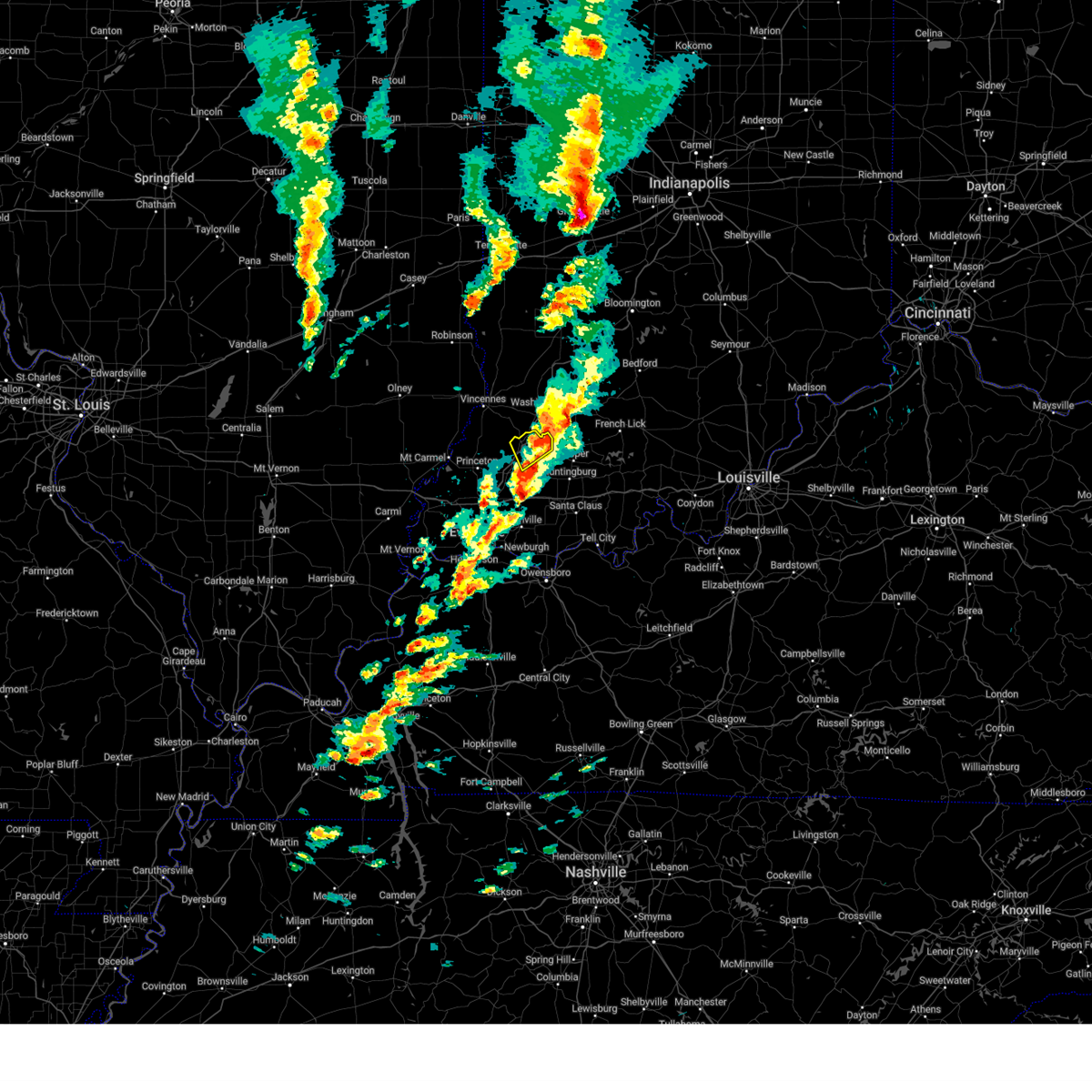
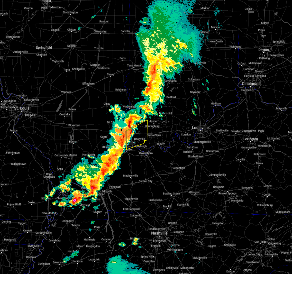
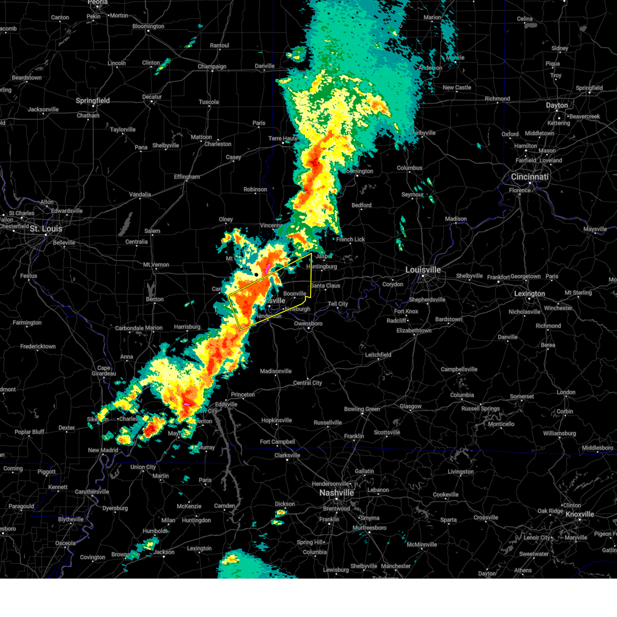
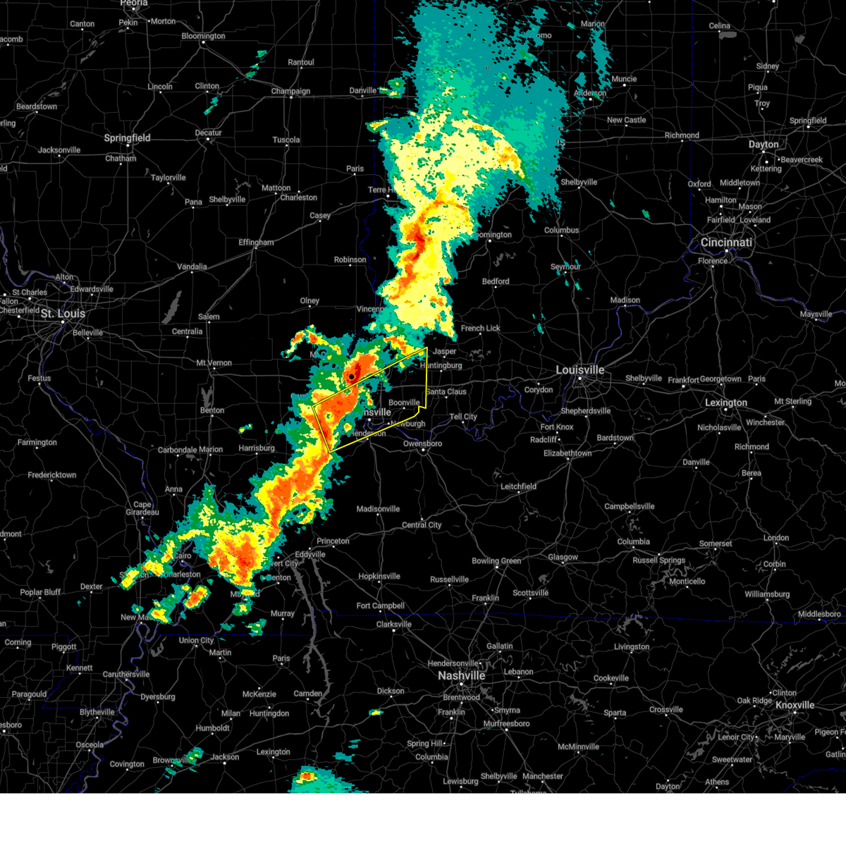
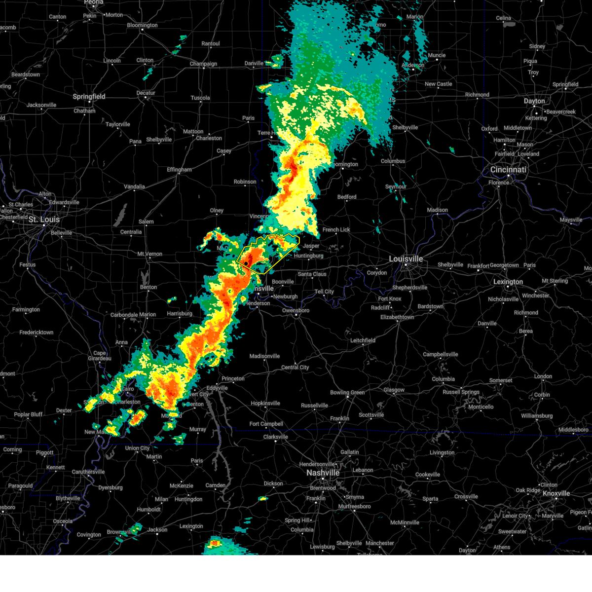
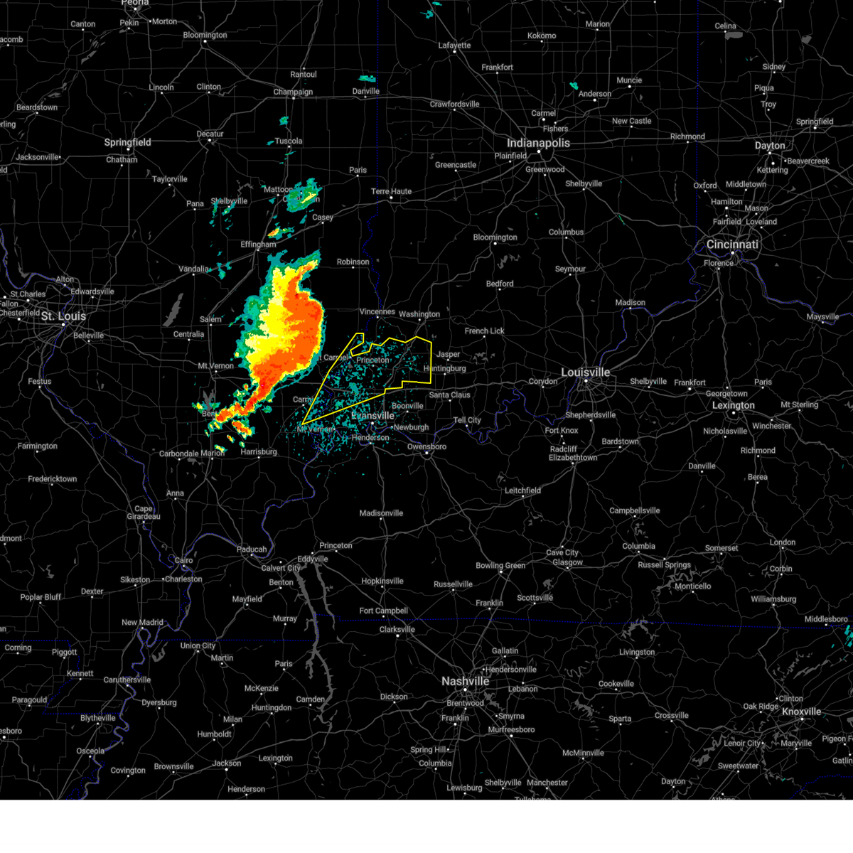
Hail Map for Winslow, IN
The Winslow, IN area has had 3 reports of on-the-ground hail by trained spotters, and has been under severe weather warnings 31 times during the past 12 months. Doppler radar has detected hail at or near Winslow, IN on 80 occasions, including 5 occasions during the past year.
| Name: | Winslow, IN |
| Where Located: | 33.9 miles NE of Evansville, IN |
| Map: | Google Map for Winslow, IN |
| Population: | 864 |
| Housing Units: | 397 |
| More Info: | Search Google for Winslow, IN |
2
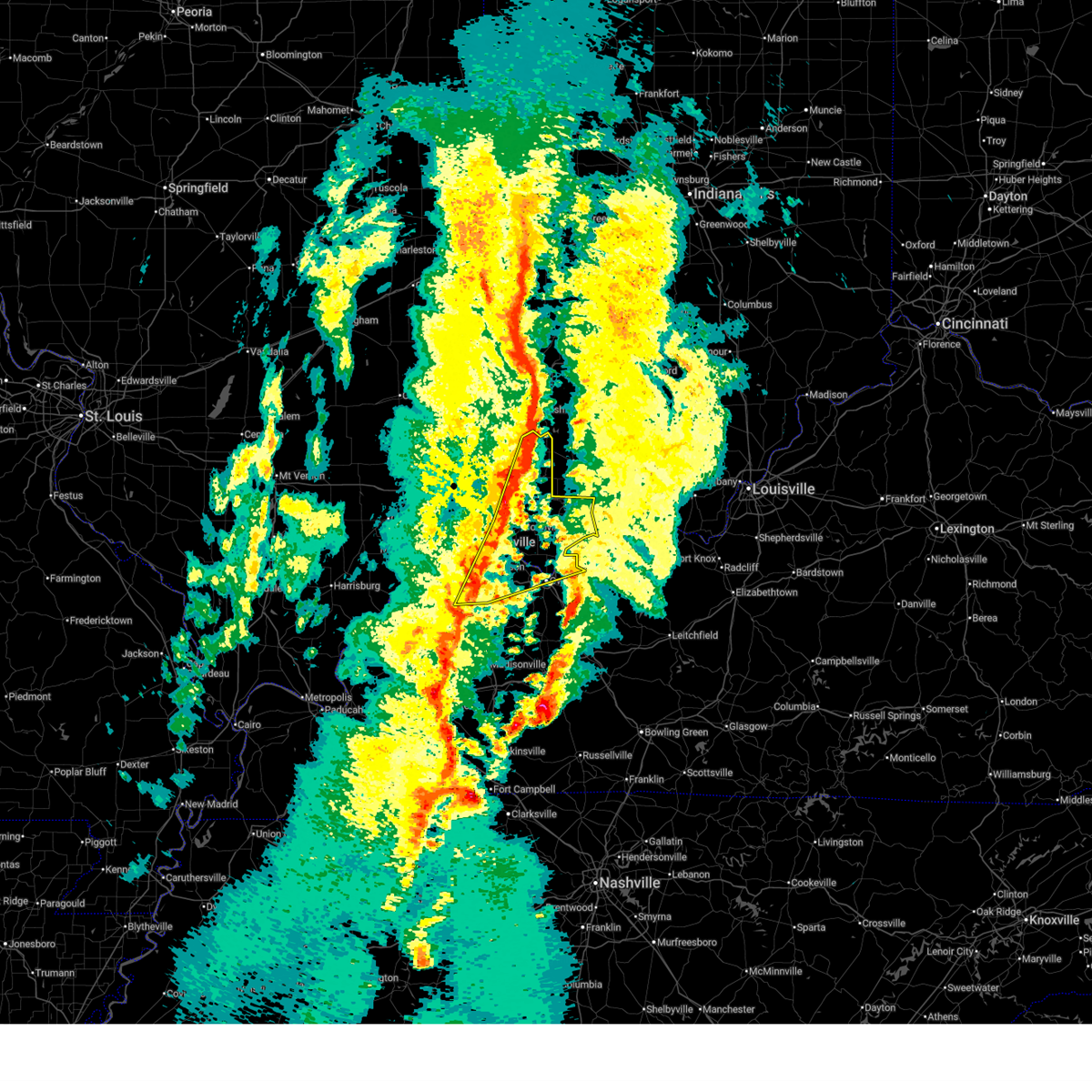
The Top Recent Hail Date for Winslow, IN is Saturday, July 19, 2025 (10th out of 80)
Hail and Wind Damage Spotted near Winslow, IN
| Date / Time | Report Details |
|---|---|
| 6/27/2026 5:09 PM EDT |
 At 509 pm edt, a severe thunderstorm was located 8 miles southwest of jasper, or 18 miles east of oakland city, moving east at 50 mph (radar indicated). Hazards include 60 mph wind gusts. Expect damage to roofs, siding, and trees. Locations impacted include, winslow and spurgeon. At 509 pm edt, a severe thunderstorm was located 8 miles southwest of jasper, or 18 miles east of oakland city, moving east at 50 mph (radar indicated). Hazards include 60 mph wind gusts. Expect damage to roofs, siding, and trees. Locations impacted include, winslow and spurgeon.
|
| 6/27/2026 5:01 PM EDT |
 At 400 pm cdt/500 pm edt/, a severe thunderstorm was located 7 miles southeast of winslow, or 11 miles east of oakland city, moving east at 45 mph (radar indicated). Hazards include 60 mph wind gusts. Expect damage to roofs, siding, and trees. locations impacted include, oakland city, winslow, somerville, spurgeon, and mackey. This includes interstate 69 in indiana between mile markers 28 and 45. At 400 pm cdt/500 pm edt/, a severe thunderstorm was located 7 miles southeast of winslow, or 11 miles east of oakland city, moving east at 45 mph (radar indicated). Hazards include 60 mph wind gusts. Expect damage to roofs, siding, and trees. locations impacted include, oakland city, winslow, somerville, spurgeon, and mackey. This includes interstate 69 in indiana between mile markers 28 and 45.
|
| 6/27/2026 5:01 PM EDT |
 the severe thunderstorm warning has been cancelled and is no longer in effect the severe thunderstorm warning has been cancelled and is no longer in effect
|
| 6/27/2026 4:49 PM EDT |
 Svrpah the national weather service in paducah has issued a * severe thunderstorm warning for, northern warrick county in southwestern indiana, southeastern gibson county in southwestern indiana, southeastern pike county in southwestern indiana, * until 430 pm cdt/530 pm edt/. * at 349 pm cdt/449 pm edt/, a severe thunderstorm was located near lynnville, or near oakland city, moving east at 50 mph (radar indicated). Hazards include 60 mph wind gusts. expect damage to roofs, siding, and trees Svrpah the national weather service in paducah has issued a * severe thunderstorm warning for, northern warrick county in southwestern indiana, southeastern gibson county in southwestern indiana, southeastern pike county in southwestern indiana, * until 430 pm cdt/530 pm edt/. * at 349 pm cdt/449 pm edt/, a severe thunderstorm was located near lynnville, or near oakland city, moving east at 50 mph (radar indicated). Hazards include 60 mph wind gusts. expect damage to roofs, siding, and trees
|
| 6/27/2026 3:32 PM CDT |
 At 332 pm cdt/432 pm edt/, severe thunderstorms were located along a line extending from near lynnville to near rockport, moving northeast at 40 mph (trained weather spotters). Hazards include 60 mph wind gusts. Expect damage to roofs, siding, and trees. locations impacted include, owensboro, boonville, chandler, oakland city, rockport, lynnville, winslow, grandview, folsomville, eureka, elberfeld, chrisney, somerville, tennyson, gentryville, spurgeon, mackey, and waitman. this includes the following highways, interstate 69 in indiana between mile markers 21 and 31. Interstate 64 in indiana between mile markers 28 and 53. At 332 pm cdt/432 pm edt/, severe thunderstorms were located along a line extending from near lynnville to near rockport, moving northeast at 40 mph (trained weather spotters). Hazards include 60 mph wind gusts. Expect damage to roofs, siding, and trees. locations impacted include, owensboro, boonville, chandler, oakland city, rockport, lynnville, winslow, grandview, folsomville, eureka, elberfeld, chrisney, somerville, tennyson, gentryville, spurgeon, mackey, and waitman. this includes the following highways, interstate 69 in indiana between mile markers 21 and 31. Interstate 64 in indiana between mile markers 28 and 53.
|
| 6/27/2026 3:16 PM CDT |
 Svrpah the national weather service in paducah has issued a * severe thunderstorm warning for, warrick county in southwestern indiana, northeastern vanderburgh county in southwestern indiana, western spencer county in southwestern indiana, southeastern gibson county in southwestern indiana, southeastern pike county in southwestern indiana, northern daviess county in northwestern kentucky, northeastern henderson county in northwestern kentucky, * until 400 pm cdt/500 pm edt/. * at 316 pm cdt/416 pm edt/, severe thunderstorms were located along a line extending from near darmstadt to near eureka, moving northeast at 45 mph (trained weather spotters). Hazards include 60 mph wind gusts. expect damage to roofs, siding, and trees Svrpah the national weather service in paducah has issued a * severe thunderstorm warning for, warrick county in southwestern indiana, northeastern vanderburgh county in southwestern indiana, western spencer county in southwestern indiana, southeastern gibson county in southwestern indiana, southeastern pike county in southwestern indiana, northern daviess county in northwestern kentucky, northeastern henderson county in northwestern kentucky, * until 400 pm cdt/500 pm edt/. * at 316 pm cdt/416 pm edt/, severe thunderstorms were located along a line extending from near darmstadt to near eureka, moving northeast at 45 mph (trained weather spotters). Hazards include 60 mph wind gusts. expect damage to roofs, siding, and trees
|
| 6/27/2026 3:49 PM EDT |
 Svrpah the national weather service in paducah has issued a * severe thunderstorm warning for, northeastern gibson county in southwestern indiana, pike county in southwestern indiana, * until 330 pm cdt/430 pm edt/. * at 249 pm cdt/349 pm edt/, a severe thunderstorm was located near princeton, moving east at 20 mph (radar indicated). Hazards include 60 mph wind gusts and quarter size hail. Hail damage to vehicles is expected. Expect wind damage to roofs, siding, and trees. Svrpah the national weather service in paducah has issued a * severe thunderstorm warning for, northeastern gibson county in southwestern indiana, pike county in southwestern indiana, * until 330 pm cdt/430 pm edt/. * at 249 pm cdt/349 pm edt/, a severe thunderstorm was located near princeton, moving east at 20 mph (radar indicated). Hazards include 60 mph wind gusts and quarter size hail. Hail damage to vehicles is expected. Expect wind damage to roofs, siding, and trees.
|
| 4/27/2026 1:59 PM EDT |
 the severe thunderstorm warning has been cancelled and is no longer in effect the severe thunderstorm warning has been cancelled and is no longer in effect
|
| 4/27/2026 1:51 PM EDT |
 At 151 pm edt, severe thunderstorms were located along a line extending from 8 miles southeast of vincennes to 6 miles southeast of winslow, moving northeast at 45 mph (radar indicated). Hazards include quarter size hail. Damage to vehicles is expected. locations impacted include, petersburg and winslow. This includes interstate 69 in indiana between mile markers 42 and 52. At 151 pm edt, severe thunderstorms were located along a line extending from 8 miles southeast of vincennes to 6 miles southeast of winslow, moving northeast at 45 mph (radar indicated). Hazards include quarter size hail. Damage to vehicles is expected. locations impacted include, petersburg and winslow. This includes interstate 69 in indiana between mile markers 42 and 52.
|
| 4/27/2026 1:38 PM EDT |
 Svrpah the national weather service in paducah has issued a * severe thunderstorm warning for, northeastern gibson county in southwestern indiana, pike county in southwestern indiana, * until 130 pm cdt/230 pm edt/. * at 1238 pm cdt/138 pm edt/, severe thunderstorms were located along a line extending from 9 miles south of vincennes to 6 miles northeast of lynnville, moving northeast at 40 mph (radar indicated). Hazards include quarter size hail. damage to vehicles is expected Svrpah the national weather service in paducah has issued a * severe thunderstorm warning for, northeastern gibson county in southwestern indiana, pike county in southwestern indiana, * until 130 pm cdt/230 pm edt/. * at 1238 pm cdt/138 pm edt/, severe thunderstorms were located along a line extending from 9 miles south of vincennes to 6 miles northeast of lynnville, moving northeast at 40 mph (radar indicated). Hazards include quarter size hail. damage to vehicles is expected
|
| 4/27/2026 12:30 PM CDT |
 At 1229 pm cdt/129 pm edt/, a severe thunderstorm was located near oakland city, moving northeast at 40 mph (public). Hazards include quarter size hail. Damage to vehicles is expected. locations impacted include, oakland city, petersburg, winslow, francisco, somerville, spurgeon, and mackey. this includes the following highways, interstate 69 in indiana between mile markers 26 and 45. Interstate 64 in indiana between mile markers 31 and 34. At 1229 pm cdt/129 pm edt/, a severe thunderstorm was located near oakland city, moving northeast at 40 mph (public). Hazards include quarter size hail. Damage to vehicles is expected. locations impacted include, oakland city, petersburg, winslow, francisco, somerville, spurgeon, and mackey. this includes the following highways, interstate 69 in indiana between mile markers 26 and 45. Interstate 64 in indiana between mile markers 31 and 34.
|
| 4/27/2026 12:14 PM CDT |
 At 1214 pm cdt/114 pm edt/, a severe thunderstorm was located near oakland city, moving northeast at 40 mph (radar indicated). Hazards include quarter size hail. Damage to vehicles is expected. locations impacted include, princeton, fort branch, oakland city, petersburg, haubstadt, darmstadt, winslow, elberfeld, francisco, somerville, spurgeon, and mackey. this includes the following highways, interstate 69 in indiana between mile markers 20 and 45. Interstate 64 in indiana between mile markers 23 and 34. At 1214 pm cdt/114 pm edt/, a severe thunderstorm was located near oakland city, moving northeast at 40 mph (radar indicated). Hazards include quarter size hail. Damage to vehicles is expected. locations impacted include, princeton, fort branch, oakland city, petersburg, haubstadt, darmstadt, winslow, elberfeld, francisco, somerville, spurgeon, and mackey. this includes the following highways, interstate 69 in indiana between mile markers 20 and 45. Interstate 64 in indiana between mile markers 23 and 34.
|
| 4/27/2026 11:58 AM CDT |
 Svrpah the national weather service in paducah has issued a * severe thunderstorm warning for, northwestern warrick county in southwestern indiana, northern vanderburgh county in southwestern indiana, gibson county in southwestern indiana, northeastern posey county in southwestern indiana, central pike county in southwestern indiana, * until 1245 pm cdt/145 pm edt/. * at 1157 am cdt/1257 pm edt/, a severe thunderstorm was located near haubstadt, or near fort branch, moving northeast at 40 mph (radar indicated). Hazards include quarter size hail. damage to vehicles is expected Svrpah the national weather service in paducah has issued a * severe thunderstorm warning for, northwestern warrick county in southwestern indiana, northern vanderburgh county in southwestern indiana, gibson county in southwestern indiana, northeastern posey county in southwestern indiana, central pike county in southwestern indiana, * until 1245 pm cdt/145 pm edt/. * at 1157 am cdt/1257 pm edt/, a severe thunderstorm was located near haubstadt, or near fort branch, moving northeast at 40 mph (radar indicated). Hazards include quarter size hail. damage to vehicles is expected
|
| 3/15/2026 9:08 PM CDT |
 Svrpah the national weather service in paducah has issued a * severe thunderstorm warning for, warrick county in southwestern indiana, southeastern gibson county in southwestern indiana, east central vanderburgh county in southwestern indiana, spencer county in southwestern indiana, pike county in southwestern indiana, northern daviess county in northwestern kentucky, henderson county in northwestern kentucky, * until 1000 pm cdt/1100 pm edt/. * at 908 pm cdt/1008 pm edt/, severe thunderstorms were located along a line extending from 6 miles south of washington to 6 miles southwest of lynnville to near robards, moving northeast at 70 mph (radar indicated). Hazards include 70 mph wind gusts. Expect considerable tree damage. Damage is likely to mobile homes, roofs, and outbuildings. Svrpah the national weather service in paducah has issued a * severe thunderstorm warning for, warrick county in southwestern indiana, southeastern gibson county in southwestern indiana, east central vanderburgh county in southwestern indiana, spencer county in southwestern indiana, pike county in southwestern indiana, northern daviess county in northwestern kentucky, henderson county in northwestern kentucky, * until 1000 pm cdt/1100 pm edt/. * at 908 pm cdt/1008 pm edt/, severe thunderstorms were located along a line extending from 6 miles south of washington to 6 miles southwest of lynnville to near robards, moving northeast at 70 mph (radar indicated). Hazards include 70 mph wind gusts. Expect considerable tree damage. Damage is likely to mobile homes, roofs, and outbuildings.
|
| 3/11/2026 8:01 AM EDT | the severe thunderstorm warning has been cancelled and is no longer in effect |
| 3/11/2026 8:01 AM EDT | At 701 am cdt/801 am edt/, a severe thunderstorm was located over winslow, or 9 miles southeast of petersburg, moving northeast at 60 mph (radar indicated). Hazards include 60 mph wind gusts. Expect damage to roofs, siding, and trees. locations impacted include, oakland city, lynnville, winslow, francisco, somerville, spurgeon, and mackey. this includes the following highways, interstate 69 in indiana between mile markers 28 and 44. Interstate 64 in indiana between mile markers 33 and 34. |
| 3/11/2026 7:52 AM EDT |
 the severe thunderstorm warning has been cancelled and is no longer in effect the severe thunderstorm warning has been cancelled and is no longer in effect
|
| 3/11/2026 7:52 AM EDT |
 At 652 am cdt/752 am edt/, a severe thunderstorm was located over oakland city, moving northeast at 55 mph (radar indicated). Hazards include 60 mph wind gusts. Expect damage to roofs, siding, and trees. locations impacted include, fort branch, oakland city, haubstadt, lynnville, winslow, elberfeld, francisco, somerville, spurgeon, and mackey. this includes the following highways, interstate 69 in indiana between mile markers 20 and 44. Interstate 64 in indiana between mile markers 22 and 36. At 652 am cdt/752 am edt/, a severe thunderstorm was located over oakland city, moving northeast at 55 mph (radar indicated). Hazards include 60 mph wind gusts. Expect damage to roofs, siding, and trees. locations impacted include, fort branch, oakland city, haubstadt, lynnville, winslow, elberfeld, francisco, somerville, spurgeon, and mackey. this includes the following highways, interstate 69 in indiana between mile markers 20 and 44. Interstate 64 in indiana between mile markers 22 and 36.
|
| 3/11/2026 7:27 AM EDT |
 Svrpah the national weather service in paducah has issued a * severe thunderstorm warning for, northwestern warrick county in southwestern indiana, southeastern gibson county in southwestern indiana, northwestern vanderburgh county in southwestern indiana, northeastern posey county in southwestern indiana, pike county in southwestern indiana, * until 715 am cdt/815 am edt/. * at 627 am cdt/727 am edt/, a severe thunderstorm was located over cynthiana, or 9 miles southwest of fort branch, moving northeast at 55 mph (radar indicated). Hazards include 60 mph wind gusts. expect damage to roofs, siding, and trees Svrpah the national weather service in paducah has issued a * severe thunderstorm warning for, northwestern warrick county in southwestern indiana, southeastern gibson county in southwestern indiana, northwestern vanderburgh county in southwestern indiana, northeastern posey county in southwestern indiana, pike county in southwestern indiana, * until 715 am cdt/815 am edt/. * at 627 am cdt/727 am edt/, a severe thunderstorm was located over cynthiana, or 9 miles southwest of fort branch, moving northeast at 55 mph (radar indicated). Hazards include 60 mph wind gusts. expect damage to roofs, siding, and trees
|
| 12/28/2025 8:10 PM EST |
 The storms which prompted the warning have moved out of the area. therefore, the warning will be allowed to expire. however, gusty winds are still possible with these thunderstorms. a tornado watch remains in effect until 900 pm cst/1000 pm est/ for southwestern indiana. The storms which prompted the warning have moved out of the area. therefore, the warning will be allowed to expire. however, gusty winds are still possible with these thunderstorms. a tornado watch remains in effect until 900 pm cst/1000 pm est/ for southwestern indiana.
|
| 12/28/2025 7:56 PM EST |
 At 656 pm cst/756 pm est/, severe thunderstorms were located along a line extending from near shoals to near lynnville, moving east at 50 mph (radar indicated). Hazards include 60 mph wind gusts. Expect damage to roofs, siding, and trees. Locations impacted include, lynnville, winslow, spurgeon, and mackey. At 656 pm cst/756 pm est/, severe thunderstorms were located along a line extending from near shoals to near lynnville, moving east at 50 mph (radar indicated). Hazards include 60 mph wind gusts. Expect damage to roofs, siding, and trees. Locations impacted include, lynnville, winslow, spurgeon, and mackey.
|
| 12/28/2025 7:46 PM EST |
 At 646 pm cst/746 pm est/, severe thunderstorms were located along a line extending from 6 miles east of washington to near lynnville, moving east at 55 mph (radar indicated). Hazards include 60 mph wind gusts. Expect damage to roofs, siding, and trees. locations impacted include, fort branch, oakland city, petersburg, lynnville, winslow, francisco, somerville, spurgeon, and mackey. This includes interstate 69 in indiana between mile markers 24 and 52. At 646 pm cst/746 pm est/, severe thunderstorms were located along a line extending from 6 miles east of washington to near lynnville, moving east at 55 mph (radar indicated). Hazards include 60 mph wind gusts. Expect damage to roofs, siding, and trees. locations impacted include, fort branch, oakland city, petersburg, lynnville, winslow, francisco, somerville, spurgeon, and mackey. This includes interstate 69 in indiana between mile markers 24 and 52.
|
| 12/28/2025 7:29 PM EST |
 Svrpah the national weather service in paducah has issued a * severe thunderstorm warning for, north central warrick county in southwestern indiana, eastern gibson county in southwestern indiana, pike county in southwestern indiana, * until 715 pm cst/815 pm est/. * at 629 pm cst/729 pm est/, severe thunderstorms were located along a line extending from 7 miles north of petersburg to near haubstadt, moving east at 55 mph (radar indicated). Hazards include 60 mph wind gusts. expect damage to roofs, siding, and trees Svrpah the national weather service in paducah has issued a * severe thunderstorm warning for, north central warrick county in southwestern indiana, eastern gibson county in southwestern indiana, pike county in southwestern indiana, * until 715 pm cst/815 pm est/. * at 629 pm cst/729 pm est/, severe thunderstorms were located along a line extending from 7 miles north of petersburg to near haubstadt, moving east at 55 mph (radar indicated). Hazards include 60 mph wind gusts. expect damage to roofs, siding, and trees
|
| 10/19/2025 8:38 AM EDT | A few power lines down around the county. location approximat in pike county IN, 0.3 miles NW of Winslow, IN |
| 8/12/2025 9:42 PM EDT |
 The storm which prompted the warning has weakened below severe limits, and has exited the warned area. therefore, the warning will be allowed to expire. The storm which prompted the warning has weakened below severe limits, and has exited the warned area. therefore, the warning will be allowed to expire.
|
| 8/12/2025 9:22 PM EDT |
 At 822 pm cdt/922 pm edt/, a severe thunderstorm was located near winslow, or 7 miles southeast of petersburg, moving east at 30 mph (radar indicated). Hazards include 60 mph wind gusts. Expect damage to roofs, siding, and trees. locations impacted include, oakland city, petersburg, and winslow. This includes interstate 69 in indiana between mile markers 34 and 52. At 822 pm cdt/922 pm edt/, a severe thunderstorm was located near winslow, or 7 miles southeast of petersburg, moving east at 30 mph (radar indicated). Hazards include 60 mph wind gusts. Expect damage to roofs, siding, and trees. locations impacted include, oakland city, petersburg, and winslow. This includes interstate 69 in indiana between mile markers 34 and 52.
|
| 8/12/2025 9:08 PM EDT |
 At 808 pm cdt/908 pm edt/, a severe thunderstorm was located near petersburg, moving east at 30 mph (radar indicated). Hazards include 60 mph wind gusts. Expect damage to roofs, siding, and trees. locations impacted include, oakland city, petersburg, winslow, and francisco. This includes interstate 69 in indiana between mile markers 33 and 52. At 808 pm cdt/908 pm edt/, a severe thunderstorm was located near petersburg, moving east at 30 mph (radar indicated). Hazards include 60 mph wind gusts. Expect damage to roofs, siding, and trees. locations impacted include, oakland city, petersburg, winslow, and francisco. This includes interstate 69 in indiana between mile markers 33 and 52.
|
| 8/12/2025 8:53 PM EDT |
 Svrpah the national weather service in paducah has issued a * severe thunderstorm warning for, northeastern gibson county in southwestern indiana, pike county in southwestern indiana, * until 845 pm cdt/945 pm edt/. * at 753 pm cdt/853 pm edt/, a severe thunderstorm was located near patoka, or 7 miles northeast of princeton, moving east at 25 mph (radar indicated). Hazards include 60 mph wind gusts. expect damage to roofs, siding, and trees Svrpah the national weather service in paducah has issued a * severe thunderstorm warning for, northeastern gibson county in southwestern indiana, pike county in southwestern indiana, * until 845 pm cdt/945 pm edt/. * at 753 pm cdt/853 pm edt/, a severe thunderstorm was located near patoka, or 7 miles northeast of princeton, moving east at 25 mph (radar indicated). Hazards include 60 mph wind gusts. expect damage to roofs, siding, and trees
|
| 7/28/2025 8:20 PM EDT |
 The storm which prompted the warning has weakened below severe limits, and no longer poses an immediate threat to life or property. therefore, the warning will be allowed to expire. however, gusty winds are still possible with this thunderstorm. The storm which prompted the warning has weakened below severe limits, and no longer poses an immediate threat to life or property. therefore, the warning will be allowed to expire. however, gusty winds are still possible with this thunderstorm.
|
| 7/28/2025 8:15 PM EDT |
 At 715 pm cdt/815 pm edt/, a severe thunderstorm was located near oakland city, moving south at 25 mph (radar indicated). Hazards include 60 mph wind gusts. Expect damage to roofs, siding, and trees. locations impacted include, oakland city and winslow. This includes interstate 69 in indiana between mile markers 32 and 40. At 715 pm cdt/815 pm edt/, a severe thunderstorm was located near oakland city, moving south at 25 mph (radar indicated). Hazards include 60 mph wind gusts. Expect damage to roofs, siding, and trees. locations impacted include, oakland city and winslow. This includes interstate 69 in indiana between mile markers 32 and 40.
|
| 7/28/2025 8:00 PM EDT |
 At 700 pm cdt/800 pm edt/, a severe thunderstorm was located near winslow, or near petersburg, moving south at 30 mph (radar indicated). Hazards include 60 mph wind gusts. Expect damage to roofs, siding, and trees. locations impacted include, oakland city, petersburg, winslow, and francisco. This includes interstate 69 in indiana between mile markers 32 and 52. At 700 pm cdt/800 pm edt/, a severe thunderstorm was located near winslow, or near petersburg, moving south at 30 mph (radar indicated). Hazards include 60 mph wind gusts. Expect damage to roofs, siding, and trees. locations impacted include, oakland city, petersburg, winslow, and francisco. This includes interstate 69 in indiana between mile markers 32 and 52.
|
| 7/28/2025 7:41 PM EDT |
 Svrpah the national weather service in paducah has issued a * severe thunderstorm warning for, northeastern gibson county in southwestern indiana, pike county in southwestern indiana, * until 730 pm cdt/830 pm edt/. * at 641 pm cdt/741 pm edt/, a severe thunderstorm was located 9 miles northwest of petersburg, moving south at 25 mph (radar indicated). Hazards include 60 mph wind gusts. expect damage to roofs, siding, and trees Svrpah the national weather service in paducah has issued a * severe thunderstorm warning for, northeastern gibson county in southwestern indiana, pike county in southwestern indiana, * until 730 pm cdt/830 pm edt/. * at 641 pm cdt/741 pm edt/, a severe thunderstorm was located 9 miles northwest of petersburg, moving south at 25 mph (radar indicated). Hazards include 60 mph wind gusts. expect damage to roofs, siding, and trees
|
| 6/18/2025 4:42 PM EDT |
 The storm which prompted the warning has moved out of the area. therefore, the warning will be allowed to expire. a tornado watch remains in effect until 800 pm cdt/900 pm edt/ for southwestern indiana. The storm which prompted the warning has moved out of the area. therefore, the warning will be allowed to expire. a tornado watch remains in effect until 800 pm cdt/900 pm edt/ for southwestern indiana.
|
| 6/18/2025 4:30 PM EDT |
 the severe thunderstorm warning has been cancelled and is no longer in effect the severe thunderstorm warning has been cancelled and is no longer in effect
|
| 6/18/2025 4:30 PM EDT |
 At 330 pm cdt/430 pm edt/, a severe thunderstorm was located near lynnville, or 10 miles southeast of oakland city, moving northeast at 35 mph (radar indicated). Hazards include 60 mph wind gusts. Expect damage to roofs, siding, and trees. locations impacted include, winslow and spurgeon. This includes interstate 64 in indiana between mile markers 42 and 50. At 330 pm cdt/430 pm edt/, a severe thunderstorm was located near lynnville, or 10 miles southeast of oakland city, moving northeast at 35 mph (radar indicated). Hazards include 60 mph wind gusts. Expect damage to roofs, siding, and trees. locations impacted include, winslow and spurgeon. This includes interstate 64 in indiana between mile markers 42 and 50.
|
| 6/18/2025 4:06 PM EDT |
 Svrpah the national weather service in paducah has issued a * severe thunderstorm warning for, northwestern warrick county in southwestern indiana, southeastern gibson county in southwestern indiana, southeastern pike county in southwestern indiana, * until 345 pm cdt/445 pm edt/. * at 305 pm cdt/405 pm edt/, a severe thunderstorm was located 7 miles east of haubstadt, or 8 miles southeast of fort branch, moving northeast at 55 mph (radar indicated). Hazards include 60 mph wind gusts. expect damage to roofs, siding, and trees Svrpah the national weather service in paducah has issued a * severe thunderstorm warning for, northwestern warrick county in southwestern indiana, southeastern gibson county in southwestern indiana, southeastern pike county in southwestern indiana, * until 345 pm cdt/445 pm edt/. * at 305 pm cdt/405 pm edt/, a severe thunderstorm was located 7 miles east of haubstadt, or 8 miles southeast of fort branch, moving northeast at 55 mph (radar indicated). Hazards include 60 mph wind gusts. expect damage to roofs, siding, and trees
|
| 6/18/2025 3:37 PM EDT | At 237 pm cdt/337 pm edt/, a severe thunderstorm was located over oakland city, moving northeast at 40 mph (radar indicated). Hazards include 60 mph wind gusts. Expect damage to roofs, siding, and trees. locations impacted include, oakland city, petersburg, winslow, francisco, somerville, and mackey. This includes interstate 69 in indiana between mile markers 30 and 52. |
| 6/18/2025 3:22 PM EDT |
 Svrpah the national weather service in paducah has issued a * severe thunderstorm warning for, southeastern gibson county in southwestern indiana, pike county in southwestern indiana, * until 300 pm cdt/400 pm edt/. * at 222 pm cdt/322 pm edt/, a severe thunderstorm was located near fort branch, moving northeast at 50 mph (radar indicated). Hazards include 60 mph wind gusts. expect damage to roofs, siding, and trees Svrpah the national weather service in paducah has issued a * severe thunderstorm warning for, southeastern gibson county in southwestern indiana, pike county in southwestern indiana, * until 300 pm cdt/400 pm edt/. * at 222 pm cdt/322 pm edt/, a severe thunderstorm was located near fort branch, moving northeast at 50 mph (radar indicated). Hazards include 60 mph wind gusts. expect damage to roofs, siding, and trees
|
| 4/29/2025 5:28 PM EDT |
 the severe thunderstorm warning has been cancelled and is no longer in effect the severe thunderstorm warning has been cancelled and is no longer in effect
|
| 4/29/2025 5:18 PM EDT |
 At 418 pm cdt/518 pm edt/, severe thunderstorms were located along a line extending from near petersburg to near lynnville, moving east at 55 mph (radar indicated). Hazards include 60 mph wind gusts. Expect damage to roofs, siding, and trees. locations impacted include, petersburg, winslow, spurgeon, and oakland city. This includes interstate 69 in indiana between mile markers 37 and 52. At 418 pm cdt/518 pm edt/, severe thunderstorms were located along a line extending from near petersburg to near lynnville, moving east at 55 mph (radar indicated). Hazards include 60 mph wind gusts. Expect damage to roofs, siding, and trees. locations impacted include, petersburg, winslow, spurgeon, and oakland city. This includes interstate 69 in indiana between mile markers 37 and 52.
|
| 4/29/2025 5:00 PM EDT |
 Svrpah the national weather service in paducah has issued a * severe thunderstorm warning for, eastern gibson county in southwestern indiana, pike county in southwestern indiana, * until 445 pm cdt/545 pm edt/. * at 400 pm cdt/500 pm edt/, severe thunderstorms were located along a line extending from near patoka to haubstadt, moving east at 55 mph (trained weather spotters). Hazards include 60 mph wind gusts. expect damage to roofs, siding, and trees Svrpah the national weather service in paducah has issued a * severe thunderstorm warning for, eastern gibson county in southwestern indiana, pike county in southwestern indiana, * until 445 pm cdt/545 pm edt/. * at 400 pm cdt/500 pm edt/, severe thunderstorms were located along a line extending from near patoka to haubstadt, moving east at 55 mph (trained weather spotters). Hazards include 60 mph wind gusts. expect damage to roofs, siding, and trees
|
| 4/10/2025 5:38 PM EDT |
 the severe thunderstorm warning has been cancelled and is no longer in effect the severe thunderstorm warning has been cancelled and is no longer in effect
|
| 4/10/2025 5:23 PM EDT | the severe thunderstorm warning has been cancelled and is no longer in effect |
| 4/10/2025 5:23 PM EDT | At 423 pm cdt/523 pm edt/, a severe thunderstorm was located 7 miles northeast of lynnville, or 10 miles southeast of oakland city, moving southeast at 30 mph (radar indicated). Hazards include 60 mph wind gusts. Expect damage to roofs, siding, and trees. locations impacted include, winslow, lynnville, oakland city, dale, mackey, somerville, spurgeon, tennyson, and folsomville. this includes the following highways, interstate 69 in indiana between mile markers 29 and 45. Interstate 64 in indiana between mile markers 36 and 58. |
| 4/10/2025 5:12 PM EDT | Svrpah the national weather service in paducah has issued a * severe thunderstorm warning for, northern warrick county in southwestern indiana, northeastern vanderburgh county in southwestern indiana, north central spencer county in southwestern indiana, southeastern gibson county in southwestern indiana, pike county in southwestern indiana, * until 500 pm cdt/600 pm edt/. * at 412 pm cdt/512 pm edt/, a severe thunderstorm was located near oakland city, moving southeast at 30 mph (radar indicated). Hazards include 60 mph wind gusts. expect damage to roofs, siding, and trees |
| 4/2/2025 10:39 PM EDT |
 The storms which prompted the warning have moved out of the area. therefore, the warning will be allowed to expire. a tornado watch remains in effect until midnight cdt/100 am edt/ for southwestern indiana. The storms which prompted the warning have moved out of the area. therefore, the warning will be allowed to expire. a tornado watch remains in effect until midnight cdt/100 am edt/ for southwestern indiana.
|
| 4/2/2025 10:31 PM EDT |
 At 931 pm cdt/1031 pm edt/, a severe squall line capable of producing both tornadoes and extensive straight line wind damage was located along a line extending from 8 miles southeast of vincennes to near winslow to 9 miles southwest of jasper, moving northeast at 60 mph (radar indicated rotation). Hazards include tornado. Flying debris will be dangerous to those caught without shelter. mobile homes will be damaged or destroyed. damage to roofs, windows, and vehicles will occur. tree damage is likely. these dangerous storms will be near, petersburg around 1035 pm edt. This includes interstate 69 in indiana between mile markers 42 and 52. At 931 pm cdt/1031 pm edt/, a severe squall line capable of producing both tornadoes and extensive straight line wind damage was located along a line extending from 8 miles southeast of vincennes to near winslow to 9 miles southwest of jasper, moving northeast at 60 mph (radar indicated rotation). Hazards include tornado. Flying debris will be dangerous to those caught without shelter. mobile homes will be damaged or destroyed. damage to roofs, windows, and vehicles will occur. tree damage is likely. these dangerous storms will be near, petersburg around 1035 pm edt. This includes interstate 69 in indiana between mile markers 42 and 52.
|
| 4/2/2025 10:31 PM EDT |
 the tornado warning has been cancelled and is no longer in effect the tornado warning has been cancelled and is no longer in effect
|
| 4/2/2025 9:28 PM CDT |
 At 928 pm cdt/1028 pm edt/, severe thunderstorms were located along a line extending from 6 miles south of washington to 6 miles north of grandview to near calhoun, moving east at 55 mph (radar indicated). Hazards include 70 mph wind gusts. Expect considerable tree damage. damage is likely to mobile homes, roofs, and outbuildings. locations impacted include, boonville, santa claus, knottsville, st. joseph, spurgeon, masonville, moseleyville, winslow, stanley, lynnville, chandler, robards, whitesville, folsomville, gentryville, dale, chrisney, rockport, grandview, and owensboro. this includes the following highways, interstate 165 between mile markers 62 and 70. interstate 69 in kentucky between mile markers 138 and 148. interstate 69 in indiana between mile markers 3 and 10, and between mile markers 47 and 52. interstate 64 in indiana between mile markers 34 and 60. Audubon parkway between mile markers 1 and 23. At 928 pm cdt/1028 pm edt/, severe thunderstorms were located along a line extending from 6 miles south of washington to 6 miles north of grandview to near calhoun, moving east at 55 mph (radar indicated). Hazards include 70 mph wind gusts. Expect considerable tree damage. damage is likely to mobile homes, roofs, and outbuildings. locations impacted include, boonville, santa claus, knottsville, st. joseph, spurgeon, masonville, moseleyville, winslow, stanley, lynnville, chandler, robards, whitesville, folsomville, gentryville, dale, chrisney, rockport, grandview, and owensboro. this includes the following highways, interstate 165 between mile markers 62 and 70. interstate 69 in kentucky between mile markers 138 and 148. interstate 69 in indiana between mile markers 3 and 10, and between mile markers 47 and 52. interstate 64 in indiana between mile markers 34 and 60. Audubon parkway between mile markers 1 and 23.
|
| 4/2/2025 10:21 PM EDT |
 At 921 pm cdt/1021 pm edt/, a severe squall line capable of producing both tornadoes and extensive straight line wind damage was located along a line extending from near patoka to oakland city to near lynnville, moving northeast at 60 mph (radar indicated rotation). Hazards include tornado. Flying debris will be dangerous to those caught without shelter. mobile homes will be damaged or destroyed. damage to roofs, windows, and vehicles will occur. tree damage is likely. these dangerous storms will be near, petersburg and winslow around 1025 pm edt. other locations impacted by these tornadic storms include hazleton, spurgeon, and francisco. This includes interstate 69 in indiana between mile markers 32 and 52. At 921 pm cdt/1021 pm edt/, a severe squall line capable of producing both tornadoes and extensive straight line wind damage was located along a line extending from near patoka to oakland city to near lynnville, moving northeast at 60 mph (radar indicated rotation). Hazards include tornado. Flying debris will be dangerous to those caught without shelter. mobile homes will be damaged or destroyed. damage to roofs, windows, and vehicles will occur. tree damage is likely. these dangerous storms will be near, petersburg and winslow around 1025 pm edt. other locations impacted by these tornadic storms include hazleton, spurgeon, and francisco. This includes interstate 69 in indiana between mile markers 32 and 52.
|
| 4/2/2025 10:21 PM EDT |
 the tornado warning has been cancelled and is no longer in effect the tornado warning has been cancelled and is no longer in effect
|
| 4/2/2025 9:08 PM CDT |
 Svrpah the national weather service in paducah has issued a * severe thunderstorm warning for, warrick county in southwestern indiana, east central vanderburgh county in southwestern indiana, spencer county in southwestern indiana, east central gibson county in southwestern indiana, pike county in southwestern indiana, daviess county in northwestern kentucky, eastern henderson county in northwestern kentucky, northwestern mclean county in northwestern kentucky, * until 1000 pm cdt/1100 pm edt/. * at 908 pm cdt/1008 pm edt/, severe thunderstorms were located along a line extending from near washington to near chandler to sebree, moving east at 55 mph (radar indicated). Hazards include 60 mph wind gusts. expect damage to roofs, siding, and trees Svrpah the national weather service in paducah has issued a * severe thunderstorm warning for, warrick county in southwestern indiana, east central vanderburgh county in southwestern indiana, spencer county in southwestern indiana, east central gibson county in southwestern indiana, pike county in southwestern indiana, daviess county in northwestern kentucky, eastern henderson county in northwestern kentucky, northwestern mclean county in northwestern kentucky, * until 1000 pm cdt/1100 pm edt/. * at 908 pm cdt/1008 pm edt/, severe thunderstorms were located along a line extending from near washington to near chandler to sebree, moving east at 55 mph (radar indicated). Hazards include 60 mph wind gusts. expect damage to roofs, siding, and trees
|
| 4/2/2025 9:06 PM CDT |
 At 906 pm cdt/1006 pm edt/, severe thunderstorms were located along a line extending from 7 miles northwest of shoals to 7 miles northwest of chandler to near evansville to near robards, moving east at 45 mph (radar indicated). Hazards include 70 mph wind gusts. Expect considerable tree damage. damage is likely to mobile homes, roofs, and outbuildings. locations impacted include, haubstadt, boonville, darmstadt, spurgeon, francisco, petersburg, winslow, lynnville, oakland city, somerville, chandler, robards, melody hill, princeton, fort branch, cynthiana, corydon, mackey, elberfeld, and newburgh. this includes the following highways, interstate 69 in kentucky between mile markers 138 and 148. interstate 69 in indiana between mile markers 1 and 52. interstate 64 in indiana between mile markers 15 and 44. Audubon parkway between mile markers 1 and 11. At 906 pm cdt/1006 pm edt/, severe thunderstorms were located along a line extending from 7 miles northwest of shoals to 7 miles northwest of chandler to near evansville to near robards, moving east at 45 mph (radar indicated). Hazards include 70 mph wind gusts. Expect considerable tree damage. damage is likely to mobile homes, roofs, and outbuildings. locations impacted include, haubstadt, boonville, darmstadt, spurgeon, francisco, petersburg, winslow, lynnville, oakland city, somerville, chandler, robards, melody hill, princeton, fort branch, cynthiana, corydon, mackey, elberfeld, and newburgh. this includes the following highways, interstate 69 in kentucky between mile markers 138 and 148. interstate 69 in indiana between mile markers 1 and 52. interstate 64 in indiana between mile markers 15 and 44. Audubon parkway between mile markers 1 and 11.
|
| 4/2/2025 10:06 PM EDT |
 Torpah the national weather service in paducah has issued a * tornado warning for, north central warrick county in southwestern indiana, north central vanderburgh county in southwestern indiana, gibson county in southwestern indiana, pike county in southwestern indiana, * until 945 pm cdt/1045 pm edt/. * at 906 pm cdt/1006 pm edt/, severe thunderstorms capable of producing both tornadoes and extensive straight line wind damage were located along a line extending from near owensville to near haubstadt to near newburgh, moving northeast at 60 mph (radar indicated rotation. this line of storms contains numerous areas of rotation and could produce multiple tornadoes at any moment!). Hazards include tornado. Flying debris will be dangerous to those caught without shelter. mobile homes will be damaged or destroyed. damage to roofs, windows, and vehicles will occur. tree damage is likely. these dangerous storms will be near, patoka and princeton around 910 pm cdt. oakland city around 915 pm cdt. winslow around 1020 pm edt. petersburg around 1025 pm edt. other locations impacted by these tornadic storms include hazleton, mackey, francisco, somerville, and spurgeon. this includes the following highways, interstate 69 in indiana between mile markers 23 and 52. Interstate 64 in indiana between mile markers 18 and 26. Torpah the national weather service in paducah has issued a * tornado warning for, north central warrick county in southwestern indiana, north central vanderburgh county in southwestern indiana, gibson county in southwestern indiana, pike county in southwestern indiana, * until 945 pm cdt/1045 pm edt/. * at 906 pm cdt/1006 pm edt/, severe thunderstorms capable of producing both tornadoes and extensive straight line wind damage were located along a line extending from near owensville to near haubstadt to near newburgh, moving northeast at 60 mph (radar indicated rotation. this line of storms contains numerous areas of rotation and could produce multiple tornadoes at any moment!). Hazards include tornado. Flying debris will be dangerous to those caught without shelter. mobile homes will be damaged or destroyed. damage to roofs, windows, and vehicles will occur. tree damage is likely. these dangerous storms will be near, patoka and princeton around 910 pm cdt. oakland city around 915 pm cdt. winslow around 1020 pm edt. petersburg around 1025 pm edt. other locations impacted by these tornadic storms include hazleton, mackey, francisco, somerville, and spurgeon. this includes the following highways, interstate 69 in indiana between mile markers 23 and 52. Interstate 64 in indiana between mile markers 18 and 26.
|
| 4/2/2025 9:57 PM EDT |
 The storm which prompted the warning has moved out of the area. therefore, the warning will be allowed to expire. a tornado watch remains in effect until midnight cdt/100 am edt/ for southwestern indiana. remember, a tornado warning still remains in effect for portions of warrick county in indiana for a line of severe thunderstorms capable of producing tornadoes. The storm which prompted the warning has moved out of the area. therefore, the warning will be allowed to expire. a tornado watch remains in effect until midnight cdt/100 am edt/ for southwestern indiana. remember, a tornado warning still remains in effect for portions of warrick county in indiana for a line of severe thunderstorms capable of producing tornadoes.
|
| 4/2/2025 9:43 PM EDT |
 At 842 pm cdt/942 pm edt/, a confirmed tornado was located near spurgeon, moving northeast at 50 mph (radar confirmed tornado). Hazards include damaging tornado and half dollar size hail. Flying debris will be dangerous to those caught without shelter. mobile homes will be damaged or destroyed. damage to roofs, windows, and vehicles will occur. tree damage is likely. this tornadic thunderstorm will remain over mainly rural areas of northwestern warrick, southeastern gibson and pike counties, including the following locations, mackey, francisco, somerville, and spurgeon. this includes the following highways, interstate 69 in indiana between mile markers 24 and 52. Interstate 64 in indiana between mile markers 33 and 44. At 842 pm cdt/942 pm edt/, a confirmed tornado was located near spurgeon, moving northeast at 50 mph (radar confirmed tornado). Hazards include damaging tornado and half dollar size hail. Flying debris will be dangerous to those caught without shelter. mobile homes will be damaged or destroyed. damage to roofs, windows, and vehicles will occur. tree damage is likely. this tornadic thunderstorm will remain over mainly rural areas of northwestern warrick, southeastern gibson and pike counties, including the following locations, mackey, francisco, somerville, and spurgeon. this includes the following highways, interstate 69 in indiana between mile markers 24 and 52. Interstate 64 in indiana between mile markers 33 and 44.
|
| 4/2/2025 8:40 PM CDT |
 Svrpah the national weather service in paducah has issued a * severe thunderstorm warning for, western warrick county in southwestern indiana, vanderburgh county in southwestern indiana, gibson county in southwestern indiana, eastern posey county in southwestern indiana, pike county in southwestern indiana, henderson county in northwestern kentucky, northwestern mclean county in northwestern kentucky, northeastern union county in northwestern kentucky, * until 930 pm cdt/1030 pm edt/. * at 840 pm cdt/940 pm edt/, severe thunderstorms were located along a line extending from 8 miles southeast of vincennes to near mount vernon to 6 miles northwest of sturgis, moving northeast at 60 mph (radar indicated). Hazards include 70 mph wind gusts and quarter size hail. Hail damage to vehicles is expected. expect considerable tree damage. Wind damage is also likely to mobile homes, roofs, and outbuildings. Svrpah the national weather service in paducah has issued a * severe thunderstorm warning for, western warrick county in southwestern indiana, vanderburgh county in southwestern indiana, gibson county in southwestern indiana, eastern posey county in southwestern indiana, pike county in southwestern indiana, henderson county in northwestern kentucky, northwestern mclean county in northwestern kentucky, northeastern union county in northwestern kentucky, * until 930 pm cdt/1030 pm edt/. * at 840 pm cdt/940 pm edt/, severe thunderstorms were located along a line extending from 8 miles southeast of vincennes to near mount vernon to 6 miles northwest of sturgis, moving northeast at 60 mph (radar indicated). Hazards include 70 mph wind gusts and quarter size hail. Hail damage to vehicles is expected. expect considerable tree damage. Wind damage is also likely to mobile homes, roofs, and outbuildings.
|
| 4/2/2025 9:33 PM EDT |
 the tornado warning has been cancelled and is no longer in effect the tornado warning has been cancelled and is no longer in effect
|
| 4/2/2025 9:33 PM EDT |
 At 833 pm cdt/933 pm edt/, a severe thunderstorm capable of producing a tornado was located over oakland city, moving northeast at 50 mph (radar indicated rotation). Hazards include tornado and half dollar size hail. Flying debris will be dangerous to those caught without shelter. mobile homes will be damaged or destroyed. damage to roofs, windows, and vehicles will occur. tree damage is likely. this dangerous storm will be near, petersburg and winslow around 940 pm edt. other locations impacted by this tornadic thunderstorm include mackey, francisco, somerville, and spurgeon. this includes the following highways, interstate 69 in indiana between mile markers 24 and 52. Interstate 64 in indiana between mile markers 33 and 44. At 833 pm cdt/933 pm edt/, a severe thunderstorm capable of producing a tornado was located over oakland city, moving northeast at 50 mph (radar indicated rotation). Hazards include tornado and half dollar size hail. Flying debris will be dangerous to those caught without shelter. mobile homes will be damaged or destroyed. damage to roofs, windows, and vehicles will occur. tree damage is likely. this dangerous storm will be near, petersburg and winslow around 940 pm edt. other locations impacted by this tornadic thunderstorm include mackey, francisco, somerville, and spurgeon. this includes the following highways, interstate 69 in indiana between mile markers 24 and 52. Interstate 64 in indiana between mile markers 33 and 44.
|
| 4/2/2025 9:08 PM EDT |
 Torpah the national weather service in paducah has issued a * tornado warning for, northwestern warrick county in southwestern indiana, northern vanderburgh county in southwestern indiana, southeastern gibson county in southwestern indiana, eastern posey county in southwestern indiana, pike county in southwestern indiana, * until 900 pm cdt/1000 pm edt/. * at 808 pm cdt/908 pm edt/, a severe thunderstorm capable of producing a tornado was located over darmstadt, or 8 miles south of fort branch, moving northeast at 50 mph (radar indicated rotation). Hazards include tornado and half dollar size hail. Flying debris will be dangerous to those caught without shelter. mobile homes will be damaged or destroyed. damage to roofs, windows, and vehicles will occur. tree damage is likely. this dangerous storm will be near, fort branch and haubstadt around 815 pm cdt. lynnville around 820 pm cdt. oakland city around 825 pm cdt. winslow around 930 pm edt. petersburg around 945 pm edt. other locations impacted by this tornadic thunderstorm include mackey, francisco, elberfeld, somerville, and spurgeon. this includes the following highways, interstate 69 in indiana between mile markers 14 and 52. Interstate 64 in indiana between mile markers 15 and 44. Torpah the national weather service in paducah has issued a * tornado warning for, northwestern warrick county in southwestern indiana, northern vanderburgh county in southwestern indiana, southeastern gibson county in southwestern indiana, eastern posey county in southwestern indiana, pike county in southwestern indiana, * until 900 pm cdt/1000 pm edt/. * at 808 pm cdt/908 pm edt/, a severe thunderstorm capable of producing a tornado was located over darmstadt, or 8 miles south of fort branch, moving northeast at 50 mph (radar indicated rotation). Hazards include tornado and half dollar size hail. Flying debris will be dangerous to those caught without shelter. mobile homes will be damaged or destroyed. damage to roofs, windows, and vehicles will occur. tree damage is likely. this dangerous storm will be near, fort branch and haubstadt around 815 pm cdt. lynnville around 820 pm cdt. oakland city around 825 pm cdt. winslow around 930 pm edt. petersburg around 945 pm edt. other locations impacted by this tornadic thunderstorm include mackey, francisco, elberfeld, somerville, and spurgeon. this includes the following highways, interstate 69 in indiana between mile markers 14 and 52. Interstate 64 in indiana between mile markers 15 and 44.
|
| 3/30/2025 6:37 PM CDT |
 The storm which prompted the warning has weakened below severe limits, and has exited the warned area. therefore, the warning will be allowed to expire. a tornado watch remains in effect until 1100 pm cdt/midnight edt/ for southwestern indiana. The storm which prompted the warning has weakened below severe limits, and has exited the warned area. therefore, the warning will be allowed to expire. a tornado watch remains in effect until 1100 pm cdt/midnight edt/ for southwestern indiana.
|
| 3/30/2025 6:08 PM CDT |
 At 608 pm cdt/708 pm edt/, a severe thunderstorm was located near lynnville, or 7 miles north of chandler, moving northeast at 30 mph (radar indicated). Hazards include ping pong ball size hail and 60 mph wind gusts. People and animals outdoors will be injured. expect hail damage to roofs, siding, windows, and vehicles. expect wind damage to roofs, siding, and trees. locations impacted include, mackey, winslow, lynnville, elberfeld, somerville, and spurgeon. this includes the following highways, interstate 69 in indiana between mile markers 21 and 22. Interstate 64 in indiana between mile markers 30 and 52. At 608 pm cdt/708 pm edt/, a severe thunderstorm was located near lynnville, or 7 miles north of chandler, moving northeast at 30 mph (radar indicated). Hazards include ping pong ball size hail and 60 mph wind gusts. People and animals outdoors will be injured. expect hail damage to roofs, siding, windows, and vehicles. expect wind damage to roofs, siding, and trees. locations impacted include, mackey, winslow, lynnville, elberfeld, somerville, and spurgeon. this includes the following highways, interstate 69 in indiana between mile markers 21 and 22. Interstate 64 in indiana between mile markers 30 and 52.
|
| 3/30/2025 6:08 PM CDT |
 the severe thunderstorm warning has been cancelled and is no longer in effect the severe thunderstorm warning has been cancelled and is no longer in effect
|
| 3/30/2025 5:57 PM CDT |
 Svrpah the national weather service in paducah has issued a * severe thunderstorm warning for, northern warrick county in southwestern indiana, northeastern vanderburgh county in southwestern indiana, southeastern gibson county in southwestern indiana, southeastern pike county in southwestern indiana, * until 645 pm cdt/745 pm edt/. * at 556 pm cdt/656 pm edt/, a severe thunderstorm was located near melody hill, moving northeast at 30 mph (radar indicated). Hazards include 60 mph wind gusts and quarter size hail. Hail damage to vehicles is expected. Expect wind damage to roofs, siding, and trees. Svrpah the national weather service in paducah has issued a * severe thunderstorm warning for, northern warrick county in southwestern indiana, northeastern vanderburgh county in southwestern indiana, southeastern gibson county in southwestern indiana, southeastern pike county in southwestern indiana, * until 645 pm cdt/745 pm edt/. * at 556 pm cdt/656 pm edt/, a severe thunderstorm was located near melody hill, moving northeast at 30 mph (radar indicated). Hazards include 60 mph wind gusts and quarter size hail. Hail damage to vehicles is expected. Expect wind damage to roofs, siding, and trees.
|
| 3/30/2025 6:37 PM EDT |
 Svrpah the national weather service in paducah has issued a * severe thunderstorm warning for, northeastern gibson county in southwestern indiana, northern pike county in southwestern indiana, * until 630 pm cdt/730 pm edt/. * at 537 pm cdt/637 pm edt/, a severe thunderstorm was located near princeton, moving northeast at 35 mph (radar indicated). Hazards include 60 mph wind gusts and quarter size hail. Hail damage to vehicles is expected. Expect wind damage to roofs, siding, and trees. Svrpah the national weather service in paducah has issued a * severe thunderstorm warning for, northeastern gibson county in southwestern indiana, northern pike county in southwestern indiana, * until 630 pm cdt/730 pm edt/. * at 537 pm cdt/637 pm edt/, a severe thunderstorm was located near princeton, moving northeast at 35 mph (radar indicated). Hazards include 60 mph wind gusts and quarter size hail. Hail damage to vehicles is expected. Expect wind damage to roofs, siding, and trees.
|
| 3/19/2025 7:32 PM EDT |
 At 632 pm cdt/732 pm edt/, severe thunderstorms were located along a line extending from 13 miles northeast of winslow to 7 miles west of jasper to near lynnville, moving northeast at 60 mph (radar indicated). Hazards include 60 mph wind gusts and half dollar size hail. Hail damage to vehicles is expected. expect wind damage to roofs, siding, and trees. locations impacted include, winslow. This includes interstate 64 in indiana between mile markers 43 and 50. At 632 pm cdt/732 pm edt/, severe thunderstorms were located along a line extending from 13 miles northeast of winslow to 7 miles west of jasper to near lynnville, moving northeast at 60 mph (radar indicated). Hazards include 60 mph wind gusts and half dollar size hail. Hail damage to vehicles is expected. expect wind damage to roofs, siding, and trees. locations impacted include, winslow. This includes interstate 64 in indiana between mile markers 43 and 50.
|
| 3/19/2025 7:32 PM EDT |
 the severe thunderstorm warning has been cancelled and is no longer in effect the severe thunderstorm warning has been cancelled and is no longer in effect
|
| 3/19/2025 7:29 PM EDT |
 The storm which prompted the warning has moved out of the area. therefore, the warning will be allowed to expire. however, gusty winds are still possible with this thunderstorm. a tornado watch remains in effect until midnight edt for southwestern indiana. The storm which prompted the warning has moved out of the area. therefore, the warning will be allowed to expire. however, gusty winds are still possible with this thunderstorm. a tornado watch remains in effect until midnight edt for southwestern indiana.
|
| 3/19/2025 7:22 PM EDT |
 Svrpah the national weather service in paducah has issued a * severe thunderstorm warning for, northwestern warrick county in southwestern indiana, east central gibson county in southwestern indiana, southeastern pike county in southwestern indiana, * until 700 pm cdt/800 pm edt/. * at 622 pm cdt/722 pm edt/, severe thunderstorms were located along a line extending from near winslow to 8 miles southeast of oakland city to near lynnville, moving northeast at 60 mph (radar indicated). Hazards include 60 mph wind gusts and quarter size hail. Hail damage to vehicles is expected. Expect wind damage to roofs, siding, and trees. Svrpah the national weather service in paducah has issued a * severe thunderstorm warning for, northwestern warrick county in southwestern indiana, east central gibson county in southwestern indiana, southeastern pike county in southwestern indiana, * until 700 pm cdt/800 pm edt/. * at 622 pm cdt/722 pm edt/, severe thunderstorms were located along a line extending from near winslow to 8 miles southeast of oakland city to near lynnville, moving northeast at 60 mph (radar indicated). Hazards include 60 mph wind gusts and quarter size hail. Hail damage to vehicles is expected. Expect wind damage to roofs, siding, and trees.
|
| 3/19/2025 7:17 PM EDT |
 At 717 pm edt, a severe thunderstorm was located near petersburg, moving northeast at 55 mph (radar indicated). Hazards include 60 mph wind gusts and penny size hail. Expect damage to roofs, siding, and trees. locations impacted include, petersburg and winslow. This includes interstate 69 in indiana between mile markers 42 and 52. At 717 pm edt, a severe thunderstorm was located near petersburg, moving northeast at 55 mph (radar indicated). Hazards include 60 mph wind gusts and penny size hail. Expect damage to roofs, siding, and trees. locations impacted include, petersburg and winslow. This includes interstate 69 in indiana between mile markers 42 and 52.
|
| 3/19/2025 7:17 PM EDT |
 the severe thunderstorm warning has been cancelled and is no longer in effect the severe thunderstorm warning has been cancelled and is no longer in effect
|
| 3/19/2025 7:05 PM EDT |
 Svrpah the national weather service in paducah has issued a * severe thunderstorm warning for, east central gibson county in southwestern indiana, northern pike county in southwestern indiana, * until 630 pm cdt/730 pm edt/. * at 605 pm cdt/705 pm edt/, a severe thunderstorm was located over oakland city, moving northeast at 55 mph (radar indicated). Hazards include 60 mph wind gusts and penny size hail. expect damage to roofs, siding, and trees Svrpah the national weather service in paducah has issued a * severe thunderstorm warning for, east central gibson county in southwestern indiana, northern pike county in southwestern indiana, * until 630 pm cdt/730 pm edt/. * at 605 pm cdt/705 pm edt/, a severe thunderstorm was located over oakland city, moving northeast at 55 mph (radar indicated). Hazards include 60 mph wind gusts and penny size hail. expect damage to roofs, siding, and trees
|
| 3/15/2025 4:18 AM EDT |
 At 418 am edt, a confirmed large and extremely dangerous tornado was located 8 miles east of petersburg, moving northeast at 80 mph. this is a particularly dangerous situation. take cover now! (radar confirmed tornado). Hazards include damaging tornado. You are in a life-threatening situation. flying debris may be deadly to those caught without shelter. mobile homes will be destroyed. considerable damage to homes, businesses, and vehicles is likely and complete destruction is possible. this tornadic thunderstorm will remain over mainly rural areas of northeastern pike county. This includes interstate 69 in indiana between mile markers 43 and 45, and near mile marker 47. At 418 am edt, a confirmed large and extremely dangerous tornado was located 8 miles east of petersburg, moving northeast at 80 mph. this is a particularly dangerous situation. take cover now! (radar confirmed tornado). Hazards include damaging tornado. You are in a life-threatening situation. flying debris may be deadly to those caught without shelter. mobile homes will be destroyed. considerable damage to homes, businesses, and vehicles is likely and complete destruction is possible. this tornadic thunderstorm will remain over mainly rural areas of northeastern pike county. This includes interstate 69 in indiana between mile markers 43 and 45, and near mile marker 47.
|
| 3/15/2025 4:18 AM EDT |
 the tornado warning has been cancelled and is no longer in effect the tornado warning has been cancelled and is no longer in effect
|
| 3/15/2025 3:15 AM CDT |
 the severe thunderstorm warning has been cancelled and is no longer in effect the severe thunderstorm warning has been cancelled and is no longer in effect
|
| 3/15/2025 3:15 AM CDT |
 At 315 am cdt/415 am edt/, severe thunderstorms were located along a line extending from 6 miles east of haubstadt to near newburgh, moving northeast at 65 mph (radar indicated). Hazards include 70 mph wind gusts. Expect considerable tree damage. damage is likely to mobile homes, roofs, and outbuildings. locations impacted include, melody hill, haubstadt, boonville, darmstadt, fort branch, spurgeon, folsomville, winslow, lynnville, oakland city, mackey, elberfeld, newburgh, somerville, chandler, tennyson, and evansville. this includes the following highways, interstate 69 in indiana between mile markers 1 and 33. Interstate 64 in indiana between mile markers 22 and 50. At 315 am cdt/415 am edt/, severe thunderstorms were located along a line extending from 6 miles east of haubstadt to near newburgh, moving northeast at 65 mph (radar indicated). Hazards include 70 mph wind gusts. Expect considerable tree damage. damage is likely to mobile homes, roofs, and outbuildings. locations impacted include, melody hill, haubstadt, boonville, darmstadt, fort branch, spurgeon, folsomville, winslow, lynnville, oakland city, mackey, elberfeld, newburgh, somerville, chandler, tennyson, and evansville. this includes the following highways, interstate 69 in indiana between mile markers 1 and 33. Interstate 64 in indiana between mile markers 22 and 50.
|
| 3/15/2025 4:04 AM EDT |
 Torpah the national weather service in paducah has issued a * tornado warning for, southeastern gibson county in southwestern indiana, pike county in southwestern indiana, * until 330 am cdt/430 am edt/. * at 303 am cdt/403 am edt/, a confirmed large and extremely dangerous tornado was located over oakland city, moving northeast at 60 mph. this is a particularly dangerous situation. take cover now! (radar confirmed tornado). Hazards include damaging tornado. You are in a life-threatening situation. flying debris may be deadly to those caught without shelter. mobile homes will be destroyed. considerable damage to homes, businesses, and vehicles is likely and complete destruction is possible. the tornado will be near, winslow around 410 am edt. other locations impacted by this tornadic thunderstorm include mackey, francisco, somerville, and spurgeon. This includes interstate 69 in indiana between mile markers 28 and 47. Torpah the national weather service in paducah has issued a * tornado warning for, southeastern gibson county in southwestern indiana, pike county in southwestern indiana, * until 330 am cdt/430 am edt/. * at 303 am cdt/403 am edt/, a confirmed large and extremely dangerous tornado was located over oakland city, moving northeast at 60 mph. this is a particularly dangerous situation. take cover now! (radar confirmed tornado). Hazards include damaging tornado. You are in a life-threatening situation. flying debris may be deadly to those caught without shelter. mobile homes will be destroyed. considerable damage to homes, businesses, and vehicles is likely and complete destruction is possible. the tornado will be near, winslow around 410 am edt. other locations impacted by this tornadic thunderstorm include mackey, francisco, somerville, and spurgeon. This includes interstate 69 in indiana between mile markers 28 and 47.
|
| 3/15/2025 3:58 AM EDT |
 Torpah the national weather service in paducah has issued a * tornado warning for, northwestern warrick county in southwestern indiana, northeastern vanderburgh county in southwestern indiana, southeastern gibson county in southwestern indiana, pike county in southwestern indiana, * until 330 am cdt/430 am edt/. * at 257 am cdt/357 am edt/, a severe thunderstorm capable of producing a tornado was located near fort branch, moving northeast at 60 mph (radar indicated rotation). Hazards include tornado. Flying debris will be dangerous to those caught without shelter. mobile homes will be damaged or destroyed. damage to roofs, windows, and vehicles will occur. tree damage is likely. this dangerous storm will be near, oakland city and lynnville around 305 am cdt. winslow around 405 am edt. other locations impacted by this tornadic thunderstorm include mackey, francisco, elberfeld, somerville, and spurgeon. this includes the following highways, interstate 69 in indiana between mile markers 19 and 52. Interstate 64 in indiana between mile markers 27 and 43. Torpah the national weather service in paducah has issued a * tornado warning for, northwestern warrick county in southwestern indiana, northeastern vanderburgh county in southwestern indiana, southeastern gibson county in southwestern indiana, pike county in southwestern indiana, * until 330 am cdt/430 am edt/. * at 257 am cdt/357 am edt/, a severe thunderstorm capable of producing a tornado was located near fort branch, moving northeast at 60 mph (radar indicated rotation). Hazards include tornado. Flying debris will be dangerous to those caught without shelter. mobile homes will be damaged or destroyed. damage to roofs, windows, and vehicles will occur. tree damage is likely. this dangerous storm will be near, oakland city and lynnville around 305 am cdt. winslow around 405 am edt. other locations impacted by this tornadic thunderstorm include mackey, francisco, elberfeld, somerville, and spurgeon. this includes the following highways, interstate 69 in indiana between mile markers 19 and 52. Interstate 64 in indiana between mile markers 27 and 43.
|
| 3/15/2025 2:50 AM CDT |
 At 250 am cdt/350 am edt/, severe thunderstorms were located along a line extending from near new harmony to 7 miles southeast of mount vernon, moving northeast at 80 mph (radar indicated). Hazards include 70 mph wind gusts. Expect considerable tree damage. damage is likely to mobile homes, roofs, and outbuildings. locations impacted include, haubstadt, boonville, darmstadt, spurgeon, winslow, lynnville, mount vernon, oakland city, maunie, somerville, chandler, melody hill, fort branch, poseyville, folsomville, blairsville, cynthiana, mackey, elberfeld, and newburgh. this includes the following highways, interstate 69 in indiana between mile markers 1 and 33. Interstate 64 in indiana between mile markers 13 and 50. At 250 am cdt/350 am edt/, severe thunderstorms were located along a line extending from near new harmony to 7 miles southeast of mount vernon, moving northeast at 80 mph (radar indicated). Hazards include 70 mph wind gusts. Expect considerable tree damage. damage is likely to mobile homes, roofs, and outbuildings. locations impacted include, haubstadt, boonville, darmstadt, spurgeon, winslow, lynnville, mount vernon, oakland city, maunie, somerville, chandler, melody hill, fort branch, poseyville, folsomville, blairsville, cynthiana, mackey, elberfeld, and newburgh. this includes the following highways, interstate 69 in indiana between mile markers 1 and 33. Interstate 64 in indiana between mile markers 13 and 50.
|
| 3/15/2025 2:47 AM CDT |
 Svrpah the national weather service in paducah has issued a * severe thunderstorm warning for, east central white county in southeastern illinois, warrick county in southwestern indiana, vanderburgh county in southwestern indiana, southeastern gibson county in southwestern indiana, posey county in southwestern indiana, southeastern pike county in southwestern indiana, northwestern henderson county in northwestern kentucky, northeastern union county in northwestern kentucky, * until 330 am cdt/430 am edt/. * at 247 am cdt/347 am edt/, severe thunderstorms were located along a line extending from near new harmony to near uniontown, moving northeast at 80 mph (radar indicated). Hazards include 60 mph wind gusts. expect damage to roofs, siding, and trees Svrpah the national weather service in paducah has issued a * severe thunderstorm warning for, east central white county in southeastern illinois, warrick county in southwestern indiana, vanderburgh county in southwestern indiana, southeastern gibson county in southwestern indiana, posey county in southwestern indiana, southeastern pike county in southwestern indiana, northwestern henderson county in northwestern kentucky, northeastern union county in northwestern kentucky, * until 330 am cdt/430 am edt/. * at 247 am cdt/347 am edt/, severe thunderstorms were located along a line extending from near new harmony to near uniontown, moving northeast at 80 mph (radar indicated). Hazards include 60 mph wind gusts. expect damage to roofs, siding, and trees
|
| 3/15/2025 3:45 AM EDT |
 Svrpah the national weather service in paducah has issued a * severe thunderstorm warning for, gibson county in southwestern indiana, pike county in southwestern indiana, * until 330 am cdt/430 am edt/. * at 245 am cdt/345 am edt/, a severe thunderstorm was located over owensville, or near fort branch, moving northeast at 55 mph (radar indicated). Hazards include 60 mph wind gusts. expect damage to roofs, siding, and trees Svrpah the national weather service in paducah has issued a * severe thunderstorm warning for, gibson county in southwestern indiana, pike county in southwestern indiana, * until 330 am cdt/430 am edt/. * at 245 am cdt/345 am edt/, a severe thunderstorm was located over owensville, or near fort branch, moving northeast at 55 mph (radar indicated). Hazards include 60 mph wind gusts. expect damage to roofs, siding, and trees
|
| 8/1/2024 1:02 PM CDT |
 Svrpah the national weather service in paducah has issued a * severe thunderstorm warning for, eastern white county in southeastern illinois, central wabash county in southeastern illinois, northwestern vanderburgh county in southwestern indiana, gibson county in southwestern indiana, northern posey county in southwestern indiana, pike county in southwestern indiana, * until 145 pm cdt/245 pm edt/. * at 102 pm cdt/202 pm edt/, severe thunderstorms were located along a line extending from lancaster to near grayville to near mcleansboro, moving southeast at 35 mph (law enforcement). Hazards include 60 mph wind gusts. expect damage to roofs, siding, and trees Svrpah the national weather service in paducah has issued a * severe thunderstorm warning for, eastern white county in southeastern illinois, central wabash county in southeastern illinois, northwestern vanderburgh county in southwestern indiana, gibson county in southwestern indiana, northern posey county in southwestern indiana, pike county in southwestern indiana, * until 145 pm cdt/245 pm edt/. * at 102 pm cdt/202 pm edt/, severe thunderstorms were located along a line extending from lancaster to near grayville to near mcleansboro, moving southeast at 35 mph (law enforcement). Hazards include 60 mph wind gusts. expect damage to roofs, siding, and trees
|
| 7/30/2024 6:32 PM CDT |
 Svrpah the national weather service in paducah has issued a * severe thunderstorm warning for, warrick county in southwestern indiana, eastern vanderburgh county in southwestern indiana, spencer county in southwestern indiana, southeastern gibson county in southwestern indiana, southern pike county in southwestern indiana, daviess county in northwestern kentucky, henderson county in northwestern kentucky, northwestern mclean county in northwestern kentucky, * until 730 pm cdt/830 pm edt/. * at 631 pm cdt/731 pm edt/, severe thunderstorms were located along a line extending from near owensville to near evansville to near corydon, moving east at 55 mph (radar indicated). Hazards include 70 mph wind gusts. Expect considerable tree damage. Damage is likely to mobile homes, roofs, and outbuildings. Svrpah the national weather service in paducah has issued a * severe thunderstorm warning for, warrick county in southwestern indiana, eastern vanderburgh county in southwestern indiana, spencer county in southwestern indiana, southeastern gibson county in southwestern indiana, southern pike county in southwestern indiana, daviess county in northwestern kentucky, henderson county in northwestern kentucky, northwestern mclean county in northwestern kentucky, * until 730 pm cdt/830 pm edt/. * at 631 pm cdt/731 pm edt/, severe thunderstorms were located along a line extending from near owensville to near evansville to near corydon, moving east at 55 mph (radar indicated). Hazards include 70 mph wind gusts. Expect considerable tree damage. Damage is likely to mobile homes, roofs, and outbuildings.
|
| 7/30/2024 7:26 PM EDT |
 At 625 pm cdt/725 pm edt/, severe thunderstorms were located along a line extending from petersburg to 6 miles west of lynnville, moving east at 25 mph (trained weather spotters. this storm has produce significant wind damage in princeton, in, and oakland city, in! there is also another line of severe storms immediately following this severe thunderstorms). Hazards include 70 mph wind gusts and nickel size hail. Expect considerable tree damage. damage is likely to mobile homes, roofs, and outbuildings. locations impacted include, princeton, oakland city, petersburg, lynnville, winslow, patoka, francisco, somerville, hazleton, spurgeon, and mackey. this includes the following highways, interstate 69 in indiana between mile markers 24 and 52. Interstate 64 in indiana between mile markers 33 and 51. At 625 pm cdt/725 pm edt/, severe thunderstorms were located along a line extending from petersburg to 6 miles west of lynnville, moving east at 25 mph (trained weather spotters. this storm has produce significant wind damage in princeton, in, and oakland city, in! there is also another line of severe storms immediately following this severe thunderstorms). Hazards include 70 mph wind gusts and nickel size hail. Expect considerable tree damage. damage is likely to mobile homes, roofs, and outbuildings. locations impacted include, princeton, oakland city, petersburg, lynnville, winslow, patoka, francisco, somerville, hazleton, spurgeon, and mackey. this includes the following highways, interstate 69 in indiana between mile markers 24 and 52. Interstate 64 in indiana between mile markers 33 and 51.
|
| 7/30/2024 7:05 PM EDT |
 At 604 pm cdt/704 pm edt/, a severe thunderstorm was located near princeton, moving southeast at 35 mph (public. at 5:557 pm cdt, damage has been reported near princeton, in). Hazards include 60 mph wind gusts and nickel size hail. Expect damage to roofs, siding, and trees. locations impacted include, princeton, oakland city, petersburg, lynnville, winslow, patoka, francisco, somerville, hazleton, spurgeon, and mackey. this includes the following highways, interstate 69 in indiana between mile markers 24 and 52. Interstate 64 in indiana between mile markers 33 and 51. At 604 pm cdt/704 pm edt/, a severe thunderstorm was located near princeton, moving southeast at 35 mph (public. at 5:557 pm cdt, damage has been reported near princeton, in). Hazards include 60 mph wind gusts and nickel size hail. Expect damage to roofs, siding, and trees. locations impacted include, princeton, oakland city, petersburg, lynnville, winslow, patoka, francisco, somerville, hazleton, spurgeon, and mackey. this includes the following highways, interstate 69 in indiana between mile markers 24 and 52. Interstate 64 in indiana between mile markers 33 and 51.
|
| 7/30/2024 6:41 PM EDT |
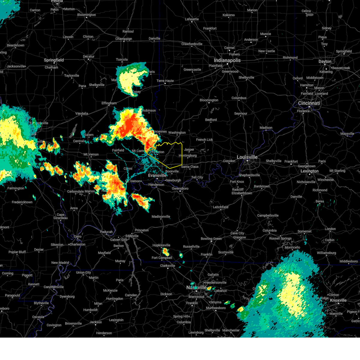 Svrpah the national weather service in paducah has issued a * severe thunderstorm warning for, northern warrick county in southwestern indiana, gibson county in southwestern indiana, pike county in southwestern indiana, * until 700 pm cdt/800 pm edt/. * at 540 pm cdt/640 pm edt/, a severe thunderstorm was located near mount carmel, moving southeast at 30 mph (radar indicated). Hazards include 70 mph wind gusts and nickel size hail. Expect considerable tree damage. Damage is likely to mobile homes, roofs, and outbuildings. Svrpah the national weather service in paducah has issued a * severe thunderstorm warning for, northern warrick county in southwestern indiana, gibson county in southwestern indiana, pike county in southwestern indiana, * until 700 pm cdt/800 pm edt/. * at 540 pm cdt/640 pm edt/, a severe thunderstorm was located near mount carmel, moving southeast at 30 mph (radar indicated). Hazards include 70 mph wind gusts and nickel size hail. Expect considerable tree damage. Damage is likely to mobile homes, roofs, and outbuildings.
|
| 7/30/2024 12:13 PM EDT |
 the severe thunderstorm warning has been cancelled and is no longer in effect the severe thunderstorm warning has been cancelled and is no longer in effect
|
| 7/30/2024 12:13 PM EDT |
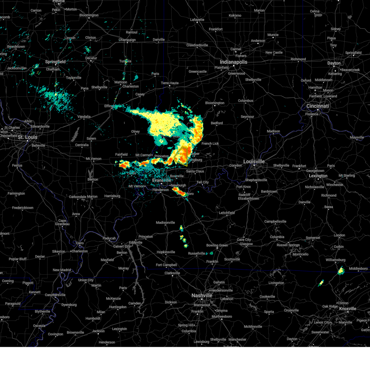 At 1213 pm edt, severe thunderstorms were located along a line extending from 6 miles southwest of shoals to 6 miles north of jasper to 6 miles east of winslow to oakland city, moving southeast at 45 mph (radar indicated). Hazards include 60 mph wind gusts. Expect damage to roofs, siding, and trees. Locations impacted include, winslow. At 1213 pm edt, severe thunderstorms were located along a line extending from 6 miles southwest of shoals to 6 miles north of jasper to 6 miles east of winslow to oakland city, moving southeast at 45 mph (radar indicated). Hazards include 60 mph wind gusts. Expect damage to roofs, siding, and trees. Locations impacted include, winslow.
|
| 7/30/2024 12:05 PM EDT | Late report. tree down on state route 364 near winslo in pike county IN, 0.3 miles NW of Winslow, IN |
| 7/30/2024 11:51 AM EDT |
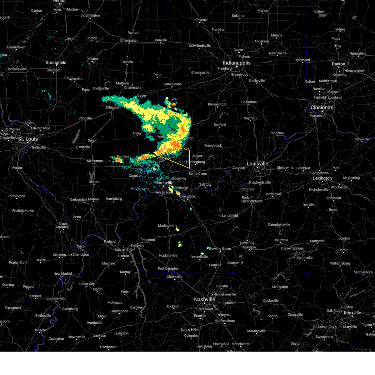 Svrpah the national weather service in paducah has issued a * severe thunderstorm warning for, northeastern gibson county in southwestern indiana, pike county in southwestern indiana, * until 1130 am cdt/1230 pm edt/. * at 1051 am cdt/1151 am edt/, severe thunderstorms were located along a line extending from near washington to near petersburg to near patoka, moving southeast at 50 mph (radar indicated). Hazards include 60 mph wind gusts. expect damage to roofs, siding, and trees Svrpah the national weather service in paducah has issued a * severe thunderstorm warning for, northeastern gibson county in southwestern indiana, pike county in southwestern indiana, * until 1130 am cdt/1230 pm edt/. * at 1051 am cdt/1151 am edt/, severe thunderstorms were located along a line extending from near washington to near petersburg to near patoka, moving southeast at 50 mph (radar indicated). Hazards include 60 mph wind gusts. expect damage to roofs, siding, and trees
|
| 7/9/2024 7:26 PM EDT |
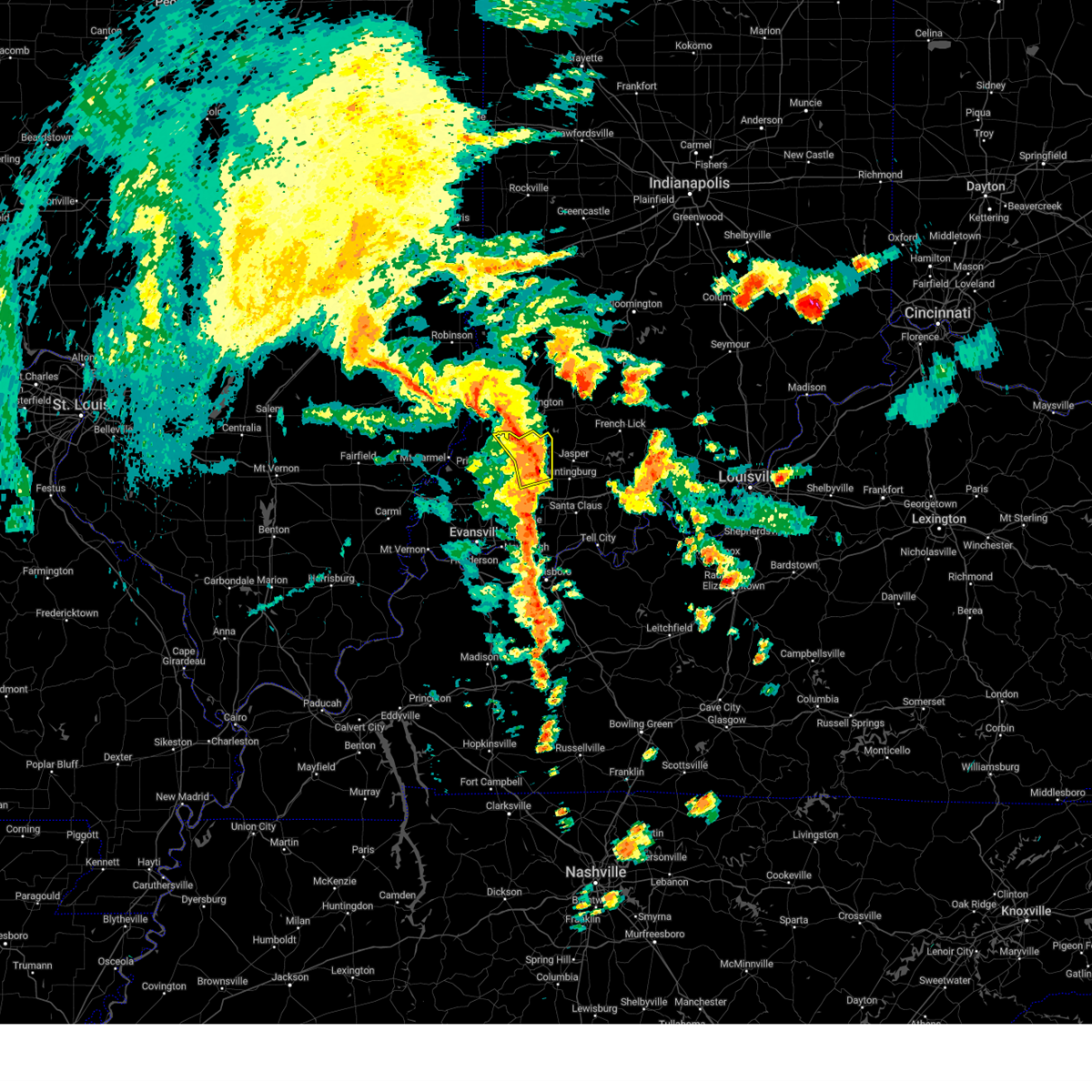 The storms which prompted the warning have weakened below severe limits, and no longer pose an immediate threat to life or property. therefore, the warning will be allowed to expire. however, gusty winds are still possible with these thunderstorms. a tornado watch remains in effect until midnight edt for southwestern indiana. The storms which prompted the warning have weakened below severe limits, and no longer pose an immediate threat to life or property. therefore, the warning will be allowed to expire. however, gusty winds are still possible with these thunderstorms. a tornado watch remains in effect until midnight edt for southwestern indiana.
|
| 7/9/2024 7:12 PM EDT |
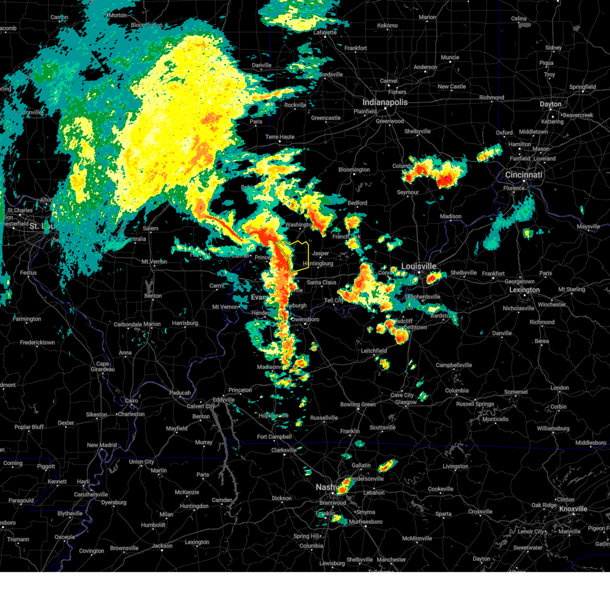 the severe thunderstorm warning has been cancelled and is no longer in effect the severe thunderstorm warning has been cancelled and is no longer in effect
|
| 7/9/2024 7:12 PM EDT |
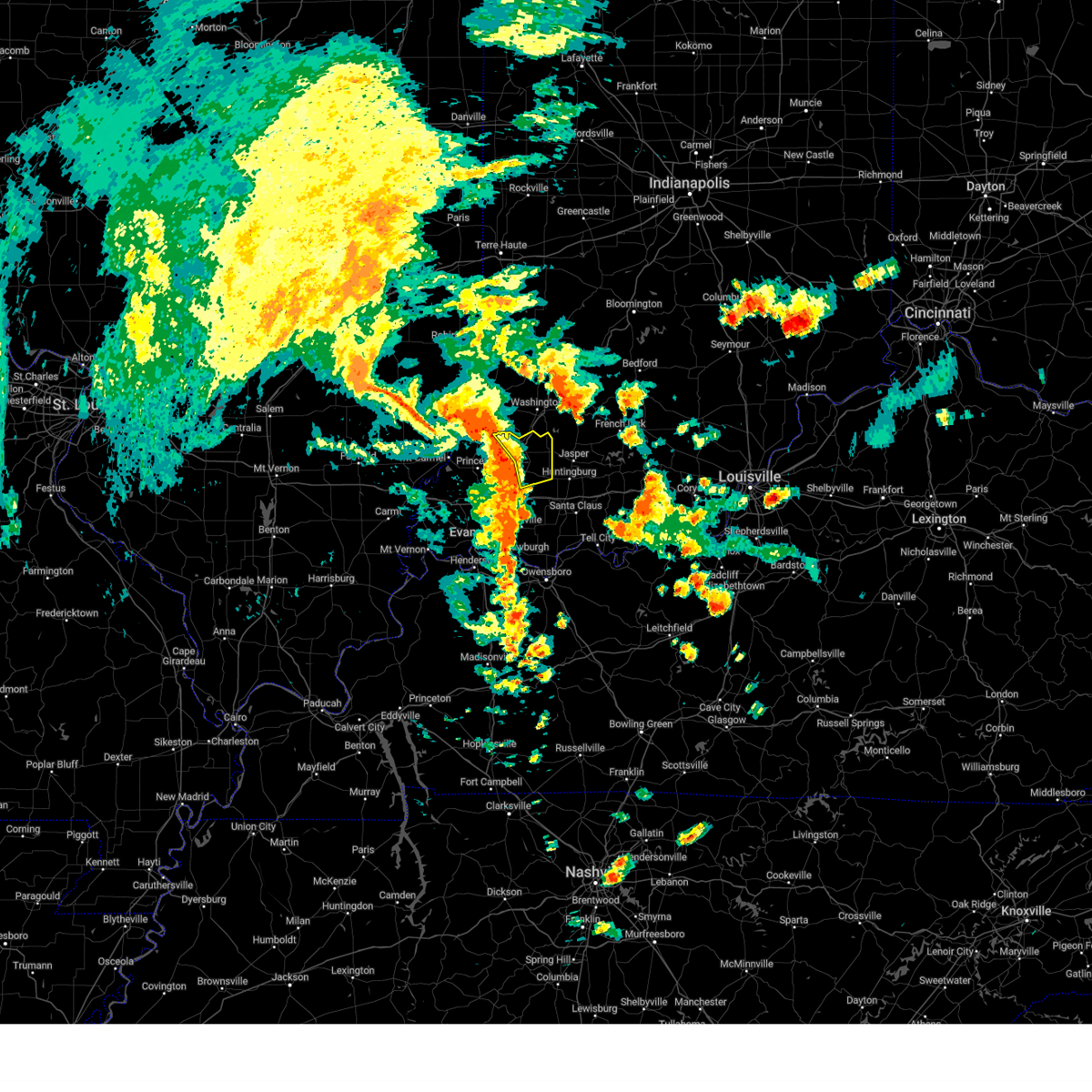 At 712 pm edt, severe thunderstorms were located along a line extending from 6 miles southeast of vincennes to near petersburg to near oakland city, moving northeast at 40 mph (radar indicated). Hazards include 60 mph wind gusts. Expect damage to roofs, siding, and trees. locations impacted include, petersburg, winslow, and spurgeon. This includes interstate 69 in indiana between mile markers 40 and 52. At 712 pm edt, severe thunderstorms were located along a line extending from 6 miles southeast of vincennes to near petersburg to near oakland city, moving northeast at 40 mph (radar indicated). Hazards include 60 mph wind gusts. Expect damage to roofs, siding, and trees. locations impacted include, petersburg, winslow, and spurgeon. This includes interstate 69 in indiana between mile markers 40 and 52.
|
| 7/9/2024 6:55 PM EDT |
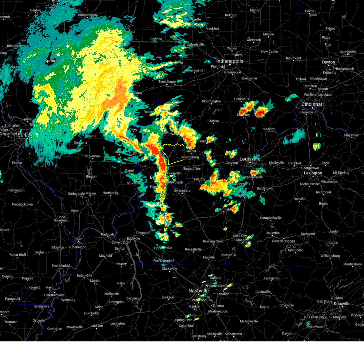 Svrpah the national weather service in paducah has issued a * severe thunderstorm warning for, northeastern gibson county in southwestern indiana, pike county in southwestern indiana, * until 630 pm cdt/730 pm edt/. * at 555 pm cdt/655 pm edt/, severe thunderstorms were located along a line extending from 6 miles north of patoka to near oakland city to near lynnville, moving northeast at 40 mph (radar indicated). Hazards include 60 mph wind gusts. expect damage to roofs, siding, and trees Svrpah the national weather service in paducah has issued a * severe thunderstorm warning for, northeastern gibson county in southwestern indiana, pike county in southwestern indiana, * until 630 pm cdt/730 pm edt/. * at 555 pm cdt/655 pm edt/, severe thunderstorms were located along a line extending from 6 miles north of patoka to near oakland city to near lynnville, moving northeast at 40 mph (radar indicated). Hazards include 60 mph wind gusts. expect damage to roofs, siding, and trees
|
| 6/17/2024 7:14 PM EDT |
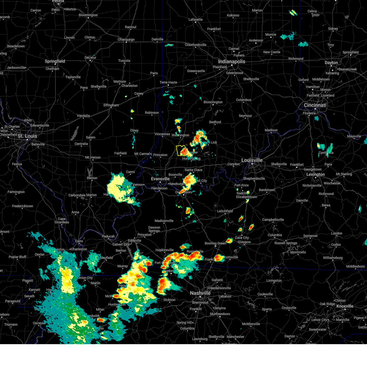 At 713 pm edt, a severe thunderstorm was located near winslow, or 9 miles east of petersburg, moving north at 25 mph (radar indicated). Hazards include 60 mph wind gusts and nickel size hail. Expect damage to roofs, siding, and trees. locations impacted include, winslow. This includes interstate 69 in indiana between mile markers 48 and 51. At 713 pm edt, a severe thunderstorm was located near winslow, or 9 miles east of petersburg, moving north at 25 mph (radar indicated). Hazards include 60 mph wind gusts and nickel size hail. Expect damage to roofs, siding, and trees. locations impacted include, winslow. This includes interstate 69 in indiana between mile markers 48 and 51.
|
| 6/17/2024 6:59 PM EDT |
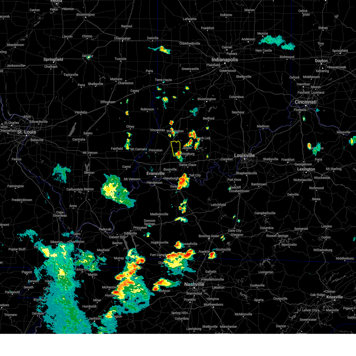 Svrpah the national weather service in paducah has issued a * severe thunderstorm warning for, eastern pike county in southwestern indiana, * until 730 pm edt. * at 659 pm edt, a severe thunderstorm was located near winslow, or 11 miles east of oakland city, moving north at 25 mph (radar indicated). Hazards include 60 mph wind gusts and penny size hail. expect damage to roofs, siding, and trees Svrpah the national weather service in paducah has issued a * severe thunderstorm warning for, eastern pike county in southwestern indiana, * until 730 pm edt. * at 659 pm edt, a severe thunderstorm was located near winslow, or 11 miles east of oakland city, moving north at 25 mph (radar indicated). Hazards include 60 mph wind gusts and penny size hail. expect damage to roofs, siding, and trees
|
| 5/26/2024 9:20 PM CDT |
 The storms which prompted the warning have moved out of the area. therefore, the warning will be allowed to expire. a tornado watch remains in effect until 100 am cdt/200 am edt/ for southwestern indiana, and northwestern kentucky. The storms which prompted the warning have moved out of the area. therefore, the warning will be allowed to expire. a tornado watch remains in effect until 100 am cdt/200 am edt/ for southwestern indiana, and northwestern kentucky.
|
| 5/26/2024 10:19 PM EDT |
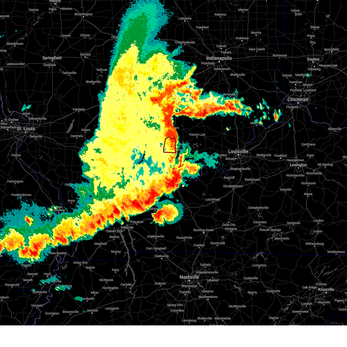 the tornado warning has been cancelled and is no longer in effect the tornado warning has been cancelled and is no longer in effect
|
| 5/26/2024 10:09 PM EDT |
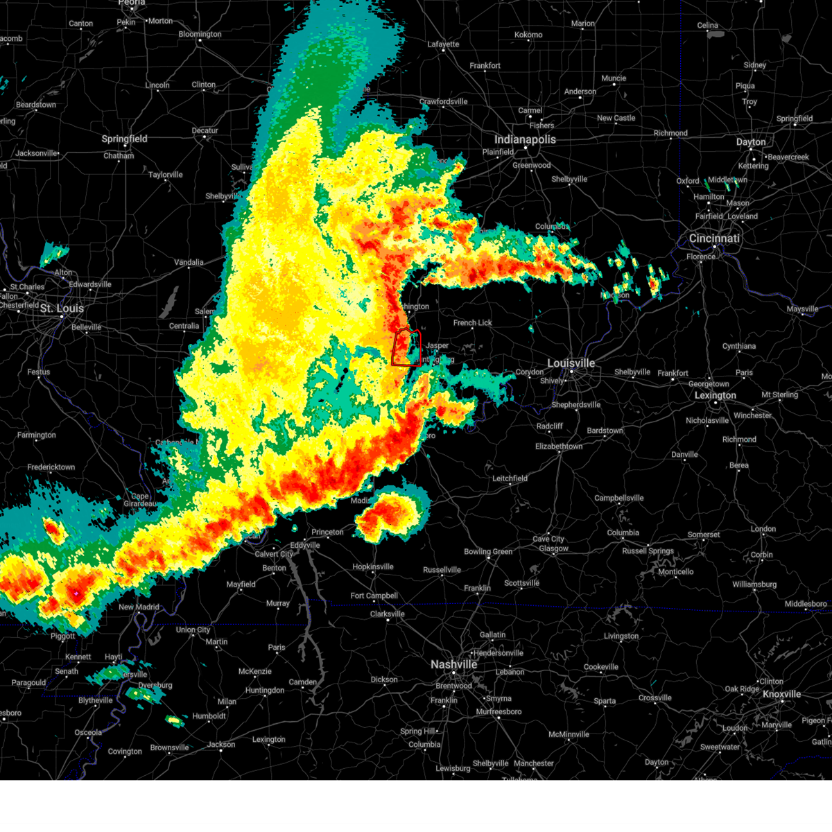 the tornado warning has been cancelled and is no longer in effect the tornado warning has been cancelled and is no longer in effect
|
| 5/26/2024 10:09 PM EDT |
 At 1009 pm edt, a severe squall line capable of producing both tornadoes and extensive straight line wind damage was located along a line extending from near petersburg to near winslow, moving east at 60 mph (radar indicated rotation). Hazards include tornado. Flying debris will be dangerous to those caught without shelter. mobile homes will be damaged or destroyed. damage to roofs, windows, and vehicles will occur. tree damage is likely. these tornadic storms will remain over mainly rural areas of eastern pike county. This includes interstate 69 in indiana between mile markers 43 and 52. At 1009 pm edt, a severe squall line capable of producing both tornadoes and extensive straight line wind damage was located along a line extending from near petersburg to near winslow, moving east at 60 mph (radar indicated rotation). Hazards include tornado. Flying debris will be dangerous to those caught without shelter. mobile homes will be damaged or destroyed. damage to roofs, windows, and vehicles will occur. tree damage is likely. these tornadic storms will remain over mainly rural areas of eastern pike county. This includes interstate 69 in indiana between mile markers 43 and 52.
|
| 5/26/2024 9:07 PM CDT |
 the severe thunderstorm warning has been cancelled and is no longer in effect the severe thunderstorm warning has been cancelled and is no longer in effect
|
| 5/26/2024 9:07 PM CDT |
 At 907 pm cdt/1007 pm edt/, severe thunderstorms were located along a line extending from near petersburg to near lynnville to 6 miles northeast of henderson, moving east at 55 mph (radar indicated). Hazards include 60 mph wind gusts and quarter size hail. Hail damage to vehicles is expected. expect wind damage to roofs, siding, and trees. locations impacted include, evansville, boonville, newburgh, chandler, oakland city, petersburg, lynnville, winslow, folsomville, somerville, tennyson, spurgeon, and mackey. this includes the following highways, interstate 69 in indiana between mile markers 2 and 12, and between mile markers 29 and 50. Interstate 64 in indiana between mile markers 33 and 54. At 907 pm cdt/1007 pm edt/, severe thunderstorms were located along a line extending from near petersburg to near lynnville to 6 miles northeast of henderson, moving east at 55 mph (radar indicated). Hazards include 60 mph wind gusts and quarter size hail. Hail damage to vehicles is expected. expect wind damage to roofs, siding, and trees. locations impacted include, evansville, boonville, newburgh, chandler, oakland city, petersburg, lynnville, winslow, folsomville, somerville, tennyson, spurgeon, and mackey. this includes the following highways, interstate 69 in indiana between mile markers 2 and 12, and between mile markers 29 and 50. Interstate 64 in indiana between mile markers 33 and 54.
|
| 5/26/2024 9:56 PM EDT |
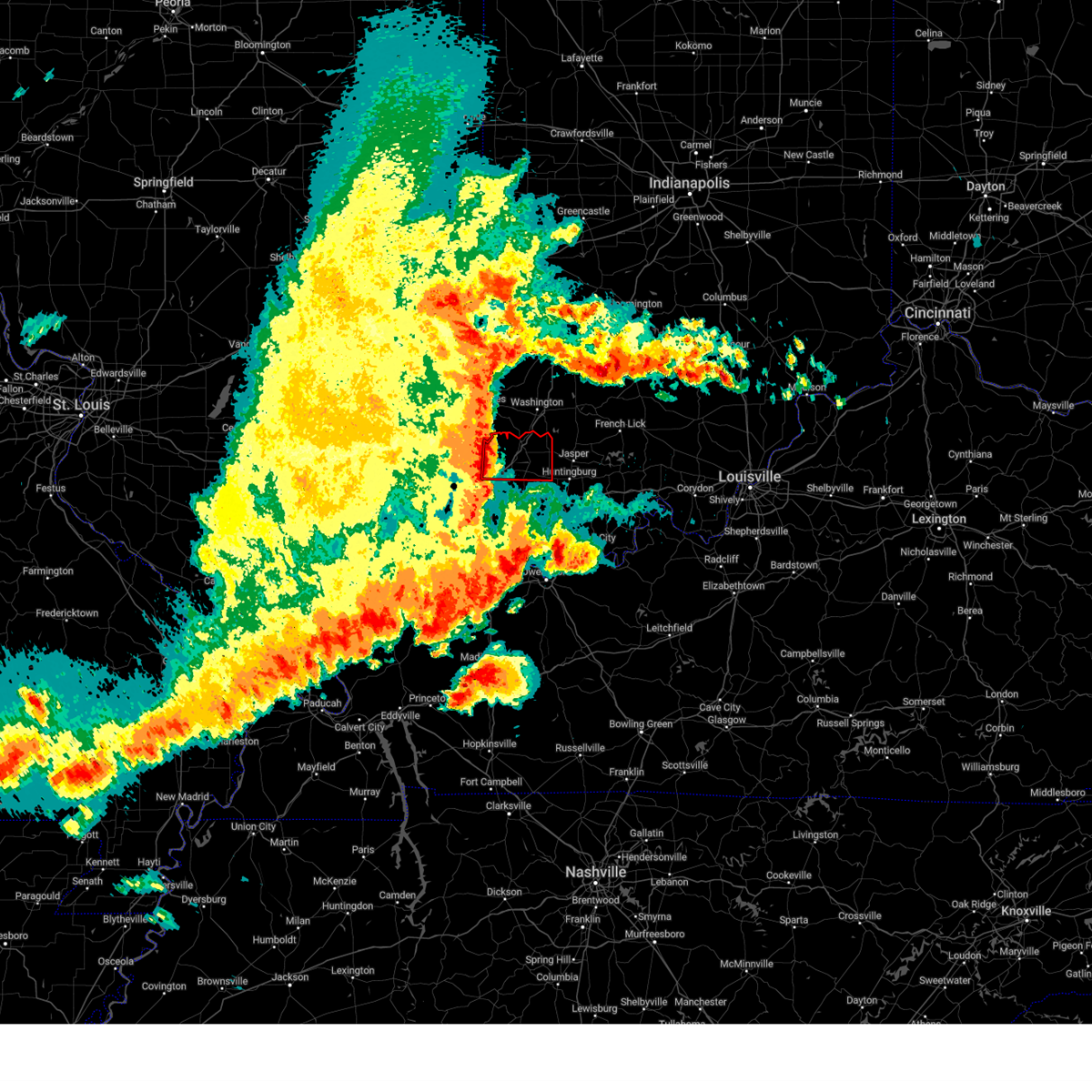 Torpah the national weather service in paducah has issued a * tornado warning for, northeastern gibson county in southwestern indiana, pike county in southwestern indiana, * until 930 pm cdt/1030 pm edt/. * at 855 pm cdt/955 pm edt/, severe thunderstorms capable of producing both tornadoes and extensive straight line wind damage were located along a line extending from 8 miles west of petersburg to near princeton, moving east at 55 mph (radar indicated rotation). Hazards include tornado. Flying debris will be dangerous to those caught without shelter. mobile homes will be damaged or destroyed. damage to roofs, windows, and vehicles will occur. tree damage is likely. these dangerous storms will be near, oakland city around 900 pm cdt. petersburg around 1000 pm edt. winslow around 1005 pm edt. other locations impacted by these tornadic storms include francisco. This includes interstate 69 in indiana between mile markers 31 and 52. Torpah the national weather service in paducah has issued a * tornado warning for, northeastern gibson county in southwestern indiana, pike county in southwestern indiana, * until 930 pm cdt/1030 pm edt/. * at 855 pm cdt/955 pm edt/, severe thunderstorms capable of producing both tornadoes and extensive straight line wind damage were located along a line extending from 8 miles west of petersburg to near princeton, moving east at 55 mph (radar indicated rotation). Hazards include tornado. Flying debris will be dangerous to those caught without shelter. mobile homes will be damaged or destroyed. damage to roofs, windows, and vehicles will occur. tree damage is likely. these dangerous storms will be near, oakland city around 900 pm cdt. petersburg around 1000 pm edt. winslow around 1005 pm edt. other locations impacted by these tornadic storms include francisco. This includes interstate 69 in indiana between mile markers 31 and 52.
|
| 5/26/2024 8:33 PM CDT |
 Svrpah the national weather service in paducah has issued a * severe thunderstorm warning for, southeastern white county in southeastern illinois, south central wabash county in southeastern illinois, warrick county in southwestern indiana, vanderburgh county in southwestern indiana, gibson county in southwestern indiana, posey county in southwestern indiana, pike county in southwestern indiana, * until 930 pm cdt/1030 pm edt/. * at 833 pm cdt/933 pm edt/, severe thunderstorms were located along a line extending from near lancaster to near new harmony to 8 miles west of mount vernon, moving east at 65 mph (radar indicated). Hazards include 70 mph wind gusts and quarter size hail. Hail damage to vehicles is expected. expect considerable tree damage. Wind damage is also likely to mobile homes, roofs, and outbuildings. Svrpah the national weather service in paducah has issued a * severe thunderstorm warning for, southeastern white county in southeastern illinois, south central wabash county in southeastern illinois, warrick county in southwestern indiana, vanderburgh county in southwestern indiana, gibson county in southwestern indiana, posey county in southwestern indiana, pike county in southwestern indiana, * until 930 pm cdt/1030 pm edt/. * at 833 pm cdt/933 pm edt/, severe thunderstorms were located along a line extending from near lancaster to near new harmony to 8 miles west of mount vernon, moving east at 65 mph (radar indicated). Hazards include 70 mph wind gusts and quarter size hail. Hail damage to vehicles is expected. expect considerable tree damage. Wind damage is also likely to mobile homes, roofs, and outbuildings.
|
| 5/8/2024 9:03 PM CDT |
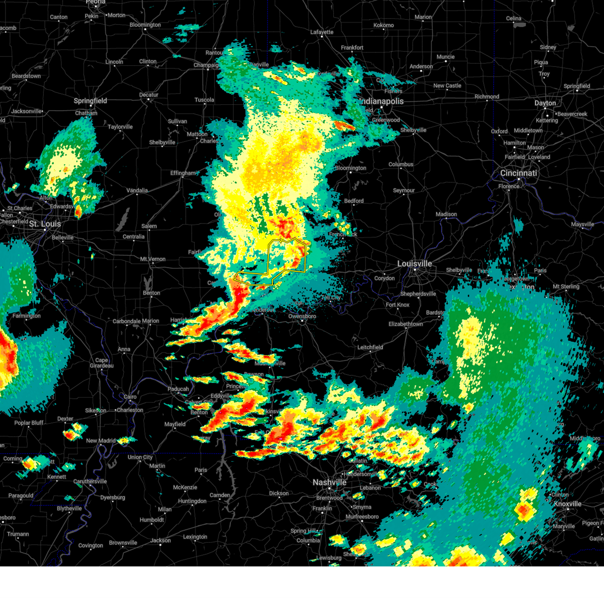 the severe thunderstorm warning has been cancelled and is no longer in effect the severe thunderstorm warning has been cancelled and is no longer in effect
|
| 5/8/2024 8:18 PM CDT |
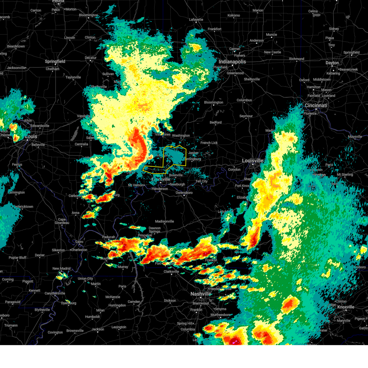 Svrpah the national weather service in paducah has issued a * severe thunderstorm warning for, northwestern warrick county in southwestern indiana, northern vanderburgh county in southwestern indiana, southeastern gibson county in southwestern indiana, northeastern posey county in southwestern indiana, pike county in southwestern indiana, * until 915 pm cdt/1015 pm edt/. * at 818 pm cdt/918 pm edt/, severe thunderstorms were located along a line extending from near patoka to near poseyville, moving east at 65 mph (radar indicated). Hazards include 60 mph wind gusts. expect damage to roofs, siding, and trees Svrpah the national weather service in paducah has issued a * severe thunderstorm warning for, northwestern warrick county in southwestern indiana, northern vanderburgh county in southwestern indiana, southeastern gibson county in southwestern indiana, northeastern posey county in southwestern indiana, pike county in southwestern indiana, * until 915 pm cdt/1015 pm edt/. * at 818 pm cdt/918 pm edt/, severe thunderstorms were located along a line extending from near patoka to near poseyville, moving east at 65 mph (radar indicated). Hazards include 60 mph wind gusts. expect damage to roofs, siding, and trees
|
| 4/18/2024 9:55 PM CDT |
 The storms which prompted the warning have weakened below severe limits, and no longer pose an immediate threat to life or property. therefore, the warning will be allowed to expire. however, gusty winds are still possible with these thunderstorms. a severe thunderstorm watch remains in effect until 200 am cdt/300 am edt/ for southwestern indiana, and northwestern kentucky. The storms which prompted the warning have weakened below severe limits, and no longer pose an immediate threat to life or property. therefore, the warning will be allowed to expire. however, gusty winds are still possible with these thunderstorms. a severe thunderstorm watch remains in effect until 200 am cdt/300 am edt/ for southwestern indiana, and northwestern kentucky.
|
| 4/18/2024 9:29 PM CDT |
 At 929 pm cdt/1029 pm edt/, severe thunderstorms were located along a line extending from near oakland city to near evansville, moving east at 30 mph (radar indicated). Hazards include 60 mph wind gusts and quarter size hail. Hail damage to vehicles is expected. expect wind damage to roofs, siding, and trees. locations impacted include, evansville, henderson, princeton, boonville, newburgh, chandler, fort branch, oakland city, petersburg, melody hill, haubstadt, darmstadt, lynnville, winslow, patoka, kasson, elberfeld, francisco, somerville, and hazleton. this includes the following highways, interstate 69 in indiana between mile markers 1 and 52. Interstate 64 in indiana between mile markers 18 and 45. At 929 pm cdt/1029 pm edt/, severe thunderstorms were located along a line extending from near oakland city to near evansville, moving east at 30 mph (radar indicated). Hazards include 60 mph wind gusts and quarter size hail. Hail damage to vehicles is expected. expect wind damage to roofs, siding, and trees. locations impacted include, evansville, henderson, princeton, boonville, newburgh, chandler, fort branch, oakland city, petersburg, melody hill, haubstadt, darmstadt, lynnville, winslow, patoka, kasson, elberfeld, francisco, somerville, and hazleton. this includes the following highways, interstate 69 in indiana between mile markers 1 and 52. Interstate 64 in indiana between mile markers 18 and 45.
|
| 4/18/2024 9:29 PM CDT |
 the severe thunderstorm warning has been cancelled and is no longer in effect the severe thunderstorm warning has been cancelled and is no longer in effect
|
| 4/18/2024 9:22 PM CDT |
 Svrpah the national weather service in paducah has issued a * severe thunderstorm warning for, warrick county in southwestern indiana, spencer county in southwestern indiana, pike county in southwestern indiana, * until 1000 pm cdt/1100 pm edt/. * at 921 pm cdt/1021 pm edt/, severe thunderstorms were located along a line extending from near petersburg to near melody hill, moving east at 60 mph (radar indicated). Hazards include 60 mph wind gusts and quarter size hail. Hail damage to vehicles is expected. Expect wind damage to roofs, siding, and trees. Svrpah the national weather service in paducah has issued a * severe thunderstorm warning for, warrick county in southwestern indiana, spencer county in southwestern indiana, pike county in southwestern indiana, * until 1000 pm cdt/1100 pm edt/. * at 921 pm cdt/1021 pm edt/, severe thunderstorms were located along a line extending from near petersburg to near melody hill, moving east at 60 mph (radar indicated). Hazards include 60 mph wind gusts and quarter size hail. Hail damage to vehicles is expected. Expect wind damage to roofs, siding, and trees.
|
| 4/18/2024 8:53 PM CDT |
 Svrpah the national weather service in paducah has issued a * severe thunderstorm warning for, southeastern white county in southeastern illinois, central wabash county in southeastern illinois, warrick county in southwestern indiana, vanderburgh county in southwestern indiana, gibson county in southwestern indiana, posey county in southwestern indiana, pike county in southwestern indiana, northern henderson county in northwestern kentucky, * until 945 pm cdt/1045 pm edt/. * at 853 pm cdt/953 pm edt/, severe thunderstorms were located along a line extending from near st. francisville to 9 miles south of carmi, moving east at 60 mph (radar indicated). Hazards include 60 mph wind gusts and quarter size hail. Hail damage to vehicles is expected. Expect wind damage to roofs, siding, and trees. Svrpah the national weather service in paducah has issued a * severe thunderstorm warning for, southeastern white county in southeastern illinois, central wabash county in southeastern illinois, warrick county in southwestern indiana, vanderburgh county in southwestern indiana, gibson county in southwestern indiana, posey county in southwestern indiana, pike county in southwestern indiana, northern henderson county in northwestern kentucky, * until 945 pm cdt/1045 pm edt/. * at 853 pm cdt/953 pm edt/, severe thunderstorms were located along a line extending from near st. francisville to 9 miles south of carmi, moving east at 60 mph (radar indicated). Hazards include 60 mph wind gusts and quarter size hail. Hail damage to vehicles is expected. Expect wind damage to roofs, siding, and trees.
|
| 4/2/2024 7:24 AM EDT |
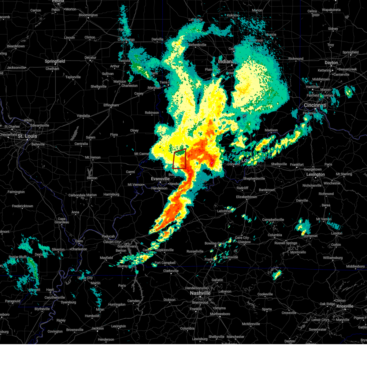 The storms which prompted the warning have weakened below severe limits, and have exited the warned area. therefore, the warning will be allowed to expire. a tornado watch remains in effect until 800 am cdt/900 am edt/ for southwestern indiana. The storms which prompted the warning have weakened below severe limits, and have exited the warned area. therefore, the warning will be allowed to expire. a tornado watch remains in effect until 800 am cdt/900 am edt/ for southwestern indiana.
|
| 4/2/2024 6:21 AM CDT |
 The storms which prompted the warning have moved out of the area. therefore, the warning will be allowed to expire. a tornado watch remains in effect until 800 am cdt/900 am edt/ for southeastern illinois, southwestern indiana, and northwestern kentucky. The storms which prompted the warning have moved out of the area. therefore, the warning will be allowed to expire. a tornado watch remains in effect until 800 am cdt/900 am edt/ for southeastern illinois, southwestern indiana, and northwestern kentucky.
|
| 4/2/2024 7:13 AM EDT |
 the tornado warning has been cancelled and is no longer in effect the tornado warning has been cancelled and is no longer in effect
|
| 4/2/2024 7:13 AM EDT |
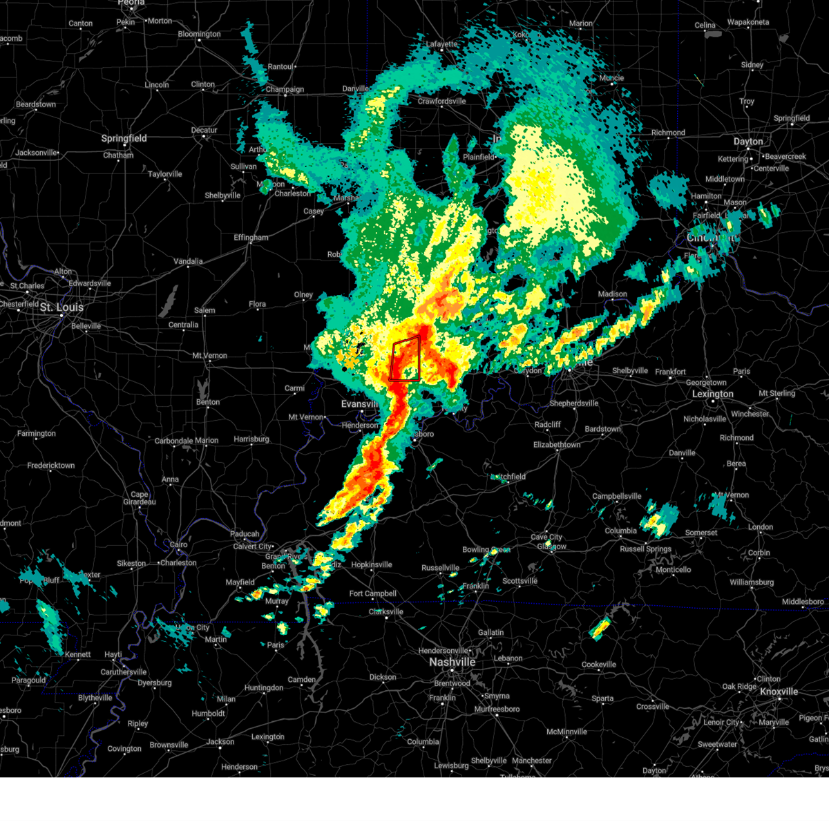 At 613 am cdt/713 am edt/, severe thunderstorms capable of producing tornadoes were located along a line extending from winslow to near lynnville, moving east at 55 mph (radar indicated rotation). Hazards include tornado. Flying debris will be dangerous to those caught without shelter. mobile homes will be damaged or destroyed. damage to roofs, windows, and vehicles will occur. tree damage is likely. these tornadic storms will remain over mainly rural areas of northeastern warrick and southeastern pike counties, including the following locations, spurgeon. This includes interstate 64 in indiana between mile markers 38 and 51. At 613 am cdt/713 am edt/, severe thunderstorms capable of producing tornadoes were located along a line extending from winslow to near lynnville, moving east at 55 mph (radar indicated rotation). Hazards include tornado. Flying debris will be dangerous to those caught without shelter. mobile homes will be damaged or destroyed. damage to roofs, windows, and vehicles will occur. tree damage is likely. these tornadic storms will remain over mainly rural areas of northeastern warrick and southeastern pike counties, including the following locations, spurgeon. This includes interstate 64 in indiana between mile markers 38 and 51.
|
| 4/2/2024 5:56 AM CDT |
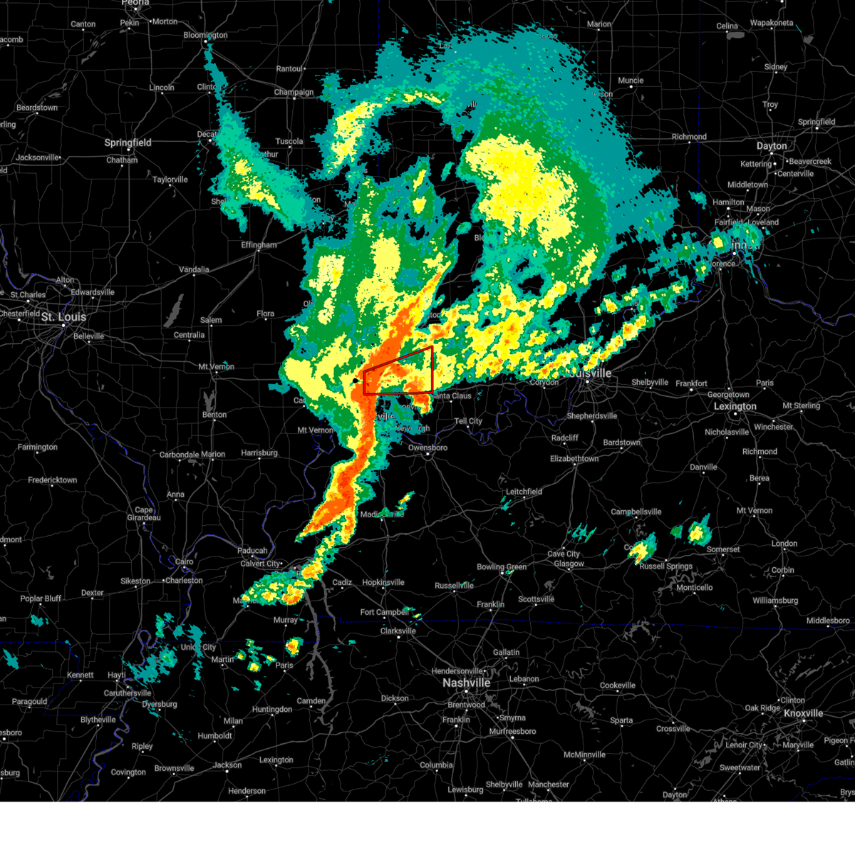 Torpah the national weather service in paducah has issued a * tornado warning for, northern warrick county in southwestern indiana, southeastern gibson county in southwestern indiana, pike county in southwestern indiana, * until 630 am cdt/730 am edt/. * at 555 am cdt/655 am edt/, a severe thunderstorm capable of producing a tornado was located over haubstadt, or near fort branch, moving east at 55 mph (radar indicated rotation). Hazards include tornado. Flying debris will be dangerous to those caught without shelter. mobile homes will be damaged or destroyed. damage to roofs, windows, and vehicles will occur. tree damage is likely. this dangerous storm will be near, fort branch and haubstadt around 600 am cdt. lynnville around 605 am cdt. other locations impacted by this tornadic thunderstorm include mackey, francisco, somerville, and spurgeon. this includes the following highways, interstate 69 in indiana between mile markers 22 and 40. Interstate 64 in indiana between mile markers 33 and 51. Torpah the national weather service in paducah has issued a * tornado warning for, northern warrick county in southwestern indiana, southeastern gibson county in southwestern indiana, pike county in southwestern indiana, * until 630 am cdt/730 am edt/. * at 555 am cdt/655 am edt/, a severe thunderstorm capable of producing a tornado was located over haubstadt, or near fort branch, moving east at 55 mph (radar indicated rotation). Hazards include tornado. Flying debris will be dangerous to those caught without shelter. mobile homes will be damaged or destroyed. damage to roofs, windows, and vehicles will occur. tree damage is likely. this dangerous storm will be near, fort branch and haubstadt around 600 am cdt. lynnville around 605 am cdt. other locations impacted by this tornadic thunderstorm include mackey, francisco, somerville, and spurgeon. this includes the following highways, interstate 69 in indiana between mile markers 22 and 40. Interstate 64 in indiana between mile markers 33 and 51.
|
| 4/2/2024 5:39 AM CDT |
 Svrpah the national weather service in paducah has issued a * severe thunderstorm warning for, warrick county in southwestern indiana, vanderburgh county in southwestern indiana, gibson county in southwestern indiana, posey county in southwestern indiana, pike county in southwestern indiana, * until 630 am cdt/730 am edt/. * at 538 am cdt/638 am edt/, severe thunderstorms were located along a line extending from near mount carmel to mount vernon, moving east at 60 mph (radar indicated). Hazards include 60 mph wind gusts. expect damage to roofs, siding, and trees Svrpah the national weather service in paducah has issued a * severe thunderstorm warning for, warrick county in southwestern indiana, vanderburgh county in southwestern indiana, gibson county in southwestern indiana, posey county in southwestern indiana, pike county in southwestern indiana, * until 630 am cdt/730 am edt/. * at 538 am cdt/638 am edt/, severe thunderstorms were located along a line extending from near mount carmel to mount vernon, moving east at 60 mph (radar indicated). Hazards include 60 mph wind gusts. expect damage to roofs, siding, and trees
|
| 3/30/2024 9:17 PM EDT |
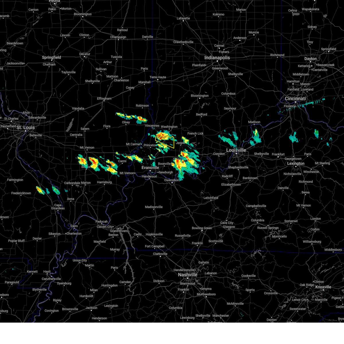 the severe thunderstorm warning has been cancelled and is no longer in effect the severe thunderstorm warning has been cancelled and is no longer in effect
|
| 3/30/2024 9:17 PM EDT |
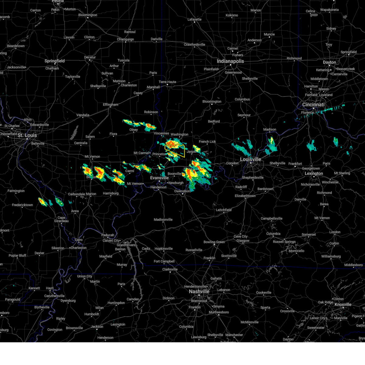 At 916 pm edt, a severe thunderstorm was located over petersburg, moving east at 40 mph (radar indicated). Hazards include 60 mph wind gusts and quarter size hail. Hail damage to vehicles is expected. expect wind damage to roofs, siding, and trees. locations impacted include, petersburg and winslow. This includes interstate 69 in indiana between mile markers 42 and 52. At 916 pm edt, a severe thunderstorm was located over petersburg, moving east at 40 mph (radar indicated). Hazards include 60 mph wind gusts and quarter size hail. Hail damage to vehicles is expected. expect wind damage to roofs, siding, and trees. locations impacted include, petersburg and winslow. This includes interstate 69 in indiana between mile markers 42 and 52.
|
| 3/30/2024 9:04 PM EDT |
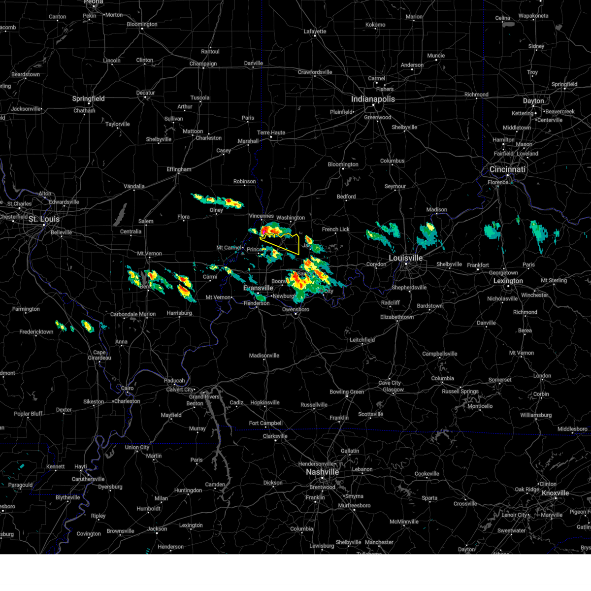 Svrpah the national weather service in paducah has issued a * severe thunderstorm warning for, northeastern gibson county in southwestern indiana, northern pike county in southwestern indiana, * until 845 pm cdt/945 pm edt/. * at 803 pm cdt/903 pm edt/, a severe thunderstorm was located 8 miles south of vincennes, moving east at 40 mph (emergency management). Hazards include 60 mph wind gusts and half dollar size hail. Hail damage to vehicles is expected. Expect wind damage to roofs, siding, and trees. Svrpah the national weather service in paducah has issued a * severe thunderstorm warning for, northeastern gibson county in southwestern indiana, northern pike county in southwestern indiana, * until 845 pm cdt/945 pm edt/. * at 803 pm cdt/903 pm edt/, a severe thunderstorm was located 8 miles south of vincennes, moving east at 40 mph (emergency management). Hazards include 60 mph wind gusts and half dollar size hail. Hail damage to vehicles is expected. Expect wind damage to roofs, siding, and trees.
|
| 3/14/2024 9:32 PM CDT |
 At 931 pm cdt/1031 pm edt/, severe thunderstorms were located along a line extending from 7 miles east of washington to 6 miles southeast of winslow to evansville, moving east at 55 mph (radar indicated). Hazards include 60 mph wind gusts and quarter size hail. Hail damage to vehicles is expected. expect wind damage to roofs, siding, and trees. locations impacted include, evansville, boonville, newburgh, chandler, melody hill, dale, lynnville, winslow, santa claus, folsomville, eureka, elberfeld, chrisney, tennyson, gentryville, and spurgeon. this includes the following highways, interstate 69 in indiana between mile markers 1 and 18. Interstate 64 in indiana between mile markers 32 and 60. At 931 pm cdt/1031 pm edt/, severe thunderstorms were located along a line extending from 7 miles east of washington to 6 miles southeast of winslow to evansville, moving east at 55 mph (radar indicated). Hazards include 60 mph wind gusts and quarter size hail. Hail damage to vehicles is expected. expect wind damage to roofs, siding, and trees. locations impacted include, evansville, boonville, newburgh, chandler, melody hill, dale, lynnville, winslow, santa claus, folsomville, eureka, elberfeld, chrisney, tennyson, gentryville, and spurgeon. this includes the following highways, interstate 69 in indiana between mile markers 1 and 18. Interstate 64 in indiana between mile markers 32 and 60.
|
| 3/14/2024 10:29 PM EDT |
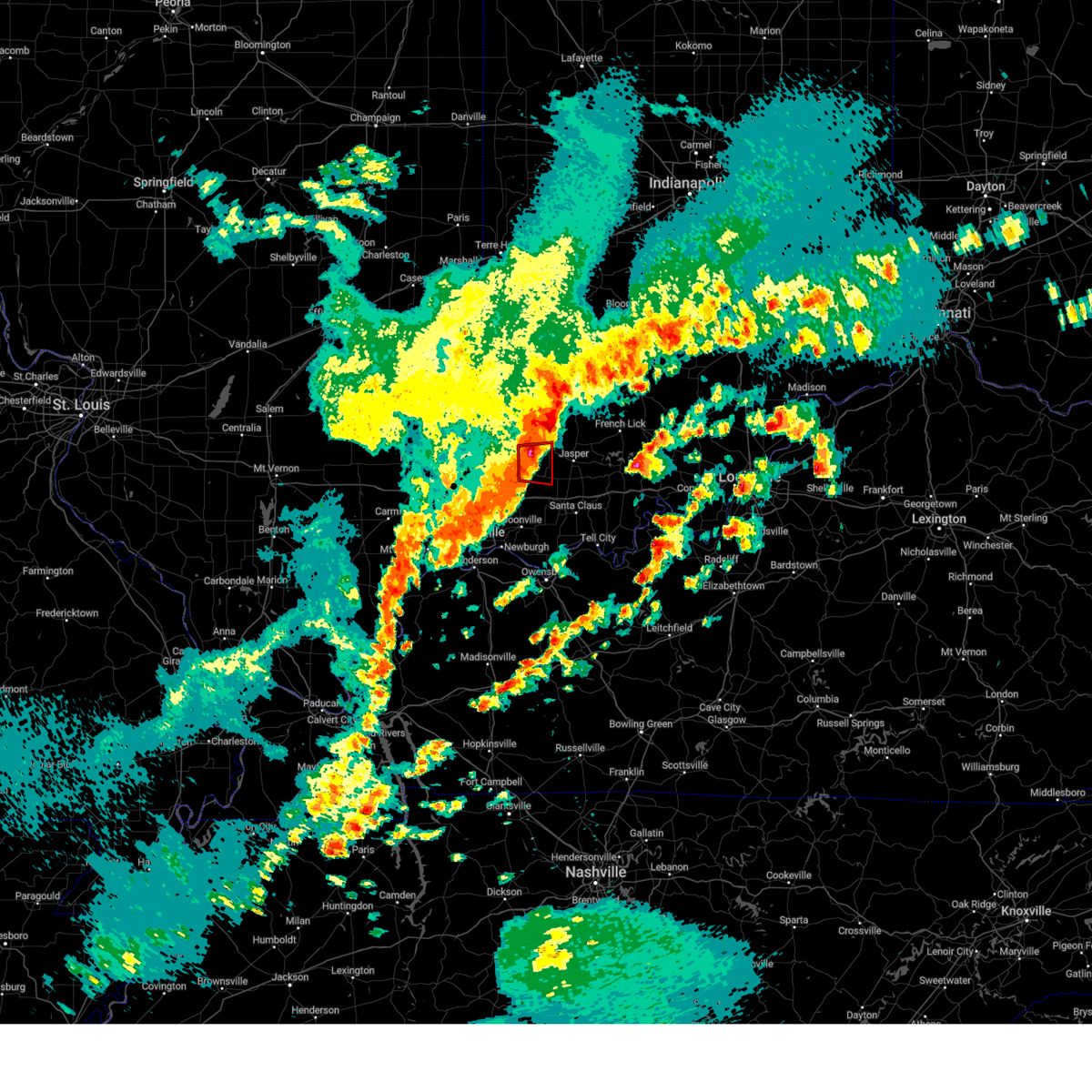 The storm which prompted the warning has moved out of the area. therefore, the warning will be allowed to expire. a tornado watch remains in effect until 100 am edt for southwestern indiana. The storm which prompted the warning has moved out of the area. therefore, the warning will be allowed to expire. a tornado watch remains in effect until 100 am edt for southwestern indiana.
|
| 3/14/2024 9:19 PM CDT |
 At 919 pm cdt/1019 pm edt/, severe thunderstorms were located along a line extending from washington to oakland city to near kasson, moving east at 55 mph (radar indicated). Hazards include 60 mph wind gusts and quarter size hail. Hail damage to vehicles is expected. expect wind damage to roofs, siding, and trees. locations impacted include, evansville, mount vernon, boonville, newburgh, chandler, fort branch, oakland city, petersburg, melody hill, dale, haubstadt, darmstadt, lynnville, winslow, santa claus, folsomville, eureka, kasson, blairsville, and elberfeld. this includes the following highways, interstate 69 in indiana between mile markers 1 and 52. Interstate 64 in indiana between mile markers 20 and 60. At 919 pm cdt/1019 pm edt/, severe thunderstorms were located along a line extending from washington to oakland city to near kasson, moving east at 55 mph (radar indicated). Hazards include 60 mph wind gusts and quarter size hail. Hail damage to vehicles is expected. expect wind damage to roofs, siding, and trees. locations impacted include, evansville, mount vernon, boonville, newburgh, chandler, fort branch, oakland city, petersburg, melody hill, dale, haubstadt, darmstadt, lynnville, winslow, santa claus, folsomville, eureka, kasson, blairsville, and elberfeld. this includes the following highways, interstate 69 in indiana between mile markers 1 and 52. Interstate 64 in indiana between mile markers 20 and 60.
|
| 3/14/2024 10:16 PM EDT |
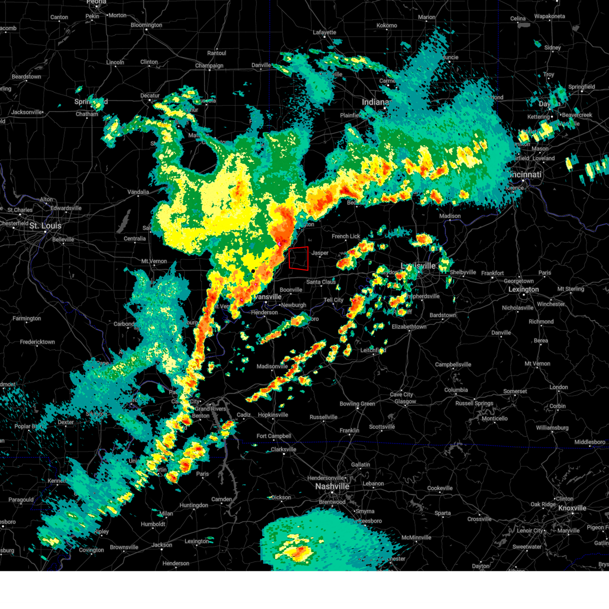 Torpah the national weather service in paducah has issued a * tornado warning for, eastern pike county in southwestern indiana, * until 1030 pm edt. * at 1016 pm edt, a severe thunderstorm capable of producing a tornado was located over winslow, or 8 miles east of oakland city, moving east at 55 mph (radar indicated rotation). Hazards include tornado. Flying debris will be dangerous to those caught without shelter. mobile homes will be damaged or destroyed. damage to roofs, windows, and vehicles will occur. tree damage is likely. this tornadic thunderstorm will remain over mainly rural areas of eastern pike county. This includes interstate 69 in indiana between mile markers 43 and 45. Torpah the national weather service in paducah has issued a * tornado warning for, eastern pike county in southwestern indiana, * until 1030 pm edt. * at 1016 pm edt, a severe thunderstorm capable of producing a tornado was located over winslow, or 8 miles east of oakland city, moving east at 55 mph (radar indicated rotation). Hazards include tornado. Flying debris will be dangerous to those caught without shelter. mobile homes will be damaged or destroyed. damage to roofs, windows, and vehicles will occur. tree damage is likely. this tornadic thunderstorm will remain over mainly rural areas of eastern pike county. This includes interstate 69 in indiana between mile markers 43 and 45.
|
| 3/14/2024 8:56 PM CDT |
 Svrpah the national weather service in paducah has issued a * severe thunderstorm warning for, warrick county in southwestern indiana, vanderburgh county in southwestern indiana, central spencer county in southwestern indiana, gibson county in southwestern indiana, posey county in southwestern indiana, pike county in southwestern indiana, * until 945 pm cdt/1045 pm edt/. * at 855 pm cdt/955 pm edt/, severe thunderstorms were located along a line extending from near vincennes to near princeton to 7 miles west of mount vernon, moving east at 50 mph (radar indicated). Hazards include 60 mph wind gusts and quarter size hail. Hail damage to vehicles is expected. Expect wind damage to roofs, siding, and trees. Svrpah the national weather service in paducah has issued a * severe thunderstorm warning for, warrick county in southwestern indiana, vanderburgh county in southwestern indiana, central spencer county in southwestern indiana, gibson county in southwestern indiana, posey county in southwestern indiana, pike county in southwestern indiana, * until 945 pm cdt/1045 pm edt/. * at 855 pm cdt/955 pm edt/, severe thunderstorms were located along a line extending from near vincennes to near princeton to 7 miles west of mount vernon, moving east at 50 mph (radar indicated). Hazards include 60 mph wind gusts and quarter size hail. Hail damage to vehicles is expected. Expect wind damage to roofs, siding, and trees.
|
| 8/7/2023 12:40 AM EDT |
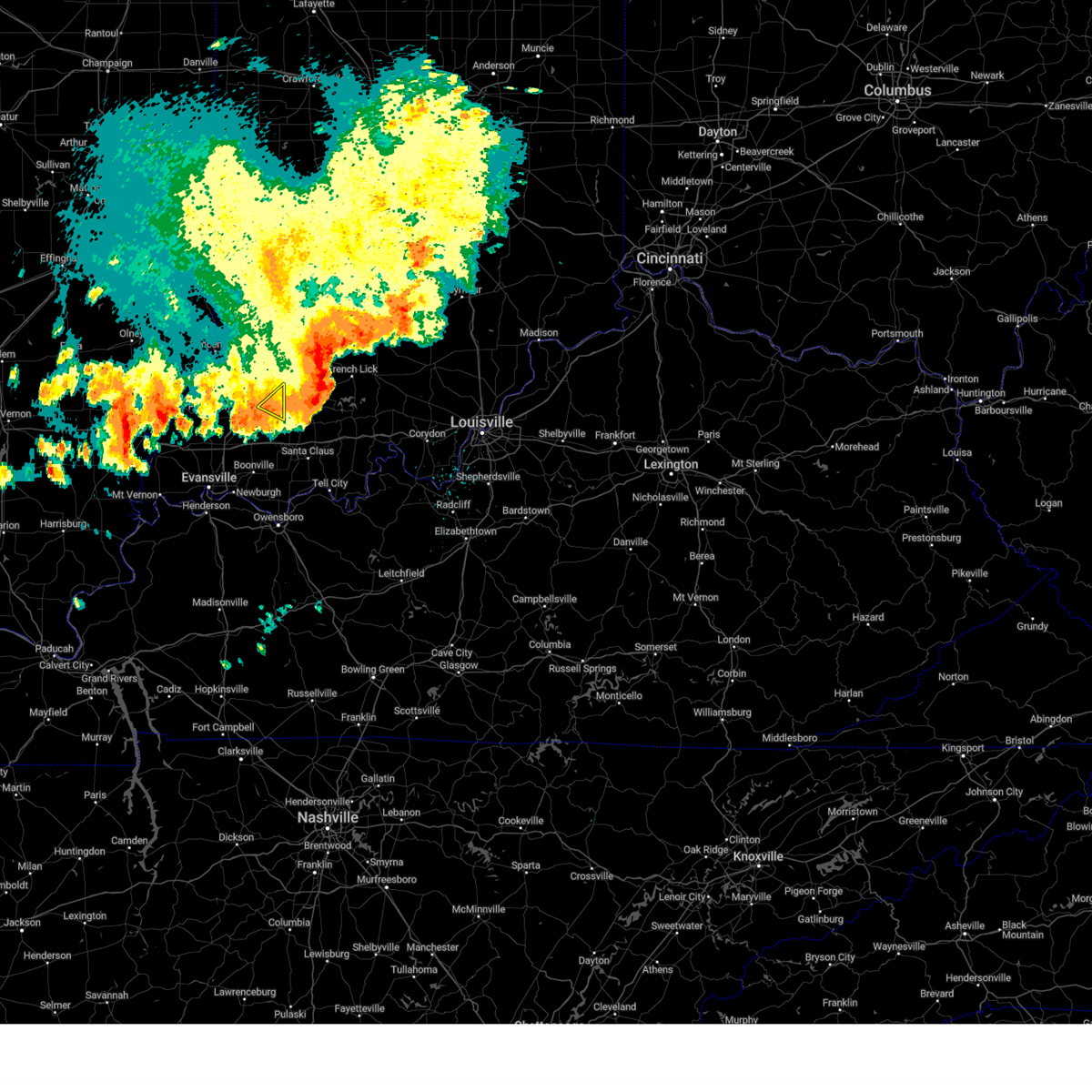 The severe thunderstorm warning for east central pike county will expire at 1245 am edt, the storm which prompted the warning has moved out of the area. therefore, the warning will be allowed to expire. however gusty winds are still possible with this thunderstorm. a tornado watch remains in effect until 500 am edt for southwestern indiana. The severe thunderstorm warning for east central pike county will expire at 1245 am edt, the storm which prompted the warning has moved out of the area. therefore, the warning will be allowed to expire. however gusty winds are still possible with this thunderstorm. a tornado watch remains in effect until 500 am edt for southwestern indiana.
|
| 8/7/2023 12:31 AM EDT |
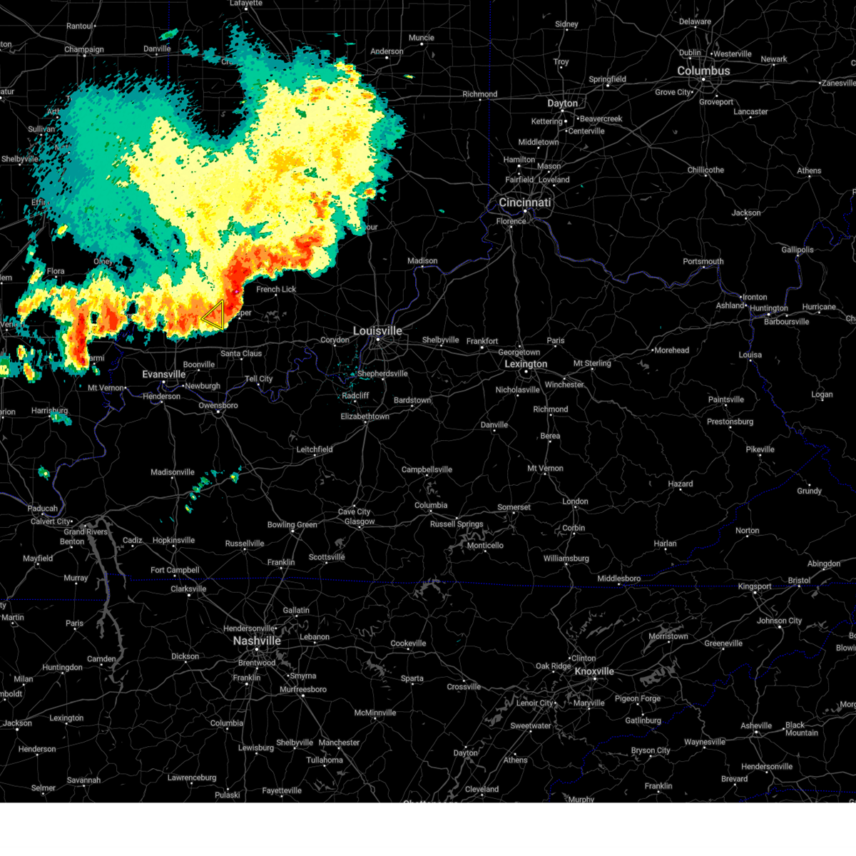 At 1231 am edt, a severe thunderstorm was located near jasper, or 13 miles southeast of petersburg, moving east at 40 mph (radar indicated). Hazards include 60 mph wind gusts. Expect damage to roofs, siding, and trees. locations impacted include, winslow. hail threat, radar indicated max hail size, <. 75 in wind threat, radar indicated max wind gust, 60 mph. At 1231 am edt, a severe thunderstorm was located near jasper, or 13 miles southeast of petersburg, moving east at 40 mph (radar indicated). Hazards include 60 mph wind gusts. Expect damage to roofs, siding, and trees. locations impacted include, winslow. hail threat, radar indicated max hail size, <. 75 in wind threat, radar indicated max wind gust, 60 mph.
|
| 8/7/2023 12:18 AM EDT |
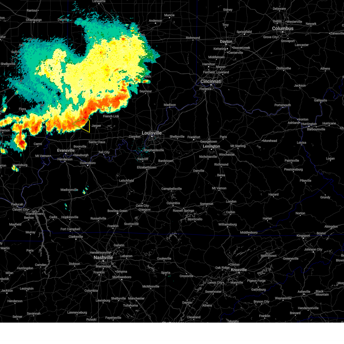 At 1217 am edt, a severe thunderstorm was located 7 miles east of petersburg, moving east at 40 mph (radar indicated). Hazards include 60 mph wind gusts. expect damage to roofs, siding, and trees At 1217 am edt, a severe thunderstorm was located 7 miles east of petersburg, moving east at 40 mph (radar indicated). Hazards include 60 mph wind gusts. expect damage to roofs, siding, and trees
|
| 7/1/2023 8:17 PM EDT |
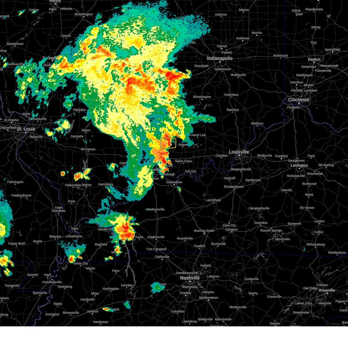 At 717 pm cdt/817 pm edt/, a severe thunderstorm was located 9 miles east of petersburg, moving east at 70 mph (radar indicated). Hazards include 70 mph wind gusts. Expect considerable tree damage. damage is likely to mobile homes, roofs, and outbuildings. locations impacted include, petersburg and winslow. this includes interstate 69 in indiana between mile markers 37 and 52. thunderstorm damage threat, considerable hail threat, radar indicated max hail size, <. 75 in wind threat, radar indicated max wind gust, 70 mph. At 717 pm cdt/817 pm edt/, a severe thunderstorm was located 9 miles east of petersburg, moving east at 70 mph (radar indicated). Hazards include 70 mph wind gusts. Expect considerable tree damage. damage is likely to mobile homes, roofs, and outbuildings. locations impacted include, petersburg and winslow. this includes interstate 69 in indiana between mile markers 37 and 52. thunderstorm damage threat, considerable hail threat, radar indicated max hail size, <. 75 in wind threat, radar indicated max wind gust, 70 mph.
|
| 7/1/2023 8:16 PM EDT |
 At 716 pm cdt/816 pm edt/, severe thunderstorms were located along a line extending from near petersburg to lynnville to boonville, moving northeast at 70 mph (radar indicated). Hazards include 70 mph wind gusts. Expect considerable tree damage. damage is likely to mobile homes, roofs, and outbuildings. locations impacted include, boonville, oakland city, petersburg, lynnville, winslow, folsomville, somerville, spurgeon and mackey. this includes the following highways, interstate 69 in indiana between mile markers 35 and 52. interstate 64 in indiana between mile markers 35 and 52. thunderstorm damage threat, considerable hail threat, radar indicated max hail size, <. 75 in wind threat, radar indicated max wind gust, 70 mph. At 716 pm cdt/816 pm edt/, severe thunderstorms were located along a line extending from near petersburg to lynnville to boonville, moving northeast at 70 mph (radar indicated). Hazards include 70 mph wind gusts. Expect considerable tree damage. damage is likely to mobile homes, roofs, and outbuildings. locations impacted include, boonville, oakland city, petersburg, lynnville, winslow, folsomville, somerville, spurgeon and mackey. this includes the following highways, interstate 69 in indiana between mile markers 35 and 52. interstate 64 in indiana between mile markers 35 and 52. thunderstorm damage threat, considerable hail threat, radar indicated max hail size, <. 75 in wind threat, radar indicated max wind gust, 70 mph.
|
| 7/1/2023 8:08 PM EDT |
 At 708 pm cdt/808 pm edt/, severe thunderstorms were located along a line extending from 8 miles east of patoka to 6 miles north of chandler to newburgh, moving northeast at 70 mph (radar indicated). Hazards include 70 mph wind gusts. Expect considerable tree damage. damage is likely to mobile homes, roofs, and outbuildings. locations impacted include, evansville, princeton, boonville, newburgh, chandler, fort branch, oakland city, petersburg, melody hill, haubstadt, lynnville, winslow, patoka, folsomville, elberfeld, francisco, somerville, hazleton, spurgeon and mackey. this includes the following highways, interstate 69 in indiana near mile marker 2, and between mile markers 7 and 52. interstate 64 in indiana between mile markers 25 and 52. thunderstorm damage threat, considerable hail threat, radar indicated max hail size, <. 75 in wind threat, radar indicated max wind gust, 70 mph. At 708 pm cdt/808 pm edt/, severe thunderstorms were located along a line extending from 8 miles east of patoka to 6 miles north of chandler to newburgh, moving northeast at 70 mph (radar indicated). Hazards include 70 mph wind gusts. Expect considerable tree damage. damage is likely to mobile homes, roofs, and outbuildings. locations impacted include, evansville, princeton, boonville, newburgh, chandler, fort branch, oakland city, petersburg, melody hill, haubstadt, lynnville, winslow, patoka, folsomville, elberfeld, francisco, somerville, hazleton, spurgeon and mackey. this includes the following highways, interstate 69 in indiana near mile marker 2, and between mile markers 7 and 52. interstate 64 in indiana between mile markers 25 and 52. thunderstorm damage threat, considerable hail threat, radar indicated max hail size, <. 75 in wind threat, radar indicated max wind gust, 70 mph.
|
| 7/1/2023 7:56 PM EDT |
 At 655 pm cdt/755 pm edt/, severe thunderstorms were located along a line extending from princeton to near evansville to near henderson, moving northeast at 70 mph (radar indicated). Hazards include 70 mph wind gusts. Expect considerable tree damage. Damage is likely to mobile homes, roofs, and outbuildings. At 655 pm cdt/755 pm edt/, severe thunderstorms were located along a line extending from princeton to near evansville to near henderson, moving northeast at 70 mph (radar indicated). Hazards include 70 mph wind gusts. Expect considerable tree damage. Damage is likely to mobile homes, roofs, and outbuildings.
|
| 7/1/2023 7:45 PM EDT |
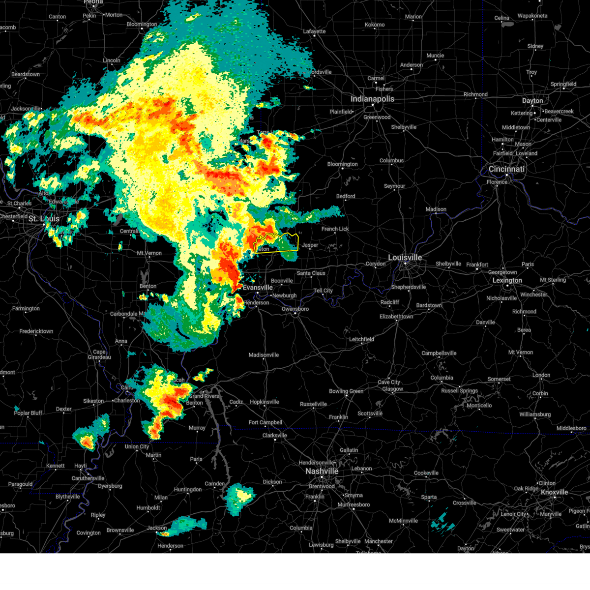 At 645 pm cdt/745 pm edt/, a severe thunderstorm was located near patoka, or near princeton, moving east at 70 mph (radar indicated). Hazards include 70 mph wind gusts. Expect considerable tree damage. Damage is likely to mobile homes, roofs, and outbuildings. At 645 pm cdt/745 pm edt/, a severe thunderstorm was located near patoka, or near princeton, moving east at 70 mph (radar indicated). Hazards include 70 mph wind gusts. Expect considerable tree damage. Damage is likely to mobile homes, roofs, and outbuildings.
|
| 7/1/2023 9:39 AM EDT |
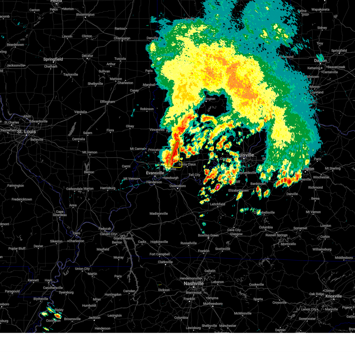 At 838 am cdt/938 am edt/, severe thunderstorms were located along a line extending from 10 miles southeast of washington to 6 miles east of winslow to near lynnville, moving east at 45 mph (radar indicated). Hazards include 60 mph wind gusts and nickel size hail. Expect damage to roofs, siding, and trees. locations impacted include, winslow, folsomville and spurgeon. this includes interstate 64 in indiana between mile markers 40 and 54. hail threat, radar indicated max hail size, 0. 88 in wind threat, radar indicated max wind gust, 60 mph. At 838 am cdt/938 am edt/, severe thunderstorms were located along a line extending from 10 miles southeast of washington to 6 miles east of winslow to near lynnville, moving east at 45 mph (radar indicated). Hazards include 60 mph wind gusts and nickel size hail. Expect damage to roofs, siding, and trees. locations impacted include, winslow, folsomville and spurgeon. this includes interstate 64 in indiana between mile markers 40 and 54. hail threat, radar indicated max hail size, 0. 88 in wind threat, radar indicated max wind gust, 60 mph.
|
| 7/1/2023 9:27 AM EDT |
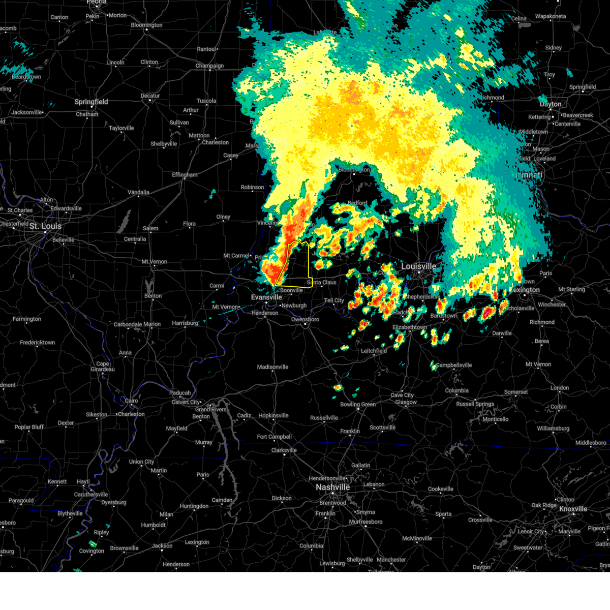 At 826 am cdt/926 am edt/, severe thunderstorms were located along a line extending from near petersburg to near winslow to 6 miles west of lynnville, moving east at 45 mph (radar indicated). Hazards include 60 mph wind gusts and nickel size hail. expect damage to roofs, siding, and trees At 826 am cdt/926 am edt/, severe thunderstorms were located along a line extending from near petersburg to near winslow to 6 miles west of lynnville, moving east at 45 mph (radar indicated). Hazards include 60 mph wind gusts and nickel size hail. expect damage to roofs, siding, and trees
|
| 6/29/2023 9:11 PM CDT | At 911 pm cdt/1011 pm edt/, a severe thunderstorm was located near lynnville, or near oakland city, moving southeast at 45 mph (radar indicated). Hazards include 60 mph wind gusts and quarter size hail. Hail damage to vehicles is expected. Expect wind damage to roofs, siding, and trees. |
| 6/29/2023 9:56 PM EDT | At 856 pm cdt/956 pm edt/, a severe thunderstorm was located near oakland city, moving southeast at 40 mph (radar indicated). Hazards include 60 mph wind gusts and quarter size hail. Hail damage to vehicles is expected. expect wind damage to roofs, siding, and trees. locations impacted include, princeton, oakland city, lynnville, winslow, patoka, francisco, somerville, hazleton, decker, spurgeon and mackey. this includes the following highways, interstate 69 in indiana between mile markers 25 and 45. interstate 64 in indiana between mile markers 34 and 39. hail threat, radar indicated max hail size, 1. 00 in wind threat, radar indicated max wind gust, 60 mph. |
| 6/29/2023 8:41 PM CDT | At 840 pm cdt/940 pm edt/, a severe thunderstorm was located near patoka, or 9 miles north of princeton, moving southeast at 45 mph (radar indicated). Hazards include 60 mph wind gusts and penny size hail. Expect damage to roofs, siding, and trees. locations impacted include, princeton, oakland city, petersburg, lynnville, winslow, patoka, francisco, somerville, hazleton, spurgeon and mackey. this includes the following highways, interstate 69 in indiana between mile markers 25 and 48. interstate 64 in indiana between mile markers 34 and 39. hail threat, radar indicated max hail size, 0. 75 in wind threat, radar indicated max wind gust, 60 mph. |
| 6/29/2023 8:30 PM CDT | At 829 pm cdt/929 pm edt/, a severe thunderstorm was located over st. francisville, or 11 miles southwest of vincennes, moving southeast at 45 mph (radar indicated). Hazards include 60 mph wind gusts and quarter size hail. Hail damage to vehicles is expected. Expect wind damage to roofs, siding, and trees. |
| 6/29/2023 8:30 PM CDT | At 829 pm cdt/929 pm edt/, a severe thunderstorm was located over st. francisville, or 11 miles southwest of vincennes, moving southeast at 45 mph (radar indicated). Hazards include 60 mph wind gusts and quarter size hail. Hail damage to vehicles is expected. Expect wind damage to roofs, siding, and trees. |
| 6/29/2023 3:10 PM CDT |
 At 310 pm cdt/410 pm edt/, severe thunderstorms were located along a line extending from near dale to near darmstadt to near grayville, moving southeast at 55 mph (emergency management). Hazards include 60 mph wind gusts and penny size hail. Expect damage to roofs, siding, and trees. locations impacted include, evansville, princeton, mount vernon, boonville, newburgh, chandler, fort branch, oakland city, petersburg, melody hill, haubstadt, darmstadt, owensville, poseyville, lynnville, winslow, new harmony, cynthiana, folsomville and blairsville. this includes the following highways, interstate 69 in indiana between mile markers 1 and 52. interstate 64 in indiana between mile markers 2 and 53. hail threat, radar indicated max hail size, 0. 75 in wind threat, observed max wind gust, 60 mph. At 310 pm cdt/410 pm edt/, severe thunderstorms were located along a line extending from near dale to near darmstadt to near grayville, moving southeast at 55 mph (emergency management). Hazards include 60 mph wind gusts and penny size hail. Expect damage to roofs, siding, and trees. locations impacted include, evansville, princeton, mount vernon, boonville, newburgh, chandler, fort branch, oakland city, petersburg, melody hill, haubstadt, darmstadt, owensville, poseyville, lynnville, winslow, new harmony, cynthiana, folsomville and blairsville. this includes the following highways, interstate 69 in indiana between mile markers 1 and 52. interstate 64 in indiana between mile markers 2 and 53. hail threat, radar indicated max hail size, 0. 75 in wind threat, observed max wind gust, 60 mph.
|
| 6/29/2023 2:48 PM CDT |
 At 248 pm cdt/348 pm edt/, severe thunderstorms were located along a line extending from 6 miles southeast of washington to princeton to 6 miles northeast of grayville, moving southeast at 55 mph (radar indicated). Hazards include 60 mph wind gusts and penny size hail. expect damage to roofs, siding, and trees At 248 pm cdt/348 pm edt/, severe thunderstorms were located along a line extending from 6 miles southeast of washington to princeton to 6 miles northeast of grayville, moving southeast at 55 mph (radar indicated). Hazards include 60 mph wind gusts and penny size hail. expect damage to roofs, siding, and trees
|
| 6/29/2023 2:32 PM CDT |
 At 231 pm cdt/331 pm edt/, severe thunderstorms were located along a line extending from 7 miles northeast of vincennes to near st. francisville to west salem, moving southeast at 50 mph (radar indicated). Hazards include 70 mph wind gusts and quarter size hail. Hail damage to vehicles is expected. expect considerable tree damage. wind damage is also likely to mobile homes, roofs, and outbuildings. locations impacted include, princeton, mount carmel, oakland city, petersburg, lancaster, owensville, winslow, patoka, allendale, francisco, somerville, bellmont, hazleton, decker and keensburg. this includes interstate 69 in indiana between mile markers 30 and 52. thunderstorm damage threat, considerable hail threat, radar indicated max hail size, 1. 00 in wind threat, observed max wind gust, 70 mph. At 231 pm cdt/331 pm edt/, severe thunderstorms were located along a line extending from 7 miles northeast of vincennes to near st. francisville to west salem, moving southeast at 50 mph (radar indicated). Hazards include 70 mph wind gusts and quarter size hail. Hail damage to vehicles is expected. expect considerable tree damage. wind damage is also likely to mobile homes, roofs, and outbuildings. locations impacted include, princeton, mount carmel, oakland city, petersburg, lancaster, owensville, winslow, patoka, allendale, francisco, somerville, bellmont, hazleton, decker and keensburg. this includes interstate 69 in indiana between mile markers 30 and 52. thunderstorm damage threat, considerable hail threat, radar indicated max hail size, 1. 00 in wind threat, observed max wind gust, 70 mph.
|
| 6/29/2023 2:26 PM CDT |
 At 225 pm cdt/325 pm edt/, severe thunderstorms were located along a line extending from 10 miles southwest of linton to near west salem, moving southeast at 45 mph (radar indicated). Hazards include 70 mph wind gusts and quarter size hail. Hail damage to vehicles is expected. expect considerable tree damage. Wind damage is also likely to mobile homes, roofs, and outbuildings. At 225 pm cdt/325 pm edt/, severe thunderstorms were located along a line extending from 10 miles southwest of linton to near west salem, moving southeast at 45 mph (radar indicated). Hazards include 70 mph wind gusts and quarter size hail. Hail damage to vehicles is expected. expect considerable tree damage. Wind damage is also likely to mobile homes, roofs, and outbuildings.
|
| 6/29/2023 2:26 PM CDT |
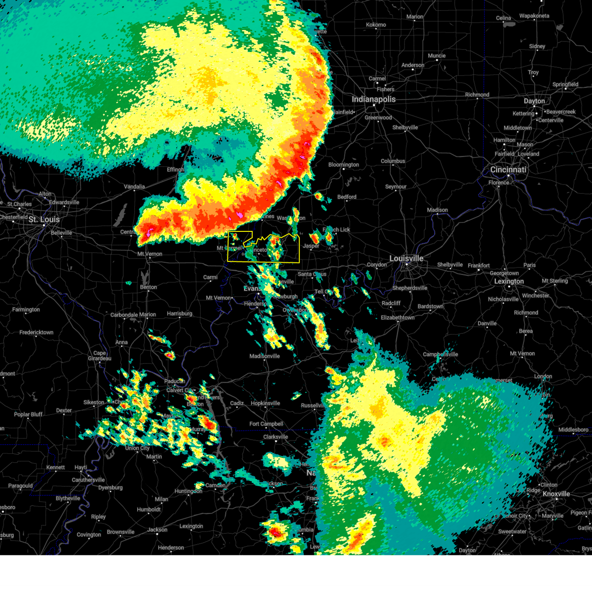 At 225 pm cdt/325 pm edt/, severe thunderstorms were located along a line extending from 10 miles southwest of linton to near west salem, moving southeast at 45 mph (radar indicated). Hazards include 70 mph wind gusts and quarter size hail. Hail damage to vehicles is expected. expect considerable tree damage. Wind damage is also likely to mobile homes, roofs, and outbuildings. At 225 pm cdt/325 pm edt/, severe thunderstorms were located along a line extending from 10 miles southwest of linton to near west salem, moving southeast at 45 mph (radar indicated). Hazards include 70 mph wind gusts and quarter size hail. Hail damage to vehicles is expected. expect considerable tree damage. Wind damage is also likely to mobile homes, roofs, and outbuildings.
|
| 6/29/2023 9:39 AM EDT |
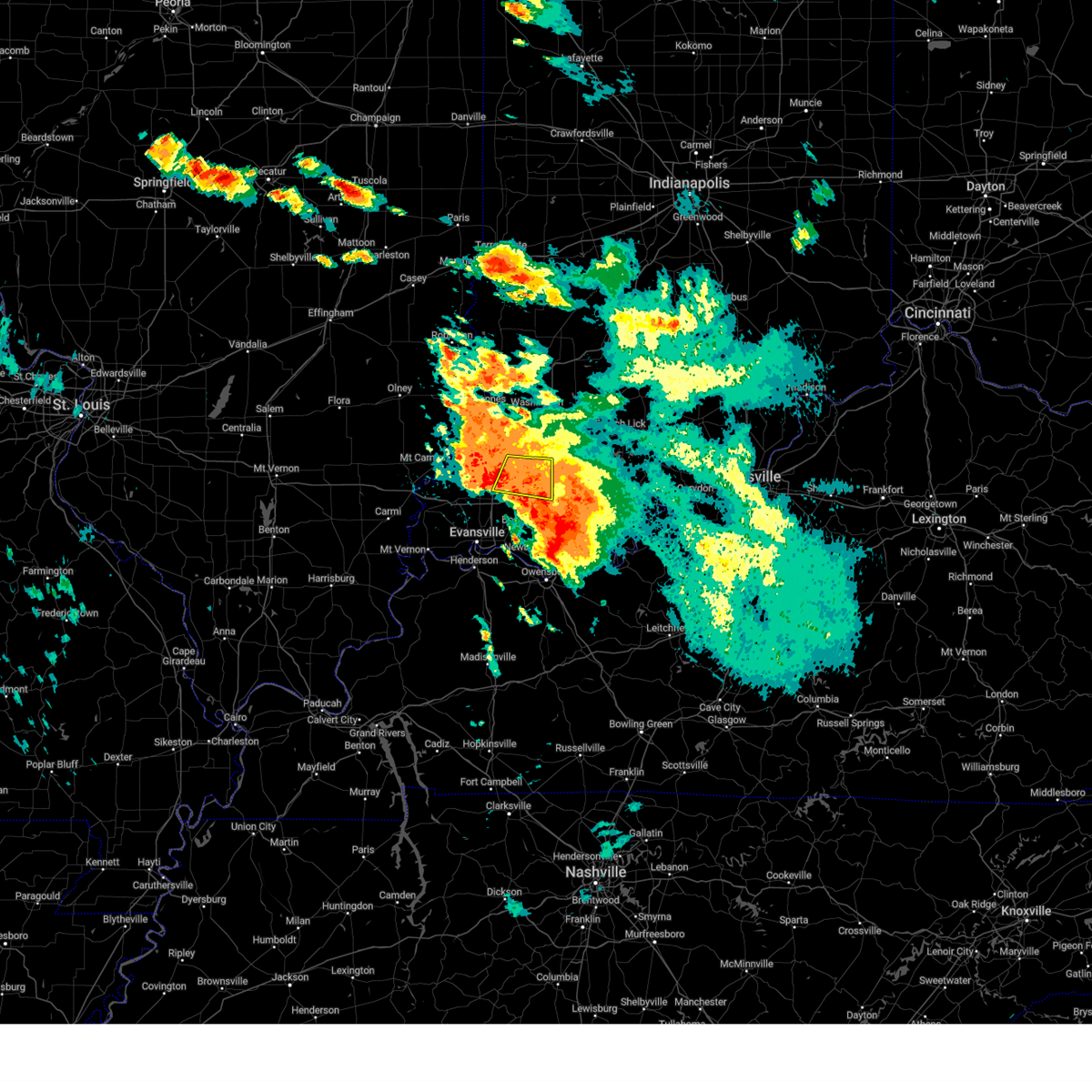 At 838 am cdt/938 am edt/, a severe thunderstorm was located 7 miles east of lynnville, or 11 miles southeast of oakland city, moving southeast at 25 mph (radar indicated). Hazards include ping pong ball size hail and 60 mph wind gusts. People and animals outdoors will be injured. expect hail damage to roofs, siding, windows, and vehicles. expect wind damage to roofs, siding, and trees. locations impacted include, oakland city, winslow, somerville, spurgeon and mackey. this includes the following highways, interstate 69 in indiana between mile markers 26 and 40. interstate 64 in indiana between mile markers 49 and 51. hail threat, radar indicated max hail size, 1. 50 in wind threat, radar indicated max wind gust, 60 mph. At 838 am cdt/938 am edt/, a severe thunderstorm was located 7 miles east of lynnville, or 11 miles southeast of oakland city, moving southeast at 25 mph (radar indicated). Hazards include ping pong ball size hail and 60 mph wind gusts. People and animals outdoors will be injured. expect hail damage to roofs, siding, windows, and vehicles. expect wind damage to roofs, siding, and trees. locations impacted include, oakland city, winslow, somerville, spurgeon and mackey. this includes the following highways, interstate 69 in indiana between mile markers 26 and 40. interstate 64 in indiana between mile markers 49 and 51. hail threat, radar indicated max hail size, 1. 50 in wind threat, radar indicated max wind gust, 60 mph.
|
| 6/29/2023 9:15 AM EDT |
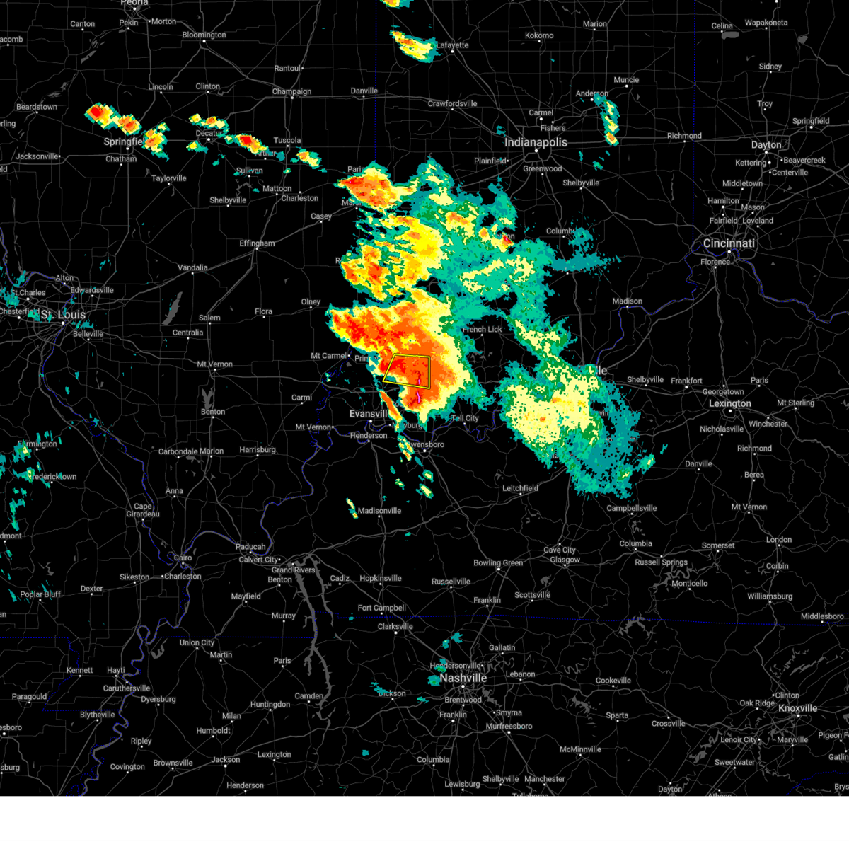 At 815 am cdt/915 am edt/, a severe thunderstorm was located near oakland city, moving east at 50 mph (radar indicated). Hazards include ping pong ball size hail and 60 mph wind gusts. People and animals outdoors will be injured. expect hail damage to roofs, siding, windows, and vehicles. Expect wind damage to roofs, siding, and trees. At 815 am cdt/915 am edt/, a severe thunderstorm was located near oakland city, moving east at 50 mph (radar indicated). Hazards include ping pong ball size hail and 60 mph wind gusts. People and animals outdoors will be injured. expect hail damage to roofs, siding, windows, and vehicles. Expect wind damage to roofs, siding, and trees.
|
| 6/29/2023 8:42 AM EDT |
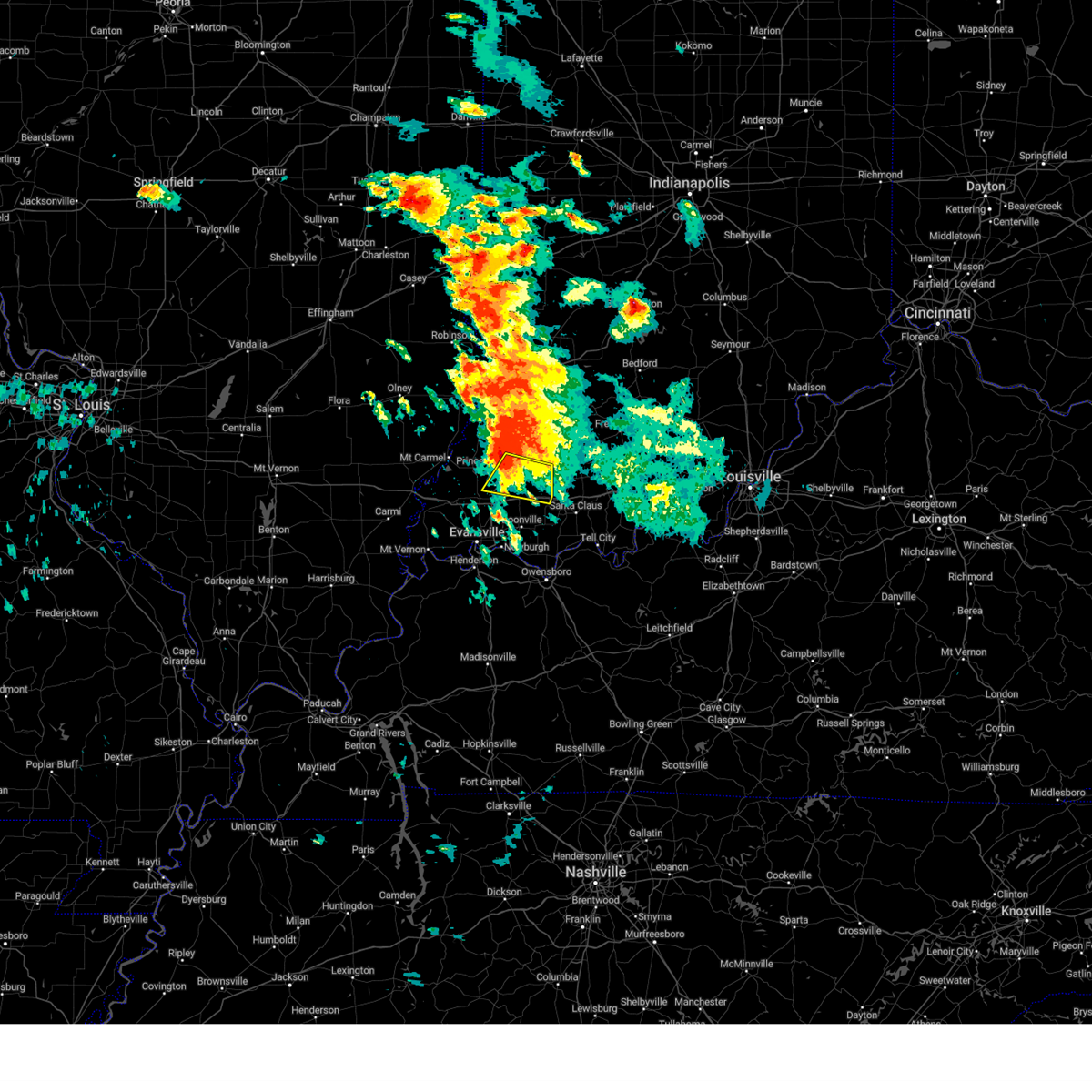 At 742 am cdt/842 am edt/, a severe thunderstorm was located near oakland city, moving southeast at 30 mph (radar indicated). Hazards include two inch hail and 60 mph wind gusts. People and animals outdoors will be injured. expect hail damage to roofs, siding, windows, and vehicles. expect wind damage to roofs, siding, and trees. locations impacted include, oakland city, lynnville, winslow, francisco, somerville, spurgeon and mackey. this includes the following highways, interstate 69 in indiana between mile markers 25 and 40. interstate 64 in indiana between mile markers 41 and 51. thunderstorm damage threat, considerable hail threat, radar indicated max hail size, 2. 00 in wind threat, radar indicated max wind gust, 60 mph. At 742 am cdt/842 am edt/, a severe thunderstorm was located near oakland city, moving southeast at 30 mph (radar indicated). Hazards include two inch hail and 60 mph wind gusts. People and animals outdoors will be injured. expect hail damage to roofs, siding, windows, and vehicles. expect wind damage to roofs, siding, and trees. locations impacted include, oakland city, lynnville, winslow, francisco, somerville, spurgeon and mackey. this includes the following highways, interstate 69 in indiana between mile markers 25 and 40. interstate 64 in indiana between mile markers 41 and 51. thunderstorm damage threat, considerable hail threat, radar indicated max hail size, 2. 00 in wind threat, radar indicated max wind gust, 60 mph.
|
| 6/29/2023 7:22 AM CDT |
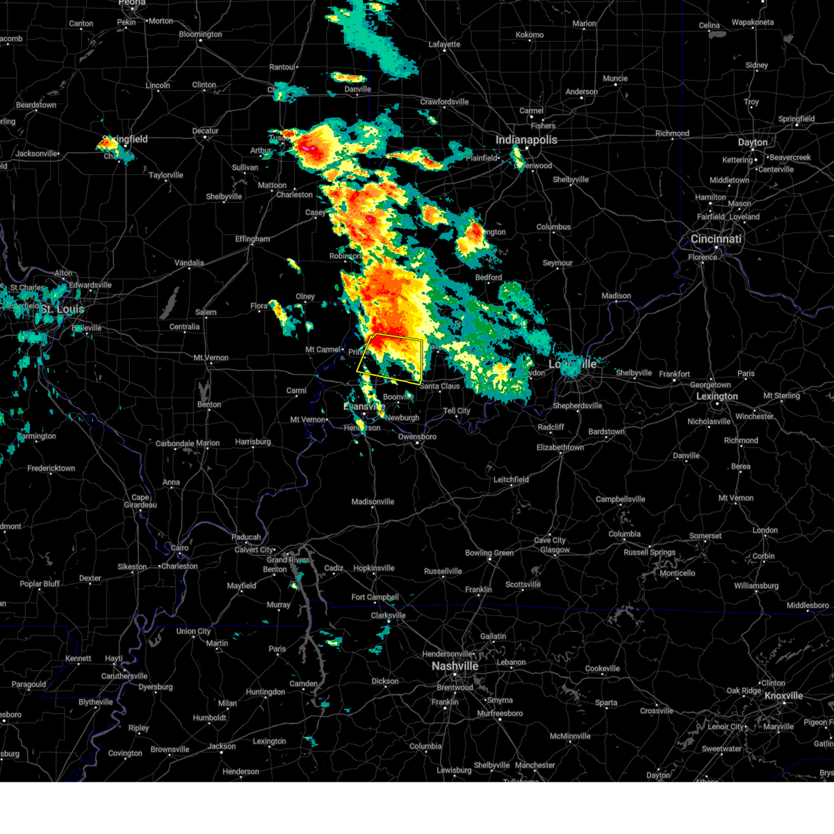 At 722 am cdt/822 am edt/, a severe thunderstorm was located 7 miles northwest of oakland city, moving east at 25 mph (radar indicated). Hazards include two inch hail and 60 mph wind gusts. People and animals outdoors will be injured. expect hail damage to roofs, siding, windows, and vehicles. Expect wind damage to roofs, siding, and trees. At 722 am cdt/822 am edt/, a severe thunderstorm was located 7 miles northwest of oakland city, moving east at 25 mph (radar indicated). Hazards include two inch hail and 60 mph wind gusts. People and animals outdoors will be injured. expect hail damage to roofs, siding, windows, and vehicles. Expect wind damage to roofs, siding, and trees.
|
| 6/29/2023 7:47 AM EDT |
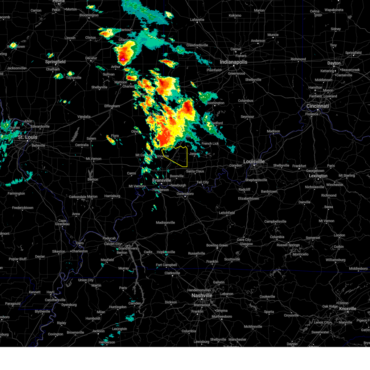 At 646 am cdt/746 am edt/, a severe thunderstorm was located 7 miles south of vincennes, moving southeast at 25 mph (radar indicated). Hazards include 60 mph wind gusts and quarter size hail. Hail damage to vehicles is expected. Expect wind damage to roofs, siding, and trees. At 646 am cdt/746 am edt/, a severe thunderstorm was located 7 miles south of vincennes, moving southeast at 25 mph (radar indicated). Hazards include 60 mph wind gusts and quarter size hail. Hail damage to vehicles is expected. Expect wind damage to roofs, siding, and trees.
|
| 6/25/2023 5:19 PM EDT | Half Dollar sized hail reported 6.8 miles NW of Winslow, IN |
| 4/5/2023 2:11 PM CDT |
 At 210 pm cdt/310 pm edt/, severe thunderstorms were located along a line extending from near mount carmel to darmstadt to near corydon, moving east at 55 mph (radar indicated). Hazards include 60 mph wind gusts. Expect damage to roofs, siding, and trees. locations impacted include, evansville, henderson, princeton, mount vernon, boonville, newburgh, chandler, fort branch, oakland city, and petersburg. this includes the following highways, interstate 69 in kentucky between mile markers 143 and 148. interstate 69 in indiana between mile markers 1 and 50. interstate 64 in indiana between mile markers 18 and 52. Audubon parkway between mile markers 1 and 9. At 210 pm cdt/310 pm edt/, severe thunderstorms were located along a line extending from near mount carmel to darmstadt to near corydon, moving east at 55 mph (radar indicated). Hazards include 60 mph wind gusts. Expect damage to roofs, siding, and trees. locations impacted include, evansville, henderson, princeton, mount vernon, boonville, newburgh, chandler, fort branch, oakland city, and petersburg. this includes the following highways, interstate 69 in kentucky between mile markers 143 and 148. interstate 69 in indiana between mile markers 1 and 50. interstate 64 in indiana between mile markers 18 and 52. Audubon parkway between mile markers 1 and 9.
|
| 4/5/2023 1:53 PM CDT |
 At 151 pm cdt/251 pm edt/, severe thunderstorms were located along a line extending from near grayville to near mount vernon indiana to near morganfield, moving east at 55 mph (radar indicated. a wind gust to near 50 mph was measured at carmi with at least one tree blown down). Hazards include 60 mph wind gusts and penny size hail. expect damage to roofs, siding, and trees At 151 pm cdt/251 pm edt/, severe thunderstorms were located along a line extending from near grayville to near mount vernon indiana to near morganfield, moving east at 55 mph (radar indicated. a wind gust to near 50 mph was measured at carmi with at least one tree blown down). Hazards include 60 mph wind gusts and penny size hail. expect damage to roofs, siding, and trees
|
| 3/3/2023 2:23 PM EST |
 The severe thunderstorm warning for northeastern spencer and eastern pike counties will expire at 130 pm cst/230 pm est/, the storms which prompted the warning have moved out of the area. therefore, the warning will be allowed to expire. a tornado watch remains in effect until 400 pm cst/500 pm est/ for southwestern indiana. The severe thunderstorm warning for northeastern spencer and eastern pike counties will expire at 130 pm cst/230 pm est/, the storms which prompted the warning have moved out of the area. therefore, the warning will be allowed to expire. a tornado watch remains in effect until 400 pm cst/500 pm est/ for southwestern indiana.
|
| 3/3/2023 2:10 PM EST |
 At 110 pm cst/210 pm est/, severe thunderstorms were located along a line extending from near winslow to near santa claus, moving northeast at 75 mph (trained weather spotters. this line has a history of wind damage). Hazards include 60 mph wind gusts. expect damage to roofs, siding, and trees At 110 pm cst/210 pm est/, severe thunderstorms were located along a line extending from near winslow to near santa claus, moving northeast at 75 mph (trained weather spotters. this line has a history of wind damage). Hazards include 60 mph wind gusts. expect damage to roofs, siding, and trees
|
| 3/3/2023 1:01 PM CST |
 At 101 pm cst/201 pm est/, severe thunderstorms were located along a line extending from near owensville to near folsomville to 7 miles southeast of whitesville, moving northeast at 80 mph (trained weather spotters). Hazards include 60 mph wind gusts. Expect damage to roofs, siding, and trees. locations impacted include, owensboro, princeton, fort branch, oakland city, petersburg, rockport, dale, haubstadt, owensville, lynnville, winslow, grandview, patoka, whitesville, santa claus, knottsville, folsomville, elberfeld, chrisney and francisco. this includes the following highways, interstate 165 between mile markers 60 and 64, and between mile markers 66 and 68. interstate 69 in indiana between mile markers 21 and 52. interstate 64 in indiana between mile markers 30 and 59. hail threat, radar indicated max hail size, <. 75 in wind threat, radar indicated max wind gust, 60 mph. At 101 pm cst/201 pm est/, severe thunderstorms were located along a line extending from near owensville to near folsomville to 7 miles southeast of whitesville, moving northeast at 80 mph (trained weather spotters). Hazards include 60 mph wind gusts. Expect damage to roofs, siding, and trees. locations impacted include, owensboro, princeton, fort branch, oakland city, petersburg, rockport, dale, haubstadt, owensville, lynnville, winslow, grandview, patoka, whitesville, santa claus, knottsville, folsomville, elberfeld, chrisney and francisco. this includes the following highways, interstate 165 between mile markers 60 and 64, and between mile markers 66 and 68. interstate 69 in indiana between mile markers 21 and 52. interstate 64 in indiana between mile markers 30 and 59. hail threat, radar indicated max hail size, <. 75 in wind threat, radar indicated max wind gust, 60 mph.
|
| 3/3/2023 1:58 PM EST |
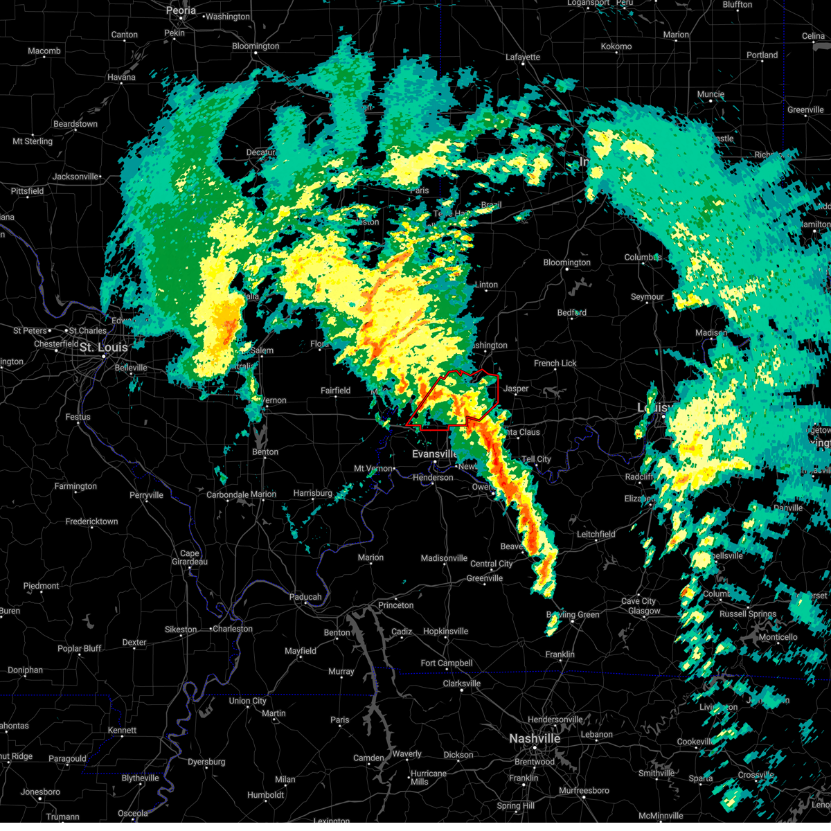 At 1257 pm cst/157 pm est/, severe thunderstorms capable of producing tornadoes were located along a line extending from near owensville to near oakland city, moving northeast at 65 mph (radar indicated rotation). Hazards include tornado. Flying debris will be dangerous to those caught without shelter. mobile homes will be damaged or destroyed. damage to roofs, windows, and vehicles will occur. tree damage is likely. these dangerous storms will be near, oakland city around 105 pm cst. other locations in the path of these tornadic storms include winslow and petersburg. This includes interstate 69 in indiana between mile markers 22 and 52. At 1257 pm cst/157 pm est/, severe thunderstorms capable of producing tornadoes were located along a line extending from near owensville to near oakland city, moving northeast at 65 mph (radar indicated rotation). Hazards include tornado. Flying debris will be dangerous to those caught without shelter. mobile homes will be damaged or destroyed. damage to roofs, windows, and vehicles will occur. tree damage is likely. these dangerous storms will be near, oakland city around 105 pm cst. other locations in the path of these tornadic storms include winslow and petersburg. This includes interstate 69 in indiana between mile markers 22 and 52.
|
| 3/3/2023 1:49 PM EST |
 At 1249 pm cst/149 pm est/, severe thunderstorms capable of producing tornadoes were located along a line extending from near cynthiana to near darmstadt, moving northeast at 45 mph. the strongest of these was just east of poseyville (radar indicated rotation). Hazards include tornado. Flying debris will be dangerous to those caught without shelter. mobile homes will be damaged or destroyed. damage to roofs, windows, and vehicles will occur. tree damage is likely. these dangerous storms will be near, fort branch, haubstadt and owensville around 100 pm cst. other locations in the path of these tornadic storms include lynnville, princeton, oakland city, patoka, winslow and petersburg. this includes the following highways, interstate 69 in indiana between mile markers 13 and 52. Interstate 64 in indiana between mile markers 11 and 41. At 1249 pm cst/149 pm est/, severe thunderstorms capable of producing tornadoes were located along a line extending from near cynthiana to near darmstadt, moving northeast at 45 mph. the strongest of these was just east of poseyville (radar indicated rotation). Hazards include tornado. Flying debris will be dangerous to those caught without shelter. mobile homes will be damaged or destroyed. damage to roofs, windows, and vehicles will occur. tree damage is likely. these dangerous storms will be near, fort branch, haubstadt and owensville around 100 pm cst. other locations in the path of these tornadic storms include lynnville, princeton, oakland city, patoka, winslow and petersburg. this includes the following highways, interstate 69 in indiana between mile markers 13 and 52. Interstate 64 in indiana between mile markers 11 and 41.
|
| 3/3/2023 1:41 PM EST |
 At 1241 pm cst/141 pm est/, tornado producing storms were located along a line extending from near blairsville to melody hill, moving northeast at 65 mph. radar indicates a confirmed tornado southwest of darmstadt. other tornadoes are possible with this storm as well as extensive straight line wind damage to 80 mph (radar confirmed tornado). Hazards include damaging tornado. Flying debris will be dangerous to those caught without shelter. mobile homes will be damaged or destroyed. damage to roofs, windows, and vehicles will occur. tree damage is likely. these tornadic storms will be near, darmstadt around 1245 pm cst. fort branch, haubstadt, owensville and lynnville around 1255 pm cst. princeton, oakland city and patoka around 100 pm cst. other locations in the path of these tornadic storms include winslow and petersburg. this includes the following highways, interstate 69 in indiana between mile markers 13 and 52. Interstate 64 in indiana between mile markers 11 and 41. At 1241 pm cst/141 pm est/, tornado producing storms were located along a line extending from near blairsville to melody hill, moving northeast at 65 mph. radar indicates a confirmed tornado southwest of darmstadt. other tornadoes are possible with this storm as well as extensive straight line wind damage to 80 mph (radar confirmed tornado). Hazards include damaging tornado. Flying debris will be dangerous to those caught without shelter. mobile homes will be damaged or destroyed. damage to roofs, windows, and vehicles will occur. tree damage is likely. these tornadic storms will be near, darmstadt around 1245 pm cst. fort branch, haubstadt, owensville and lynnville around 1255 pm cst. princeton, oakland city and patoka around 100 pm cst. other locations in the path of these tornadic storms include winslow and petersburg. this includes the following highways, interstate 69 in indiana between mile markers 13 and 52. Interstate 64 in indiana between mile markers 11 and 41.
|
| 3/3/2023 12:28 PM CST |
 At 1227 pm cst/127 pm est/, severe thunderstorms were located along a line extending from near henderson to 9 miles northeast of madisonville, moving northeast at 60 mph (trained weather spotters). Hazards include 70 mph wind gusts. Expect considerable tree damage. Damage is likely to mobile homes, roofs, and outbuildings. At 1227 pm cst/127 pm est/, severe thunderstorms were located along a line extending from near henderson to 9 miles northeast of madisonville, moving northeast at 60 mph (trained weather spotters). Hazards include 70 mph wind gusts. Expect considerable tree damage. Damage is likely to mobile homes, roofs, and outbuildings.
|
| 1/12/2023 4:21 AM EST |
 At 320 am cst/420 am est/, a severe thunderstorm was located over mainly rural areas of lynnville, moving northeast at 45 mph (radar indicated). Hazards include quarter size hail. Damage to vehicles is expected. this severe storm will be near, oakland city around 325 am cst. other locations in the path of this severe thunderstorm include winslow. this includes interstate 64 in indiana between mile markers 33 and 46. hail threat, radar indicated max hail size, 1. 00 in wind threat, radar indicated max wind gust, <50 mph. At 320 am cst/420 am est/, a severe thunderstorm was located over mainly rural areas of lynnville, moving northeast at 45 mph (radar indicated). Hazards include quarter size hail. Damage to vehicles is expected. this severe storm will be near, oakland city around 325 am cst. other locations in the path of this severe thunderstorm include winslow. this includes interstate 64 in indiana between mile markers 33 and 46. hail threat, radar indicated max hail size, 1. 00 in wind threat, radar indicated max wind gust, <50 mph.
|
| 1/12/2023 3:12 AM CST |
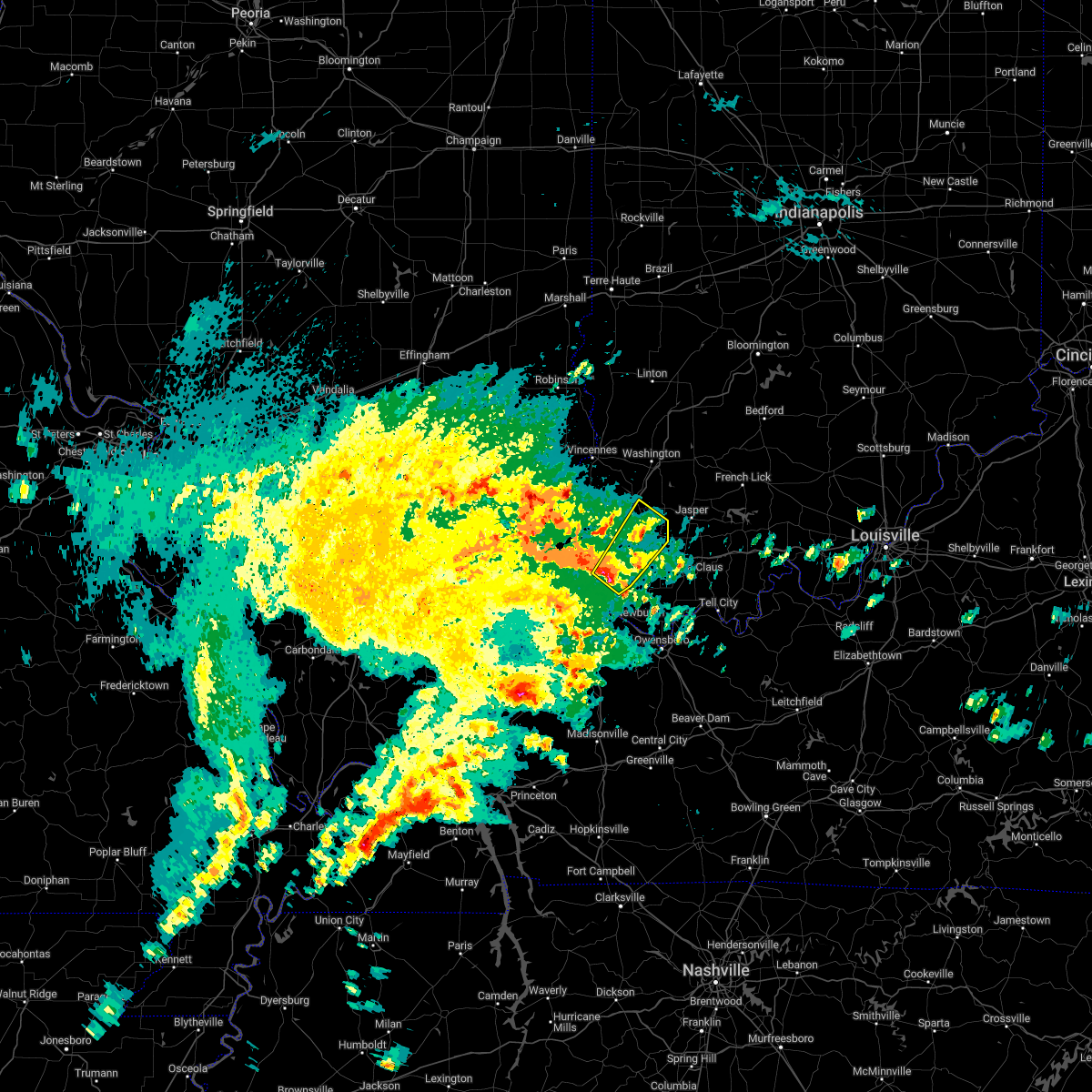 At 311 am cst/411 am est/, a severe thunderstorm was located over mainly rural areas se of elberfeld, moving northeast at 45 mph (radar indicated). Hazards include quarter size hail. Damage to vehicles is expected. this severe storm will be near, lynnville around 320 am cst. other locations in the path of this severe thunderstorm include oakland city and winslow. this includes the following highways, interstate 69 in indiana between mile markers 16 and 23, and between mile markers 29 and 30, and near mile marker 47. interstate 64 in indiana between mile markers 28 and 46. hail threat, radar indicated max hail size, 1. 00 in wind threat, radar indicated max wind gust, <50 mph. At 311 am cst/411 am est/, a severe thunderstorm was located over mainly rural areas se of elberfeld, moving northeast at 45 mph (radar indicated). Hazards include quarter size hail. Damage to vehicles is expected. this severe storm will be near, lynnville around 320 am cst. other locations in the path of this severe thunderstorm include oakland city and winslow. this includes the following highways, interstate 69 in indiana between mile markers 16 and 23, and between mile markers 29 and 30, and near mile marker 47. interstate 64 in indiana between mile markers 28 and 46. hail threat, radar indicated max hail size, 1. 00 in wind threat, radar indicated max wind gust, <50 mph.
|
| 1/12/2023 4:02 AM EST |
 At 302 am cst/402 am est/, a severe thunderstorm was located near melody hill, moving northeast at 50 mph (radar indicated). Hazards include quarter size hail. Damage to vehicles is expected. this severe thunderstorm will be near, lynnville around 320 am cst. other locations in the path of this severe thunderstorm include oakland city and winslow. this includes the following highways, interstate 69 in indiana between mile markers 6 and 46. interstate 64 in indiana between mile markers 26 and 46. hail threat, radar indicated max hail size, 1. 00 in wind threat, radar indicated max wind gust, <50 mph. At 302 am cst/402 am est/, a severe thunderstorm was located near melody hill, moving northeast at 50 mph (radar indicated). Hazards include quarter size hail. Damage to vehicles is expected. this severe thunderstorm will be near, lynnville around 320 am cst. other locations in the path of this severe thunderstorm include oakland city and winslow. this includes the following highways, interstate 69 in indiana between mile markers 6 and 46. interstate 64 in indiana between mile markers 26 and 46. hail threat, radar indicated max hail size, 1. 00 in wind threat, radar indicated max wind gust, <50 mph.
|
| 7/7/2022 1:28 PM EDT |
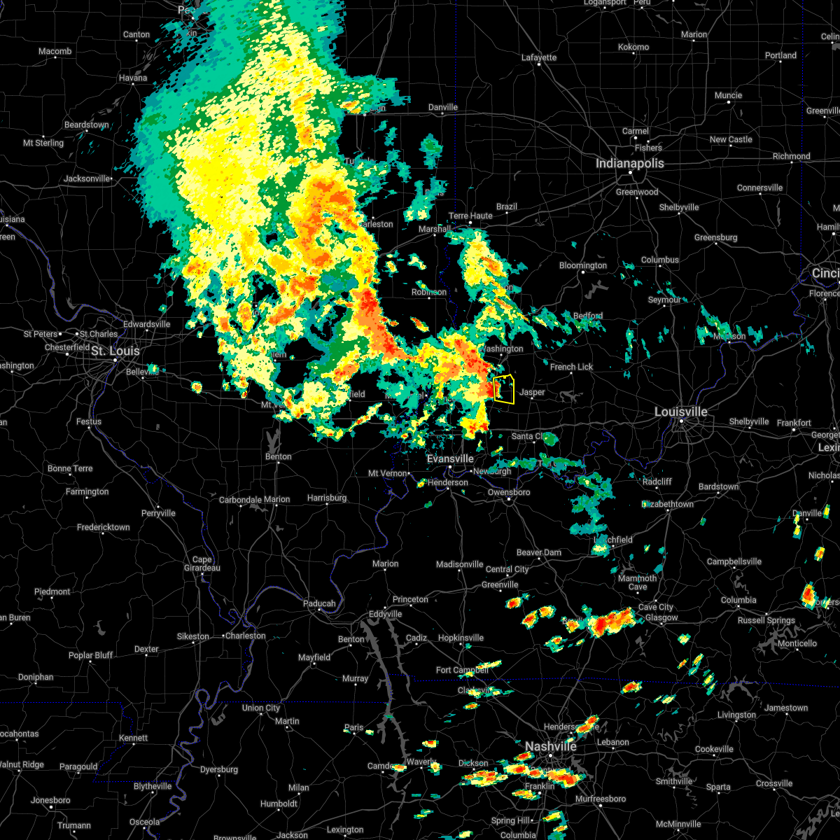 At 1227 pm cdt, a severe thunderstorm was located near winslow, or 8 miles east of petersburg, moving east at 25 mph (radar indicated). Hazards include 60 mph wind gusts and penny size hail. Expect damage to roofs, siding, and trees. locations impacted include, winslow. this includes interstate 69 in indiana near mile marker 50. hail threat, radar indicated max hail size, 0. 75 in wind threat, radar indicated max wind gust, 60 mph. At 1227 pm cdt, a severe thunderstorm was located near winslow, or 8 miles east of petersburg, moving east at 25 mph (radar indicated). Hazards include 60 mph wind gusts and penny size hail. Expect damage to roofs, siding, and trees. locations impacted include, winslow. this includes interstate 69 in indiana near mile marker 50. hail threat, radar indicated max hail size, 0. 75 in wind threat, radar indicated max wind gust, 60 mph.
|
| 7/7/2022 1:20 PM EDT |
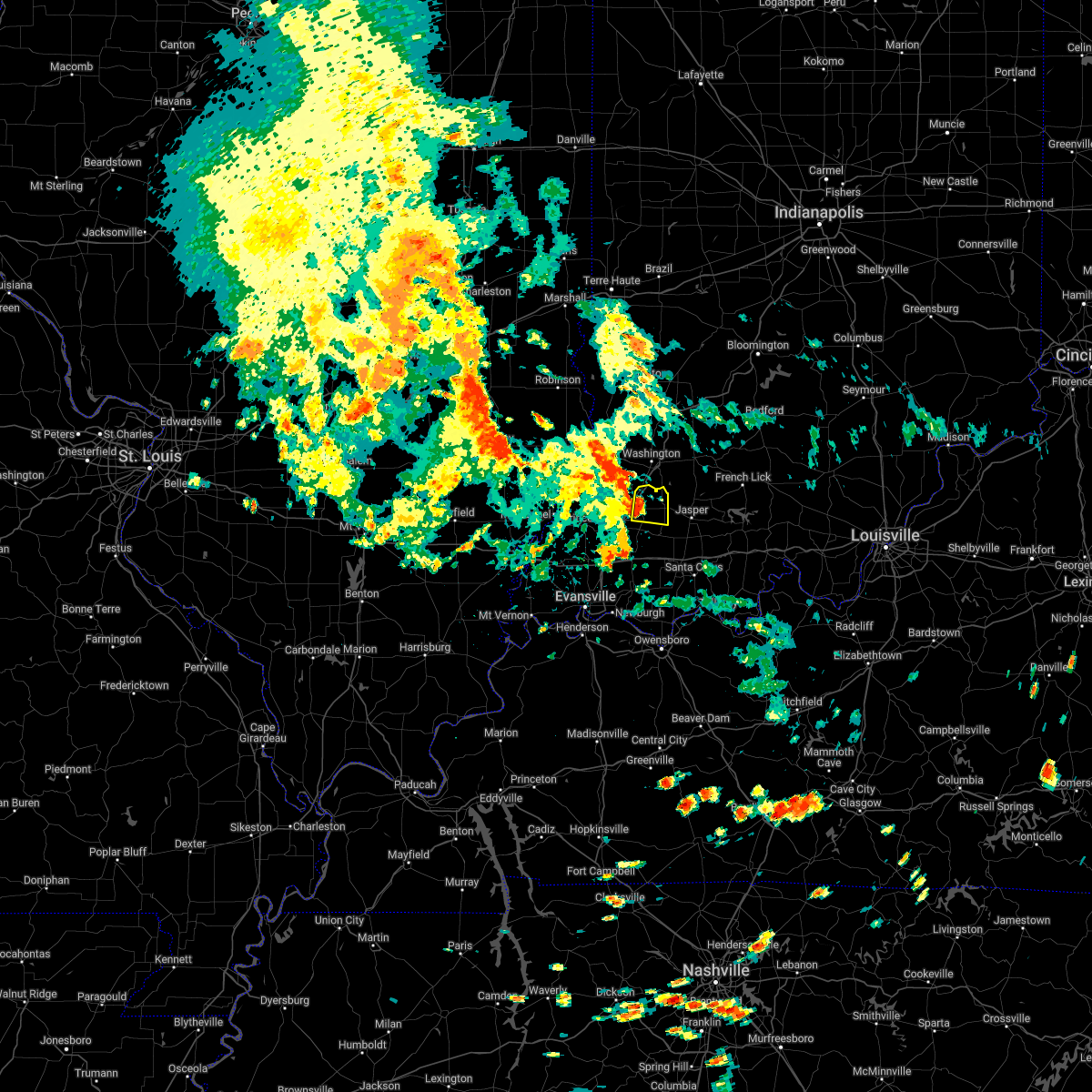 At 1219 pm cdt, a severe thunderstorm was located near winslow, or near petersburg, moving east at 25 mph (radar indicated). Hazards include 60 mph wind gusts and penny size hail. Expect damage to roofs, siding, and trees. this severe thunderstorm will remain over mainly rural areas of northeastern pike county. this includes interstate 69 in indiana between mile markers 44 and 52. hail threat, radar indicated max hail size, 0. 75 in wind threat, radar indicated max wind gust, 60 mph. At 1219 pm cdt, a severe thunderstorm was located near winslow, or near petersburg, moving east at 25 mph (radar indicated). Hazards include 60 mph wind gusts and penny size hail. Expect damage to roofs, siding, and trees. this severe thunderstorm will remain over mainly rural areas of northeastern pike county. this includes interstate 69 in indiana between mile markers 44 and 52. hail threat, radar indicated max hail size, 0. 75 in wind threat, radar indicated max wind gust, 60 mph.
|
| 6/17/2022 8:26 AM EDT |
 At 726 am cdt, severe thunderstorms were located along a line extending from near st. francisville to owensville to 6 miles south of new harmony, moving east at 50 mph (radar indicated). Hazards include 60 mph wind gusts and penny size hail. expect damage to roofs, siding, and trees At 726 am cdt, severe thunderstorms were located along a line extending from near st. francisville to owensville to 6 miles south of new harmony, moving east at 50 mph (radar indicated). Hazards include 60 mph wind gusts and penny size hail. expect damage to roofs, siding, and trees
|
| 5/19/2022 11:47 PM EDT |
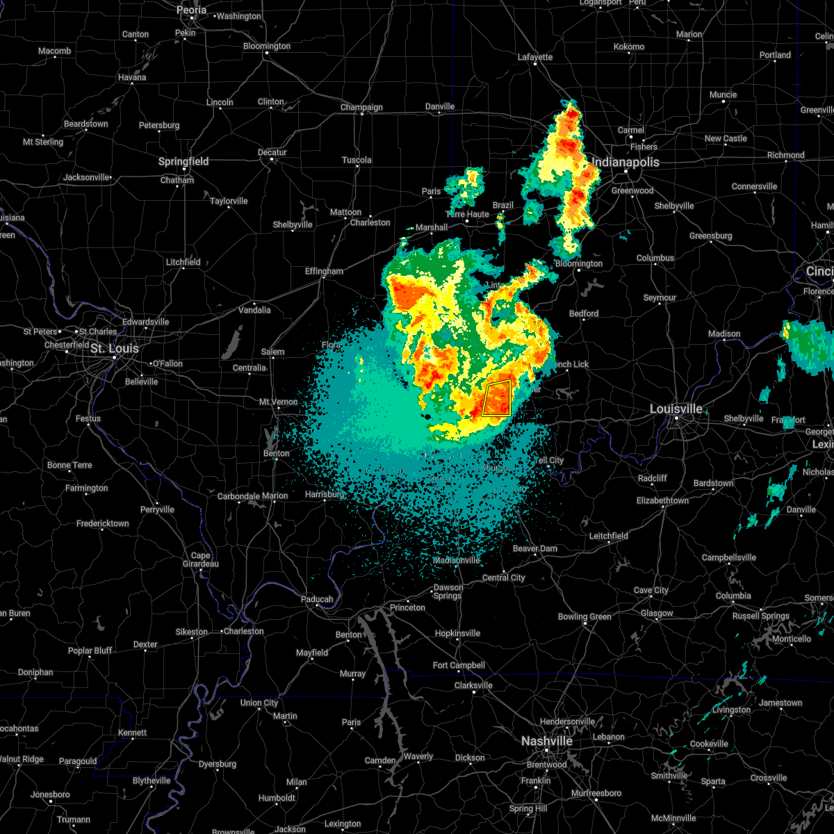 At 1046 pm cdt, severe thunderstorms were located along a line extending from 9 miles west of jasper to 6 miles south of winslow, moving east at 35 mph (radar indicated). Hazards include 60 mph wind gusts and quarter size hail. Hail damage to vehicles is expected. expect wind damage to roofs, siding, and trees. these severe thunderstorms will remain over mainly rural areas of southeastern pike county. hail threat, radar indicated max hail size, 1. 00 in wind threat, radar indicated max wind gust, 60 mph. At 1046 pm cdt, severe thunderstorms were located along a line extending from 9 miles west of jasper to 6 miles south of winslow, moving east at 35 mph (radar indicated). Hazards include 60 mph wind gusts and quarter size hail. Hail damage to vehicles is expected. expect wind damage to roofs, siding, and trees. these severe thunderstorms will remain over mainly rural areas of southeastern pike county. hail threat, radar indicated max hail size, 1. 00 in wind threat, radar indicated max wind gust, 60 mph.
|
| 5/19/2022 11:26 PM EDT |
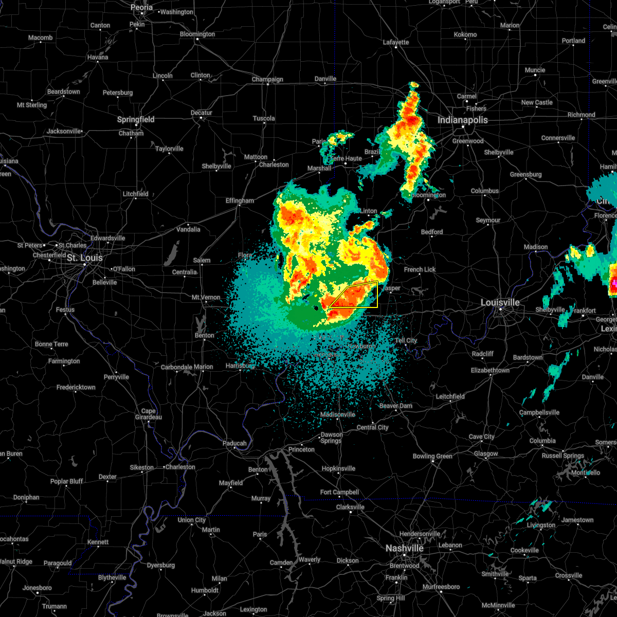 At 1025 pm cdt, a cluster of severe thunderstorms was located along a line extending from near oakland city to 8 miles northeast of fort branch, moving east at 40 mph (radar indicated). Hazards include 60 mph wind gusts and quarter size hail. Hail damage to vehicles is expected. expect wind damage to roofs, siding, and trees. severe thunderstorms will be near, winslow around 1130 pm edt. this includes interstate 69 in indiana between mile markers 29 and 44. hail threat, radar indicated max hail size, 1. 00 in wind threat, radar indicated max wind gust, 60 mph. At 1025 pm cdt, a cluster of severe thunderstorms was located along a line extending from near oakland city to 8 miles northeast of fort branch, moving east at 40 mph (radar indicated). Hazards include 60 mph wind gusts and quarter size hail. Hail damage to vehicles is expected. expect wind damage to roofs, siding, and trees. severe thunderstorms will be near, winslow around 1130 pm edt. this includes interstate 69 in indiana between mile markers 29 and 44. hail threat, radar indicated max hail size, 1. 00 in wind threat, radar indicated max wind gust, 60 mph.
|
| 5/19/2022 11:18 PM EDT |
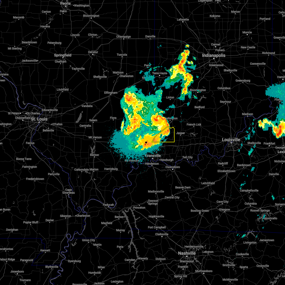 At 1018 pm cdt, severe thunderstorms were located along a line extending from near oakland city to 7 miles northeast of fort branch, moving east at 25 mph (radar indicated). Hazards include 60 mph wind gusts and quarter size hail. Hail damage to vehicles is expected. expect wind damage to roofs, siding, and trees. locations impacted include, oakland city and winslow. this includes interstate 69 in indiana between mile markers 29 and 52. hail threat, radar indicated max hail size, 1. 00 in wind threat, radar indicated max wind gust, 60 mph. At 1018 pm cdt, severe thunderstorms were located along a line extending from near oakland city to 7 miles northeast of fort branch, moving east at 25 mph (radar indicated). Hazards include 60 mph wind gusts and quarter size hail. Hail damage to vehicles is expected. expect wind damage to roofs, siding, and trees. locations impacted include, oakland city and winslow. this includes interstate 69 in indiana between mile markers 29 and 52. hail threat, radar indicated max hail size, 1. 00 in wind threat, radar indicated max wind gust, 60 mph.
|
| 5/19/2022 10:57 PM EDT |
 At 957 pm cdt, severe thunderstorms were located along a line extending from 10 miles west of petersburg to near oakland city to 6 miles southeast of princeton, moving east at 60 mph (radar indicated). Hazards include 60 mph wind gusts and quarter size hail. Hail damage to vehicles is expected. expect wind damage to roofs, siding, and trees. severe thunderstorms will be near, petersburg around 1105 pm edt. winslow around 1110 pm edt. this includes interstate 69 in indiana between mile markers 29 and 52. hail threat, radar indicated max hail size, 1. 00 in wind threat, radar indicated max wind gust, 60 mph. At 957 pm cdt, severe thunderstorms were located along a line extending from 10 miles west of petersburg to near oakland city to 6 miles southeast of princeton, moving east at 60 mph (radar indicated). Hazards include 60 mph wind gusts and quarter size hail. Hail damage to vehicles is expected. expect wind damage to roofs, siding, and trees. severe thunderstorms will be near, petersburg around 1105 pm edt. winslow around 1110 pm edt. this includes interstate 69 in indiana between mile markers 29 and 52. hail threat, radar indicated max hail size, 1. 00 in wind threat, radar indicated max wind gust, 60 mph.
|
| 5/19/2022 1:59 PM EDT |
 At 1259 pm cdt, a severe thunderstorm was located near lynnville, or 9 miles southeast of oakland city, moving northeast at 20 mph (radar indicated). Hazards include 60 mph wind gusts and half dollar size hail. Hail damage to vehicles is expected. expect wind damage to roofs, siding, and trees. locations impacted include, winslow. this includes interstate 64 in indiana between mile markers 33 and 52. hail threat, radar indicated max hail size, 1. 25 in wind threat, radar indicated max wind gust, 60 mph. At 1259 pm cdt, a severe thunderstorm was located near lynnville, or 9 miles southeast of oakland city, moving northeast at 20 mph (radar indicated). Hazards include 60 mph wind gusts and half dollar size hail. Hail damage to vehicles is expected. expect wind damage to roofs, siding, and trees. locations impacted include, winslow. this includes interstate 64 in indiana between mile markers 33 and 52. hail threat, radar indicated max hail size, 1. 25 in wind threat, radar indicated max wind gust, 60 mph.
|
| 5/19/2022 12:36 PM CDT |
 At 1236 pm cdt, a severe thunderstorm was located near lynnville, or 7 miles north of chandler, moving northeast at 20 mph (radar indicated). Hazards include 60 mph wind gusts and half dollar size hail. Hail damage to vehicles is expected. expect wind damage to roofs, siding, and trees. this severe thunderstorm will be near, lynnville around 1250 pm cdt. other locations in the path of this severe thunderstorm include winslow. this includes the following highways, interstate 69 in indiana near mile marker 21. interstate 64 in indiana between mile markers 29 and 52. hail threat, radar indicated max hail size, 1. 25 in wind threat, radar indicated max wind gust, 60 mph. At 1236 pm cdt, a severe thunderstorm was located near lynnville, or 7 miles north of chandler, moving northeast at 20 mph (radar indicated). Hazards include 60 mph wind gusts and half dollar size hail. Hail damage to vehicles is expected. expect wind damage to roofs, siding, and trees. this severe thunderstorm will be near, lynnville around 1250 pm cdt. other locations in the path of this severe thunderstorm include winslow. this includes the following highways, interstate 69 in indiana near mile marker 21. interstate 64 in indiana between mile markers 29 and 52. hail threat, radar indicated max hail size, 1. 25 in wind threat, radar indicated max wind gust, 60 mph.
|
| 3/30/2022 7:21 PM CDT |
 At 719 pm cdt, severe thunderstorms were located along a line extending from hazleton south across evansville to near henderson, moving northeast at 50 mph (trained weather spotters reported tree damage). Hazards include 70 mph wind gusts. Expect considerable tree damage. damage is likely to mobile homes, roofs, and outbuildings. locations impacted include, stanley, petersburg, eureka, boonville, dale and santa claus. this includes the following highways, interstate 69 in kentucky between mile markers 142 and 148. interstate 69 in indiana between mile markers 1 and 52. interstate 64 in indiana between mile markers 18 and 60. Audubon parkway between mile markers 1 and 12. At 719 pm cdt, severe thunderstorms were located along a line extending from hazleton south across evansville to near henderson, moving northeast at 50 mph (trained weather spotters reported tree damage). Hazards include 70 mph wind gusts. Expect considerable tree damage. damage is likely to mobile homes, roofs, and outbuildings. locations impacted include, stanley, petersburg, eureka, boonville, dale and santa claus. this includes the following highways, interstate 69 in kentucky between mile markers 142 and 148. interstate 69 in indiana between mile markers 1 and 52. interstate 64 in indiana between mile markers 18 and 60. Audubon parkway between mile markers 1 and 12.
|
| 3/30/2022 6:54 PM CDT |
 At 652 pm cdt, severe thunderstorms were located along a line extending from near mount carmel to near morganfield, moving northeast at 35 mph (trained weather spotters. winds to 70 mph have been measured along this line). Hazards include 70 mph wind gusts. Expect considerable tree damage. damage is likely to mobile homes, roofs, and outbuildings. severe thunderstorms will be near, owensville around 710 pm cdt. other locations in the path of these severe thunderstorms include fort branch, princeton, patoka, henderson, oakland city, newburgh, winslow, stanley, petersburg, boonville and eureka. this includes the following highways, interstate 69 in kentucky between mile markers 141 and 148. interstate 69 in indiana between mile markers 1 and 52. interstate 64 in indiana between mile markers 18 and 60. Audubon parkway between mile markers 1 and 14. At 652 pm cdt, severe thunderstorms were located along a line extending from near mount carmel to near morganfield, moving northeast at 35 mph (trained weather spotters. winds to 70 mph have been measured along this line). Hazards include 70 mph wind gusts. Expect considerable tree damage. damage is likely to mobile homes, roofs, and outbuildings. severe thunderstorms will be near, owensville around 710 pm cdt. other locations in the path of these severe thunderstorms include fort branch, princeton, patoka, henderson, oakland city, newburgh, winslow, stanley, petersburg, boonville and eureka. this includes the following highways, interstate 69 in kentucky between mile markers 141 and 148. interstate 69 in indiana between mile markers 1 and 52. interstate 64 in indiana between mile markers 18 and 60. Audubon parkway between mile markers 1 and 14.
|
| 10/23/2020 4:52 PM EDT |
 At 351 pm cdt, severe thunderstorms were located along a line extending from 8 miles northeast of winslow to 7 miles northwest of dale to near lynnville, moving east at 40 mph (trained weather spotters). Hazards include 60 mph wind gusts and penny size hail. Expect damage to roofs, siding, and trees. Locations impacted include, lynnville, winslow, folsomville, tennyson, gentryville and spurgeon. At 351 pm cdt, severe thunderstorms were located along a line extending from 8 miles northeast of winslow to 7 miles northwest of dale to near lynnville, moving east at 40 mph (trained weather spotters). Hazards include 60 mph wind gusts and penny size hail. Expect damage to roofs, siding, and trees. Locations impacted include, lynnville, winslow, folsomville, tennyson, gentryville and spurgeon.
|
| 10/23/2020 4:41 PM EDT |
 At 340 pm cdt, a severe thunderstorm was located near lynnville, or 9 miles north of chandler, moving east at 20 mph (trained weather spotters). Hazards include 60 mph wind gusts and penny size hail. expect damage to roofs, siding, and trees At 340 pm cdt, a severe thunderstorm was located near lynnville, or 9 miles north of chandler, moving east at 20 mph (trained weather spotters). Hazards include 60 mph wind gusts and penny size hail. expect damage to roofs, siding, and trees
|
| 7/11/2020 10:07 PM EDT |
 At 905 pm cdt, severe thunderstorms were located along a line extending from 6 miles northeast of santa claus to near lynnville to near patoka, moving southeast at 35 mph (radar indicated). Hazards include 60 mph wind gusts and penny size hail. Expect damage to roofs, siding, and trees. Locations impacted include, princeton, boonville, chandler, fort branch, oakland city, petersburg, dale, lynnville, winslow, patoka, santa claus, folsomville, elberfeld, chrisney, francisco, somerville, tennyson, gentryville, hazleton and spurgeon. At 905 pm cdt, severe thunderstorms were located along a line extending from 6 miles northeast of santa claus to near lynnville to near patoka, moving southeast at 35 mph (radar indicated). Hazards include 60 mph wind gusts and penny size hail. Expect damage to roofs, siding, and trees. Locations impacted include, princeton, boonville, chandler, fort branch, oakland city, petersburg, dale, lynnville, winslow, patoka, santa claus, folsomville, elberfeld, chrisney, francisco, somerville, tennyson, gentryville, hazleton and spurgeon.
|
| 7/11/2020 9:56 PM EDT |
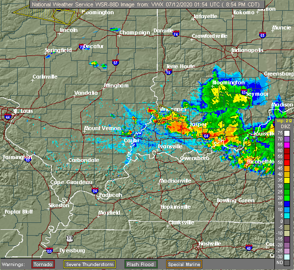 At 855 pm cdt, severe thunderstorms were located along a line extending from 7 miles northeast of dale to near oakland city to near patoka, moving southeast at 40 mph (radar indicated). Hazards include 60 mph wind gusts and nickel size hail. expect damage to roofs, siding, and trees At 855 pm cdt, severe thunderstorms were located along a line extending from 7 miles northeast of dale to near oakland city to near patoka, moving southeast at 40 mph (radar indicated). Hazards include 60 mph wind gusts and nickel size hail. expect damage to roofs, siding, and trees
|
| 4/8/2020 8:17 PM CDT |
 At 816 pm cdt, a severe thunderstorm was located near owensville, or near princeton, moving southeast at 35 mph (radar indicated). Hazards include 70 mph wind gusts and quarter size hail. Hail damage to vehicles is expected. expect considerable tree damage. Wind damage is also likely to mobile homes, roofs, and outbuildings. At 816 pm cdt, a severe thunderstorm was located near owensville, or near princeton, moving southeast at 35 mph (radar indicated). Hazards include 70 mph wind gusts and quarter size hail. Hail damage to vehicles is expected. expect considerable tree damage. Wind damage is also likely to mobile homes, roofs, and outbuildings.
|
| 4/8/2020 8:01 PM CDT |
 At 759 pm cdt, a severe thunderstorm was located near lancaster, or 8 miles north of mount carmel, moving southeast at 35 mph (radar indicated. at 755 pm...a 71 mph measured wind gust was reported at the mount carmel lawrenceville airport which just north of allendale). Hazards include 70 mph wind gusts and quarter size hail. Hail damage to vehicles is expected. expect considerable tree damage. wind damage is also likely to mobile homes, roofs, and outbuildings. Locations impacted include, princeton, mount carmel, fort branch, oakland city, petersburg, albion, grayville, lancaster, haubstadt, owensville, west salem, winslow, patoka, allendale, francisco, somerville, bellmont, bone gap, keensburg and spurgeon. At 759 pm cdt, a severe thunderstorm was located near lancaster, or 8 miles north of mount carmel, moving southeast at 35 mph (radar indicated. at 755 pm...a 71 mph measured wind gust was reported at the mount carmel lawrenceville airport which just north of allendale). Hazards include 70 mph wind gusts and quarter size hail. Hail damage to vehicles is expected. expect considerable tree damage. wind damage is also likely to mobile homes, roofs, and outbuildings. Locations impacted include, princeton, mount carmel, fort branch, oakland city, petersburg, albion, grayville, lancaster, haubstadt, owensville, west salem, winslow, patoka, allendale, francisco, somerville, bellmont, bone gap, keensburg and spurgeon.
|
| 4/8/2020 7:30 PM CDT |
 At 730 pm cdt, a severe thunderstorm was located over claremont, or near olney, moving southeast at 55 mph (radar indicated). Hazards include 70 mph wind gusts and quarter size hail. Hail damage to vehicles is expected. expect considerable tree damage. Wind damage is also likely to mobile homes, roofs, and outbuildings. At 730 pm cdt, a severe thunderstorm was located over claremont, or near olney, moving southeast at 55 mph (radar indicated). Hazards include 70 mph wind gusts and quarter size hail. Hail damage to vehicles is expected. expect considerable tree damage. Wind damage is also likely to mobile homes, roofs, and outbuildings.
|
| 10/26/2019 4:38 PM CDT |
 The severe thunderstorm warning for warrick, spencer, southeastern gibson, southeastern pike and northeastern daviess counties will expire at 445 pm cdt, the storms which prompted the warning have moved out of the area. therefore, the warning will be allowed to expire. however, winds may still gust above 40 mph at times through early evening. The severe thunderstorm warning for warrick, spencer, southeastern gibson, southeastern pike and northeastern daviess counties will expire at 445 pm cdt, the storms which prompted the warning have moved out of the area. therefore, the warning will be allowed to expire. however, winds may still gust above 40 mph at times through early evening.
|
| 10/26/2019 5:33 PM EDT | Tree limbs and power lines down across the count in pike county IN, 0.3 miles NW of Winslow, IN |
| 10/26/2019 5:31 PM EDT |
 At 430 pm cdt, severe thunderstorms were located along a line extending from near oakland city to near folsomville to near santa claus, moving northeast at 55 mph (radar indicated). Hazards include 60 mph wind gusts. expect damage to roofs, siding, and trees At 430 pm cdt, severe thunderstorms were located along a line extending from near oakland city to near folsomville to near santa claus, moving northeast at 55 mph (radar indicated). Hazards include 60 mph wind gusts. expect damage to roofs, siding, and trees
|
| 10/26/2019 4:25 PM CDT |
 At 424 pm cdt, severe thunderstorms were located along a line extending from near fort branch to near folsomville to near grandview, moving northeast at 55 mph (trained weather spotters. this line of showers and possible embedded storms has a history of producing wind damage). Hazards include 60 mph wind gusts. Expect damage to roofs, siding, and trees. Locations impacted include, boonville, fort branch, oakland city, dale, haubstadt, lynnville, winslow, grandview, santa claus, folsomville, elberfeld, chrisney, somerville, tennyson, gentryville, spurgeon and mackey. At 424 pm cdt, severe thunderstorms were located along a line extending from near fort branch to near folsomville to near grandview, moving northeast at 55 mph (trained weather spotters. this line of showers and possible embedded storms has a history of producing wind damage). Hazards include 60 mph wind gusts. Expect damage to roofs, siding, and trees. Locations impacted include, boonville, fort branch, oakland city, dale, haubstadt, lynnville, winslow, grandview, santa claus, folsomville, elberfeld, chrisney, somerville, tennyson, gentryville, spurgeon and mackey.
|
| 10/26/2019 4:07 PM CDT |
 At 406 pm cdt, severe thunderstorms were located along a line extending from near blairsville to near stanley to 7 miles south of masonville, moving northeast at 50 mph (trained weather spotters. the mesonet site in henderson reported a 66 mph wind gust at 400 pm). Hazards include 70 mph wind gusts. Expect considerable tree damage. Damage is likely to mobile homes, roofs, and outbuildings. At 406 pm cdt, severe thunderstorms were located along a line extending from near blairsville to near stanley to 7 miles south of masonville, moving northeast at 50 mph (trained weather spotters. the mesonet site in henderson reported a 66 mph wind gust at 400 pm). Hazards include 70 mph wind gusts. Expect considerable tree damage. Damage is likely to mobile homes, roofs, and outbuildings.
|
| 8/22/2019 1:34 AM EDT |
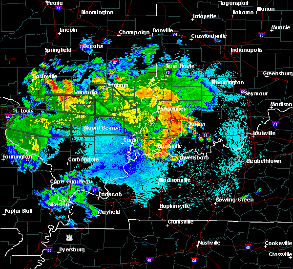 At 1234 am cdt, severe thunderstorms were located along a line extending from near petersburg to 6 miles northeast of lynnville, moving east at 35 mph (radar indicated). Hazards include 60 mph wind gusts. expect damage to roofs, siding, and trees At 1234 am cdt, severe thunderstorms were located along a line extending from near petersburg to 6 miles northeast of lynnville, moving east at 35 mph (radar indicated). Hazards include 60 mph wind gusts. expect damage to roofs, siding, and trees
|
| 7/2/2019 3:24 PM EDT |
 The severe thunderstorm warning for southeastern pike county will expire at 230 pm cdt, the storm which prompted the warning has weakened below severe limits, and no longer poses an immediate threat to life or property. therefore, the warning will be allowed to expire. however gusty winds are still possible with this thunderstorm. to report severe weather, contact your nearest law enforcement agency. they will relay your report to the national weather service paducah. The severe thunderstorm warning for southeastern pike county will expire at 230 pm cdt, the storm which prompted the warning has weakened below severe limits, and no longer poses an immediate threat to life or property. therefore, the warning will be allowed to expire. however gusty winds are still possible with this thunderstorm. to report severe weather, contact your nearest law enforcement agency. they will relay your report to the national weather service paducah.
|
| 7/2/2019 3:12 PM EDT |
 At 212 pm cdt, a severe thunderstorm was located near winslow, or 11 miles southeast of petersburg, moving northeast at 15 mph (radar indicated). Hazards include 60 mph wind gusts and nickel size hail. Expect damage to roofs, siding, and trees. Locations impacted include, winslow. At 212 pm cdt, a severe thunderstorm was located near winslow, or 11 miles southeast of petersburg, moving northeast at 15 mph (radar indicated). Hazards include 60 mph wind gusts and nickel size hail. Expect damage to roofs, siding, and trees. Locations impacted include, winslow.
|
| 7/2/2019 2:56 PM EDT |
 At 155 pm cdt, a severe thunderstorm was located near winslow, or 12 miles east of oakland city, moving northeast at 5 mph (radar indicated). Hazards include 60 mph wind gusts and nickel size hail. expect damage to roofs, siding, and trees At 155 pm cdt, a severe thunderstorm was located near winslow, or 12 miles east of oakland city, moving northeast at 5 mph (radar indicated). Hazards include 60 mph wind gusts and nickel size hail. expect damage to roofs, siding, and trees
|
| 6/23/2019 1:50 PM EDT |
 At 1250 pm cdt, severe thunderstorms were located along a line extending from 14 miles east of russellville to near washington to 7 miles east of petersburg to near winslow to 6 miles northeast of lynnville to near folsomville, moving east at 35 mph (radar indicated). Hazards include 60 mph wind gusts and penny size hail. Expect damage to roofs, siding, and trees. Locations impacted include, oakland city, petersburg, lynnville, winslow, ferdinand and spurgeon. At 1250 pm cdt, severe thunderstorms were located along a line extending from 14 miles east of russellville to near washington to 7 miles east of petersburg to near winslow to 6 miles northeast of lynnville to near folsomville, moving east at 35 mph (radar indicated). Hazards include 60 mph wind gusts and penny size hail. Expect damage to roofs, siding, and trees. Locations impacted include, oakland city, petersburg, lynnville, winslow, ferdinand and spurgeon.
|
| 6/23/2019 1:36 PM EDT |
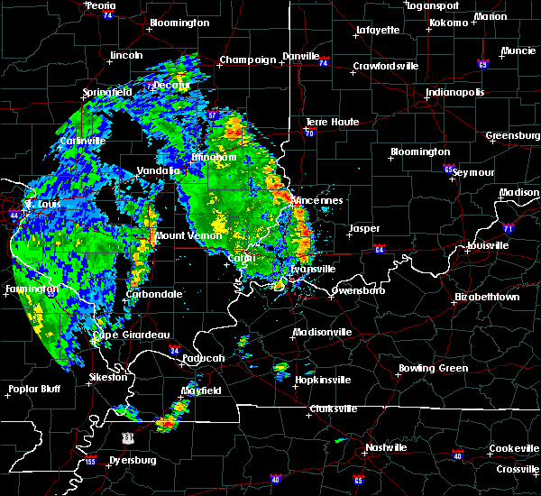 The national weather service in paducah has issued a * severe thunderstorm warning for. northeastern warrick county in southwestern indiana. north central spencer county in southwestern indiana. east central gibson county in southwestern indiana. Pike county in southwestern indiana. The national weather service in paducah has issued a * severe thunderstorm warning for. northeastern warrick county in southwestern indiana. north central spencer county in southwestern indiana. east central gibson county in southwestern indiana. Pike county in southwestern indiana.
|
| 6/16/2019 6:49 PM EDT |
 At 548 pm cdt, a severe thunderstorm was located 5 miles northwest of oakland city, moving east at 15 mph (radar indicated). Hazards include 60 mph wind gusts and quarter size hail. Hail damage to vehicles is expected. expect wind damage to roofs, siding, and trees. Locations impacted include, petersburg, winslow and francisco. At 548 pm cdt, a severe thunderstorm was located 5 miles northwest of oakland city, moving east at 15 mph (radar indicated). Hazards include 60 mph wind gusts and quarter size hail. Hail damage to vehicles is expected. expect wind damage to roofs, siding, and trees. Locations impacted include, petersburg, winslow and francisco.
|
| 6/16/2019 6:29 PM EDT |
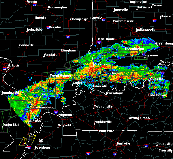 At 529 pm cdt, a severe thunderstorm was located near princeton, moving northeast at 30 mph (radar indicated). Hazards include 60 mph wind gusts and quarter size hail. Hail damage to vehicles is expected. Expect wind damage to roofs, siding, and trees. At 529 pm cdt, a severe thunderstorm was located near princeton, moving northeast at 30 mph (radar indicated). Hazards include 60 mph wind gusts and quarter size hail. Hail damage to vehicles is expected. Expect wind damage to roofs, siding, and trees.
|
| 3/14/2019 12:28 PM EDT |
 At 1127 am cdt, a severe thunderstorm capable of producing a tornado was located near lynnville, or 10 miles south of oakland city, moving northeast at 70 mph (radar indicated rotation. there were two rotation areas, one was on the south side of evansville, another was near lynnville in warrick county). Hazards include tornado. Flying debris will be dangerous to those caught without shelter. mobile homes will be damaged or destroyed. damage to roofs, windows, and vehicles will occur. tree damage is likely. this dangerous storm will be near, lynnville around 1130 am cdt. oakland city around 1235 pm edt. winslow around 1240 pm edt. Other locations impacted by this tornadic thunderstorm include mackey, elberfeld, somerville and spurgeon. At 1127 am cdt, a severe thunderstorm capable of producing a tornado was located near lynnville, or 10 miles south of oakland city, moving northeast at 70 mph (radar indicated rotation. there were two rotation areas, one was on the south side of evansville, another was near lynnville in warrick county). Hazards include tornado. Flying debris will be dangerous to those caught without shelter. mobile homes will be damaged or destroyed. damage to roofs, windows, and vehicles will occur. tree damage is likely. this dangerous storm will be near, lynnville around 1130 am cdt. oakland city around 1235 pm edt. winslow around 1240 pm edt. Other locations impacted by this tornadic thunderstorm include mackey, elberfeld, somerville and spurgeon.
|
| 3/14/2019 12:19 PM EDT |
 At 1119 am cdt, a severe thunderstorm capable of producing a tornado was located near darmstadt, or near melody hill, moving northeast at 70 mph (radar indicated rotation). Hazards include tornado. Flying debris will be dangerous to those caught without shelter. mobile homes will be damaged or destroyed. damage to roofs, windows, and vehicles will occur. tree damage is likely. this dangerous storm will be near, lynnville around 1130 am cdt. oakland city around 1235 pm edt. winslow around 1240 pm edt. Other locations impacted by this tornadic thunderstorm include mackey, elberfeld, somerville and spurgeon. At 1119 am cdt, a severe thunderstorm capable of producing a tornado was located near darmstadt, or near melody hill, moving northeast at 70 mph (radar indicated rotation). Hazards include tornado. Flying debris will be dangerous to those caught without shelter. mobile homes will be damaged or destroyed. damage to roofs, windows, and vehicles will occur. tree damage is likely. this dangerous storm will be near, lynnville around 1130 am cdt. oakland city around 1235 pm edt. winslow around 1240 pm edt. Other locations impacted by this tornadic thunderstorm include mackey, elberfeld, somerville and spurgeon.
|
| 3/14/2019 11:01 AM CDT |
 At 1101 am cdt, a severe thunderstorm was located near chandler, moving northeast at 70 mph (radar indicated). Hazards include 60 mph wind gusts and nickel size hail. power lines were reported down in evansviille by the public. expect damage to roofs, siding, and trees At 1101 am cdt, a severe thunderstorm was located near chandler, moving northeast at 70 mph (radar indicated). Hazards include 60 mph wind gusts and nickel size hail. power lines were reported down in evansviille by the public. expect damage to roofs, siding, and trees
|
| 2/7/2019 12:37 PM EST |
 The tornado warning for northeastern pike county will expire at 1145 am cst, the tornadic thunderstorm which prompted the warning has moved out of the warned area. therefore, the warning will be allowed to expire. The tornado warning for northeastern pike county will expire at 1145 am cst, the tornadic thunderstorm which prompted the warning has moved out of the warned area. therefore, the warning will be allowed to expire.
|
| 2/7/2019 12:28 PM EST |
 At 1127 am cst, a severe thunderstorm capable of producing a tornado was located near winslow, or 9 miles southeast of petersburg, moving northeast at 55 mph (radar indicated rotation). Hazards include tornado. Flying debris will be dangerous to those caught without shelter. mobile homes will be damaged or destroyed. damage to roofs, windows, and vehicles will occur. tree damage is likely. Locations impacted include, winslow. At 1127 am cst, a severe thunderstorm capable of producing a tornado was located near winslow, or 9 miles southeast of petersburg, moving northeast at 55 mph (radar indicated rotation). Hazards include tornado. Flying debris will be dangerous to those caught without shelter. mobile homes will be damaged or destroyed. damage to roofs, windows, and vehicles will occur. tree damage is likely. Locations impacted include, winslow.
|
| 2/7/2019 12:18 PM EST |
 At 1118 am cst, a severe thunderstorm capable of producing a tornado was located near winslow, or near oakland city, moving northeast at 55 mph (radar indicated rotation). Hazards include tornado. Flying debris will be dangerous to those caught without shelter. mobile homes will be damaged or destroyed. damage to roofs, windows, and vehicles will occur. tree damage is likely. This tornadic thunderstorm will remain over mainly rural areas of east central gibson and pike counties, including the following locations, spurgeon. At 1118 am cst, a severe thunderstorm capable of producing a tornado was located near winslow, or near oakland city, moving northeast at 55 mph (radar indicated rotation). Hazards include tornado. Flying debris will be dangerous to those caught without shelter. mobile homes will be damaged or destroyed. damage to roofs, windows, and vehicles will occur. tree damage is likely. This tornadic thunderstorm will remain over mainly rural areas of east central gibson and pike counties, including the following locations, spurgeon.
|
| 6/26/2018 12:02 PM EDT |
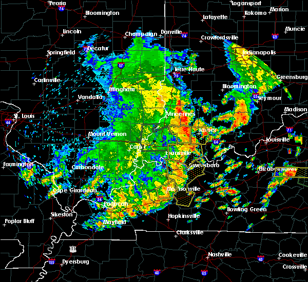 A severe thunderstorm warning remains in effect until 1115 am cdt for pike county. at 1101 am cdt, a severe thunderstorm was located 11 miles northwest of jasper, or 11 miles east of petersburg, moving northeast at 60 mph. hazard. 70 mph wind gusts and nickel size hail. A severe thunderstorm warning remains in effect until 1115 am cdt for pike county. at 1101 am cdt, a severe thunderstorm was located 11 miles northwest of jasper, or 11 miles east of petersburg, moving northeast at 60 mph. hazard. 70 mph wind gusts and nickel size hail.
|
| 6/26/2018 11:52 AM EDT | Trees and power and lines dow in pike county IN, 0.3 miles NW of Winslow, IN |
| 6/26/2018 11:39 AM EDT |
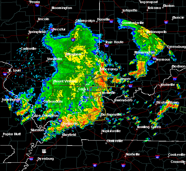 At 1038 am cdt, a severe thunderstorm was located near oakland city, moving northeast at 55 mph (radar indicated). Hazards include 70 mph wind gusts and nickel size hail. Expect considerable tree damage. Damage is likely to mobile homes, roofs, and outbuildings. At 1038 am cdt, a severe thunderstorm was located near oakland city, moving northeast at 55 mph (radar indicated). Hazards include 70 mph wind gusts and nickel size hail. Expect considerable tree damage. Damage is likely to mobile homes, roofs, and outbuildings.
|
| 5/31/2018 11:36 AM CDT |
 At 1135 am cdt, severe thunderstorms were located along a line extending from near patoka to near lynnville to near newburgh to near robards, moving east at 45 mph. these storms have a history of producing 40 to 60 mph wind gusts and due to the wet grounds, this is downing trees and power lines (radar indicated). Hazards include 60 mph wind gusts. expect damage to roofs, siding, and trees At 1135 am cdt, severe thunderstorms were located along a line extending from near patoka to near lynnville to near newburgh to near robards, moving east at 45 mph. these storms have a history of producing 40 to 60 mph wind gusts and due to the wet grounds, this is downing trees and power lines (radar indicated). Hazards include 60 mph wind gusts. expect damage to roofs, siding, and trees
|
| 5/27/2018 6:36 PM EDT |
 A severe thunderstorm warning remains in effect until 545 pm cdt for southeastern pike county. at 535 pm cdt, a severe thunderstorm was located near winslow, or near oakland city, moving southwest at 10 mph. hazard. 60 mph wind gusts and nickel size hail. Doppler radar indicates strong winds just south of winslow. A severe thunderstorm warning remains in effect until 545 pm cdt for southeastern pike county. at 535 pm cdt, a severe thunderstorm was located near winslow, or near oakland city, moving southwest at 10 mph. hazard. 60 mph wind gusts and nickel size hail. Doppler radar indicates strong winds just south of winslow.
|
| 5/27/2018 6:35 PM EDT | Quarter sized hail reported 0.3 miles NW of Winslow, IN, nickel to quarter size hail in the town of winslow. |
| 5/27/2018 6:35 PM EDT | Delayed report. several trees damaged in tow in pike county IN, 0.3 miles NW of Winslow, IN |
| 5/27/2018 6:21 PM EDT |
 The national weather service in paducah has issued a * severe thunderstorm warning for. southeastern pike county in southwestern indiana. until 545 pm cdt. At 520 pm cdt, a severe thunderstorm was located over winslow, or 8 miles east of oakland city, moving southwest at 10 mph. The national weather service in paducah has issued a * severe thunderstorm warning for. southeastern pike county in southwestern indiana. until 545 pm cdt. At 520 pm cdt, a severe thunderstorm was located over winslow, or 8 miles east of oakland city, moving southwest at 10 mph.
|
| 5/10/2018 8:29 PM EDT |
 At 729 pm cdt, severe thunderstorms were located along a line extending from near oakland city to near folsomville, moving east at 15 mph (radar indicated). Hazards include 60 mph wind gusts and quarter size hail. Hail damage to vehicles is expected. expect wind damage to roofs, siding, and trees. Locations impacted include, oakland city, dale, lynnville, winslow, holiday world, folsomville, francisco, somerville, tennyson, gentryville, spurgeon and mackey. At 729 pm cdt, severe thunderstorms were located along a line extending from near oakland city to near folsomville, moving east at 15 mph (radar indicated). Hazards include 60 mph wind gusts and quarter size hail. Hail damage to vehicles is expected. expect wind damage to roofs, siding, and trees. Locations impacted include, oakland city, dale, lynnville, winslow, holiday world, folsomville, francisco, somerville, tennyson, gentryville, spurgeon and mackey.
|
| 5/10/2018 7:58 PM EDT |
 At 657 pm cdt, severe thunderstorms were located along a line extending from near princeton to near lynnville, moving east at 15 mph (radar indicated). Hazards include 60 mph wind gusts and quarter size hail. Hail damage to vehicles is expected. Expect wind damage to roofs, siding, and trees. At 657 pm cdt, severe thunderstorms were located along a line extending from near princeton to near lynnville, moving east at 15 mph (radar indicated). Hazards include 60 mph wind gusts and quarter size hail. Hail damage to vehicles is expected. Expect wind damage to roofs, siding, and trees.
|
| 7/26/2017 5:54 PM EDT |
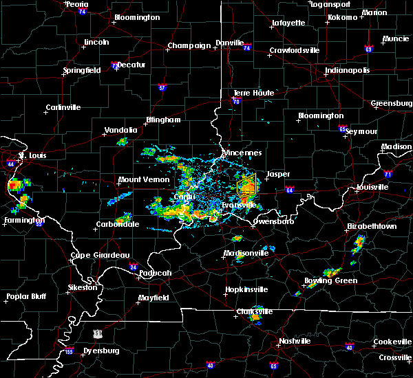 The severe thunderstorm warning for north central warrick and southeastern pike counties will expire at 500 pm cdt/600 pm edt/, the storm which prompted the warning has weakened, and it will exit the warned area shortly. therefore, the warning will be allowed to expire. however gusty winds are still possible with this thunderstorm. The severe thunderstorm warning for north central warrick and southeastern pike counties will expire at 500 pm cdt/600 pm edt/, the storm which prompted the warning has weakened, and it will exit the warned area shortly. therefore, the warning will be allowed to expire. however gusty winds are still possible with this thunderstorm.
|
| 7/26/2017 5:40 PM EDT | Tree down across hwy 64... blocking both lanes of traffic... just west of hwy 257 in pike county IN, 5.8 miles NNW of Winslow, IN |
| 7/26/2017 5:39 PM EDT |
 At 439 pm cdt/539 pm edt/, a severe thunderstorm was located near lynnville, or 7 miles southeast of oakland city, moving northeast at 20 mph (radar indicated). Hazards include 60 mph wind gusts and quarter size hail. Hail damage to vehicles is expected. Expect wind damage to roofs, siding, and trees. At 439 pm cdt/539 pm edt/, a severe thunderstorm was located near lynnville, or 7 miles southeast of oakland city, moving northeast at 20 mph (radar indicated). Hazards include 60 mph wind gusts and quarter size hail. Hail damage to vehicles is expected. Expect wind damage to roofs, siding, and trees.
|
| 7/23/2017 7:26 AM EDT |
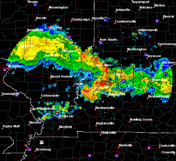 At 626 am cdt/726 am edt/, severe thunderstorms were located along a line extending from 6 miles east of petersburg to near lynnville, moving east at 45 mph (radar indicated). Hazards include 60 mph wind gusts. Expect damage to roofs, siding, and trees. Locations impacted include, lynnville, winslow and spurgeon. At 626 am cdt/726 am edt/, severe thunderstorms were located along a line extending from 6 miles east of petersburg to near lynnville, moving east at 45 mph (radar indicated). Hazards include 60 mph wind gusts. Expect damage to roofs, siding, and trees. Locations impacted include, lynnville, winslow and spurgeon.
|
| 7/23/2017 6:59 AM EDT |
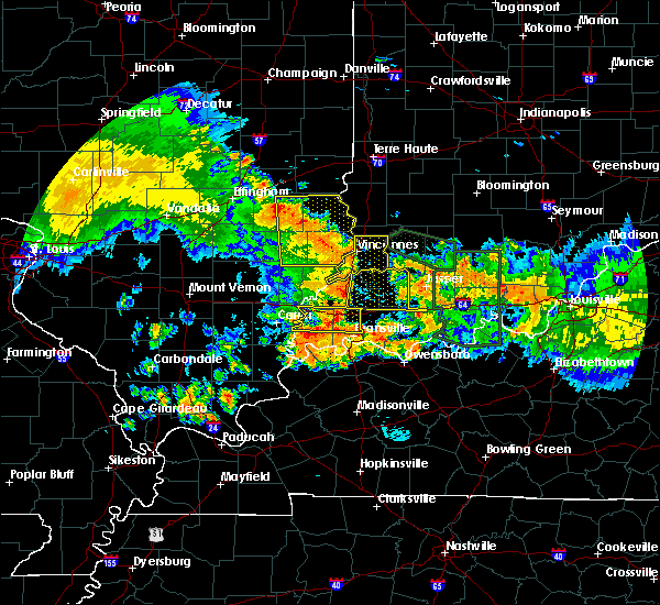 At 559 am cdt/659 am edt/, severe thunderstorms were located along a line extending from 7 miles southeast of st. francisville to near fort branch, moving east at 45 mph (radar indicated). Hazards include 60 mph wind gusts. expect damage to roofs, siding, and trees At 559 am cdt/659 am edt/, severe thunderstorms were located along a line extending from 7 miles southeast of st. francisville to near fort branch, moving east at 45 mph (radar indicated). Hazards include 60 mph wind gusts. expect damage to roofs, siding, and trees
|
| 4/28/2017 11:02 PM EDT |
 At 1102 pm edt, a severe thunderstorm was located near winslow, or 8 miles east of oakland city, moving northeast at 55 mph (radar indicated). Hazards include 60 mph wind gusts and quarter size hail. Hail damage to vehicles is expected. expect wind damage to roofs, siding, and trees. locations impacted include, winslow and spurgeon. A tornado watch remains in effect until 200 am edt for southwestern indiana. At 1102 pm edt, a severe thunderstorm was located near winslow, or 8 miles east of oakland city, moving northeast at 55 mph (radar indicated). Hazards include 60 mph wind gusts and quarter size hail. Hail damage to vehicles is expected. expect wind damage to roofs, siding, and trees. locations impacted include, winslow and spurgeon. A tornado watch remains in effect until 200 am edt for southwestern indiana.
|
| 4/28/2017 9:47 PM CDT |
 At 947 pm cdt/1047 pm edt/, a severe thunderstorm was located near lynnville, or 8 miles east of fort branch, moving northeast at 55 mph (radar indicated). Hazards include 60 mph wind gusts and quarter size hail. Hail damage to vehicles is expected. Expect wind damage to roofs, siding, and trees. At 947 pm cdt/1047 pm edt/, a severe thunderstorm was located near lynnville, or 8 miles east of fort branch, moving northeast at 55 mph (radar indicated). Hazards include 60 mph wind gusts and quarter size hail. Hail damage to vehicles is expected. Expect wind damage to roofs, siding, and trees.
|
| 4/28/2017 9:15 PM EDT |
 At 815 pm cdt/915 pm edt/, a severe thunderstorm was located over winslow, or near oakland city, moving northeast at 60 mph (radar indicated). Hazards include quarter size hail. Damage to vehicles is expected. Locations impacted include, oakland city, winslow, somerville and spurgeon. At 815 pm cdt/915 pm edt/, a severe thunderstorm was located over winslow, or near oakland city, moving northeast at 60 mph (radar indicated). Hazards include quarter size hail. Damage to vehicles is expected. Locations impacted include, oakland city, winslow, somerville and spurgeon.
|
| 4/28/2017 8:55 PM EDT |
 At 755 pm cdt/855 pm edt/, a severe thunderstorm was located over haubstadt, or near fort branch, moving northeast at 60 mph (radar indicated). Hazards include quarter size hail. damage to vehicles is expected At 755 pm cdt/855 pm edt/, a severe thunderstorm was located over haubstadt, or near fort branch, moving northeast at 60 mph (radar indicated). Hazards include quarter size hail. damage to vehicles is expected
|
| 2/28/2017 11:53 PM EST |
 At 1153 pm est, a severe thunderstorm capable of producing a tornado was located near oakland city, moving east at 45 mph (radar indicated rotation). Hazards include tornado. Flying debris will be dangerous to those caught without shelter. mobile homes will be damaged or destroyed. damage to roofs, windows, and vehicles will occur. tree damage is likely. This tornadic thunderstorm will remain over mainly rural areas of southeastern pike county. At 1153 pm est, a severe thunderstorm capable of producing a tornado was located near oakland city, moving east at 45 mph (radar indicated rotation). Hazards include tornado. Flying debris will be dangerous to those caught without shelter. mobile homes will be damaged or destroyed. damage to roofs, windows, and vehicles will occur. tree damage is likely. This tornadic thunderstorm will remain over mainly rural areas of southeastern pike county.
|
| 2/28/2017 11:36 PM EST |
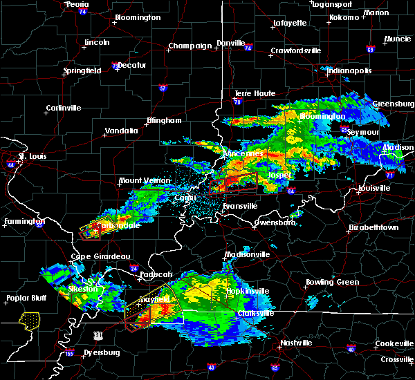 At 1034 pm cst/1134 pm est/, a large and extremely dangerous tornado was located near fort branch, moving east at 60 mph. this is a particularly dangerous situation. take cover now! (radar indicated rotation. oakland city is in the path of this extremely dangerous storm and tornado. the tornado should pass between somerville and francisco. all persons in the mentioned towns need to be in shelter). Hazards include damaging tornado. You are in a life-threatening situation. flying debris may be deadly to those caught without shelter. mobile homes will be destroyed. Considerable damage to homes, businesses, and vehicles is likely and complete destruction is possible. At 1034 pm cst/1134 pm est/, a large and extremely dangerous tornado was located near fort branch, moving east at 60 mph. this is a particularly dangerous situation. take cover now! (radar indicated rotation. oakland city is in the path of this extremely dangerous storm and tornado. the tornado should pass between somerville and francisco. all persons in the mentioned towns need to be in shelter). Hazards include damaging tornado. You are in a life-threatening situation. flying debris may be deadly to those caught without shelter. mobile homes will be destroyed. Considerable damage to homes, businesses, and vehicles is likely and complete destruction is possible.
|
| 7/13/2016 6:08 PM CDT |
 At 607 pm cdt/707 pm edt/, severe thunderstorms were located along a line extending from near mount carmel to near cynthiana to mount vernon, moving east at 50 mph. these storms have a history of producing widespread wind damage, so take cover now! (radar indicated). Hazards include 60 mph wind gusts and penny size hail. Expect damage to roofs. siding. And trees. At 607 pm cdt/707 pm edt/, severe thunderstorms were located along a line extending from near mount carmel to near cynthiana to mount vernon, moving east at 50 mph. these storms have a history of producing widespread wind damage, so take cover now! (radar indicated). Hazards include 60 mph wind gusts and penny size hail. Expect damage to roofs. siding. And trees.
|
| 5/11/2016 5:59 PM CDT |
 At 558 pm cdt/658 pm edt/, spotters repoort a confirmed tornado was located just west of the inter lake area near highway 61. radar shows this tornadic storm 9 miles north of boonville, moving east at 40 mph (weather spotters confirmed tornado). Hazards include damaging tornado. Flying debris will be dangerous to those caught without shelter. mobile homes will be damaged or destroyed. damage to roofs, windows, and vehicles will occur. tree damage is likely. the tornado will be near, folsomville around 605 pm cdt. Other locations impacted by this tornadic thunderstorm include spurgeon and tennyson. At 558 pm cdt/658 pm edt/, spotters repoort a confirmed tornado was located just west of the inter lake area near highway 61. radar shows this tornadic storm 9 miles north of boonville, moving east at 40 mph (weather spotters confirmed tornado). Hazards include damaging tornado. Flying debris will be dangerous to those caught without shelter. mobile homes will be damaged or destroyed. damage to roofs, windows, and vehicles will occur. tree damage is likely. the tornado will be near, folsomville around 605 pm cdt. Other locations impacted by this tornadic thunderstorm include spurgeon and tennyson.
|
| 5/11/2016 5:42 PM CDT |
 At 542 pm cdt/642 pm edt/, severe thunderstorms were located along a line extending from near petersburg to newburgh, moving east at 35 mph. these storms just produced 50 to 60 mph winds near angel mounds (radar indicated). Hazards include ping pong ball size hail and 60 mph wind gusts. People and animals outdoors will be injured. expect hail damage to roofs, siding, windows, and vehicles. Expect wind damage to roofs, siding, and trees. At 542 pm cdt/642 pm edt/, severe thunderstorms were located along a line extending from near petersburg to newburgh, moving east at 35 mph. these storms just produced 50 to 60 mph winds near angel mounds (radar indicated). Hazards include ping pong ball size hail and 60 mph wind gusts. People and animals outdoors will be injured. expect hail damage to roofs, siding, windows, and vehicles. Expect wind damage to roofs, siding, and trees.
|
| 5/7/2016 8:23 PM CDT |
 The severe thunderstorm warning for spencer, pike, warrick, southeastern henderson and daviess counties will expire at 830 pm cdt/930 pm edt/, the storms which prompted the warning have moved out of the area. therefore the warning will be allowed to expire. a severe thunderstorm watch remains in effect until 100 am cdt/200 am edt/ for southwestern indiana, and northwestern kentucky. The severe thunderstorm warning for spencer, pike, warrick, southeastern henderson and daviess counties will expire at 830 pm cdt/930 pm edt/, the storms which prompted the warning have moved out of the area. therefore the warning will be allowed to expire. a severe thunderstorm watch remains in effect until 100 am cdt/200 am edt/ for southwestern indiana, and northwestern kentucky.
|
| 5/7/2016 8:23 PM CDT |
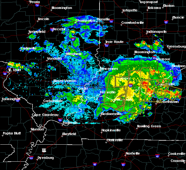 The severe thunderstorm warning for spencer, pike, warrick, southeastern henderson and daviess counties will expire at 830 pm cdt/930 pm edt/, the storms which prompted the warning have moved out of the area. therefore the warning will be allowed to expire. a severe thunderstorm watch remains in effect until 100 am cdt/200 am edt/ for southwestern indiana, and northwestern kentucky. The severe thunderstorm warning for spencer, pike, warrick, southeastern henderson and daviess counties will expire at 830 pm cdt/930 pm edt/, the storms which prompted the warning have moved out of the area. therefore the warning will be allowed to expire. a severe thunderstorm watch remains in effect until 100 am cdt/200 am edt/ for southwestern indiana, and northwestern kentucky.
|
| 5/7/2016 7:45 PM CDT |
 At 744 pm cdt/844 pm edt/, severe thunderstorms were located along a line extending from 7 miles northeast of jasper to 7 miles north of tell city to 7 miles east of st. joseph, moving southeast at 55 mph (radar indicated). Hazards include 60 mph wind gusts. Expect damage to roofs. siding. And trees. At 744 pm cdt/844 pm edt/, severe thunderstorms were located along a line extending from 7 miles northeast of jasper to 7 miles north of tell city to 7 miles east of st. joseph, moving southeast at 55 mph (radar indicated). Hazards include 60 mph wind gusts. Expect damage to roofs. siding. And trees.
|
| 5/7/2016 7:25 PM CDT |
 At 723 pm cdt/823 pm edt/, severe thunderstorms were located along a line extending from near winslow to near folsomville to near henderson, moving east at 55 mph. this line of storms has produced winds in excess of 60 mph, downing trees and power lines, in and around newburgh and evansville, most recently (radar indicated). Hazards include 60 mph wind gusts. Expect damage to roofs. siding. and trees. Locations impacted include, evansville, boonville, newburgh, chandler, petersburg, melody hill, darmstadt, lynnville, winslow, kasson, folsomville, elberfeld, tennyson and spurgeon. At 723 pm cdt/823 pm edt/, severe thunderstorms were located along a line extending from near winslow to near folsomville to near henderson, moving east at 55 mph. this line of storms has produced winds in excess of 60 mph, downing trees and power lines, in and around newburgh and evansville, most recently (radar indicated). Hazards include 60 mph wind gusts. Expect damage to roofs. siding. and trees. Locations impacted include, evansville, boonville, newburgh, chandler, petersburg, melody hill, darmstadt, lynnville, winslow, kasson, folsomville, elberfeld, tennyson and spurgeon.
|
| 5/7/2016 6:59 PM CDT |
 At 657 pm cdt/757 pm edt/, severe thunderstorms were located along a line extending from patoka to 6 miles northwest of henderson, moving east at 60 mph. these storms have a history of producing wind damage with winds in excess of 60 mph as they moved across portions of southern illinois (radar indicated). Hazards include 60 mph wind gusts. Expect damage to roofs. siding. And trees. At 657 pm cdt/757 pm edt/, severe thunderstorms were located along a line extending from patoka to 6 miles northwest of henderson, moving east at 60 mph. these storms have a history of producing wind damage with winds in excess of 60 mph as they moved across portions of southern illinois (radar indicated). Hazards include 60 mph wind gusts. Expect damage to roofs. siding. And trees.
|
| 4/26/2016 4:37 PM EDT |
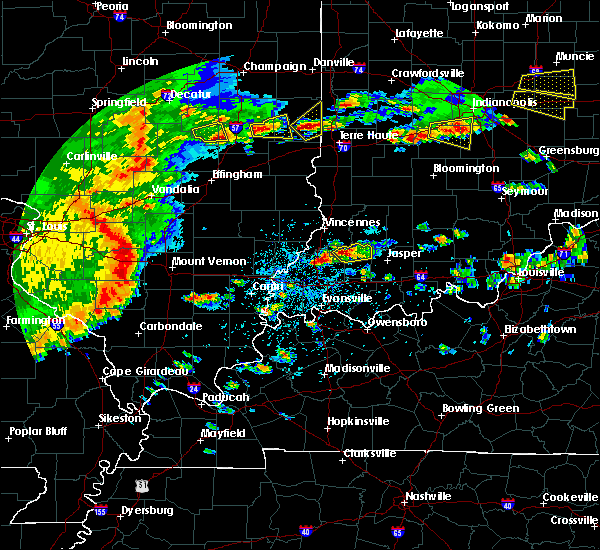 At 435 pm edt, a severe thunderstorm was located over petersburg, moving northeast at 15 mph (radar indicated). Hazards include 60 mph wind gusts and quarter size hail. Hail damage to vehicles is expected. Expect wind damage to roofs, siding, and trees. At 435 pm edt, a severe thunderstorm was located over petersburg, moving northeast at 15 mph (radar indicated). Hazards include 60 mph wind gusts and quarter size hail. Hail damage to vehicles is expected. Expect wind damage to roofs, siding, and trees.
|
| 4/6/2016 5:56 PM EDT |
 At 455 pm cdt/555 pm edt/, severe thunderstorms were located along a line extending from near petersburg to near newburgh, moving east at 40 mph (radar indicated). Hazards include 60 mph wind gusts. little or no lightning have been associated with this line of showers. Expect damage to roofs. siding. and trees. Locations impacted include, boonville, newburgh, chandler, petersburg, lynnville, winslow, folsomville, elberfeld, tennyson and spurgeon. At 455 pm cdt/555 pm edt/, severe thunderstorms were located along a line extending from near petersburg to near newburgh, moving east at 40 mph (radar indicated). Hazards include 60 mph wind gusts. little or no lightning have been associated with this line of showers. Expect damage to roofs. siding. and trees. Locations impacted include, boonville, newburgh, chandler, petersburg, lynnville, winslow, folsomville, elberfeld, tennyson and spurgeon.
|
| 4/6/2016 5:32 PM EDT |
 At 430 pm cdt/530 pm edt/, severe thunderstorms were located along a line extending from 9 miles west of petersburg to 7 miles west of henderson, moving east at 40 mph (trained weather spotters). Hazards include 60 mph wind gusts. there have also been reports of trees down and large limbs down just ahead of this line of showers. little or no lightning is associated with these showers. Expect damage to roofs. siding. And trees. At 430 pm cdt/530 pm edt/, severe thunderstorms were located along a line extending from 9 miles west of petersburg to 7 miles west of henderson, moving east at 40 mph (trained weather spotters). Hazards include 60 mph wind gusts. there have also been reports of trees down and large limbs down just ahead of this line of showers. little or no lightning is associated with these showers. Expect damage to roofs. siding. And trees.
|
| 12/23/2015 1:48 PM CST | At 148 pm cst/248 pm est/, severe thunderstorms were located along a line extending from 9 miles northwest of jasper to 7 miles north of folsomville to near boonville, moving east at 55 mph (trained weather spotters). Hazards include 60 mph wind gusts. Expect damage to roofs. siding and trees. locations impacted include, boonville, newburgh, chandler, lynnville, winslow, folsomville, tennyson and spurgeon. a tornado watch remains in effect until 500 pm cst/600 pm est/ for southwestern indiana and northwestern kentucky. A tornado watch also remains in effect until 800 pm cst/900 pm est/ for southwestern indiana and northwestern kentucky. |
| 12/23/2015 2:19 PM EST | At 118 pm cst/218 pm est/, severe thunderstorms were located along a line extending from 7 miles northeast of patoka to darmstadt, moving northeast at 55 mph (radar indicated). Hazards include 60 mph wind gusts. Expect damage to roofs. Siding and trees. |
| 5/22/2014 4:00 AM EDT | Quarter sized hail reported 4.1 miles SSW of Winslow, IN, hail up to quarter-size just northeast of cato. social media report. |
| 9/5/2012 1:47 PM EDT | A dead tree fell on a garage roof in pike county IN, 0.3 miles NW of Winslow, IN |
| 1/1/0001 12:00 AM | Event occurred about 3.5 miles east southeast of oakland city. damage began just east of the railroad tracks and affected areas just south of arthur. damage continued a in pike county IN, 0.3 miles NW of Winslow, IN |
| 1/1/0001 12:00 AM | Late report. large trees down and uprooted along hwy 57. some trees blocking roads countywid in pike county IN, 0.3 miles NW of Winslow, IN |
| 1/1/0001 12:00 AM | Two garages had the roofs blown off. trees down throughout the community. location near o in pike county IN, 0.3 miles NW of Winslow, IN |
Hail Maps for Winslow, IN
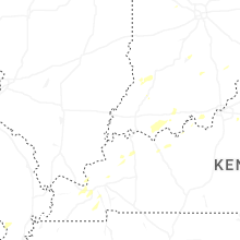
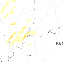
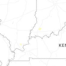


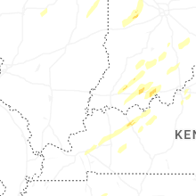


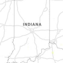


Connect with Interactive Hail Maps