

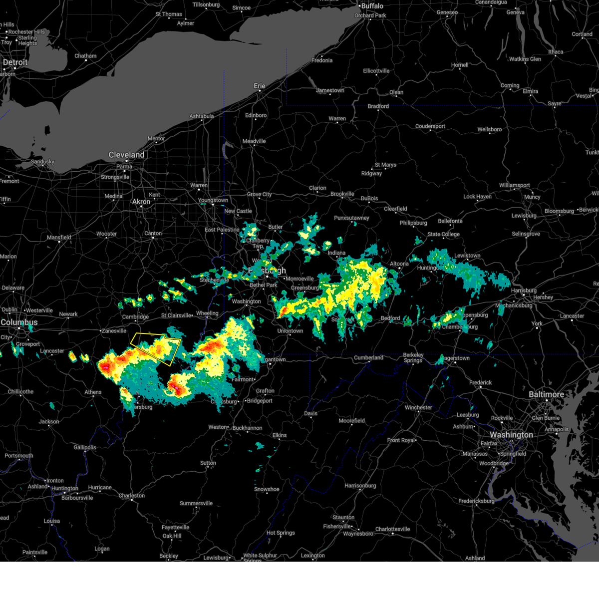
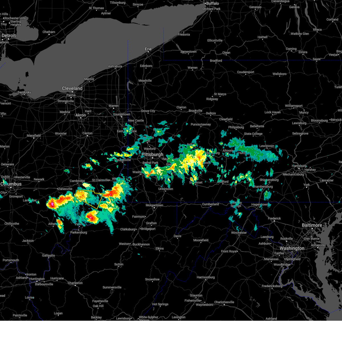
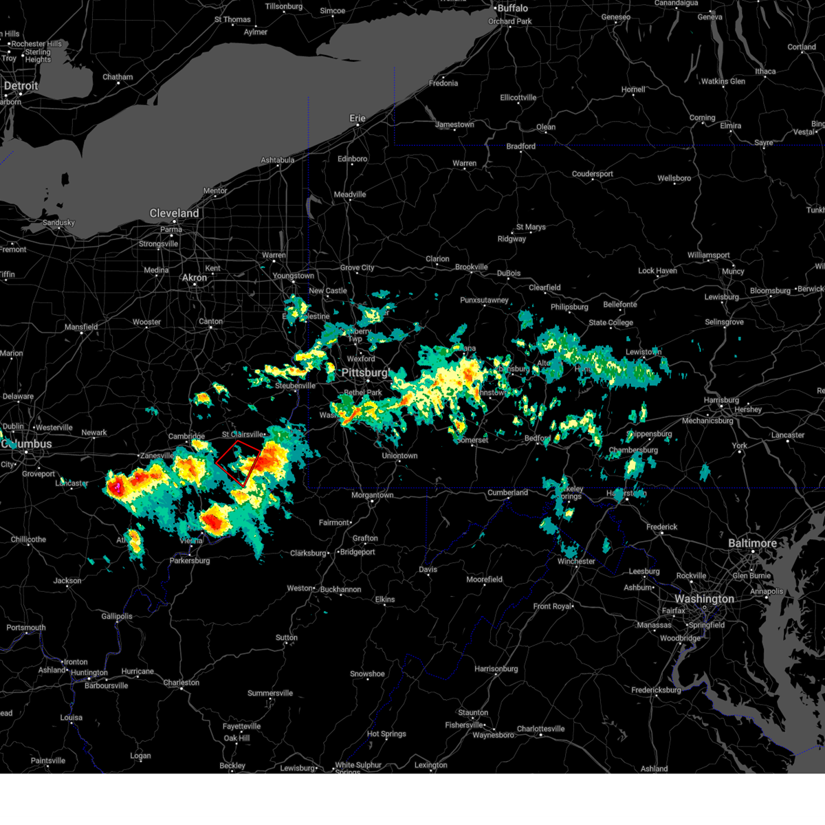
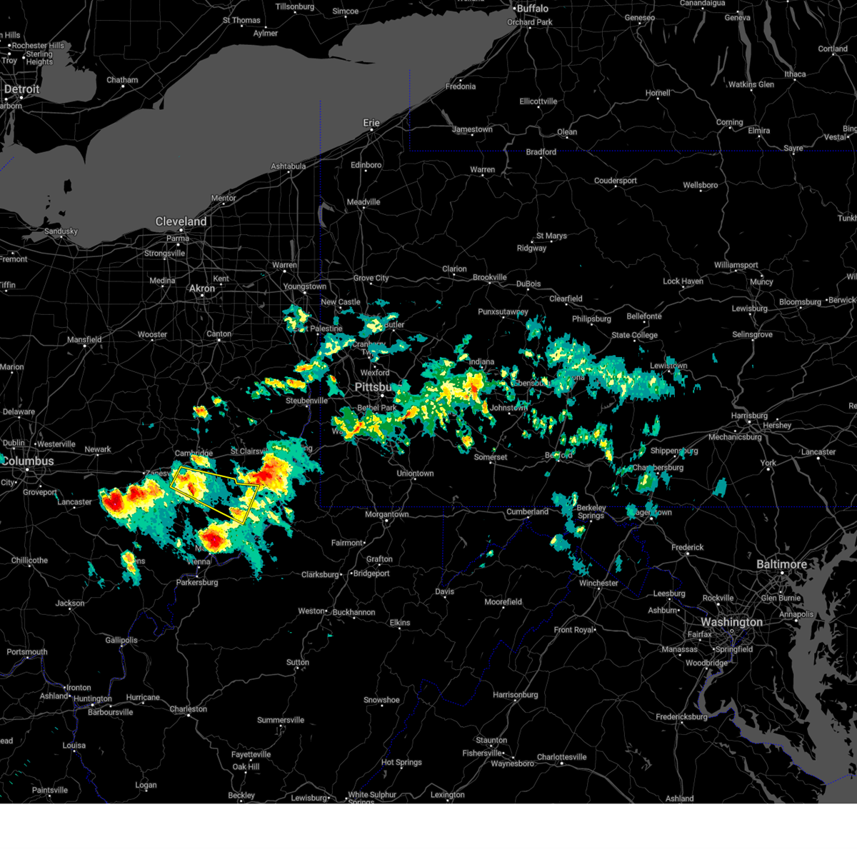
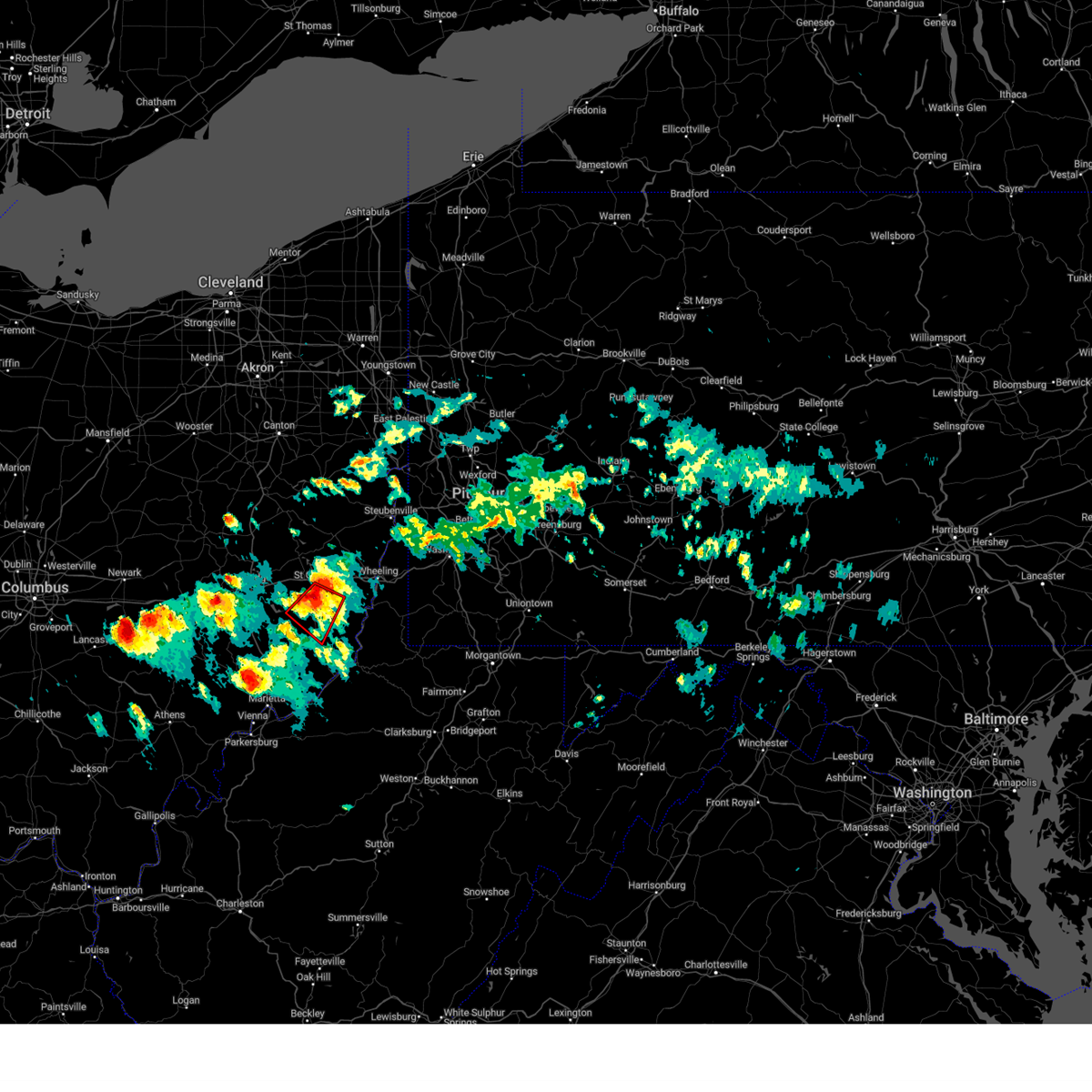
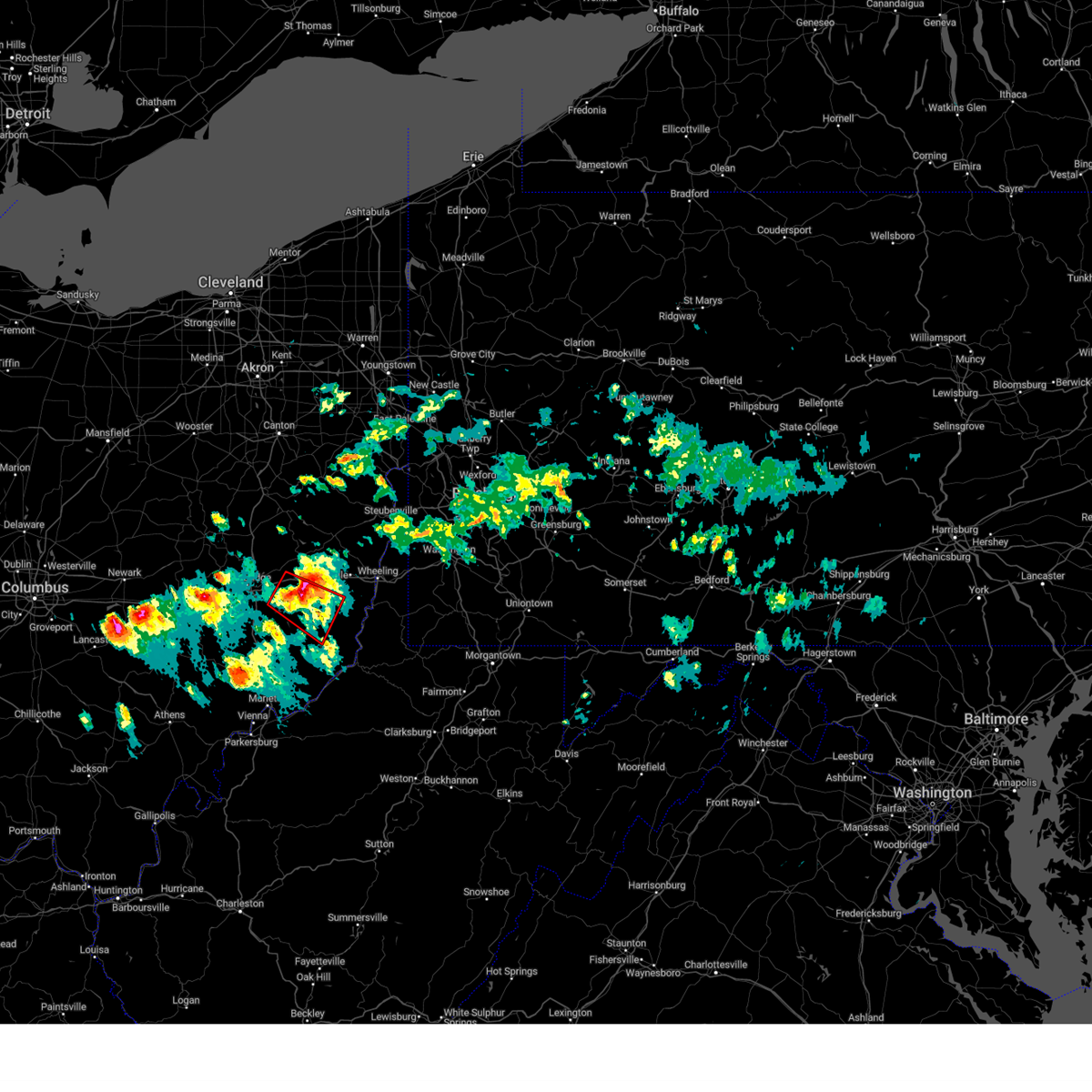
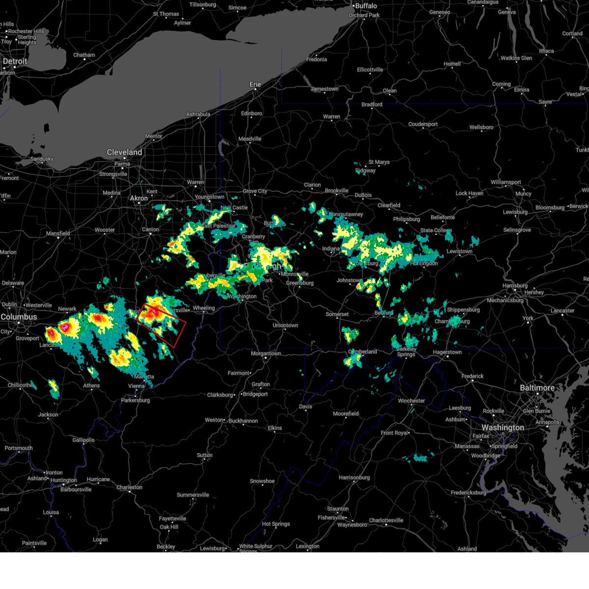
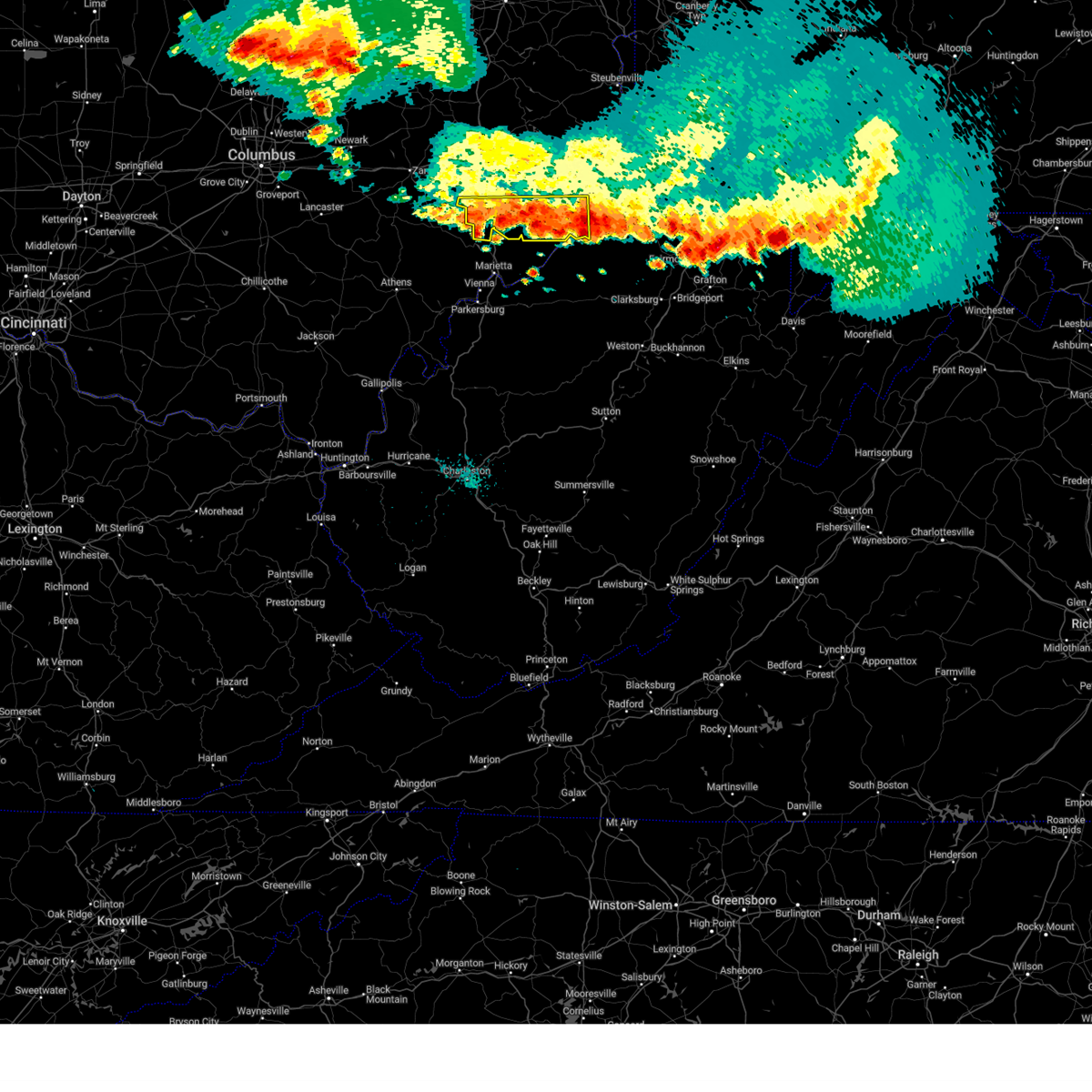
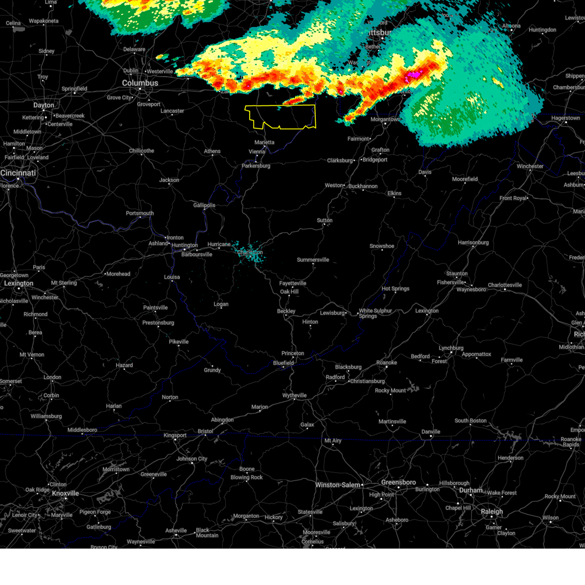
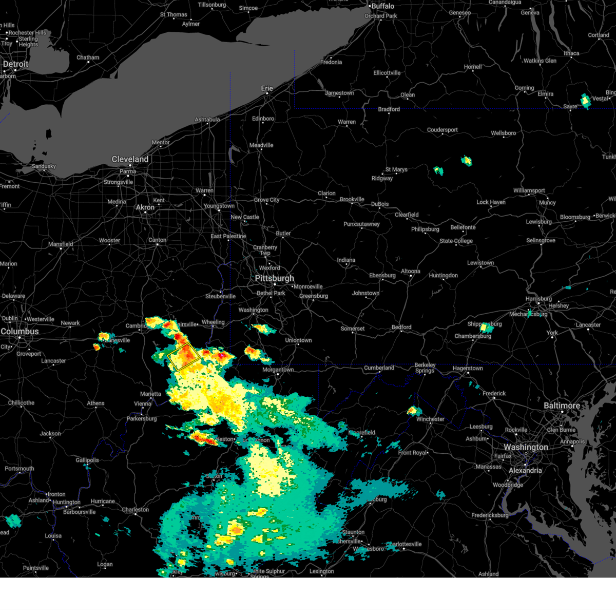
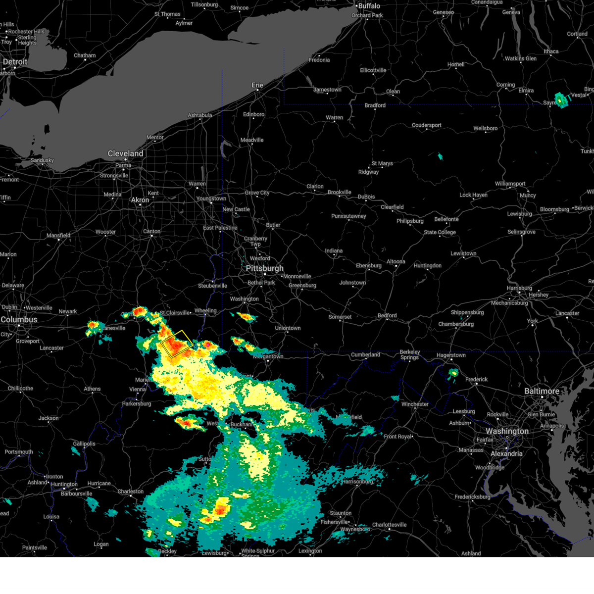
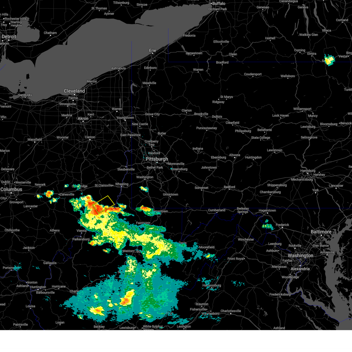
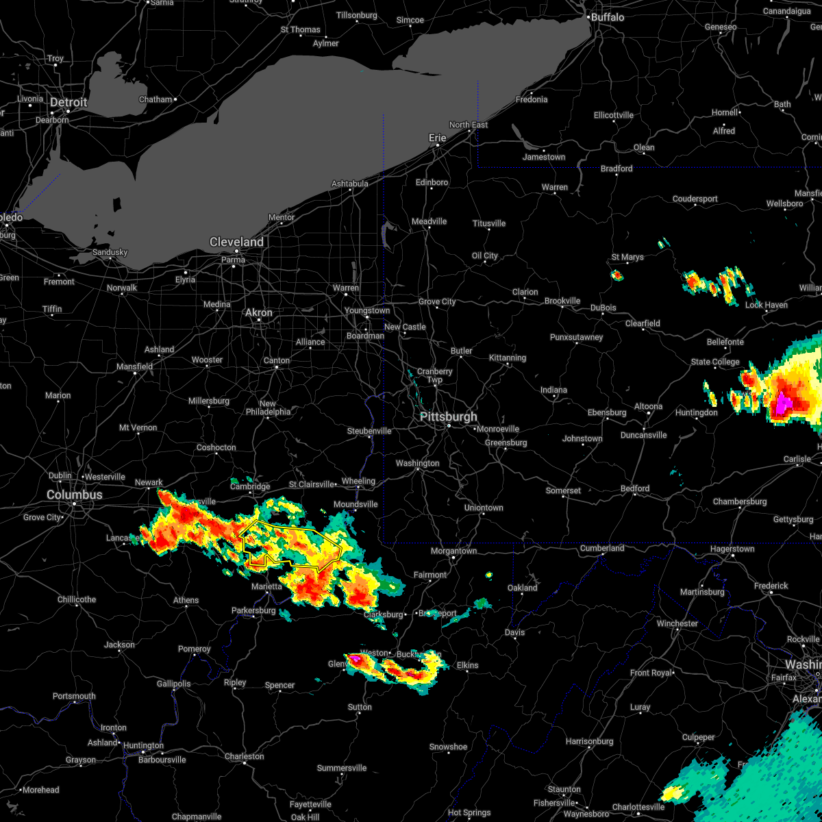
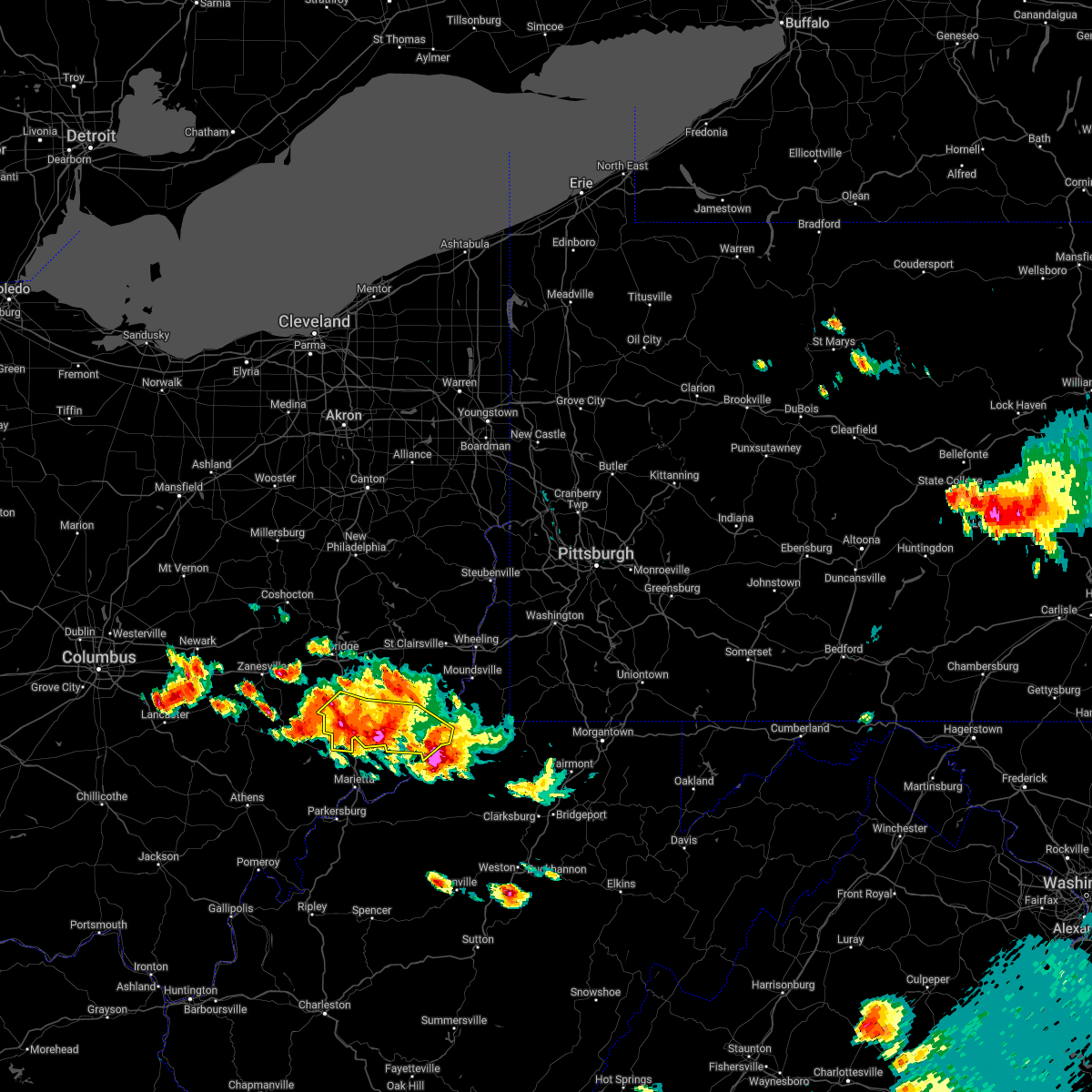
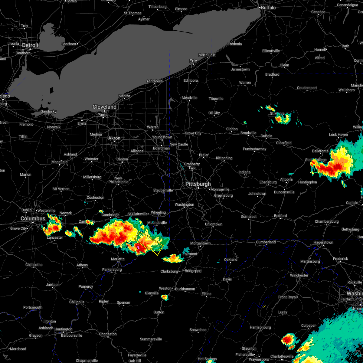
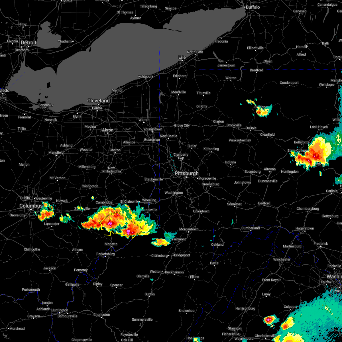
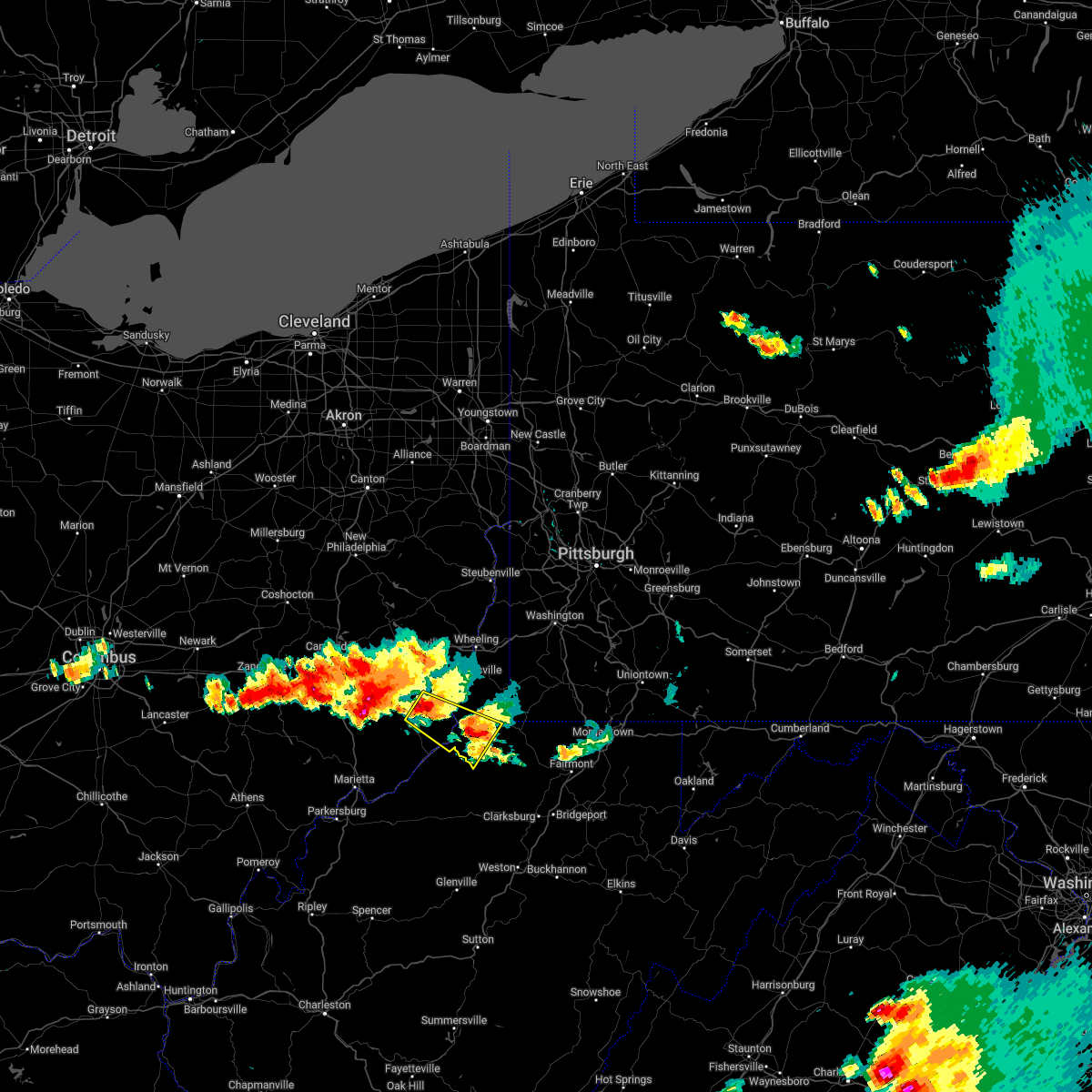
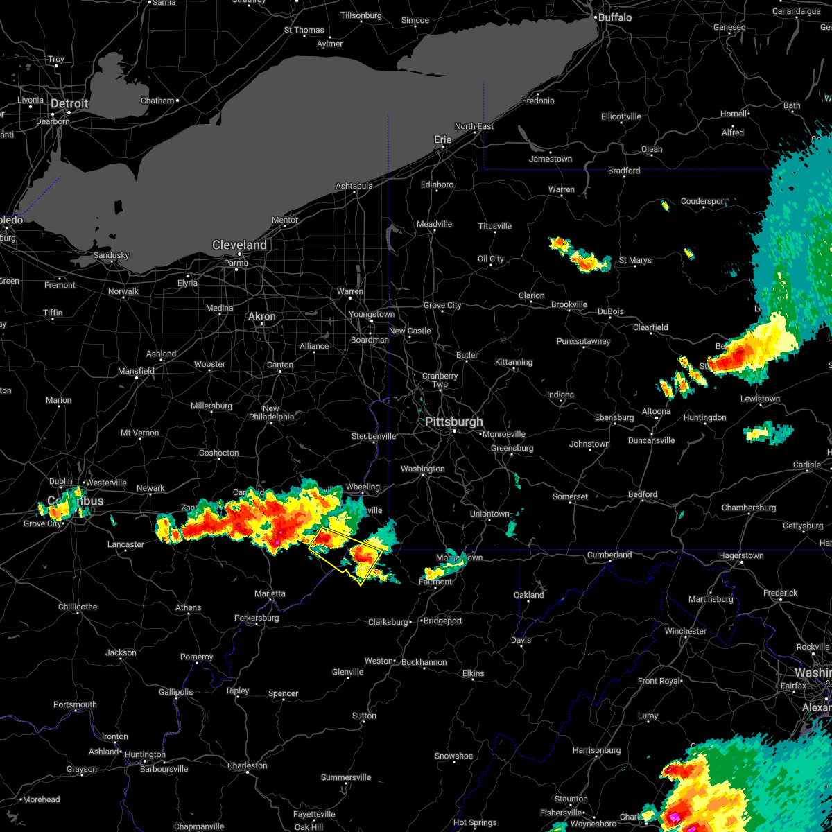
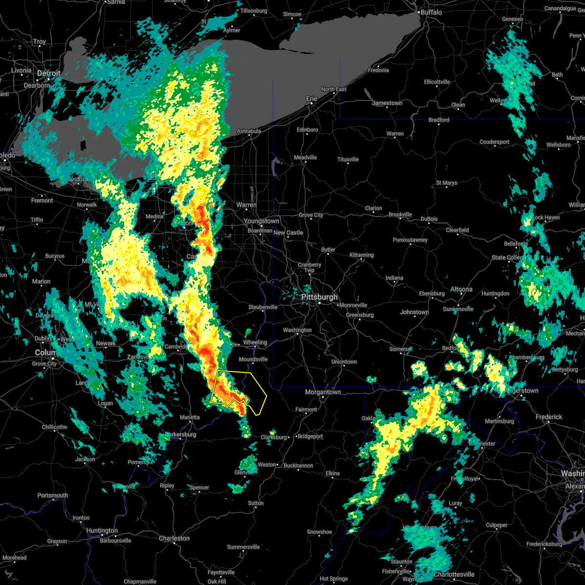
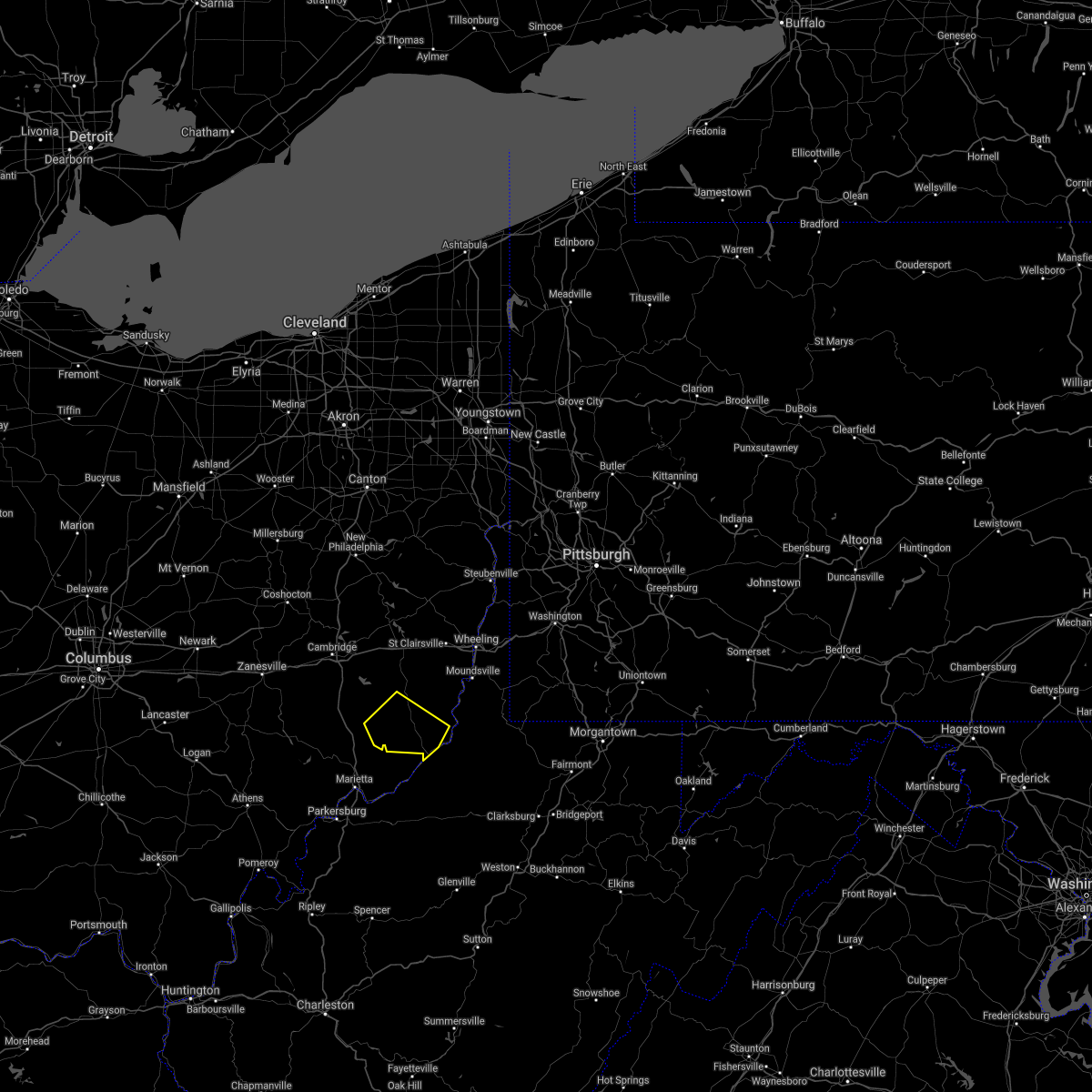
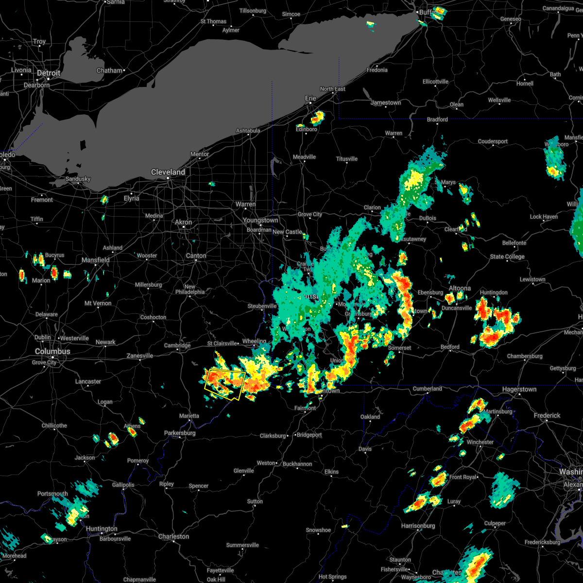
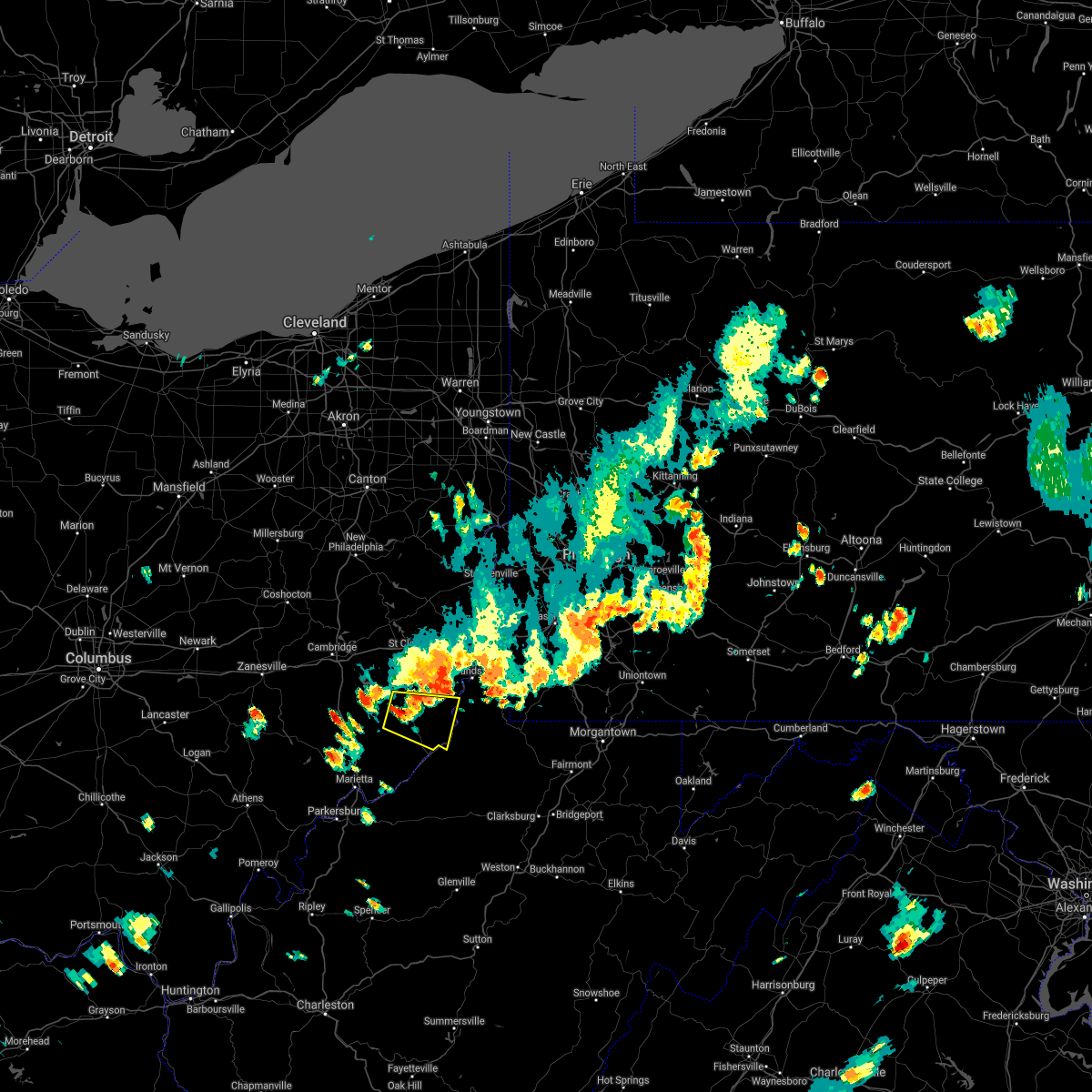
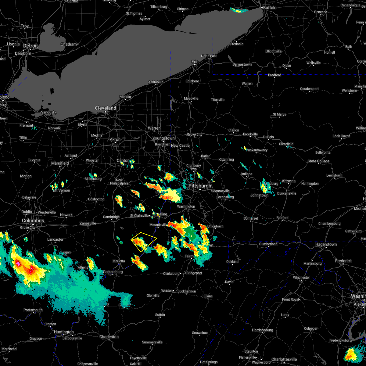
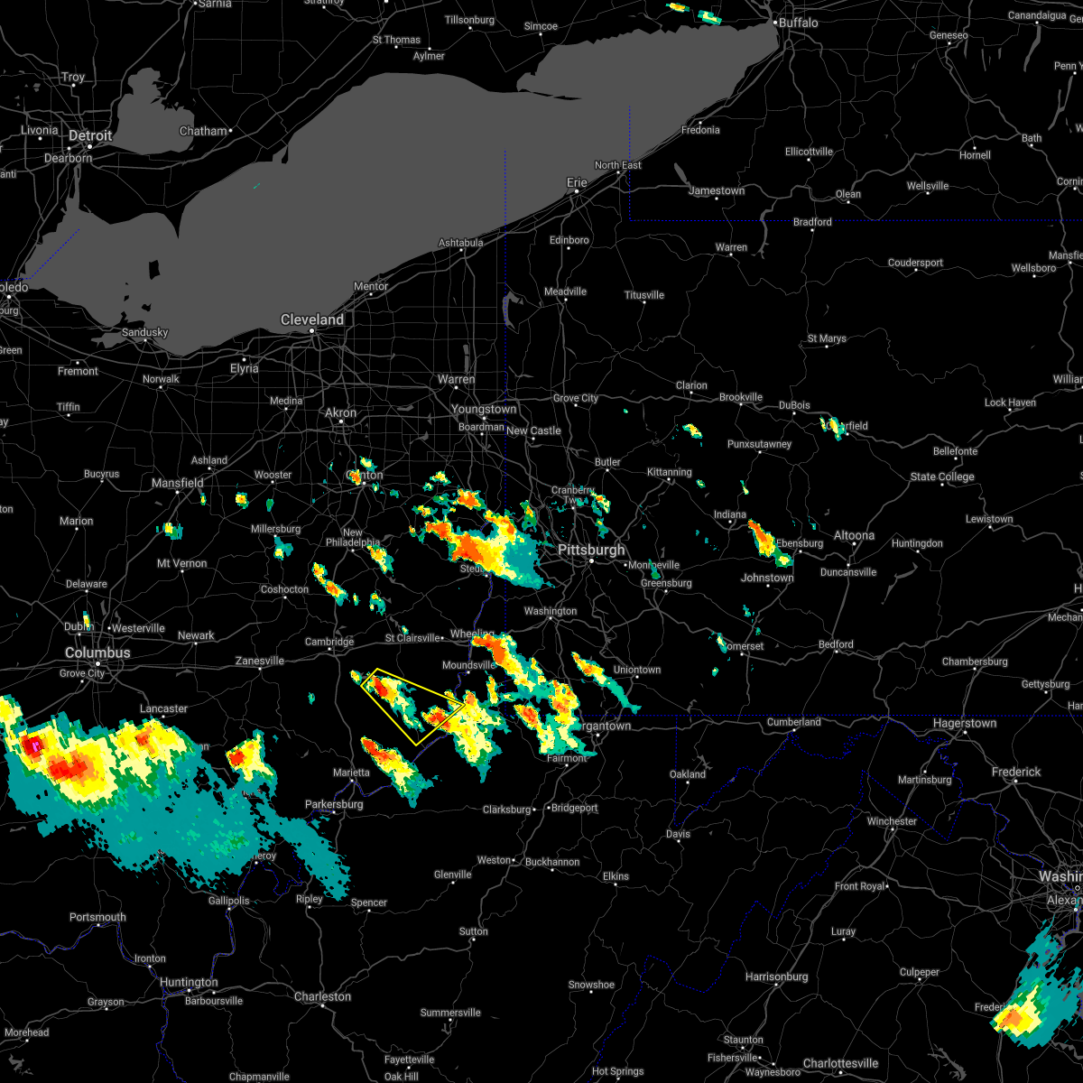
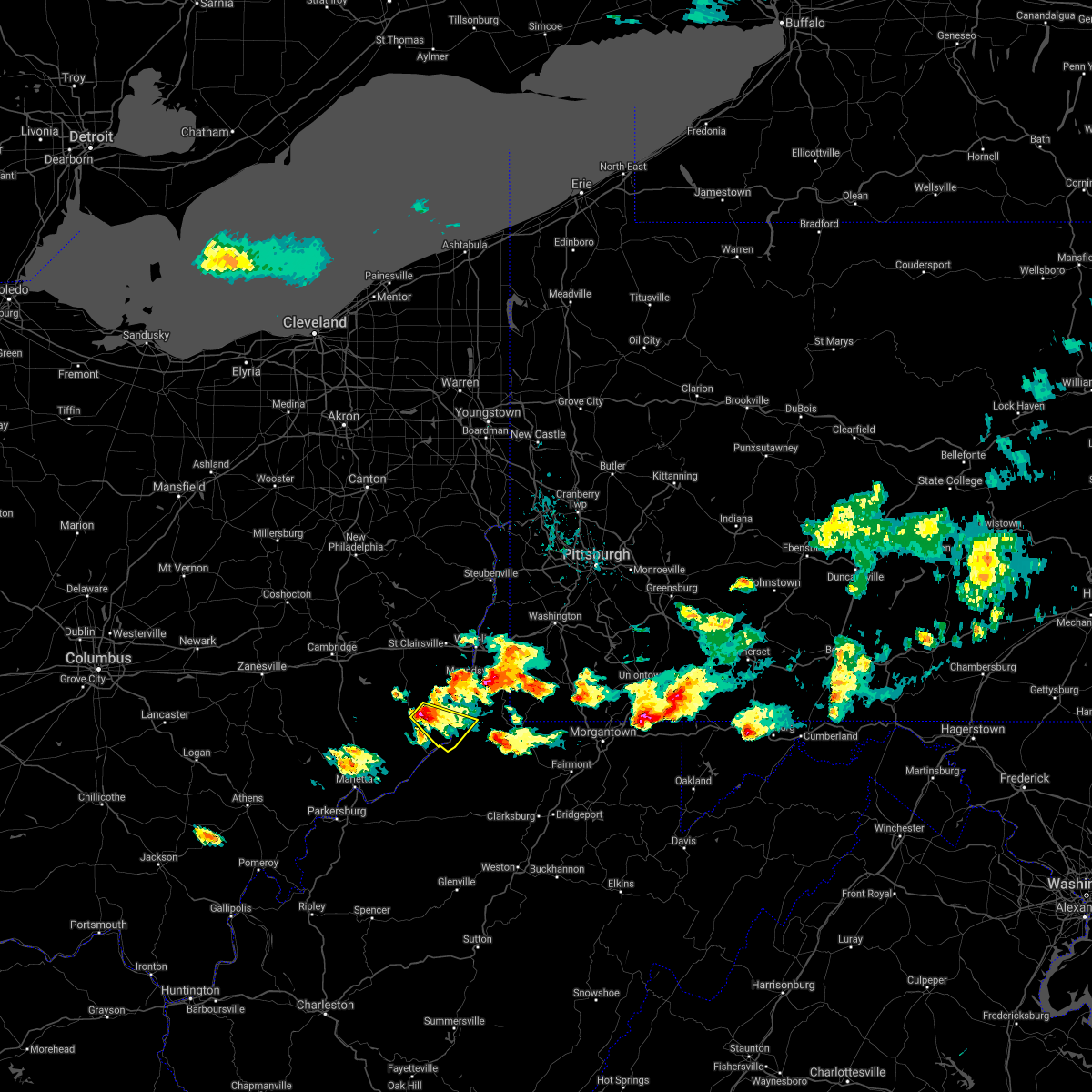
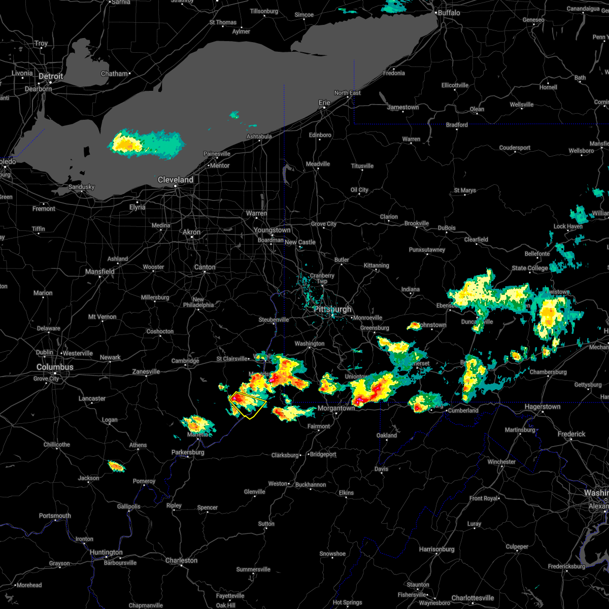
Hail Map for Woodsfield, OH
The Woodsfield, OH area has had 5 reports of on-the-ground hail by trained spotters, and has been under severe weather warnings 28 times during the past 12 months. Doppler radar has detected hail at or near Woodsfield, OH on 26 occasions, including 1 occasion during the past year.
| Name: | Woodsfield, OH |
| Where Located: | 75.3 miles SW of Pittsburgh, PA |
| Map: | Google Map for Woodsfield, OH |
| Population: | 2384 |
| Housing Units: | 1248 |
| More Info: | Search Google for Woodsfield, OH |
3
The Top Recent Hail Date for Woodsfield, OH is Thursday, July 13, 2023 (7th out of 26)

Hail and Wind Damage Spotted near Woodsfield, OH
| Date / Time | Report Details |
|---|---|
| 4/17/2024 7:46 PM EDT |
 At 746 pm edt, severe thunderstorms were located along a line extending from st. clairsville to woodsfield, moving east at 55 mph (radar indicated). Hazards include 60 mph wind gusts. Expect damage to trees and power lines, resulting in some power outages. locations impacted include, wheeling, moundsville, st. Clairsville, bellaire, bethlehem, woodsfield, triadelphia, valley grove, shadyside, mcmechen, powhatan point, glen dale, bridgeport, benwood, bethesda, brookside, belmont, beallsville, clarington, and west alexander. At 746 pm edt, severe thunderstorms were located along a line extending from st. clairsville to woodsfield, moving east at 55 mph (radar indicated). Hazards include 60 mph wind gusts. Expect damage to trees and power lines, resulting in some power outages. locations impacted include, wheeling, moundsville, st. Clairsville, bellaire, bethlehem, woodsfield, triadelphia, valley grove, shadyside, mcmechen, powhatan point, glen dale, bridgeport, benwood, bethesda, brookside, belmont, beallsville, clarington, and west alexander.
|
| 4/17/2024 7:40 PM EDT |
 At 740 pm edt, severe thunderstorms were located along a line extending from near st. clairsville to near woodsfield, moving east at 55 mph (radar indicated). Hazards include 60 mph wind gusts. Expect damage to trees and power lines, resulting in some power outages. locations impacted include, wheeling, moundsville, martins ferry, st. Clairsville, bellaire, barnesville, bethlehem, woodsfield, triadelphia, valley grove, shadyside, mcmechen, powhatan point, glen dale, bridgeport, benwood, bethesda, brookside, belmont, and beallsville. At 740 pm edt, severe thunderstorms were located along a line extending from near st. clairsville to near woodsfield, moving east at 55 mph (radar indicated). Hazards include 60 mph wind gusts. Expect damage to trees and power lines, resulting in some power outages. locations impacted include, wheeling, moundsville, martins ferry, st. Clairsville, bellaire, barnesville, bethlehem, woodsfield, triadelphia, valley grove, shadyside, mcmechen, powhatan point, glen dale, bridgeport, benwood, bethesda, brookside, belmont, and beallsville.
|
| 4/17/2024 7:40 PM EDT |
 the severe thunderstorm warning has been cancelled and is no longer in effect the severe thunderstorm warning has been cancelled and is no longer in effect
|
| 4/17/2024 7:37 PM EDT |
 At 737 pm edt, severe thunderstorms were located along a line extending from near st. clairsville to near woodsfield, moving east at 60 mph (radar indicated). Hazards include 60 mph wind gusts. Expect damage to trees and power lines, resulting in some power outages. locations impacted include, wheeling, moundsville, martins ferry, st. Clairsville, bellaire, barnesville, bethlehem, woodsfield, triadelphia, valley grove, shadyside, mcmechen, powhatan point, glen dale, bridgeport, benwood, bethesda, brookside, belmont, and beallsville. At 737 pm edt, severe thunderstorms were located along a line extending from near st. clairsville to near woodsfield, moving east at 60 mph (radar indicated). Hazards include 60 mph wind gusts. Expect damage to trees and power lines, resulting in some power outages. locations impacted include, wheeling, moundsville, martins ferry, st. Clairsville, bellaire, barnesville, bethlehem, woodsfield, triadelphia, valley grove, shadyside, mcmechen, powhatan point, glen dale, bridgeport, benwood, bethesda, brookside, belmont, and beallsville.
|
| 4/17/2024 7:32 PM EDT |
 At 731 pm edt, severe thunderstorms were located along a line extending from near st. clairsville to near caldwell, moving east at 55 mph (radar indicated). Hazards include 60 mph wind gusts. Expect damage to trees and power lines, resulting in some power outages. locations impacted include, wheeling, moundsville, martins ferry, st. Clairsville, bellaire, barnesville, bethlehem, woodsfield, triadelphia, valley grove, shadyside, mcmechen, powhatan point, glen dale, bridgeport, benwood, bethesda, brookside, belmont, and beallsville. At 731 pm edt, severe thunderstorms were located along a line extending from near st. clairsville to near caldwell, moving east at 55 mph (radar indicated). Hazards include 60 mph wind gusts. Expect damage to trees and power lines, resulting in some power outages. locations impacted include, wheeling, moundsville, martins ferry, st. Clairsville, bellaire, barnesville, bethlehem, woodsfield, triadelphia, valley grove, shadyside, mcmechen, powhatan point, glen dale, bridgeport, benwood, bethesda, brookside, belmont, and beallsville.
|
| 4/17/2024 7:20 PM EDT |
 the severe thunderstorm warning has been cancelled and is no longer in effect the severe thunderstorm warning has been cancelled and is no longer in effect
|
| 4/17/2024 7:20 PM EDT |
 At 719 pm edt, severe thunderstorms were located along a line extending from near barnesville to near caldwell, moving east at 55 mph (radar indicated). Hazards include 60 mph wind gusts. Expect damage to trees and power lines, resulting in some power outages. locations impacted include, wheeling, moundsville, martins ferry, st. Clairsville, bellaire, barnesville, bethlehem, woodsfield, caldwell, triadelphia, valley grove, shadyside, mcmechen, powhatan point, glen dale, bridgeport, dudley, benwood, bethesda, and brookside. At 719 pm edt, severe thunderstorms were located along a line extending from near barnesville to near caldwell, moving east at 55 mph (radar indicated). Hazards include 60 mph wind gusts. Expect damage to trees and power lines, resulting in some power outages. locations impacted include, wheeling, moundsville, martins ferry, st. Clairsville, bellaire, barnesville, bethlehem, woodsfield, caldwell, triadelphia, valley grove, shadyside, mcmechen, powhatan point, glen dale, bridgeport, dudley, benwood, bethesda, and brookside.
|
| 4/17/2024 7:11 PM EDT |
 At 711 pm edt, severe thunderstorms were located along a line extending from 7 miles northwest of barnesville to 9 miles northwest of mcconnelsville, moving east at 55 mph (radar indicated). Hazards include 60 mph wind gusts and penny size hail. Expect damage to trees and power lines, resulting in some power outages. locations impacted include, wheeling, cambridge, moundsville, martins ferry, st. Clairsville, bellaire, barnesville, bethlehem, woodsfield, caldwell, triadelphia, valley grove, shadyside, new concord, byesville, mcmechen, powhatan point, glen dale, bridgeport, and dudley. At 711 pm edt, severe thunderstorms were located along a line extending from 7 miles northwest of barnesville to 9 miles northwest of mcconnelsville, moving east at 55 mph (radar indicated). Hazards include 60 mph wind gusts and penny size hail. Expect damage to trees and power lines, resulting in some power outages. locations impacted include, wheeling, cambridge, moundsville, martins ferry, st. Clairsville, bellaire, barnesville, bethlehem, woodsfield, caldwell, triadelphia, valley grove, shadyside, new concord, byesville, mcmechen, powhatan point, glen dale, bridgeport, and dudley.
|
| 4/17/2024 6:55 PM EDT |
 Svrpbz the national weather service in pittsburgh has issued a * severe thunderstorm warning for, guernsey county in east central ohio, monroe county in east central ohio, southeastern muskingum county in east central ohio, belmont county in east central ohio, noble county in east central ohio, western washington county in southwestern pennsylvania, ohio county in northern west virginia, marshall county in northern west virginia, * until 800 pm edt. * at 655 pm edt, severe thunderstorms were located along a line extending from near cambridge to near perry state forest, moving east at 55 mph (radar indicated). Hazards include 60 mph wind gusts and penny size hail. expect damage to trees and power lines, resulting in some power outages Svrpbz the national weather service in pittsburgh has issued a * severe thunderstorm warning for, guernsey county in east central ohio, monroe county in east central ohio, southeastern muskingum county in east central ohio, belmont county in east central ohio, noble county in east central ohio, western washington county in southwestern pennsylvania, ohio county in northern west virginia, marshall county in northern west virginia, * until 800 pm edt. * at 655 pm edt, severe thunderstorms were located along a line extending from near cambridge to near perry state forest, moving east at 55 mph (radar indicated). Hazards include 60 mph wind gusts and penny size hail. expect damage to trees and power lines, resulting in some power outages
|
| 3/30/2024 7:30 PM EDT |
 the severe thunderstorm warning has been cancelled and is no longer in effect the severe thunderstorm warning has been cancelled and is no longer in effect
|
| 3/30/2024 7:19 PM EDT |
 the severe thunderstorm warning has been cancelled and is no longer in effect the severe thunderstorm warning has been cancelled and is no longer in effect
|
| 3/30/2024 7:19 PM EDT |
 At 718 pm edt, a severe thunderstorm was located 8 miles south of byesville, or 8 miles north of caldwell, moving east at 45 mph (radar indicated). Hazards include 60 mph wind gusts and quarter size hail. Minor hail damage to vehicles is possible. expect wind damage to trees and power lines, resulting in some power outages. Locations impacted include, woodsfield, pleasant city, summerfield, belle valley, lewisville, sarahsville, jerusalem, wilson, stafford, graysville, miltonsburg, seneca lake park, and wolf run state park. At 718 pm edt, a severe thunderstorm was located 8 miles south of byesville, or 8 miles north of caldwell, moving east at 45 mph (radar indicated). Hazards include 60 mph wind gusts and quarter size hail. Minor hail damage to vehicles is possible. expect wind damage to trees and power lines, resulting in some power outages. Locations impacted include, woodsfield, pleasant city, summerfield, belle valley, lewisville, sarahsville, jerusalem, wilson, stafford, graysville, miltonsburg, seneca lake park, and wolf run state park.
|
| 3/30/2024 7:12 PM EDT |
 The storm which prompted the warning has moved out of the area. therefore, the warning will be allowed to expire. a severe thunderstorm watch remains in effect until 1000 pm edt for east central ohio. The storm which prompted the warning has moved out of the area. therefore, the warning will be allowed to expire. a severe thunderstorm watch remains in effect until 1000 pm edt for east central ohio.
|
| 3/30/2024 7:10 PM EDT |
 At 709 pm edt, a severe thunderstorm was located near byesville, or 9 miles south of cambridge, moving east at 45 mph (radar indicated). Hazards include 60 mph wind gusts and quarter size hail. Minor hail damage to vehicles is possible. expect wind damage to trees and power lines, resulting in some power outages. Locations impacted include, woodsfield, caldwell, senecaville, pleasant city, cumberland, summerfield, belle valley, lewisville, sarahsville, jerusalem, wilson, stafford, graysville, miltonsburg, seneca lake park, and wolf run state park. At 709 pm edt, a severe thunderstorm was located near byesville, or 9 miles south of cambridge, moving east at 45 mph (radar indicated). Hazards include 60 mph wind gusts and quarter size hail. Minor hail damage to vehicles is possible. expect wind damage to trees and power lines, resulting in some power outages. Locations impacted include, woodsfield, caldwell, senecaville, pleasant city, cumberland, summerfield, belle valley, lewisville, sarahsville, jerusalem, wilson, stafford, graysville, miltonsburg, seneca lake park, and wolf run state park.
|
| 3/30/2024 7:02 PM EDT |
 At 702 pm edt, a severe thunderstorm capable of producing a tornado was located near barnesville, moving southeast at 40 mph (radar indicated rotation). Hazards include tornado and quarter size hail. Flying debris will be dangerous to those caught without shelter. mobile homes will be damaged or destroyed. damage to roofs, windows, and vehicles will occur. tree damage is likely. Locations impacted include, barnesville, woodsfield, bethesda, beallsville, jerusalem, wilson, somerton, batesville, and miltonsburg. At 702 pm edt, a severe thunderstorm capable of producing a tornado was located near barnesville, moving southeast at 40 mph (radar indicated rotation). Hazards include tornado and quarter size hail. Flying debris will be dangerous to those caught without shelter. mobile homes will be damaged or destroyed. damage to roofs, windows, and vehicles will occur. tree damage is likely. Locations impacted include, barnesville, woodsfield, bethesda, beallsville, jerusalem, wilson, somerton, batesville, and miltonsburg.
|
| 3/30/2024 6:56 PM EDT |
 Svrpbz the national weather service in pittsburgh has issued a * severe thunderstorm warning for, southwestern guernsey county in east central ohio, western monroe county in east central ohio, east central muskingum county in east central ohio, central noble county in east central ohio, * until 745 pm edt. * at 656 pm edt, a severe thunderstorm was located near new concord, or 10 miles east of zanesville, moving east at 45 mph (radar indicated). Hazards include 60 mph wind gusts and quarter size hail. Minor hail damage to vehicles is possible. Expect wind damage to trees and power lines, resulting in some power outages. Svrpbz the national weather service in pittsburgh has issued a * severe thunderstorm warning for, southwestern guernsey county in east central ohio, western monroe county in east central ohio, east central muskingum county in east central ohio, central noble county in east central ohio, * until 745 pm edt. * at 656 pm edt, a severe thunderstorm was located near new concord, or 10 miles east of zanesville, moving east at 45 mph (radar indicated). Hazards include 60 mph wind gusts and quarter size hail. Minor hail damage to vehicles is possible. Expect wind damage to trees and power lines, resulting in some power outages.
|
| 3/30/2024 6:52 PM EDT |
 At 652 pm edt, a severe thunderstorm capable of producing a tornado was located 9 miles west of barnesville, moving southeast at 40 mph (radar indicated rotation). Hazards include tornado and quarter size hail. Flying debris will be dangerous to those caught without shelter. mobile homes will be damaged or destroyed. damage to roofs, windows, and vehicles will occur. tree damage is likely. Locations impacted include, barnesville, woodsfield, bethesda, quaker city, beallsville, jerusalem, salesville, wilson, somerton, fairview, batesville, miltonsburg, and seneca lake park. At 652 pm edt, a severe thunderstorm capable of producing a tornado was located 9 miles west of barnesville, moving southeast at 40 mph (radar indicated rotation). Hazards include tornado and quarter size hail. Flying debris will be dangerous to those caught without shelter. mobile homes will be damaged or destroyed. damage to roofs, windows, and vehicles will occur. tree damage is likely. Locations impacted include, barnesville, woodsfield, bethesda, quaker city, beallsville, jerusalem, salesville, wilson, somerton, fairview, batesville, miltonsburg, and seneca lake park.
|
| 3/30/2024 6:41 PM EDT |
 Torpbz the national weather service in pittsburgh has issued a * tornado warning for, eastern guernsey county in east central ohio, northwestern monroe county in east central ohio, southwestern belmont county in east central ohio, northeastern noble county in east central ohio, * until 715 pm edt. * at 641 pm edt, a severe thunderstorm capable of producing a tornado was located near byesville, or near cambridge, moving southeast at 40 mph (radar indicated rotation). Hazards include tornado and ping pong ball size hail. Flying debris will be dangerous to those caught without shelter. mobile homes will be damaged or destroyed. damage to roofs, windows, and vehicles will occur. tree damage is likely. This tornadic thunderstorm will remain over mainly rural areas of eastern guernsey, northwestern monroe, southwestern belmont and northeastern noble counties, including the following locations, miltonsburg, lore city, jerusalem, batesville, wilson, quaker city, somerton, fairview, salt fork state park, and beallsville. Torpbz the national weather service in pittsburgh has issued a * tornado warning for, eastern guernsey county in east central ohio, northwestern monroe county in east central ohio, southwestern belmont county in east central ohio, northeastern noble county in east central ohio, * until 715 pm edt. * at 641 pm edt, a severe thunderstorm capable of producing a tornado was located near byesville, or near cambridge, moving southeast at 40 mph (radar indicated rotation). Hazards include tornado and ping pong ball size hail. Flying debris will be dangerous to those caught without shelter. mobile homes will be damaged or destroyed. damage to roofs, windows, and vehicles will occur. tree damage is likely. This tornadic thunderstorm will remain over mainly rural areas of eastern guernsey, northwestern monroe, southwestern belmont and northeastern noble counties, including the following locations, miltonsburg, lore city, jerusalem, batesville, wilson, quaker city, somerton, fairview, salt fork state park, and beallsville.
|
| 2/28/2024 7:45 AM EST |
 At 745 am est, a severe thunderstorm was located near moundsville, moving east at 60 mph (radar indicated). Hazards include 60 mph wind gusts and quarter size hail. Minor hail damage to vehicles is possible. expect wind damage to trees and power lines, resulting in some power outages. Locations impacted include, moundsville, new martinsville, bellaire, woodsfield, shadyside, mcmechen, powhatan point, glen dale, benwood, clarington, cameron, graysville, grove oak, woodlands, glendale, rocklick, glen easton, hannibal, dallas, and sherrard. At 745 am est, a severe thunderstorm was located near moundsville, moving east at 60 mph (radar indicated). Hazards include 60 mph wind gusts and quarter size hail. Minor hail damage to vehicles is possible. expect wind damage to trees and power lines, resulting in some power outages. Locations impacted include, moundsville, new martinsville, bellaire, woodsfield, shadyside, mcmechen, powhatan point, glen dale, benwood, clarington, cameron, graysville, grove oak, woodlands, glendale, rocklick, glen easton, hannibal, dallas, and sherrard.
|
| 2/28/2024 7:30 AM EST |
 At 730 am est, a severe thunderstorm was located near powhatan point, or 9 miles west of moundsville, moving east at 60 mph (radar indicated). Hazards include 60 mph wind gusts and quarter size hail. Minor hail damage to vehicles is possible. expect wind damage to trees and power lines, resulting in some power outages. Locations impacted include, moundsville, new martinsville, bellaire, woodsfield, shadyside, mcmechen, powhatan point, glen dale, dudley, benwood, beallsville, clarington, summerfield, lewisville, jerusalem, wilson, cameron, alledonia, somerton, and stafford. At 730 am est, a severe thunderstorm was located near powhatan point, or 9 miles west of moundsville, moving east at 60 mph (radar indicated). Hazards include 60 mph wind gusts and quarter size hail. Minor hail damage to vehicles is possible. expect wind damage to trees and power lines, resulting in some power outages. Locations impacted include, moundsville, new martinsville, bellaire, woodsfield, shadyside, mcmechen, powhatan point, glen dale, dudley, benwood, beallsville, clarington, summerfield, lewisville, jerusalem, wilson, cameron, alledonia, somerton, and stafford.
|
| 2/28/2024 7:20 AM EST | Public report picture showing multiple trees blown over along county road 2 in monroe county. time estimated based on rada in monroe county OH, 3.4 miles SSE of Woodsfield, OH |
| 2/28/2024 7:20 AM EST | Public picture showing a line trees completely uprooted with a couple others pine snapped. time estimated based on rada in monroe county OH, 4.2 miles SSE of Woodsfield, OH |
| 2/28/2024 7:09 AM EST |
 Svrpbz the national weather service in pittsburgh has issued a * severe thunderstorm warning for, southeastern guernsey county in east central ohio, monroe county in east central ohio, southern belmont county in east central ohio, noble county in east central ohio, ohio county in northern west virginia, marshall county in northern west virginia, * until 800 am est. * at 709 am est, a severe thunderstorm was located 11 miles northeast of caldwell, moving east at 60 mph (radar indicated). Hazards include 60 mph wind gusts and quarter size hail. Minor hail damage to vehicles is possible. Expect wind damage to trees and power lines, resulting in some power outages. Svrpbz the national weather service in pittsburgh has issued a * severe thunderstorm warning for, southeastern guernsey county in east central ohio, monroe county in east central ohio, southern belmont county in east central ohio, noble county in east central ohio, ohio county in northern west virginia, marshall county in northern west virginia, * until 800 am est. * at 709 am est, a severe thunderstorm was located 11 miles northeast of caldwell, moving east at 60 mph (radar indicated). Hazards include 60 mph wind gusts and quarter size hail. Minor hail damage to vehicles is possible. Expect wind damage to trees and power lines, resulting in some power outages.
|
| 8/25/2023 3:14 AM EDT |
 At 314 am edt, severe thunderstorms were located along a line extending from near beverly to new martinsville, moving southeast at 35 mph (radar indicated). Hazards include 60 mph wind gusts and penny size hail. Expect damage to trees and power lines, resulting in some power outages. locations impacted include, new martinsville, woodsfield, caldwell, paden city, dudley, sardis, clarington, summerfield, belle valley, lewisville, dexter city, cameron, antioch, stafford, graysville, harriettsville, hannibal, rinard mills, laings, and proctor. hail threat, radar indicated max hail size, 0. 75 in wind threat, radar indicated max wind gust, 60 mph. At 314 am edt, severe thunderstorms were located along a line extending from near beverly to new martinsville, moving southeast at 35 mph (radar indicated). Hazards include 60 mph wind gusts and penny size hail. Expect damage to trees and power lines, resulting in some power outages. locations impacted include, new martinsville, woodsfield, caldwell, paden city, dudley, sardis, clarington, summerfield, belle valley, lewisville, dexter city, cameron, antioch, stafford, graysville, harriettsville, hannibal, rinard mills, laings, and proctor. hail threat, radar indicated max hail size, 0. 75 in wind threat, radar indicated max wind gust, 60 mph.
|
| 8/25/2023 3:02 AM EDT |
 At 302 am edt, severe thunderstorms were located along a line extending from 7 miles east of mcconnelsville to near new martinsville, moving southeast at 35 mph (radar indicated). Hazards include 60 mph wind gusts and penny size hail. expect damage to trees and power lines, resulting in some power outages At 302 am edt, severe thunderstorms were located along a line extending from 7 miles east of mcconnelsville to near new martinsville, moving southeast at 35 mph (radar indicated). Hazards include 60 mph wind gusts and penny size hail. expect damage to trees and power lines, resulting in some power outages
|
| 7/13/2023 7:08 PM EDT |
 The severe thunderstorm warning for northern monroe and south central belmont counties will expire at 715 pm edt, the storm which prompted the warning has weakened below severe limits, and no longer poses an immediate threat to life or property. therefore, the warning will be allowed to expire. however heavy rain is still possible with this thunderstorm. a severe thunderstorm watch remains in effect until 900 pm edt for east central ohio. The severe thunderstorm warning for northern monroe and south central belmont counties will expire at 715 pm edt, the storm which prompted the warning has weakened below severe limits, and no longer poses an immediate threat to life or property. therefore, the warning will be allowed to expire. however heavy rain is still possible with this thunderstorm. a severe thunderstorm watch remains in effect until 900 pm edt for east central ohio.
|
| 7/13/2023 6:56 PM EDT |
 At 656 pm edt, a severe thunderstorm was located over woodsfield, moving northeast at 35 mph (radar indicated). Hazards include 60 mph wind gusts and quarter size hail. Minor hail damage to vehicles is possible. expect wind damage to trees and power lines, resulting in some power outages. locations impacted include, woodsfield, beallsville, clarington, lewisville, jerusalem, wilson, cameron, miltonsburg, and laings. hail threat, radar indicated max hail size, 1. 00 in wind threat, radar indicated max wind gust, 60 mph. At 656 pm edt, a severe thunderstorm was located over woodsfield, moving northeast at 35 mph (radar indicated). Hazards include 60 mph wind gusts and quarter size hail. Minor hail damage to vehicles is possible. expect wind damage to trees and power lines, resulting in some power outages. locations impacted include, woodsfield, beallsville, clarington, lewisville, jerusalem, wilson, cameron, miltonsburg, and laings. hail threat, radar indicated max hail size, 1. 00 in wind threat, radar indicated max wind gust, 60 mph.
|
| 7/13/2023 6:44 PM EDT |
 At 644 pm edt, a severe thunderstorm was located near woodsfield, moving northeast at 30 mph (radar indicated). Hazards include 60 mph wind gusts and quarter size hail. Minor hail damage to vehicles is possible. Expect wind damage to trees and power lines, resulting in some power outages. At 644 pm edt, a severe thunderstorm was located near woodsfield, moving northeast at 30 mph (radar indicated). Hazards include 60 mph wind gusts and quarter size hail. Minor hail damage to vehicles is possible. Expect wind damage to trees and power lines, resulting in some power outages.
|
| 11/27/2022 1:31 PM EST | Tree down across road in laings... o in monroe county OH, 6.4 miles WNW of Woodsfield, OH |
| 11/27/2022 1:21 PM EST |
 At 120 pm est, a severe thunderstorm was located 8 miles northwest of sistersville, or 9 miles south of woodsfield, moving northeast at 60 mph (radar indicated). Hazards include 60 mph wind gusts. expect damage to trees and power lines, resulting in some power outages At 120 pm est, a severe thunderstorm was located 8 miles northwest of sistersville, or 9 miles south of woodsfield, moving northeast at 60 mph (radar indicated). Hazards include 60 mph wind gusts. expect damage to trees and power lines, resulting in some power outages
|
| 7/23/2022 2:28 PM EDT |
 At 227 pm edt, severe thunderstorms were located along a line extending from 7 miles southeast of triadelphia to near sistersville, moving east at 50 mph (radar indicated). Hazards include 60 mph wind gusts. Expect damage to trees and power lines, resulting in some power outages. locations impacted include, moundsville, new martinsville, woodsfield, paden city, powhatan point, glen dale, sardis, beallsville, clarington, cameron, fly, and alledonia. hail threat, radar indicated max hail size, <. 75 in wind threat, radar indicated max wind gust, 60 mph. At 227 pm edt, severe thunderstorms were located along a line extending from 7 miles southeast of triadelphia to near sistersville, moving east at 50 mph (radar indicated). Hazards include 60 mph wind gusts. Expect damage to trees and power lines, resulting in some power outages. locations impacted include, moundsville, new martinsville, woodsfield, paden city, powhatan point, glen dale, sardis, beallsville, clarington, cameron, fly, and alledonia. hail threat, radar indicated max hail size, <. 75 in wind threat, radar indicated max wind gust, 60 mph.
|
| 7/23/2022 2:13 PM EDT |
 At 212 pm edt, severe thunderstorms were located along a line extending from shadyside to 13 miles southwest of woodsfield, moving east at 50 mph (radar indicated). Hazards include 60 mph wind gusts. expect damage to trees and power lines, resulting in some power outages At 212 pm edt, severe thunderstorms were located along a line extending from shadyside to 13 miles southwest of woodsfield, moving east at 50 mph (radar indicated). Hazards include 60 mph wind gusts. expect damage to trees and power lines, resulting in some power outages
|
| 6/16/2022 8:23 PM EDT |
 The severe thunderstorm warning for monroe and noble counties will expire at 830 pm edt, the storm which prompted the warning has weakened below severe limits, and has exited the warned area. therefore, the warning will be allowed to expire. however gusty winds and heavy rain are still possible with this thunderstorm. a severe thunderstorm watch remains in effect until 900 pm edt for east central ohio. The severe thunderstorm warning for monroe and noble counties will expire at 830 pm edt, the storm which prompted the warning has weakened below severe limits, and has exited the warned area. therefore, the warning will be allowed to expire. however gusty winds and heavy rain are still possible with this thunderstorm. a severe thunderstorm watch remains in effect until 900 pm edt for east central ohio.
|
| 6/16/2022 8:02 PM EDT |
 At 802 pm edt, a severe thunderstorm was located over middlebourne, moving southeast at 35 mph (radar indicated). Hazards include 60 mph wind gusts and quarter size hail. Minor hail damage to vehicles is possible. expect wind damage to trees and power lines, resulting in some power outages. locations impacted include, new martinsville, woodsfield, caldwell, dudley, sardis, summerfield, belle valley, lewisville, sarahsville, dexter city, fly, and antioch. hail threat, radar indicated max hail size, 1. 00 in wind threat, radar indicated max wind gust, 60 mph. At 802 pm edt, a severe thunderstorm was located over middlebourne, moving southeast at 35 mph (radar indicated). Hazards include 60 mph wind gusts and quarter size hail. Minor hail damage to vehicles is possible. expect wind damage to trees and power lines, resulting in some power outages. locations impacted include, new martinsville, woodsfield, caldwell, dudley, sardis, summerfield, belle valley, lewisville, sarahsville, dexter city, fly, and antioch. hail threat, radar indicated max hail size, 1. 00 in wind threat, radar indicated max wind gust, 60 mph.
|
| 6/16/2022 7:44 PM EDT |
 At 744 pm edt, a severe thunderstorm was located near new martinsville, moving southeast at 30 mph (radar indicated). Hazards include 60 mph wind gusts and half dollar size hail. Minor hail damage to vehicles is possible. expect wind damage to trees and power lines, resulting in some power outages. locations impacted include, new martinsville, woodsfield, pine grove, sardis, cameron, porters falls, wileyville, proctor, hannibal, reader, and laings. hail threat, radar indicated max hail size, 1. 25 in wind threat, radar indicated max wind gust, 60 mph. At 744 pm edt, a severe thunderstorm was located near new martinsville, moving southeast at 30 mph (radar indicated). Hazards include 60 mph wind gusts and half dollar size hail. Minor hail damage to vehicles is possible. expect wind damage to trees and power lines, resulting in some power outages. locations impacted include, new martinsville, woodsfield, pine grove, sardis, cameron, porters falls, wileyville, proctor, hannibal, reader, and laings. hail threat, radar indicated max hail size, 1. 25 in wind threat, radar indicated max wind gust, 60 mph.
|
| 6/16/2022 7:41 PM EDT |
 At 741 pm edt, a severe thunderstorm was located near sistersville, or 11 miles south of woodsfield, moving southeast at 35 mph (radar indicated). Hazards include 70 mph wind gusts and ping pong ball size hail. People and animals outdoors will be injured. expect hail damage to roofs, siding, windows, and vehicles. trees snapped and uprooted. Power outages can be expected. At 741 pm edt, a severe thunderstorm was located near sistersville, or 11 miles south of woodsfield, moving southeast at 35 mph (radar indicated). Hazards include 70 mph wind gusts and ping pong ball size hail. People and animals outdoors will be injured. expect hail damage to roofs, siding, windows, and vehicles. trees snapped and uprooted. Power outages can be expected.
|
| 6/16/2022 7:10 PM EDT |
 At 710 pm edt, a severe thunderstorm was located near woodsfield, moving southeast at 30 mph (radar indicated). Hazards include 60 mph wind gusts and half dollar size hail. Minor hail damage to vehicles is possible. Expect wind damage to trees and power lines, resulting in some power outages. At 710 pm edt, a severe thunderstorm was located near woodsfield, moving southeast at 30 mph (radar indicated). Hazards include 60 mph wind gusts and half dollar size hail. Minor hail damage to vehicles is possible. Expect wind damage to trees and power lines, resulting in some power outages.
|
| 6/16/2022 6:42 PM EDT |
 At 642 pm edt, a severe thunderstorm was located 8 miles southwest of powhatan point, or 9 miles east of woodsfield, moving southeast at 30 mph (radar indicated). Hazards include 60 mph wind gusts and half dollar size hail. Minor hail damage to vehicles is possible. expect wind damage to trees and power lines, resulting in some power outages. locations impacted include, new martinsville, barnesville, woodsfield, powhatan point, quaker city, sardis, senecaville, beallsville, clarington, lore city, old washington, and lewisville. hail threat, radar indicated max hail size, 1. 25 in wind threat, radar indicated max wind gust, 60 mph. At 642 pm edt, a severe thunderstorm was located 8 miles southwest of powhatan point, or 9 miles east of woodsfield, moving southeast at 30 mph (radar indicated). Hazards include 60 mph wind gusts and half dollar size hail. Minor hail damage to vehicles is possible. expect wind damage to trees and power lines, resulting in some power outages. locations impacted include, new martinsville, barnesville, woodsfield, powhatan point, quaker city, sardis, senecaville, beallsville, clarington, lore city, old washington, and lewisville. hail threat, radar indicated max hail size, 1. 25 in wind threat, radar indicated max wind gust, 60 mph.
|
| 6/16/2022 6:24 PM EDT |
 At 624 pm edt, a severe thunderstorm was located near woodsfield, moving southeast at 35 mph (radar indicated). Hazards include ping pong ball size hail and 60 mph wind gusts. People and animals outdoors will be injured. expect hail damage to roofs, siding, windows, and vehicles. Expect wind damage to trees and power lines, resulting in some power outages. At 624 pm edt, a severe thunderstorm was located near woodsfield, moving southeast at 35 mph (radar indicated). Hazards include ping pong ball size hail and 60 mph wind gusts. People and animals outdoors will be injured. expect hail damage to roofs, siding, windows, and vehicles. Expect wind damage to trees and power lines, resulting in some power outages.
|
| 6/16/2022 5:43 PM EDT |
 At 542 pm edt, a severe thunderstorm was located near byesville, or near cambridge, moving southeast at 35 mph (radar indicated). Hazards include 60 mph wind gusts and quarter size hail. Minor hail damage to vehicles is possible. Expect wind damage to trees and power lines, resulting in some power outages. At 542 pm edt, a severe thunderstorm was located near byesville, or near cambridge, moving southeast at 35 mph (radar indicated). Hazards include 60 mph wind gusts and quarter size hail. Minor hail damage to vehicles is possible. Expect wind damage to trees and power lines, resulting in some power outages.
|
| 6/14/2022 8:11 AM EDT |
 At 810 am edt, a severe thunderstorm was located 7 miles south of freeport, moving southeast at 40 mph (radar indicated). Hazards include 60 mph wind gusts and quarter size hail. Minor hail damage to vehicles is possible. Expect wind damage to trees and power lines, resulting in some power outages. At 810 am edt, a severe thunderstorm was located 7 miles south of freeport, moving southeast at 40 mph (radar indicated). Hazards include 60 mph wind gusts and quarter size hail. Minor hail damage to vehicles is possible. Expect wind damage to trees and power lines, resulting in some power outages.
|
| 6/14/2022 4:50 AM EDT |
 At 450 am edt, severe thunderstorms were located along a line extending from 6 miles northwest of new martinsville to 7 miles northeast of marietta, moving southeast at 55 mph (radar indicated). Hazards include 60 mph wind gusts and nickel size hail. Expect damage to trees and power lines, resulting in some power outages. locations impacted include, woodsfield, caldwell, dudley, sardis, summerfield, lewisville, dexter city, fly, antioch, stafford, graysville, and harriettsville. hail threat, radar indicated max hail size, 0. 88 in wind threat, radar indicated max wind gust, 60 mph. At 450 am edt, severe thunderstorms were located along a line extending from 6 miles northwest of new martinsville to 7 miles northeast of marietta, moving southeast at 55 mph (radar indicated). Hazards include 60 mph wind gusts and nickel size hail. Expect damage to trees and power lines, resulting in some power outages. locations impacted include, woodsfield, caldwell, dudley, sardis, summerfield, lewisville, dexter city, fly, antioch, stafford, graysville, and harriettsville. hail threat, radar indicated max hail size, 0. 88 in wind threat, radar indicated max wind gust, 60 mph.
|
| 6/14/2022 4:31 AM EDT |
 At 430 am edt, severe thunderstorms were located along a line extending from 6 miles northwest of woodsfield to 7 miles northeast of beverly, moving southeast at 55 mph (radar indicated). Hazards include 60 mph wind gusts and nickel size hail. expect damage to trees and power lines, resulting in some power outages At 430 am edt, severe thunderstorms were located along a line extending from 6 miles northwest of woodsfield to 7 miles northeast of beverly, moving southeast at 55 mph (radar indicated). Hazards include 60 mph wind gusts and nickel size hail. expect damage to trees and power lines, resulting in some power outages
|
| 6/14/2022 12:42 AM EDT |
 At 1242 am edt, severe thunderstorms were located along a line extending from 6 miles southeast of byesville to 6 miles west of mcconnelsville, moving east at 50 mph (radar indicated). Hazards include 60 mph wind gusts and quarter size hail. Minor hail damage to vehicles is possible. Expect wind damage to trees and power lines, resulting in some power outages. At 1242 am edt, severe thunderstorms were located along a line extending from 6 miles southeast of byesville to 6 miles west of mcconnelsville, moving east at 50 mph (radar indicated). Hazards include 60 mph wind gusts and quarter size hail. Minor hail damage to vehicles is possible. Expect wind damage to trees and power lines, resulting in some power outages.
|
| 6/8/2022 9:06 PM EDT |
 At 906 pm edt, a severe thunderstorm was located near woodsfield, moving east at 30 mph (radar indicated). Hazards include 60 mph wind gusts and quarter size hail. Minor hail damage to vehicles is possible. Expect wind damage to trees and power lines, resulting in some power outages. At 906 pm edt, a severe thunderstorm was located near woodsfield, moving east at 30 mph (radar indicated). Hazards include 60 mph wind gusts and quarter size hail. Minor hail damage to vehicles is possible. Expect wind damage to trees and power lines, resulting in some power outages.
|
| 6/8/2022 8:57 PM EDT | Golf Ball sized hail reported 0.4 miles NE of Woodsfield, OH |
| 6/8/2022 7:51 PM EDT |
 At 751 pm edt, a severe thunderstorm was located 9 miles east of byesville, or 10 miles west of barnesville, moving east at 35 mph (radar indicated). Hazards include 60 mph wind gusts and quarter size hail. Minor hail damage to vehicles is possible. Expect wind damage to trees and power lines, resulting in some power outages. At 751 pm edt, a severe thunderstorm was located 9 miles east of byesville, or 10 miles west of barnesville, moving east at 35 mph (radar indicated). Hazards include 60 mph wind gusts and quarter size hail. Minor hail damage to vehicles is possible. Expect wind damage to trees and power lines, resulting in some power outages.
|
| 5/3/2022 7:04 PM EDT |
 At 703 pm edt, severe thunderstorms were located along a line extending from 7 miles southwest of carrollton to near woodsfield, moving northeast at 65 mph (radar indicated). Hazards include 60 mph wind gusts. Expect damage to trees and power lines, resulting in some power outages. locations impacted include, wheeling, weirton, steubenville, moundsville, martins ferry, uhrichsville, st. clairsville, bellaire, barnesville, wellsville, cadiz, and carrollton. hail threat, radar indicated max hail size, <. 75 in wind threat, radar indicated max wind gust, 60 mph. At 703 pm edt, severe thunderstorms were located along a line extending from 7 miles southwest of carrollton to near woodsfield, moving northeast at 65 mph (radar indicated). Hazards include 60 mph wind gusts. Expect damage to trees and power lines, resulting in some power outages. locations impacted include, wheeling, weirton, steubenville, moundsville, martins ferry, uhrichsville, st. clairsville, bellaire, barnesville, wellsville, cadiz, and carrollton. hail threat, radar indicated max hail size, <. 75 in wind threat, radar indicated max wind gust, 60 mph.
|
| 5/3/2022 6:48 PM EDT |
 At 647 pm edt, severe thunderstorms were located along a line extending from near uhrichsville to 6 miles east of caldwell, moving northeast at 55 mph (radar indicated). Hazards include 60 mph wind gusts. Expect damage to trees and power lines, resulting in some power outages. locations impacted include, wheeling, weirton, steubenville, new philadelphia, moundsville, martins ferry, uhrichsville, st. clairsville, bellaire, barnesville, wellsville, and cadiz. hail threat, radar indicated max hail size, <. 75 in wind threat, radar indicated max wind gust, 60 mph. At 647 pm edt, severe thunderstorms were located along a line extending from near uhrichsville to 6 miles east of caldwell, moving northeast at 55 mph (radar indicated). Hazards include 60 mph wind gusts. Expect damage to trees and power lines, resulting in some power outages. locations impacted include, wheeling, weirton, steubenville, new philadelphia, moundsville, martins ferry, uhrichsville, st. clairsville, bellaire, barnesville, wellsville, and cadiz. hail threat, radar indicated max hail size, <. 75 in wind threat, radar indicated max wind gust, 60 mph.
|
| 5/3/2022 6:36 PM EDT |
 At 635 pm edt, severe thunderstorms were located along a line extending from near west lafayette to near caldwell, moving northeast at 65 mph (radar indicated). Hazards include 60 mph wind gusts and quarter size hail. Minor hail damage to vehicles is possible. Expect wind damage to trees and power lines, resulting in some power outages. At 635 pm edt, severe thunderstorms were located along a line extending from near west lafayette to near caldwell, moving northeast at 65 mph (radar indicated). Hazards include 60 mph wind gusts and quarter size hail. Minor hail damage to vehicles is possible. Expect wind damage to trees and power lines, resulting in some power outages.
|
| 12/27/2021 7:25 PM EST |
 At 724 pm est, a severe thunderstorm was located near woodsfield, moving east at 50 mph (radar indicated). Hazards include 60 mph wind gusts and quarter size hail. Minor hail damage to vehicles is possible. Expect wind damage to trees and power lines, resulting in some power outages. At 724 pm est, a severe thunderstorm was located near woodsfield, moving east at 50 mph (radar indicated). Hazards include 60 mph wind gusts and quarter size hail. Minor hail damage to vehicles is possible. Expect wind damage to trees and power lines, resulting in some power outages.
|
| 9/22/2021 3:12 PM EDT |
 At 312 pm edt, a severe thunderstorm was located 7 miles north of new martinsville, moving northeast at 45 mph (radar indicated). Hazards include 60 mph wind gusts. expect damage to trees and power lines, resulting in some power outages At 312 pm edt, a severe thunderstorm was located 7 miles north of new martinsville, moving northeast at 45 mph (radar indicated). Hazards include 60 mph wind gusts. expect damage to trees and power lines, resulting in some power outages
|
| 9/22/2021 3:05 PM EDT |
 At 305 pm edt, a severe thunderstorm was located 7 miles southeast of woodsfield, moving north at 45 mph (radar indicated). Hazards include 60 mph wind gusts. Expect damage to trees and power lines, resulting in some power outages. Locations impacted include, new martinsville, woodsfield, paden city, pine grove, jacksonburg, sardis, beallsville, clarington, jerusalem, wilson, cameron, and fly. At 305 pm edt, a severe thunderstorm was located 7 miles southeast of woodsfield, moving north at 45 mph (radar indicated). Hazards include 60 mph wind gusts. Expect damage to trees and power lines, resulting in some power outages. Locations impacted include, new martinsville, woodsfield, paden city, pine grove, jacksonburg, sardis, beallsville, clarington, jerusalem, wilson, cameron, and fly.
|
| 9/22/2021 2:48 PM EDT |
 At 246 pm edt, a severe thunderstorm was located near sistersville, or 8 miles west of middlebourne, moving north at 40 mph (radar indicated). Hazards include 60 mph wind gusts. expect damage to trees and power lines, resulting in some power outages At 246 pm edt, a severe thunderstorm was located near sistersville, or 8 miles west of middlebourne, moving north at 40 mph (radar indicated). Hazards include 60 mph wind gusts. expect damage to trees and power lines, resulting in some power outages
|
| 8/11/2021 7:09 PM EDT |
 The severe thunderstorm warning for monroe and southeastern noble counties will expire at 715 pm edt, the storm which prompted the warning has weakened below severe limits, and no longer poses an immediate threat to life or property. therefore, the warning will be allowed to expire. however gusty winds and heavy rain are still possible with this thunderstorm. a severe thunderstorm watch remains in effect until 900 pm edt for east central ohio. The severe thunderstorm warning for monroe and southeastern noble counties will expire at 715 pm edt, the storm which prompted the warning has weakened below severe limits, and no longer poses an immediate threat to life or property. therefore, the warning will be allowed to expire. however gusty winds and heavy rain are still possible with this thunderstorm. a severe thunderstorm watch remains in effect until 900 pm edt for east central ohio.
|
| 8/11/2021 6:51 PM EDT |
 At 651 pm edt, a severe thunderstorm was located near woodsfield, moving east at 45 mph (radar indicated). Hazards include 60 mph wind gusts. expect damage to trees and power lines, resulting in some power outages At 651 pm edt, a severe thunderstorm was located near woodsfield, moving east at 45 mph (radar indicated). Hazards include 60 mph wind gusts. expect damage to trees and power lines, resulting in some power outages
|
| 8/10/2021 3:24 PM EDT |
 The severe thunderstorm warning for monroe, western wetzel and marshall counties will expire at 330 pm edt, the storm which prompted the warning has weakened below severe limits, and no longer poses an immediate threat to life or property. therefore, the warning will be allowed to expire. however gusty winds and heavy rain are still possible with this thunderstorm. The severe thunderstorm warning for monroe, western wetzel and marshall counties will expire at 330 pm edt, the storm which prompted the warning has weakened below severe limits, and no longer poses an immediate threat to life or property. therefore, the warning will be allowed to expire. however gusty winds and heavy rain are still possible with this thunderstorm.
|
| 8/10/2021 3:02 PM EDT |
 At 302 pm edt, a severe thunderstorm was located near woodsfield, moving east at 20 mph (radar indicated). Hazards include 60 mph wind gusts and quarter size hail. Minor hail damage to vehicles is possible. expect wind damage to trees and power lines, resulting in some power outages. locations impacted include, woodsfield, sardis, beallsville, clarington, lewisville, jerusalem, cameron, antioch, stafford, graysville, miltonsburg, and laings. hail threat, radar indicated max hail size, 1. 00 in wind threat, radar indicated max wind gust, 60 mph. At 302 pm edt, a severe thunderstorm was located near woodsfield, moving east at 20 mph (radar indicated). Hazards include 60 mph wind gusts and quarter size hail. Minor hail damage to vehicles is possible. expect wind damage to trees and power lines, resulting in some power outages. locations impacted include, woodsfield, sardis, beallsville, clarington, lewisville, jerusalem, cameron, antioch, stafford, graysville, miltonsburg, and laings. hail threat, radar indicated max hail size, 1. 00 in wind threat, radar indicated max wind gust, 60 mph.
|
| 8/10/2021 2:47 PM EDT |
 At 247 pm edt, a severe thunderstorm was located over woodsfield, moving east at 15 mph (radar indicated). Hazards include 60 mph wind gusts and quarter size hail. Minor hail damage to vehicles is possible. Expect wind damage to trees and power lines, resulting in some power outages. At 247 pm edt, a severe thunderstorm was located over woodsfield, moving east at 15 mph (radar indicated). Hazards include 60 mph wind gusts and quarter size hail. Minor hail damage to vehicles is possible. Expect wind damage to trees and power lines, resulting in some power outages.
|
| 7/29/2021 5:58 PM EDT |
 At 558 pm edt, a severe thunderstorm was located over woodsfield, moving southeast at 30 mph (radar). Hazards include wind gusts to 60 mph and quarter-size hail. Minor hail damage to vehicles is possible. expect wind damage to trees and power lines, resulting in some power outages. Locations impacted include, woodsfield, beallsville, clarington, lewisville, cameron, antioch, laings,. At 558 pm edt, a severe thunderstorm was located over woodsfield, moving southeast at 30 mph (radar). Hazards include wind gusts to 60 mph and quarter-size hail. Minor hail damage to vehicles is possible. expect wind damage to trees and power lines, resulting in some power outages. Locations impacted include, woodsfield, beallsville, clarington, lewisville, cameron, antioch, laings,.
|
| 7/29/2021 5:37 PM EDT |
 At 537 pm edt, a severe thunderstorm was located 8 miles northwest of woodsfield, moving southeast at 30 mph (radar). Hazards include wind gusts to 60 mph and quarter-size hail. Minor hail damage to vehicles is possible. Expect wind damage to trees and power lines, resulting in some power outages. At 537 pm edt, a severe thunderstorm was located 8 miles northwest of woodsfield, moving southeast at 30 mph (radar). Hazards include wind gusts to 60 mph and quarter-size hail. Minor hail damage to vehicles is possible. Expect wind damage to trees and power lines, resulting in some power outages.
|
| 6/30/2021 1:47 PM EDT |
 At 147 pm edt, a severe thunderstorm was located 7 miles southeast of freeport, moving east at 25 mph (radar). Hazards include wind gusts to 70 mph. Trees snapped and uprooted. power outages can be expected. locations impacted include, st. Clairsville, barnesville, cadiz, woodsfield, freeport, bethesda, antrim, flushing, quaker city, belmont, beallsville, holloway, this includes interstate 70 in ohio between mile markers 190 and 217. At 147 pm edt, a severe thunderstorm was located 7 miles southeast of freeport, moving east at 25 mph (radar). Hazards include wind gusts to 70 mph. Trees snapped and uprooted. power outages can be expected. locations impacted include, st. Clairsville, barnesville, cadiz, woodsfield, freeport, bethesda, antrim, flushing, quaker city, belmont, beallsville, holloway, this includes interstate 70 in ohio between mile markers 190 and 217.
|
| 6/30/2021 1:38 PM EDT |
 The national weather service in pittsburgh has issued a * severe thunderstorm warning for. southern harrison county in east central ohio. eastern guernsey county in east central ohio. northwestern monroe county in east central ohio. Belmont county in east central ohio. The national weather service in pittsburgh has issued a * severe thunderstorm warning for. southern harrison county in east central ohio. eastern guernsey county in east central ohio. northwestern monroe county in east central ohio. Belmont county in east central ohio.
|
| 6/14/2021 6:30 PM EDT | Numerous trees and power lines reported down in the town and in the vicinit in monroe county OH, 0.4 miles NE of Woodsfield, OH |
| 6/14/2021 6:10 PM EDT | Numerous trees and power lines reported down in the town and in the vicinit in monroe county OH, 0.4 miles NE of Woodsfield, OH |
| 6/14/2021 5:47 PM EDT |
 At 547 pm edt, a severe thunderstorm was located near woodsfield, moving east at 30 mph (radar). Hazards include wind gusts to 60 mph and quarter-size hail. Minor hail damage to vehicles is possible. Expect wind damage to trees and power lines, resulting in some power outages. At 547 pm edt, a severe thunderstorm was located near woodsfield, moving east at 30 mph (radar). Hazards include wind gusts to 60 mph and quarter-size hail. Minor hail damage to vehicles is possible. Expect wind damage to trees and power lines, resulting in some power outages.
|
| 6/13/2021 2:26 PM EDT |
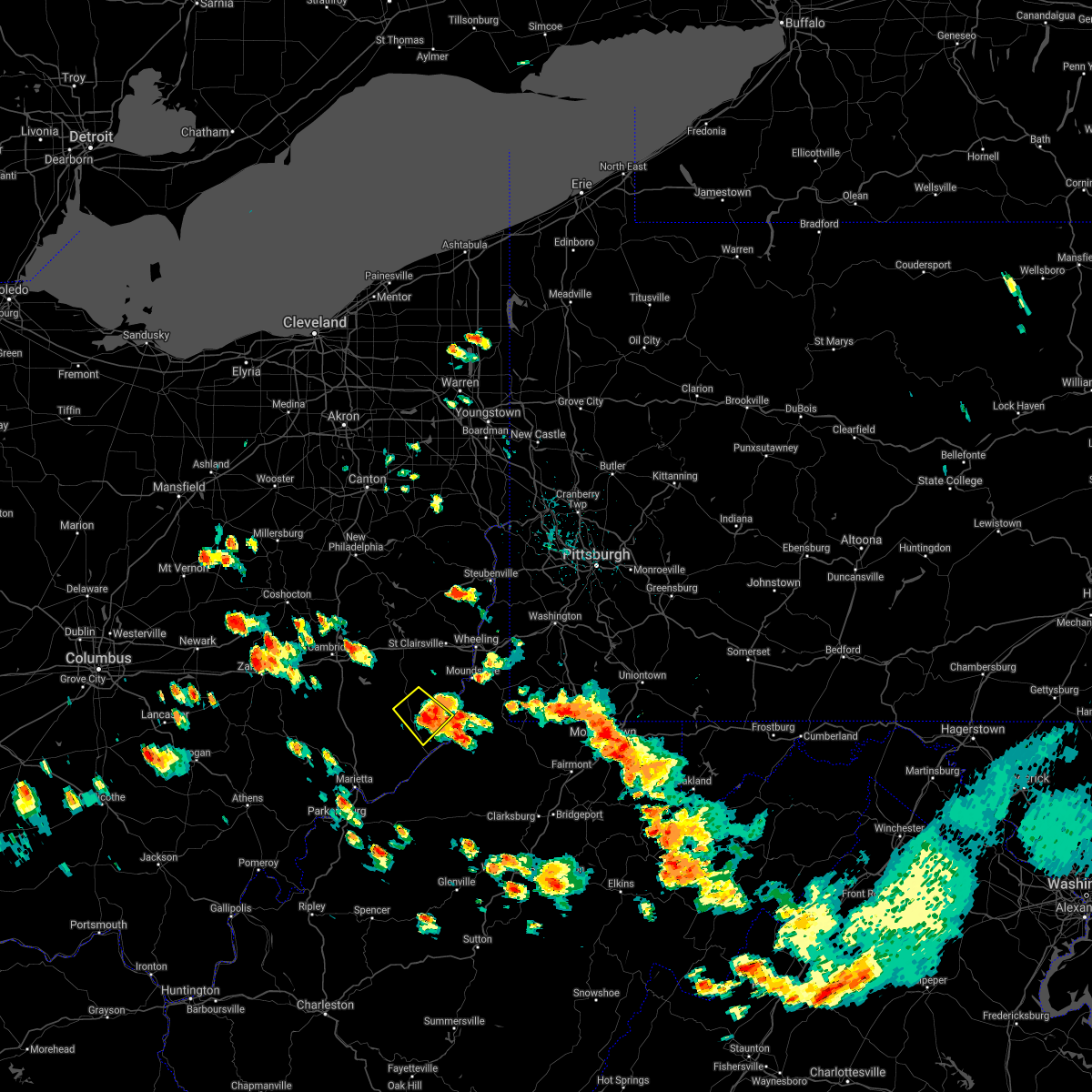 The severe thunderstorm warning for central monroe and southwestern belmont counties will expire at 230 pm edt, the storm which prompted the warning has weakened below severe limits, and no longer poses an immediate threat to life or property. therefore, the warning will be allowed to expire. however gusty winds and heavy rain are still possible with this thunderstorm. a severe thunderstorm watch remains in effect until 700 pm edt for east central ohio, and northern west virginia. The severe thunderstorm warning for central monroe and southwestern belmont counties will expire at 230 pm edt, the storm which prompted the warning has weakened below severe limits, and no longer poses an immediate threat to life or property. therefore, the warning will be allowed to expire. however gusty winds and heavy rain are still possible with this thunderstorm. a severe thunderstorm watch remains in effect until 700 pm edt for east central ohio, and northern west virginia.
|
| 6/13/2021 2:05 PM EDT |
 At 204 pm edt, a severe thunderstorm was located near woodsfield, moving southeast at 20 mph (radar). Hazards include wind gusts to 60 mph and quarter-size hail. Minor hail damage to vehicles is possible. expect wind damage to trees and power lines, resulting in some power outages. Locations impacted include, woodsfield, beallsville, clarington, jerusalem, wilson, cameron, antioch, laings,. At 204 pm edt, a severe thunderstorm was located near woodsfield, moving southeast at 20 mph (radar). Hazards include wind gusts to 60 mph and quarter-size hail. Minor hail damage to vehicles is possible. expect wind damage to trees and power lines, resulting in some power outages. Locations impacted include, woodsfield, beallsville, clarington, jerusalem, wilson, cameron, antioch, laings,.
|
| 6/13/2021 1:50 PM EDT |
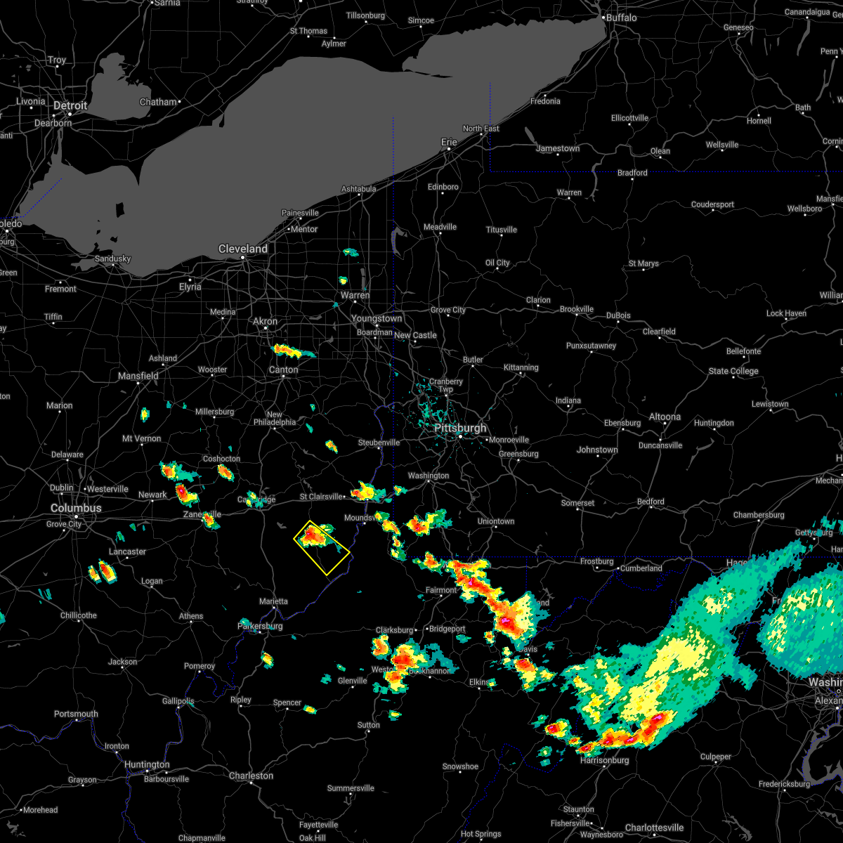 At 150 pm edt, a severe thunderstorm was located 7 miles northwest of woodsfield, moving southeast at 20 mph (radar). Hazards include wind gusts to 60 mph and half dollar-size hail. Minor hail damage to vehicles is possible. Expect wind damage to trees and power lines, resulting in some power outages. At 150 pm edt, a severe thunderstorm was located 7 miles northwest of woodsfield, moving southeast at 20 mph (radar). Hazards include wind gusts to 60 mph and half dollar-size hail. Minor hail damage to vehicles is possible. Expect wind damage to trees and power lines, resulting in some power outages.
|
| 11/15/2020 1:56 PM EST |
 At 155 pm est, severe thunderstorms were located along a line extending from near minerva to 8 miles southeast of byesville, and are nearly stationary (radar). Hazards include wind gusts to 60 mph. Expect damage to trees and power lines, resulting in some power outages. locations impacted include, steubenville, salem, columbiana, st. Clairsville, bellaire, barnesville, wellsville, cadiz, carrollton, woodsfield, freeport, wintersville, this includes interstate 70 in ohio between mile markers 191 and 225. At 155 pm est, severe thunderstorms were located along a line extending from near minerva to 8 miles southeast of byesville, and are nearly stationary (radar). Hazards include wind gusts to 60 mph. Expect damage to trees and power lines, resulting in some power outages. locations impacted include, steubenville, salem, columbiana, st. Clairsville, bellaire, barnesville, wellsville, cadiz, carrollton, woodsfield, freeport, wintersville, this includes interstate 70 in ohio between mile markers 191 and 225.
|
| 11/15/2020 1:41 PM EST |
 At 140 pm est, severe thunderstorms were located along a line extending from near minerva to 8 miles southeast of byesville, moving east at 55 mph (radar). Hazards include wind gusts to 60 mph. expect damage to trees and power lines, resulting in some power outages At 140 pm est, severe thunderstorms were located along a line extending from near minerva to 8 miles southeast of byesville, moving east at 55 mph (radar). Hazards include wind gusts to 60 mph. expect damage to trees and power lines, resulting in some power outages
|
| 8/28/2020 7:54 PM EDT |
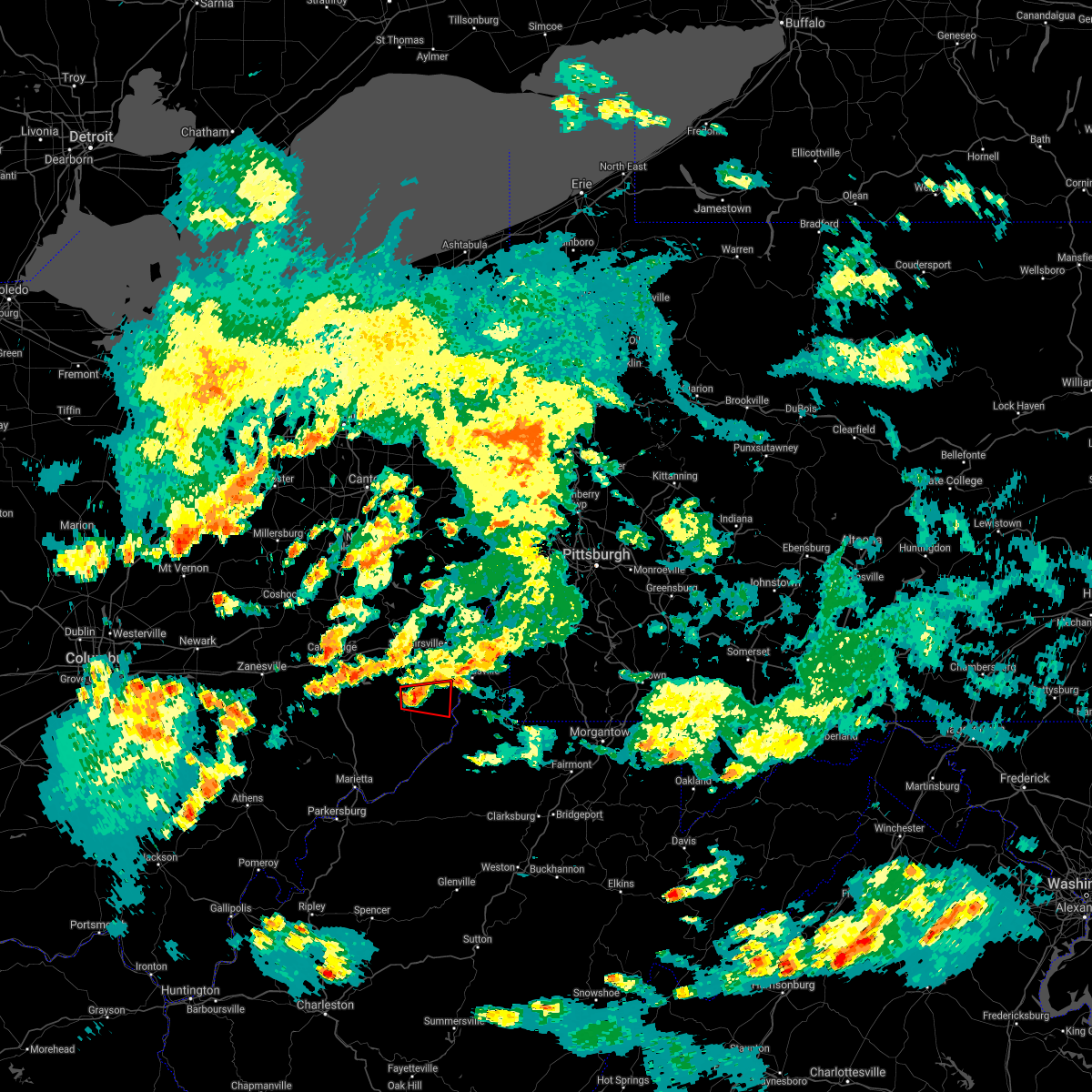 At 753 pm edt, a severe thunderstorm capable of producing a tornado was located near woodsfield, moving east at 25 mph (radar indicated rotation). Hazards include tornado. Flying debris will be dangerous to those caught without shelter. mobile homes will be damaged or destroyed. damage to roofs, windows, and vehicles will occur. tree damage is likely. Locations impacted include, beallsville, jerusalem, wilson, alledonia, cameron, miltonsburg,. At 753 pm edt, a severe thunderstorm capable of producing a tornado was located near woodsfield, moving east at 25 mph (radar indicated rotation). Hazards include tornado. Flying debris will be dangerous to those caught without shelter. mobile homes will be damaged or destroyed. damage to roofs, windows, and vehicles will occur. tree damage is likely. Locations impacted include, beallsville, jerusalem, wilson, alledonia, cameron, miltonsburg,.
|
| 8/28/2020 7:43 PM EDT |
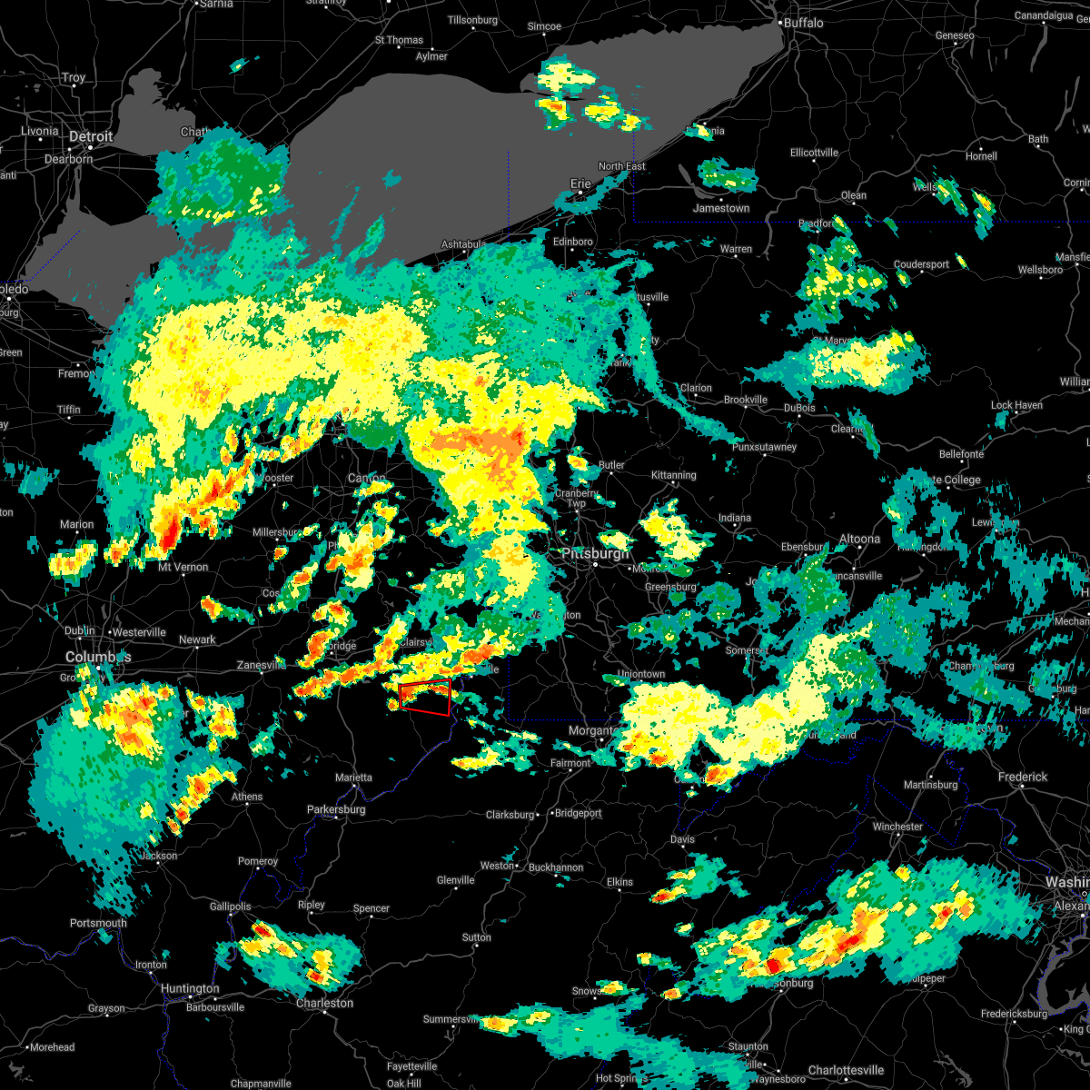 At 742 pm edt, a severe thunderstorm capable of producing a tornado was located near woodsfield, moving east at 25 mph (radar indicated rotation). Hazards include tornado. Flying debris will be dangerous to those caught without shelter. mobile homes will be damaged or destroyed. damage to roofs, windows, and vehicles will occur. tree damage is likely. This tornadic thunderstorm will remain over mainly rural areas of northeastern monroe and south central belmont counties, including the following locations, wilson, alledonia, miltonsburg, cameron, jerusalem and beallsville. At 742 pm edt, a severe thunderstorm capable of producing a tornado was located near woodsfield, moving east at 25 mph (radar indicated rotation). Hazards include tornado. Flying debris will be dangerous to those caught without shelter. mobile homes will be damaged or destroyed. damage to roofs, windows, and vehicles will occur. tree damage is likely. This tornadic thunderstorm will remain over mainly rural areas of northeastern monroe and south central belmont counties, including the following locations, wilson, alledonia, miltonsburg, cameron, jerusalem and beallsville.
|
| 8/28/2020 7:29 PM EDT |
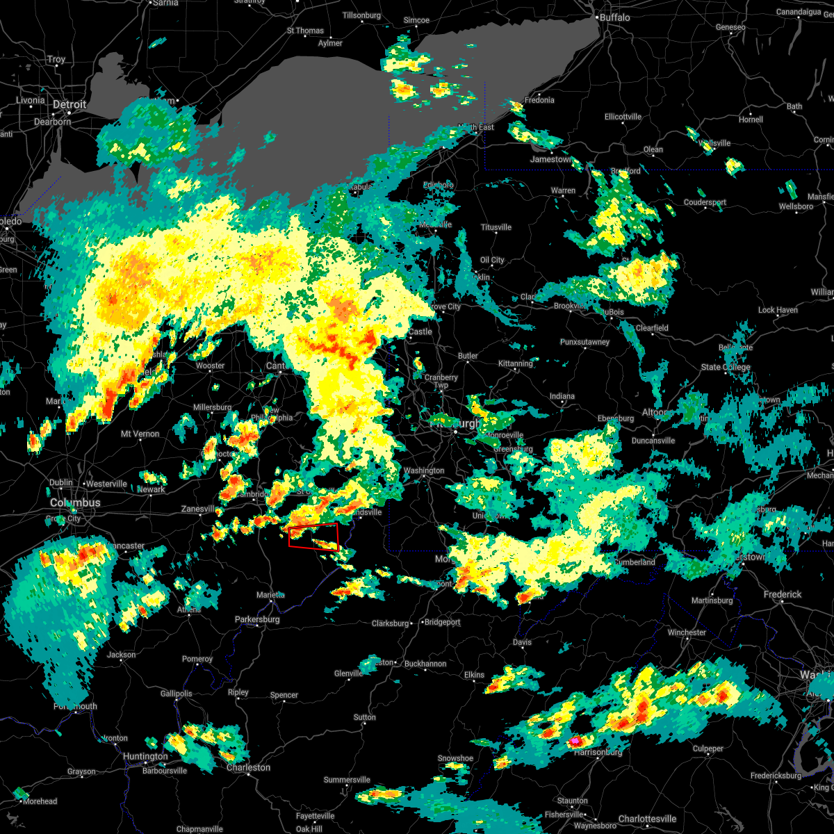 At 728 pm edt, a severe thunderstorm capable of producing a tornado was located 7 miles northwest of woodsfield, moving east at 20 mph (radar indicated rotation). Hazards include tornado. Flying debris will be dangerous to those caught without shelter. mobile homes will be damaged or destroyed. damage to roofs, windows, and vehicles will occur. tree damage is likely. this dangerous storm will be near, woodsfield around 745 pm edt. Other locations impacted by this tornadic thunderstorm include wilson, miltonsburg, cameron, jerusalem, beallsville and lewisville. At 728 pm edt, a severe thunderstorm capable of producing a tornado was located 7 miles northwest of woodsfield, moving east at 20 mph (radar indicated rotation). Hazards include tornado. Flying debris will be dangerous to those caught without shelter. mobile homes will be damaged or destroyed. damage to roofs, windows, and vehicles will occur. tree damage is likely. this dangerous storm will be near, woodsfield around 745 pm edt. Other locations impacted by this tornadic thunderstorm include wilson, miltonsburg, cameron, jerusalem, beallsville and lewisville.
|
| 8/28/2020 7:18 PM EDT |
 At 716 pm edt, a severe thunderstorm capable of producing a tornado was located 10 miles west of woodsfield, moving east at 30 mph (radar indicated rotation). Hazards include tornado. Flying debris will be dangerous to those caught without shelter. mobile homes will be damaged or destroyed. damage to roofs, windows, and vehicles will occur. tree damage is likely. this dangerous storm will be near, woodsfield around 735 pm edt. Other locations impacted by this tornadic thunderstorm include miltonsburg, jerusalem, beallsville, wilson, cameron, summerfield and lewisville. At 716 pm edt, a severe thunderstorm capable of producing a tornado was located 10 miles west of woodsfield, moving east at 30 mph (radar indicated rotation). Hazards include tornado. Flying debris will be dangerous to those caught without shelter. mobile homes will be damaged or destroyed. damage to roofs, windows, and vehicles will occur. tree damage is likely. this dangerous storm will be near, woodsfield around 735 pm edt. Other locations impacted by this tornadic thunderstorm include miltonsburg, jerusalem, beallsville, wilson, cameron, summerfield and lewisville.
|
| 8/25/2020 4:18 PM EDT |
 At 418 pm edt, a severe thunderstorm was located near cameron, or 13 miles southeast of moundsville, moving southeast at 25 mph (radar). Hazards include wind gusts to 60 mph and quarter-size hail. Minor hail damage to vehicles is possible. expect wind damage to trees and power lines, resulting in some power outages. Locations impacted include, new martinsville, waynesburg, woodsfield, mannington, paden city, powhatan point, fairdale, pine grove, hundred, jacksonburg, rogersville, sardis, this includes interstate 79 in pennsylvania between mile markers 3 and 13. At 418 pm edt, a severe thunderstorm was located near cameron, or 13 miles southeast of moundsville, moving southeast at 25 mph (radar). Hazards include wind gusts to 60 mph and quarter-size hail. Minor hail damage to vehicles is possible. expect wind damage to trees and power lines, resulting in some power outages. Locations impacted include, new martinsville, waynesburg, woodsfield, mannington, paden city, powhatan point, fairdale, pine grove, hundred, jacksonburg, rogersville, sardis, this includes interstate 79 in pennsylvania between mile markers 3 and 13.
|
| 8/25/2020 4:12 PM EDT |
 At 412 pm edt, a severe thunderstorm was located near cameron, or 11 miles southeast of moundsville, moving southeast at 25 mph (radar). Hazards include wind gusts to 60 mph and quarter-size hail. Minor hail damage to vehicles is possible. expect wind damage to trees and power lines, resulting in some power outages. locations impacted include, wheeling, moundsville, martins ferry, new martinsville, st. clairsville, bellaire, waynesburg, bethlehem, woodsfield, mannington, triadelphia, shadyside, this includes the following highways, interstate 70 in ohio between mile markers 217 and 225. interstate 70 in west virginia between mile markers 0 and 10. Interstate 79 in pennsylvania between mile markers 3 and 18. At 412 pm edt, a severe thunderstorm was located near cameron, or 11 miles southeast of moundsville, moving southeast at 25 mph (radar). Hazards include wind gusts to 60 mph and quarter-size hail. Minor hail damage to vehicles is possible. expect wind damage to trees and power lines, resulting in some power outages. locations impacted include, wheeling, moundsville, martins ferry, new martinsville, st. clairsville, bellaire, waynesburg, bethlehem, woodsfield, mannington, triadelphia, shadyside, this includes the following highways, interstate 70 in ohio between mile markers 217 and 225. interstate 70 in west virginia between mile markers 0 and 10. Interstate 79 in pennsylvania between mile markers 3 and 18.
|
| 8/25/2020 4:12 PM EDT |
 At 338 pm edt, a severe thunderstorm was located near powhatan point, or near moundsville, moving southeast at 25 mph (radar). Hazards include wind gusts to 60 mph and quarter-size hail. Minor hail damage to vehicles is possible. Expect wind damage to trees and power lines, resulting in some power outages. At 338 pm edt, a severe thunderstorm was located near powhatan point, or near moundsville, moving southeast at 25 mph (radar). Hazards include wind gusts to 60 mph and quarter-size hail. Minor hail damage to vehicles is possible. Expect wind damage to trees and power lines, resulting in some power outages.
|
| 8/25/2020 4:12 PM EDT |
 At 412 pm edt, a severe thunderstorm was located near cameron, or 11 miles southeast of moundsville, moving southeast at 25 mph (radar). Hazards include wind gusts to 60 mph and quarter-size hail. Minor hail damage to vehicles is possible. expect wind damage to trees and power lines, resulting in some power outages. locations impacted include, wheeling, moundsville, martins ferry, new martinsville, st. clairsville, bellaire, waynesburg, bethlehem, woodsfield, mannington, triadelphia, shadyside, this includes the following highways, interstate 70 in ohio between mile markers 217 and 225. interstate 70 in west virginia between mile markers 0 and 10. Interstate 79 in pennsylvania between mile markers 3 and 18. At 412 pm edt, a severe thunderstorm was located near cameron, or 11 miles southeast of moundsville, moving southeast at 25 mph (radar). Hazards include wind gusts to 60 mph and quarter-size hail. Minor hail damage to vehicles is possible. expect wind damage to trees and power lines, resulting in some power outages. locations impacted include, wheeling, moundsville, martins ferry, new martinsville, st. clairsville, bellaire, waynesburg, bethlehem, woodsfield, mannington, triadelphia, shadyside, this includes the following highways, interstate 70 in ohio between mile markers 217 and 225. interstate 70 in west virginia between mile markers 0 and 10. Interstate 79 in pennsylvania between mile markers 3 and 18.
|
| 8/25/2020 3:39 PM EDT |
 At 338 pm edt, a severe thunderstorm was located near powhatan point, or near moundsville, moving southeast at 25 mph (radar). Hazards include wind gusts to 60 mph and quarter-size hail. Minor hail damage to vehicles is possible. Expect wind damage to trees and power lines, resulting in some power outages. At 338 pm edt, a severe thunderstorm was located near powhatan point, or near moundsville, moving southeast at 25 mph (radar). Hazards include wind gusts to 60 mph and quarter-size hail. Minor hail damage to vehicles is possible. Expect wind damage to trees and power lines, resulting in some power outages.
|
| 7/10/2020 4:17 PM EDT |
 At 417 pm edt, a severe thunderstorm was located near woodsfield, moving northeast at 15 mph (radar). Hazards include wind gusts to 60 mph and quarter-size hail. Minor hail damage to vehicles is possible. expect wind damage to trees and power lines, resulting in some power outages. Locations impacted include, woodsfield, powhatan point, beallsville, clarington, jerusalem, wilson, alledonia, cameron, woodlands, laings,. At 417 pm edt, a severe thunderstorm was located near woodsfield, moving northeast at 15 mph (radar). Hazards include wind gusts to 60 mph and quarter-size hail. Minor hail damage to vehicles is possible. expect wind damage to trees and power lines, resulting in some power outages. Locations impacted include, woodsfield, powhatan point, beallsville, clarington, jerusalem, wilson, alledonia, cameron, woodlands, laings,.
|
| 7/10/2020 4:07 PM EDT |
 At 407 pm edt, a severe thunderstorm was located near woodsfield, moving northeast at 20 mph (radar). Hazards include wind gusts to 60 mph. expect damage to trees and power lines, resulting in some power outages At 407 pm edt, a severe thunderstorm was located near woodsfield, moving northeast at 20 mph (radar). Hazards include wind gusts to 60 mph. expect damage to trees and power lines, resulting in some power outages
|
| 6/10/2020 8:51 PM EDT |
 The severe thunderstorm warning for south central harrison, central guernsey, western monroe, western belmont and noble counties will expire at 900 pm edt, the storms which prompted the warning have weakened below severe limits, and no longer pose an immediate threat to life or property. therefore, the warning will be allowed to expire. however gusty winds and heavy rain are still possible with these thunderstorms. a severe thunderstorm watch remains in effect until 100 am edt for east central ohio. The severe thunderstorm warning for south central harrison, central guernsey, western monroe, western belmont and noble counties will expire at 900 pm edt, the storms which prompted the warning have weakened below severe limits, and no longer pose an immediate threat to life or property. therefore, the warning will be allowed to expire. however gusty winds and heavy rain are still possible with these thunderstorms. a severe thunderstorm watch remains in effect until 100 am edt for east central ohio.
|
| 6/10/2020 8:27 PM EDT |
 At 827 pm edt, severe thunderstorms were located along a line extending from near byesville to near caldwell to near beverly, moving northeast at 60 mph (radar). Hazards include wind gusts to 60 mph and quarter-size hail. Minor hail damage to vehicles is possible. Expect wind damage to trees and power lines, resulting in some power outages. At 827 pm edt, severe thunderstorms were located along a line extending from near byesville to near caldwell to near beverly, moving northeast at 60 mph (radar). Hazards include wind gusts to 60 mph and quarter-size hail. Minor hail damage to vehicles is possible. Expect wind damage to trees and power lines, resulting in some power outages.
|
| 6/3/2020 3:41 PM EDT |
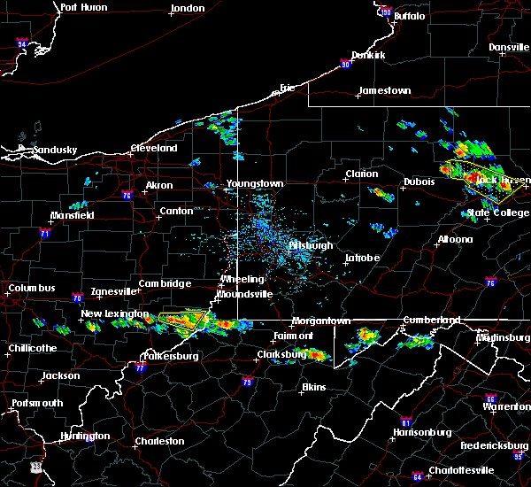 The severe thunderstorm warning for central monroe and east central noble counties will expire at 345 pm edt, the storm which prompted the warning has weakened below severe limits, and no longer poses an immediate threat to life or property. therefore, the warning will be allowed to expire. however small hail and heavy rain are still possible with this thunderstorm. The severe thunderstorm warning for central monroe and east central noble counties will expire at 345 pm edt, the storm which prompted the warning has weakened below severe limits, and no longer poses an immediate threat to life or property. therefore, the warning will be allowed to expire. however small hail and heavy rain are still possible with this thunderstorm.
|
| 6/3/2020 3:35 PM EDT |
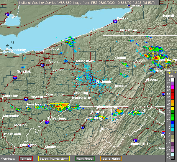 At 335 pm edt, a severe thunderstorm was located 10 miles west of woodsfield, moving east at 35 mph (radar). Hazards include wind gusts to 60 mph and quarter-size hail. Minor hail damage to vehicles is possible. expect wind damage to trees and power lines, resulting in some power outages. Locations impacted include, woodsfield, lewisville, cameron, antioch, stafford, graysville, laings,. At 335 pm edt, a severe thunderstorm was located 10 miles west of woodsfield, moving east at 35 mph (radar). Hazards include wind gusts to 60 mph and quarter-size hail. Minor hail damage to vehicles is possible. expect wind damage to trees and power lines, resulting in some power outages. Locations impacted include, woodsfield, lewisville, cameron, antioch, stafford, graysville, laings,.
|
| 6/3/2020 3:06 PM EDT |
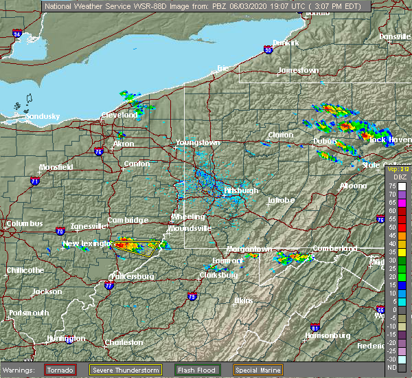 At 306 pm edt, a severe thunderstorm was located near caldwell, moving east at 30 mph (radar). Hazards include wind gusts to 60 mph and quarter-size hail. Minor hail damage to vehicles is possible. Expect wind damage to trees and power lines, resulting in some power outages. At 306 pm edt, a severe thunderstorm was located near caldwell, moving east at 30 mph (radar). Hazards include wind gusts to 60 mph and quarter-size hail. Minor hail damage to vehicles is possible. Expect wind damage to trees and power lines, resulting in some power outages.
|
| 9/28/2019 7:00 PM EDT | Several trees down in monroe county OH, 7.2 miles WNW of Woodsfield, OH |
| 9/28/2019 6:57 PM EDT |
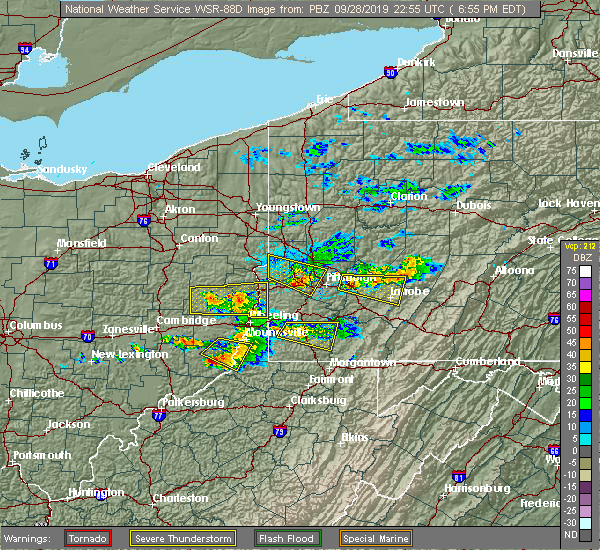 At 657 pm edt, a severe thunderstorm was located near woodsfield, moving east at 20 mph (radar). Hazards include wind gusts to 60 mph and quarter-size hail. Minor hail damage to vehicles is possible. Expect wind damage to trees and power lines, resulting in some power outages. At 657 pm edt, a severe thunderstorm was located near woodsfield, moving east at 20 mph (radar). Hazards include wind gusts to 60 mph and quarter-size hail. Minor hail damage to vehicles is possible. Expect wind damage to trees and power lines, resulting in some power outages.
|
| 9/28/2019 6:45 PM EDT |
 At 645 pm edt, a severe thunderstorm was located 7 miles west of powhatan point, or 10 miles northeast of woodsfield, moving southeast at 30 mph (radar). Hazards include wind gusts to 60 mph and quarter-size hail. Minor hail damage to vehicles is possible. expect wind damage to trees and power lines, resulting in some power outages. Locations impacted include, new martinsville, woodsfield, powhatan point, beallsville, clarington, jerusalem, wilson, cameron, alledonia, grove oak, proctor, woodlands,. At 645 pm edt, a severe thunderstorm was located 7 miles west of powhatan point, or 10 miles northeast of woodsfield, moving southeast at 30 mph (radar). Hazards include wind gusts to 60 mph and quarter-size hail. Minor hail damage to vehicles is possible. expect wind damage to trees and power lines, resulting in some power outages. Locations impacted include, new martinsville, woodsfield, powhatan point, beallsville, clarington, jerusalem, wilson, cameron, alledonia, grove oak, proctor, woodlands,.
|
| 9/28/2019 6:22 PM EDT |
 At 621 pm edt, a severe thunderstorm was located near barnesville, moving southeast at 30 mph (radar). Hazards include golf ball size-hail and wind gusts to 60 mph. People and animals outdoors will be injured. expect hail damage to roofs, siding, windows, and vehicles. expect wind damage to trees and power lines, resulting in some power outages. Locations impacted include, new martinsville, woodsfield, powhatan point, beallsville, clarington, jerusalem, wilson, cameron, somerton, alledonia, batesville, miltonsburg,. At 621 pm edt, a severe thunderstorm was located near barnesville, moving southeast at 30 mph (radar). Hazards include golf ball size-hail and wind gusts to 60 mph. People and animals outdoors will be injured. expect hail damage to roofs, siding, windows, and vehicles. expect wind damage to trees and power lines, resulting in some power outages. Locations impacted include, new martinsville, woodsfield, powhatan point, beallsville, clarington, jerusalem, wilson, cameron, somerton, alledonia, batesville, miltonsburg,.
|
| 9/28/2019 6:14 PM EDT |
 At 614 pm edt, a severe thunderstorm was located near barnesville, moving southeast at 30 mph (radar). Hazards include wind gusts to 60 mph and quarter-size hail. Minor hail damage to vehicles is possible. Expect wind damage to trees and power lines, resulting in some power outages. At 614 pm edt, a severe thunderstorm was located near barnesville, moving southeast at 30 mph (radar). Hazards include wind gusts to 60 mph and quarter-size hail. Minor hail damage to vehicles is possible. Expect wind damage to trees and power lines, resulting in some power outages.
|
| 7/16/2019 9:19 PM EDT |
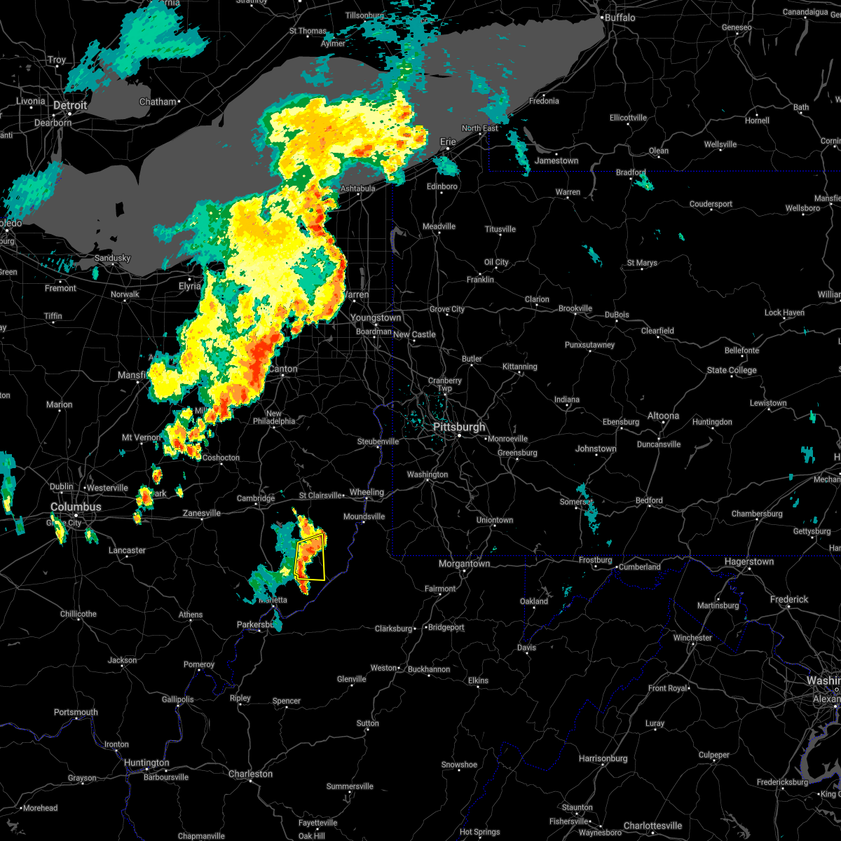 At 919 pm edt, a severe thunderstorm was located 8 miles southwest of woodsfield, moving east at 15 mph (radar). Hazards include wind gusts to 60 mph. Expect damage to trees and power lines, resulting in some power outages. Locations impacted include, woodsfield, lewisville, antioch, stafford, graysville, rinard mills,. At 919 pm edt, a severe thunderstorm was located 8 miles southwest of woodsfield, moving east at 15 mph (radar). Hazards include wind gusts to 60 mph. Expect damage to trees and power lines, resulting in some power outages. Locations impacted include, woodsfield, lewisville, antioch, stafford, graysville, rinard mills,.
|
| 7/16/2019 9:07 PM EDT |
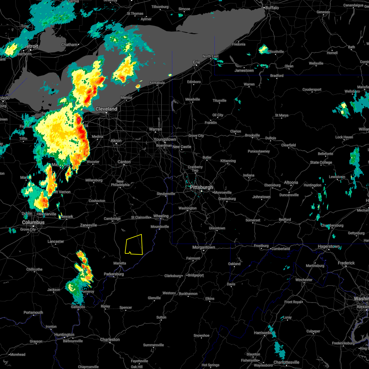 At 906 pm edt, a severe thunderstorm was located 10 miles southwest of woodsfield, moving east at 15 mph (radar). Hazards include wind gusts to 60 mph. Expect damage to trees and power lines, resulting in some power outages. Locations impacted include, woodsfield, lewisville, antioch, stafford, graysville, harriettsville, rinard mills,. At 906 pm edt, a severe thunderstorm was located 10 miles southwest of woodsfield, moving east at 15 mph (radar). Hazards include wind gusts to 60 mph. Expect damage to trees and power lines, resulting in some power outages. Locations impacted include, woodsfield, lewisville, antioch, stafford, graysville, harriettsville, rinard mills,.
|
| 7/16/2019 8:54 PM EDT |
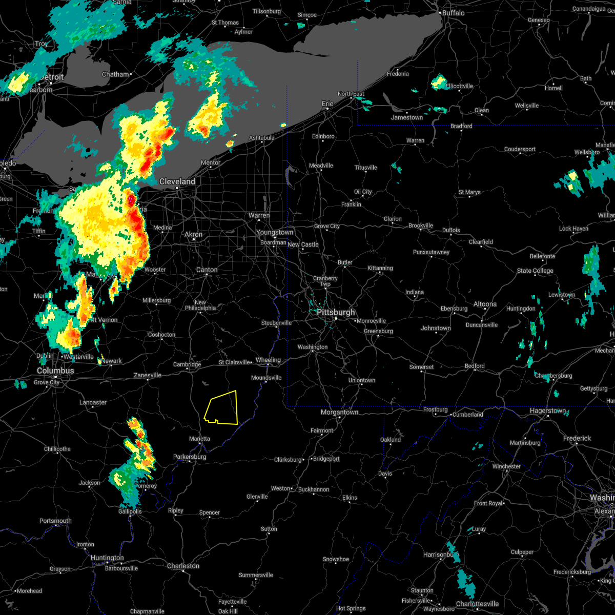 At 854 pm edt, a severe thunderstorm was located 13 miles southwest of woodsfield, moving east at 15 mph (radar). Hazards include wind gusts to 60 mph. expect damage to trees and power lines, resulting in some power outages At 854 pm edt, a severe thunderstorm was located 13 miles southwest of woodsfield, moving east at 15 mph (radar). Hazards include wind gusts to 60 mph. expect damage to trees and power lines, resulting in some power outages
|
| 6/24/2019 5:42 PM EDT |
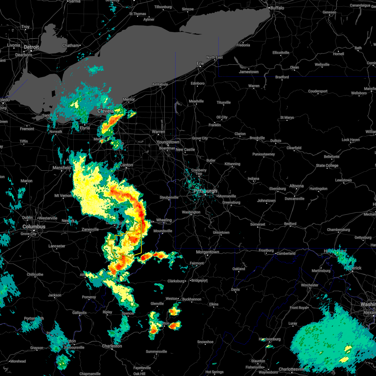 The severe thunderstorm warning for northwestern monroe, southwestern belmont and noble counties will expire at 545 pm edt, the storm that prompted the warning has moved out of the area. therefore, the warning will be allowed to expire. however gusty winds are still possible with this thunderstorm. a severe thunderstorm watch remains in effect until 1000 pm edt for east central ohio. The severe thunderstorm warning for northwestern monroe, southwestern belmont and noble counties will expire at 545 pm edt, the storm that prompted the warning has moved out of the area. therefore, the warning will be allowed to expire. however gusty winds are still possible with this thunderstorm. a severe thunderstorm watch remains in effect until 1000 pm edt for east central ohio.
|
| 6/24/2019 5:41 PM EDT |
 At 541 pm edt, severe thunderstorms were located along a line extending from 6 miles northwest of sistersville to near new martinsville, moving north at 25 mph (radar). Hazards include wind gusts to 60 mph. damage to trees and power lines At 541 pm edt, severe thunderstorms were located along a line extending from 6 miles northwest of sistersville to near new martinsville, moving north at 25 mph (radar). Hazards include wind gusts to 60 mph. damage to trees and power lines
|
| 6/24/2019 5:16 PM EDT |
 At 516 pm edt, a severe thunderstorm was located 7 miles east of caldwell, moving northeast at 25 mph (radar). Hazards include wind gusts to 60 mph. expect damage to trees and power lines, resulting in some power outages At 516 pm edt, a severe thunderstorm was located 7 miles east of caldwell, moving northeast at 25 mph (radar). Hazards include wind gusts to 60 mph. expect damage to trees and power lines, resulting in some power outages
|
| 6/16/2019 11:00 PM EDT |
 At 1059 pm edt, a severe thunderstorm was located near woodsfield, moving northeast at 30 mph (radar). Hazards include wind gusts to 60 mph and quarter-size hail. Minor hail damage to vehicles is possible. Expect wind damage to trees and power lines, resulting in some power outages. At 1059 pm edt, a severe thunderstorm was located near woodsfield, moving northeast at 30 mph (radar). Hazards include wind gusts to 60 mph and quarter-size hail. Minor hail damage to vehicles is possible. Expect wind damage to trees and power lines, resulting in some power outages.
|
| 10/28/2018 7:16 PM EDT |
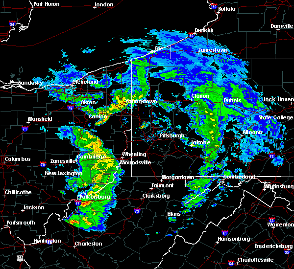 At 715 pm edt, a severe thunderstorm was located near woodsfield, moving east at 55 mph (radar). Hazards include wind gusts to 60 mph. Expect damage to trees and power lines, resulting in some power outages. Locations impacted include, woodsfield, cameron, antioch, graysville, laings,. At 715 pm edt, a severe thunderstorm was located near woodsfield, moving east at 55 mph (radar). Hazards include wind gusts to 60 mph. Expect damage to trees and power lines, resulting in some power outages. Locations impacted include, woodsfield, cameron, antioch, graysville, laings,.
|
| 10/28/2018 7:10 PM EDT |
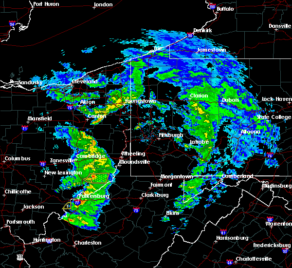 At 710 pm edt, a severe thunderstorm was located near woodsfield, moving east at 55 mph (radar). Hazards include quarter-size hail. Minor damage to vehicles is possible. Locations impacted include, woodsfield, cameron, antioch, stafford, graysville, harriettsville, rinard mills, laings,. At 710 pm edt, a severe thunderstorm was located near woodsfield, moving east at 55 mph (radar). Hazards include quarter-size hail. Minor damage to vehicles is possible. Locations impacted include, woodsfield, cameron, antioch, stafford, graysville, harriettsville, rinard mills, laings,.
|
| 10/28/2018 7:00 PM EDT |
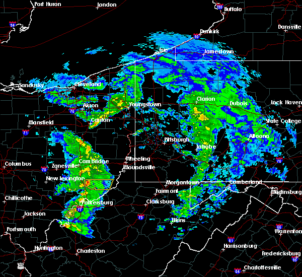 At 700 pm edt, a severe thunderstorm was located 8 miles southeast of caldwell, moving east at 55 mph (radar). Hazards include wind gusts to 60 mph and quarter-size hail. Minor hail damage to vehicles is possible. Expect wind damage to trees and power lines, resulting in some power outages. At 700 pm edt, a severe thunderstorm was located 8 miles southeast of caldwell, moving east at 55 mph (radar). Hazards include wind gusts to 60 mph and quarter-size hail. Minor hail damage to vehicles is possible. Expect wind damage to trees and power lines, resulting in some power outages.
|
| 5/13/2018 6:52 PM EDT |
 At 652 pm edt, a severe thunderstorm was located over woodsfield, moving east at 40 mph (radar). Hazards include wind gusts to 70 mph and quarter-size hail. Minor hail damage to vehicles is possible. trees snapped and uprooted. Power outages can be expected. At 652 pm edt, a severe thunderstorm was located over woodsfield, moving east at 40 mph (radar). Hazards include wind gusts to 70 mph and quarter-size hail. Minor hail damage to vehicles is possible. trees snapped and uprooted. Power outages can be expected.
|
| 5/13/2018 6:45 PM EDT |
 At 645 pm edt, a severe thunderstorm was located 7 miles west of woodsfield, moving east at 40 mph (radar). Hazards include ping pong ball-size hail and wind gusts to 60 mph. People and animals outdoors will be injured. expect hail damage to roofs, siding, windows, and vehicles. expect wind damage to trees and power lines, resulting in some power outages. Locations impacted include, woodsfield, summerfield, lewisville, antioch, stafford, graysville, laings,. At 645 pm edt, a severe thunderstorm was located 7 miles west of woodsfield, moving east at 40 mph (radar). Hazards include ping pong ball-size hail and wind gusts to 60 mph. People and animals outdoors will be injured. expect hail damage to roofs, siding, windows, and vehicles. expect wind damage to trees and power lines, resulting in some power outages. Locations impacted include, woodsfield, summerfield, lewisville, antioch, stafford, graysville, laings,.
|
| 5/13/2018 6:32 PM EDT |
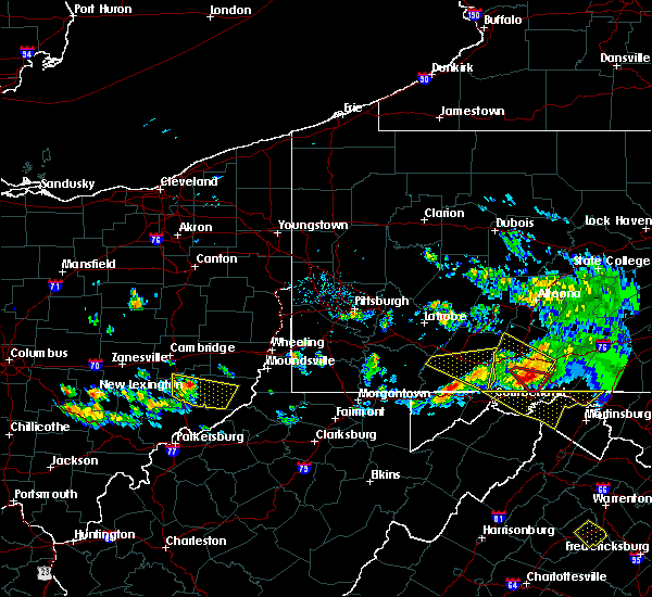 At 631 pm edt, a severe thunderstorm was located near caldwell, moving east at 40 mph (radar). Hazards include wind gusts to 60 mph and quarter-size hail. Minor hail damage to vehicles is possible. expect wind damage to trees and power lines, resulting in some power outages. Locations impacted include, woodsfield, caldwell, dudley, summerfield, belle valley, lewisville, sarahsville, dexter city, antioch, stafford, graysville, harriettsville, this includes interstate 77 in ohio between mile markers 18 and 34. At 631 pm edt, a severe thunderstorm was located near caldwell, moving east at 40 mph (radar). Hazards include wind gusts to 60 mph and quarter-size hail. Minor hail damage to vehicles is possible. expect wind damage to trees and power lines, resulting in some power outages. Locations impacted include, woodsfield, caldwell, dudley, summerfield, belle valley, lewisville, sarahsville, dexter city, antioch, stafford, graysville, harriettsville, this includes interstate 77 in ohio between mile markers 18 and 34.
|
| 5/13/2018 6:17 PM EDT |
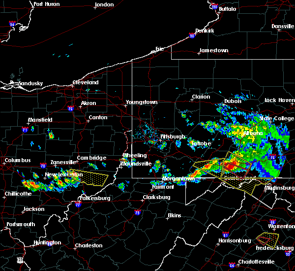 At 617 pm edt, a severe thunderstorm was located 7 miles northwest of caldwell, moving east-southeast at 40 mph (radar). Hazards include wind gusts to 60 mph and quarter-size hail. Minor hail damage to vehicles is possible. Expect wind damage to trees and power lines, resulting in some power outages. At 617 pm edt, a severe thunderstorm was located 7 miles northwest of caldwell, moving east-southeast at 40 mph (radar). Hazards include wind gusts to 60 mph and quarter-size hail. Minor hail damage to vehicles is possible. Expect wind damage to trees and power lines, resulting in some power outages.
|
| 4/3/2018 7:30 PM EDT |
 At 730 pm edt, a severe thunderstorm was located 8 miles north of woodsfield, moving east at 55 mph (radar). Hazards include 60 mph wind gusts and quarter-size hail. Minor hail damage to vehicles is possible. expect wind damage to trees and power lines, resulting in some power outages. locations impacted include, cambridge, st. clairsville, barnesville, woodsfield, caldwell, new concord, byesville, dudley, bethesda, quaker city, senecaville, belmont, this includes the following highways, interstate 70 in ohio near mile marker 166, between mile markers 168 and 173, and between mile markers 177 and 216. Interstate 77 in ohio between mile markers 23 and 45. At 730 pm edt, a severe thunderstorm was located 8 miles north of woodsfield, moving east at 55 mph (radar). Hazards include 60 mph wind gusts and quarter-size hail. Minor hail damage to vehicles is possible. expect wind damage to trees and power lines, resulting in some power outages. locations impacted include, cambridge, st. clairsville, barnesville, woodsfield, caldwell, new concord, byesville, dudley, bethesda, quaker city, senecaville, belmont, this includes the following highways, interstate 70 in ohio near mile marker 166, between mile markers 168 and 173, and between mile markers 177 and 216. Interstate 77 in ohio between mile markers 23 and 45.
|
| 4/3/2018 7:18 PM EDT |
 At 717 pm edt, a severe thunderstorm was located 9 miles northwest of woodsfield, moving east at 55 mph (radar). Hazards include 60 mph wind gusts and quarter-size hail. Minor hail damage to vehicles is possible. expect wind damage to trees and power lines, resulting in some power outages. locations impacted include, cambridge, st. clairsville, barnesville, woodsfield, caldwell, new concord, byesville, dudley, bethesda, quaker city, senecaville, belmont, this includes the following highways, interstate 70 in ohio near mile marker 166, between mile markers 168 and 173, and between mile markers 177 and 216. Interstate 77 in ohio between mile markers 23 and 45. At 717 pm edt, a severe thunderstorm was located 9 miles northwest of woodsfield, moving east at 55 mph (radar). Hazards include 60 mph wind gusts and quarter-size hail. Minor hail damage to vehicles is possible. expect wind damage to trees and power lines, resulting in some power outages. locations impacted include, cambridge, st. clairsville, barnesville, woodsfield, caldwell, new concord, byesville, dudley, bethesda, quaker city, senecaville, belmont, this includes the following highways, interstate 70 in ohio near mile marker 166, between mile markers 168 and 173, and between mile markers 177 and 216. Interstate 77 in ohio between mile markers 23 and 45.
|
| 4/3/2018 6:58 PM EDT |
 At 658 pm edt, a severe thunderstorm was located near caldwell, moving east at 55 mph (radar). Hazards include 60 mph wind gusts and quarter-size hail. Minor hail damage to vehicles is possible. Expect wind damage to trees and power lines, resulting in some power outages. At 658 pm edt, a severe thunderstorm was located near caldwell, moving east at 55 mph (radar). Hazards include 60 mph wind gusts and quarter-size hail. Minor hail damage to vehicles is possible. Expect wind damage to trees and power lines, resulting in some power outages.
|
| 11/5/2017 9:01 PM EST |
 At 900 pm est, severe thunderstorms were located along a line extending from 9 miles southeast of byesville to near caldwell to 10 miles northeast of beverly, moving east at 40 mph (radar). Hazards include 60 mph wind gusts. Expect damage to trees and power lines, resulting in some power outages. Locations impacted include, new martinsville, woodsfield, caldwell, paden city, powhatan point, sistersville, quaker city, sardis, beallsville, clarington, summerfield, belle valley, this includes interstate 77 in ohio between mile markers 25 and 30. At 900 pm est, severe thunderstorms were located along a line extending from 9 miles southeast of byesville to near caldwell to 10 miles northeast of beverly, moving east at 40 mph (radar). Hazards include 60 mph wind gusts. Expect damage to trees and power lines, resulting in some power outages. Locations impacted include, new martinsville, woodsfield, caldwell, paden city, powhatan point, sistersville, quaker city, sardis, beallsville, clarington, summerfield, belle valley, this includes interstate 77 in ohio between mile markers 25 and 30.
|
| 11/5/2017 8:30 PM EST |
 At 829 pm est, severe thunderstorms were located along a line extending from near new concord to 14 miles west of caldwell to mcconnelsville, moving east at 40 mph (radar). Hazards include 60 mph wind gusts. expect damage to trees and power lines, resulting in some power outages At 829 pm est, severe thunderstorms were located along a line extending from near new concord to 14 miles west of caldwell to mcconnelsville, moving east at 40 mph (radar). Hazards include 60 mph wind gusts. expect damage to trees and power lines, resulting in some power outages
|
| 5/1/2017 1:12 PM EDT |
 The severe thunderstorm warning for monroe. southwestern belmont and southeastern noble counties will expire at 115 pm edt. the storms that prompted the warning have weakened below severe limits and no longer pose an immediate threat to life and property. therefore, the warning will be allowed to expire. A tornado watch remains in effect until 700 pm edt for east central. The severe thunderstorm warning for monroe. southwestern belmont and southeastern noble counties will expire at 115 pm edt. the storms that prompted the warning have weakened below severe limits and no longer pose an immediate threat to life and property. therefore, the warning will be allowed to expire. A tornado watch remains in effect until 700 pm edt for east central.
|
| 5/1/2017 1:01 PM EDT |
 At 101 pm edt, severe thunderstorms were located along a line extending from 10 miles southwest of barnesville to 7 miles north of st. marys, moving northeast at 55 mph (radar). Hazards include 60 mph wind gusts. Expect damage to trees and power lines, resulting in some power outages. Locations impacted include, new martinsville, woodsfield, powhatan point, sardis, beallsville, clarington, summerfield, lewisville, jerusalem, wilson, cameron, fly, a tornado watch remains in effect until 700 pm edt for east central ohio, and northern west virginia. At 101 pm edt, severe thunderstorms were located along a line extending from 10 miles southwest of barnesville to 7 miles north of st. marys, moving northeast at 55 mph (radar). Hazards include 60 mph wind gusts. Expect damage to trees and power lines, resulting in some power outages. Locations impacted include, new martinsville, woodsfield, powhatan point, sardis, beallsville, clarington, summerfield, lewisville, jerusalem, wilson, cameron, fly, a tornado watch remains in effect until 700 pm edt for east central ohio, and northern west virginia.
|
| 5/1/2017 12:37 PM EDT |
 At 1236 pm edt, severe thunderstorms were located along a line extending from 8 miles southwest of caldwell to vienna, moving northeast at 55 mph (radar). Hazards include 60 mph wind gusts. expect damage to trees and power lines, resulting in some power outages At 1236 pm edt, severe thunderstorms were located along a line extending from 8 miles southwest of caldwell to vienna, moving northeast at 55 mph (radar). Hazards include 60 mph wind gusts. expect damage to trees and power lines, resulting in some power outages
|
| 3/1/2017 9:29 AM EST | Trees down in monroe county OH, 7.6 miles NNW of Woodsfield, OH |
| 3/1/2017 9:26 AM EST |
 At 926 am est, severe thunderstorms were located along a line extending from 8 miles northwest of powhatan point to near woodsfield, moving east at 60 mph (radar). Hazards include 60 mph wind gusts. Expect damage to trees and power lines, resulting in some power outages. Locations impacted include, wheeling, moundsville, new martinsville, bellaire, bethlehem, woodsfield, triadelphia, valley grove, shadyside, mcmechen, powhatan point, glen dale, this includes interstate 70 in west virginia between mile markers 3 and 14. At 926 am est, severe thunderstorms were located along a line extending from 8 miles northwest of powhatan point to near woodsfield, moving east at 60 mph (radar). Hazards include 60 mph wind gusts. Expect damage to trees and power lines, resulting in some power outages. Locations impacted include, wheeling, moundsville, new martinsville, bellaire, bethlehem, woodsfield, triadelphia, valley grove, shadyside, mcmechen, powhatan point, glen dale, this includes interstate 70 in west virginia between mile markers 3 and 14.
|
| 3/1/2017 9:00 AM EST |
 At 859 am est, severe thunderstorms were located along a line extending from 10 miles southeast of byesville to near caldwell to near beverly, moving east at 65 mph (radar). Hazards include 60 mph wind gusts. expect damage to trees and power lines, resulting in some power outages At 859 am est, severe thunderstorms were located along a line extending from 10 miles southeast of byesville to near caldwell to near beverly, moving east at 65 mph (radar). Hazards include 60 mph wind gusts. expect damage to trees and power lines, resulting in some power outages
|
| 10/20/2016 4:19 PM EDT |
 At 419 pm edt, a severe thunderstorm was located near marietta, moving east at 45 mph (radar indicated). Hazards include 60 mph wind gusts and quarter size hail. Hail damage to vehicles is expected. Expect wind damage to trees and power lines, resulting in some power outages. At 419 pm edt, a severe thunderstorm was located near marietta, moving east at 45 mph (radar indicated). Hazards include 60 mph wind gusts and quarter size hail. Hail damage to vehicles is expected. Expect wind damage to trees and power lines, resulting in some power outages.
|
| 10/20/2016 4:19 PM EDT |
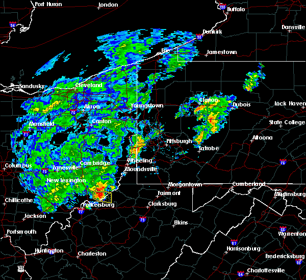 At 419 pm edt, a severe thunderstorm was located near marietta, moving east at 45 mph (radar indicated). Hazards include 60 mph wind gusts and quarter size hail. Hail damage to vehicles is expected. Expect wind damage to trees and power lines, resulting in some power outages. At 419 pm edt, a severe thunderstorm was located near marietta, moving east at 45 mph (radar indicated). Hazards include 60 mph wind gusts and quarter size hail. Hail damage to vehicles is expected. Expect wind damage to trees and power lines, resulting in some power outages.
|
| 7/24/2016 6:36 PM EDT |
 The severe thunderstorm warning for monroe county will expire at 645 pm edt, the storms which prompted the warning have weakened below severe limits, and no longer pose an immediate threat to life or property. therefore, the warning will be allowed to expire. to report severe weather, contact your nearest law enforcement agency. they will relay your report to the national weather service pittsburgh. The severe thunderstorm warning for monroe county will expire at 645 pm edt, the storms which prompted the warning have weakened below severe limits, and no longer pose an immediate threat to life or property. therefore, the warning will be allowed to expire. to report severe weather, contact your nearest law enforcement agency. they will relay your report to the national weather service pittsburgh.
|
| 7/24/2016 6:11 PM EDT |
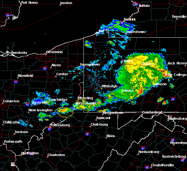 At 611 pm edt, severe thunderstorms were located along a line extending from 12 miles southwest of powhatan point to near woodsfield to 14 miles northwest of sistersville, moving southeast at 20 mph (radar indicated). Hazards include 60 mph wind gusts and quarter size hail. Hail damage to vehicles is expected. expect wind damage to trees and power lines, resulting in some power outages. locations impacted include, new martinsville, woodsfield, sardis, beallsville, clarington, lewisville, jerusalem, wilson, cameron, fly, antioch, stafford, graysville, miltonsburg, rinard mills, hannibal and laings. Please report severe weather by calling 4 1 2, 2 6 2, 1 9 8 8, posting to the nws pittsburgh facebook page, or using twitter @nwspittsburgh. At 611 pm edt, severe thunderstorms were located along a line extending from 12 miles southwest of powhatan point to near woodsfield to 14 miles northwest of sistersville, moving southeast at 20 mph (radar indicated). Hazards include 60 mph wind gusts and quarter size hail. Hail damage to vehicles is expected. expect wind damage to trees and power lines, resulting in some power outages. locations impacted include, new martinsville, woodsfield, sardis, beallsville, clarington, lewisville, jerusalem, wilson, cameron, fly, antioch, stafford, graysville, miltonsburg, rinard mills, hannibal and laings. Please report severe weather by calling 4 1 2, 2 6 2, 1 9 8 8, posting to the nws pittsburgh facebook page, or using twitter @nwspittsburgh.
|
| 7/24/2016 6:03 PM EDT |
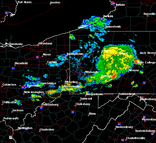 At 603 pm edt, severe thunderstorms were located along a line extending from 13 miles west of powhatan point to near woodsfield to 14 miles east of caldwell, moving southeast at 20 mph (radar indicated). Hazards include 60 mph wind gusts and quarter size hail. Hail damage to vehicles is expected. expect wind damage to trees and power lines, resulting in some power outages. locations impacted include, new martinsville, woodsfield, sardis, beallsville, clarington, summerfield, lewisville, jerusalem, wilson, cameron, fly, antioch, stafford, graysville, miltonsburg, rinard mills, hannibal and laings. Please report severe weather by calling 4 1 2, 2 6 2, 1 9 8 8, posting to the nws pittsburgh facebook page, or using twitter @nwspittsburgh. At 603 pm edt, severe thunderstorms were located along a line extending from 13 miles west of powhatan point to near woodsfield to 14 miles east of caldwell, moving southeast at 20 mph (radar indicated). Hazards include 60 mph wind gusts and quarter size hail. Hail damage to vehicles is expected. expect wind damage to trees and power lines, resulting in some power outages. locations impacted include, new martinsville, woodsfield, sardis, beallsville, clarington, summerfield, lewisville, jerusalem, wilson, cameron, fly, antioch, stafford, graysville, miltonsburg, rinard mills, hannibal and laings. Please report severe weather by calling 4 1 2, 2 6 2, 1 9 8 8, posting to the nws pittsburgh facebook page, or using twitter @nwspittsburgh.
|
| 7/24/2016 5:53 PM EDT | Approximately 200 yards of trees uprooted and sheared off between route 145 and route 800 from straight line winds in monroe county OH, 4.8 miles SSE of Woodsfield, OH |
| 7/24/2016 5:52 PM EDT | Numerous trees uprooted and sheared off on route 145 from straight line winds in monroe county OH, 5.3 miles SSE of Woodsfield, OH |
| 7/24/2016 5:48 PM EDT |
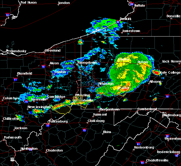 At 547 pm edt, severe thunderstorms were located along a line extending from near woodsfield to 14 miles south of barnesville to 10 miles east of caldwell, moving southeast at 20 mph (radar indicated). Hazards include 60 mph wind gusts and quarter size hail. Hail damage to vehicles is expected. Expect wind damage to trees and power lines, resulting in some power outages. At 547 pm edt, severe thunderstorms were located along a line extending from near woodsfield to 14 miles south of barnesville to 10 miles east of caldwell, moving southeast at 20 mph (radar indicated). Hazards include 60 mph wind gusts and quarter size hail. Hail damage to vehicles is expected. Expect wind damage to trees and power lines, resulting in some power outages.
|
| 4/9/2015 4:48 PM EDT | The national weather service in pittsburgh has issued a * severe thunderstorm warning for. noble county in east central ohio. western jefferson county in east central ohio. northeastern coshocton county in east central ohio. Guernsey county in east central ohio. |
| 5/28/2014 3:32 PM EDT | Quarter sized hail reported 6.9 miles WNW of Woodsfield, OH |
| 11/17/2013 9:18 PM EST | Trees down in monroe county OH, 0.4 miles NE of Woodsfield, OH |
| 7/19/2013 3:48 PM EDT | Quarter sized hail reported 0.9 miles WSW of Woodsfield, OH, torrential rain and hail |
| 6/29/2012 6:30 PM EDT | Quarter sized hail reported 0.4 miles NE of Woodsfield, OH |
| 1/1/0001 12:00 AM | Trees down on state route 78 in monroe county OH, 1.9 miles E of Woodsfield, OH |
| 1/1/0001 12:00 AM | Large tree down in monroe county OH, 0.4 miles NE of Woodsfield, OH |
| 1/1/0001 12:00 AM | Trees down in woodsfield in monroe county OH, 0.4 miles NE of Woodsfield, OH |
| 1/1/0001 12:00 AM | Quarter sized hail reported 0.4 miles NE of Woodsfield, OH |
| 1/1/0001 12:00 AM | Trees down in ems backyard and other locations around woodsfield in monroe county OH, 0.4 miles NE of Woodsfield, OH |
Hail Maps for Woodsfield, OH


Connect with Interactive Hail Maps